Last Updated: 25-AUG-2018
Because of all of the security crap at the airports we drove. We took 17 days and traveled appx. 6,126 miles We used a 1998 Dodge Durango on this trip and had no problems. We averaged appx. 15 mpg over the entire trip.
These photos were taken with a Kodak DC-280 2.1 million pixel digital camera
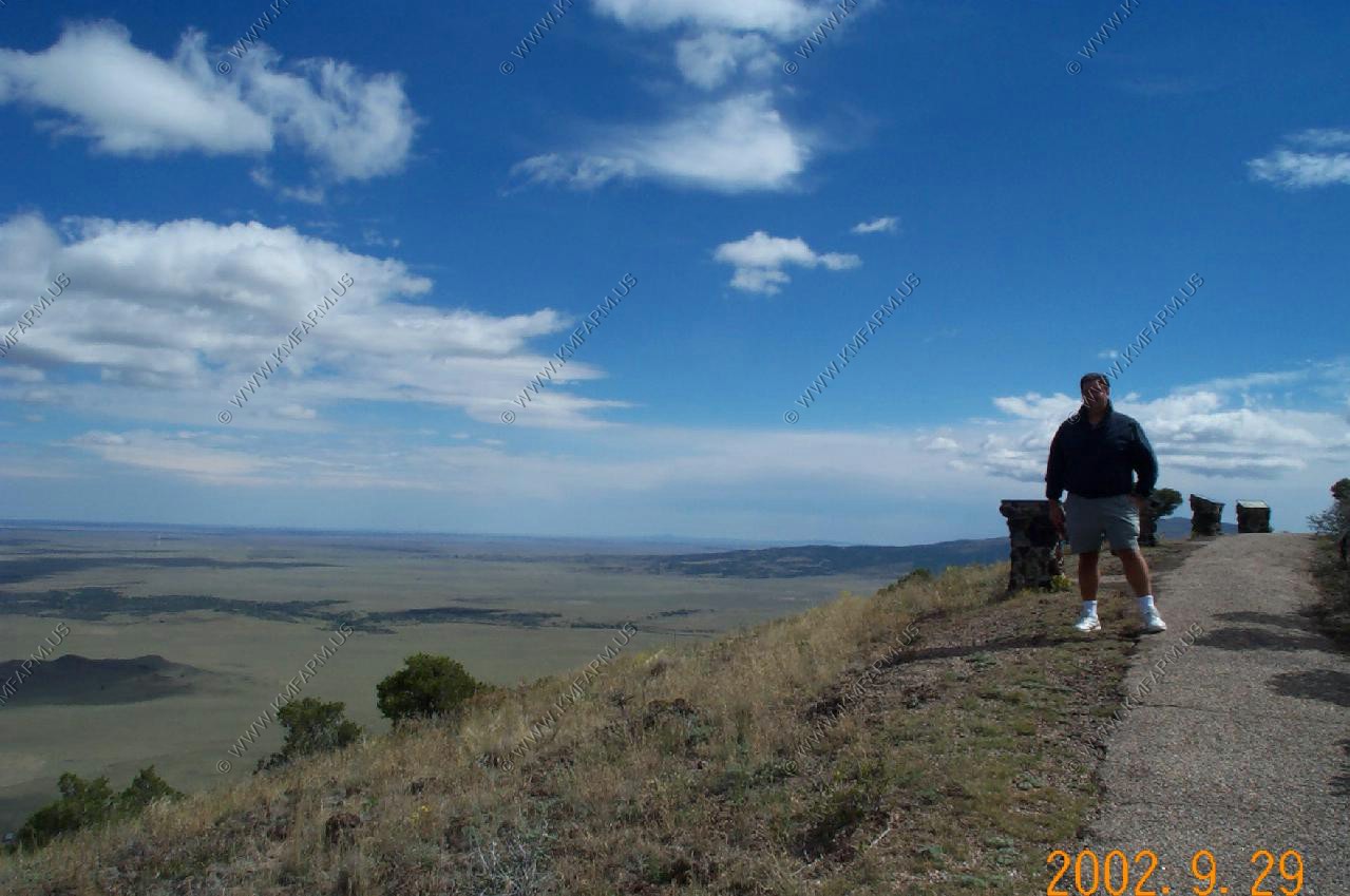
Capulin Volcano National Monument
The snow capped Rocky Mountains 60+ miles away in Colorado and very windy. Elevation 7,877
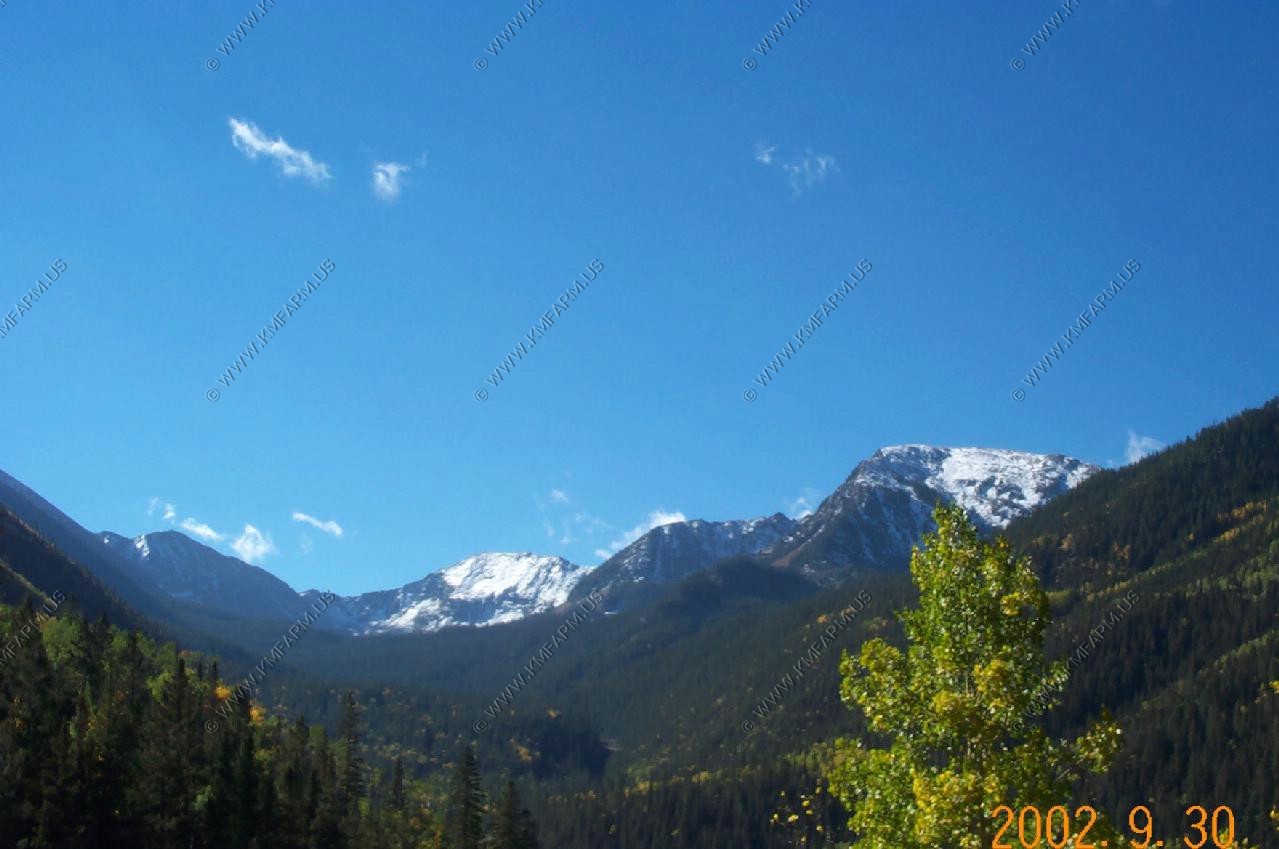
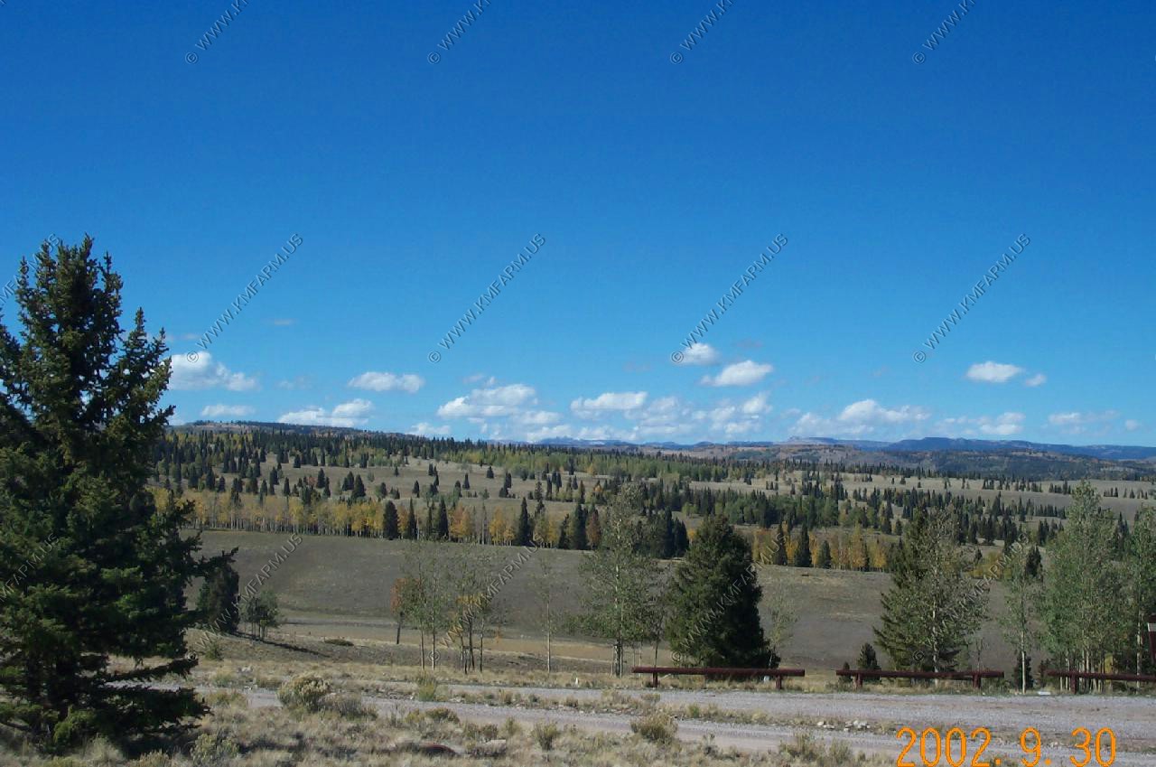
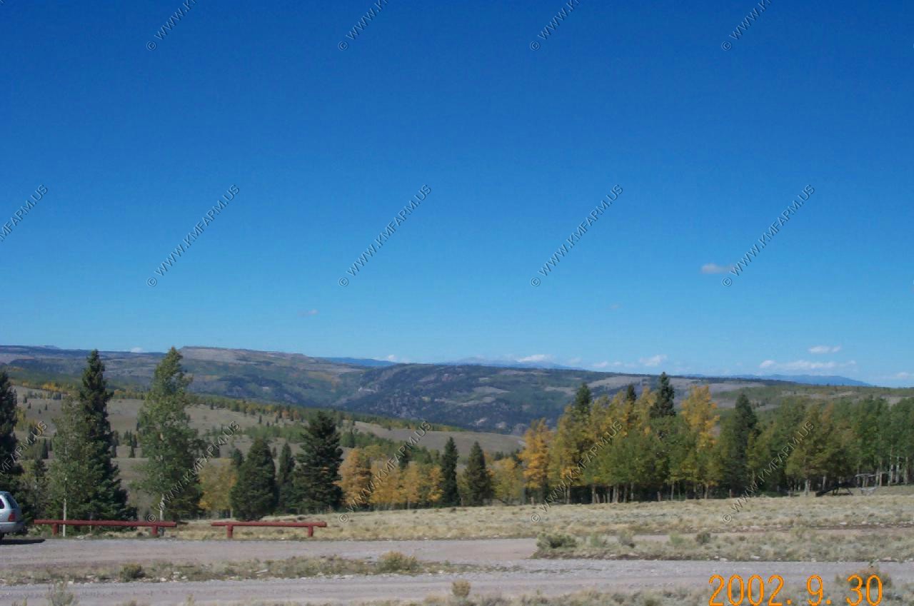
Hondo Canyon Views
We took a quick hike up near the The highest peaks in New Mexico at El. 13,161
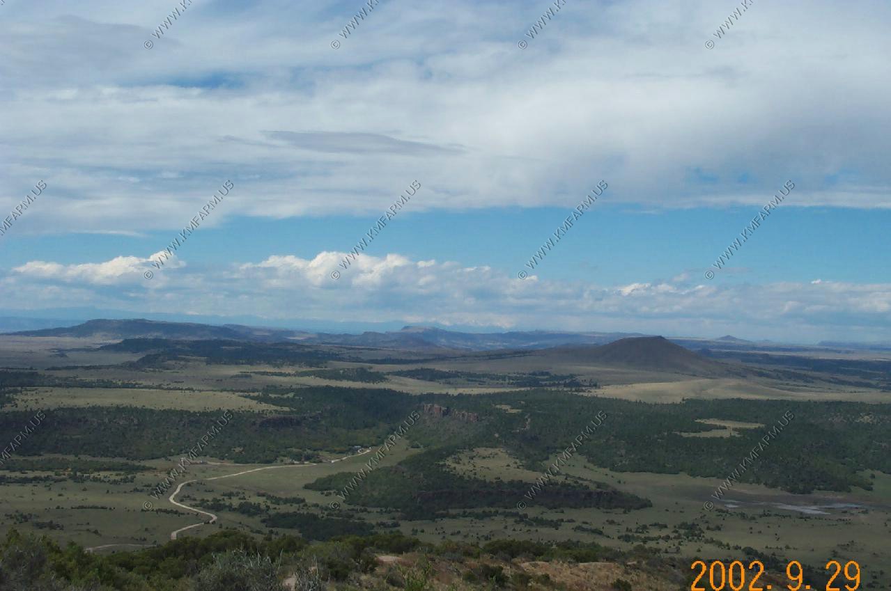
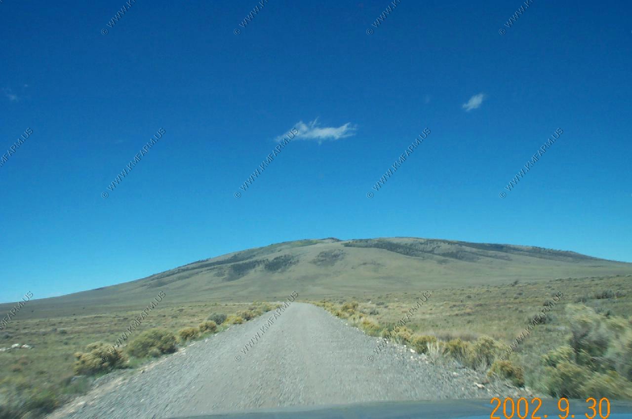
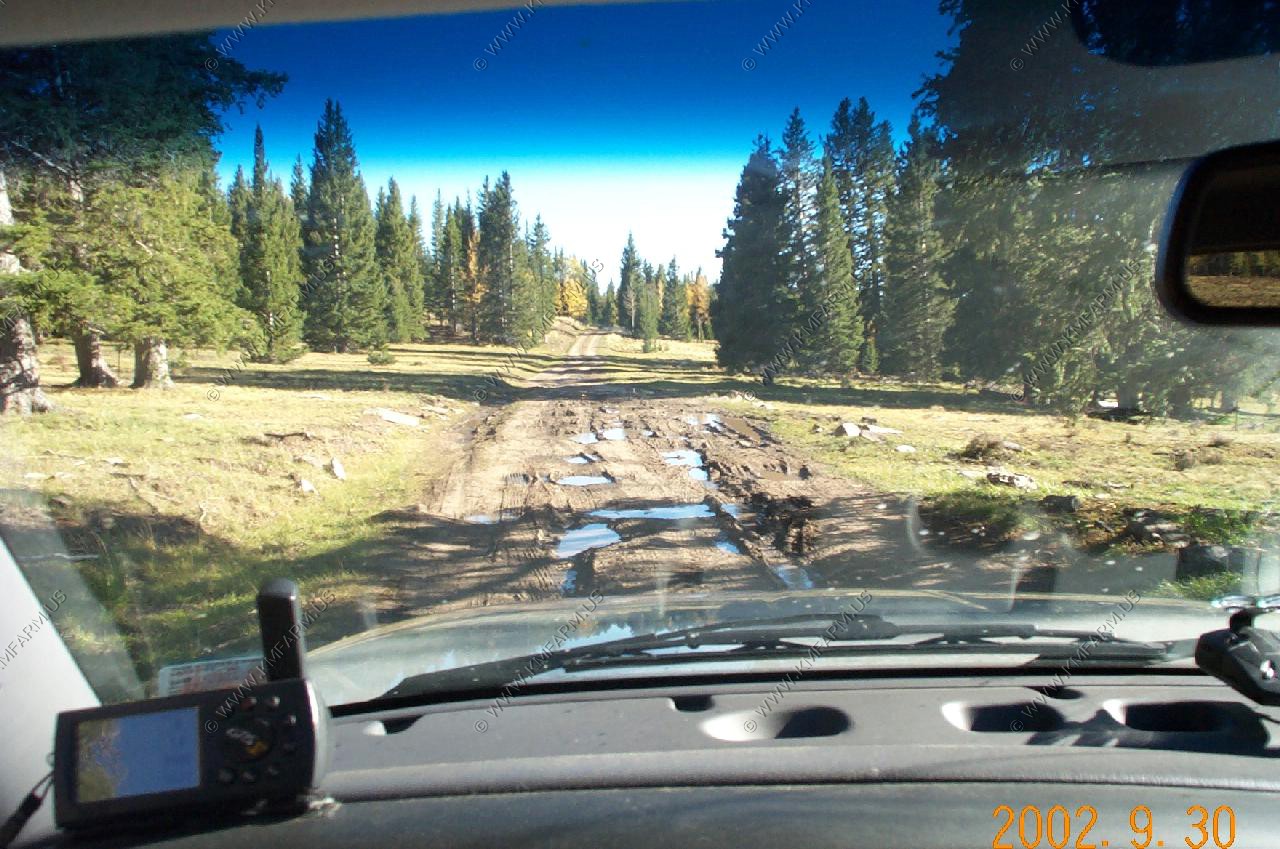
FR 87 Area
Beginning and along FR 87 with San Antonio Mountain El. 10,908
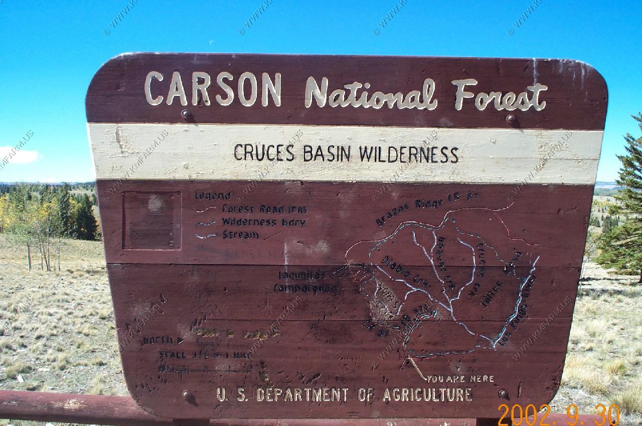
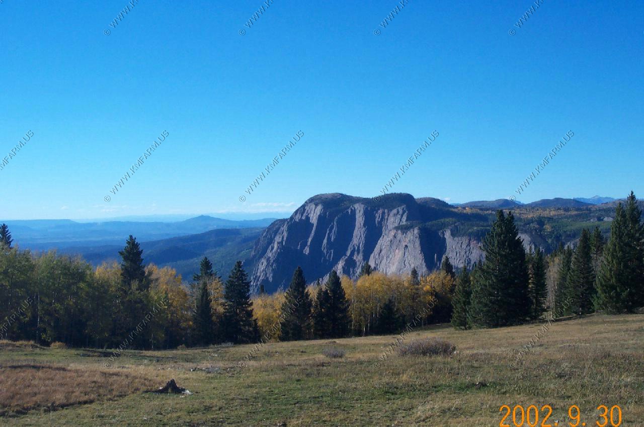
Cruces Basin Wilderness

I did not notice it at this time but the Cumbres and Toltec Rail Road line was visible in this photo as a line along the left and center of the photo. It was appx. 20 miles away in Colorado
Nasty Roads at close to 11,000 ft.
Brazos Cliffs
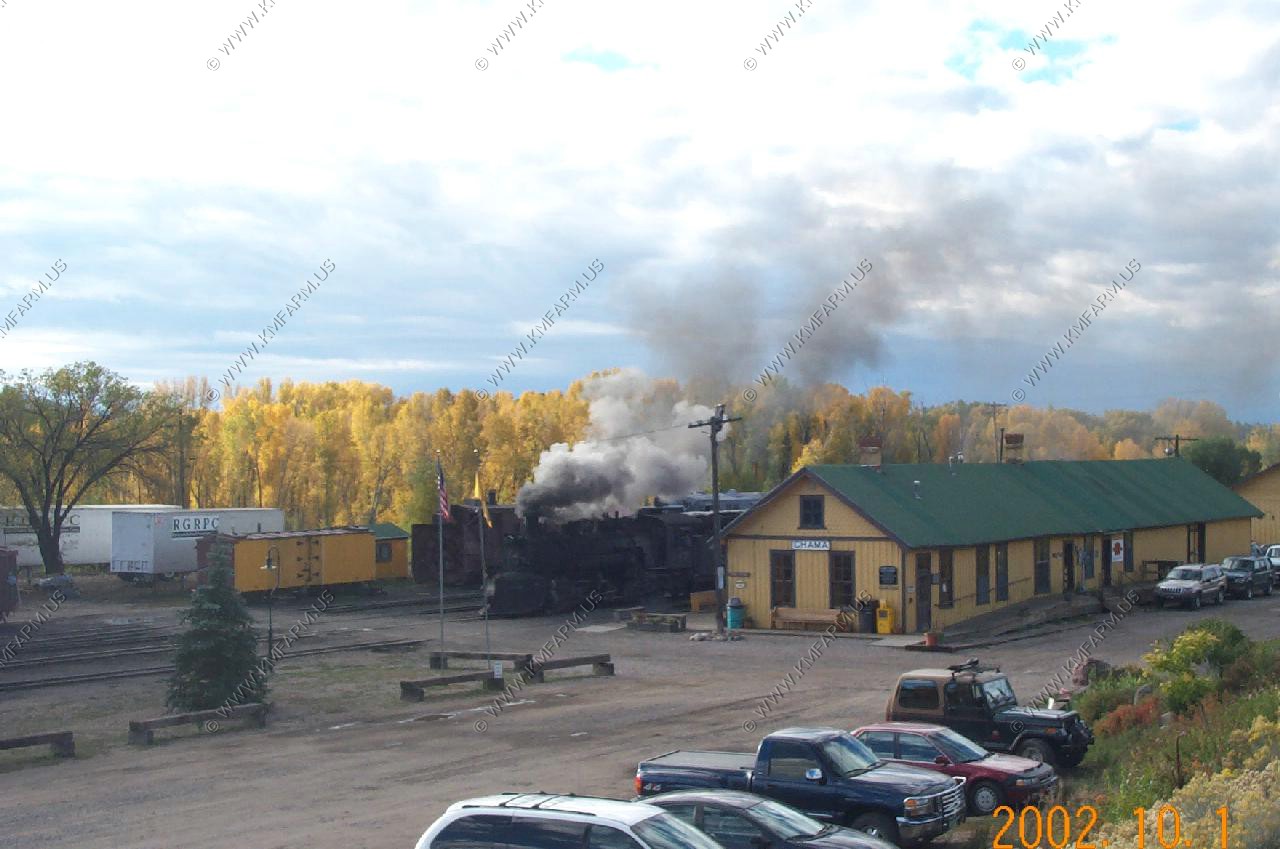
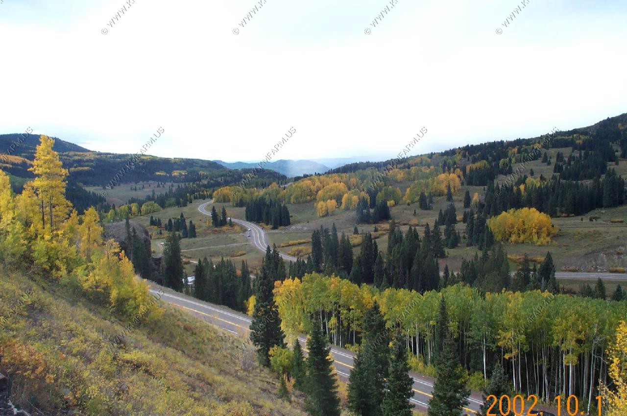
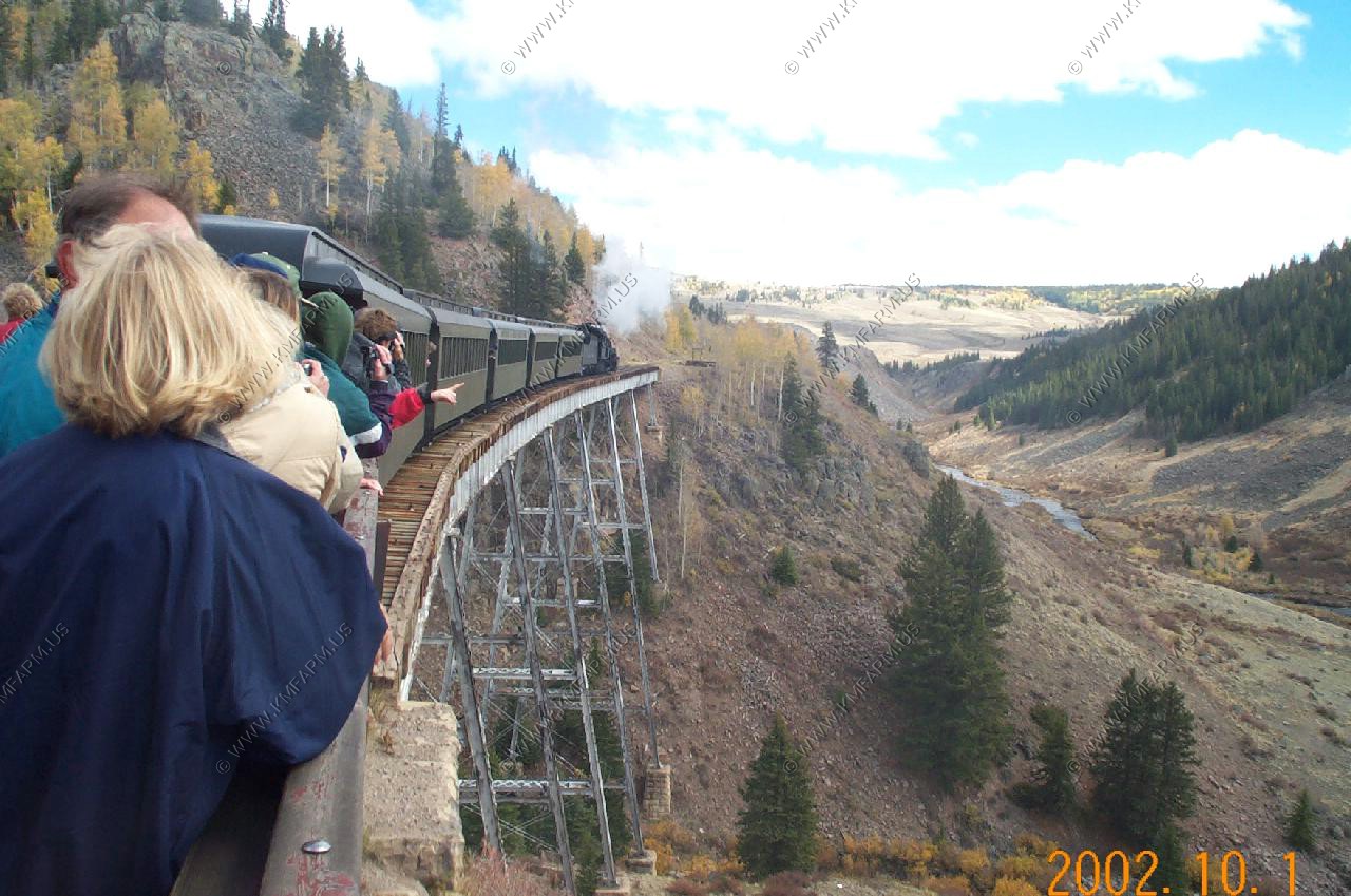
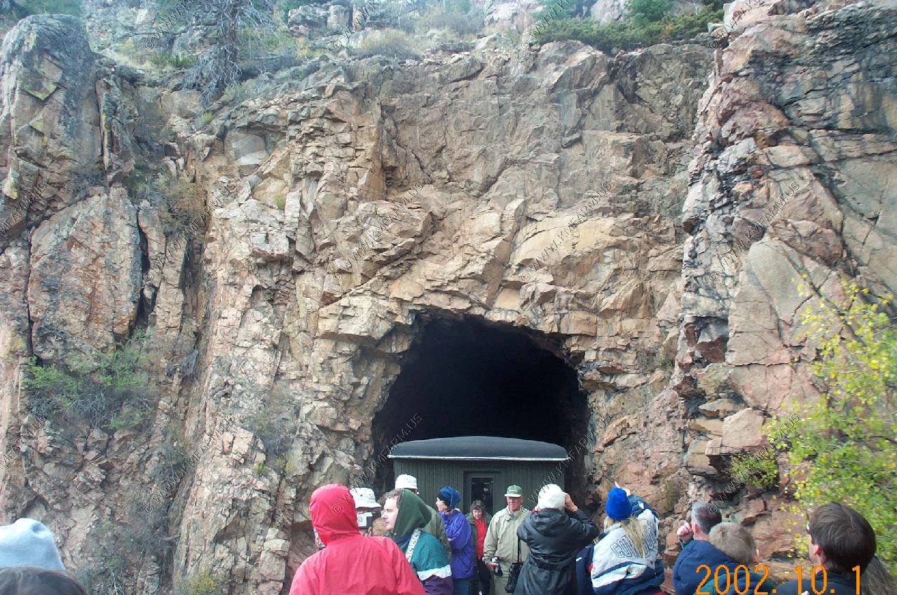
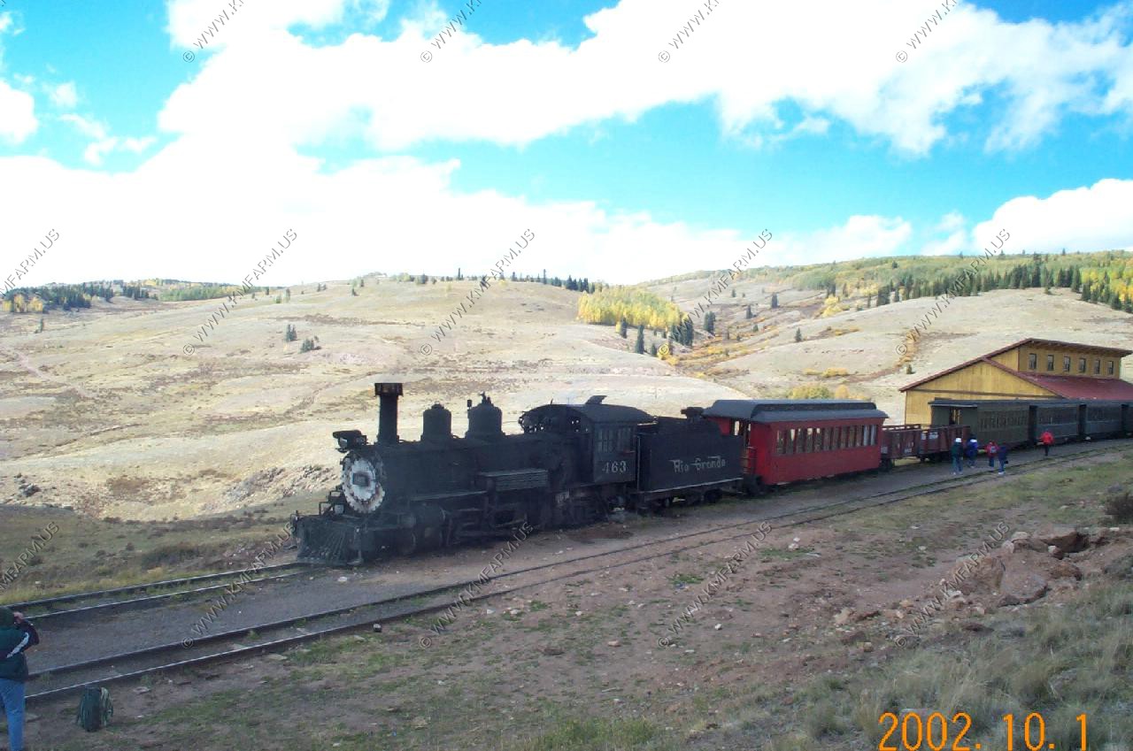
Cumbres and Toltec train ride
We were close to the end of the 2002 season and perhaps the last year that they train would run due to money issues. We opted for the parlor car that was restriced from the common people. It also allowed access to the open flat car which was where we ended up spending most of our time. We stayed at the Chama Station Inn.
The train warming up for the days run
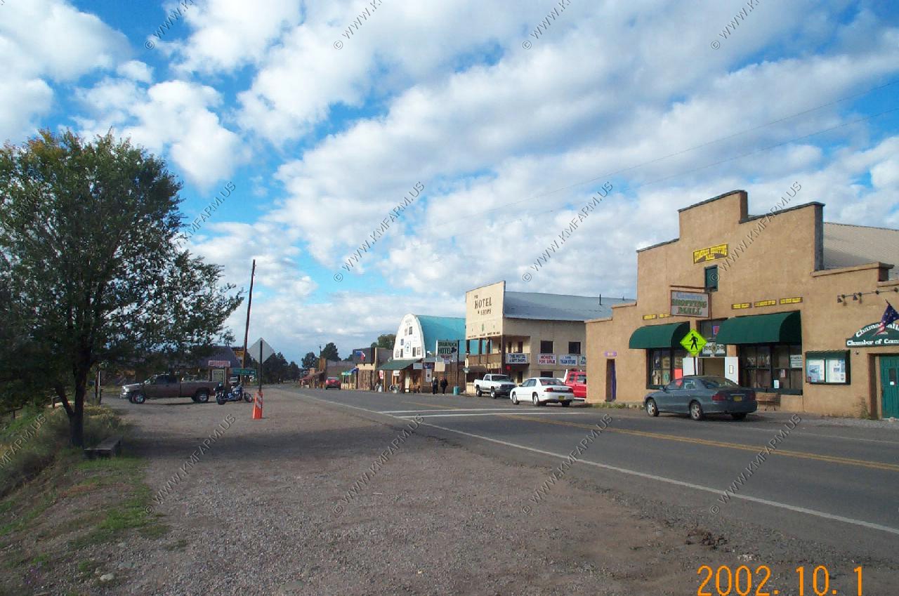
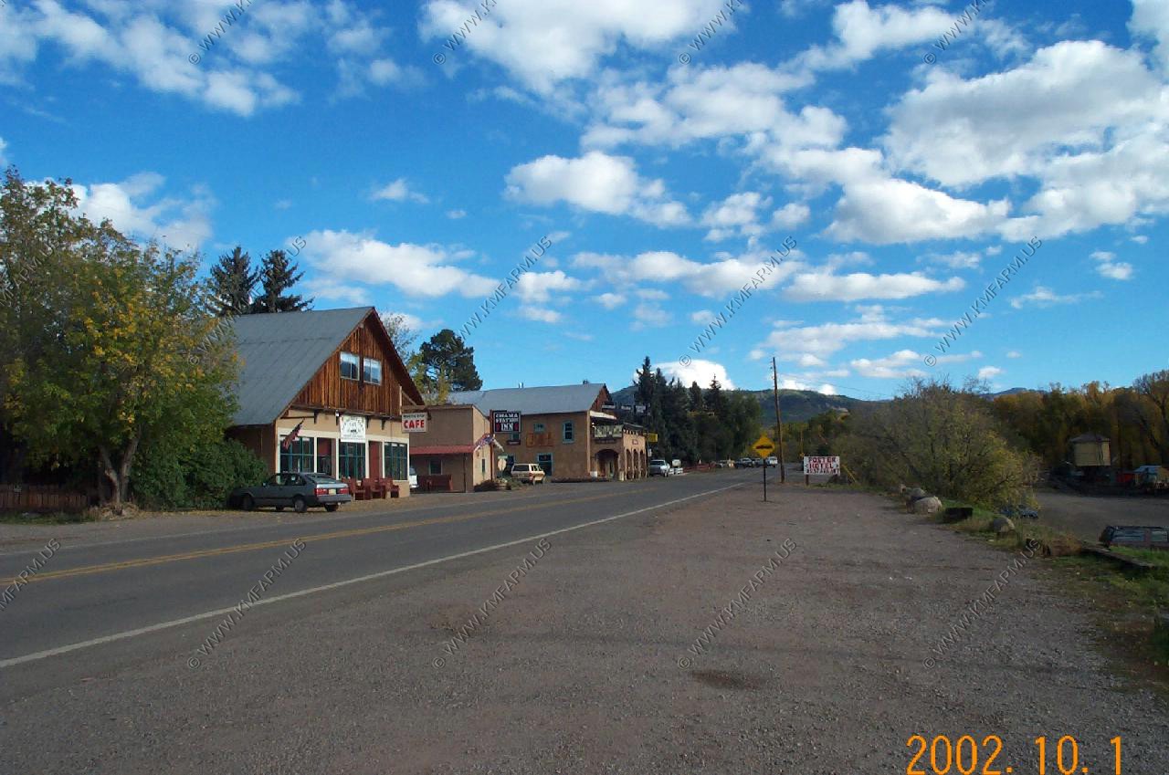
Downtown Chama, New Mexico
Climbing up the pass looking SW along highway 17
One of the bridges and tunnels
1/2 way where we stopped for lunch
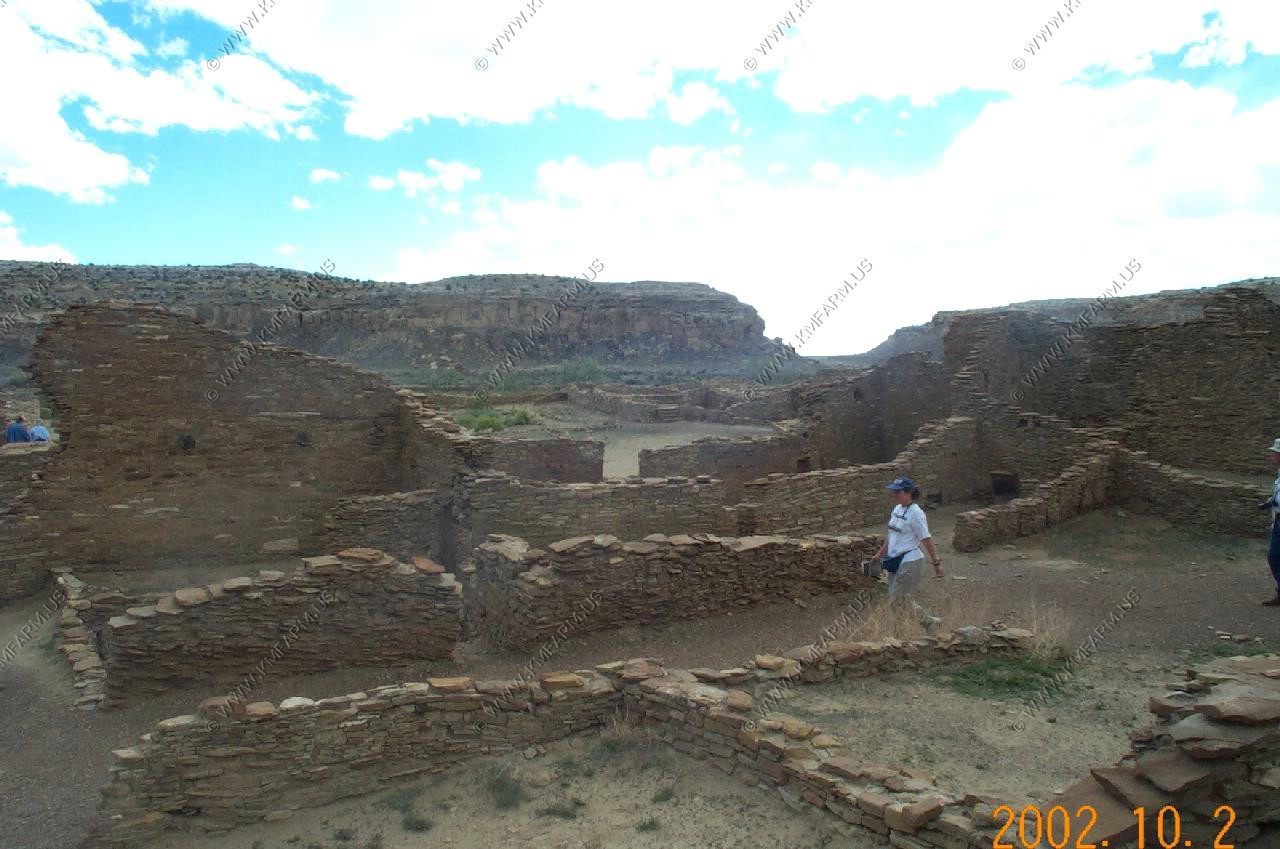
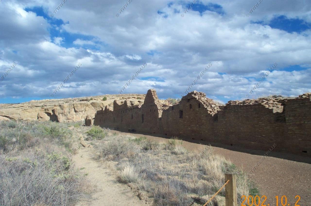
Chaco Canyon
A very remote and interesting place to visit. Photos really can't capture the size of the ruins
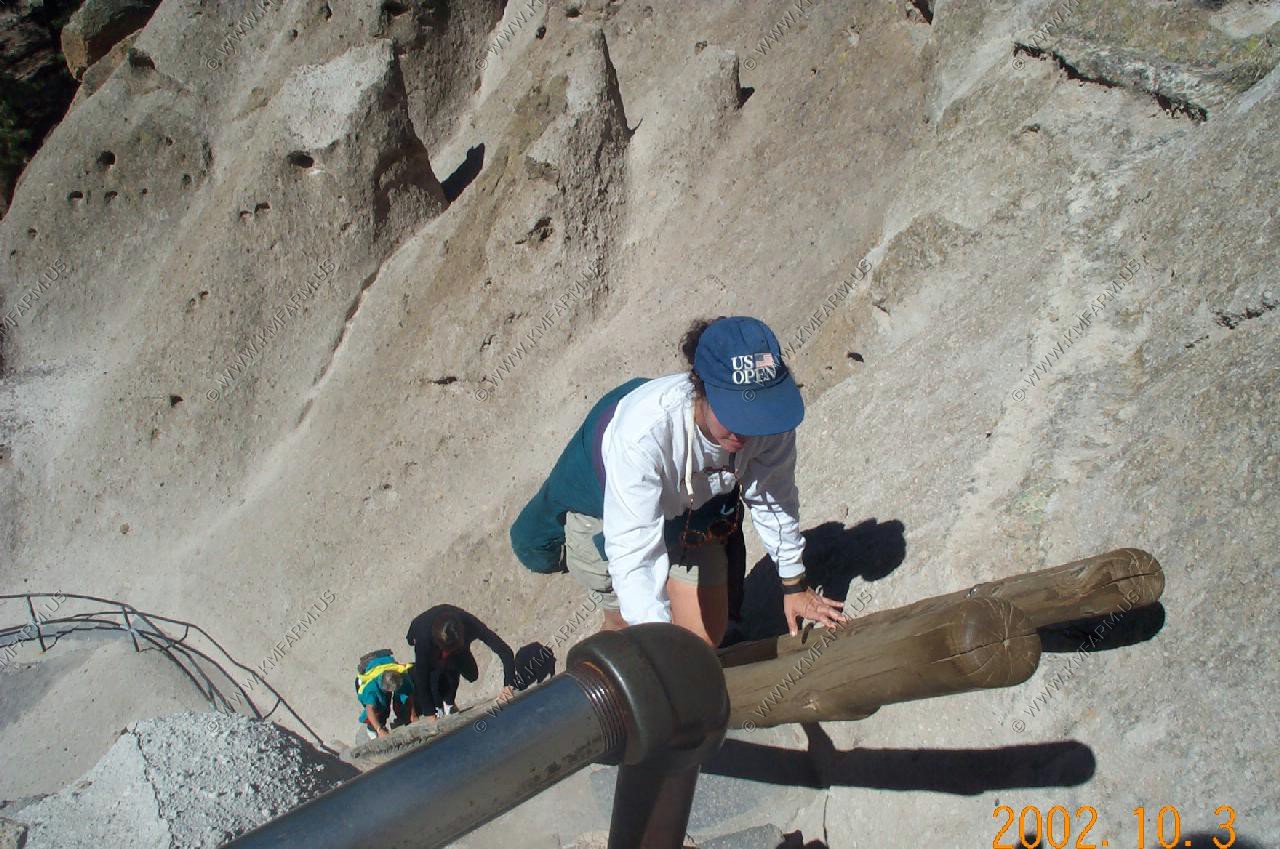
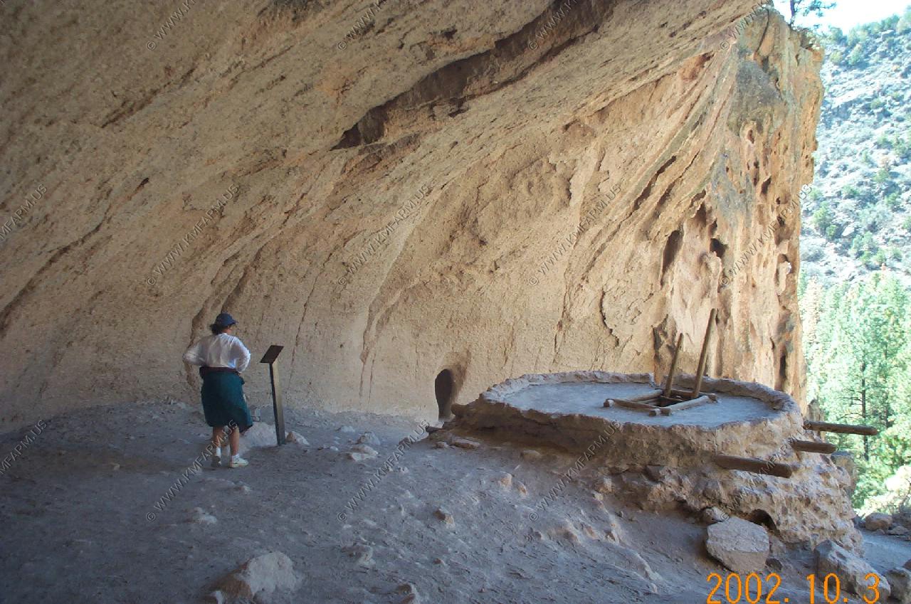
Bandelier National Monument
Another interesting monument. Unlike Chaco these Indians liked the protection of the cliffs. A great place to do yourself in as some of the sites were visited by climbing a few hundred feet of ladders
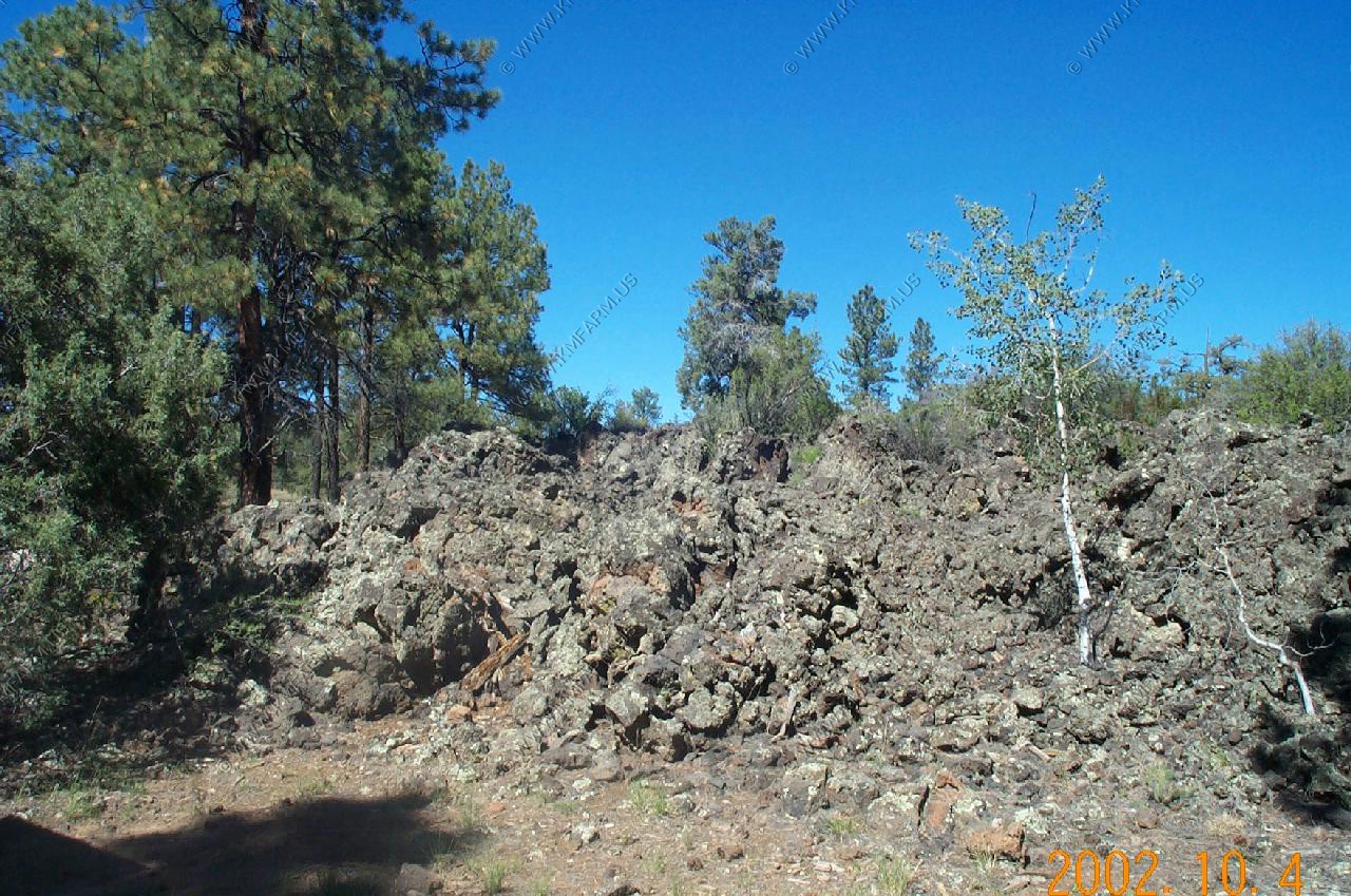
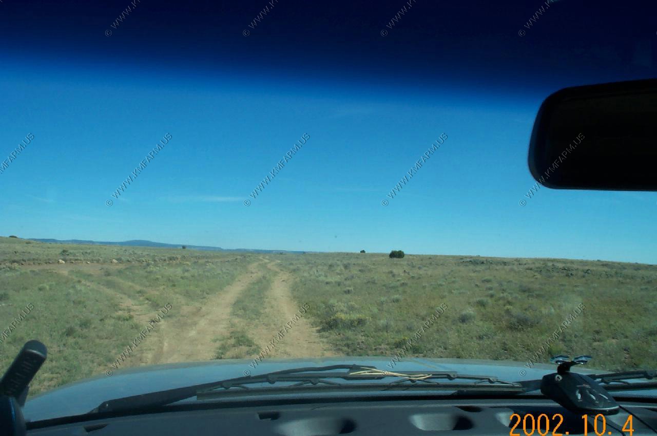
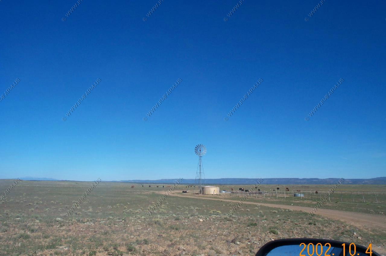
El. Malpais National Monument
A very rugged volcanic area in West Central New Mexico. We saw signs everywhere that two people we lost in the late summer. We took a 50+ mile backroad and it was very rugged and remote.
Backcountry road
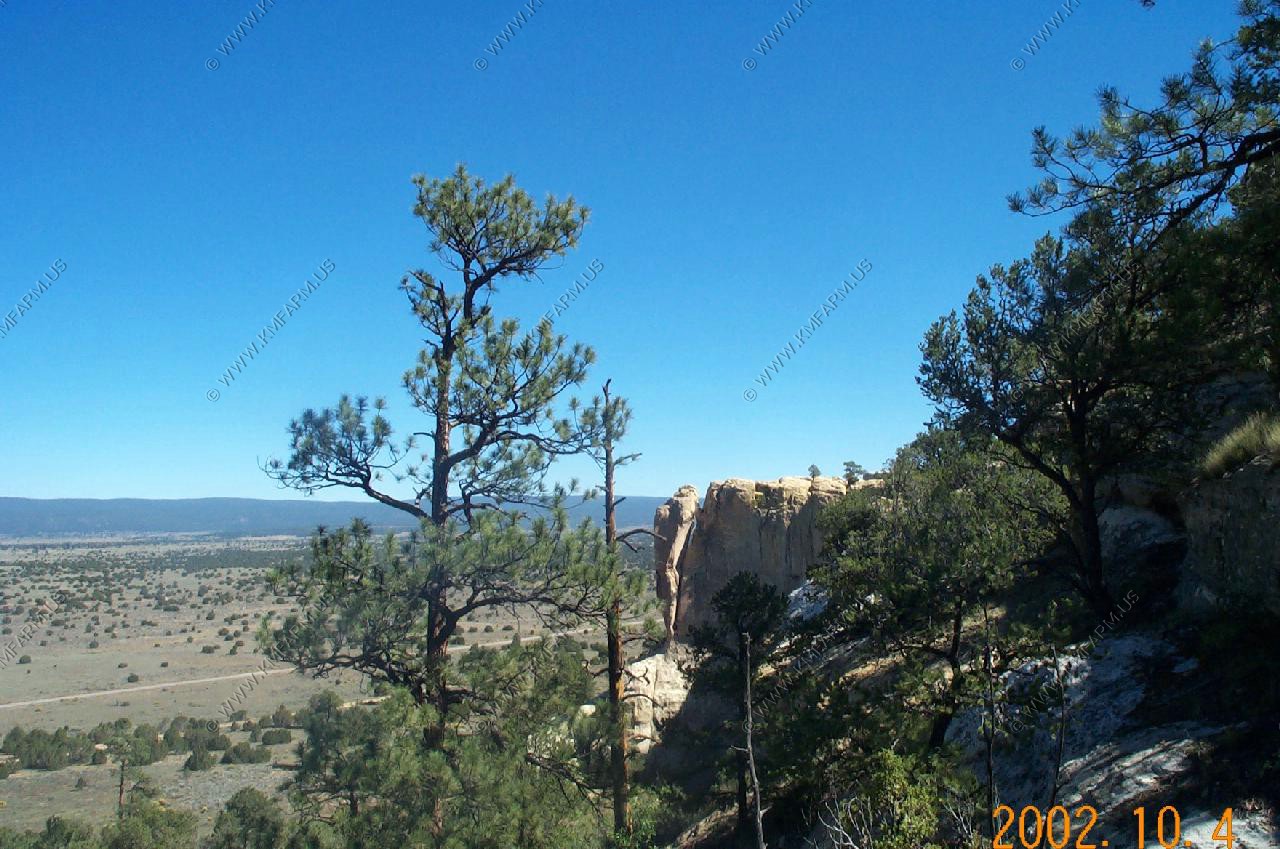
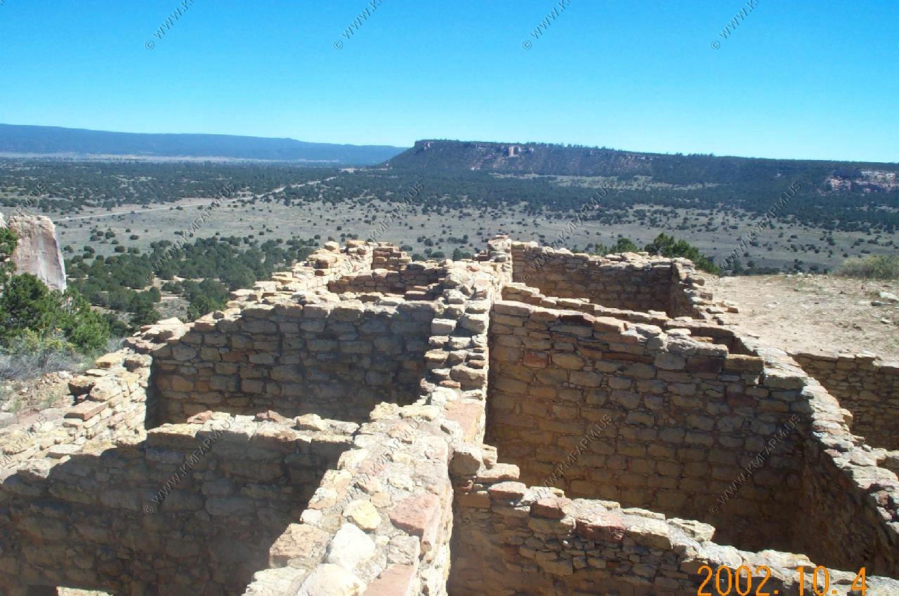
El Morro National Monument
More Indian ruins and many old carvings in the cliffs
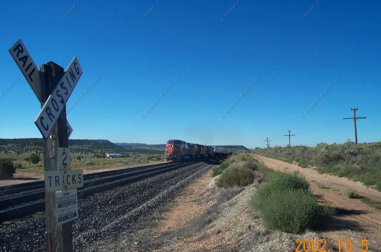
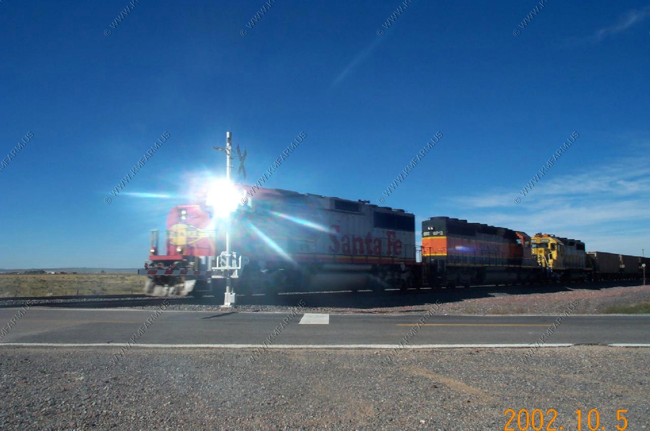
Some train watching near Belen and Ajo canyon trains
BNSF Main line

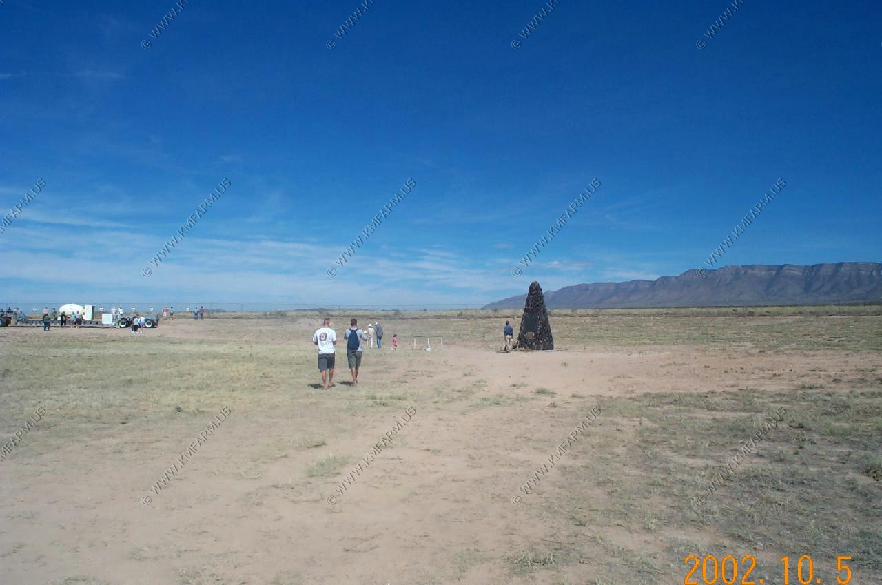
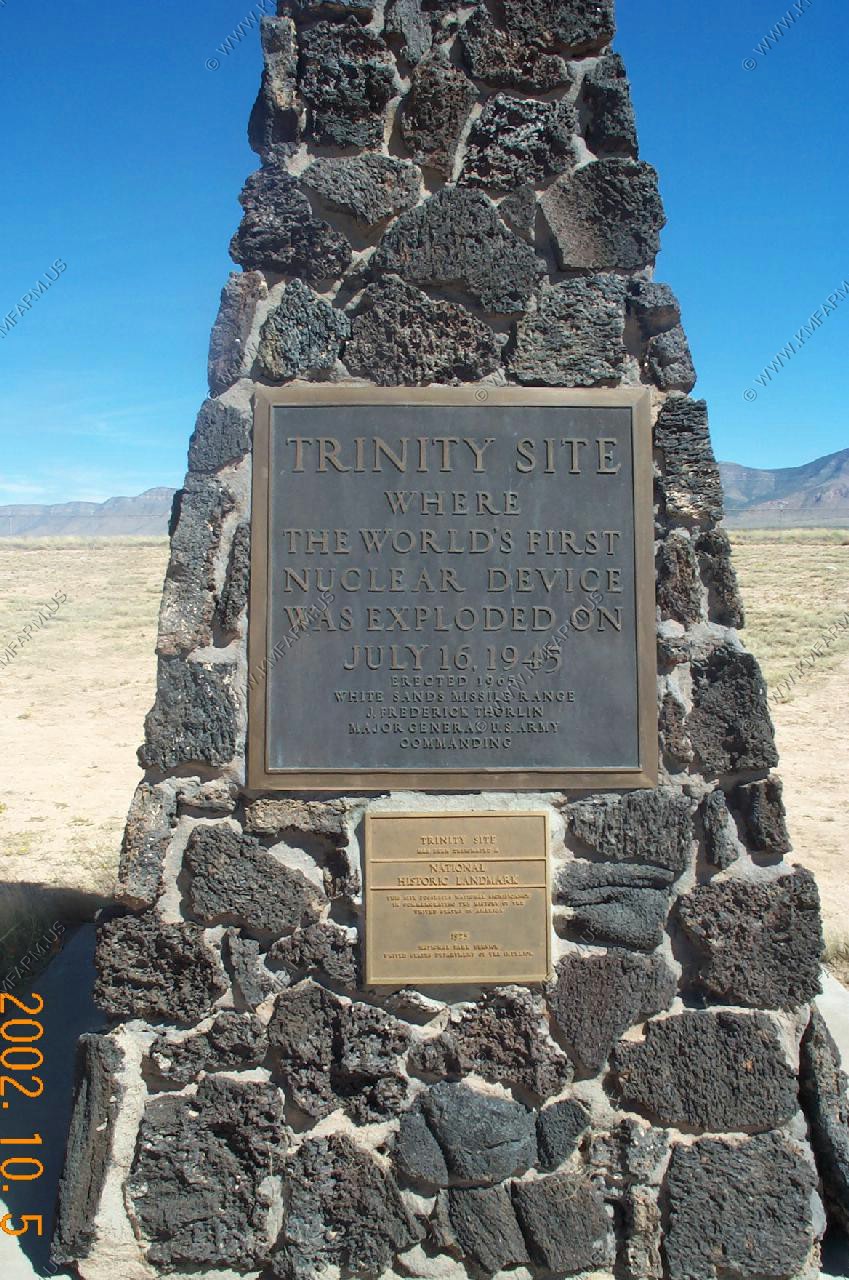
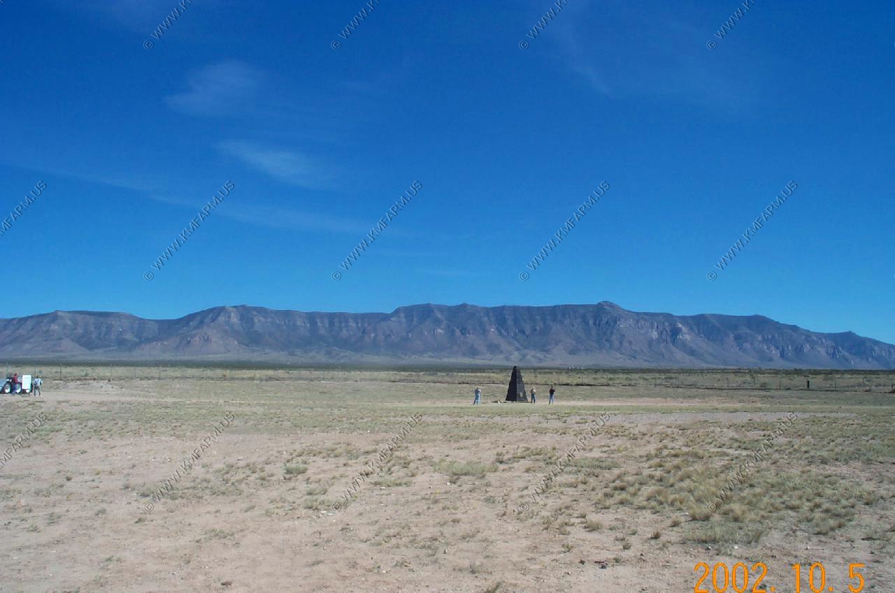
Trinity Site
Two times a year Trinity site is open to the public A great place to visit !! Lots of interesting rocks too
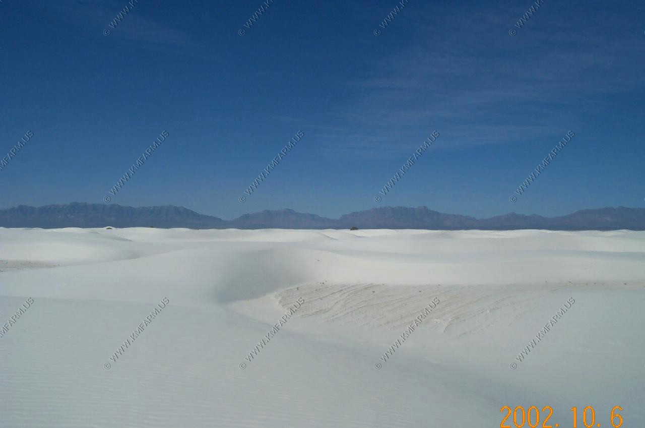
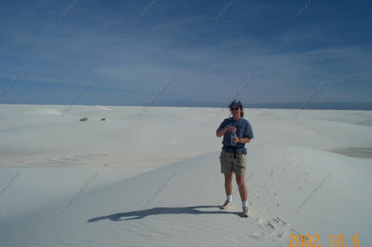
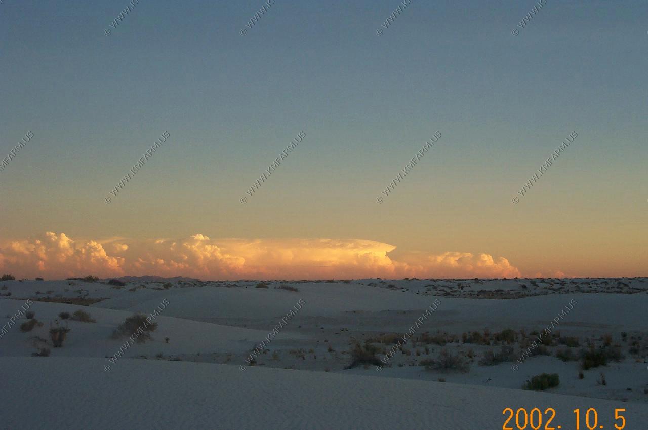
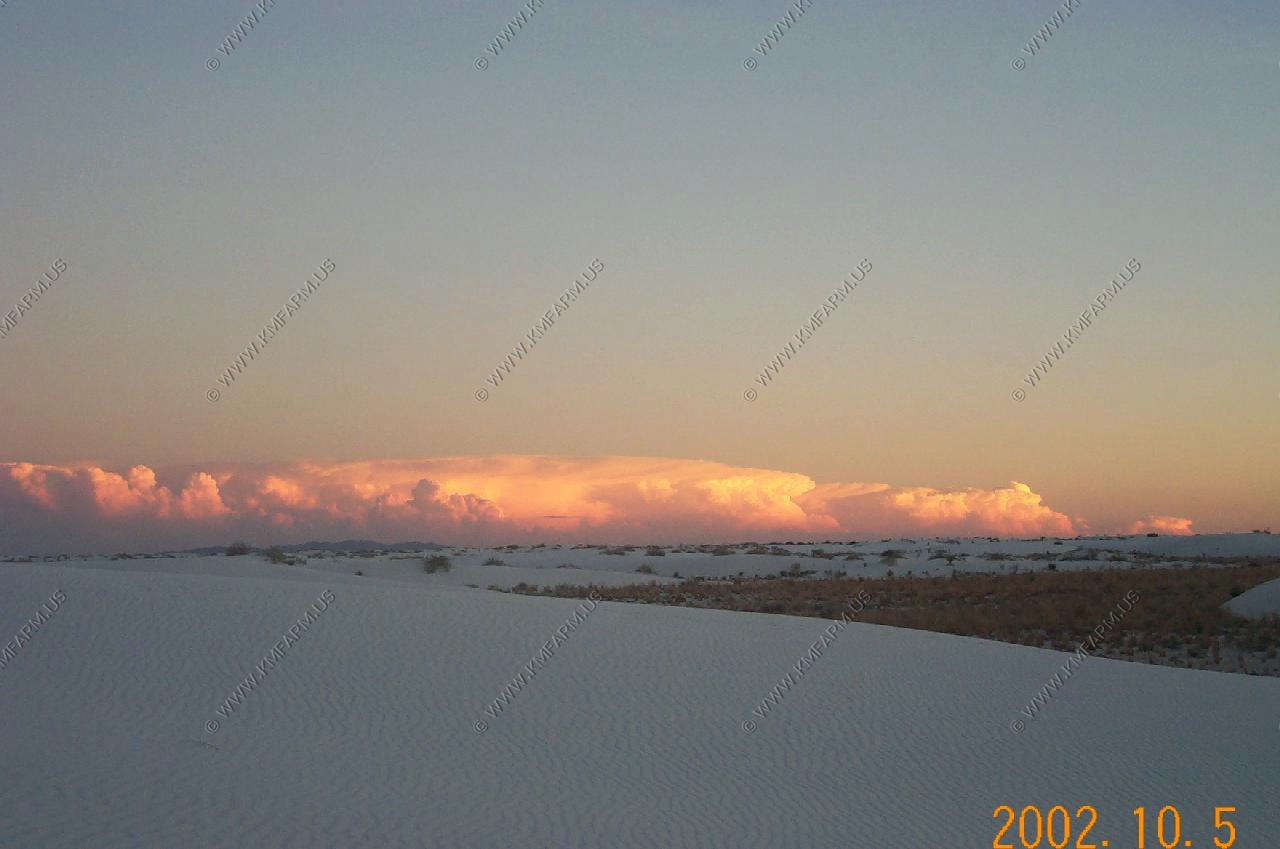
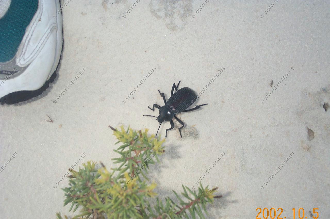
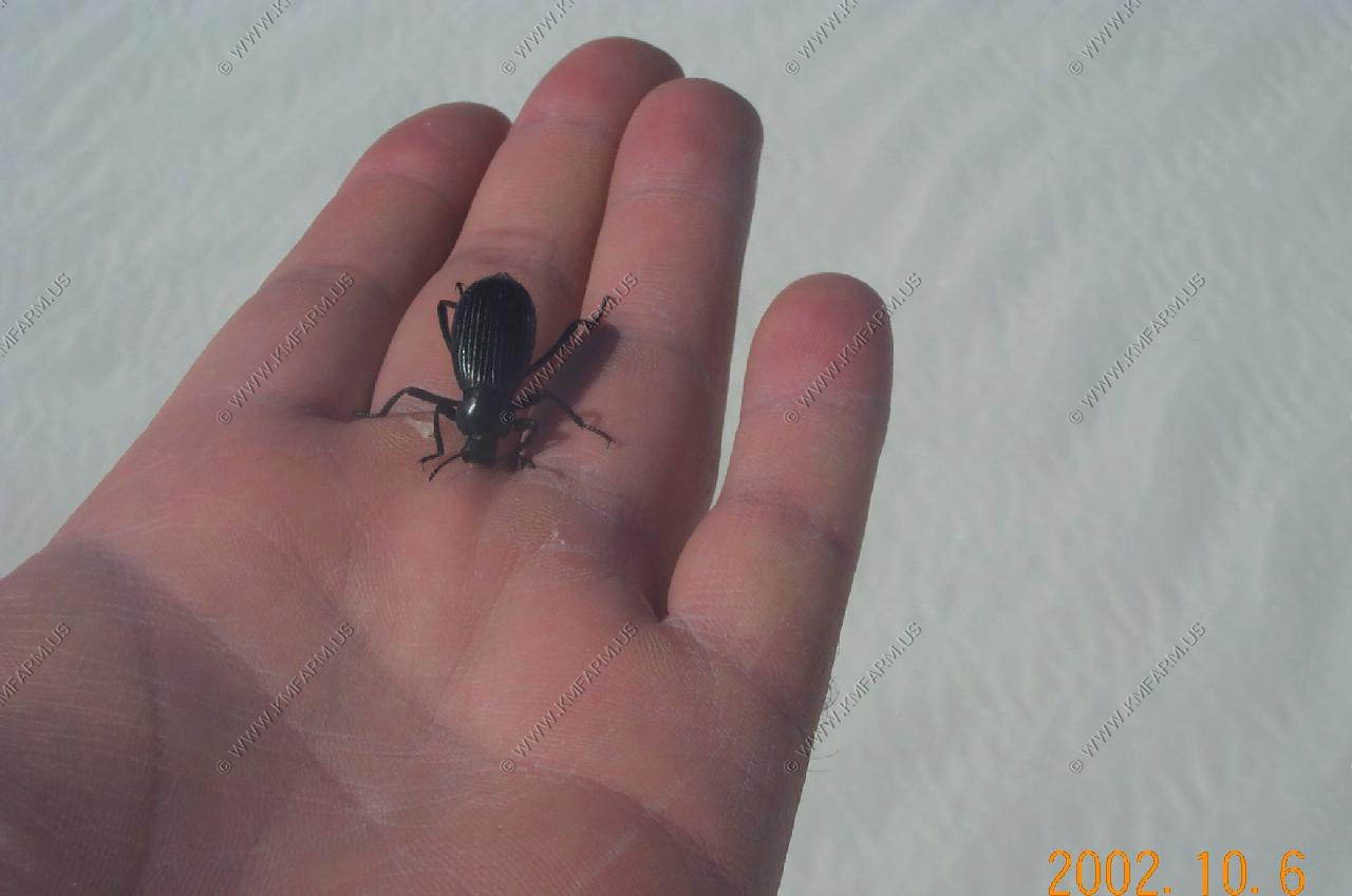
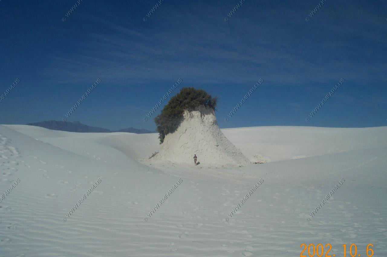
White Sands National Monument
Spent an evening then 1/2 of the next day. A good place to hike with a GPS
Huge thunderstorms to the South in Mexico
Some of the large insects....
Island of trees...
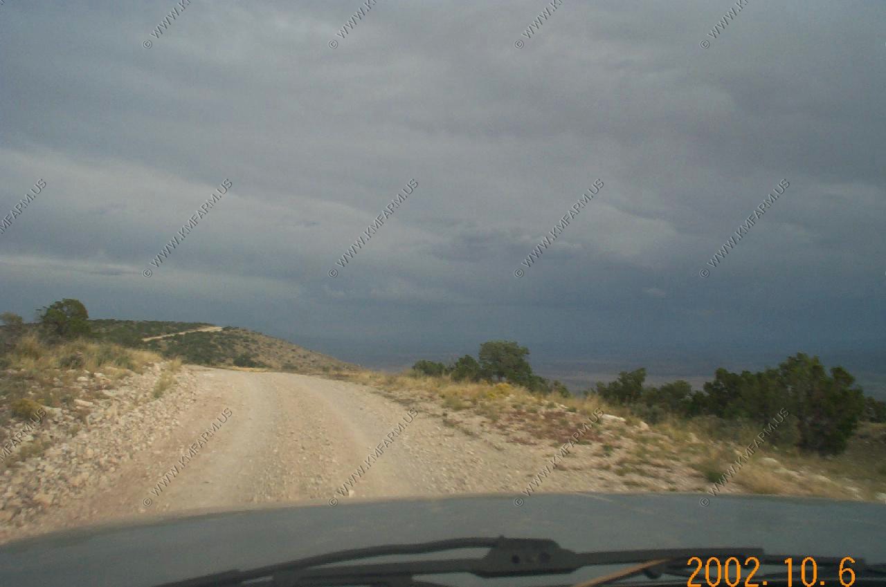
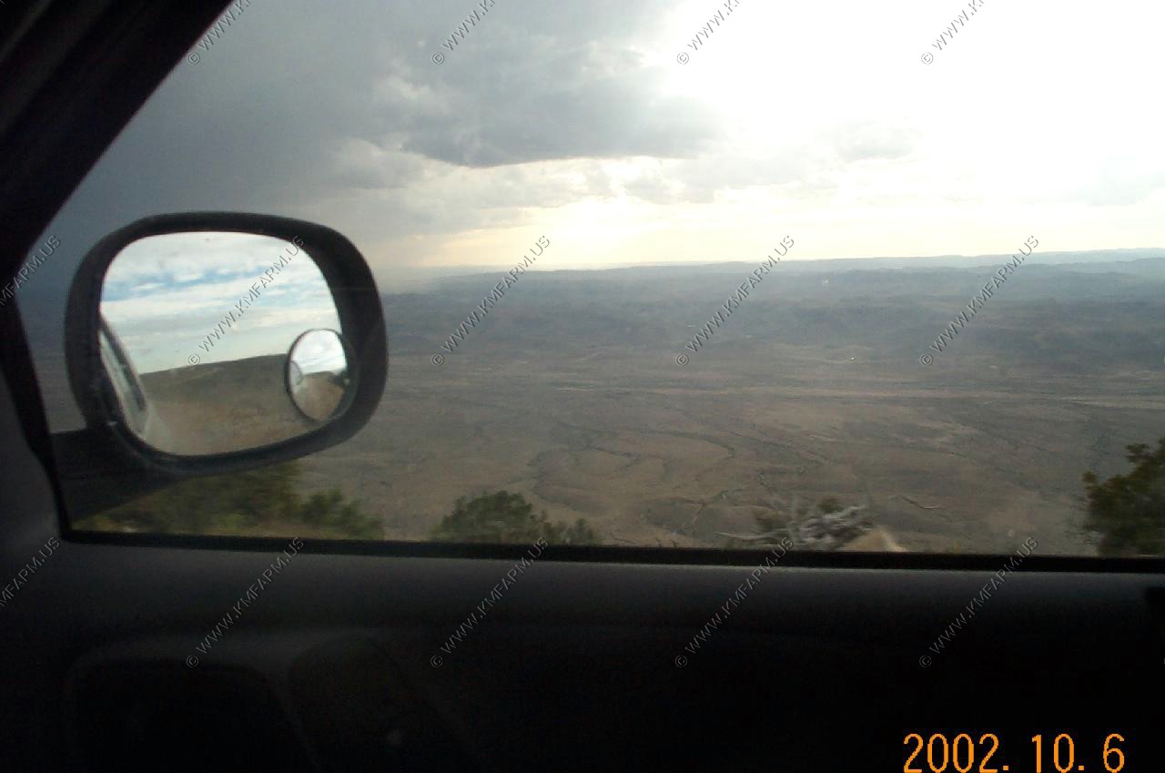
Rim Road
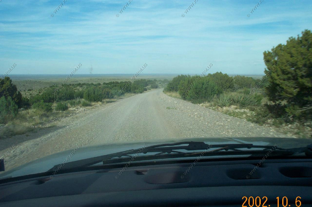
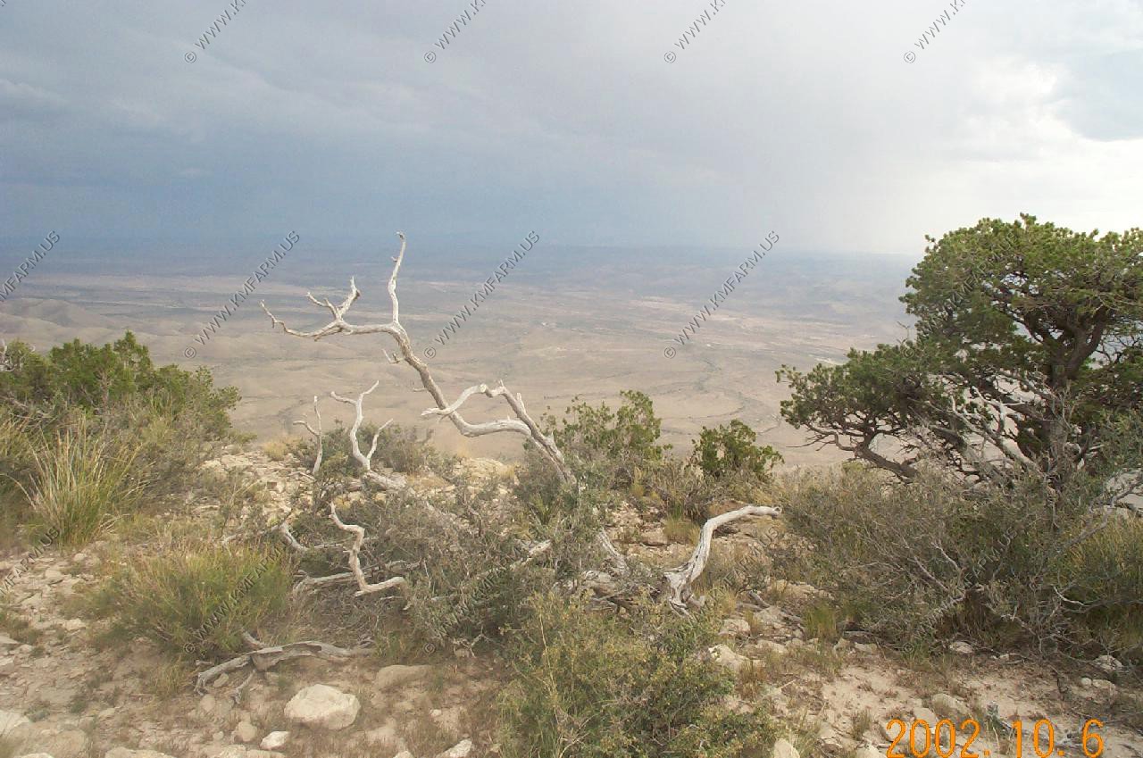
Ran into one of the locals while we were cutting from Alamogordo to Carlsbad. He suggested taking the backcountry route via. Rim Road. It was very senic and remote. Only encountered one other truck along the entire route.
As you head south you slowly climb.
A considerable drop-off to the west
The road is right on the edge
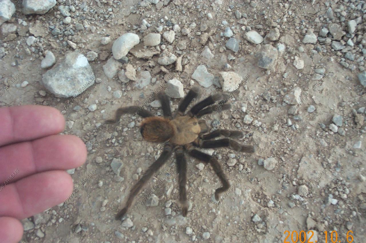
One of the local critters
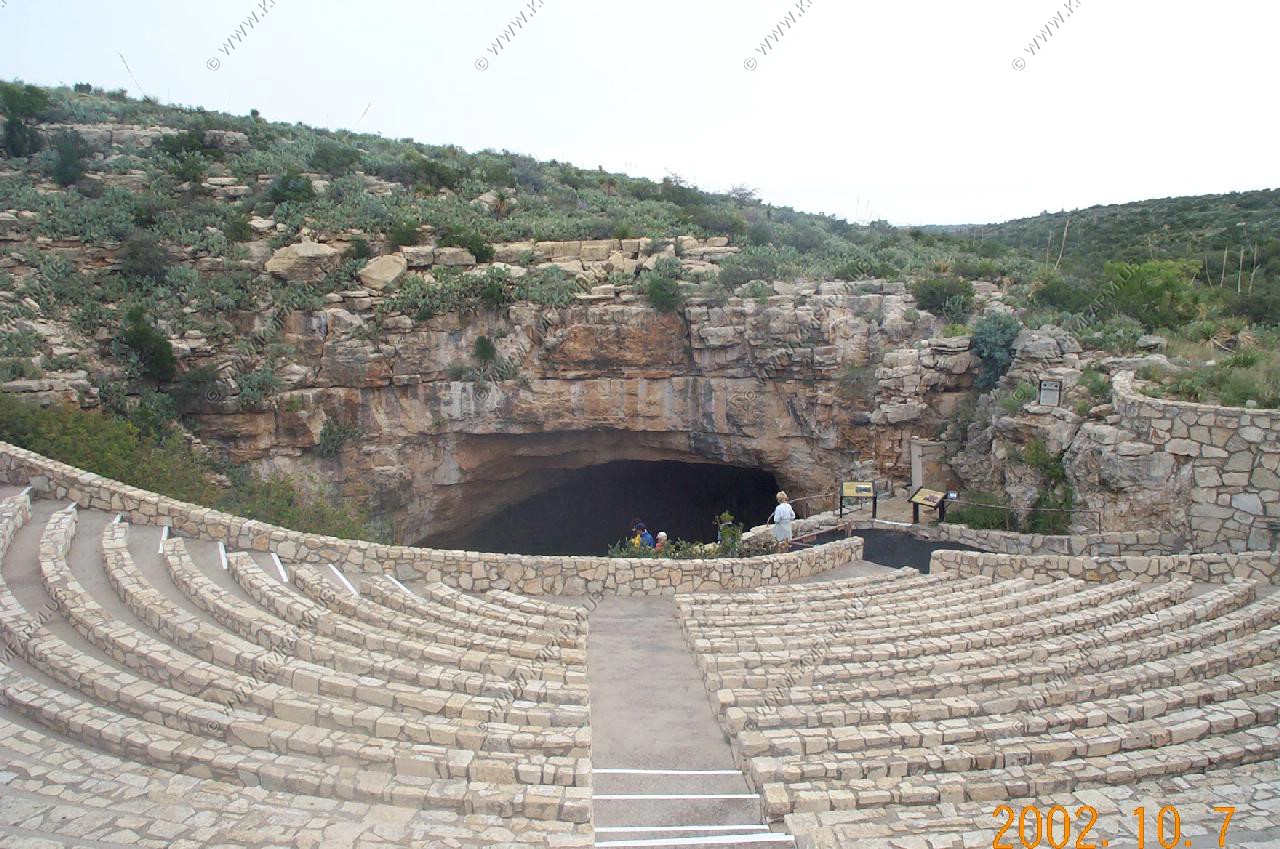
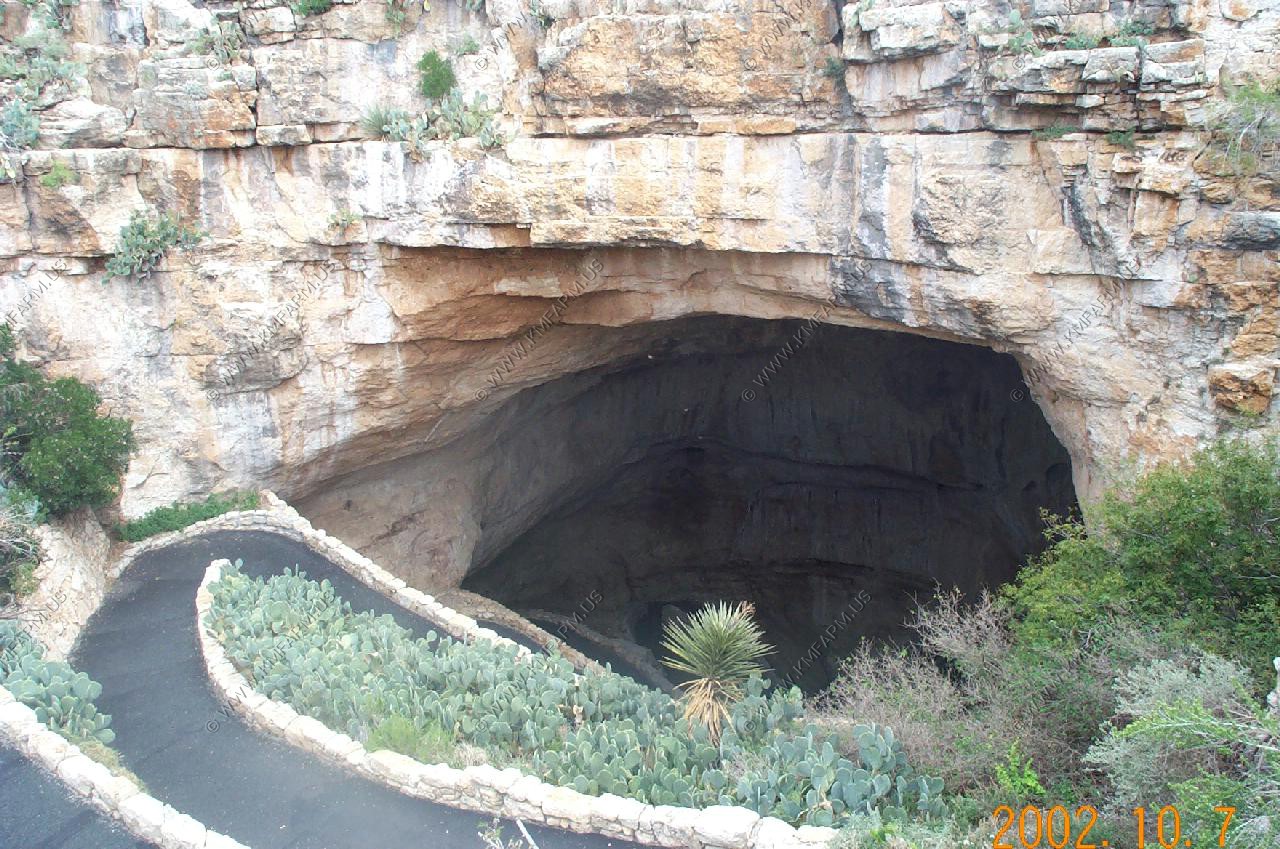
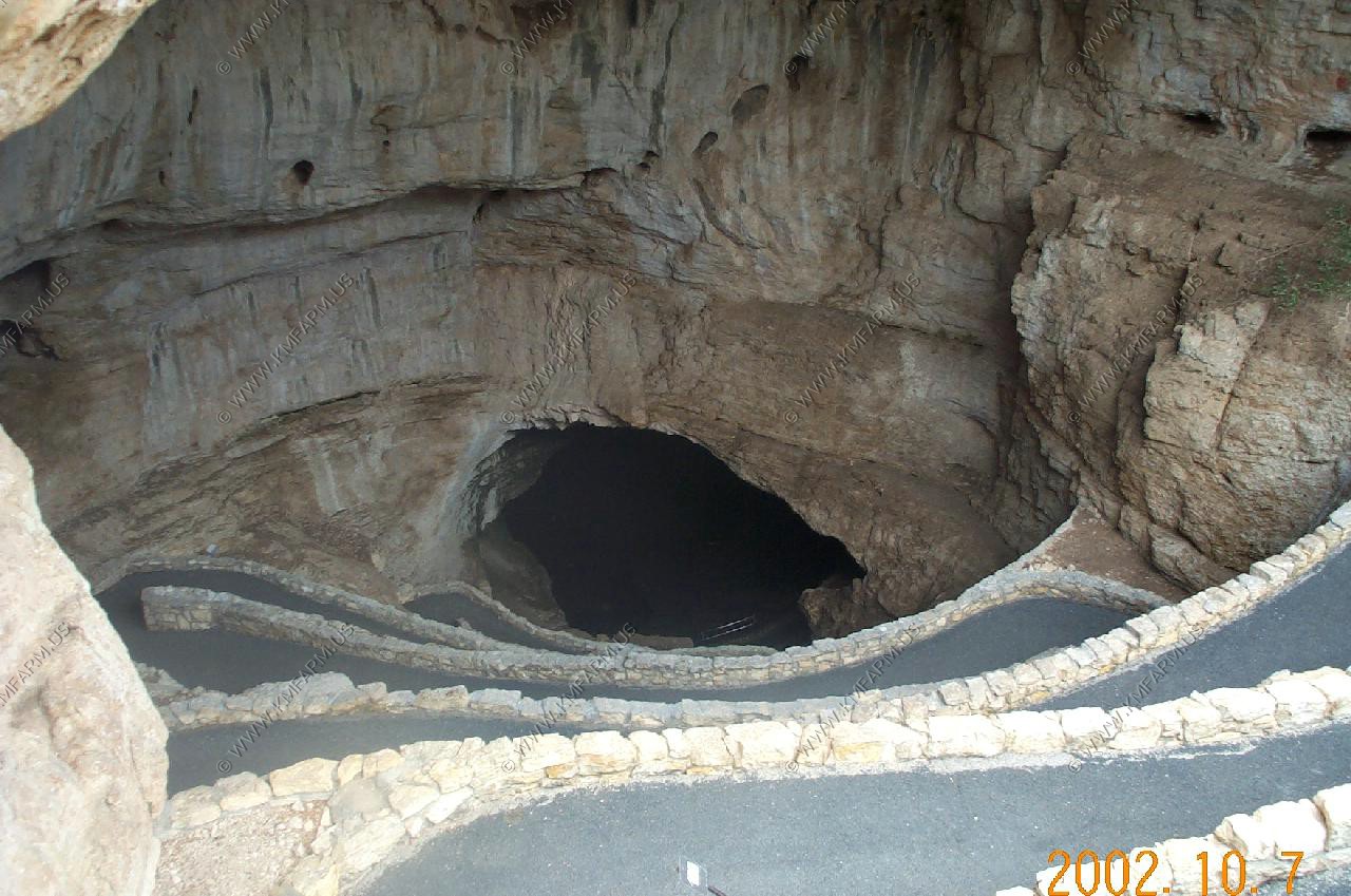
Carlsbad Caverns National Park
Spent a day at the caverns. This day ended up being the worse weather-wise day of the entire trip. Ended up being a great day to be underground
No crowds
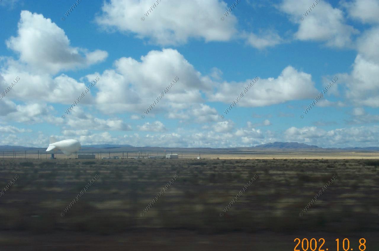
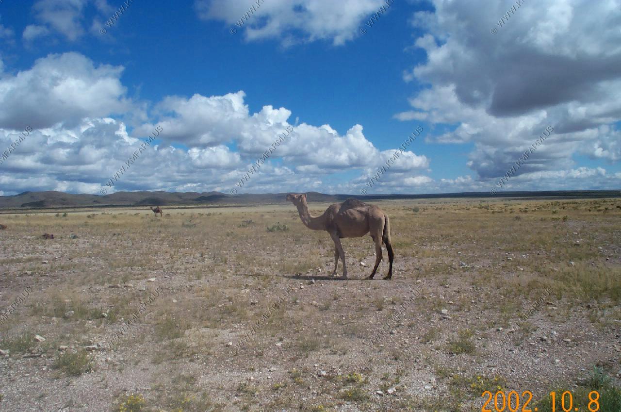
Carlsbad National Park to Big Bend NP
One of the radar blimps that watches the border with Mexico
Camels on the Milton Faver Ranch
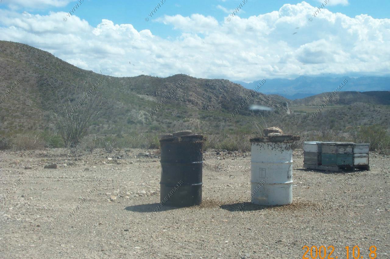
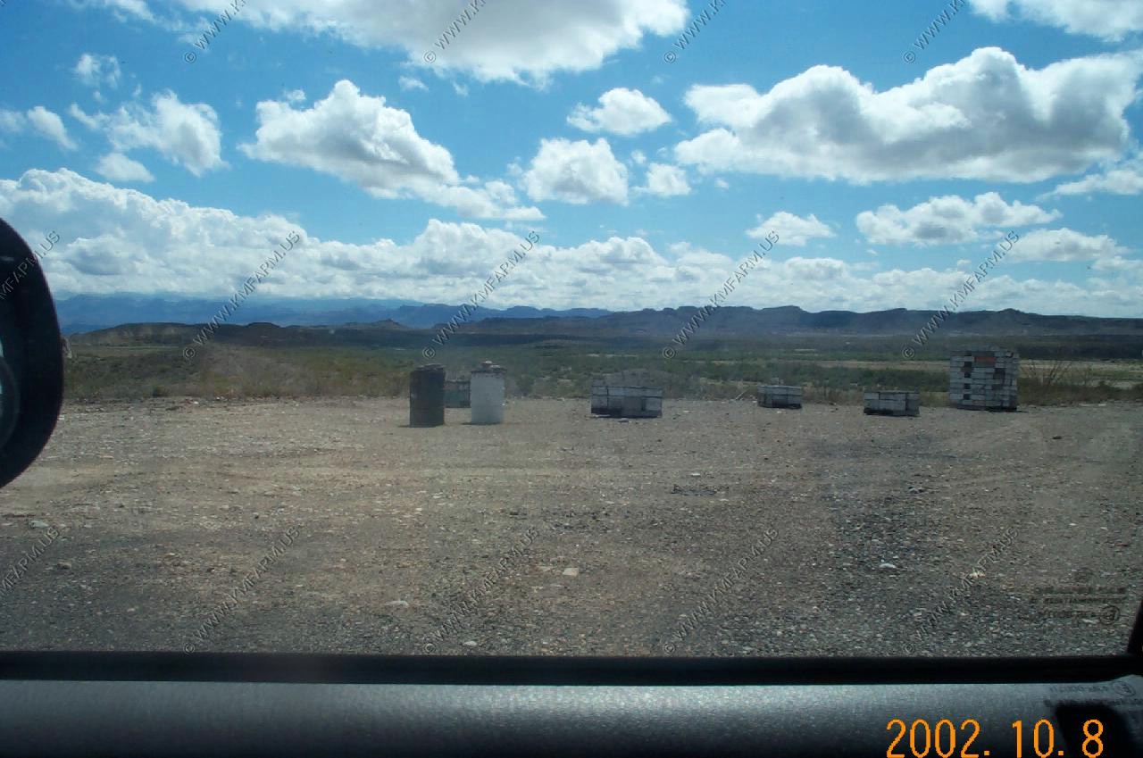
Along Ranch 170 between Presido, Texas and Lajtas there were a number of these bee barrels that contained very agressive bees that would attack the truck when you approached. Killer bees ????
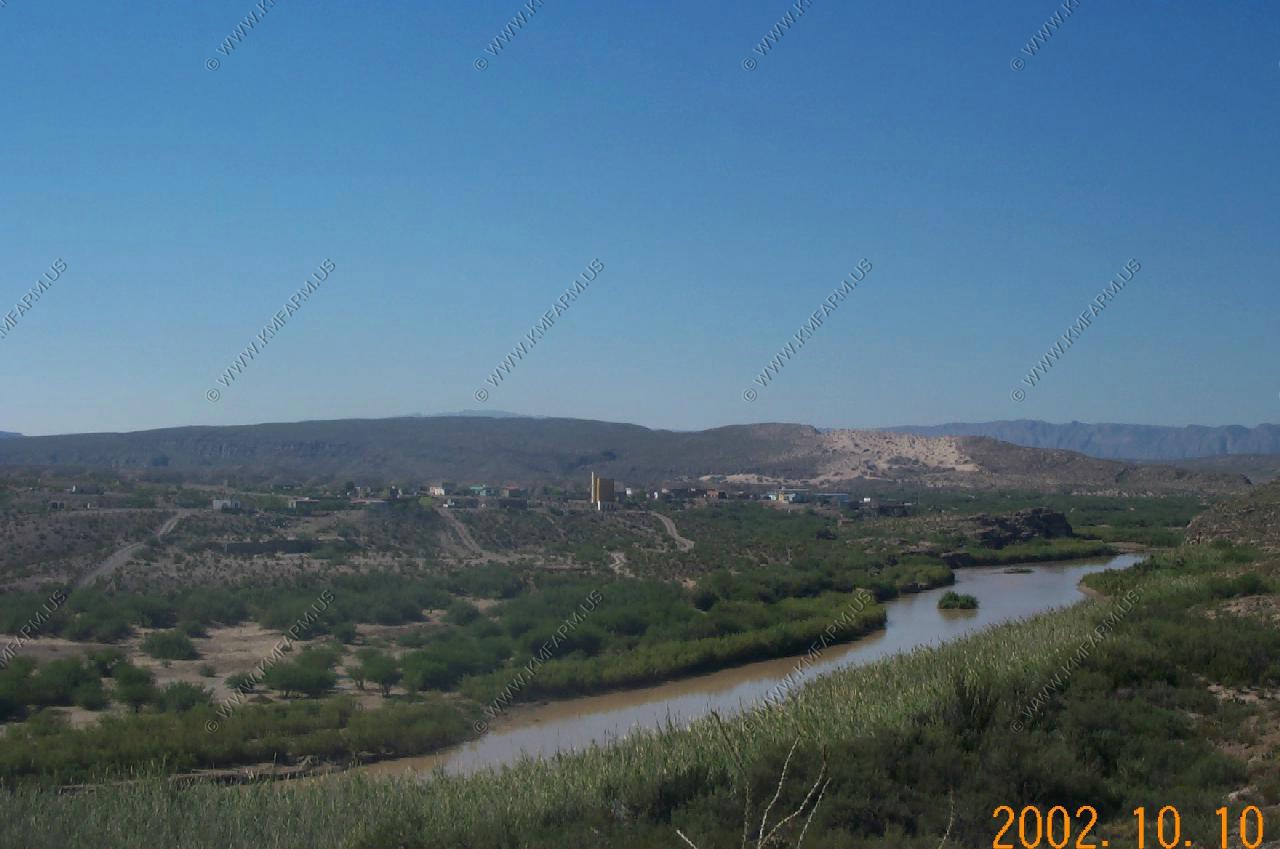
The muddy Rio Grand (Mexico on the upper side)
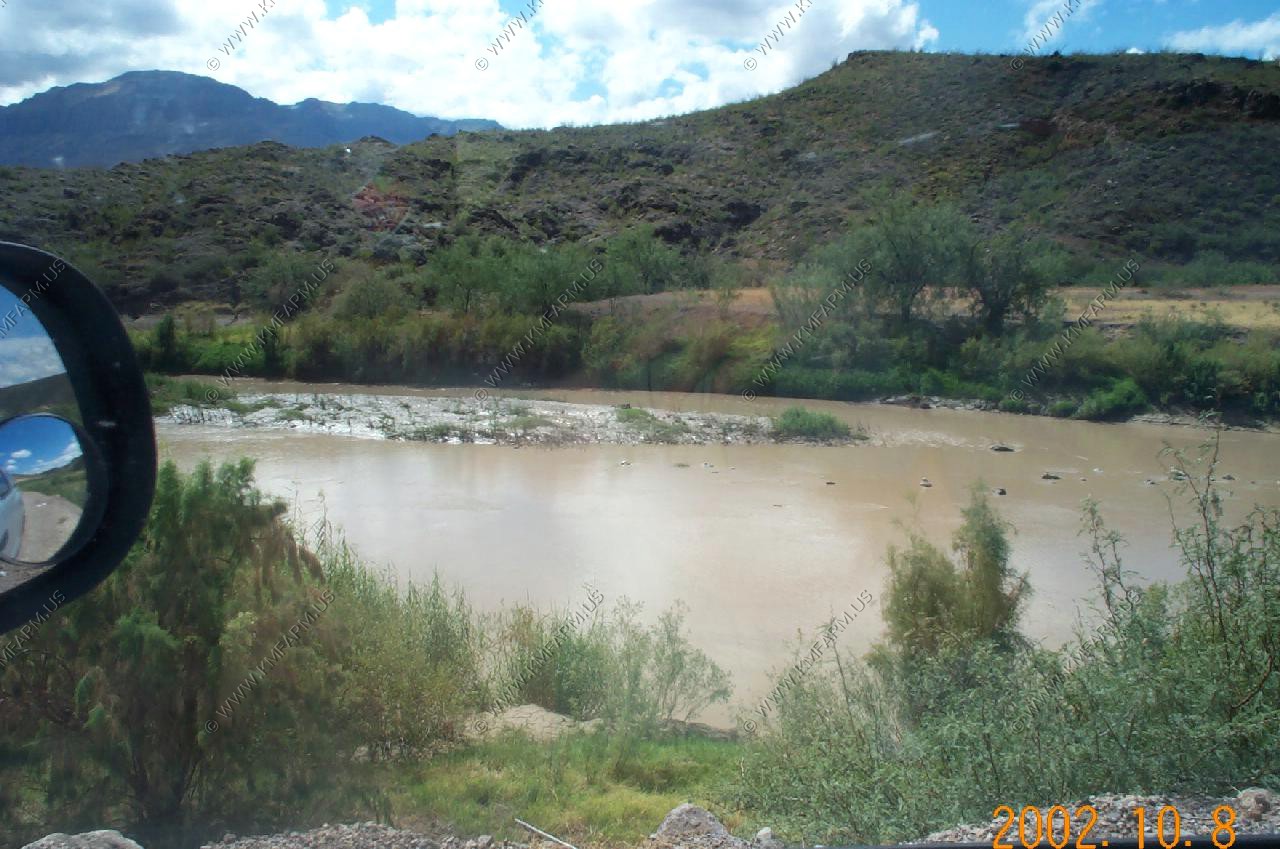
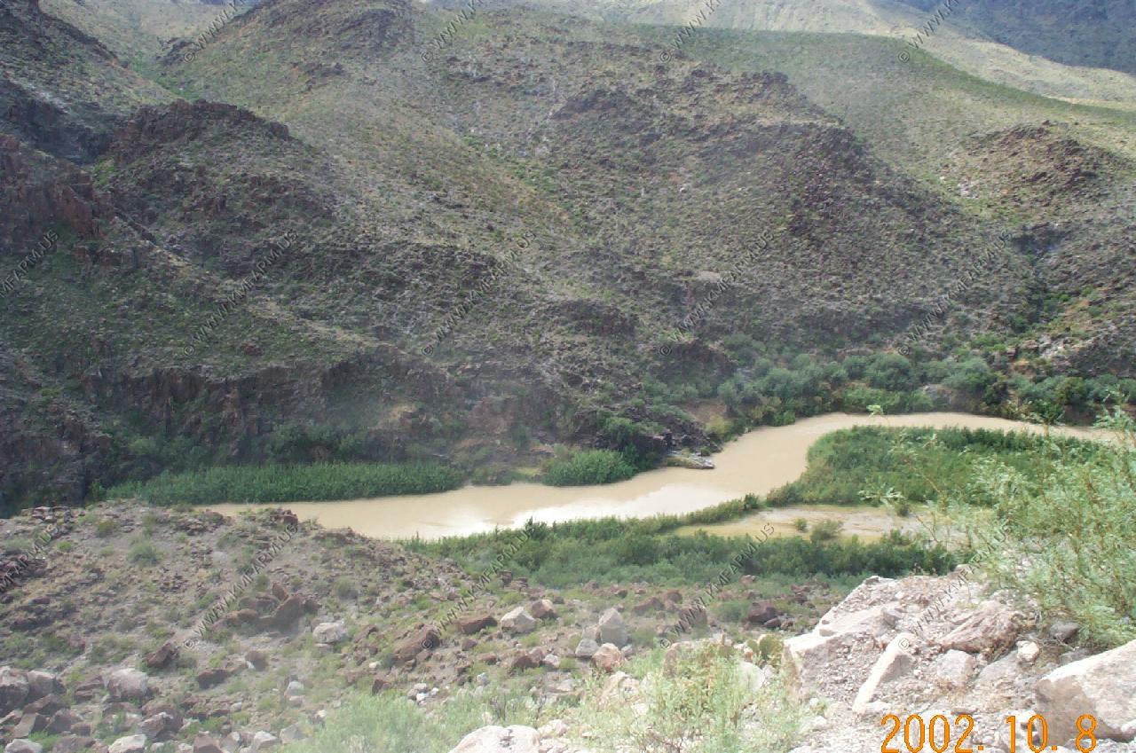
Very rugged area with the Rio Grand (Mexico on the left side)
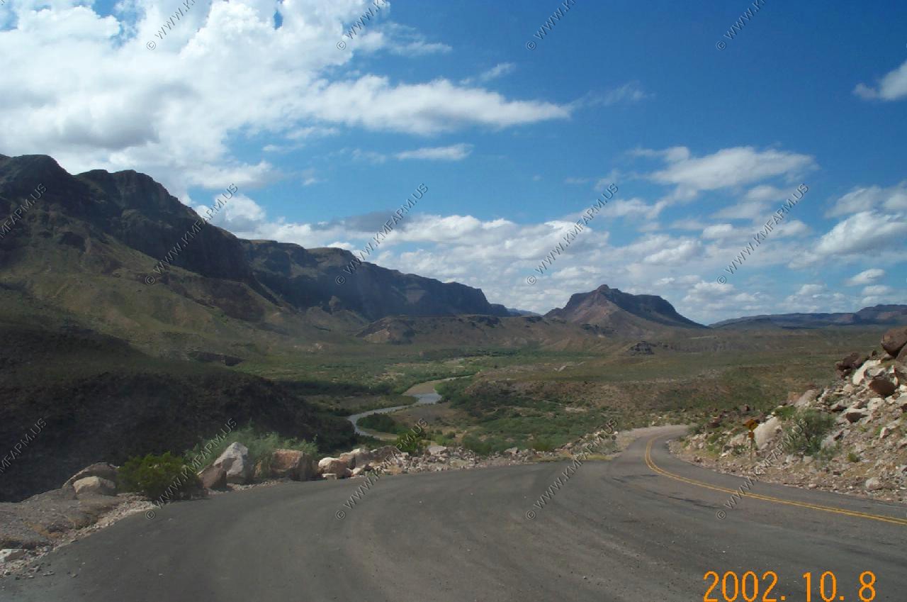
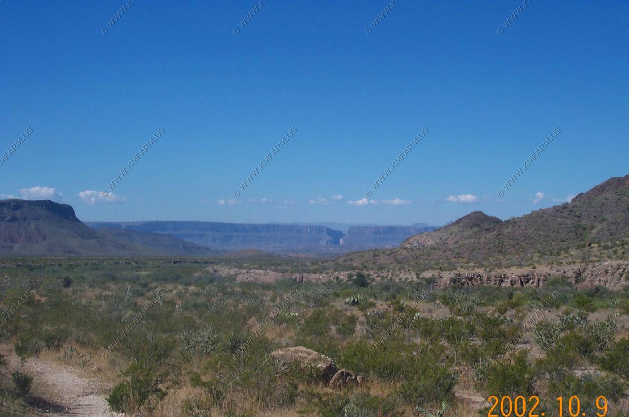
Big Bend National Park off in the distance
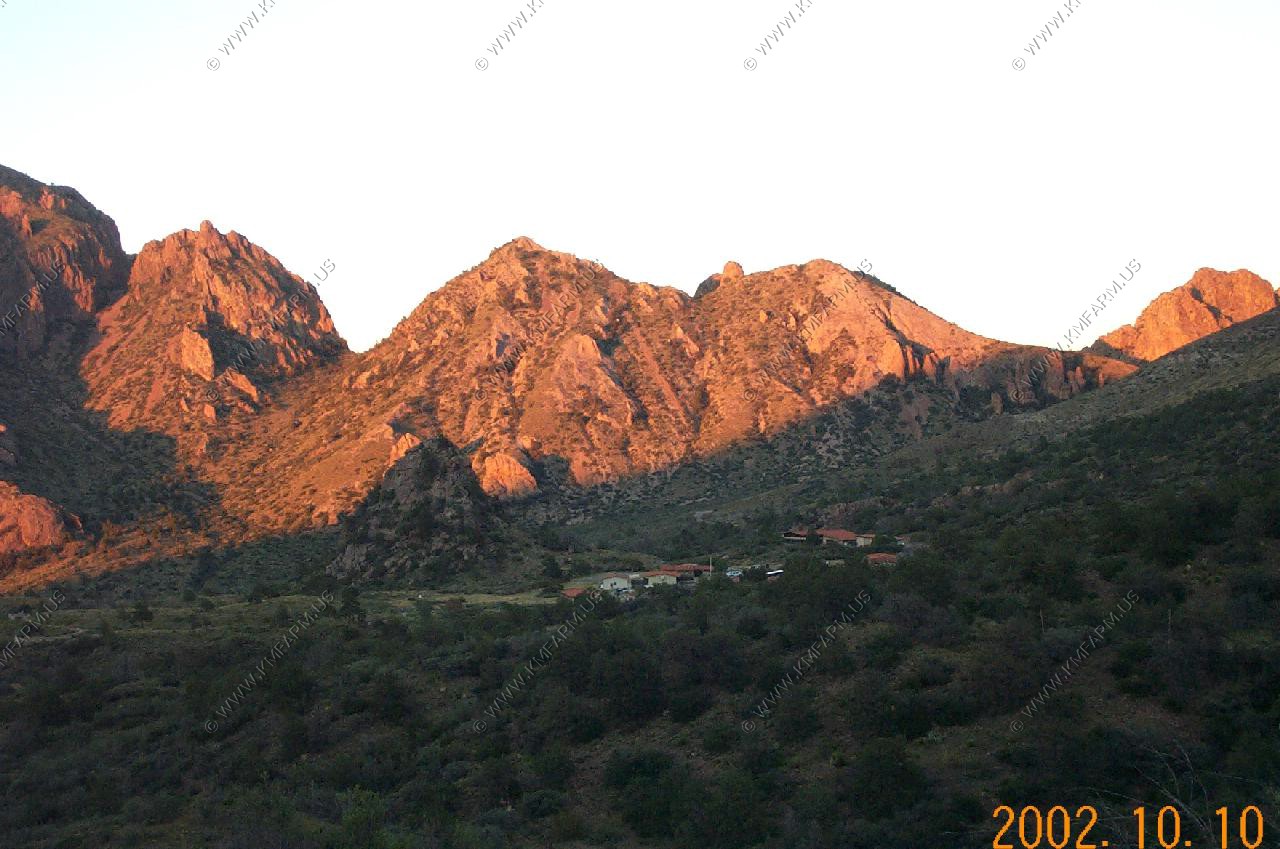
Big Bend National Park
We stayed 4 days and 3 nights at the Chisos Mountain Lodge located at the Basin. The Basin area was nice with a ranger station, book store as well as a restaurant. We went to the ranger programs each night that covered Big Bend related subjects
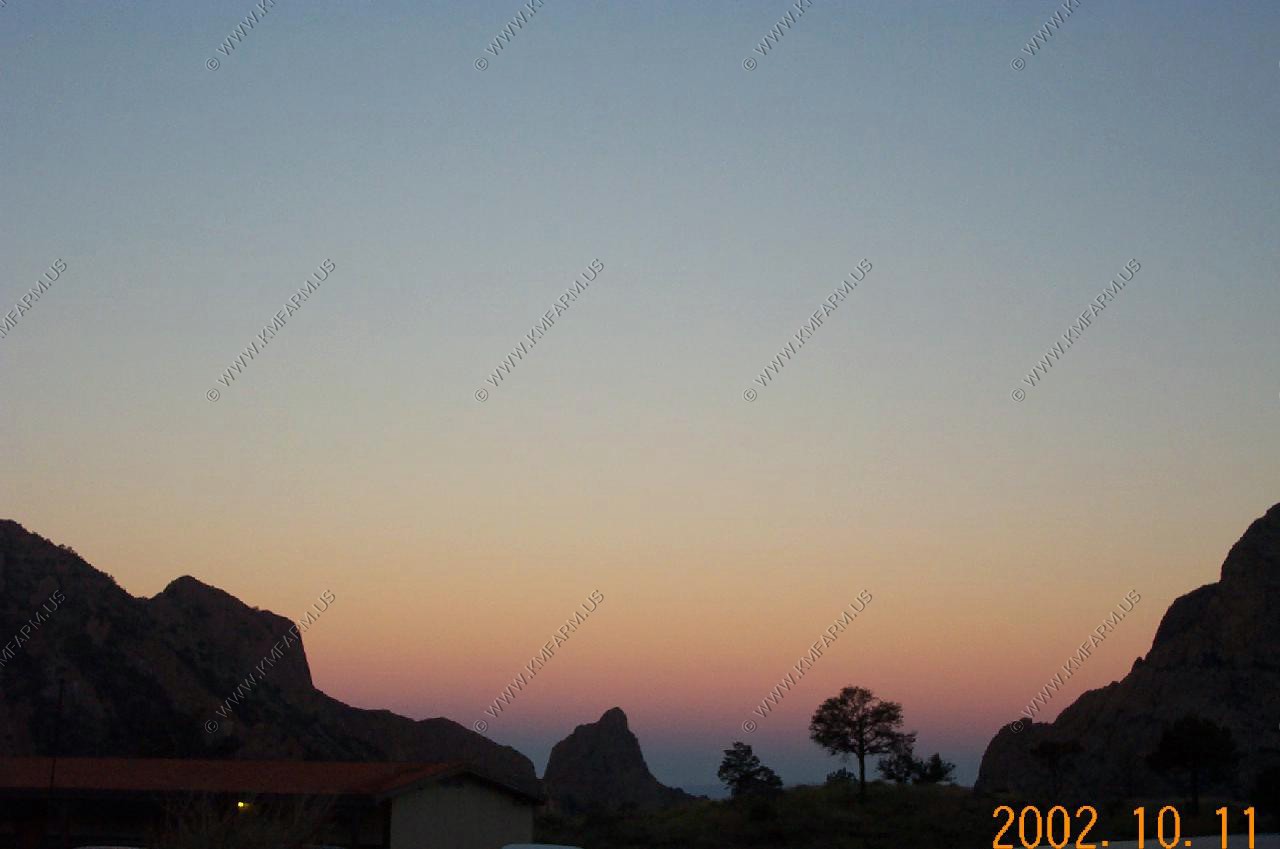
Chisos Basin / Sunset from the basin
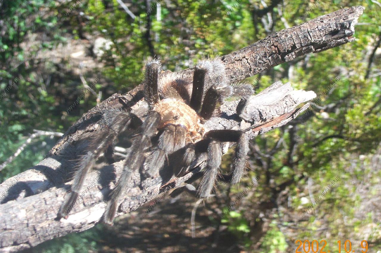
The largest tarantula's of the trip
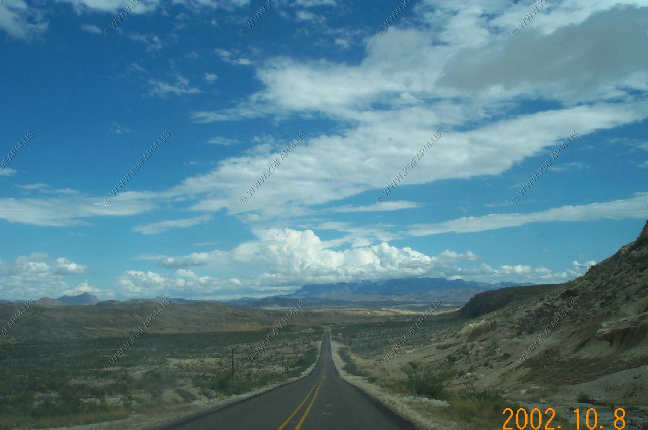
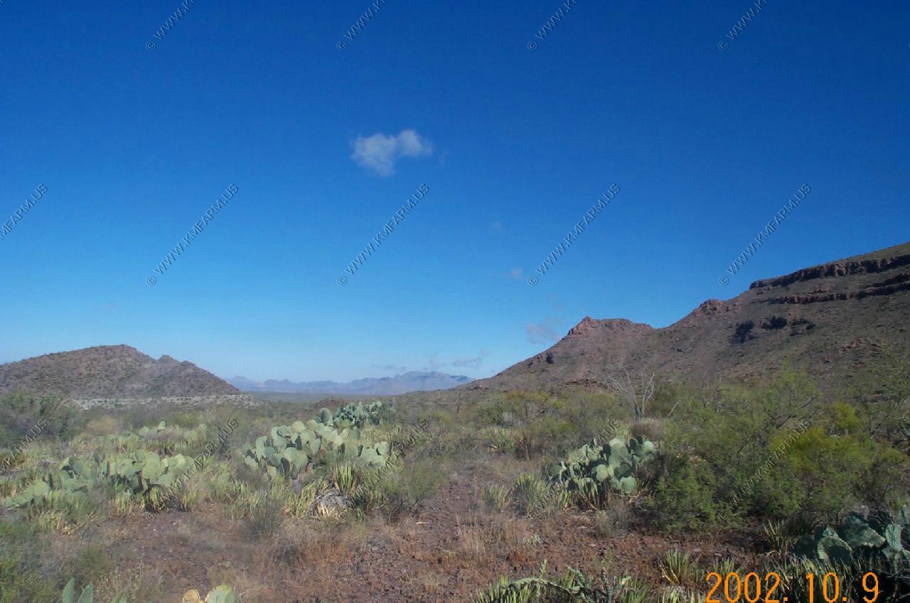
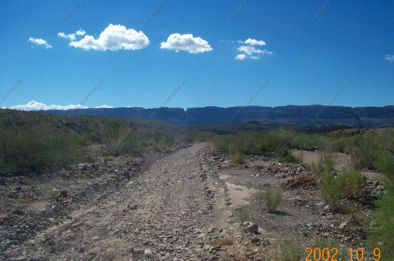
Desert Views
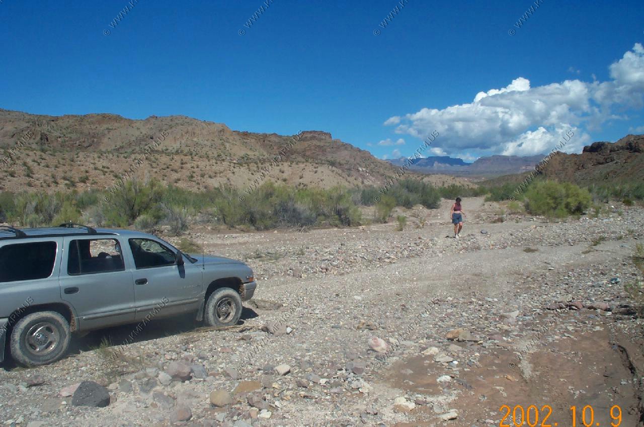
Exploring the backroads
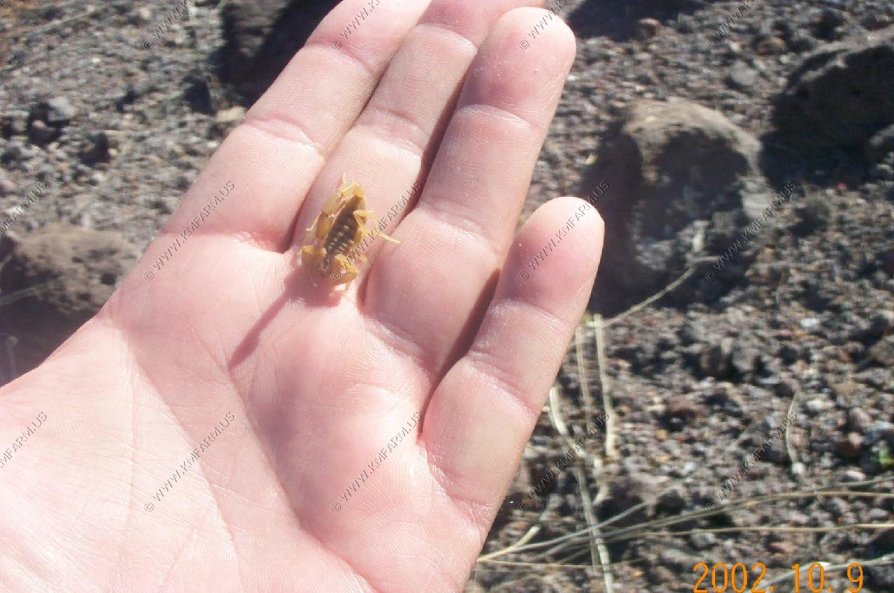
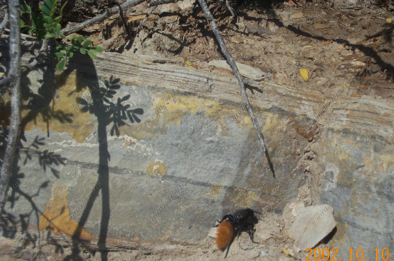
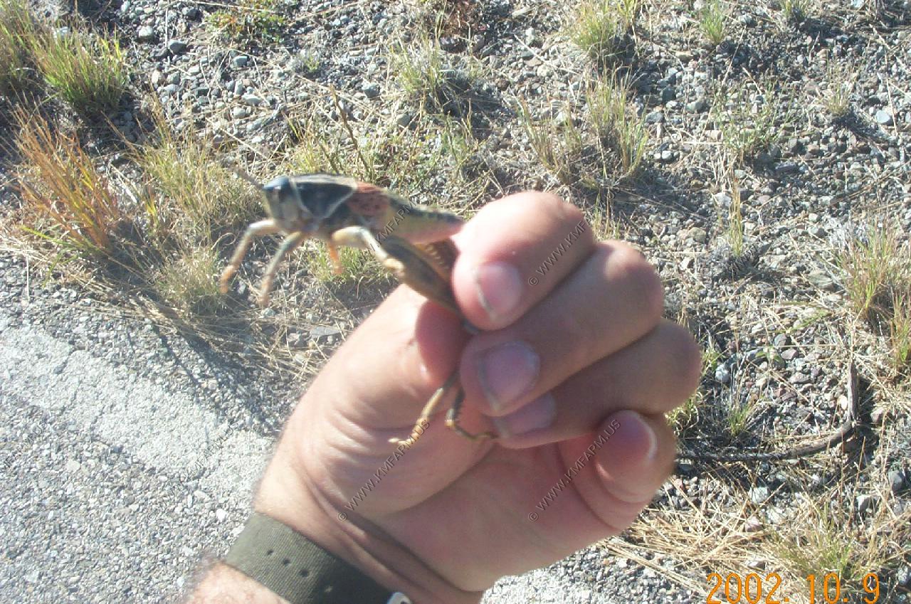
The nasty critters
Scorpion
Velvet Ant (mule killer)
Large Grasshoppers
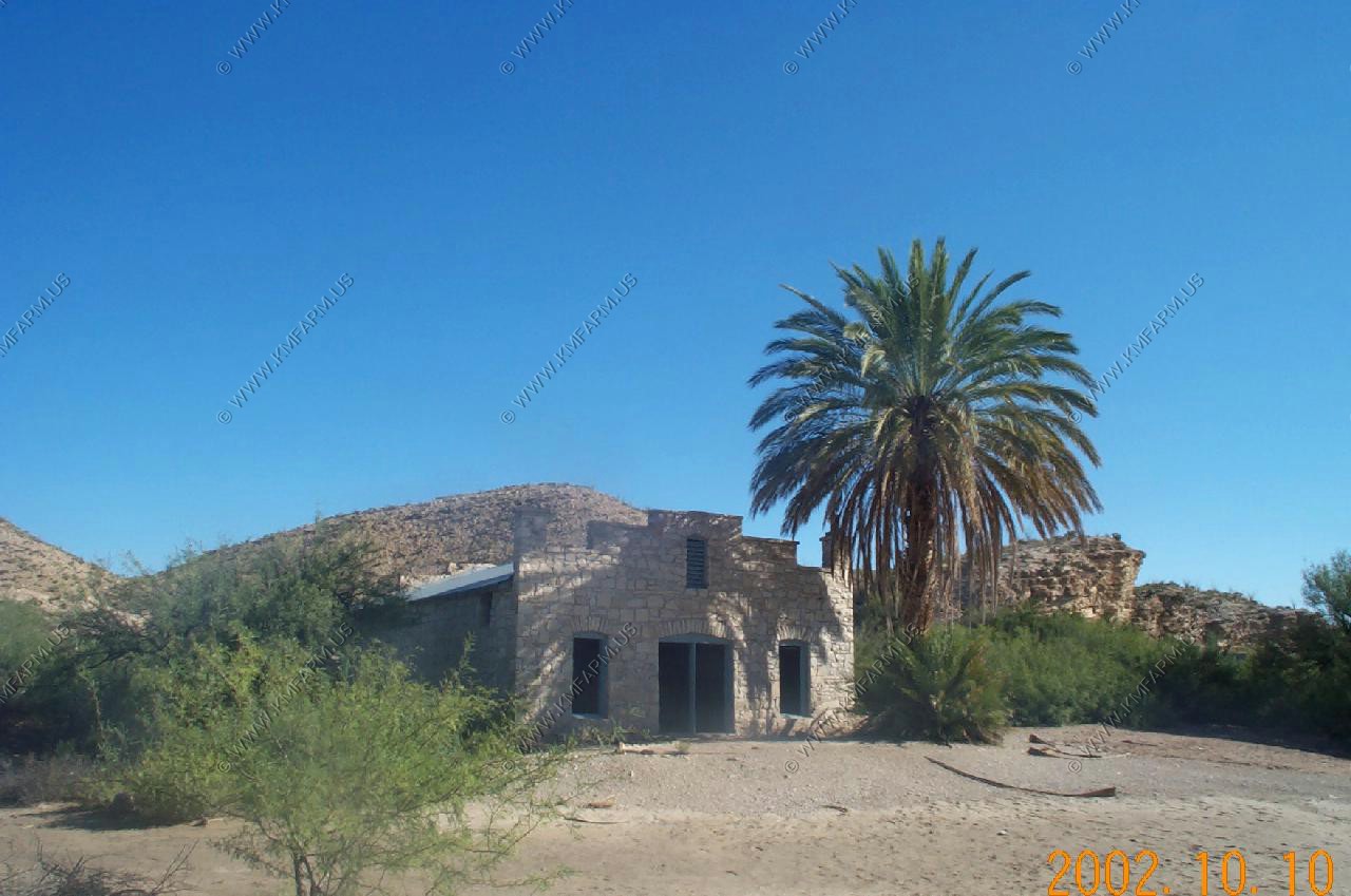
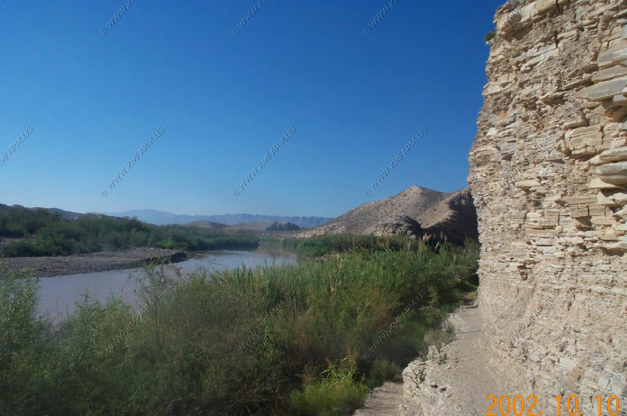
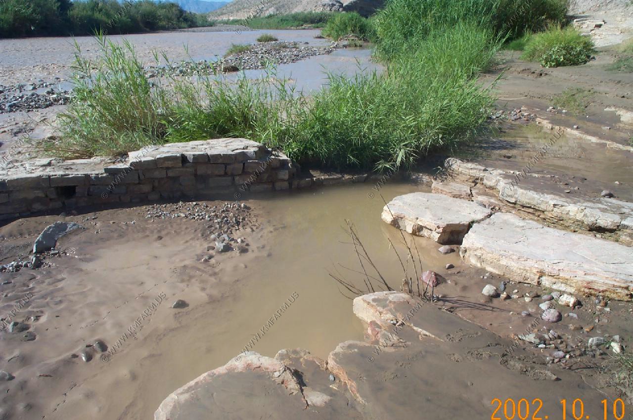
Hot Springs Trail, Big Bend National Park
The Hot Springs Trail along the Rio Grande in the southeast corner of Big Bend National Park is an excellent desert hike although sometimes rather an ordeal in summer when the heat and sunlight reflected off the whitish earth can become intense. The 3 mile path passes especially abundant desert plant life, at first crossing a plateau above the river which flows through a short, deep canyon below, traversing several side ravines before descending to the waters edge at the hot springs themselves, then continuing on to the remains of a small village founded in 1909. This can also be reached by car via a gravel track that branches off the park road, in which case a much shorter walk is needed to visit the springs.
The Springs: The springs are a few yards from the rivers edge and were enclosed in a brick wall early this century, creating a small bathing pool for the benefit of guests at nearby Hot Springs Village. This has long been abandoned but the pool still receives quite a few visitors who enjoy relaxing in the clear 105 degree waters, whilst the Rio Grande rushes noisily past. The setting is remote and unusual, and well worth a visit.
Boquillas is a Mexican border town. Now closed due to 9/11 security issues