Last Updated: 25-AUG-2018
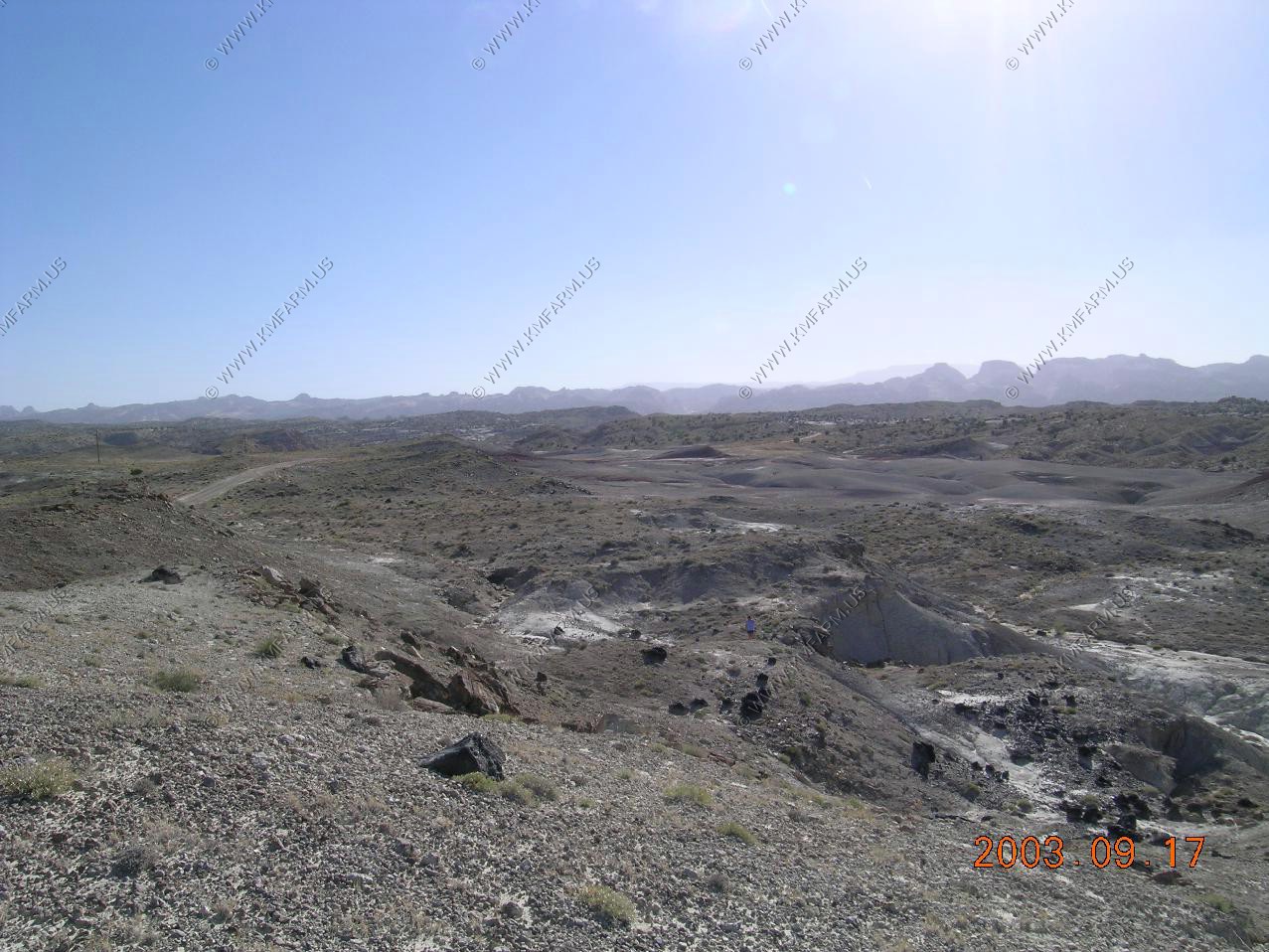
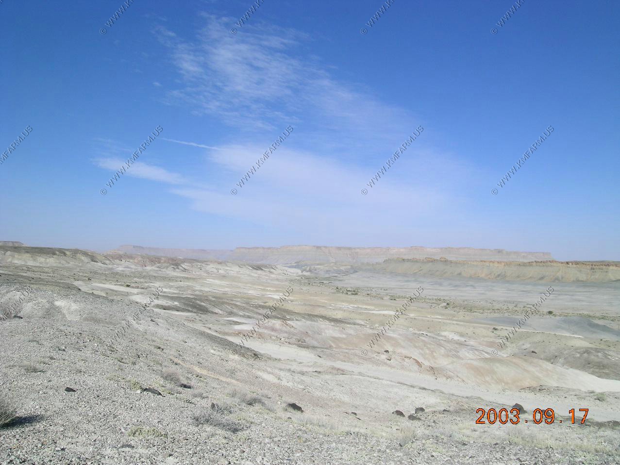
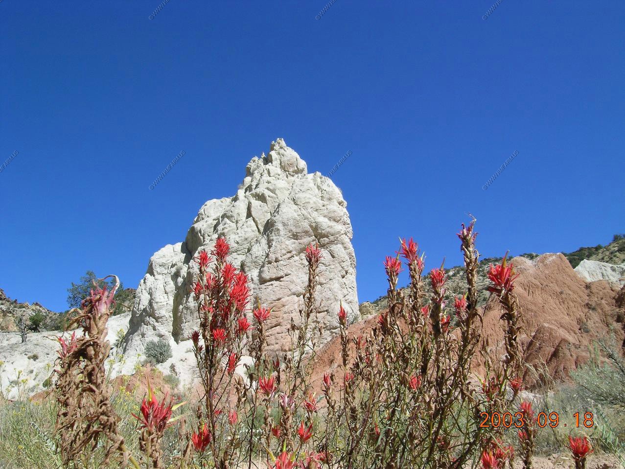
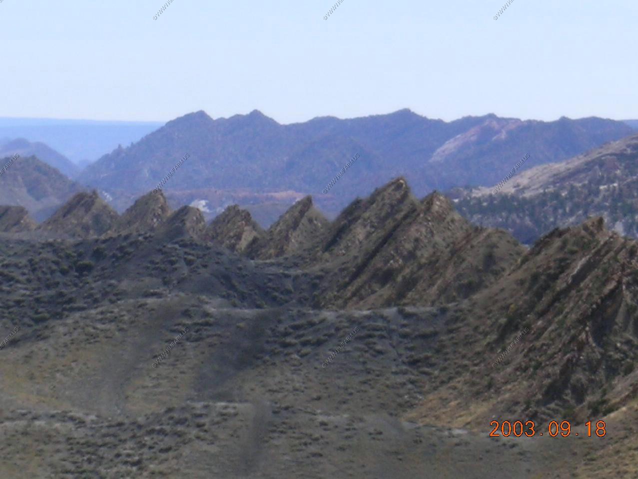
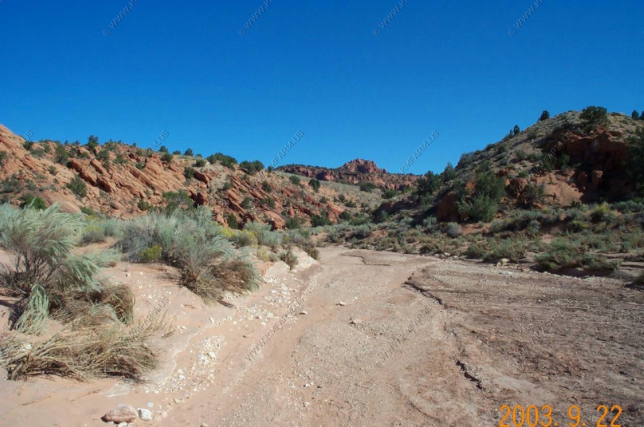
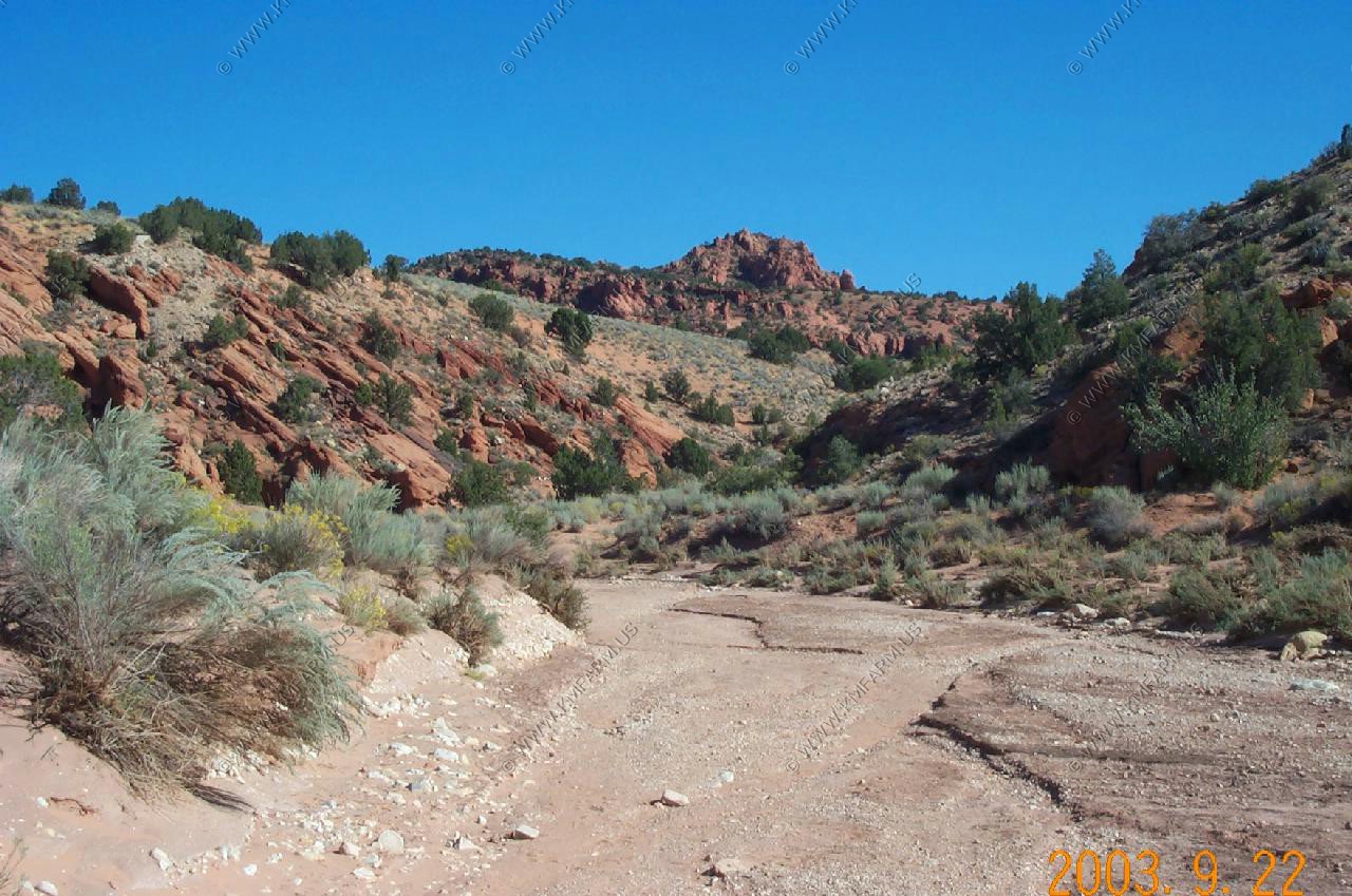
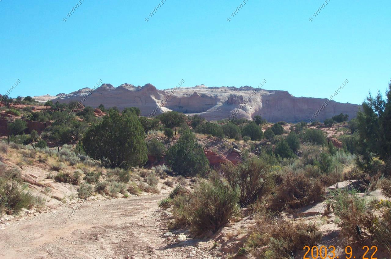
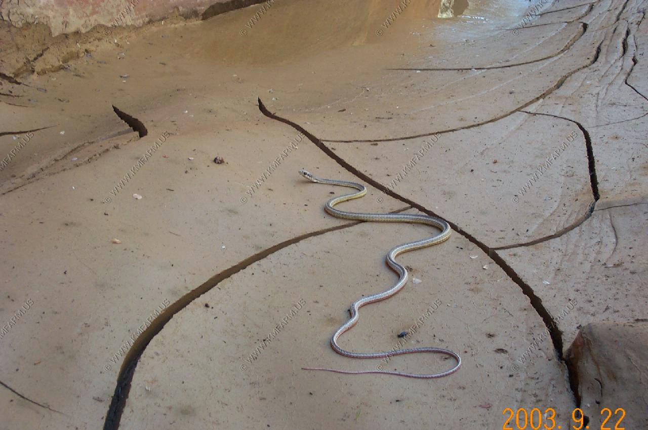
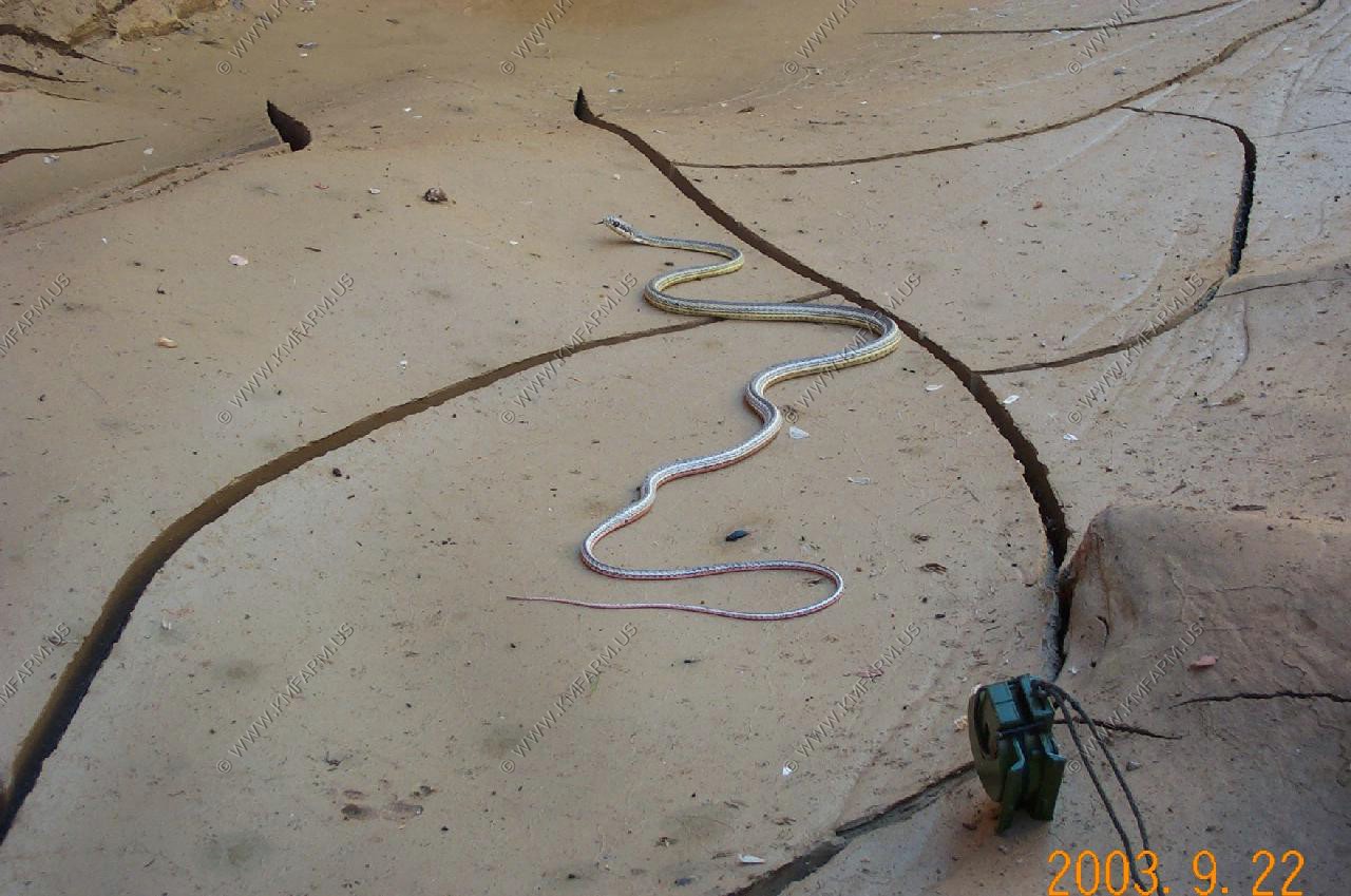
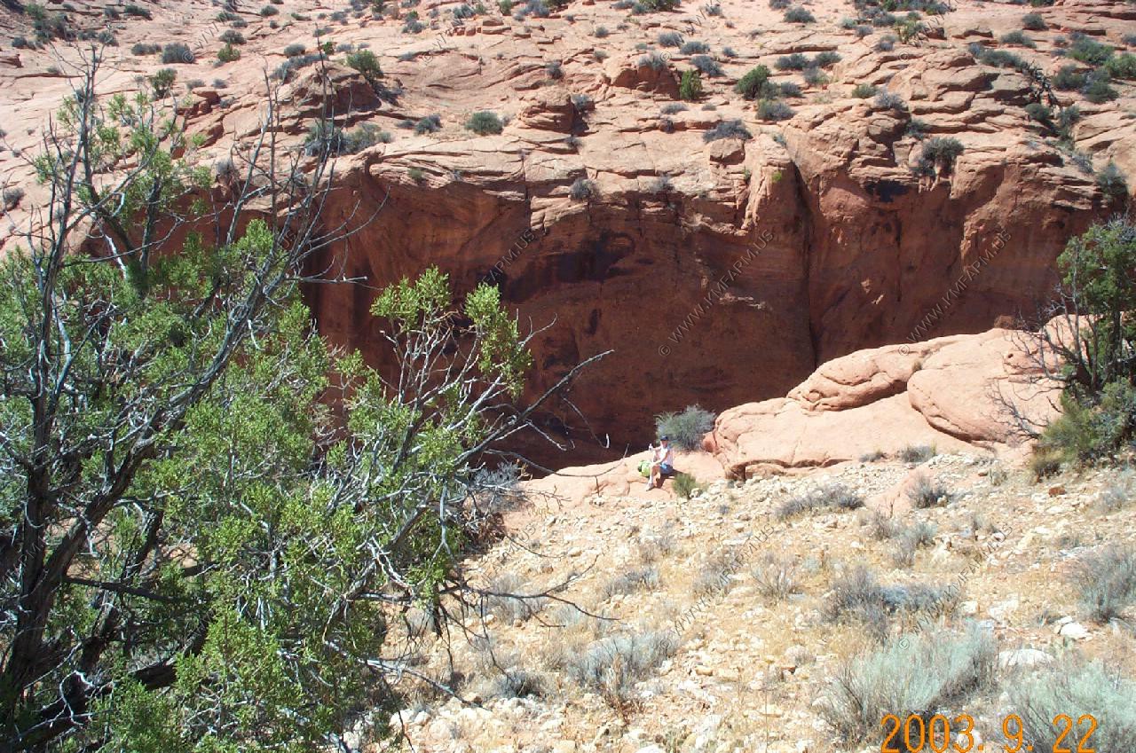
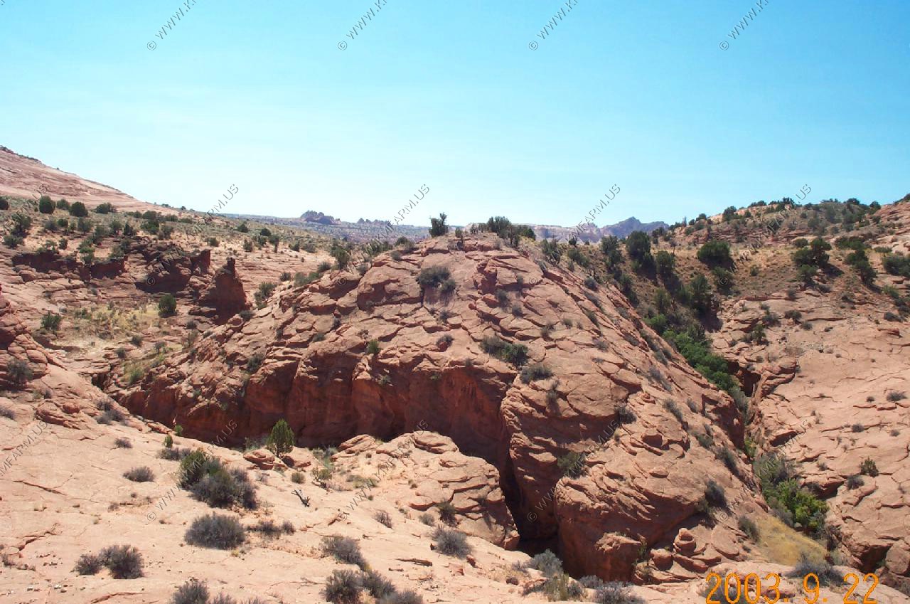
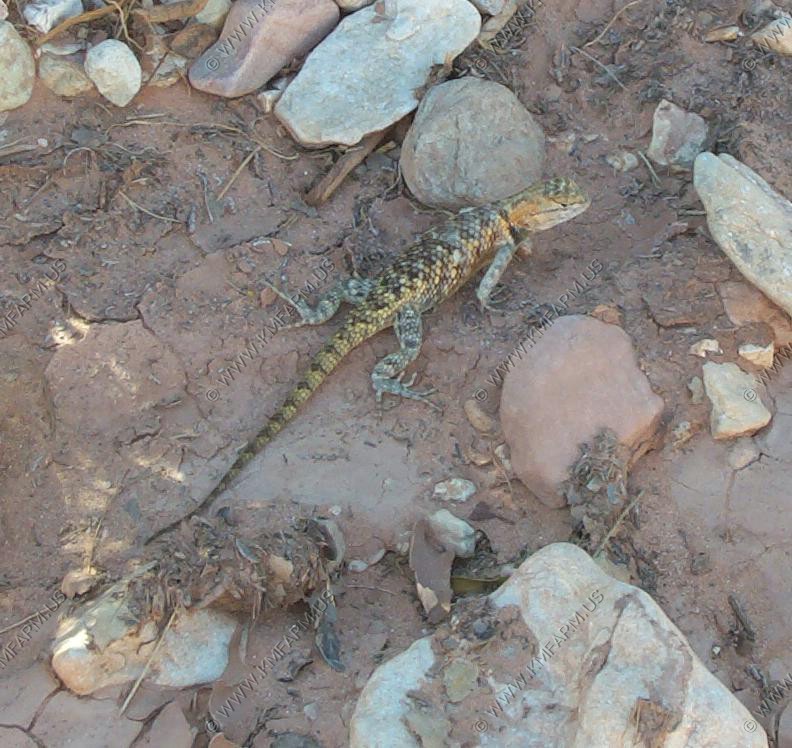
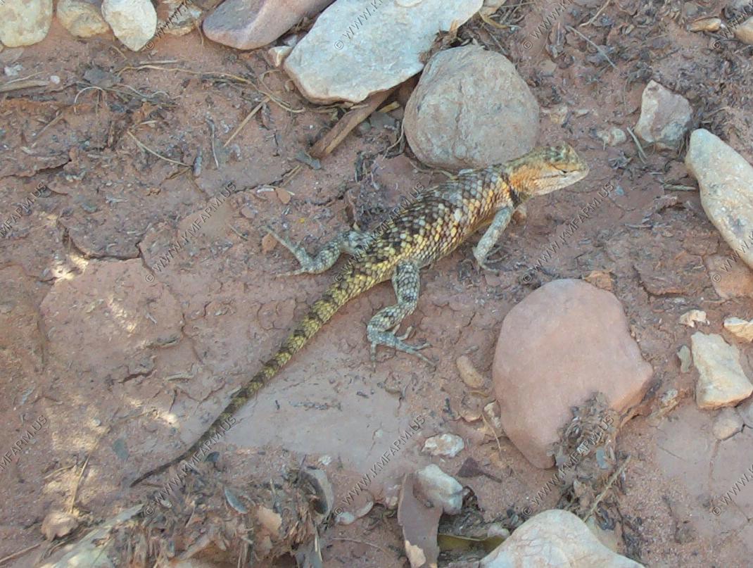
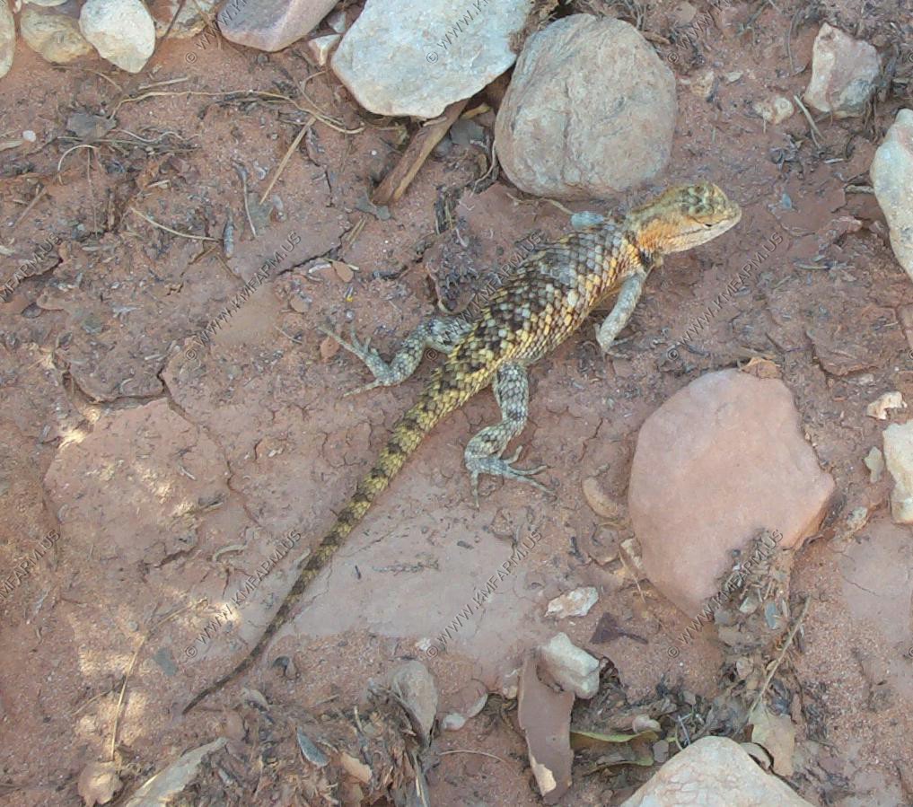
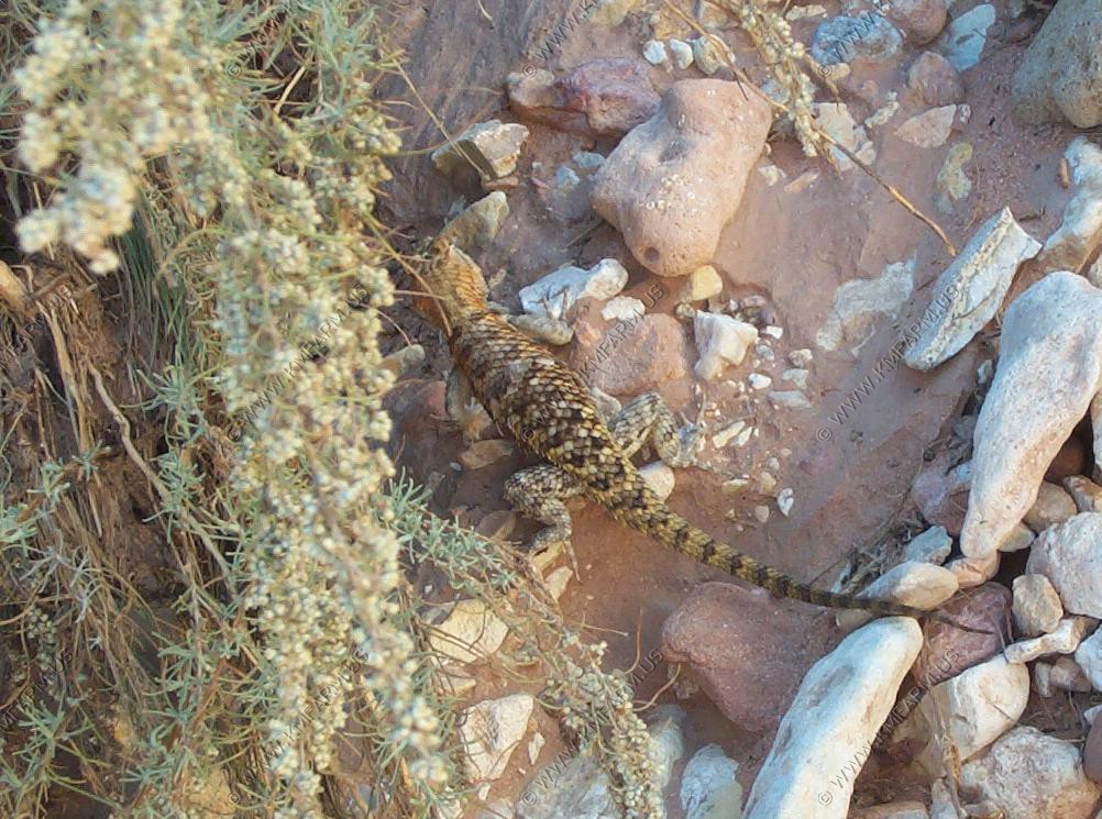
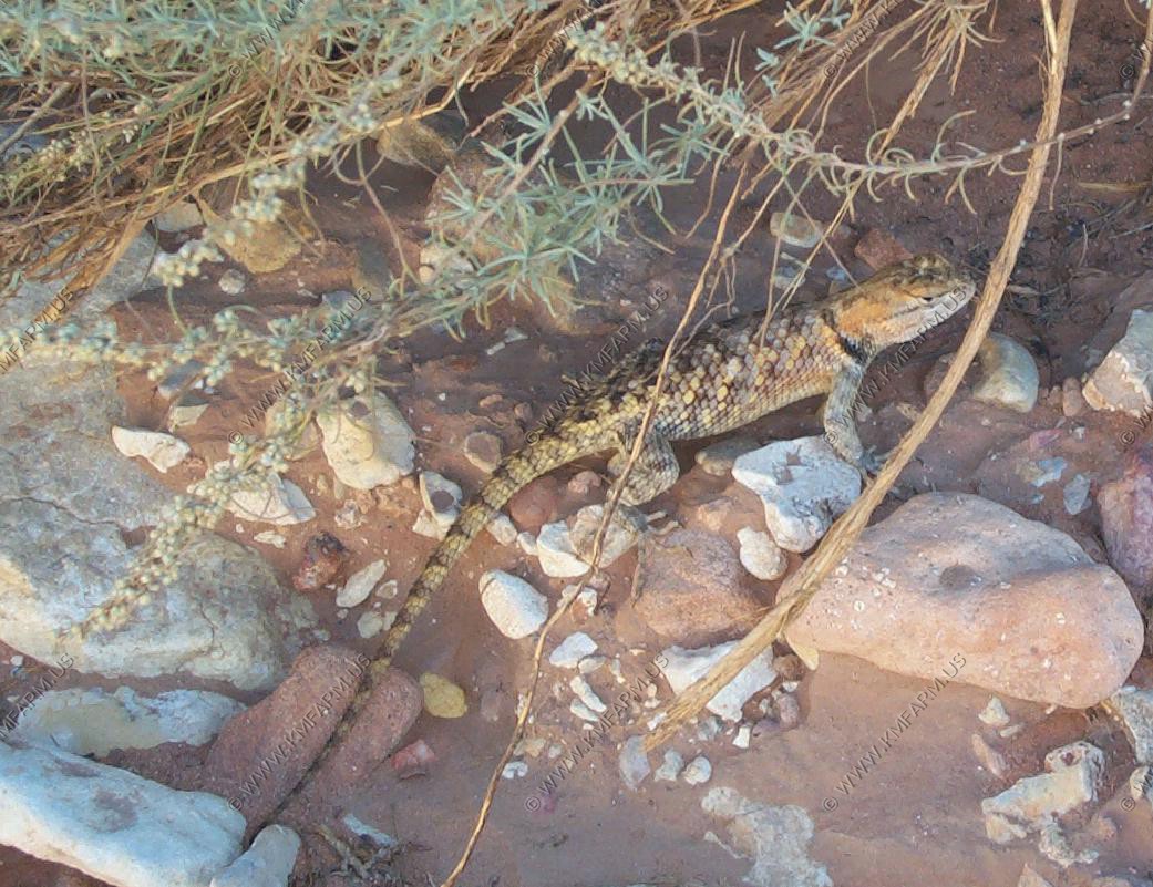
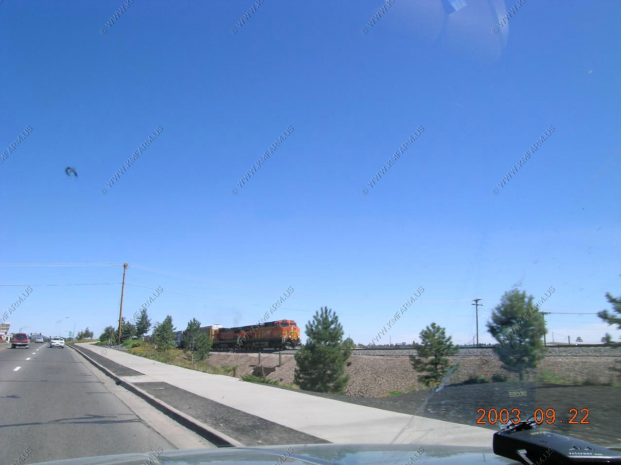
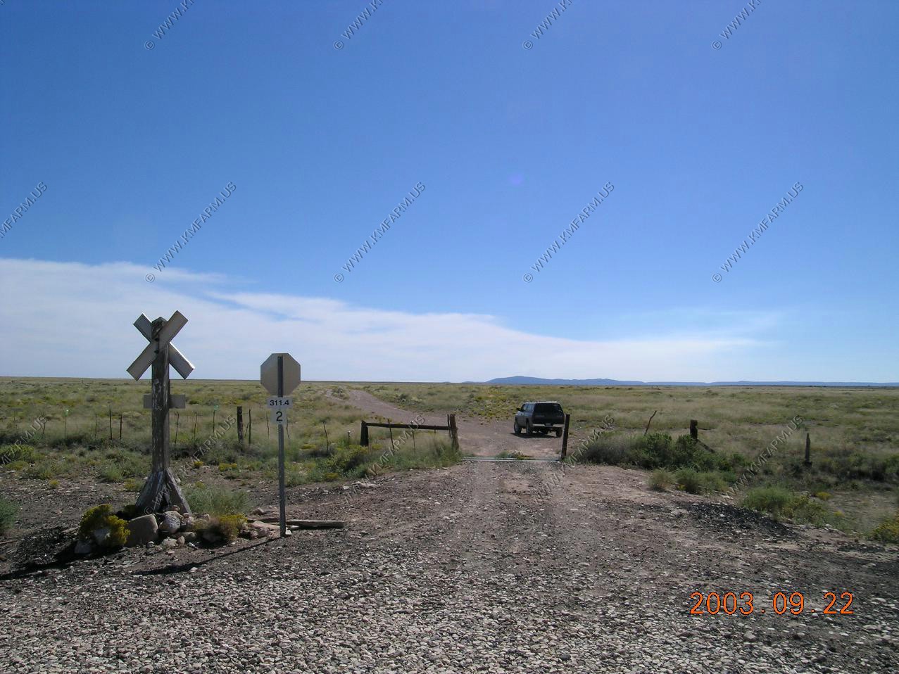
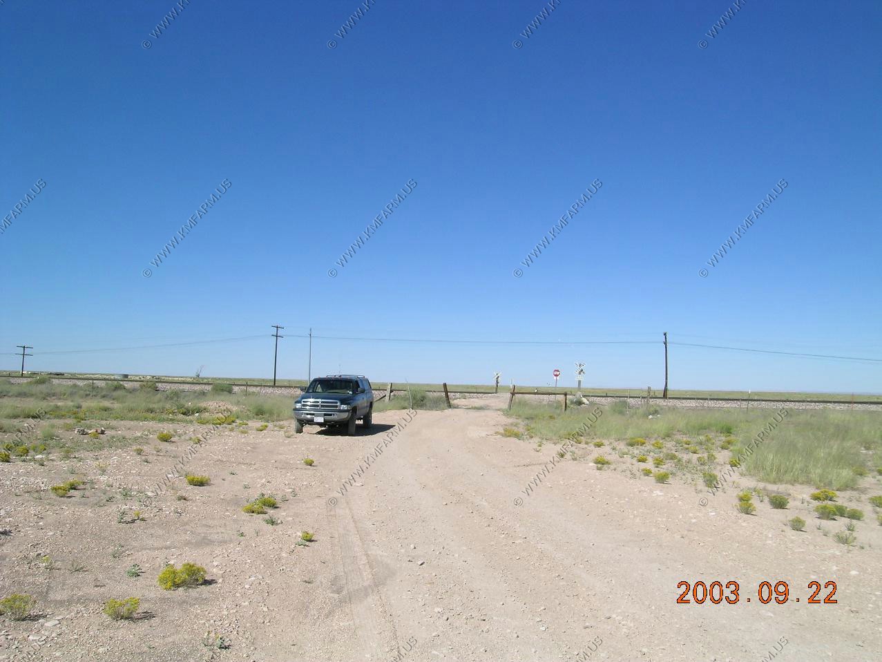
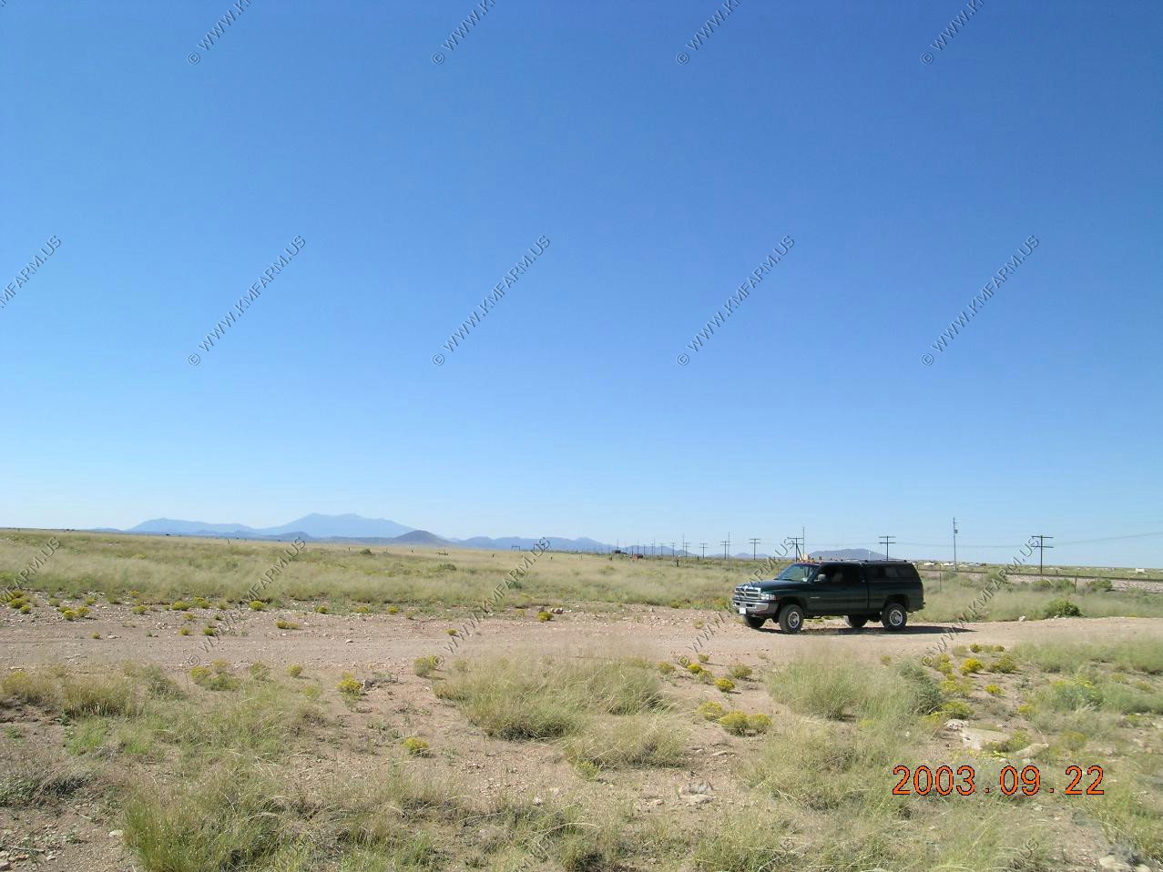
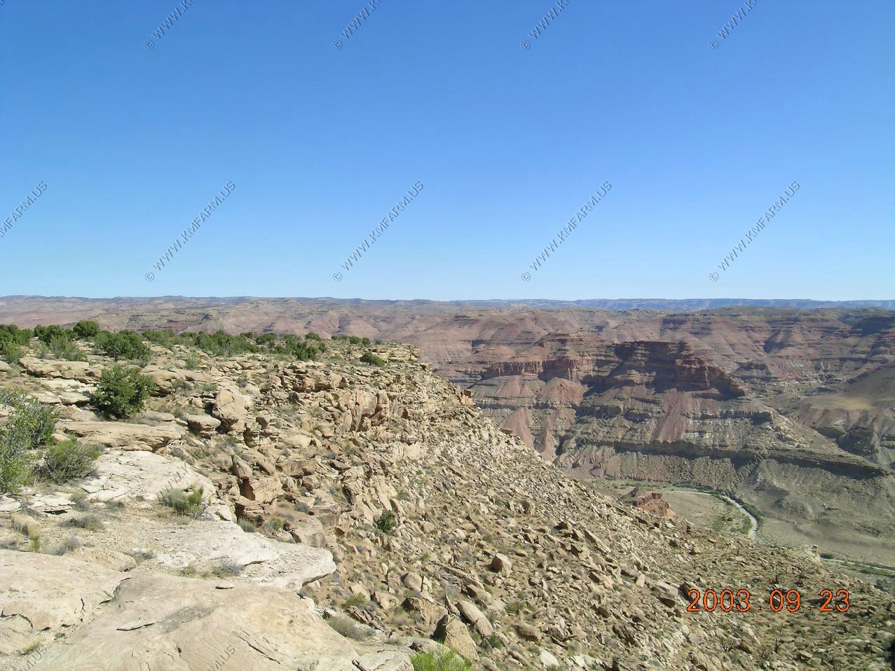
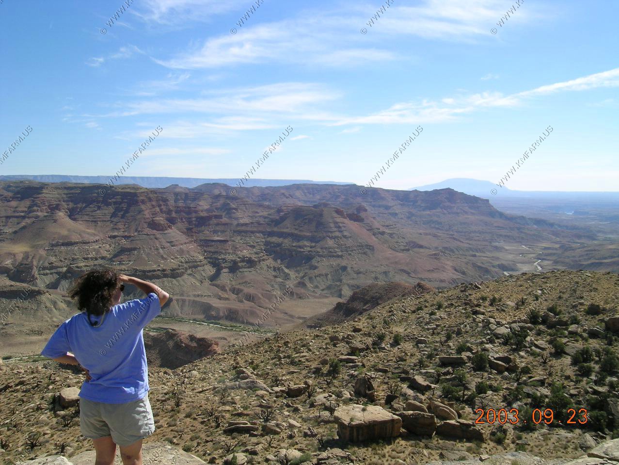
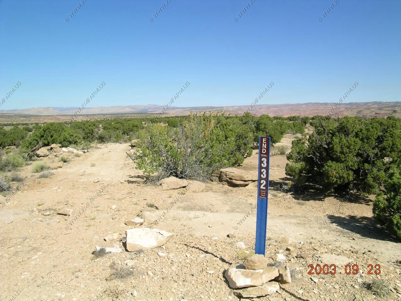
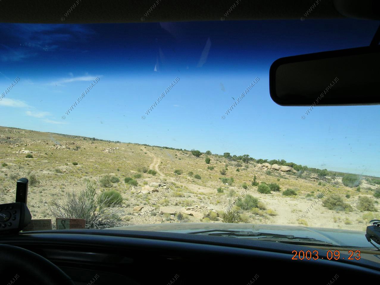
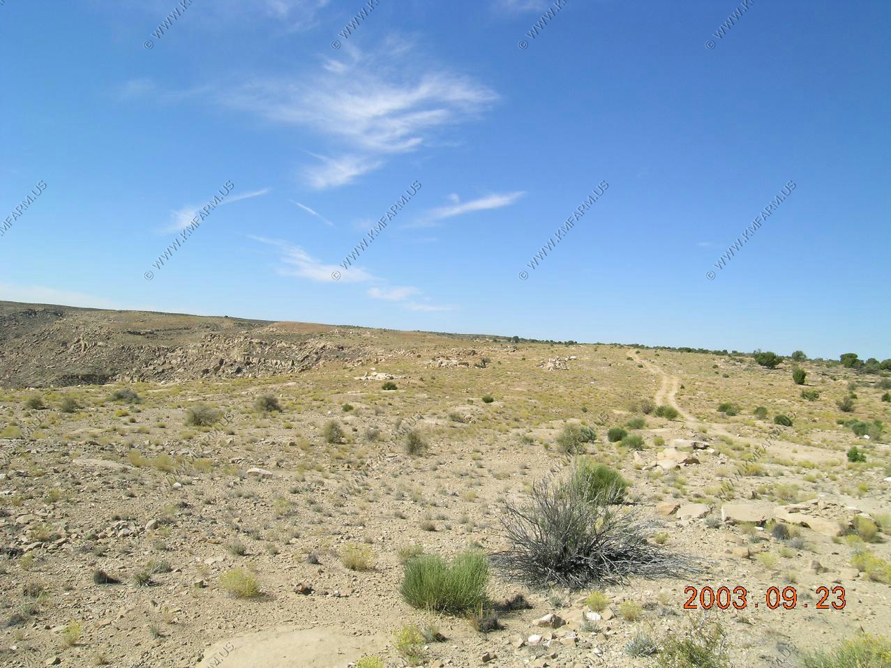
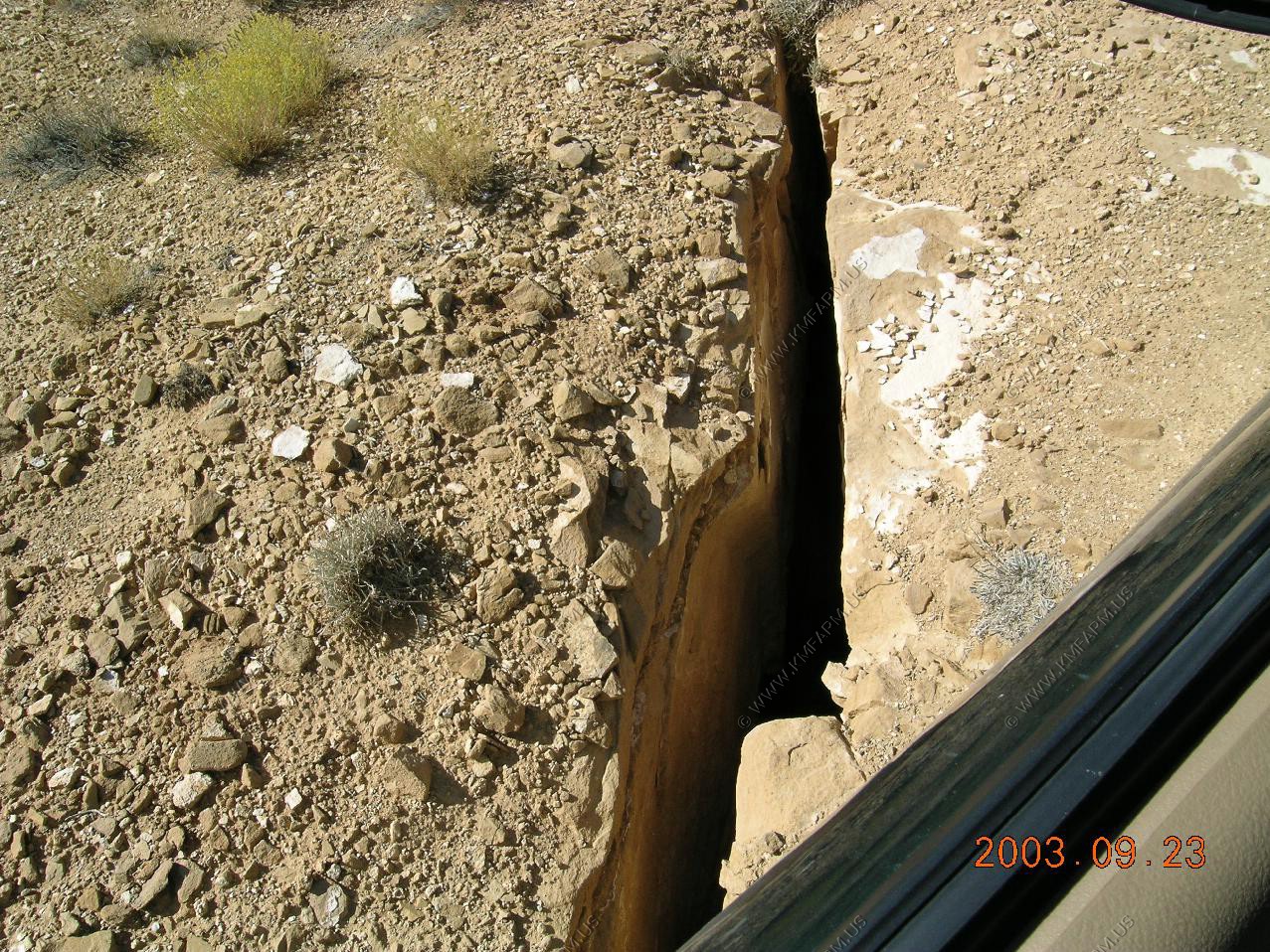
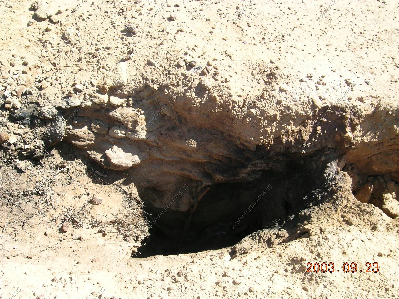
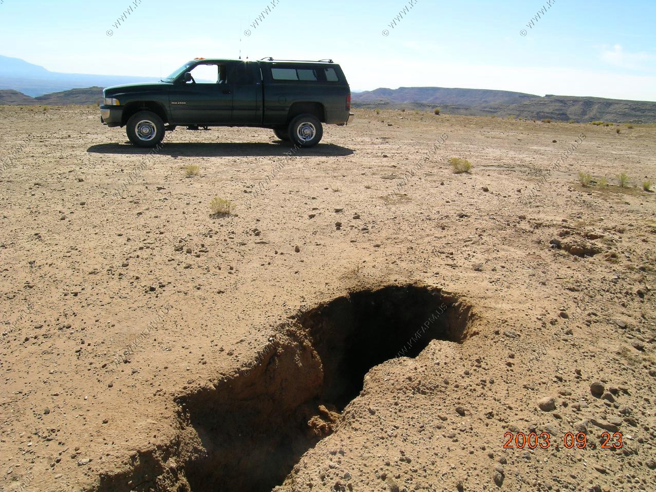
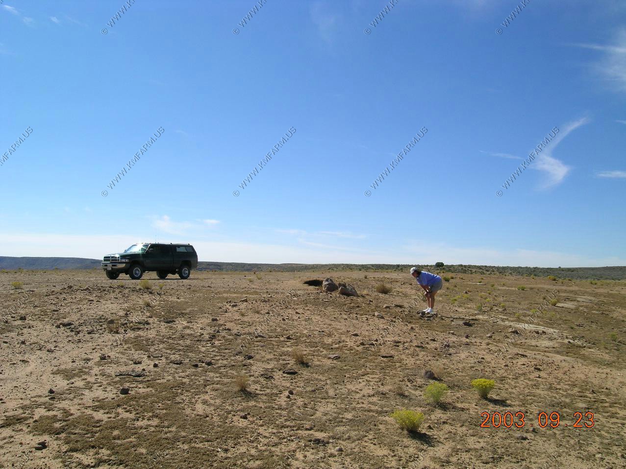
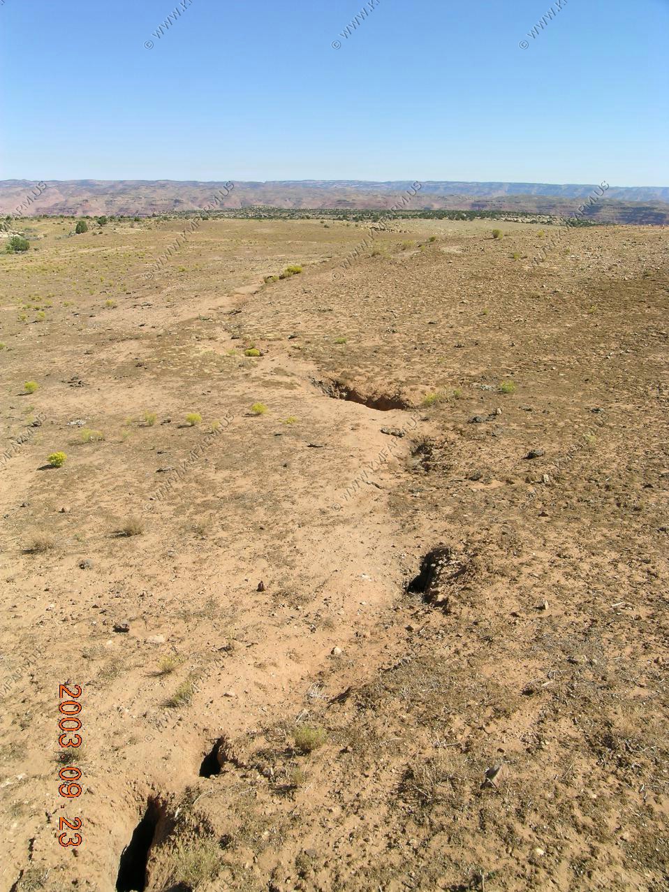
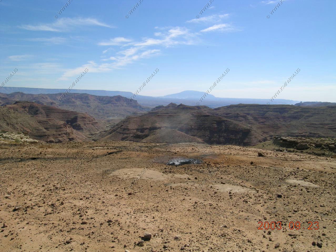
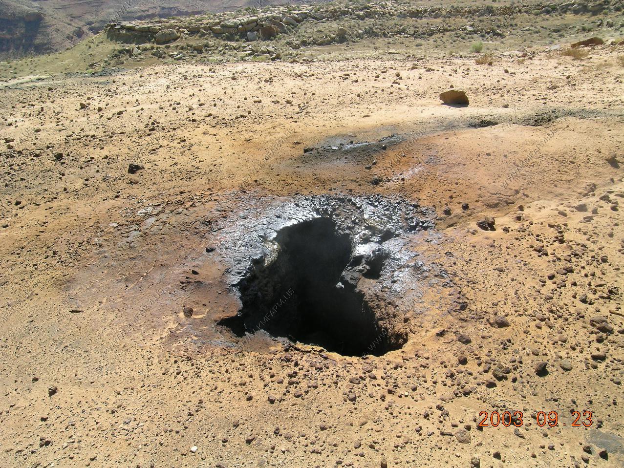
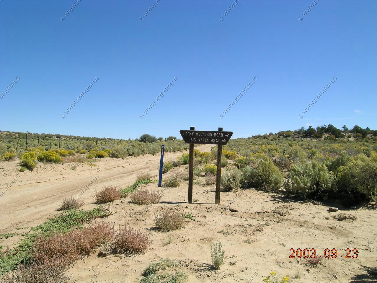
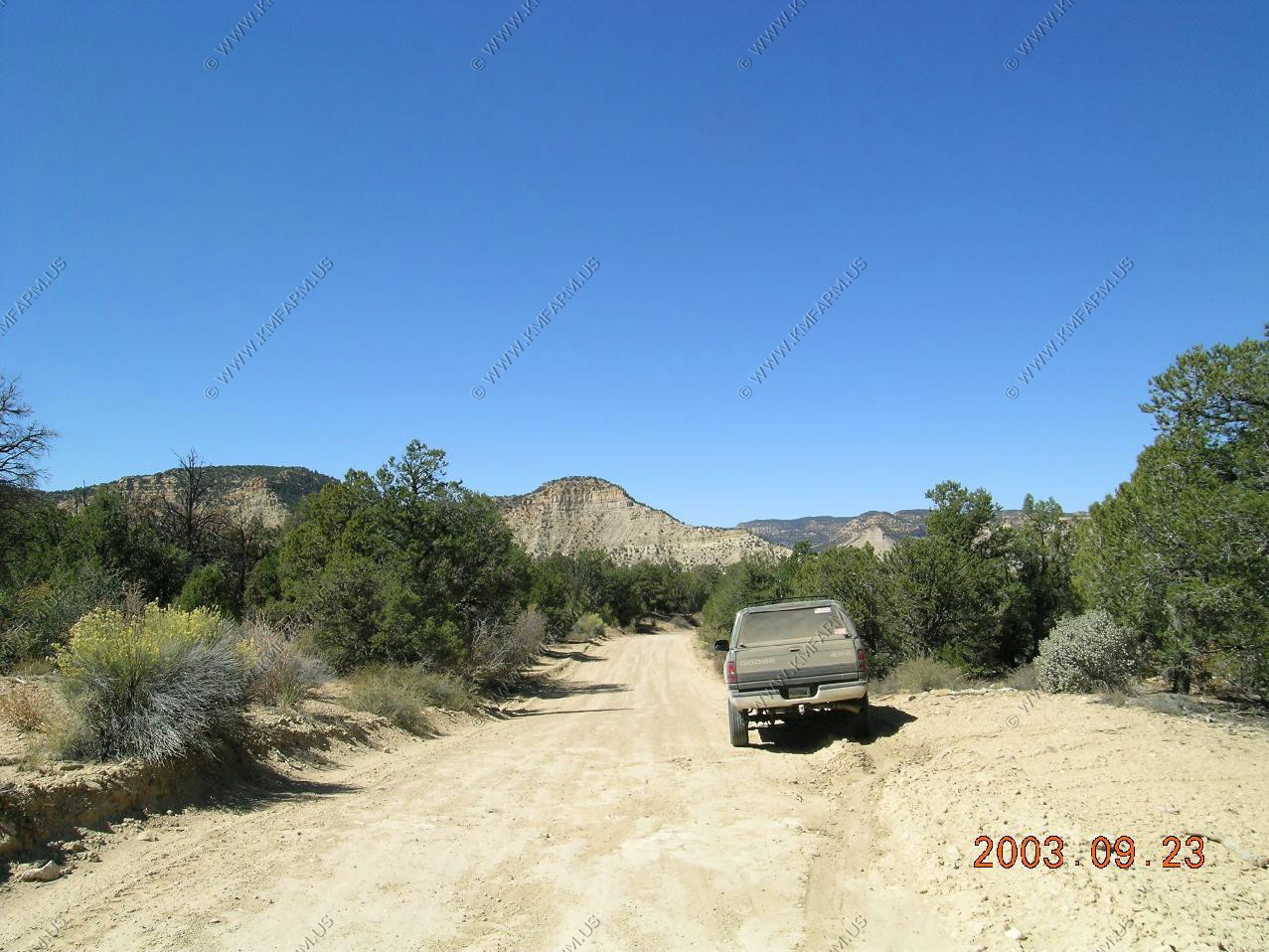
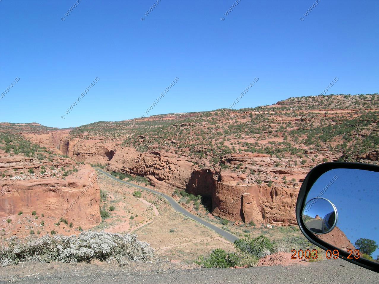
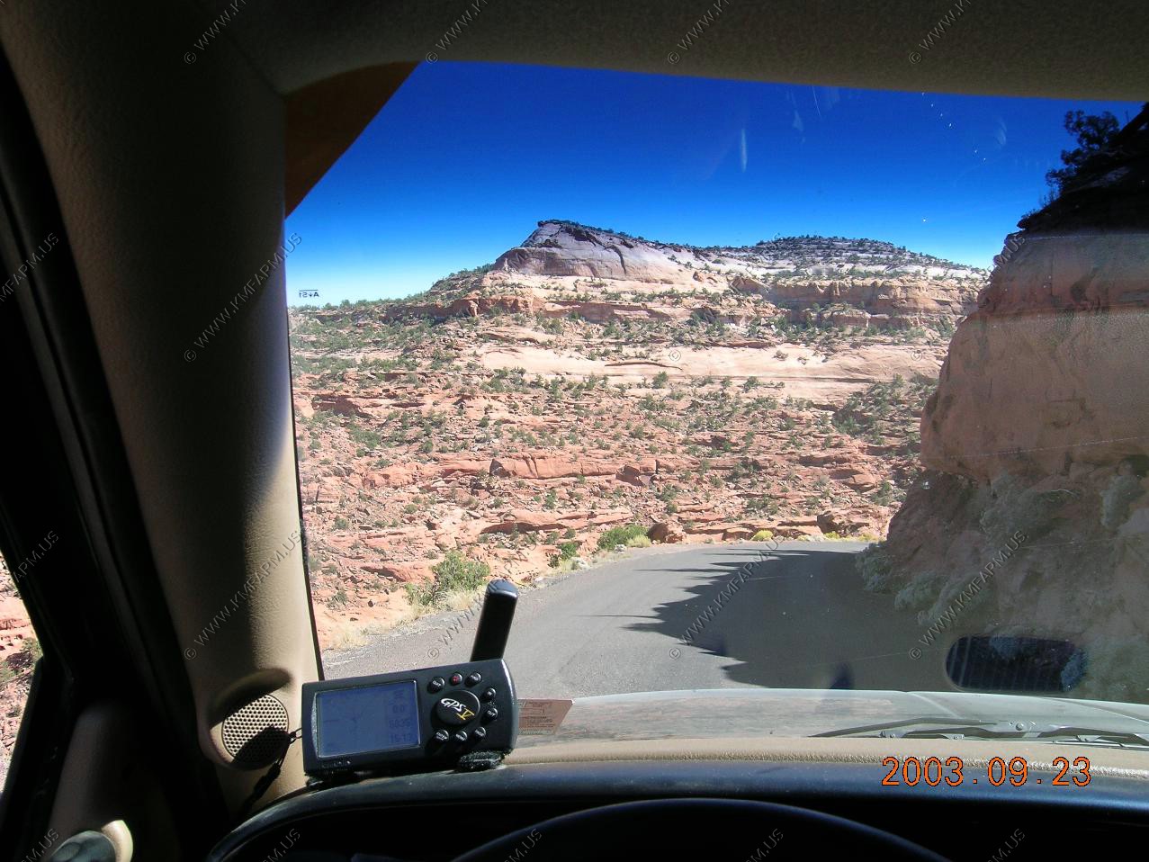
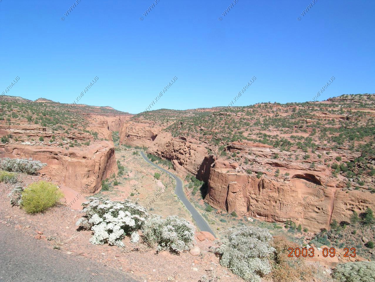
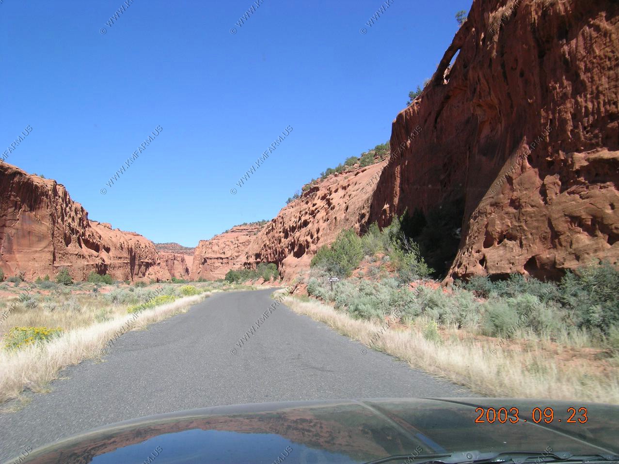
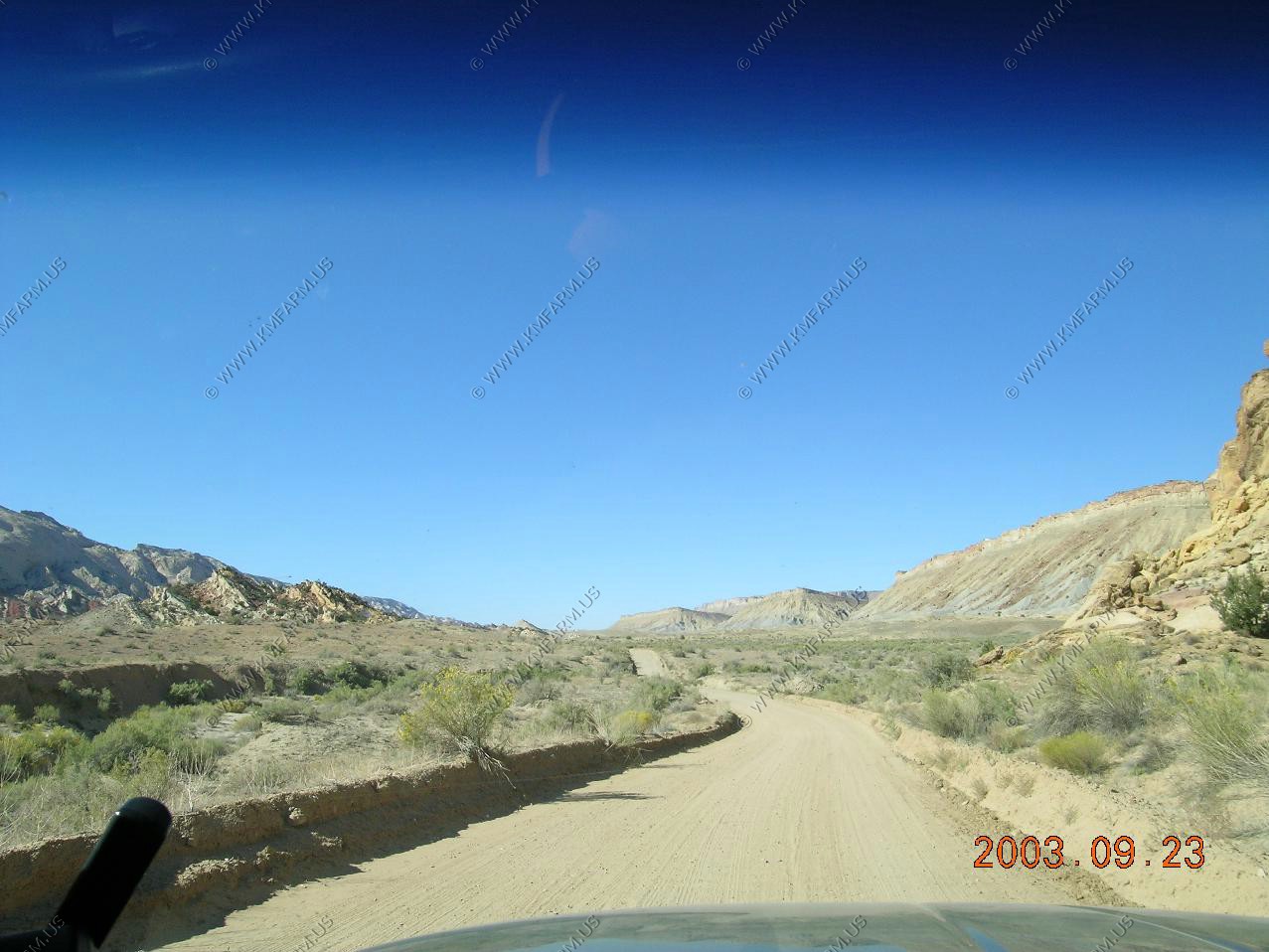
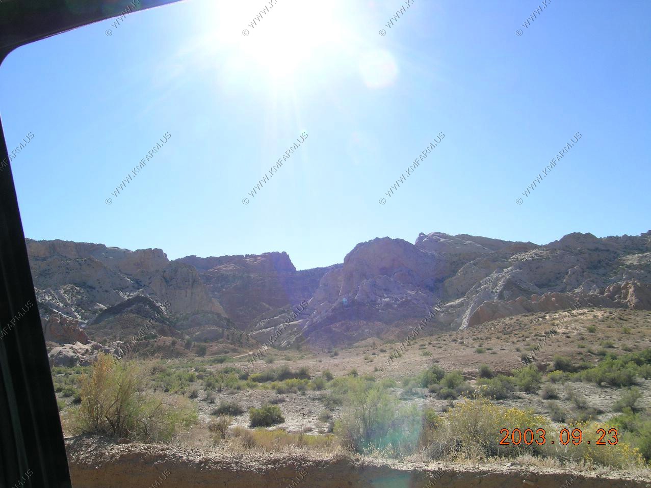
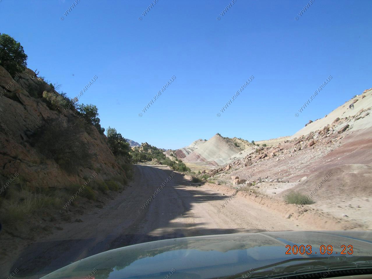
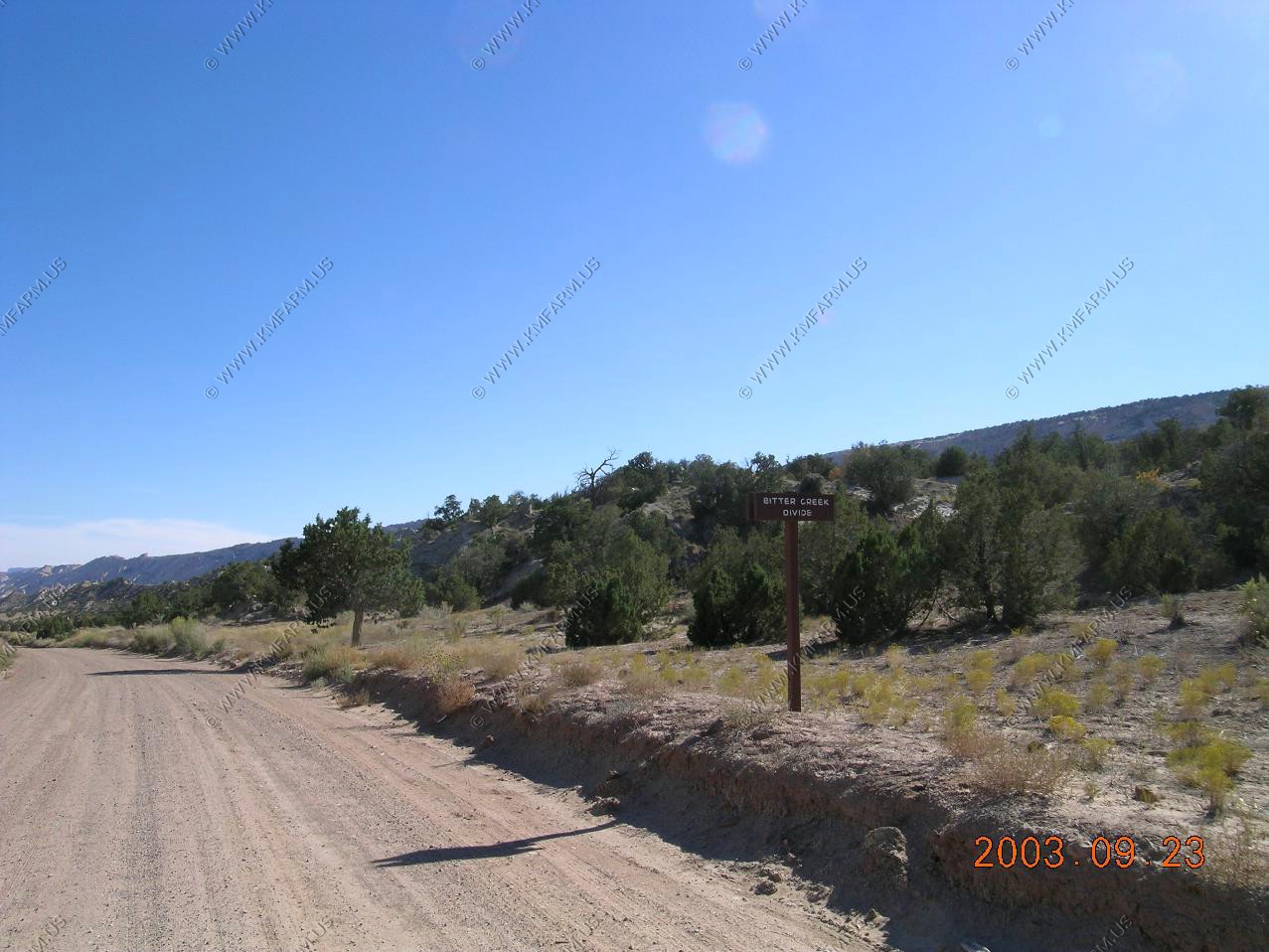
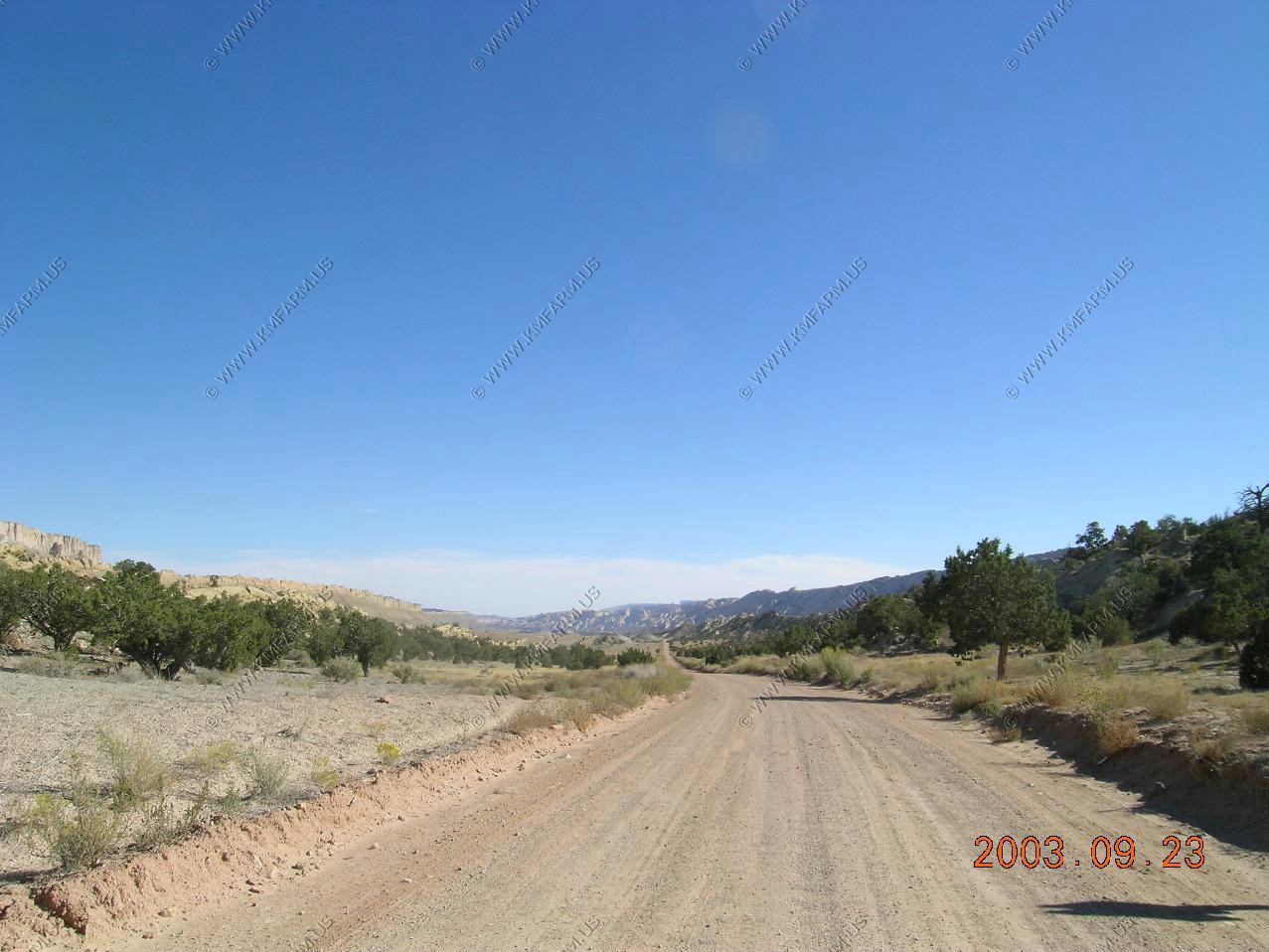
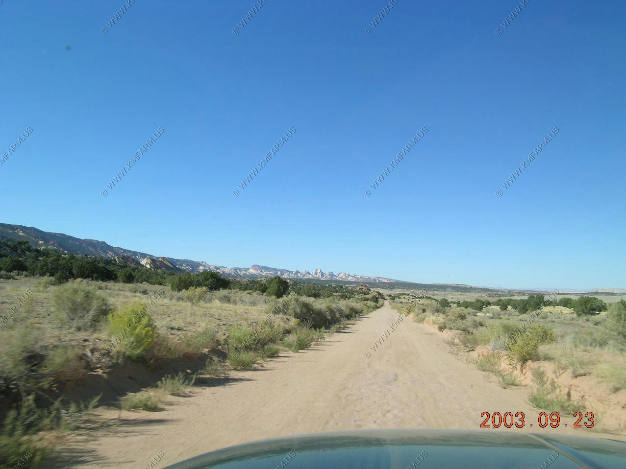
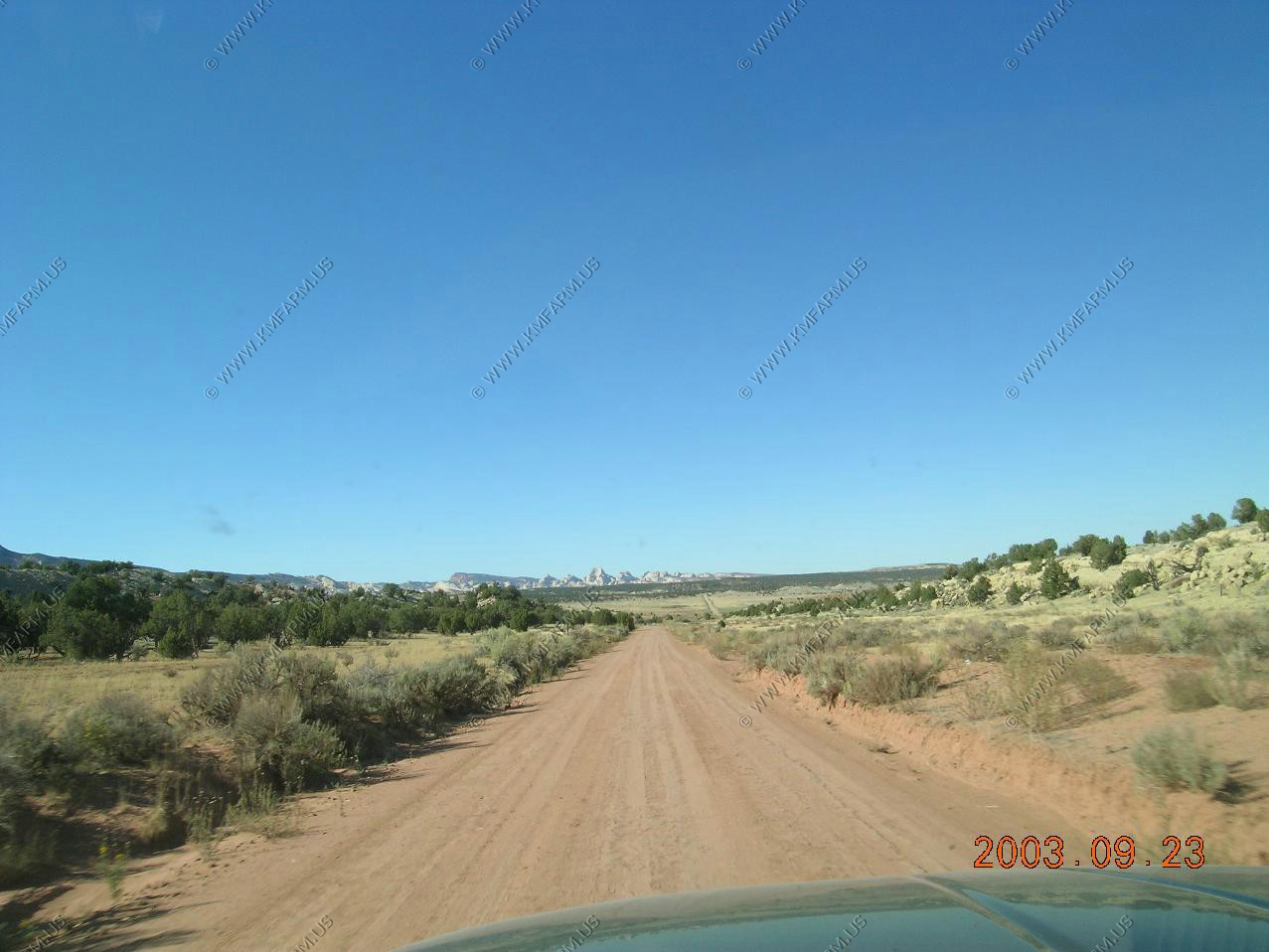
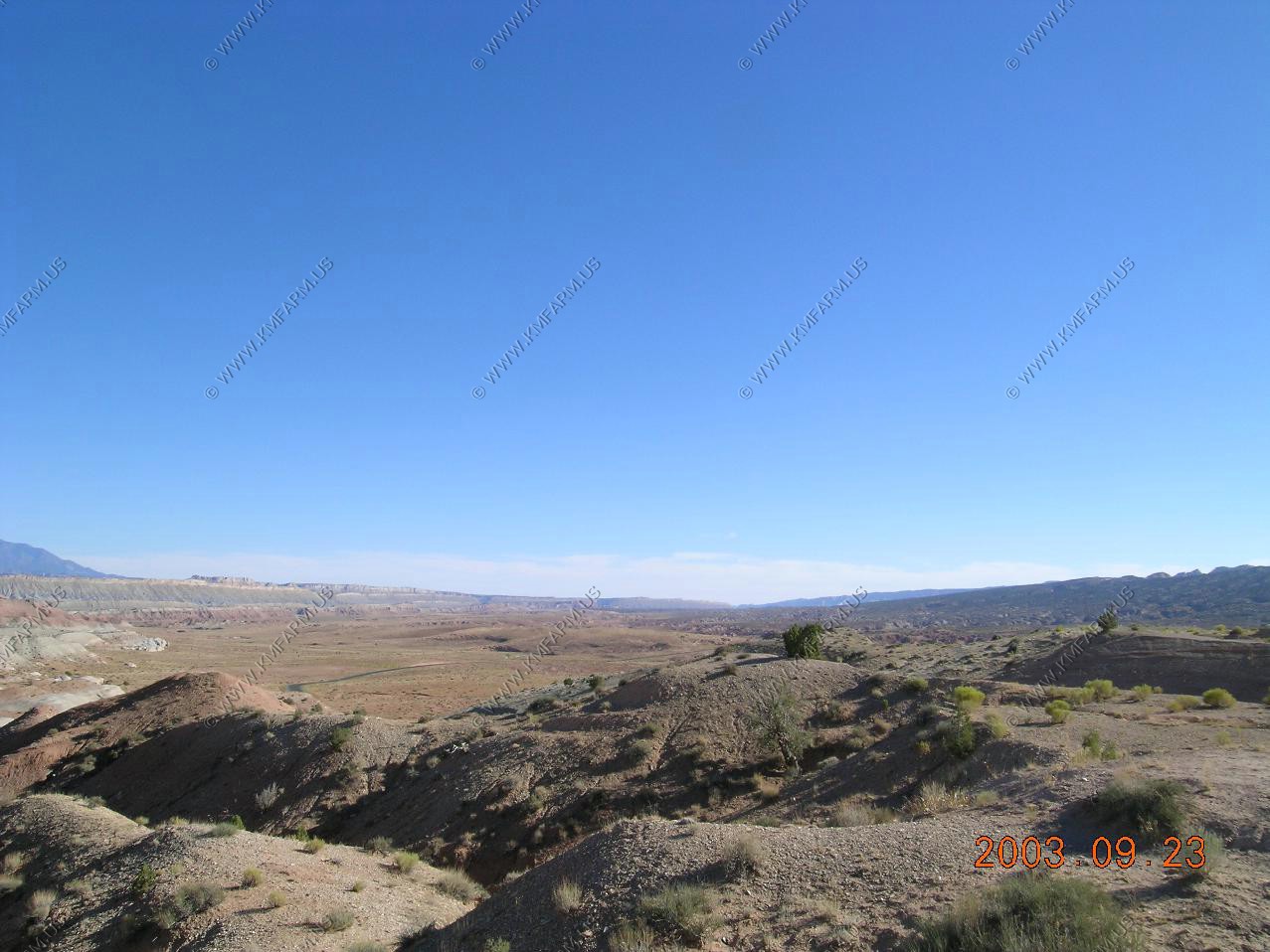
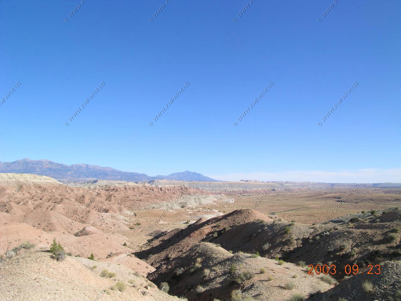
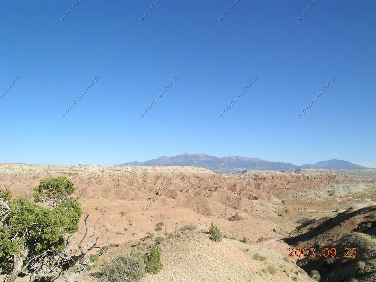
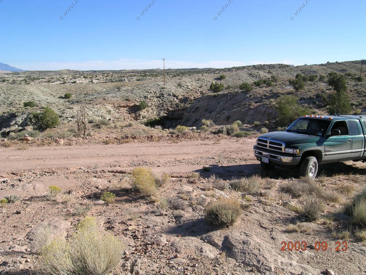
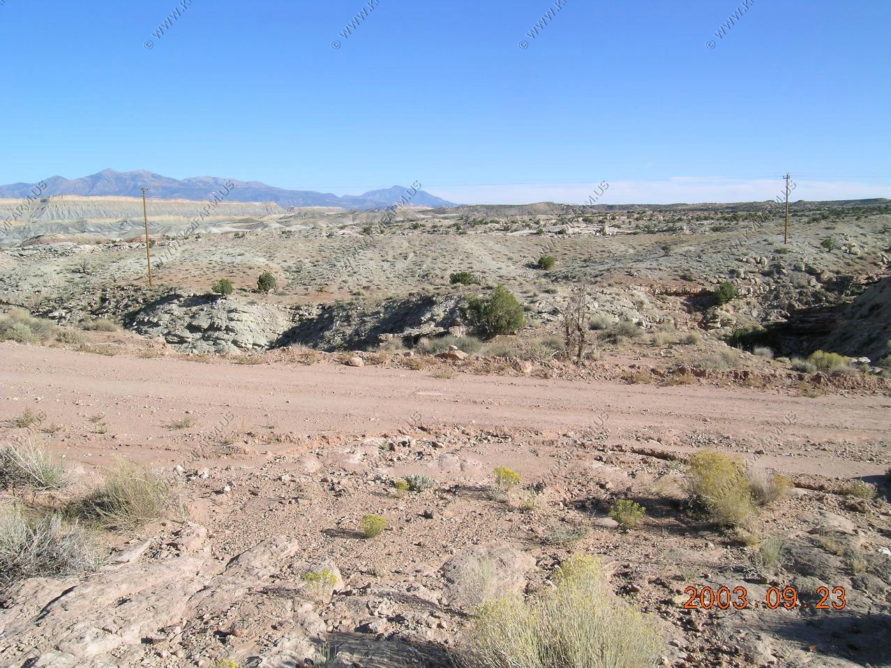
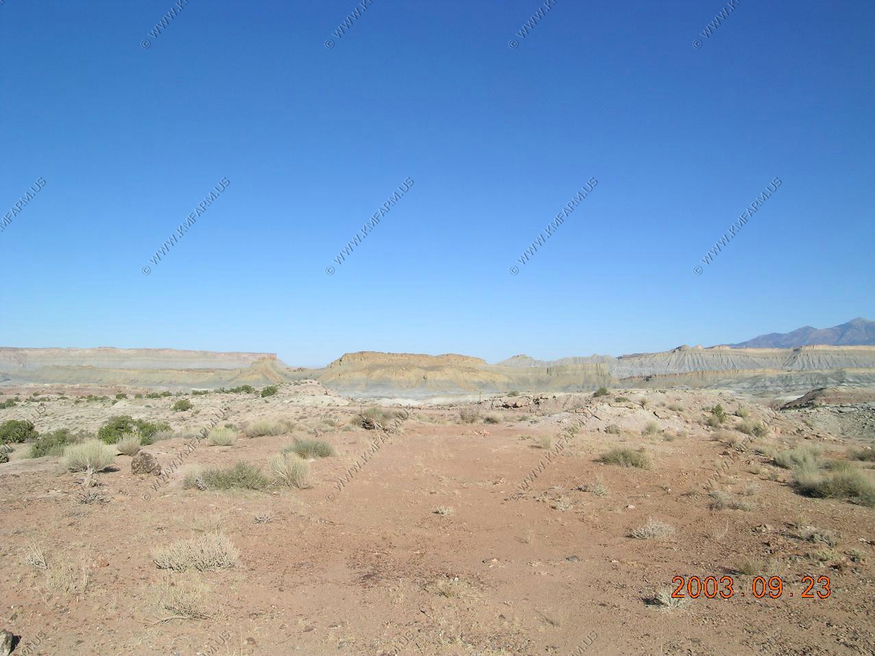
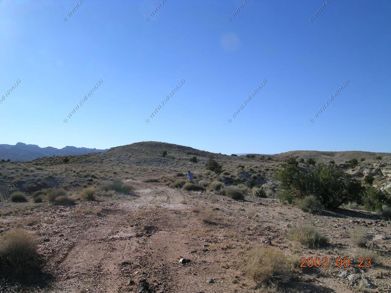
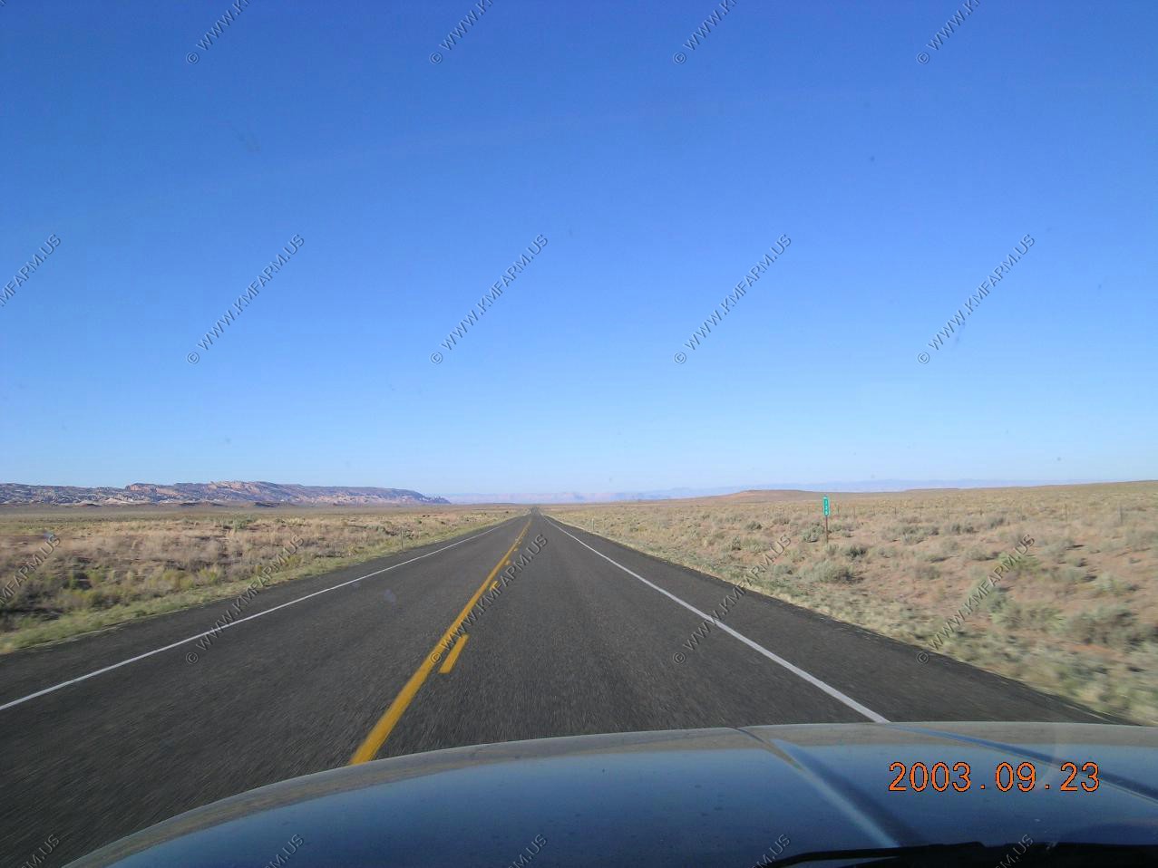
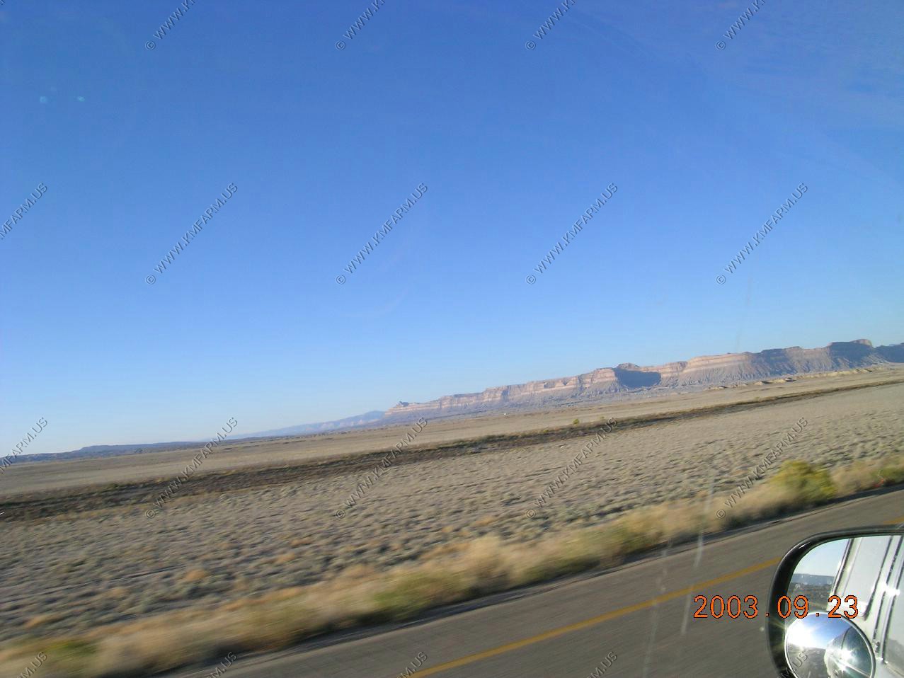
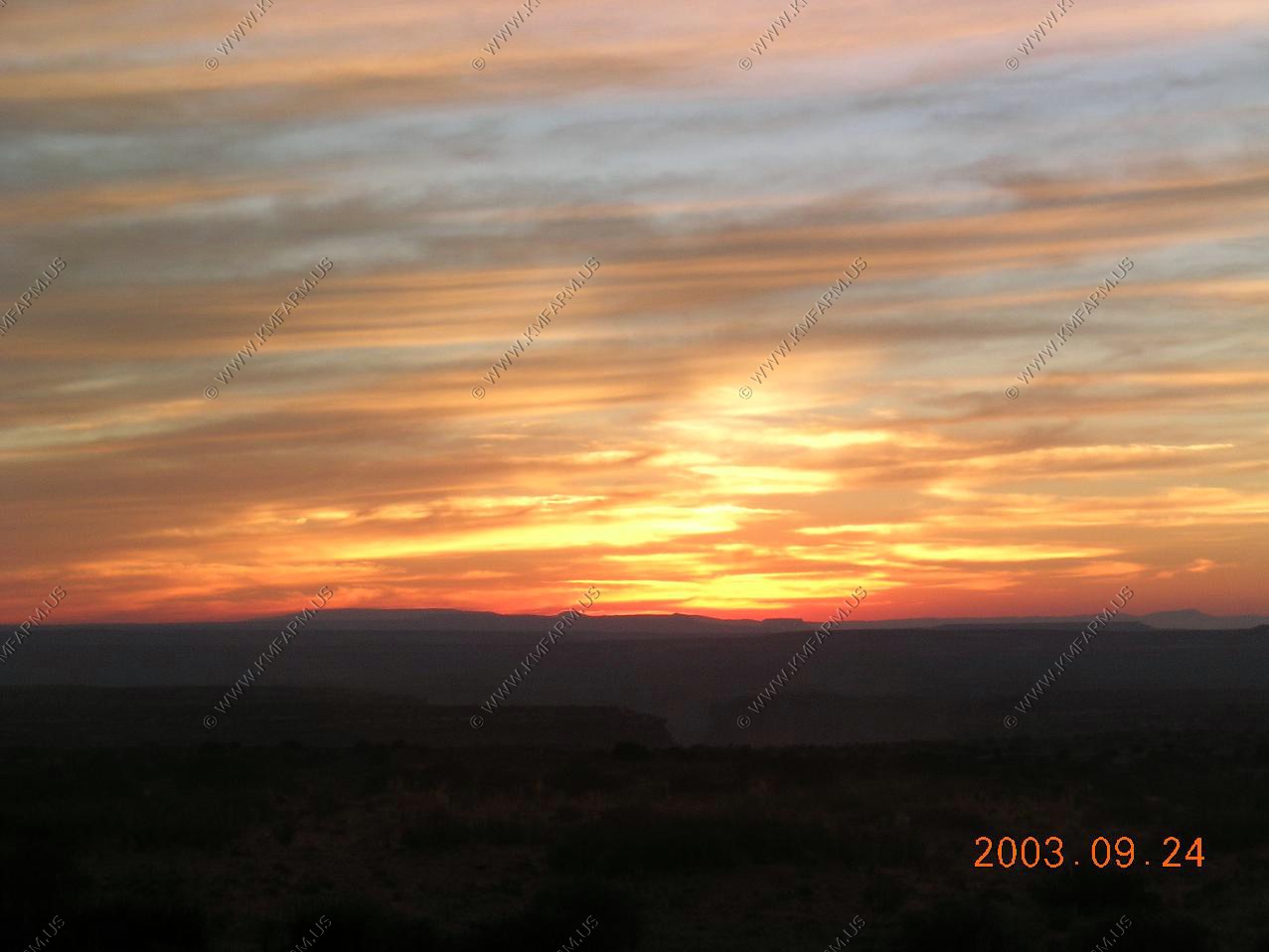
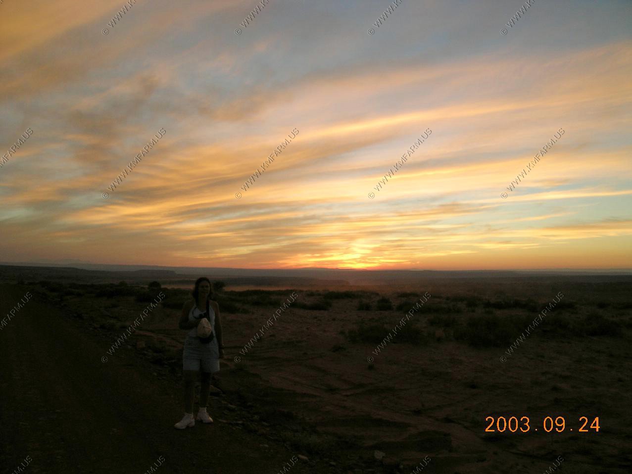
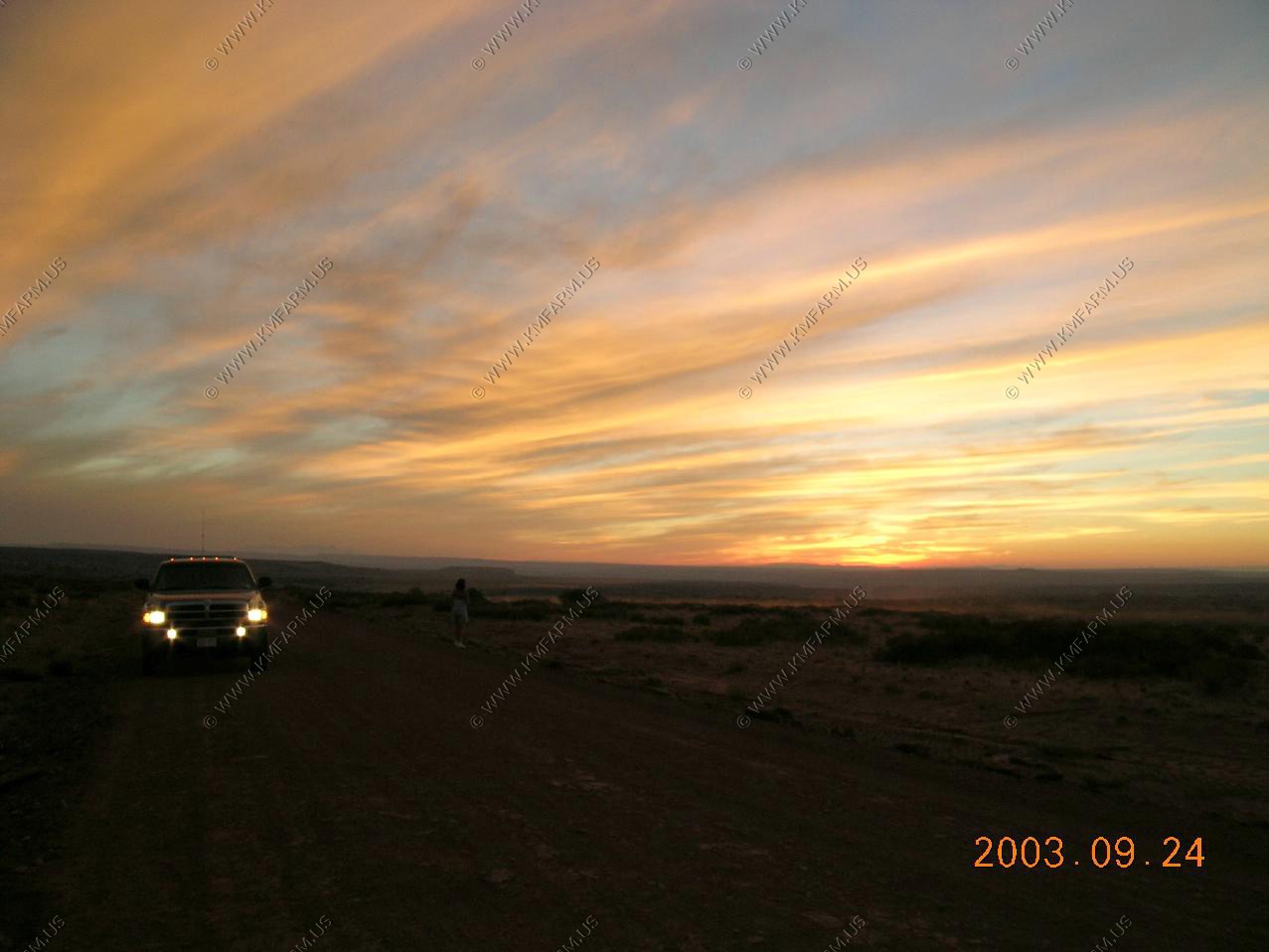
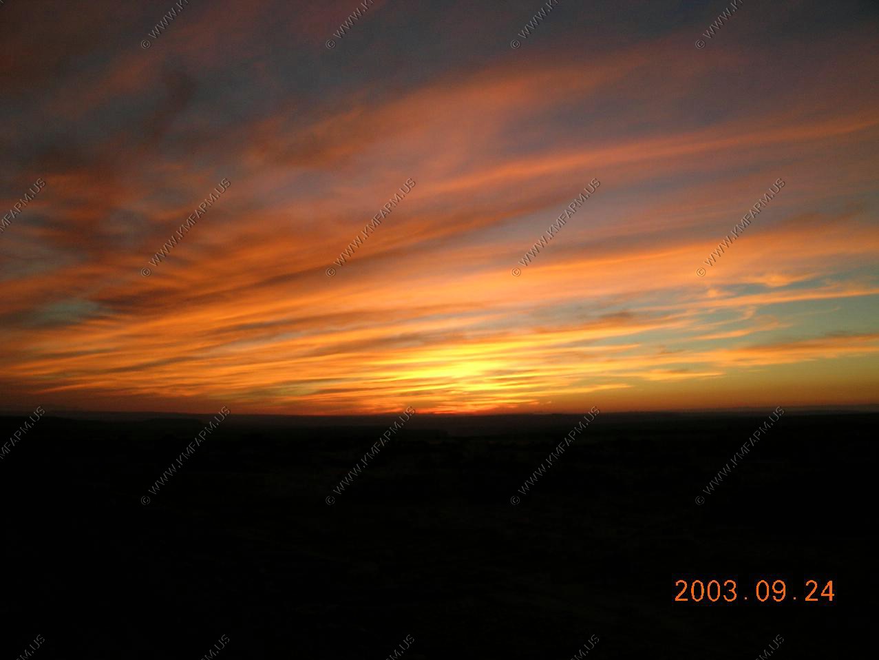
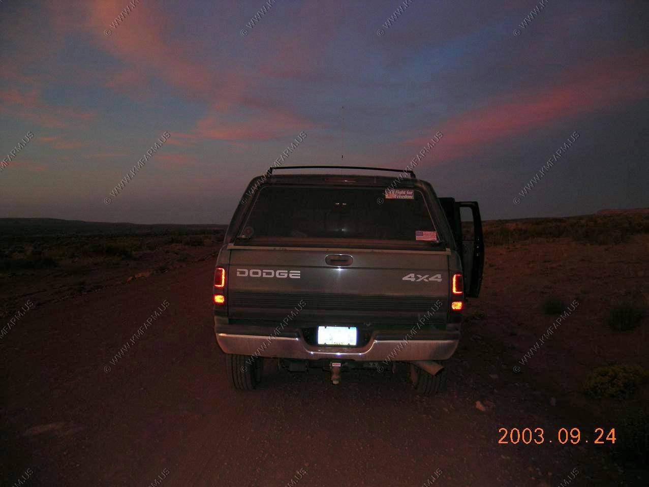
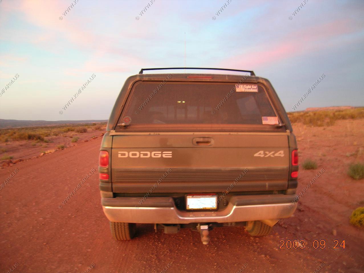
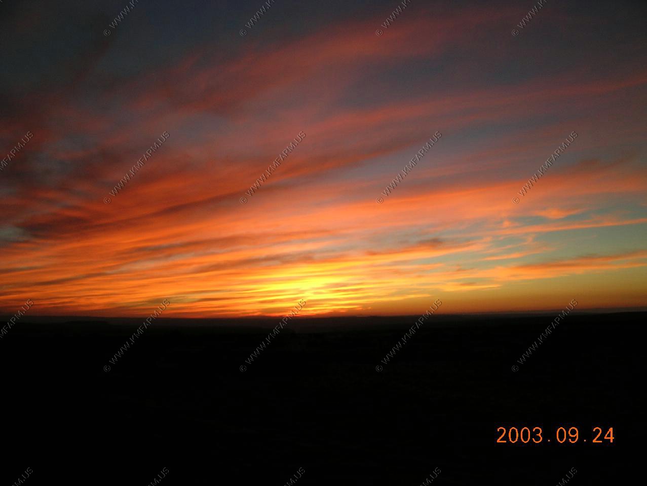
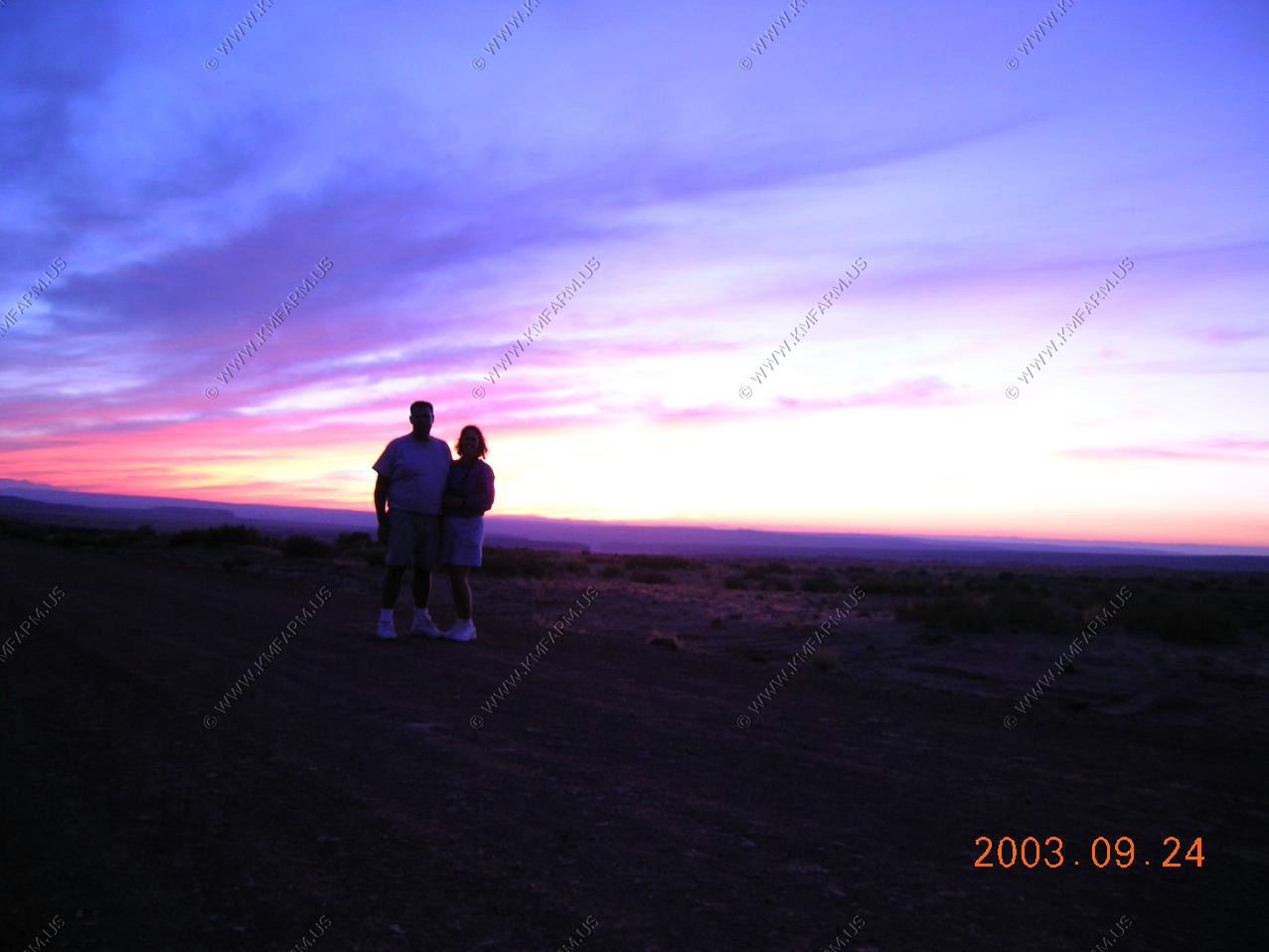
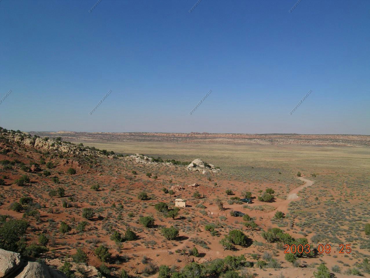
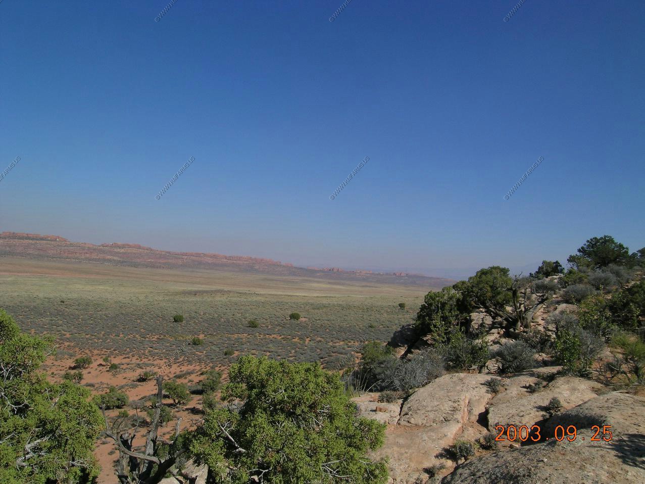
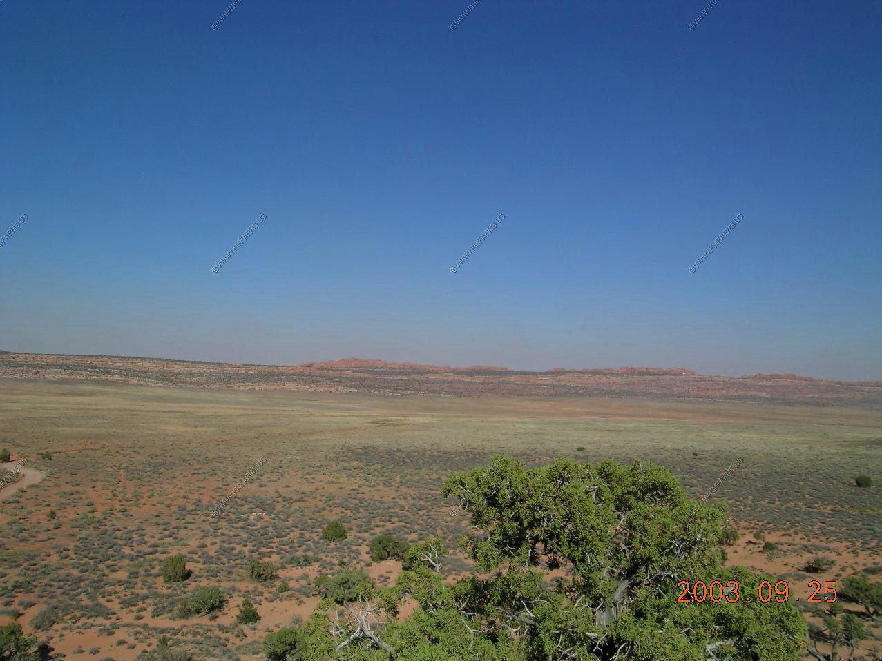
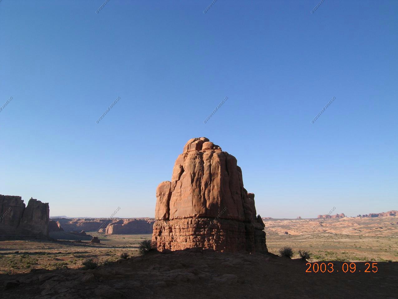
Rockhounding along Notam Road A excelent area to explore and its on BLM land (For the most part)
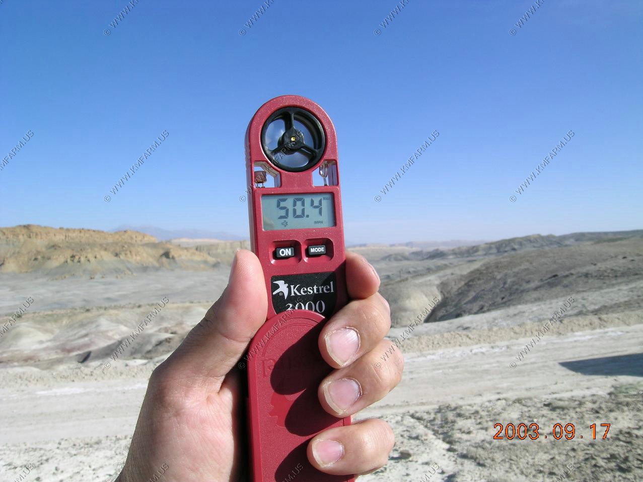
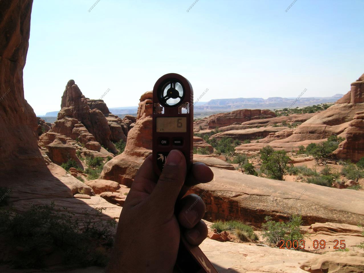
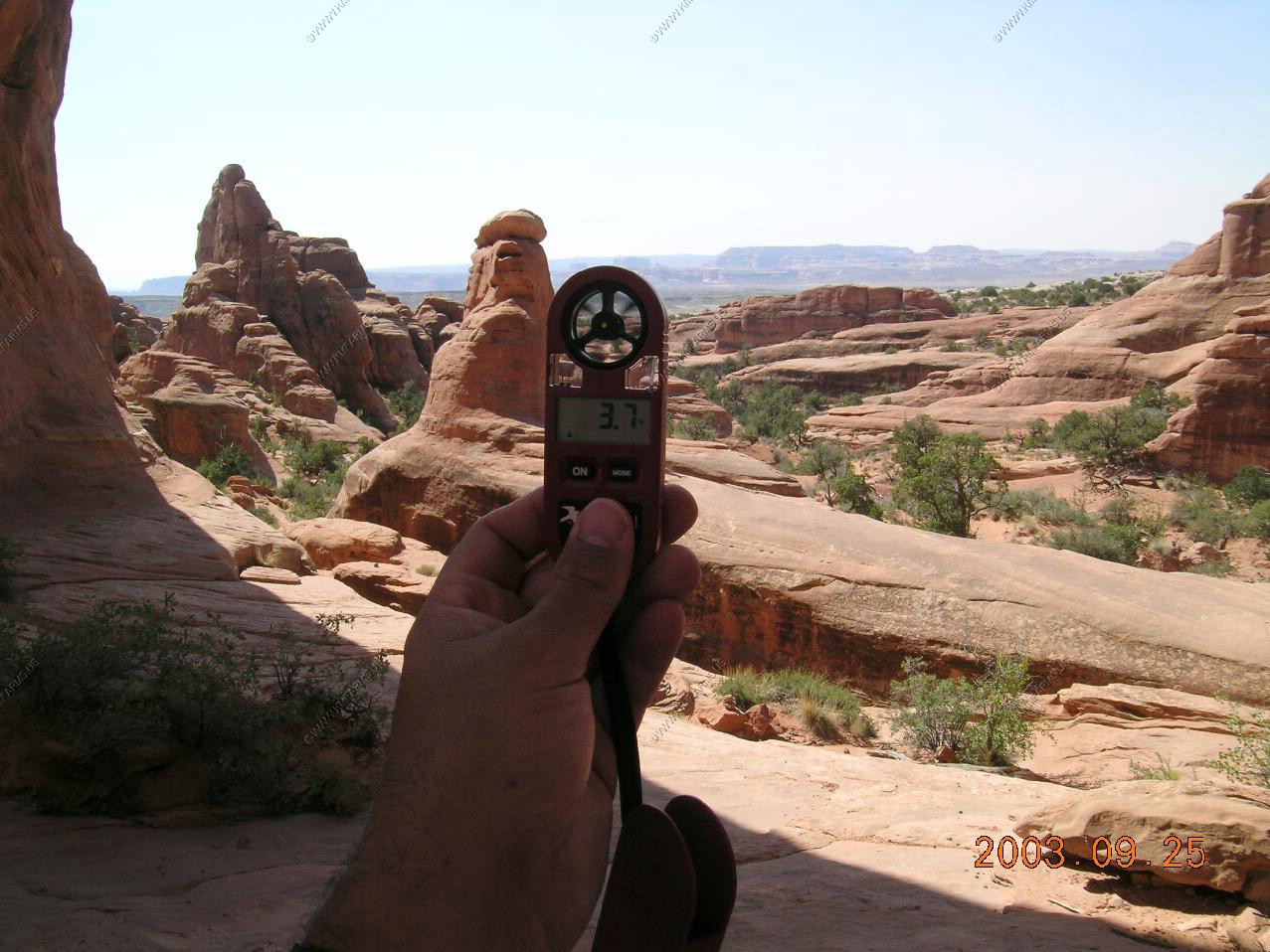
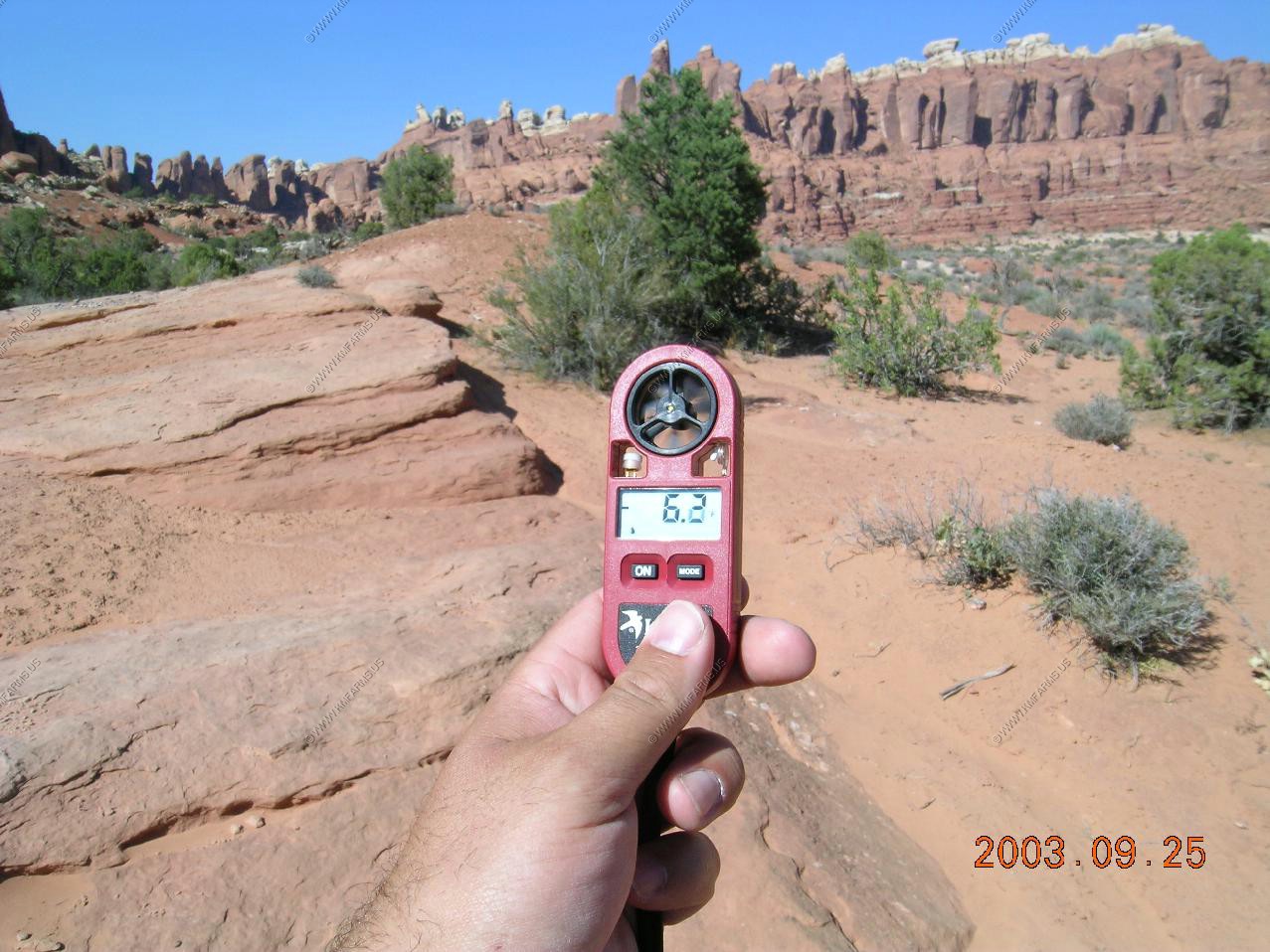
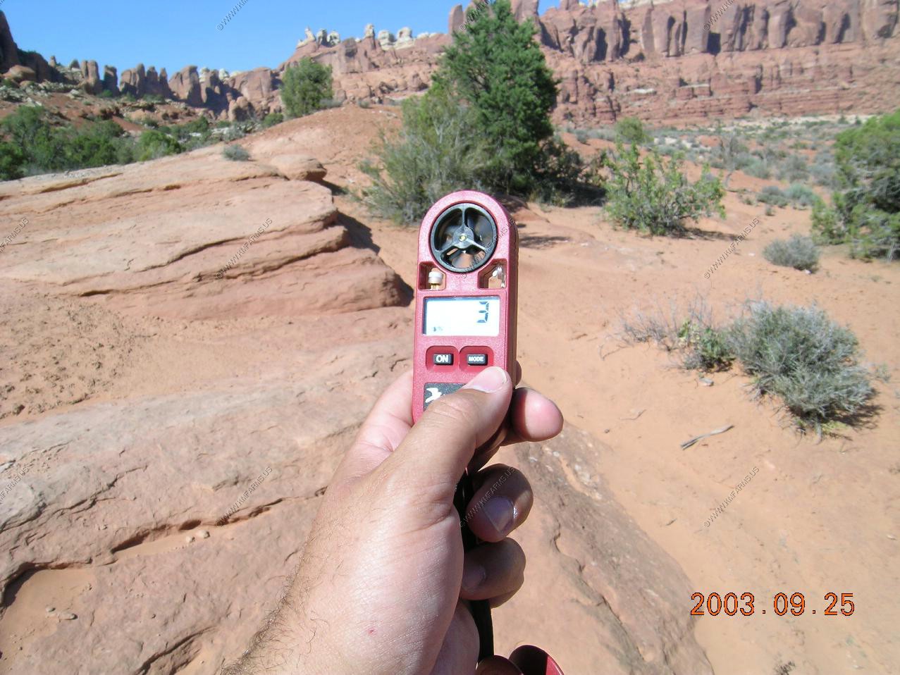
Its a bit windy. Gusts into the 50 mph range
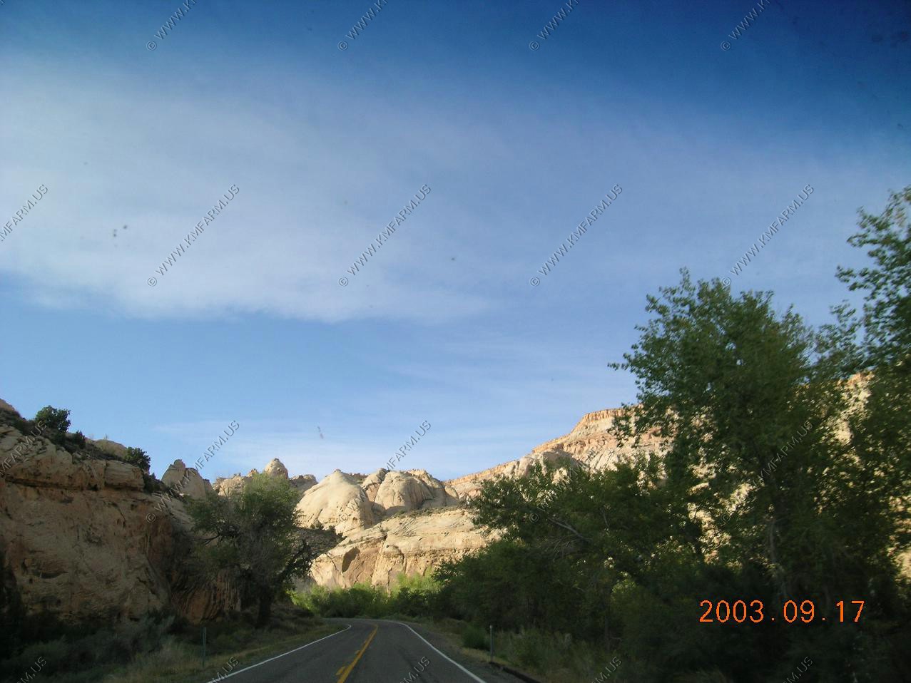
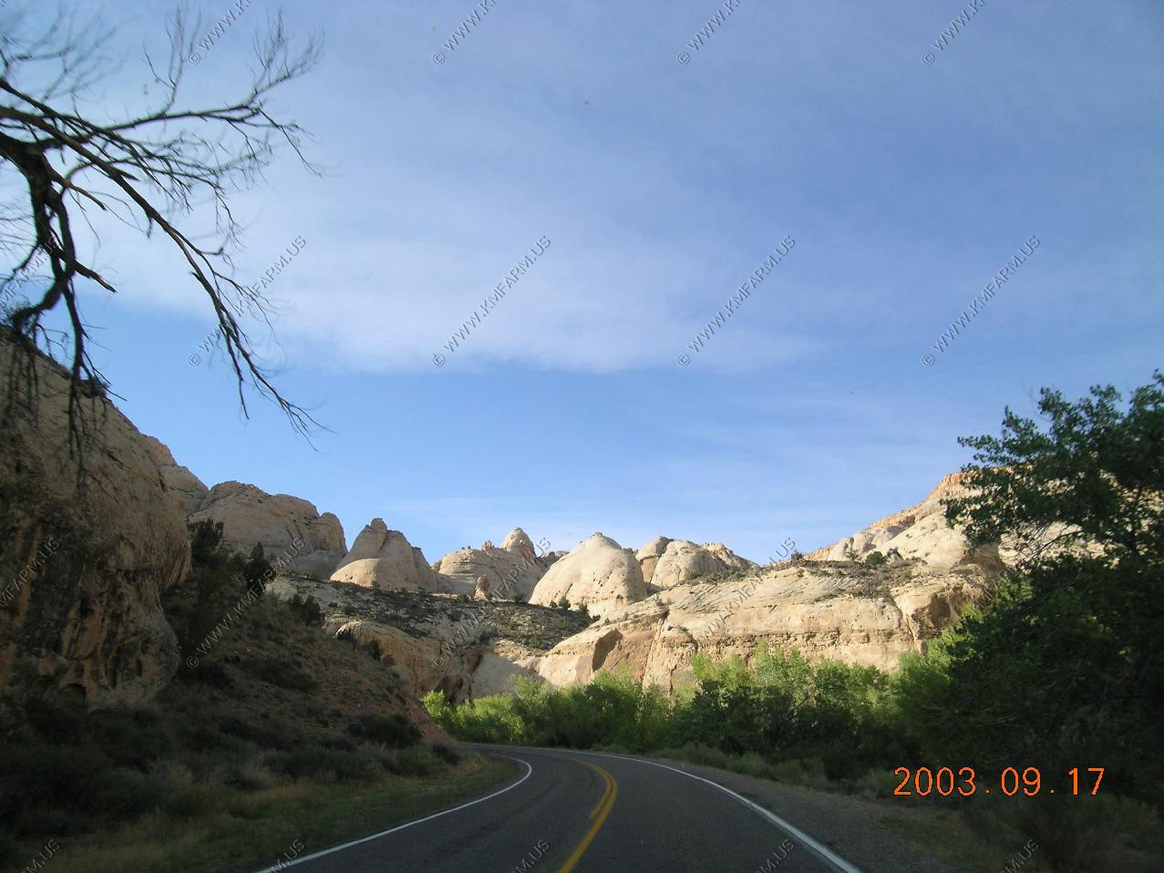
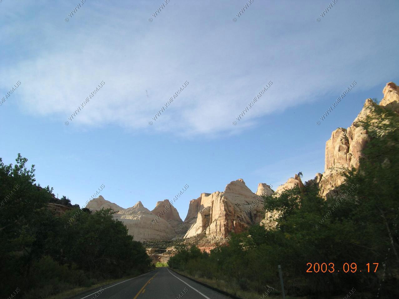
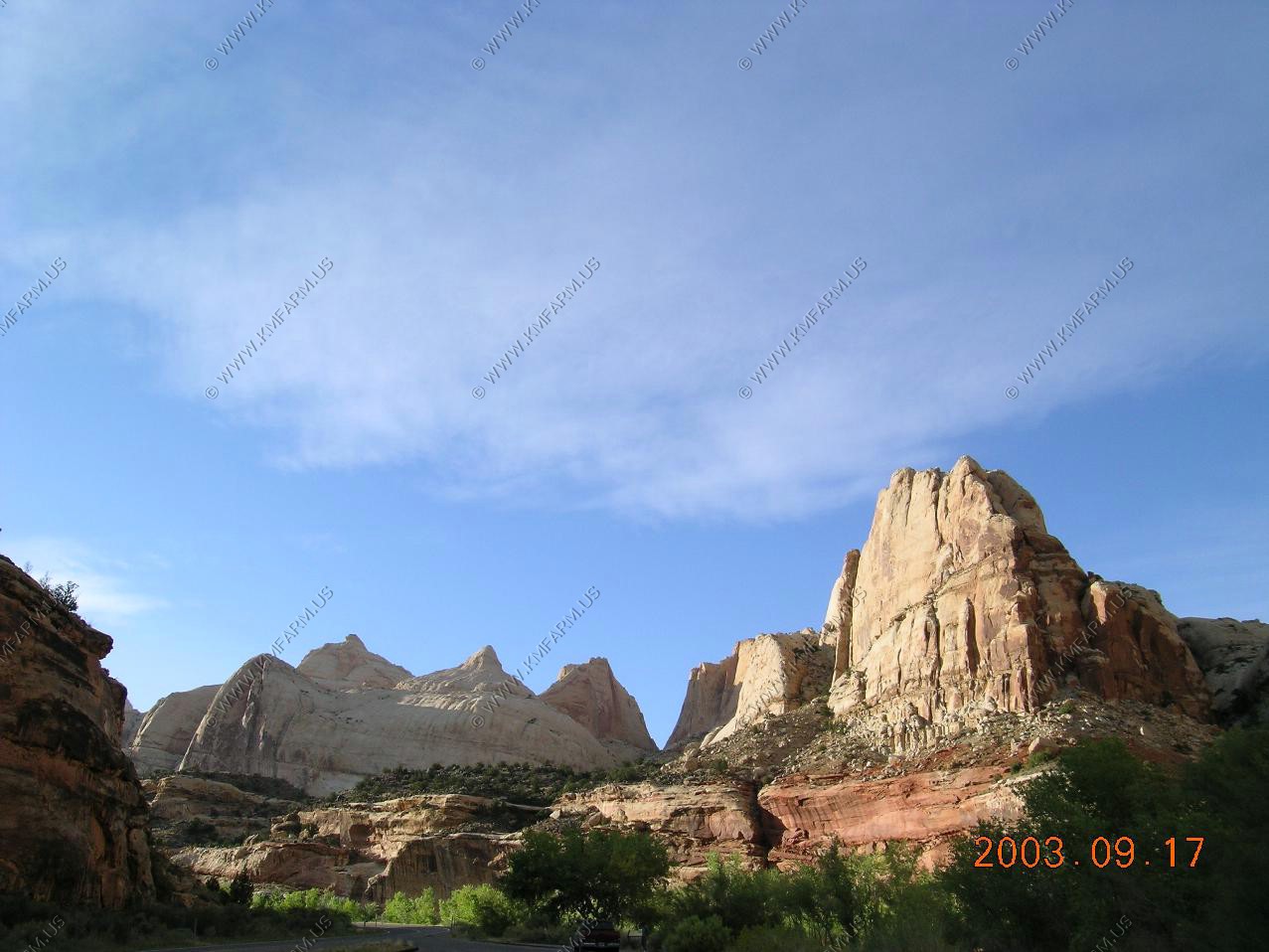
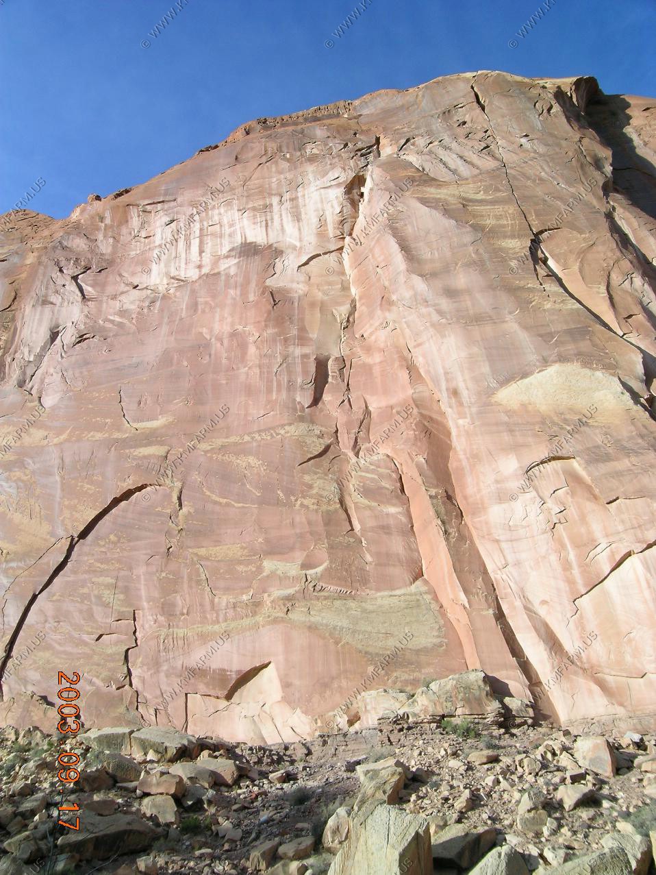
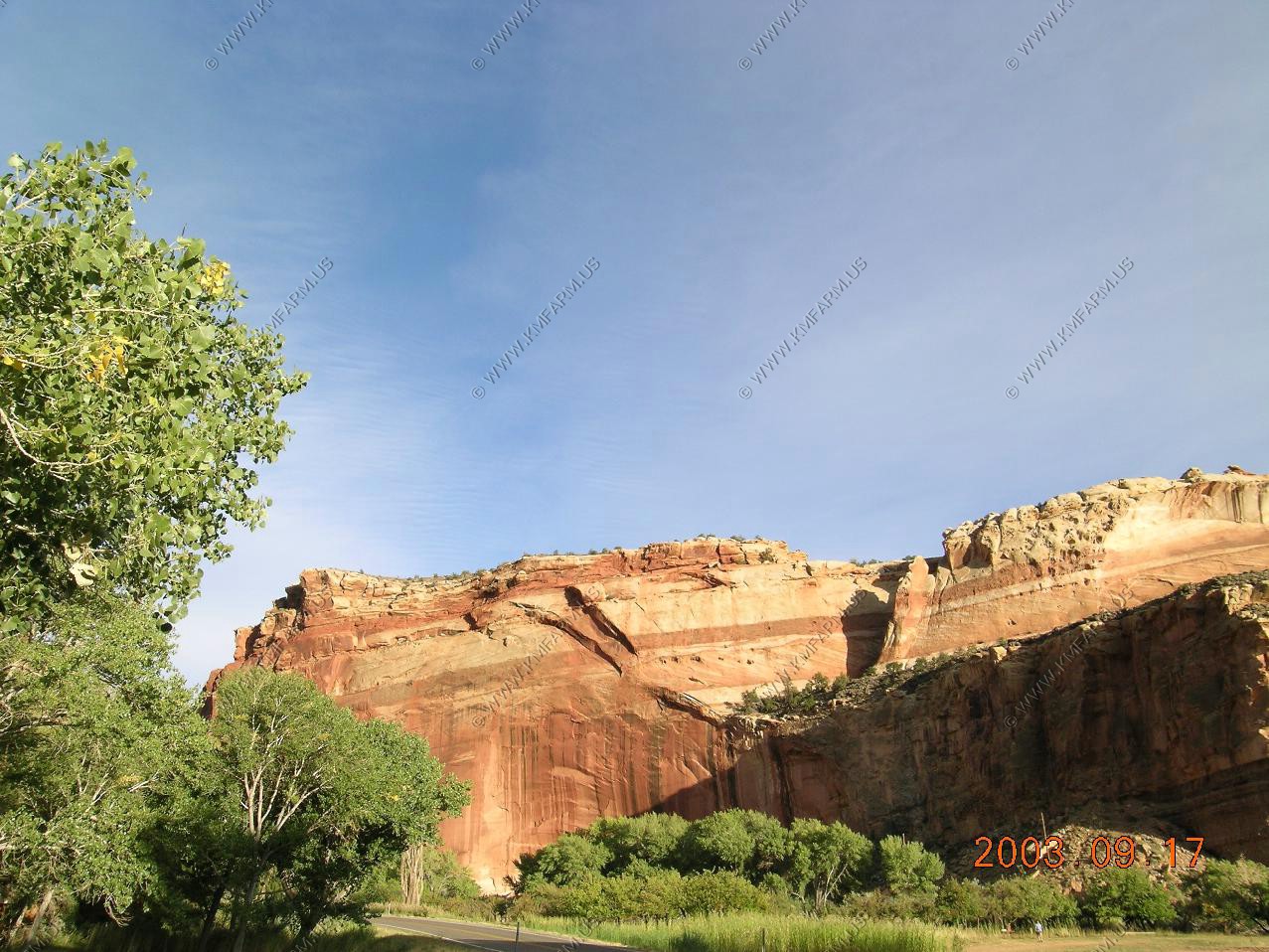
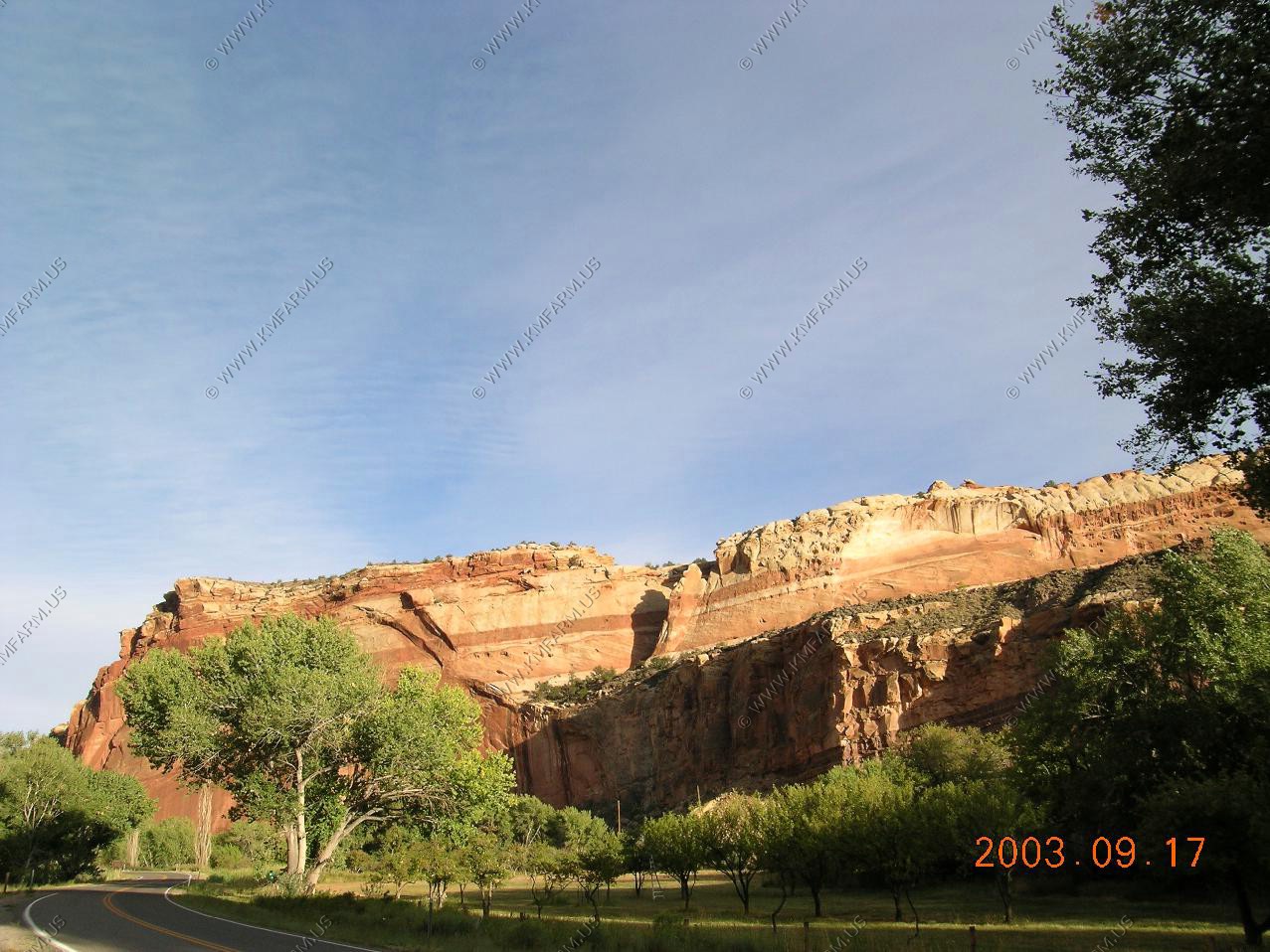
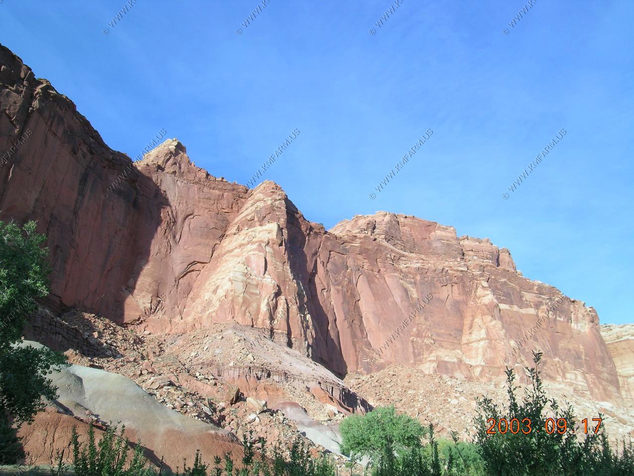
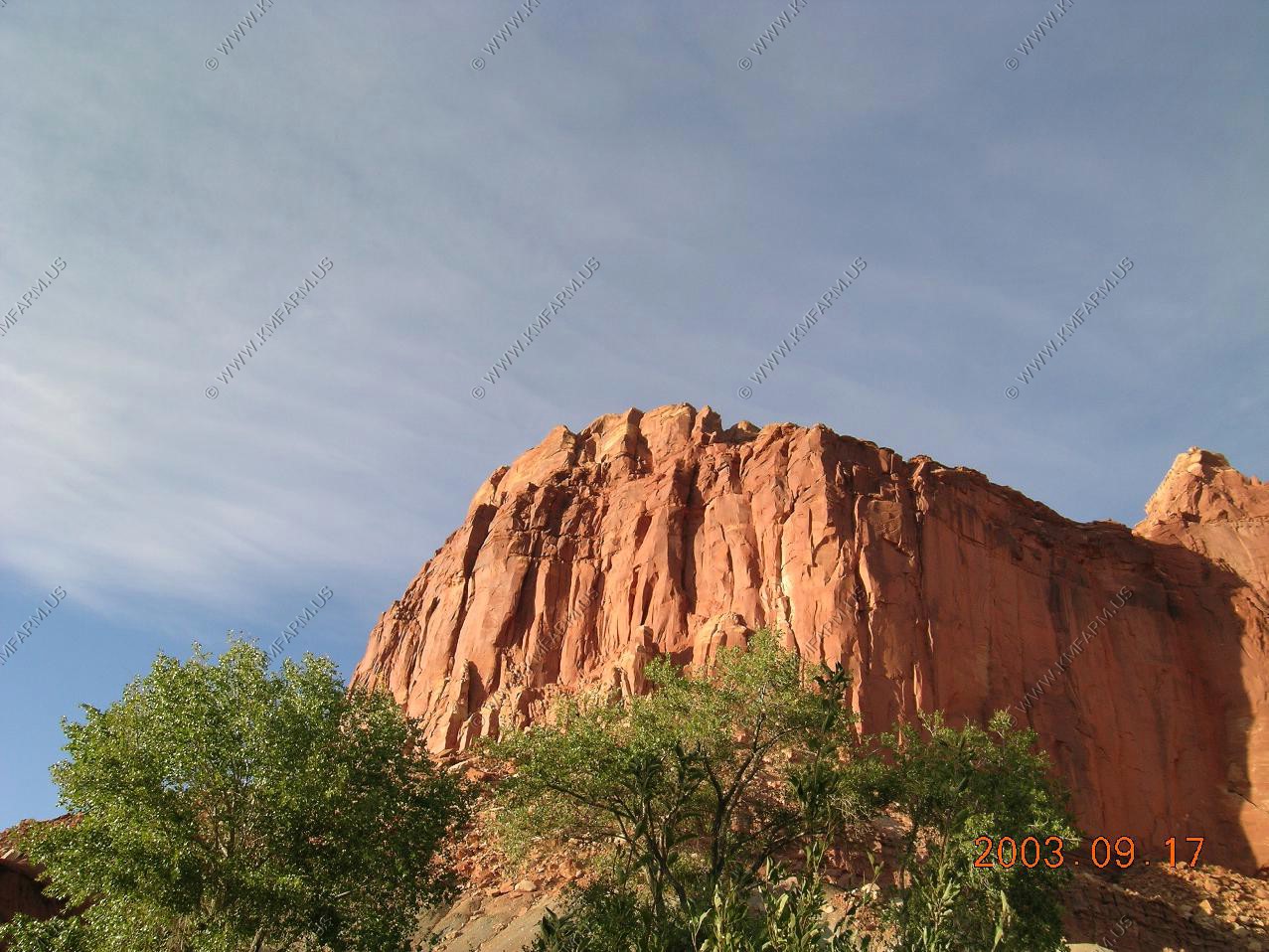
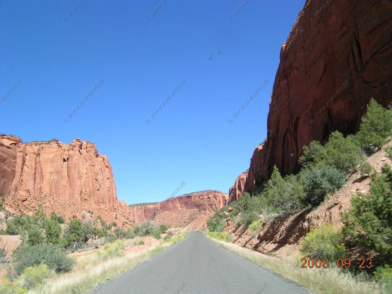
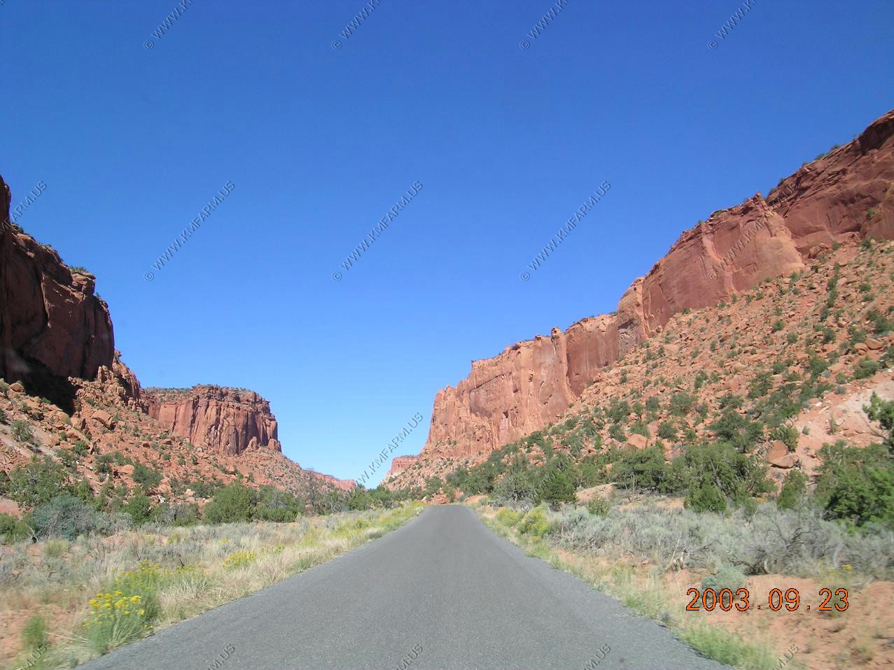
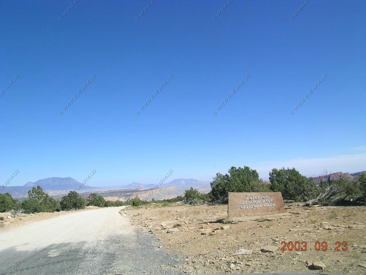
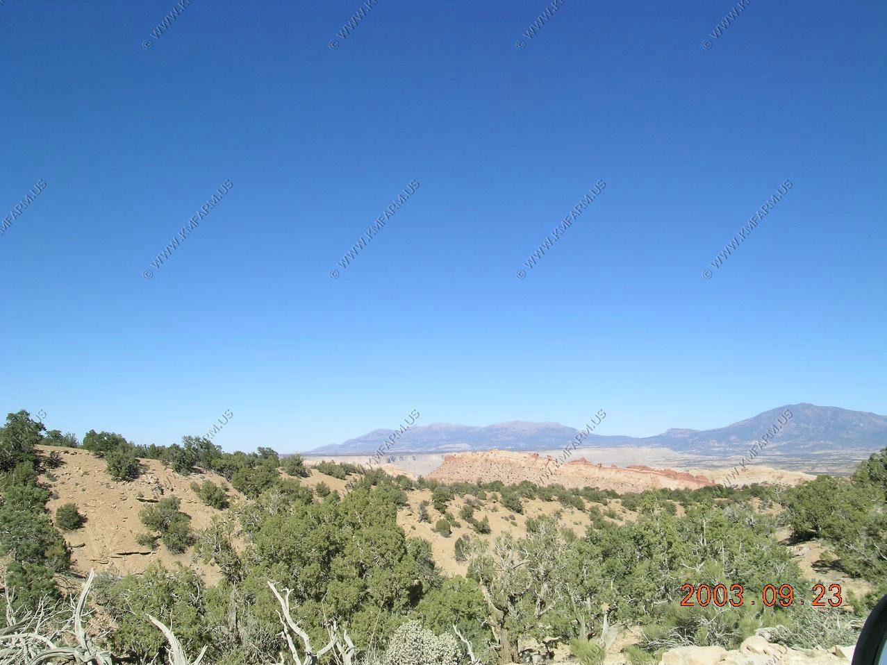
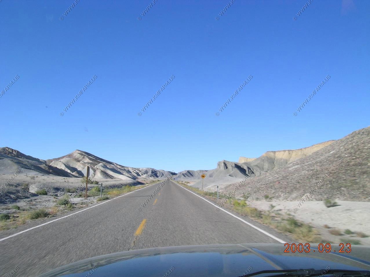
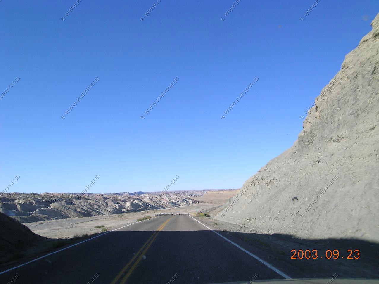
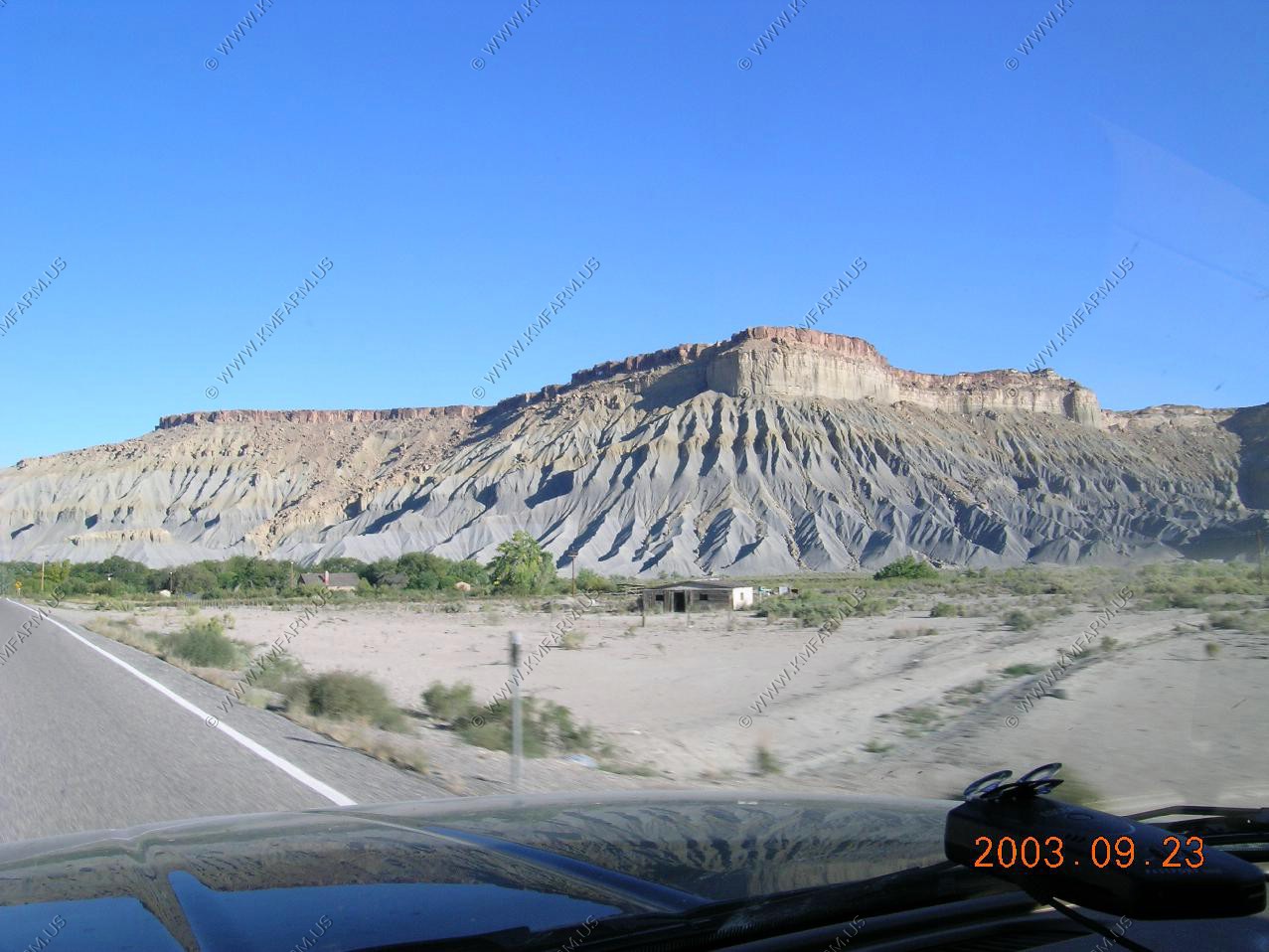
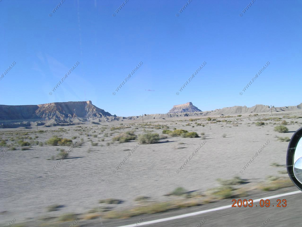
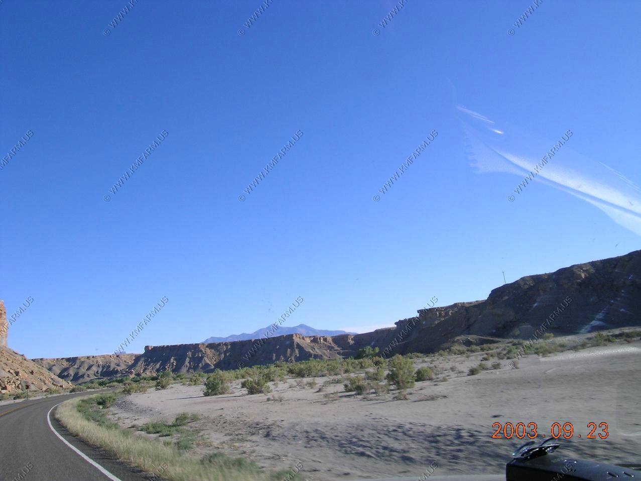
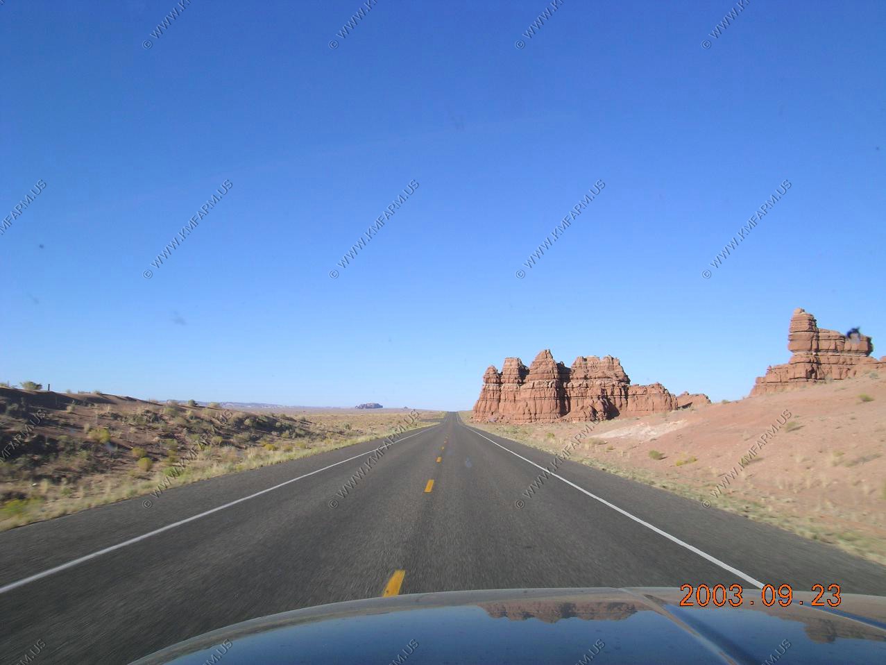
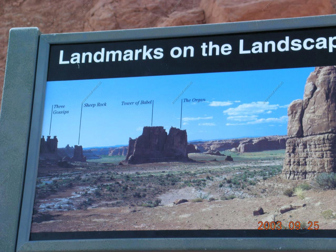
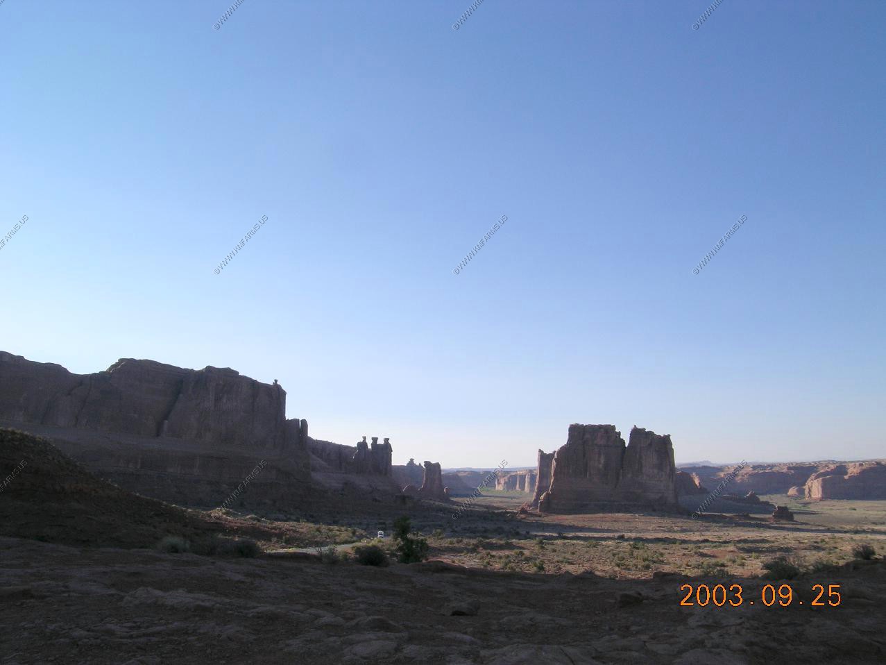
Along Utah 24 near Fruita
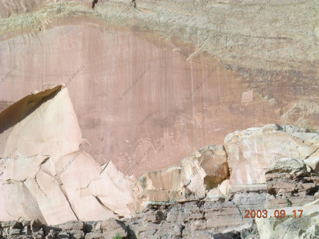
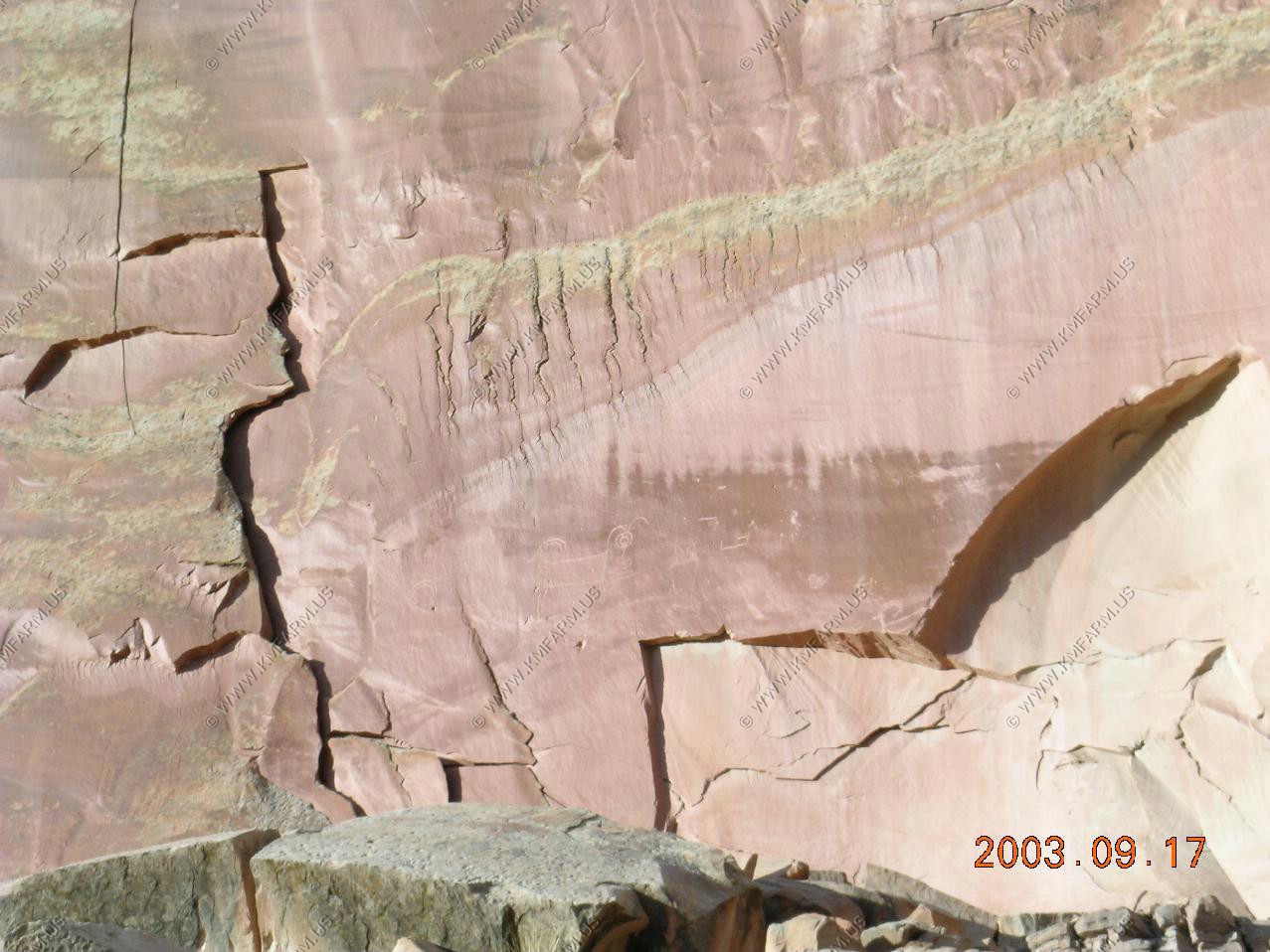
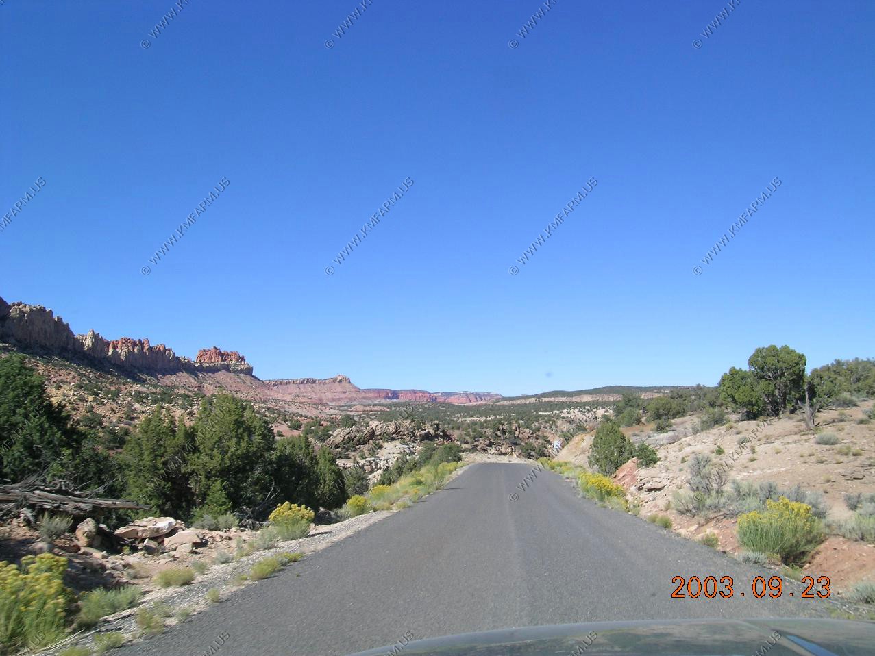
Petroglyphs near Fruita
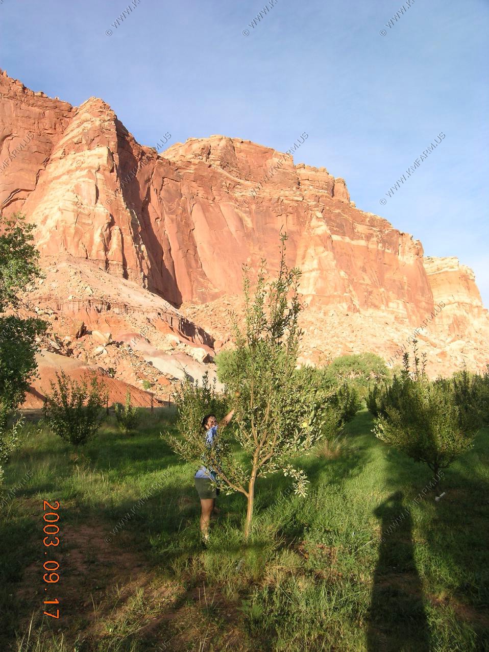
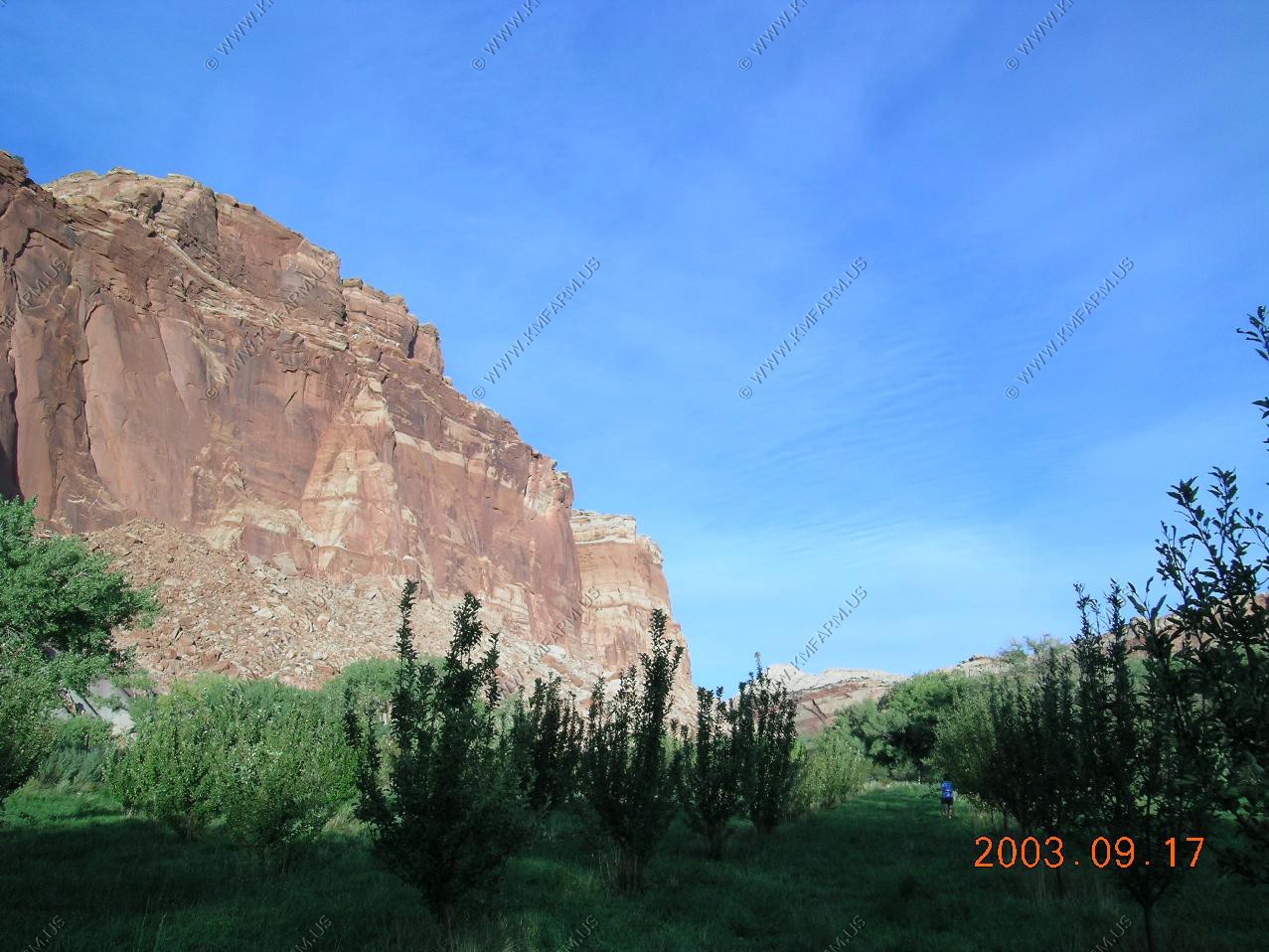
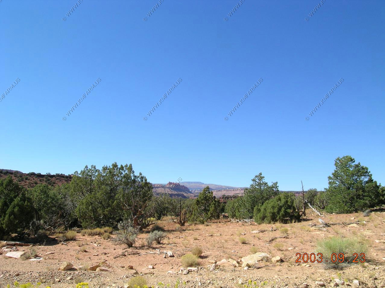
The "you pick" apple area in Fruita
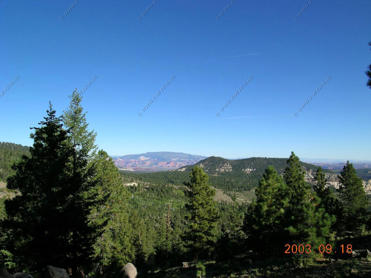
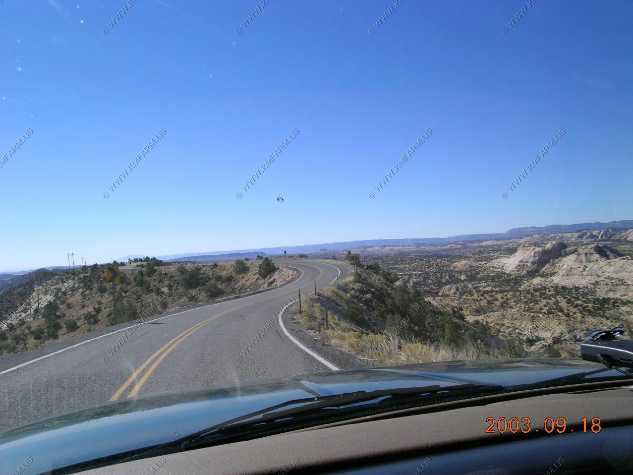
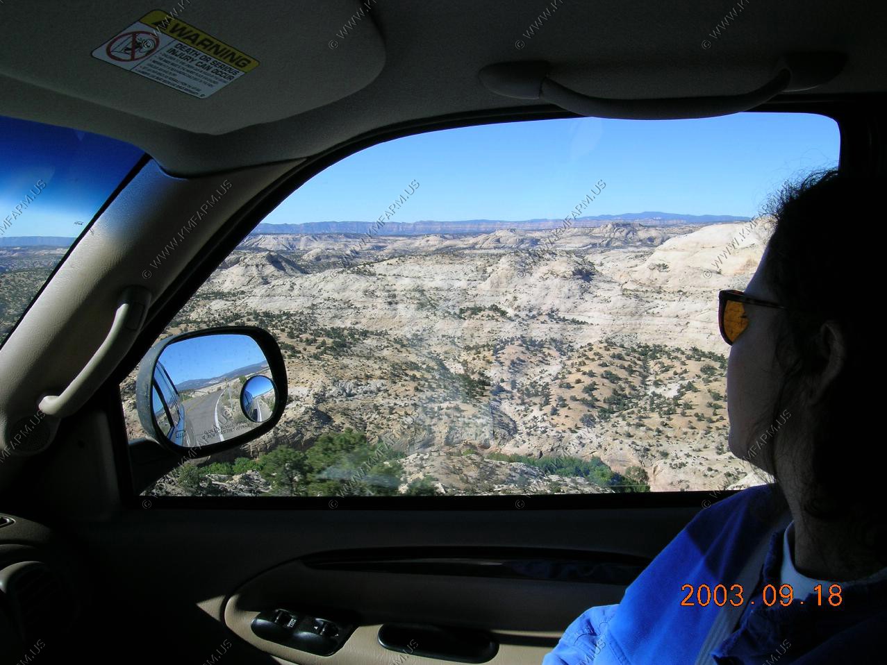
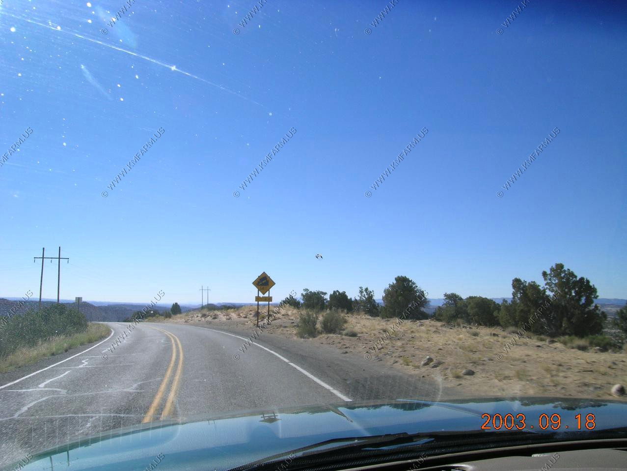
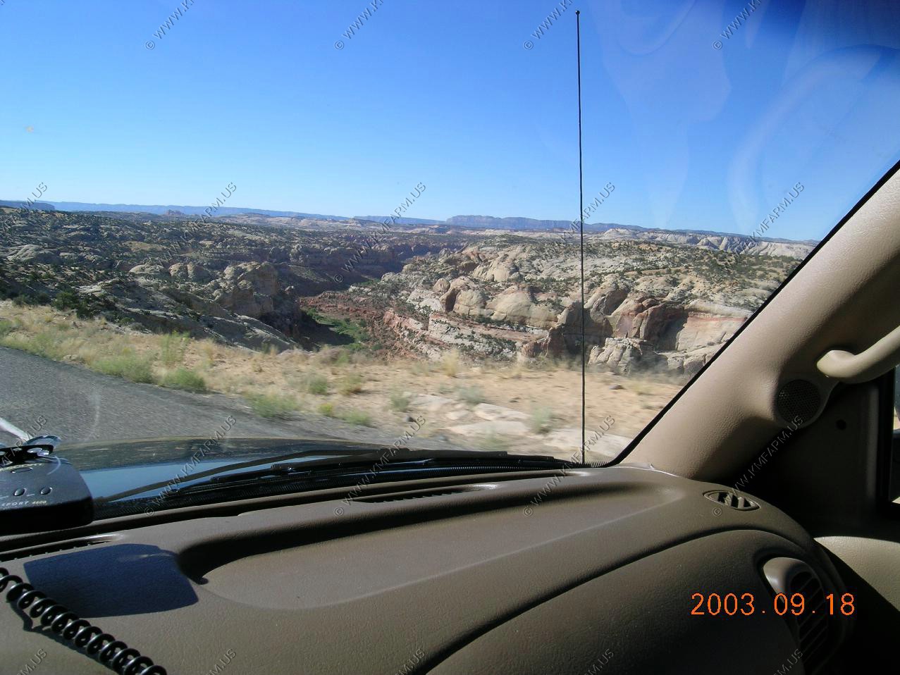
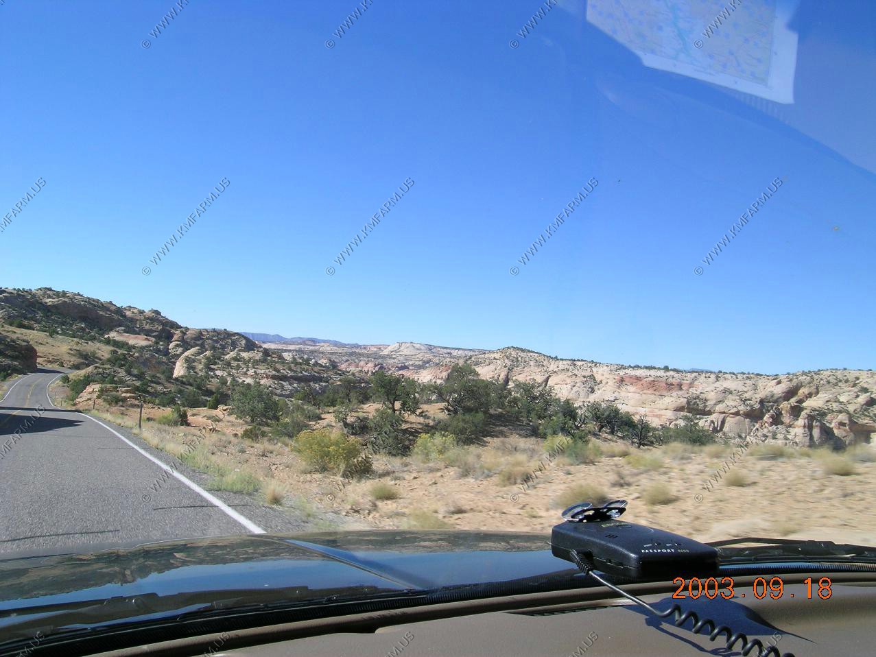
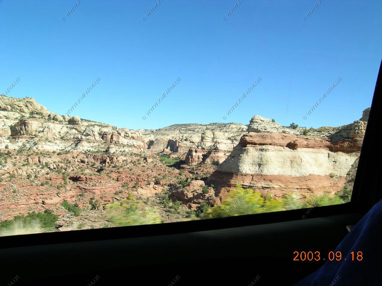
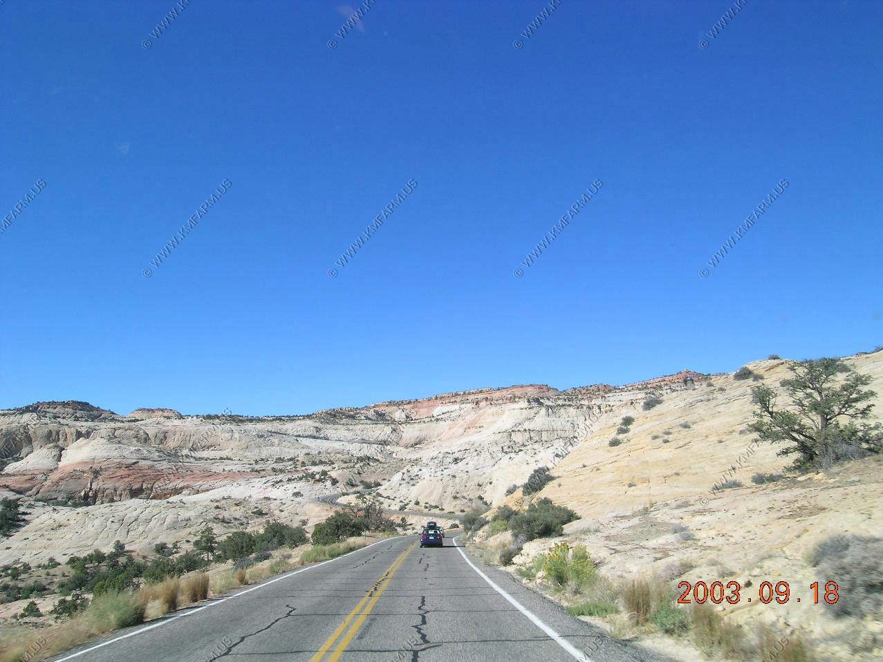
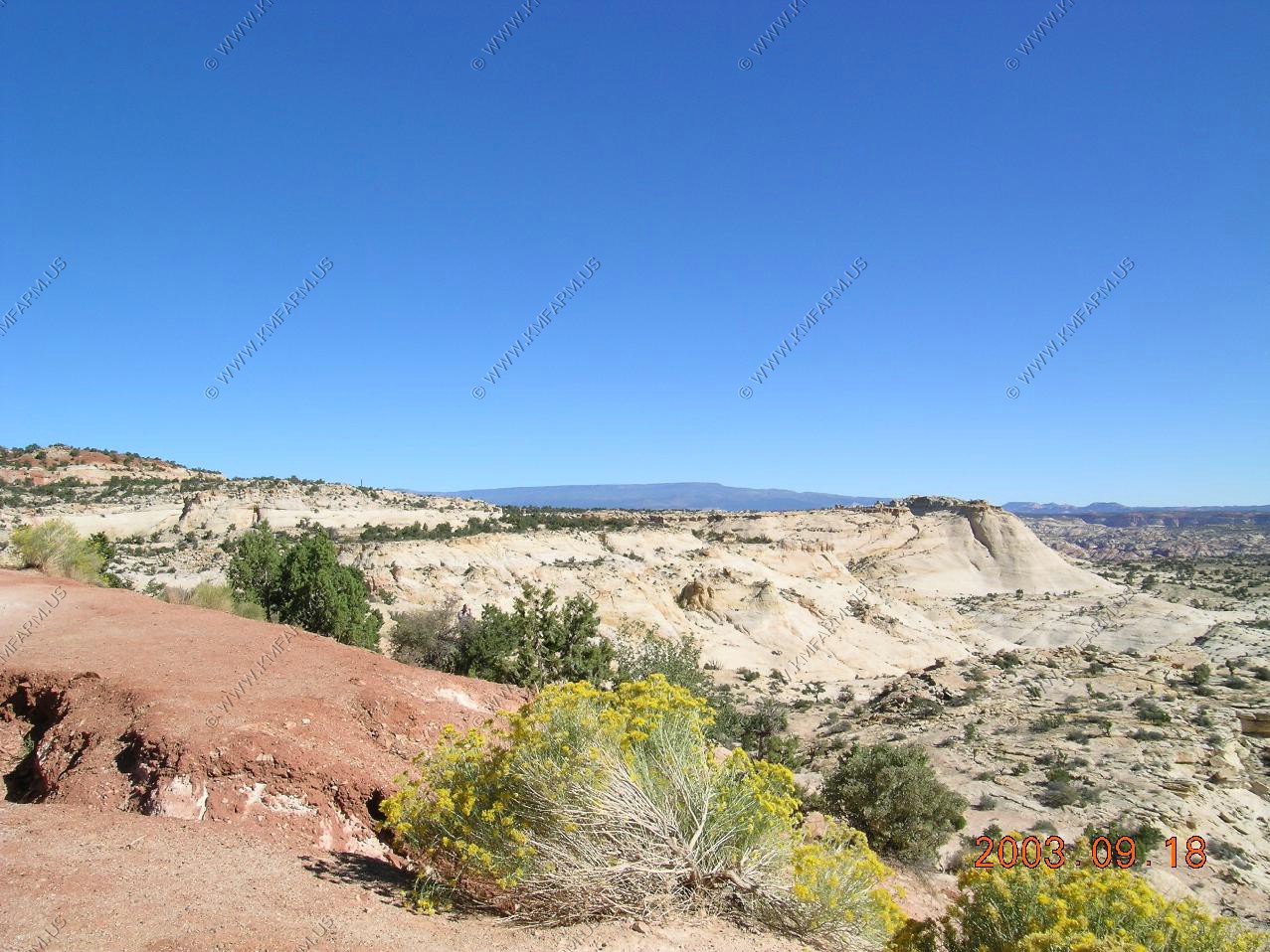
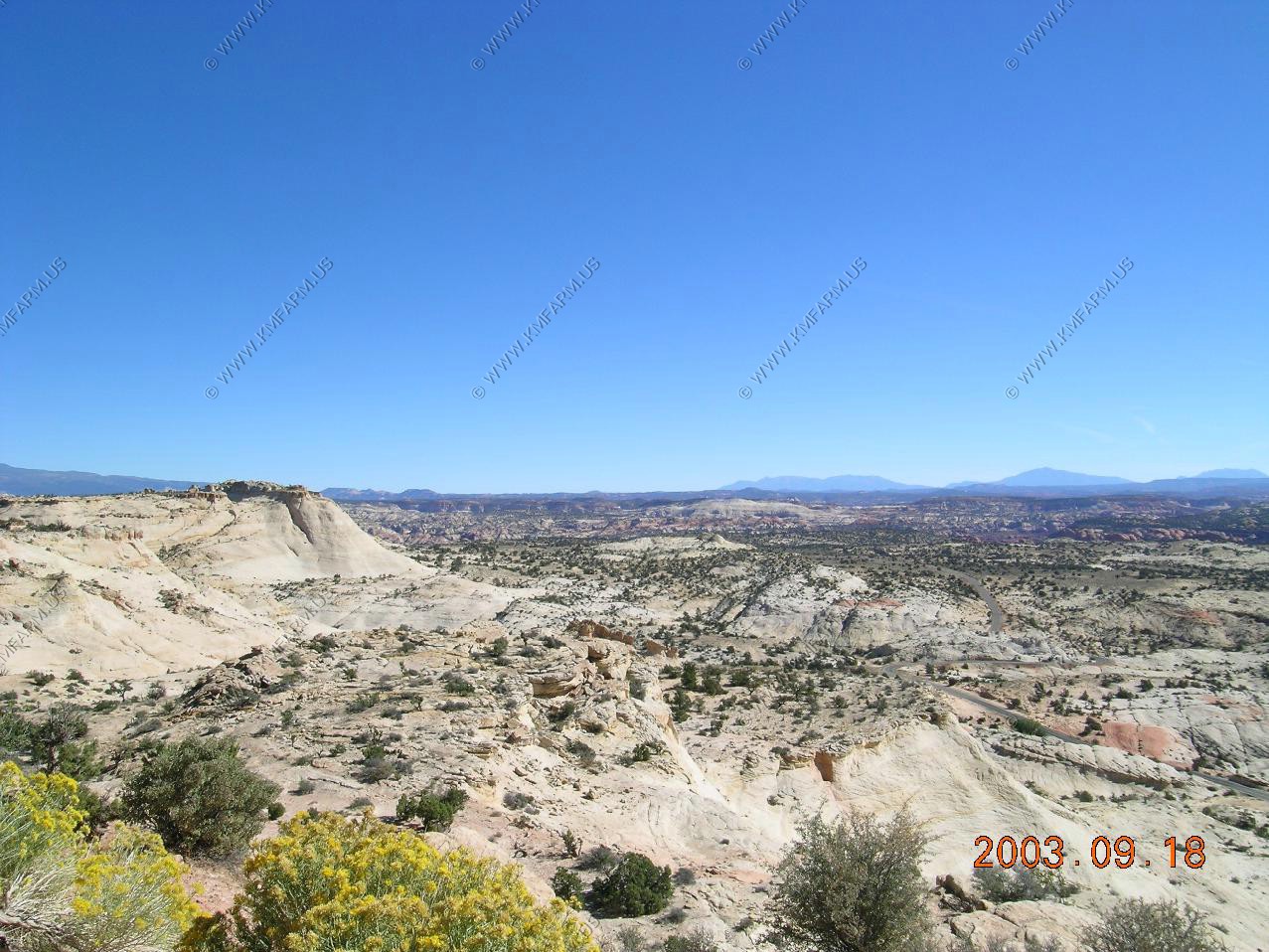
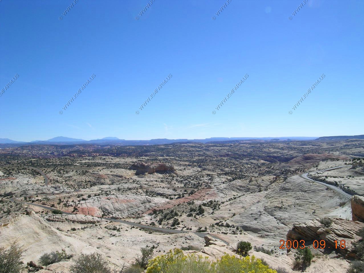
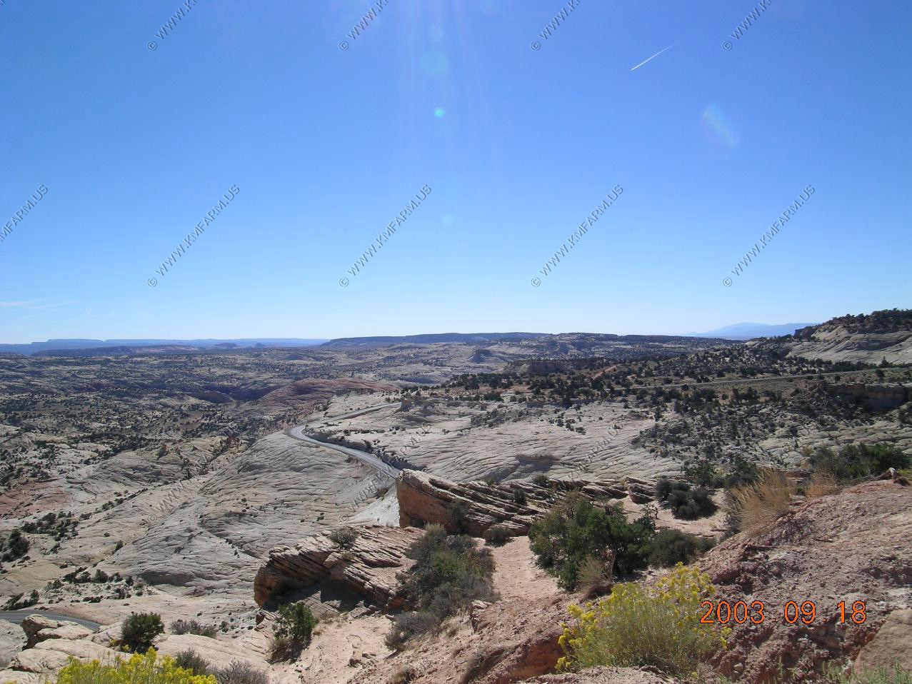
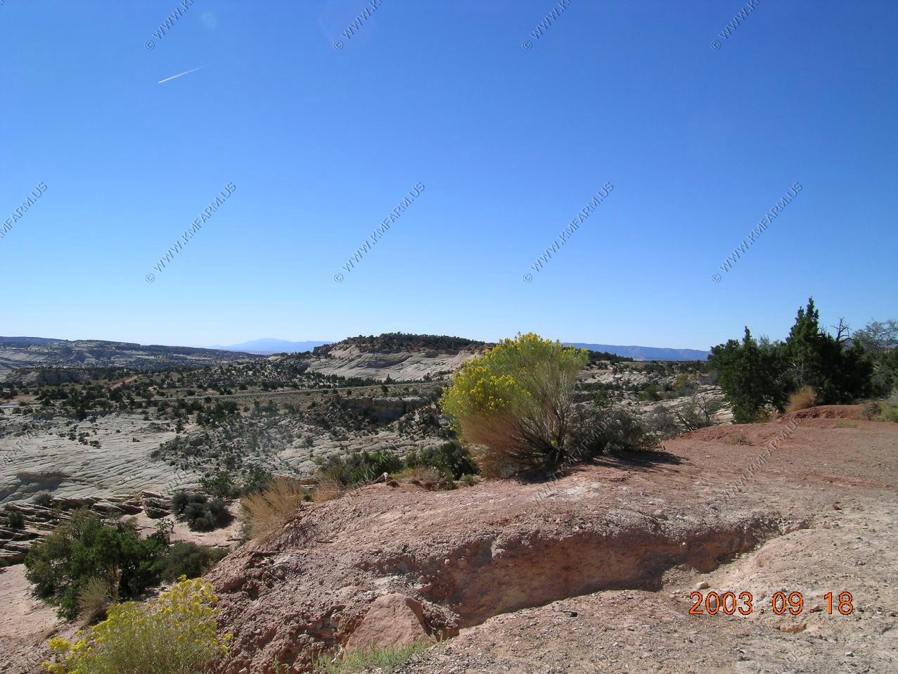
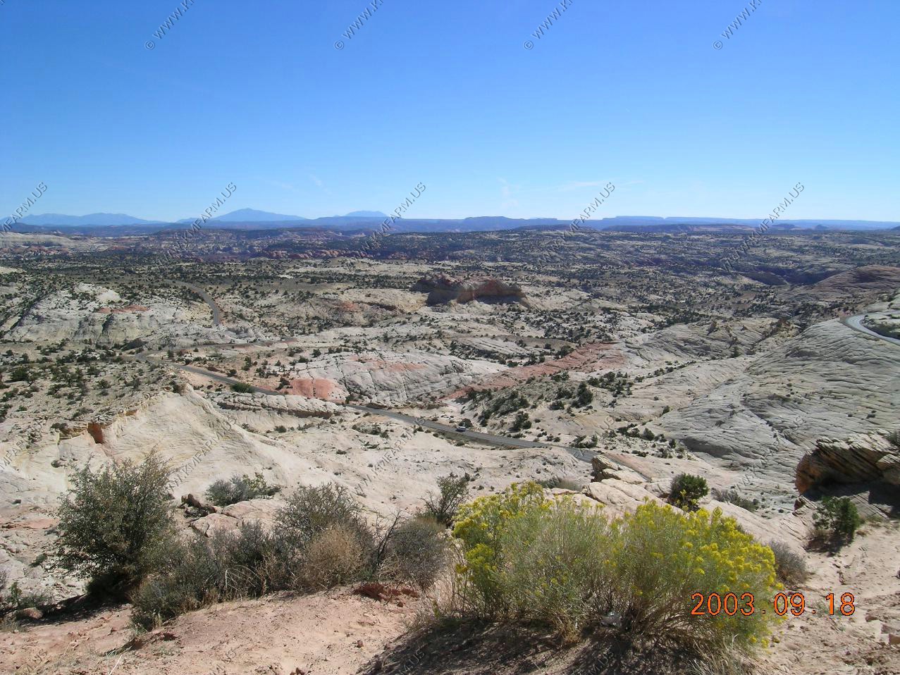
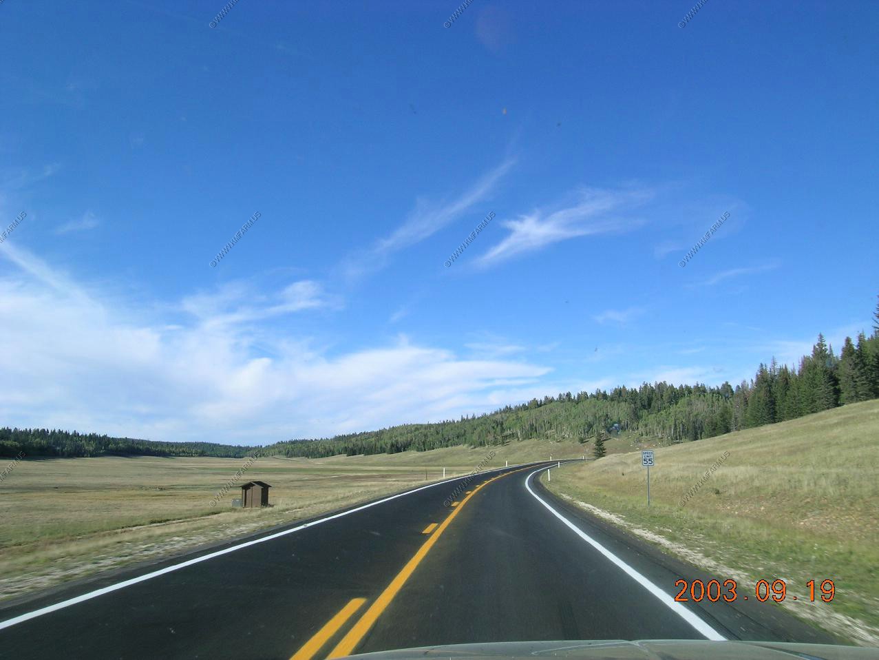
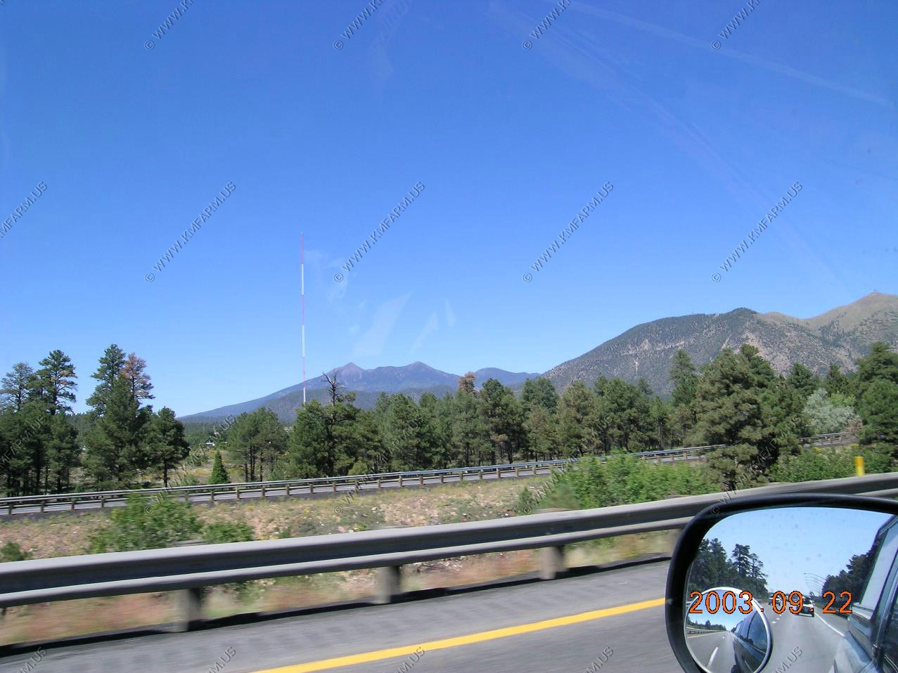
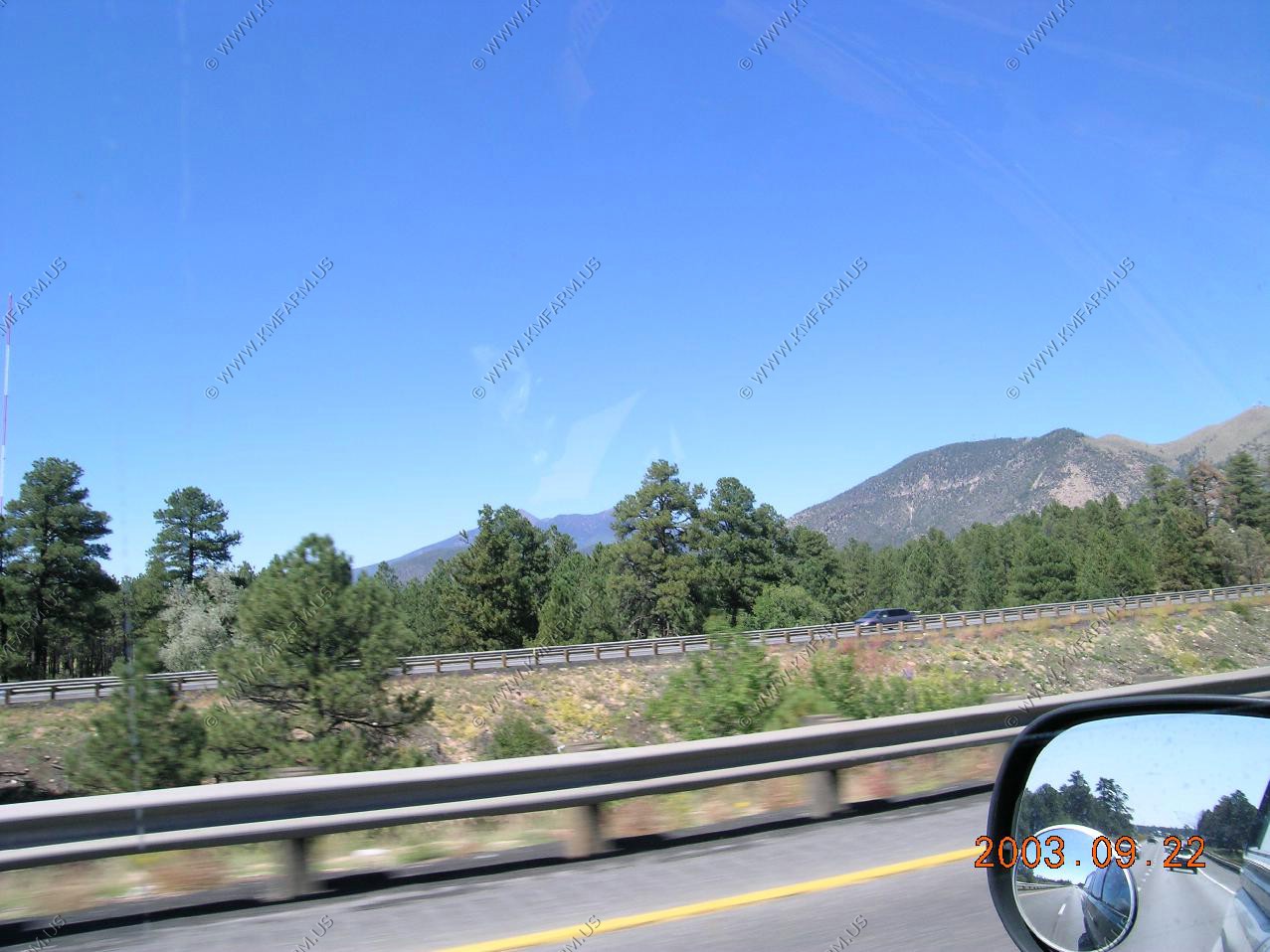
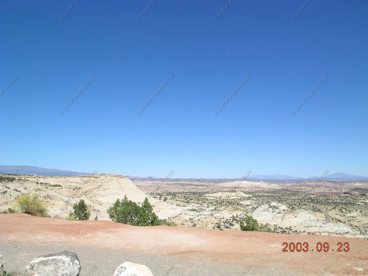
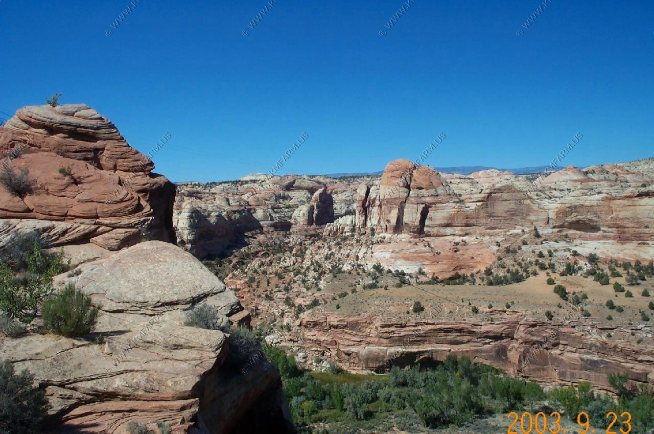
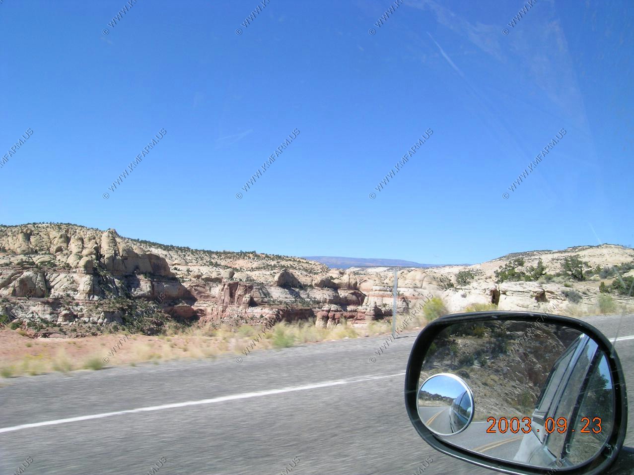
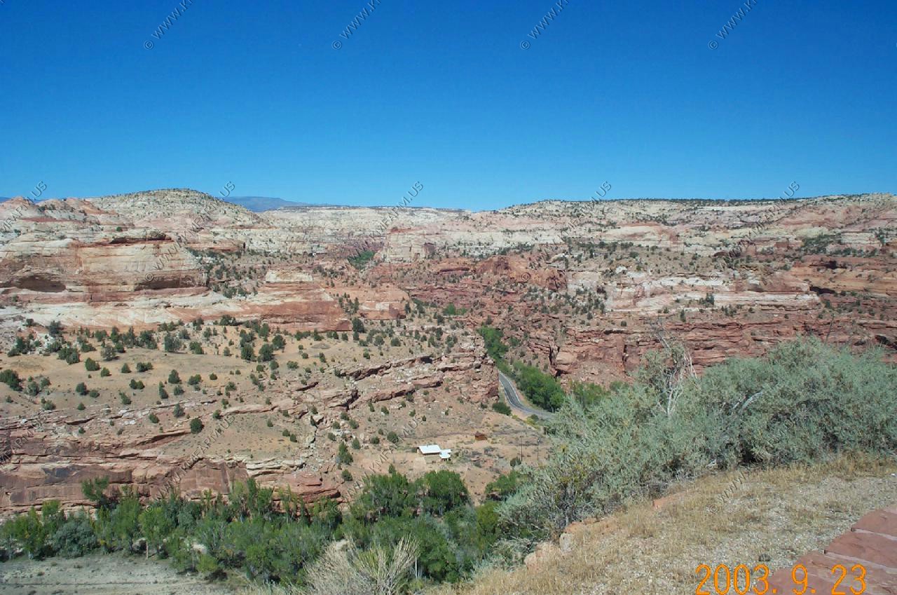
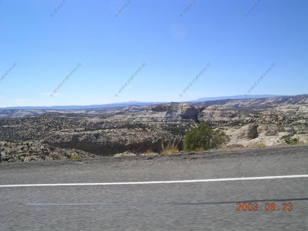
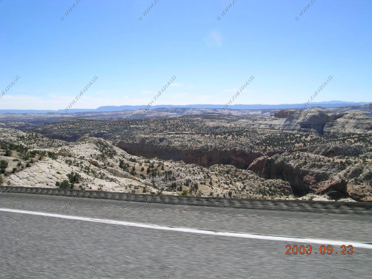
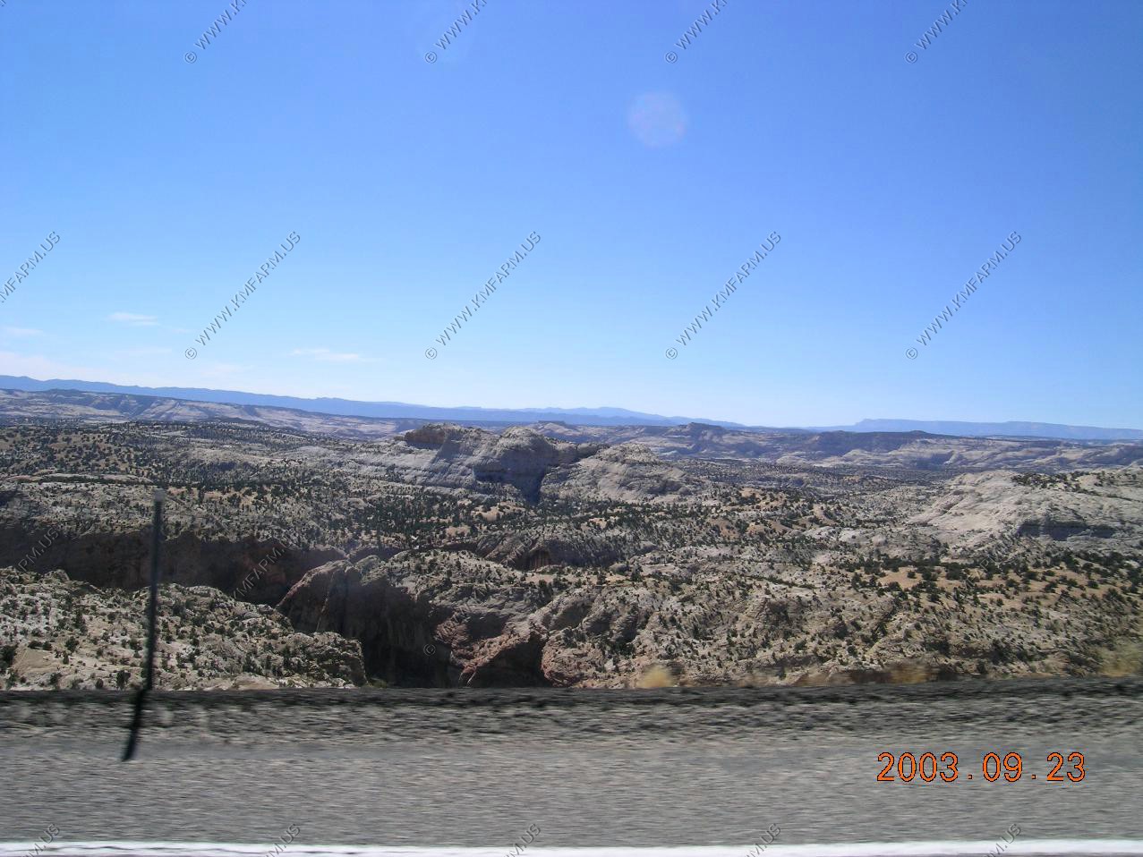
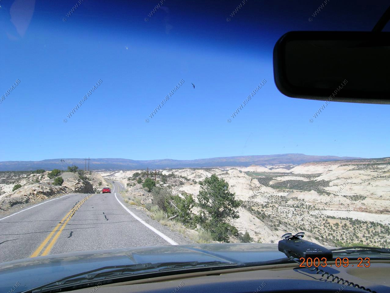
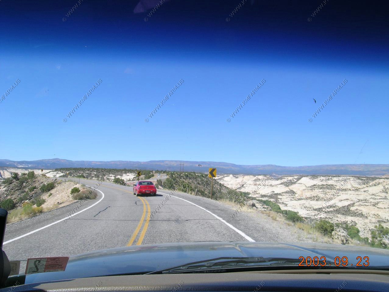
Along Utah 12. The road cuts across the south eastern edge of the Aquarius Plateau. The Aquarius Plateau is a physiographic region within Garfield and Wayne counties in south-central Utah. The plateau, an uplift on the much larger Colorado Plateau, is the highest in North America. It is over 900 square miles of mostly forested highland, much of which is part of Dixie National Forest.
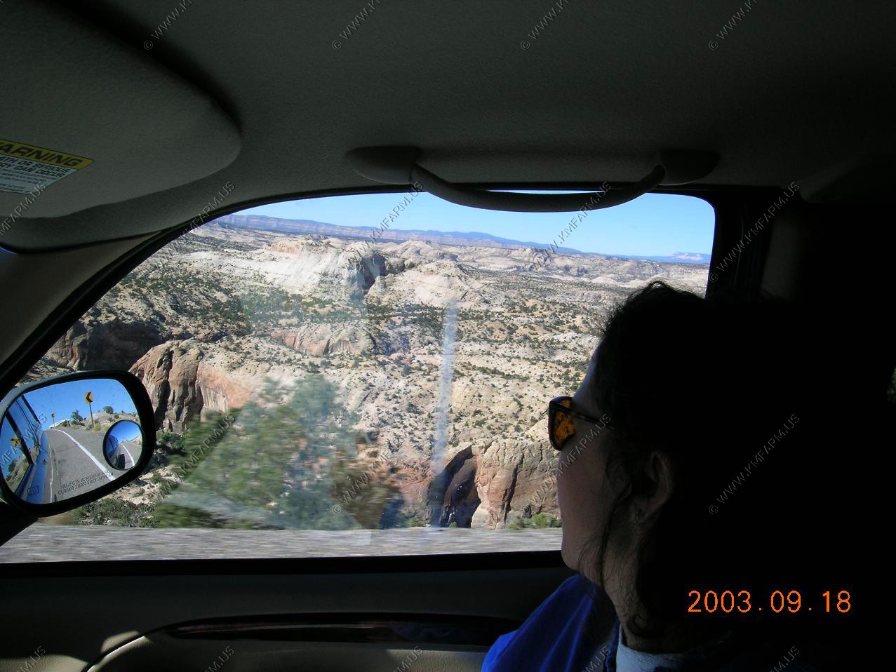
The plateau includes Boulder Mountain which peaks at 11328 feet at Bluebell Knoll and has over 50,000 acres of rolling hilly terrain above 11,000 feet (3350 m).
Looking north across Torry at Flat Top (El. 11,305)
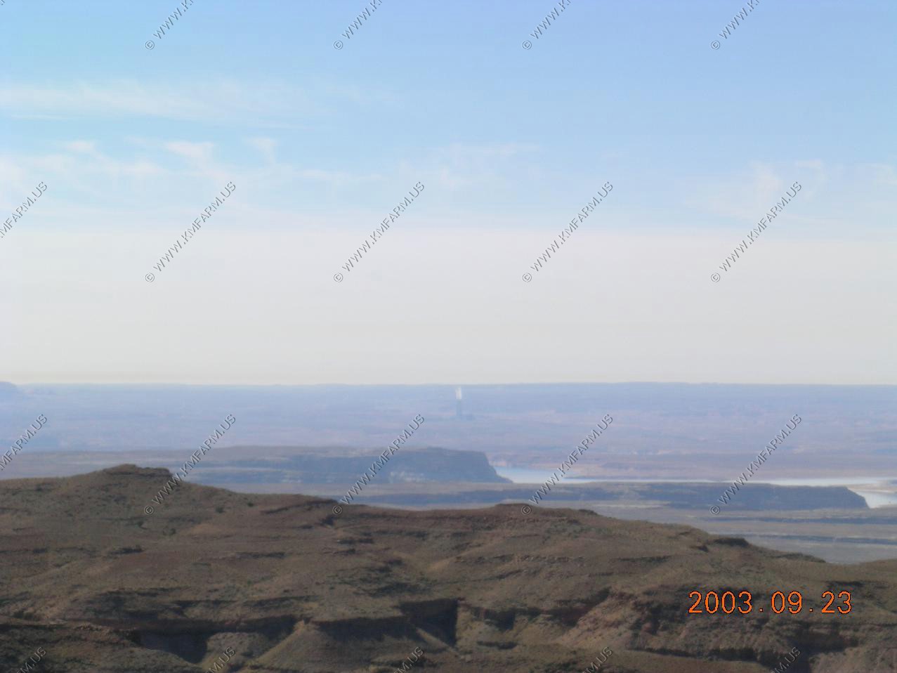
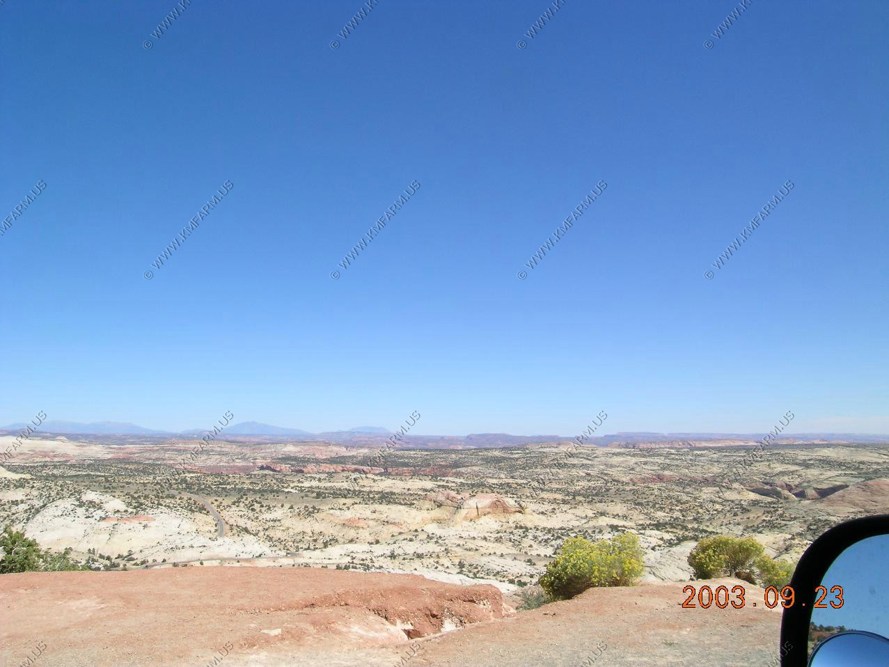
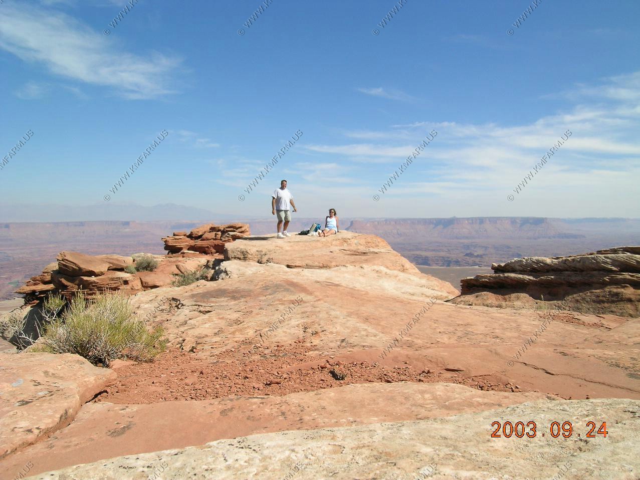
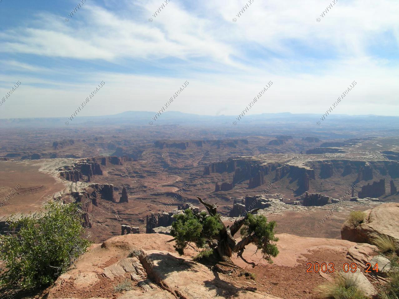
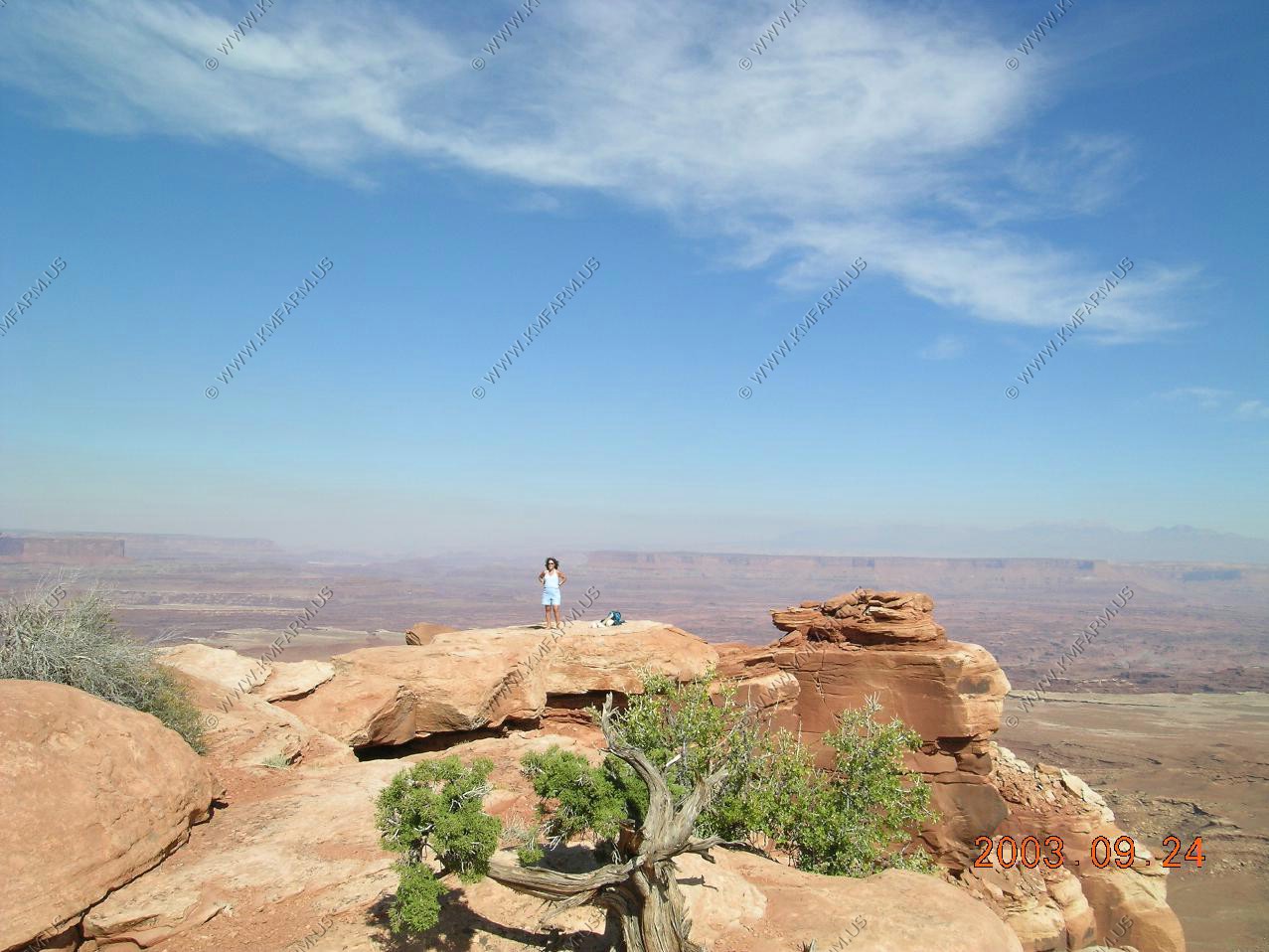
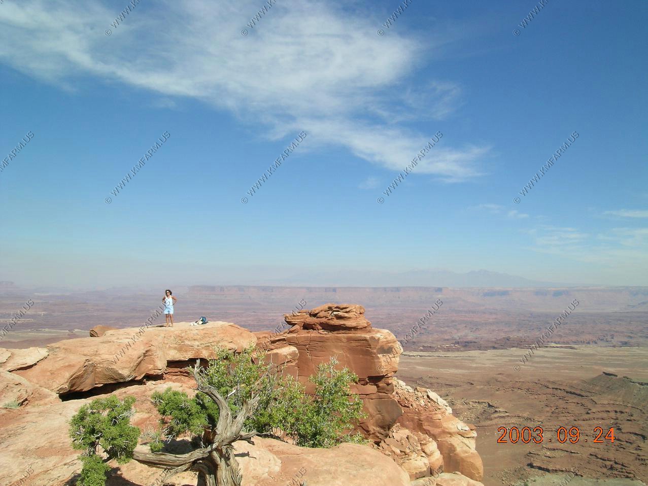
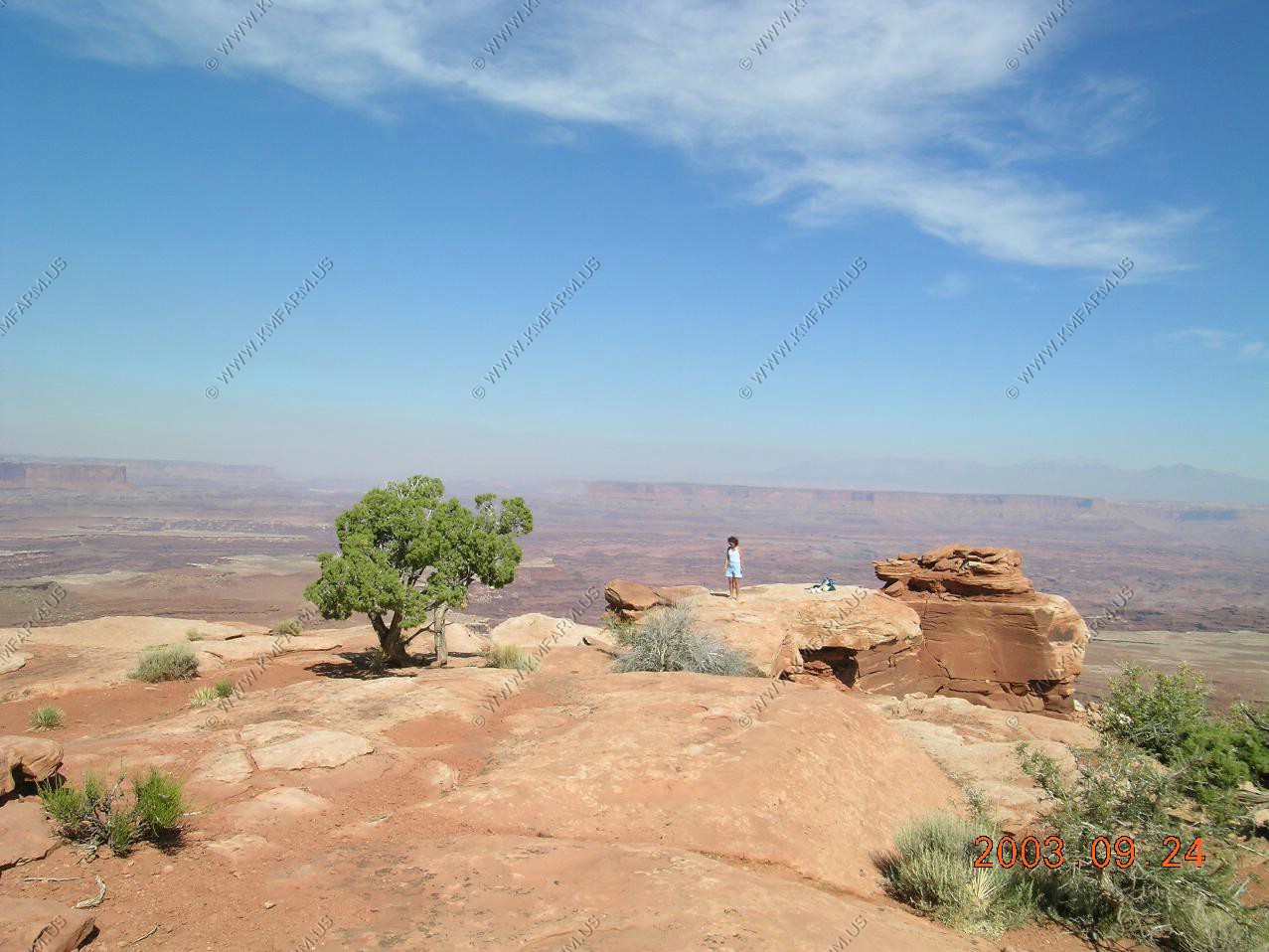
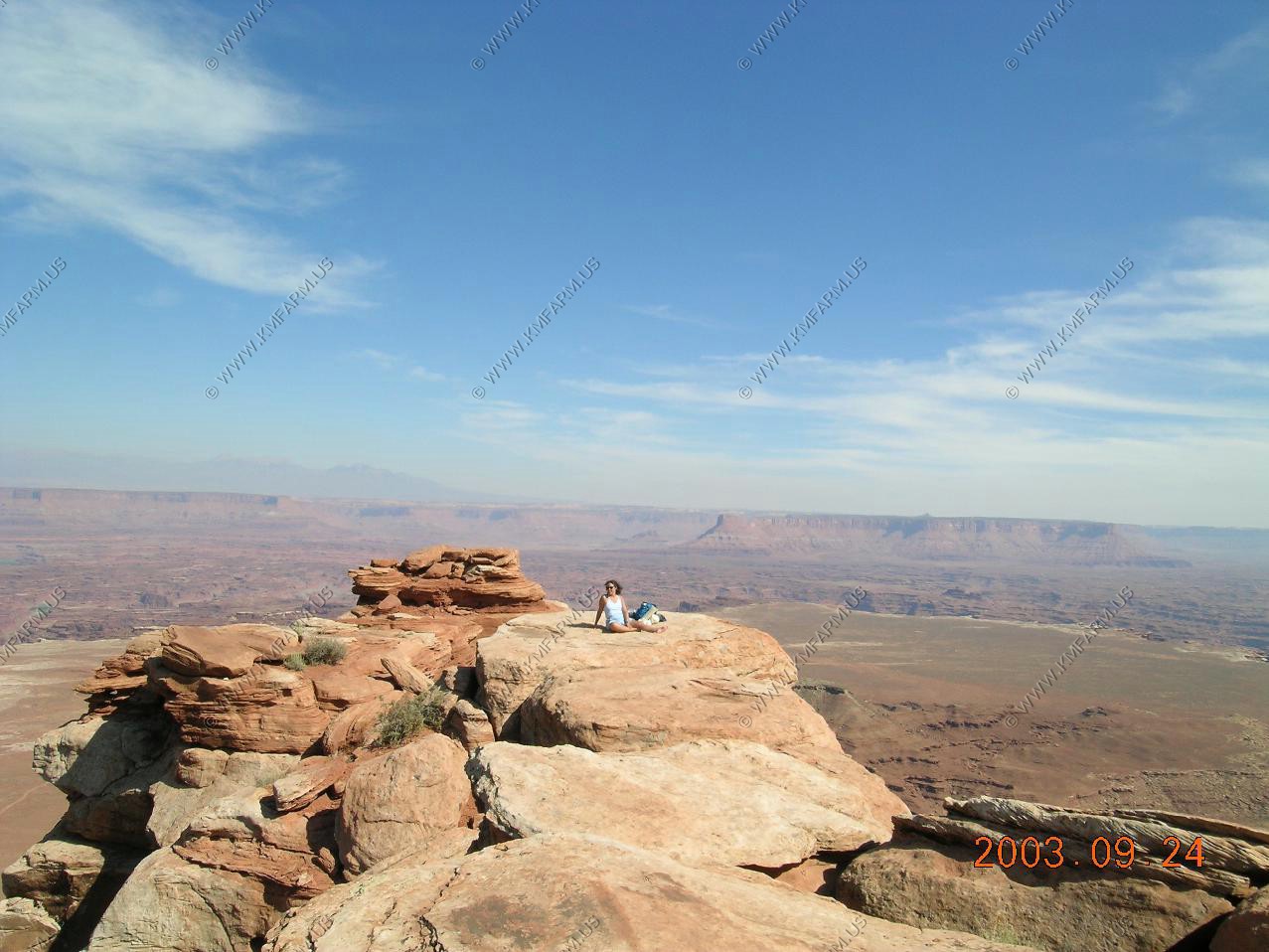
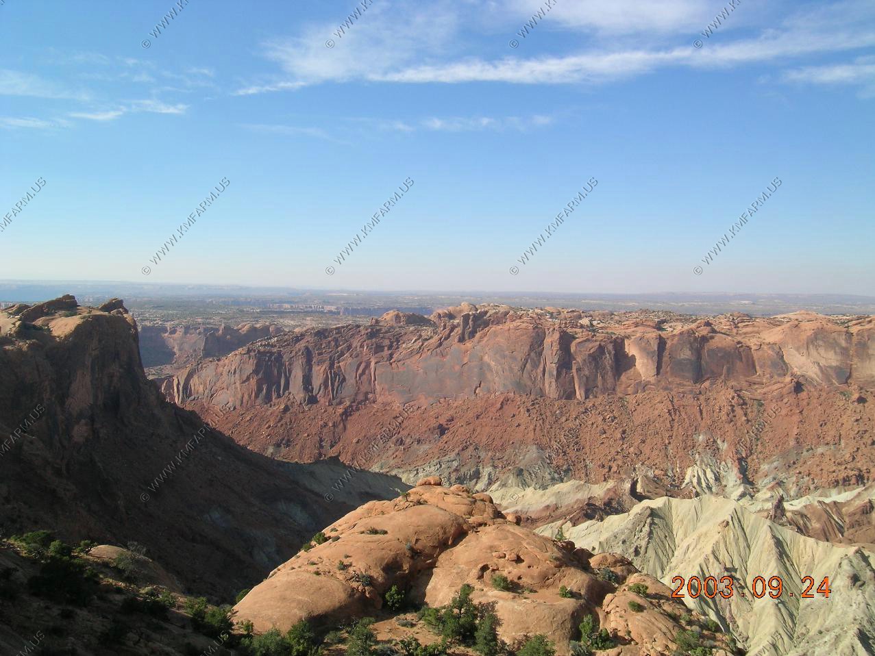
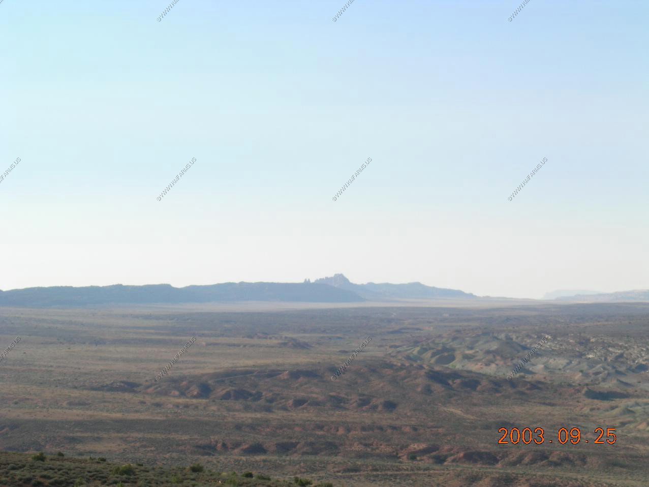
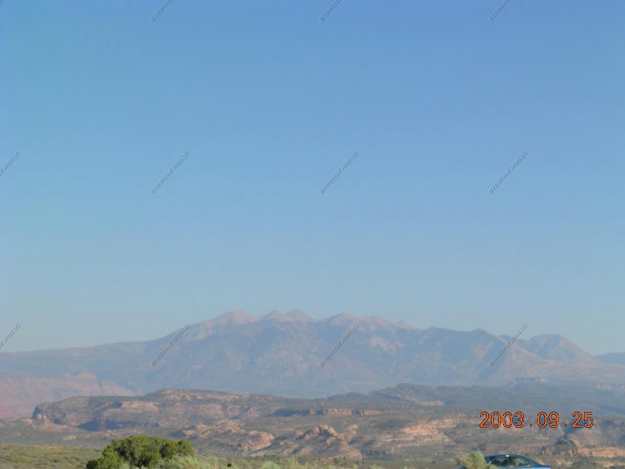
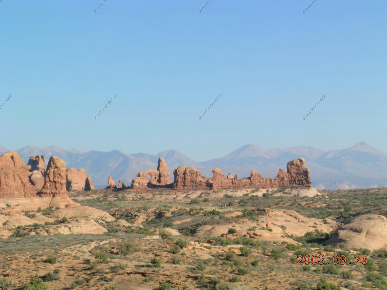
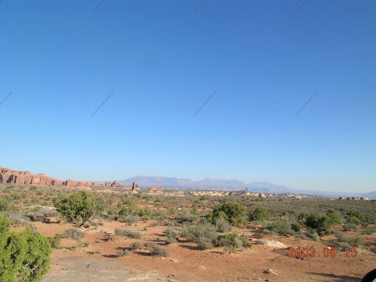
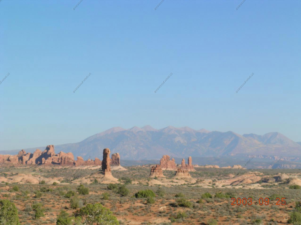
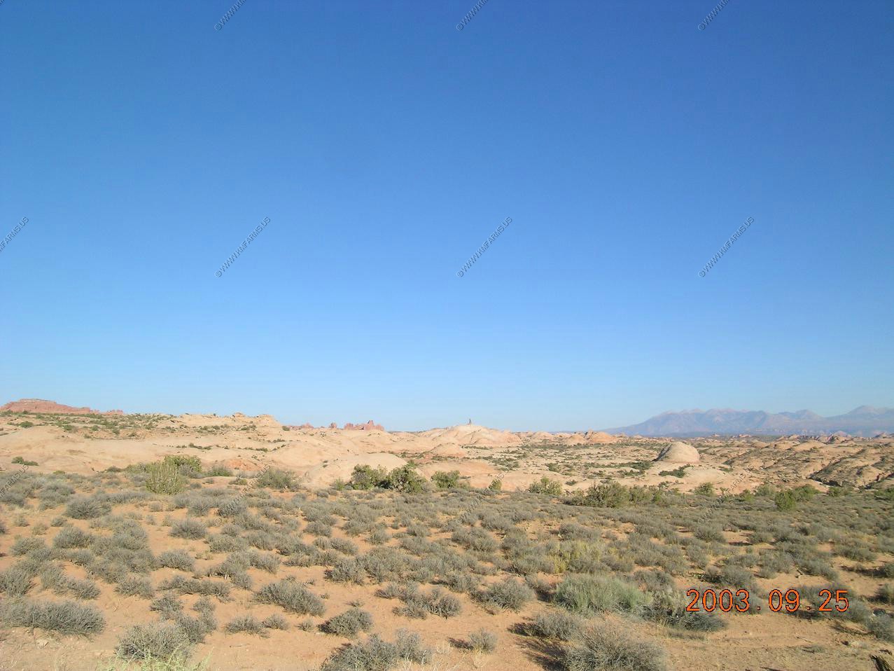
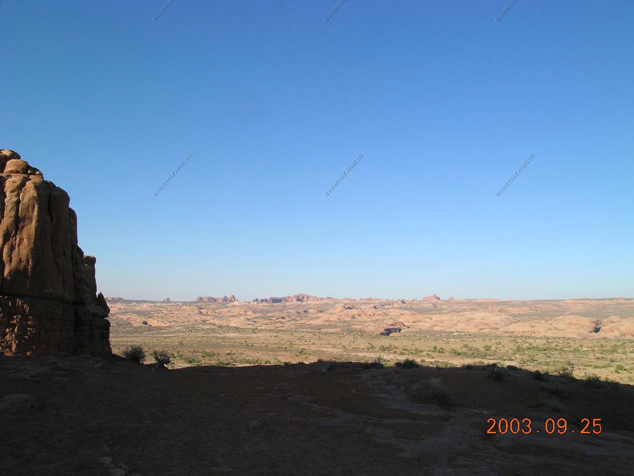
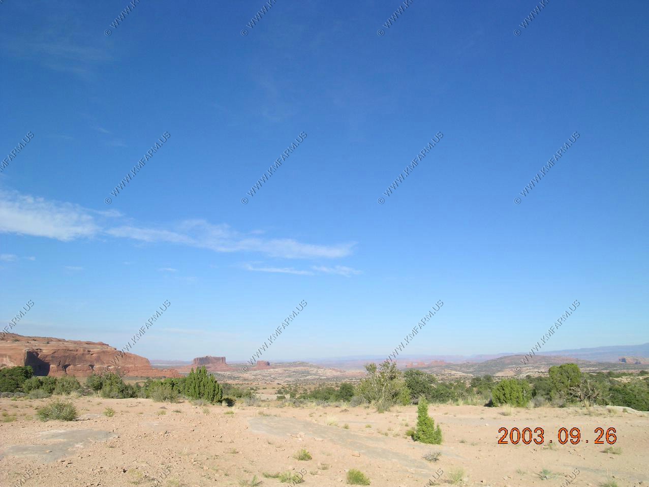
Looking east at the La Sals on the other side of Moab over 120 miles away
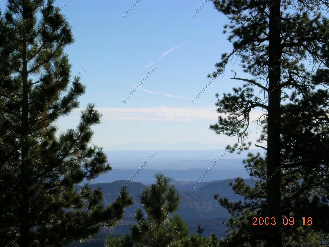
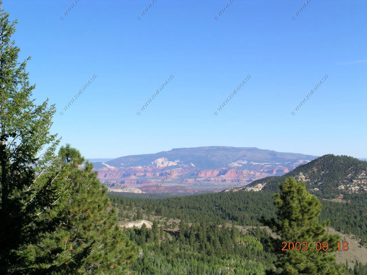
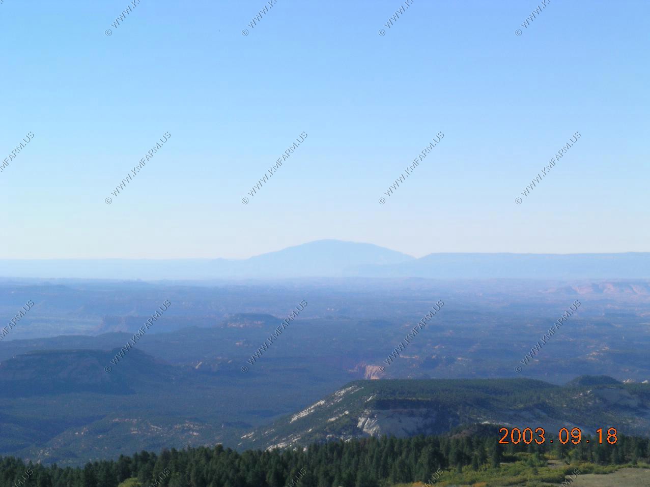
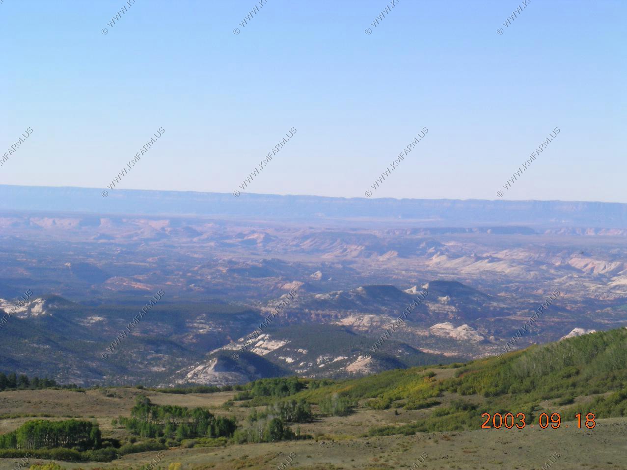
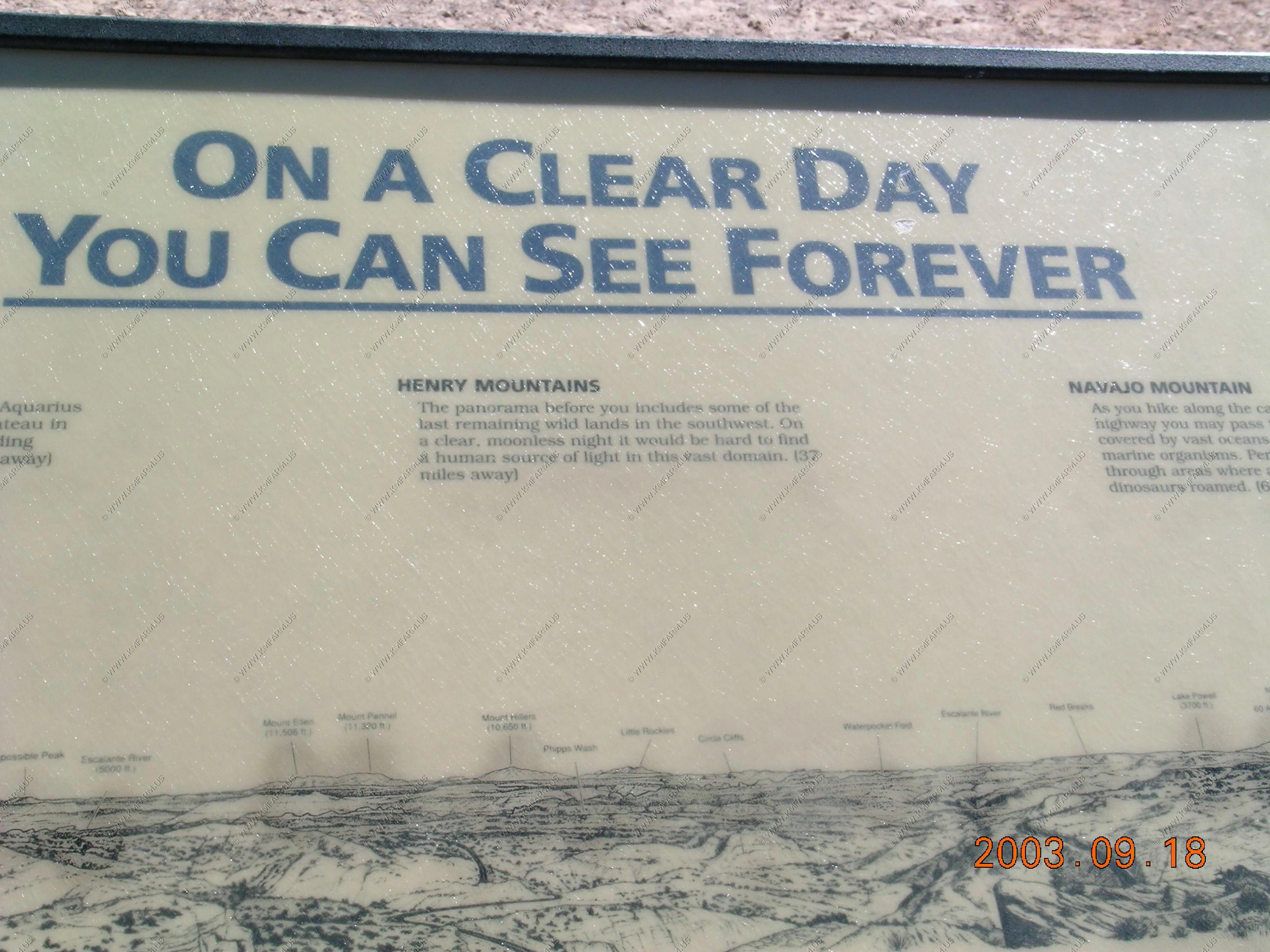
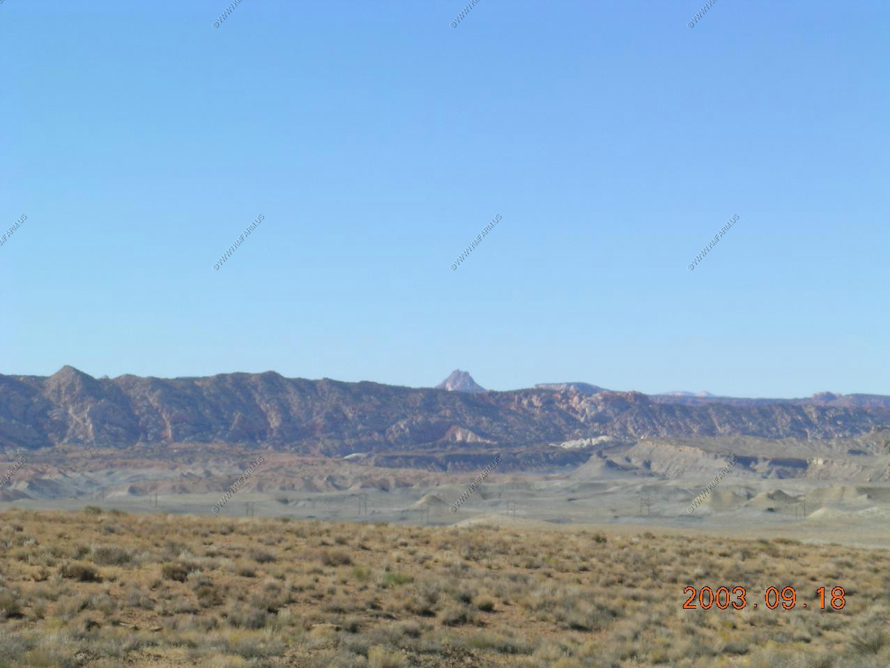
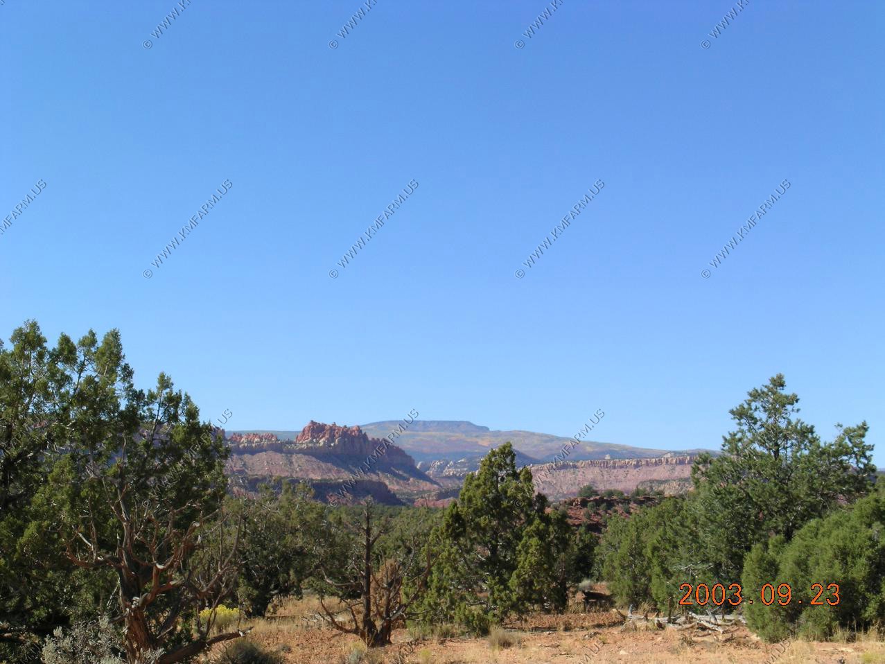
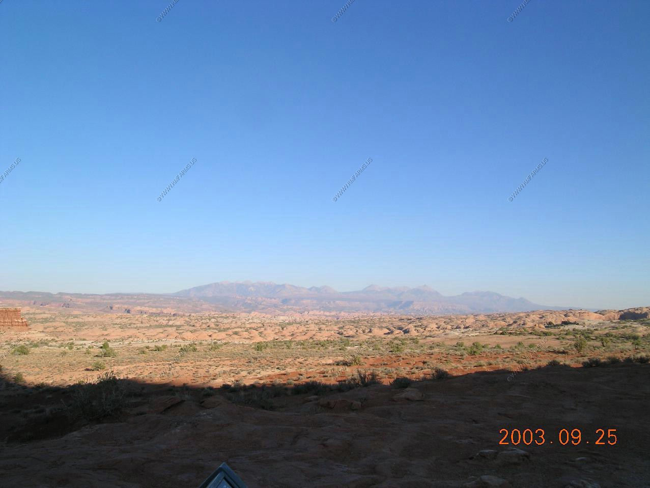
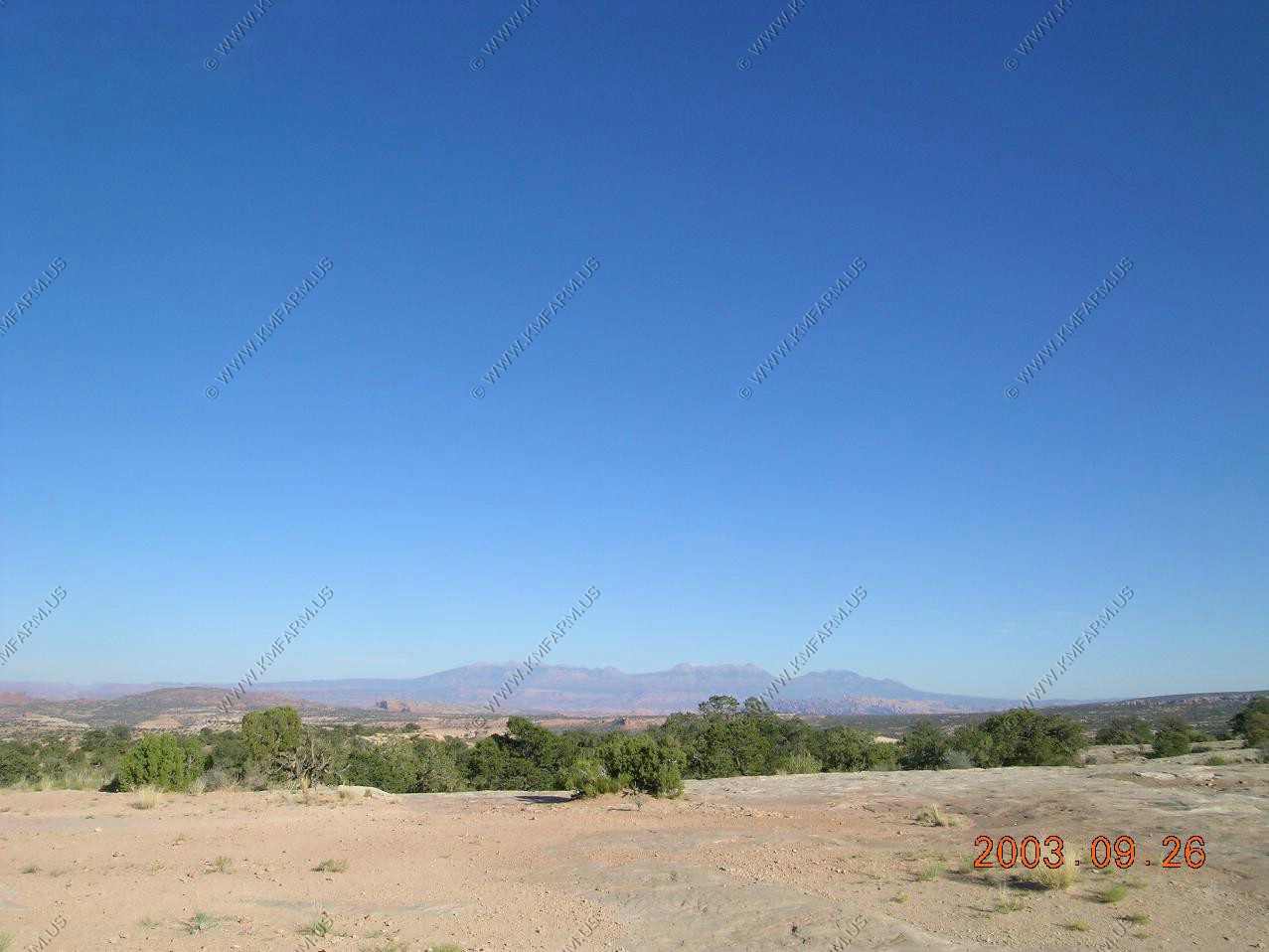
Looking South East over Capitol Reef NP at the Henry Mountains appx. 30 miles away. To the left of the Henrys you can make out the Abajo Mountains appx. 90 miles away.
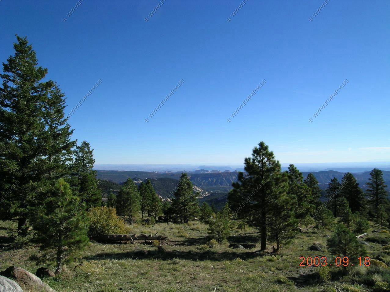

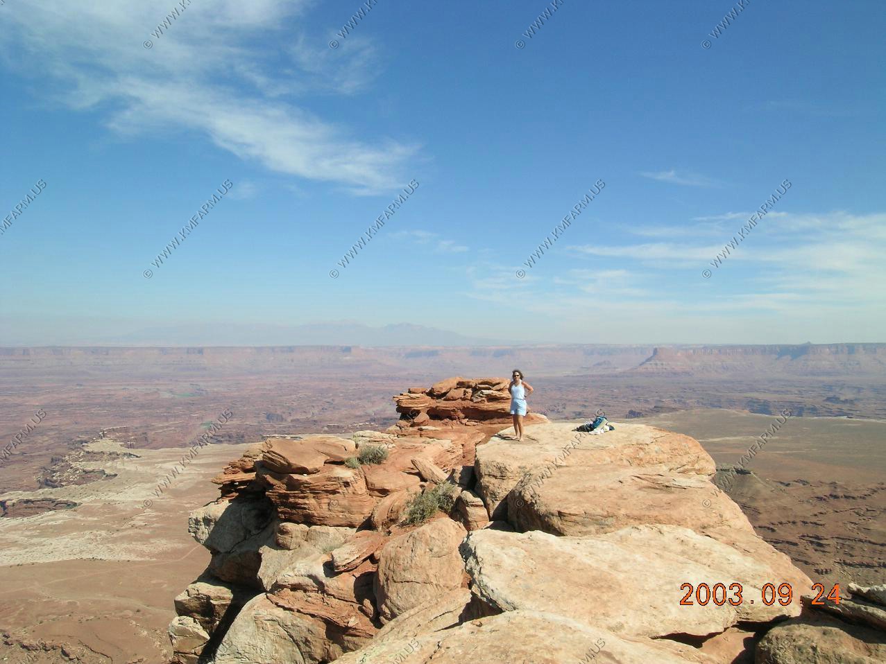
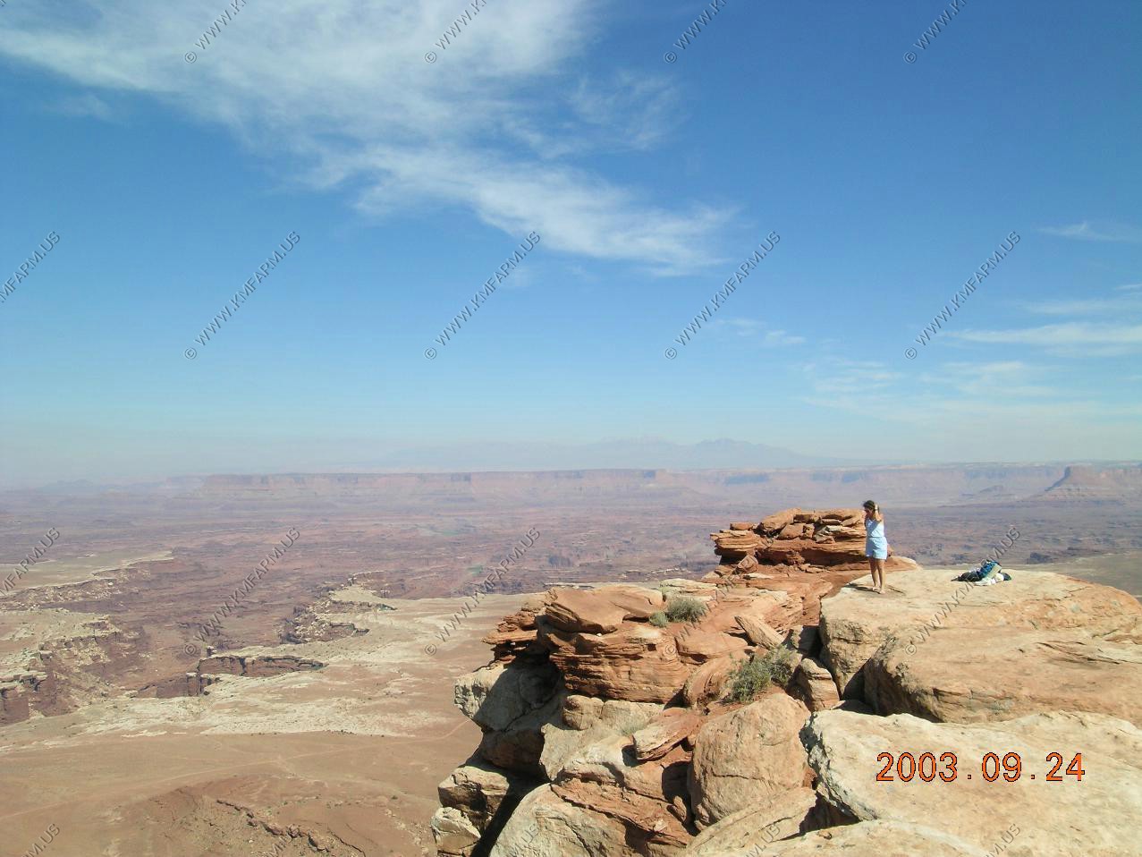
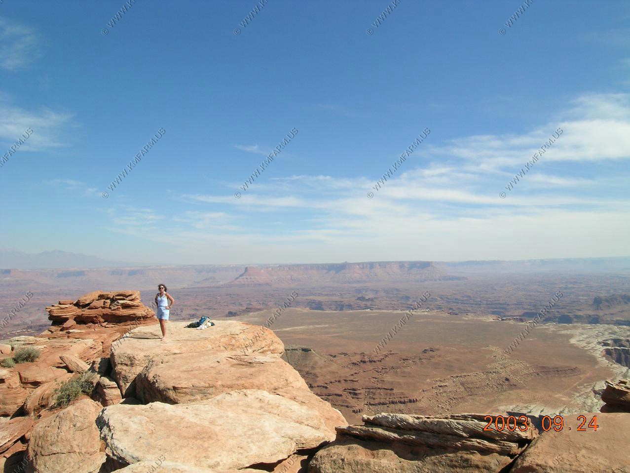
We then stopped at Point Lookout (El. 9,500)
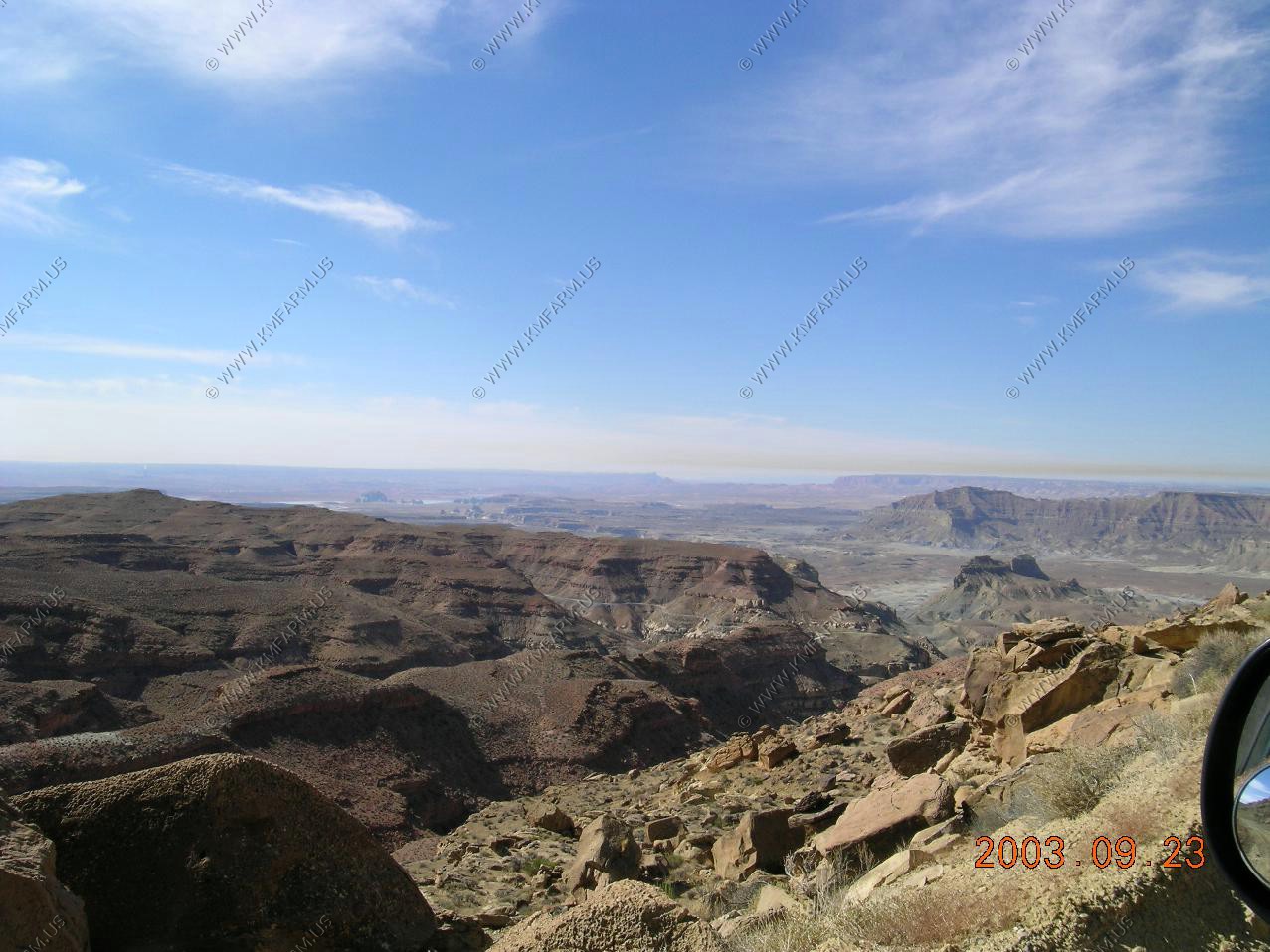
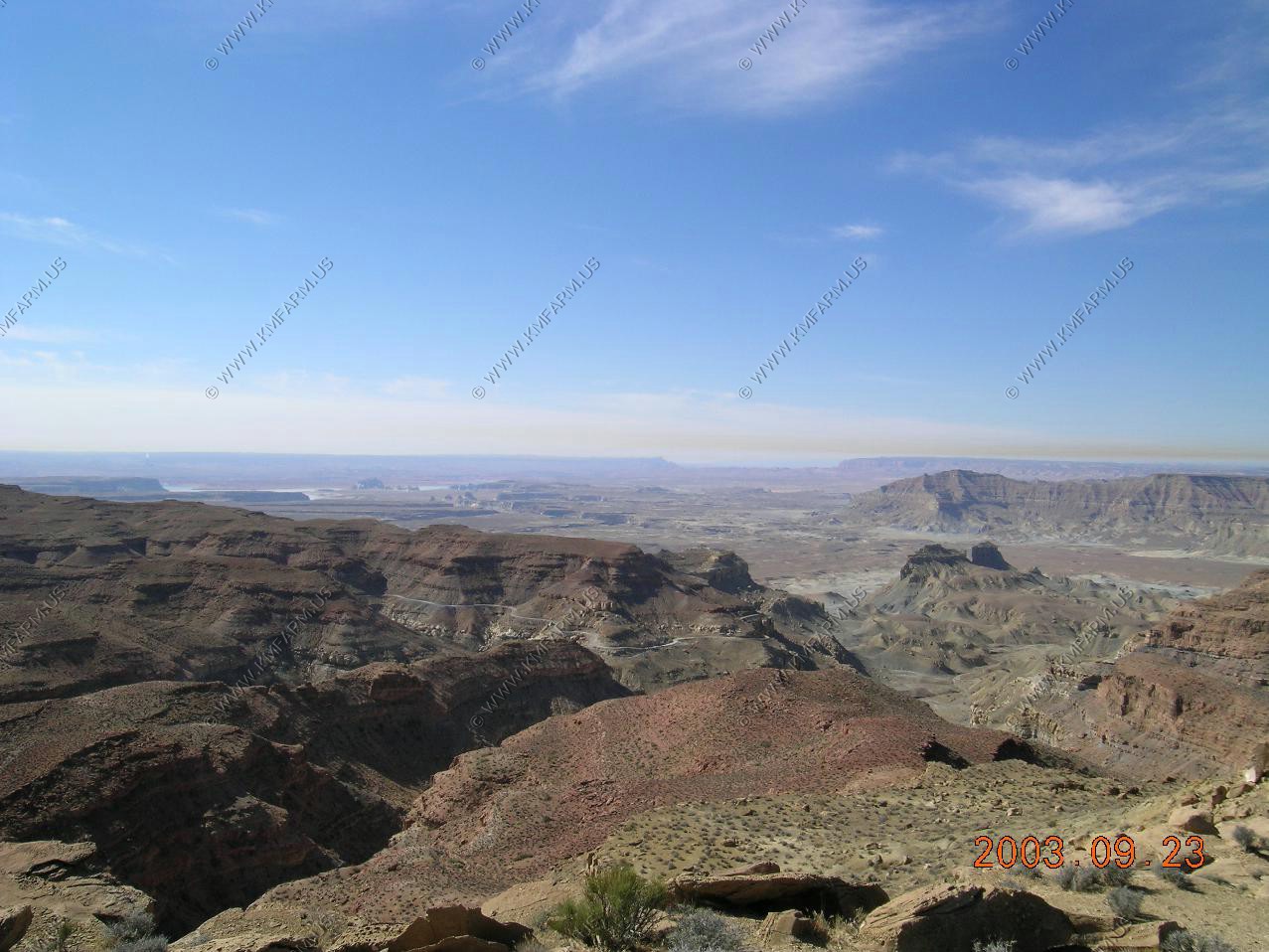
Wide look of the Kaiparowits Plateau and Fifty mile Mountain (all 50 miles of it too) At the far end is Navajo Mountain right on the Utah / Arizona line appx. 75 miles away.
Close-up of Navajo Mountain (EL. 10,388) 75 miles away on the other side of Lake Powell
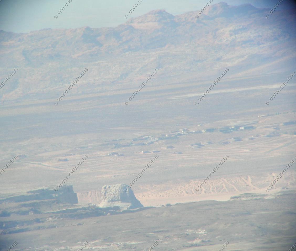
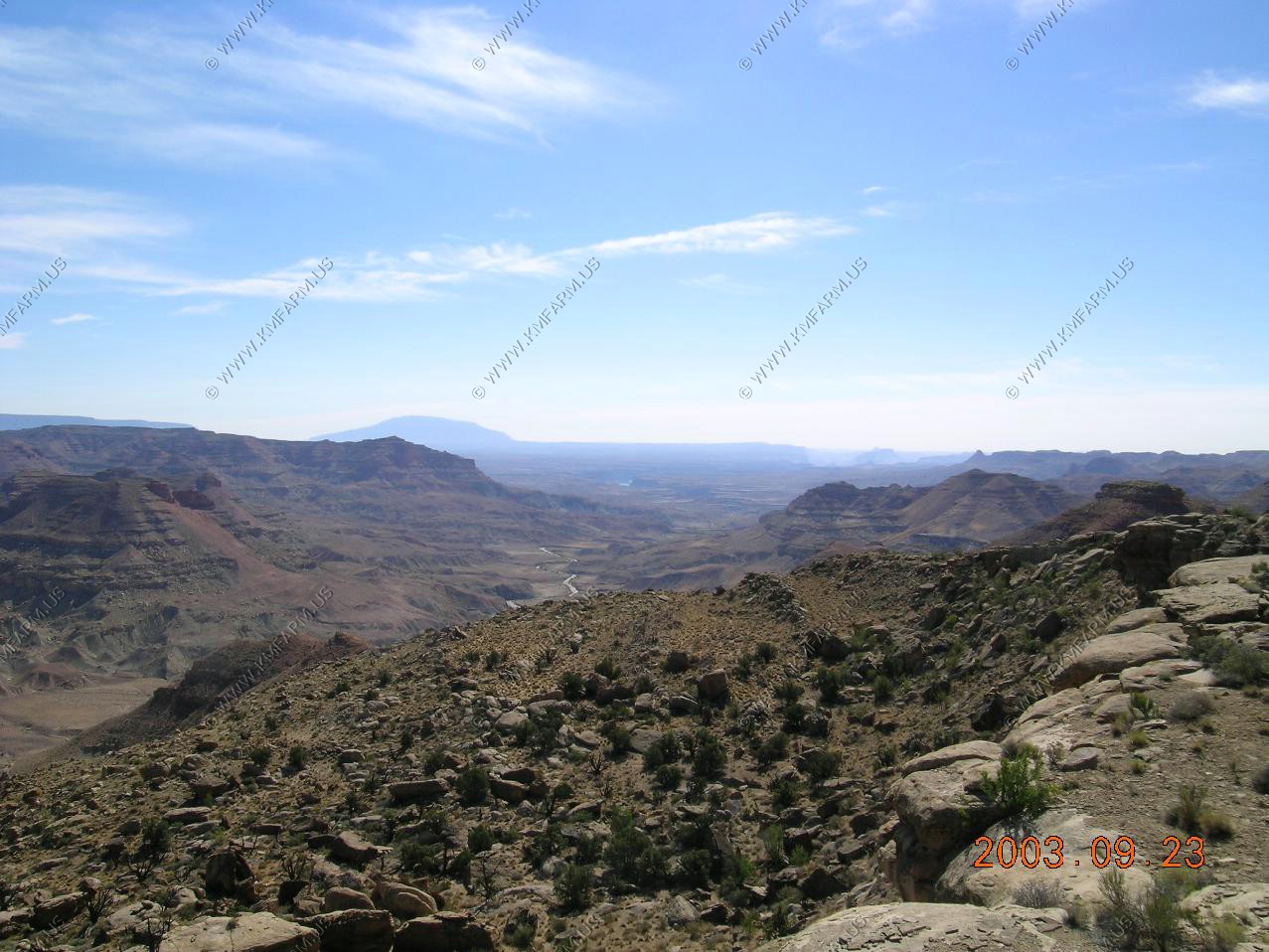
This photo is one of the most amazing distance shots I have ever seen in the west. Looking over Kaiparowits Plateau (already at 40 miles) you can see the Kaibab Plateau (The North Rim of the Grand Canyon) located 100-120 miles away. I will be standing at Point Imperial (EL. 8,803) tomorrow looking back at Aquarius Plateau.
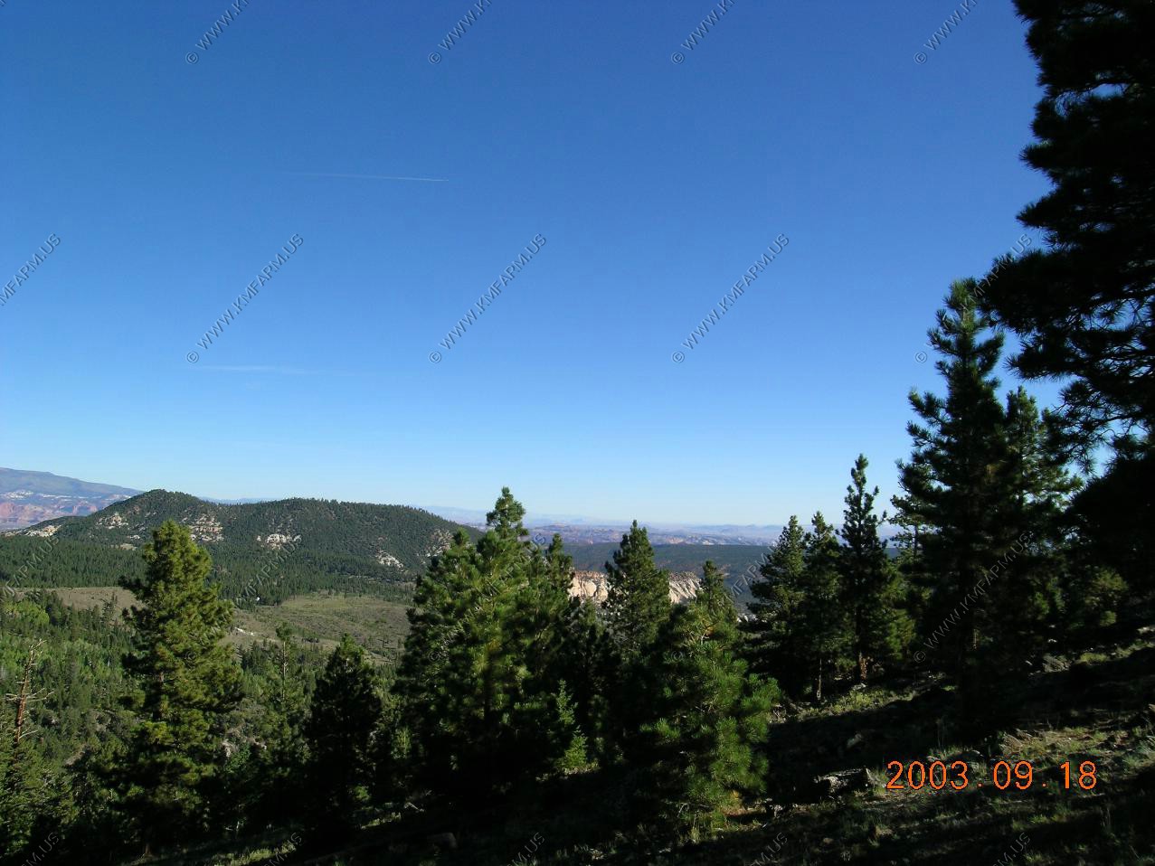
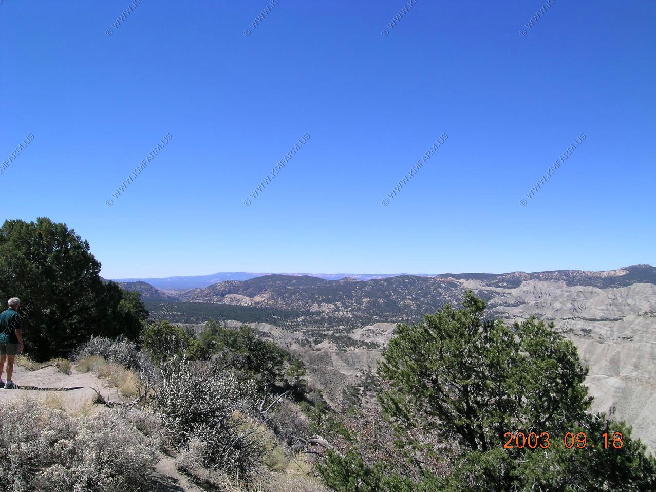
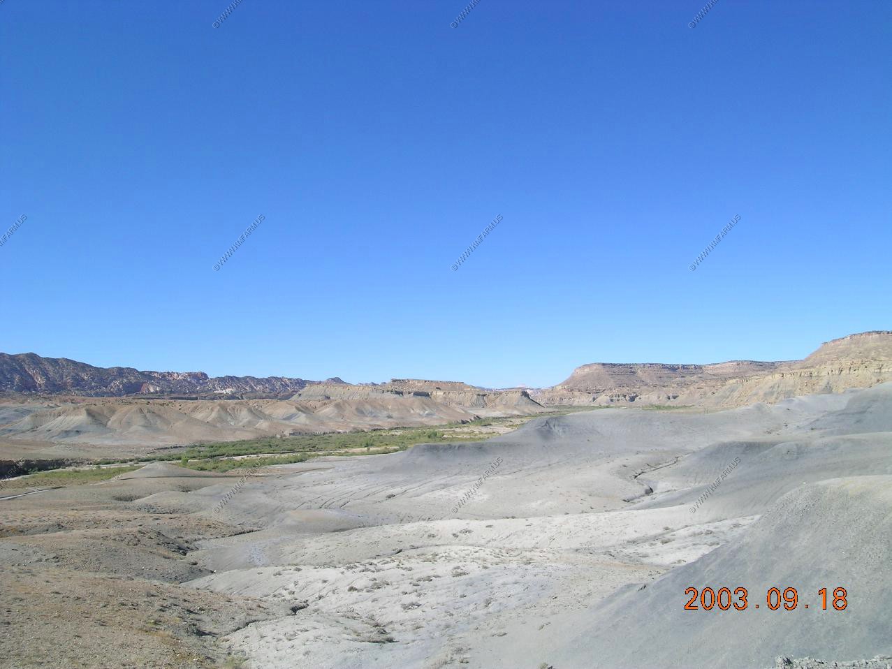
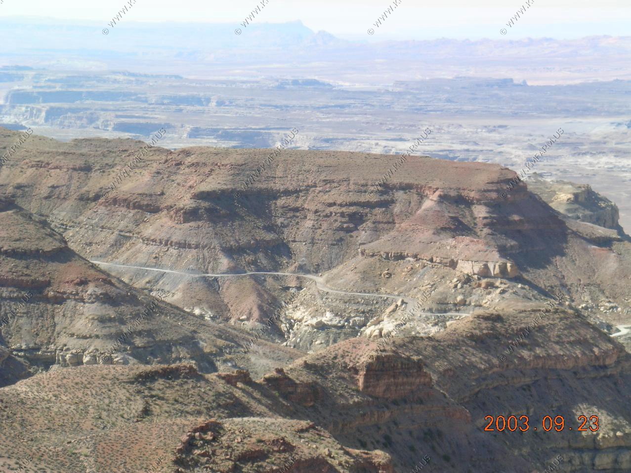
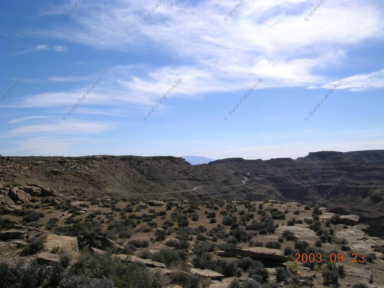
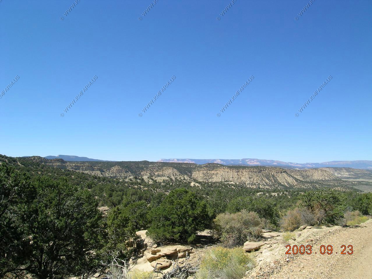
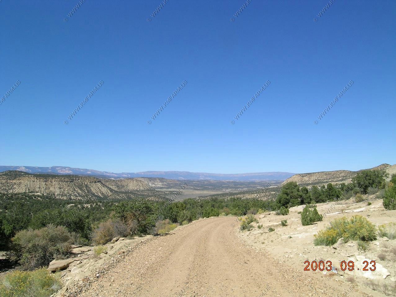
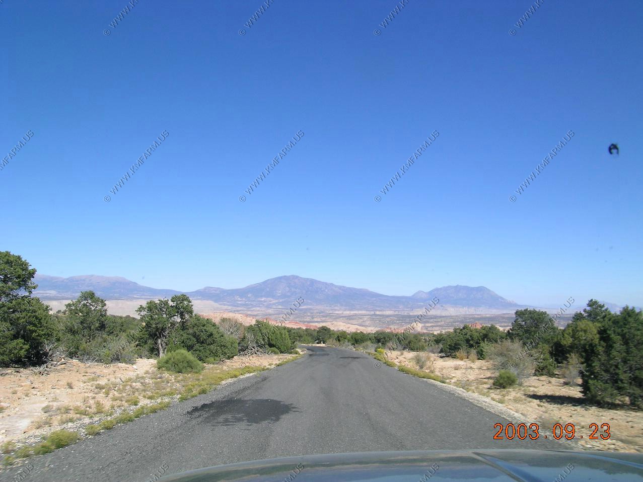
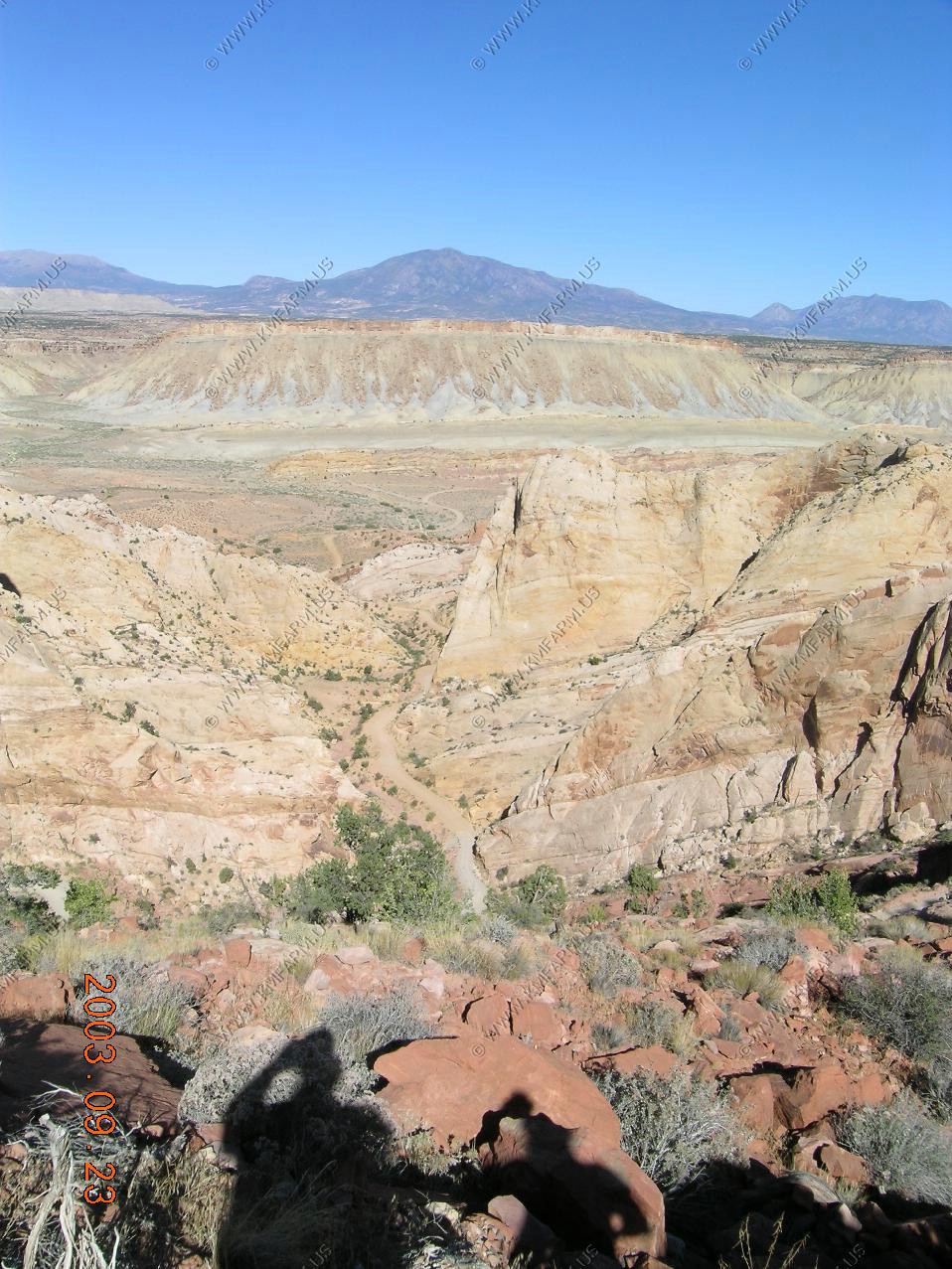
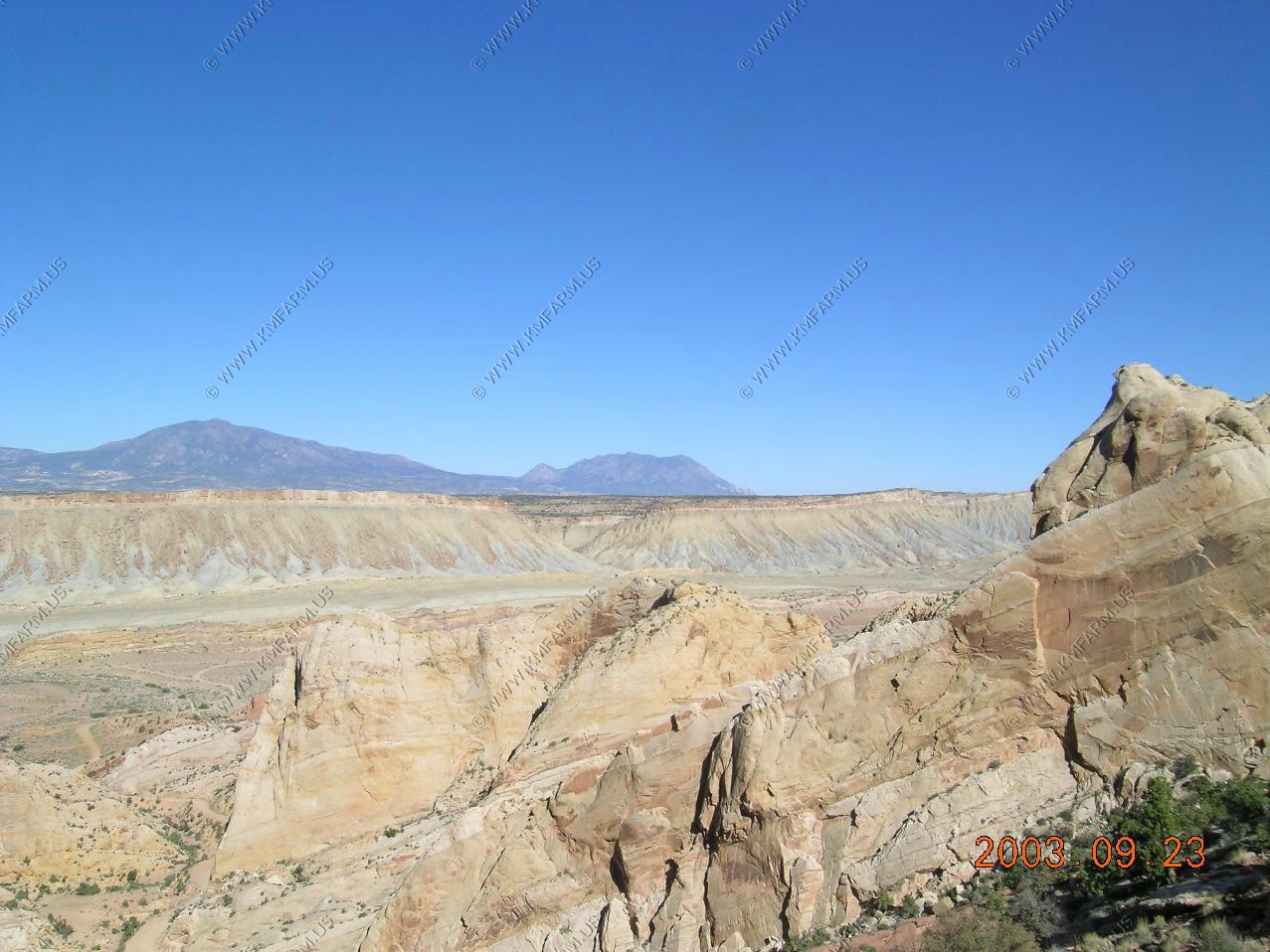
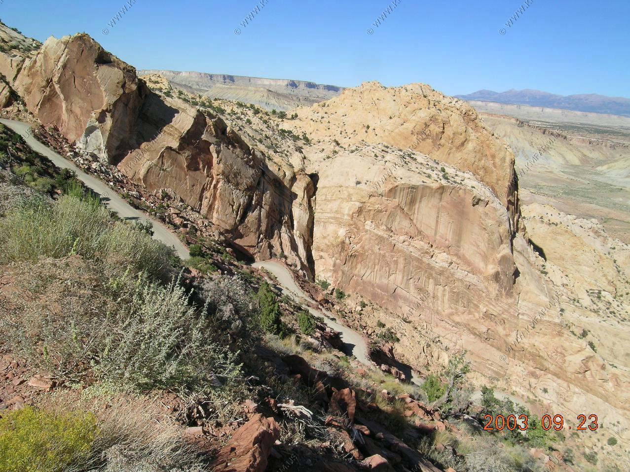
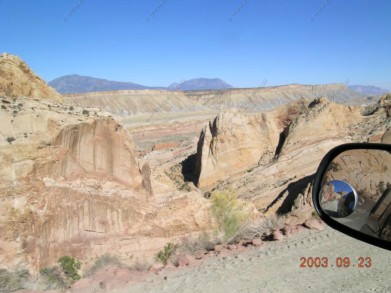
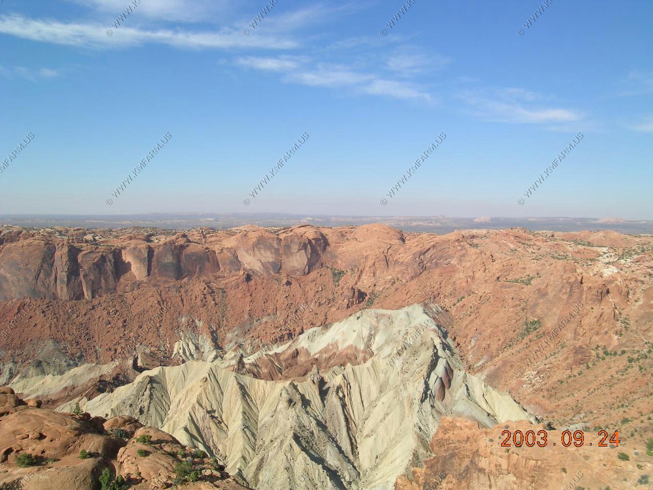
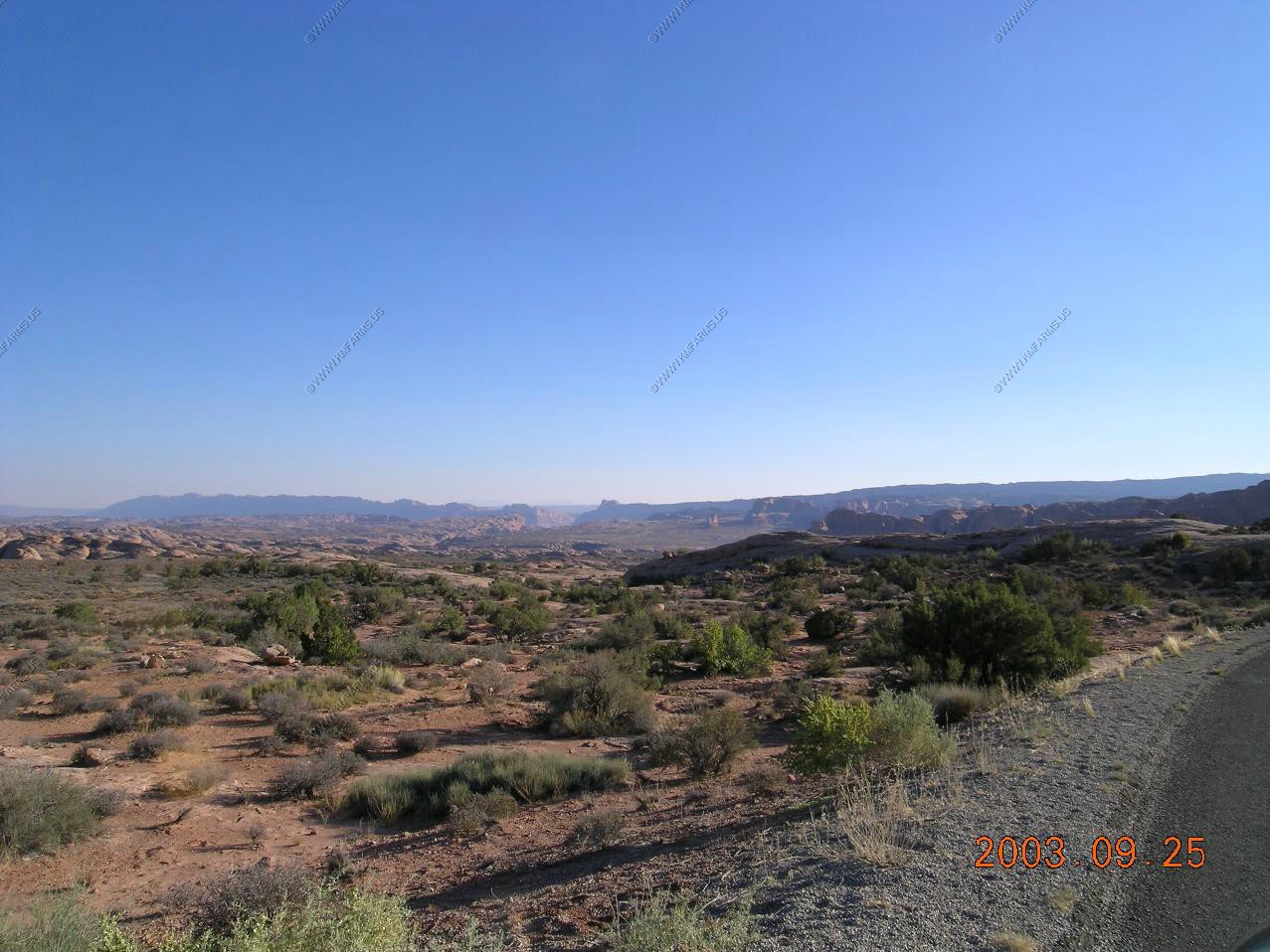
Looking across the area we are about to drive
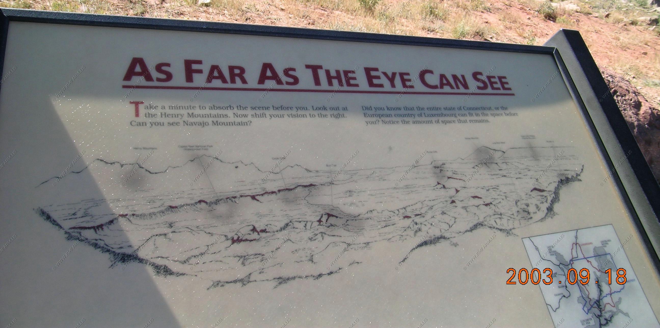
Sign at the lookout: As clear as the eye can see Did you know that the entire state of Connecticut , or the European country of Luxembourg can fit in the space before you ? Notice the amount of space that remains.
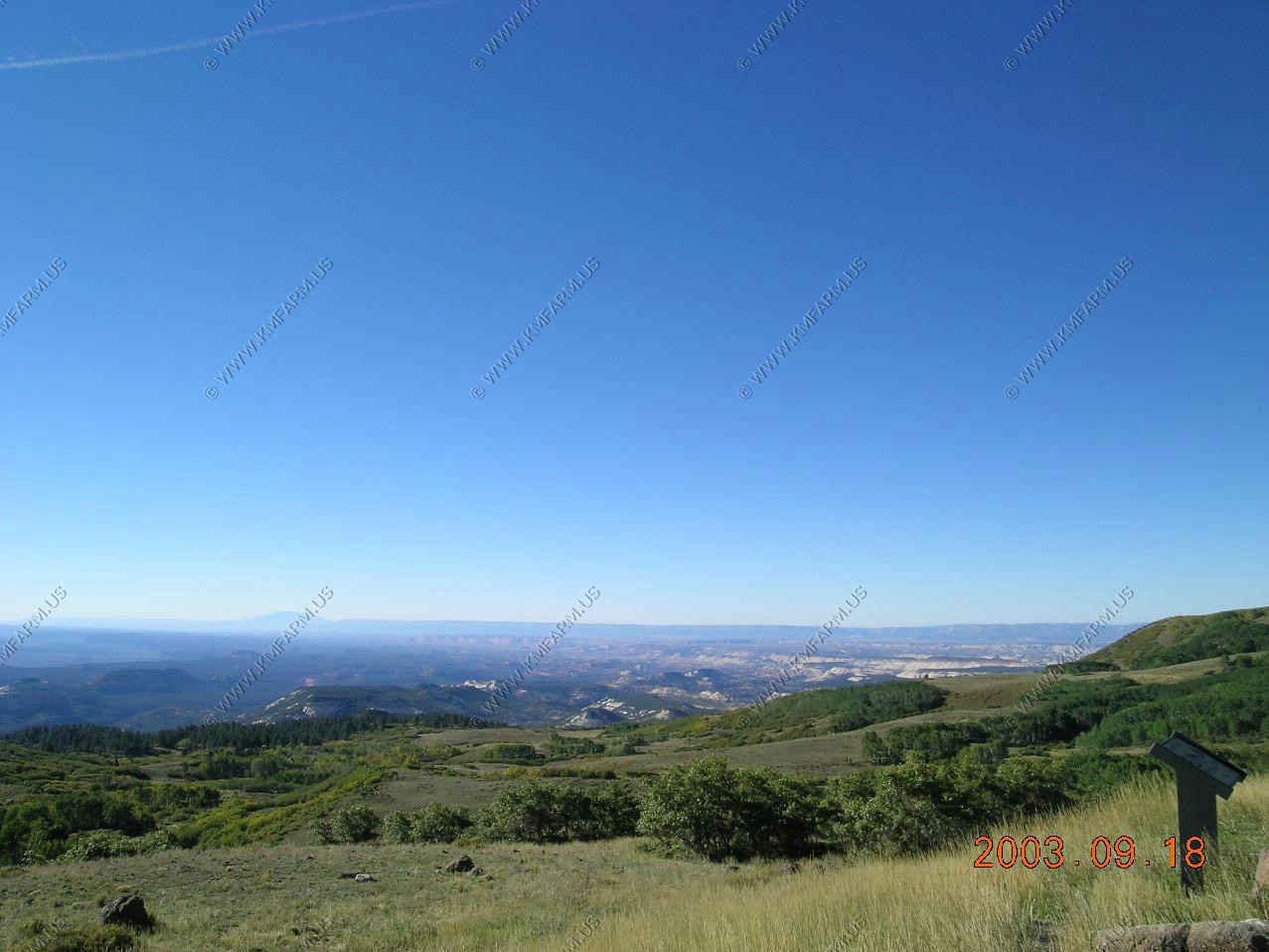
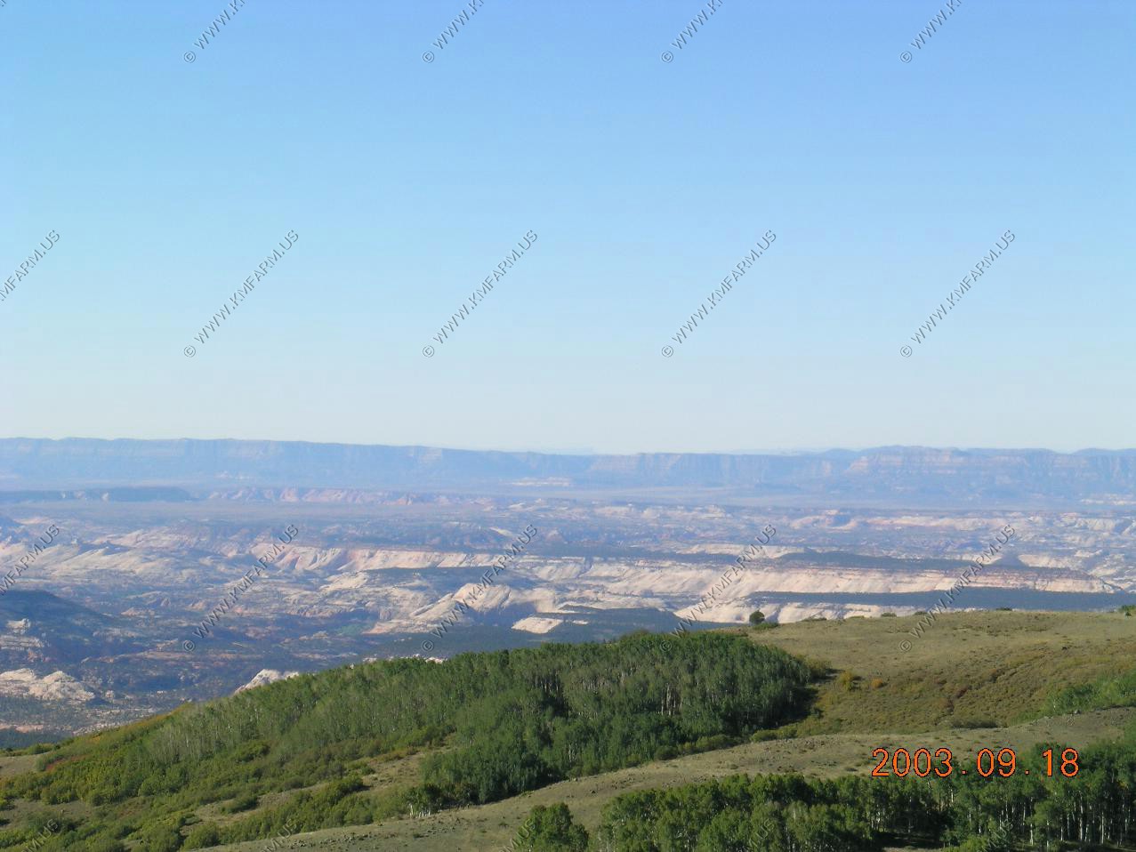
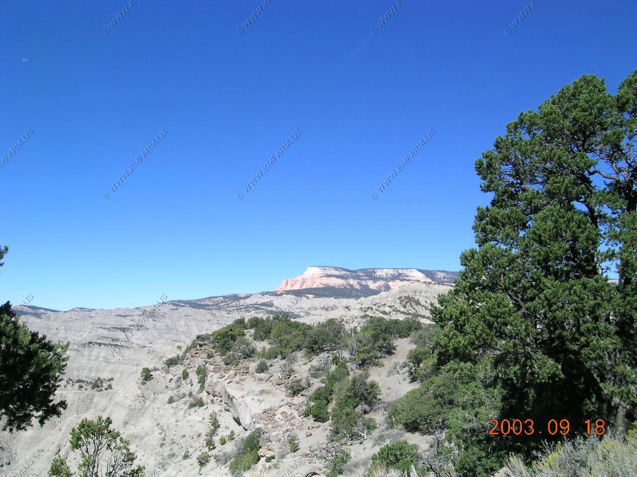
Looking west towards Powell Point
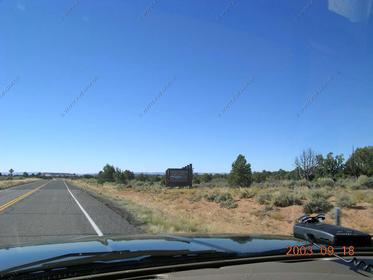
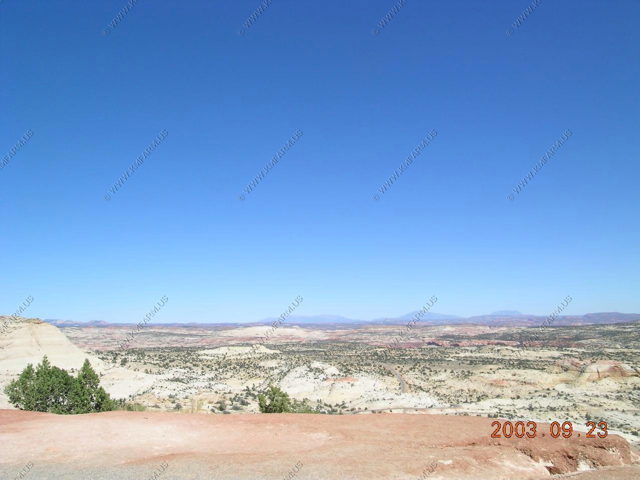
Welcome to Grand Staircase Escalante, National Monument

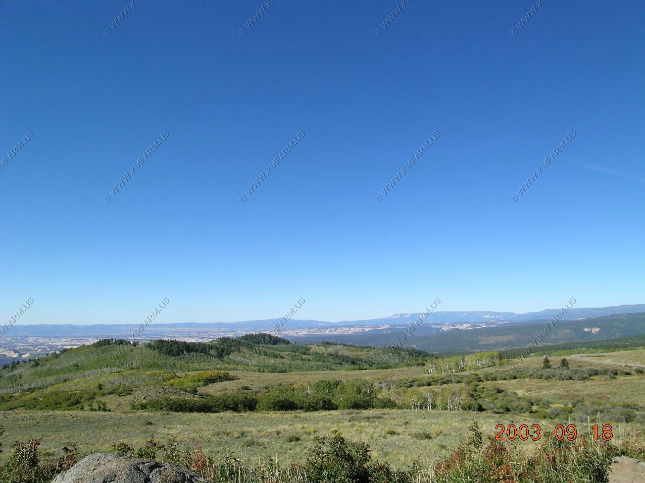
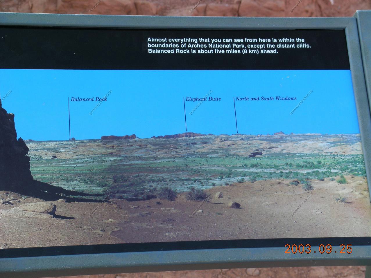
On a clear day you can see forever Henry Mountains in the distance
Navajo Mountain (EL. 10,388)
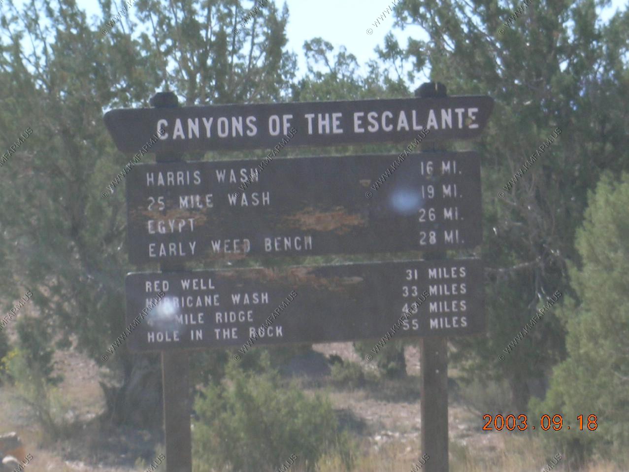
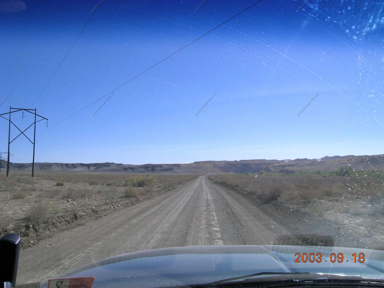
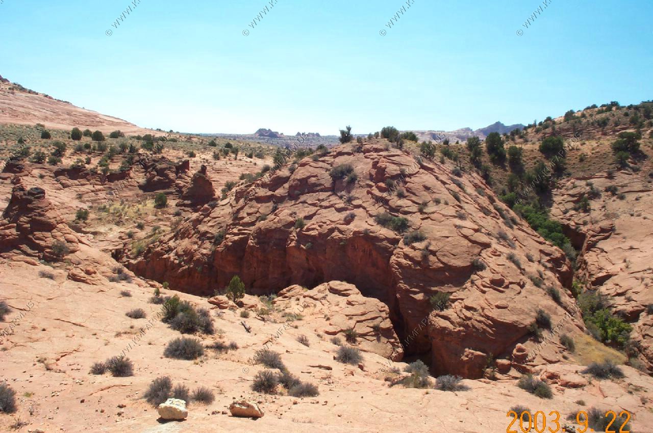
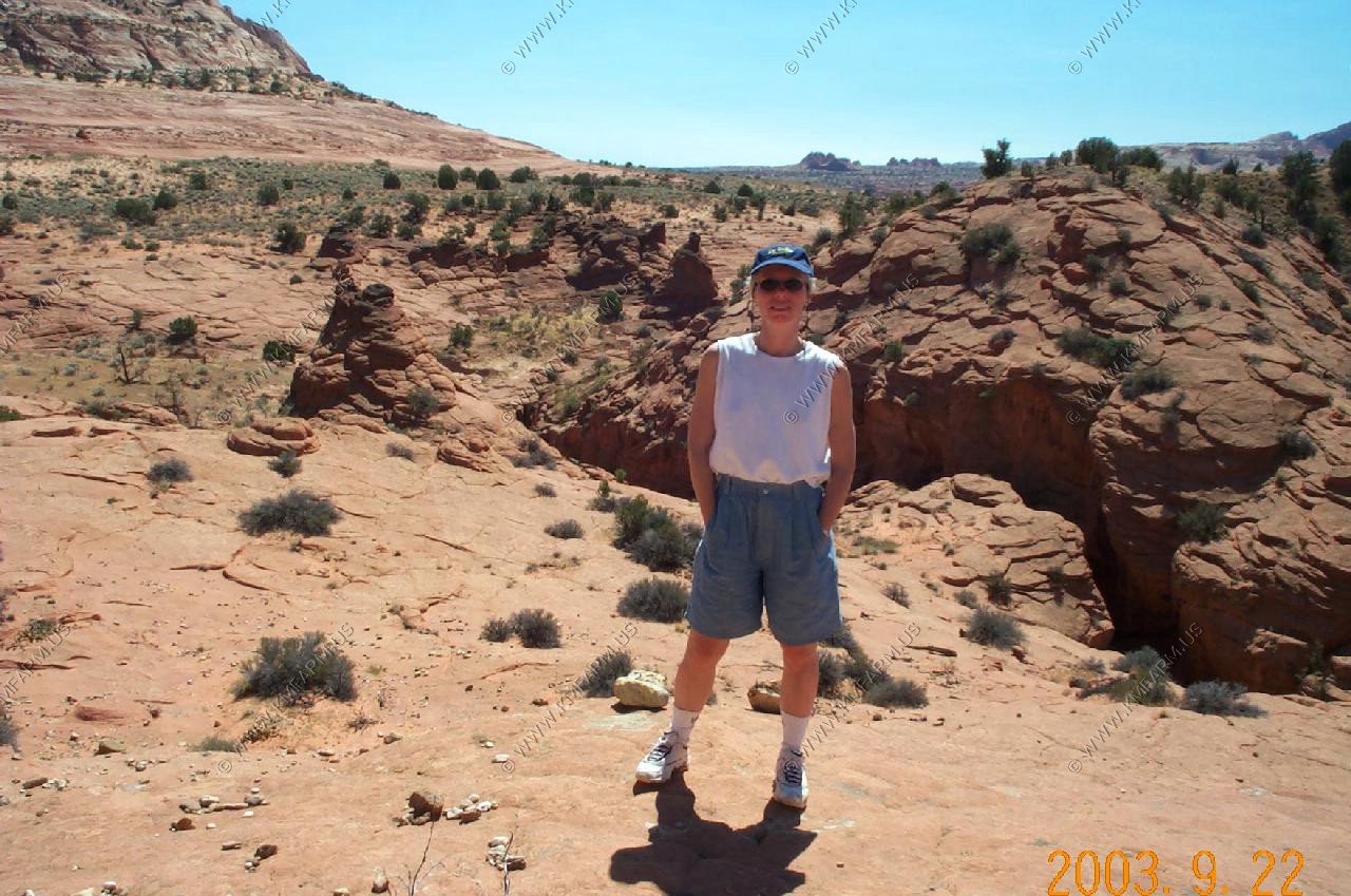
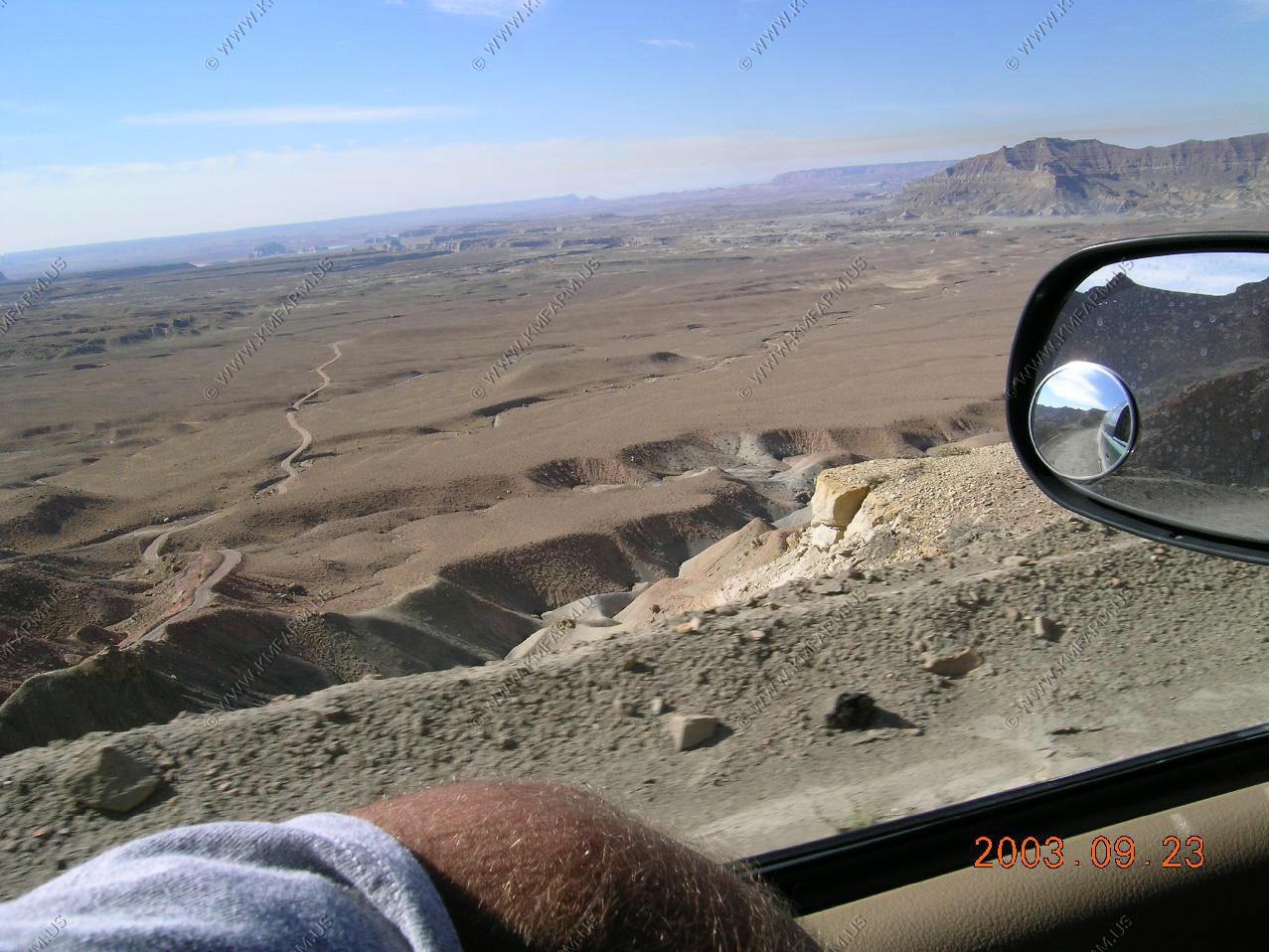
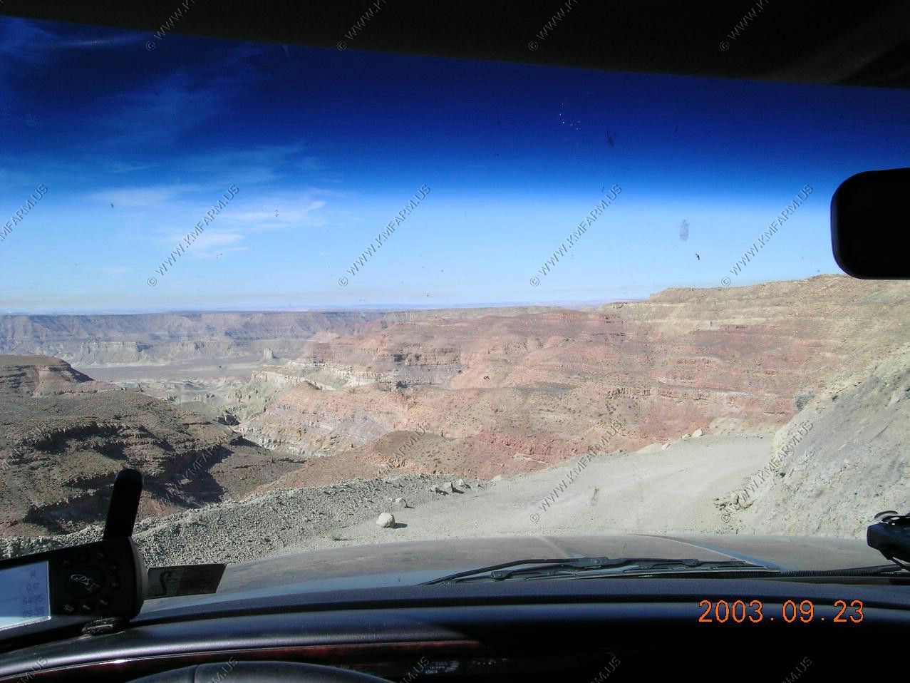
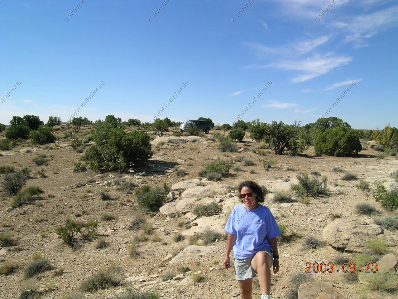
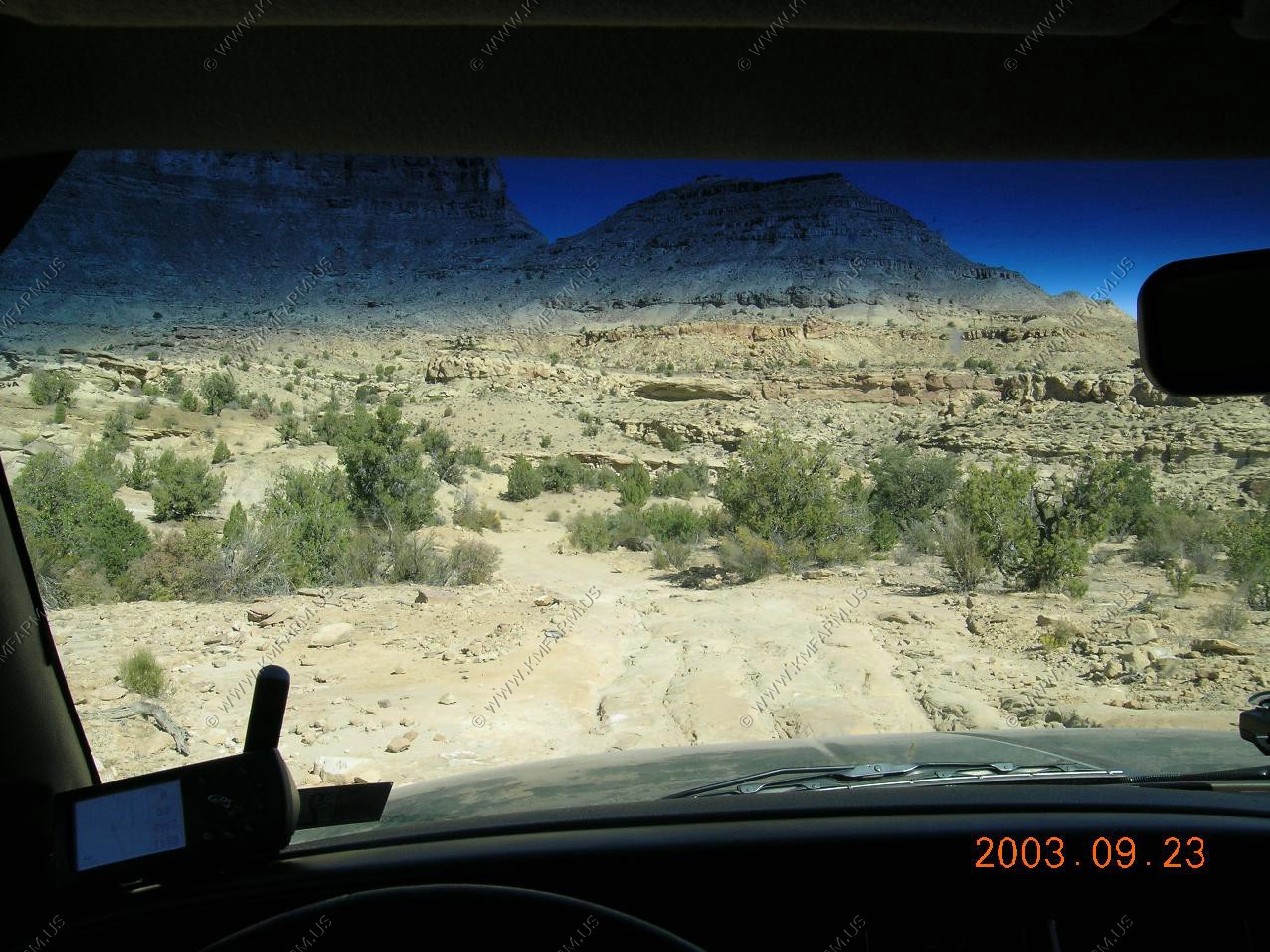
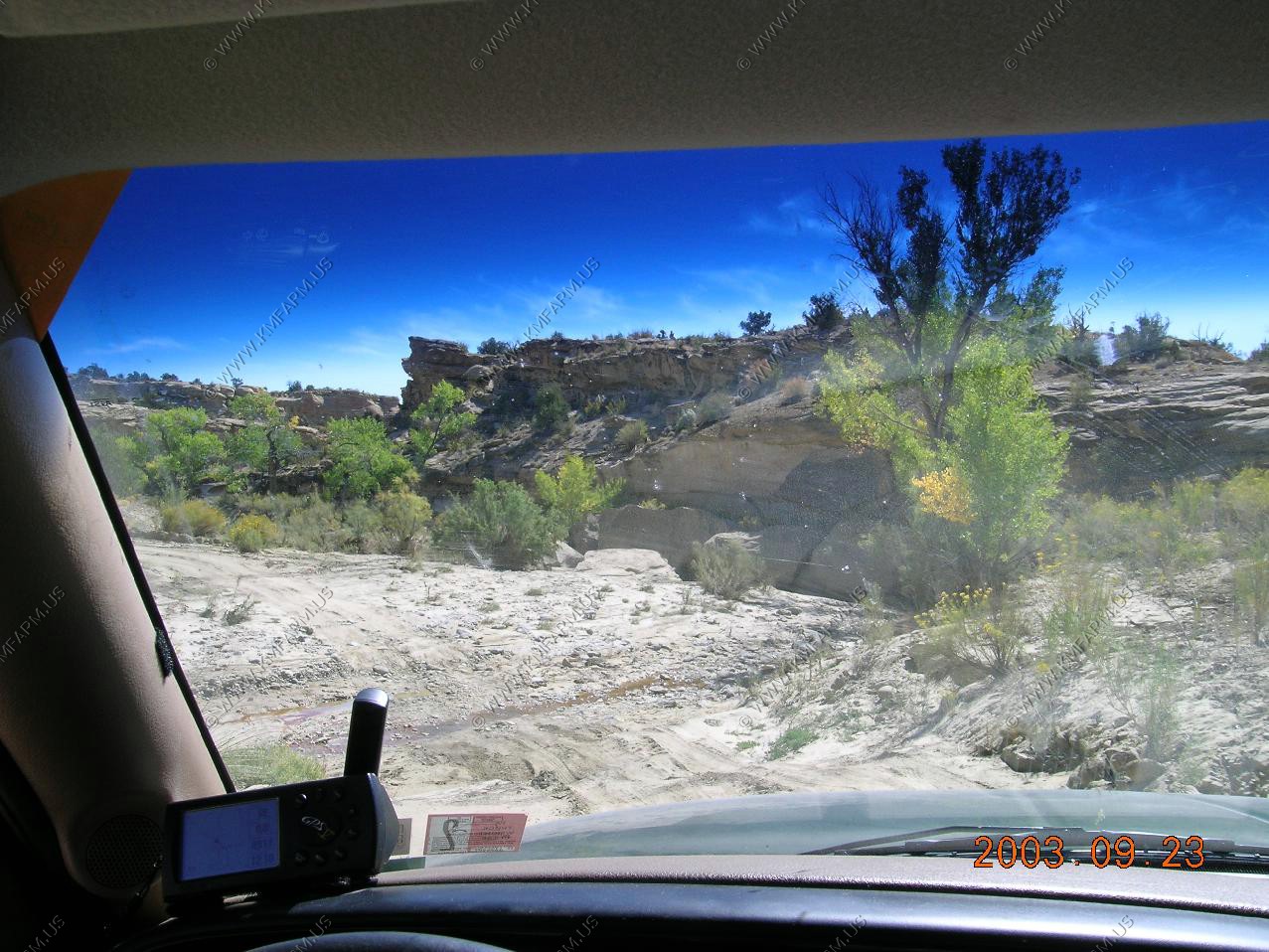
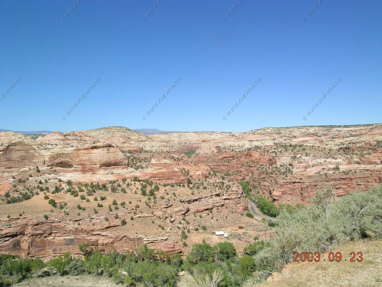
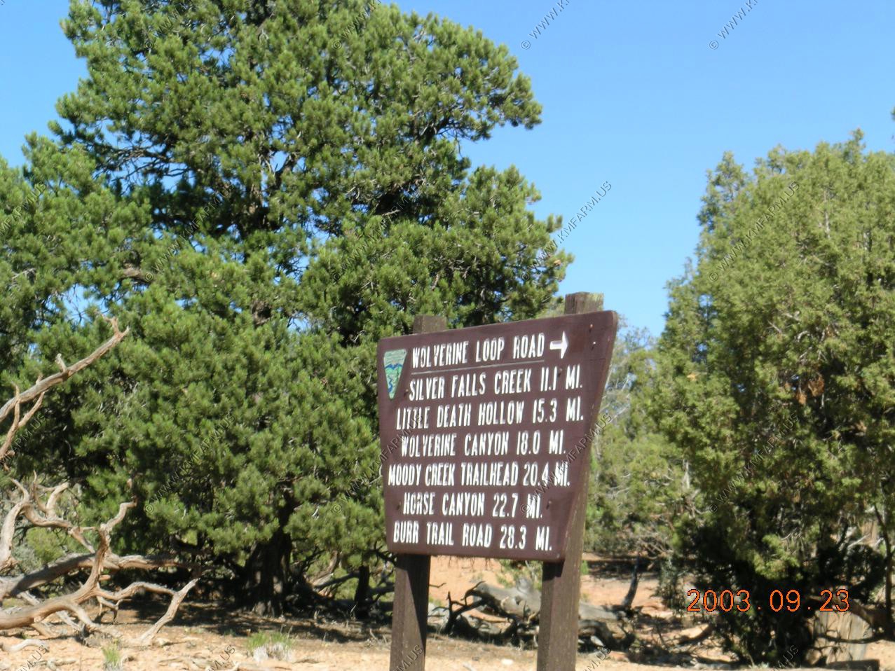
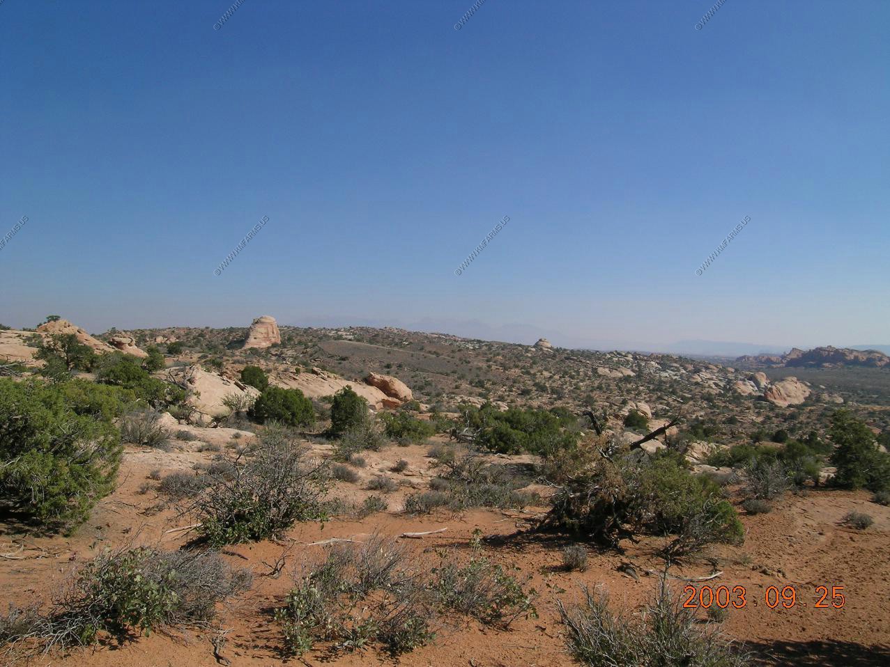
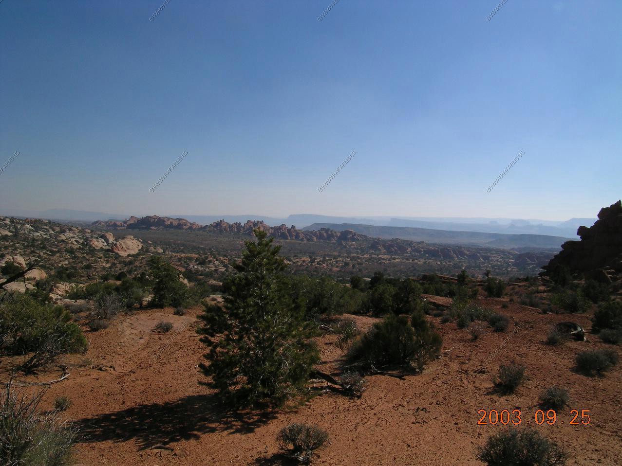
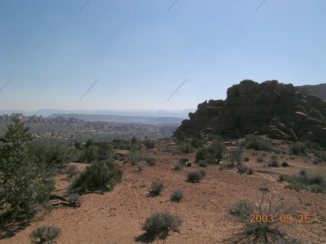
South East of Escalante, Utah we headed down Hole in the rock Road
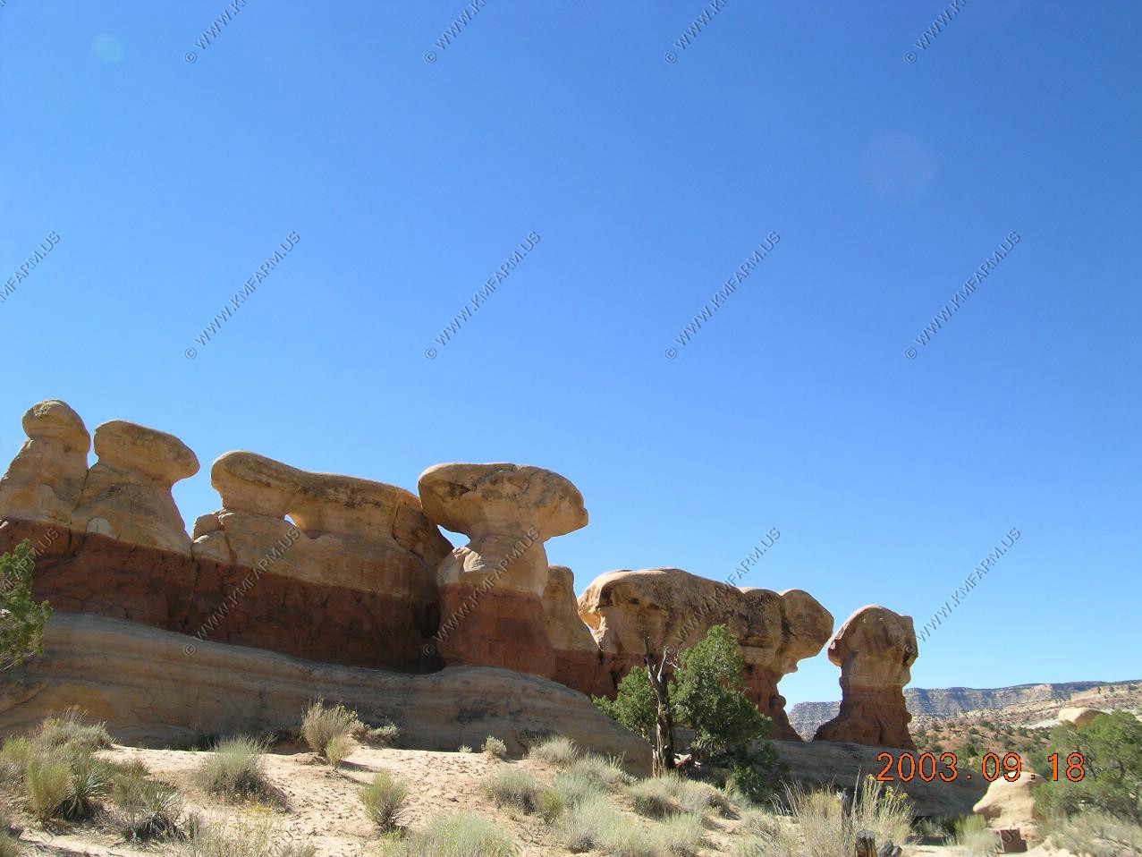
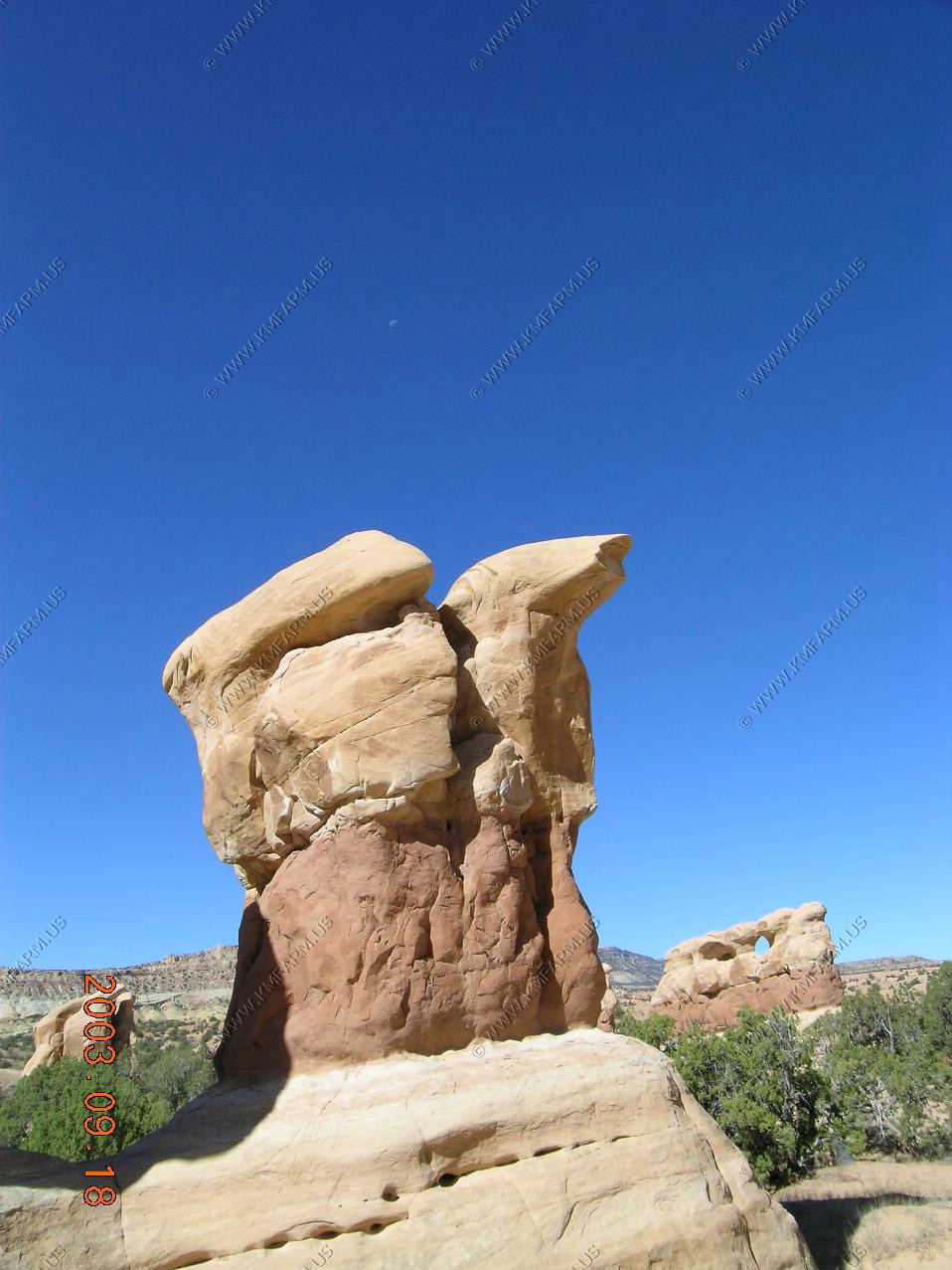
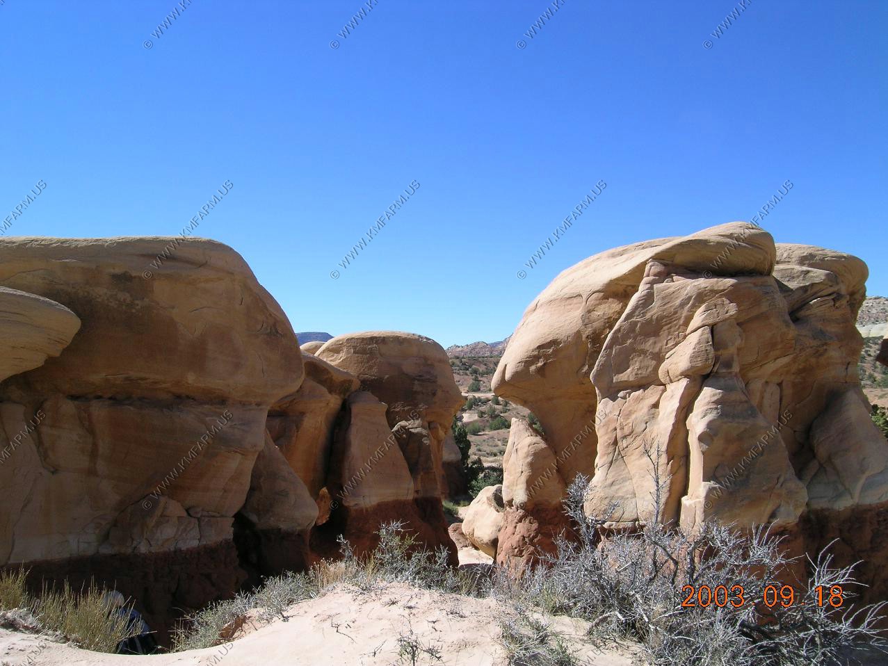
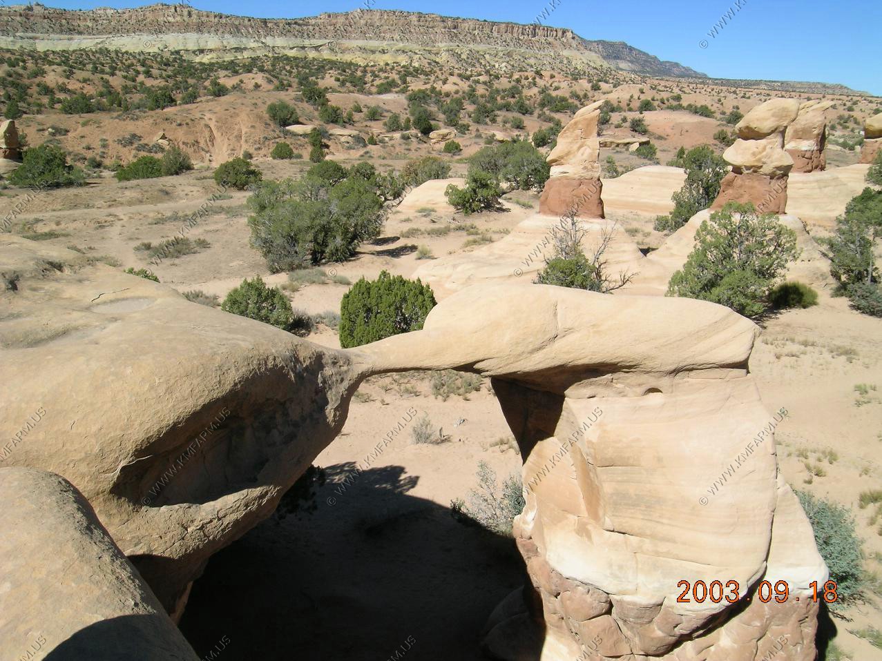
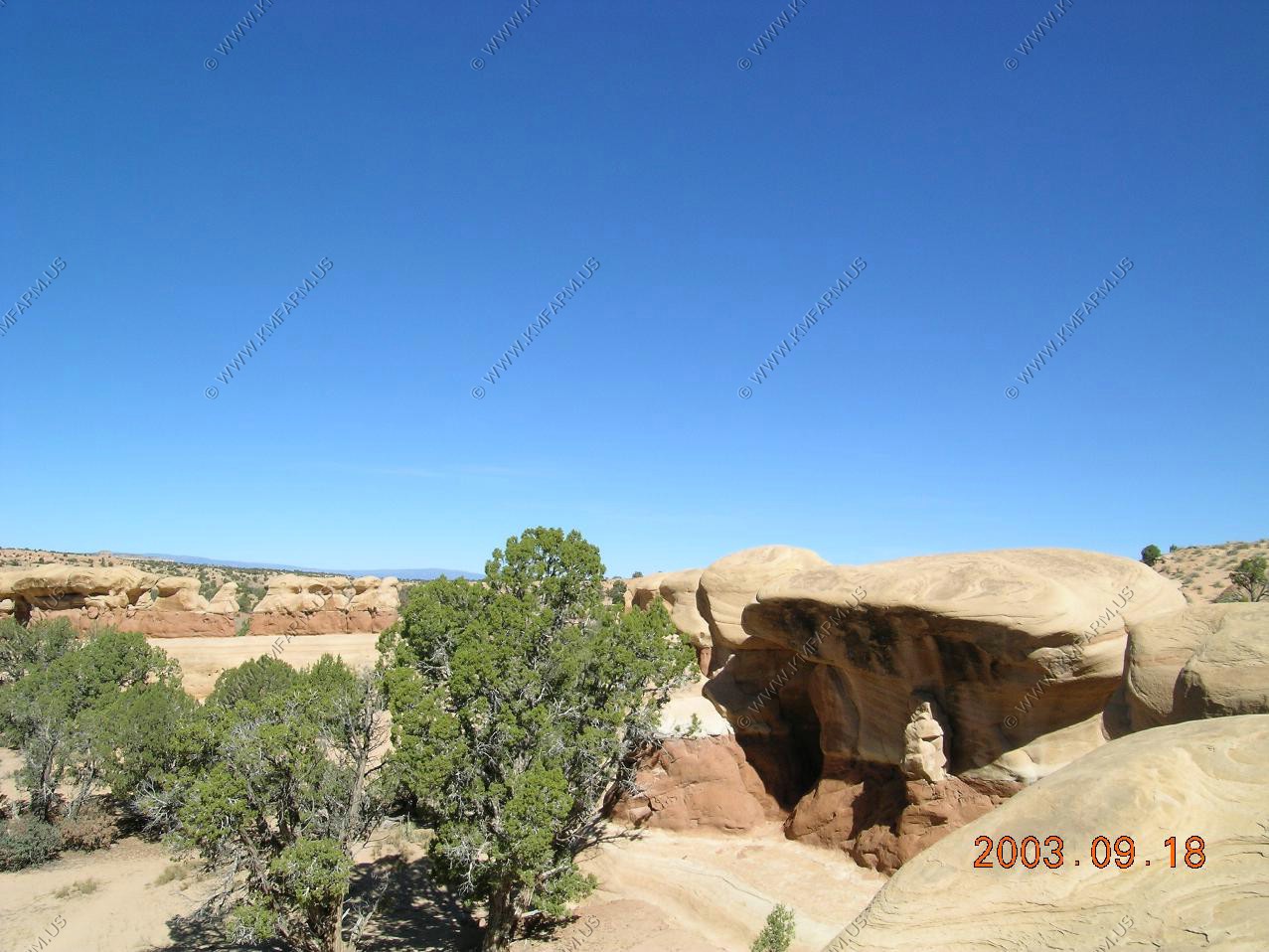
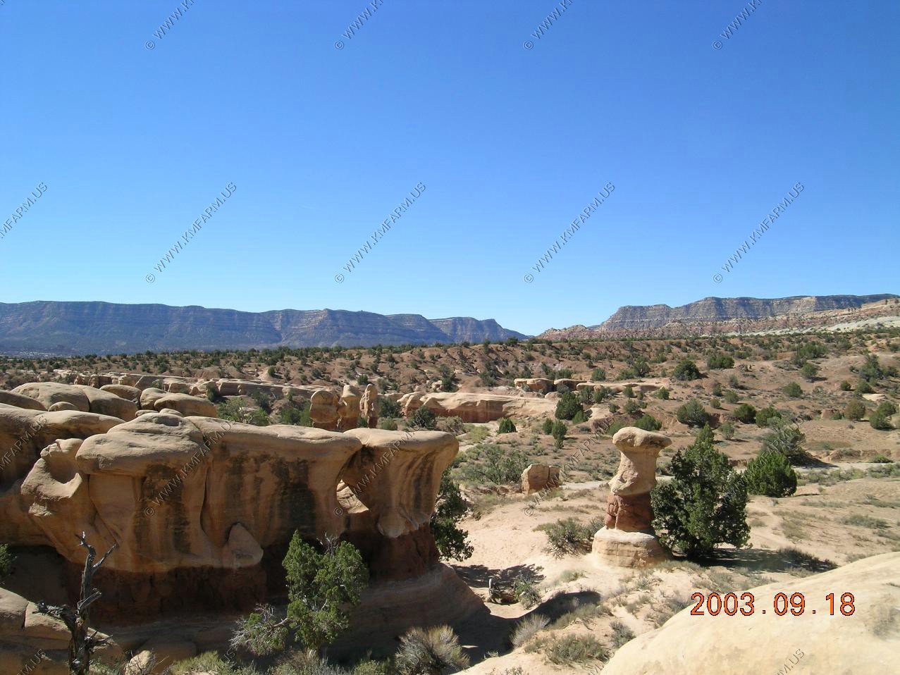
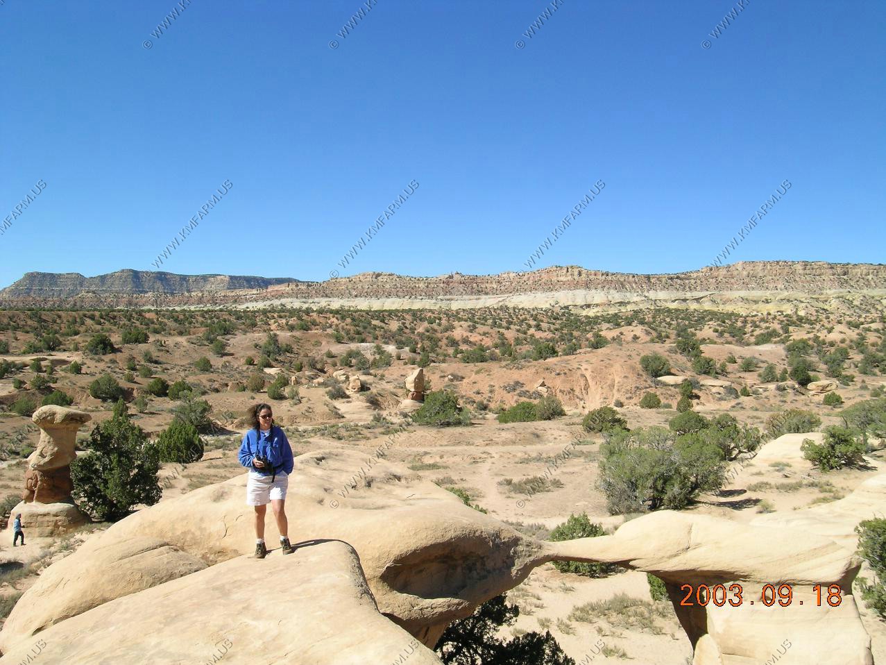
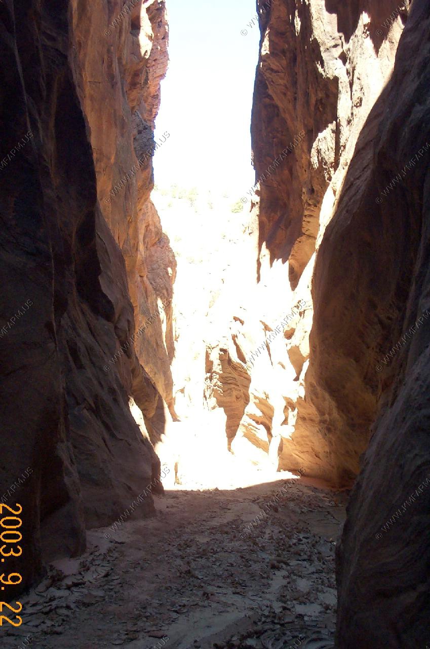
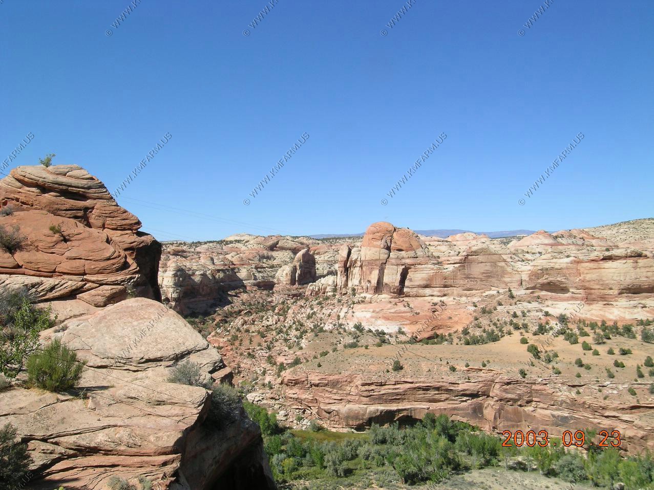
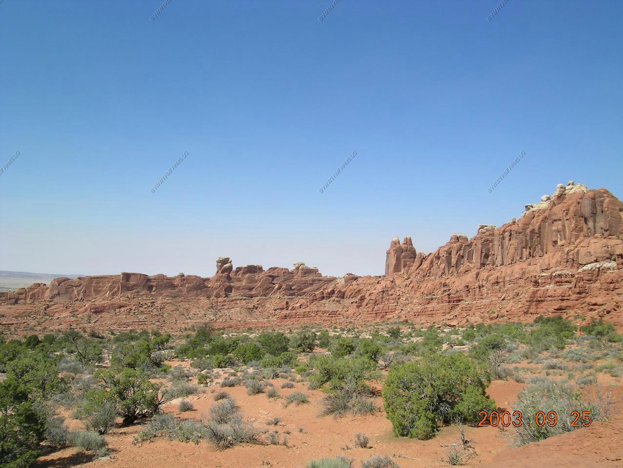
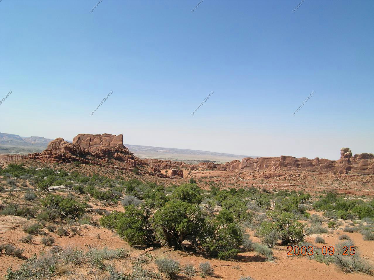
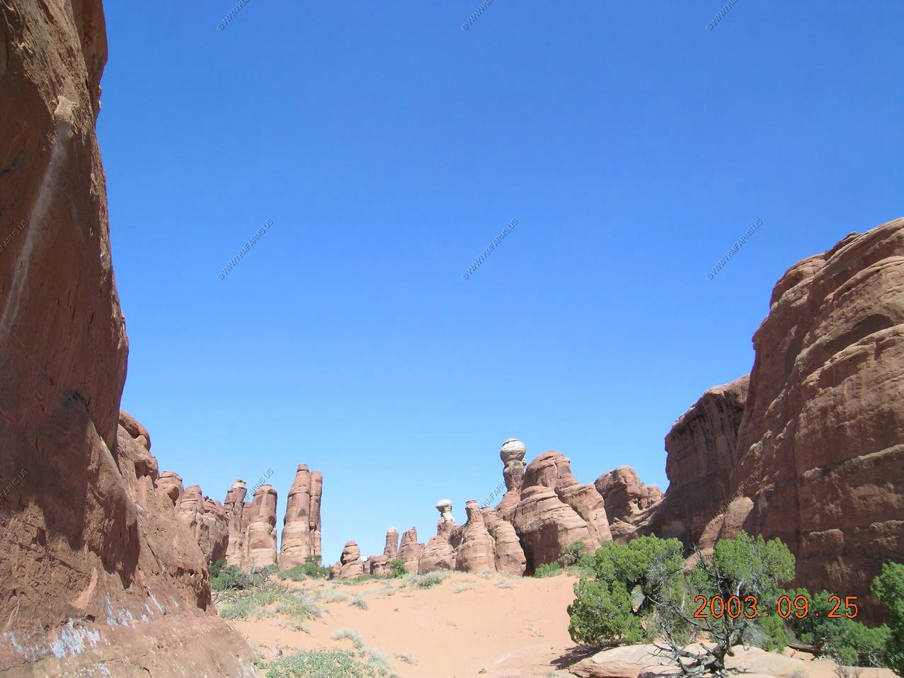
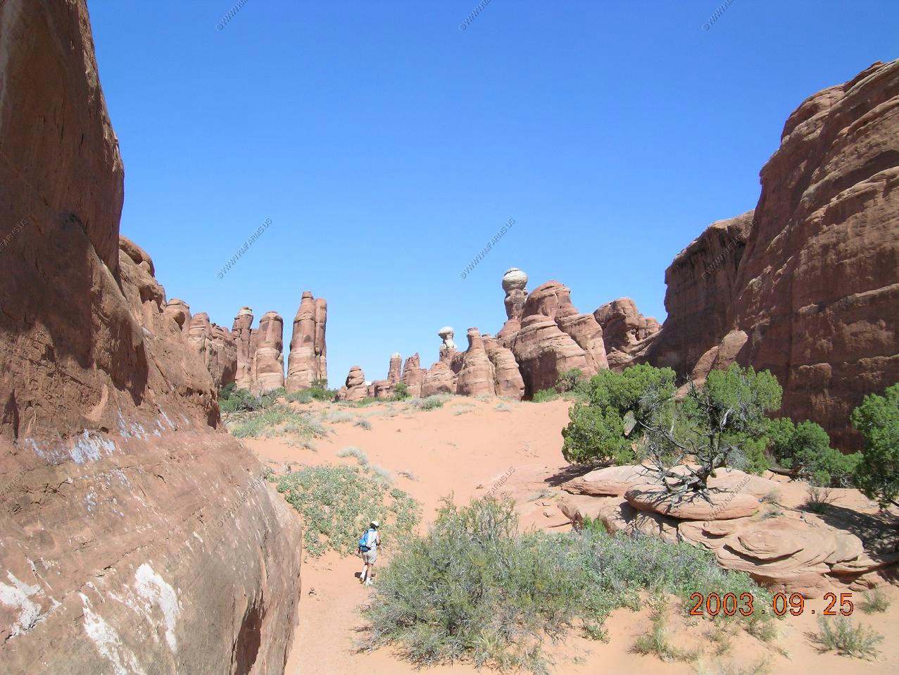
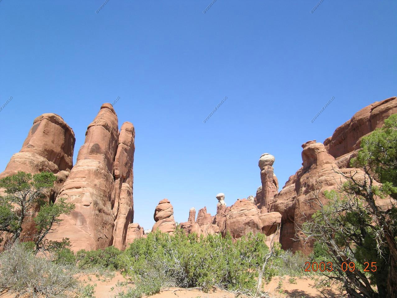
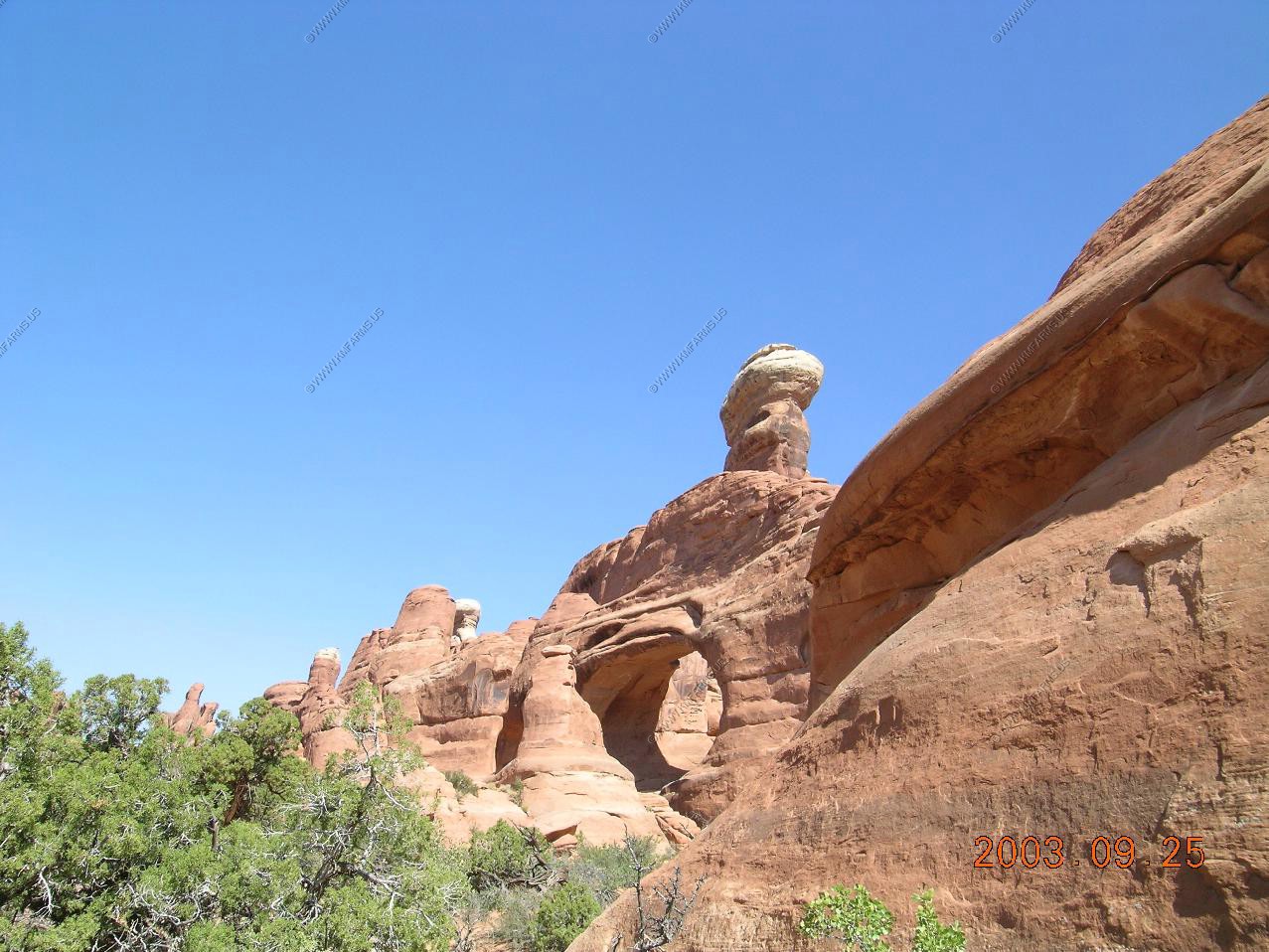
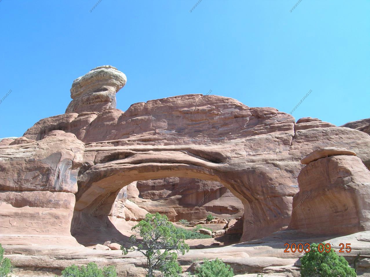
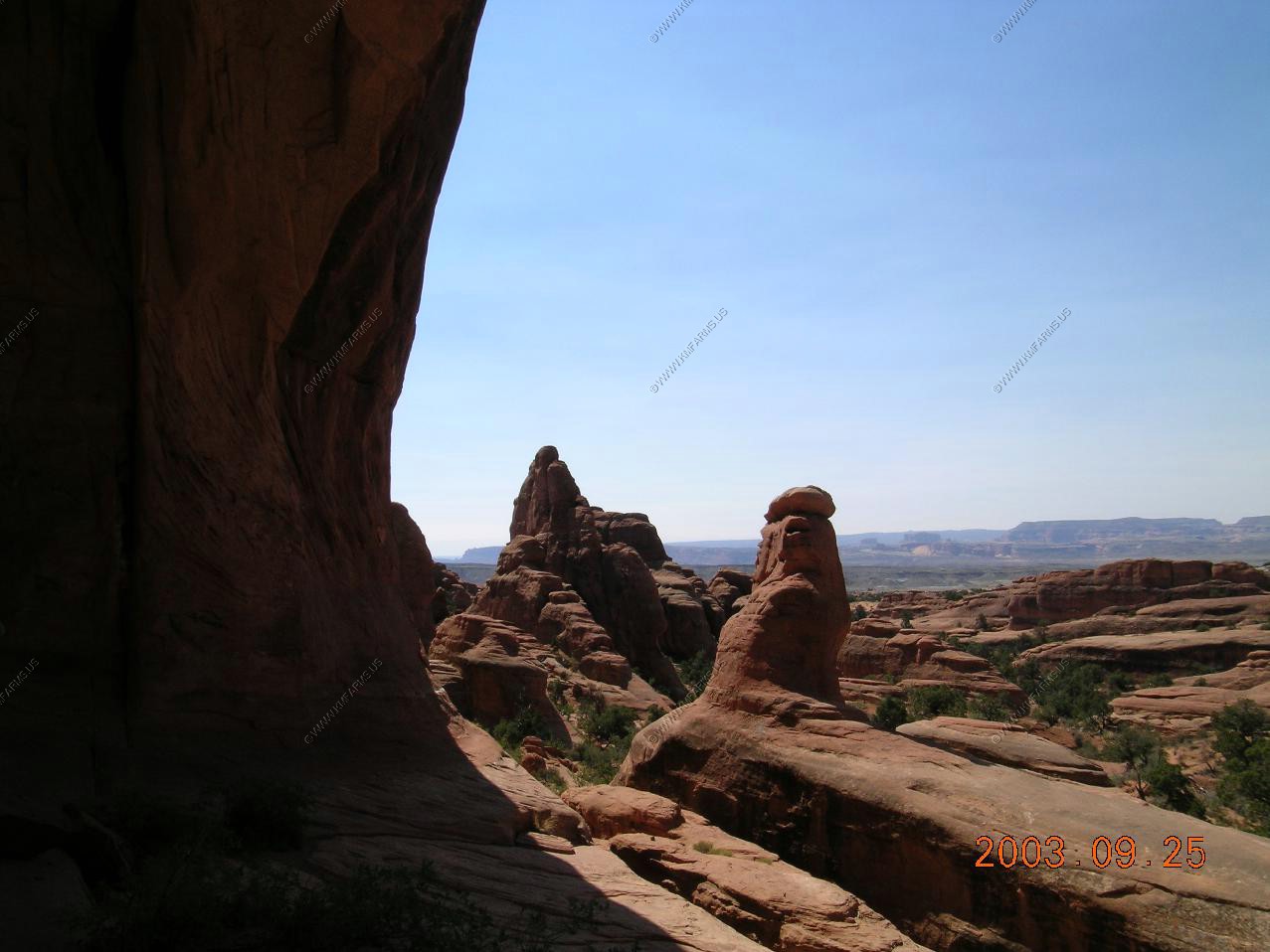
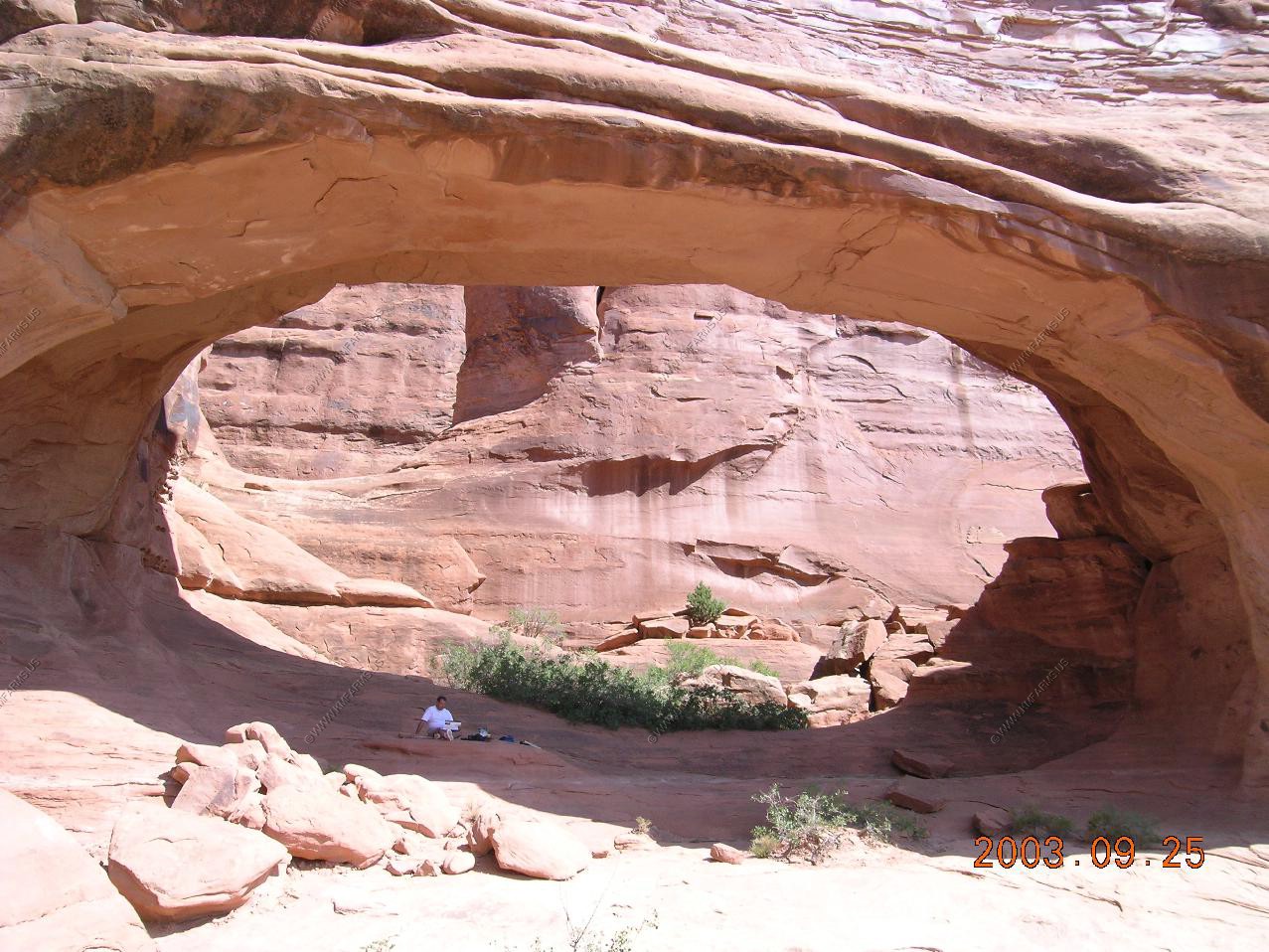
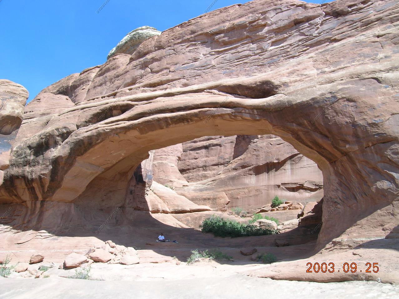
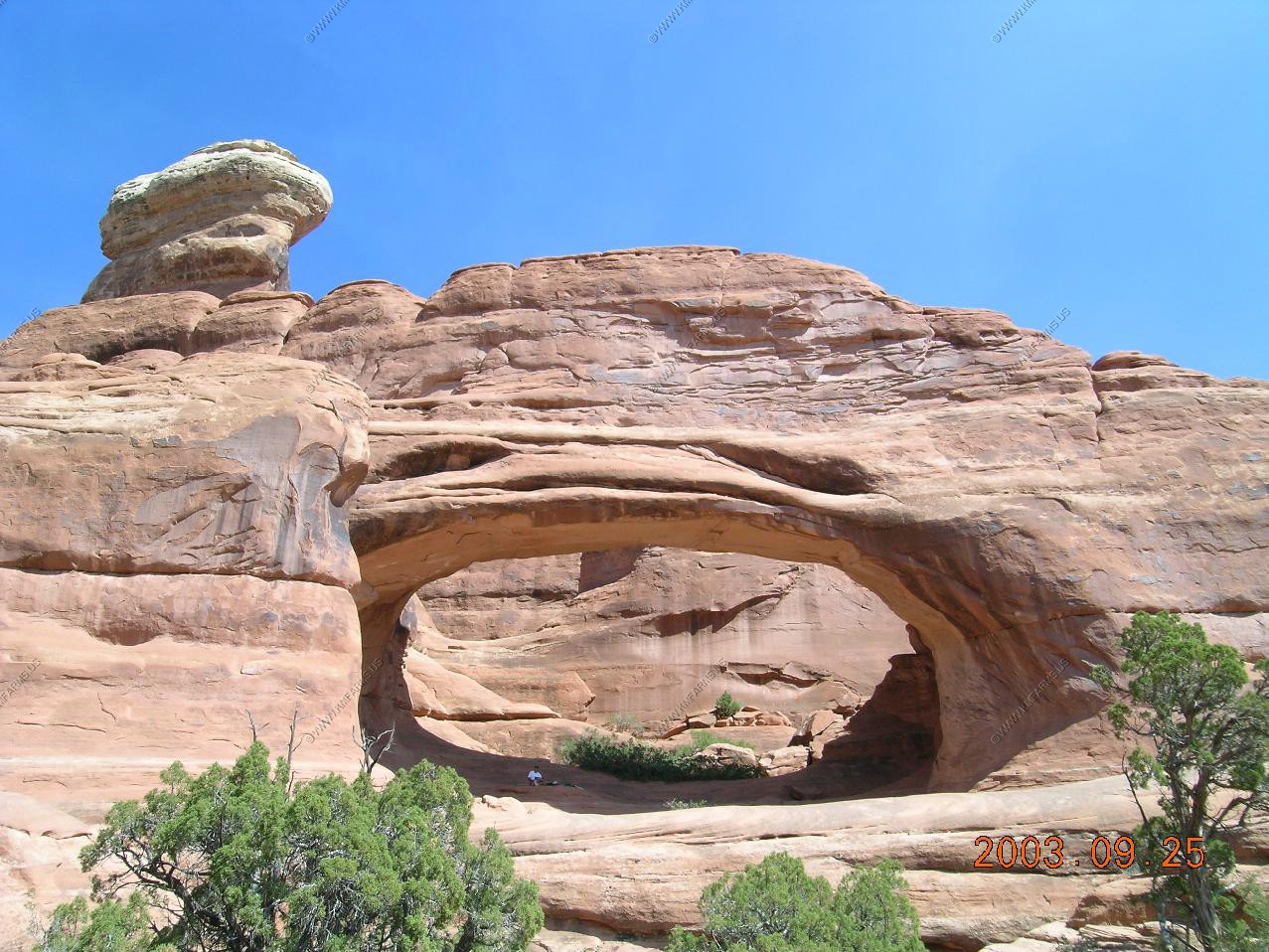
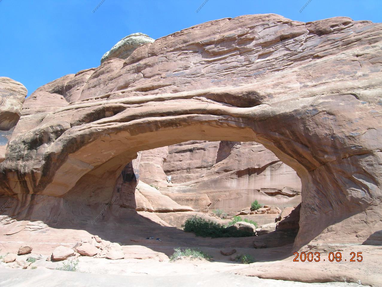
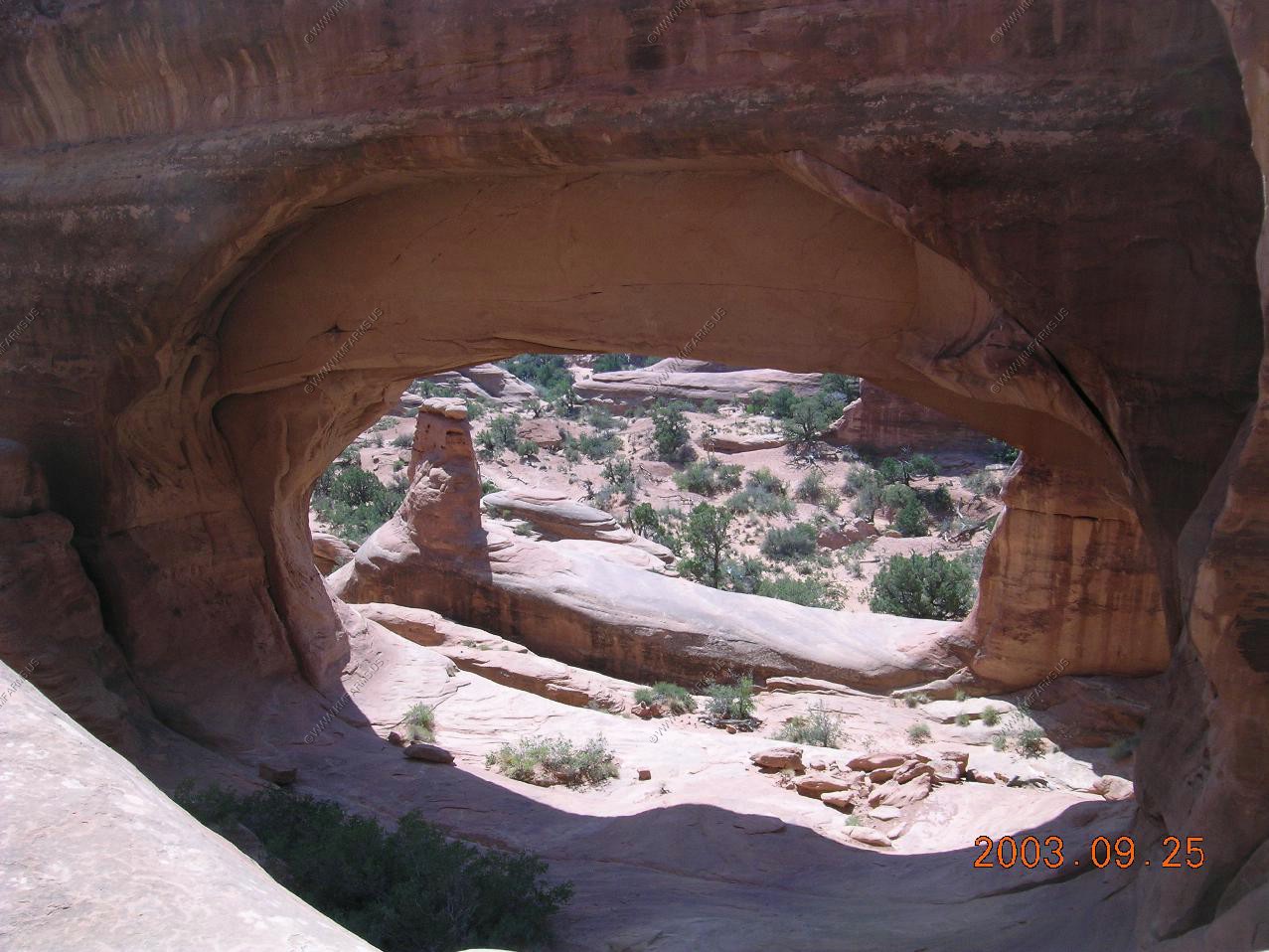
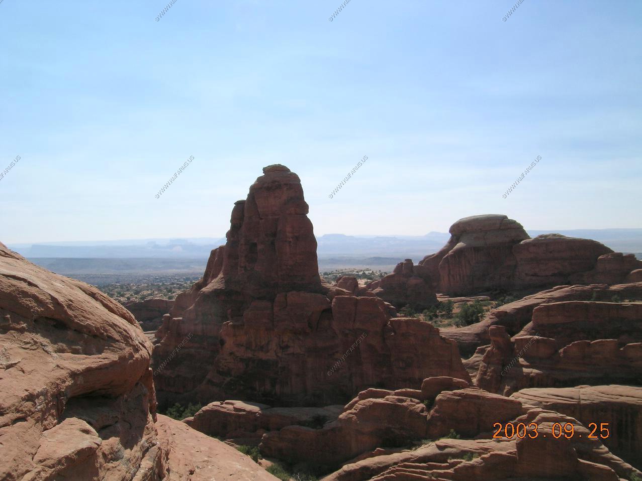
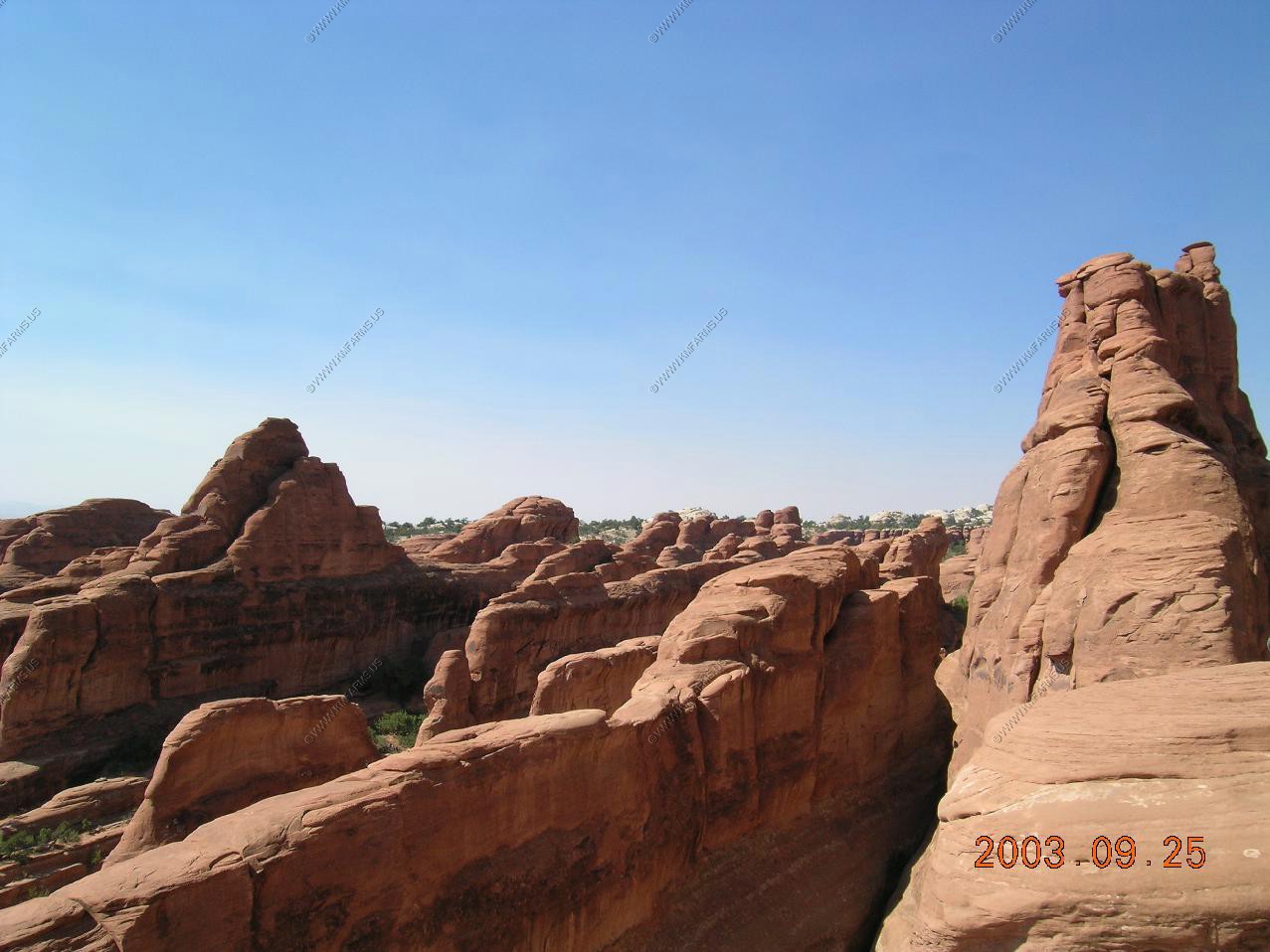
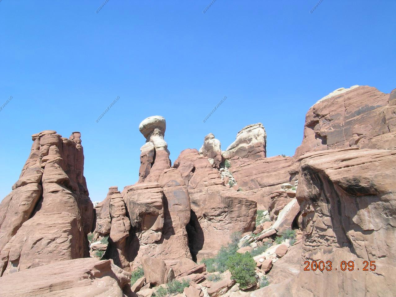
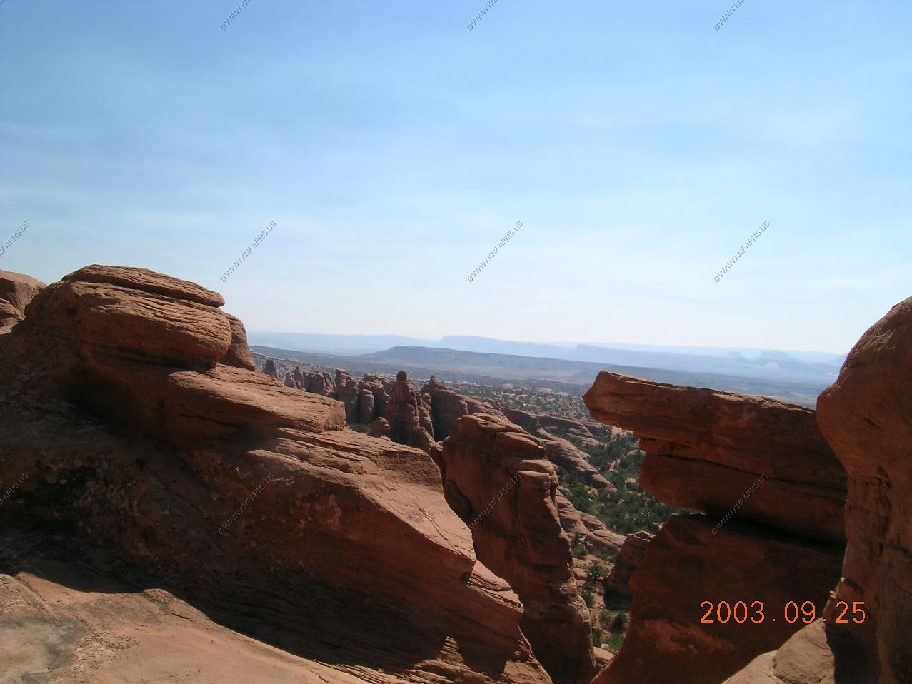
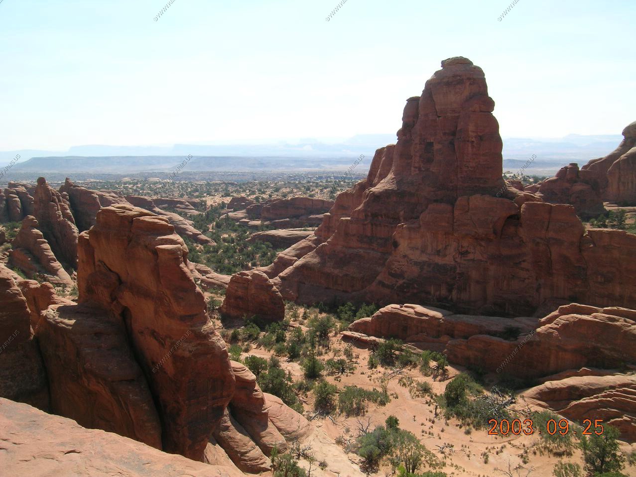
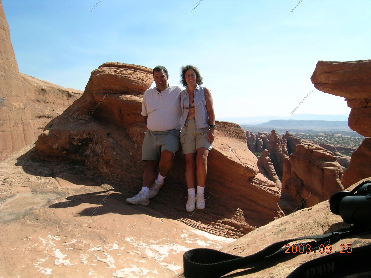
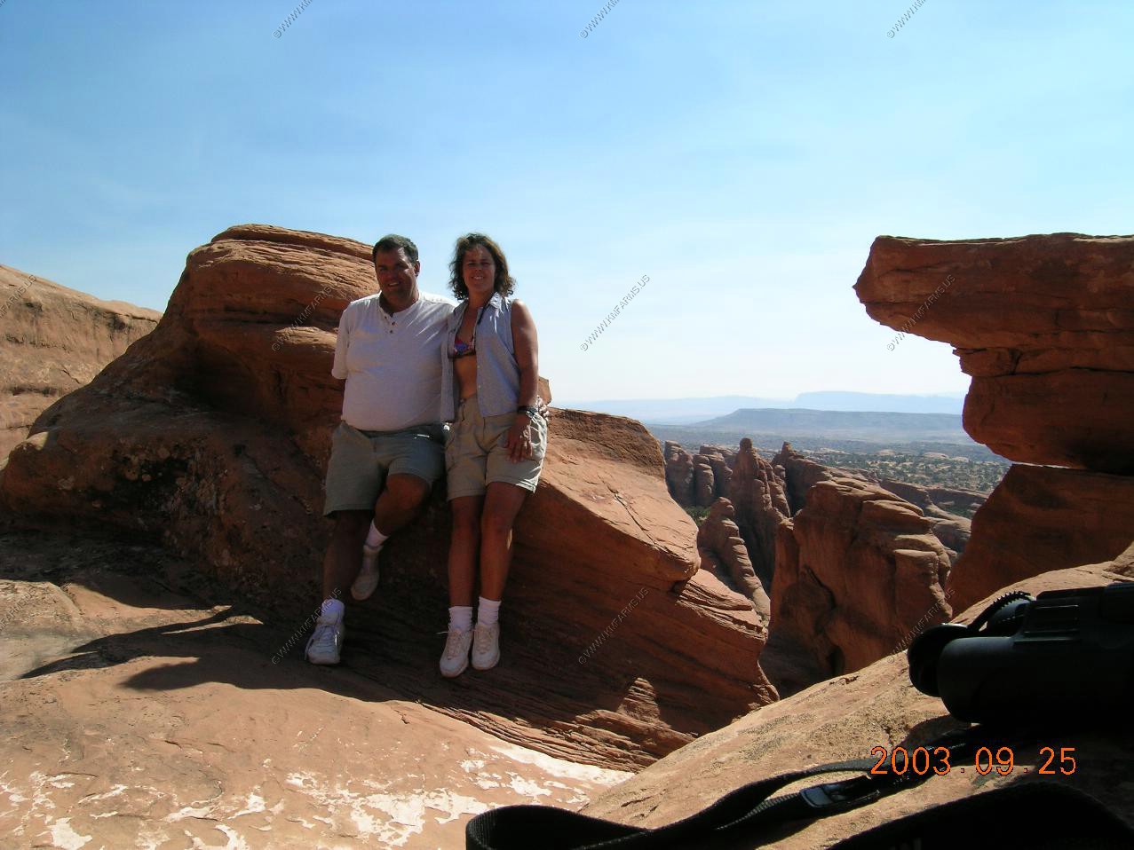
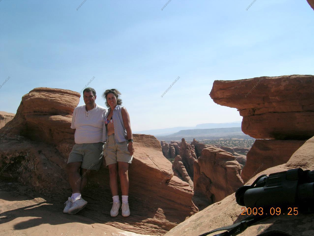
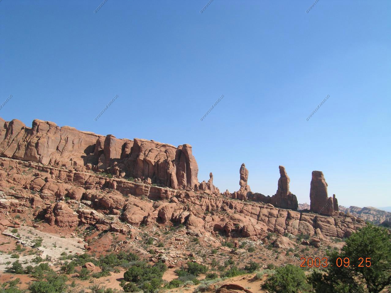
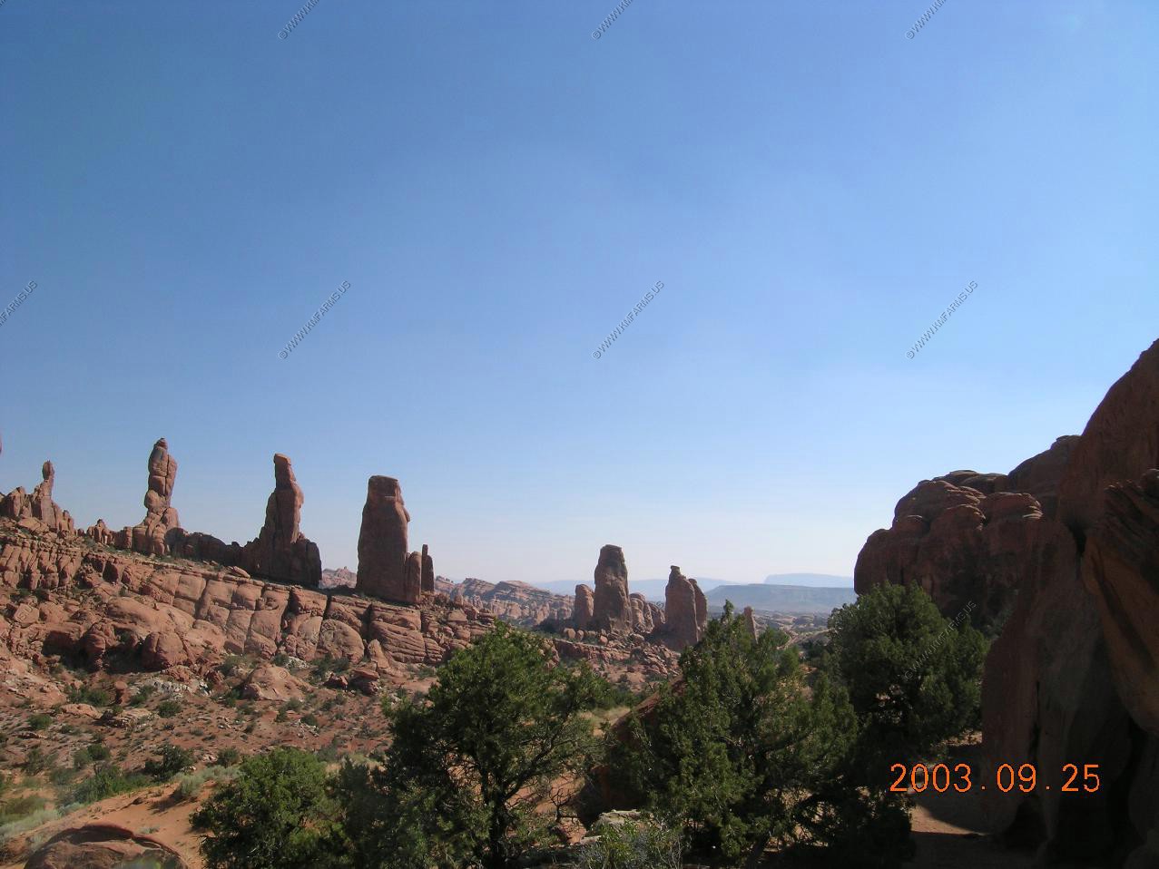
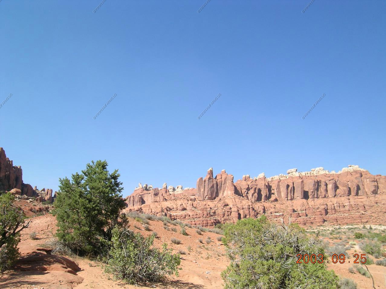
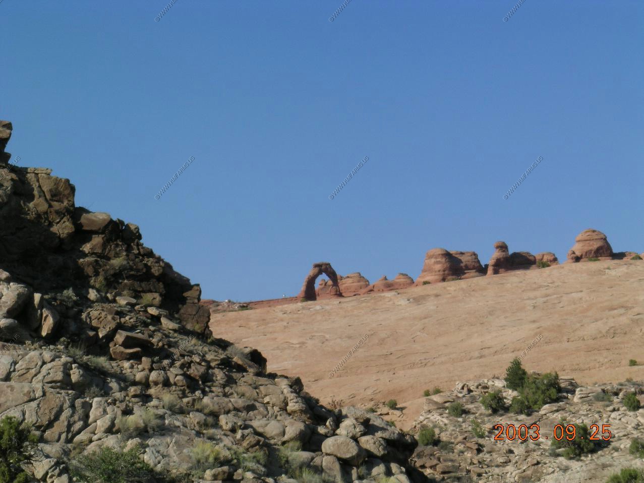
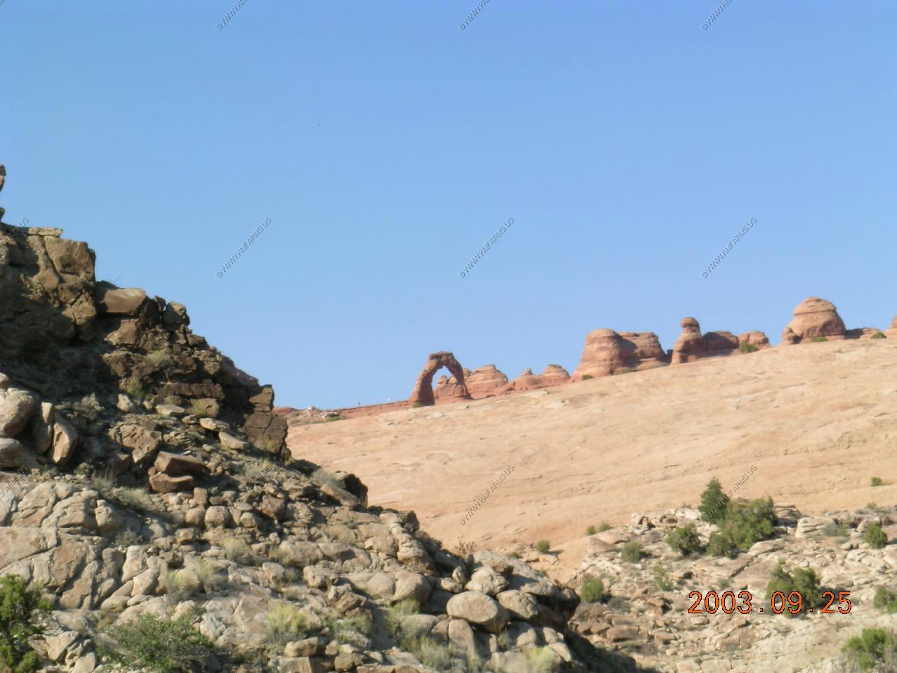
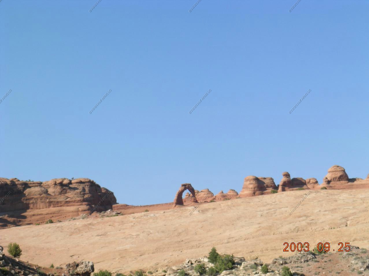
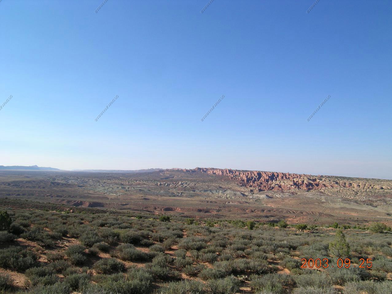
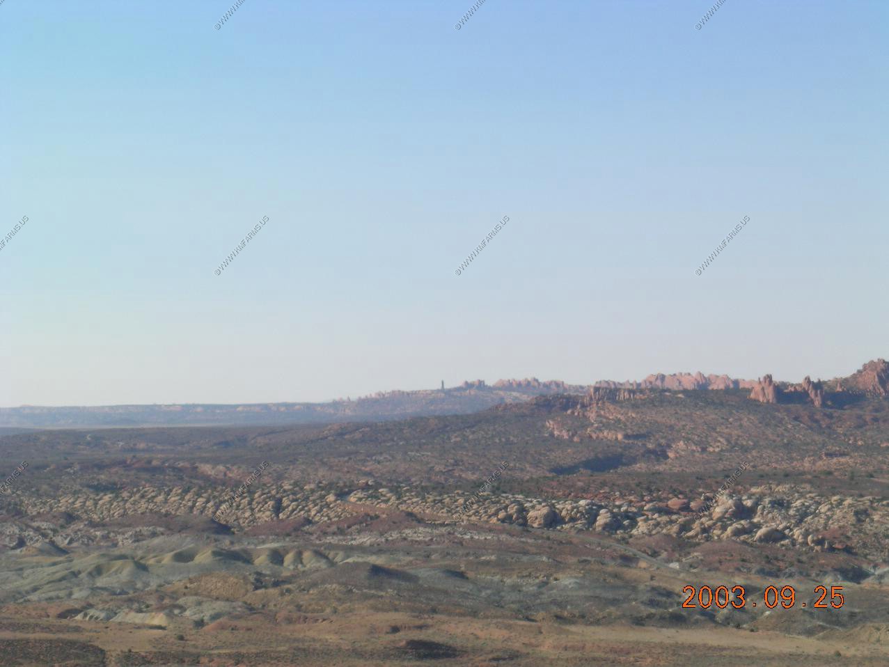
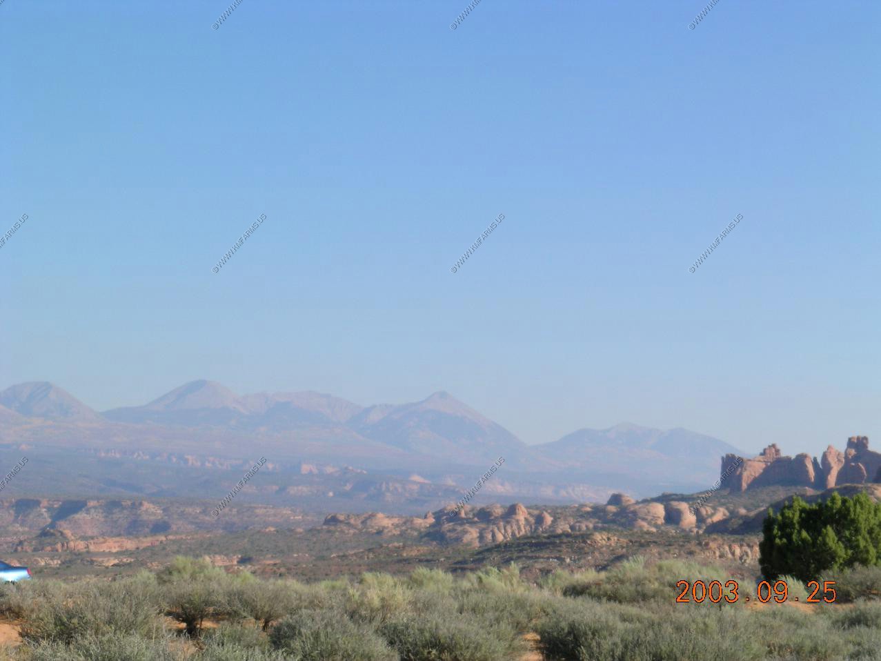
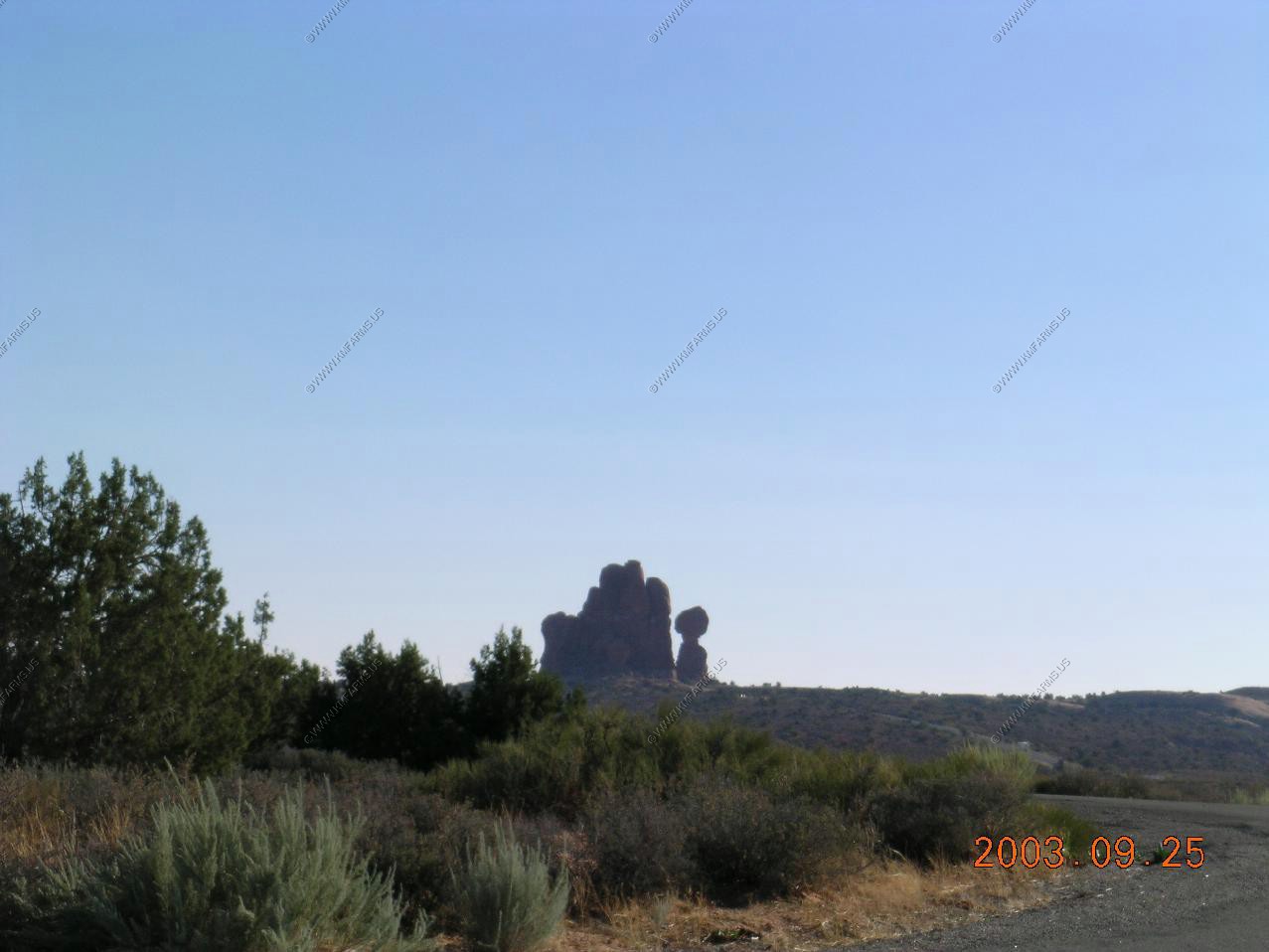
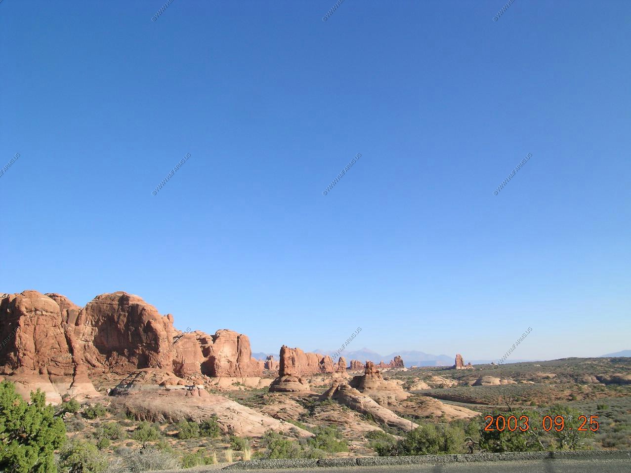
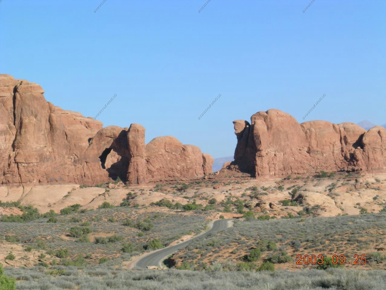
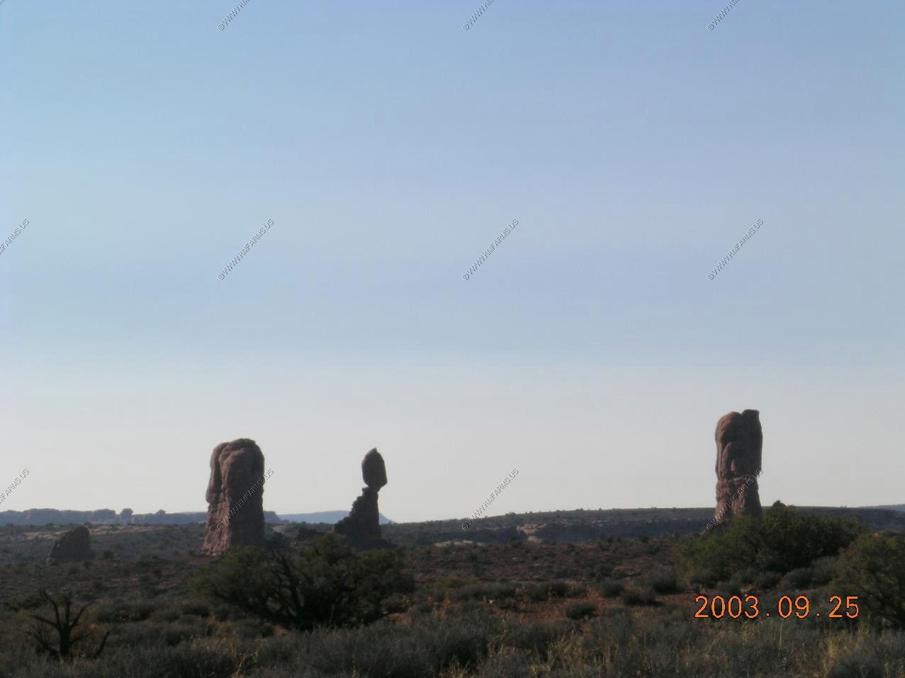
We stopped at Devils Garden


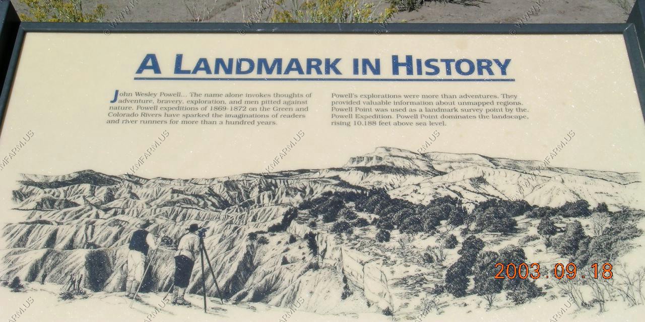
A look at Powell Point (EL. 10,188) This was used as a landmark survey point in 1869-1872

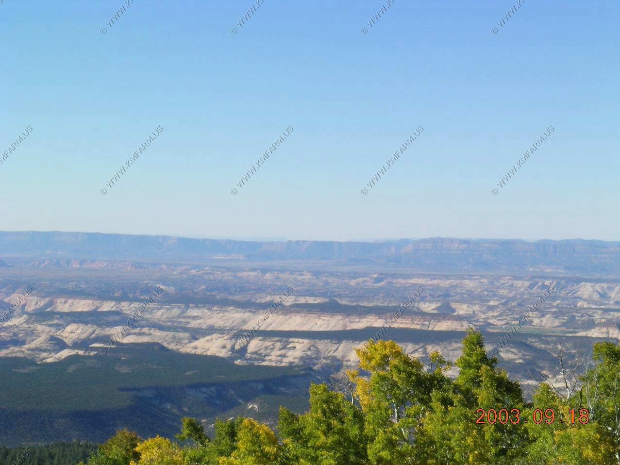
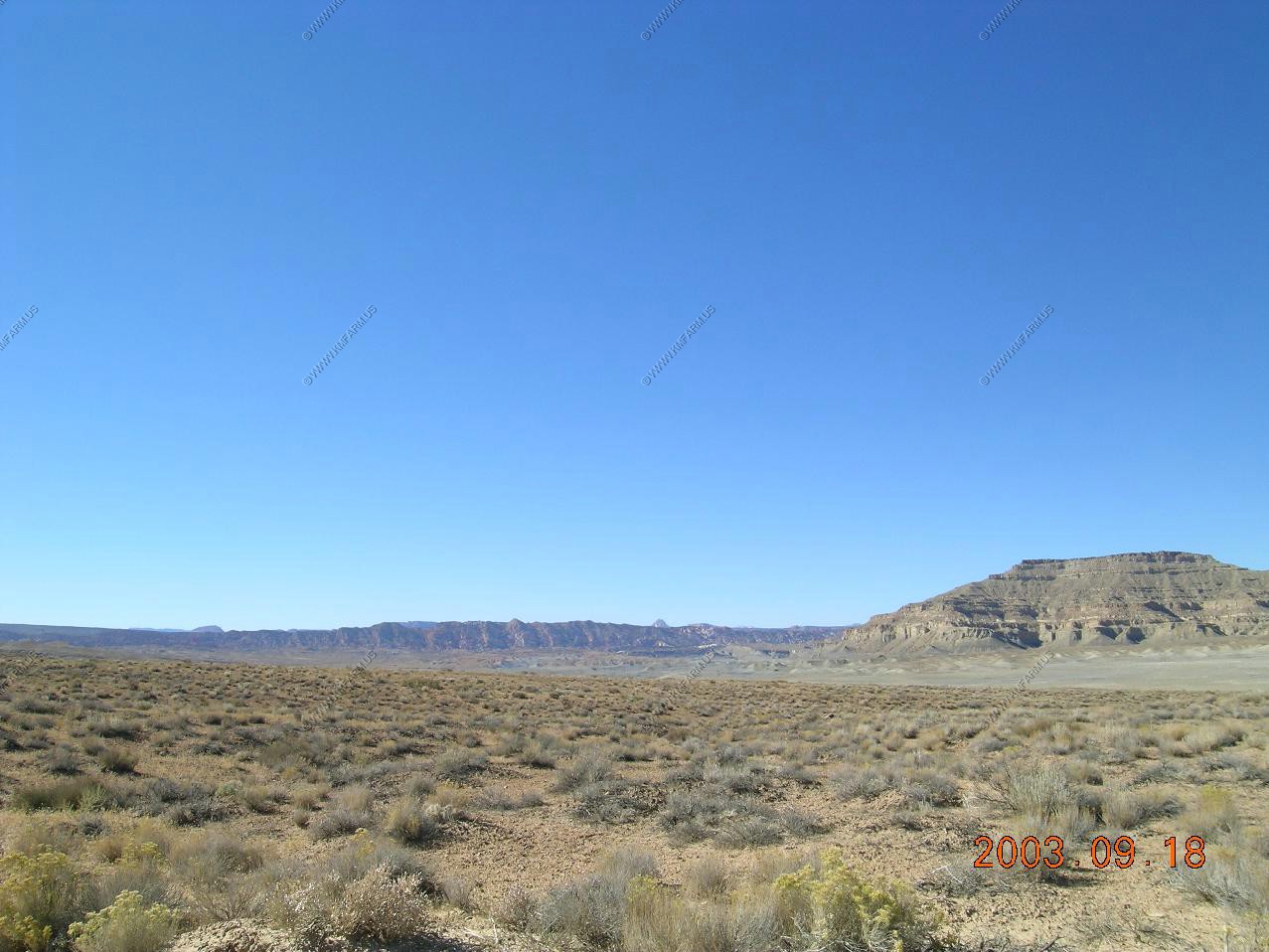
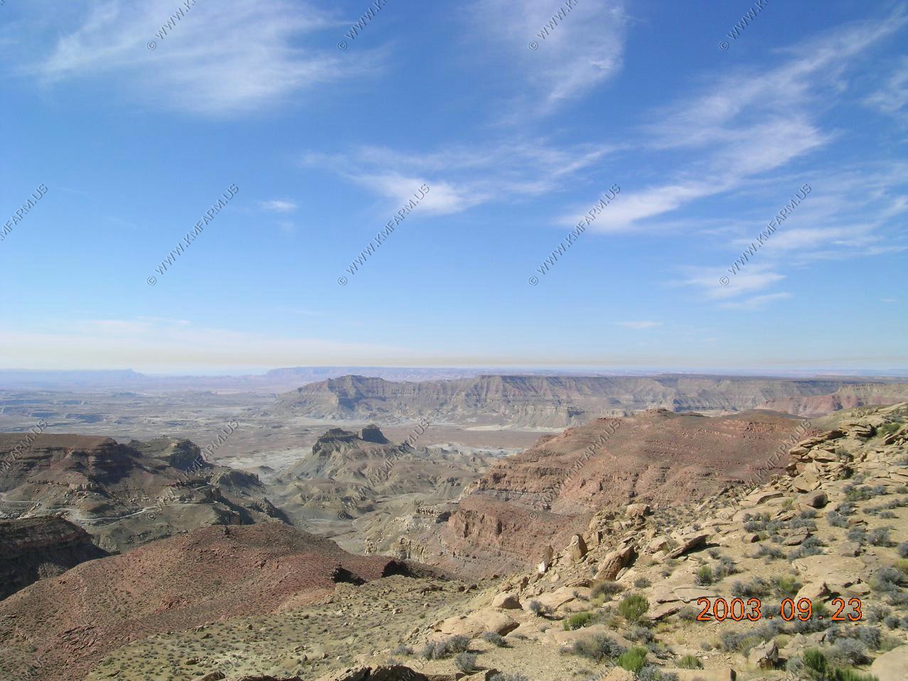
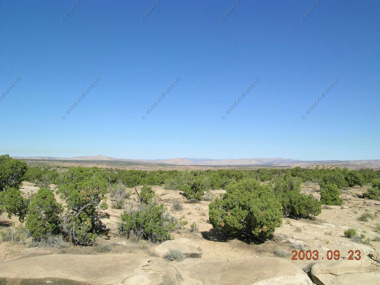
Looking West towards Bryce Canyon National Park
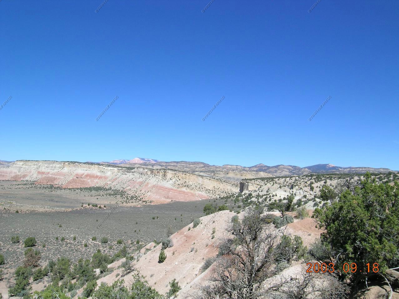
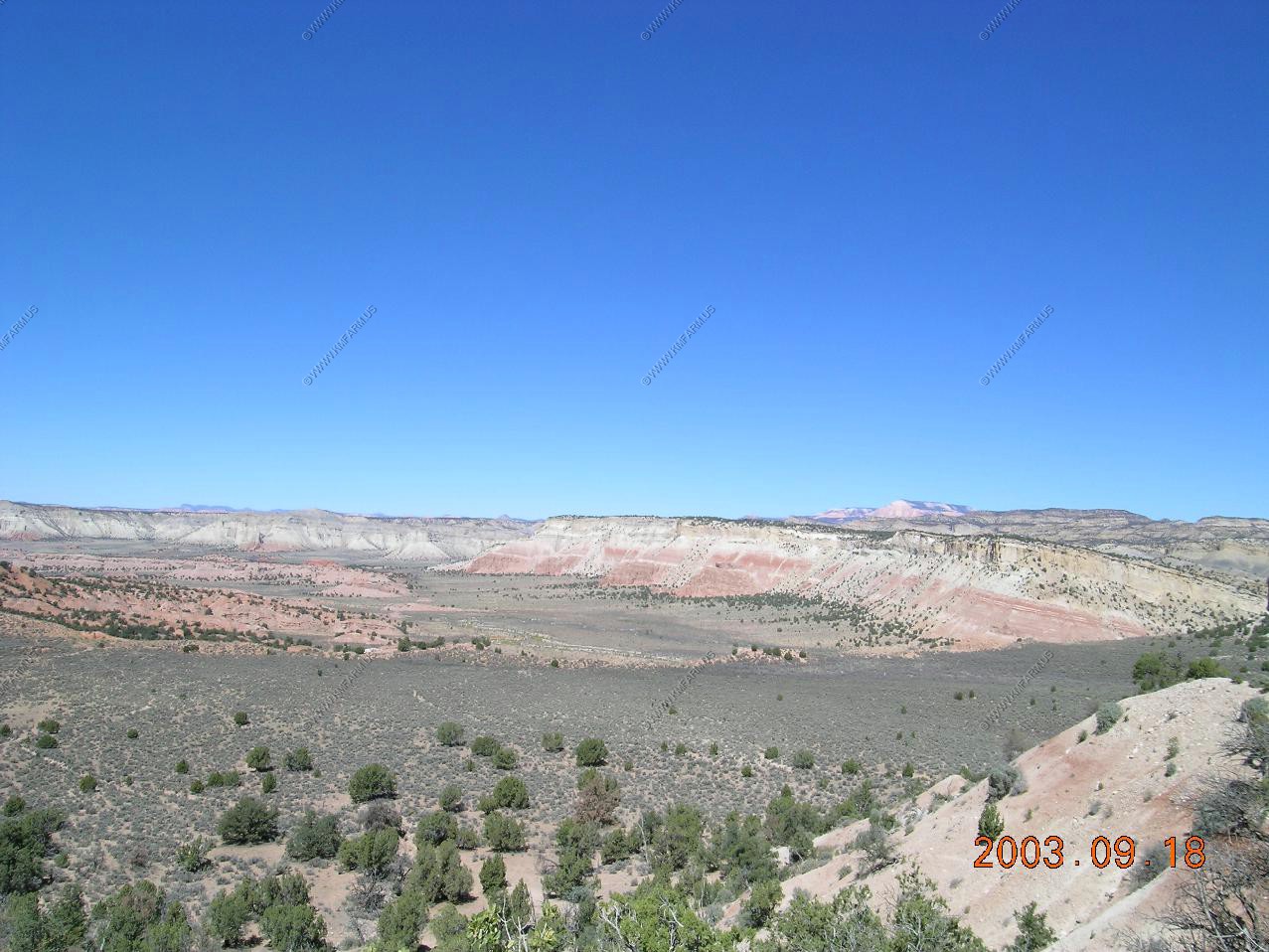
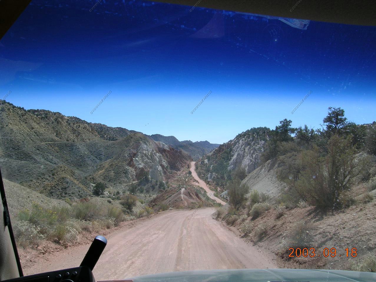
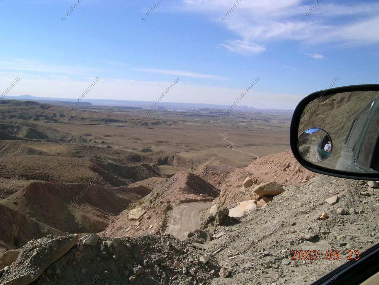
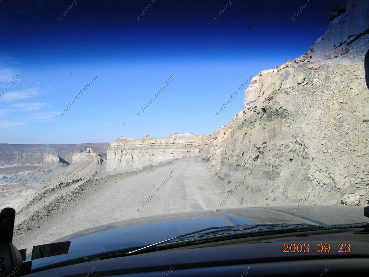
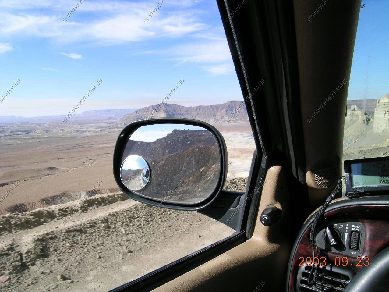
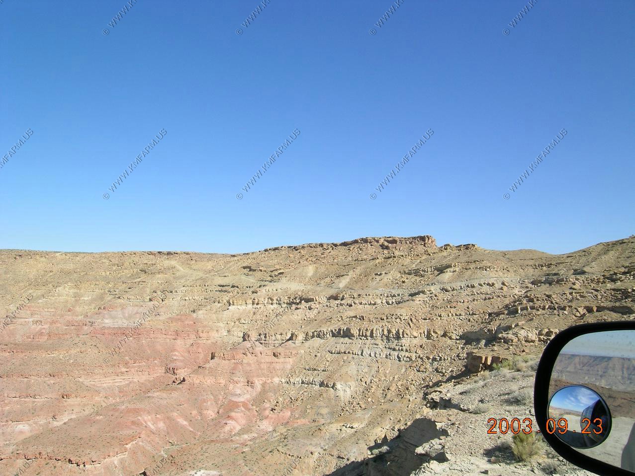
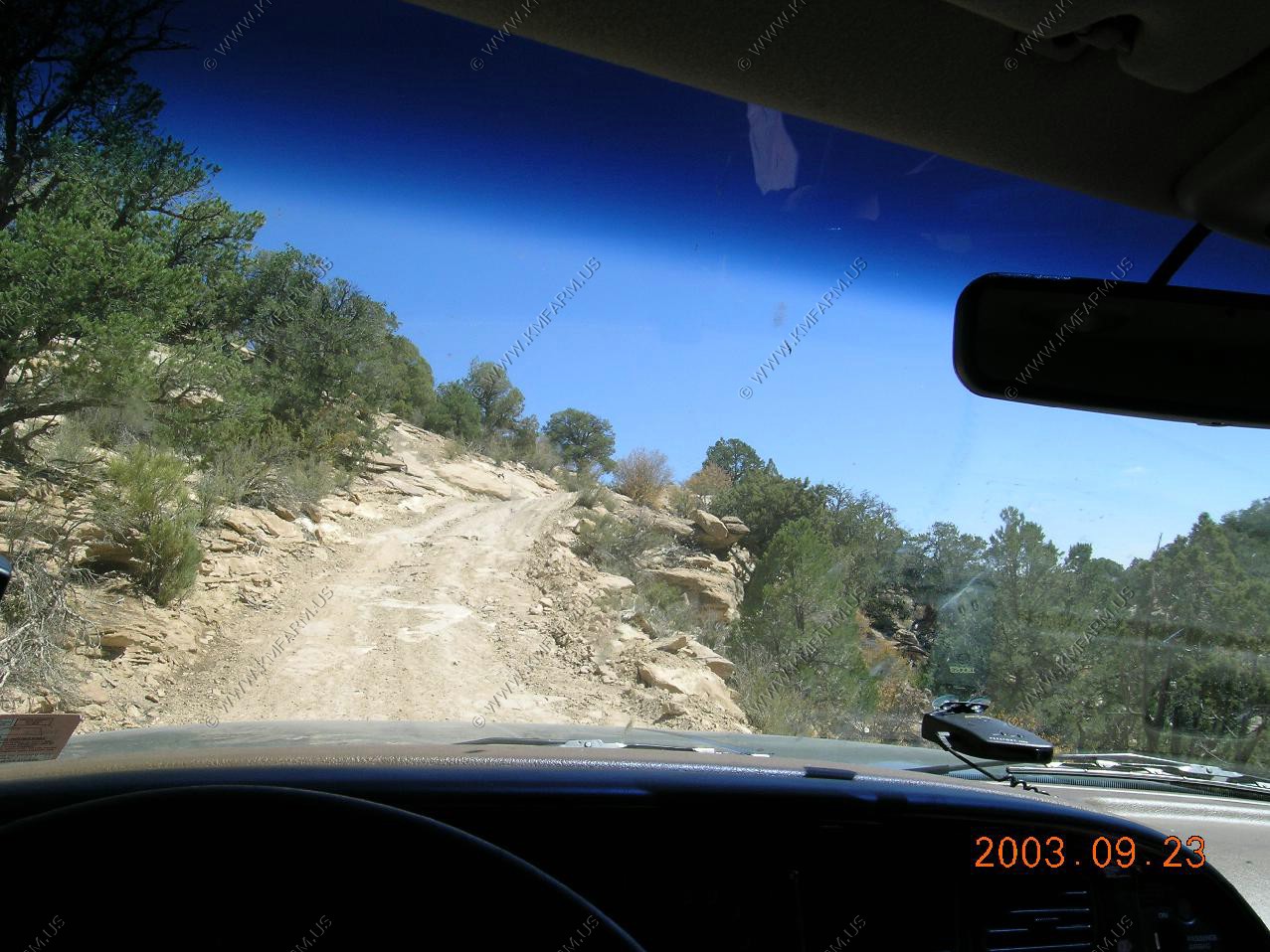
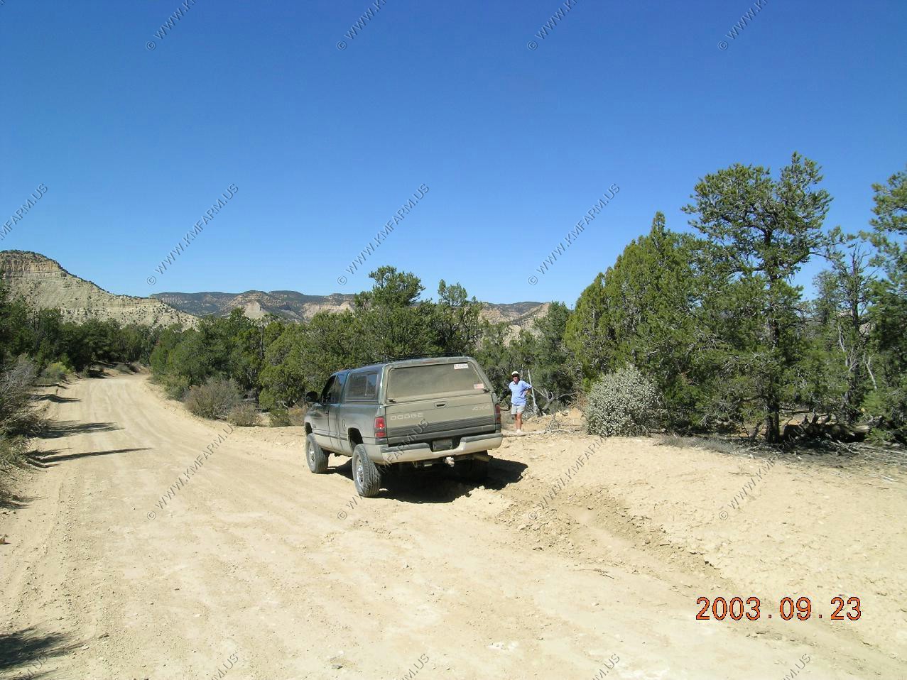
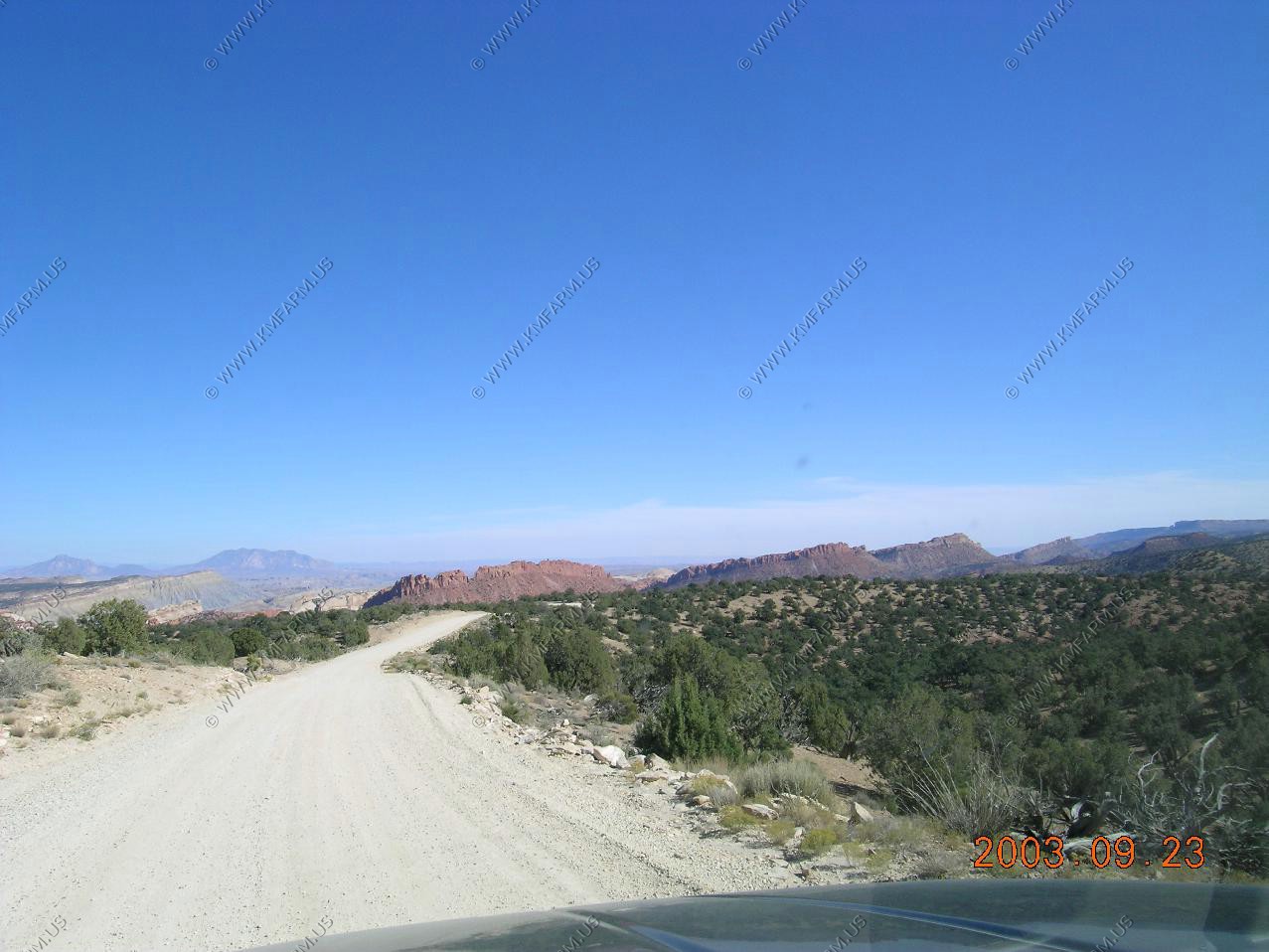
The mostly unpaved Cottonwood Canyon Road is a relatively popular cross-country route through Grand Staircase-Escalante National Monument, starting from US 89 near milepost 18, and eventually leading past Kodachrome Basin State Park to Cannonville on UT 12. Some sections of the road are rather steep and narrow, with overhanging rocks, but 2WD cars usually can make the 47 mile journey although for a few hours after heavy rains the route may be impassable even by 4WD vehicles. The surrounding land has much of interest to explore; slot canyons, arches, springs and endless colorful, eroded rocky scenery.
We drove the road from North to South.
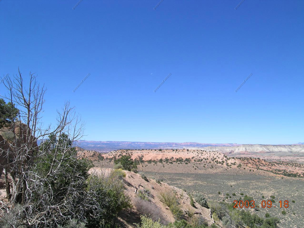
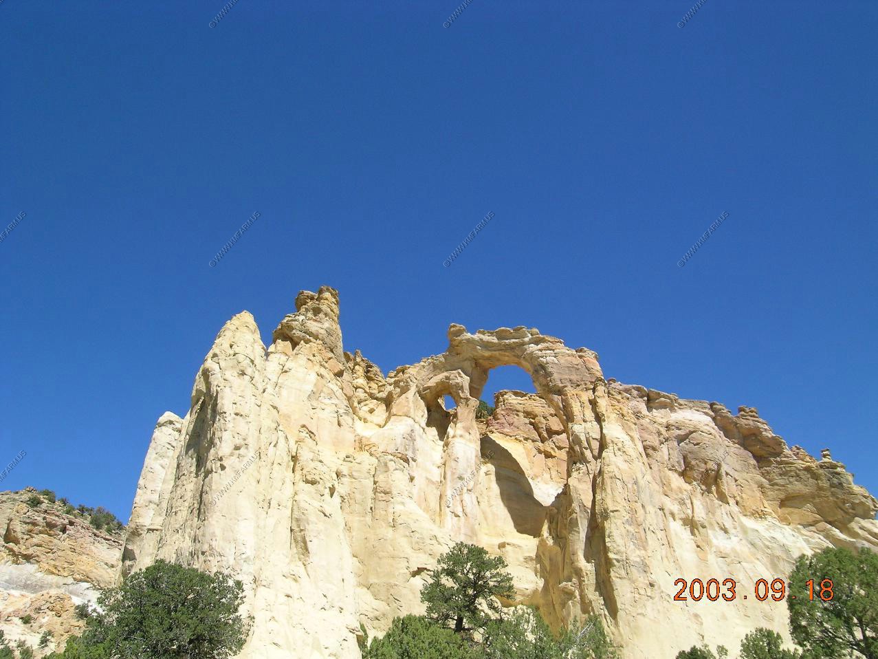
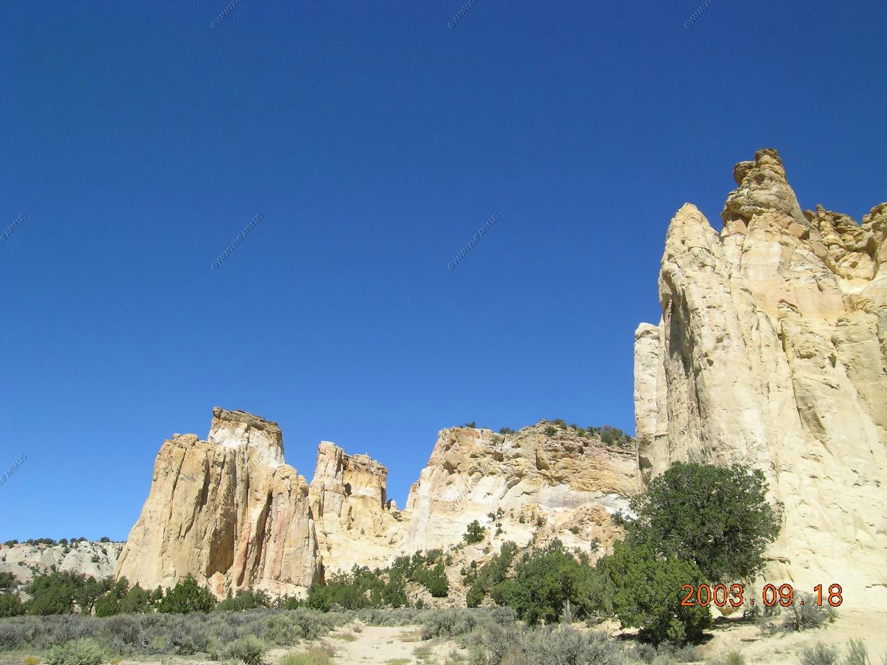
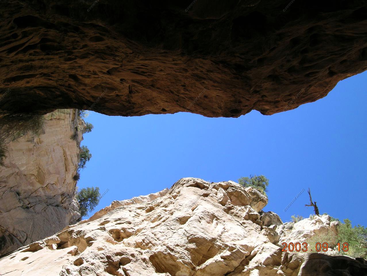
Grosvenor Arch - 17 miles from in from Cannonville is the turn off to Grosvenor Arch, the prime natural feature along the Cottonwood Canyon Road. This is a large, spectacular double arch at the end of an isolated ridge of yellowish-white Henrieville sandstone, and is one of the most photographed places in the national monument.

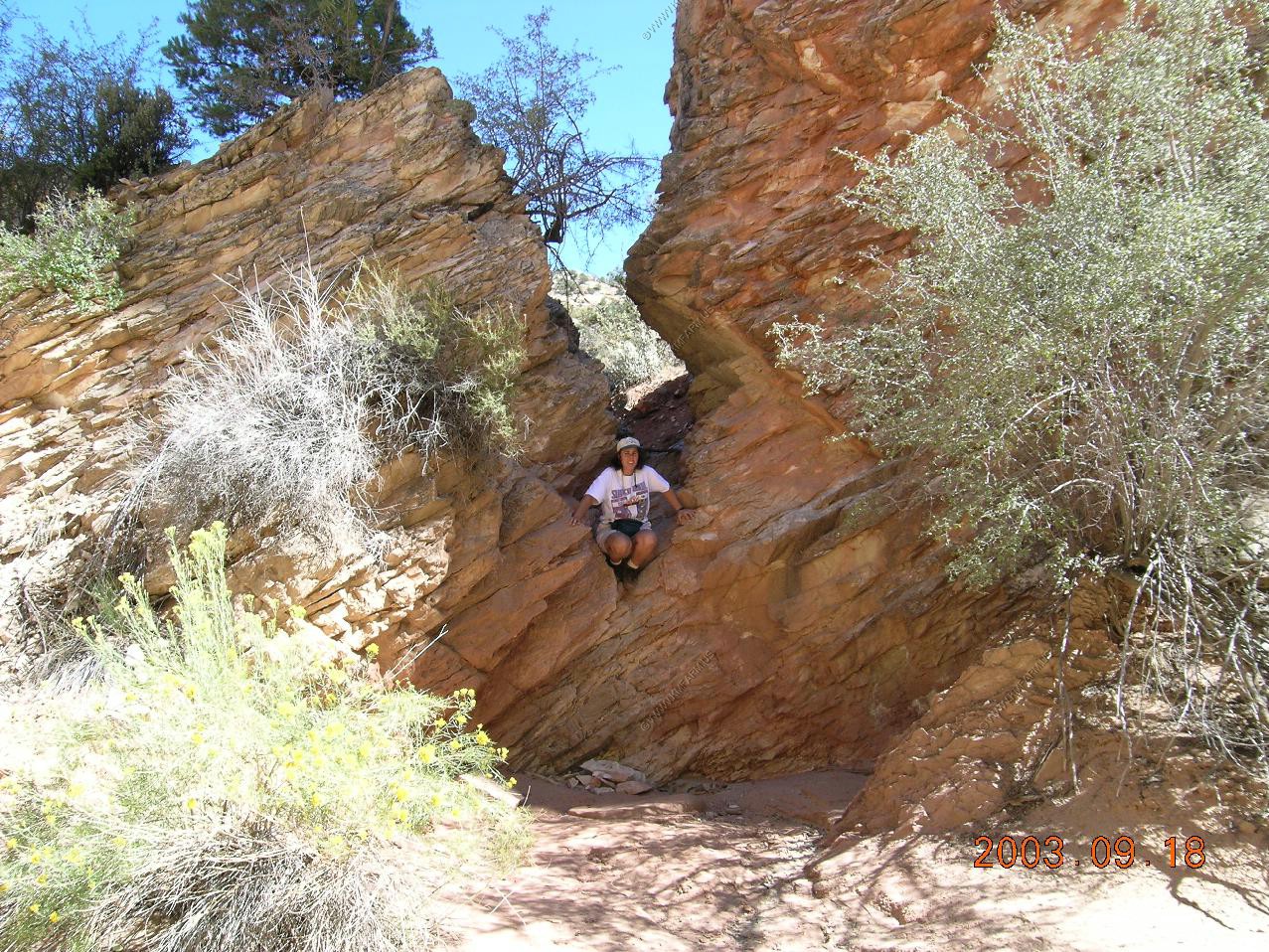
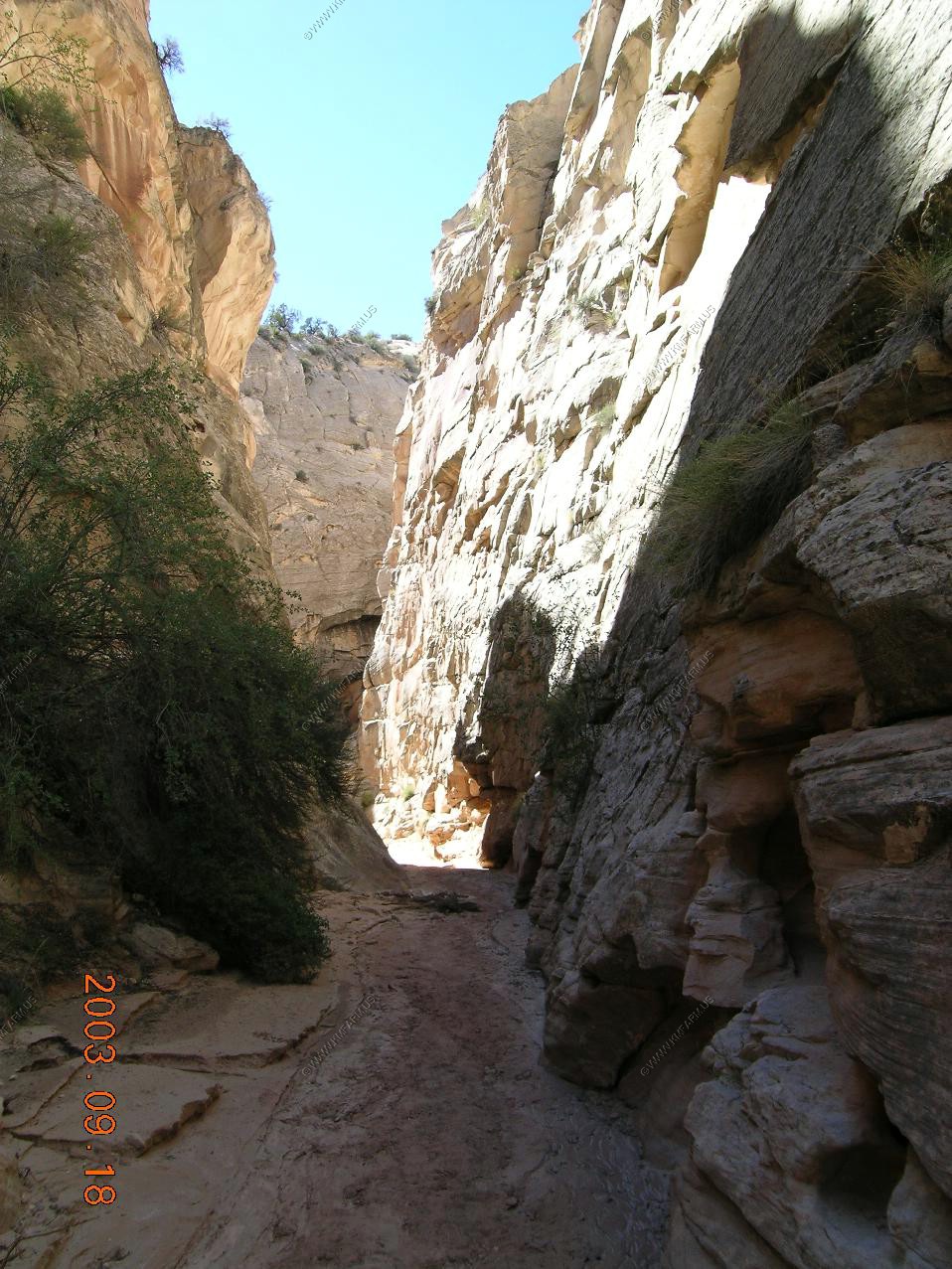
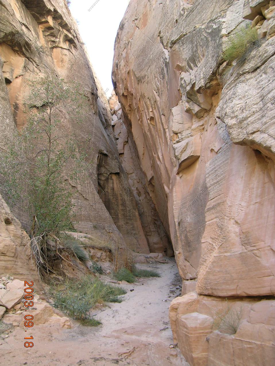
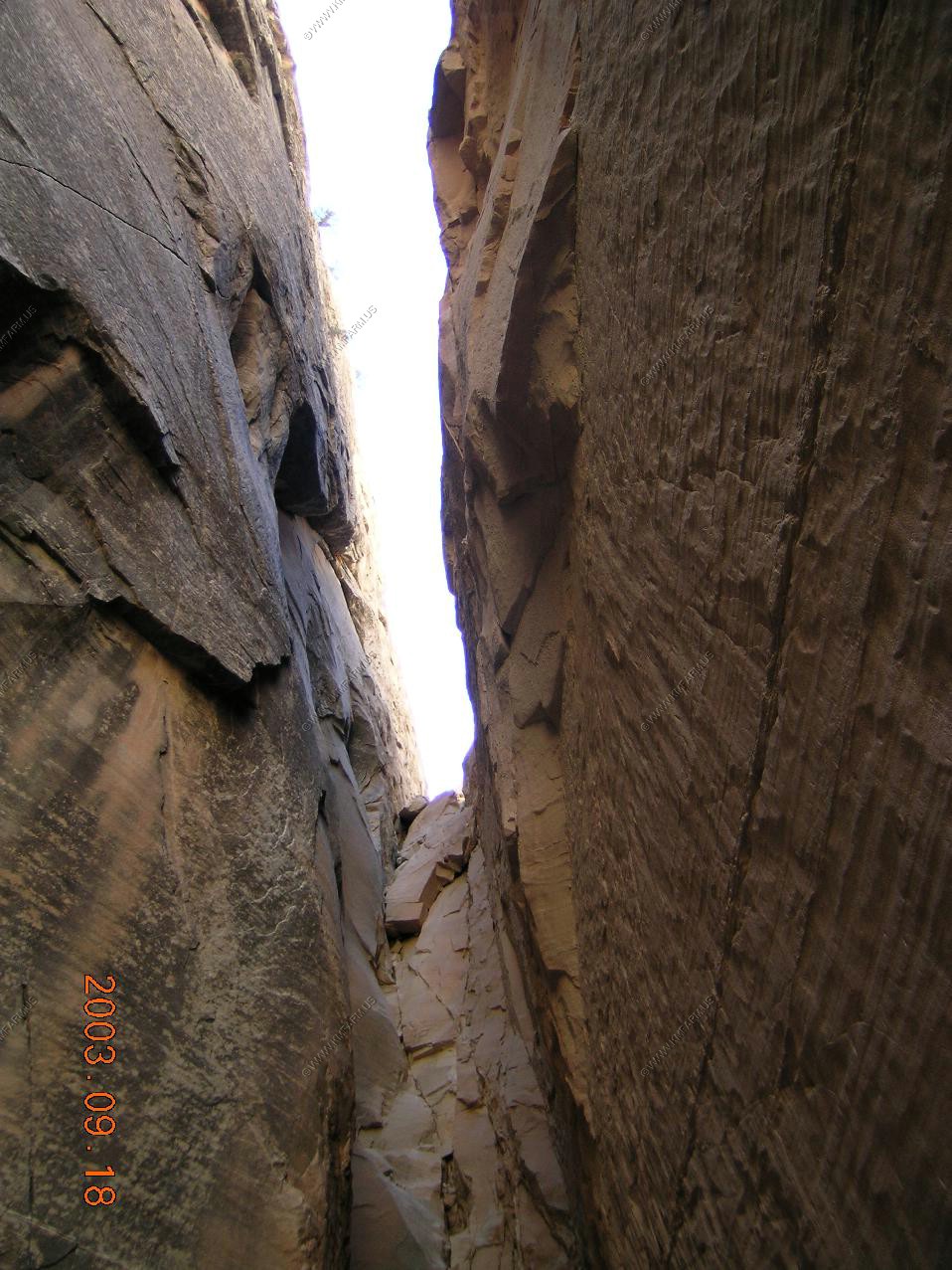
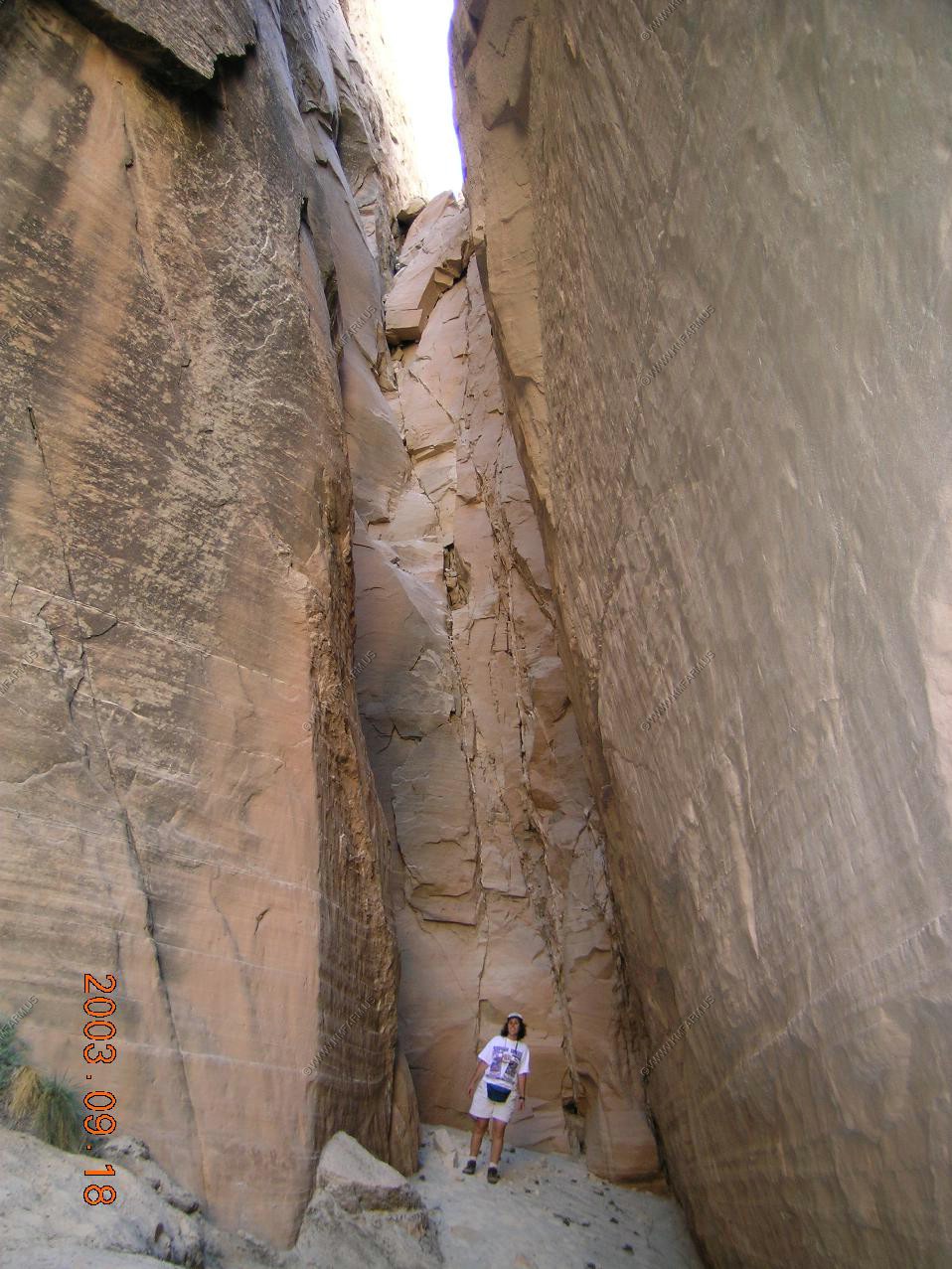
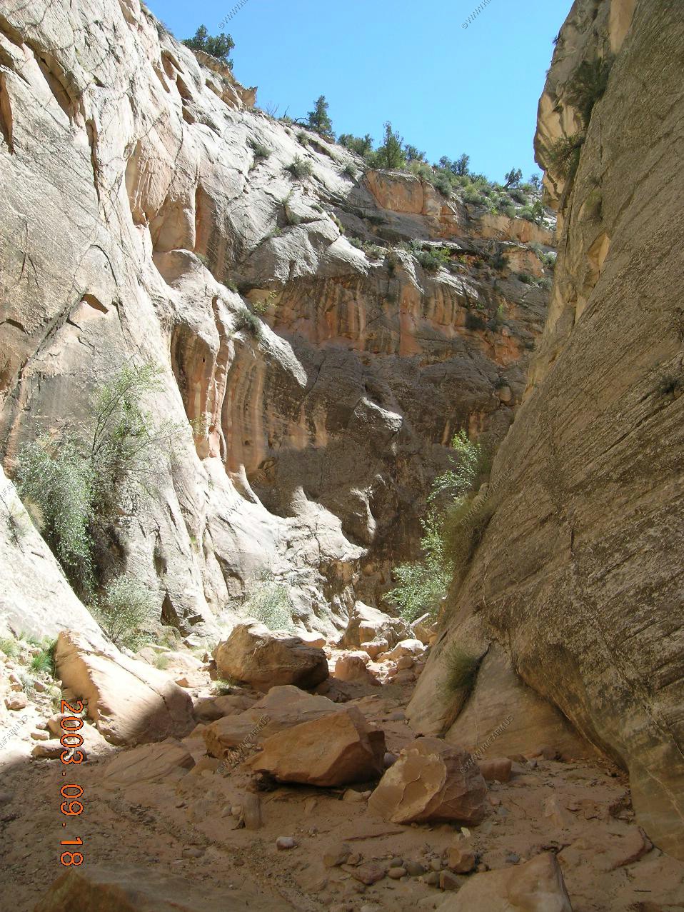
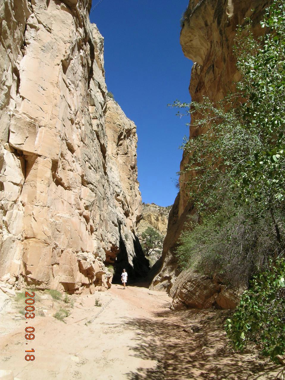
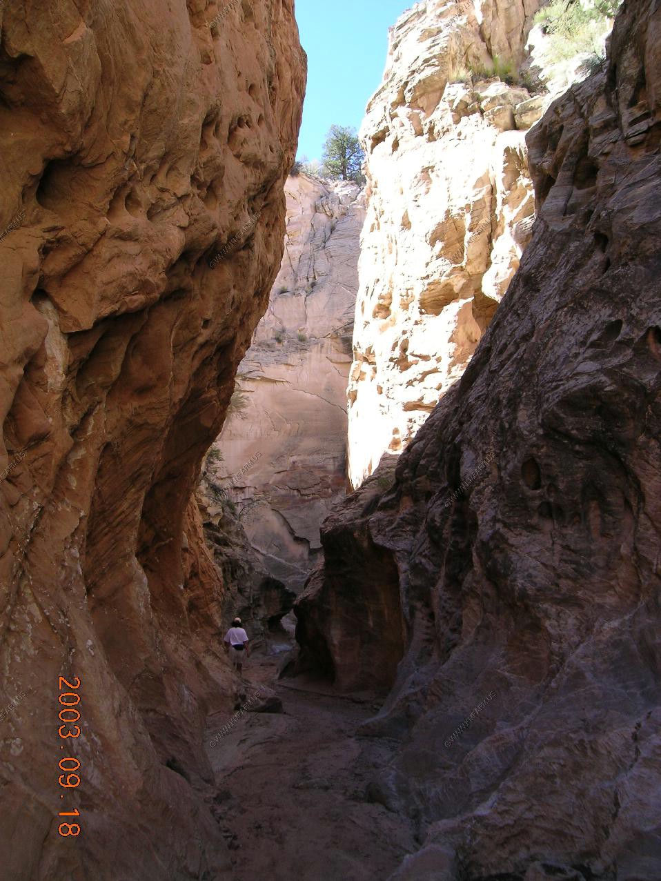
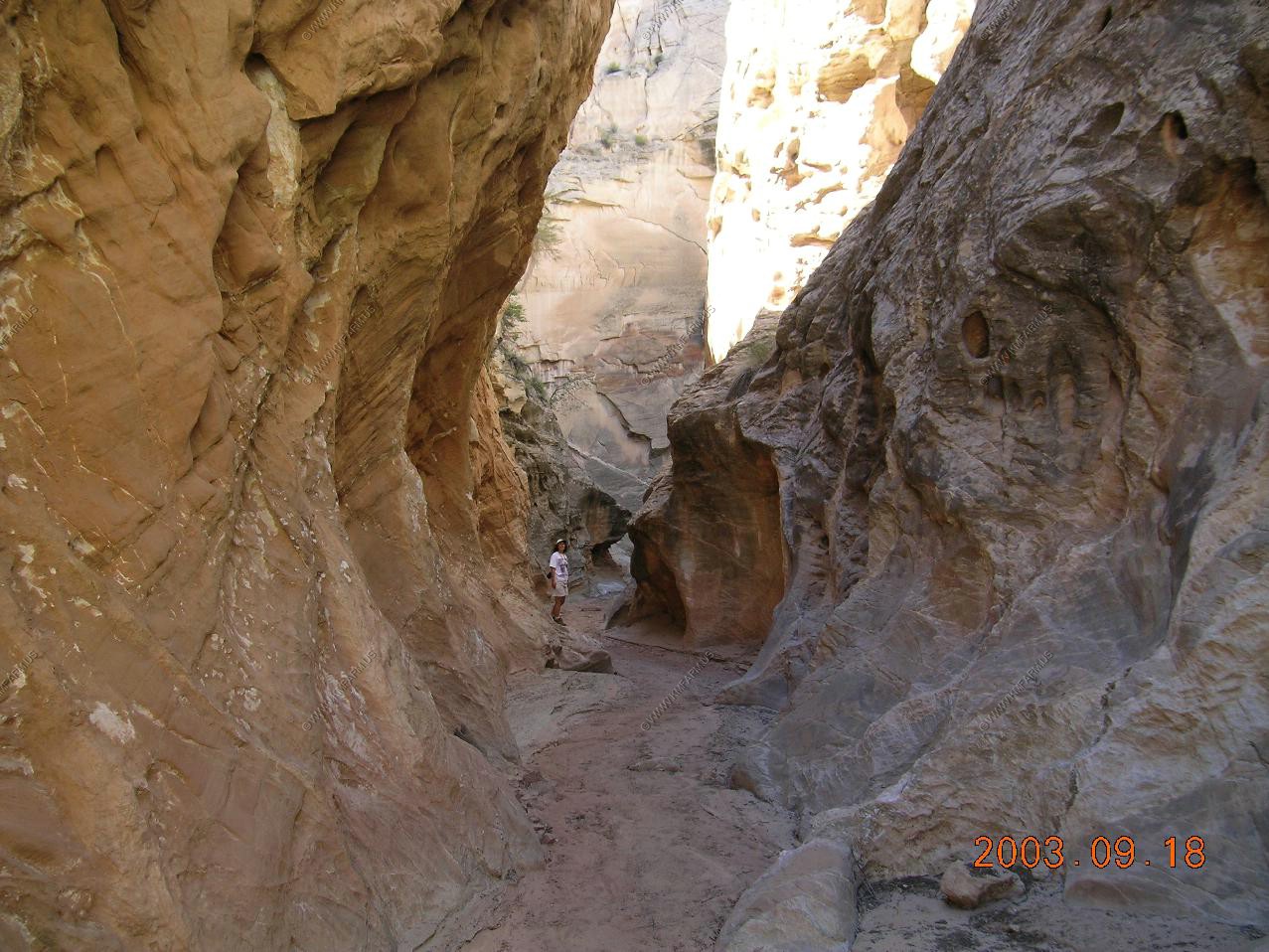
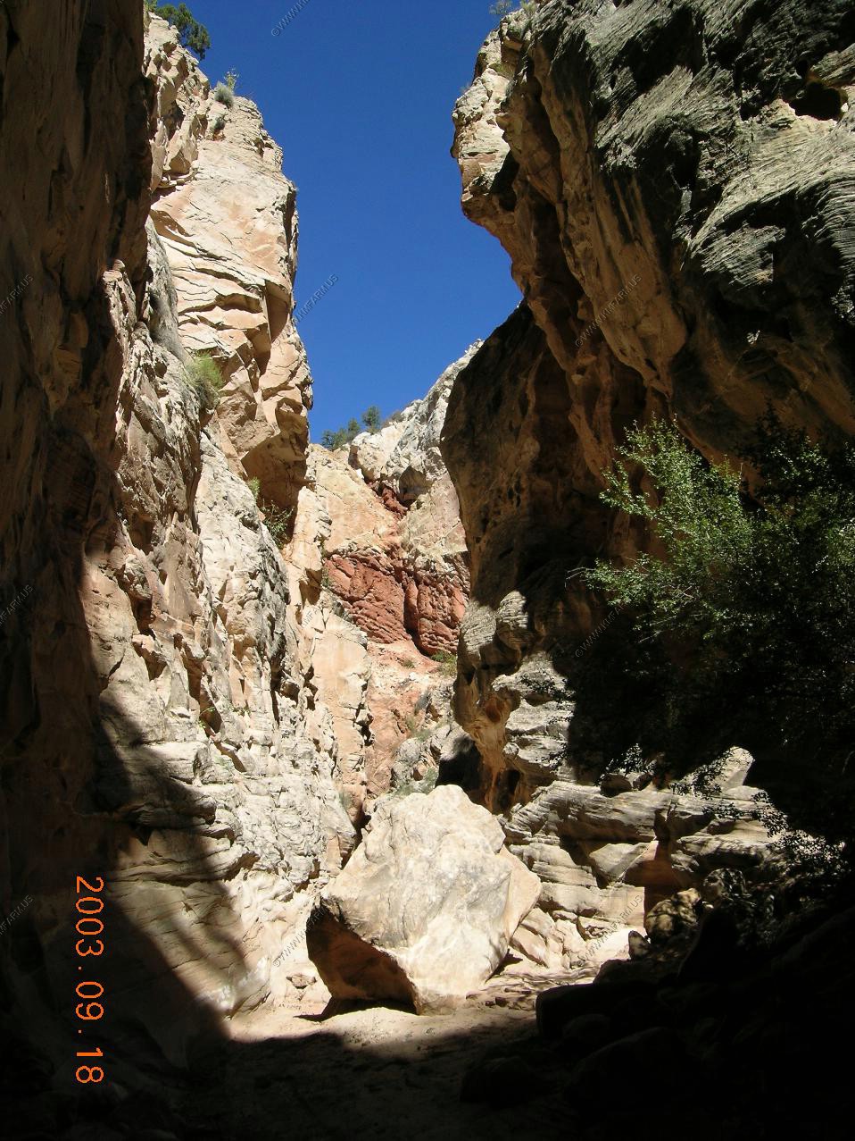
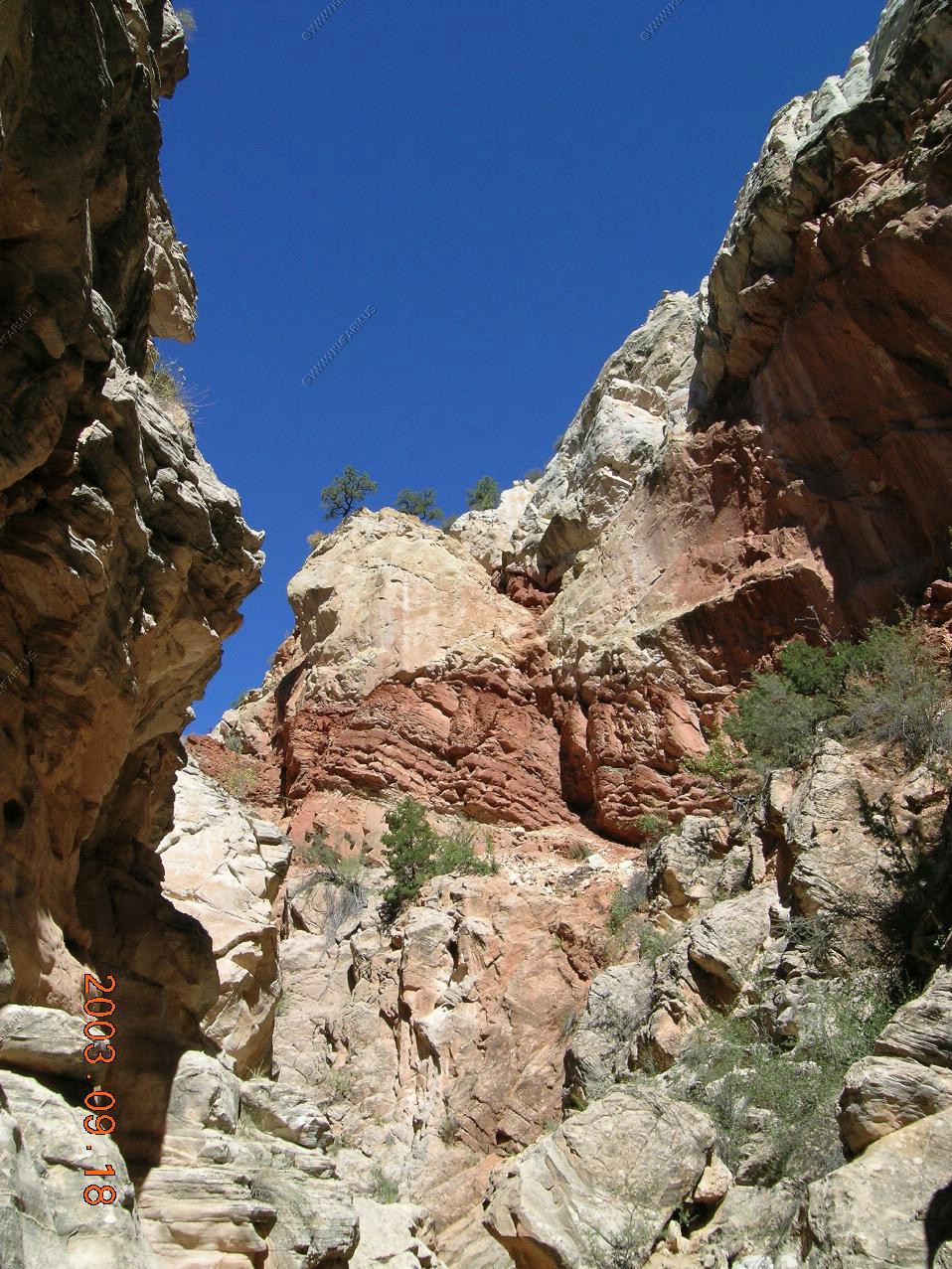
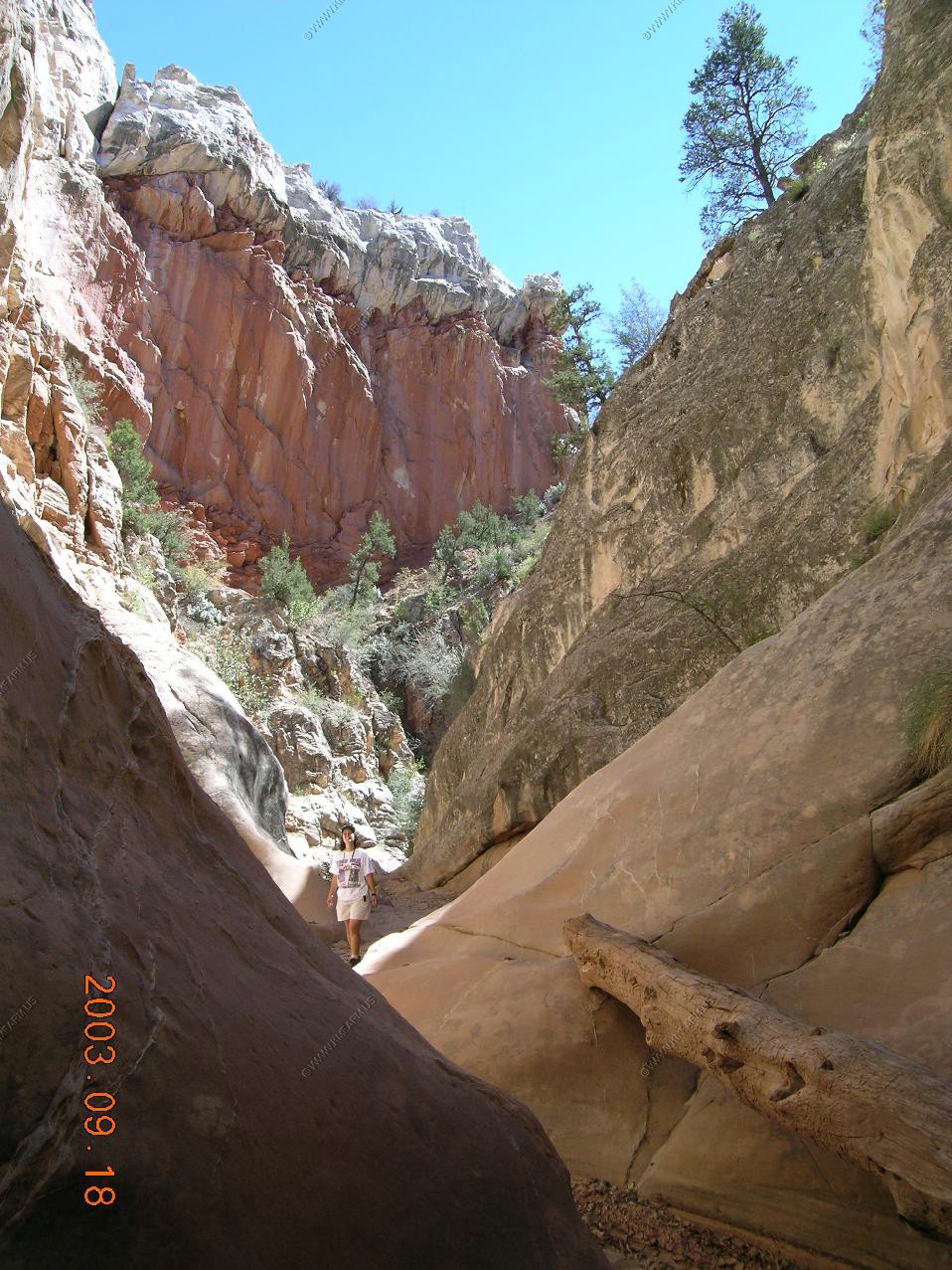
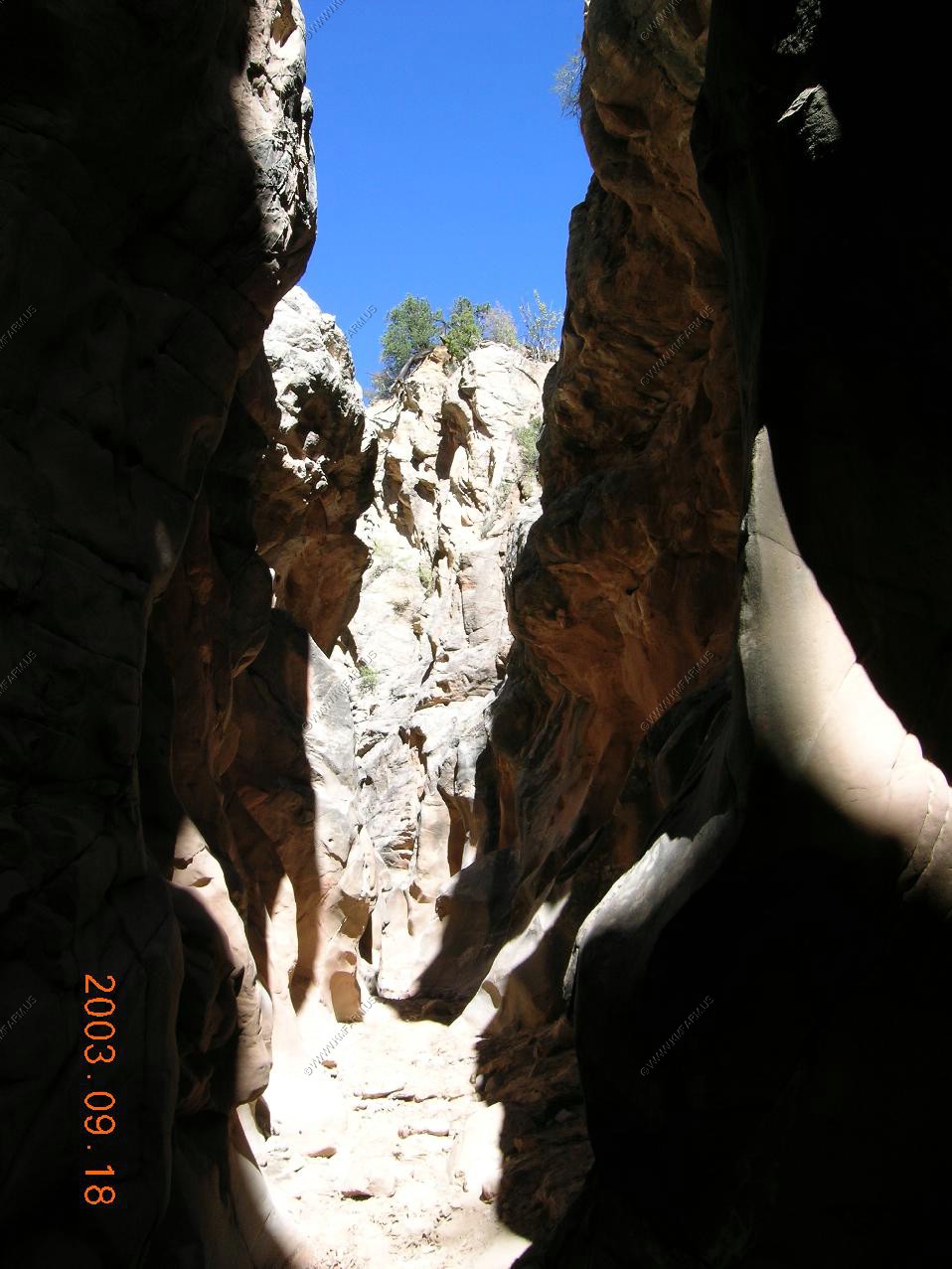
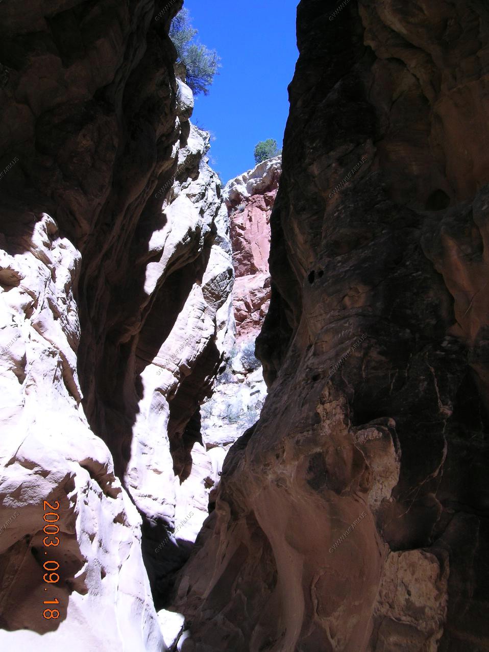
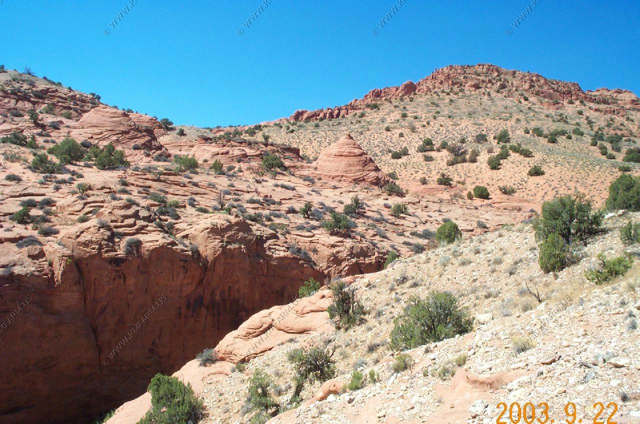
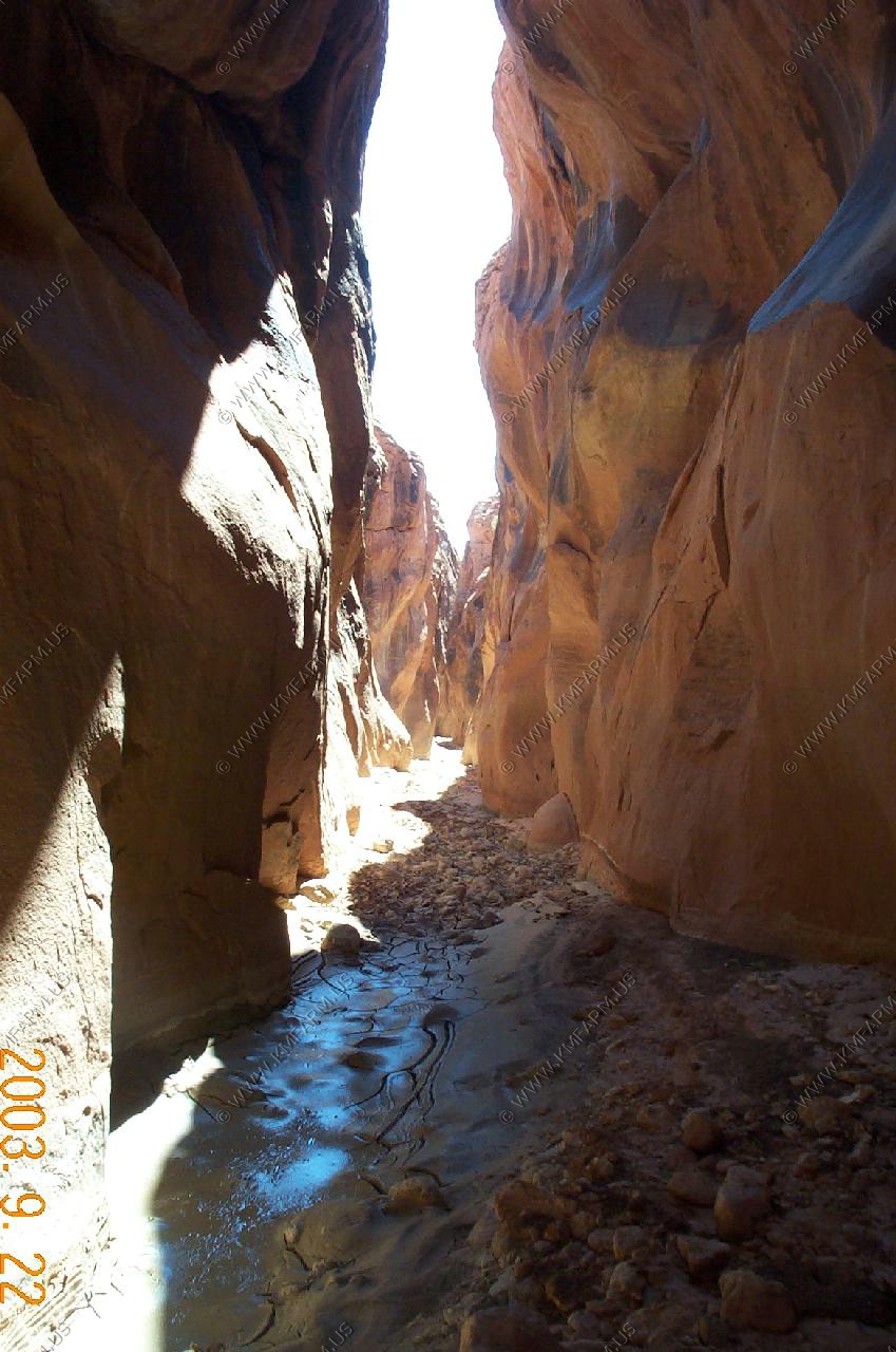
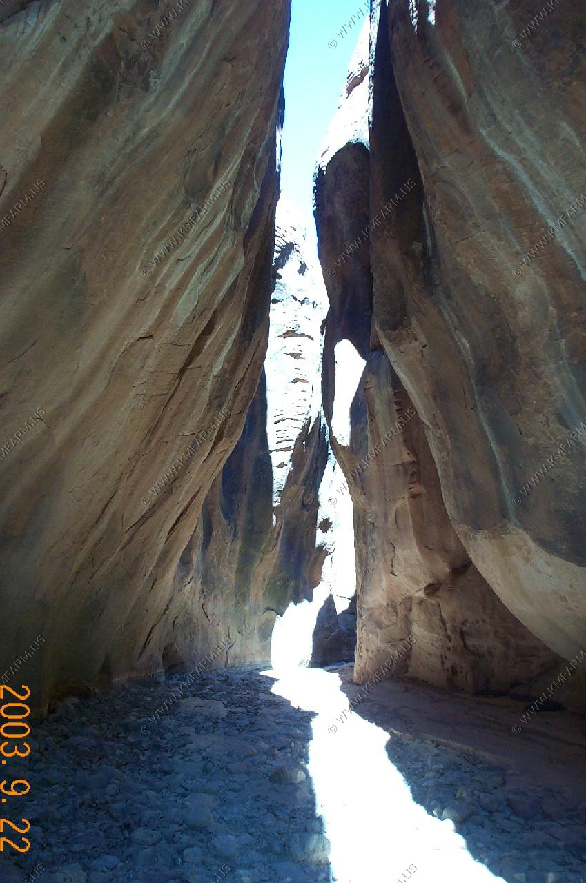
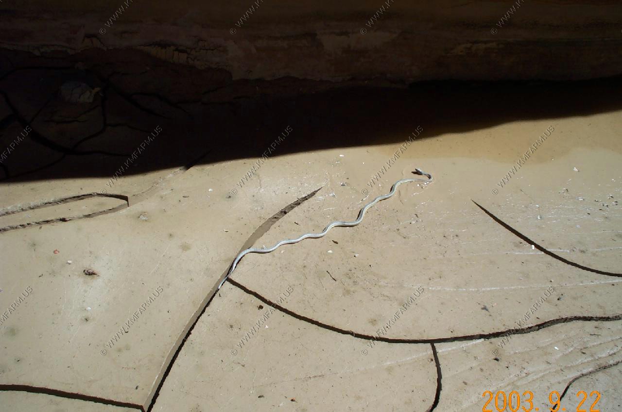
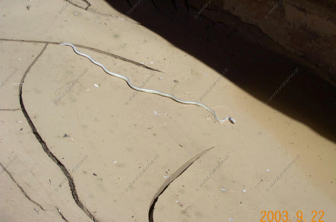
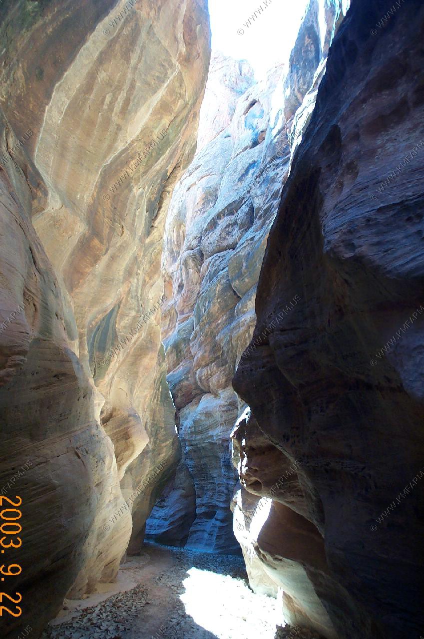
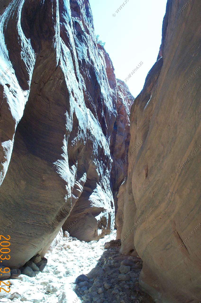
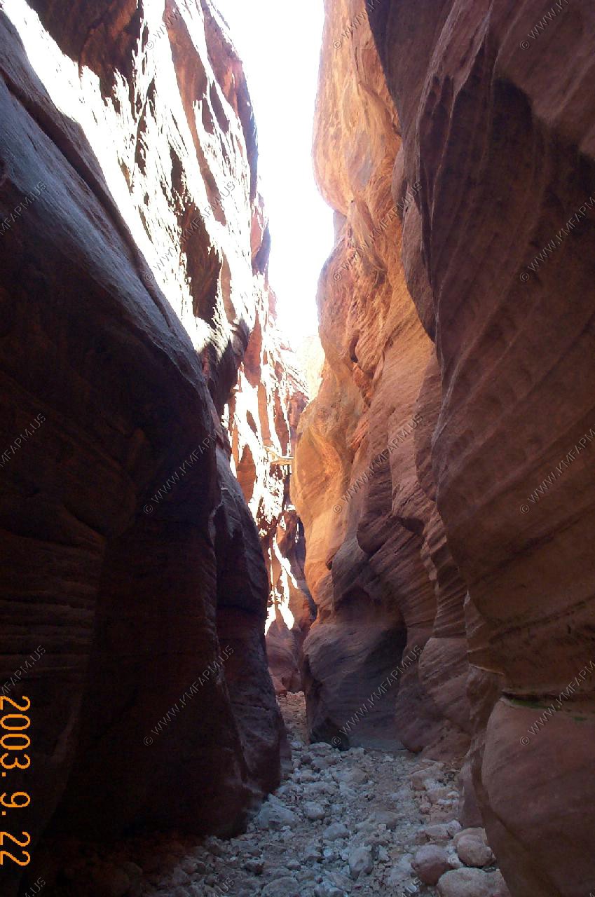
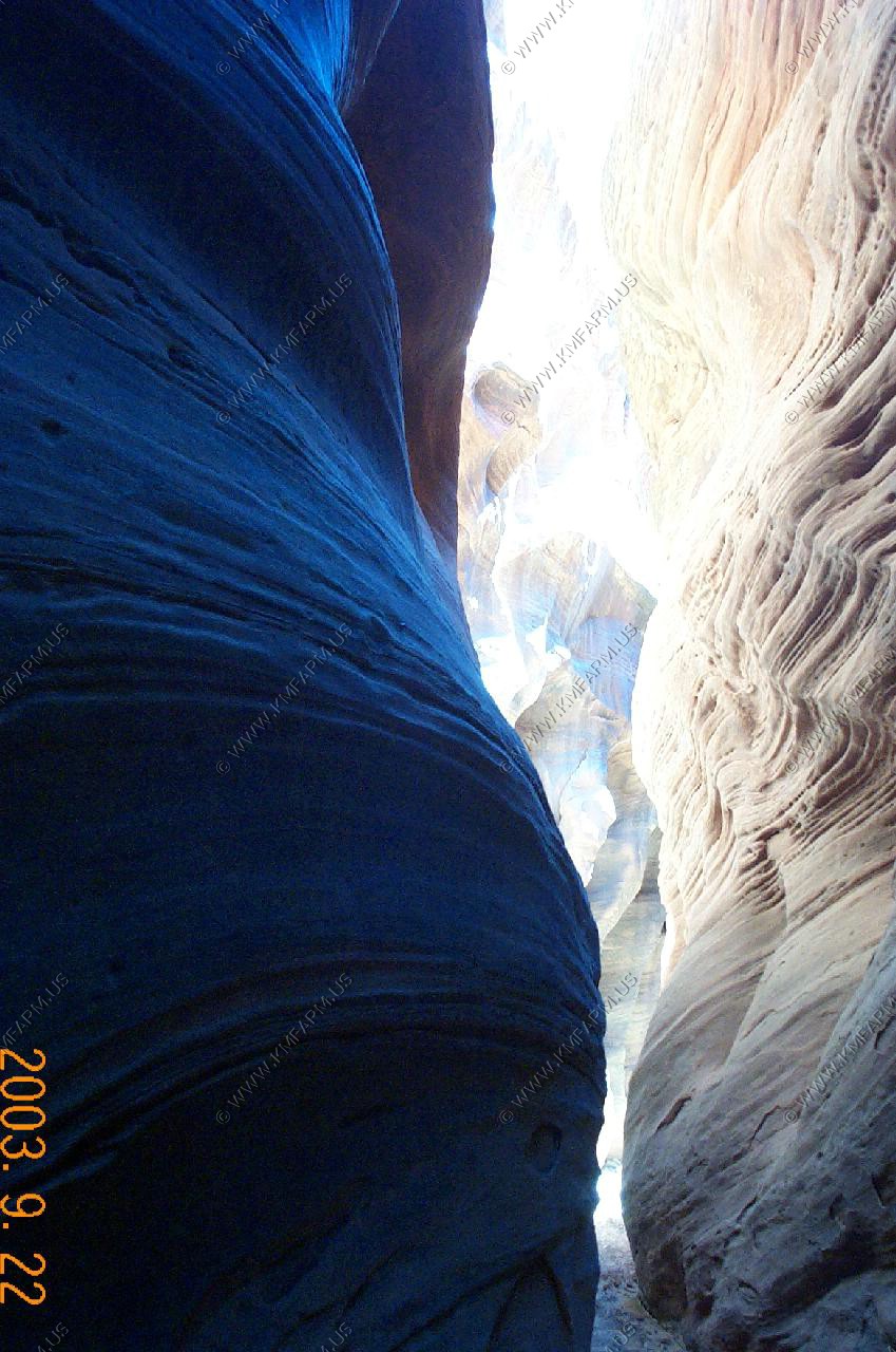
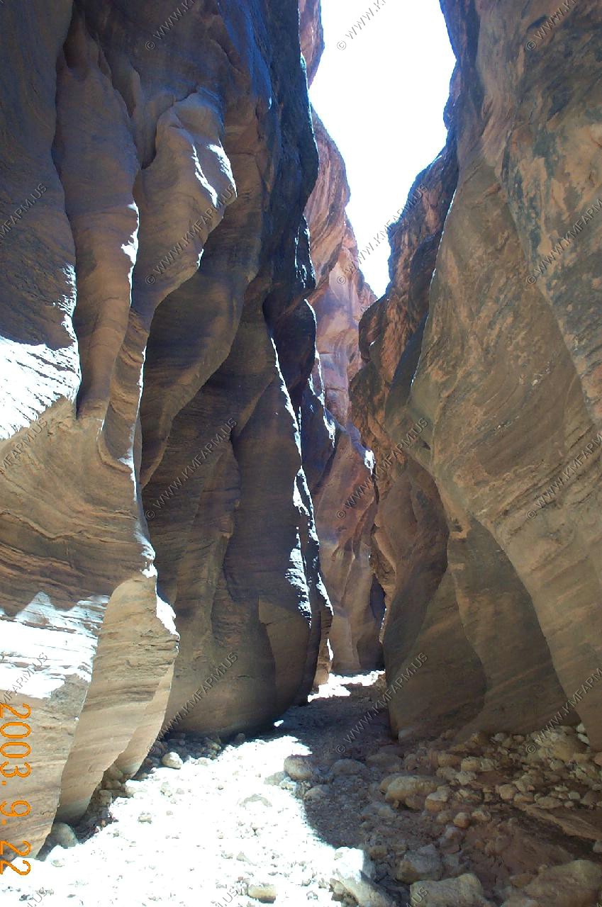
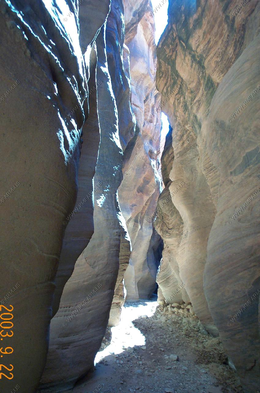
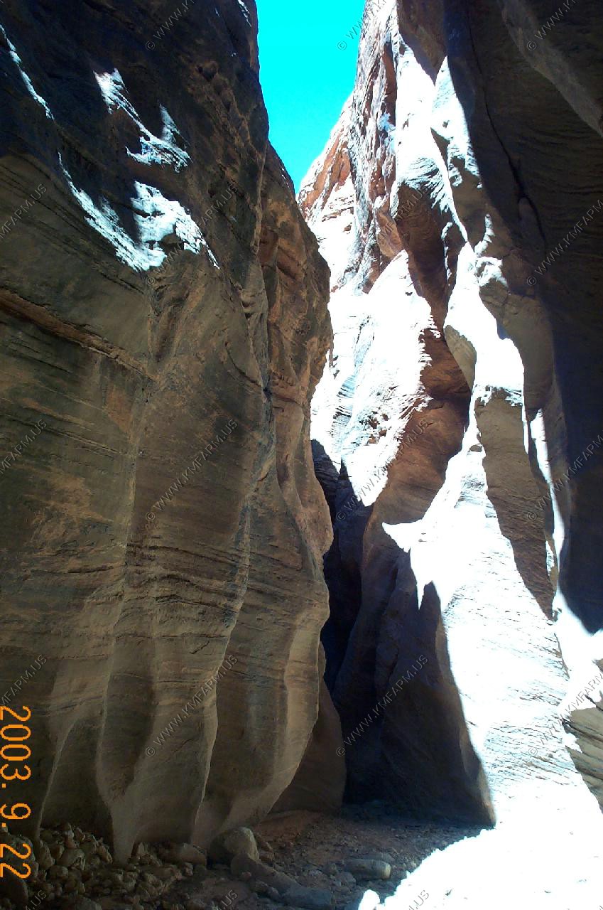
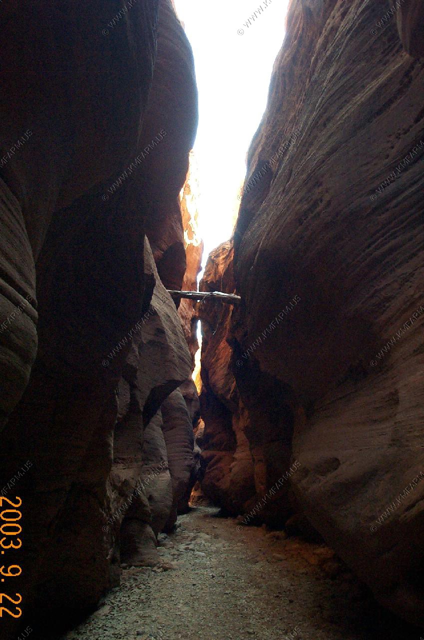
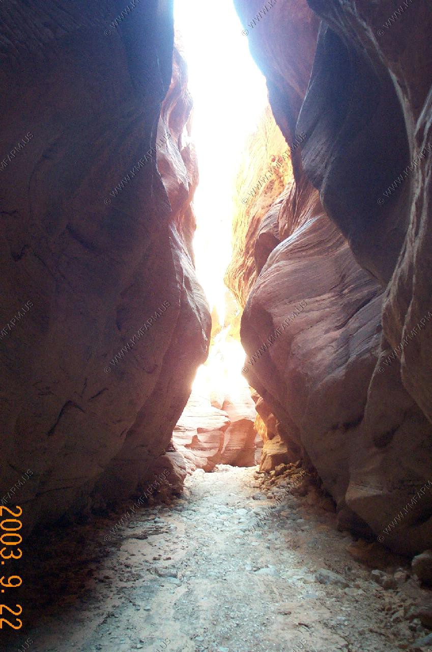
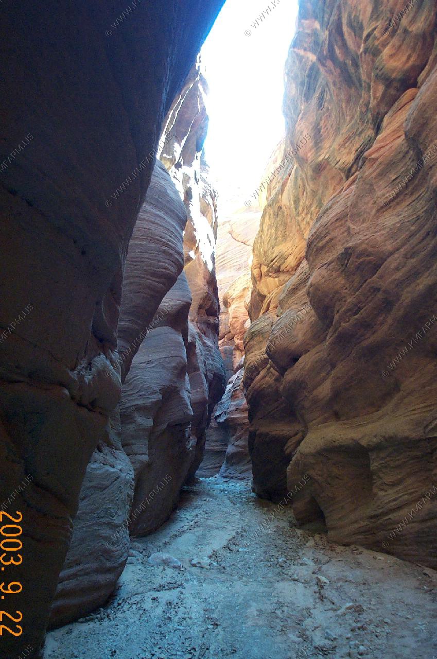
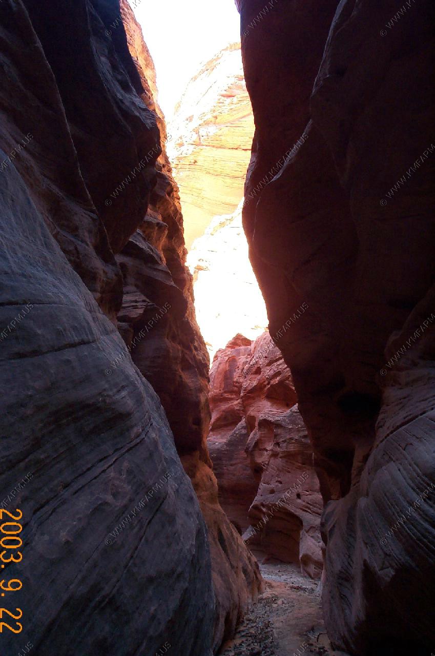
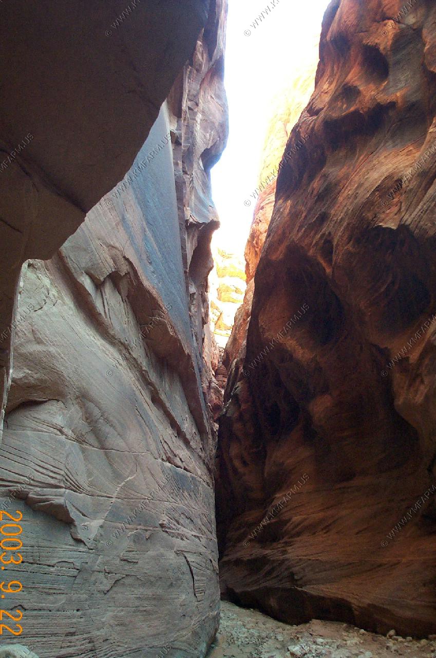
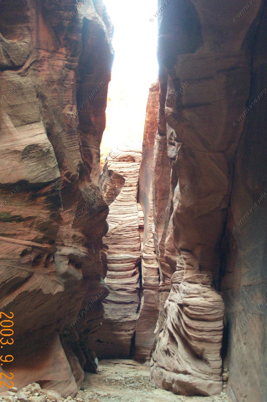
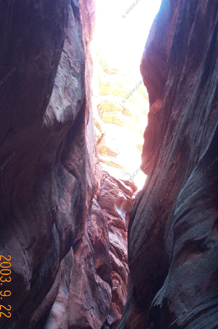
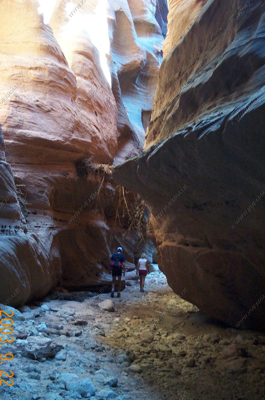
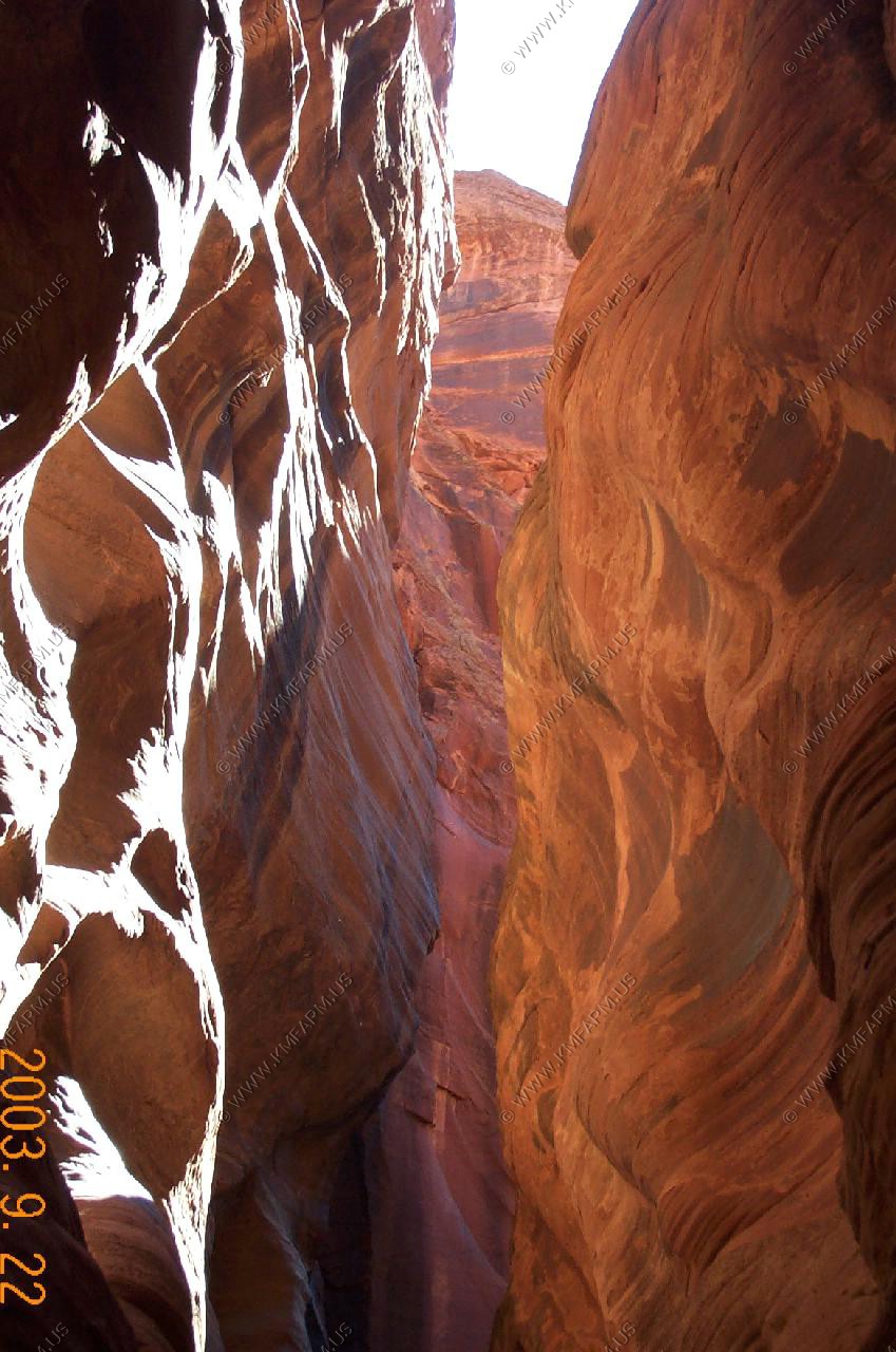
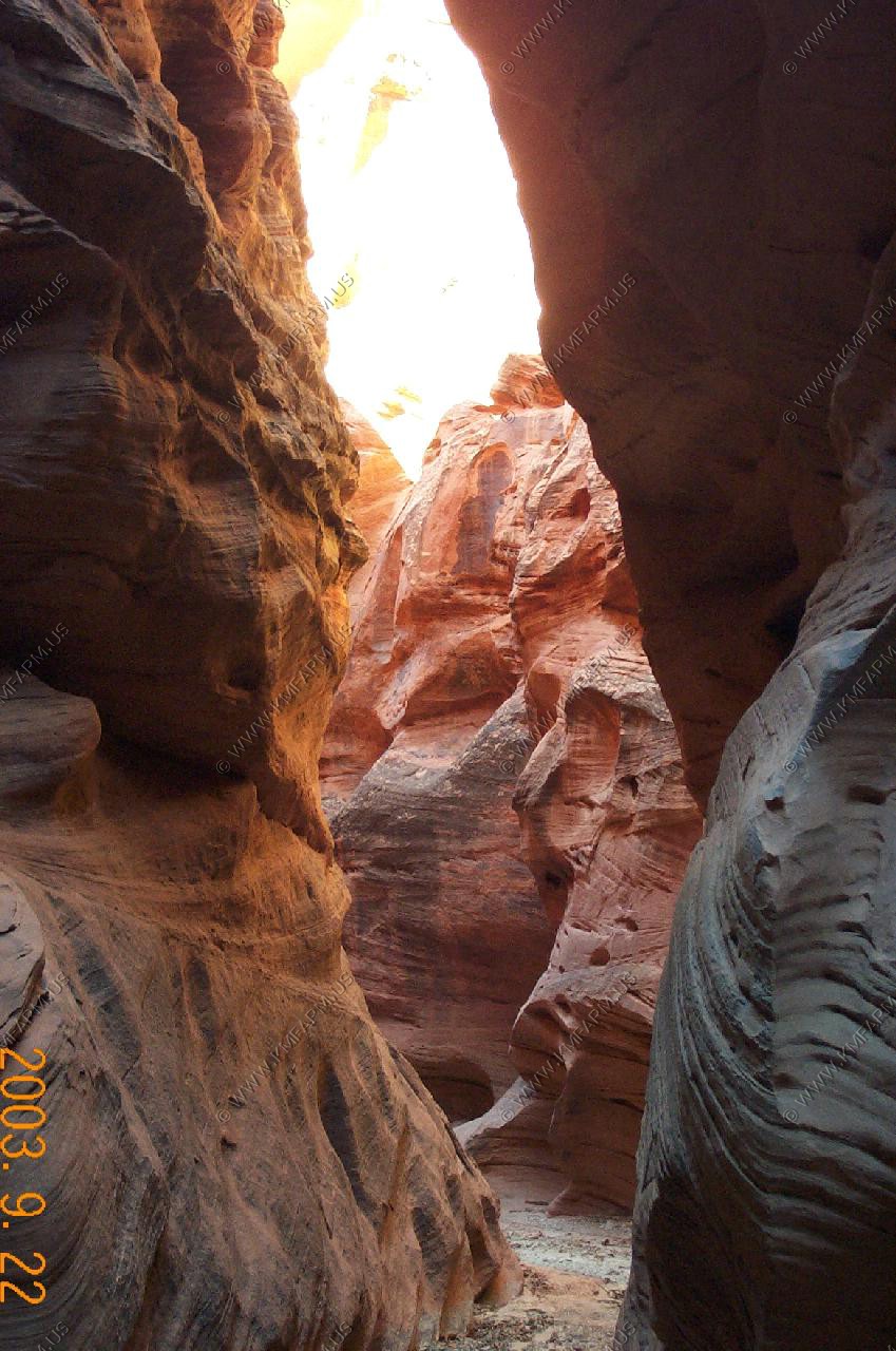
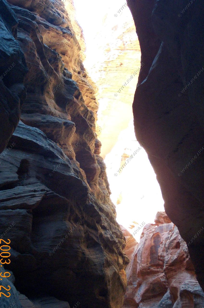
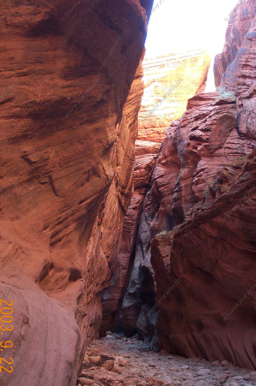
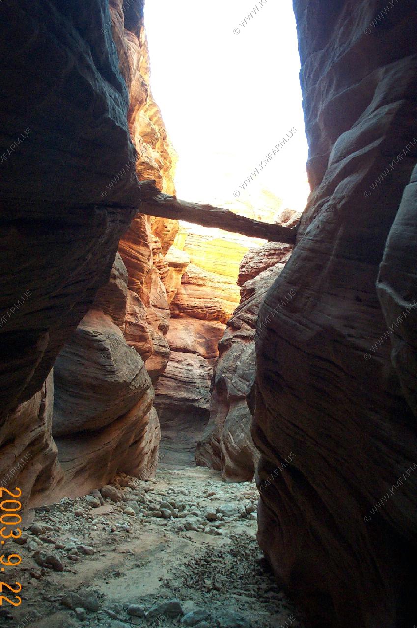
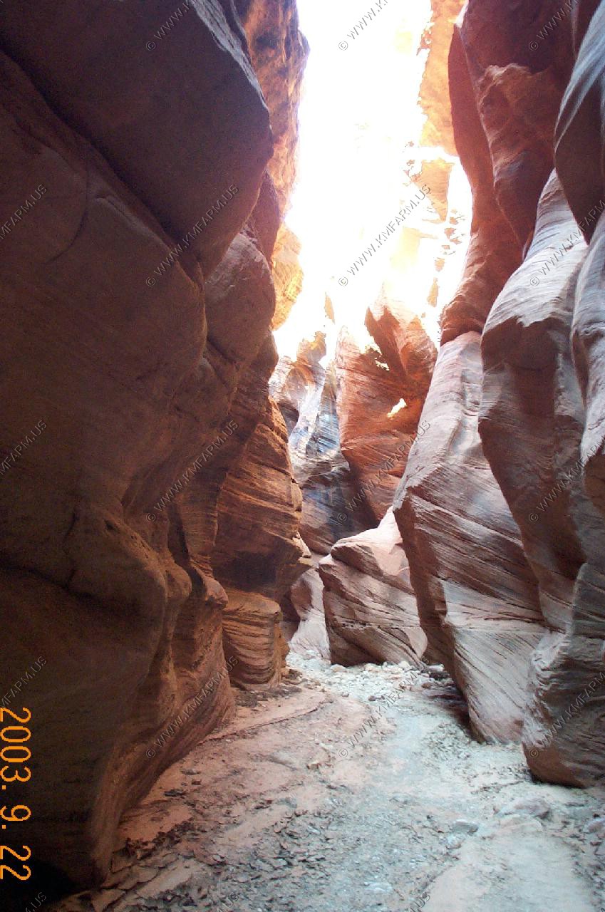
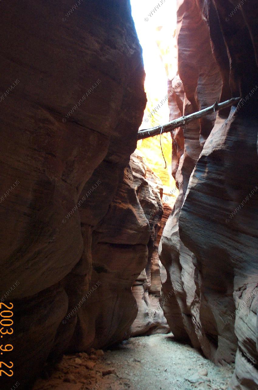
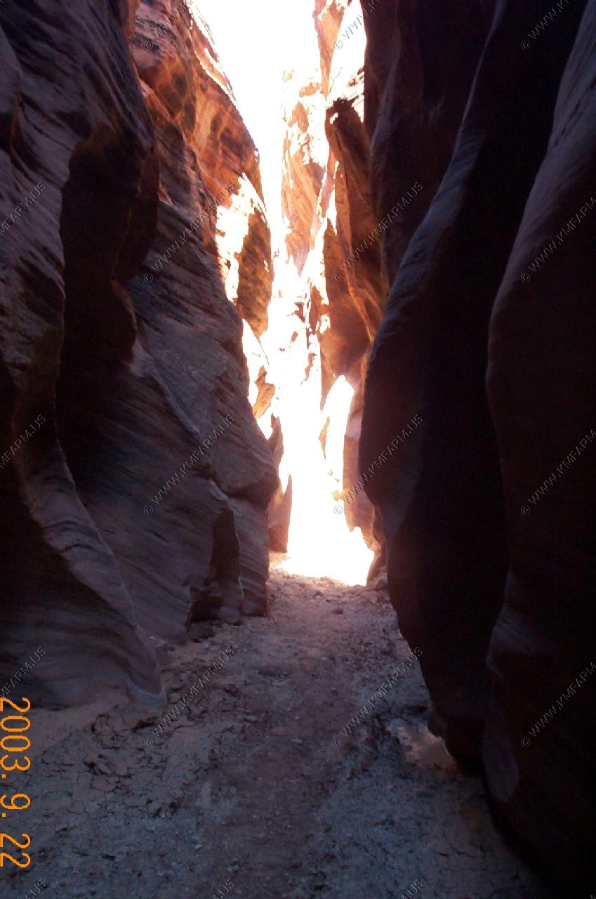
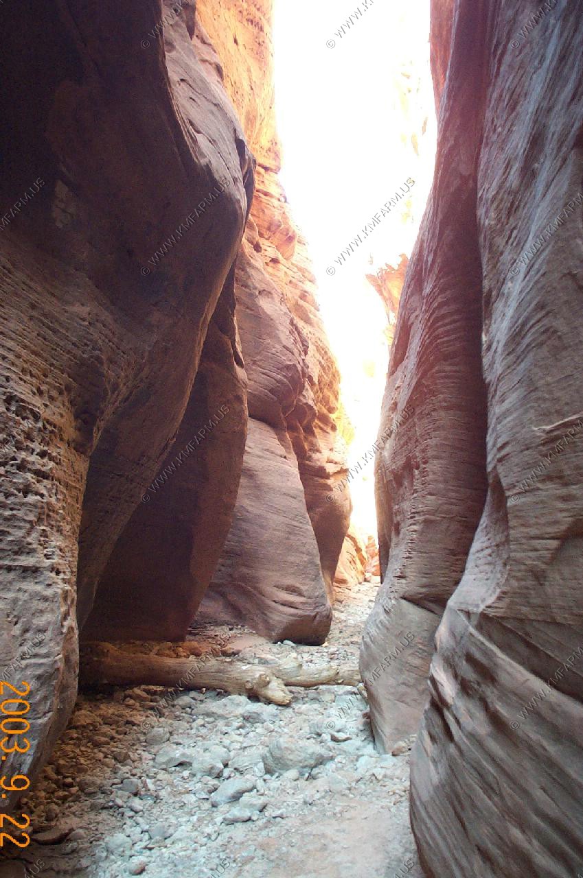
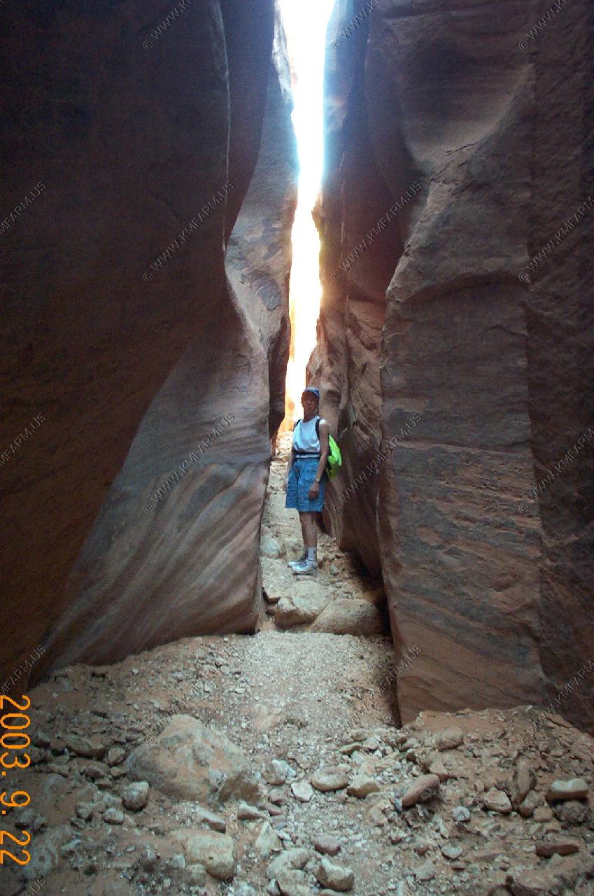
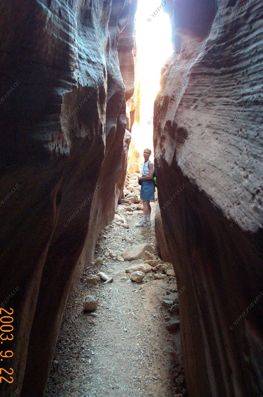
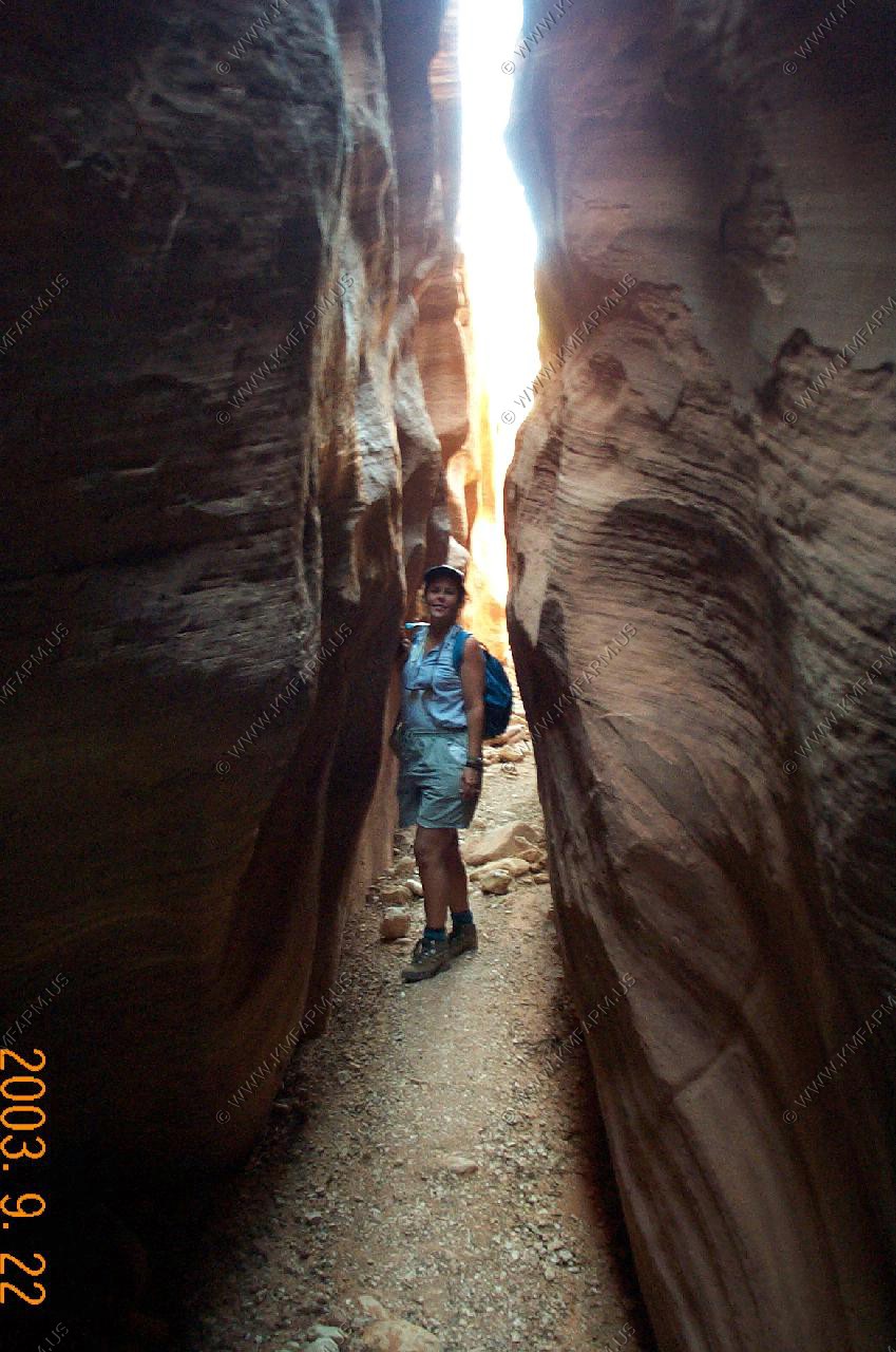
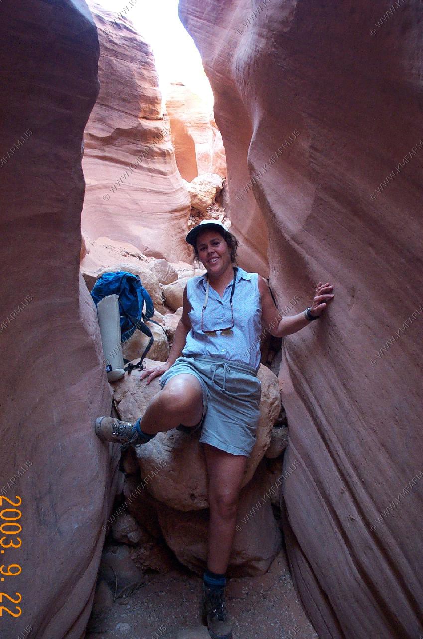
Cottonwood Wash Narrows - After a lengthy stretch along the main valley, the creek takes an abrupt turn west and thereafter flows through a much narrower canyon;
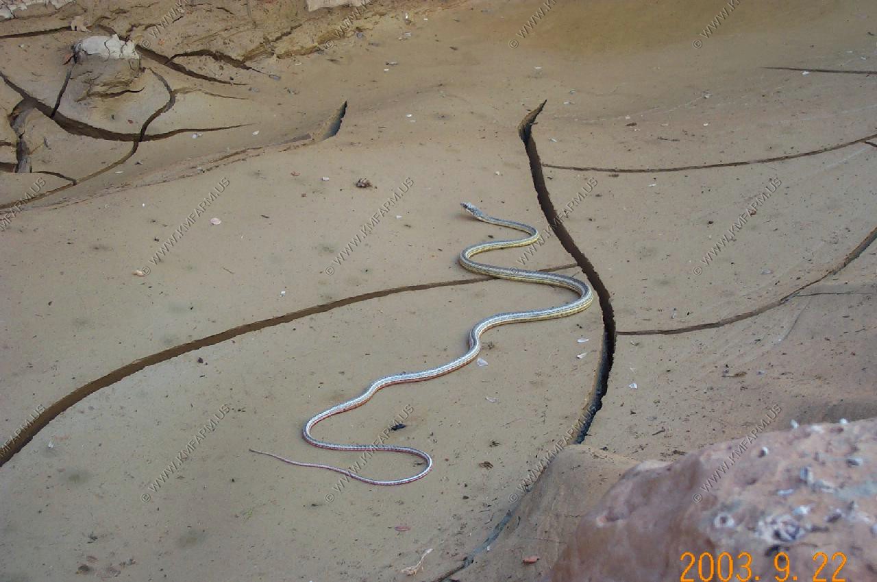
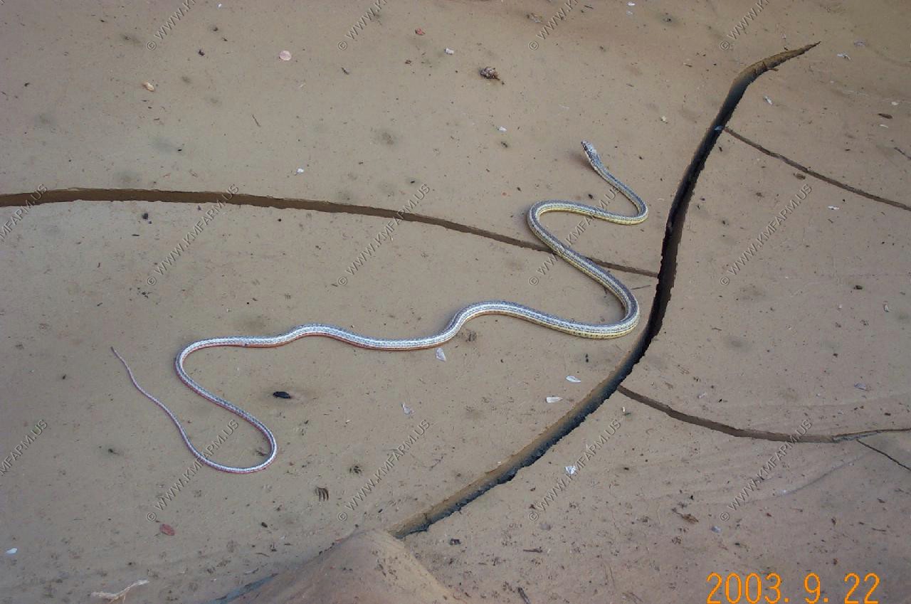
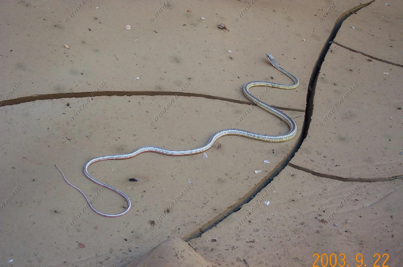
This is where we started our hike into the Cottonwood Wash Narrows.
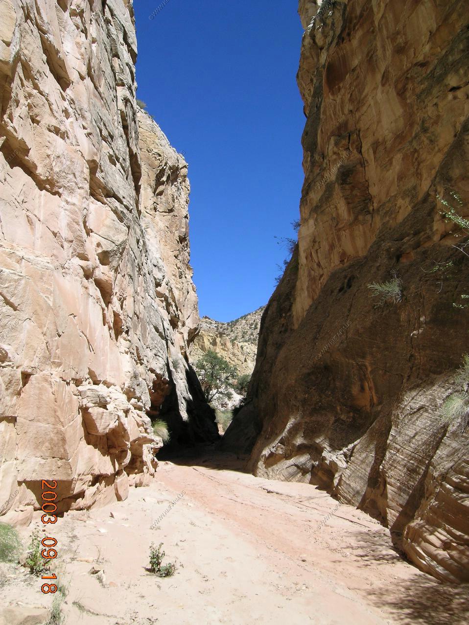
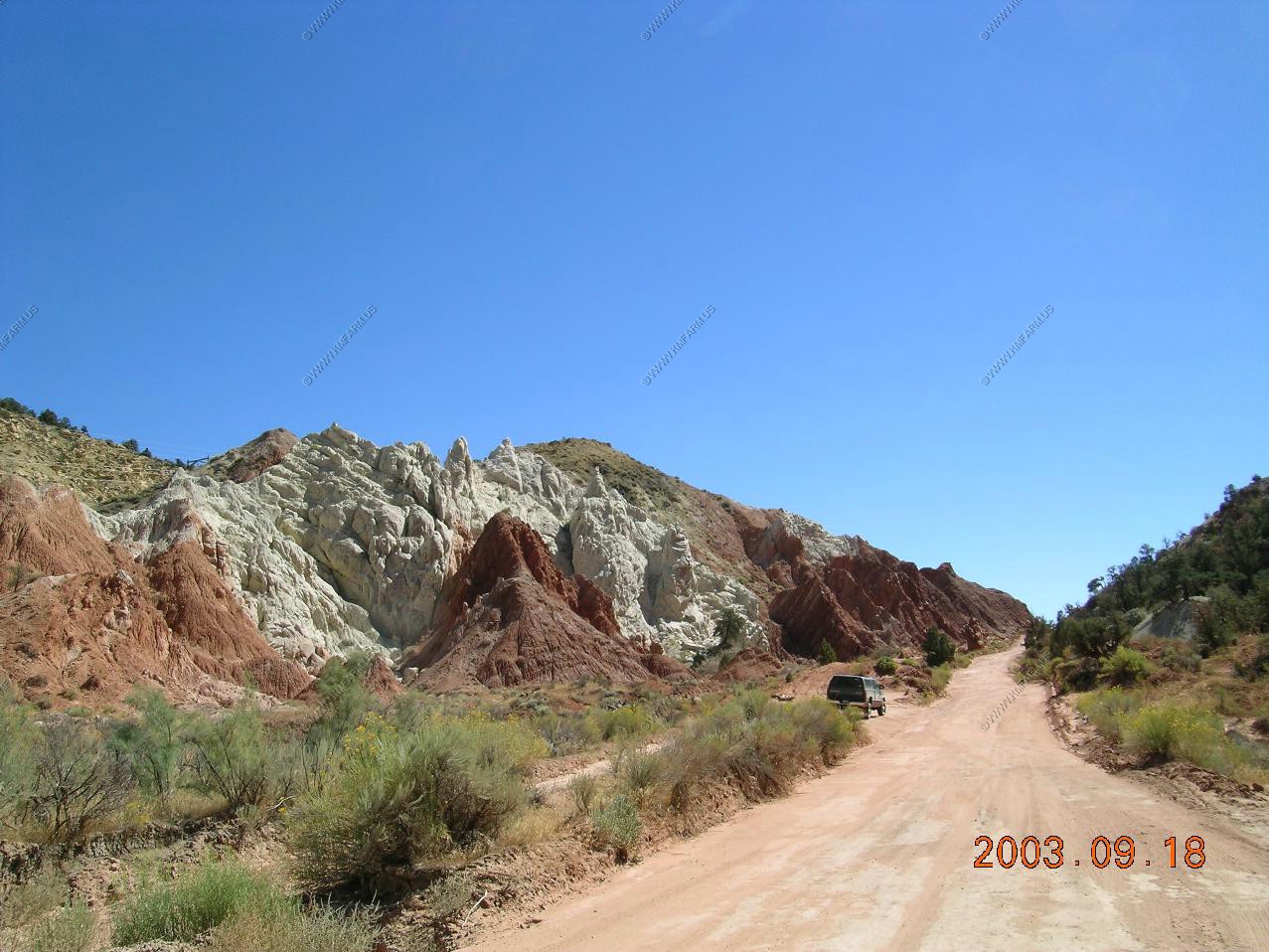
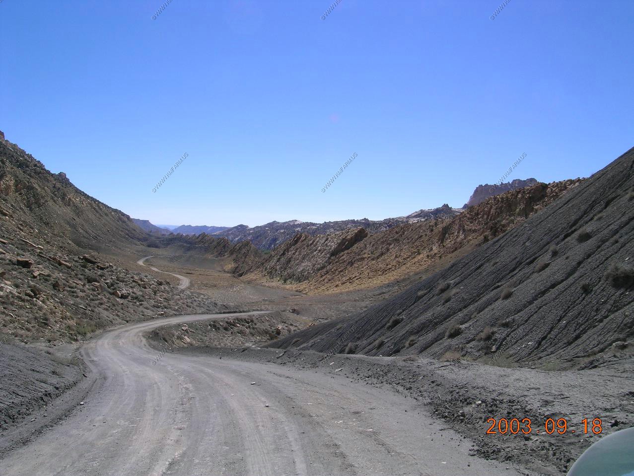
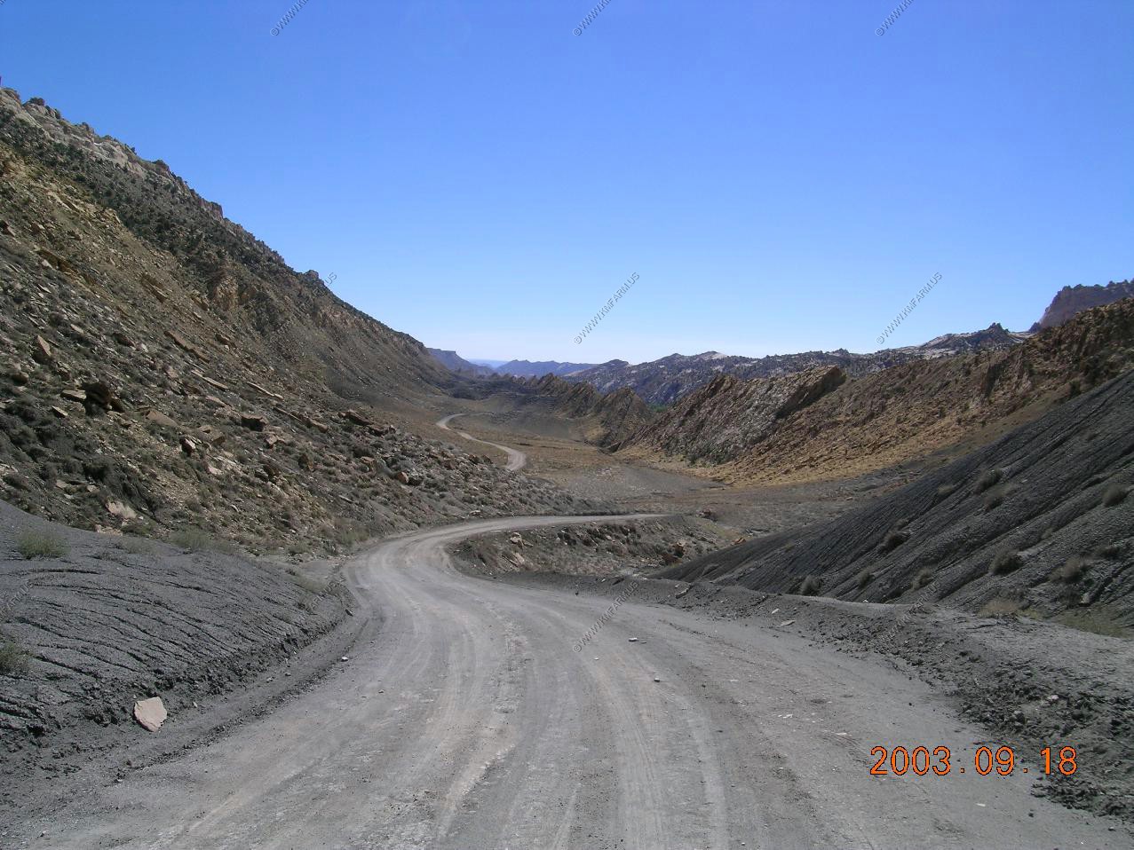
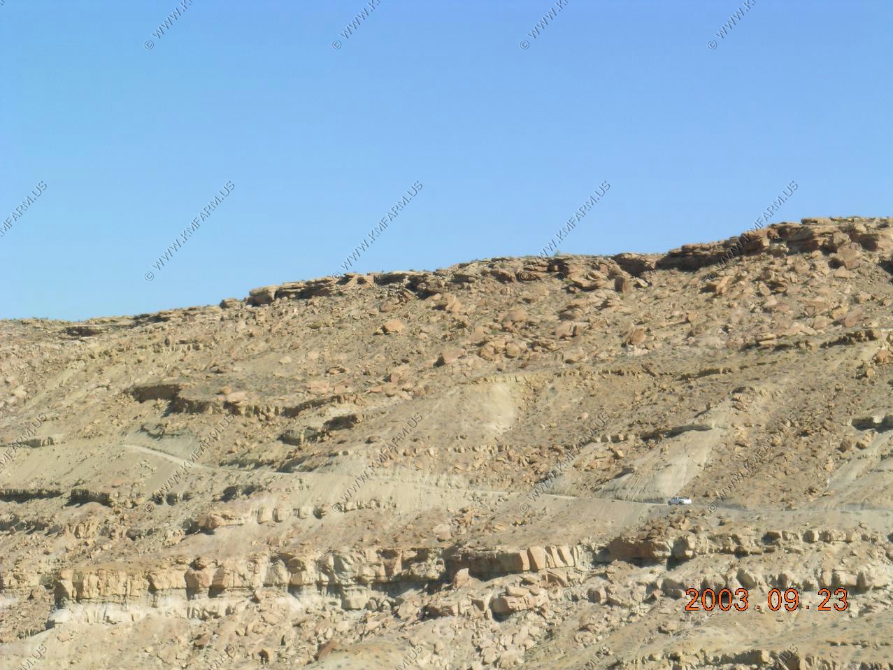
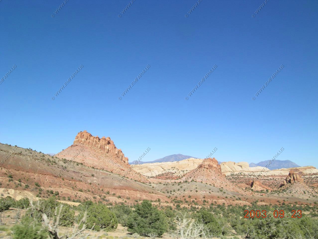
The road continues north between ridges of The Coxcomb.
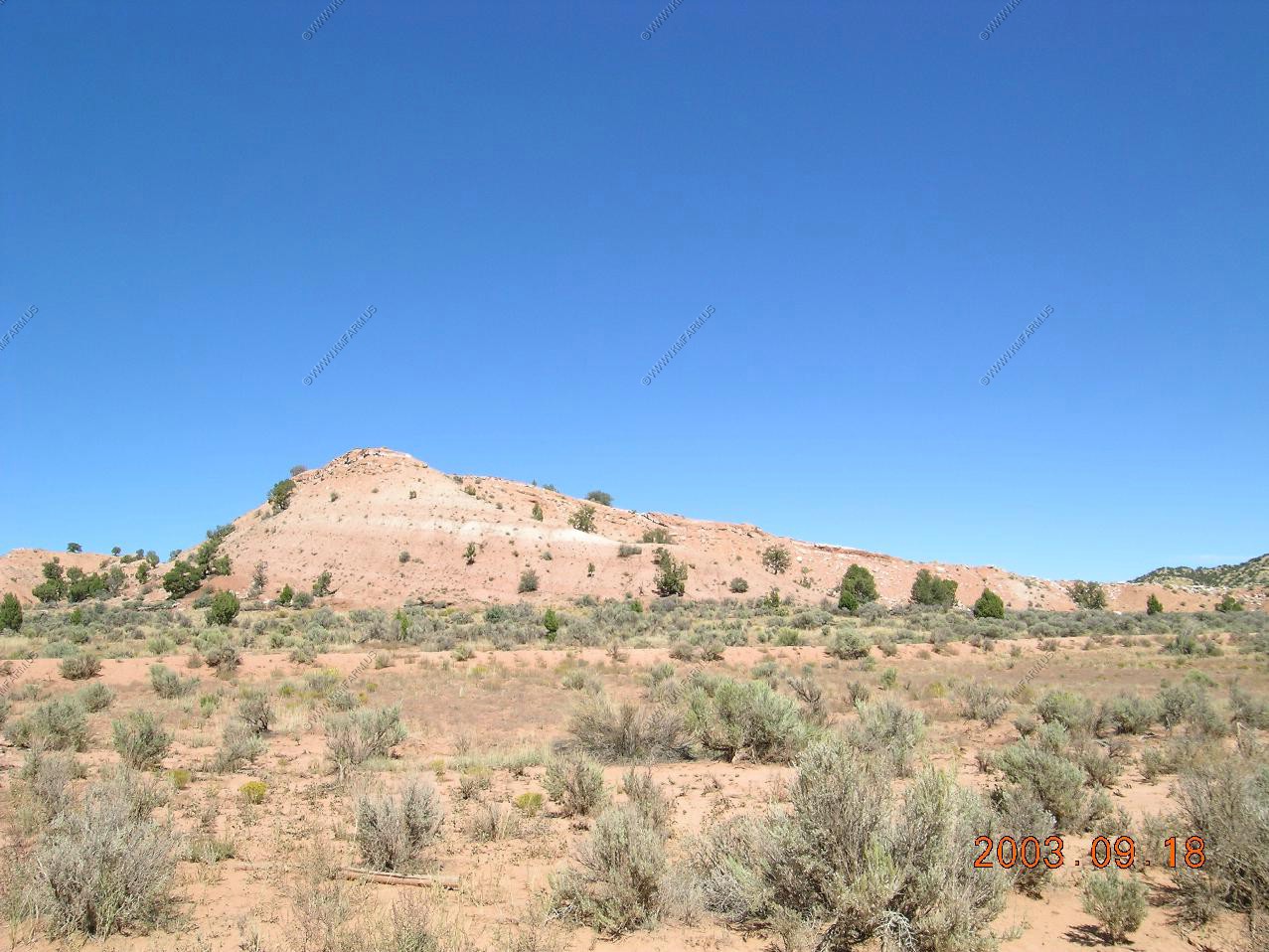
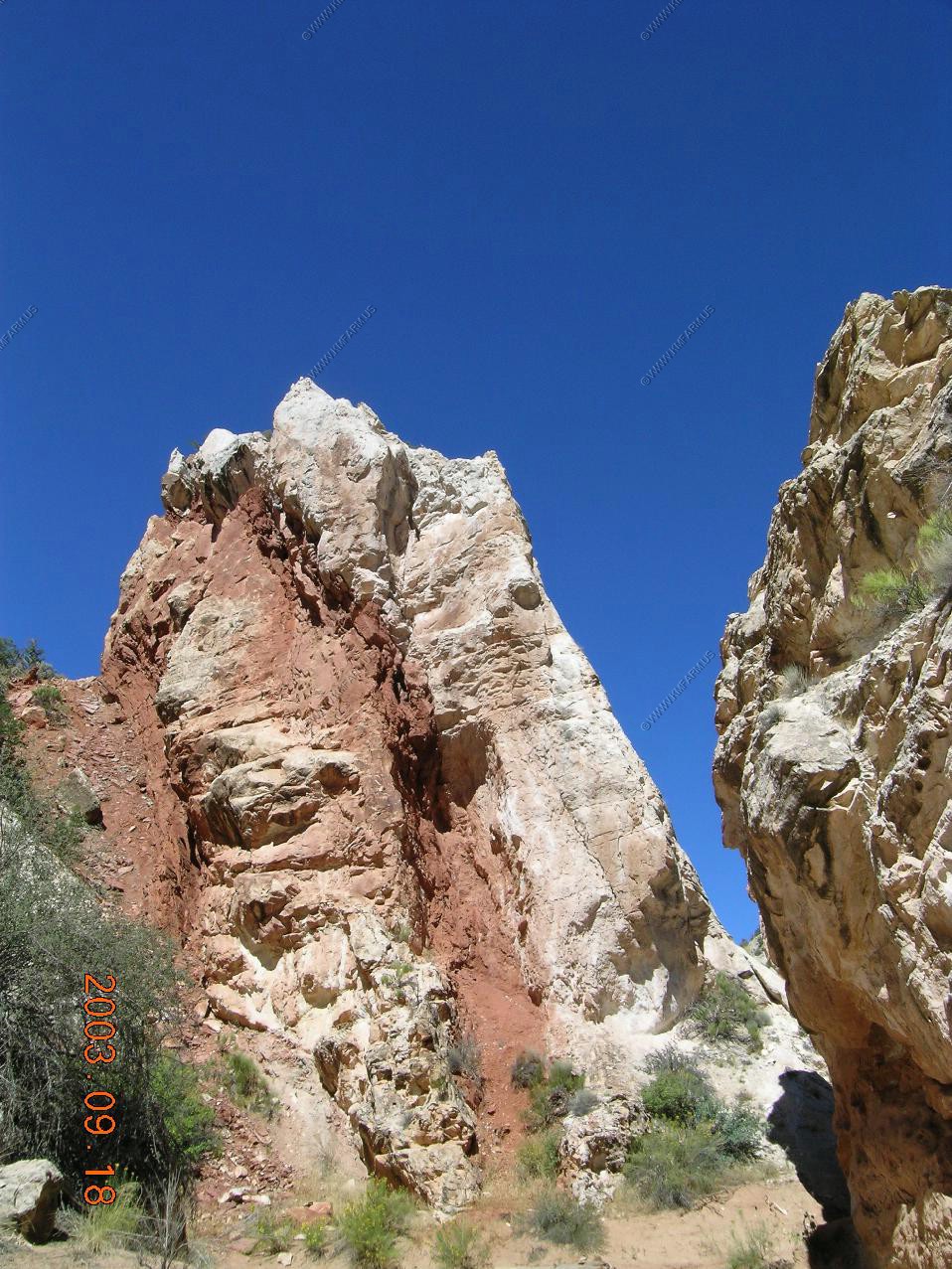
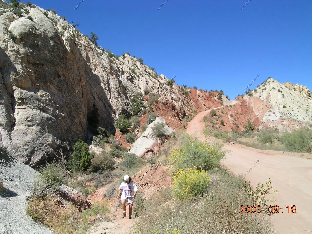
The Coxcomb - an elongated series of ridges running along the valley, created by erosion of upwardly-pointing folded rock layers. The rocks at either side have strange faded whitish-grey colours; steep, tilted cliffs again with almost no trees or bushes
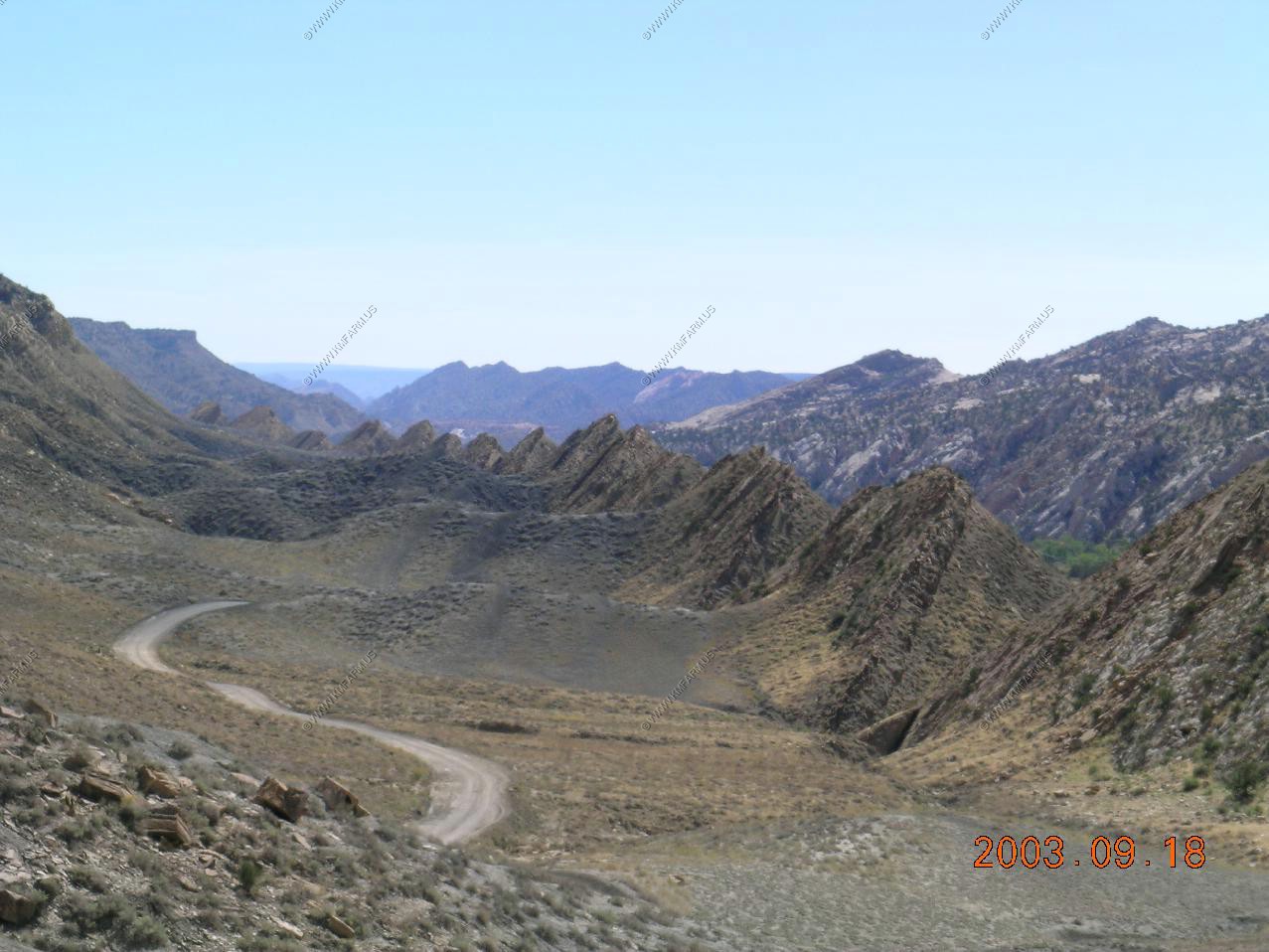
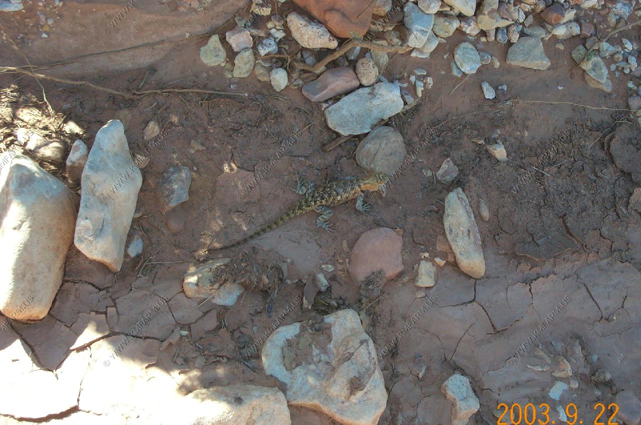
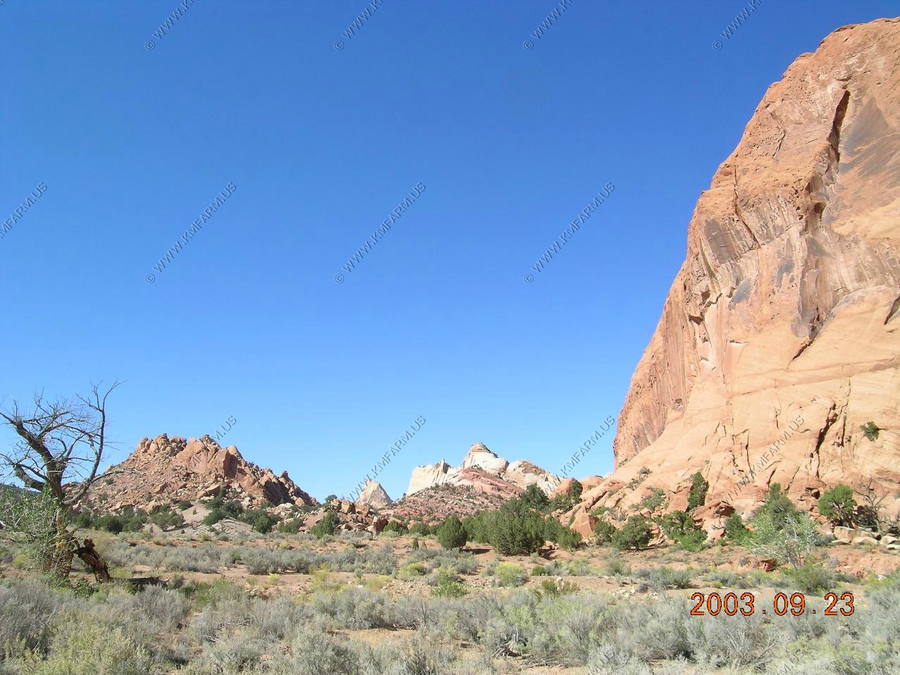
There is a general air of remoteness, only slightly spoilt by rather conspicuous telephone wires that run alongside the course of the creek, which is dry for most of the year.

Mollys Nipple - is a mountain summit in Davis County in the state of Utah (UT). Mollys Nipple climbs to 5,328 feet (1,623.97 meters) above sea level. Mollys Nipple is located at latitude - longitude coordinates (also called lat - long coordinates or GPS coordinates) of N 40.874943 and W -112.188002.
Anyone attempting to climb Mollys Nipple and reach the summit should look for detailed information on the Mollys Nipple area in the topographic map (topo map) and the Antelope Island South USGS quad.
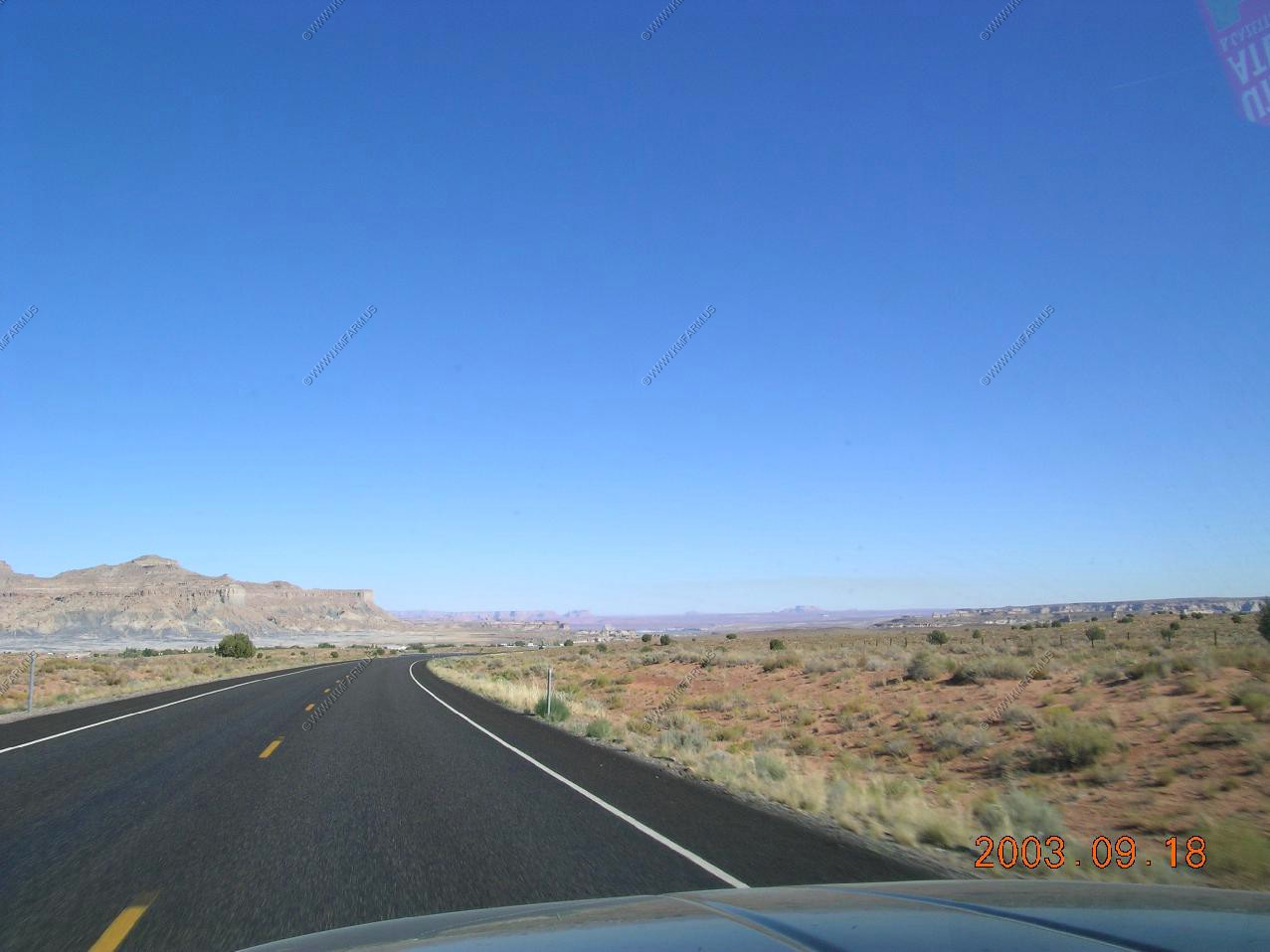
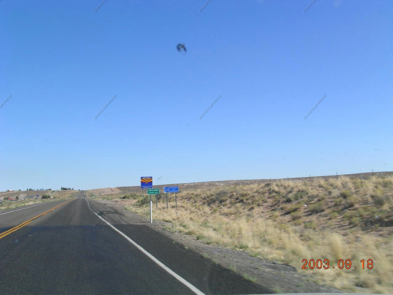
Approaching Arizona
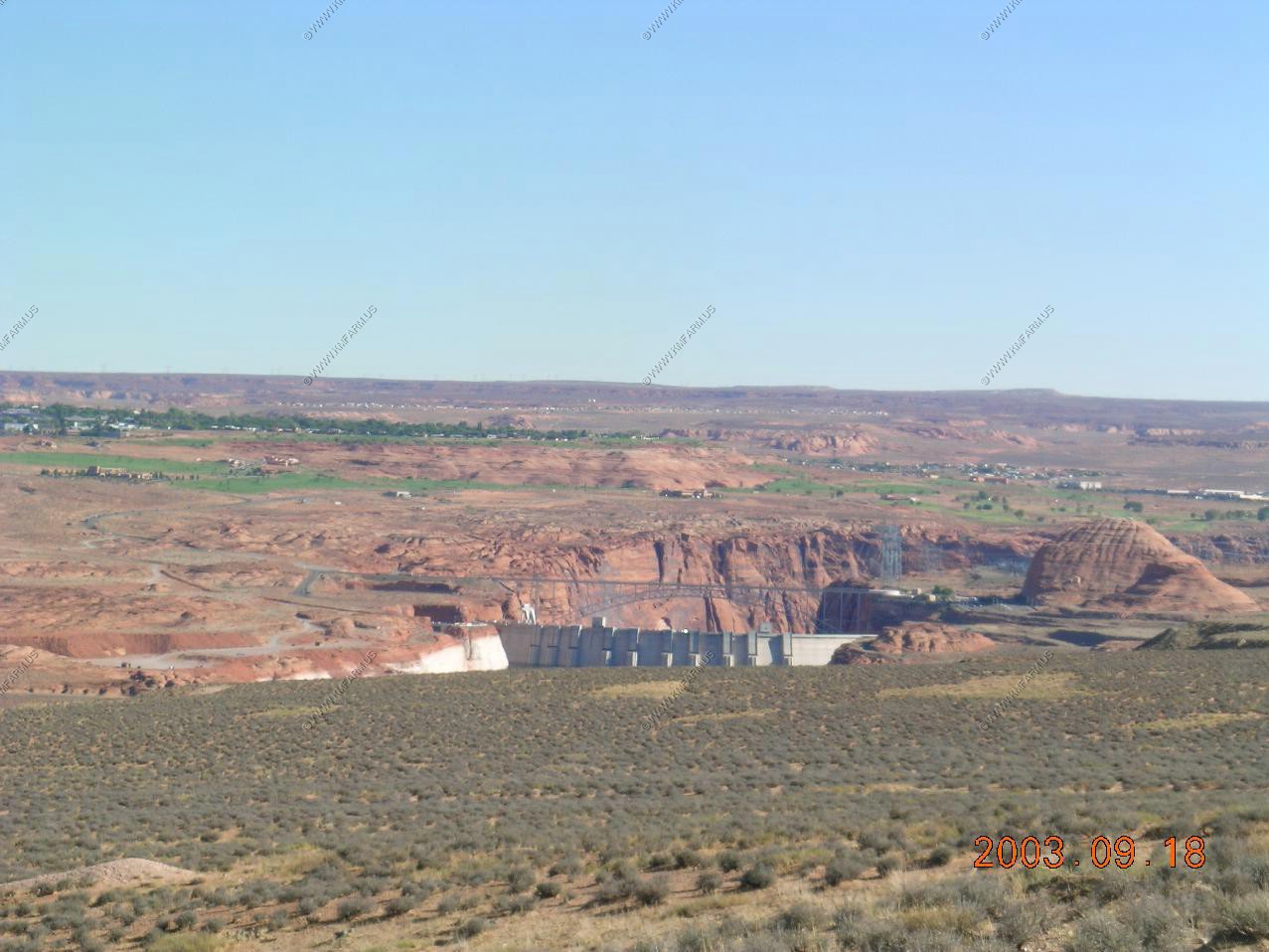
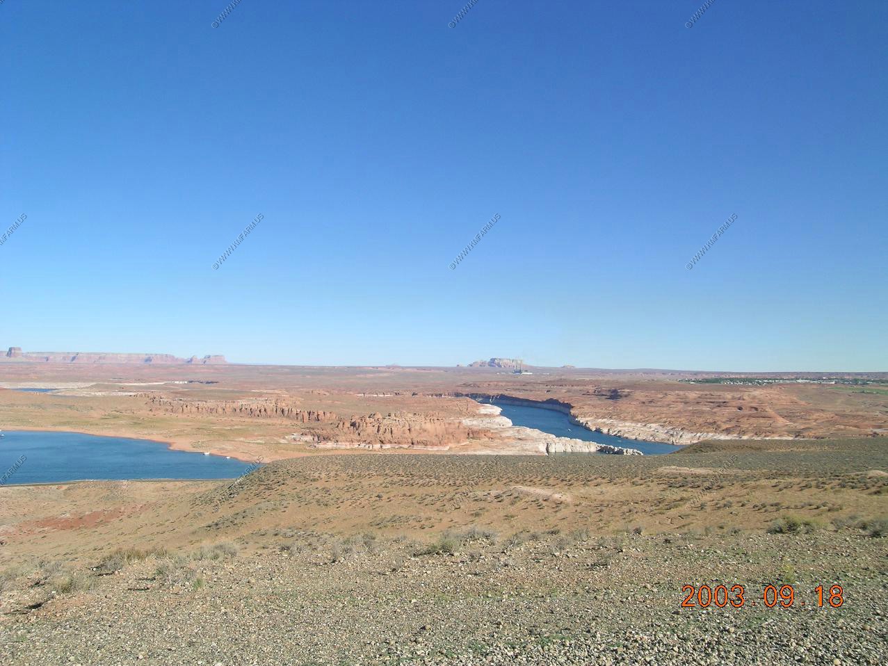
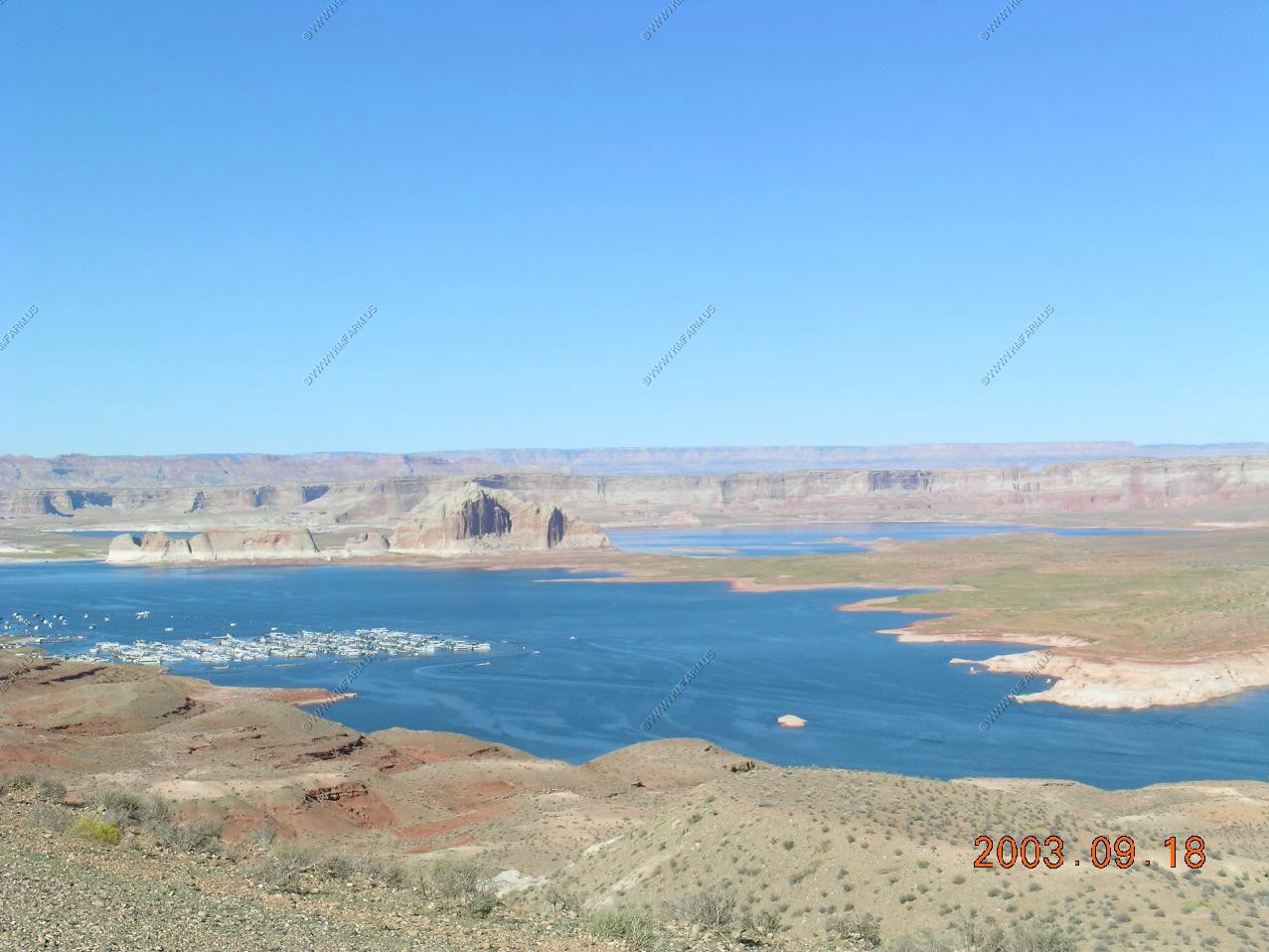
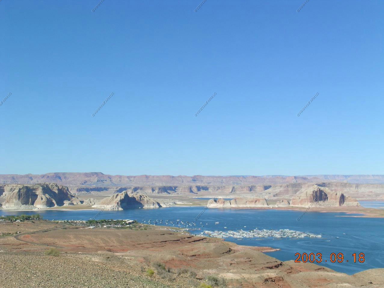
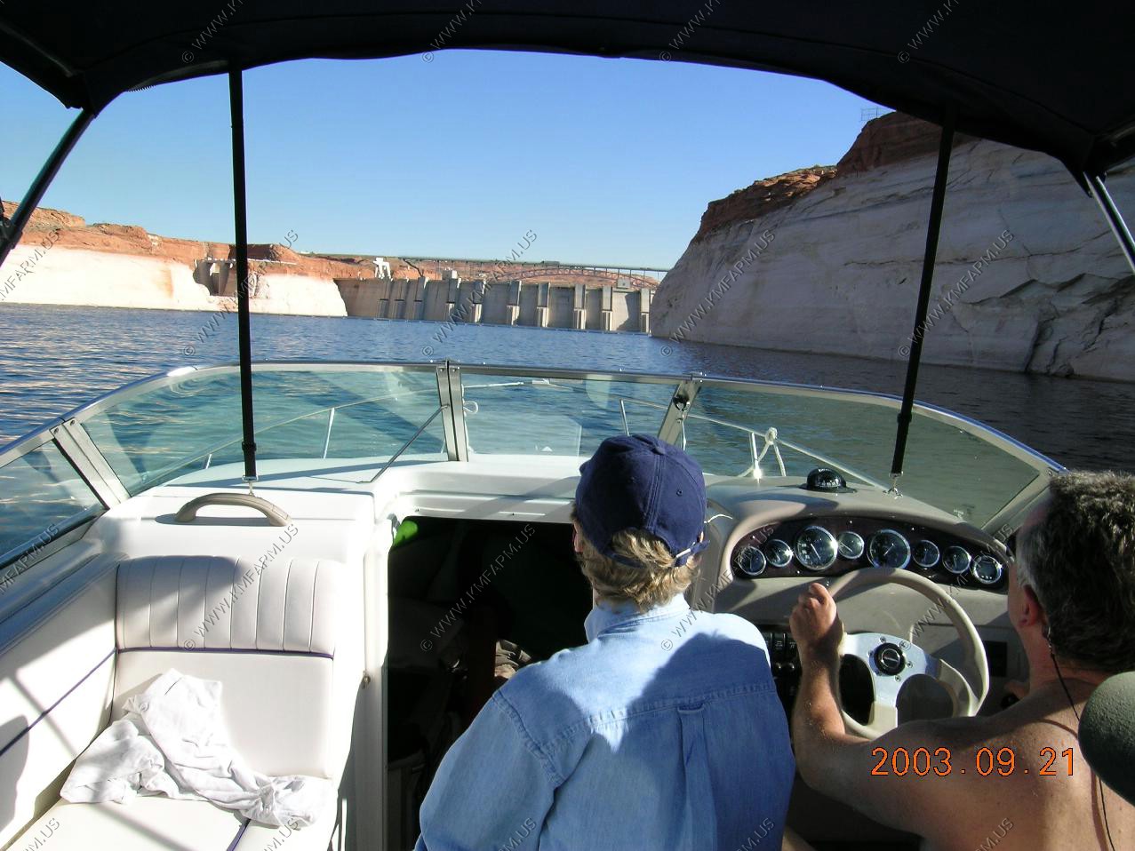
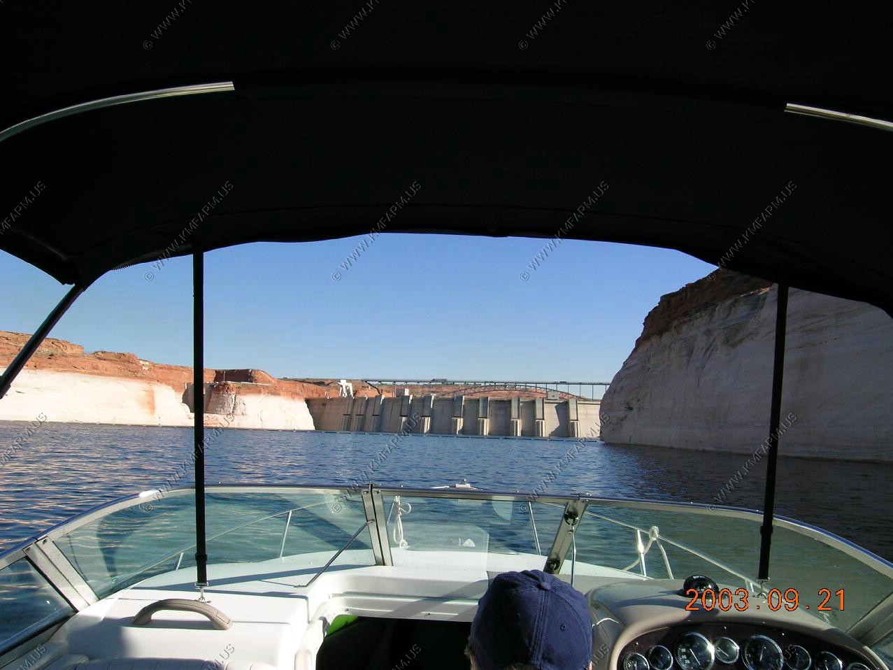
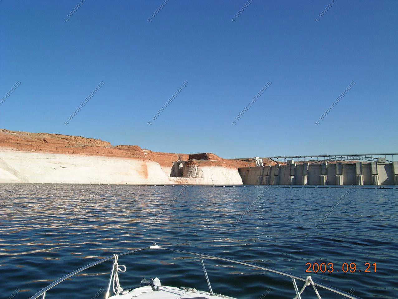
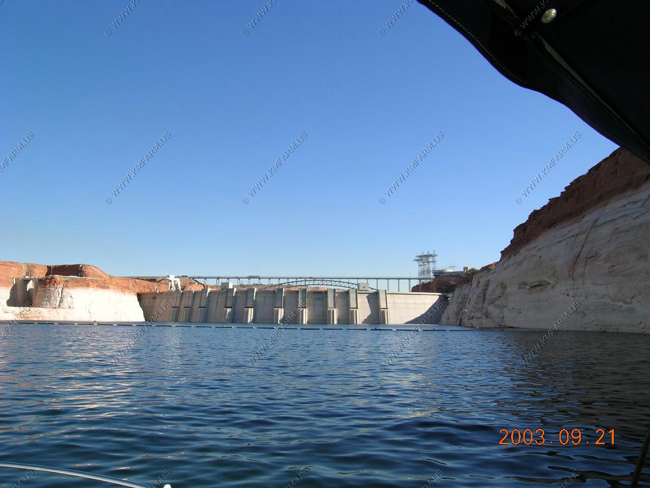
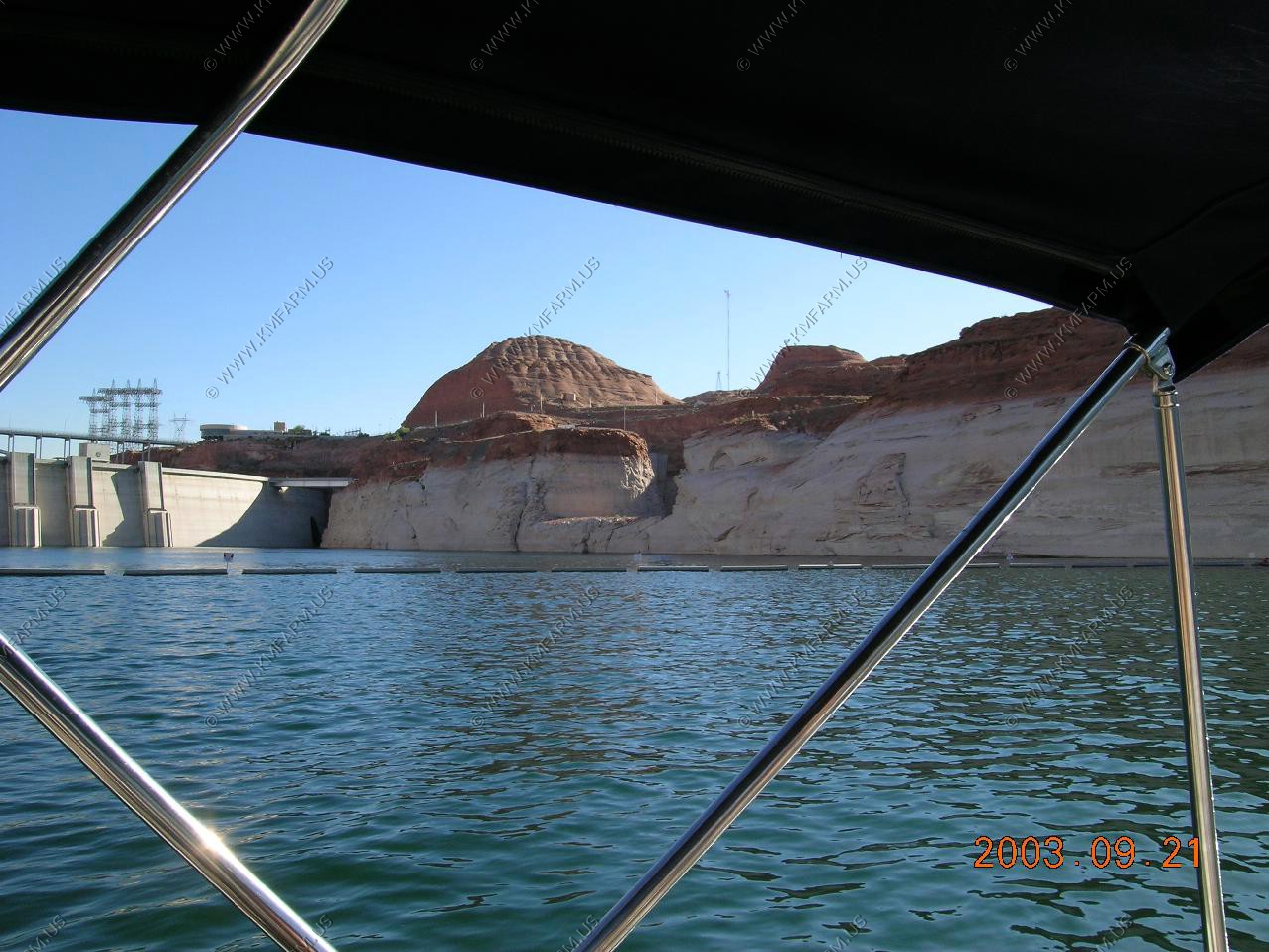
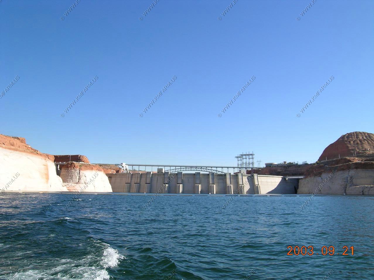
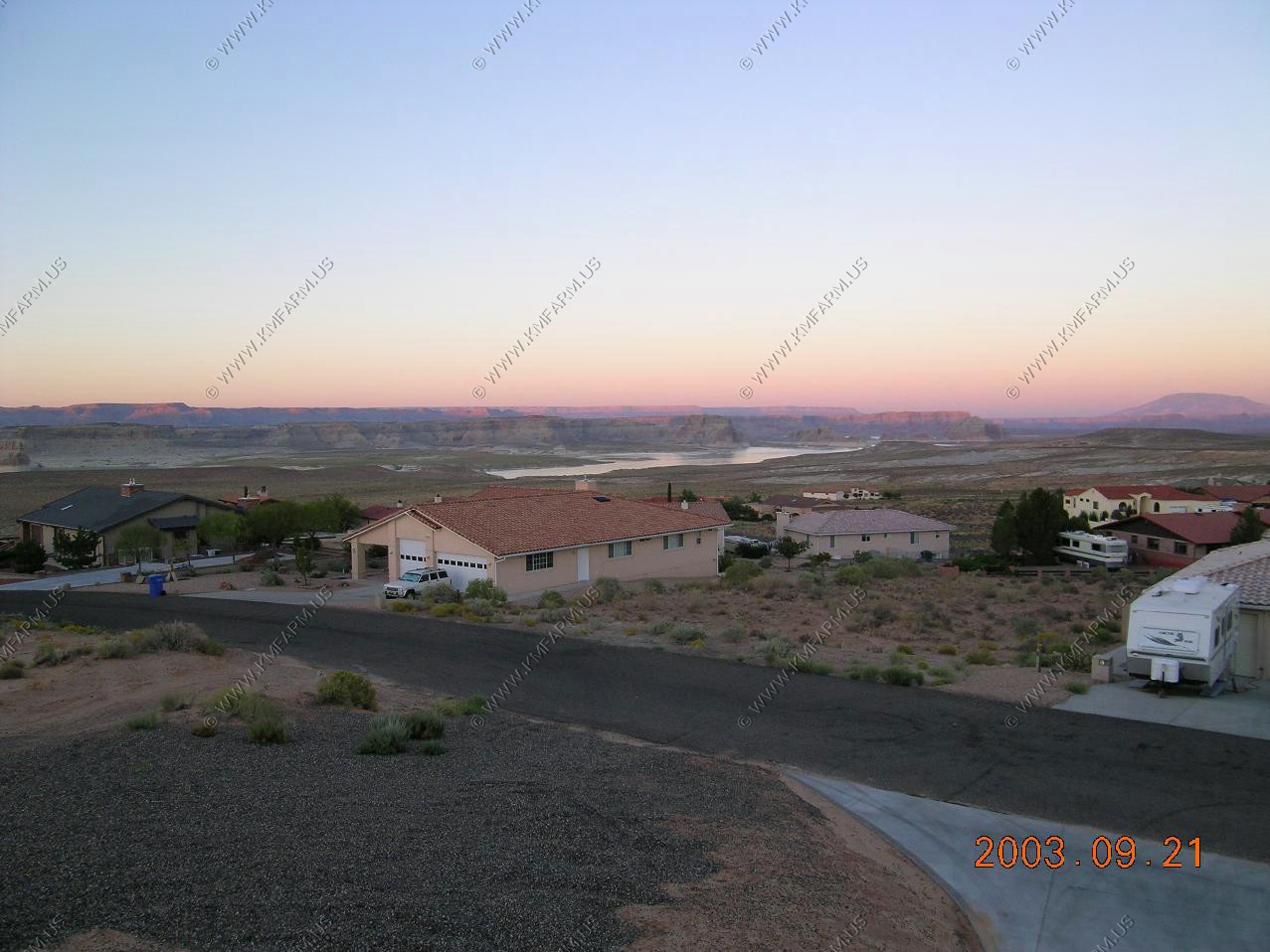
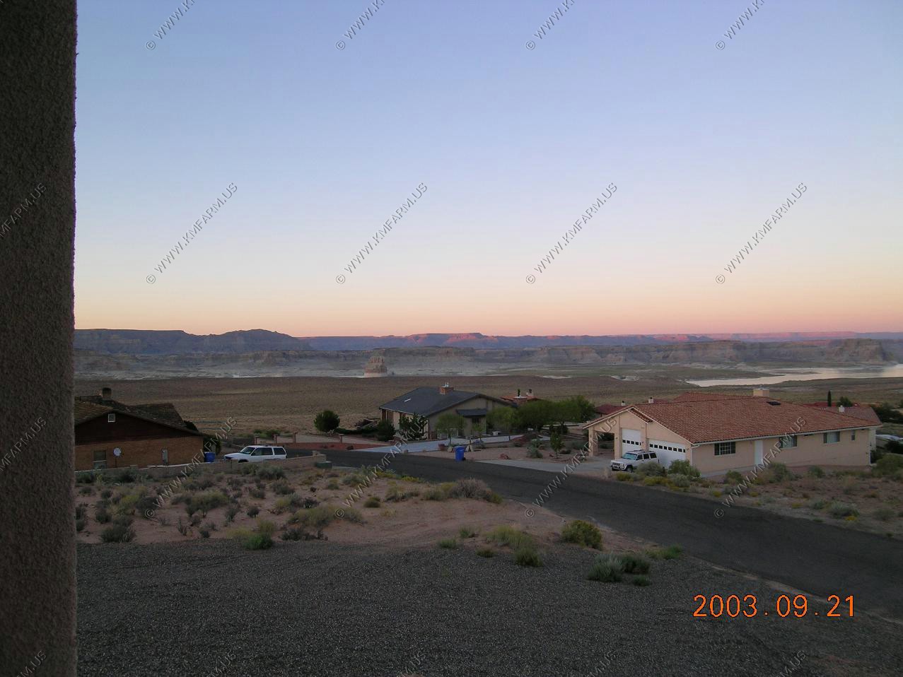
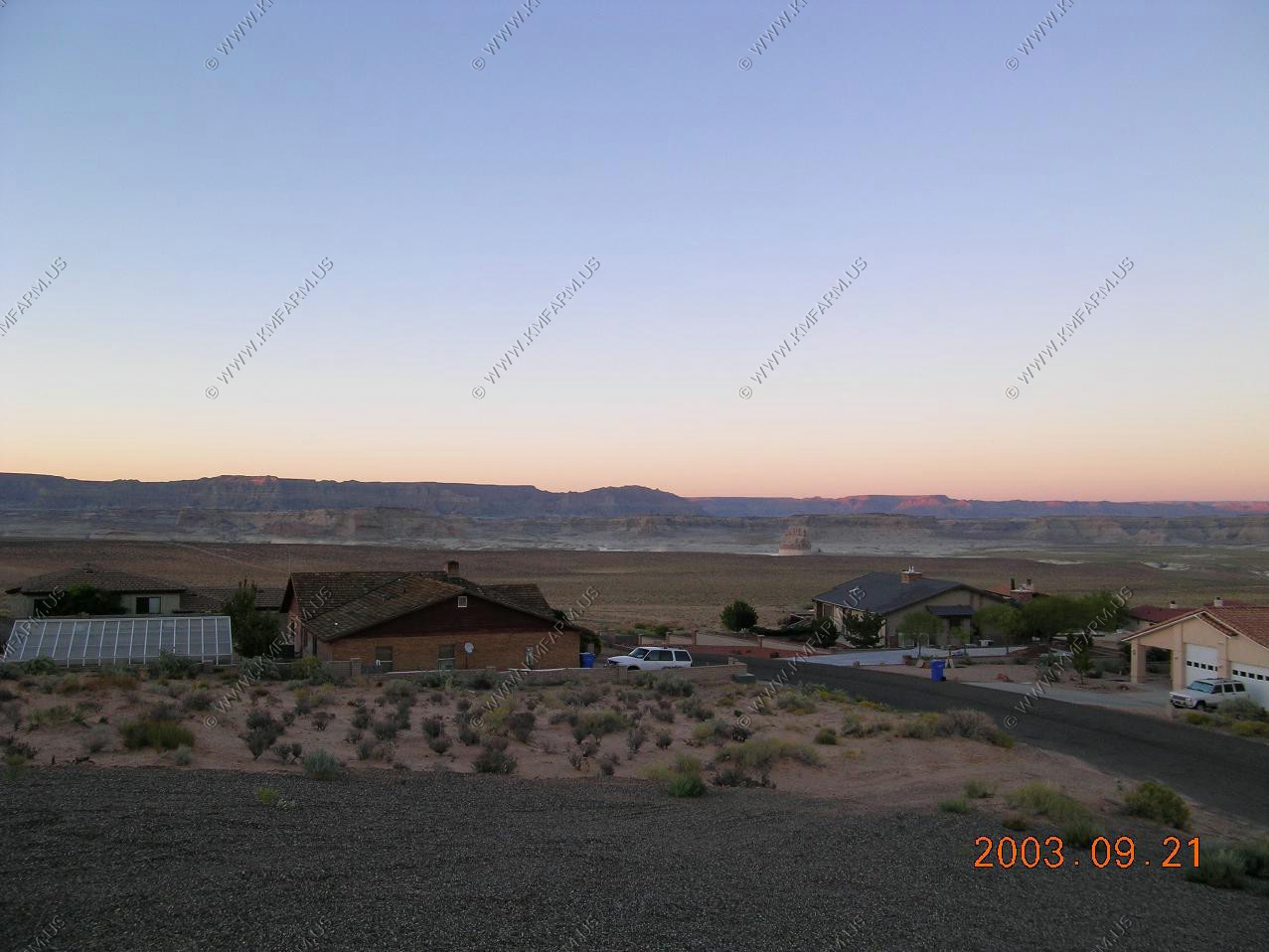
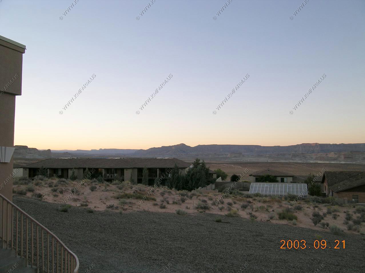
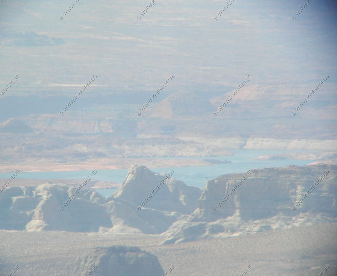
View of the Lake Powell and Glen Canyon Dam
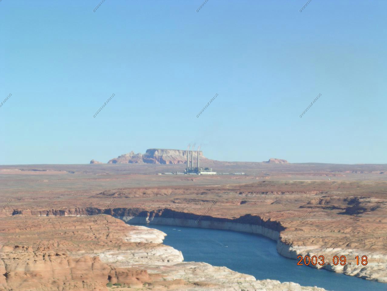
The wonderful power plant Navajo Power Station. Ya right !! Not good... But we need it someplace.
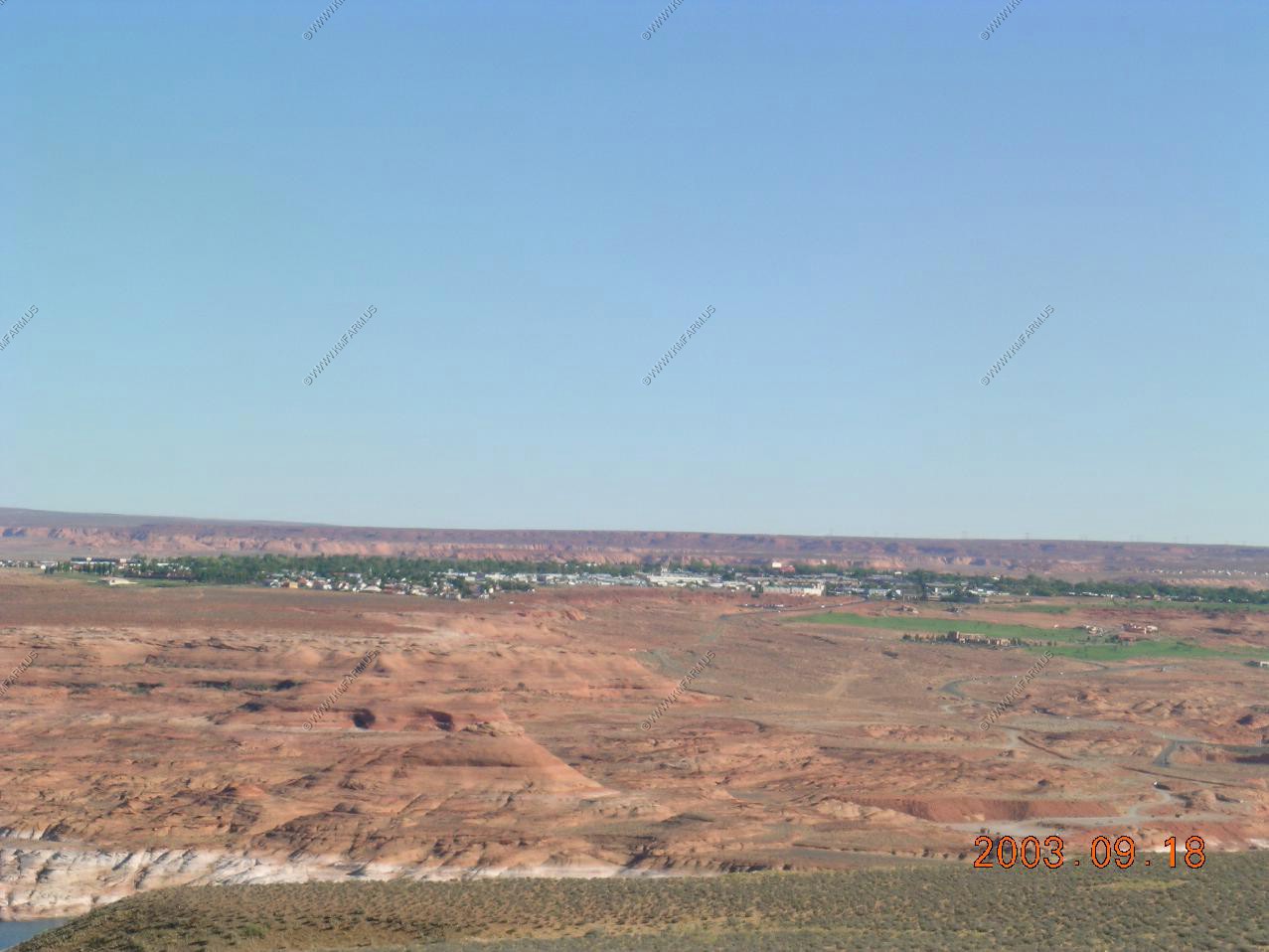
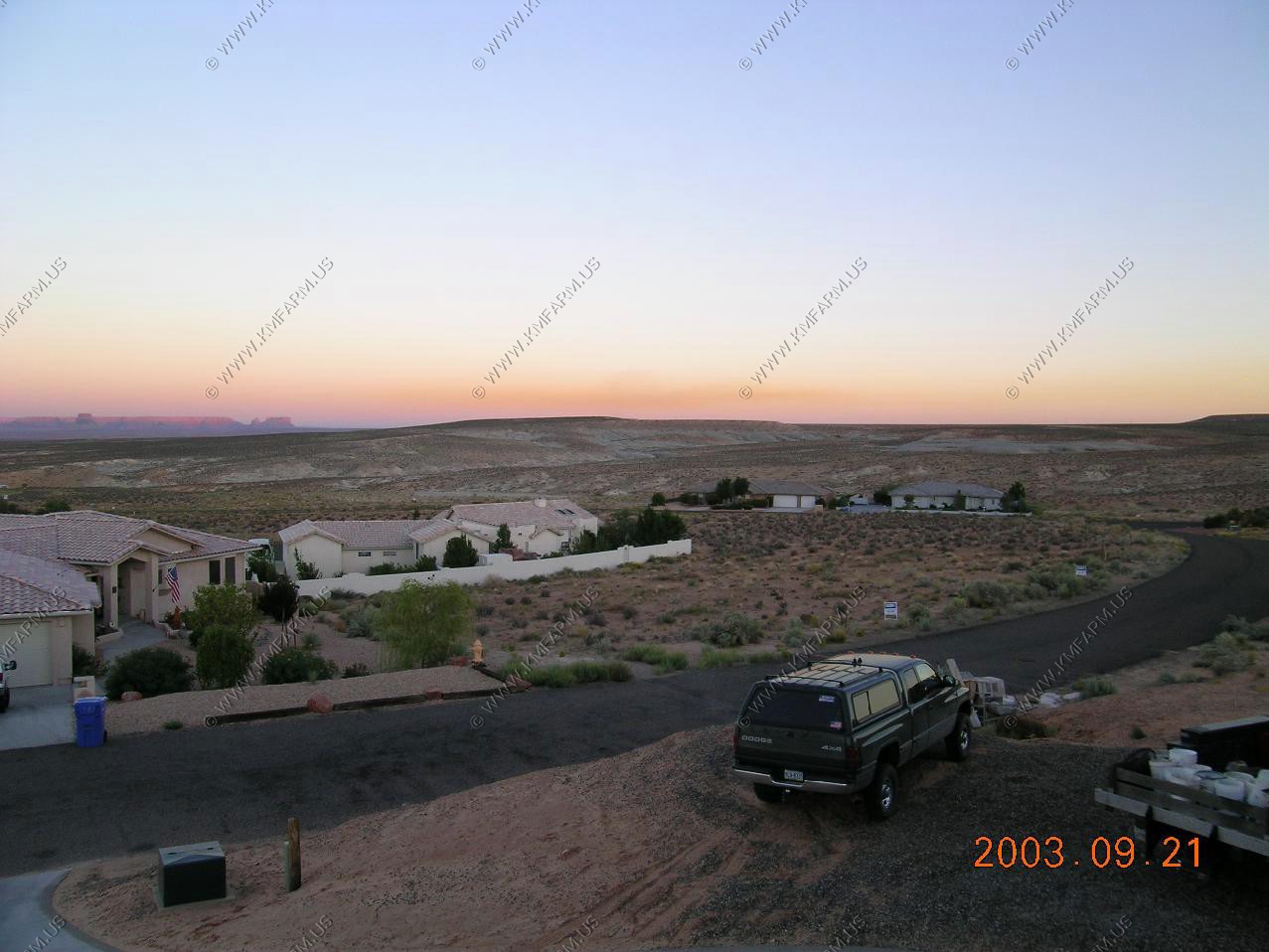
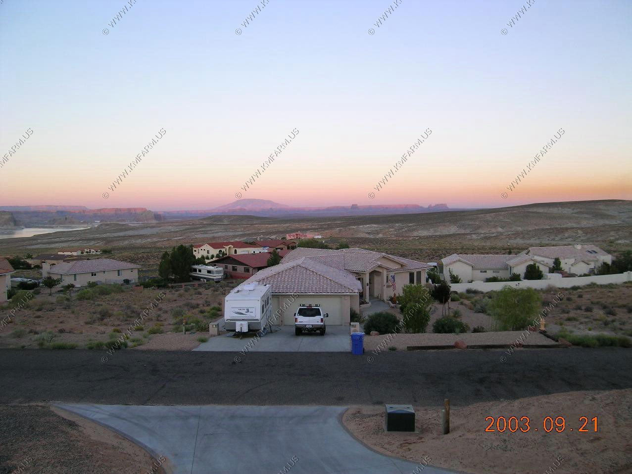
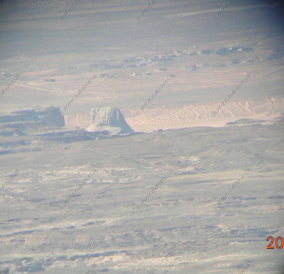
Page AZ, off in the distance
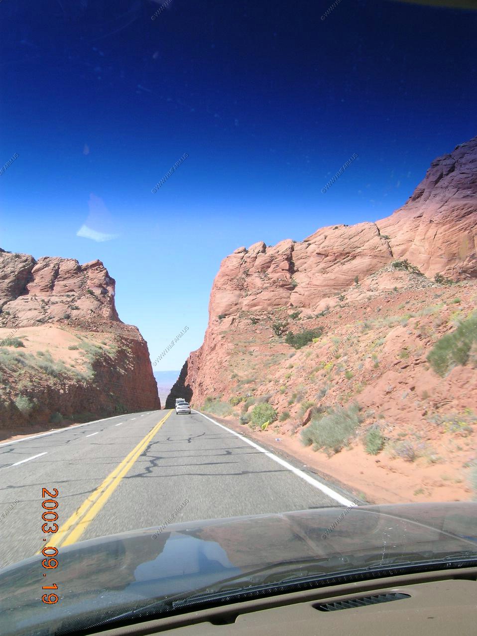
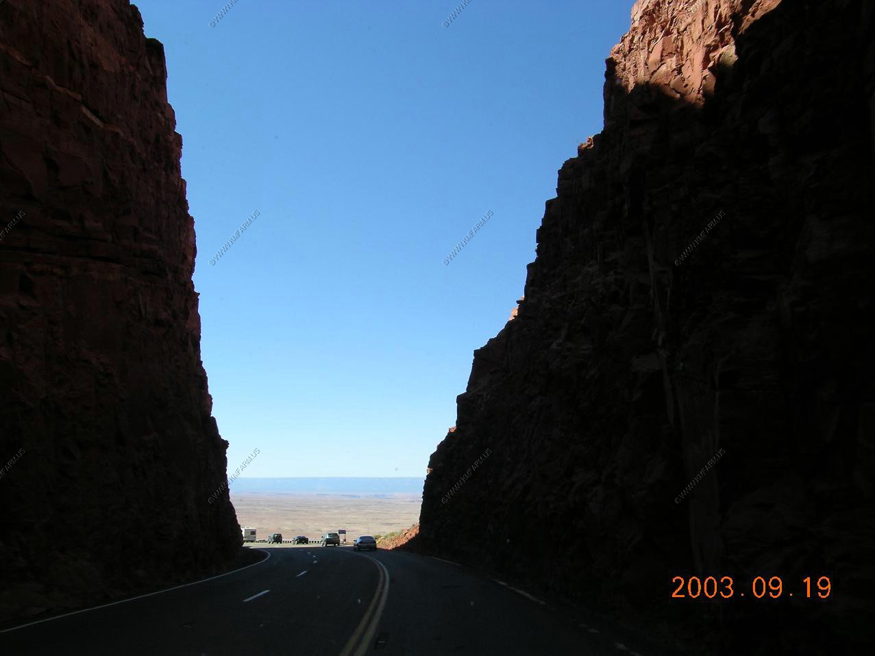
Heading south on US-89 via Antelope Pass
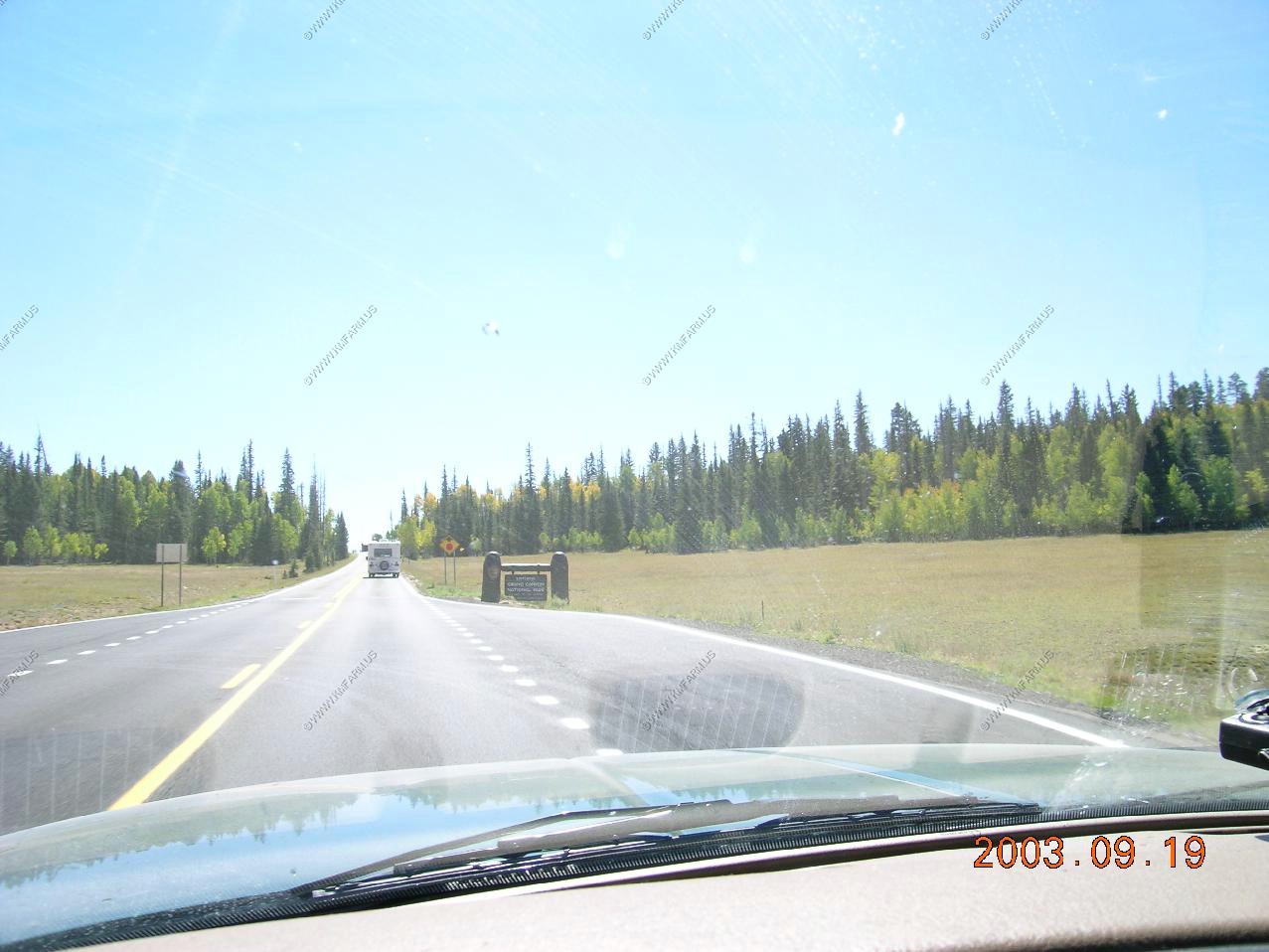
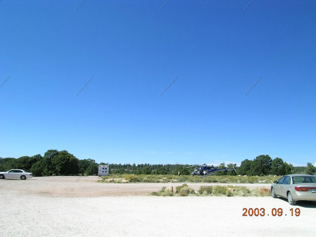
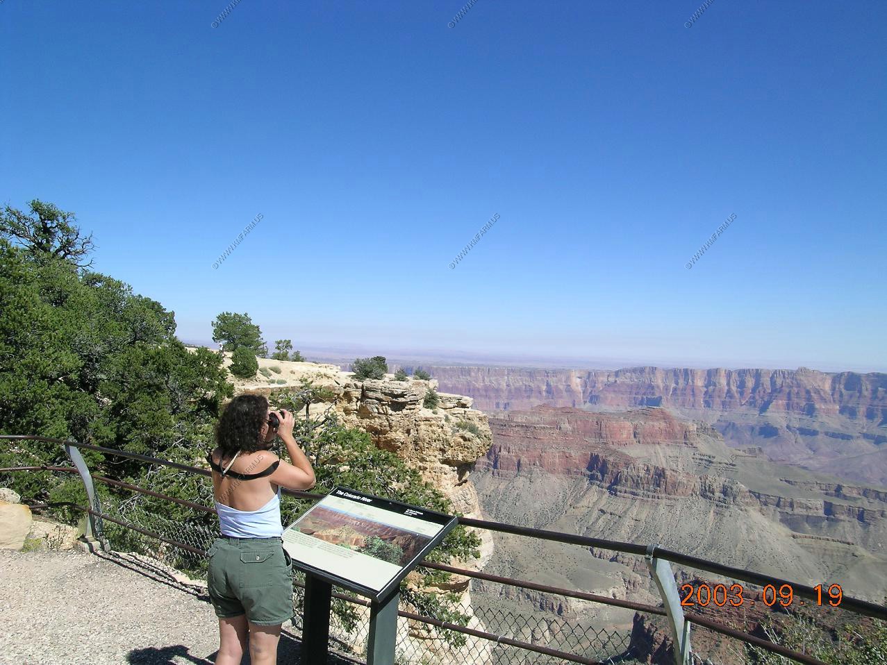
Day trip from Page to the North Rim of the Grand Canyon The entrance station along AZ-67 South
Rescue chopper
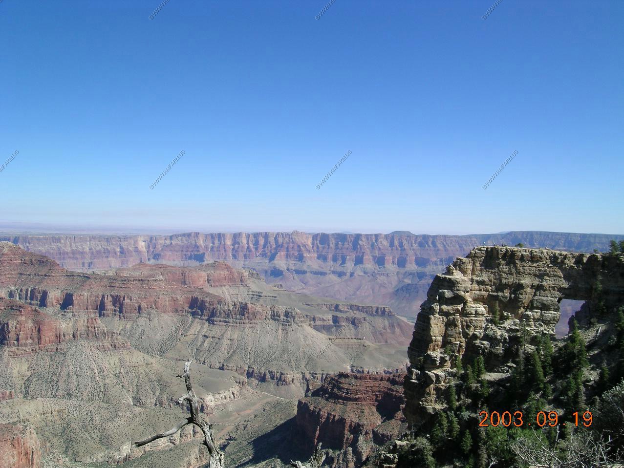
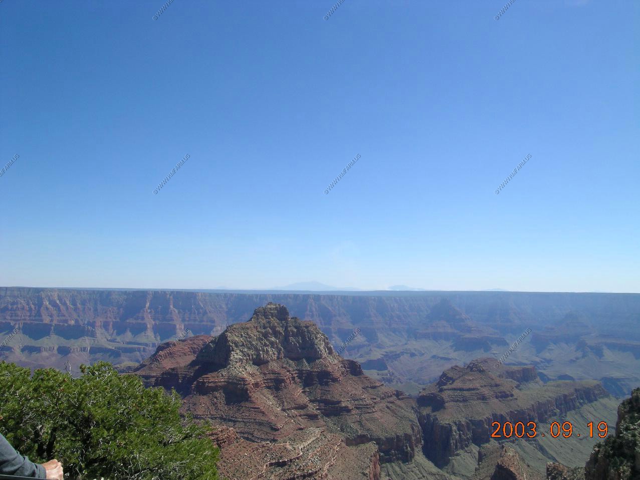
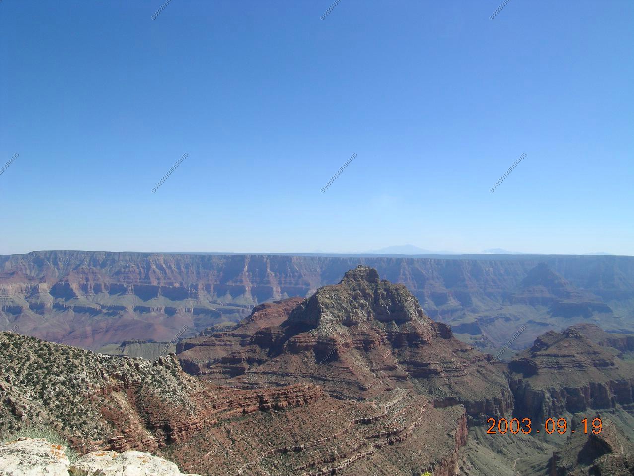
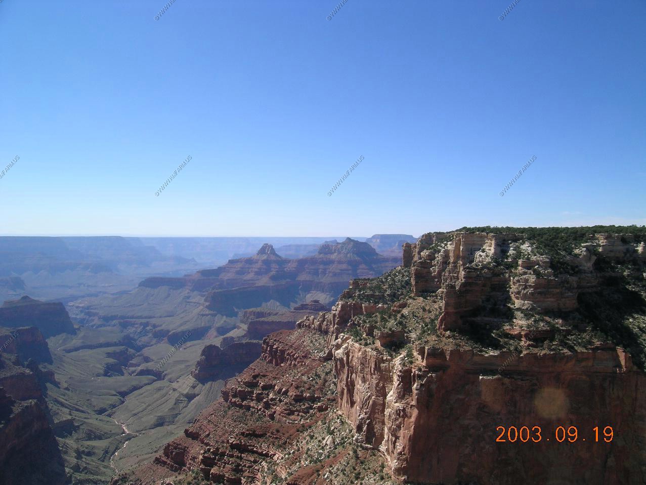
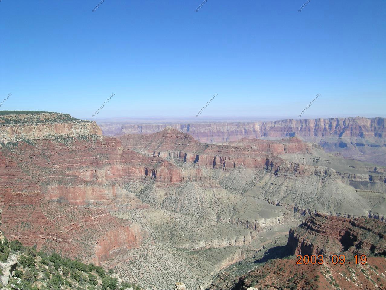
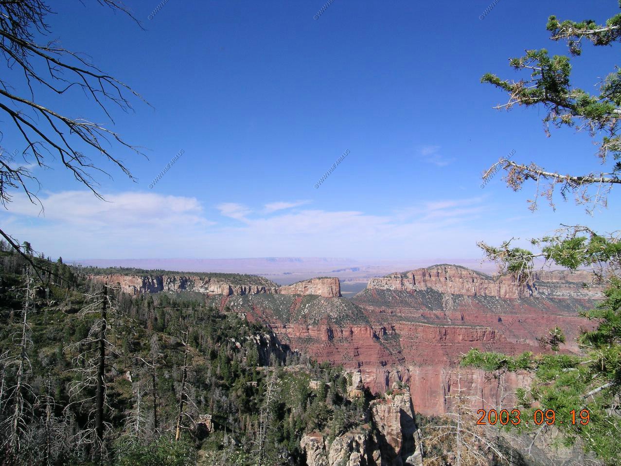
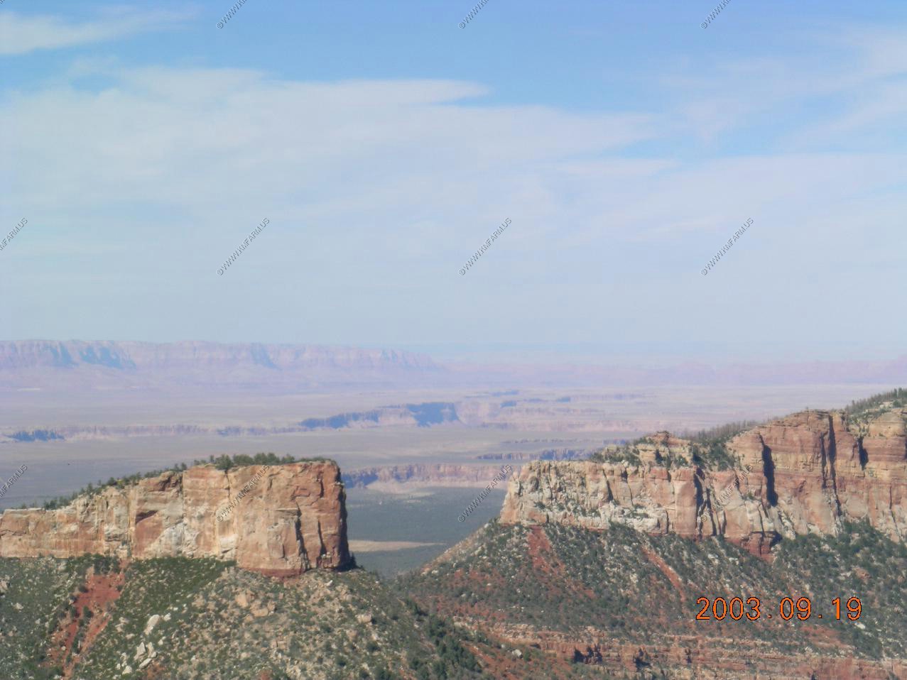
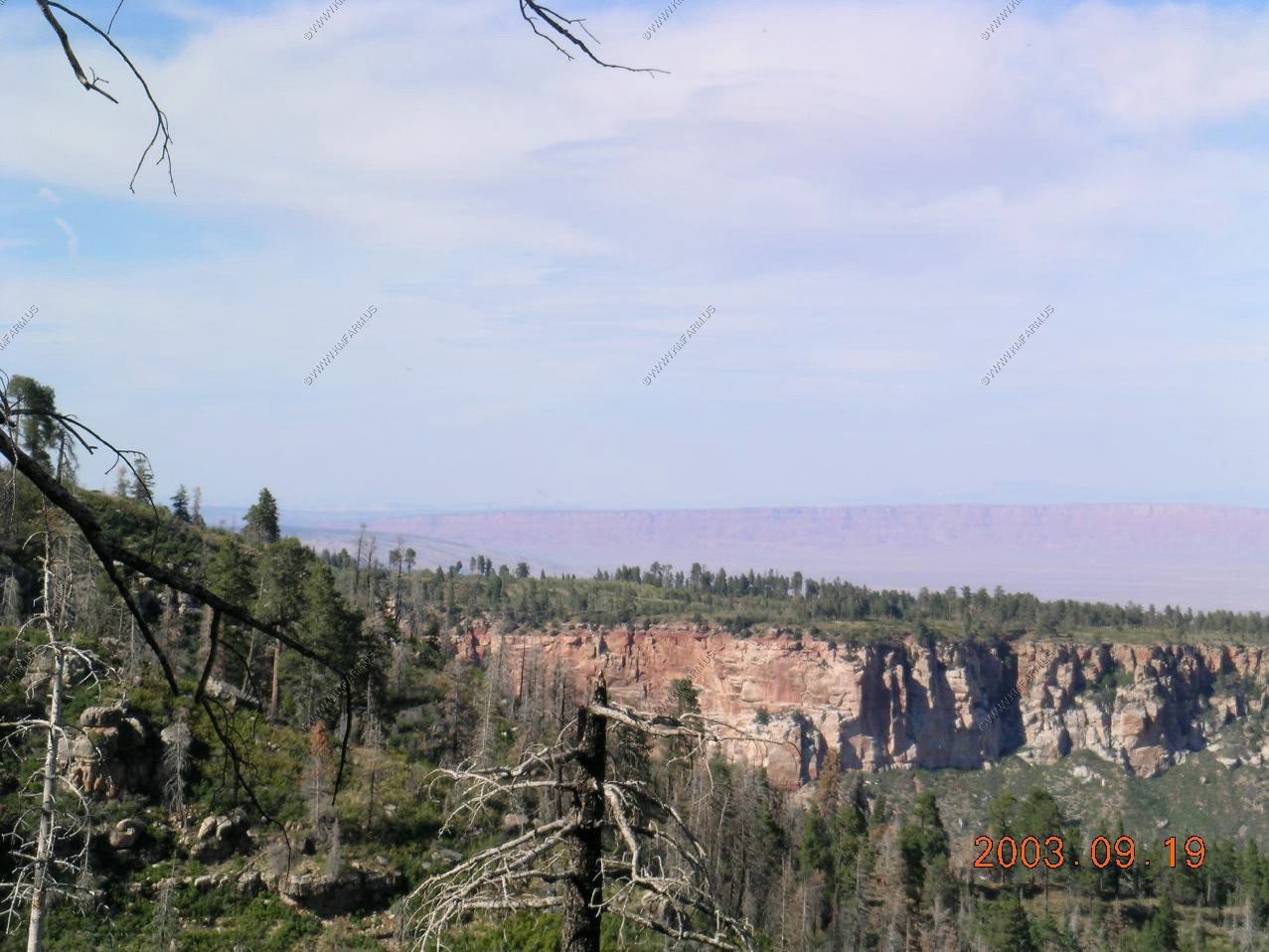
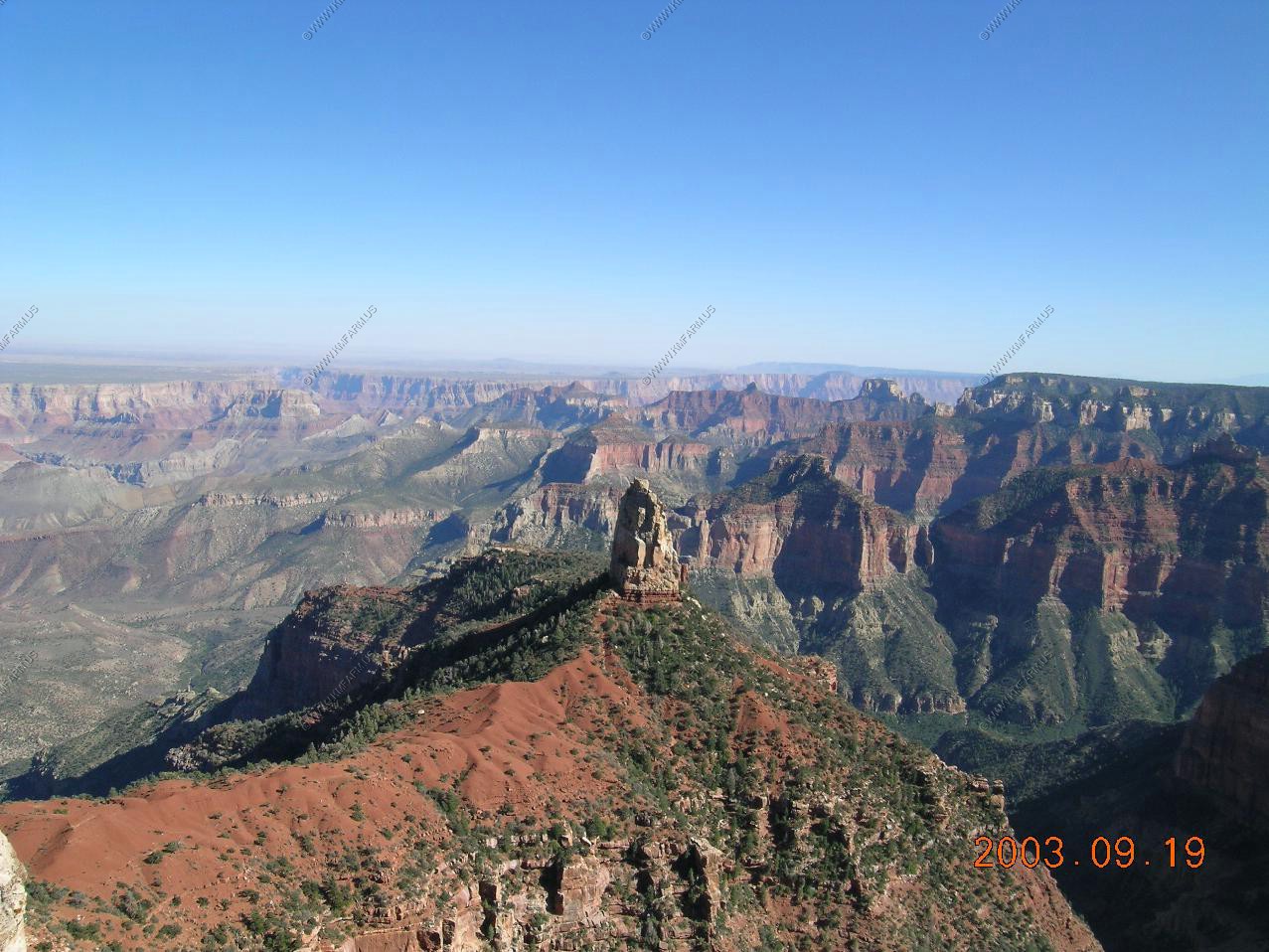
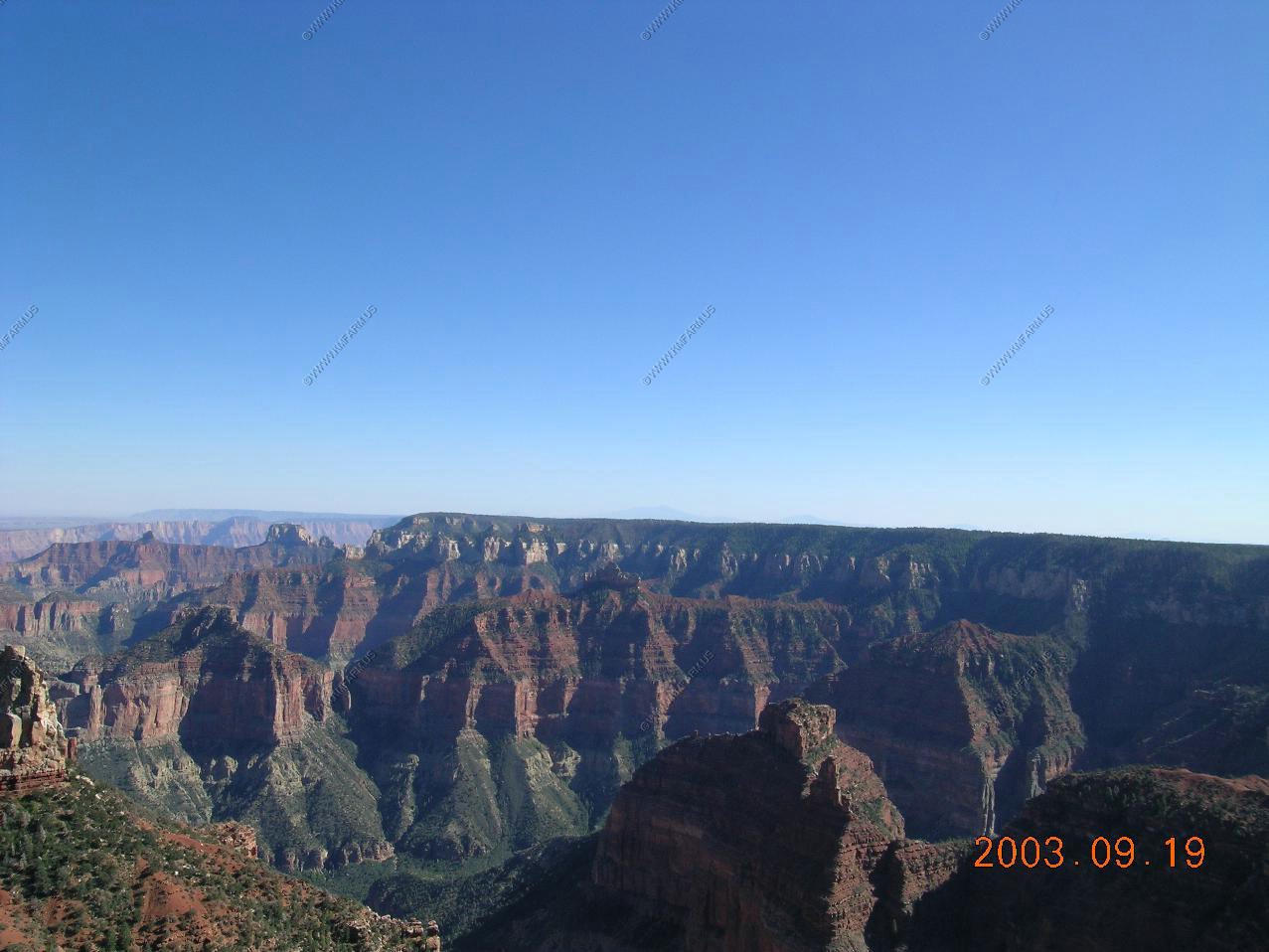
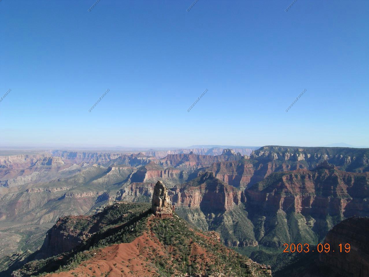
Views along the Cape Royal Road
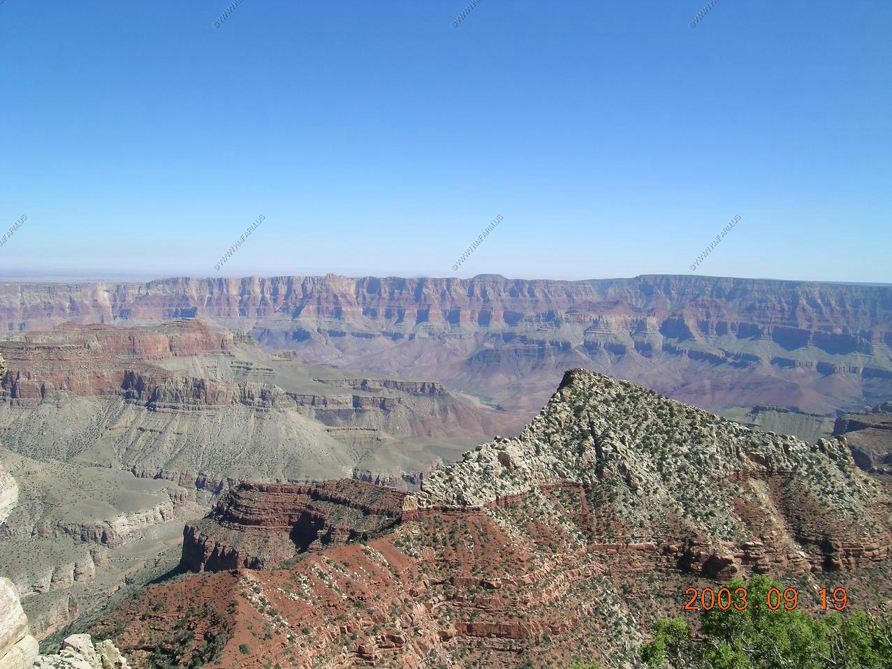
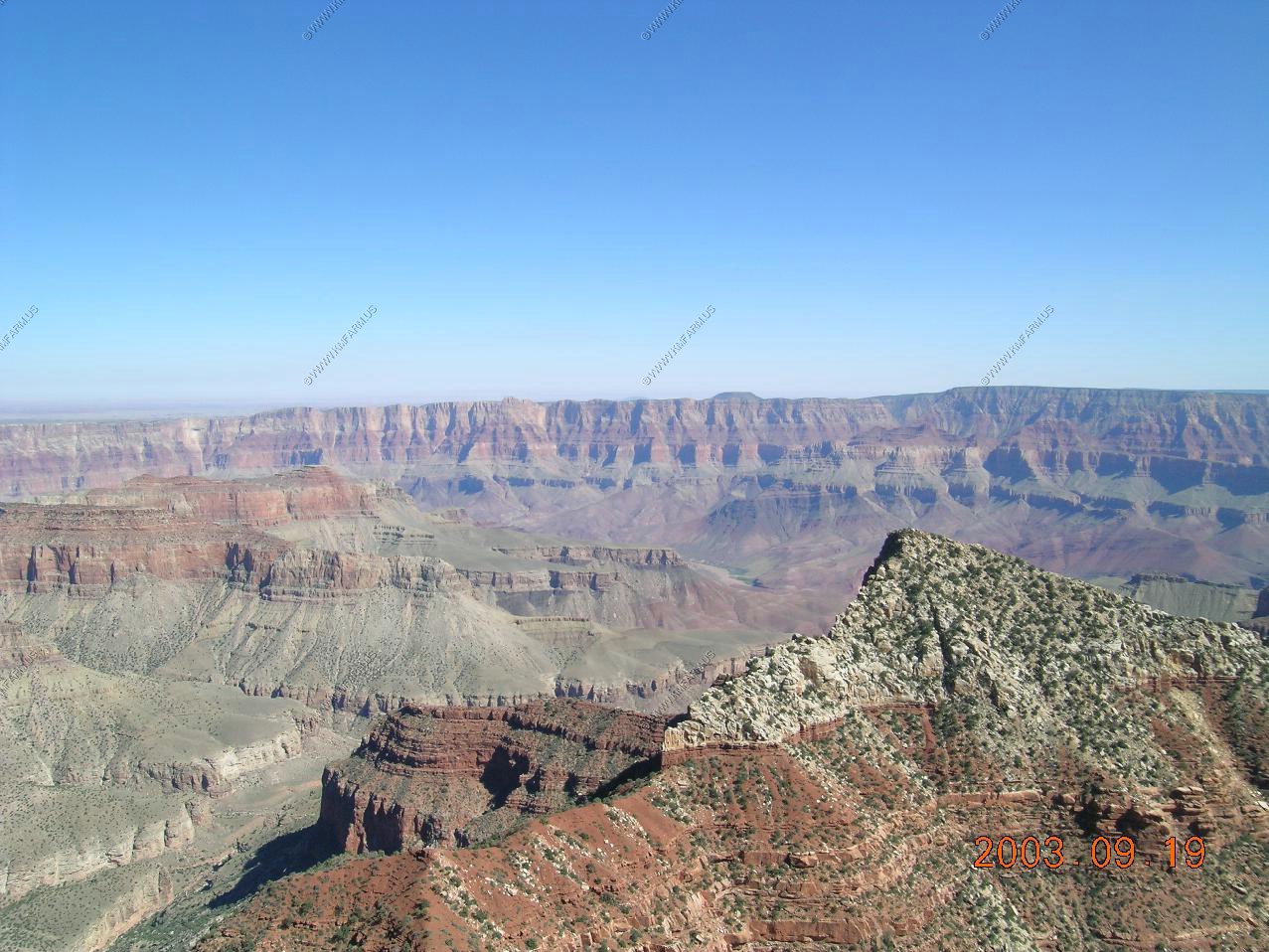
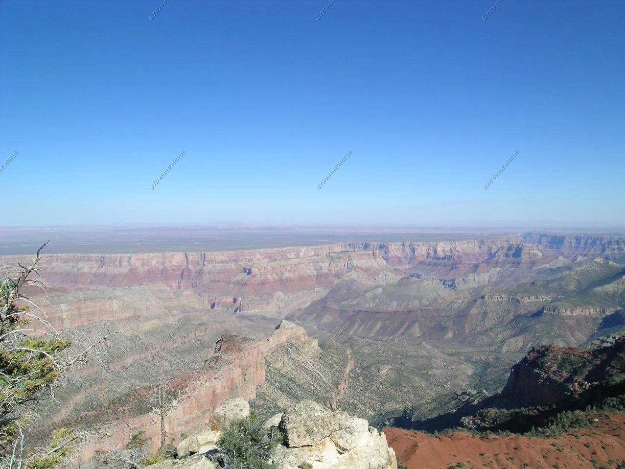
Looking south over the canyon at the San Francisco Peaks near Flagstaff appx. 80 miles away. Also, large forest fires were visable
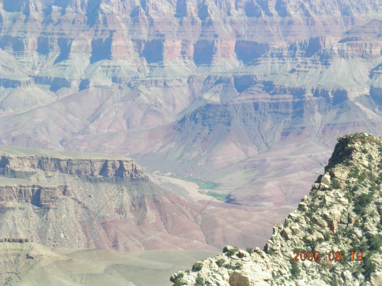
Looking down at the Colorado river over a mile below us.
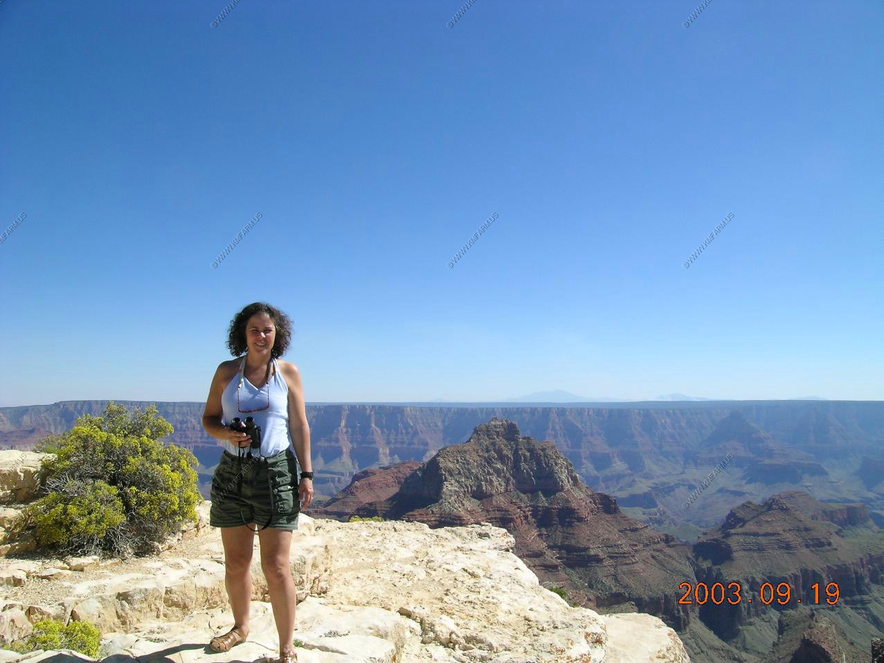
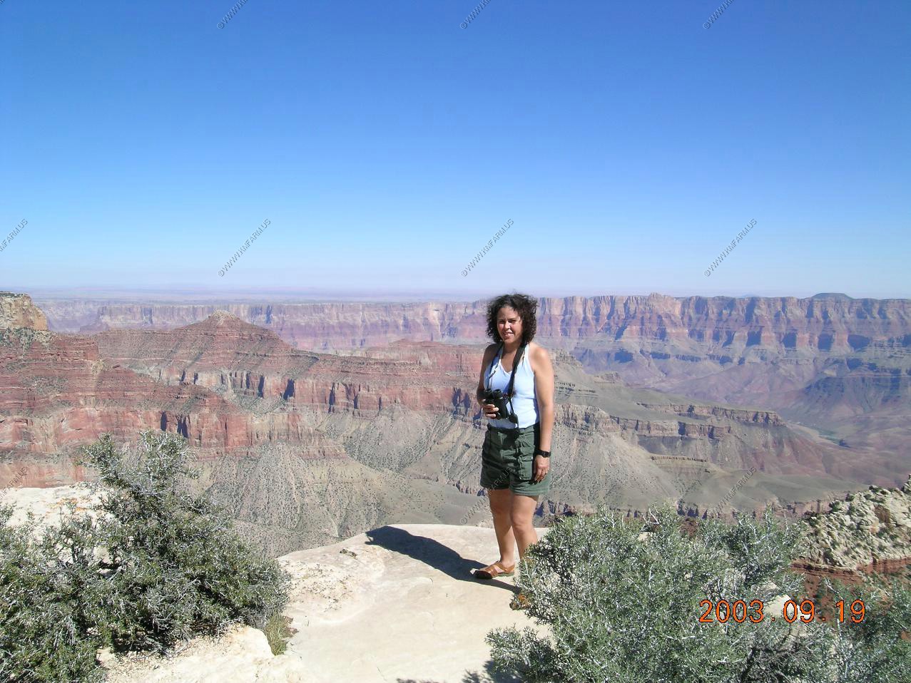
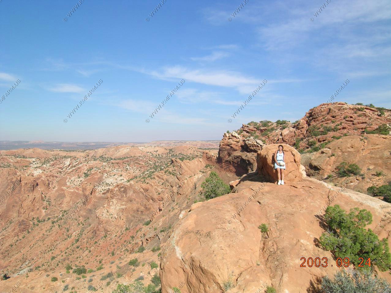
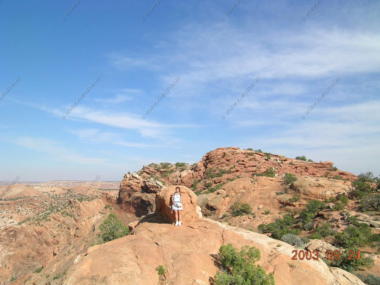
Mary with the the San Francisco Peaks in the background
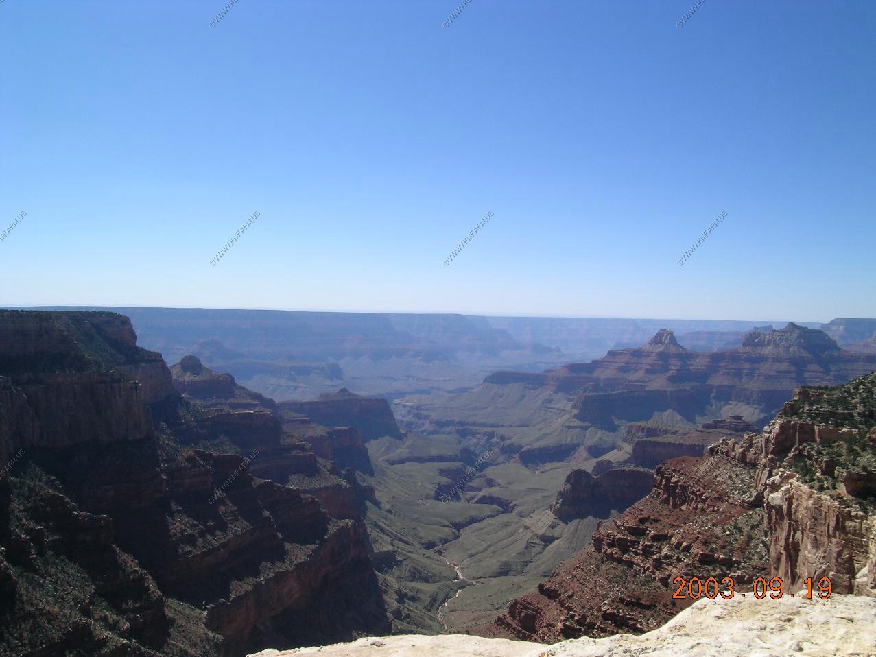
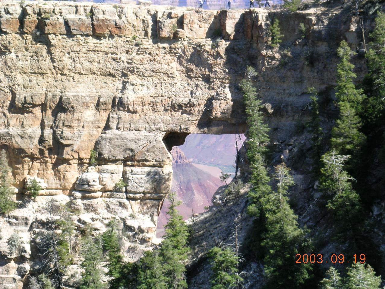
Views along Cape Royal Road


The river thru the rocks
The sign that tells you what you can see in the next photo.
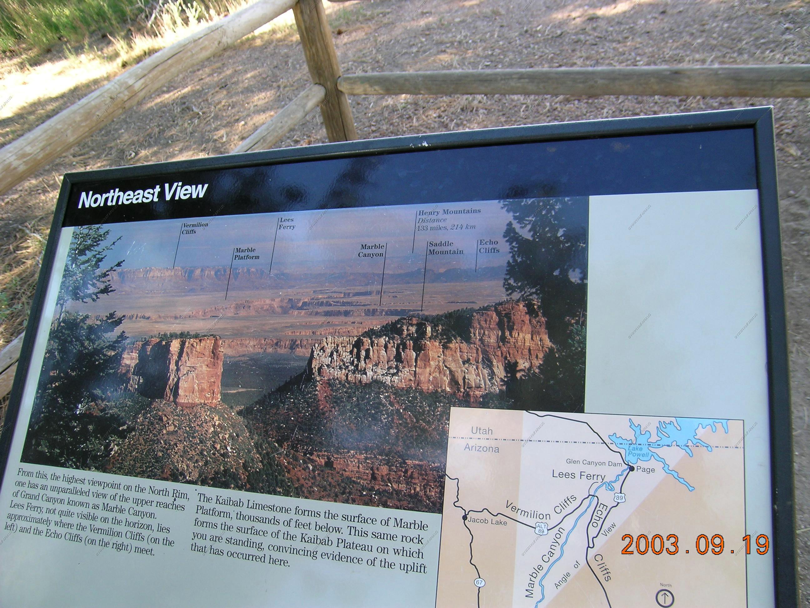
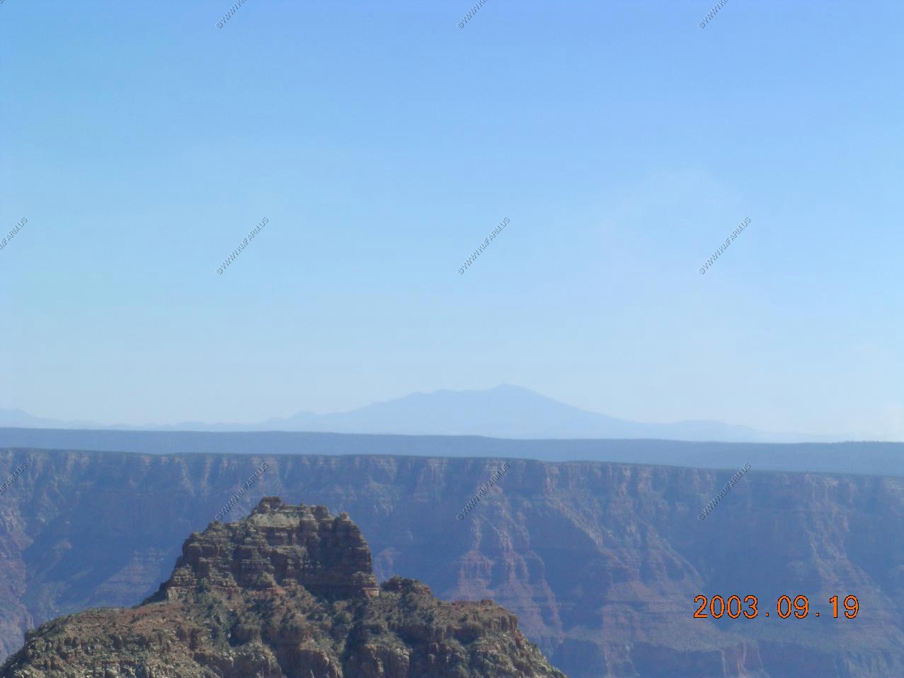
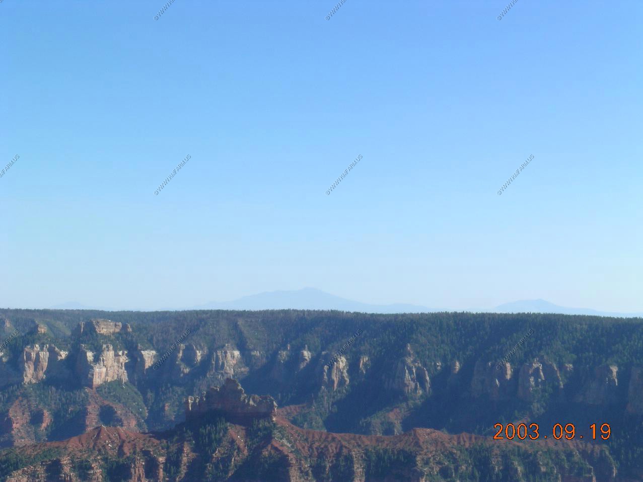
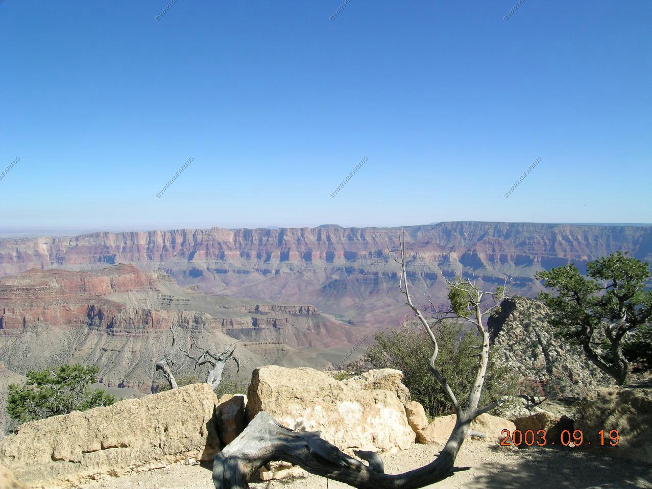
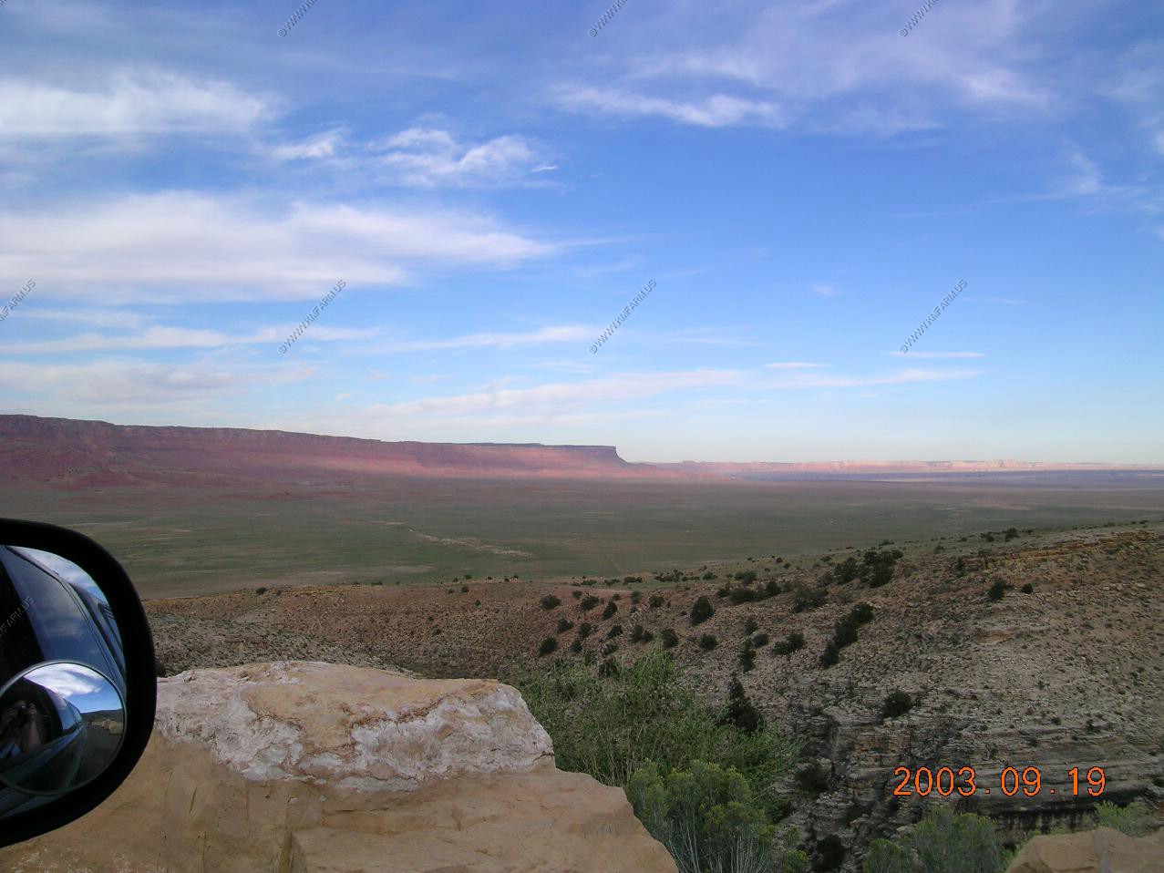
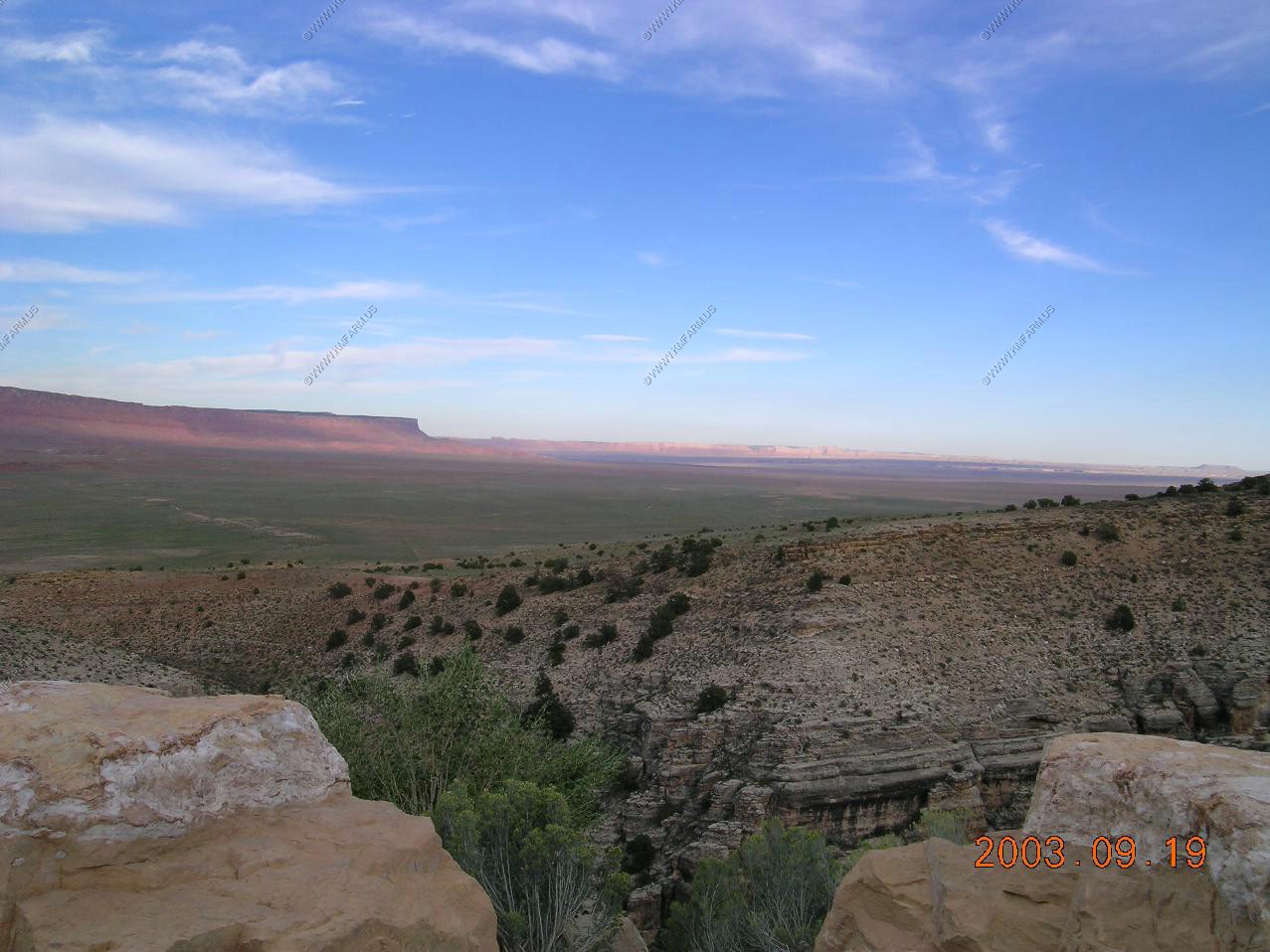
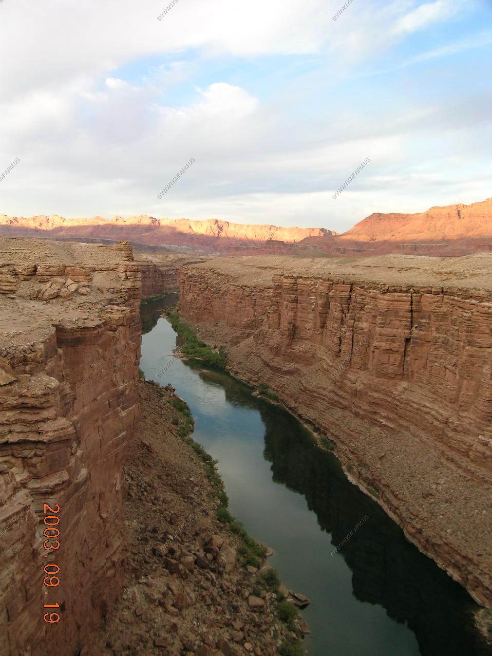
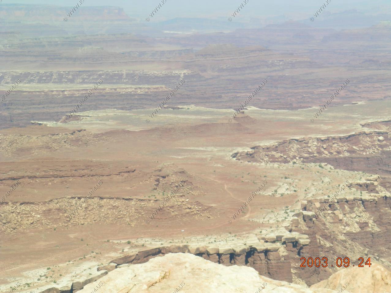
It was very clear. We could easily see Vermilion Cliffs, The area around Lees Ferry and Marble canyon. With the spotting scope we could see the Henry mountians over 130 miles away.
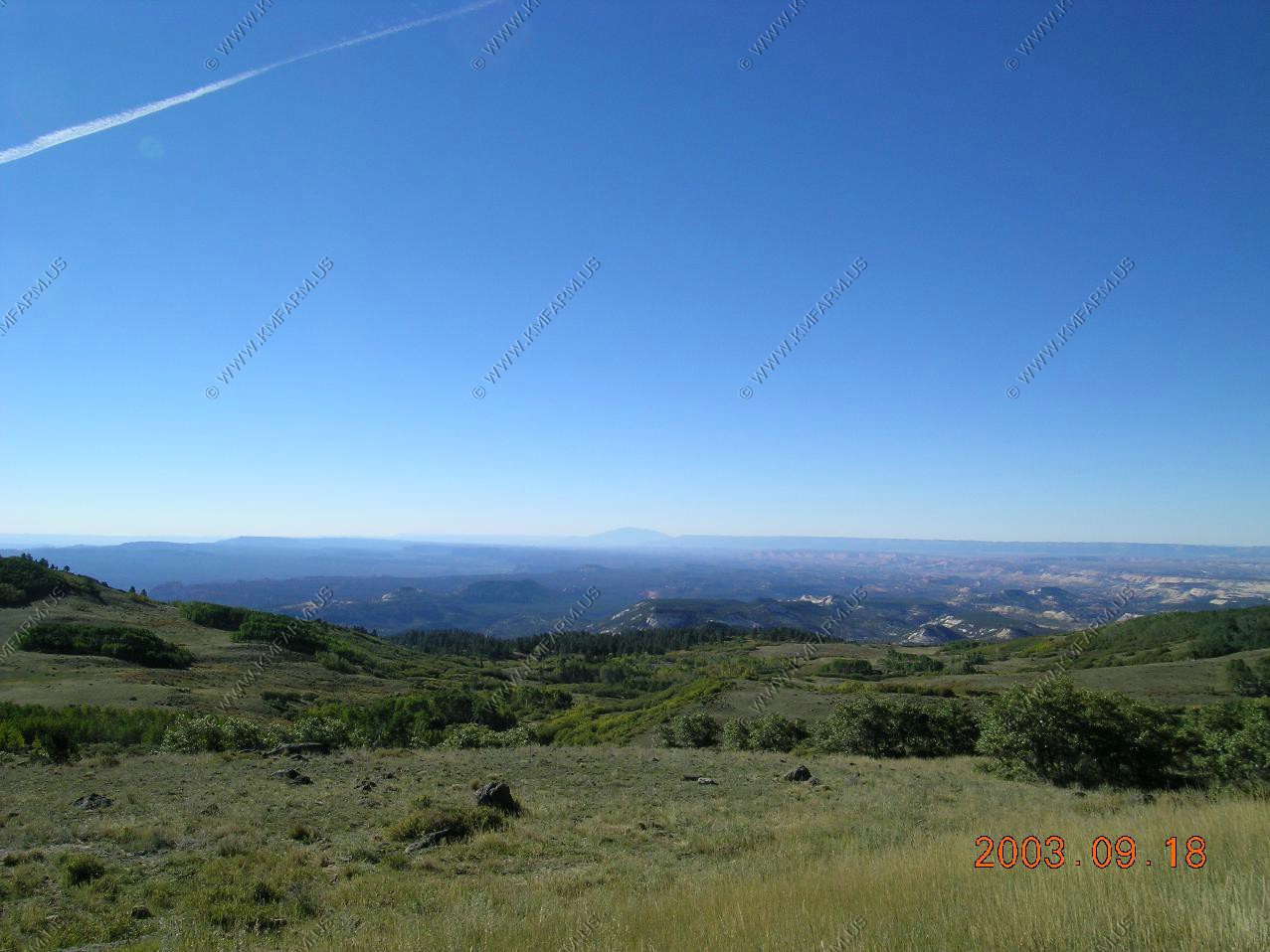
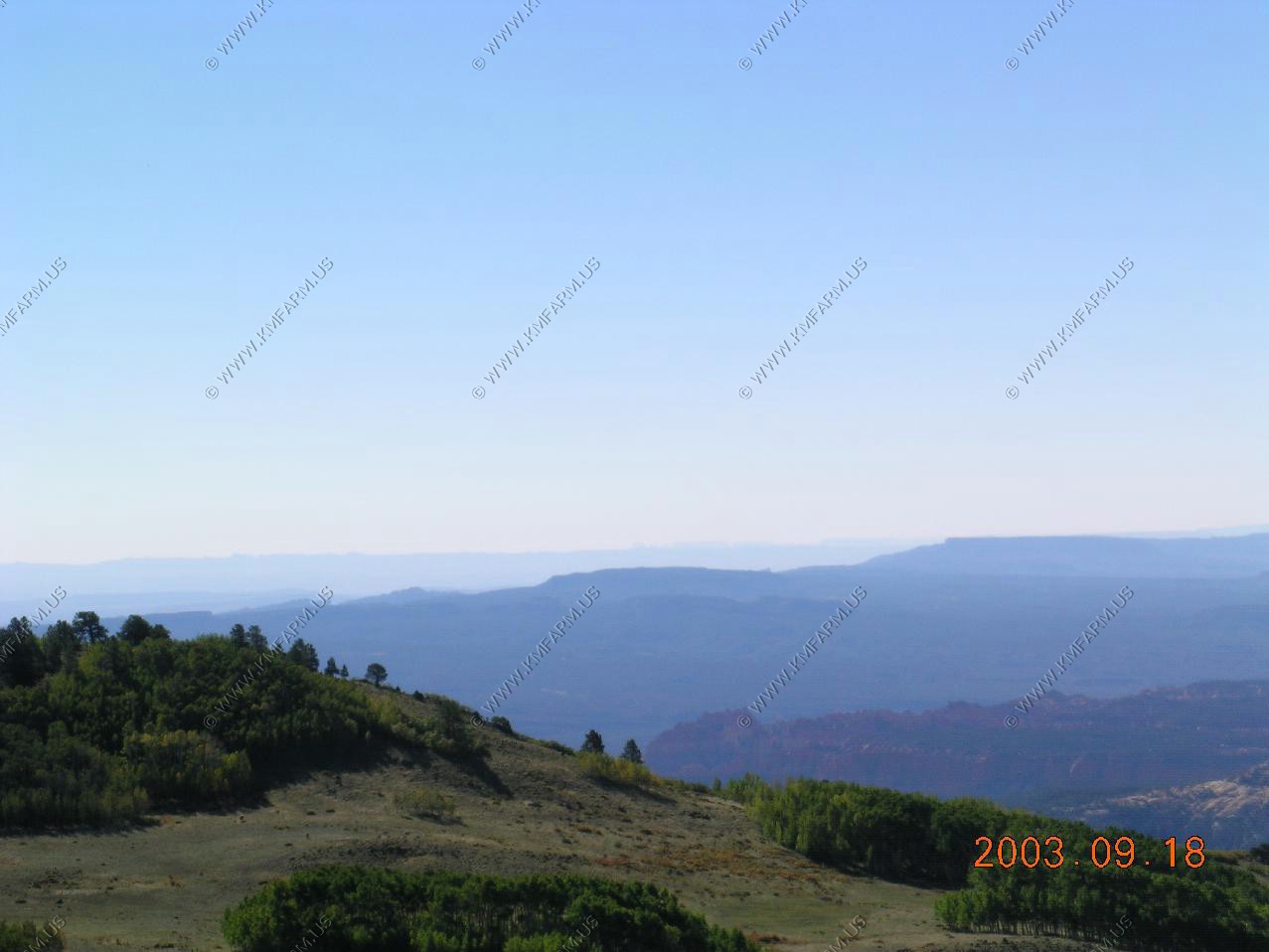
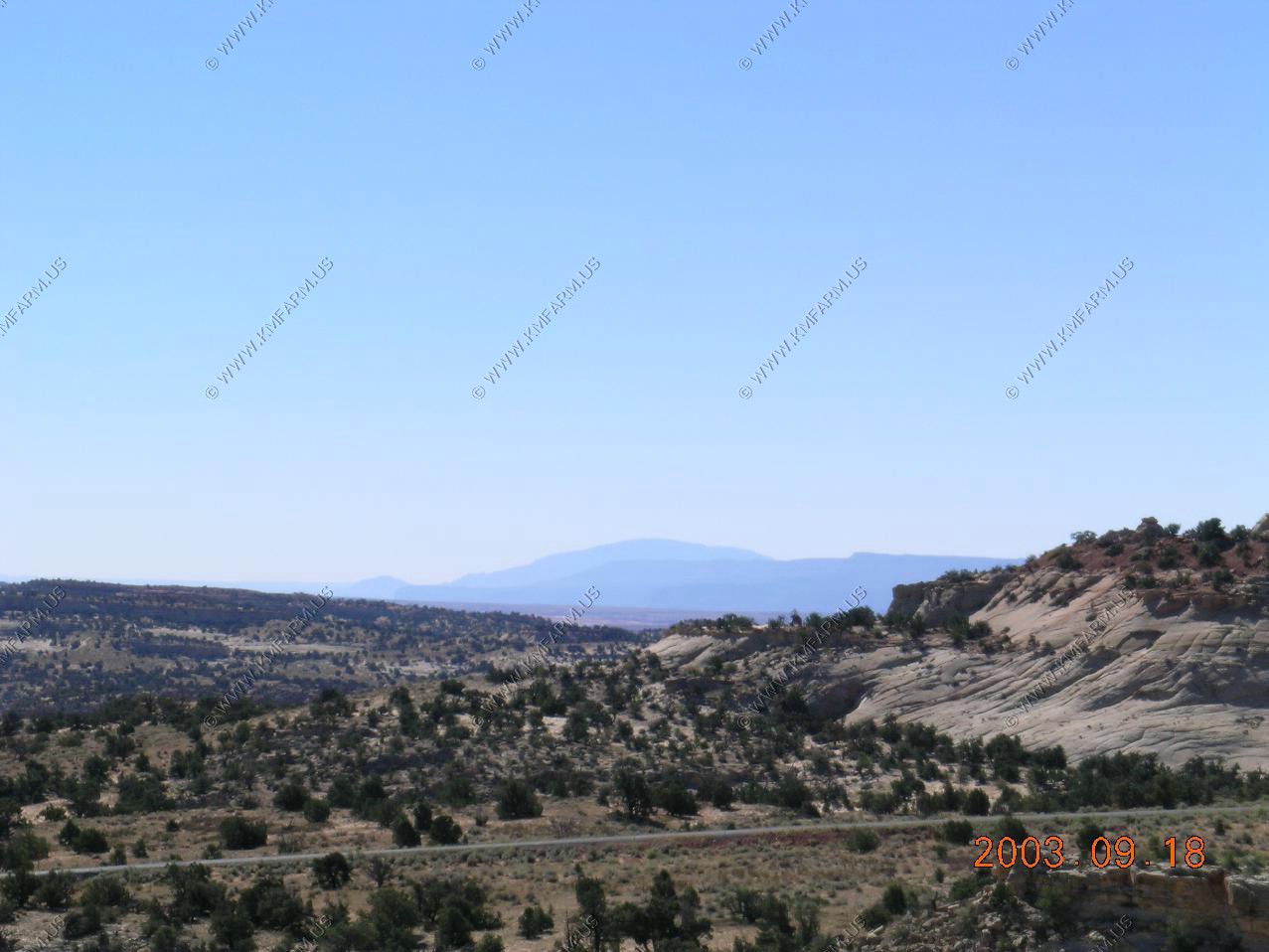
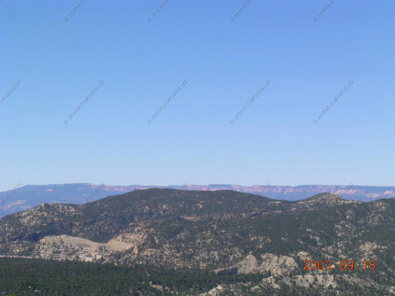
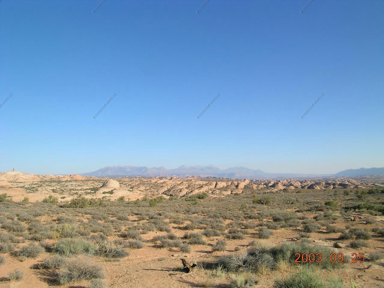
Looking to the NNE up at Powell Point west of Escalante, Utah. This is appx. 75 miles away.
Looking south over the North Rim of the canyon at the San Francisco Peaks near Flagstaff appx. 90 miles away.
Looking East towards The Gap and Tuba city. A great deal of nothing.
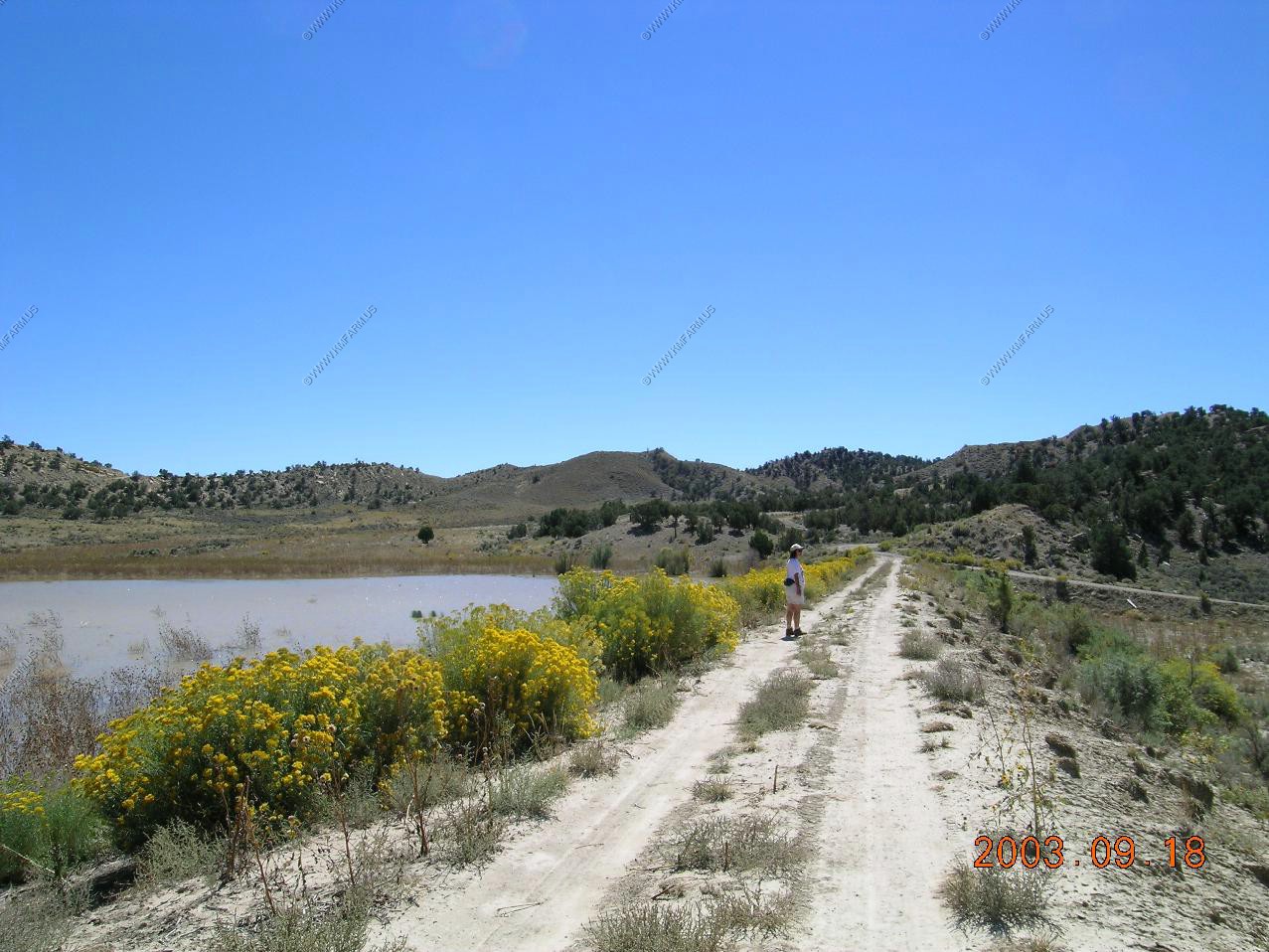
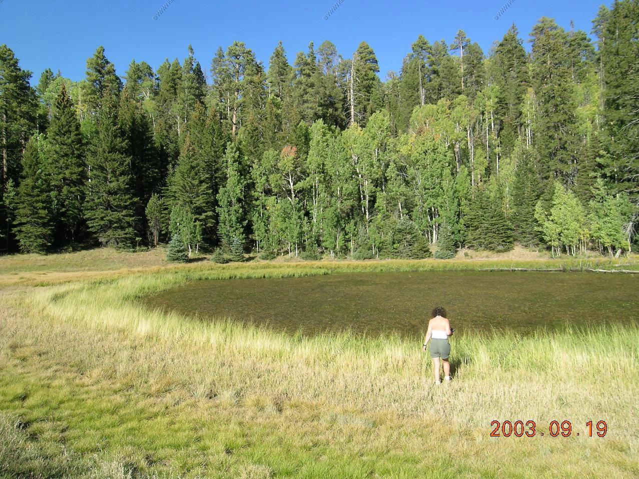
Heading north along AZ-67. We stopped at one of the small ponds along the road.
Heading back to Page from the North Rim
The interesting colors along the Vermilion Cliffs. This is my favorite part of Arizona. Wide open and no people !
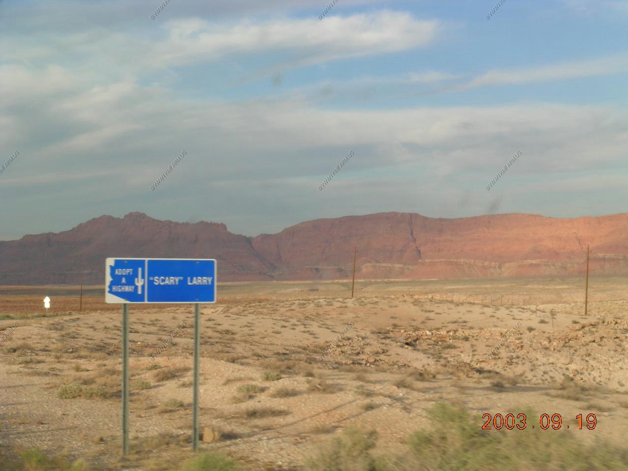
The Scary Larry clean up sign
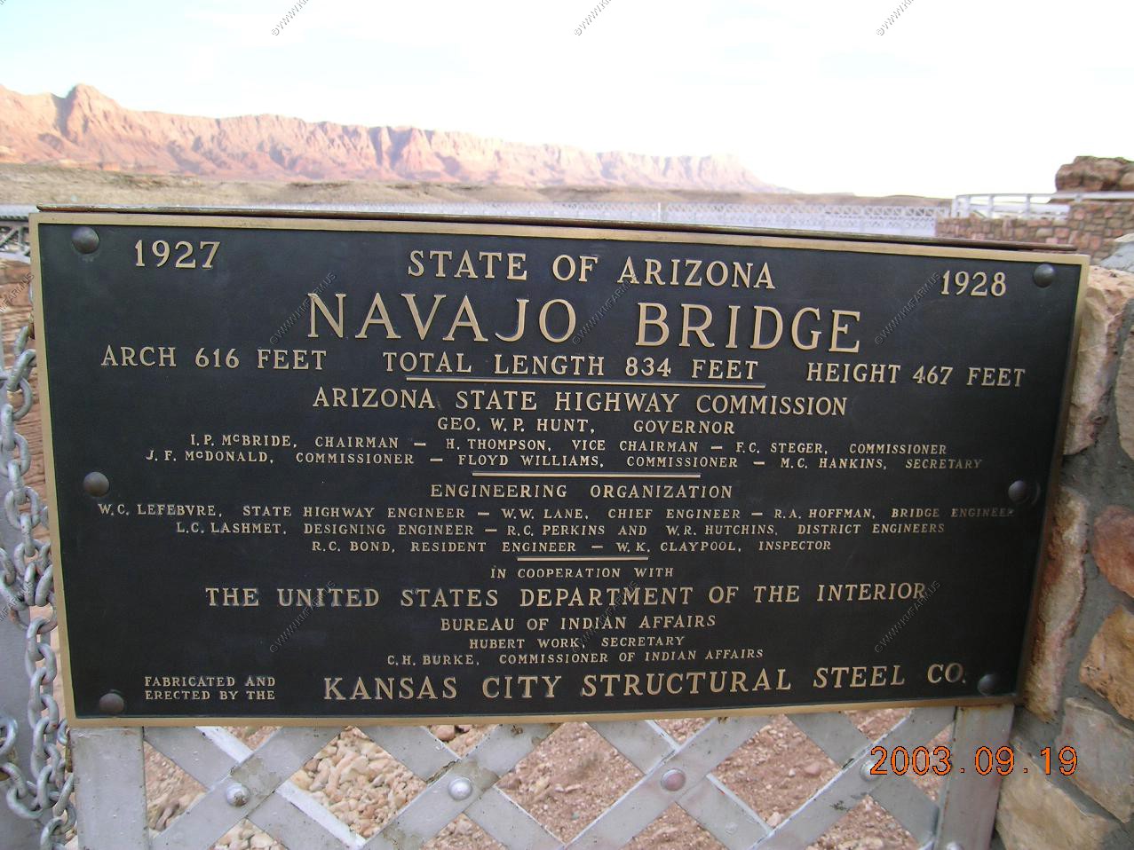
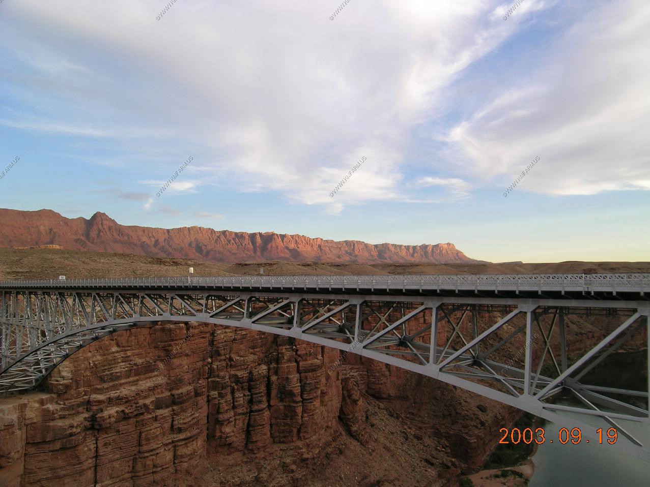
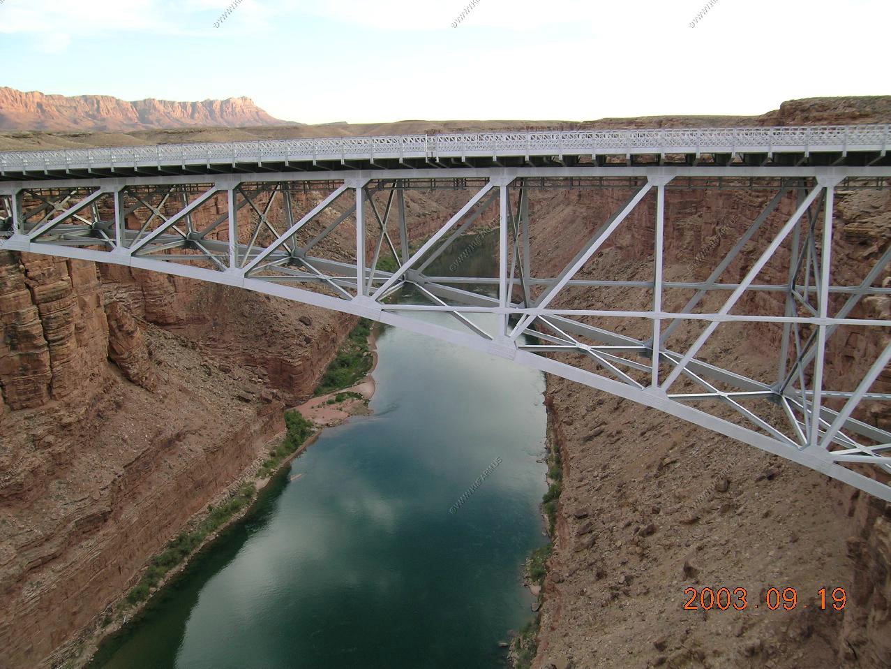
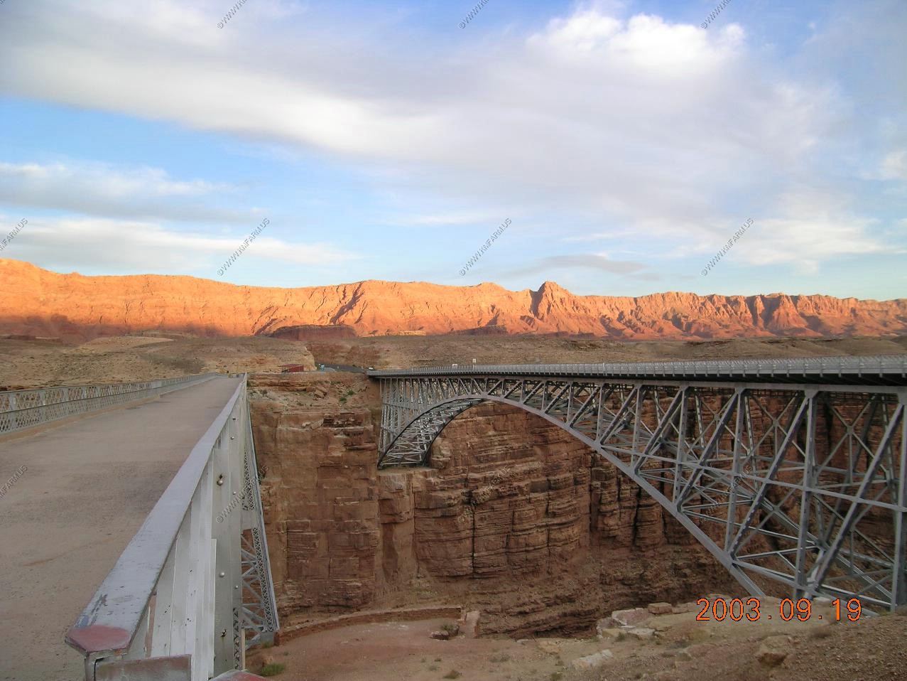
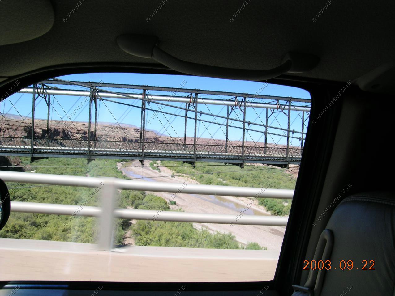
The new sign for the OLD bridge... 1927-1928 This was the wild west back then !! Also, the new bridge South of the old one
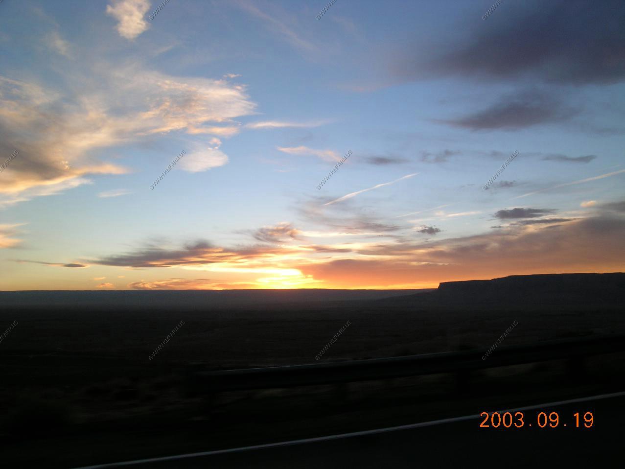
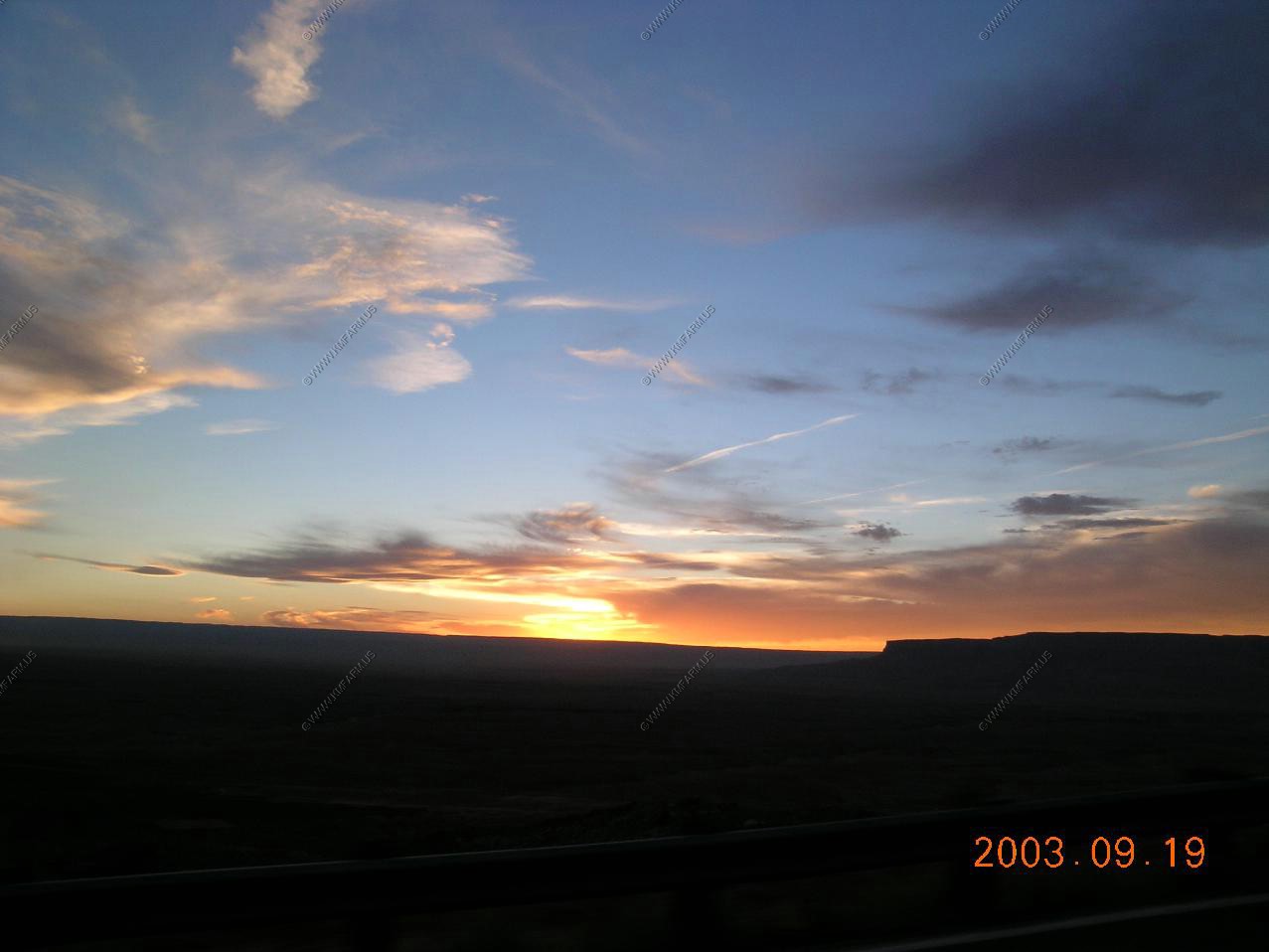
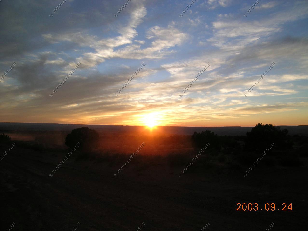
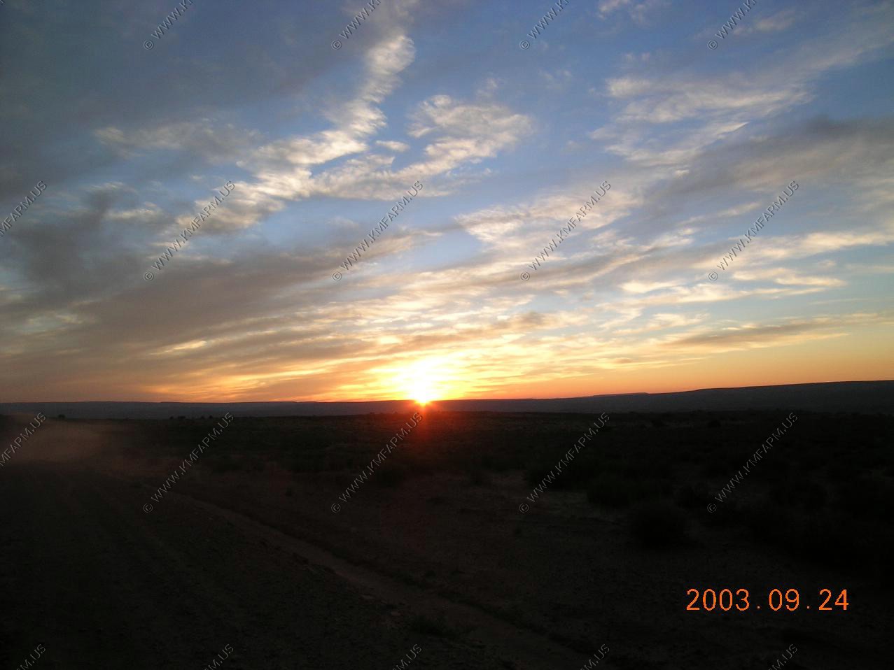
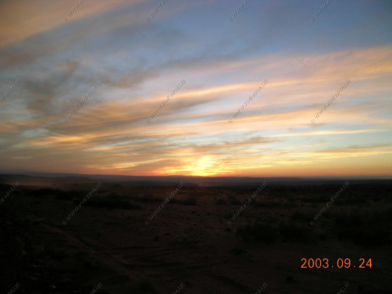
Sunset along US-89. Almost back to Page
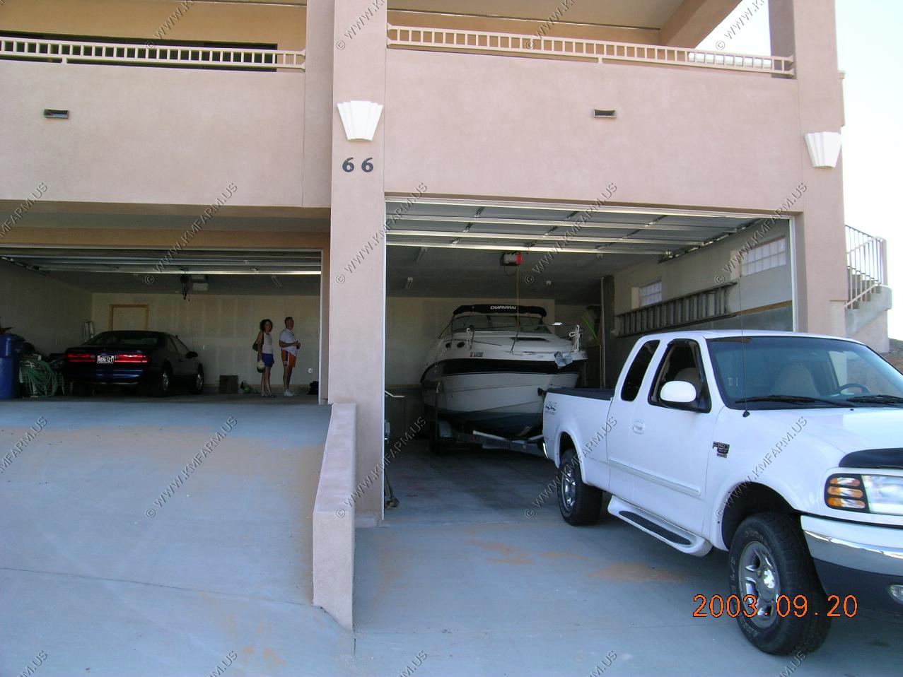
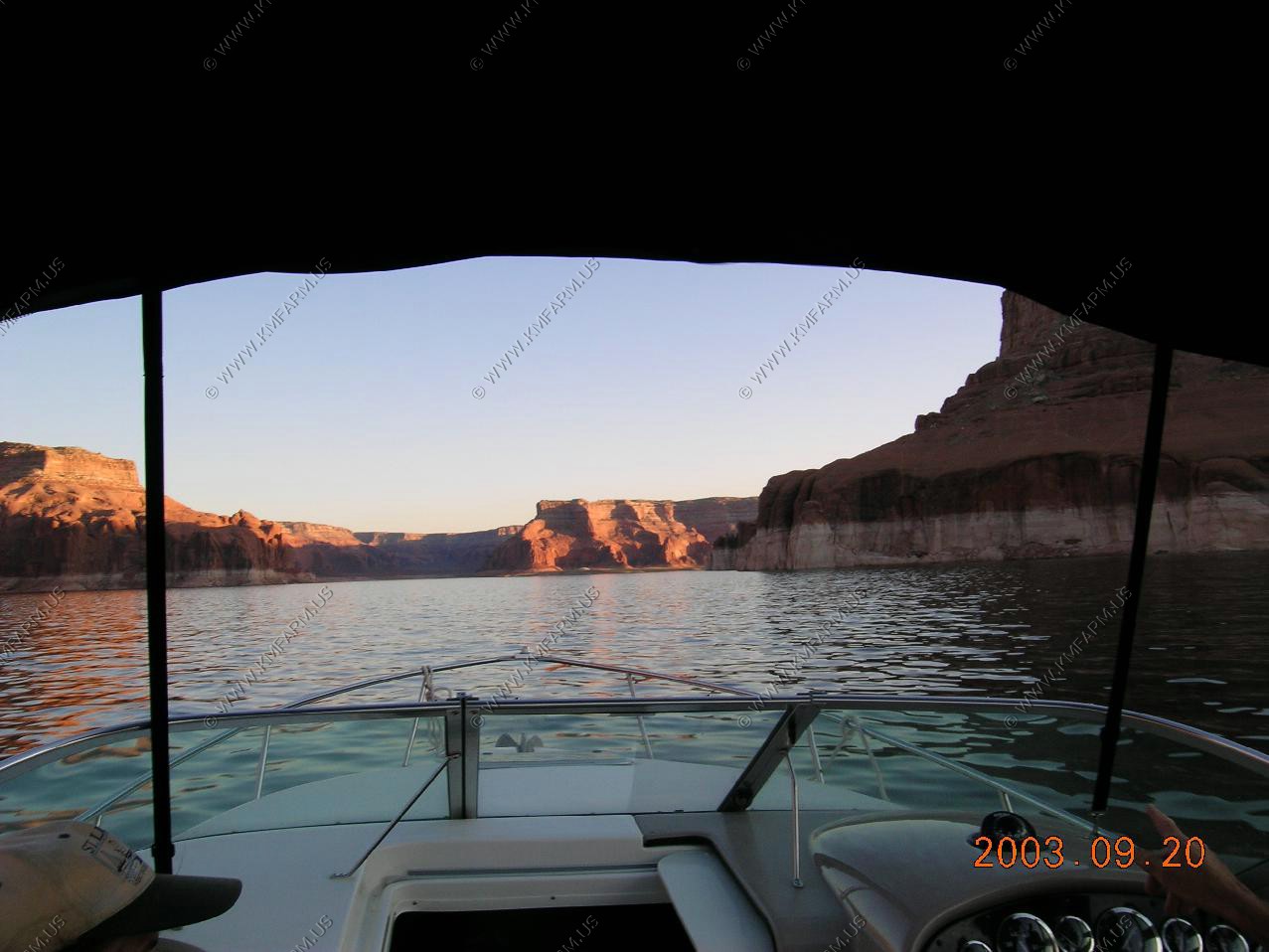
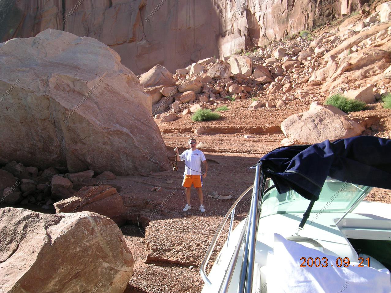
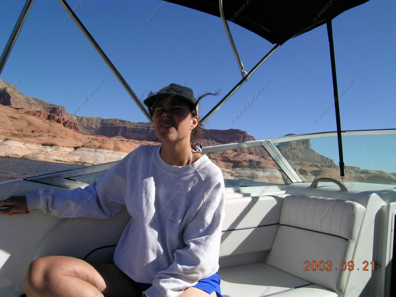
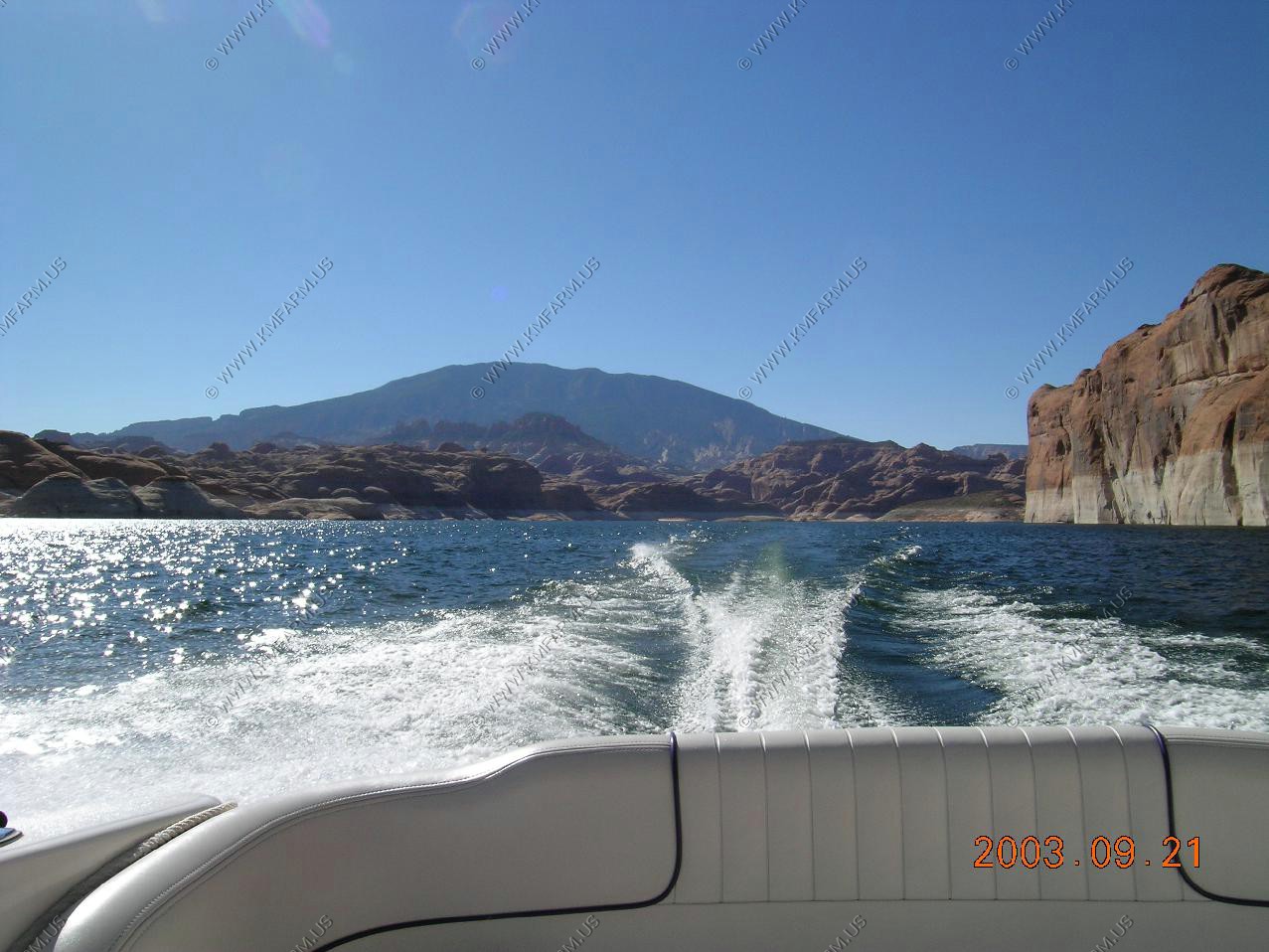
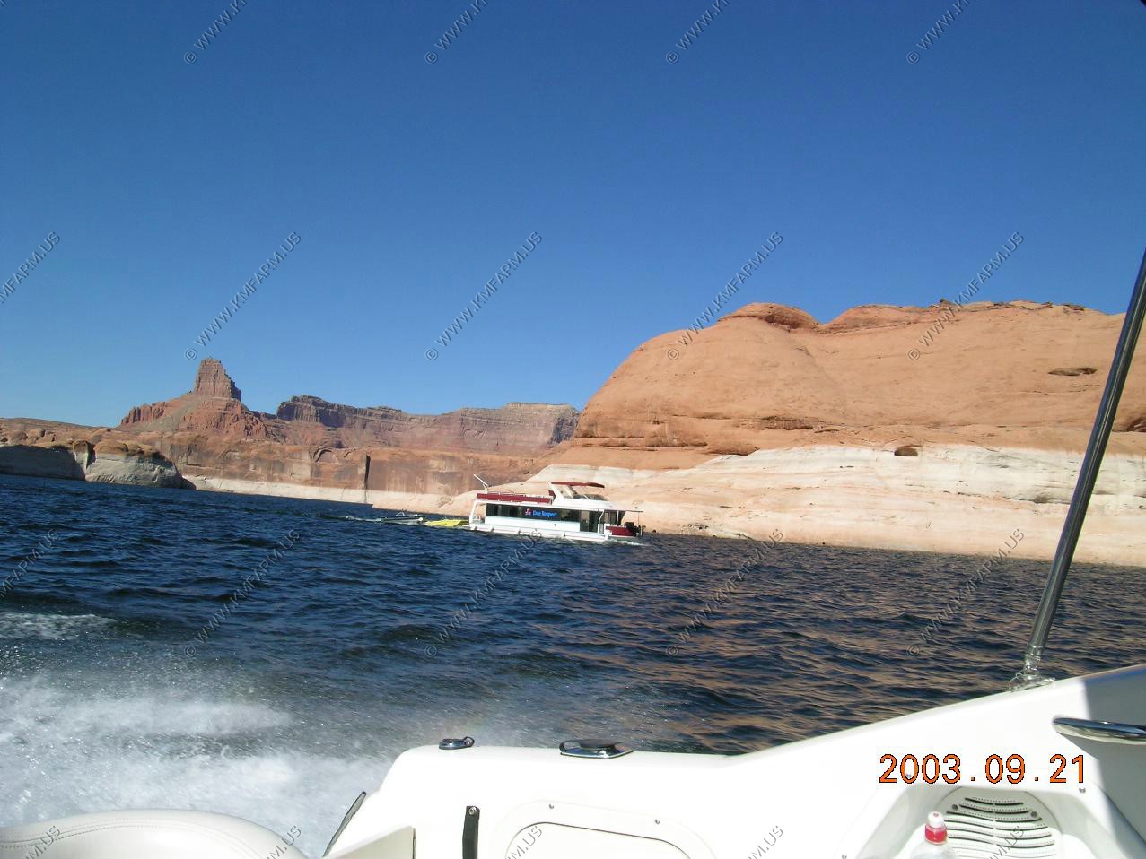
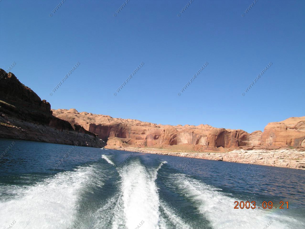
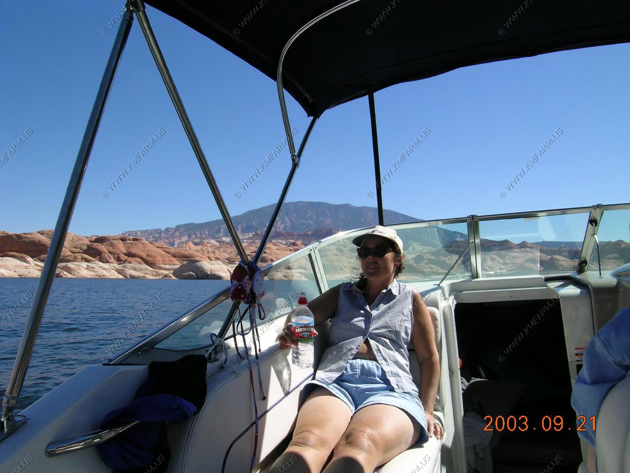
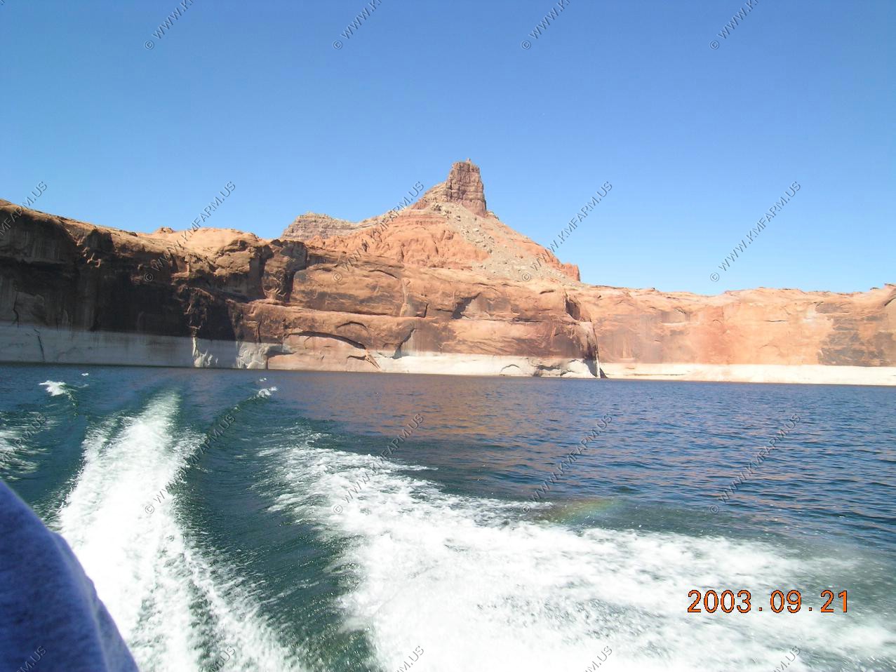
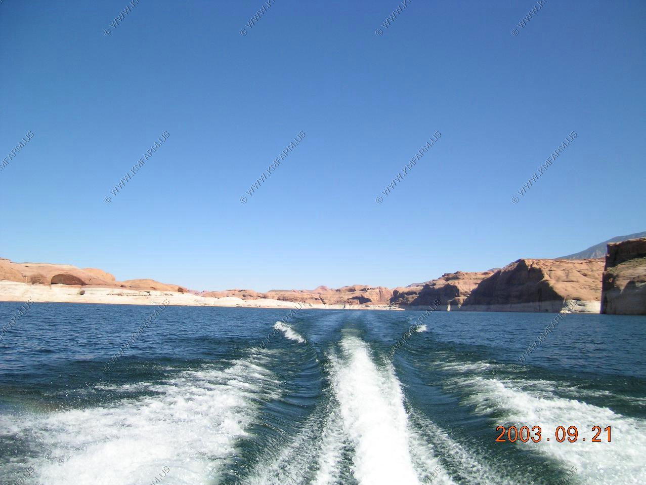
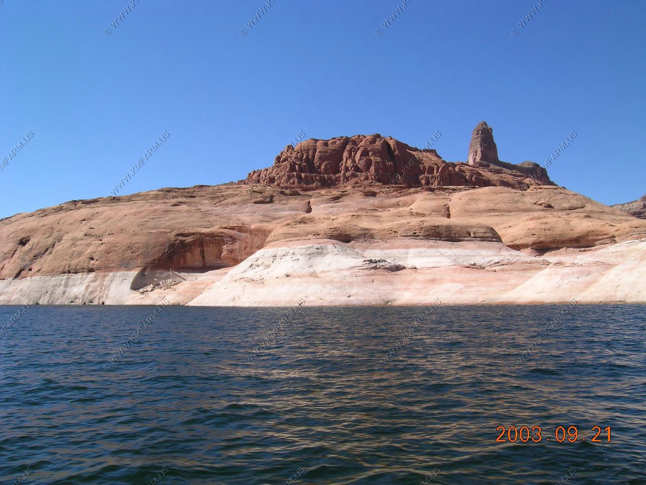
Going out for two days on the lake

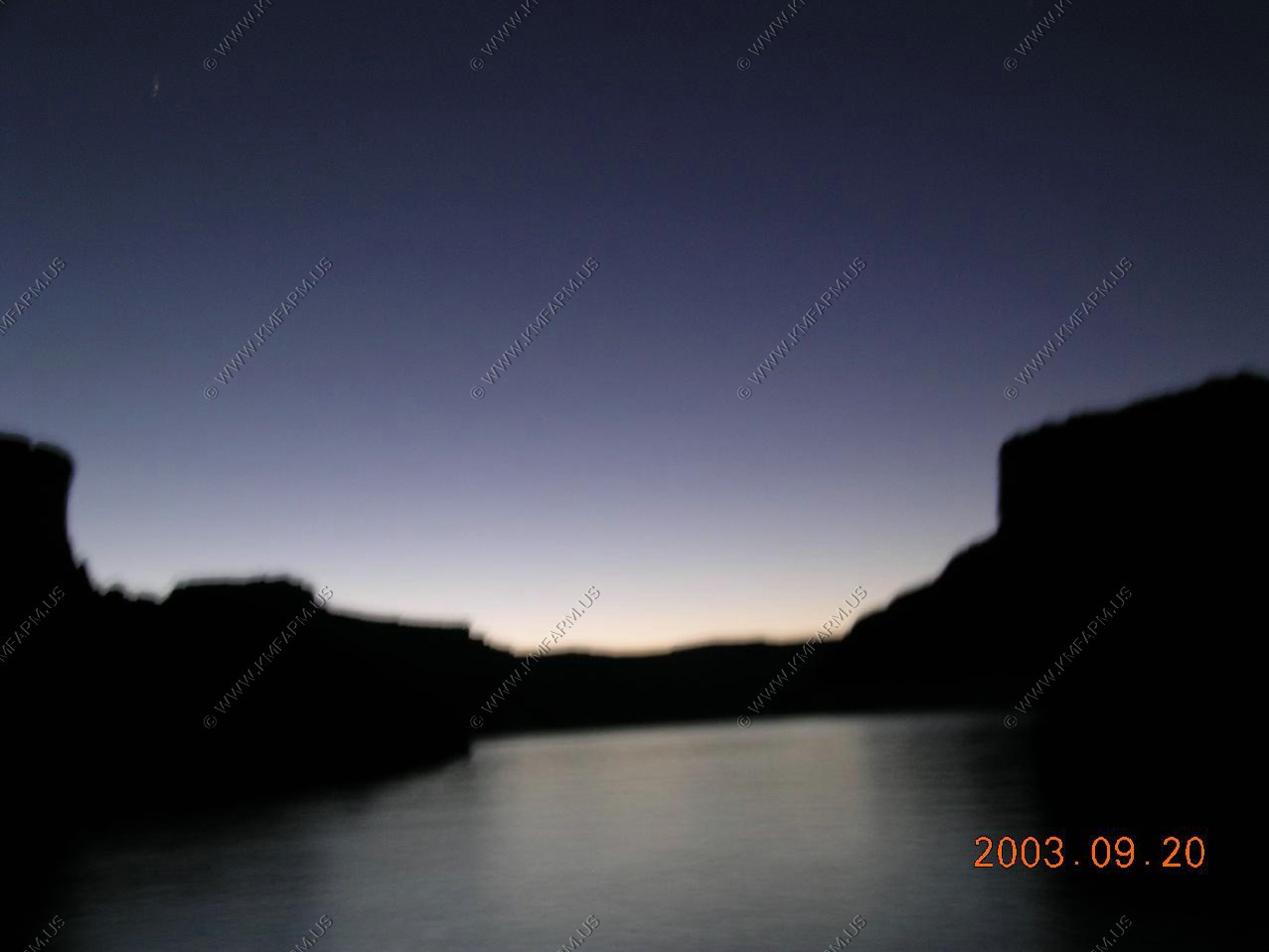
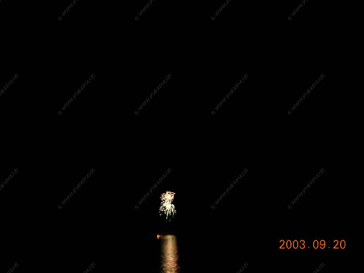
Sunset with fireworks
Day two
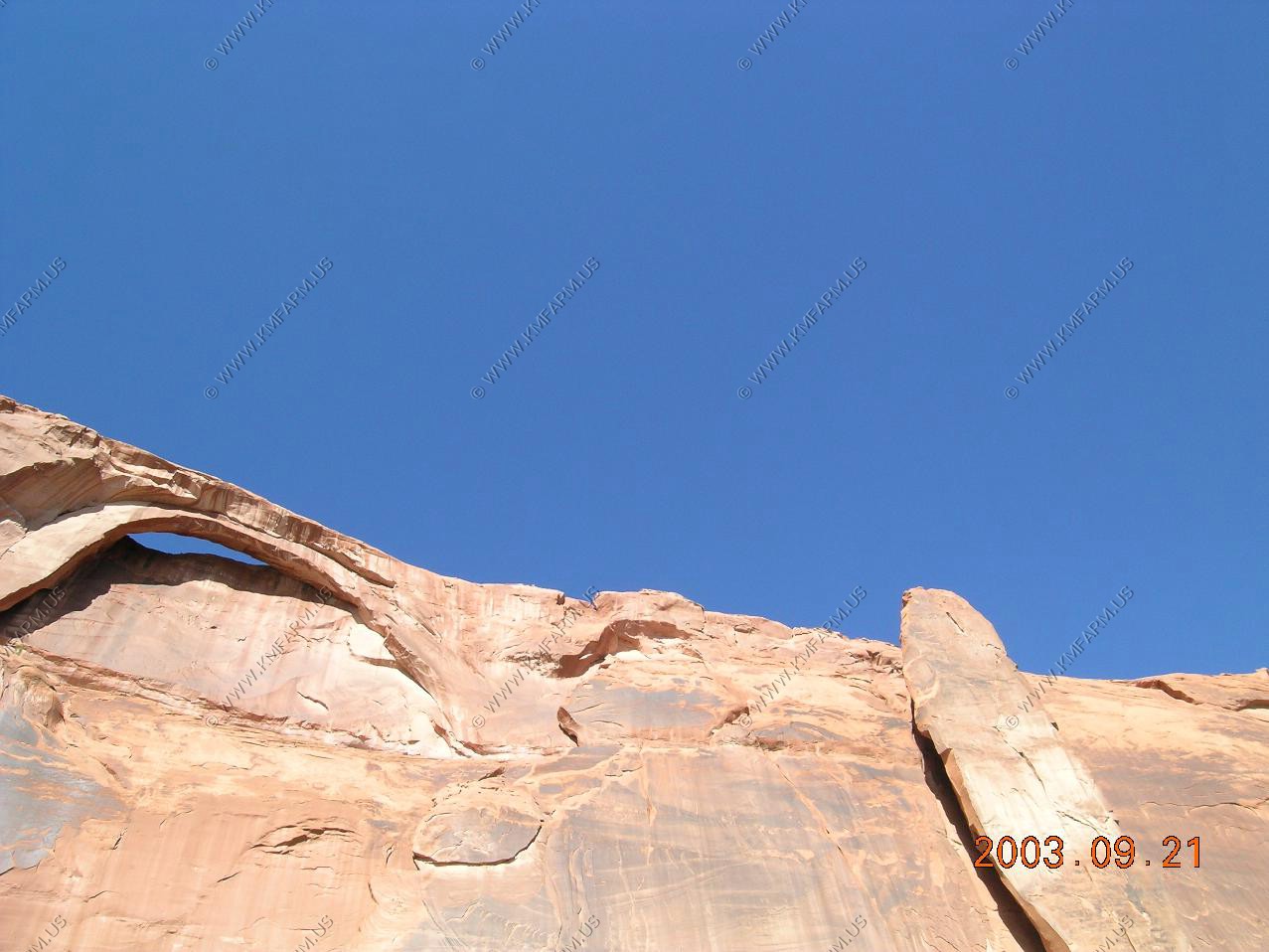

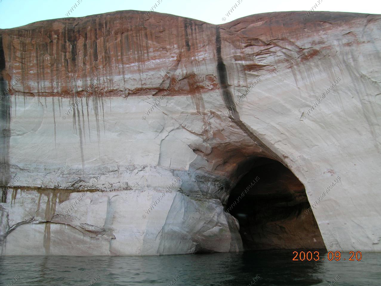
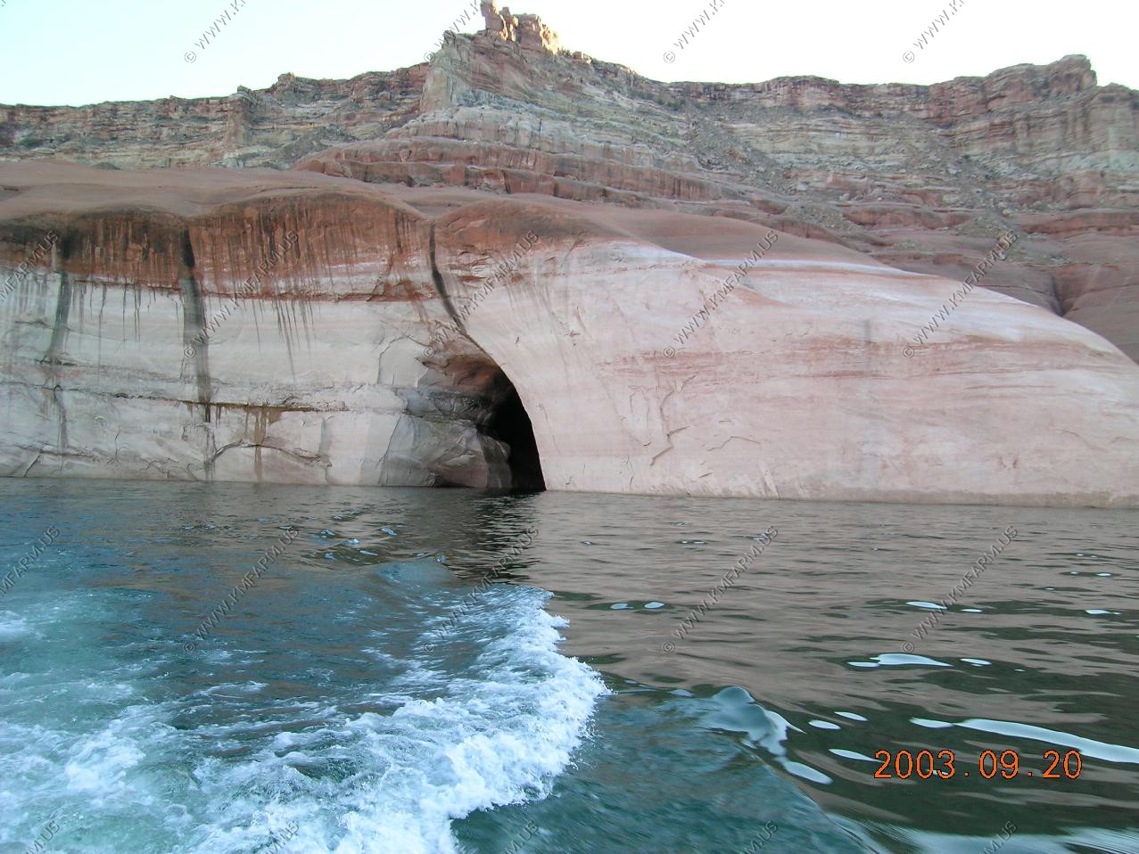
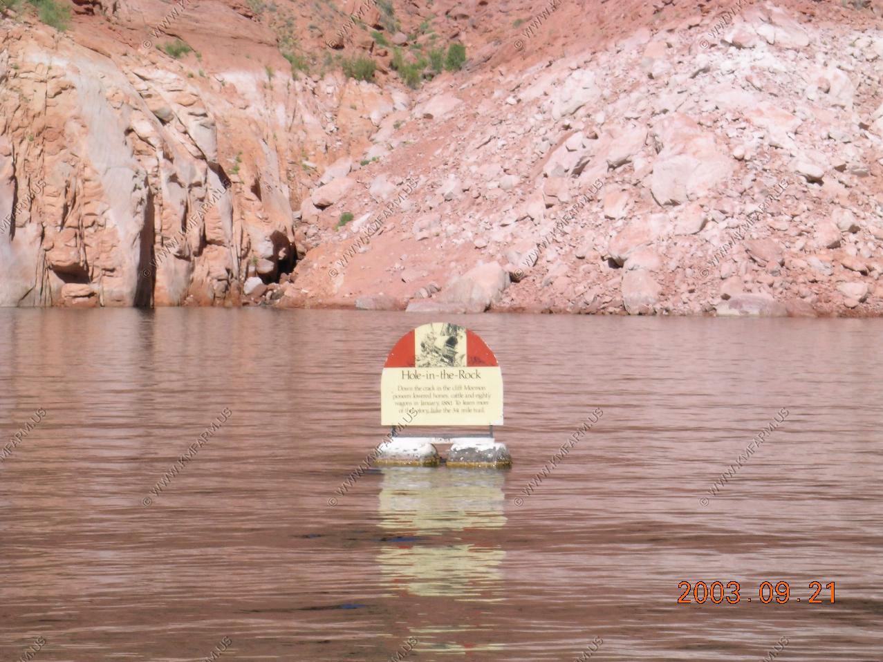
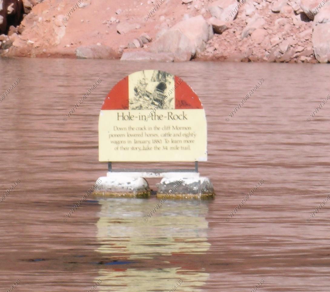
Whole in the Rock


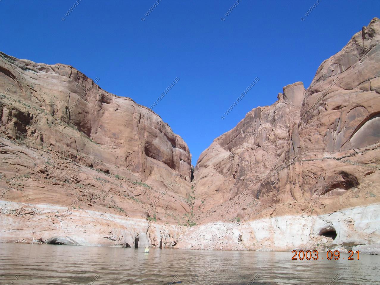
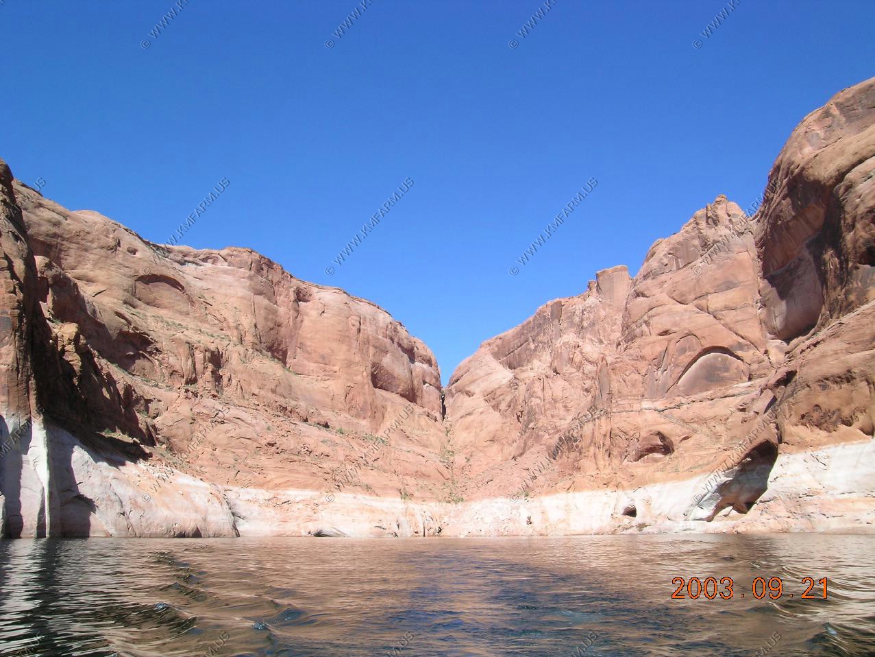
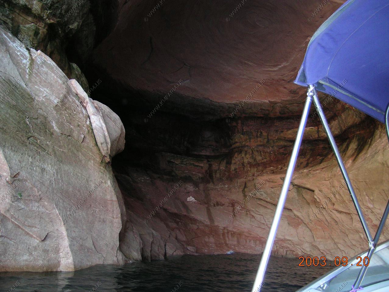
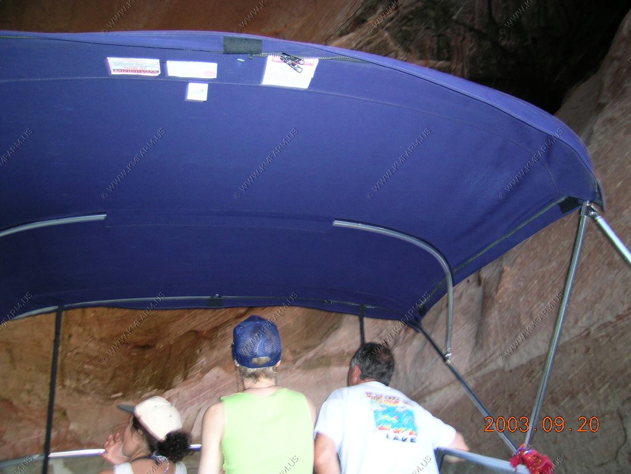
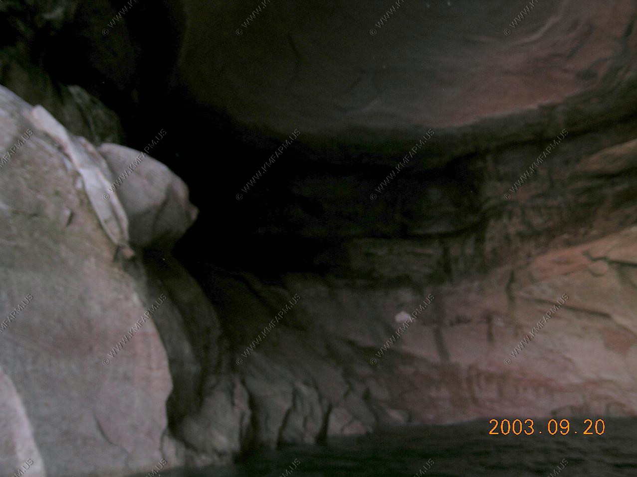
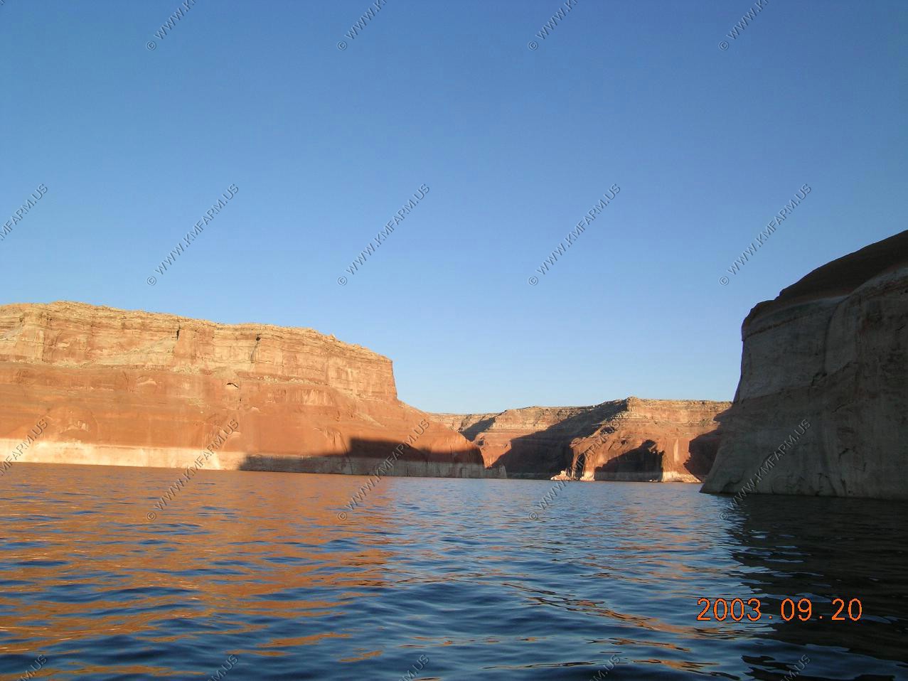
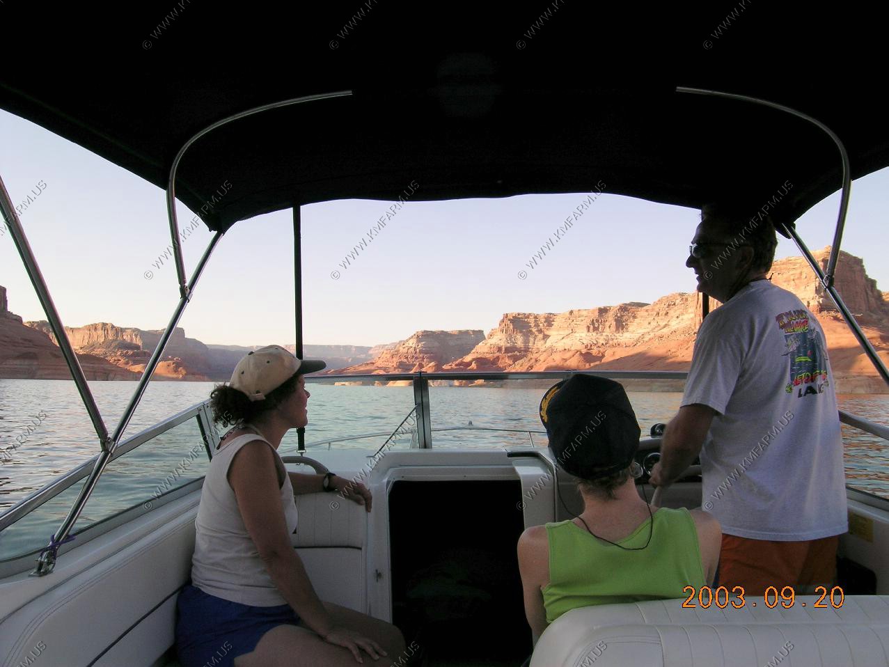
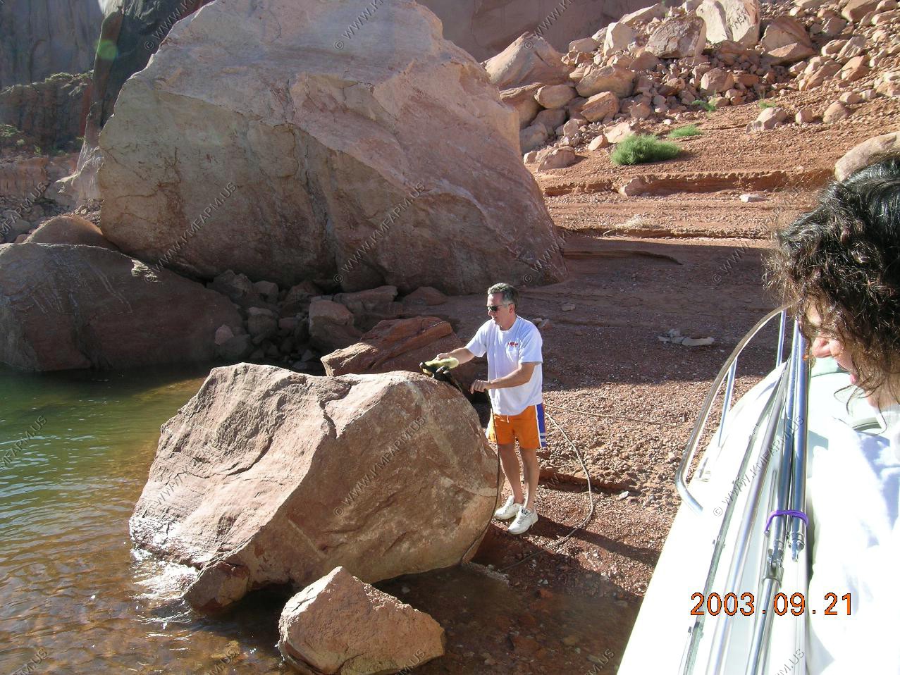
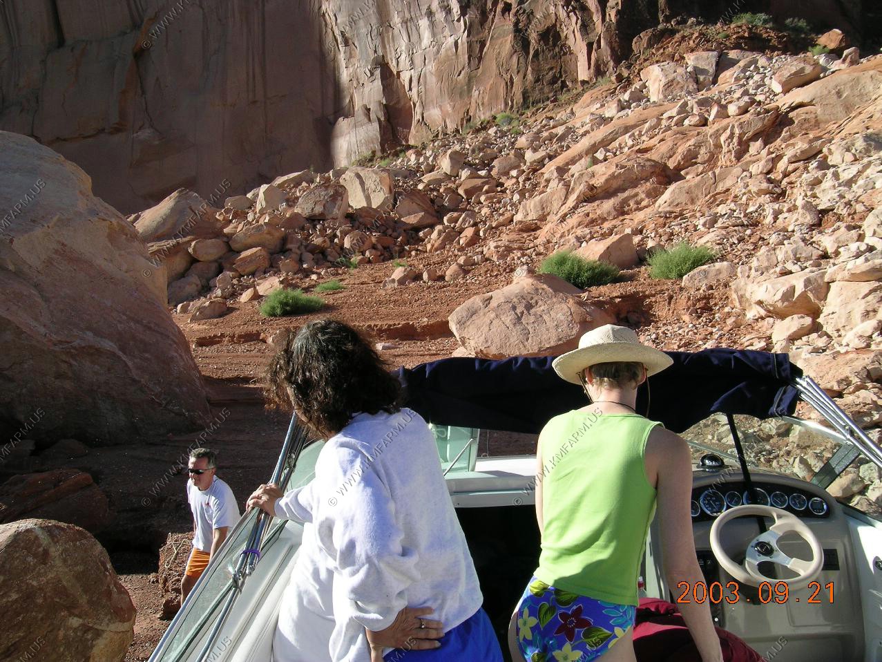
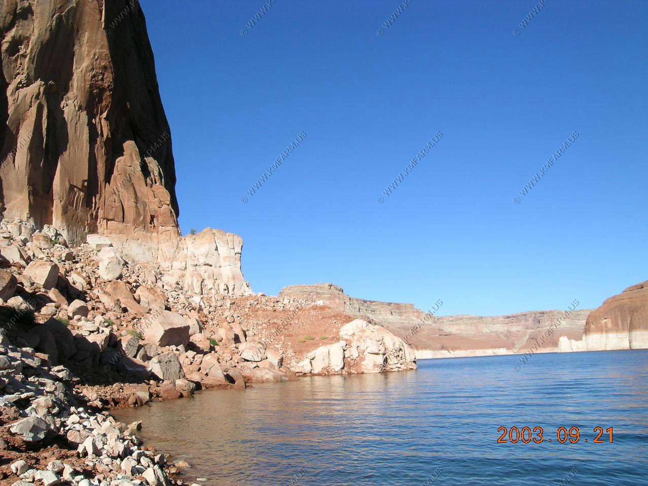
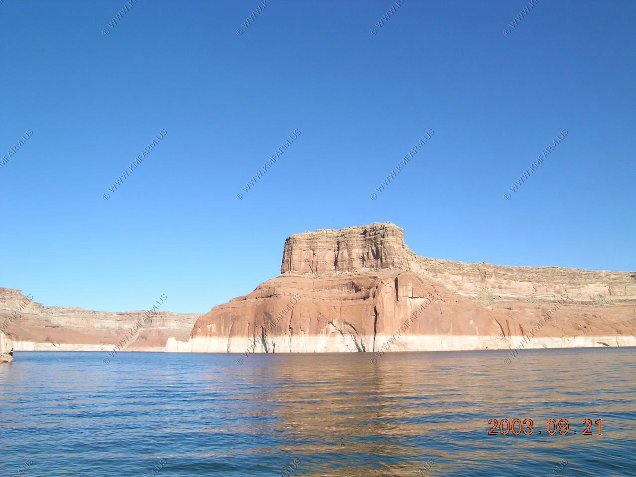
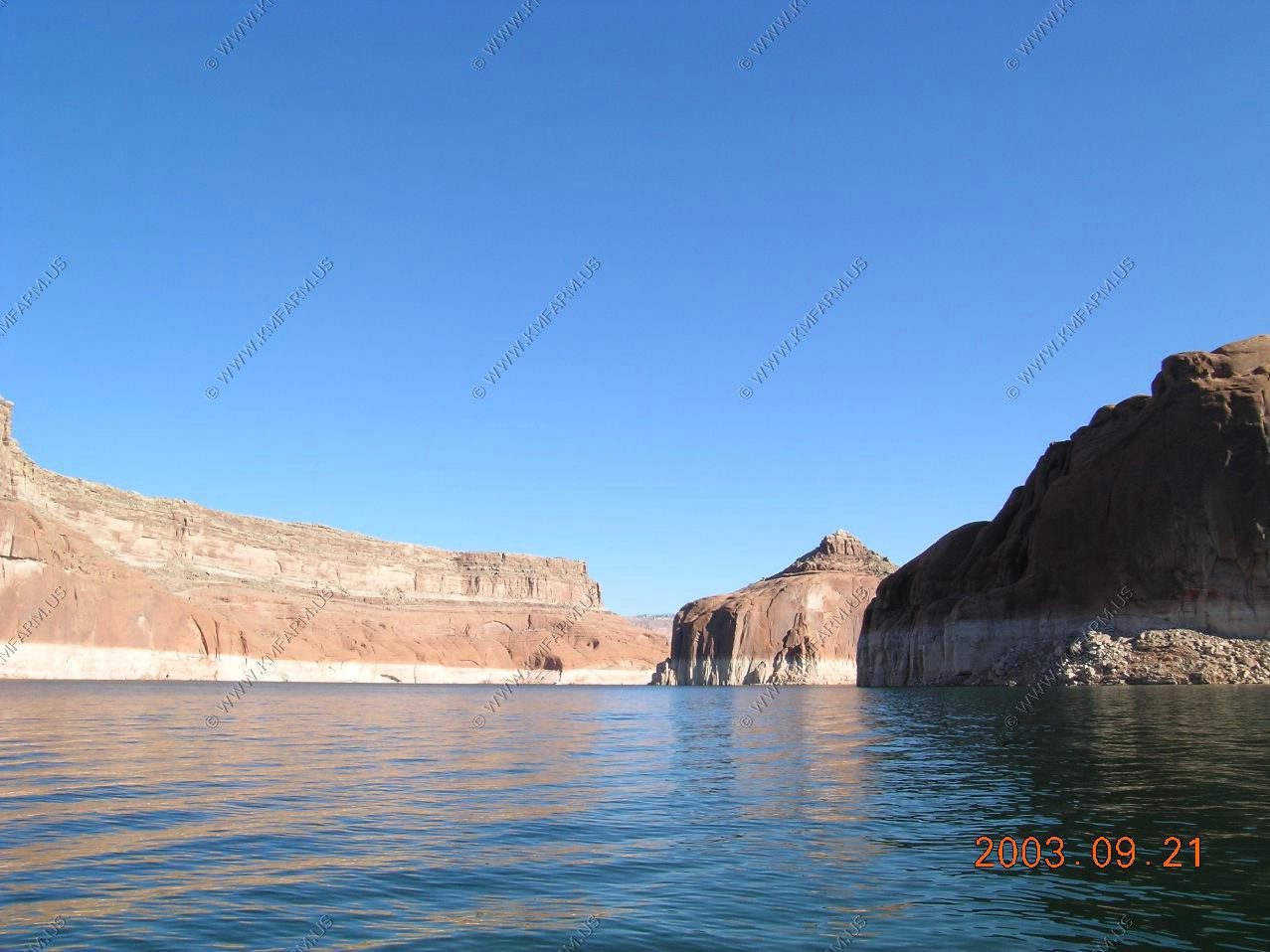
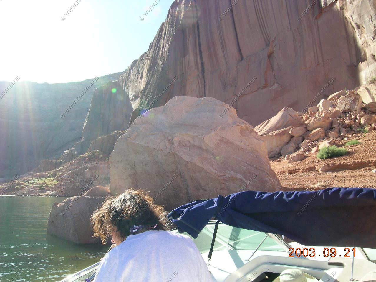
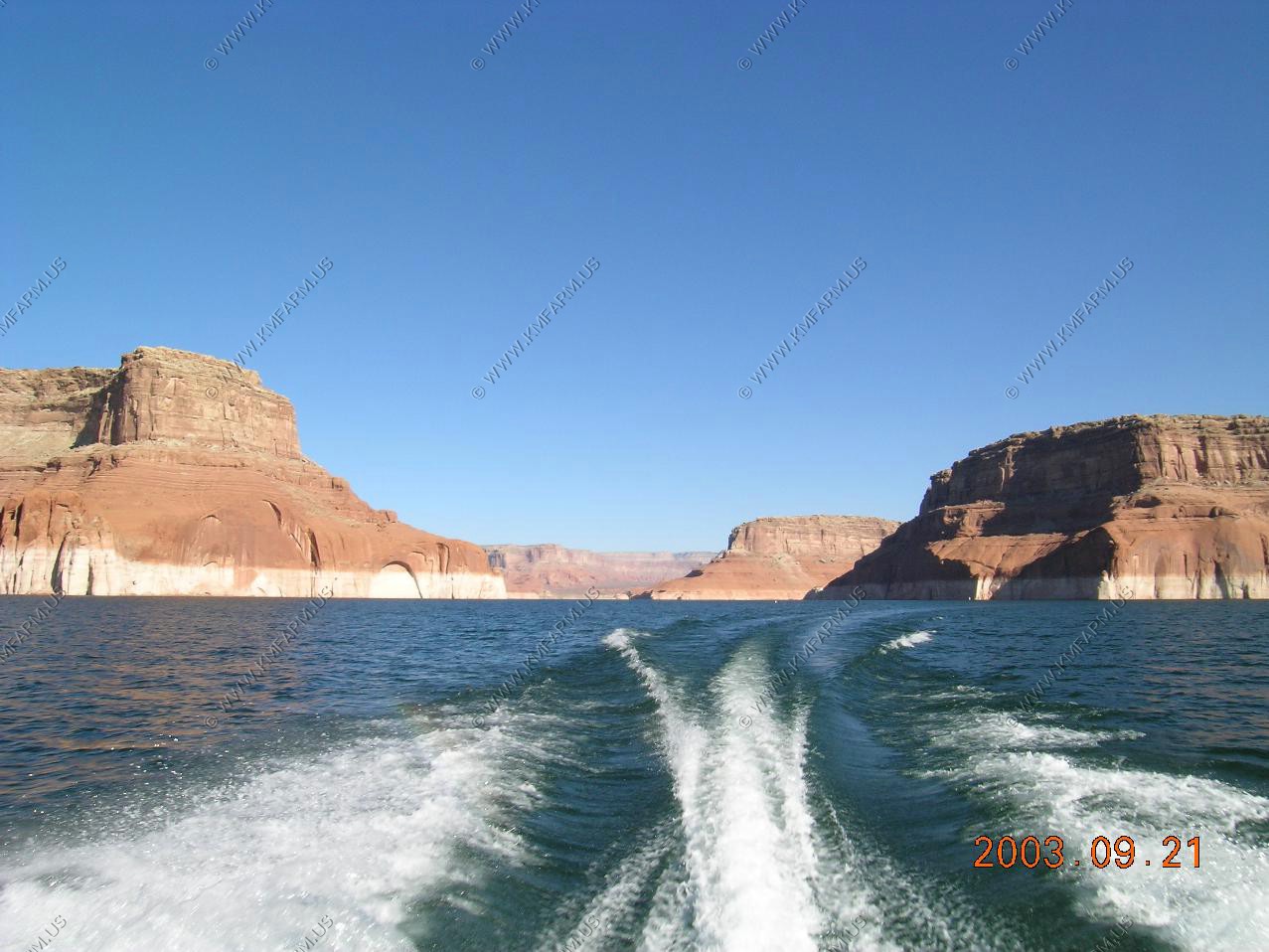
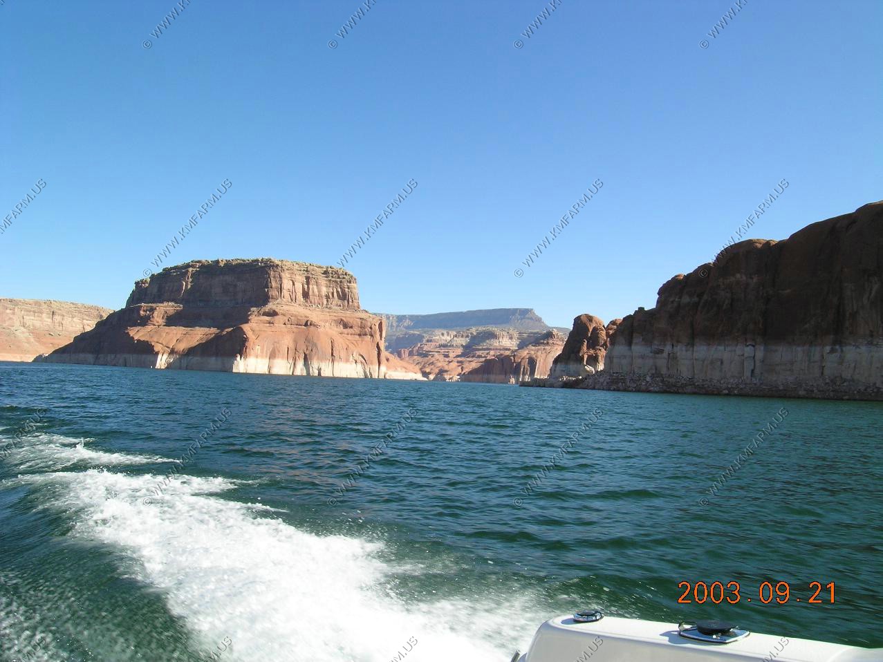
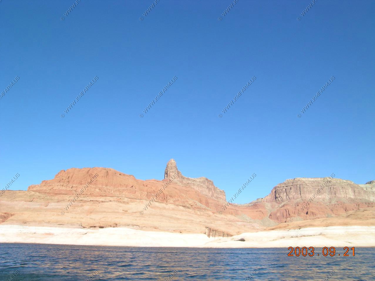
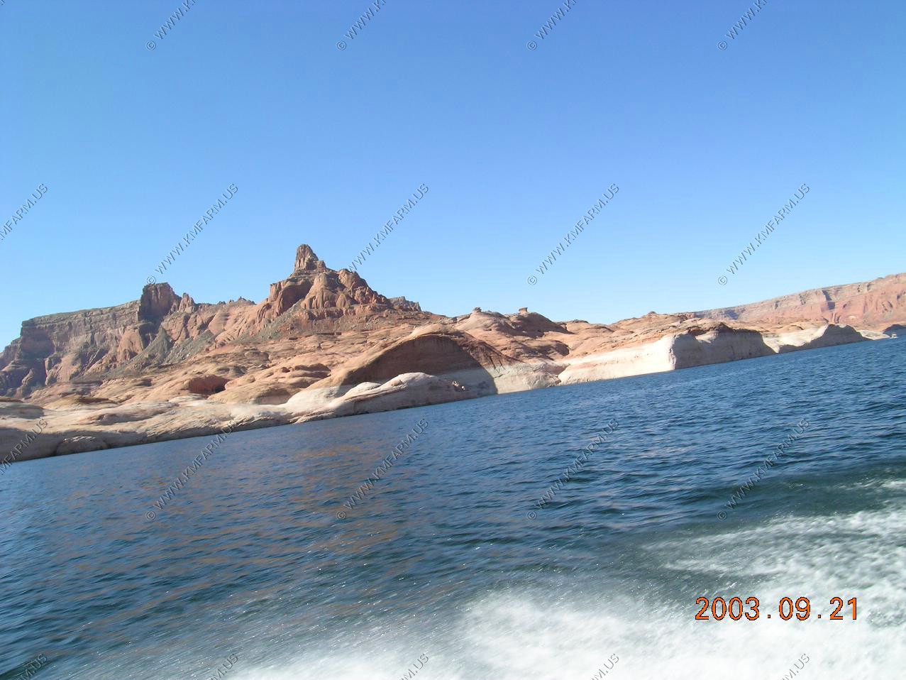
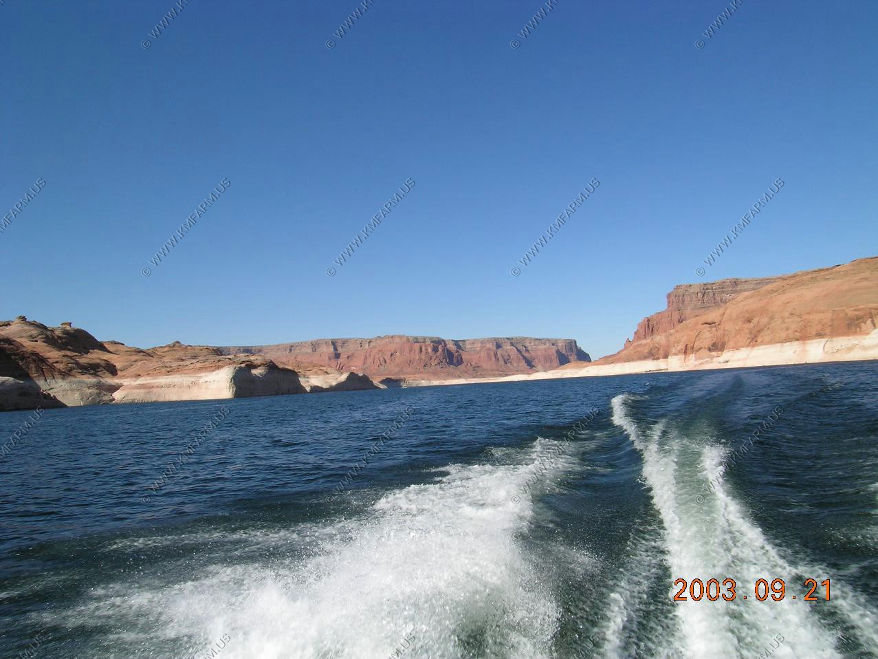
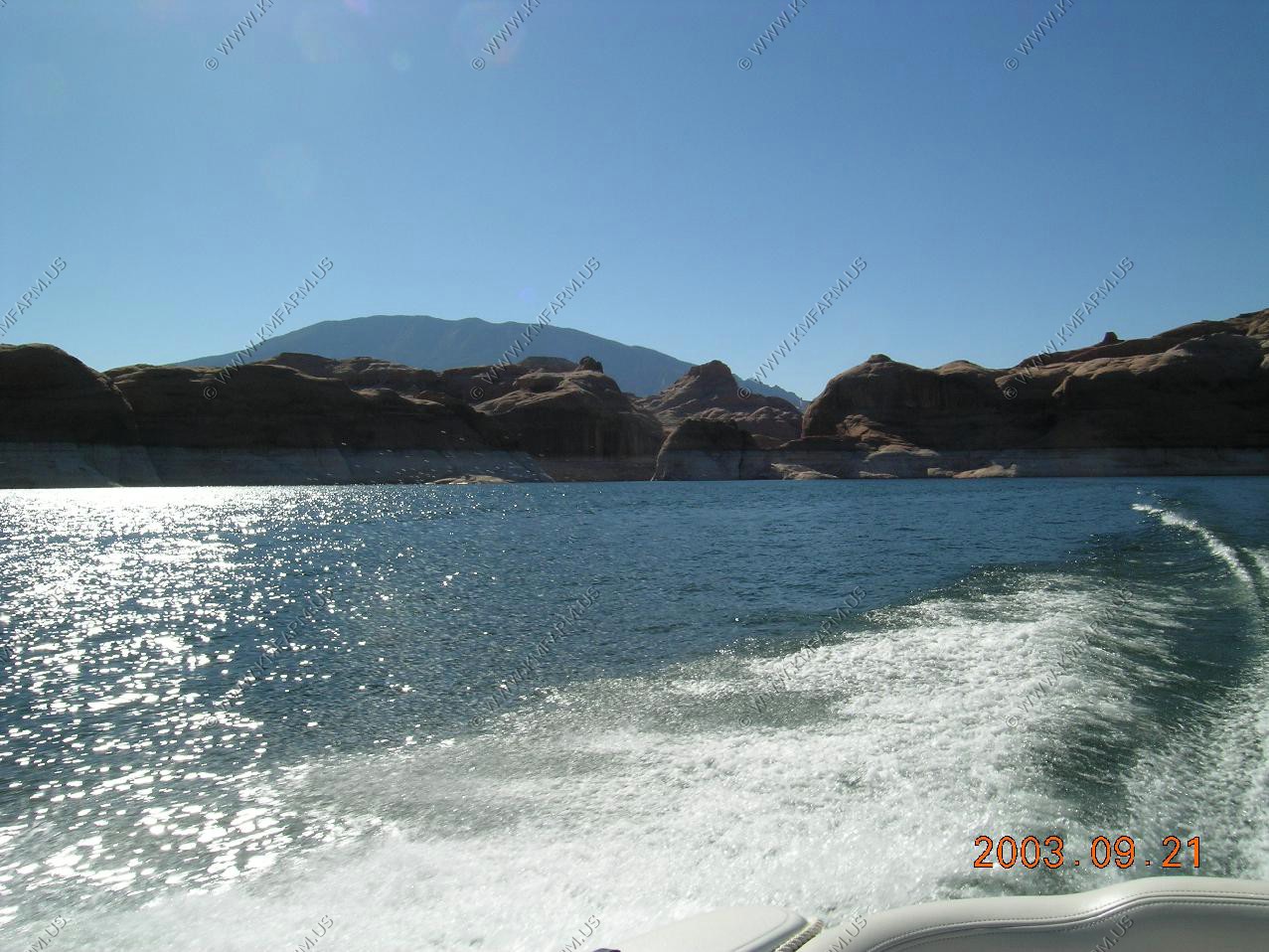
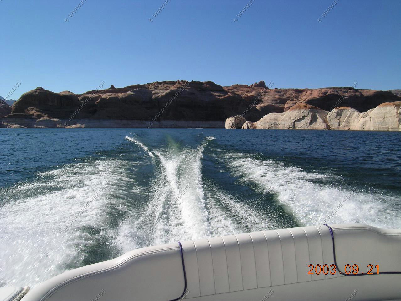
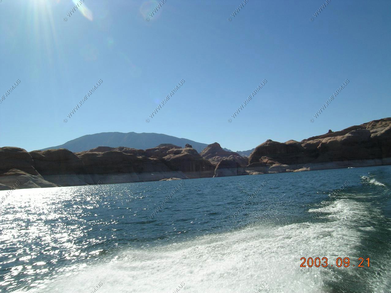
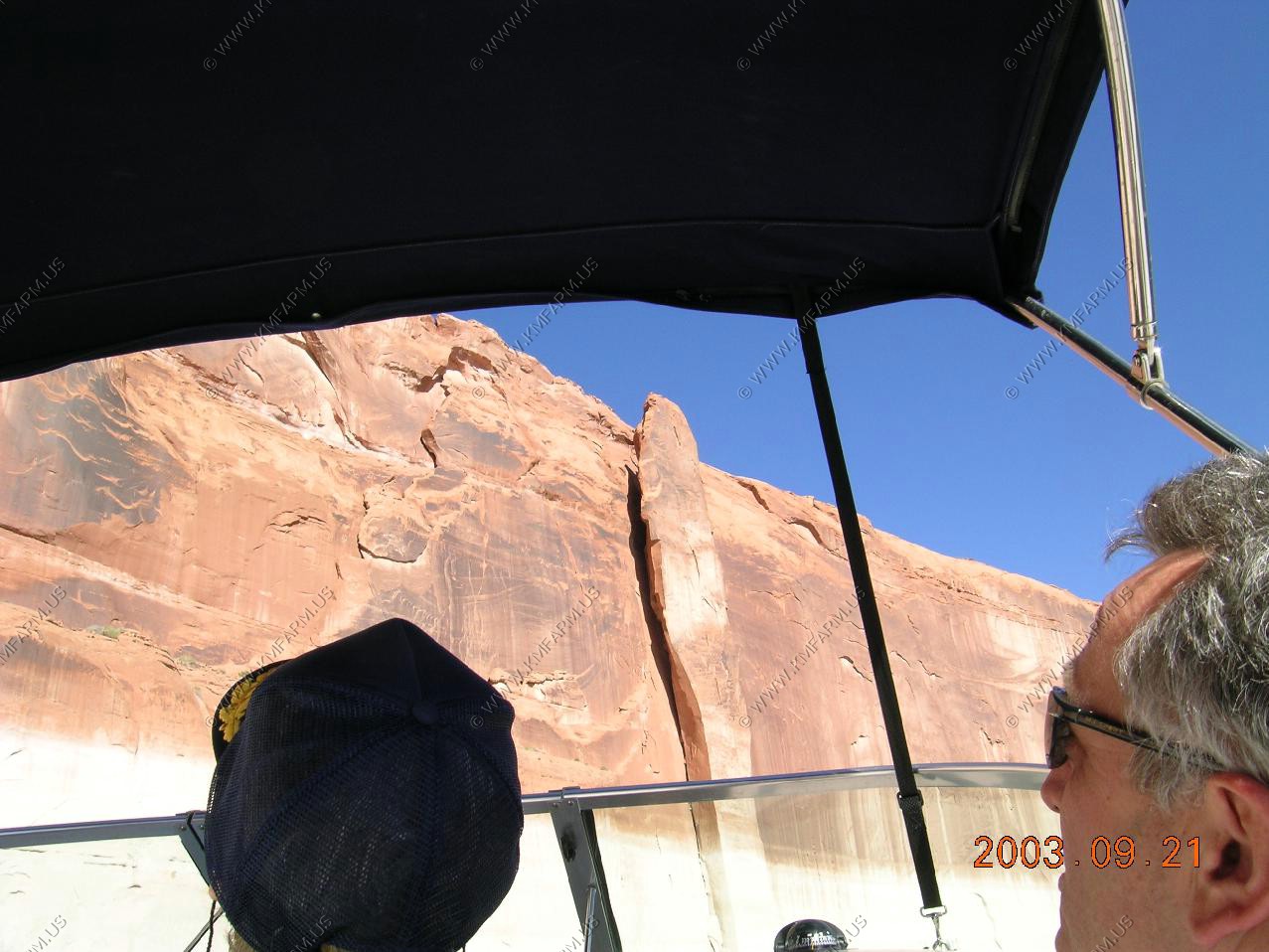
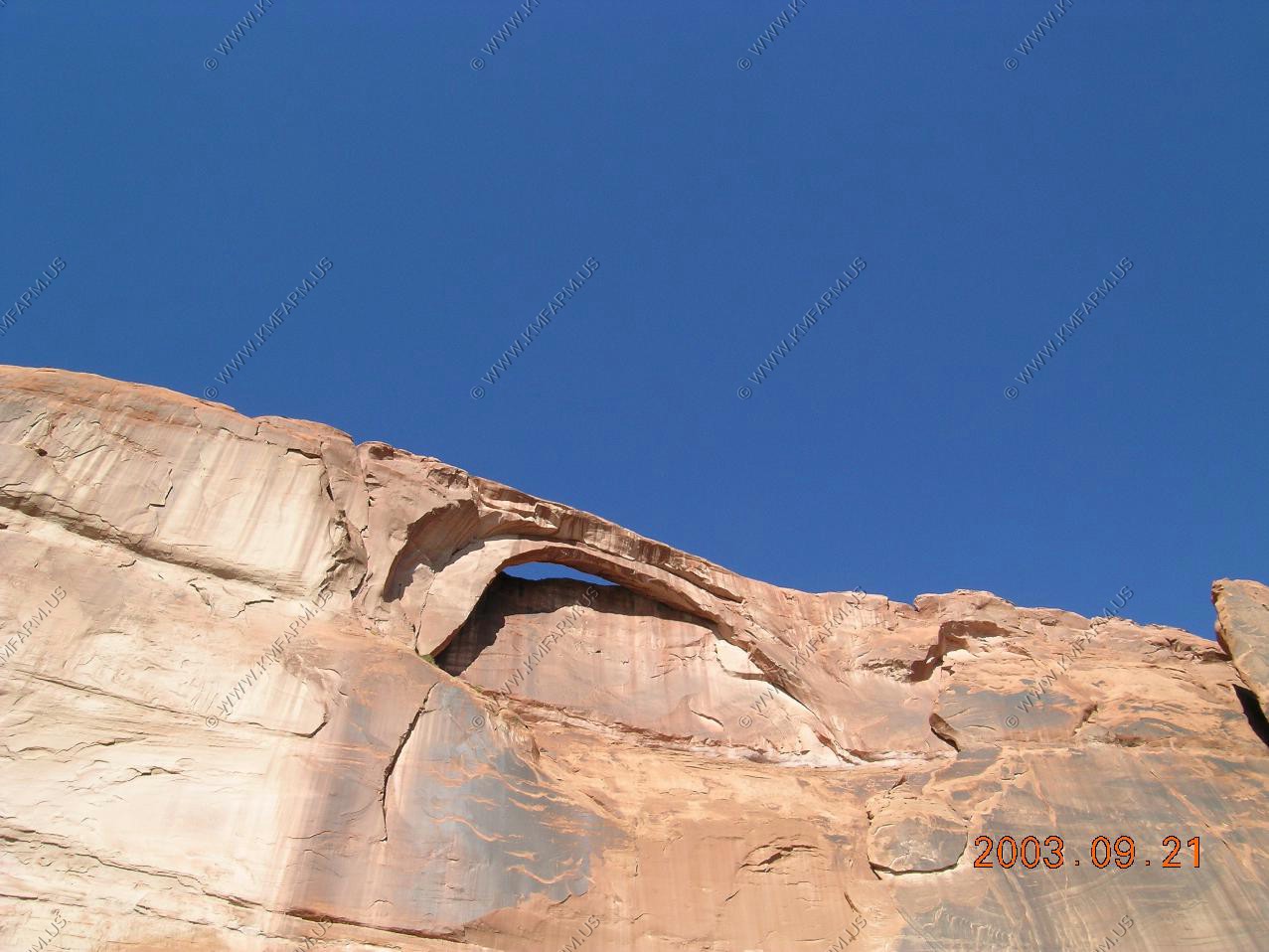
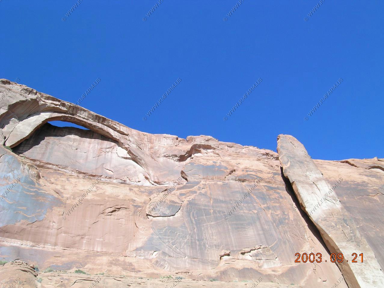
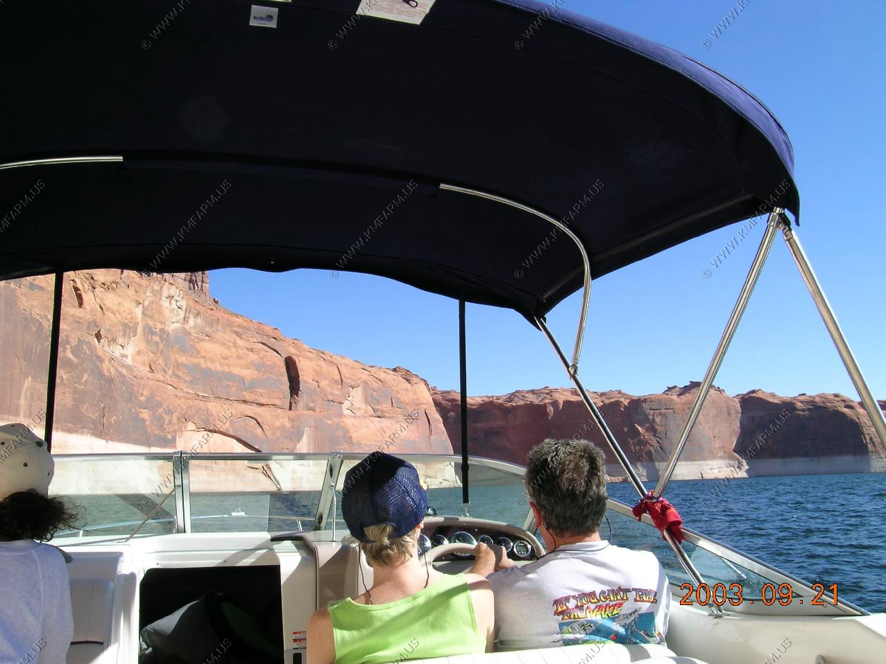
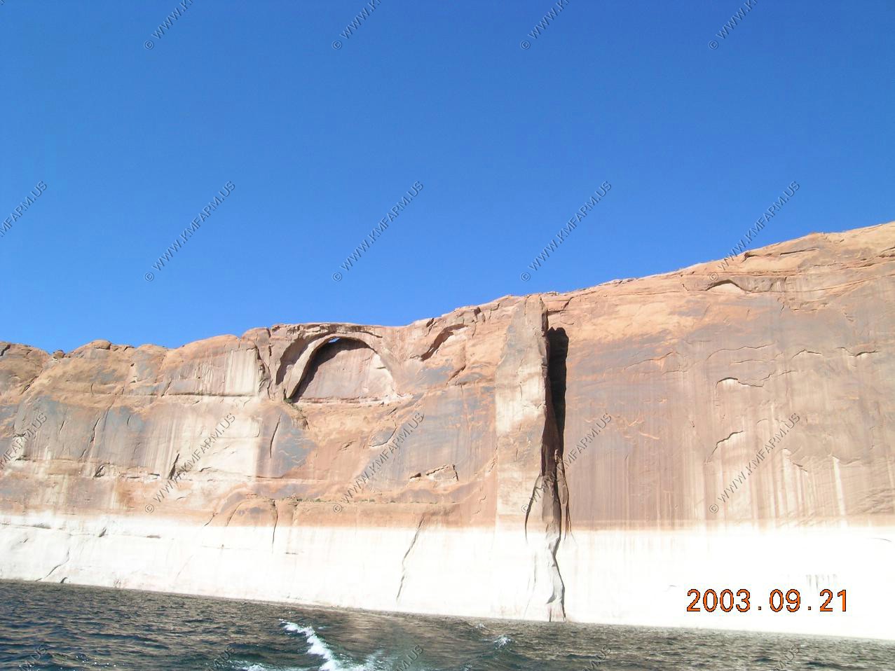
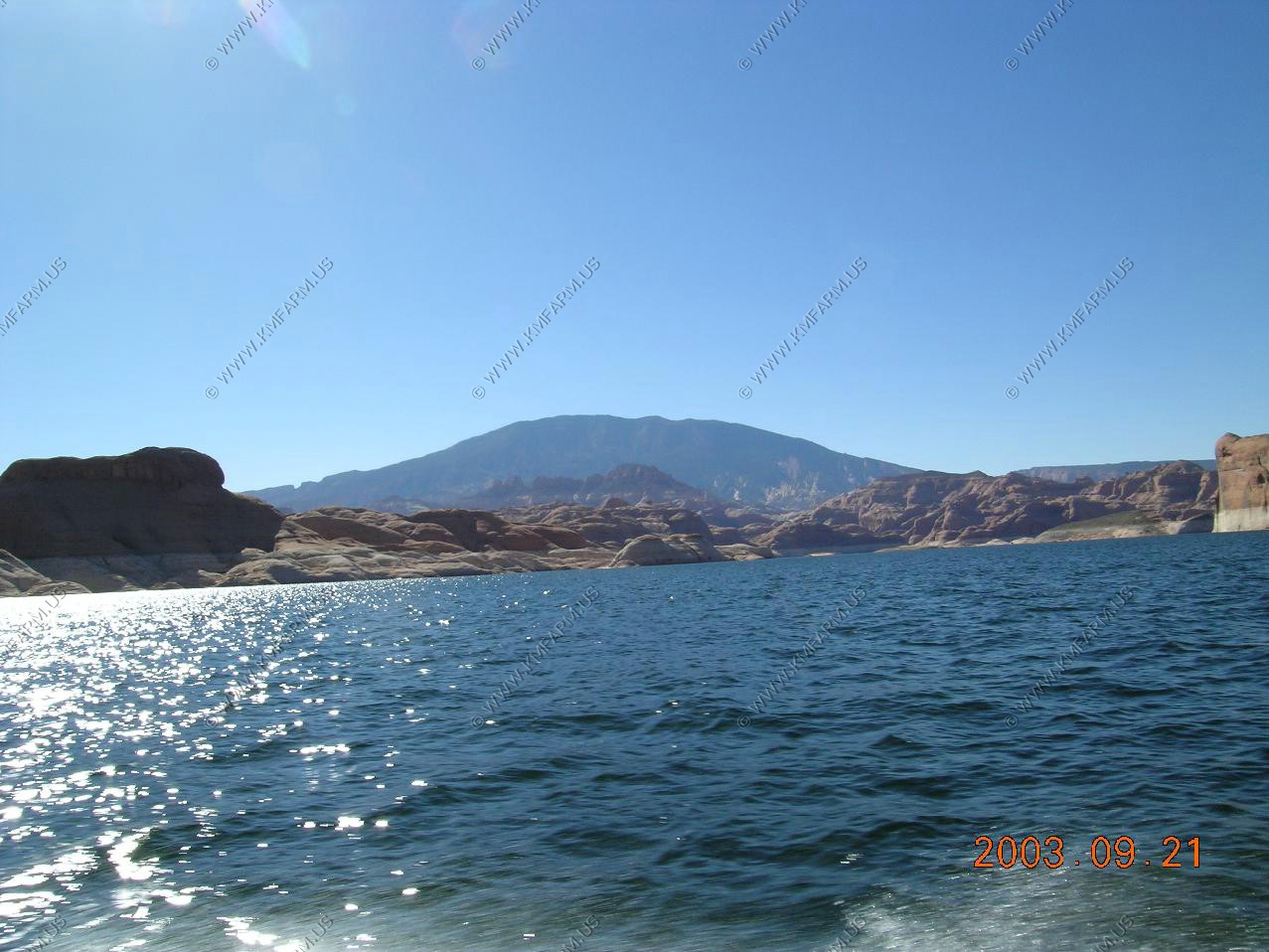
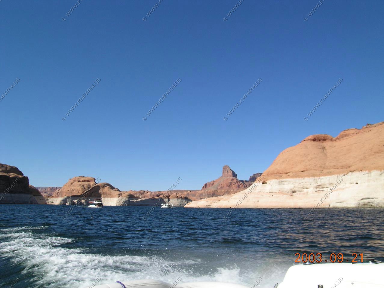
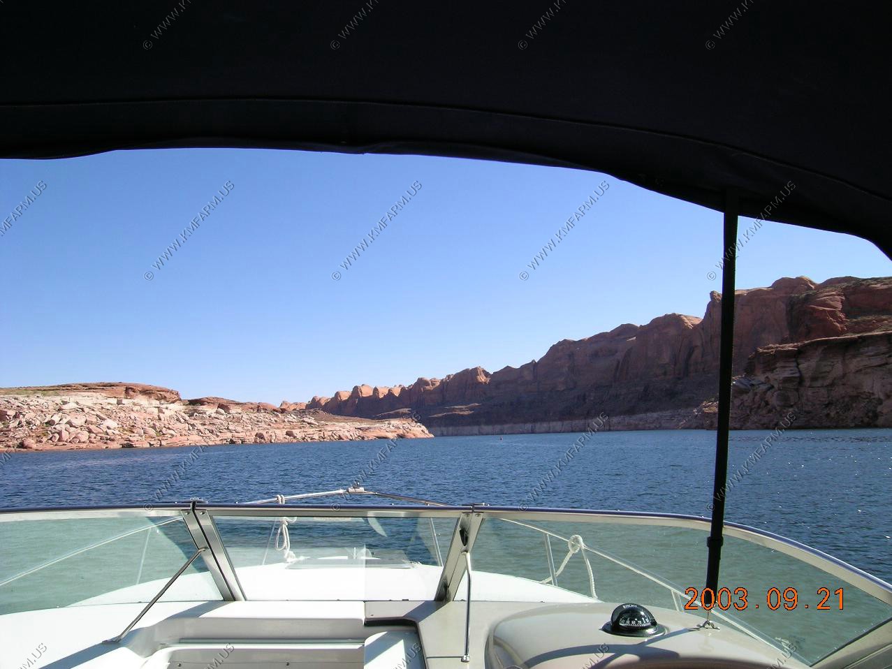
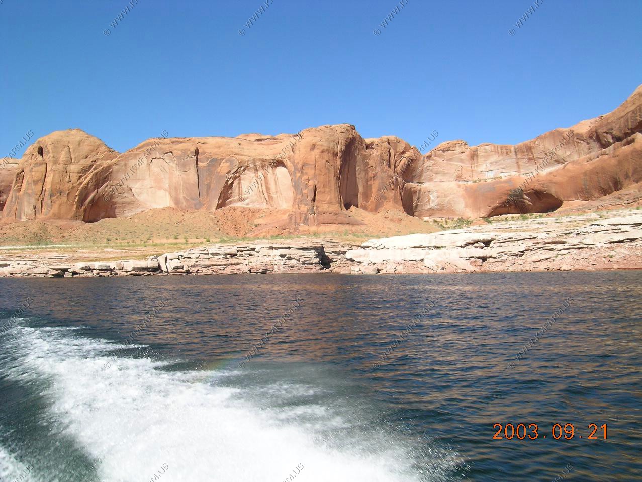
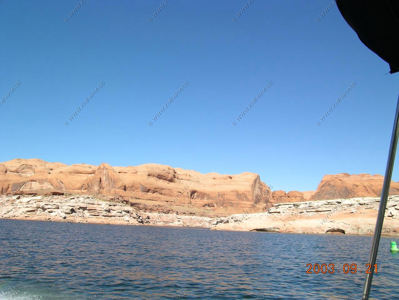
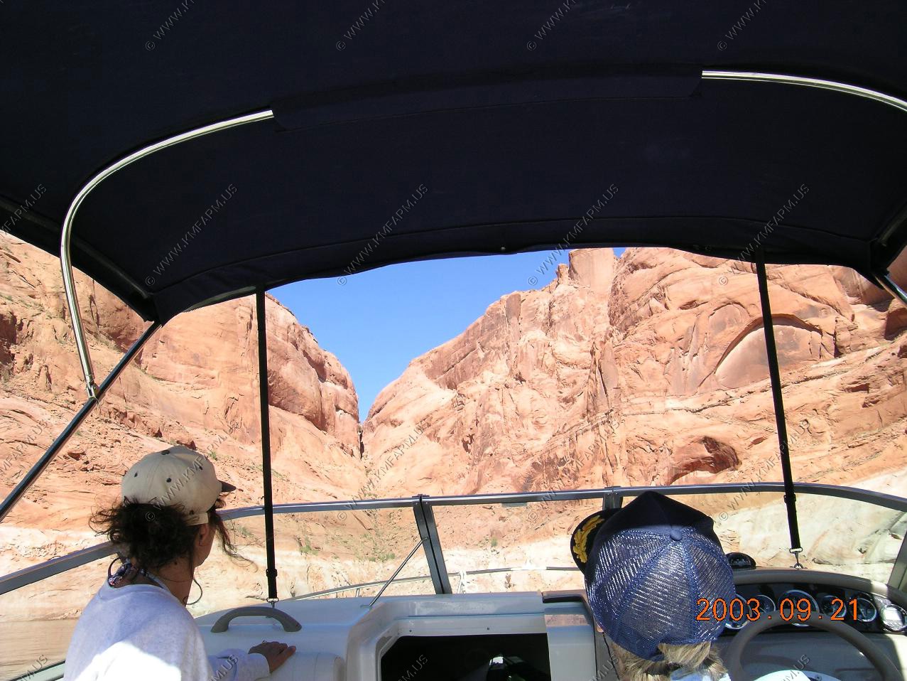
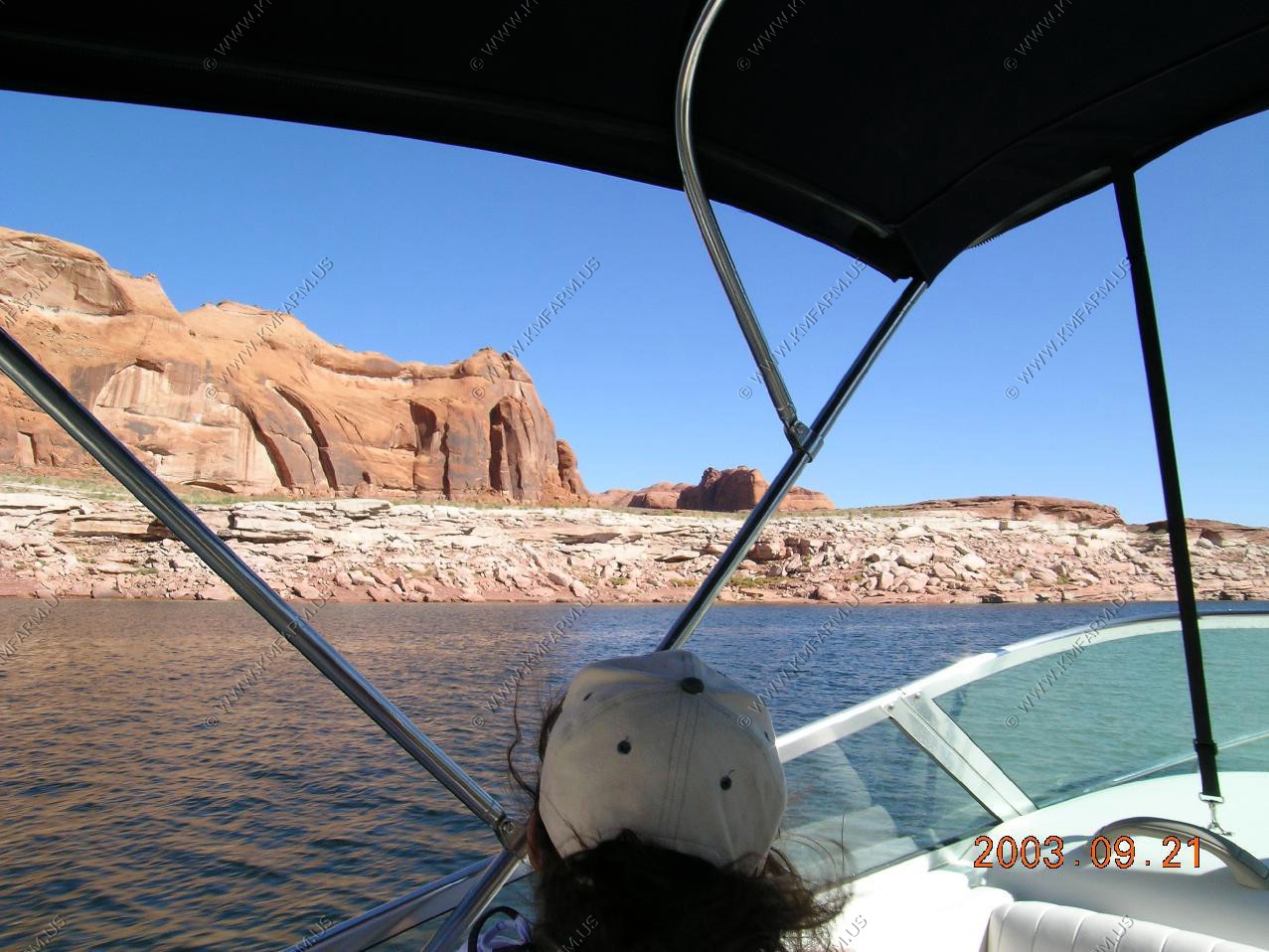
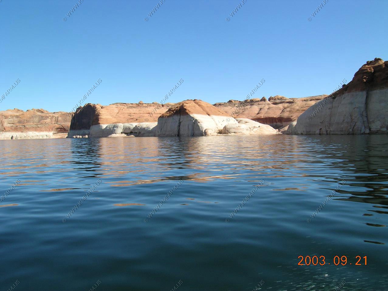
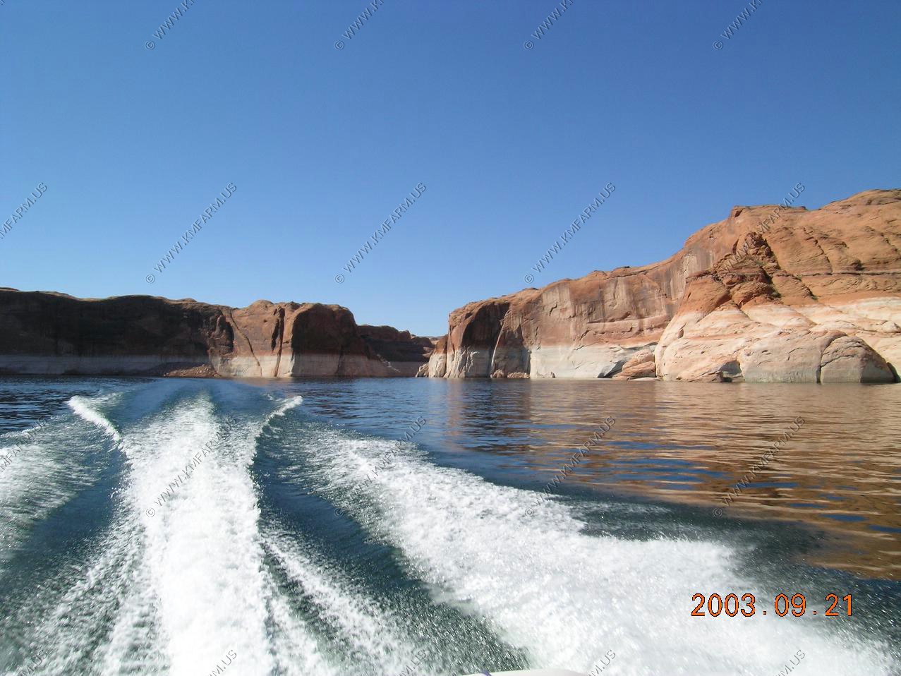
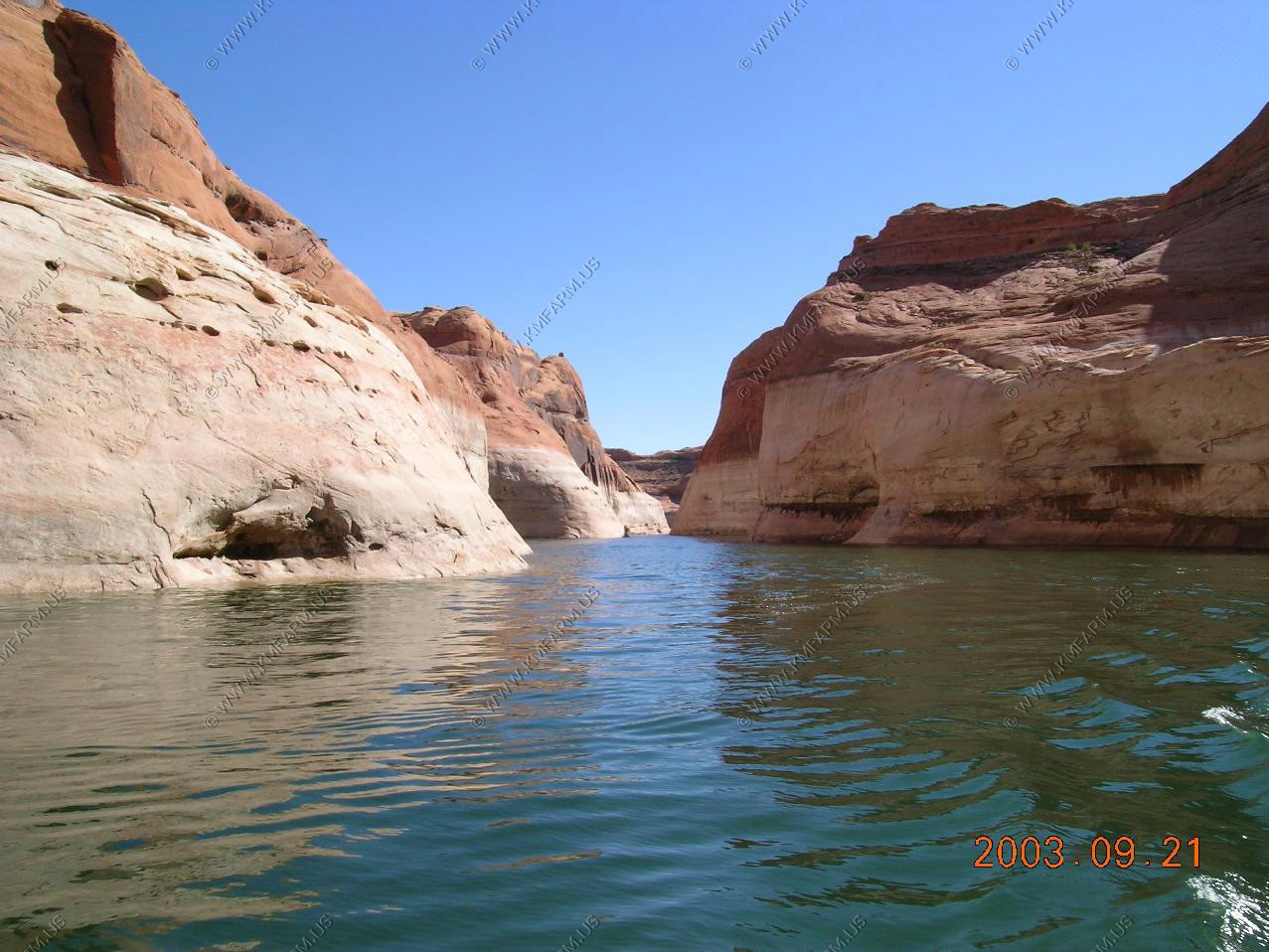
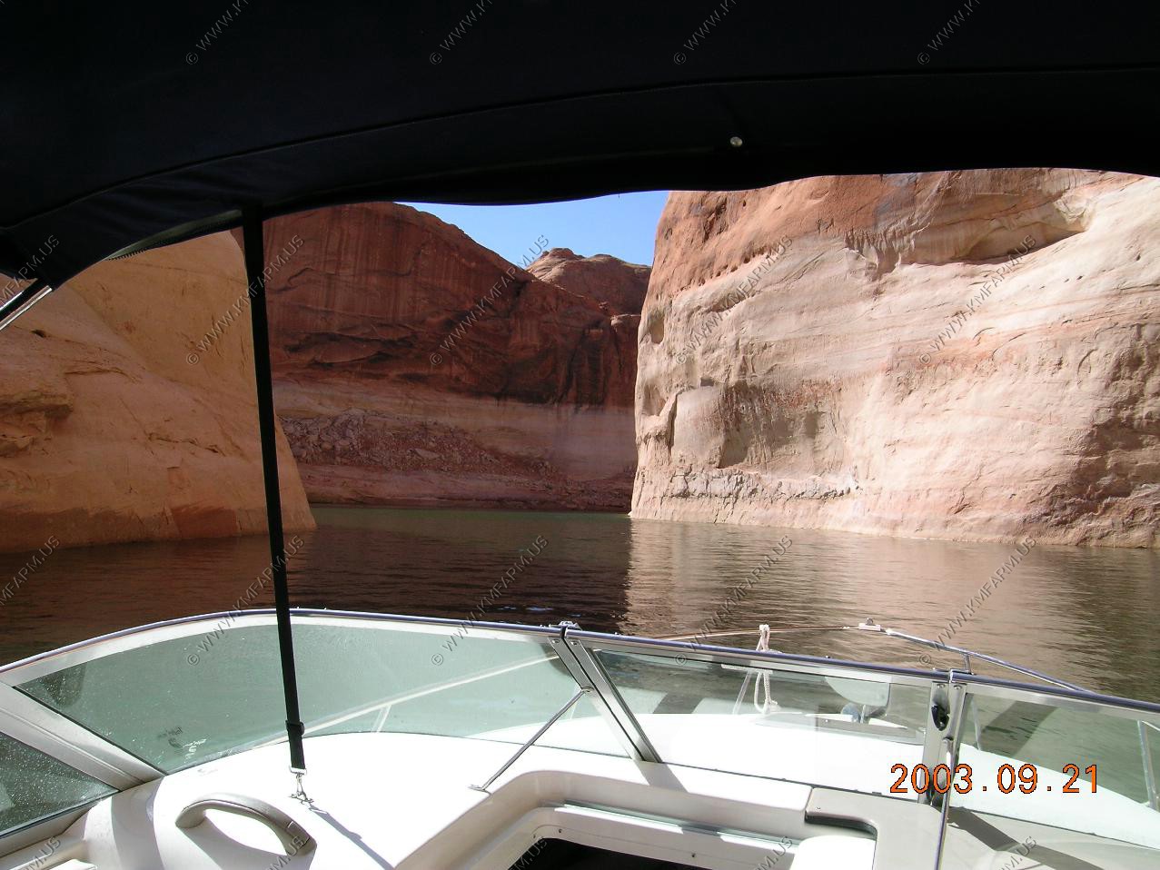
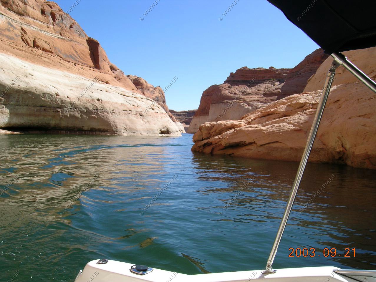
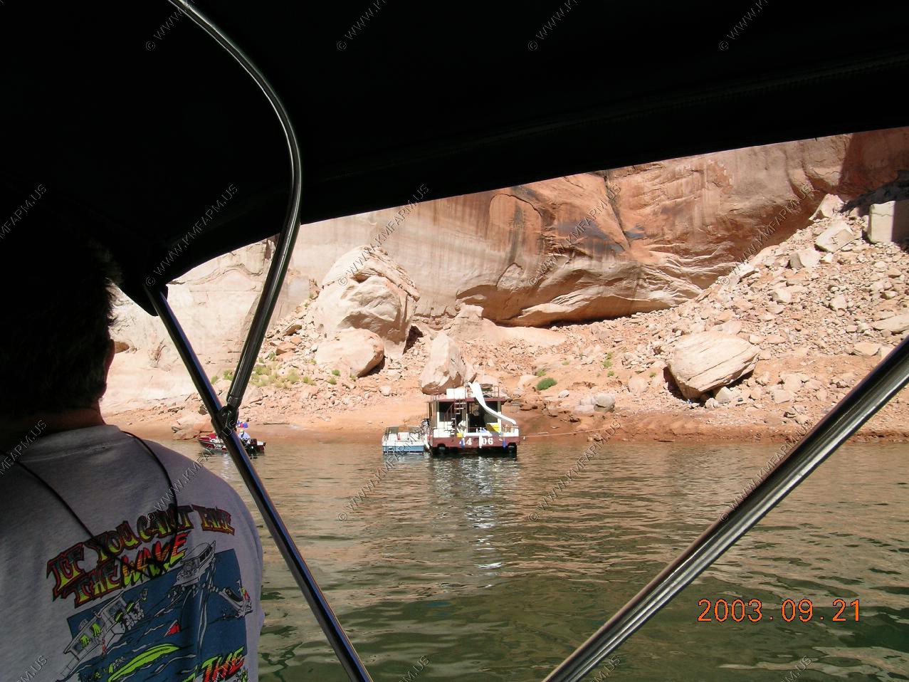
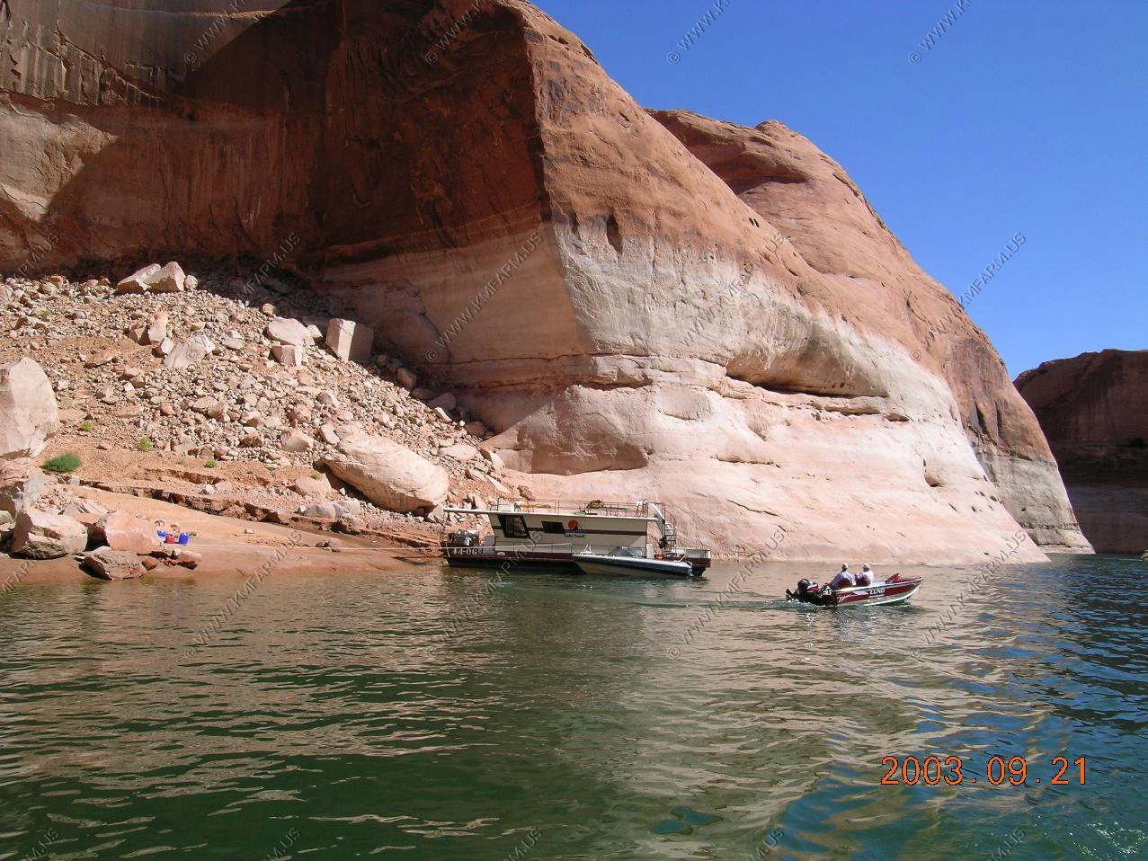
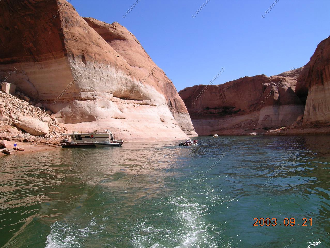
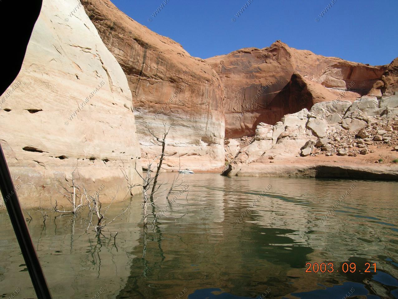
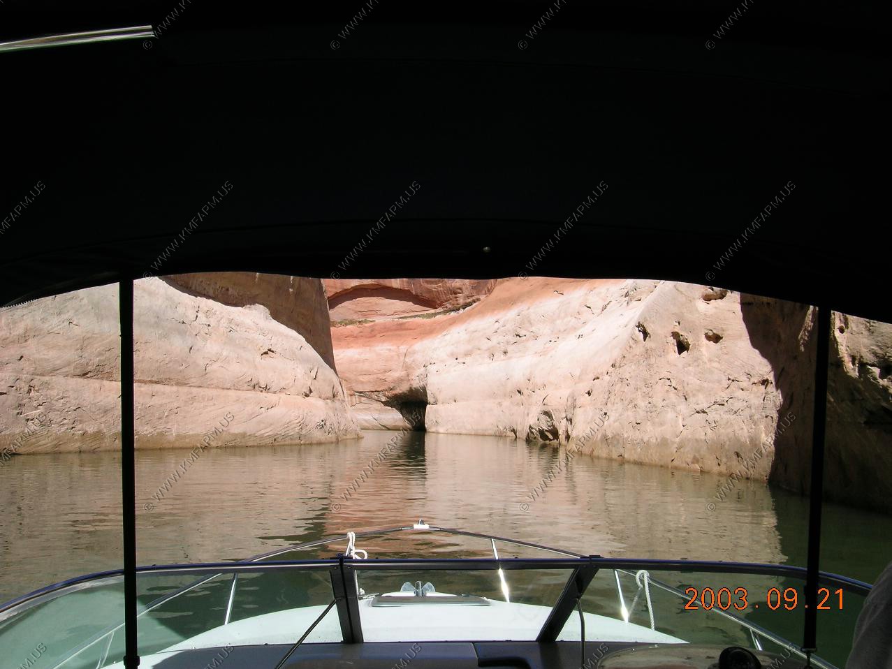
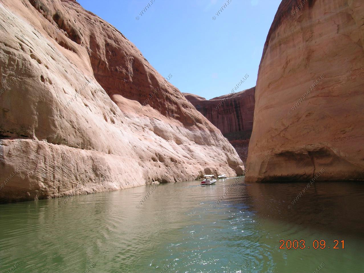
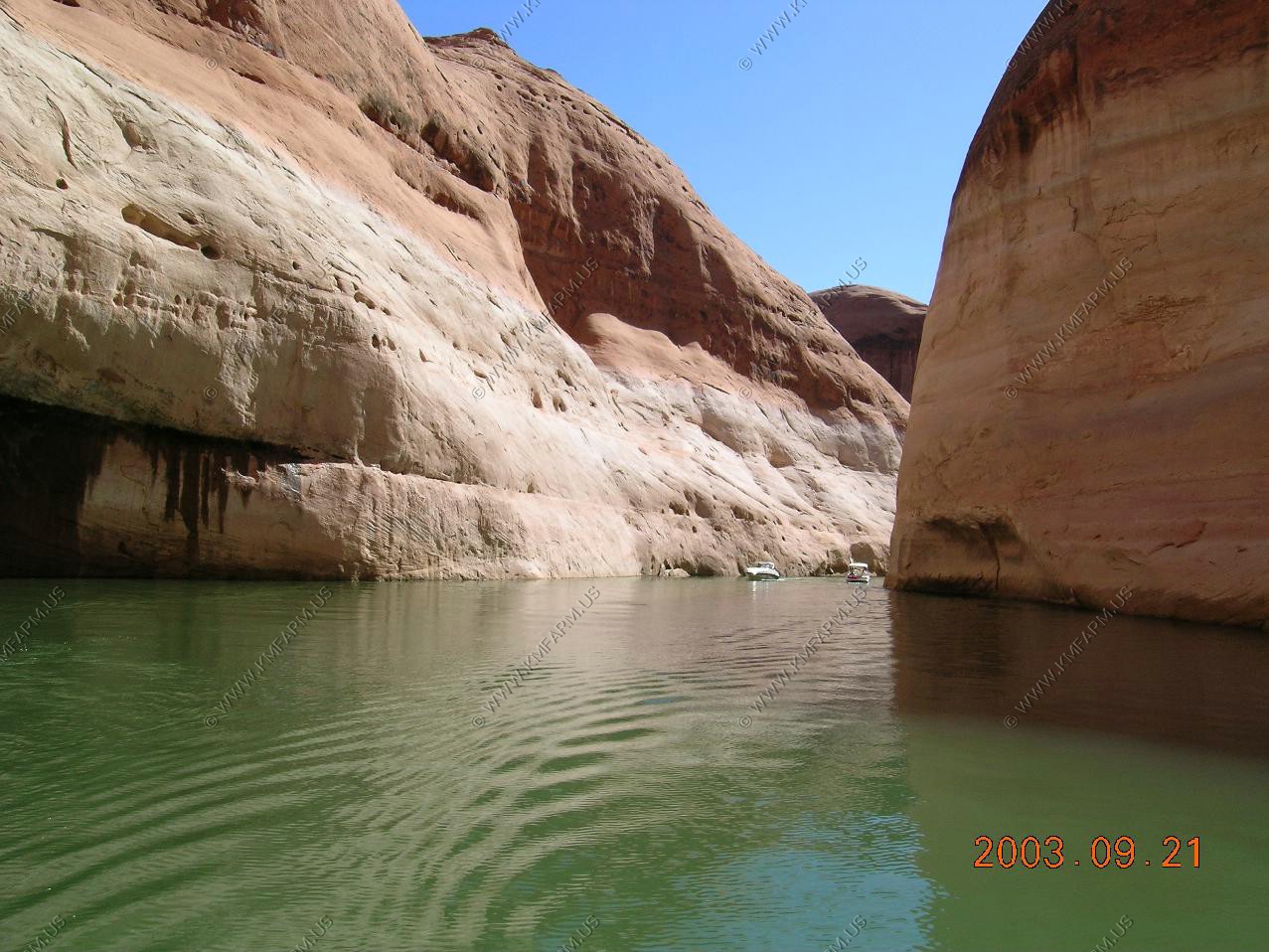
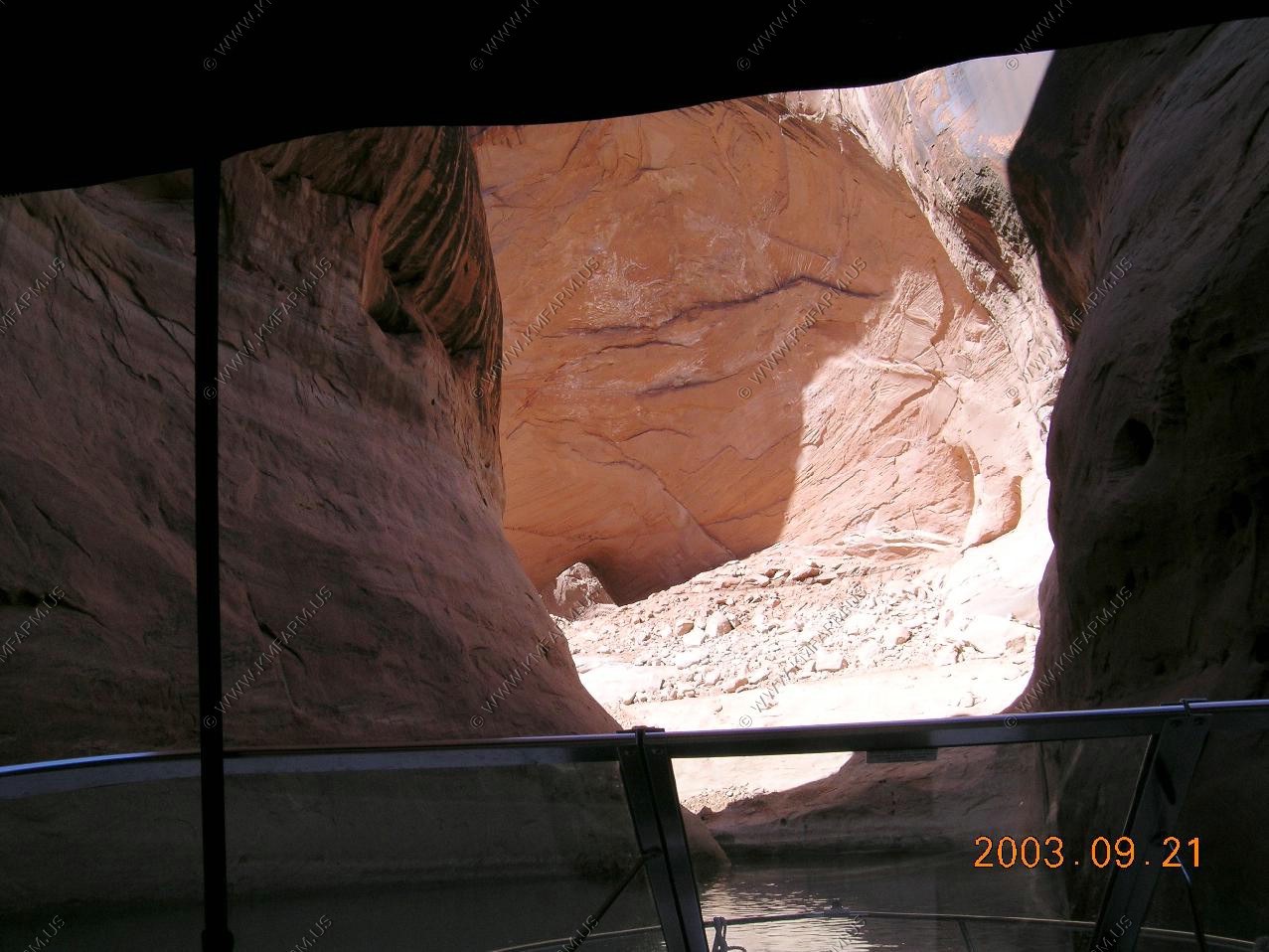
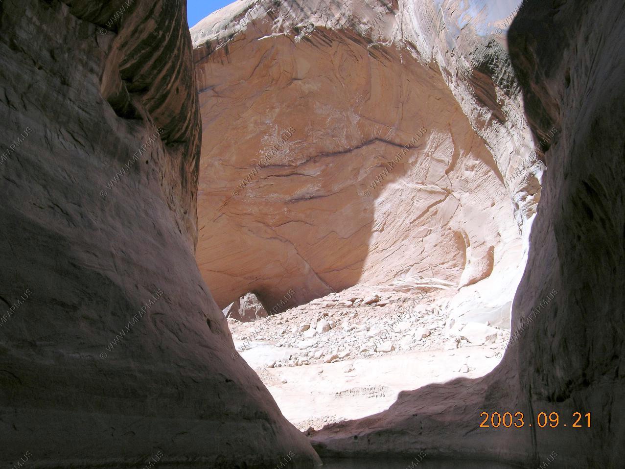
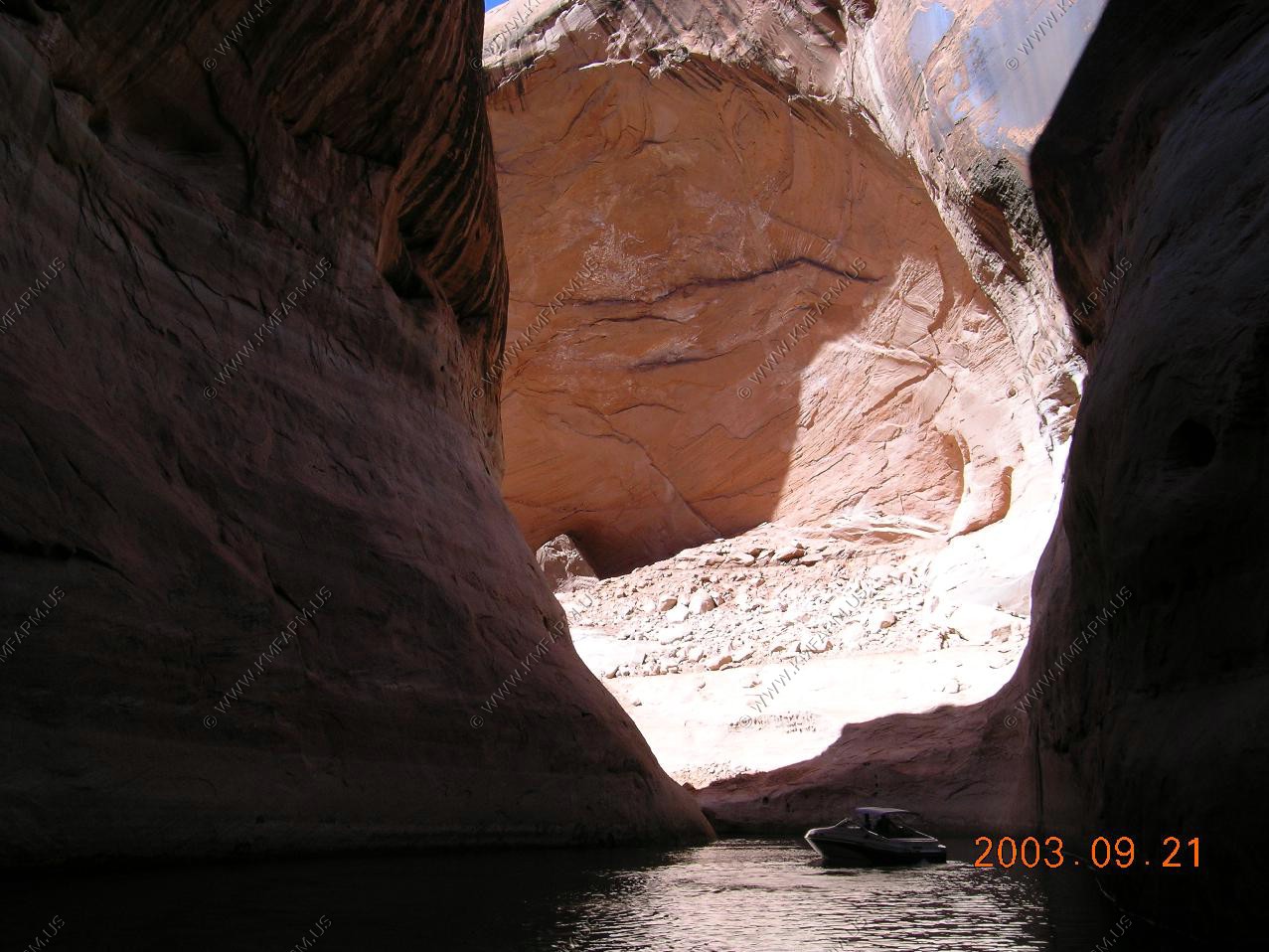
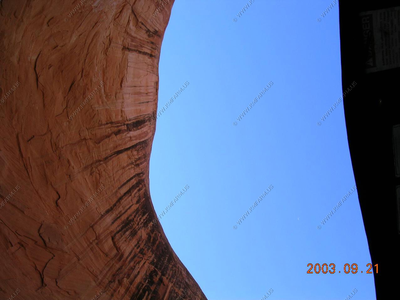
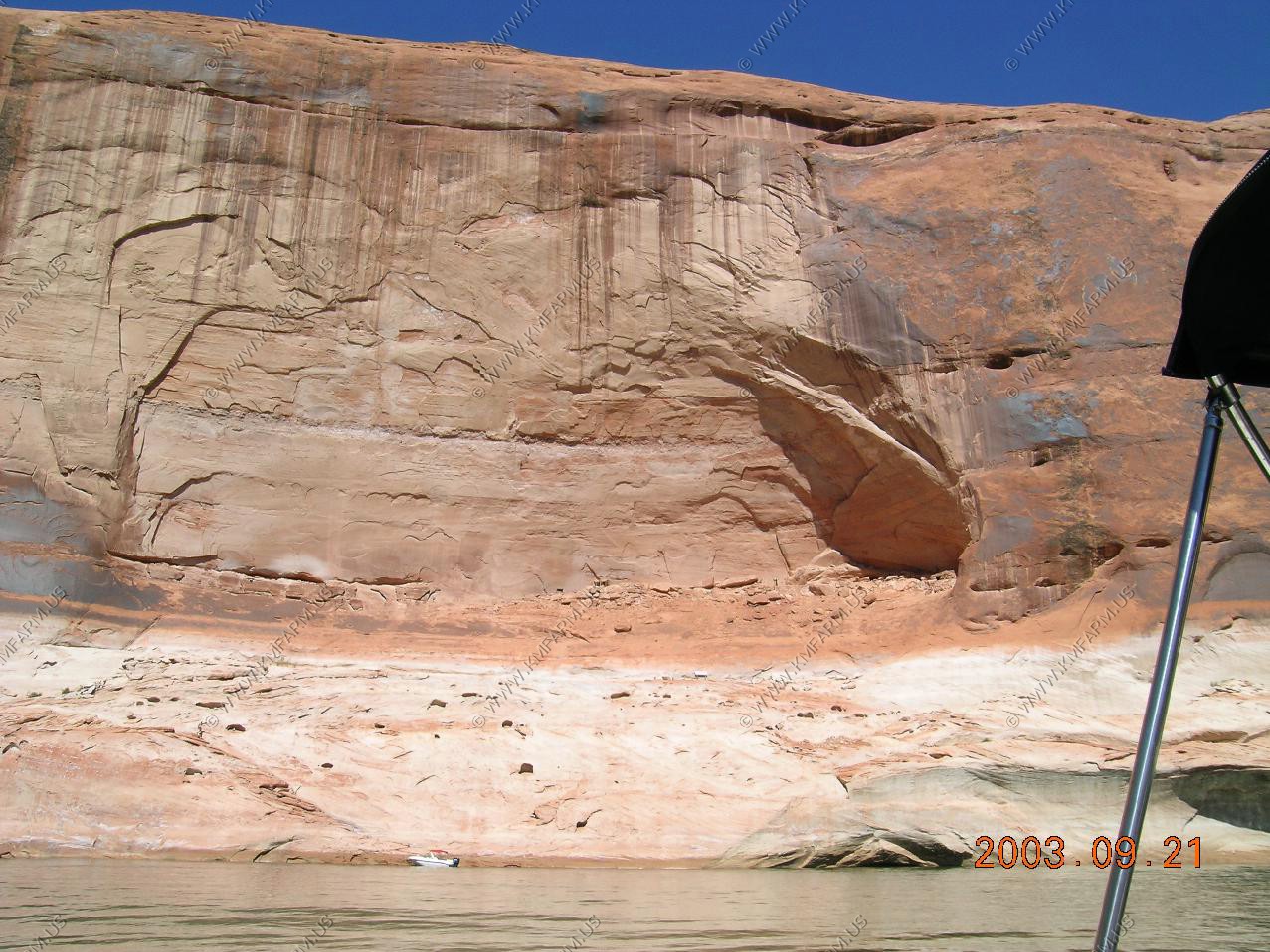
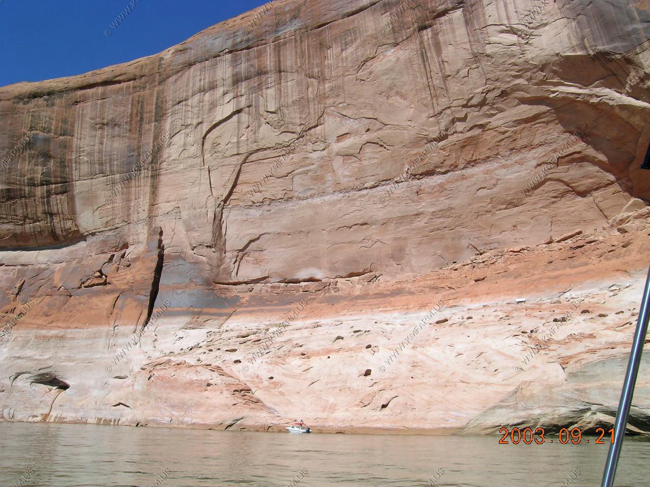
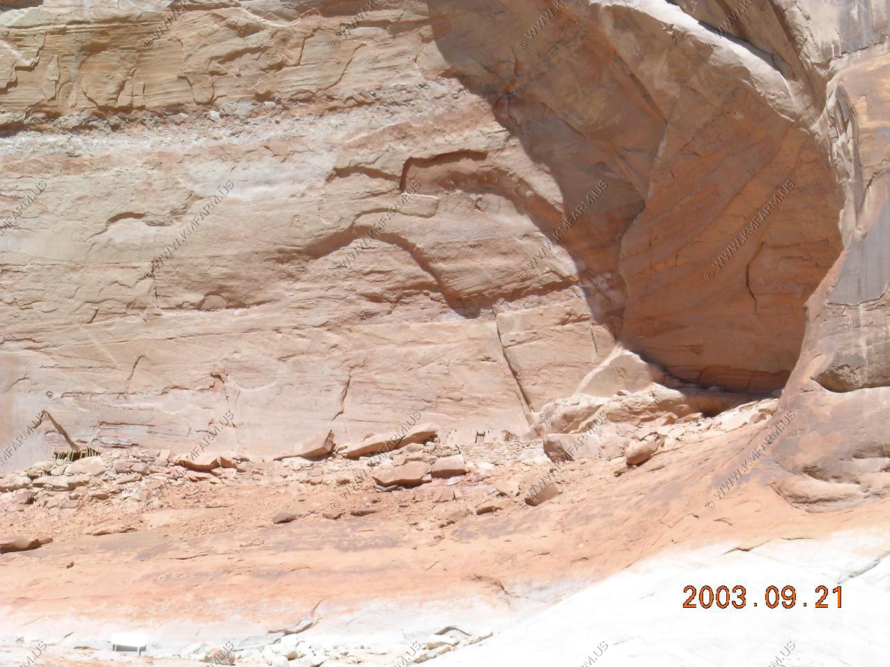
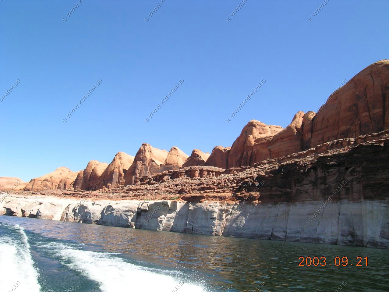
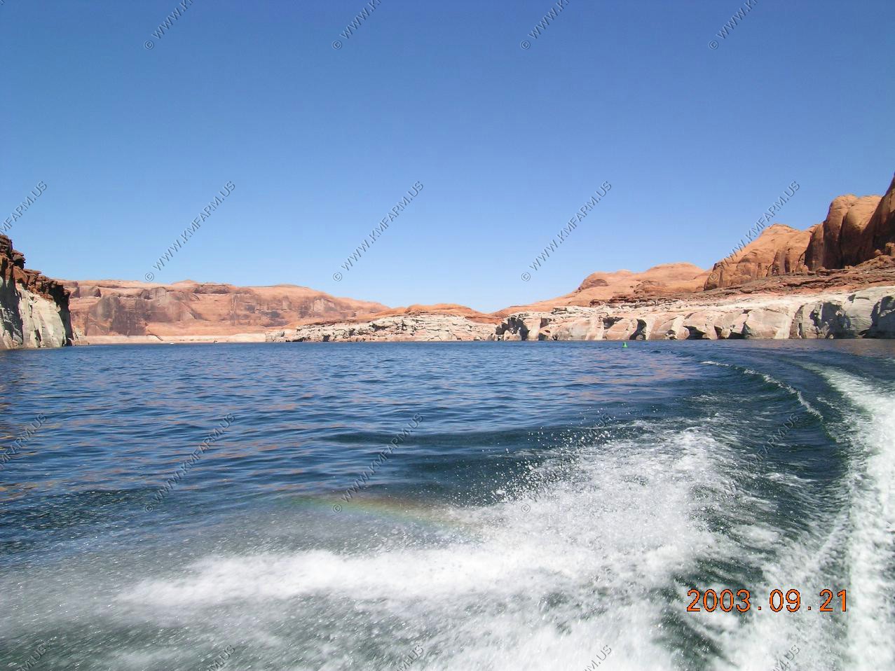
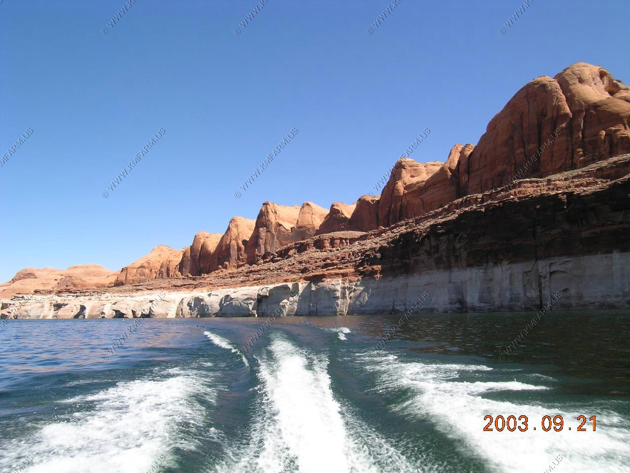
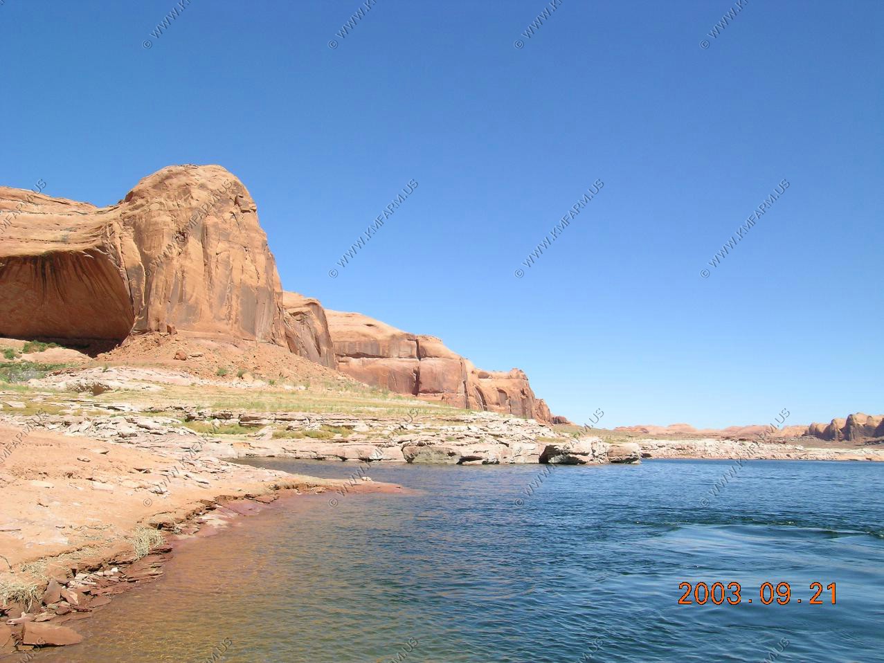
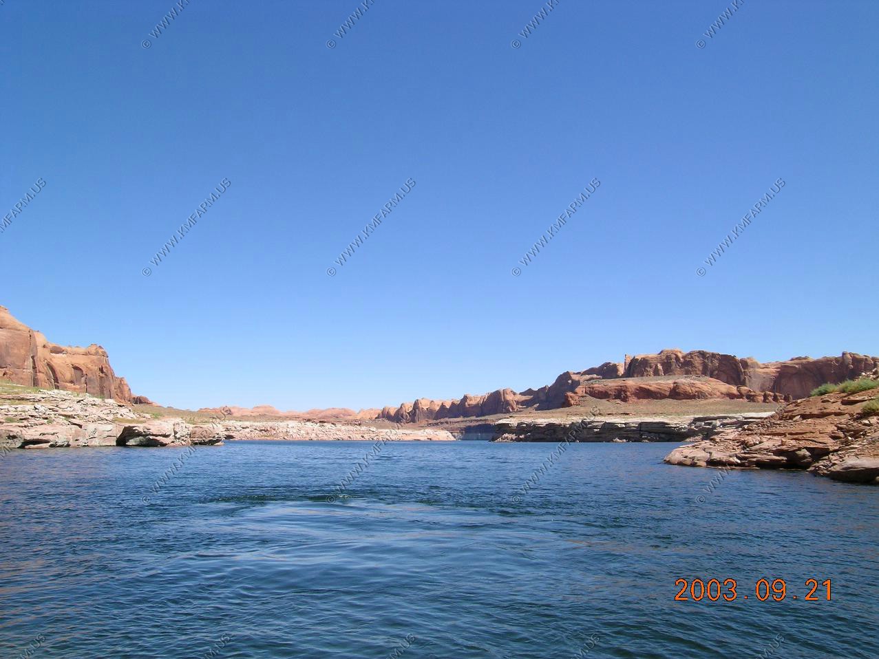
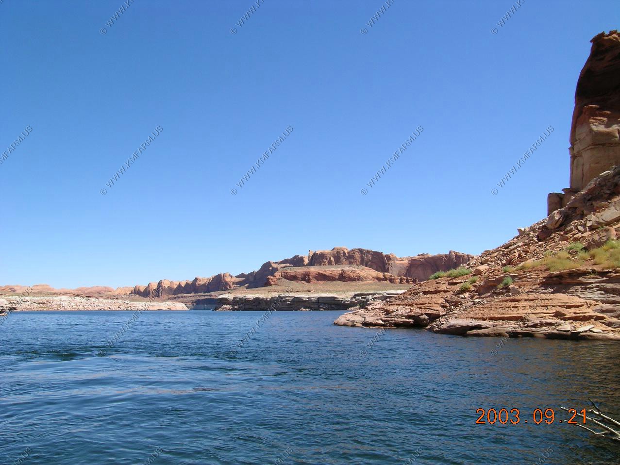
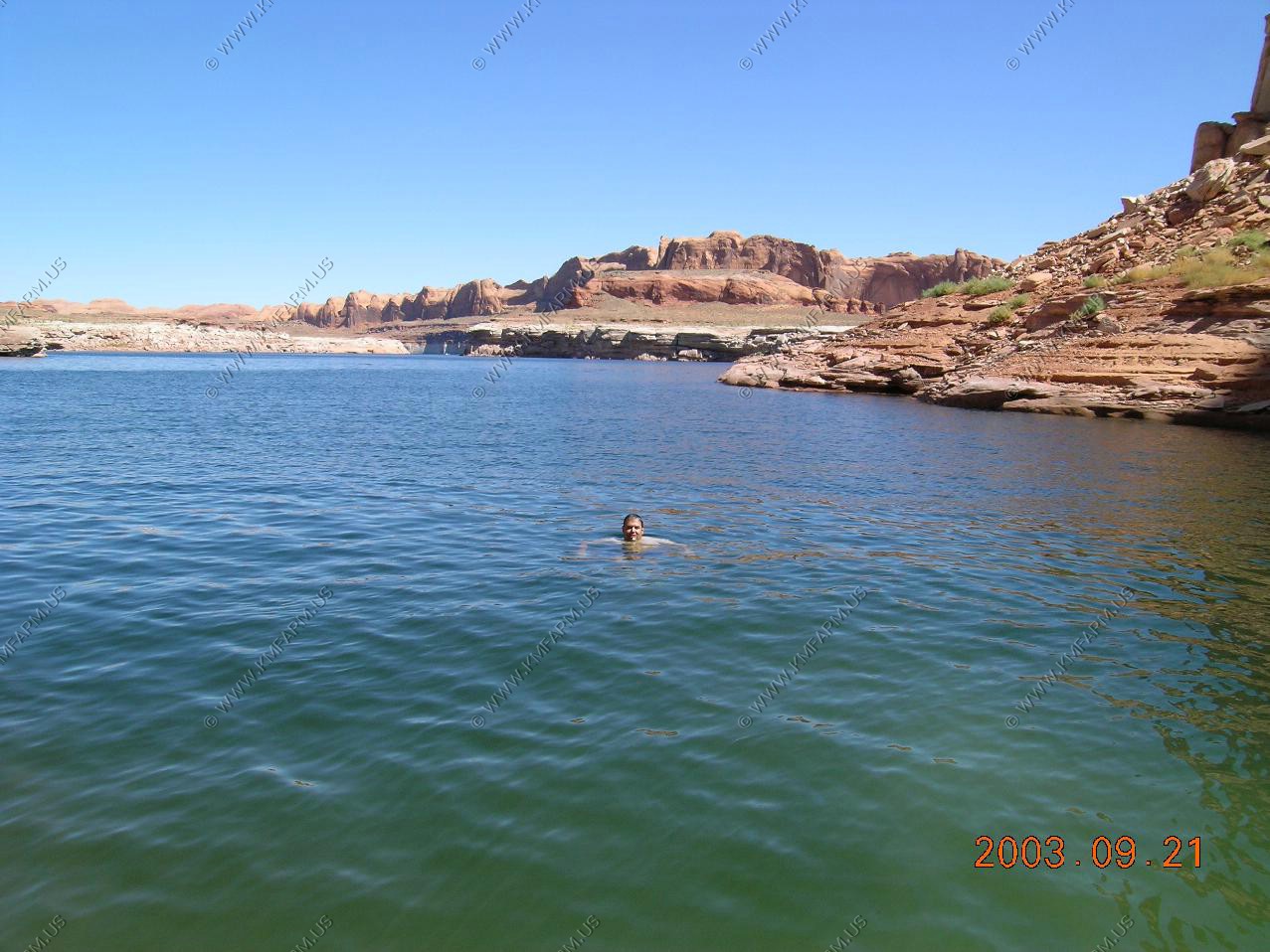
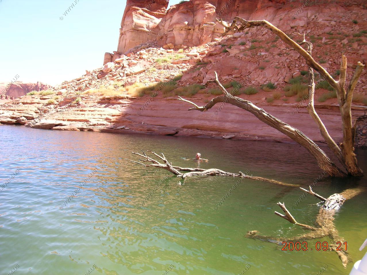
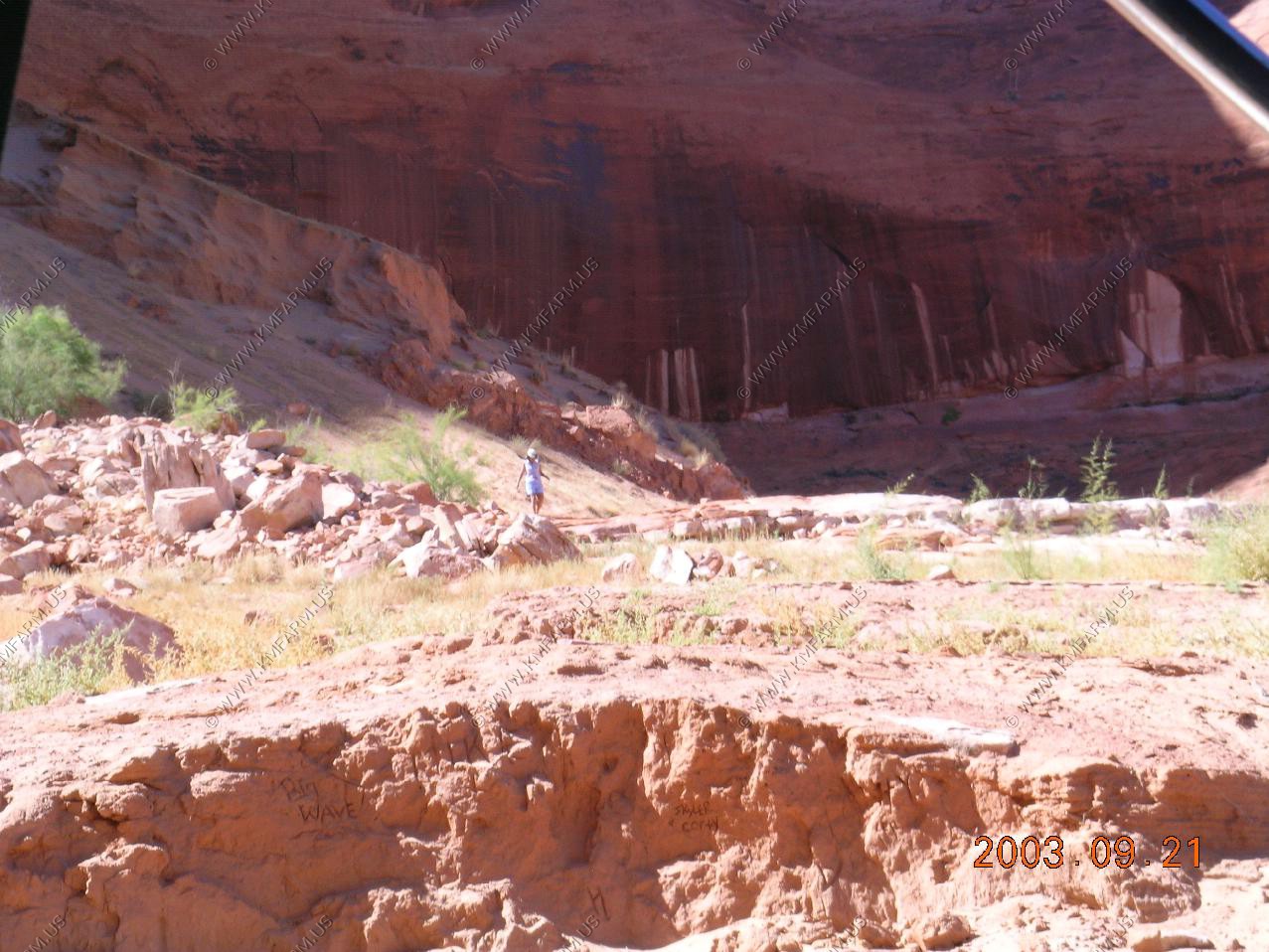
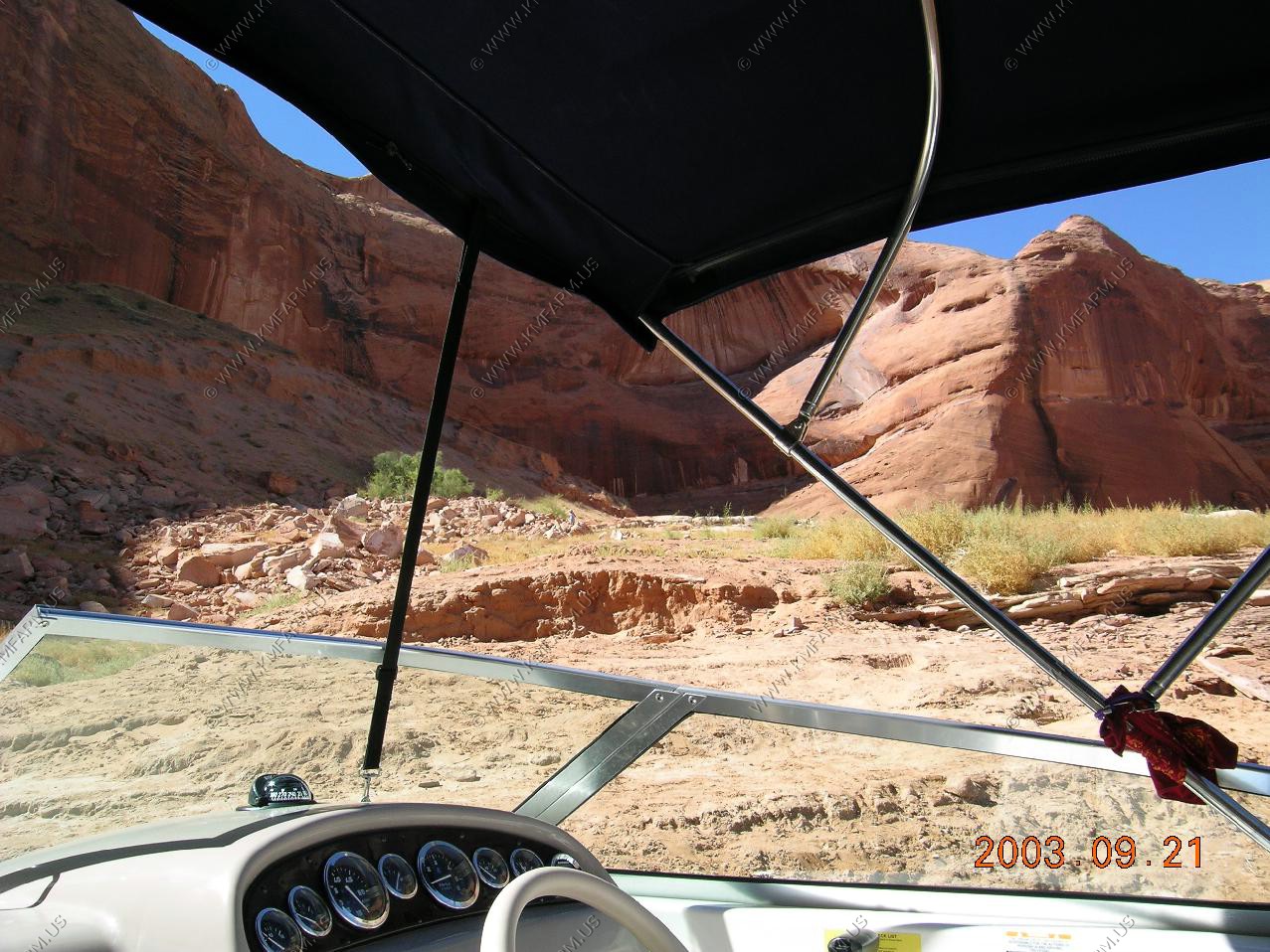
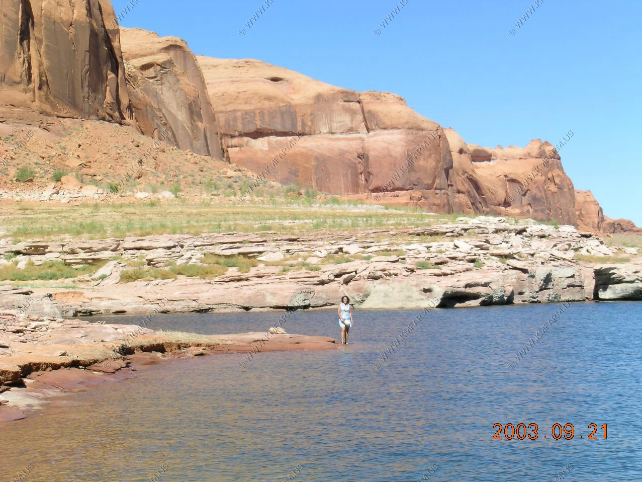
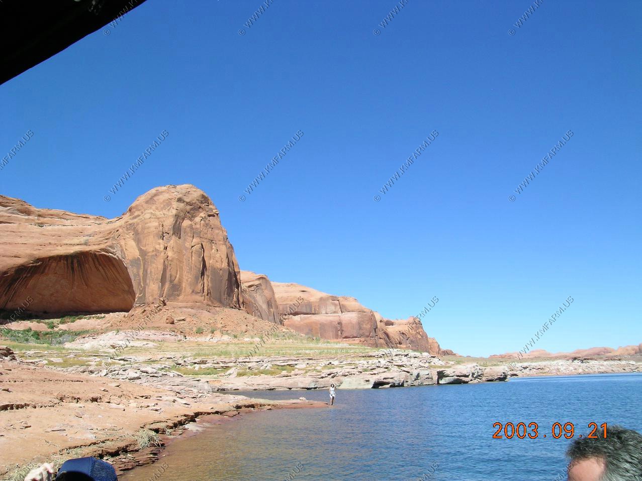
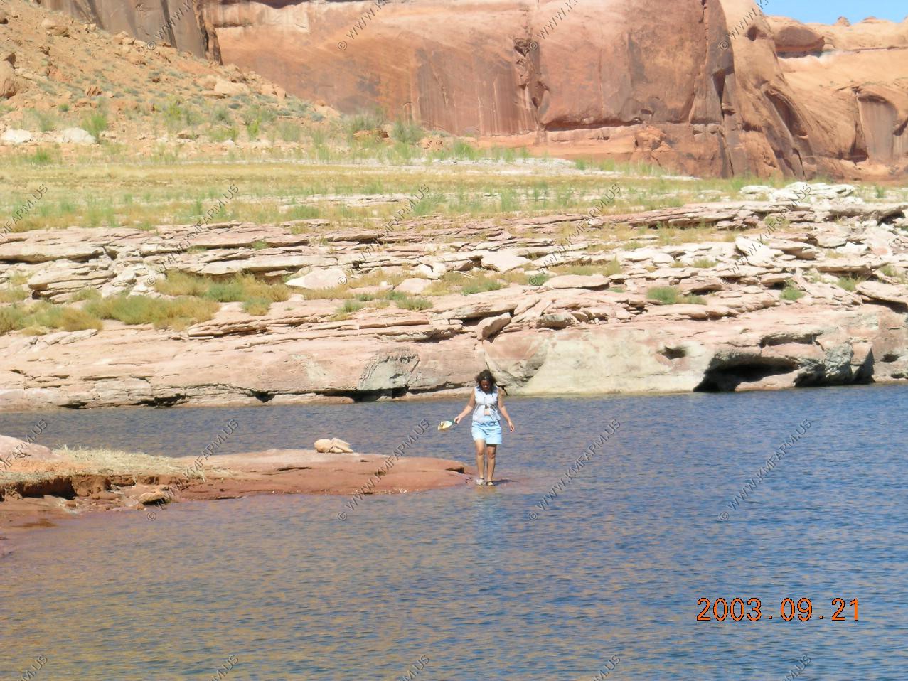
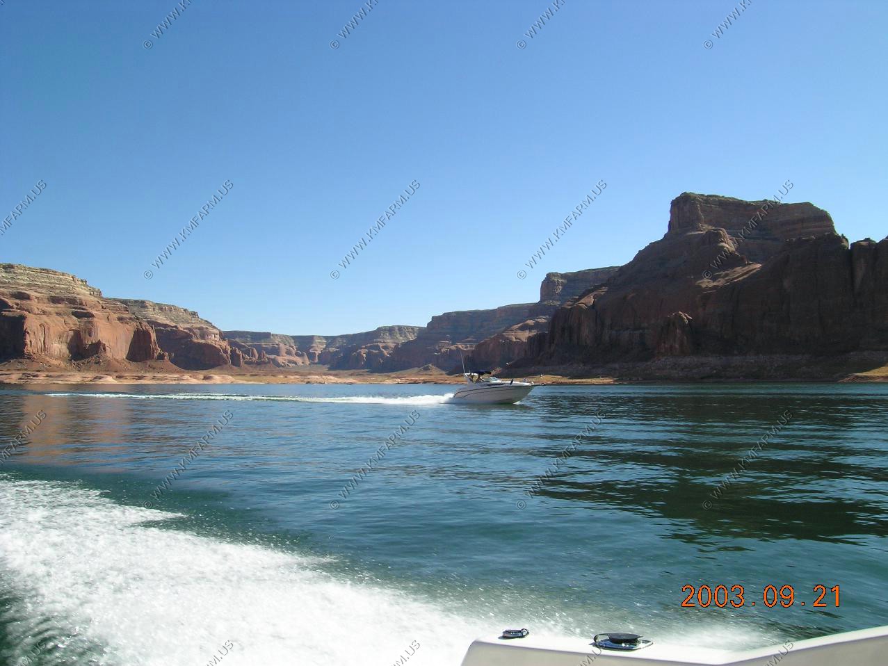
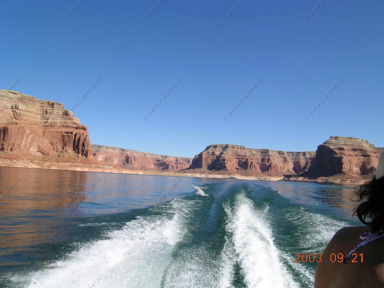
Exploring the lake

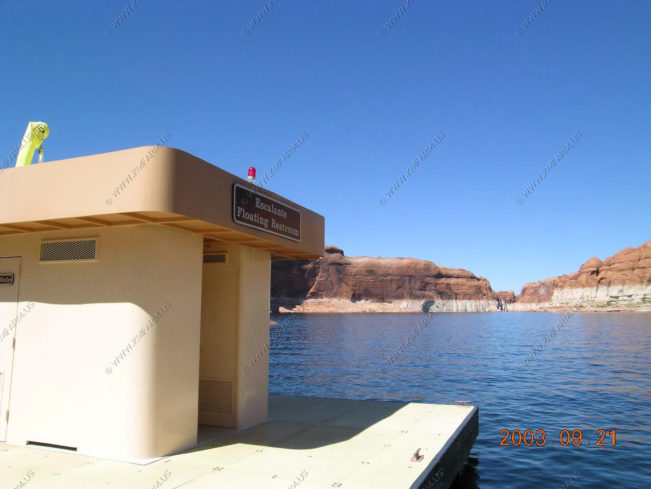
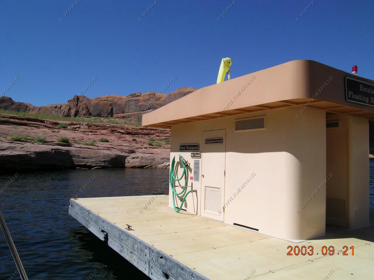
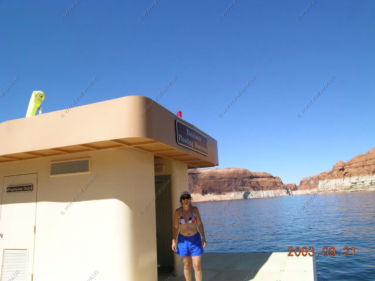
Floating restrooms
Exploring the lake


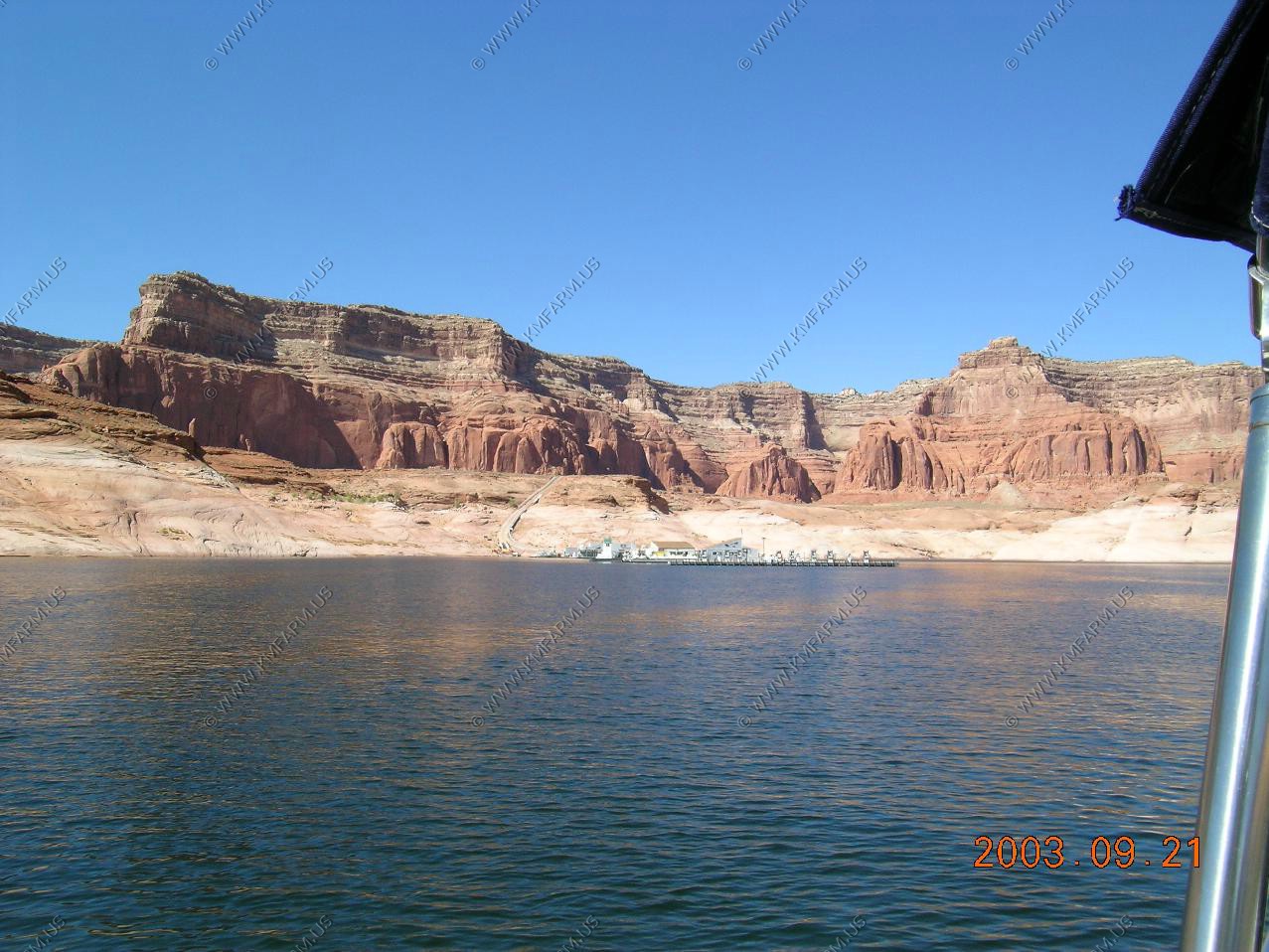
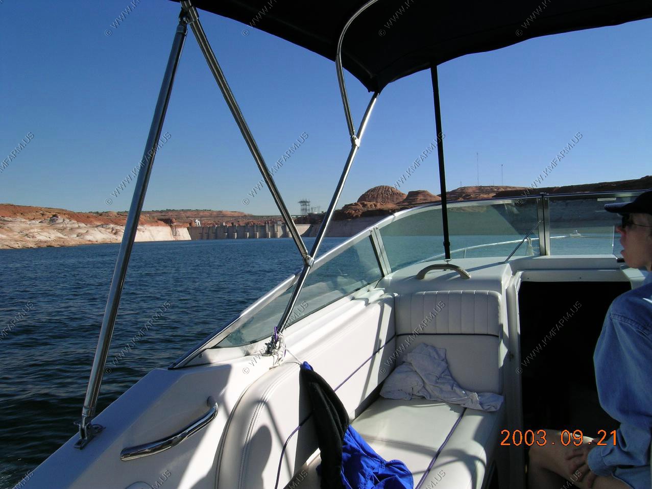
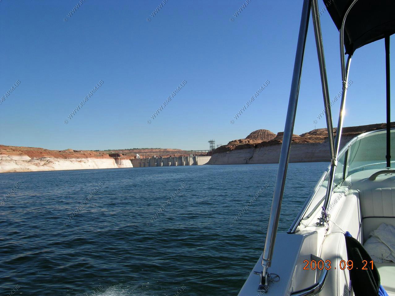
Looking at the back of Glen Canyon Dam from the lake

Back to Rolands
Sunset looking at Navajo Mountain
----
Mary's daytrip with Kathy


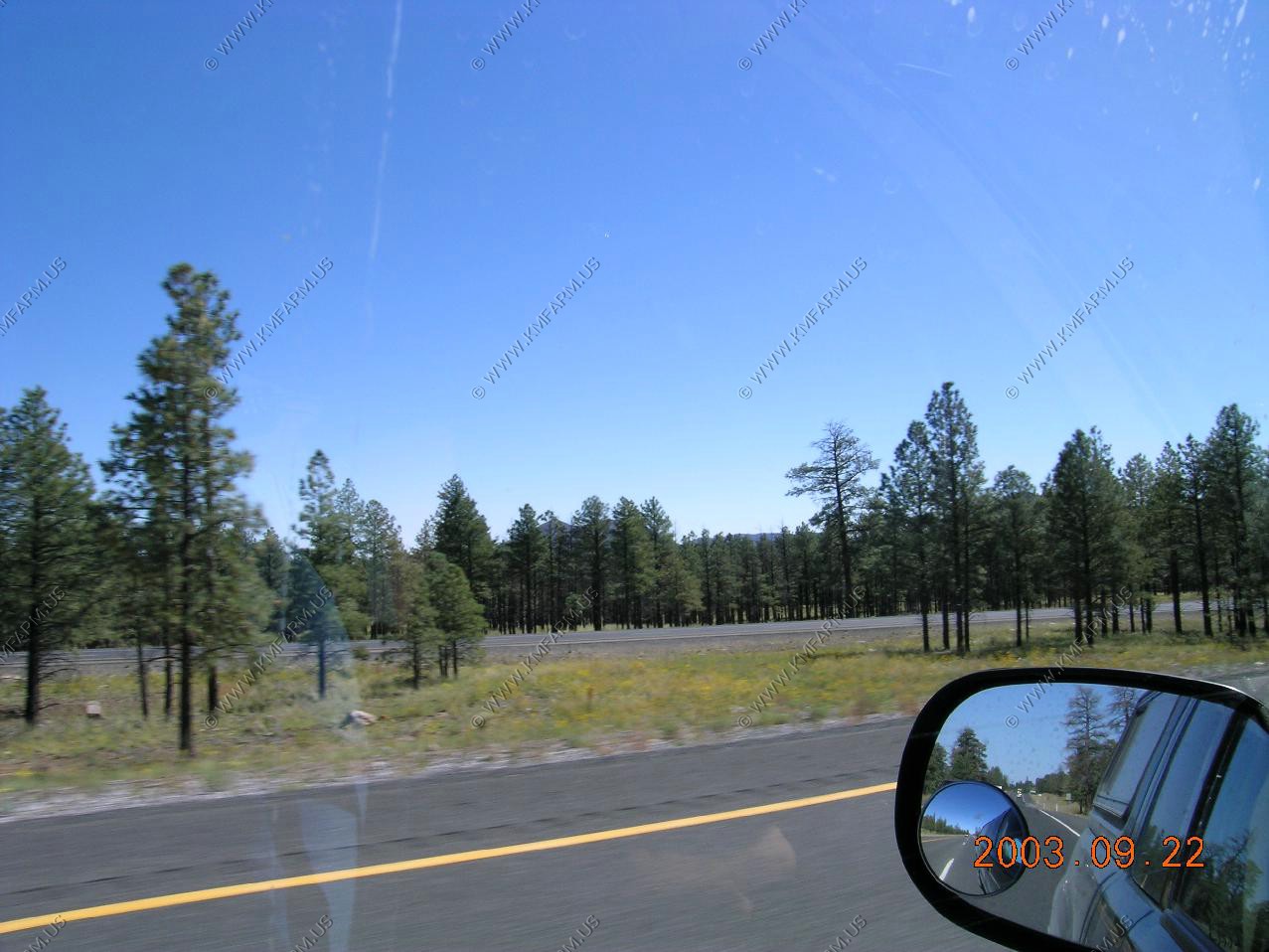
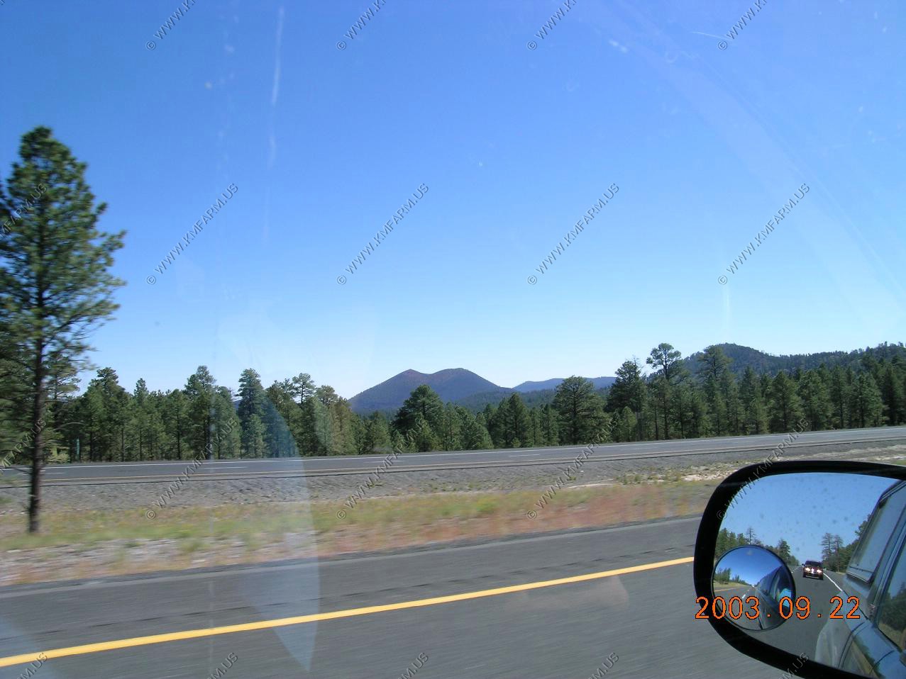
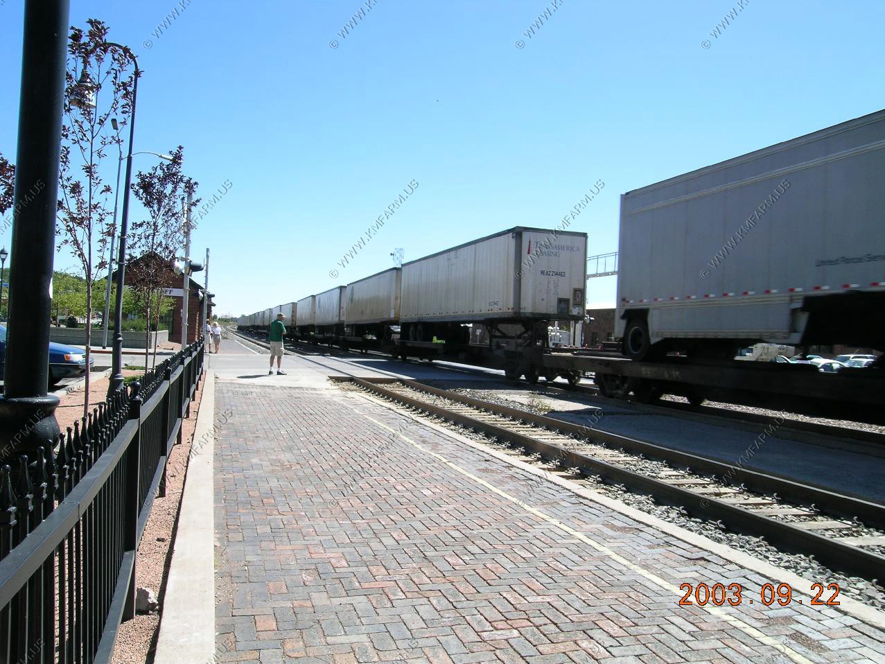
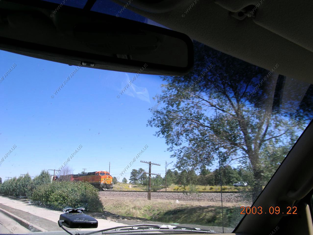
Ken's daytrip to Flagstaff


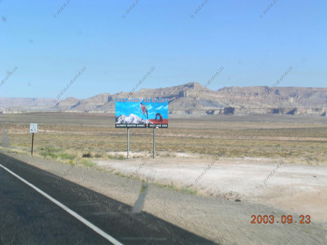
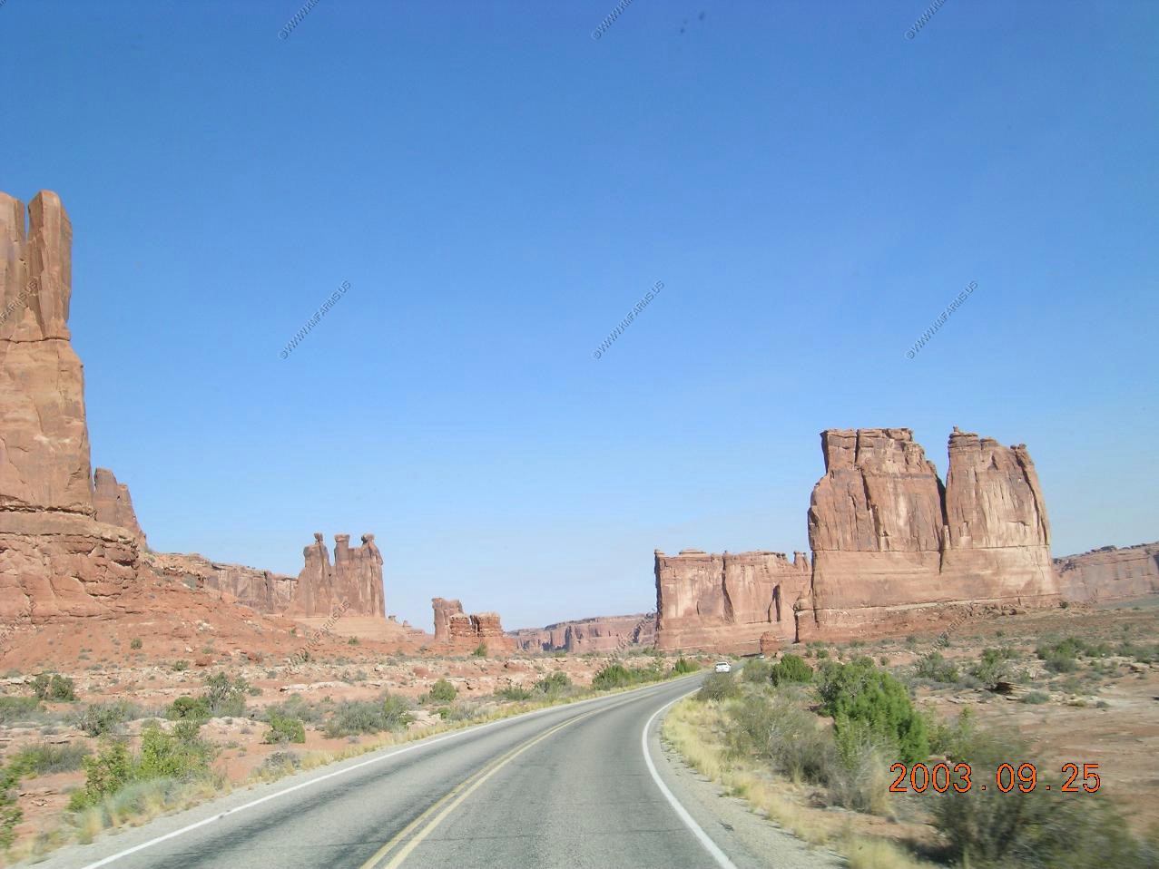
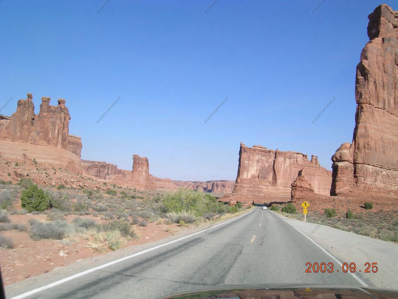
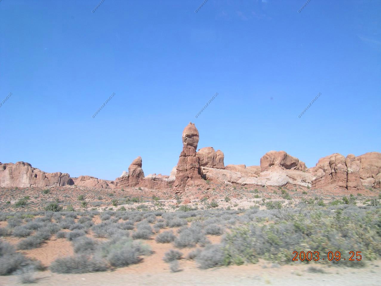
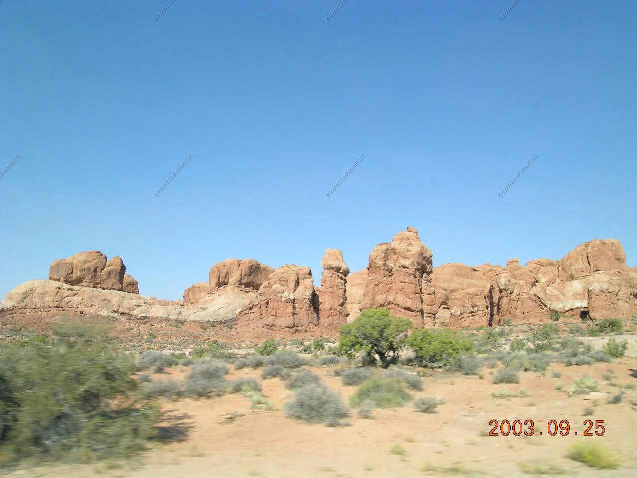
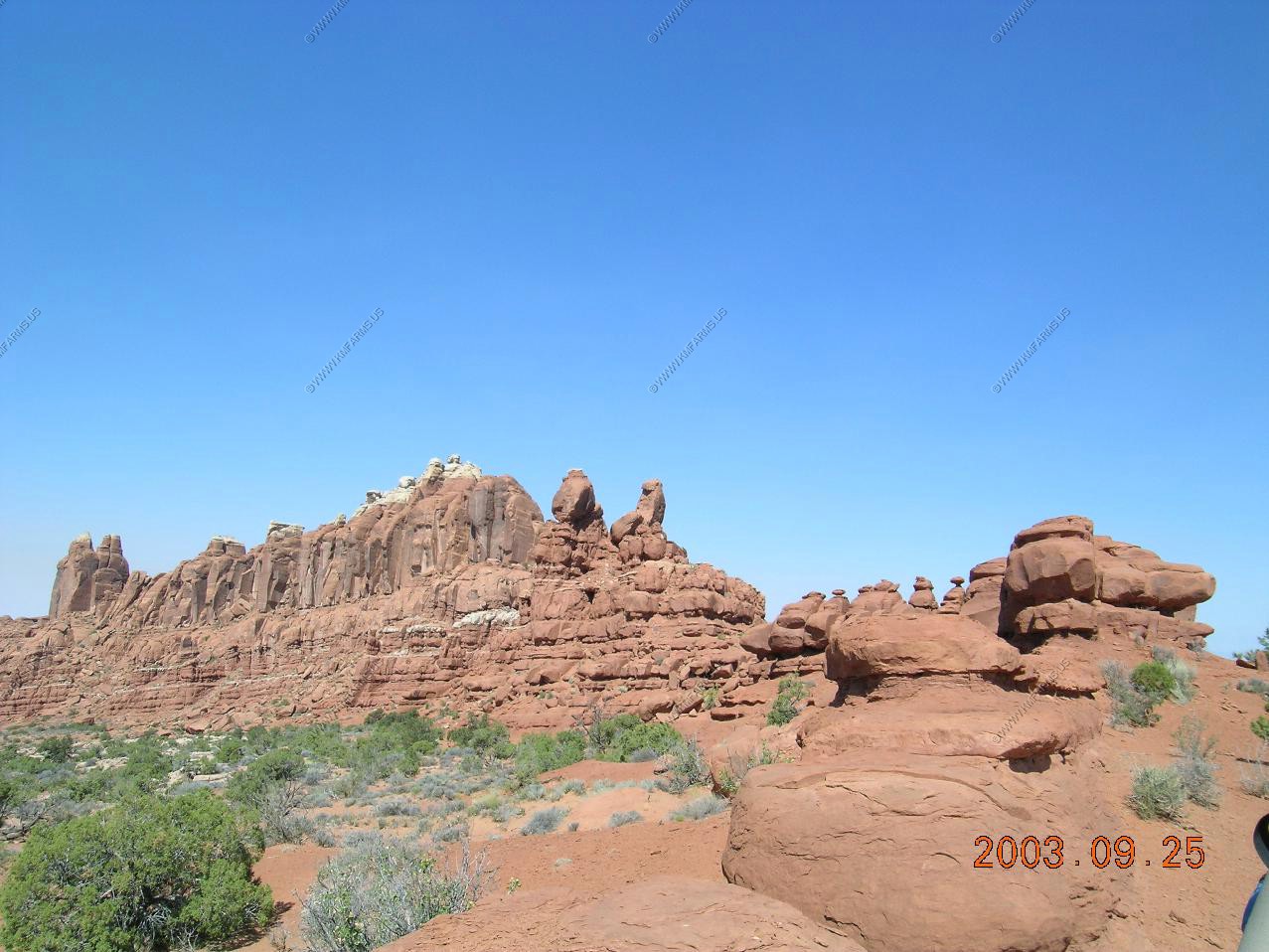
Welcome back to Utah

Taken with new camera
Taken with old camera
Taken with new camera
Taken with old camera


---
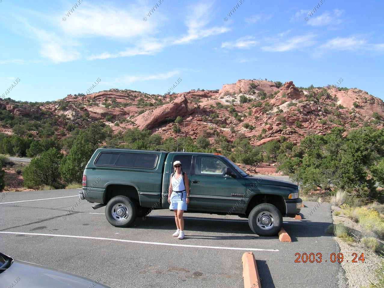
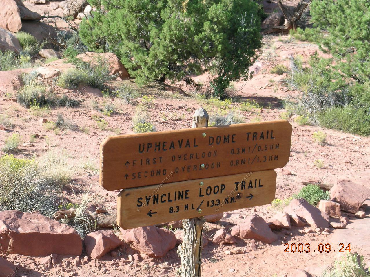
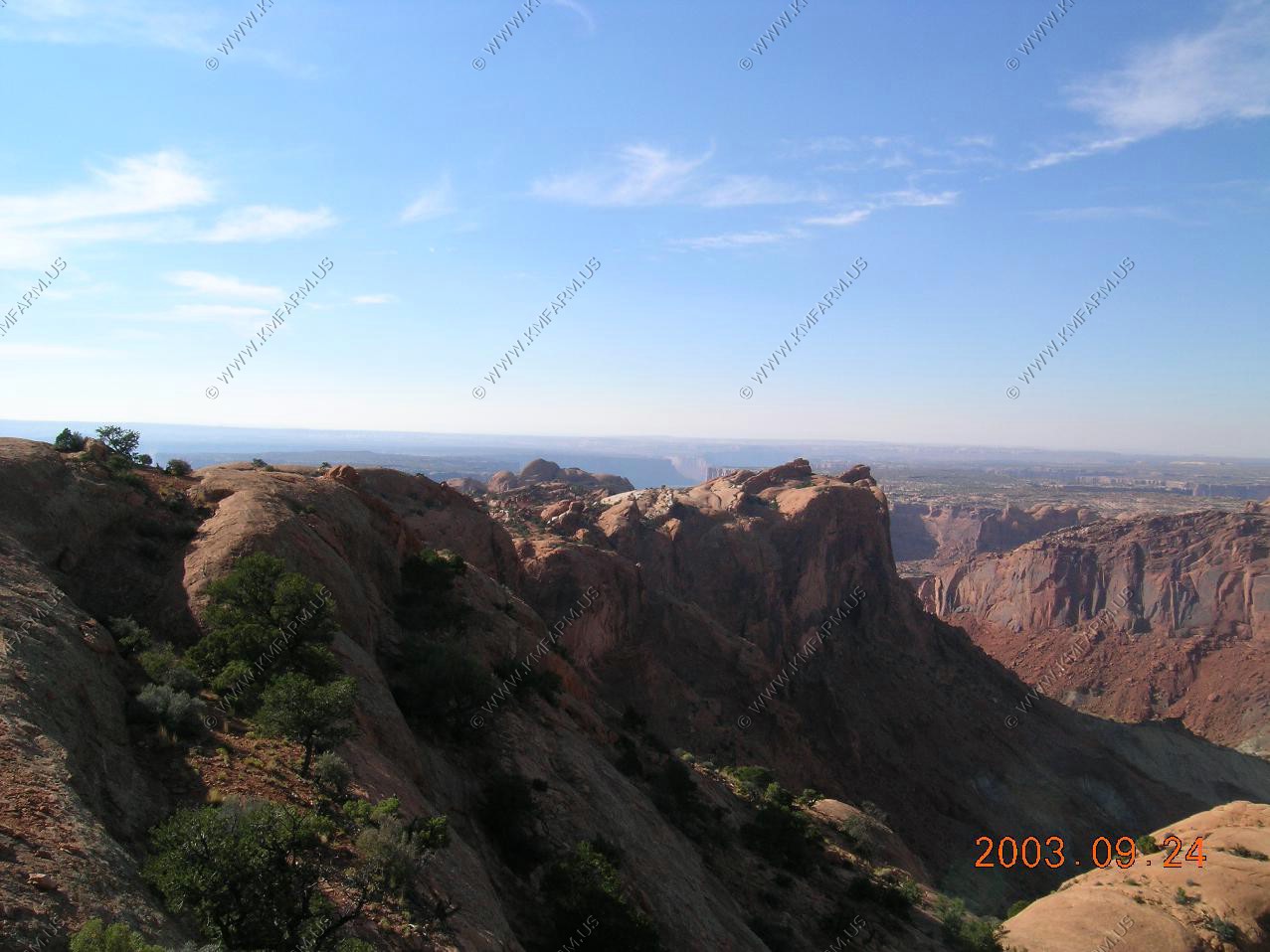
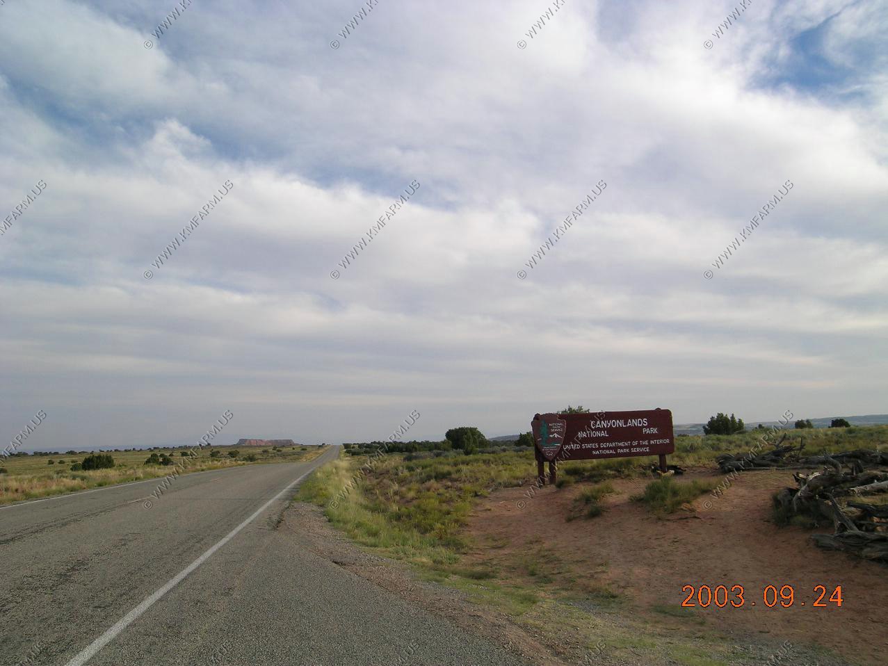
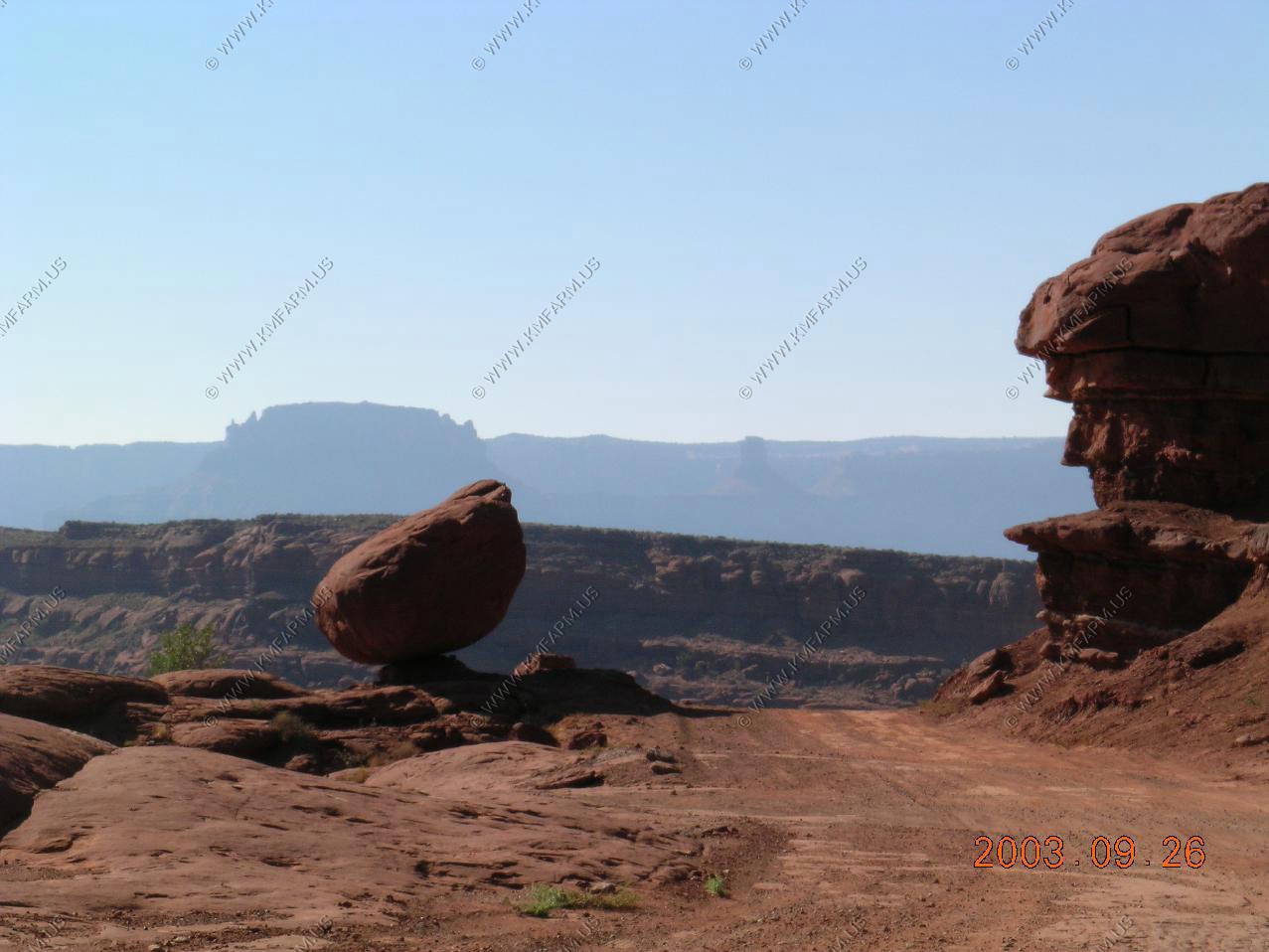
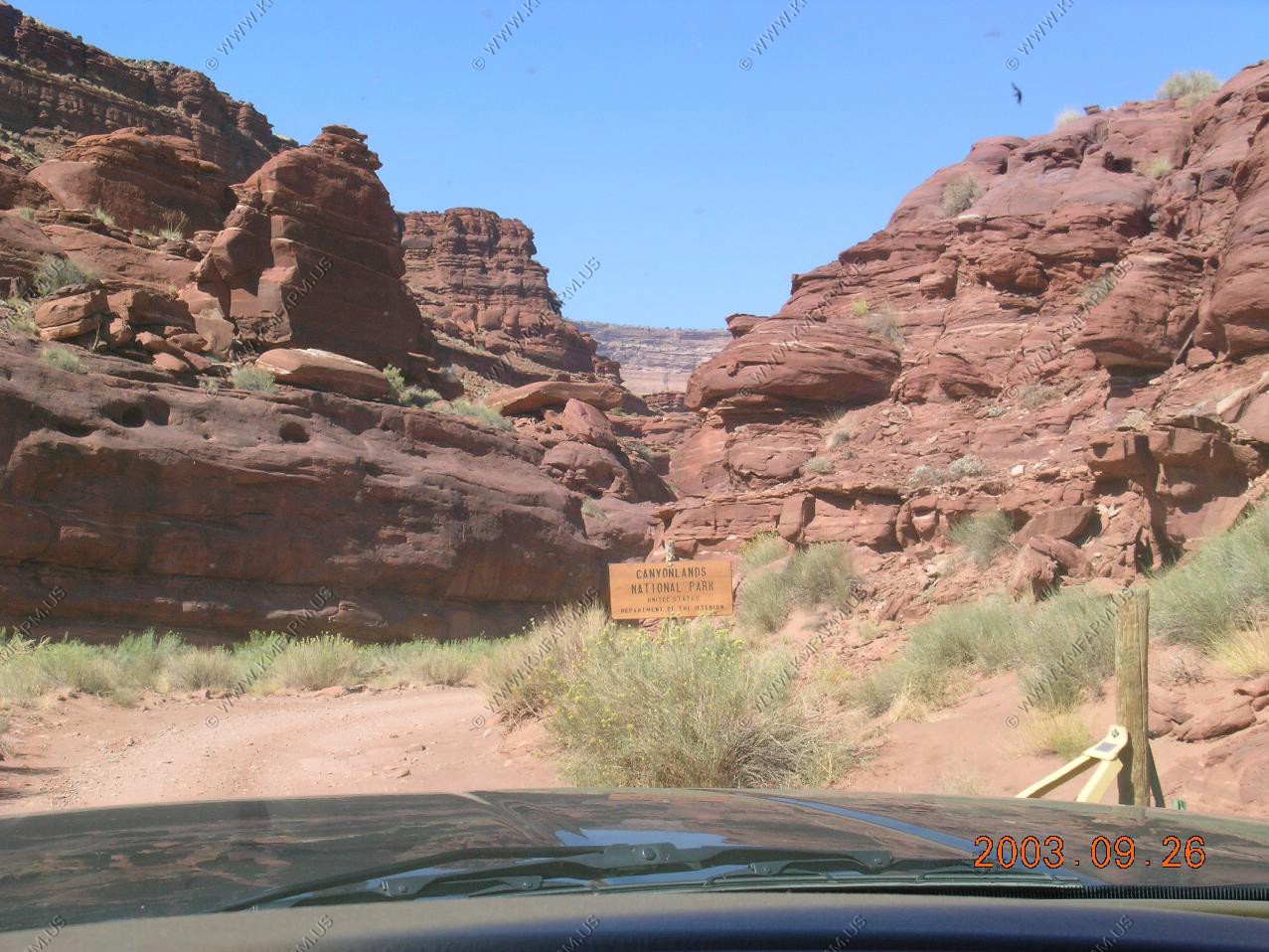
Canyonlands Day One


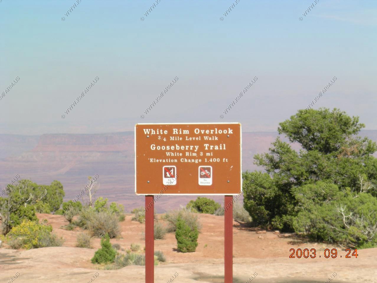


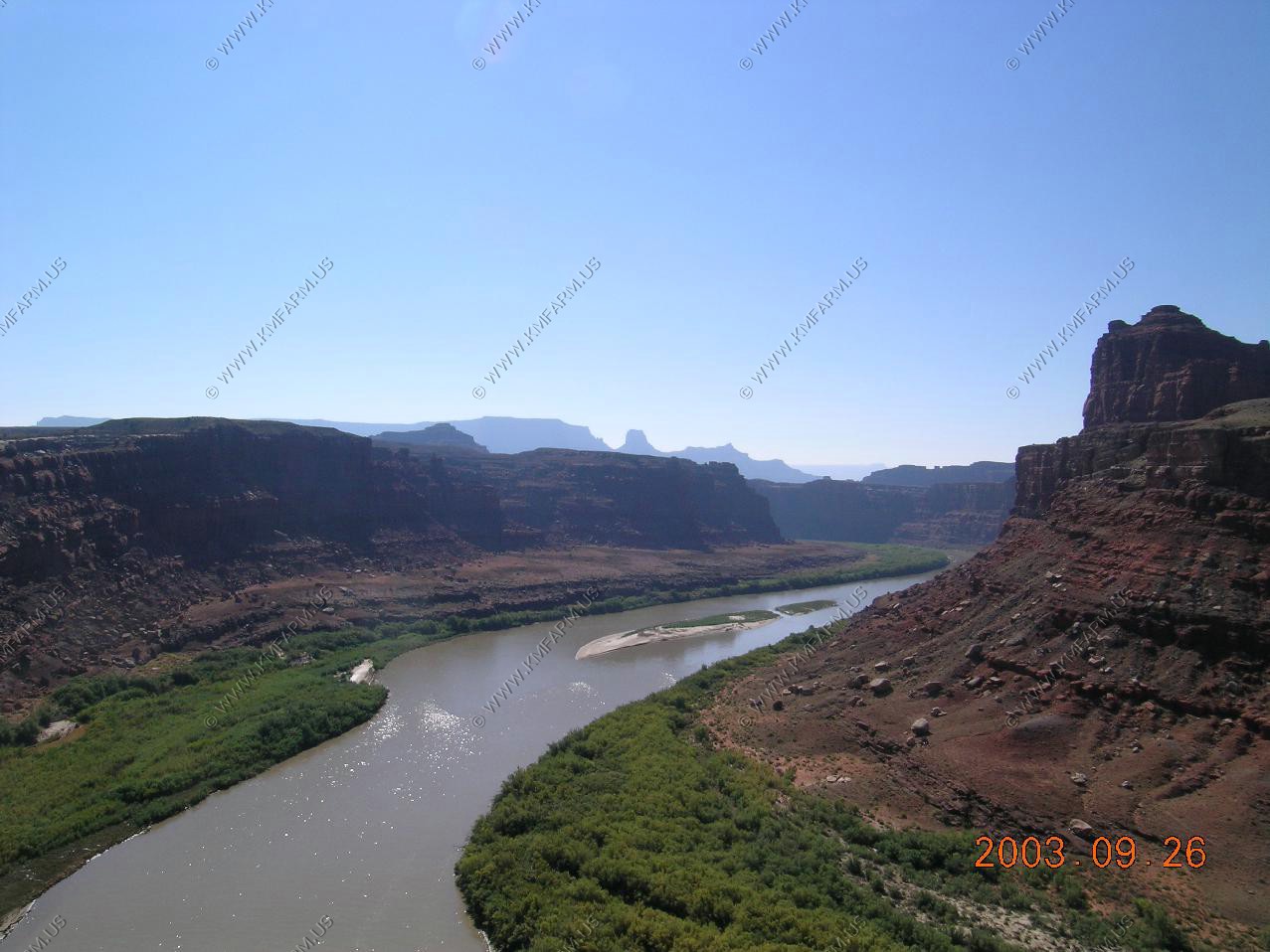
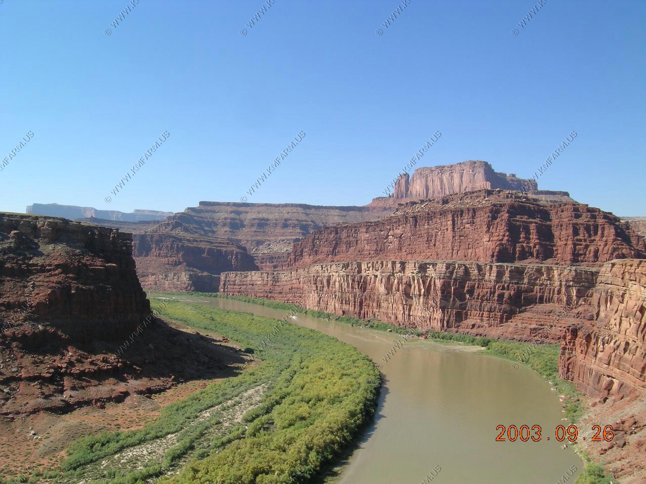
Views along the Colorado River from Potash Road
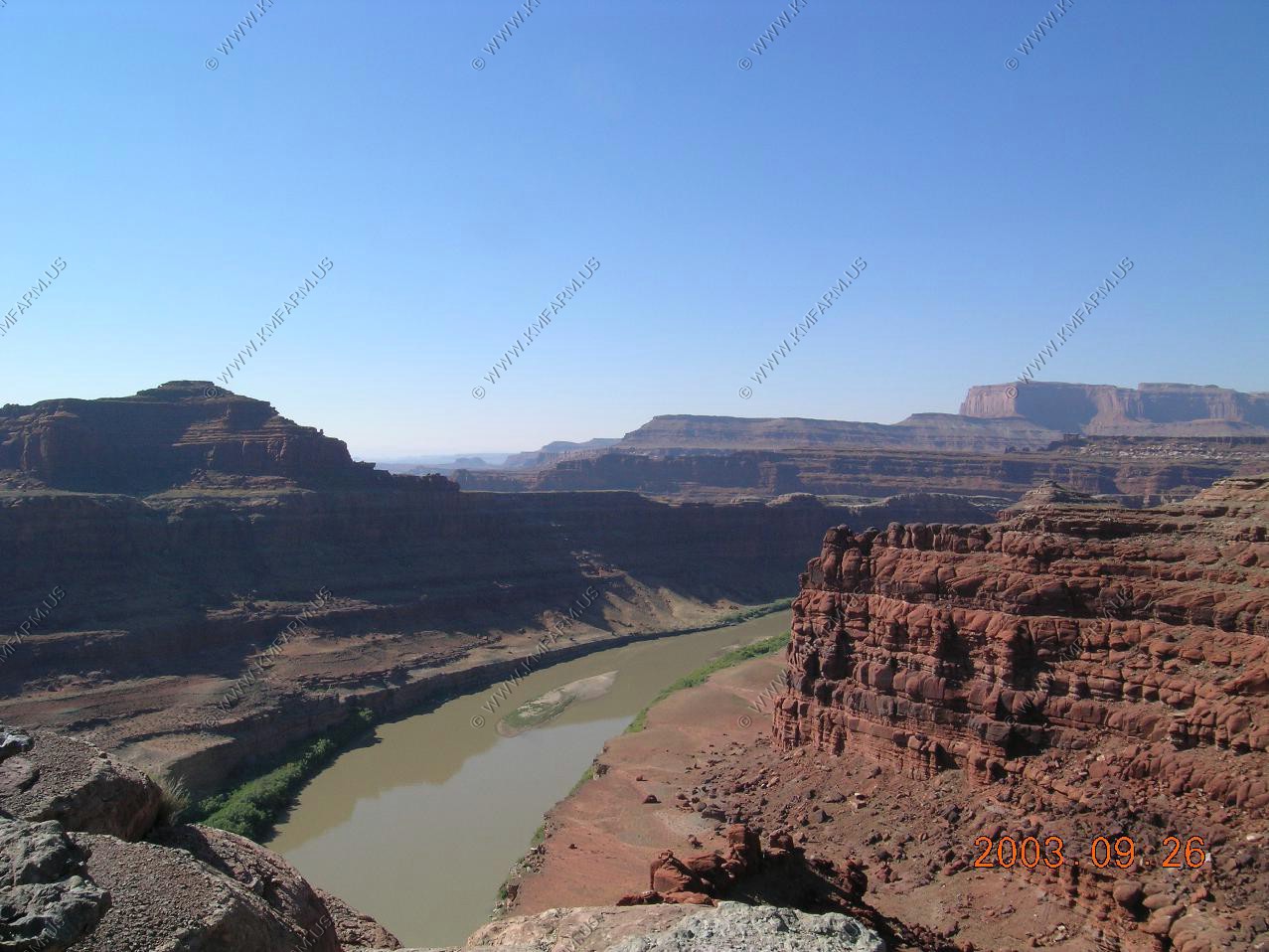
Nice drop-offs along the Potash road
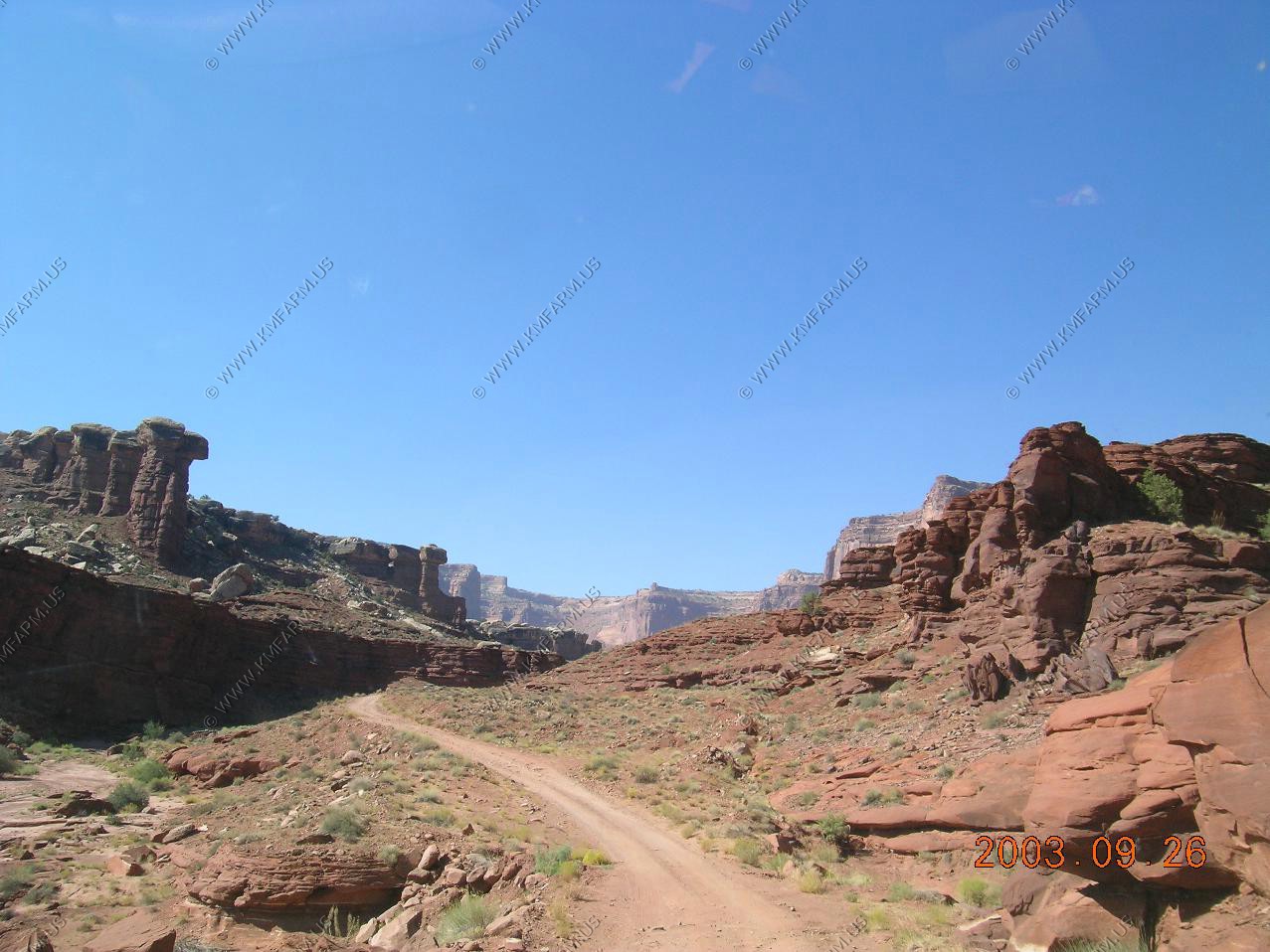
Views along the road heading towards White Rim Road from Moab (Potash Road)

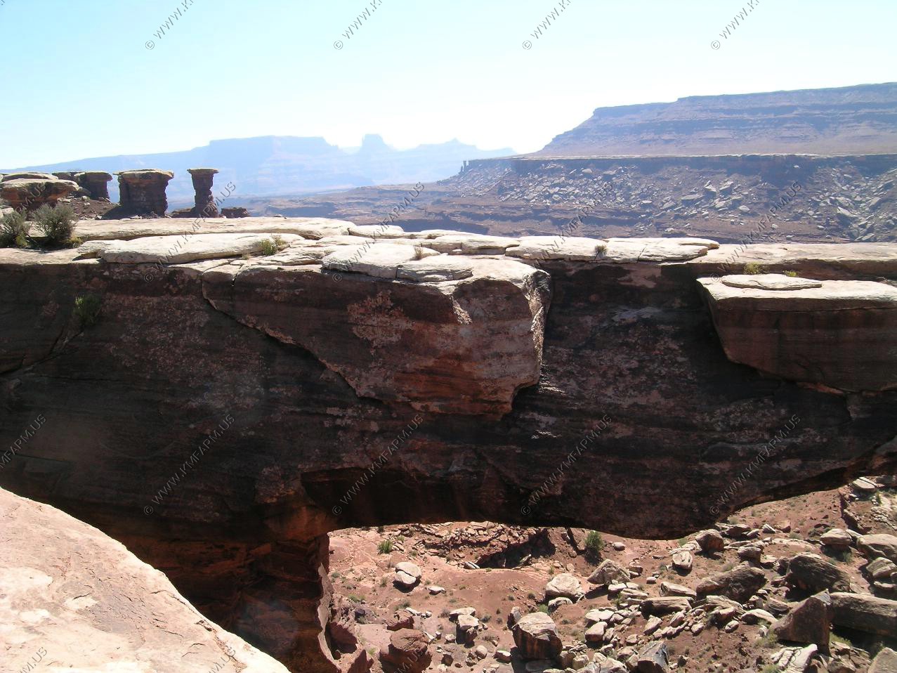
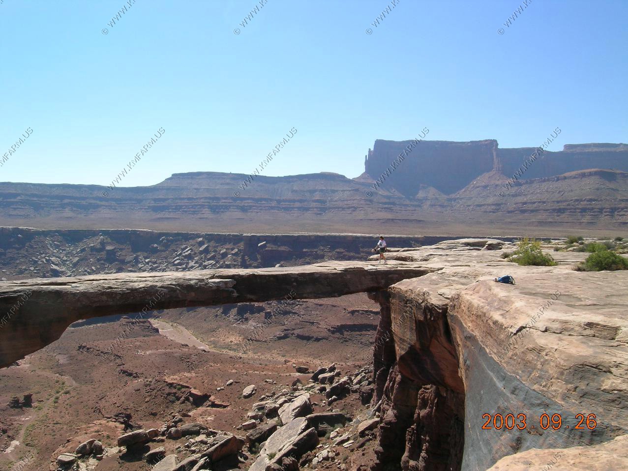
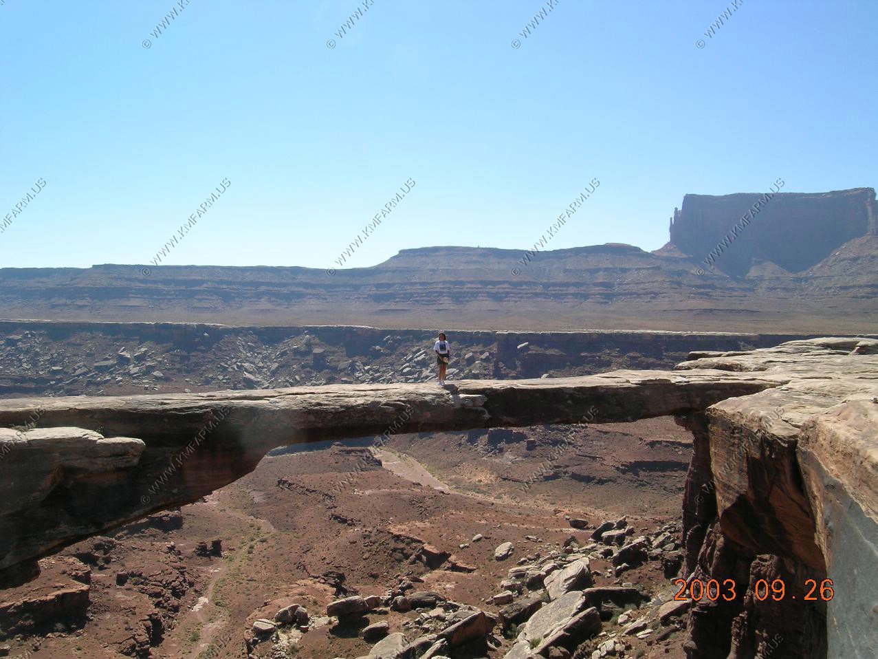
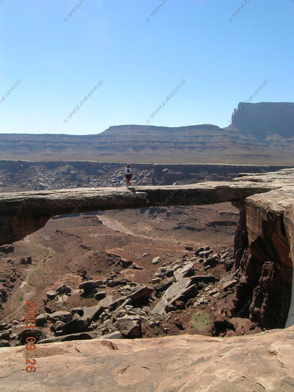
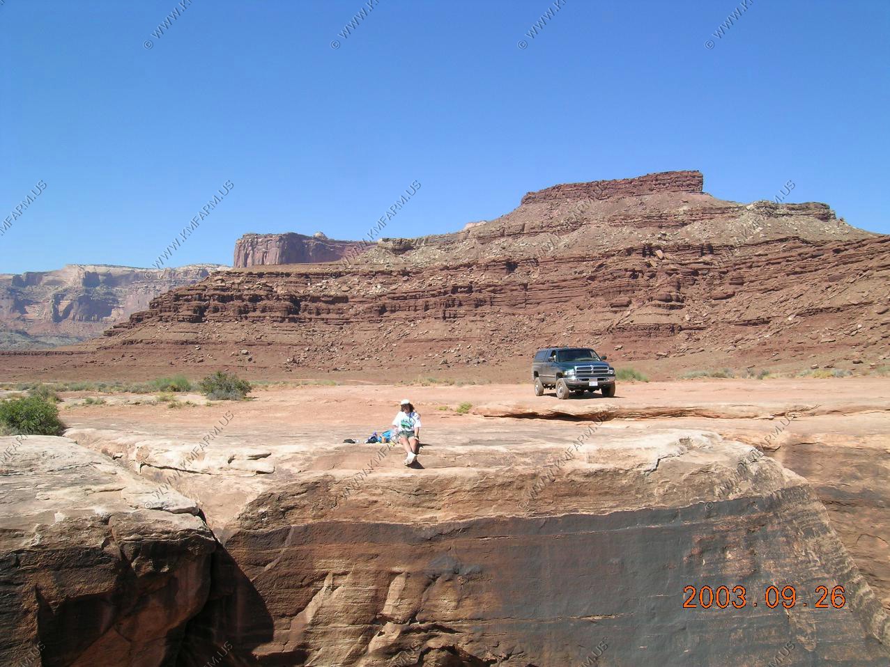
Musselman arch
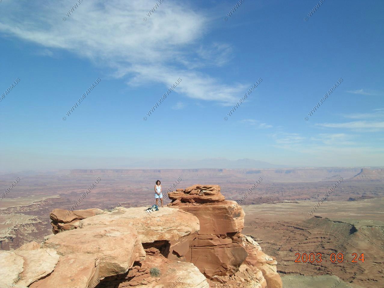
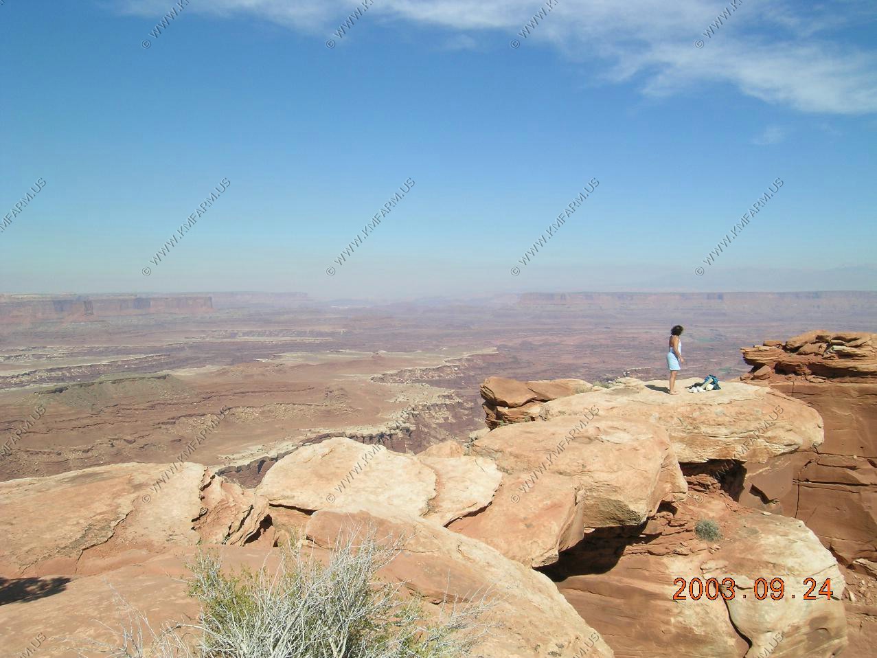
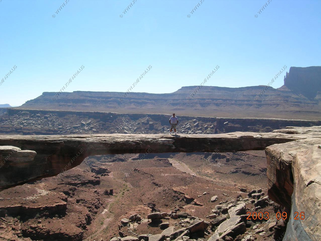
Ken and Mary on the arch
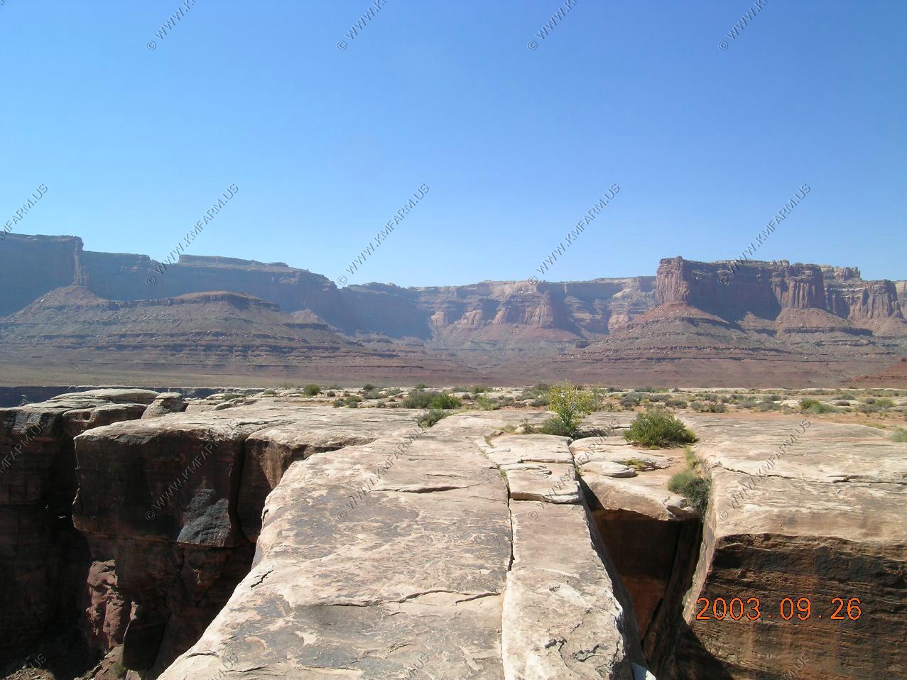
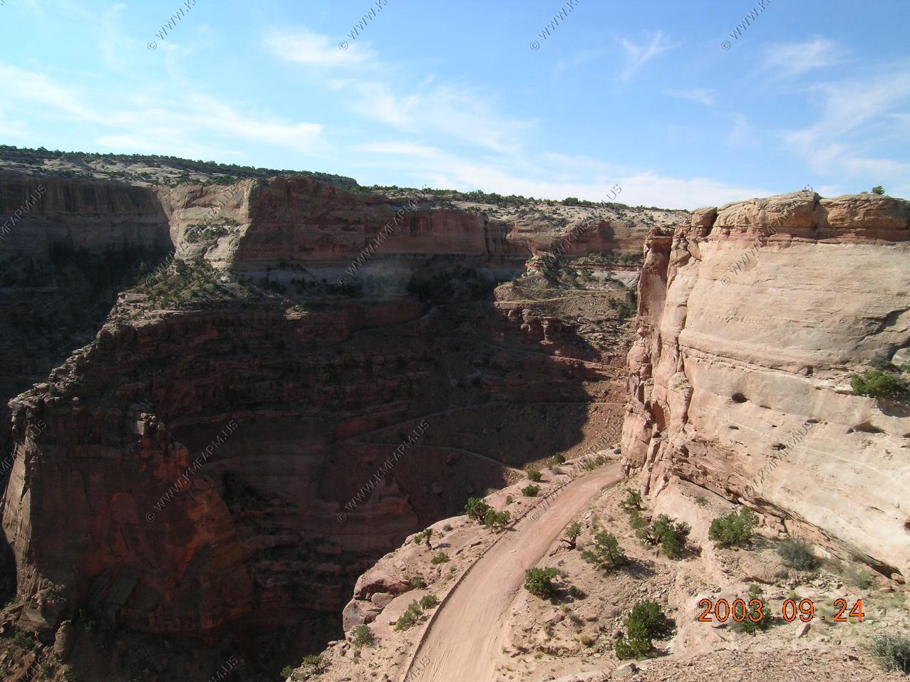
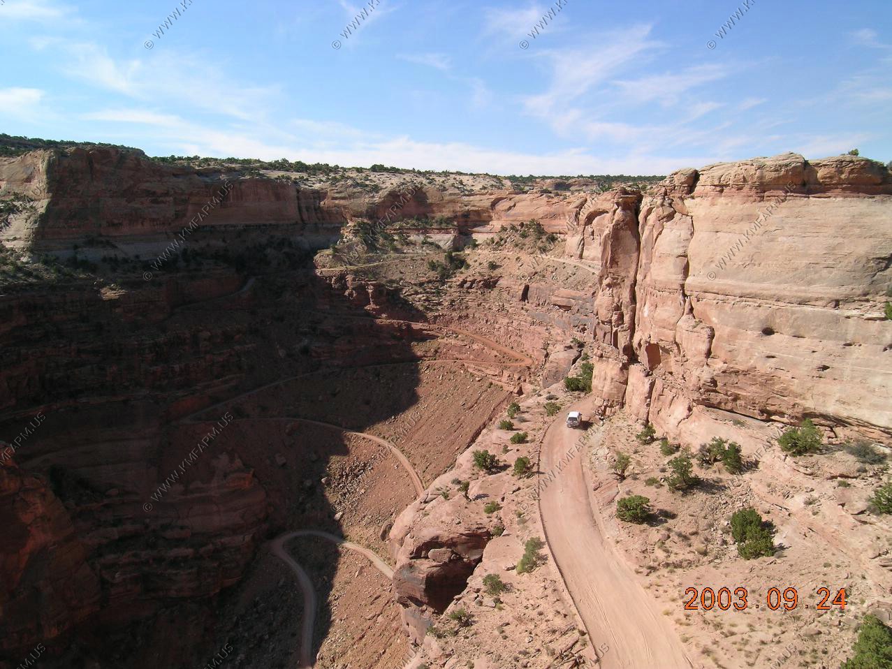
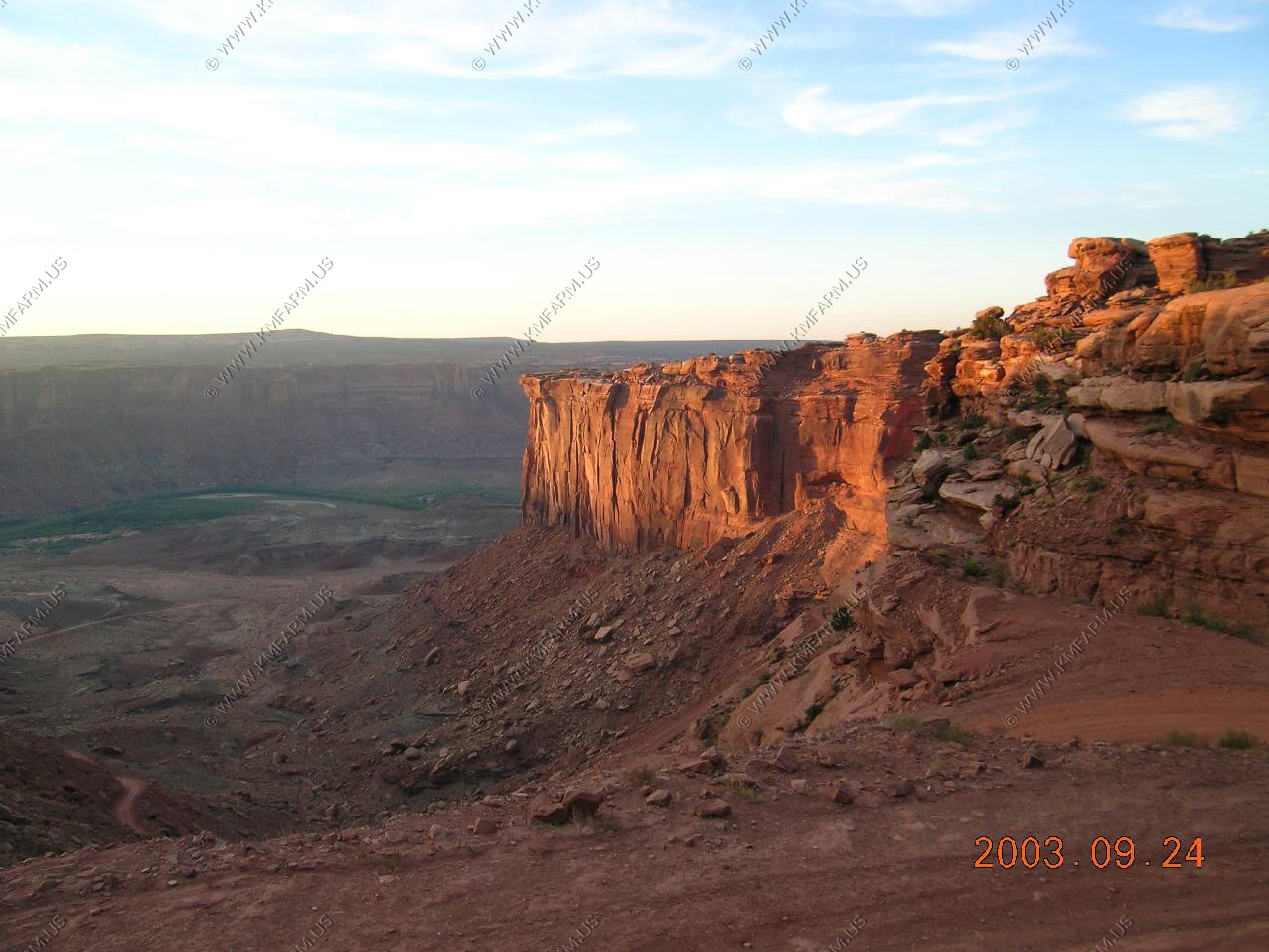
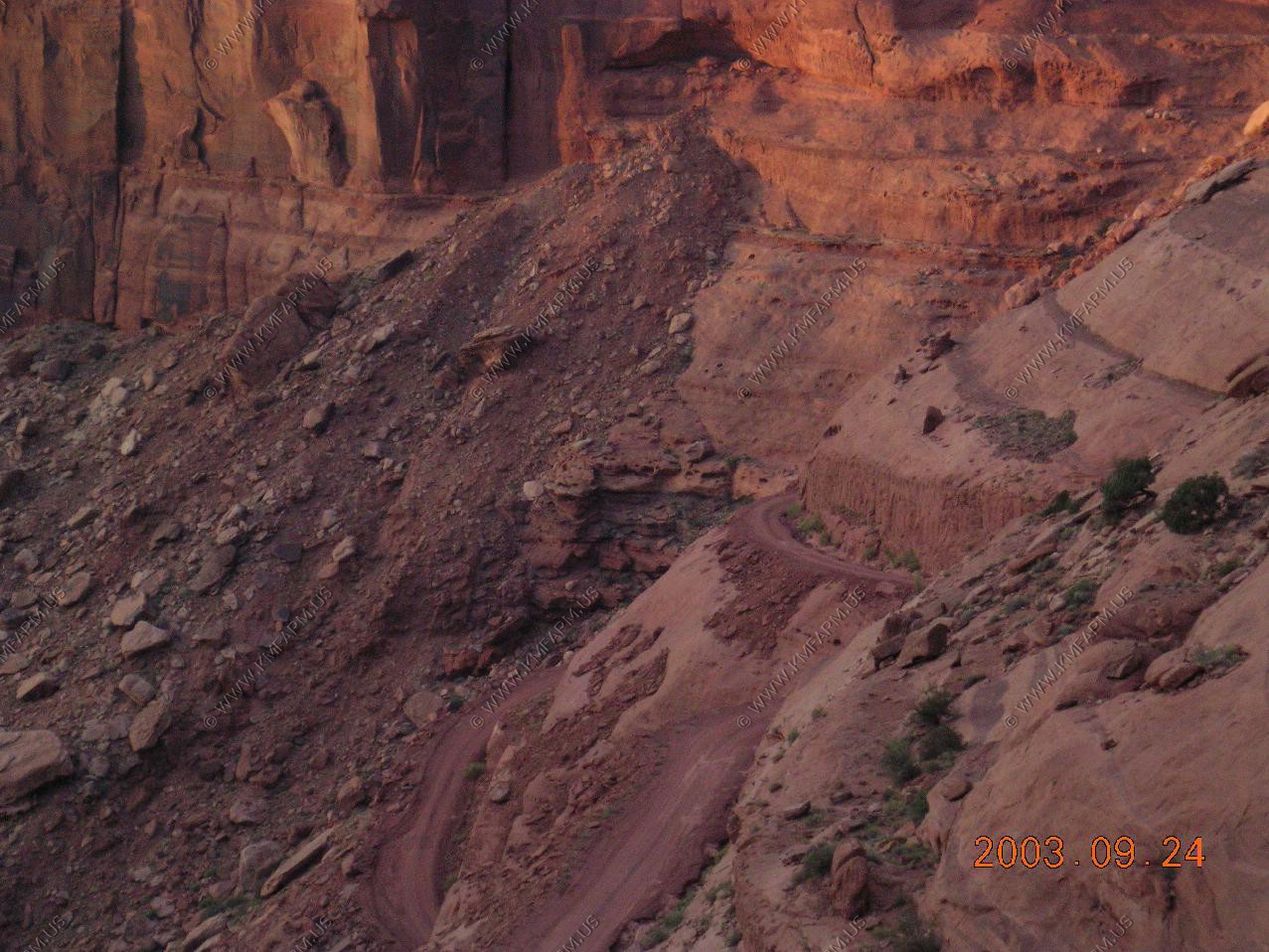
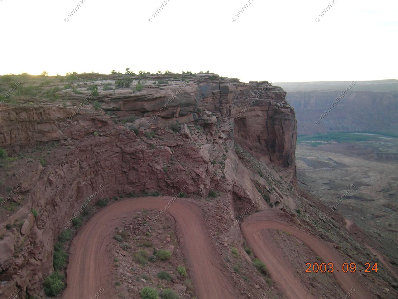
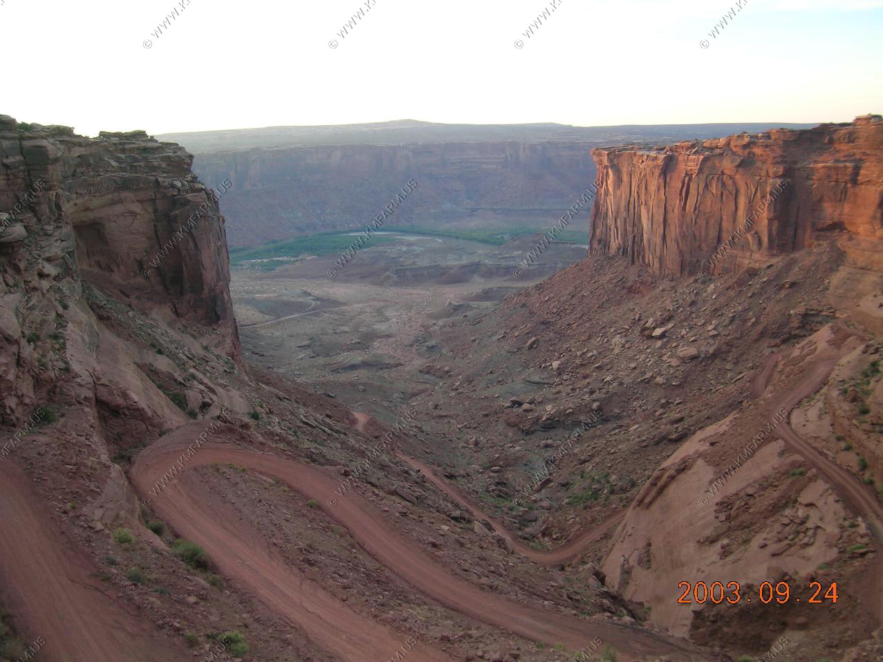
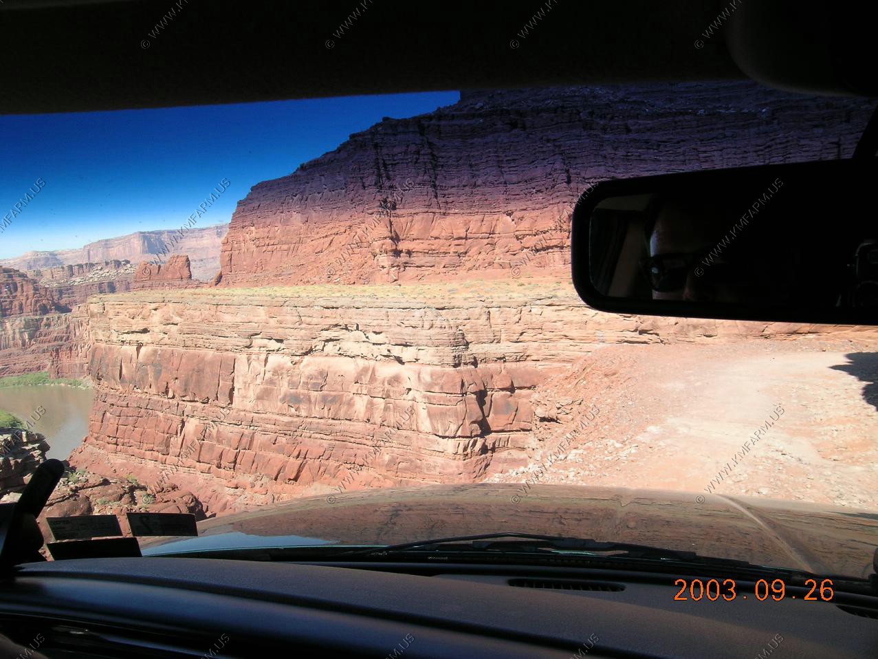
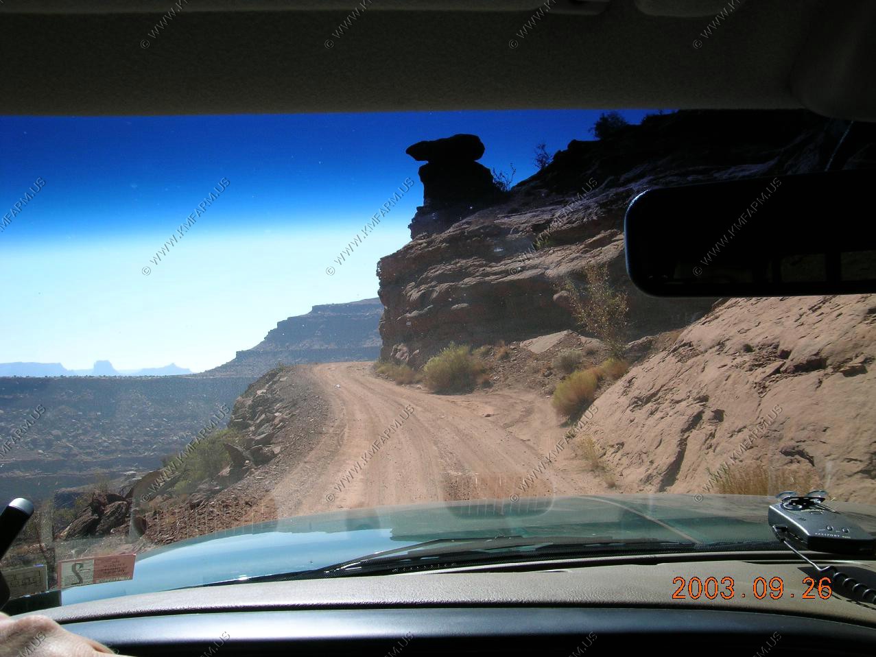
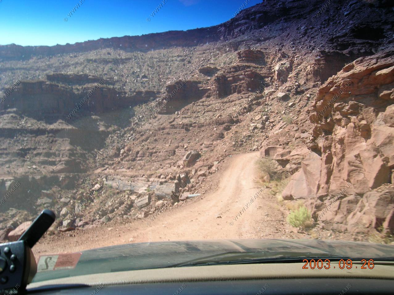
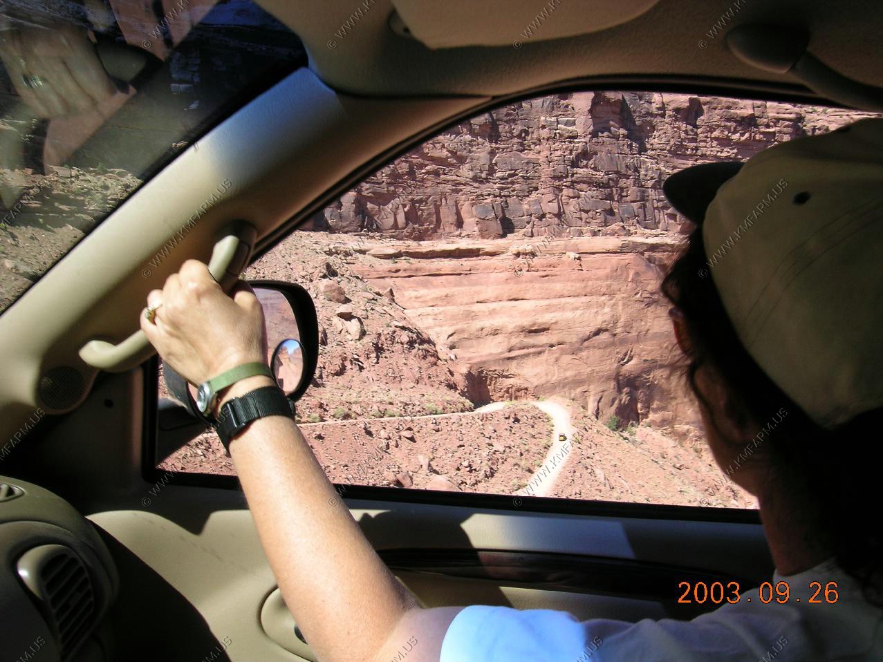
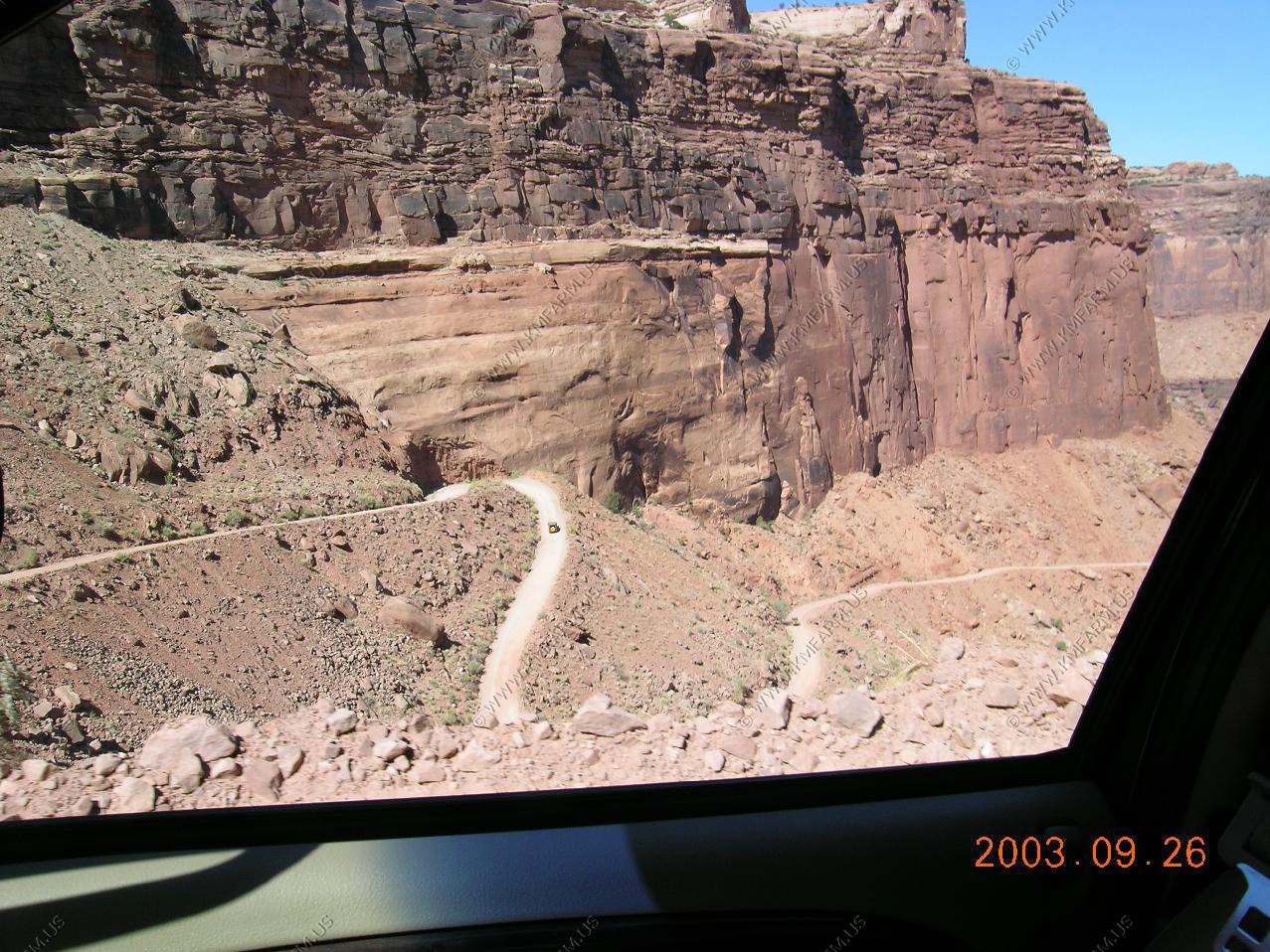
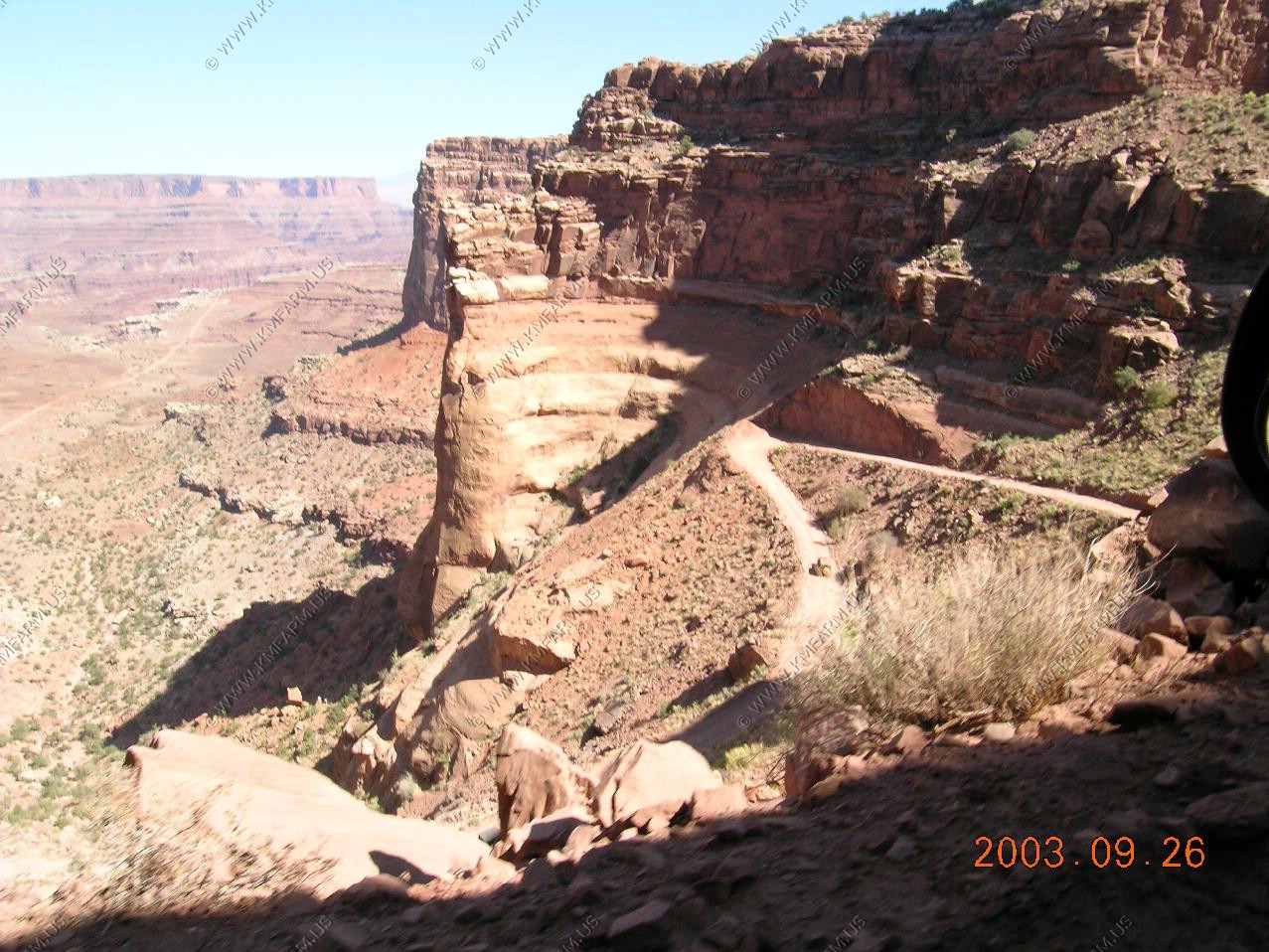
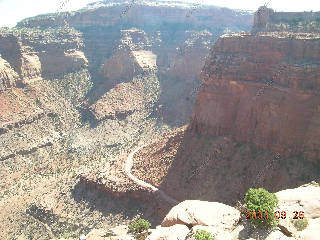
Now the fun starts !! Shafer Trail (switchbacks) The road was really bad and my truck was too wide is some places. But, I could not turn back so we kept going !
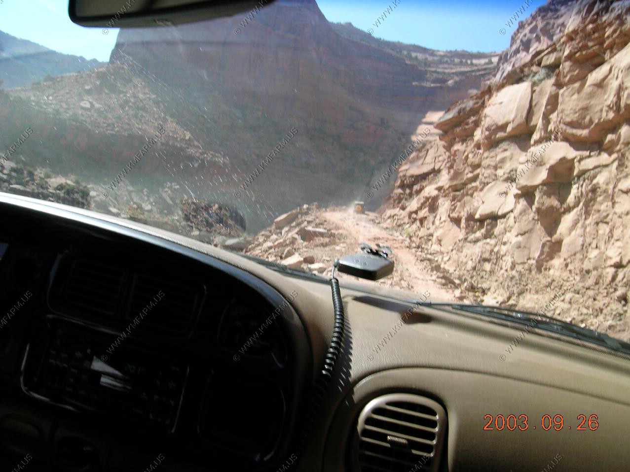
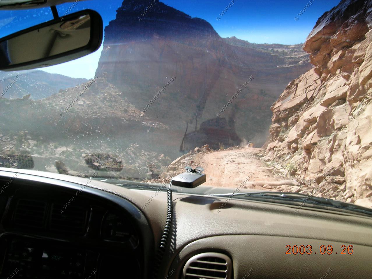
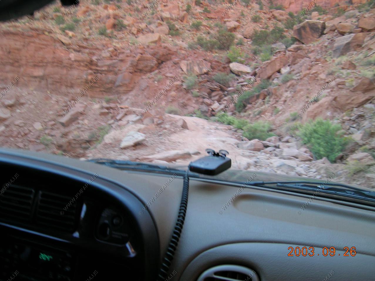
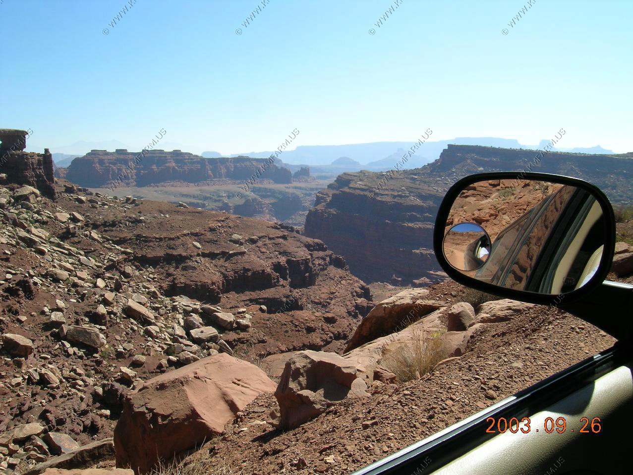
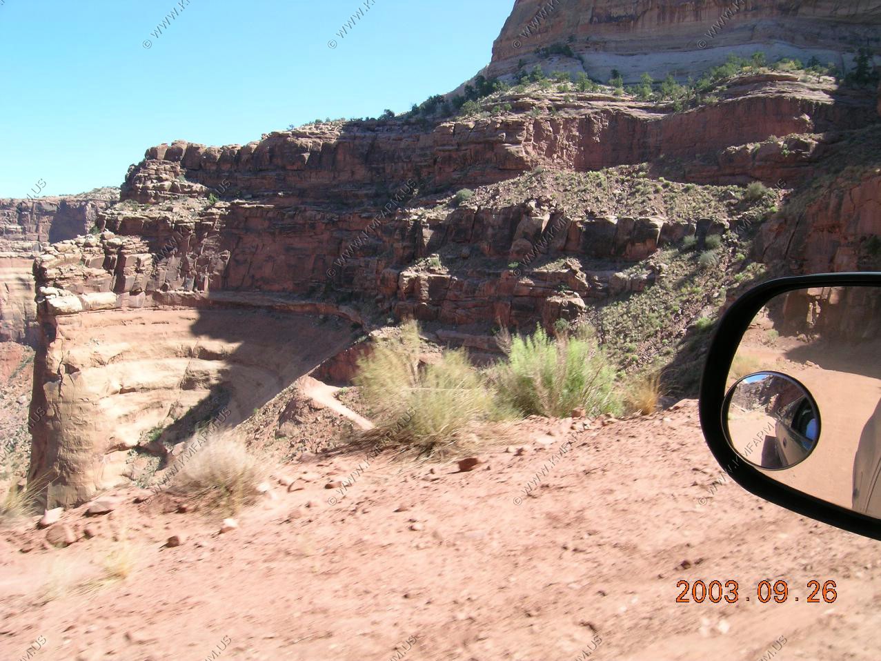
Views alomg the switchbacks
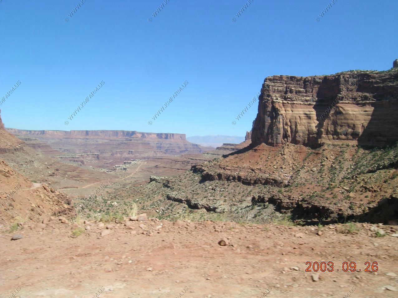
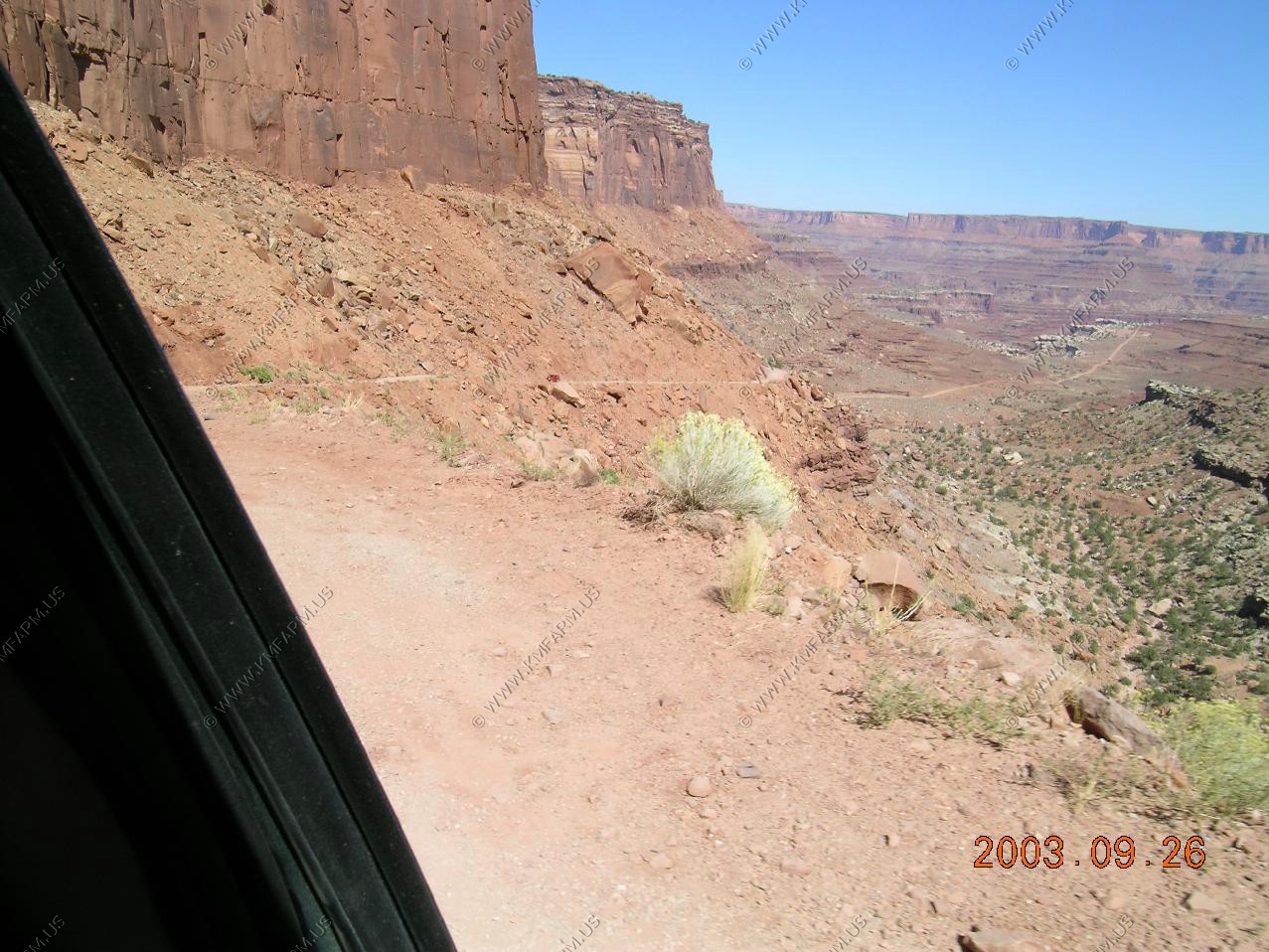
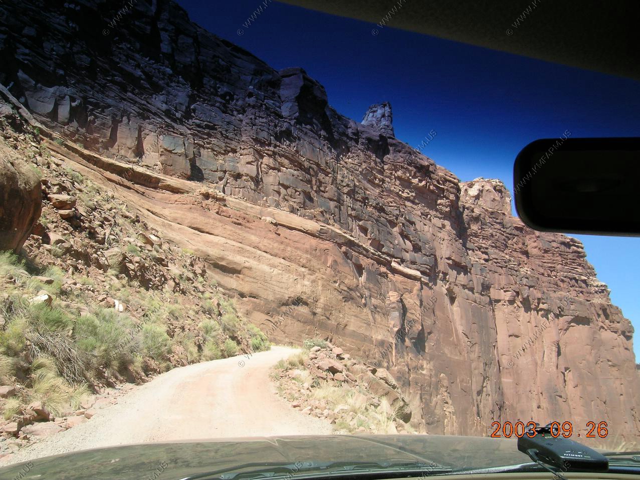

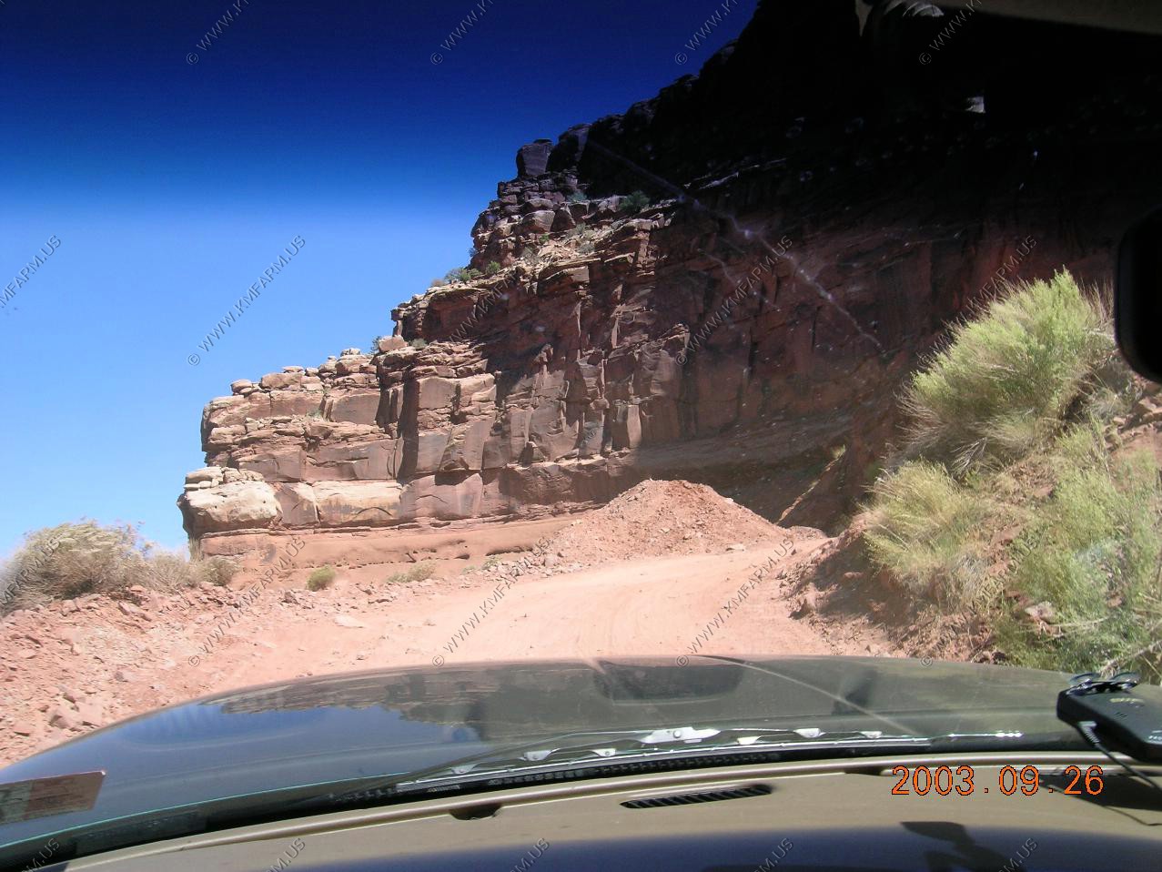
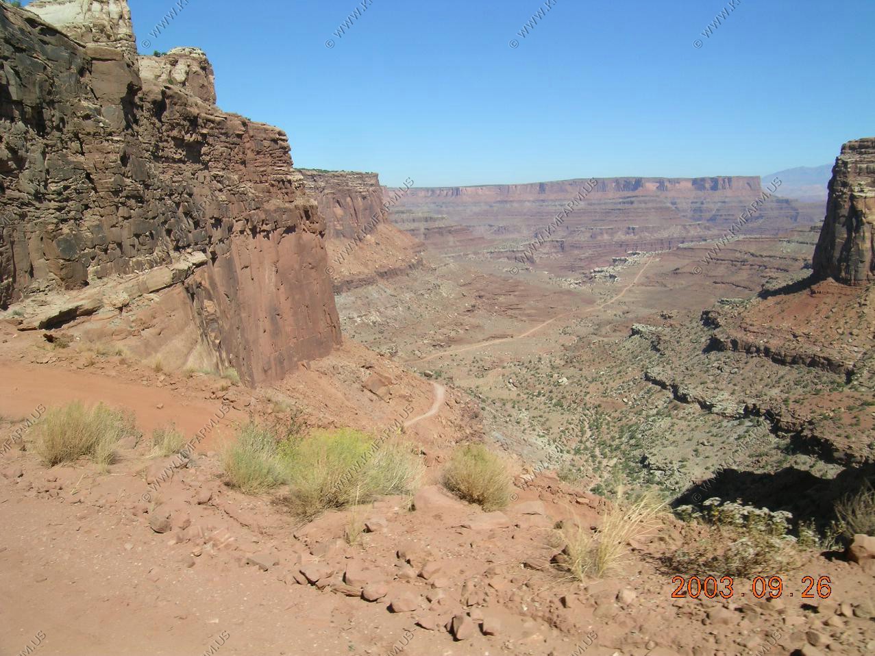
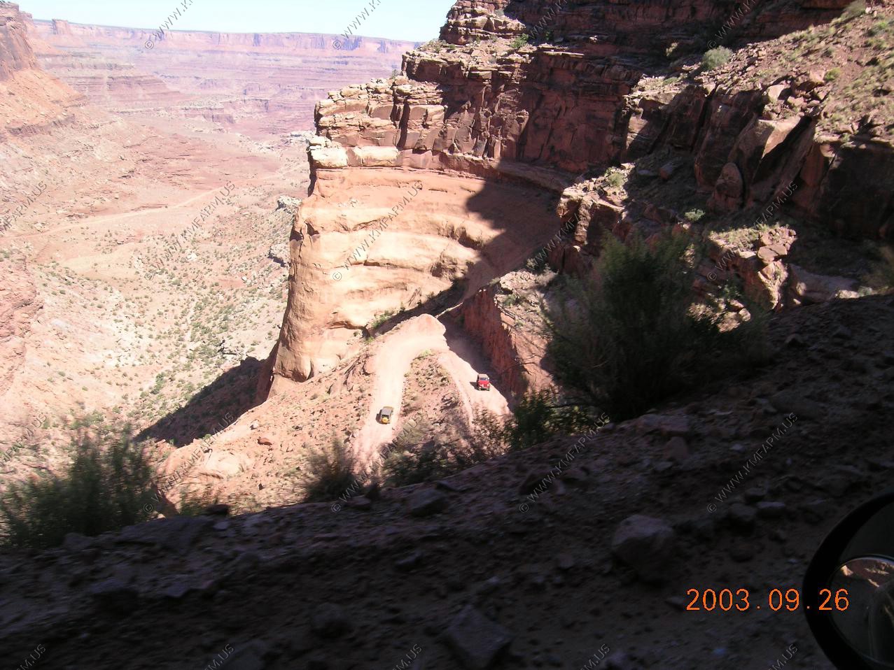
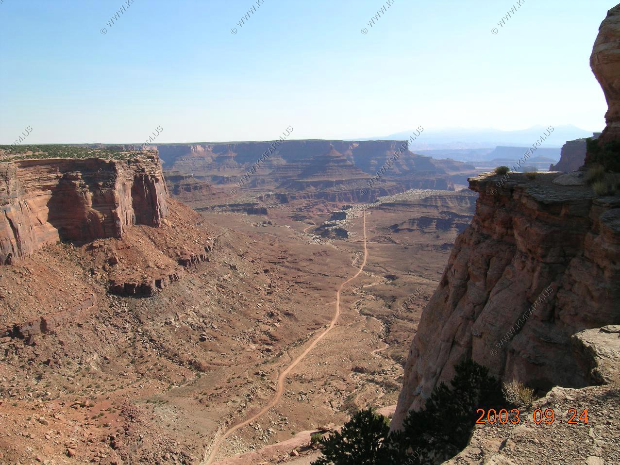
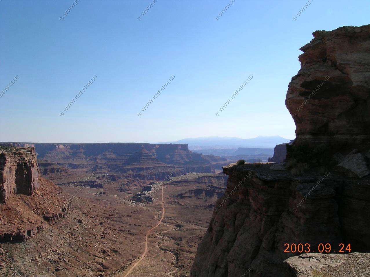
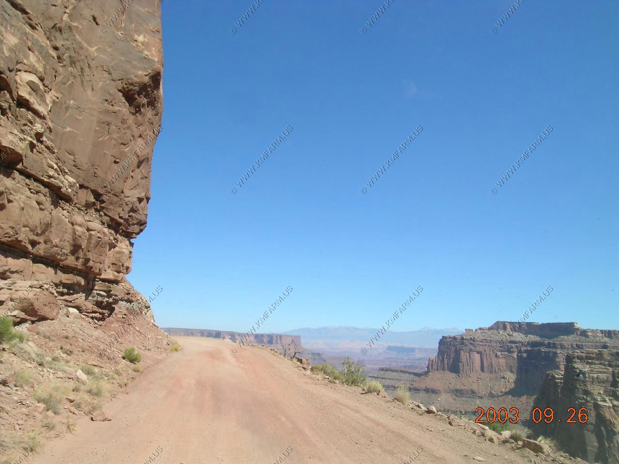
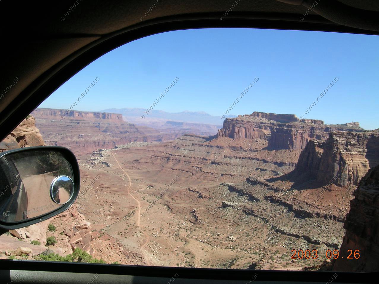
Views from the top of Shafer Trail
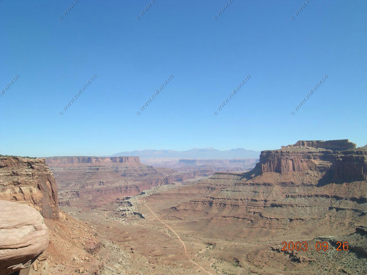
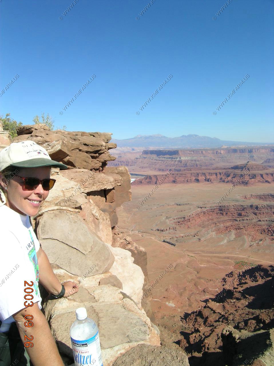
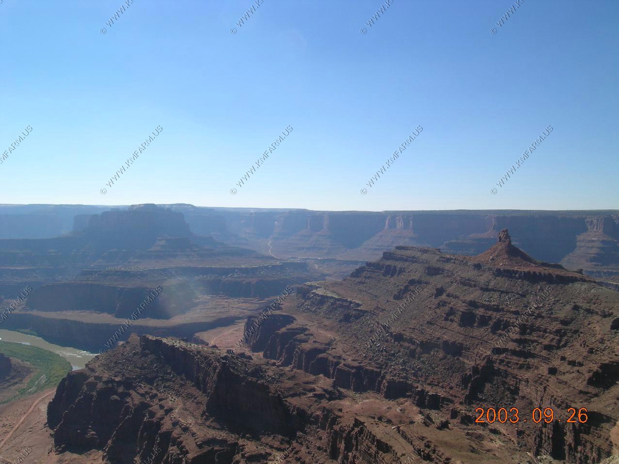
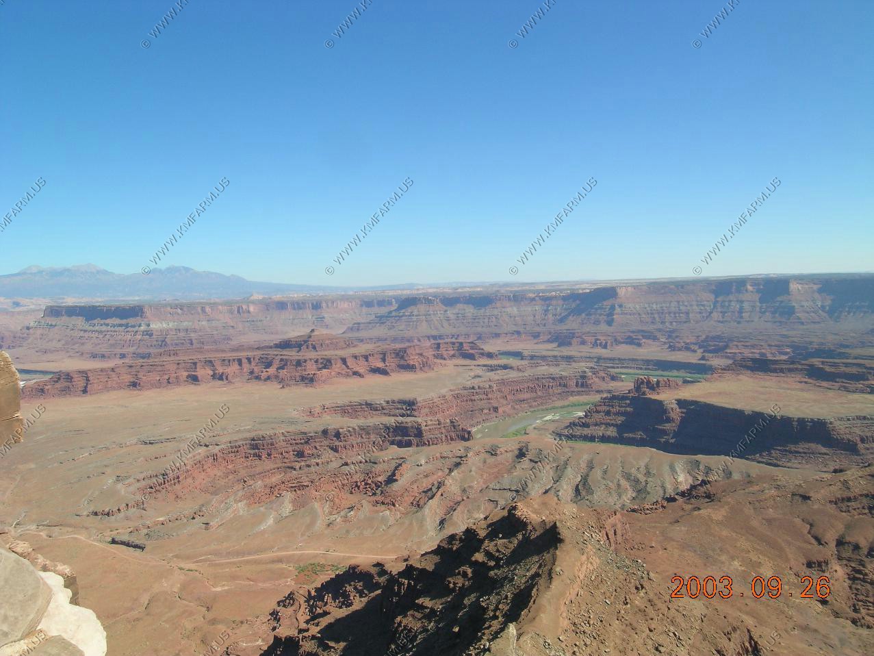
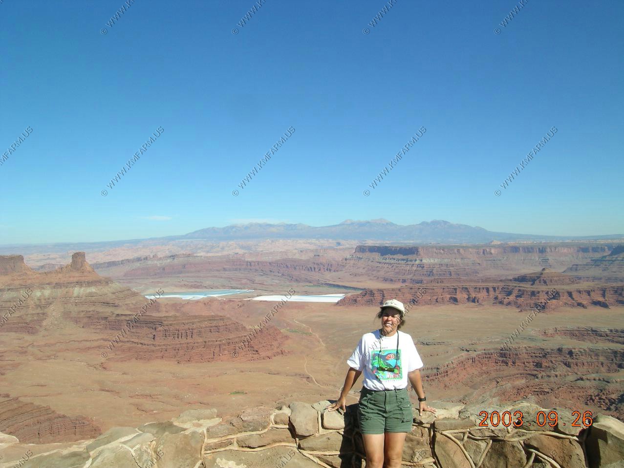
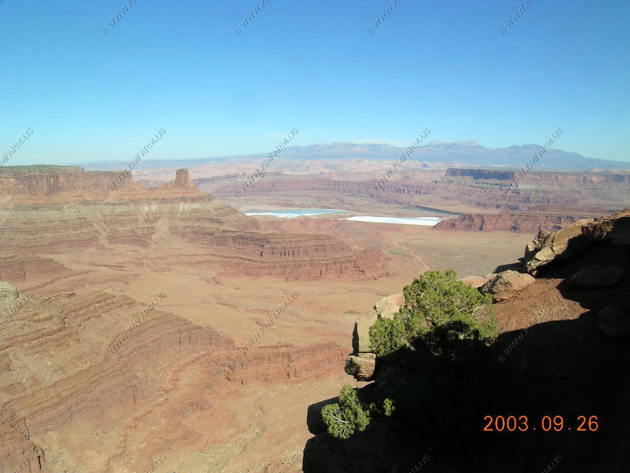
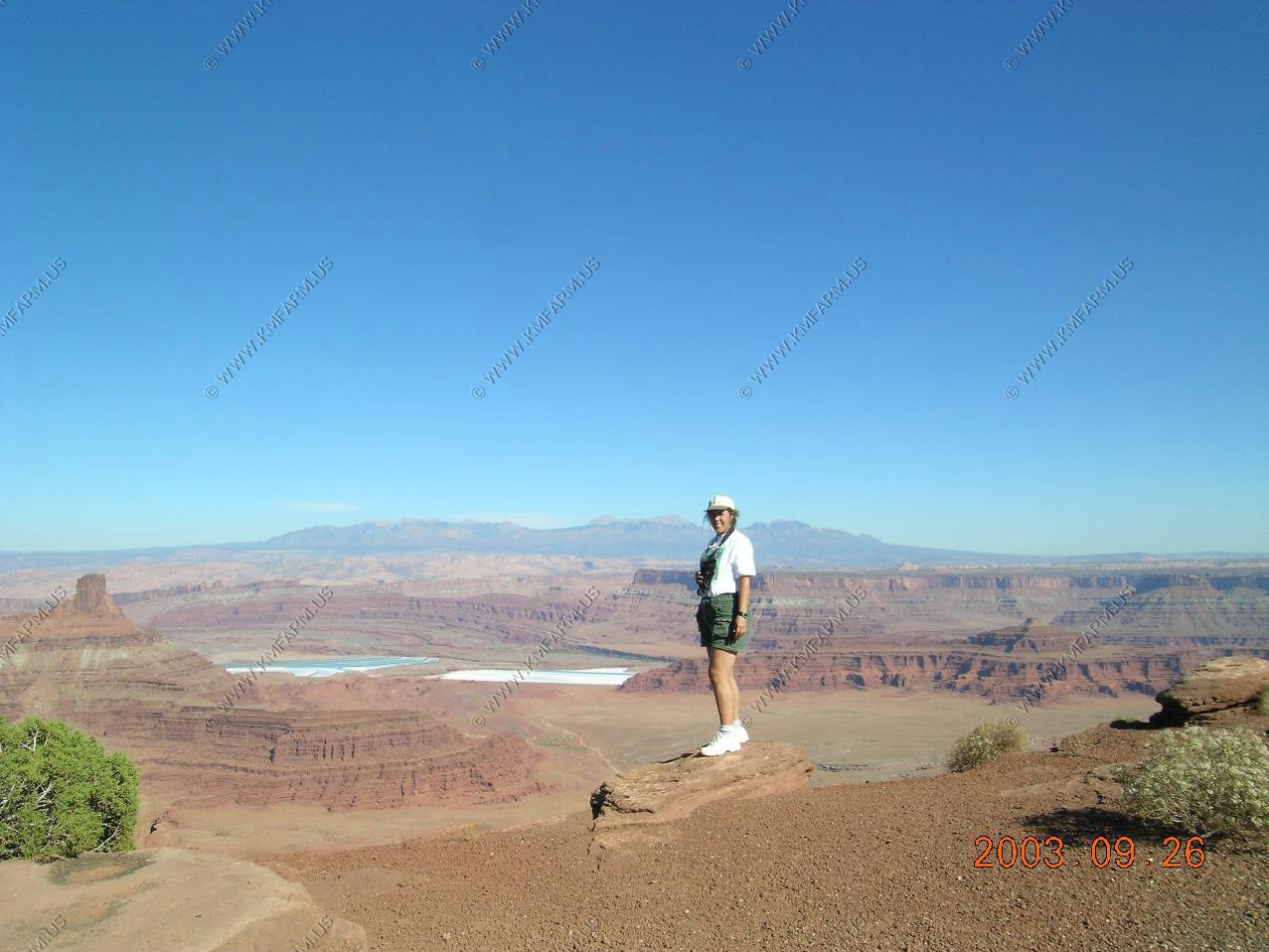
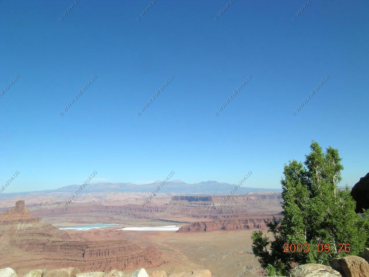
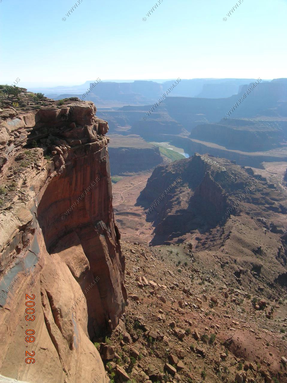
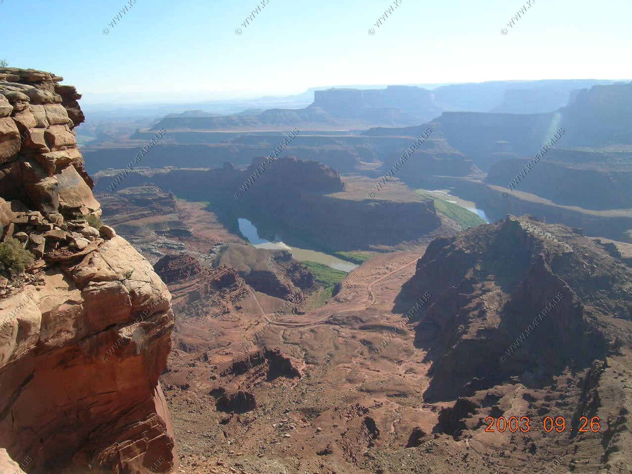
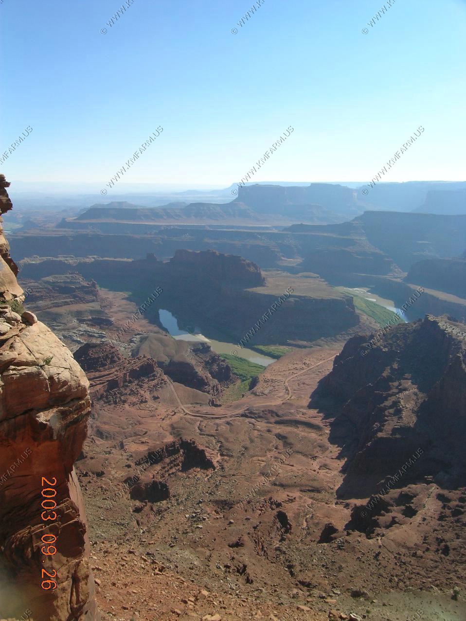
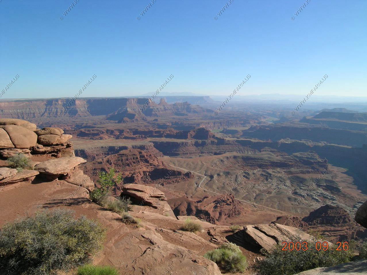
Dead Horse State Park
We have been to Canyonlands a number of times but we always passed on the State Park. With the weather perfect we gave it a look
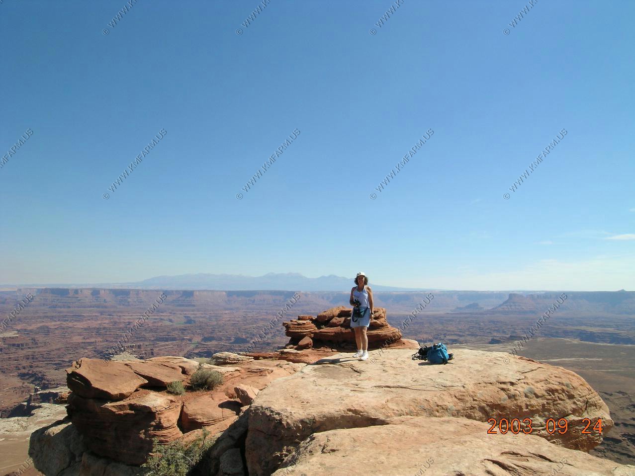
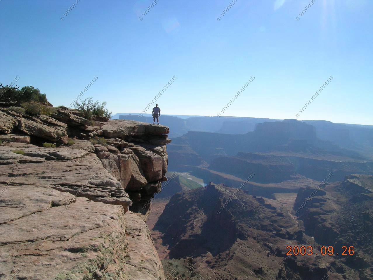
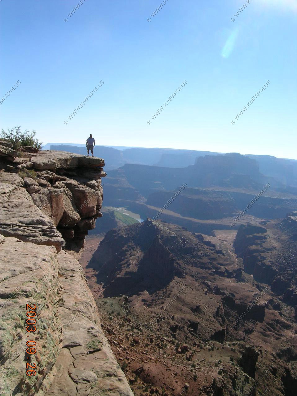
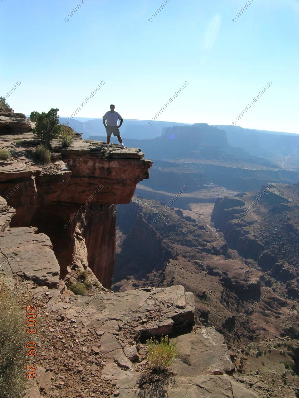
Mary looking down on Potash Road with the La Sal Mountains in the background.
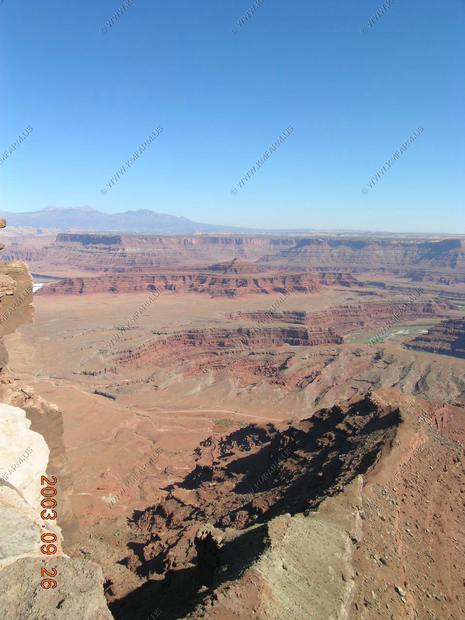
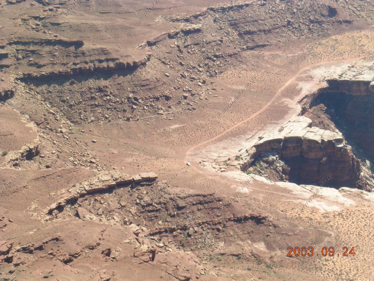
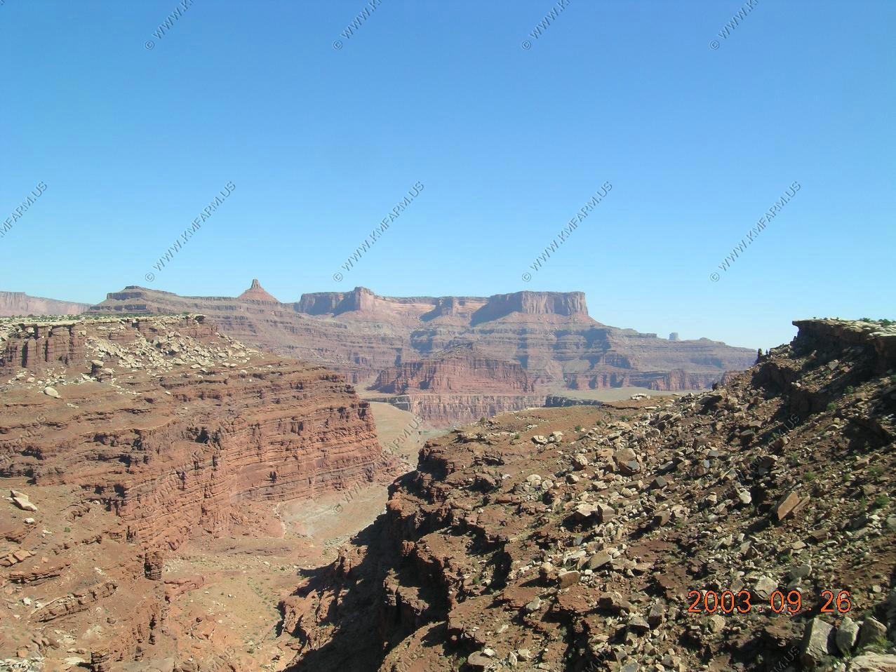
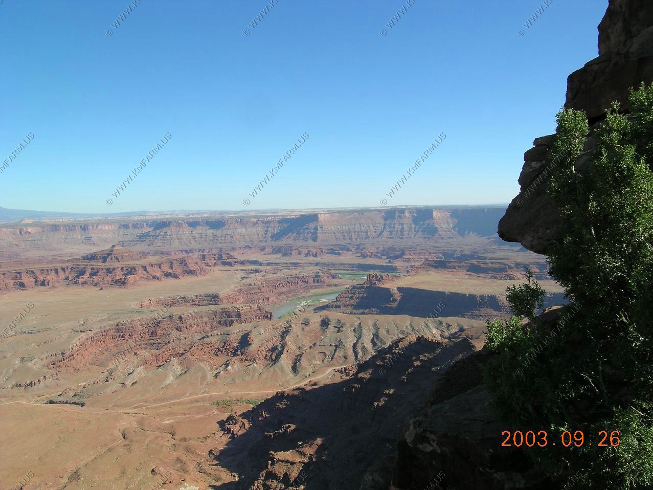
Looking down at the Shafer Trail where it starts up the rim. We were just on that 2 hours ago.
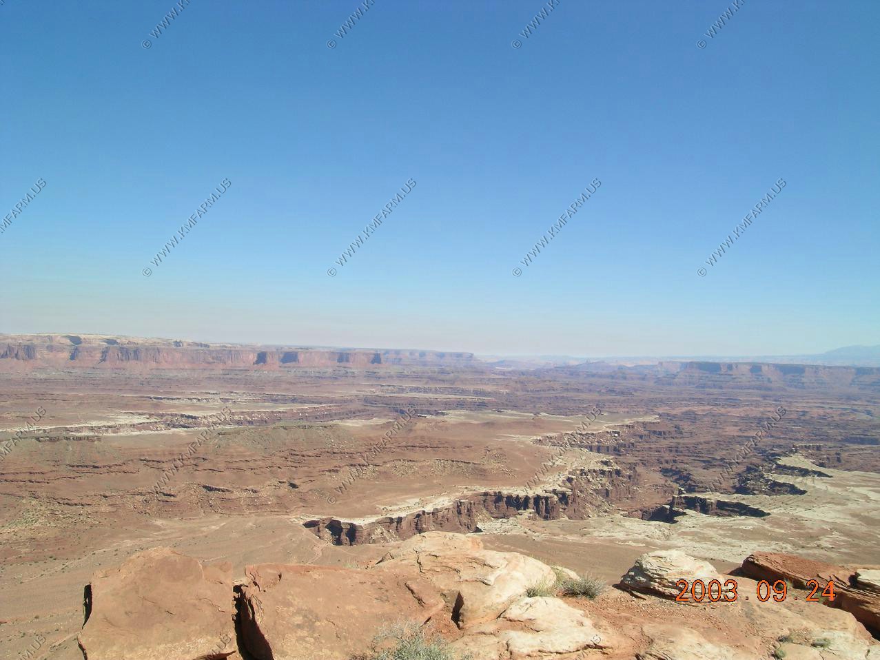
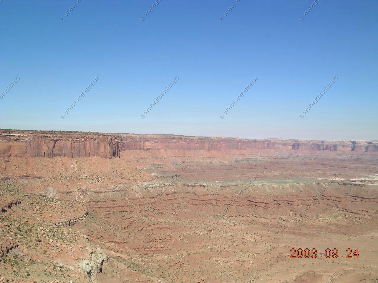
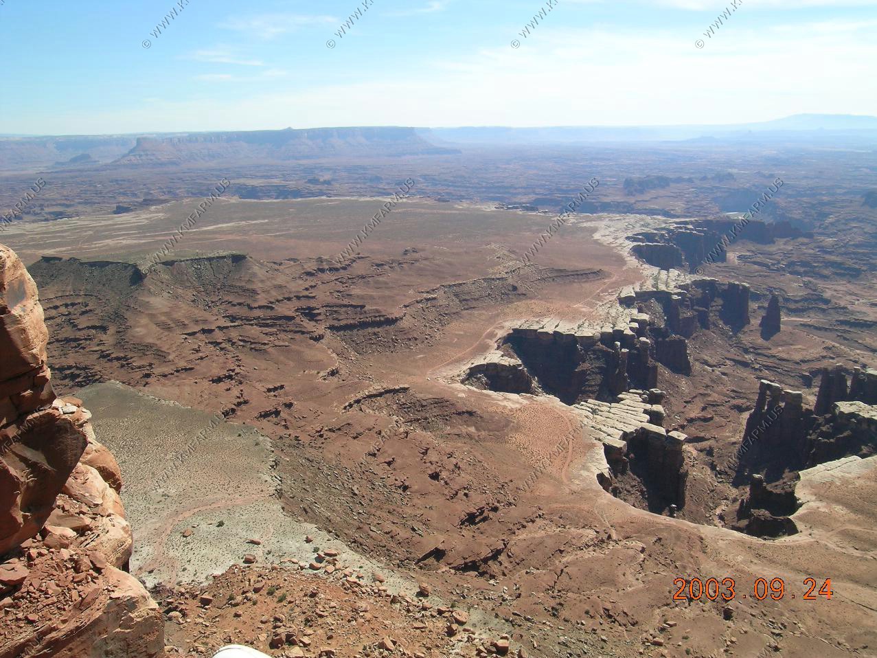
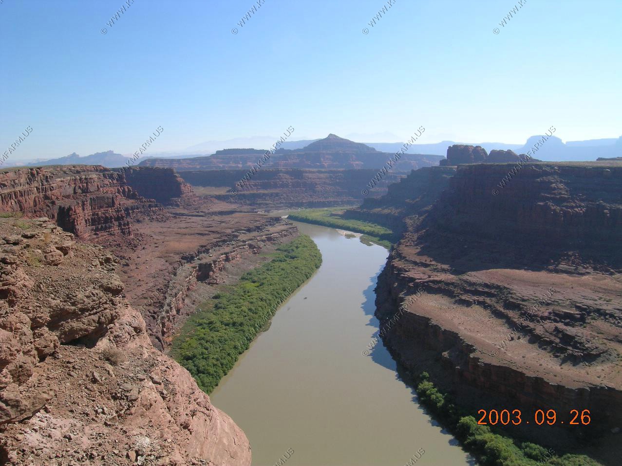
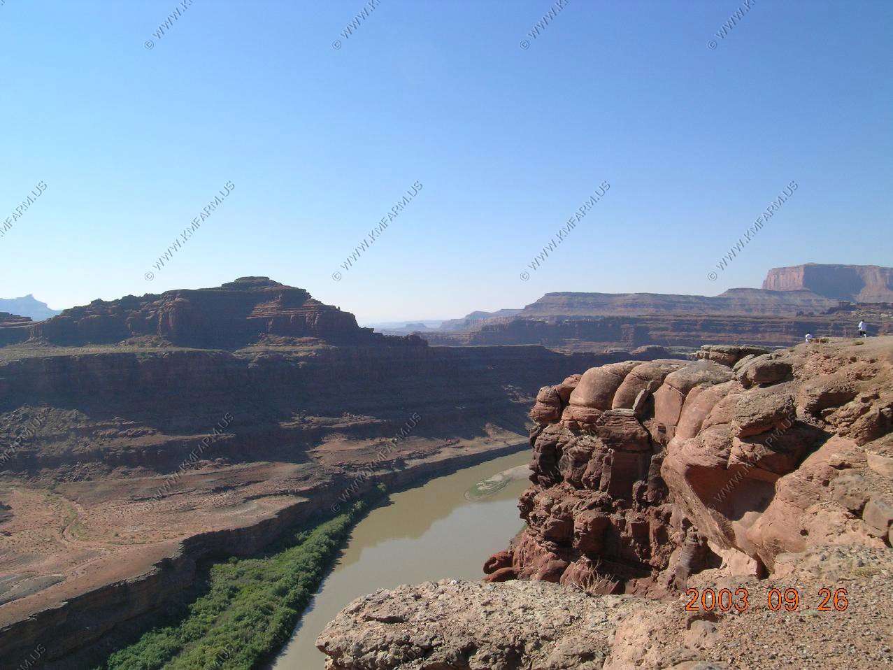
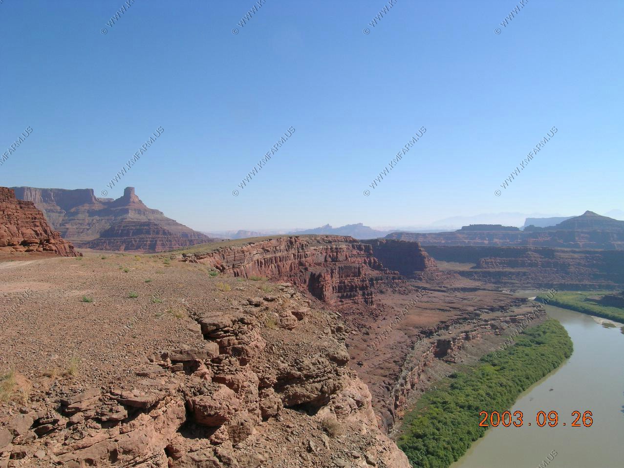
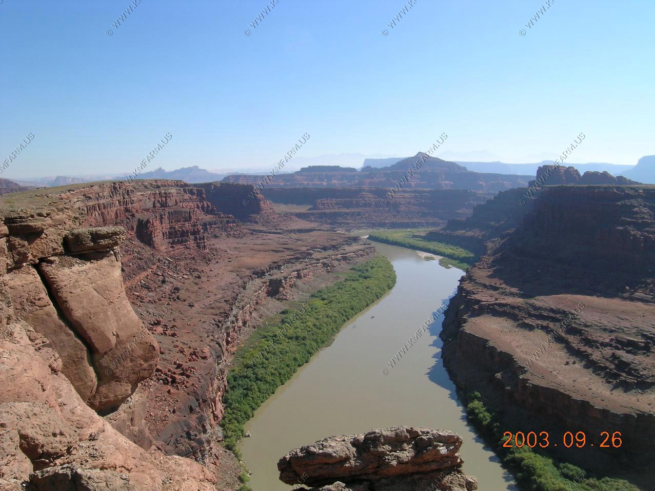
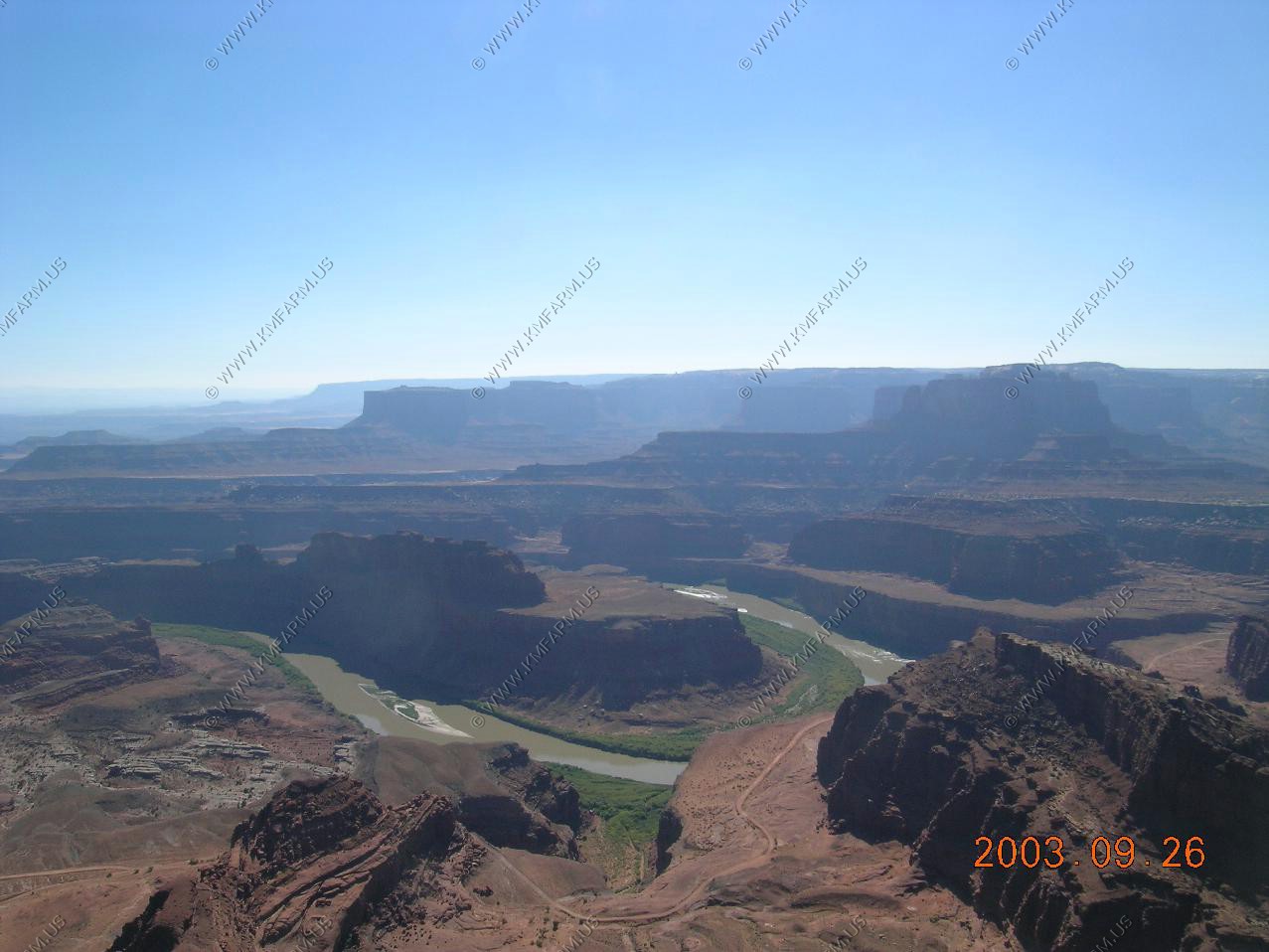
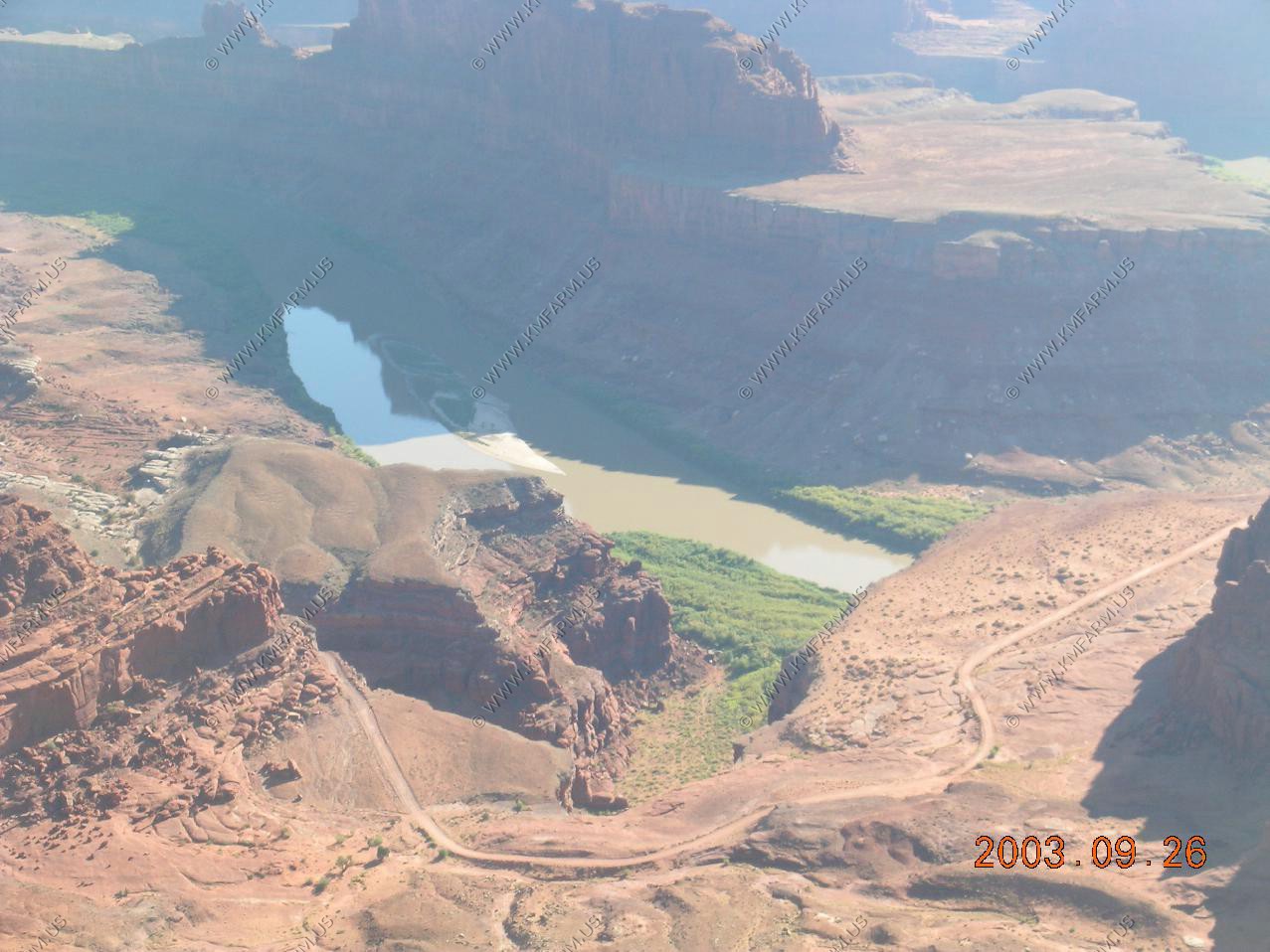
Colorado River views
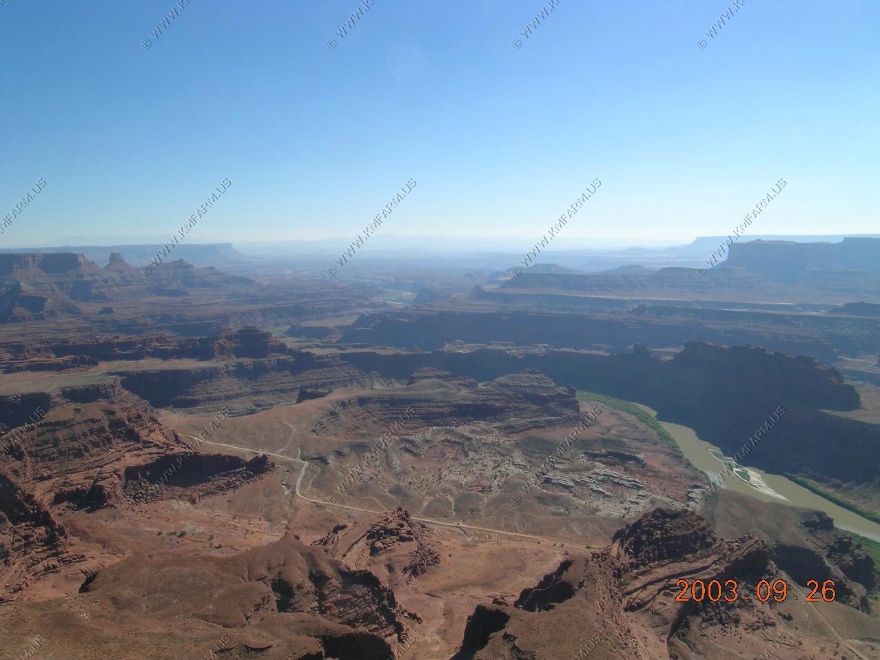
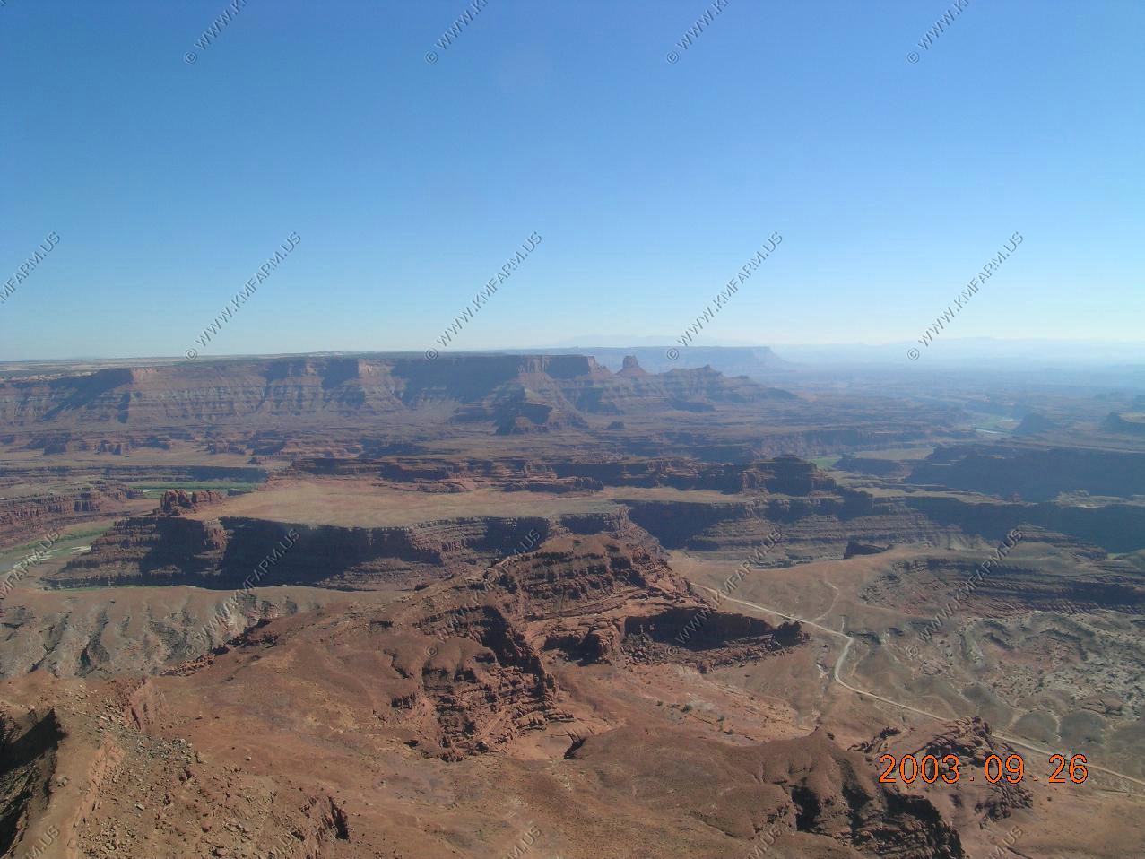
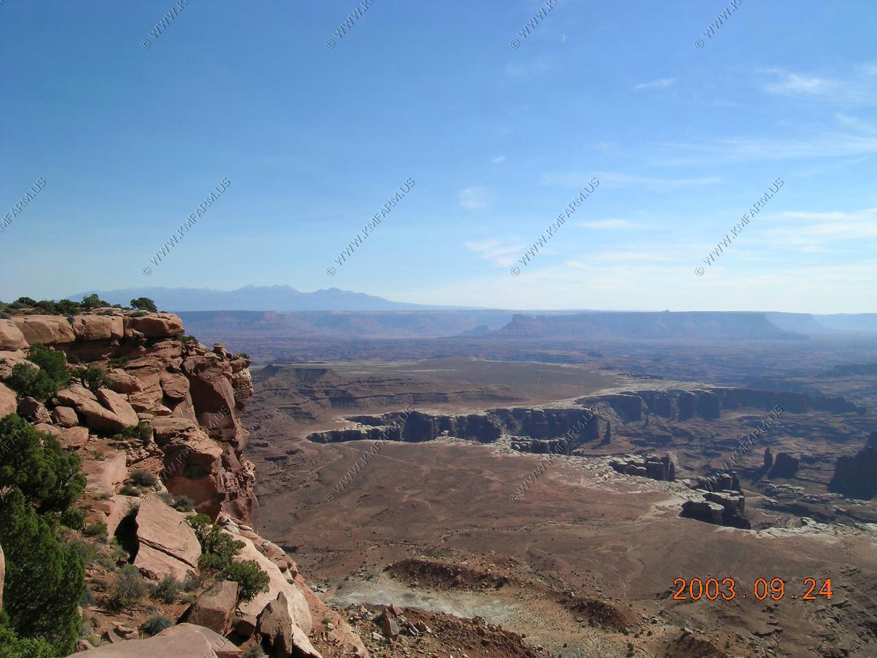
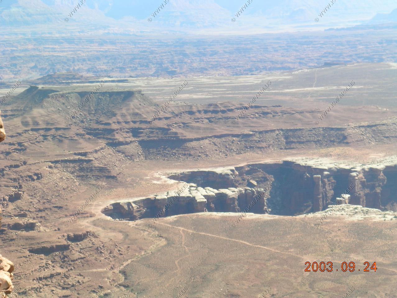
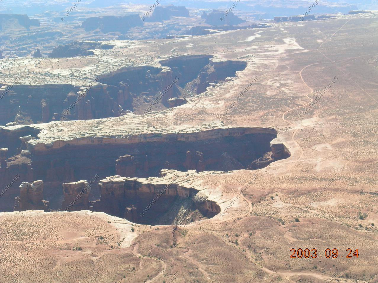
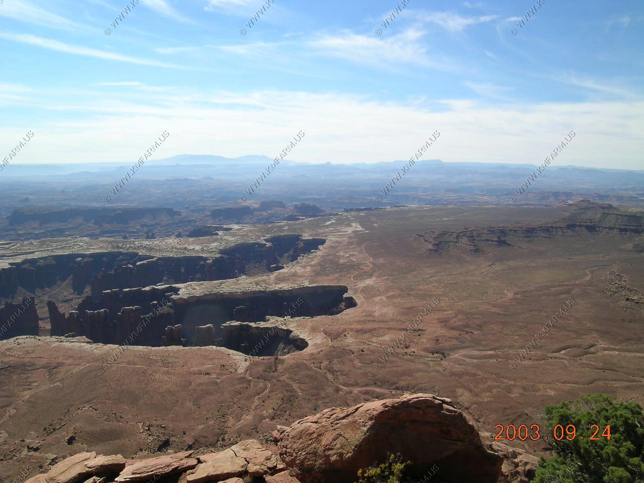
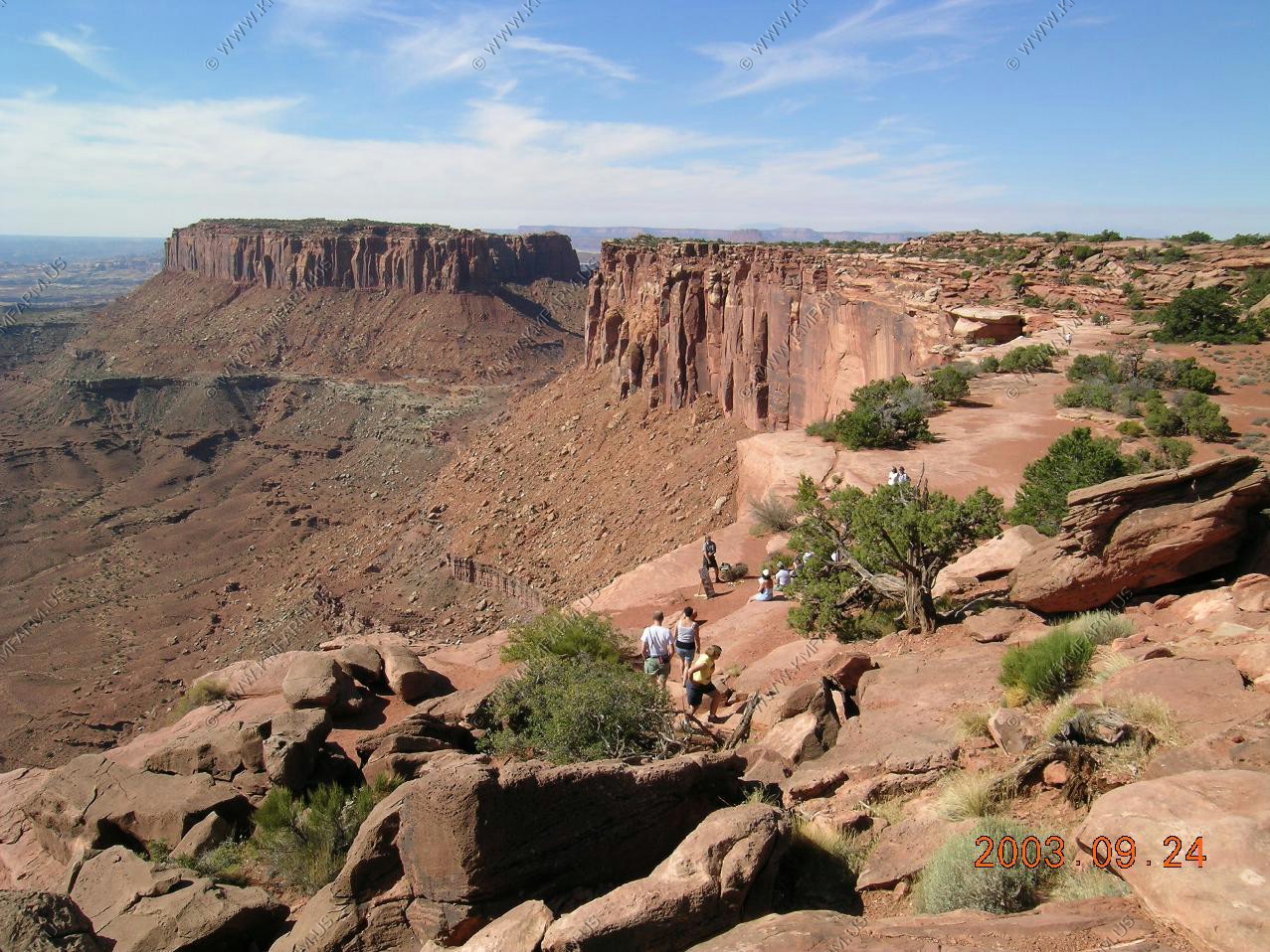
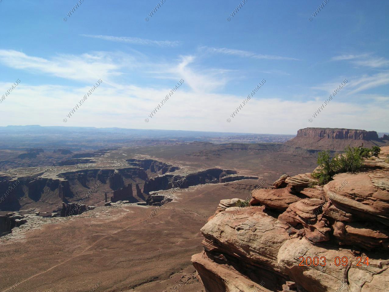
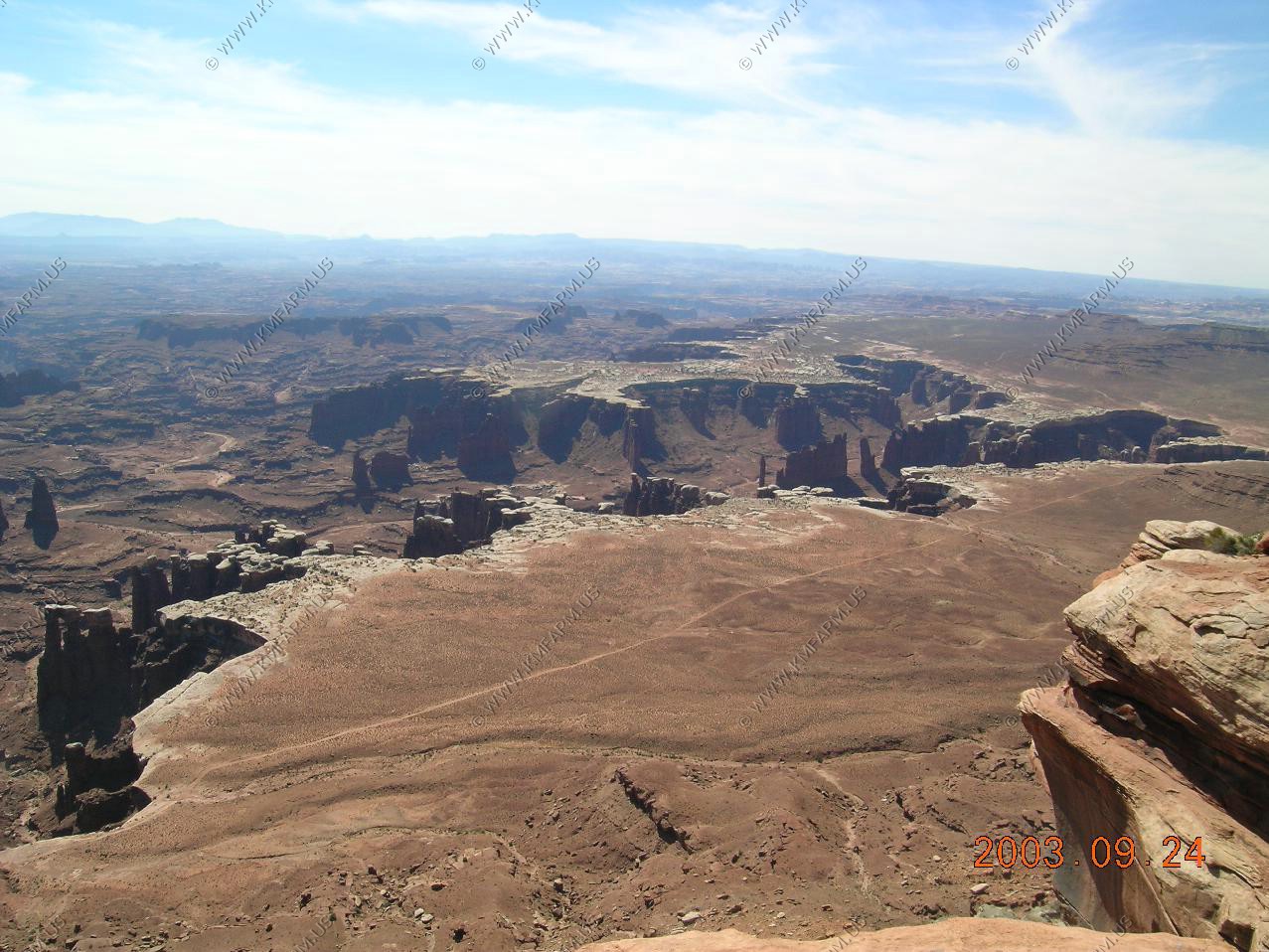
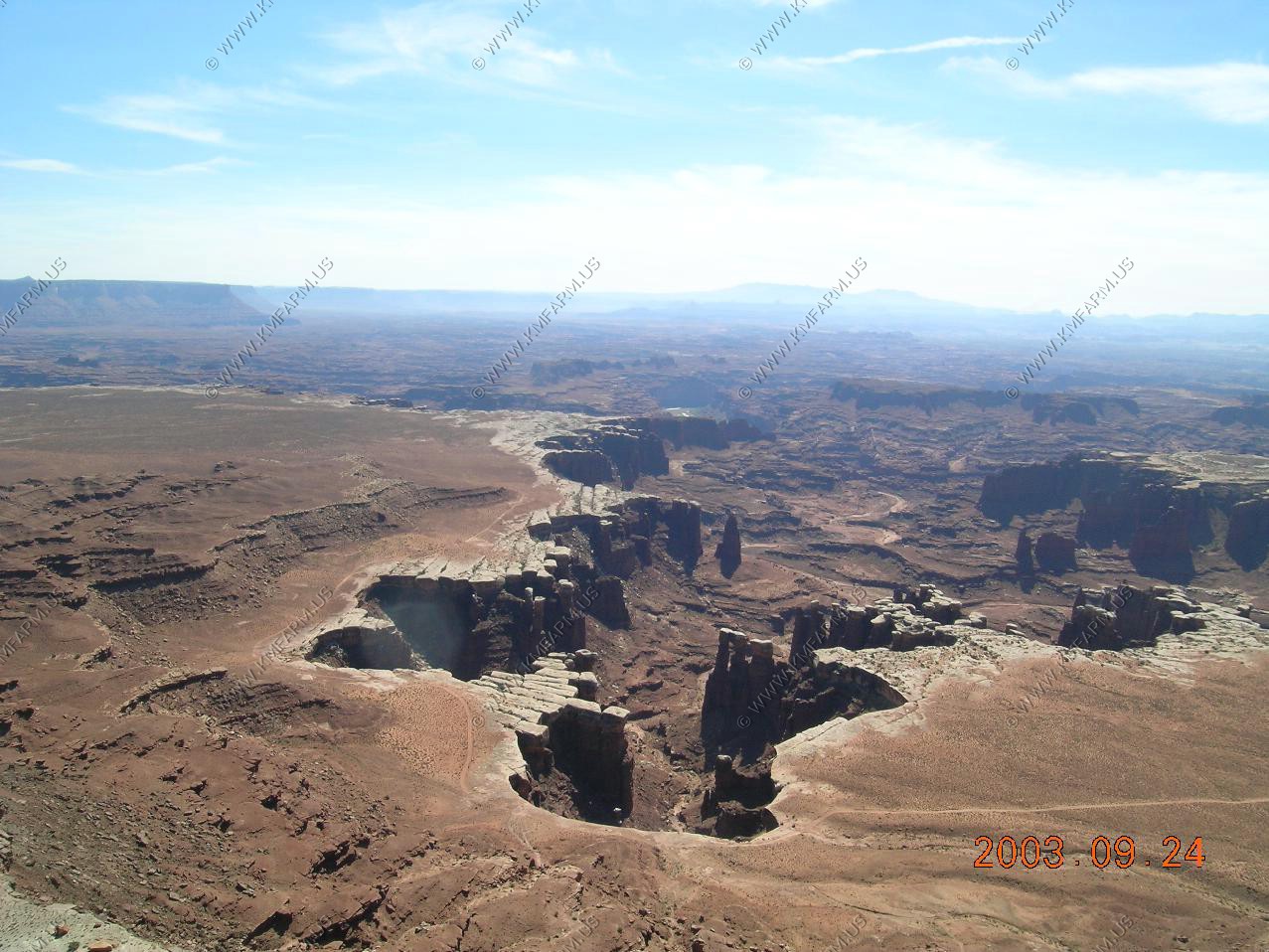
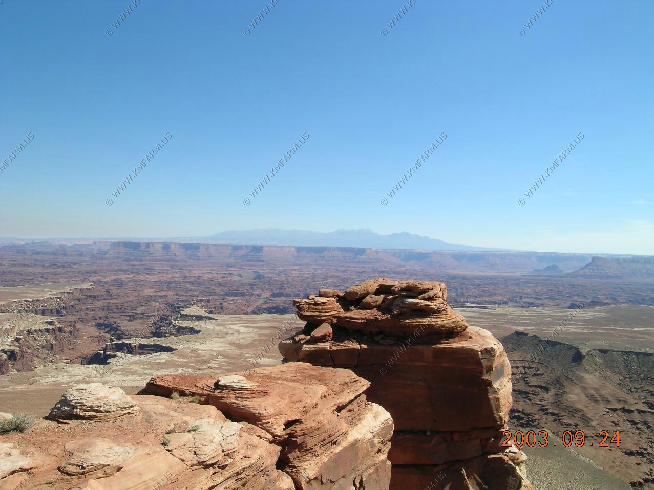
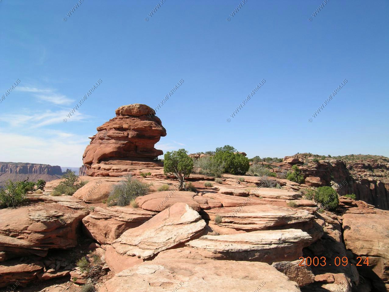
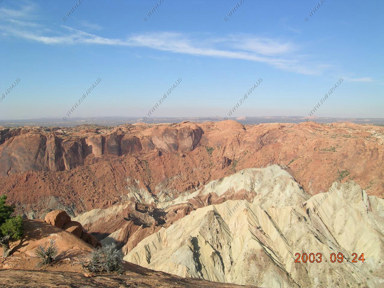
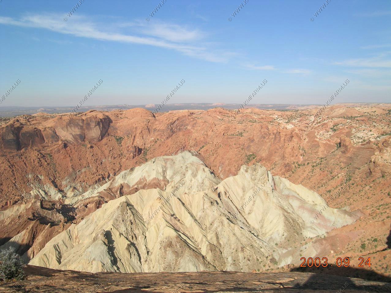
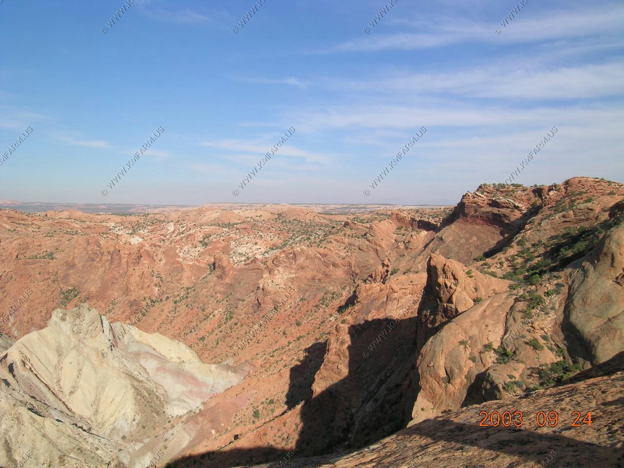
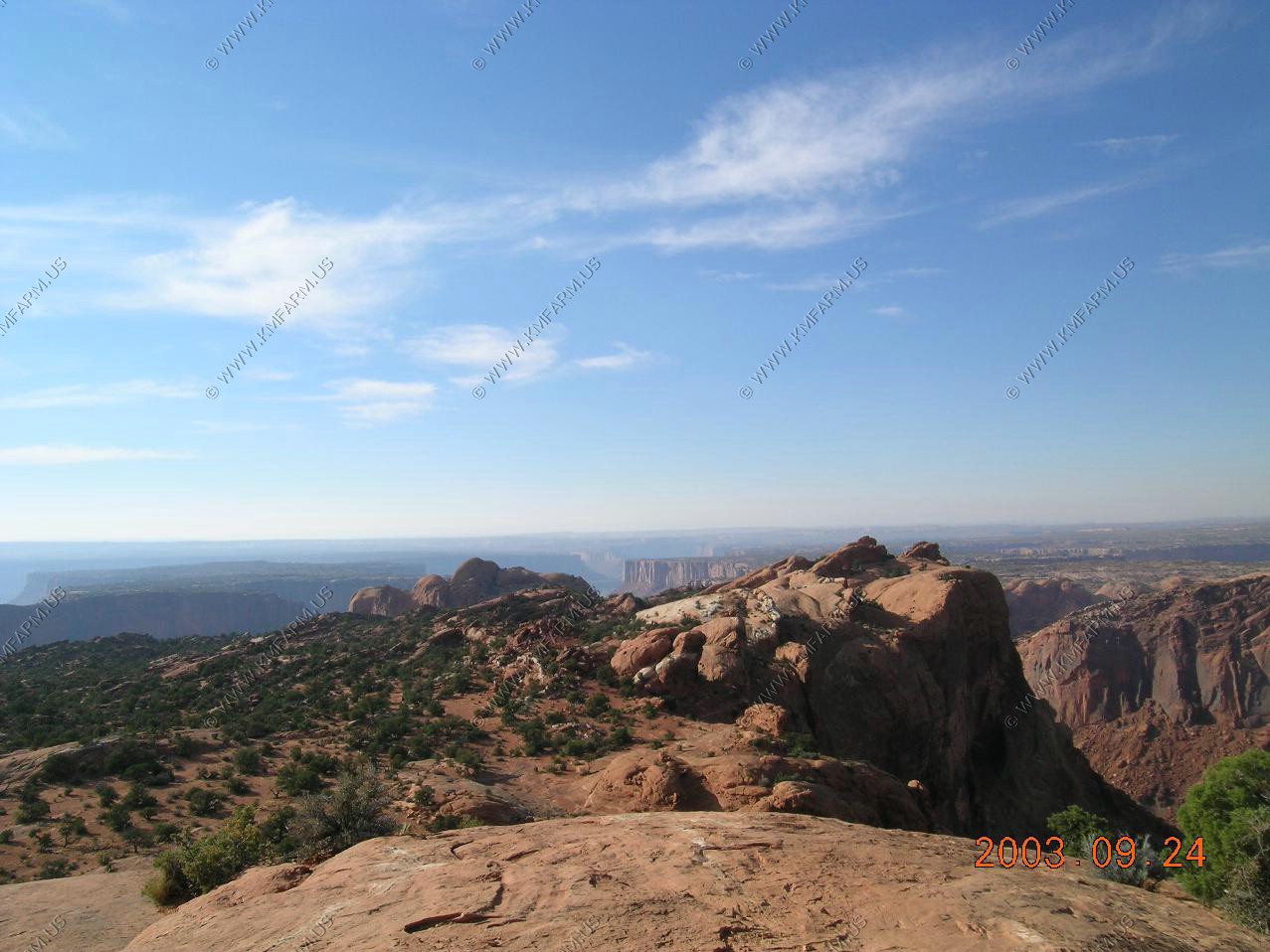
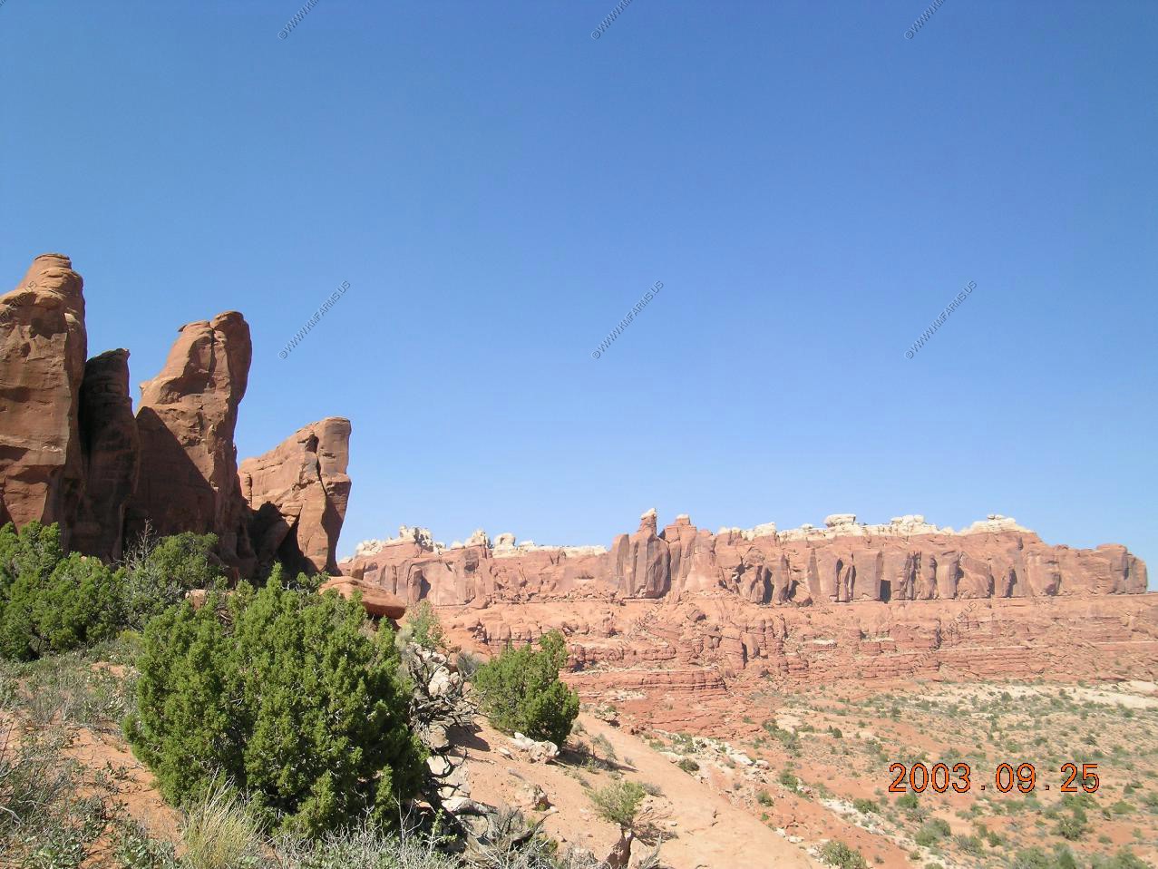
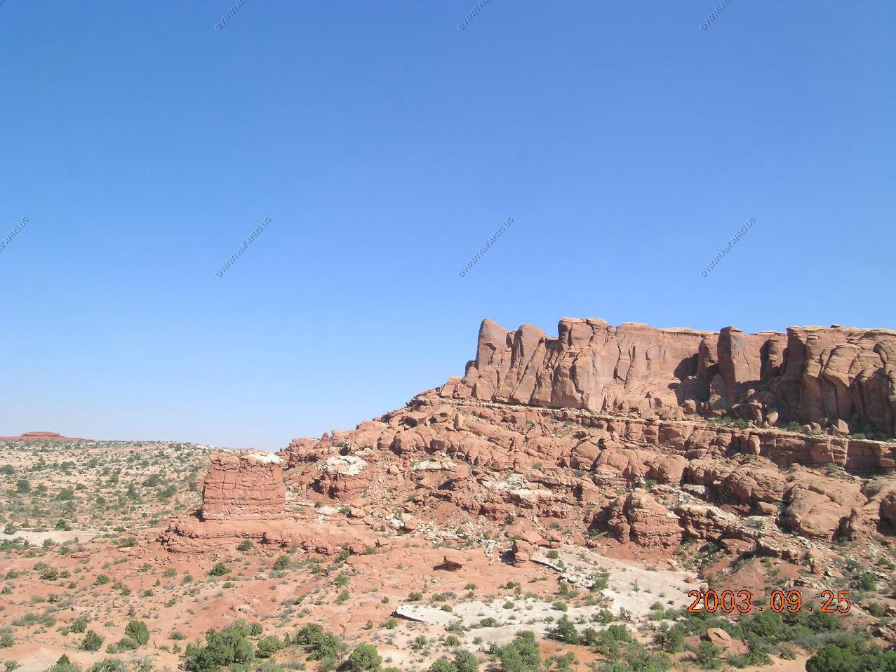
Various Views
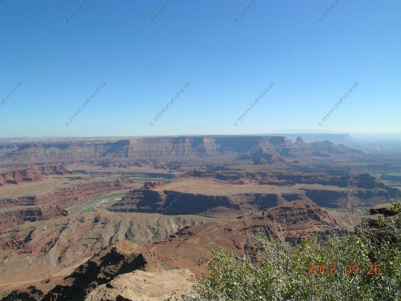
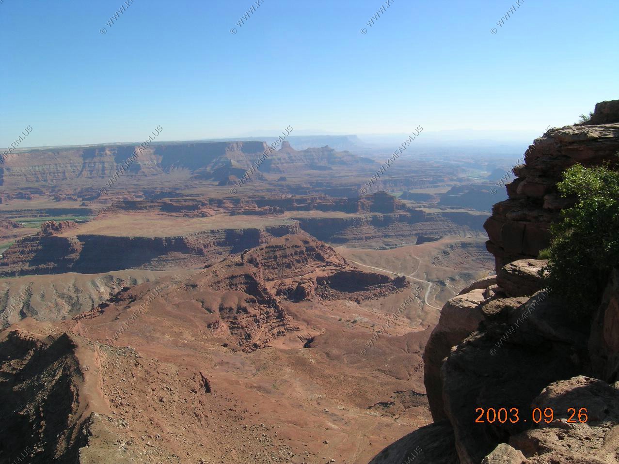
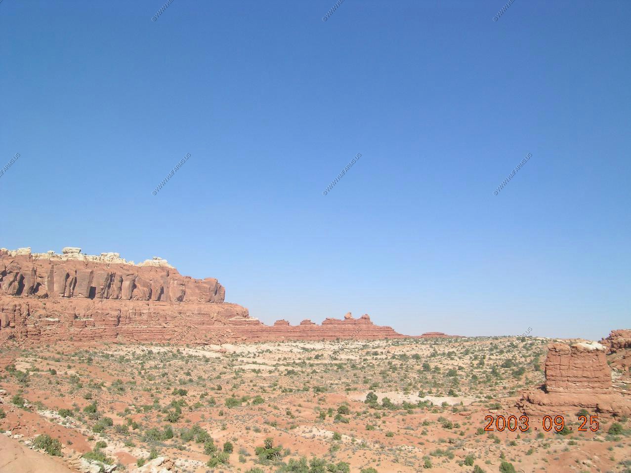
More views
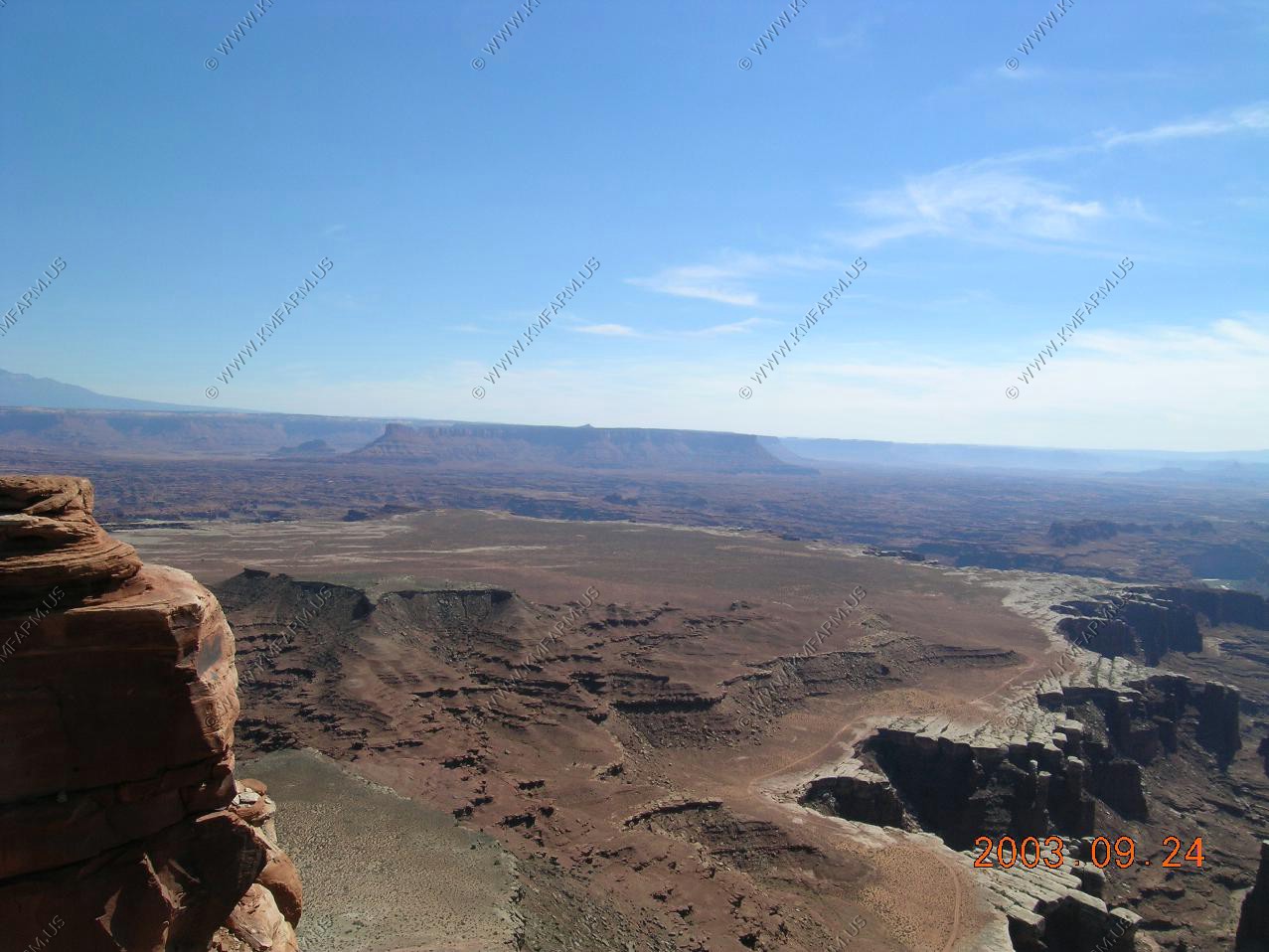
Looking south at the Abajo Mountains near Monticello, Utah
Looking North towards Green River
Looking East towards the La Sal Mountains appx. 30 miles away. The La Sal Mountains are Utah's second highest mountain range. They rise impressively above the red rock canyon country of southeastern Utah. The range contains 6 peaks that rise above 12,000 feet, the tallest being Mount Peale at 12,721 feet. Covered with thick aspen and fir forests and dotted with mountain lakes, the La Sals are a cool oasis within the often difficult environment of the surrounding desert.
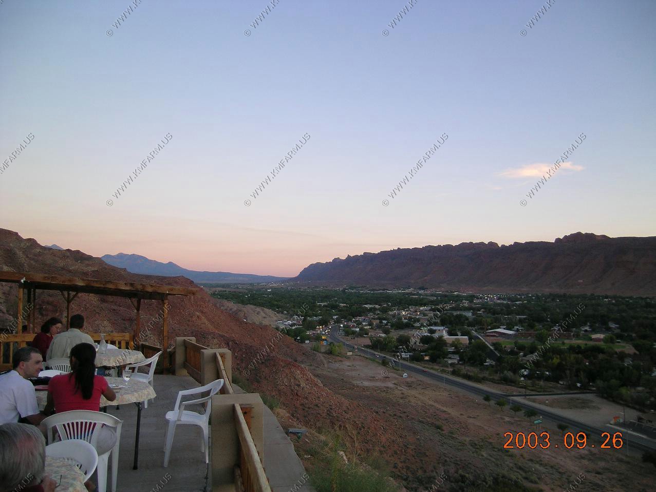
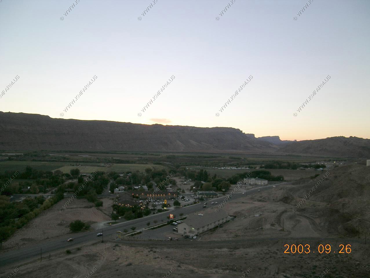
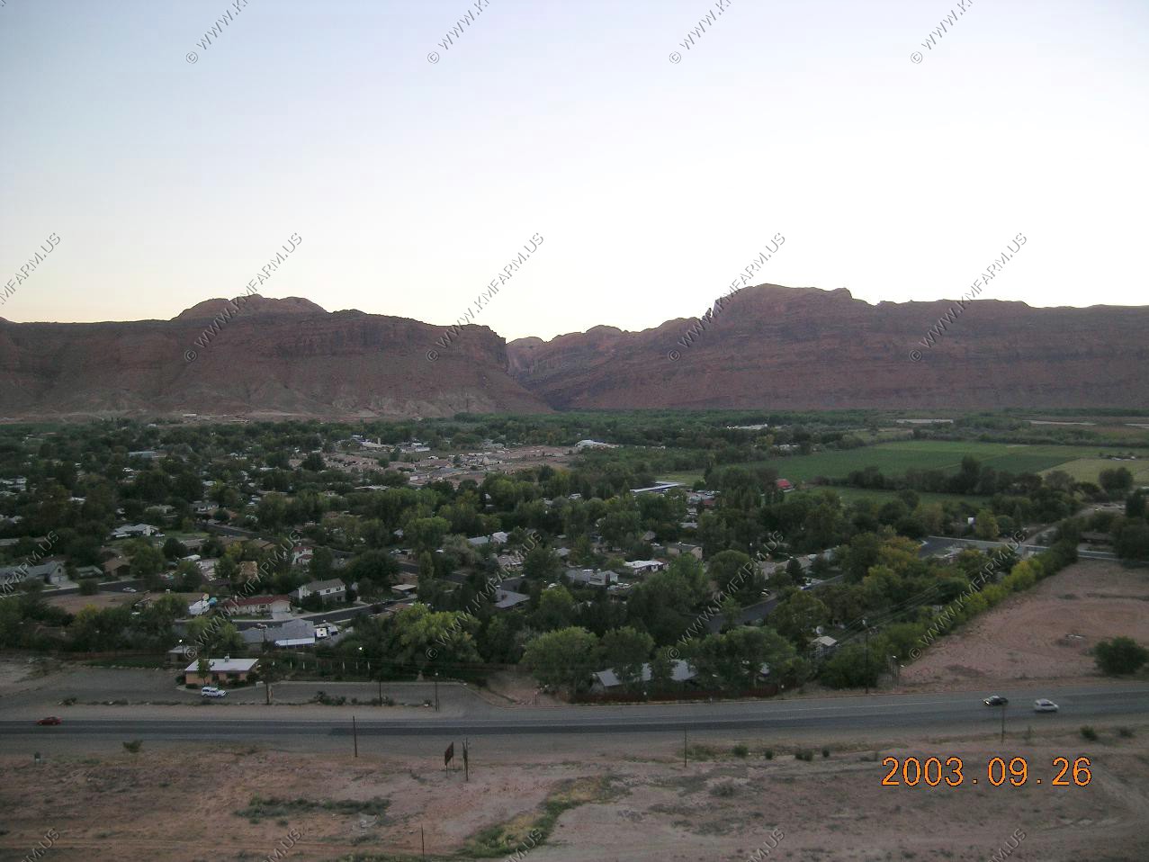
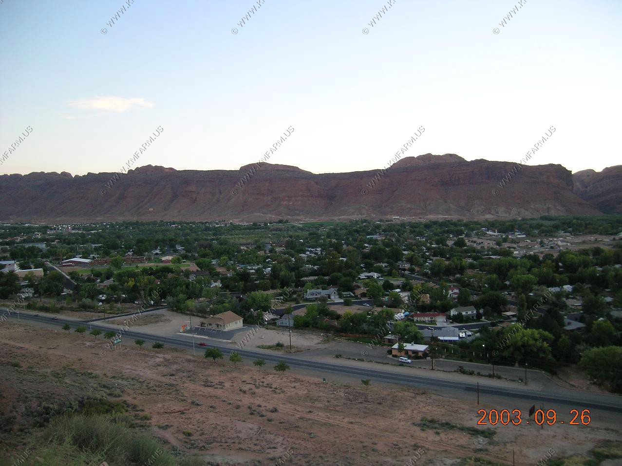
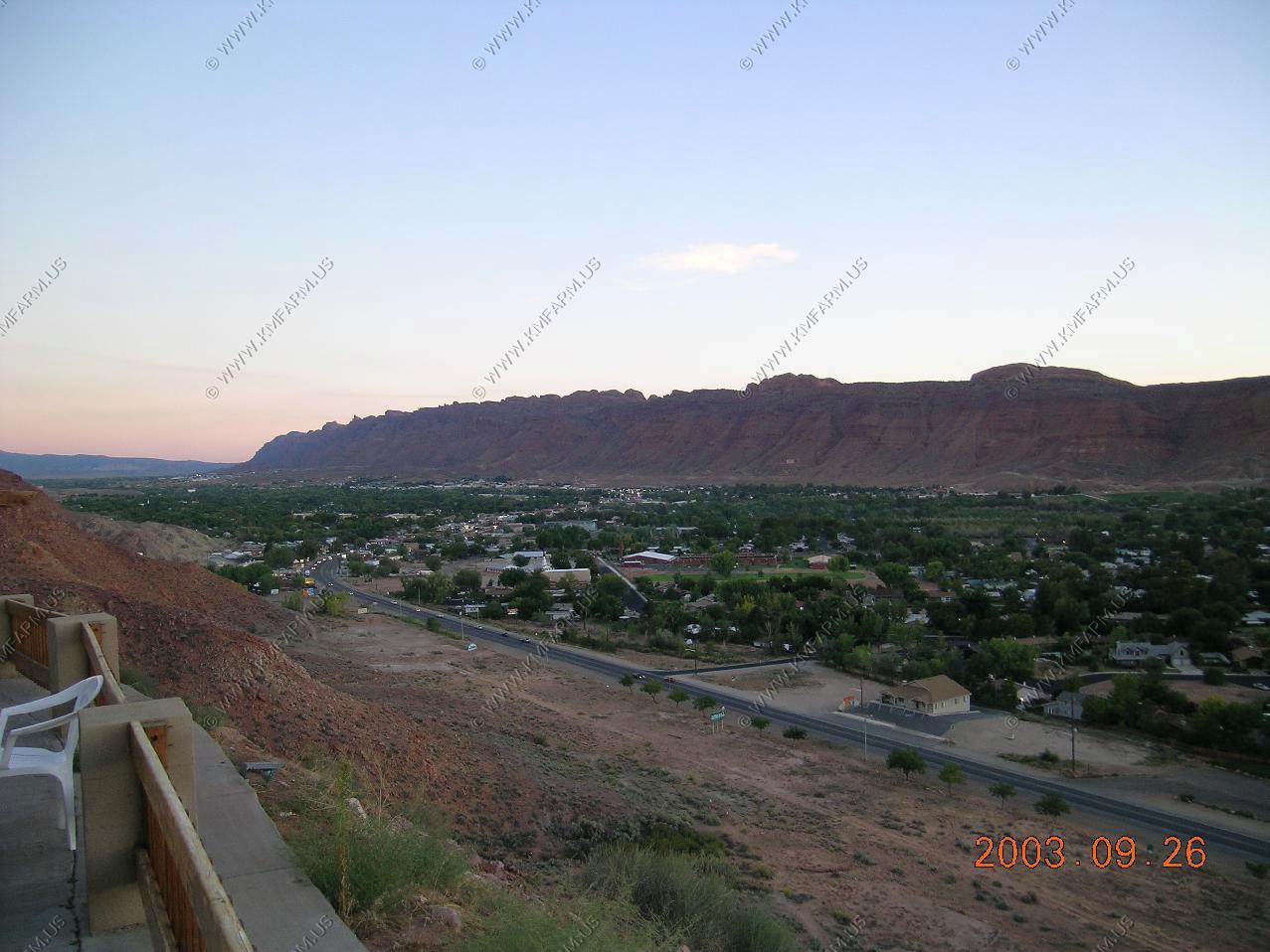
Views of Moab from the Sunset Grill up on the hill. The food was good too
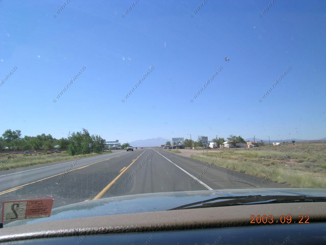
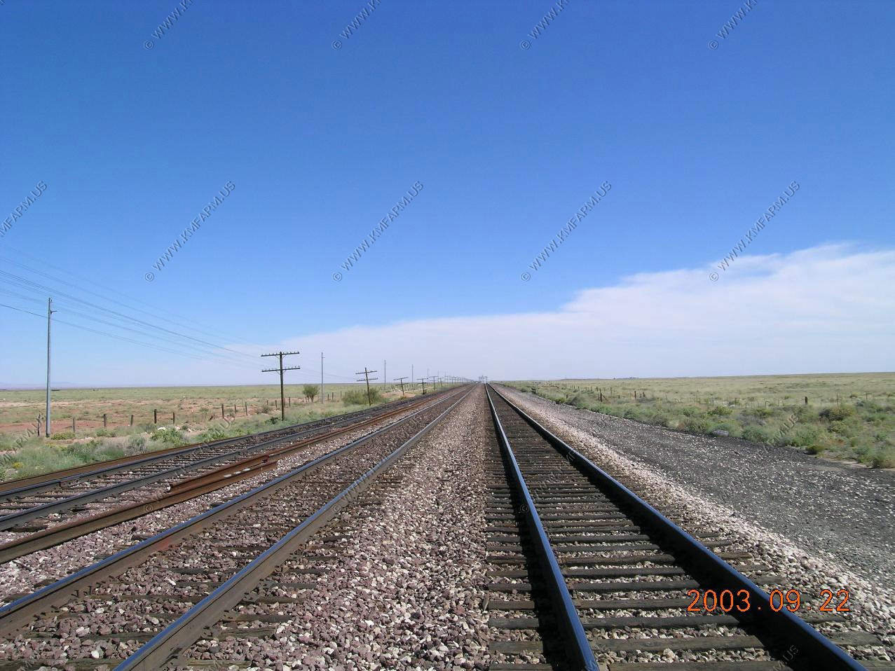
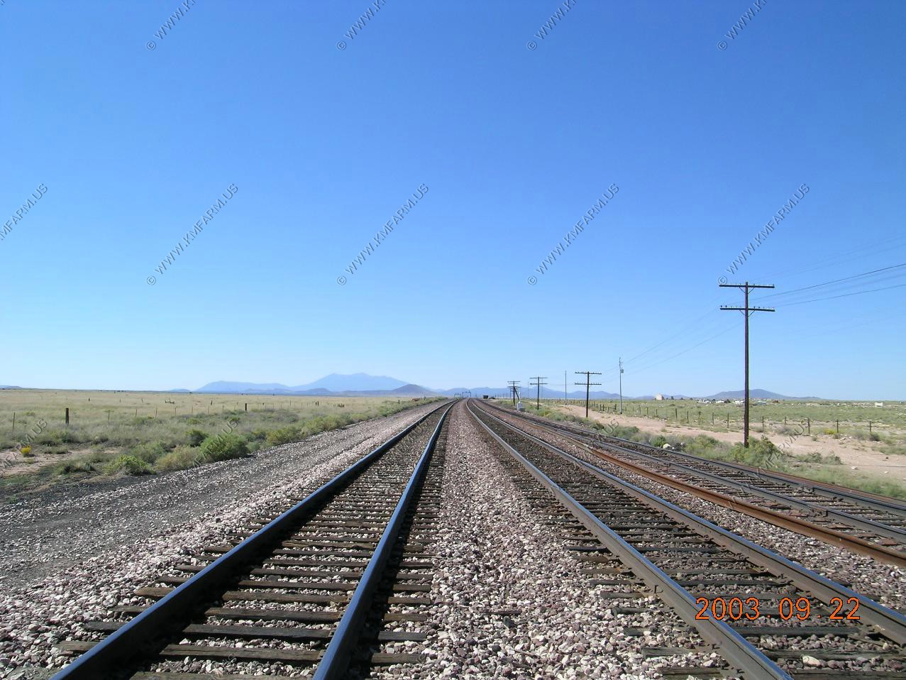
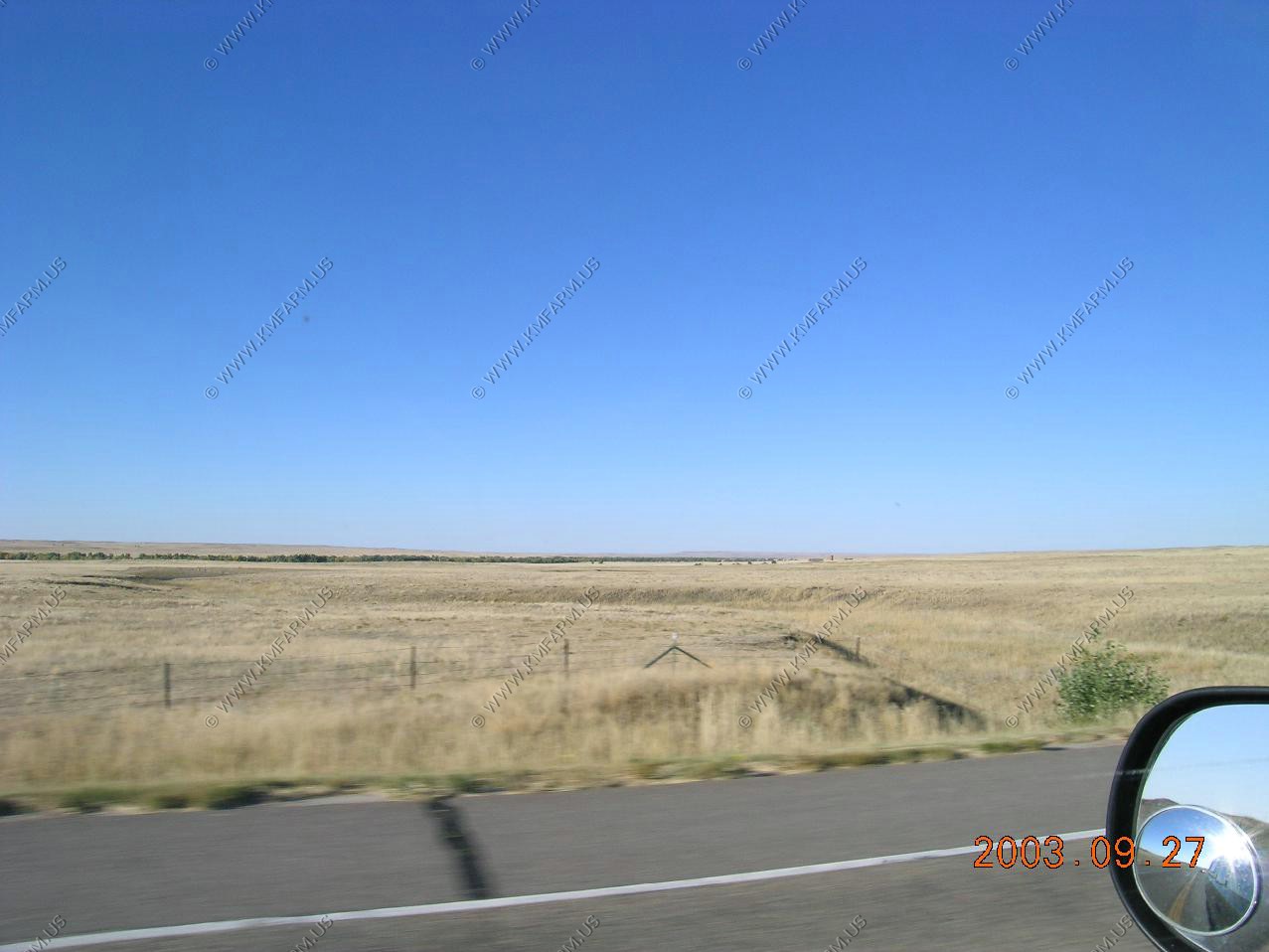
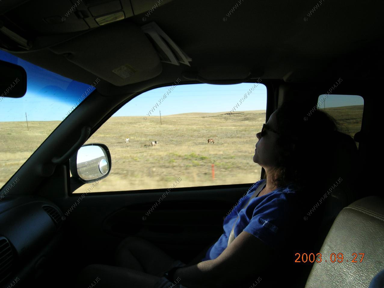
We left Moab, Utah aroun 7 am and drove to Hayes, Kansas Appx. 700 miles for a easy first day.
The next day was the biggie. We departed Hayes at 7 am and drove to New Kensington, PA for a impressive 1,130 miles. It was a long day ! After a stay with the folks we had a easy 250 miles home.
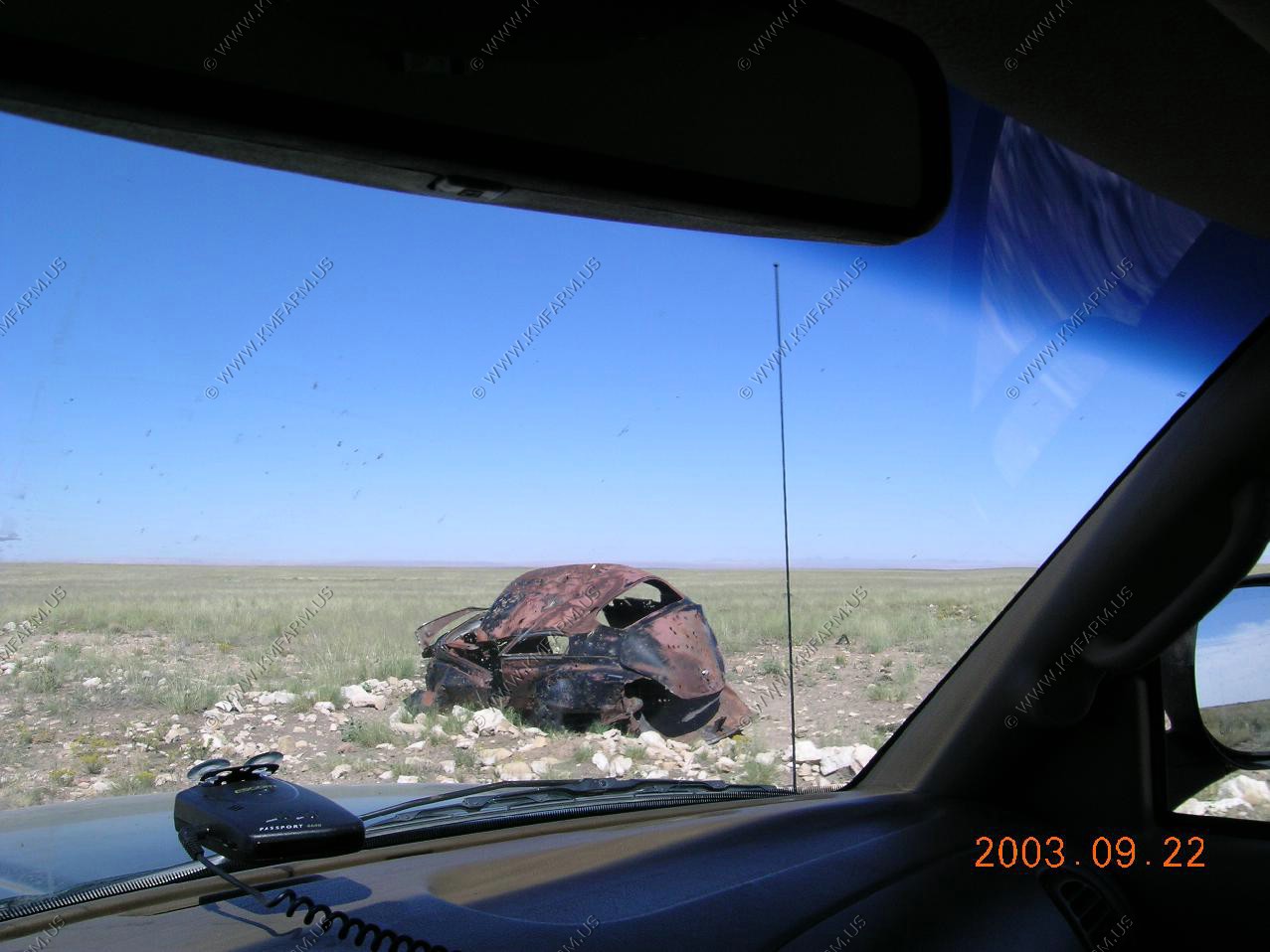
Driving is the only way to go... No airport security issues... You can drive armed and bring back a couple of hundred pounds of rocks !!
One the way back home
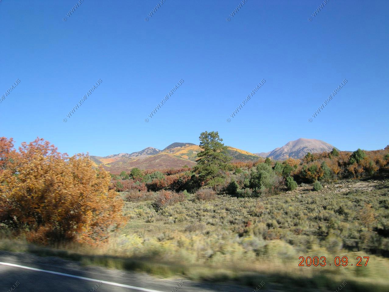
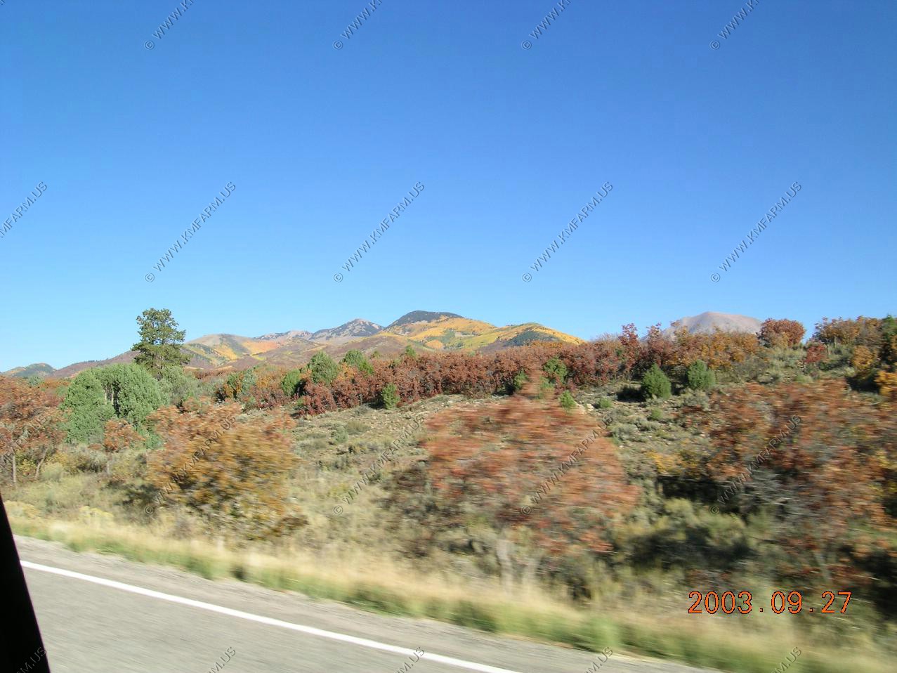
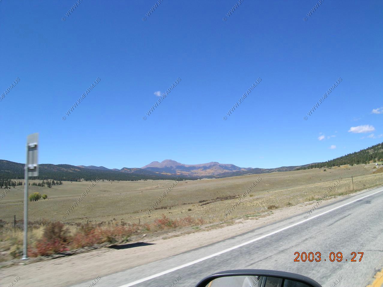
La Sale Mountains East of Moab, Utah. Looks like fall has arrived.
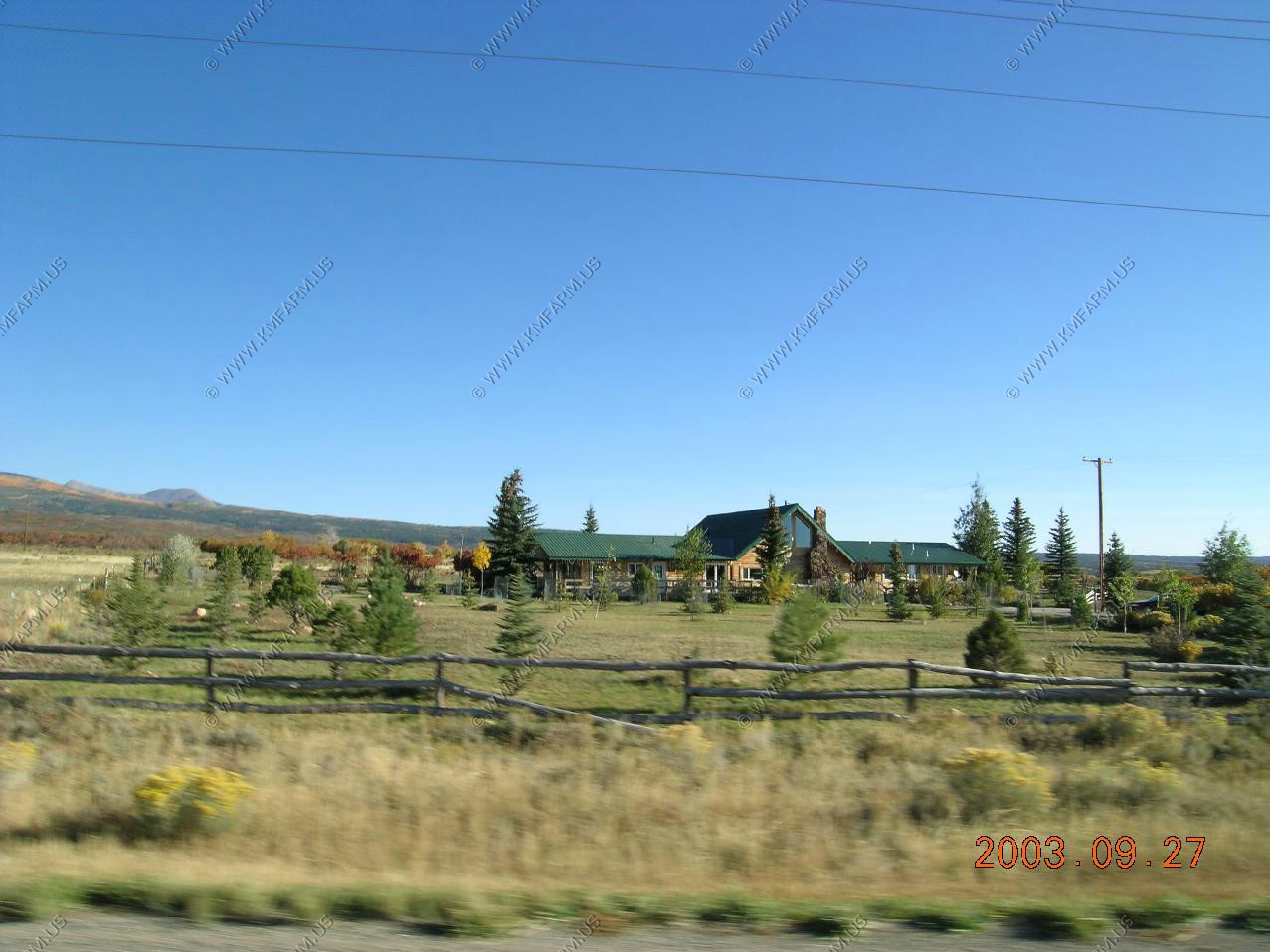
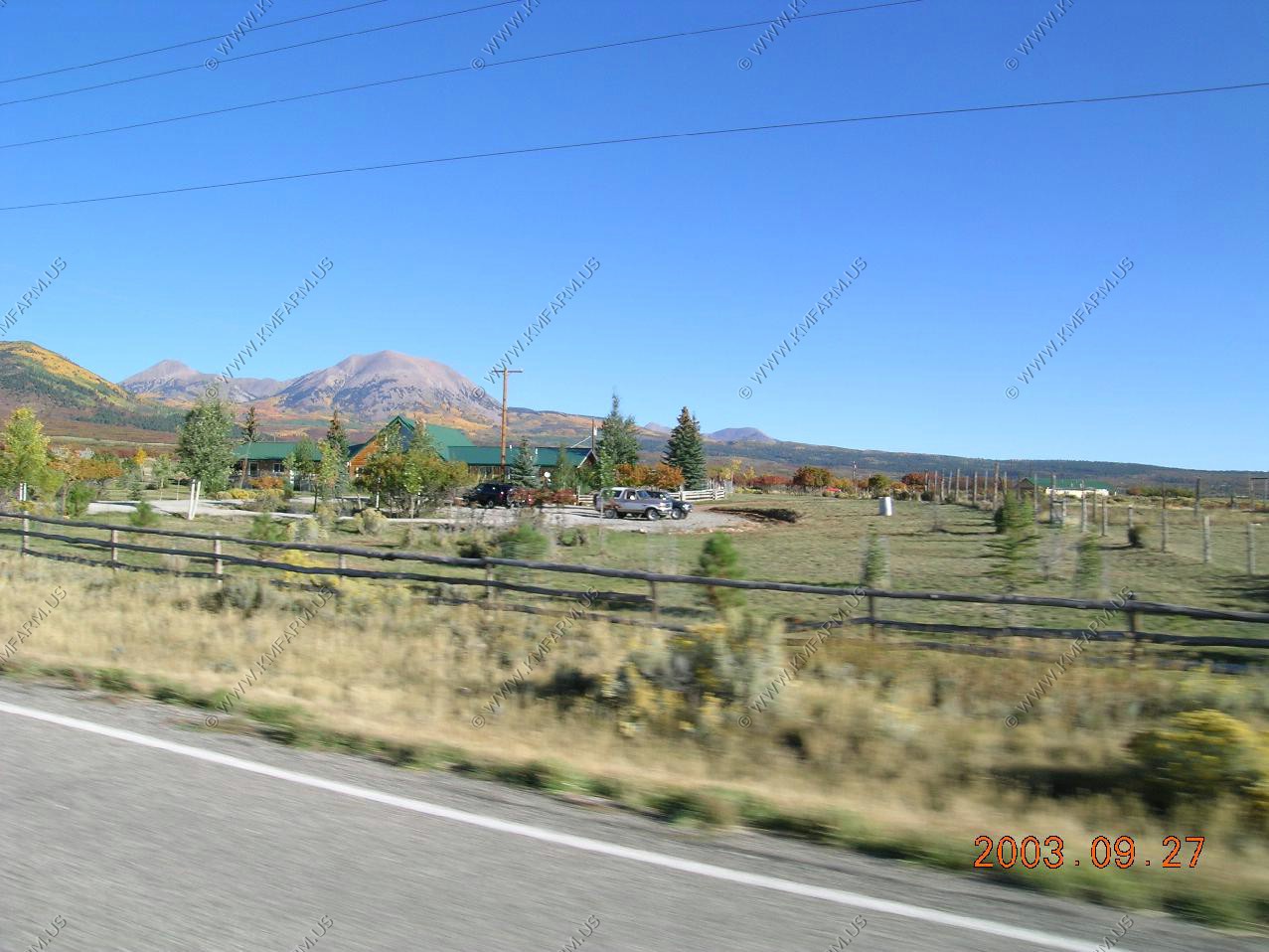
The B and B that we stayed at back in 1998.
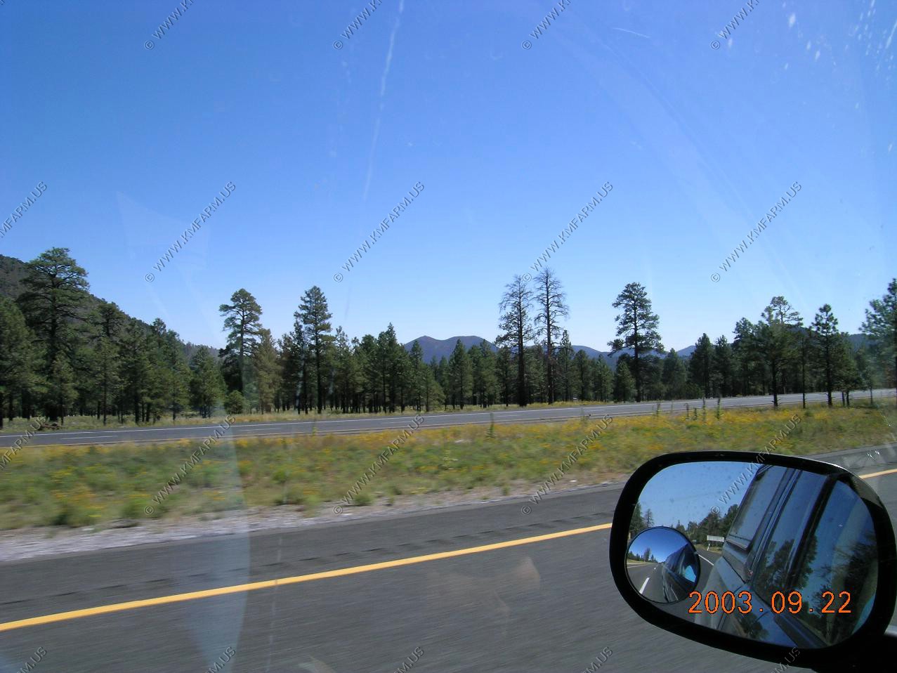
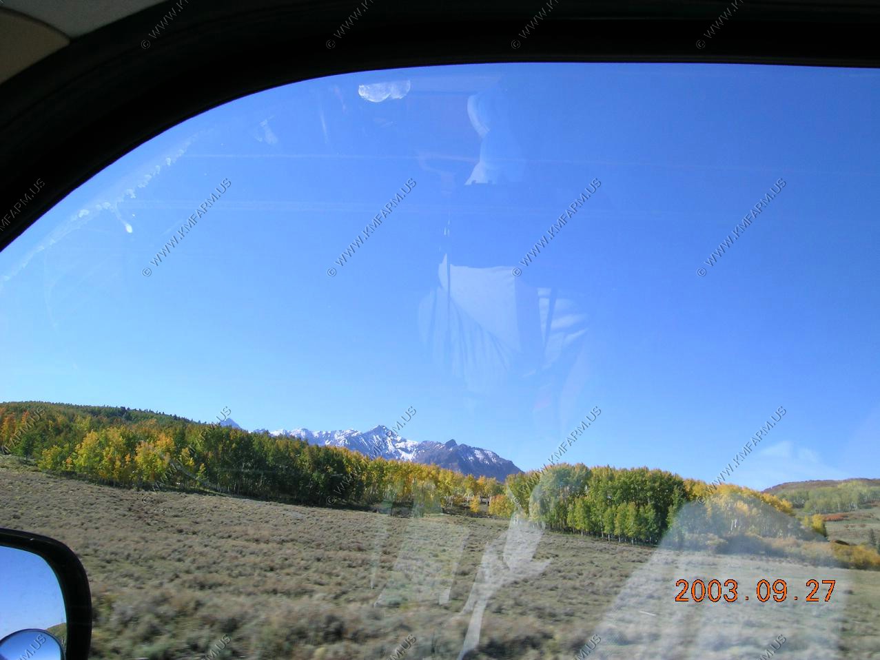
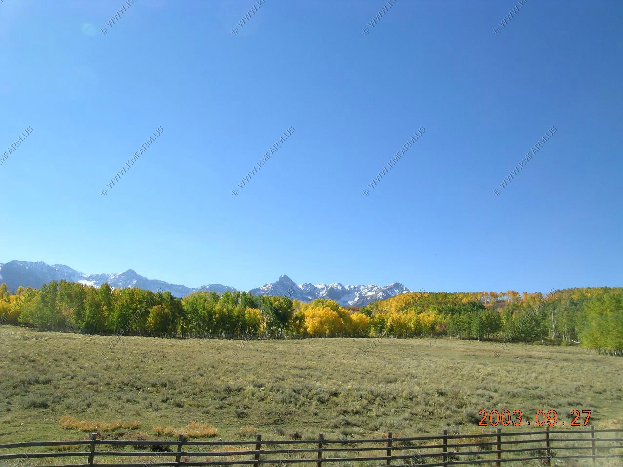
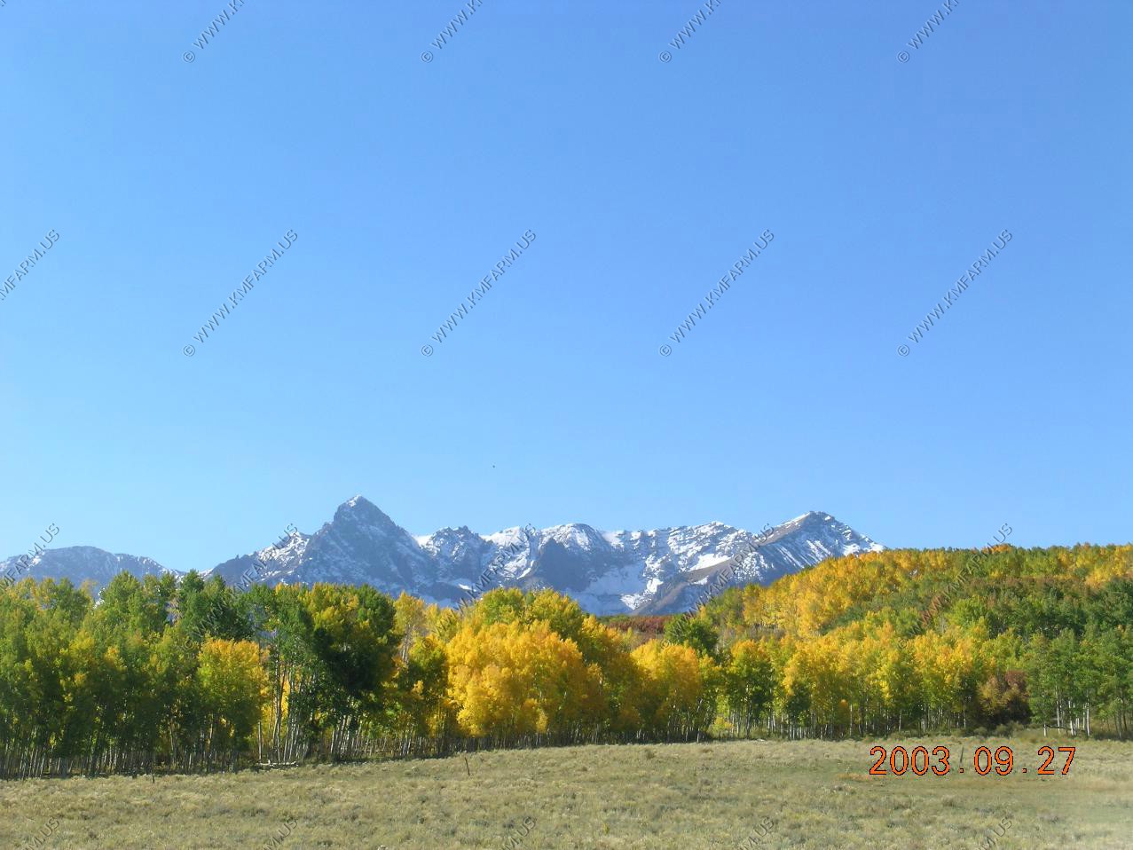
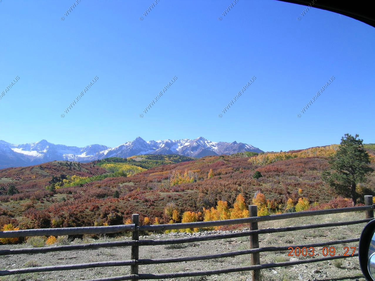
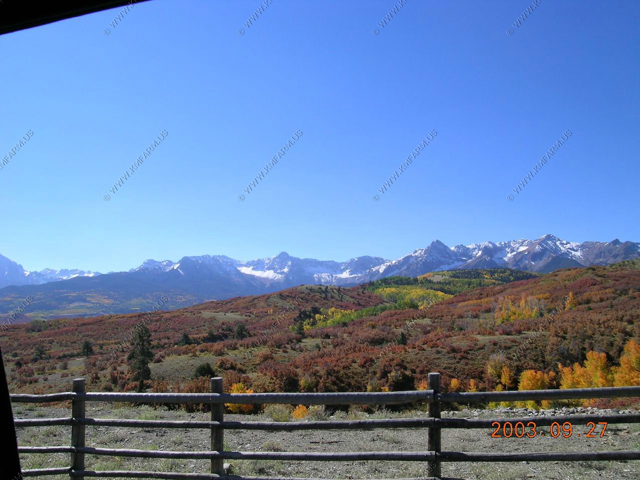
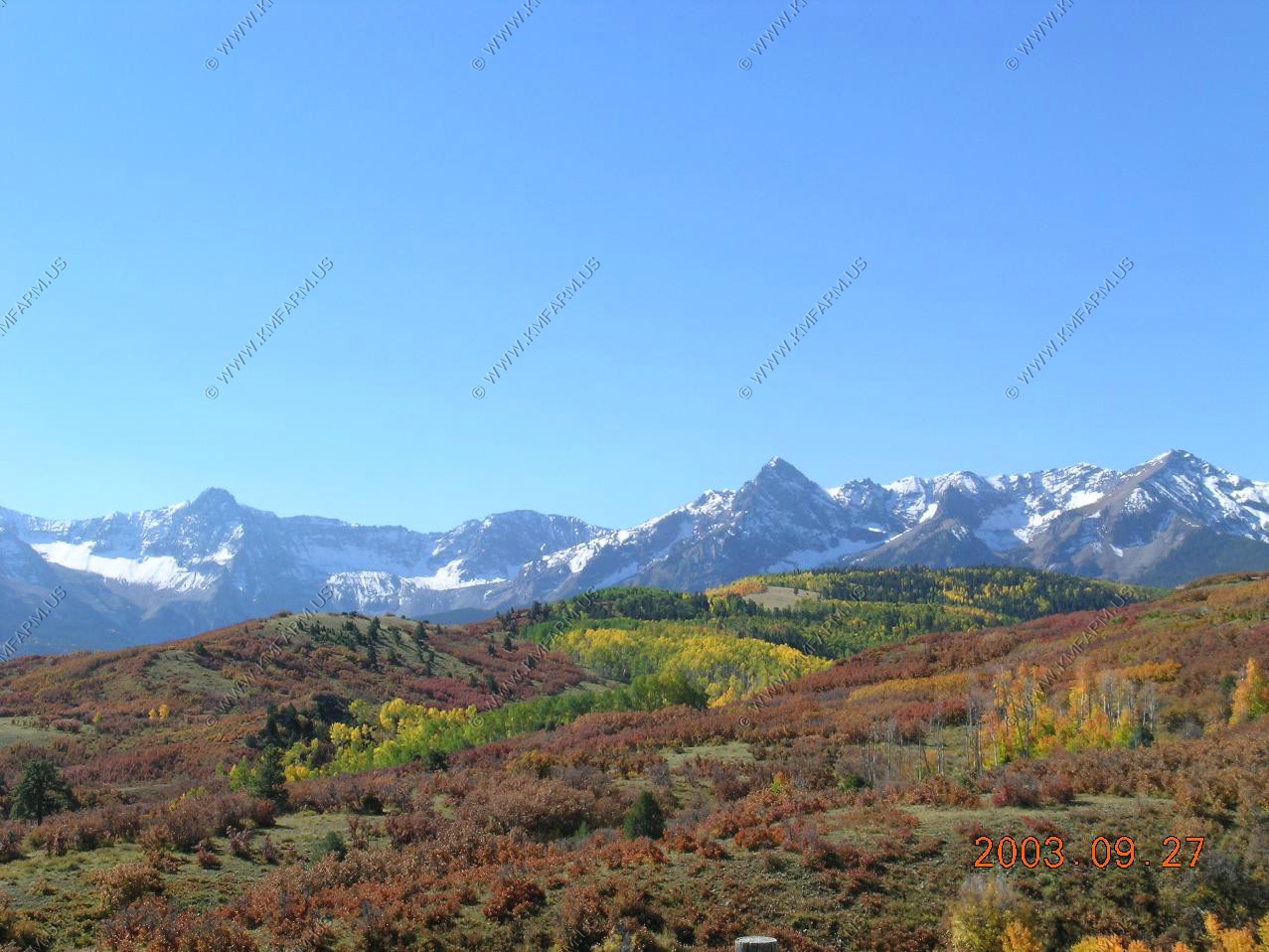
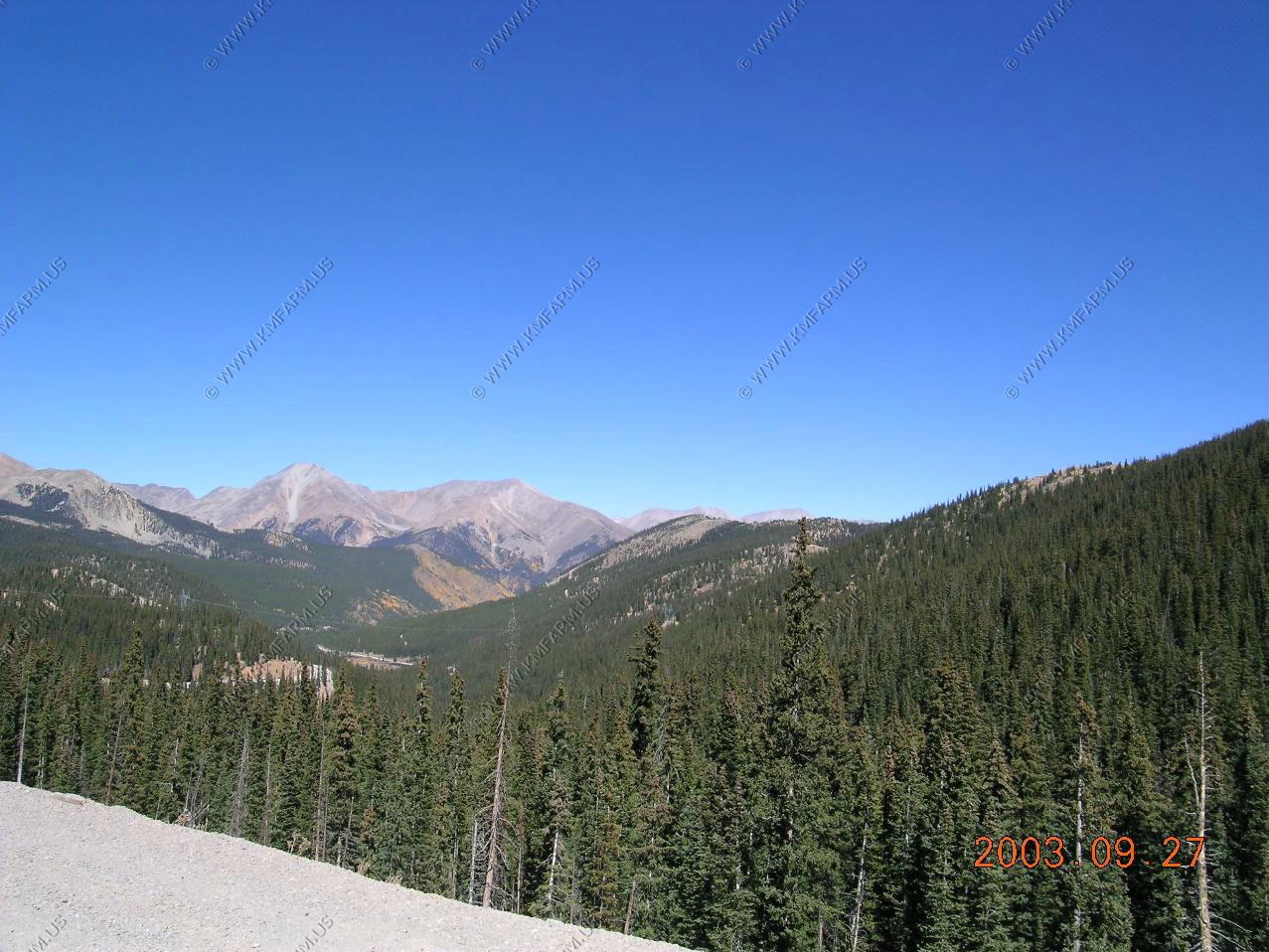
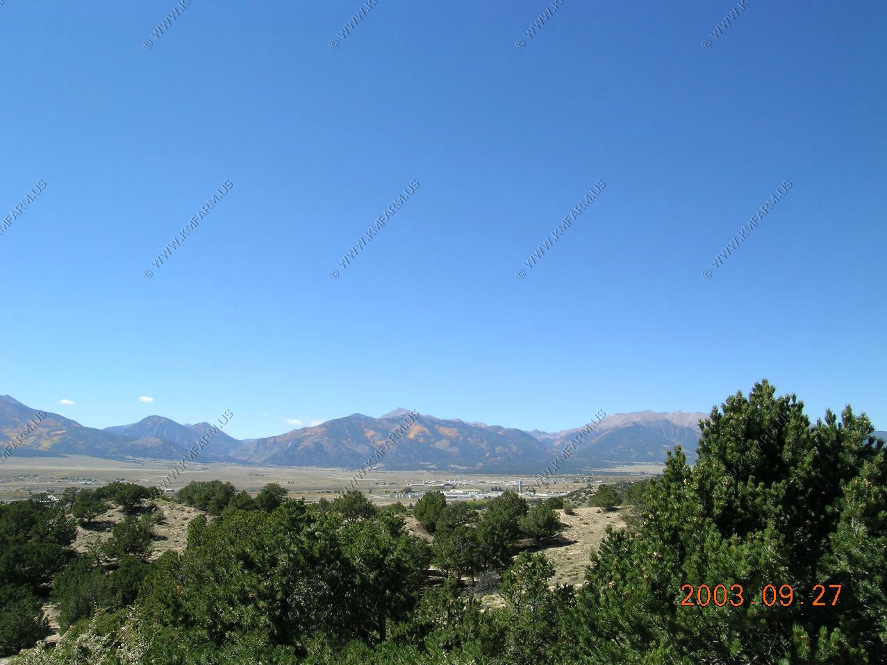
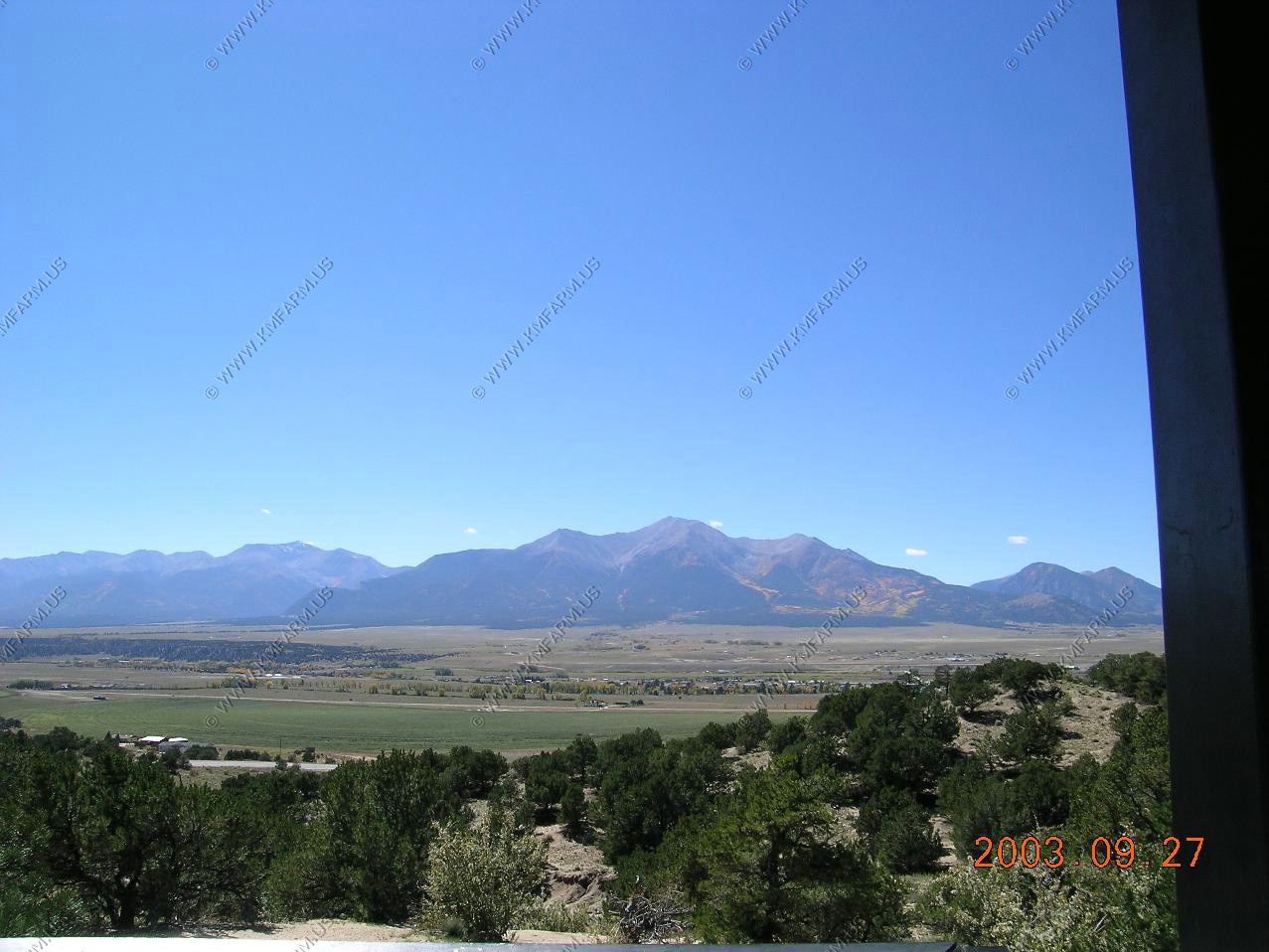
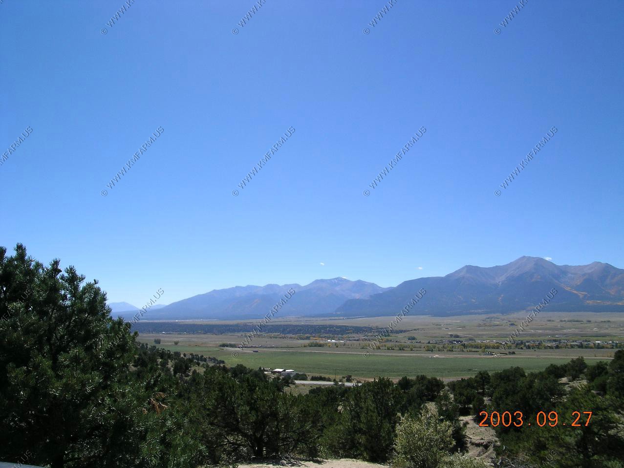
The upper end of the San Juan range in South West Colorado
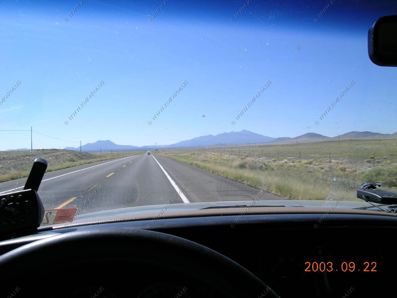
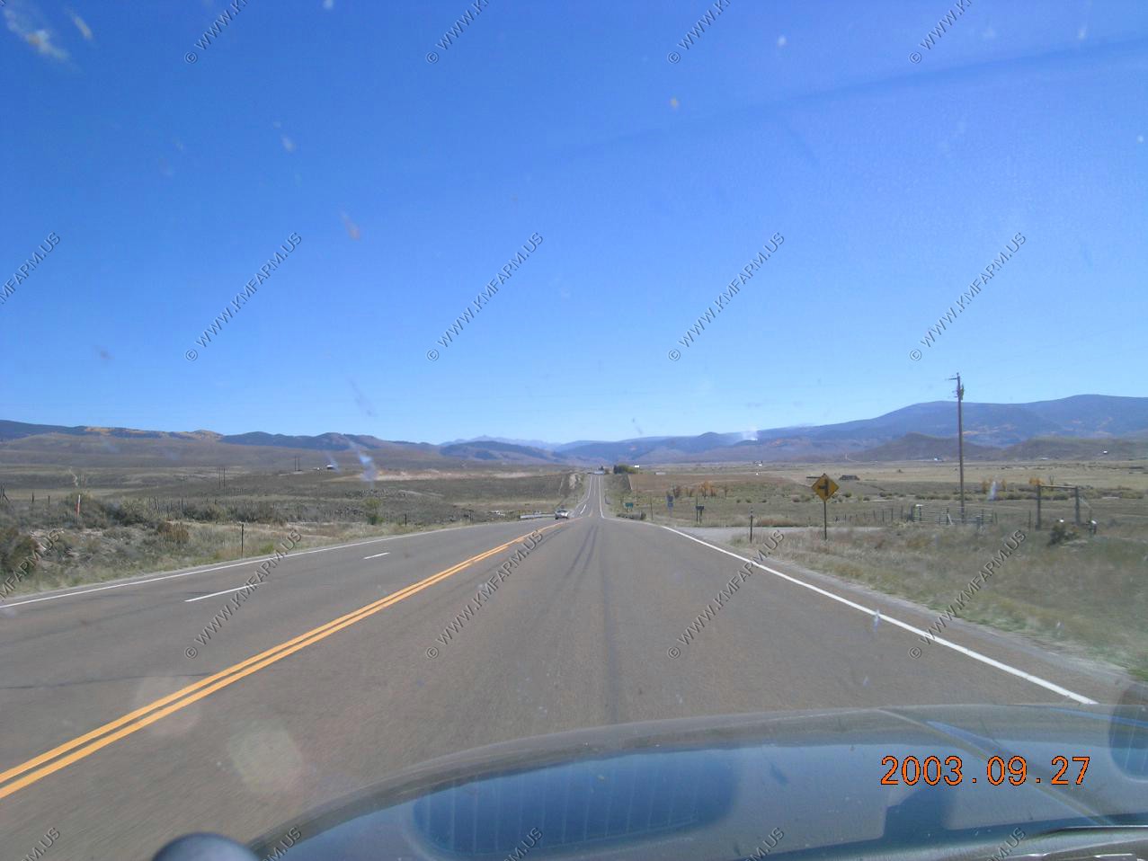
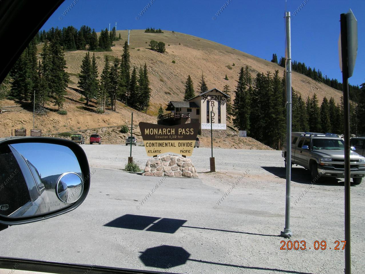
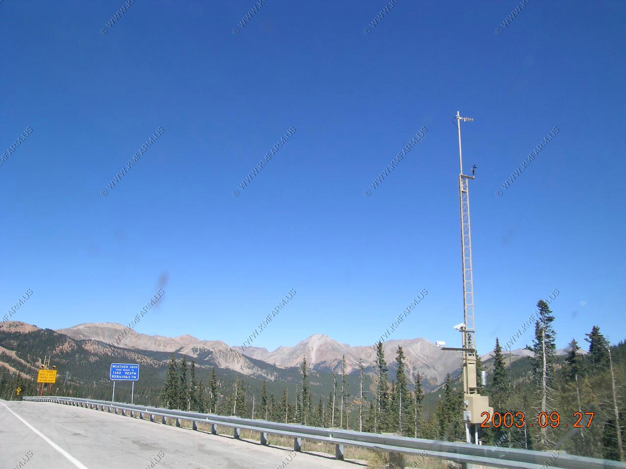
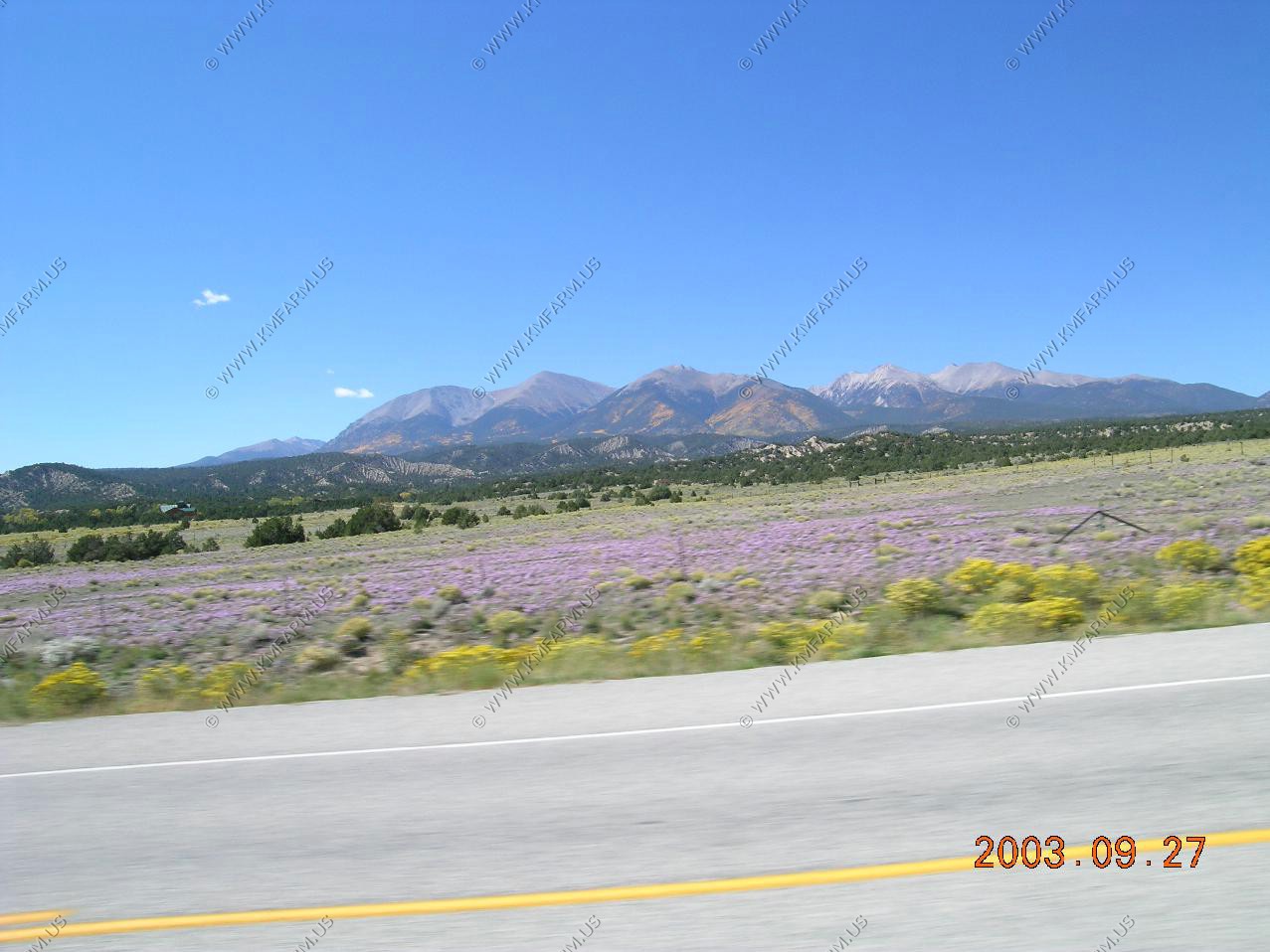
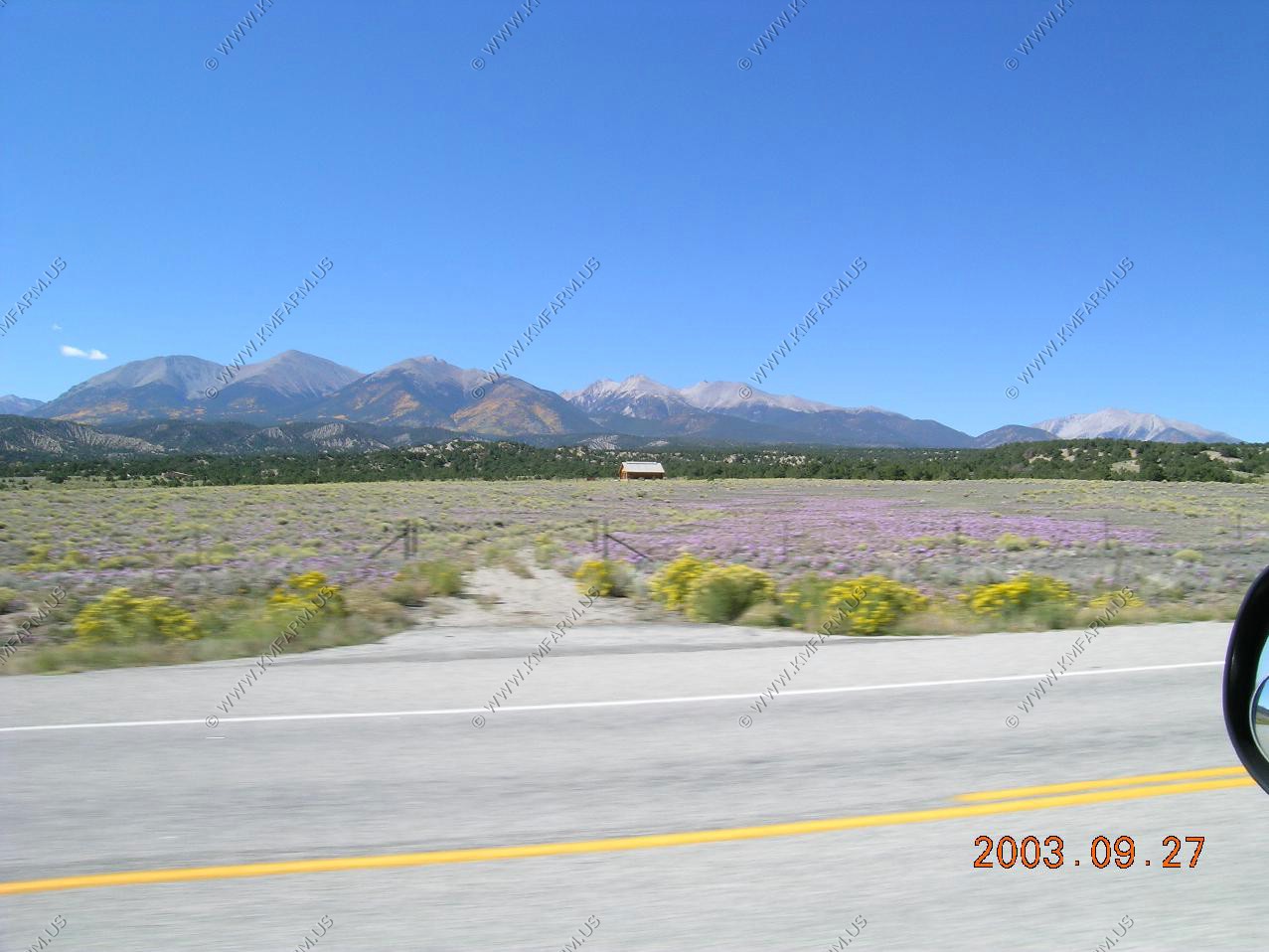
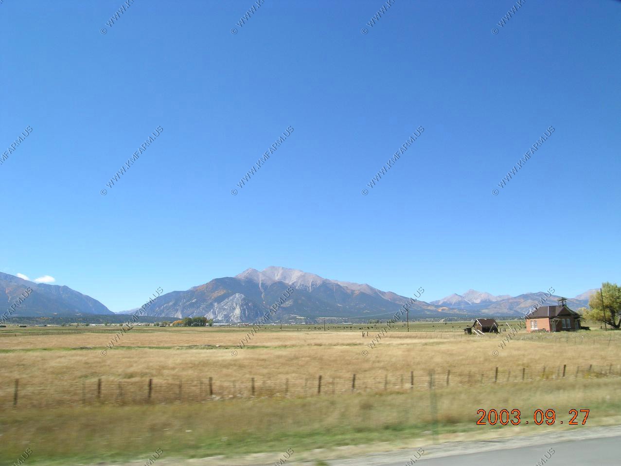
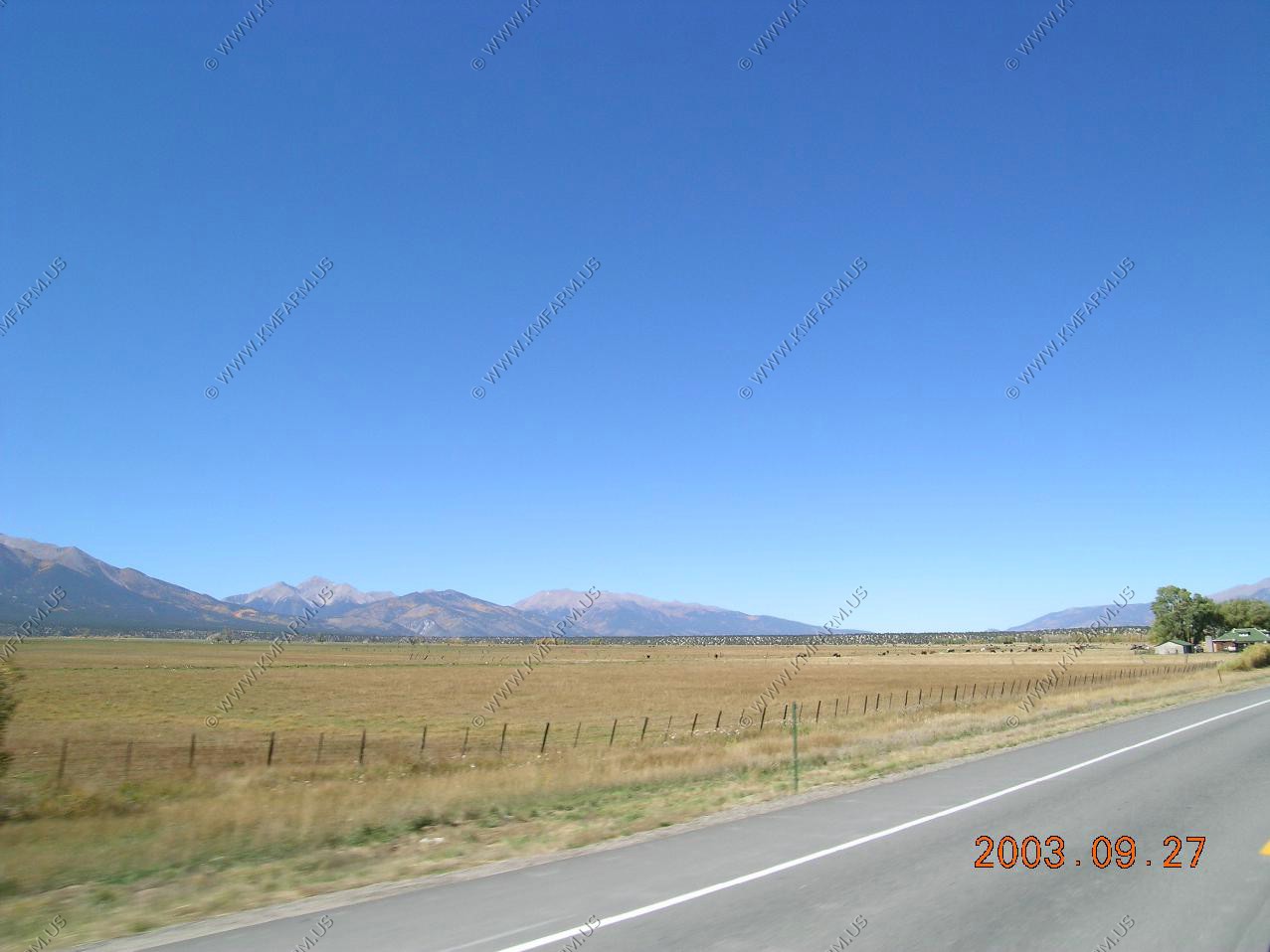
Along US 40 in Colorado
East of Colorado Springs
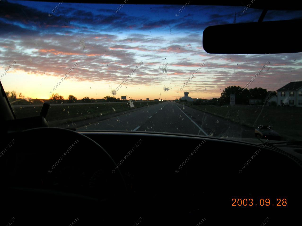
Sunrise east of Hays Kansas
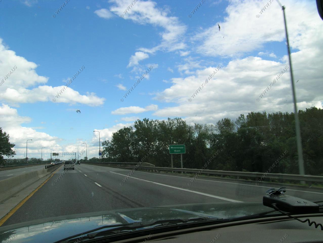
The Mississippi River. Not much good on the other side of the bridge