Last Update: 10-FEB-2021
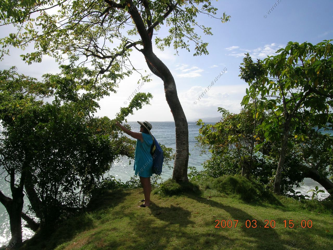
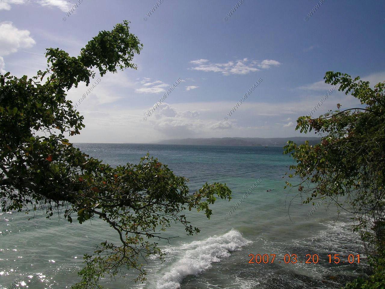
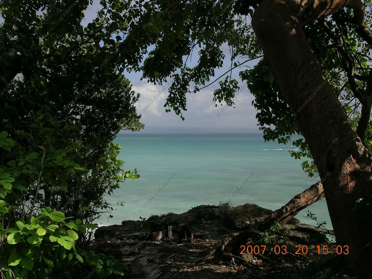
This was our first trip to Antigua, and it left a good impression. We arrived on Sunday so there was very little open. So we planned on a beach day and went with a couple from PA to Long Bay beach--$32 cab ride one way split among us 4. The beach was nice enough but the snorkeling was fair--the beach had smothered the coral. Ken had some trouble with the locals taking over our patch of sand and shade, even though we were there first! I walked to a high point to a lookout and saw a mongoose and beautiful scenery, but Ken and I were stopped by a security guard when we went back to get photos.
Antigua, the largest of the English-speaking Leeward Islands, is about 14 miles long and 11 miles wide, encompassing 108 square miles. Its highest point is Boggy Peak (1319 ft.), located in the southwestern corner of the island. Barbuda, a flat coral island with an area of only 68 square miles, lies approximately 30 miles due north.
Next time we will have to visit: English Harbour, Antigua's graceful and evocative historic district. It is focused on the fifteen square miles of Nelson's Dockyard National Park. Developed as a base for the British Navy in the great age of sail, the harbour served as the headquarters of the fleet of the Leeward Islands during the turbulent years of the late 18th century.
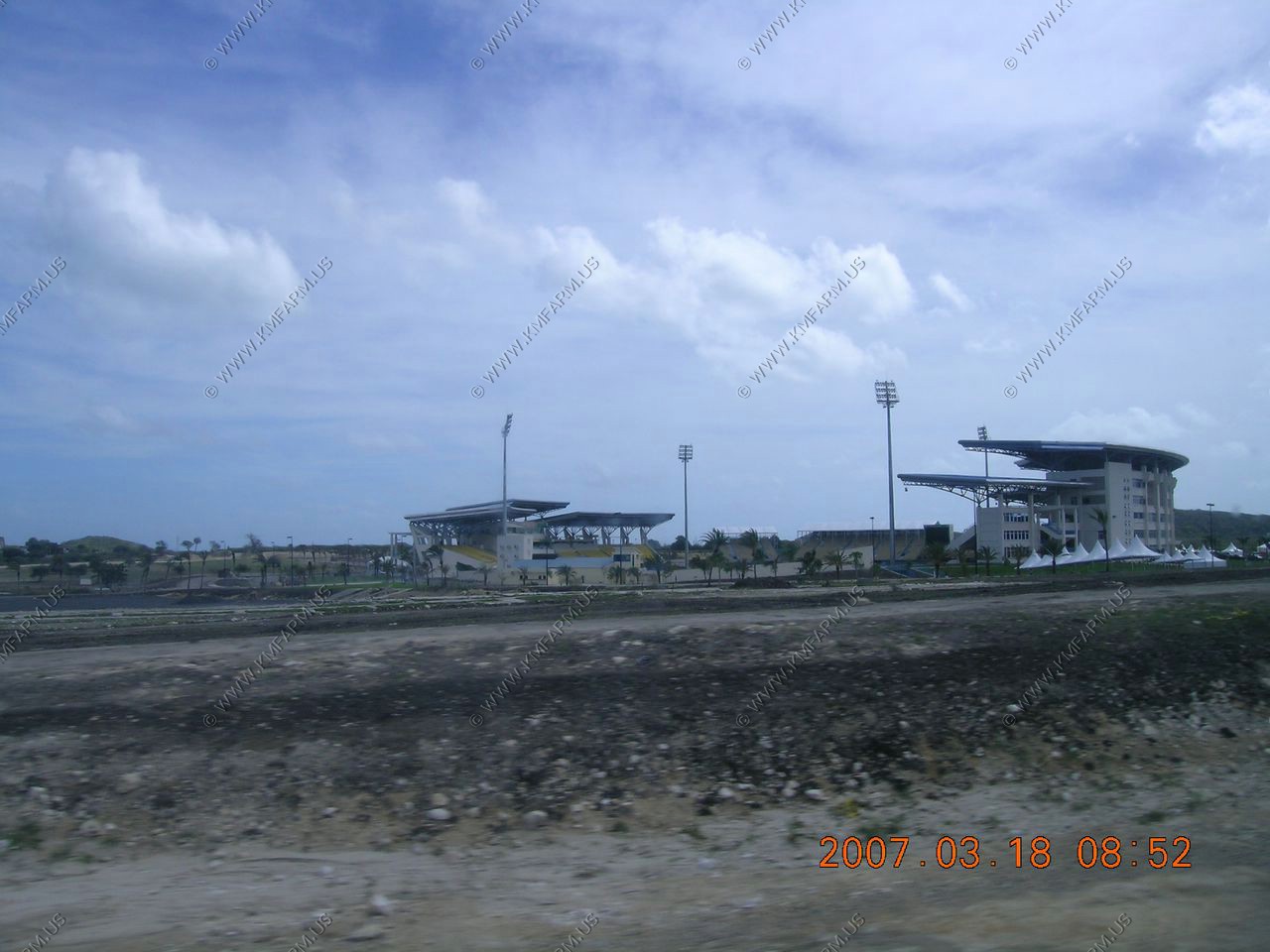
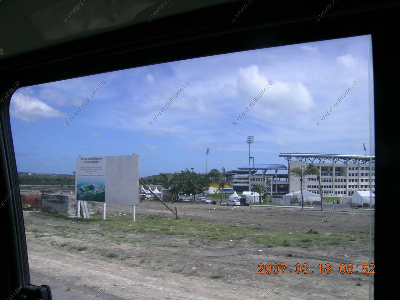
The brand new stadium being built by China... Oh no not another Island !! Wake up America !!
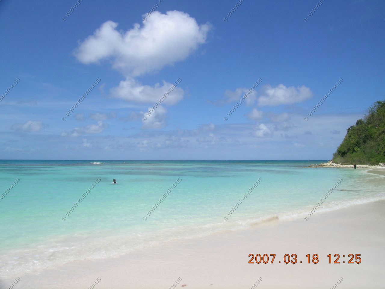
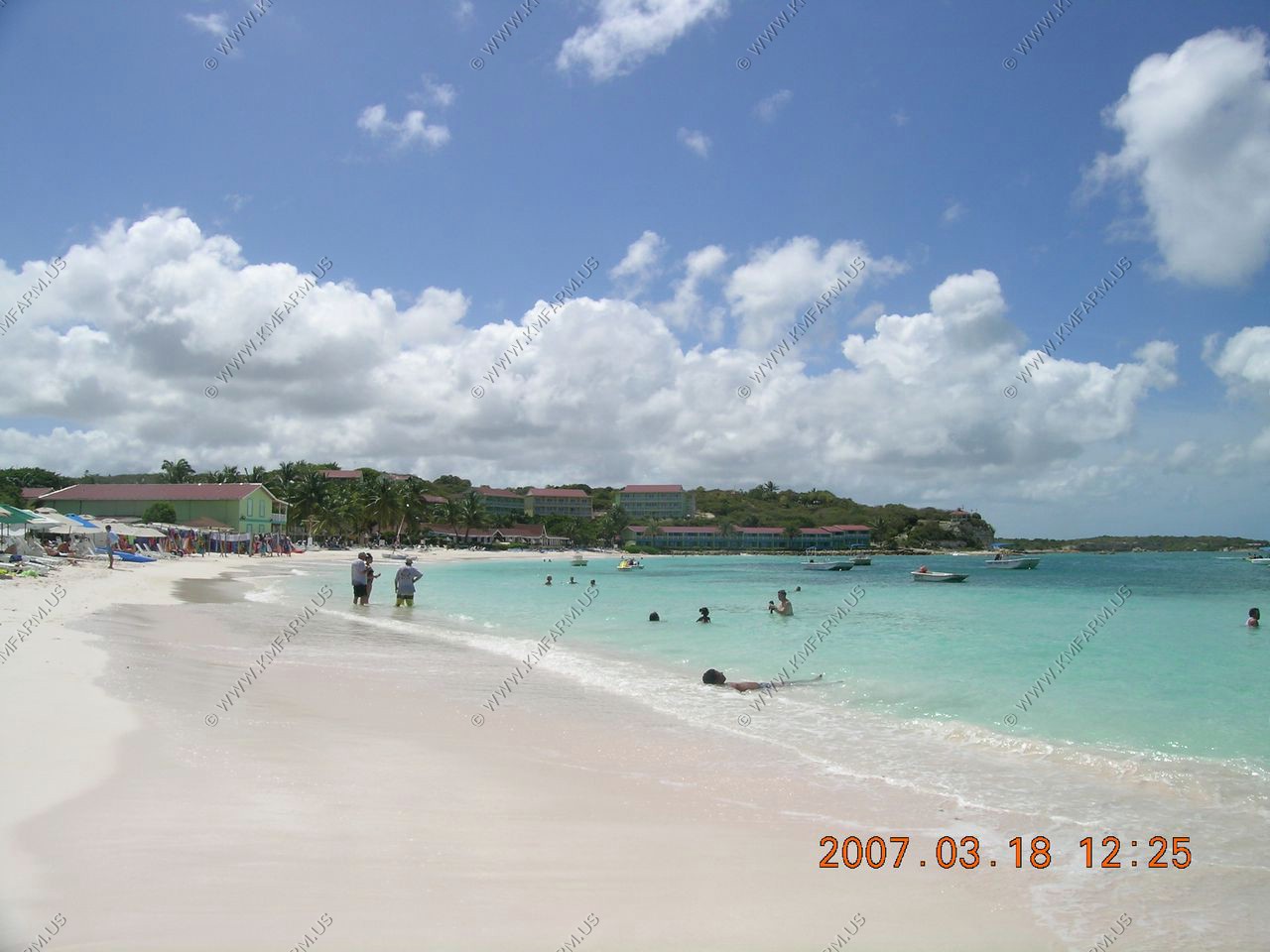
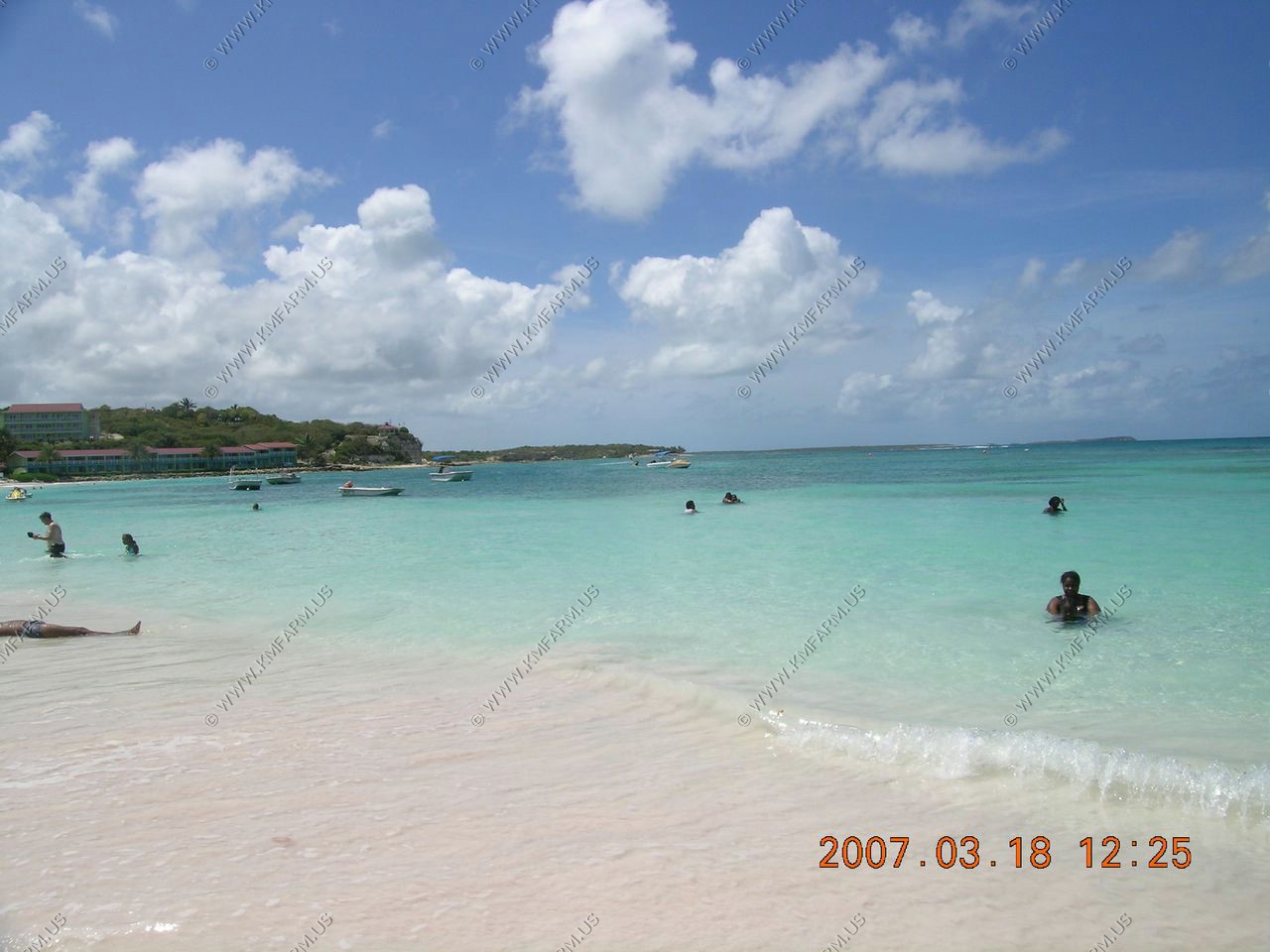
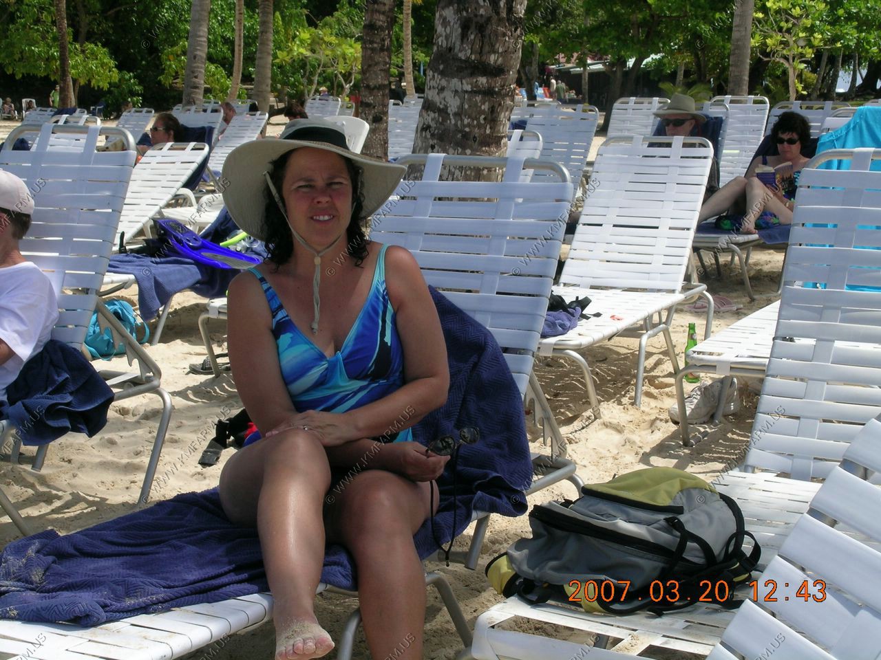
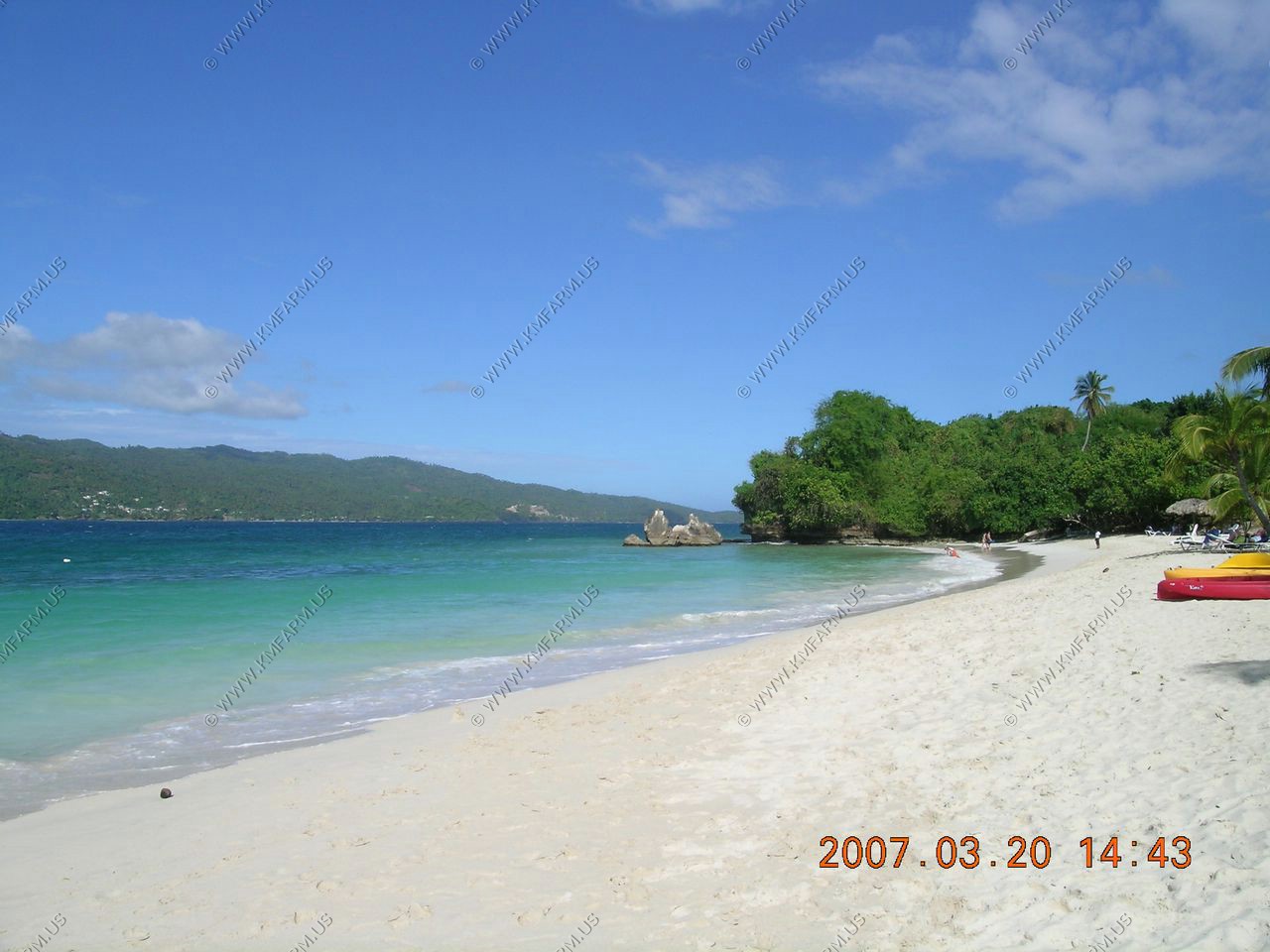
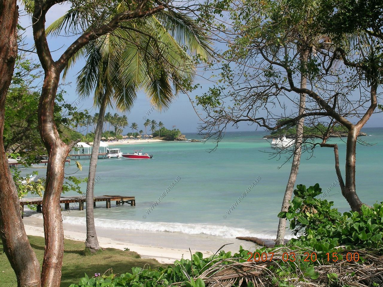
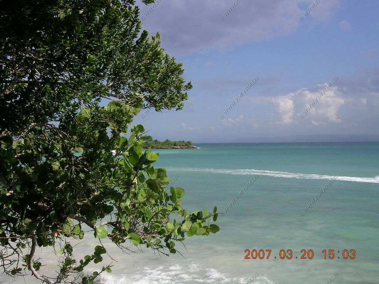
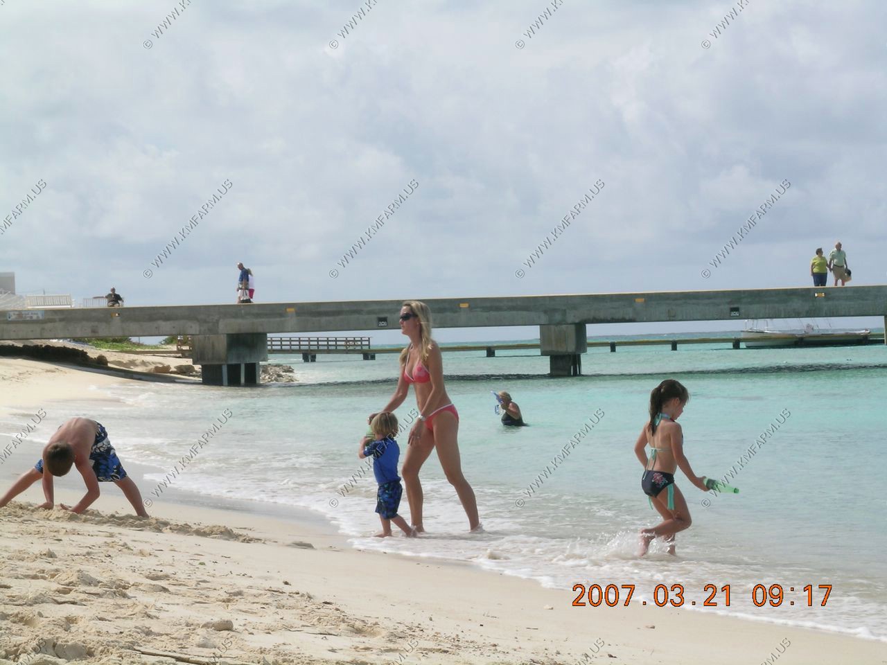
Long Bay Beach
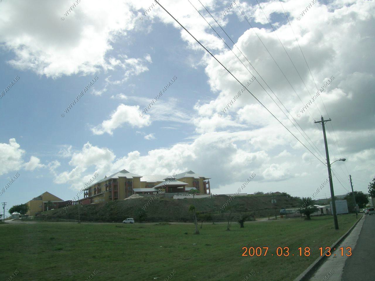
A new hospitol being built by guess who ?? CHINA !!
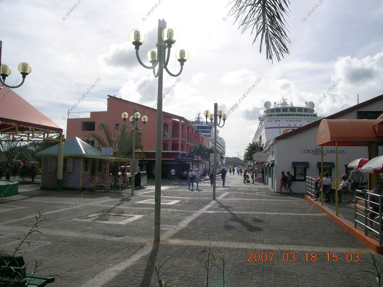
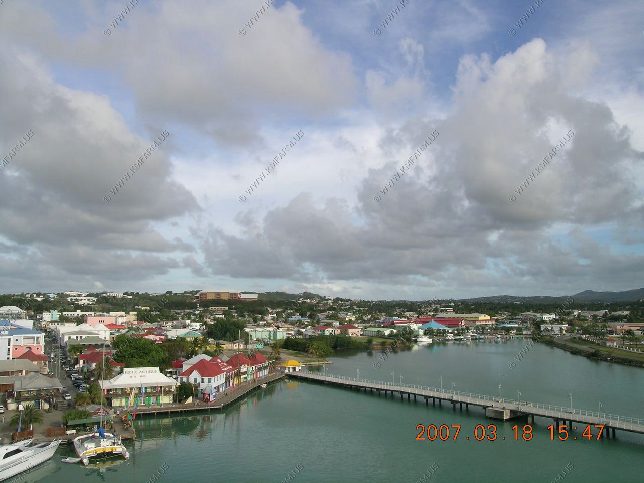
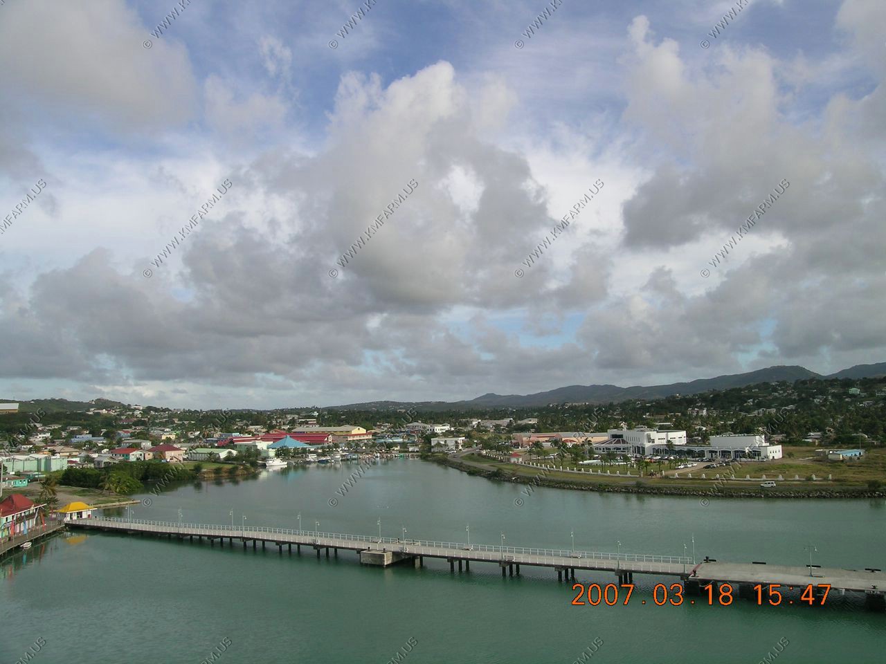
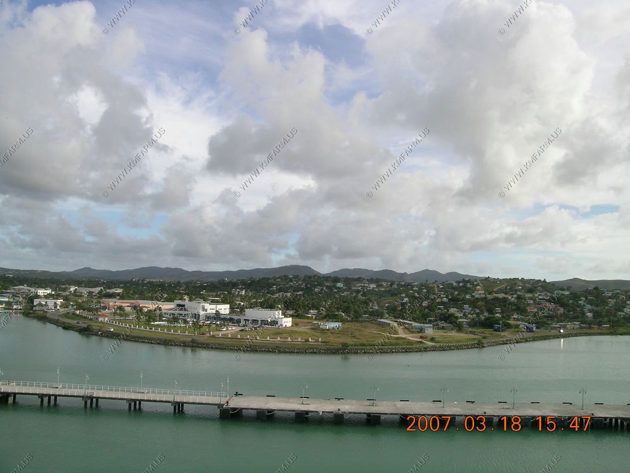
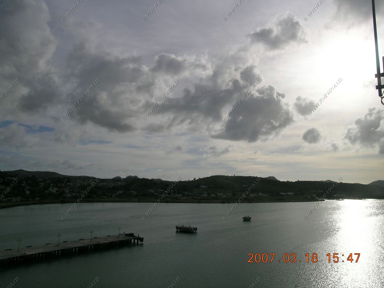
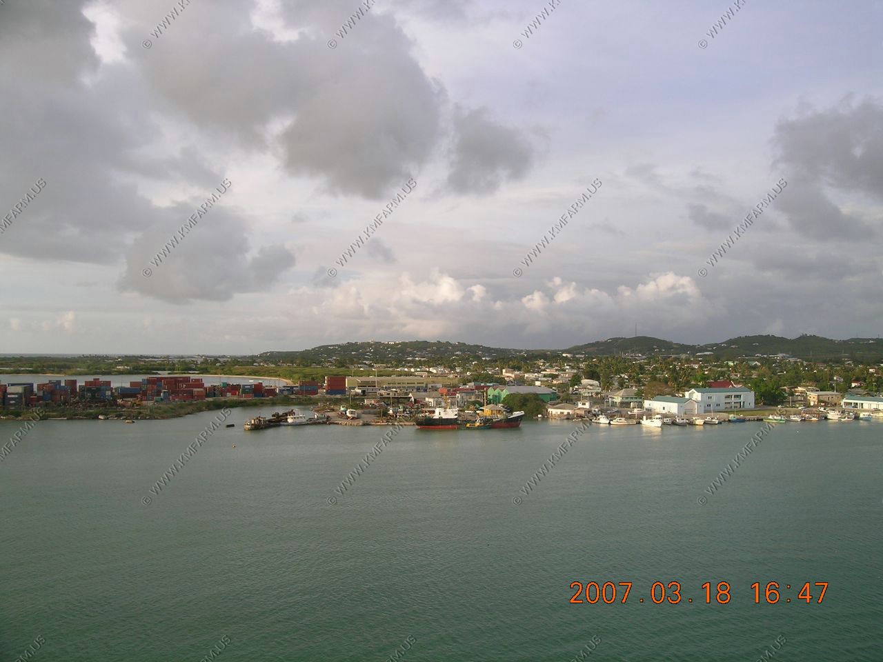
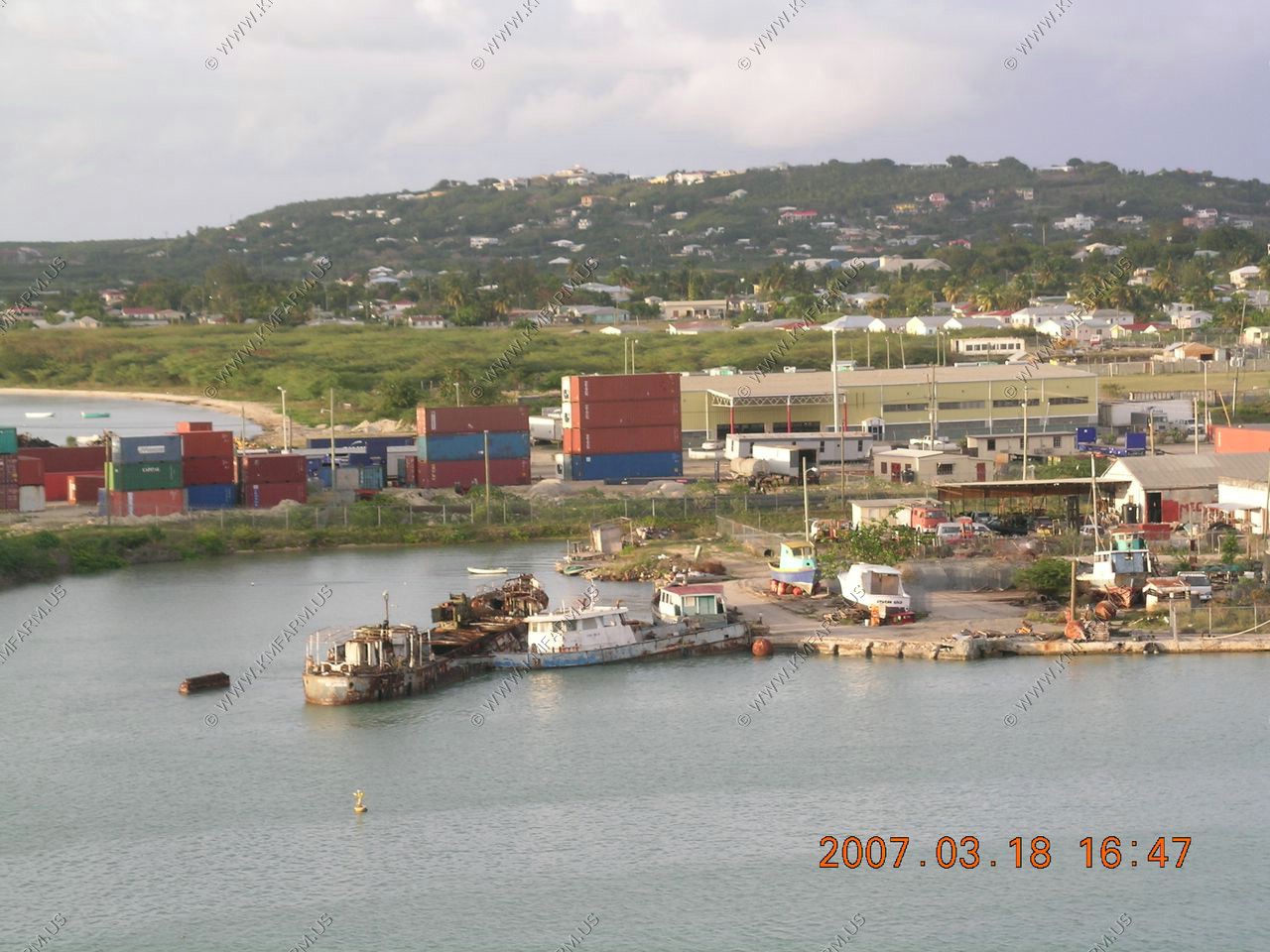
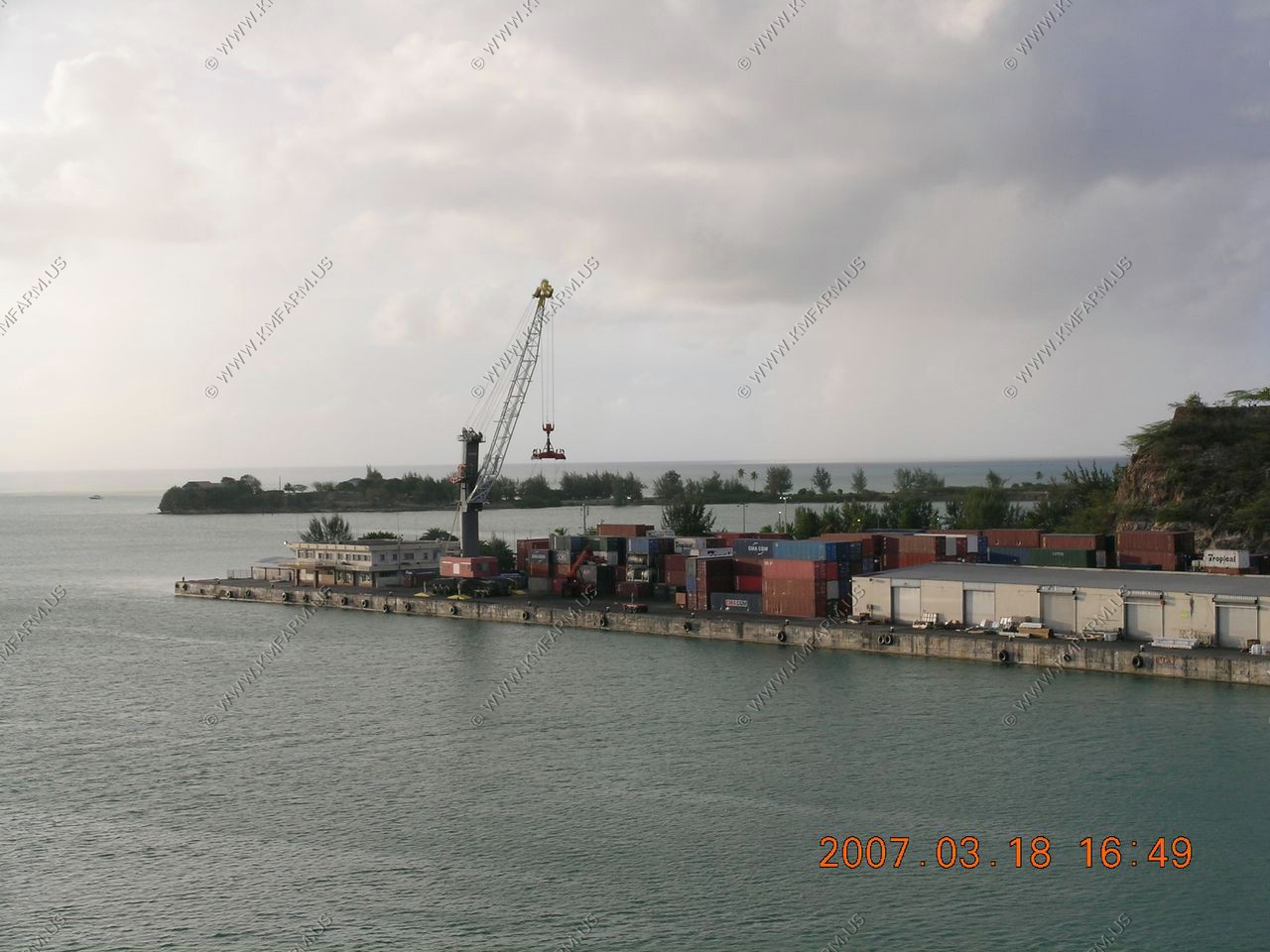
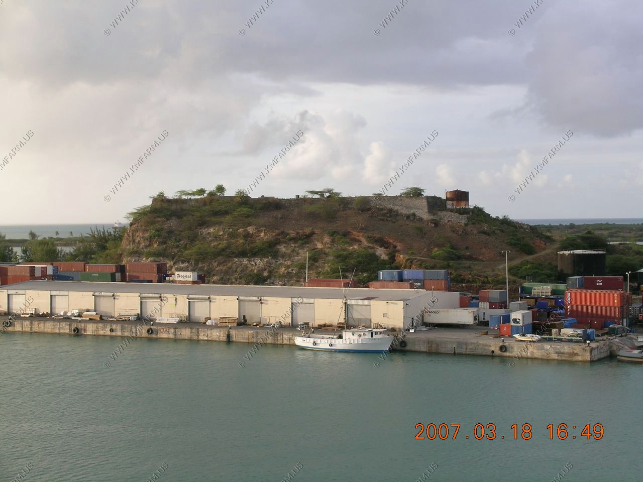
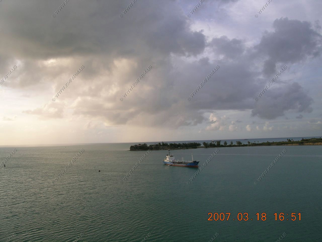
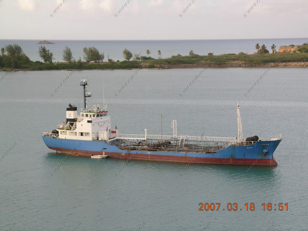
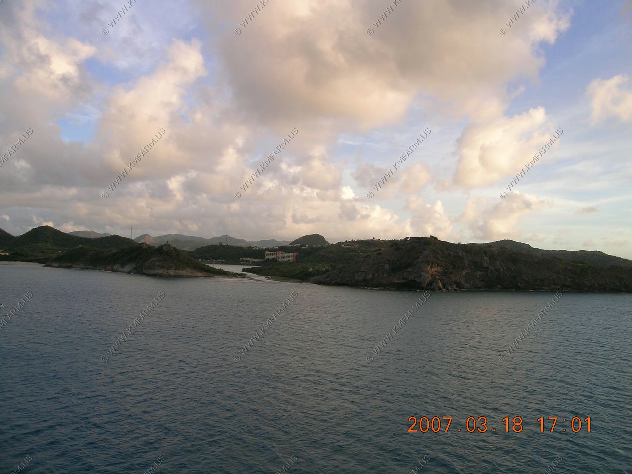
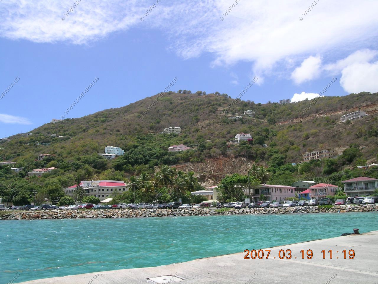
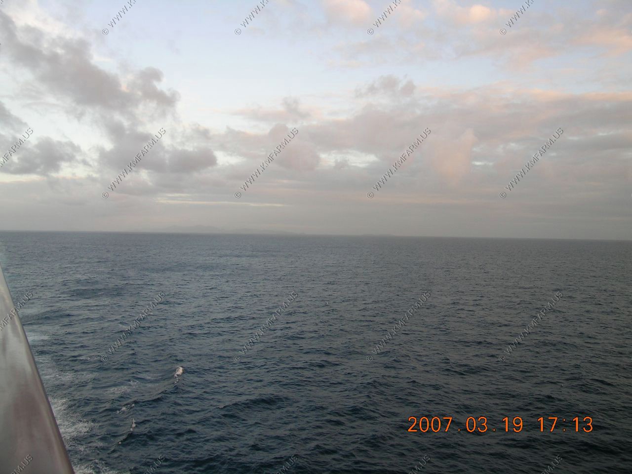
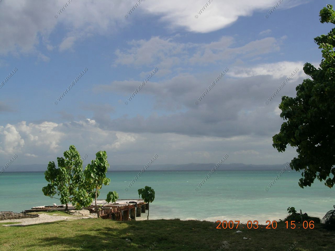
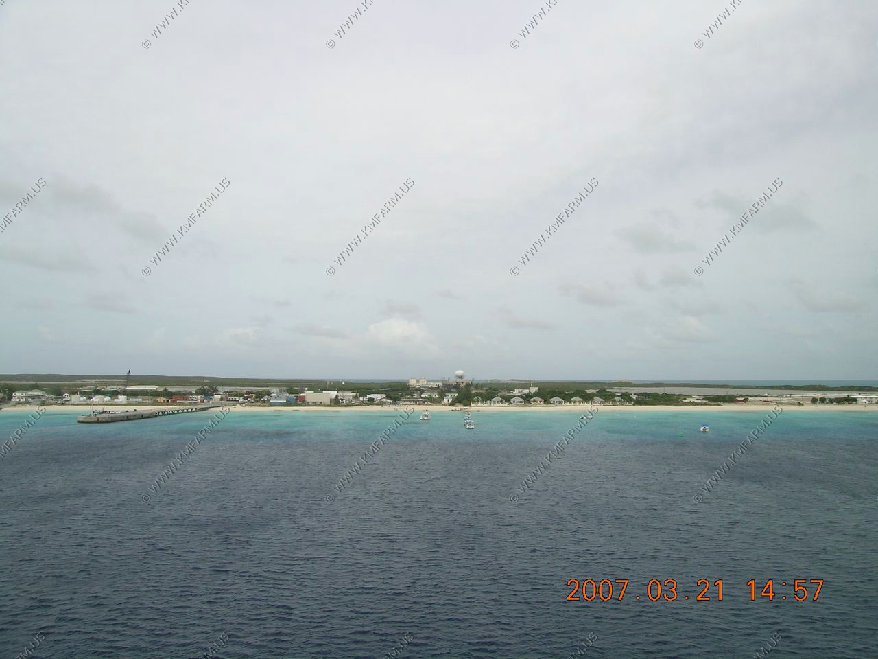
The downtown on a Sunday and the port facility
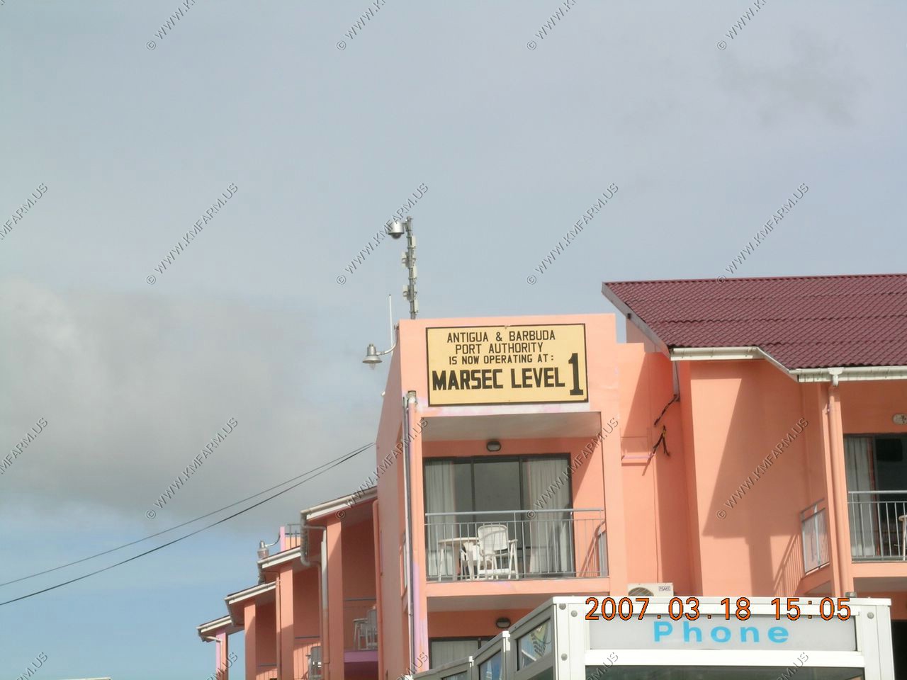
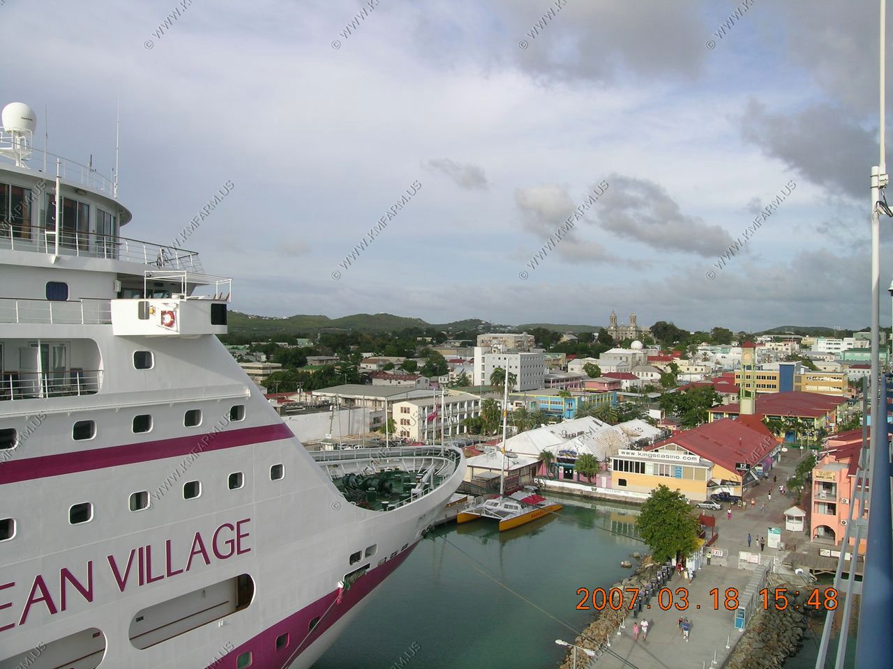
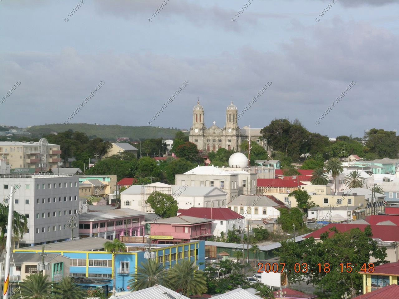
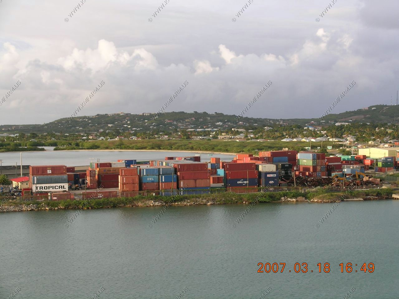
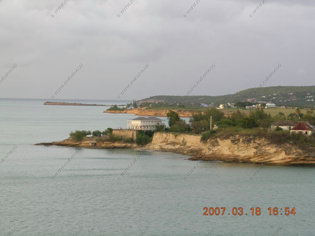
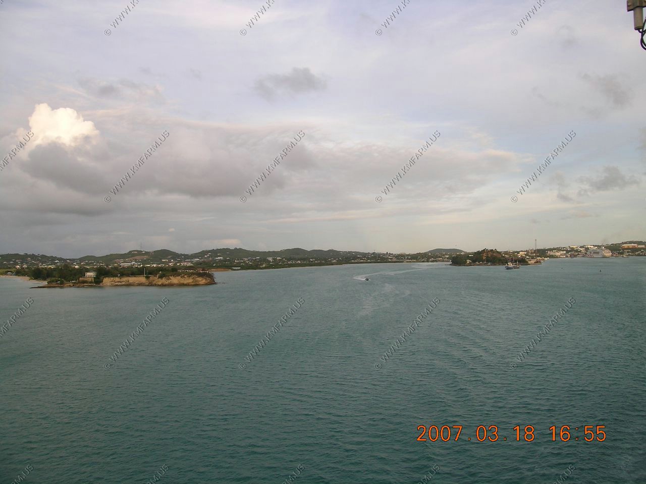
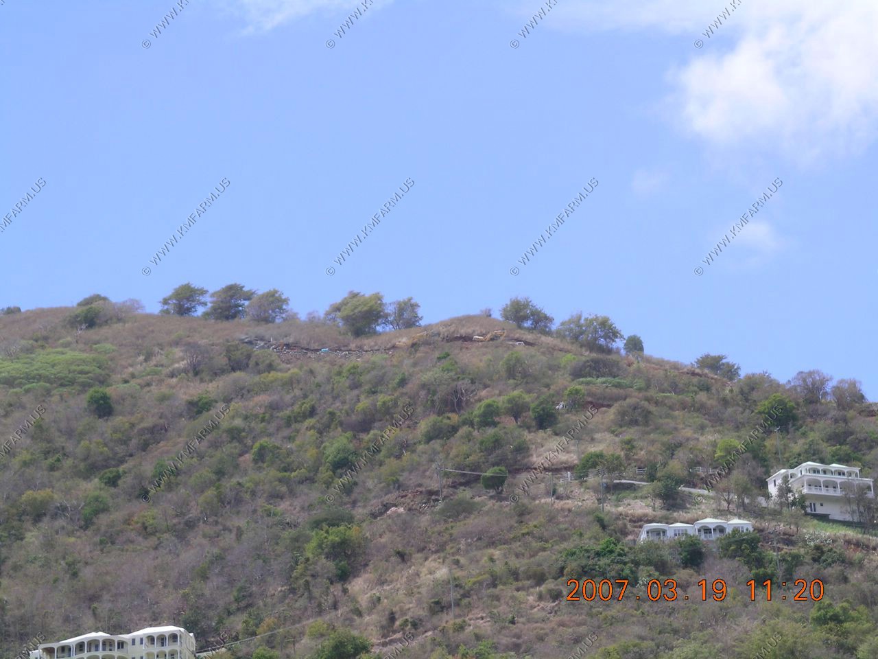
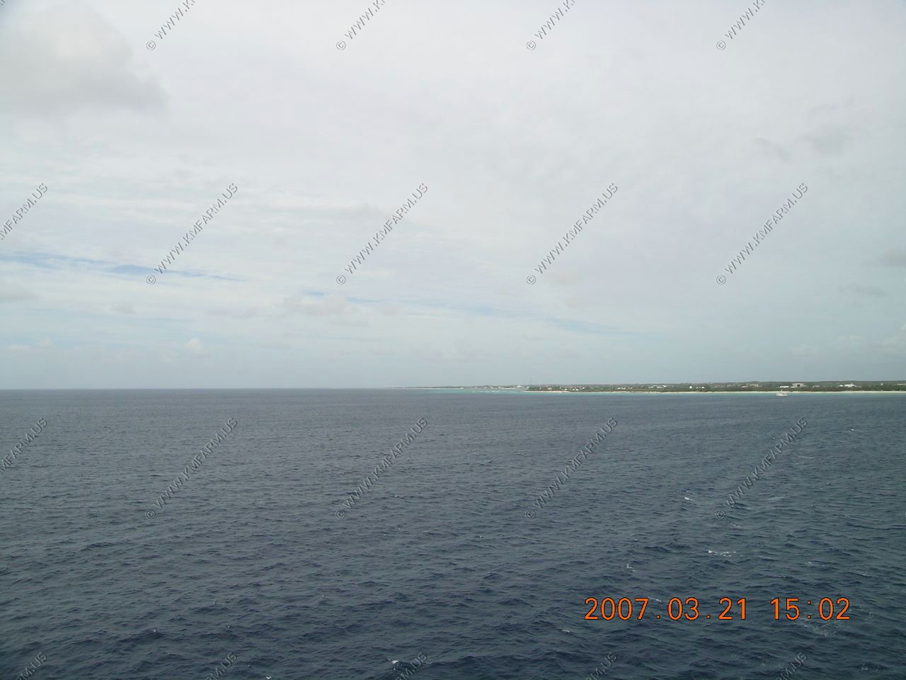
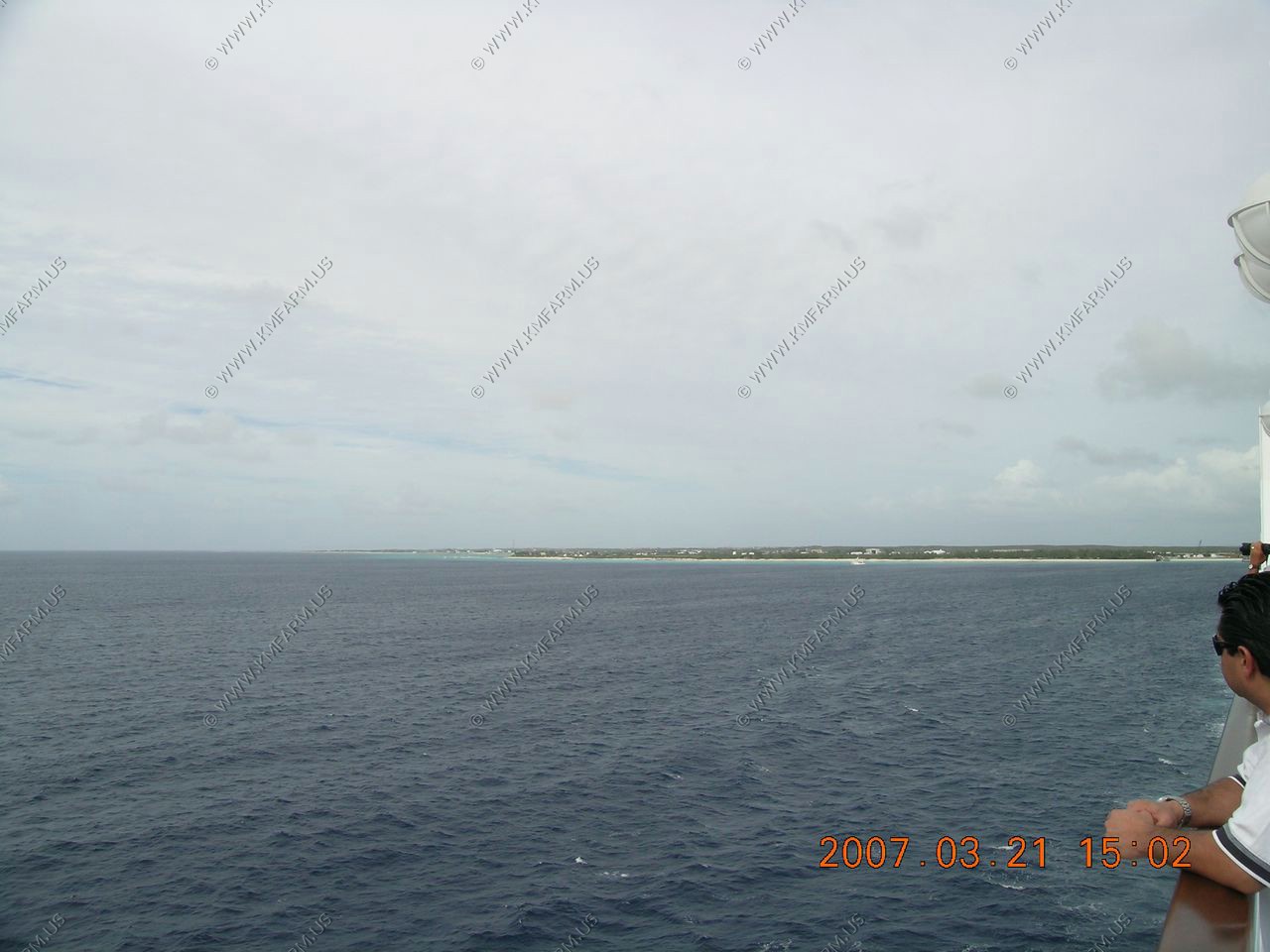
Looking around St. John's Antigua from the ship
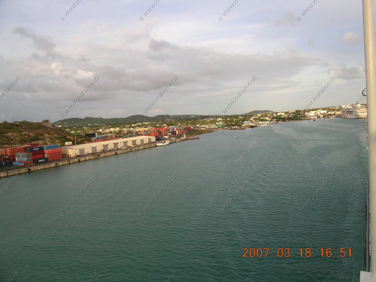
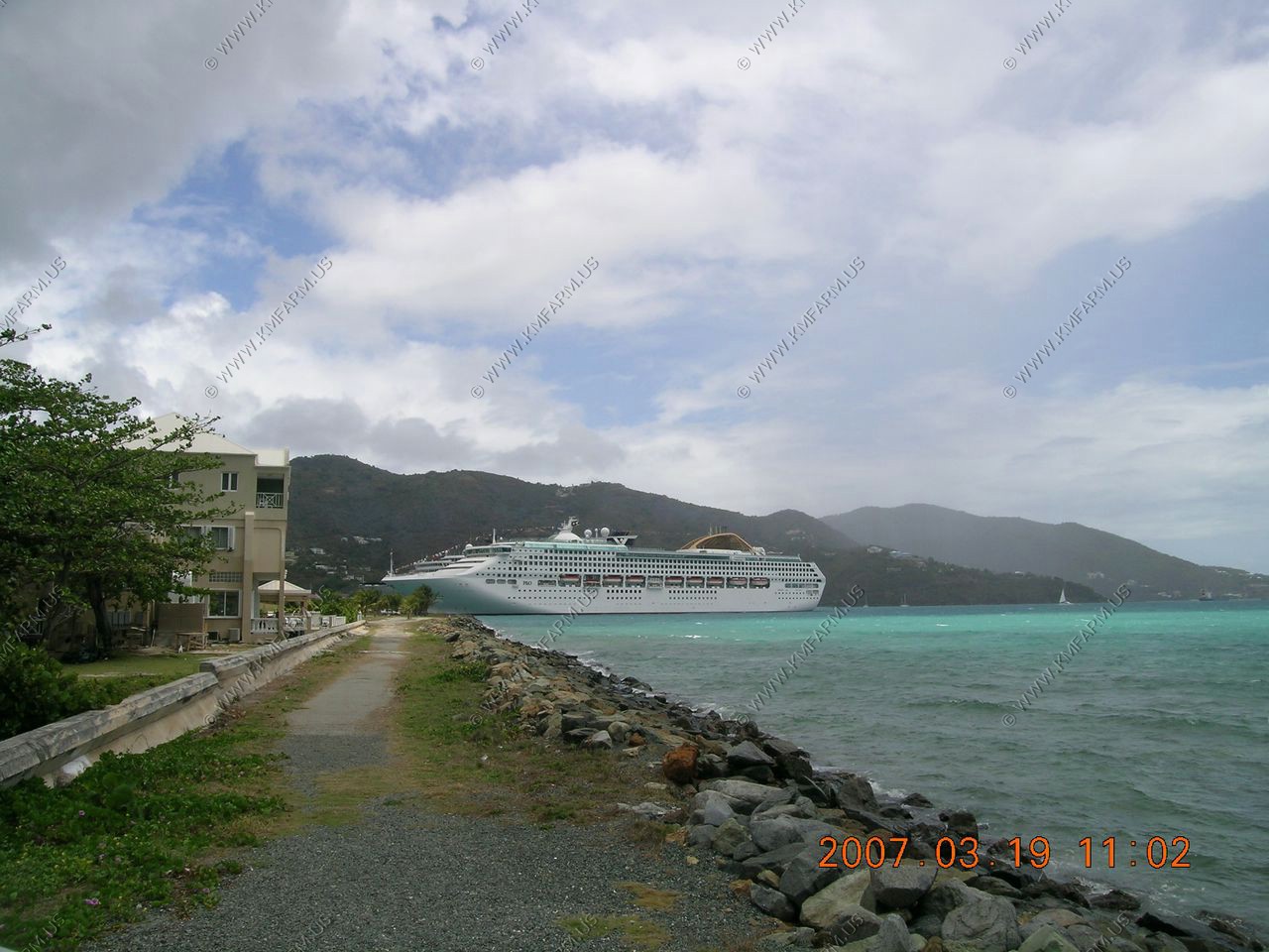
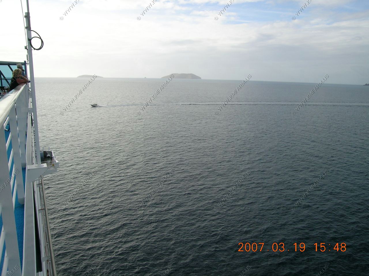
On our way to Tortola, British V.I.
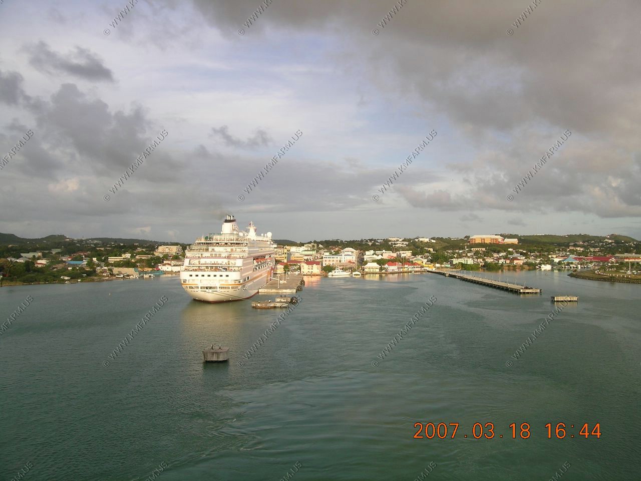
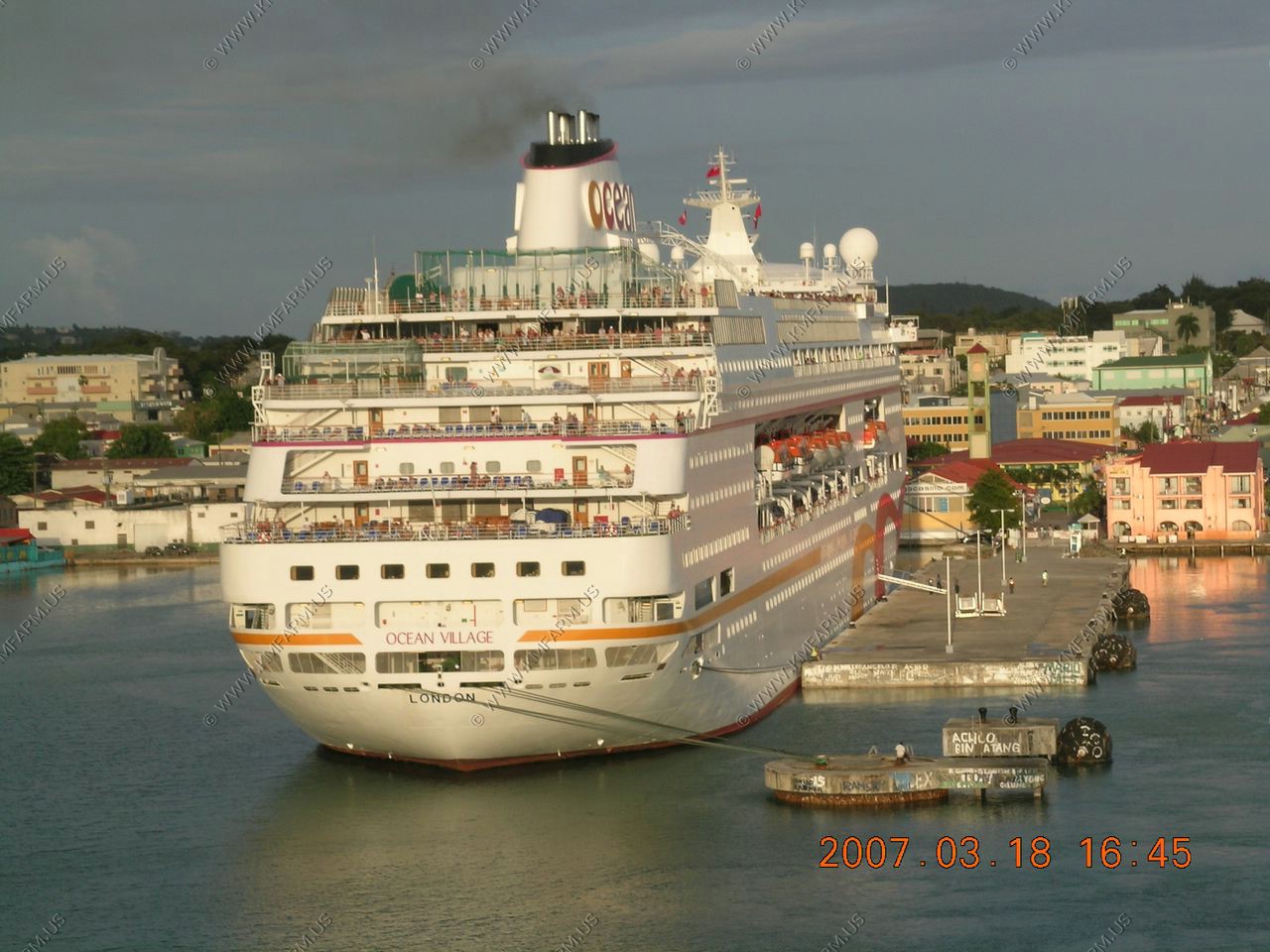
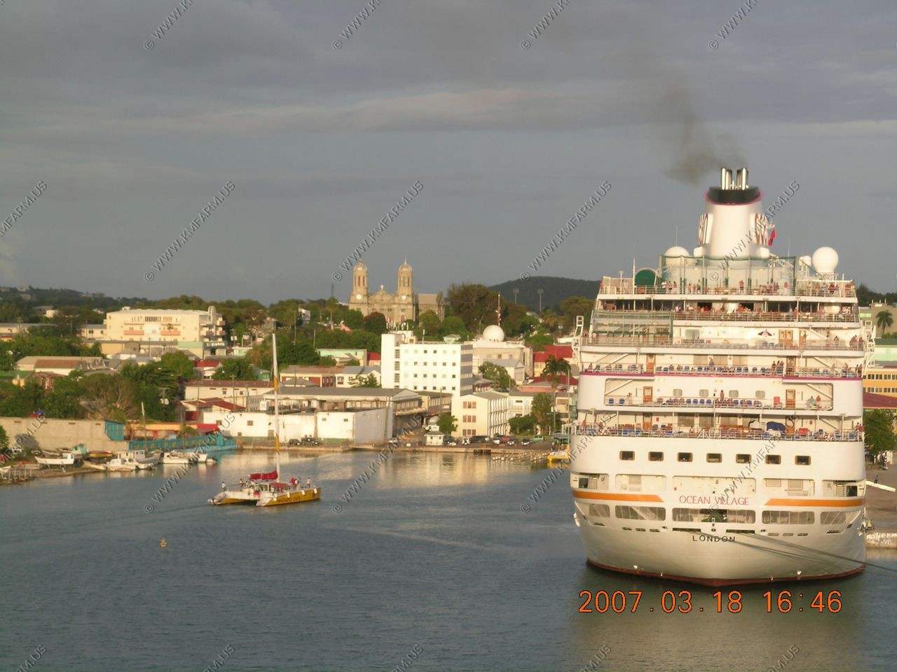
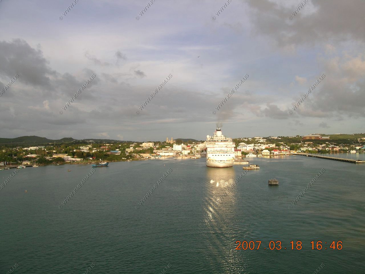
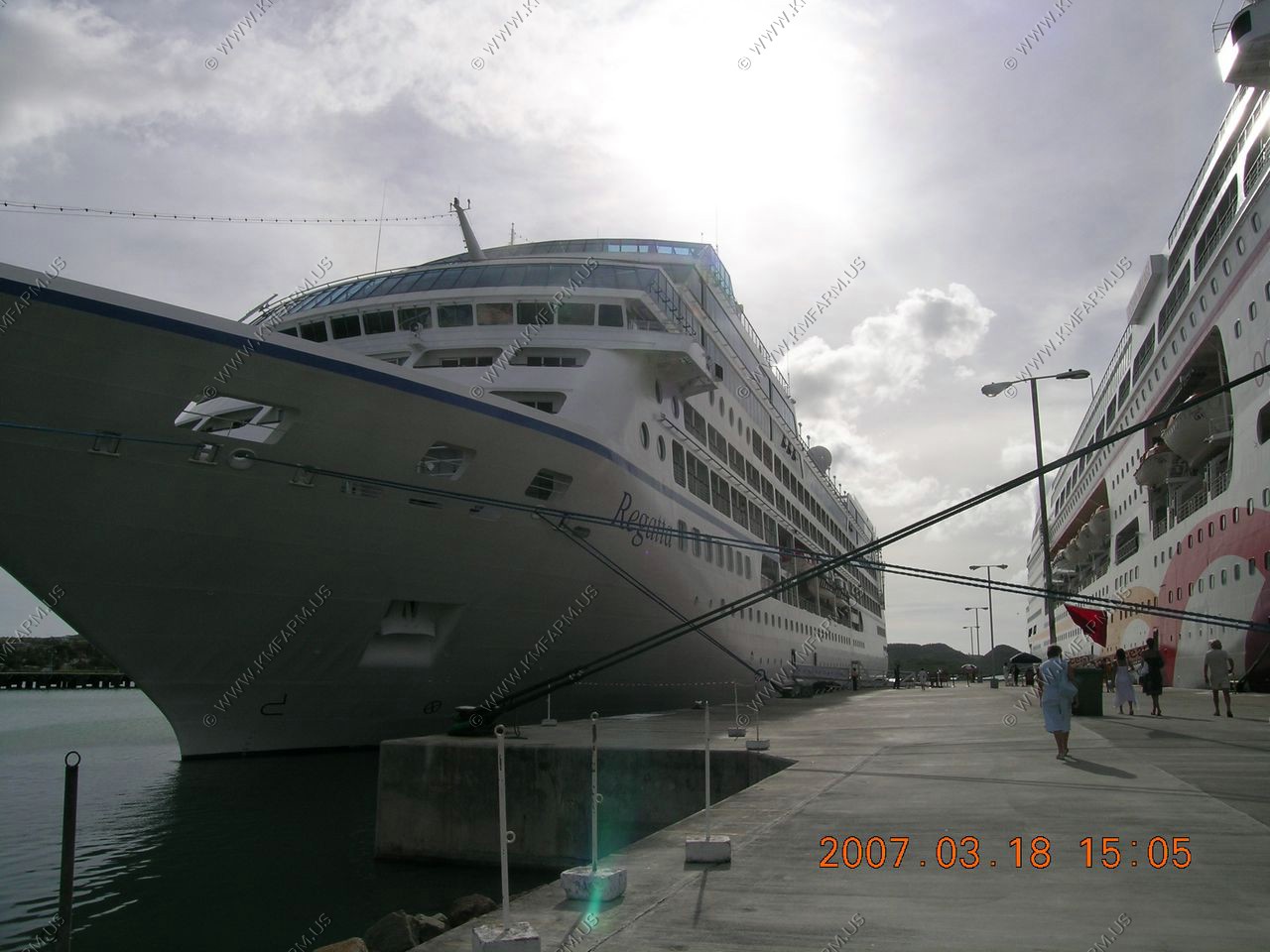
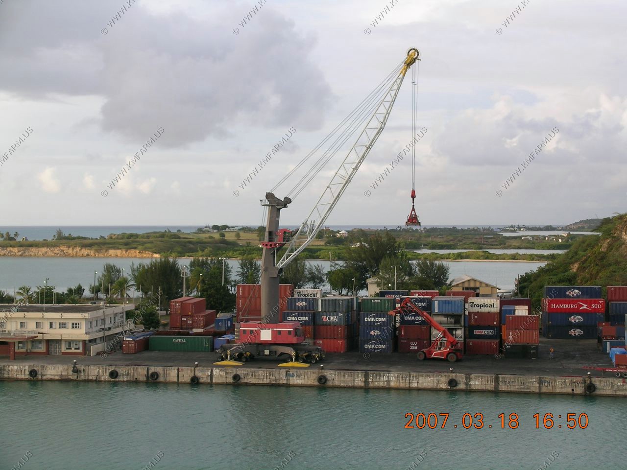
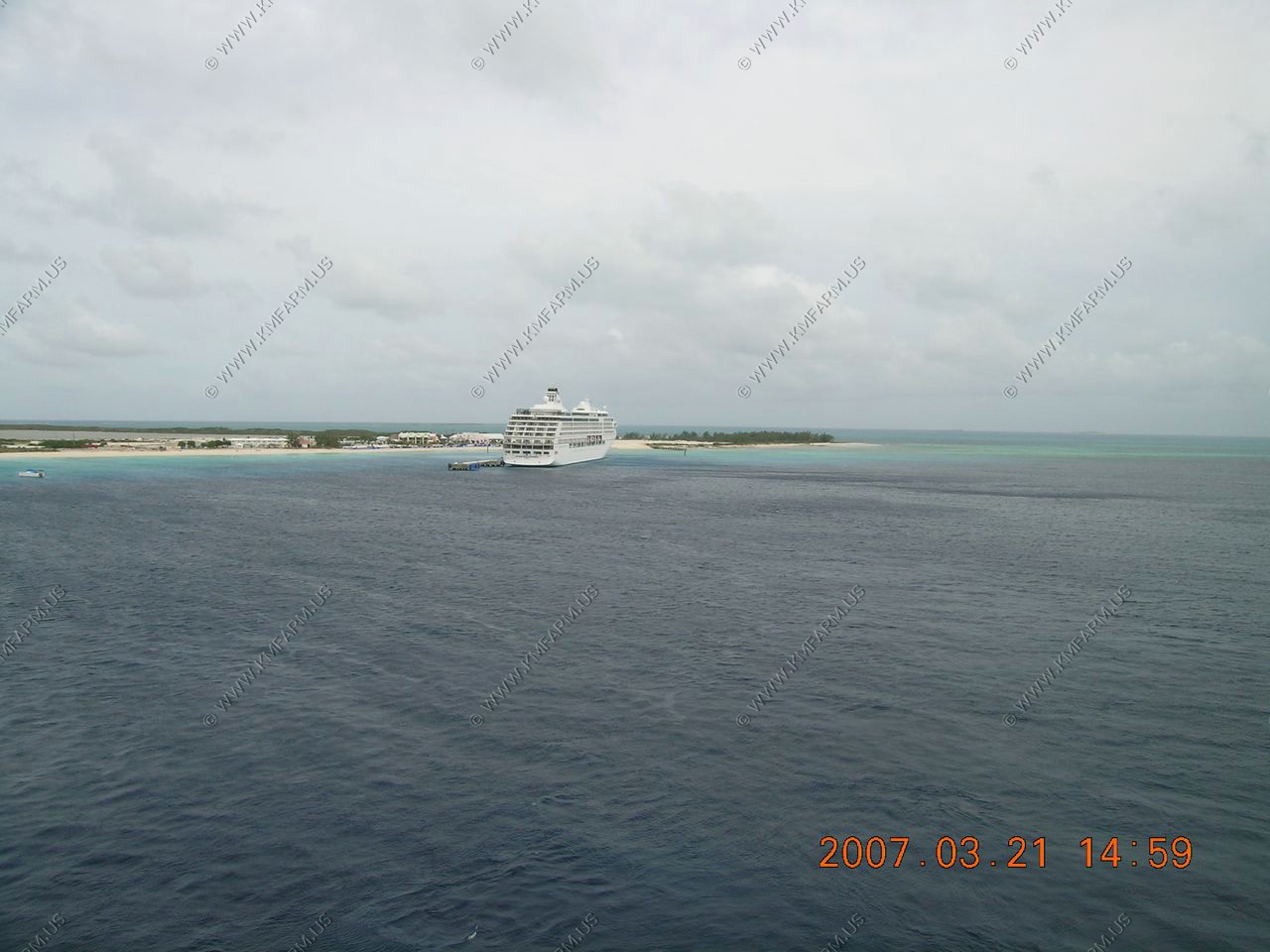
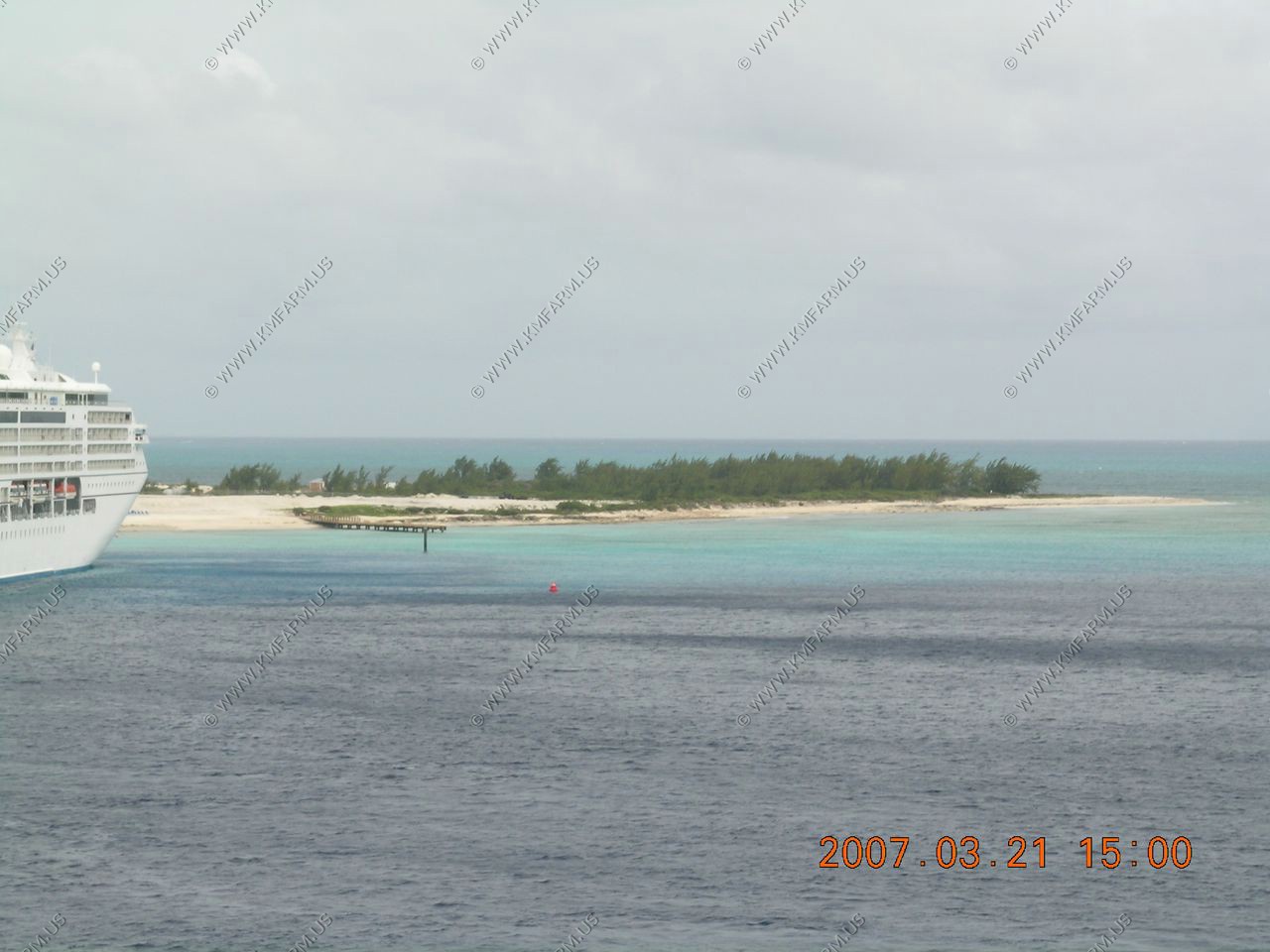
St. Johns, Antigua port facilities
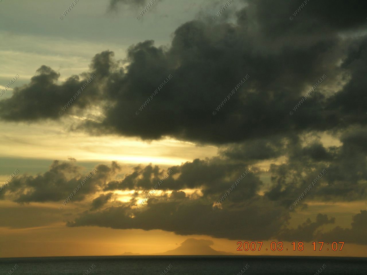
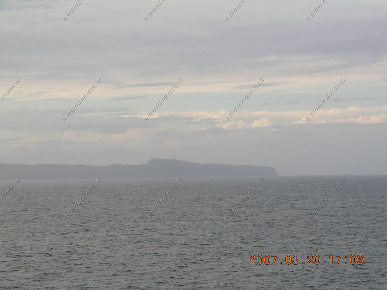
Looking at Montserrat appx. 25 miles away where all of the volcanic problems are happening on the southern end of the island
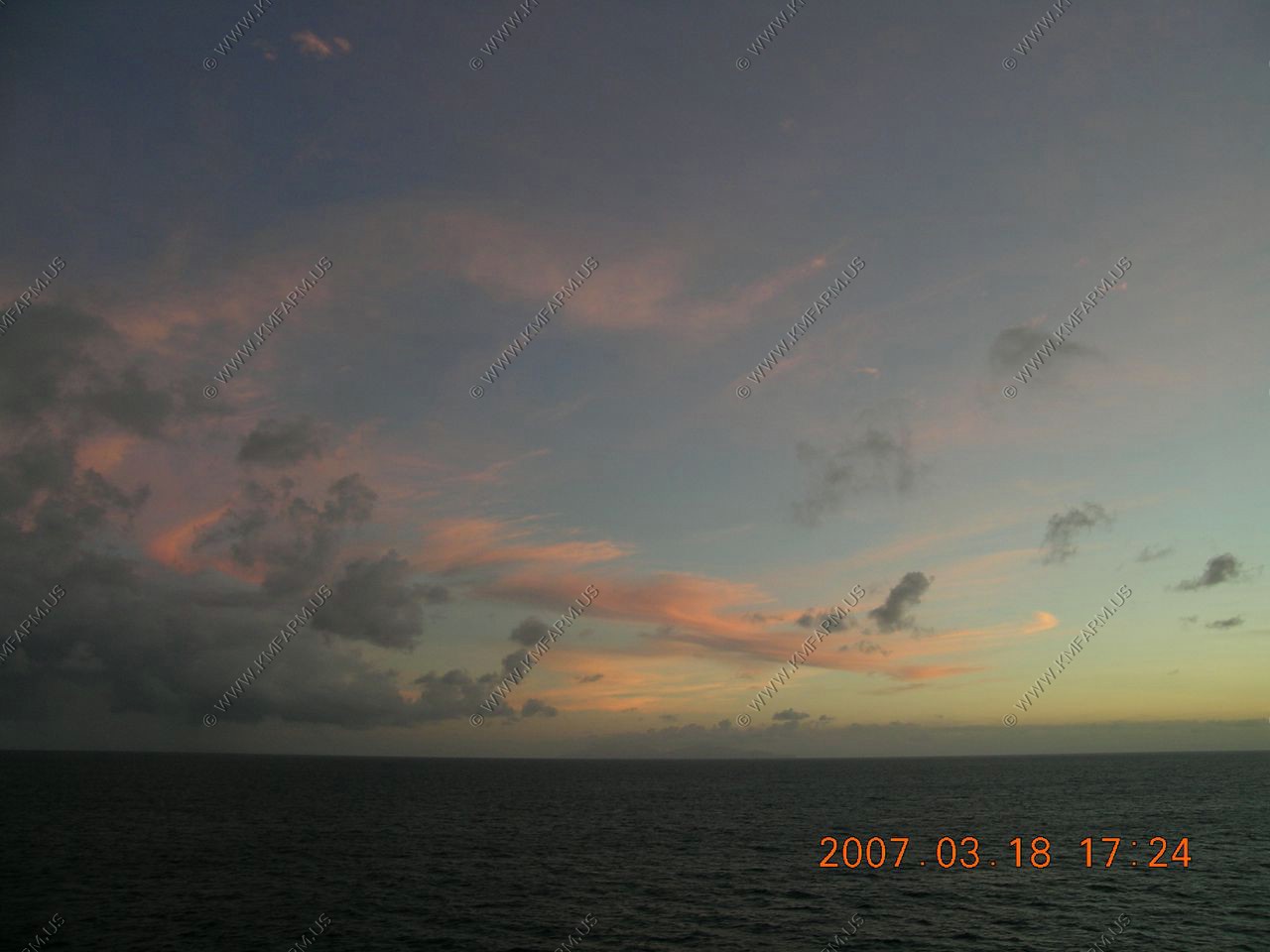
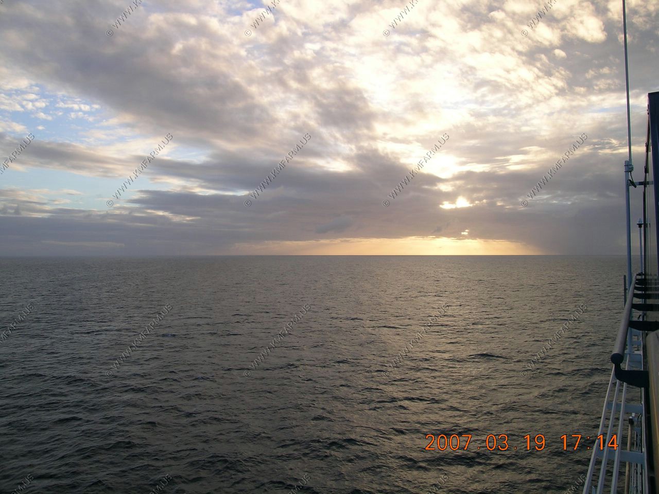
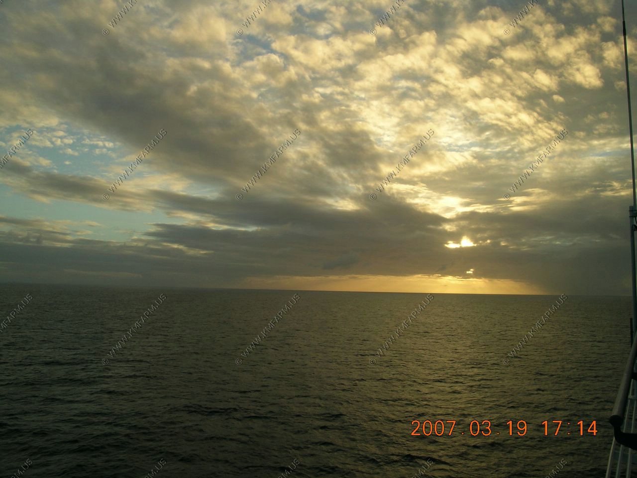
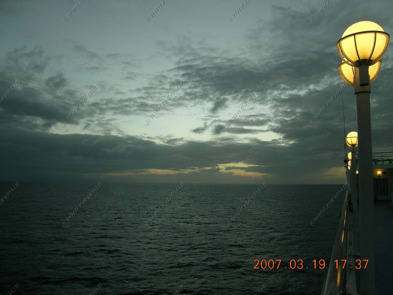
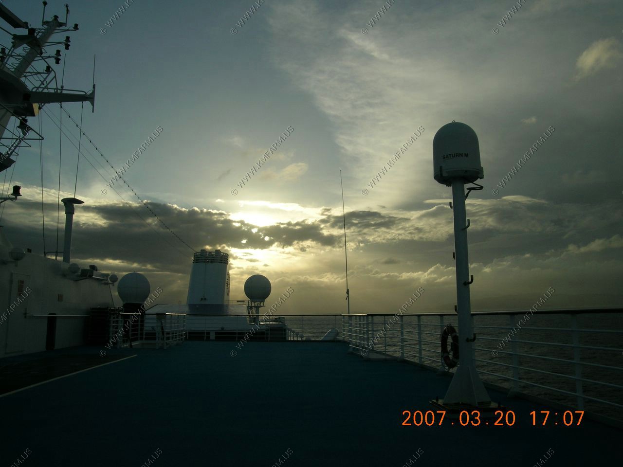
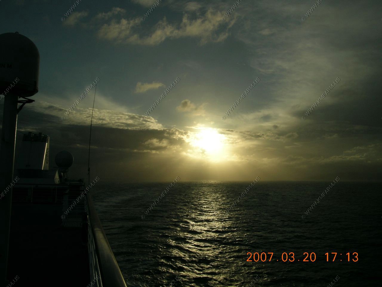
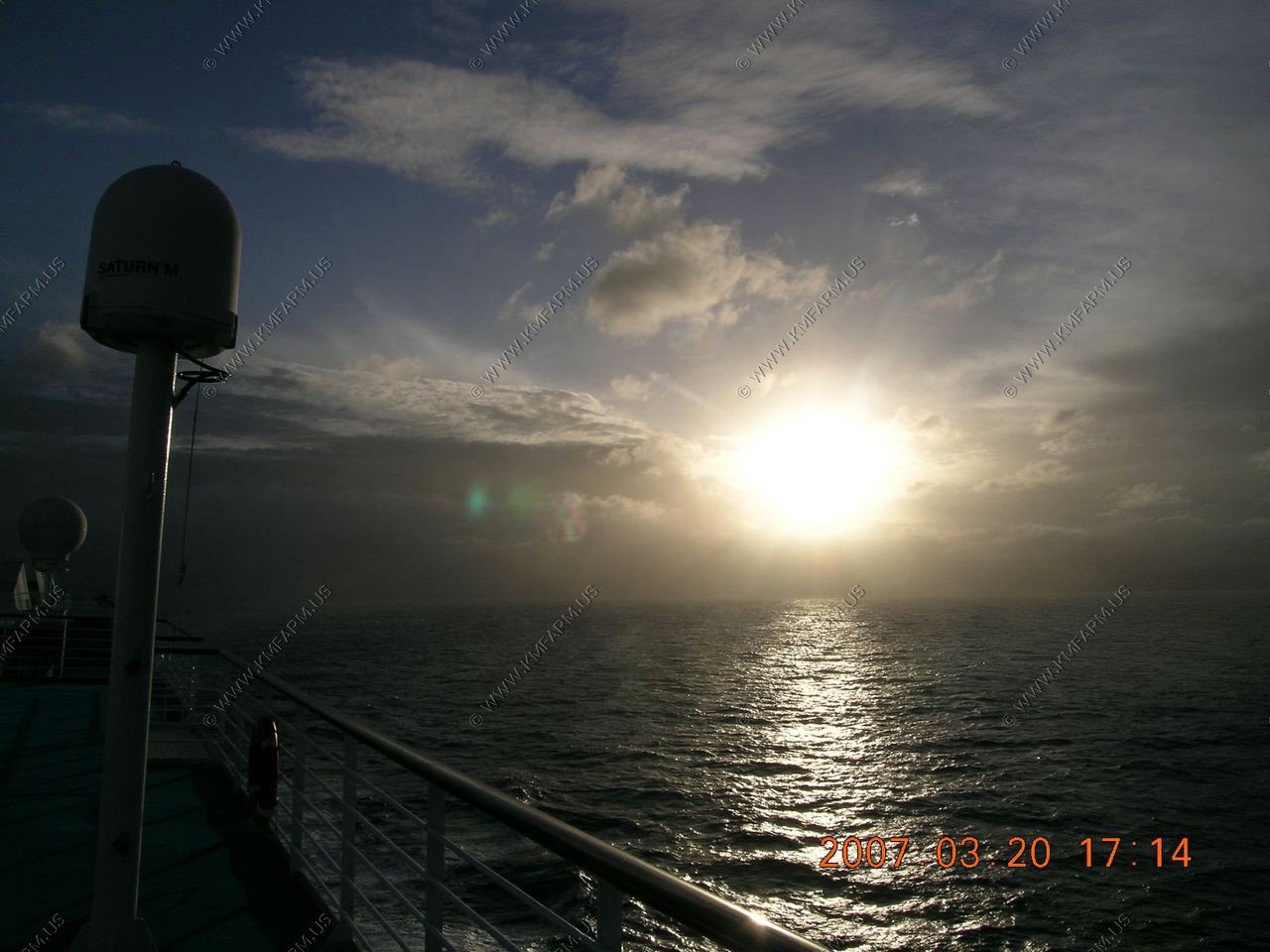
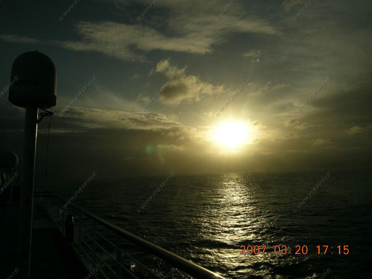
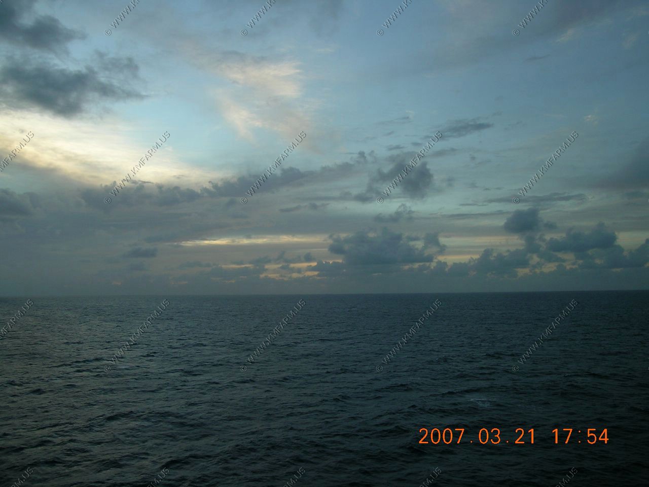
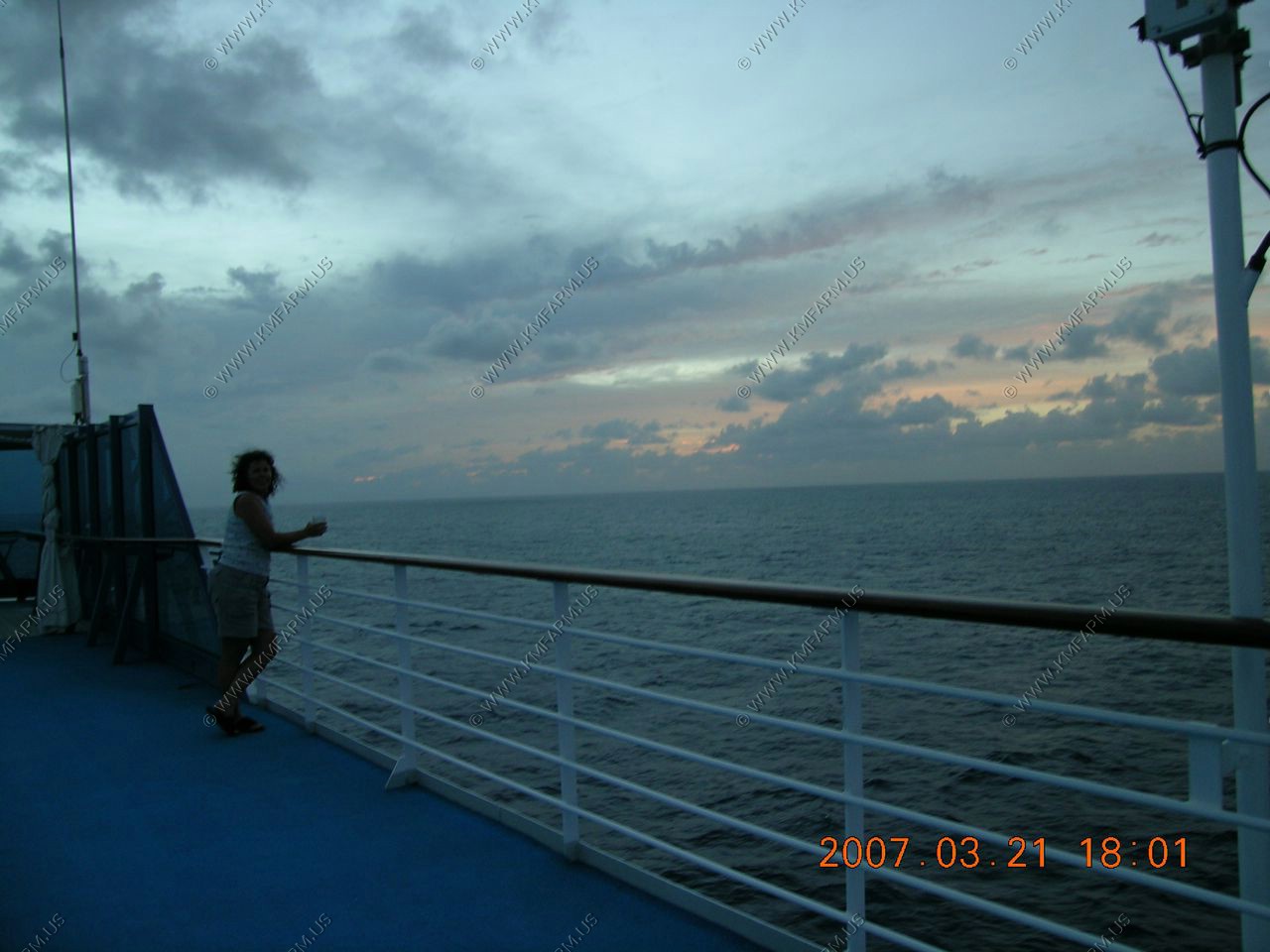
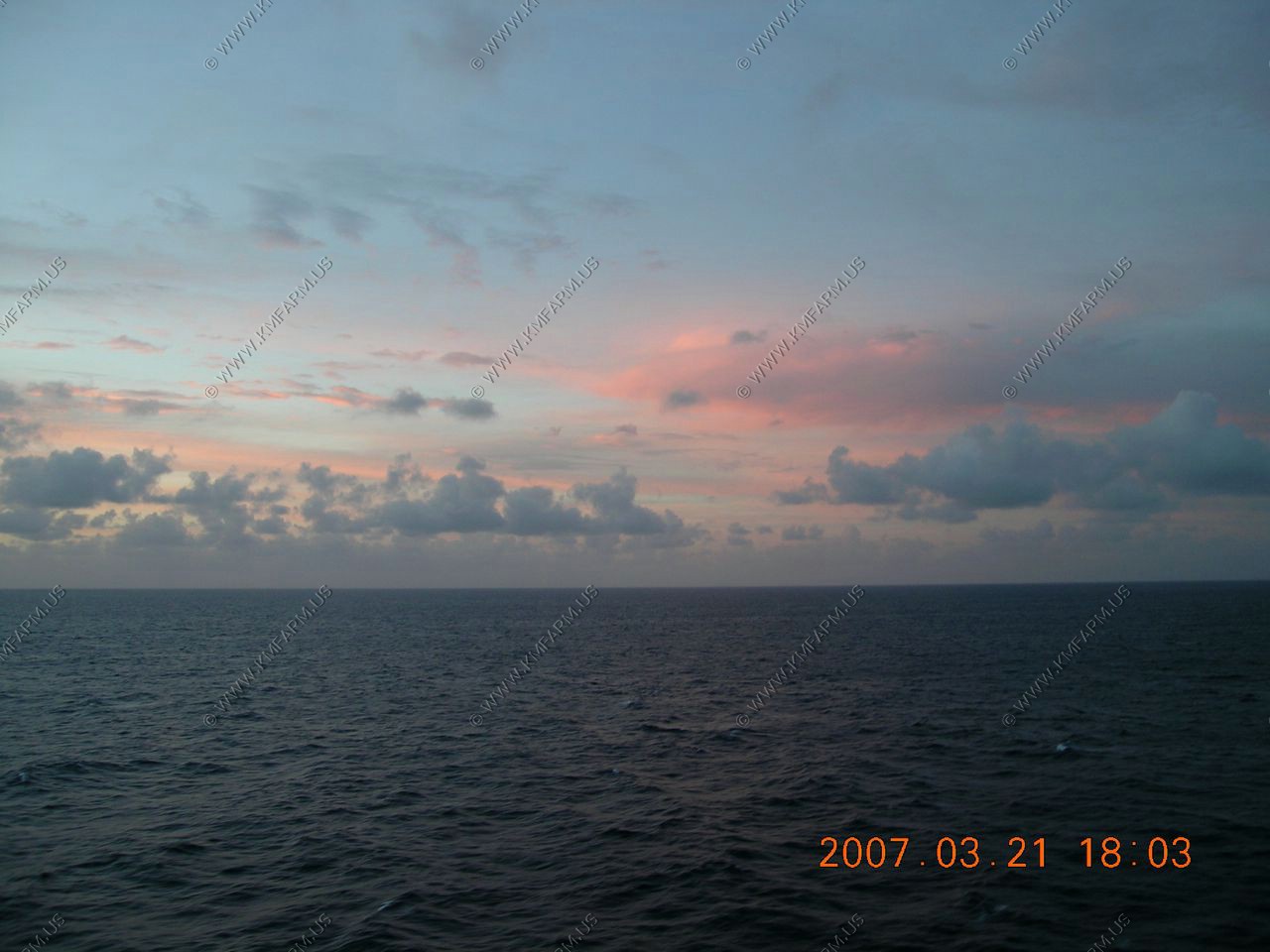
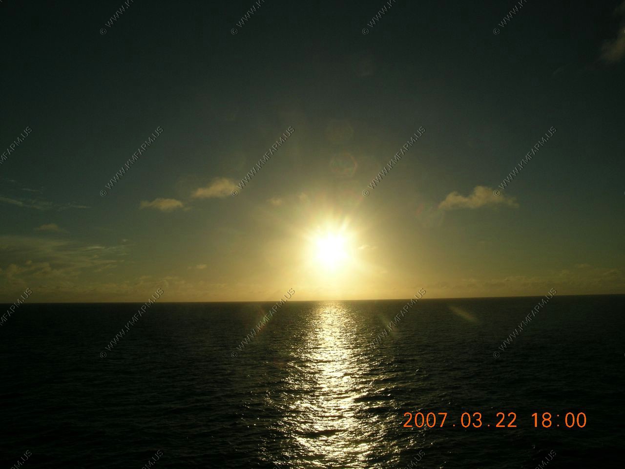
Sunset time again
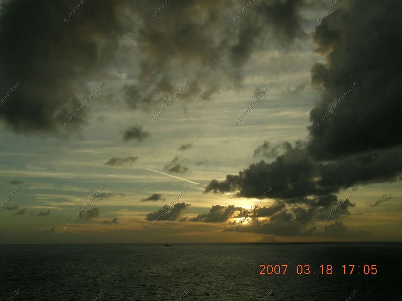
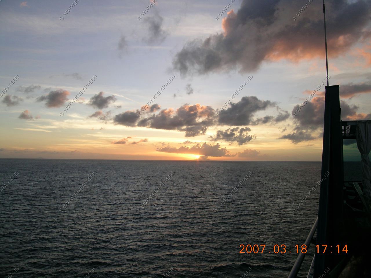
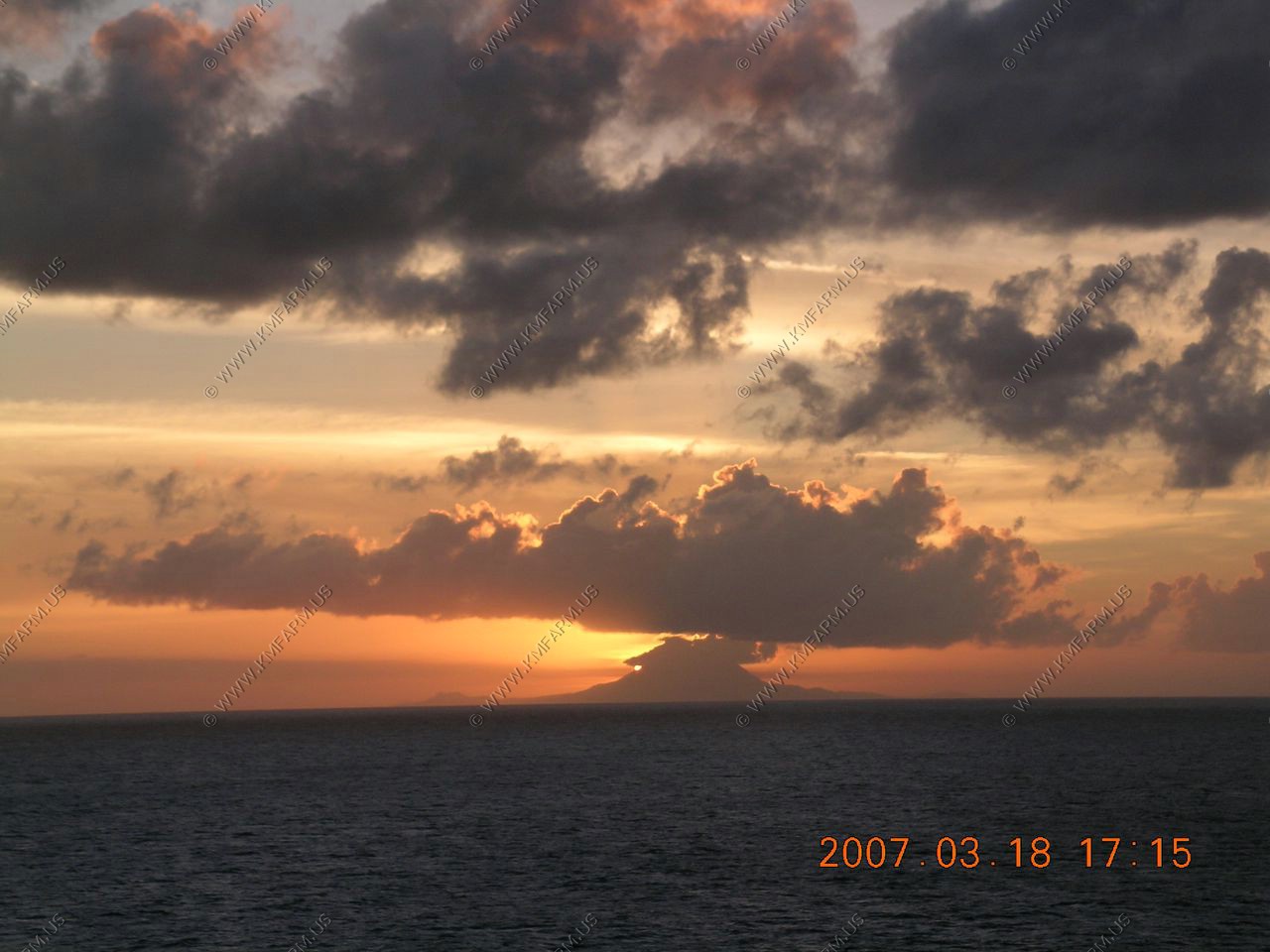
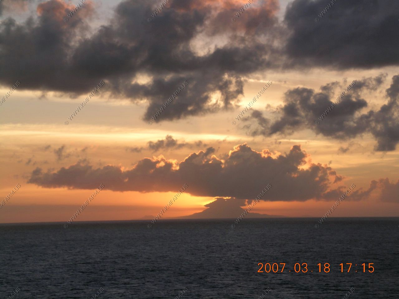
Sunset over St. Kitts

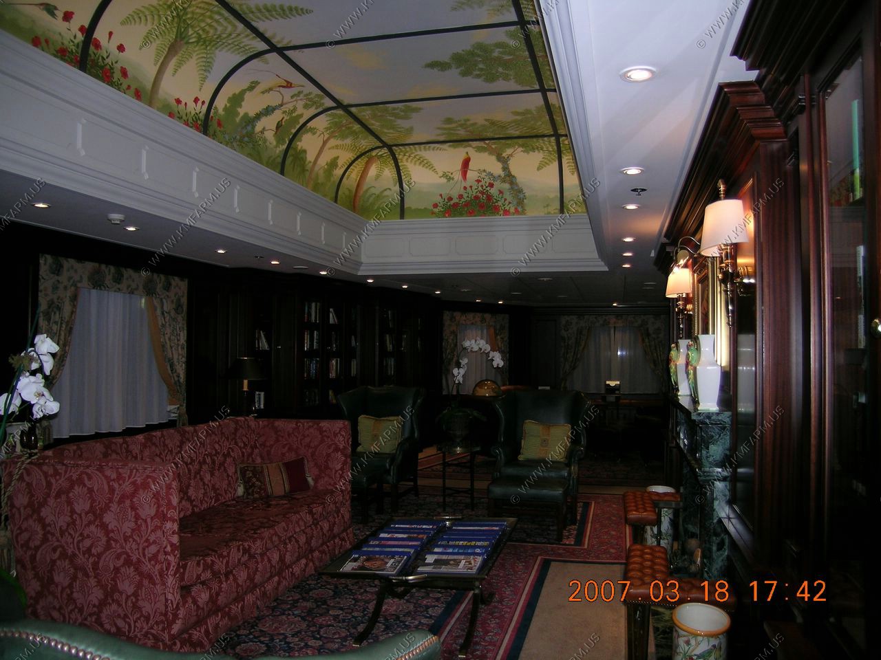
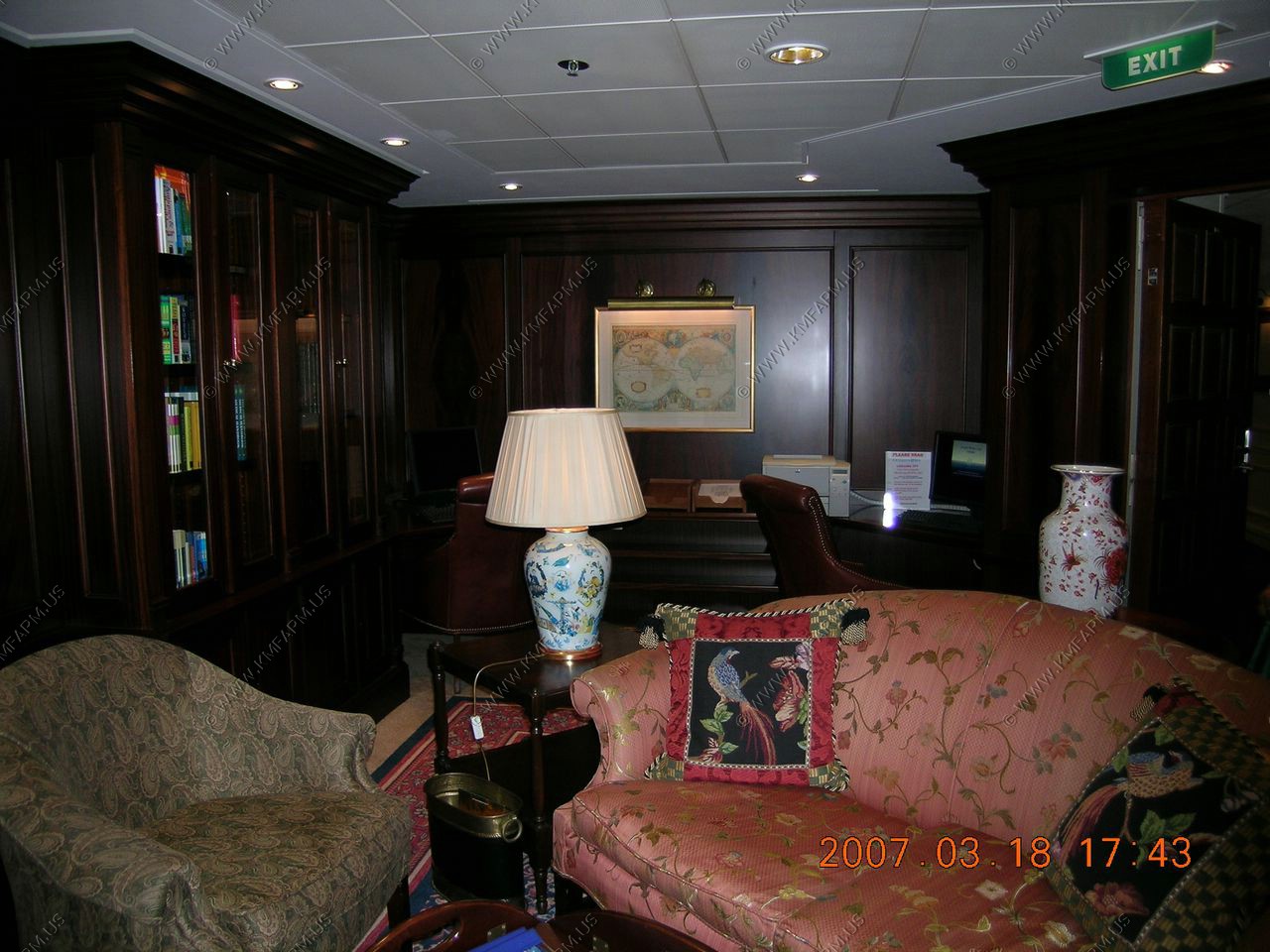
Ship library
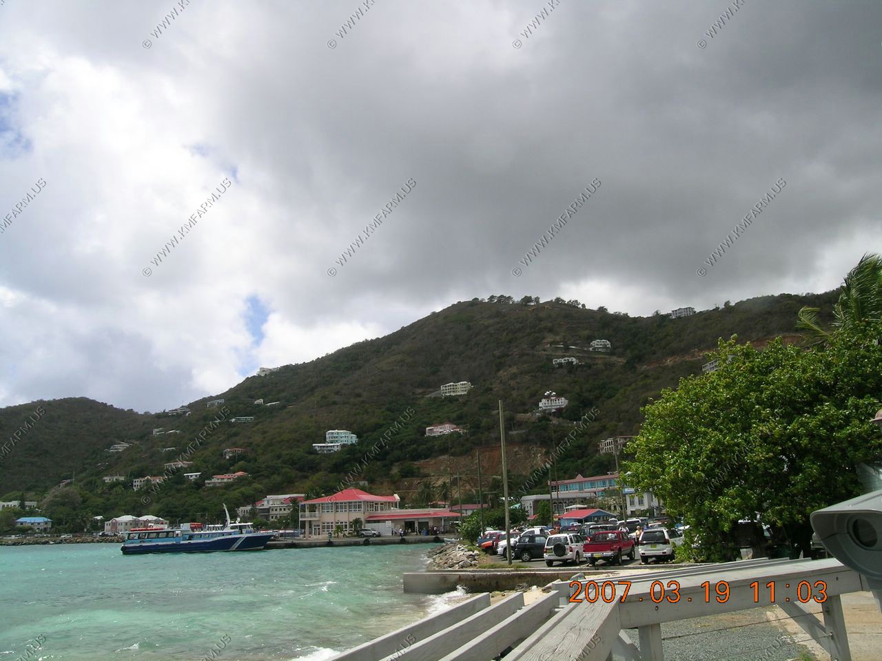
We've been to Tortola twice before and the weather was rainy and sunny, off and on. So we decided to just go shopping. We always get rum cakes for Easter and since the ship didn't sell them, we decided to look in Tortola. We found a store near the port. We had to tender, which is slow on this ship, because of all the elderly that need assistance.
Our Canadian friends took a ship excursion snorkeling tour to Peter's Island, and they loved it--pristine reefs, the best they saw all week.
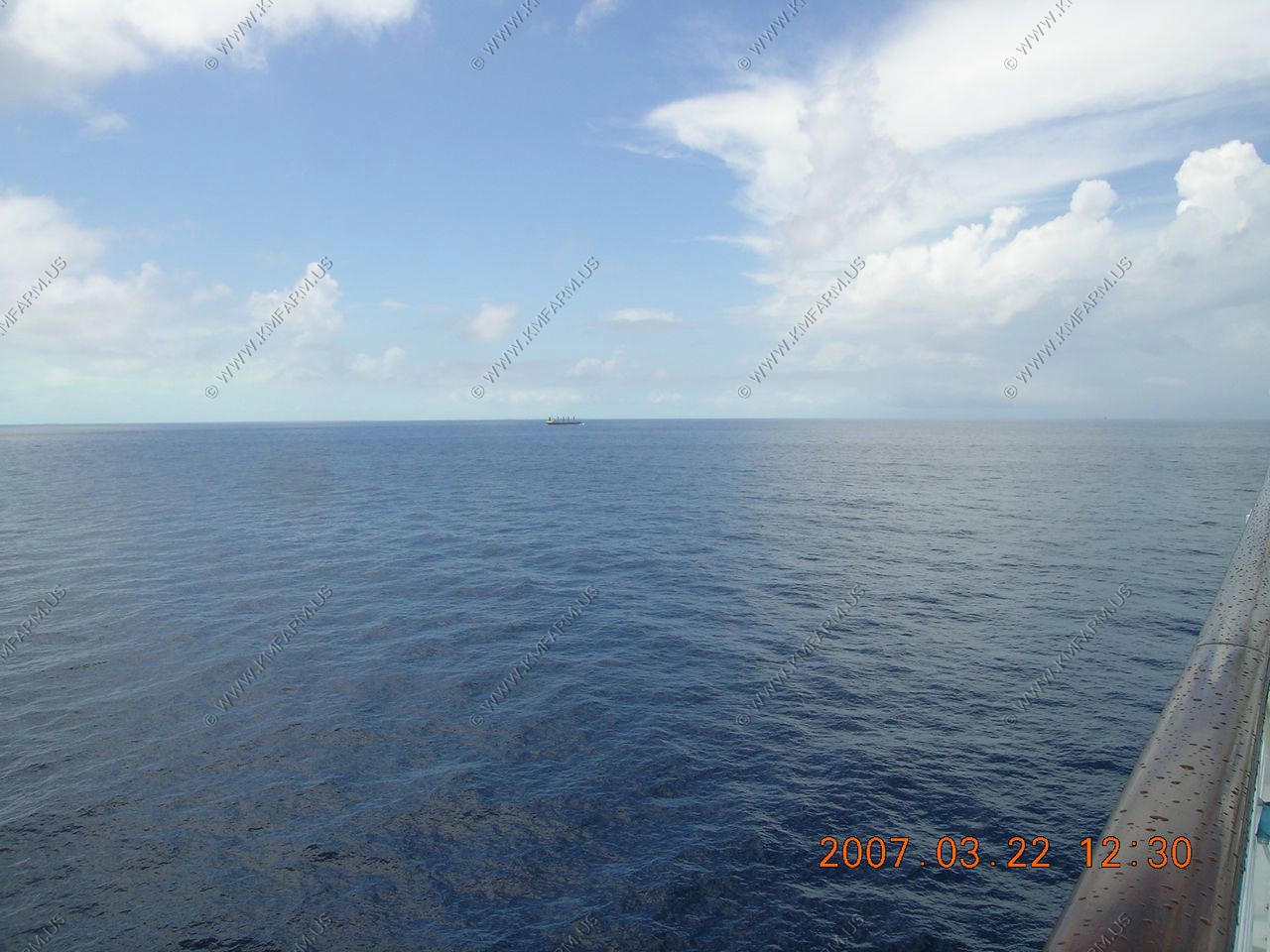
As we went from Tortola to Samana, Dominican Republic we passed 20 miles or so off of San Juan, Puerto Rico. The nice thing is that we were able to use our cell phones on the USA networks so it was free.
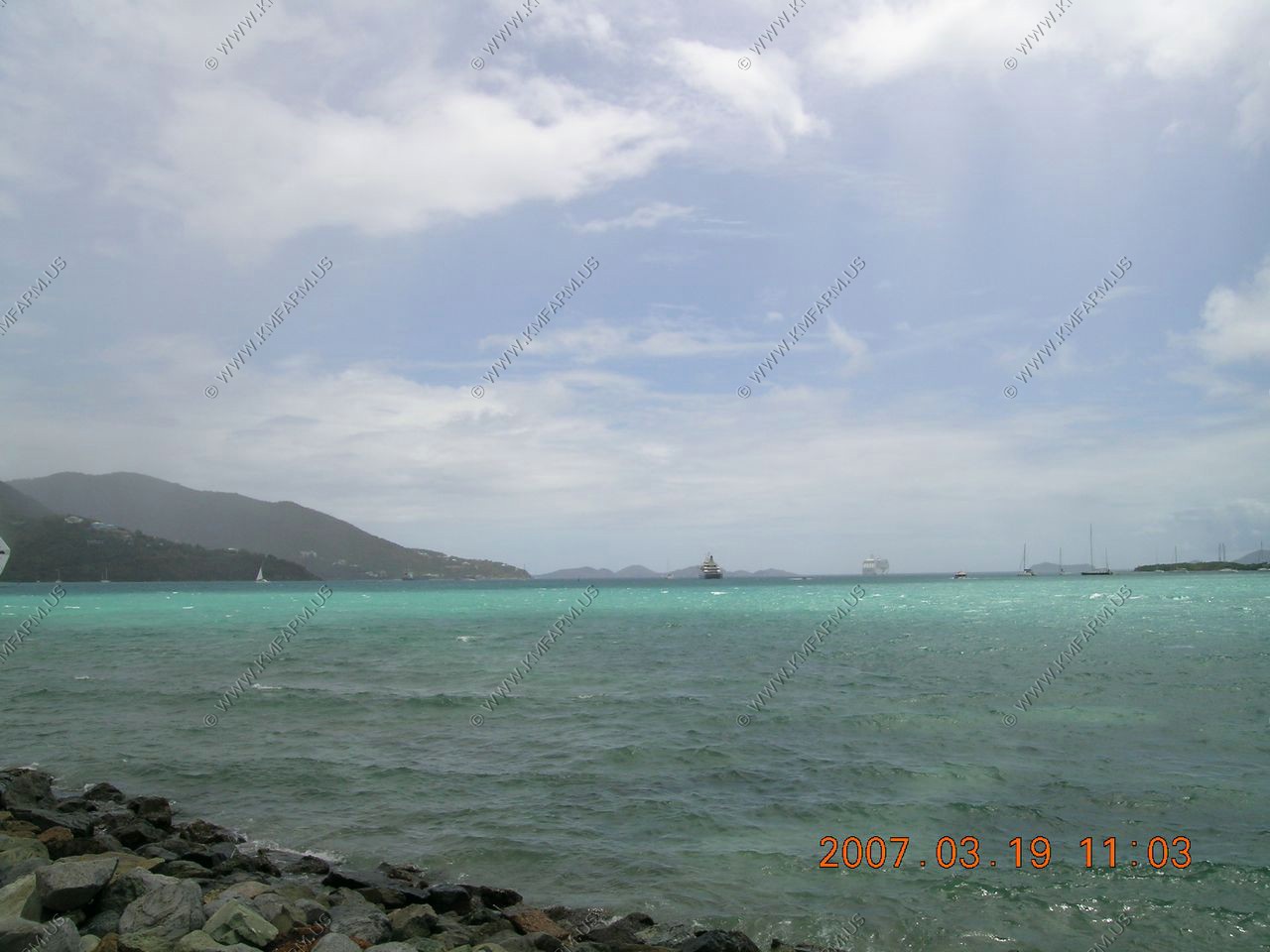
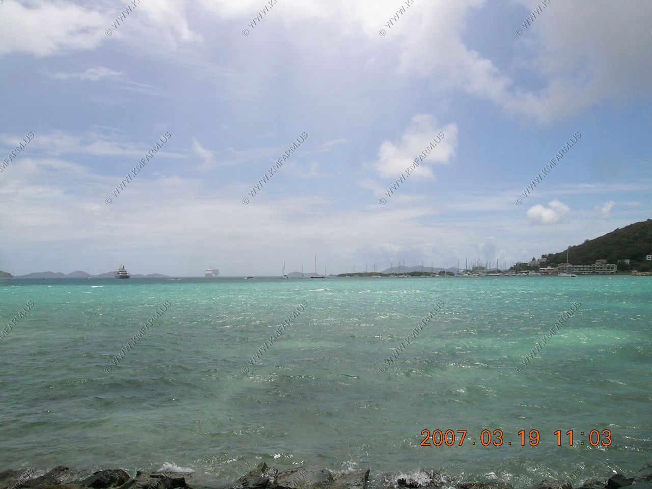
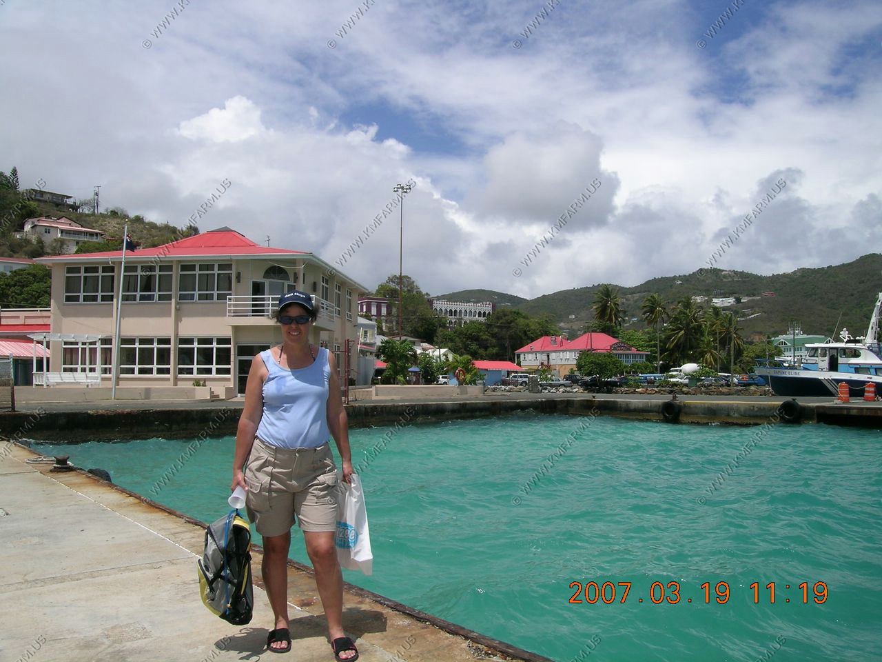
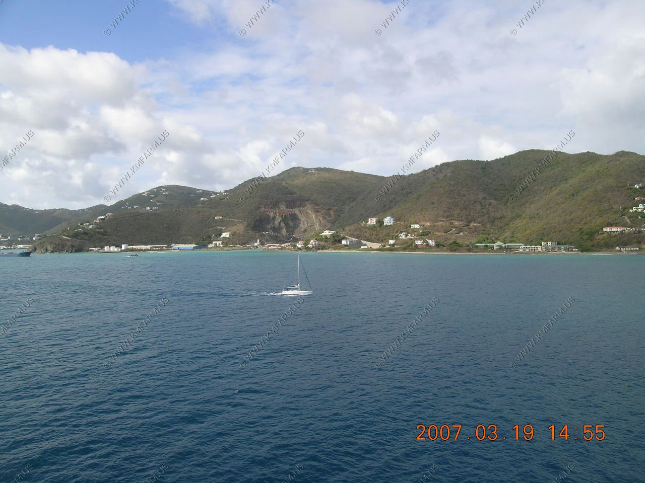
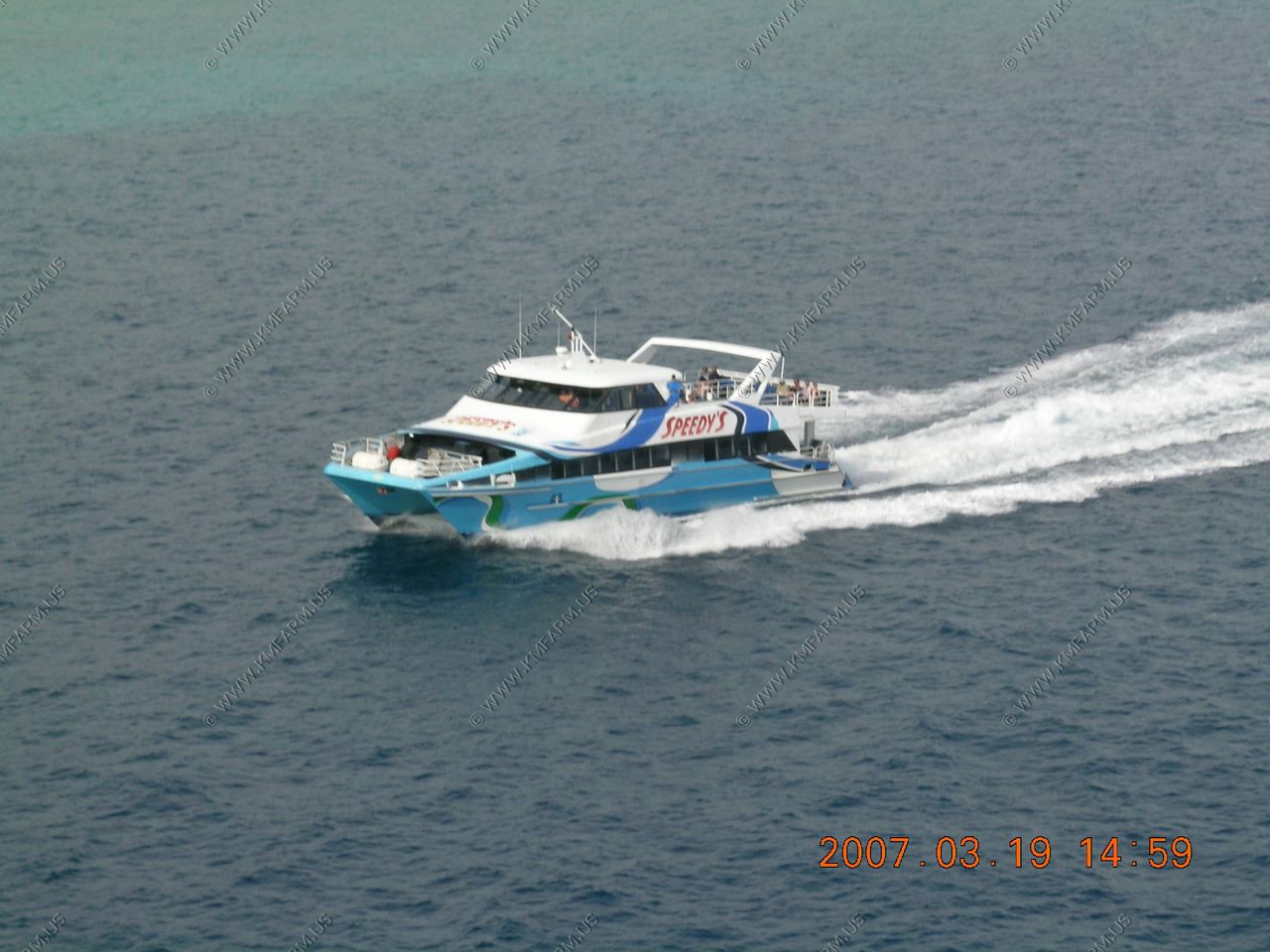
Looking around the peir at Tortola
Its amazing on how they are building the roads up the mountains
On our way to Samana, Dominican Republic
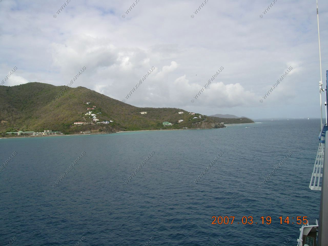
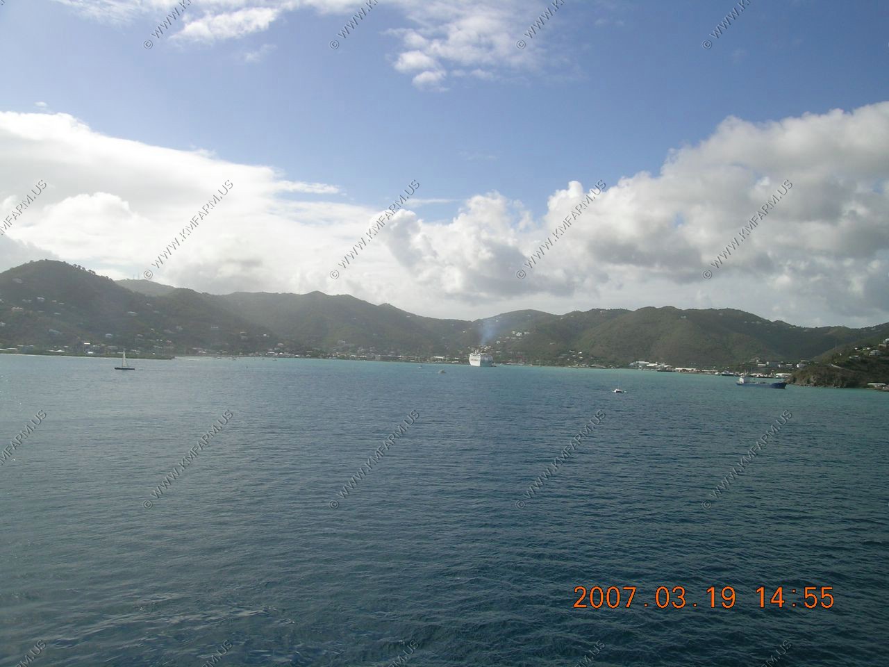
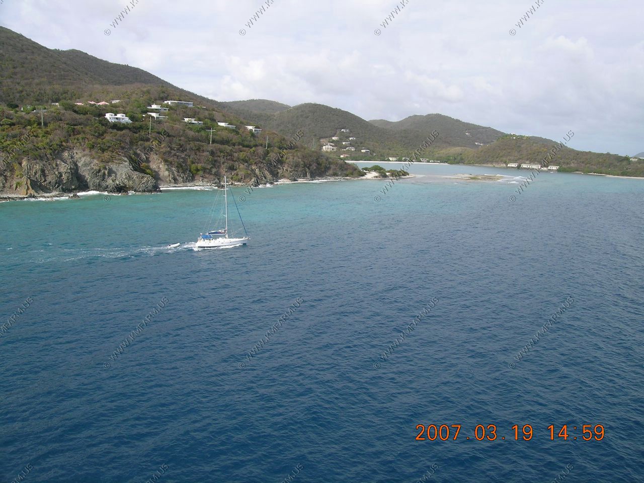
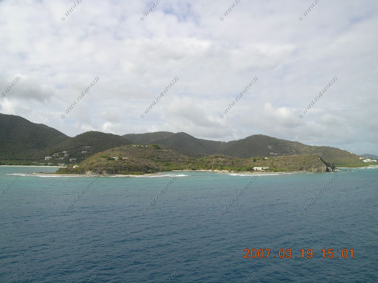
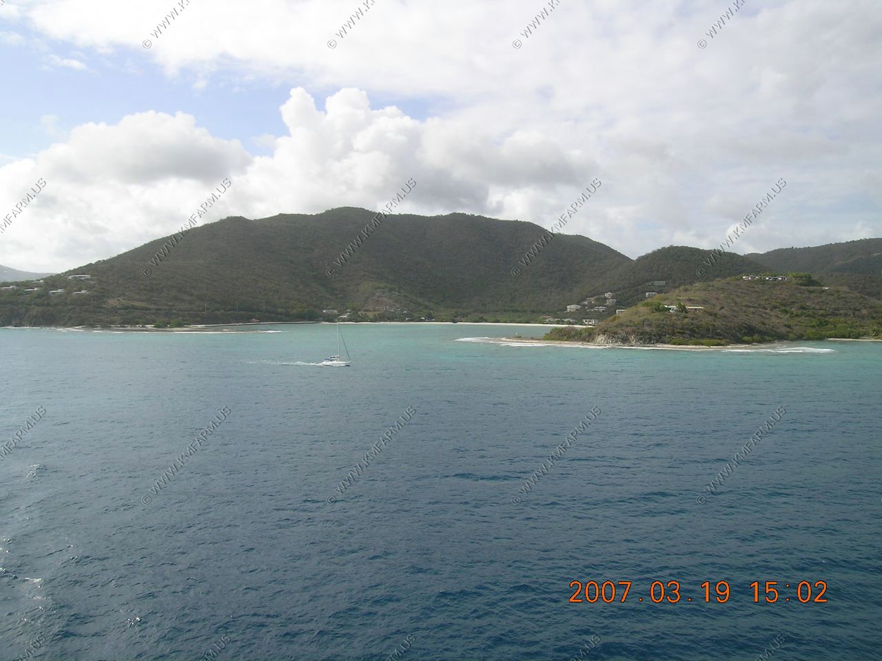
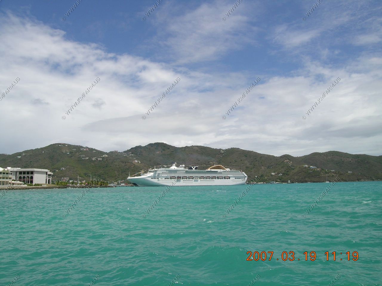
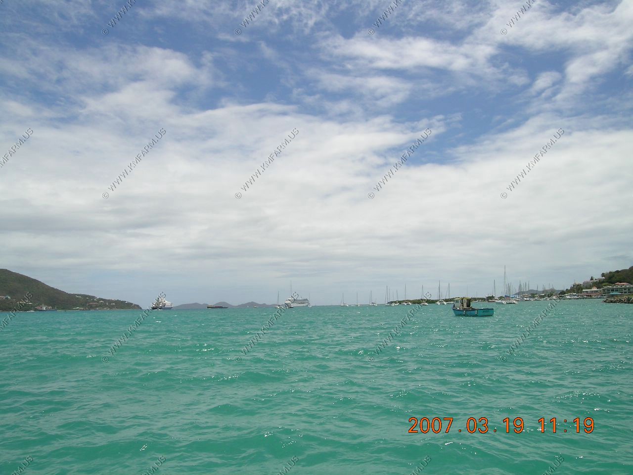
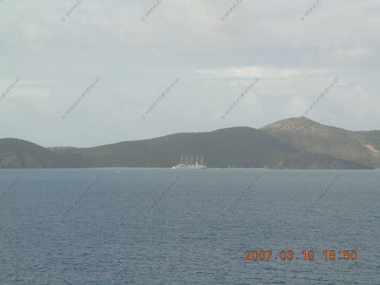
The extreem west end of the British Virgin Islands
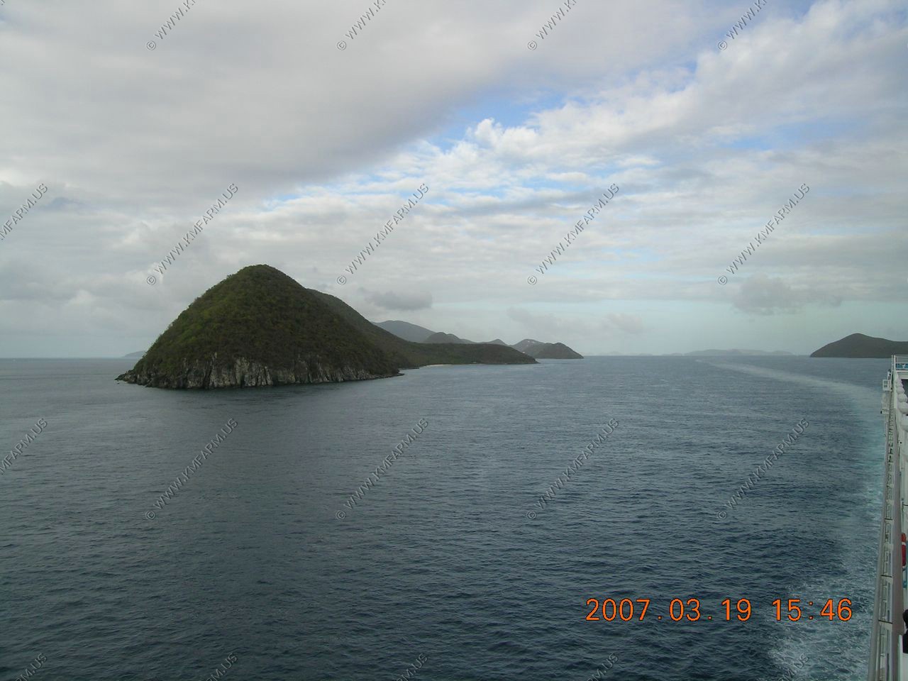
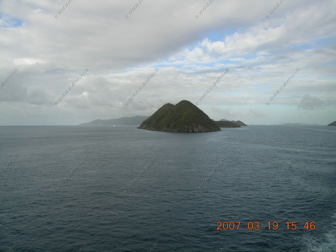
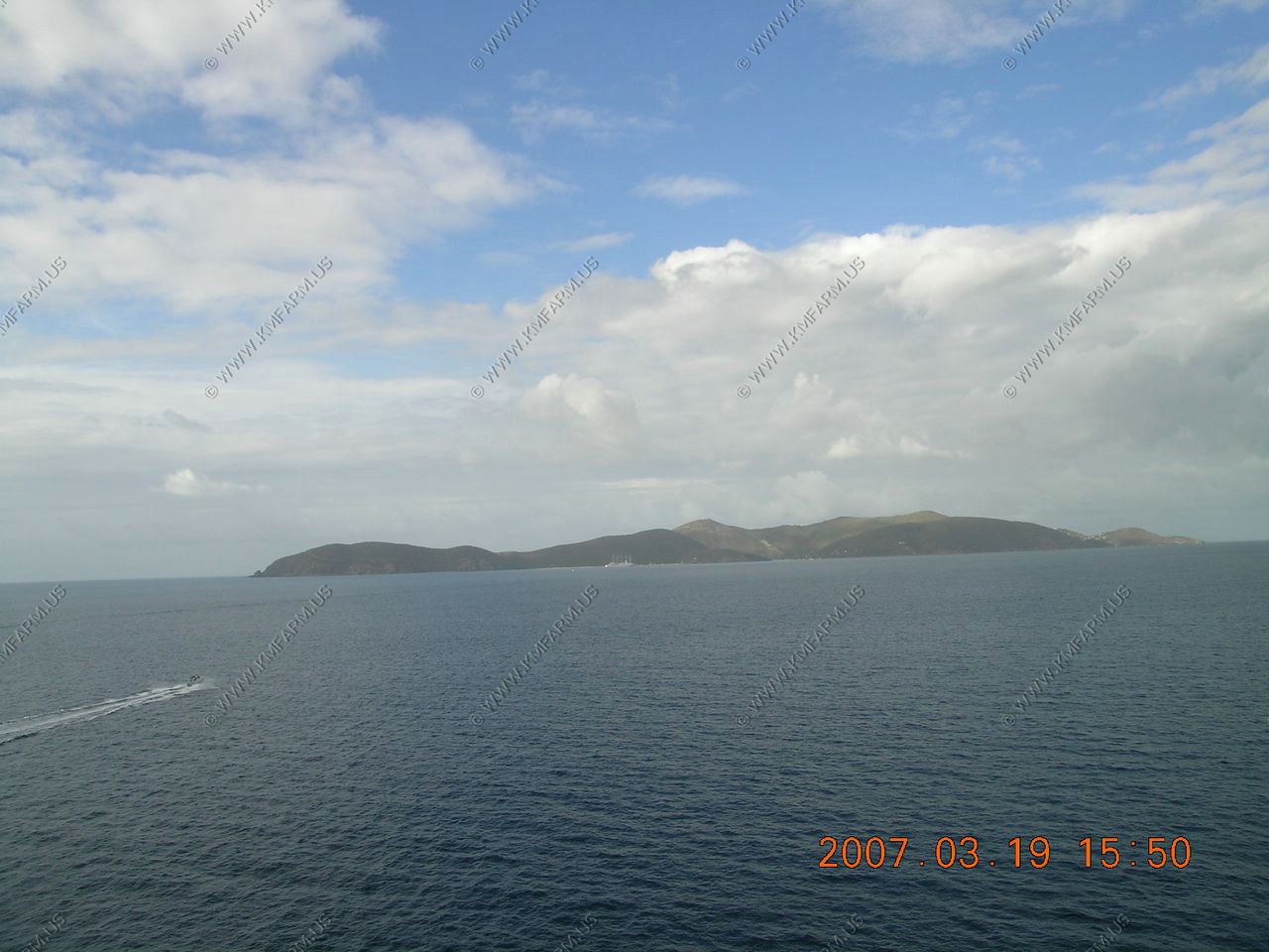
Southern side of St. John, USVI
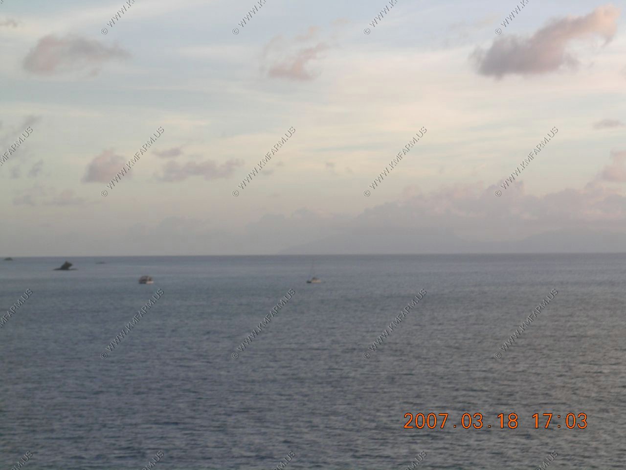
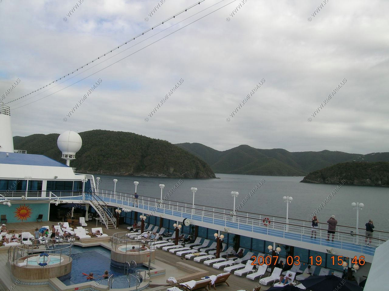
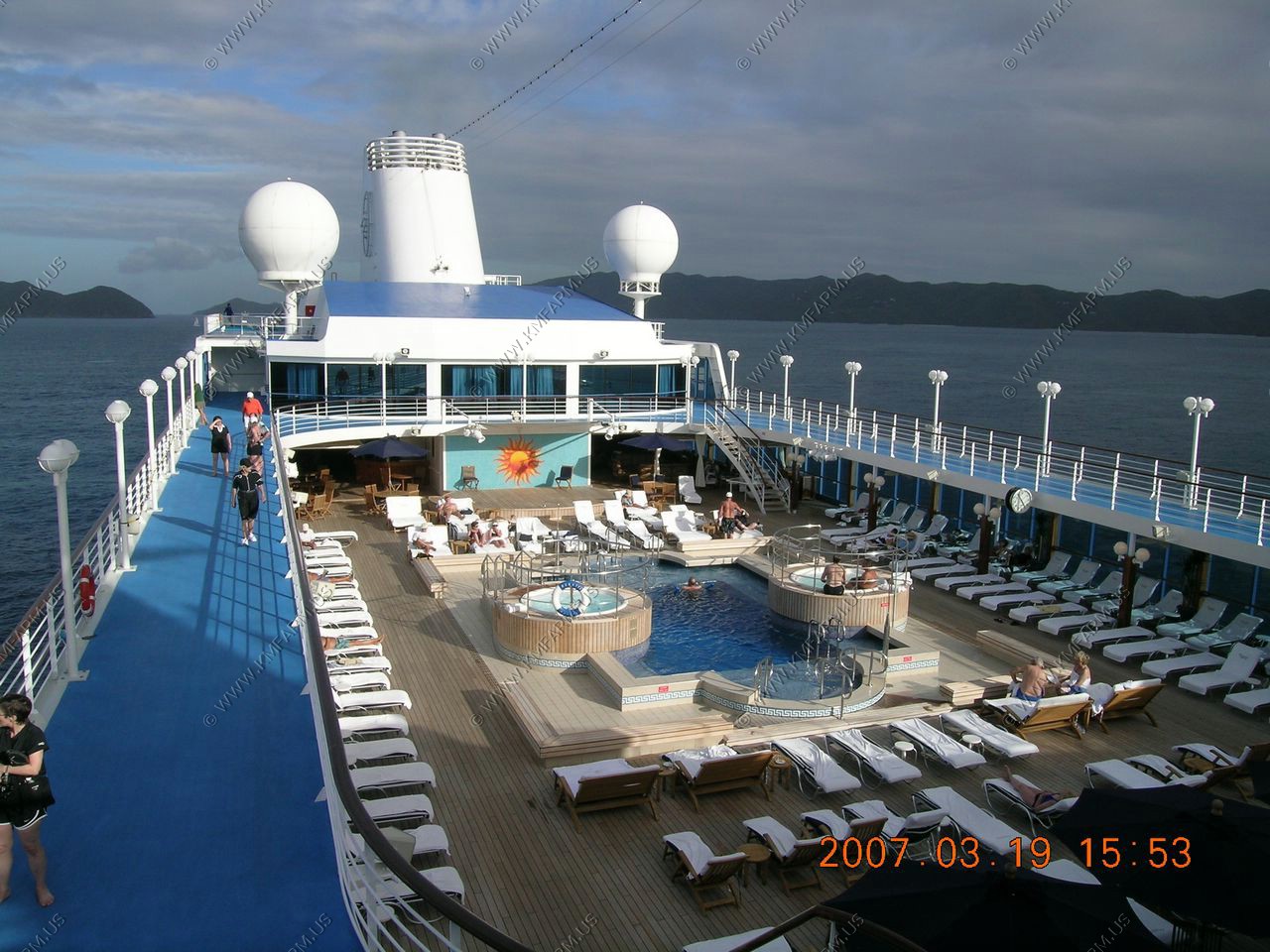
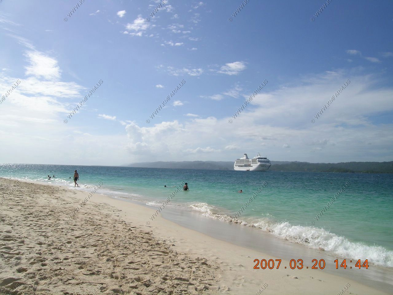
A few people out but its getting late.. Its almost 4 PM
The east end of Puerto Rico
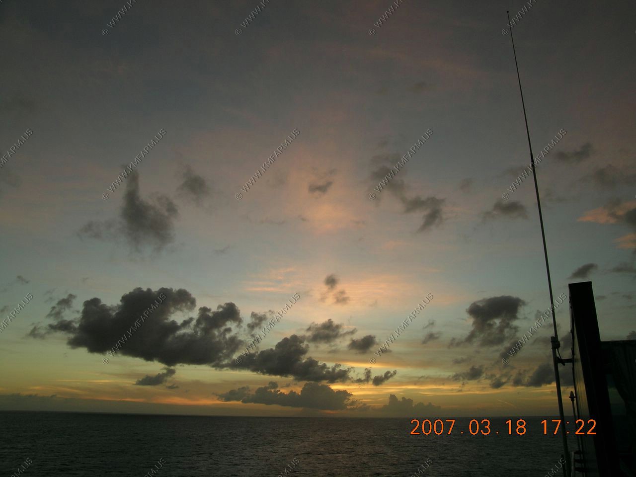
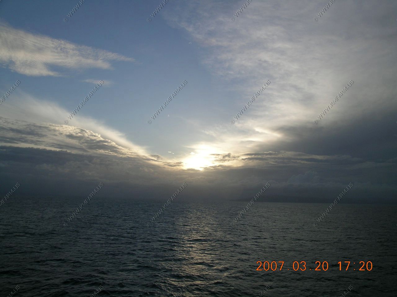
Sunset
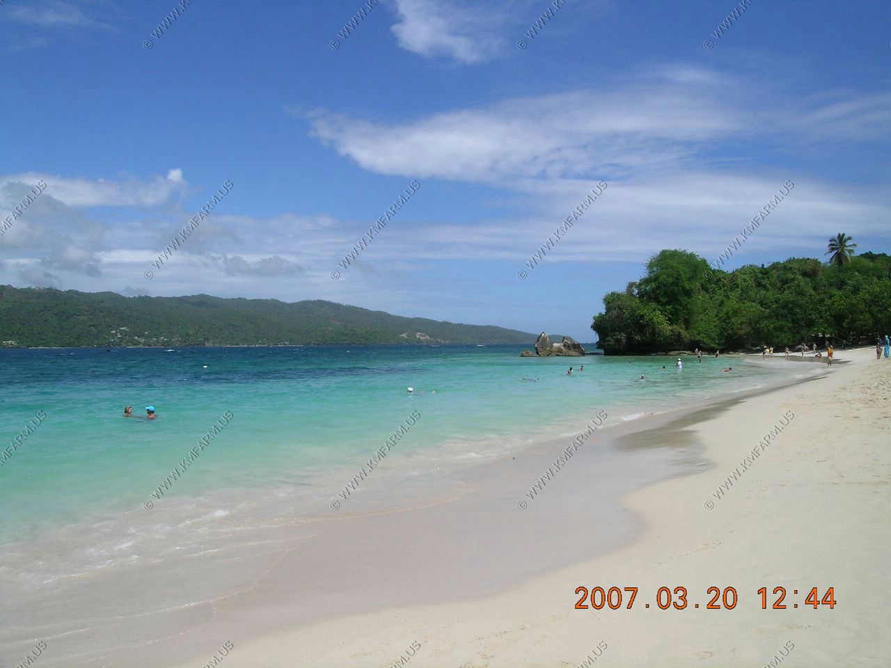
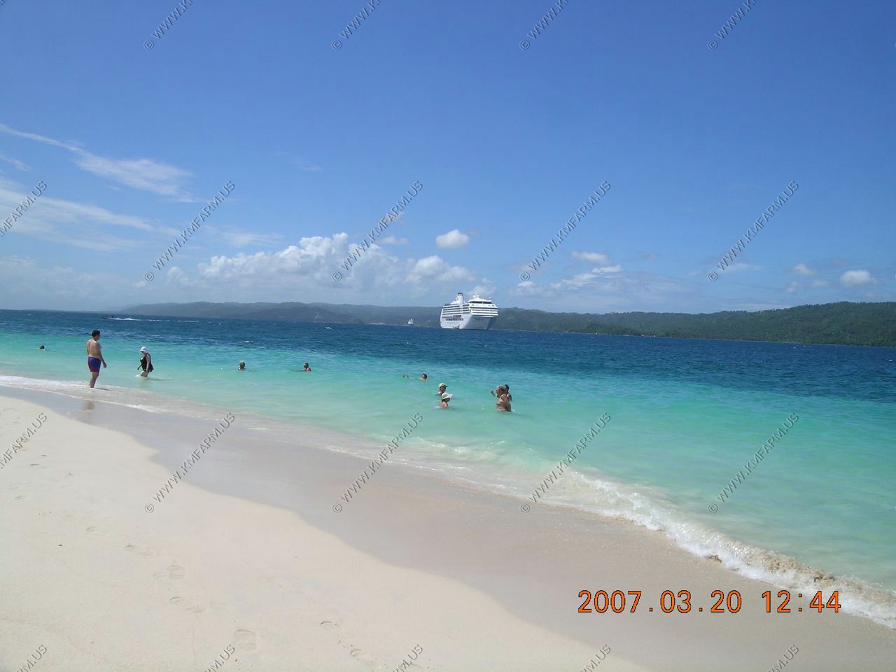
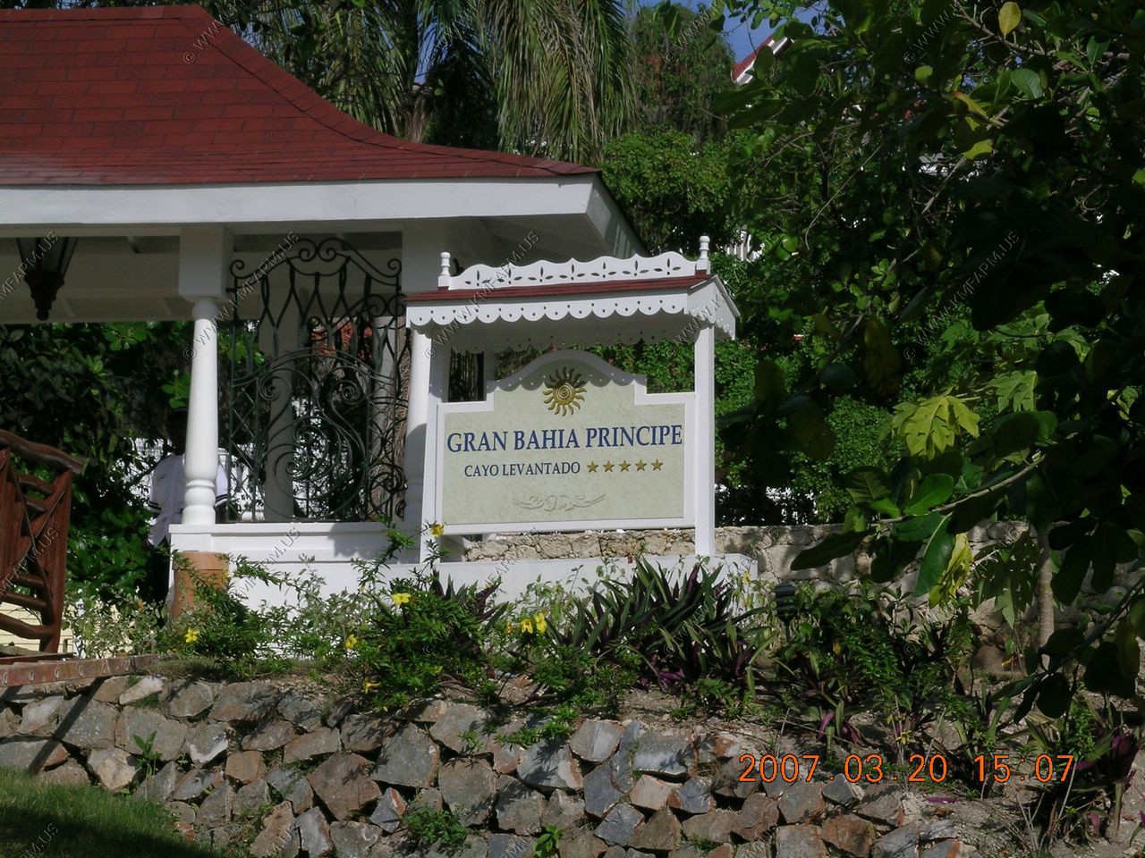
Our first time in Samana or the Dominican Republic! We went on a cruise sponsored trip to the Island Cayo Levantado by boat from the ship. It was a lovely beach and included beach chairs. We opted not to buy the lunch at the resort since we weren't there that long and took some goodies from the ship. The snorkeling was fair but the water was warm and swimming was fun. The pelicans fly right next to you when you are swimming. It was clear and 88 degrees when we arrived!
As we left we saw humpback whales. Humpback whales have used the Dominican Republic's Saman� Bay and Silver Bank coral reef sanctuary as a nursery and breeding ground for untold millennia. They return each winter after spending nine months fanning out across the North Atlantic and by mid-January more than twelve thousand of them move around the waters of the country's northeast coast. They're at their liveliest in Samana's tepid depths, as males track females, compete for attention and engage in courting displays, while mothers teach their calves basic survival skills.
Adult humpbacks grow to 15m long, weigh up to forty metric tons, and are black with distinctive white patches. We saw breaching - hurtling the entire body above the surface before landing back down in a spectacular crash - and tail flapping or lobbing. We saw the spout or blow to locate them; the spout is not a column of water, but condensing exhaled breath and entrained atomised water from around the blowhole.
Tendering from the ship to the Island
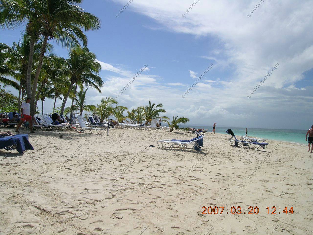
Island Cayo Levantado

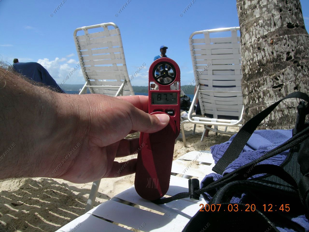
Its a nice and cool 87.7 degrees
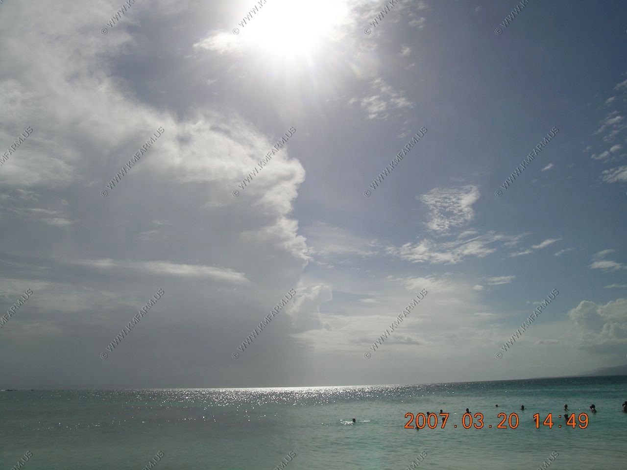
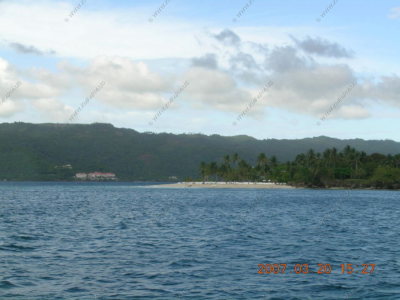
Looking west up the Bay of Samana
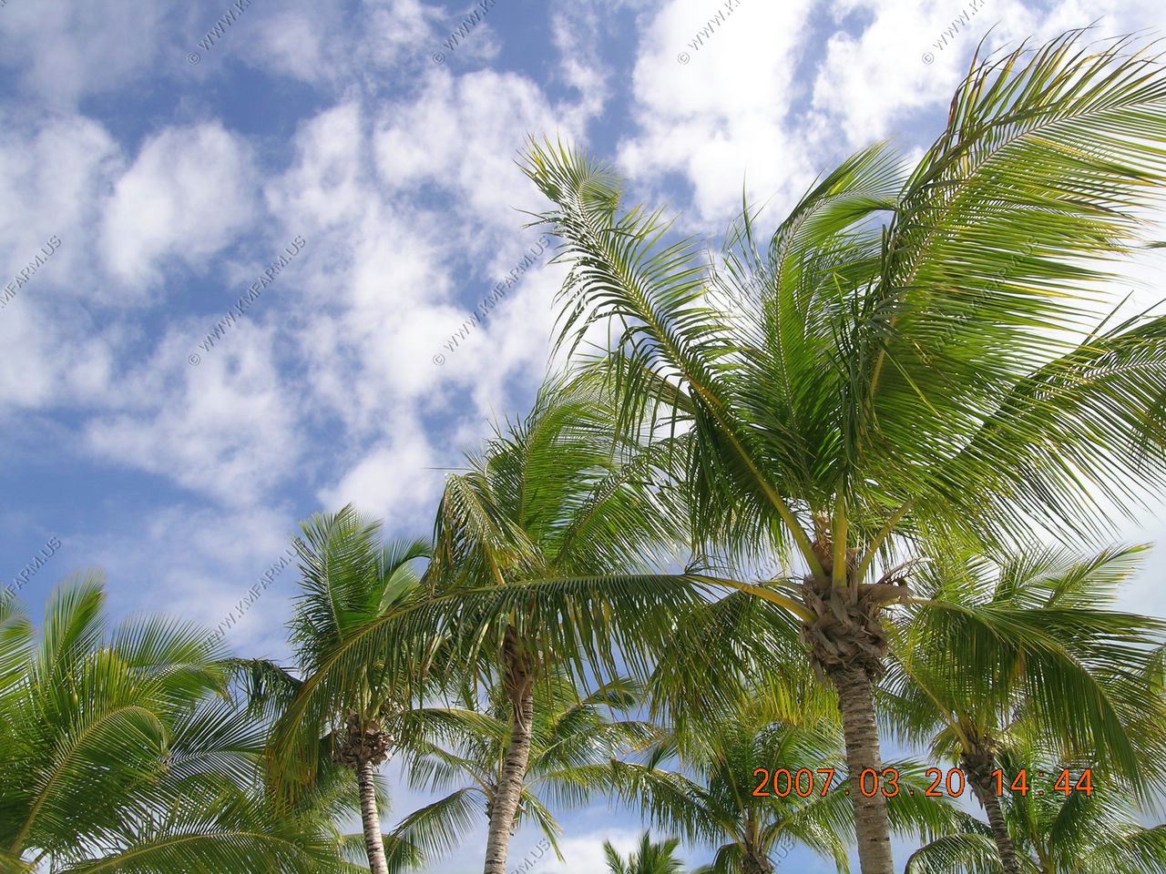
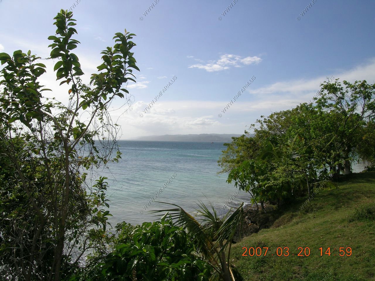
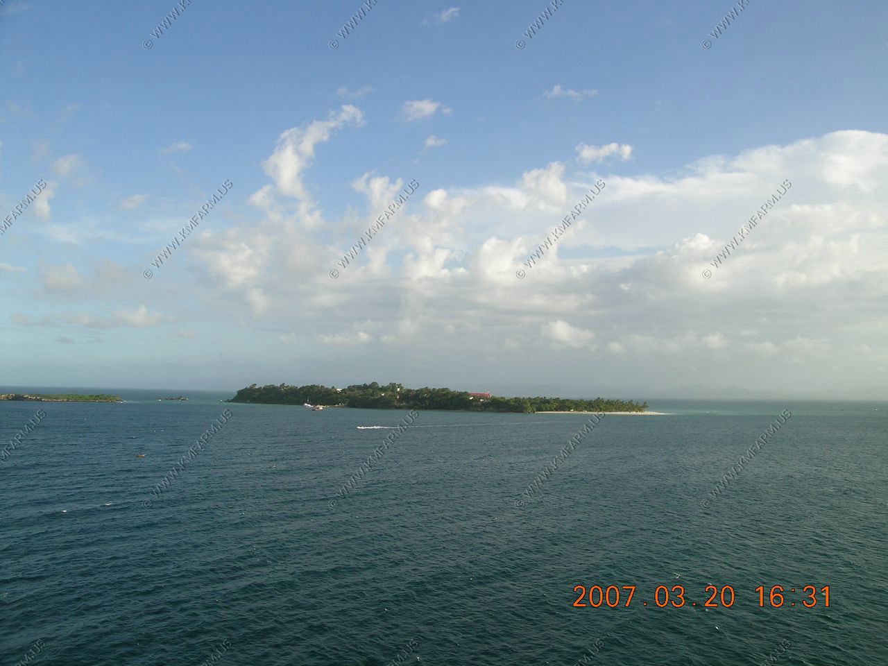
Island Views

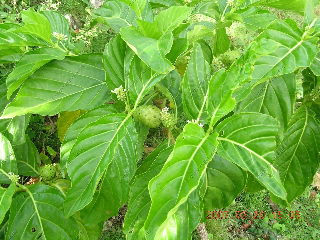
Another strange fruit ??

The fancy part of the island
Heading back to the ship

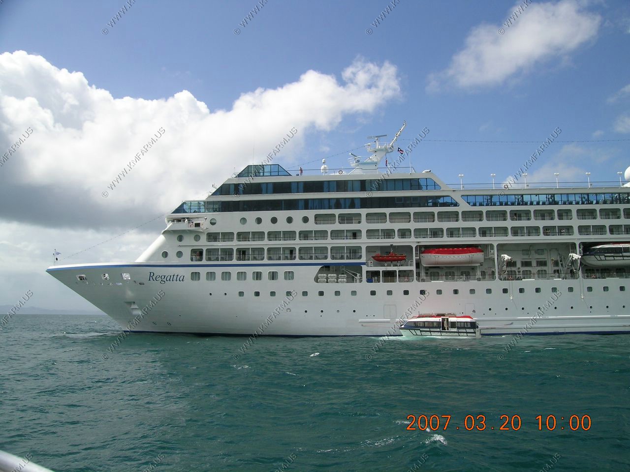
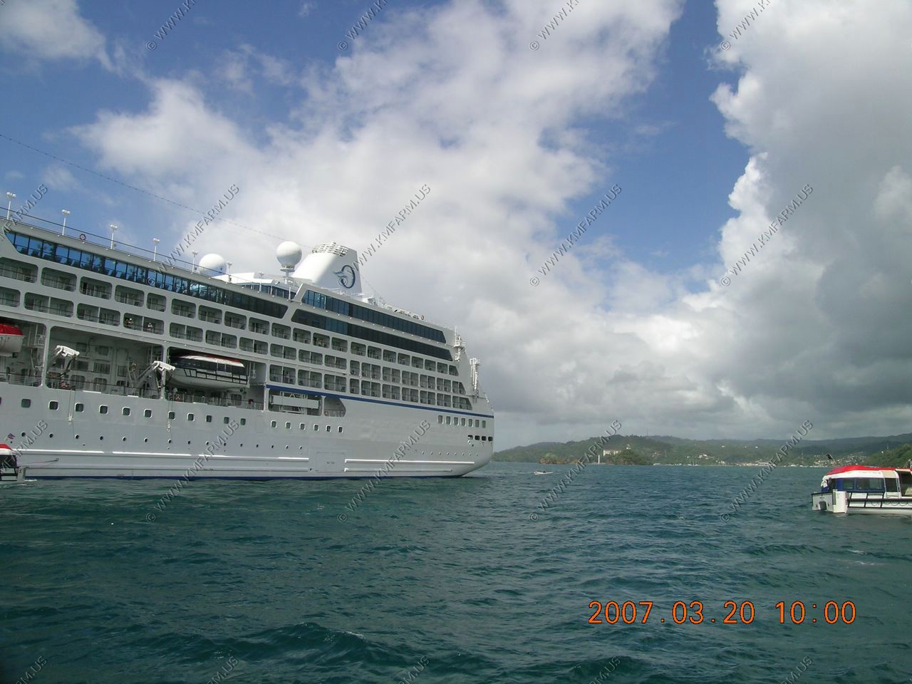
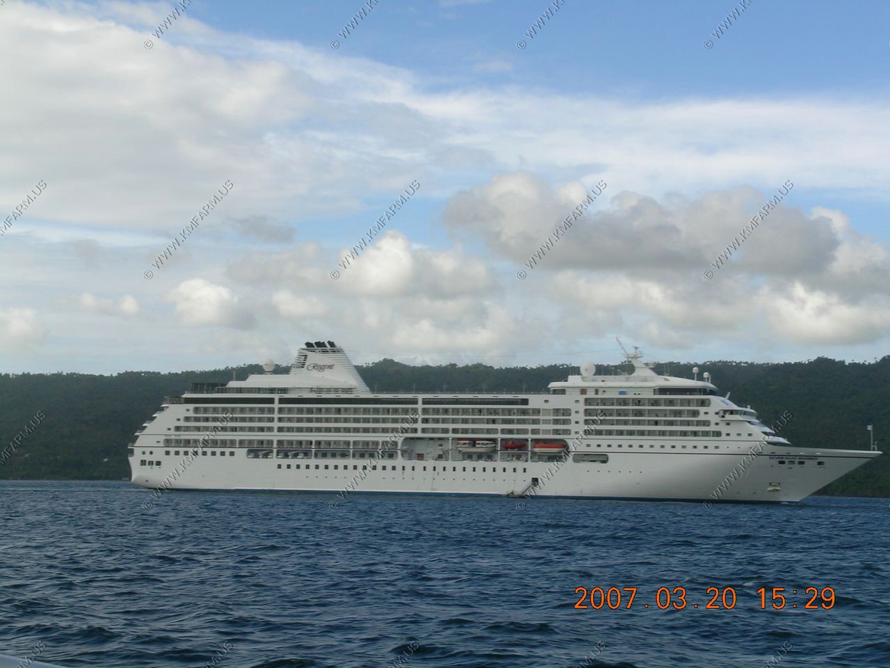
The Regent Seven Seas Navigator was at the Cayo Leventado first.
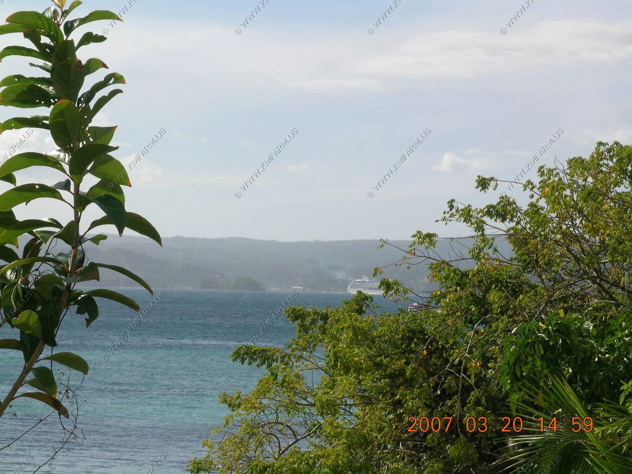
Looking West at the town of Samana
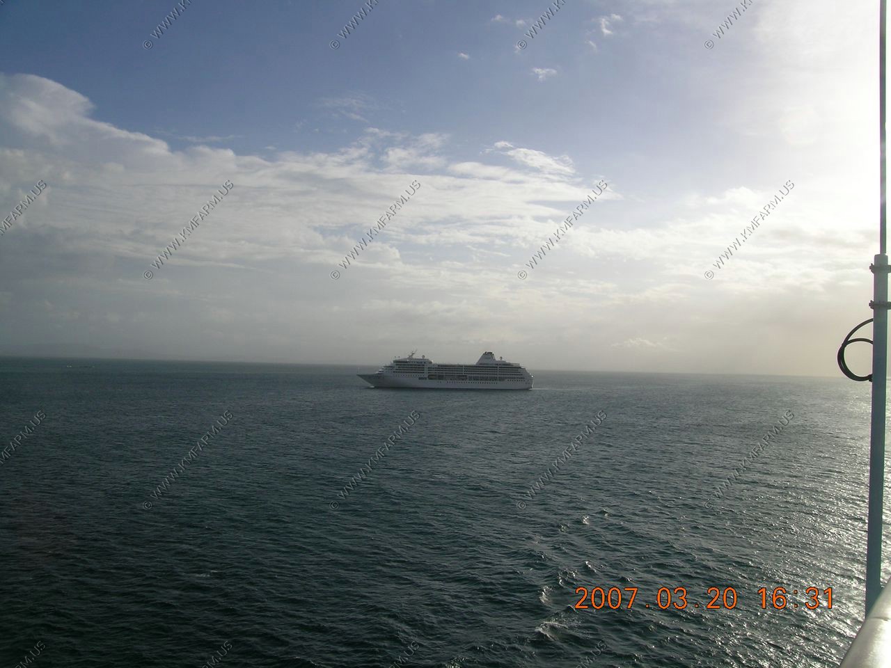
Leaving and passing Island Cayo Levantado and the Regent Seven Seas Navigator
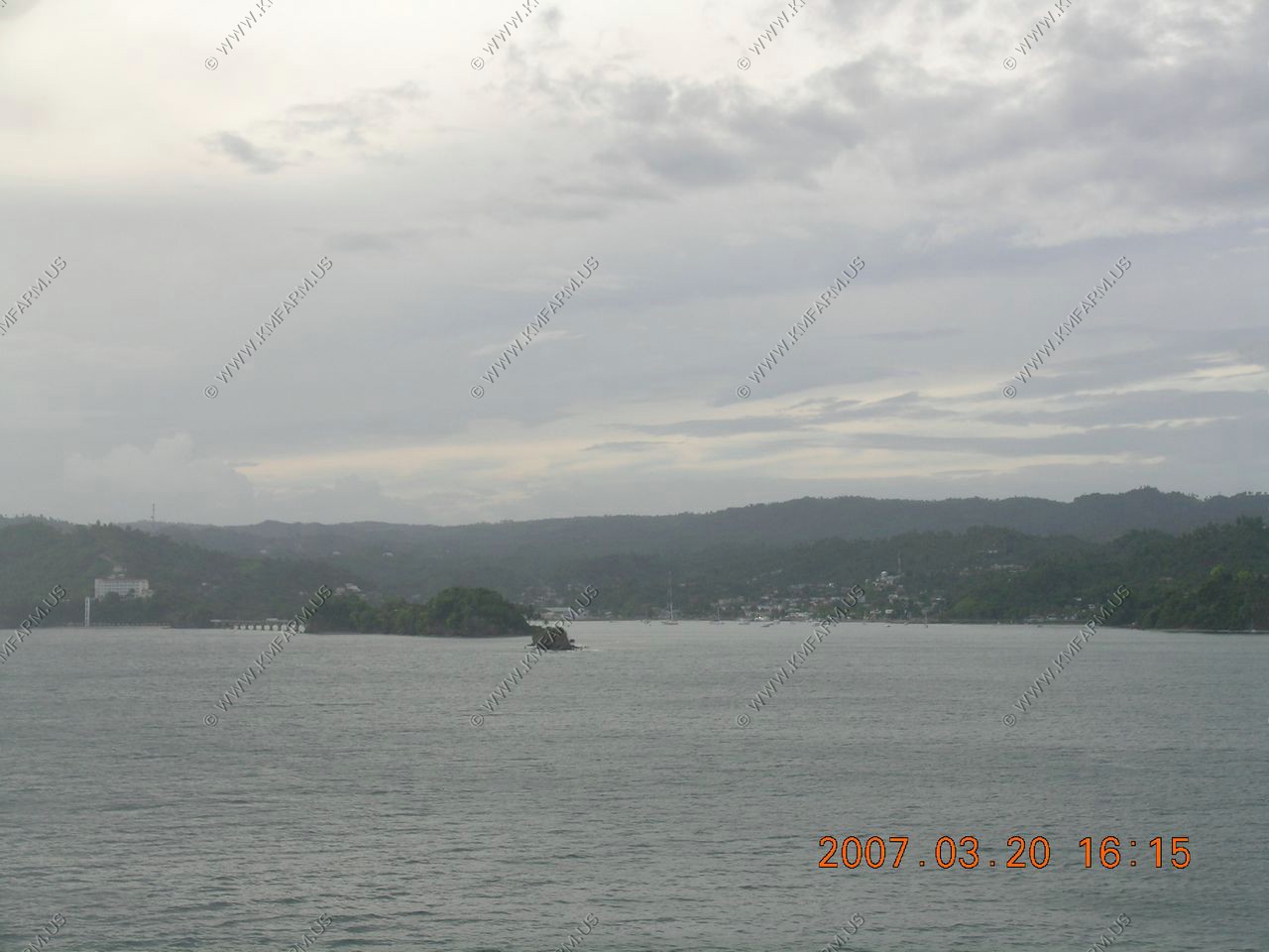
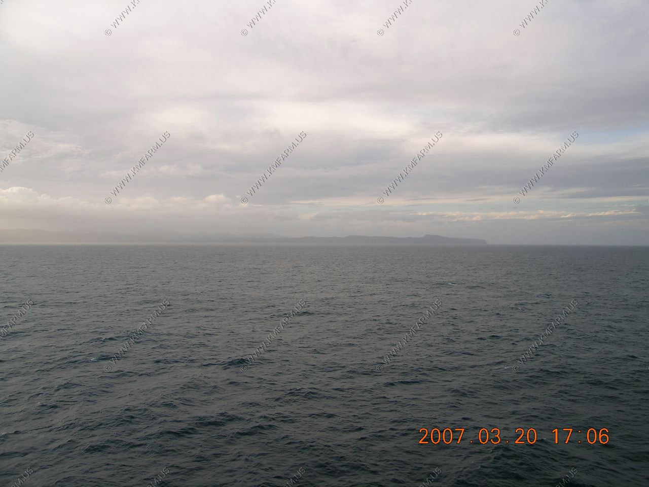
Looking at the east end of the Dominican Republic
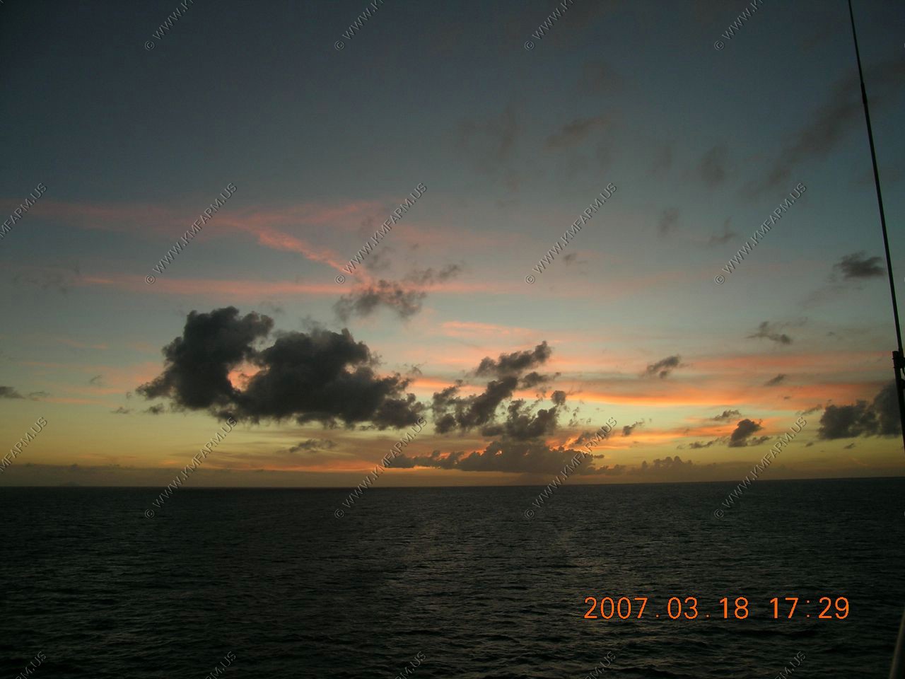
Sunset
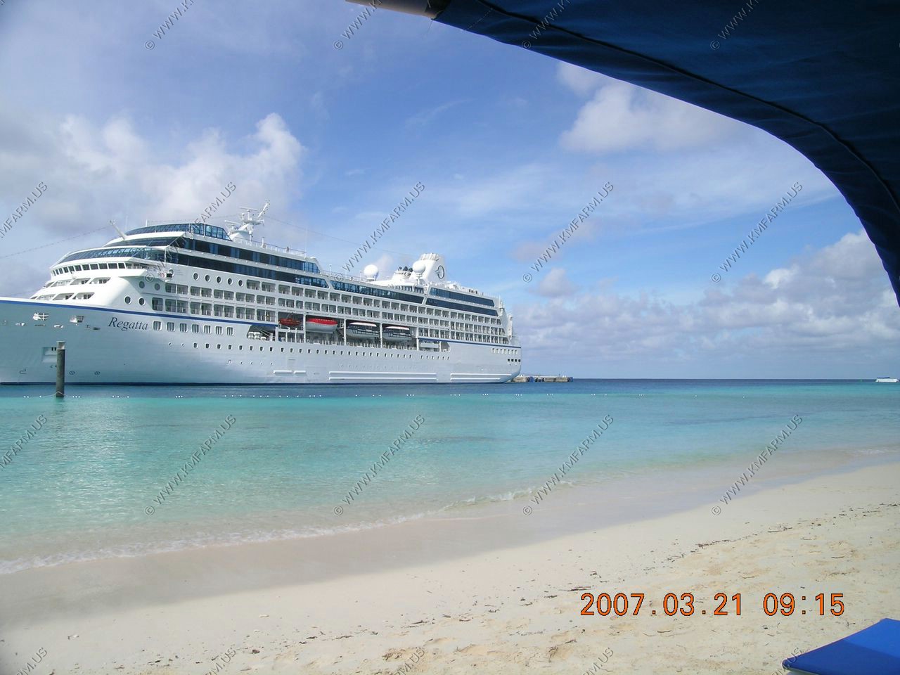
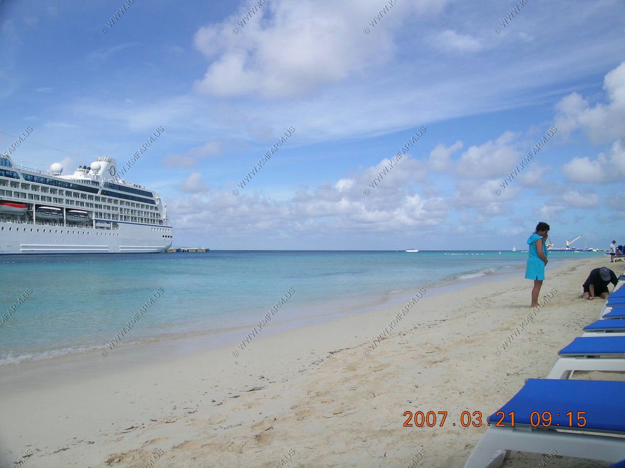
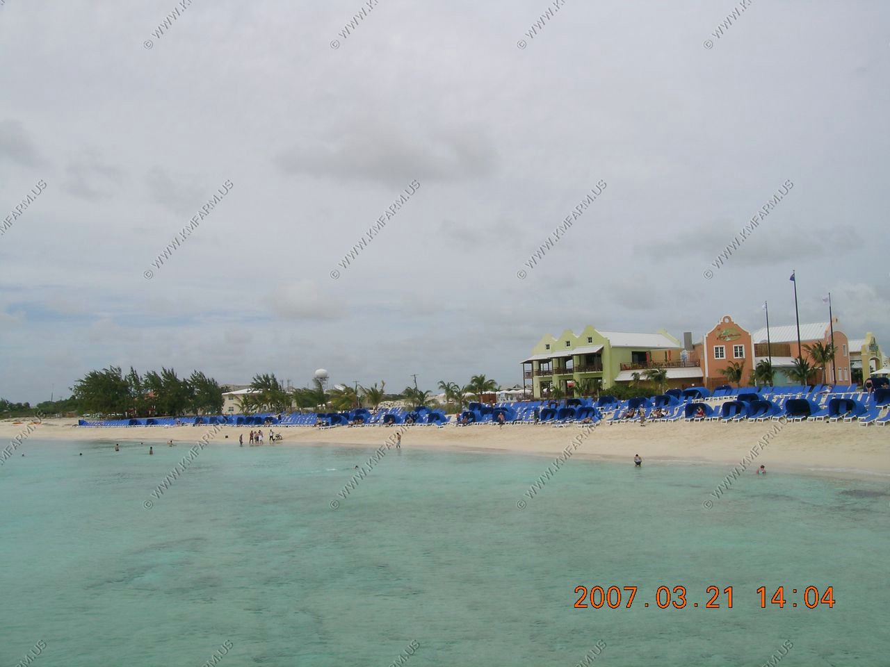
This was our first trip to Grand Turk. Carnival developed this spot several years ago and created a beach. The beach was nice but the reef has died in front of the beach. They give you free chairs and clamshells to provide shade. We saw octupus and photographed one changing color before it dove into its hole. Next time we will snorkle on the other side of the cruise pier, where we saw large parrot fish looking from the pier, while getting back onboard. Water clarity is excellent here.
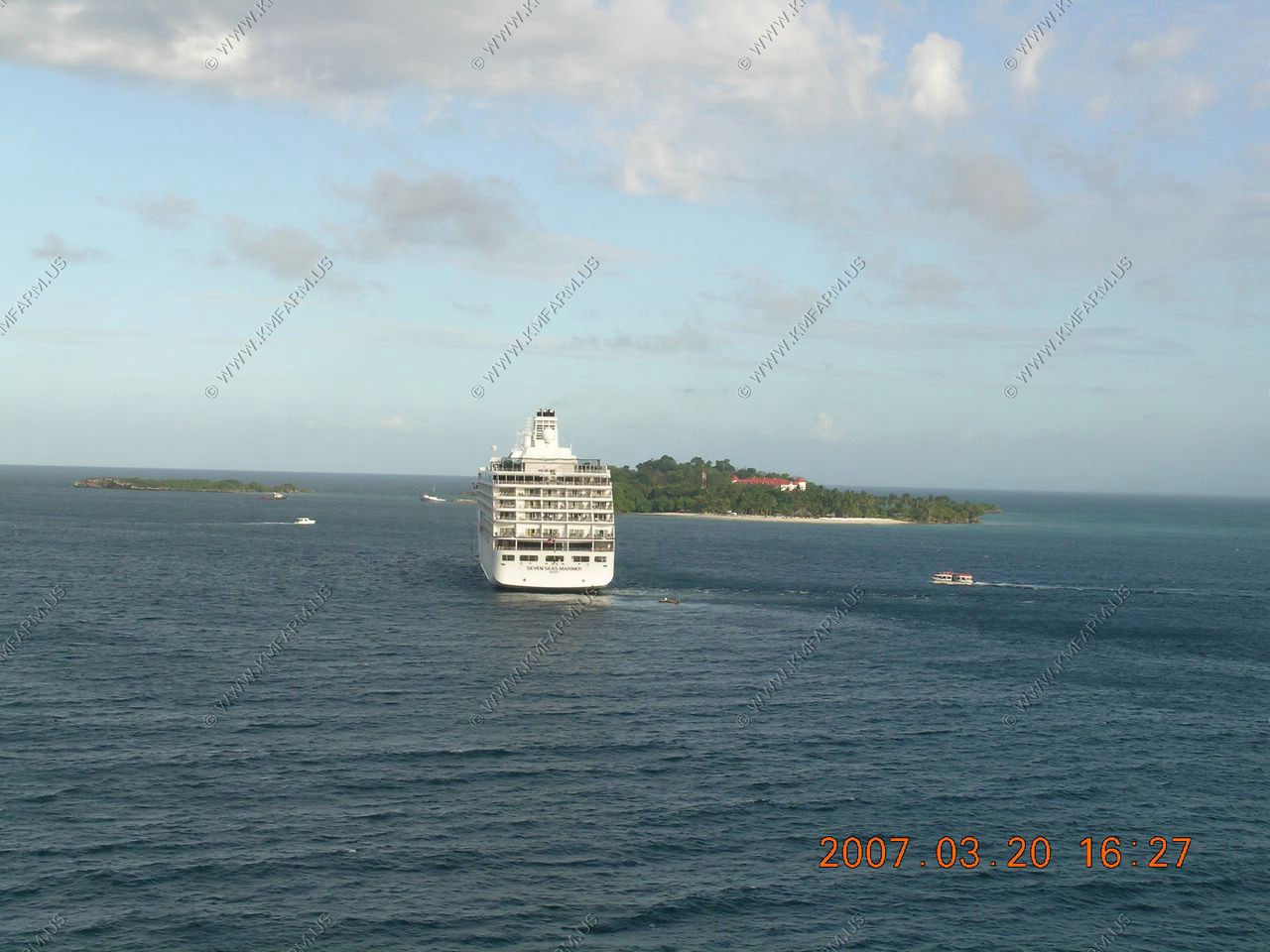
We spoke to a woman on the Seven Seas Mariner, who said that the high price of her cruise was not worth it compared to ours, because it includes all-you-can drink alcohol, and if you don't drink much, it is a rip-off. Regent is a luxury line vs Oceania, which is the top-rated premium line.
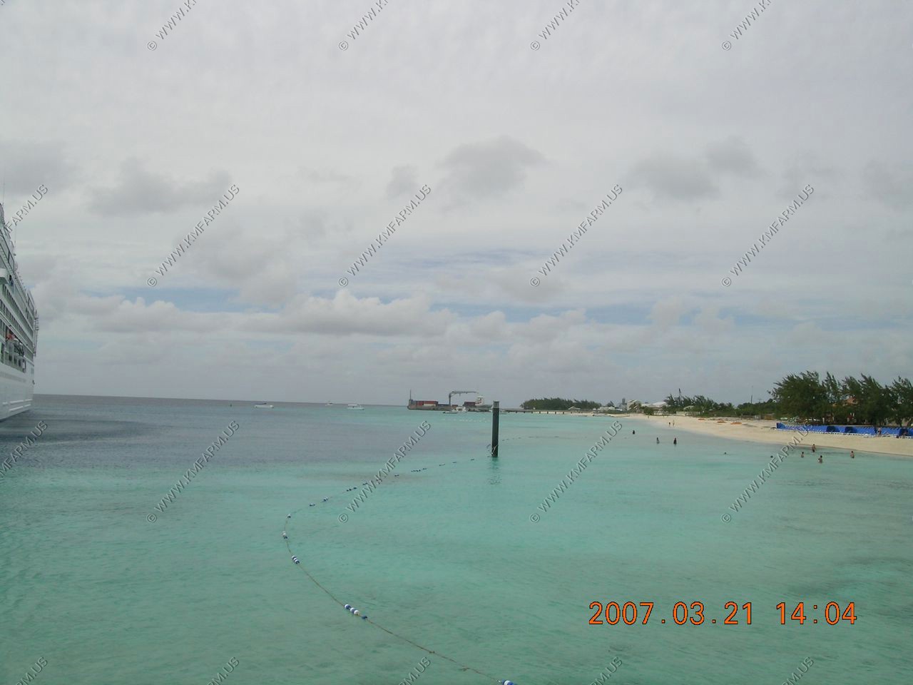
Good beach right at the ship. Good views too
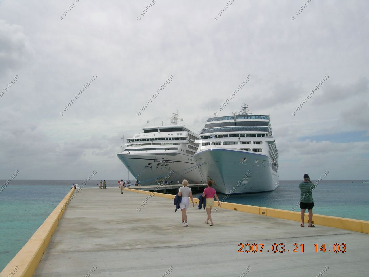
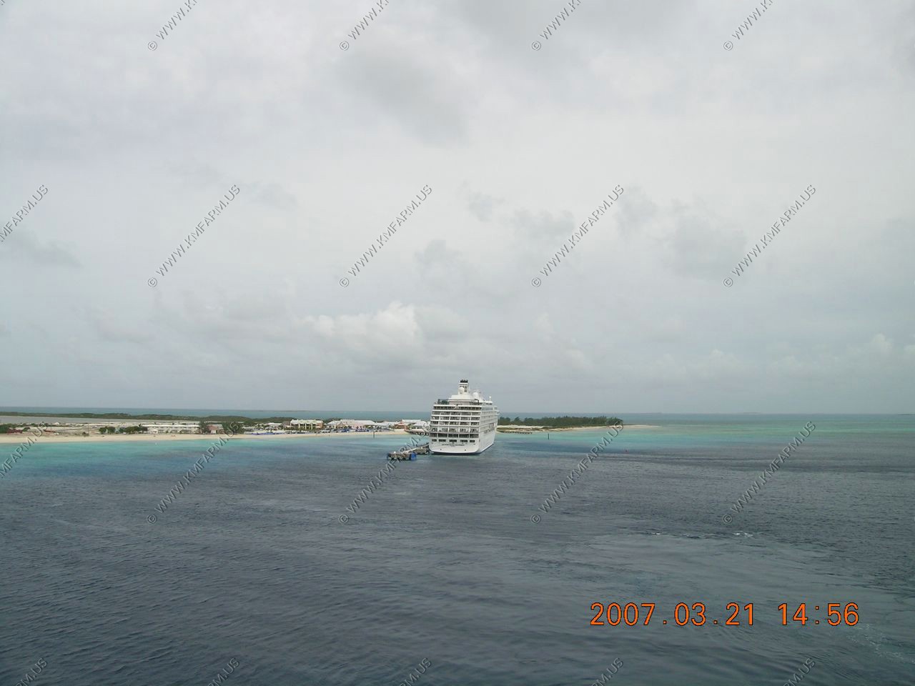
Seven Seas Mariner
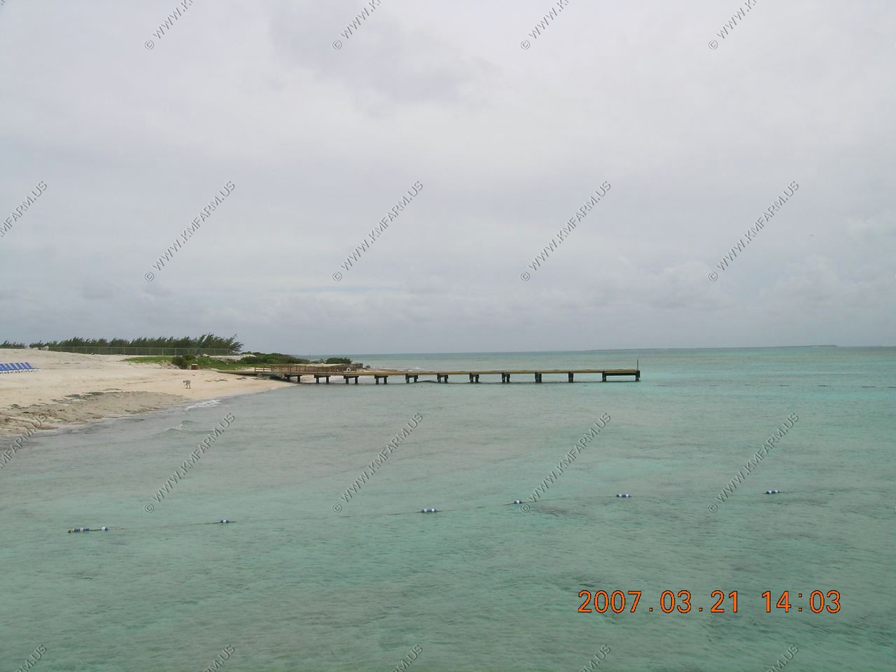
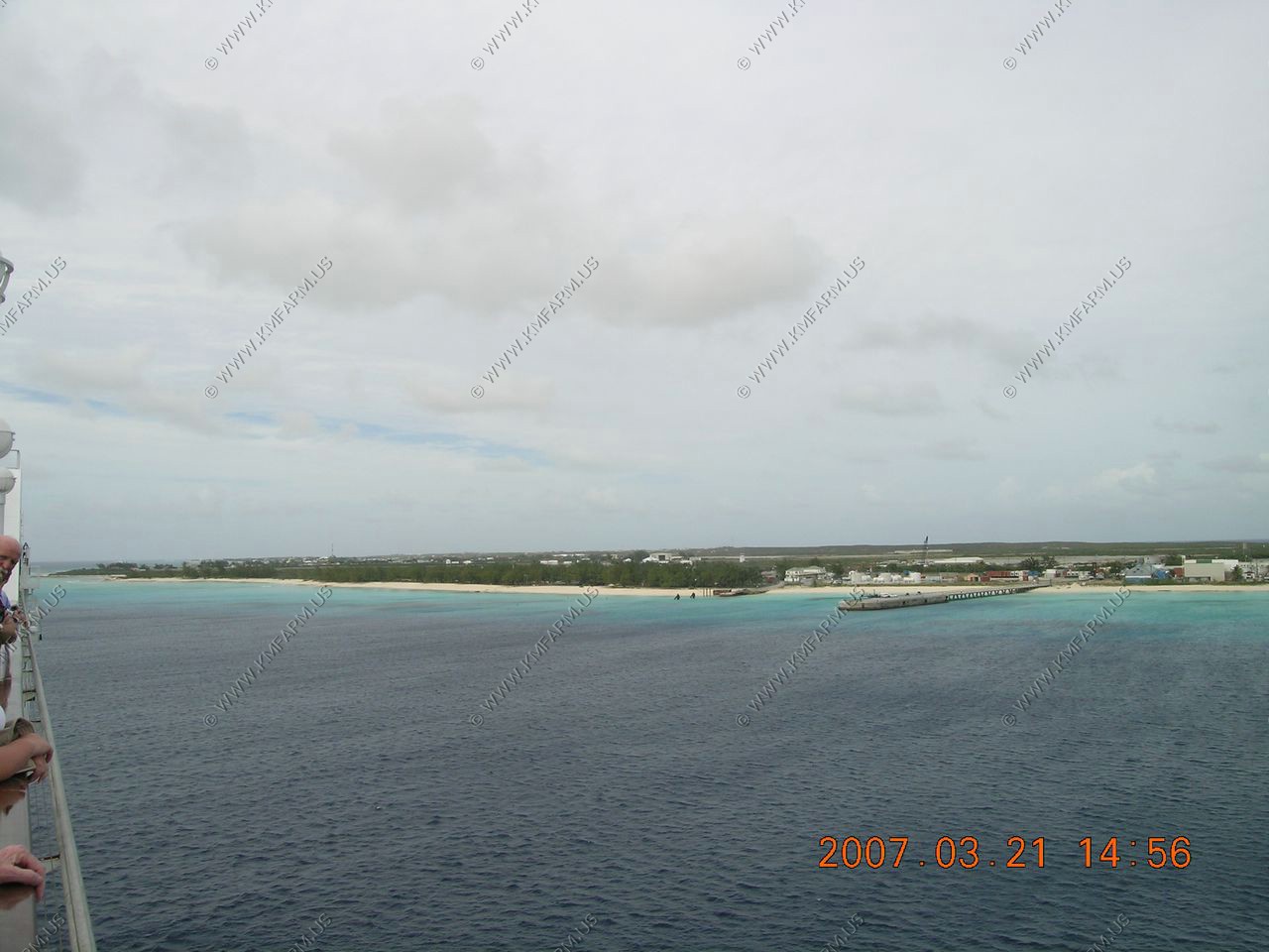
Views from the pier
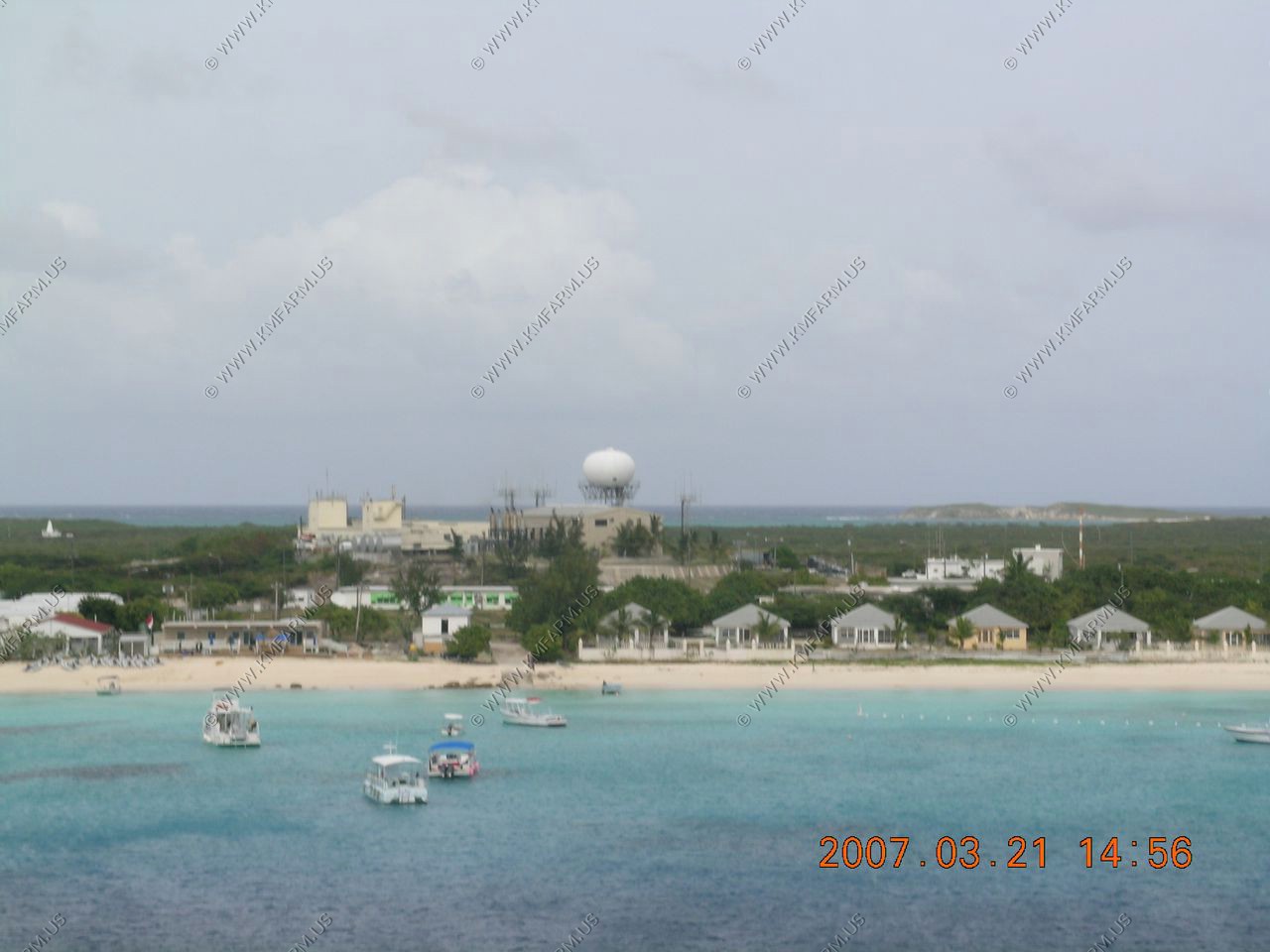
Radar facility
On our way to Miami

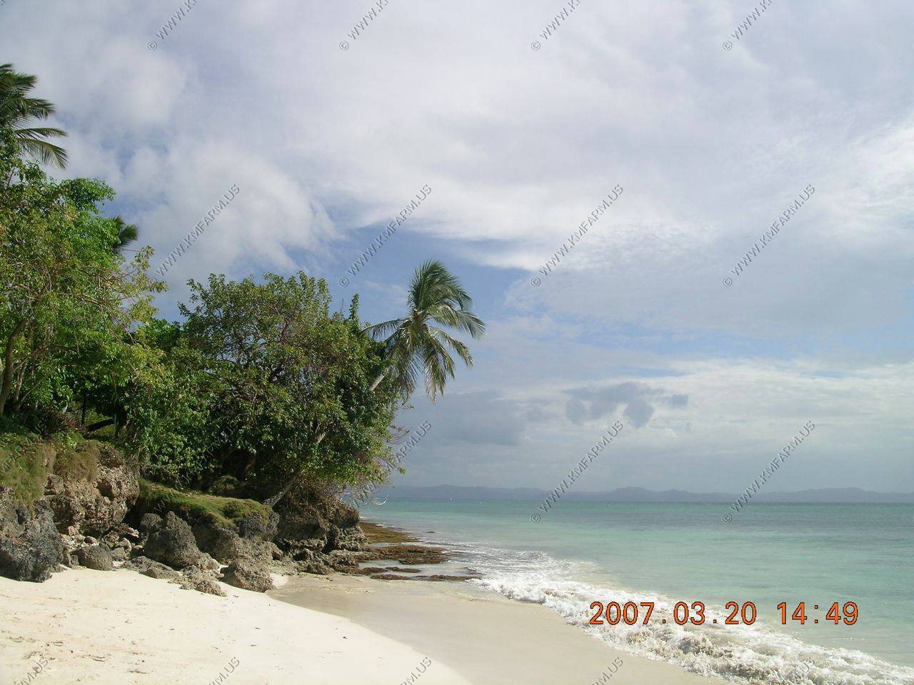
Next time we come we want to explore this area
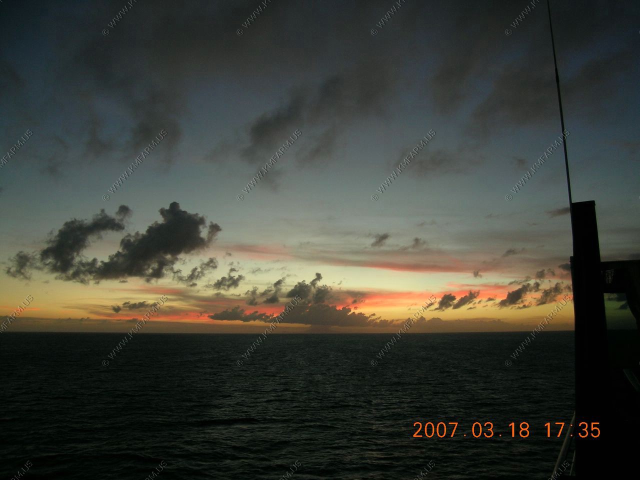
Sunset time
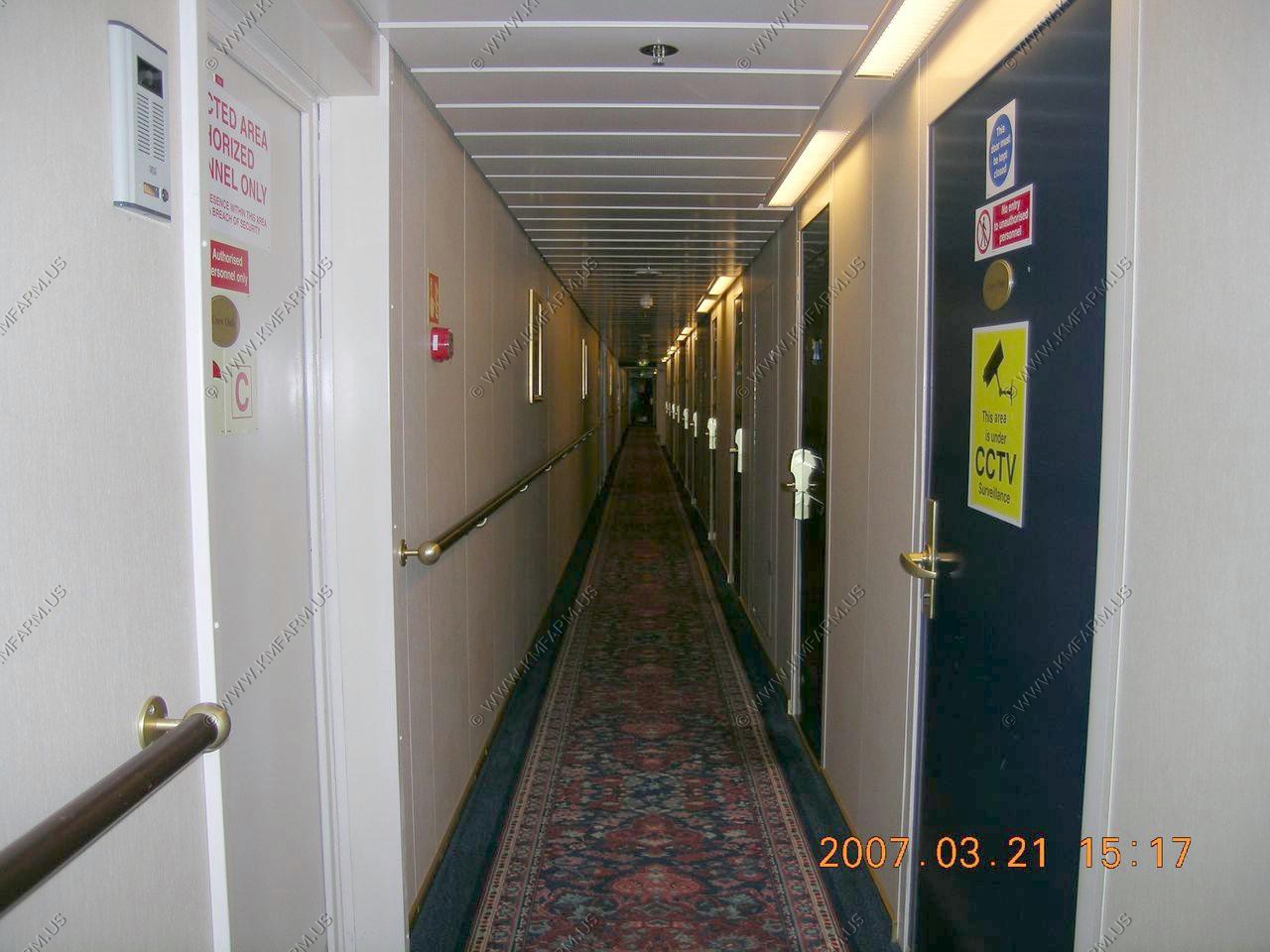
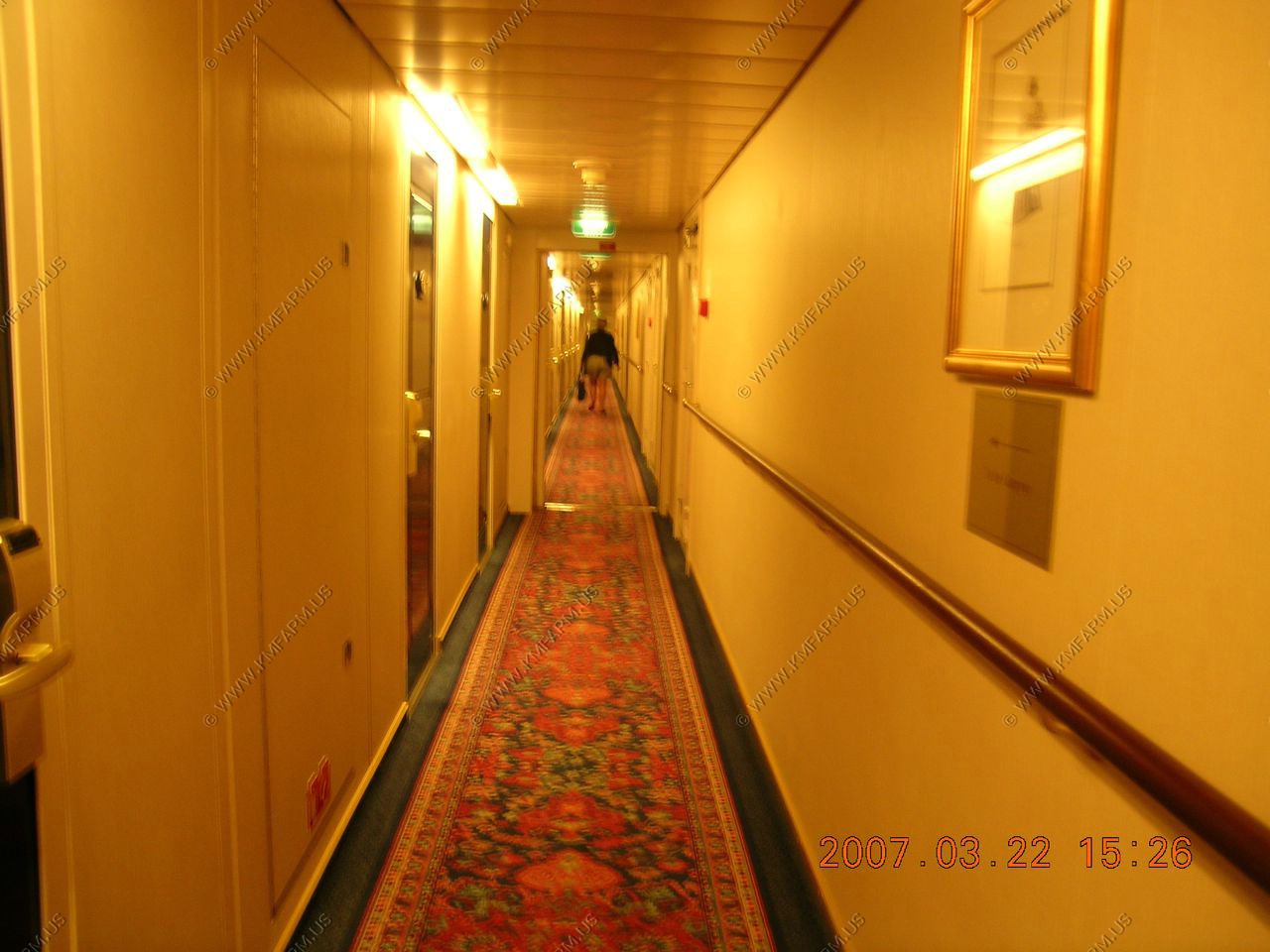
The corridor that our cabin was on
Getting off the ship was as easy as getting on. We had to wait a few minutes for the walker crowd to get moving but once past that we went down to get our luggage and go through customs. The classic Cuban Cigar question was asked... and that was it; we were on the street. We were #2 in line for a cab which were hard to come by--for 20 min or so.
Once we got the cab it was a 20 minute ride ($30-40)to Sleep Inn near the airport.
The car was fine and it started. By 9:30 we were heading NW out of that god awful place known as Miami.
Porthole view... A nice day at sea.
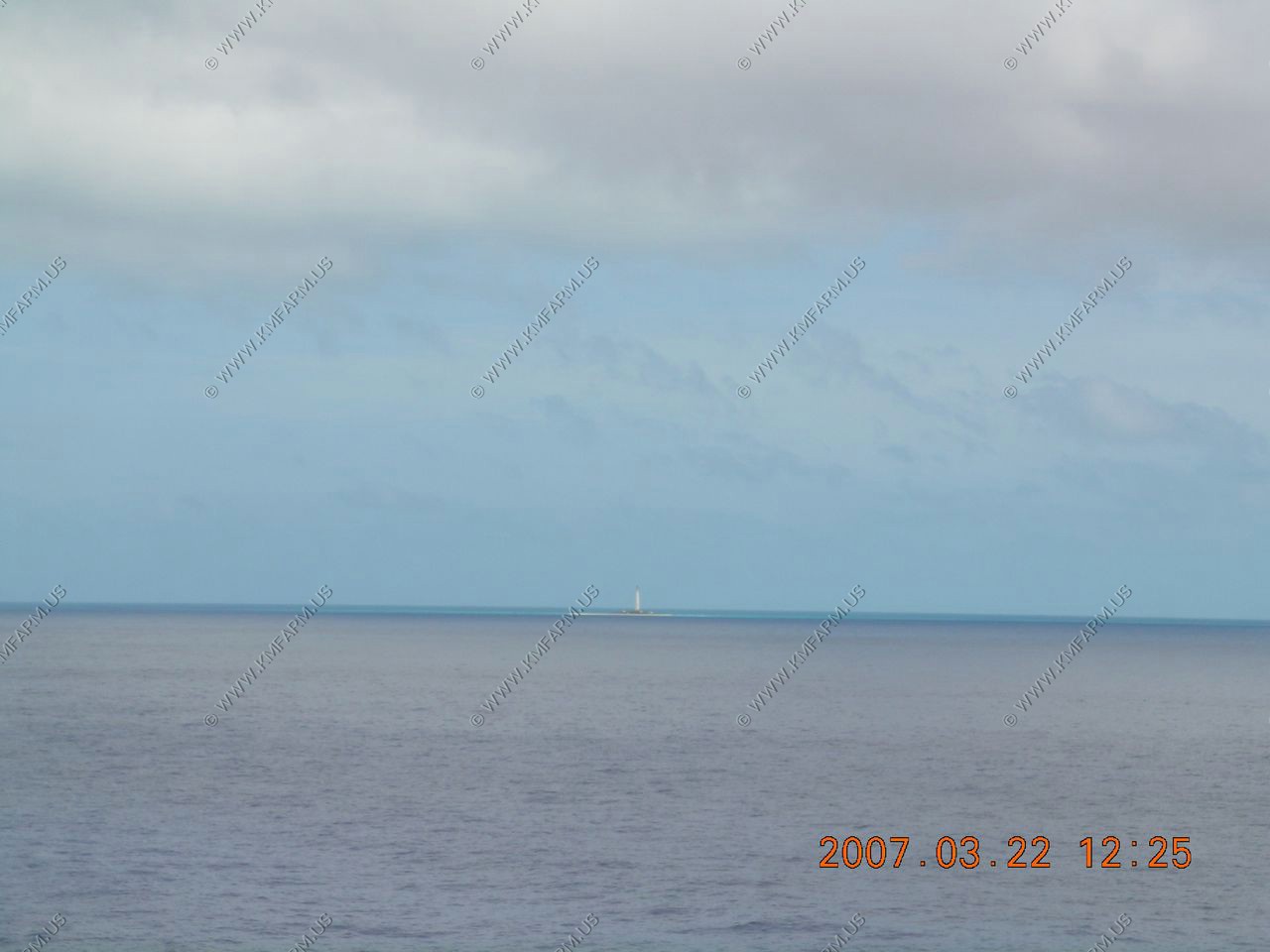
Cay Lobos Lighthouse
(update FEB-2021) The lighthouse at Cay Lobos ordered by the British colonial authorities and completed in 1869. Its round cast iron tower stands at 45 m (148 ft), with lantern and gallery, painted white. The tiny cay is, a famous hazard to navigation, is located in the Old Bahama Channel only 50 kilometers (30 miles) off the north coast of Cuba, but it is owned by The Bahamas. For lighthouse keepers, it was the most isolated posting in The Bahamas. Today the light is automated and solar powered.
LAT: N 22 22'46 W 77 35'10 Goggle Maps
Situated just eleven miles north of Cuba in Bahamian waters, Cay Lobos is a never-before, recreational dived area and the closest you can legally get to Cuba without special permits (as of 2007). On a clear day, you can see the Cuban mountain range rise from the horizon
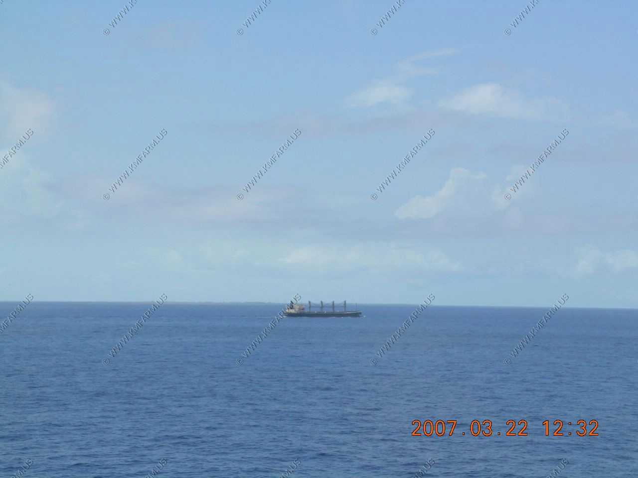
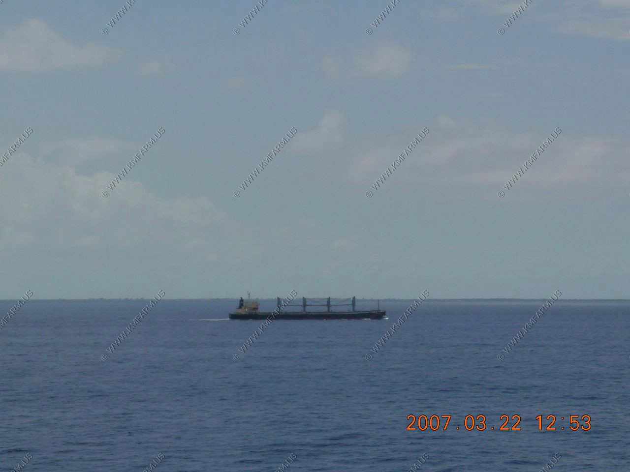
Bulk freightor at sea off of Cuba (you can see Cuba in the background)
Mary looking at the private areas that you can rent by the day / week. Got to try to extract the most $$$ out of the guests.
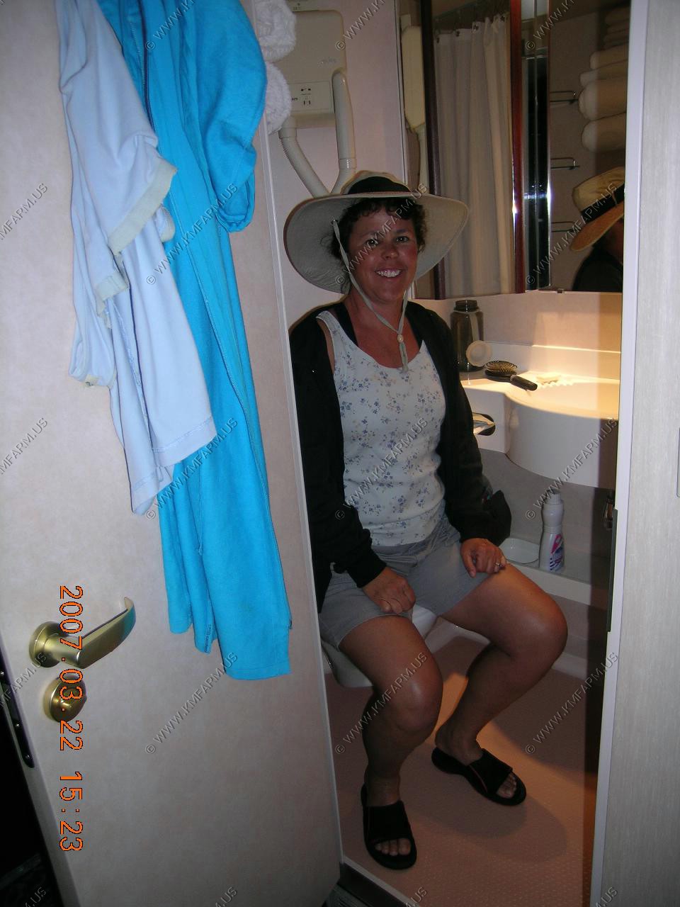
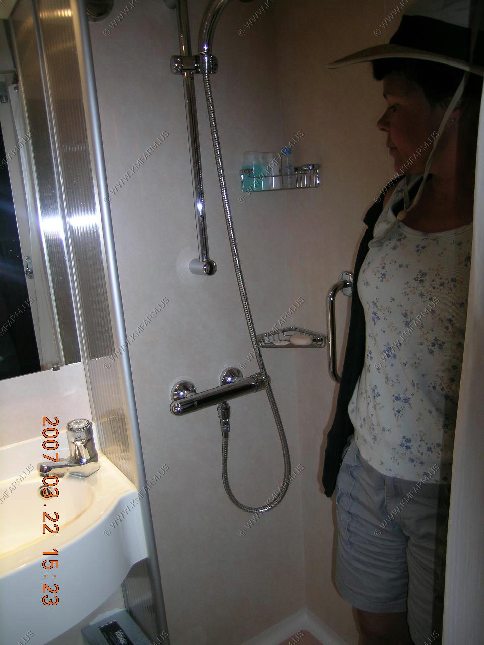
View down our hall and Mary showing how small the bathroom is.
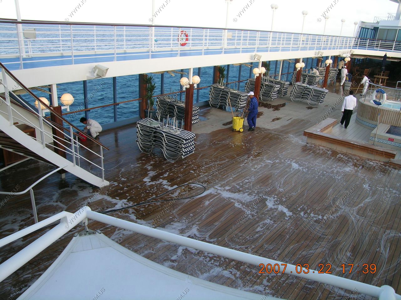
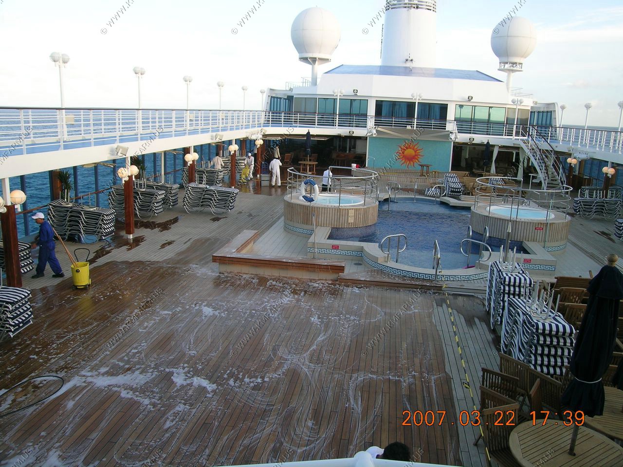
Oceania needs to do this in the middle of the night and not when people want to be out on the deck. Yes, it was dinner time but this happened during my quiet time.
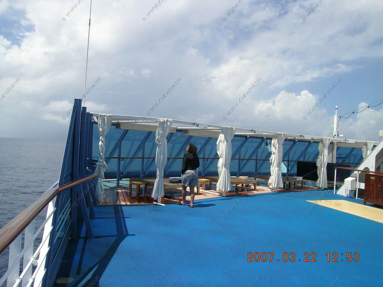
Ended up being a nice day at sea
The last sunset. Not that good with no clouds.
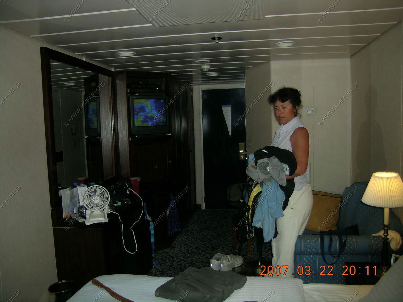
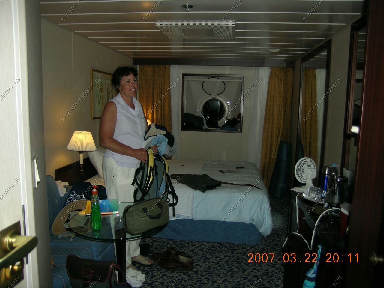
Packing to go home
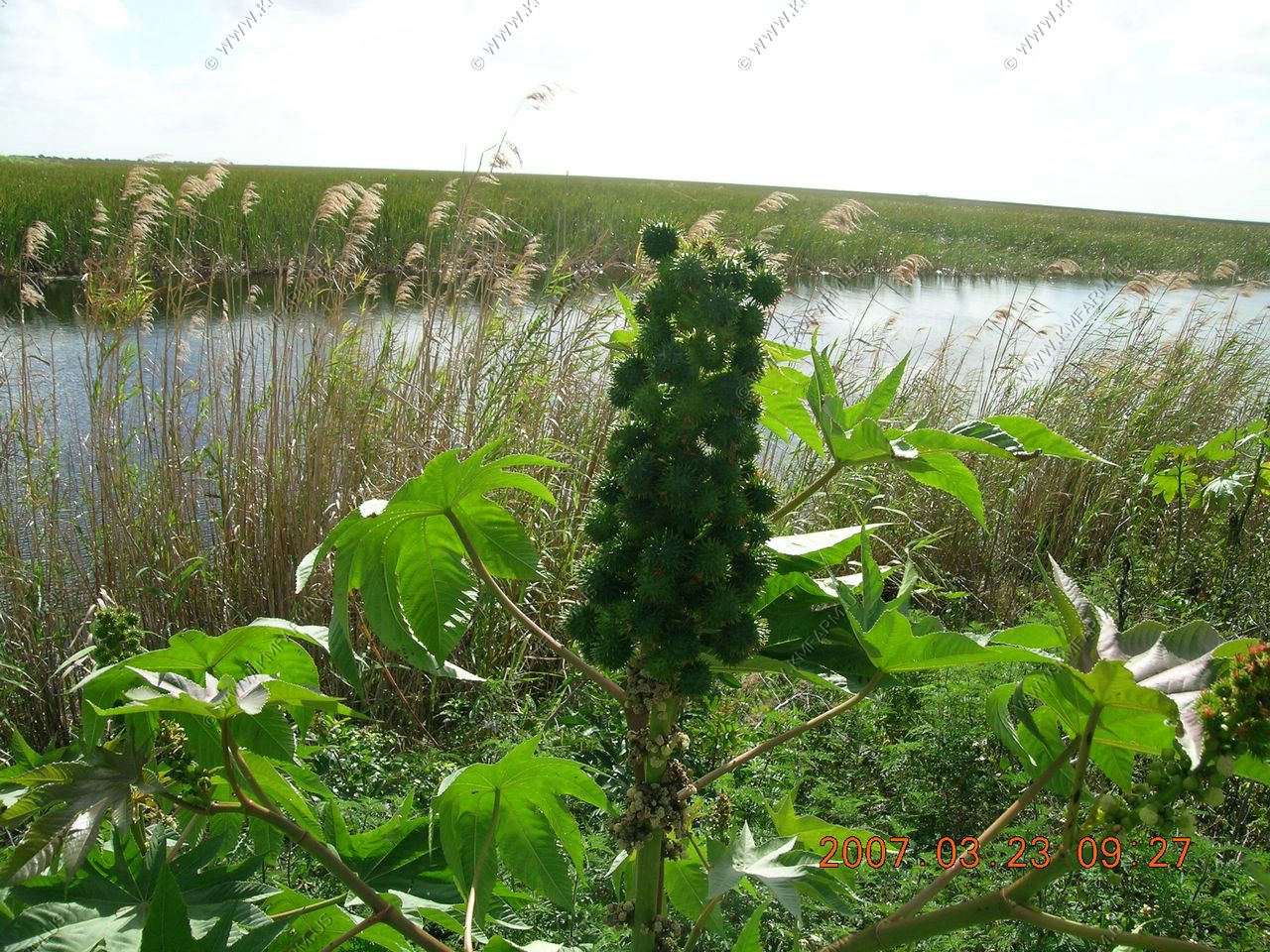
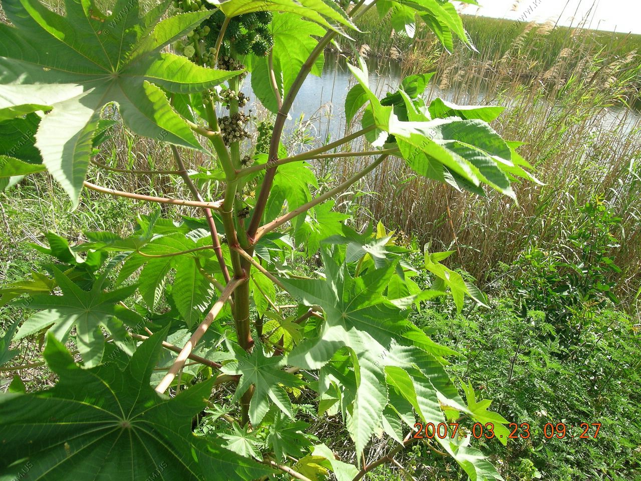
The Castor Bean plant. A good plant to have around for population control !!
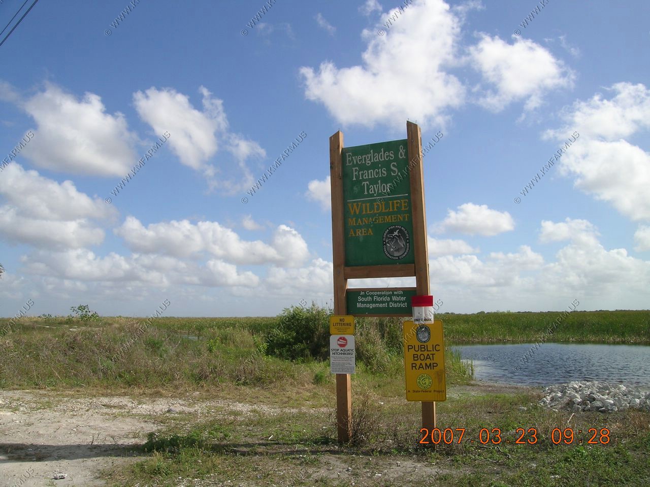
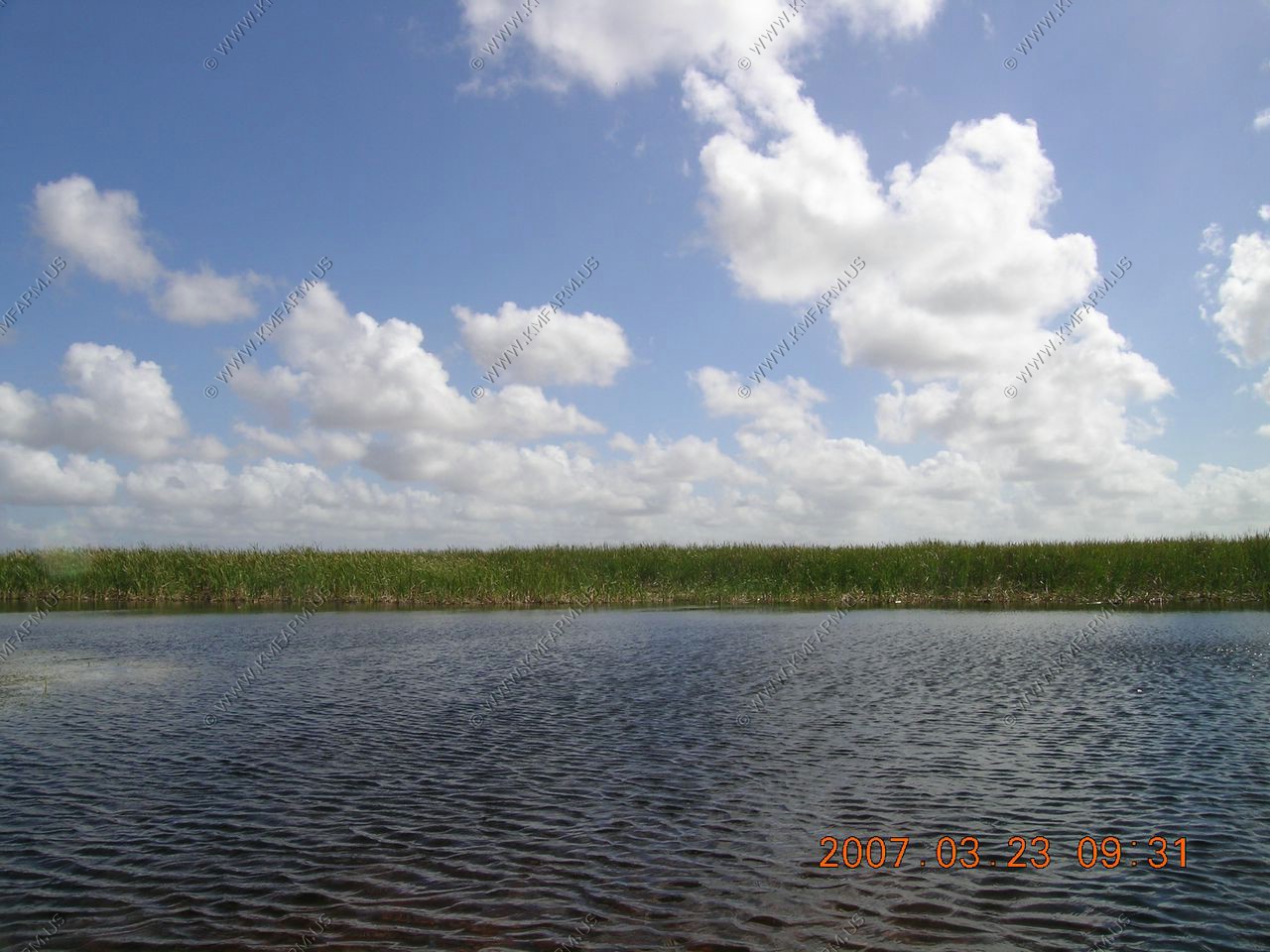
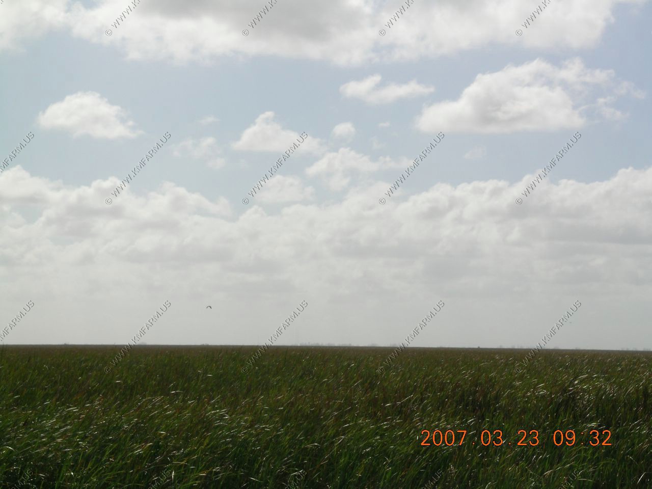
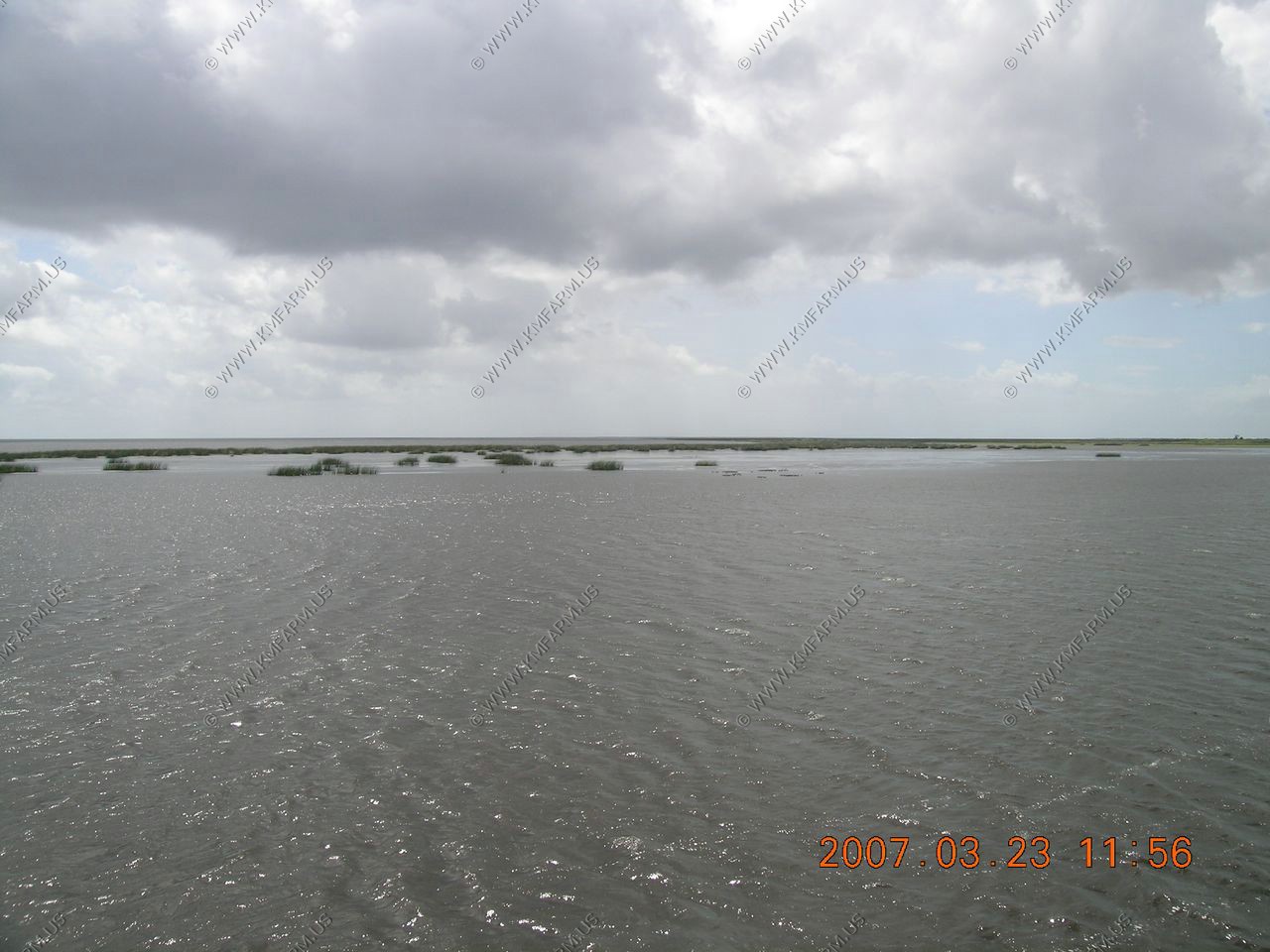
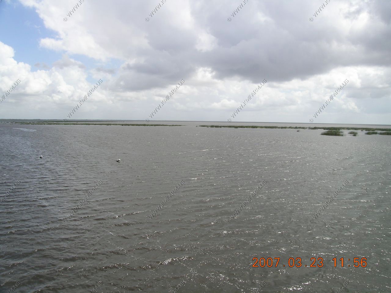
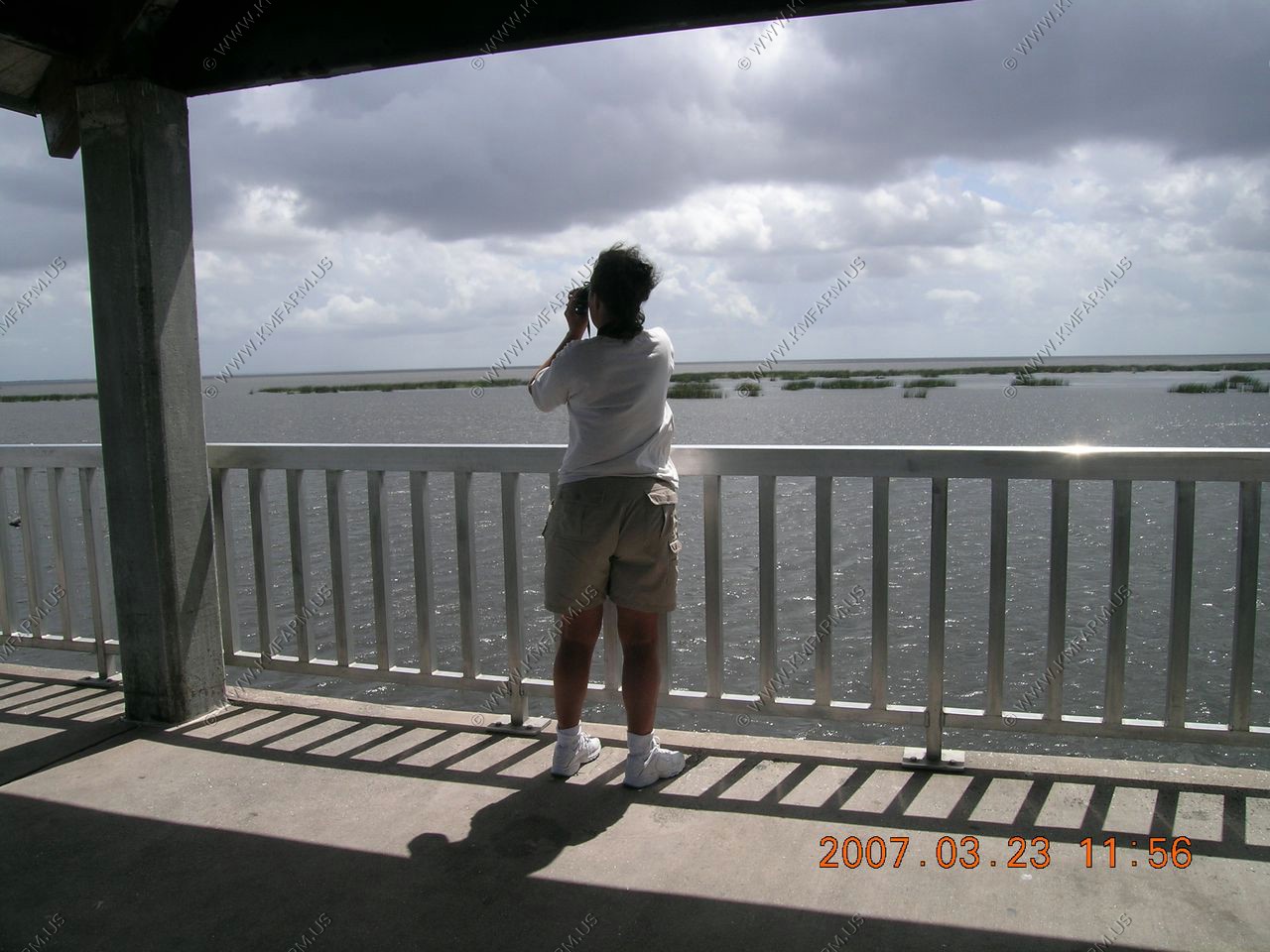
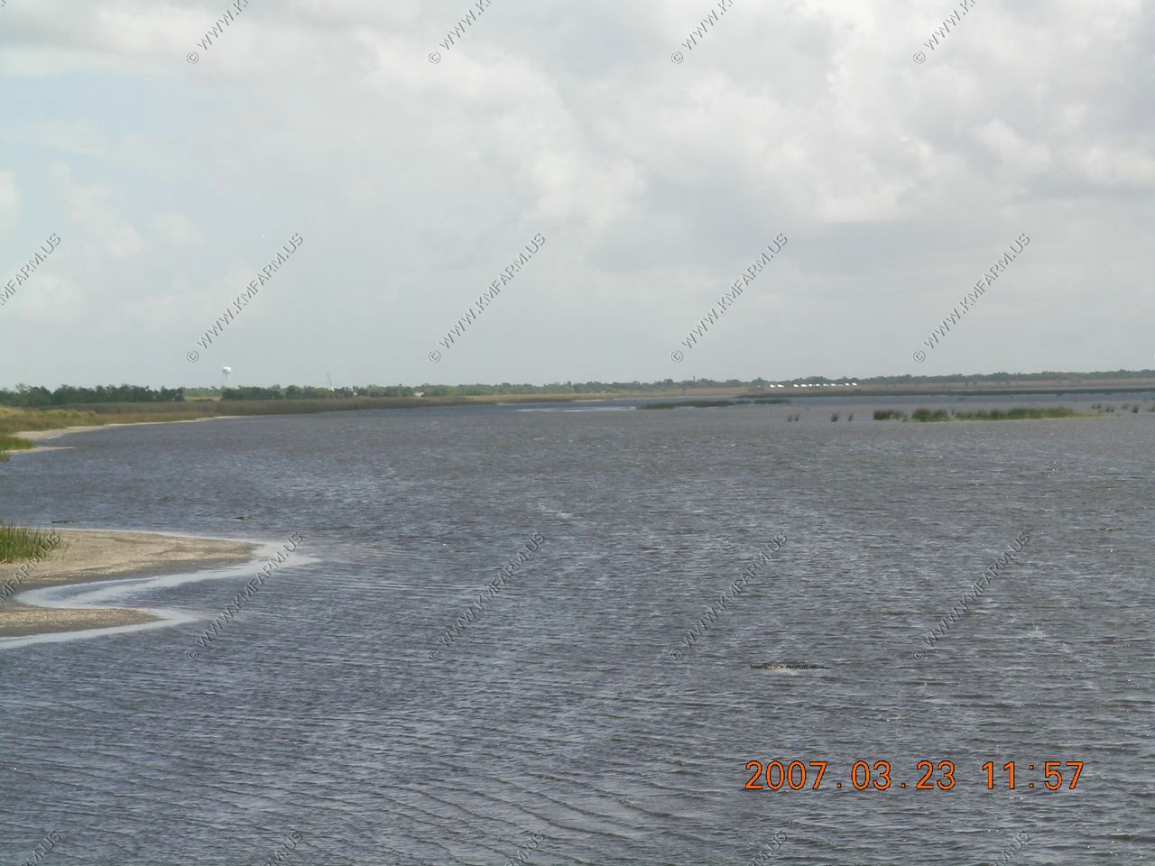
A quick stop at the Francis S. Taylor WMA along US-27 NW of Miami. We took back roads up most of the coast to avoid the traffic problems of the East coast of Florida.
Sad... You can still see the buildings of Miami over 50 miles away. It's so flat the power lines just go forever.

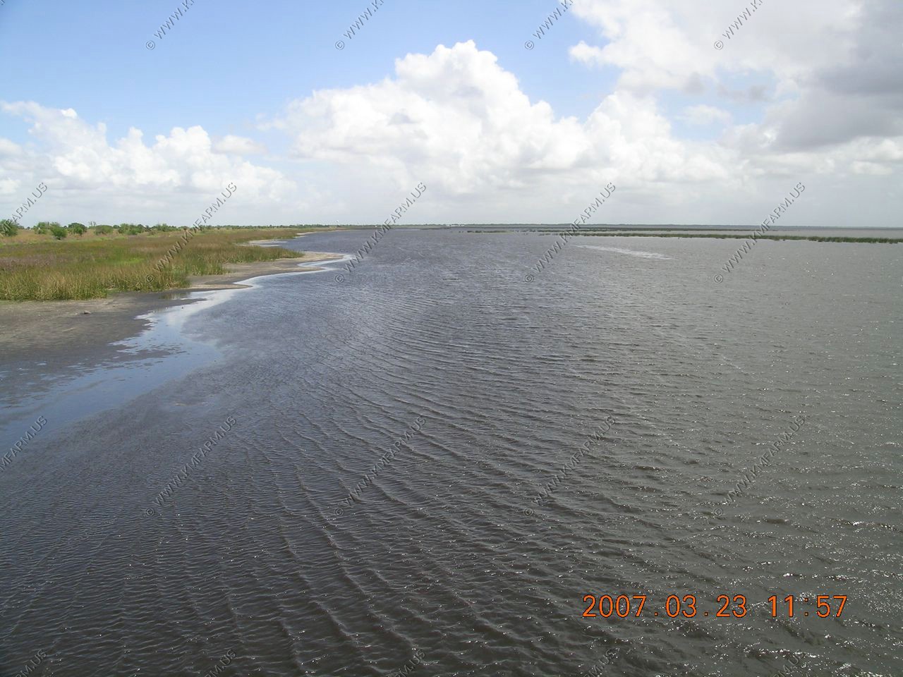
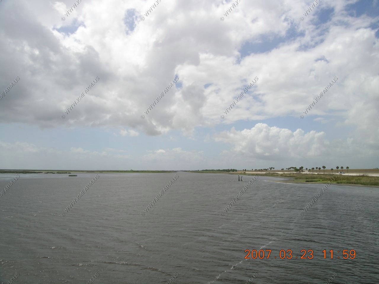
A quick stop at the John Stretch Park in Lake Harbor, Florida. We were starting to discover that Lake Okeechobee was totally surrounded with flood control dams.
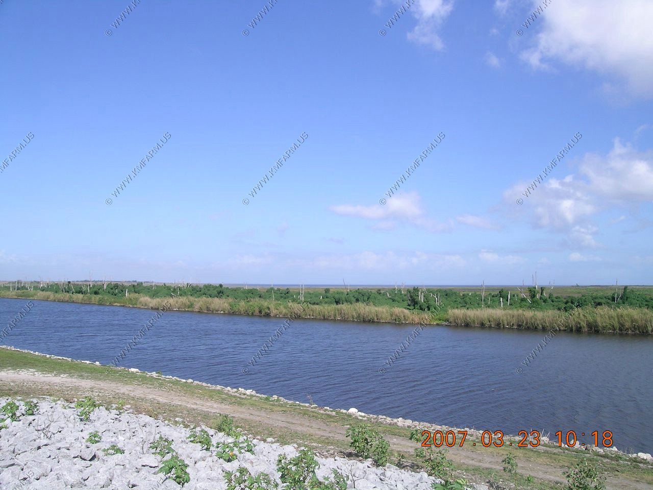
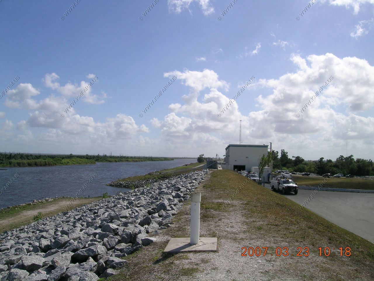
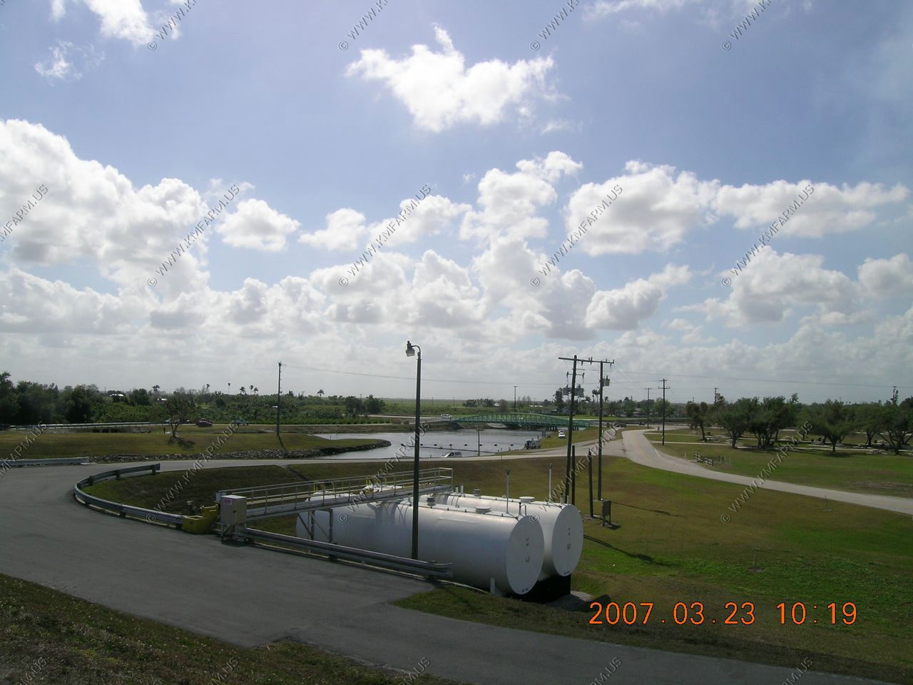
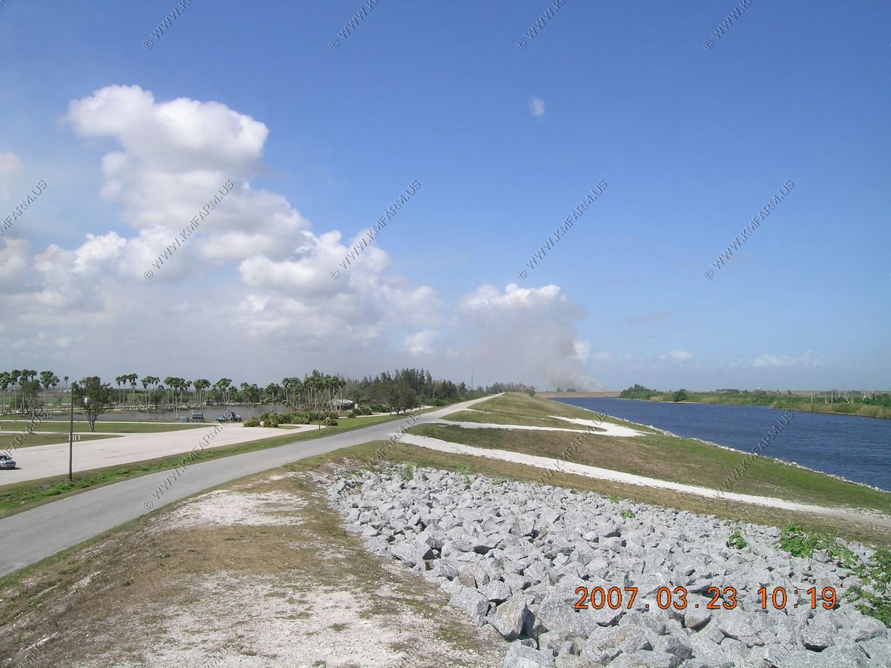
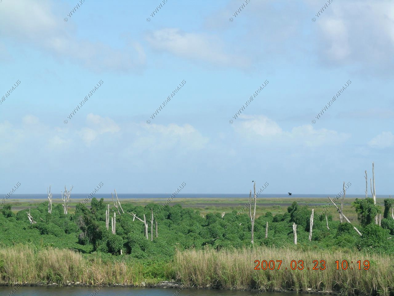
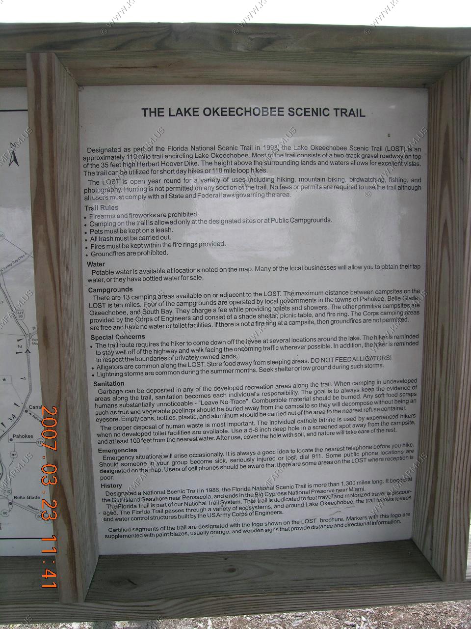
On the top of the dam they have the Lake Okeechobee Scenic Trail (LOST)
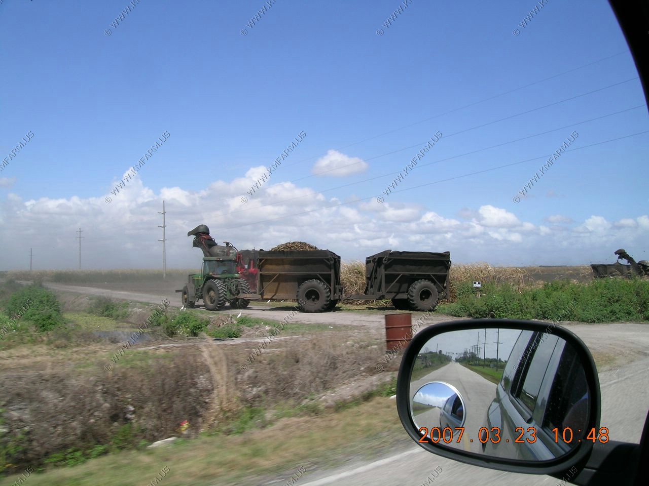
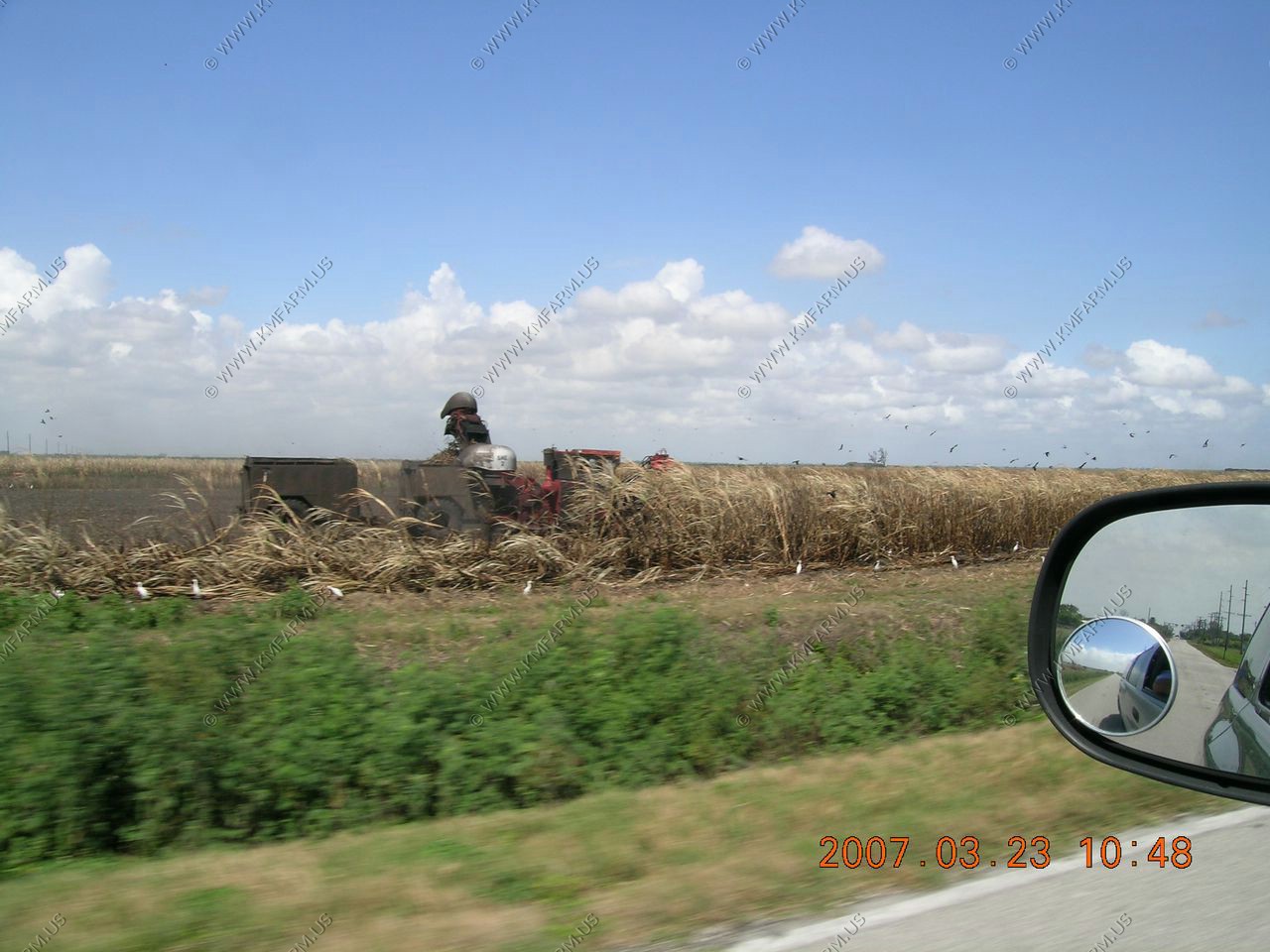
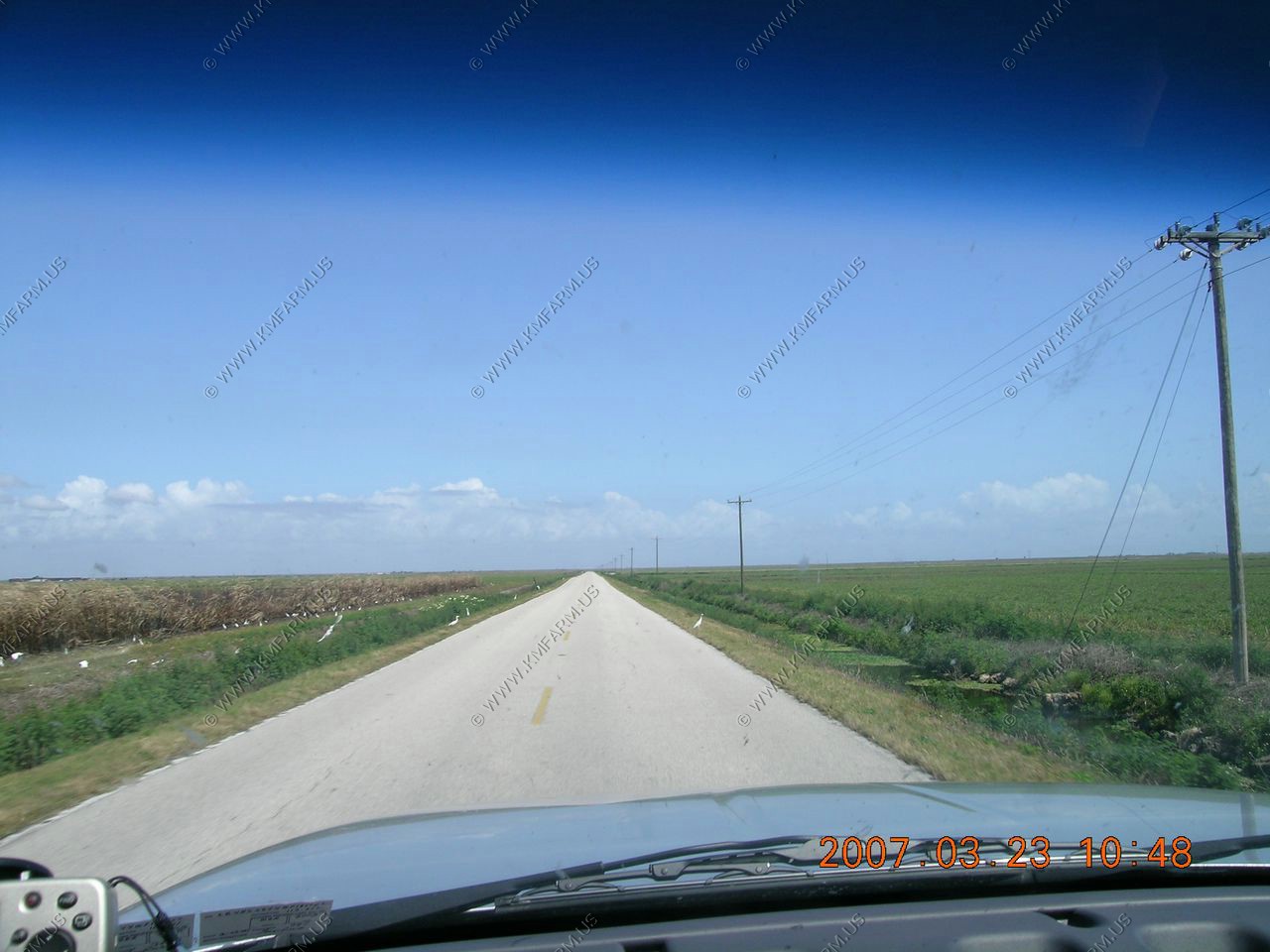
Sugar cane being harvested along CR-720 North of Clewiston. Cattle egrets catching the insects... We were impressed with Clewiston as it still had the small-town look and feel. Also, it had a Kubota dealer.
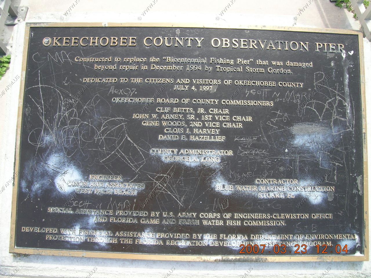
We stopped at the Okeechobee County Observation Pier. This was located south of the town of Okeechobee.
We overheard a longtime resident saying that the lake is the lowest that he has ever seen
A few gators out in the lake
We stayed at Sleep Inn, Port Wentworth, Georgia located at Highway 21 and I-95 on the way home.
The ride home was easy. The weather was dry until we got close to Washington DC.