Last Updated: 24-AUG-2018
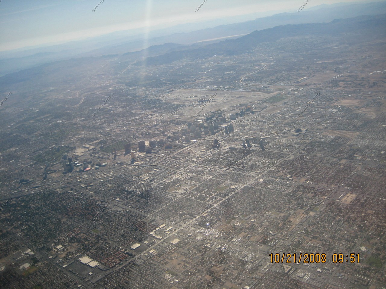
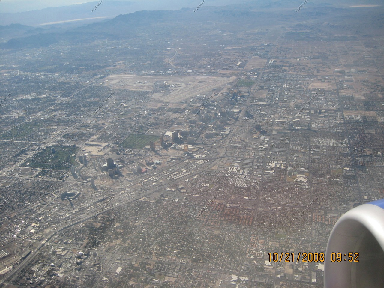
Views of the strip and the airport
The strip and looking out Boulder Highway
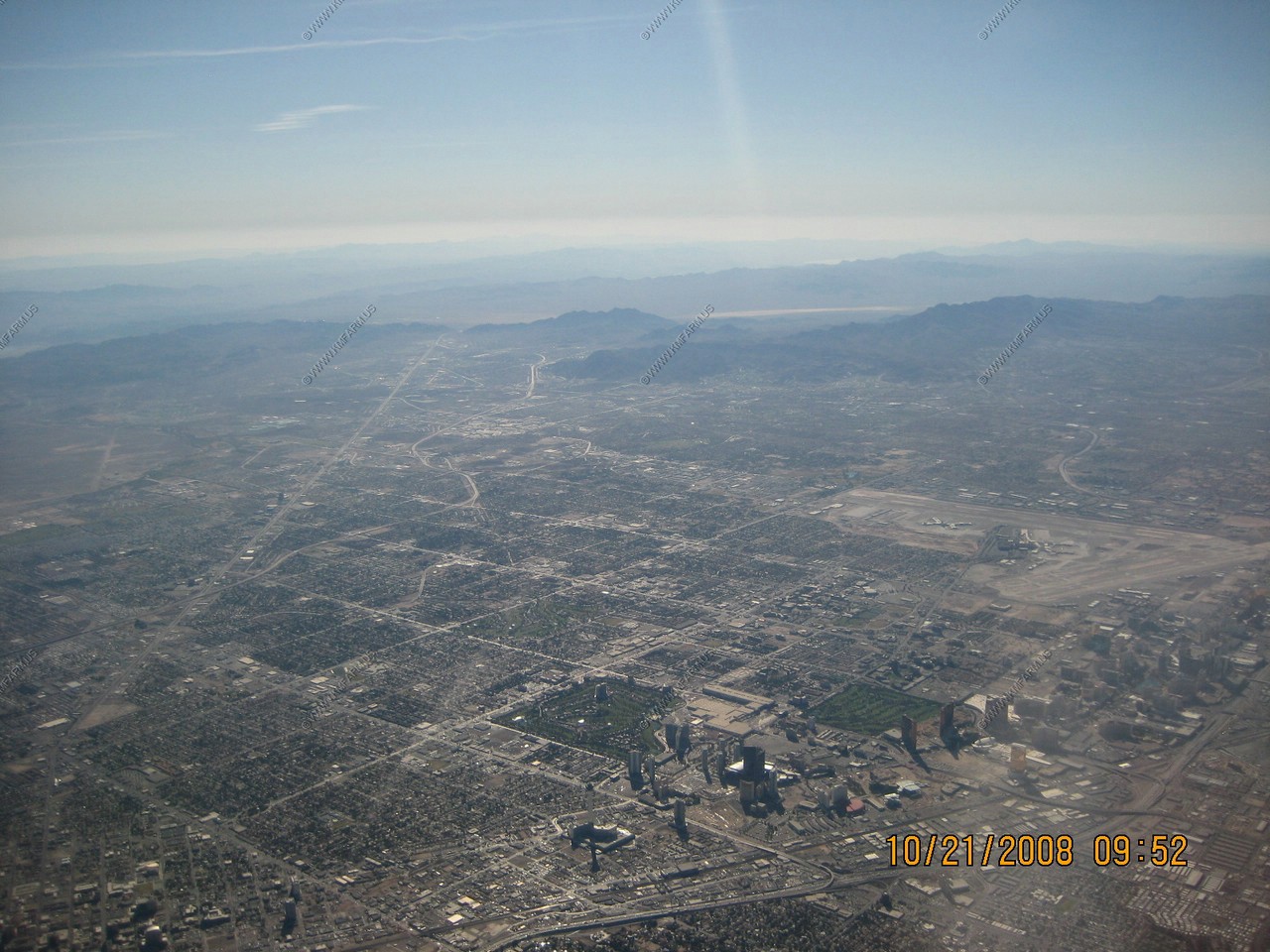
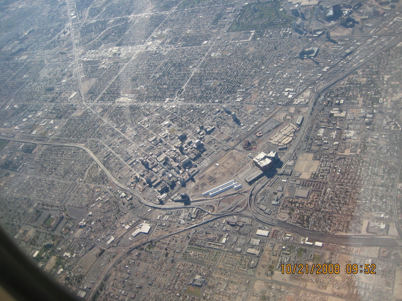
Downtown
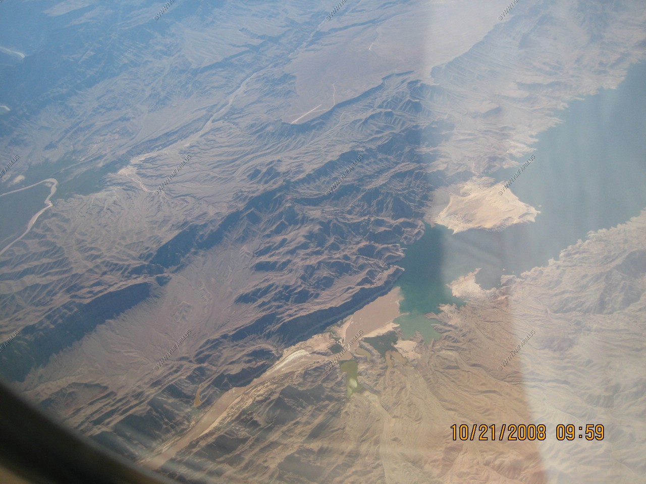
Lake Meade and Hoover Dam

Where the Colorado (muddy) goes into Lake Meade (green/blue)
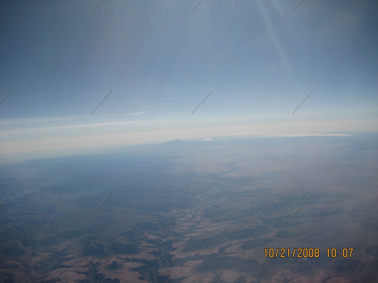
Looking over the Grand canyon to the San Francisco Peaks, the Highest point in Arizona: 12,633 feet
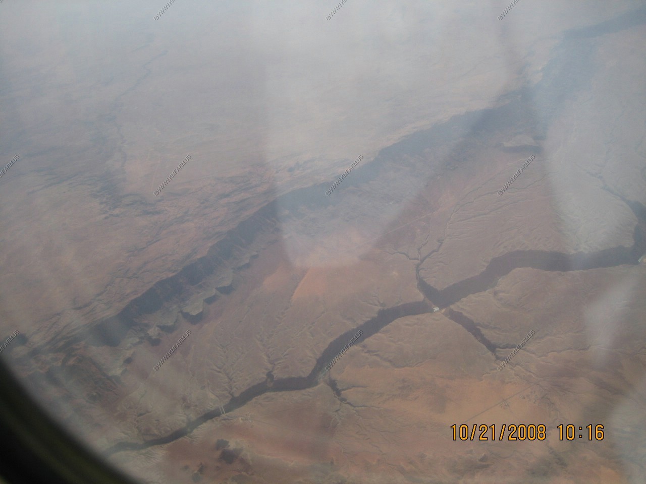
Navajo Bridge, The upriver span (Left) is a pedestrian bridge. Great views. Echo Cliffs above the river.
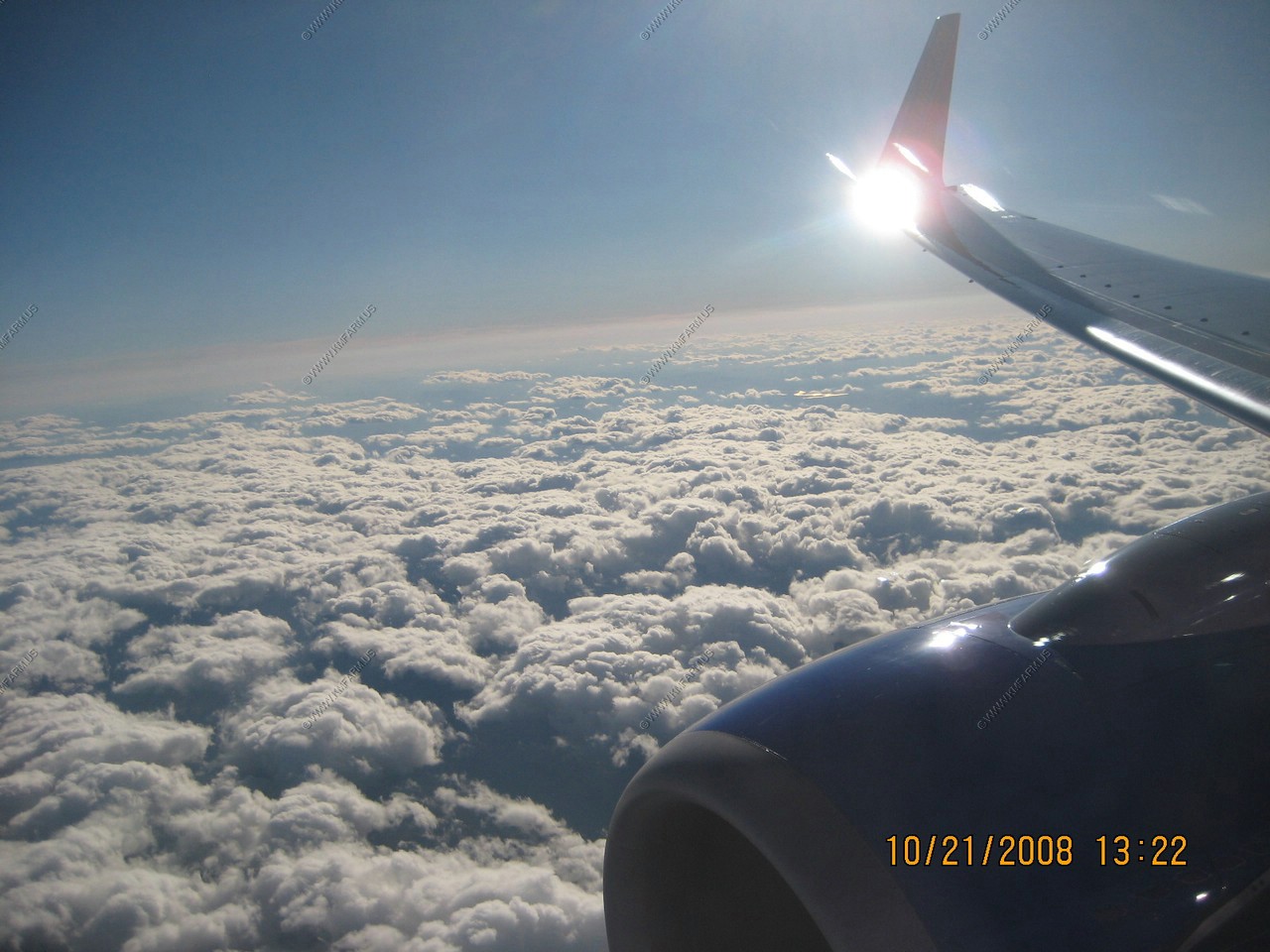
The rest of the way was cloudy. I kept waiting for the plane to bank where the wing would block the sun. Over Morgantown, WV I got my wish
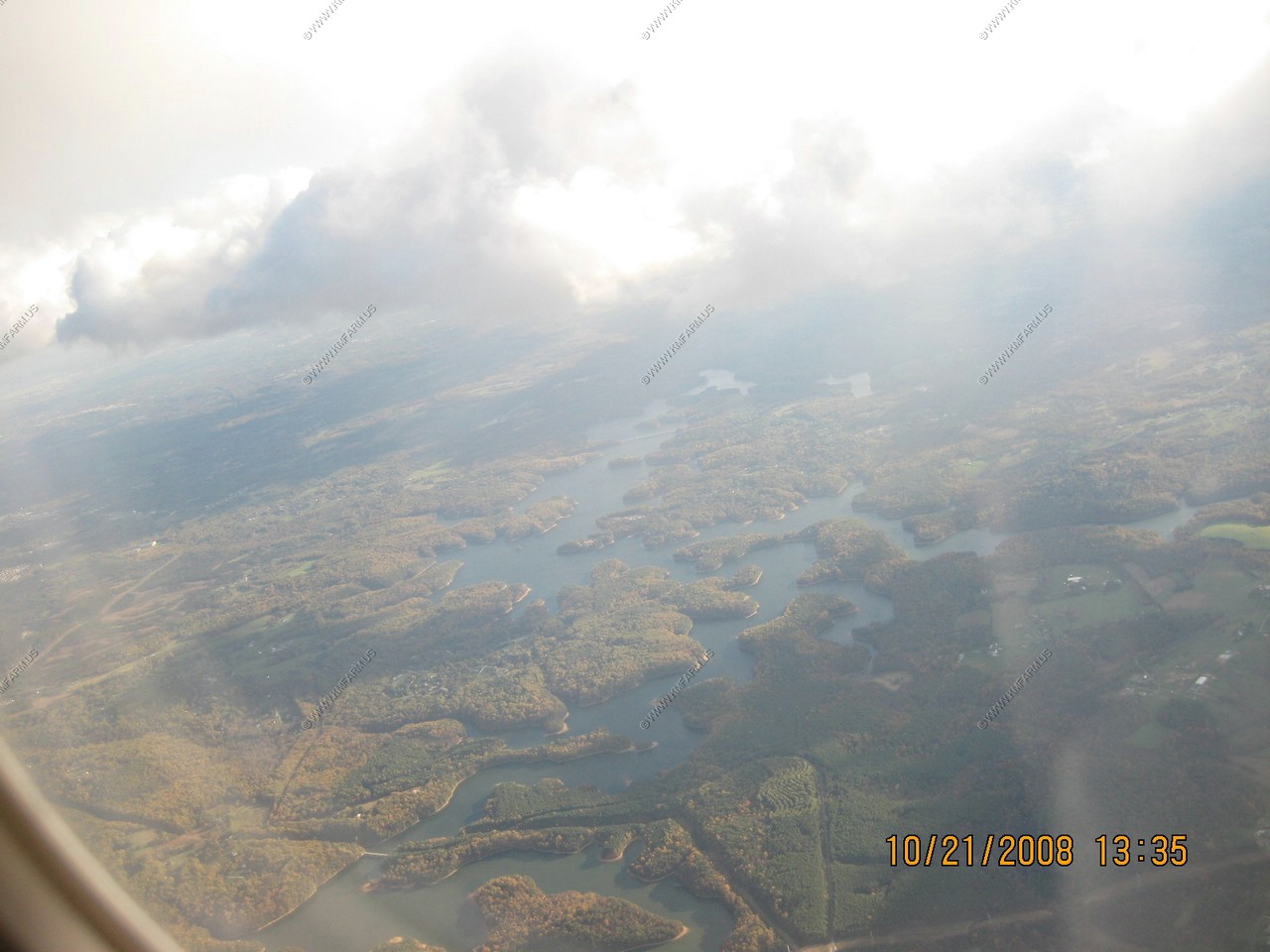
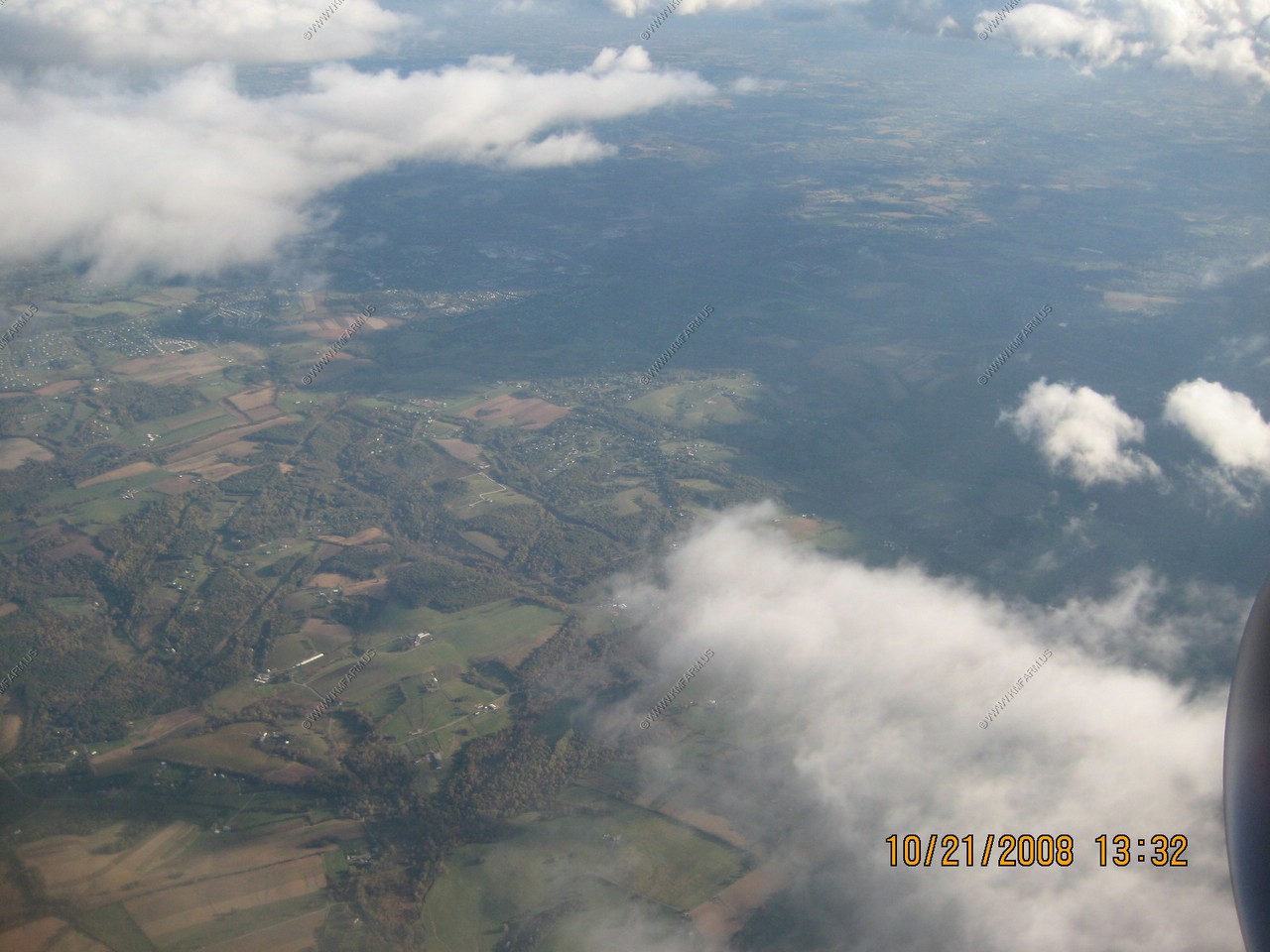
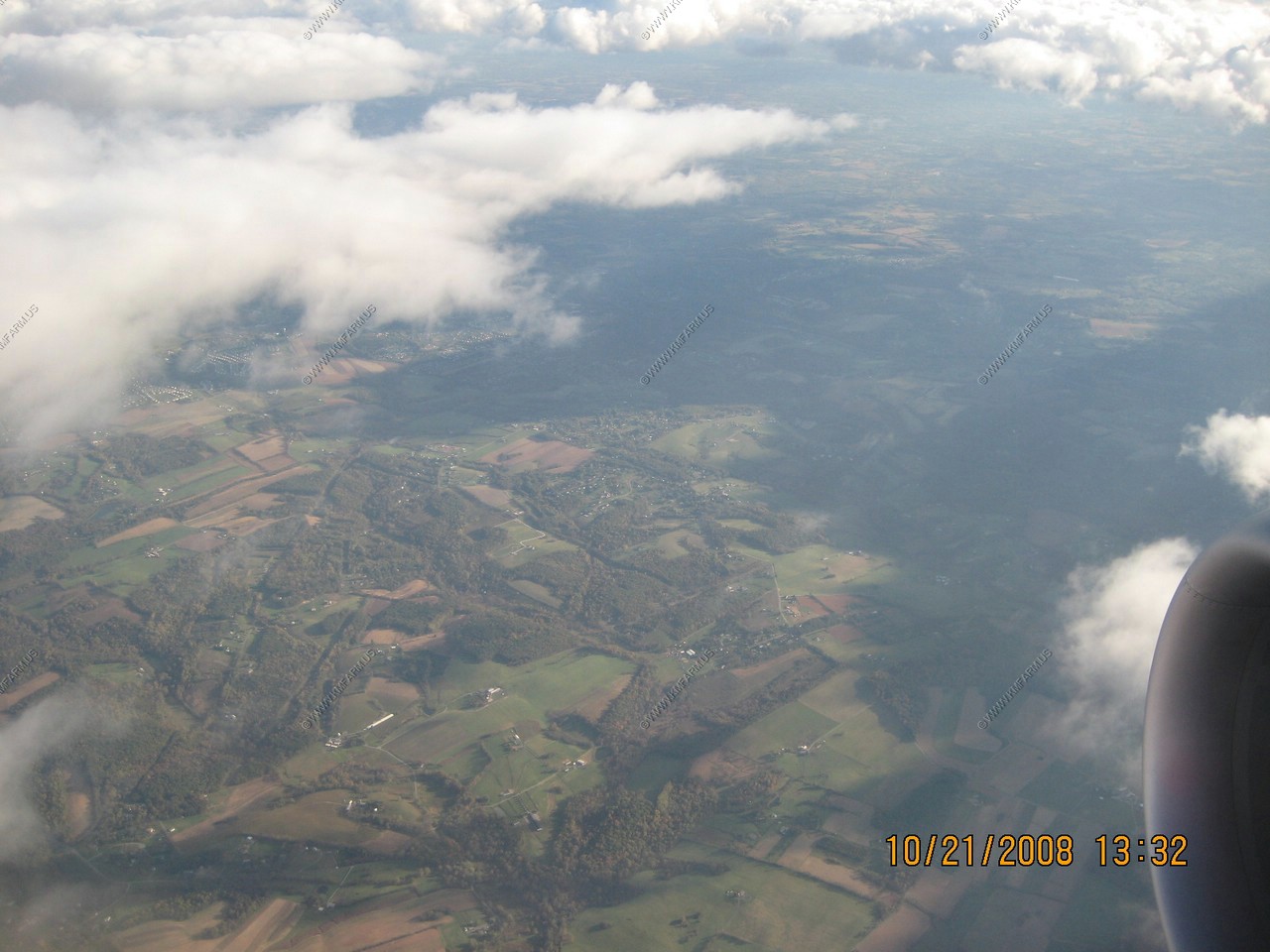
NW of Mt. Airey MD. We are in approach to BWI and appx. 5,500 feet above the ground
Over Liberty Reservoir. The bridge in view is Deer Park road. We are now down to 3,500 feet above the ground