Last Update: 01-SEP-2018
All photos were taken with a Cannon PowerShot S90 10MP camera. Video was shot with a Cannon PowerShot S90 camera and converted to AVI with AWS Video Converter 6
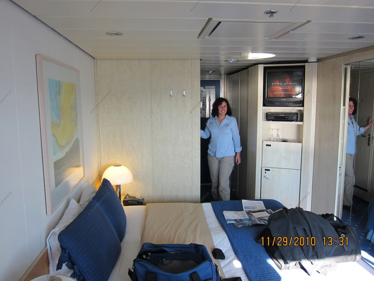
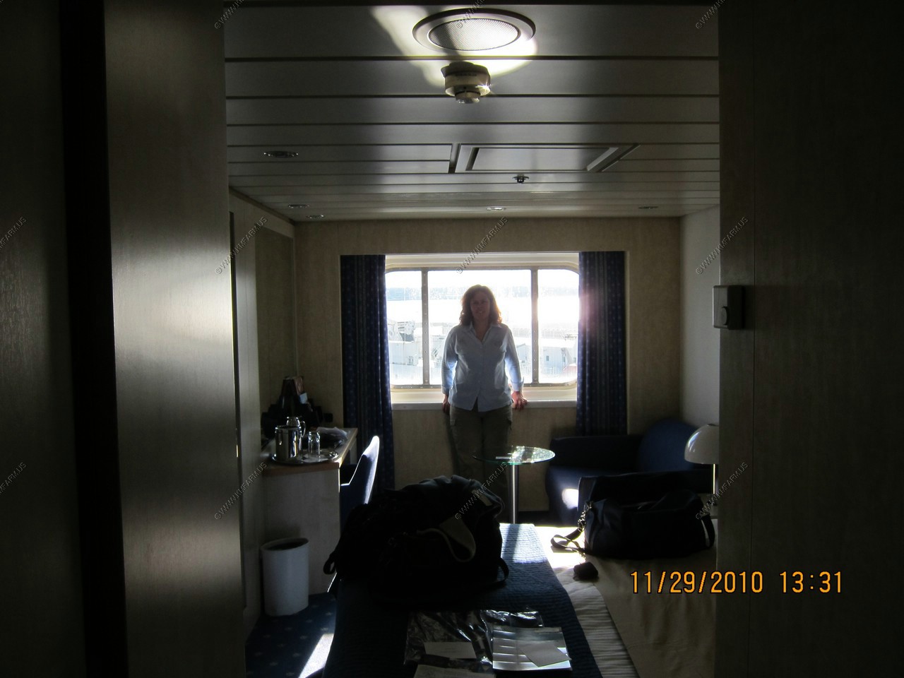
Room views Not bad, same as all the other cruises that we have gone on
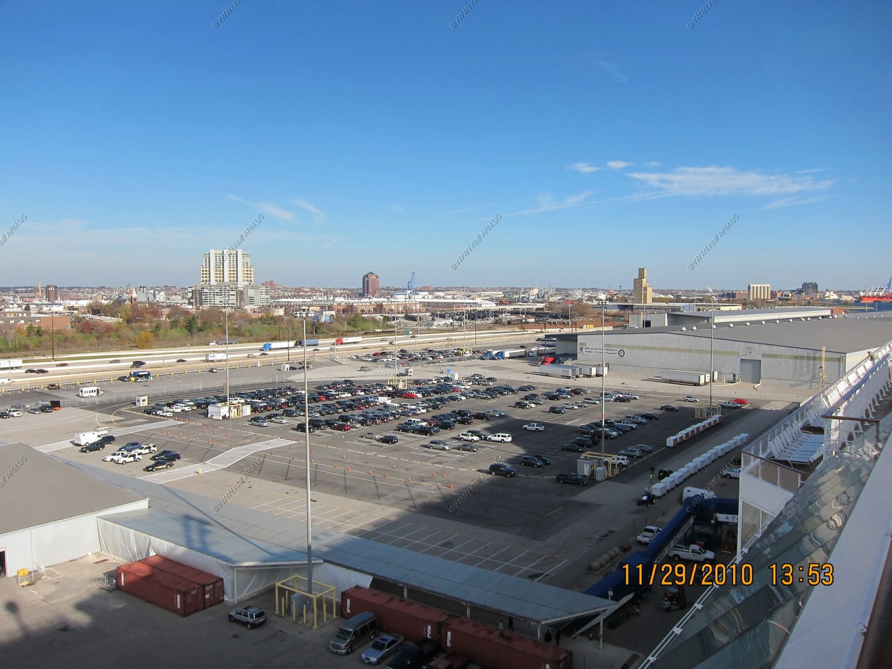
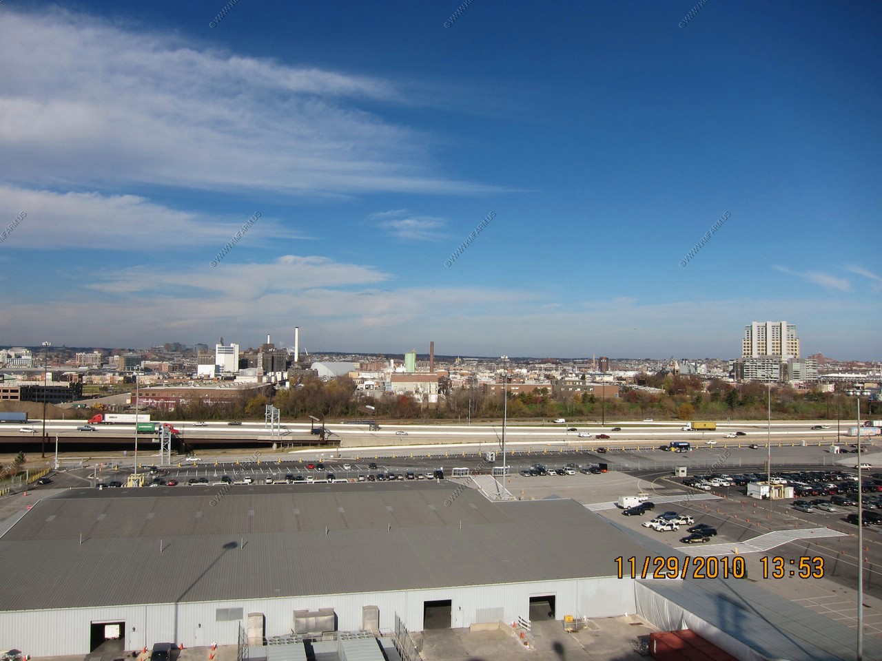
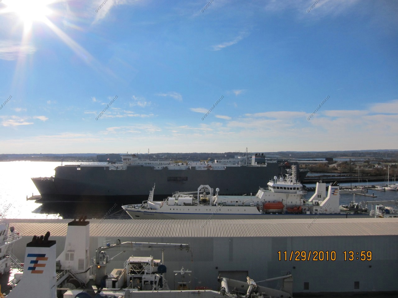
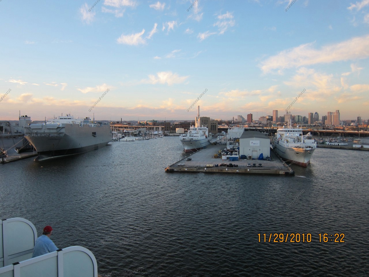
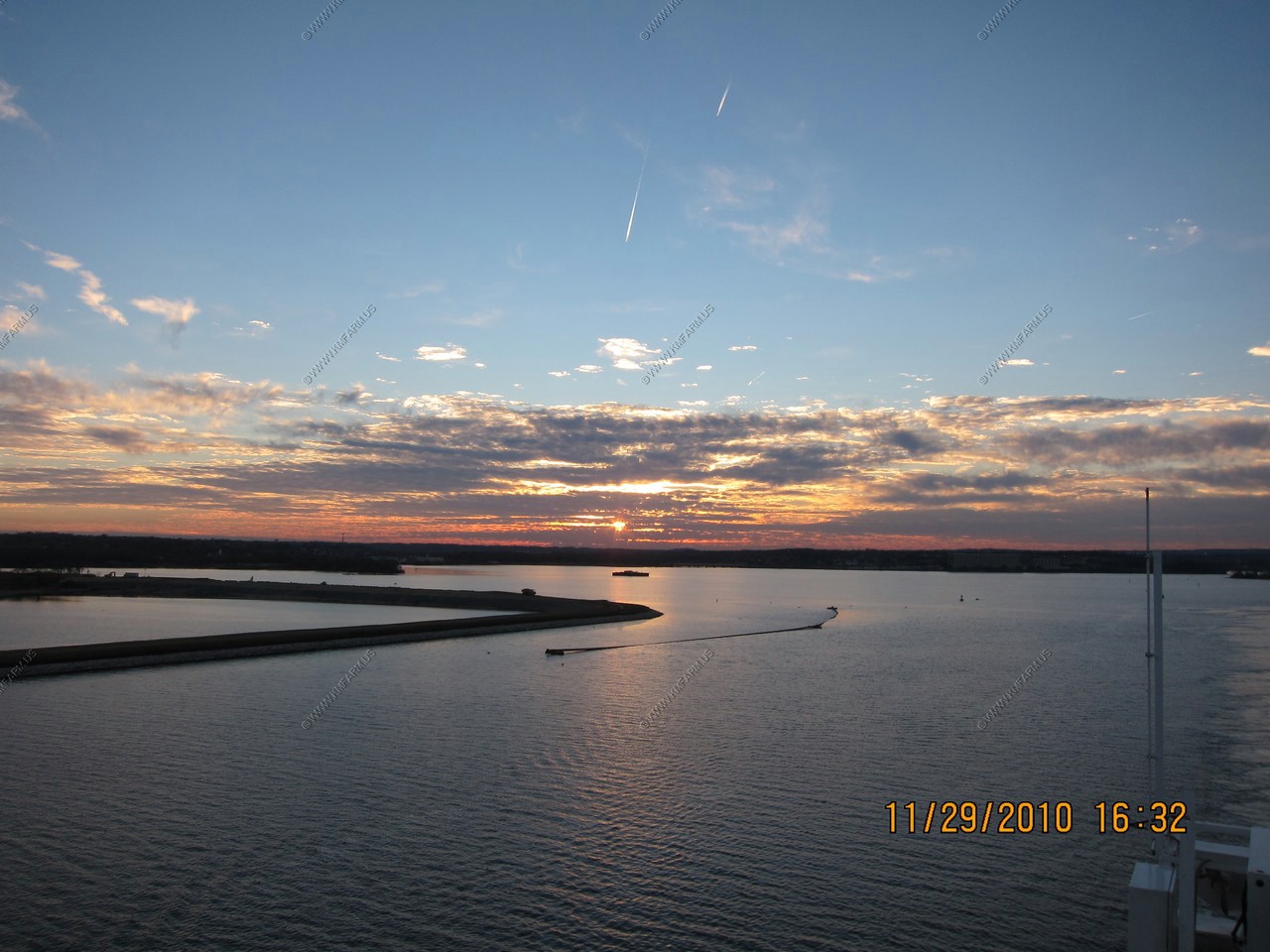
Cruise port of Baltimore. Next to 95. Very easy access.
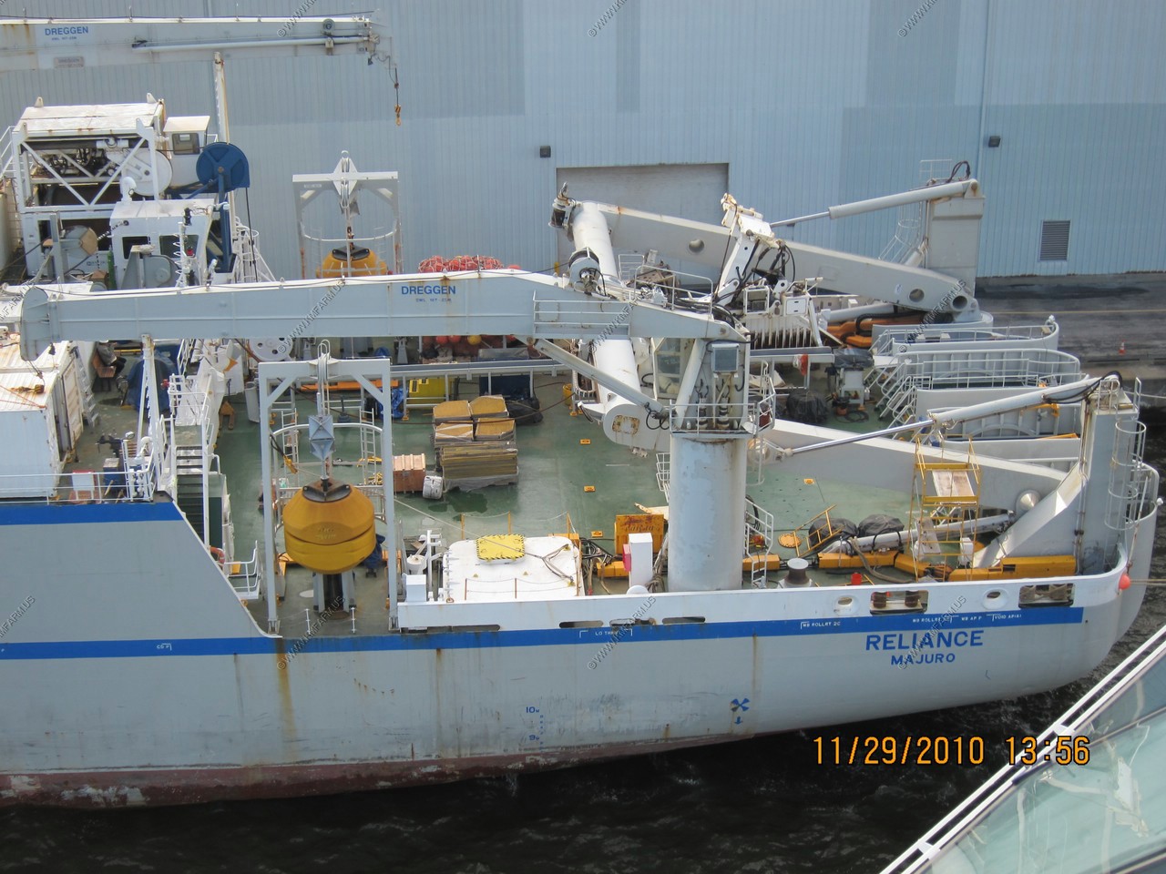
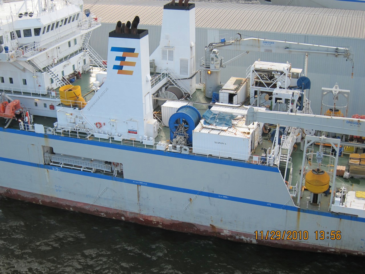
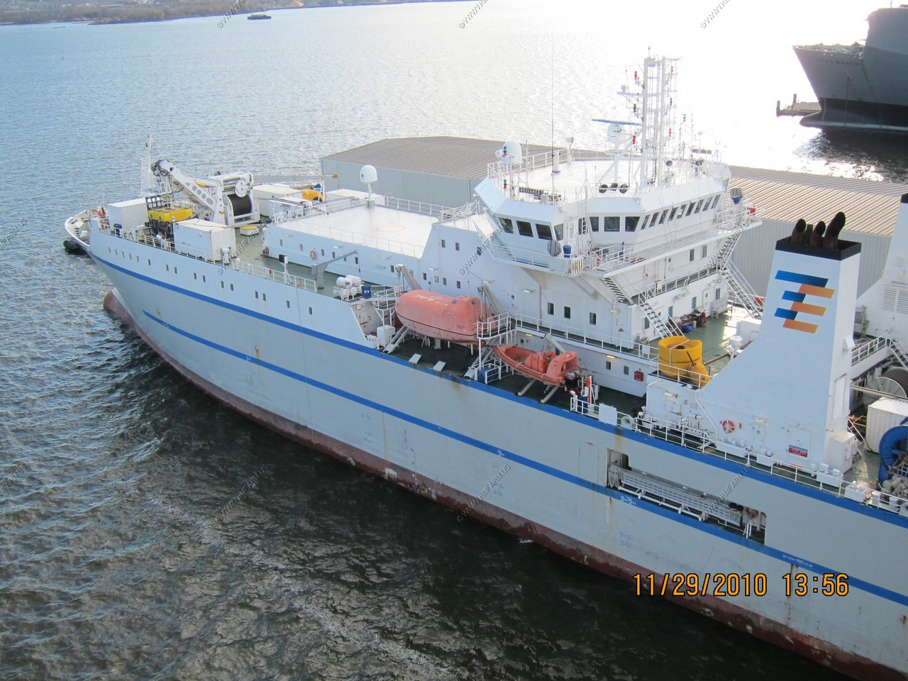
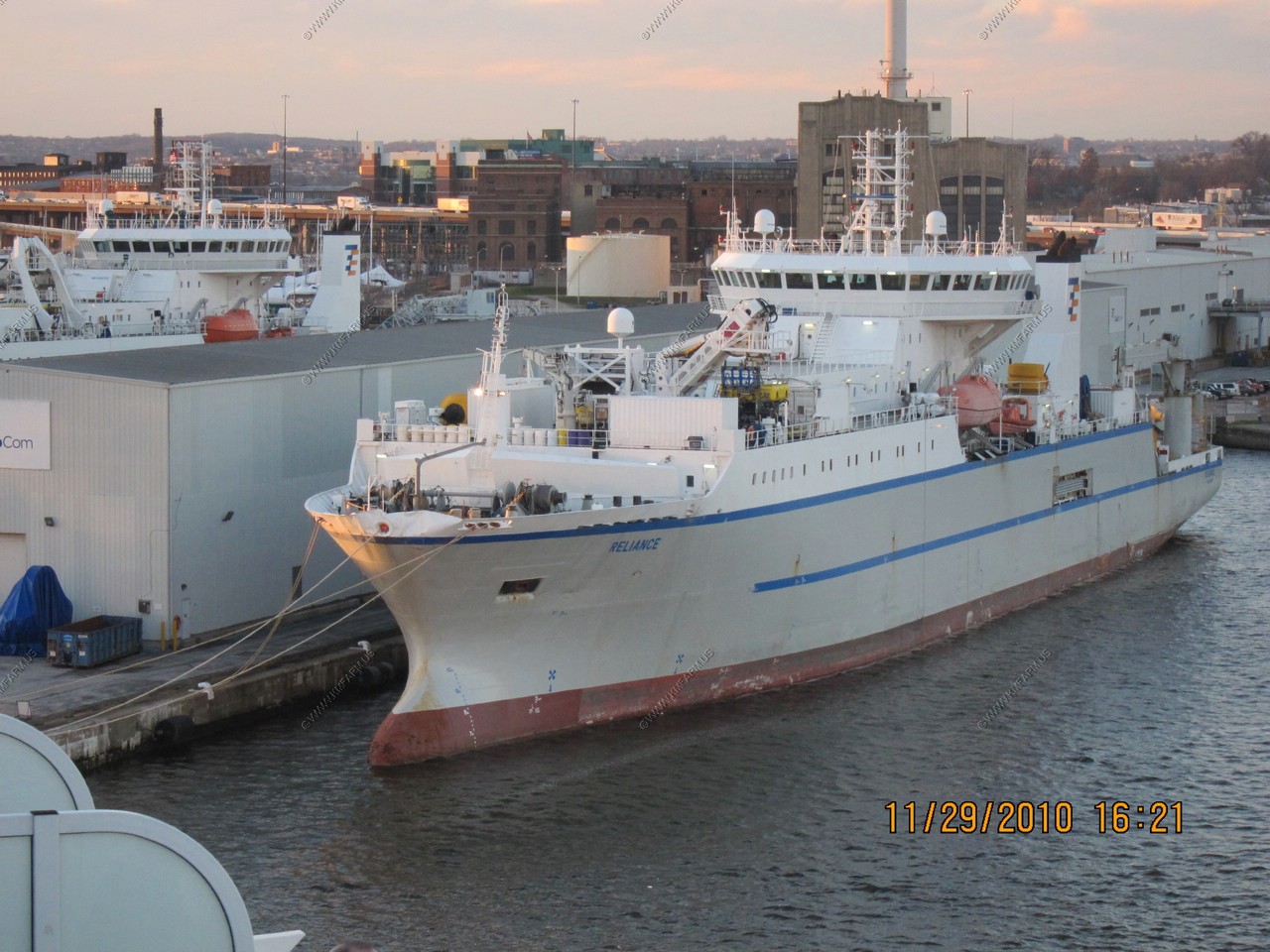
Cable repair ships
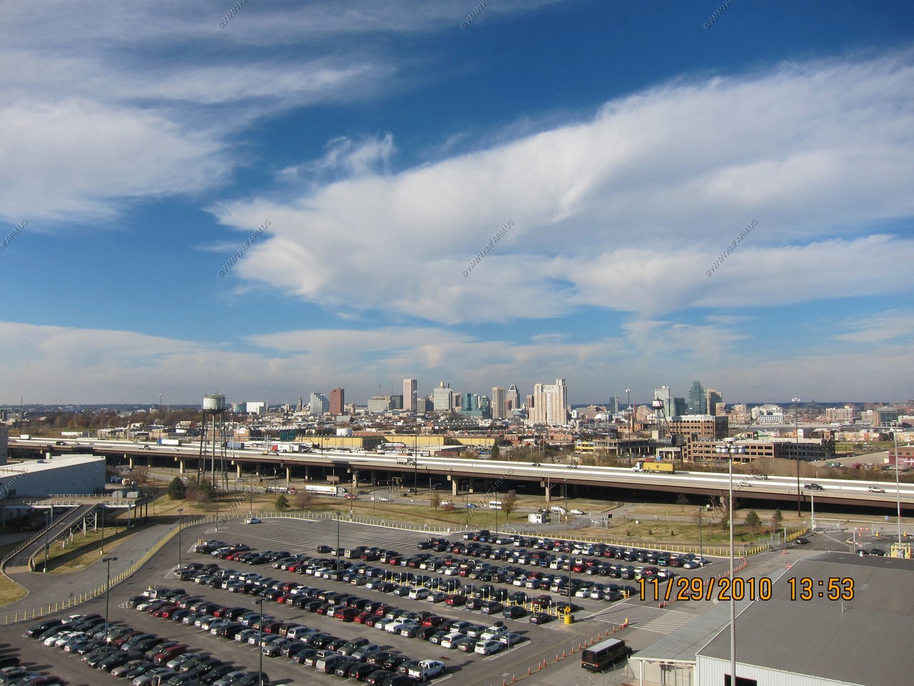
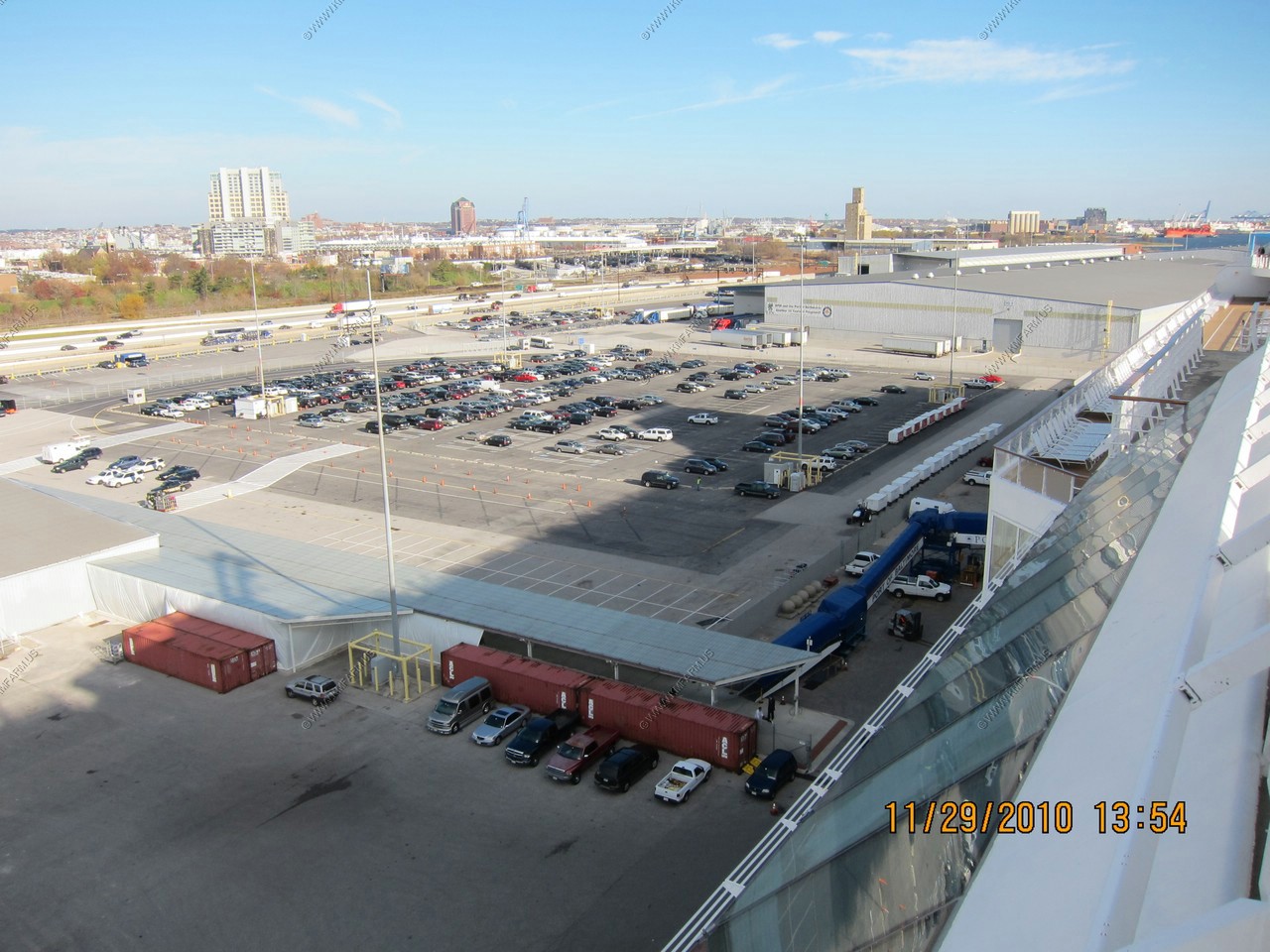
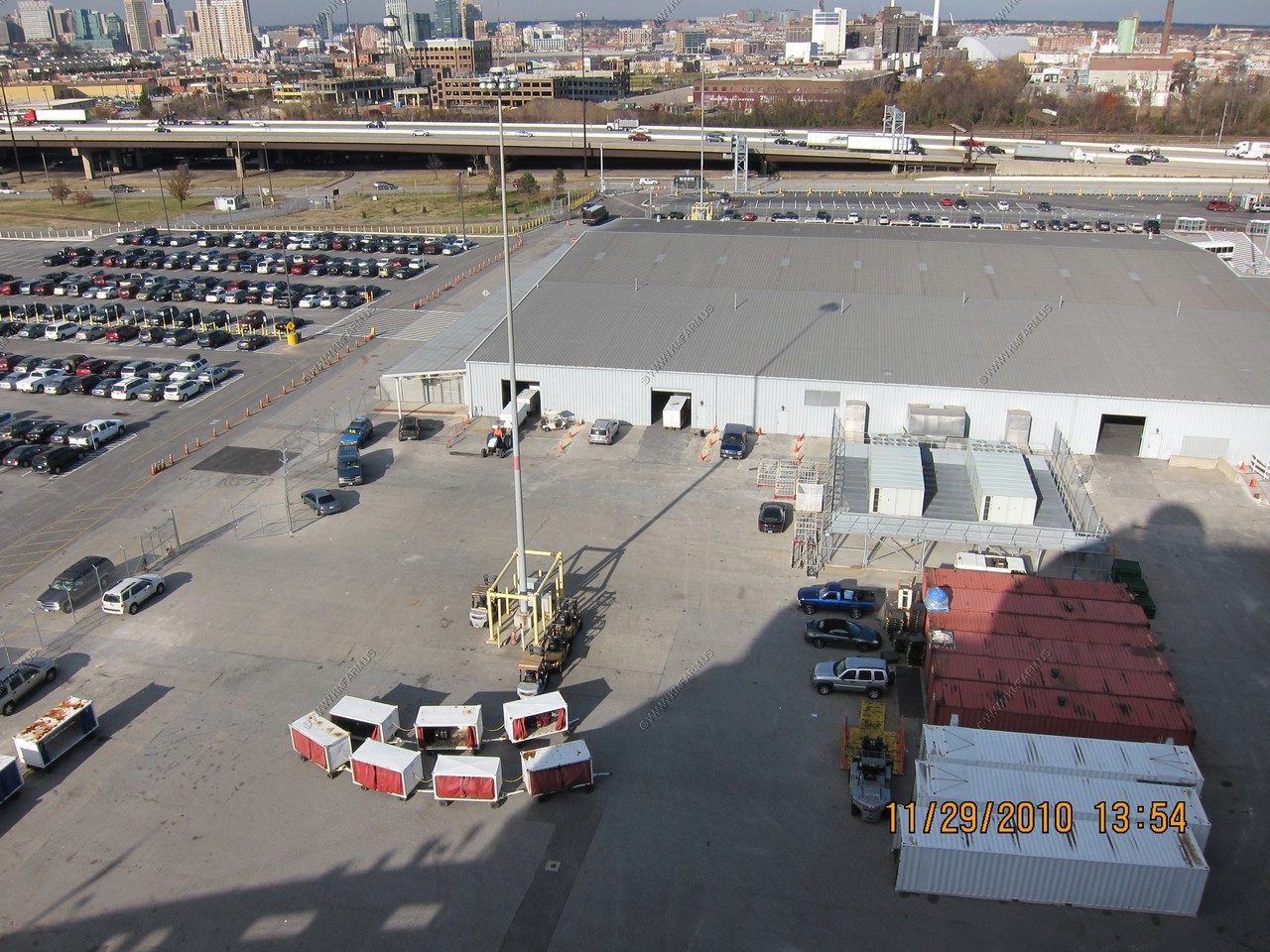
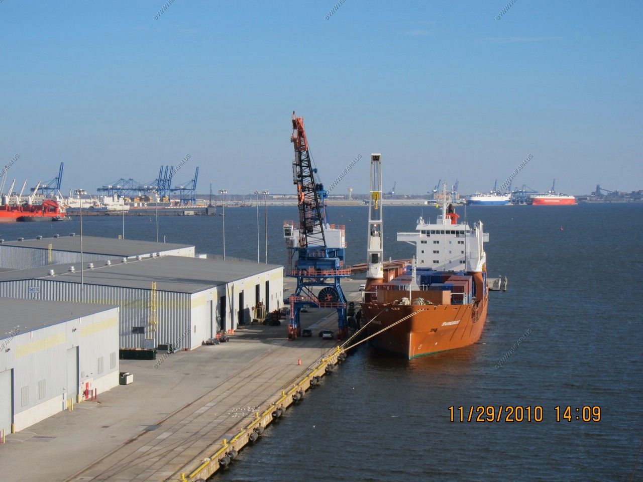
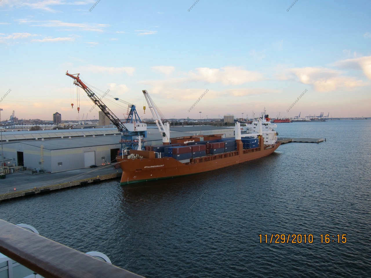
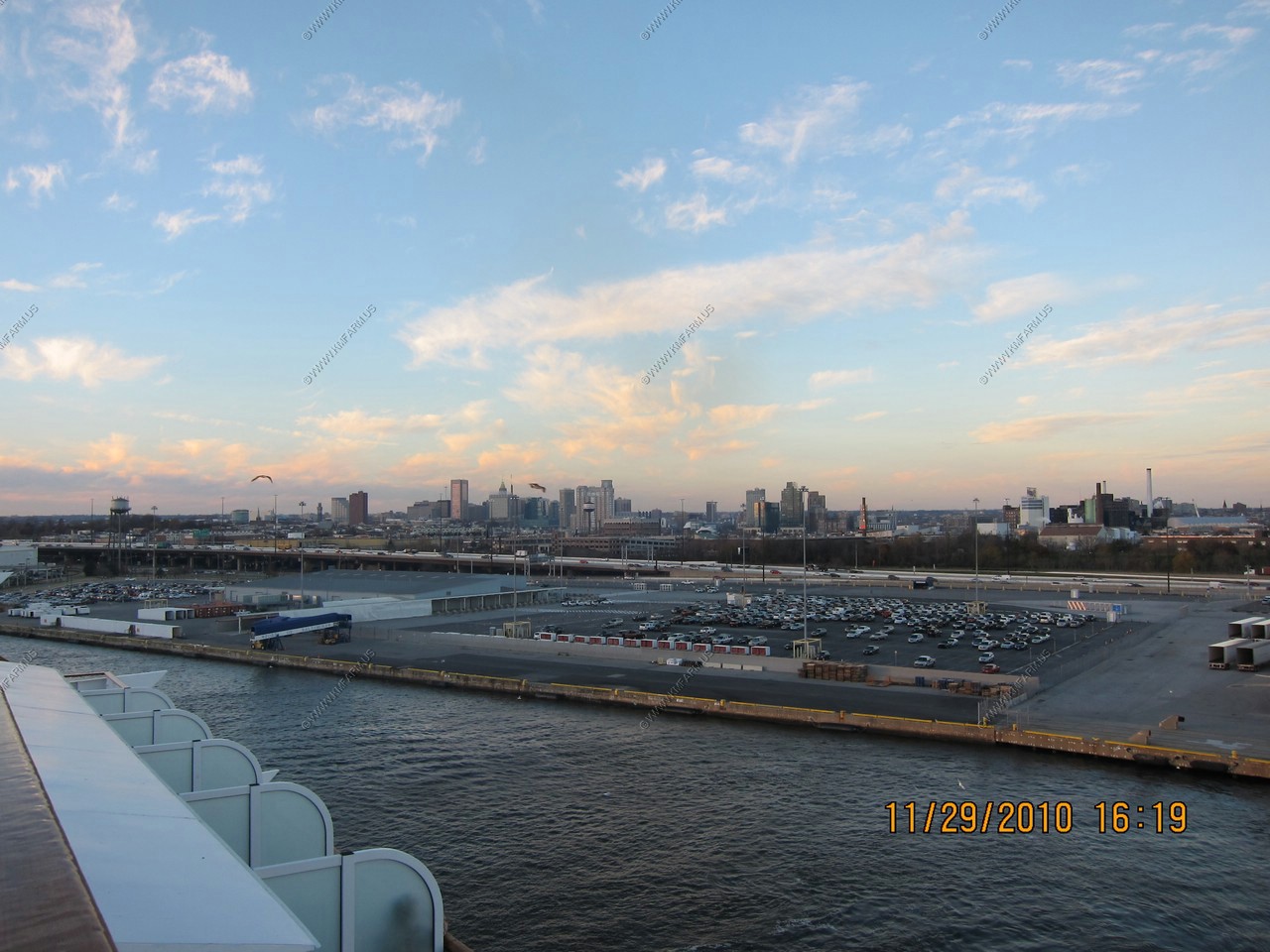
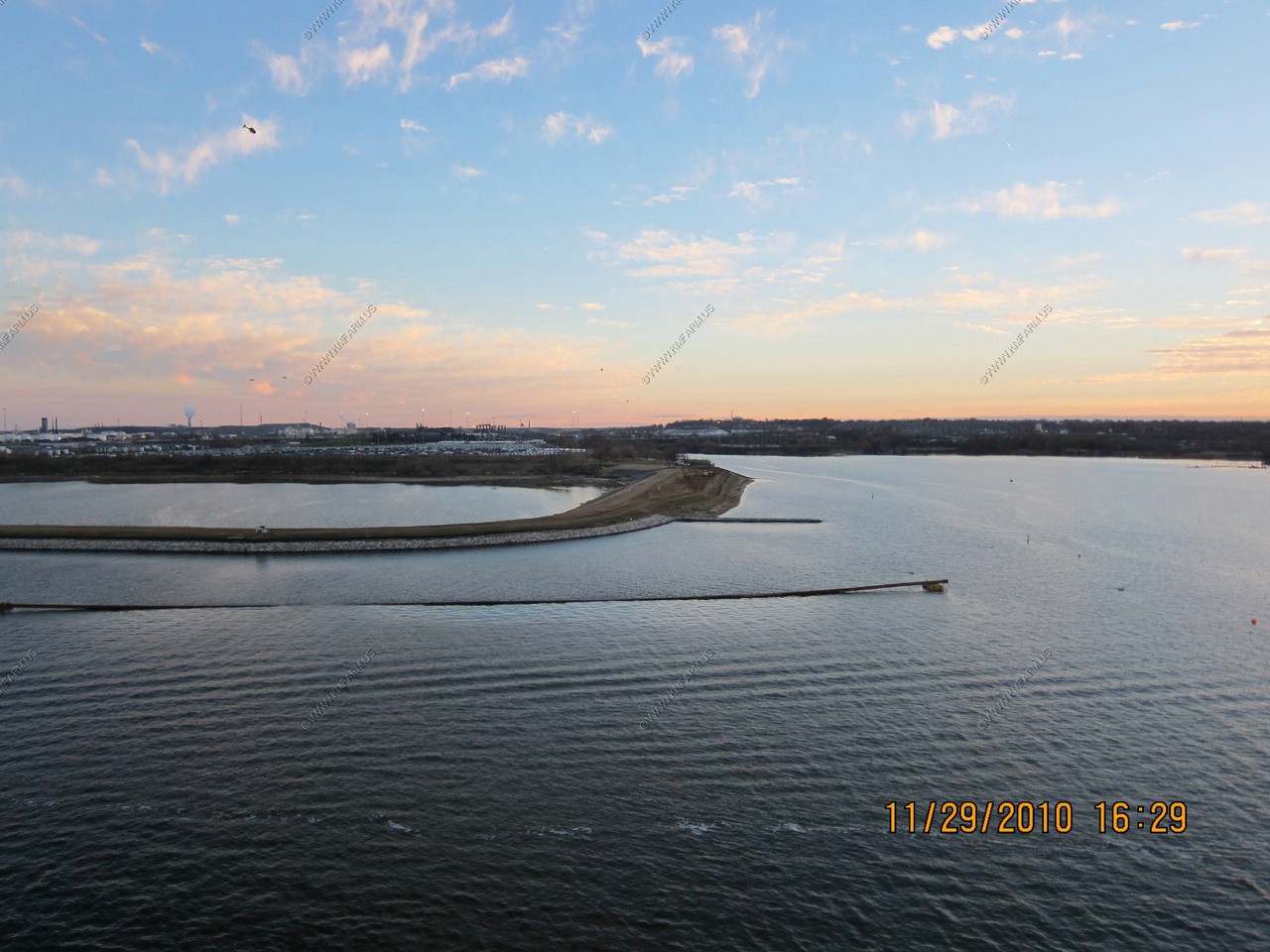
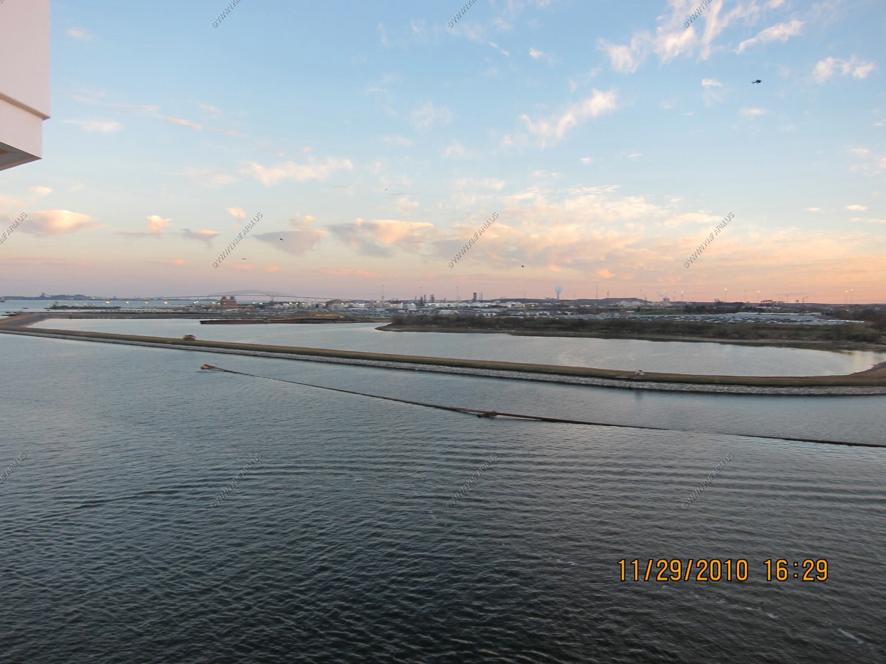
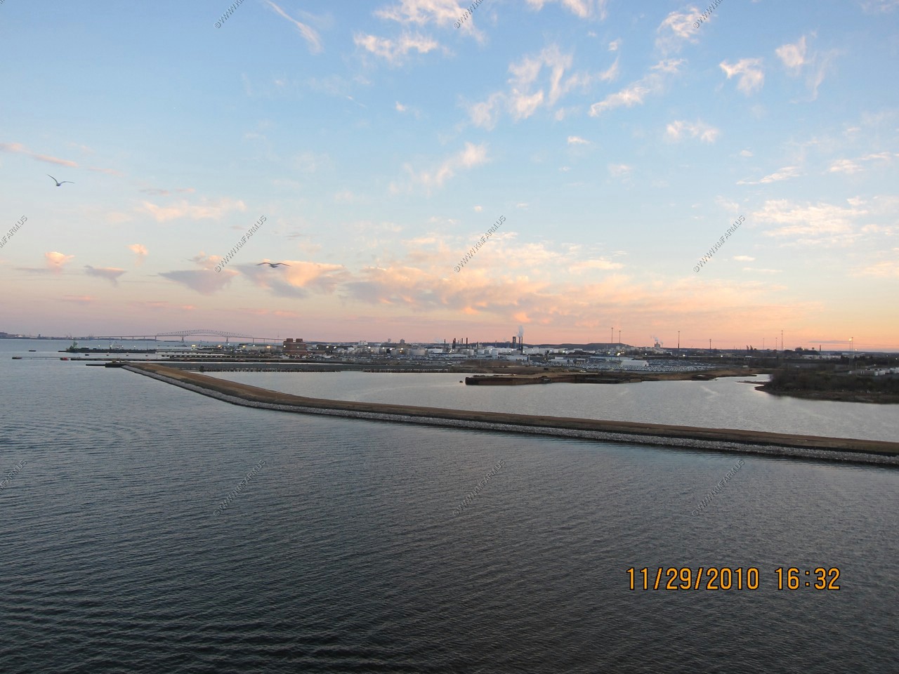
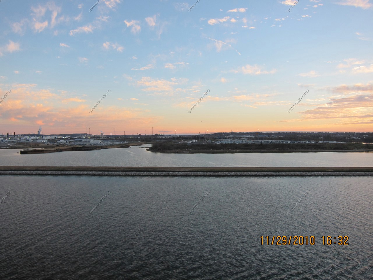
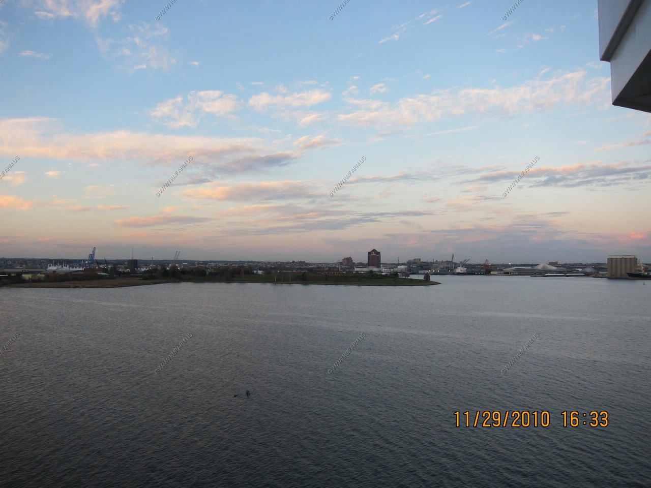
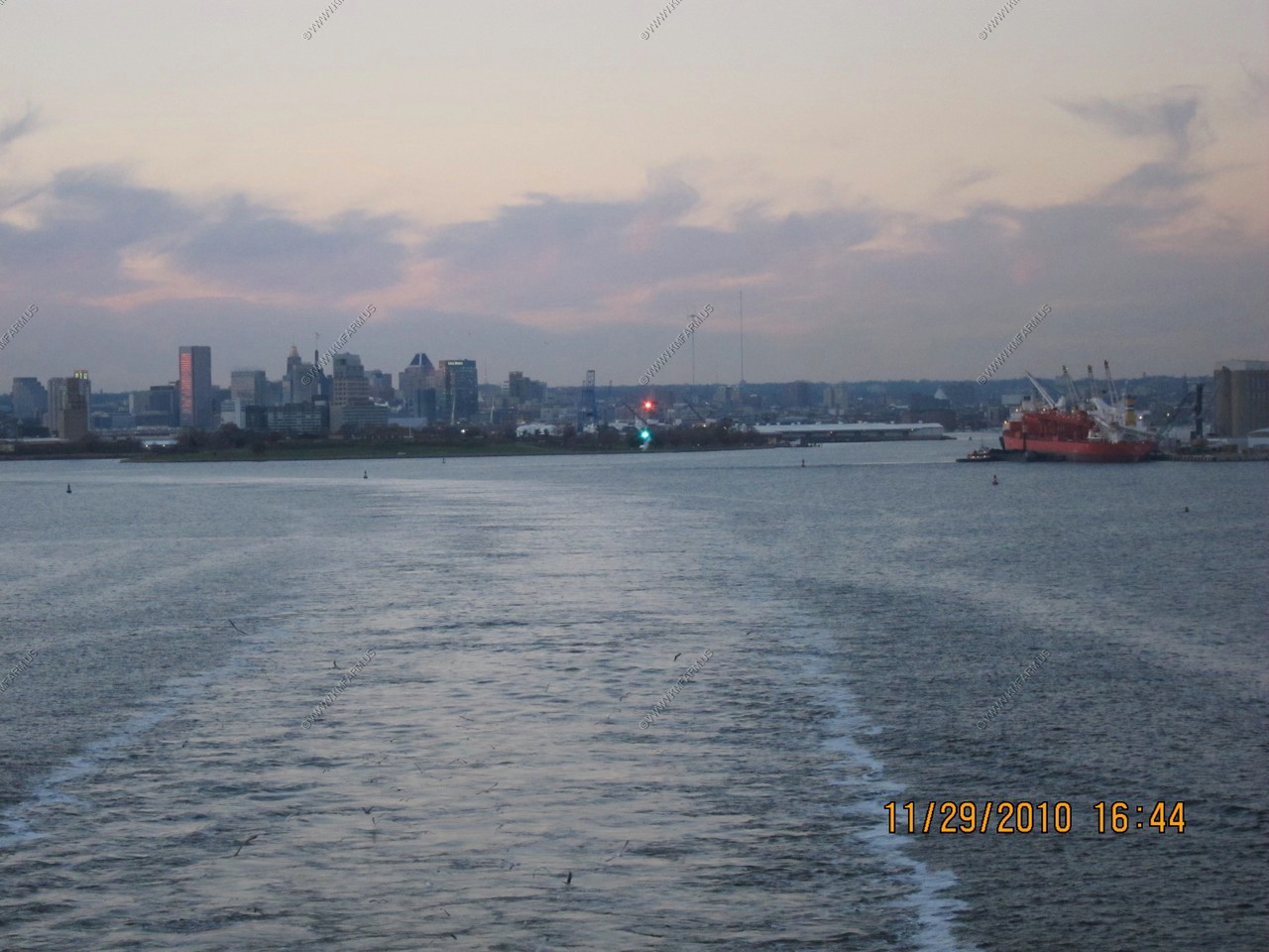
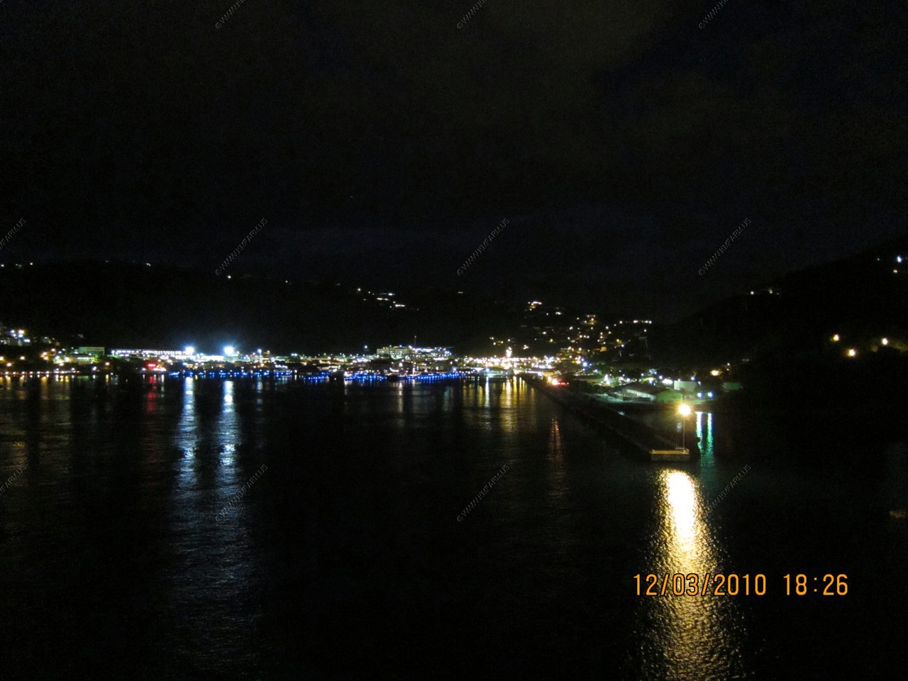
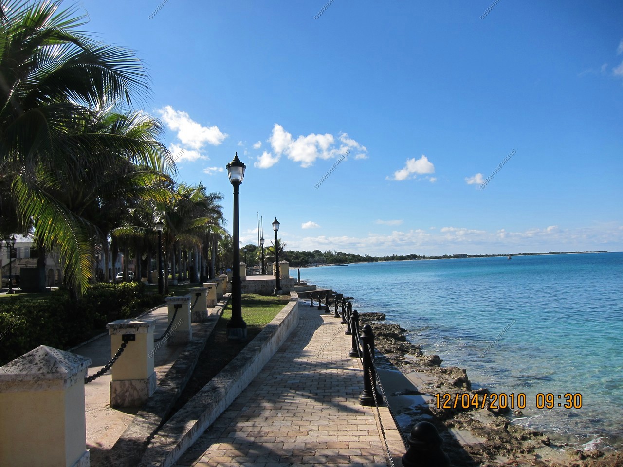
More Port of Baltimore Views
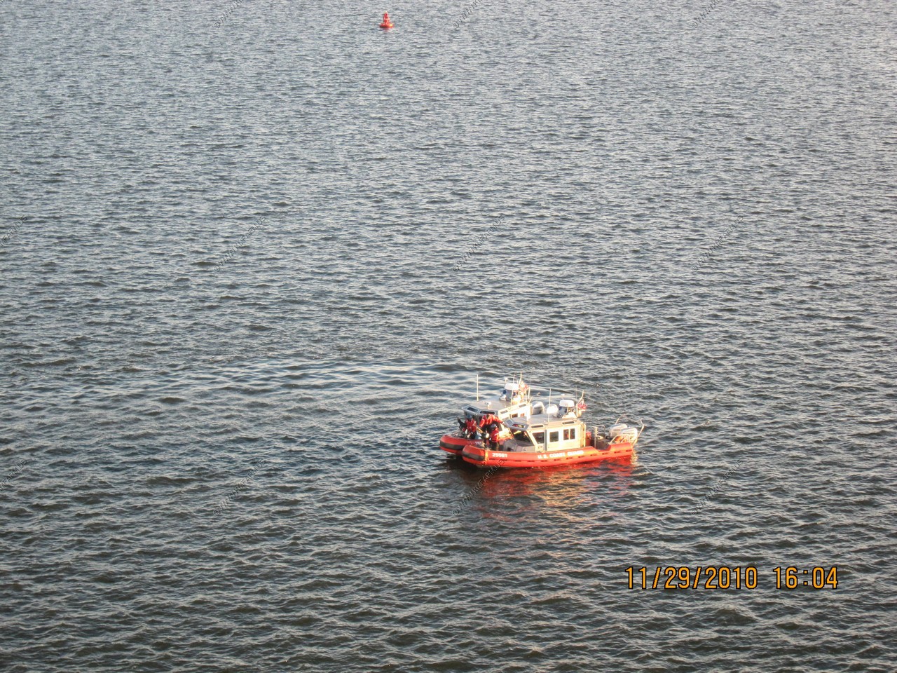
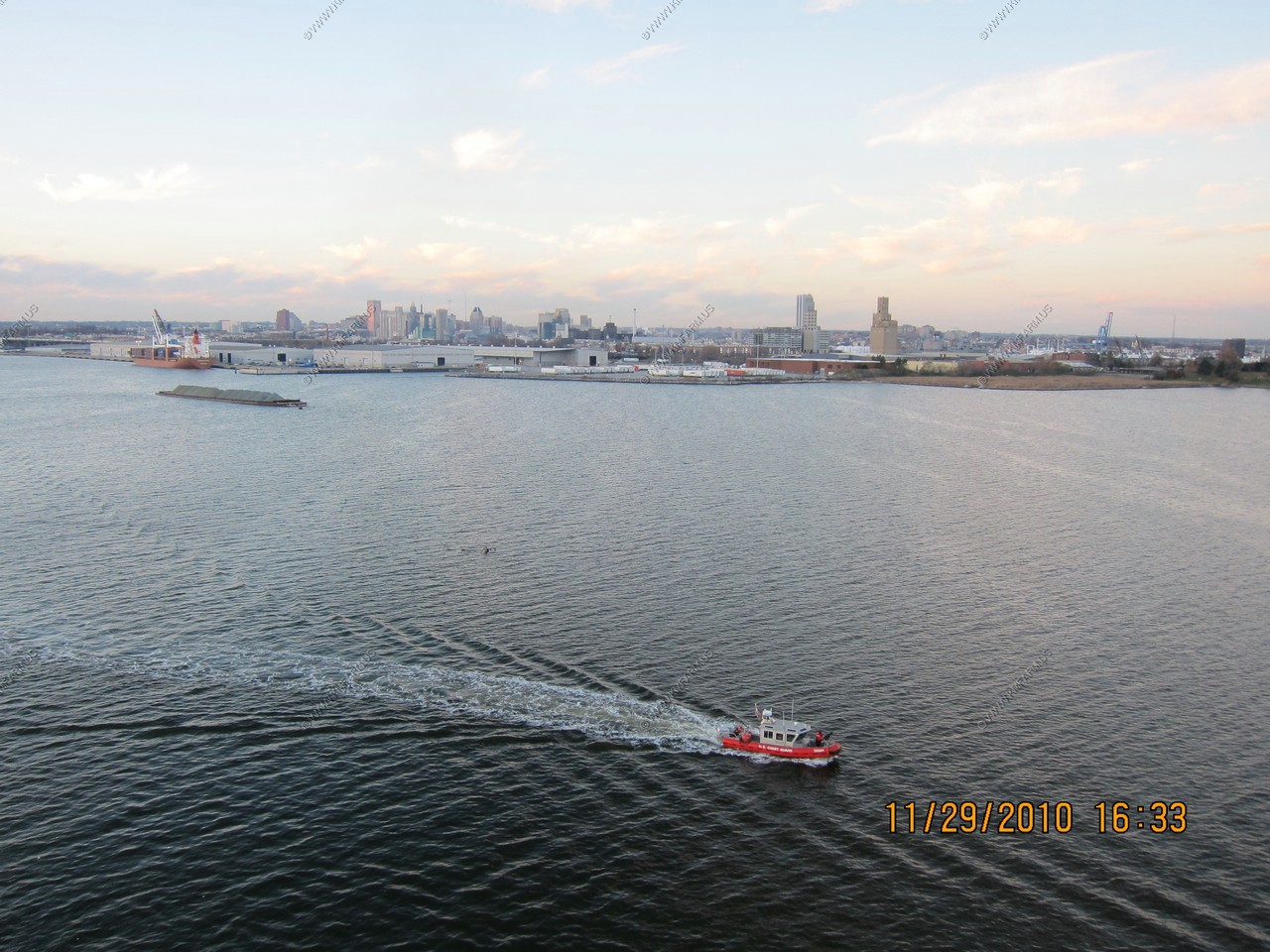
US Coast Guard escorted us all the way past Calvert Cliffs Nuclear plant. I guess they are concerned that the Captin may want to ram the cruise ship into the nuclear power plant ??
Masonville Cove
What began as the restoration of an abandoned and neglected parcel of land in the Middle Branch has become something very special. Masonville Cove is 70 acres of water and 54 acres of cleaned-up wetlands, nature trails, and a protected bird sanctuary, all soon-to-be protected by a conservation easement and part of the Shores of Baltimore Land Trust. The Masonville project developed from mitigation tied to the creation of a Dredged Material Containment Facility (DMCF) by the Maryland Port Administration (MPA).
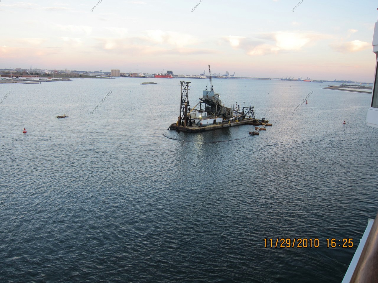
Dredge
Fort McHenry National Monument
Looking back at Fort McHenry National Monument with the Red / Green channel Markers
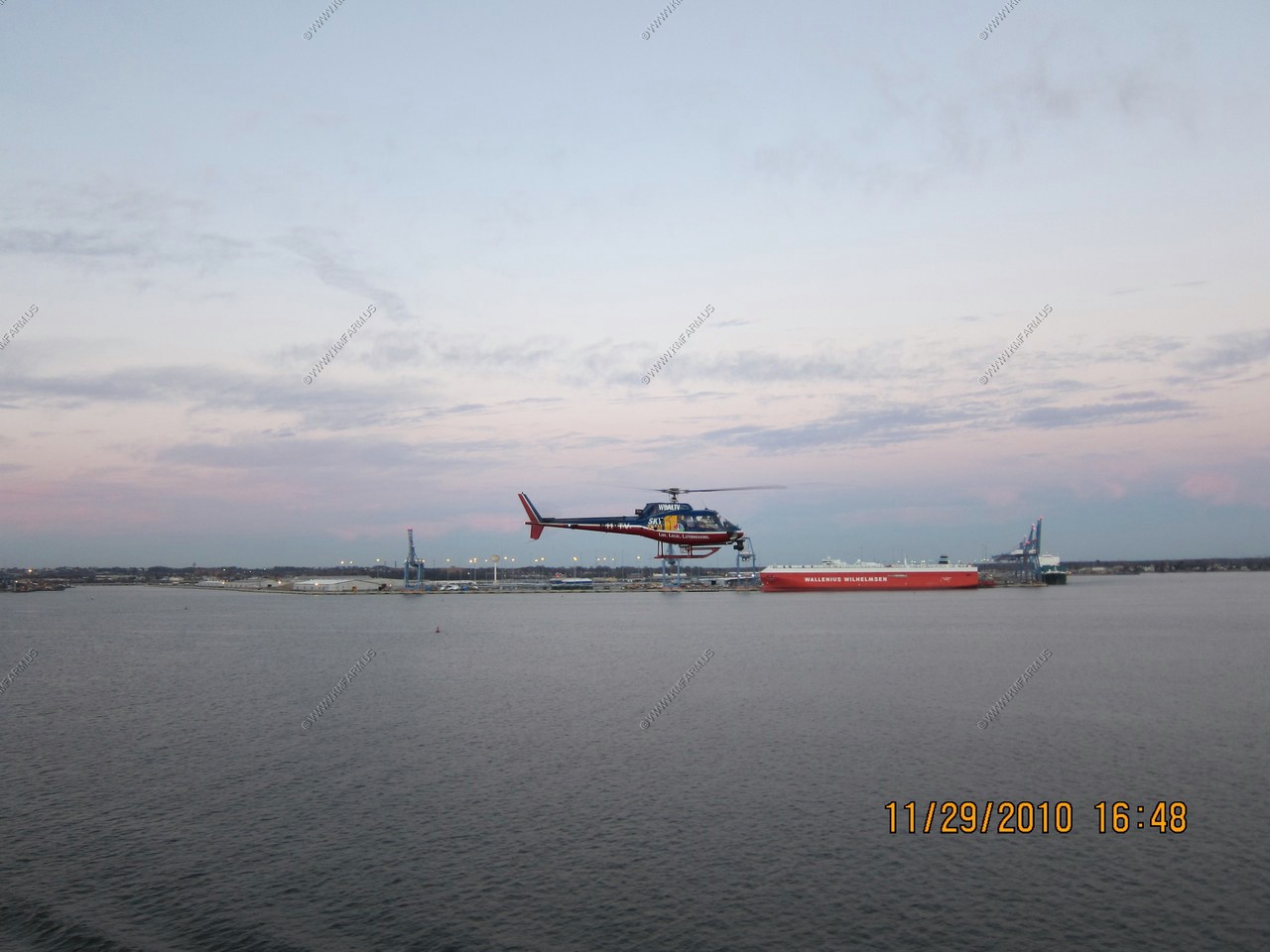
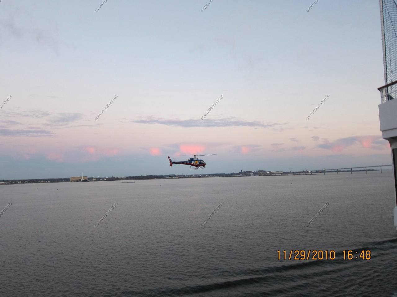
WBAL TV 11 Helicoptor harassing the ship
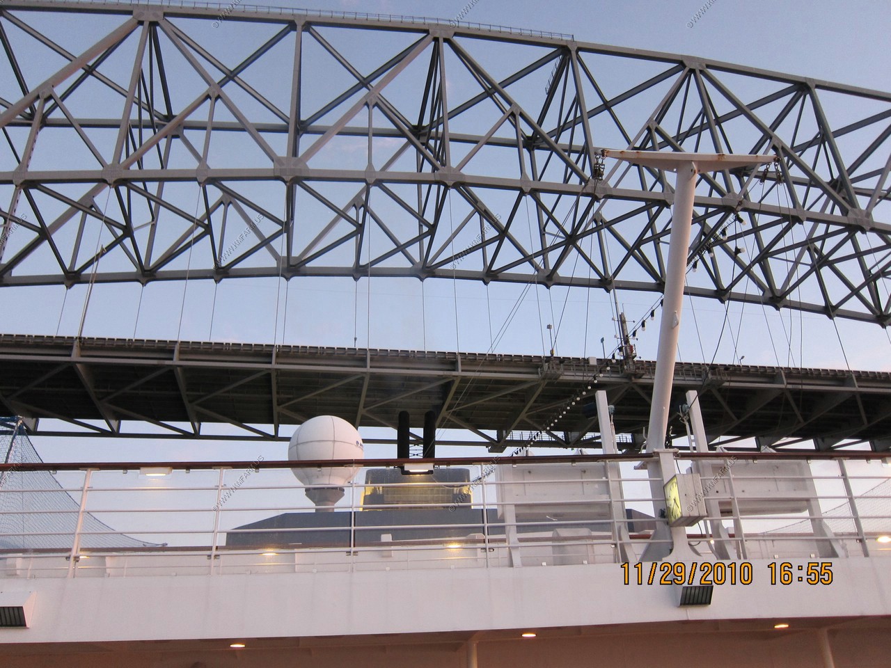
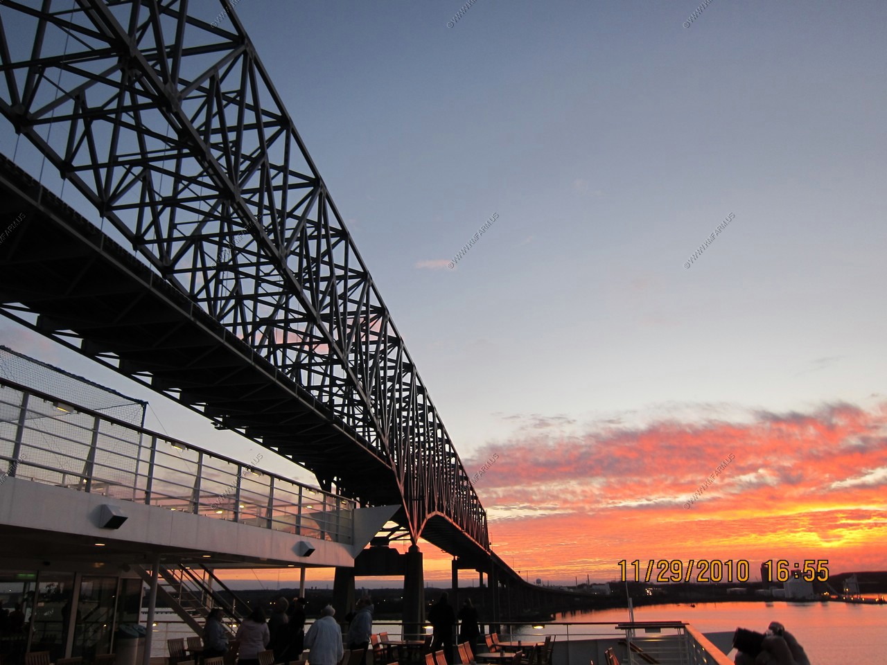
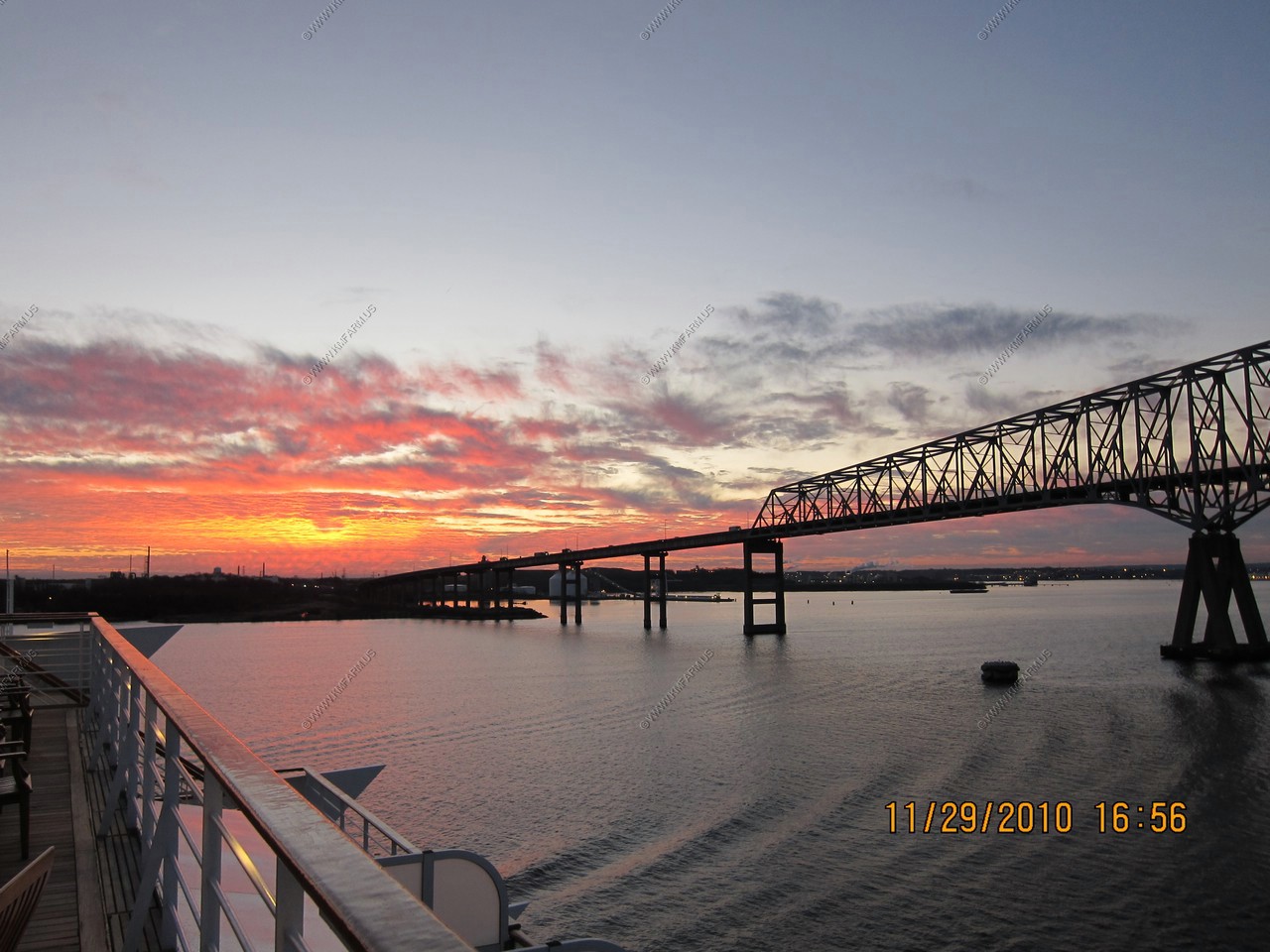
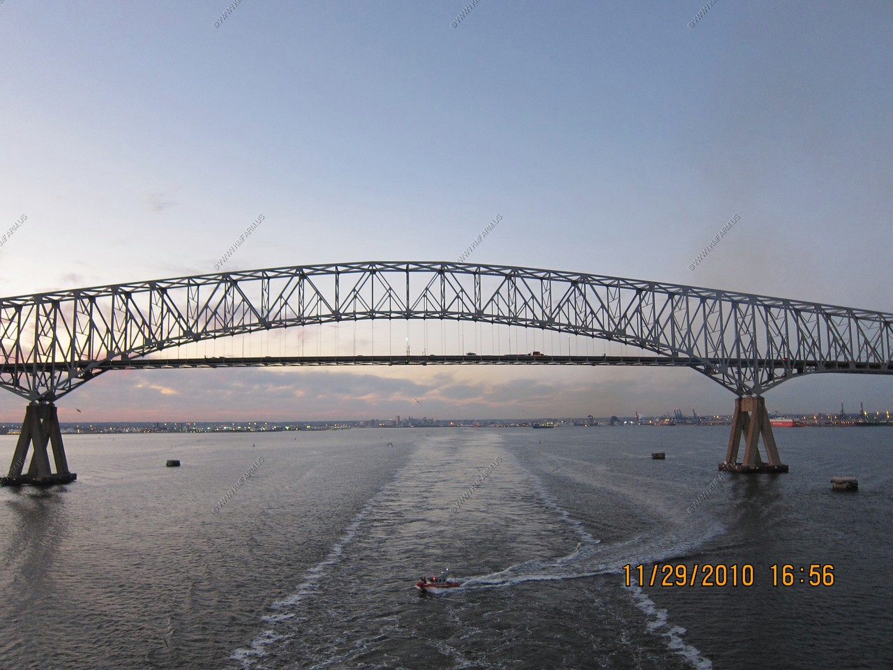
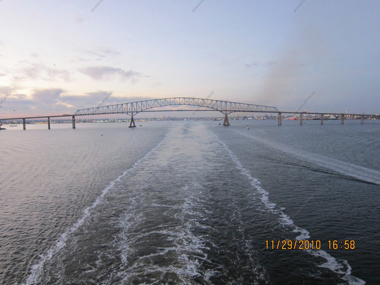
Passing under the Francis Scott Key Bridge. The main span of 1200 feet is the third longest span of any continuous truss in the world. (Vertical navigational clearance under main span, 185 feet)
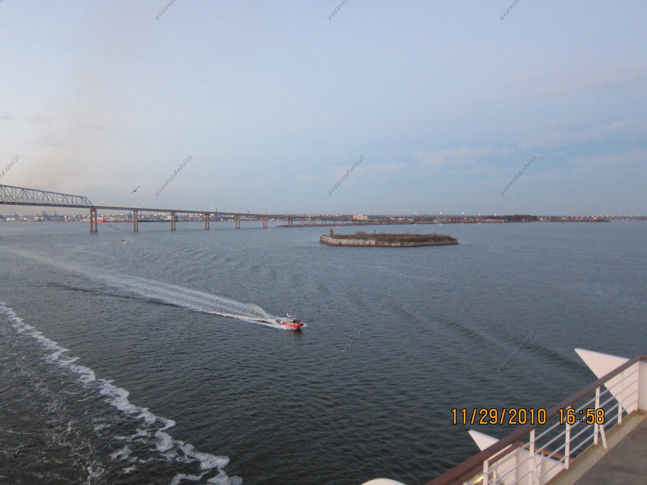
Fort Carroll
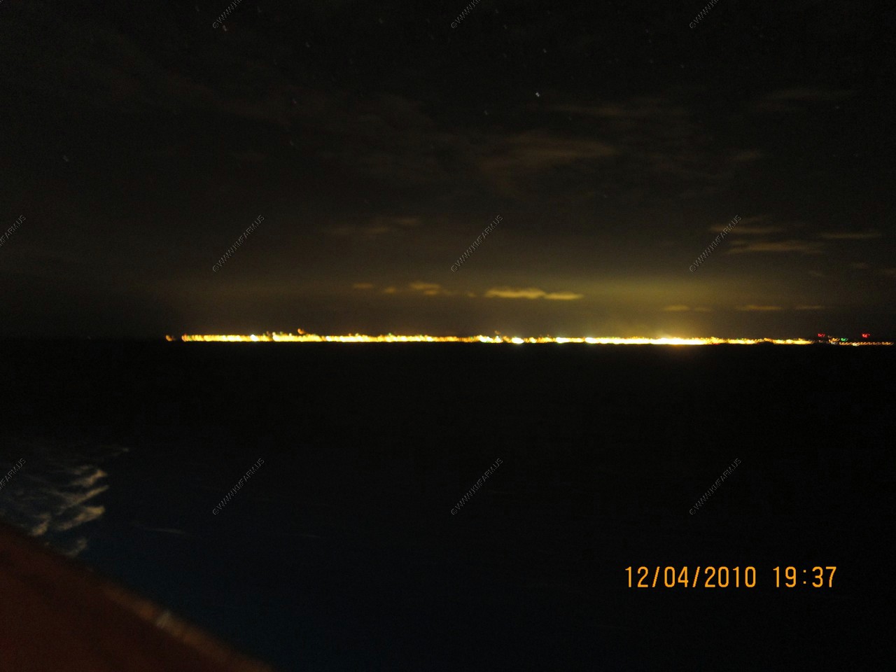
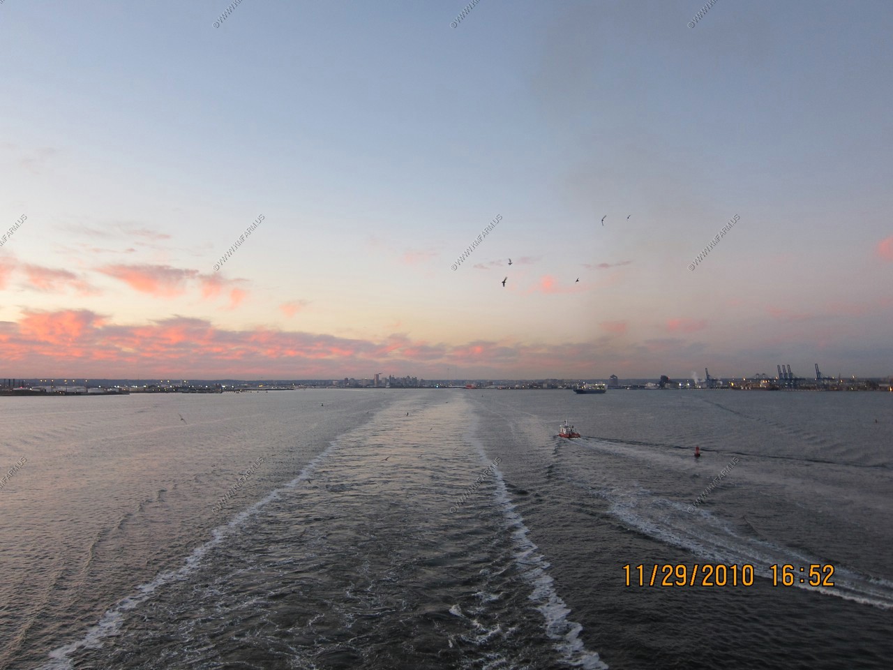
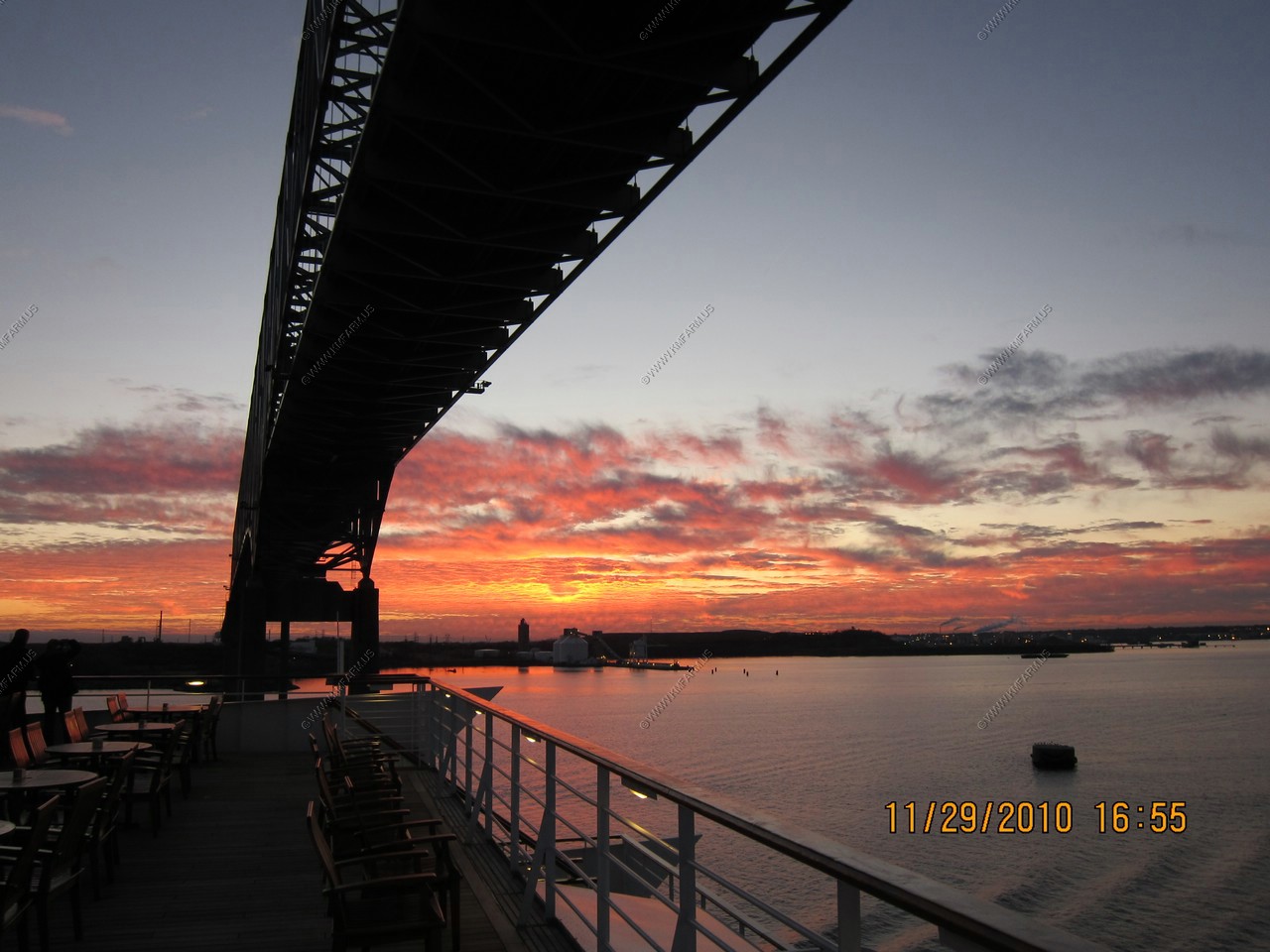
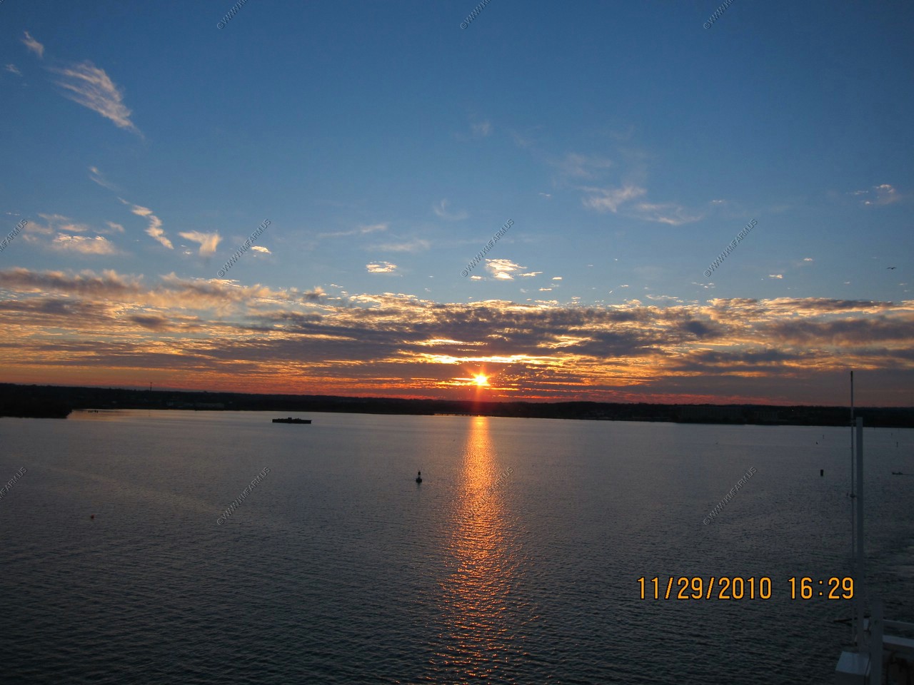
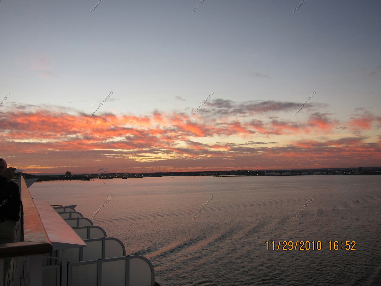
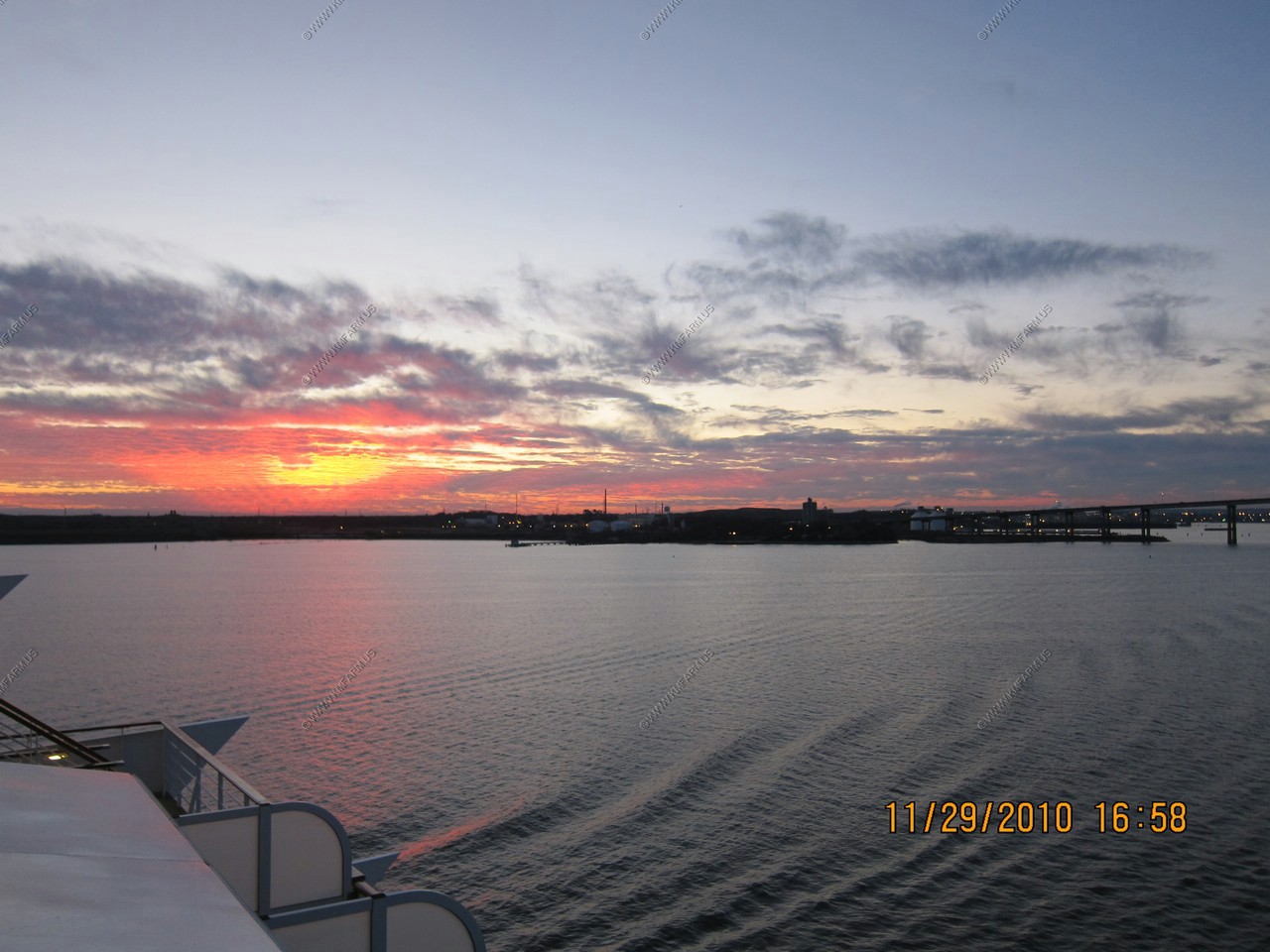
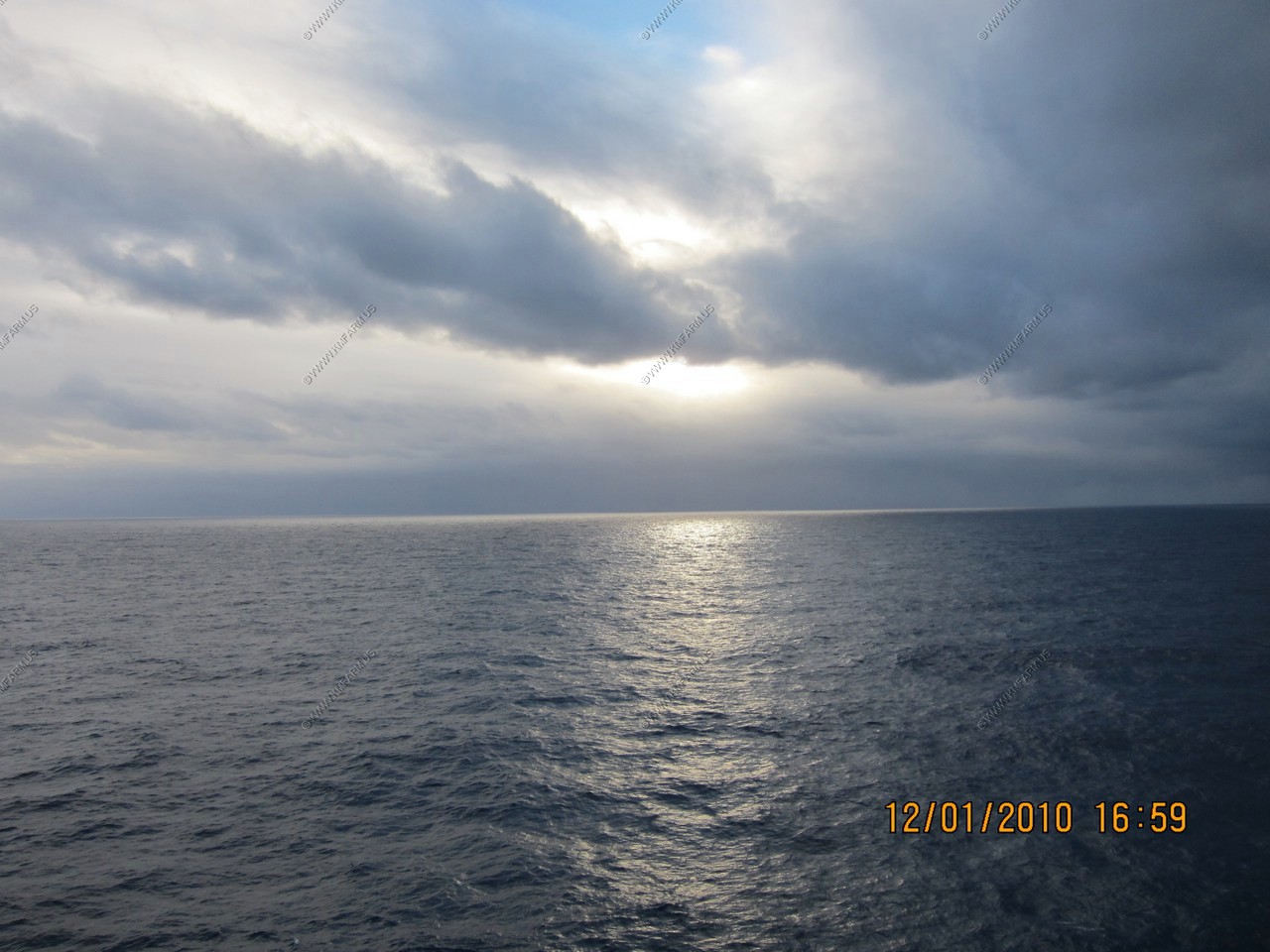
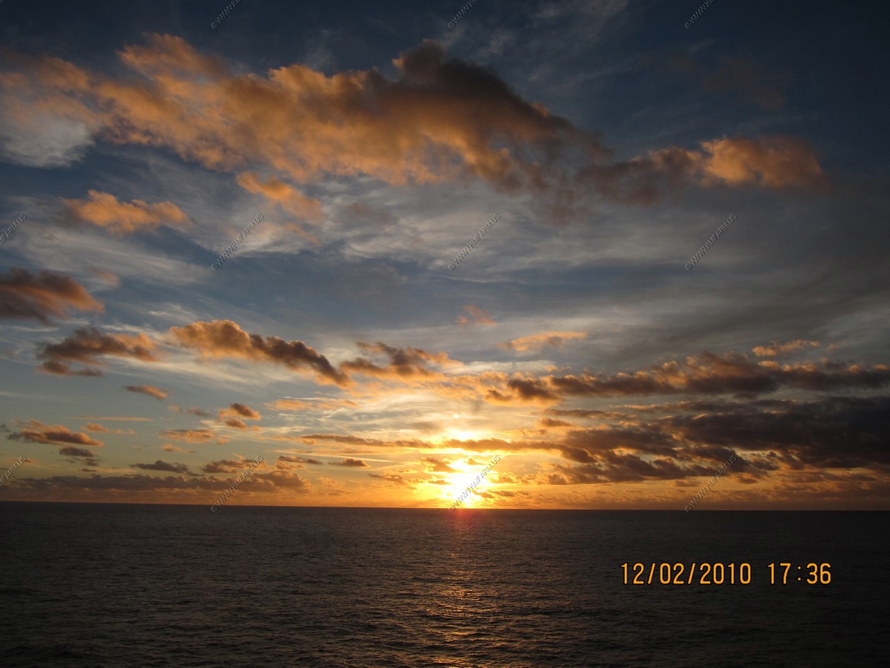
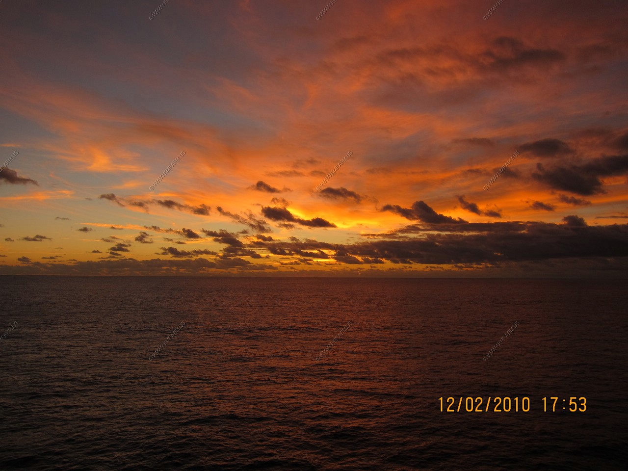
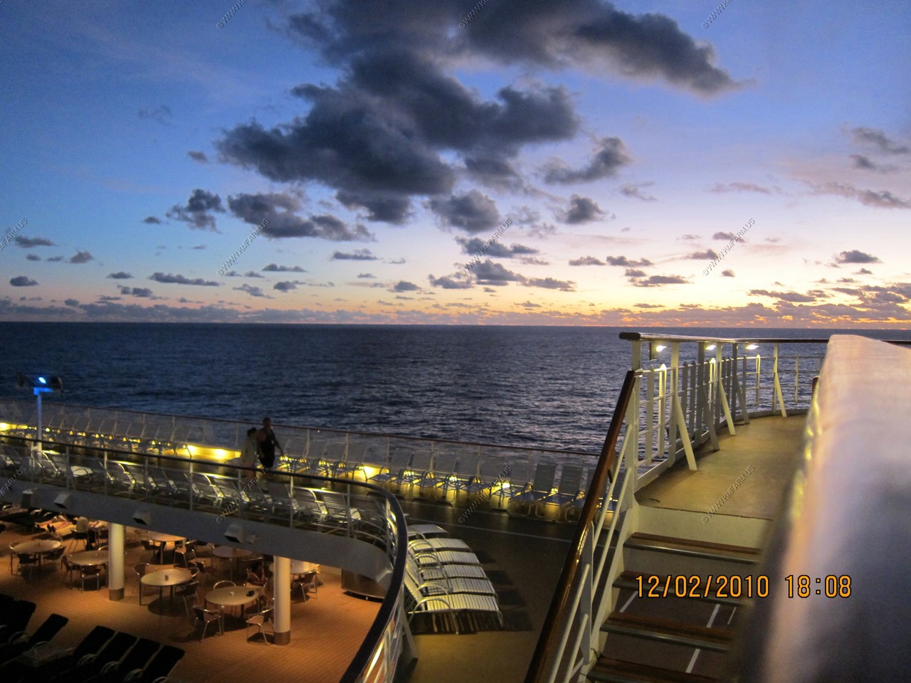
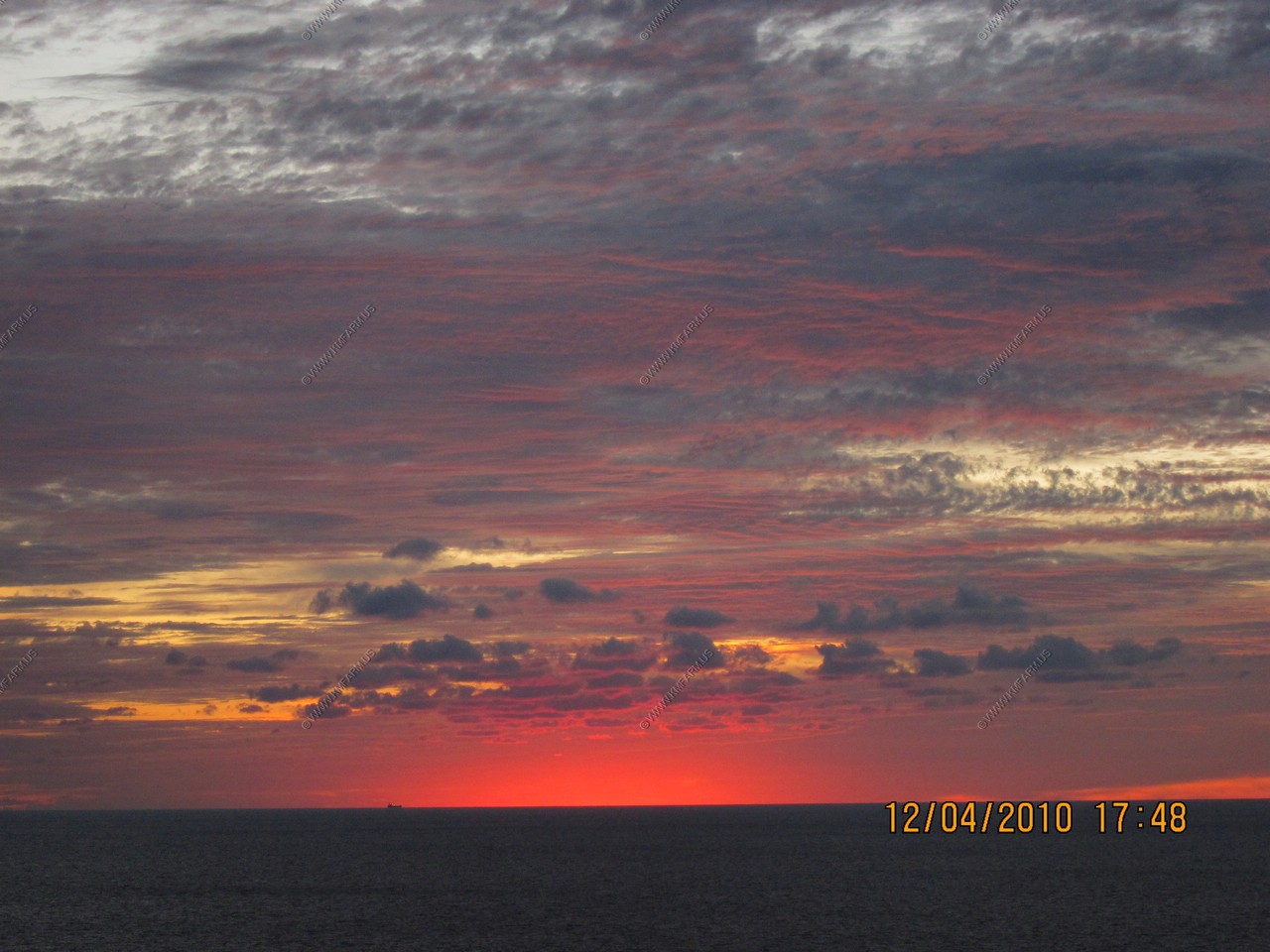
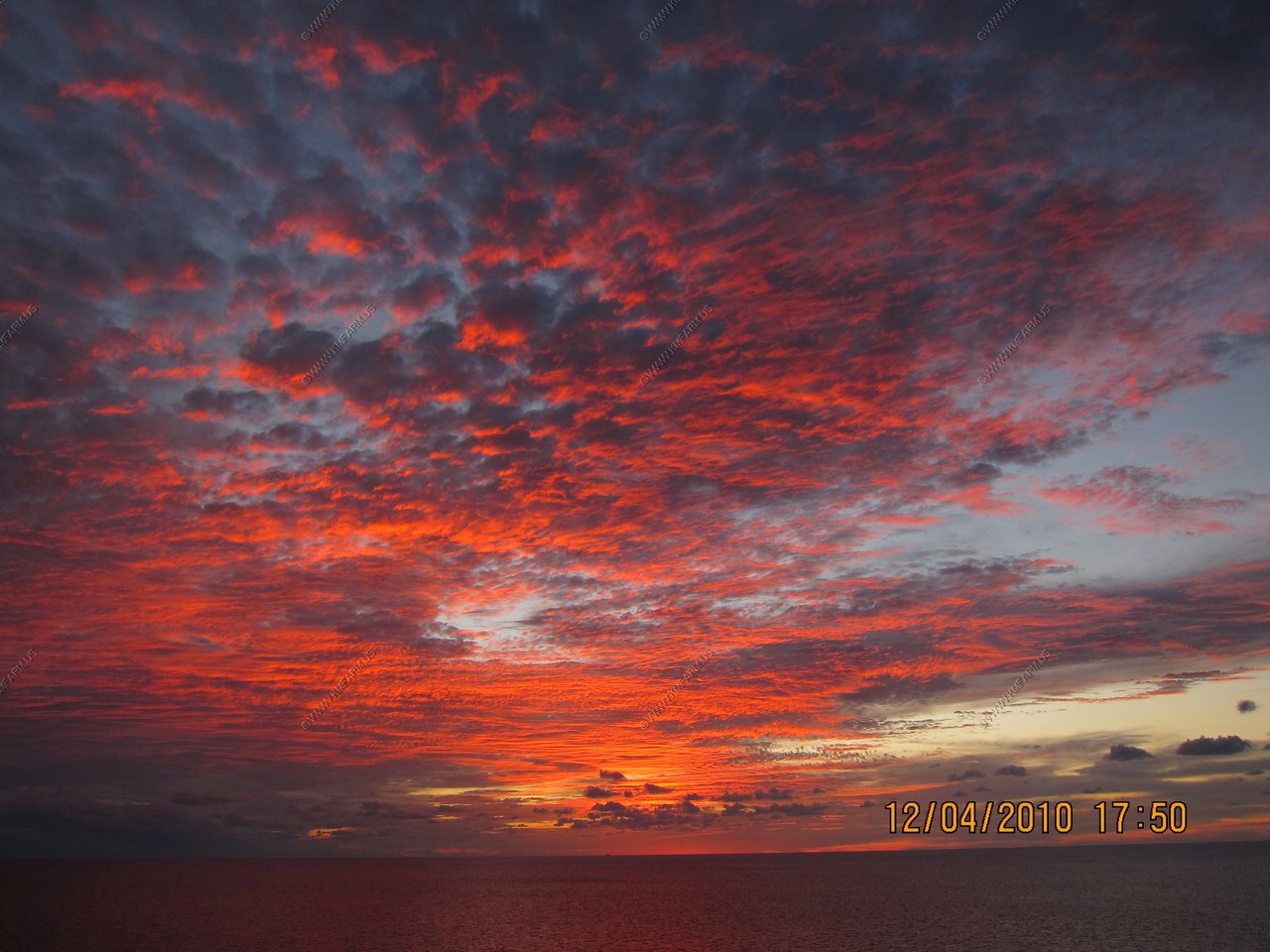
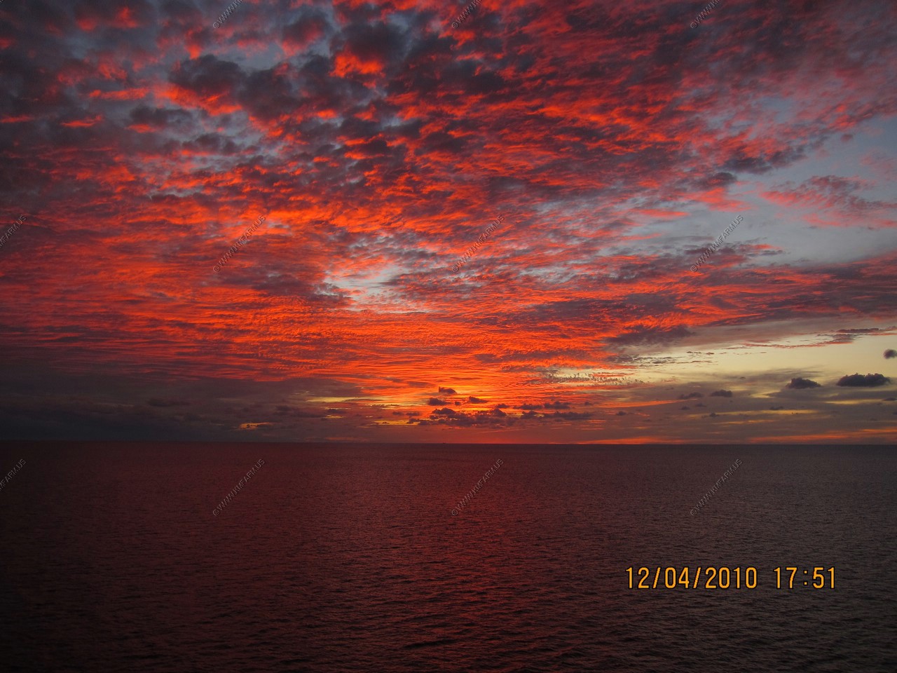
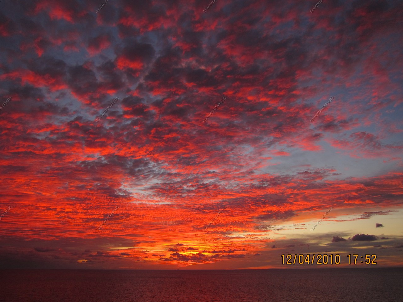
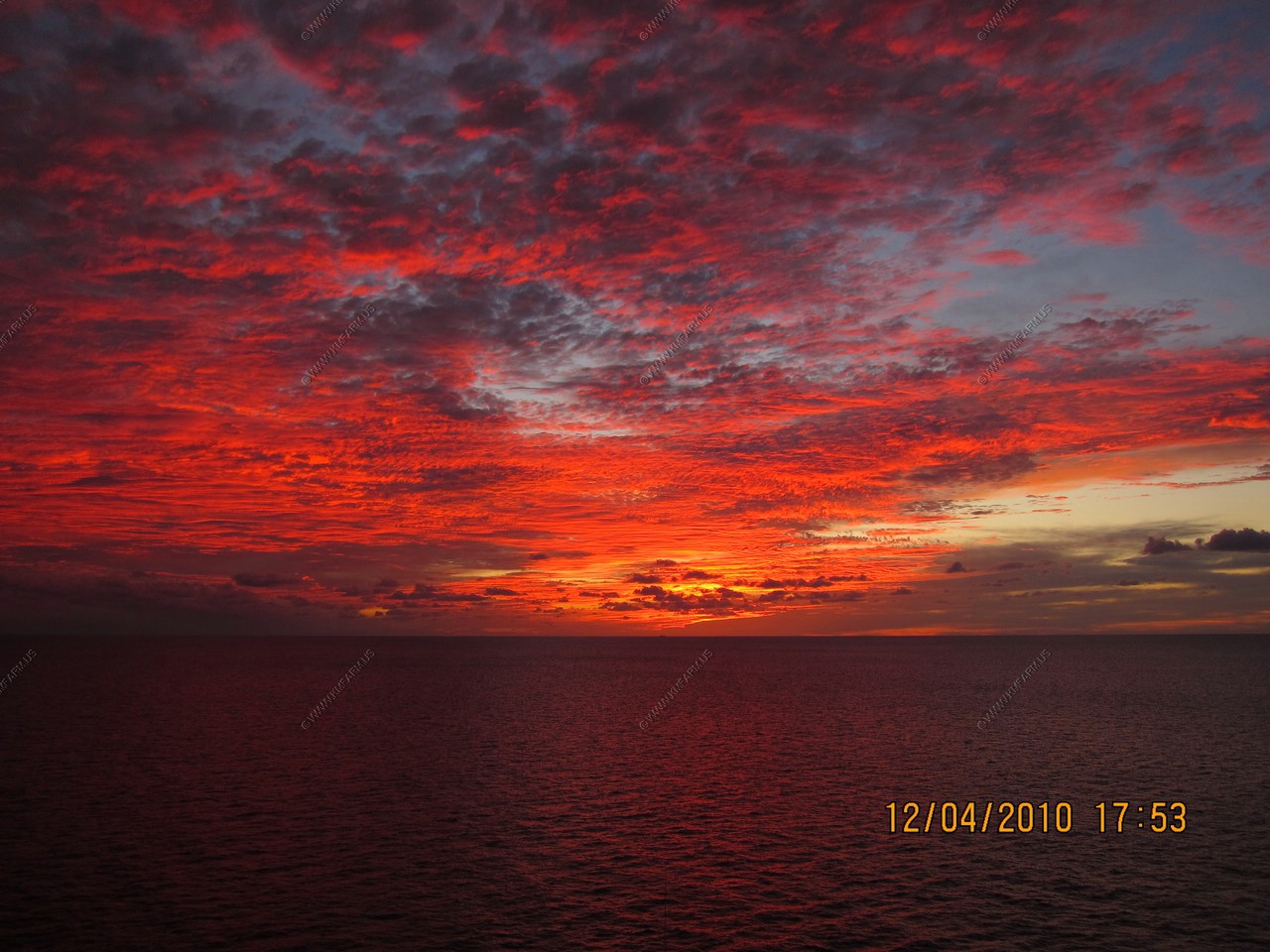
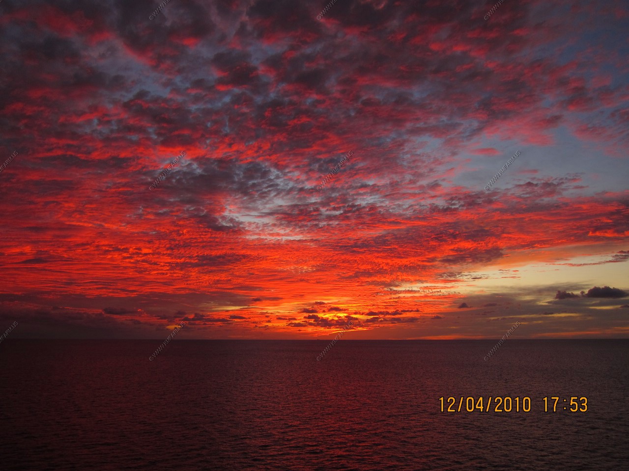
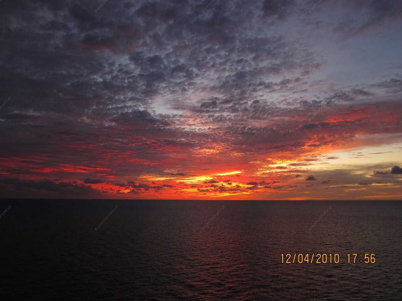
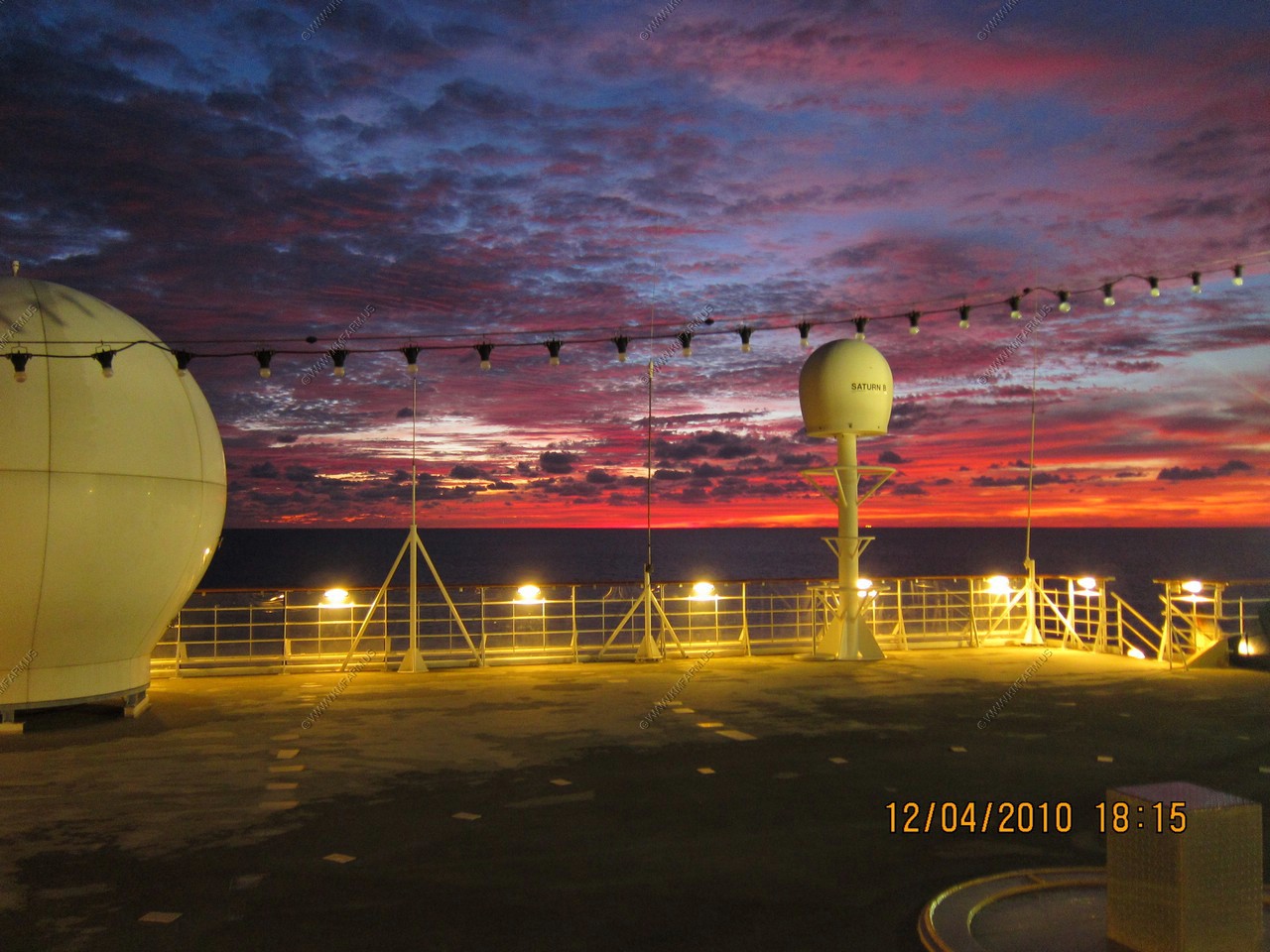
Sunset over Baltimore
Two hours to get down to US-50 Chesapeake Bay Bridge. (A 3,200 foot (980 m) suspension span over the western channel with a maximum clearance of 186 feet (56.7 m))
It took us appx. 6 hours to get to the Chesapeake Bay Bridge tunnel. We passed that around 1 AM
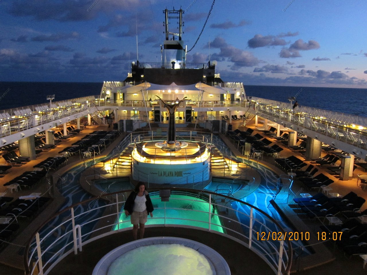
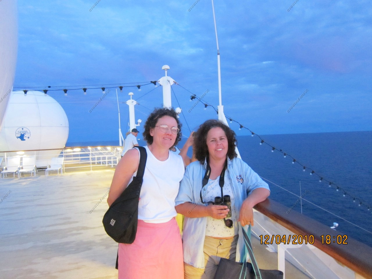
Mary and Monika doing laps

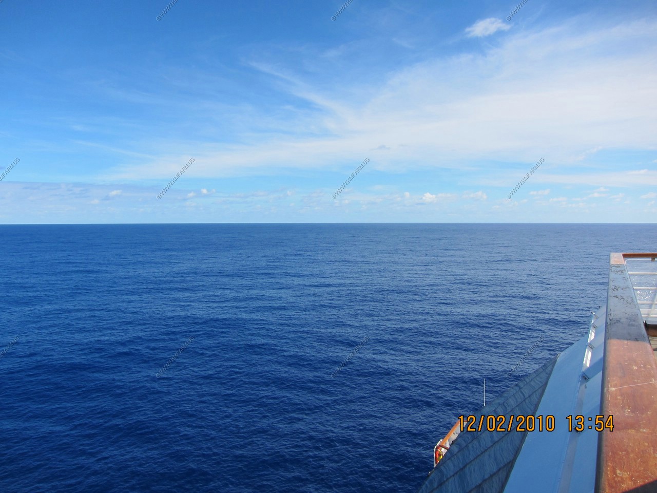
Not bad. Sunny and in the low 70's
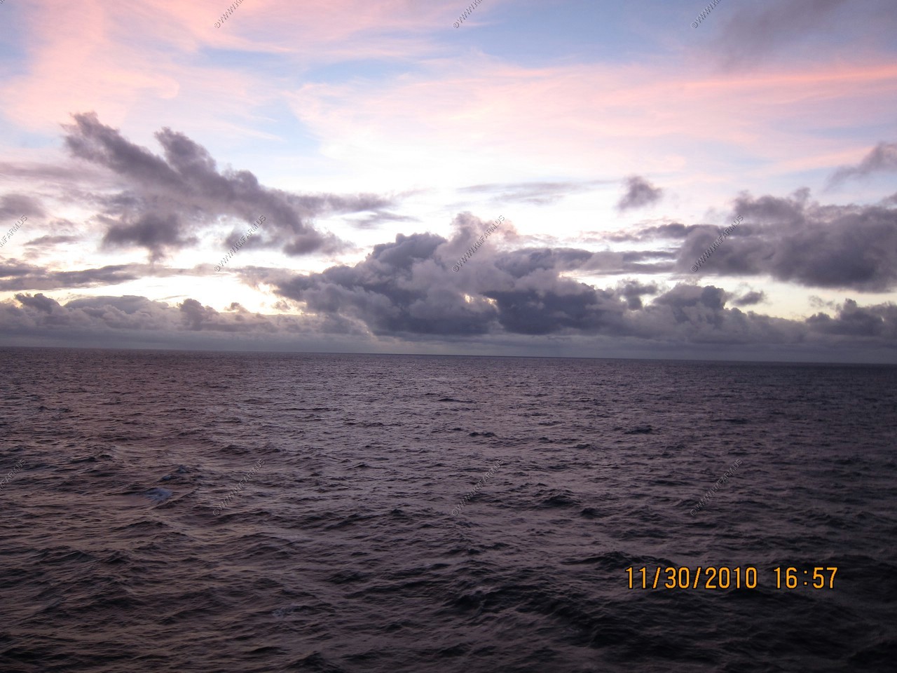
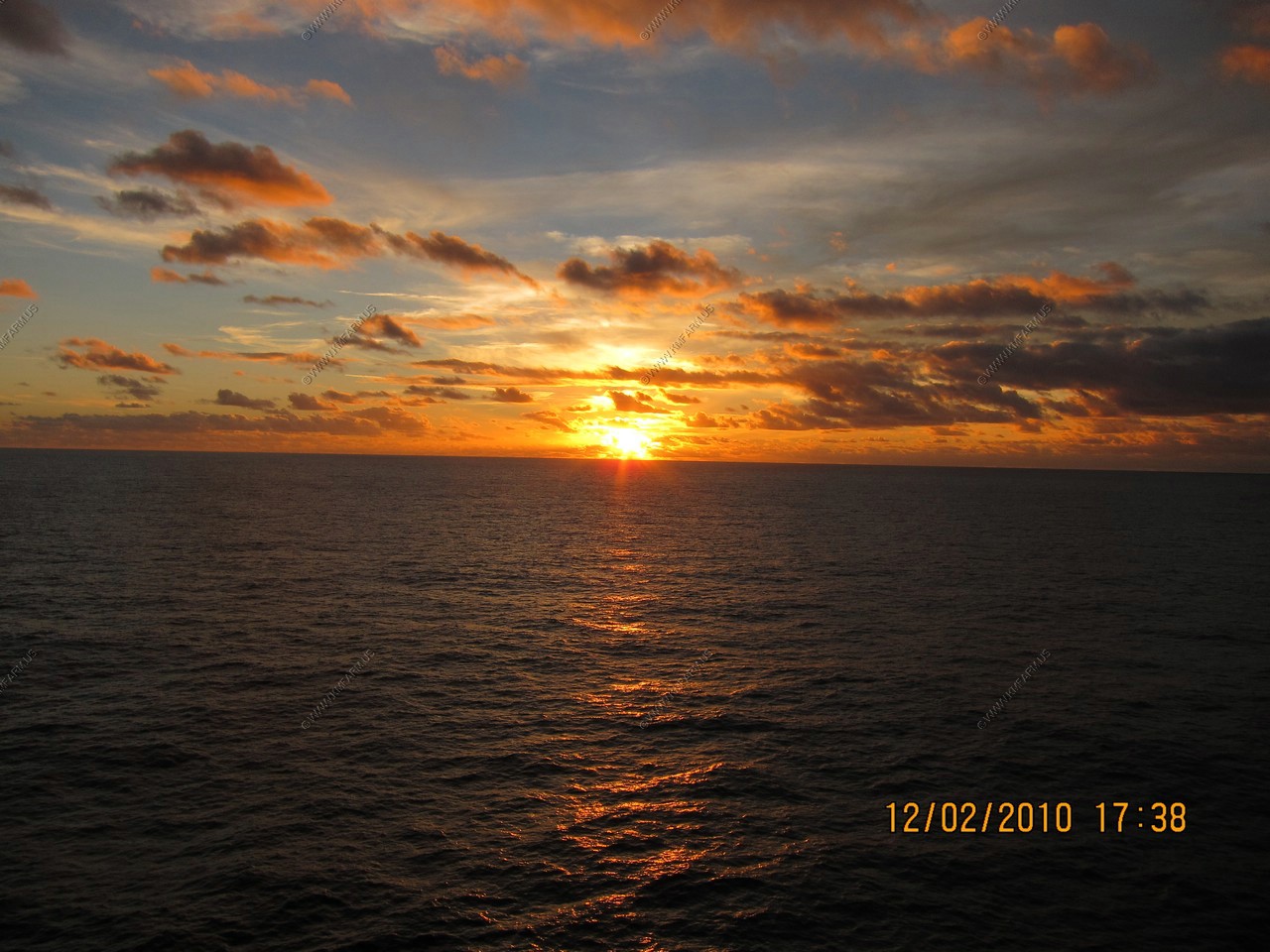
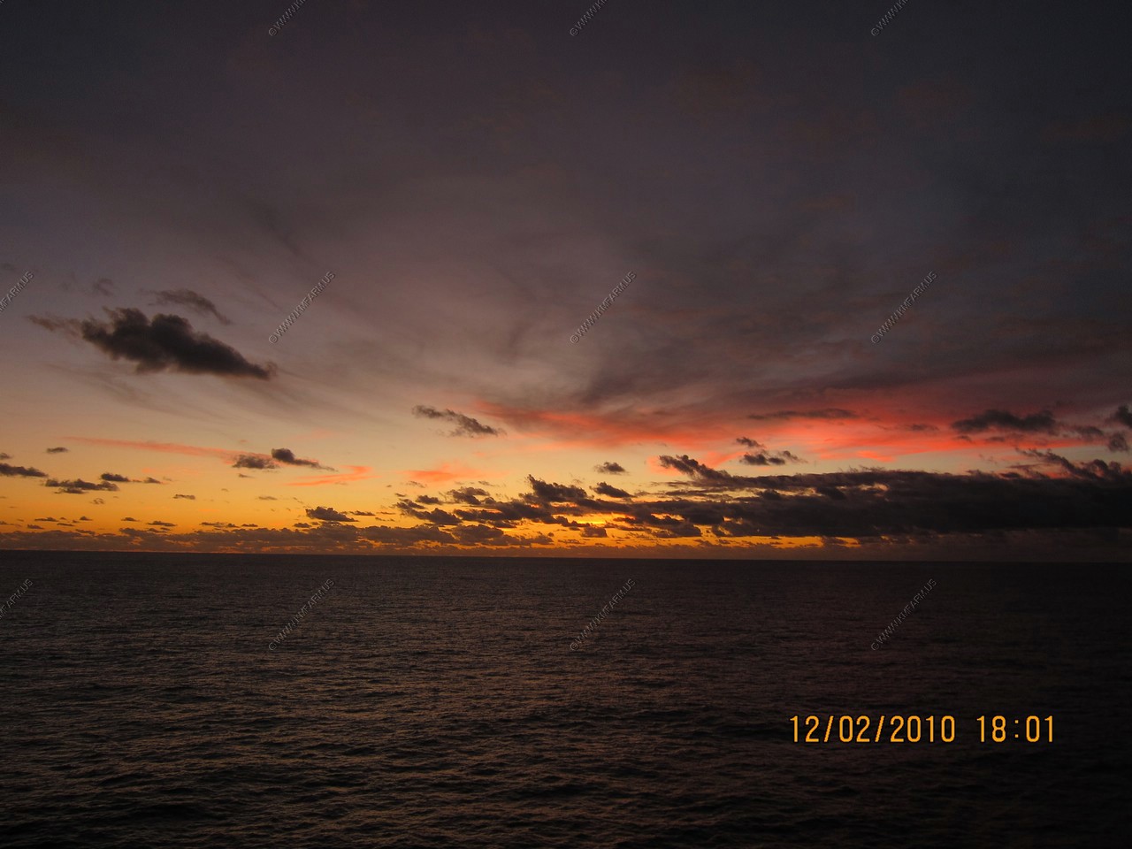
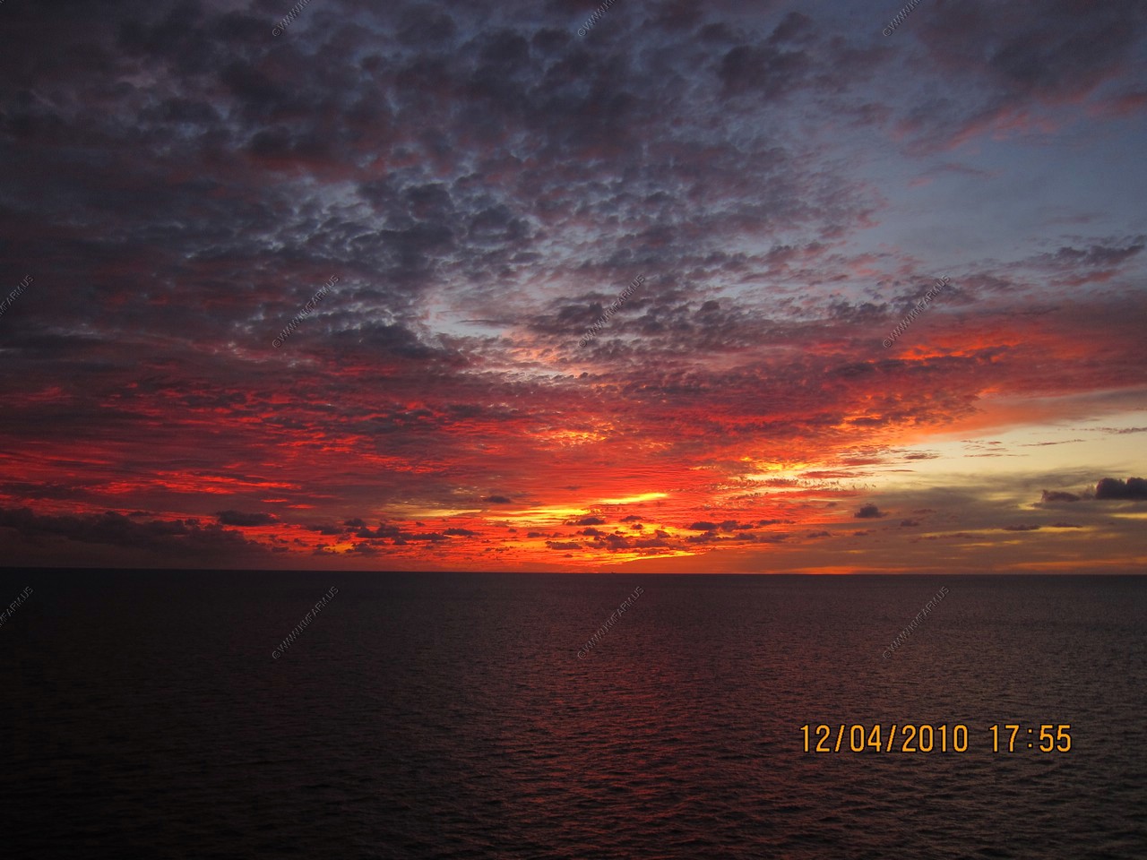
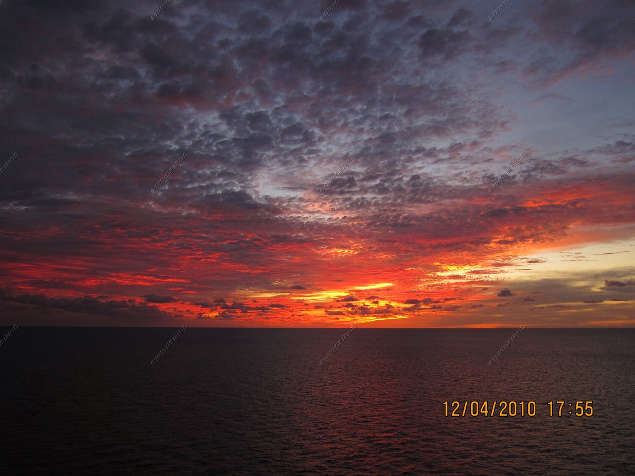
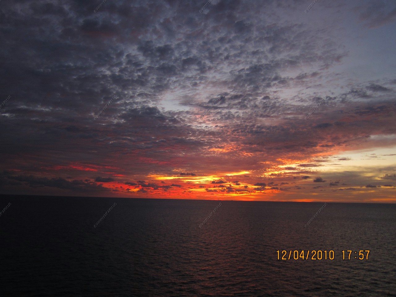
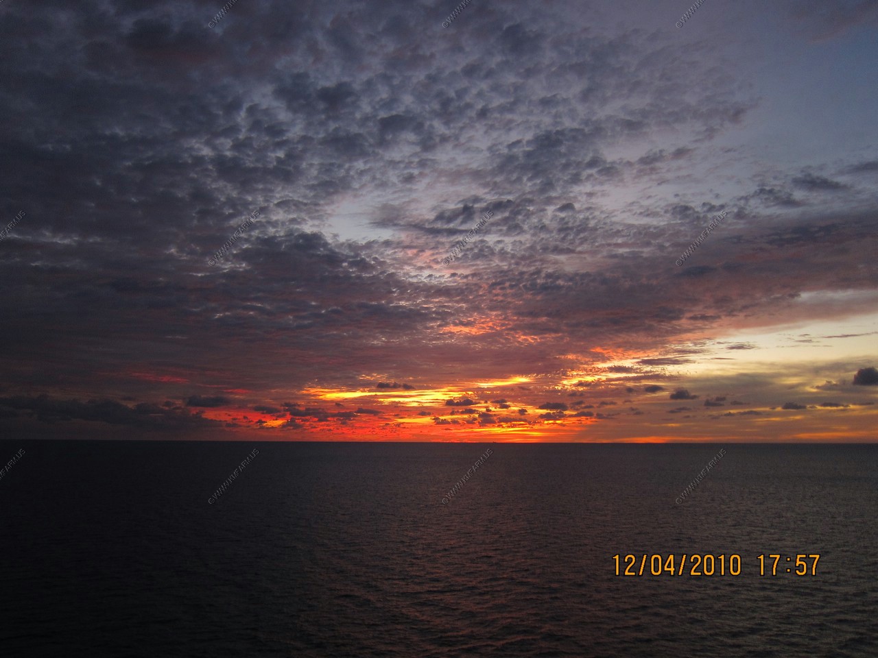
Sunset
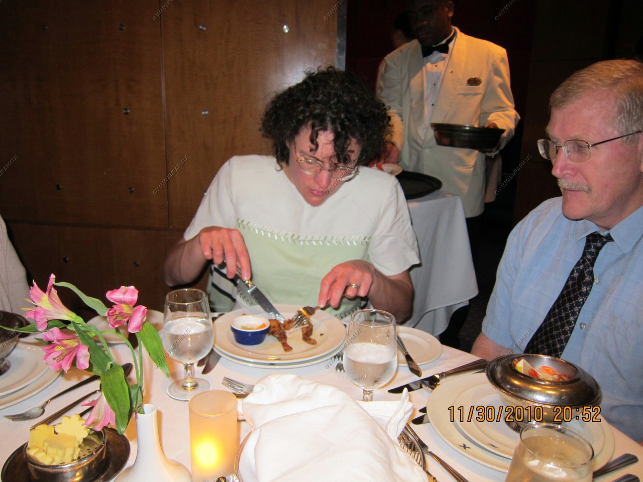
Monika vs. Frog Legs
This was probably our worse day. Scattered showers and cool. In the 60's
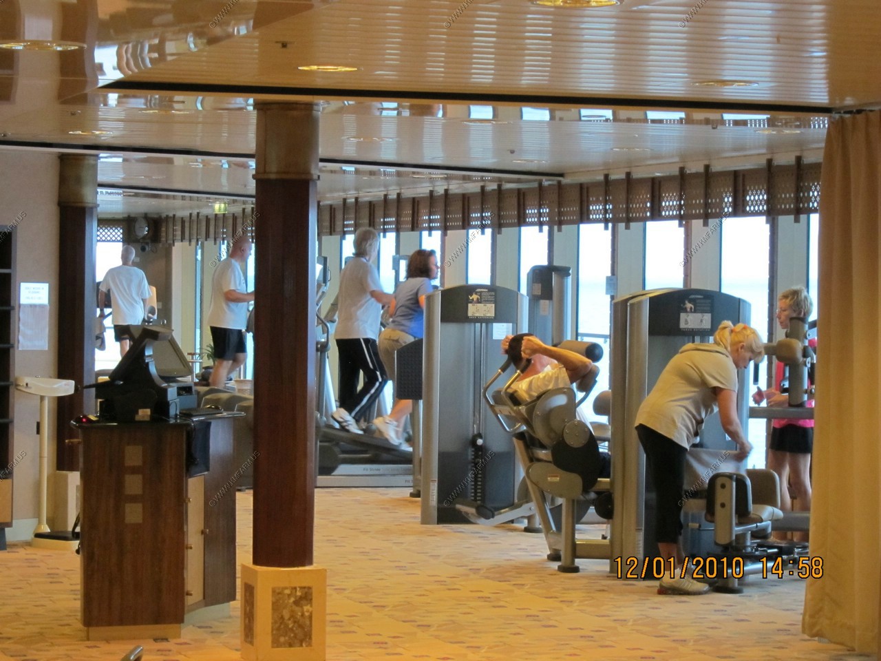
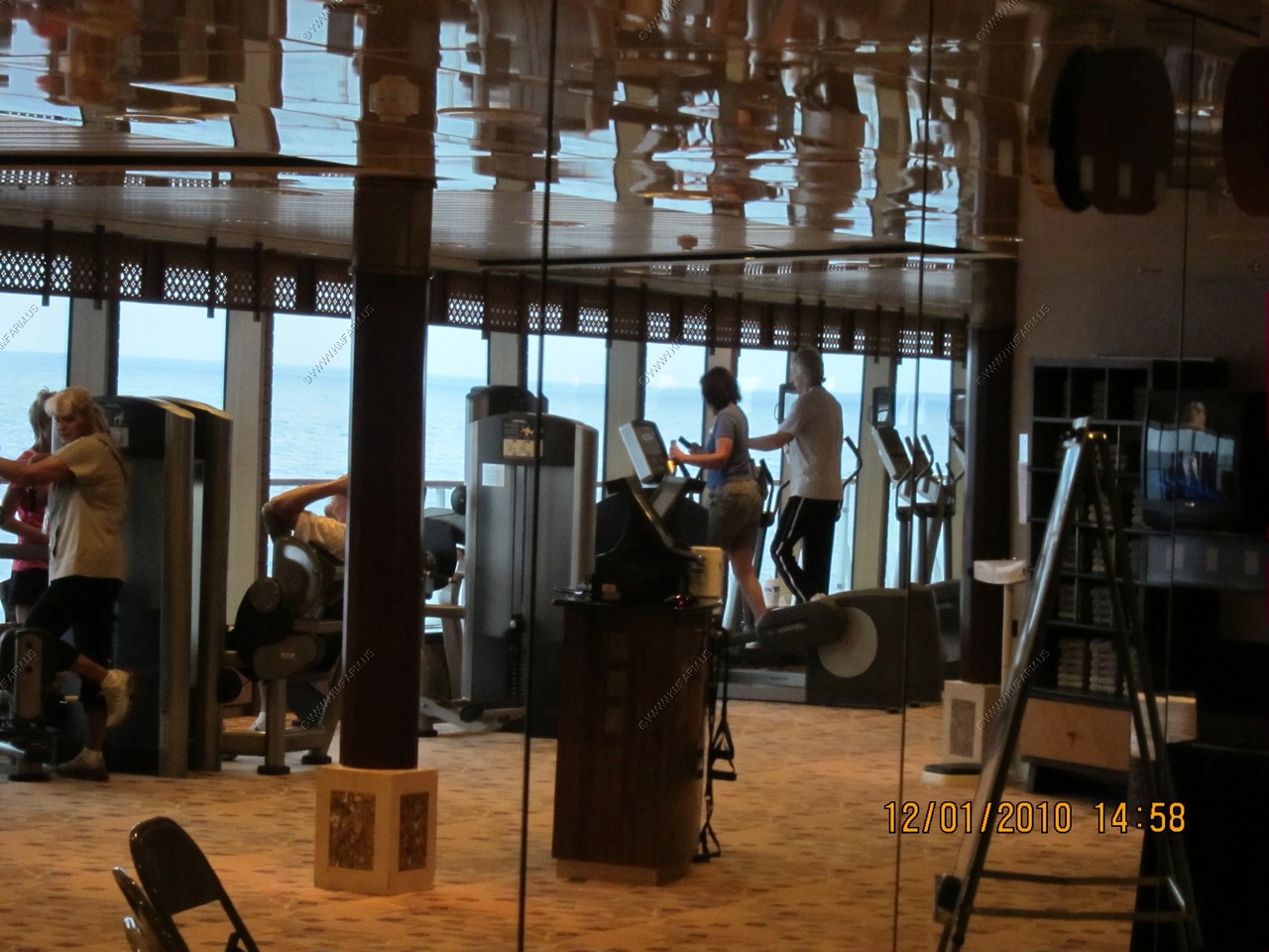
Mary on the Elliptical Trainers in the gym
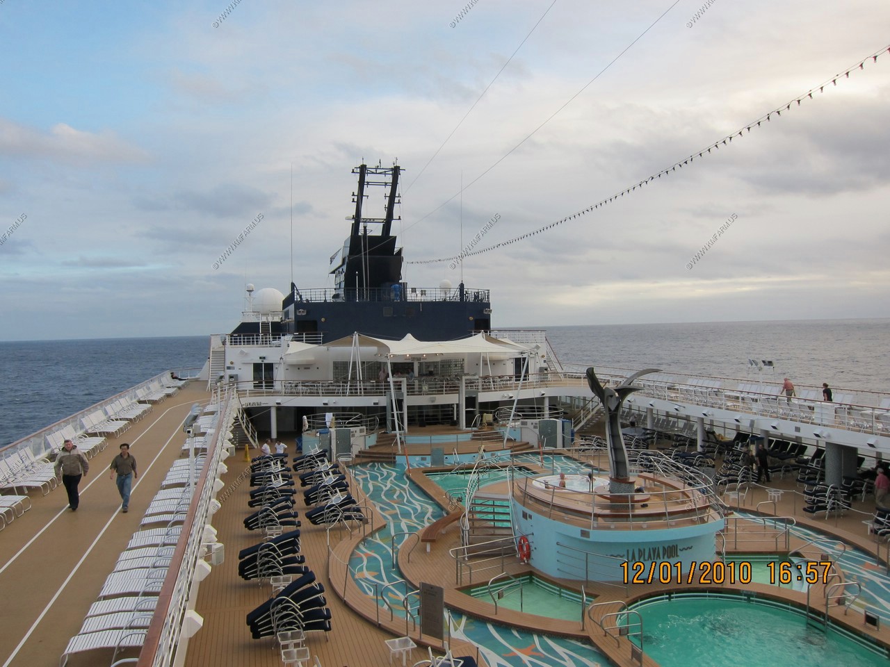
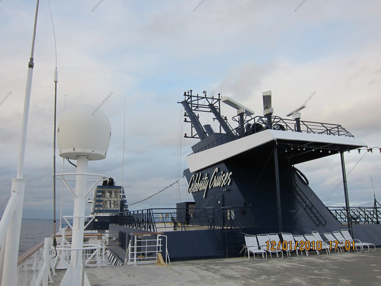
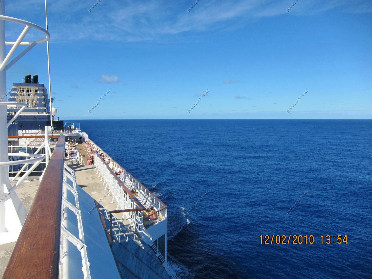
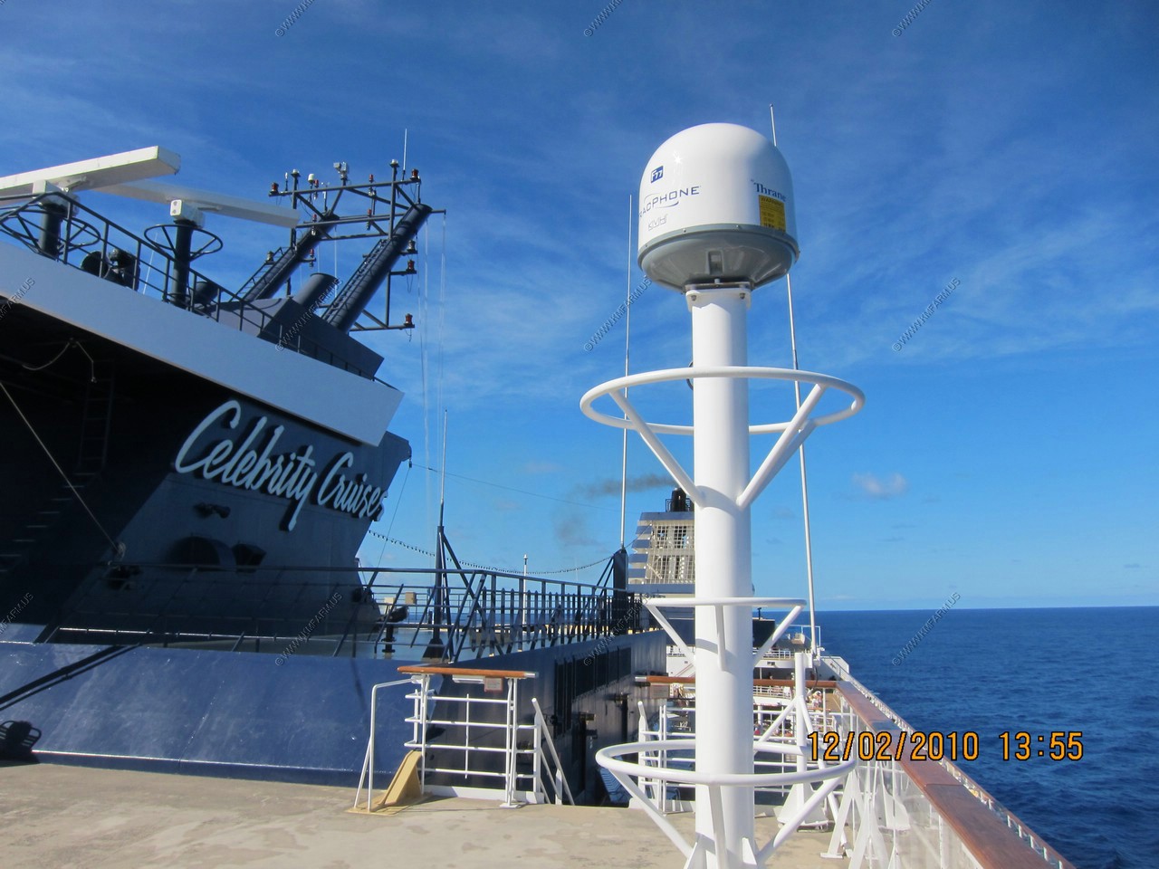
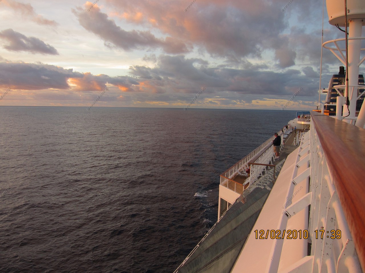
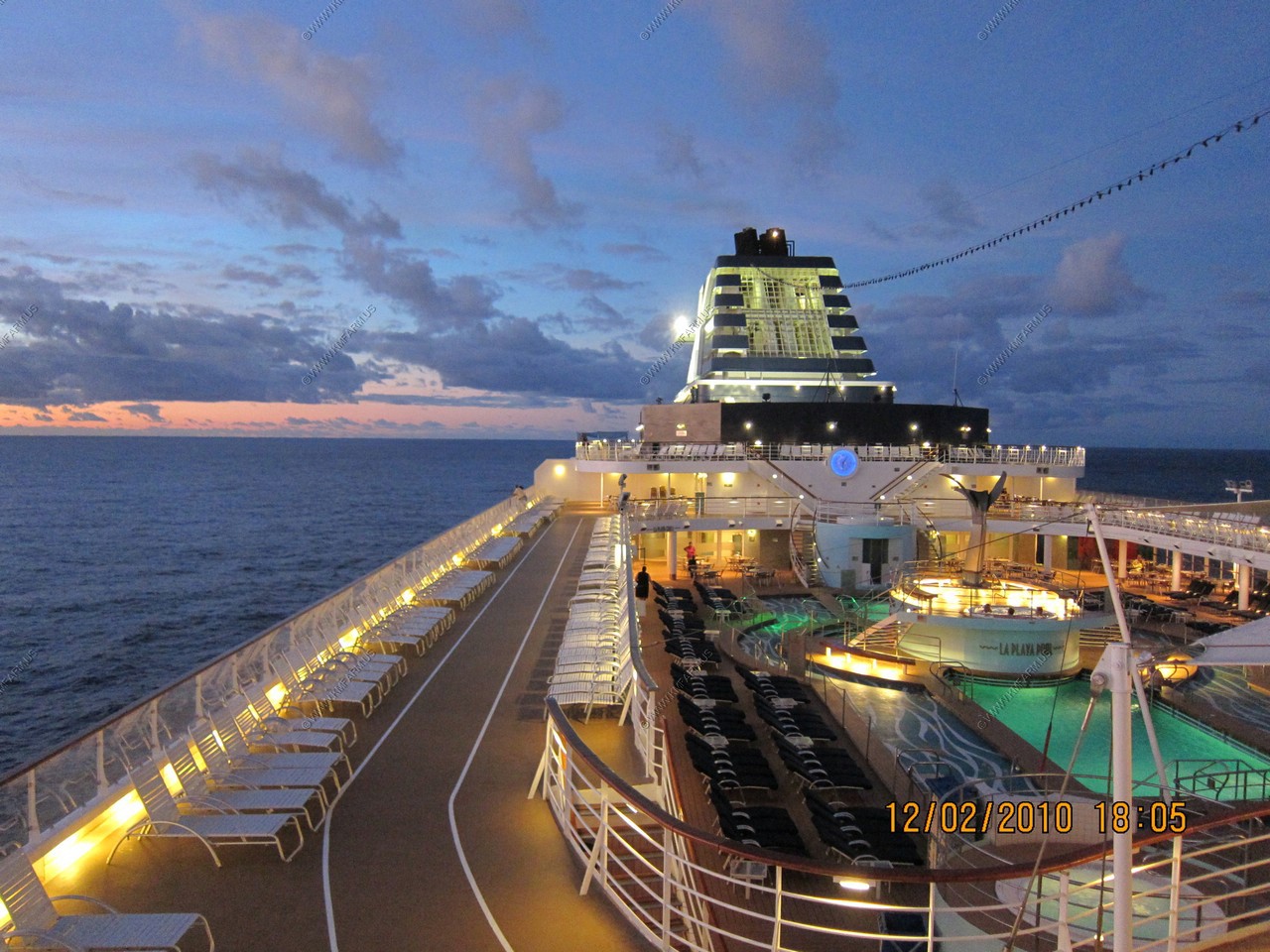
Lots of people out ! Various ship views
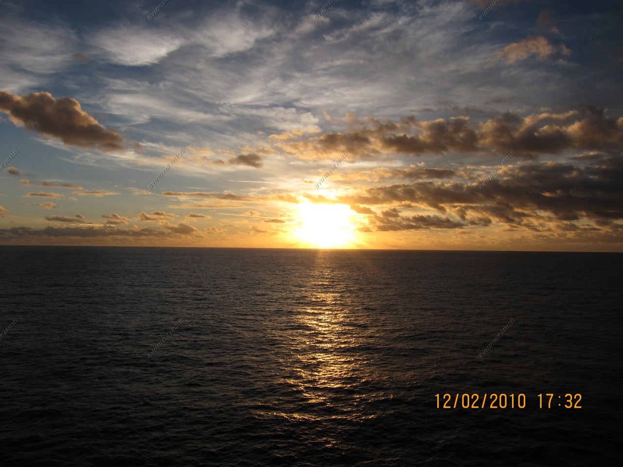
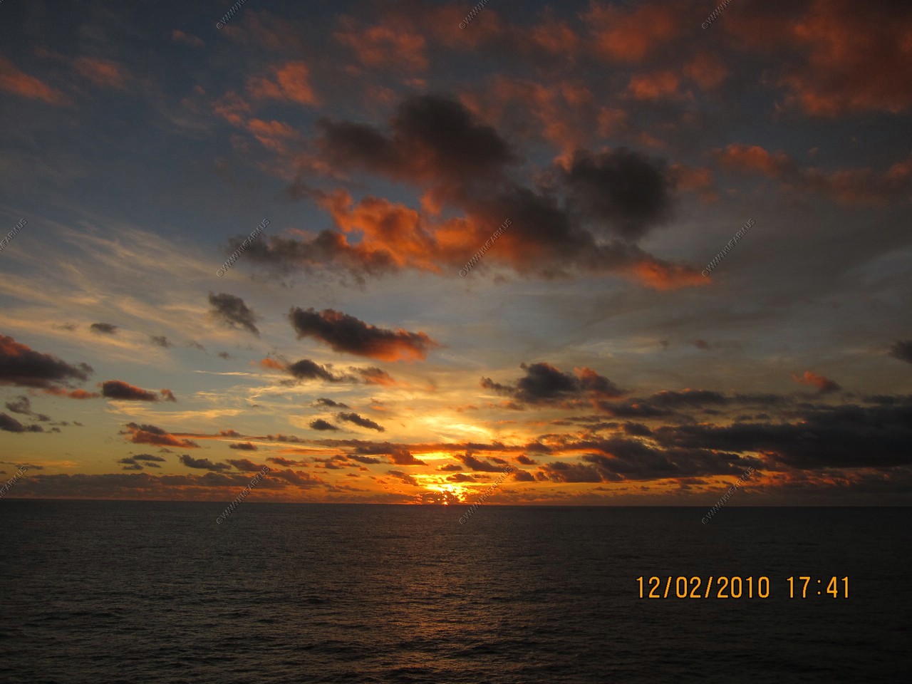
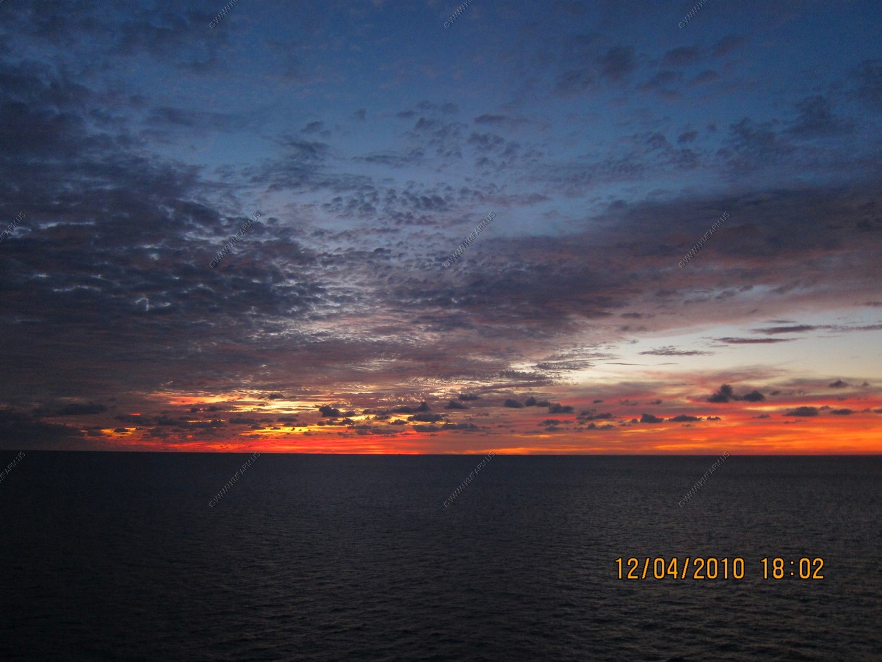
Sunset
Now we are getting warm. Beautiful 80 degree day
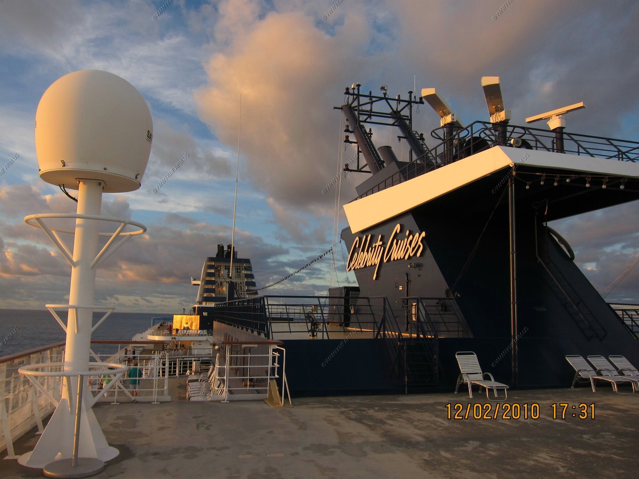
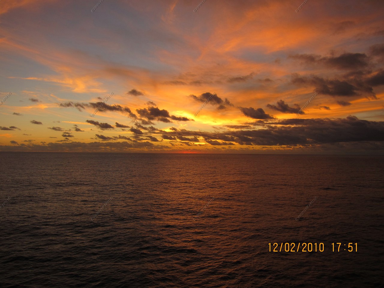
Various ship views and sunset
6pm and as usual they are all in their rooms. Sweet !
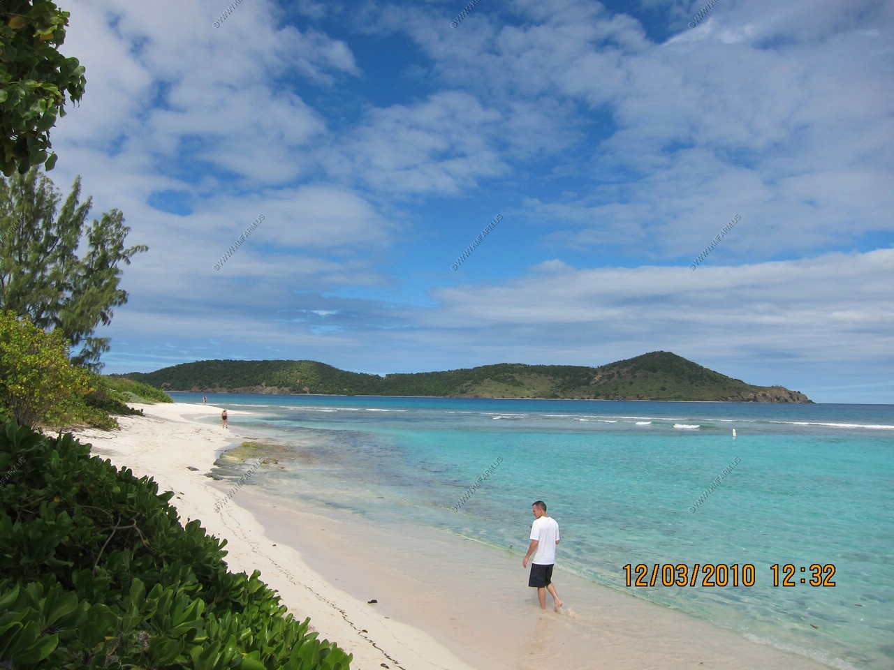
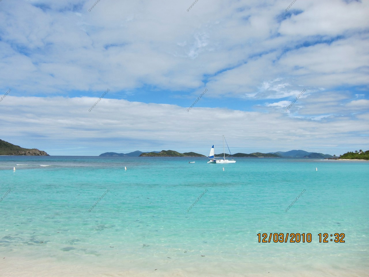
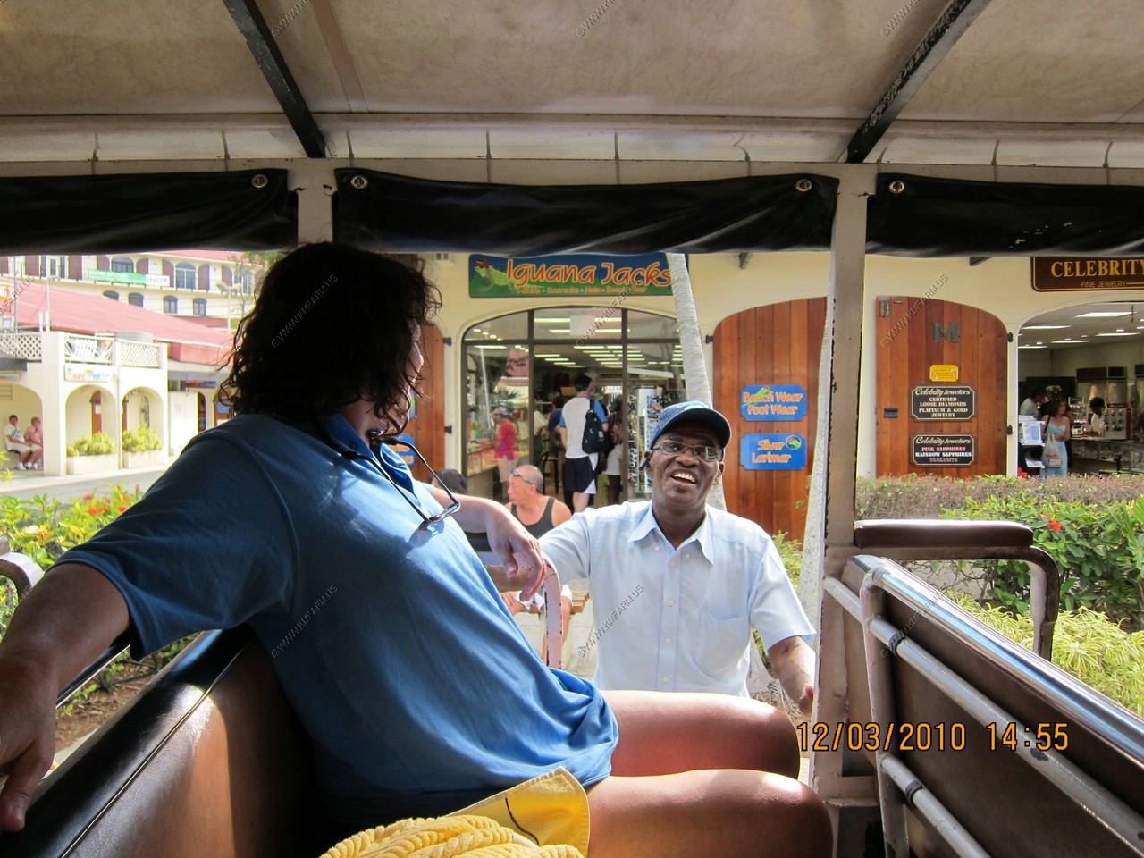
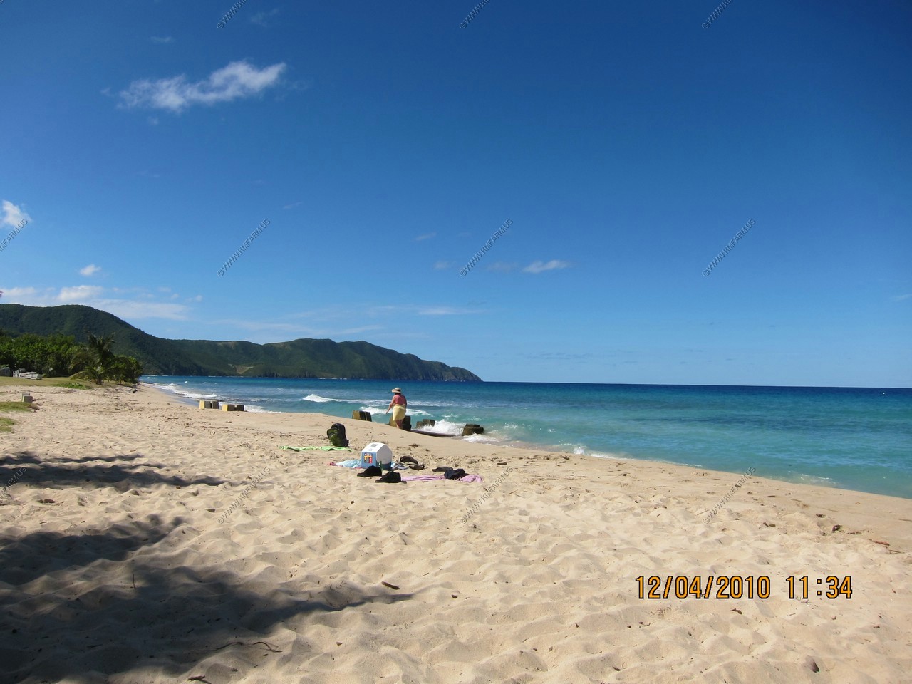
I had signed up with a taxi driver that I found on the web that had an impressive website and was very responsive: Henry Christopher, Triple E Tours. He took us (3 couples) for a half day tour of the island and then took us to a beach of our choice. I chose one of St. Thomas' most beautiful and pristine beaches, Lindquist beach (Smith Bay) on the East End of St. Thomas. Undeveloped, the beach is accessed by a dirt road. There are few amenities: a couple picnic tables and port-a-johns. Often sparsely populated during the week, the beach comes to life on weekends, particularly Sundays with residents having picnics and parties. The water is crystal clear and typically calm. Soft, white sand lines the shore and a thick tree line gives shade. Snorkeling can be enjoyed on the right side of the beach. In 2006, the Government of the Virgin Islands purchased 21 acres of beachfront property around Lindquist for the purpose of protecting it as a park called Smith Bay Park. An admission fee of $2 per adult is collected. There were maybe a dozen people there and it is beautiful. Snorkeling was pretty good with the usual parrot fishes and other typical colorful fish.
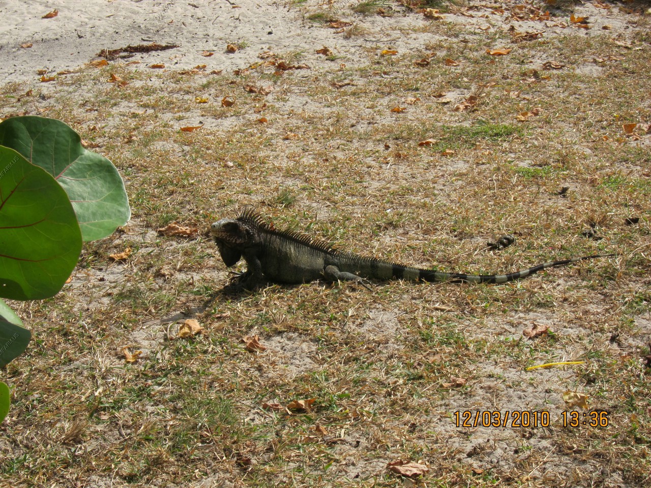
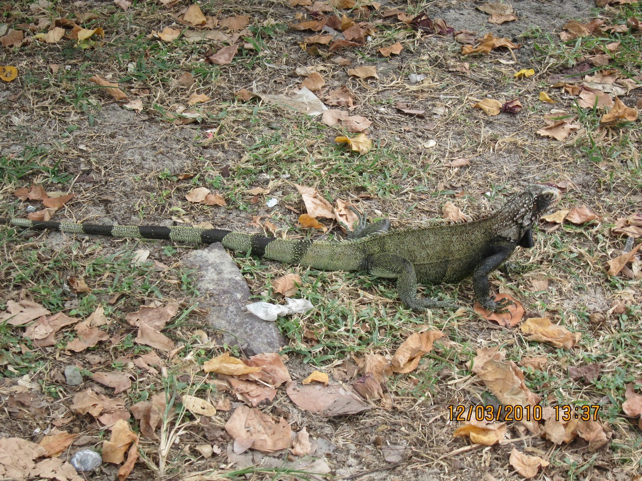
There were chickens and large iguanas hanging around the picnic tables and Ken enjoyed feeding them rolls. Henry arrived when he said and we continued to the ship. Very enjoyable and Henry gave us local flavor and even showed us his back yard and garden. Very reasonable tour!
We also went to St. Peter Great House and Botanical Gardens, which was touristy but provided a good view, parrots and some native plants.
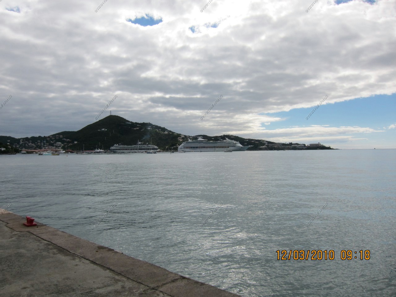
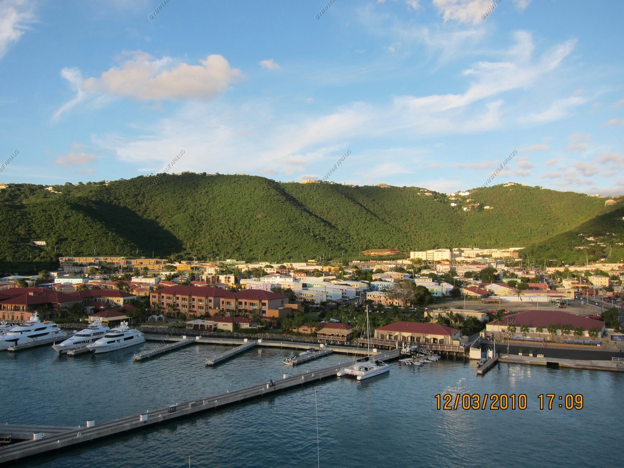
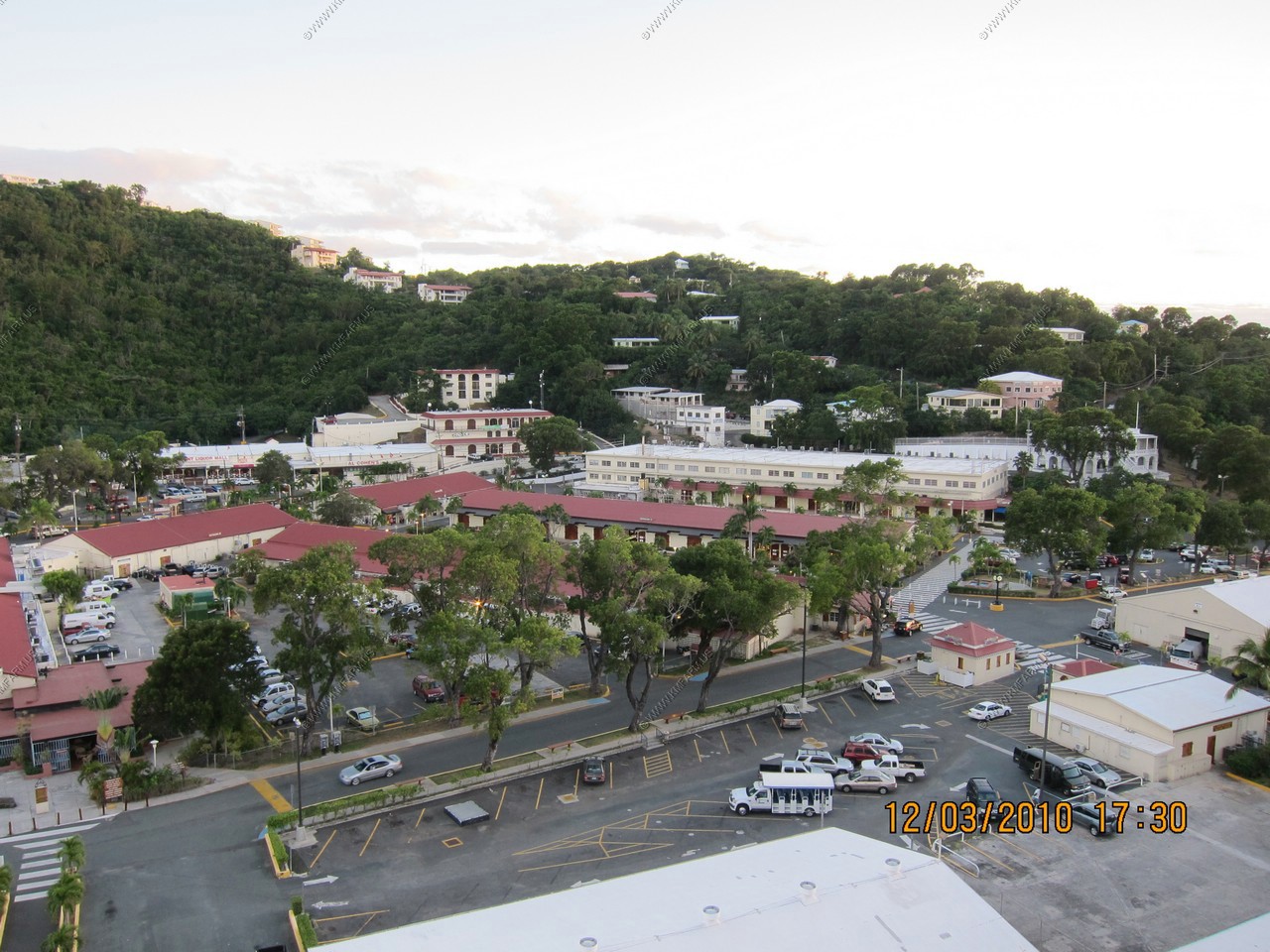
Looking back to our ship (on left) docked at Havensight
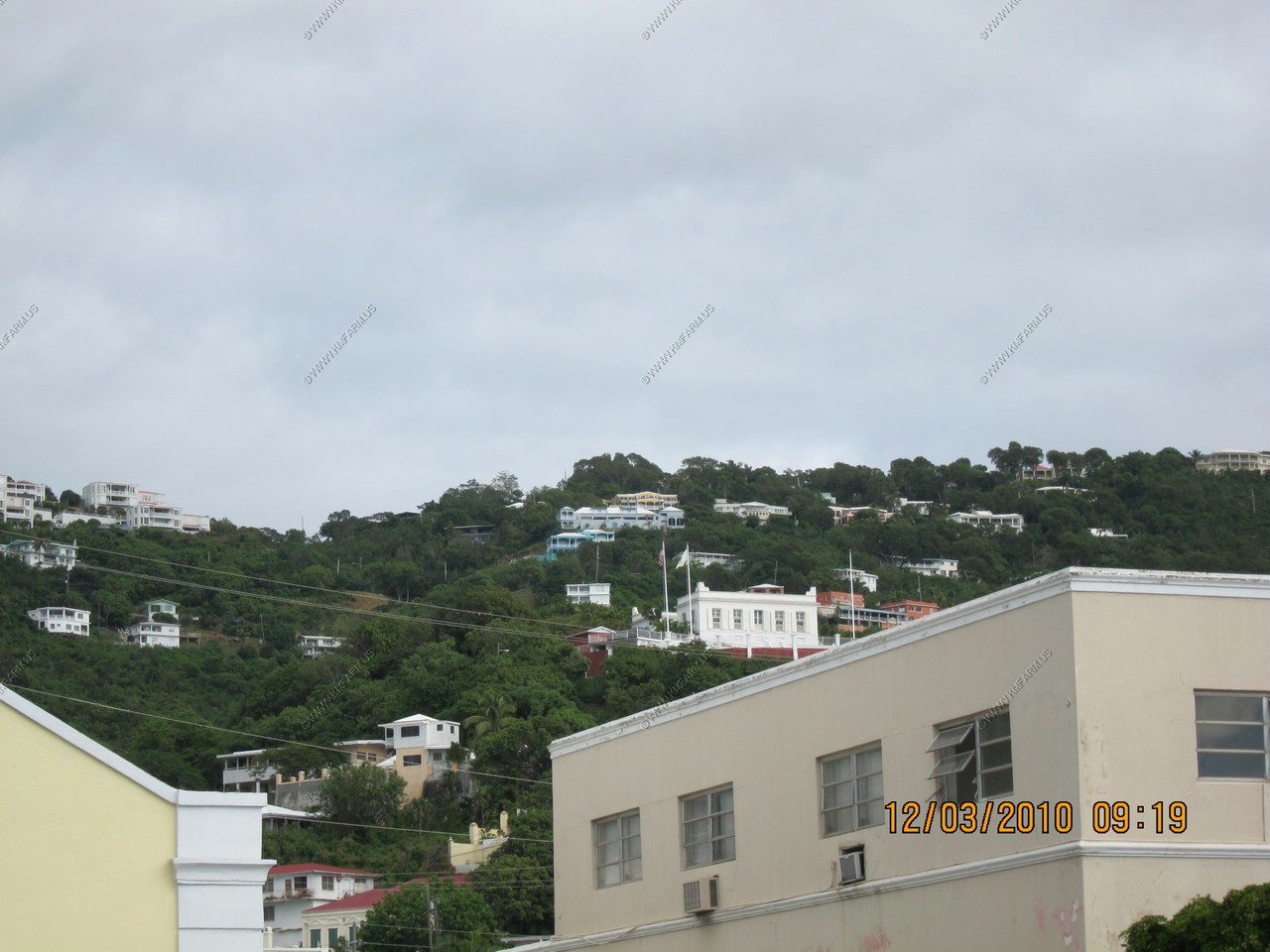
The Governor's Mansion (White building with flags)
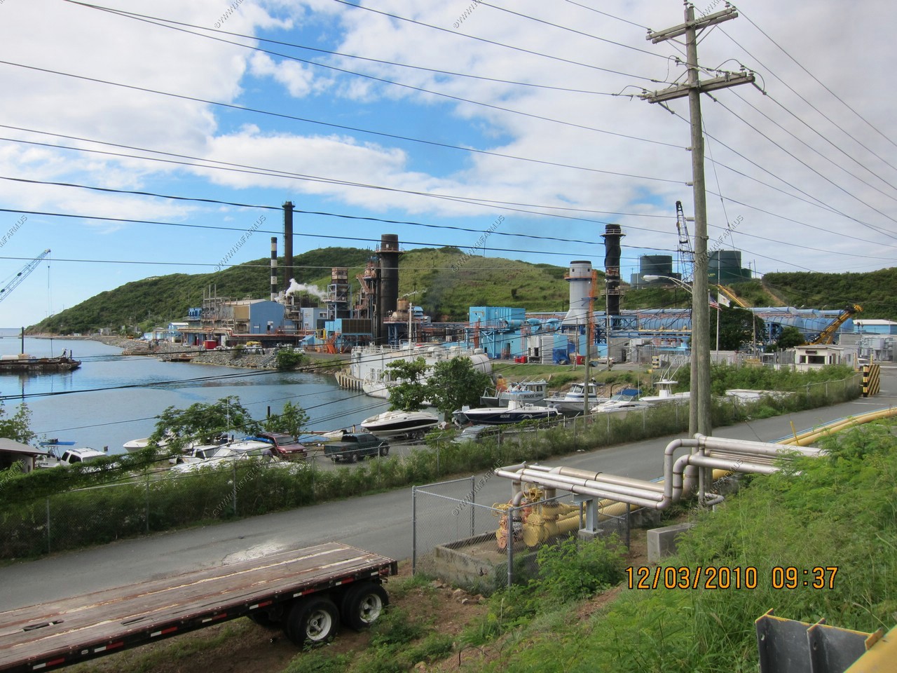
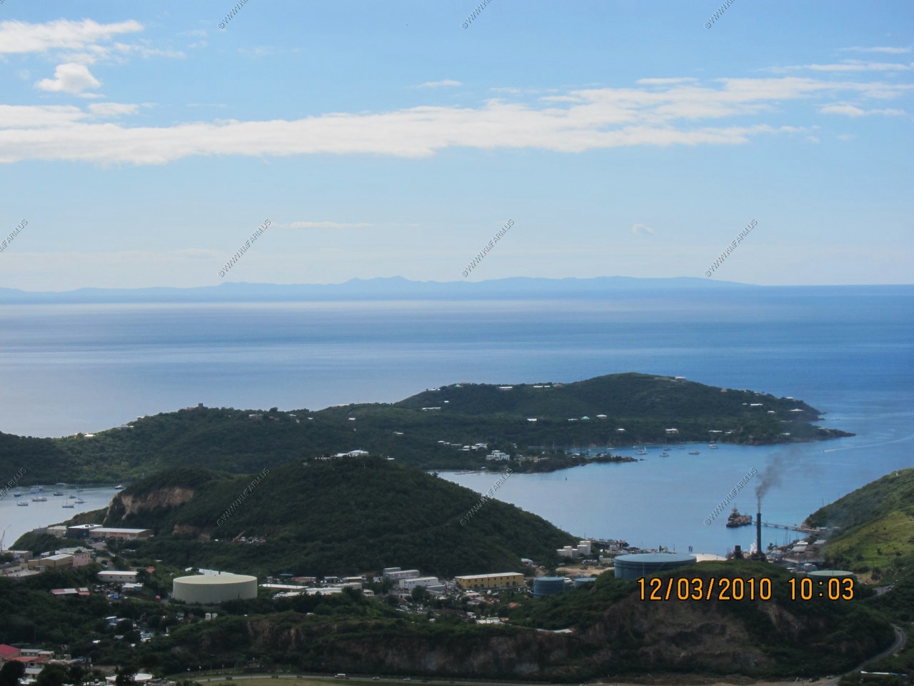
Power plant and oil terminal (yes, we got the deluxe tour)
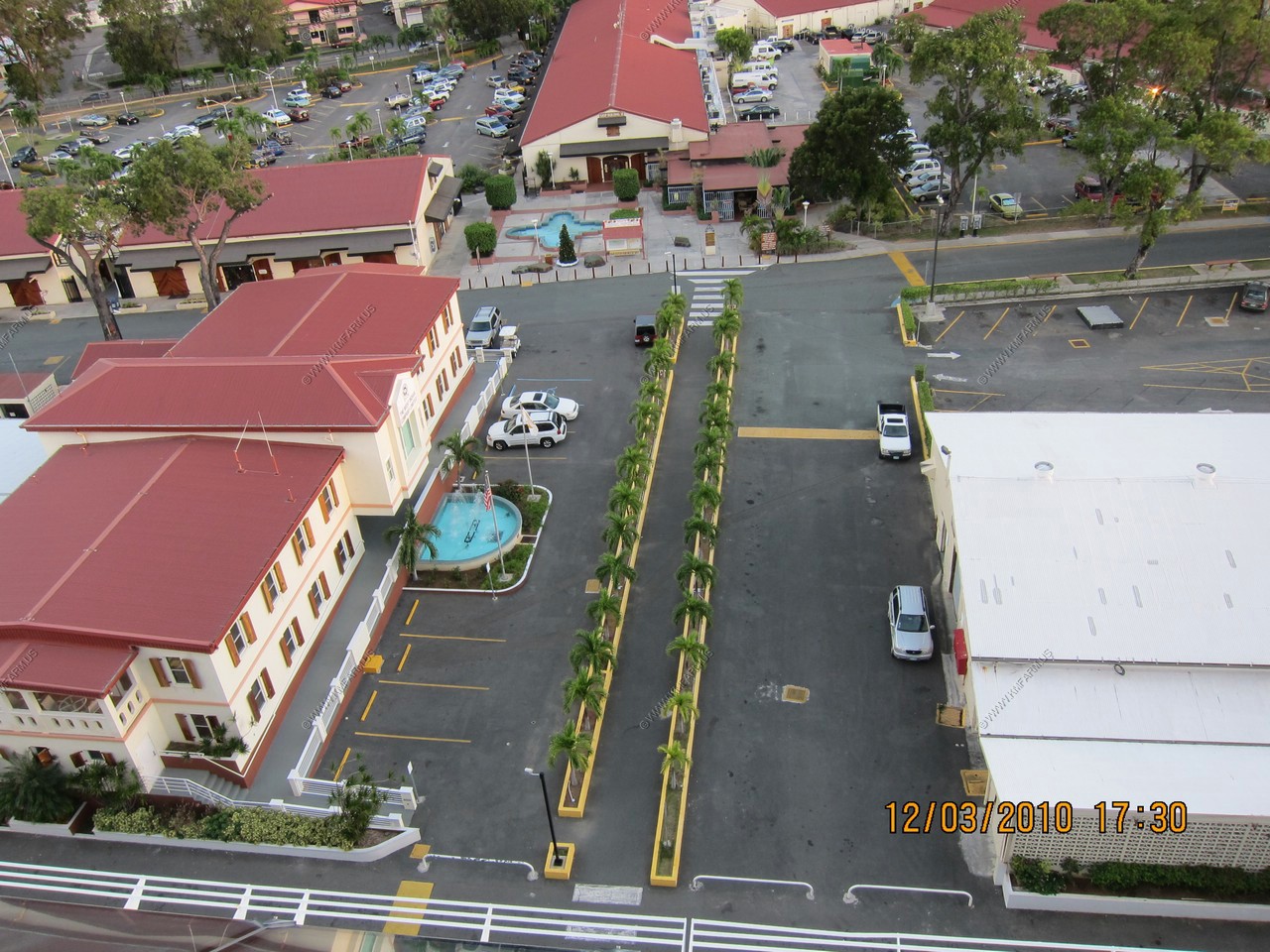
Best Western Emerald Beach (Airport in background)
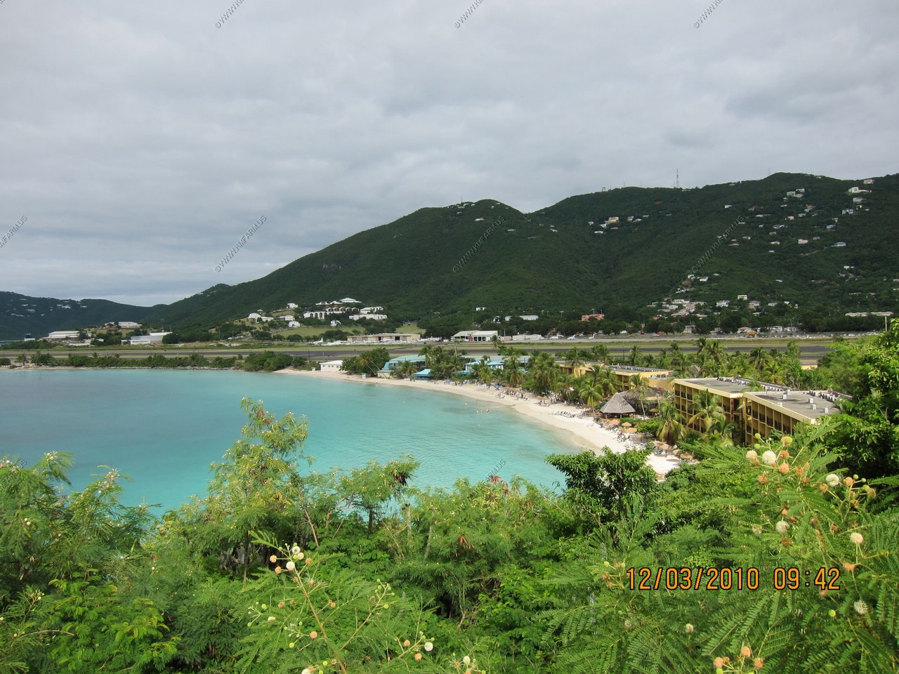
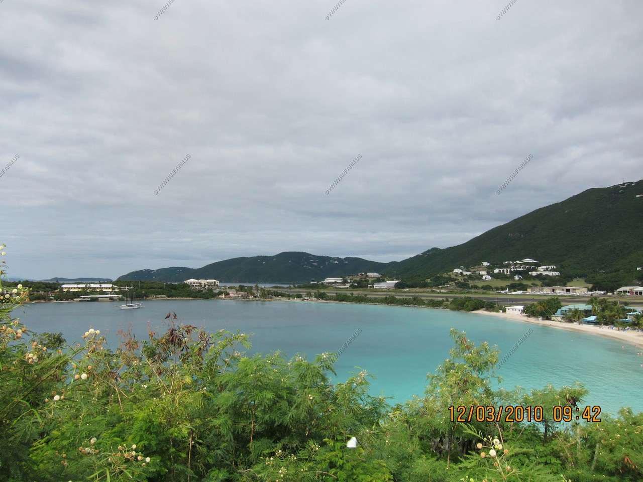
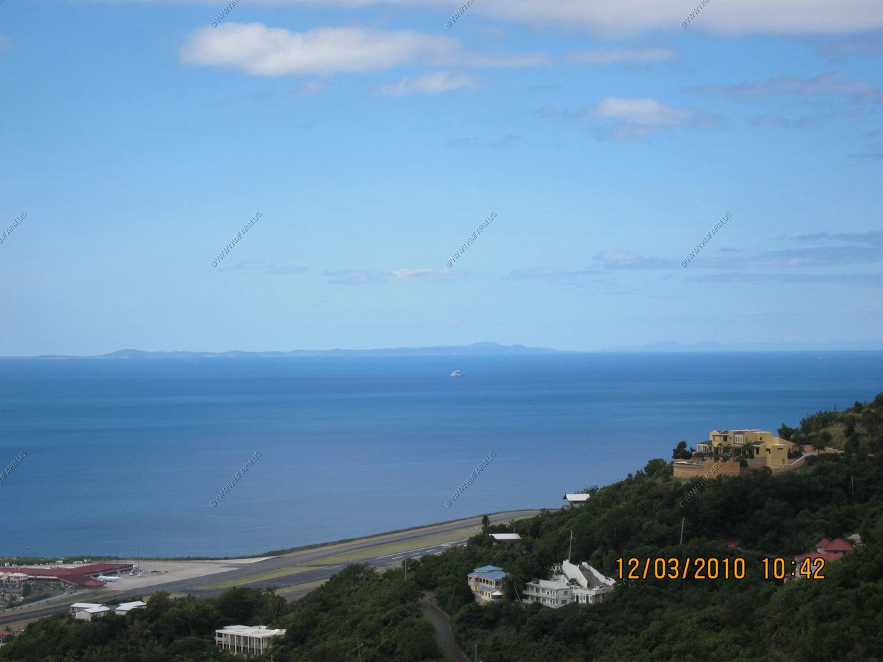
Cyril E. King Airport (STT)
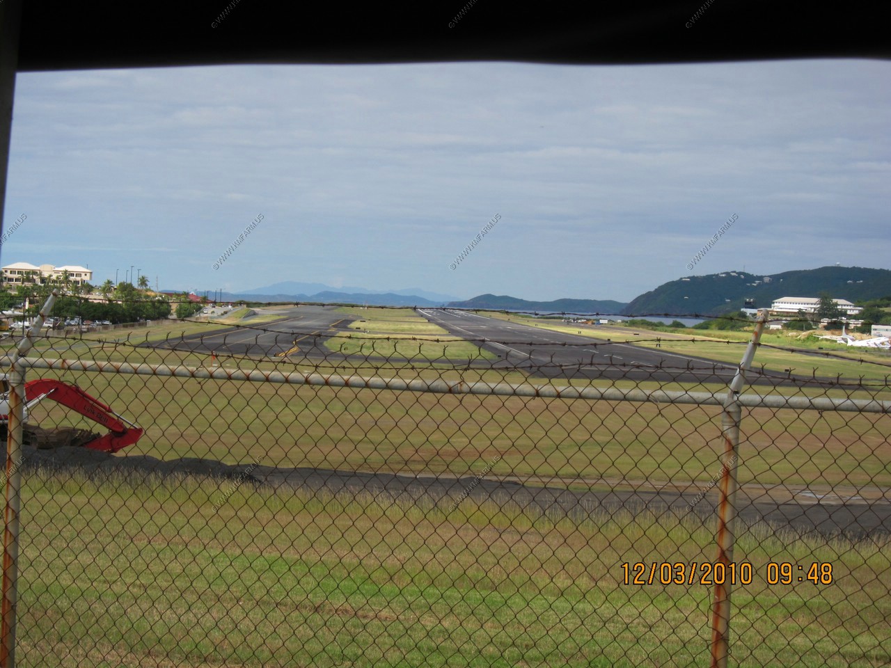
American Airlines Flight 625 crash site (1976 at the end of the runway,88 on board aircraft that day, 37 died)
Airport and power plant from the mountains
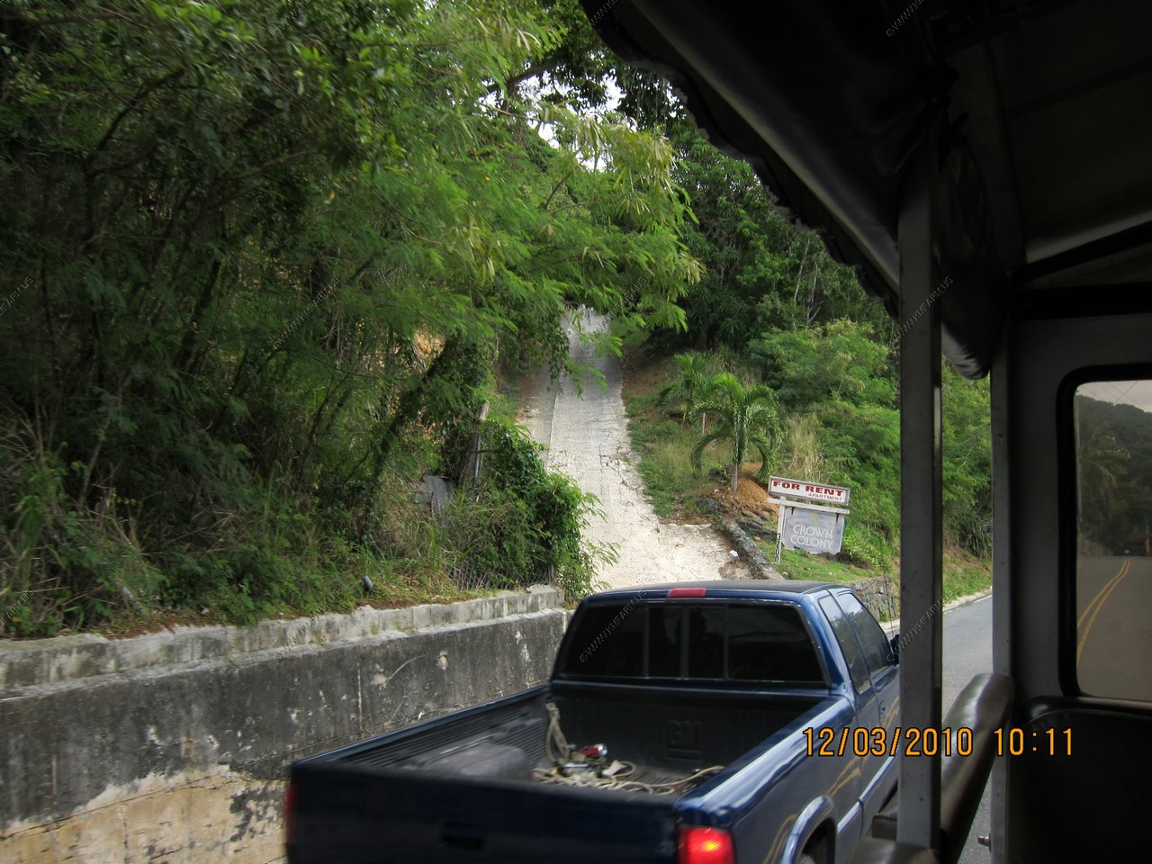
Super steep driveways
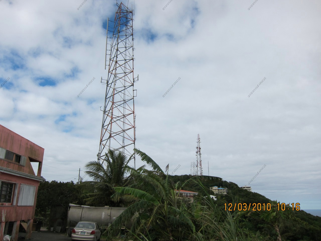
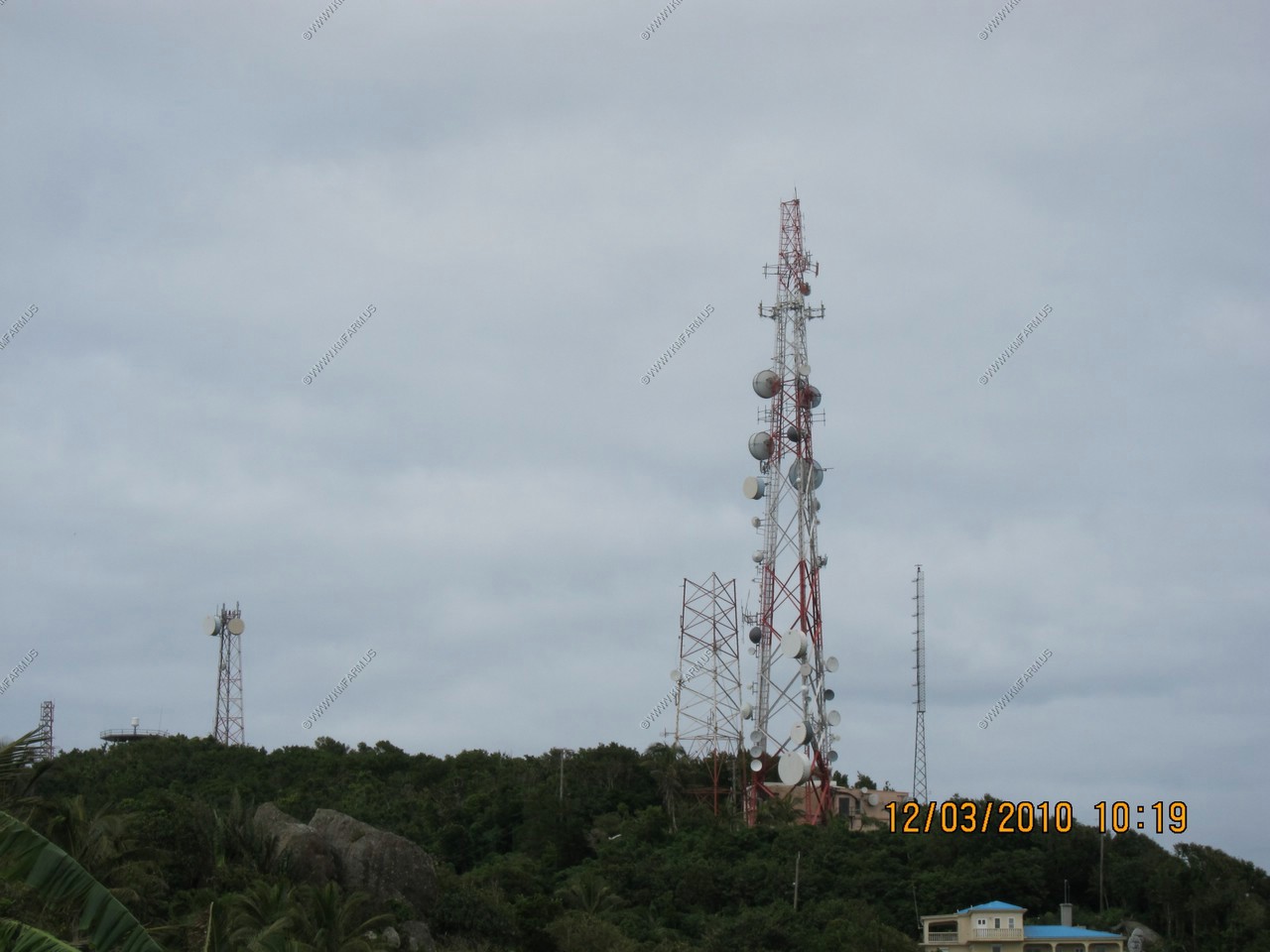
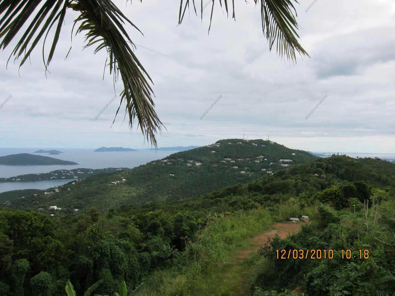
Radio towers on one of the higher points of the island
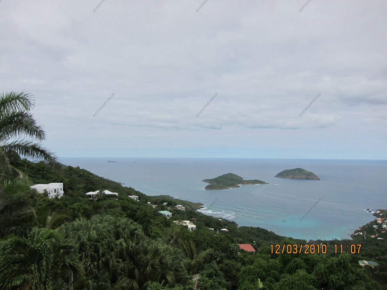
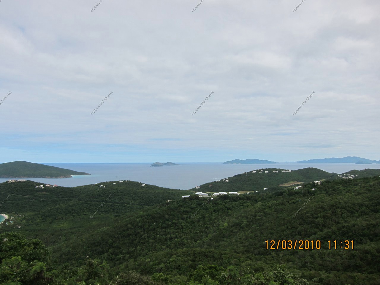
Inner and outer Brass islands
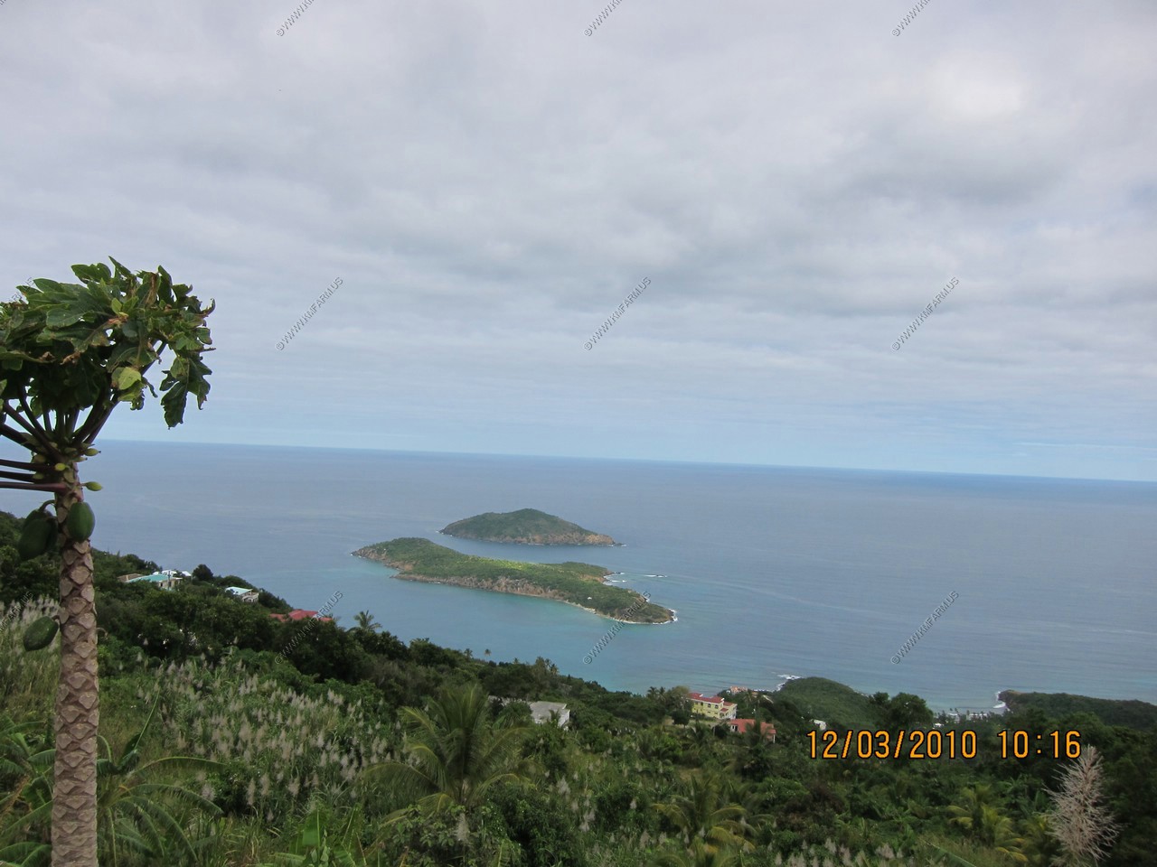
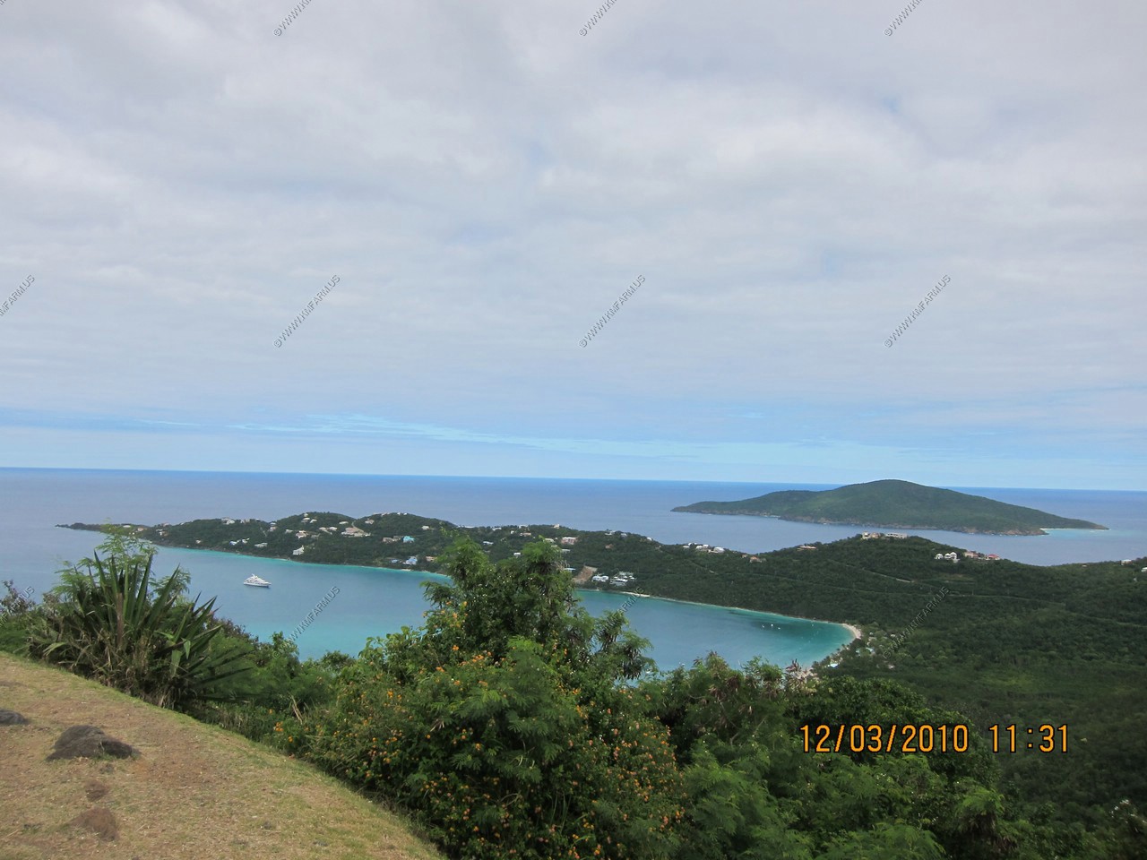
Looking over the entrance to Magens Bay and Great Hans Lollik Island. Little Tobago and Great Tobago islands in the distance (British Virgin Islands)
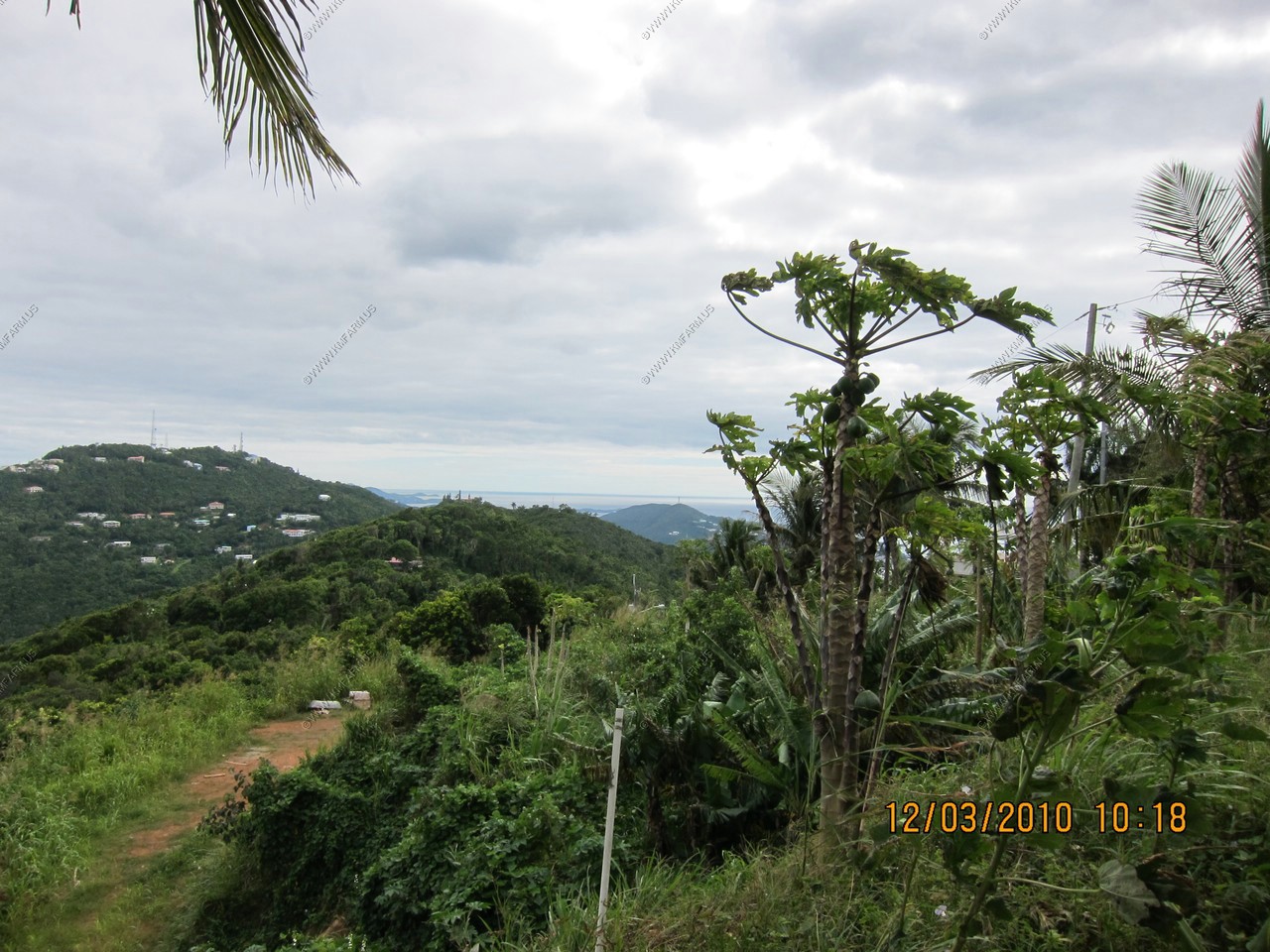
Forgot what these were.
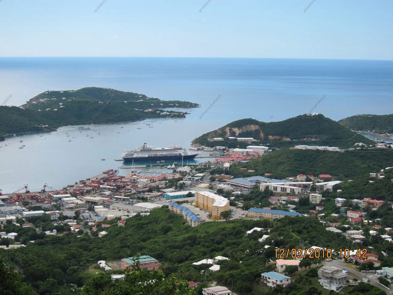
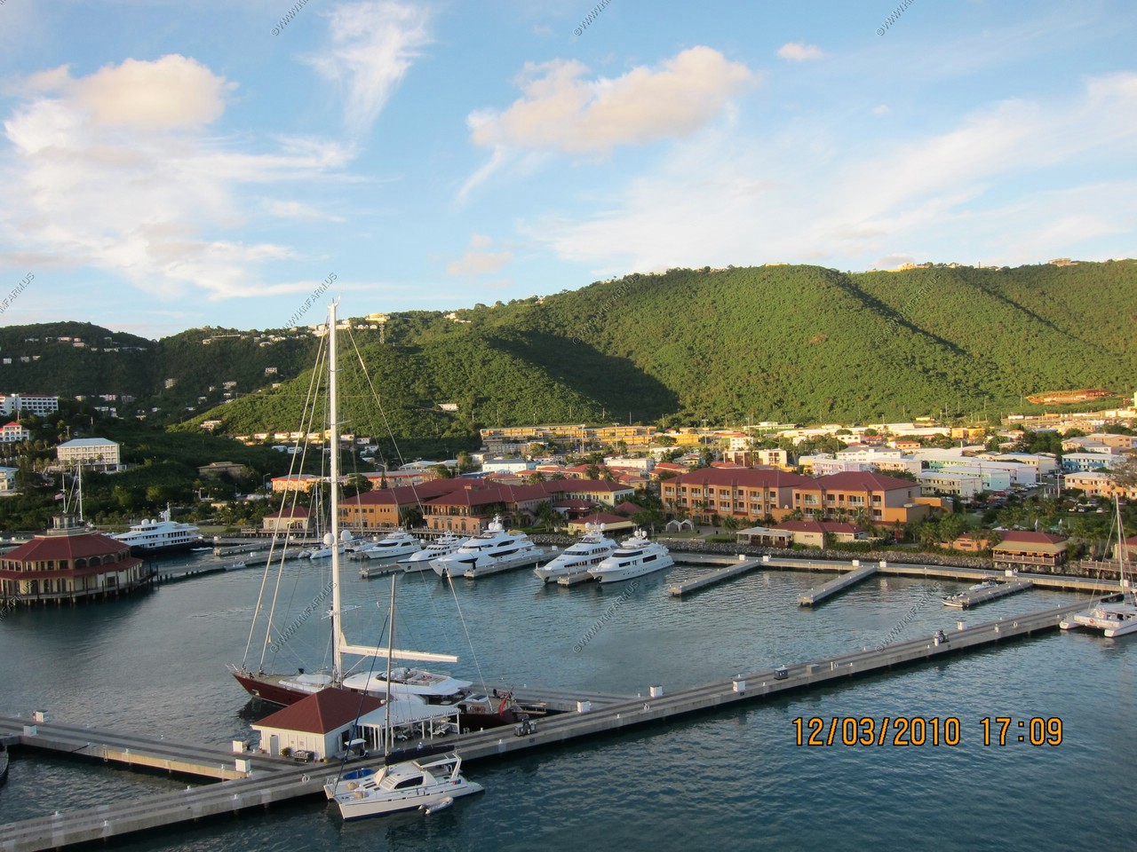
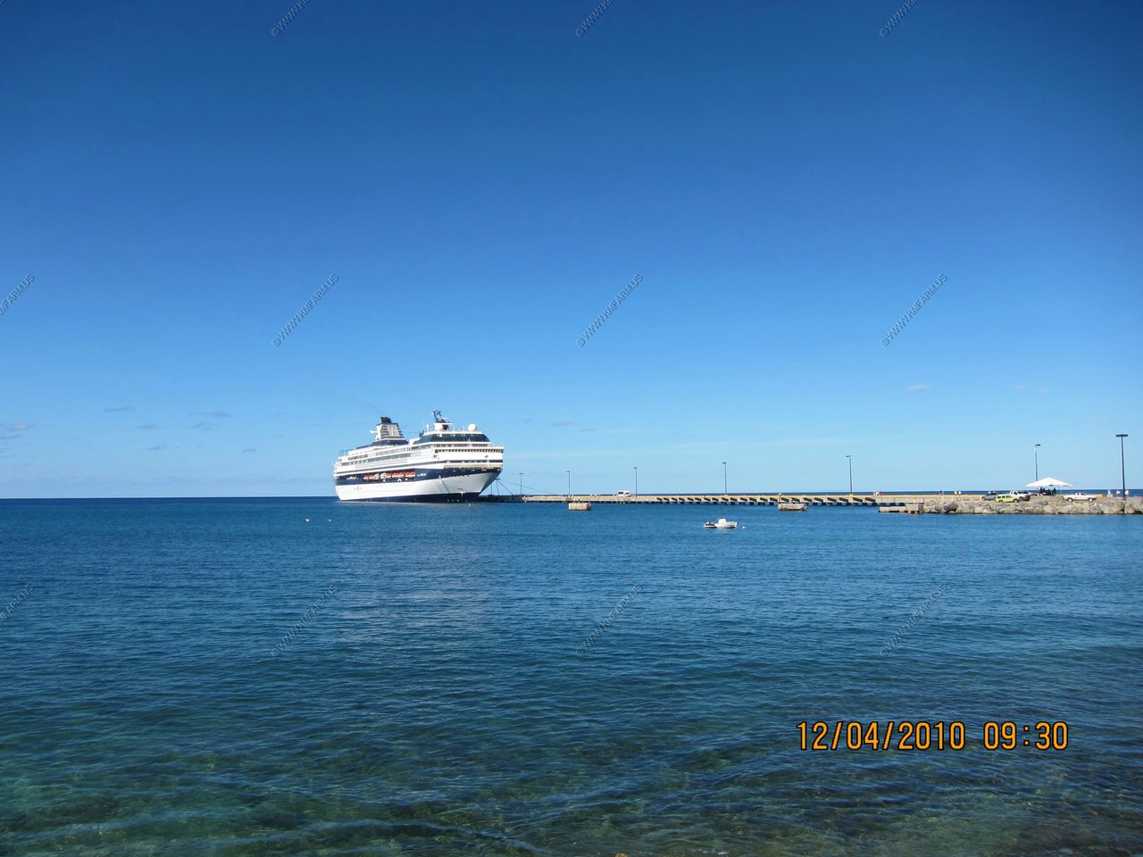
Crown Bay Marina Cruise Pier with a Holland America ship in port
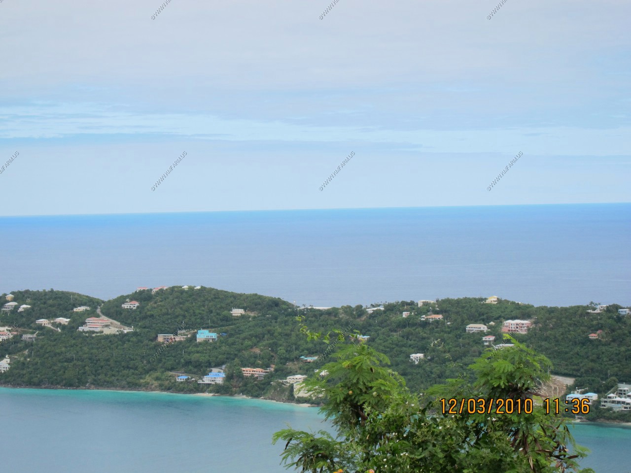
Looking across to Culebra island-municipality of Puerto Rico. Main part of Puerto Rico to the distant right 50 miles away
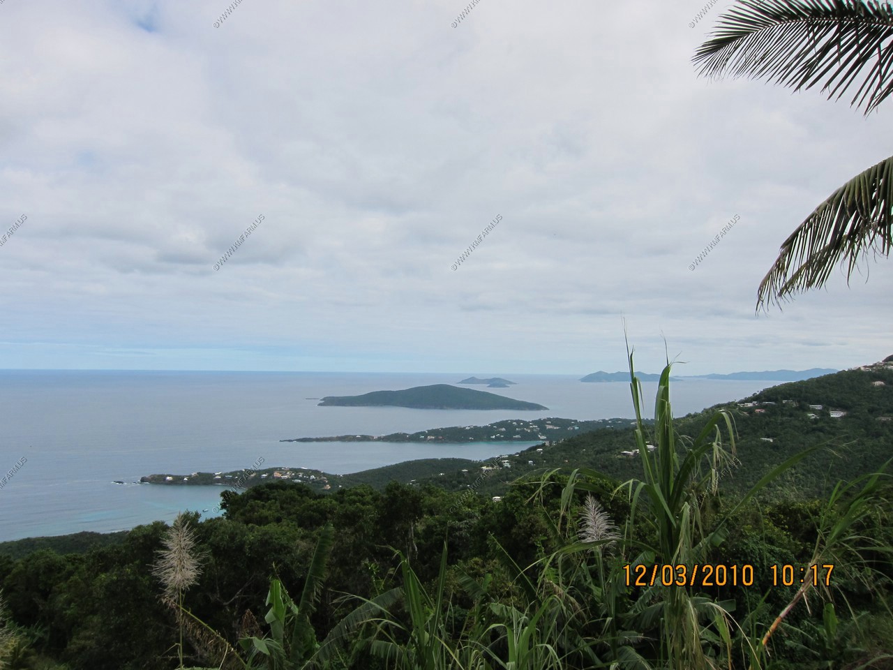
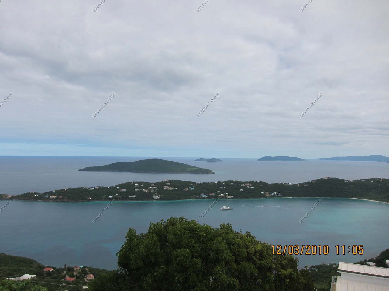
Magens Bay with the BVI's in the distance
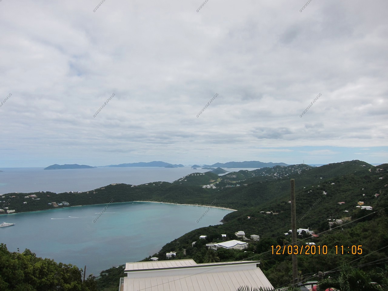
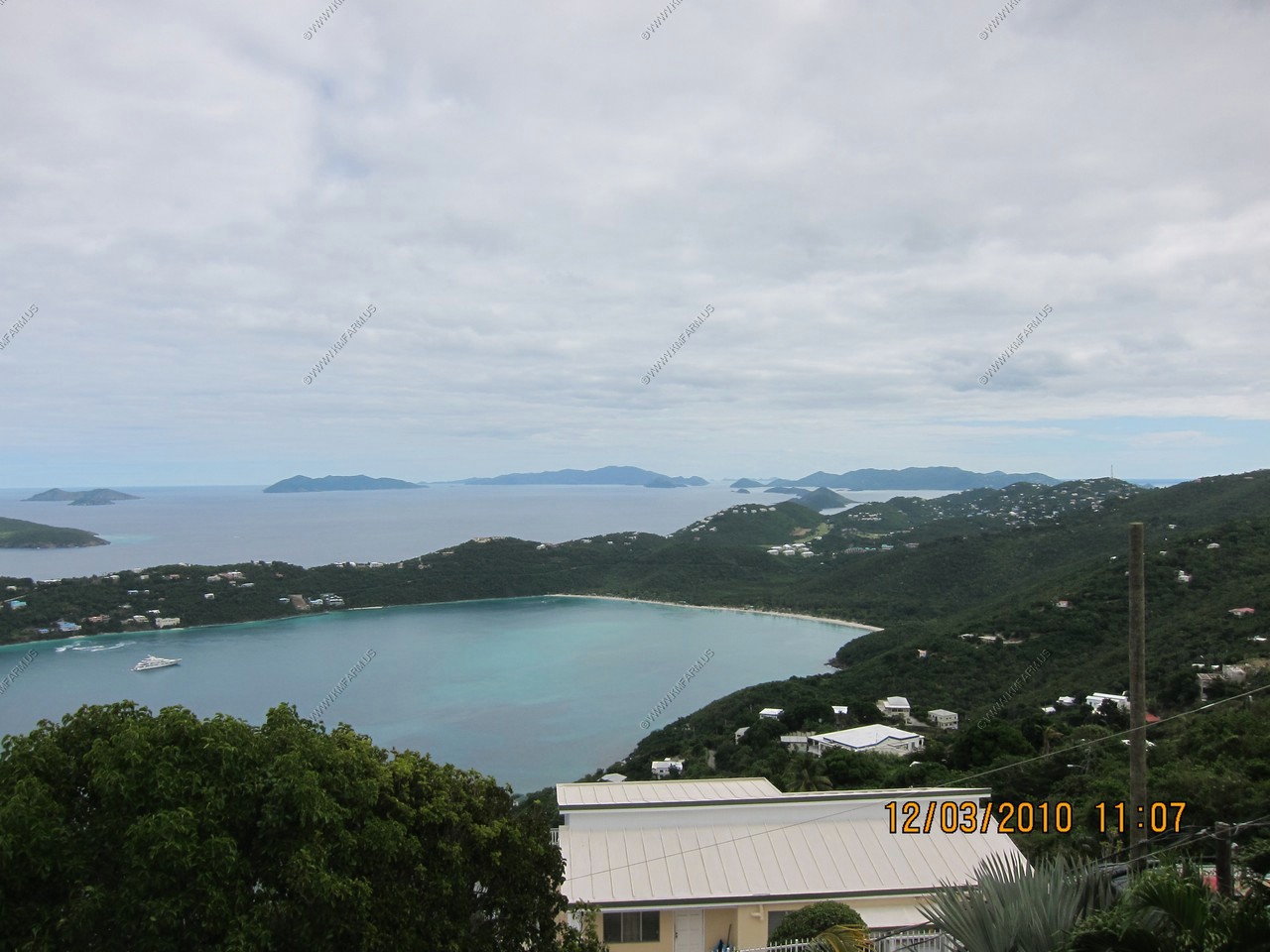
Magens Bay with the BVI's in the distance with Great Hans Lollik and Little Hans Lollik Island in the distance
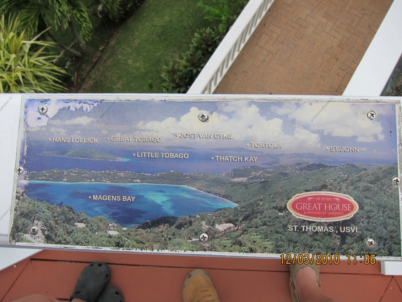
A map
Hull Bay with Inner and outer Brass islands in the distance
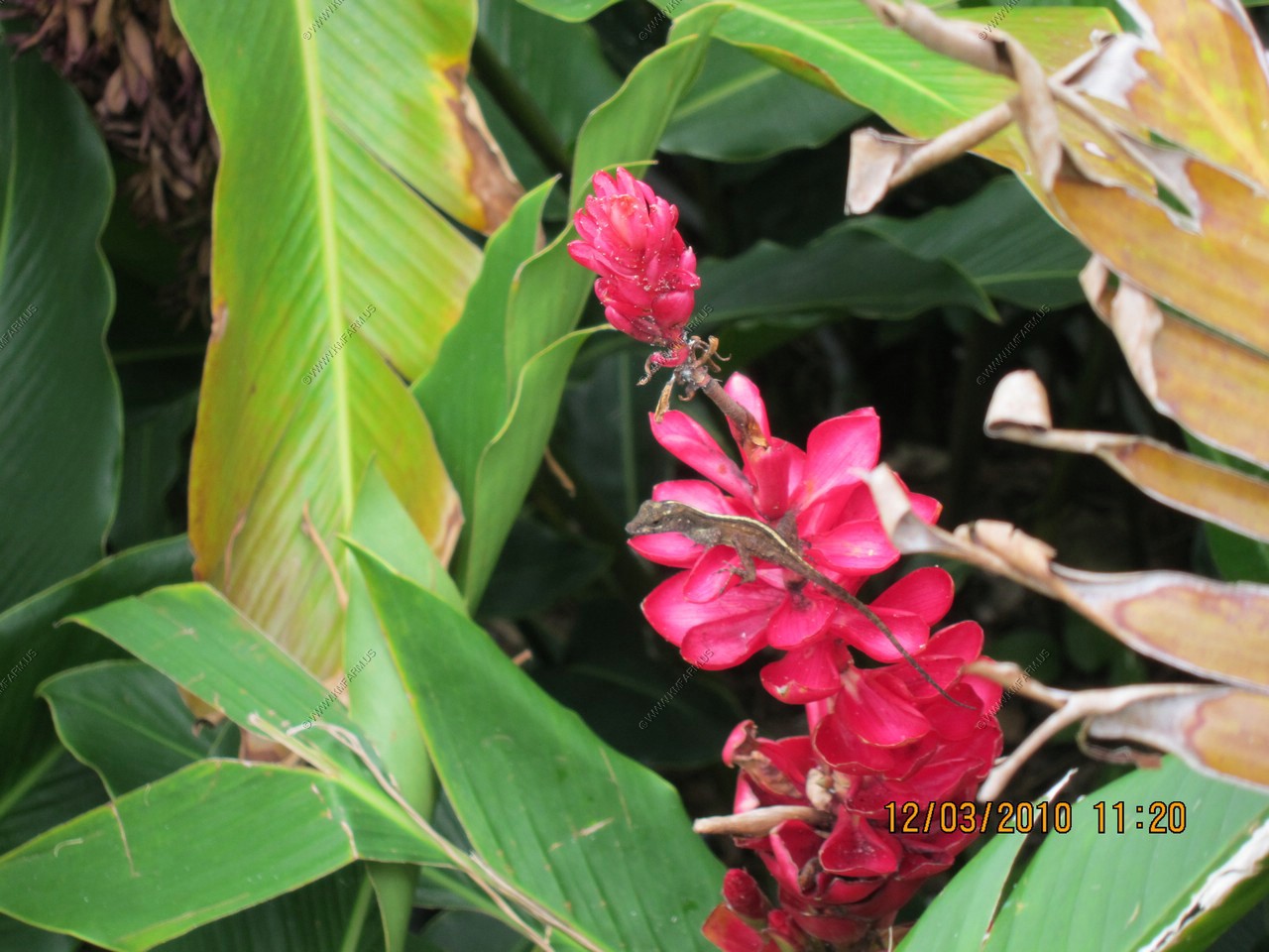
Lizzard and various views around Magens Bay
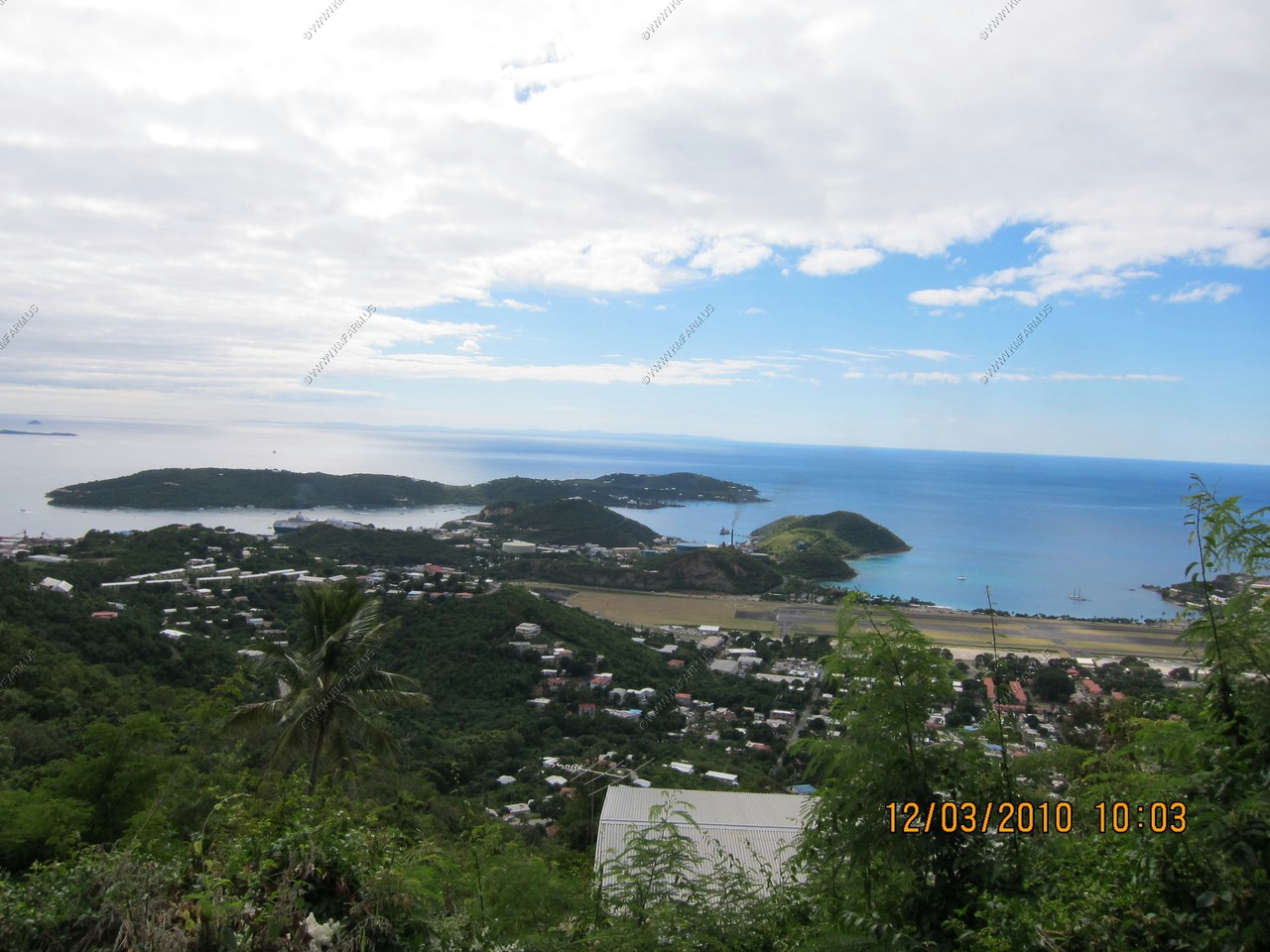
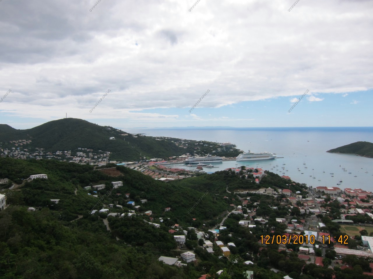
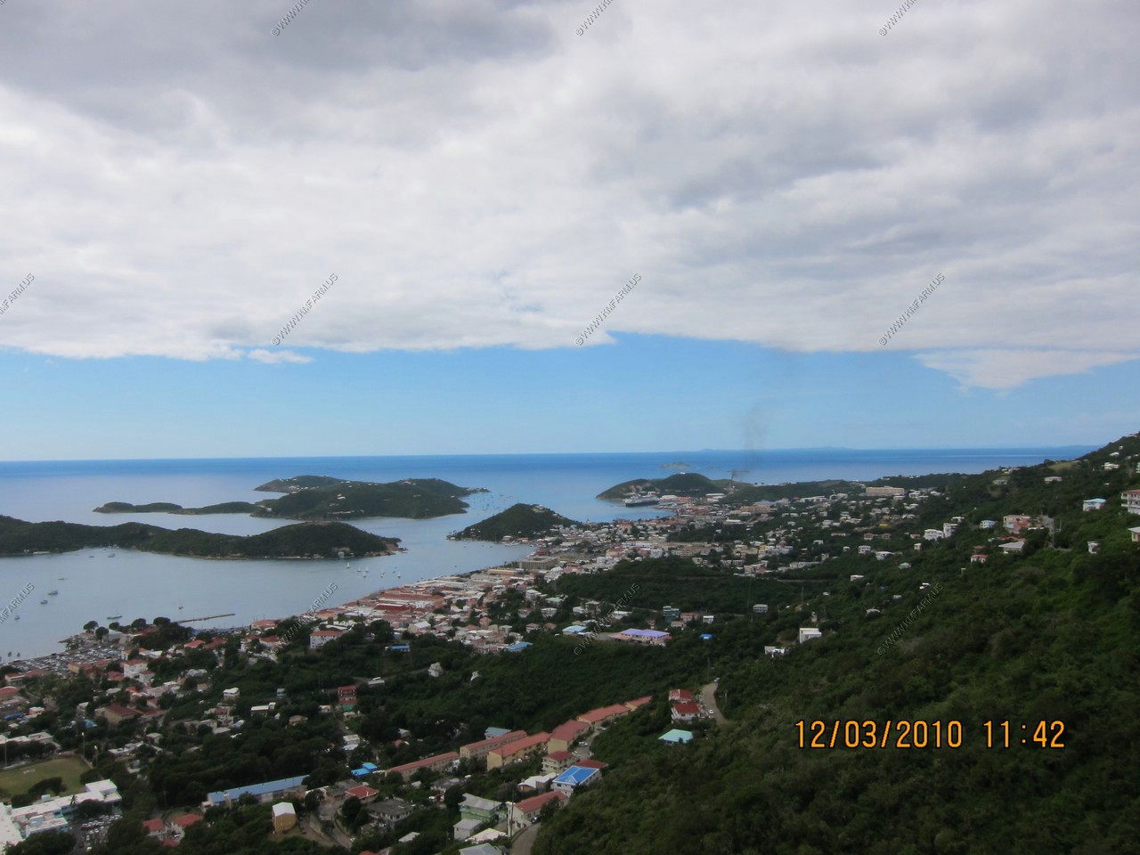
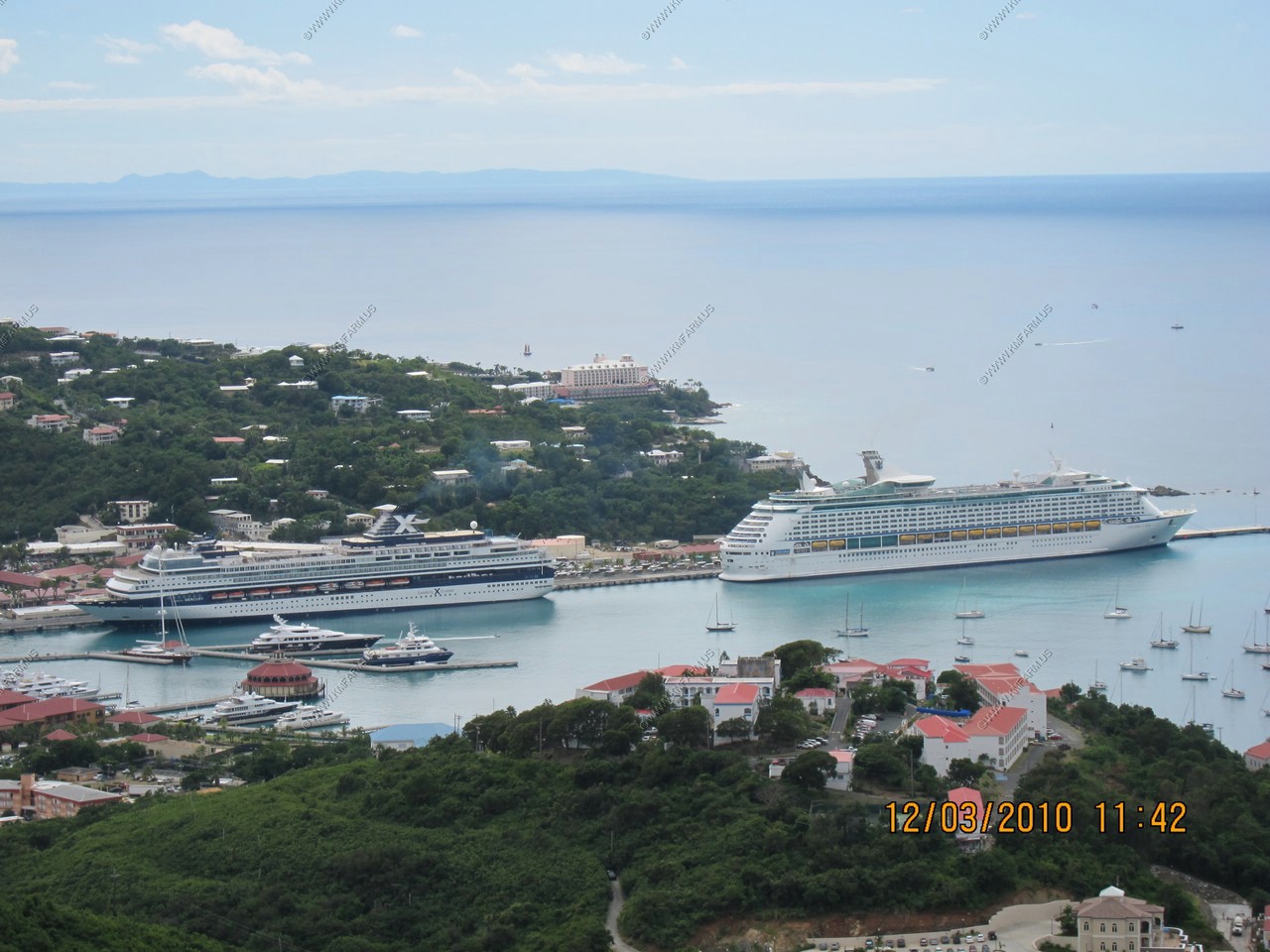
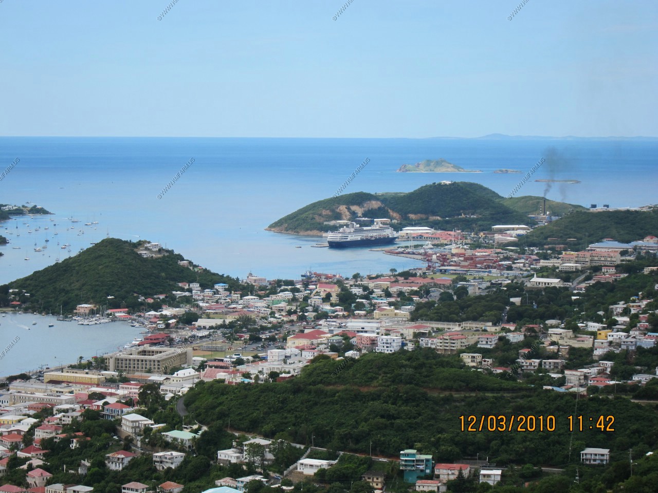
After looking East and North we drove over to an overlook above Charlotte Amalie and provided a great view of the cruise ships It did not have a name but was located at: 18.3503963N 64.9242693W - El. 200 meters
Looking West towards Puerto Rico
Looking south at our ship (left) and St. Croix 40 miles to the south (our next stop)
Crown Bay Marina Cruise Pier with a Holland America ship in port
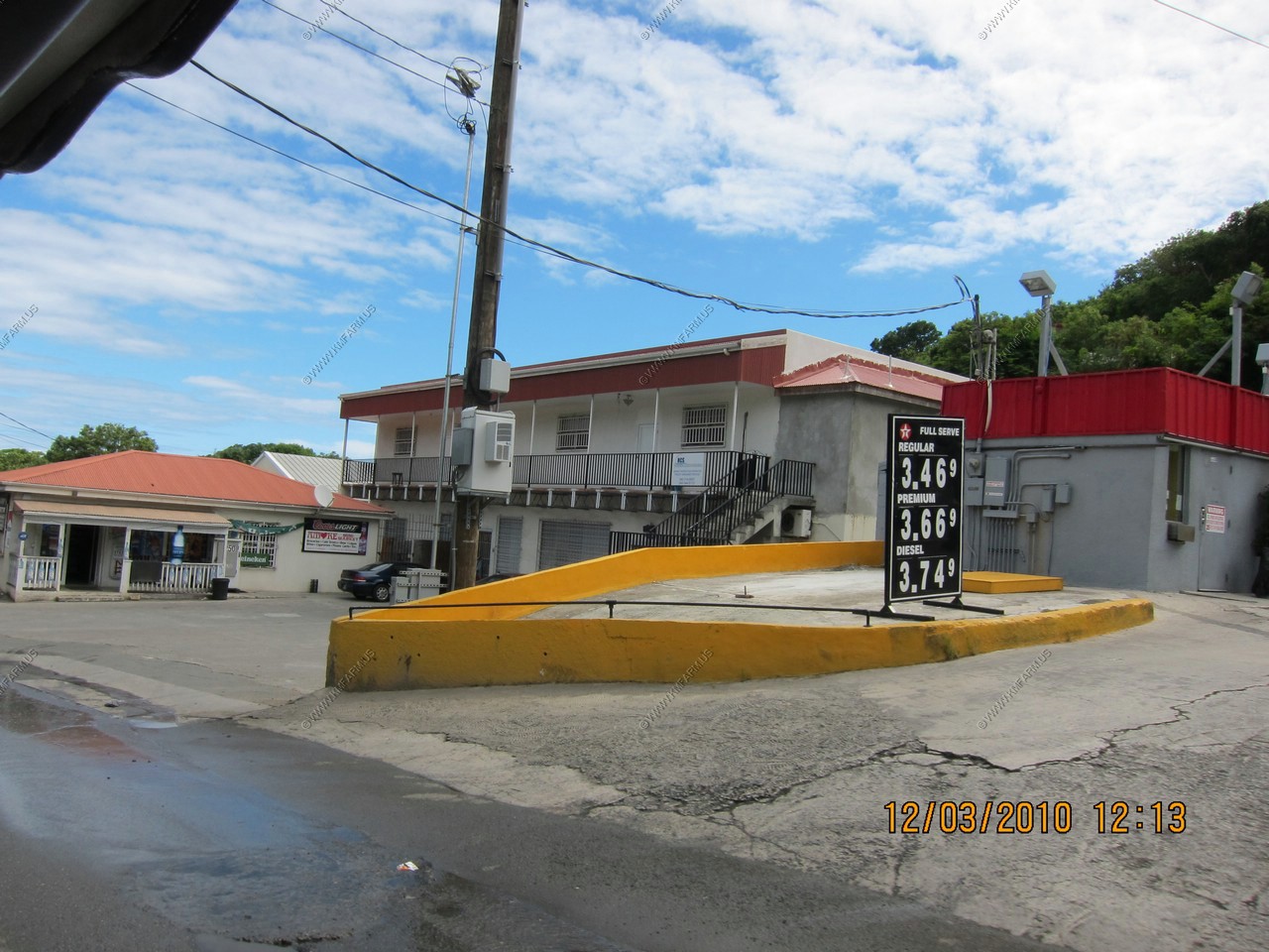
Gas is cheap !
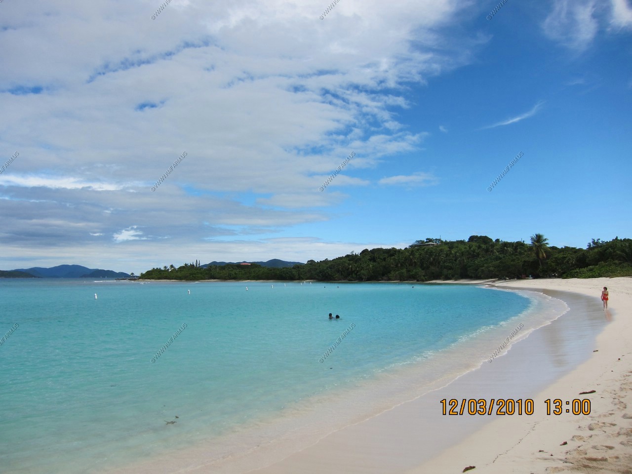
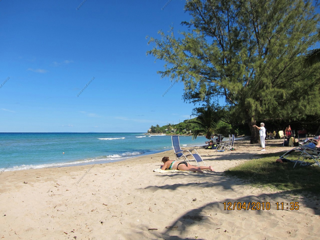
Lindquist beach (Smith Bay) - Located on the East End of St. Thomas

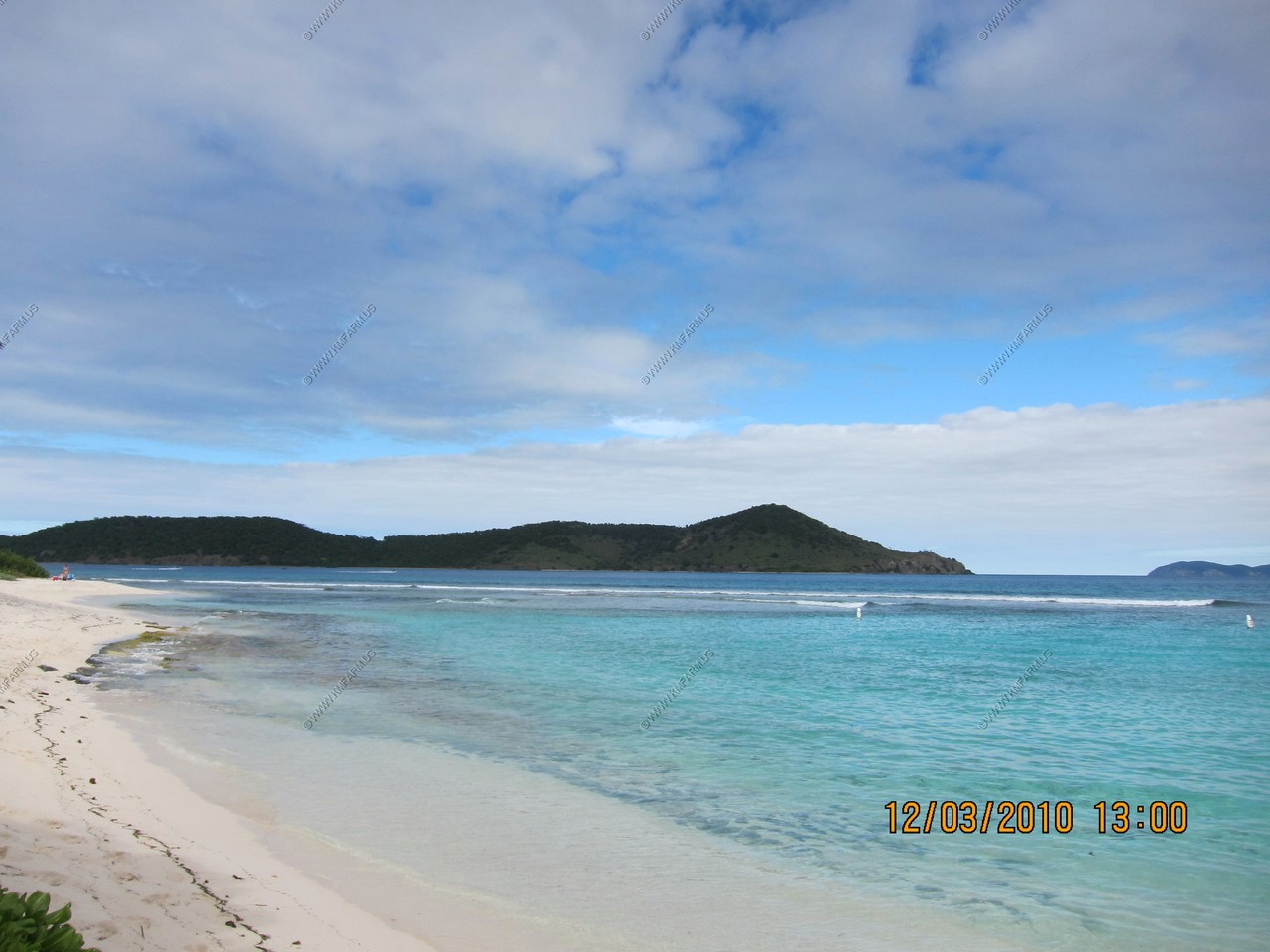
Thatch Cay (left) and Grass Cay (right) off of and Lindquist beach
Iguanas at Lindquist beach. Lots of entertainment as the Iguanas and chickens were running around
Mary saying goodbye to Henry at the cruise pier.
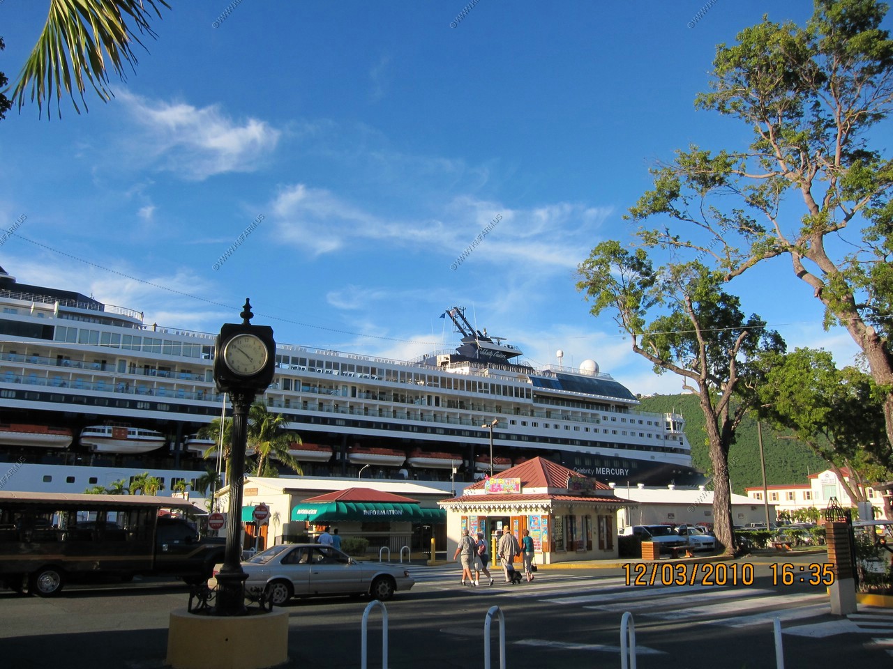
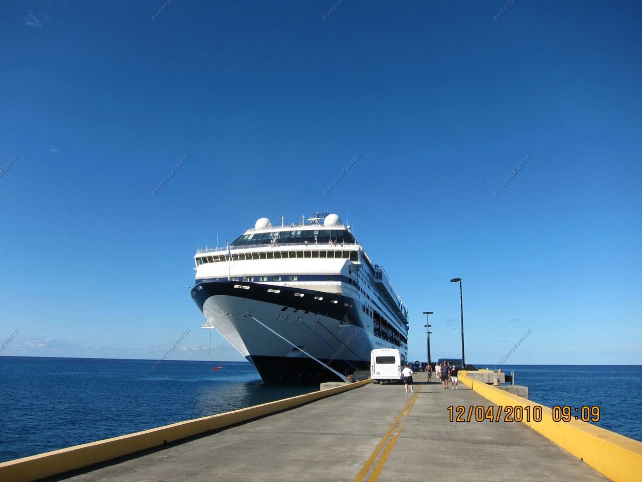
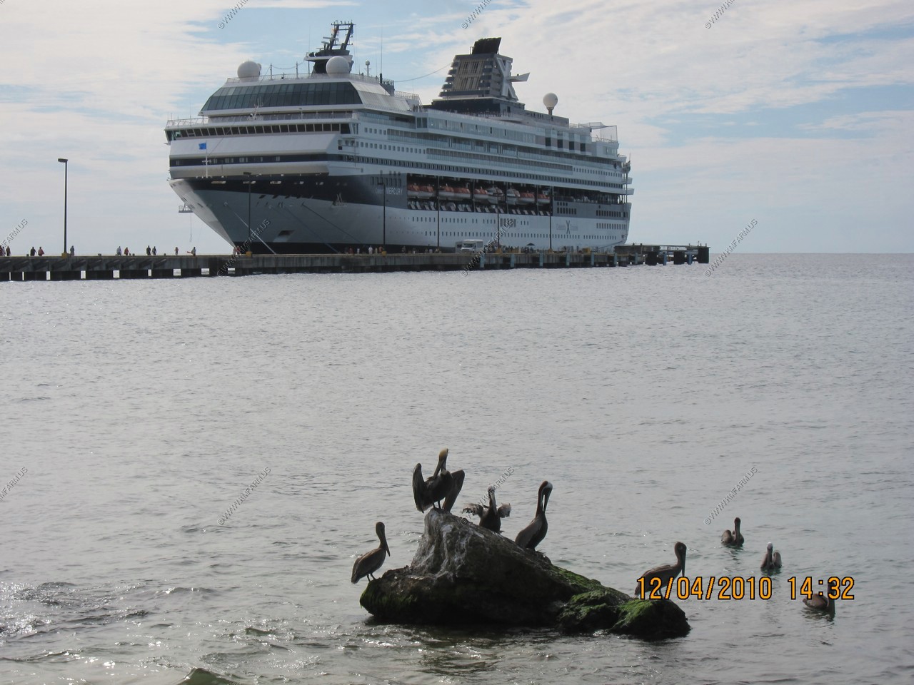
Celebrity Mercury
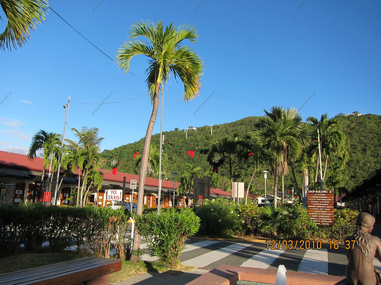
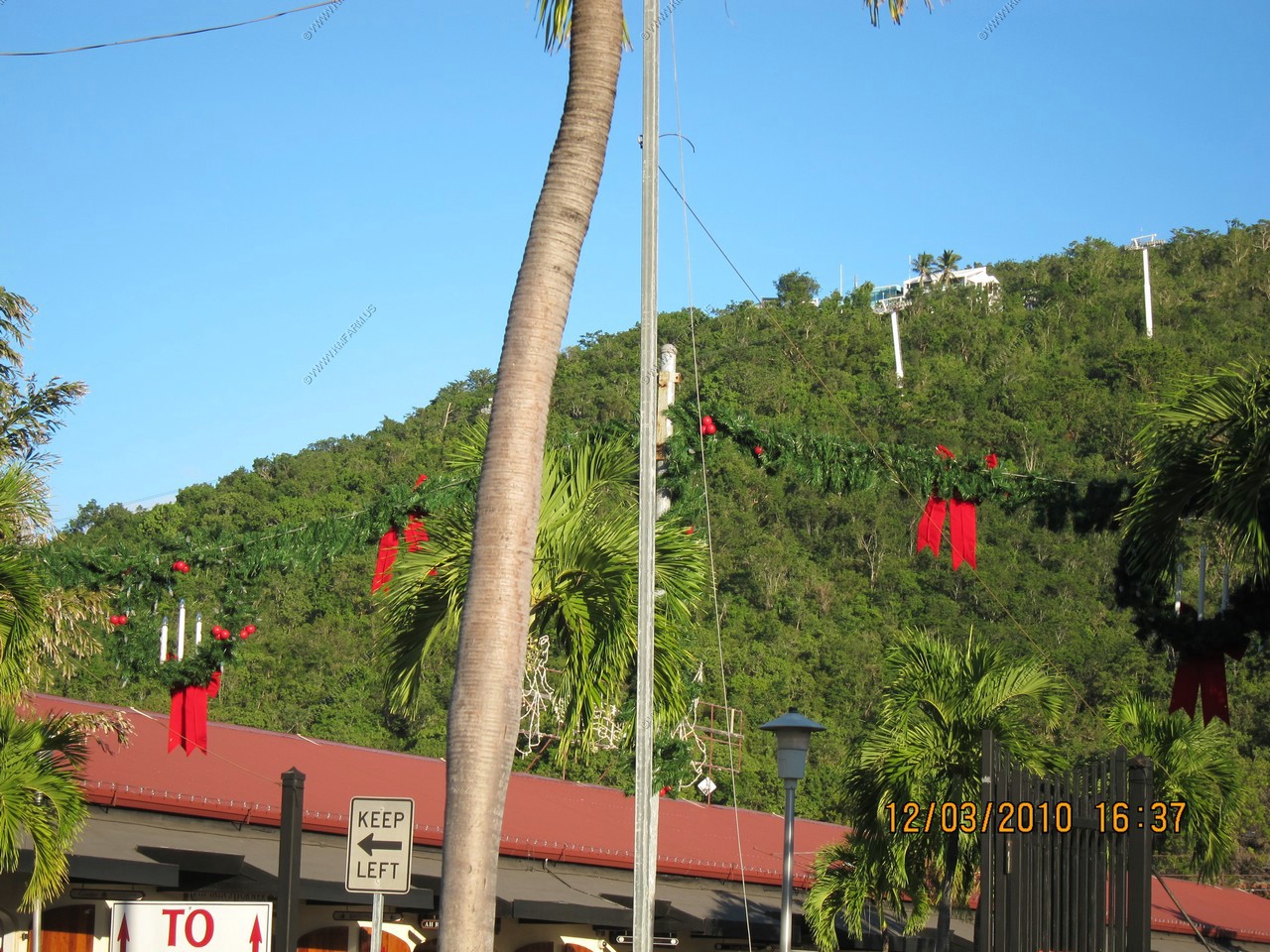
Christmas decoration in the mid 80's ! Sweet !
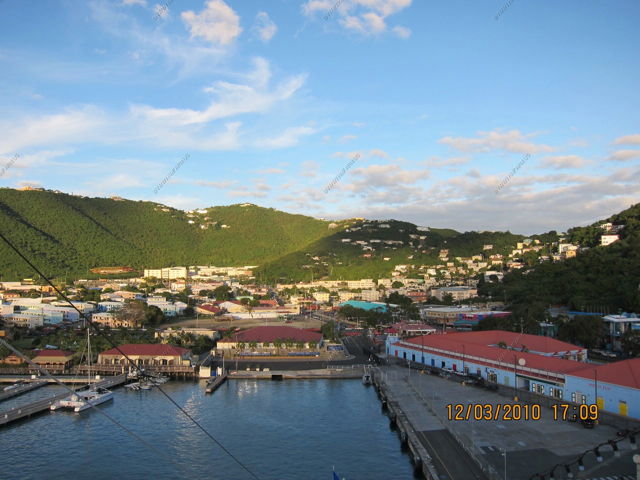
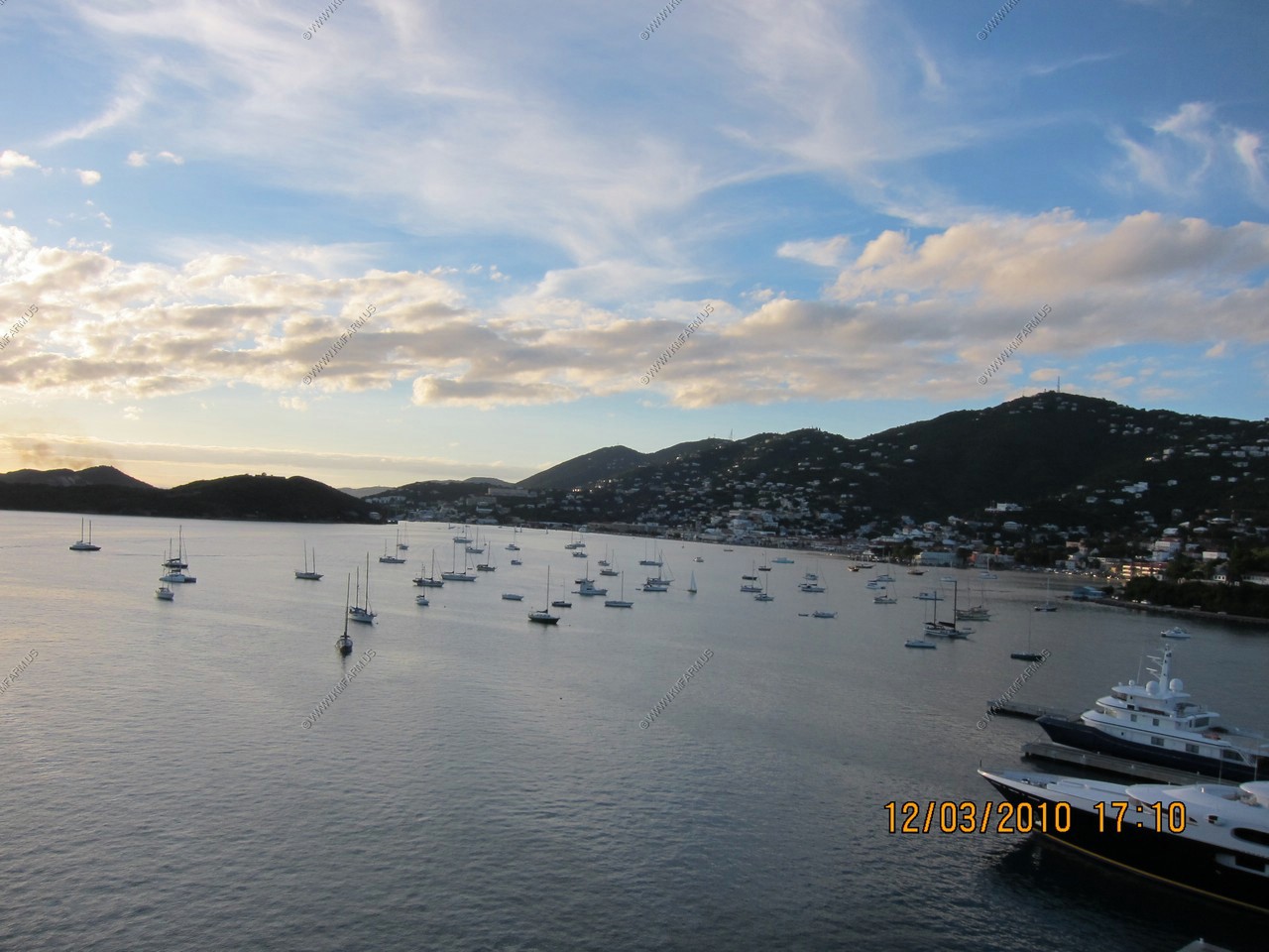
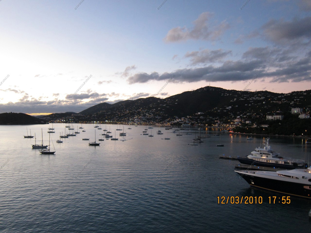
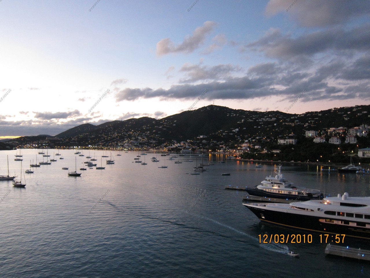
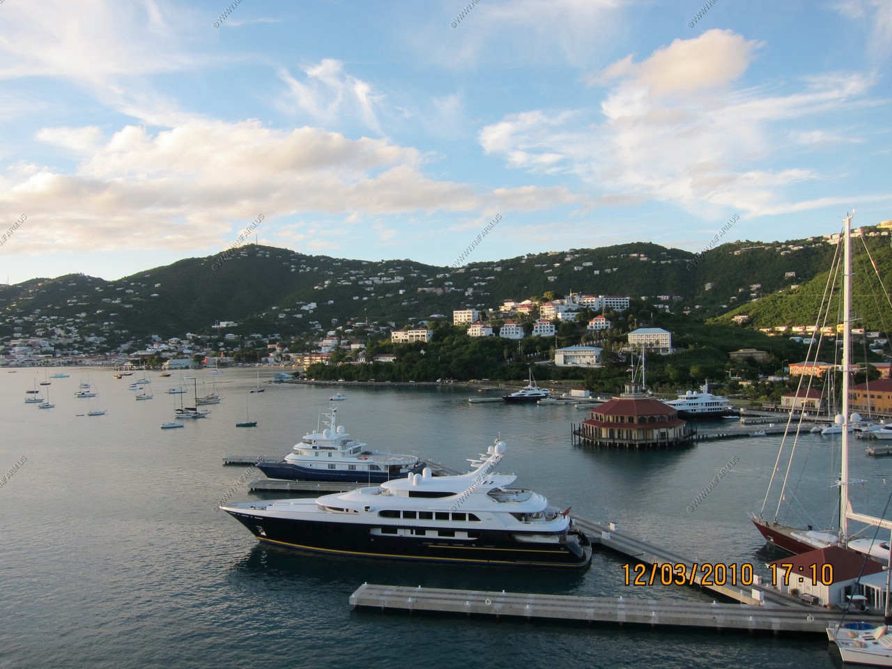
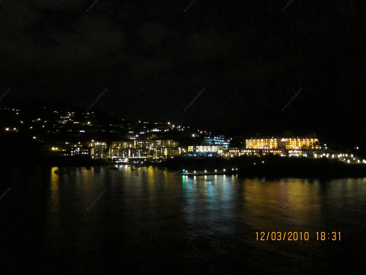
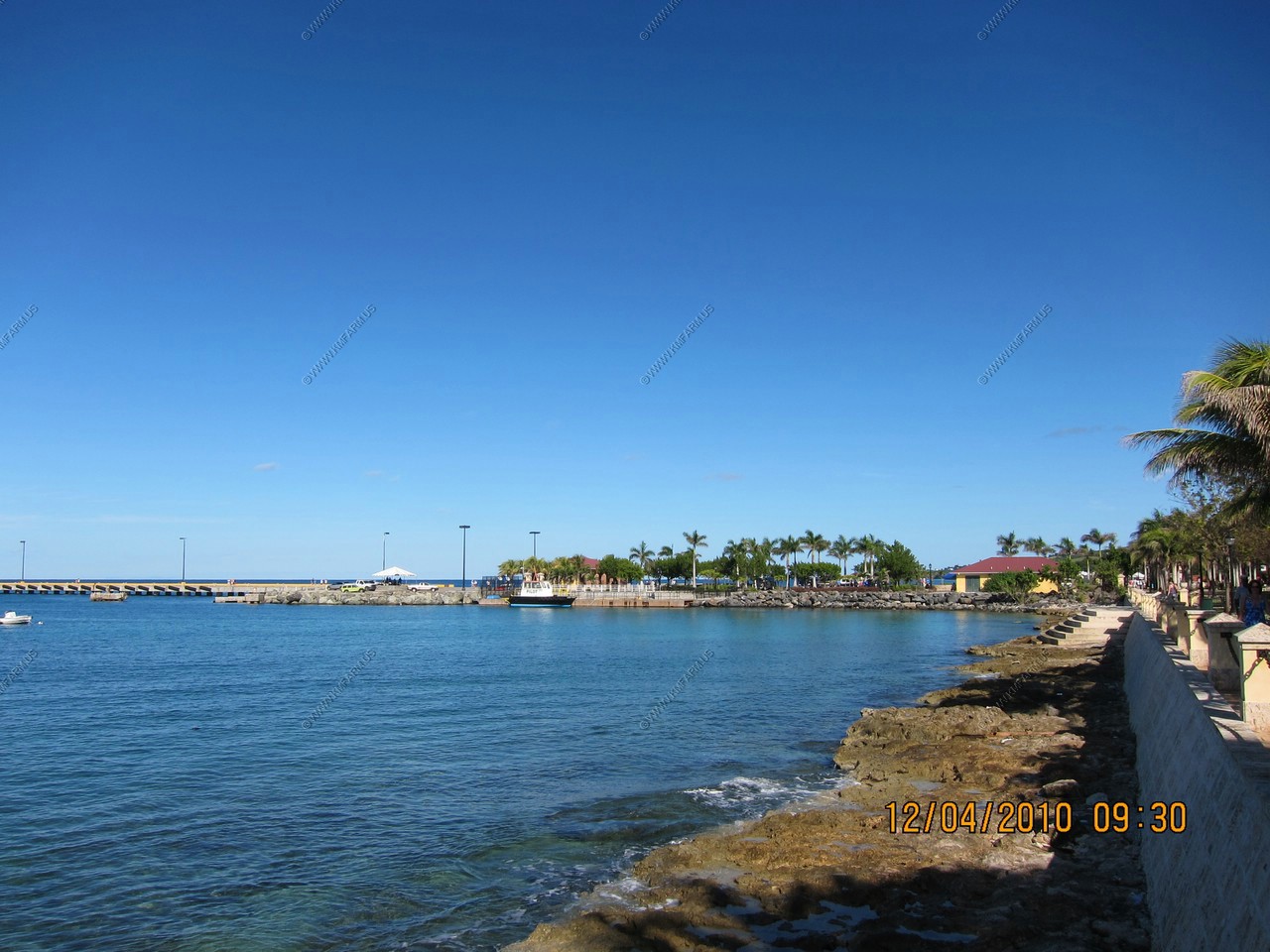
Various harbor views
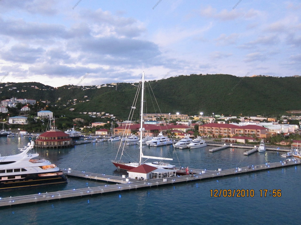
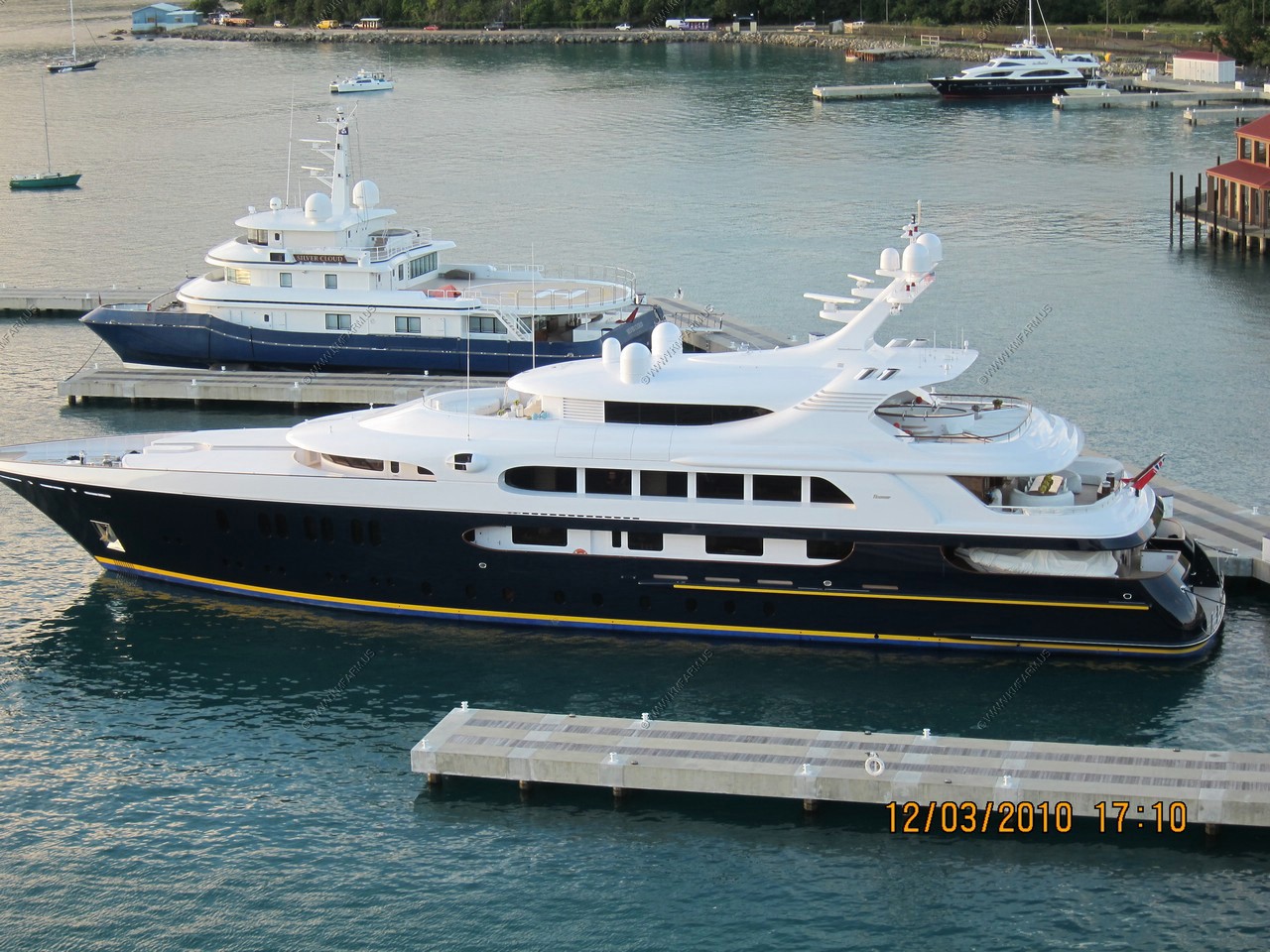
Nice boat !
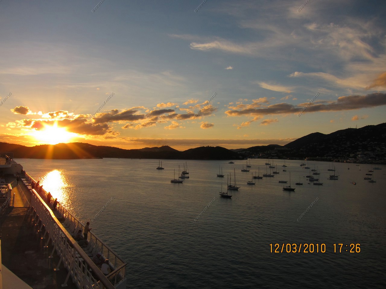
Sunset
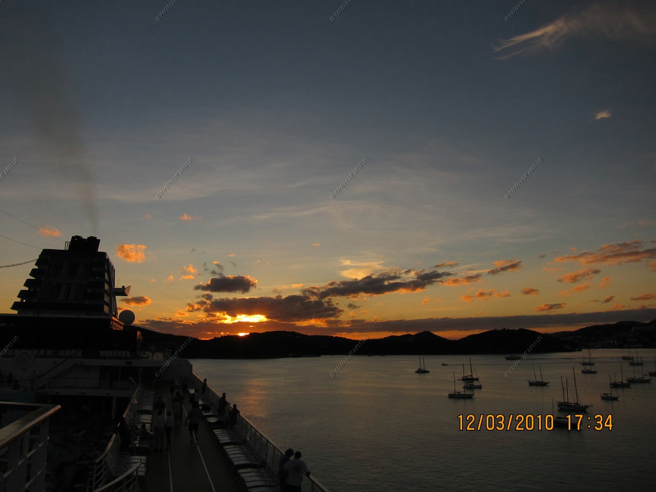
Night shots. The S90 camera does well with low light and lots of movement
We decided to get off the ship and went to Cane Bay Dive Shop, which is right there when you get off the ship. Their van leaves Cane Bay West every hour for a trip to the world famous Cane Bay Wall. The trip is about twenty minutes from Frederiksted through the tropical rain forest, over the "beast", past Carambola Golf Club, down to the spectacular North Shore. The $32 fee included transportation, snorkel gear and chairs. Ken was happy since he was able to have a "Fresh-Fresh"-- Raspberry, pineapple & mango rums, passion fruit puree & lemon juice at Eat @ Cane Bay restaurant right next to the dive shop on the beach.
The beach is pretty long and they tell you where to snorkel and how far out the wall is. I went to the buoy once, which was near where the wall began but it was a bit too far out from shore and I was snorkeling alone so stayed within the buoy line, which was 750 feet from the shoreline. The diversity of coral and size of fish increased as I got near the buoys. They said there were sea turtles but I didn't see any until we got back to the ship and one was right near the hull! If we go back to St. Croix I'd like to see Buck Island National Monument, which is off Christiansted. We were impressed with the island's laid-back feel.
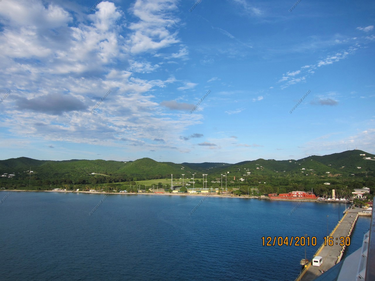
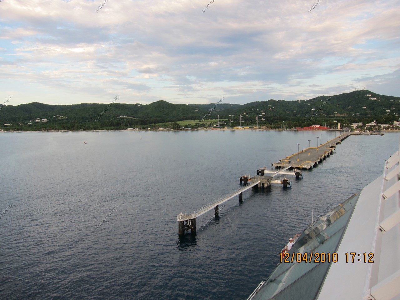
All alone today at the Ann E. Abramson Marine Facility, 1,526-foot pier. Voyager-class vessels can berth on the southern portion of the dock. Eagle-class and smaller vessels may berth on either side. The platform of the pier is equipped with a fendering system that is desighned for submarines. As an incentive to prospective cruise lines, VIPA has waived all marine fees for cruise ships visiting St. Croix.
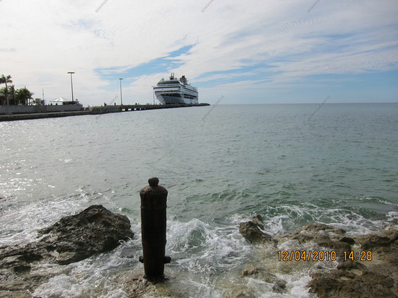
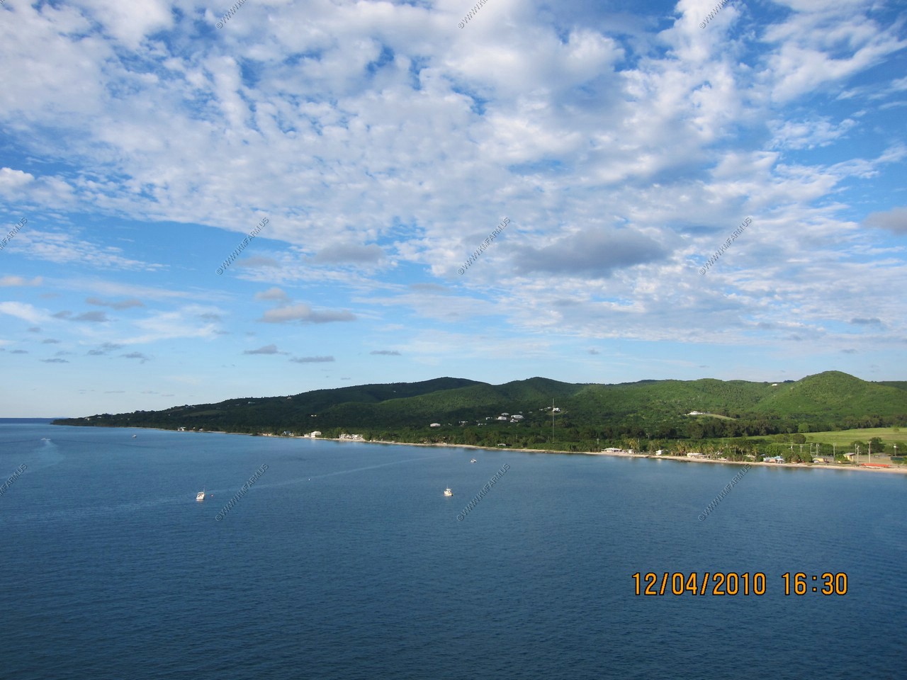
Frederiksted waterfront
Cane Bay
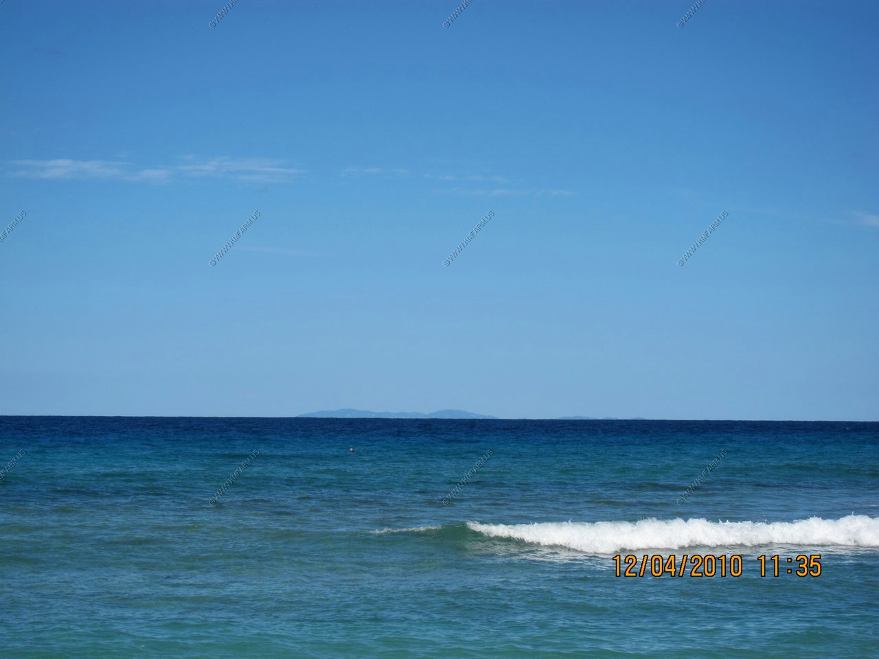
Vieques, island-municipality of Puerto Rico appx 40 miles away
St. Thomas (left) St. John (right) 40 miles away
Where the color changes is where the wall starts. Appx. 750 feet offshore
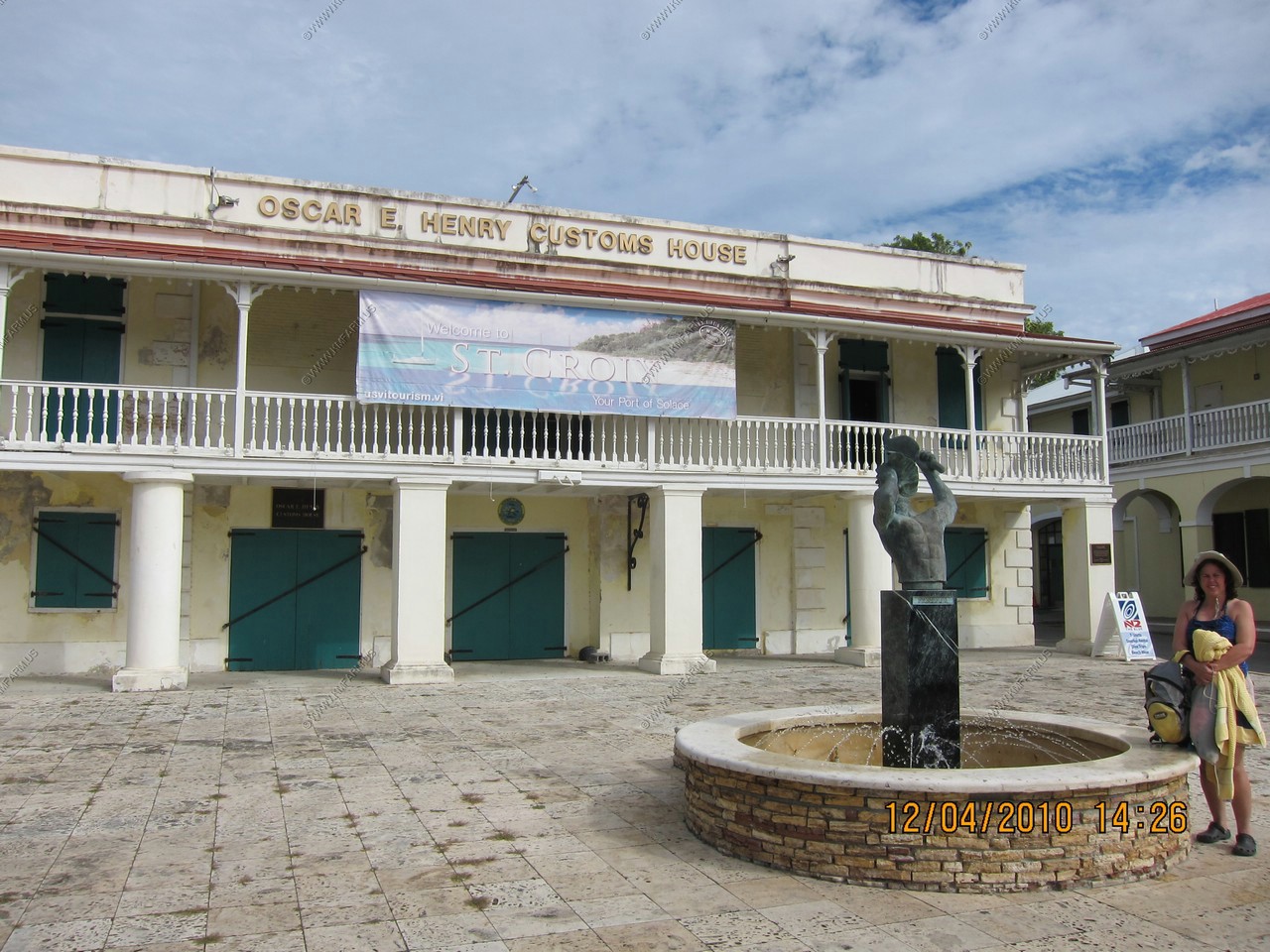
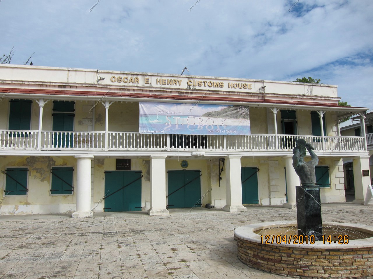
Back to Frederiksted, the Oscar E. Heney Customs House
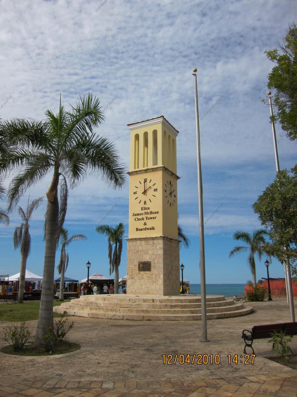
The clock tower in Frederiksted
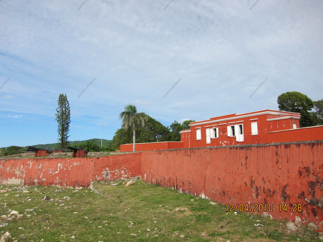
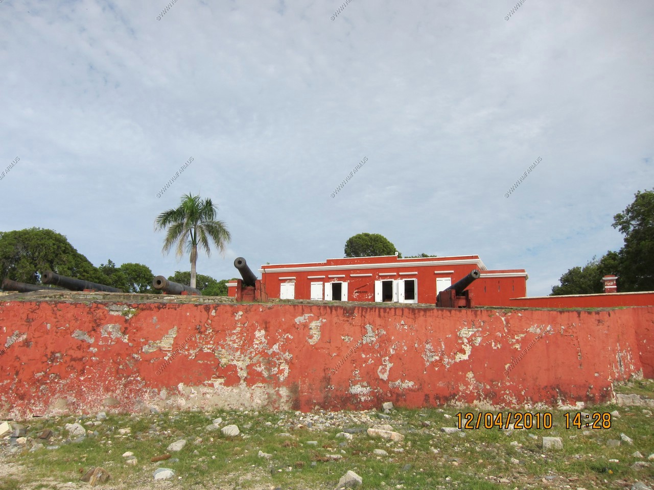
Fort Frederik was built by the Danish between 1752 and 1760. Over the years it served as jail, courthouse, police station, fire station and telephone exchange. In 1976 it was restored. (looks like it needs restored again)
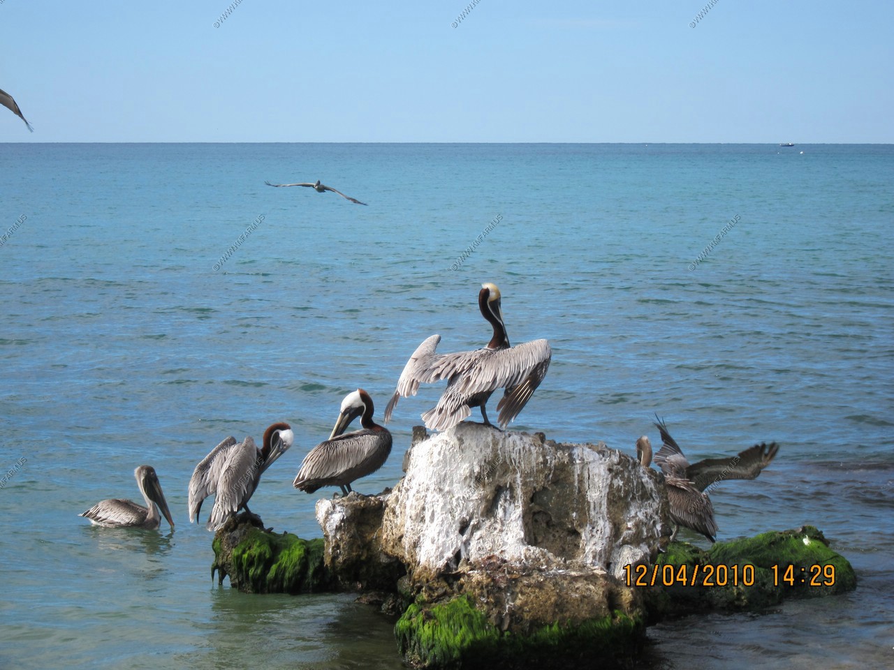
Pelicans near the dock
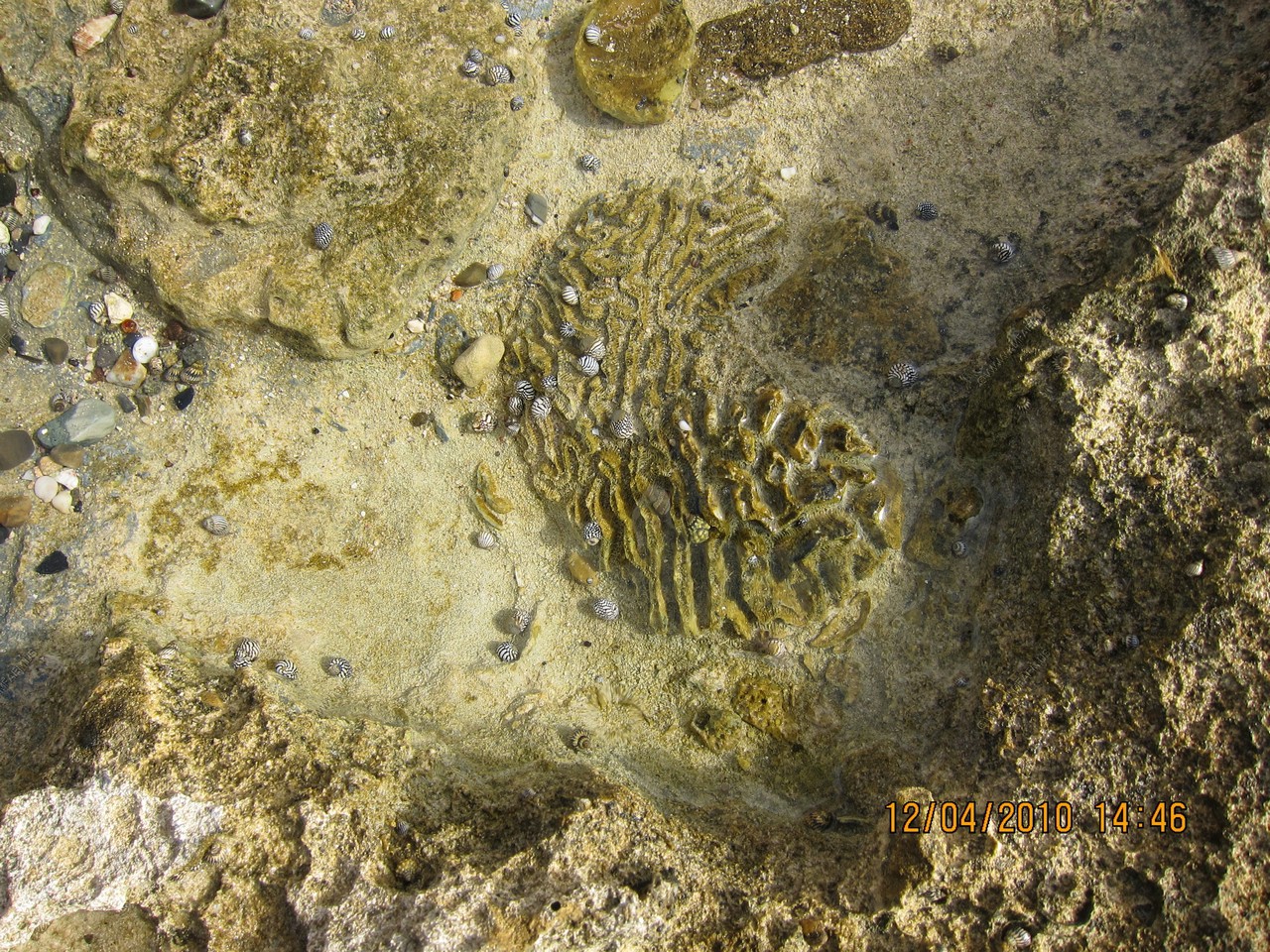
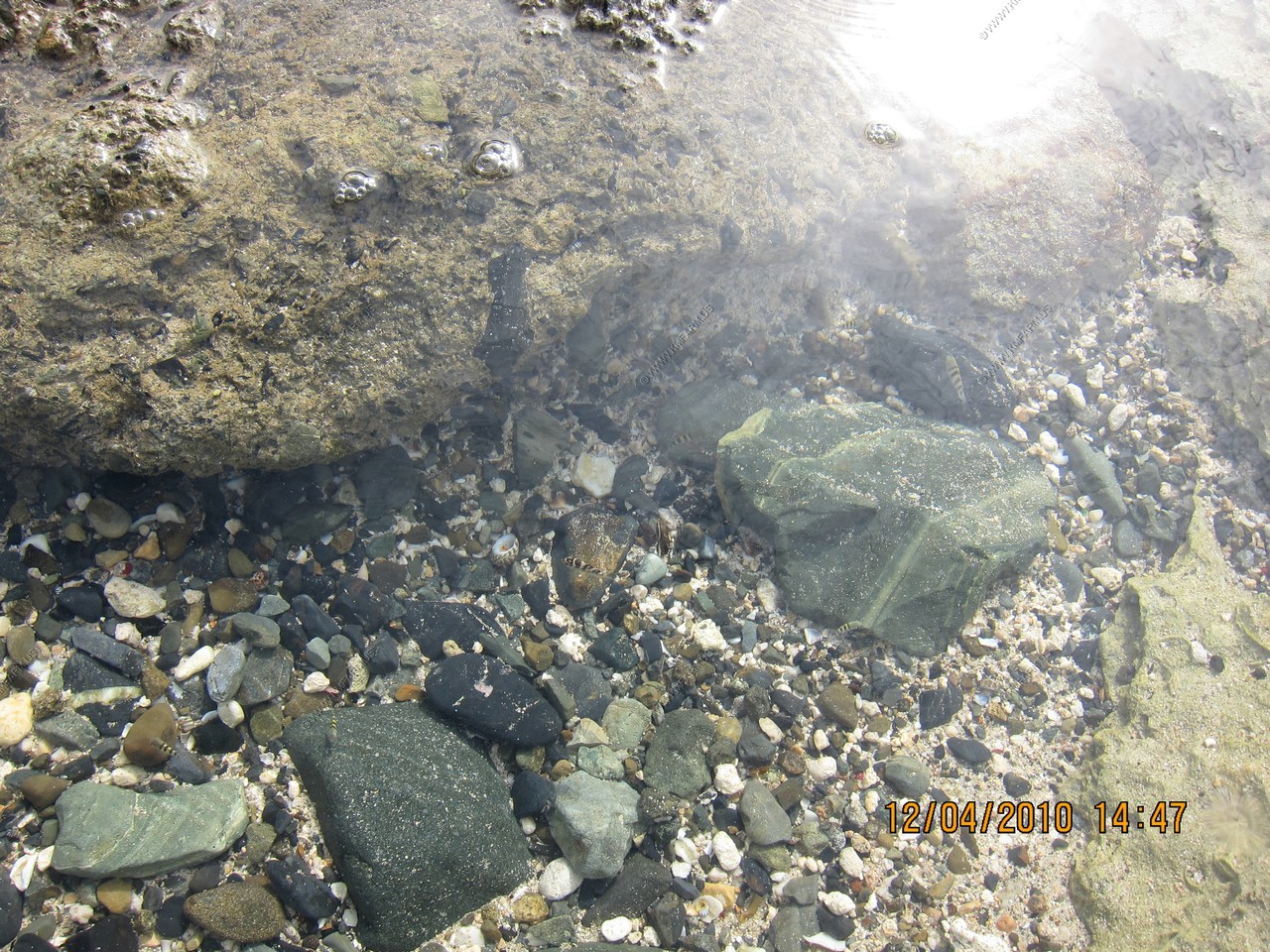
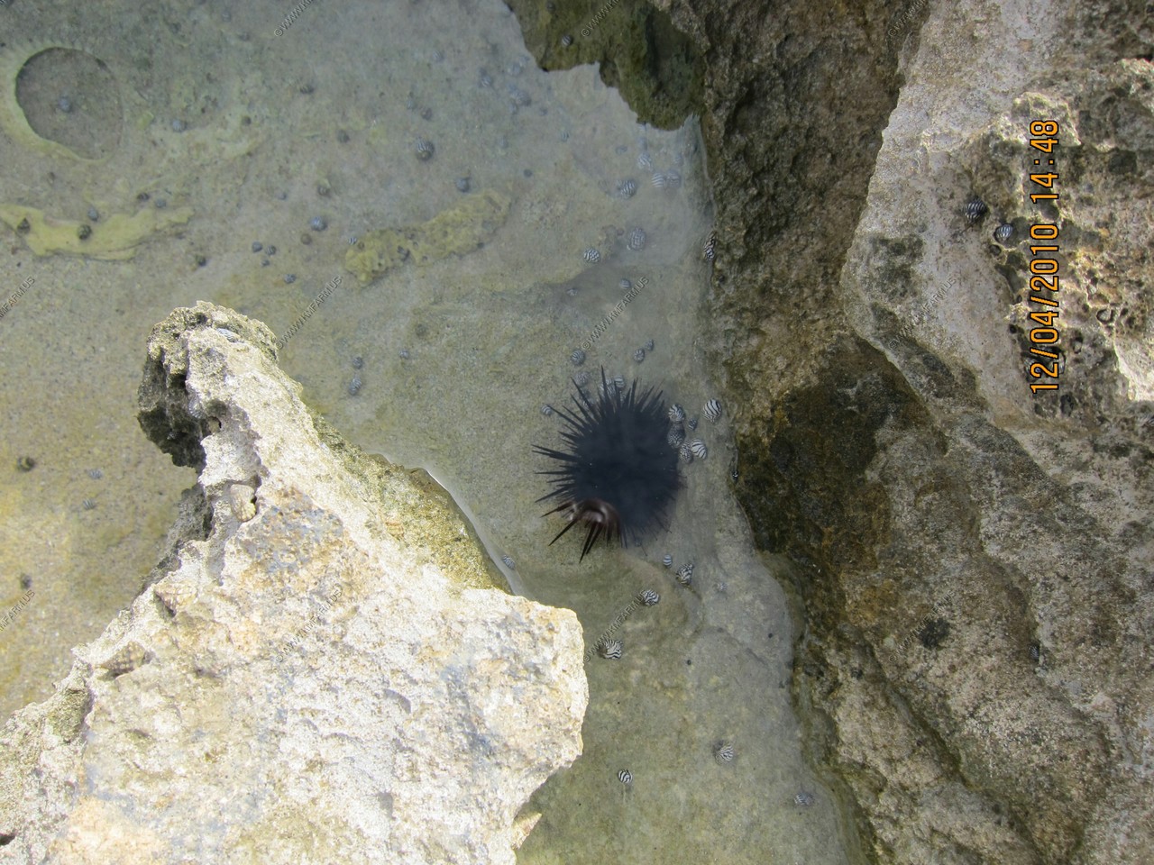
Tidal pools near the dock
Sandy Point Wildlife Refuge (south of the dock) - Nesting site for green, hawksbill and leatherback sea turtles. Best secluded beach in STX. Watch out for sharks, as there is no protective reef here.
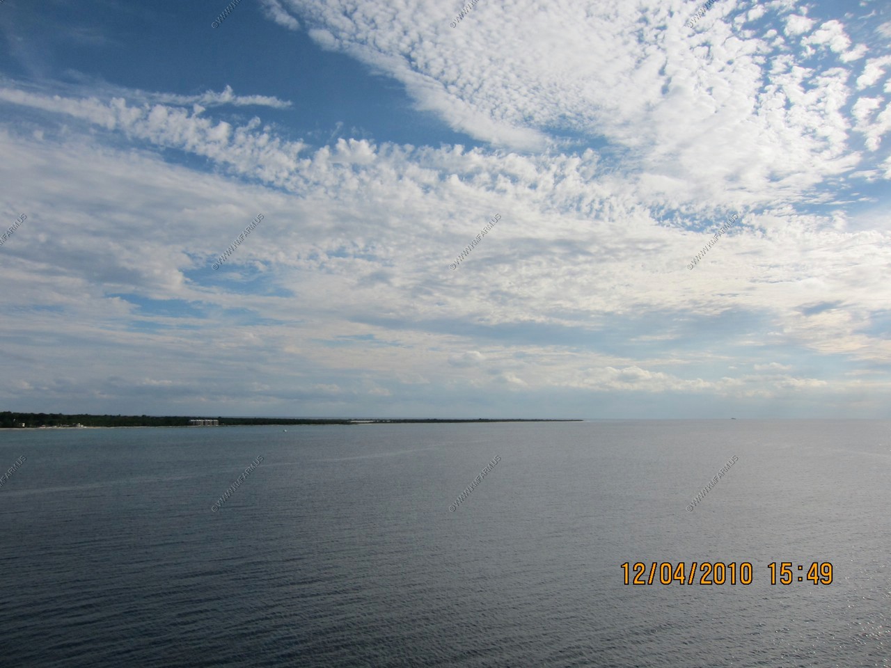
Views of the Frederiksted area from the ship
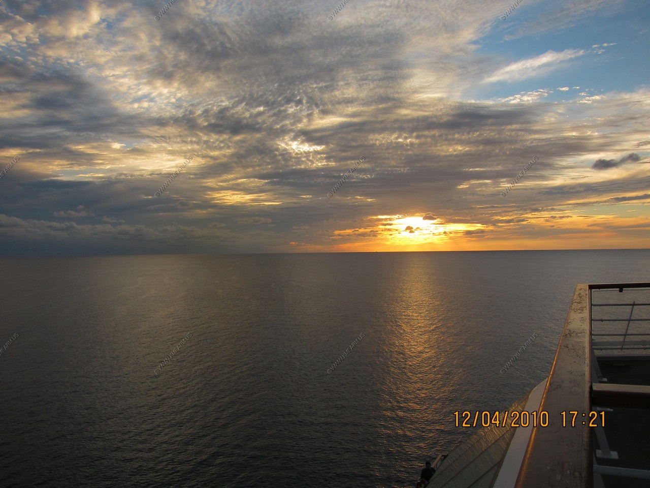
Amazing sunset. (yup, lots of photos !)

Monika and Mary fighting the crowds watching the sunset
Fighting the sunset crowds
Passing by the southern coast of St. Croix where the industrial areas are (Hovensa Oil Refinery and Airport)