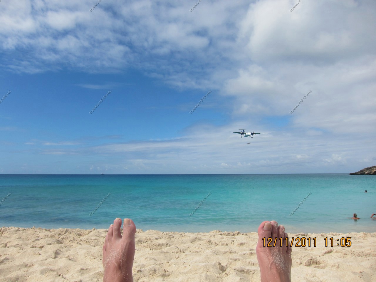
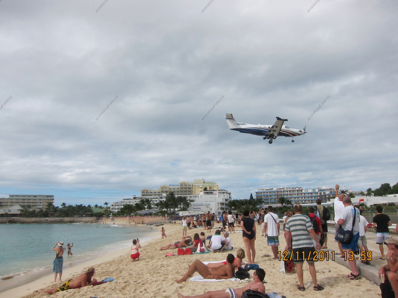
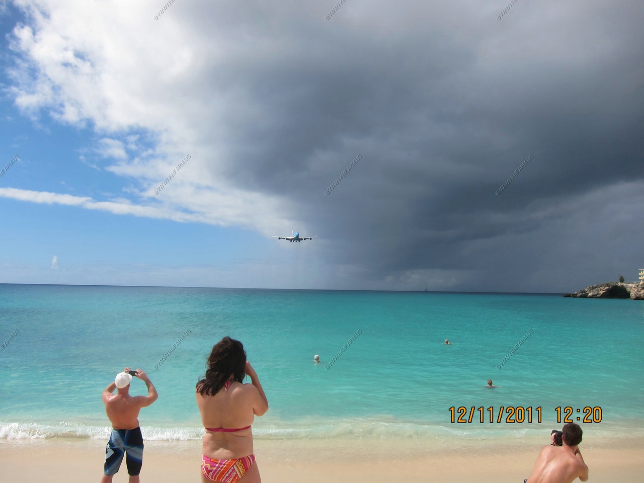
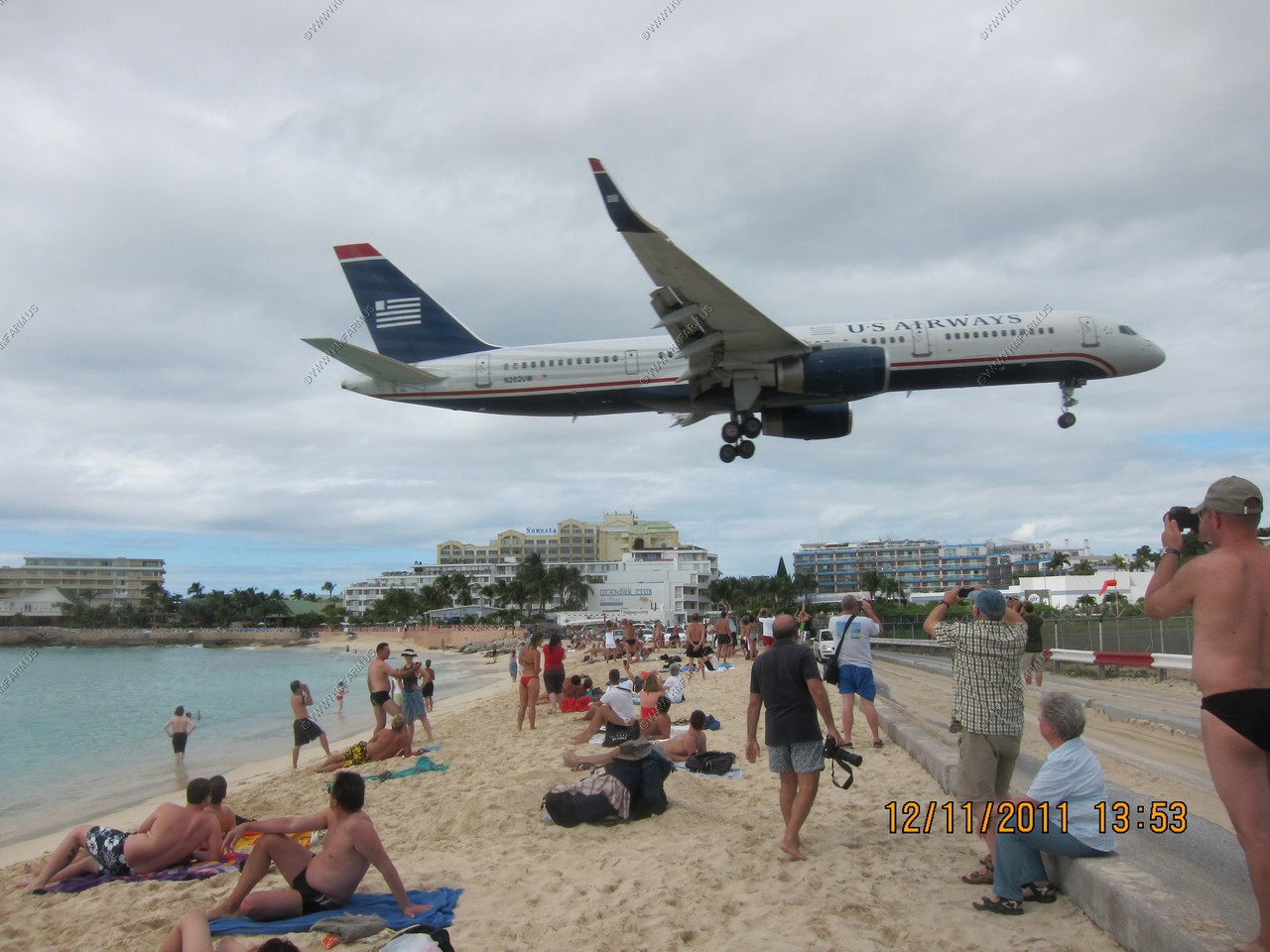
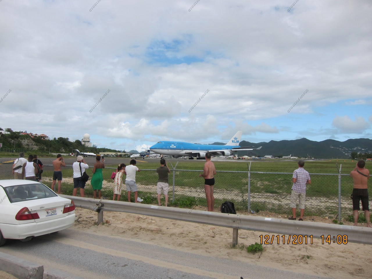
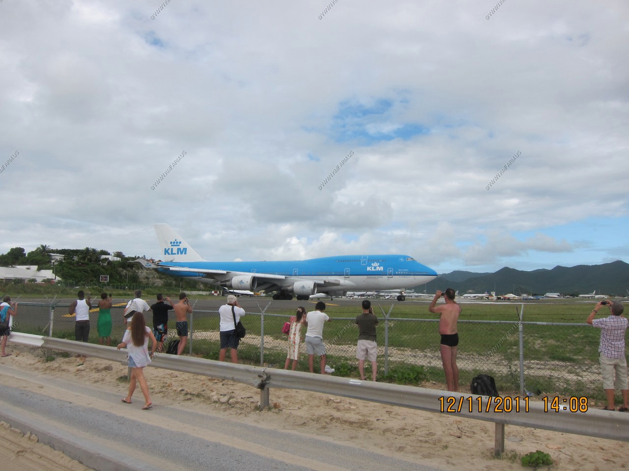
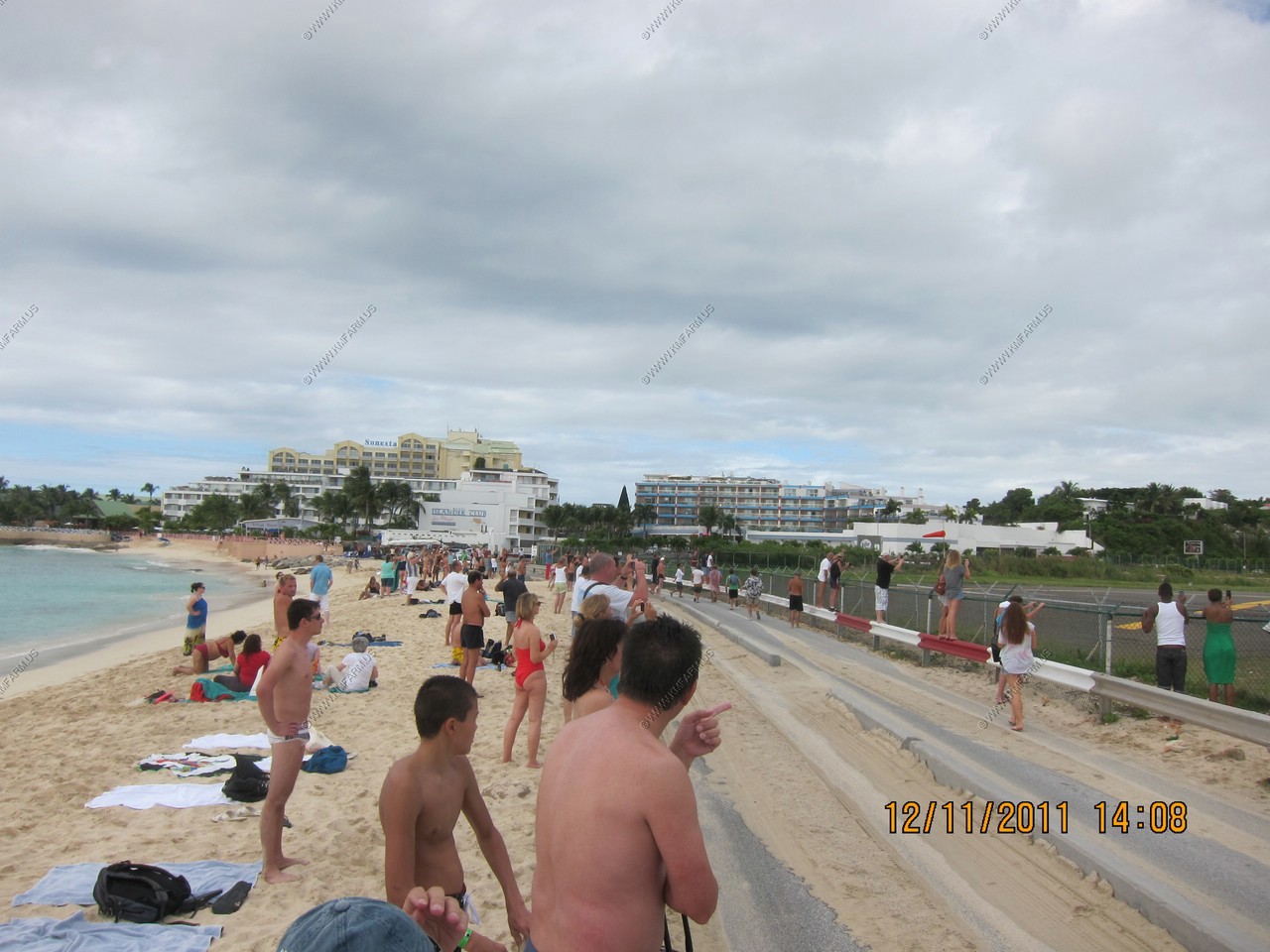
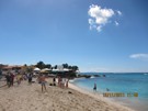
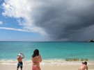
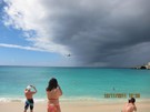
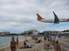
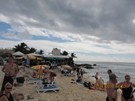
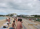
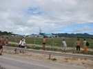
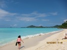
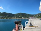
We arrived in St. Martin and knew we wanted to go to Maho Beach, Sunset Beach Bar, to watch the planes land. Another group was getting
a taxi at the stand where we had to wait, and tried to get us to join their island tour. We knew we wanted to see the 747 land so had
to go directly to the beach since nobody knew the schedule. So we got a taxi and for $20 total we were dropped off at Maho Bay.
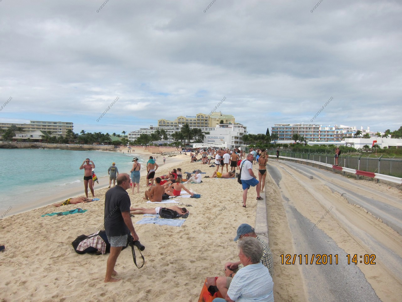
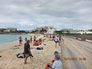
We rented 2 chairs and an umbrella since we knew we had hours to relax and wait. The weather was a bit cloudy but it never rained.
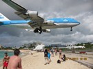
I snorkeled there last year and knew it wasn't the best but it made Ken happy. Where else can you snorkel and have large planes flying
directly overhead? I even found a dollar bill on the sea floor and dove down to retrieve it--my soggy dollar and thought it was an omen
to go visit the Soggy Dollar Bar in Jost Van Dyke, British Virgin Islands.
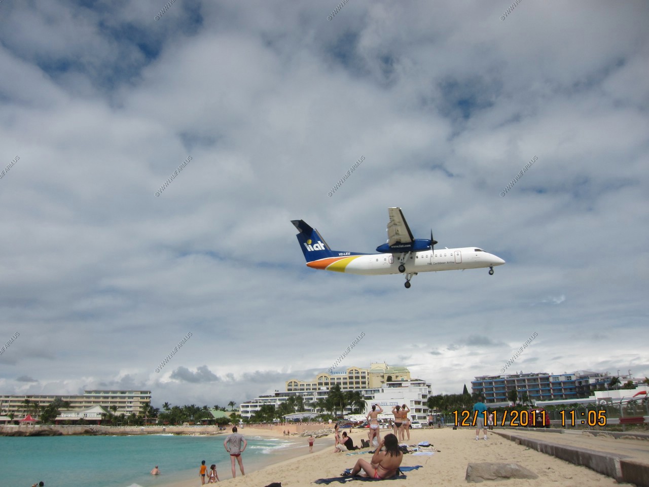
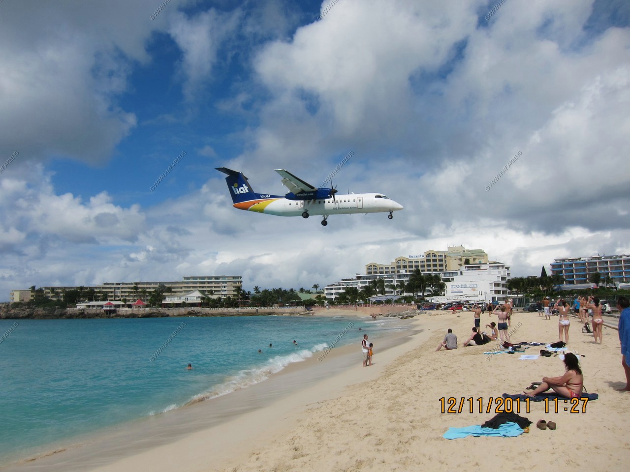
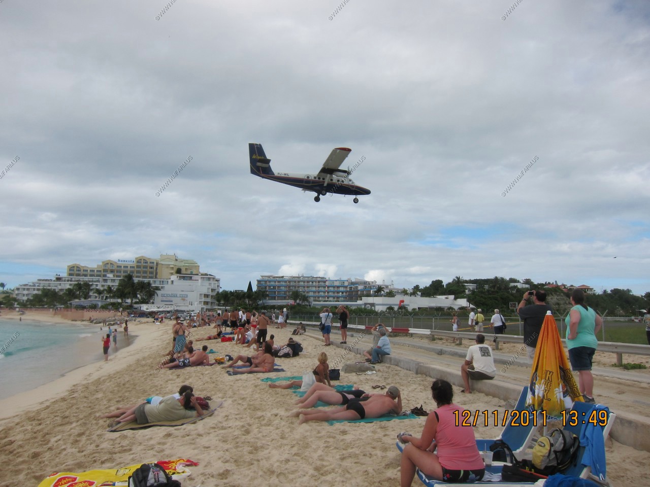
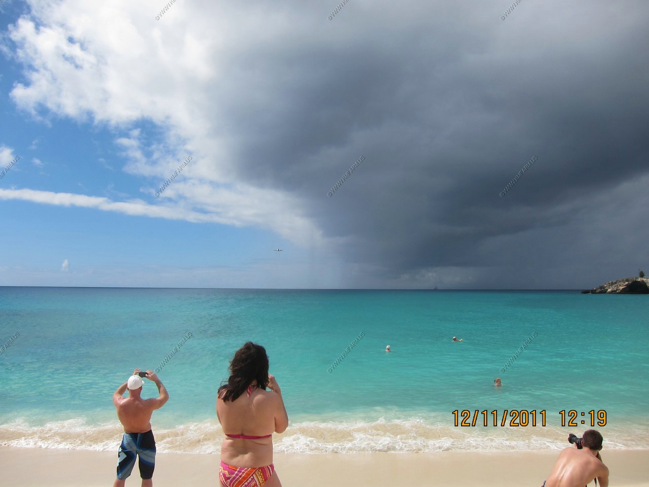
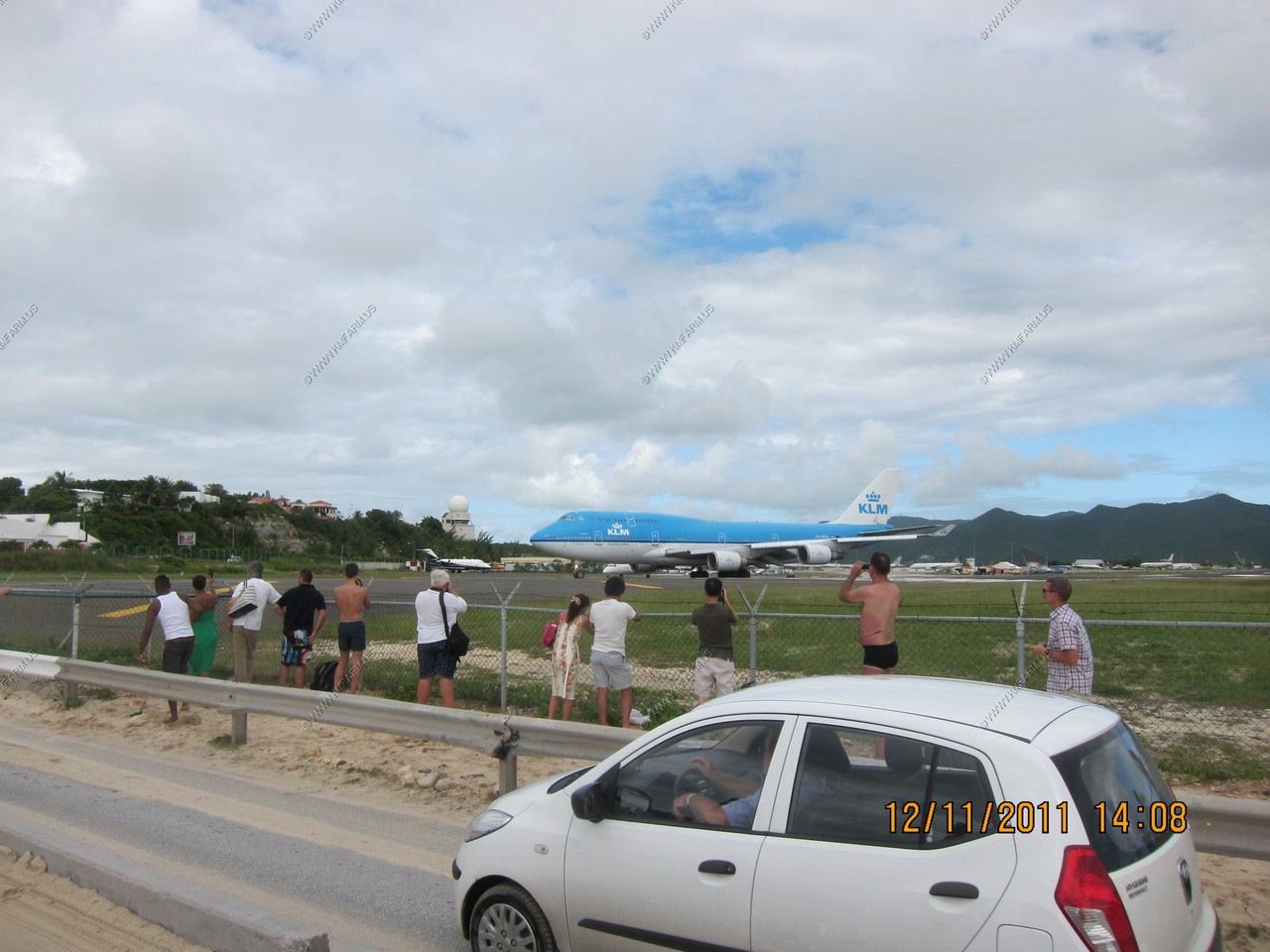
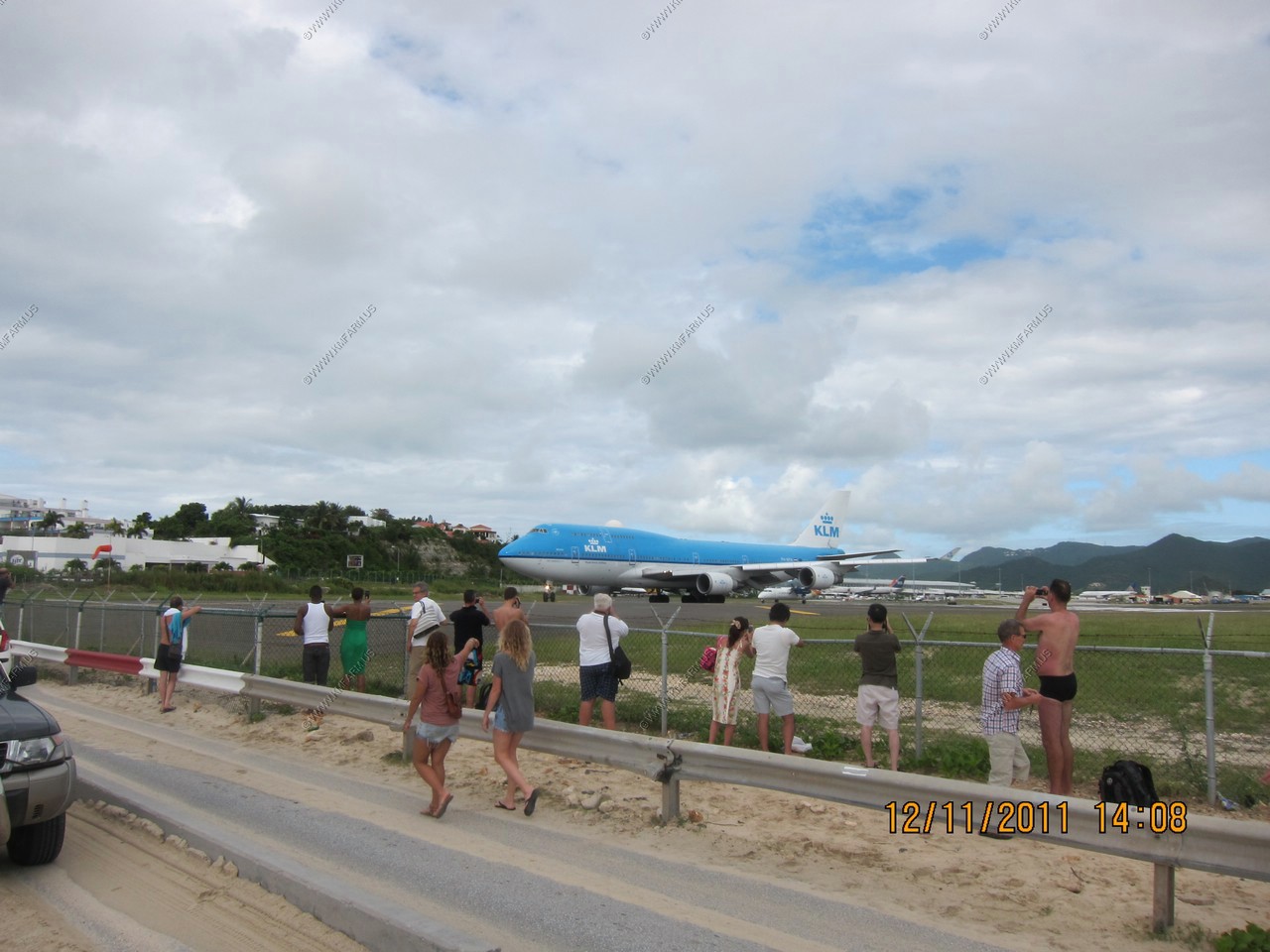
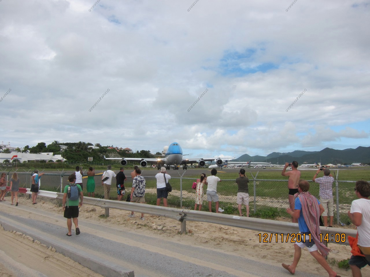
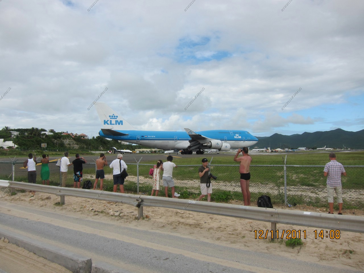
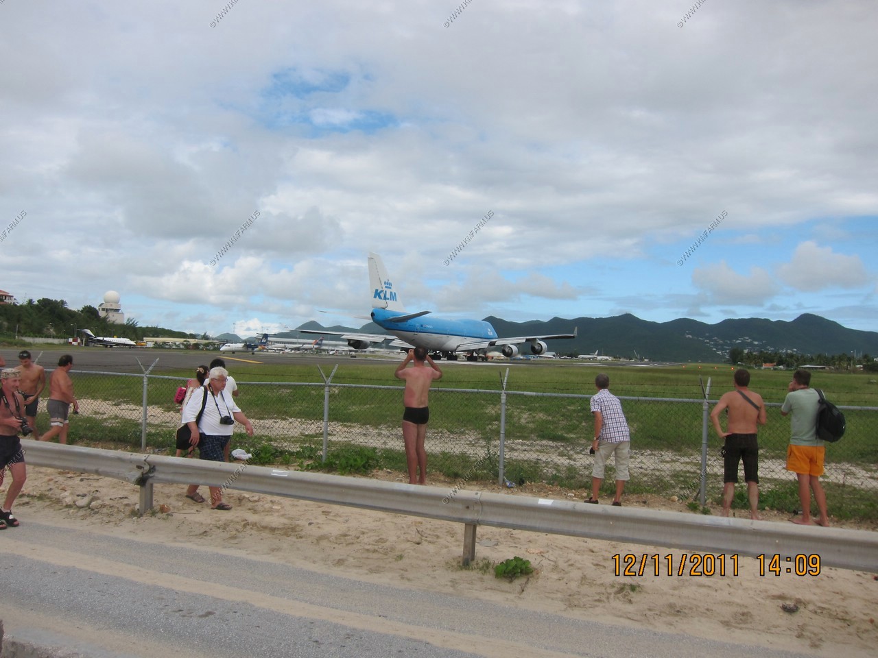
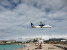
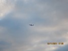
The planes started landing around 11:00 or so and the big one flew over @ 12:20, slightly ahead of schedule. The hats flew off when the
jet passed by but I didn't see anyone rolling backward from the jet blast. The sand blows back at you and must be hard on cameras.
MOVIE 747 depart (wmv - 16 meg)
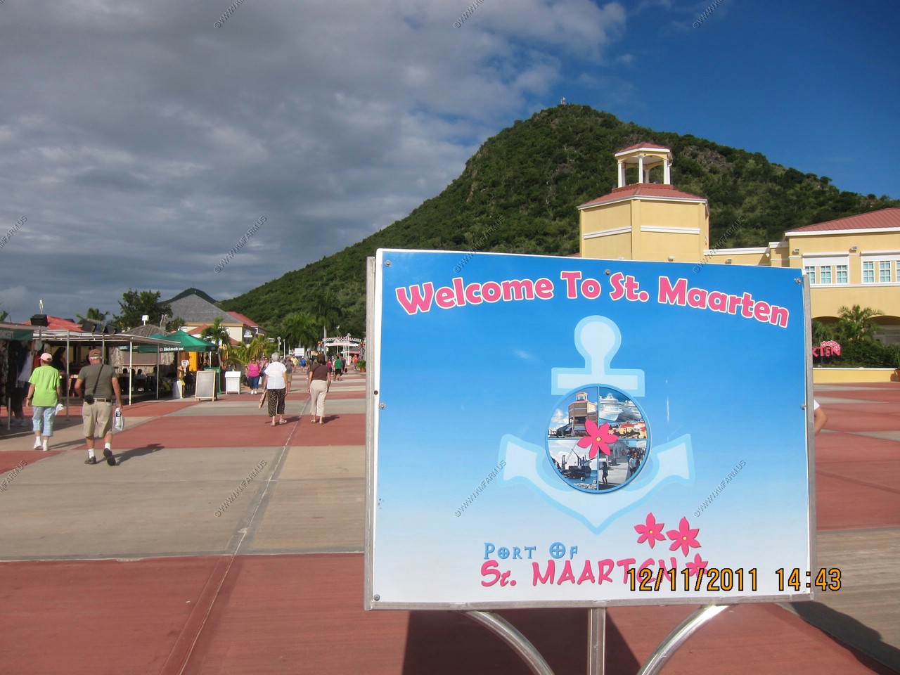
Welcome to St. Maarten
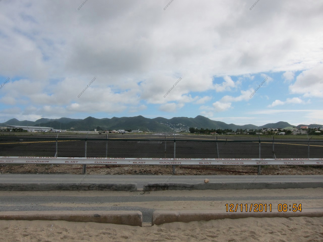
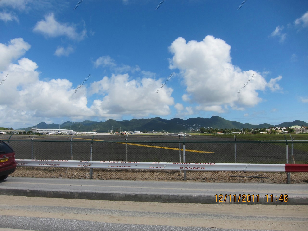
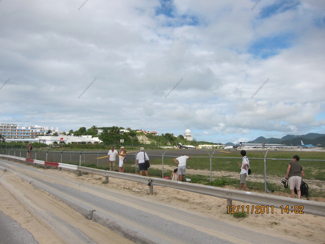
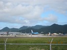
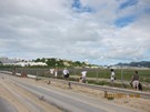
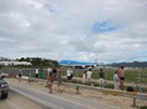
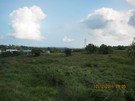
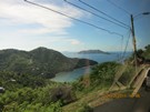
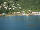
Looking towards Princess Juliana International Airport from A.J.C Brouwer Rd.
Looking down the runway from Maho Beach
No need to get up !

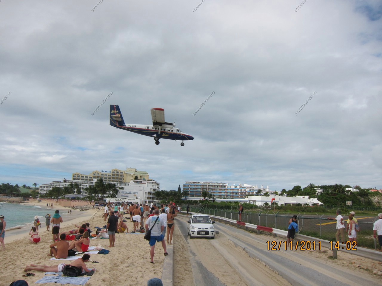
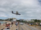
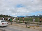
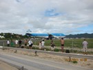
Twin engine commuter arrivals.

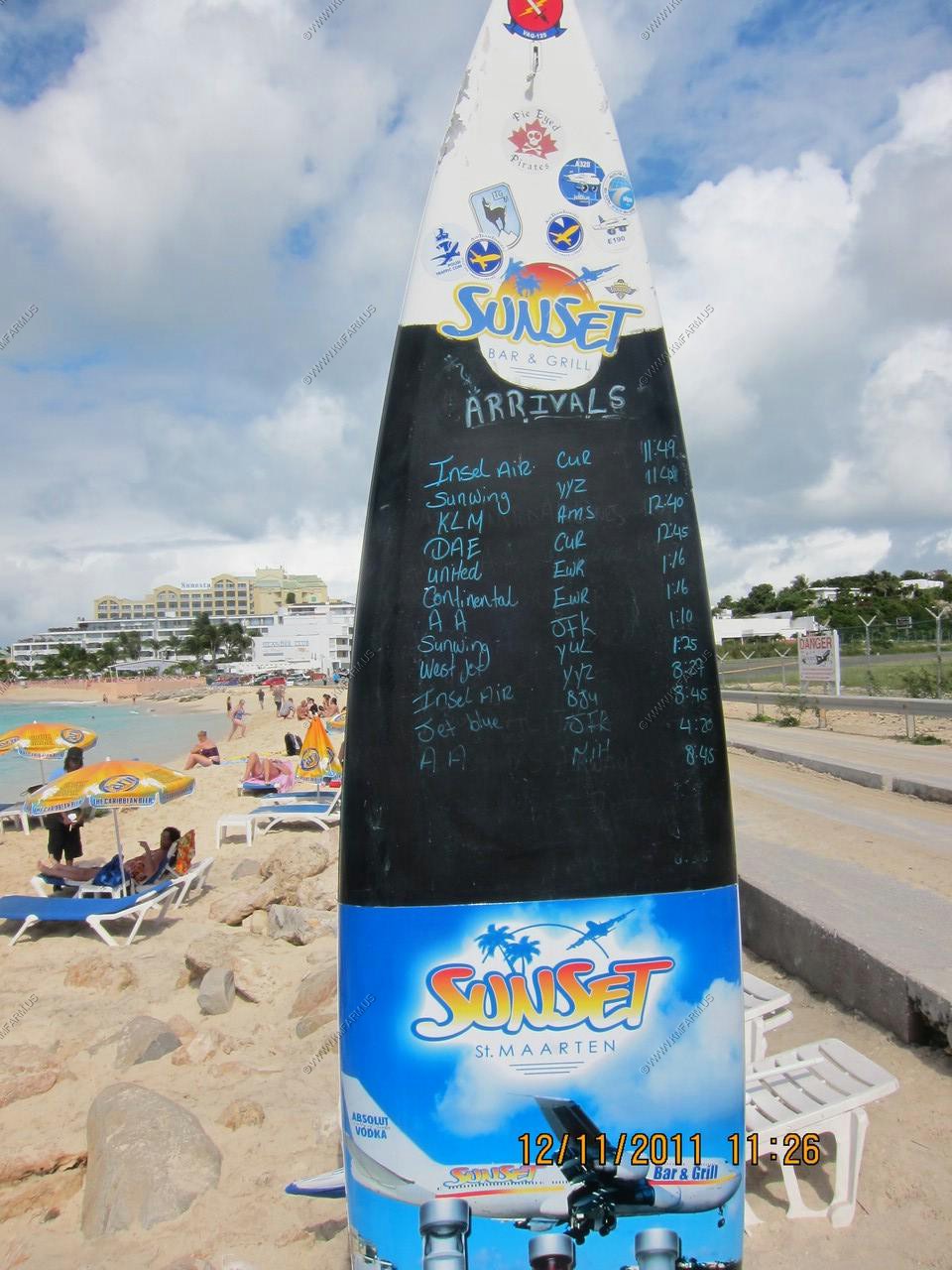
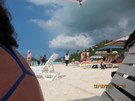
Sunset Bar and Grill has the arrival times. (Were not sure if it was for Sat or Sun)
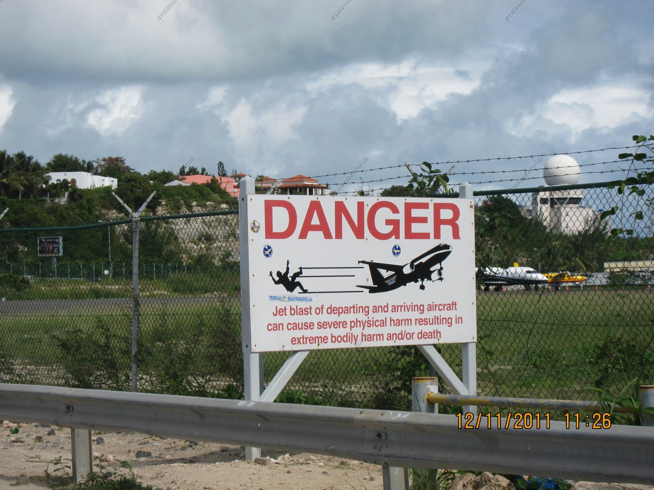
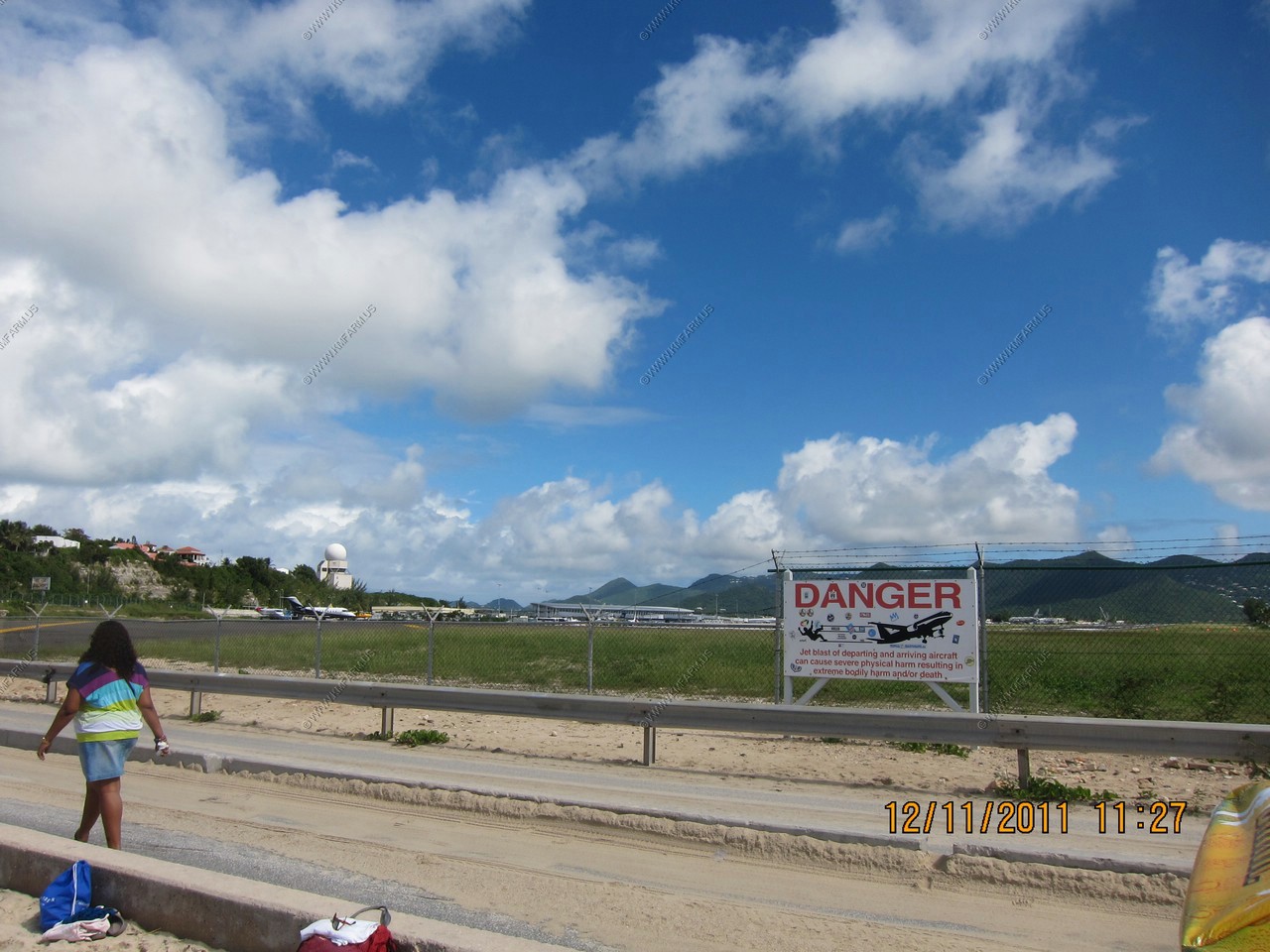
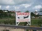
The famous warning sign

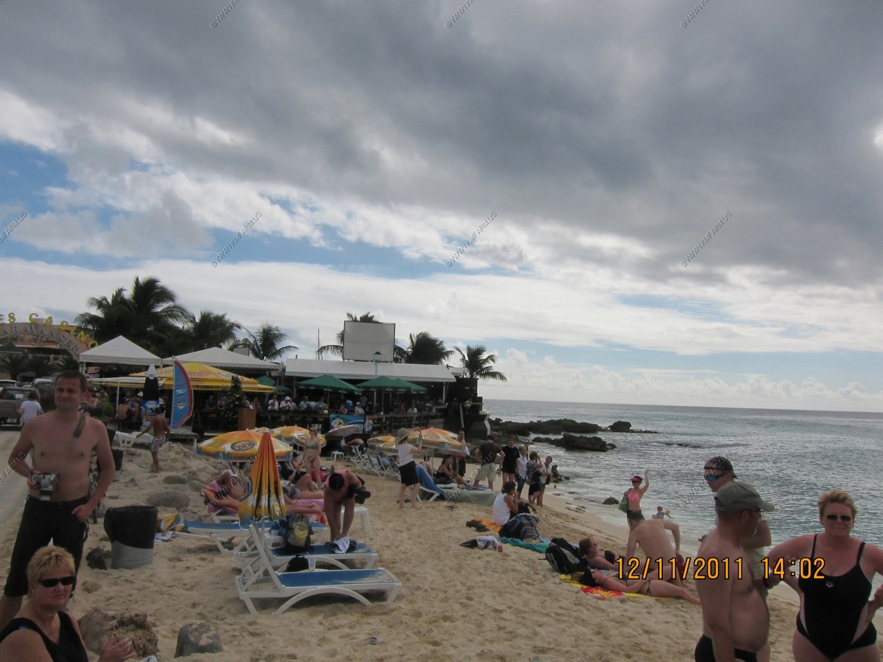
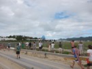
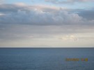
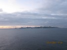
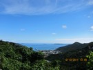
Looking at the Sunset Grill and Saba 40 miles to the south.
Looking down the runway

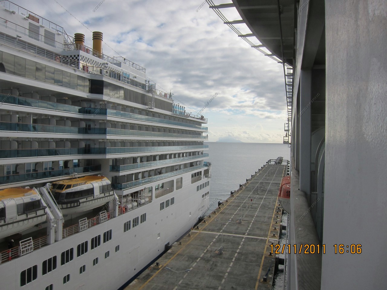
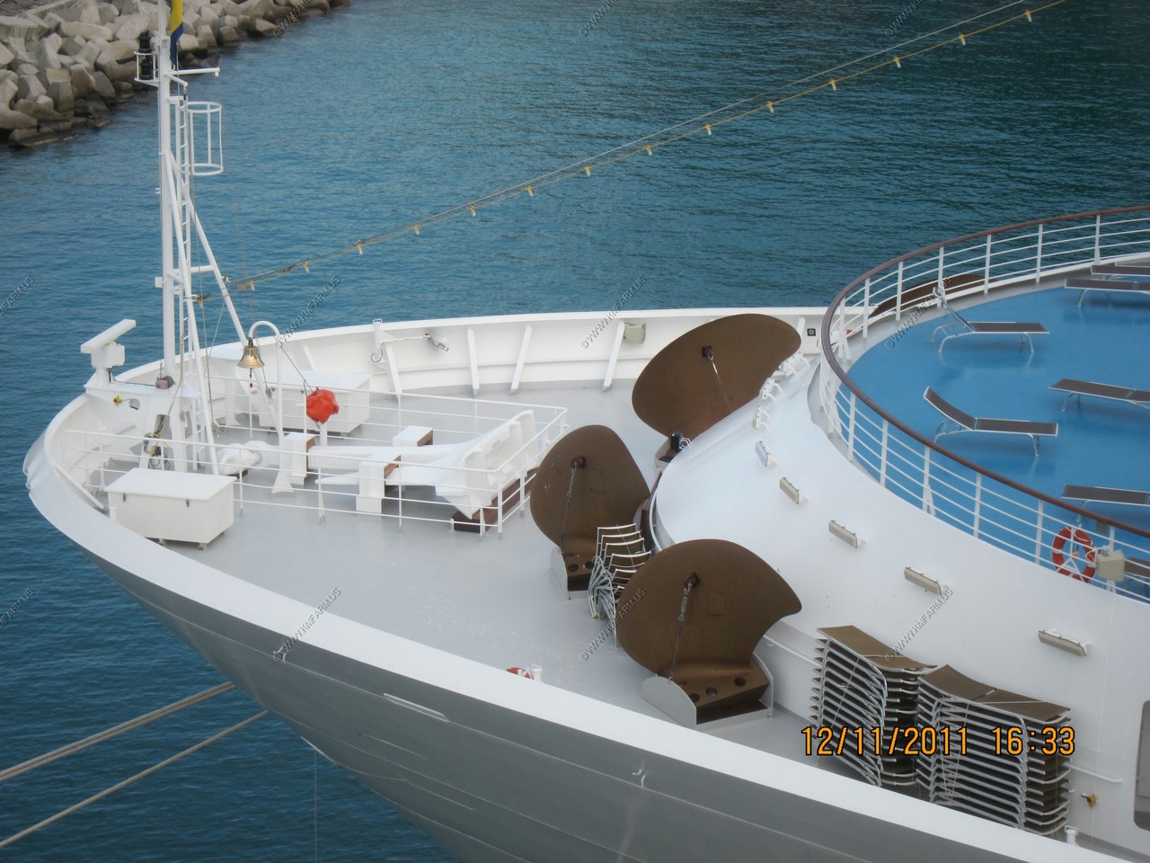
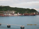
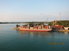
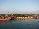
Someone is having a bad vacation. This ship was in port when we arrived and it looked like it needed some serious work !
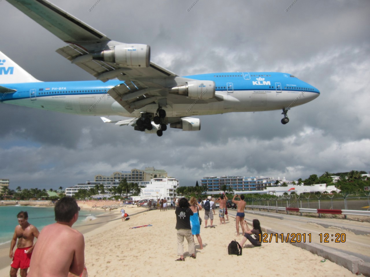
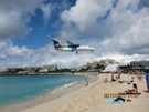
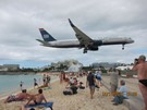
The KLM 747 arrives early. Mary took the beach photo. I was under the plane shooting the video
(I am standing below the second column from the left on the blue building in the brown shirt / gray pants)
Twin engine commuter VERY LOW ! The lowest one of the day.
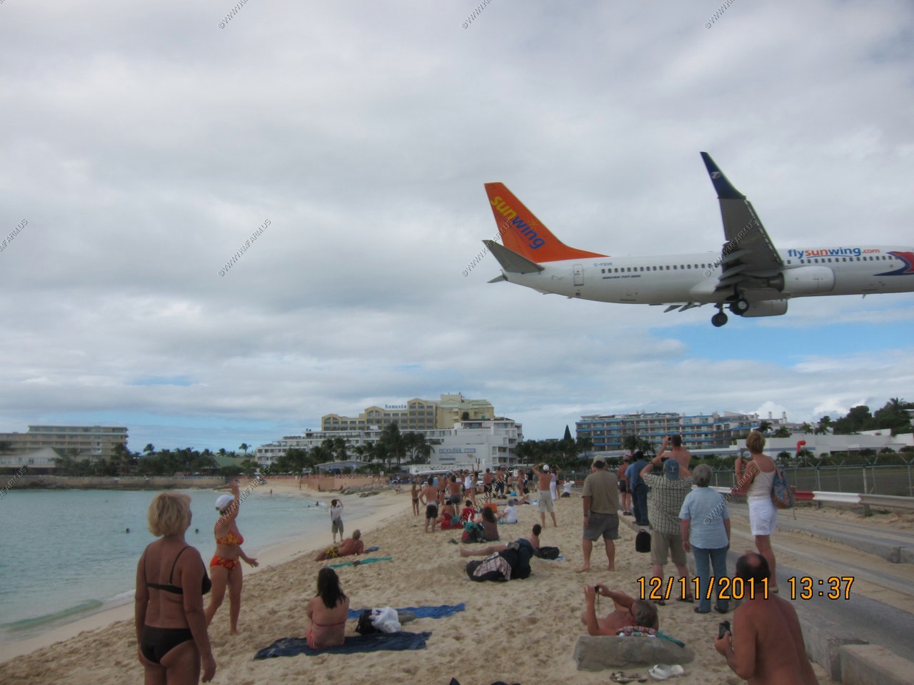
More jet arrivals
The 747 is on the move
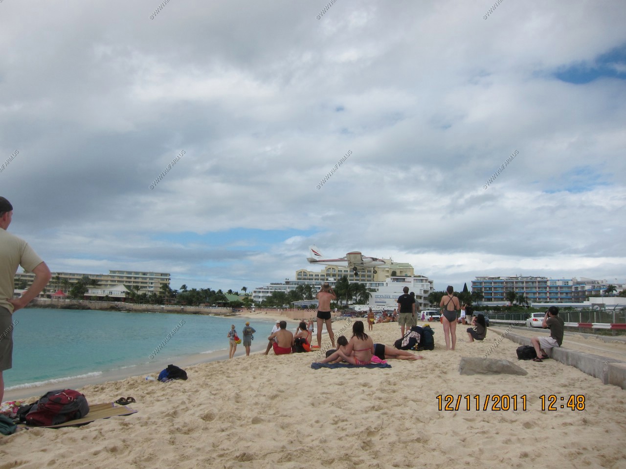
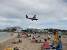
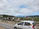
Most people we have seen. Weekends are definitely busy !
The 747 departure. It was not that impressive

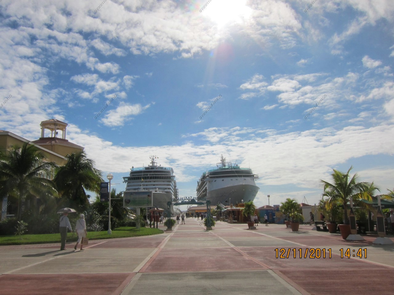
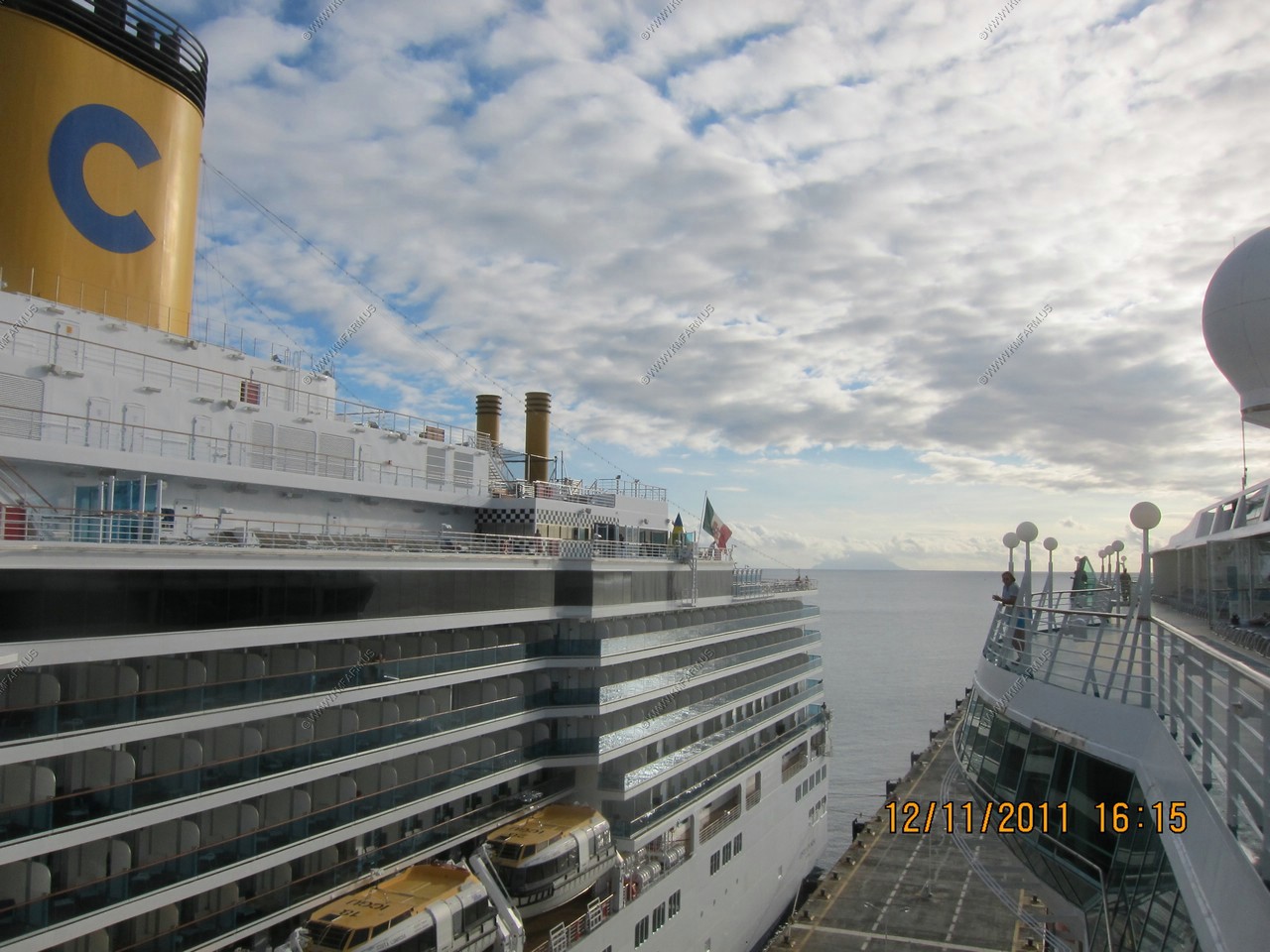
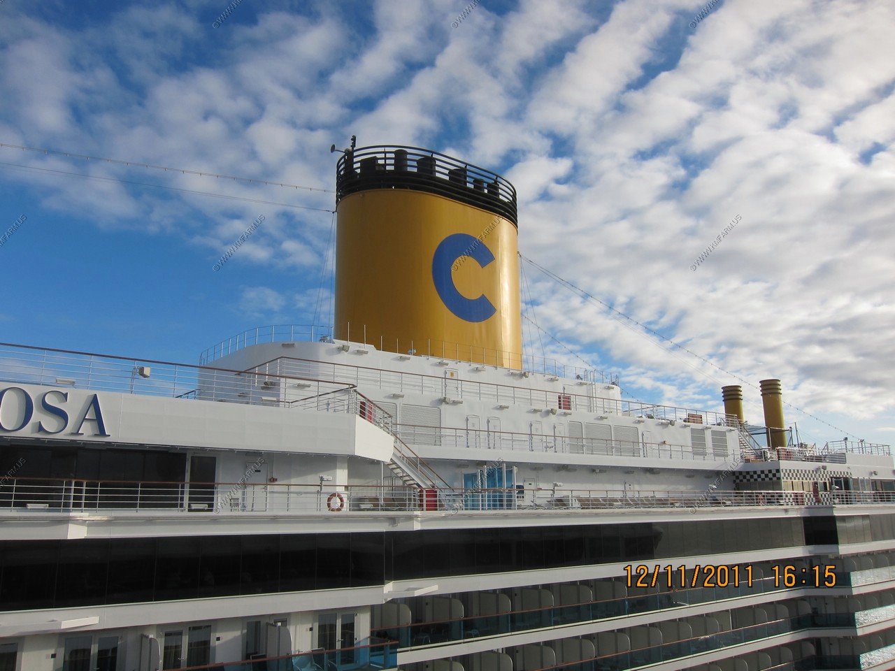
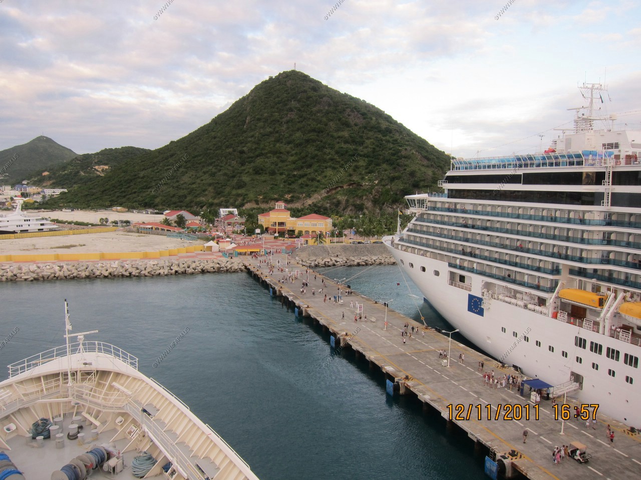
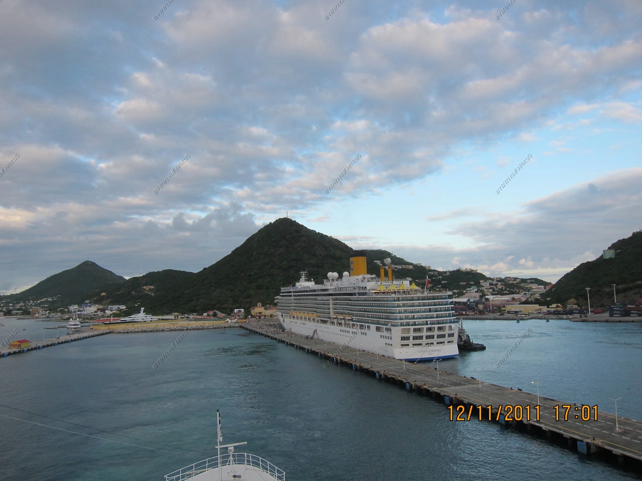
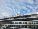
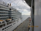
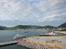
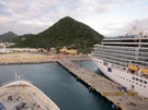
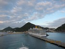
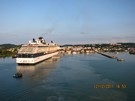
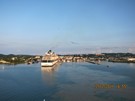
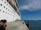
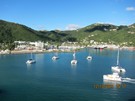
Two ships in today. Ours is on the right

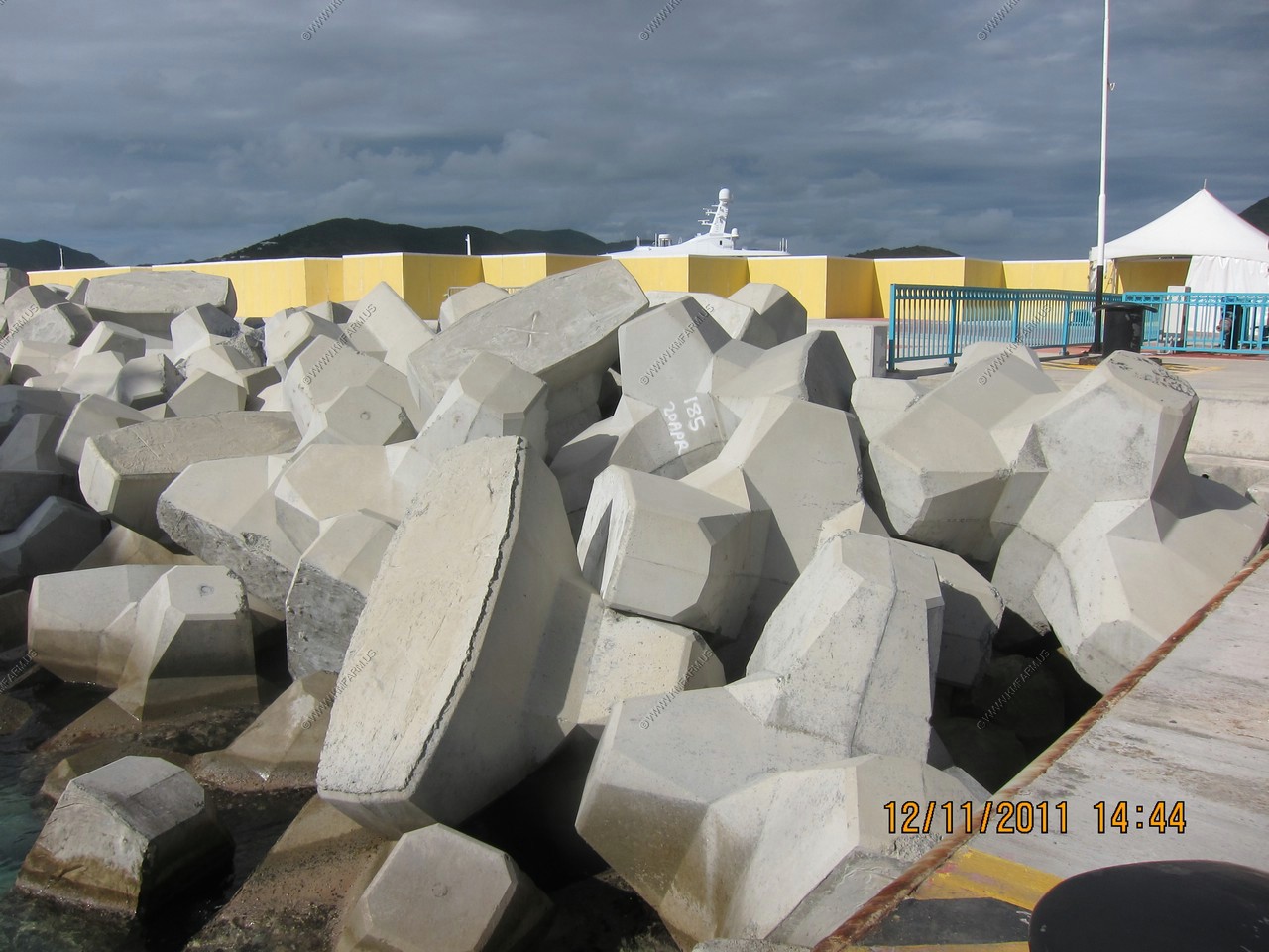
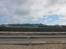
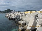
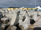
Cool shore protection
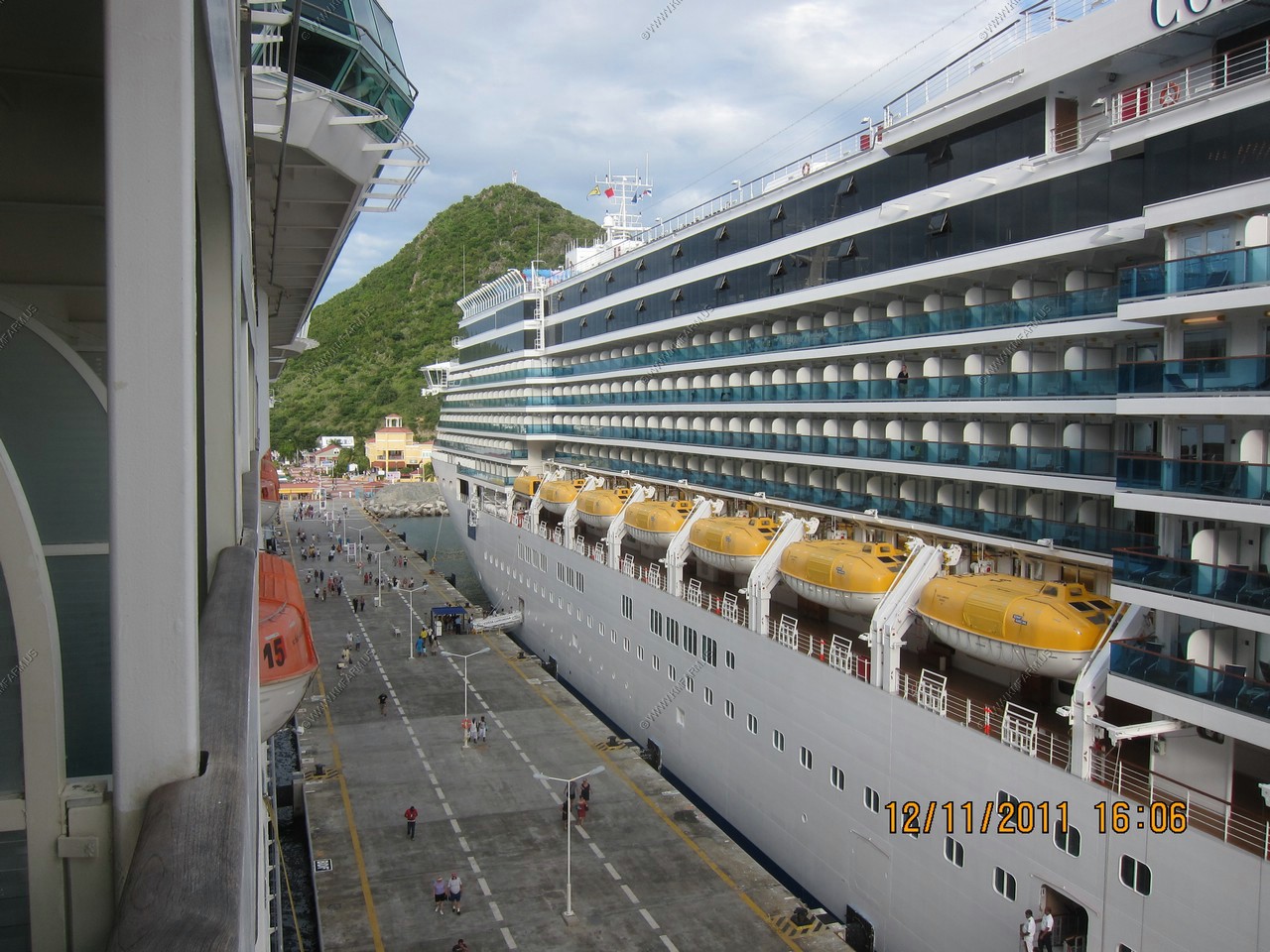
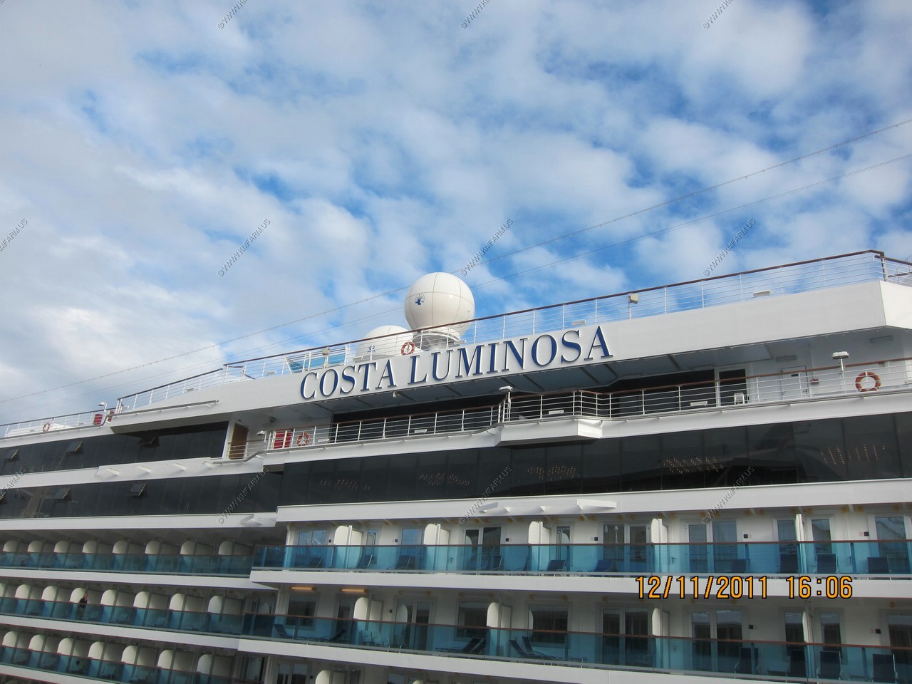
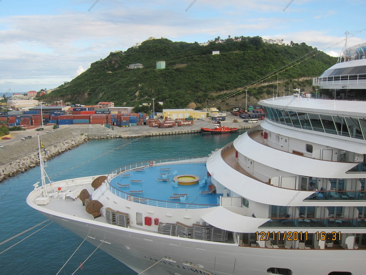
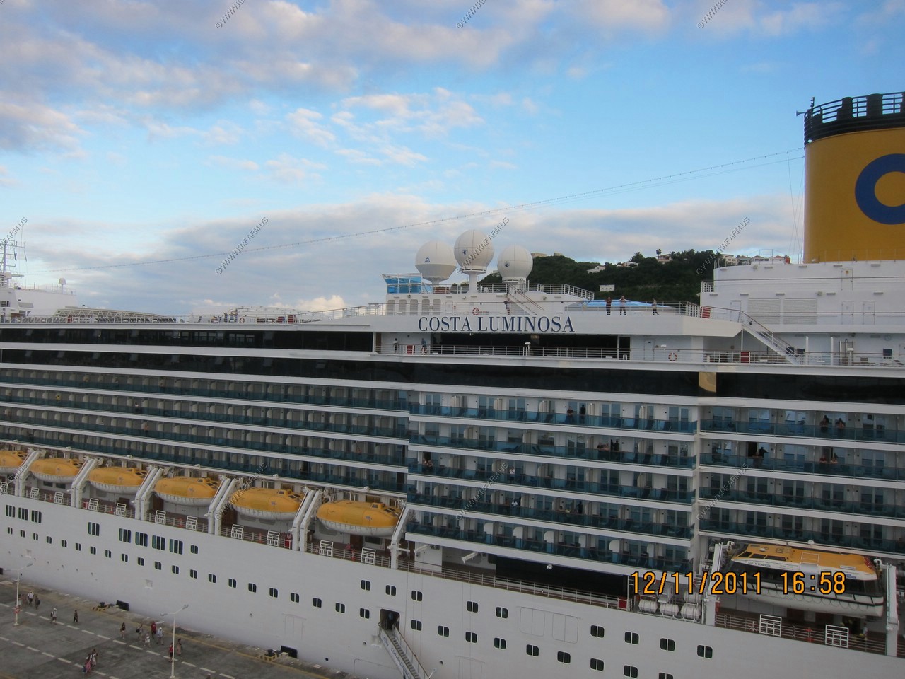
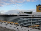
Costa Luminosa - Bigger than our ship but less passengers at 2,260


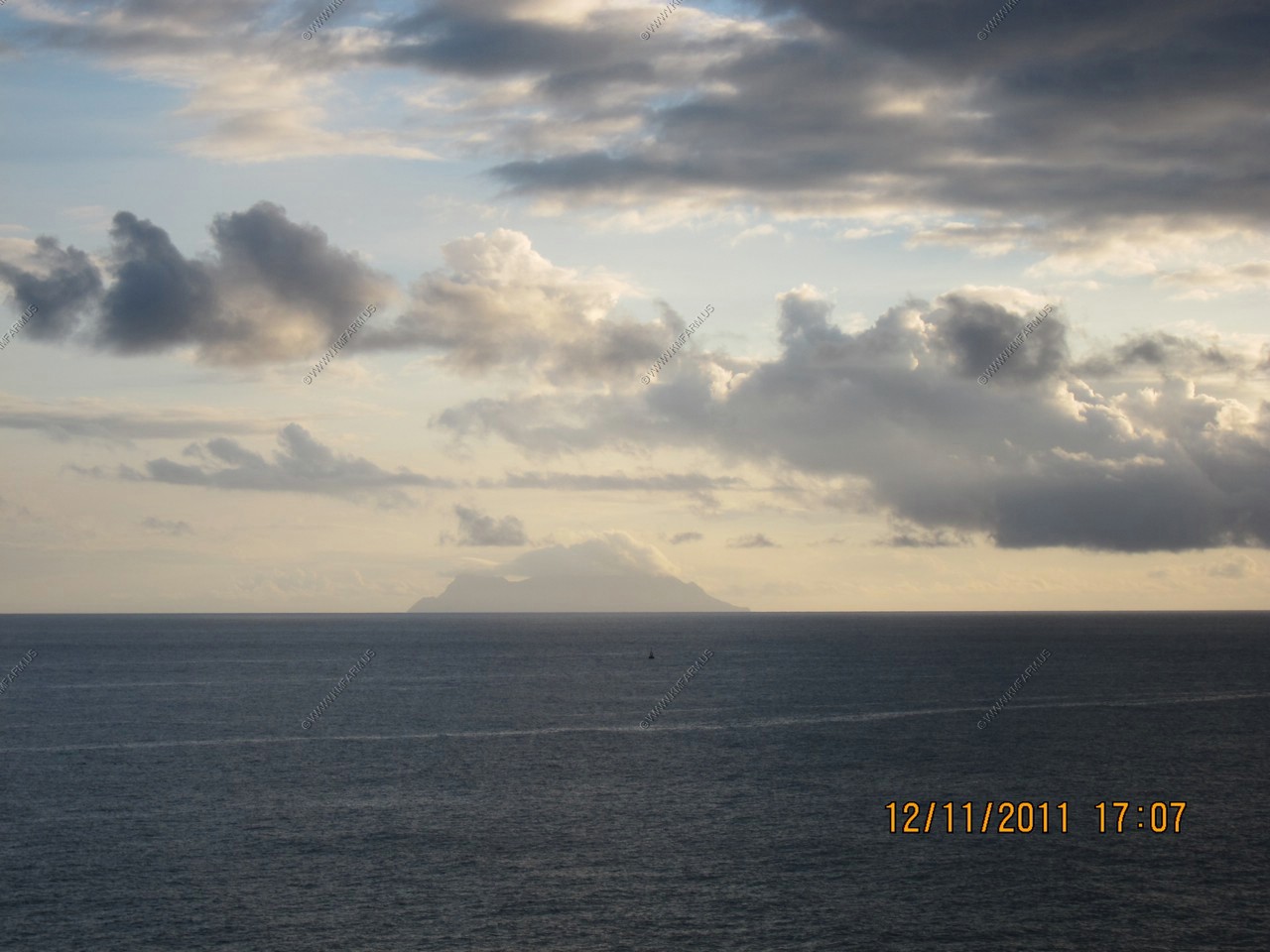
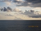
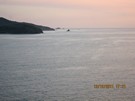
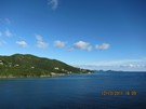
Looking west to Saba. My favorite island. It's not on my Garmin GPS. It's appx. 28 miles away

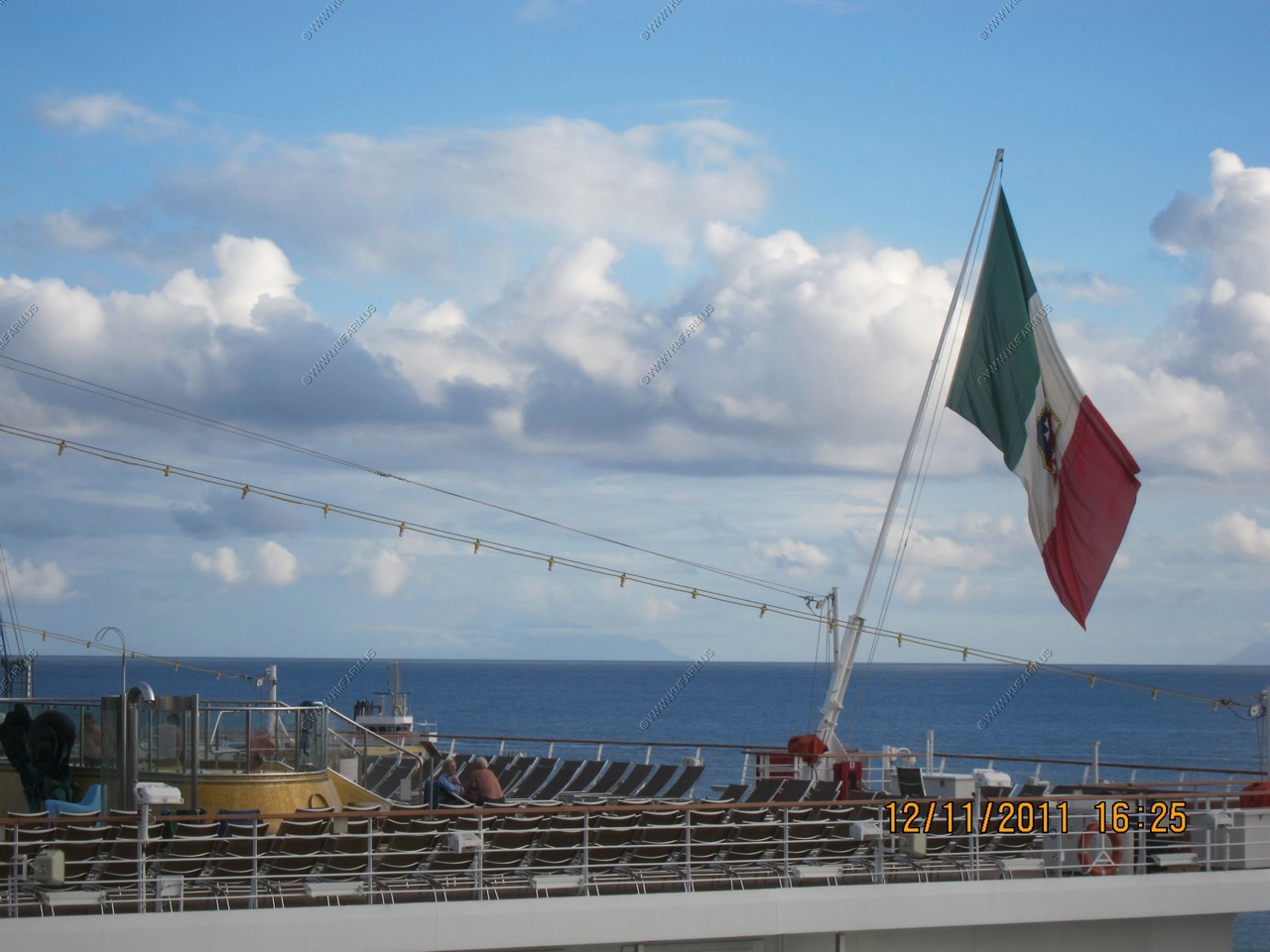
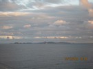
Saba above the date / time. Sint Eustatius on the right side of the flag appx. 35 miles away. You can see Saint Kitts
to the left of the flag over 45 miles away.
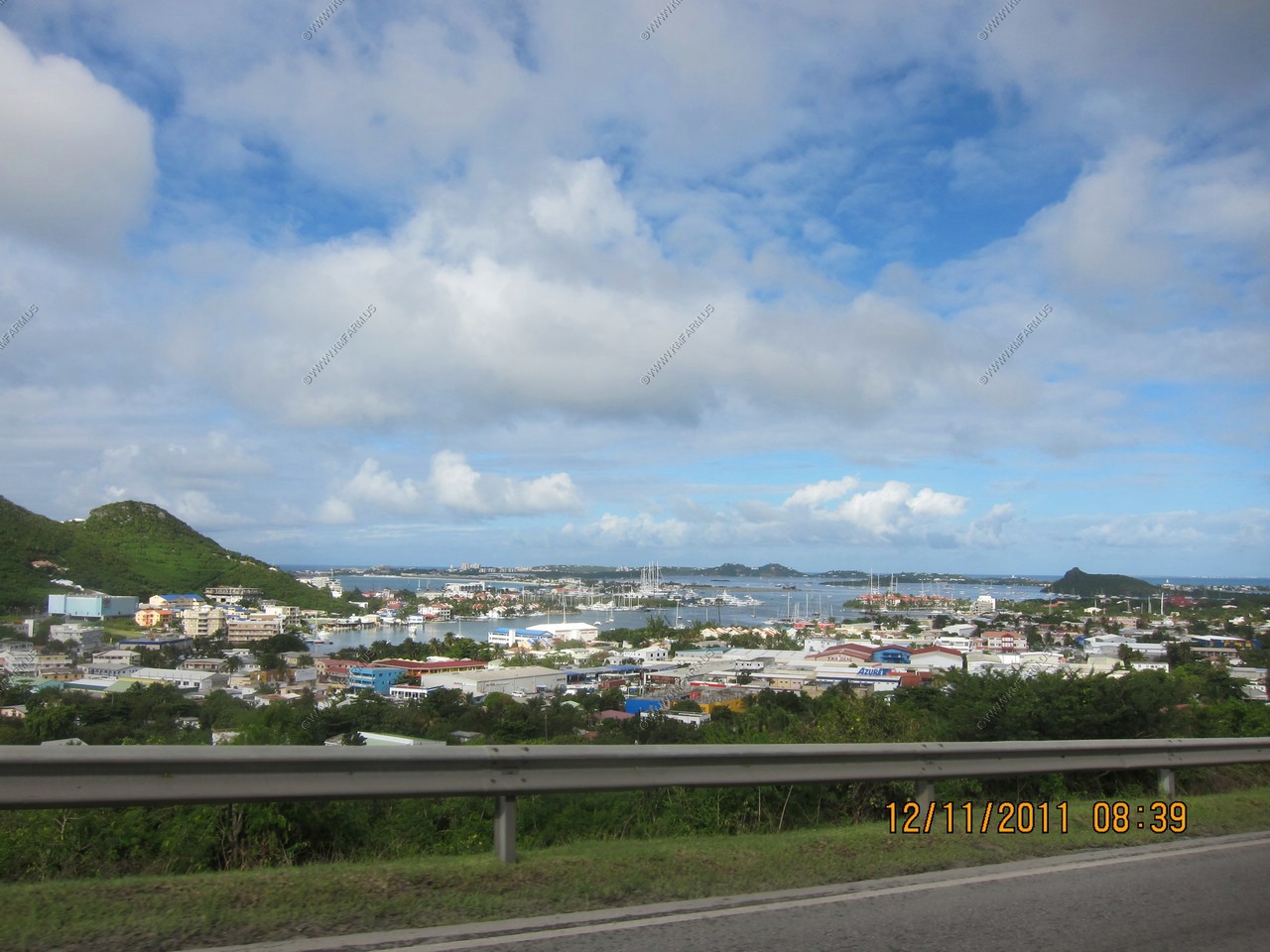
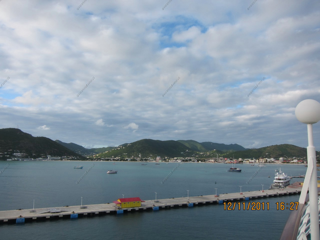
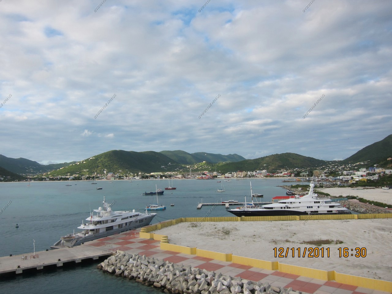
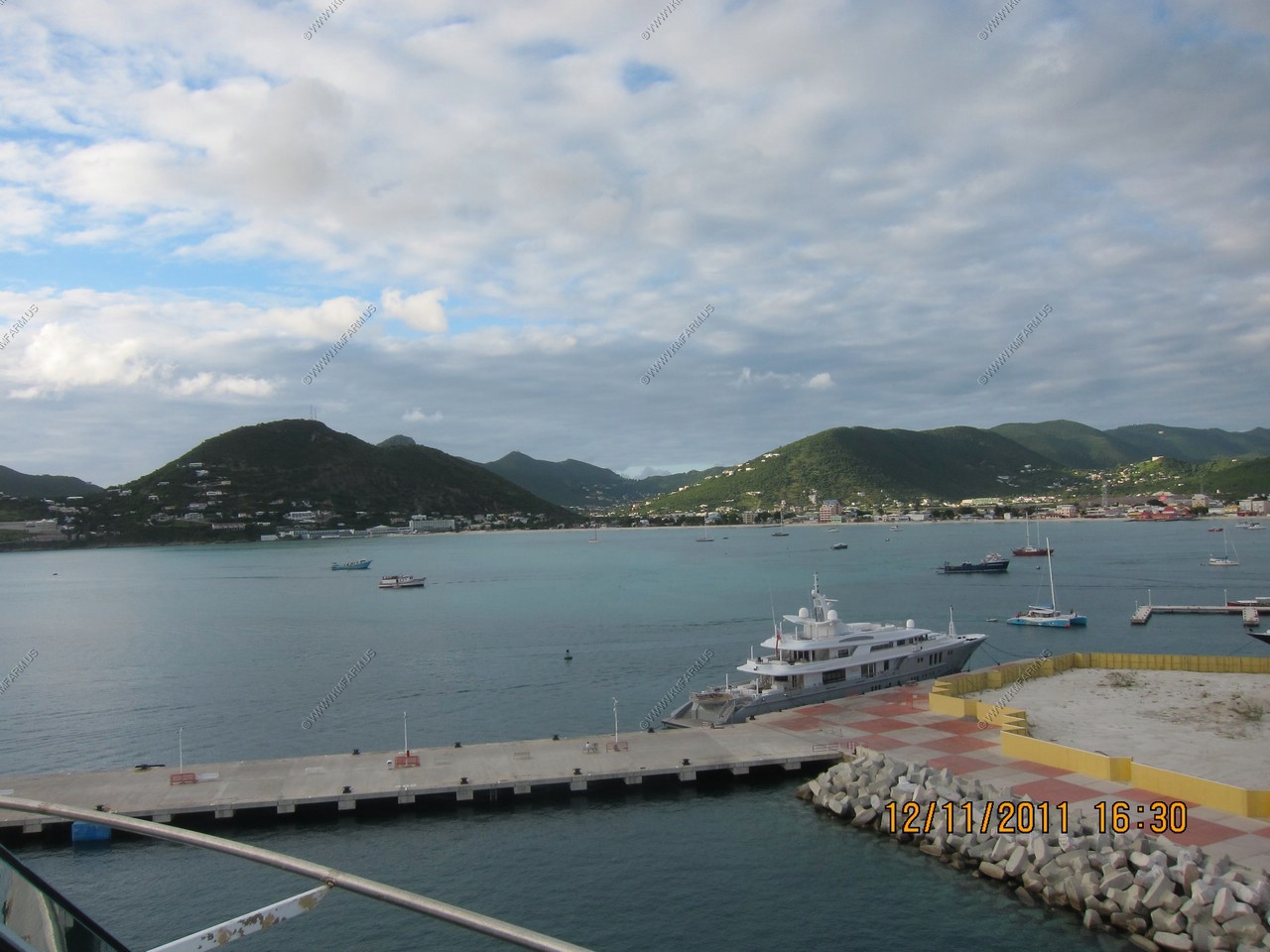
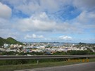
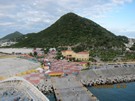
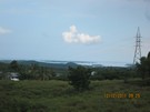
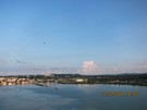
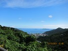
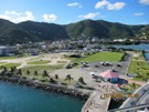
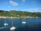
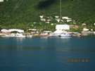
Looking at Philipsburg which is the largest settlement on Dutch side of island.
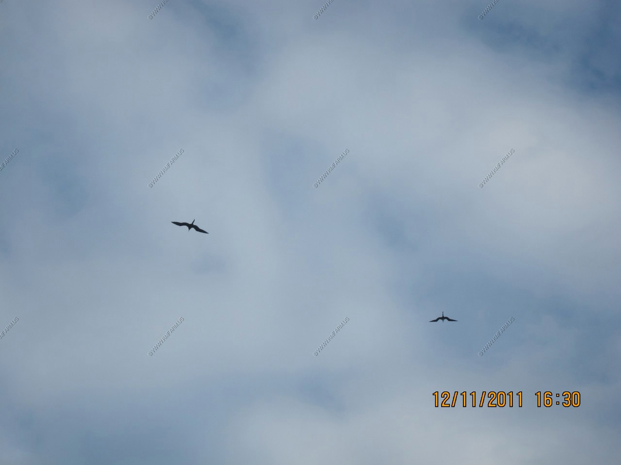
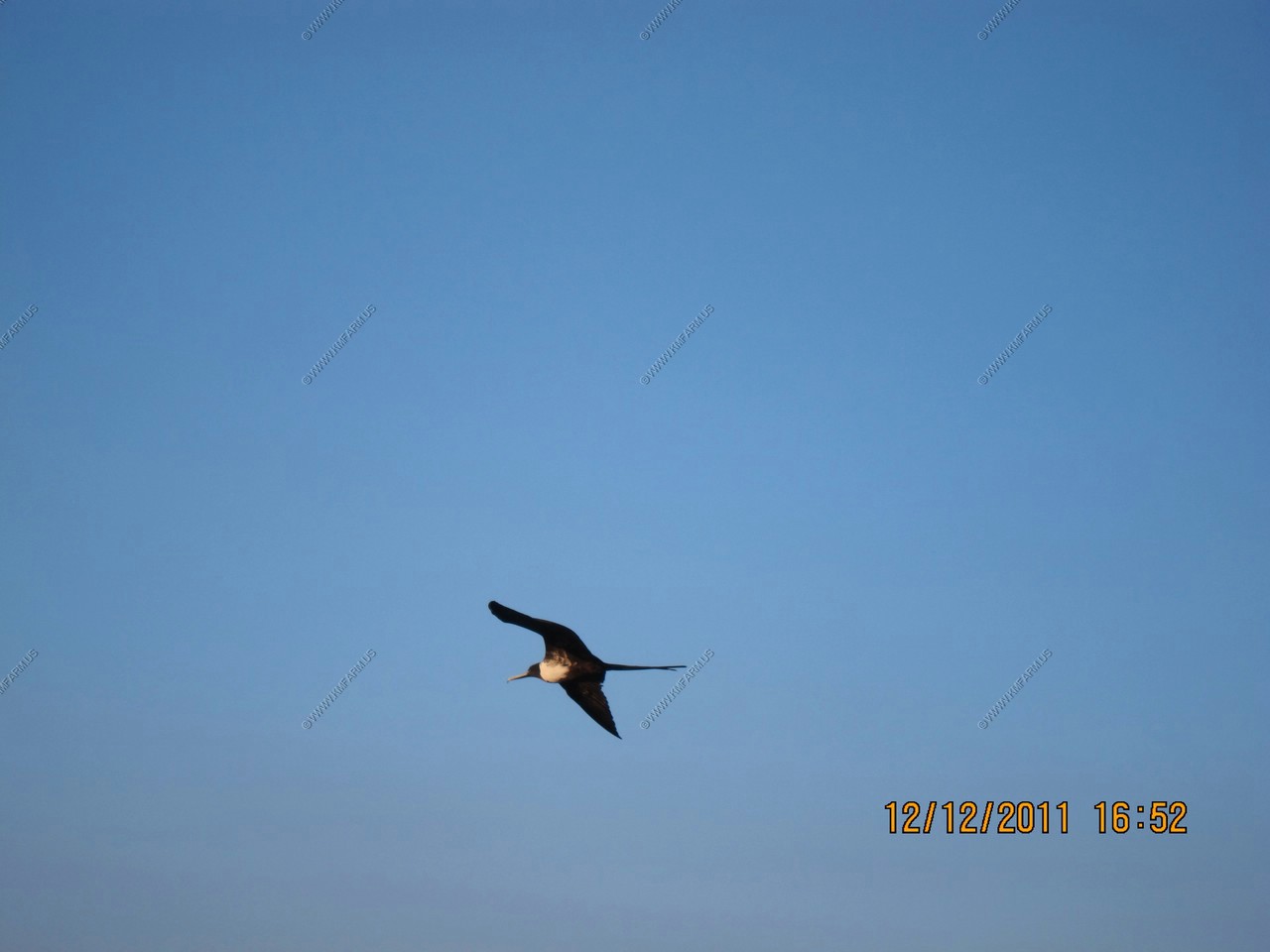
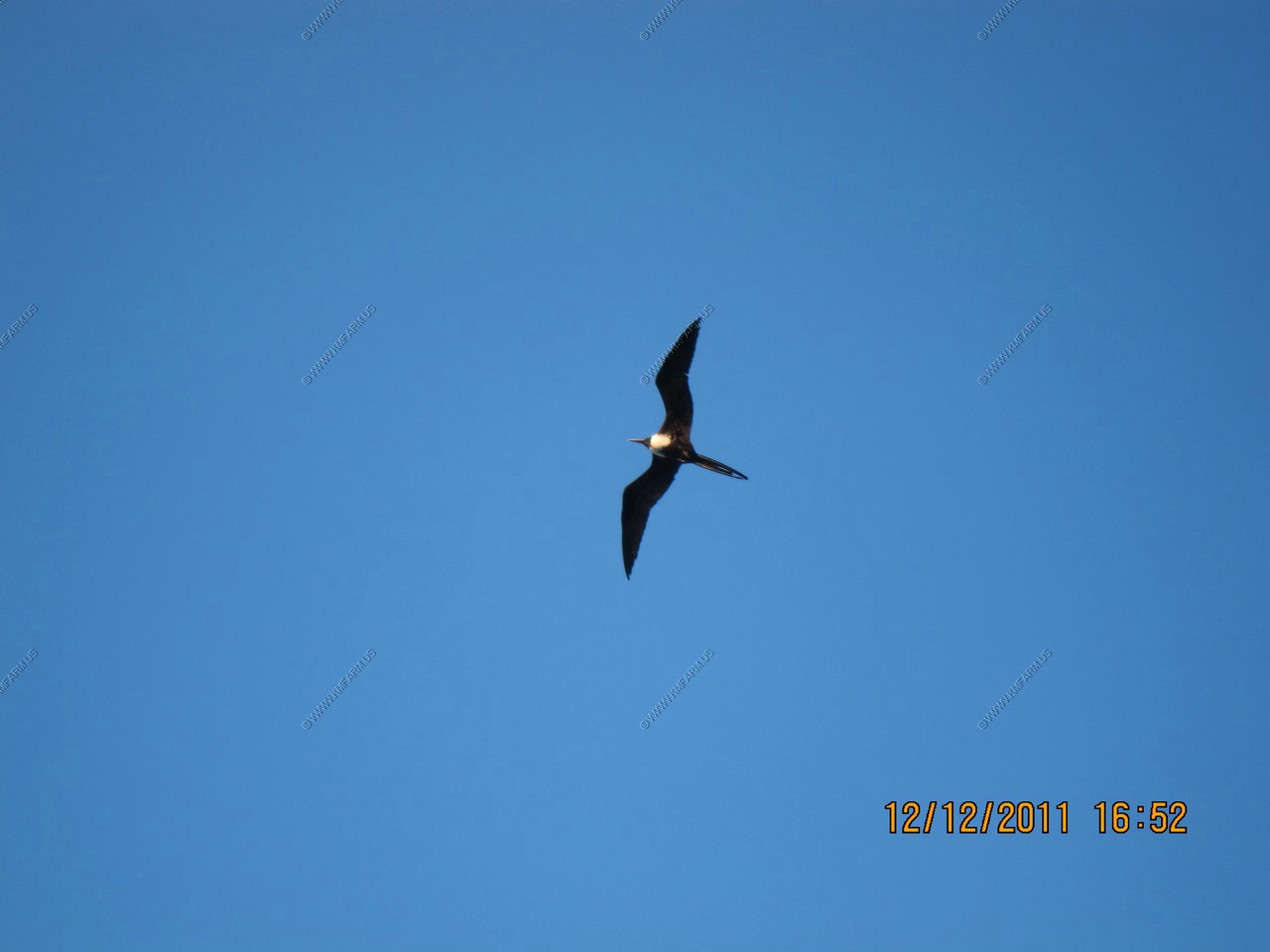
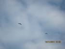
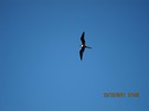
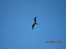
Two frigatebirds
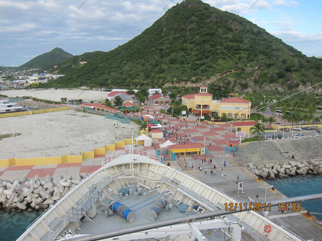
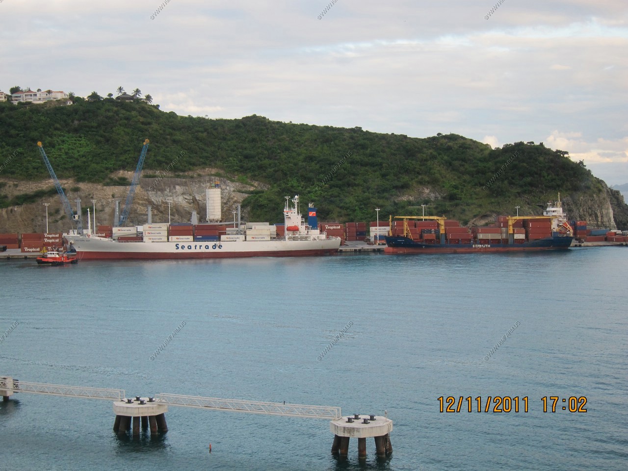
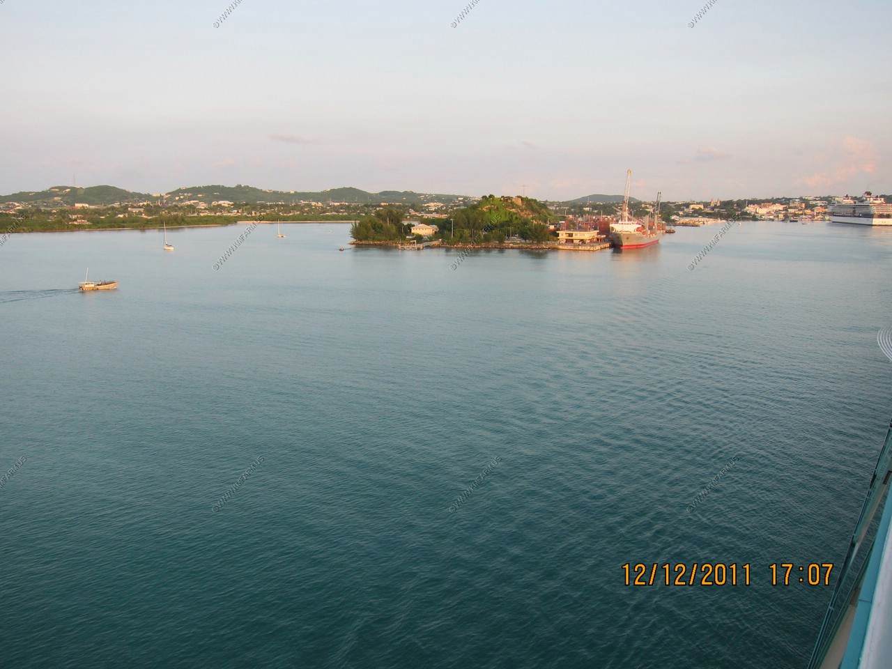
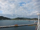
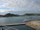
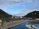
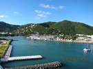
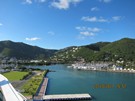
Port facilities at Philipsburg

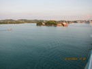
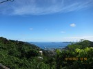
Looking south
Interesting that they cary prop parts. Not sure how they could install it at sea ? Interesting seating area up front.


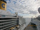
Departing St. Maartin
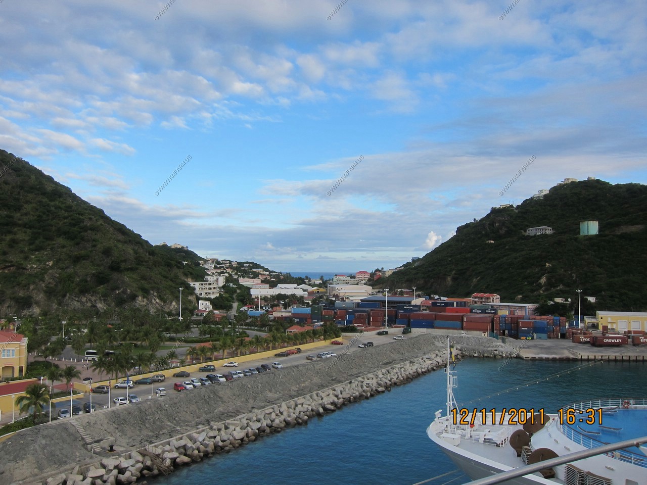
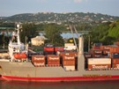
Container port facilities at Philipsburg
Darn. A second 747 departing
Very smooth and St. Kitts 45 miles away.
Saba
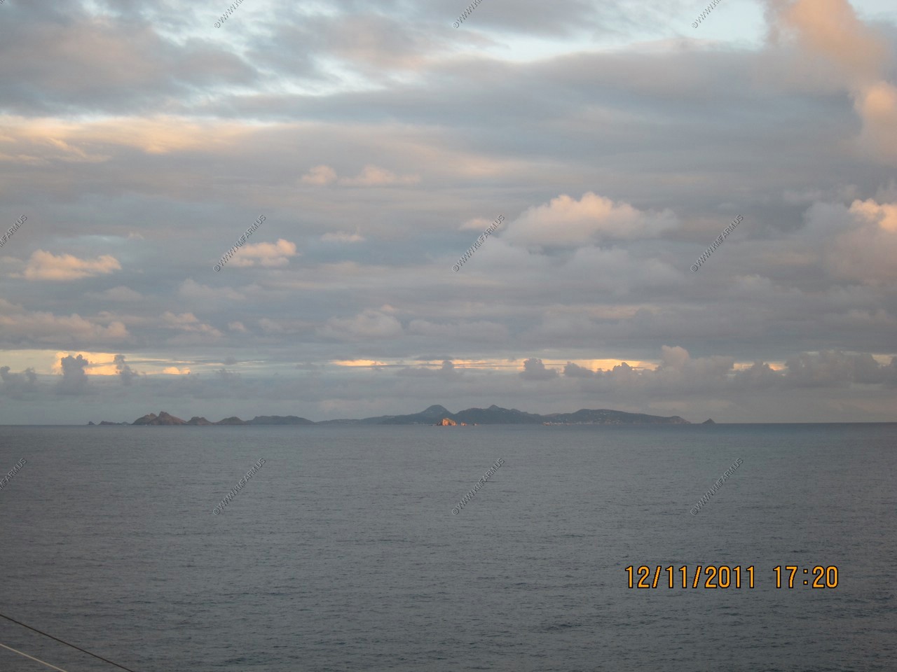
Saint-Barthelemy (France) 15 miles to the southeast
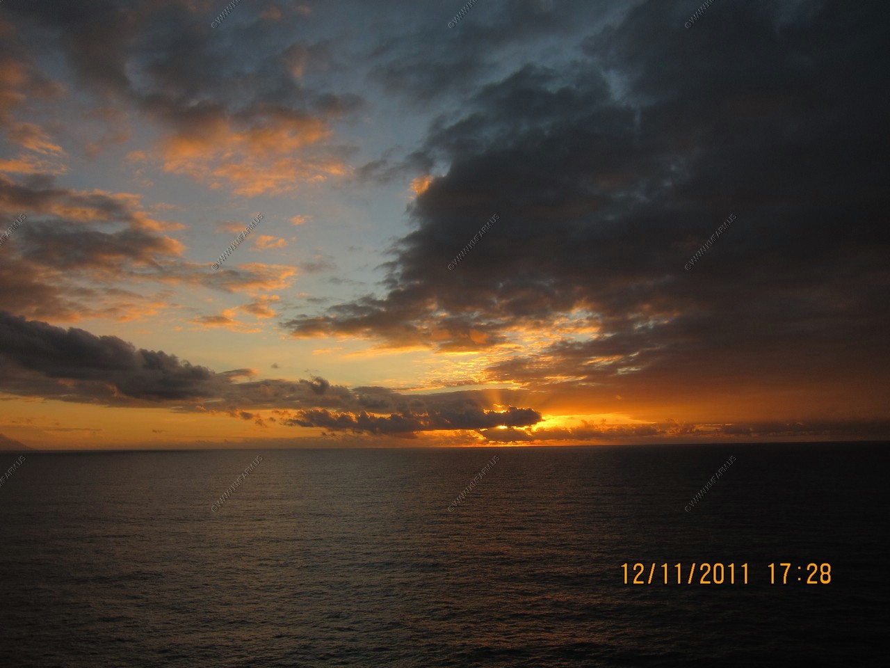
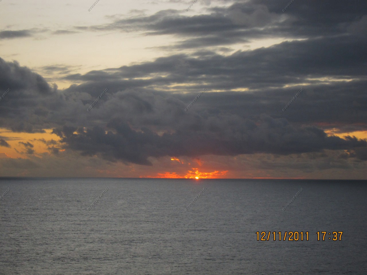
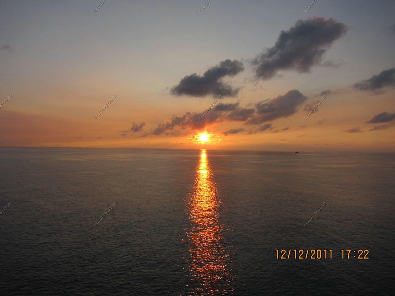
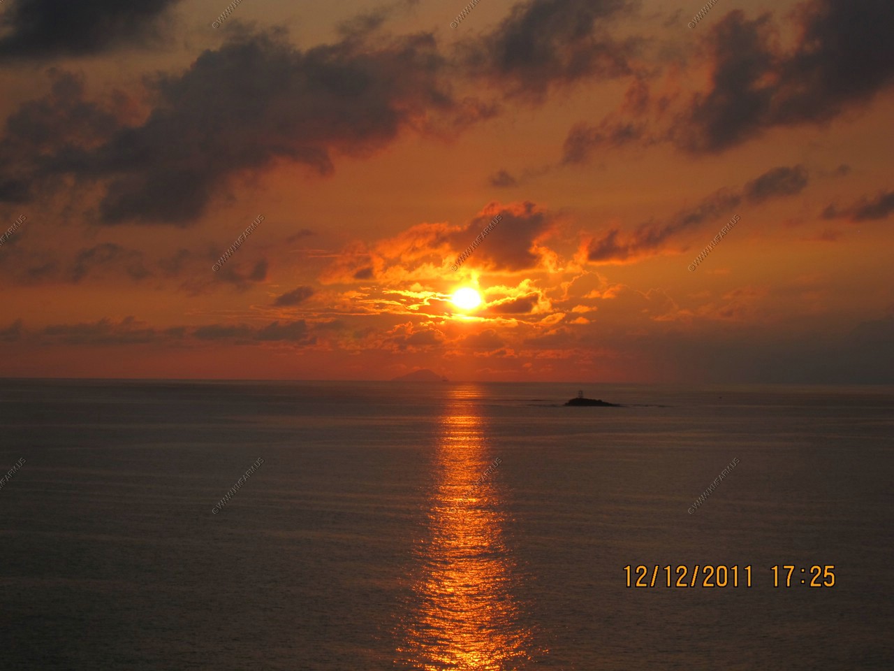
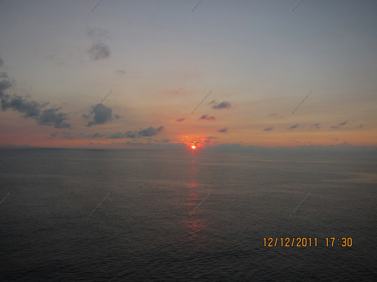
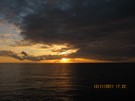
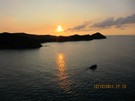
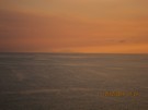
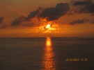
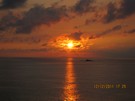
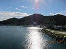
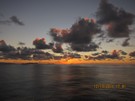
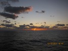
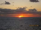
Excellent sunset

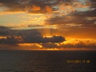
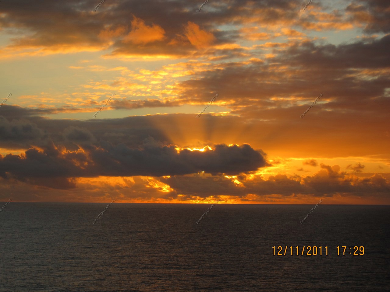
Excellent sunset - Saba on the left
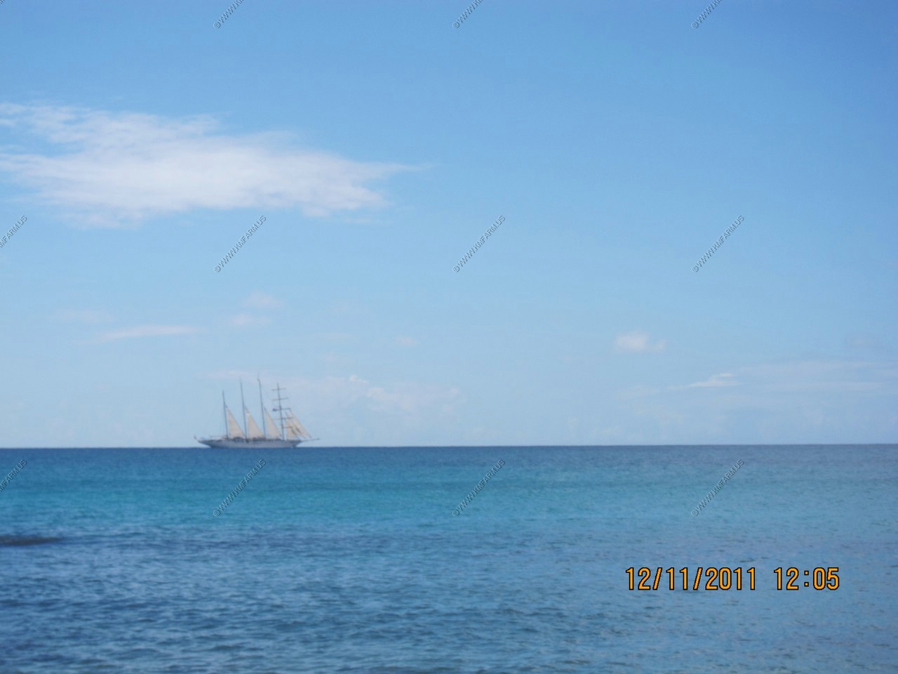
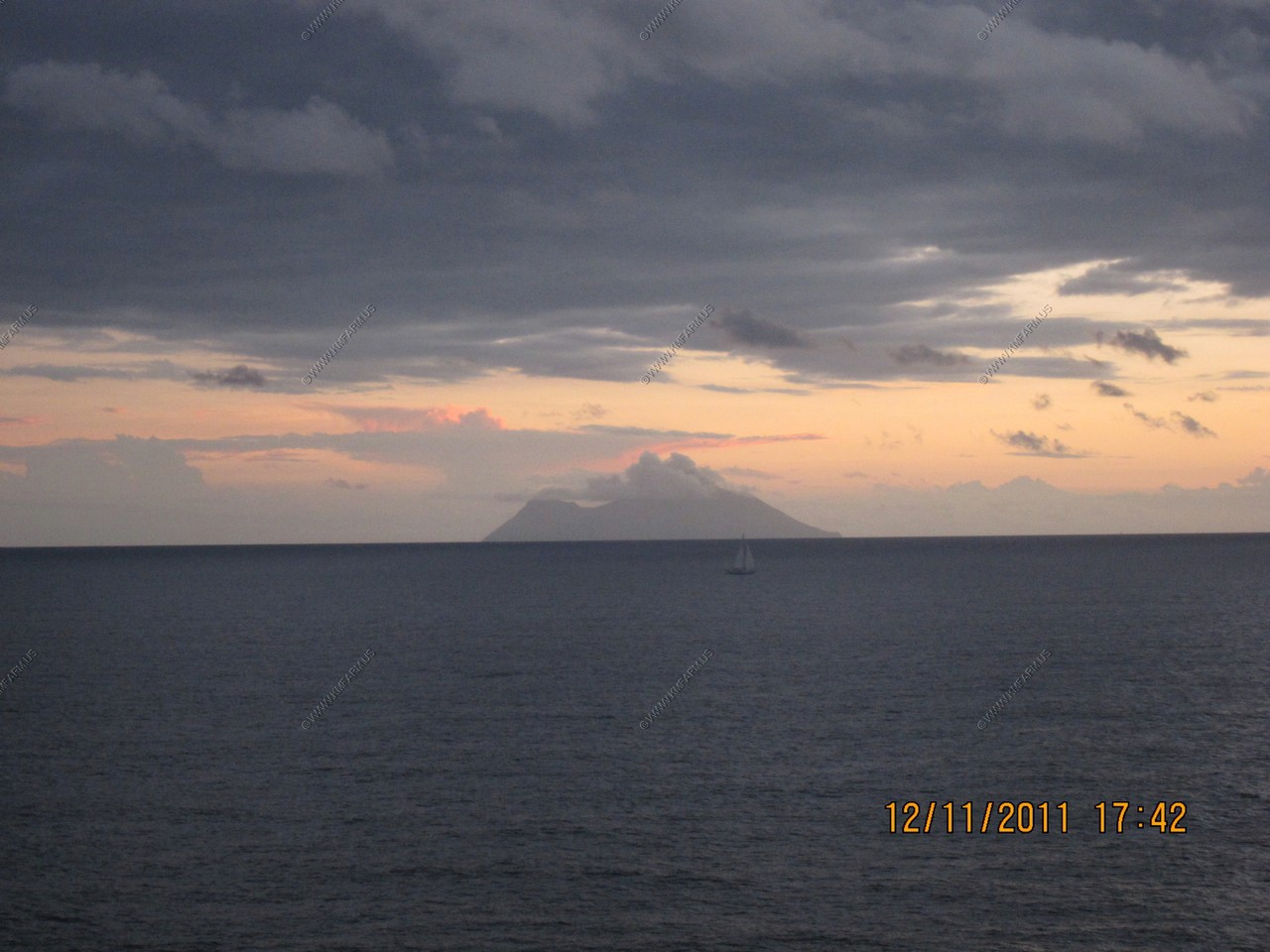
Saba and a sailboat

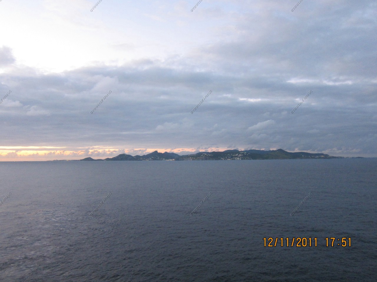
Looking back at St. Maarten
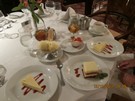
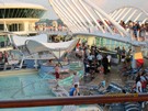
Porno ice cream dessert
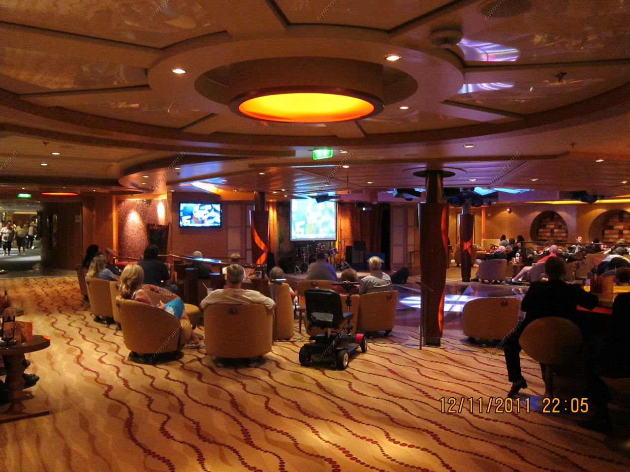
Sunday evening football at sea.

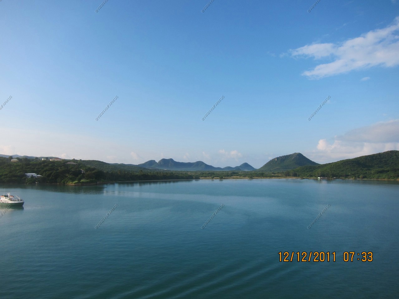
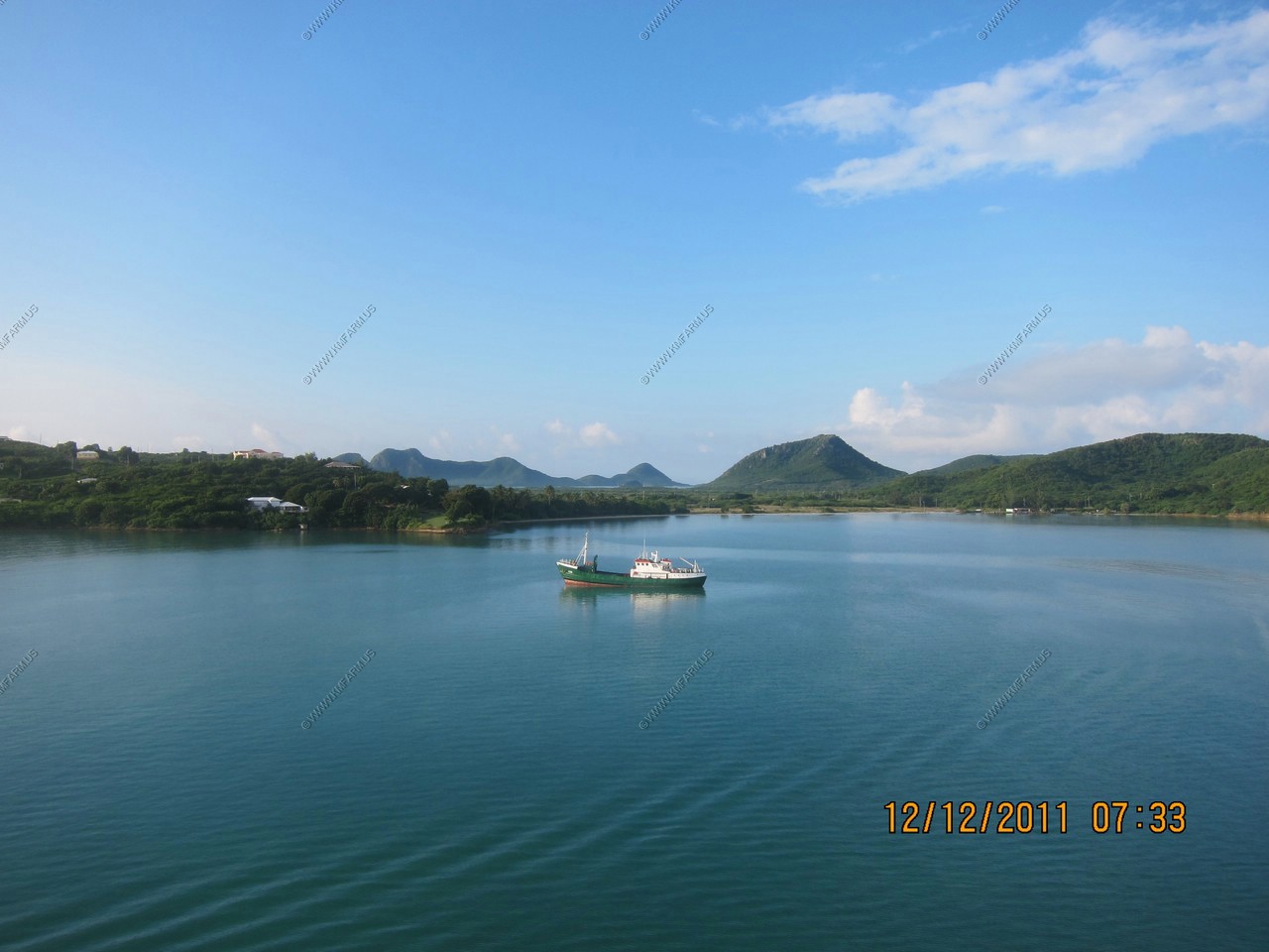
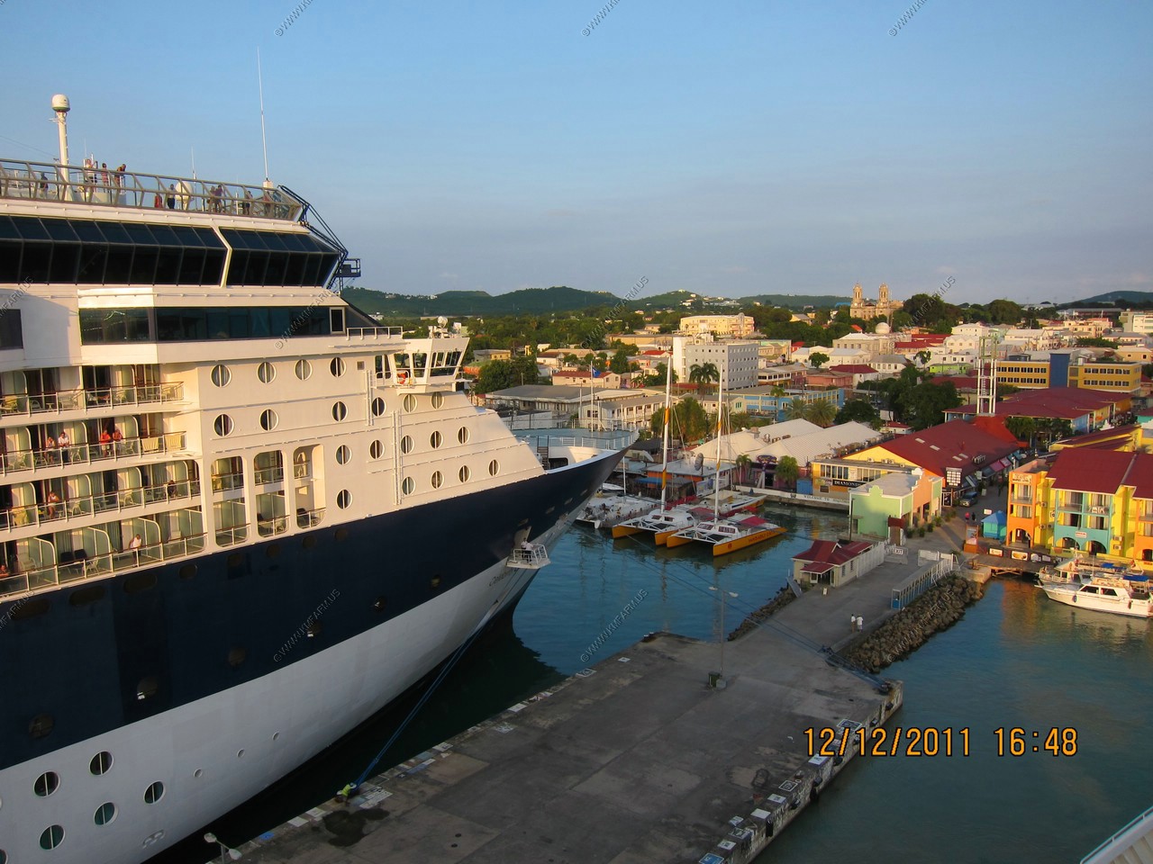
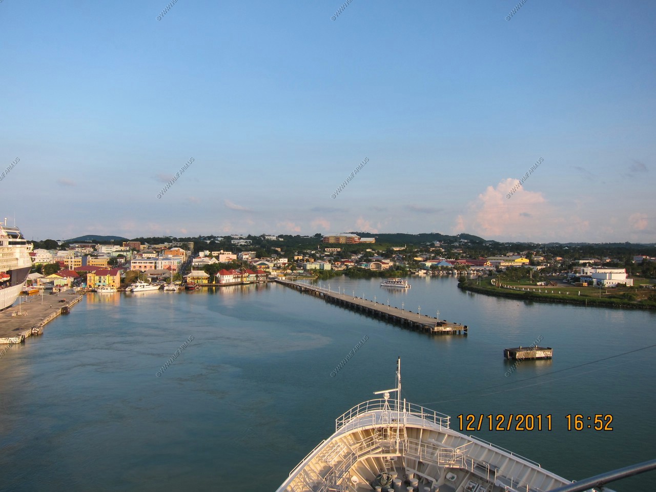
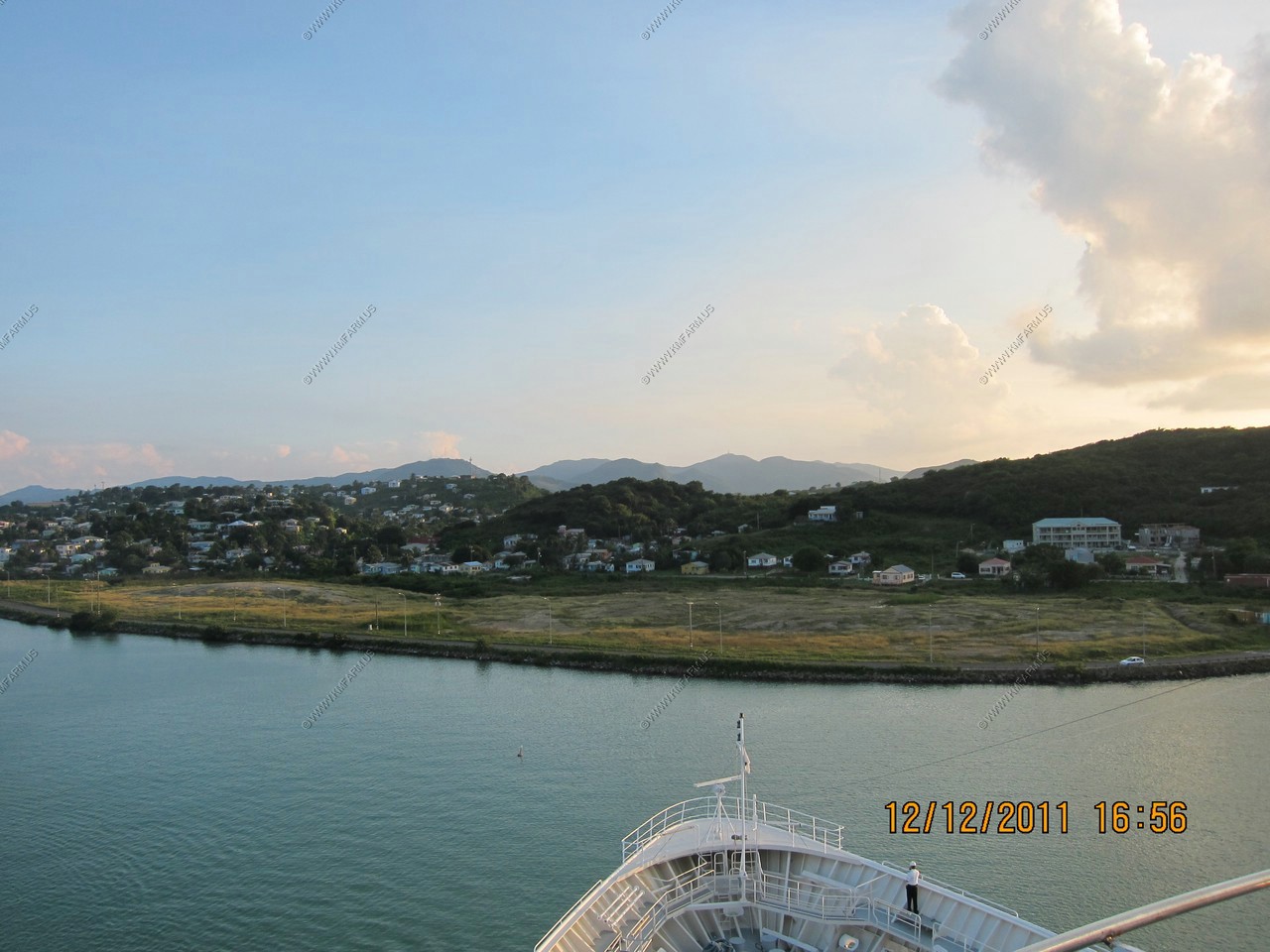
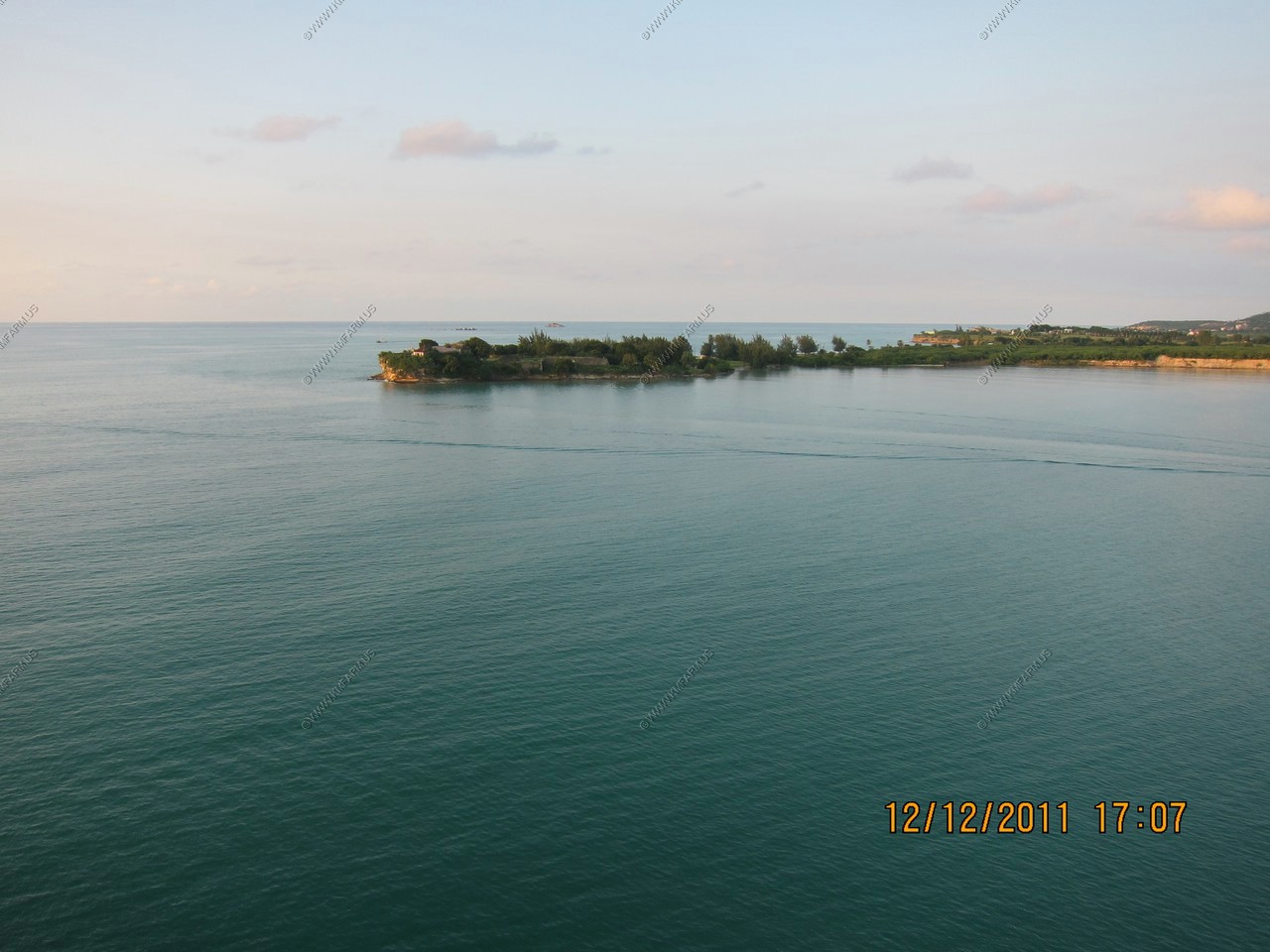
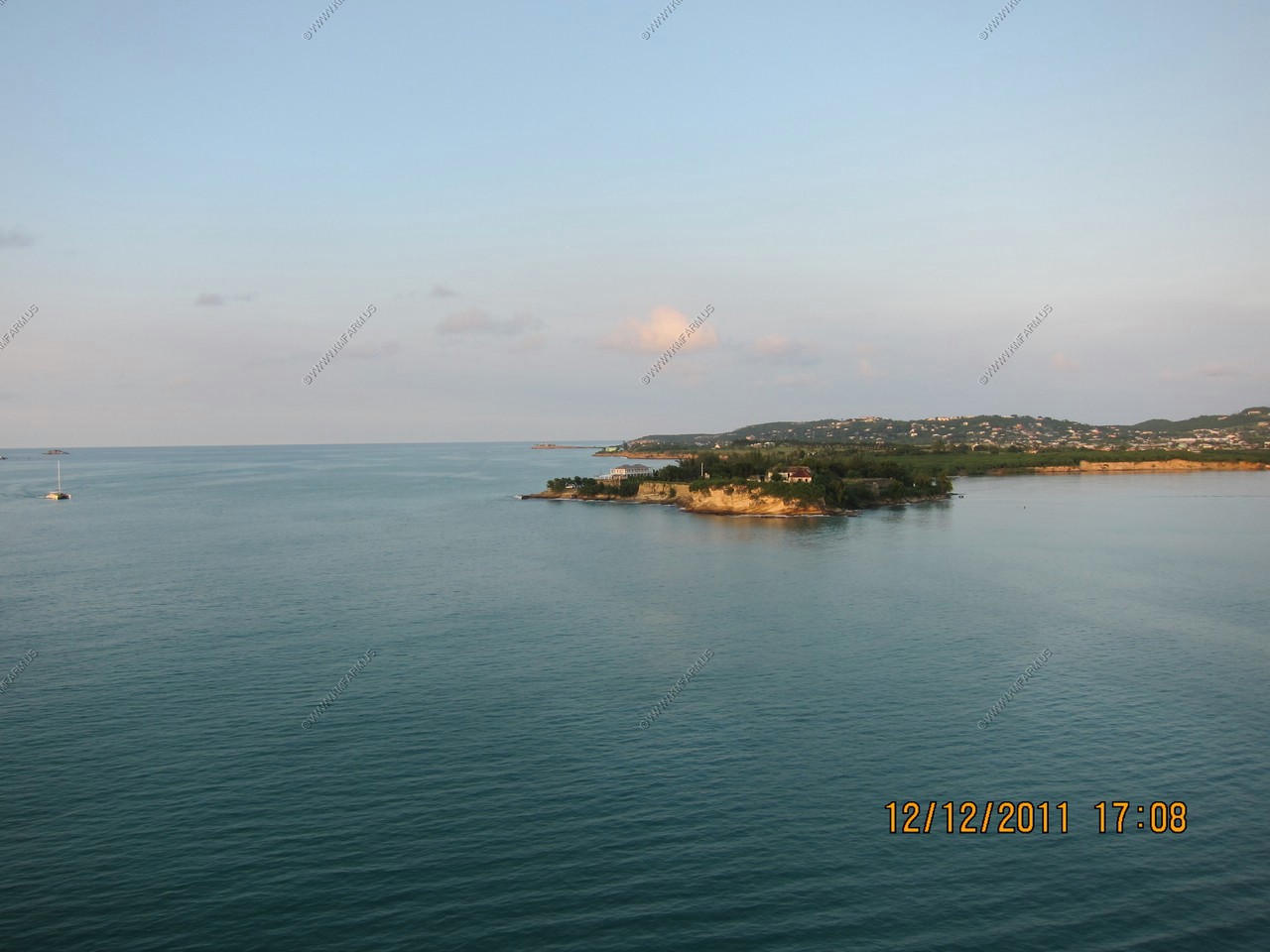
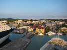
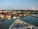
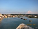
Day 8, DEC 12, St. Johns - Antigua
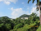
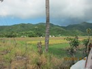
We docked in St. John's. Antigua, the largest of the English-speaking Leeward Islands, is about 14 miles long and 11 miles wide,
encompassing 108 square miles. Its highest point is Boggy Peak (1319 ft.), located in the southwestern corner of the island.
The taxi driver, Terrence Jackson, showed us the Boggy Peak and told us it was officially renamed Mt. Obama. Taxi driver was
very good and loved his island.
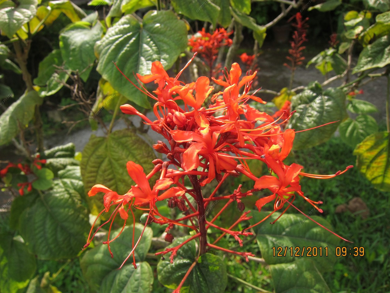
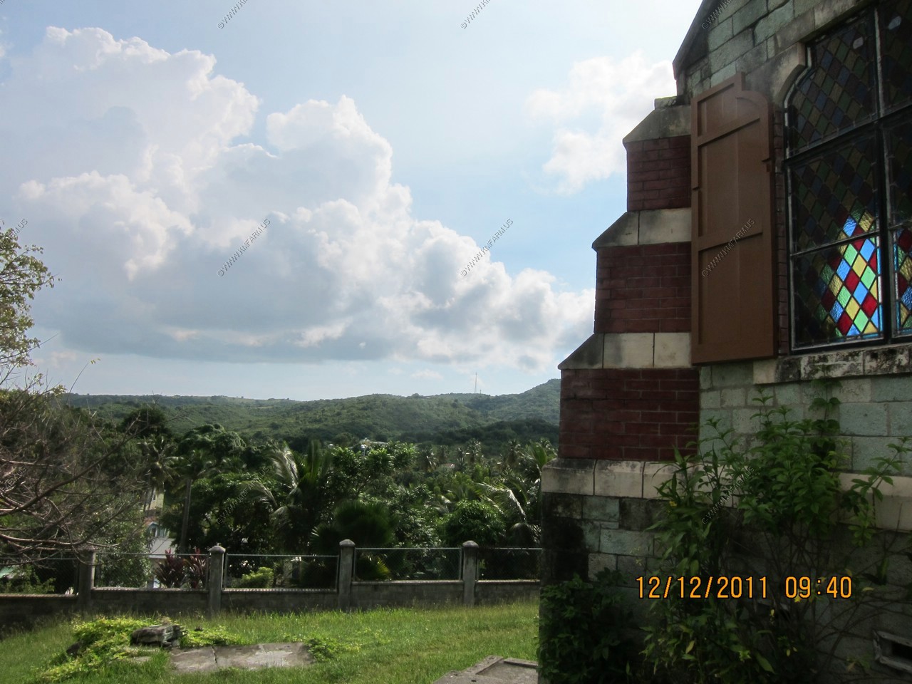
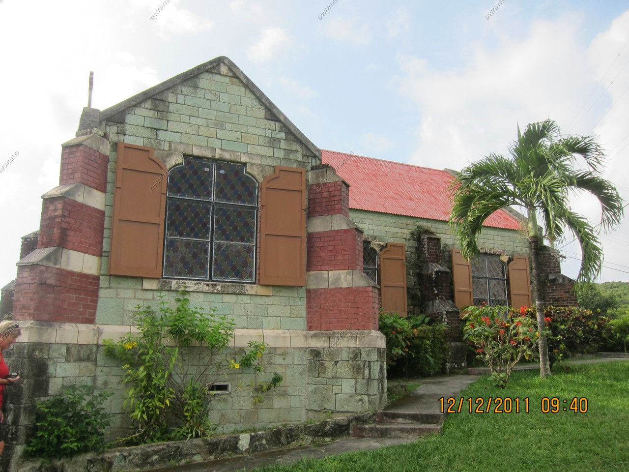
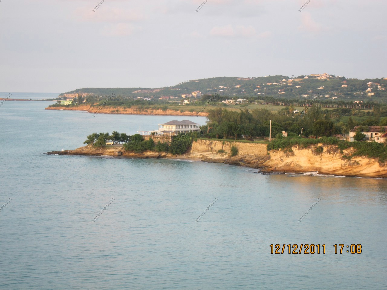
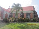
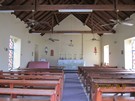
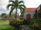
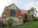
We went past a beautiful old church, St. Barnabas Anglican Church, made from native stone that has a beautiful green color.
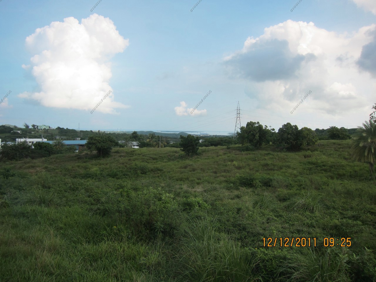
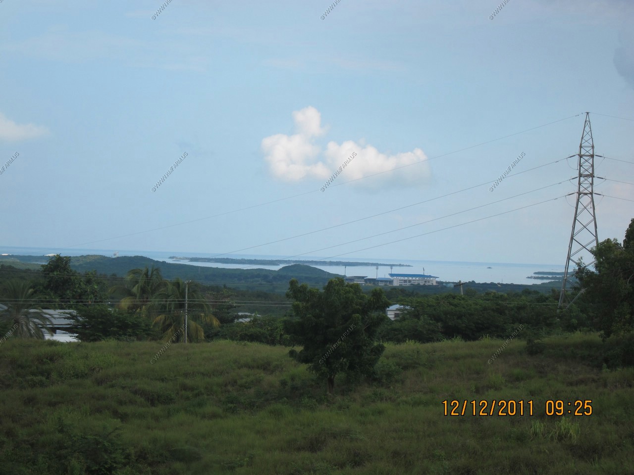
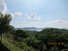
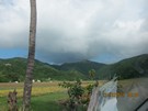
The island was very green and the driver told us they had record rains so it was more green than usual. We stopped at an
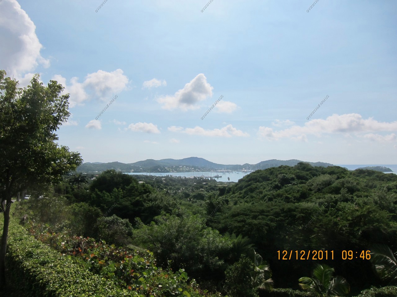
overlook, which may have been English Harbour. We then continued on this road and went by Nelson's Dockyard but the group
decided not to go in the museum. We continued to Fig drive which is home to The Antigua Rainforest Canopy Tour. This is a
unique eco-tour through Antigua's lush rainforest where you embark on an unforgettable 21-element journey through the verdant
forest, high above the trees. It was hot and humid and our tablemates said they sweated through their clothes as soon as
they got there.
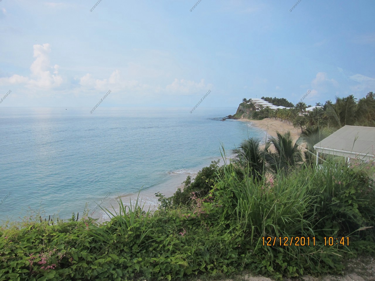
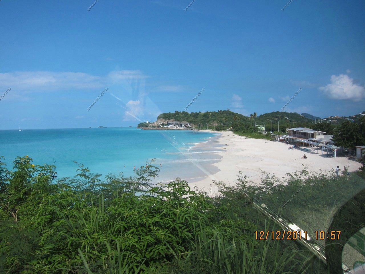
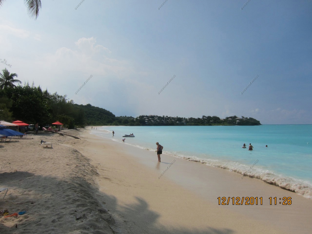
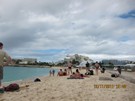
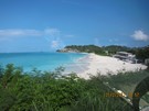
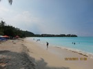
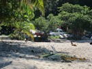
We considered three beaches--first was Turner's Beach, next was Darkwood beach and we continued to Valley Church Bay. All were
beautiful. I think this was chosen because of the beach bar. This beach and the other two along this stretch were nicer than
Dickenson Bay, where we went last year. The beach was lovely but visibility of the water was poor. That was true last time
also and we were told to come in summer when water clarity is better.
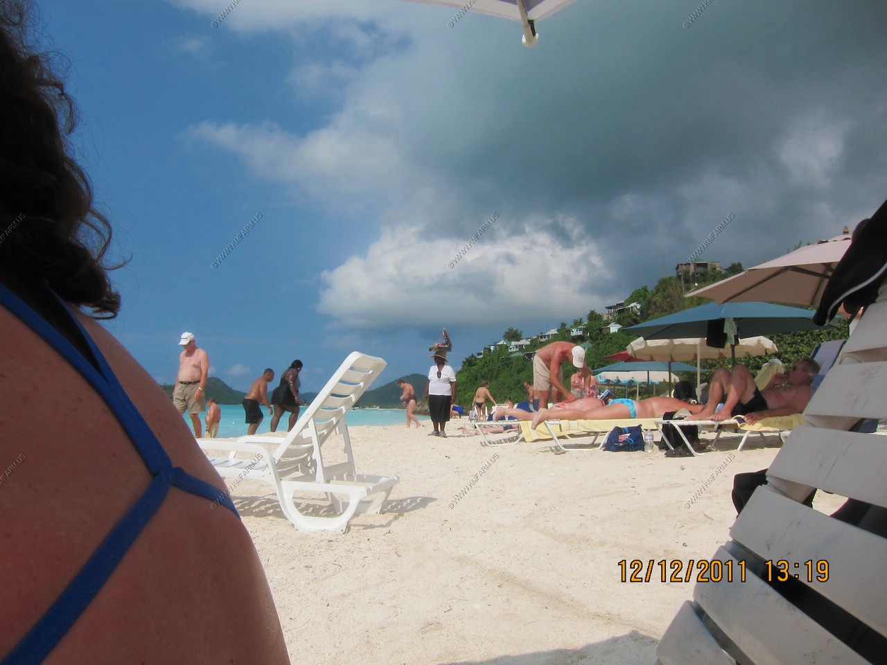
We stayed until 2:30 or 3:00 and then back to the ship. After eating and showering we went back to the shopping area for rum.
Ken bought some St. Marteen rum and a spiced rum.
Looking south at Antigua as we arrive. Looks like a nice day
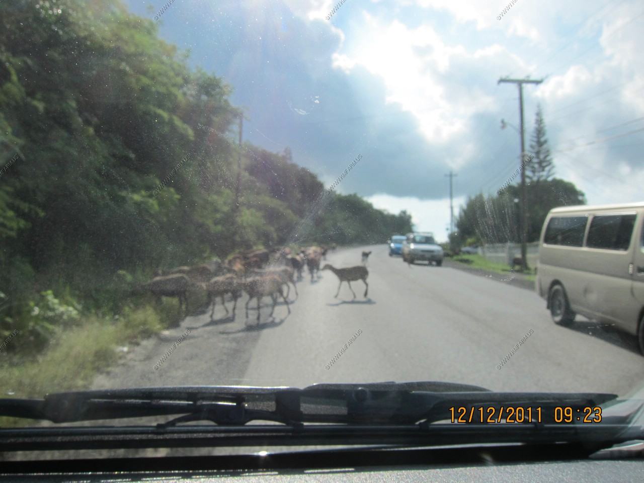
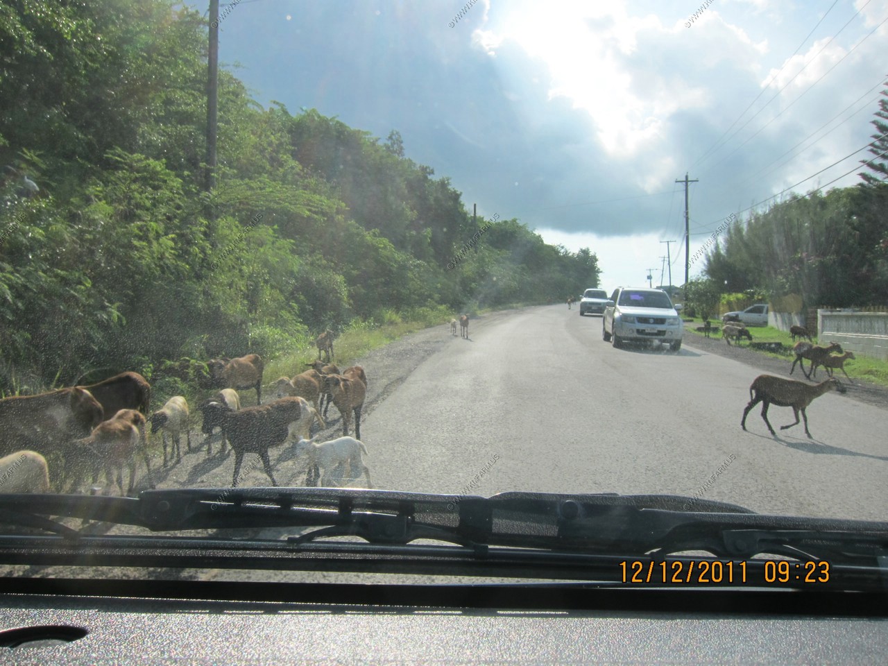
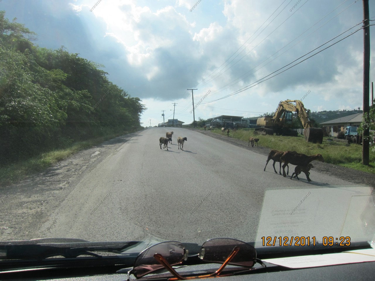
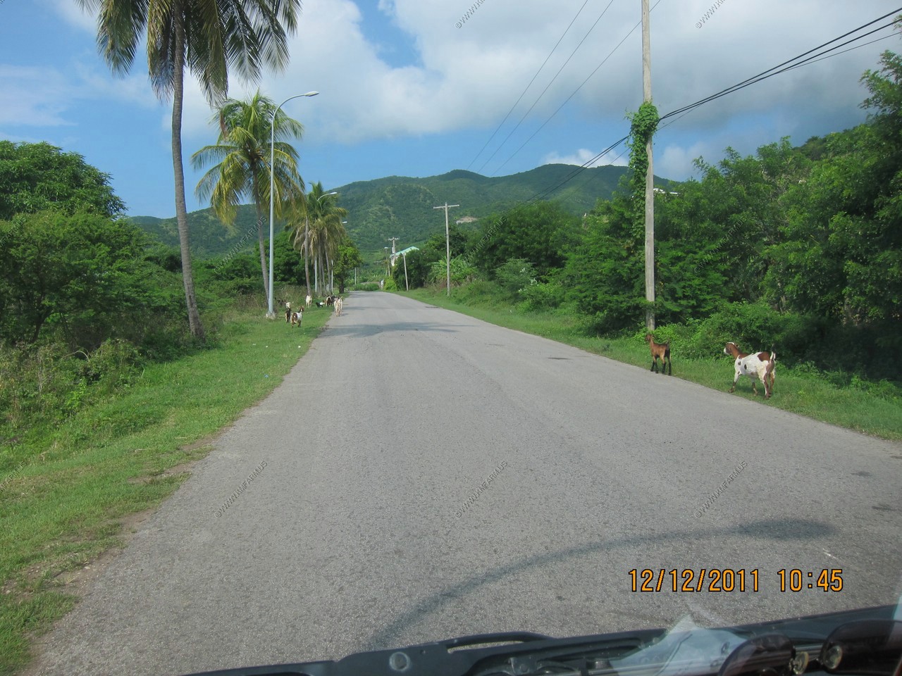
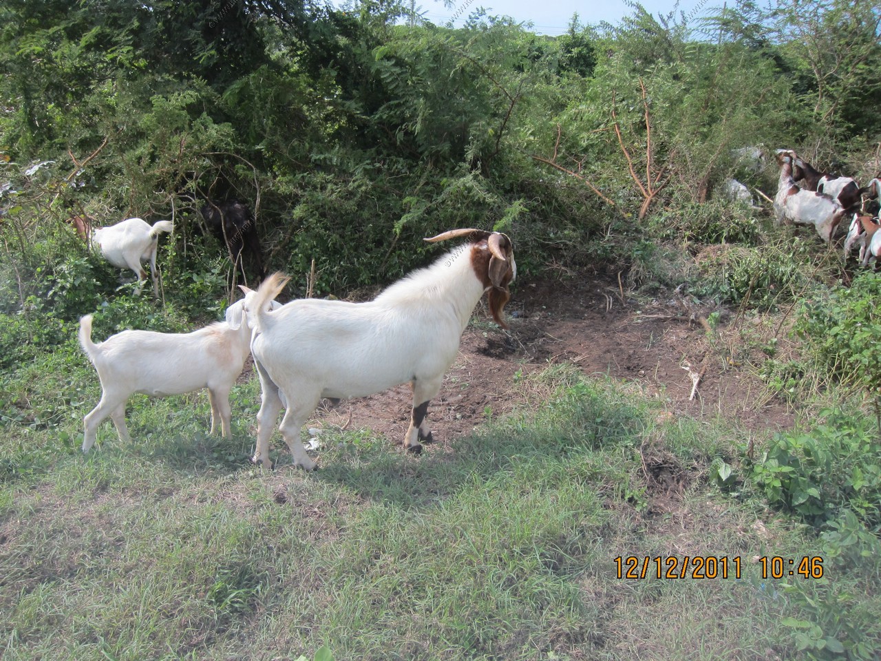
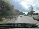
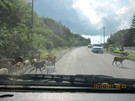
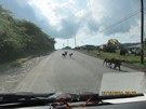
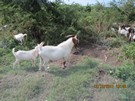
Lots of goats
Looking at the Chinese-built Sir Vivian Richards Stadium with long island in the background
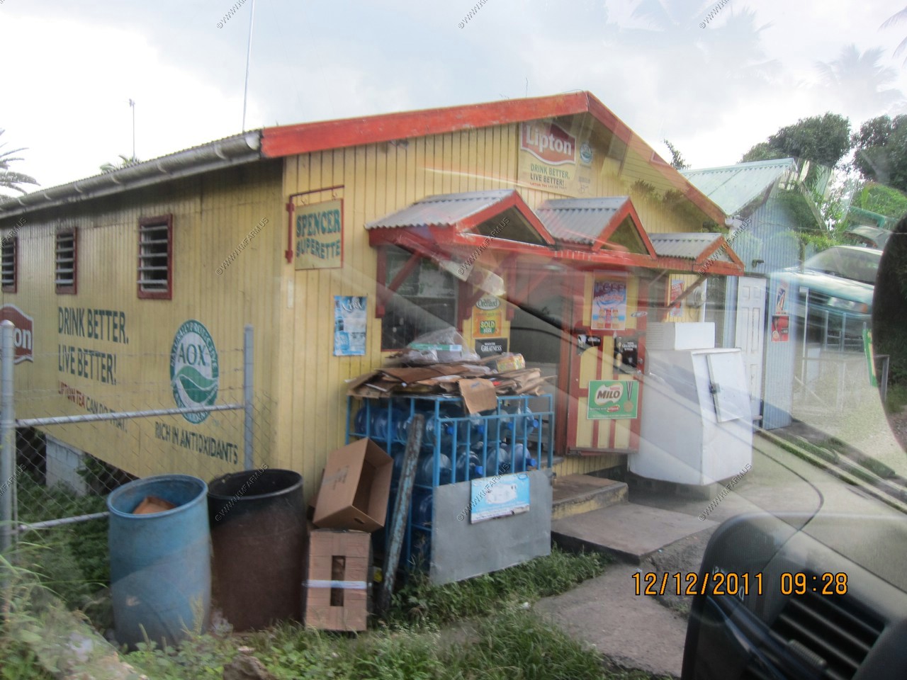
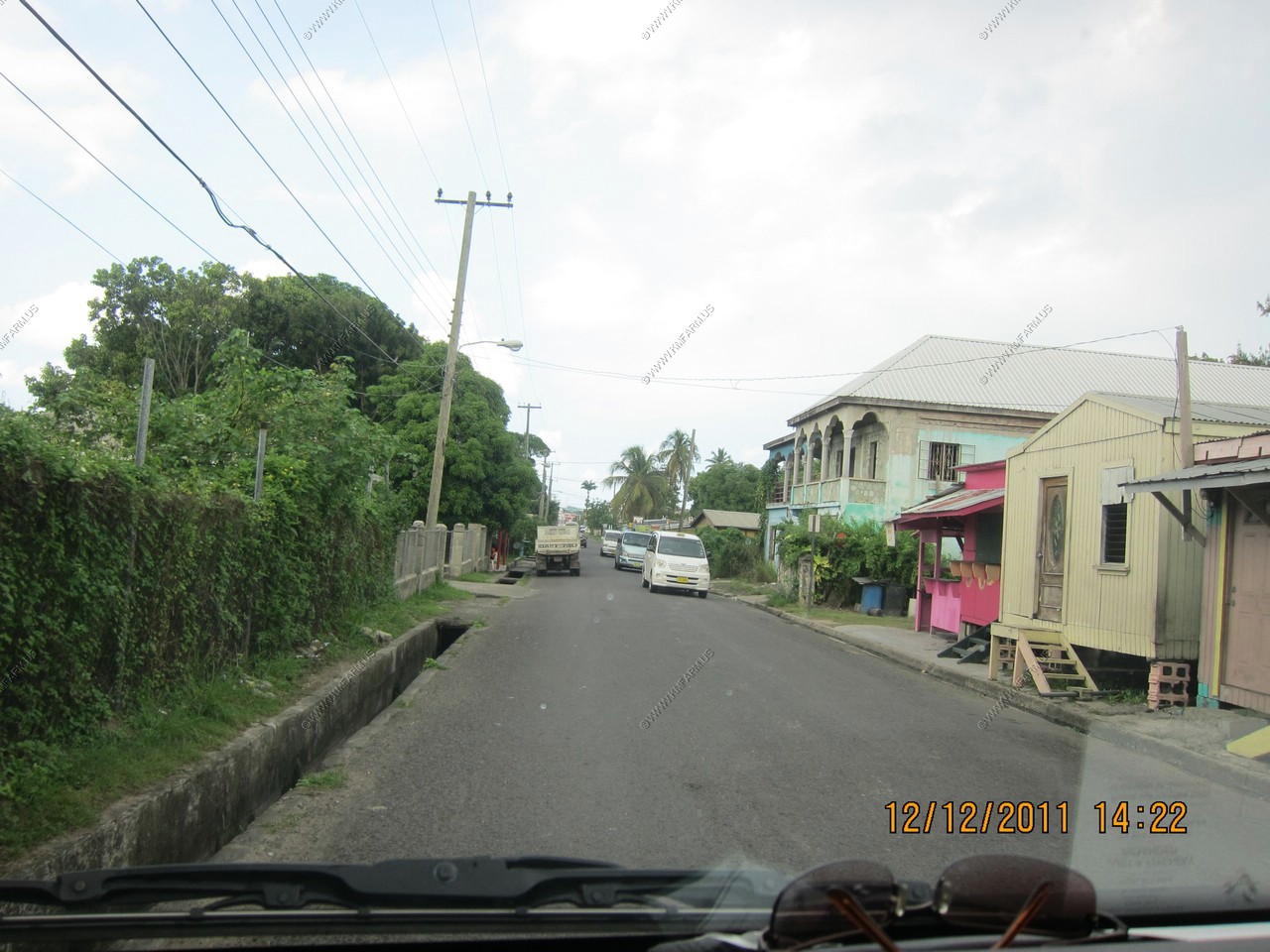
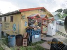
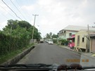
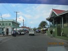
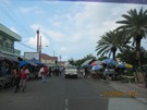
Local store as we drive along
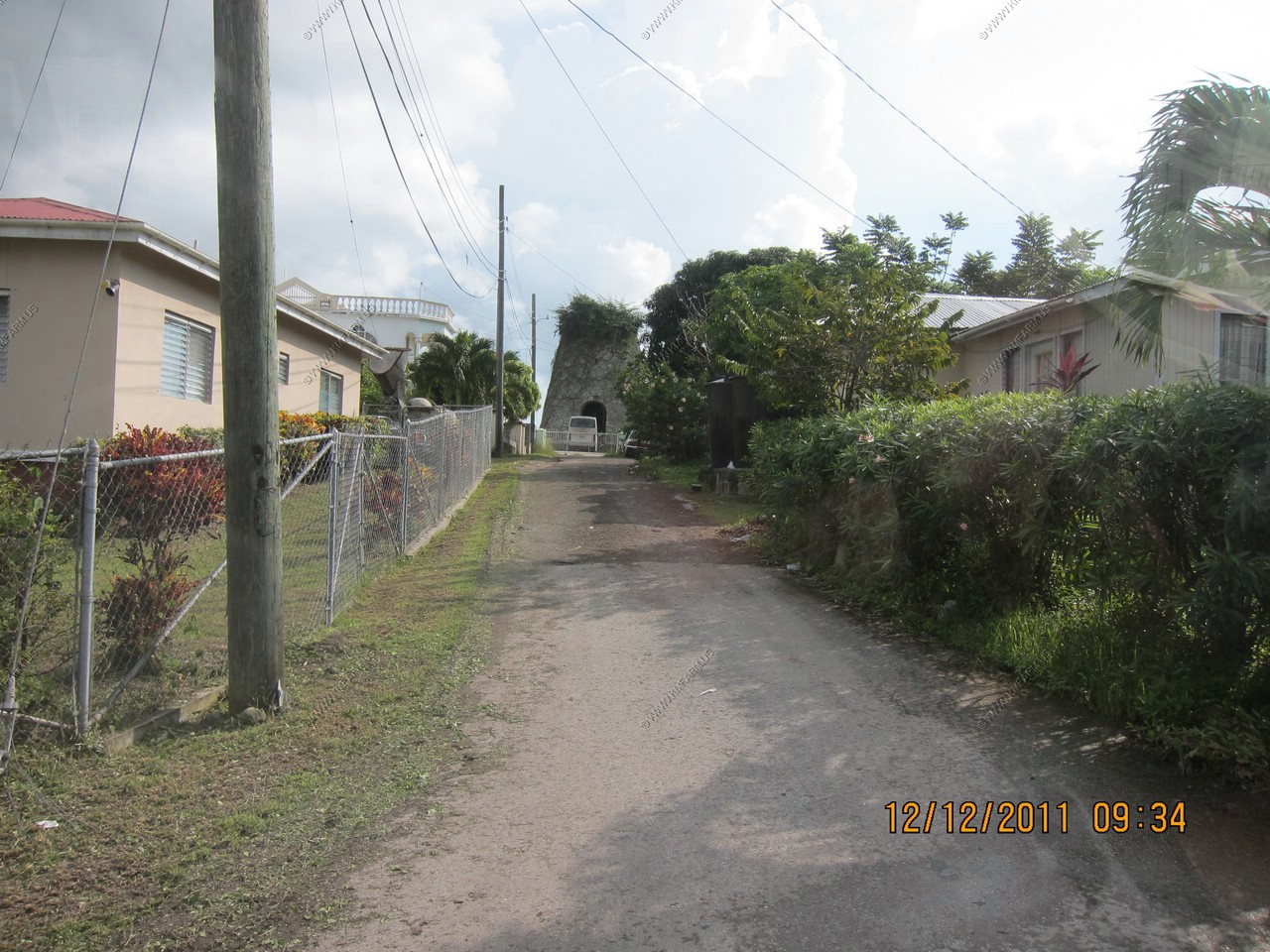
Sugar mill
Stopping to check out St. Barnabas Anglican Church between Sweets and Falmouth (Located at: 17.0387777N 61.7902341W)

Falmouth Harbour from the vender area.
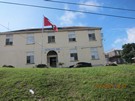
Dockyard police station at English Harbour
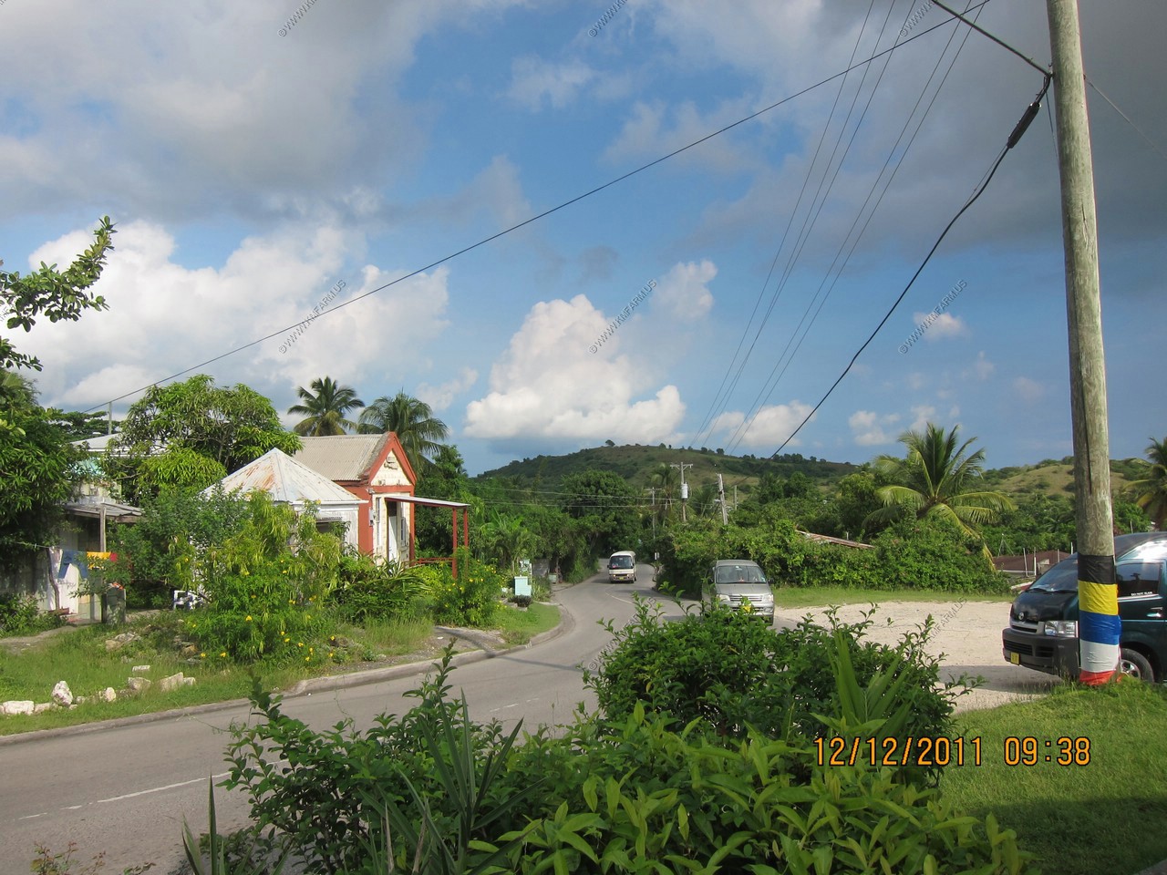
Taking old road along the southern coast.


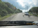
More goats along old road. The taxi driver owns some goats and was telling us how they let the goats out to wander to feed. This happens
every day but only after they are "trained". Otherwise they won't come back home.
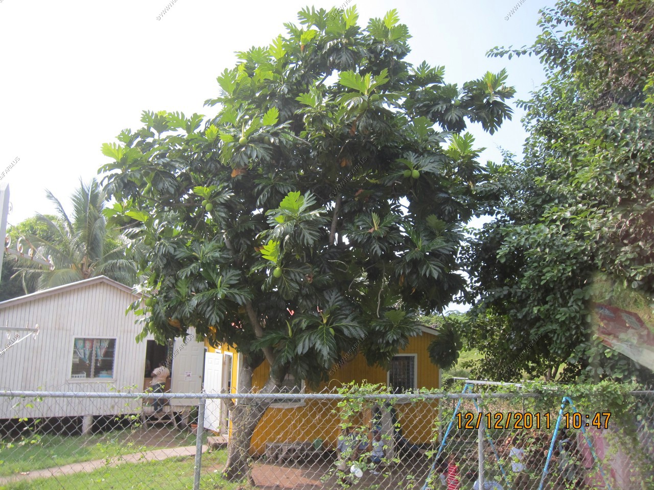
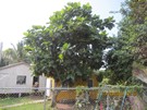
Breadfruit tree
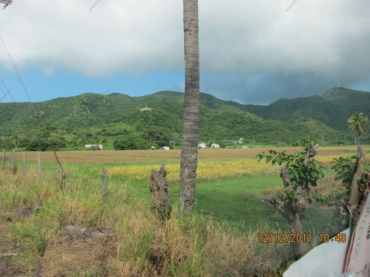
Pineapple fields
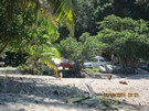
This may be Darkwood Restaurant & Bar
We ended up at Valley Church Bay where peopel would walk buy trying to sell us stuff every 10 minutes or so.
The drive back to the ship. Very 3rd world feeling to the place.
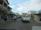
MOVIE 3rd world ride (wmv - 28 meg)
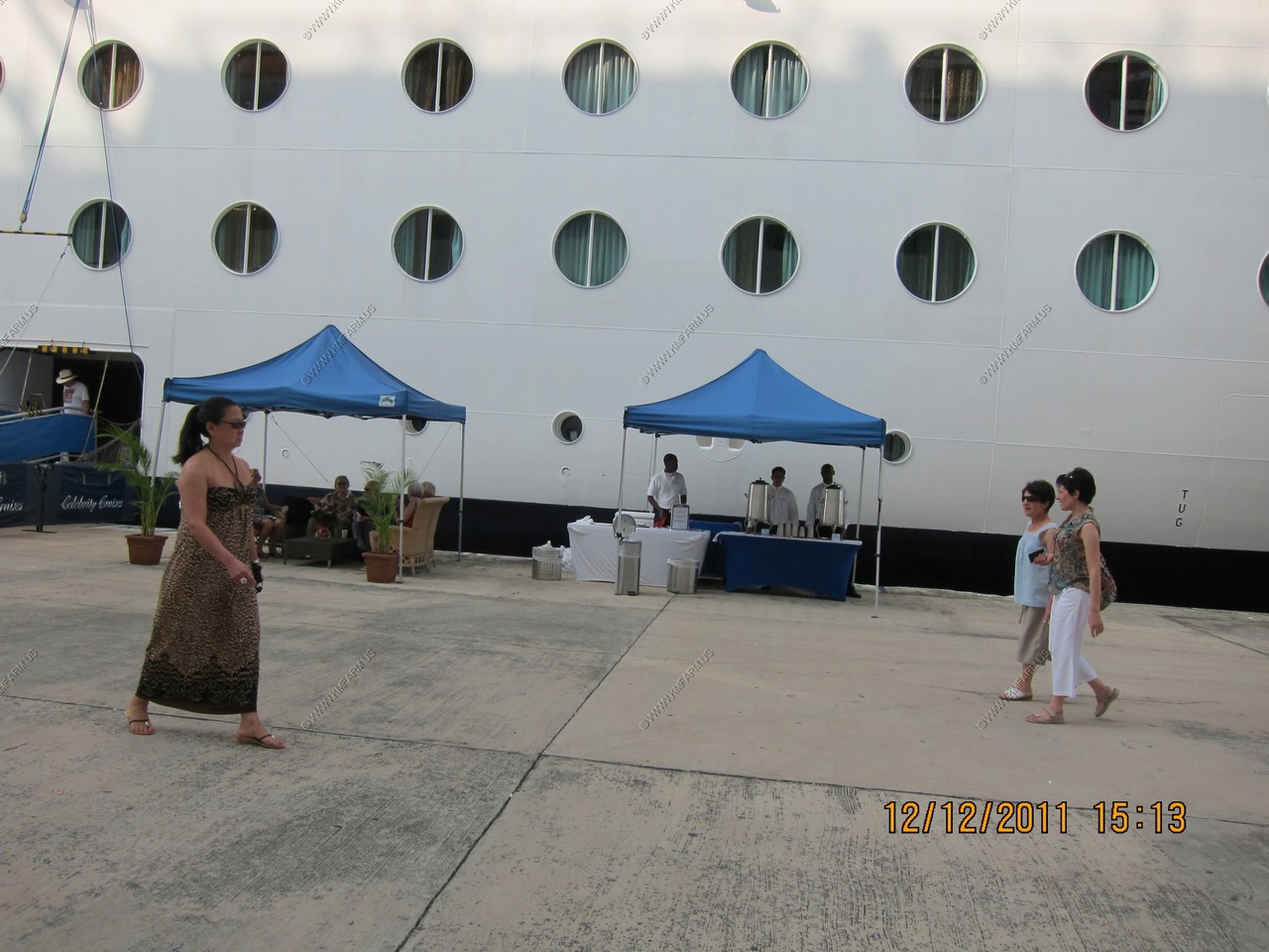
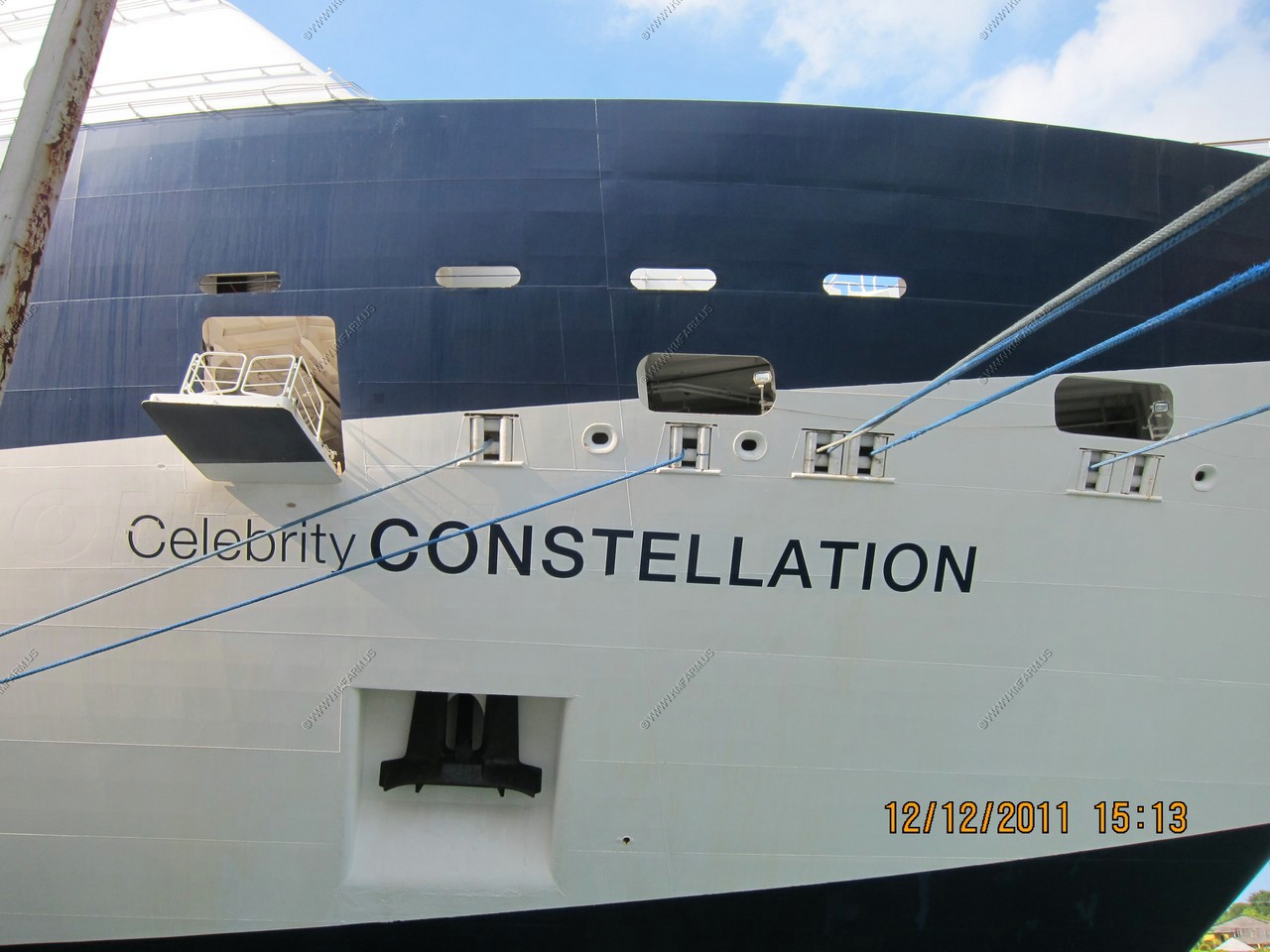
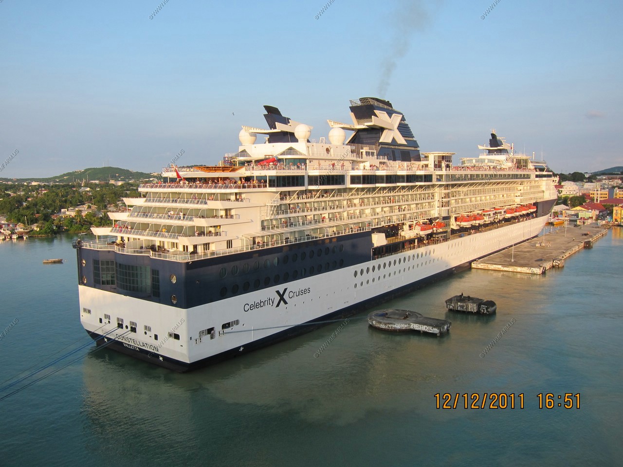
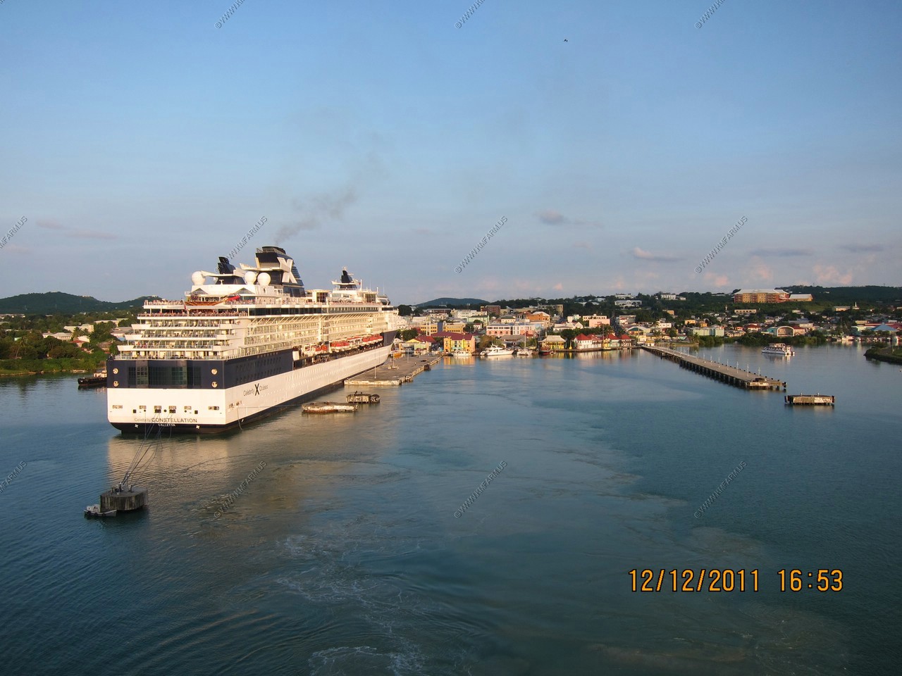
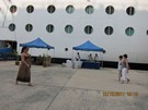
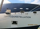
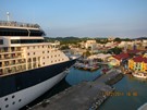
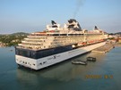
We were in port with Celebrity Constellation. We miss the cold towels and drinks.
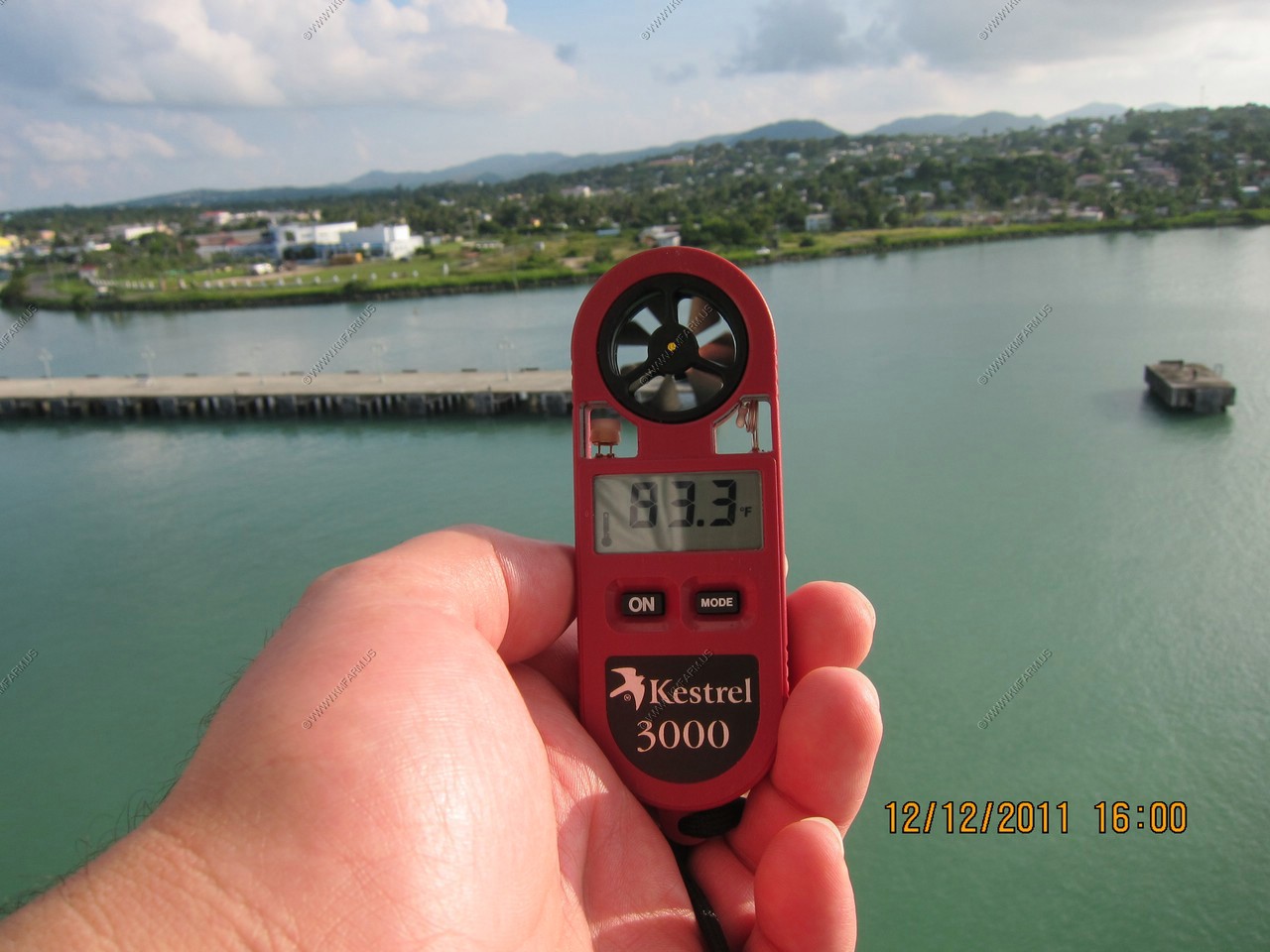
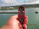
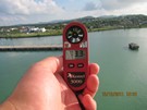
It's always hot when we come here ! 83.3 degrees Heat index 91.4 degrees with a dew point of 73.3

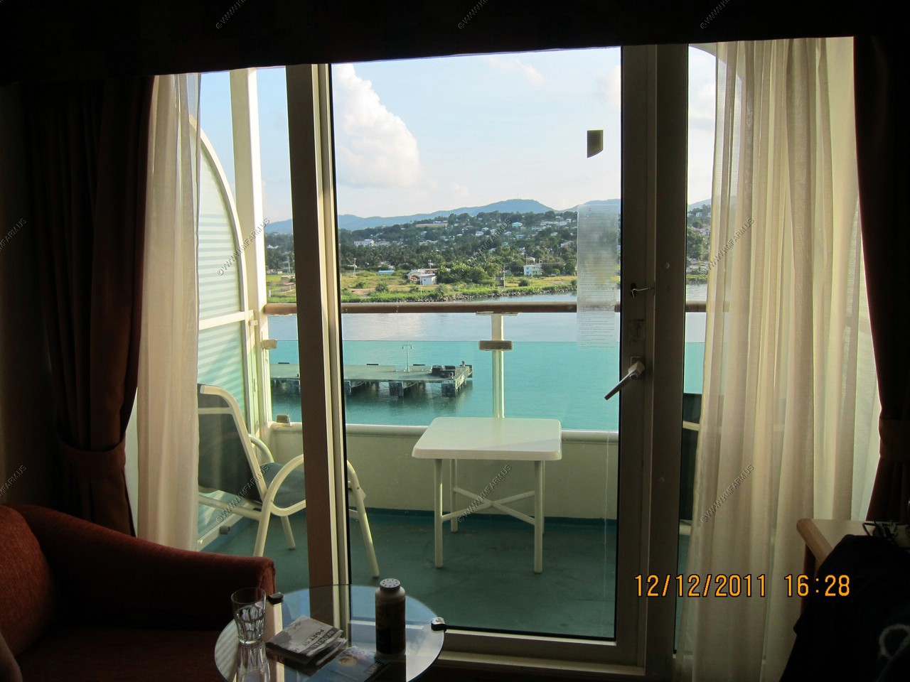
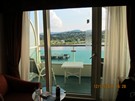
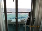
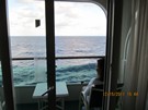
A room with a view
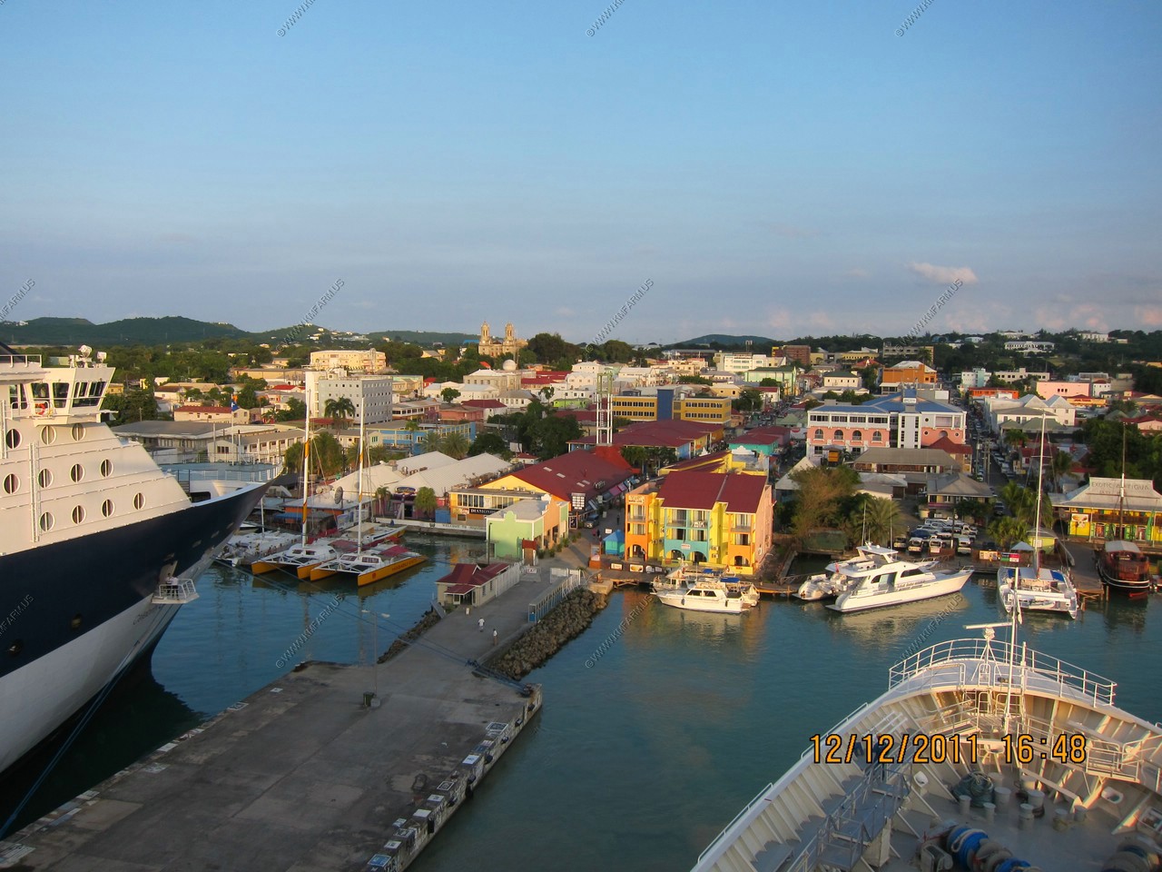
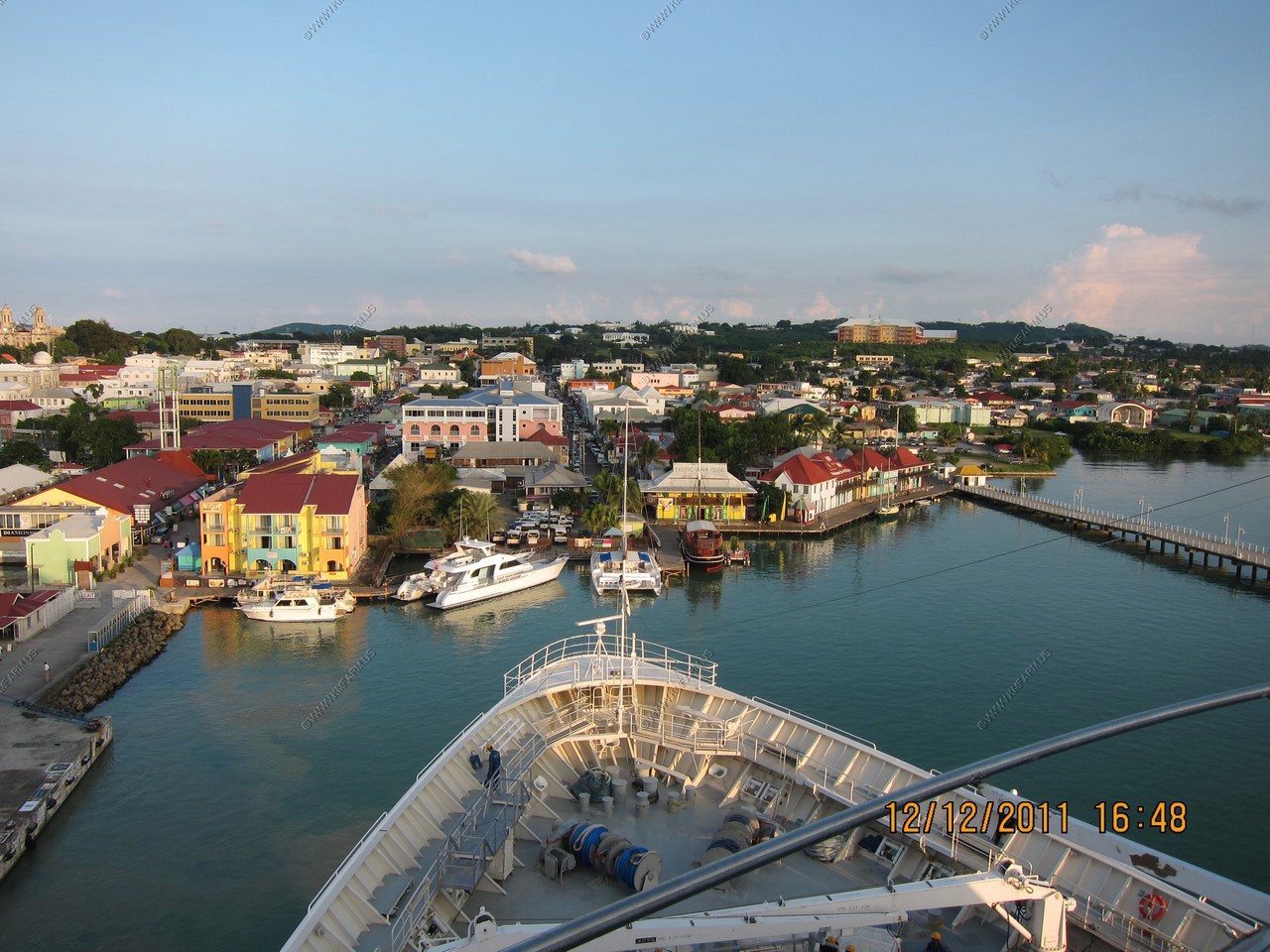
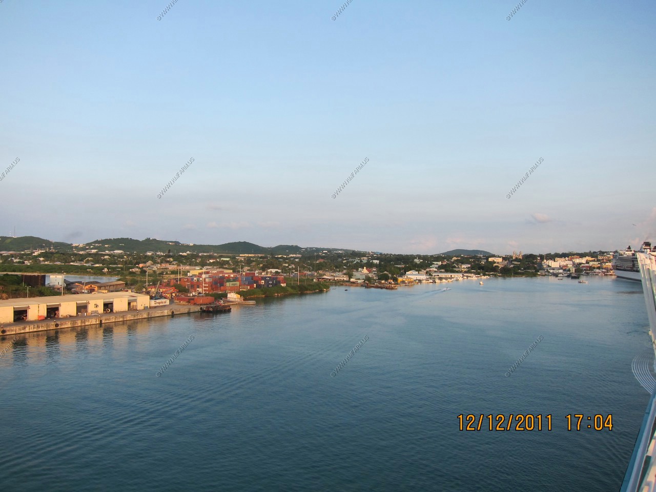
St. Johns Harbour views
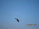
Always a great place to watch frigatebirds
Departing St. Johns Harbour with a big thunderstorm to the east.
Mt. Obama (with antennas in the distance)
This is the highest point of Antigua, 402 meter (1.319) feet above sea level. A one-hour climb will take you to the top of
this highest point on Antigua, from which you can glimpse the neighboring islands of Montserrat and Saint Kitts.
It was formerly known as Boggy Peak but was renamed in honor of Barack Obama on August 4th, 2009.
I am sure it will be renamed after Mr. Obama destroys the United States ! (and when we returned in 2017 it had been renamed and they said it was a joke & mistake)

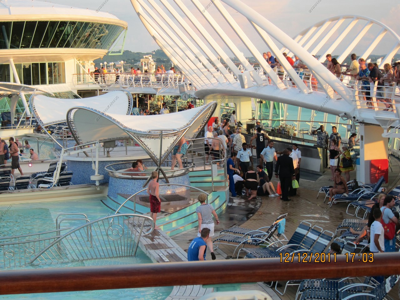
Another person slips and falls. The decks of this ship are very slippery. I assume it's because of all the SPRAY lotions
that the lazy people now use. 30% goes on you and the rest goes on the floor.
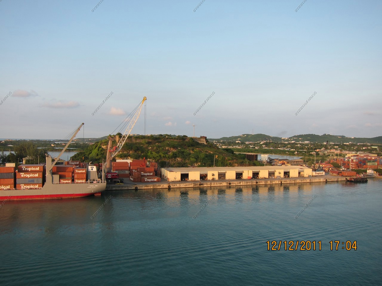
Container port facilities

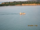
Fishing boat
Fort James
Constructed in 1706 and garrisoned up until 1850, Fort James is unique in that it is the only fort that still retains it's cannons.
All the other cannons on the island were sold for scrap in the late 1860's. While the fort never saw battle, it was capable of firing
24 lb shot a distance of one and half miles using 8 lbs. of powder.
Russell's Bar & Restaurant at Fort James

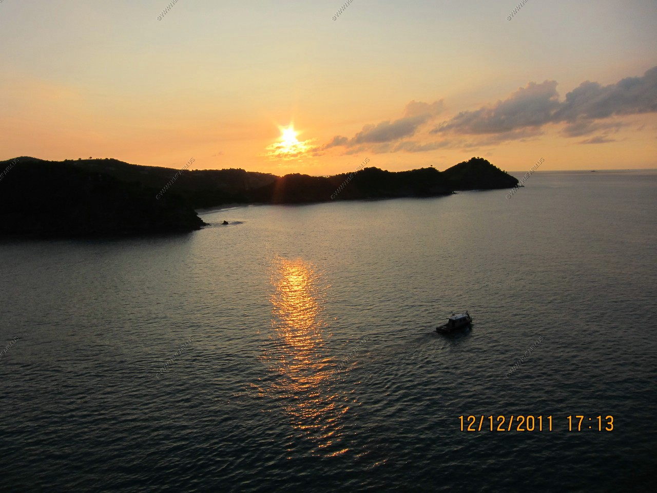
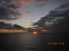
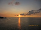
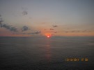
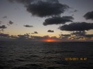
Sunset time
Looks like a groundhog coming out of the water
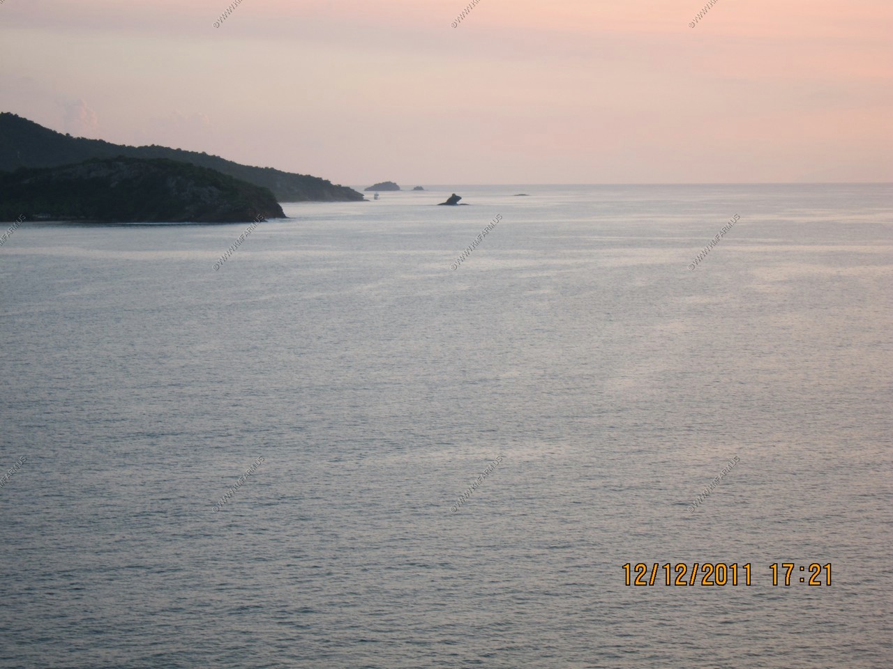
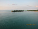
Montserrat appx. 26 miles away
Montserrat is an overseas territory of the United Kingdom. Its Georgian-era capital city of Plymouth was destroyed and two-thirds
of the island's population forced to flee abroad owing to an eruption of the long time dormant Soufriere Hills volcano that began
on July 18, 1995. The eruption continues today on a much reduced scale, the damage being confined to the areas around Plymouth
including its docking facilities and the former W.H. Bramble Airport. An exclusion zone extends from the south coast of the island
north to parts of the Belham Valley. Parts of the zone may be open during the day, and provide visitors with a spectacular view of
the volcano and the destruction it has wrought upon the town.
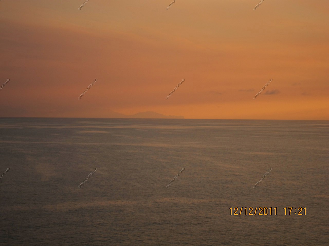
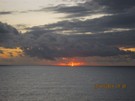
Sunset over Redonda Island (Antigua and Barbuda) (30 miles away)
The "Kingdom of Redonda" is a slightly humorous name for the tiny uninhabited island of Redonda, which is situated between the
islands of Nevis and Montserrat, within the inner arc of the Leeward Islands chain, in the West Indies. The island is now part of
the country of Antigua and Barbuda.
This small island may, arguably and briefly, actually have existed as an independent kingdom, the title to which is still to this
day contested in a half-serious fashion. The "Kingdom" is also associated with a number of supposed aristocratic members, whose
titles are given out freely by whomever is currently the "King".
According to a story told many years later by his son, who was a fantasy fiction writer, in 1865 Matthew Dowdy Shiell, from the
nearby island of Montserrat, proclaimed himself to be the rightful, and supposedly legal, "King" of the island of Redonda. This
story may be partly or entirely fictional.
The small (approx 1 square mile) island of Redonda, is essentially one very large rock. It is the remnant of an ancient volcanic
core, and the land rises extremely steeply from sea level, mostly as sheer cliffs. Although to Columbus the island appeared to be
round when viewed from the side, it is in reality long and narrow. Redonda is uninhabited, except by wildlife and a flock of feral
goats, who manage to survive on the poor grazing on top of the island.
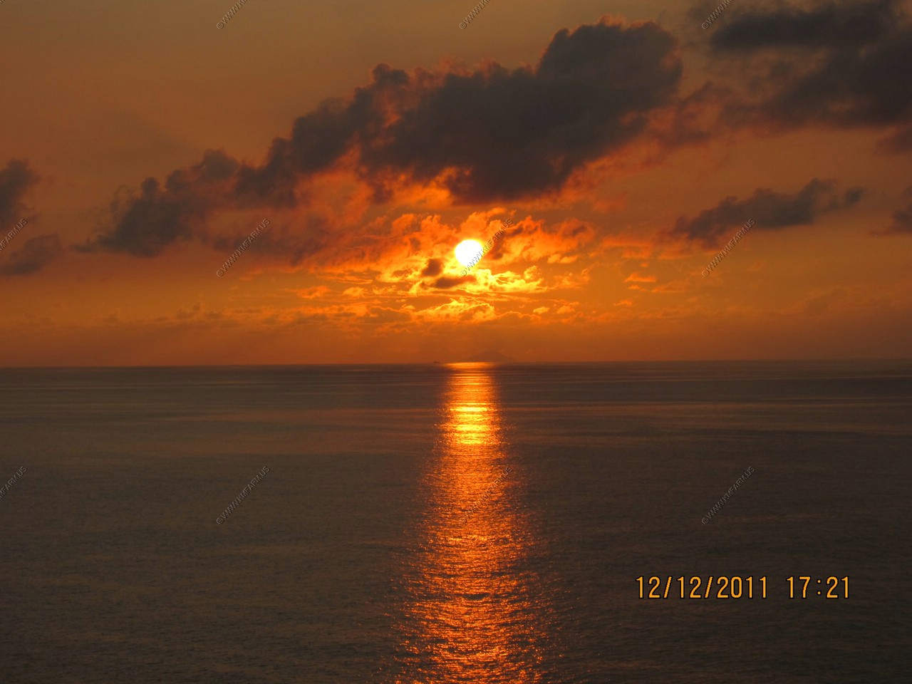
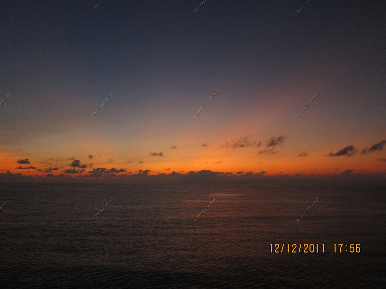
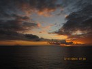
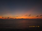
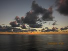
Sunset time continues
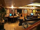
Checking my email in the computer area. I brought my own system, which was good as the ships systems were down a good bit.

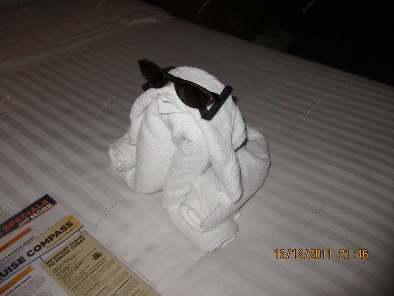
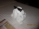
Tonight's critter
Another ship
Passing St. Kitts on the 200 mile trip to Tortola
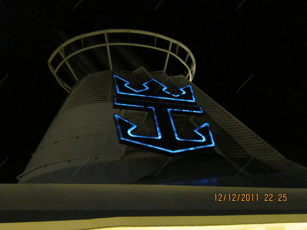
RCL in neon
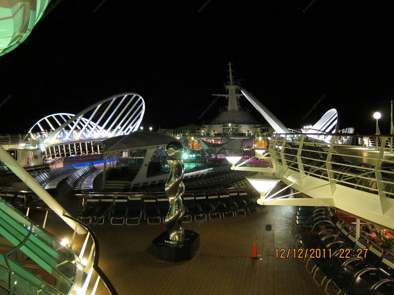
Quiet night

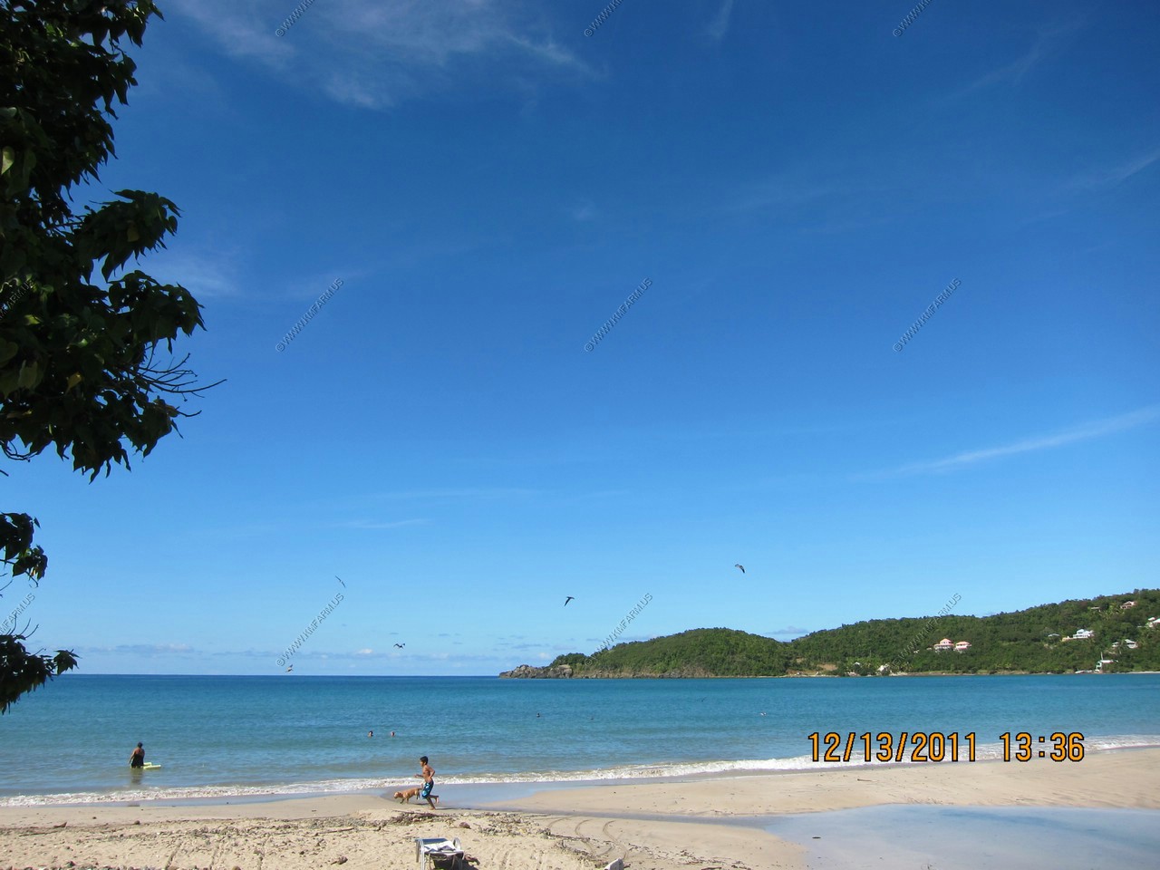
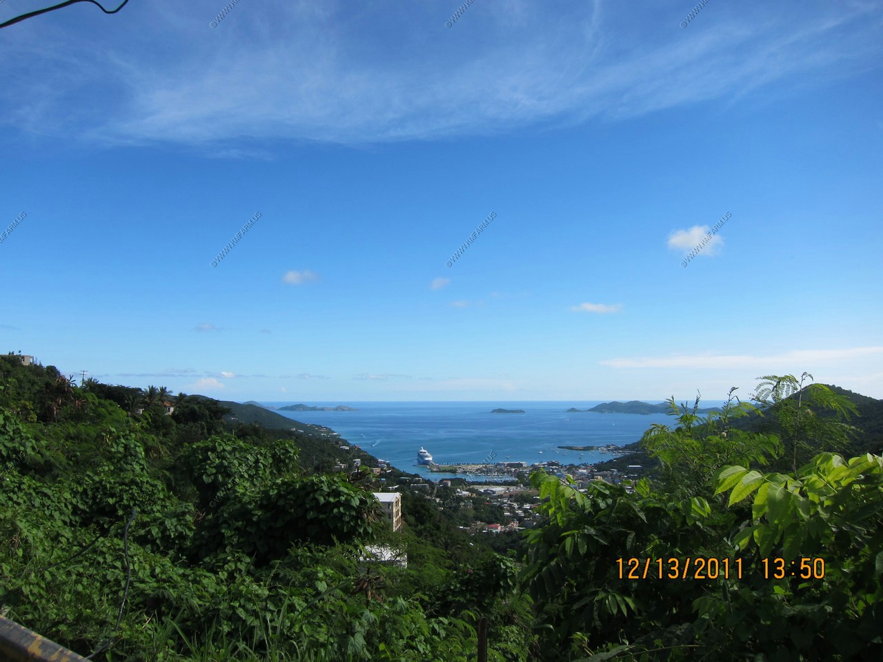
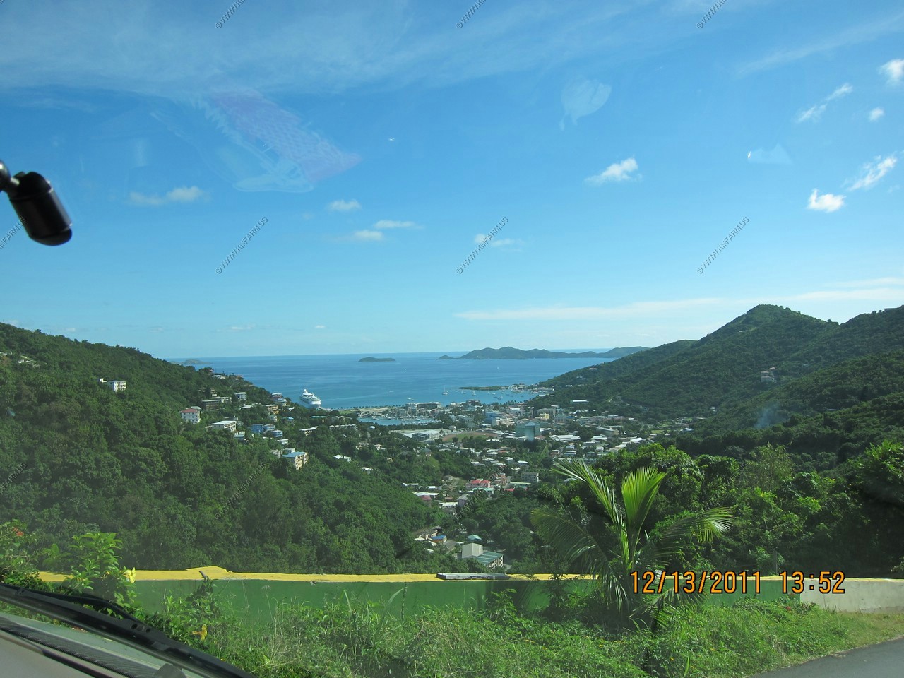
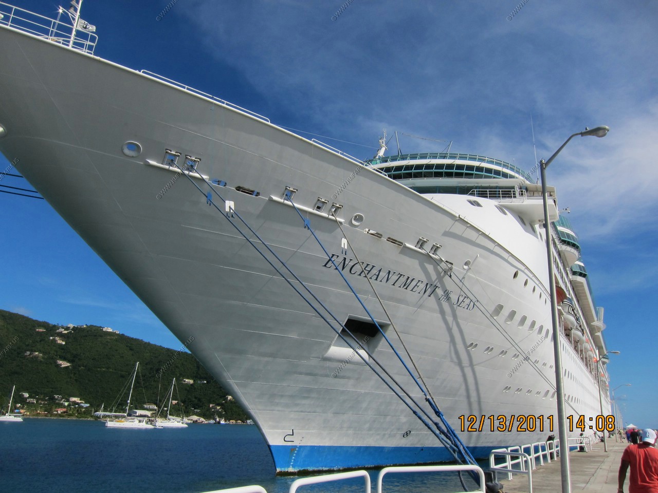
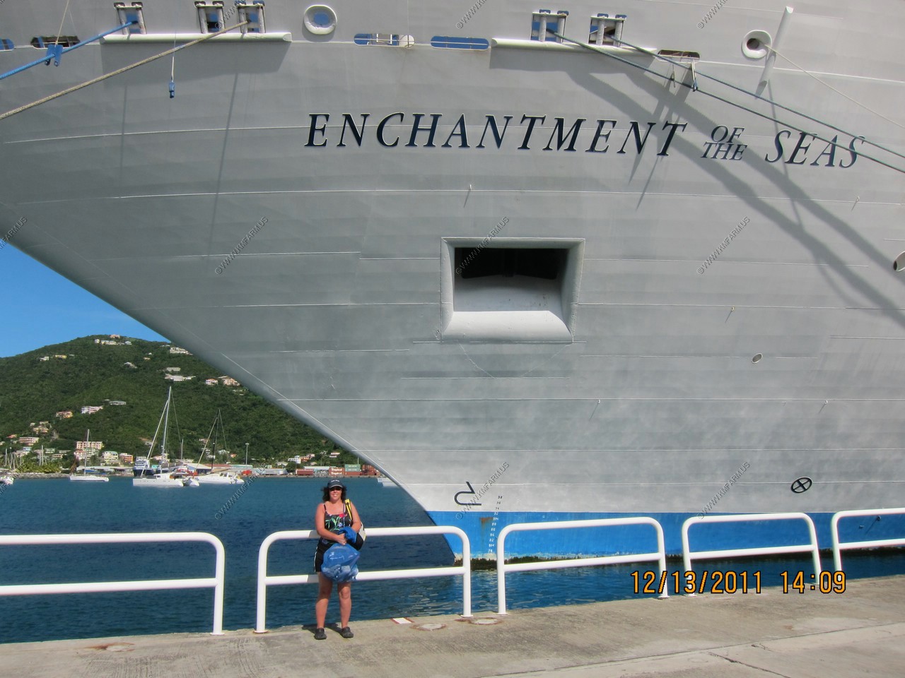
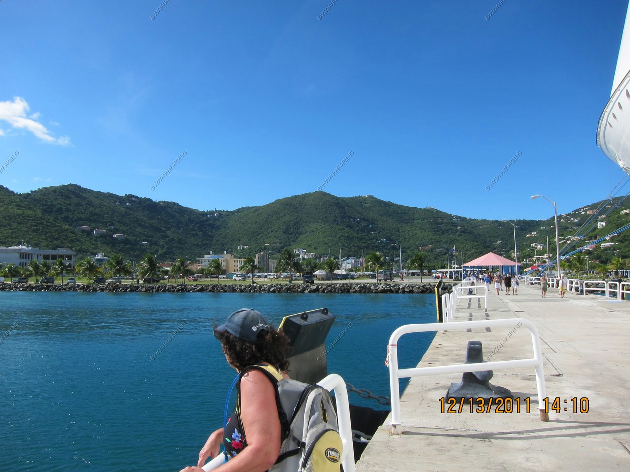
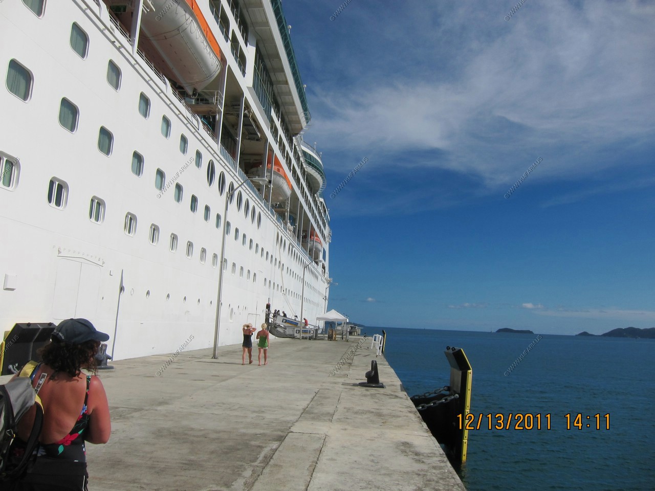
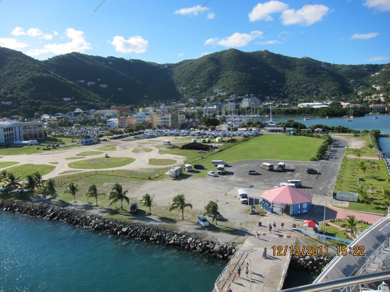
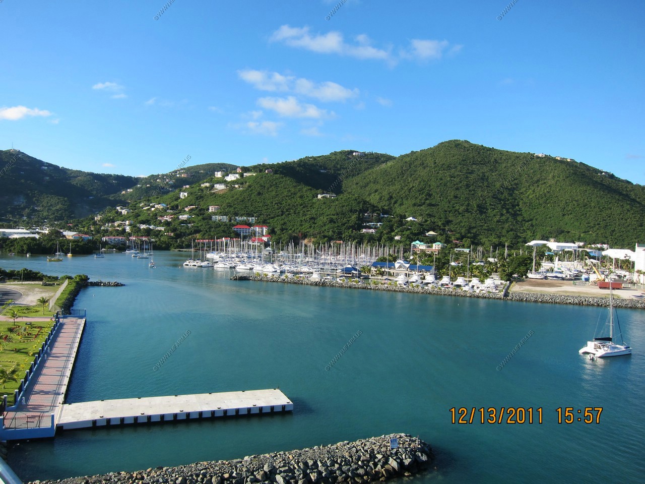
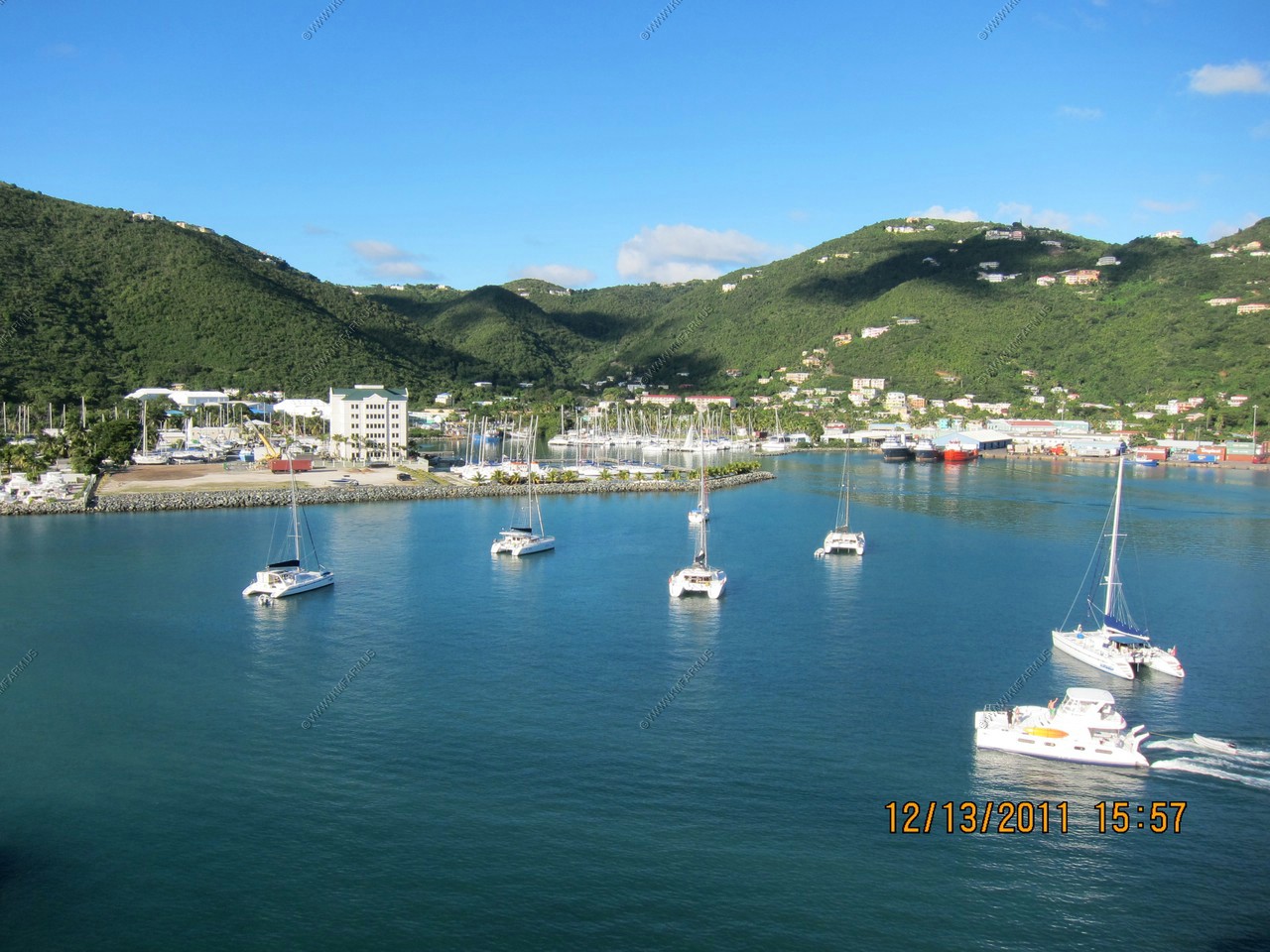
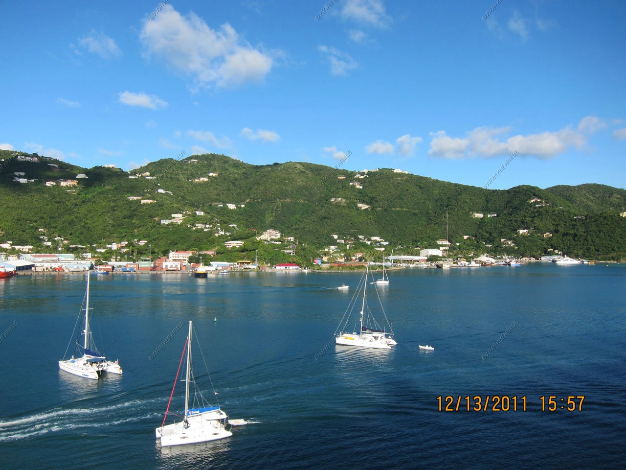
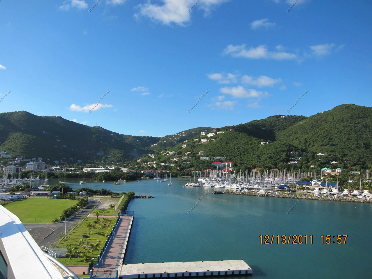
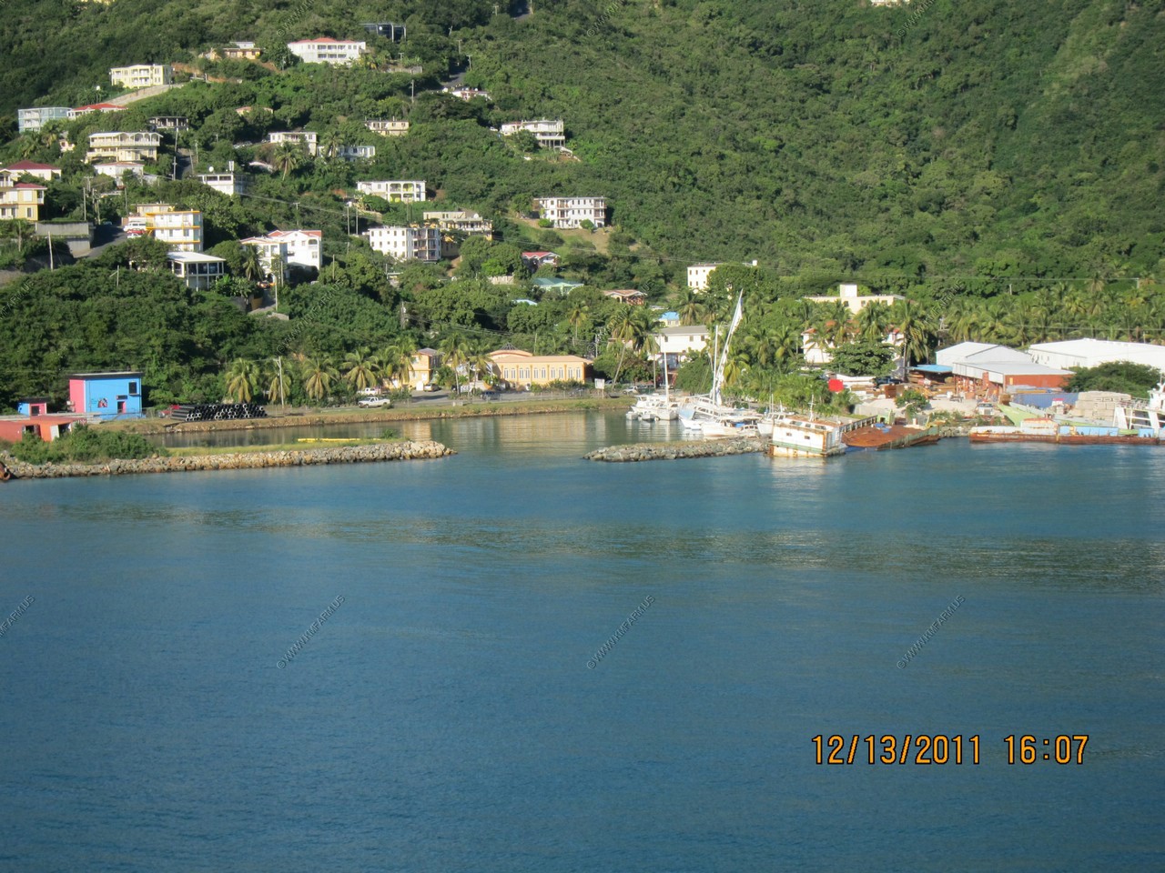
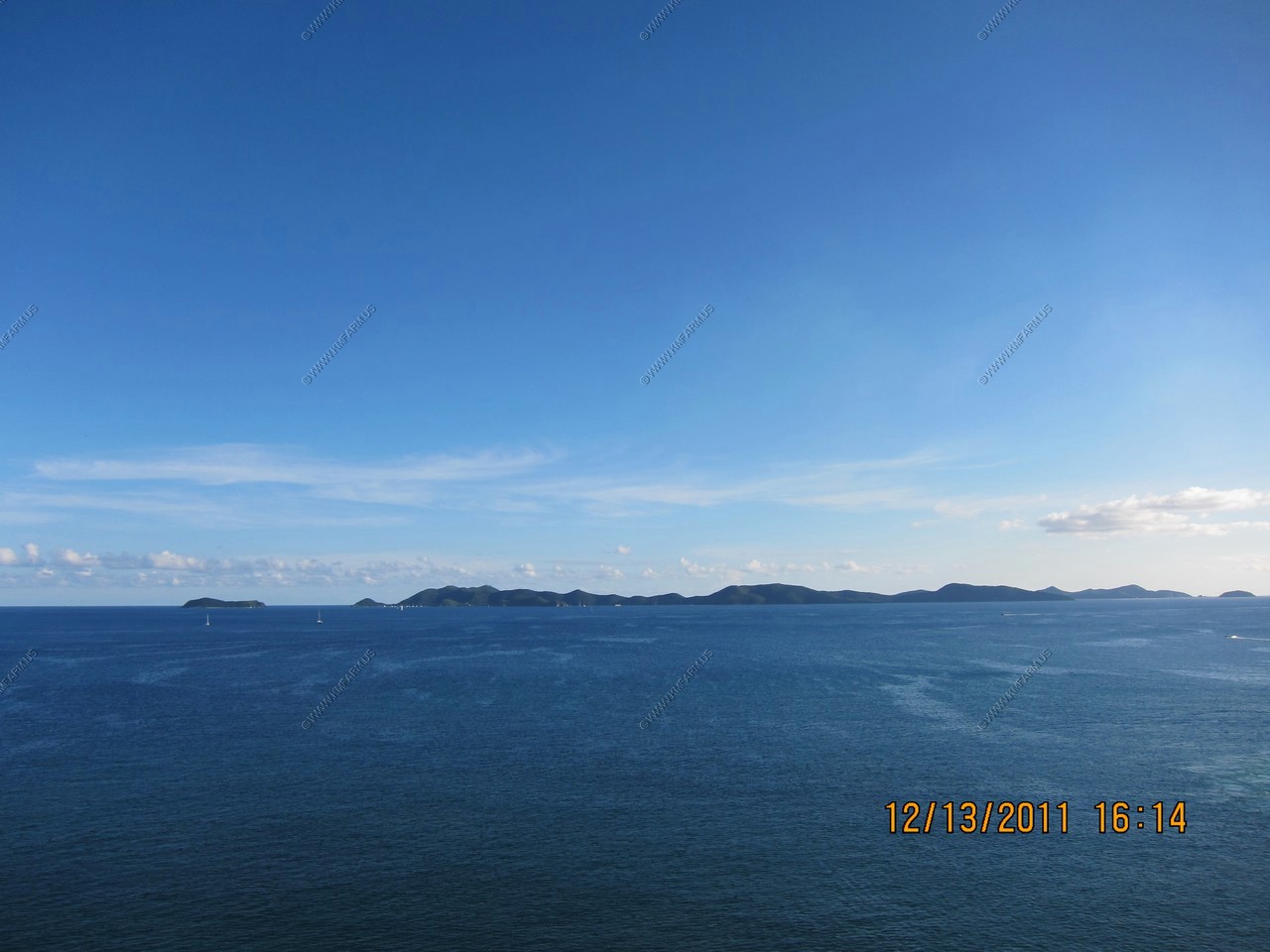
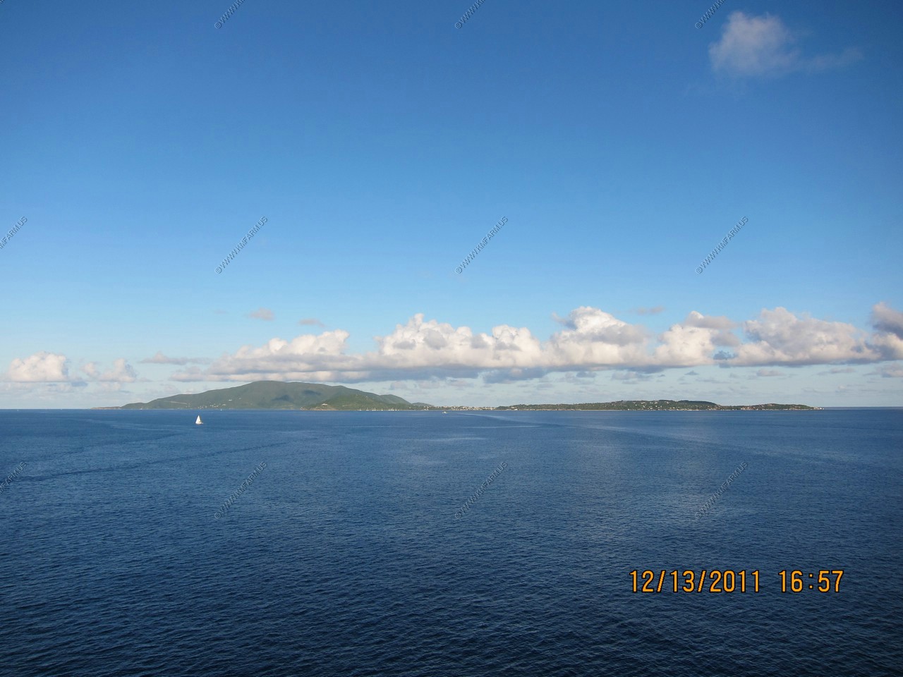
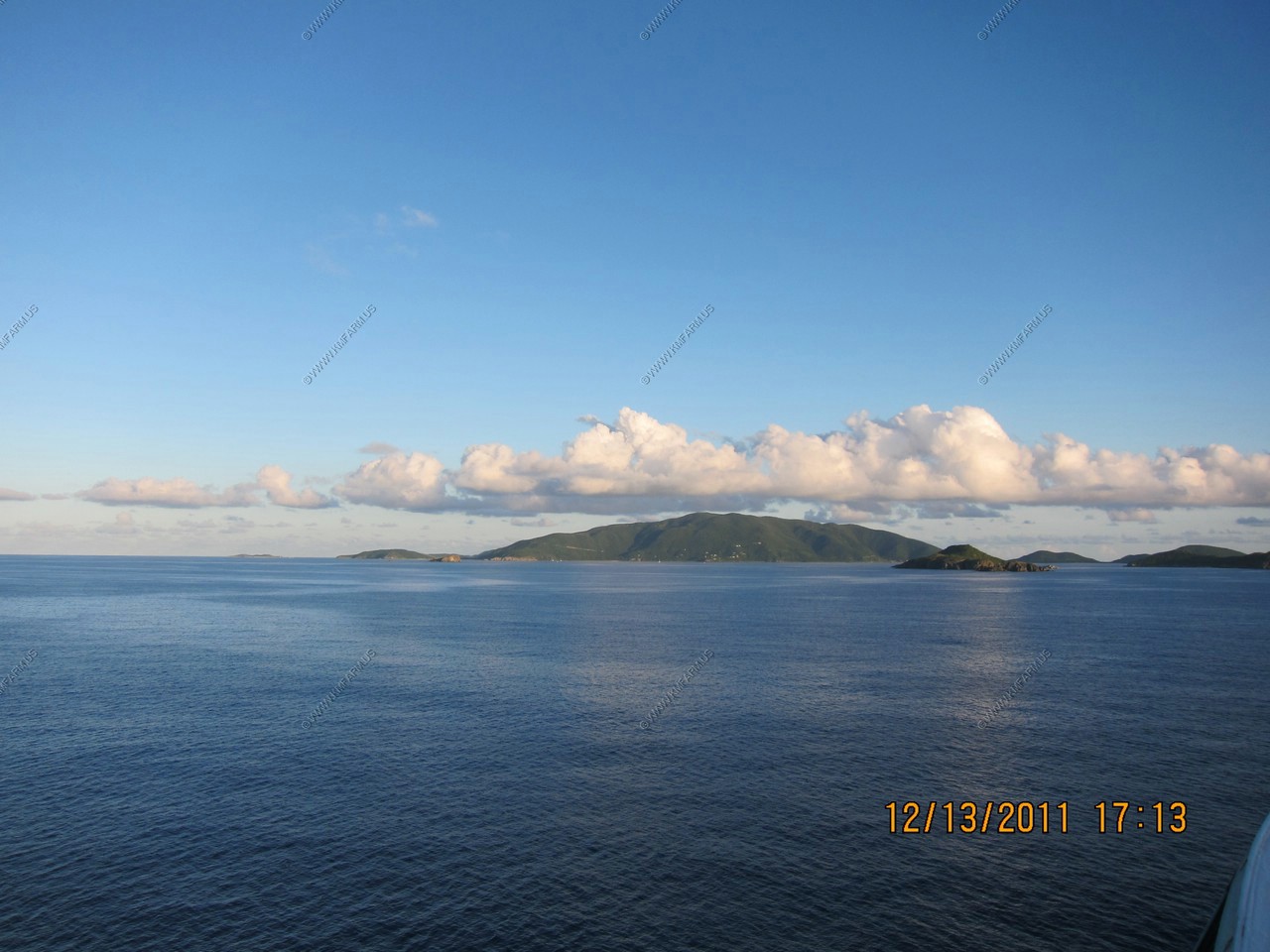
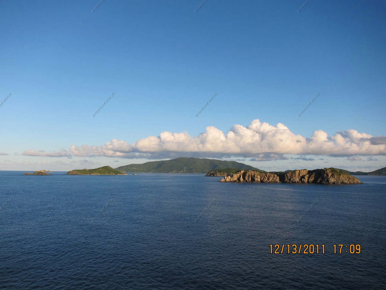
Day 9, DEC 13, Tortola - B.V.I.
Tortola was our last port and the best weather of the trip. We have been here 4 times and I wanted to go to Norman Caves
or Jost Van Dyke, reachable by boat only. I didn't plan this ahead, figuring we could book it once we got off the ship.
This time we arrived early @ 7 and had to be back on board by 3:30. After looking in the marina for boat tours, and the
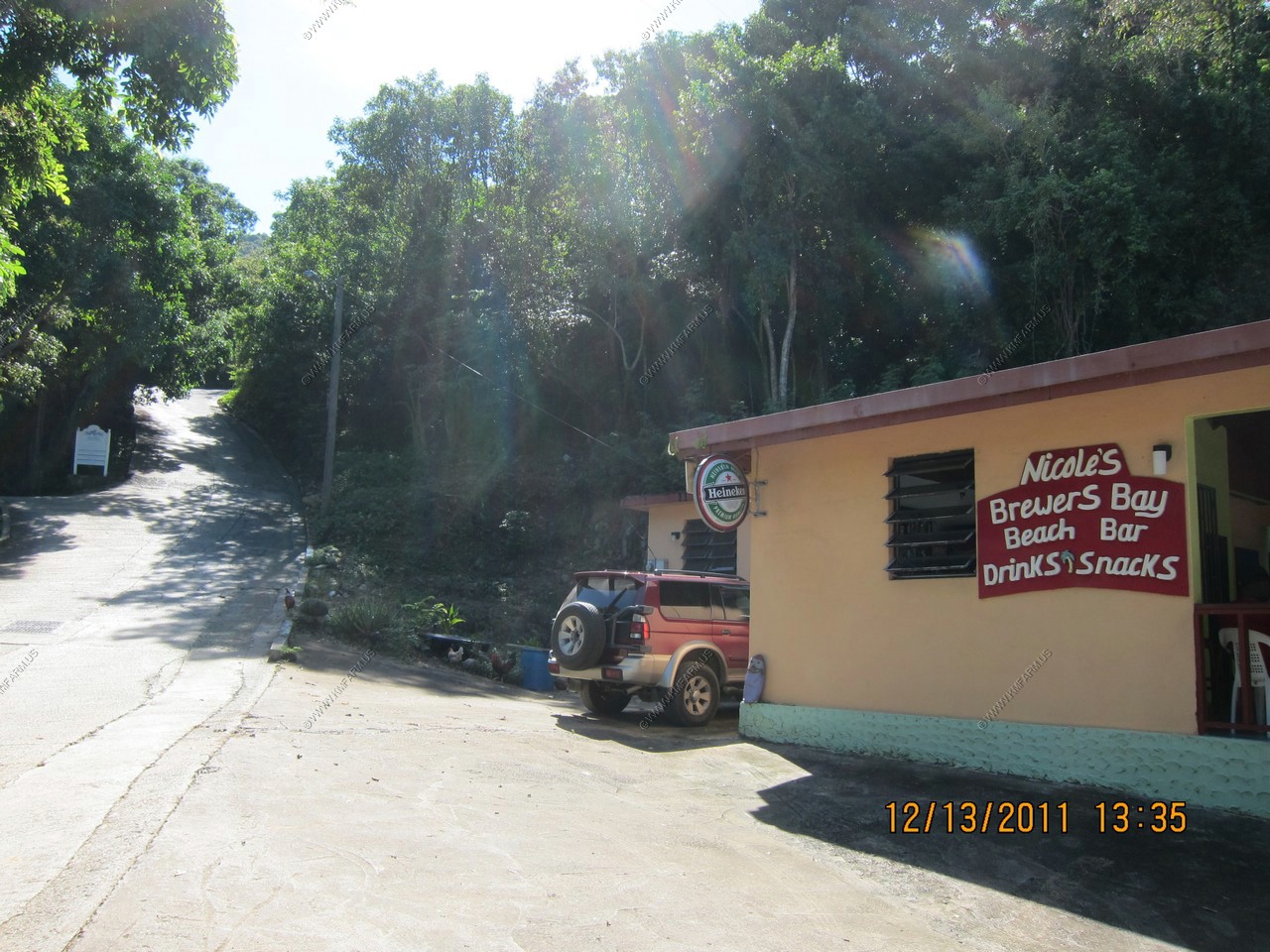
guy at the taxi stand was trying to get enough folks for the Norman Caves trip, we gave up and decided to go to Brewer's
Bay on Tortola. I had read this was a nice snorkel and it was close, $8 a person cab ride so we went with another couple.
Tortola is very hilly and lush due to the record rains they had. This island was more laid back and nobody pushing their
wares, so we enjoyed ourselves.
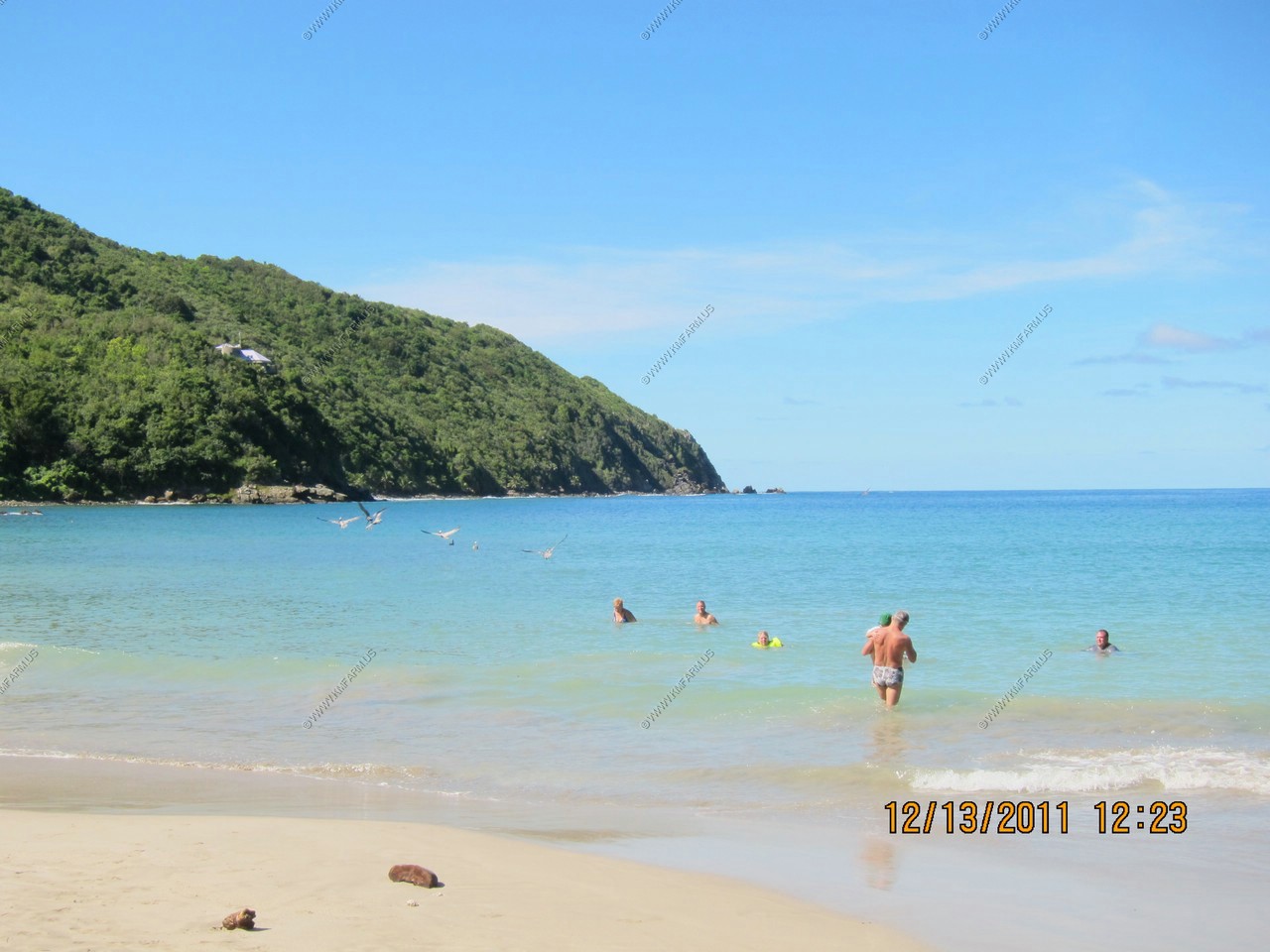
The snorkeling was the best I had this trip but you had to go out pretty far. The pelicans and brown boobies were diving
in catching fish right next to me. Beautiful sea fans, corals and fish were plenty once you got out past the turbid water.
The water was calm and sheltered so I felt safe and no currents pulling me out farther.
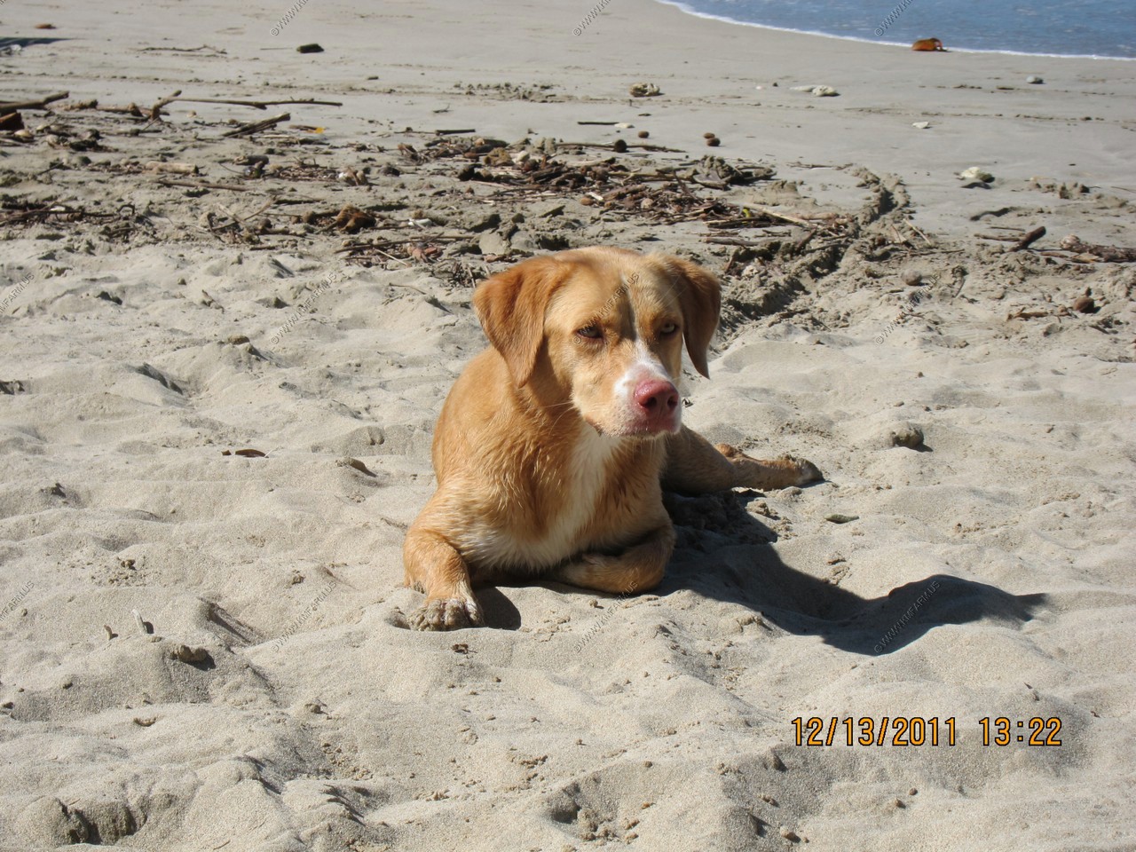
Ken bought several Carib beers at the beach bar. I found a friend who insisted on fetching black rocks along the beach.
We also met a guy from New Hampshire who lived along the beach in a hammock in the winter months. He is a carpenter and
fisherman, and sells his fish to rich people who live in the hills and barters with the beach bar.
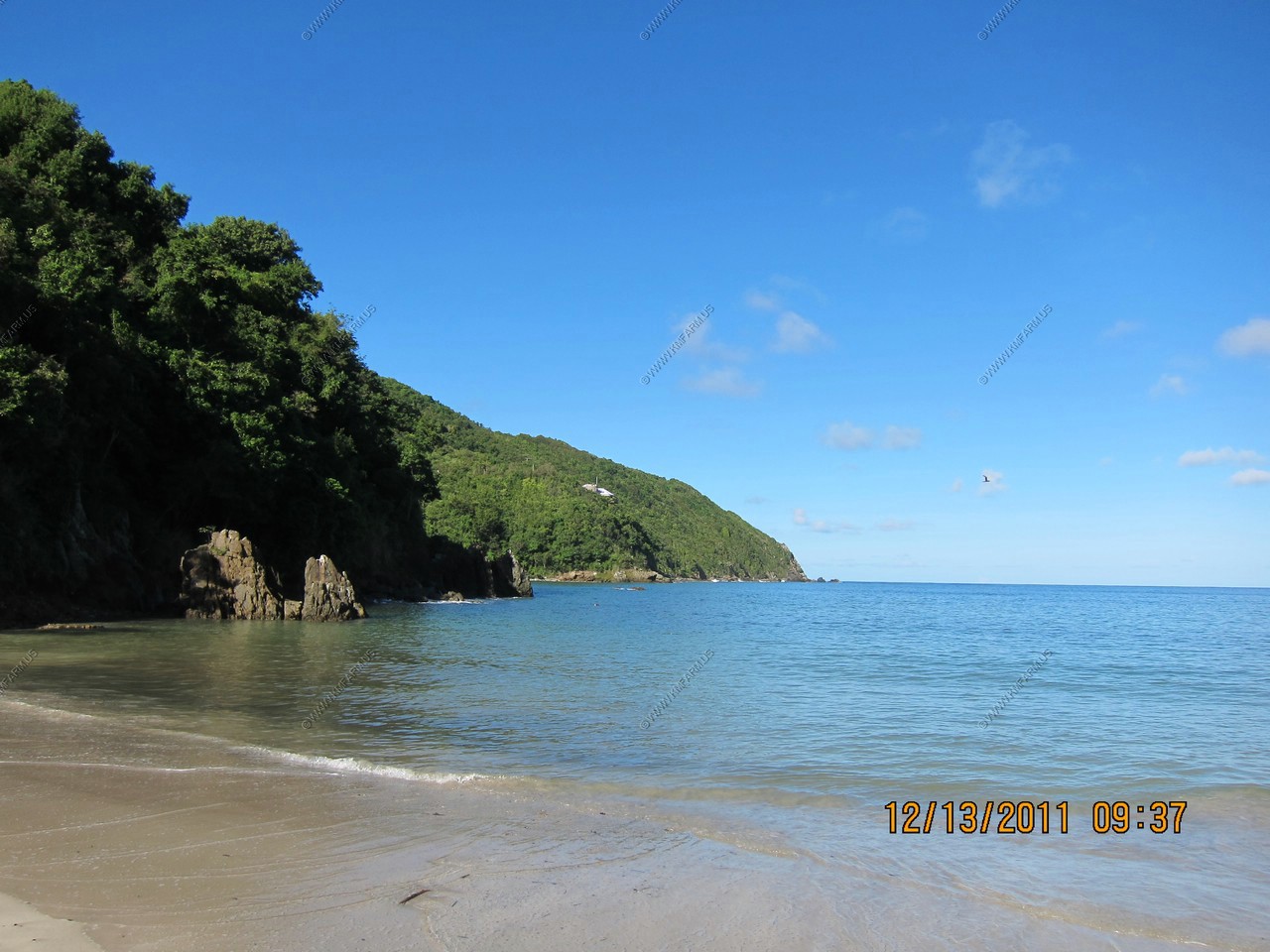
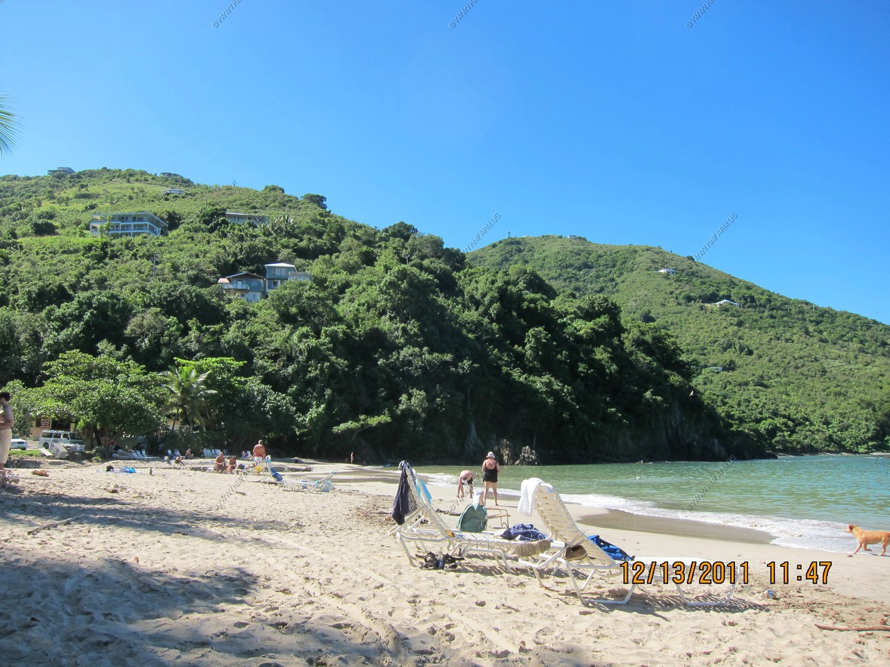
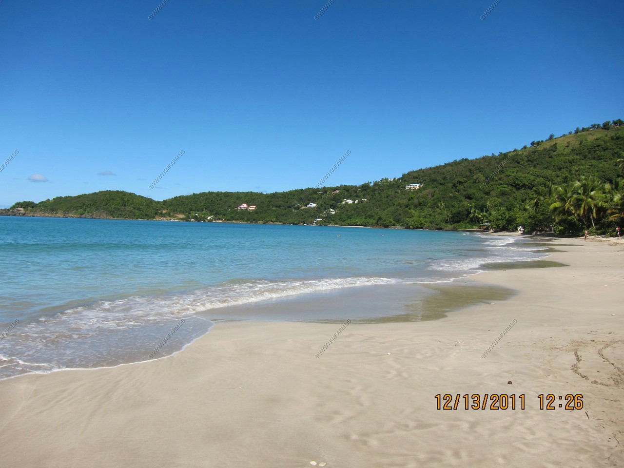
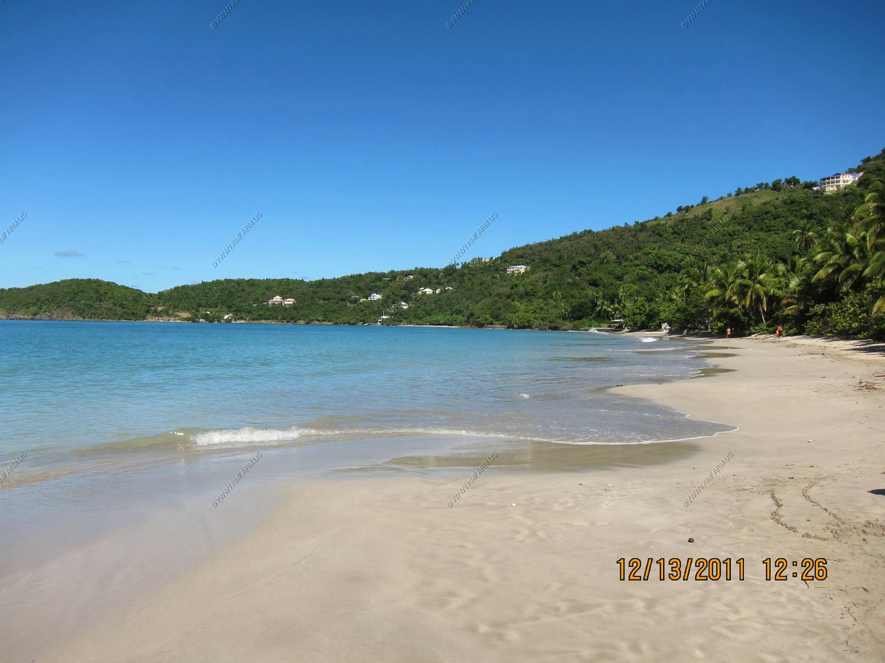
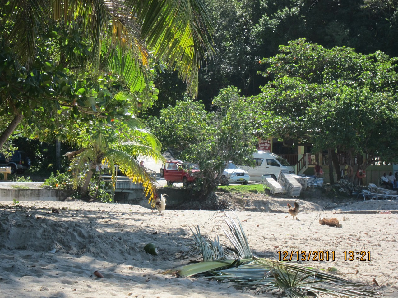
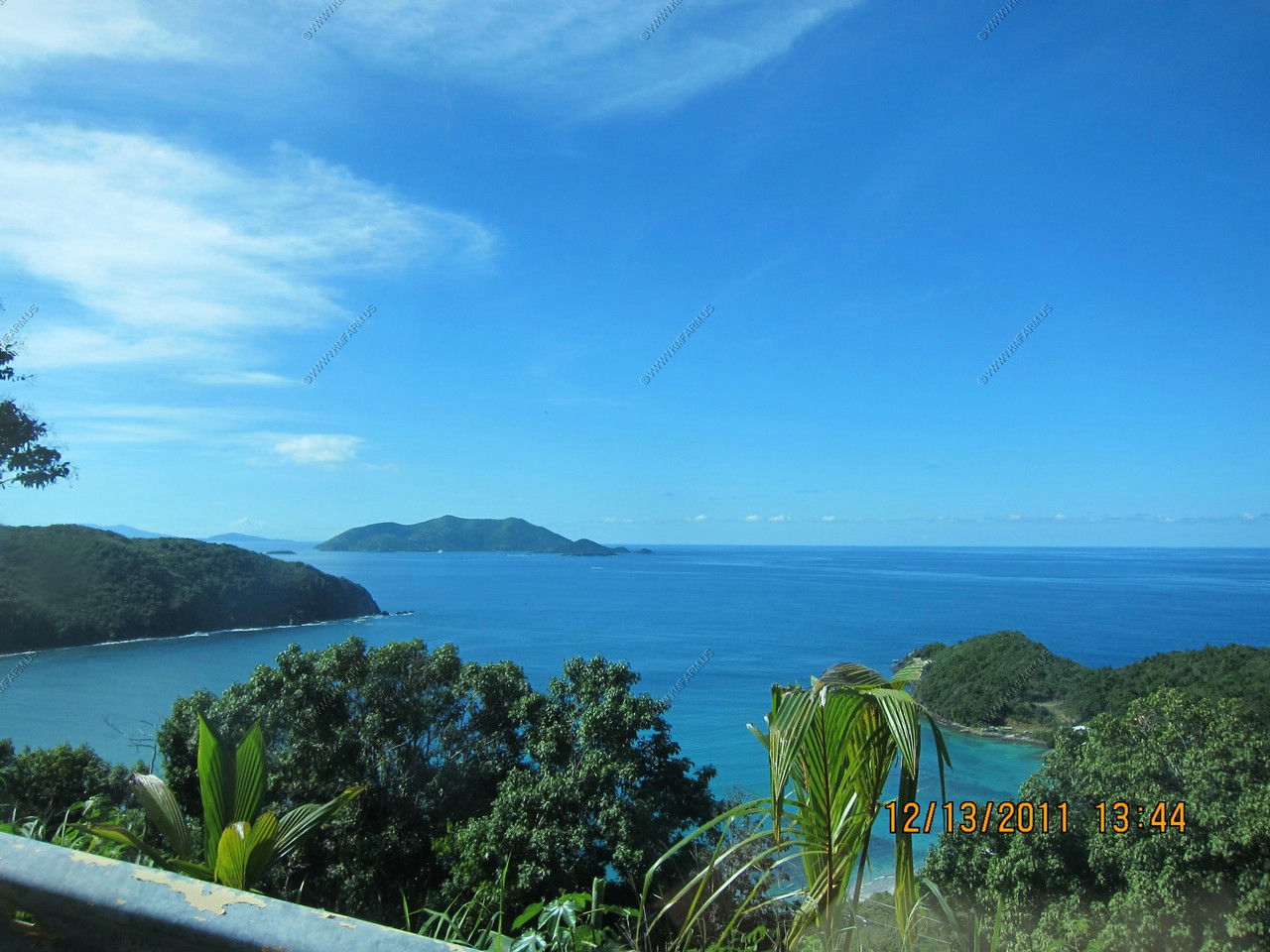
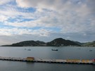
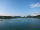
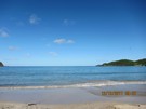
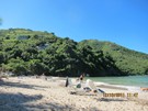
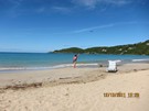
Brewer's Bay
Another "hidden" beach, Brewer's Bay is a calm, expansive bay, nestled between two steep ridges.

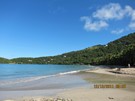
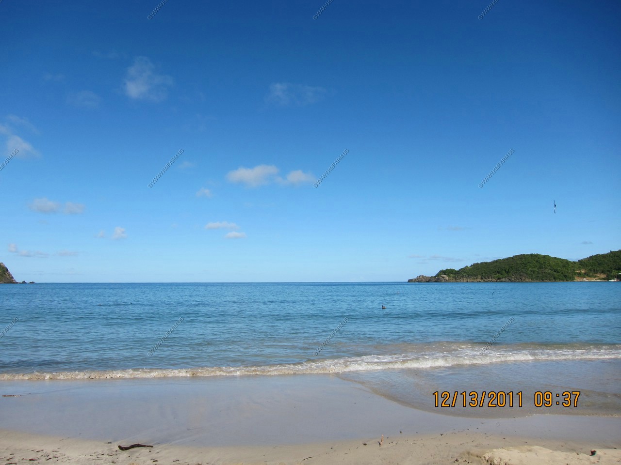
Beautiful day with blue sky !
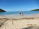
Not many people
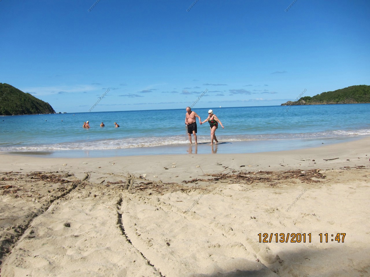
Ken & Mary in 30 years !
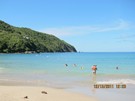
Ken in the water
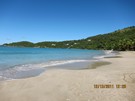
Deserted beach

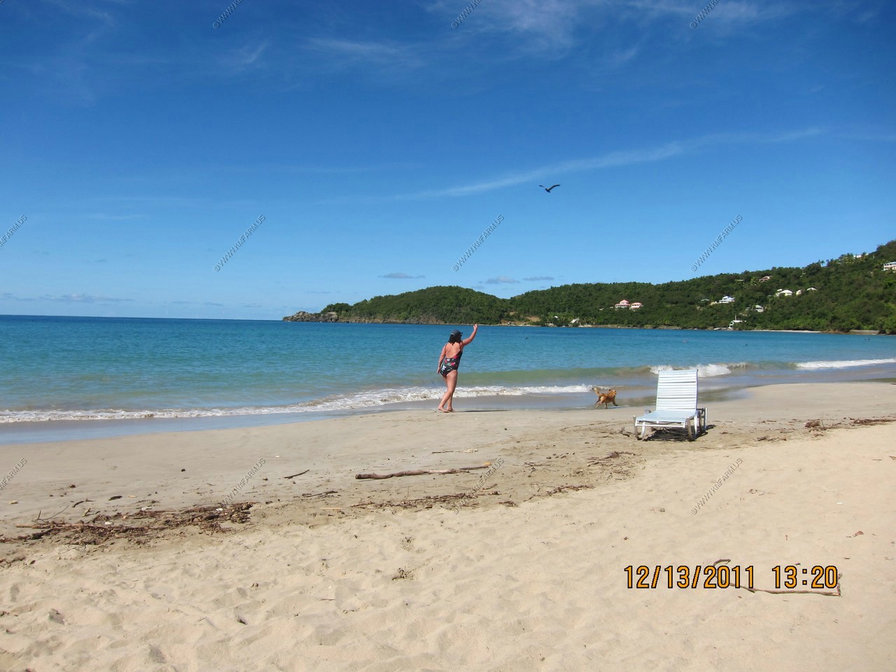
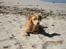
Mary playing with her dog
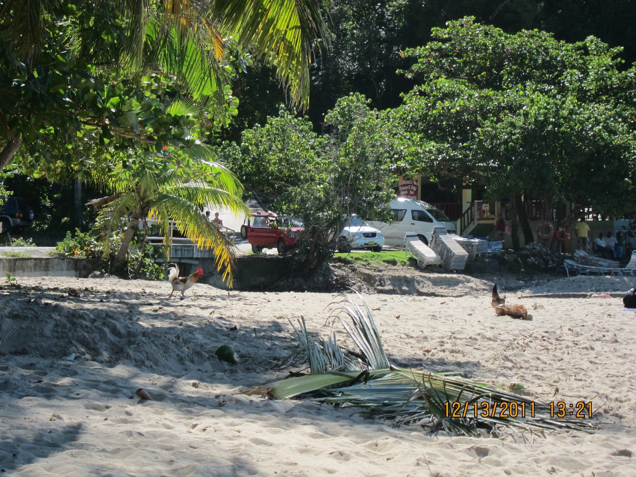
Chickens on the beach
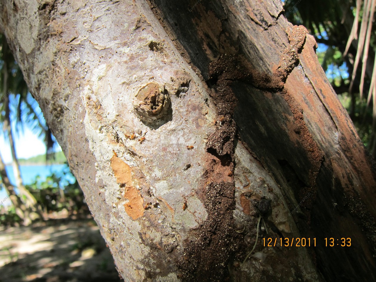
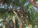
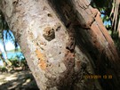
Termites and the mud tube up the tree
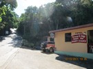
The bar and a very steep road
Last look at the beach

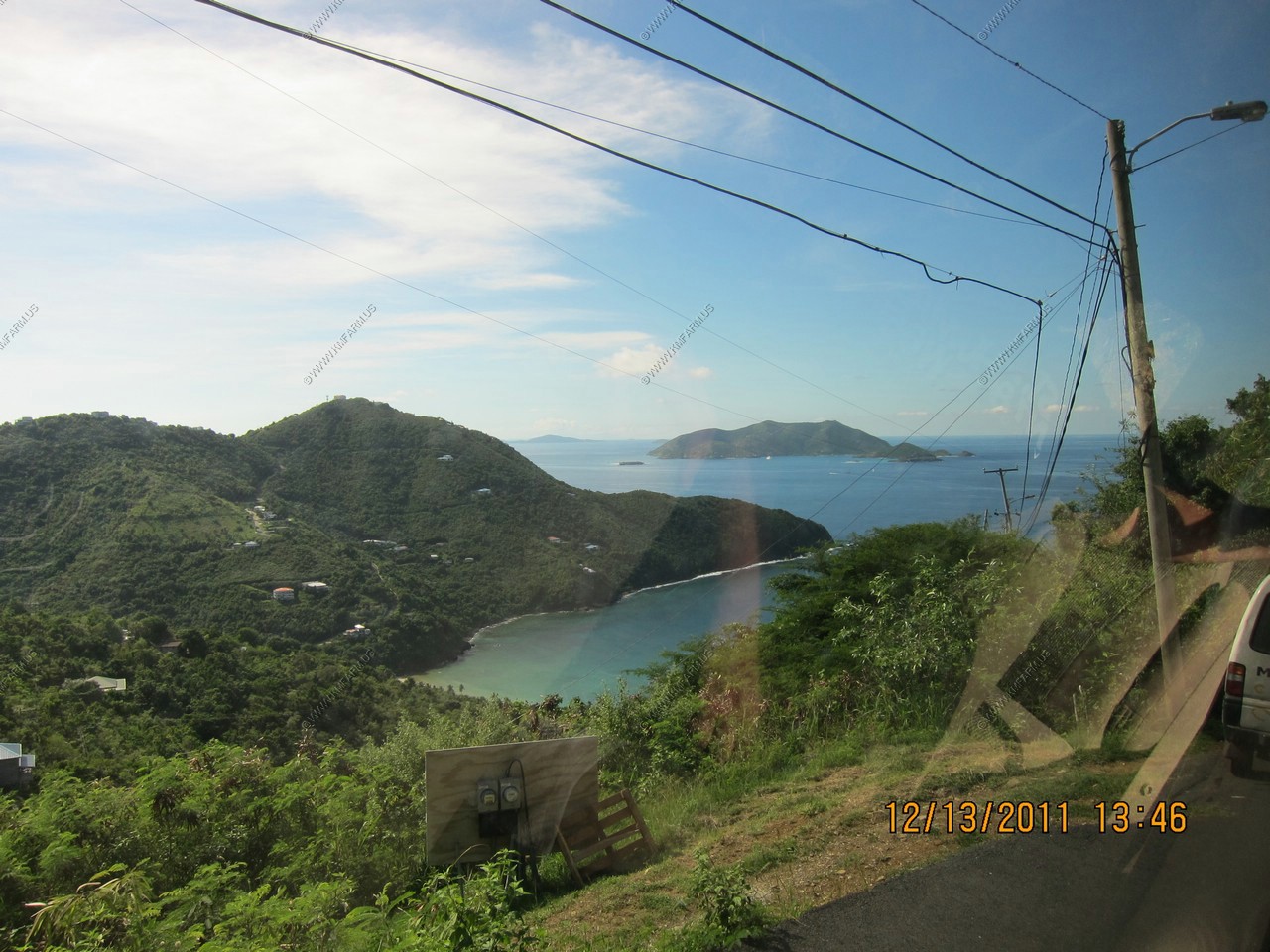
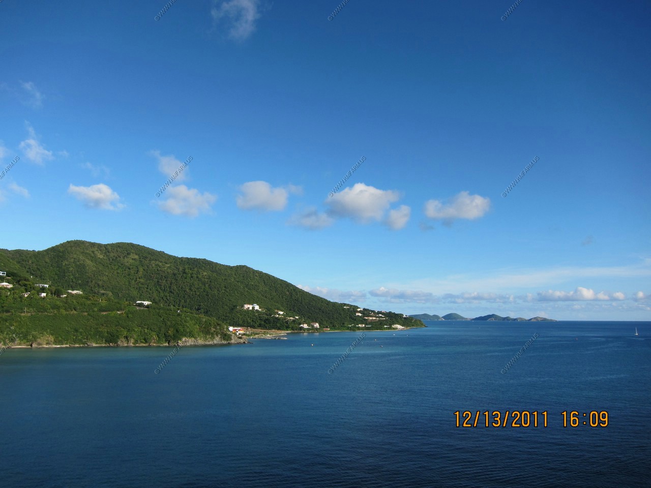
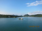
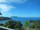
Little Jost van Dyke and Jost van Dyke 6 miles away, as we get higher
Now looking down at our ship 1,100 feet below us and 1.5 miles away. The islands visible are (from left to right) Salt, Dead Chest and Peter Island which is a private island 7 miles away
Getting lower

Last look at the outside of the ship before cold Baltimore


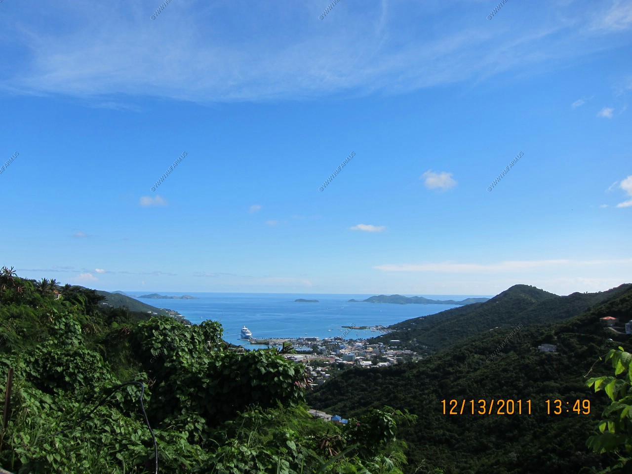
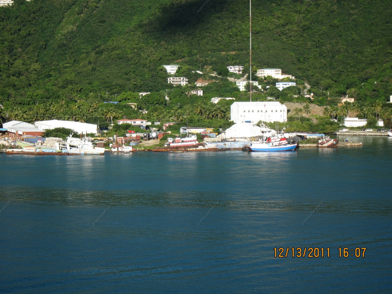
Road Town Cruise ship Terminal with lots of room for expansion
Ship graveyard
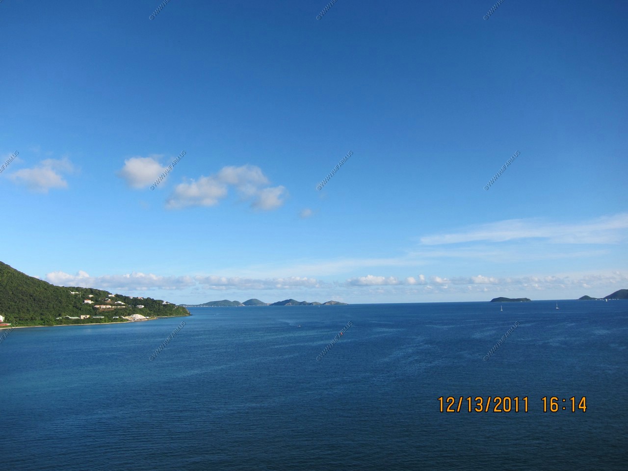
Traveling thru the Sir Francis Drake Channel

Virgin Gorda
Virgin Gorda is the third-largest (after Tortola and Anegada) and second most populous of the British Virgin Islands (BVI).
Located at approximately 18 degrees, 48 minutes North, and 64 degrees, 30 minutes West, it covers an area of about 8 square
miles (21 sq. km). Christopher Columbus is said to have named the island "The Fat Virgin", because its silhouette resembles a
rotund woman lying on her back.
The Dog Islands with Virgin Gorda in the background

Looking back at Tortola B.V.I
Anegada
One of the British Virgin Islands. Unlike the restof the BVI which are mountainous, Anegada is a coral and limestone atoll.
The highest point is only 28 feet above sea level. We were appx. 16 miles away
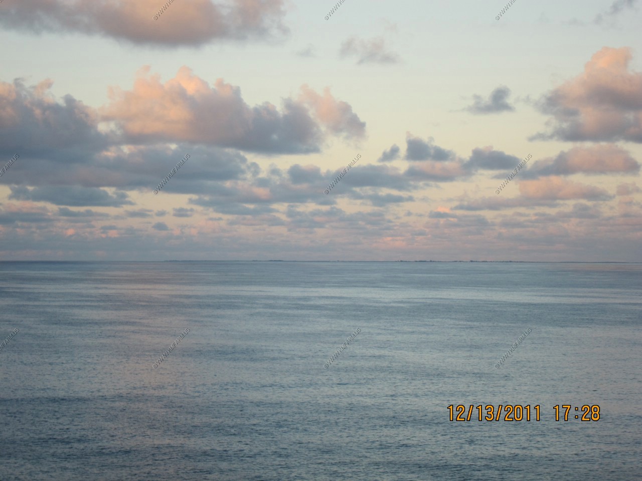
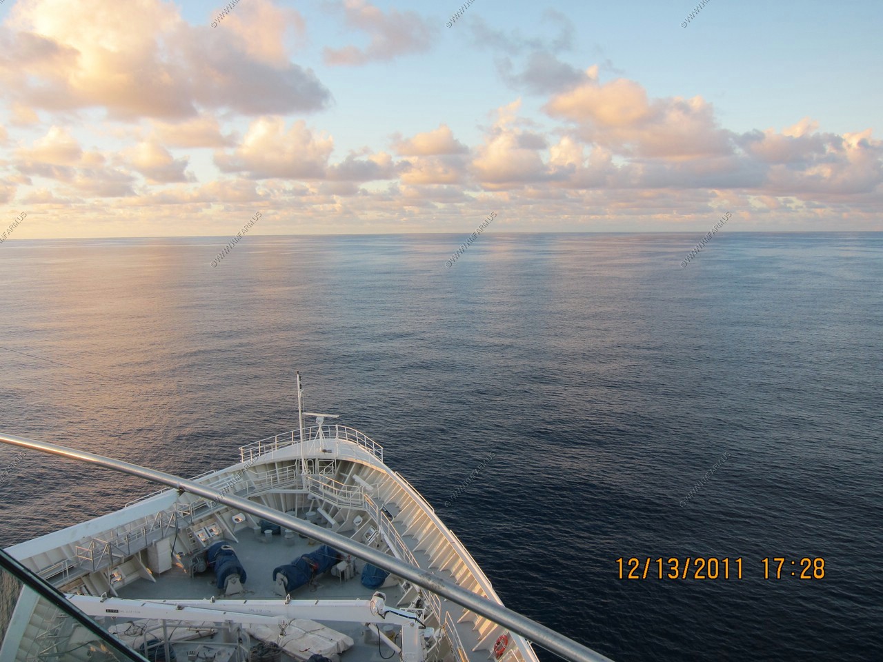
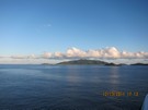
Back in the Atlantic and setting the course for Cape Henry, Virginia which is 1,261 nautical miles away
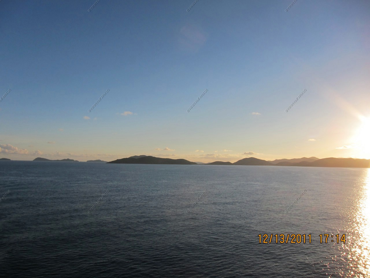
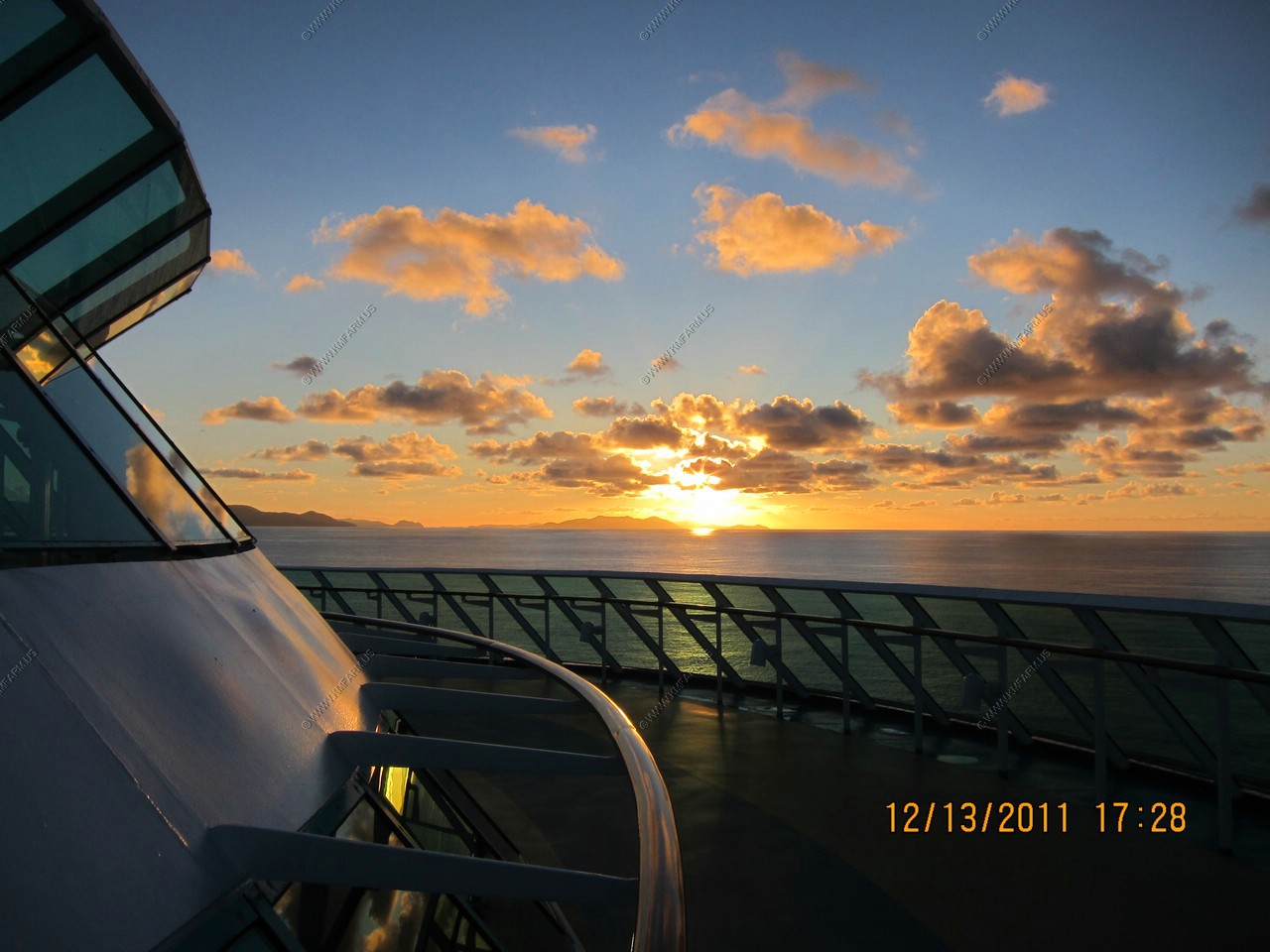
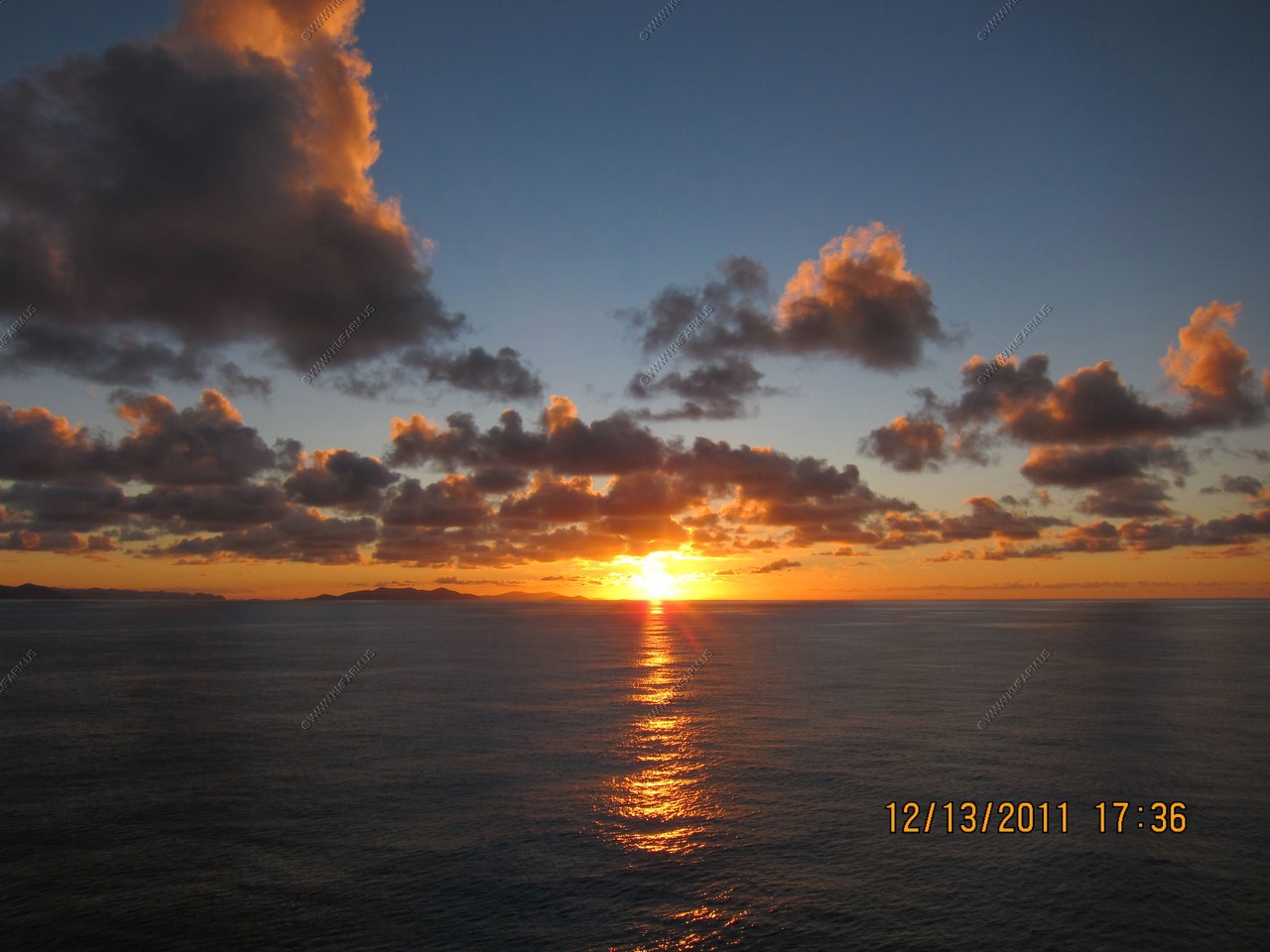
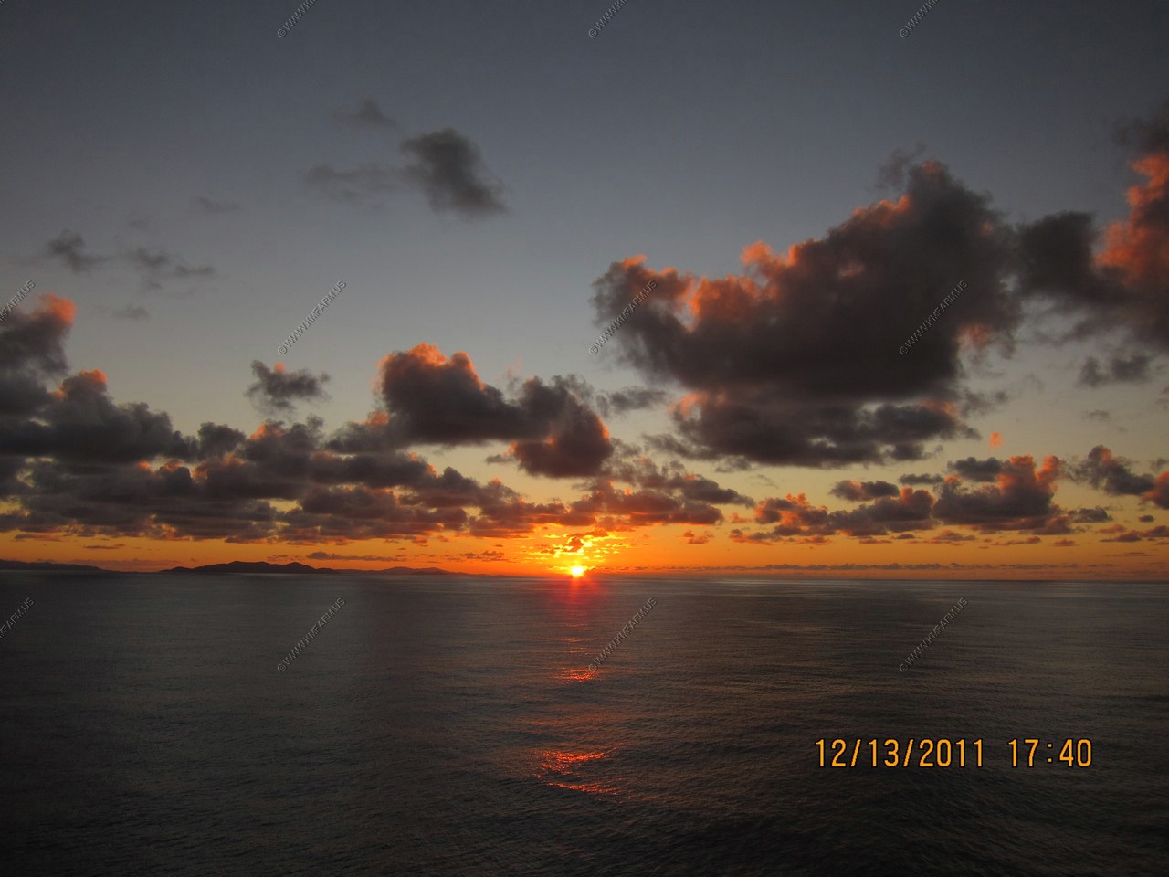
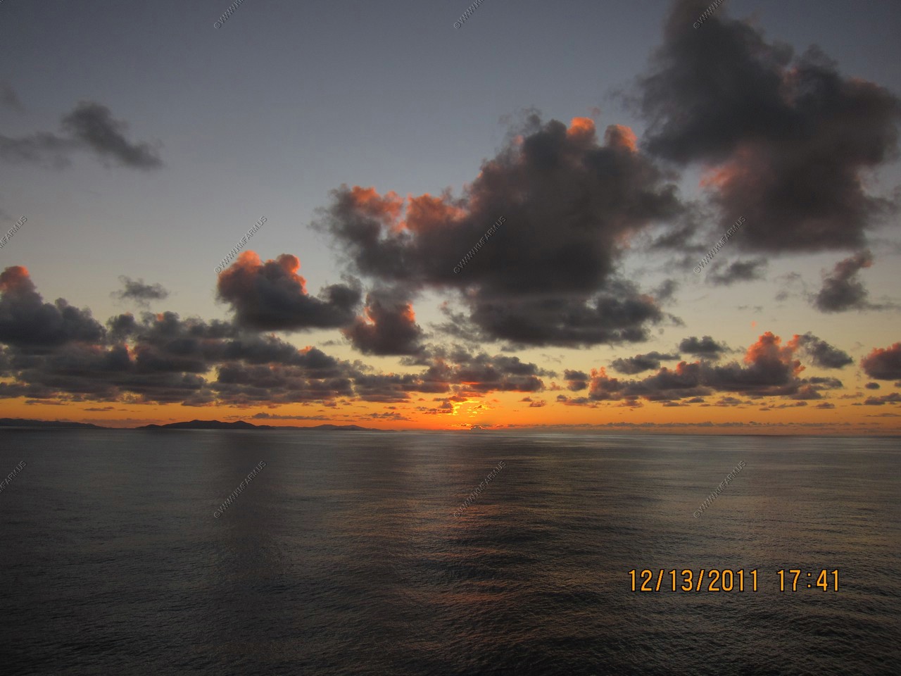
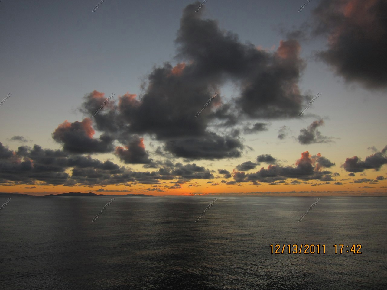
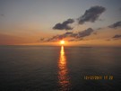
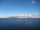
Sunset over the Virgin islands. We did not see the sun touch the water as it set over the mountains of Puerto Rico
appx. 80 miles to the SW


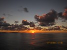
Mary watching the sunset

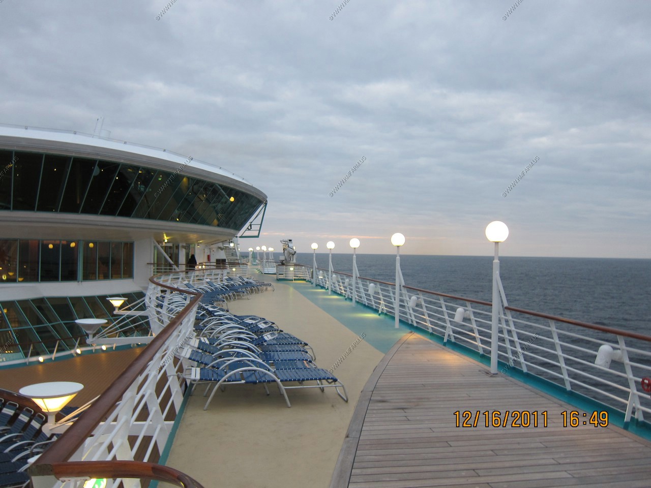
As usual nobody out

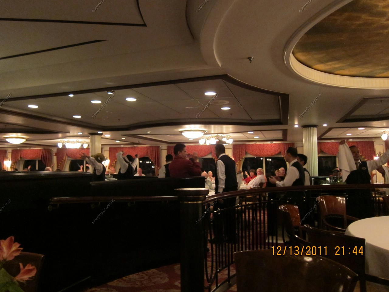
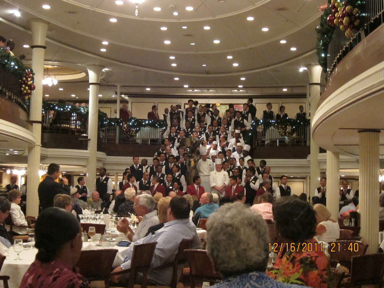
The waiters dancing

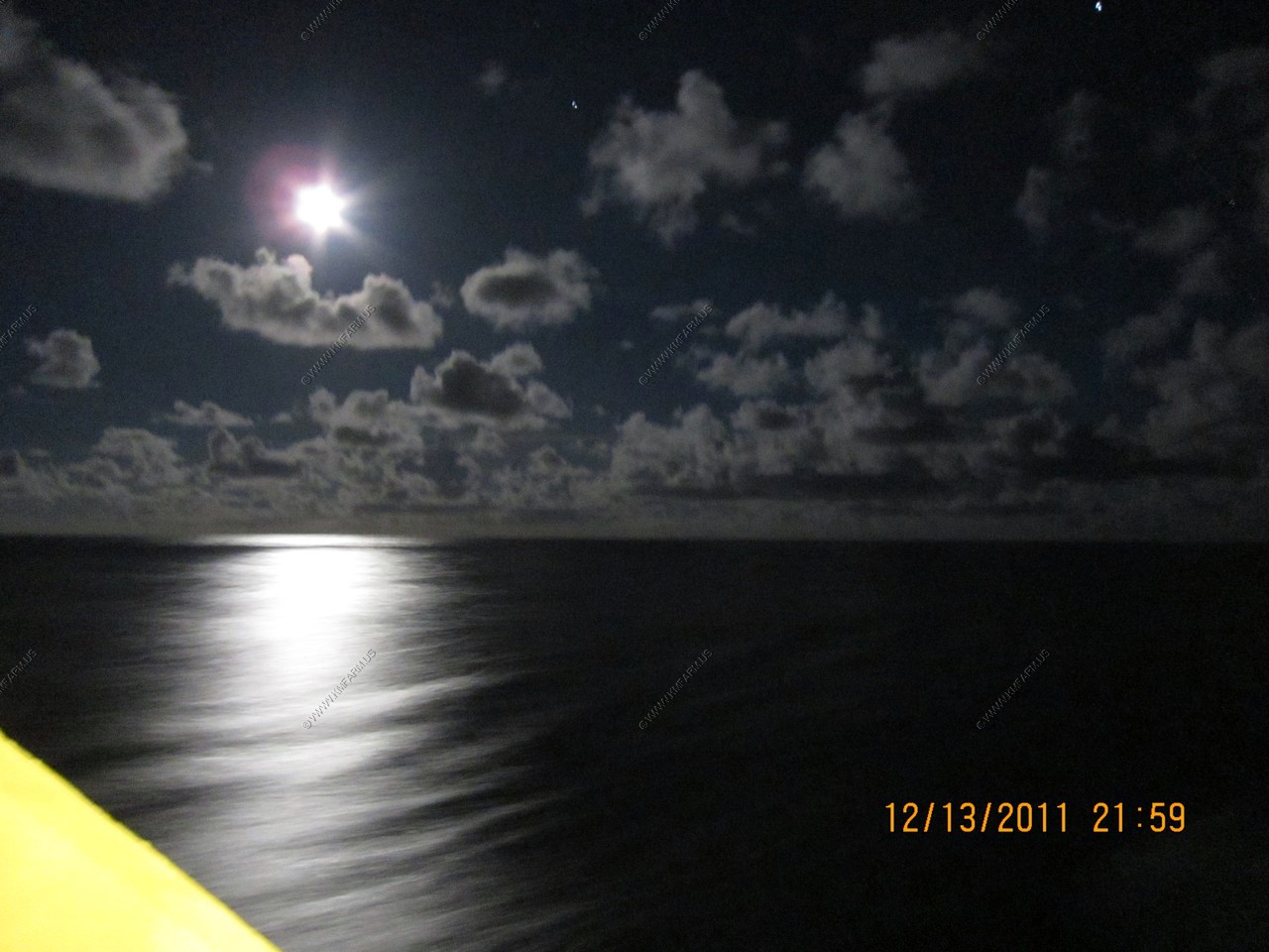
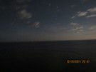
The moon, stars and ocean

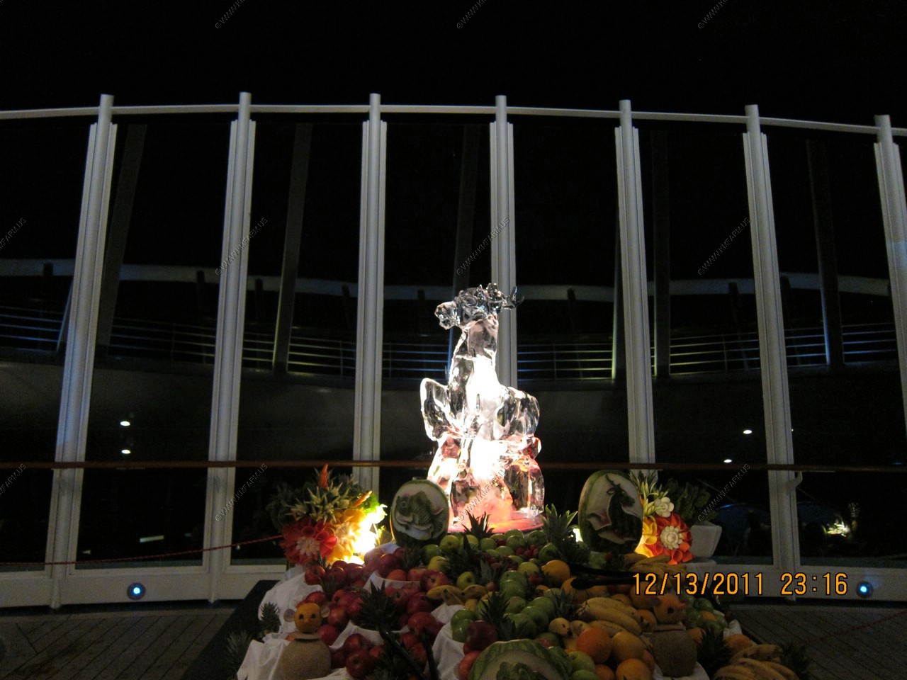
Ice carving at the "fudge brownies & ice cream under the stars party".
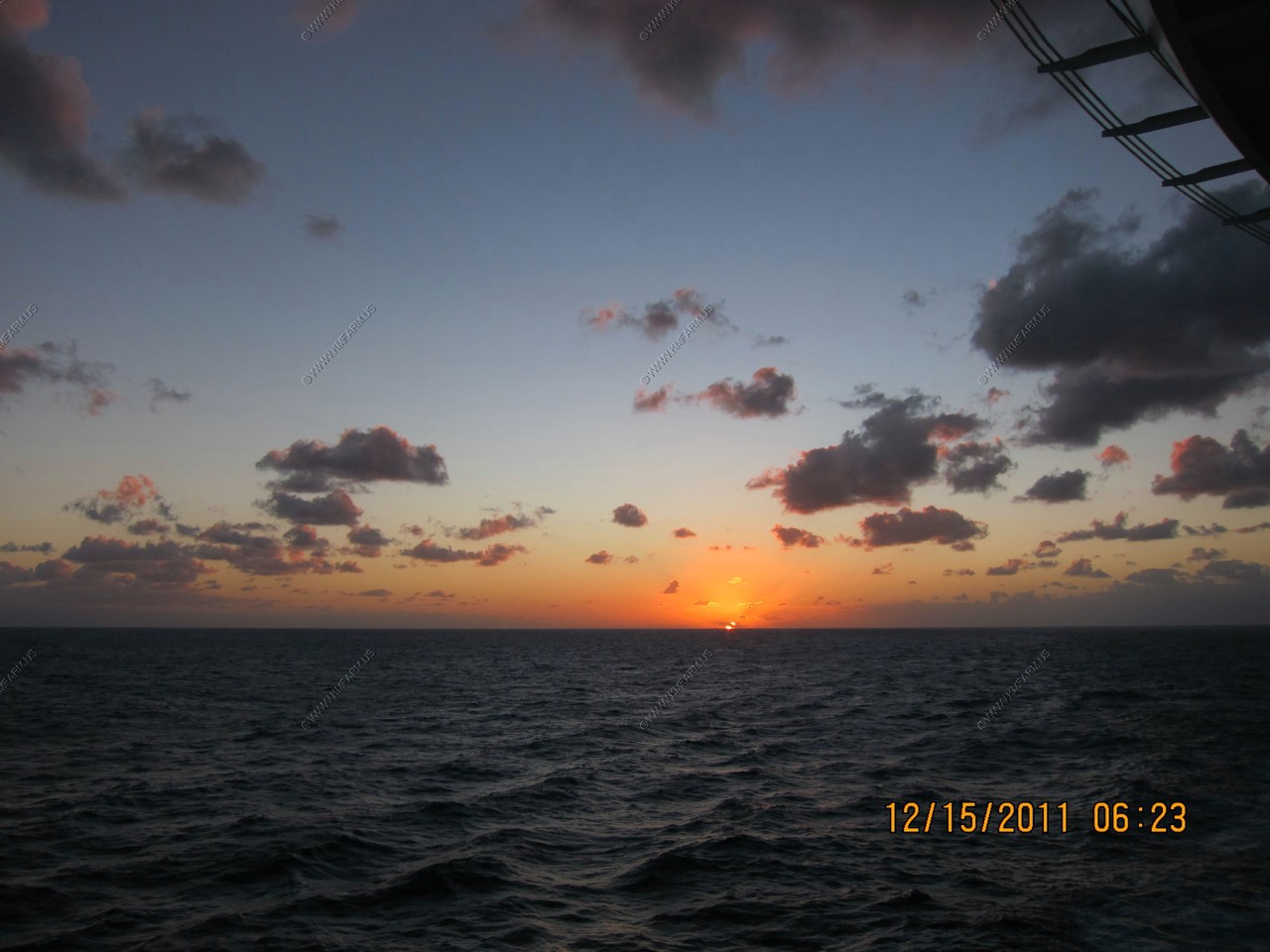
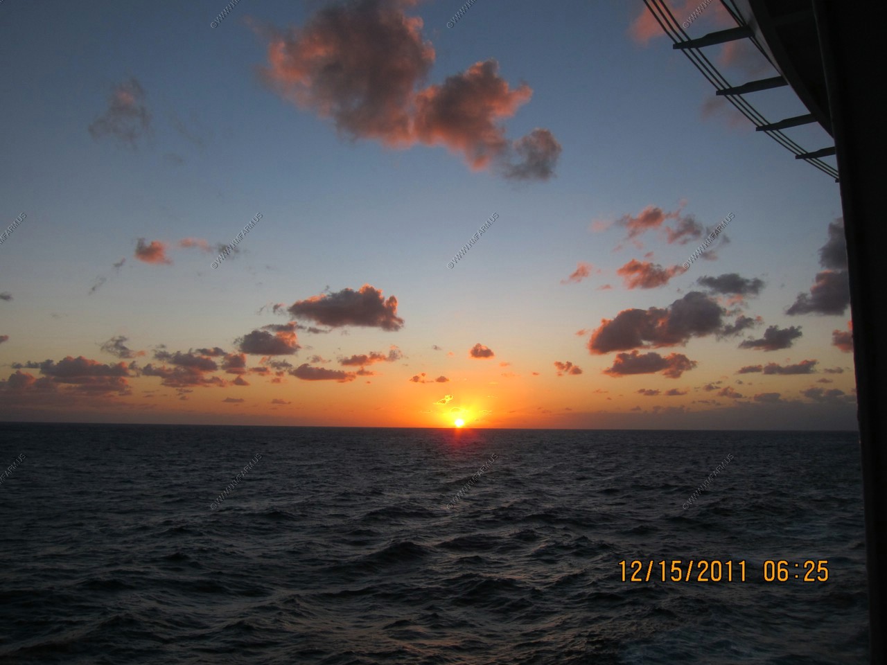
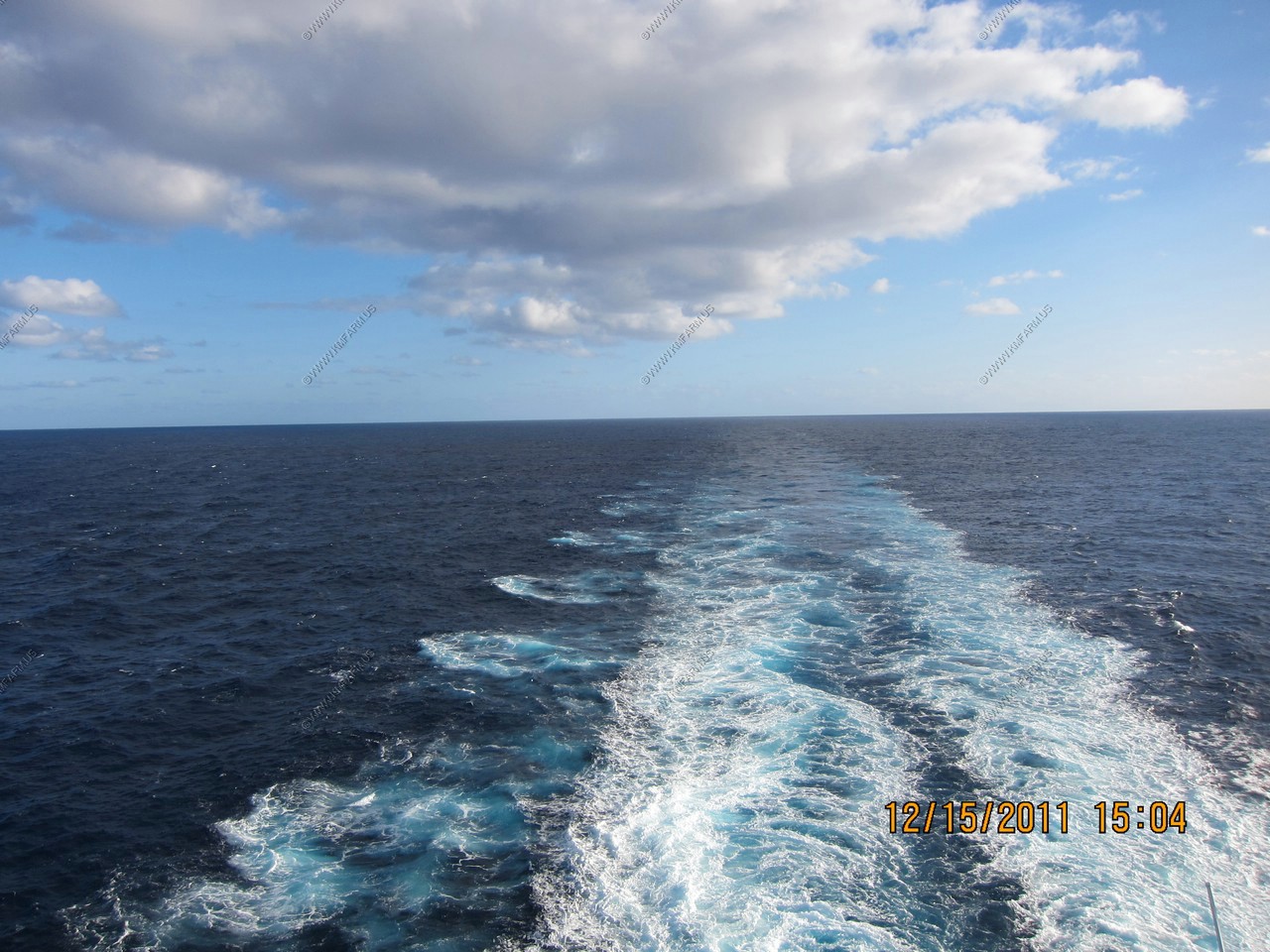
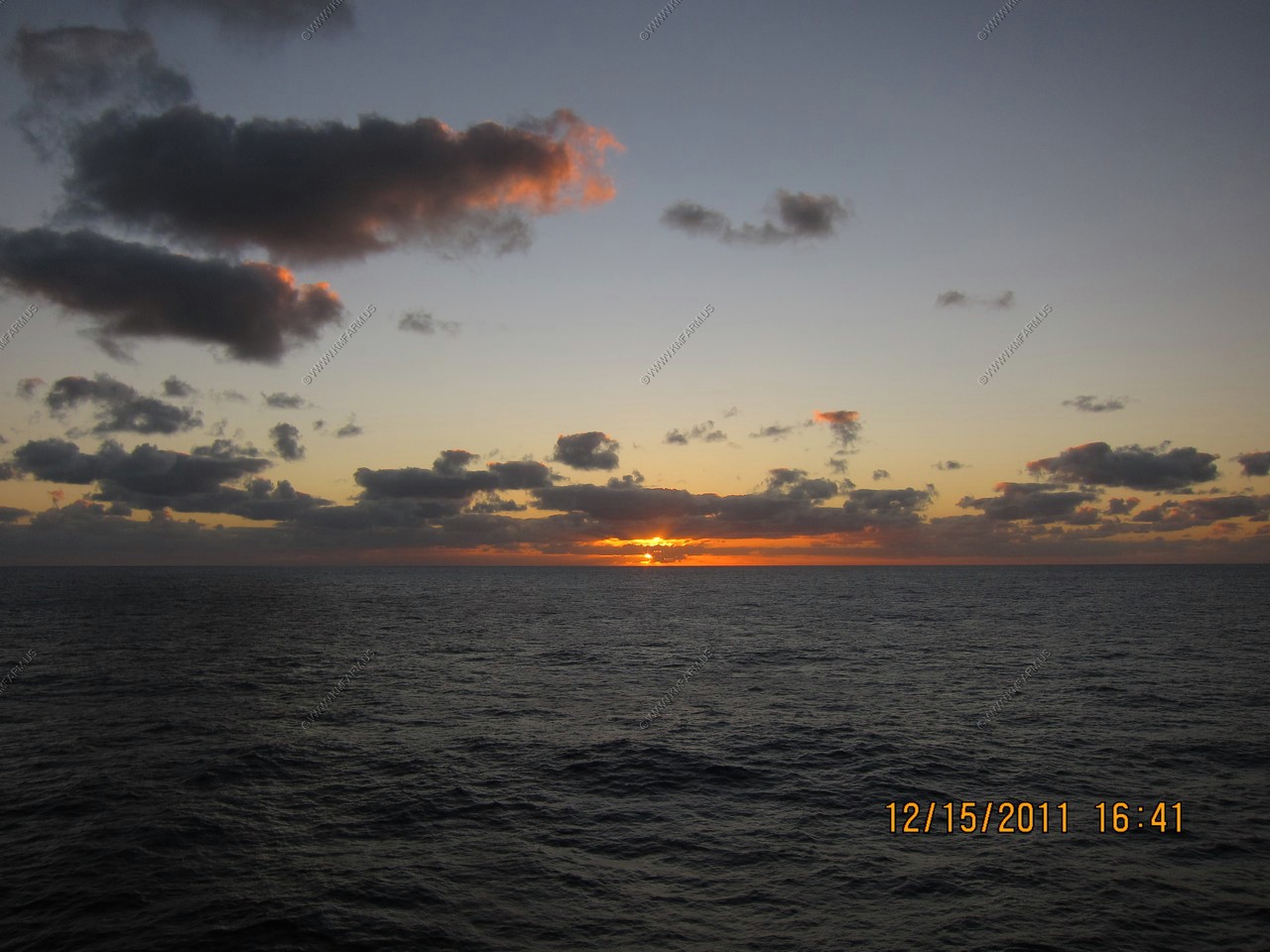
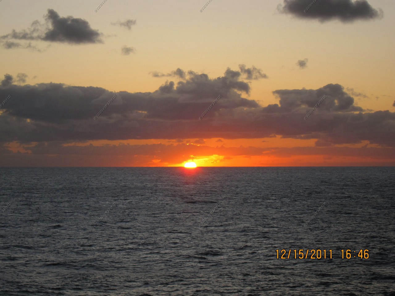
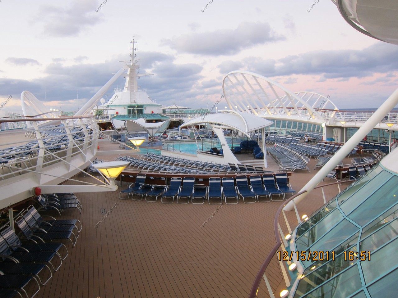
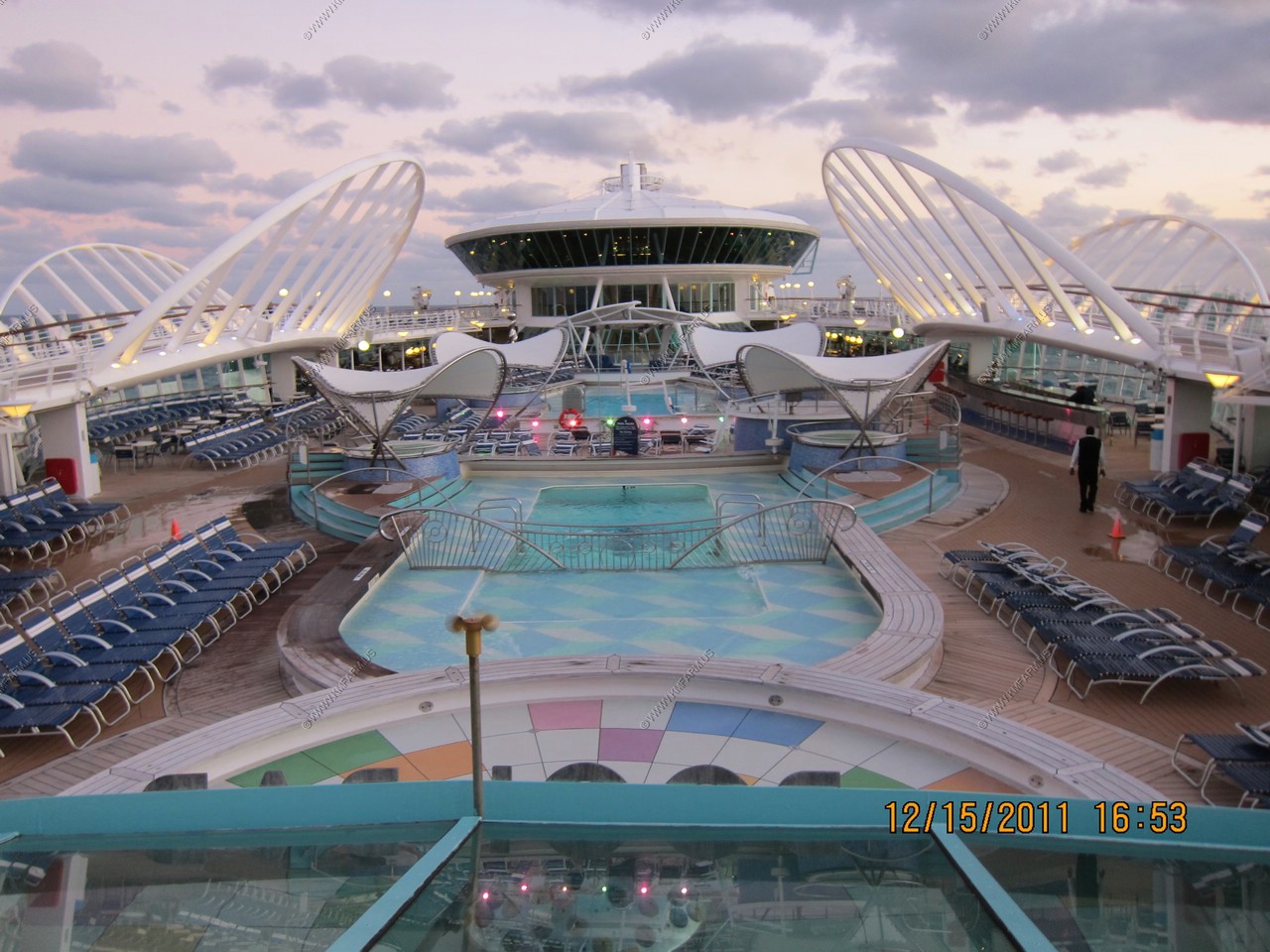
Day 11, DEC 15, At Sea
The ride back to Baltimore was very relaxing. The weather was great and we were able to be out with no jacket and shorts
until the last day when we left the Gulf Stream off of Duck NC around 2:30pm. The difference is amazing when you cross that
point. It drops from mid 70's to 50's in 20 minutes or so. The timing was fine as we had enough sun at that point and
needed to start packing anyway.
All in all it was an excellent cruise.
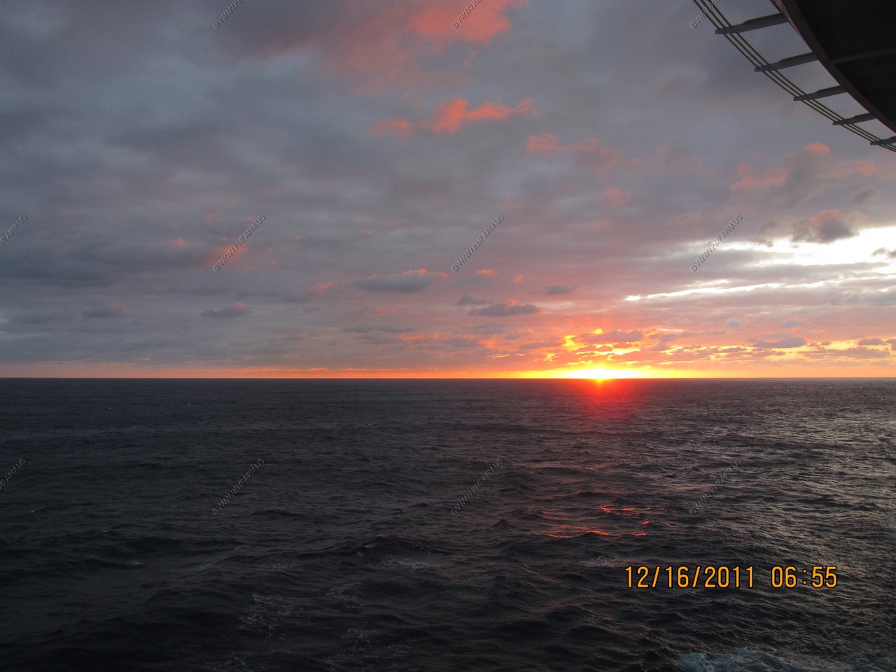
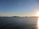
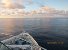
Sunrise... Since we are heading north our cabin is now facing east so its easy sunrise watching.

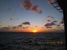
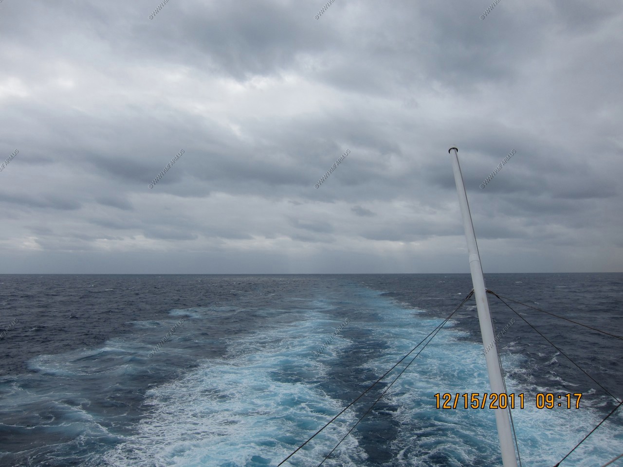
Strange weather. Clear at sunrise and now cloudy.
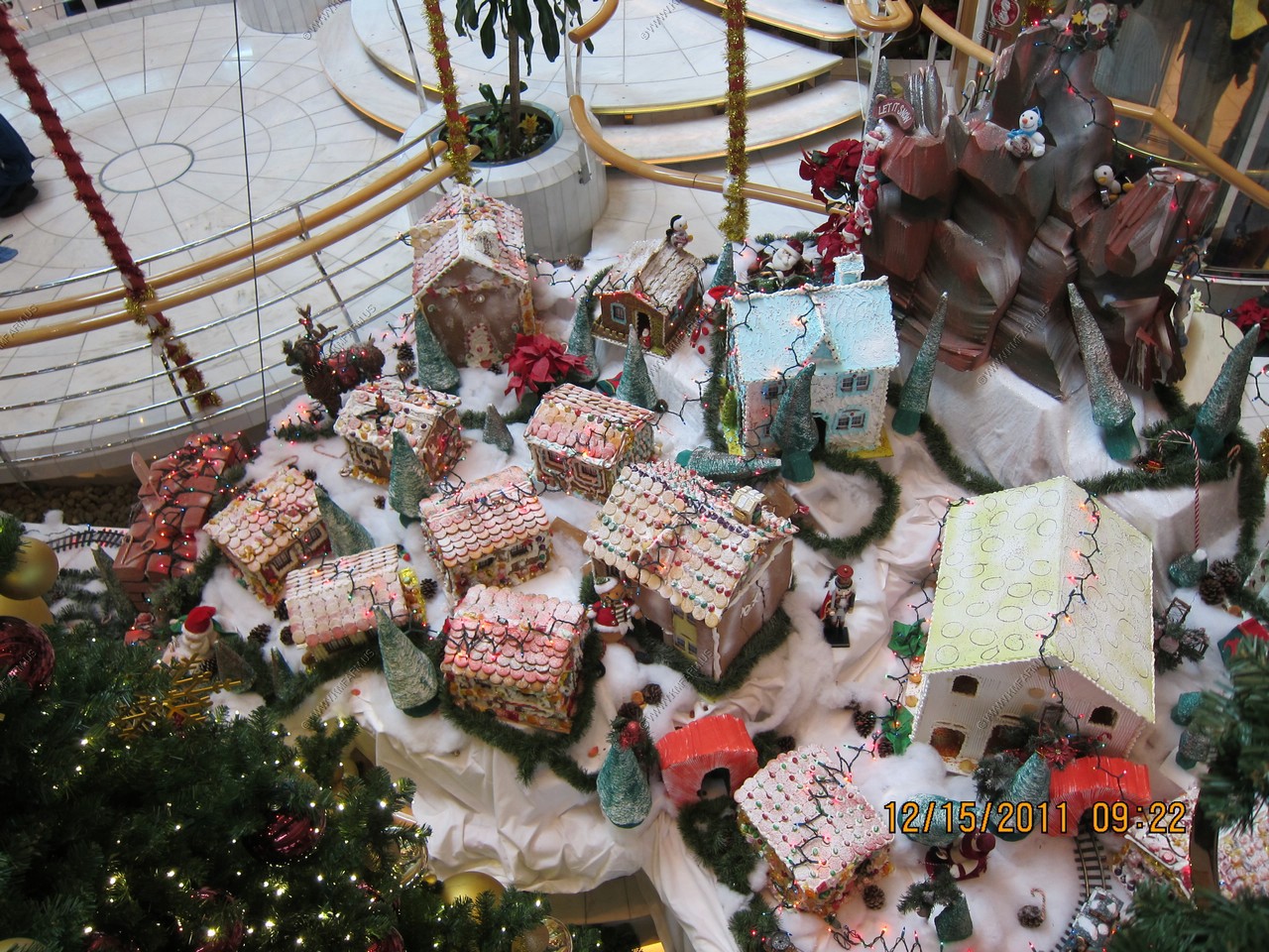
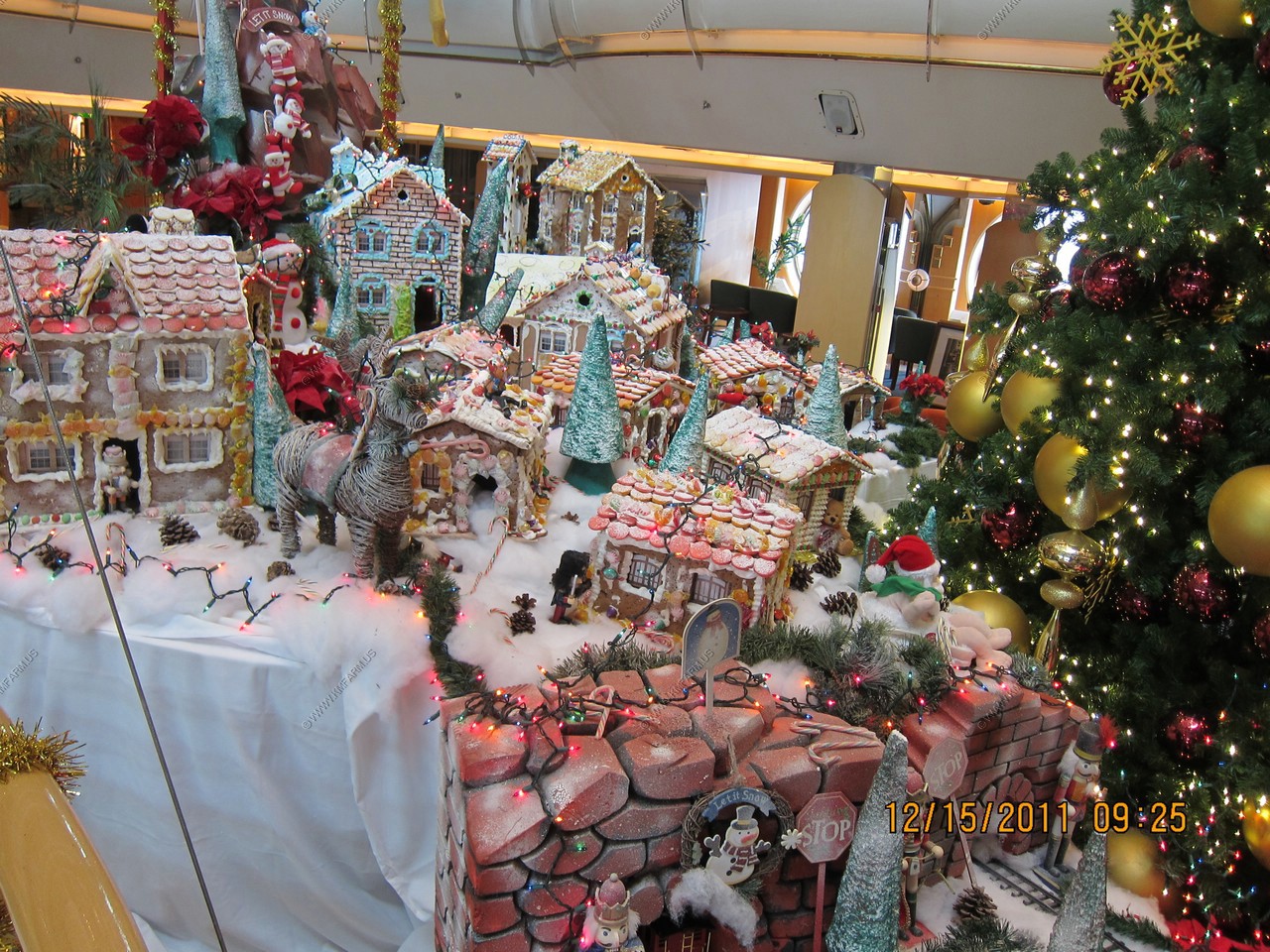
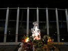
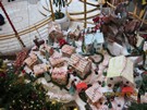
The crew made the gingerbread village

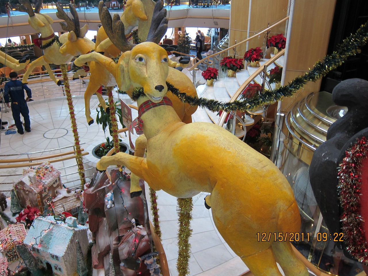
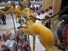
This raindeer did not look happy.
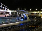
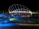
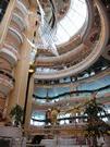
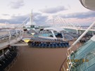
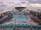
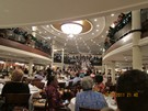
The centrum looking up from deck 4
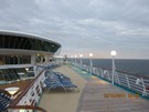
The day ended up being sunny and warm

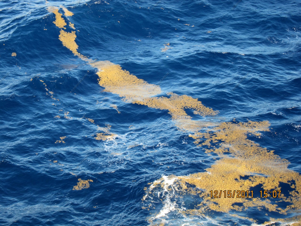
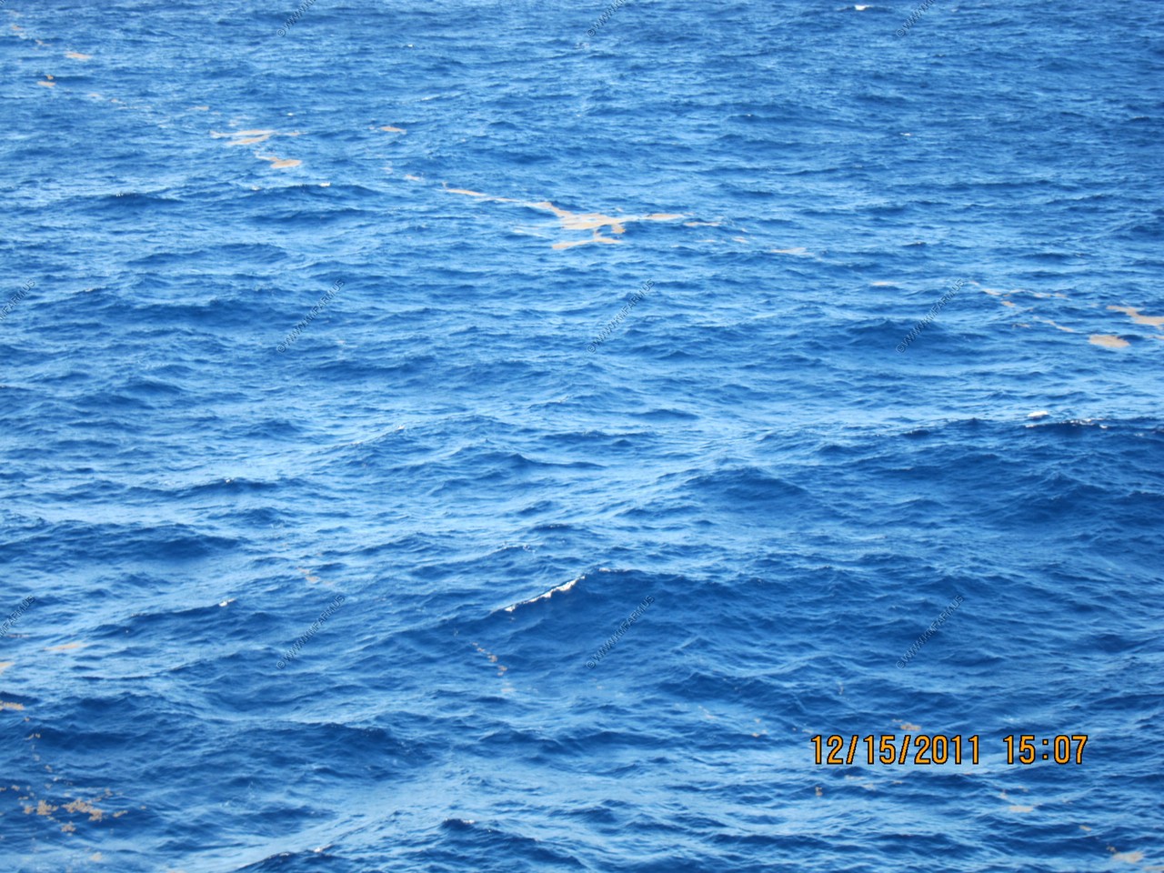
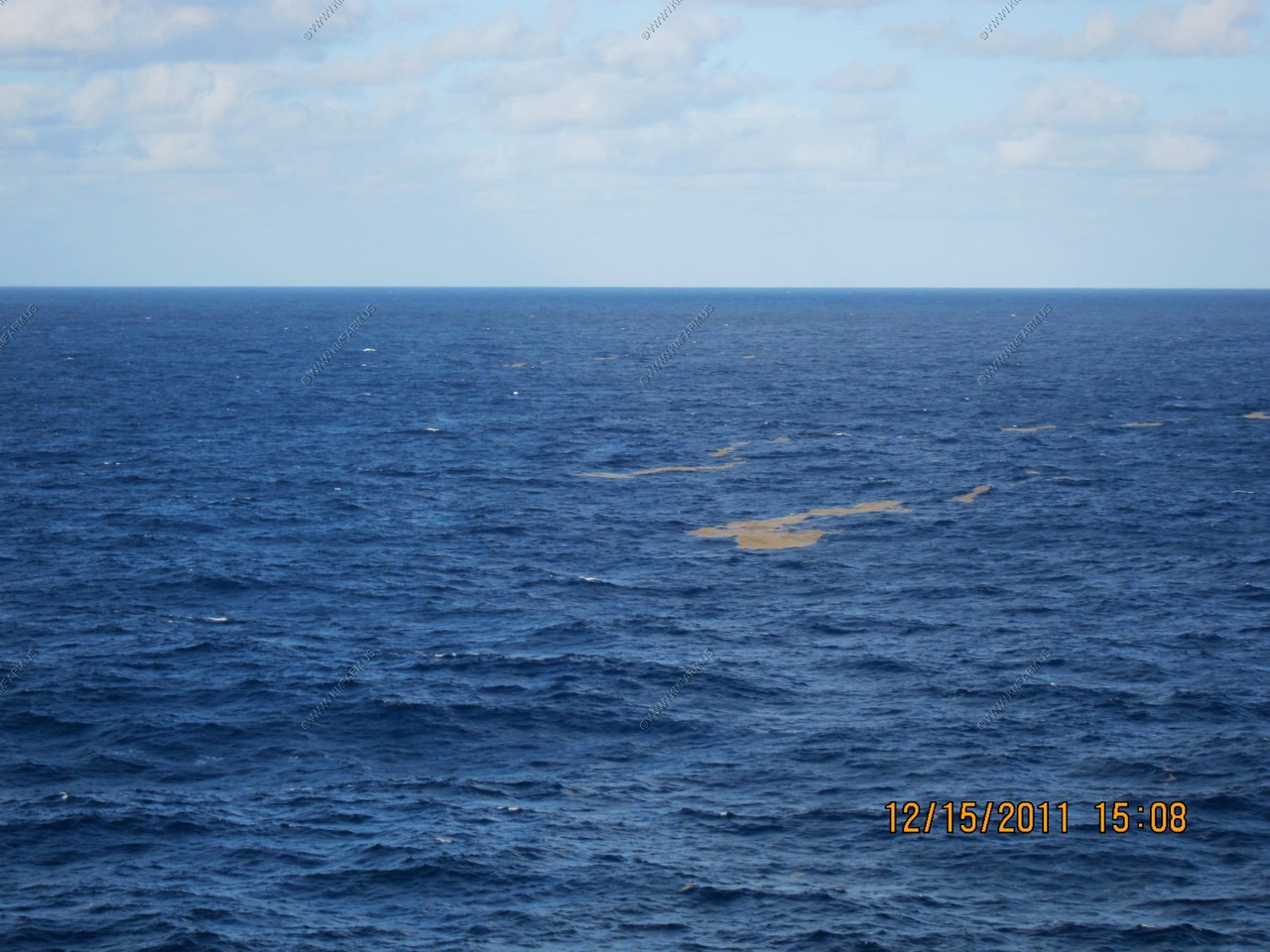
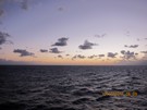
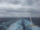
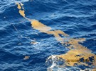
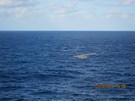
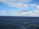
Sargassum seaweed as we are now in the western side of the Sargasso Sea.
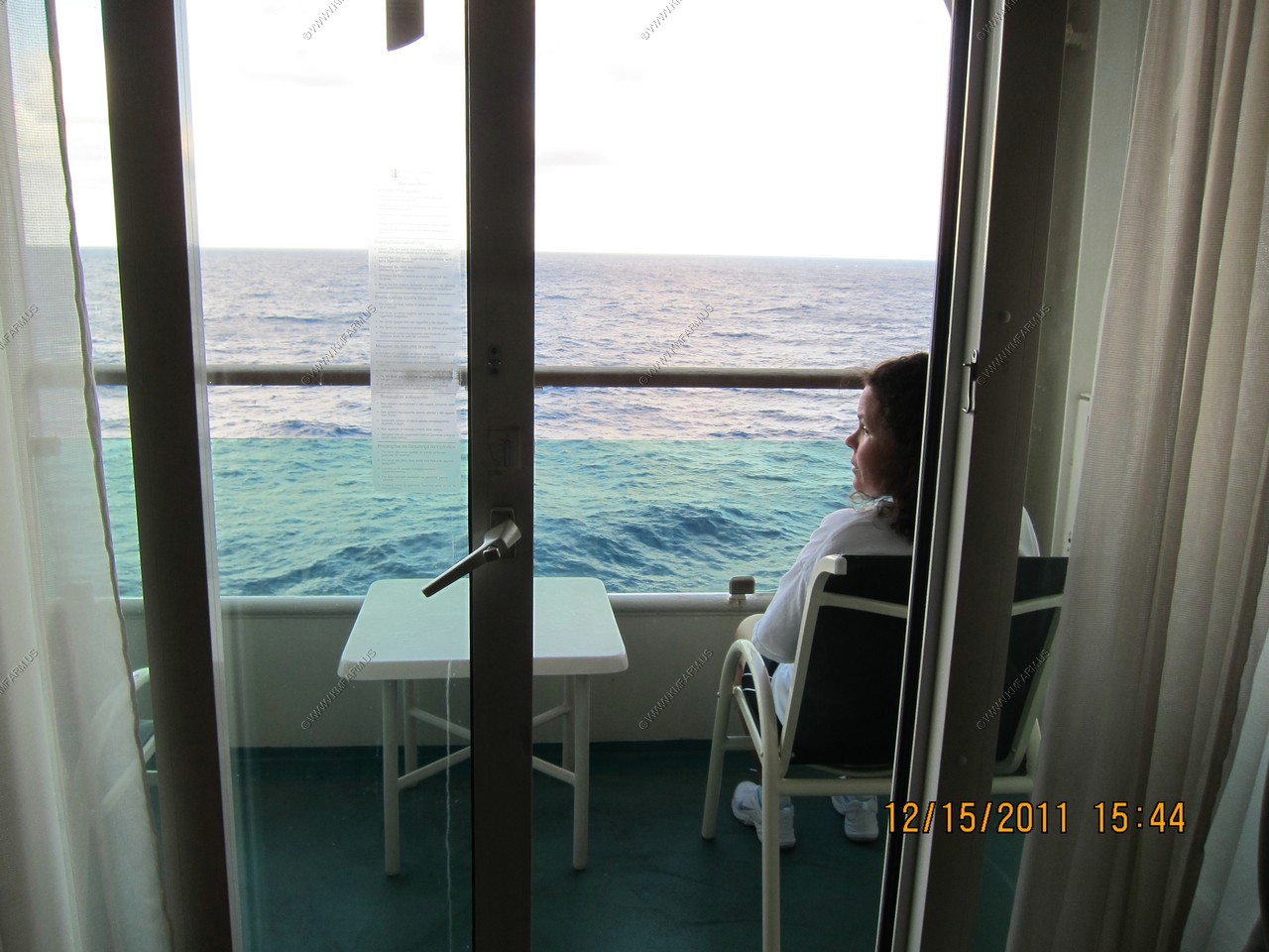
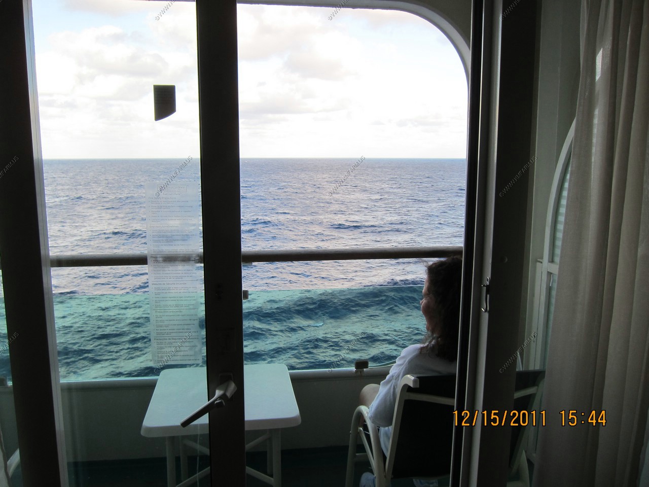
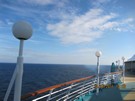
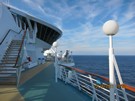
Enjoying the ocean from our balcony
Sunset time again with some ship views
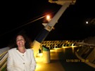
Mary all dressed up
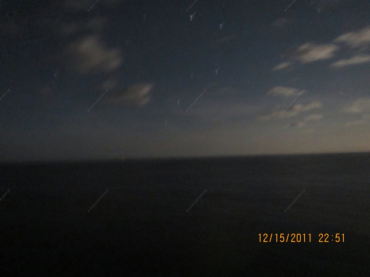
Blurry big dipper.
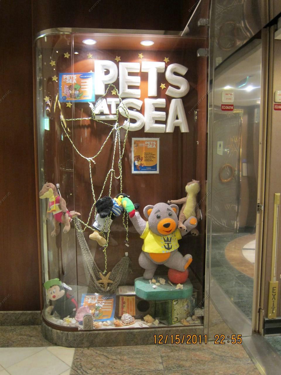
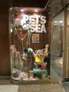
Pets at sea. Strange... Very strange !
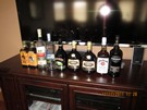
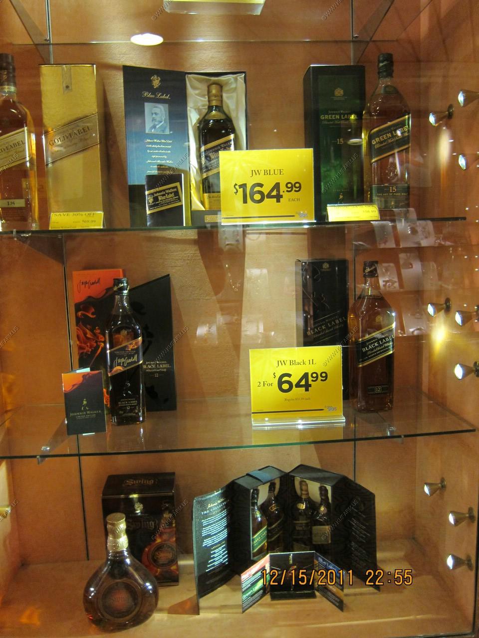
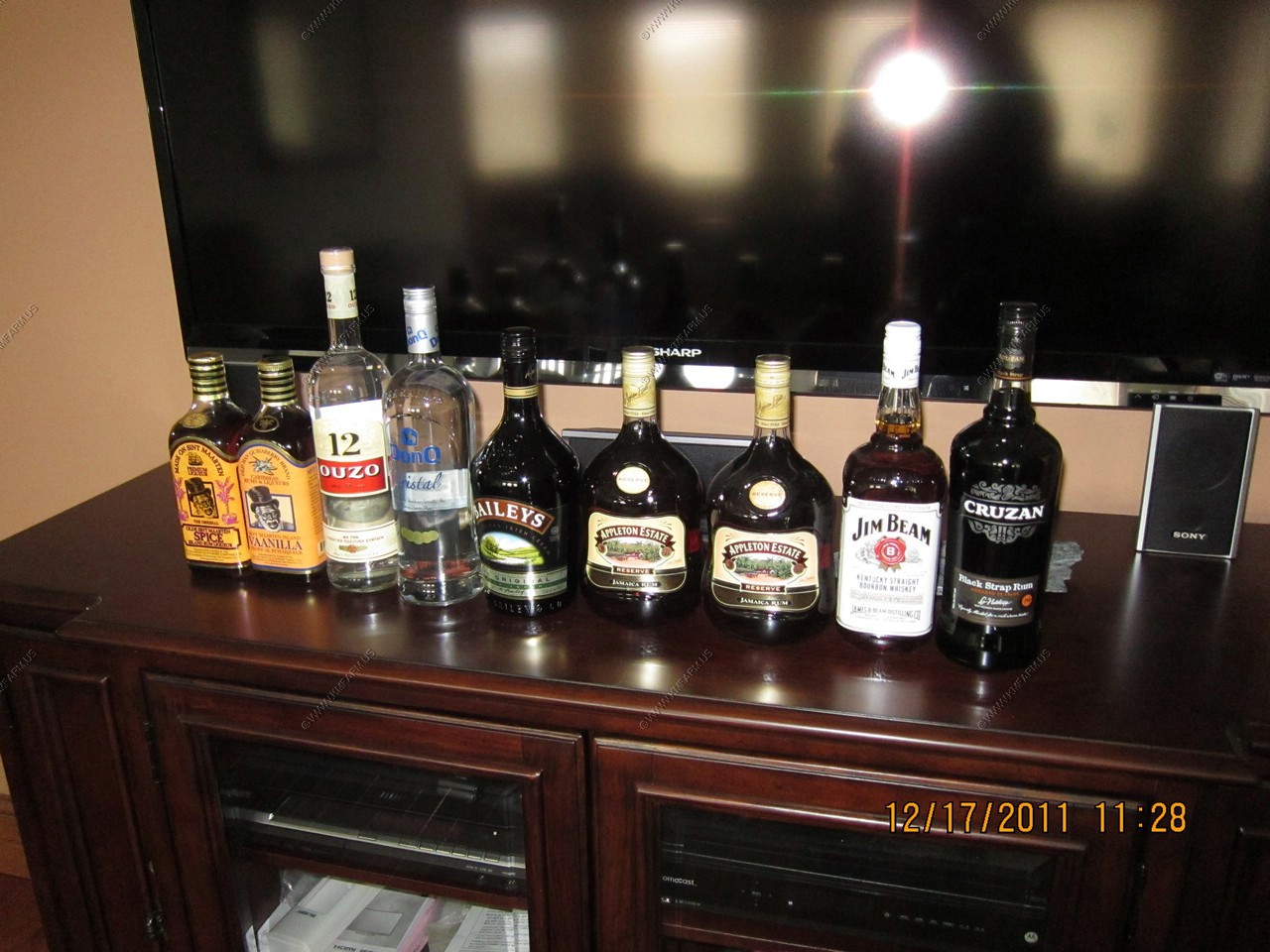
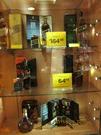
Booze prices are not bad.
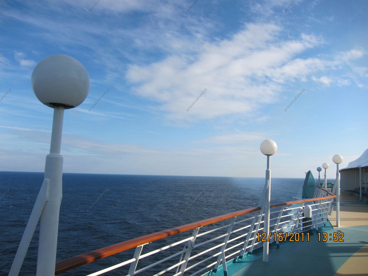
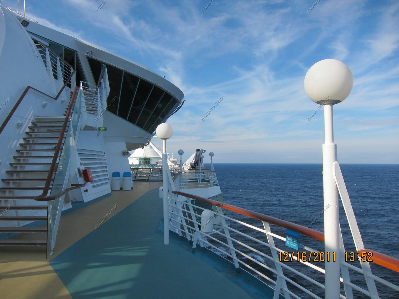
Day 12, DEC 16, At Sea
Sunrise... The last one at sea

With the 3 way plug. Lots of places to plug things in.
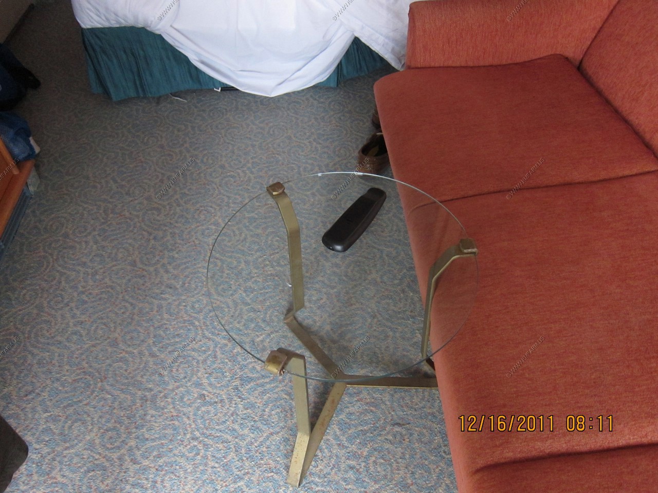
The damn glass table that I could not see in the dark and kept tripping over. I assume it's glass to make the room appear bigger.
I considered giving it a burial at sea.
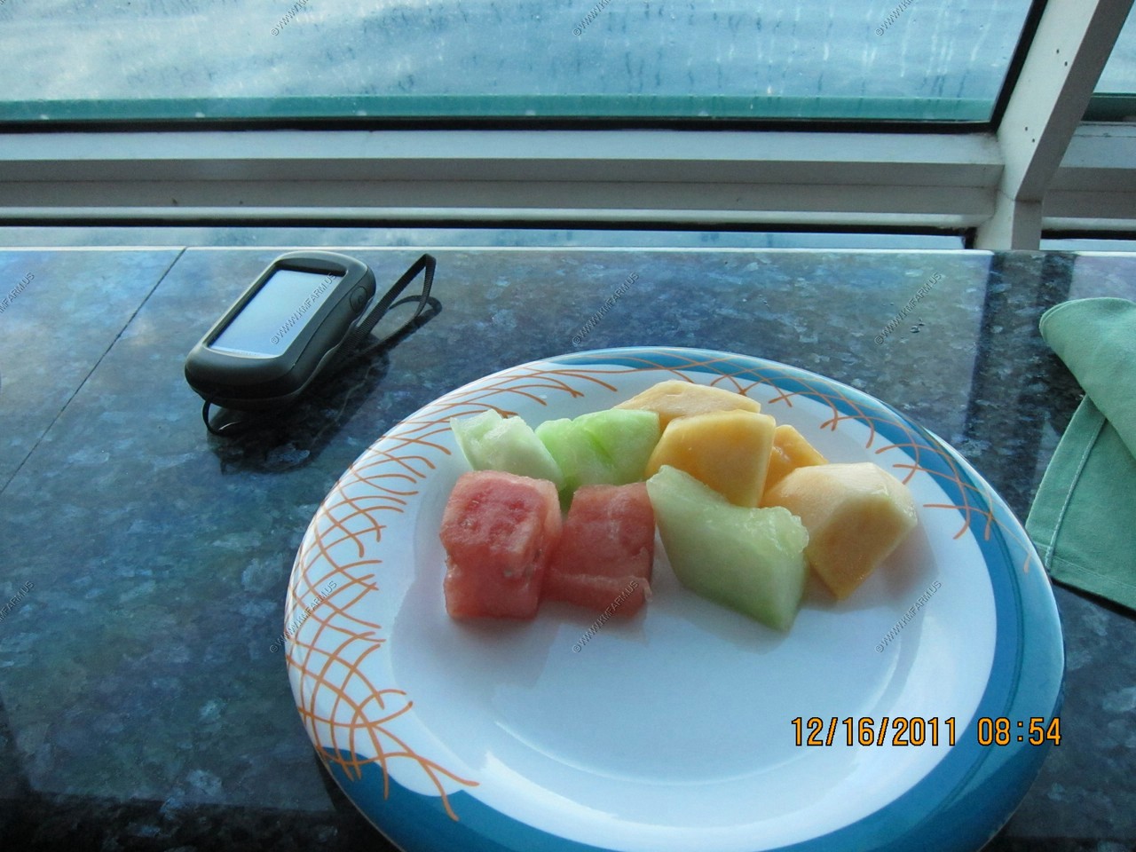
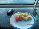
Fruit... And a GPS ! And another sunny day. Now only 100 miles SE of Cape Hatteras, NC
Good idea for the garden
Starting to get cold but still sunny
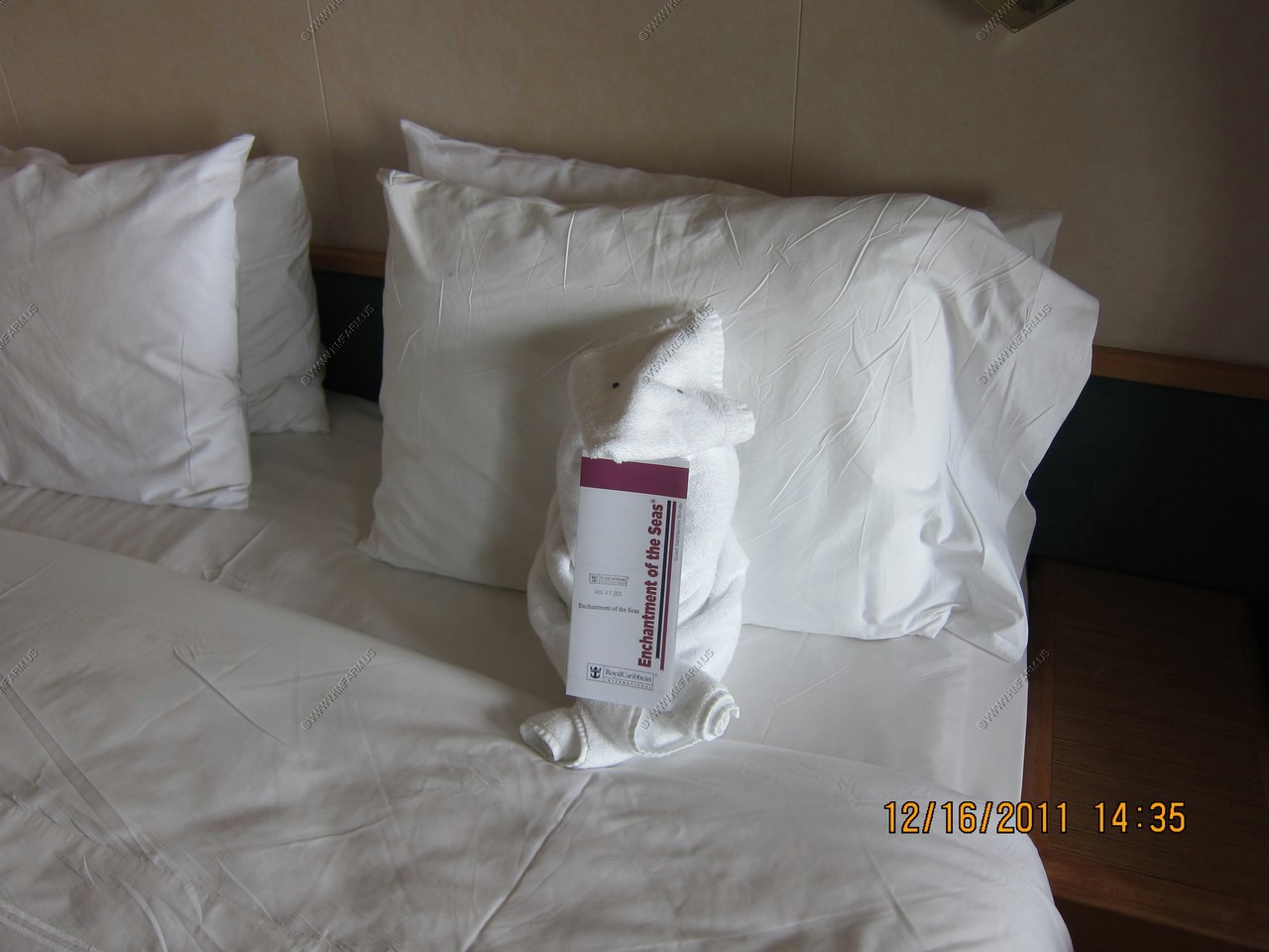
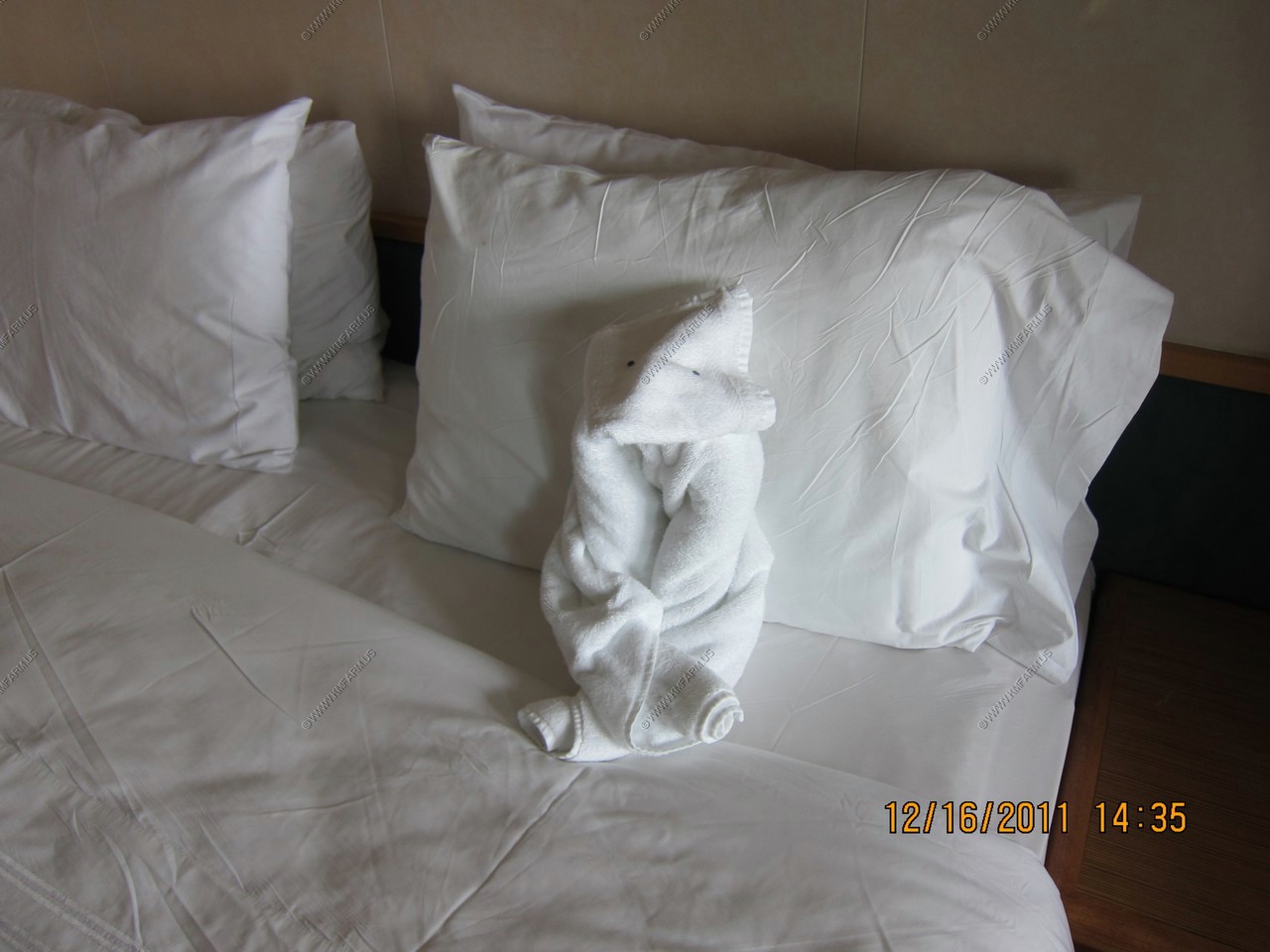
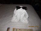
Our last critter
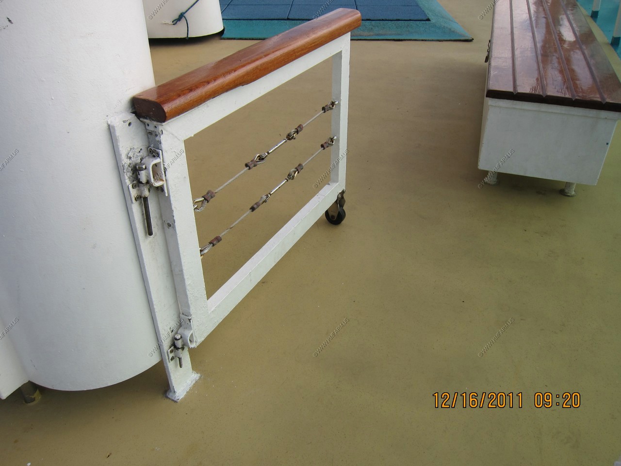
How the idiot staff in the windjammer would block off sections !
Boring sunset
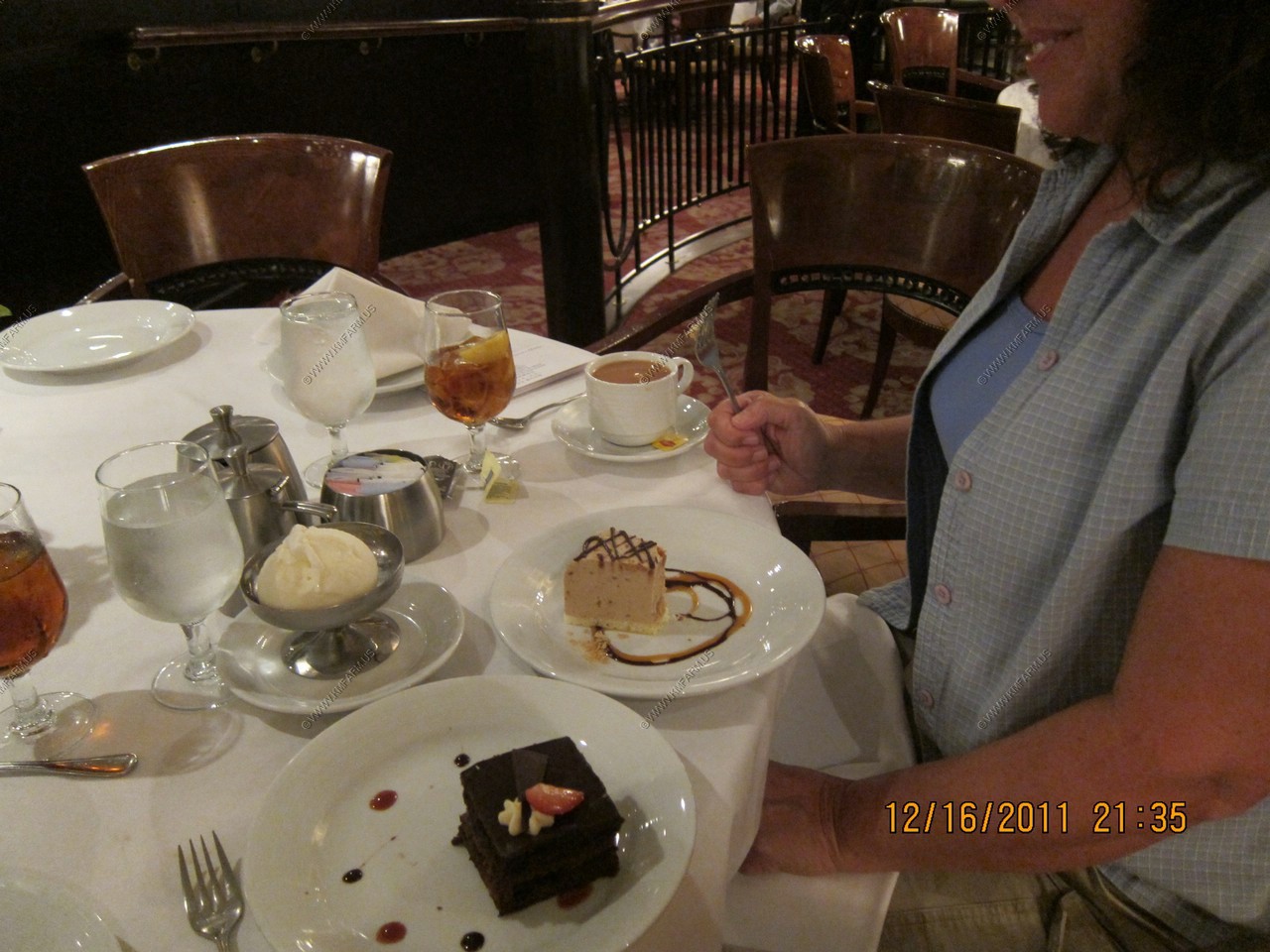
More desserts and the staff saying goodbye

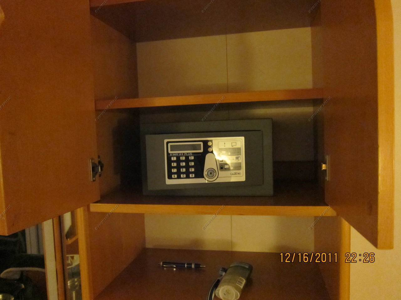
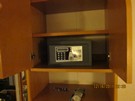
The good safe to have vs. the credit card types
Day 13, DEC 17, Baltimore
Our take for the next year tax free !