Last Updated: 24-AUG-2018
I had been to Portland before in the late 80's but did not have the opportunity to explore the area. I must say I was impressed. The areas we visited were clean, friendly and even with the liberal issues seemed to still have the free aspect of life which is missing from most of the eastern US. We lucked out and had some great weather so I am sure that this made us like the area even more.. Growing up near Pittsburgh allowed me to see many similarities with Portland.. The river, bridges and architecture. Will definitely go back ! Saw many places that I would have liked to spend more time exploring.
Two cameras were used on this trip. Most were with a Cannon S90 which for its size it takes very good photos. The other photos were taken with a Motorola Atrix 4G phone.
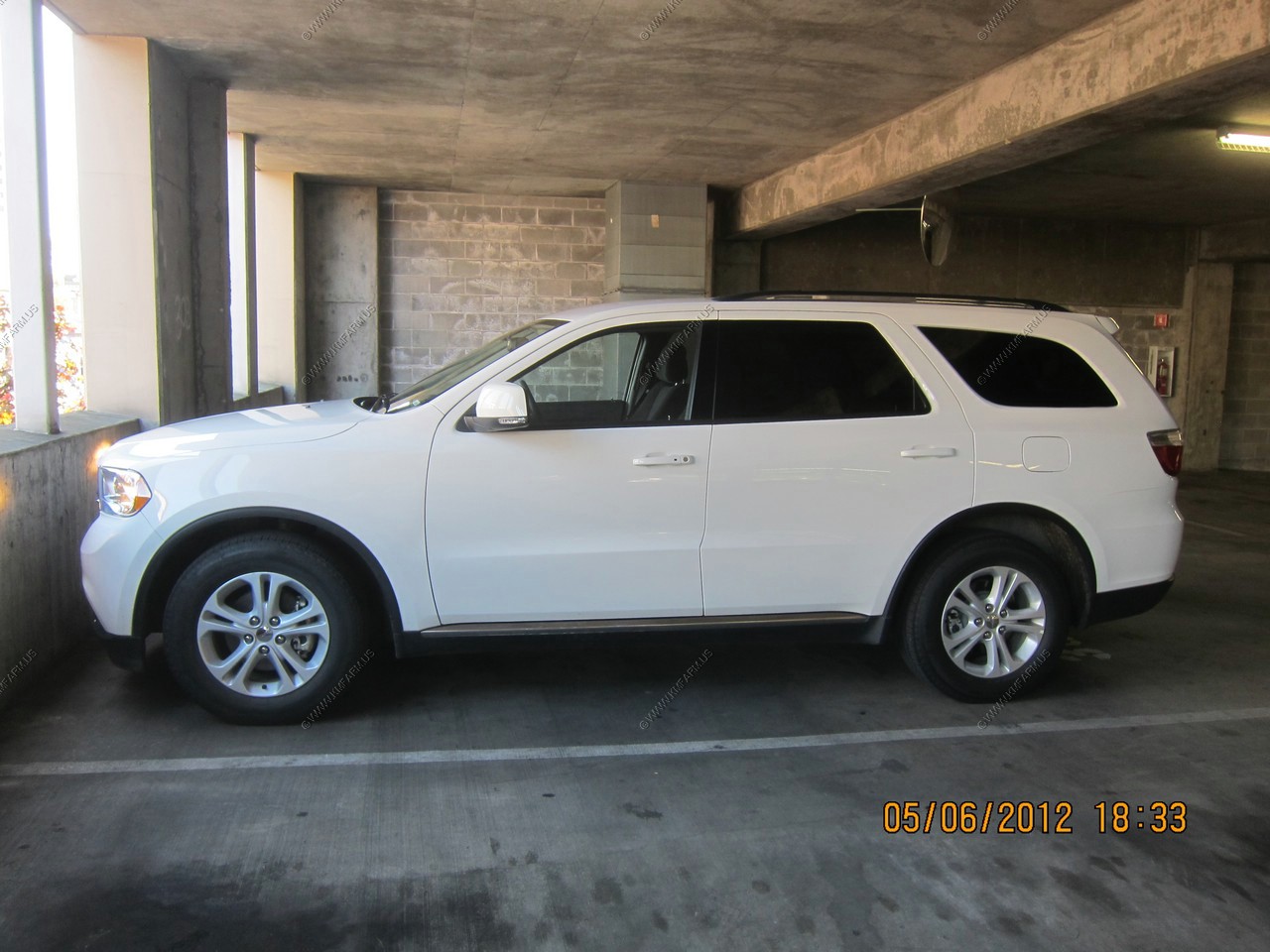
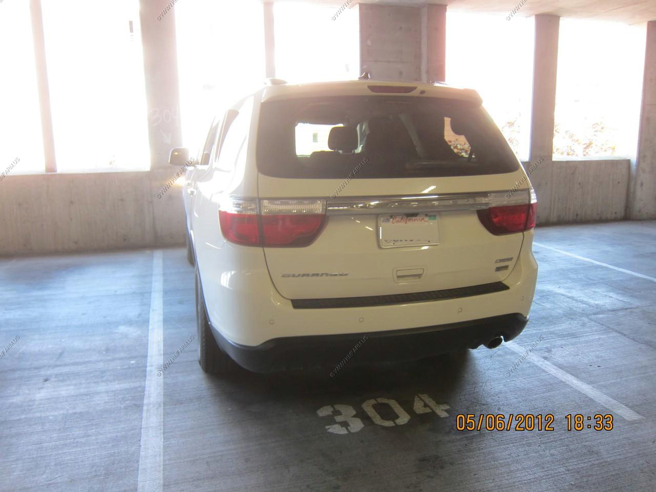
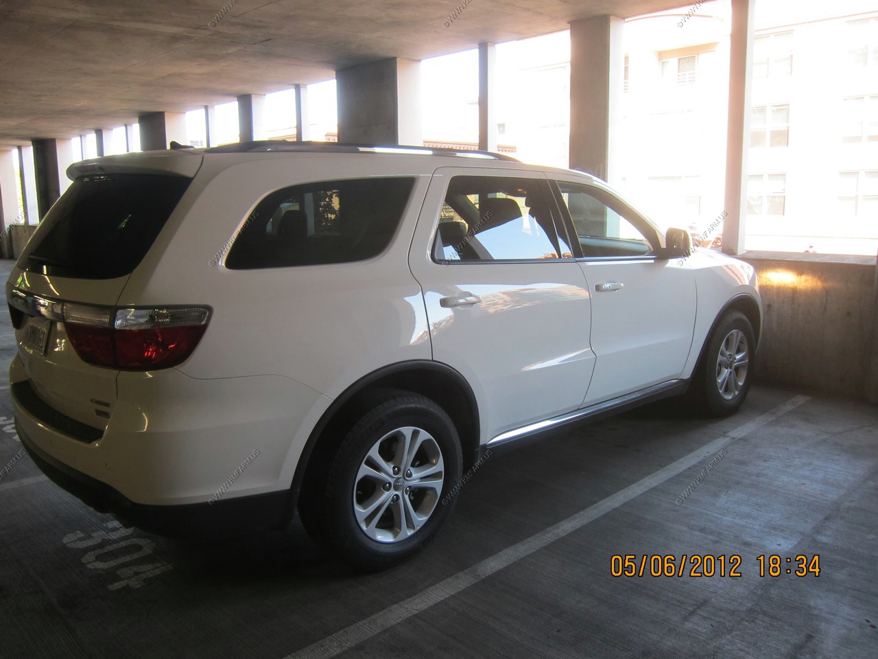
Miles driven were appx. 650 Vehicle used was a 2012 Dodge Durango. I have a 1998 Dodge Durango and I was amazed at how they improved the gas mileage in the 14 years. I am sure we were getting in the low to mid 20's The only dislike was it was easy to bump the switch that controlled the shifting. At first I was concerned that the Durango was having transmission issues but it was me.
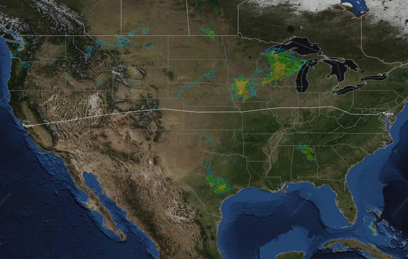
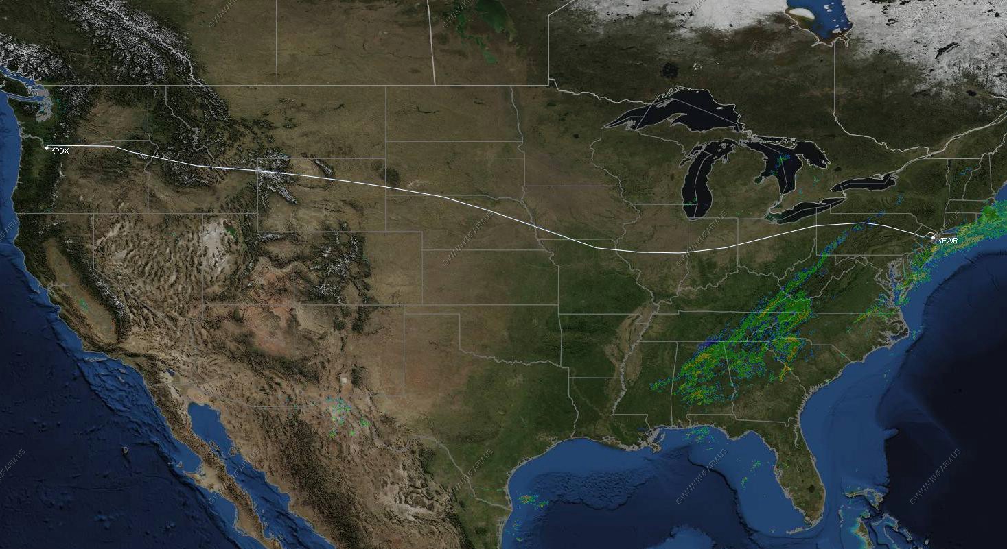
Baltimore, MD to San Francisco, CA
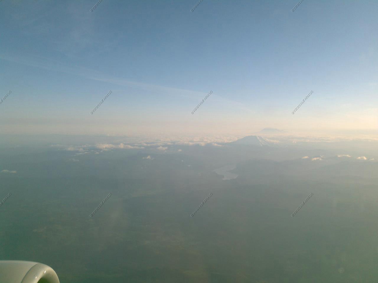
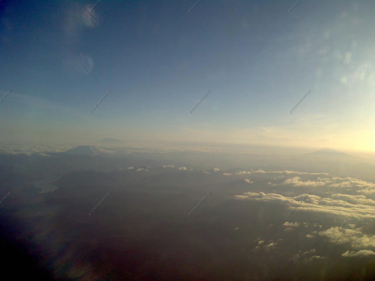
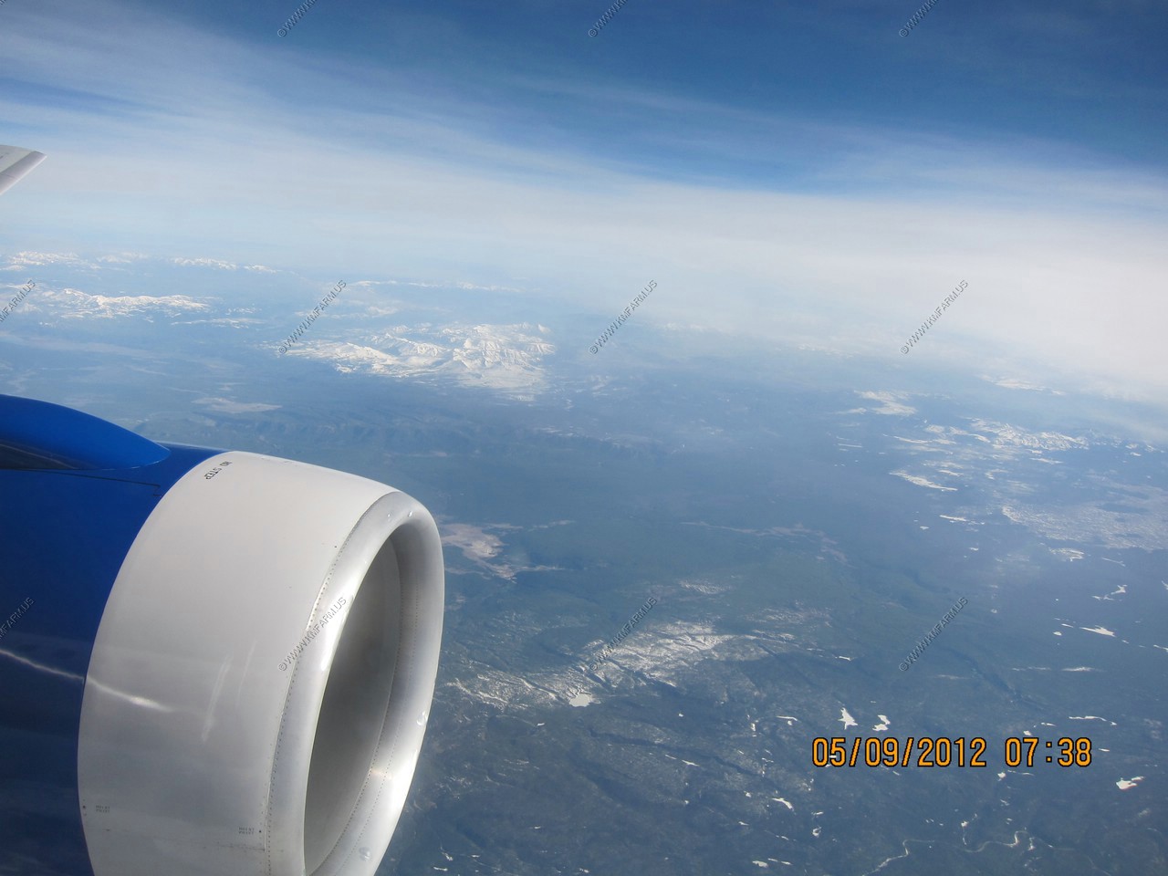
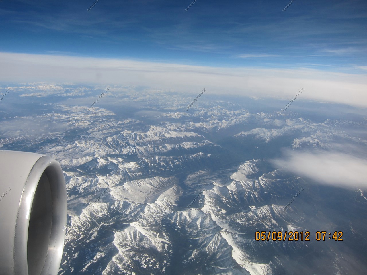
The Flight out was on time and clear from Central West Virginia on. I had the first window seat on the left side of the plane looking south and west on the flight. My camera was packed in my electronics bag so the photos / video were taking with my cell phone.
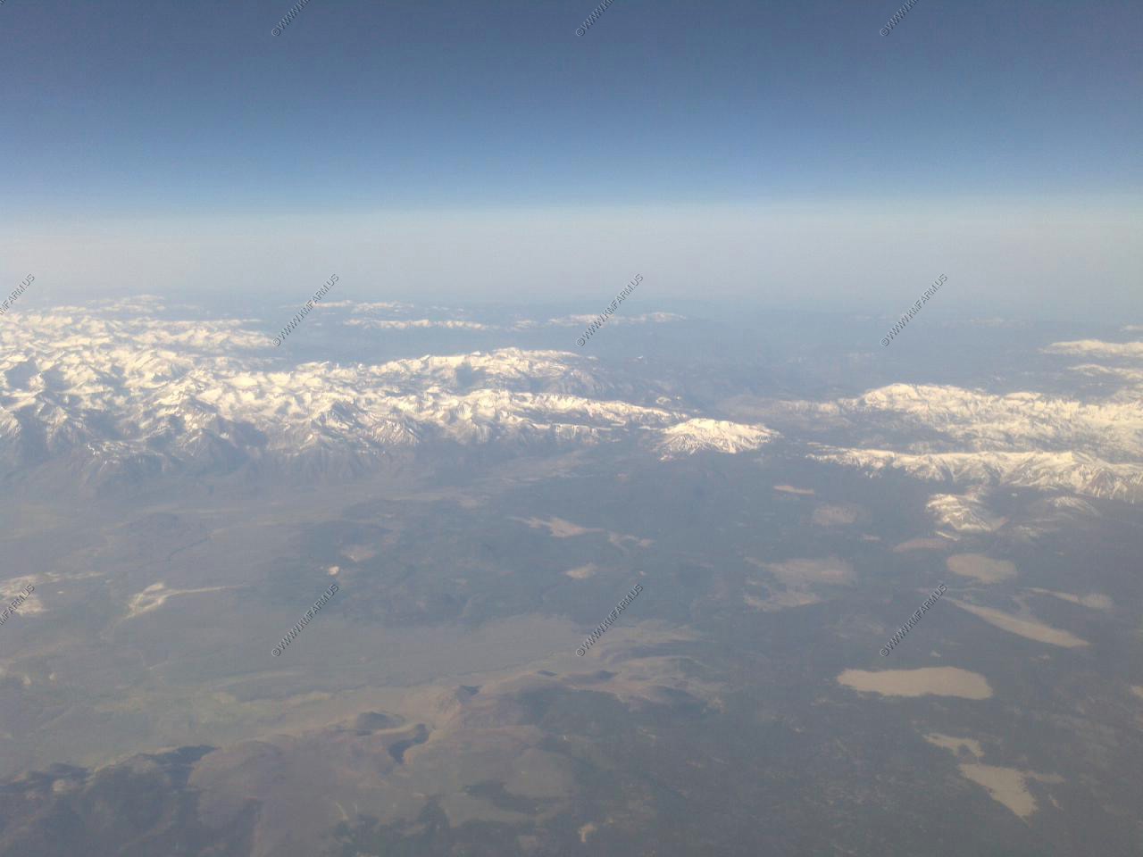
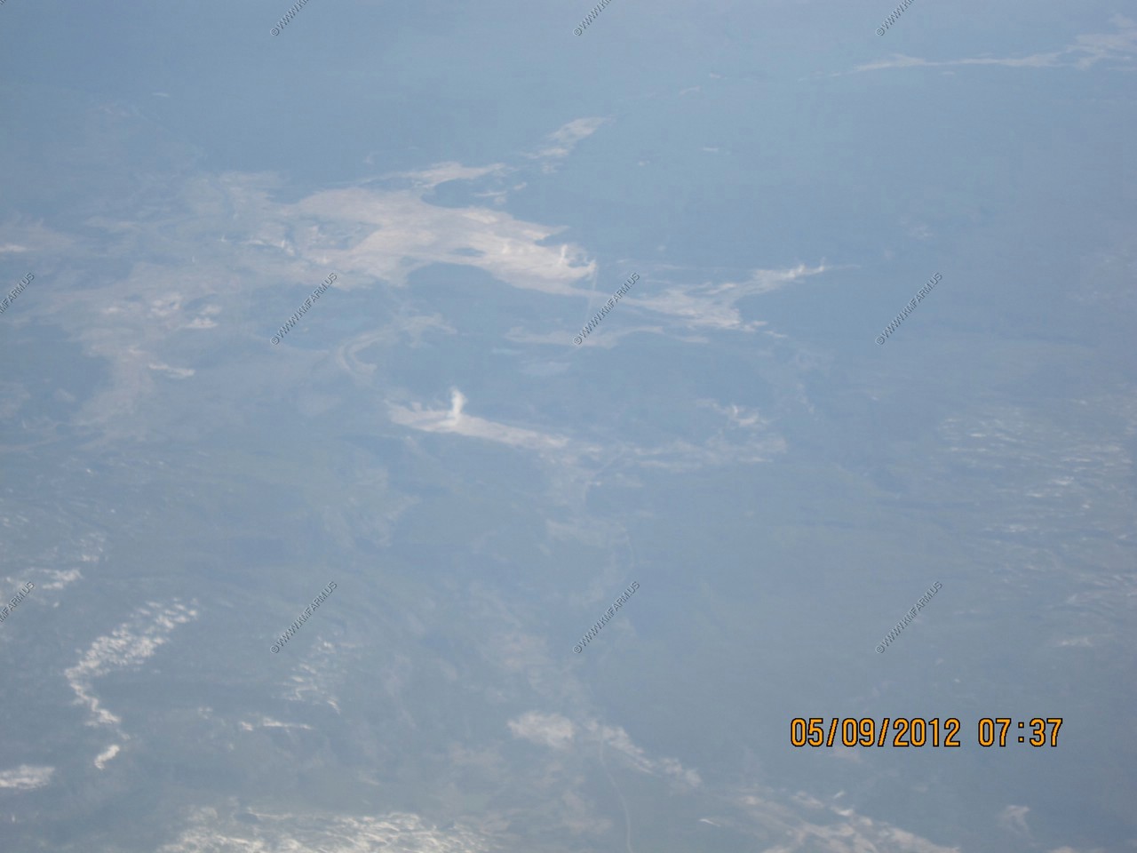
In the center of the photo is Mammoth Mountain
Mammoth Mountain is a massive ski resort area. The mountain itself is a large lava dome complex formed around 57,000 years ago.
Beyond Mammoth Mountain is Devils Postpile National Monument. To the right on Mammoth lies the Minarets. An extremely rugged part of the Sierra Nevada range.
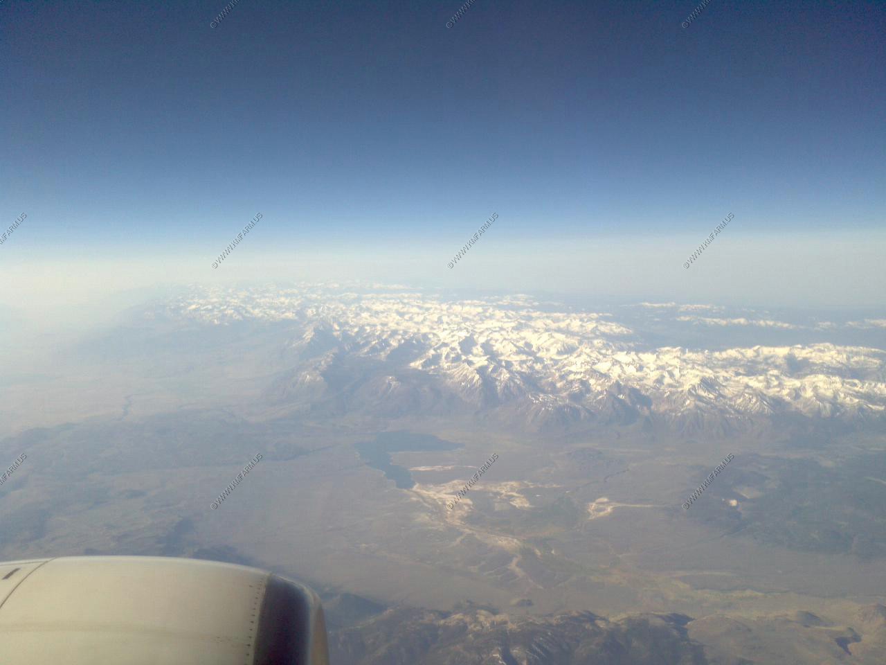
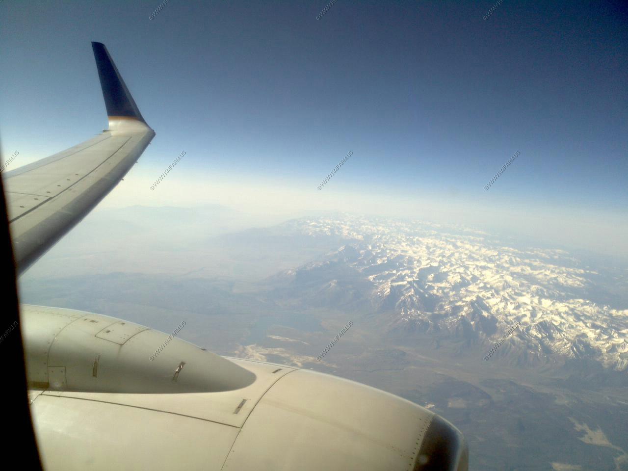
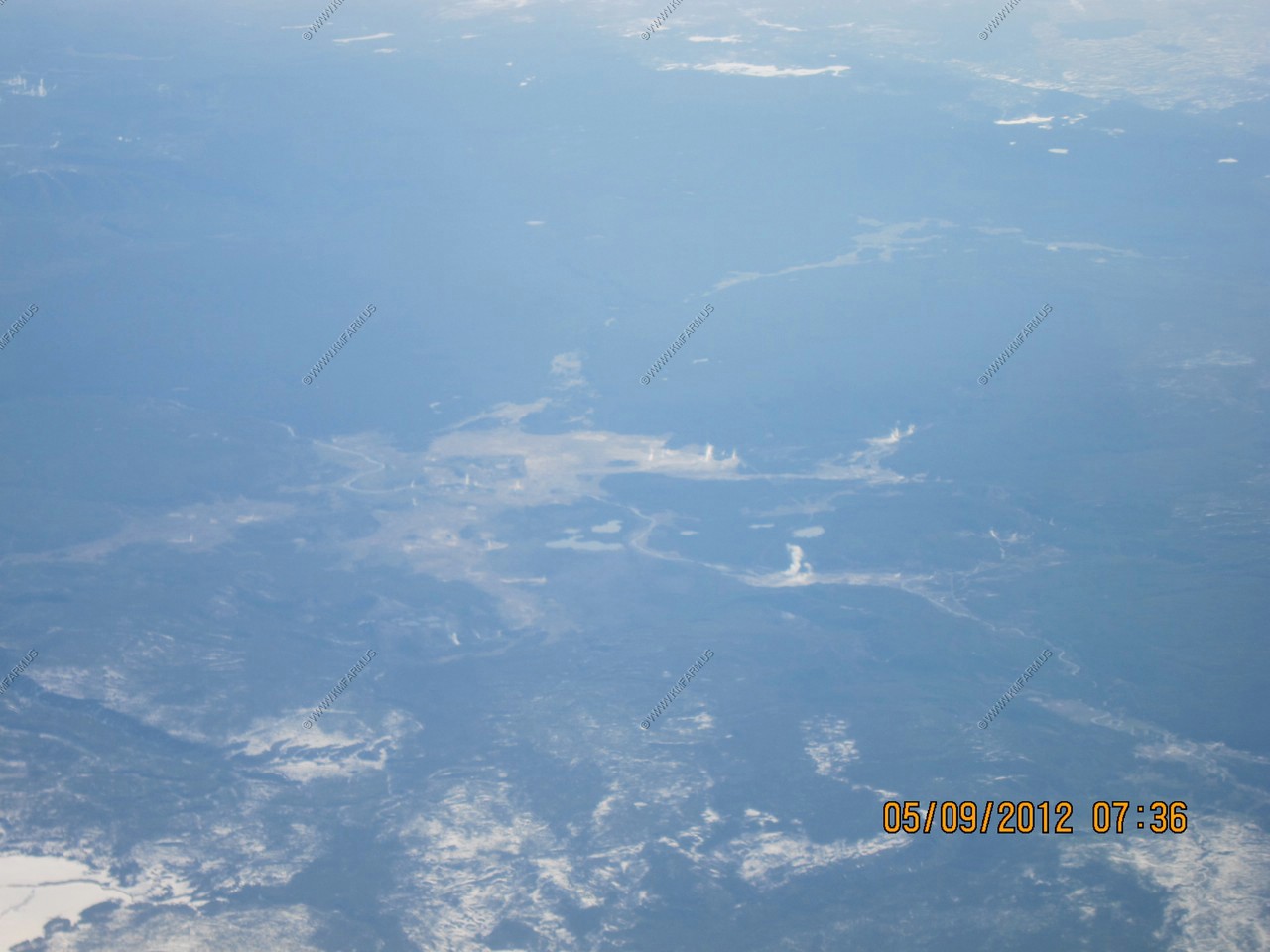
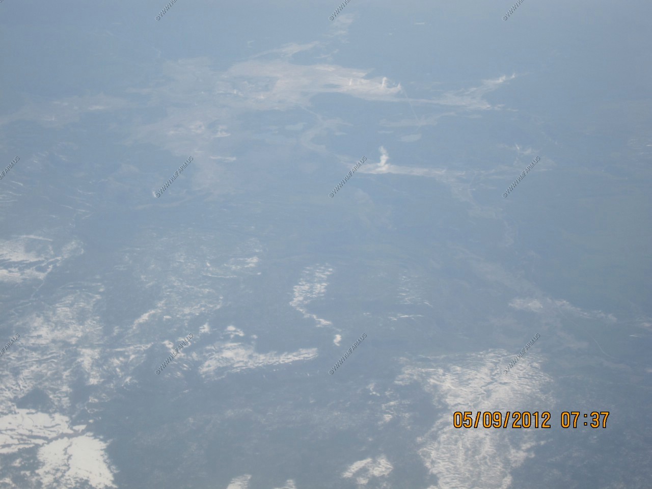
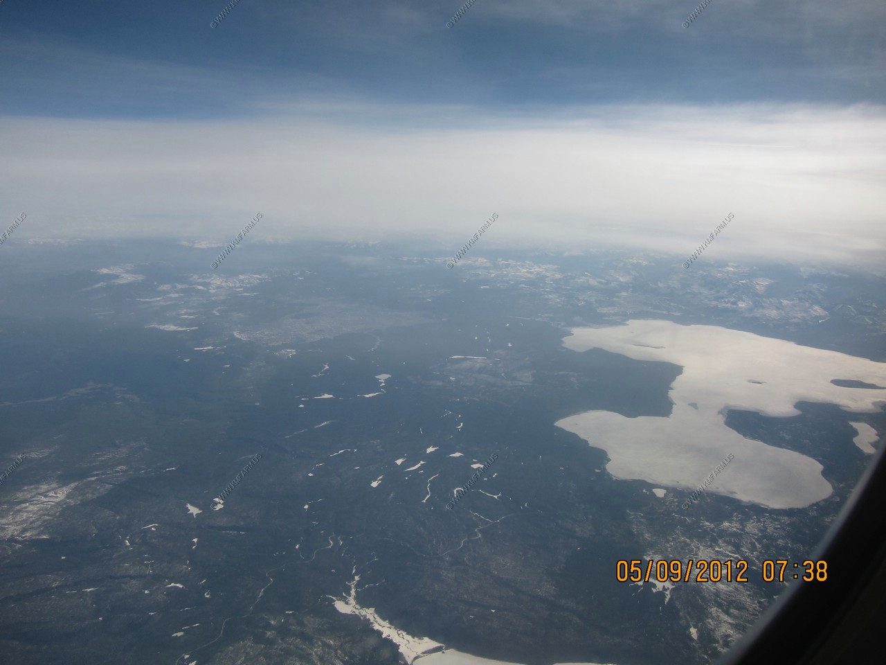
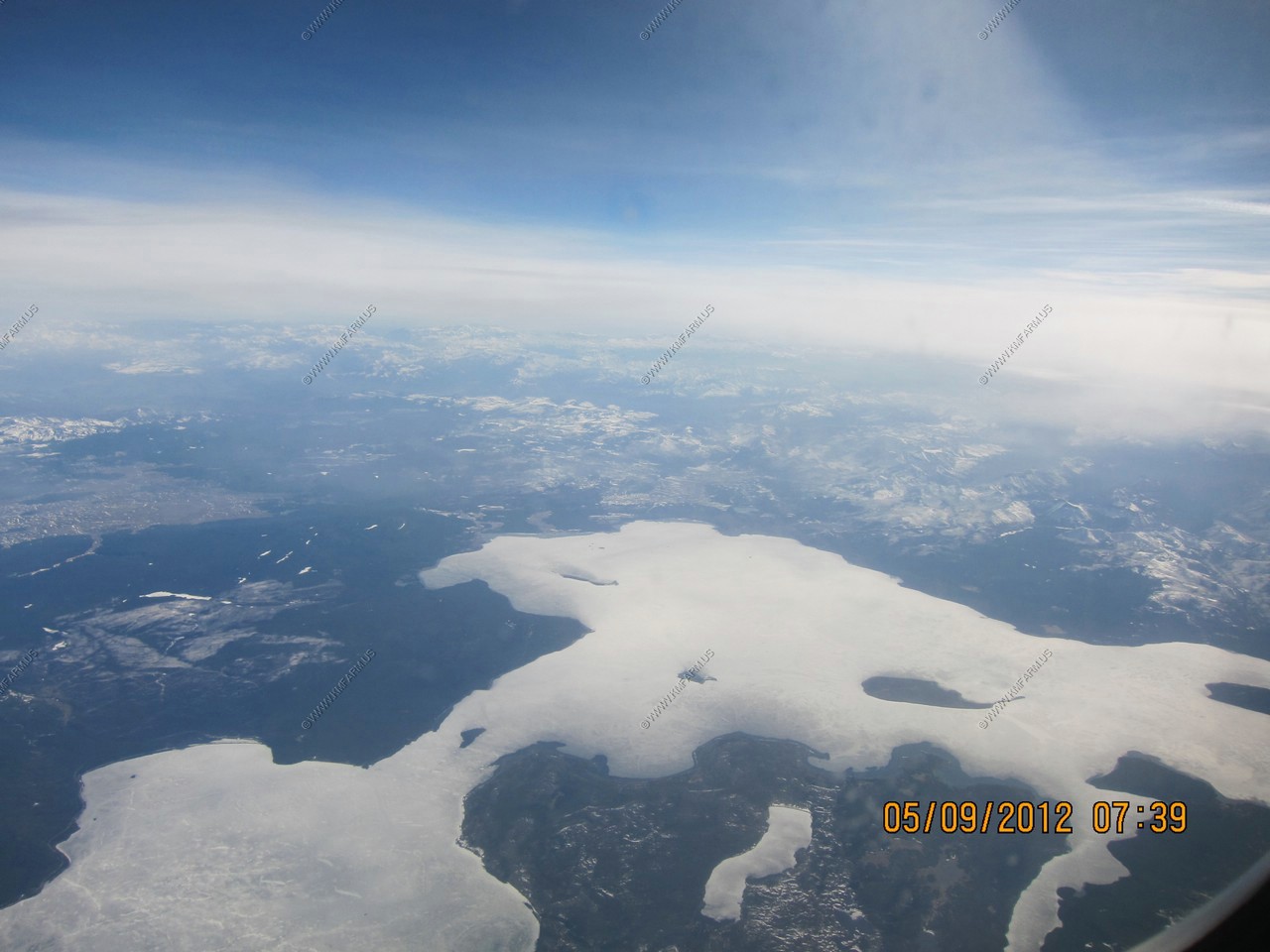
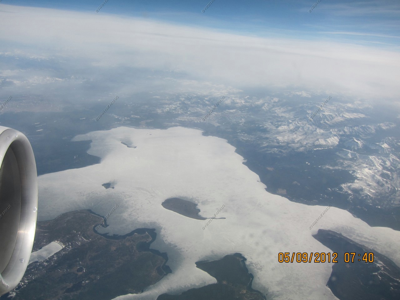
Starting to make our approach on San Francisco. Lake Crowley. The Los Angeles Department of Water and Power created this reservoir in 1941 to aid the Los Angeles Aqueduct. It is a popular recreation area for fishing and water skiing.
Beyond the lake are the central ranges of the Sierra Nevada, east of the San Joaquin Valley. This photo covers the northern parts of Kings Canyon National Park.
The area directly over the engine is the southern part of the Long Valley Caldera. Large 10 x 19.8 mile (17 x 32 km) caldera (large volcanic collapse depression) formed during a huge eruption 760,000 years ago. This eruption was highly voluminous, with 144 cubic miles (600 cu. km) of rhyolite magma erupted in the form of massive pyroclastic flows (The Bishop Tuff) and extensive ash fall across much of the western US.
This area is closely monitored by the Long Valley Volcano Observatory.
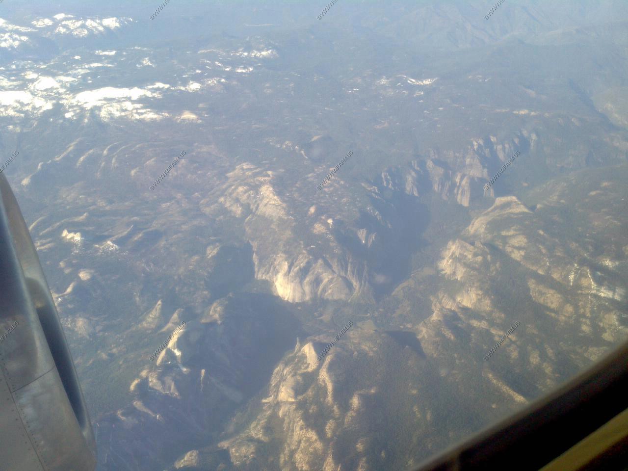
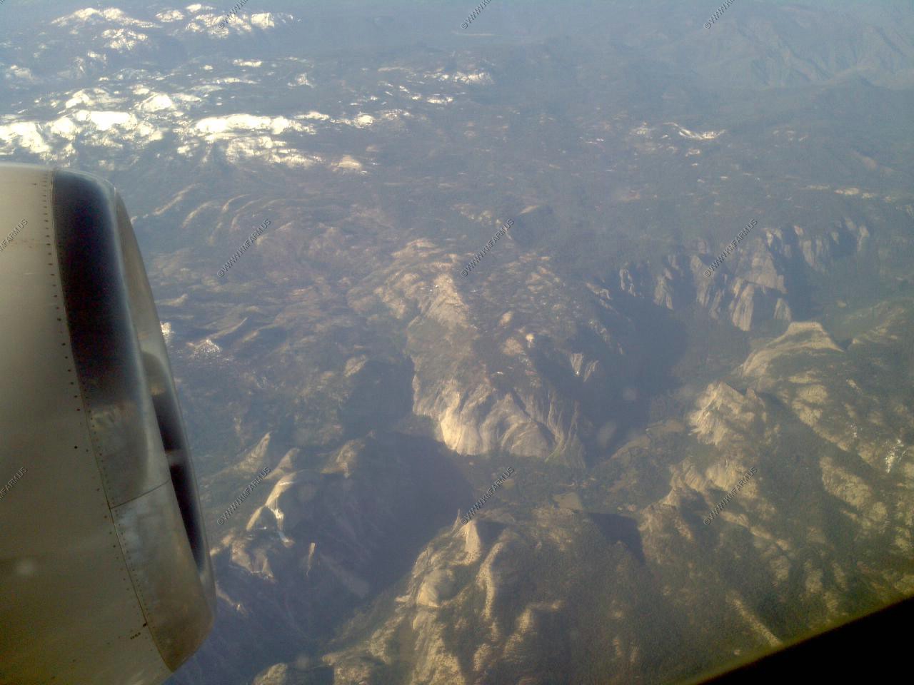
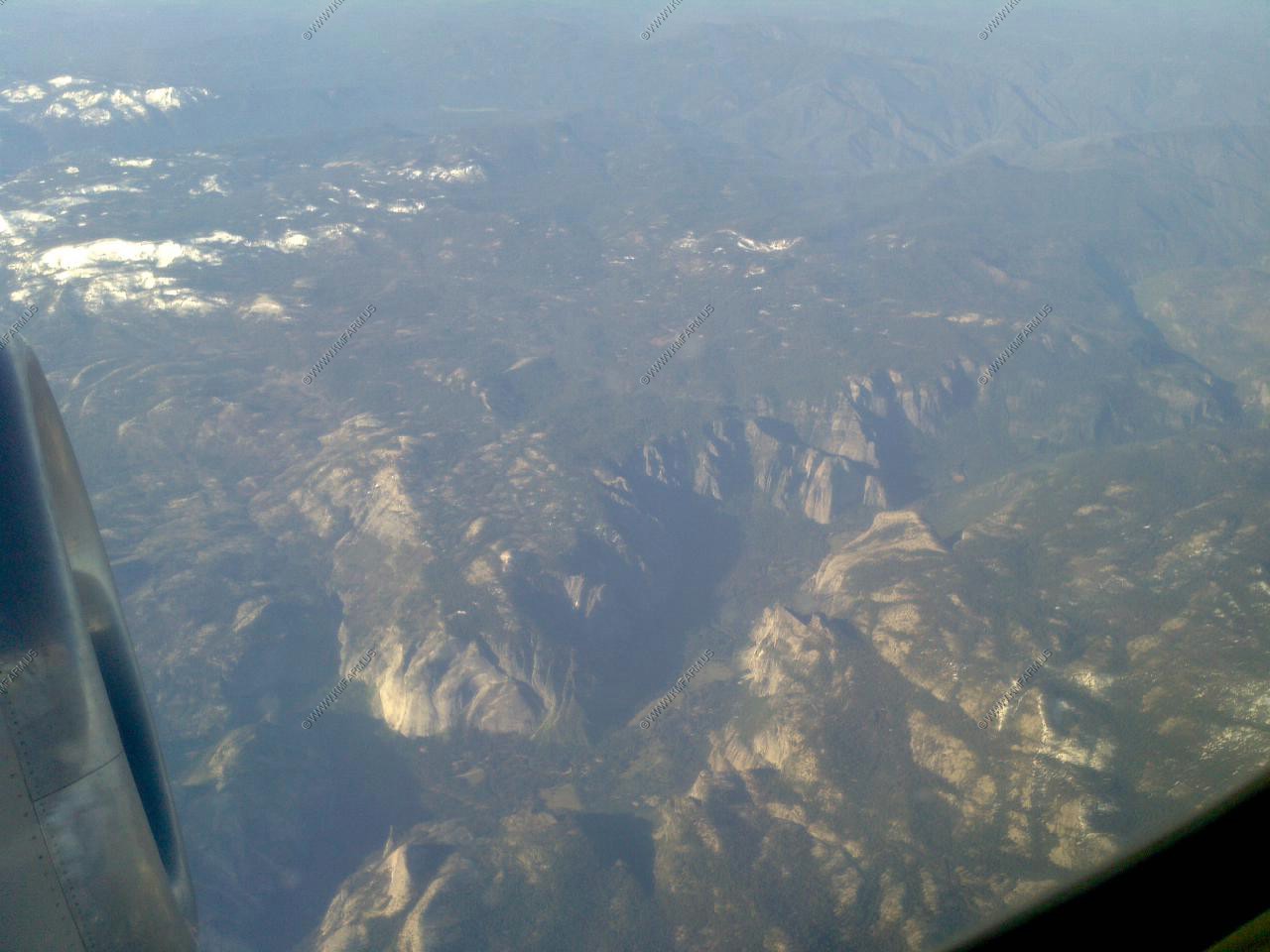
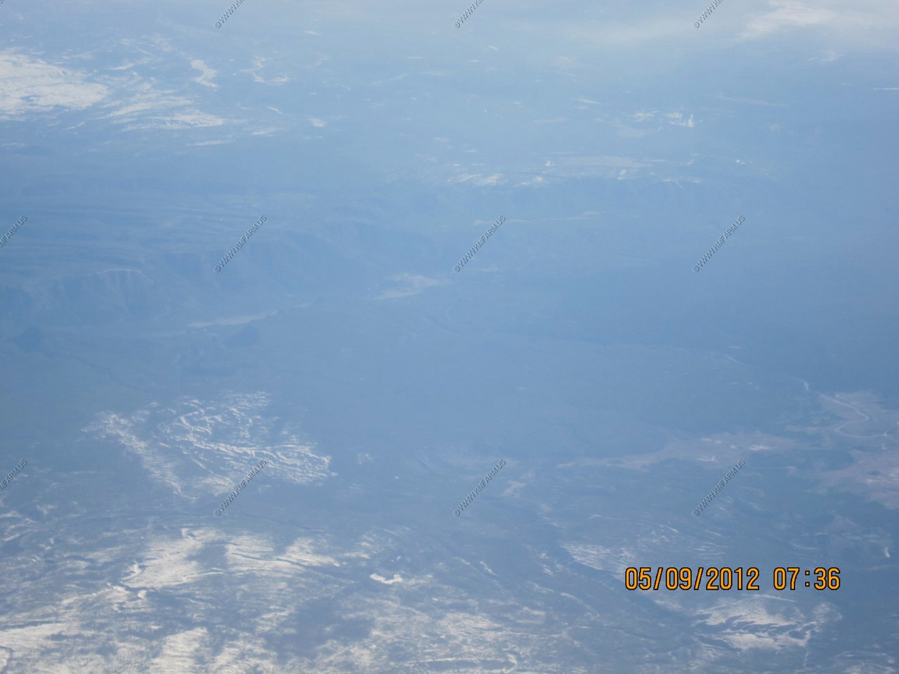
During the flight we went over Yosemite National Park. This is looking down from the north on Half Dome (El. 8,863) and the Yosemite Valley which is 5,000 feet below the dome.
San Francisco, CA to Portland, OR
After a short layover and a plane change at San Francisco International Airport (SFO/KSFO) we followed this route to Portland, OR
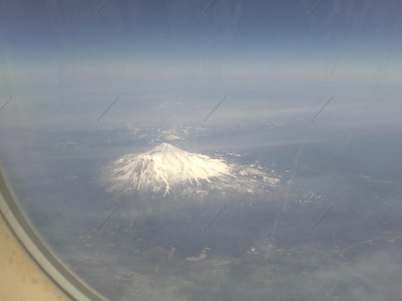
This was the only segment I did not have a window seat but was lucky to have a person next to me that did not mind me taking photos. We passed to the west of Mt. Shasta 14,162 ft active strato-volcano and second highest volcano in the Cascades. It is about 593,000 years old and last erupted around 1786. It is also one of California's highest peaks.
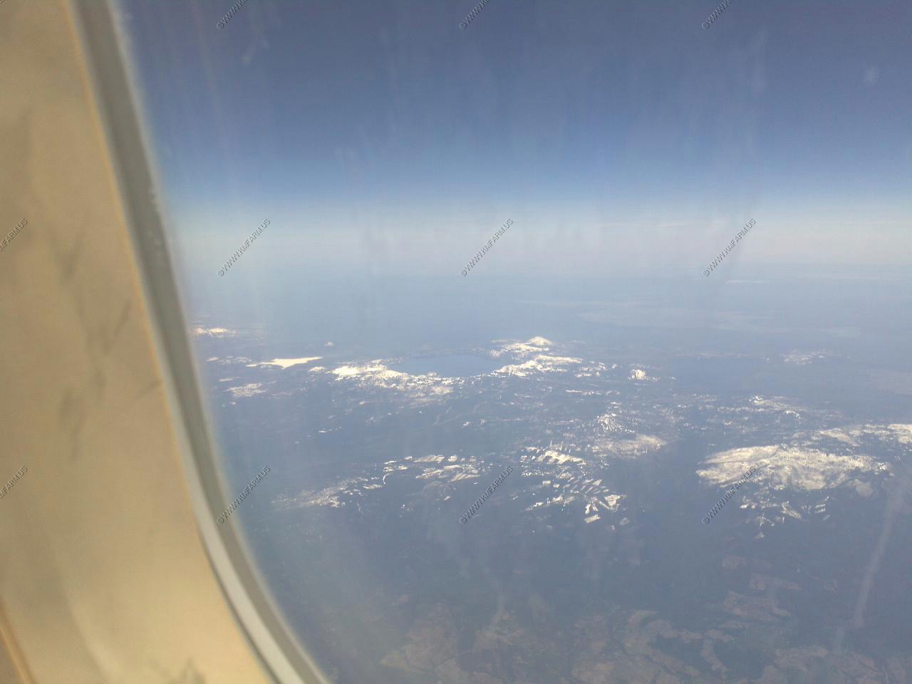
Crater Lake National Park
A caldera formed by the great volcanic eruption of Mt. Mazama about 6,850 years ago.
Roughly 50 cubic km (12 cubic miles) of magma was spewed out in this eruption, which was the largest in the Cascades within the last 10,000 years. The last eruption involved underwater domes in the lake about 4,300 years ago. At 1,932 feet, Crater Lake is the deepest lake in the United States.
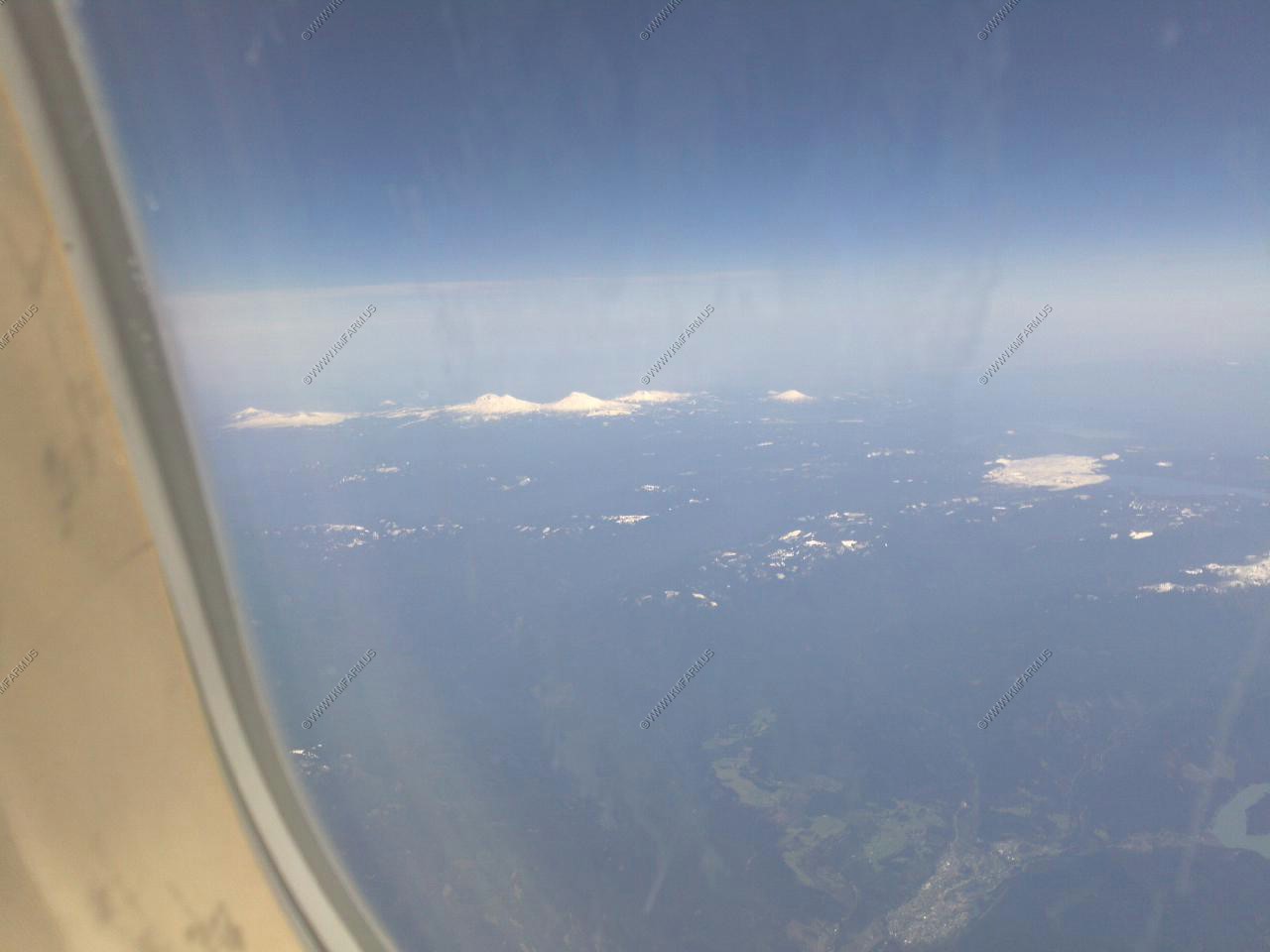
The next view on my Cascades by plane tour is The Three Sisters.
The Three Sisters are three volcanic peaks of the Cascade Volcanic Arc and the Cascade Range in Oregon, each of which exceeds 10,000 ft (3,048 m) in elevation. They are the third, fourth, and fifth highest peaks in the state of Oregon and are located in the Three Sisters Wilderness, about 15 mi (24 km) southwest from the nearest town of Sisters, Oregon. The three peaks have 15 named glaciers among them, nearly half of all the 35 named glaciers in Oregon.
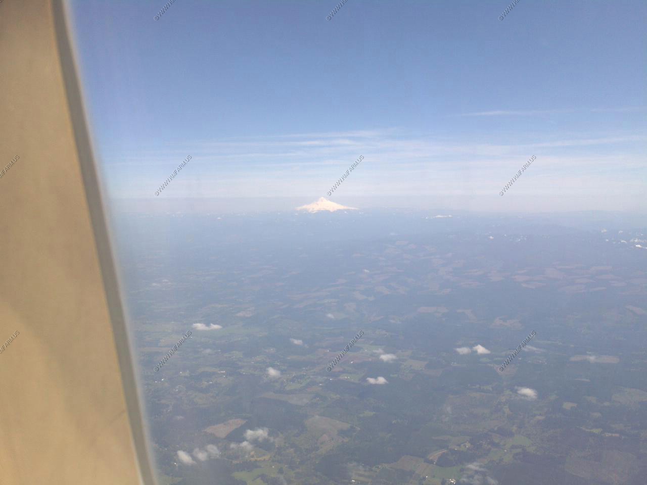
The next mountain was Mt. Jefferson
Mount Jefferson is Oregon's second-tallest mountain at 10,497 feet. This craggy volcano (possibly extinct, but scientists aren't 100% sure about that) is topped by a 400-foot sheer pinnacle of crumbling rock that gives Jefferson its well-deserved reputation as the most difficult of Oregon's Cascade summits to climb. The centerpiece of a large wilderness area in the north-central part of the state, the eastern flank of the mountain is part of the Warm Springs Indian Reservation.
Jefferson was named in the spring of 1806 by Lewis and Clark who sighted it from near present-day Portland and named it for President Thomas Jefferson, who sponsored their journey to the Pacific. This was the first major Cascade peak to be named for an American president and not for a British admiral or dignitary, as in the case of Mt. Baker, Rainier, Hood and St. Helens.
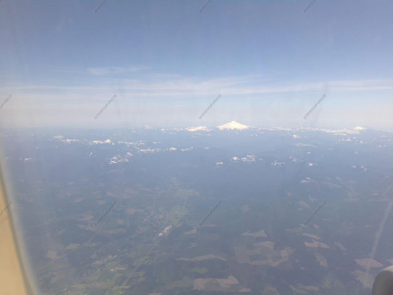
Last mountain from the plane was Mt. Hood (more on that below)
Portland, OR
We checked in and wanted something quick to eat before heading off to Mt. Hood.
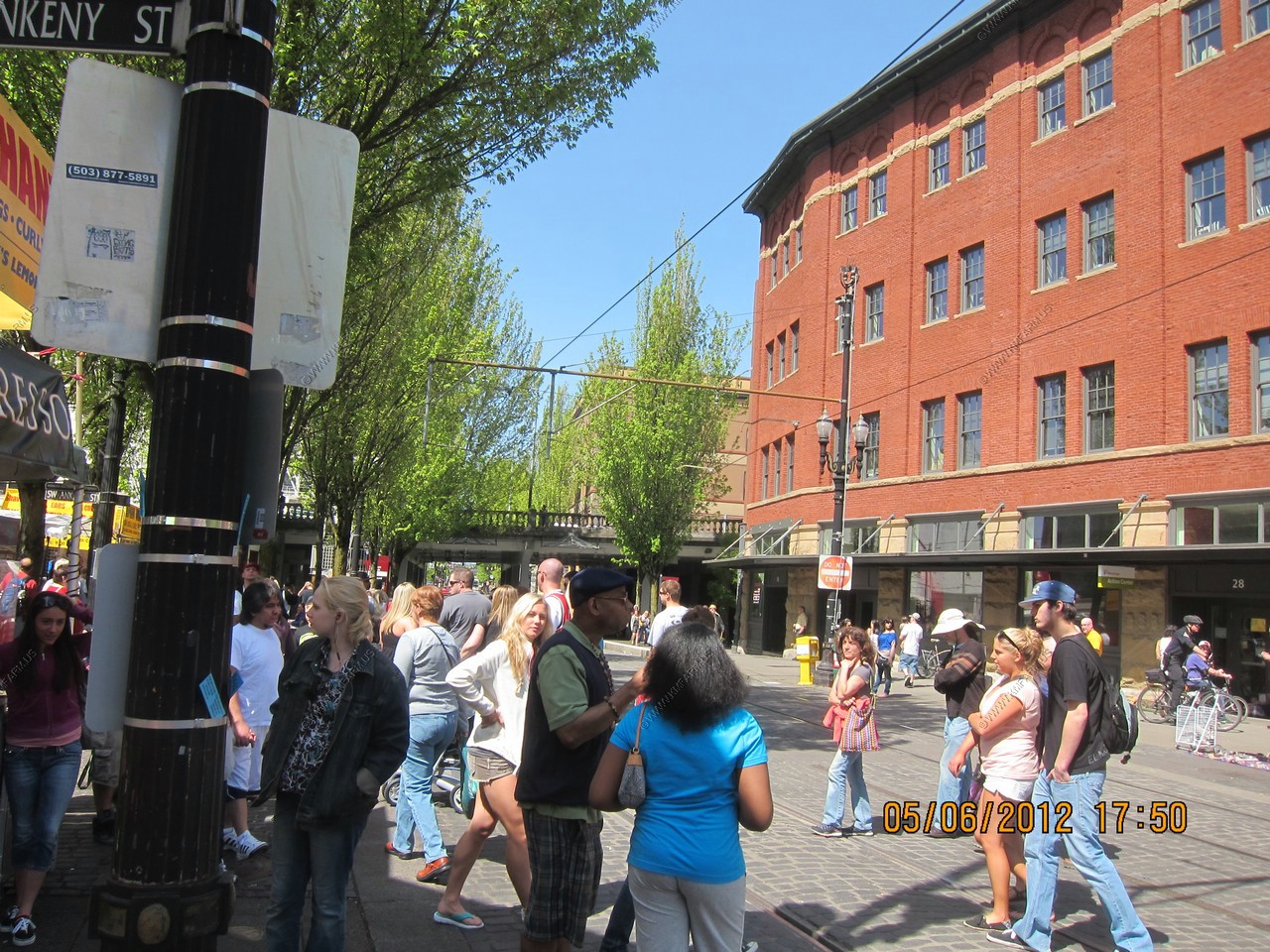
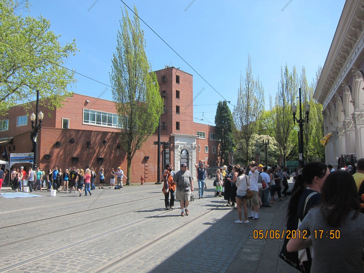
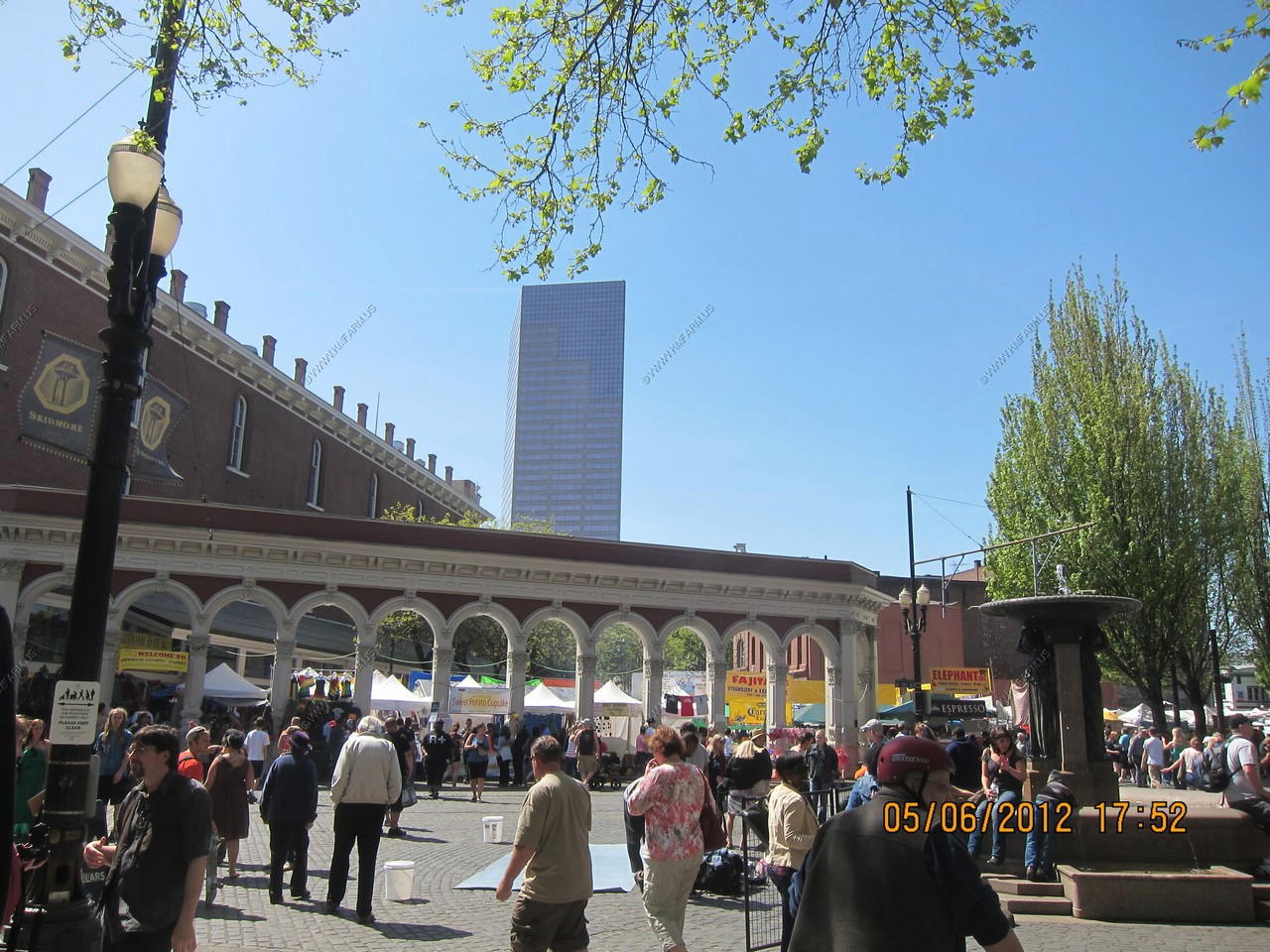
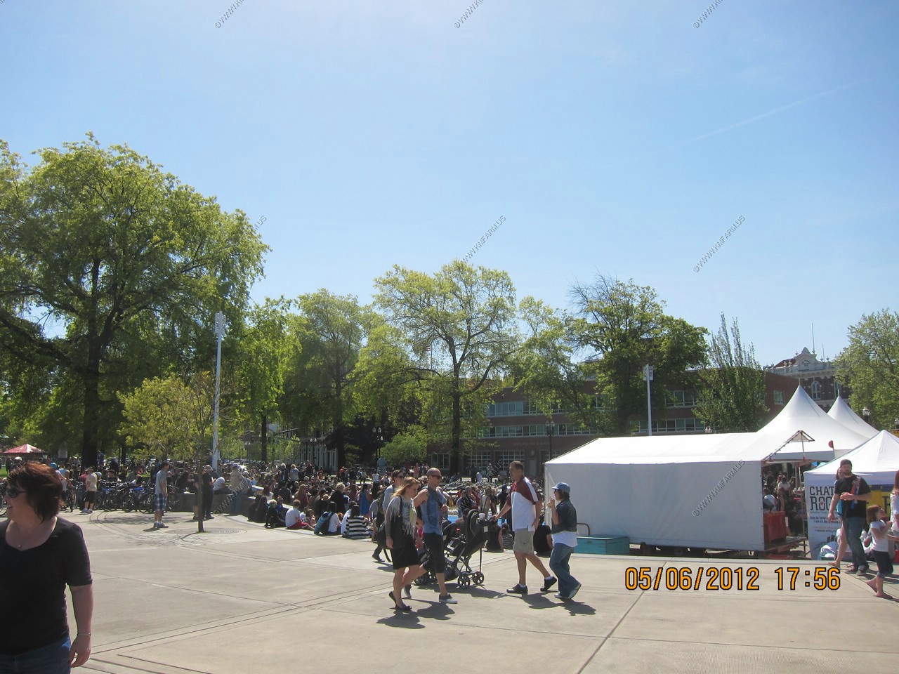
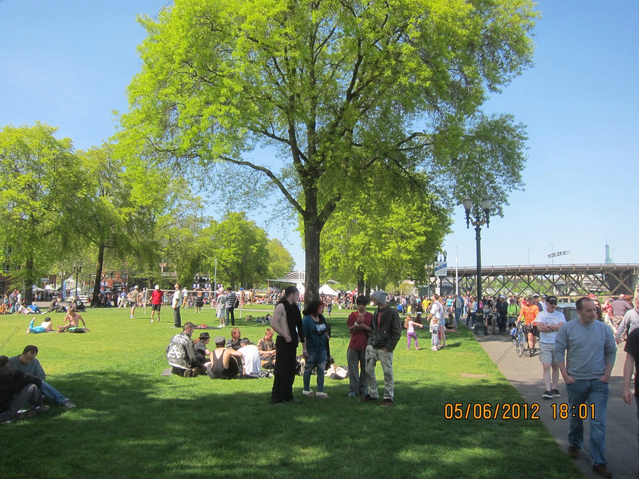
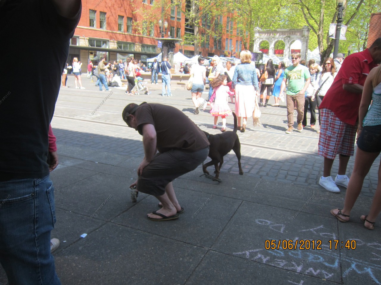
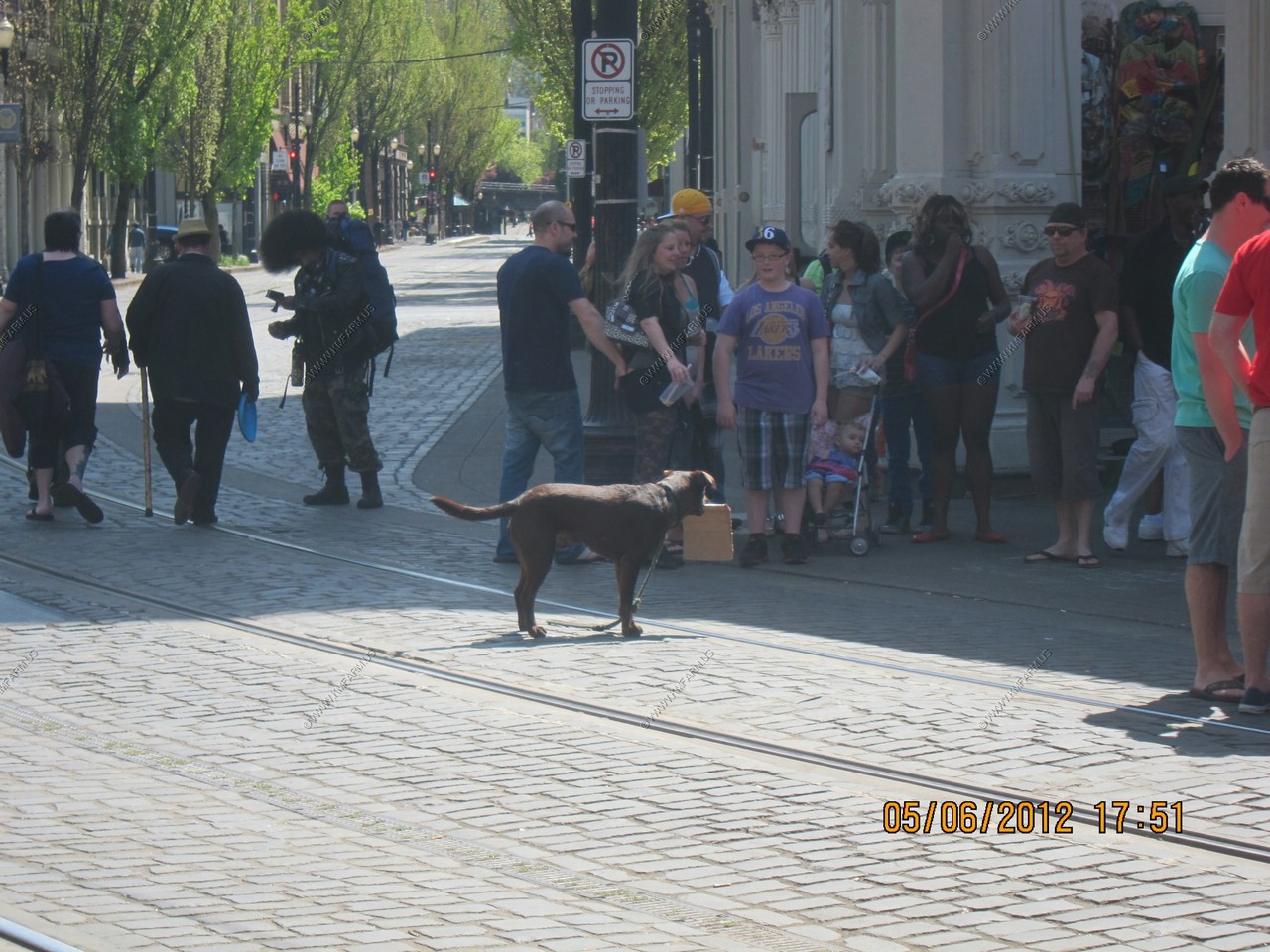
Portland was celebrating Cinco de Mayo. Interesting demographics. 95% white and lots of hippies... Still the crowd seemed very safe and it extended from the downtown area to the Saturday Market and along the Willamette River.
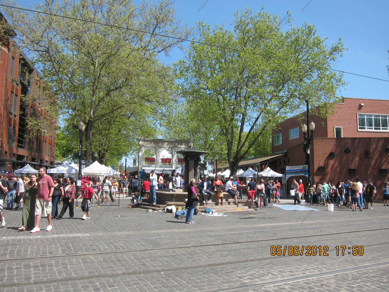


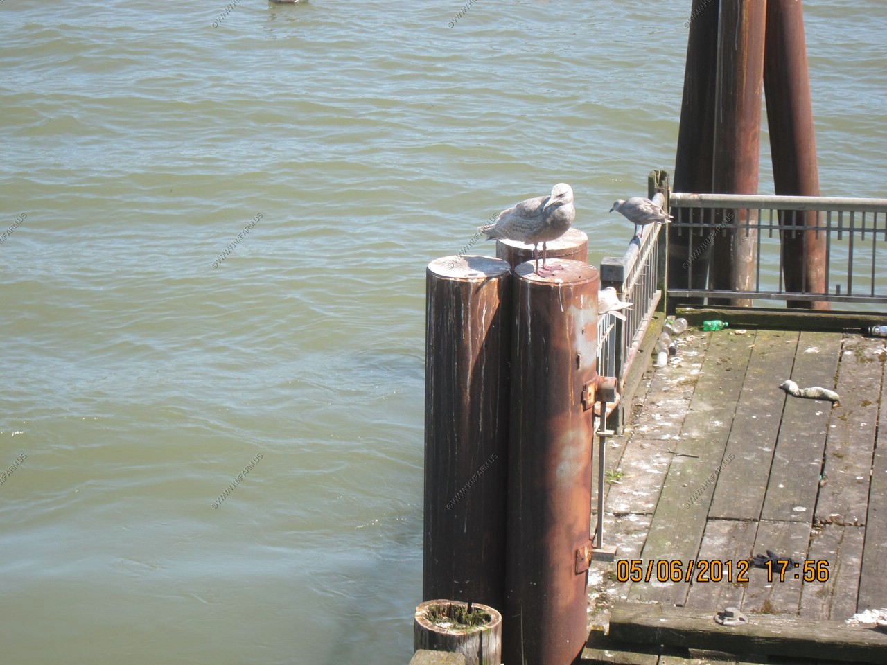
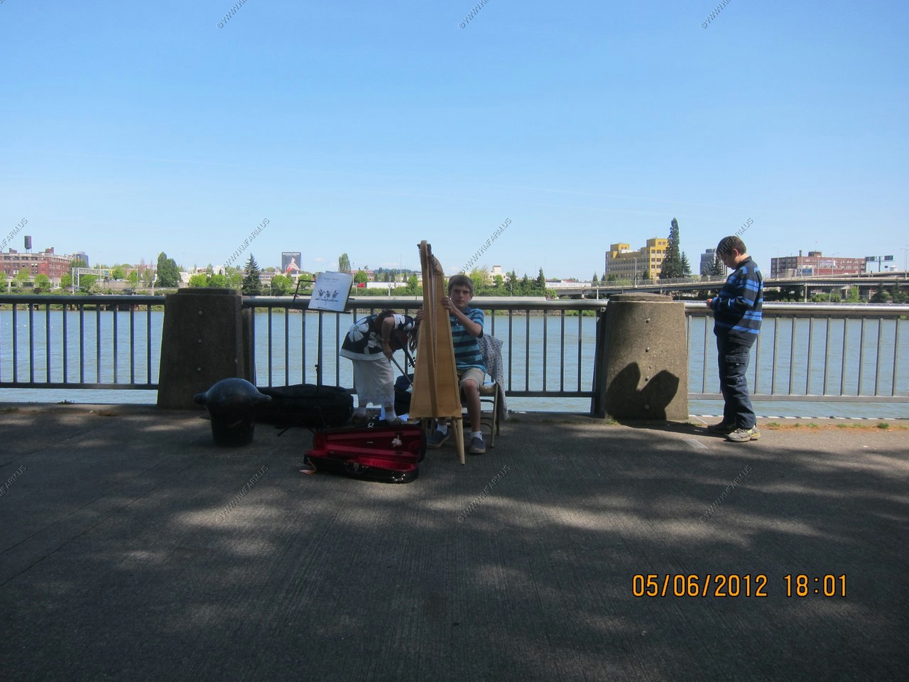
Someone taught a dog how to beg and people were giving it money !
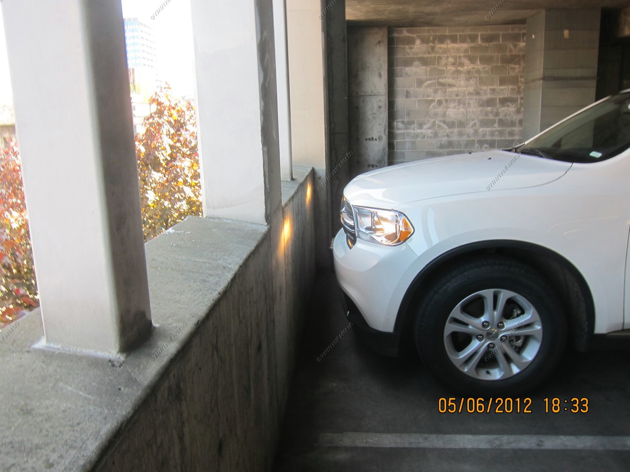
Documenting that no damage is on the rental car. Hopefully it will stay that way !
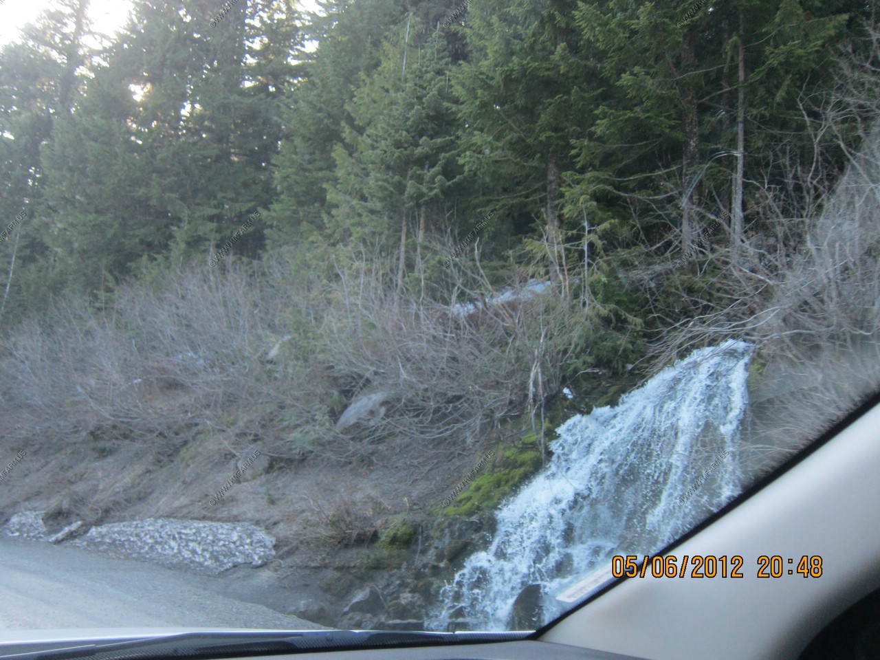
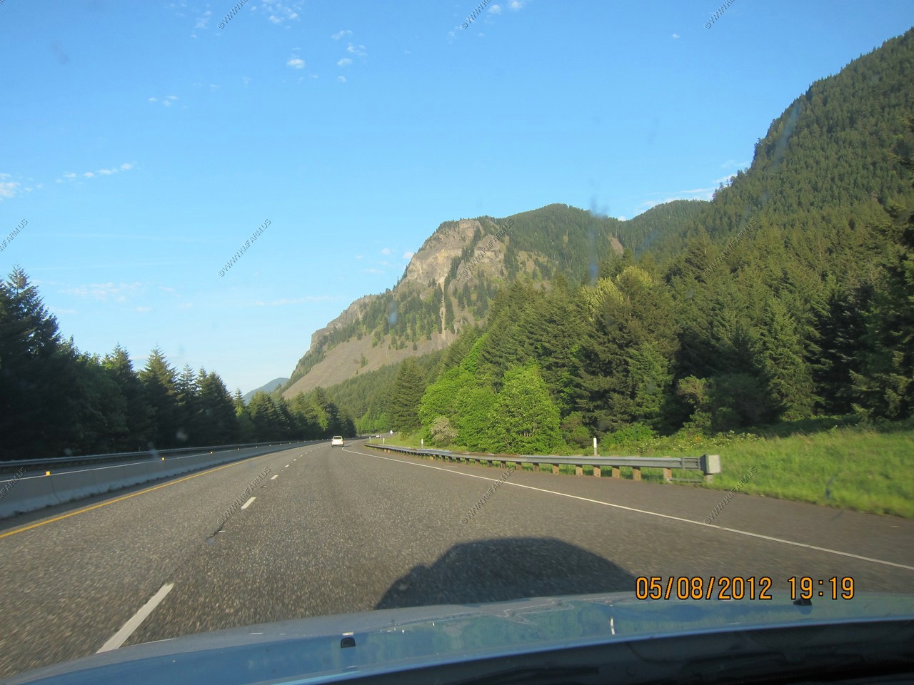
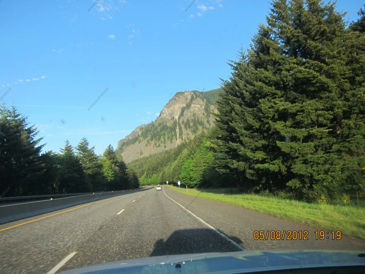
Off to Mt. Hood
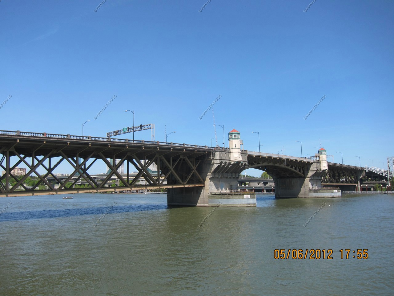
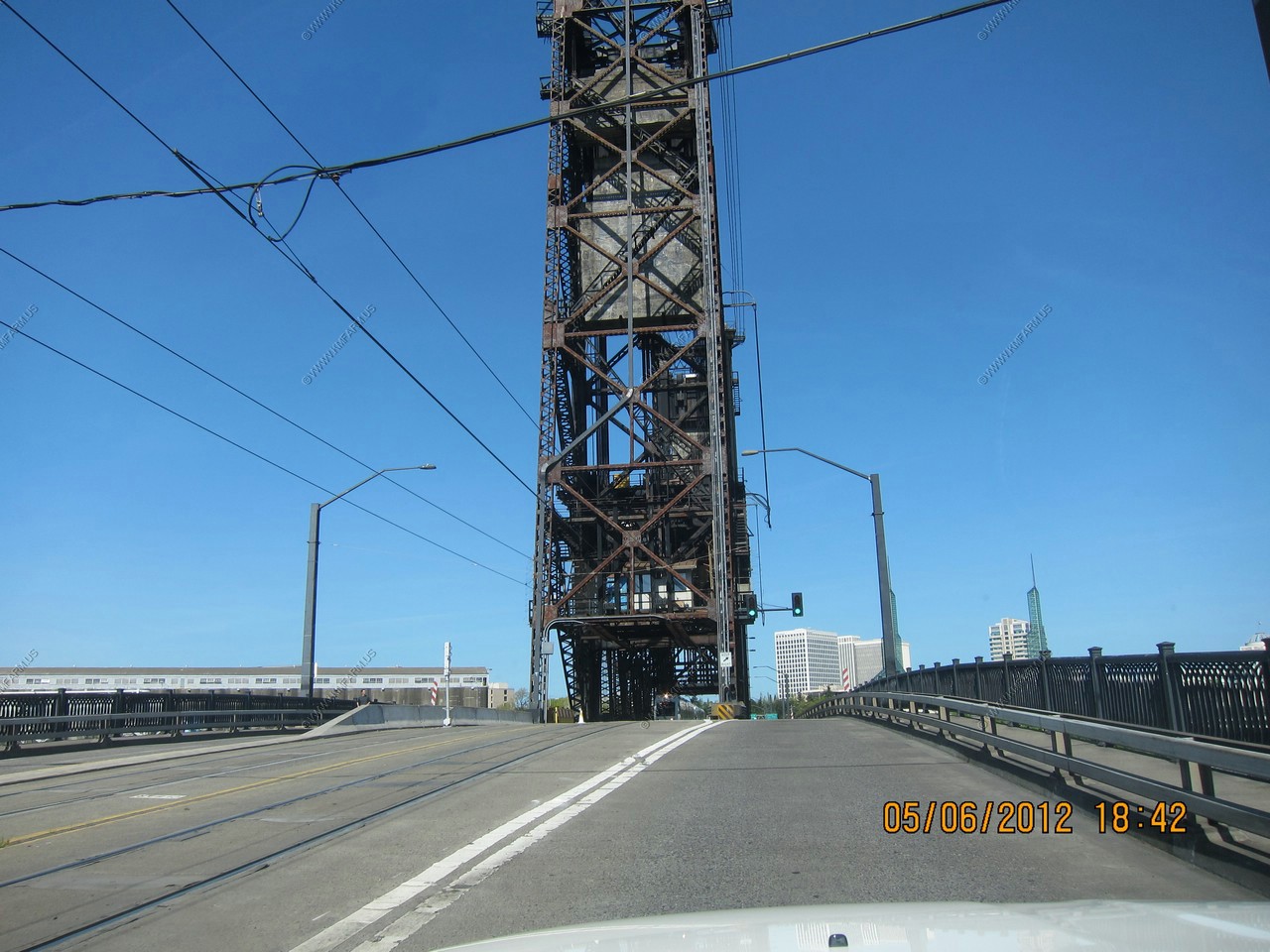
Steel Bridge - Upper deck for cars and Portland's MAX light rail system. Lower deck for rail traffic as well as bicycle and pedestrian access to the esplanade on the east bank of the Willamette.
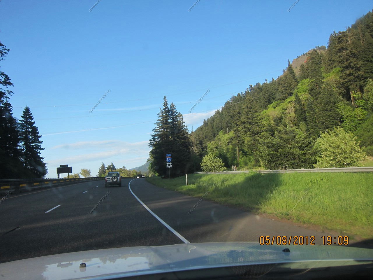
Whie driving East on I-84 in the eastern Suburbs of Portland, OR. looking North at Mount St. Helens in Washington. Mt. Mount St. Helens (8,365 ft ) is an active strato-volcano located in Skamania County, Washington appx. 45 miles away.
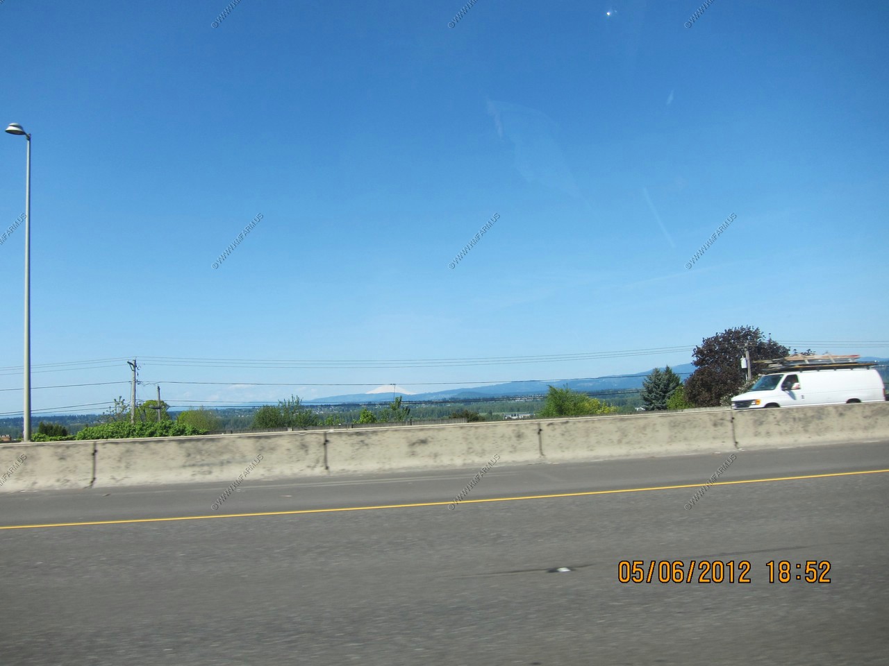
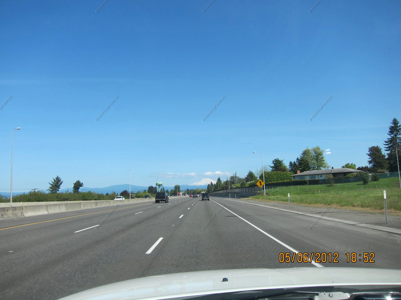
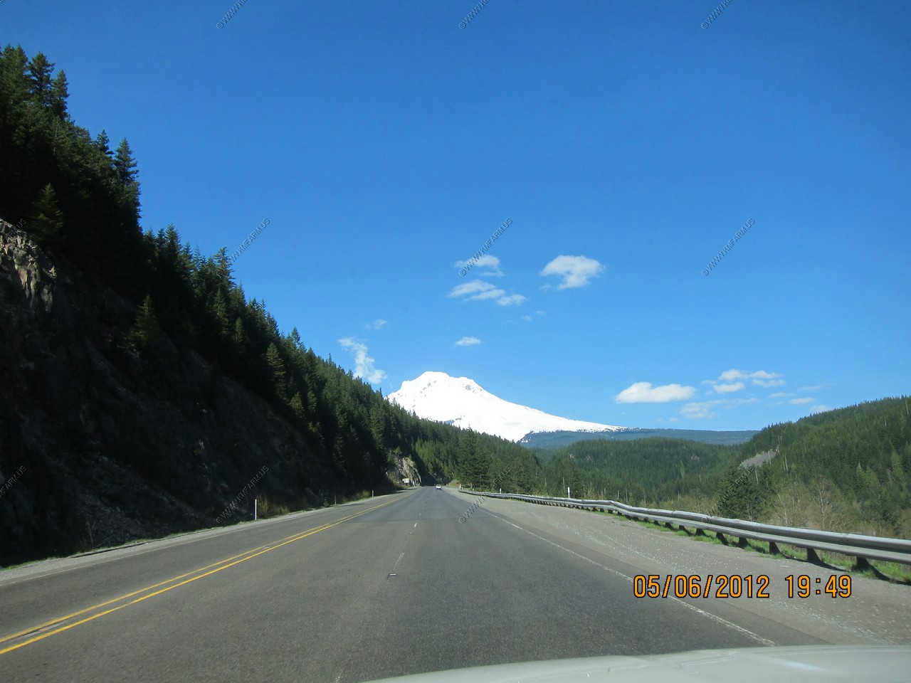
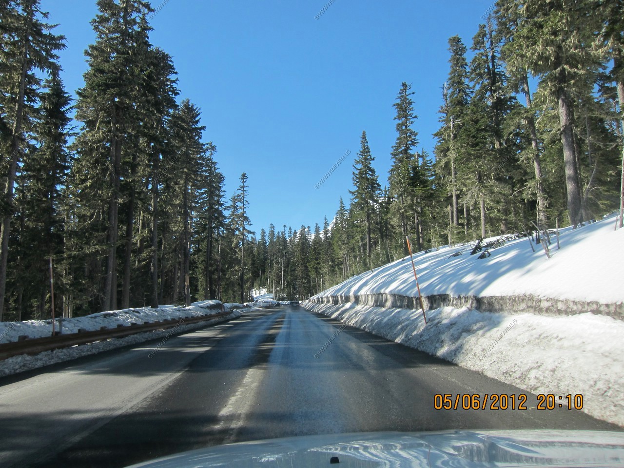
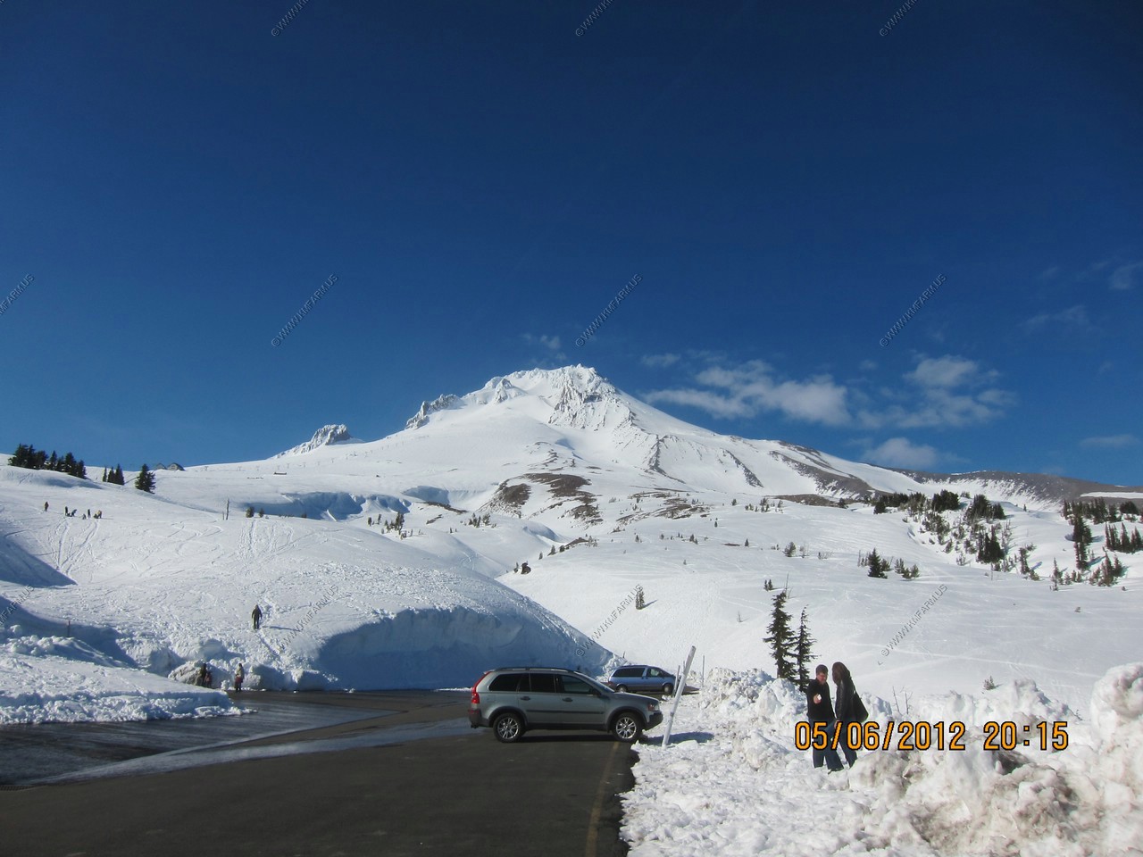
Our first look at Mt. Hood from I-84. We figured with the weather great that this was an excellent afternoon / evening trip as its appx. 60 miles east of Portland.
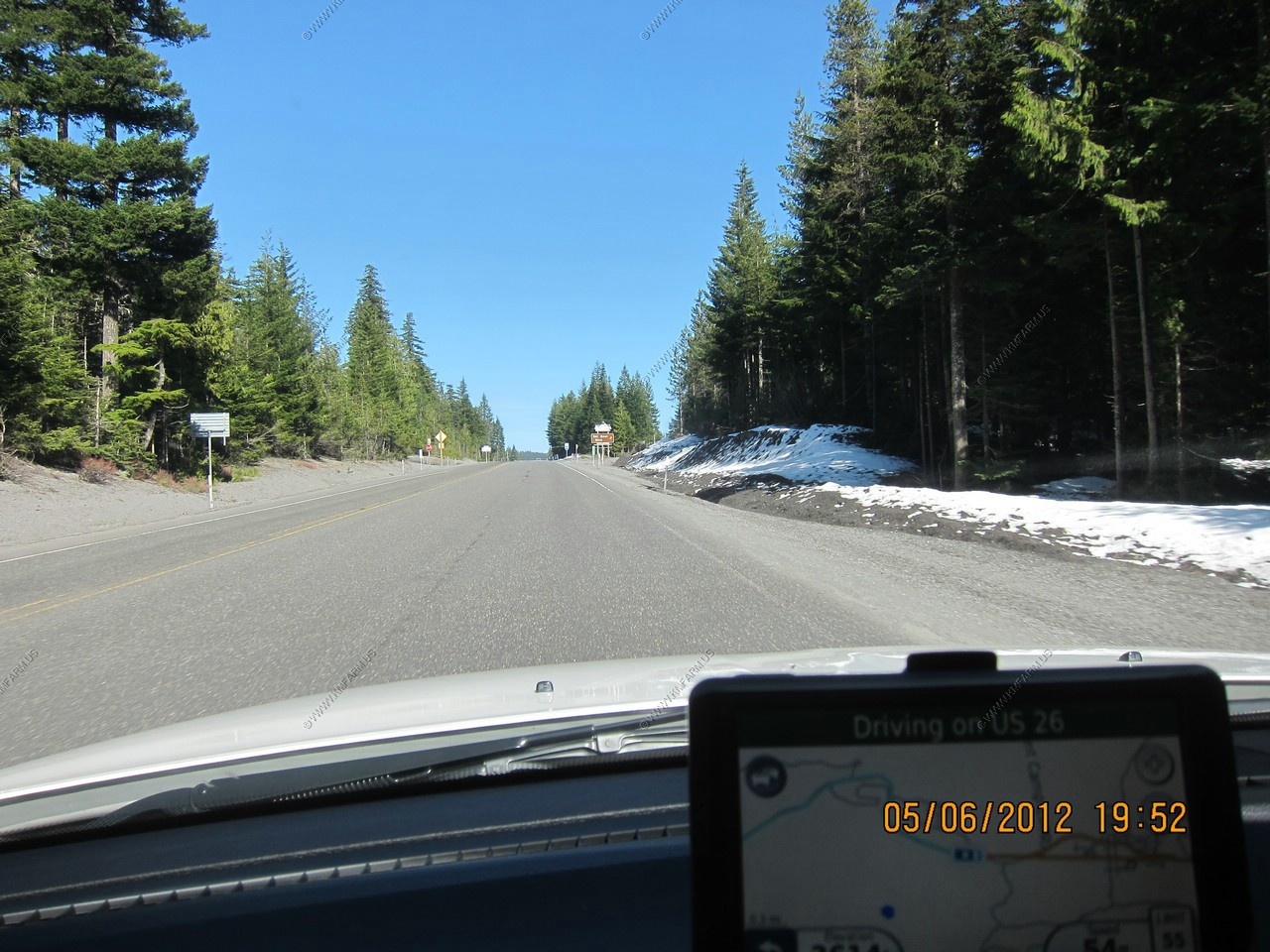
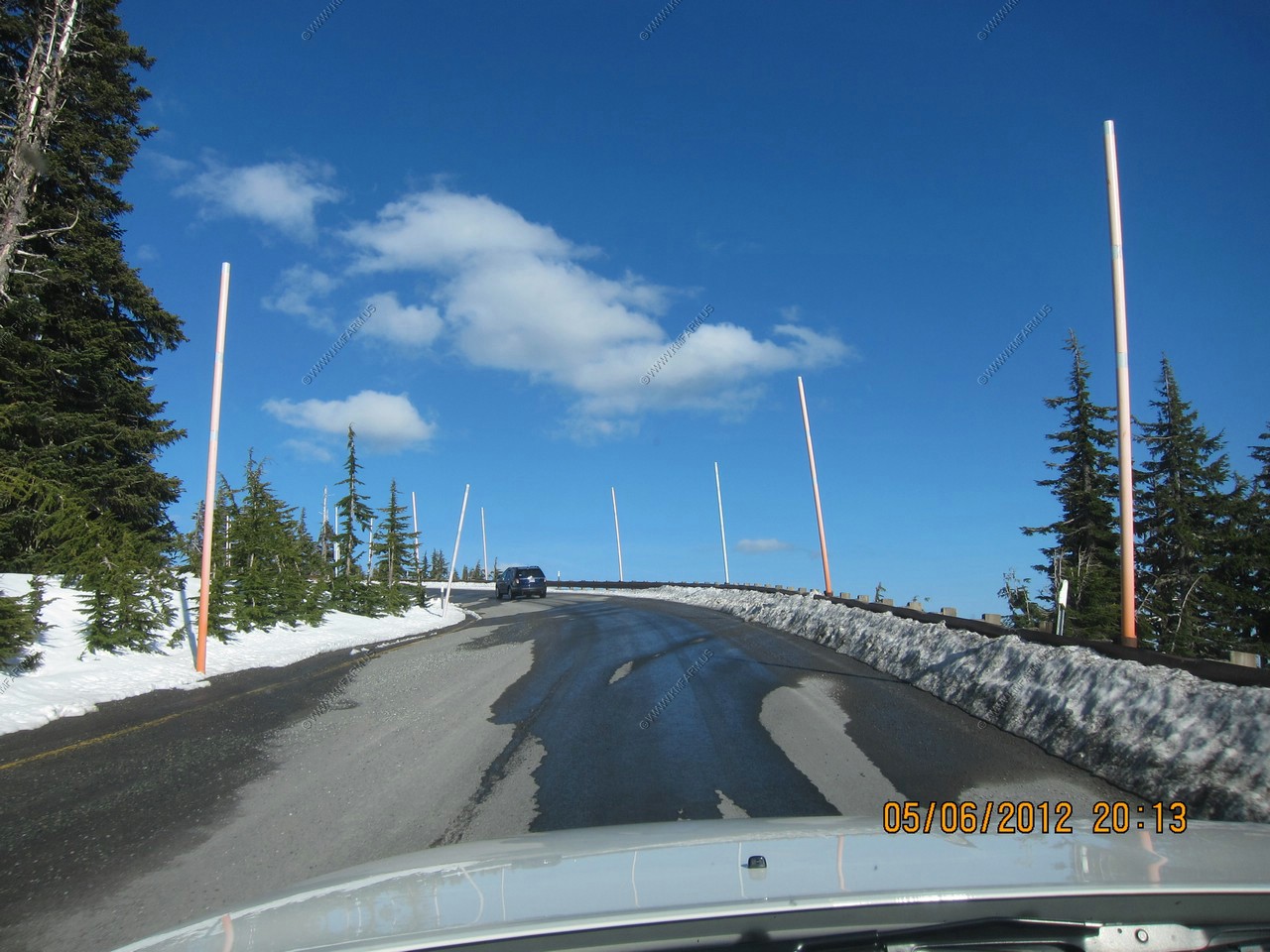
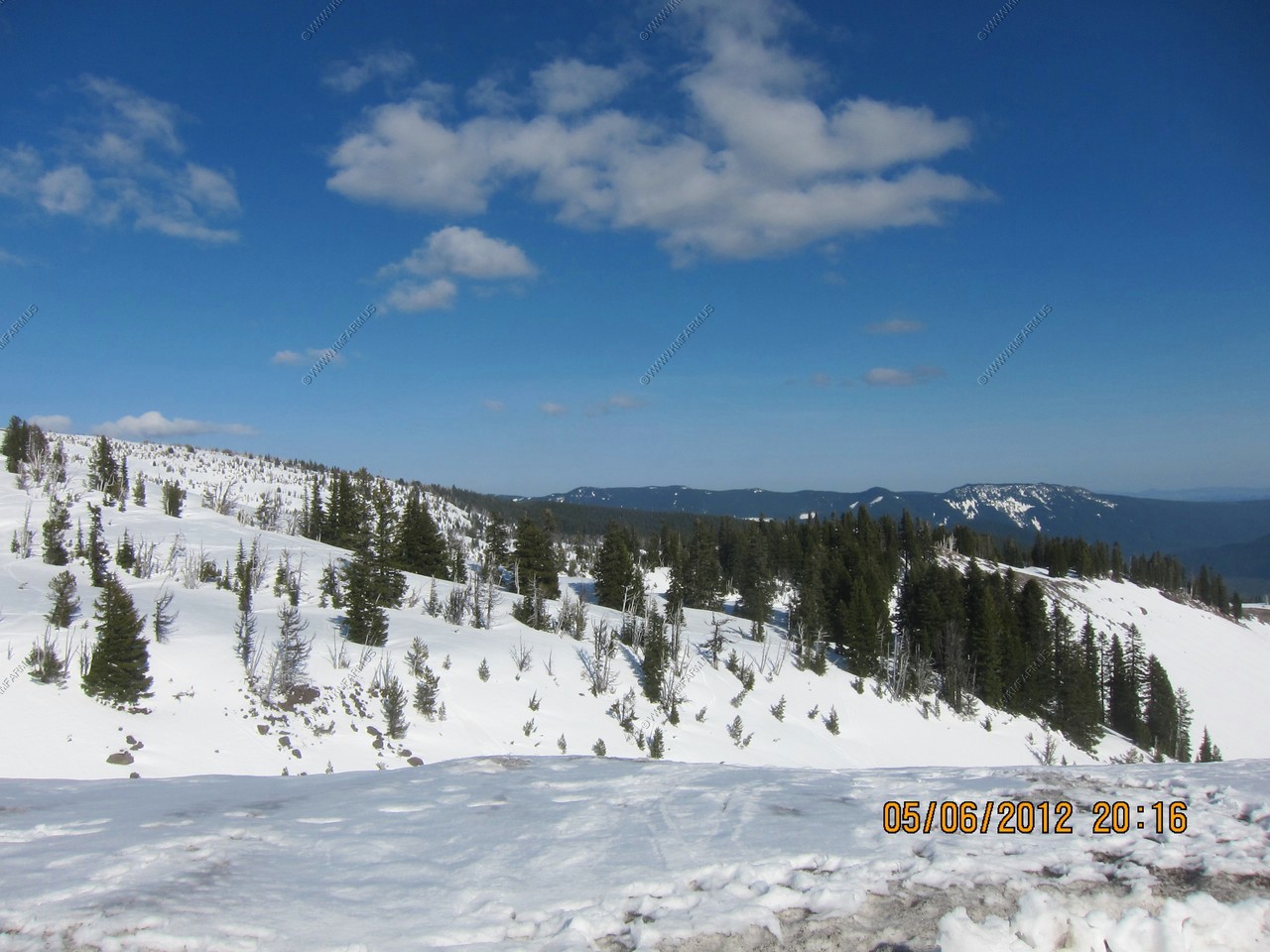
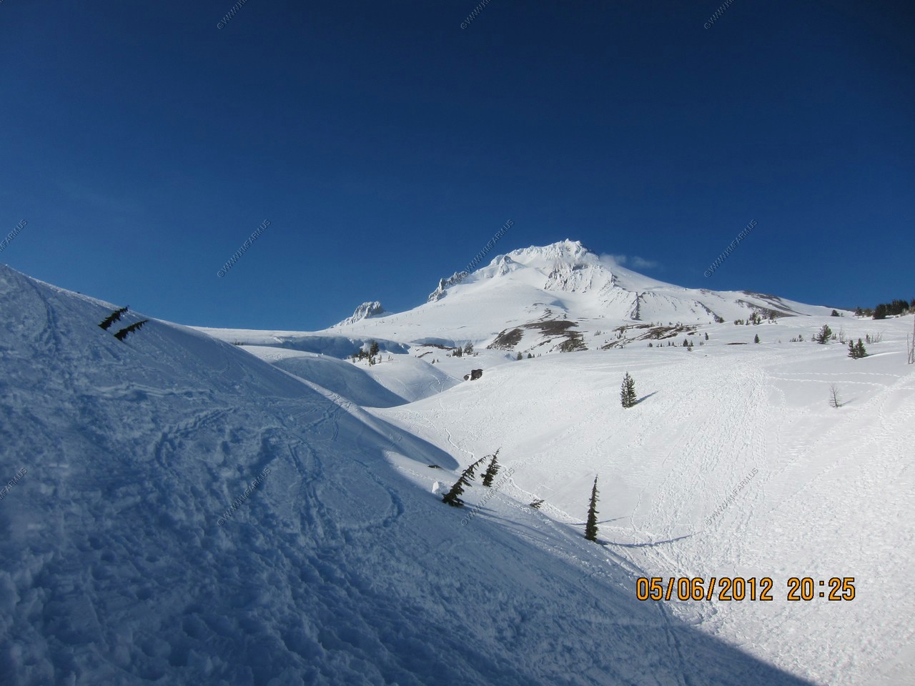
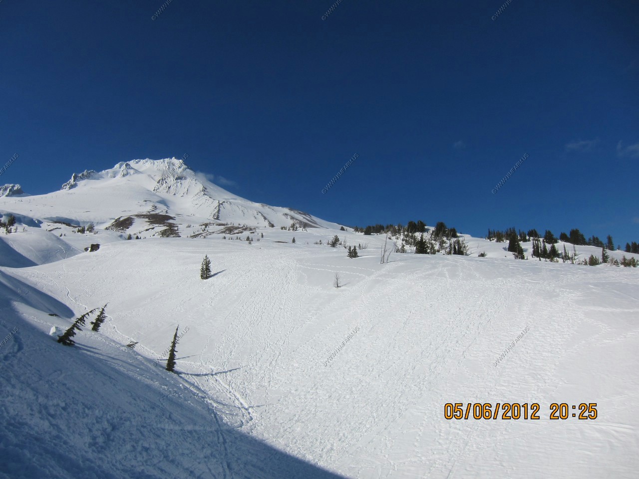
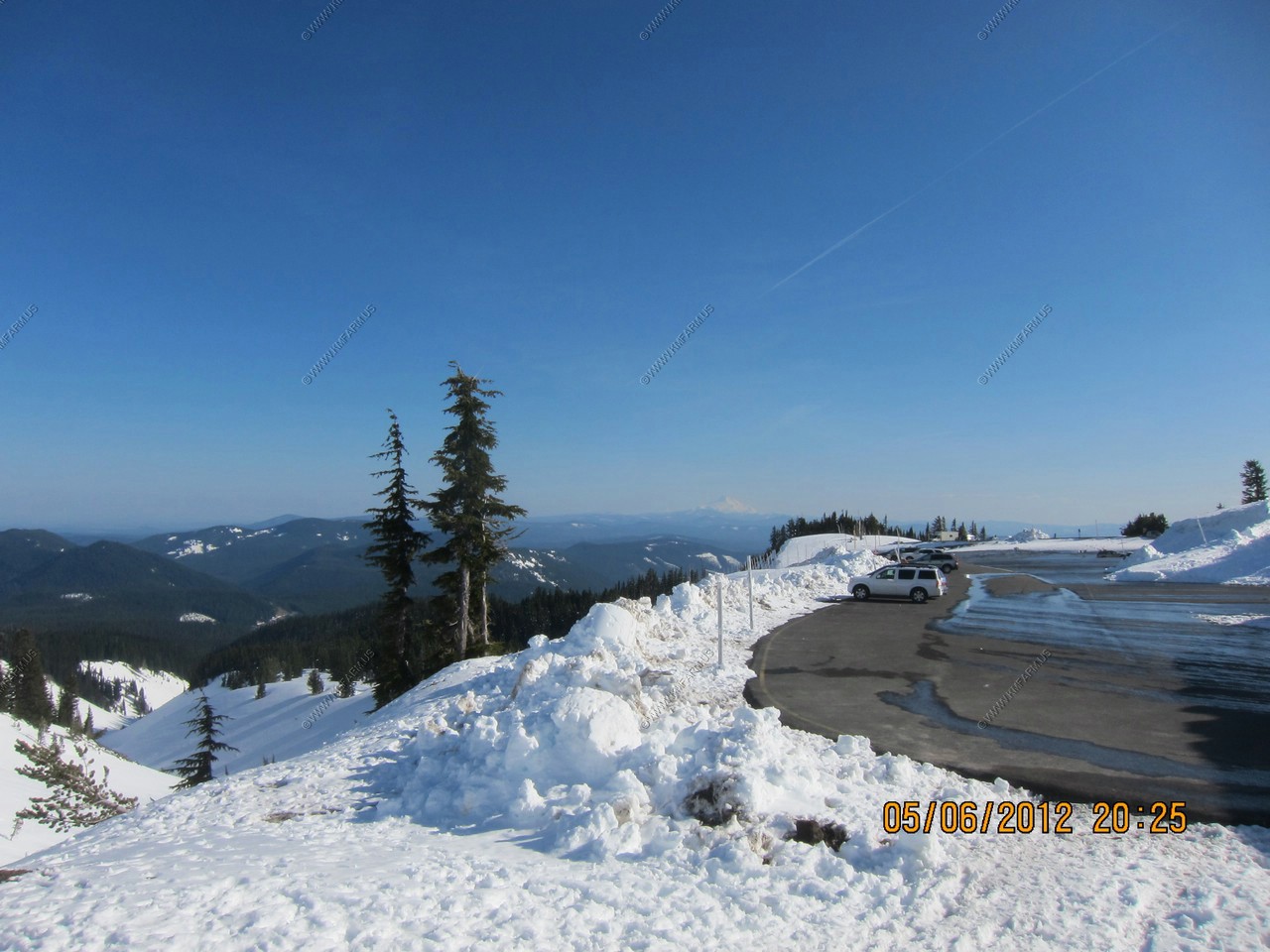
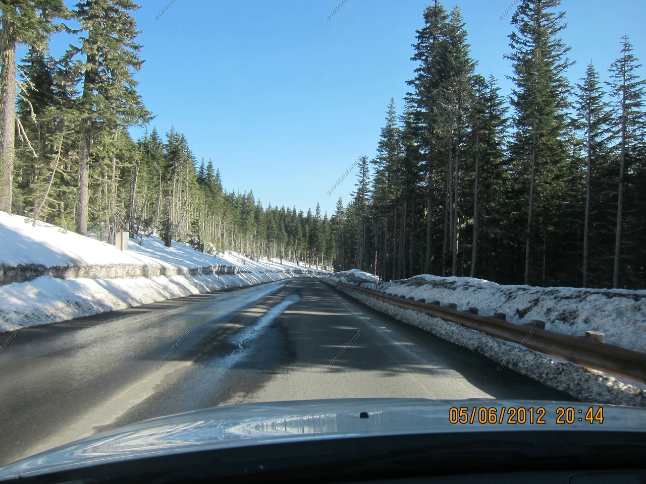
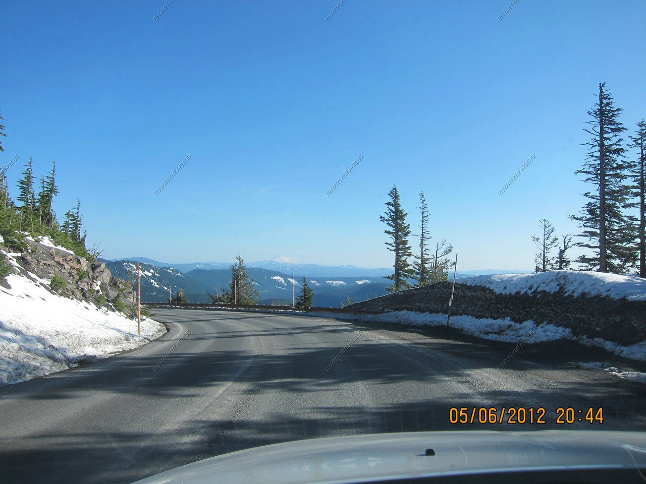
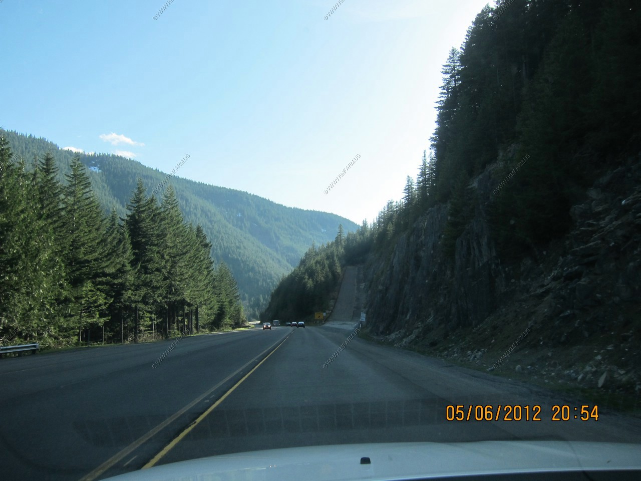
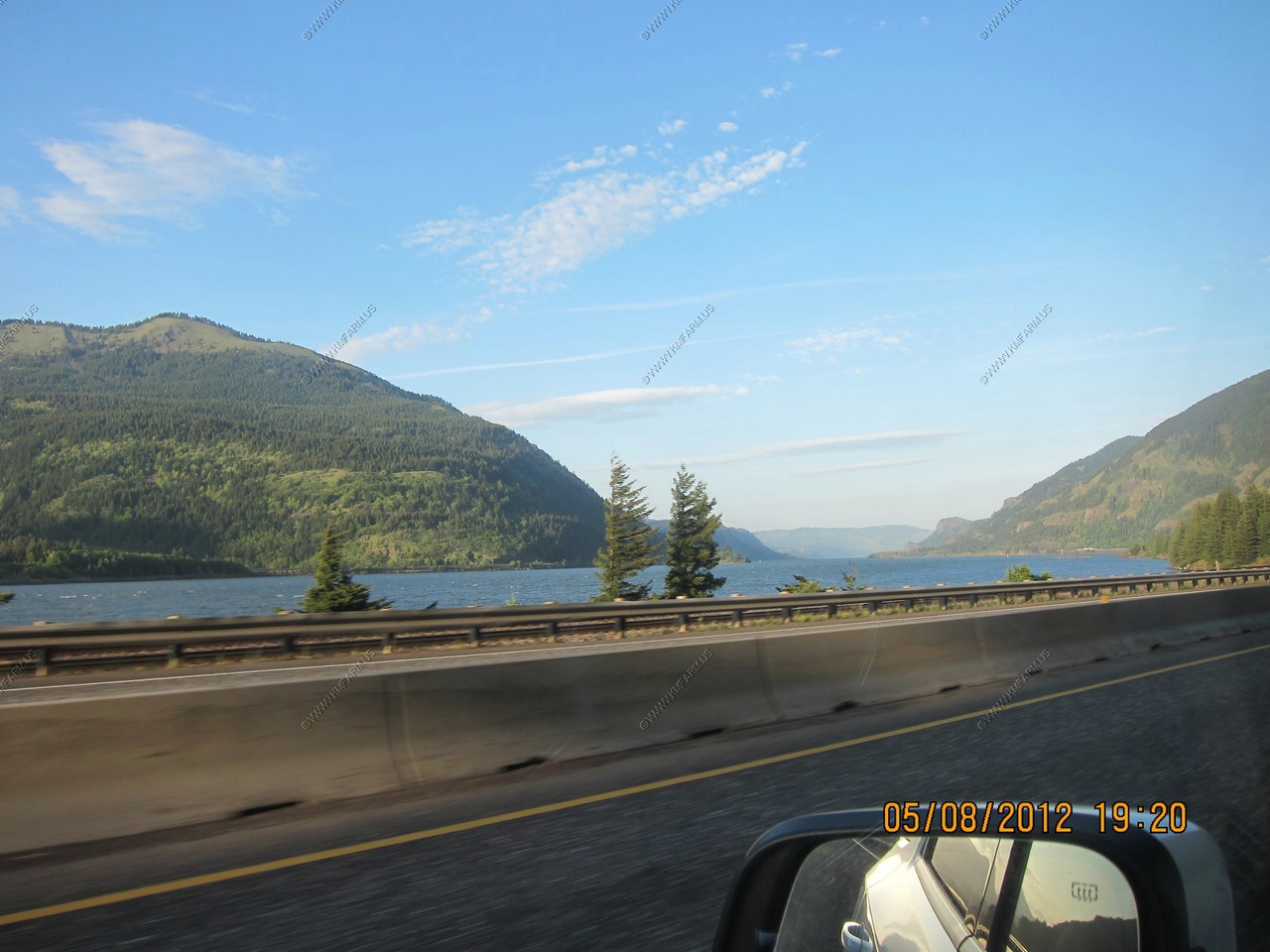
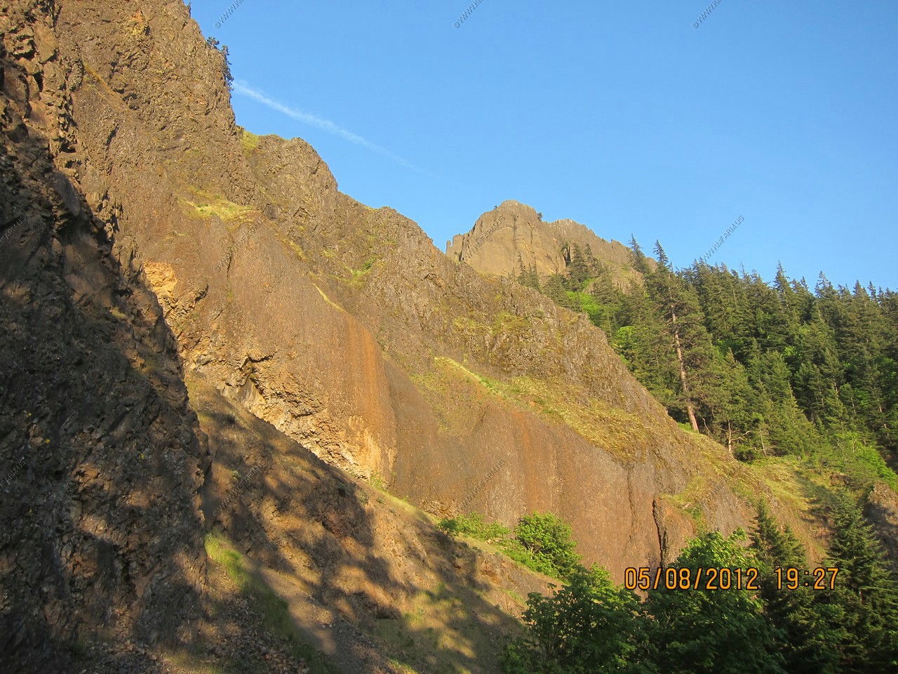
Now on US-26. Climbing from sea-level to 8,500 feet on the SW slope of Mt. Hood

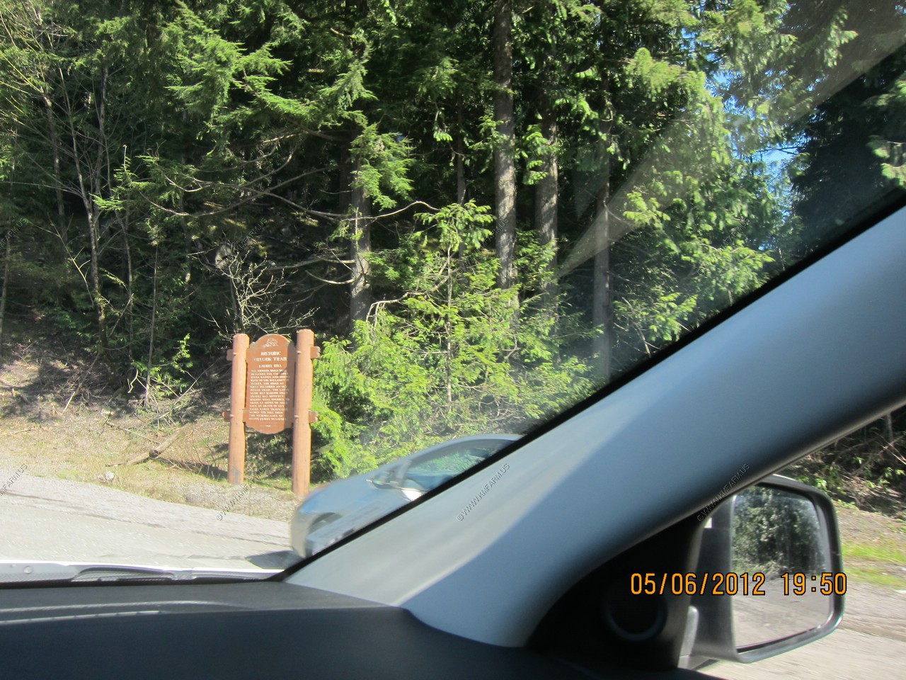
Oregon trail sign
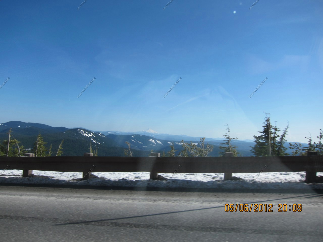
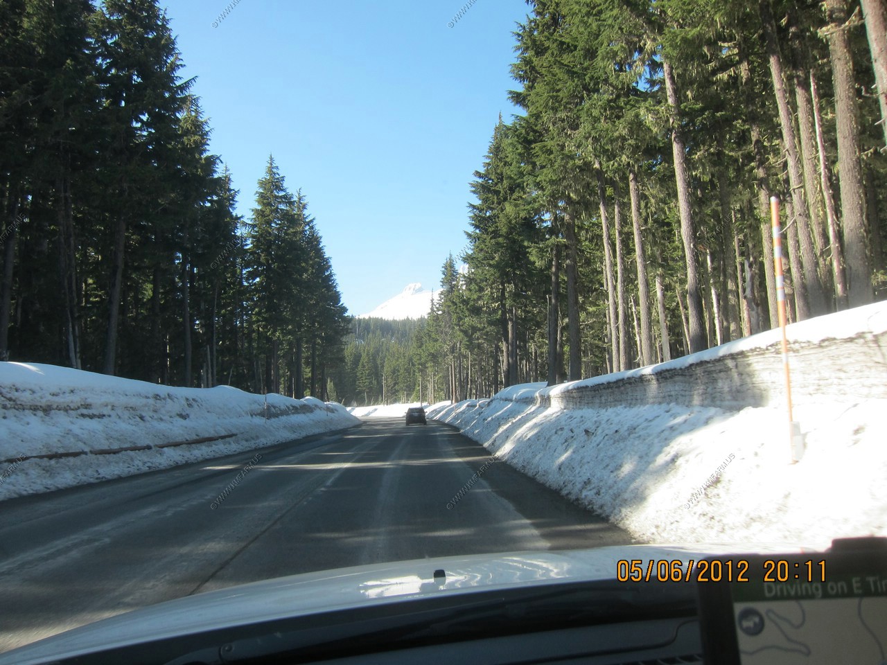
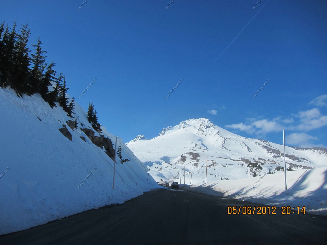
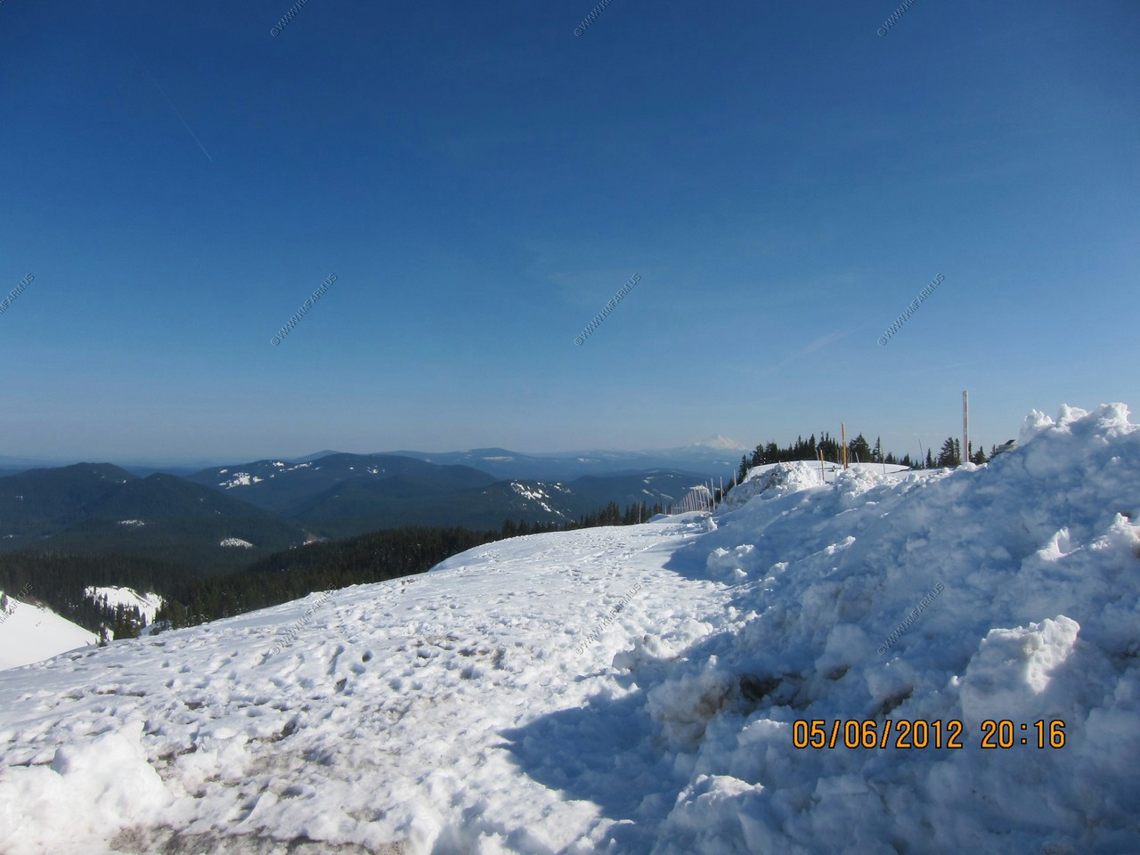
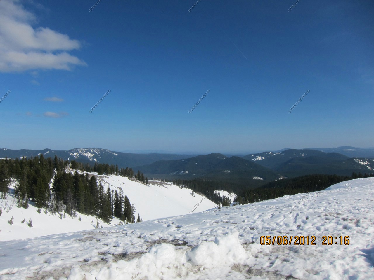
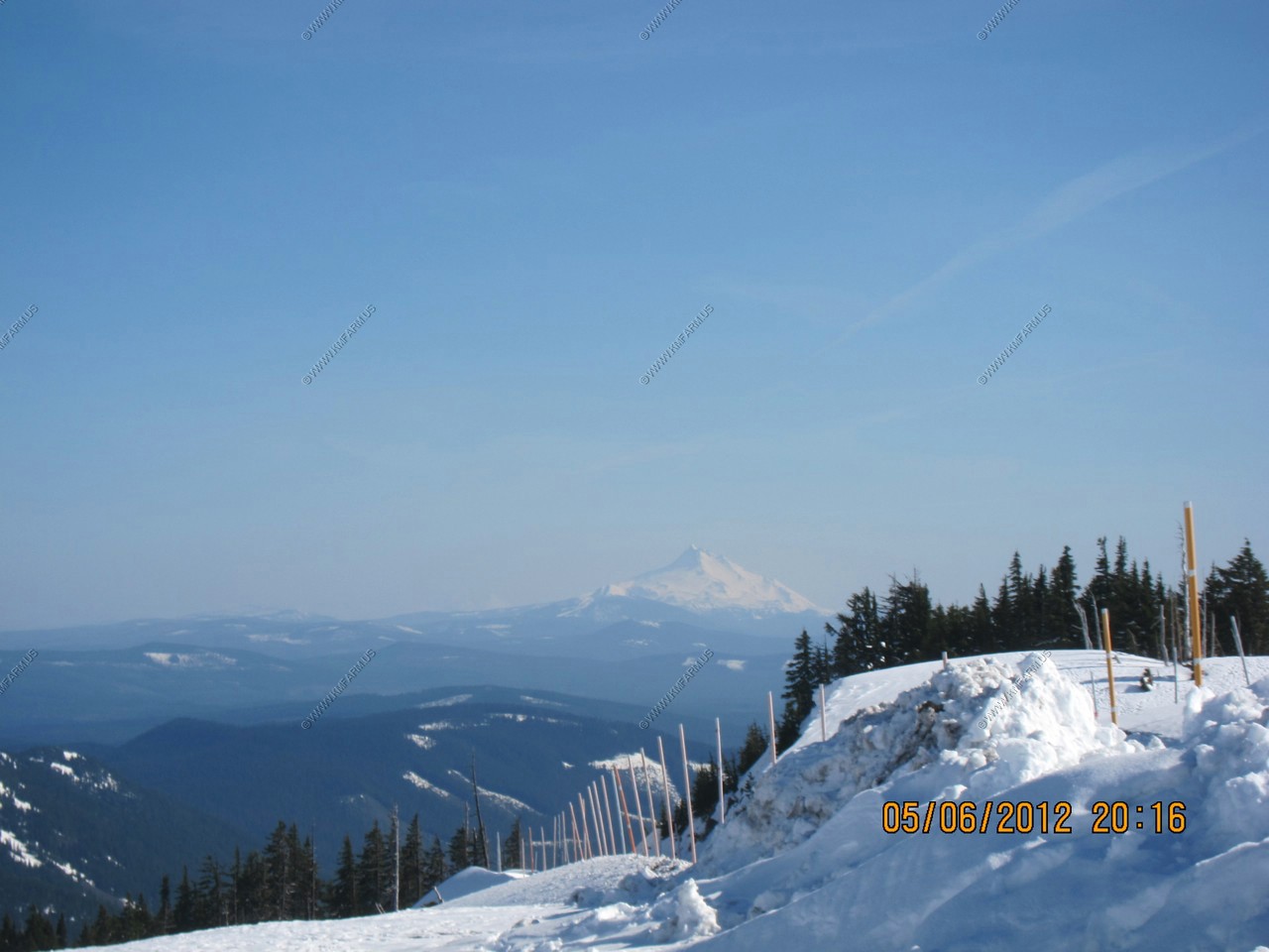
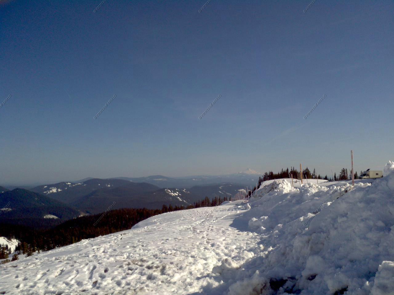
Now on the Timberline Highway. The distant mountain is Mt. Jefferson appx. 50 miles to the south.

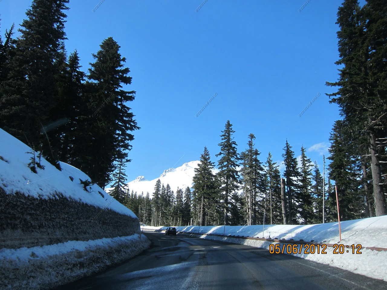
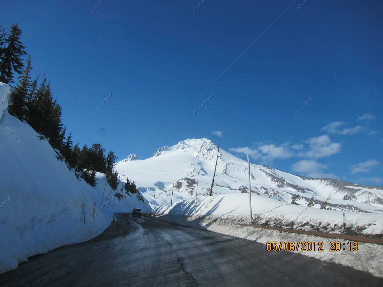
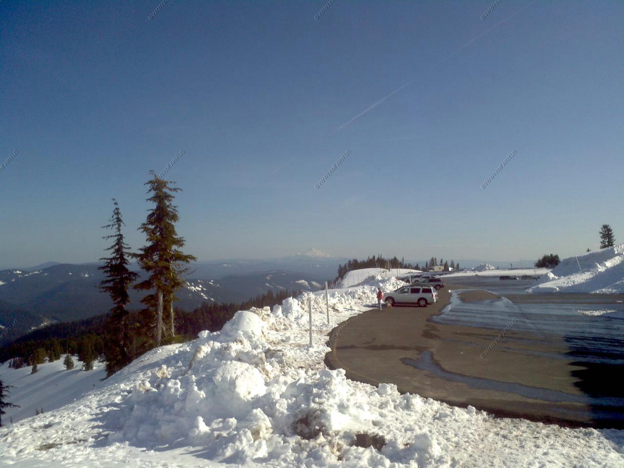
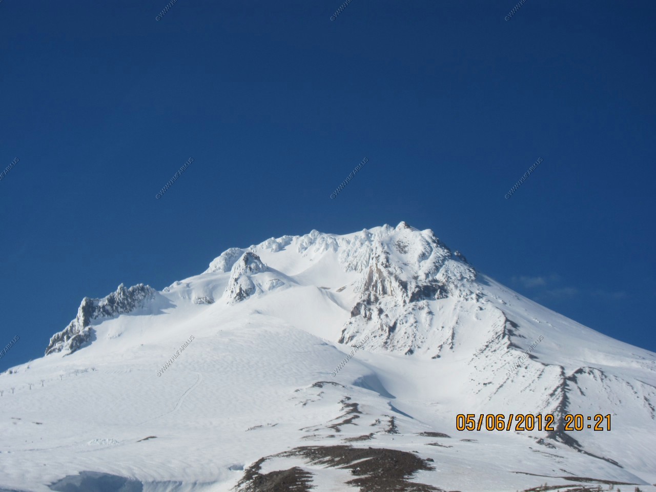
Parked a bit east of The Overlook Hotel (aka Timberline Lodge ) at the 8,540 ft elevation. Timberline has the longest ski season which runs till Sept. in most years.
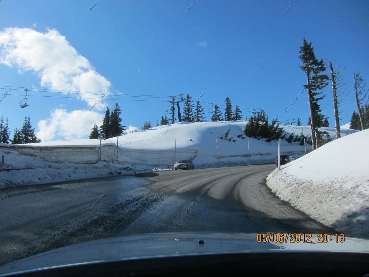
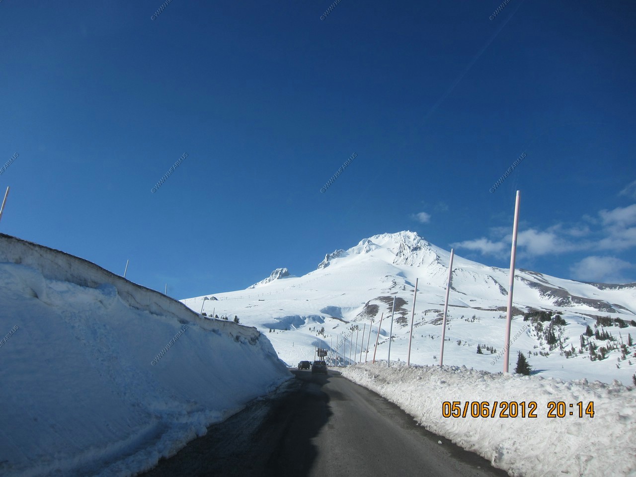
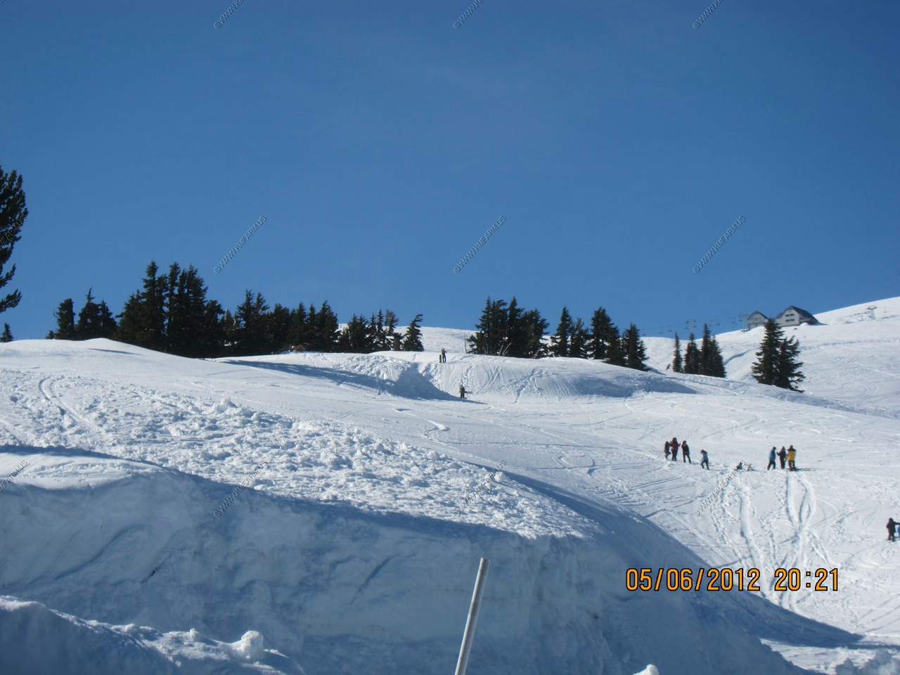
Looking up at The Palmer Glacier is a glacier located on the upper slopes of Mount Hood in the U.S. state of Oregon. It is on the south side of the mountain ranging in elevation from about 6,200 to 9,300 ft, and was named for Joel Palmer, an Oregon pioneer. Palmer Glacier is the most well-known of the twelve glaciers on the mountain, and is a popular destination for snow sport enthusiasts. Some of the lower part is within the Timberline ski area, and can be accessed by Sno-Cat or by chairlift, conditions permitting.
You can see the ski lifts going up the Mt. on the left side of the photo.
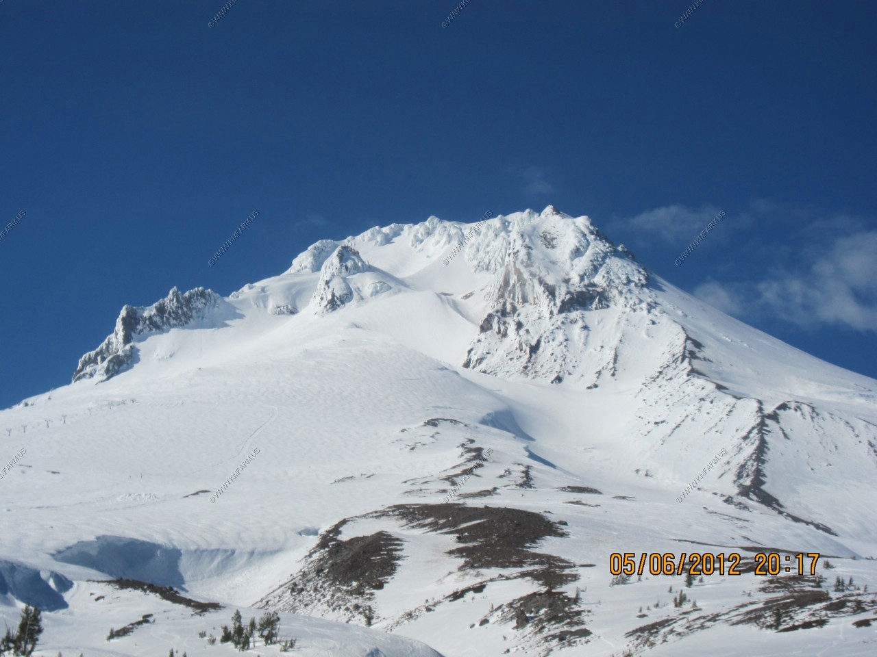
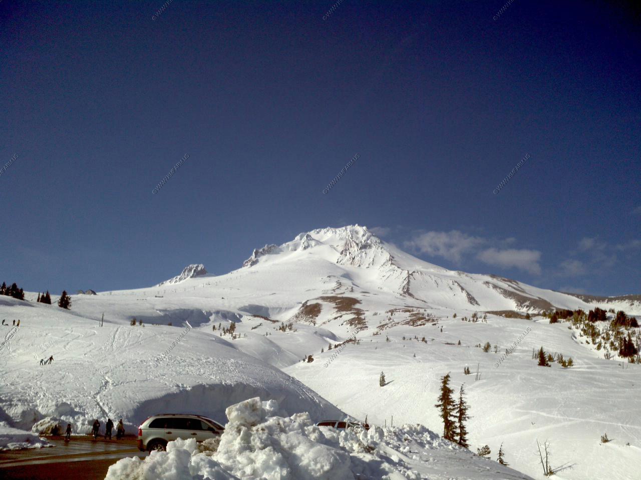
Mt Hood is an active strato-volcano 11,240 ft (3426 m) high in northern Oregon popular with mountain climbers, skiers, hikers, and other outdoor recreationalists, it forms a prominent skyline in Portland. Though minor emissions continued for a century, the last major eruptive period in the late 1700's produced the Crater Rock lava dome and pyroclastic flows and lahars (mudflows). This "Old Maid Eruption" sent lahars into White River Canyon and, most notably, down the Sandy River to Old Maid Flat. Lewis and Clark made note of the very obvious remnants of the volcanic sediment at the mouth of the Sandy River (their "Quicksand River') in 1805.
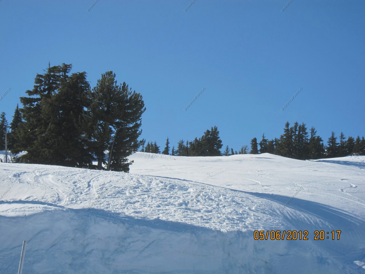
Heading back to Portland. It was in the 50's with lots of melting. But goes well below freezing at night. Probably not a good place to drive with ice on the roads after dark.
Runaway truck ramps on US-26
We ate at the RENDEZVOUS GRILL in Welches, Oregon. It was good but we were so tired at this point that we just wanted to go to the hotel and sleep !
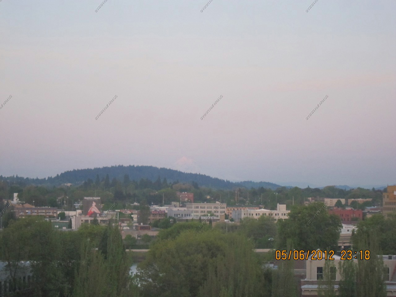
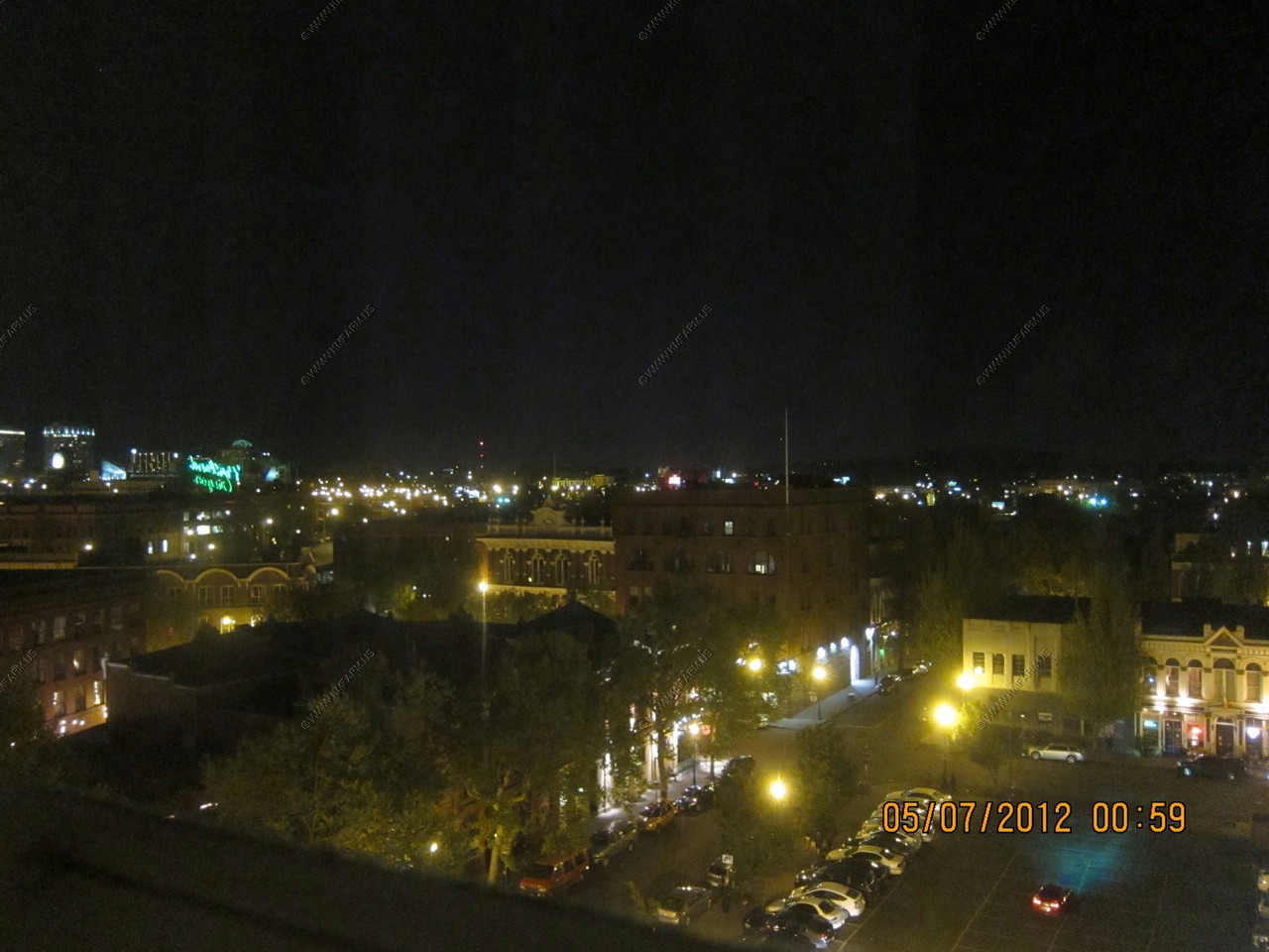
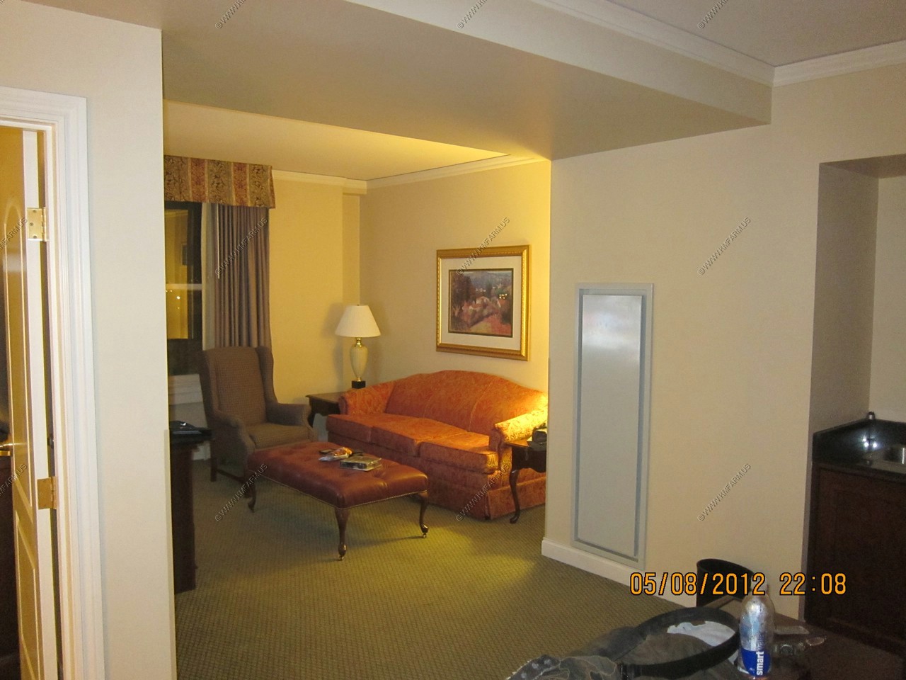
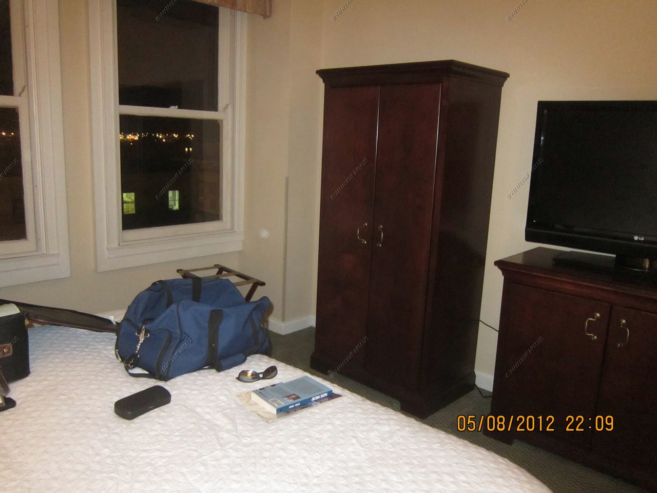
Back at the hotel. We stayed at the Embassy Suites Portland - Downtown which was built in 1912. I asked for a top floor view room. They put me on the east side. So, I could see Mt. Hood in the distance (50 miles)
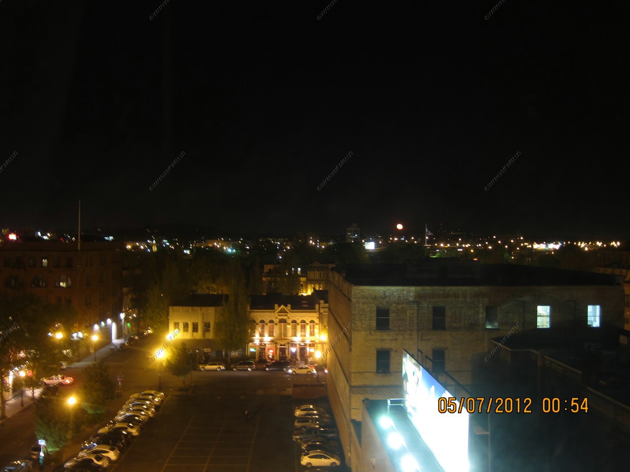
The moon rose so it added to the city lights. My windows did not open so these shots are thru the glass.
I could see the side / back of the Portland Oregon white stag sign. Very cool.
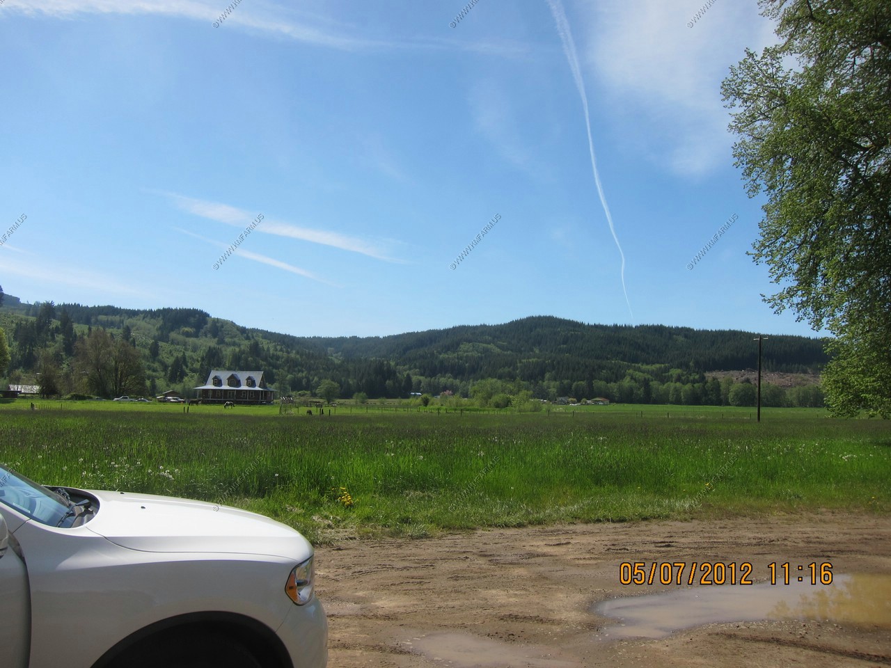
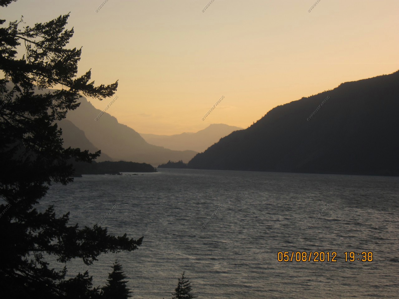
Today was explore day. The plan is to head to the coast. Drive along the Columbia River. Then head down the coast and back to Portland. It should take the entire day.
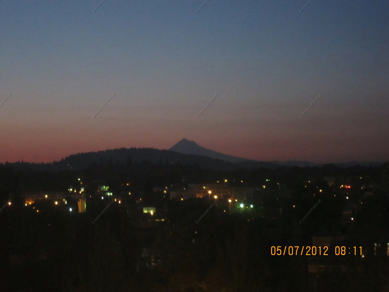
Sunrise glow at 5:11 am with the lights of Portland and Mt. Hood My body was on east coast time.
Had some time to check out the hotel pool in the basement. Interesting. Had no time to use it.
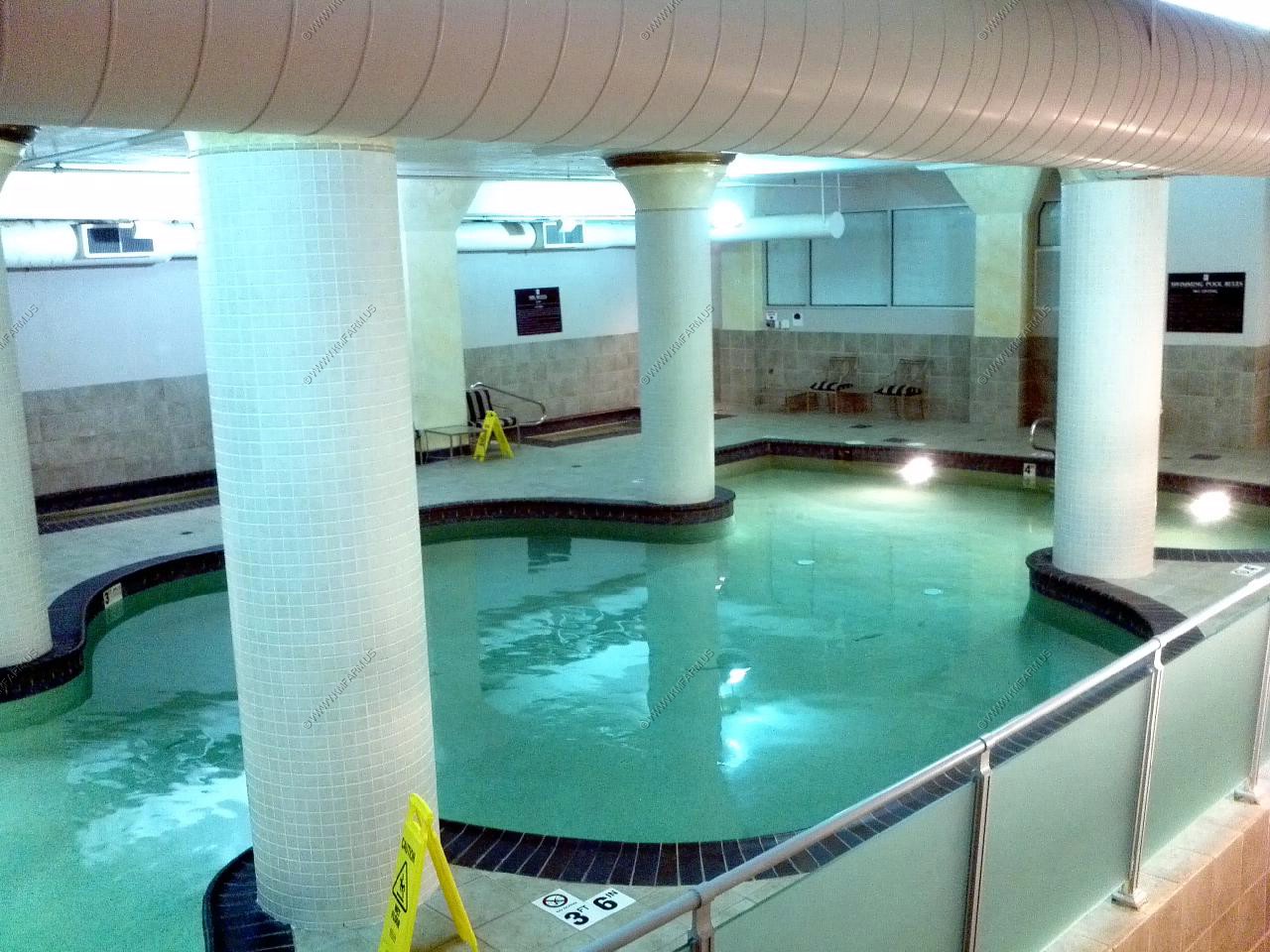
I assume extra bracing for earthquakes. Let's hope it's not needed in the next few days !
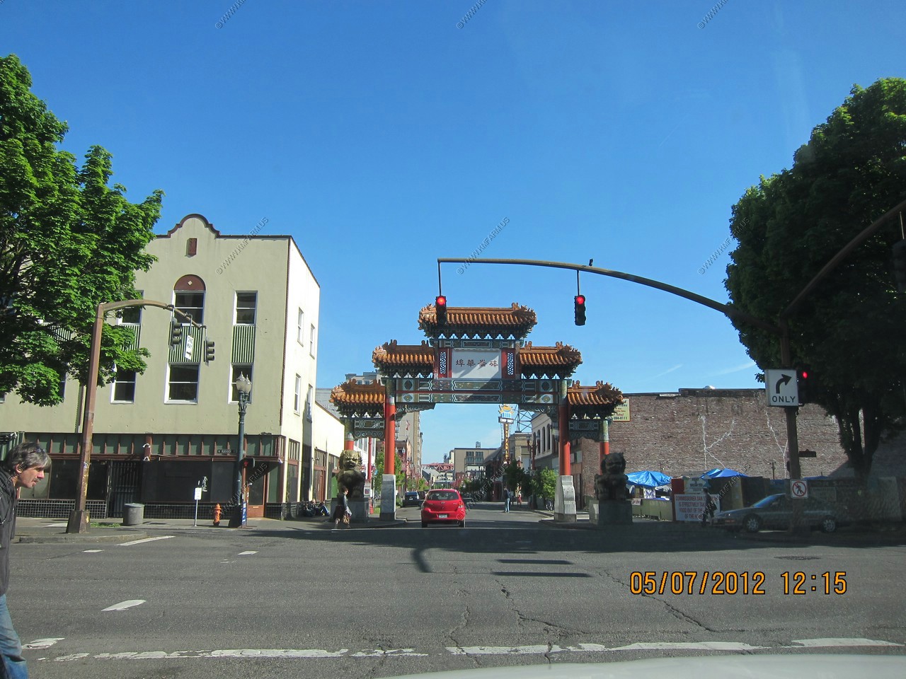
Every time I left the hotel I had to drive thru Portland's China town.
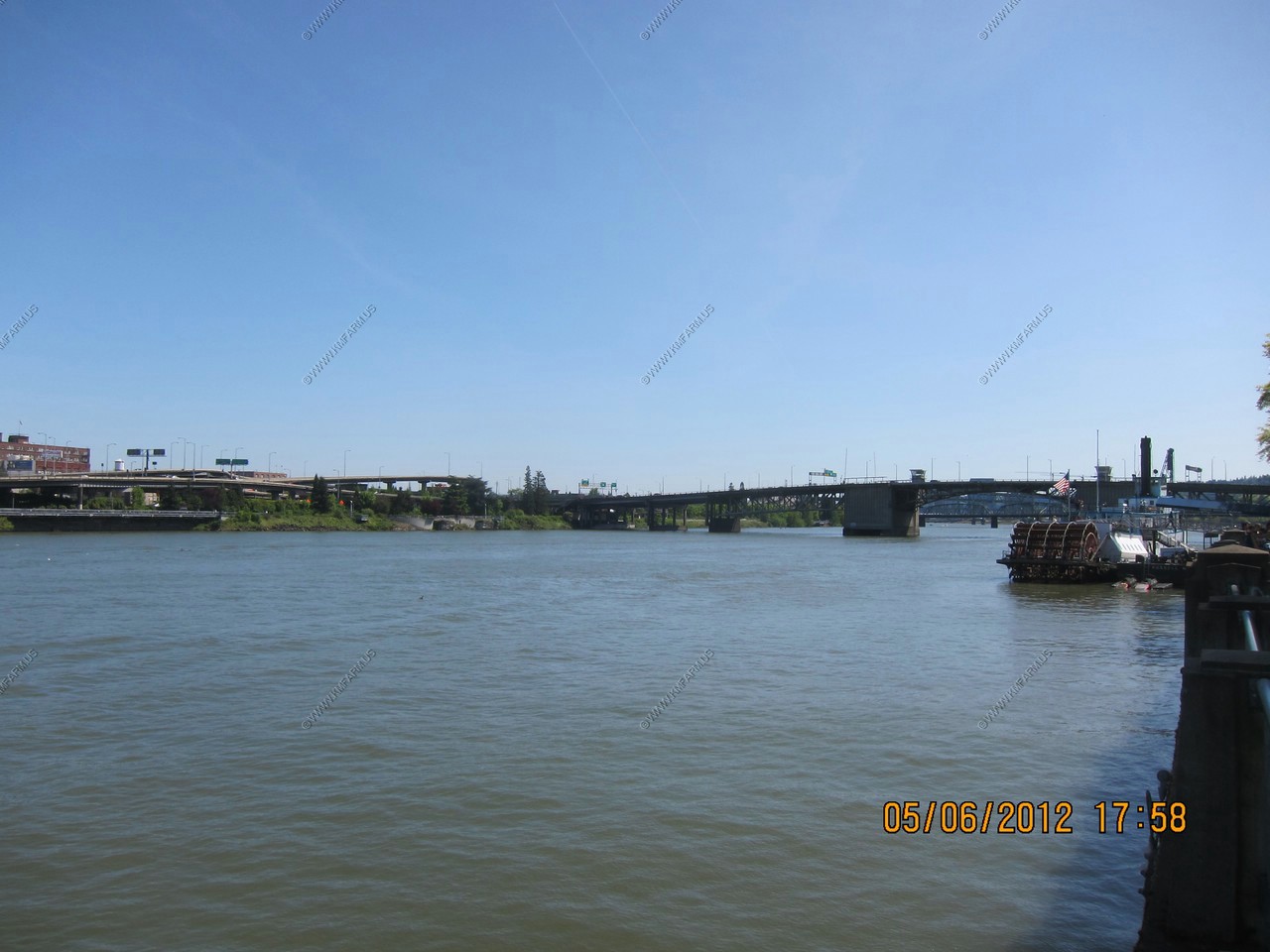
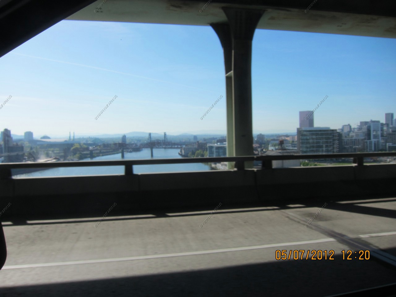
Looking at Portland and up the Willamette River. Portland really reminds me of Pittsburgh, PA
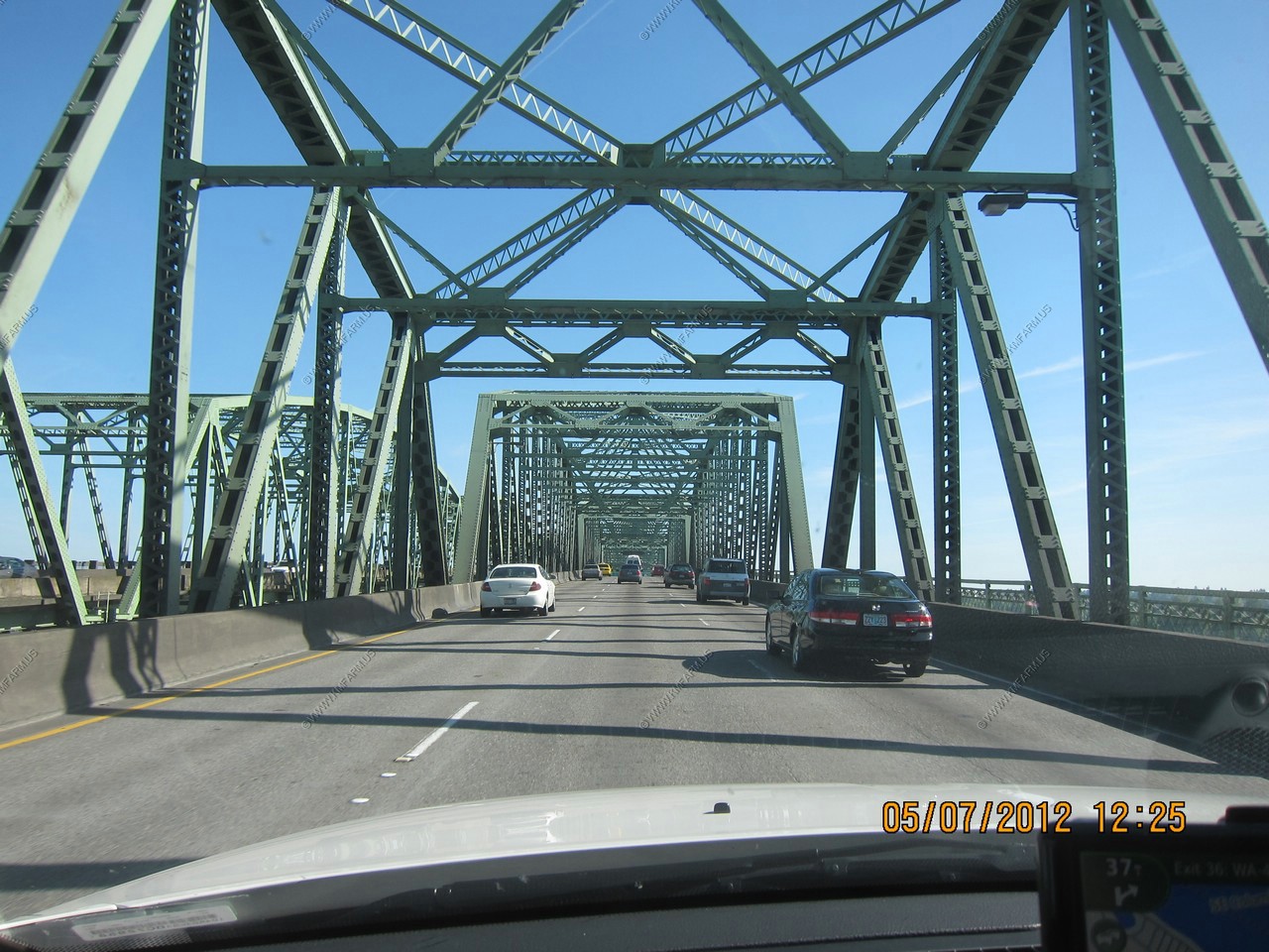
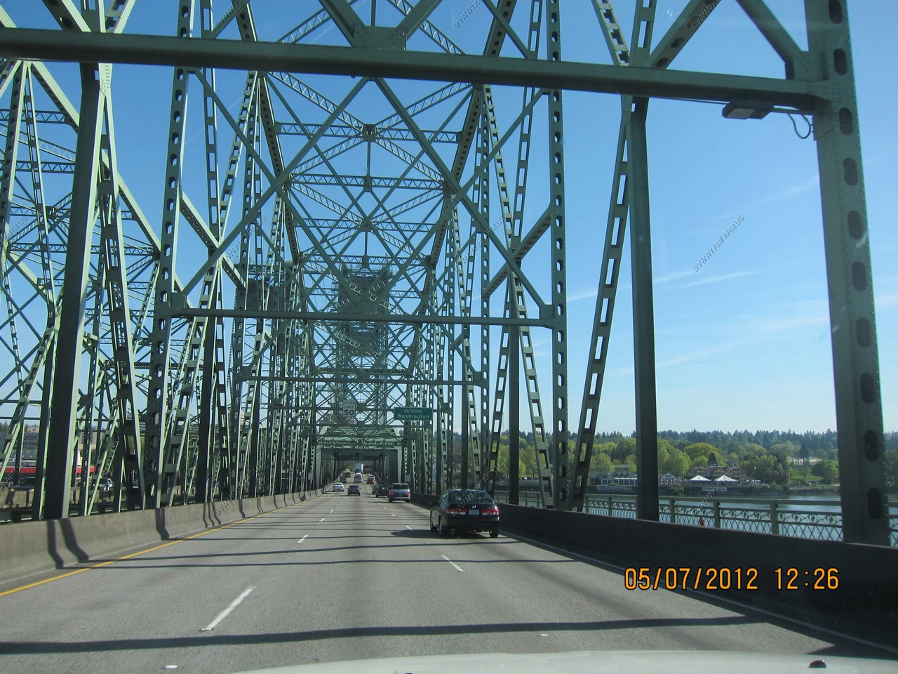
Welcome to Washington. Crossing the I-5 Interstate Bridge.
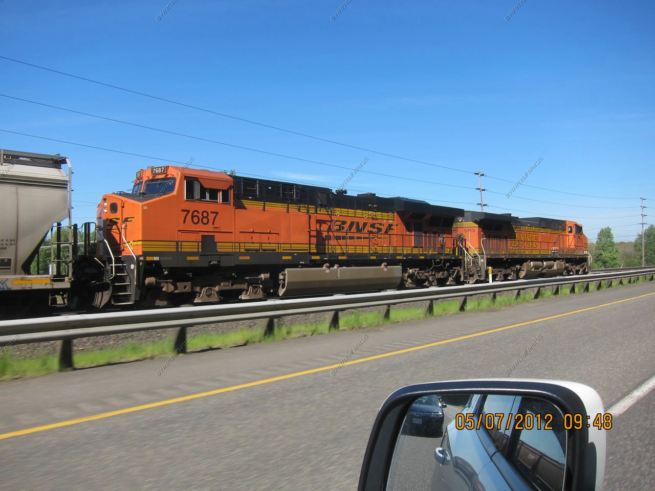
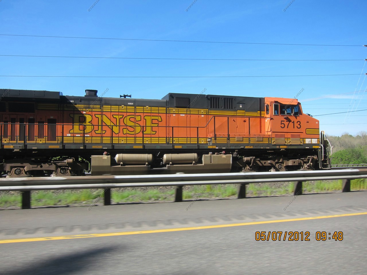
Along the BNSF main line that runs along I5 near Kalama, Washington.
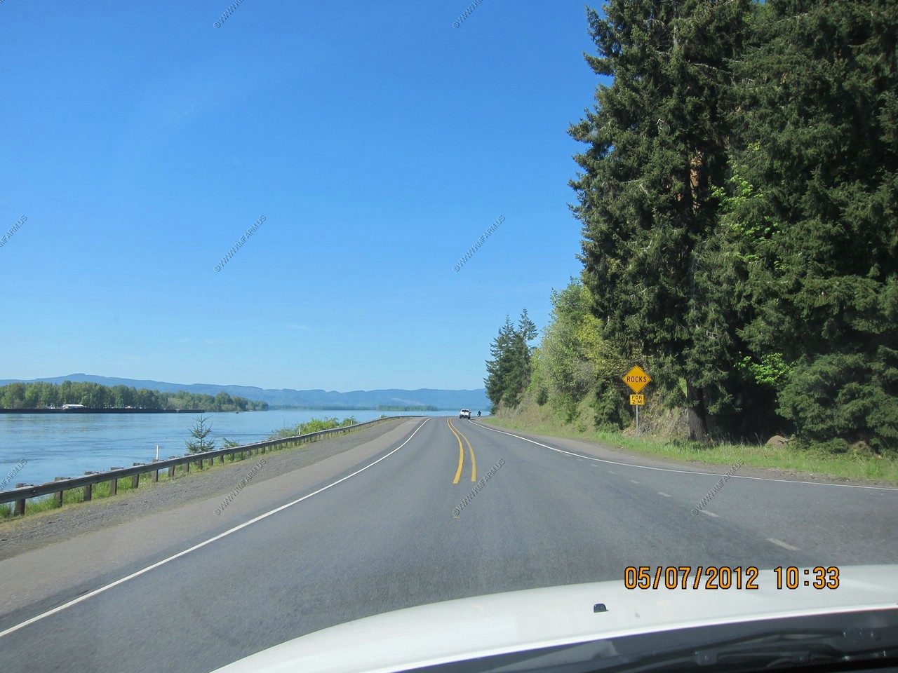
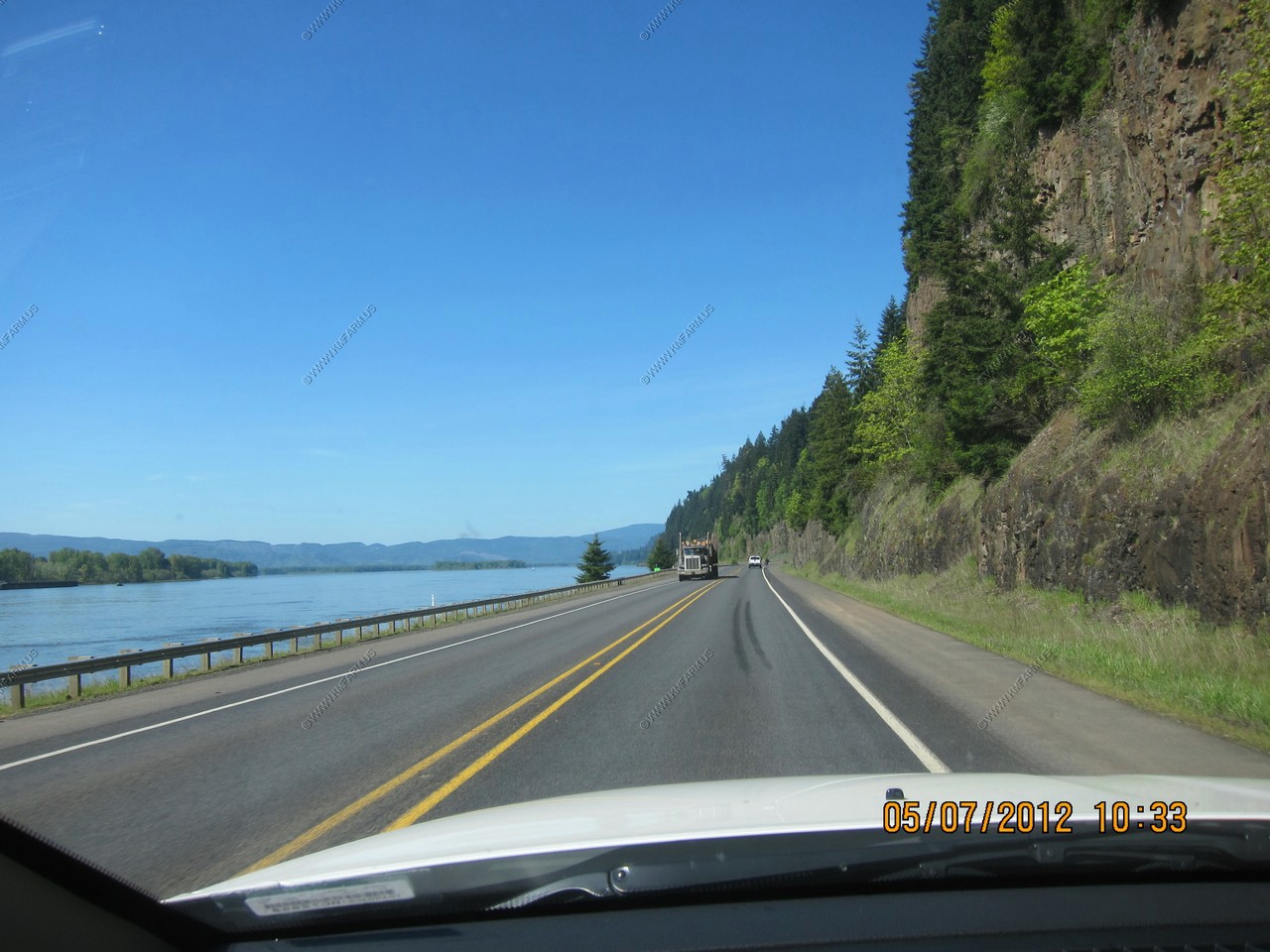
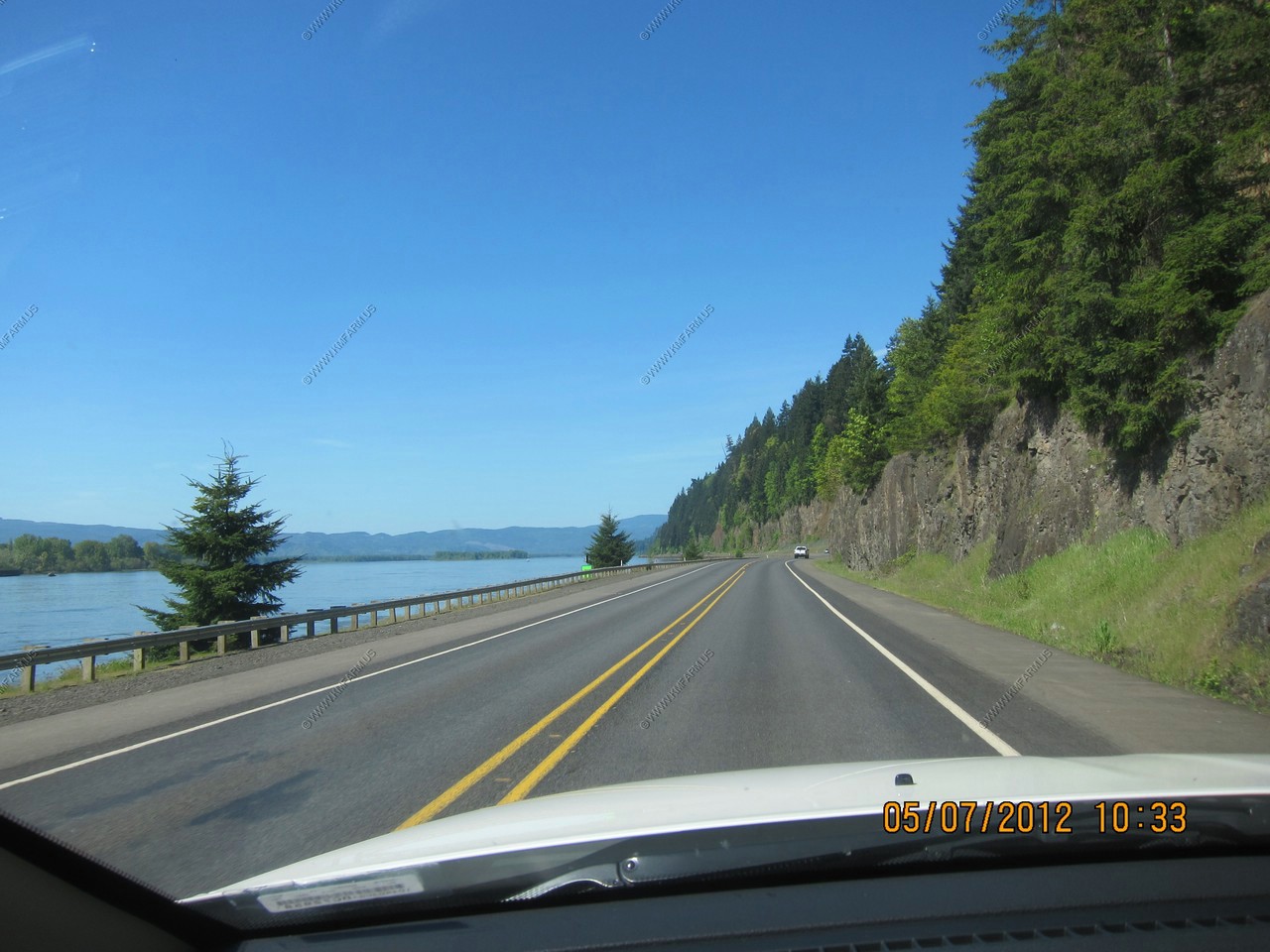
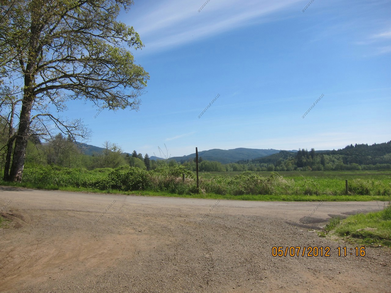
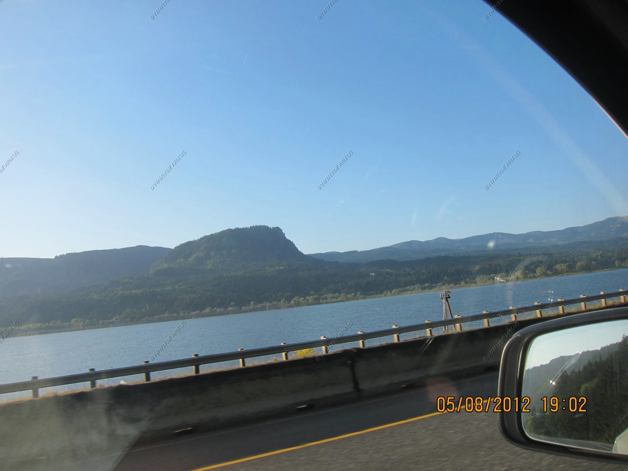
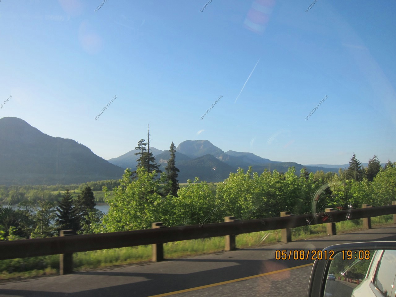
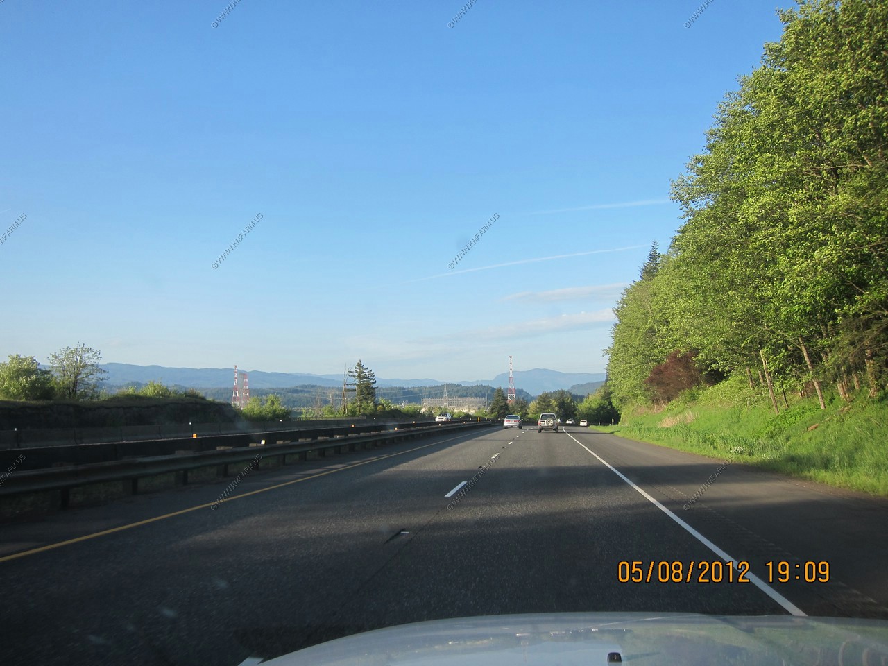
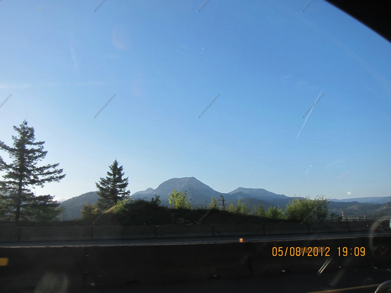
We passed thru Longview Washington and then went west on WA-4 (Ocean Beach Highway) that runs along the Columbia River. I figured that making a big loop to the coast would give us a better idea on what the area looked like.
Beautiful day !
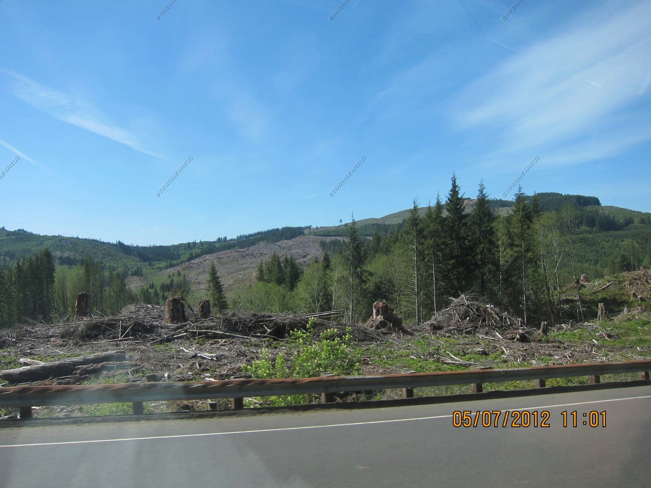
Logging areas near Grays River, WA
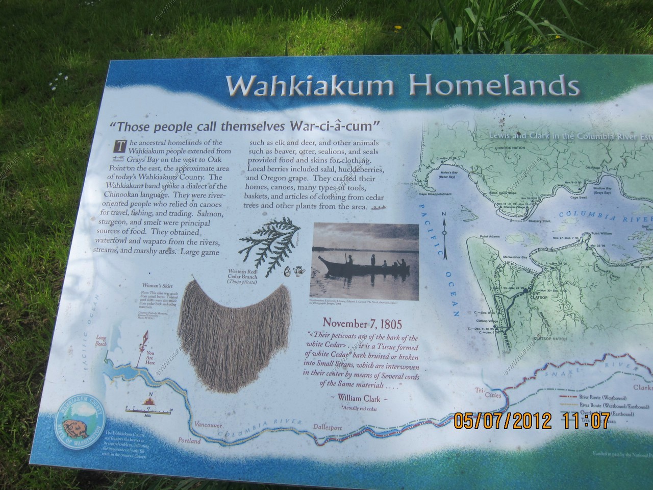
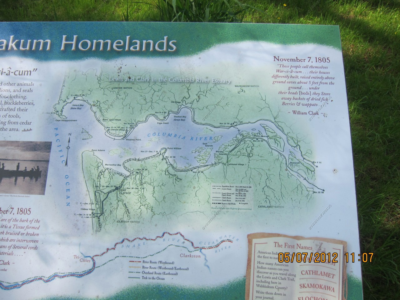
Wahkiakum Homelands sign
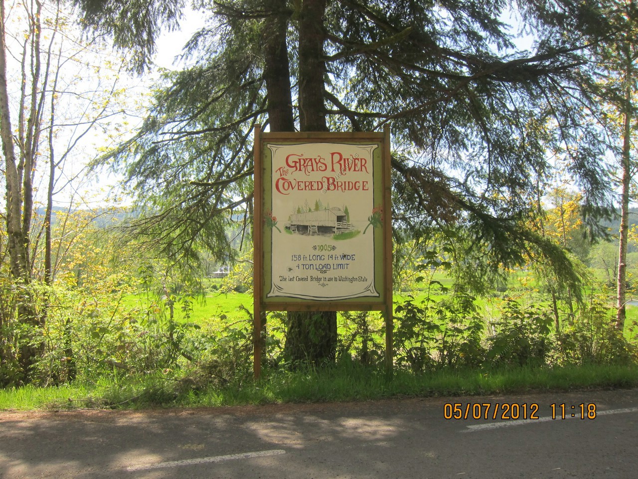
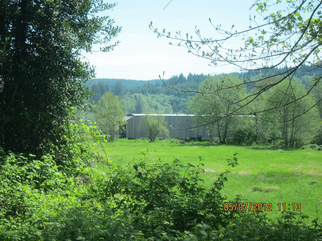
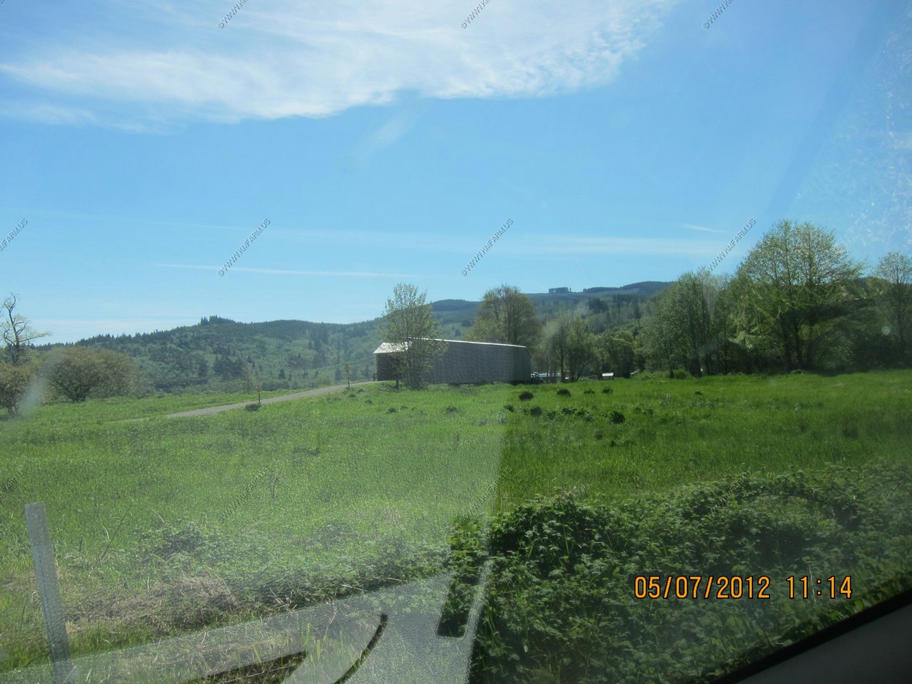
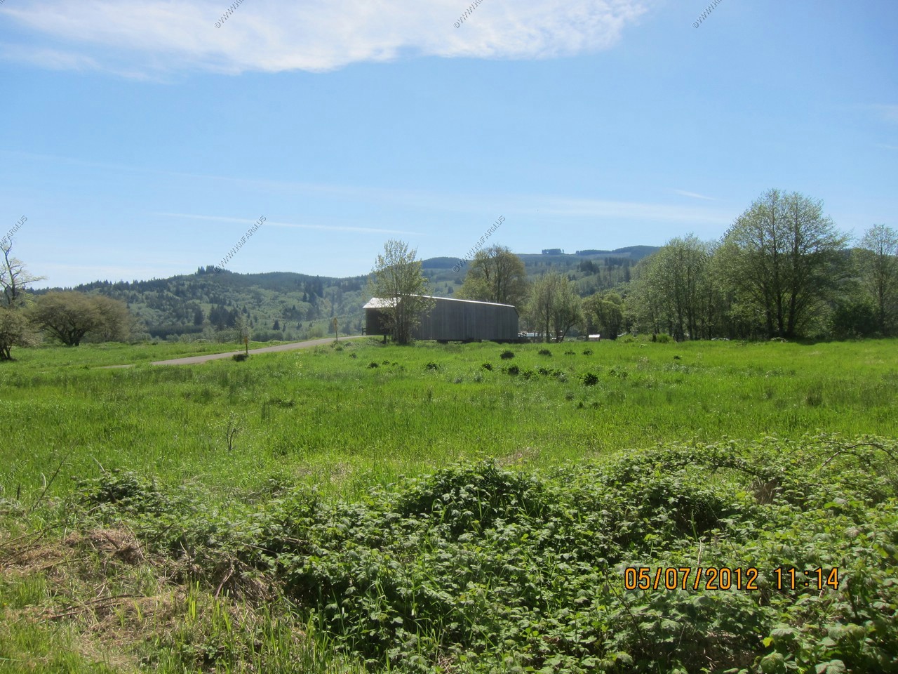
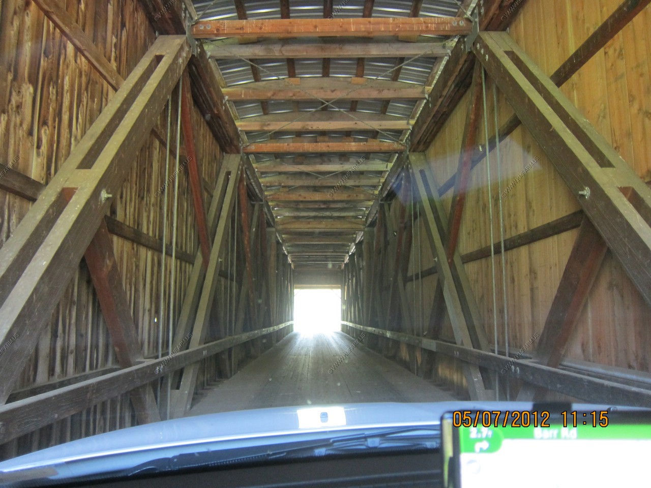
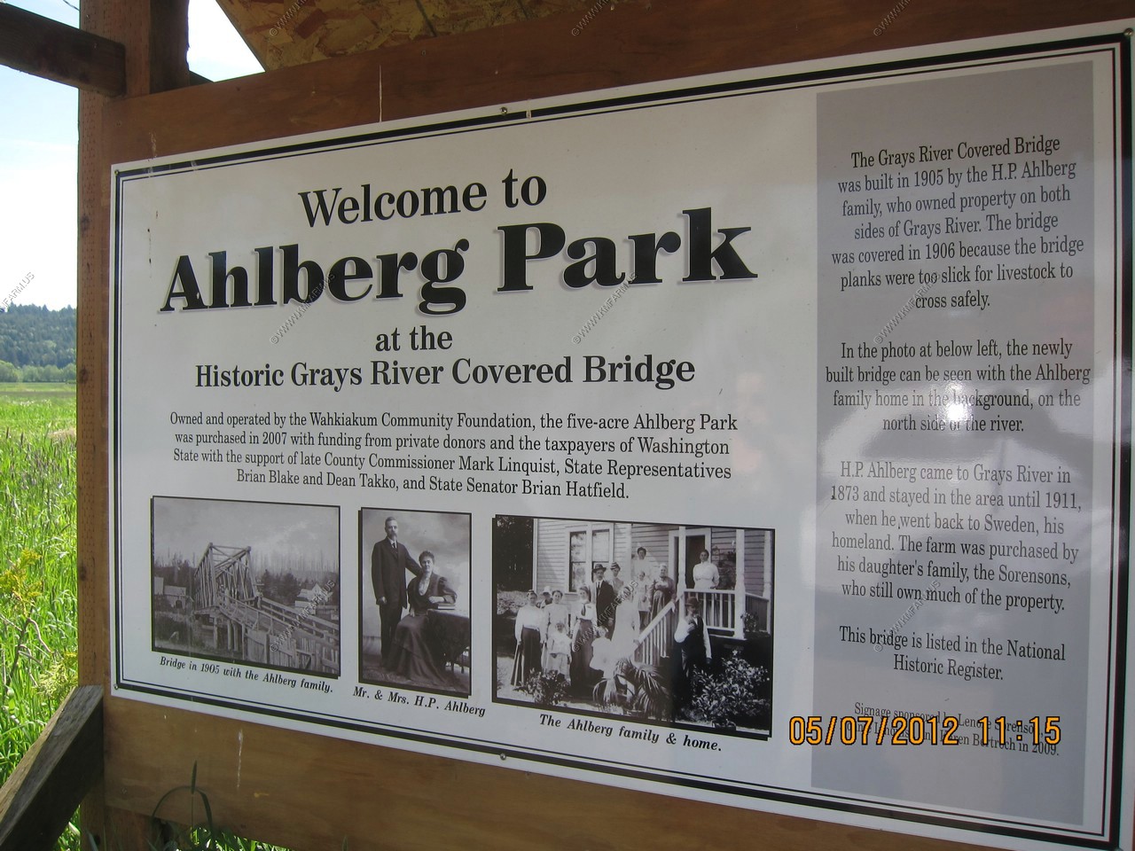
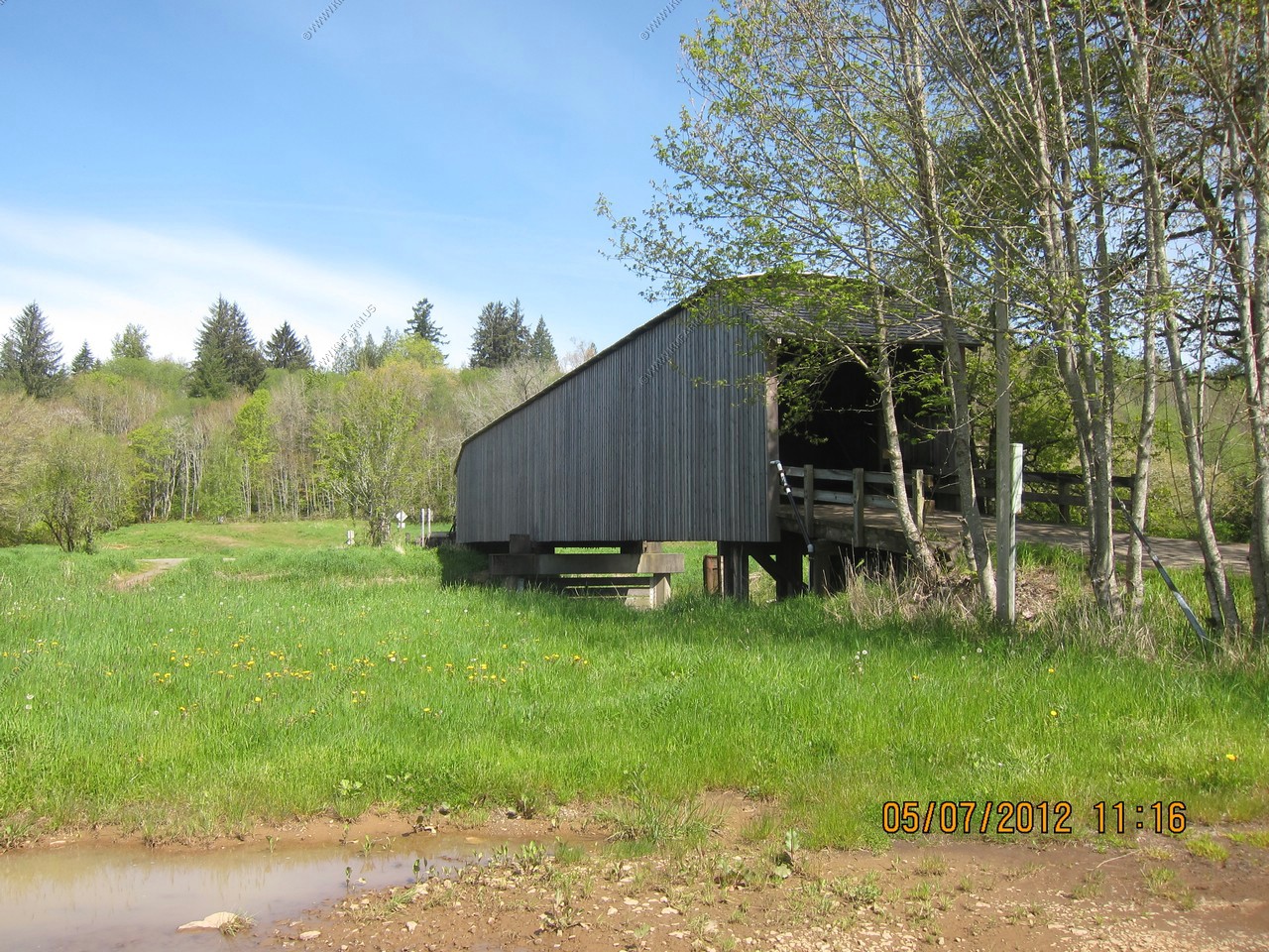
Grays River Covered Bridge
The Grays River Covered Bridge is a one-lane wooden covered bridge over the Grays River in western Wahkiakum County, Washington. The bridge is listed on the National Register of Historic Places and is the only covered bridge still in use by the public in Washington State.
Beautiful country... No cell service either !
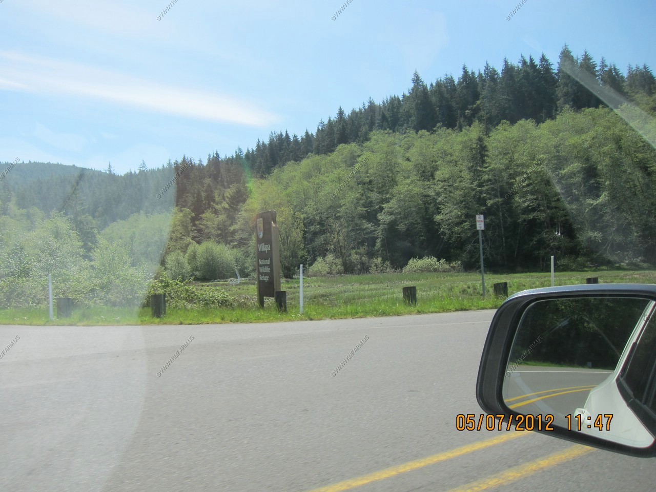
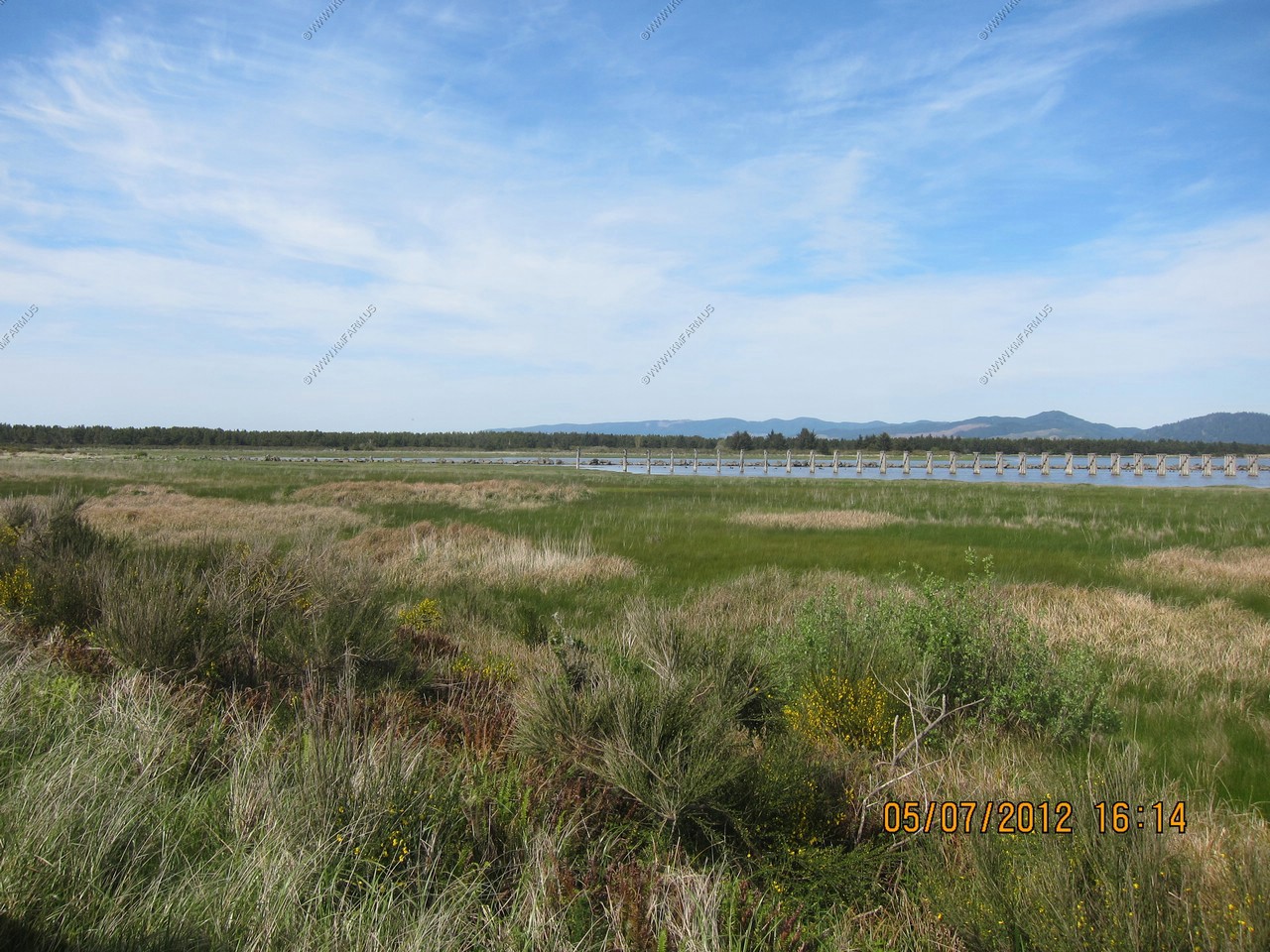
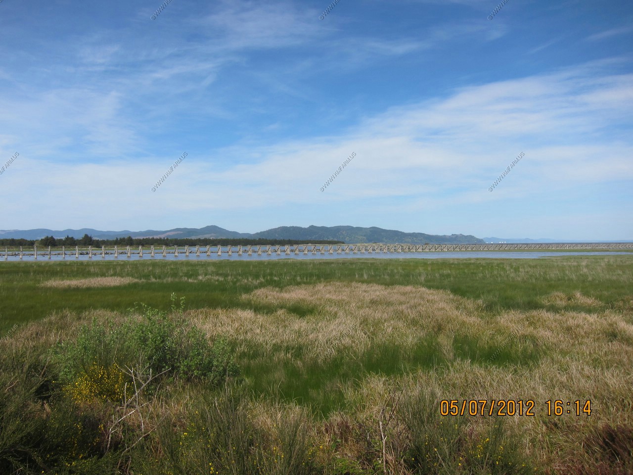
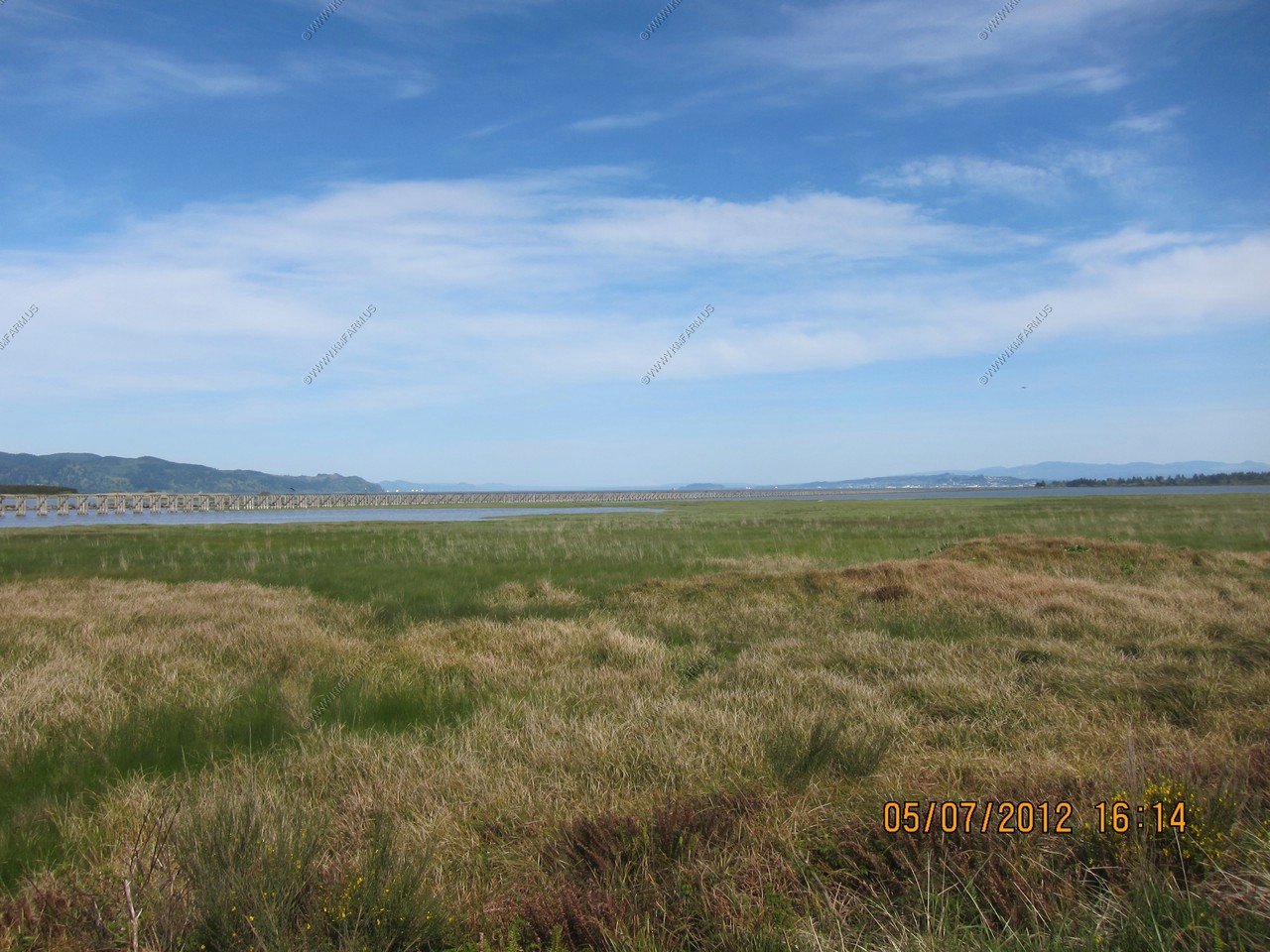
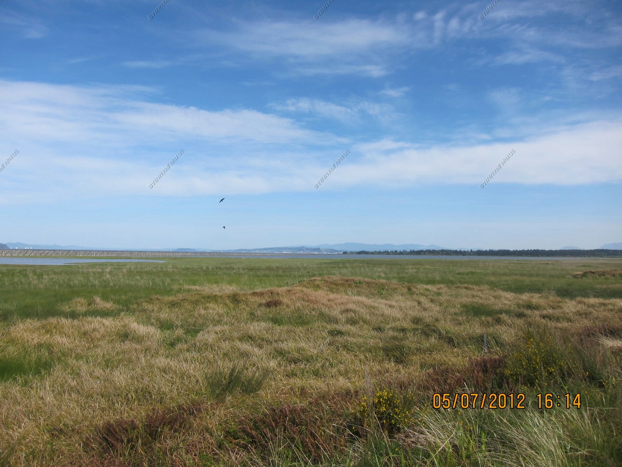
Past Chinook, Washington along US-101 we passed through a large tidal area.
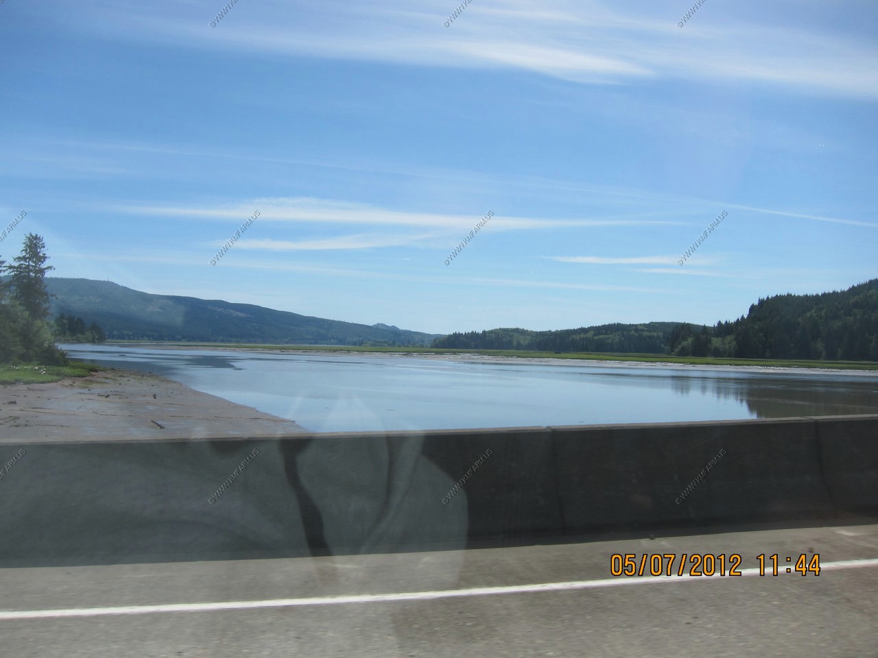
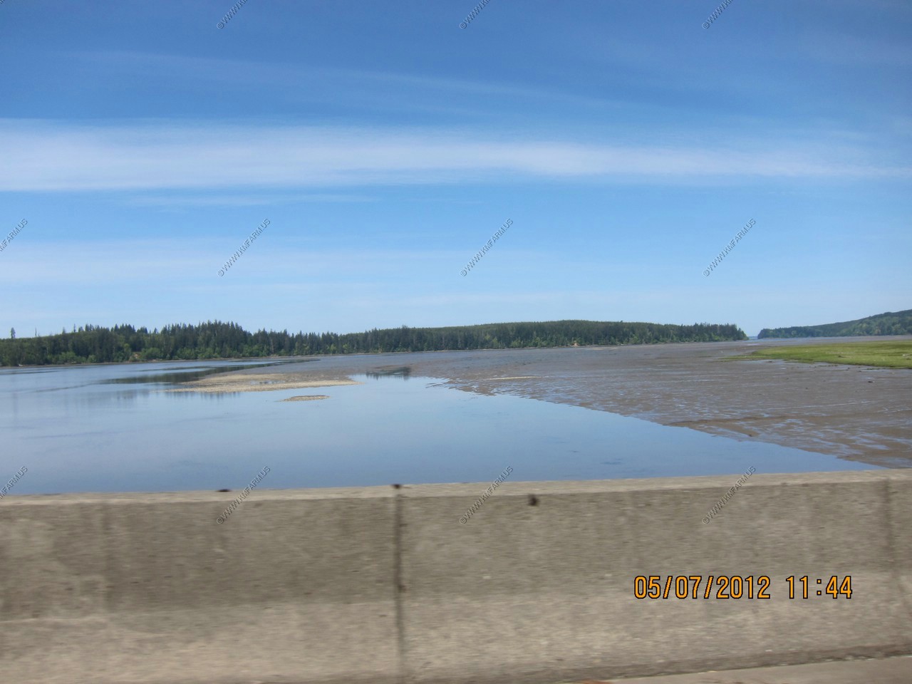
We were passing thru Willapa National Wildlife Refuge.
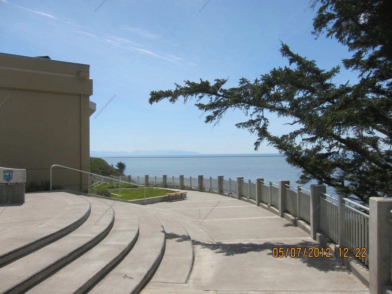
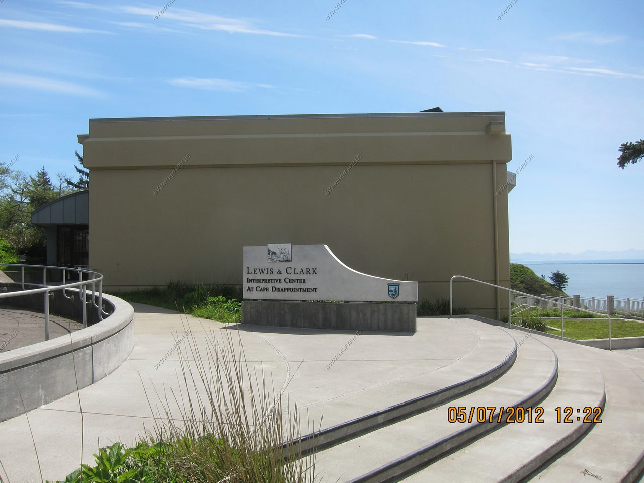
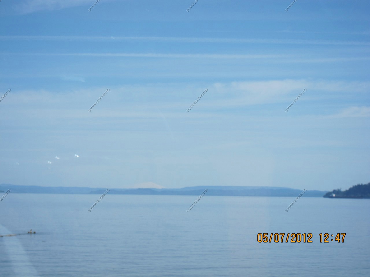
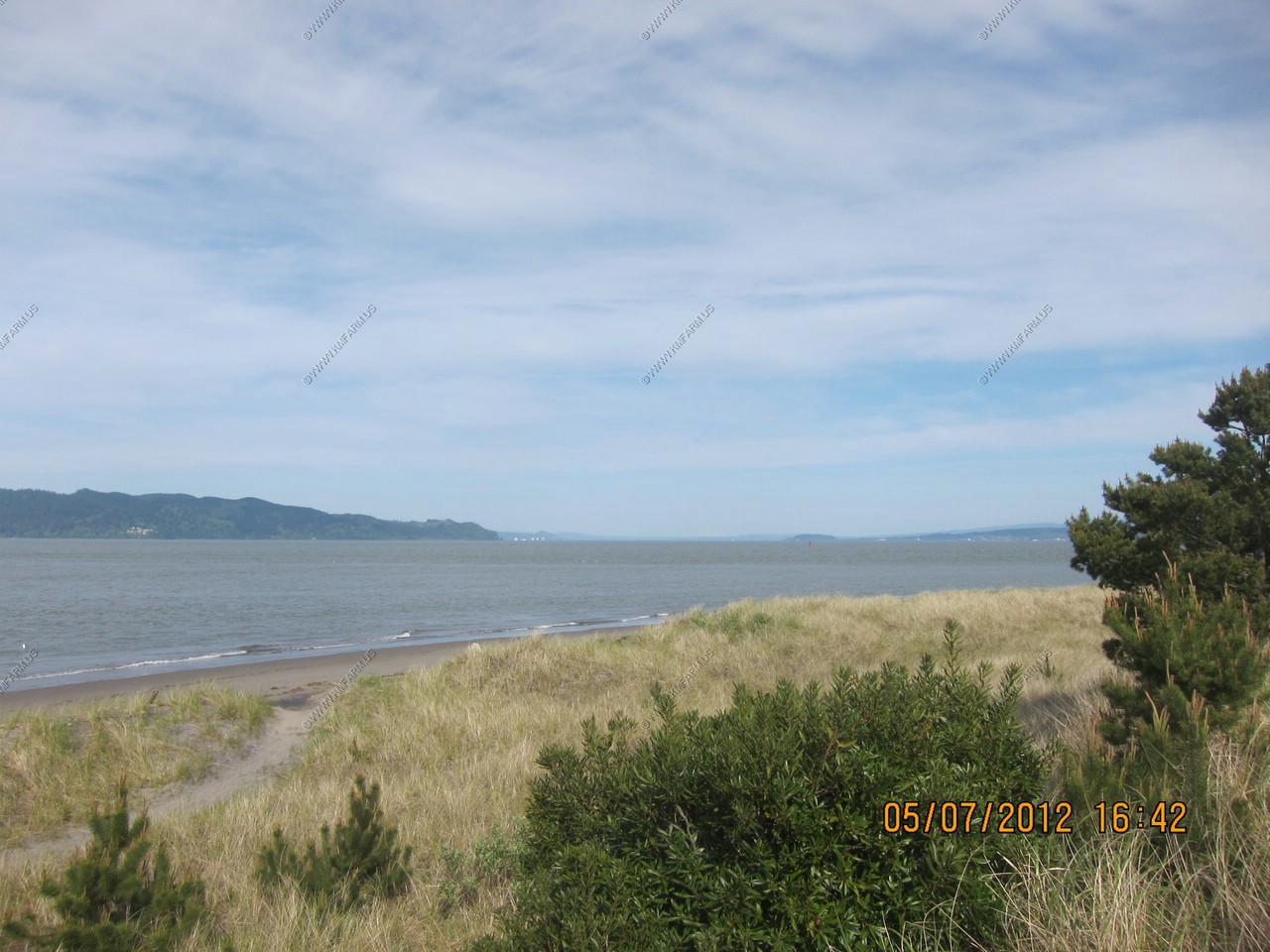
Our first view of the Pacific Ocean. Looking SW over the North jetty
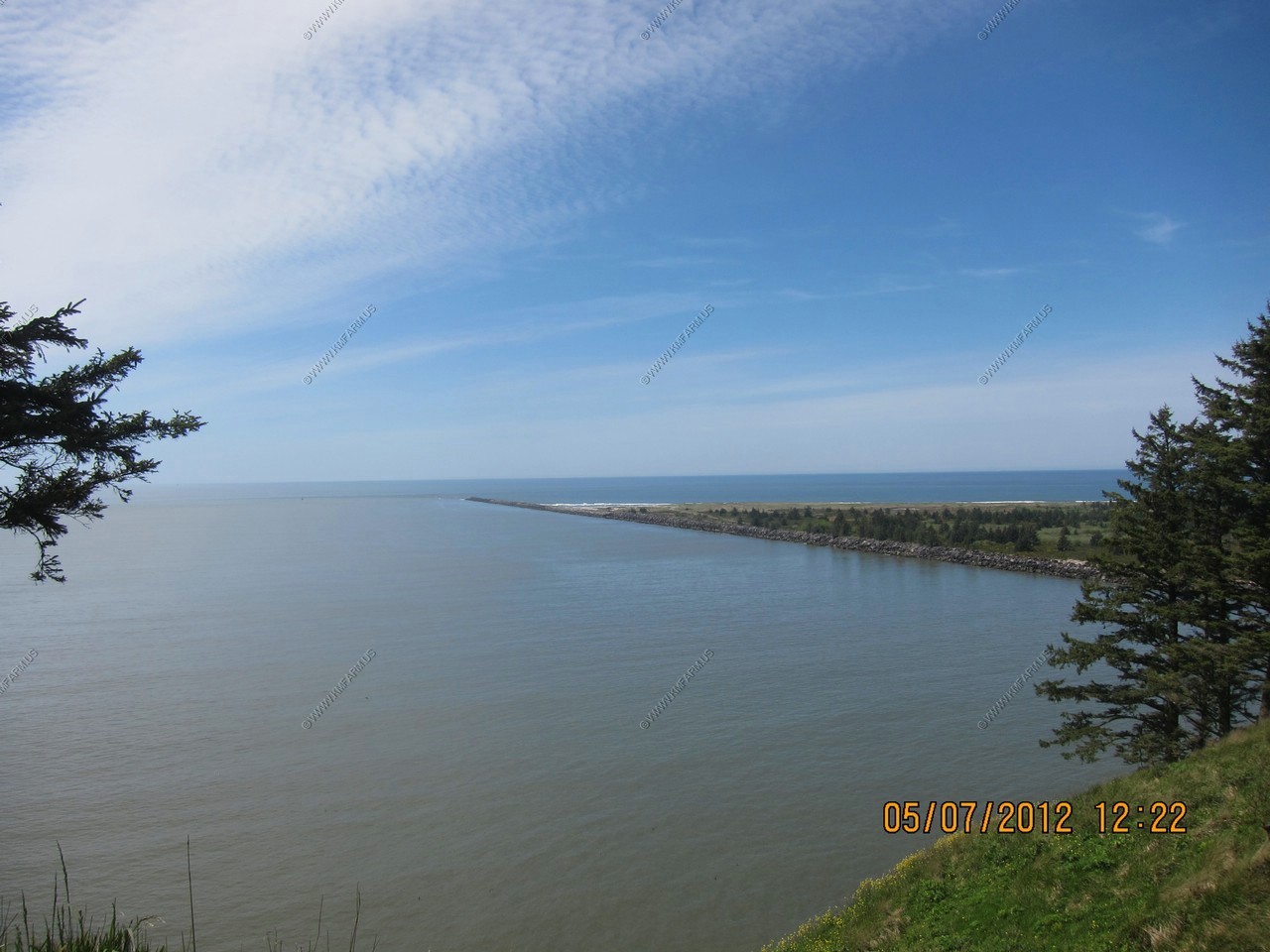
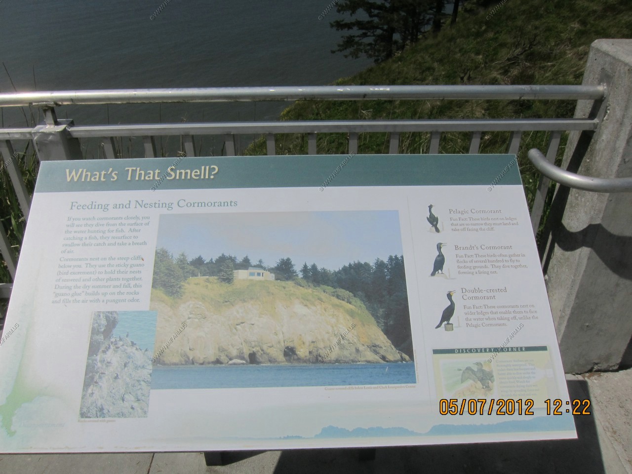
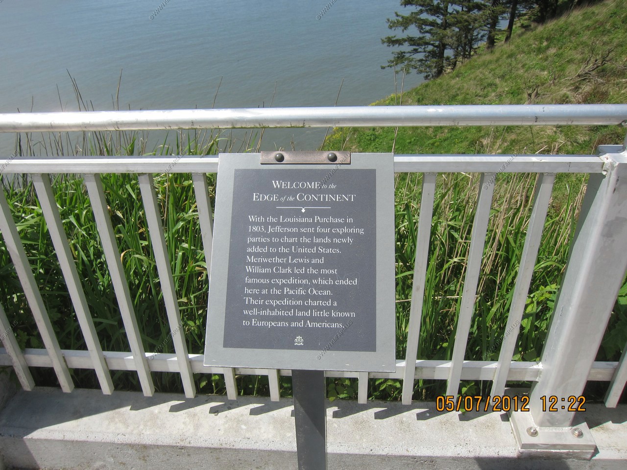
We did not smell anything. Made a quick run up to the Cape Disappointment State Park (Lewis & Clark Interpretive Center)
Again, what an incredible weather day !
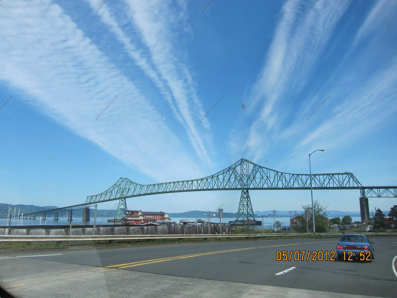
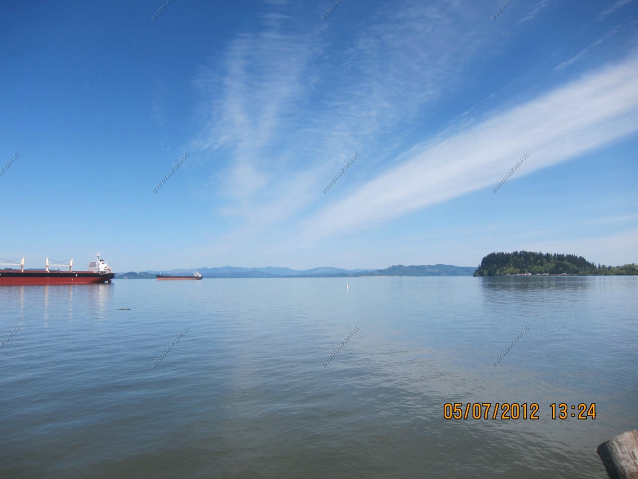
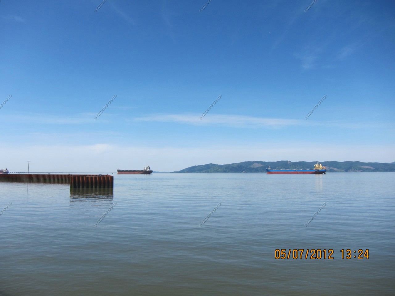
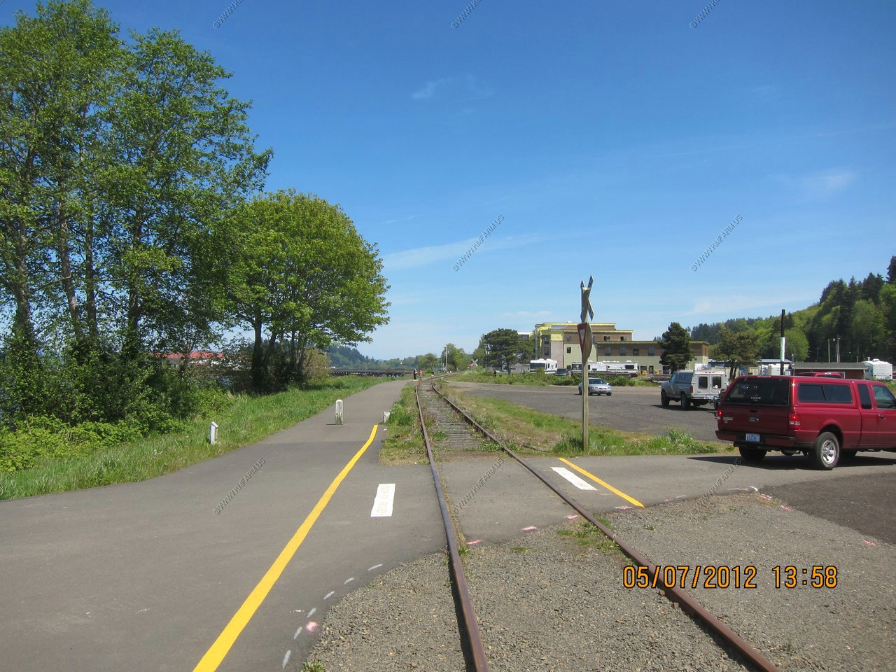
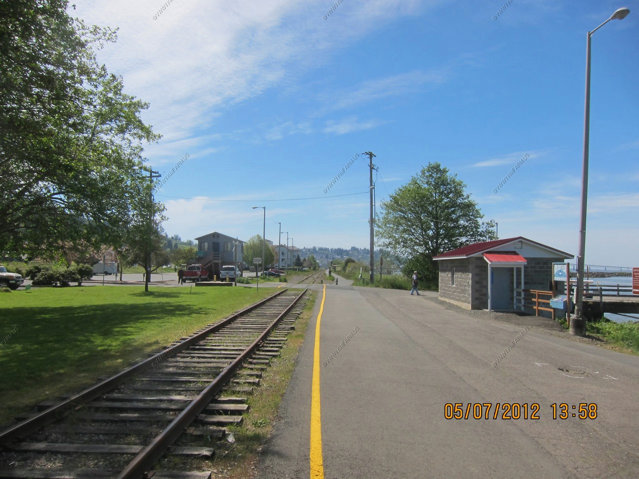
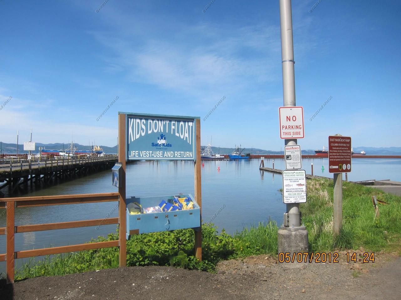
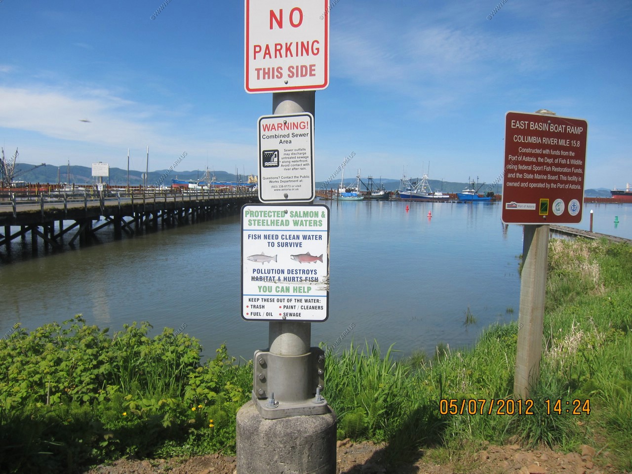
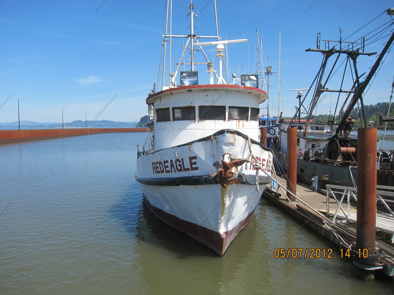
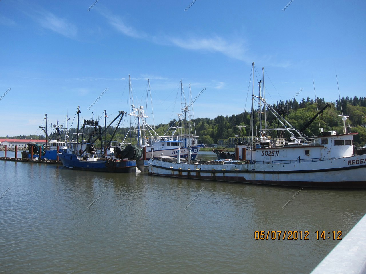
Astoria Area
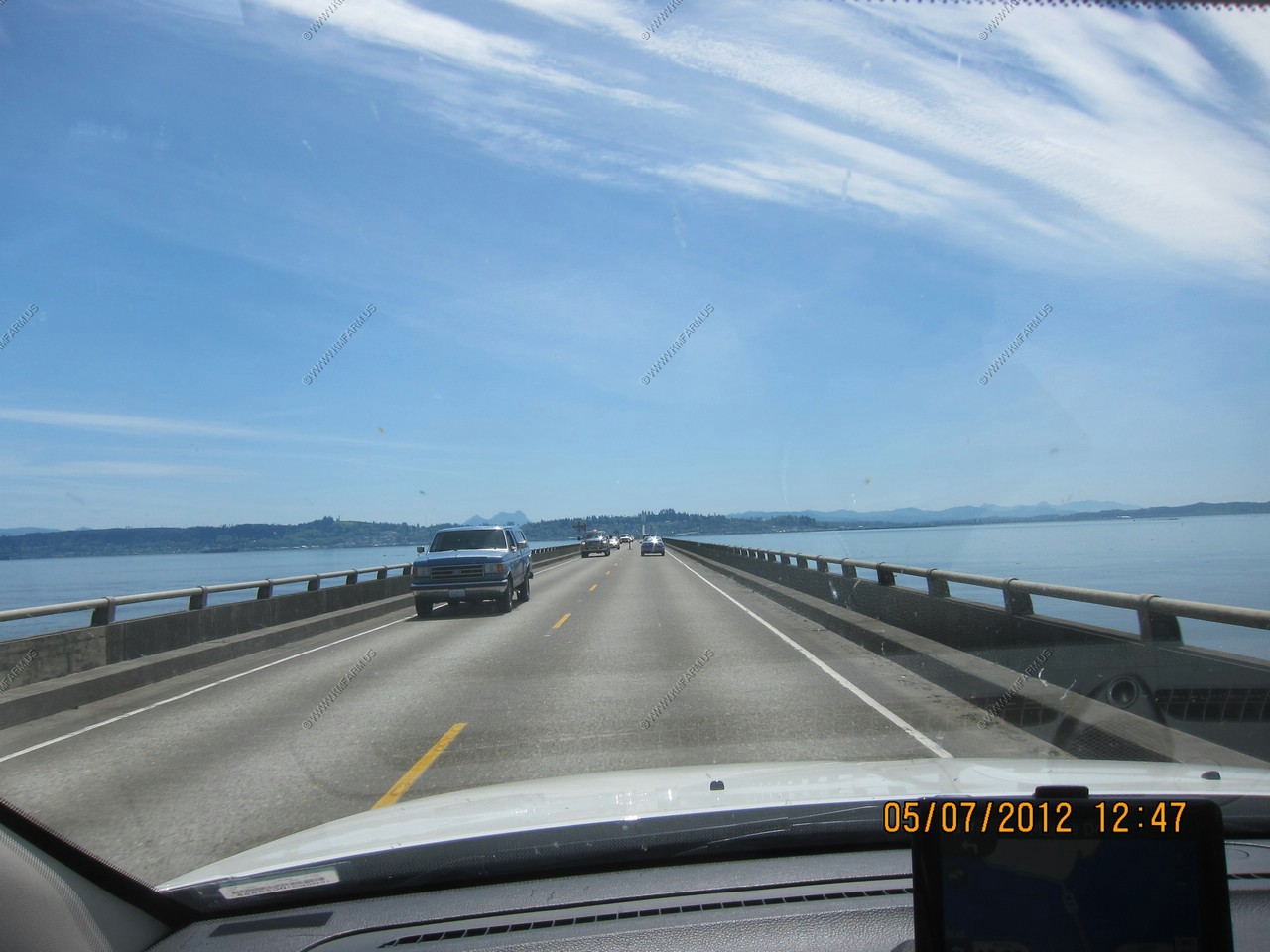
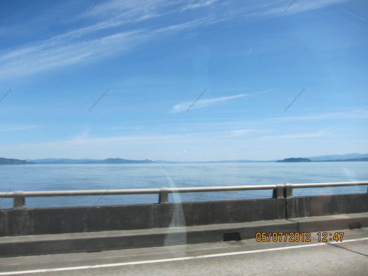
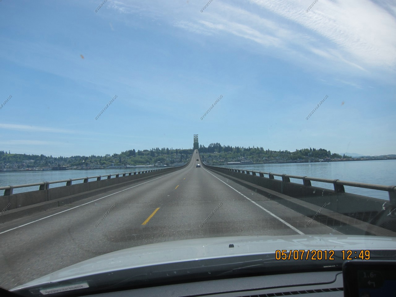
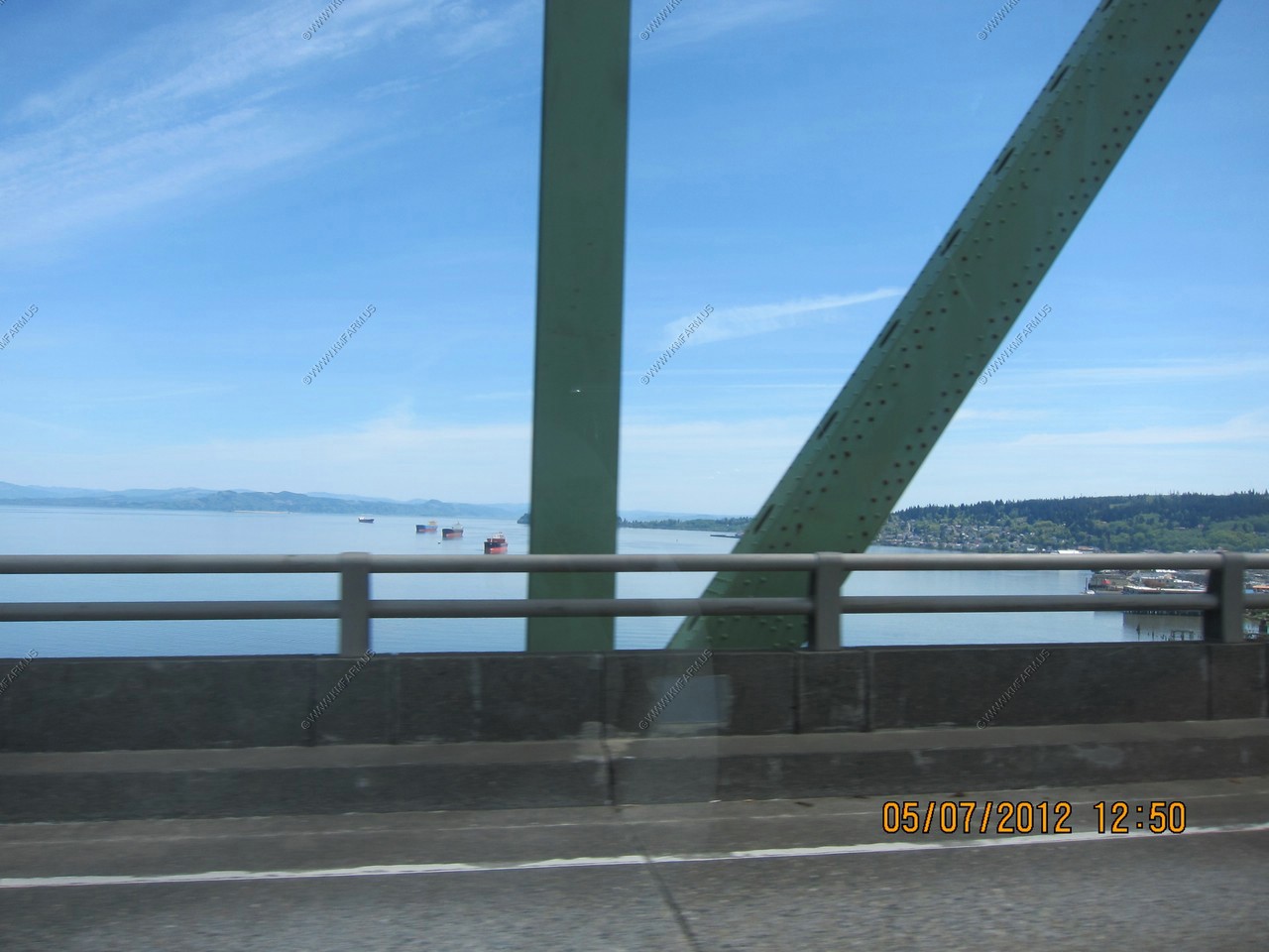
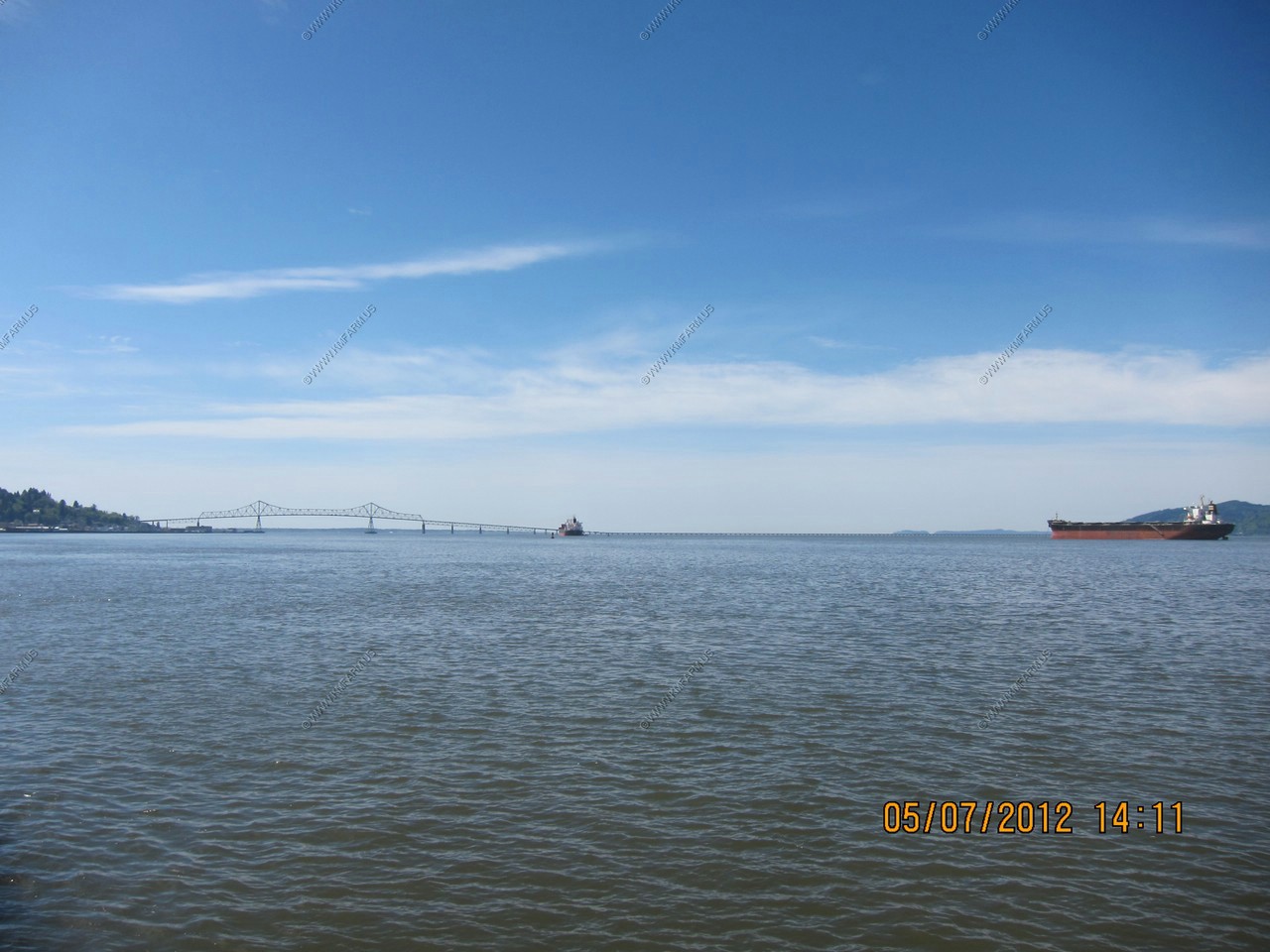
Astoria-Megler Bridge
US Route 101 over the Columbia River, connecting Oregon to Washington. It is the longest continuous truss bridge in North America. The bridge is 21,474 feet in length and carries one lane of traffic in each direction. The main span is closest to the Oregon side and measures 1,232 feet long. The bridge was built to withstand 150 mph wind gusts and river speeds of 9 mph.
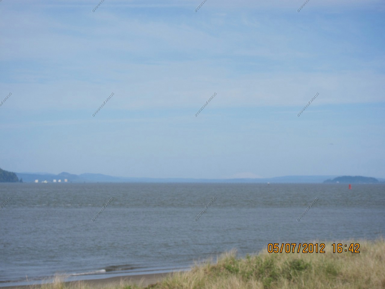
Looking south
Was able to use the site (haywhatsthat) to determine that this was Mount Saint Helens appx. 80 miles away.
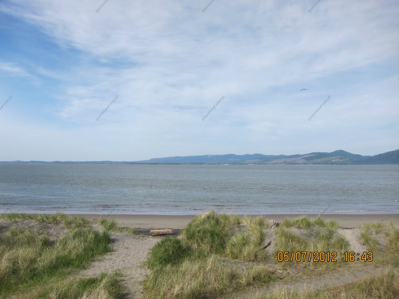
Almost to Astoria, Oregon
The city of Astoria is the county seat of Clatsop County, Oregon. Situated near the mouth of the Columbia River. In 2007 the state estimated its population to be 10,045 residents.
Astoria lies within the Marine west coast climate zone, with very mild temperatures year-round, some of the most consistent in the continental United States; normal winters are mild for Astoria's latitude, generally above freezing, and wet. Summers are cool, although short heat waves can occur. Rainfall is most abundant in late fall and winter, and lightest in late summer. Snowfall is relatively rare but does accumulate in small amounts in winter.
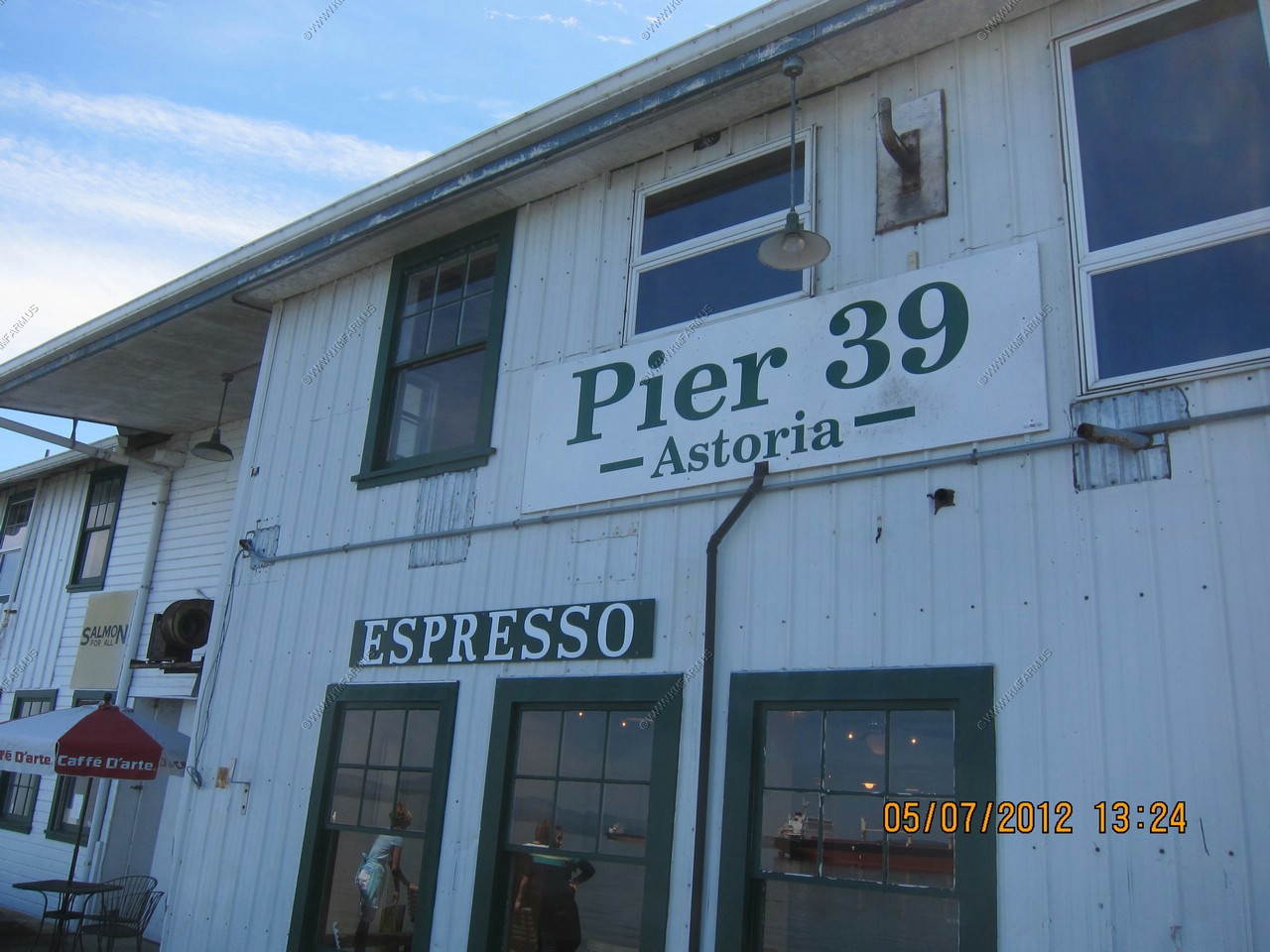
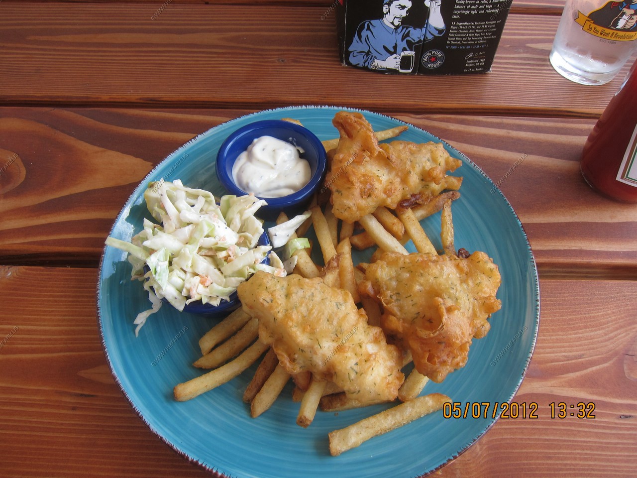
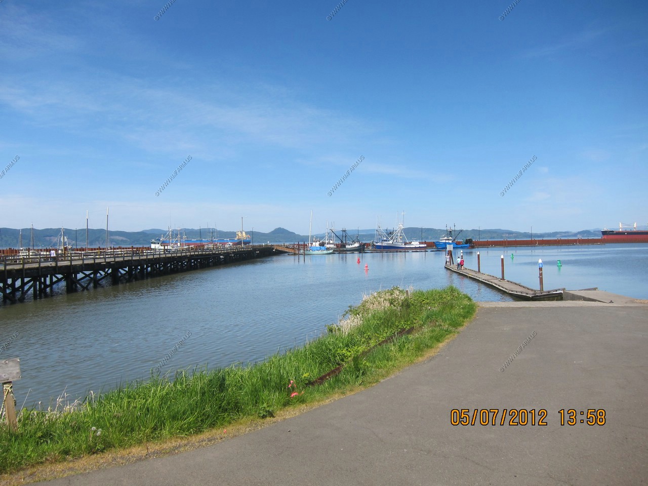
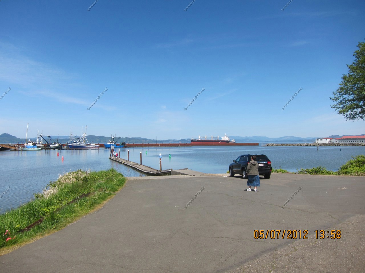
I did some research and the place to eat is at Pier 39 at the Rogue Ales Public House. Had some excellent beer and a Halibut fish platter.
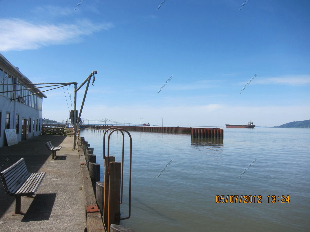

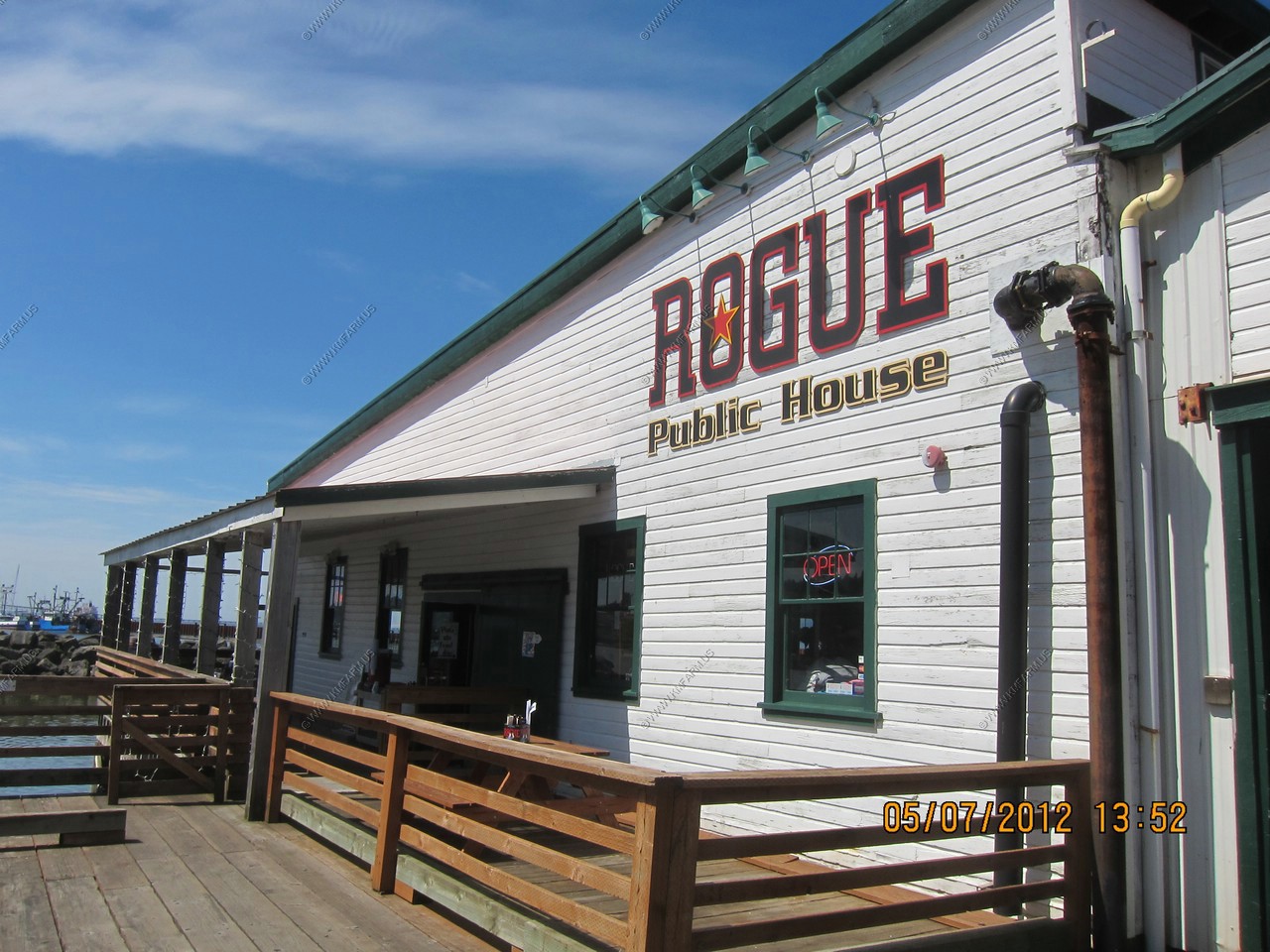
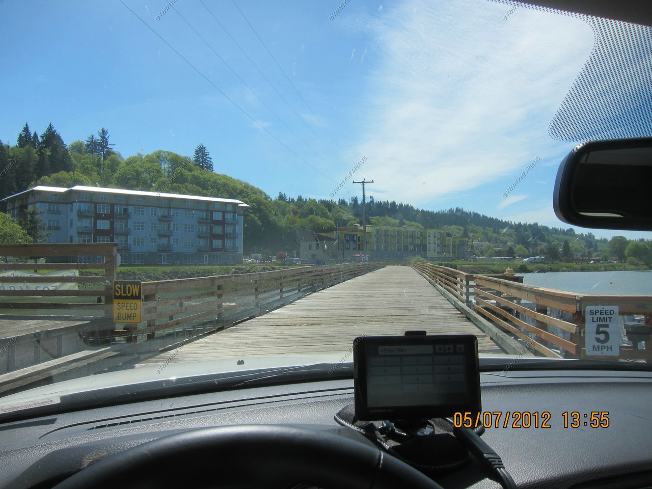
Interesting drive out on the pier.
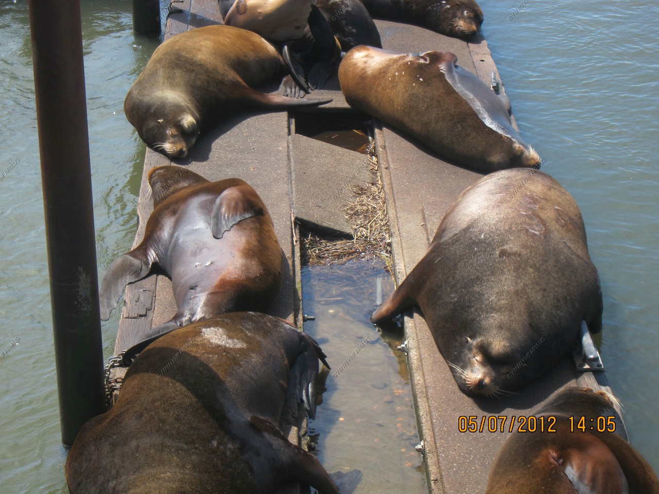
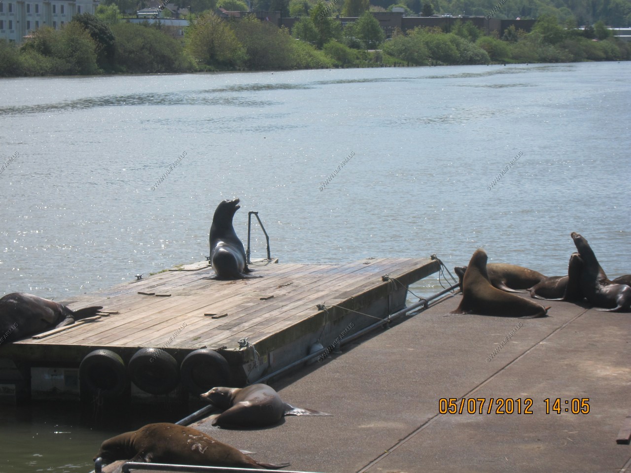
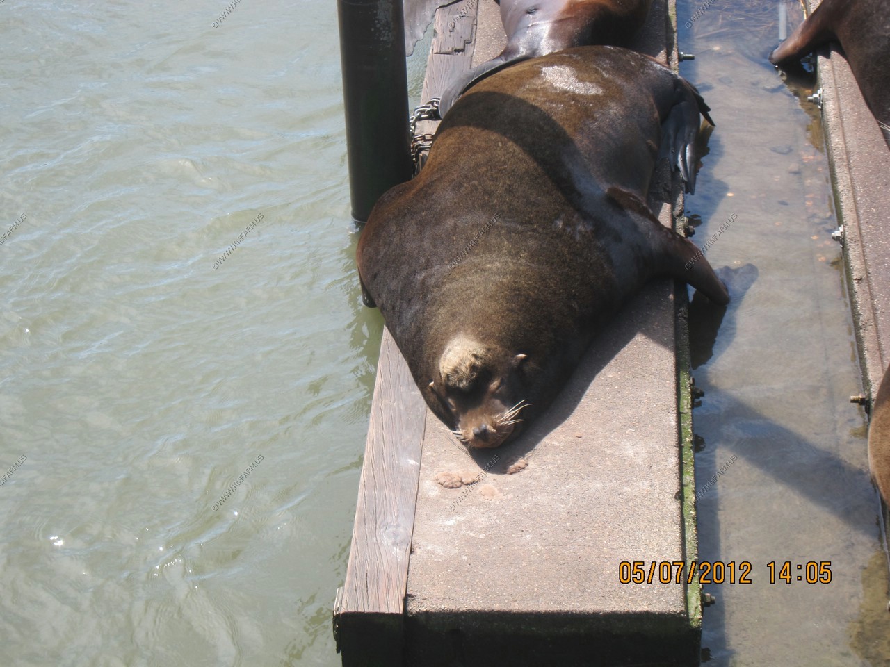
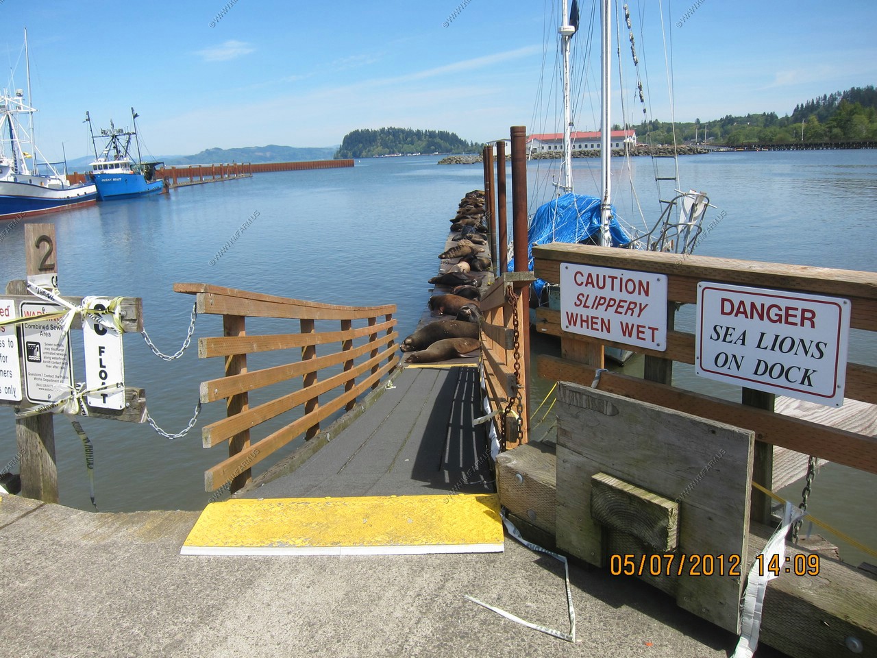
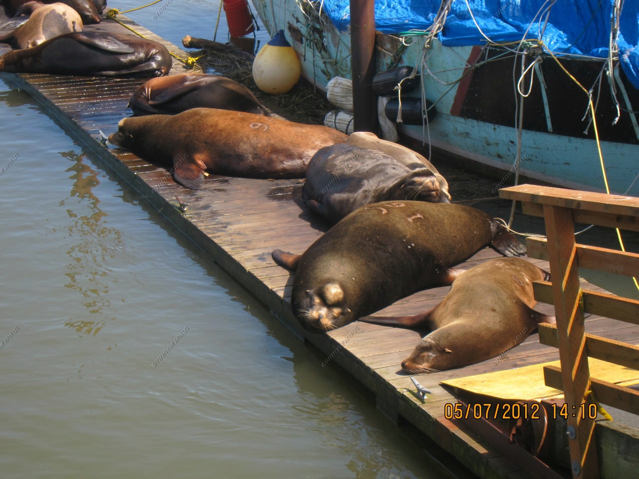
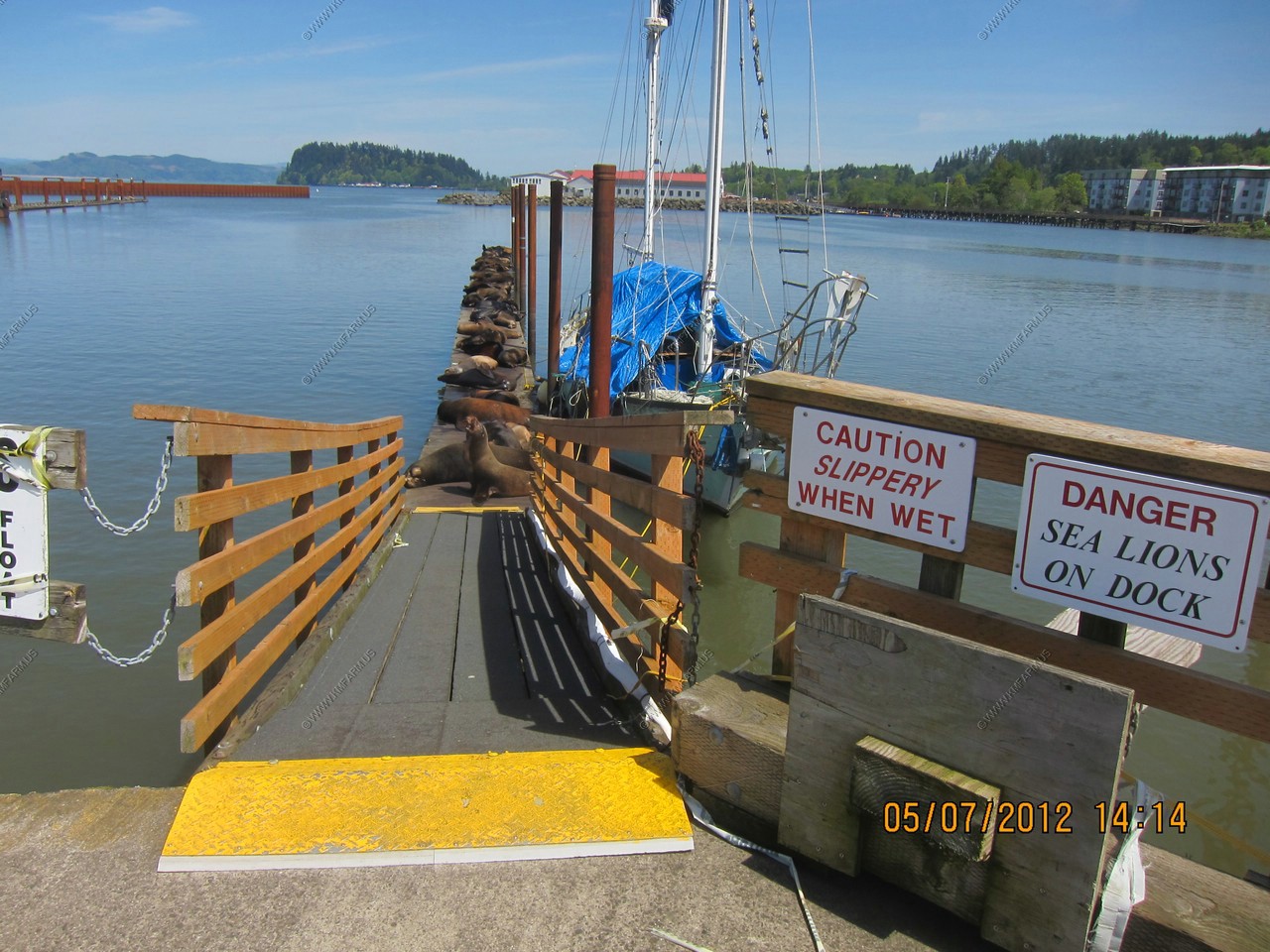
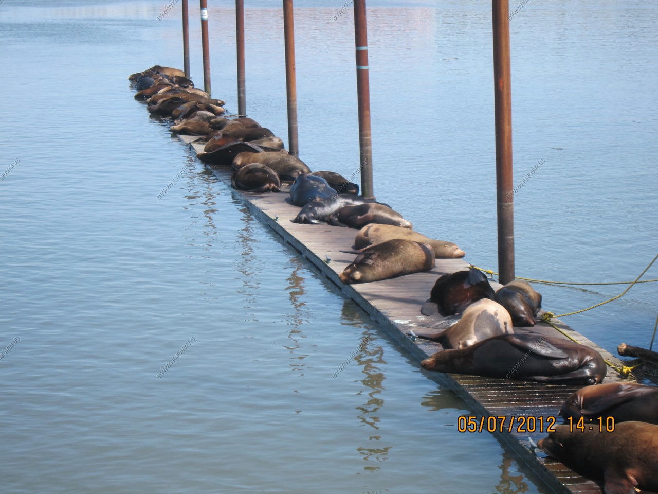
We drove a short distance to the parking area for access to The Goon Docks. This was the fictional area of the Goonies 1985 classic movie. While we were eating we could hear the sea lions making all sorts of racket from these docks so we needed to check it out.
Lots of people were walking along the rail trail.
We found them !
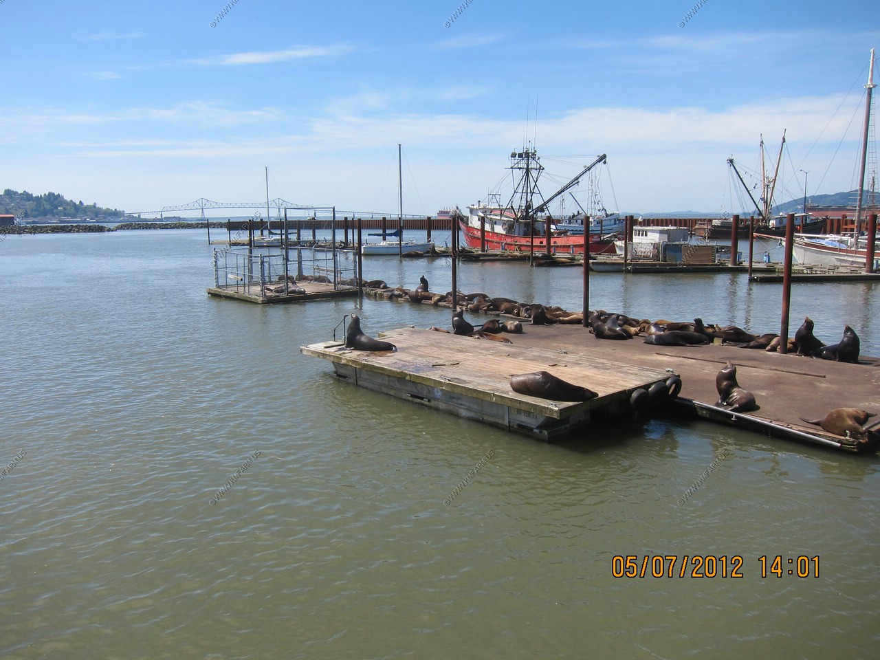
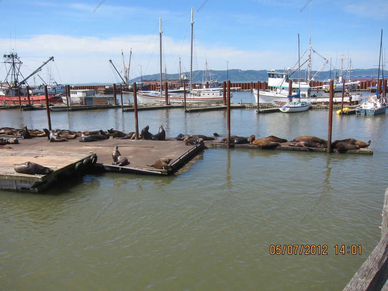
The sea lions were very active trying to get the best spot. The smell was impressive ! But, it was cool to see this and it was one of our goals on this trip.
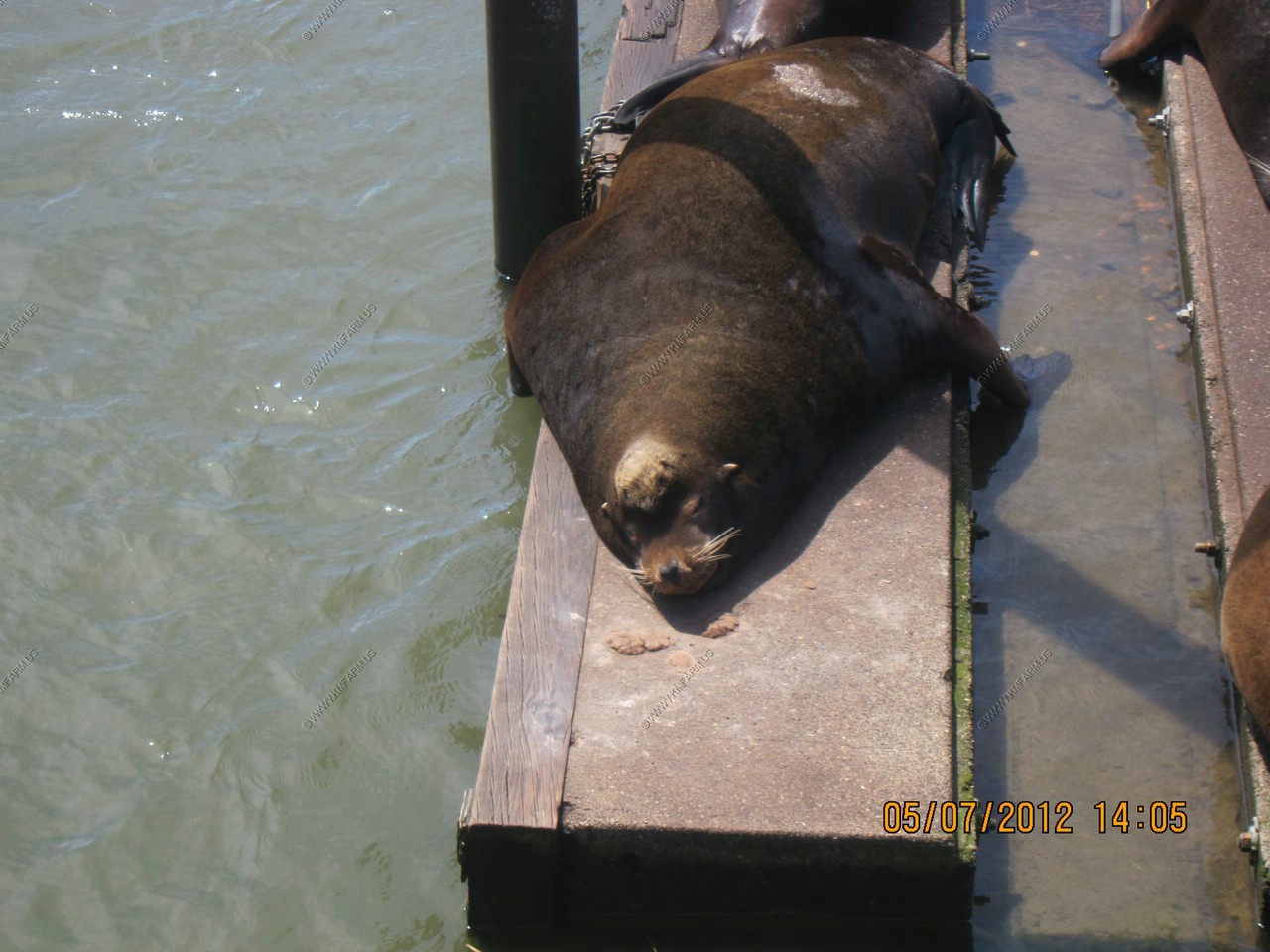

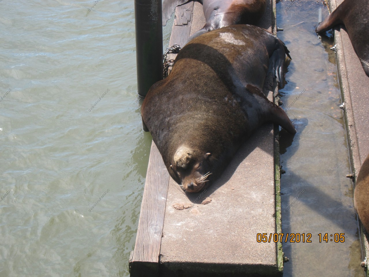
Yes, I think the danger sign is right !
Looks to be exceeding the buoyancy of the dock !
Dummy on the boat
Various views from the end of the pier

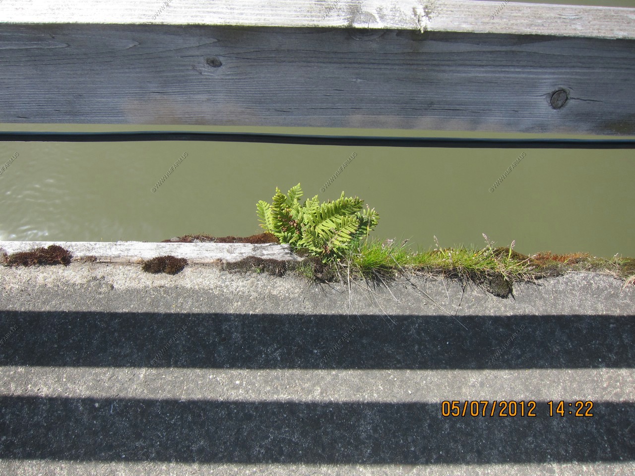
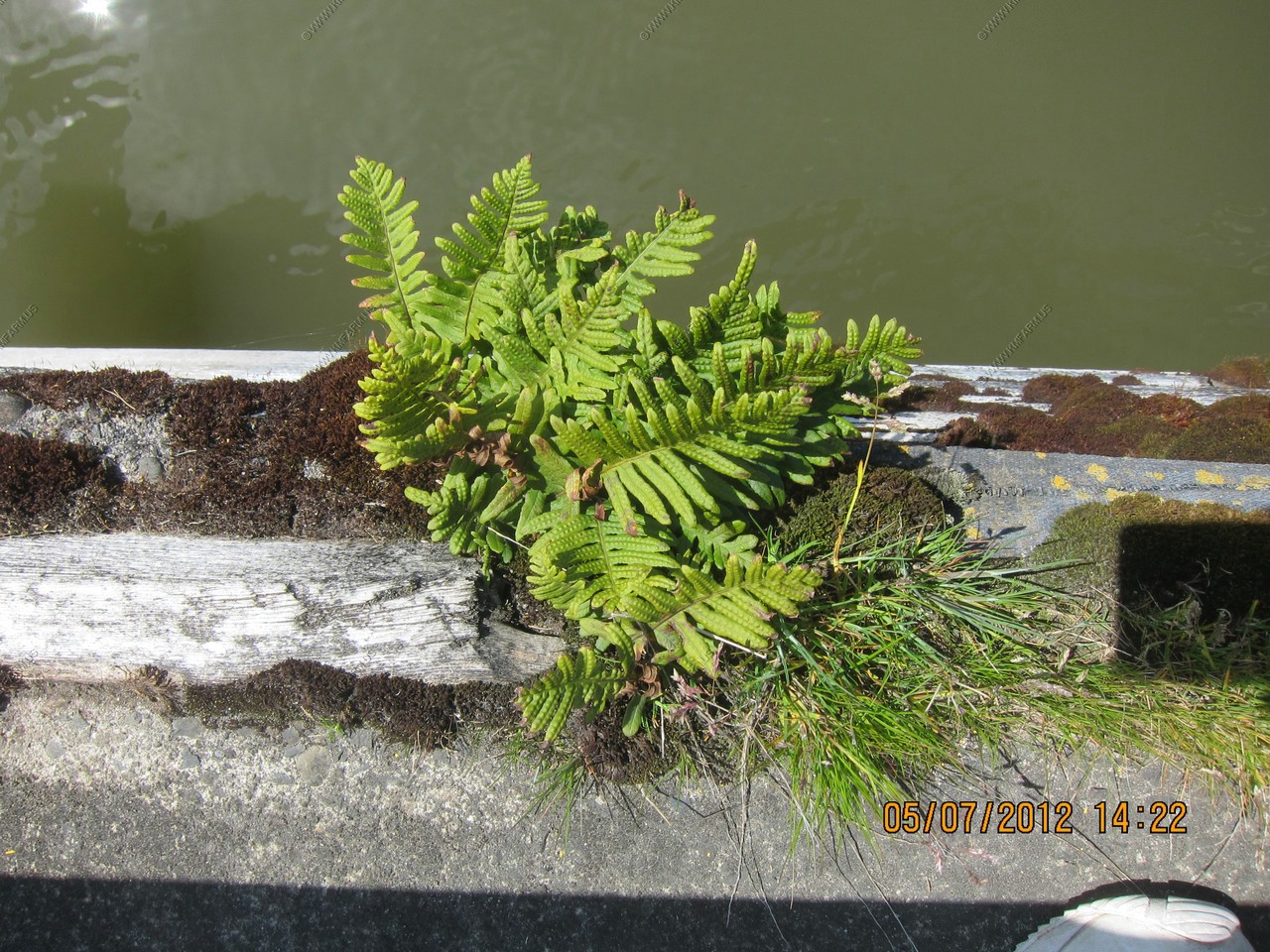
With the rain, vegetation grows everywhere here.
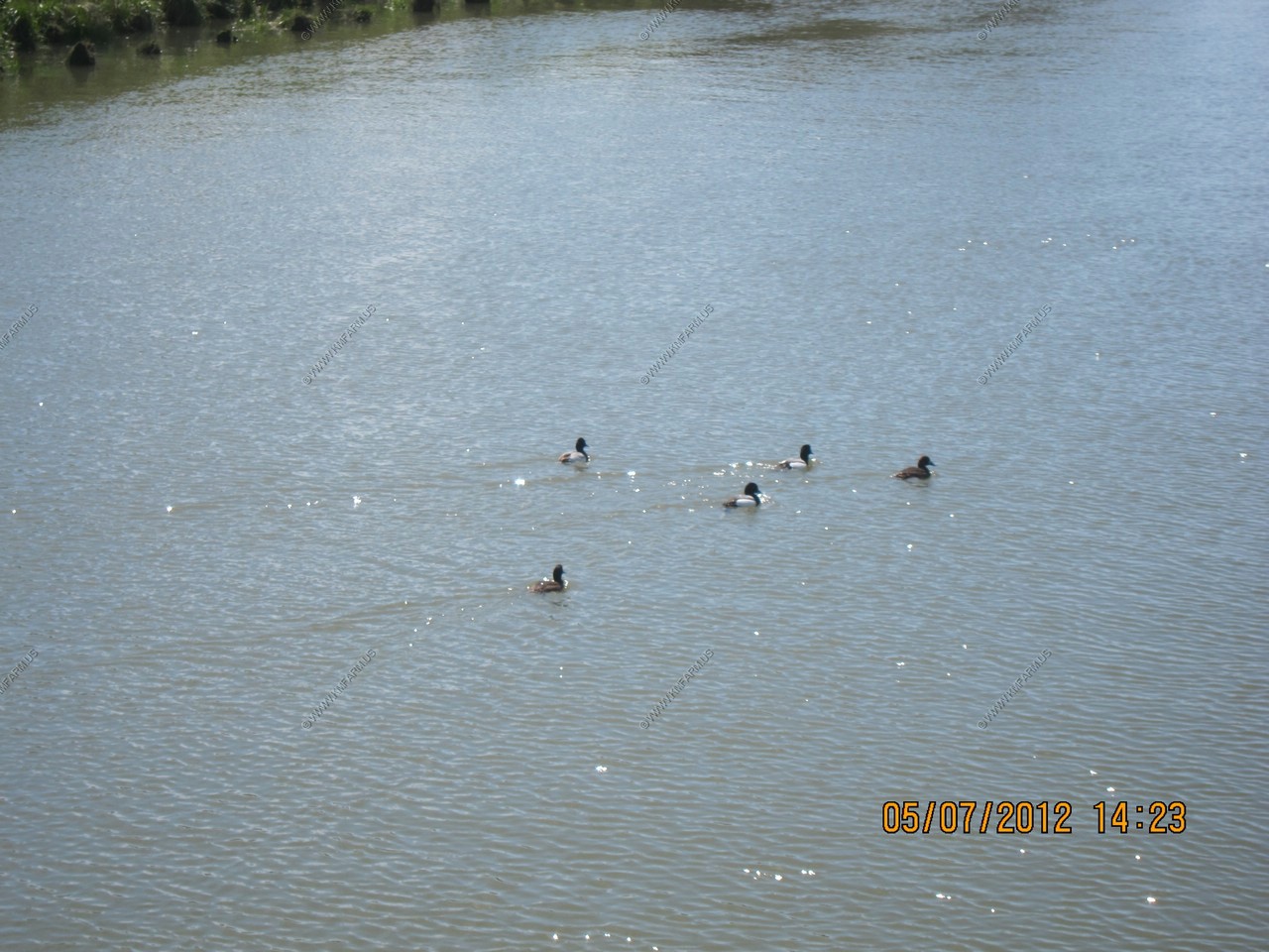
Ducks ?
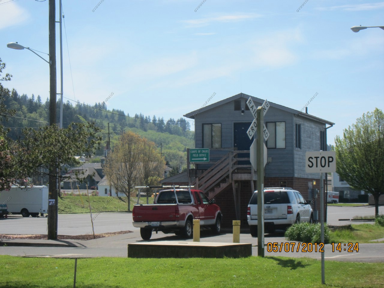
The Corps office.
Homeless guy with a license plate on his ass.
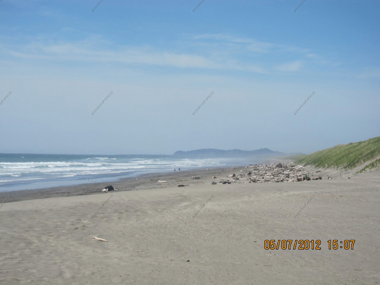
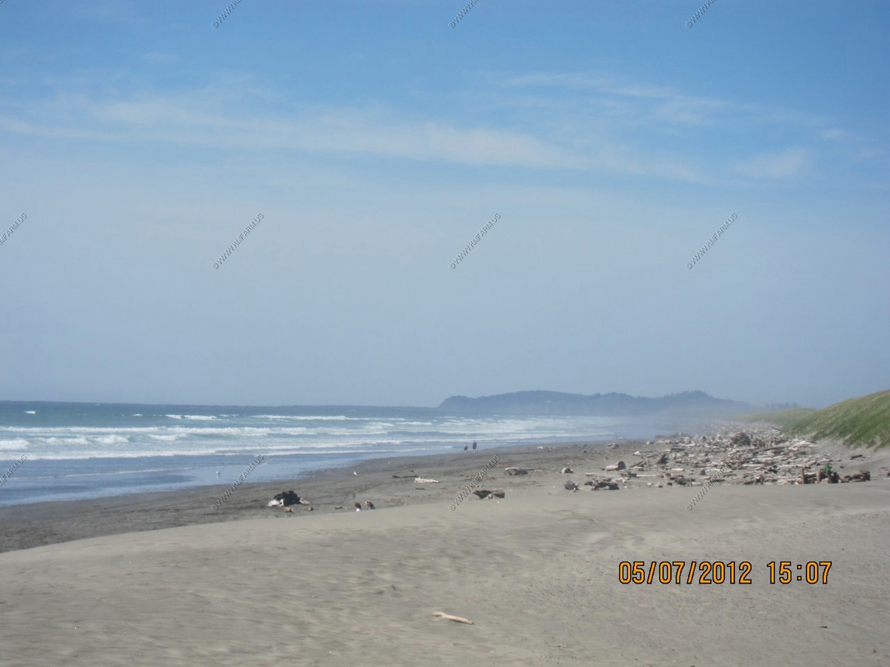
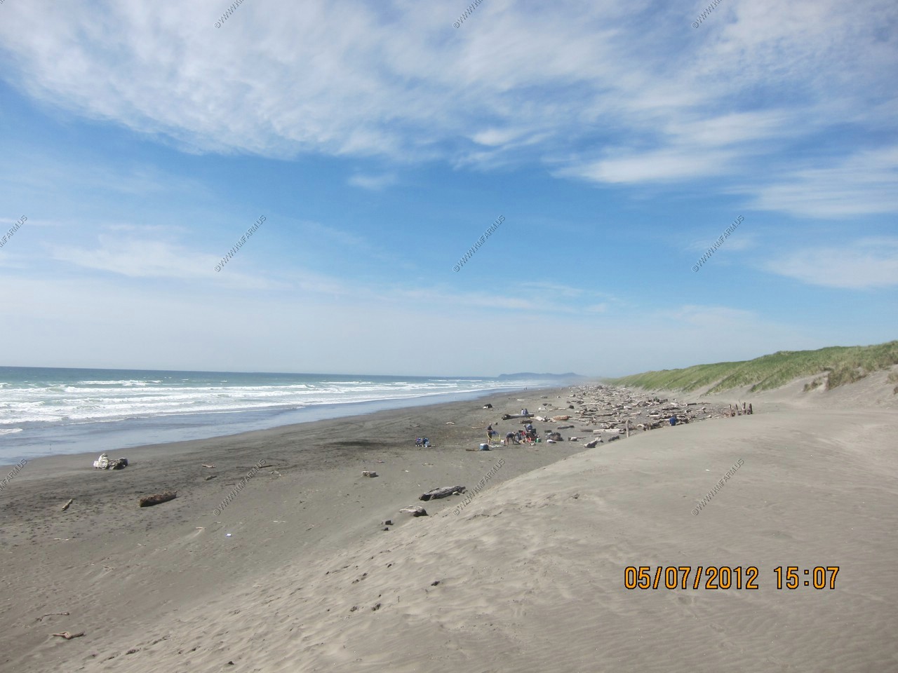
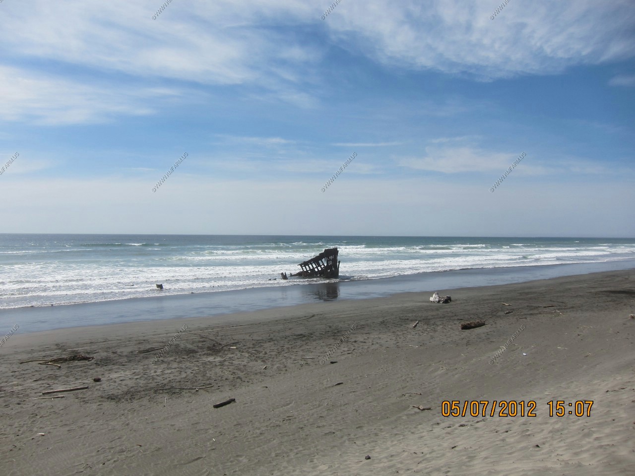
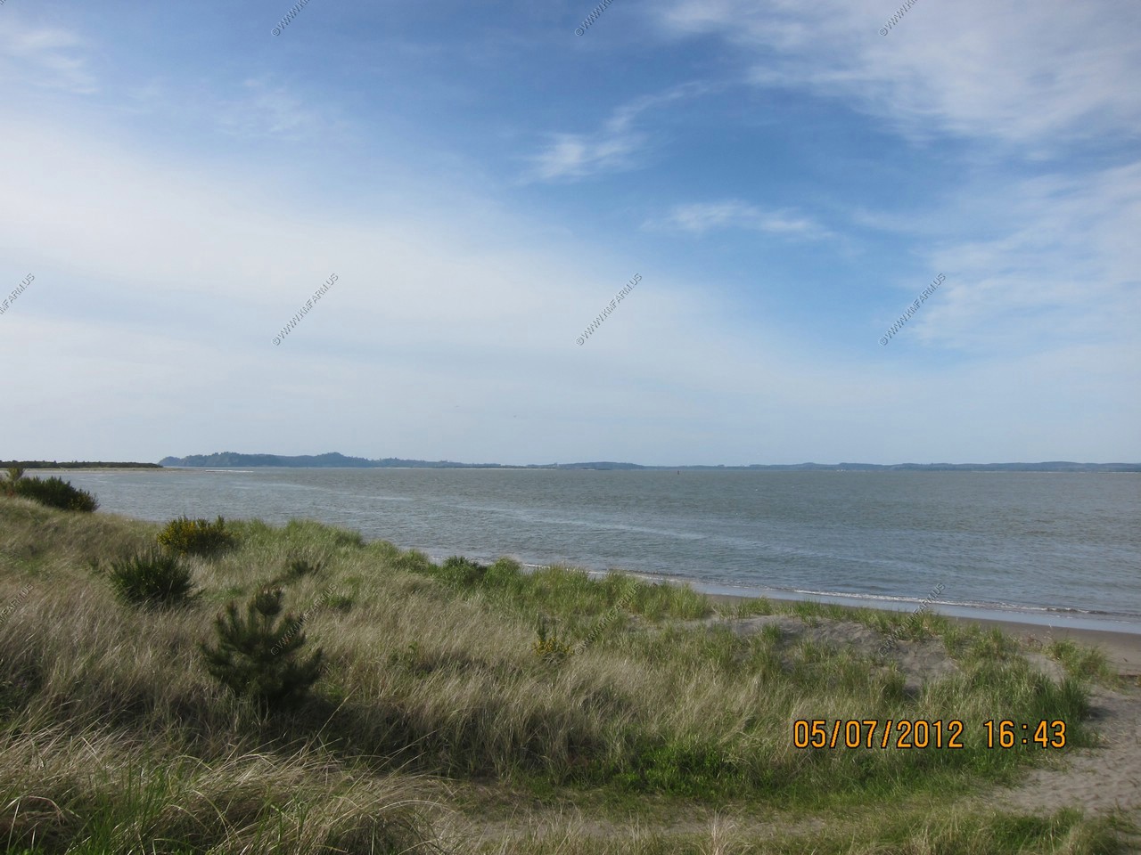
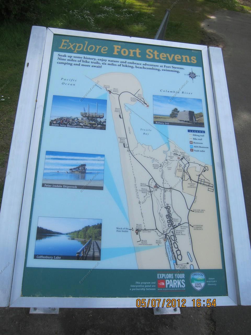
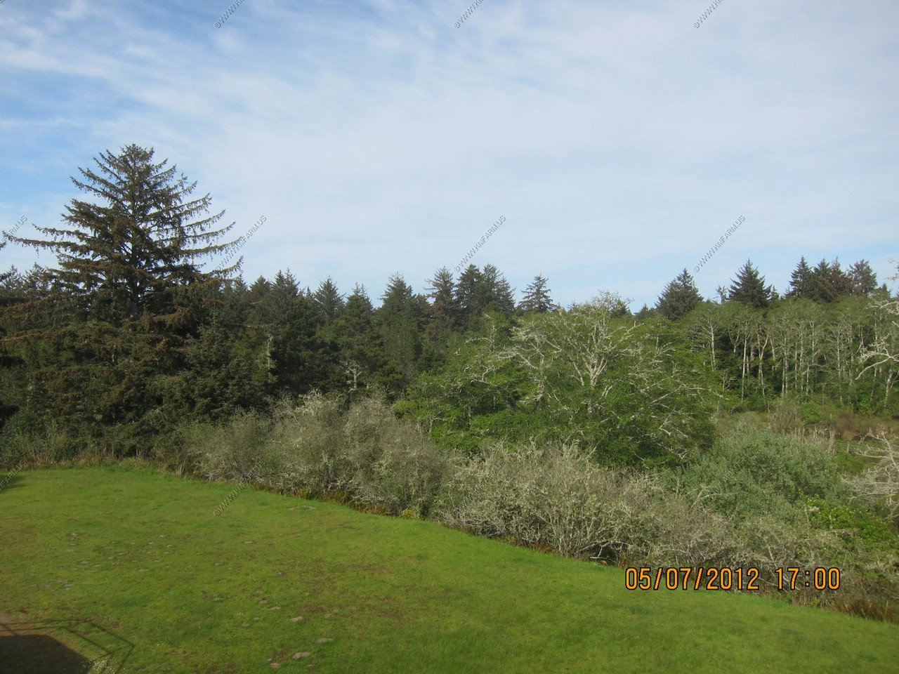
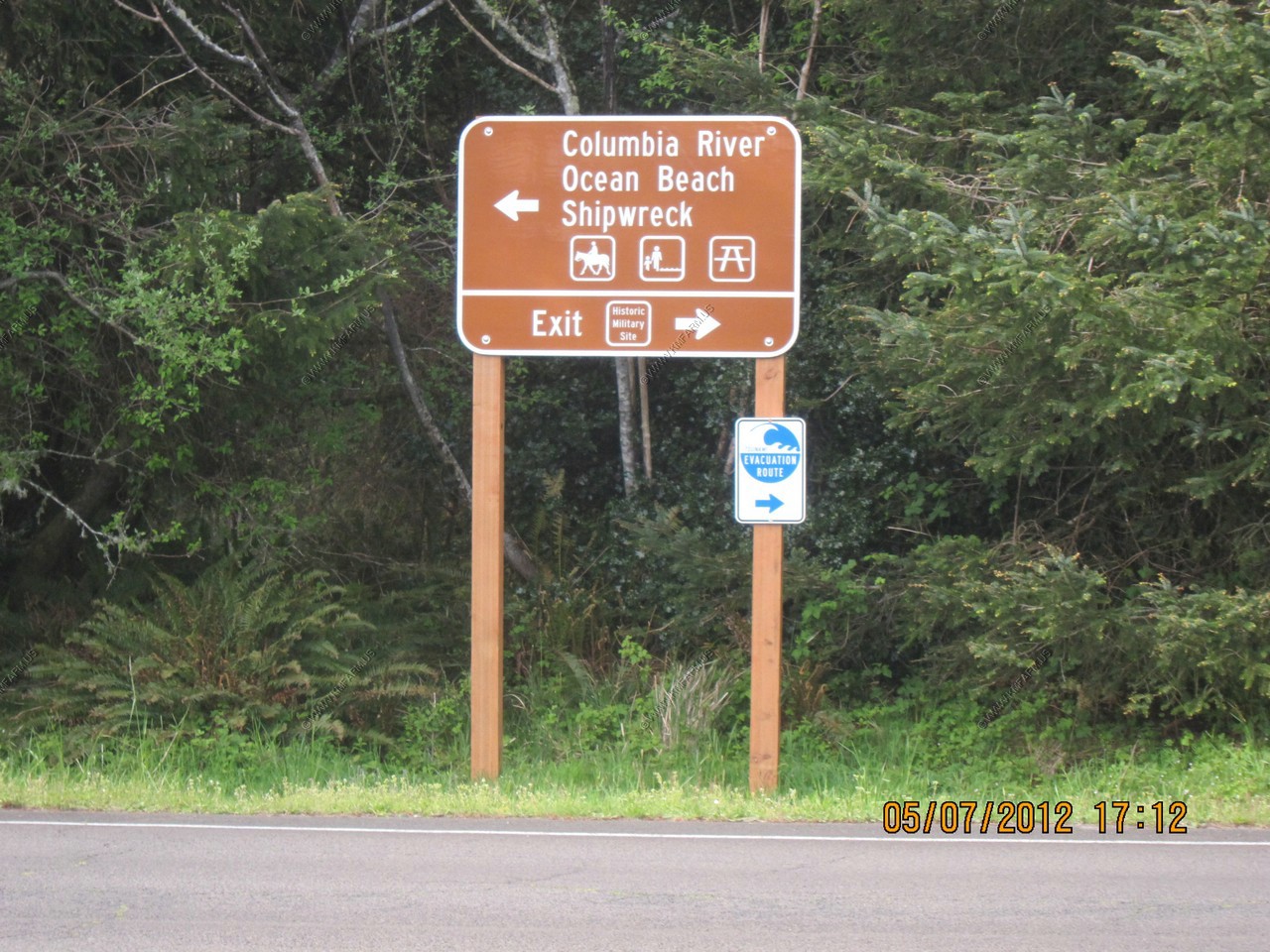
Well, it's time for the coast. We headed to Fort Stevens State Park
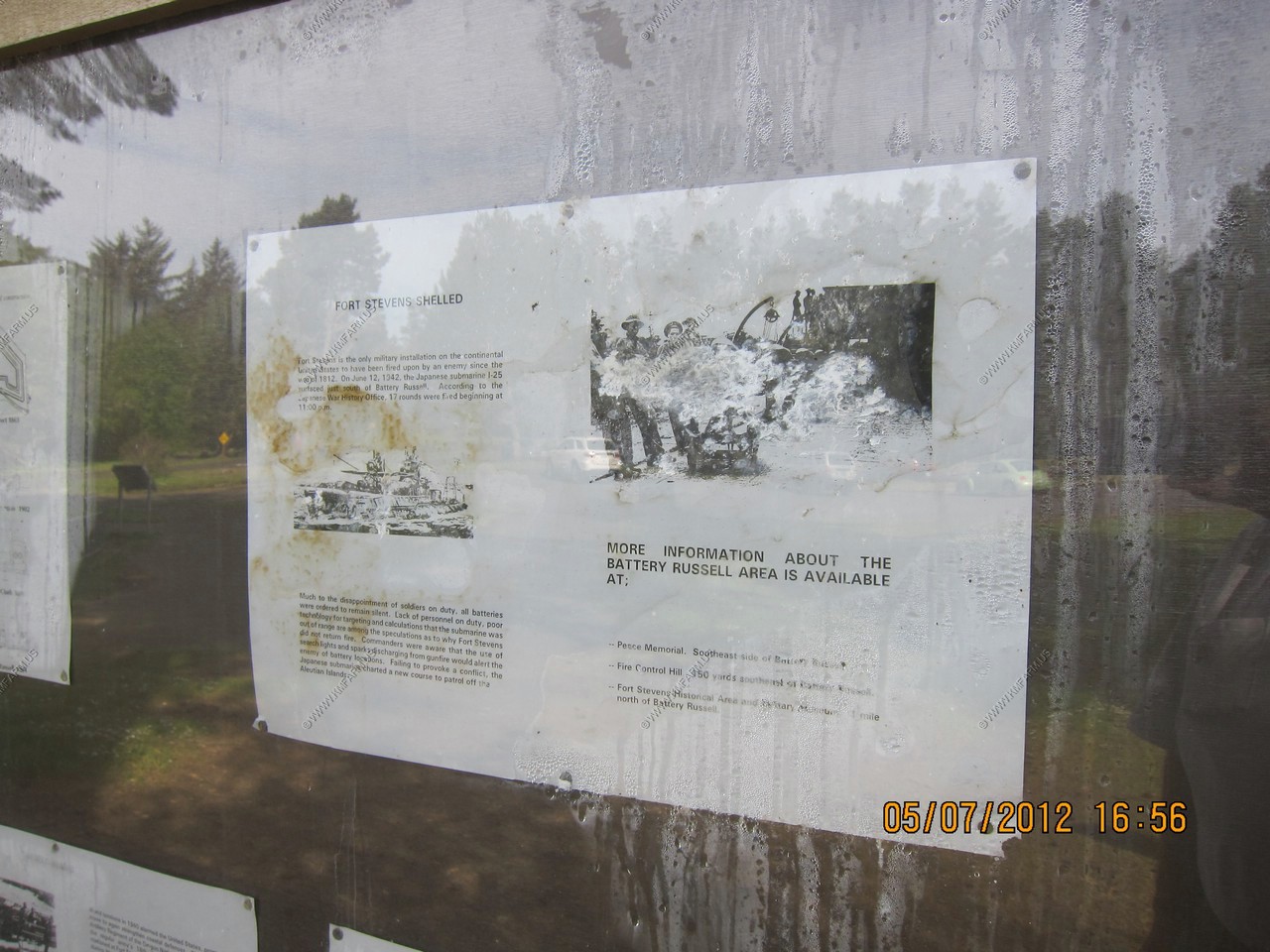
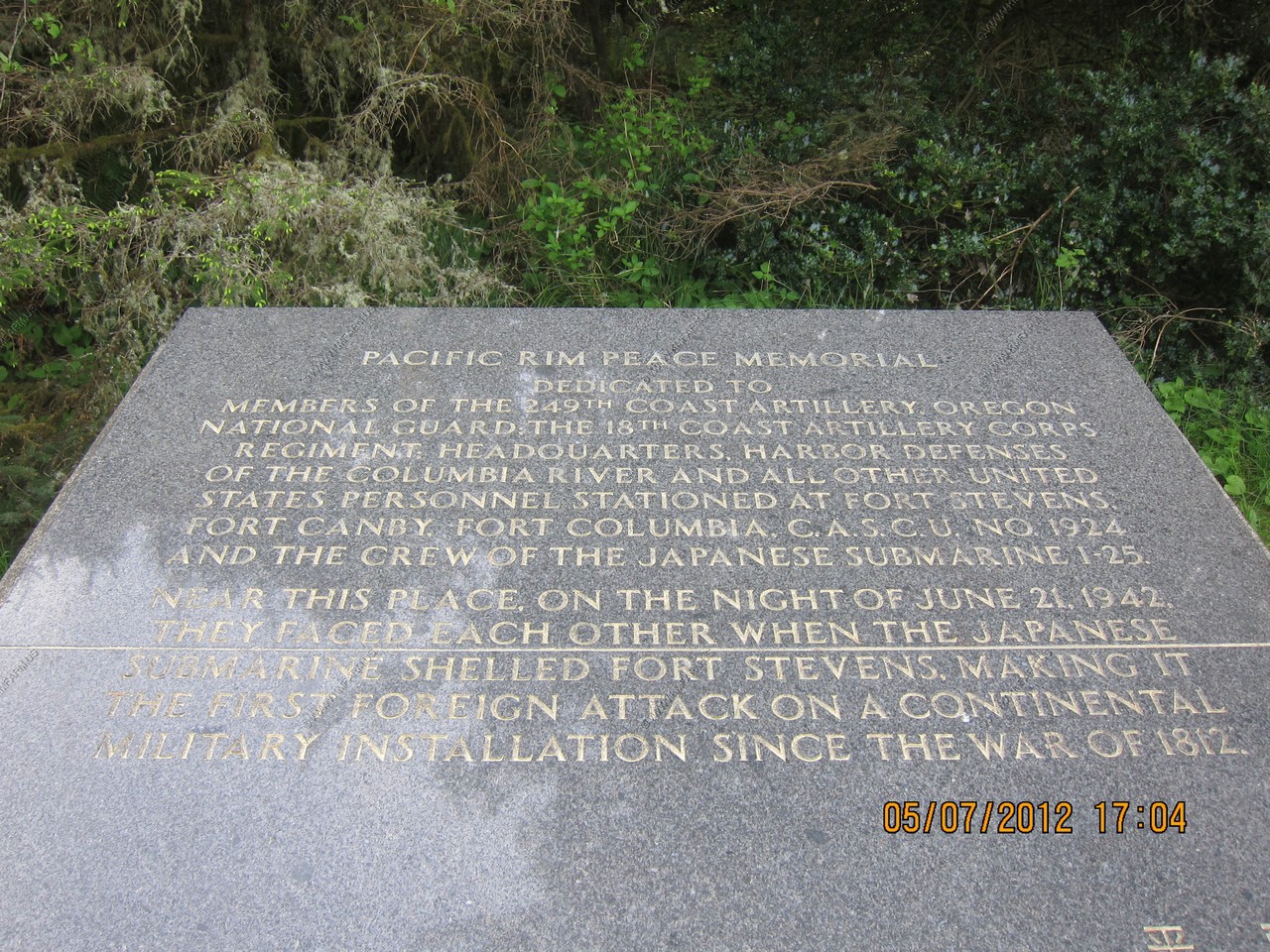
On the nights of June 21 and 22, 1942, a Japanese submarine fired 17 shells at Fort Stevens, making it the only military installation in the continental United States to receive hostile fire during World War II (the oil fields in Santa Barbara, California that were also shelled by the Japanese, was not considered a military installation). The attack caused no damage to the fort itself. The backstop for the post's baseball field was the only casualty. Fort Stevens and its gun batteries protected the river until shortly after World War II, and was decommissioned in 1947. All armament was scrapped and buildings went into auction. The grounds were transferred to the custody of the Corps of Engineers for many years until being turned over to the Oregon Parks and Recreation Department
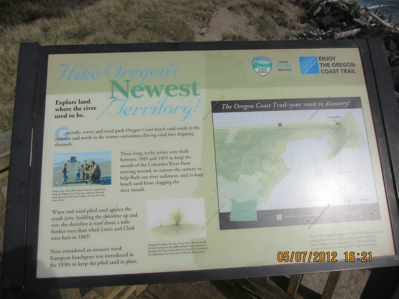
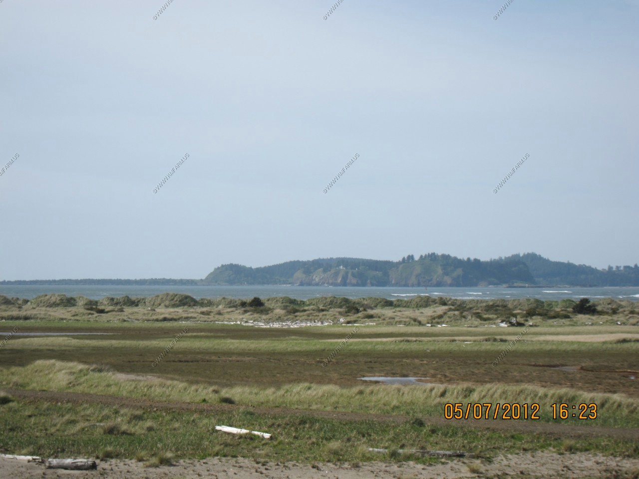
The beach area is on the Clatsop Spit which is a giant sand spit on the Pacific coast along U.S. 101 between Astoria and the north end of Tillamook Head in Clatsop County, northwest Oregon at the mouth of the Columbia River. The Clatsop Spit was formed by Columbia River sediment brought to the coast by the river flow after the last ice age ended approximately 8500 years ago and the ocean level rose. Here it worked over and shaped by the wind and the waves until a vast and sandy plain was formed
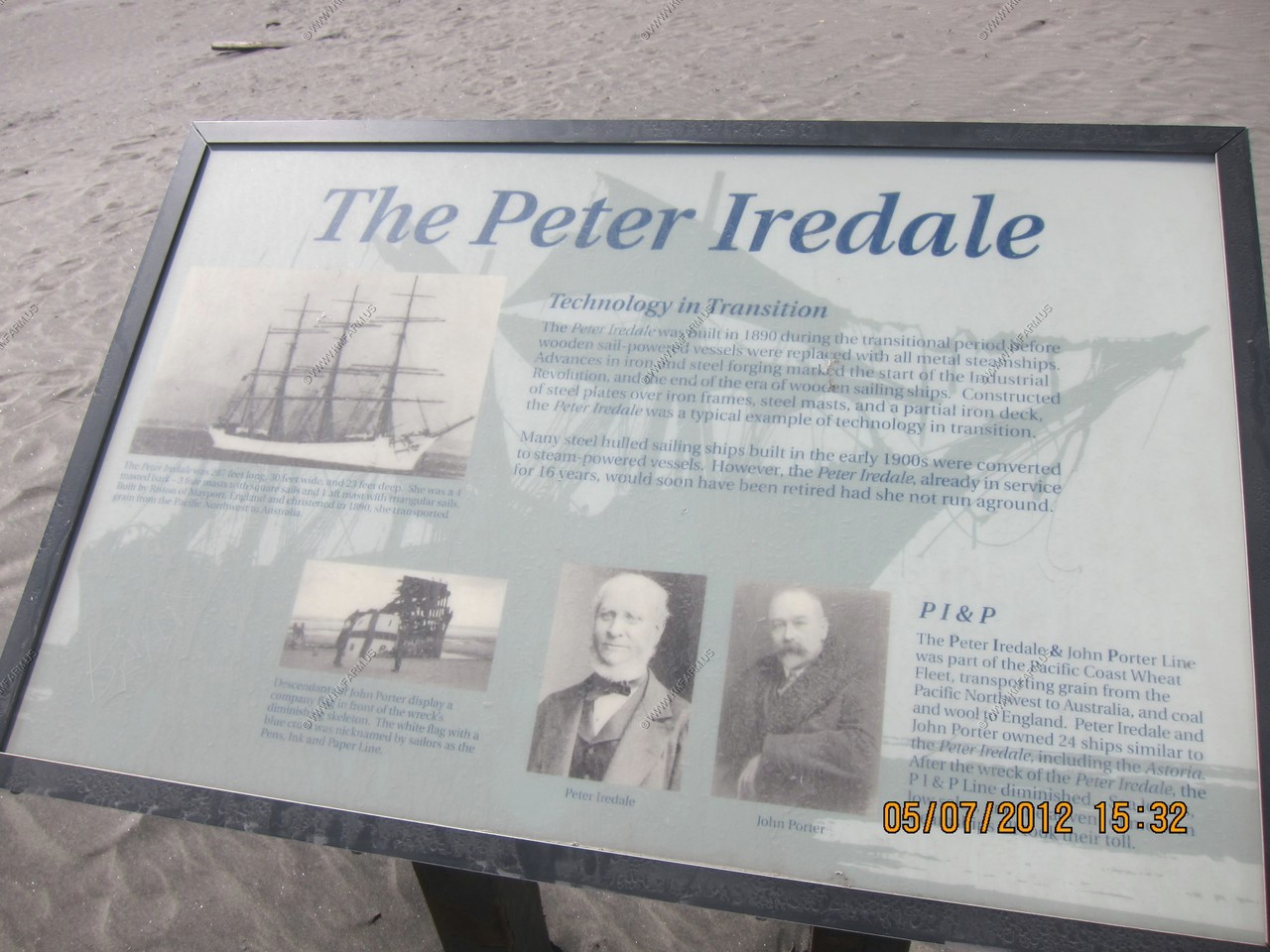
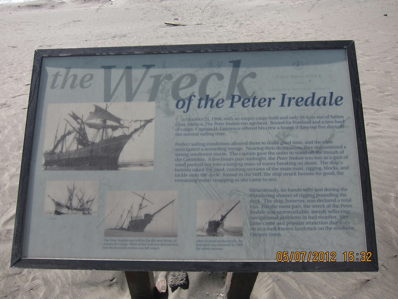
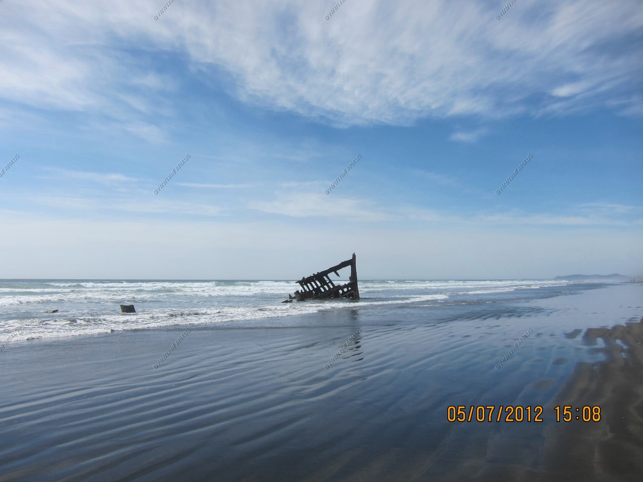
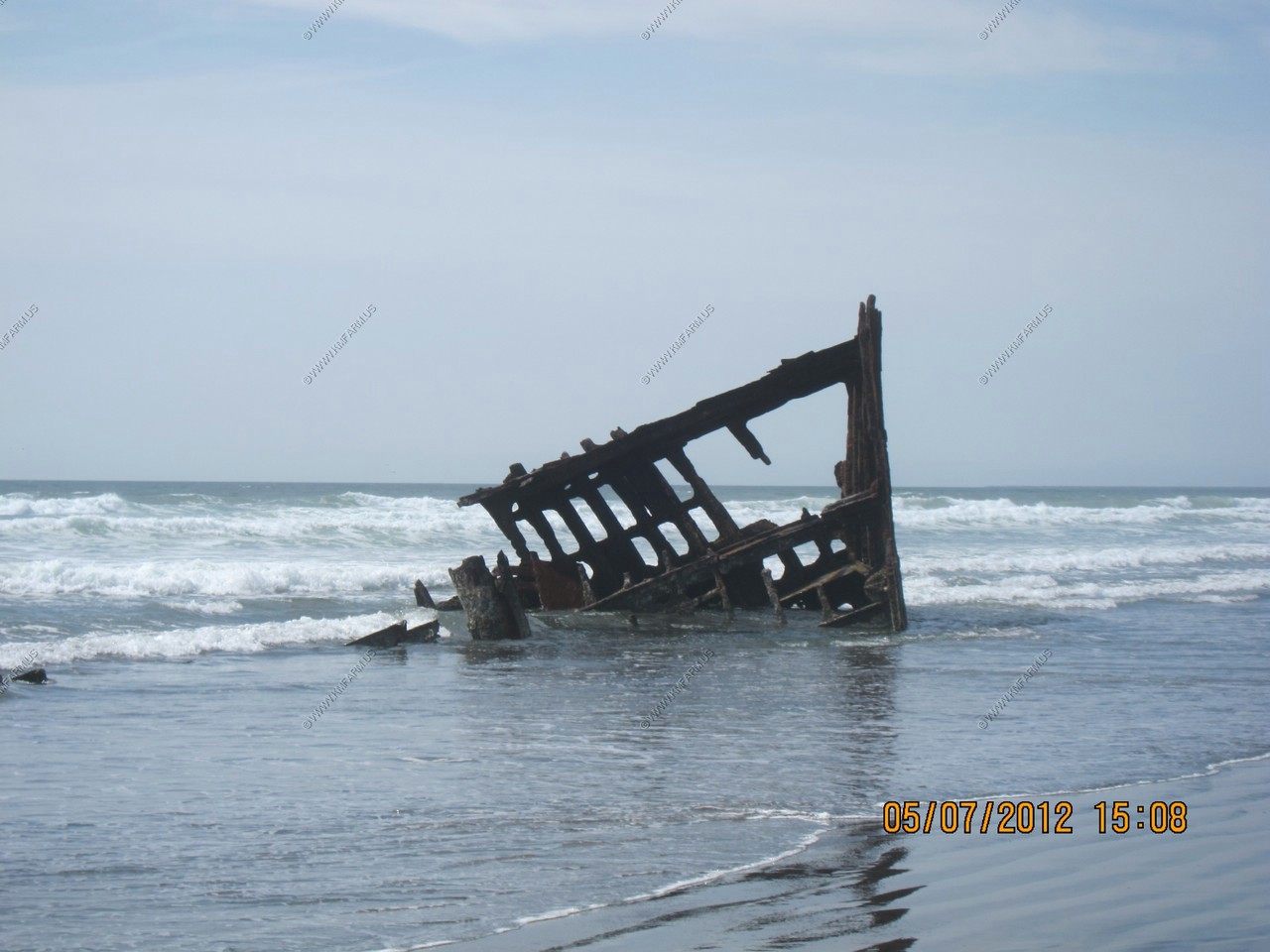
The wreck of the Peter Iredale
The Peter Iredale was a four-masted steel barque sailing vessel that ran ashore October 25, 1906, on the Oregon coast en route to the Columbia River. It was abandoned on Clatsop Spit near Fort Stevens in Warrenton about four miles (6 km) south of the Columbia River channel. Wreckage is still visible, making it a popular tourist attraction as one of the most accessible shipwrecks of the Graveyard of the Pacific.
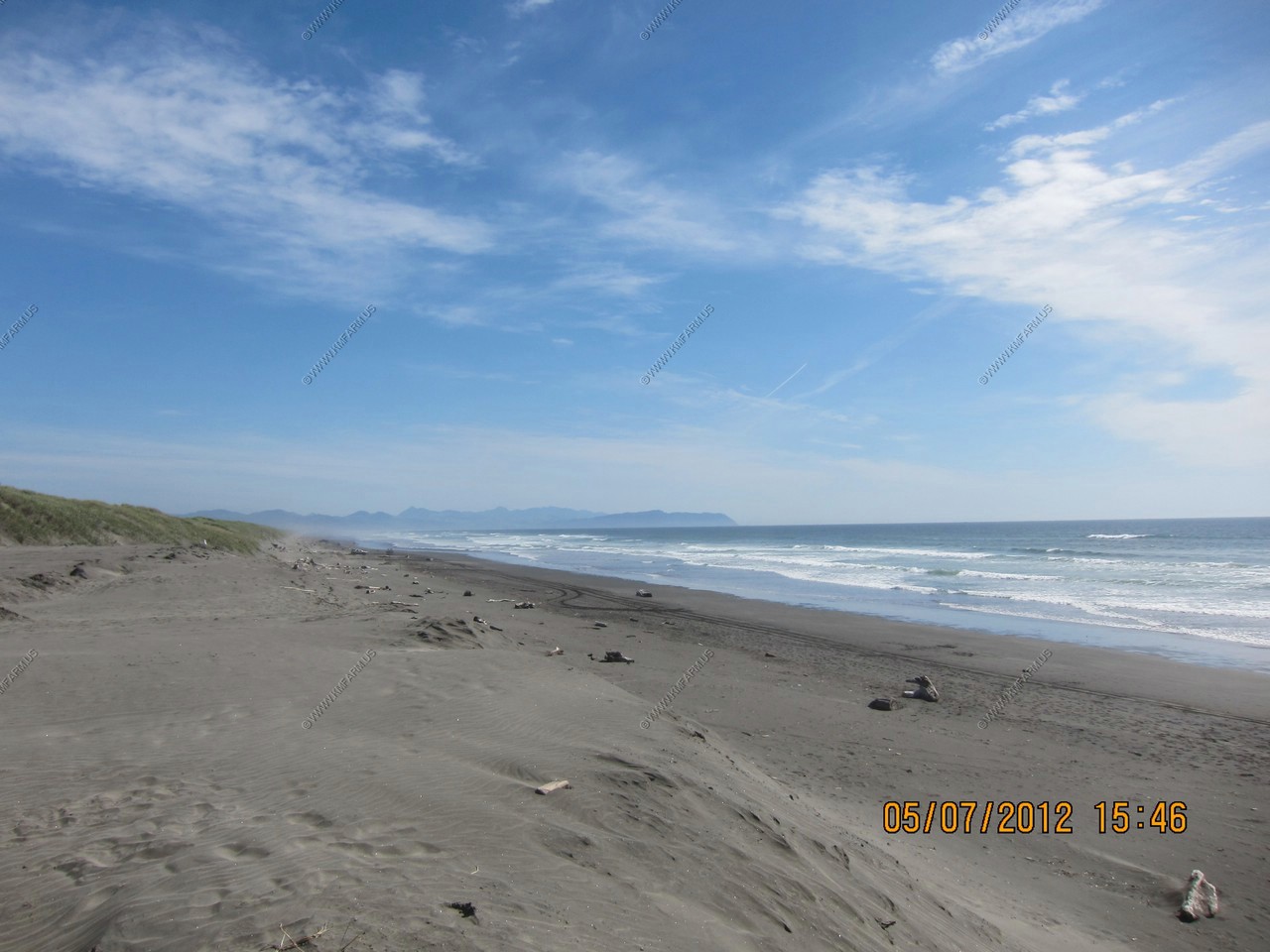
Looking south
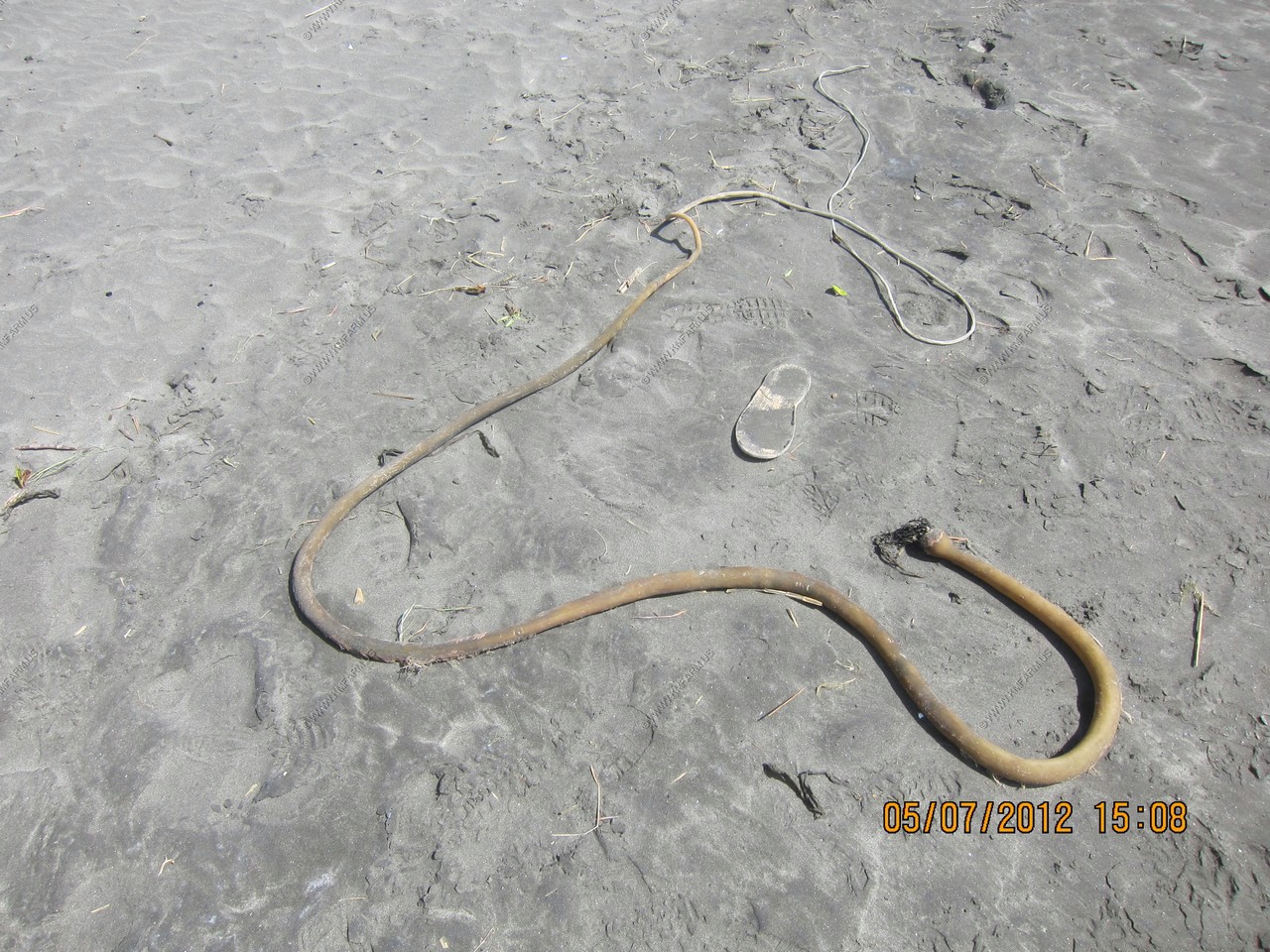
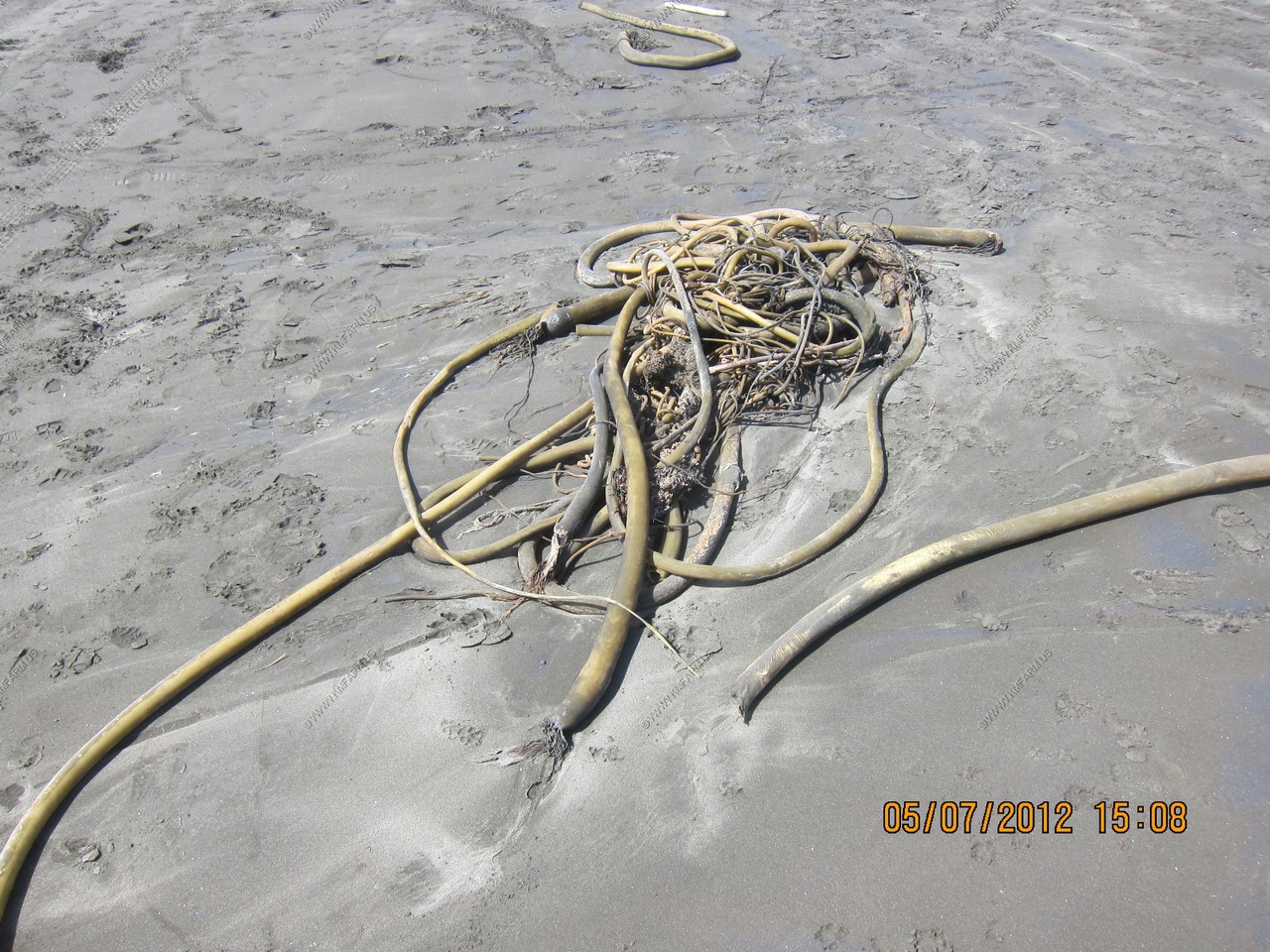
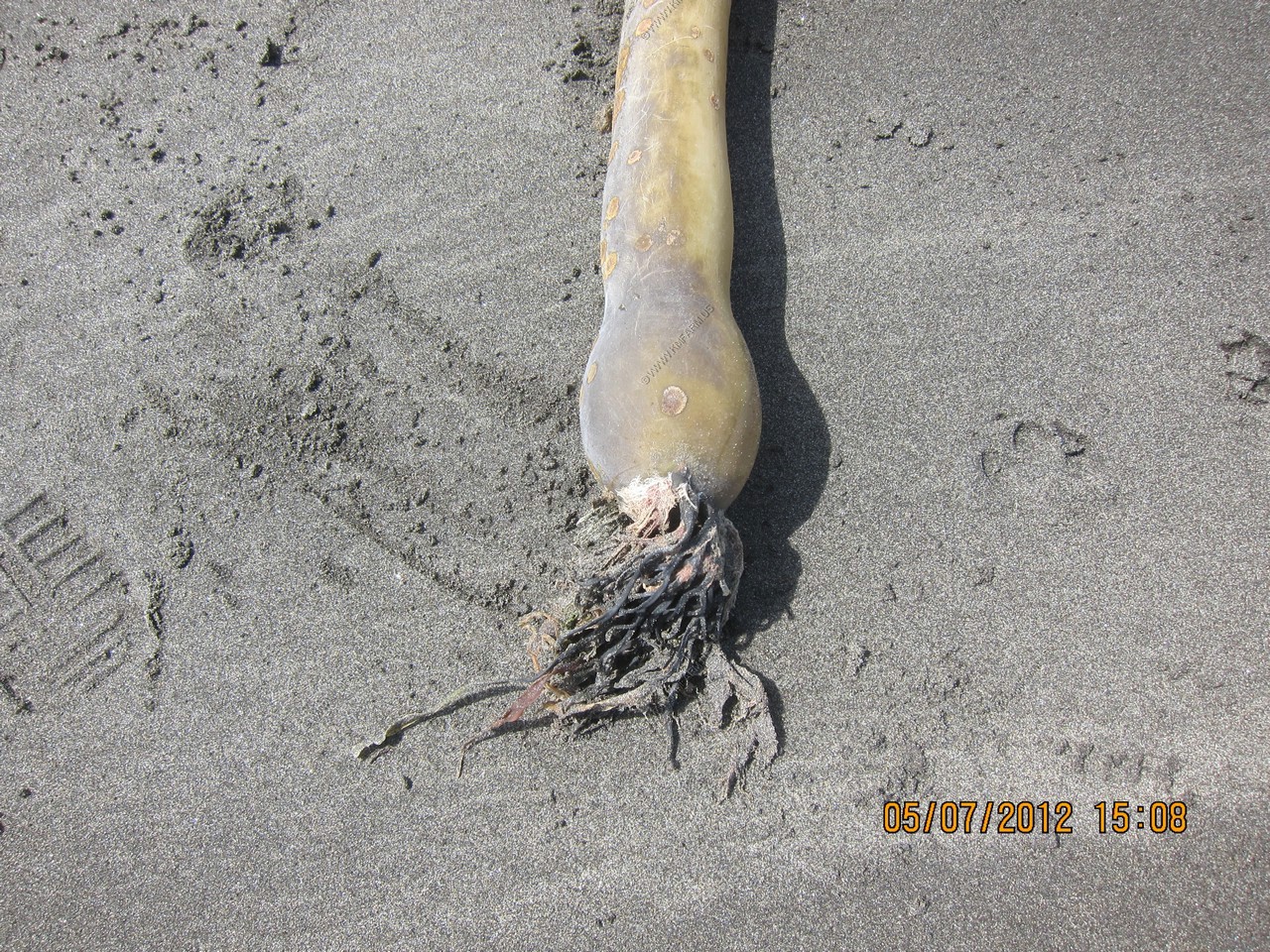
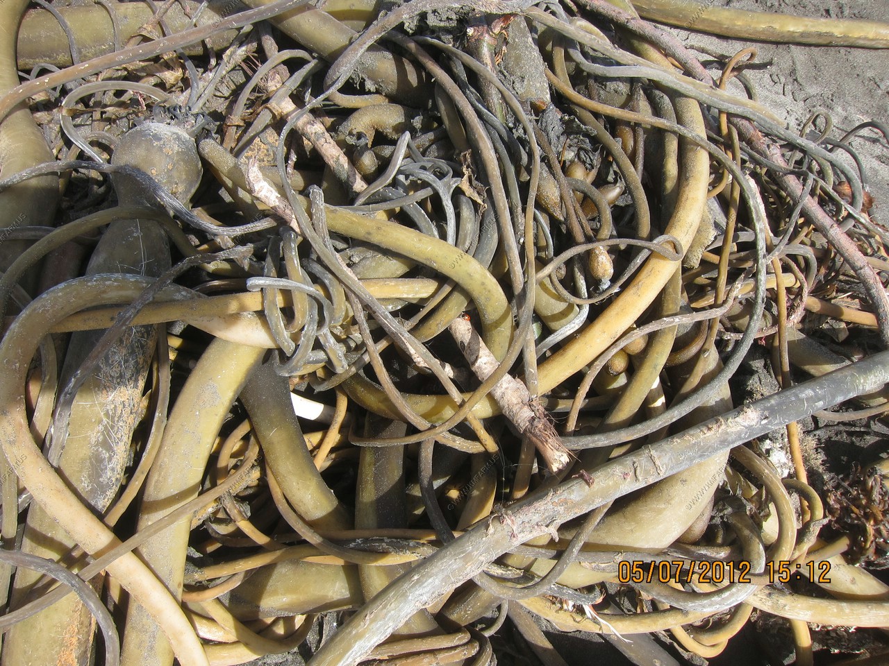
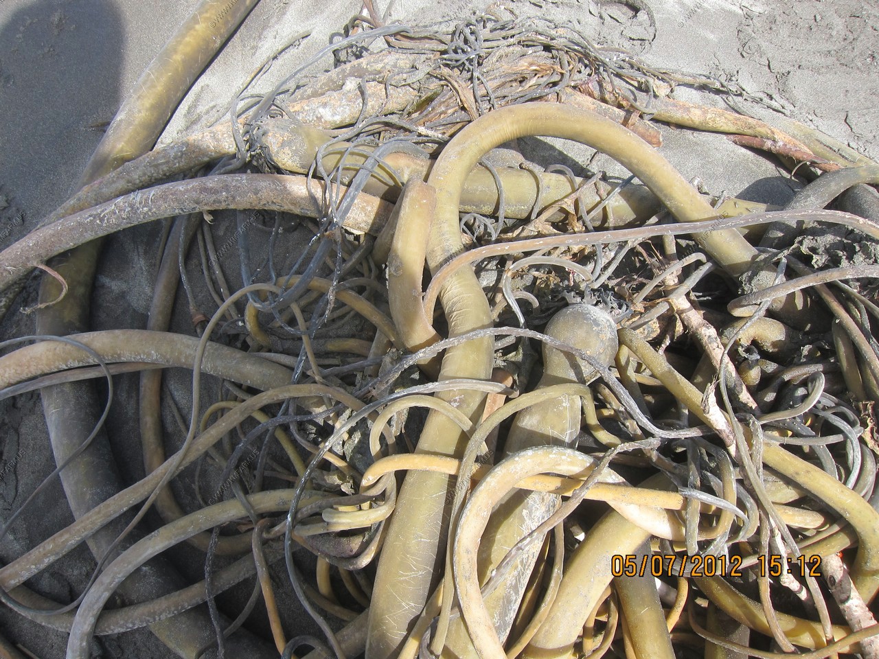
Bull kelp - Bull kelp grows and thrives in rough-and-tumble coastal waters. It's aided by its rootlike holdfast, which has many fingerlike projections (haptera) that hold the plant tight to rocks. From the holdfast, a flexible stem (stipe) extends 30 to 60 feet (10-20 m), gradually enlarging to form a single, round float. As many as 30 to 64 long, narrow blades grow from the float and form a golden brown canopy on the water's surface.
Bull kelp is an annual seaweed which means it grows from a spore to maturity within a single year. It grows quickly, sometimes 10 inches (25 cm) in one day. Bull kelp reproduces by spores in spore patches (sori), which are heavy enough to fall to the ocean floor. This ensures that spores settle close to parent plants and on suitable substrate. Winter storms wash spent bull kelp onto beaches where the plants dry and turn brown. They have the appearance of bull whips, giving this kelp its common name.
Bull kelp forests offer protective shelter for young fishes and many invertebrates, such as sea urchins, sea stars, snails and crabs. Sea otters thrive in kelp forests too. They can find their favorite foods on the forest floor, then take an after-lunch nap in the forest's golden canopy-often wrapped in a flexible stem or two to keep from drifting away.
The gas in bull kelp floats is up to 10 percent carbon monoxide.
Nereocystis, this plant's genus, is the Greek word for "mermaid's bladder."
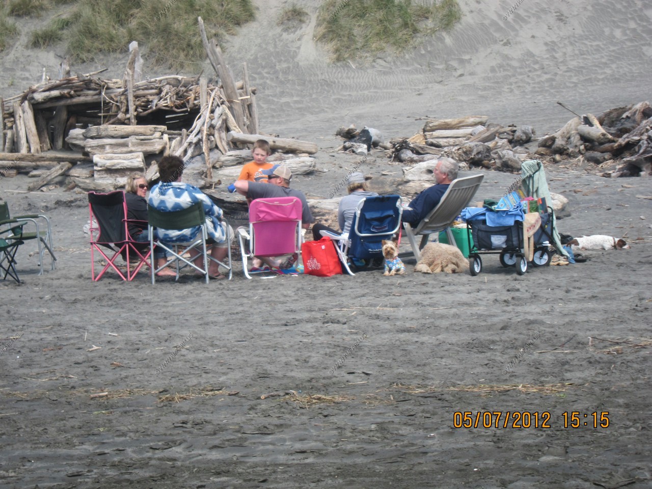
Cool that you are allowed to burn the wood. Nice Monday night party on the beach !
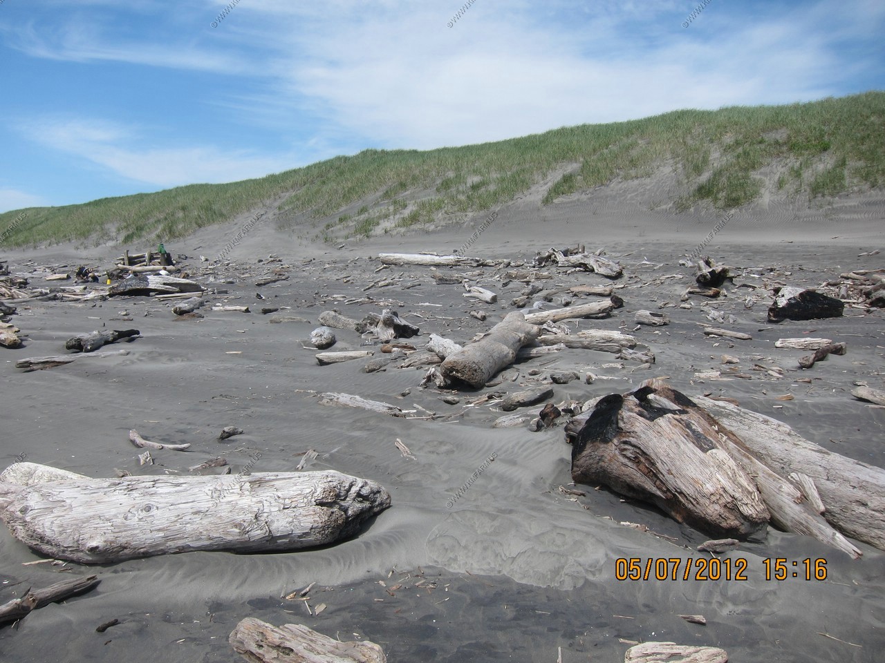
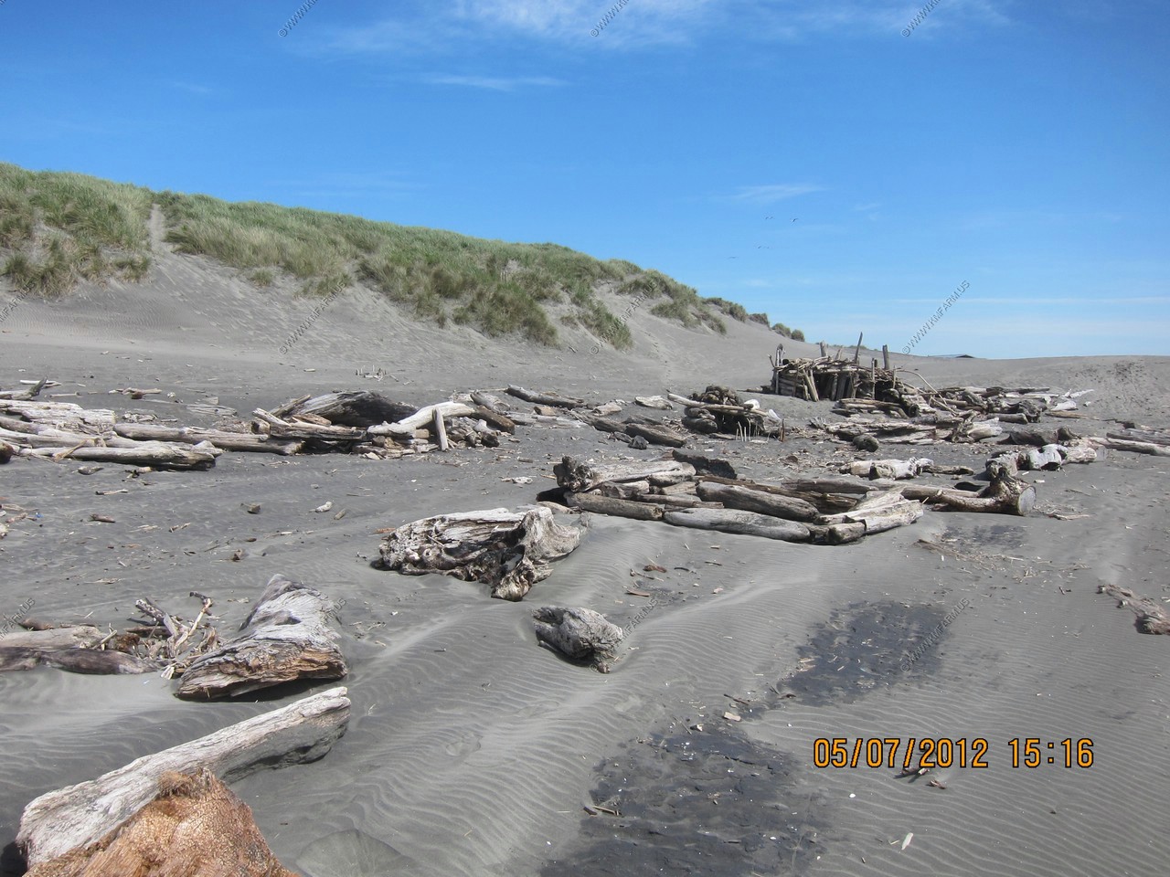
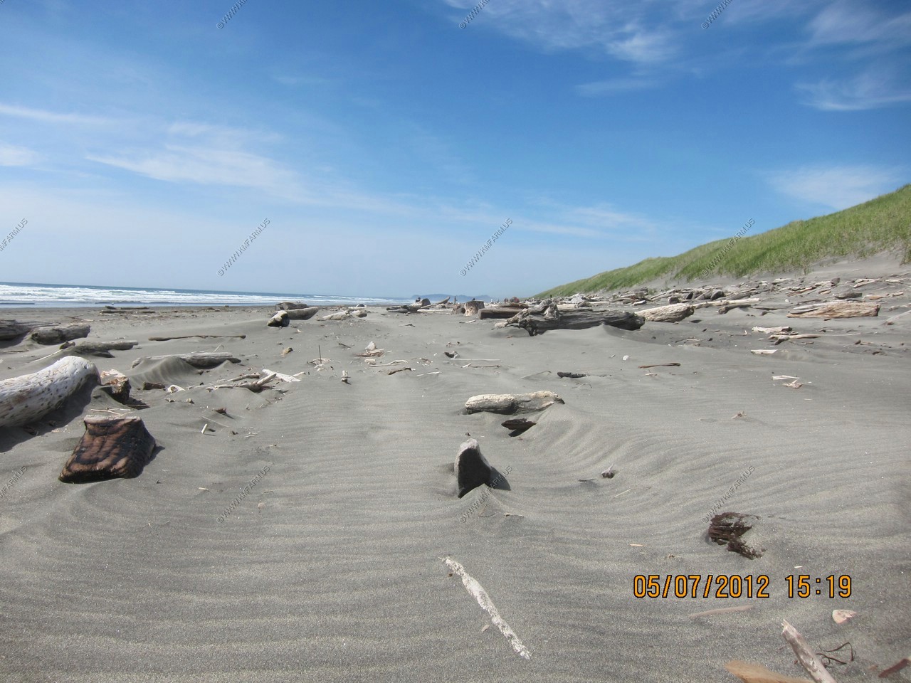
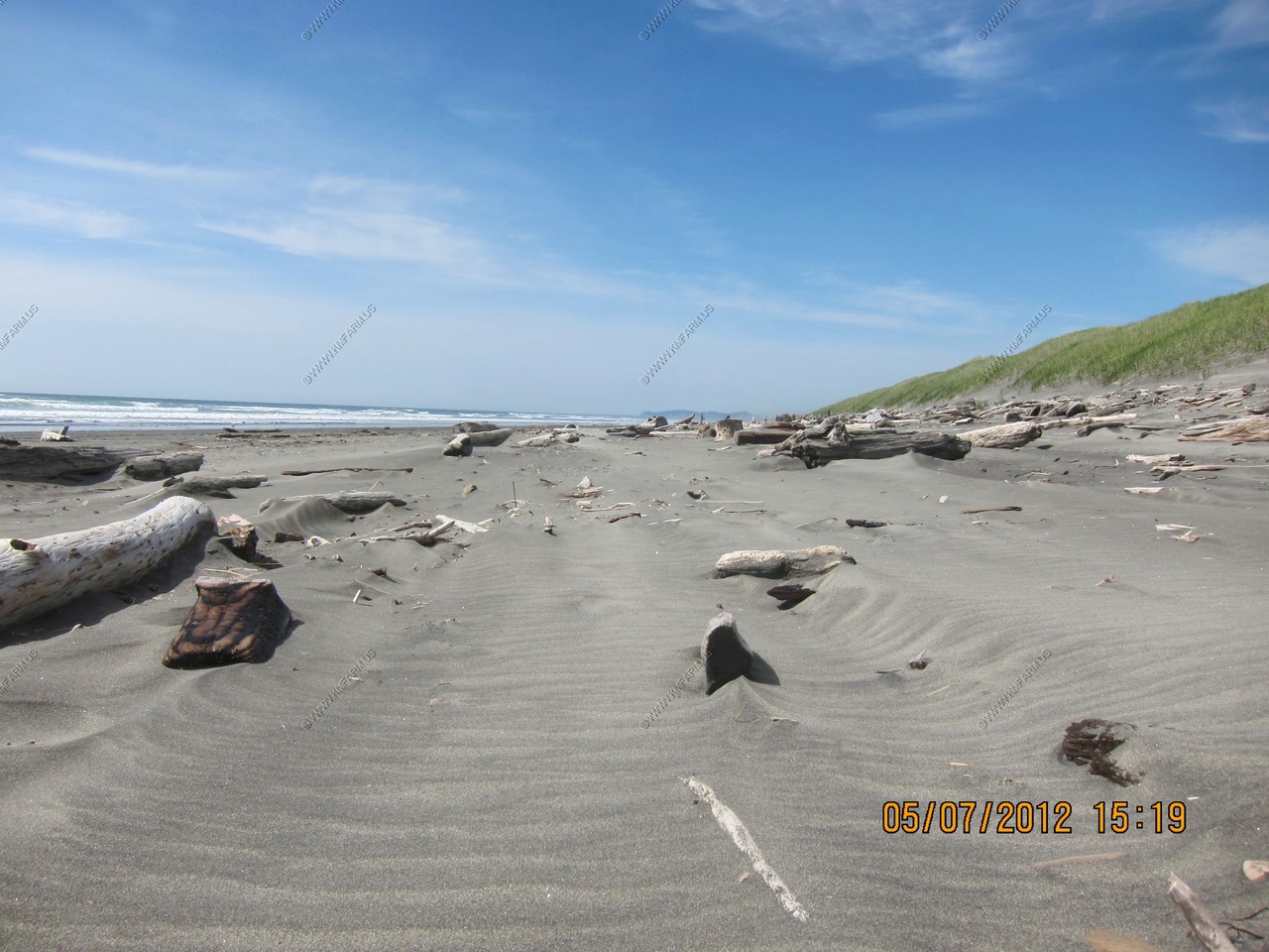
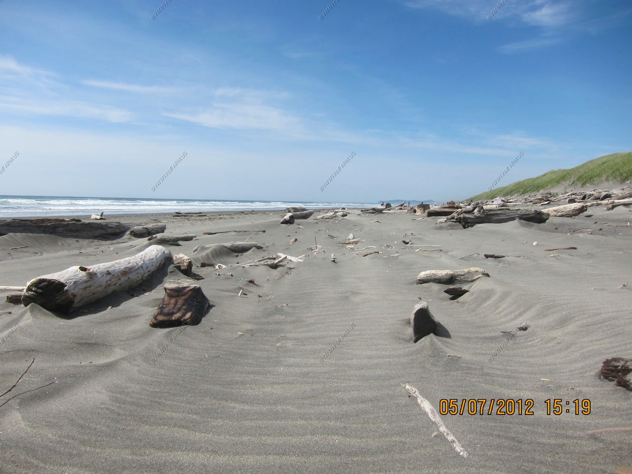
Amazing amount of driftwood
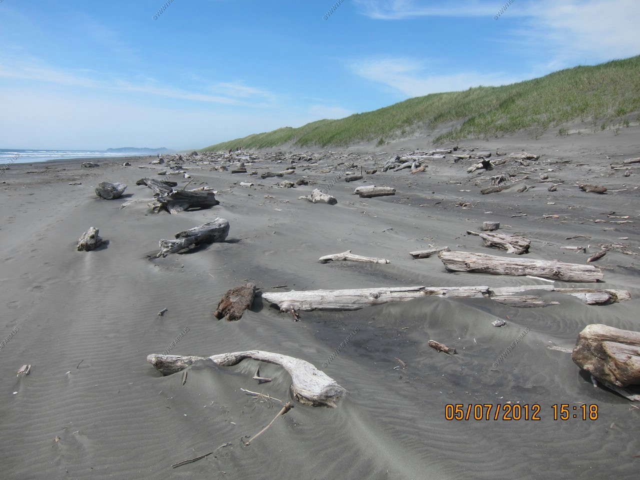
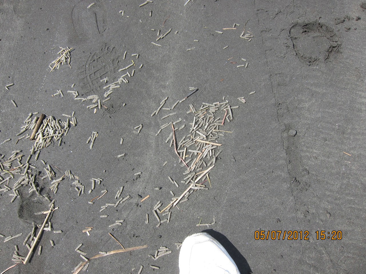
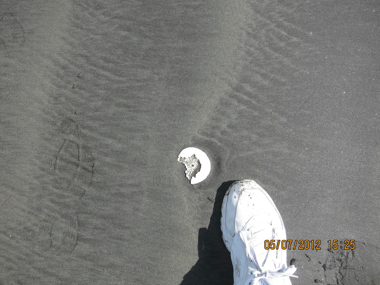
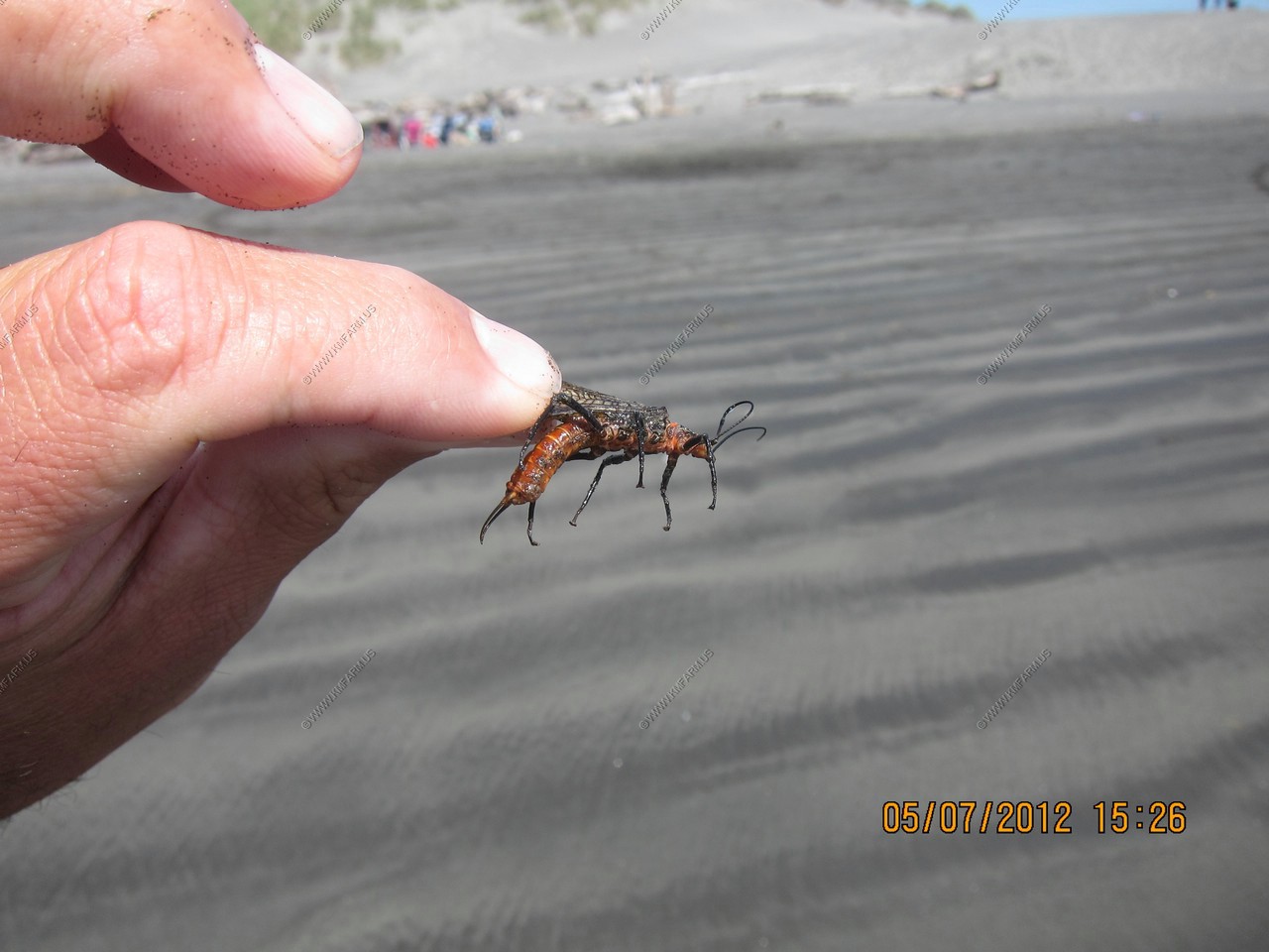
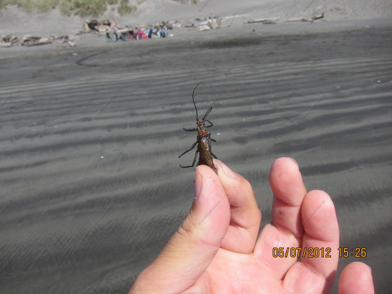
Unknown items, sand dollar and a bug on the beach
We are all going to die at any moment
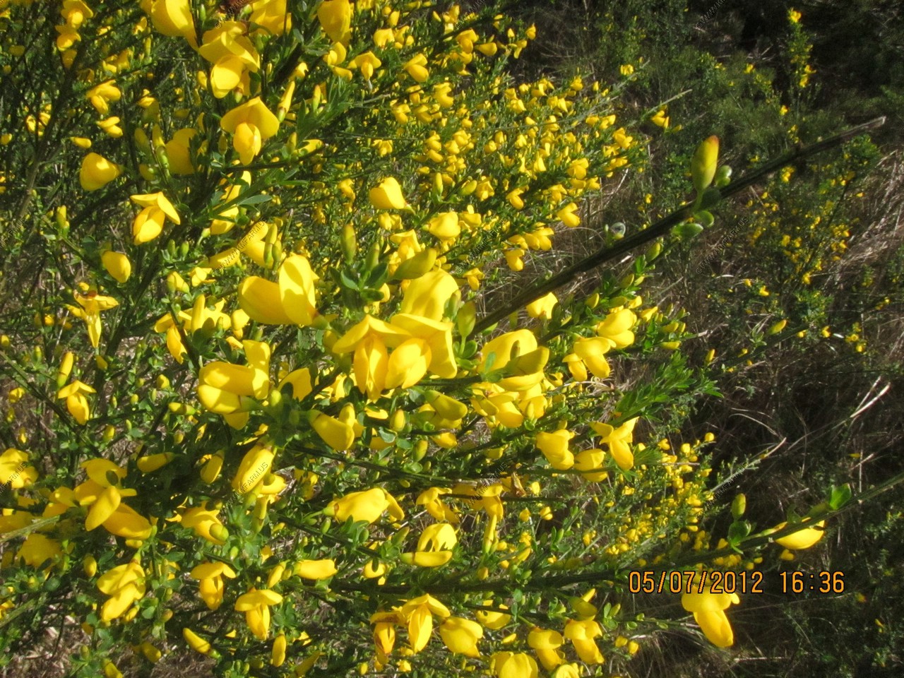
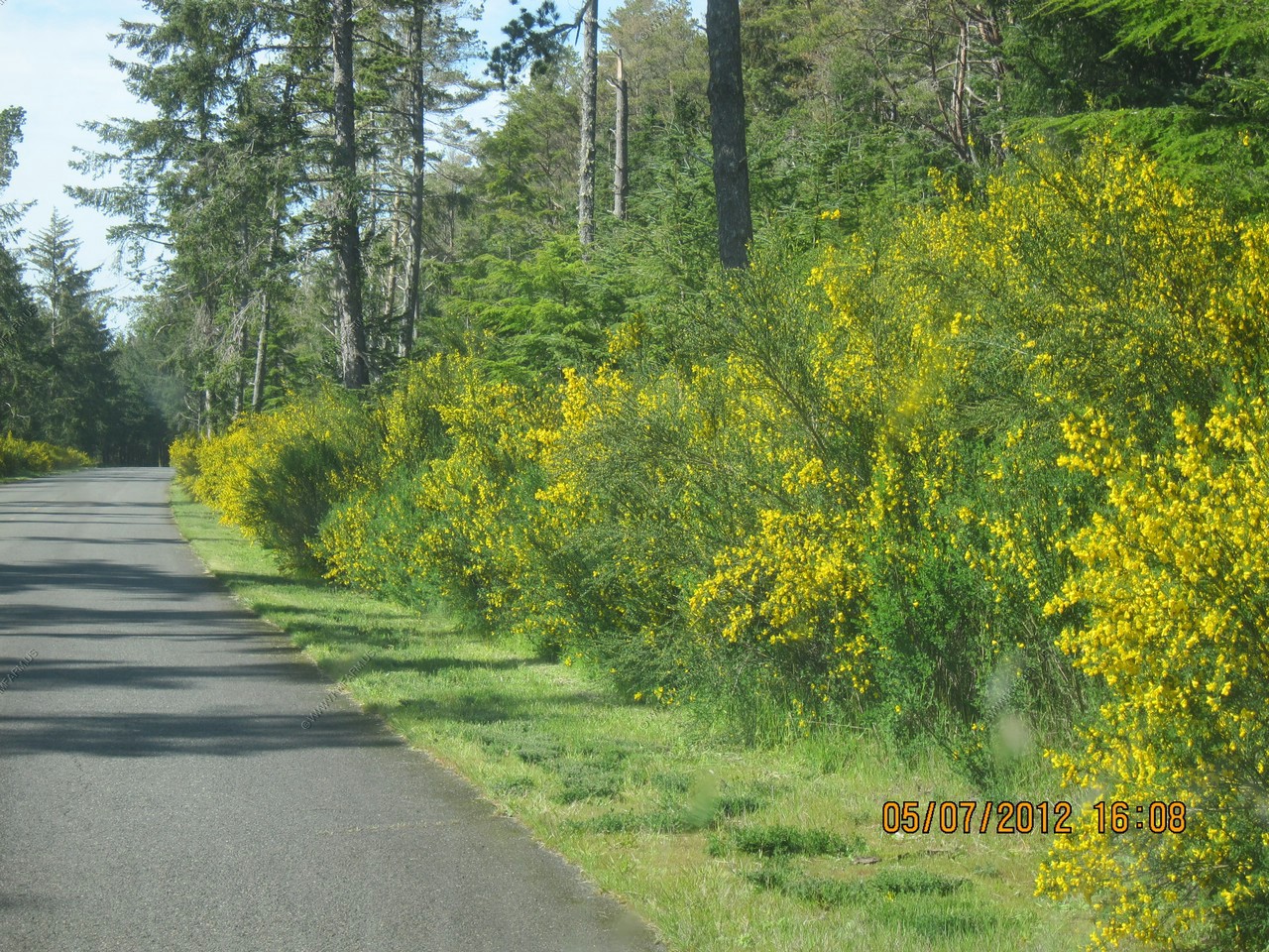
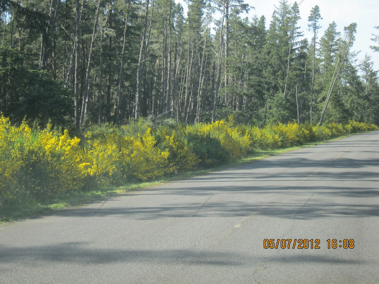
Yellow weeds along the roads.
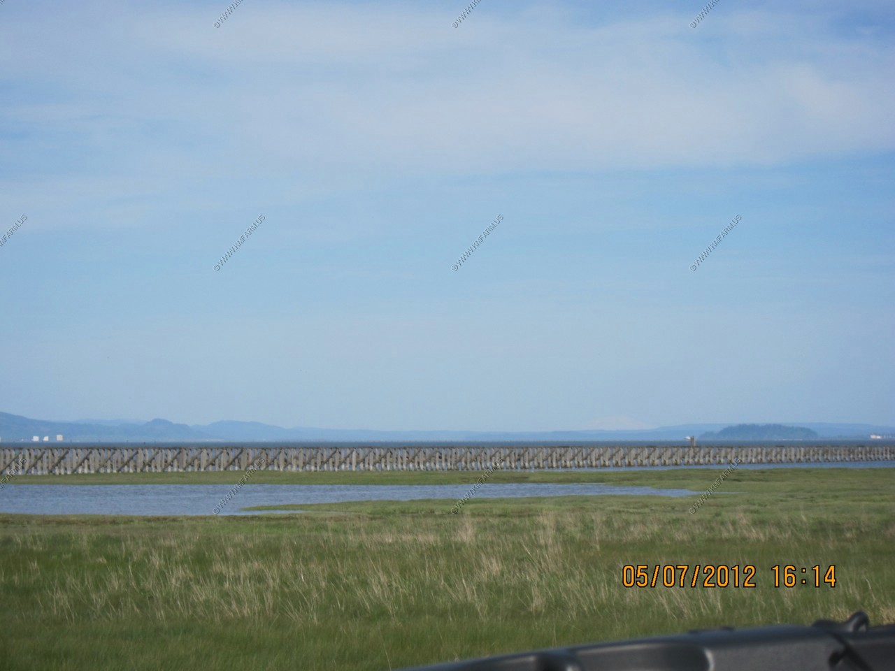
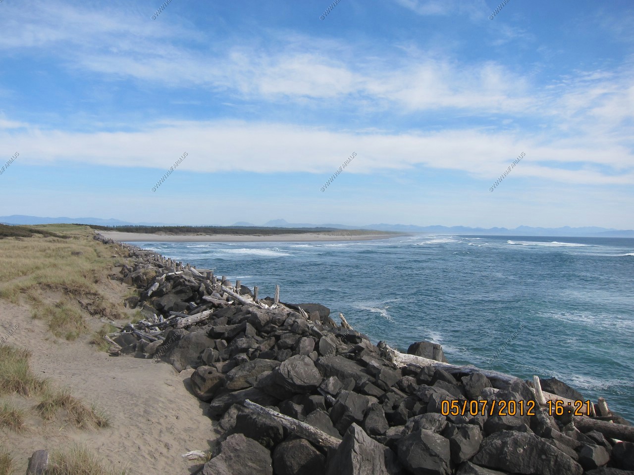
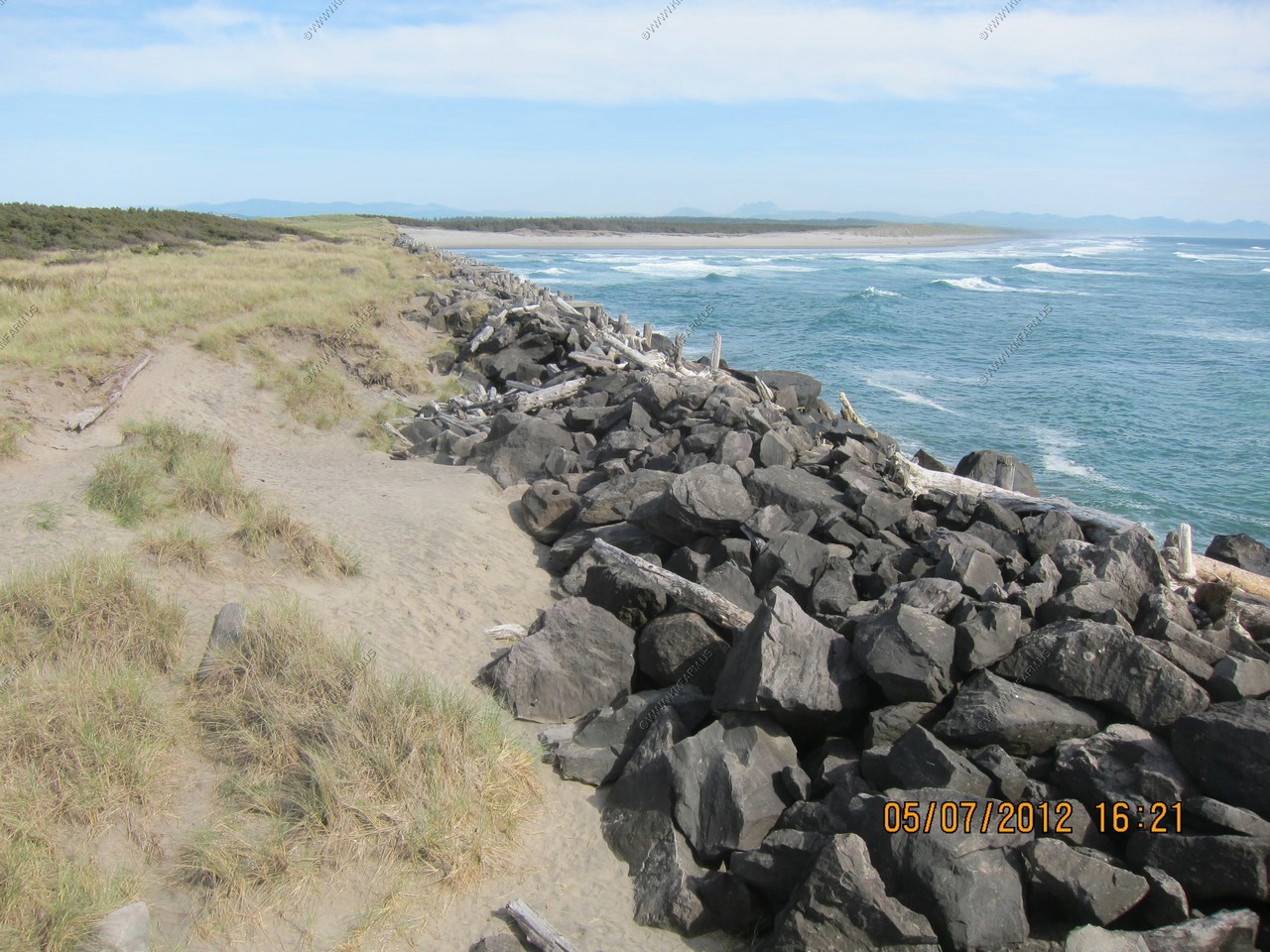
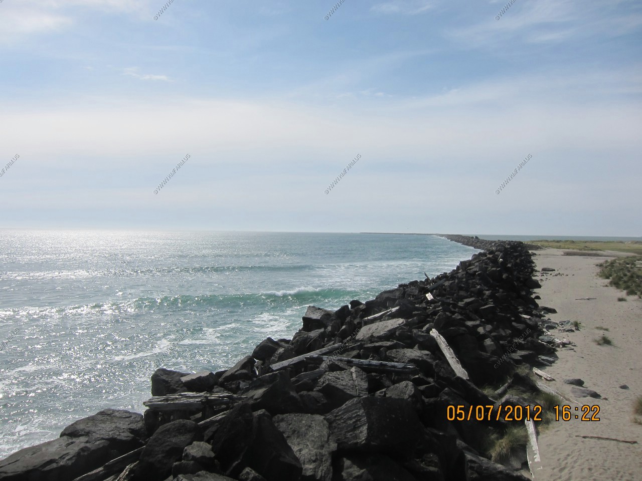
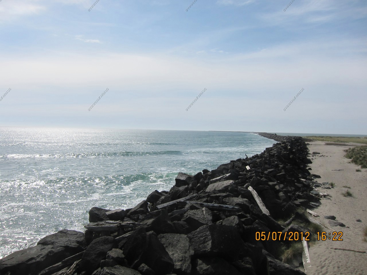
South Jetty Trestle - Rail bridge to bring rock for the Jetty construction.
Snowcapped peak of Mount St. Helens appx. 87 miles away. (above the 05 in the date)
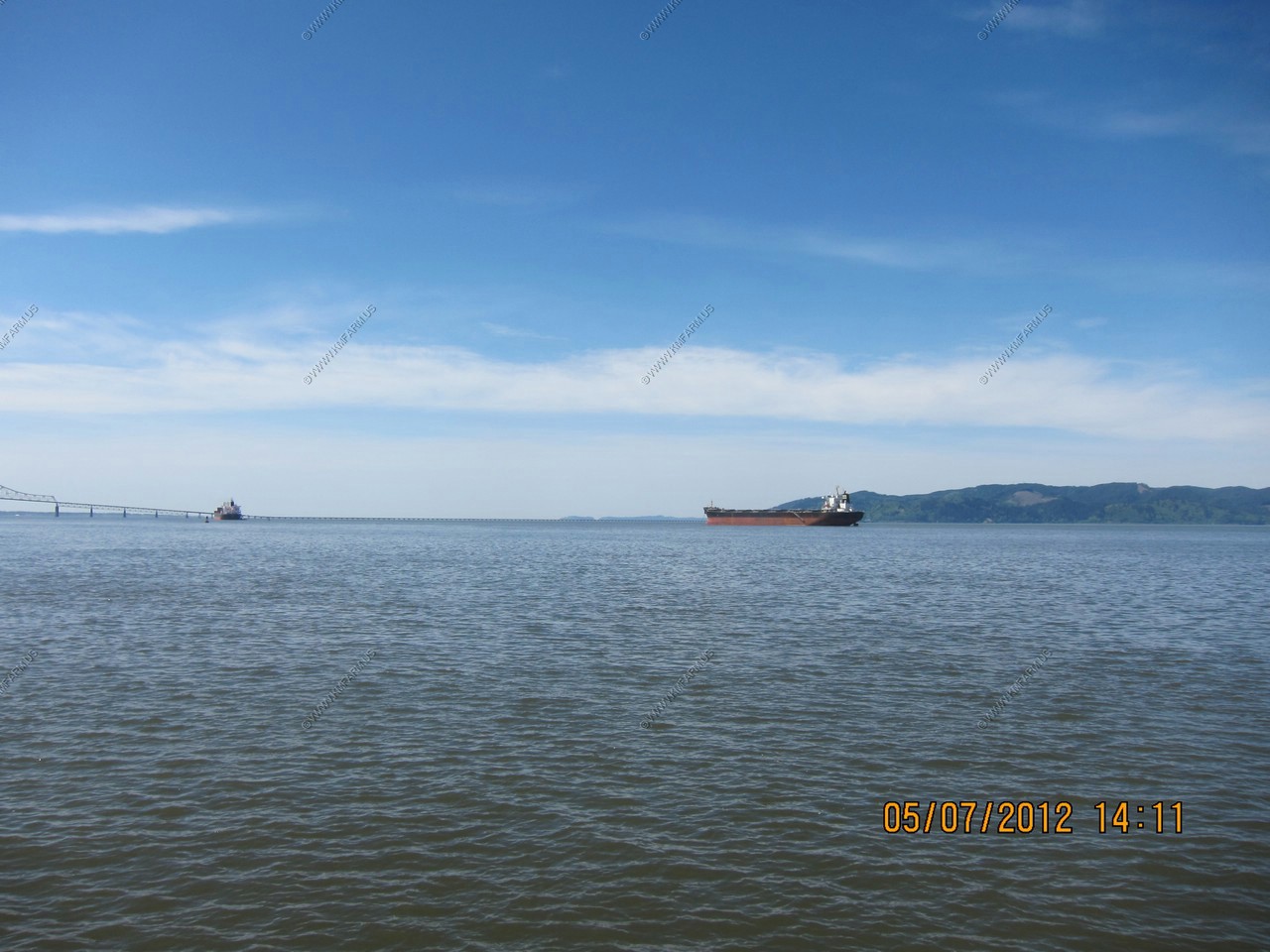
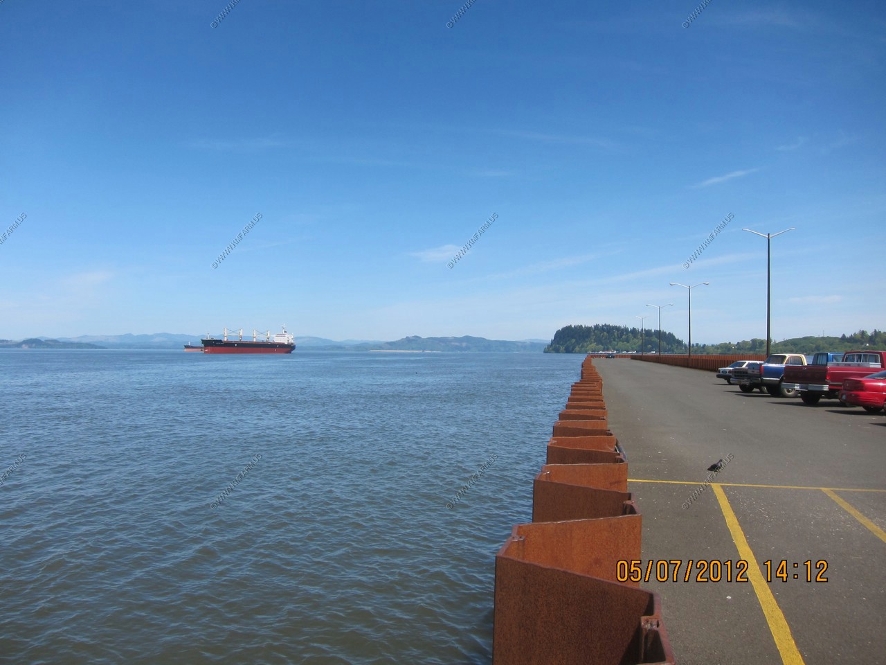
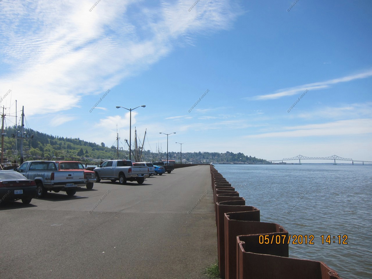
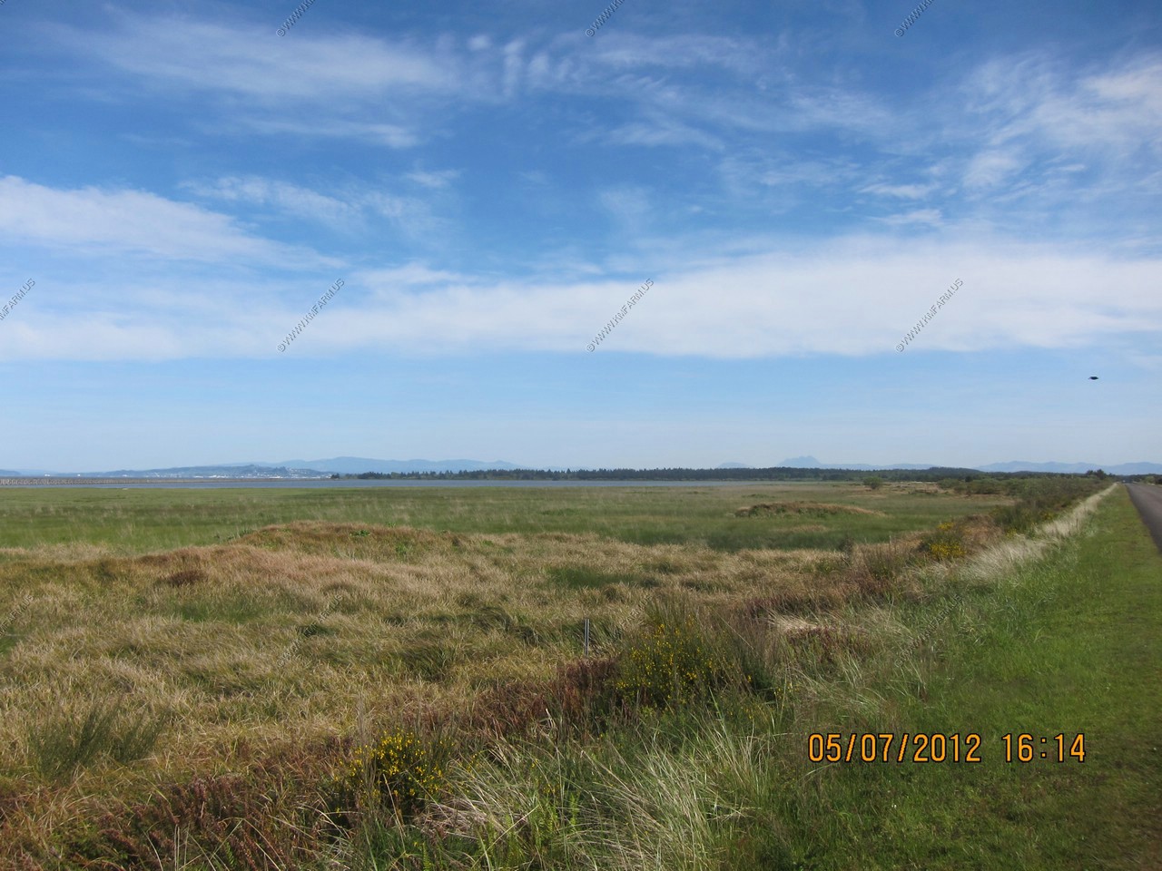
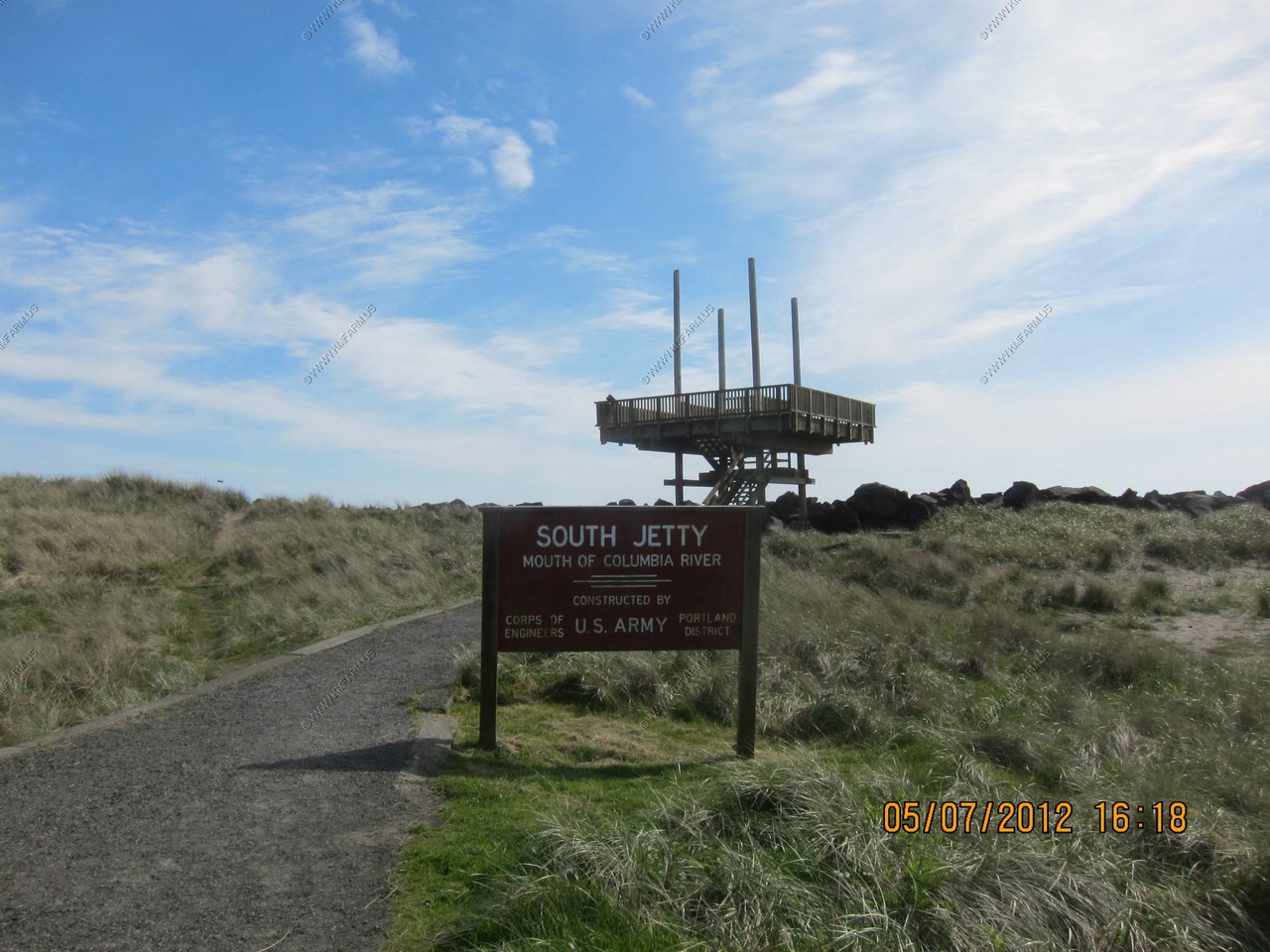
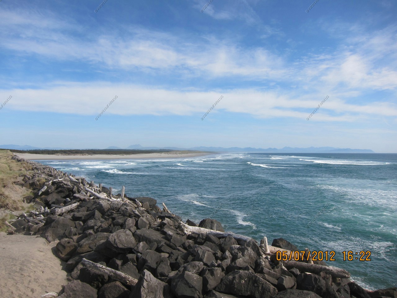
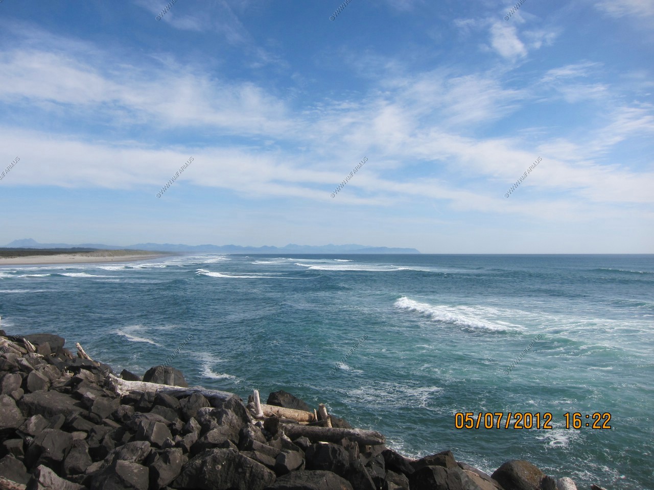
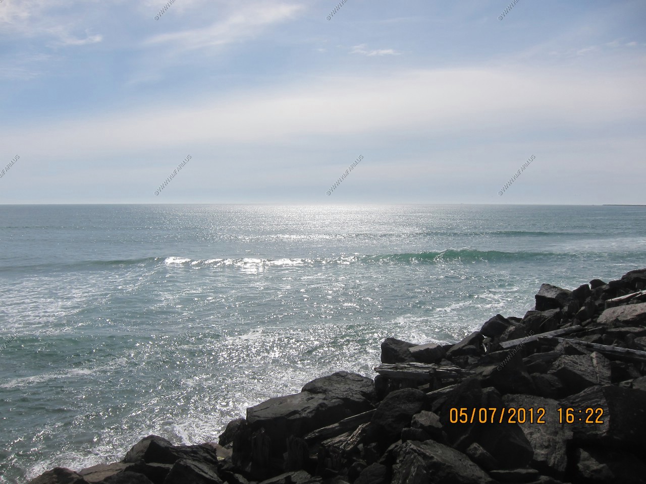
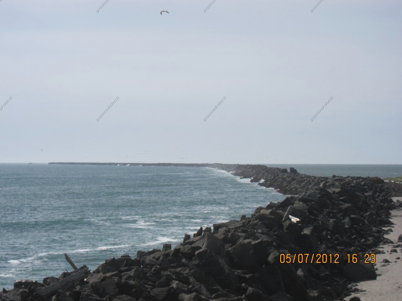
The South Jetty area. Close to 3 miles out to the end. This is the Columbia River Bar - Hundreds of sunken ships, hundreds of lives taken. This is one of the most hazardous places for marine operations in the world. But, not today.


Looking across the Columbia river at Cape Disappointment State Park - Part of the Washington State Park system.
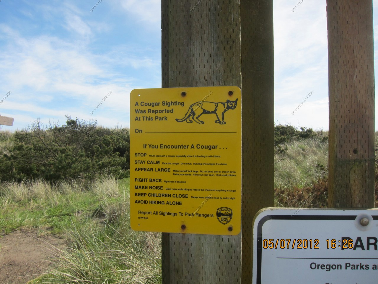
Cougars - Would not have considered the fact that they are here along the coast. But, I would see one tomorrow along I-84 in the Columbia River Gorge National Scenic Area
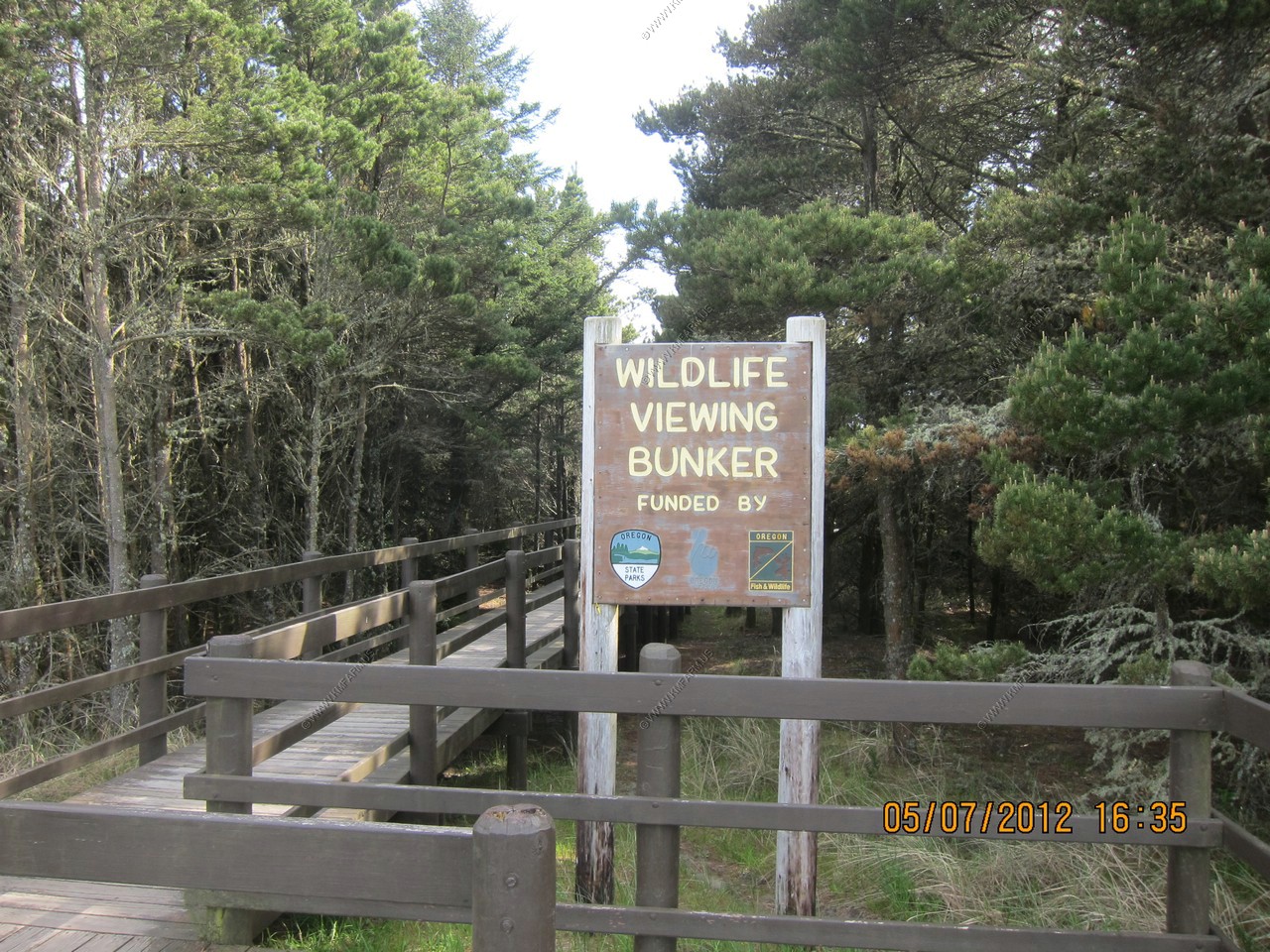
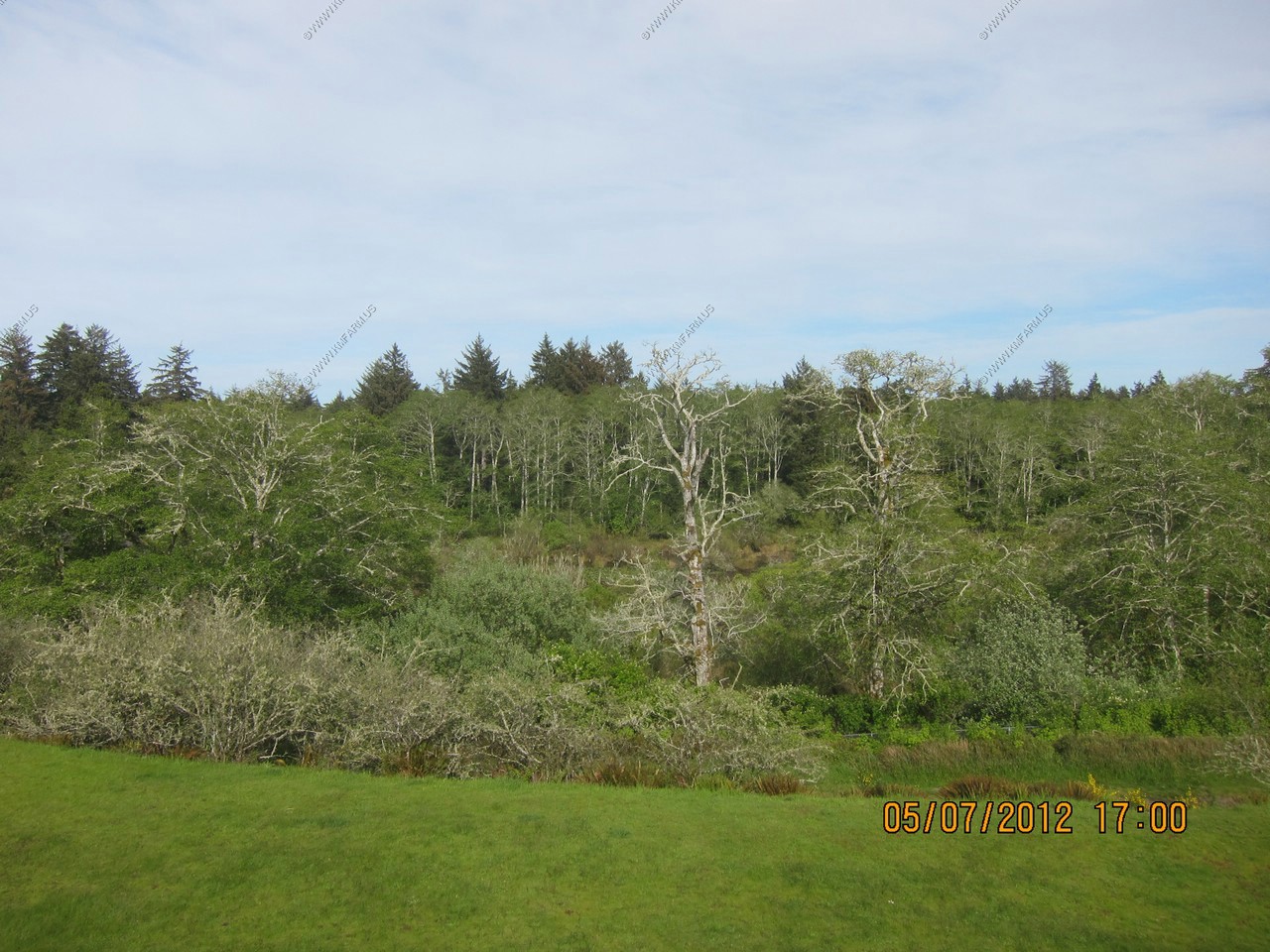
A quick look at Wildlife Viewing Bunker at Fort Stevens State Park. No critters.

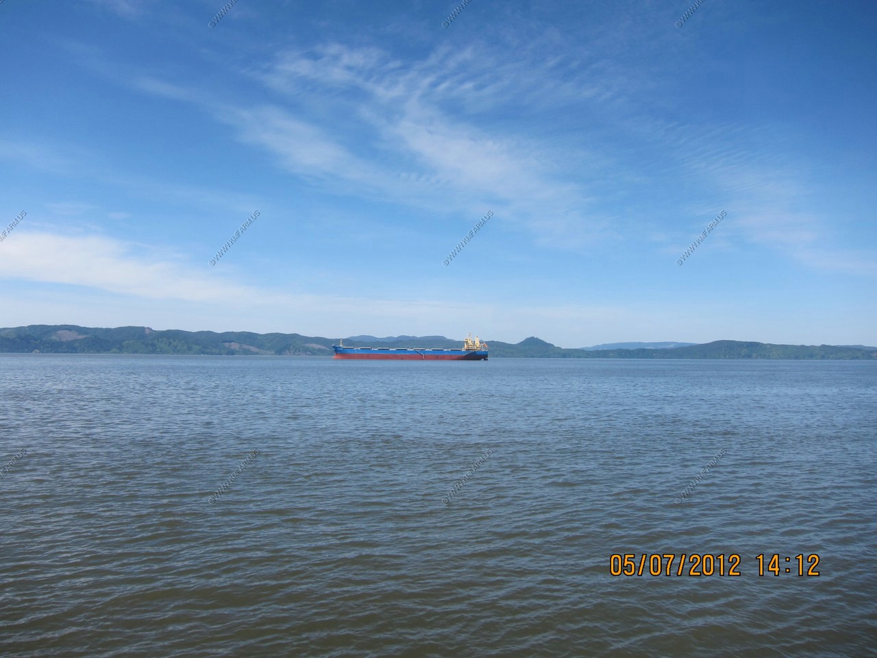
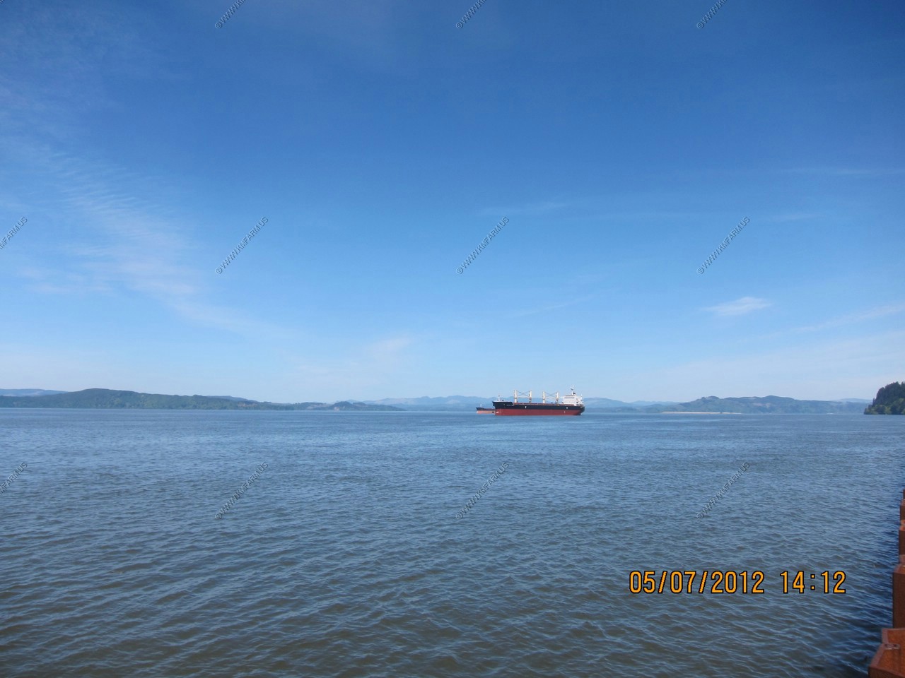
Views of the Columbia
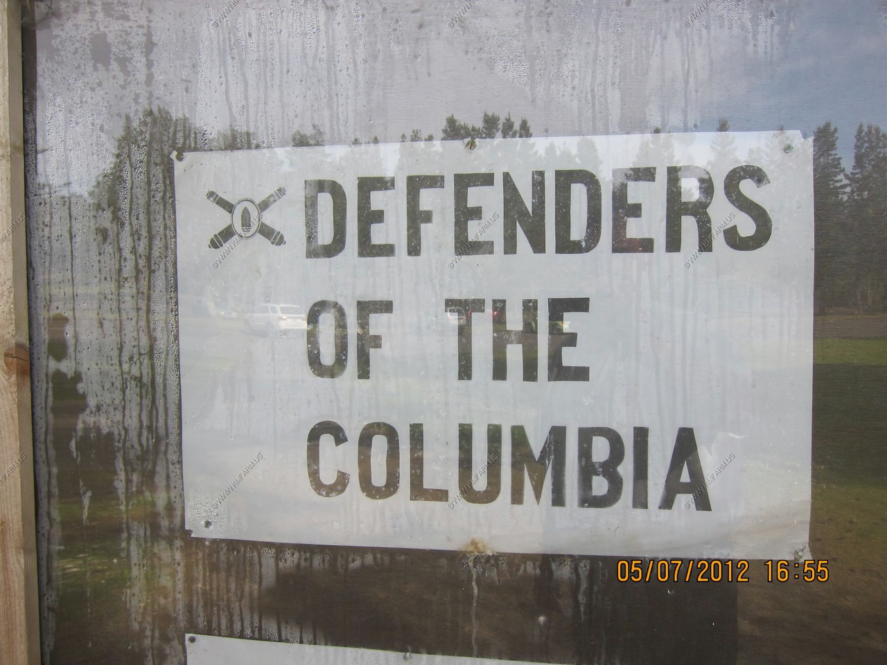
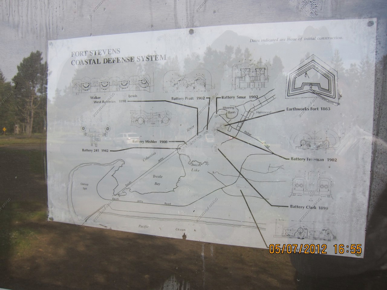
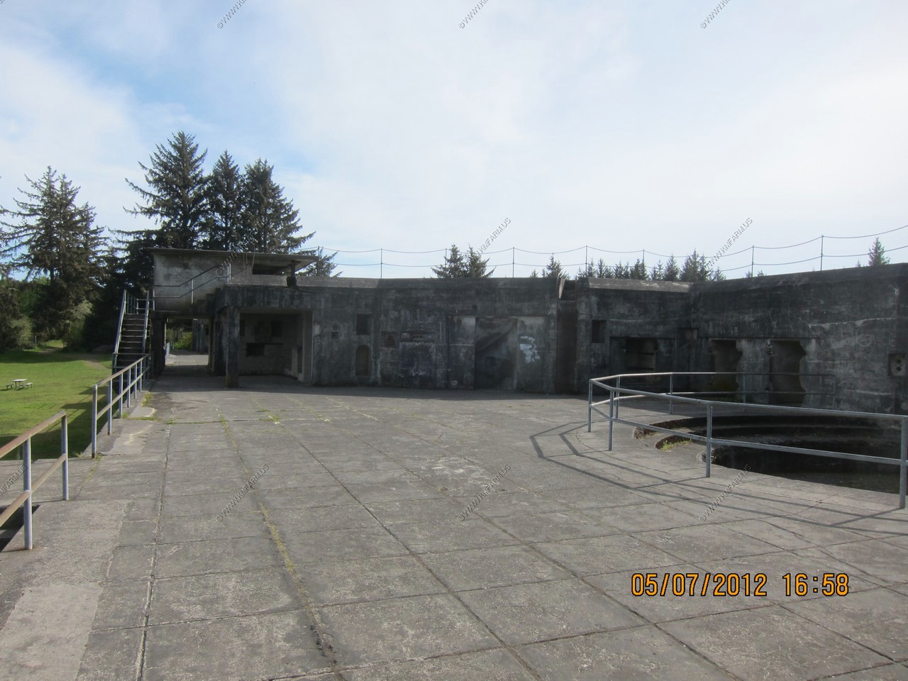
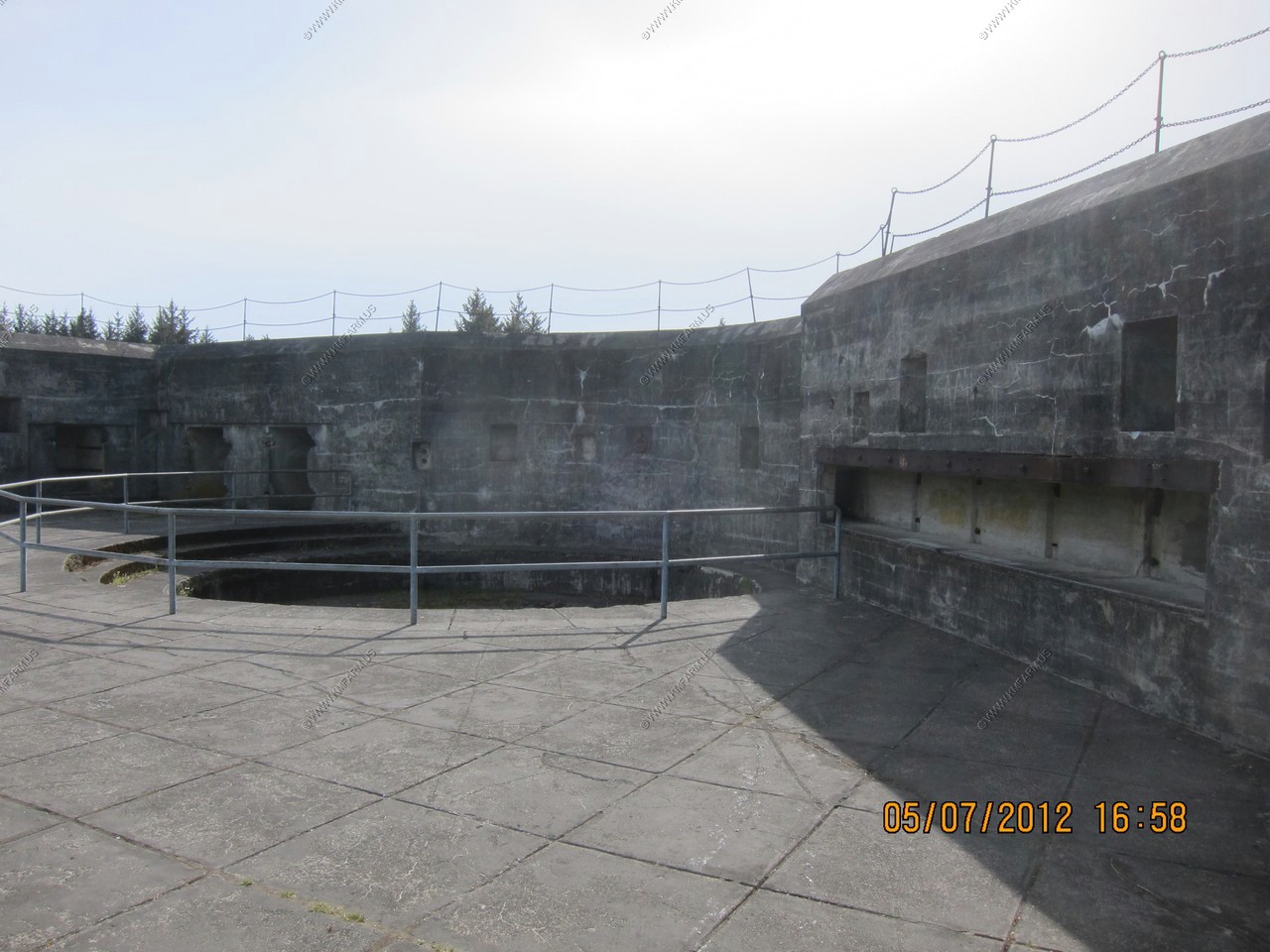
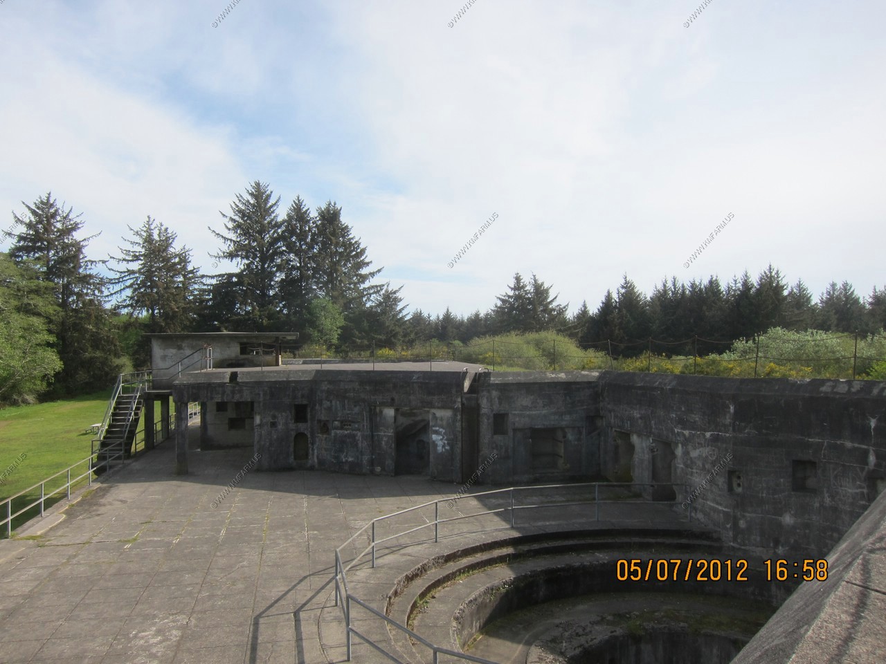
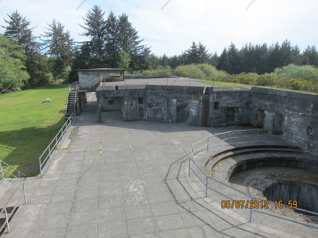
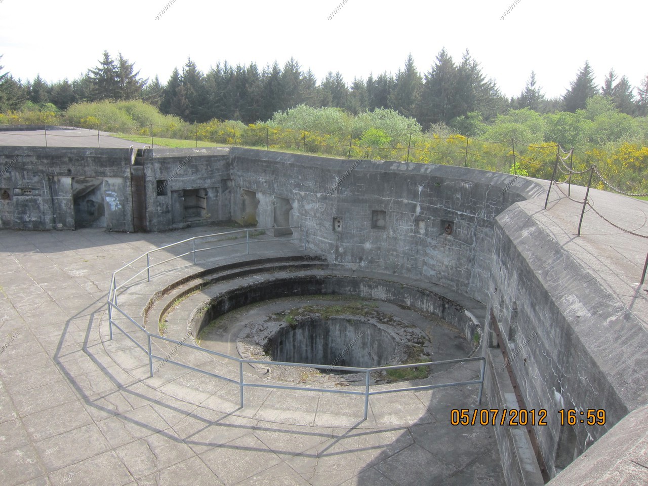
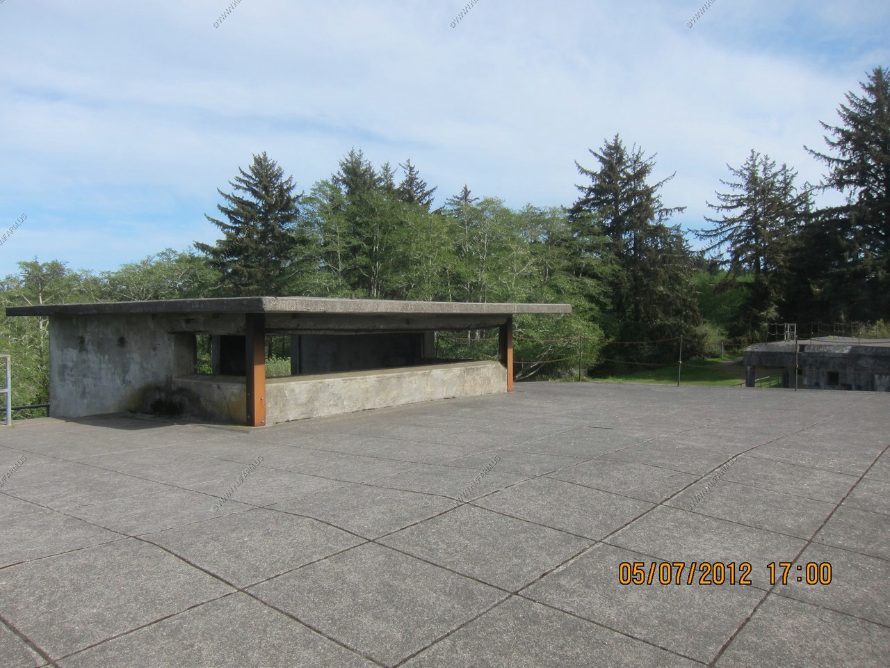
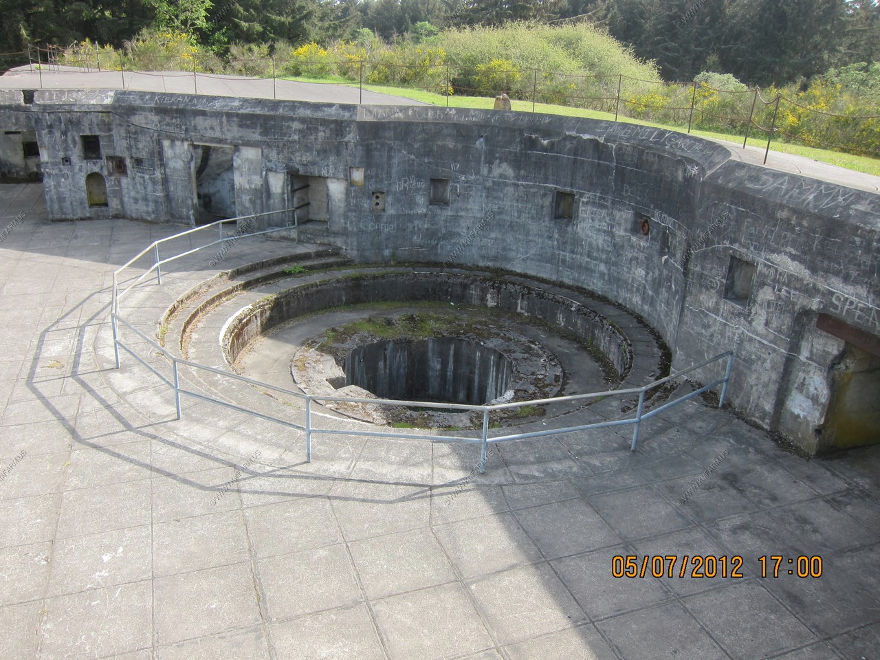
Stopped to check out the Fort Stevens Coastal Defense System Battery's
Fort Stevens and Battery Russell had the distinction of being the only stateside installation attacked by enemy forces since the war of 1812 when a Japanese submarine I-25 fired 17 shells close to Battery Russell. The Battery did not return the fire because the submarine was out of range of its older guns. The submarine left without inflicting any damage.
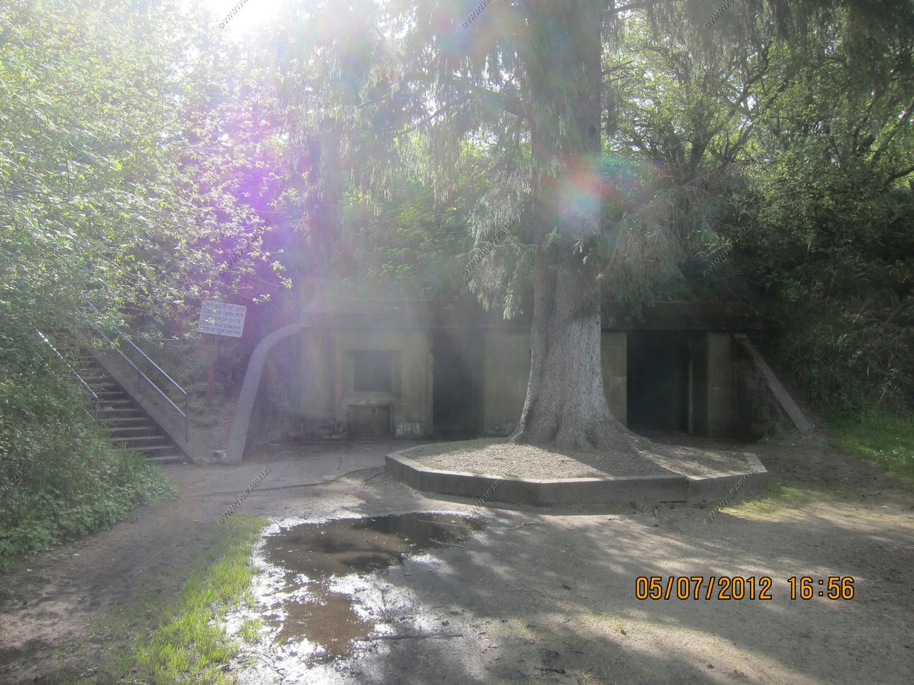

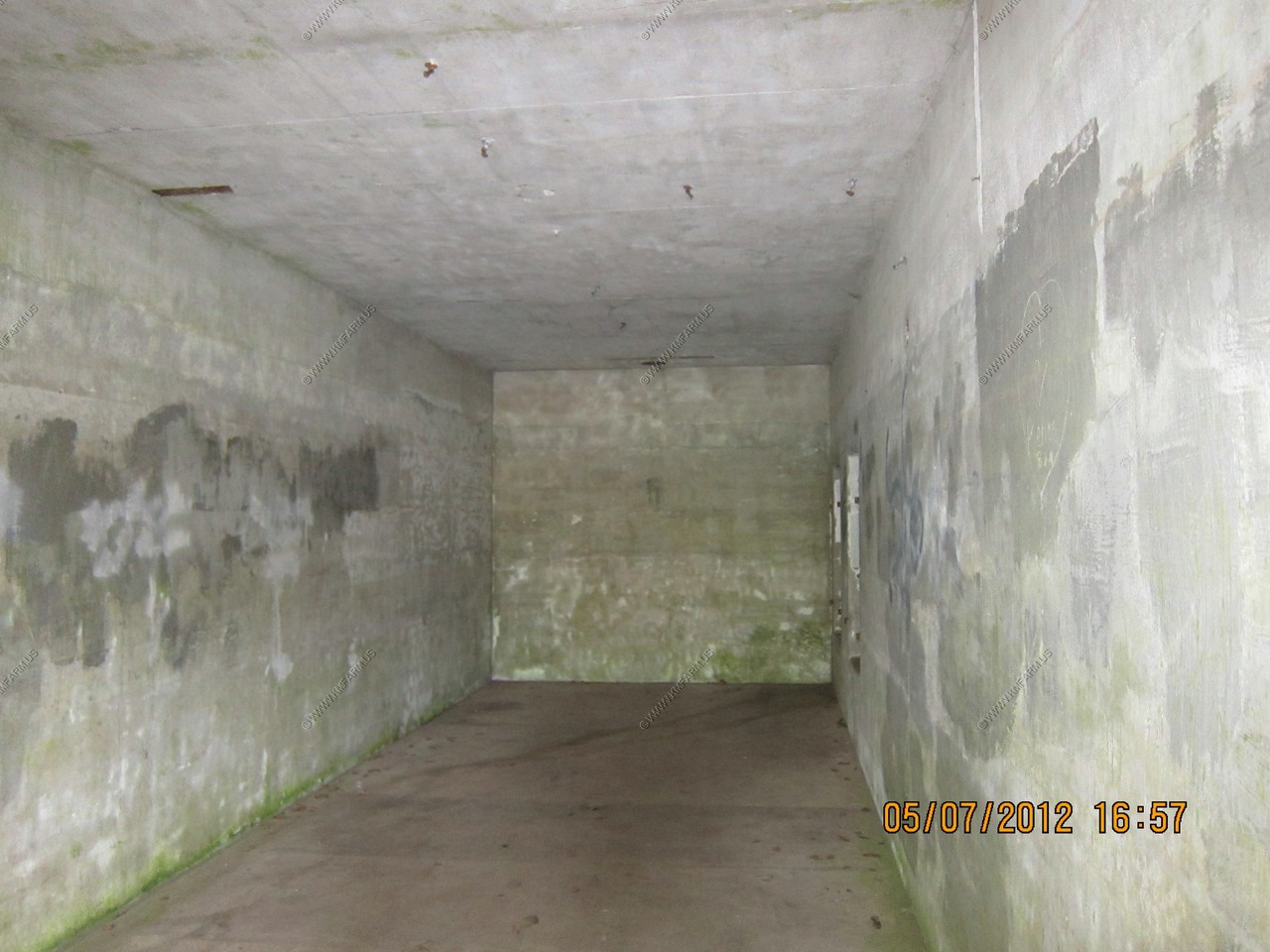
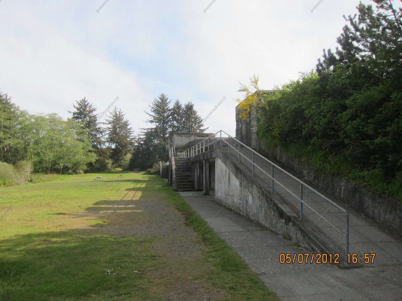
Gun Emplacements and upper deck areas
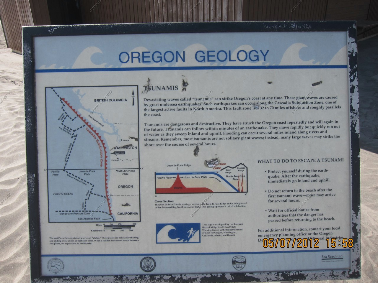
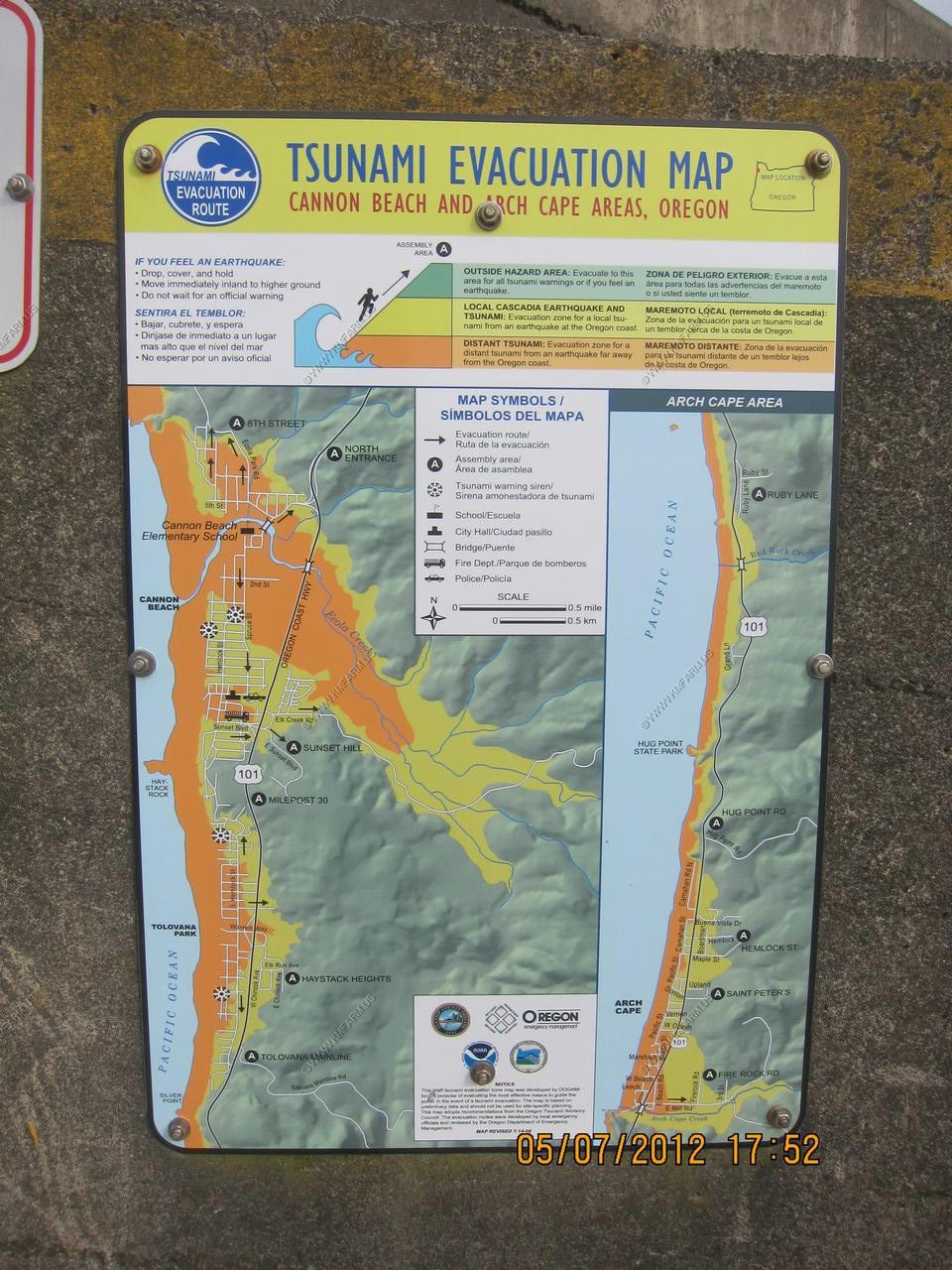
Cool Tsunami signs.
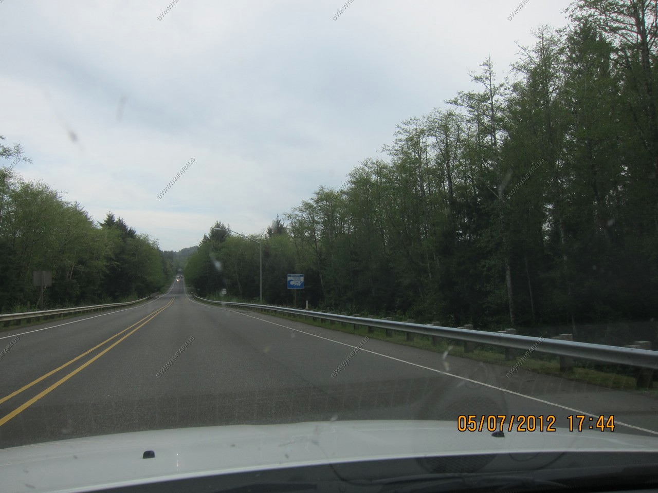
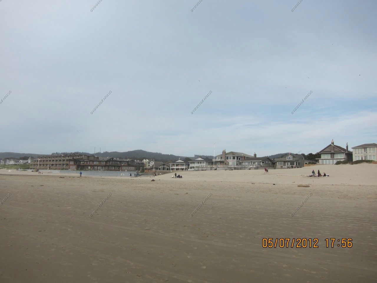
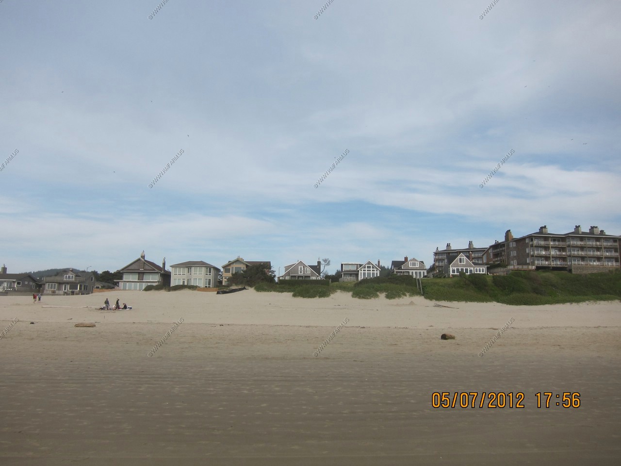
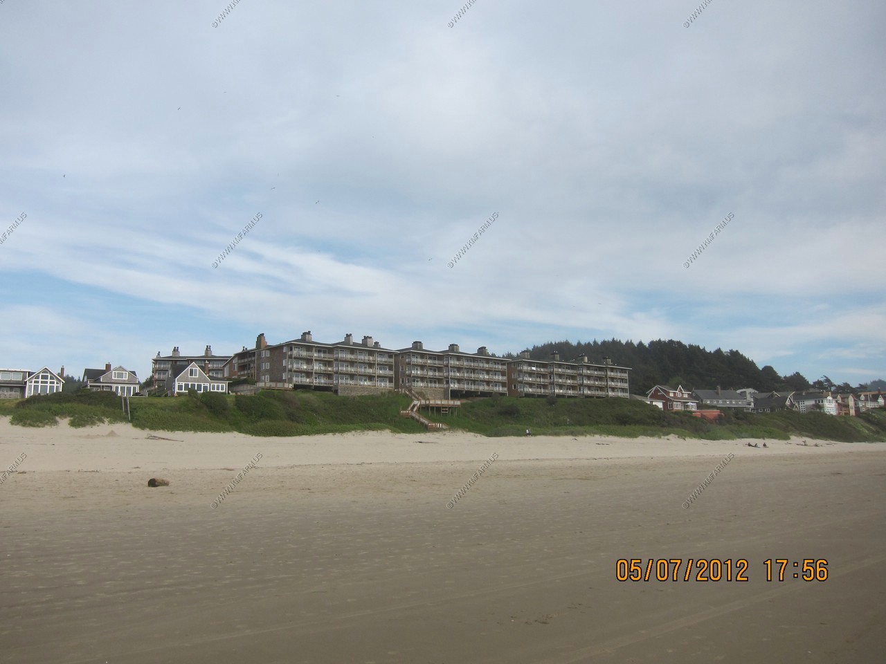
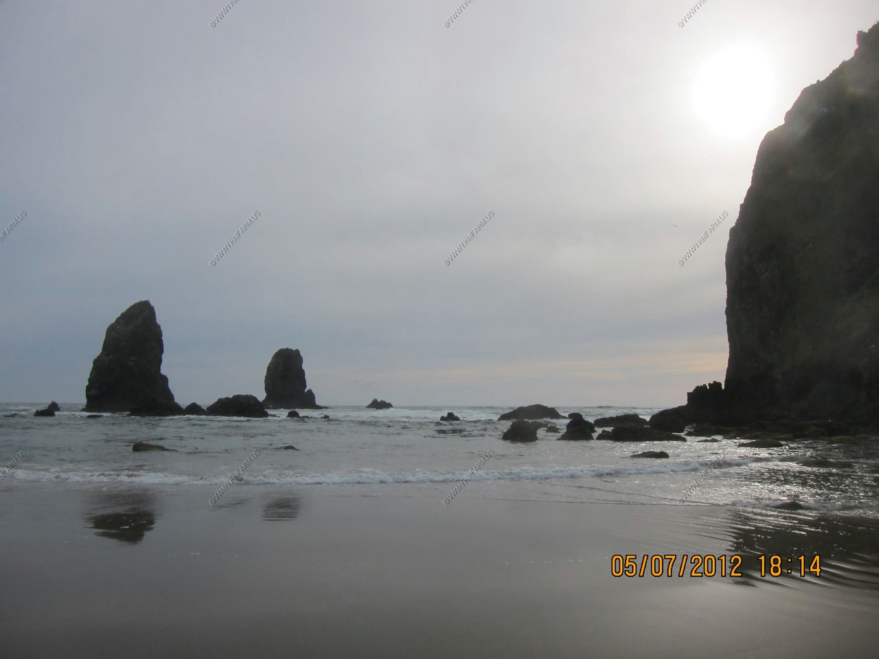
So, we then headed down to Cannon Beach, Oregon
U.S. Highway 101 formerly ran through Cannon Beach. In 1964, a tsunami generated by the Good Friday Earthquake came ashore along the coast of the Pacific Northwest. The subsequent flooding inundated parts of Cannon Beach and washed away the highway bridge located on the north side of city. The city, now isolated from the highway, decided to attract visitors by holding a sand castle contest-an event that still continues annually every June
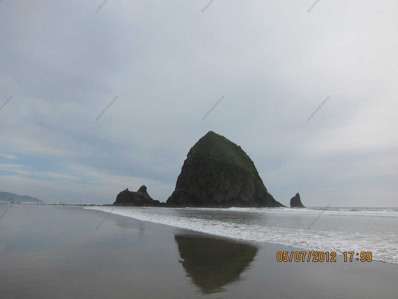
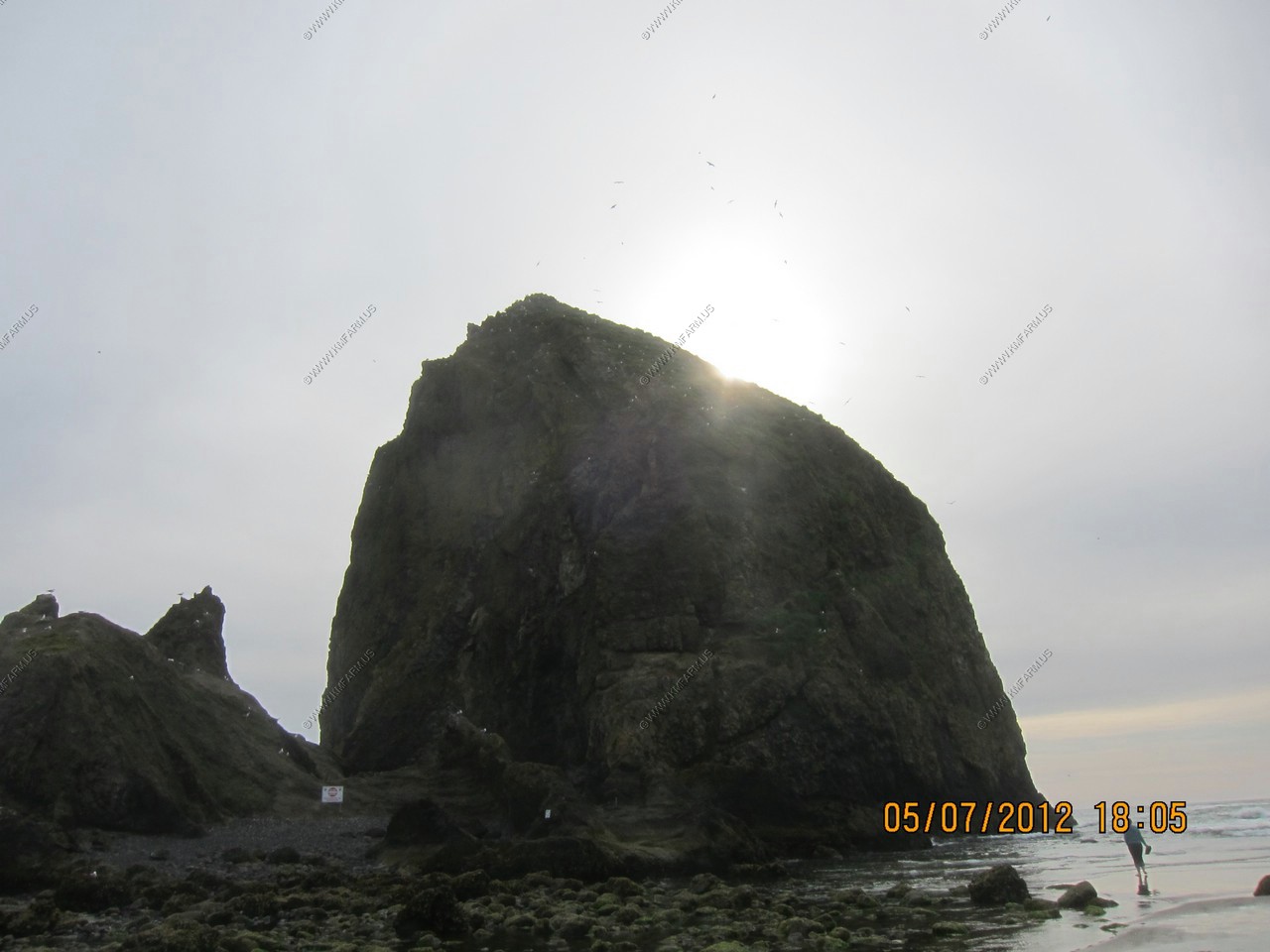
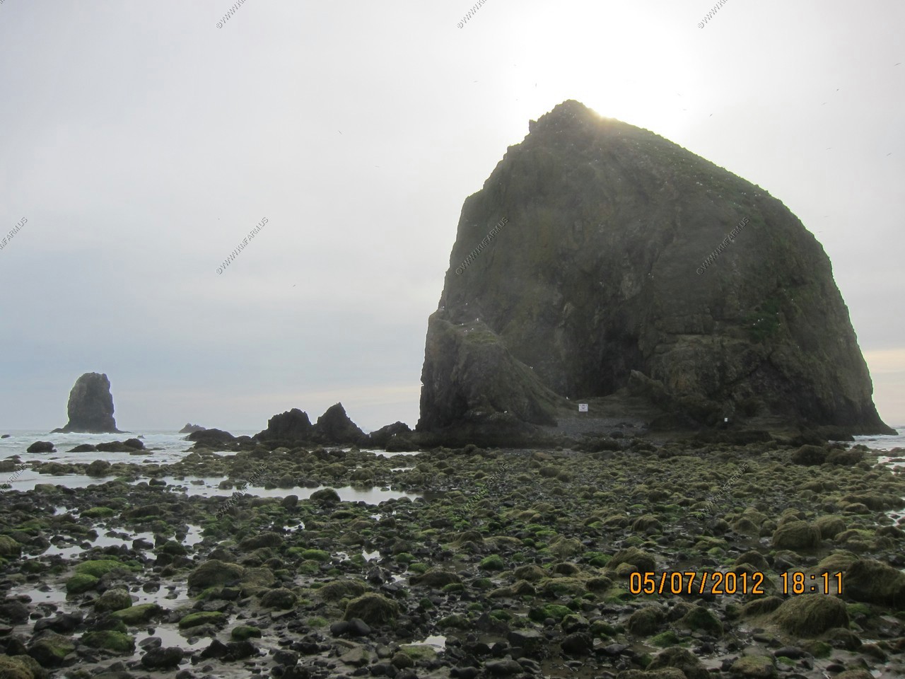
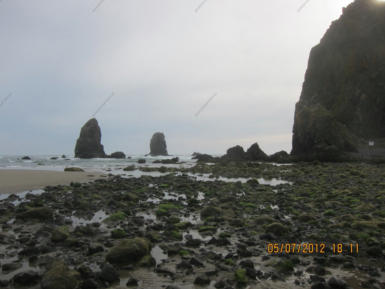
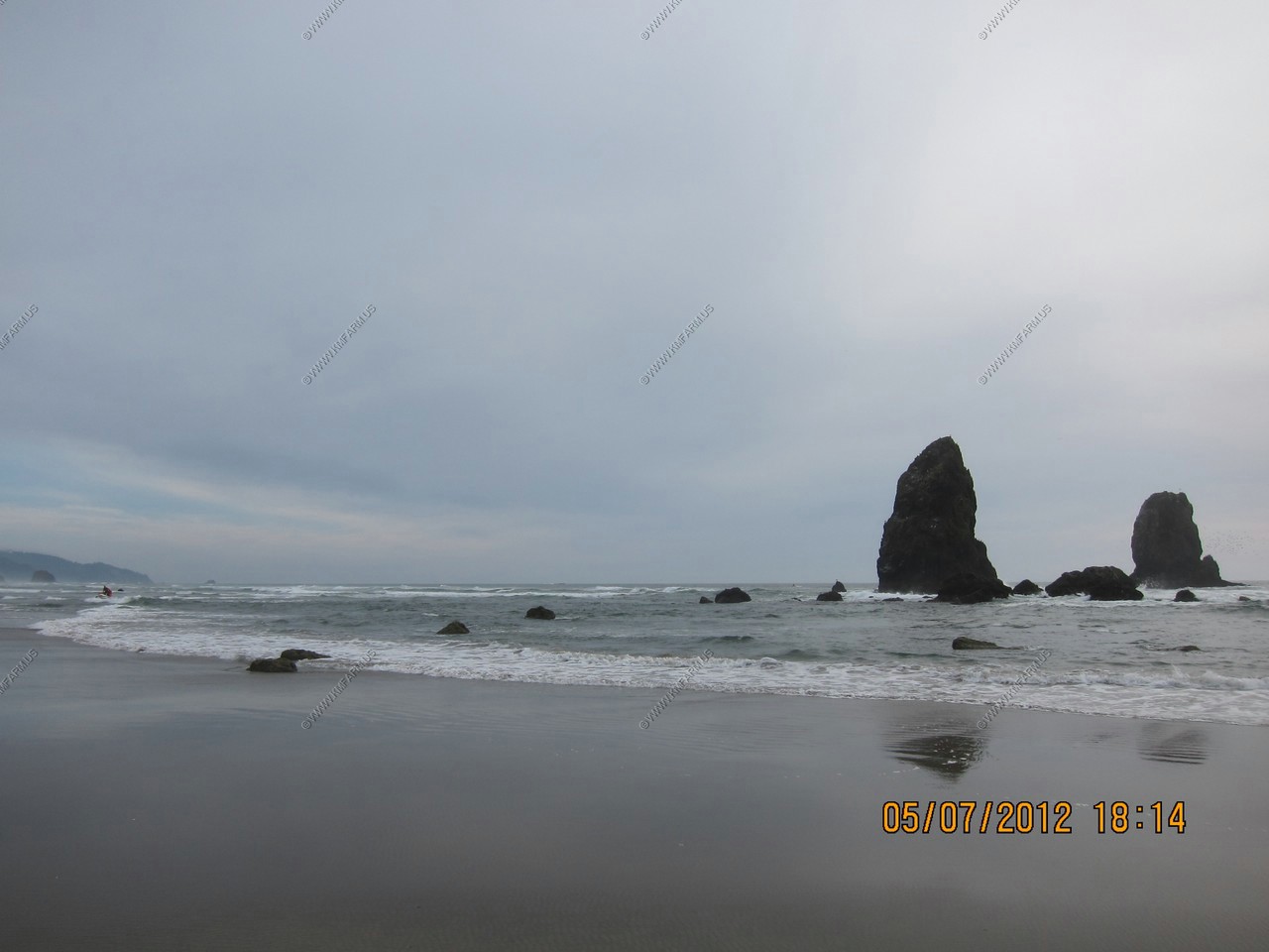
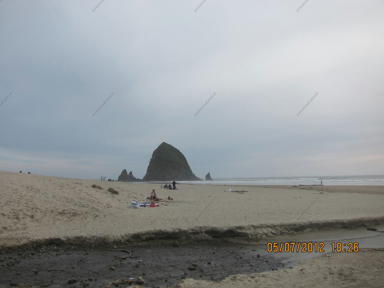
First look at the beach and Haystack Rock
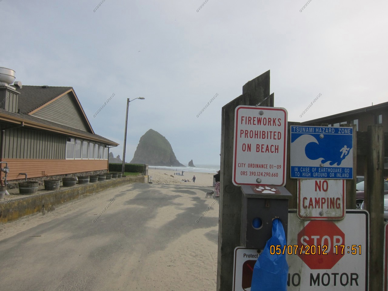
More Tsunami warning signs.
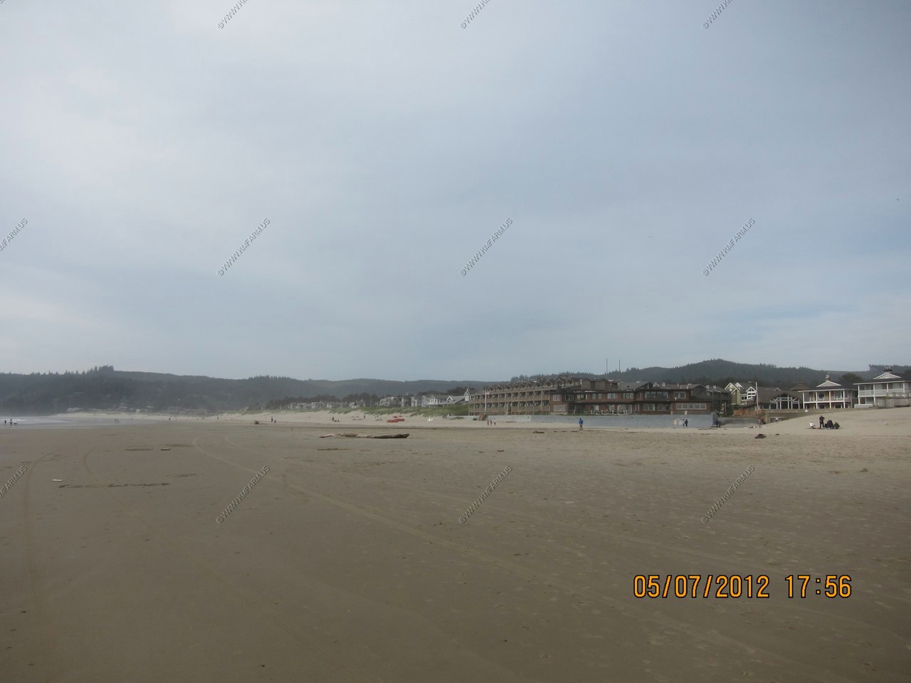
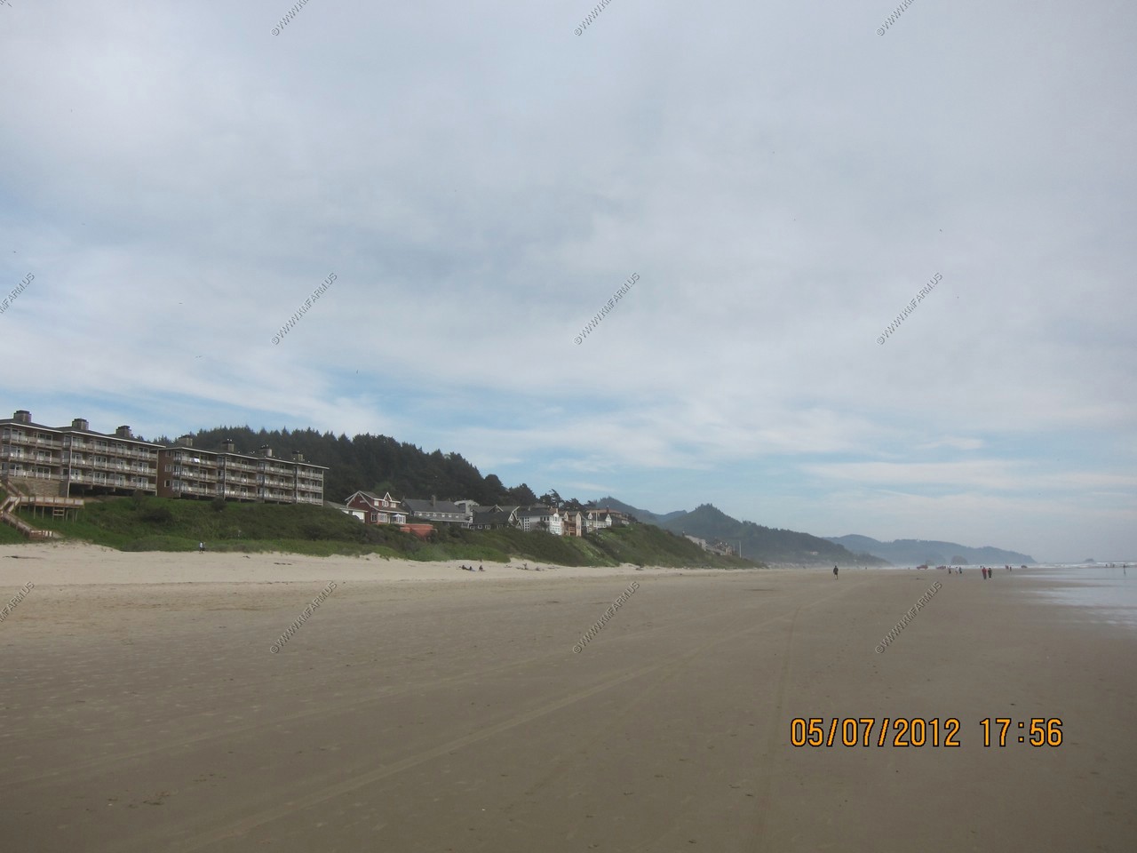
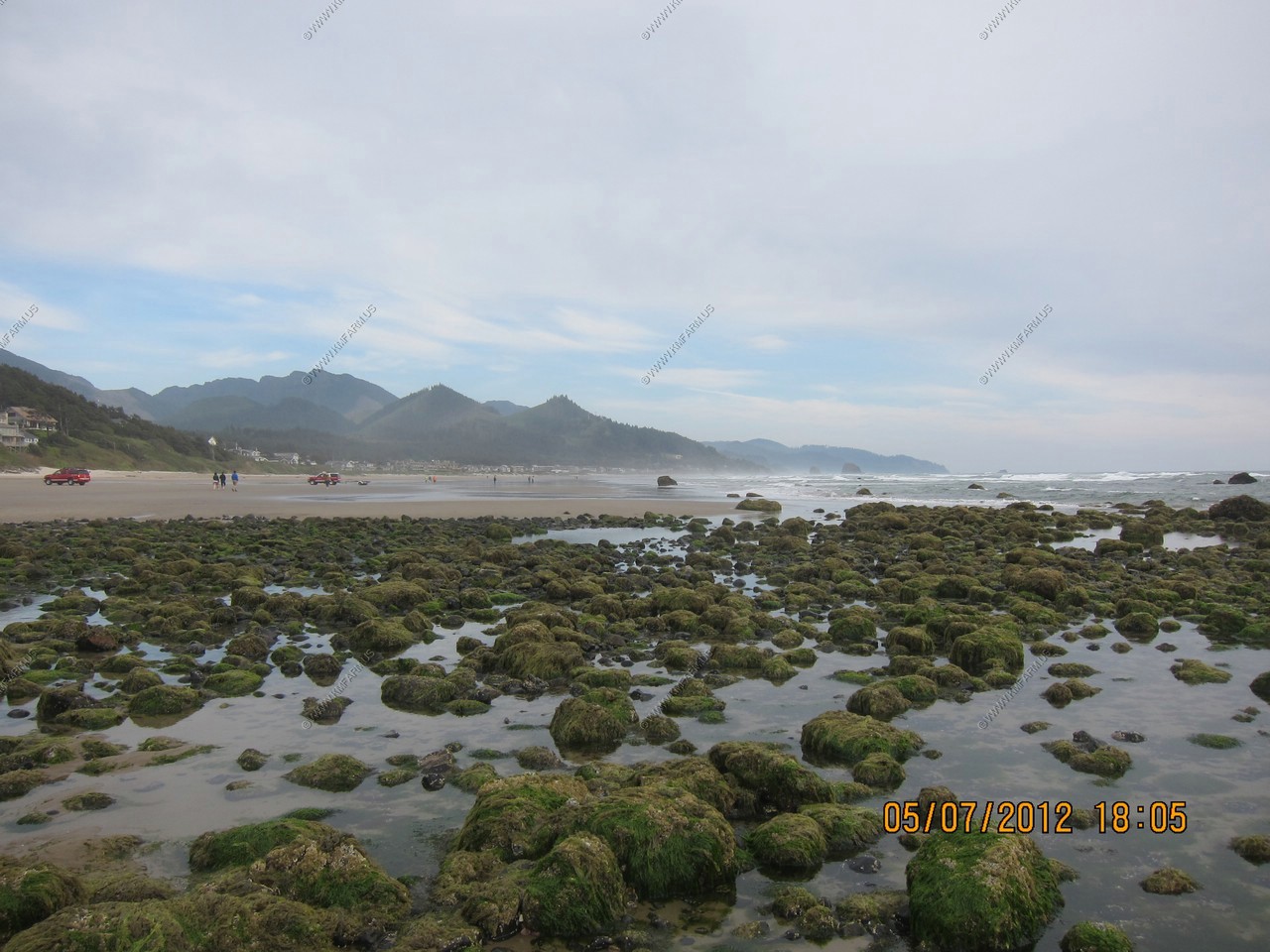
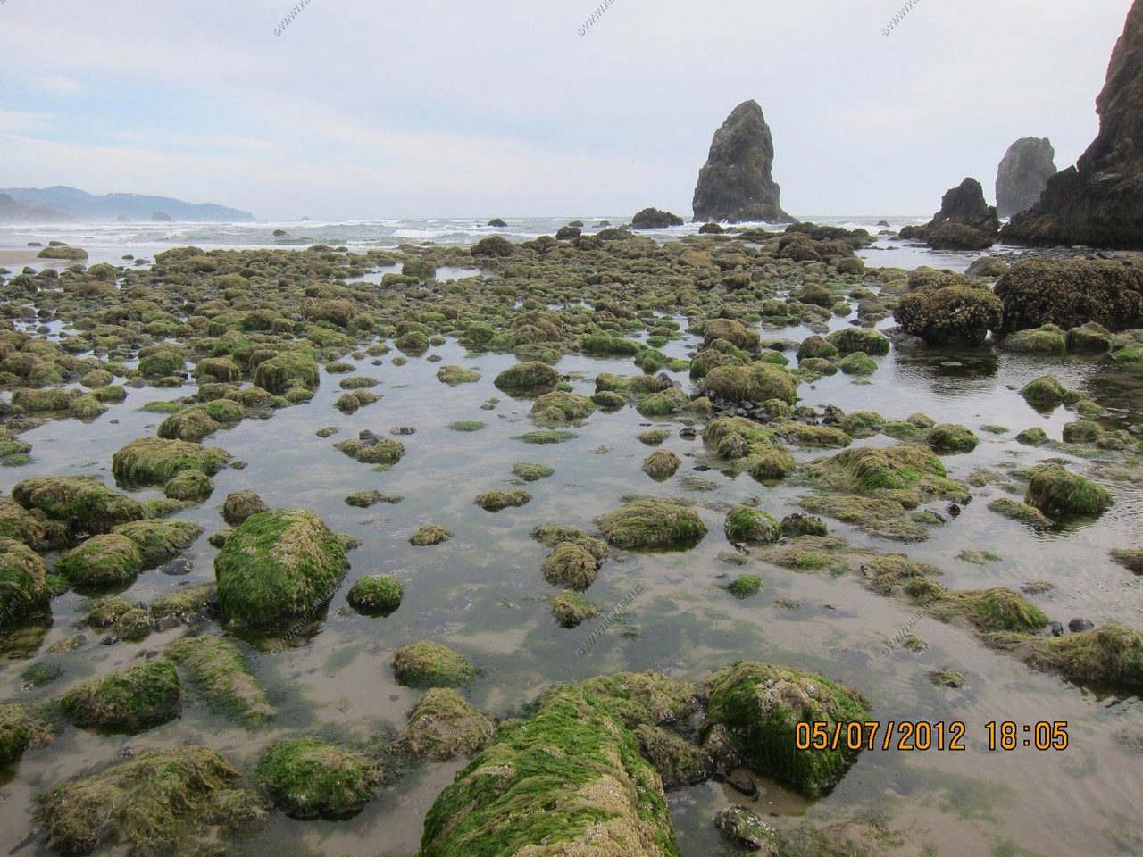
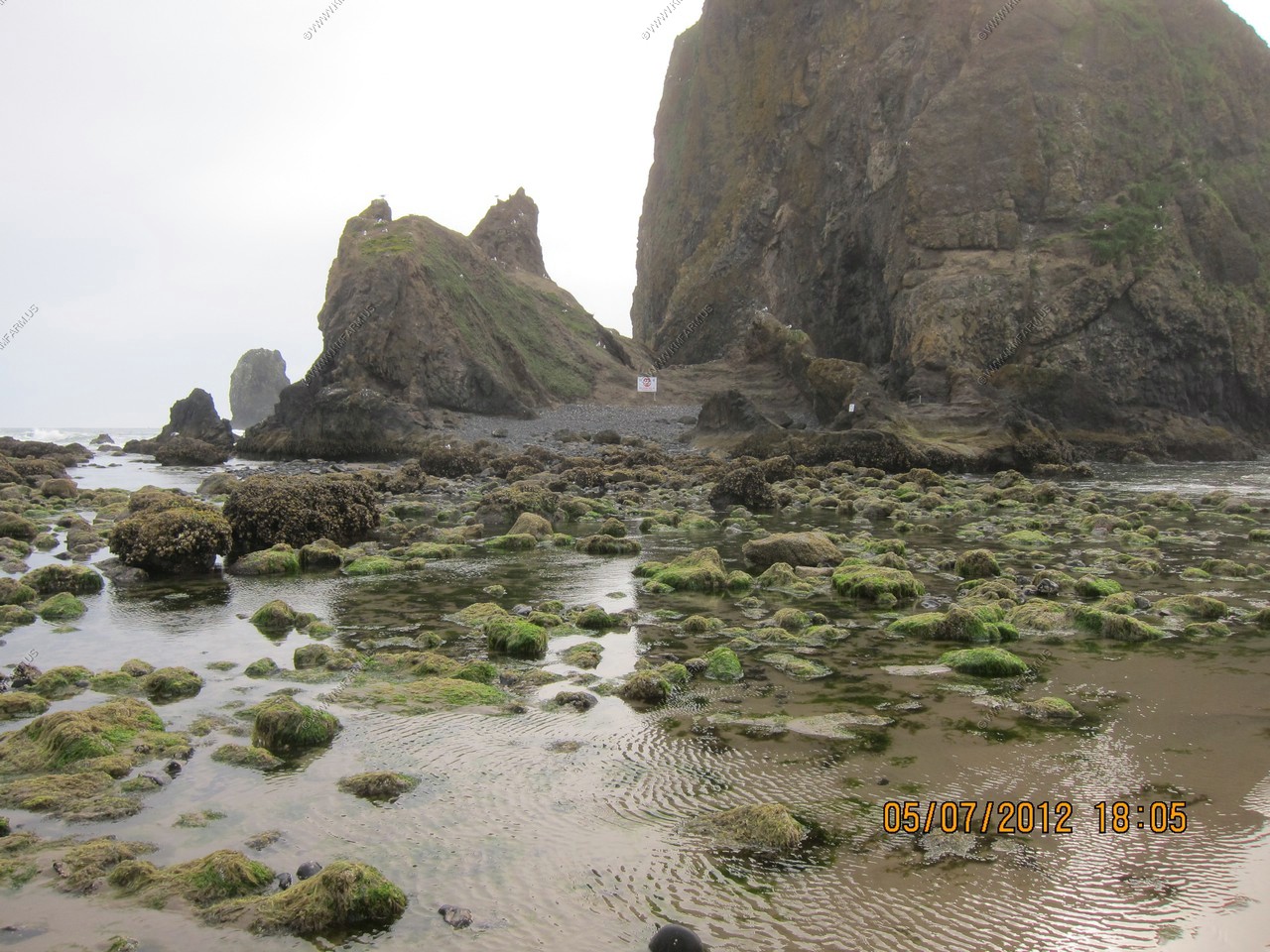
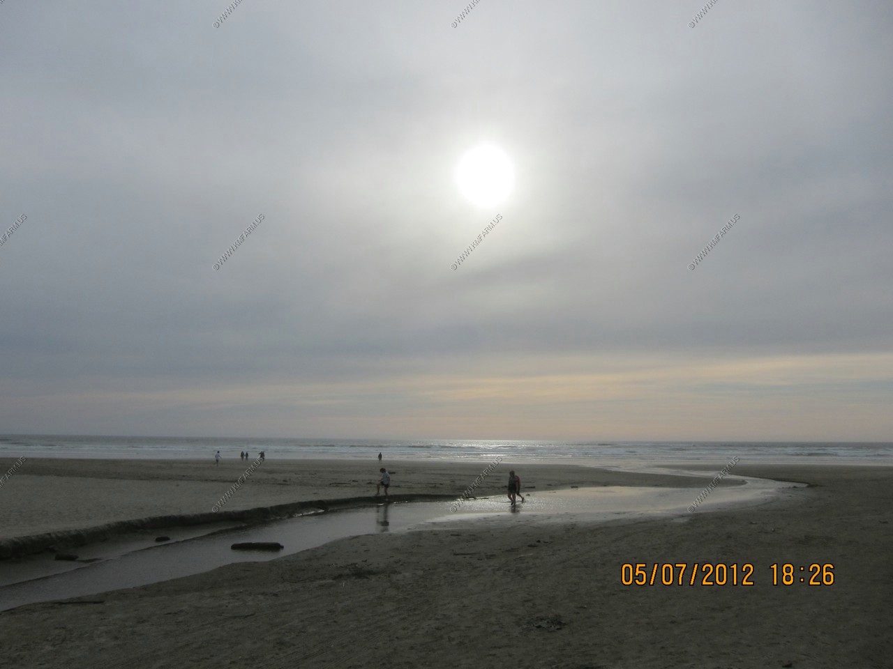
Cannon Beach views
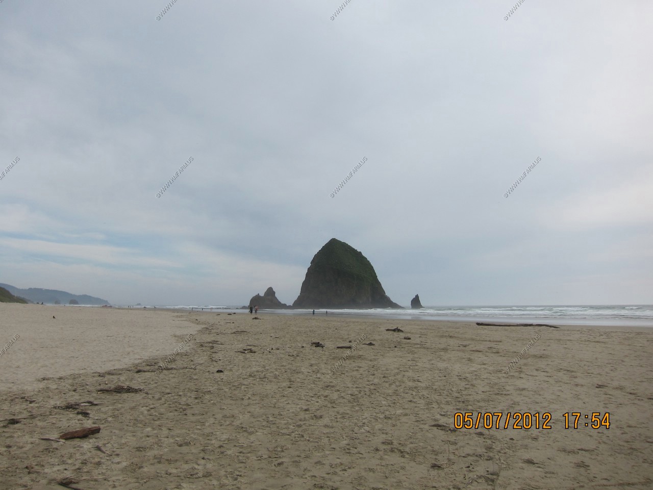
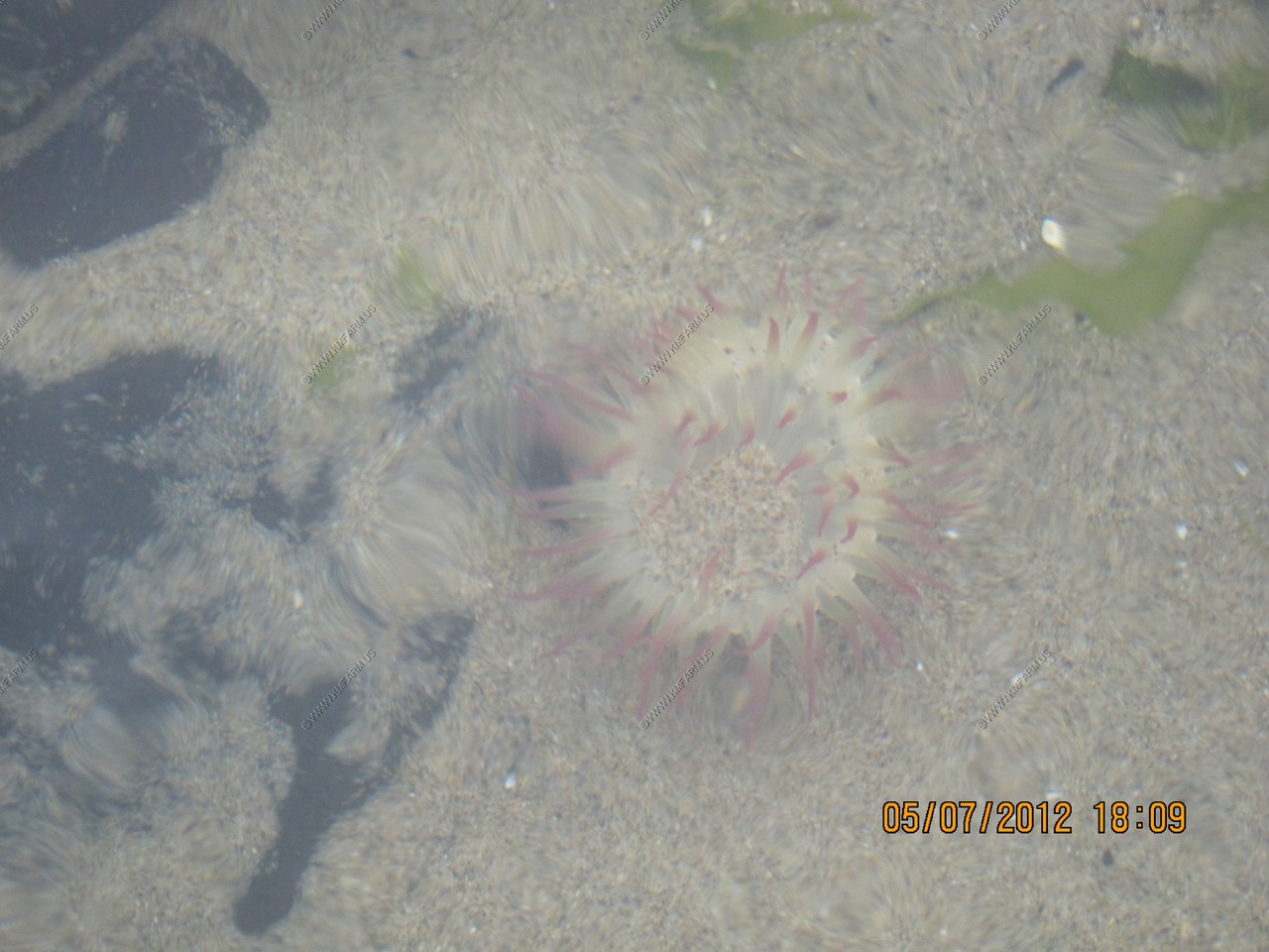
Haystack Rock - is a 235-foot (72-meter) sea stack in Cannon Beach, Oregon. It is sometimes claimed locally to be the third-tallest such "intertidal" (meaning it can be reached by land) structure in the world, but there are no scientific references to support this. A popular tourist destination, the monolithic rock is adjacent to the beach and accessible by foot at low tide. The Haystack Rock tide pools are home to many intertidal animals, including starfish, sea anemone, crabs, chitons, limpets, and sea slugs. The rock is also a nesting site for many sea birds, including terns and puffins.
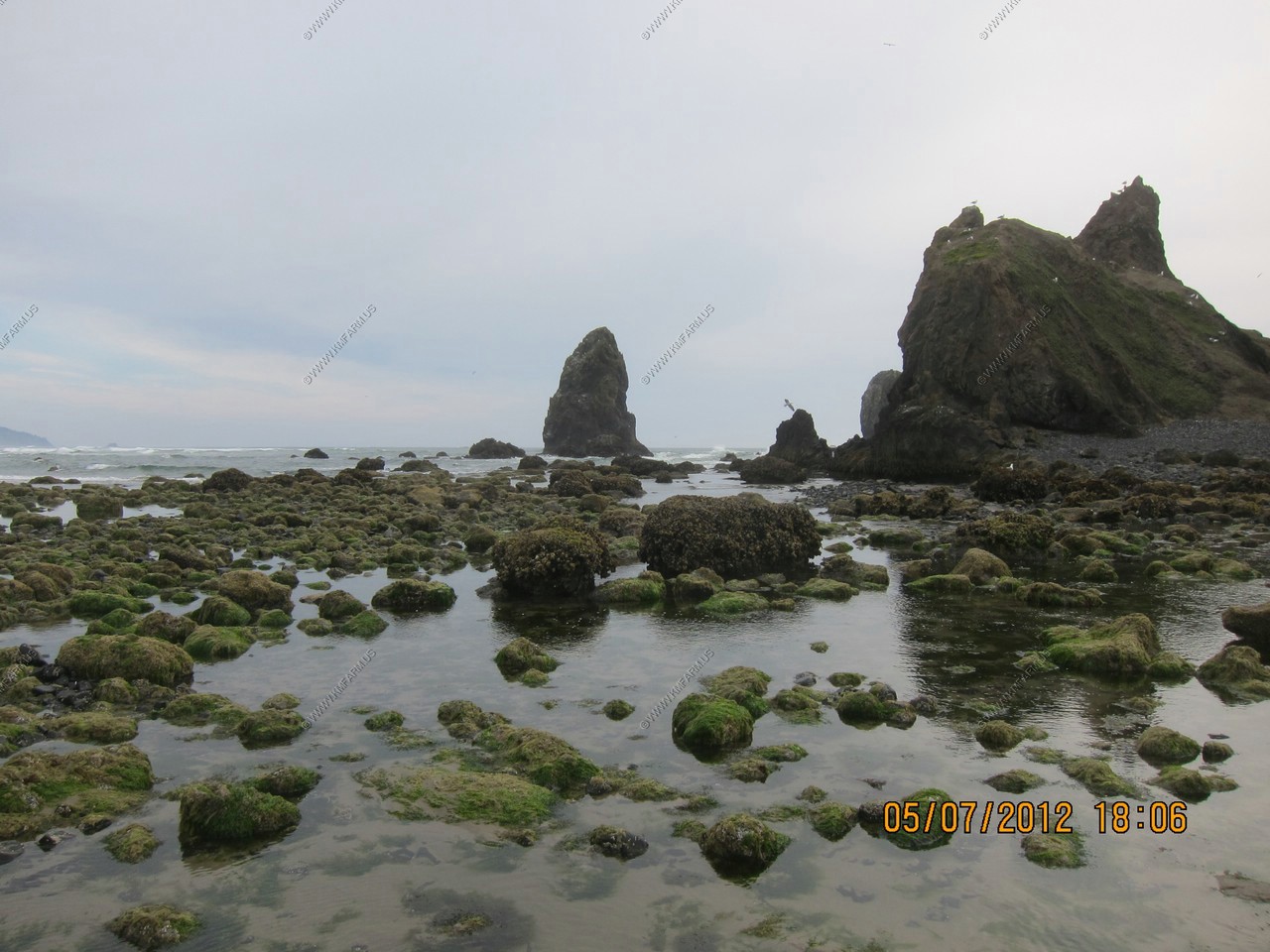
The tidal areas around Haystack Rock Lots of interesting stuff.
The local rescue team practicing
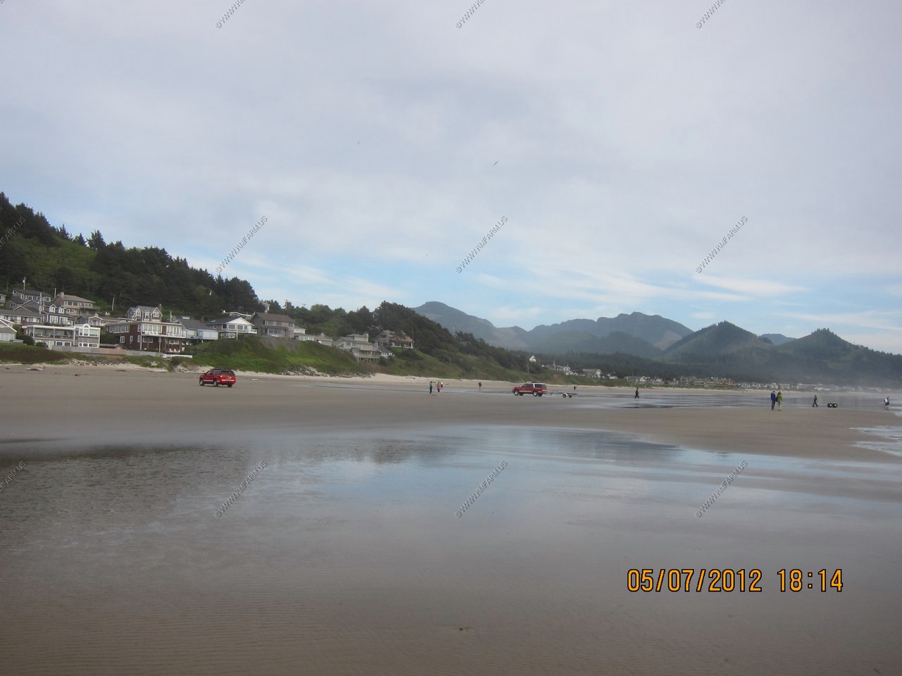
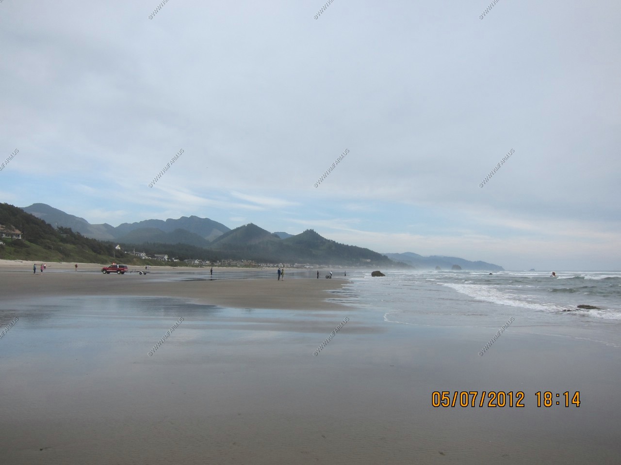

More coast views. Cool place !
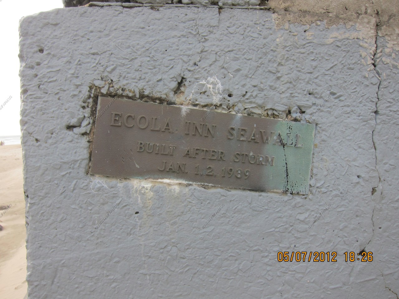
Ecola Inn seawall - This area gets bad storms.
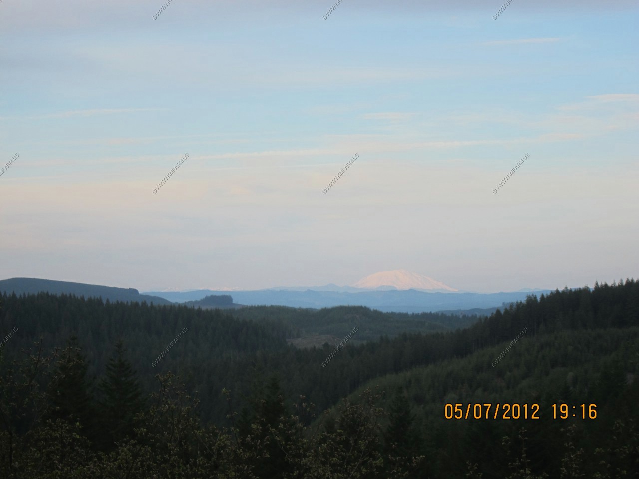
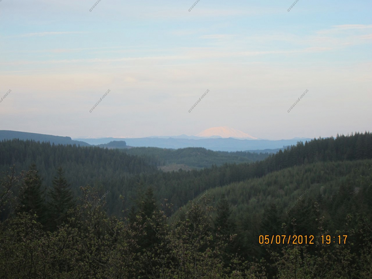
Cool overlook. Again thanks to haywhatsthat in helping me id what I am seeing from this point. This is a rest area along US-26 at 45.773N 123.4W The first and second photo is Mount Saint Helens 65 miles away. To the left of St. Helens, is Elk Mountain which has some snow.
In the third photo you can make out the 14,409 foot Mount Rainier 108 miles away.
So, today was the work day but, was able to get back to the hotel around 6. So, I had close to three hours before it was dark. Judy was tired so I decided to head east on I-84 and wanted to see if I could make it to where the trees stopped growing. Sure, I had to get up at 4 am to fly back.. But, I can rest in a few days.
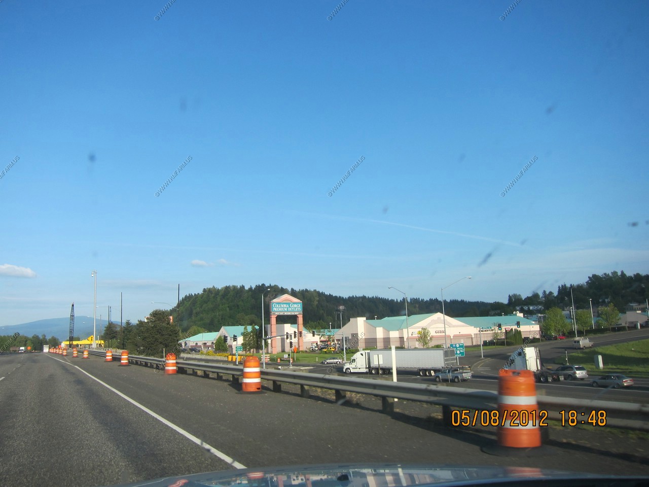
Along I-84 and more outlet stores.
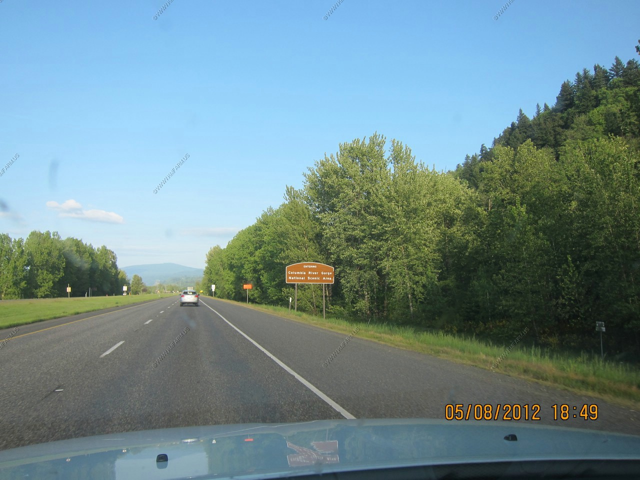
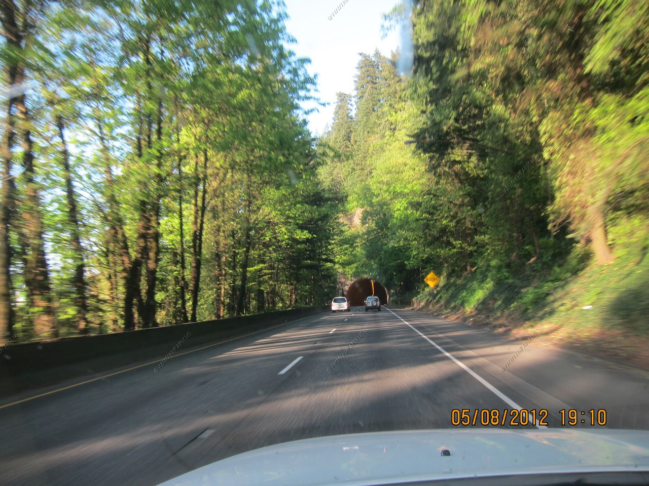
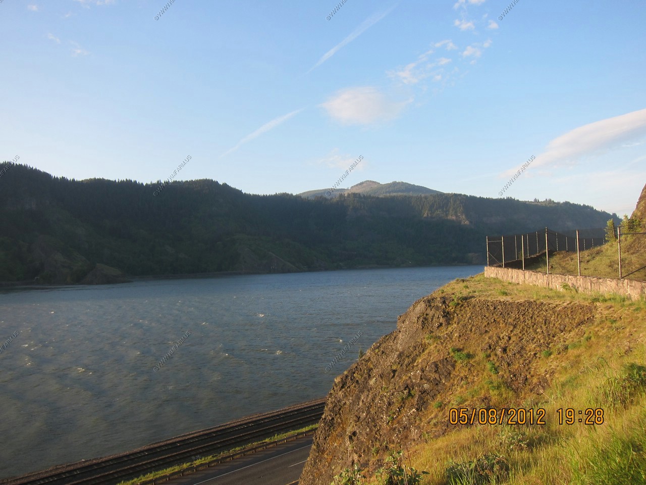
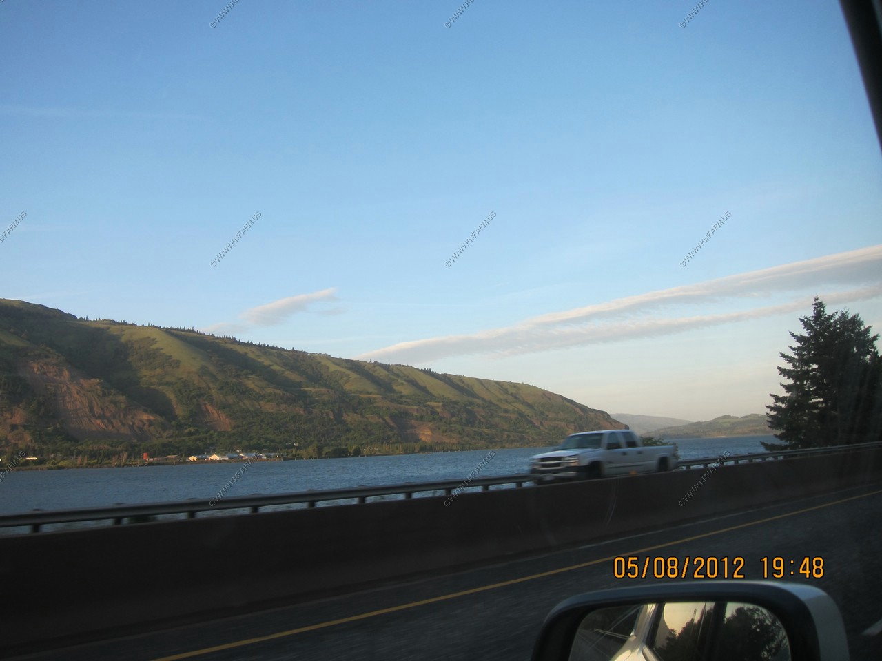
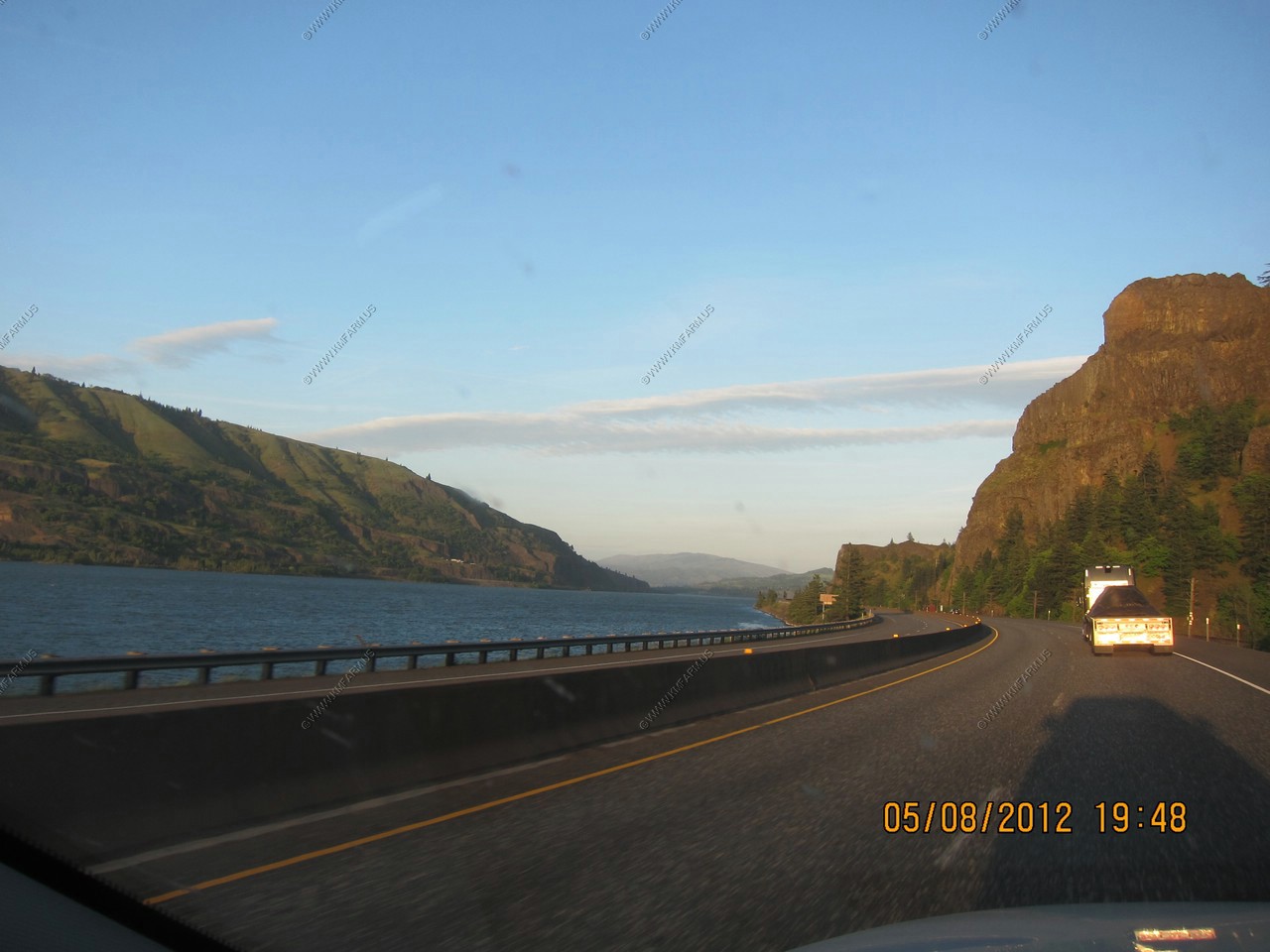
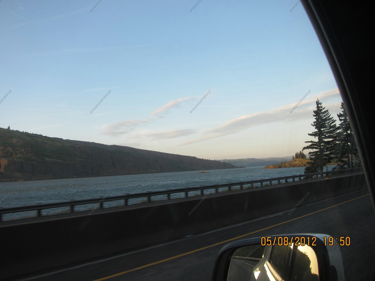
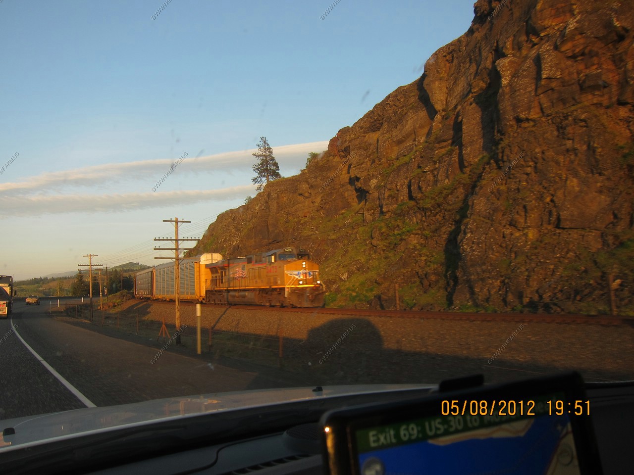
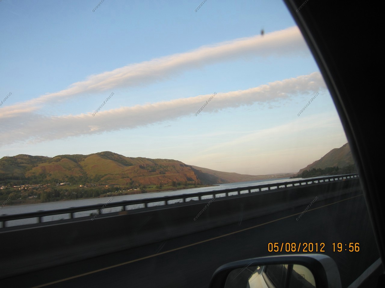
This was getting interesting. Columbia River Gorge National Scenic Area by Interstate.
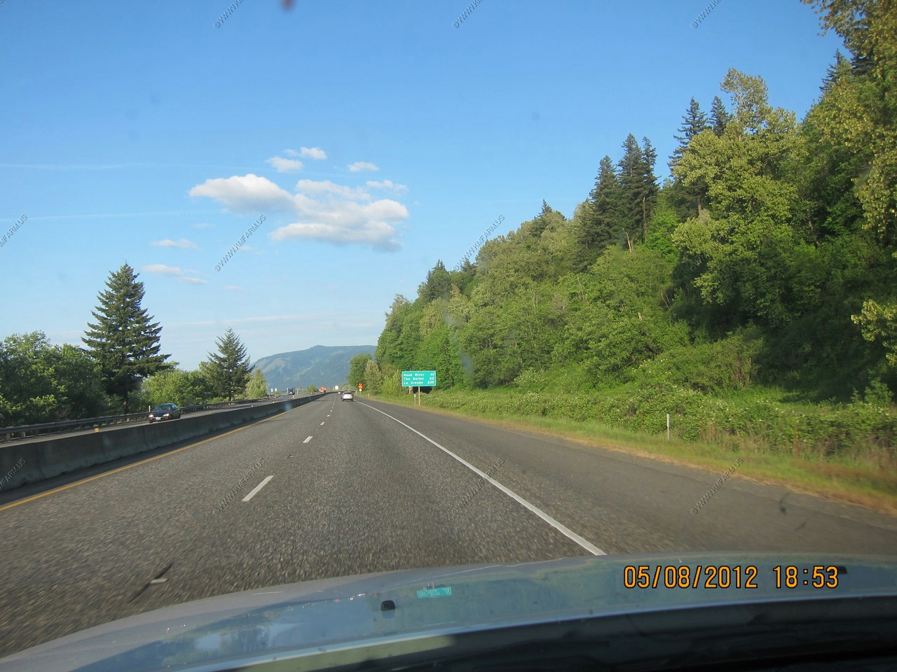
I was impressed. Hardly any traffic. The BNSF mail line to the north and UP on the south. It was train's and amazing scenery all in one place !
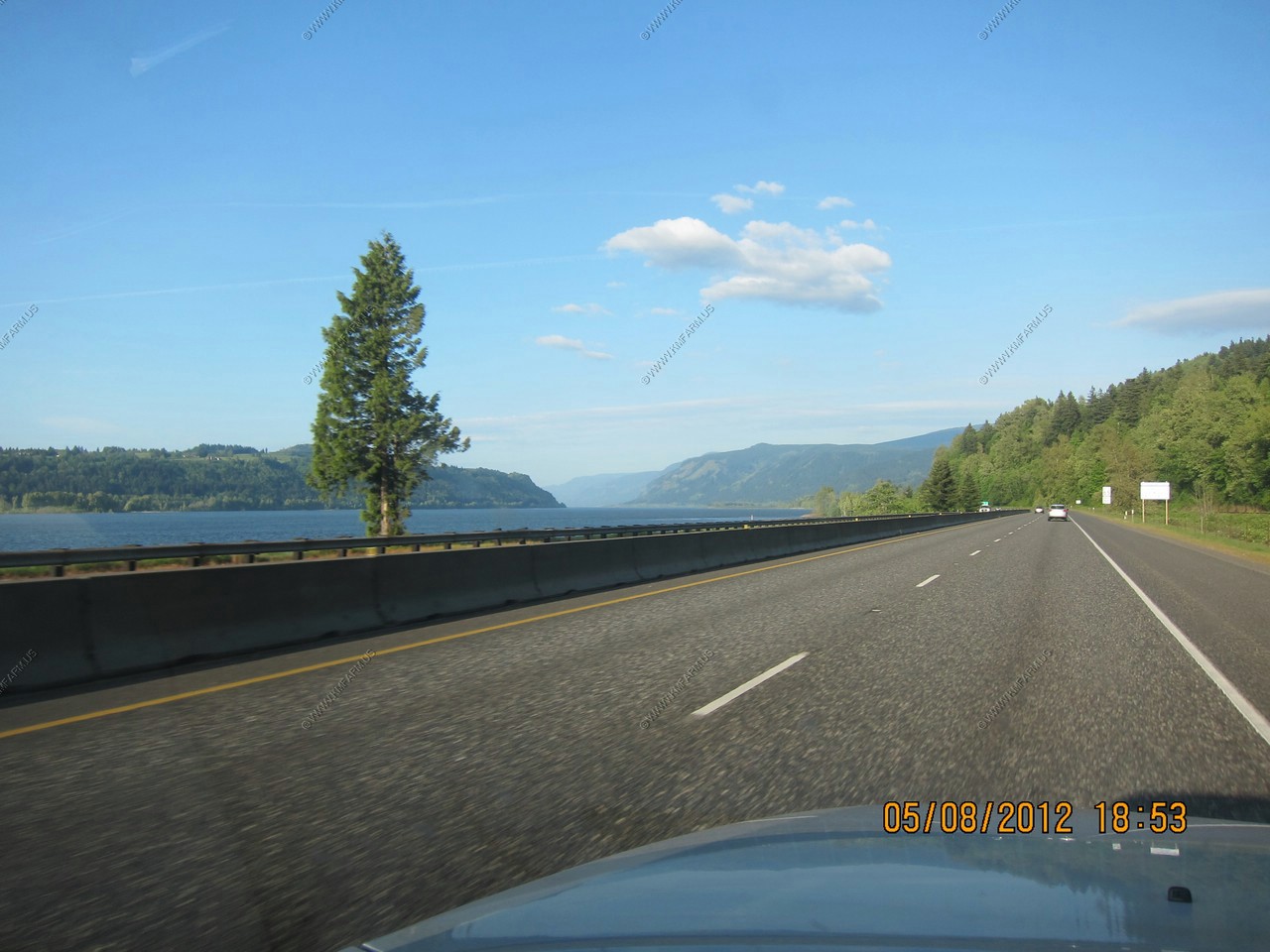
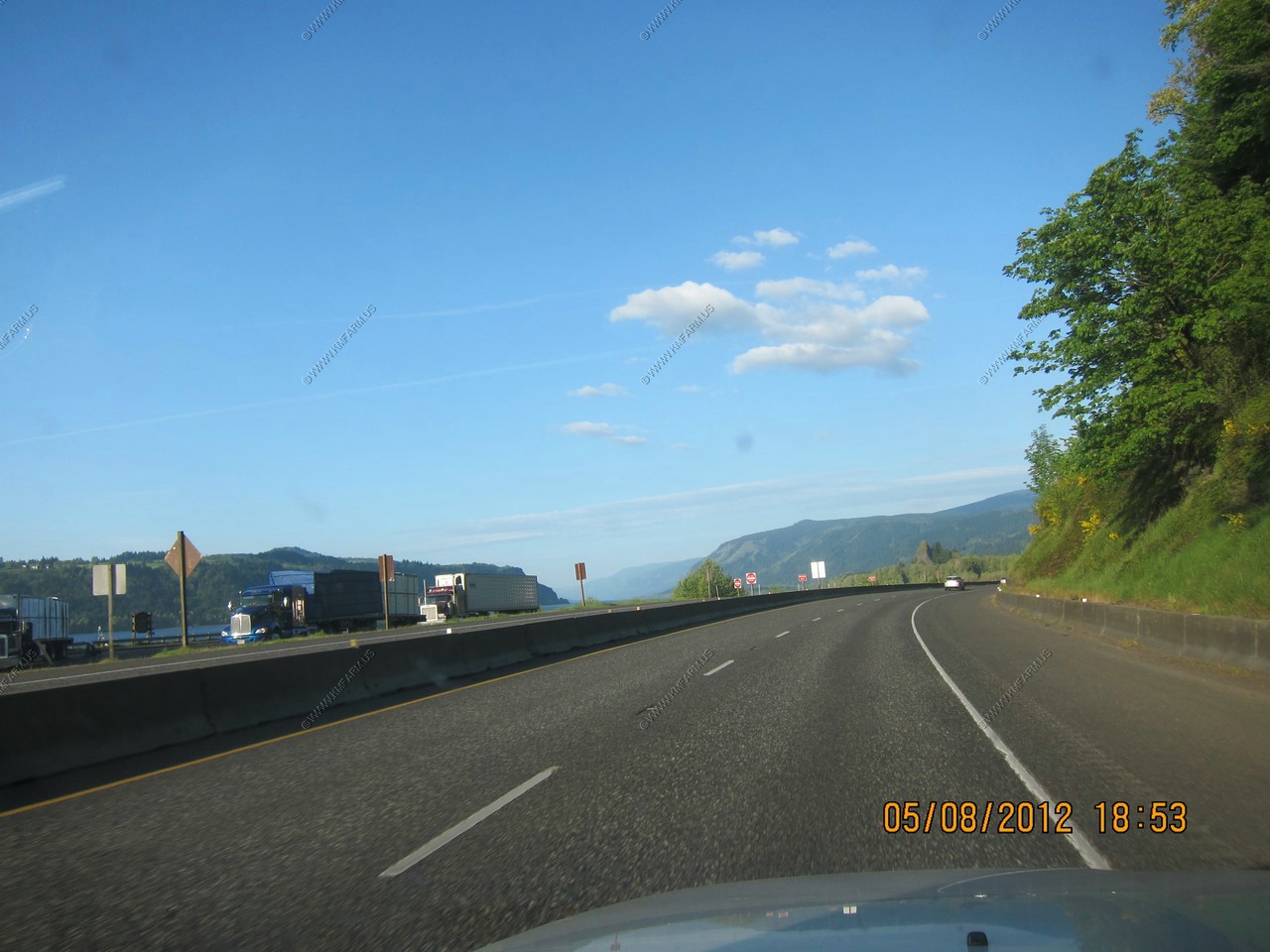
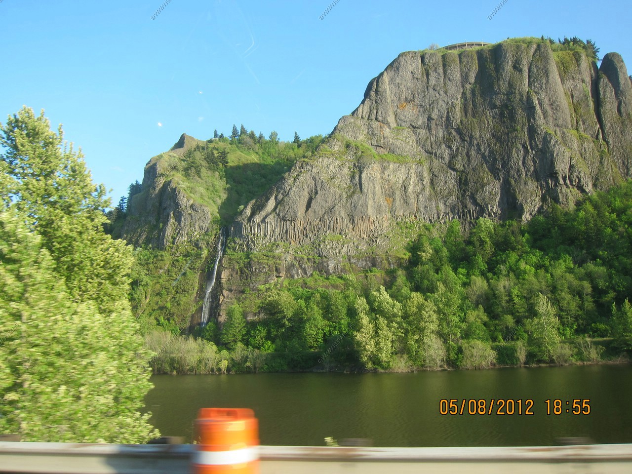
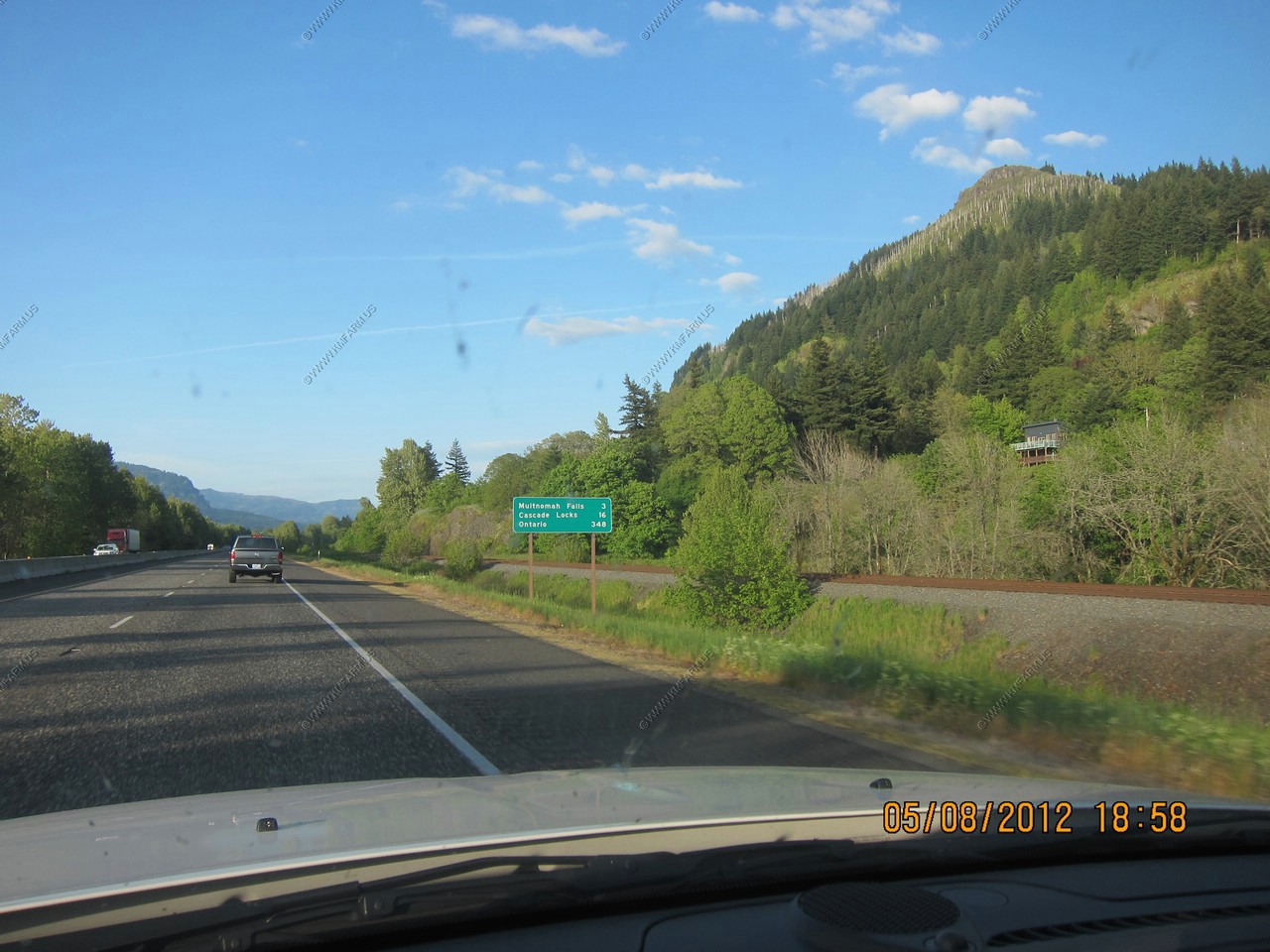
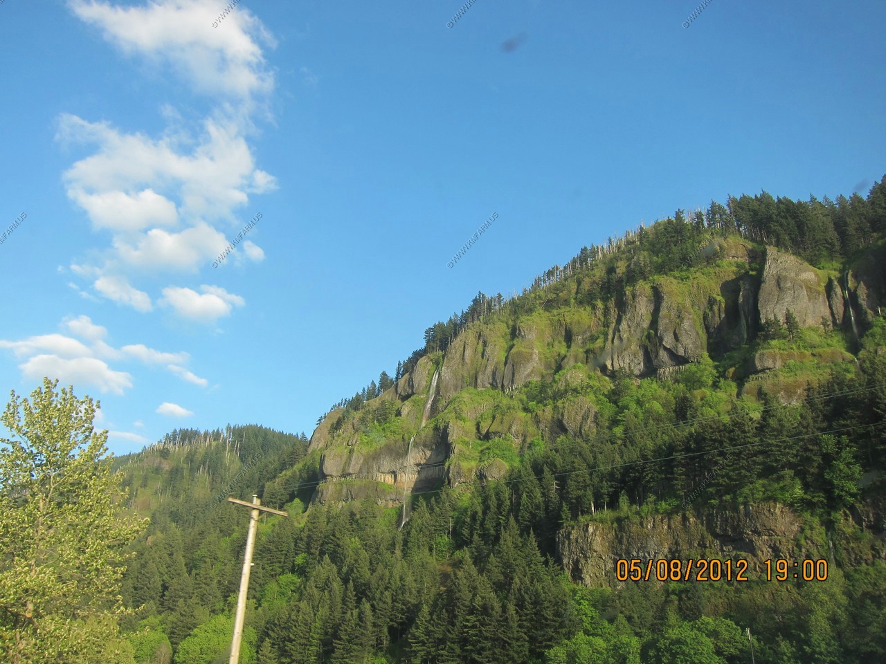
Wow.. From an interstate ! And only 40 minutes from downtown Portland !
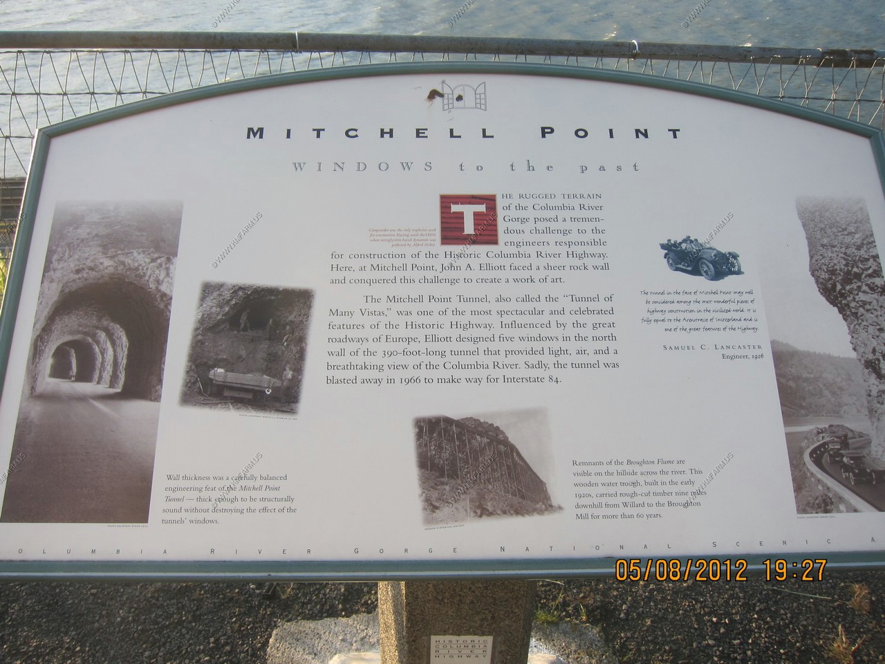
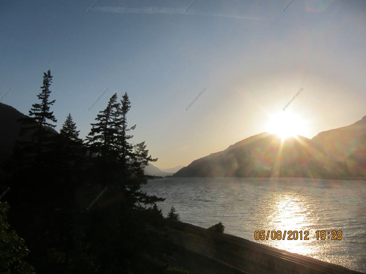
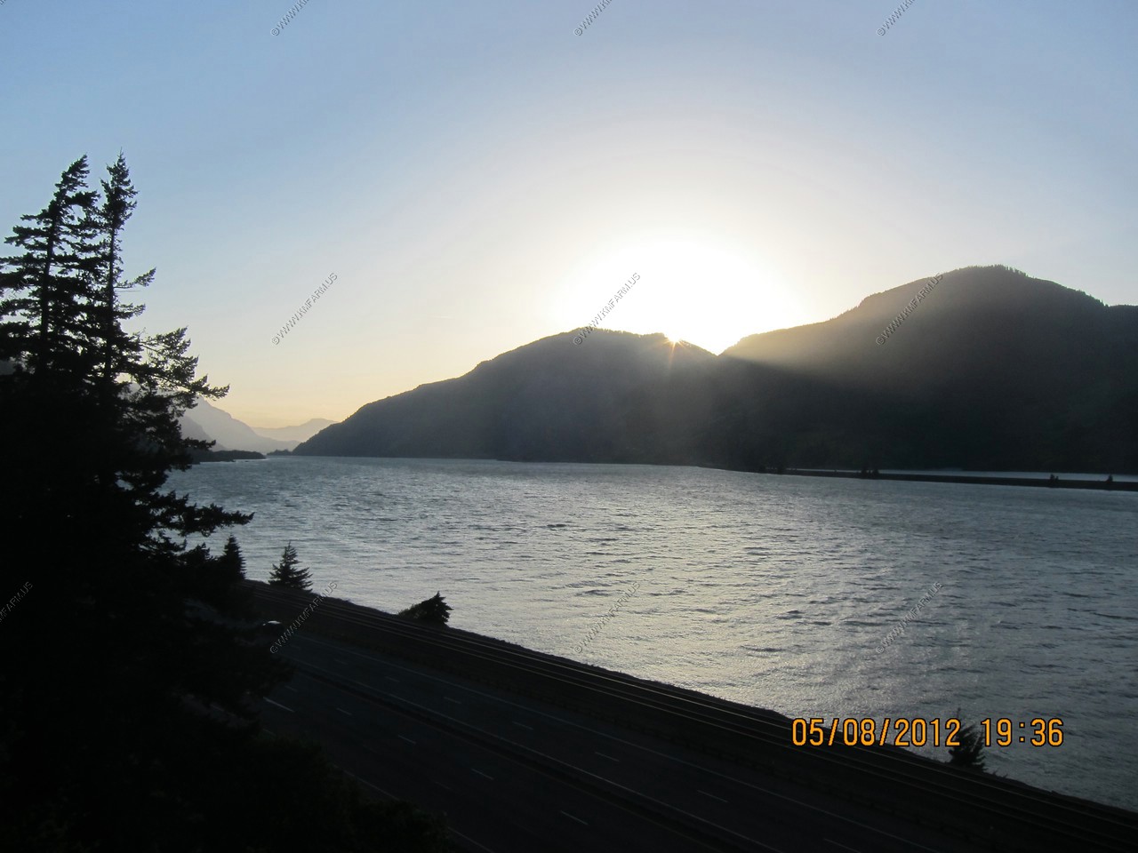
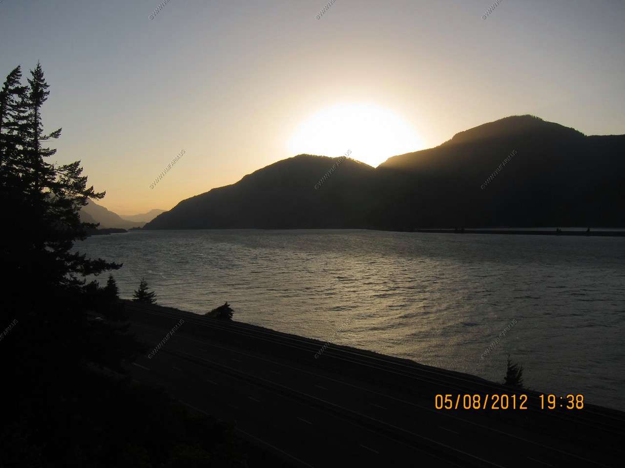
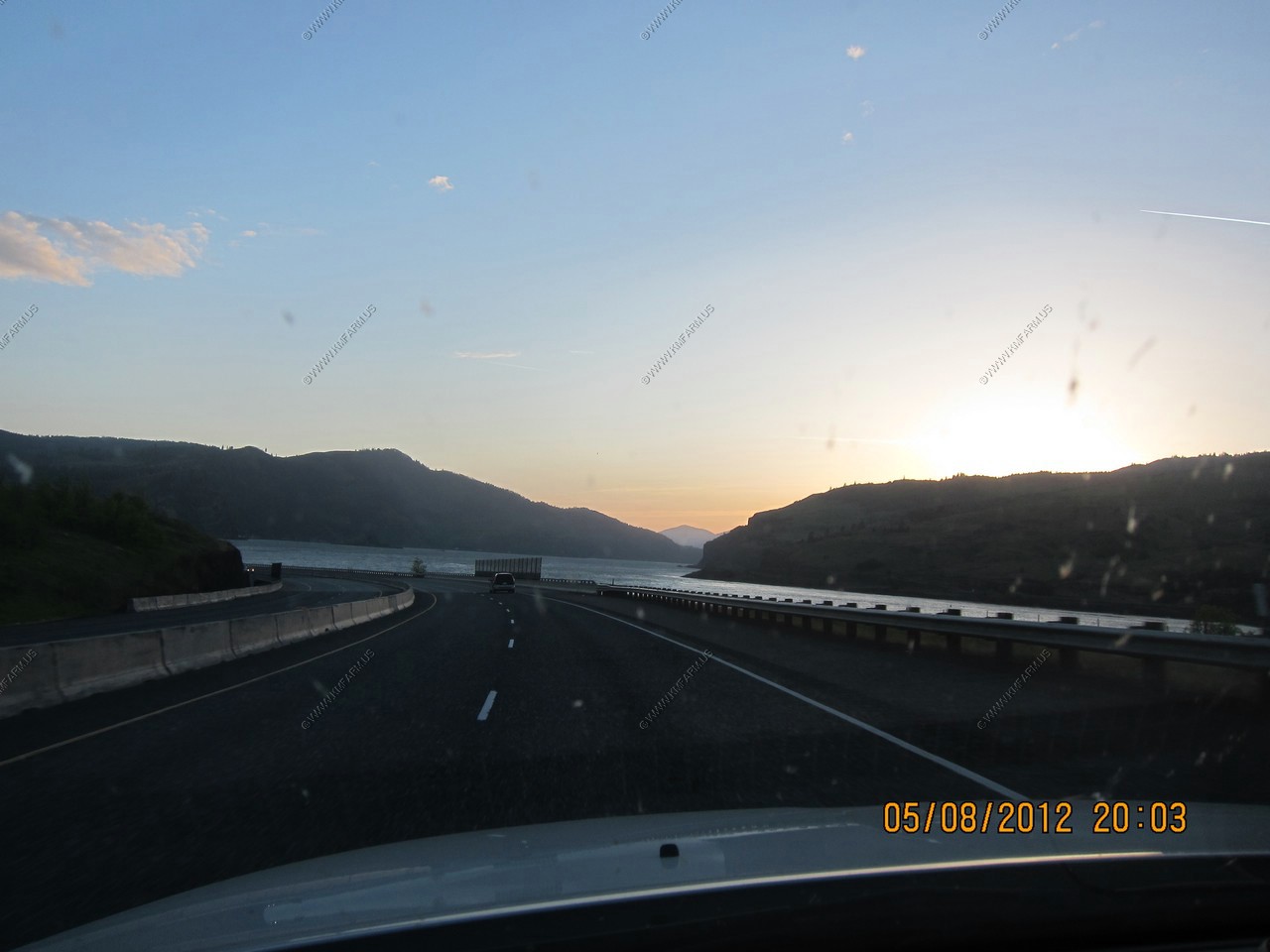
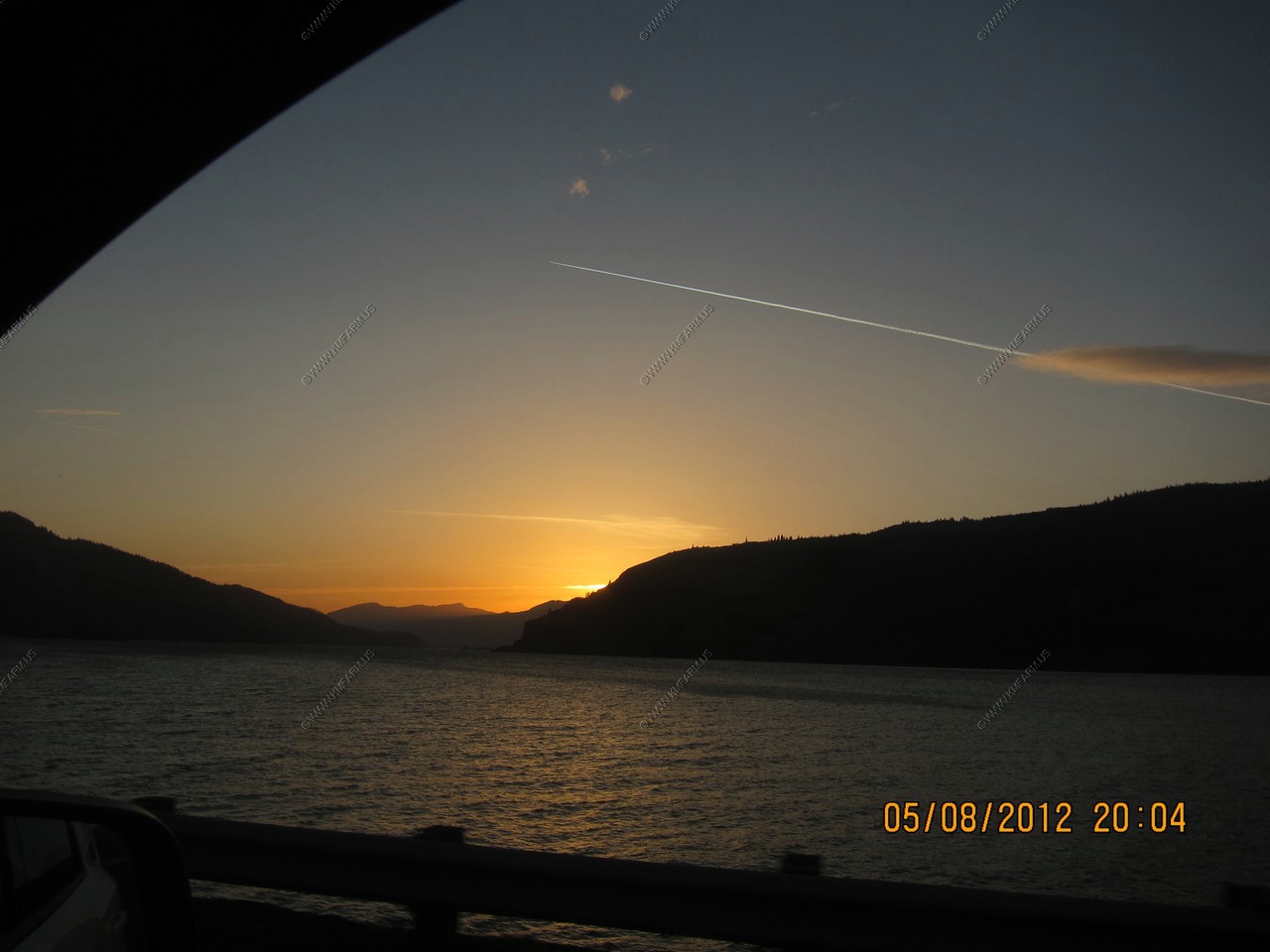
Stopped at Mitchell Point to watch the sun go behind the walls of the gorge. This is located at: 45.7037864N 121.618439W
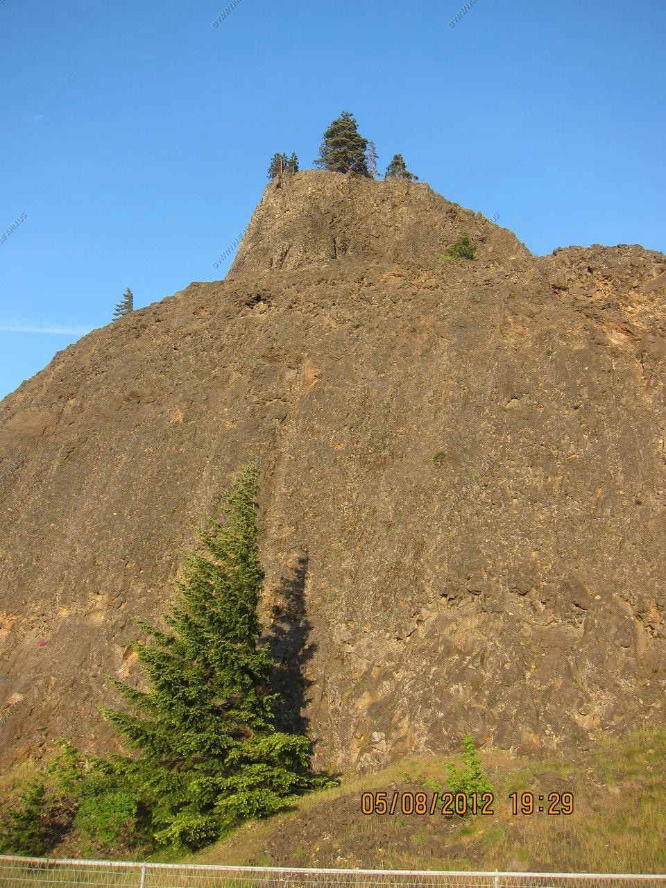
Various views.

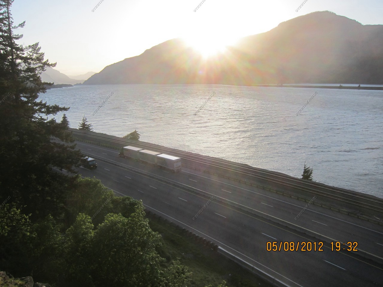
Triple trailers. The volume of truck traffic alone here was amazing. Most heading east.
Impressive
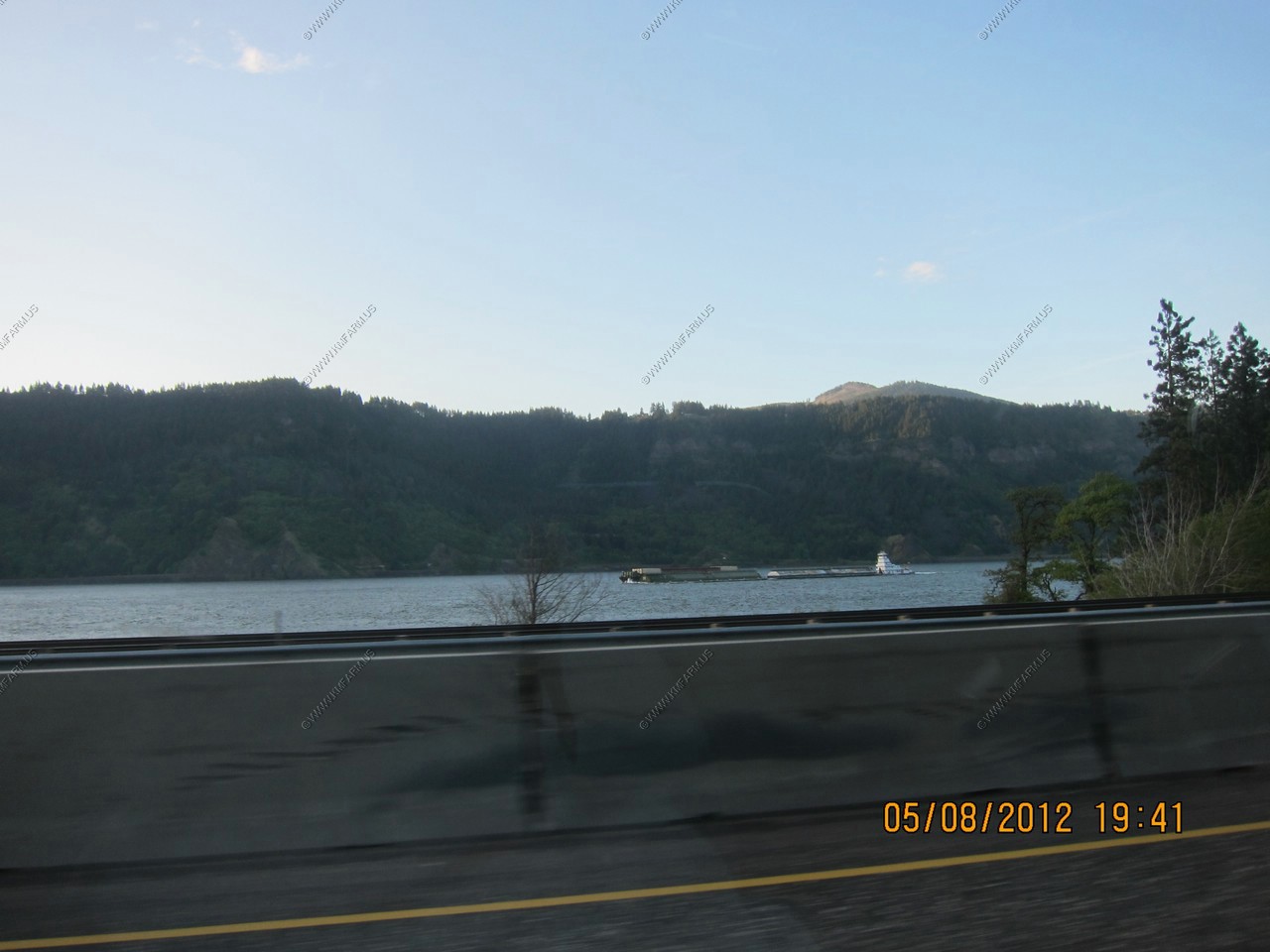
Barge traffic
Mt Adams(El. 12,277) 34 miles to the north from along I-84 near Hood River, OR
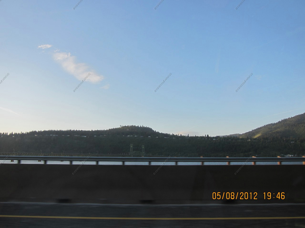
The Hood River Bridge - A truss bridge with a vertical lift that spans the Columbia River between Hood River, Oregon and White Salmon, Washington.
The bridge is currently the second oldest road bridge across the Columbia between Washington and Oregon. It was built by the Oregon-Washington Bridge Company and opened on December 9, 1924. The original name was the Waucoma Interstate Bridge.
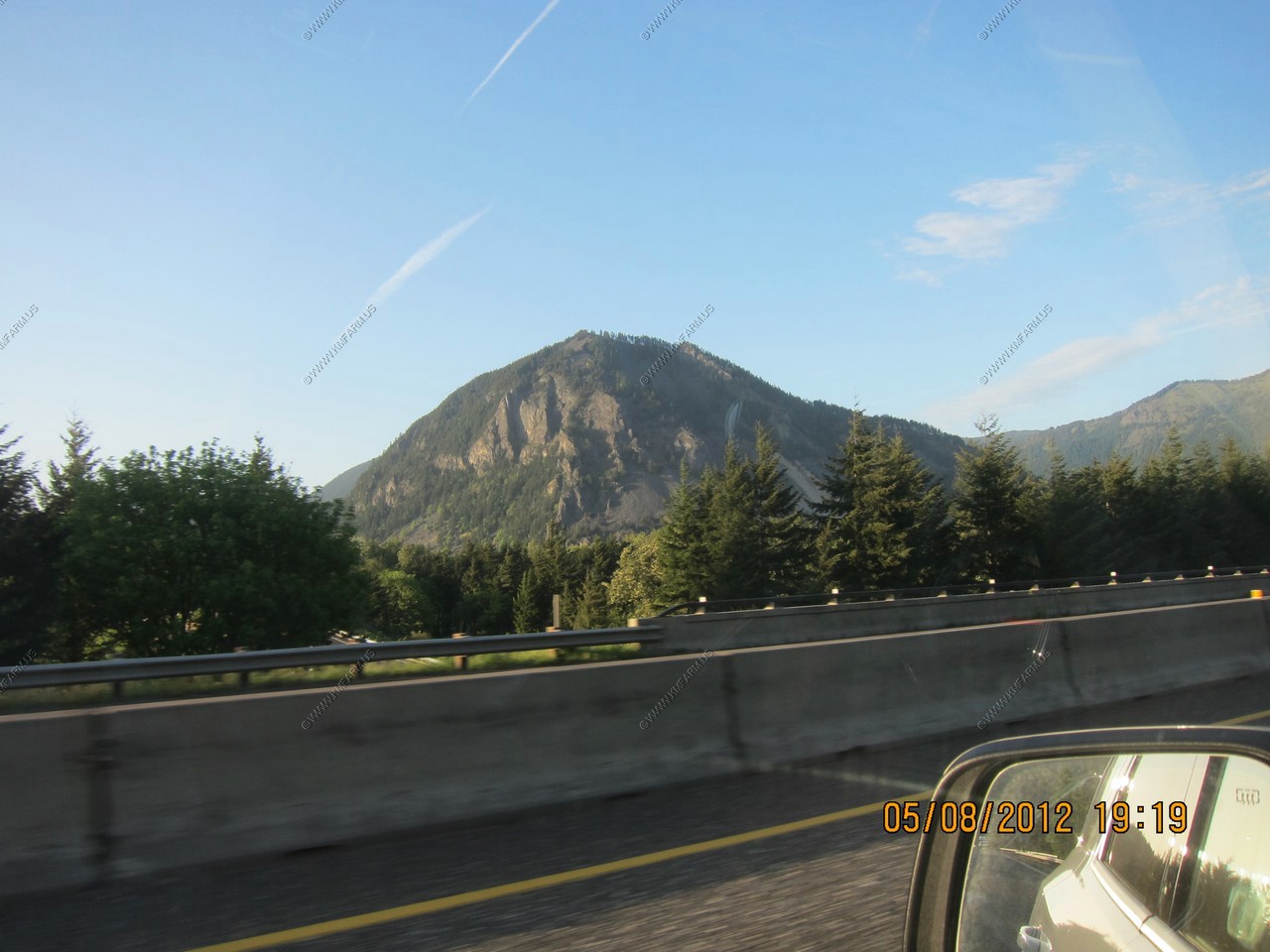
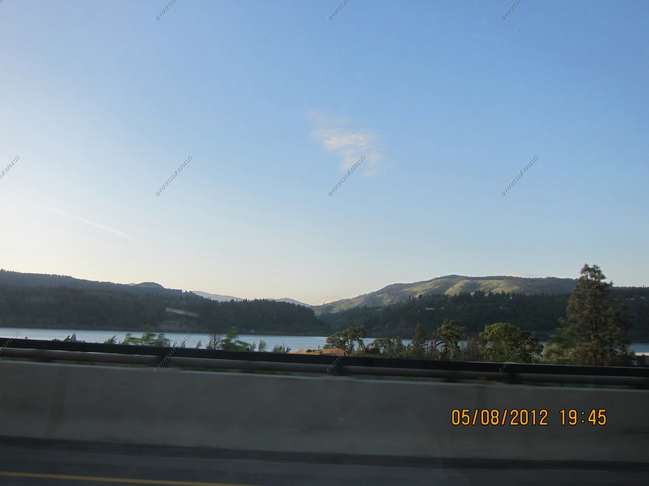
Less trees and various views
A small light on a rock near Eighteenmile Island. The island is mentioned in the journal of Meriwether Lewis, from the Lewis and Clark Expedition.
Another westbound Union Pacific car carrier (Probably empty)
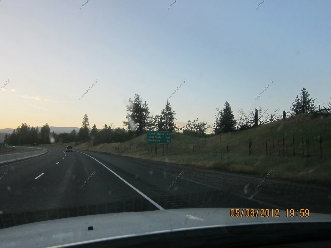
Well, its 8pm and the trees are coming to an end. Time to turn around. I was appx. 10 miles west of The Dalles
Only 74 miles... Right when I was taking this photo I looked to the left and saw a cougar in a field appx. 100 feet from I-84
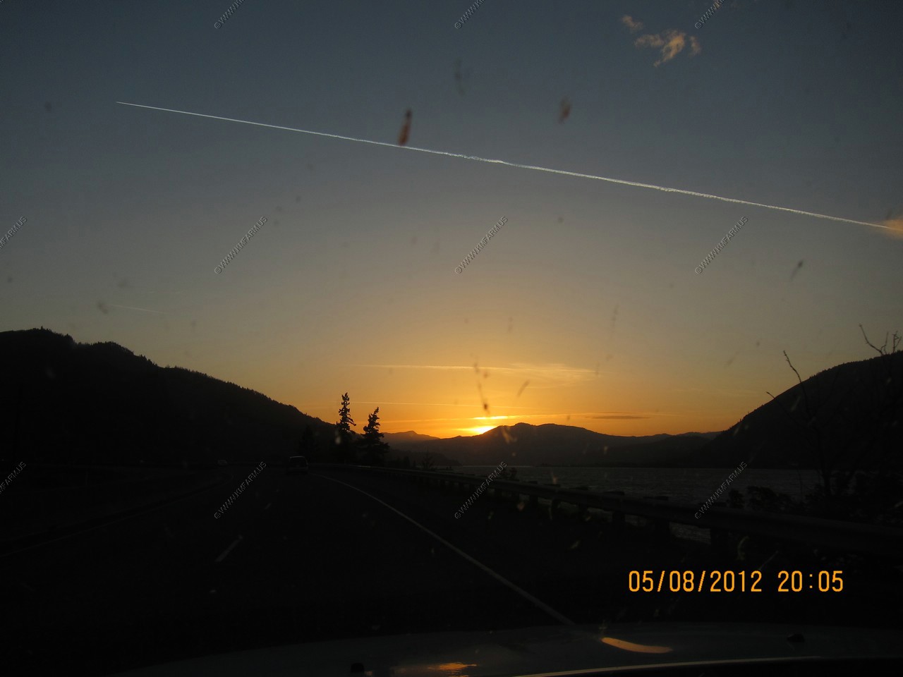
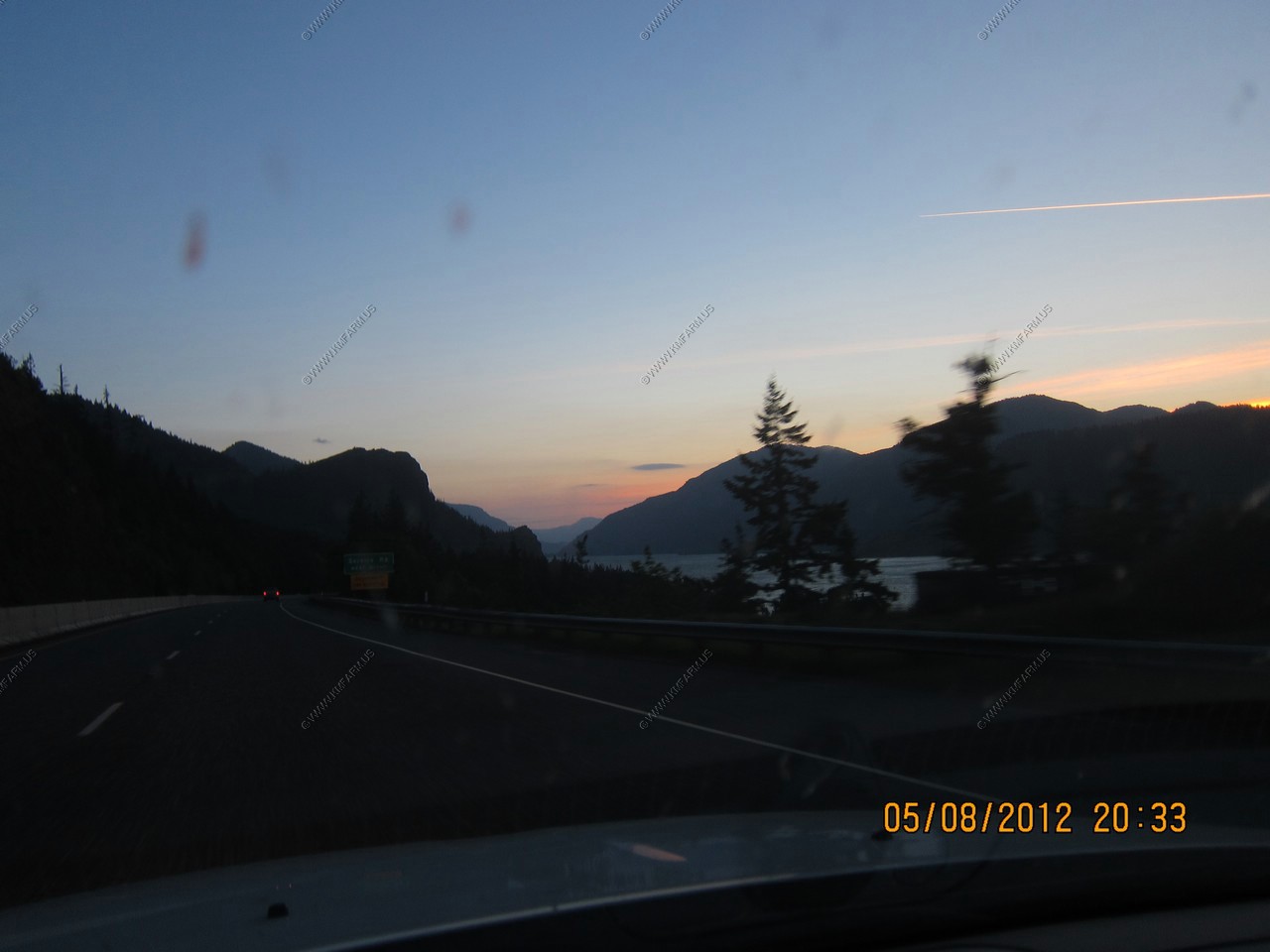
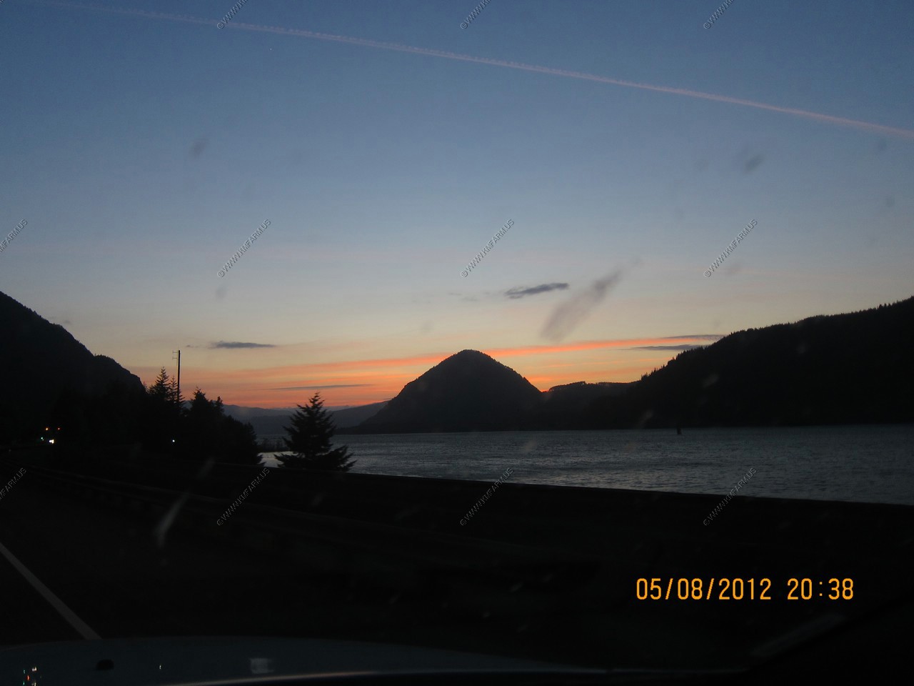
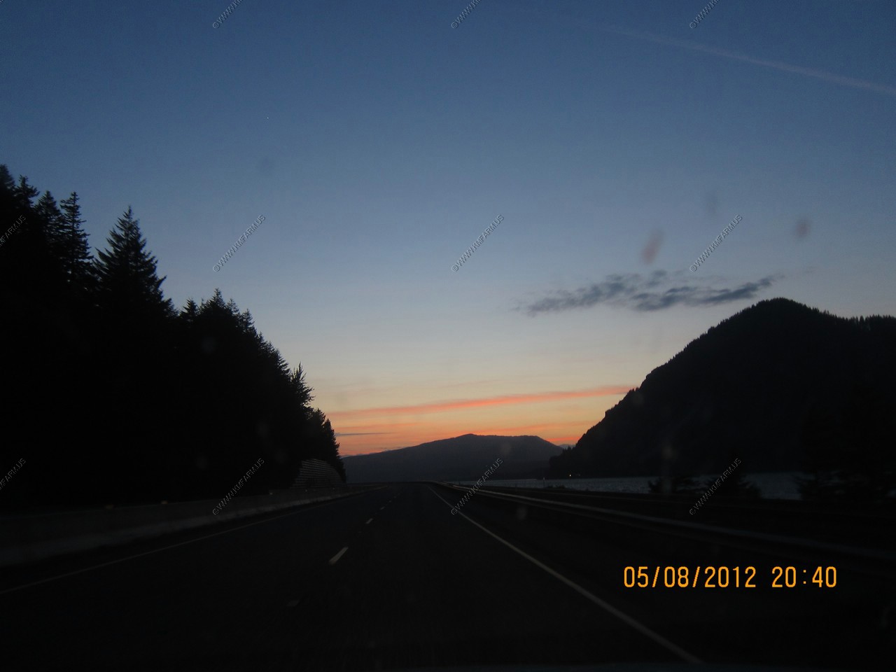
Windshield Sunsets (with bugs)

Stayed at Embassy Suites Portland - Downtown which was Built in 1912 as the Multnomah Hotel. Nice place.

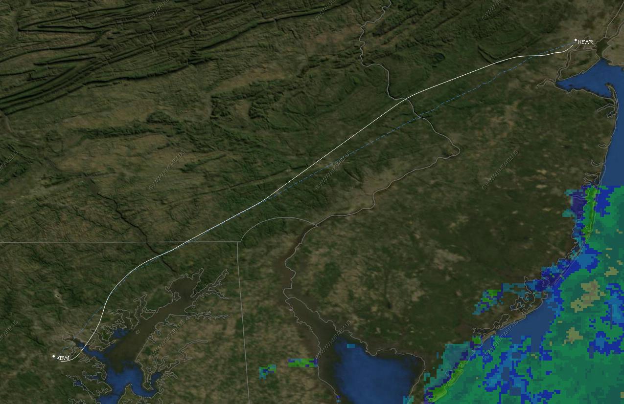
The first segment. Portland to Newark, NJ
St. Hellens and Mt. Rainier in the background. Columbia River in the front
St. Helens and Mt. Rainier in the background. And Mt. Adams to the right Columbia River in the front
Mt St. Helens
Mt. Adams and Mt. Rainier in the background.
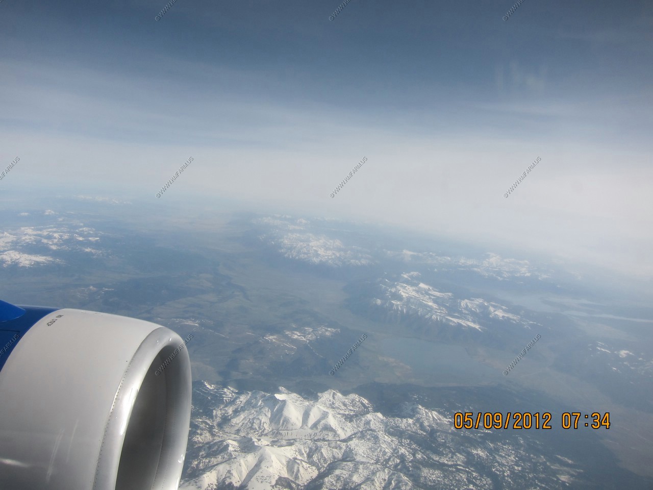
Henrys Lake
Headwaters of the Henrys Fork, a tributary of the Snake River
Now over Yellowstone National Park
Lower Geyser Basin

Now over Yellowstone National Park
Upper Geyser Basin
Contains 150 geysers, including the world famous Old Faithful. Also includes the beautiful Riverside Geyser, the impressive Castle Geyser, the wonderful Grand Geyser, Giant and Giantess Geysers, Beehive Geyser, Lion Geyser, many hot pools,fumeroles, & Firehole River.
Yellowstone Lake - is the largest body of water in Yellowstone National Park, The lake is 7,732 feet above sea level and covers 136 square miles with 110 miles of shoreline
Looking across the Yellowstone Caldera The Mountain area above the engin is Mt. Holmes (El. 10,336ft) Dome Mountain, Antler Peak & Quadrant Mountain
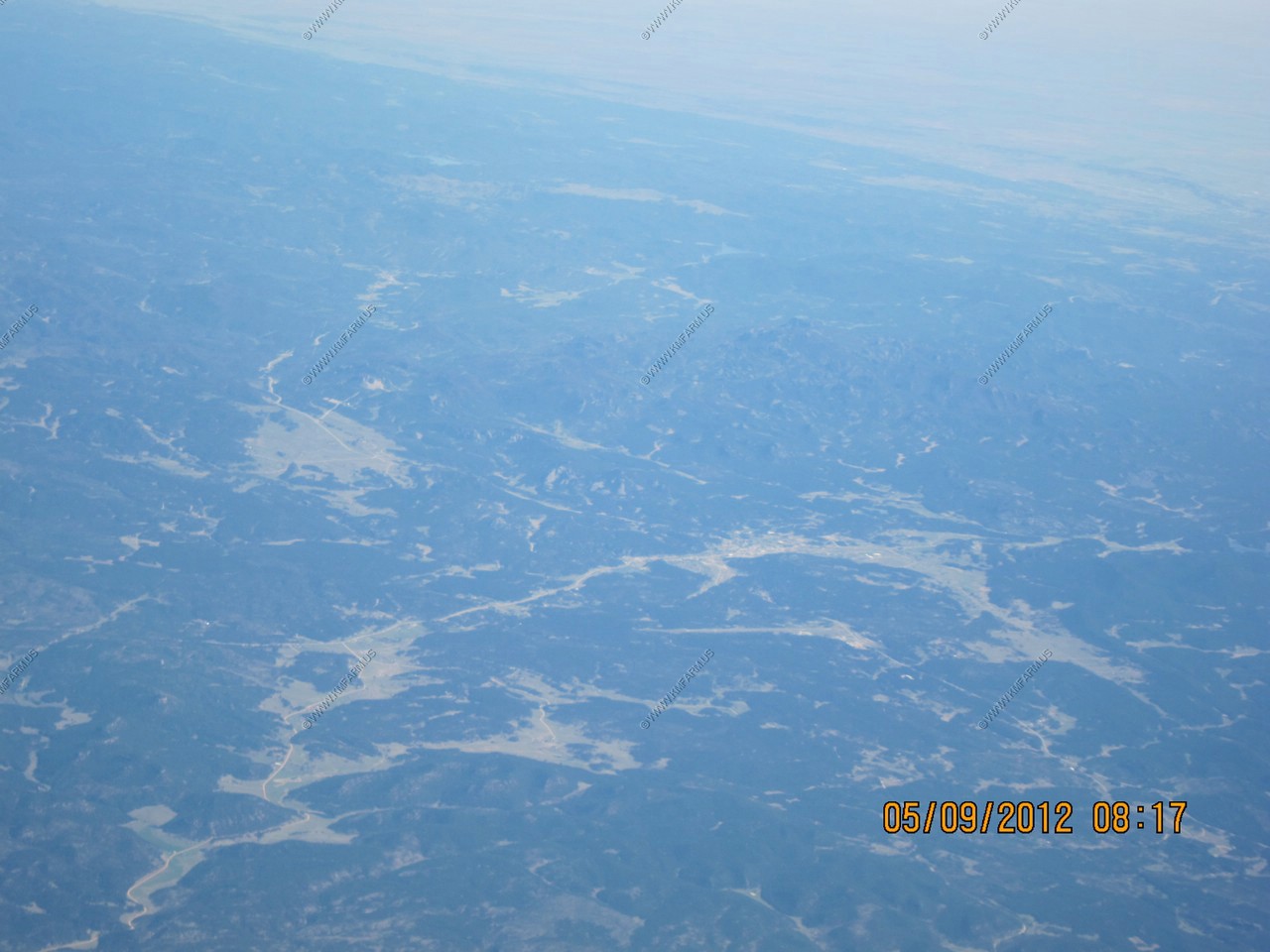
The extremely rugged Absaroka Range between Yellowstone and Cody, WY.
A really bad shot of Cody Wyoming. A cool place where we have considered buying a retirement home
The Big horn Range - Cloud Peak is someplace at 13,167 ft
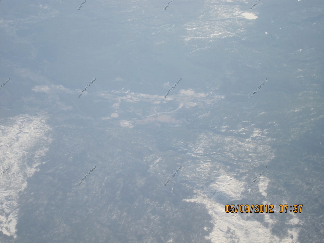
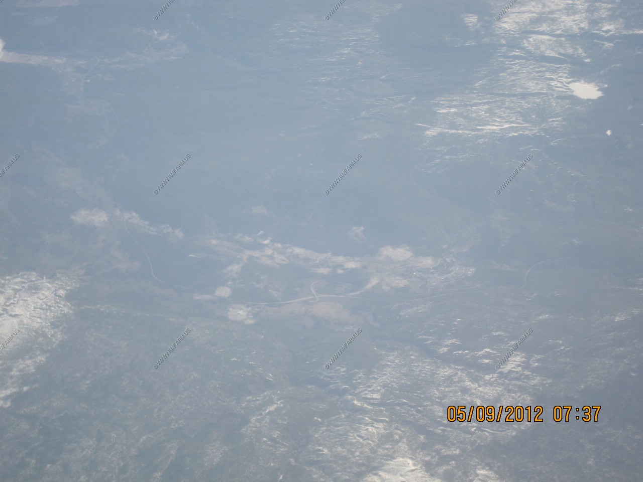
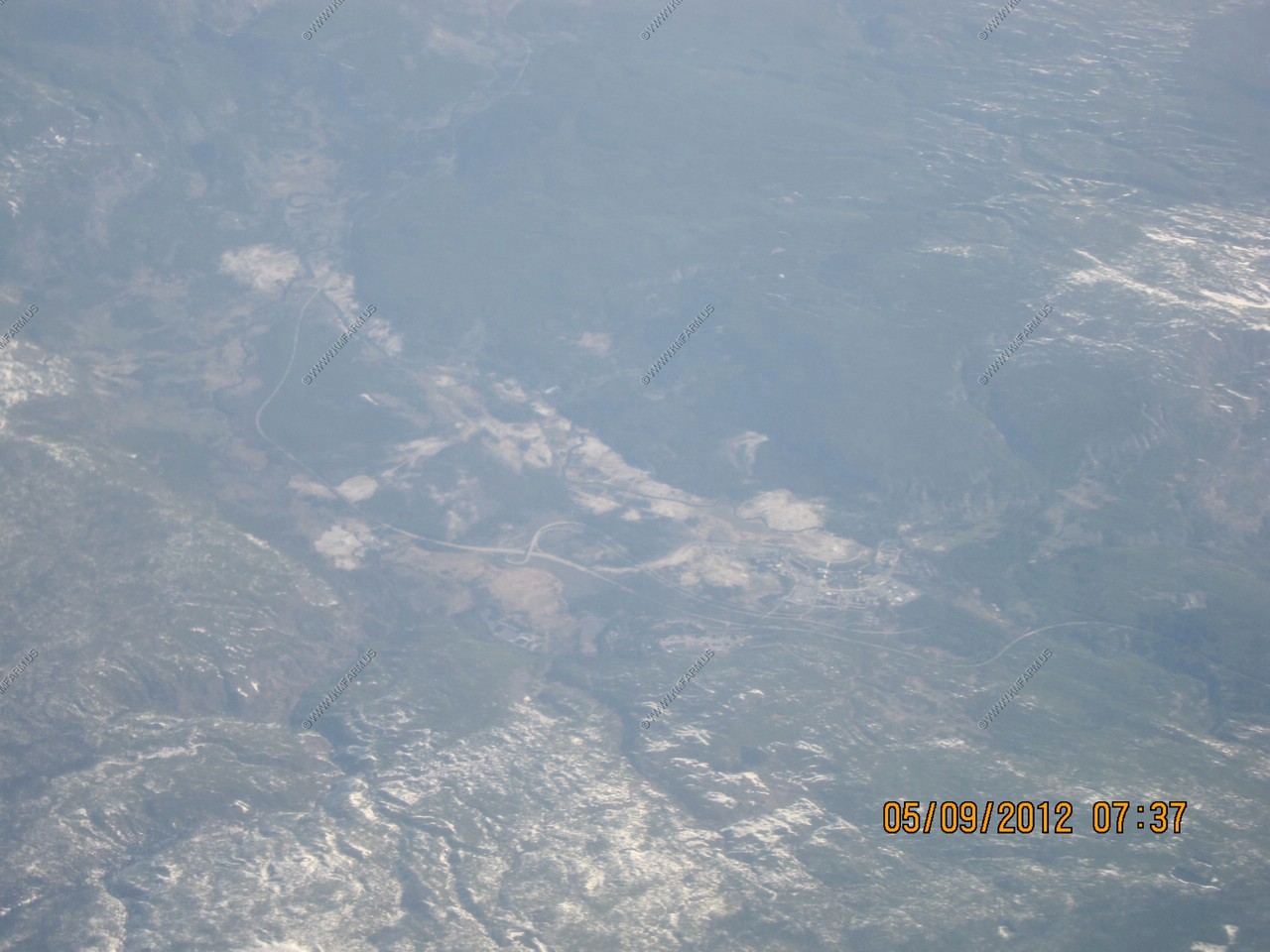
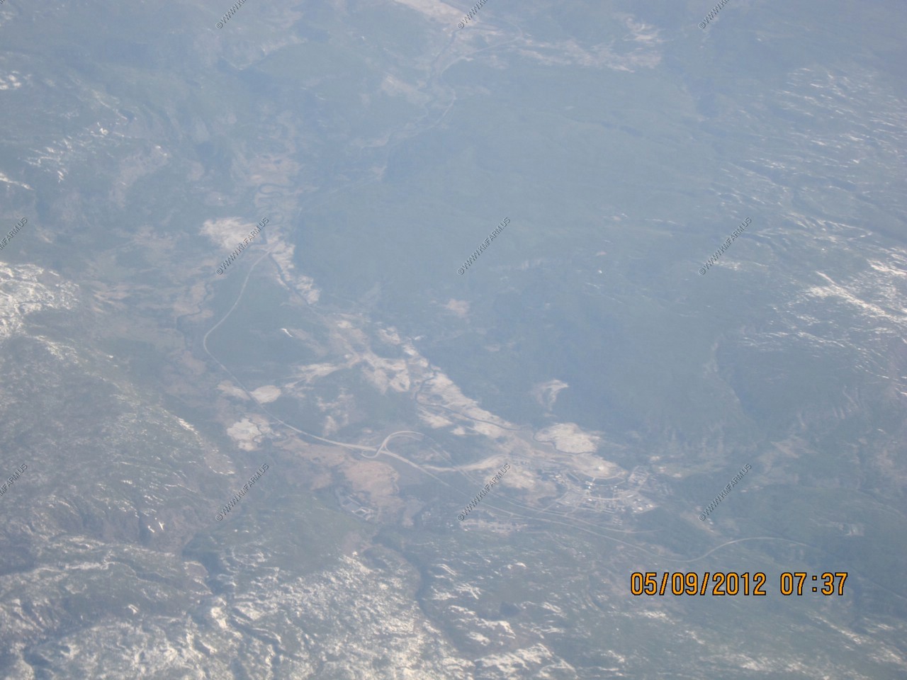
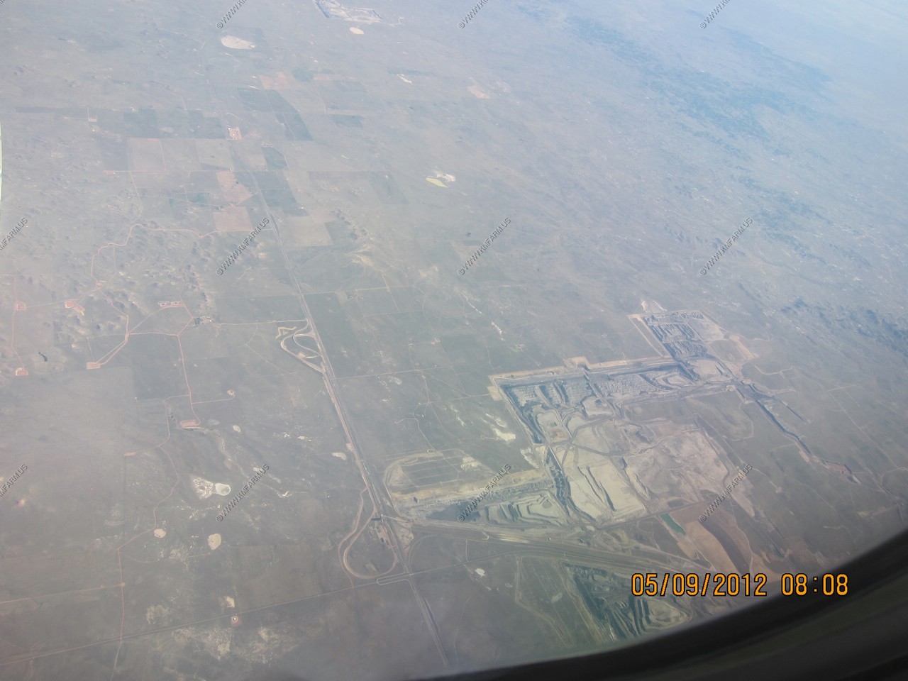
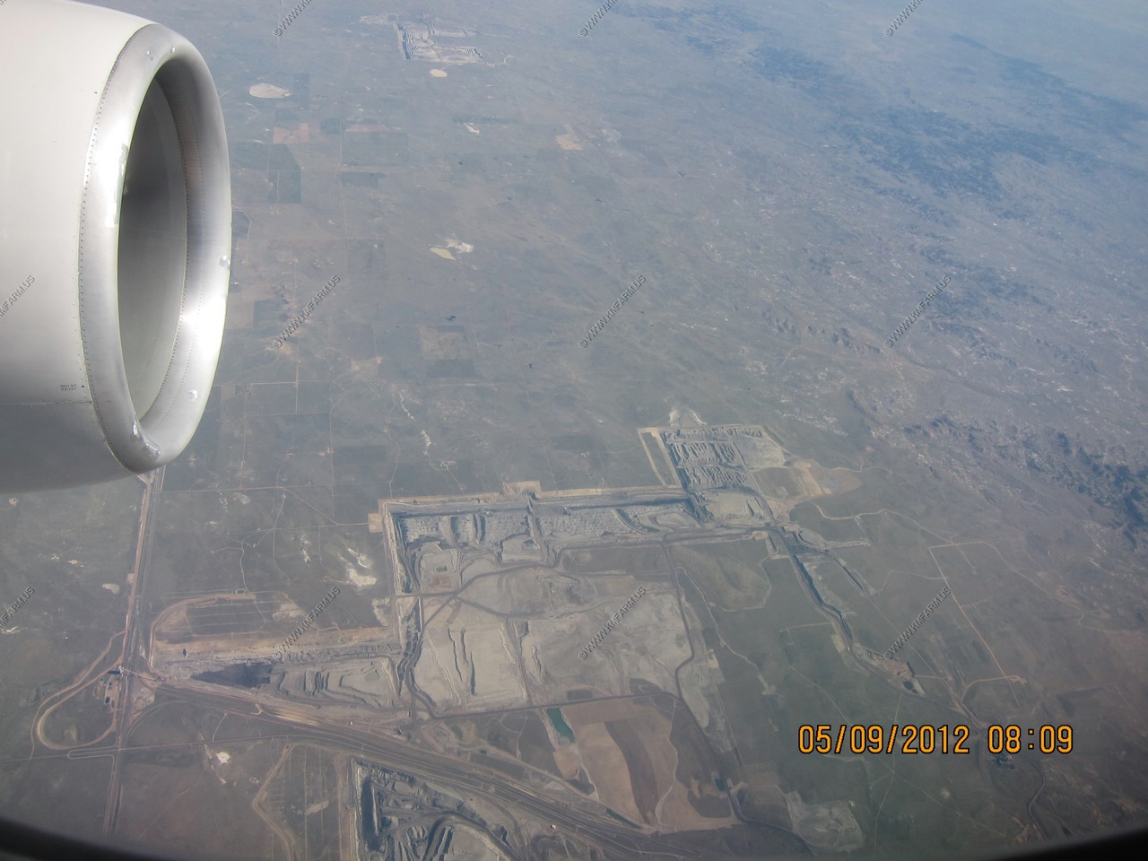
The Powder River mining area. Great to see us mining coal !
Another possible retirement location - Hot Springs, South Dakota - the banana belt of South Dakota - Hot Springs is one of the warmest places in South Dakota with an annual mean temperature of 48.6F

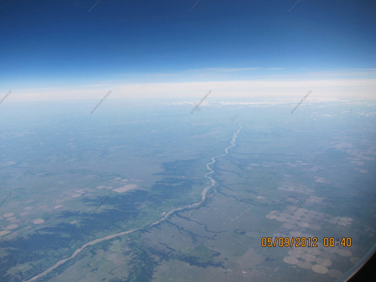
Western Nebraska along the Niobrara National Scenic River near (42.7158486N 99.51249W)
The route home from Newark. It was raining.