Last Updated: 24-AUG-2018
All photos were taken with a Canon EOS-70D 20.2mp camera or a Motorola Moto-X
Any Video was shot with both cameras and converted with AWS Video Converter 6
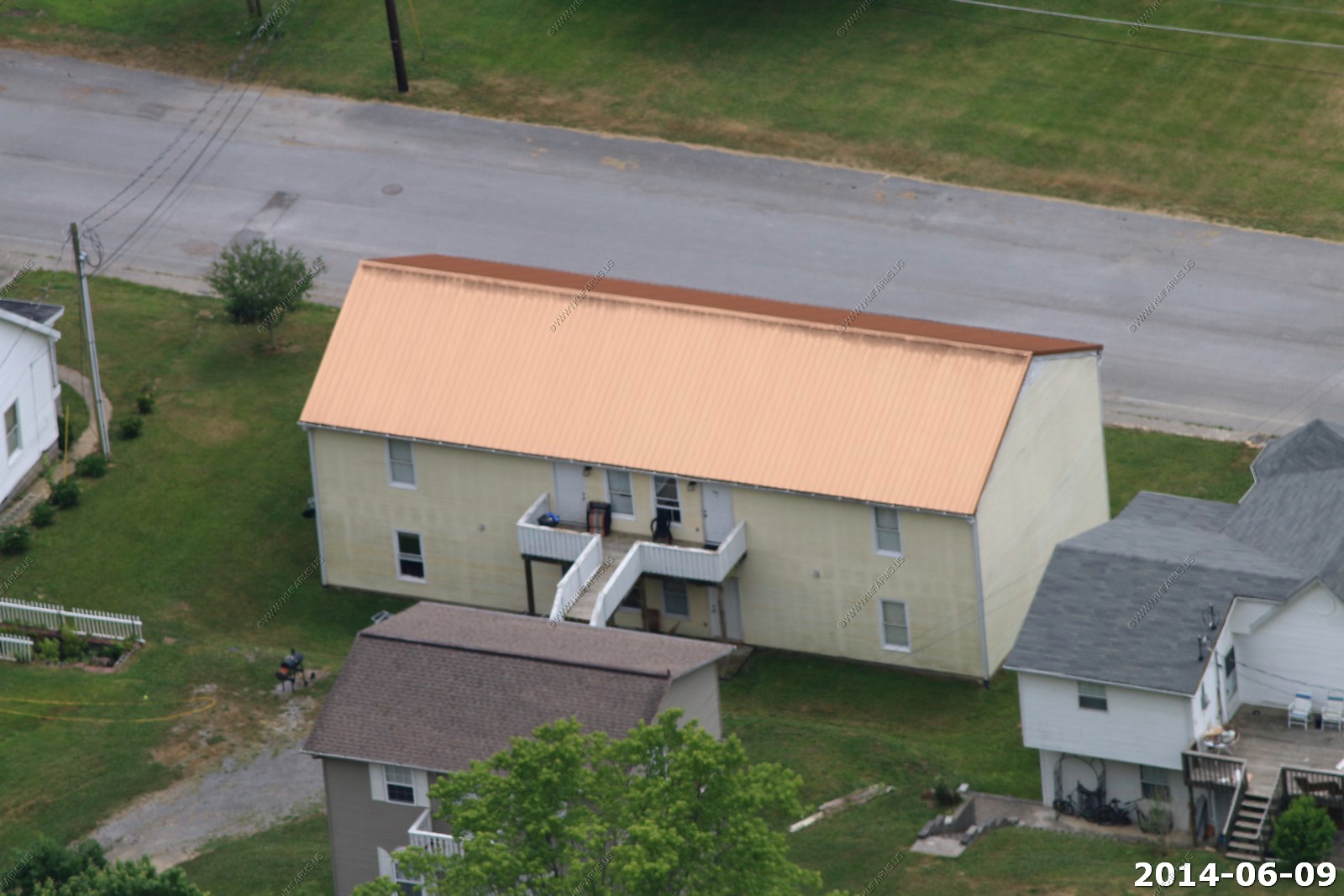
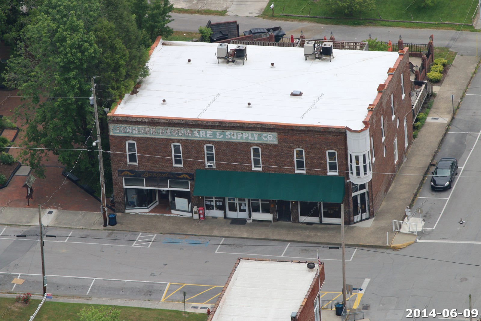
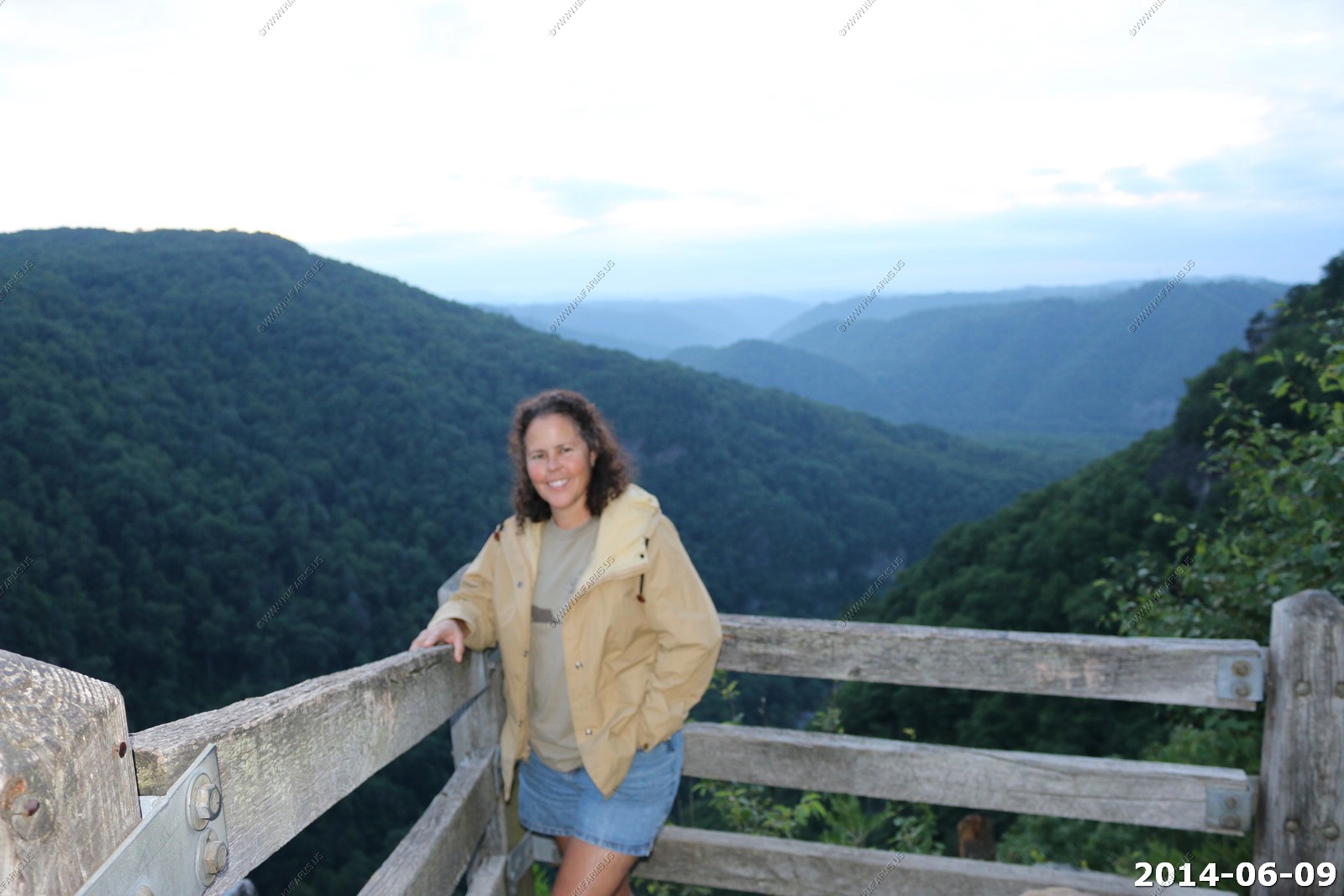
Monday - JUN 09 2014
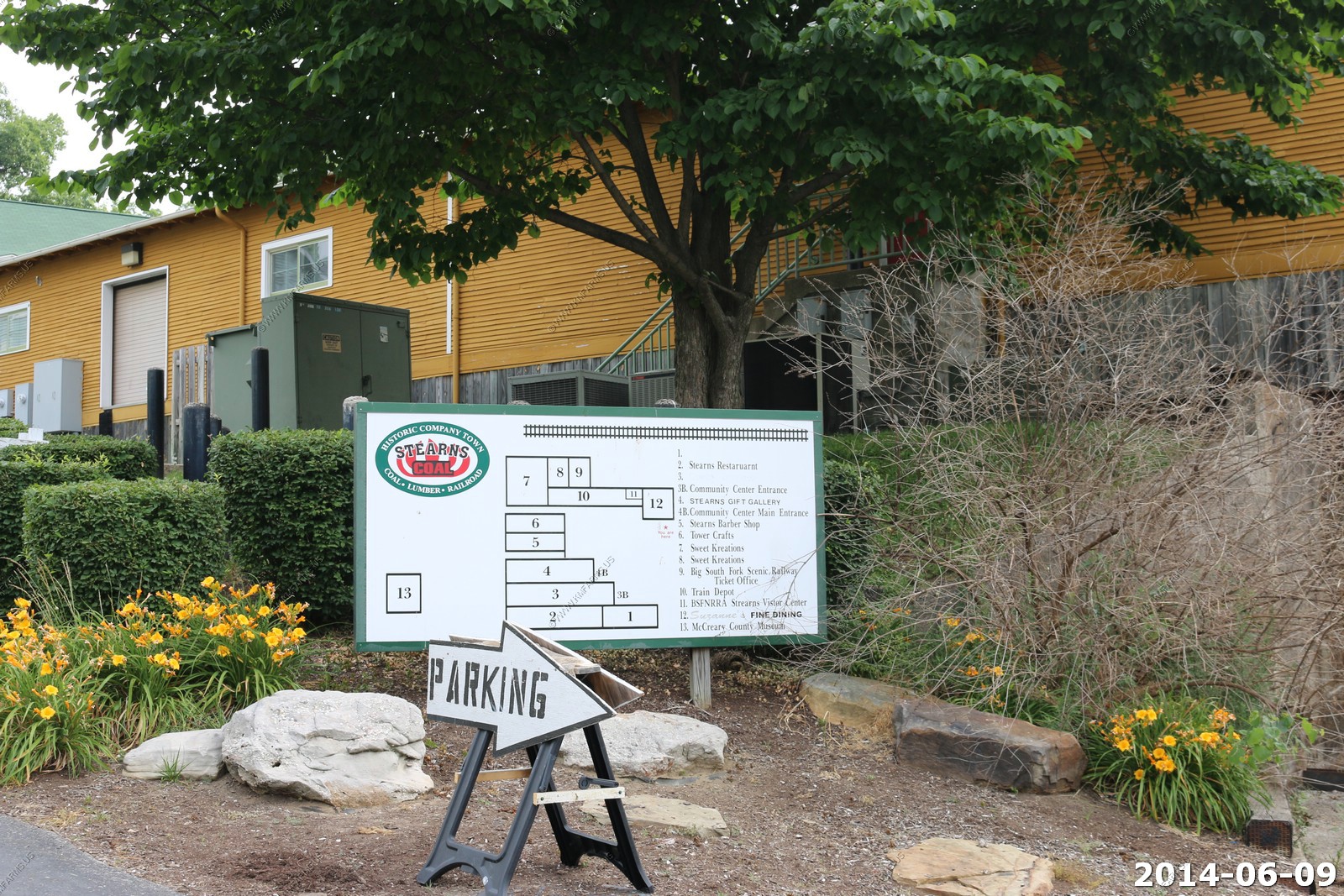
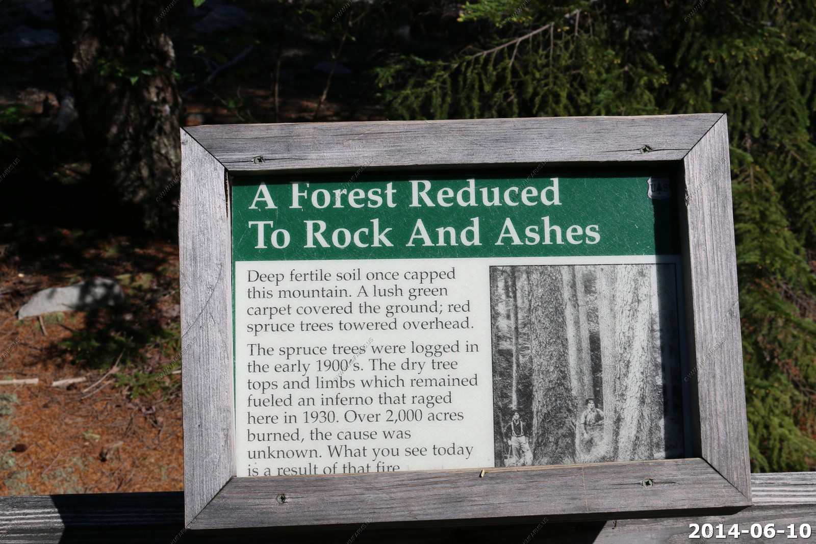
Over one hundred years ago in 1902, Justus S. Stearns of Ludington, Michigan bought 30,000 acres of virgin timberland in Southern-Kentucky. When coal was discovered soon afterwards, the Stearns Coal & Lumber Co. was in business.
The company built the town of Stearns to serve as the hub of a logging and mining empire that would in it's heyday in the 1920's control over 200 square miles of land, build the Kentucky and Tennessee Railway as well as the world's first all-electric sawmill, and employ over 2,200 people living and working in at least 18 coal camps.
Today, Historic Stearns is still a hub, but now for visitors seeking history, recreation, and so much more...
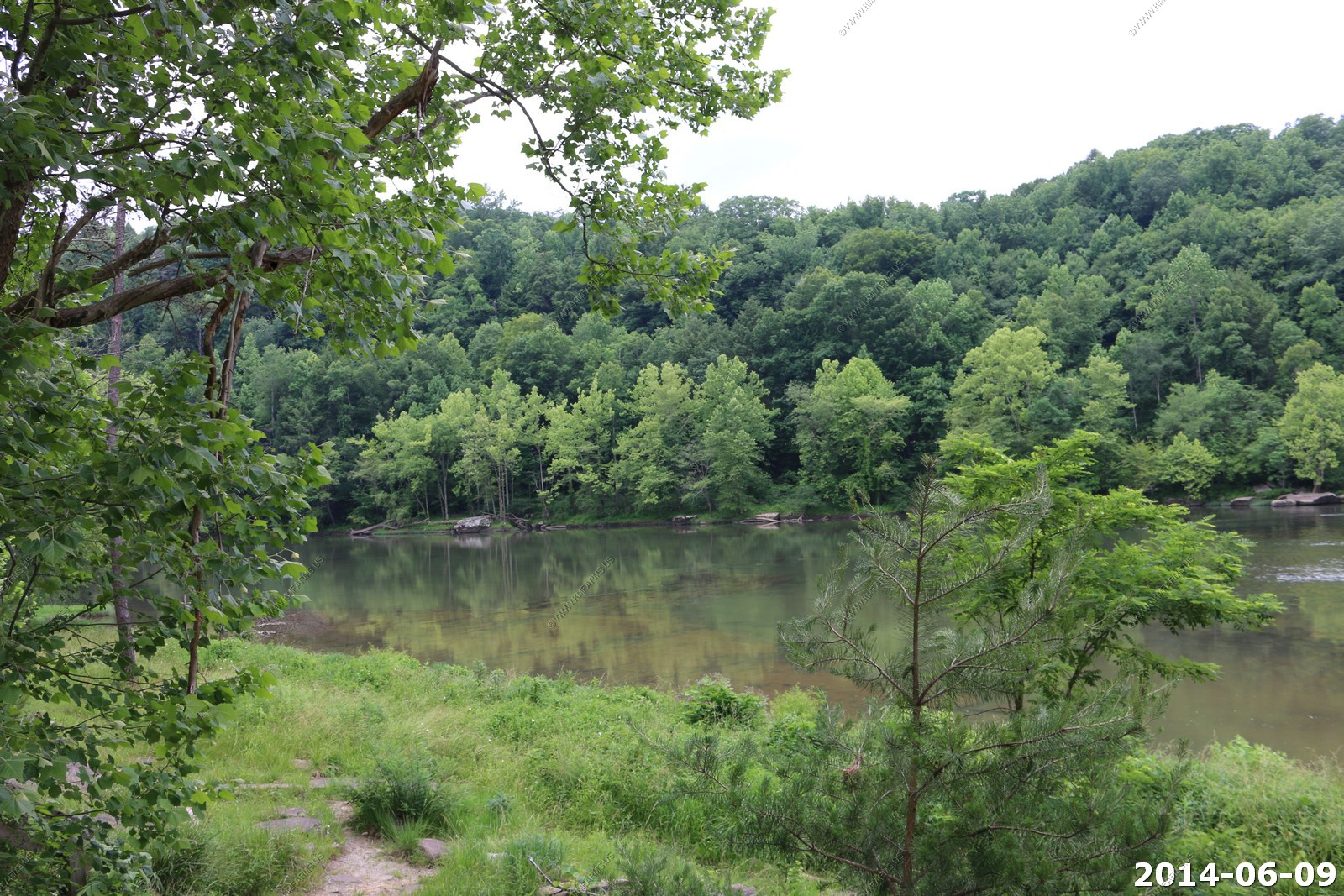
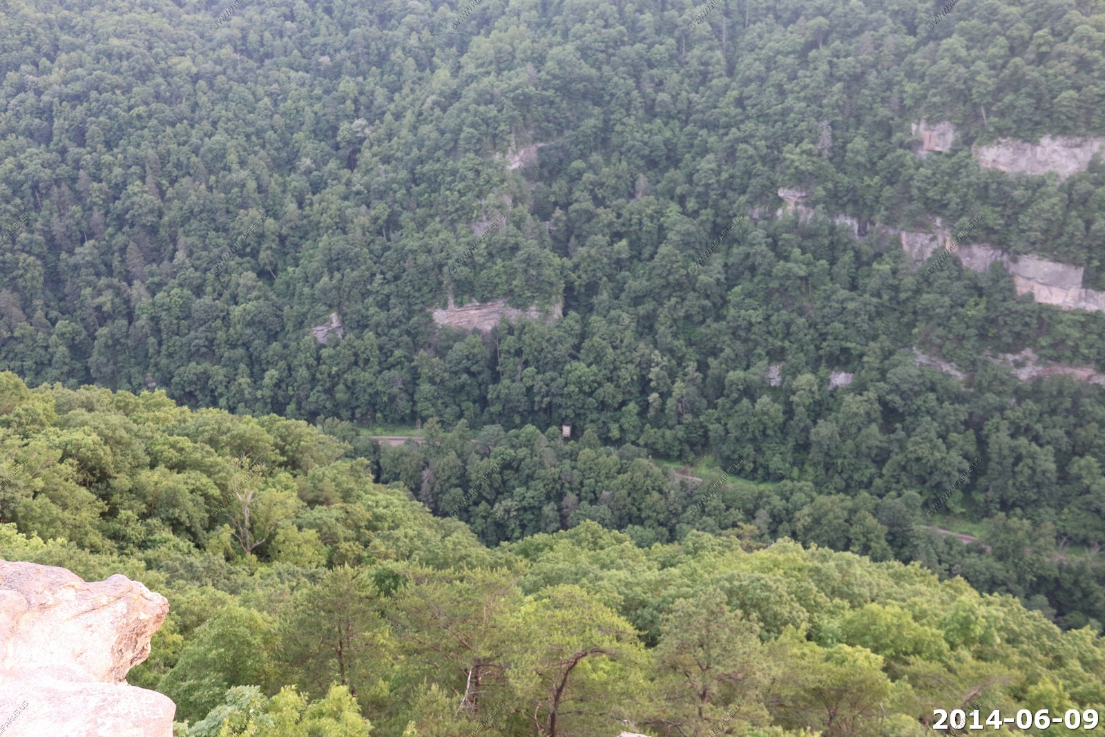
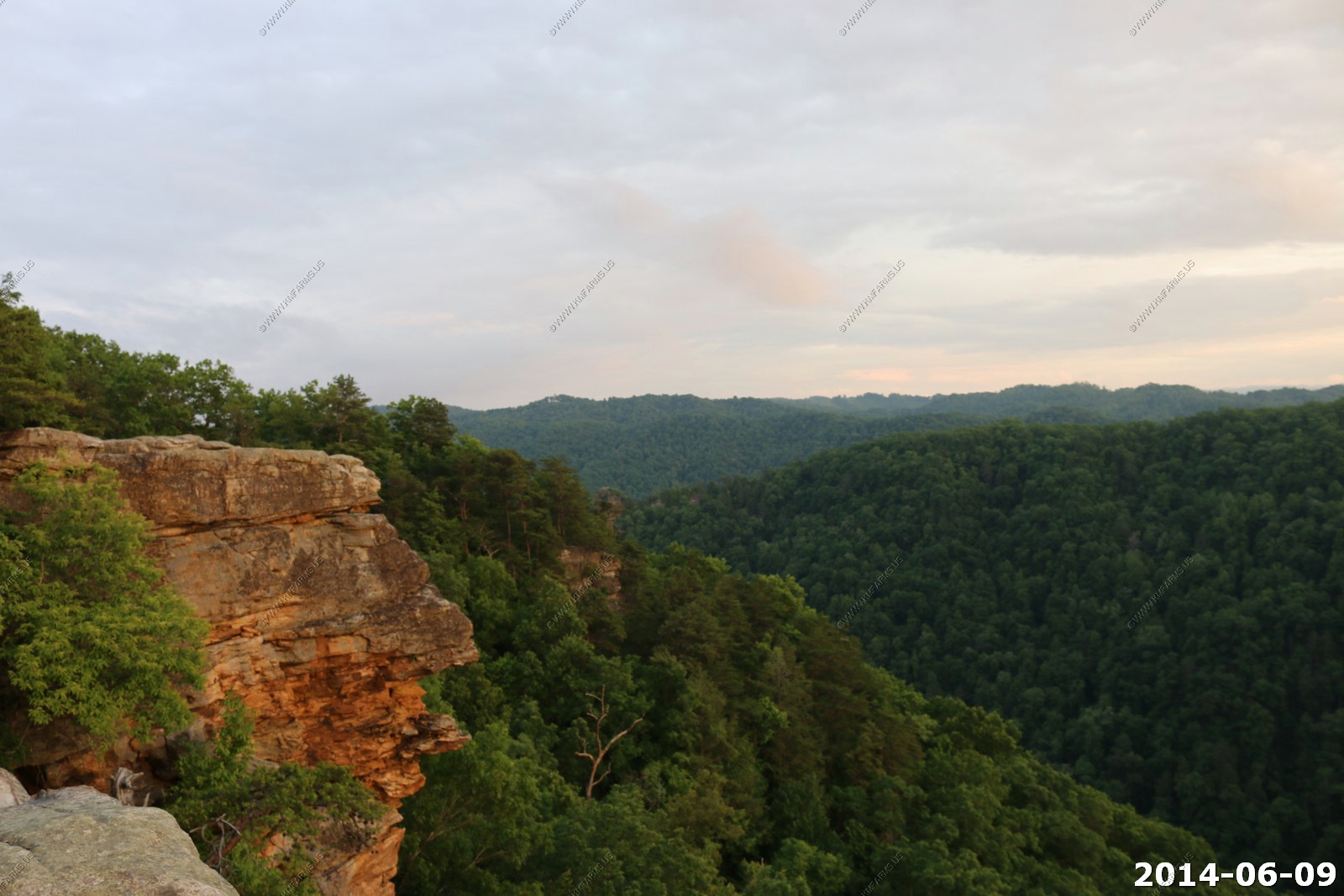
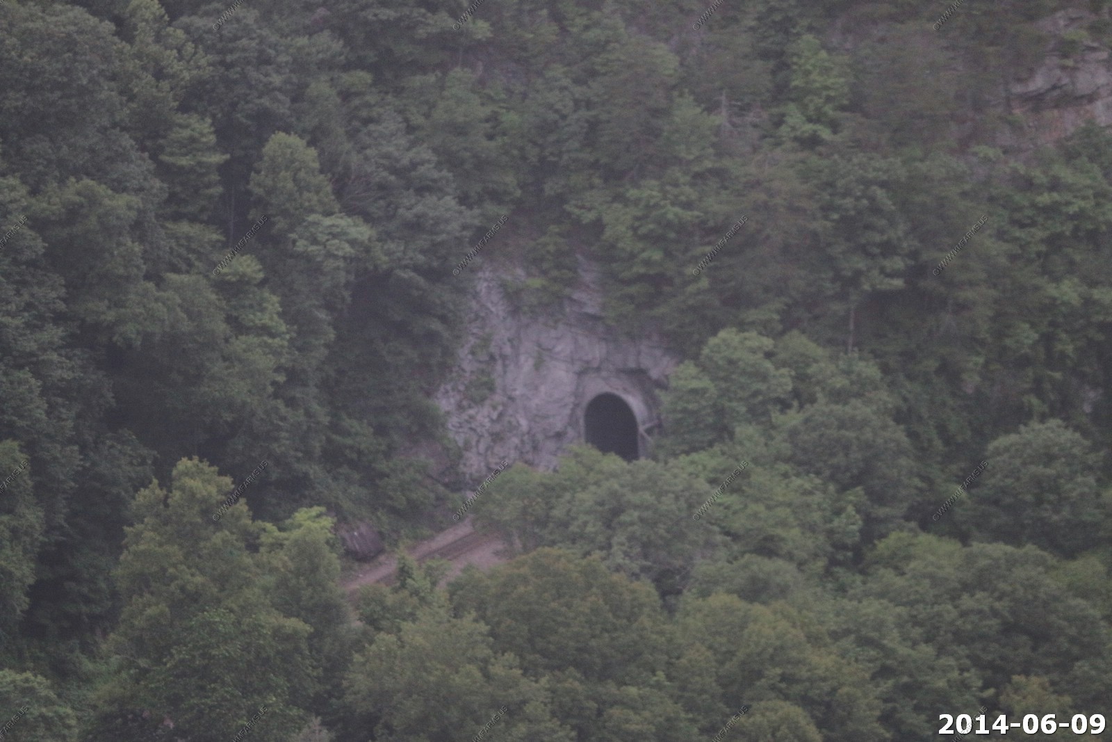
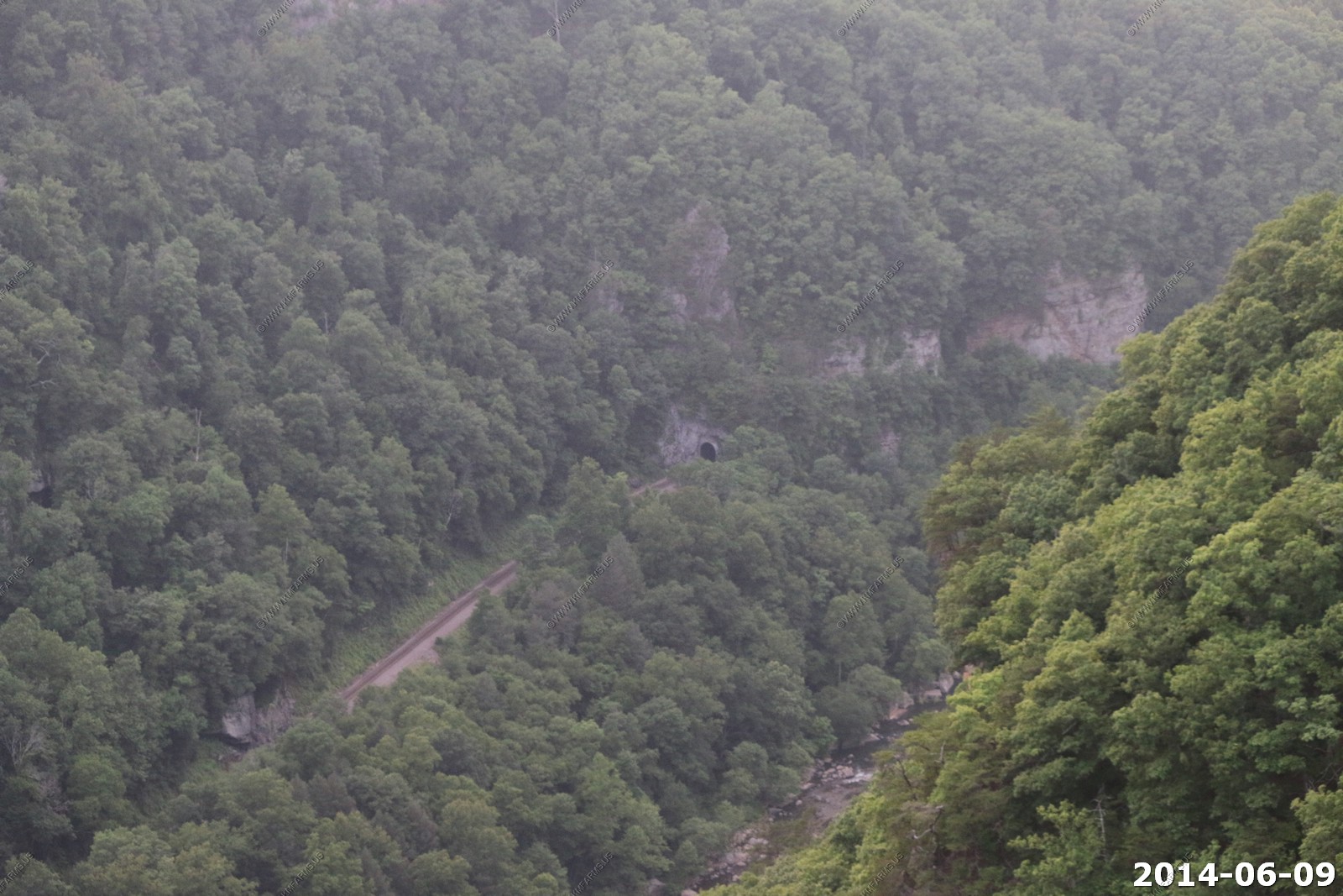
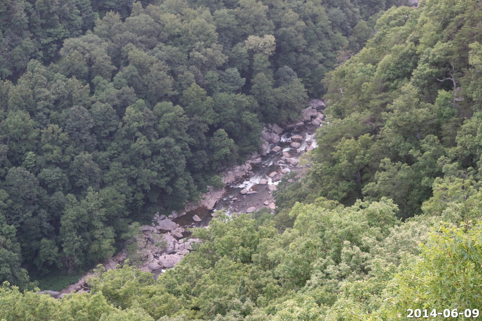
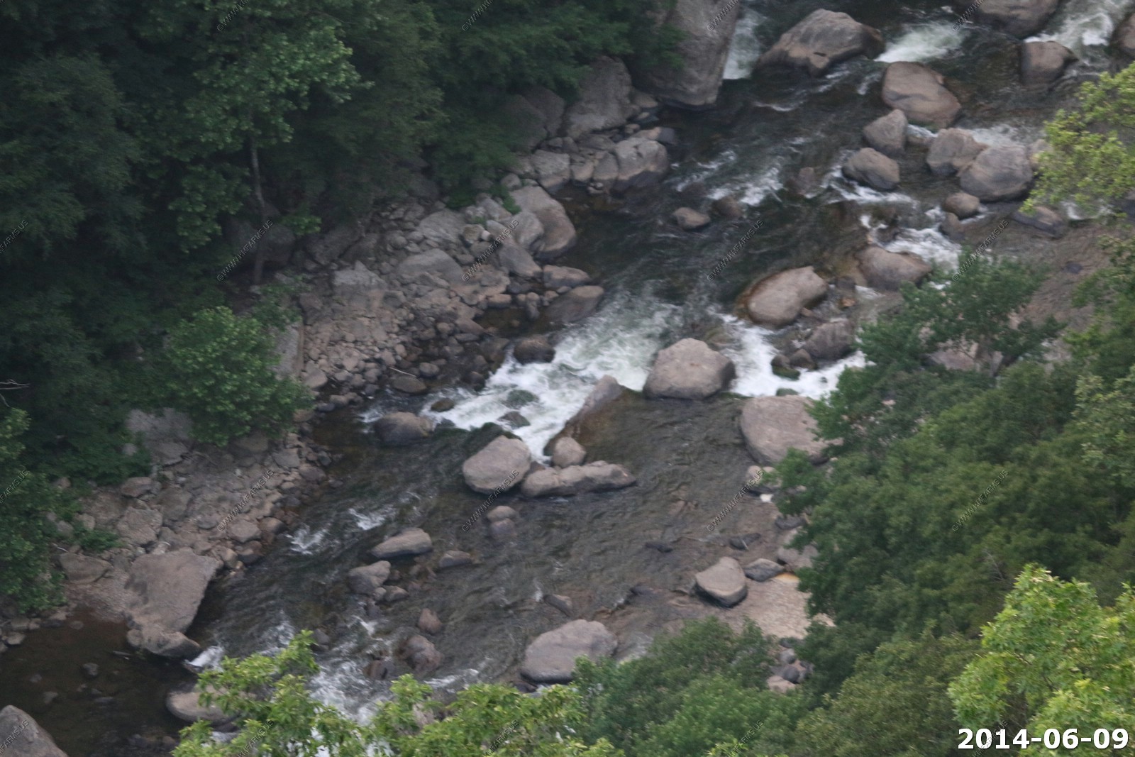
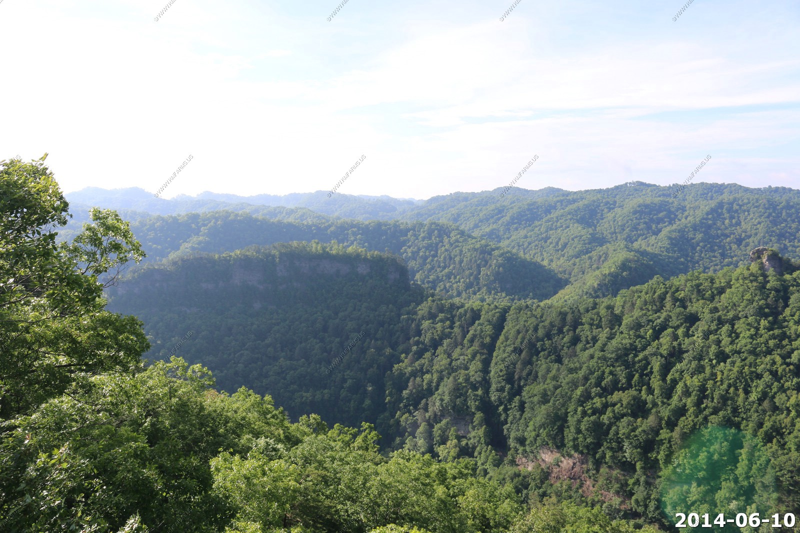
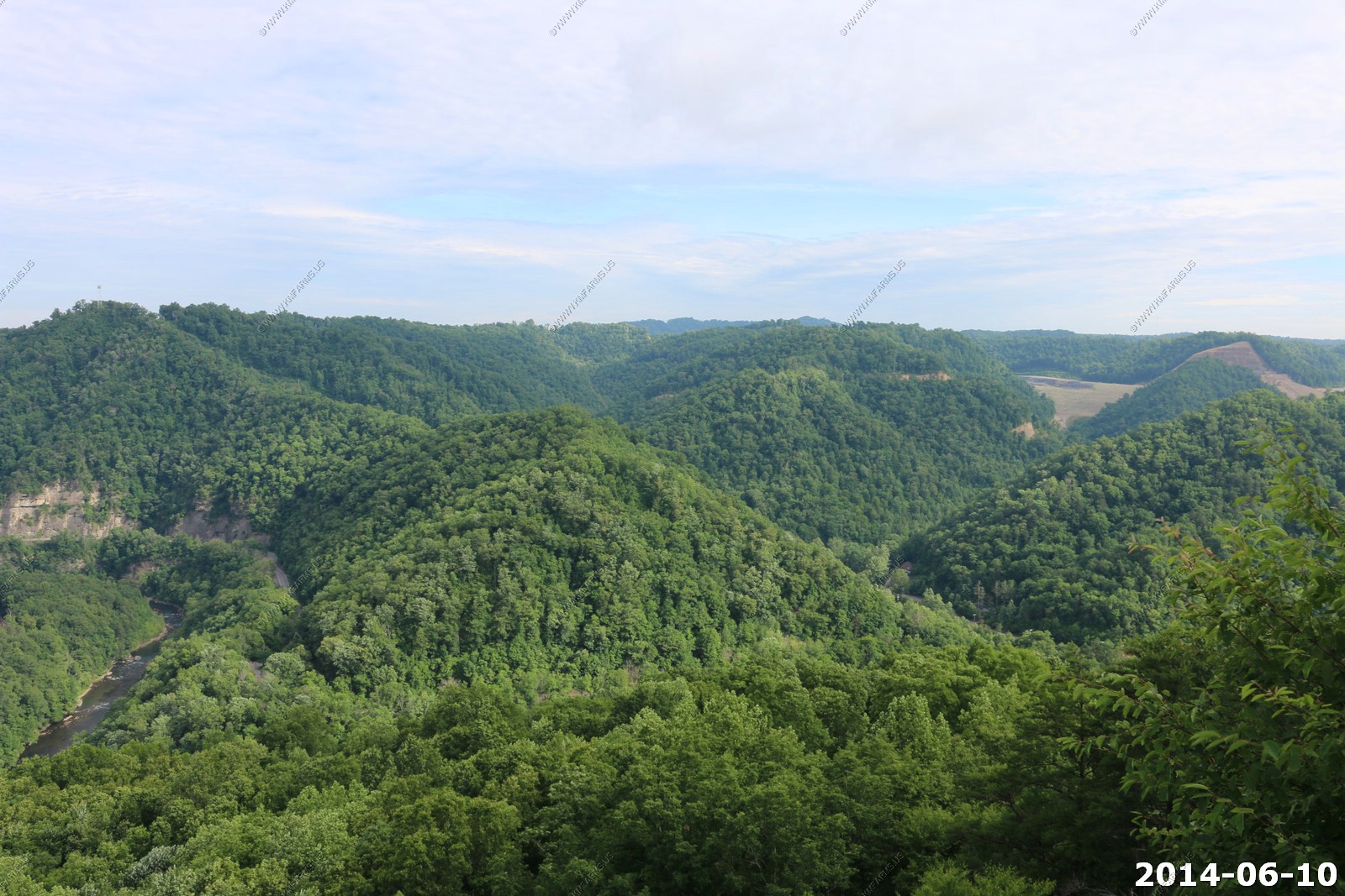
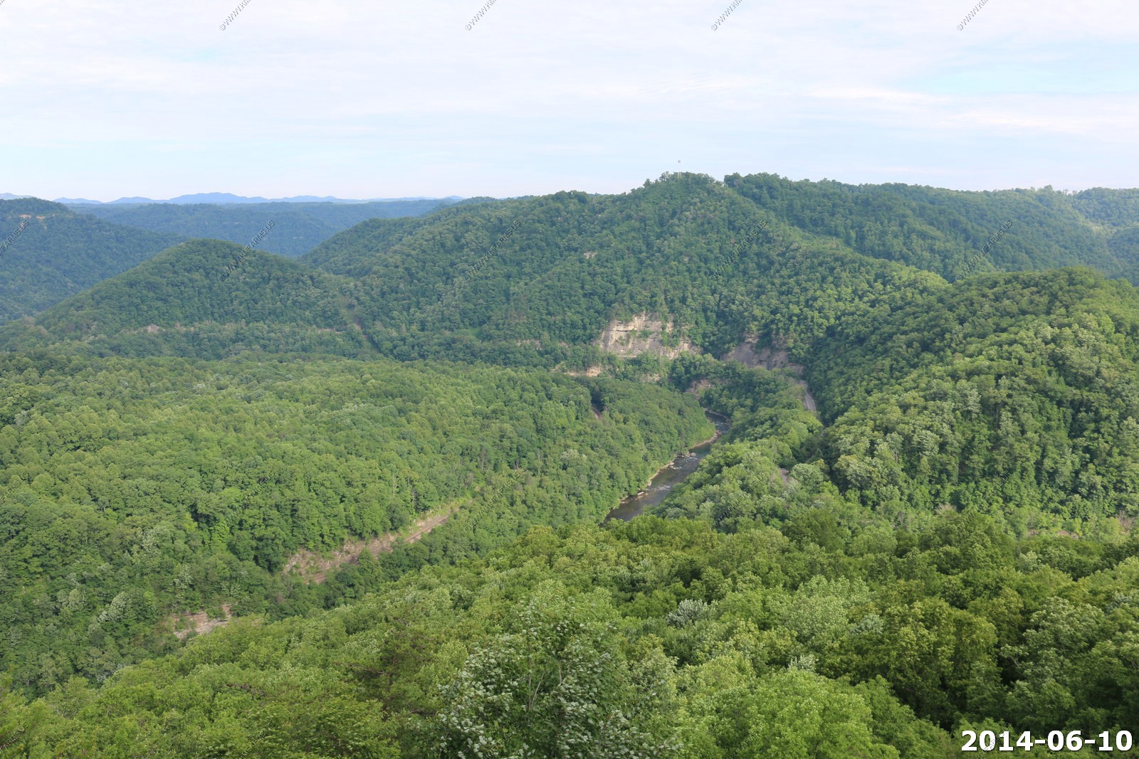
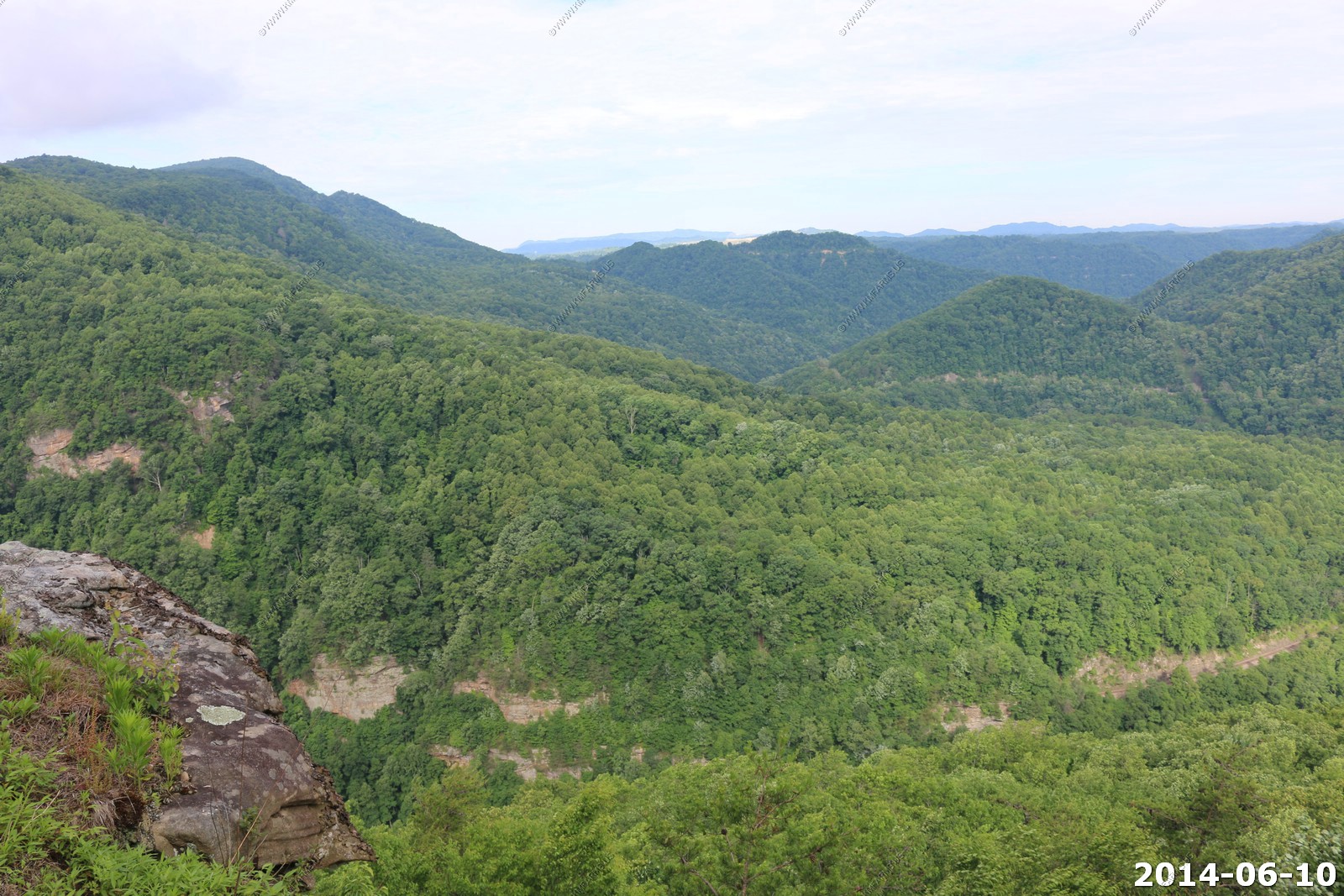
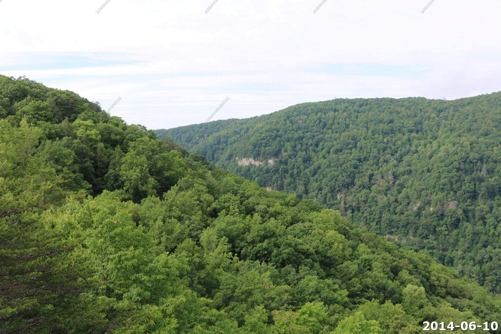
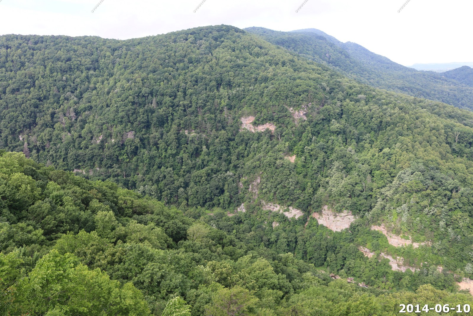
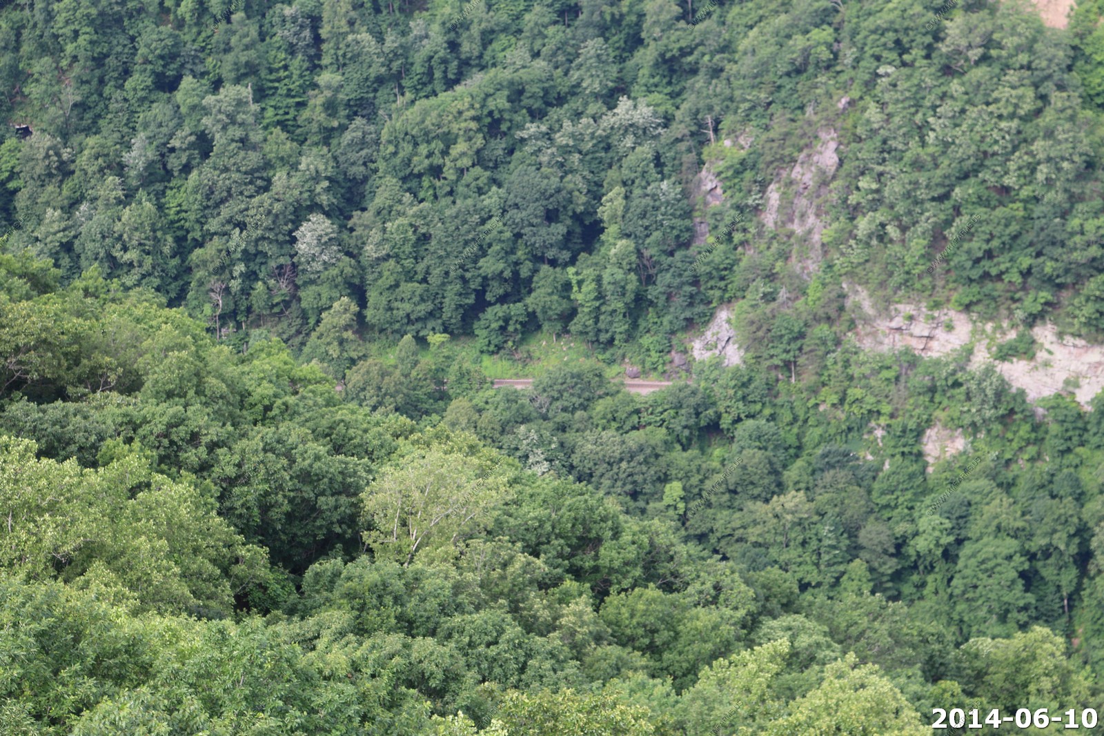
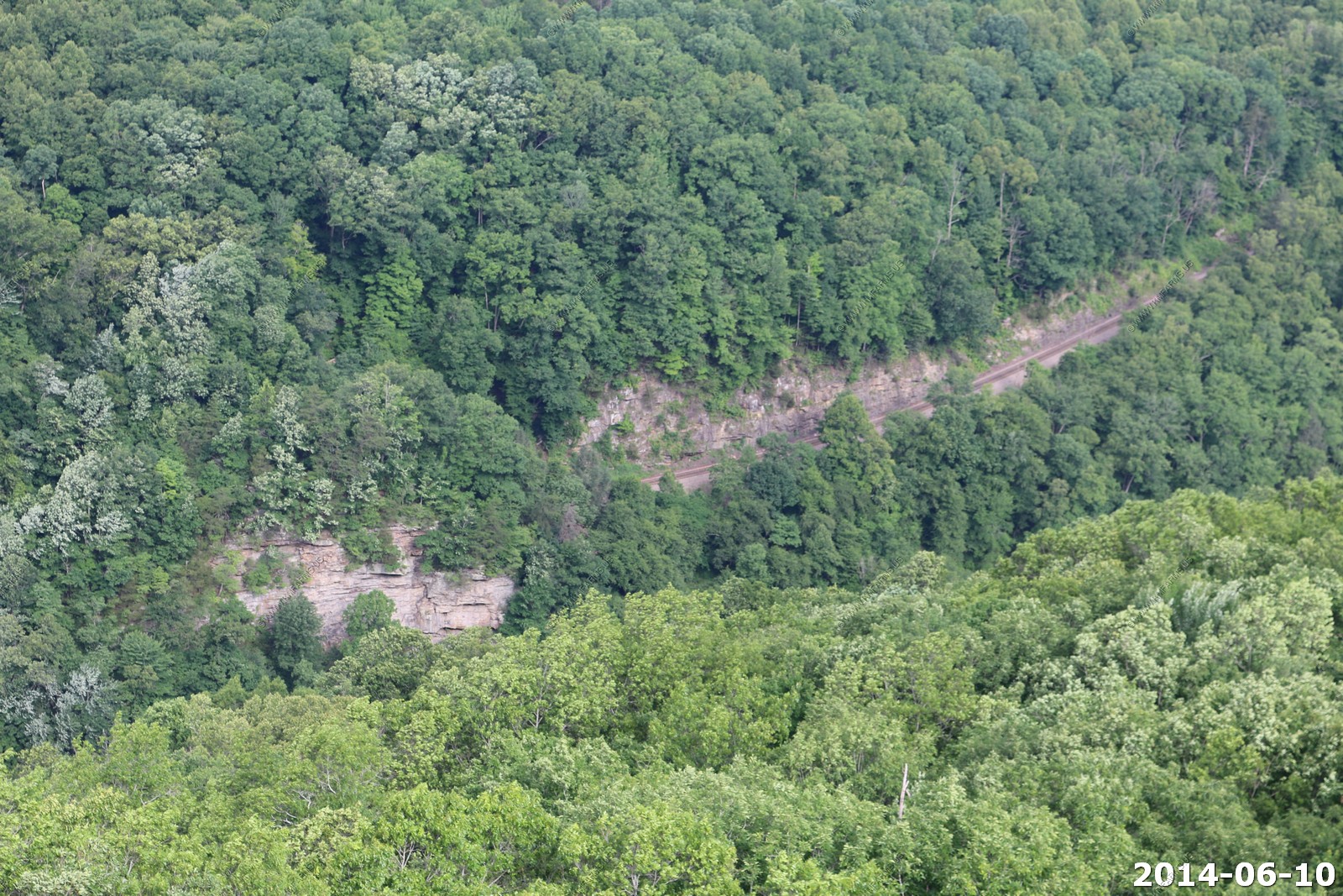
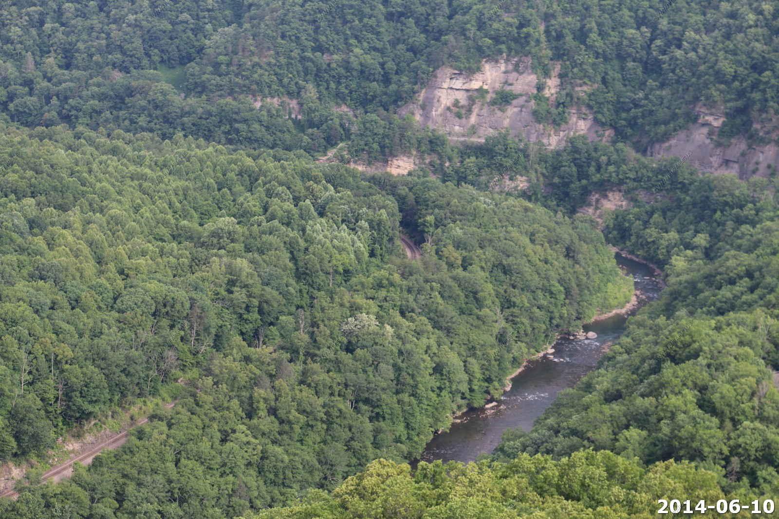
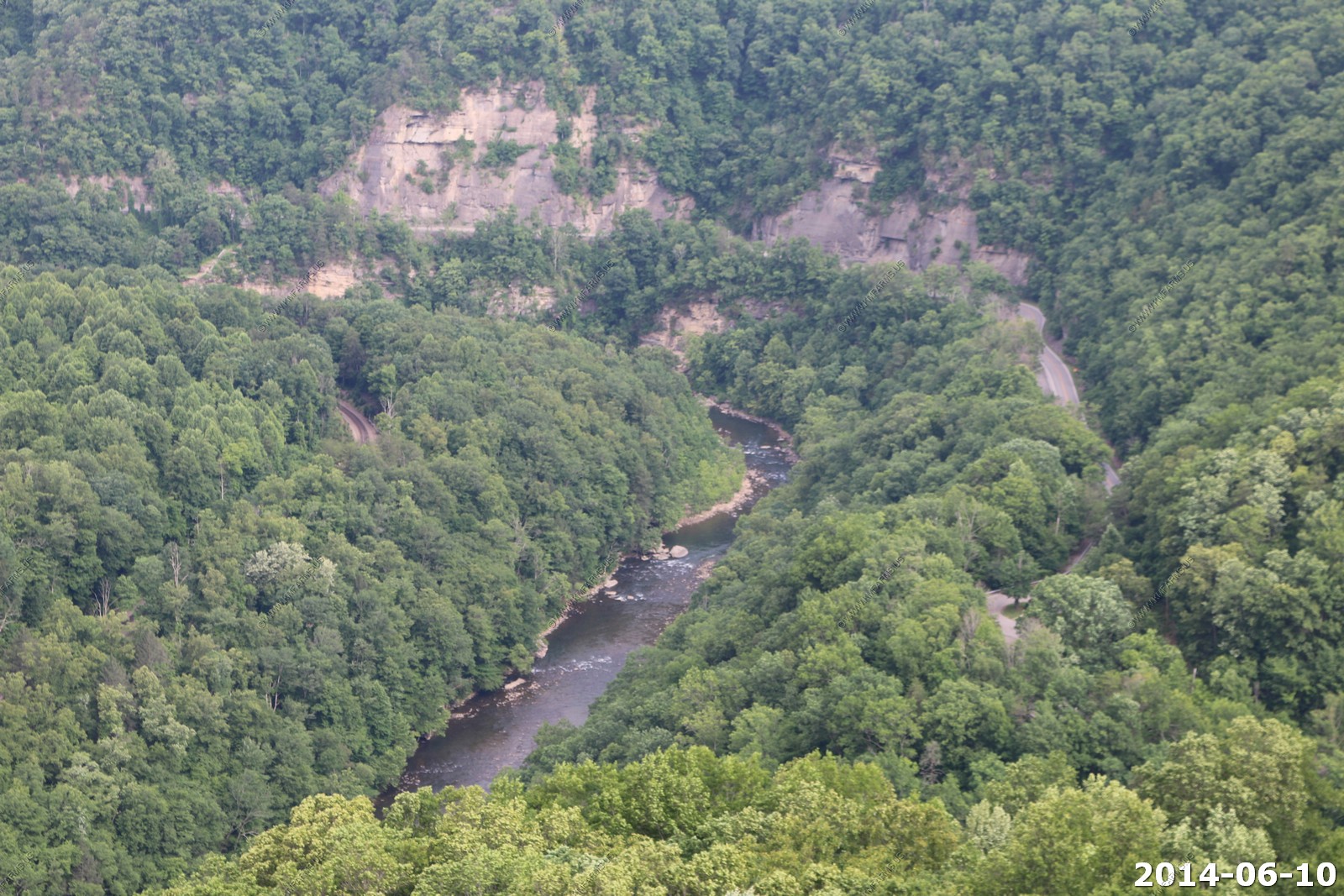
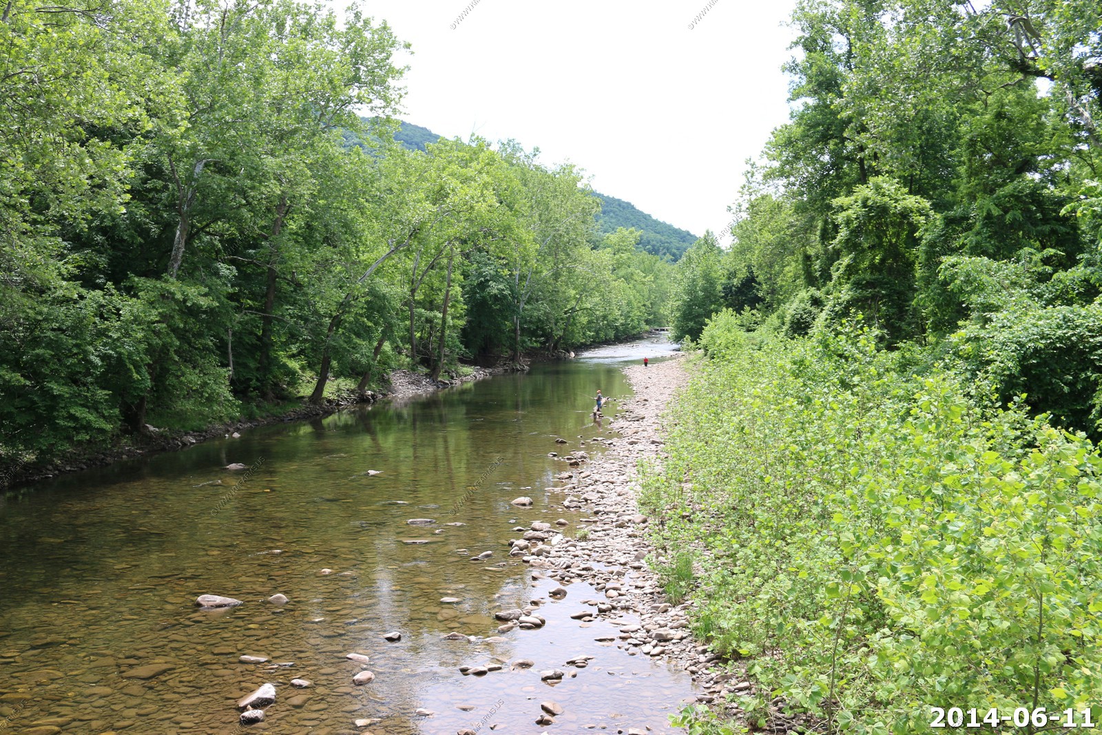
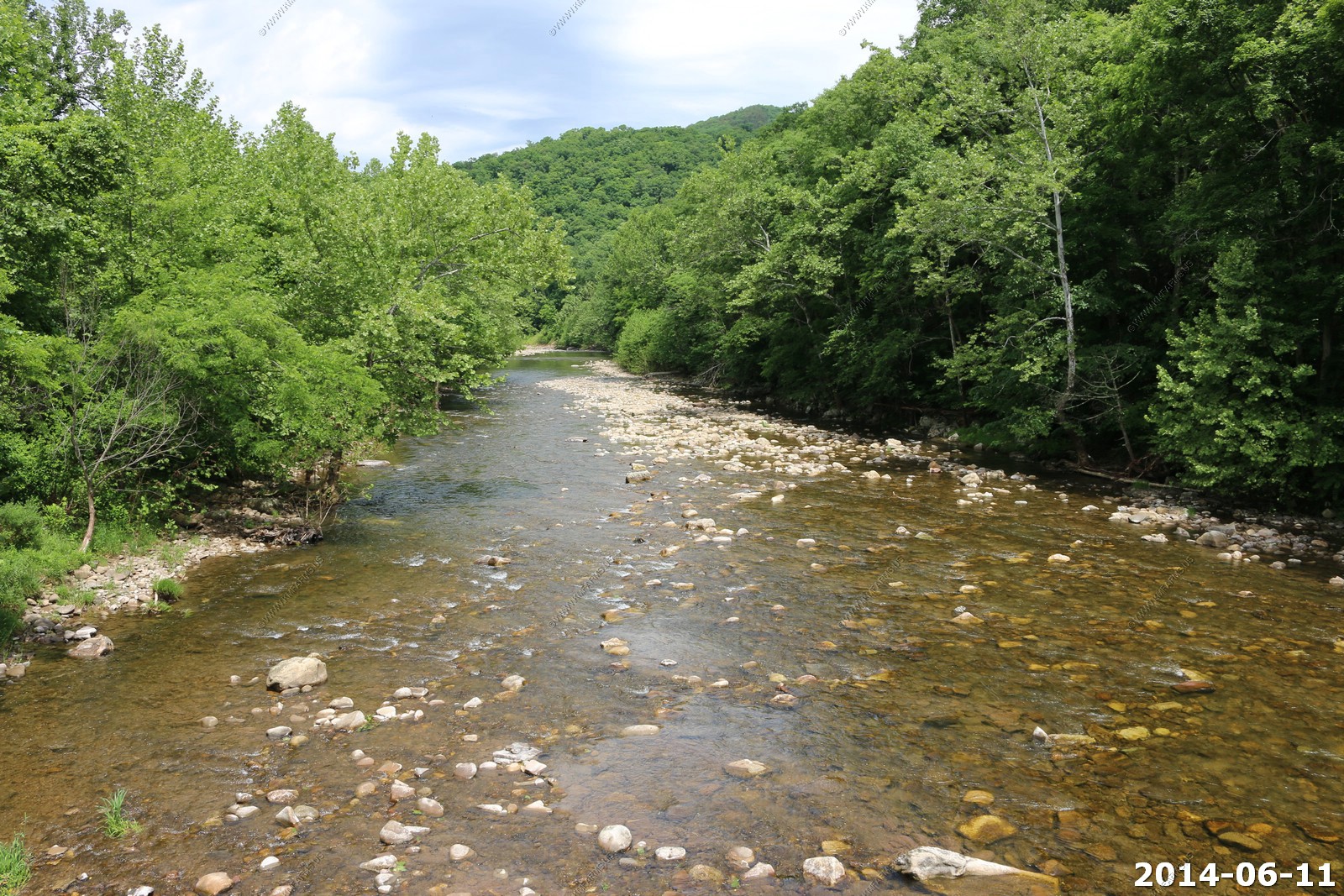
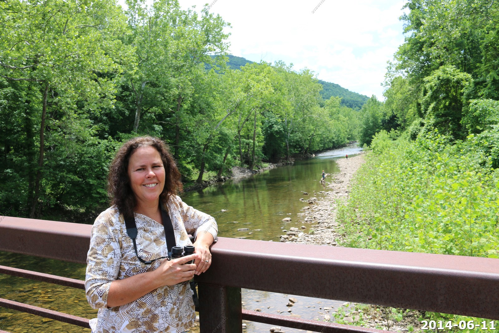
Ride the Kentucky & Tennessee short line on a 16 mile round trip into the Daniel Boone National Forest and Big South Fork National River & Recreation Area. This trip is full of spectacular scenic vistas, lush vegetation and mountain streams as it descends 600 feet into the gorge before stopping at Blue Heron Coal Mining Camp, a NPS outdoor interpretive site.
We only stopped briefly.
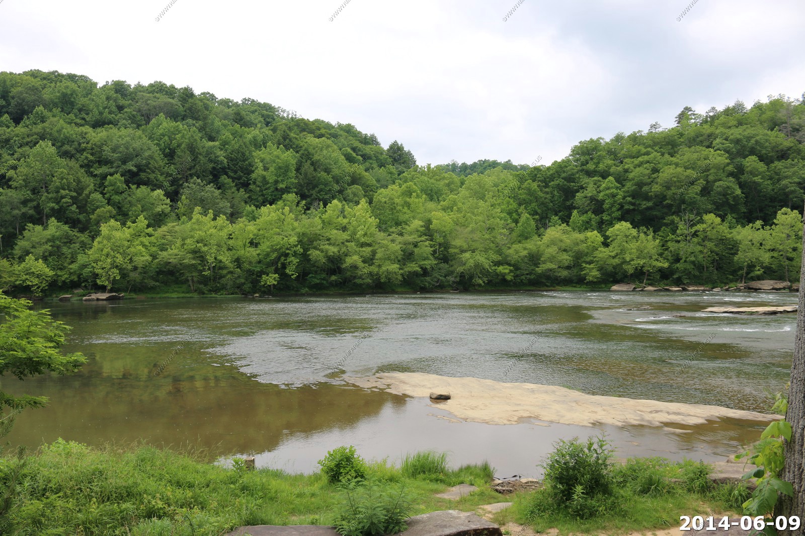
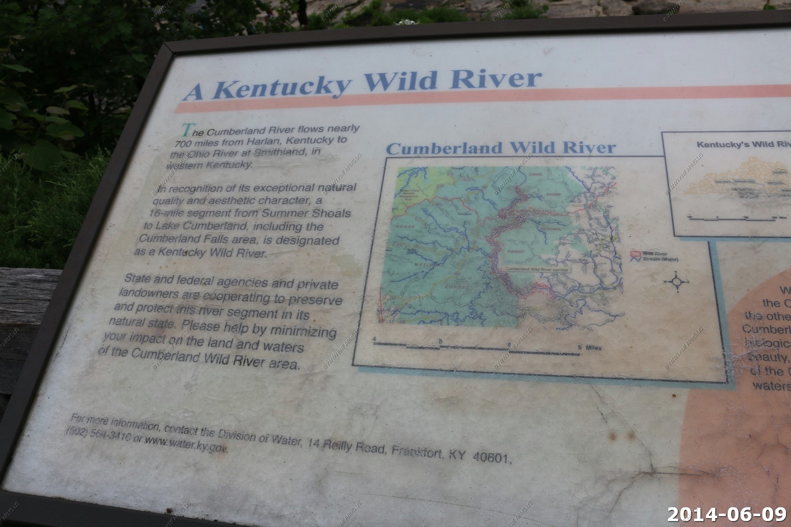
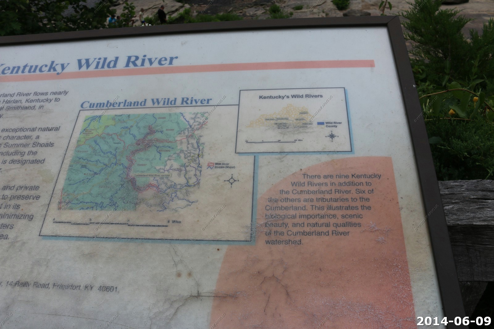
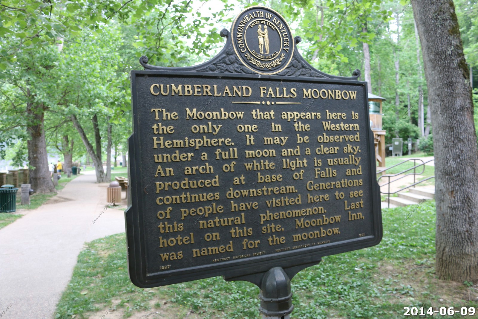
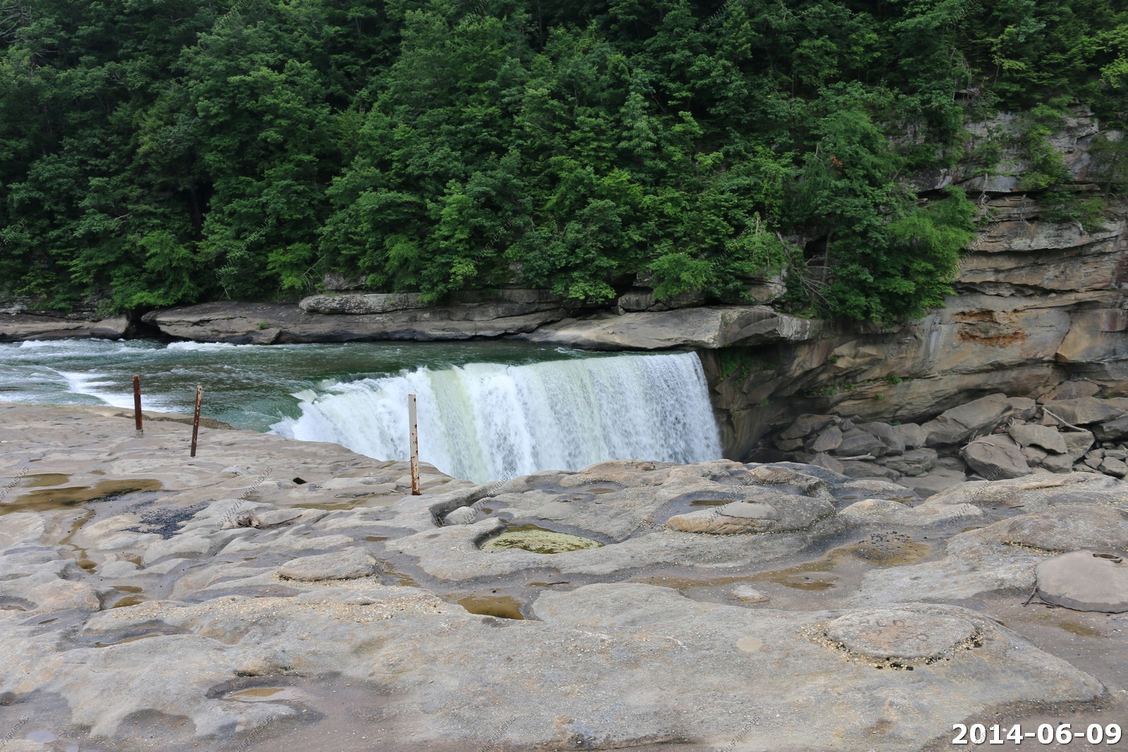
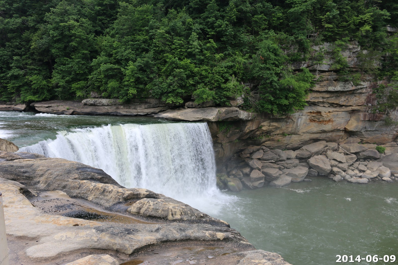
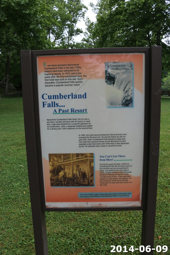
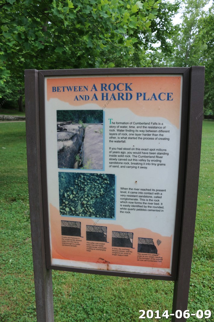
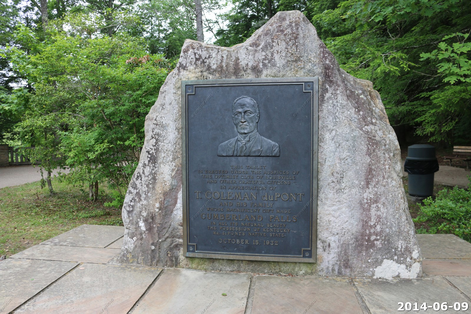
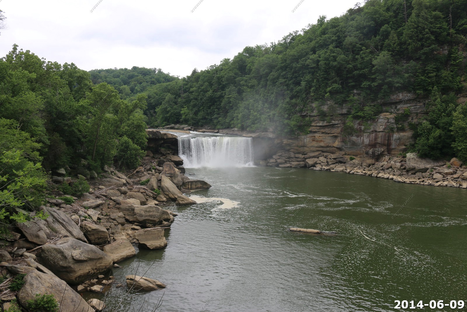
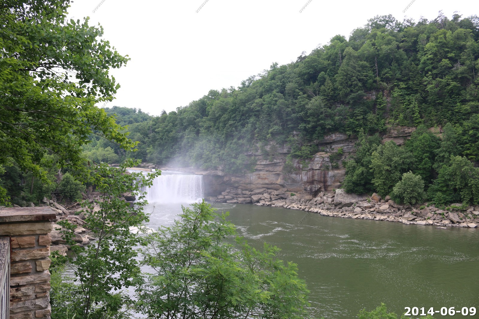
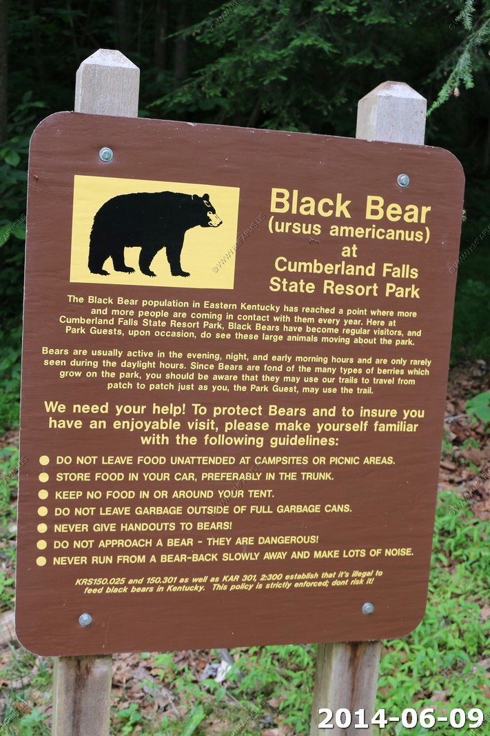
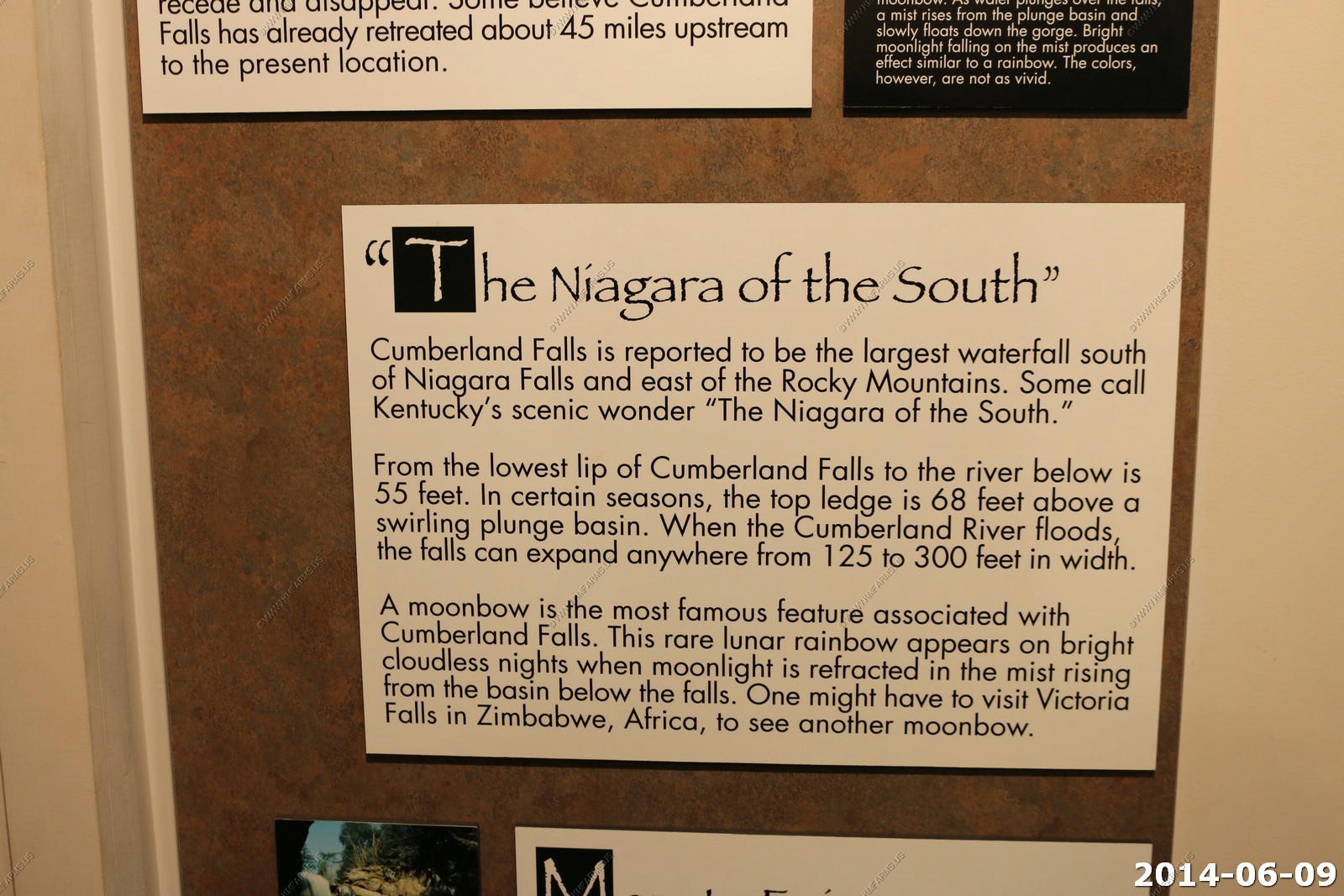
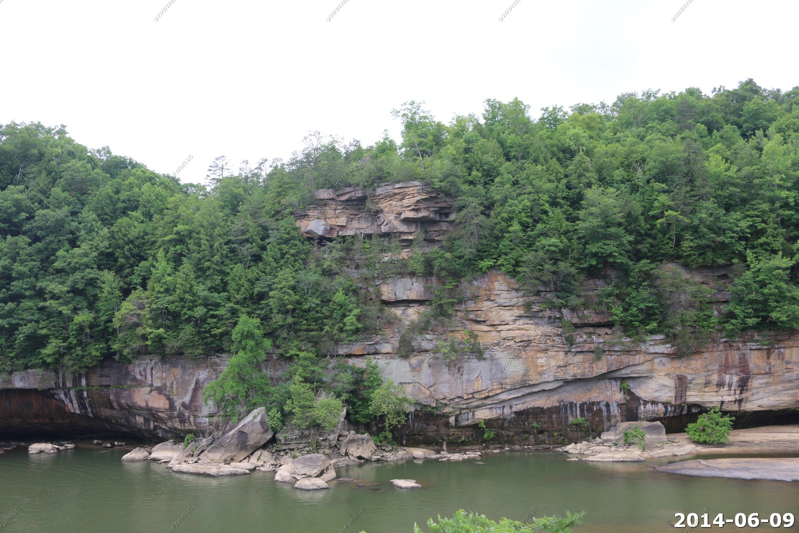
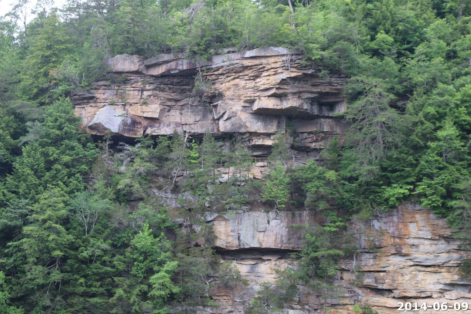
Cumberland Falls
Established on August 21, 1931
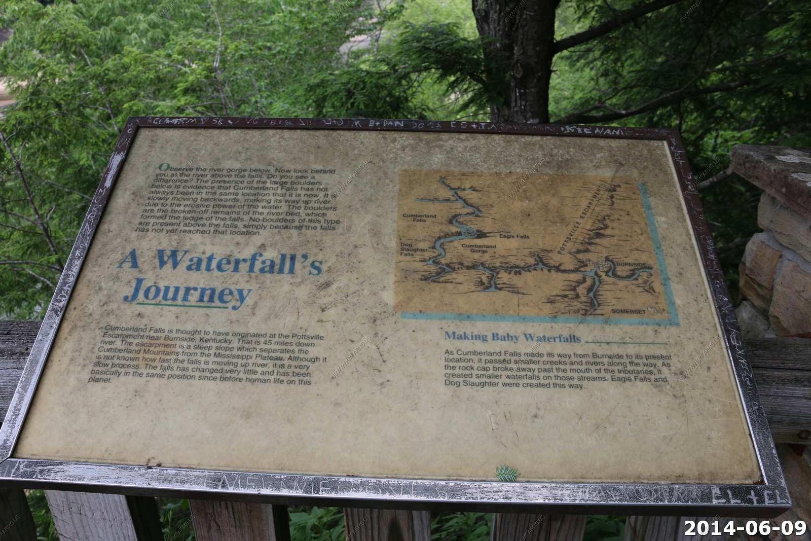
Geologists estimate that the rock over which the Cumberland River plunges is about 250 million years old. Romantics are enchanted with the poetic beauty of the falls. Visitors are awed by the majesty of the falls. Historians note the uniqueness of the site.
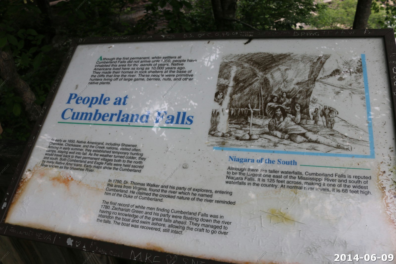
Often called the "Niagara of the South," Cumberland Falls has attracted the attention of countless people since prehistoric times. Although the first permanent, white settlers at Cumberland Falls did not arrive until 1850, people have inhabited this area for thousands of years. Native Americans lived here as long as 10,000 years ago. They made their home in rock shelters at the base of the cliffs that line the river. These people were primitive hunters living off the land. As early as 1650, Shawnee, Cherokee, Chickasaw, and the Creek nations visited often and used the areas for temporary hunting camps. Both Cumberland and Eagle Falls were held sacred by many Native Americans. Early maps show the Cumberland River was known as the Shawnee River.
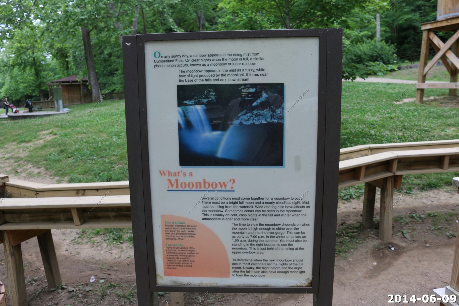
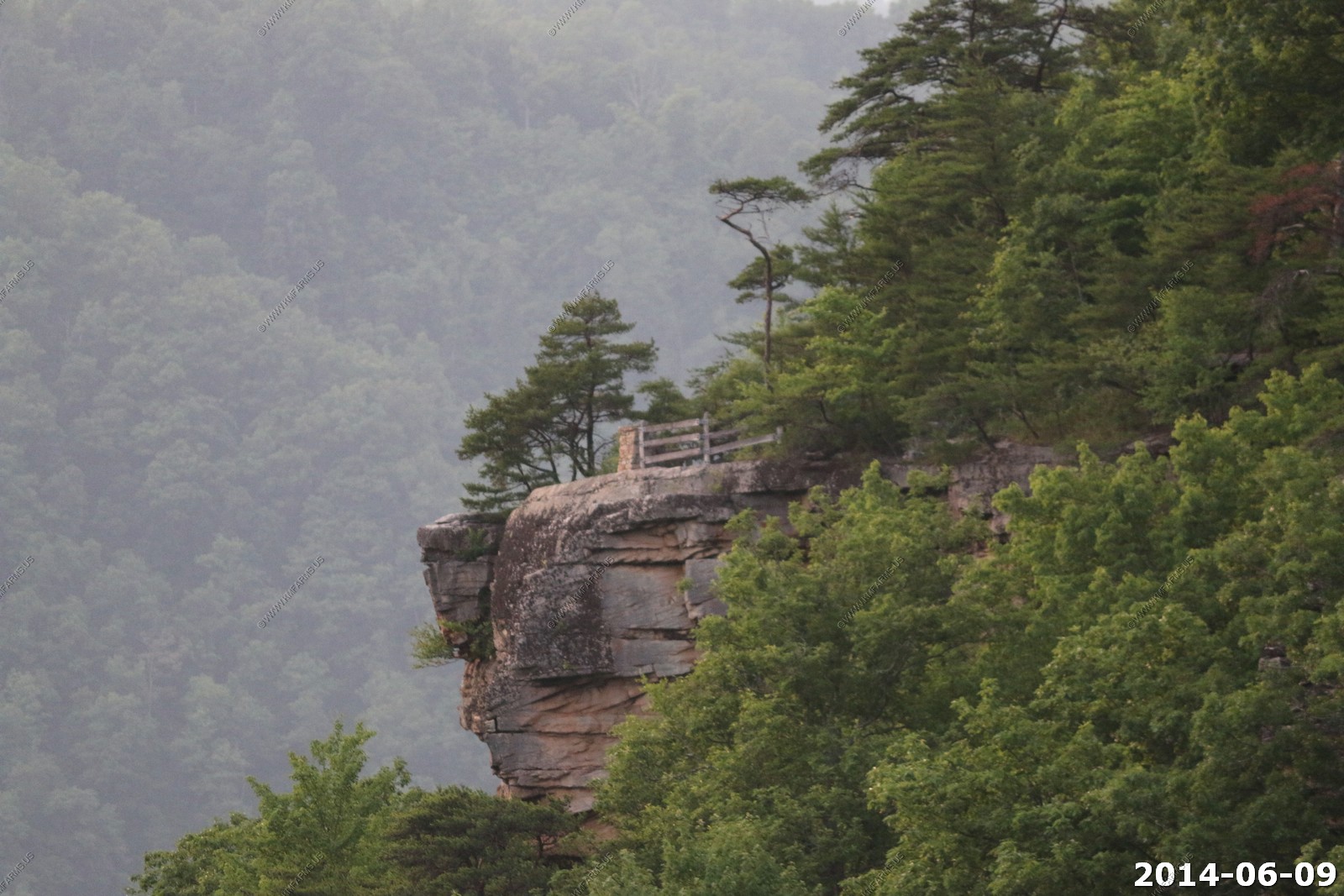
You really could not walk right up to it. Strange. We walked downriver a bit to an overlook.
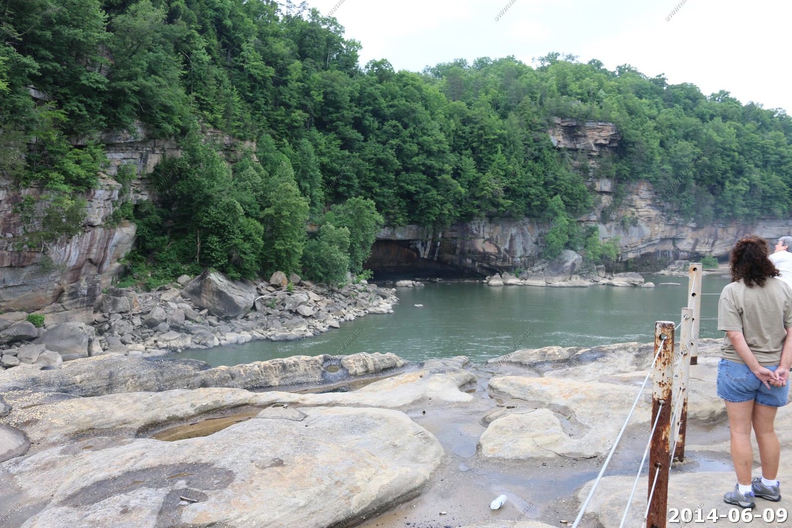
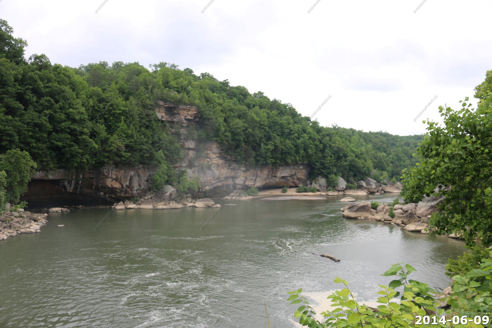
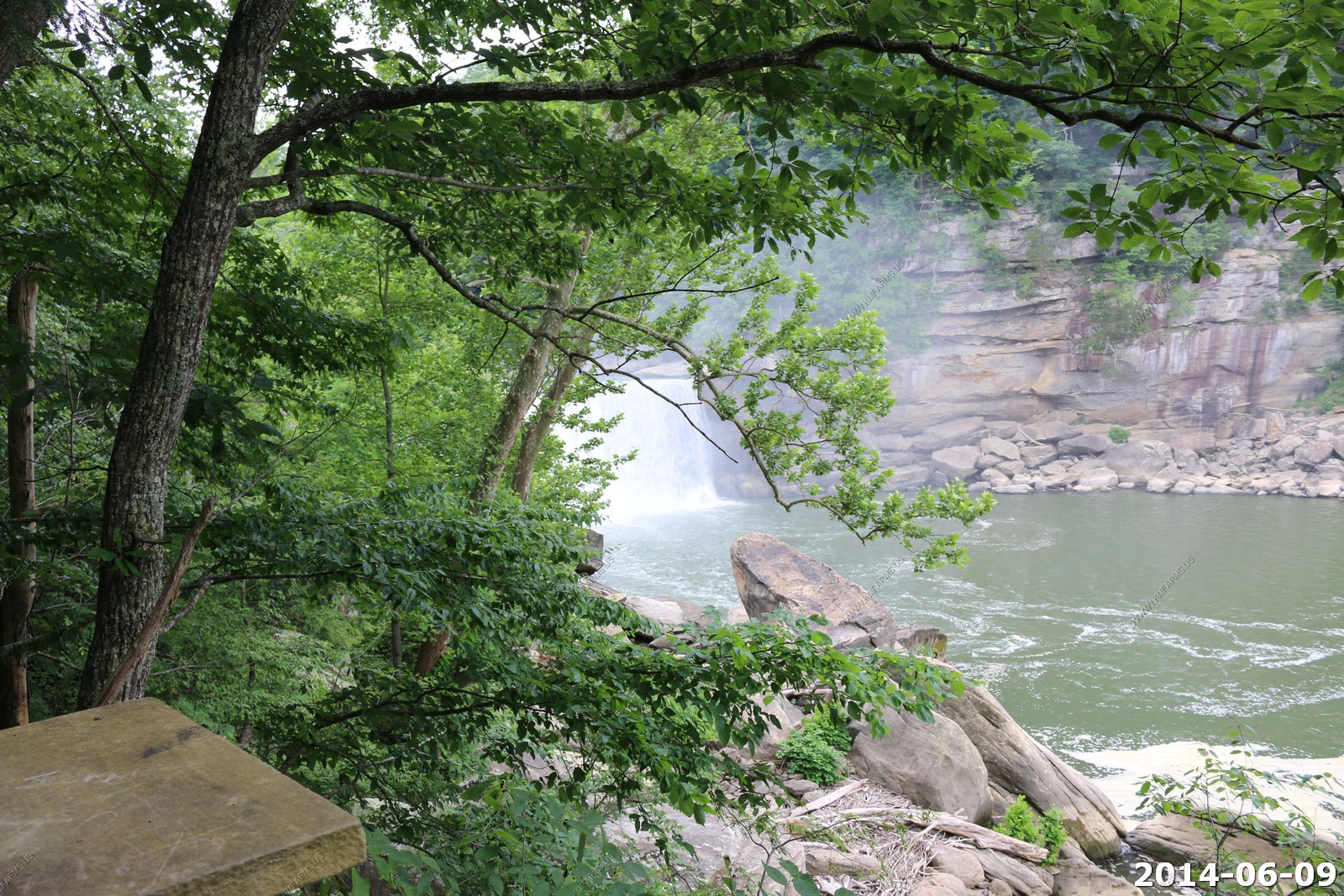
Looks like some interesting trails across the river
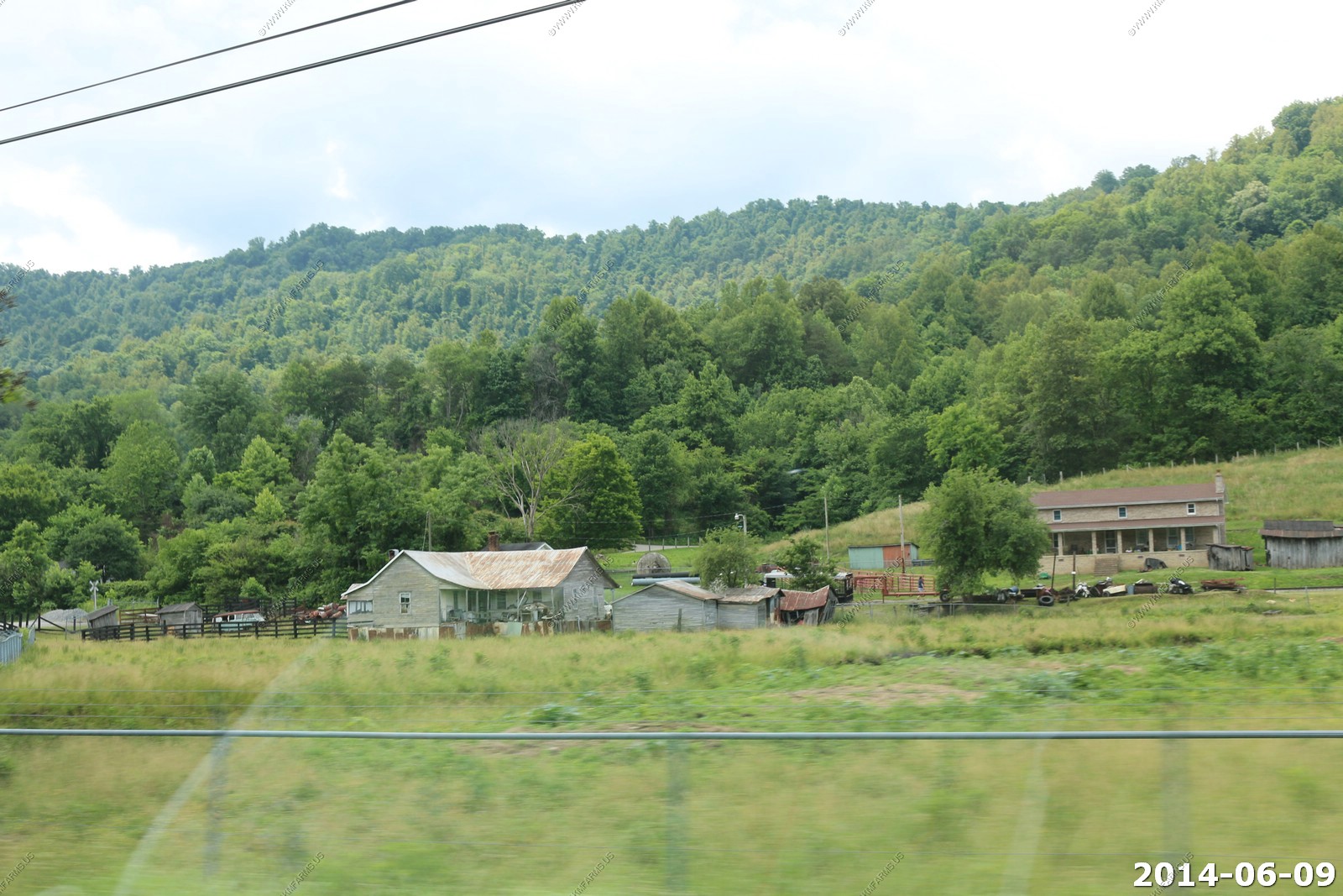
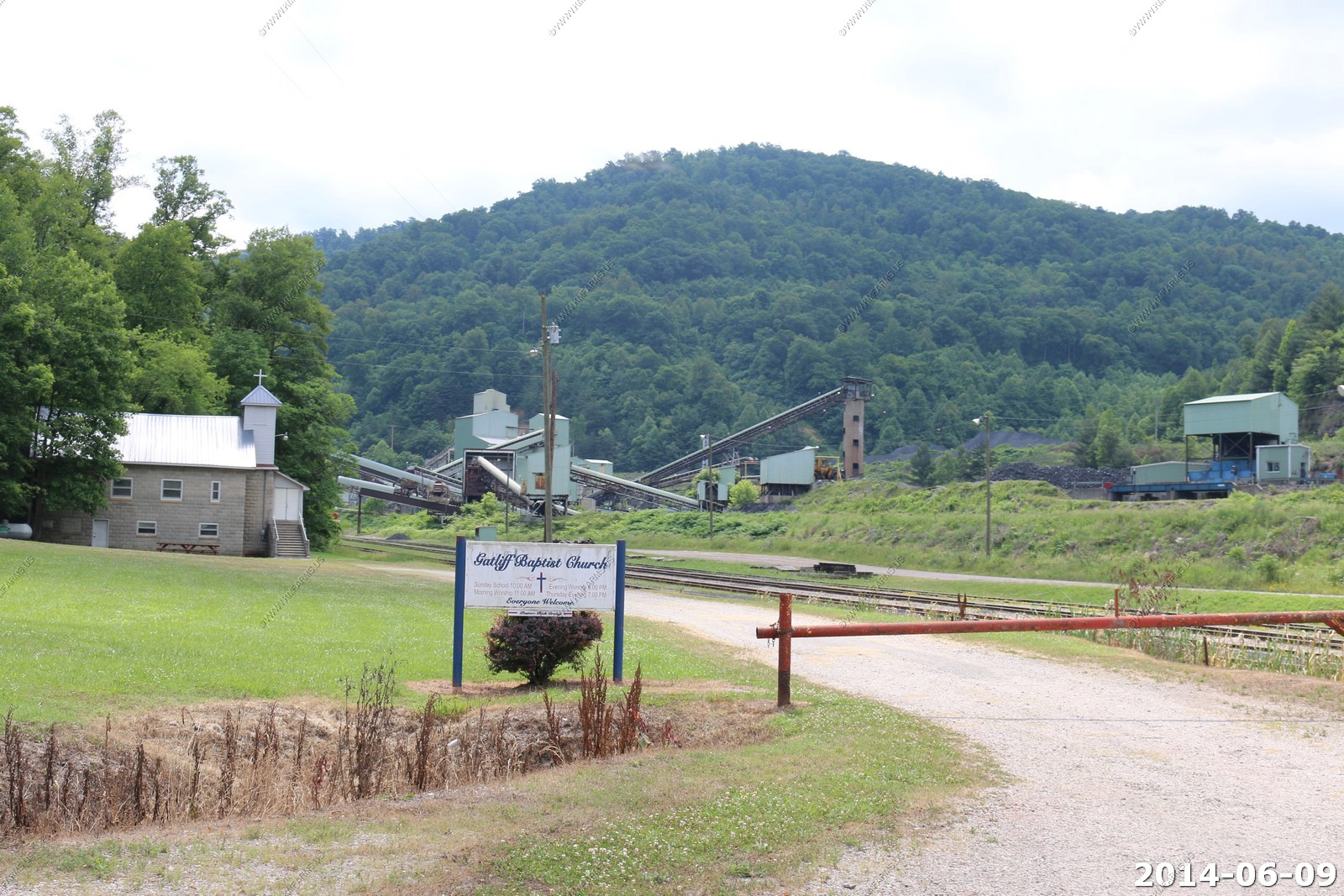
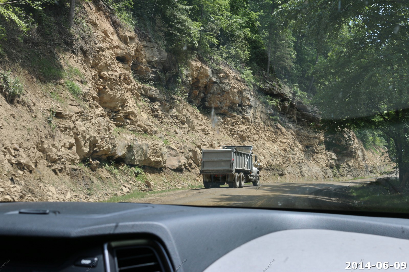
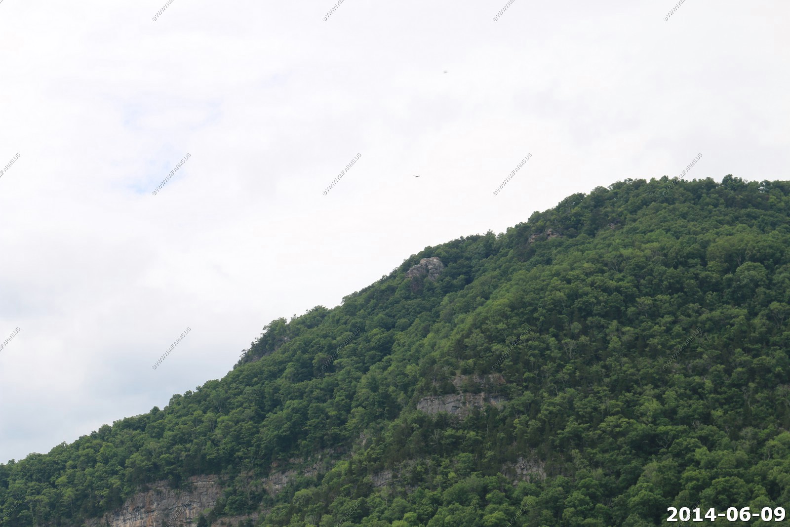
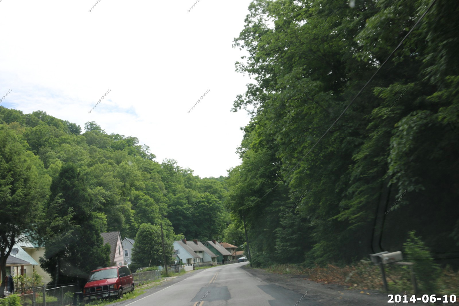
We continued on towards Cumberland Gap. This was coal country but the area was better than I expected. We passed a couple of large coal mines.
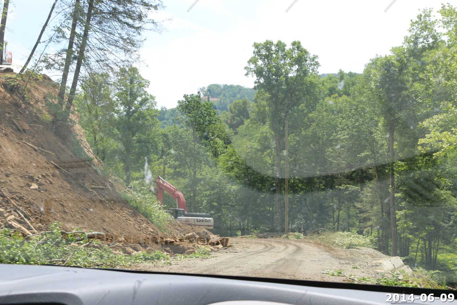
Road Construction
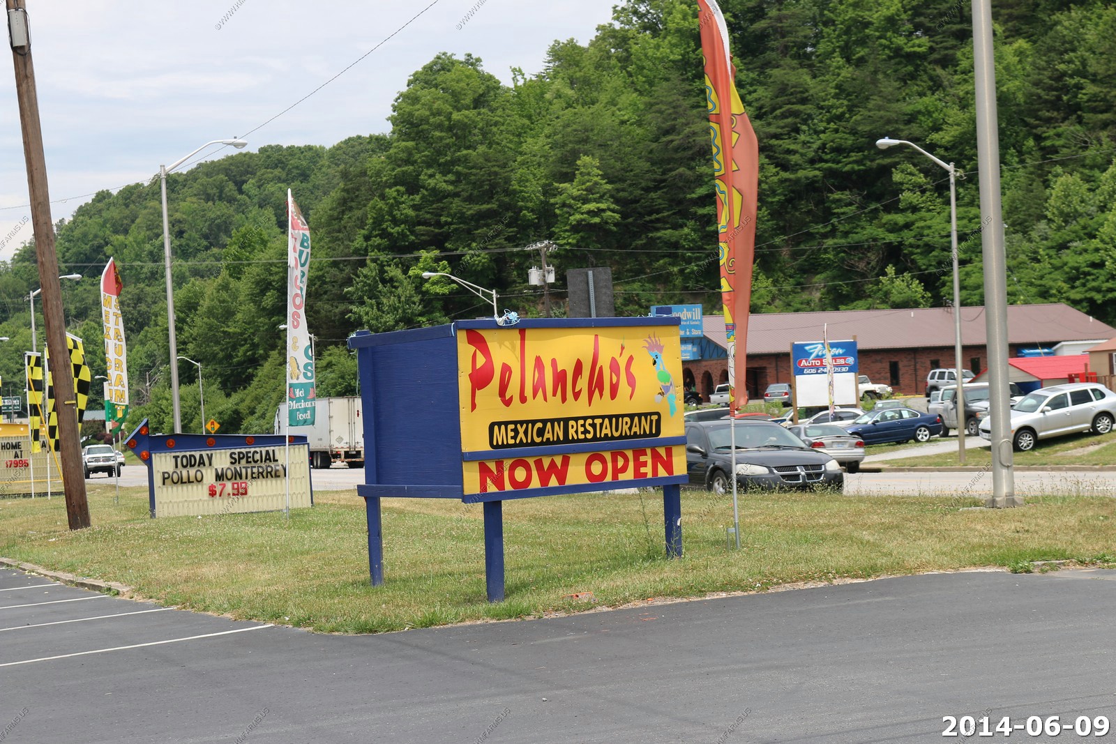
We ate lunch at Pelancho's in Middlesboro, KY. Very good.
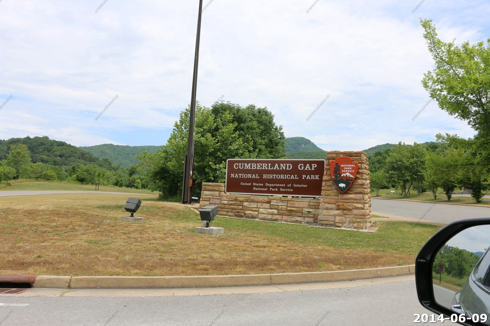
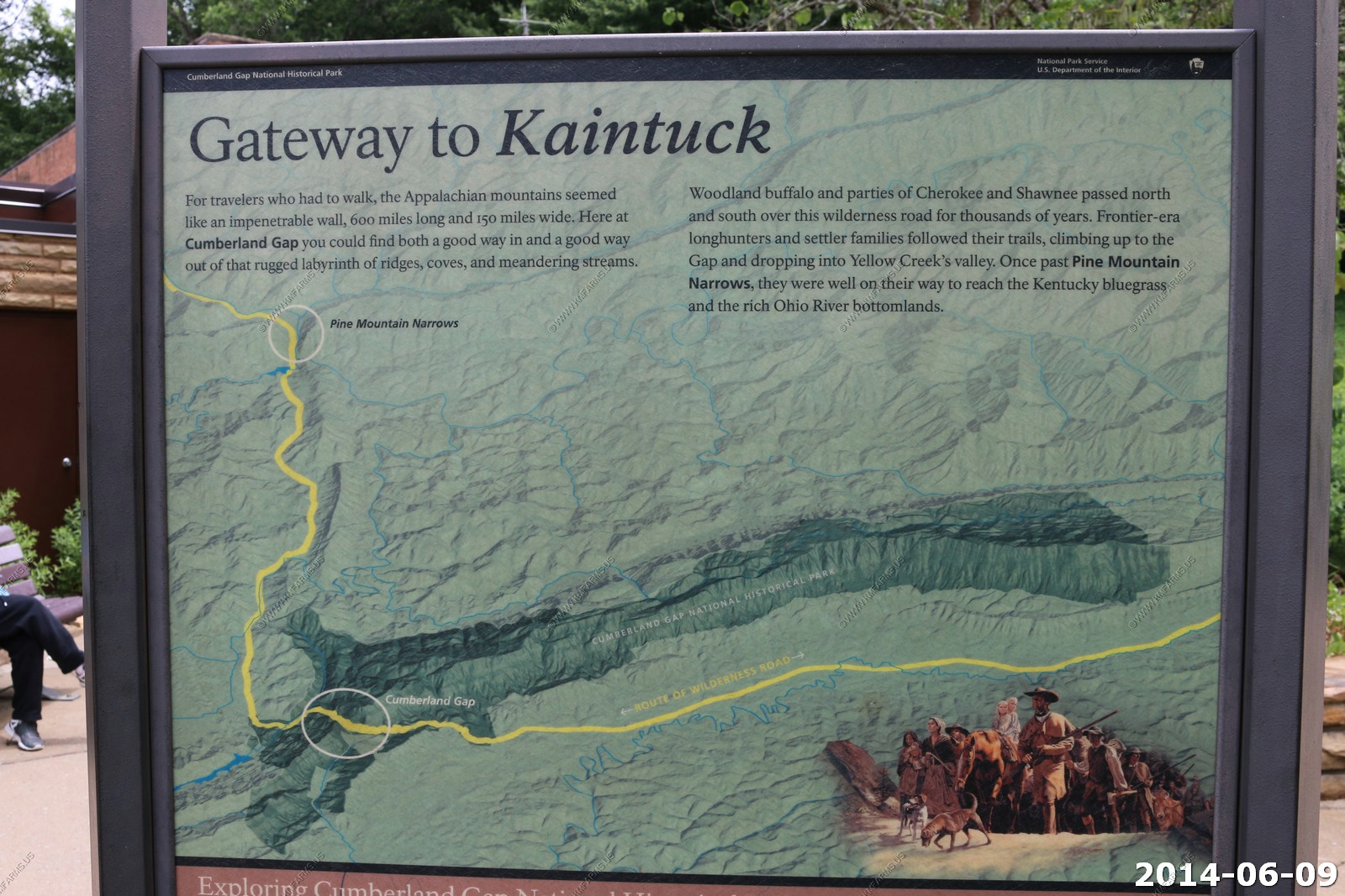
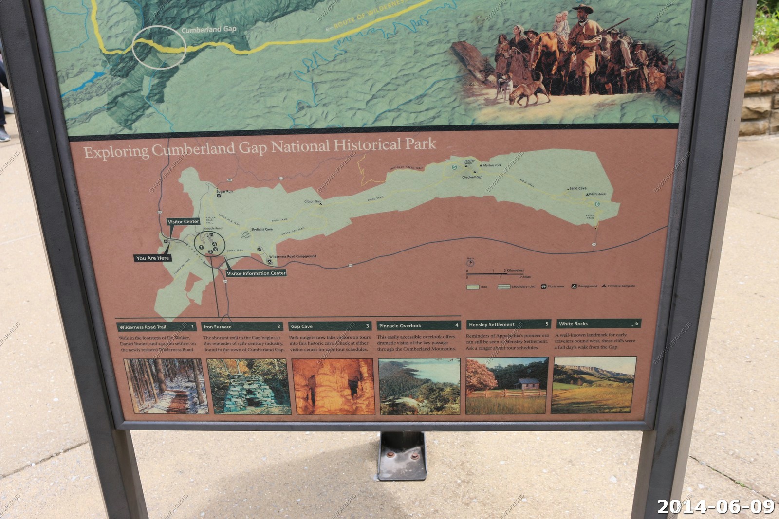
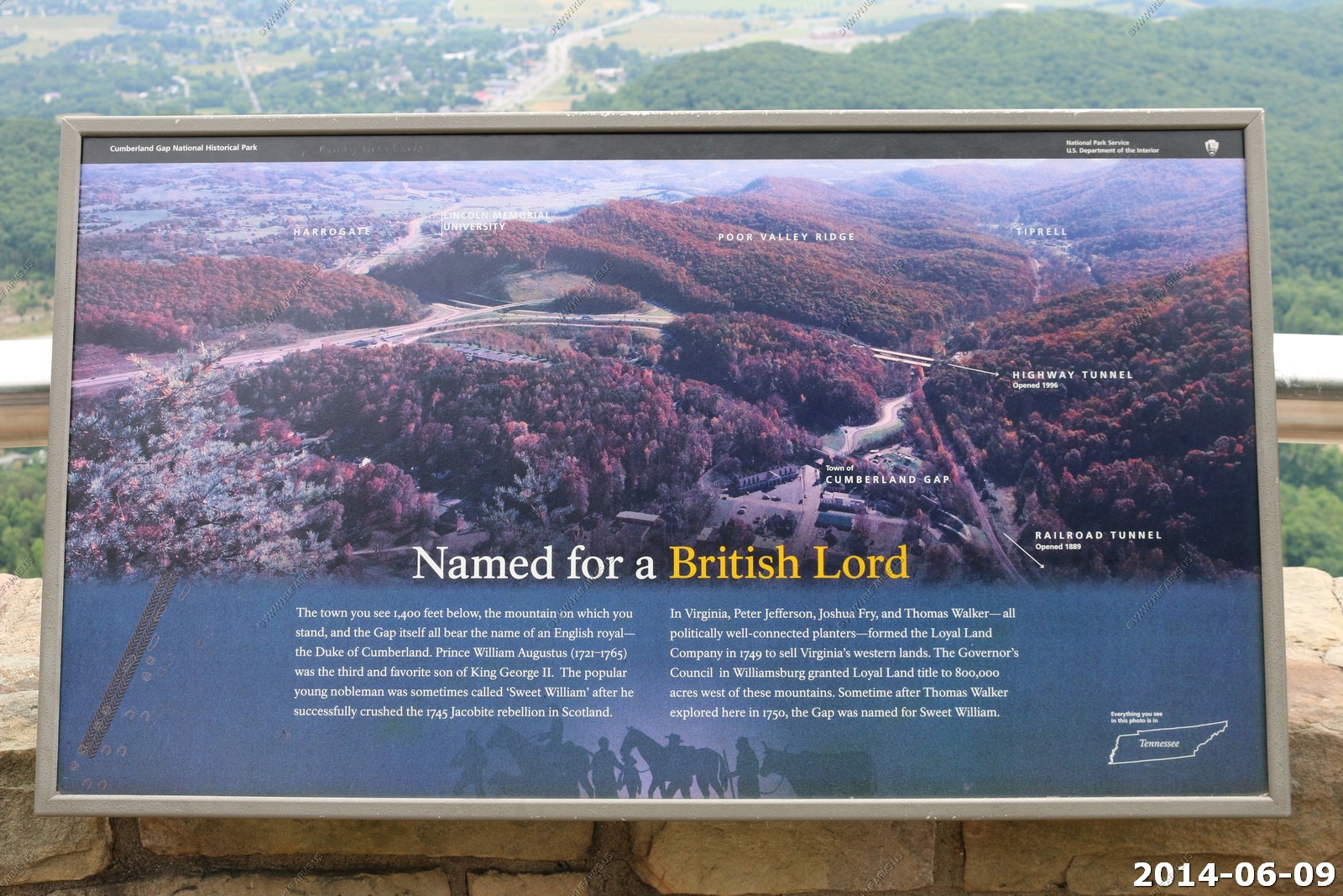
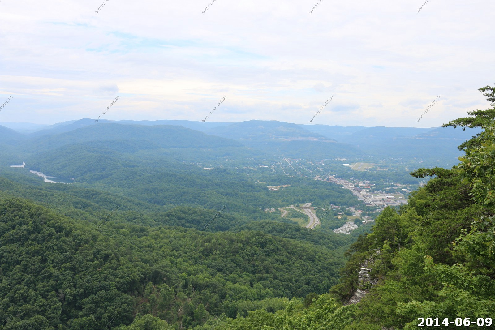
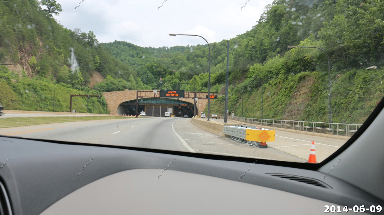
Cumberland Gap
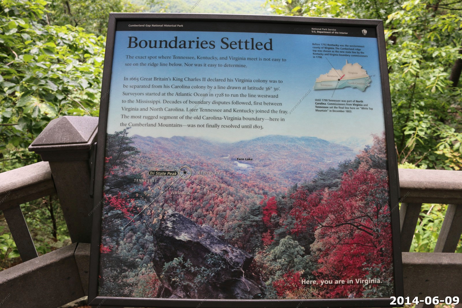
At Cumberland Gap, the first great gateway to the west, follow the buffalo, the Native American, the long hunter, the pioneer... all traveled this route through the mountains into the wilderness of Kentucky.
This is one of the places I have wanted to visit for a long time.
The rental is getting dirty
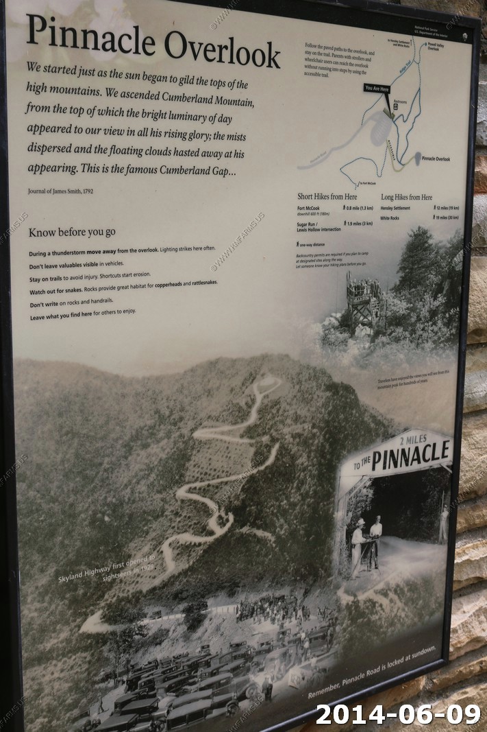
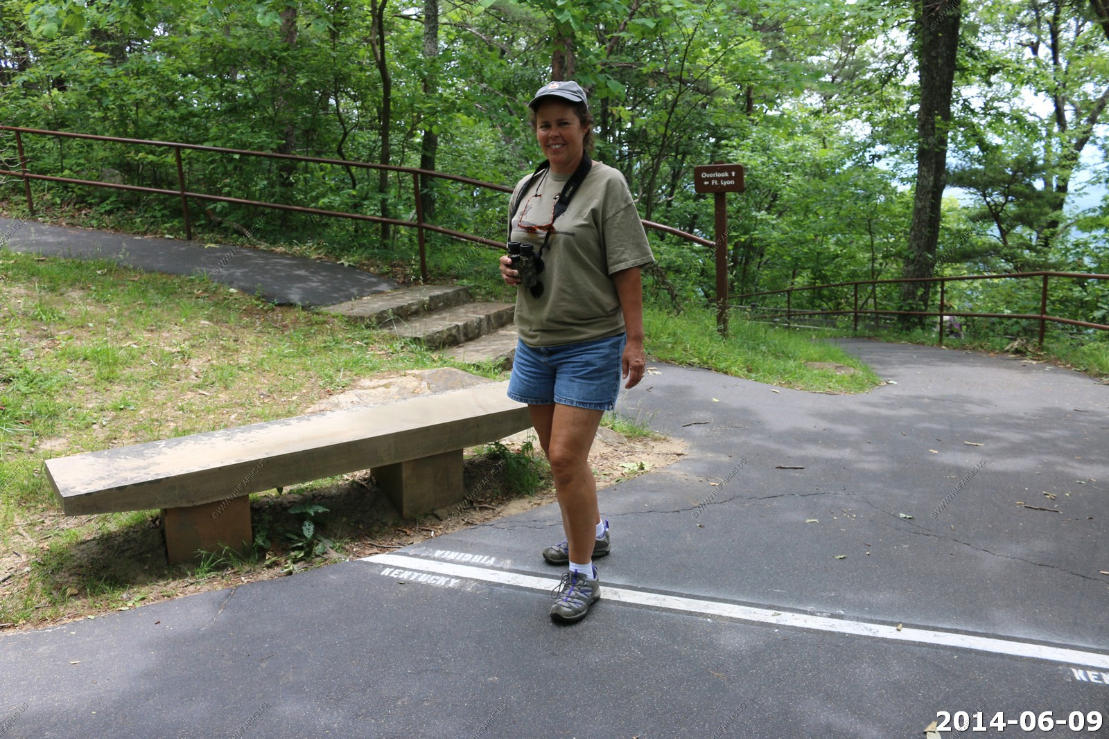
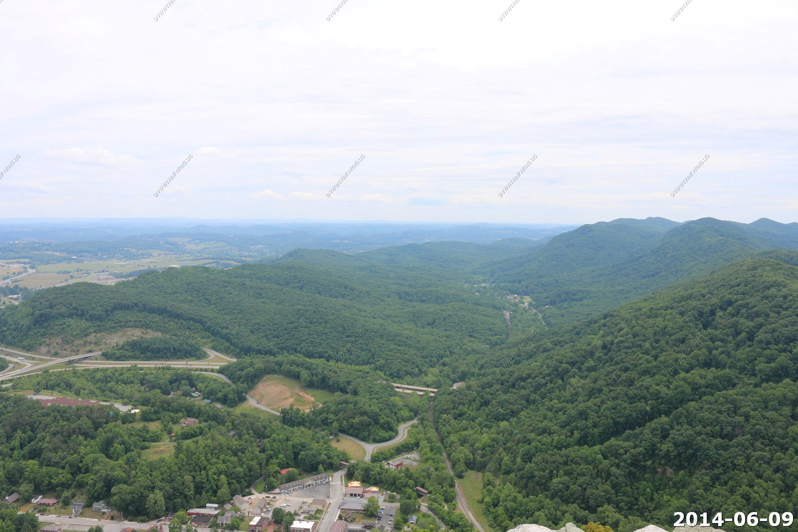
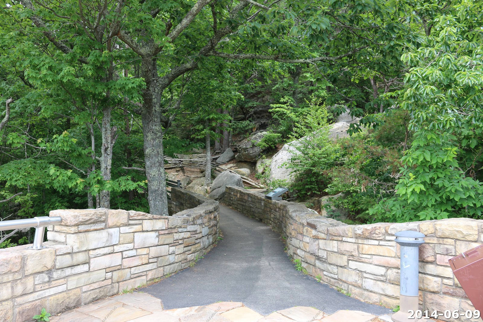
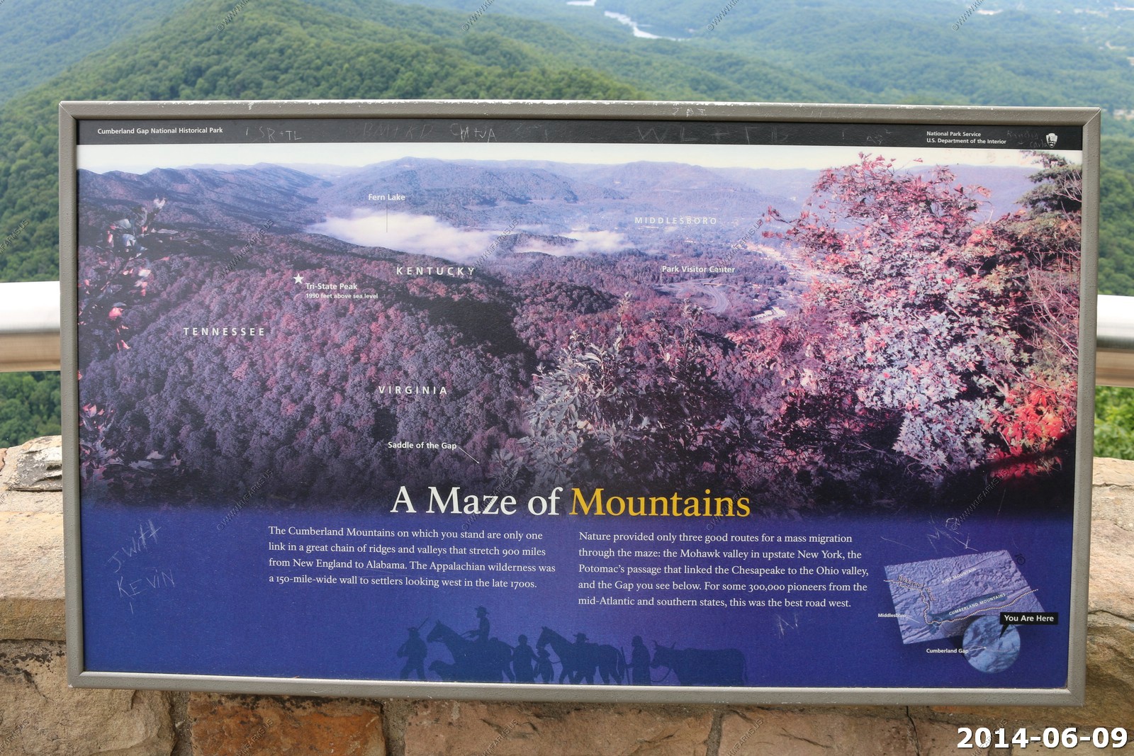
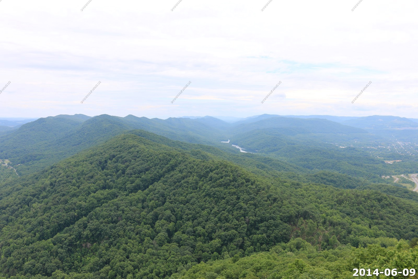
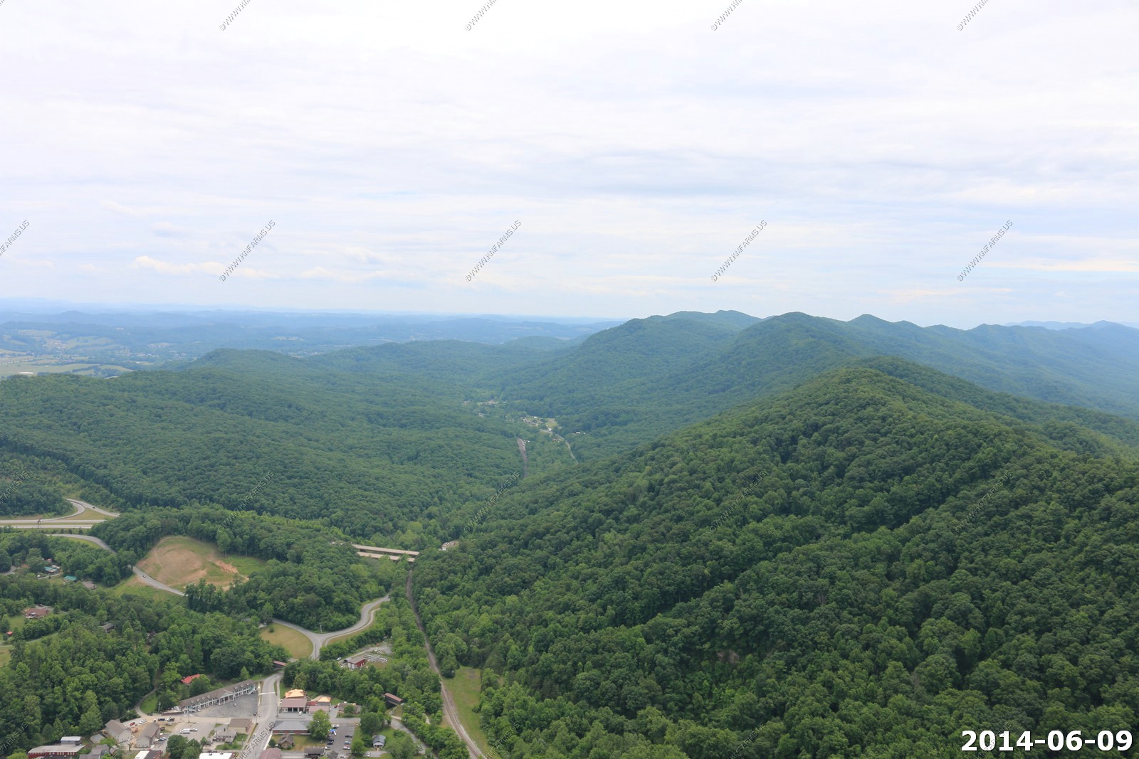
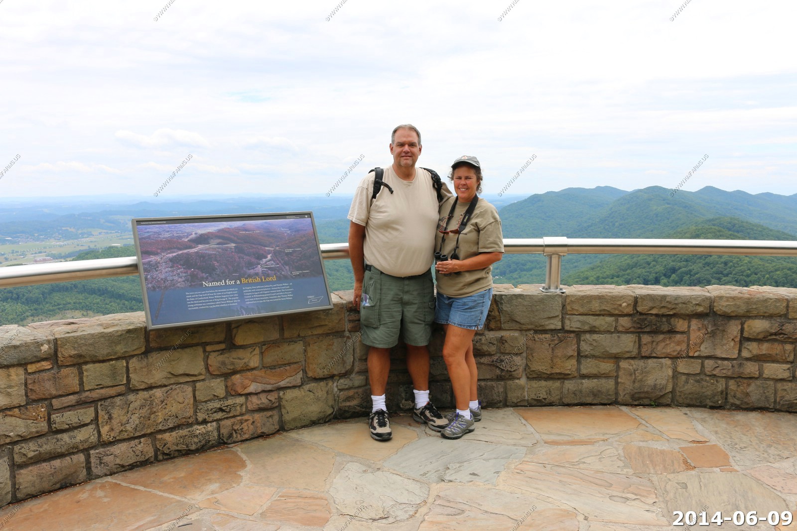
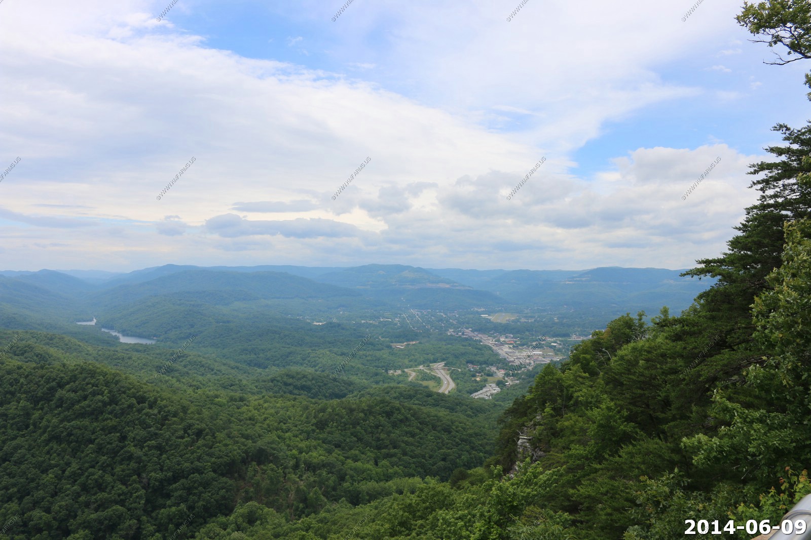
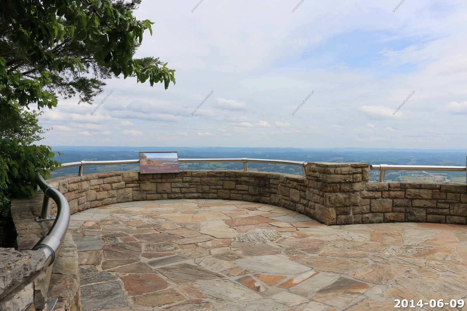
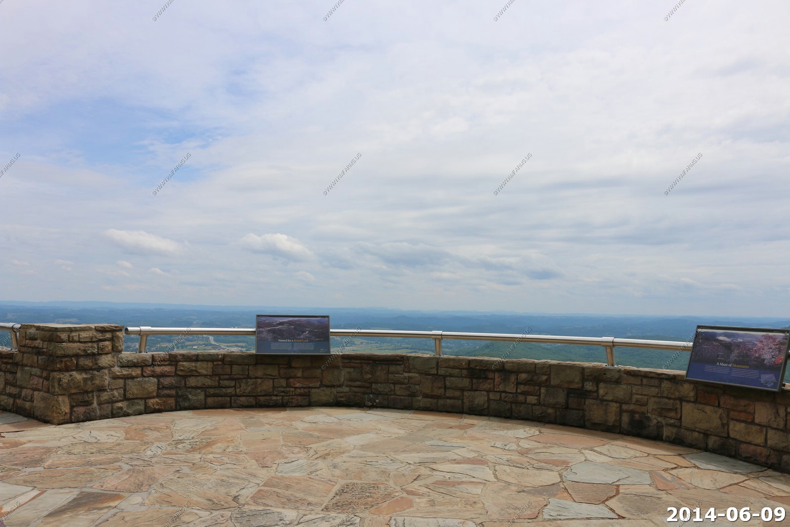
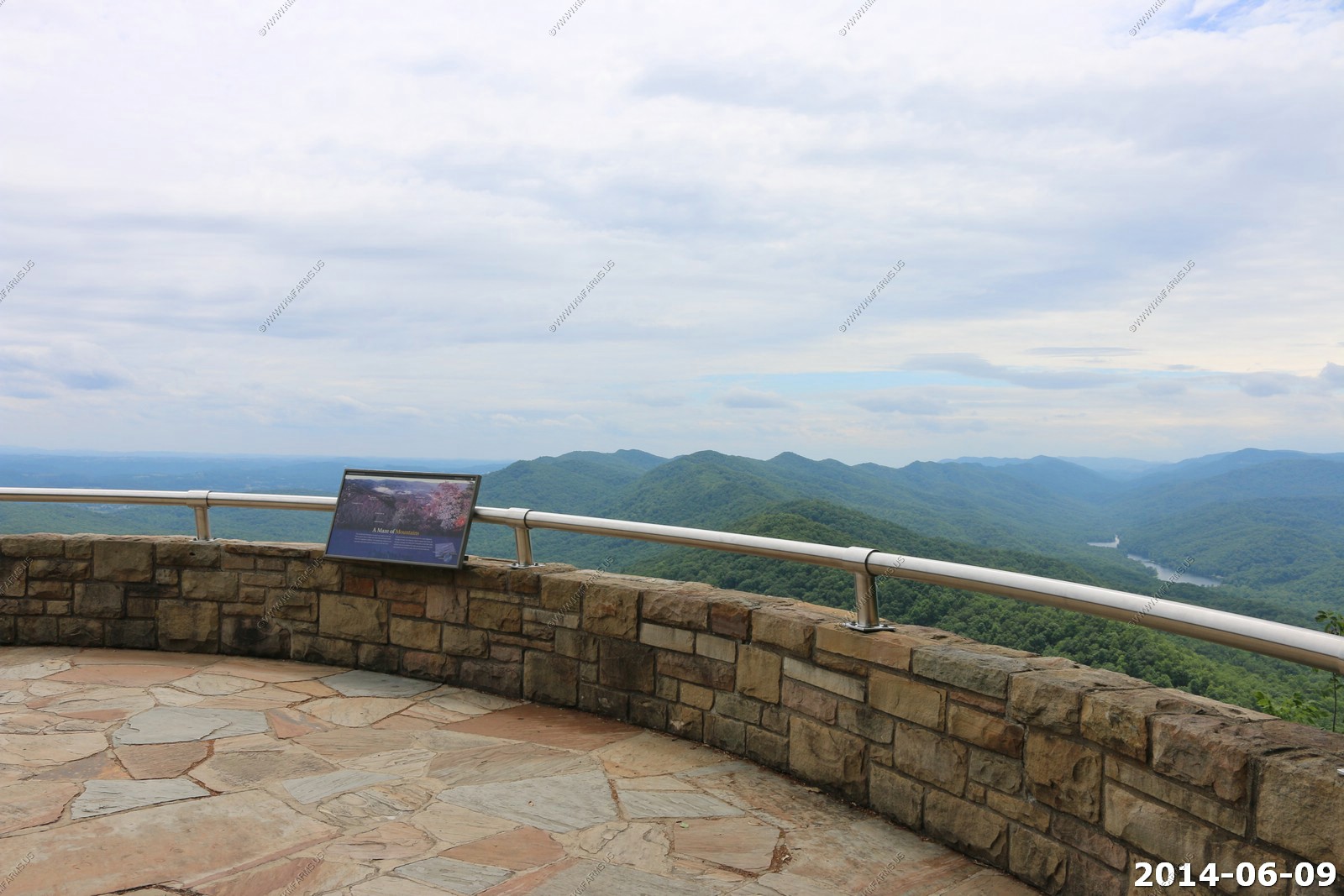
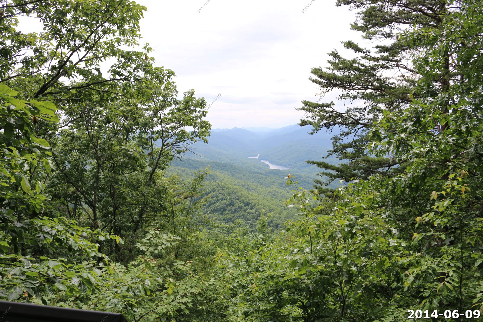
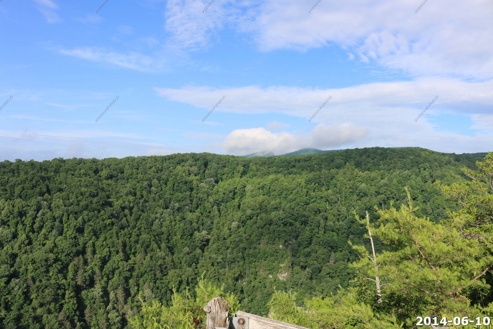
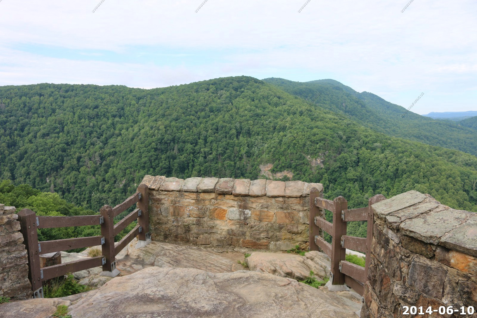
We drove up to the Pinnacle Overlook (El. 2440)


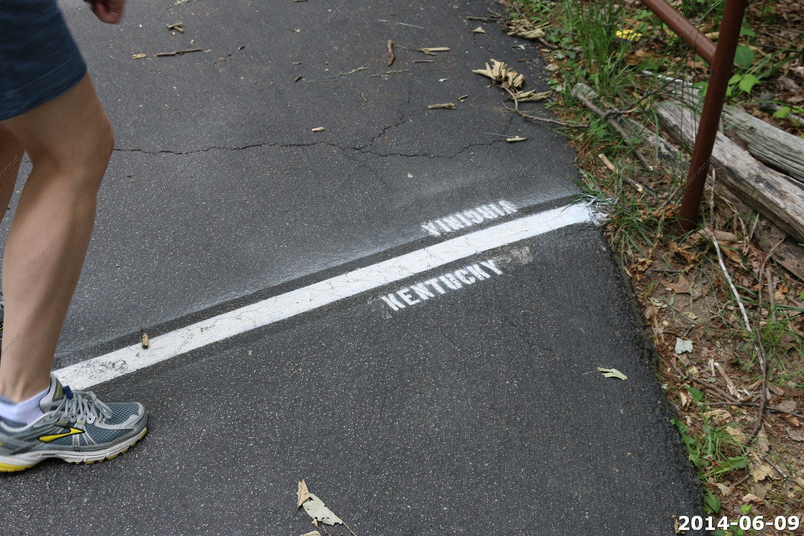
Monika & Mary get to stand in two states at a time (Virginia & Kentucky)
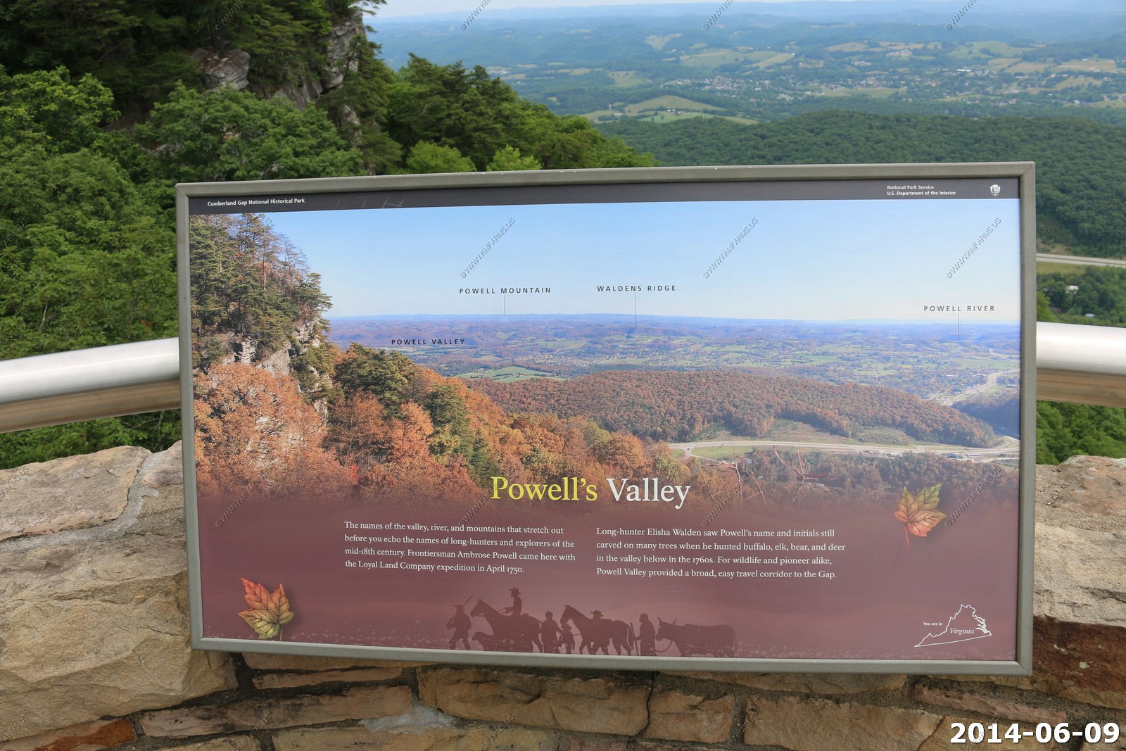
Nice clear day to look out on Powell's Valley. The road is US-58.
Messing with the 400mm lens
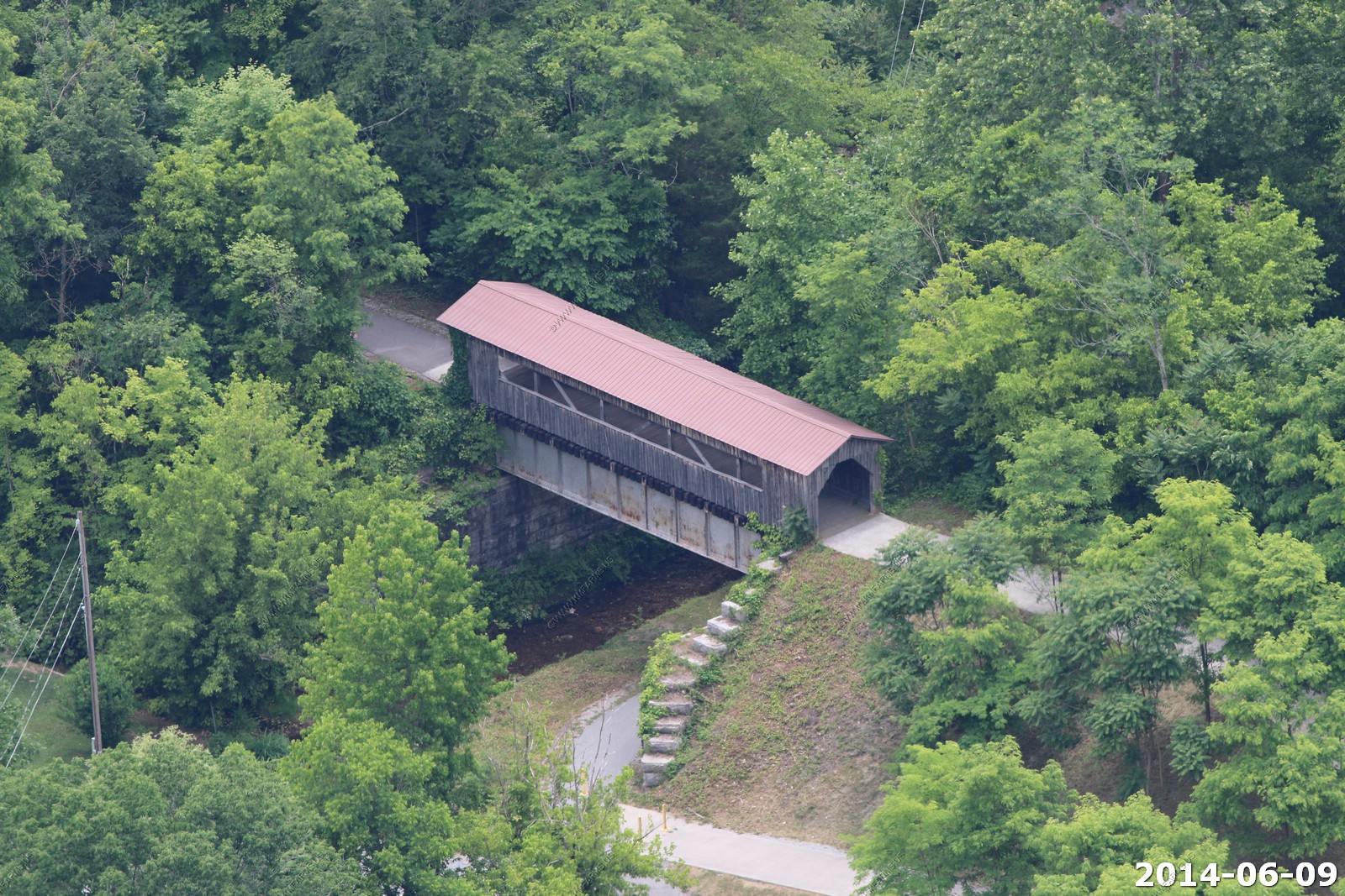
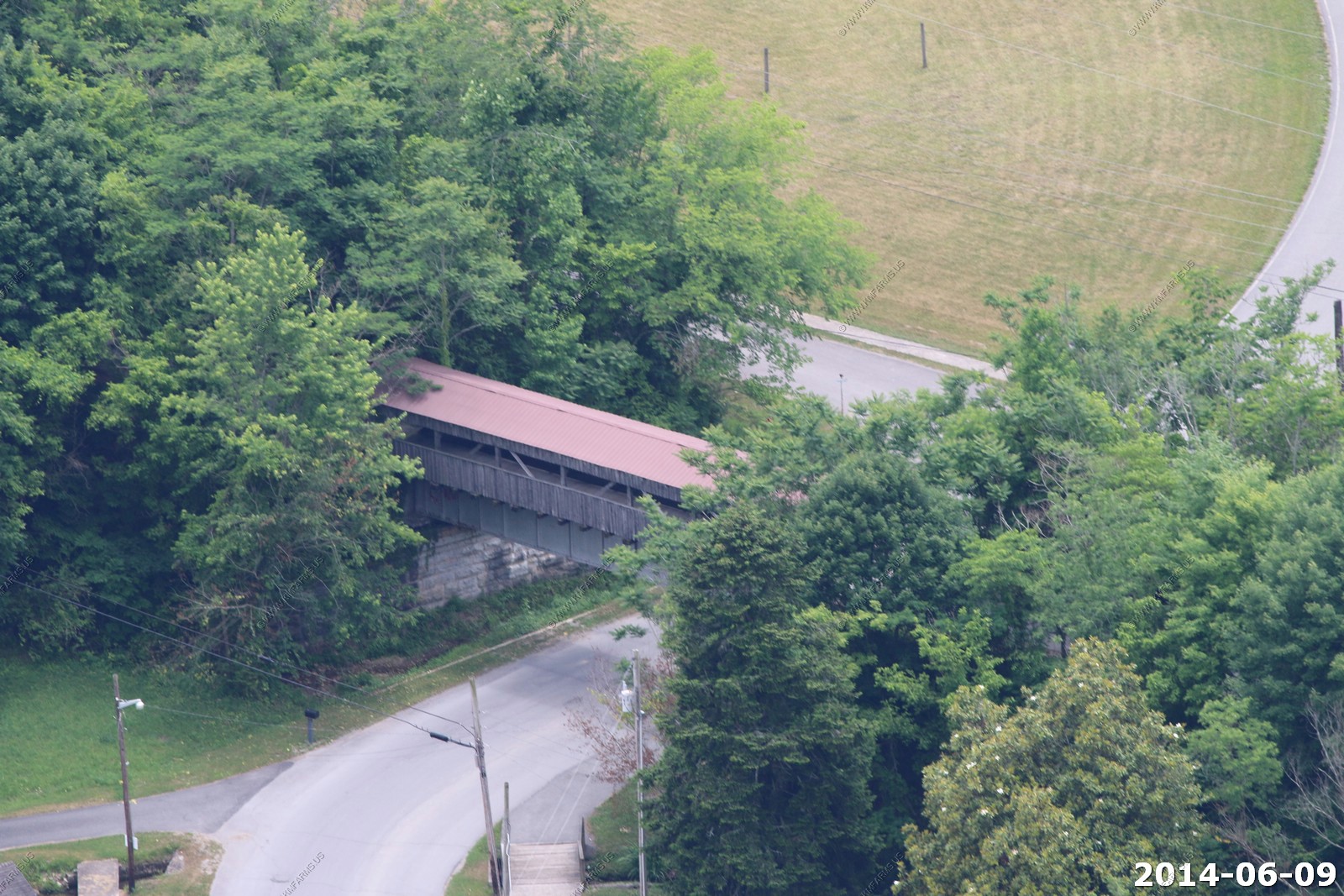
Covered bridge on a bike trail
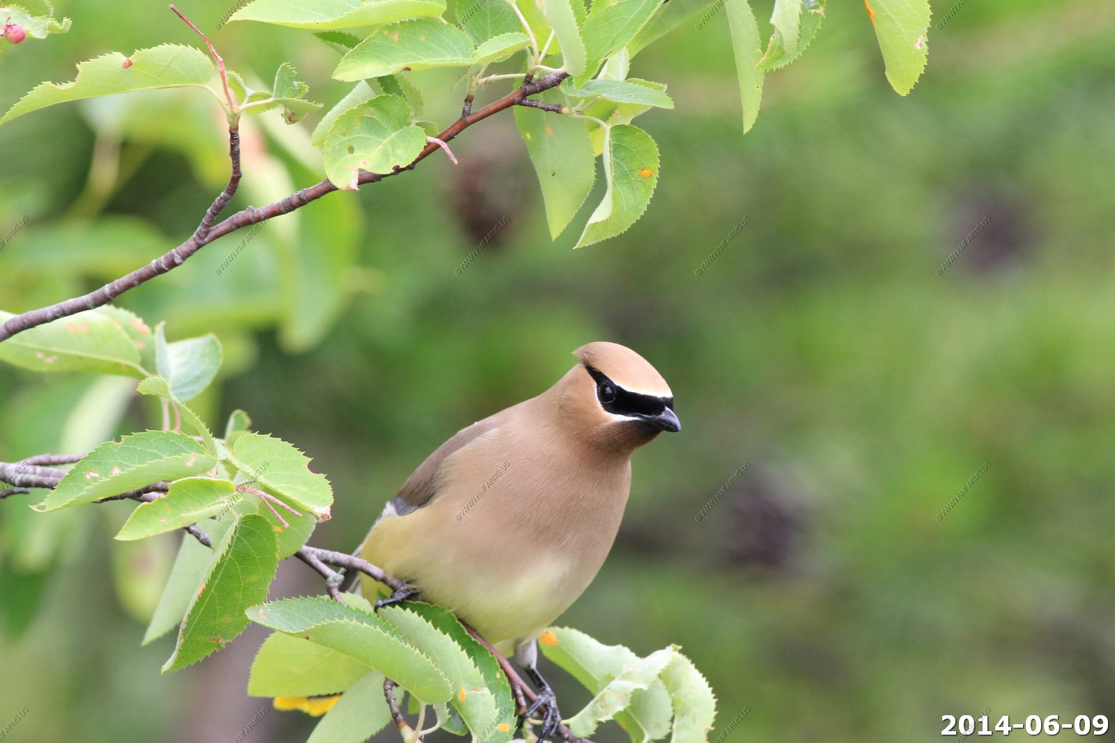
Cedar waxwing - Pinnacle Overlook


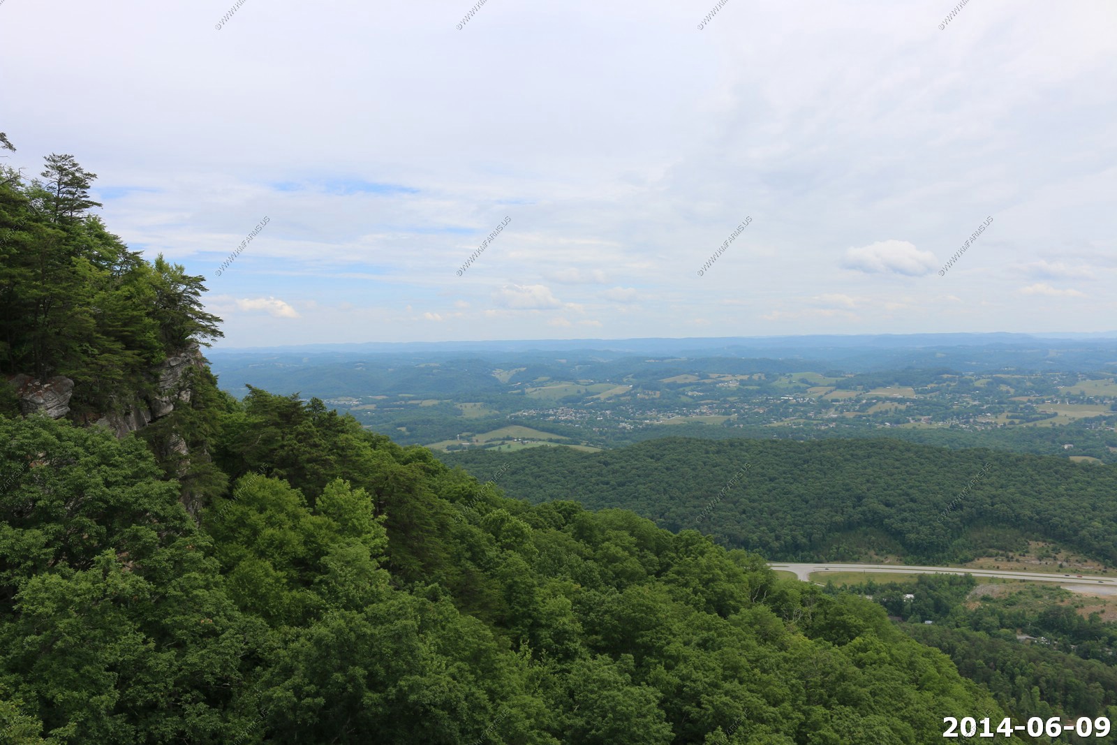
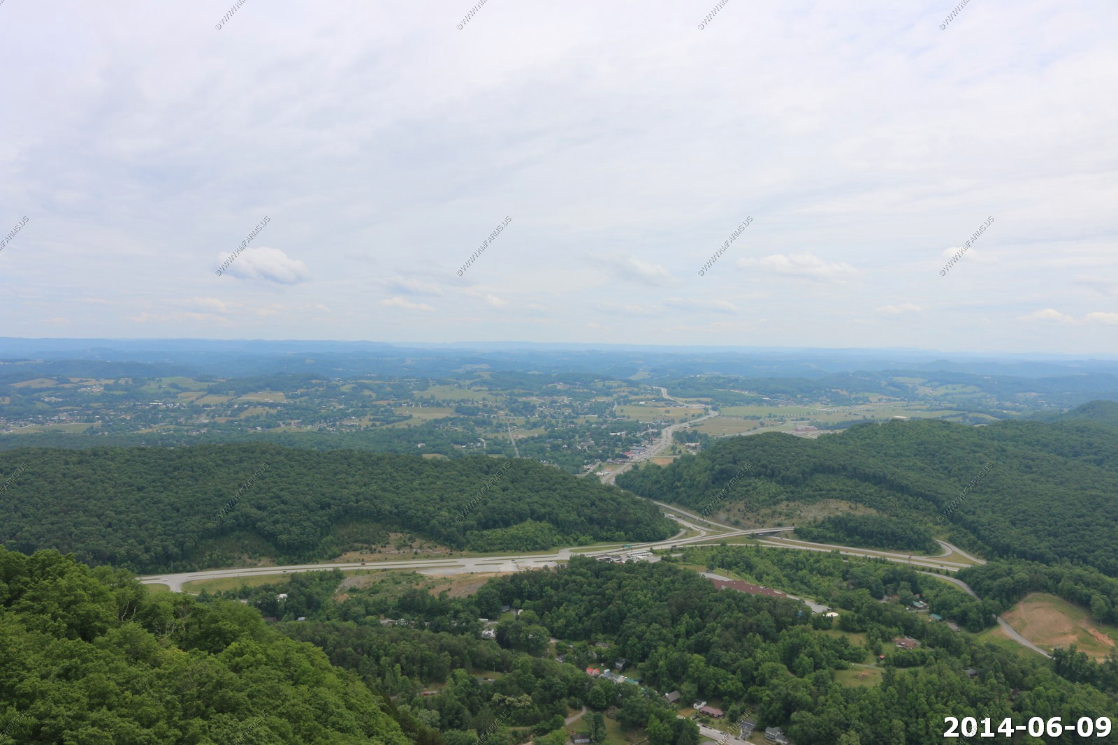
Looking back at Middlesboro, KY
Middlesboro is a meteor crater in Kentucky, United States. It is named after the city of Middlesborough (also spelled Middlesboro), which today occupies much of the crater. It is approximately 3 miles (about 6 km) in diameter and the age is estimated to be less than 300 million years (Permian). The crater is exposed to the surface. The crater was identified in 1966 when Robert Dietz discovered shatter cones in sandstone, which led to the further identification of shocked quartz. Shatter cones, a rock shattering pattern naturally formed only during impact events, are found in abundance in the area. In September 2003 the site was designated a Distinguished Geologic Site by the Kentucky Society of Professional Geologists
Without Middlesboro crater, it would have been difficult for packhorses to navigate this gap, formed by differential erosion along one of the subsequent cross faults, and improbable that wagon roads would have been constructed at an early date. Middlesboro is the only place in the world where coal is mined inside an impact crater. Special mining techniques must be used in the complicated strata of this crater.
We had the entire overlook to ourselves.
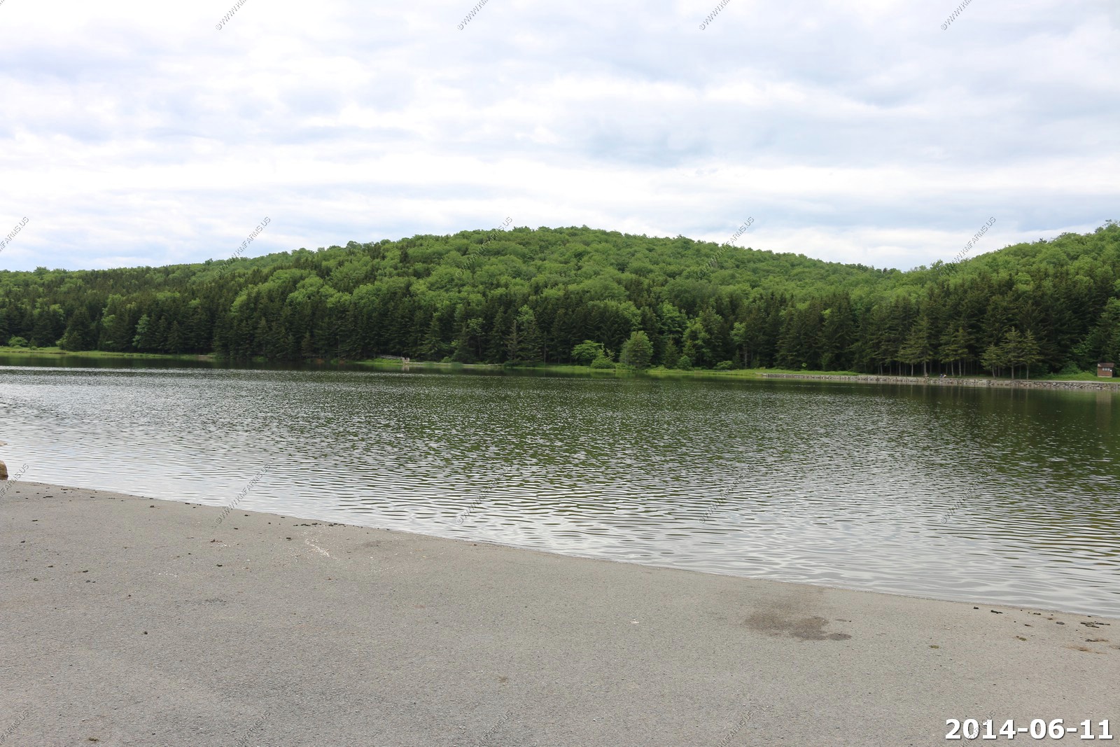
Fern Lake
Driving thru the Cumberland Gap tunnel - Kentucky - Tennessee - Virginia
Looking up at Pinnacle Overlook
Now in Virginia and heading up US-58. No traffic and scenic.

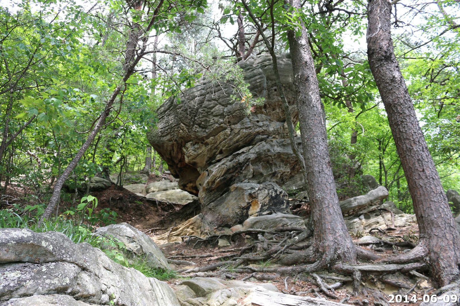
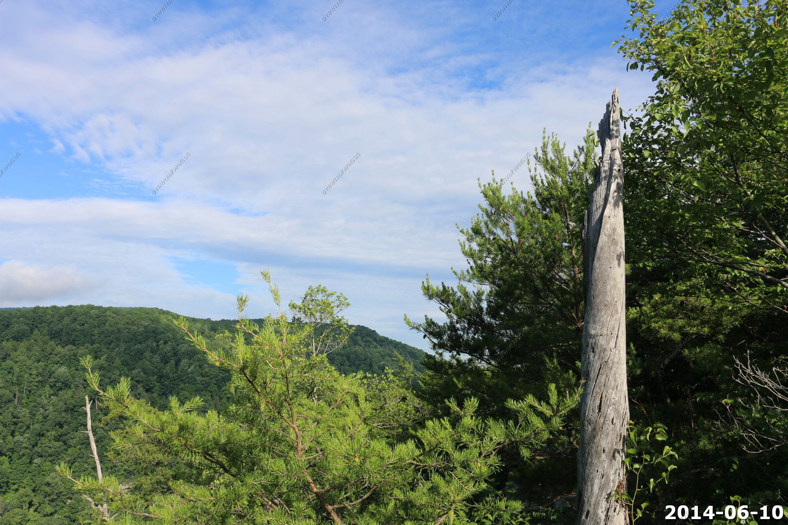
Some good day hikes up to these cliffs - Another time
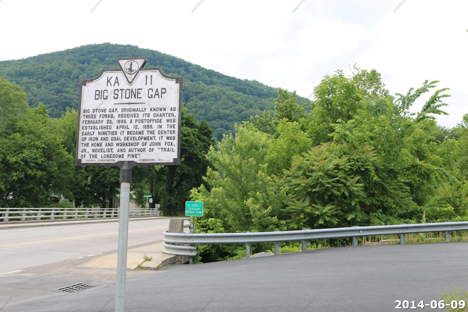
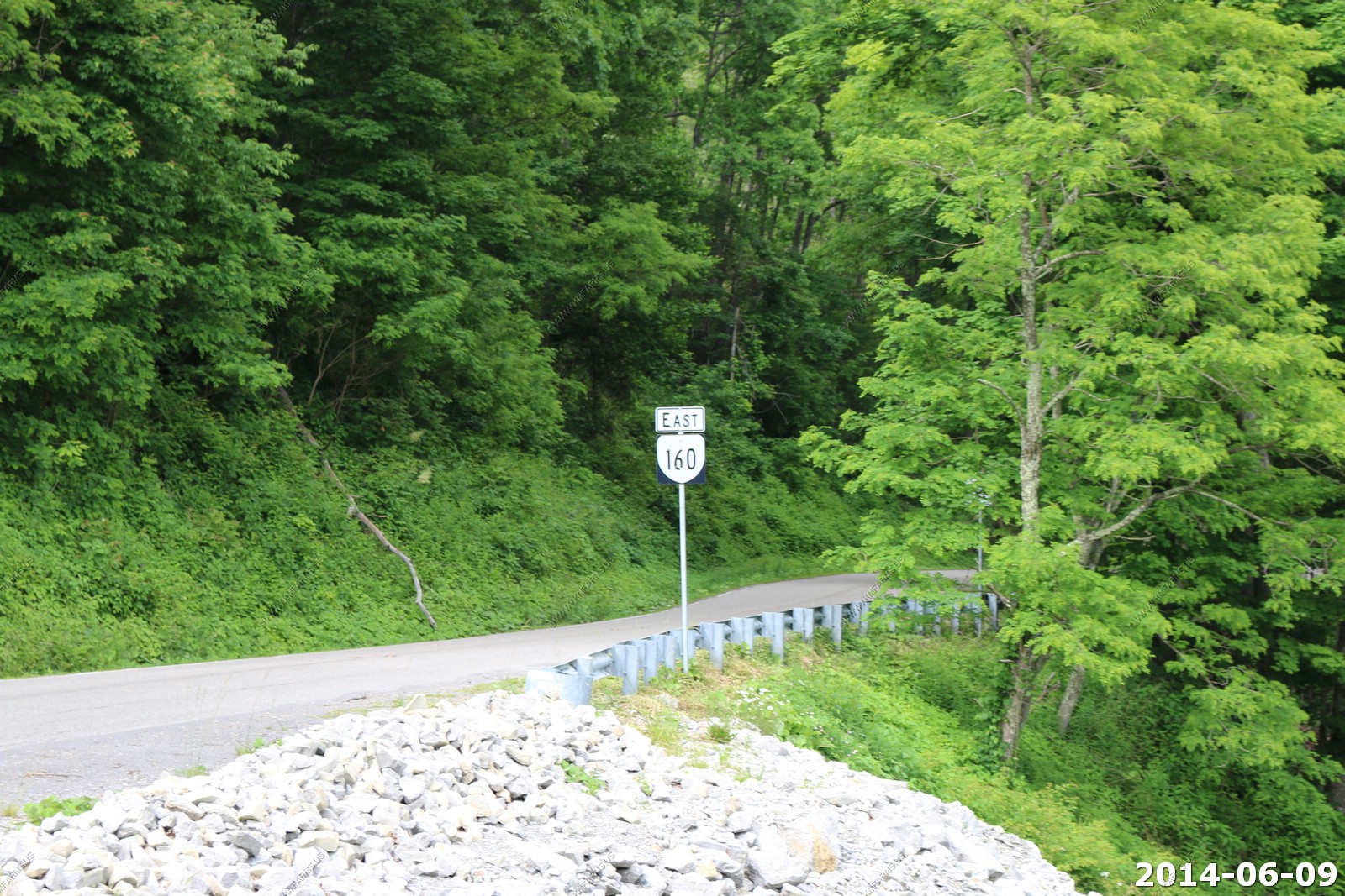
We went through Big Stone Gap, VA and they headed back over the mountains to Kentucky on SR-160
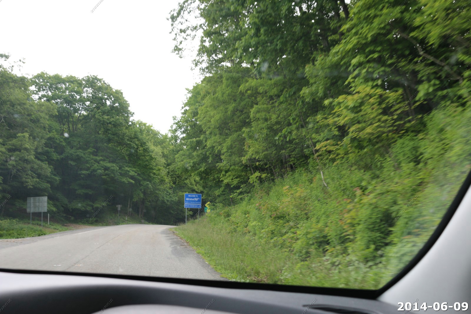
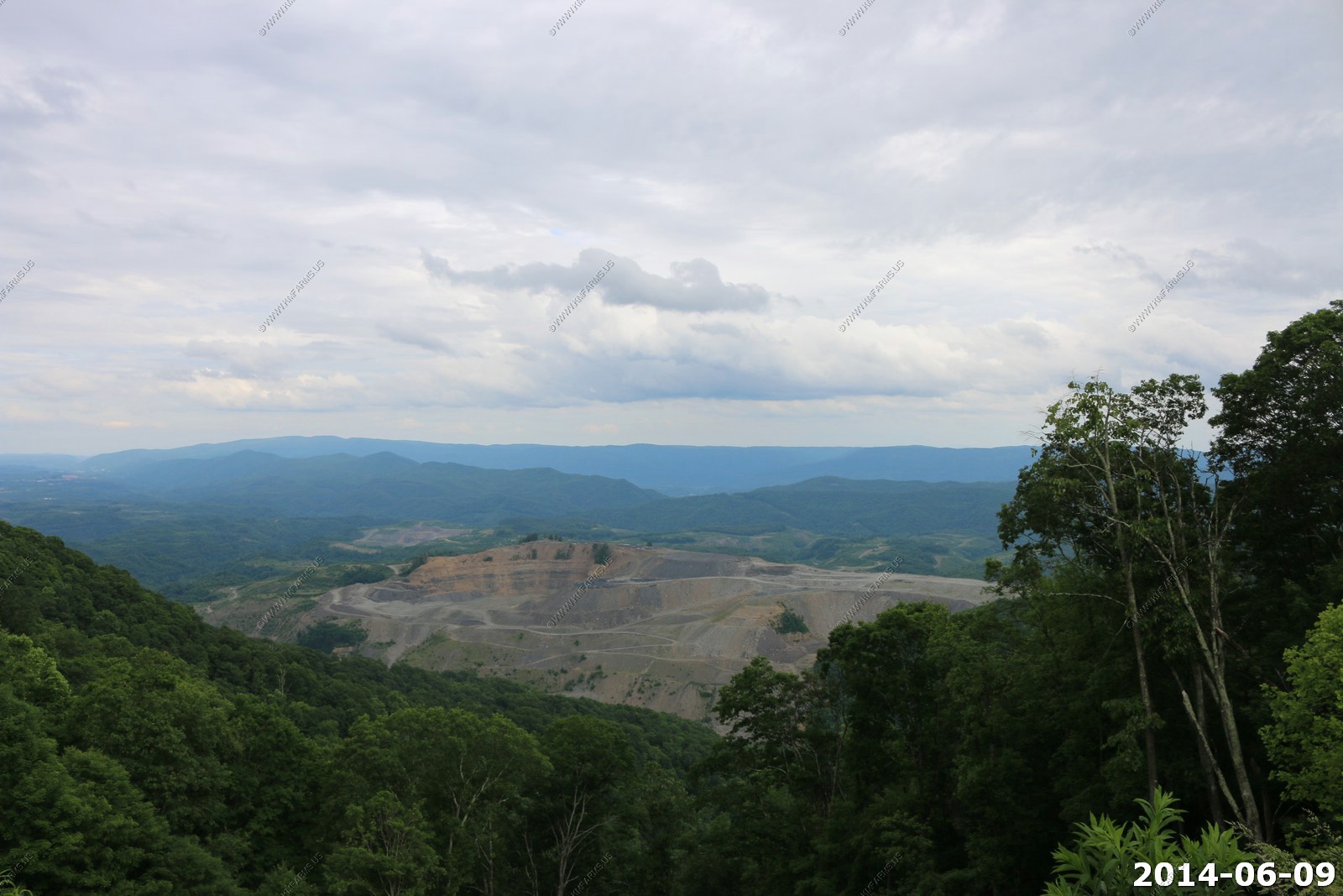
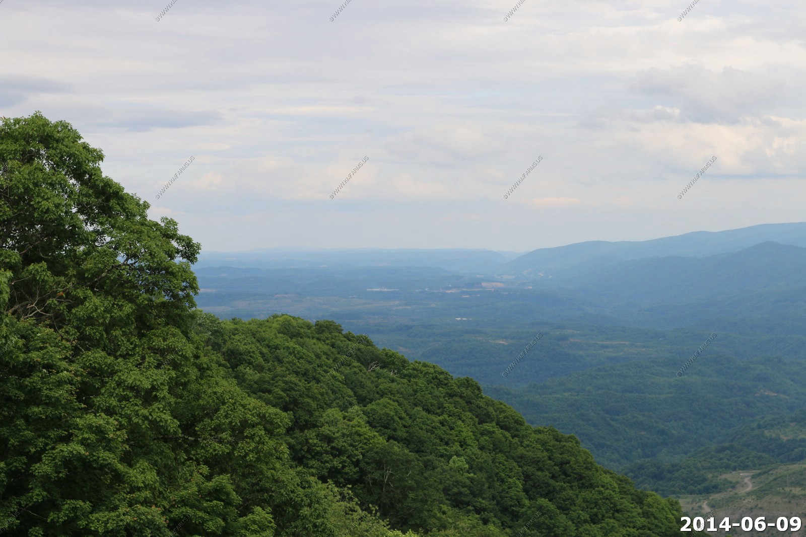
Crossing back into Kentucky - Some large mines back in Virginia
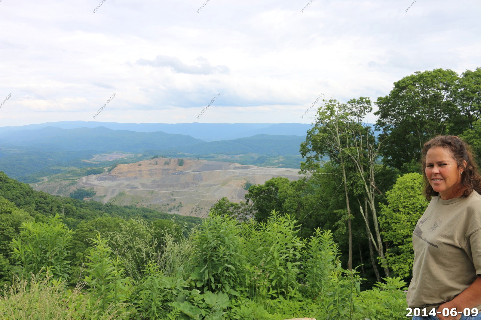
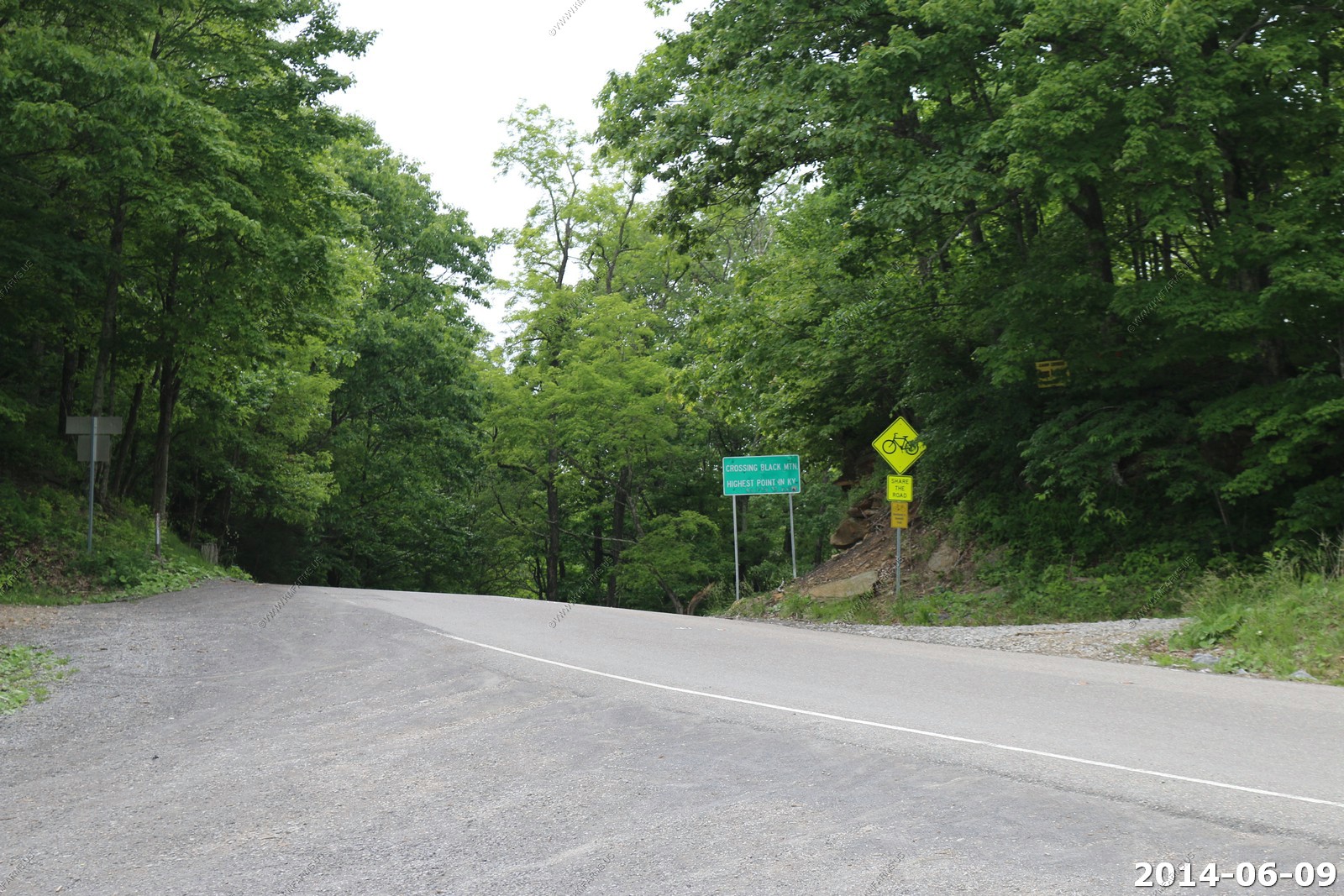
Black Mountain is the highest mountain peak in the Commonwealth of Kentucky, USA, with a summit elevation of 4,145 feet (1,263 m) above mean sea level and a top to bottom height of over 2,500 feet (760 m). The summit is located in Harlan County, Kentucky near the Virginia border, just above the towns of Lynch, Kentucky and Appalachia, Virginia. It is about 500 feet (150 m) taller than any other mountain in Kentucky.
Route 160 east of Lynch, Kentucky and west of Appalachia, Virginia crosses the mountain.
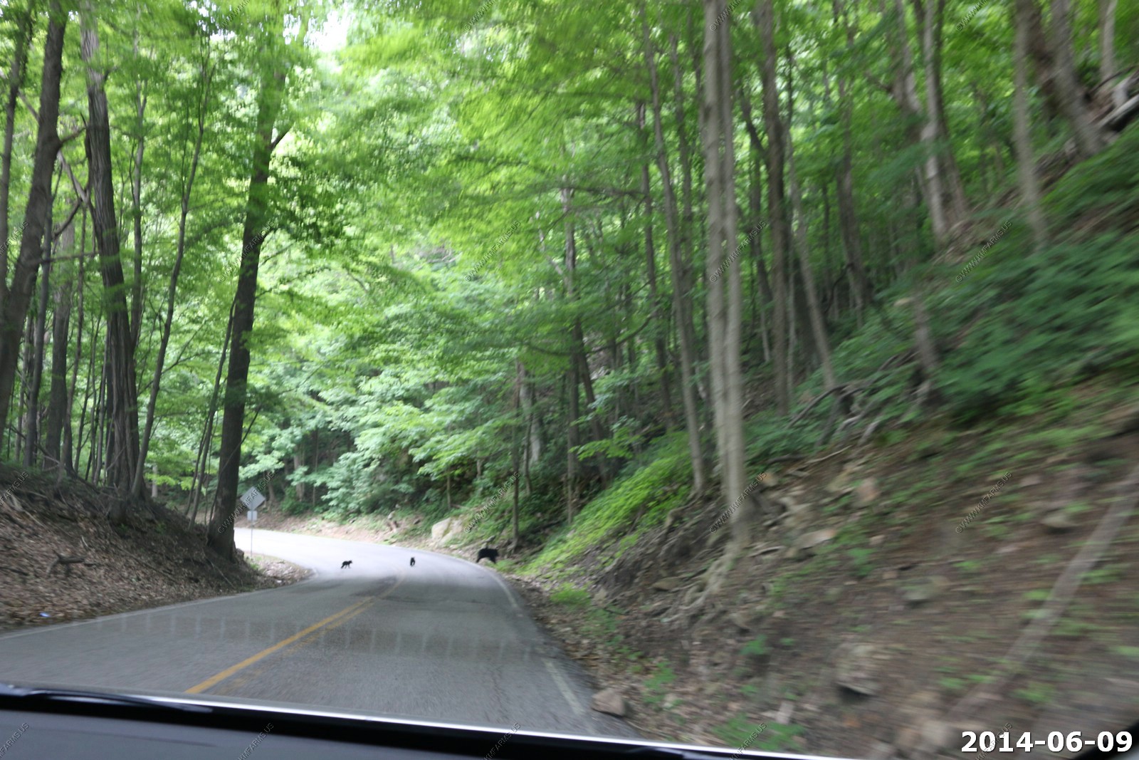
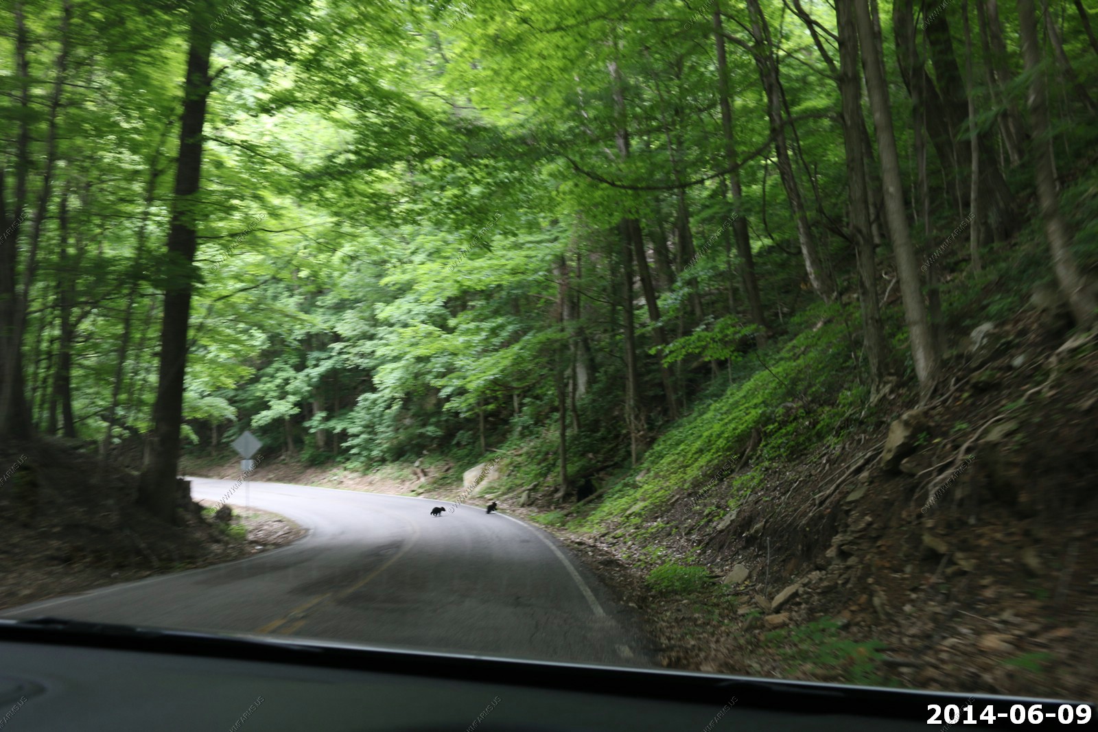
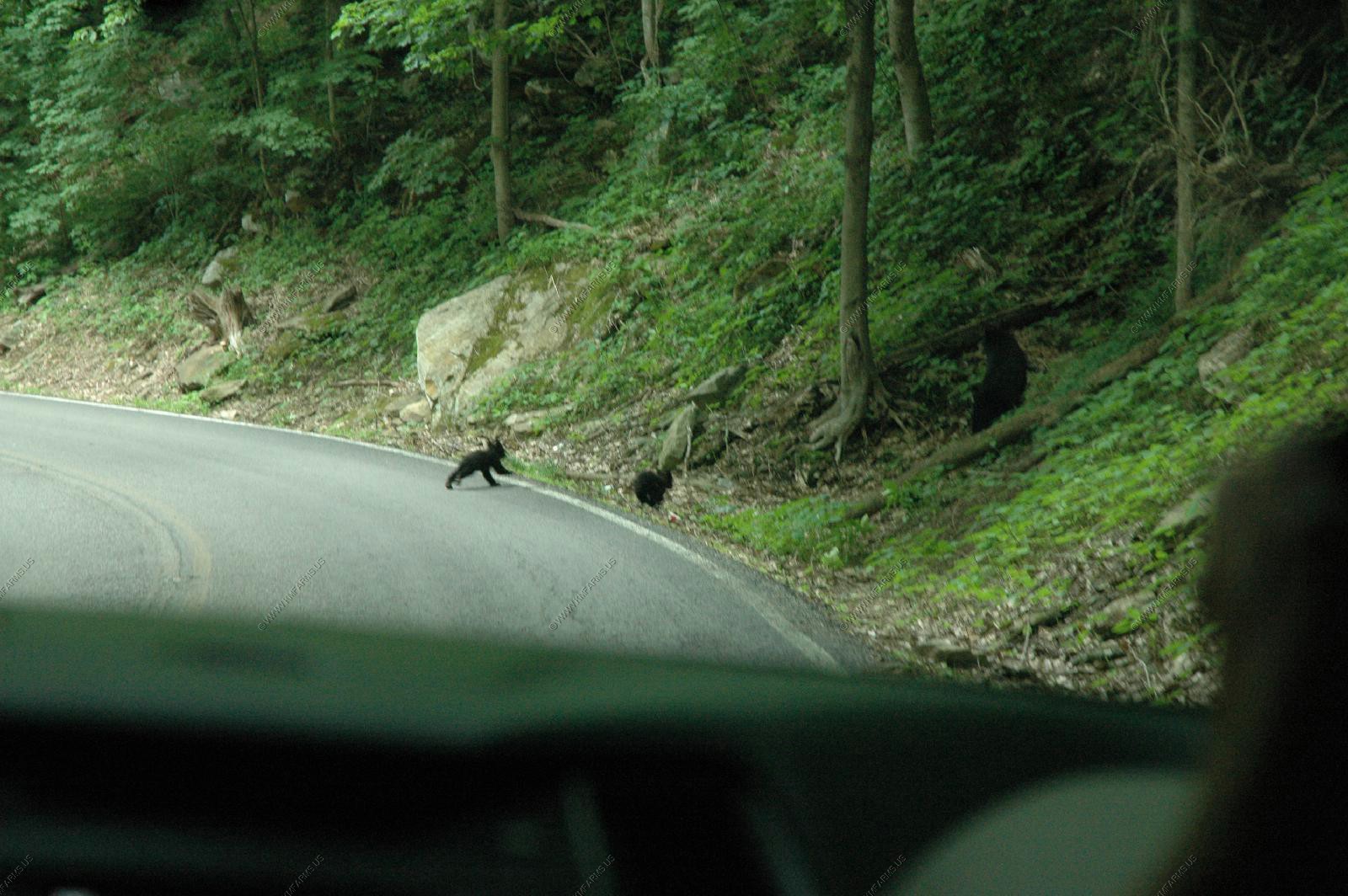
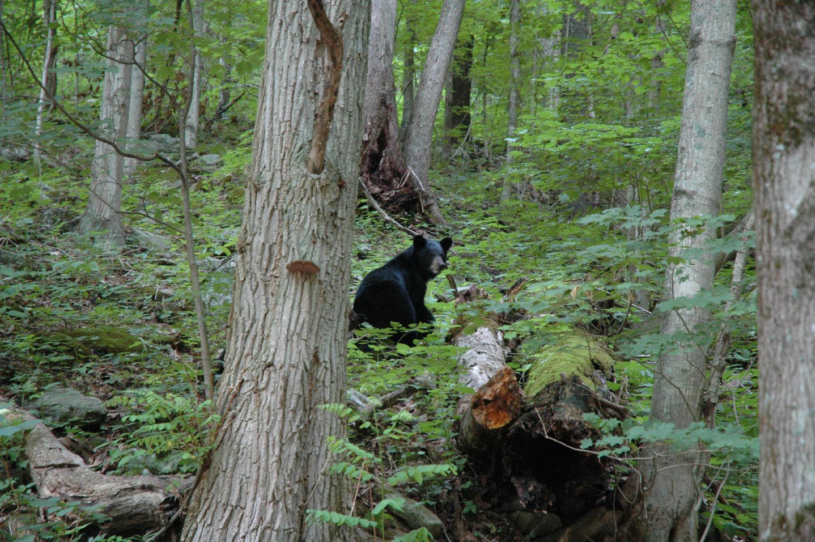
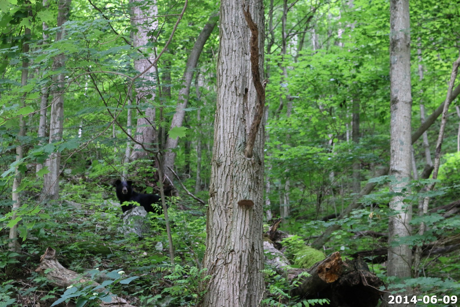
Coming down SR-160 we came up on momma bear and two cubs
More mine towns

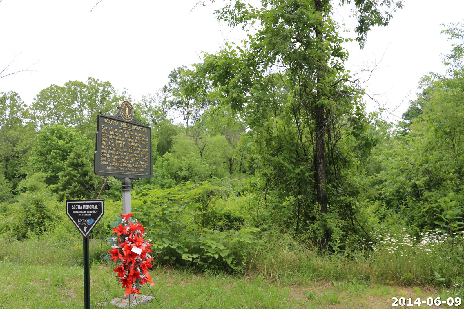
We drove by the location of the Scotia Mine Disaster March 9 & 11, 1976 - twin explosions killed 26 miners
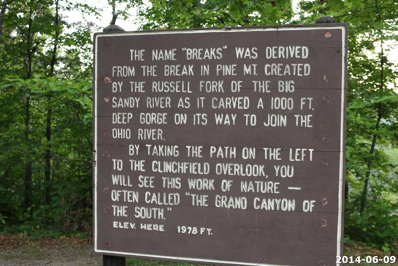
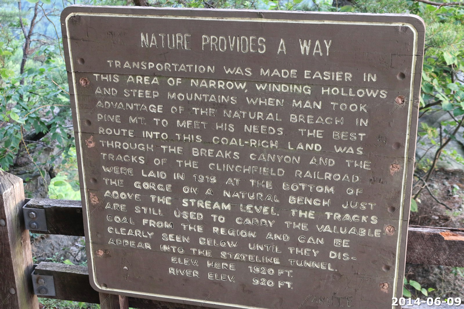
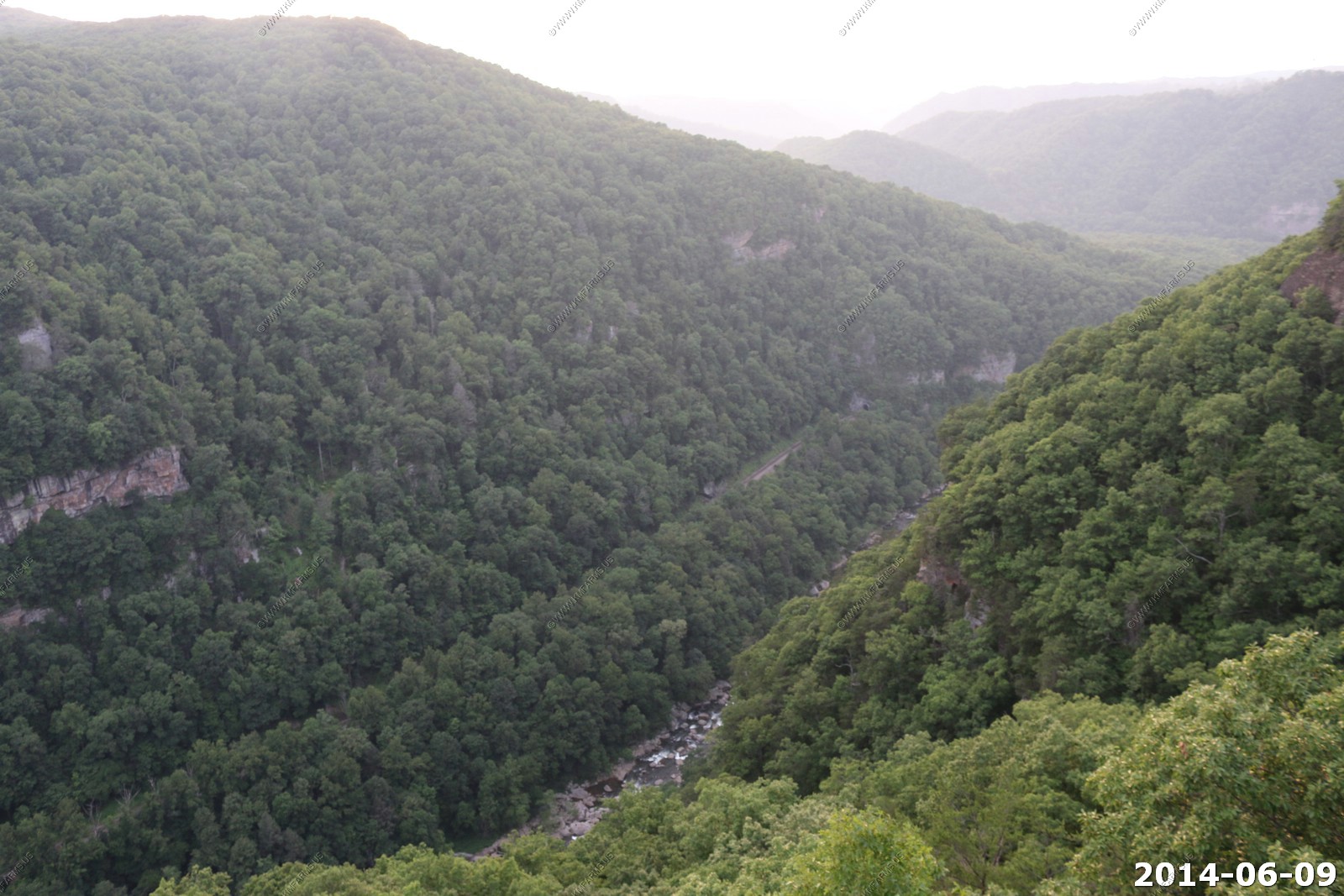
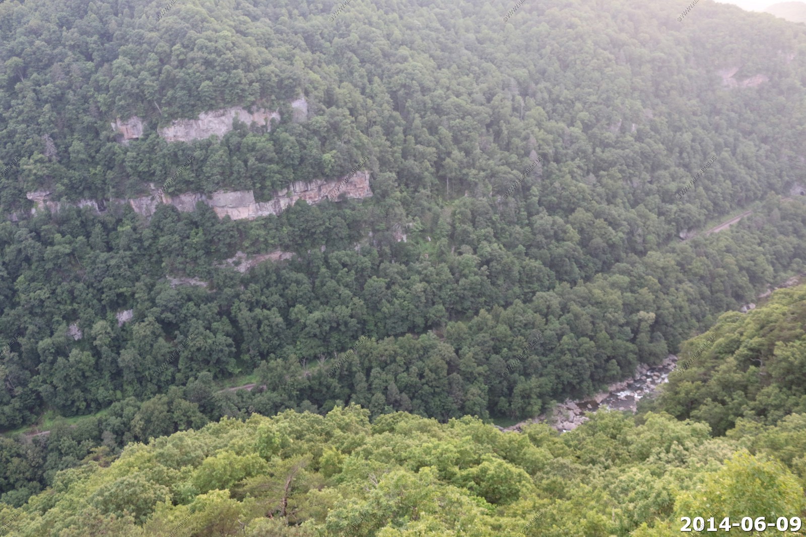
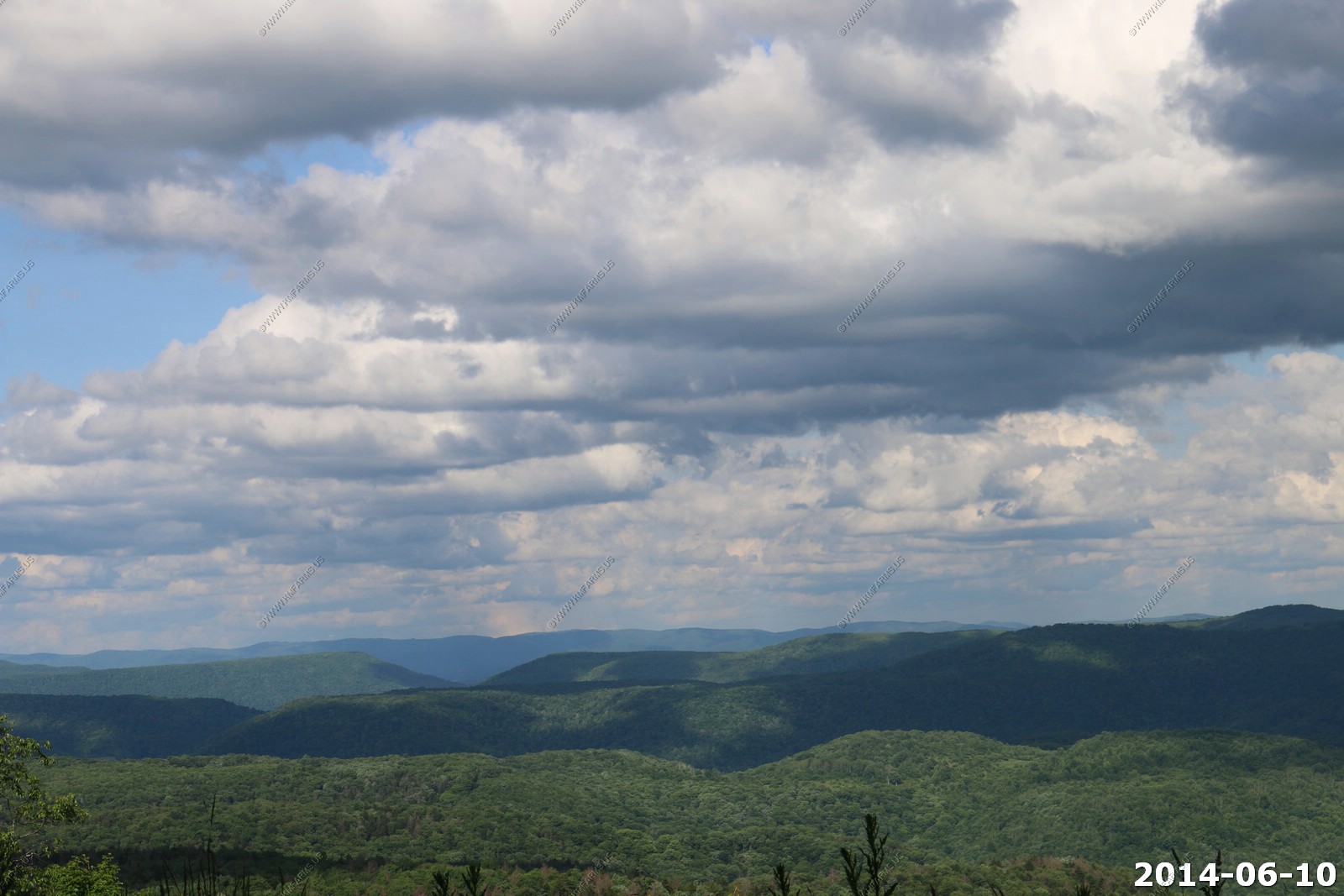
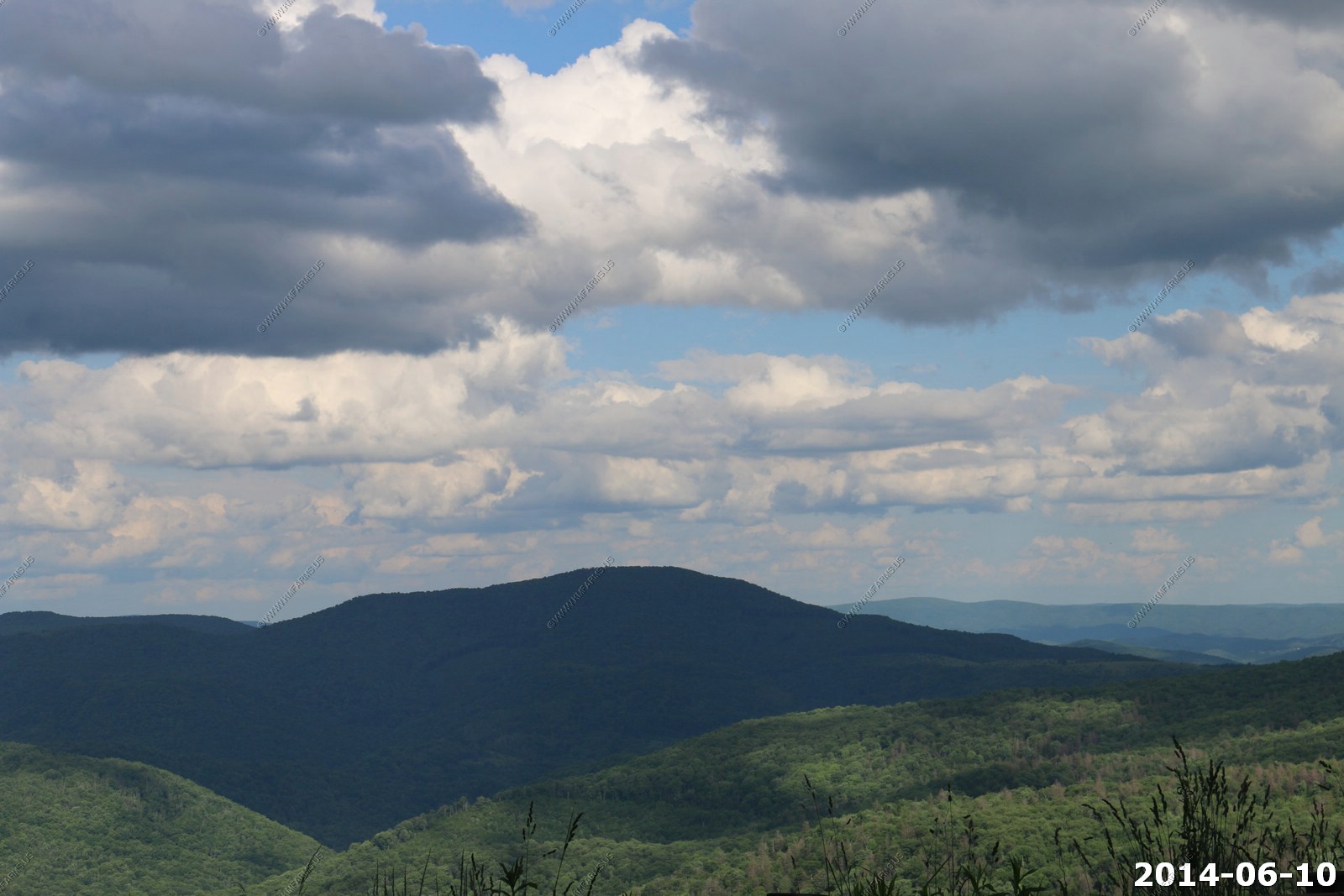
Breaks Interstate Park
Breaks Interstate Park is a bi-state state park located in southeastern Kentucky and southwestern Virginia in the Jefferson National Forest at the northeastern terminus of Pine Mountain. It is administered by the states of Virginia and Kentucky and is one of several interstate parks in the United States.
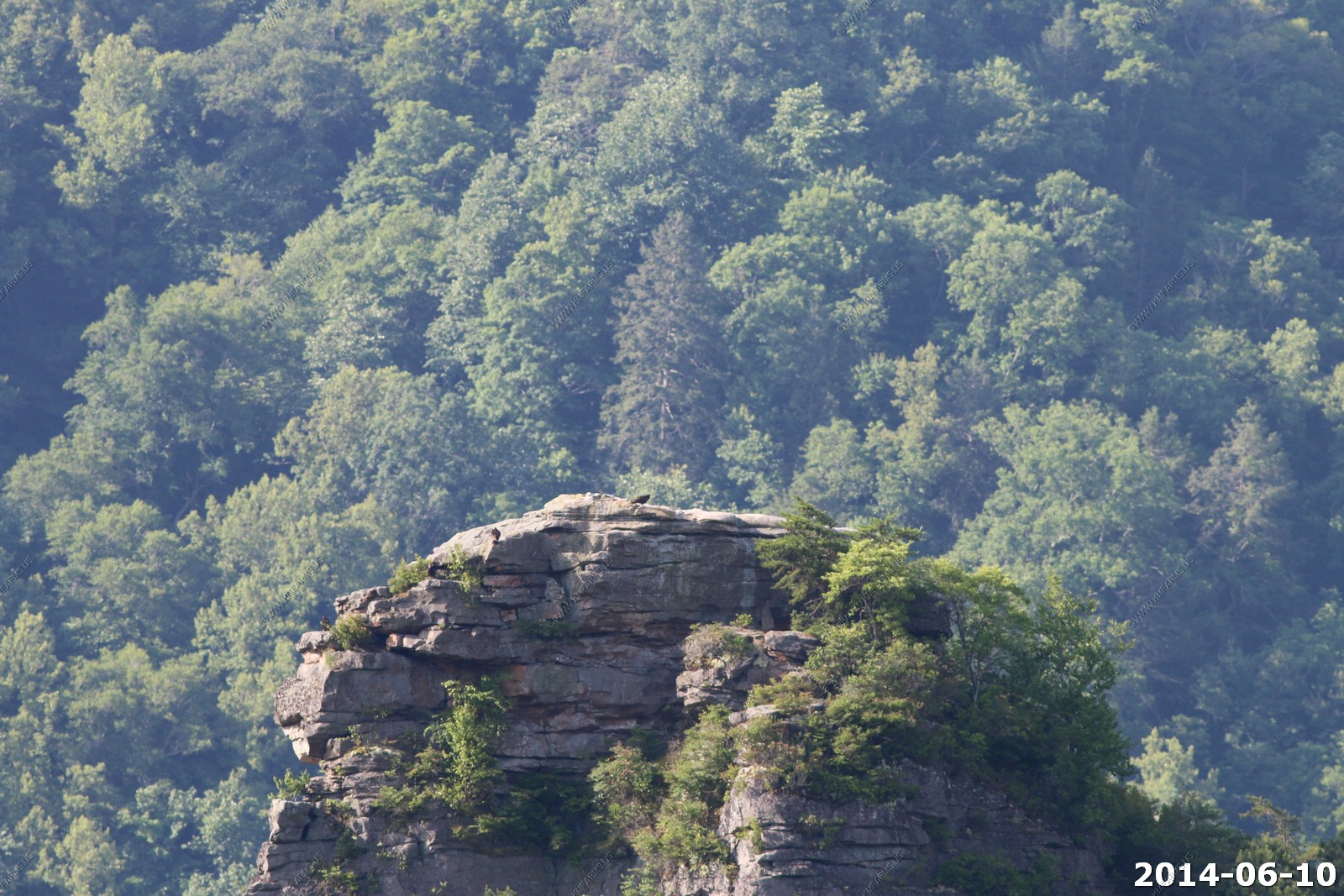
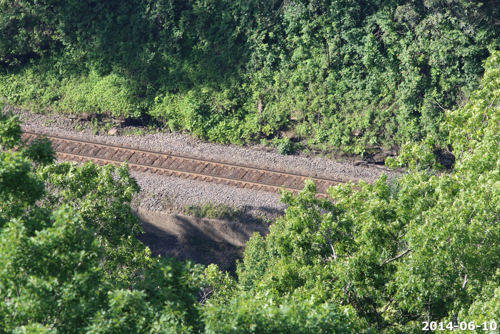
The Breaks, also referred as the "Grand Canyon of the South," is the deepest gorge east of the Mississippi River, through which the Russell Fork river and Clinchfield Railroad (now the CSX Transportation Kingsport Subdivision) run. It is accessed via Virginia State Route 80, between Haysi, Virginia and Elkhorn City, Kentucky, and passes through the community of Breaks, Virginia east of the park.
American frontiersman Daniel Boone is credited with being the first person of European descent to discover the Breaks, which he first saw in 1767
Geography - Breaks Interstate Park is located about 5 miles (8 km) east of Elkhorn City, Kentucky. The park covers 4,500 acres (1,800 ha). The park's main feature, Breaks Canyon, is five miles long and ranges from 830 to 1,600 feet (250 to 490 m) deep. The canyon was formed by the Russell Fork river through millions of years of erosion
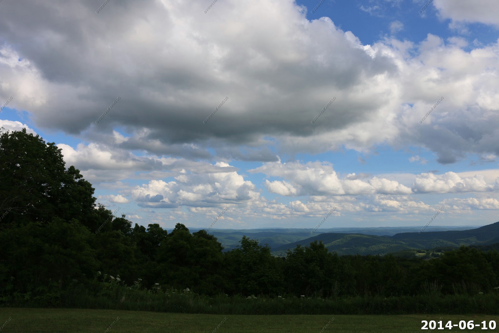
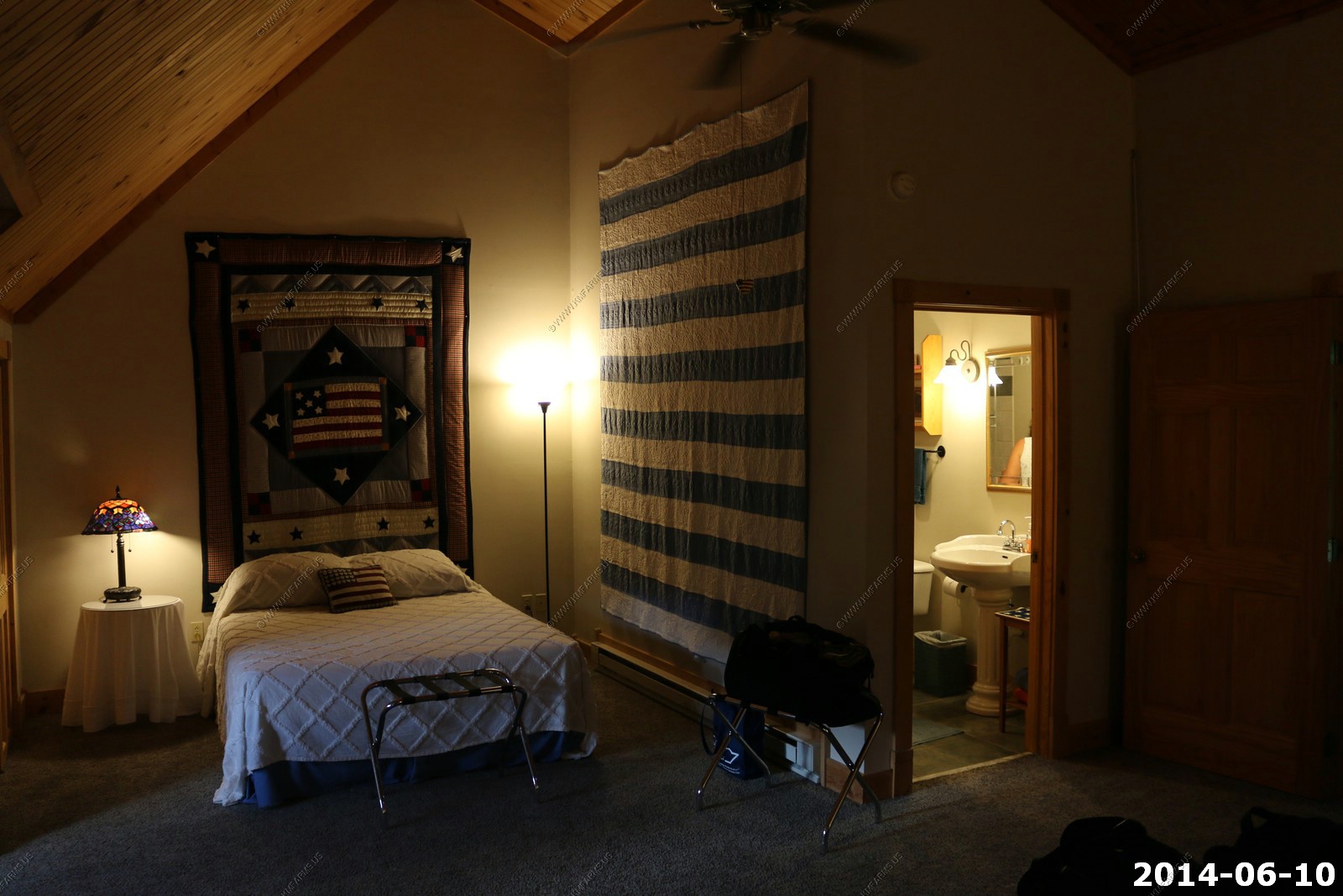
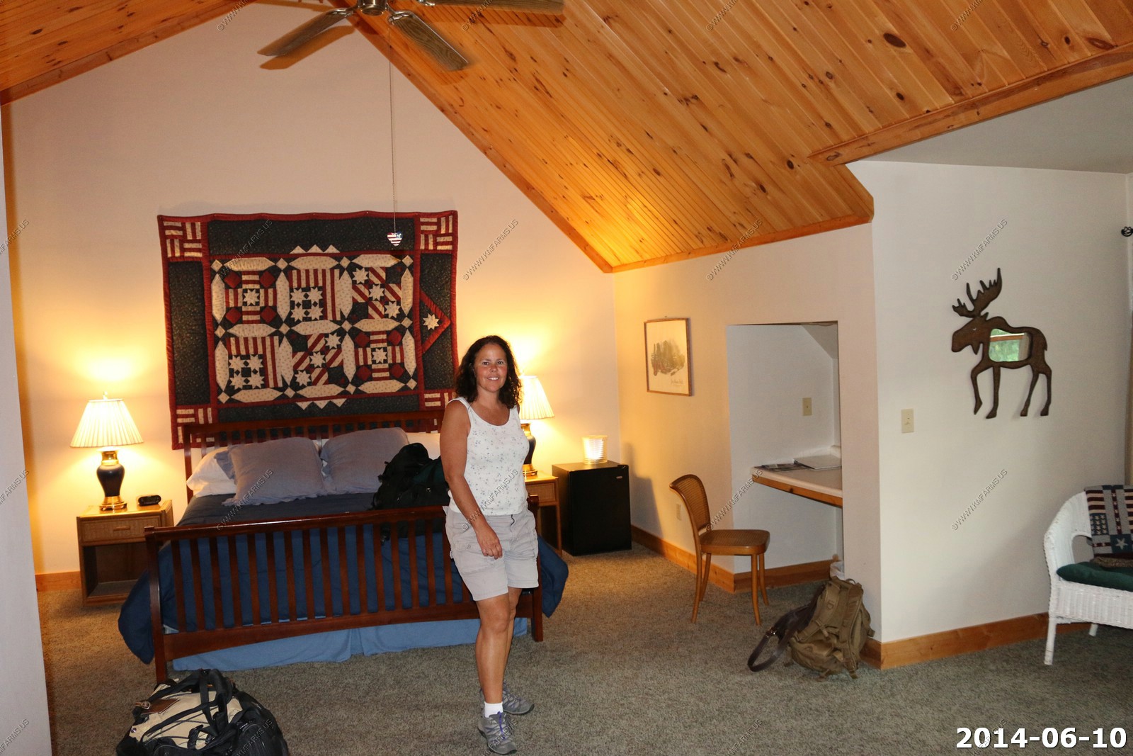
Our balcony at Breaks Interstate Park lodge. It was raining a bit when we arrived so we went to dinner at the lodge restaurant. Rooms are old and stuffy so we changed to an upstairs room, which was better.

It was like we had the entire place to ourselves
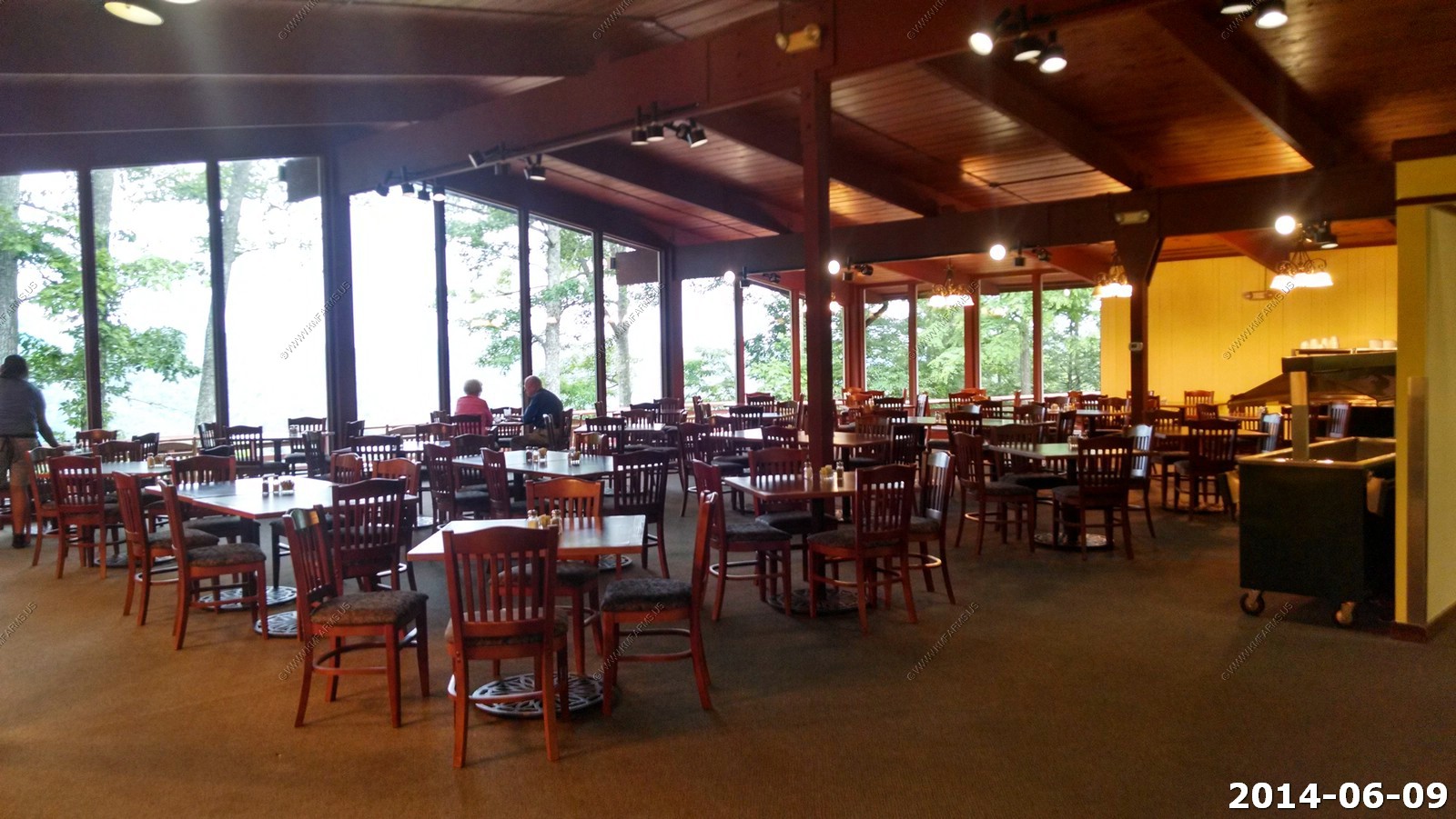
Large portion sizes. The only internet was in the lodge and it was not very good. Also, no cell service here (both ATT and Verizon)


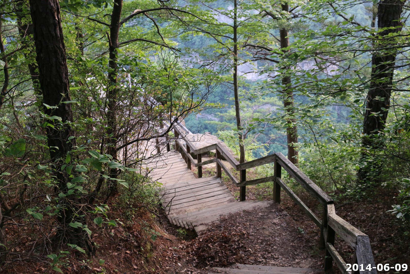
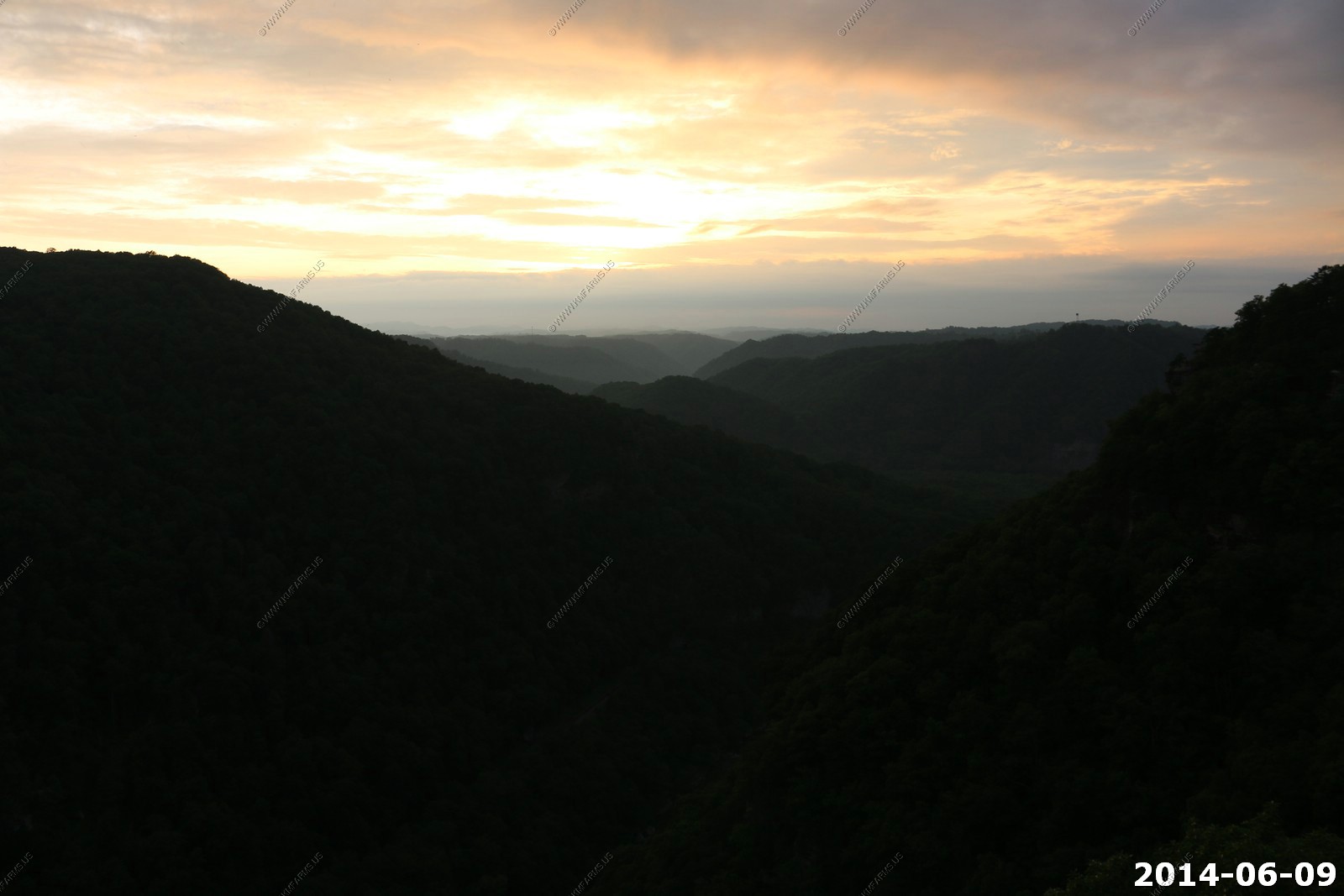
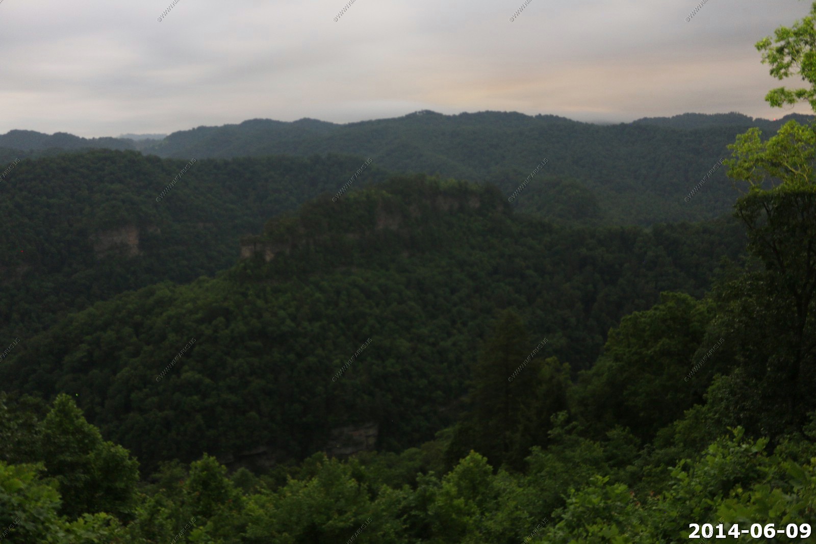
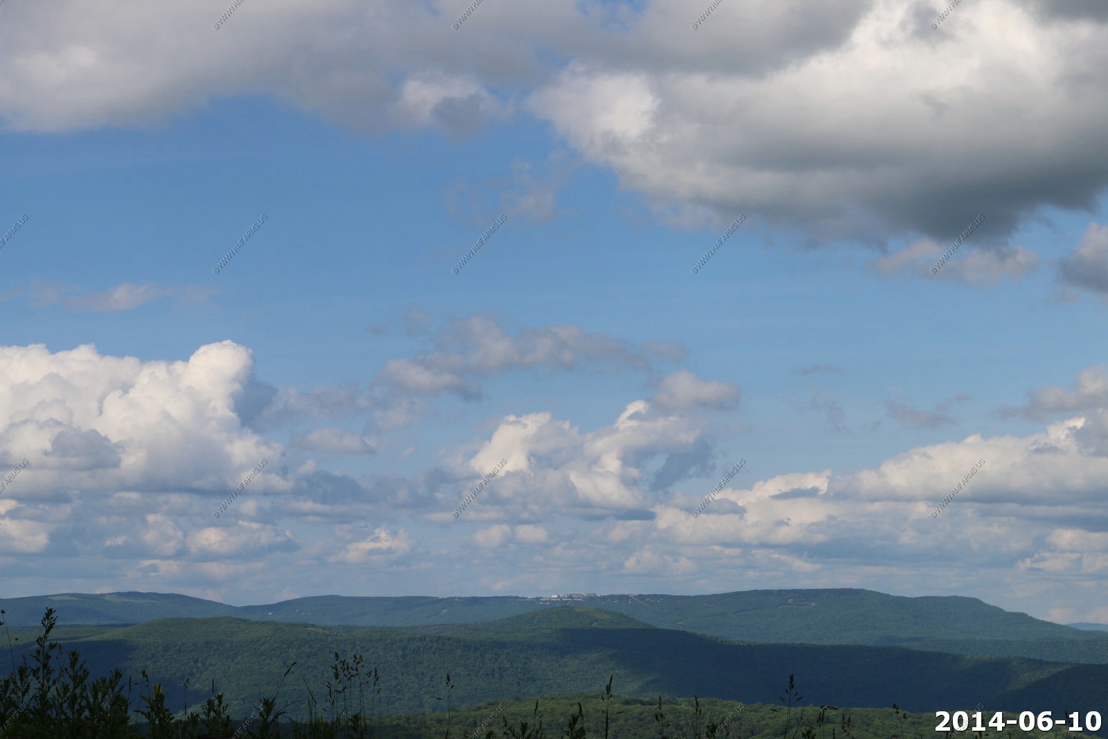
So before it got dark we ran out onto the closest overlook to watch trains. We had heard a few during dinner but none were seen
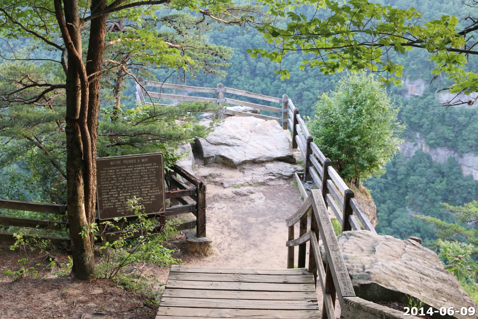
Looking east
The 1,523' long State Line tunnel & river
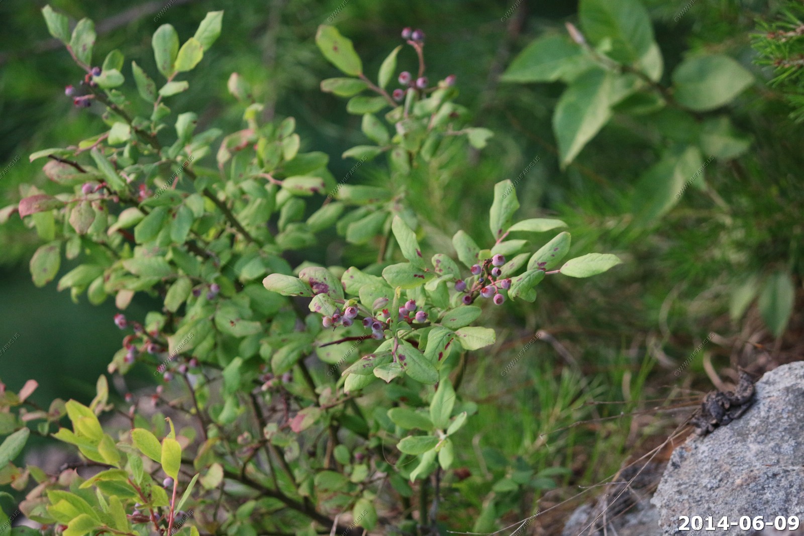
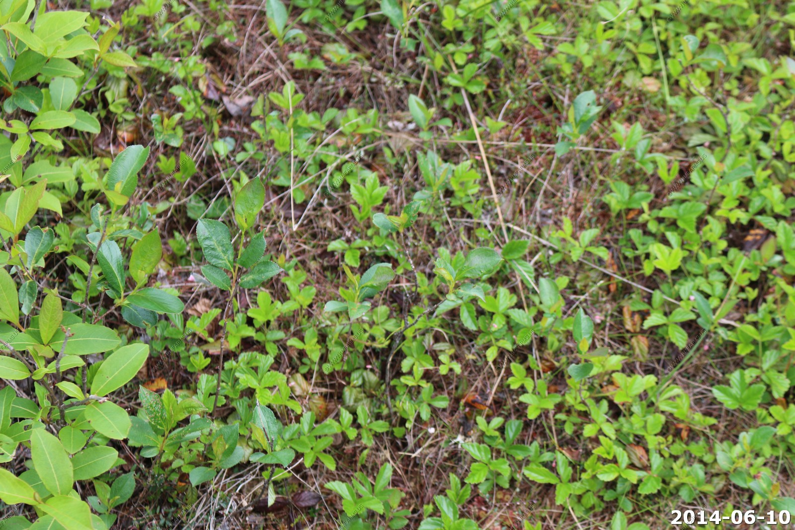
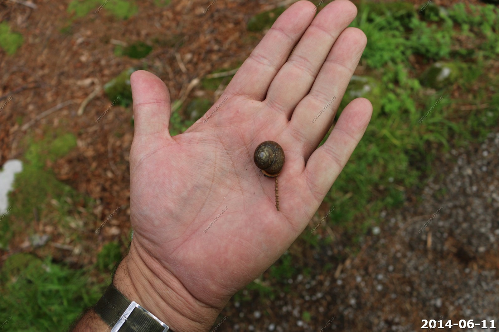
Blue Berries
The next overlook
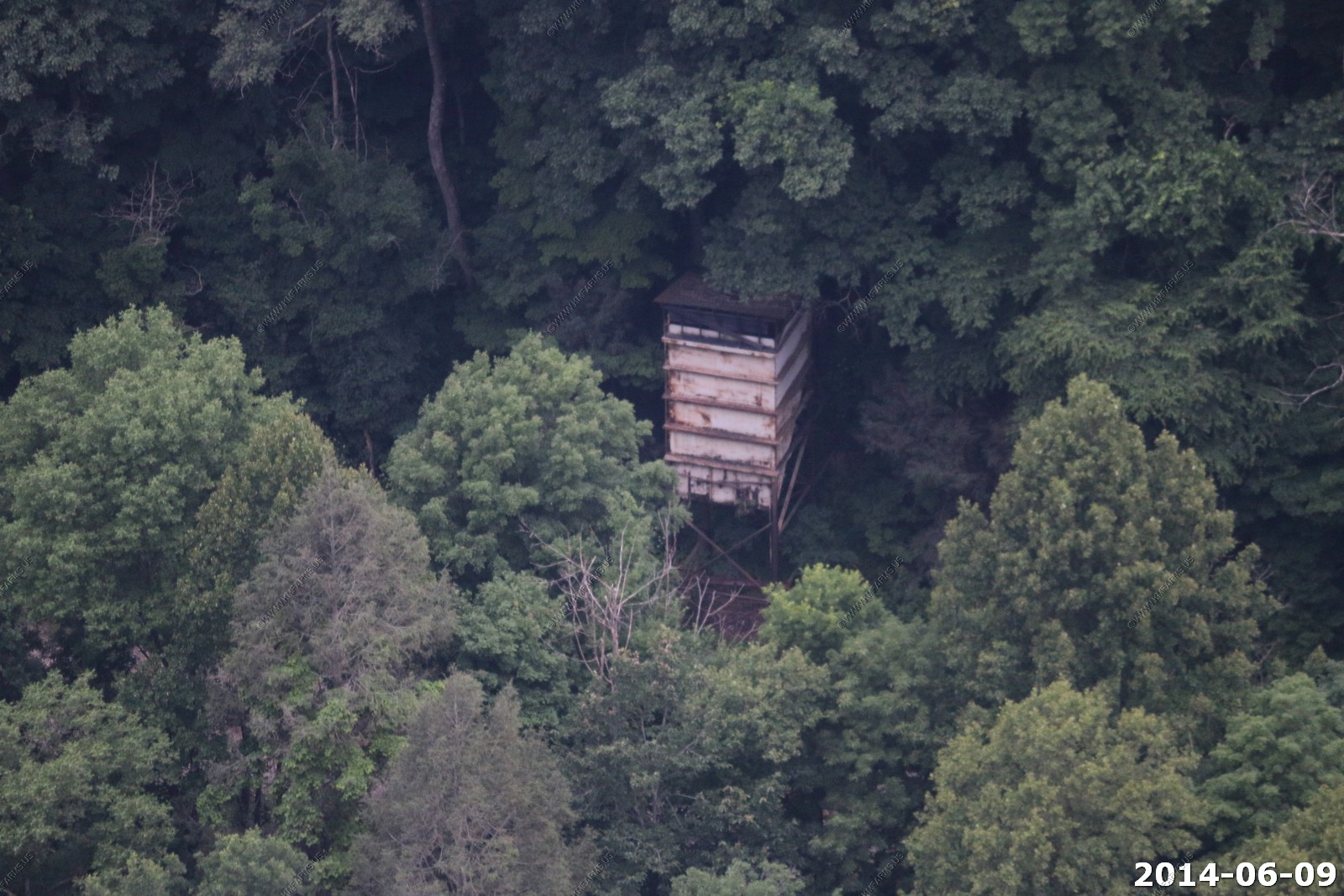
Railroad structure probably from coal train times
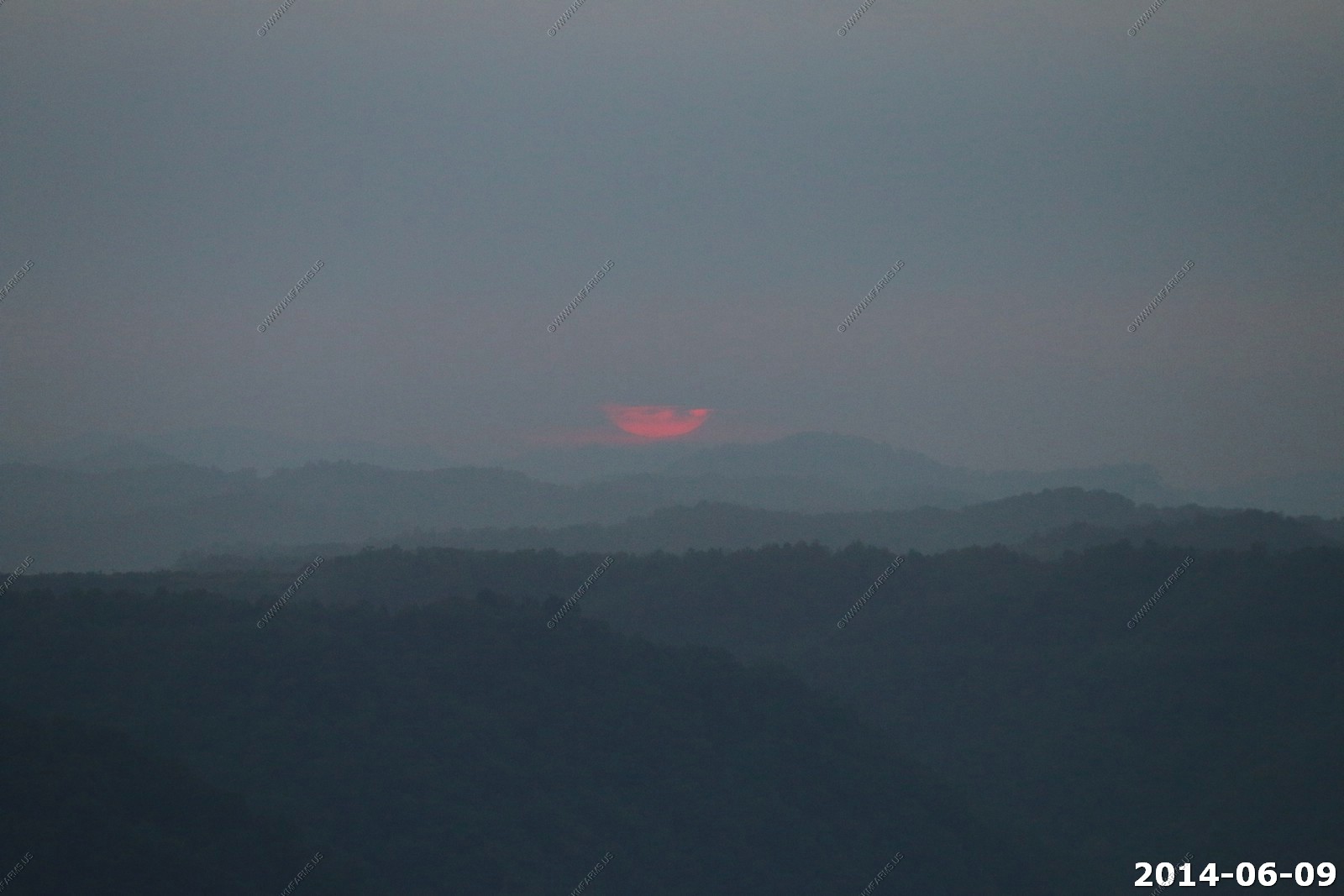
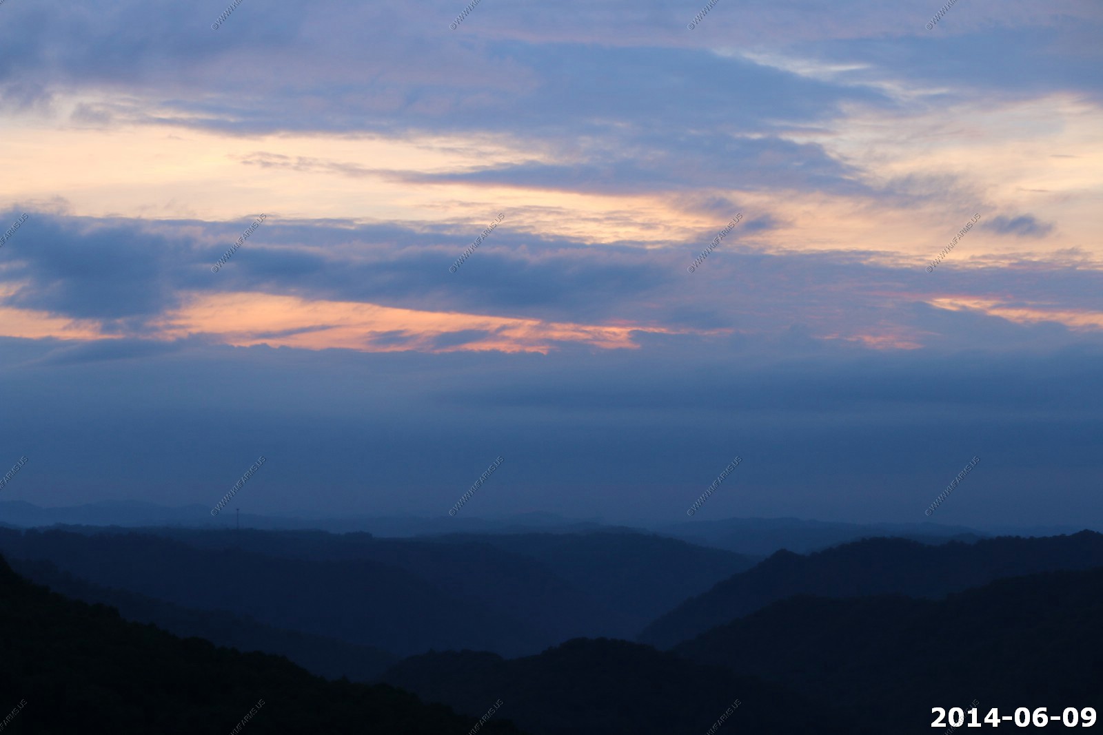
Sunset - we lucked out because it was raining at dinner time.
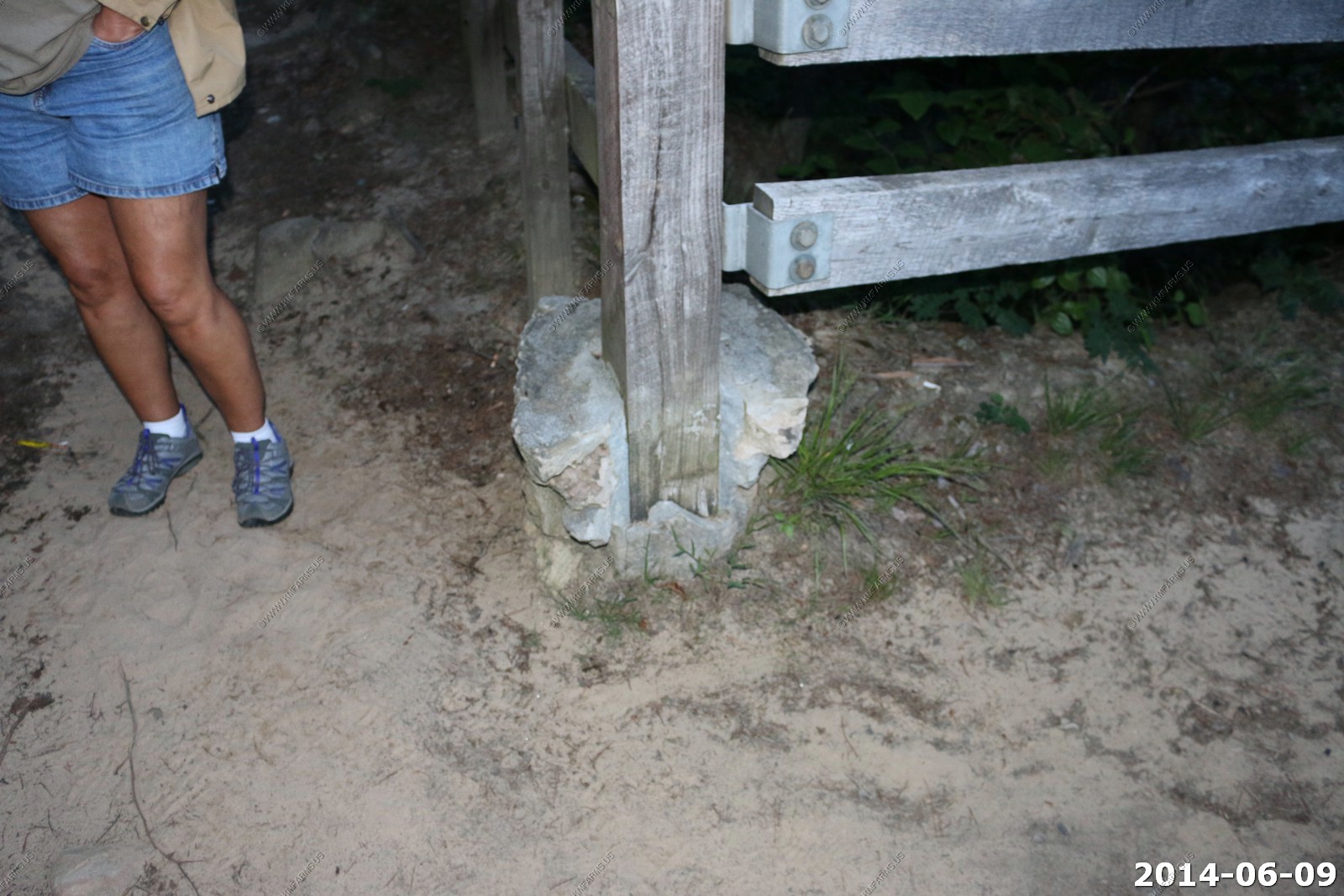
Good bit of erosion on the fence posts
We could hear trains in the valley. Took a long exposure to see if I could see the train lights. Nothing but it did gather enough light to see the valley.
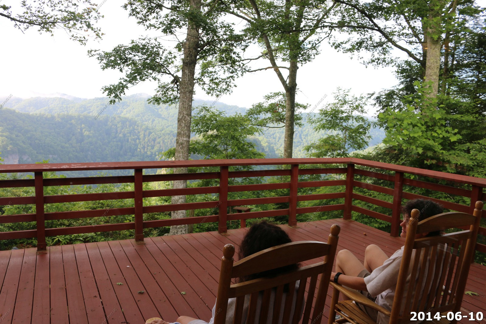
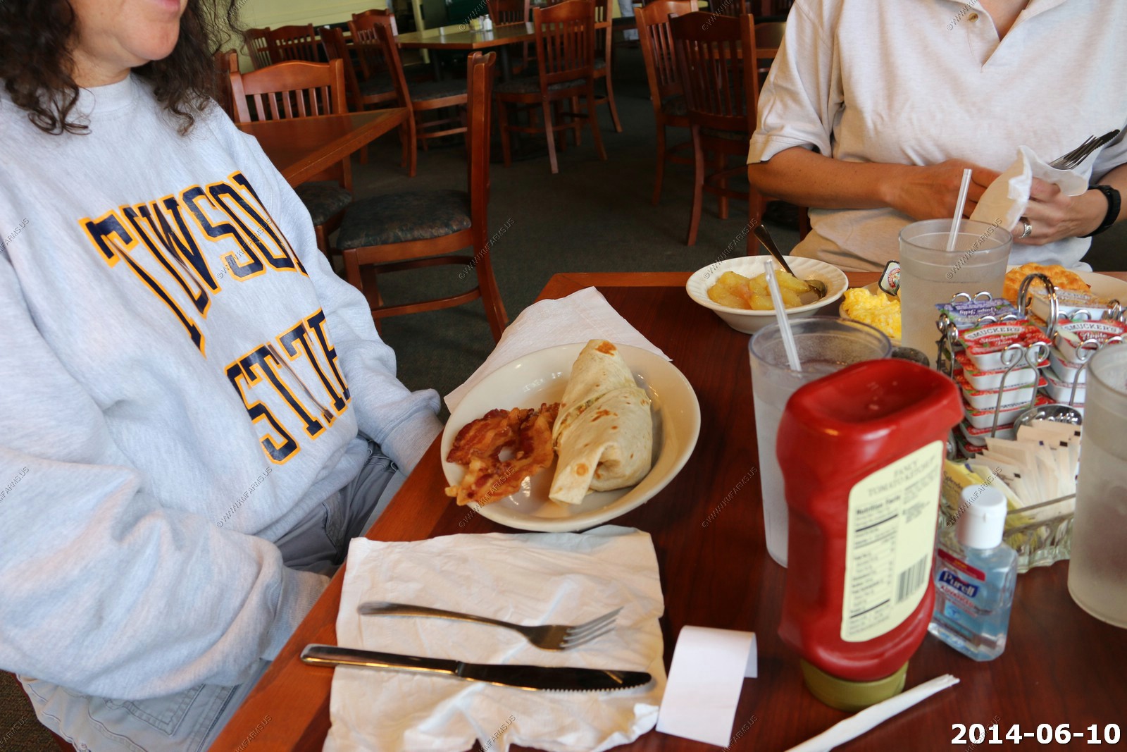
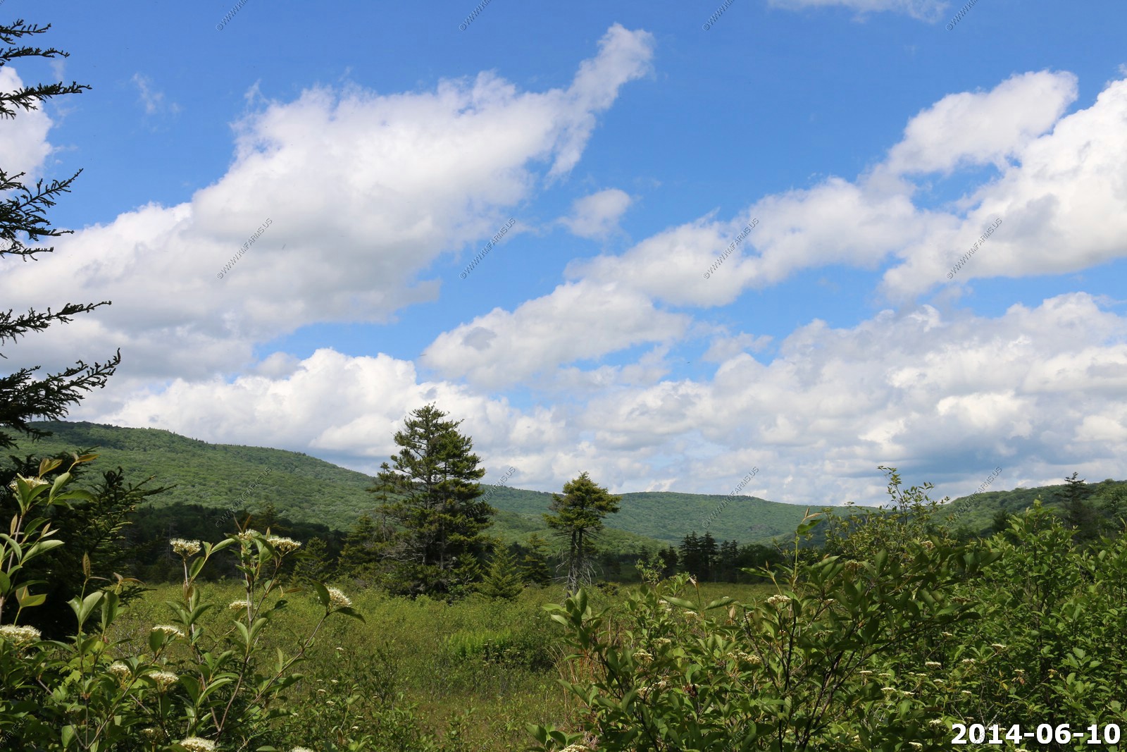
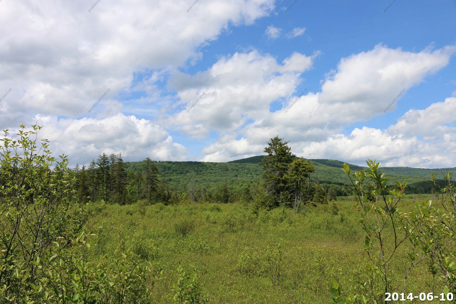
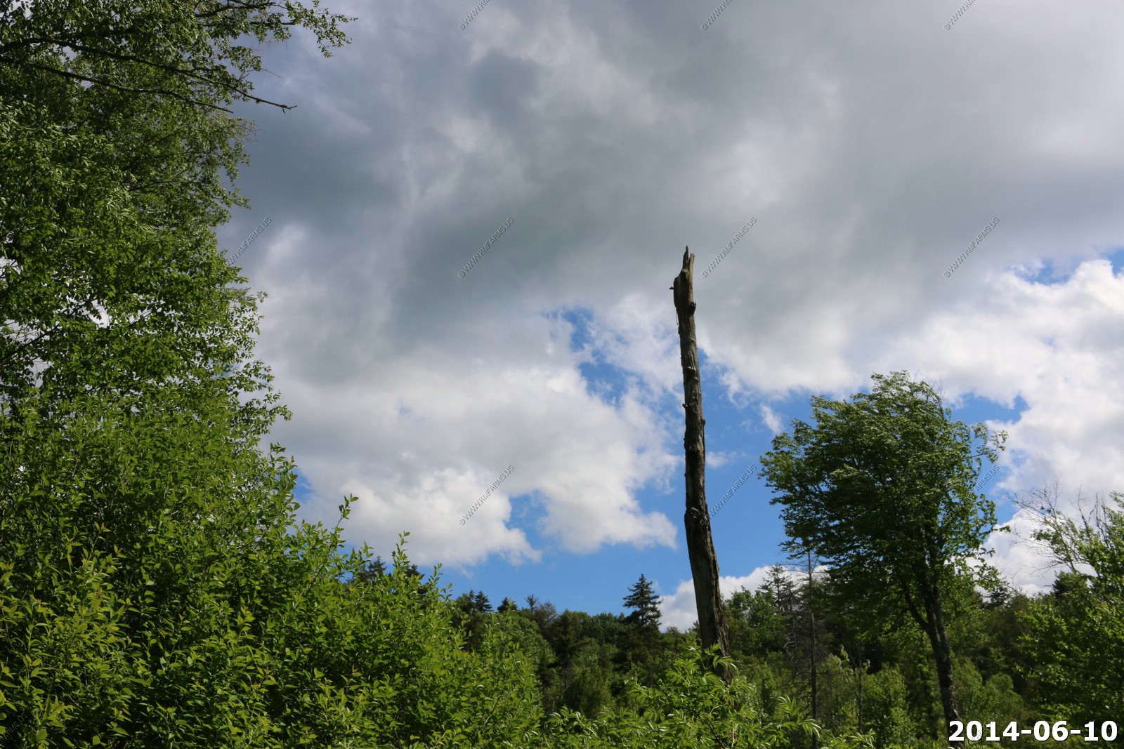
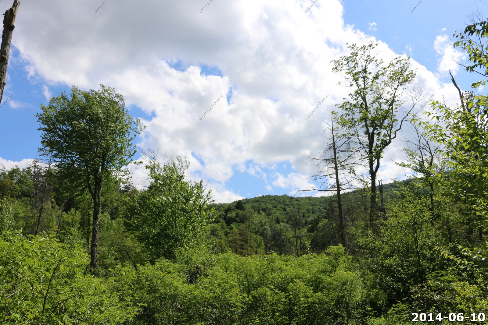
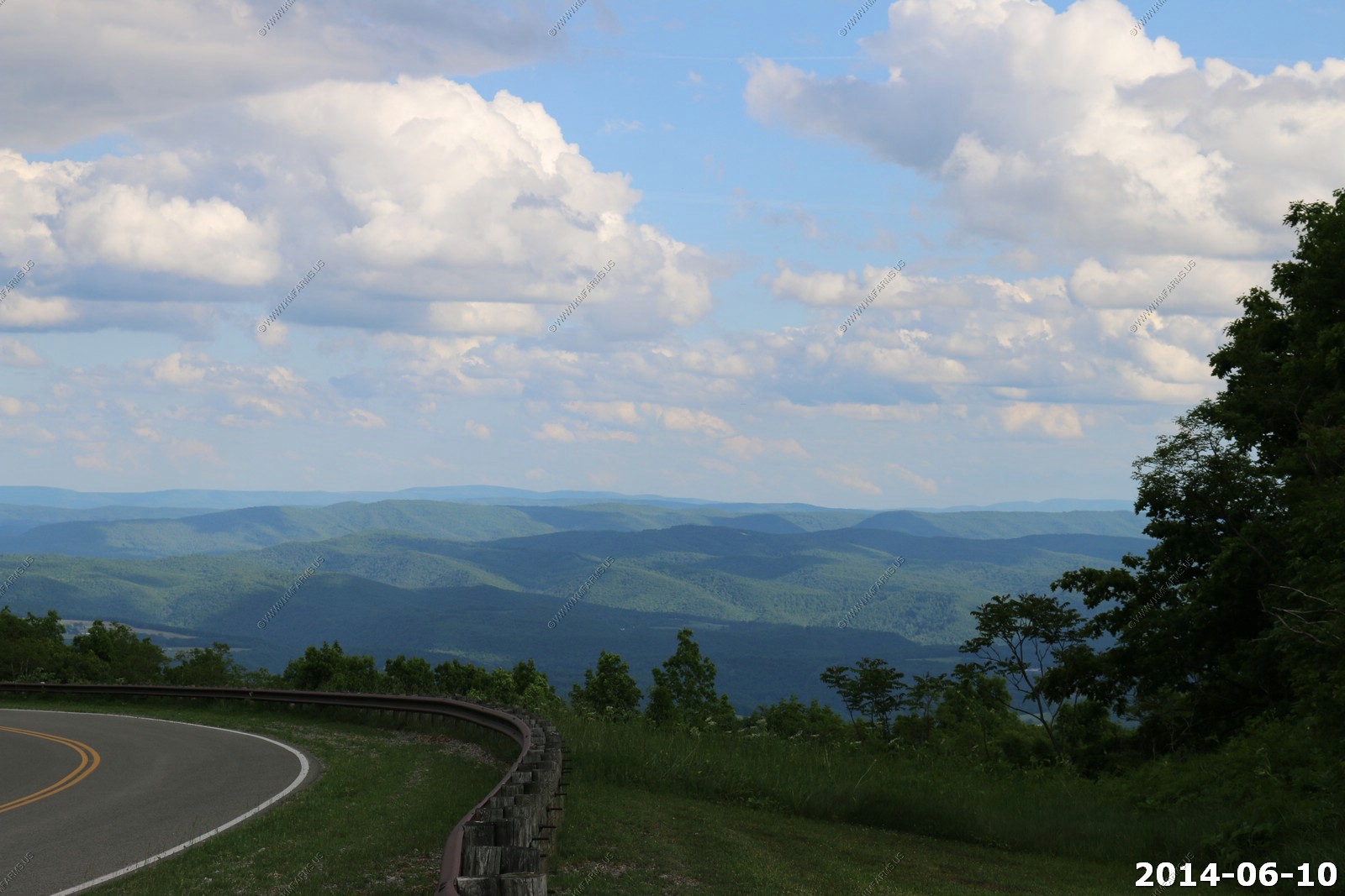
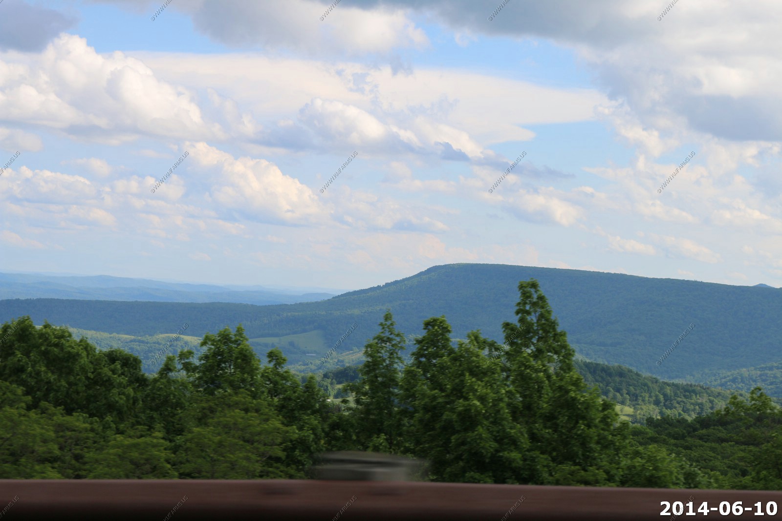
Tuesday - JUN 10 2014
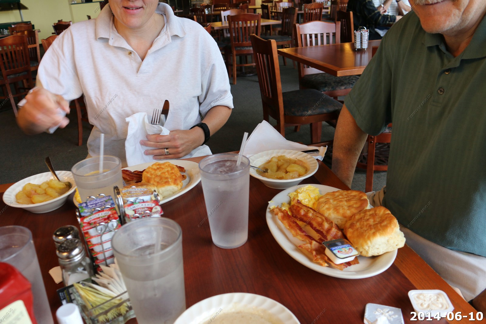
Slept well and headed up to the lodge for breakfast. Mary & Monika waiting out on the deck
You won't be hungry here and like dinner we were all alone.
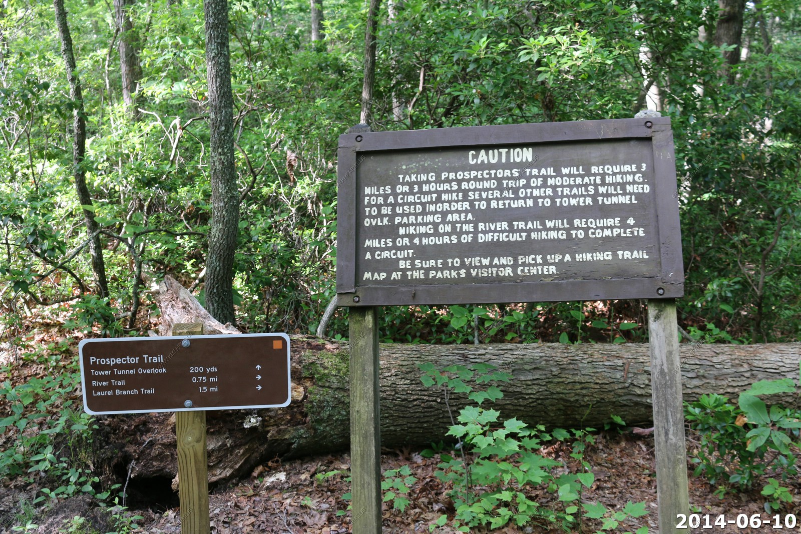
We took part of the Prospector Trail to Tower Tunnel Overlook (Tower Tunnel has a length of 921 feet.)

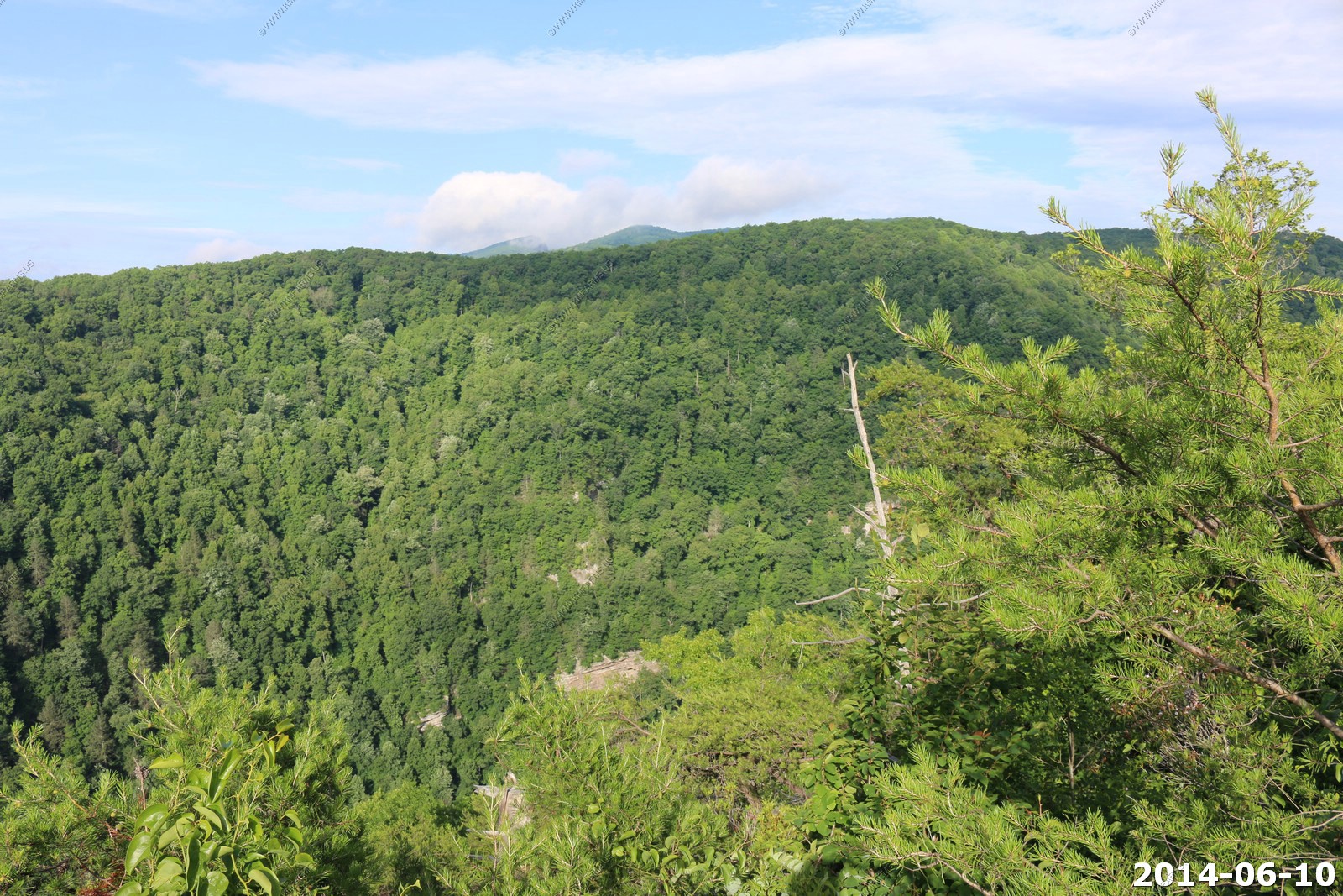

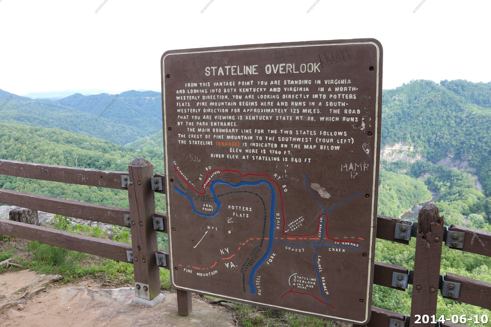
We then went to State Line overlook (El. 1764)
We had to drive from Breaks Interstate Park to Cranberry Glades so we had some miles to travel. The weather was excellent
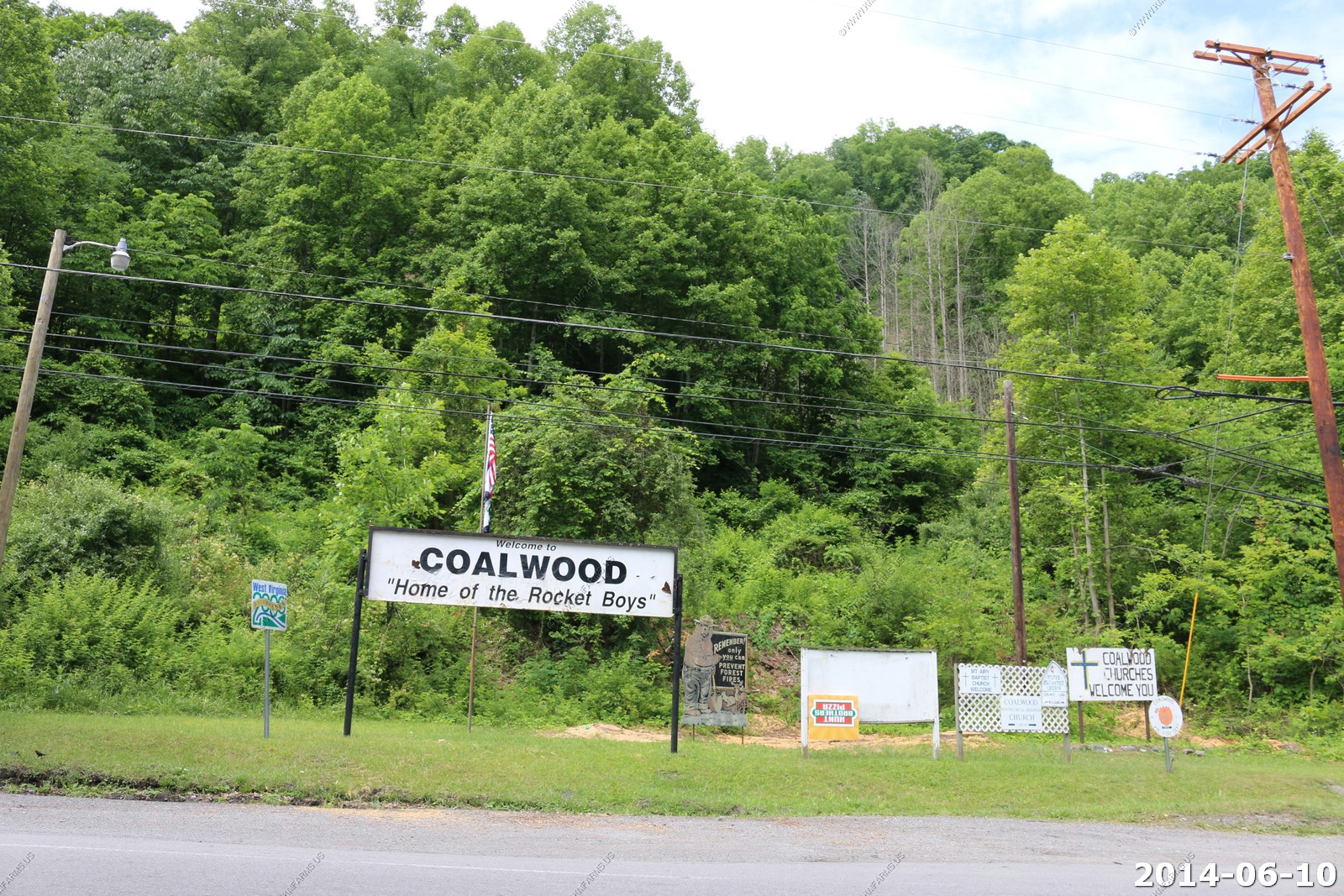
Coalwood - Home of the Rocket Boys (October Sky Movie) Not impressed - probably the most run down part of the entire trip.
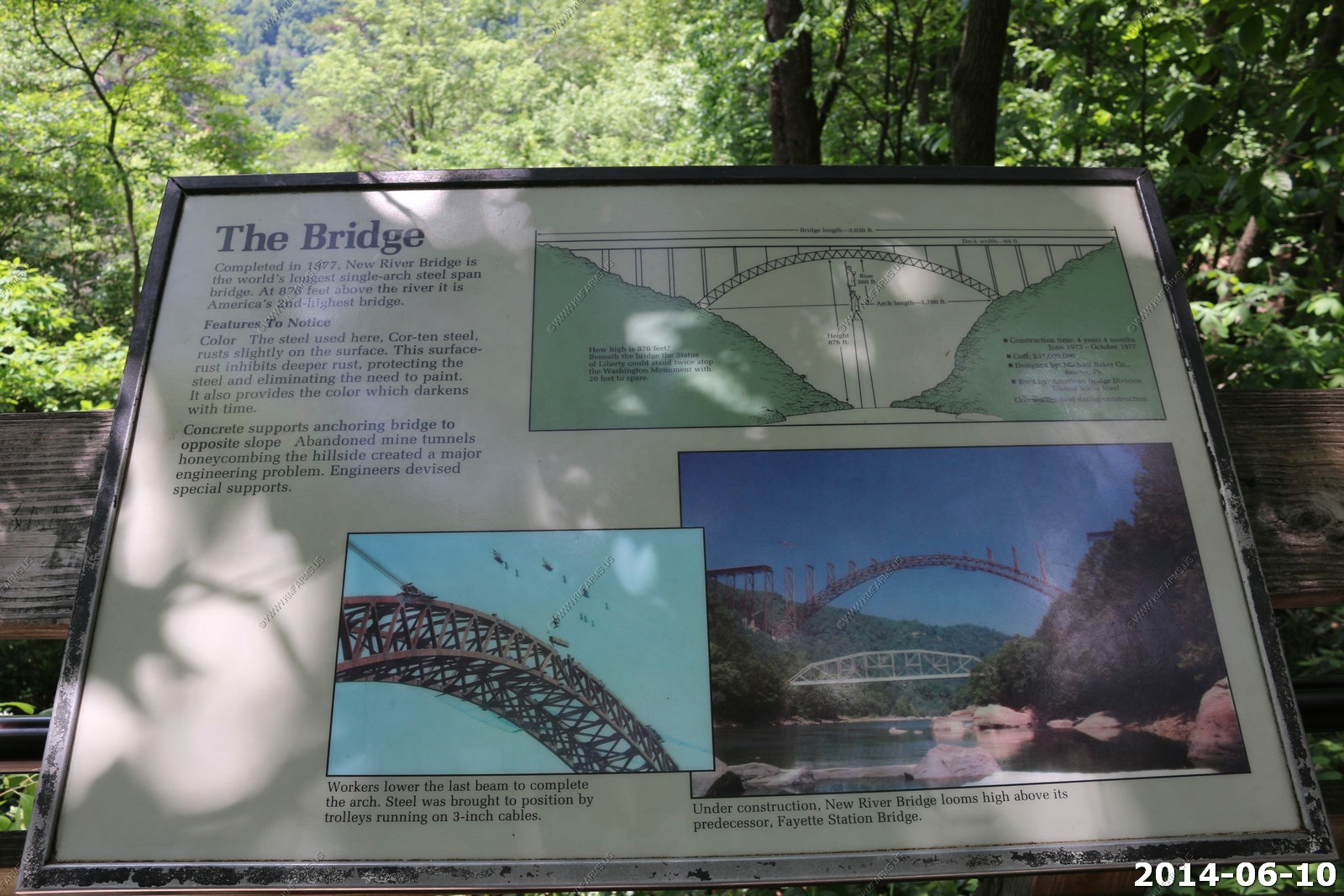
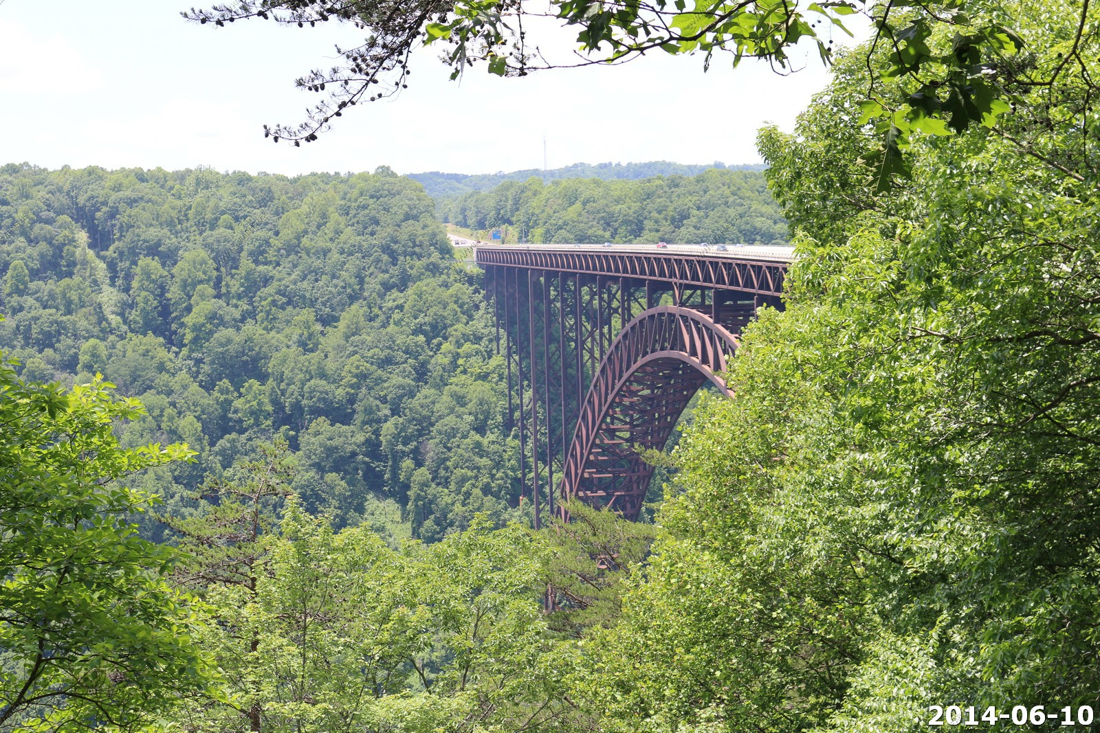
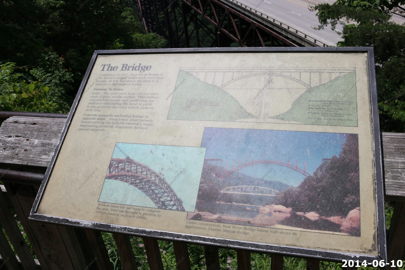
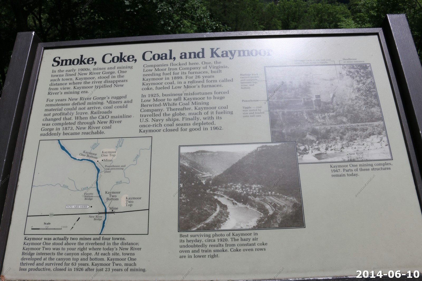
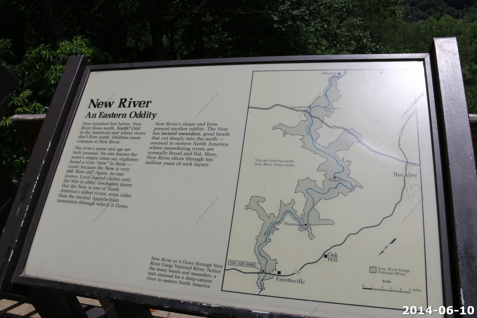
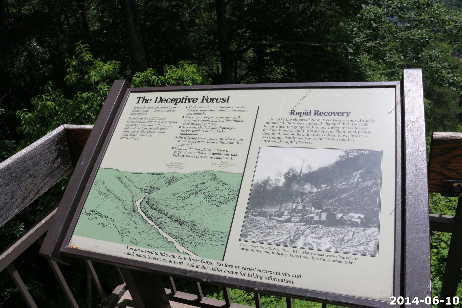
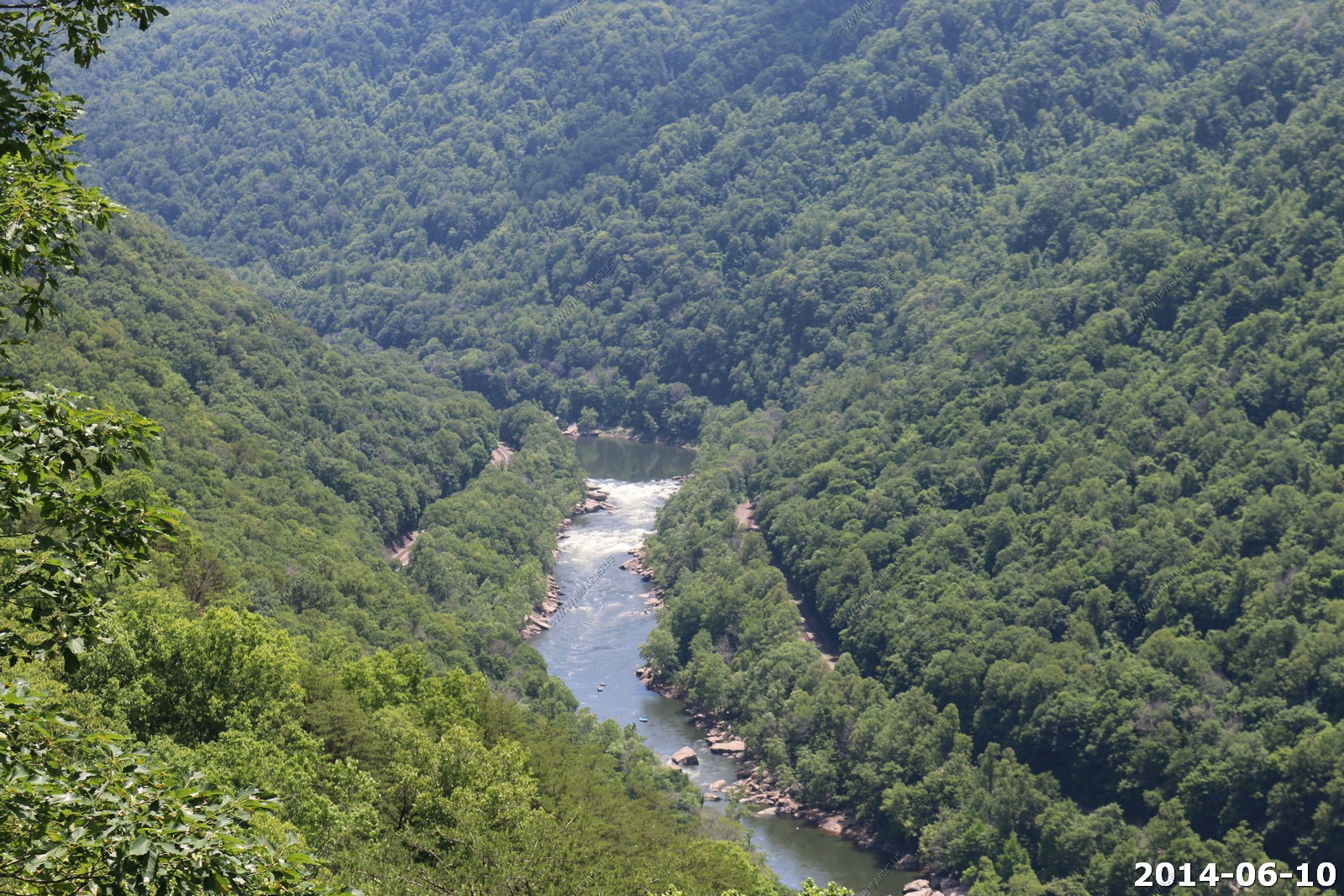
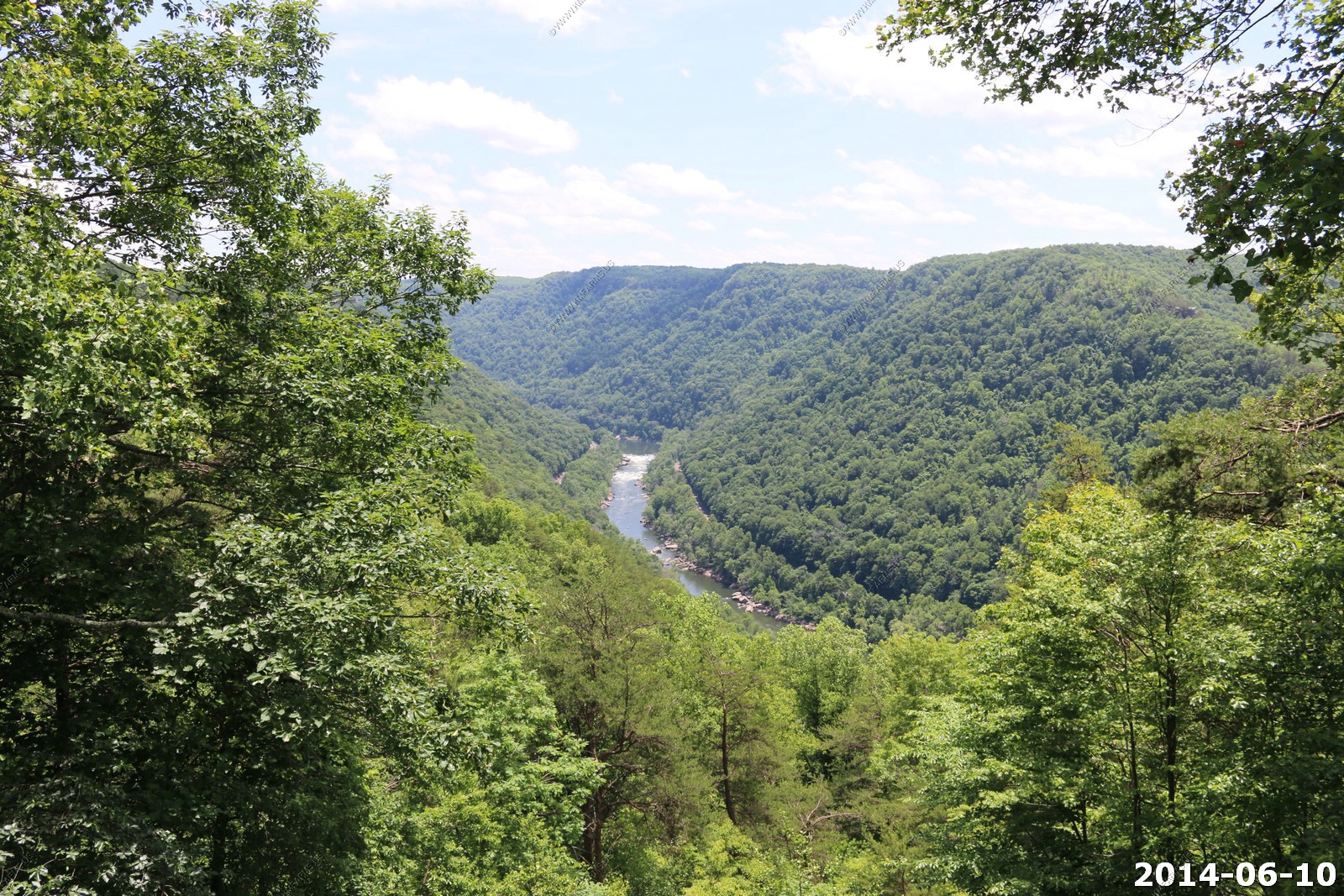
New River Gorge Bridge
When the New River Gorge Bridge was completed on October 22, 1977, a travel challenge was solved. The bridge reduced a 40-minute drive down narrow mountain roads and across one of North America's oldest rivers to less than a minute. When it comes to road construction, mountains do pose a challenge. In the case of the New River Gorge Bridge, challenge was transformed into a work of structural art - the longest steel span in the western hemisphere and the third highest in the United States.
Another place I wanted to visit. But, I was not impressed as you had no access to the bridge. I figured they had a walkway for access. We stopped for a bathroom break that was about it.
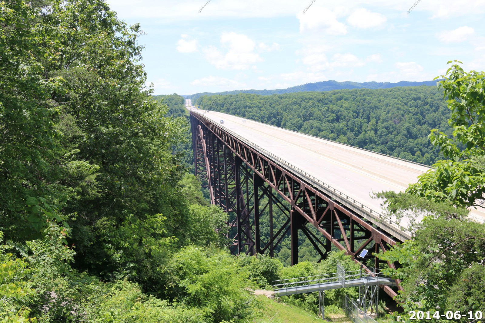
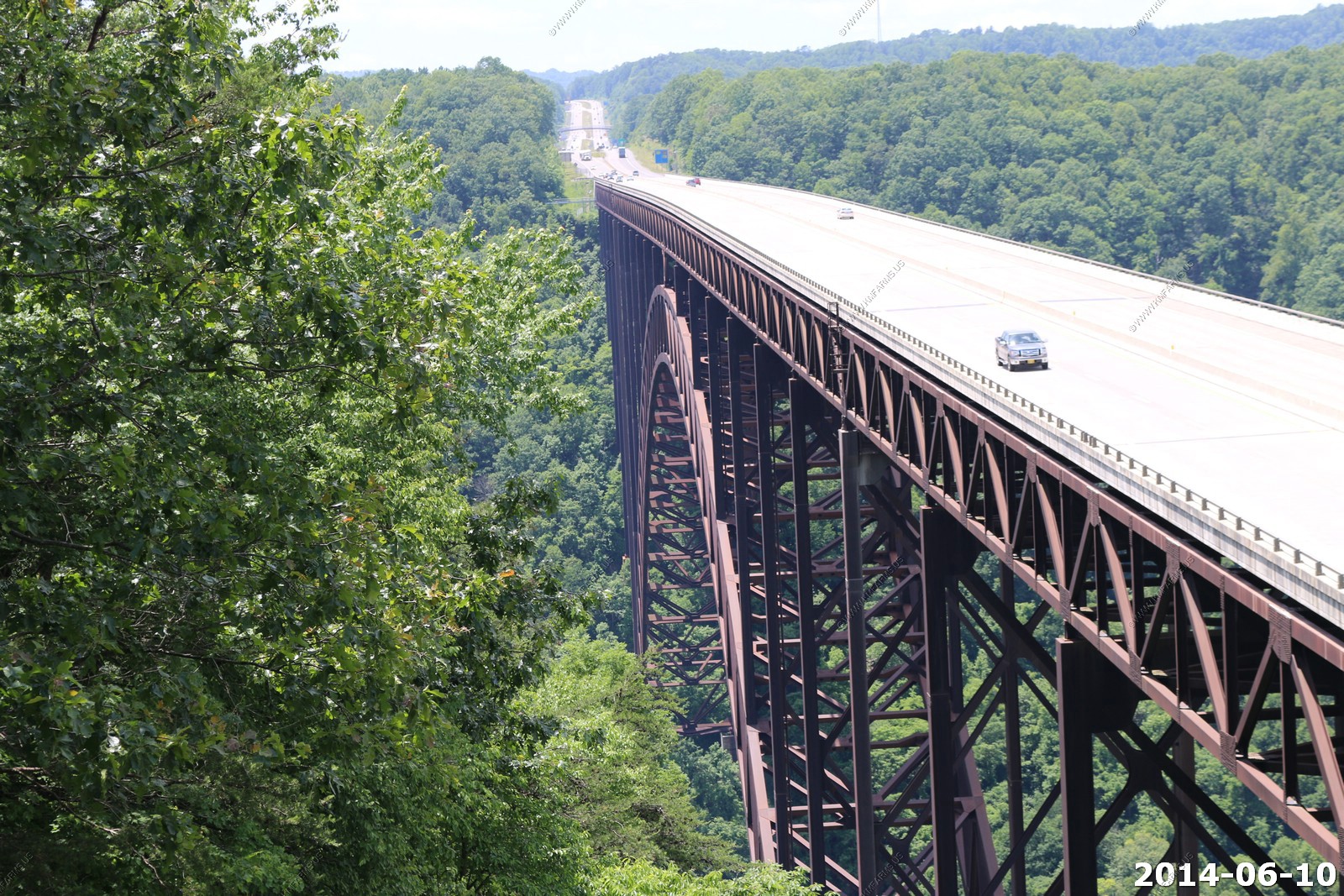
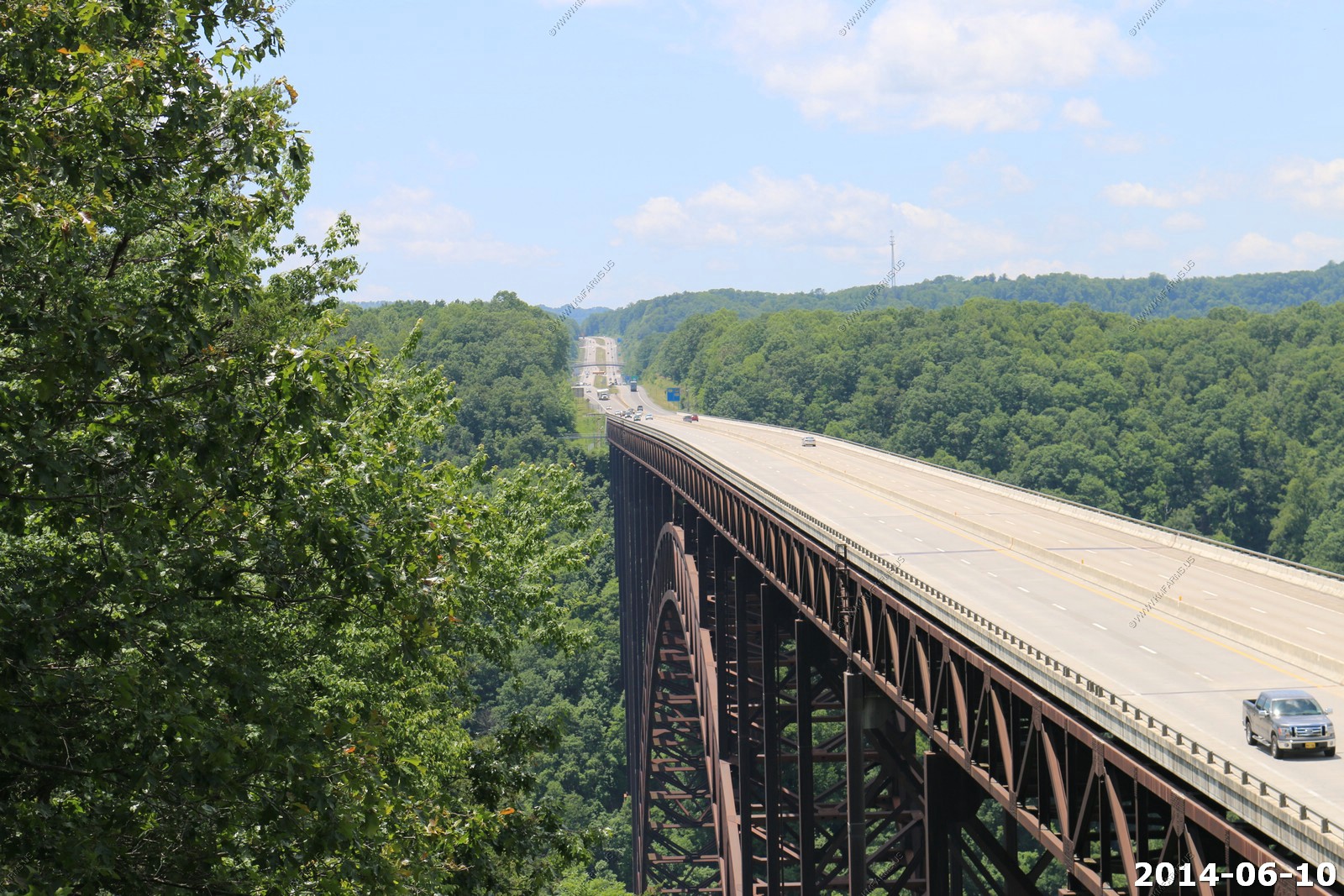
Views from the visitor center
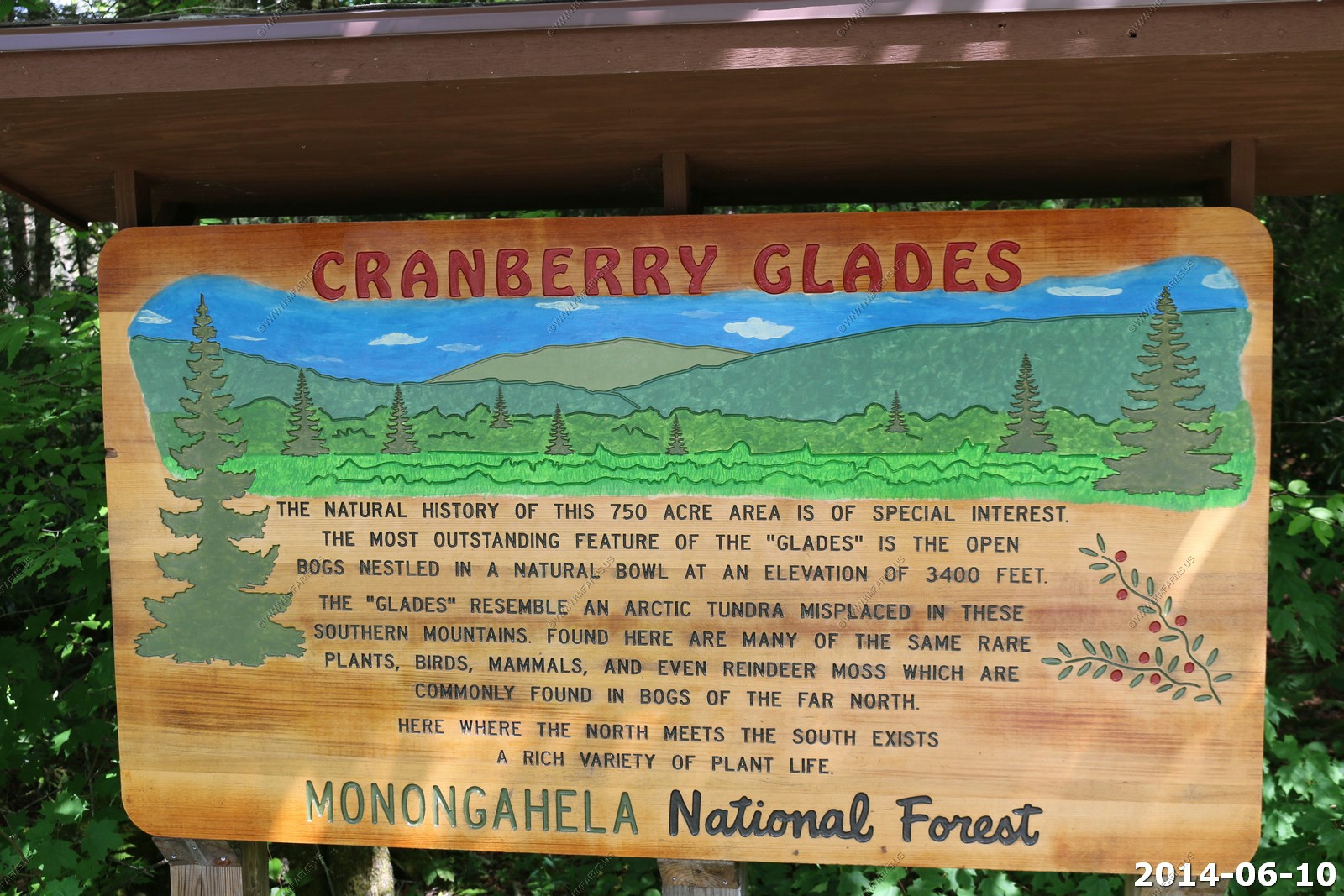
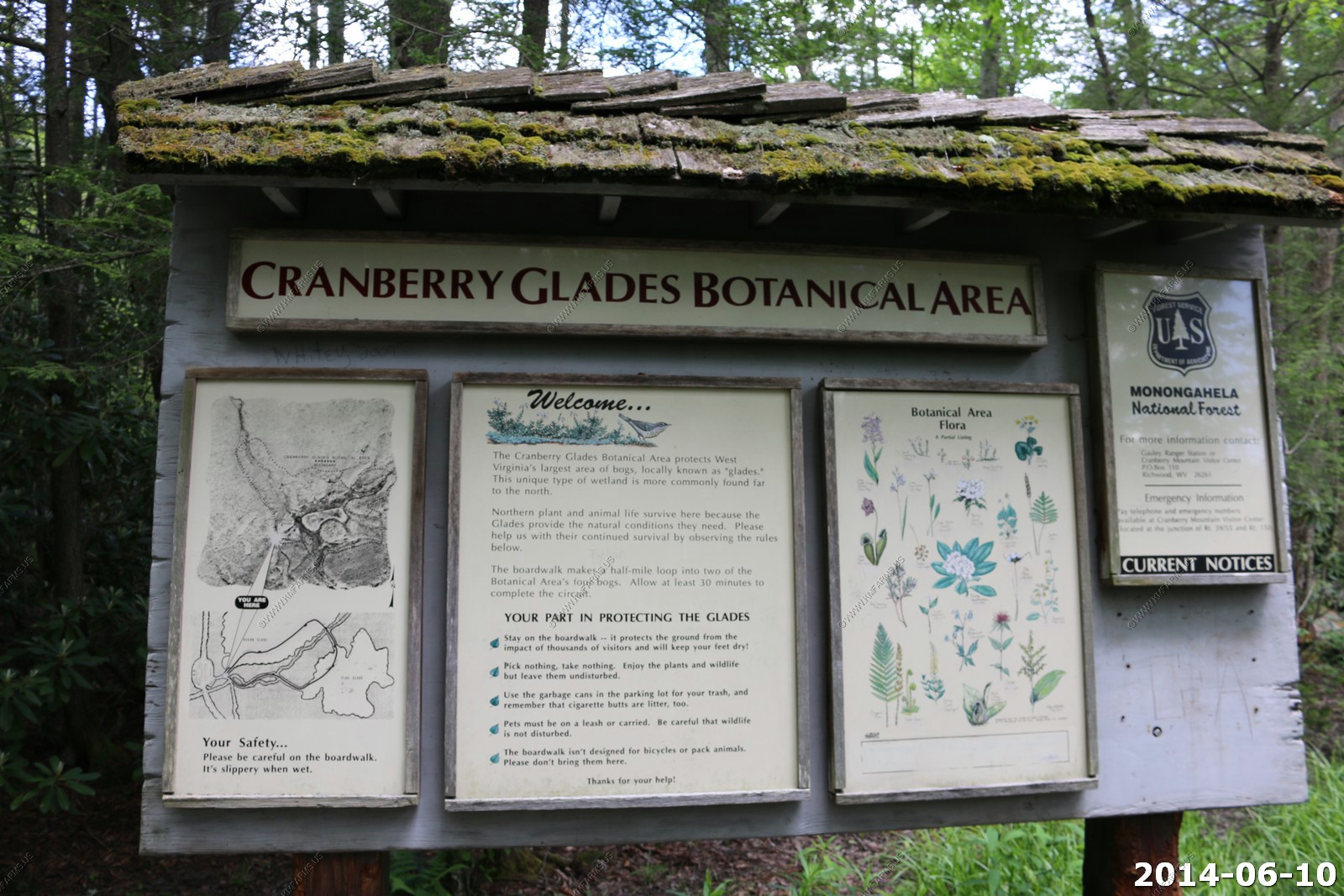
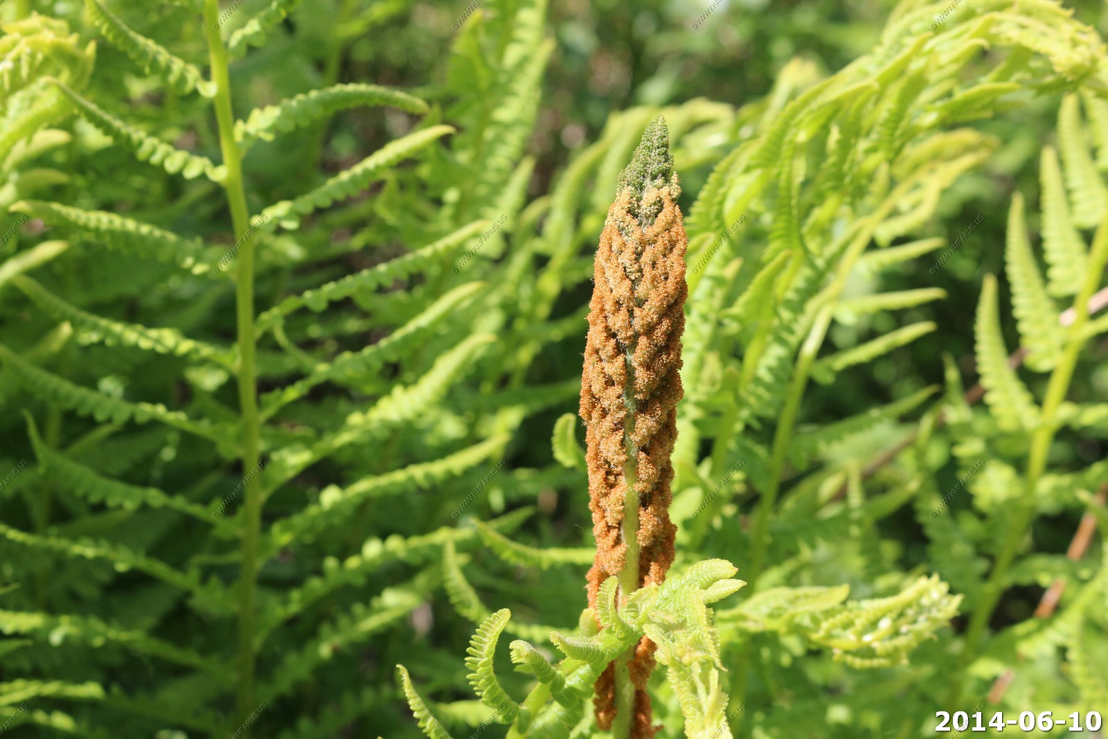
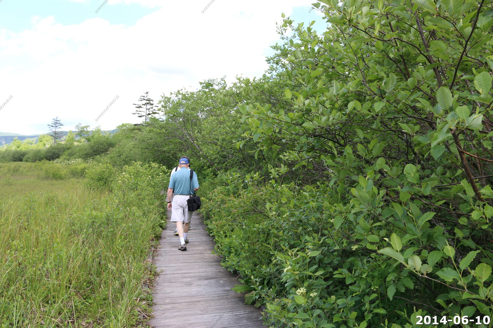
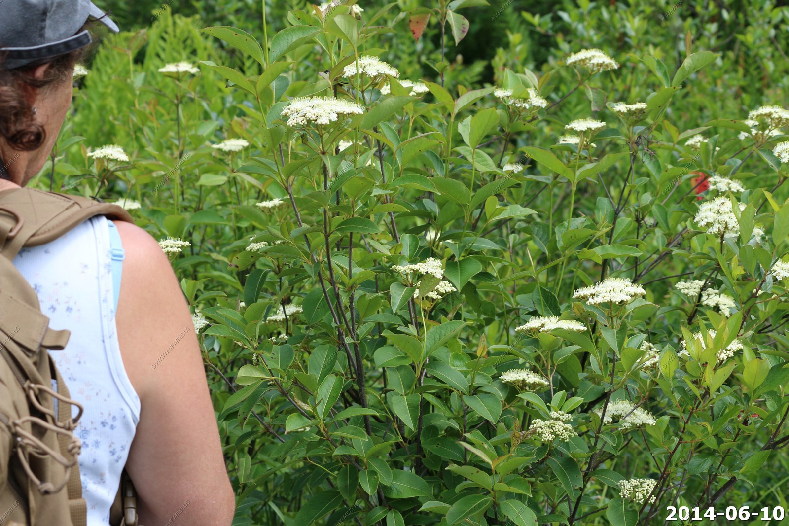
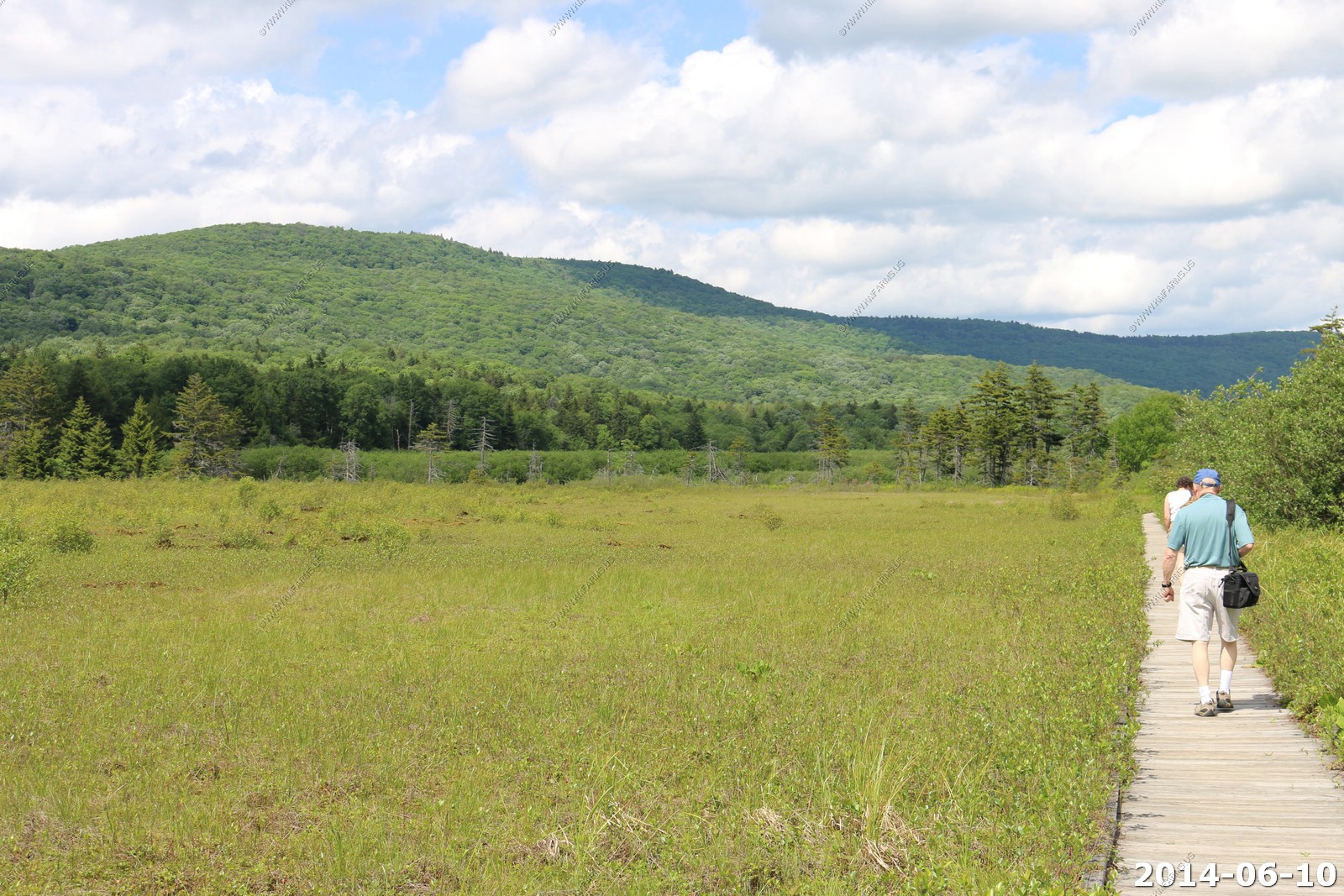
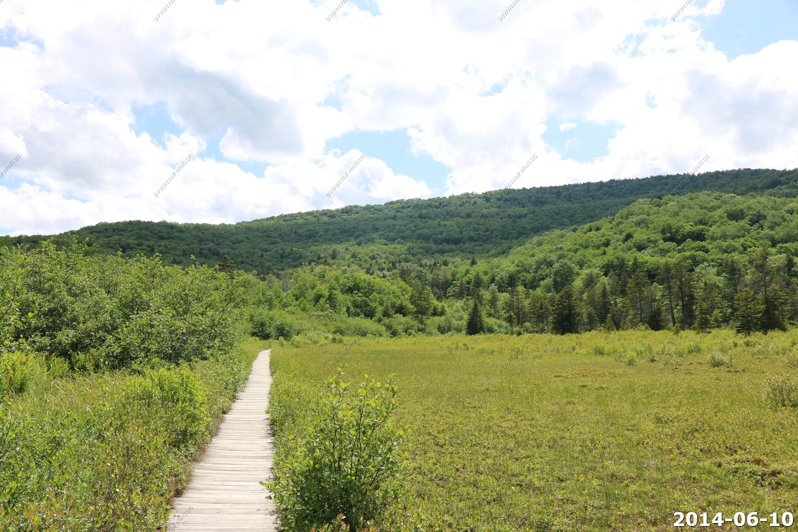
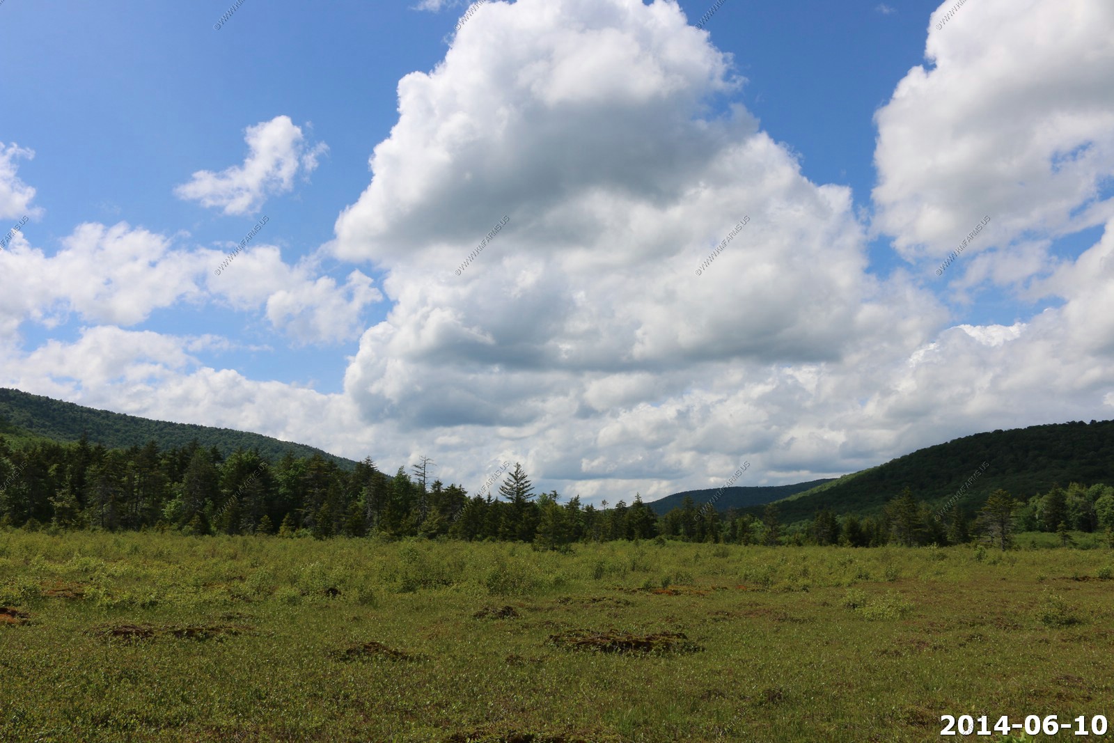
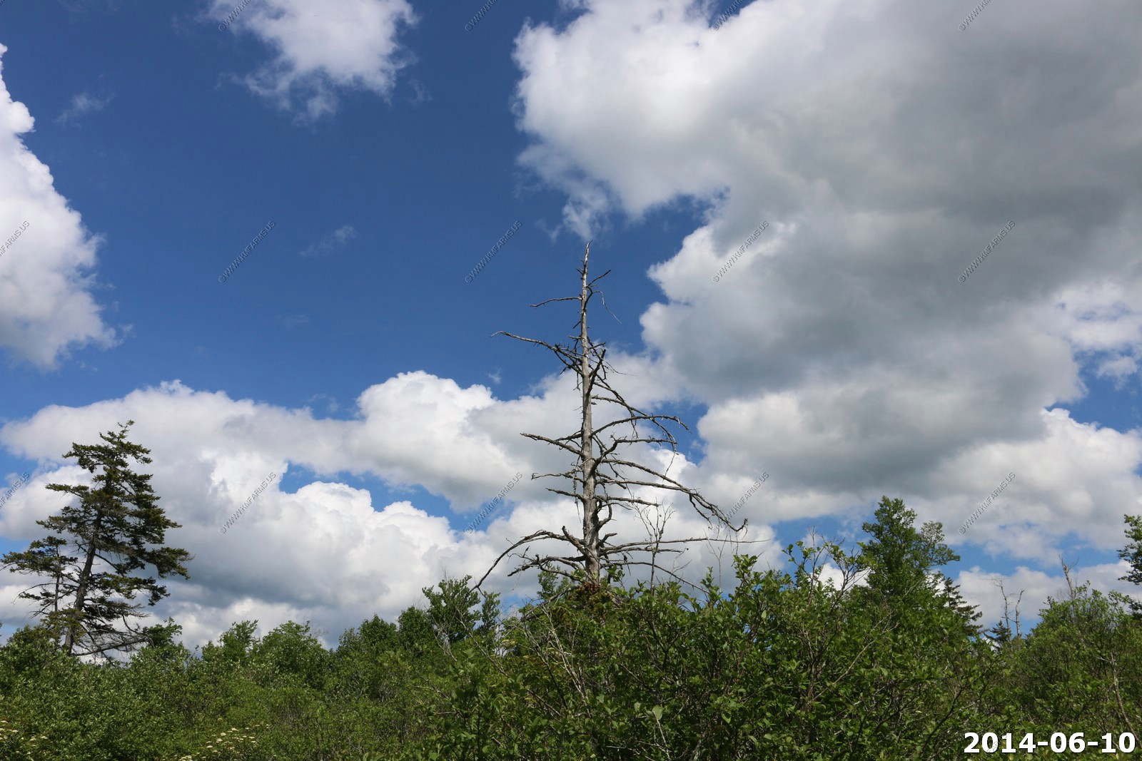
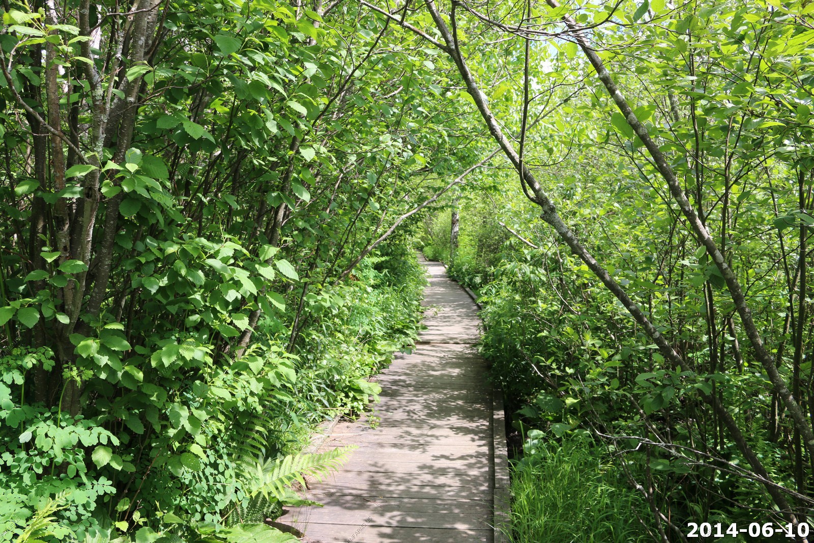
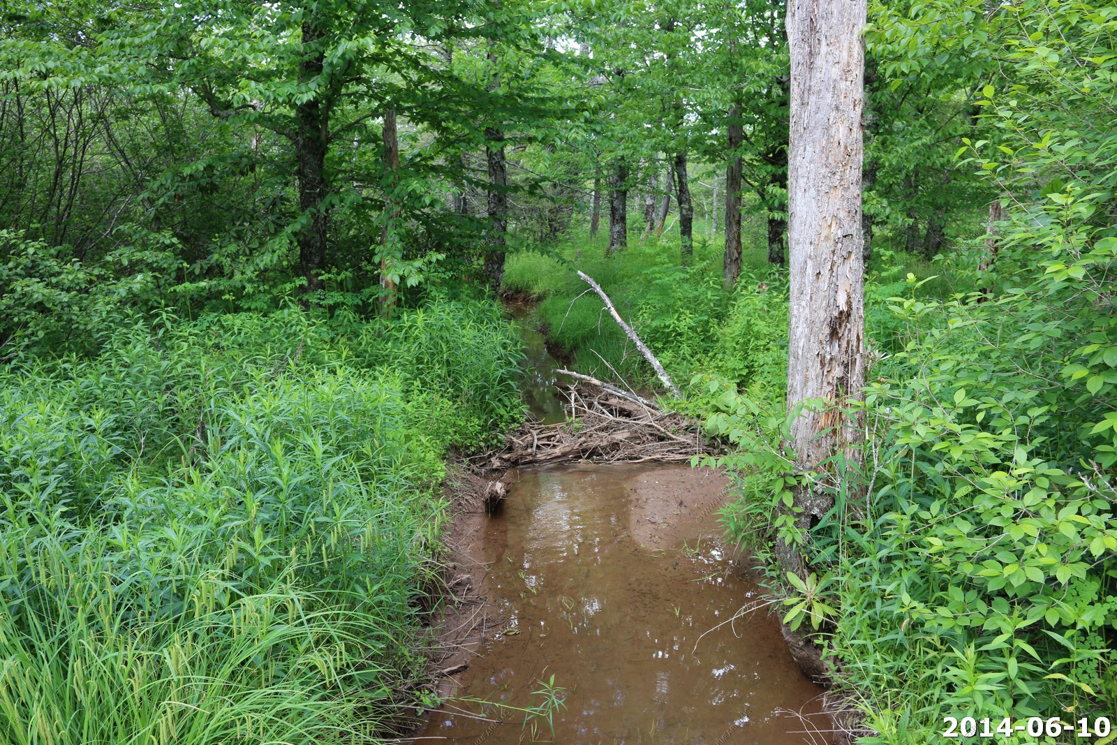
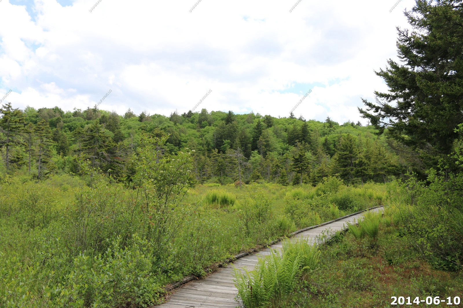
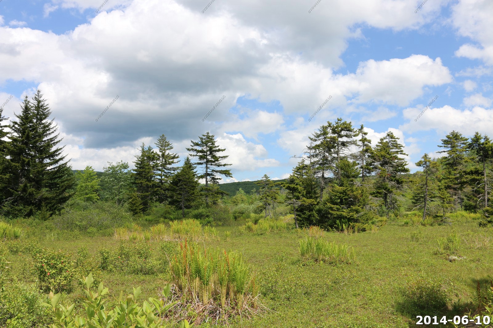
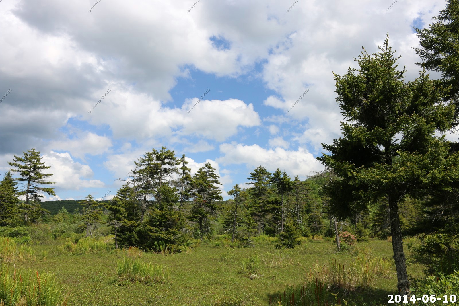
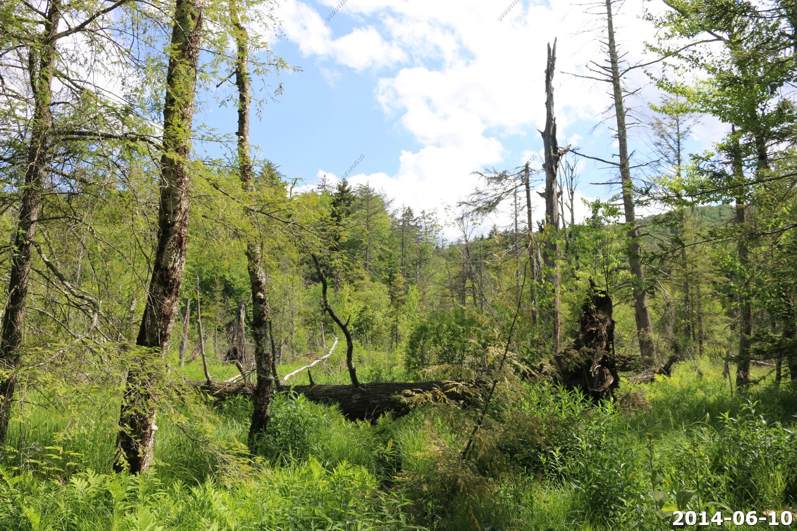
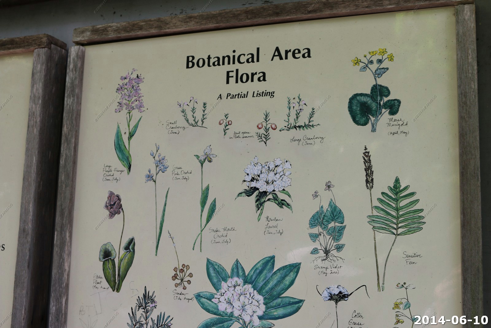
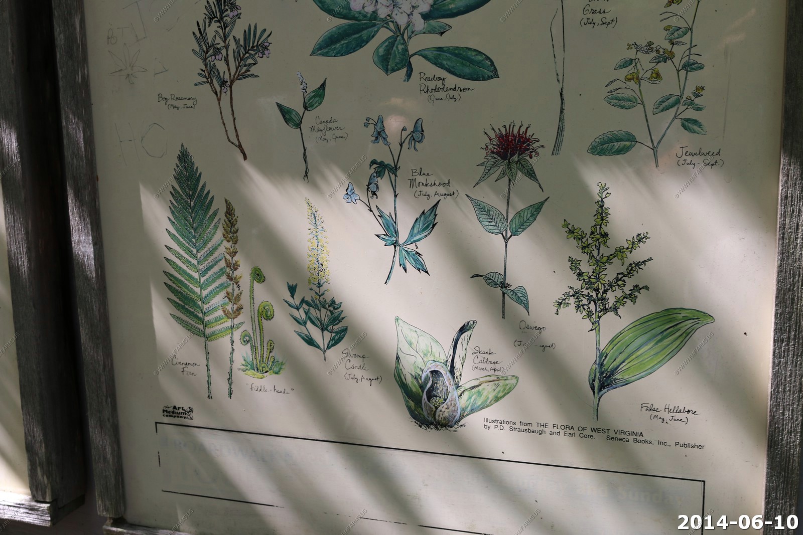
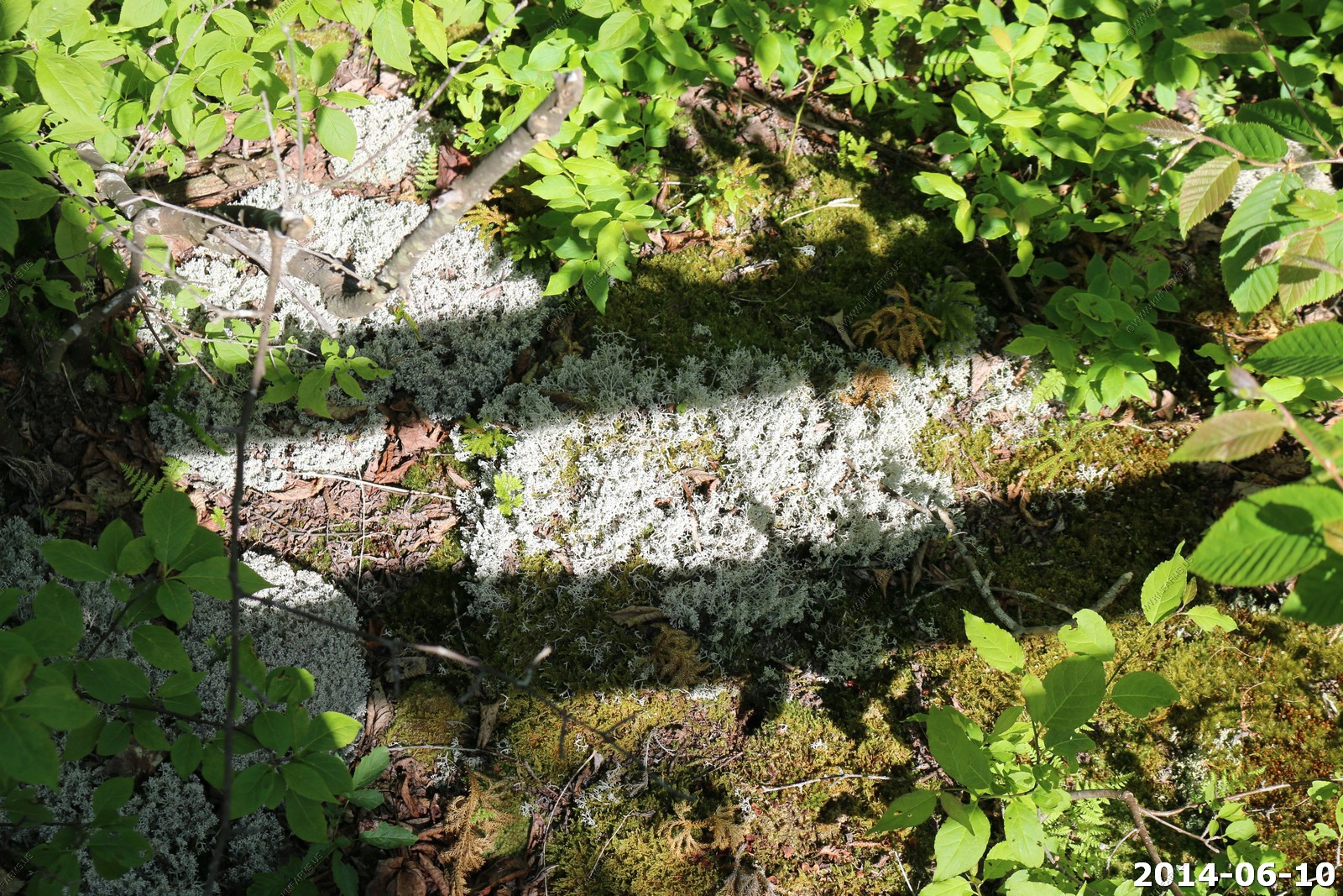
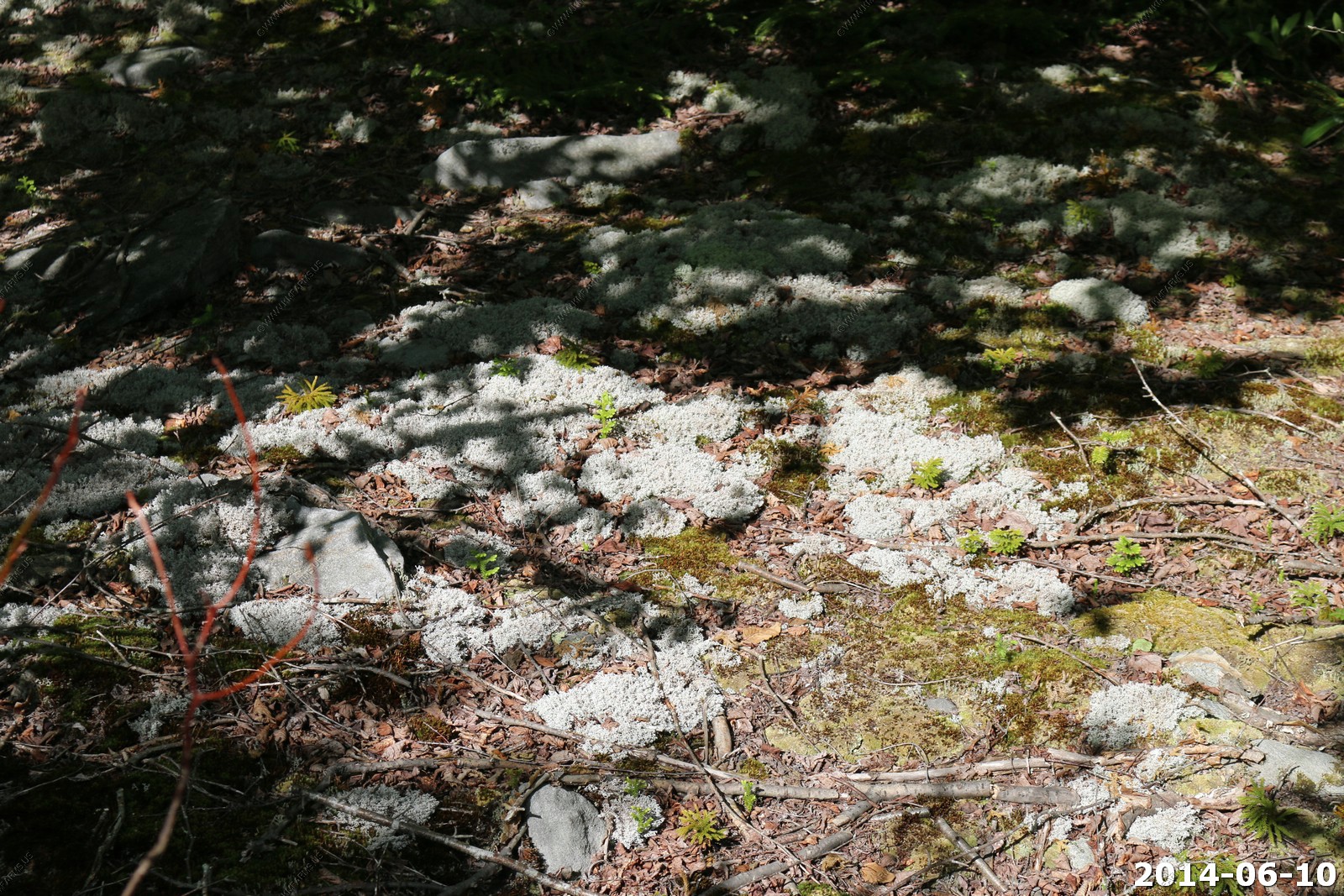
The Cranberry Glades
The Cranberry Glades is the largest area of bogs, or acidic wetlands, in West Virginia, a unique and exotic ecosystem on 750 acres. This spectacular and beautiful area was established by the United States Forest Service in 1965, to protect and preserve over 60 unique plant species, many of them descended from seeds that took root here over 10,000 years ago.
The Glade's fascinating sphagnum bogs are similar to that found in "Muskegs" of the Arctic Tundra.
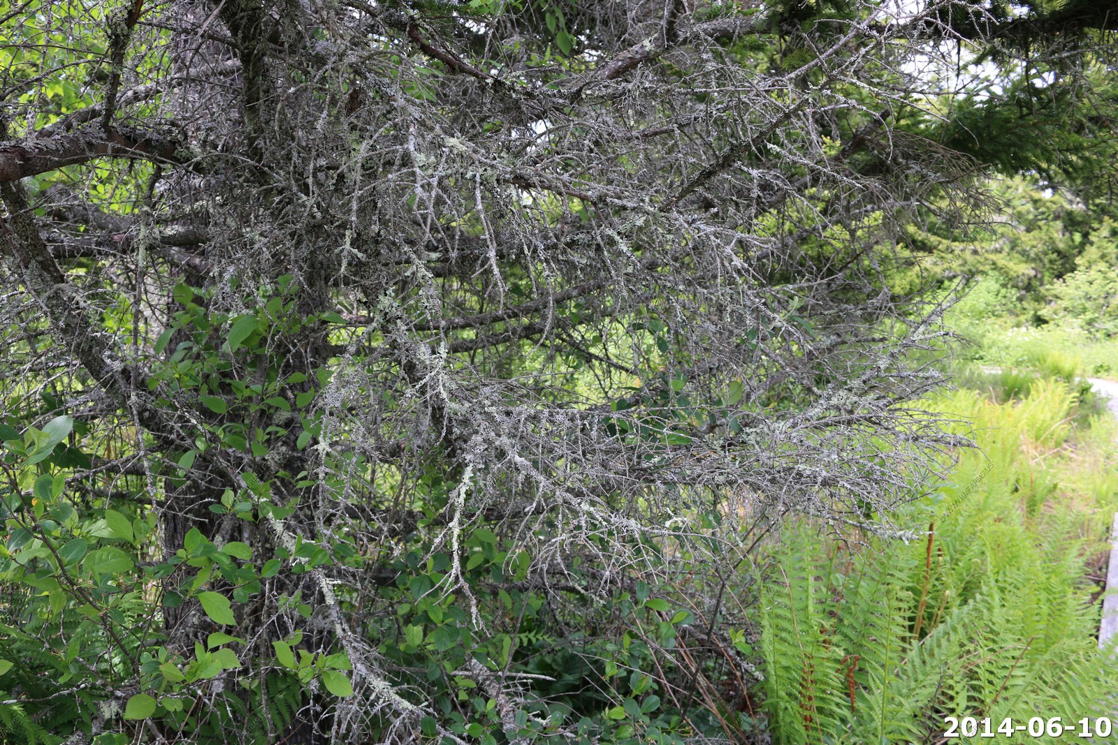
Views along the trail


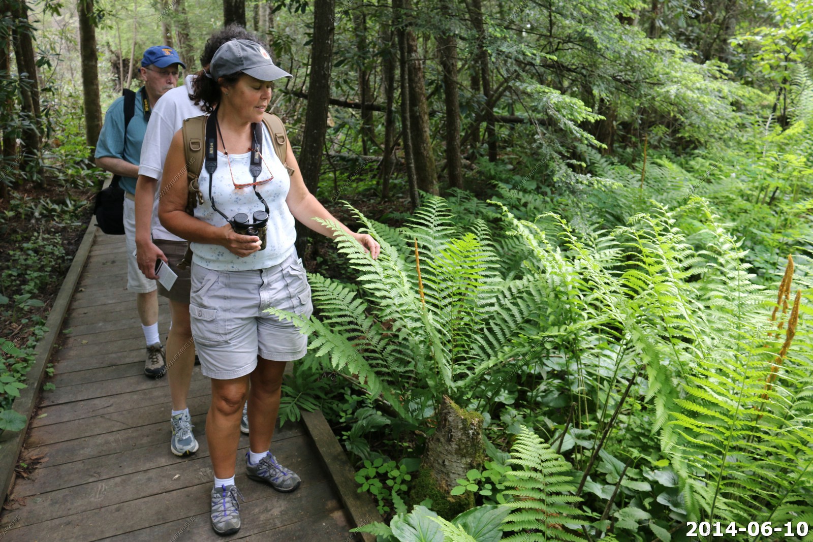


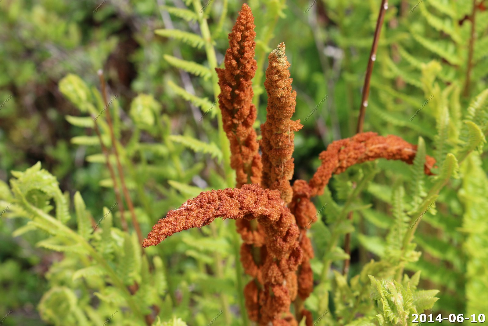
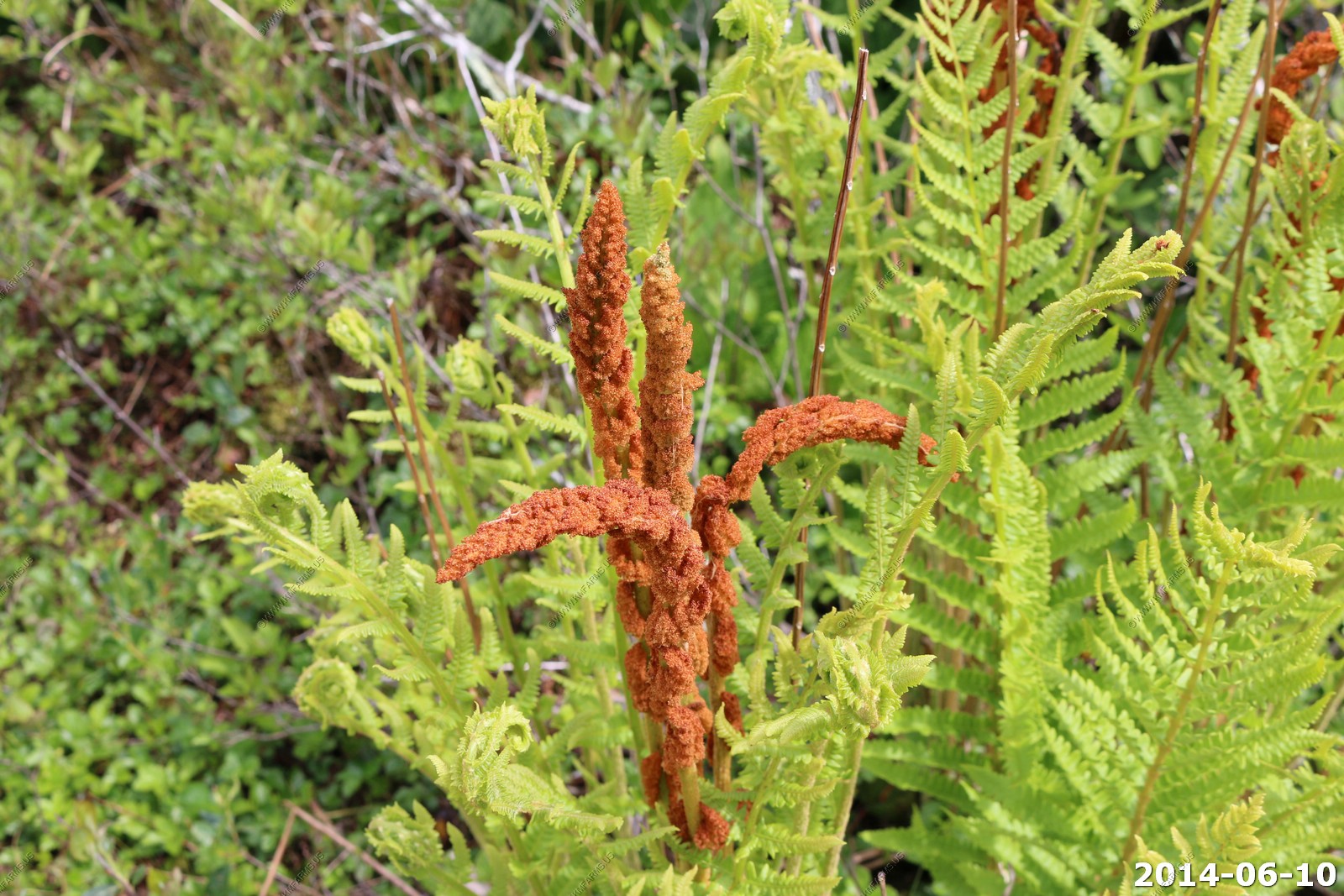

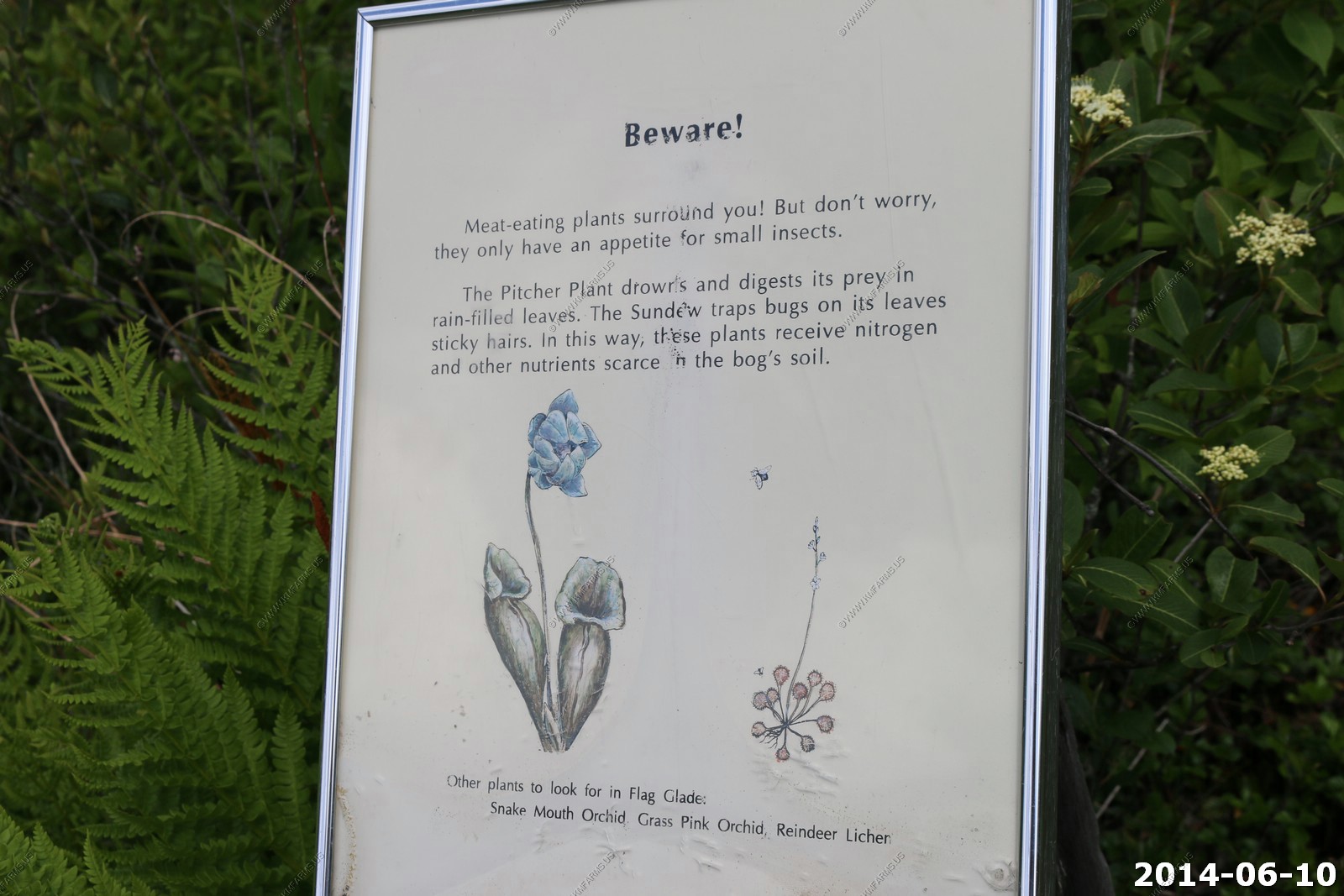
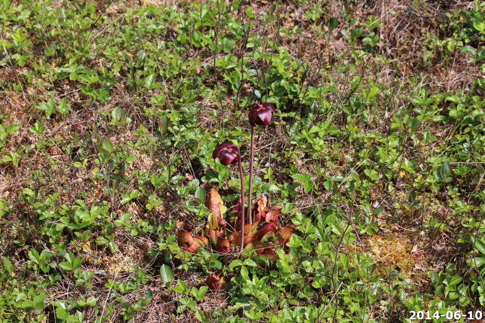
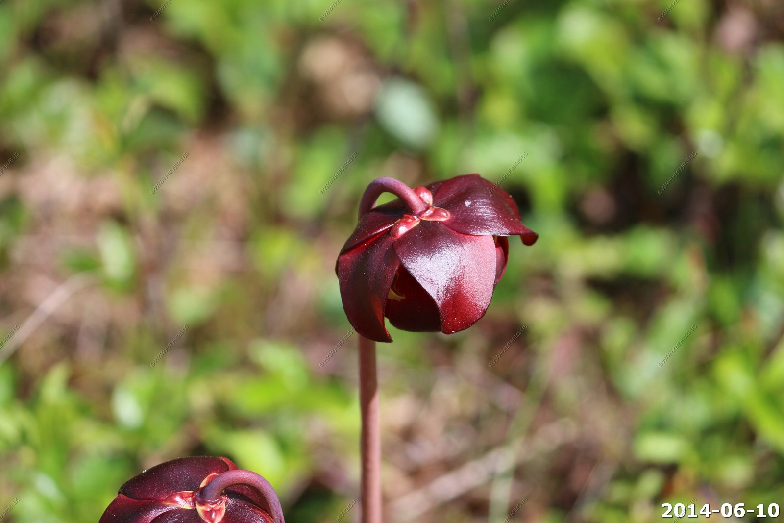
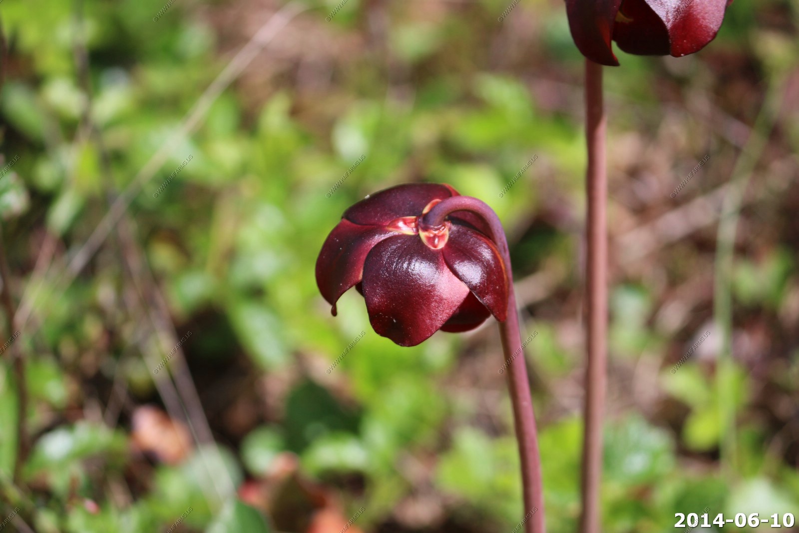
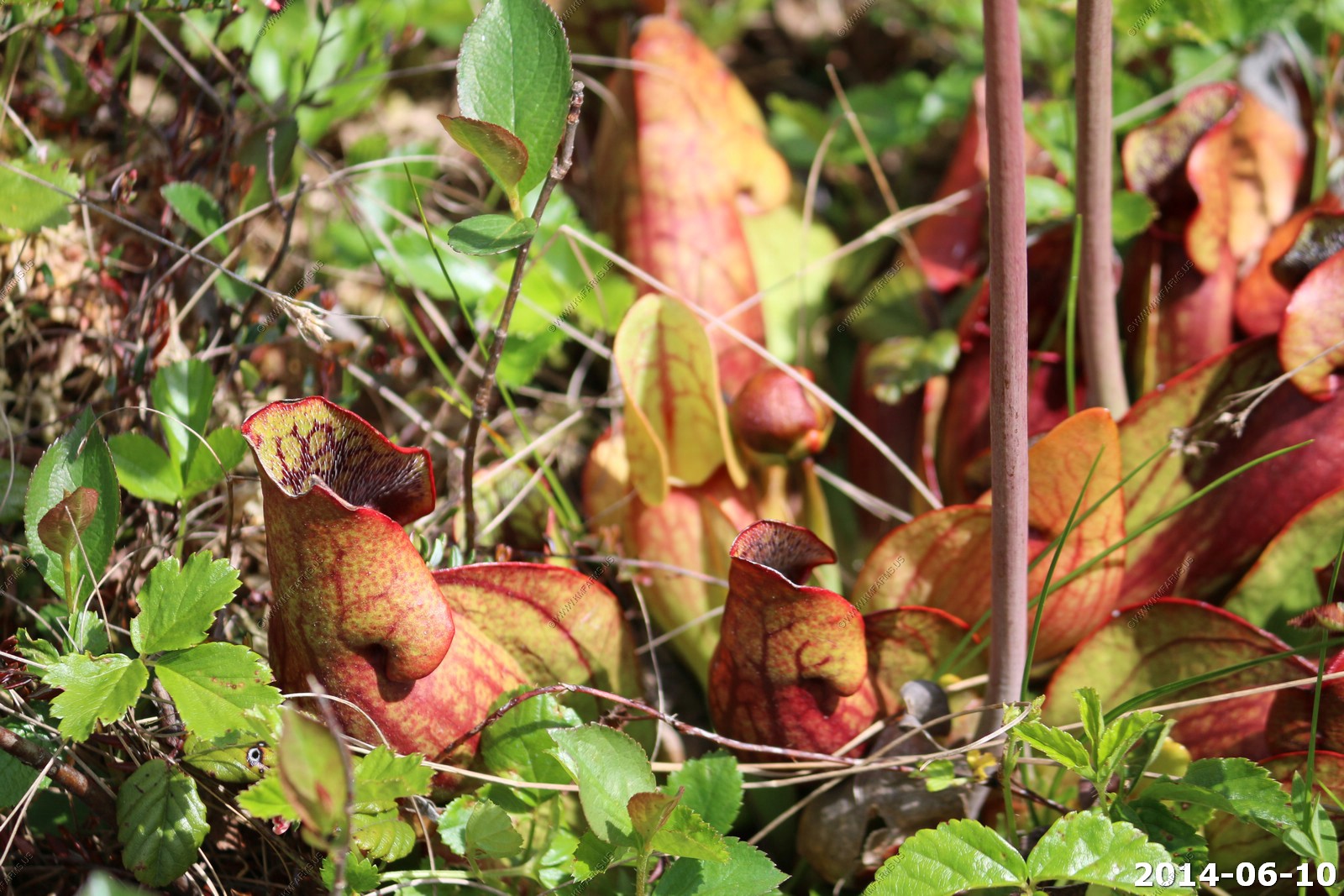
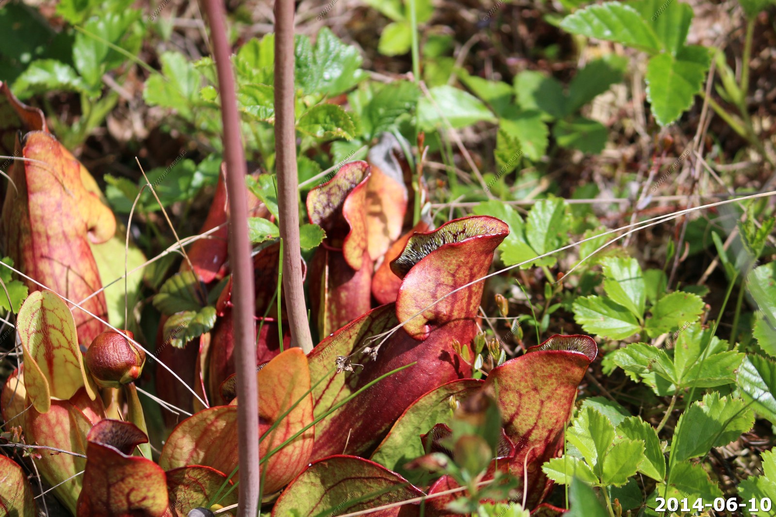
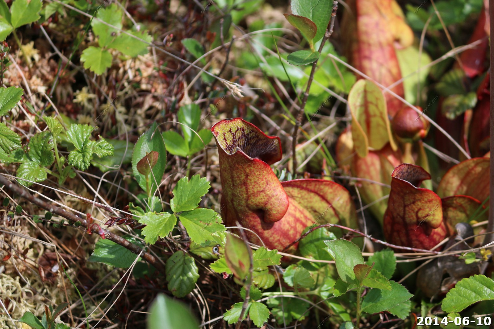
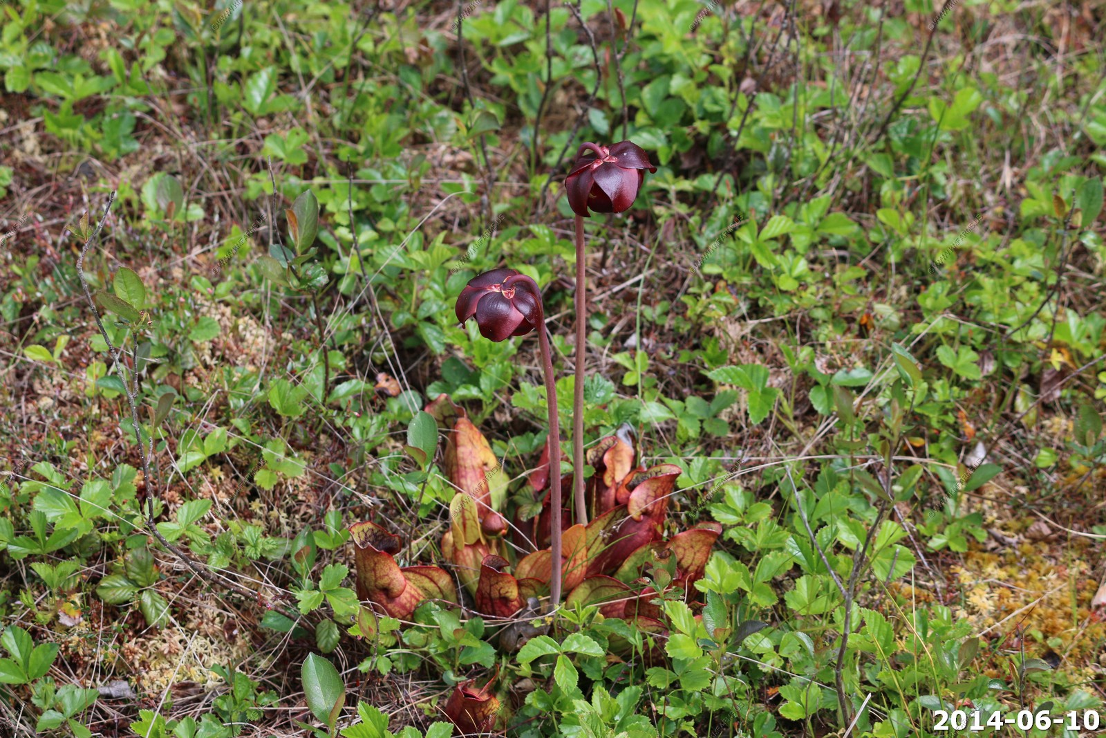
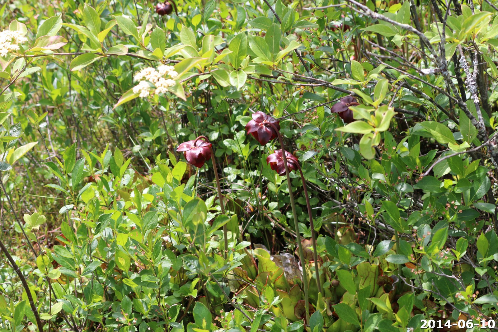
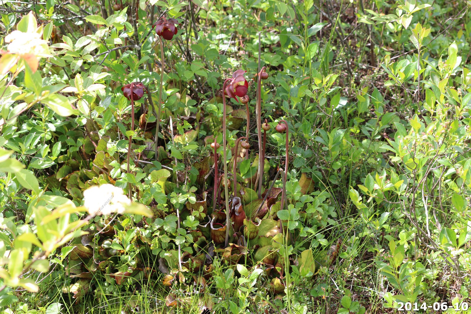
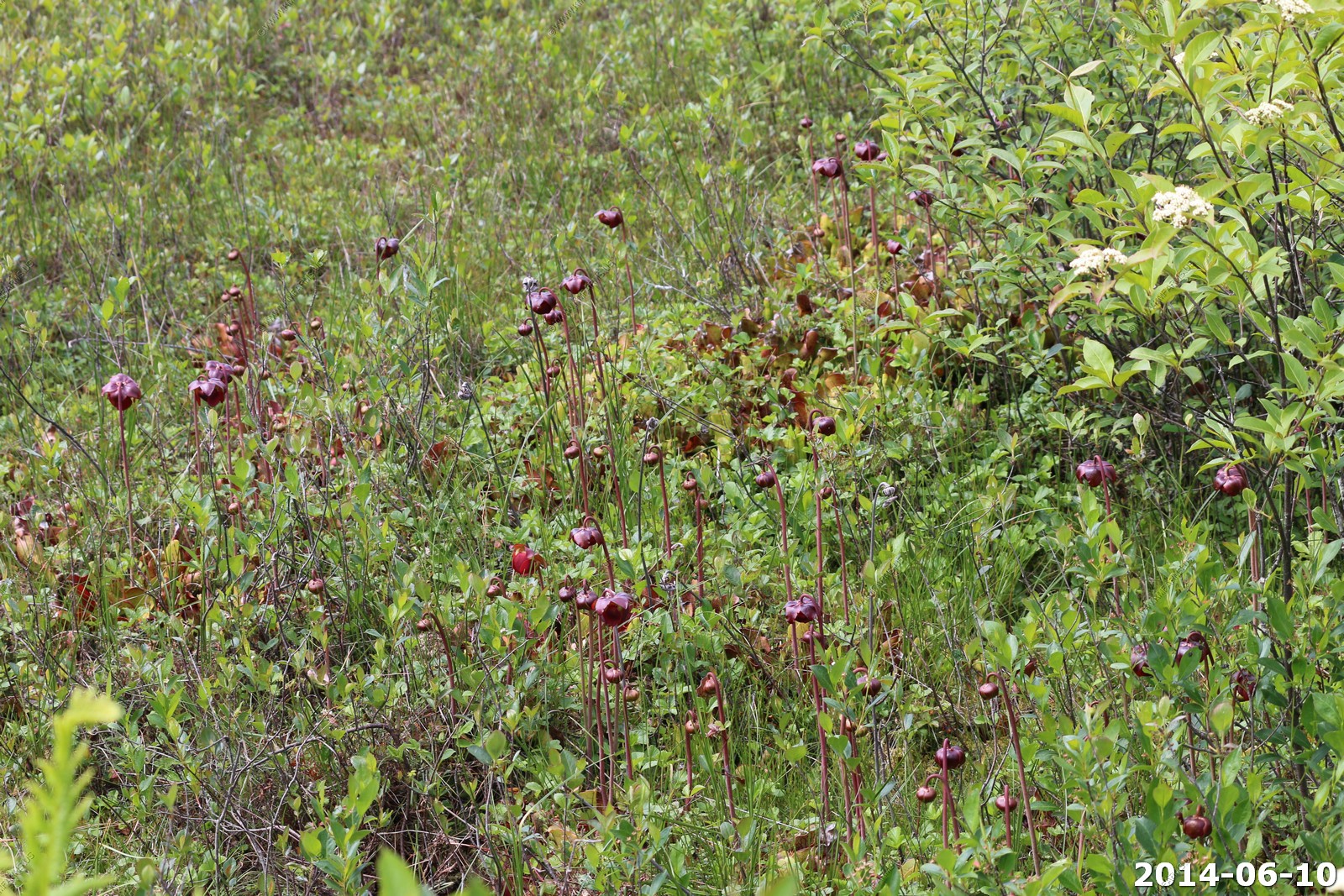
Cool insect eating Pitcher Plants along the trail
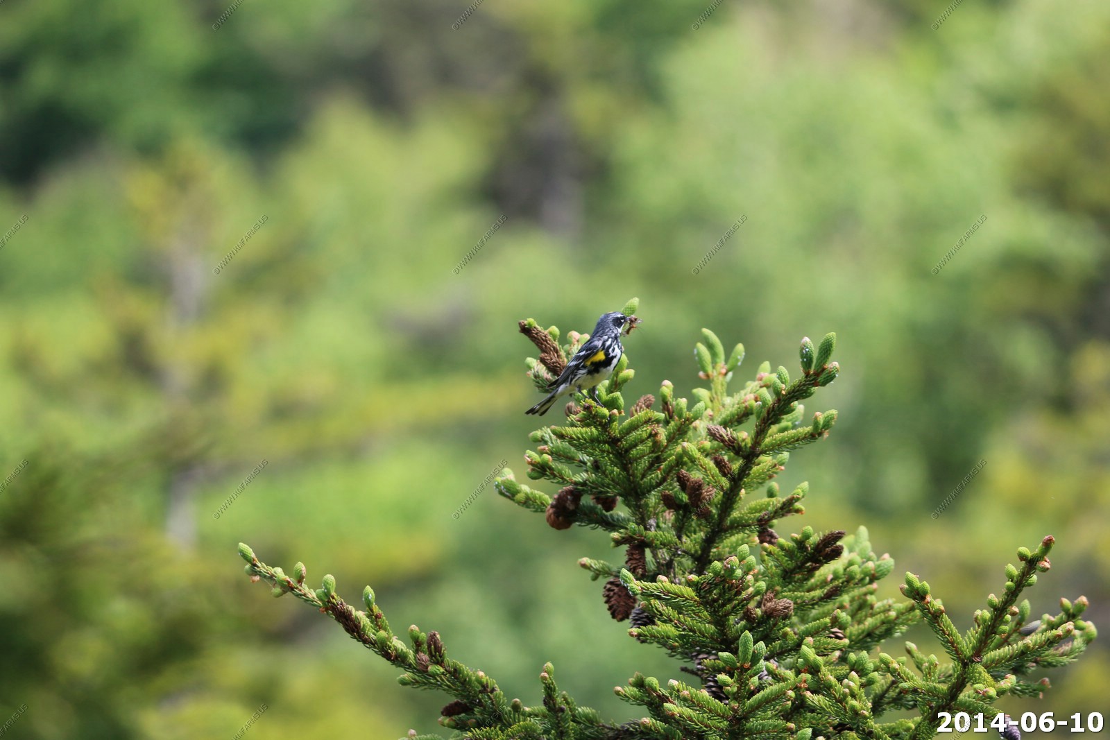
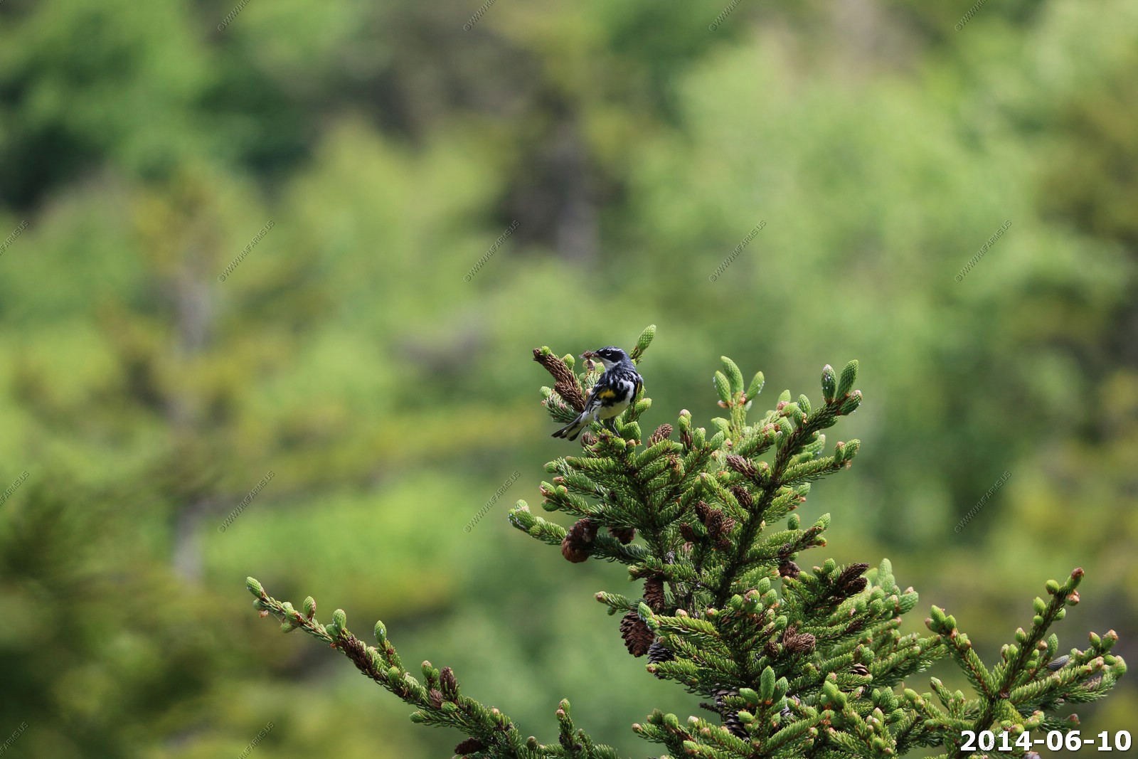
Yellow-rumped Warbler Setophaga coronate - female
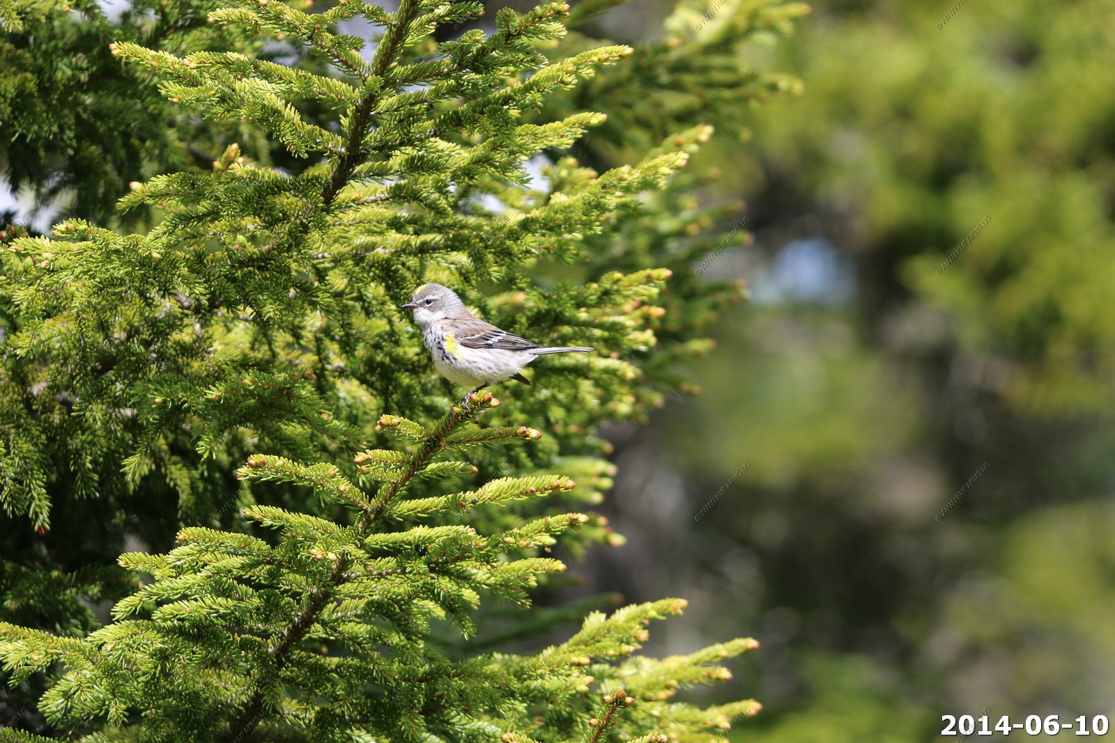
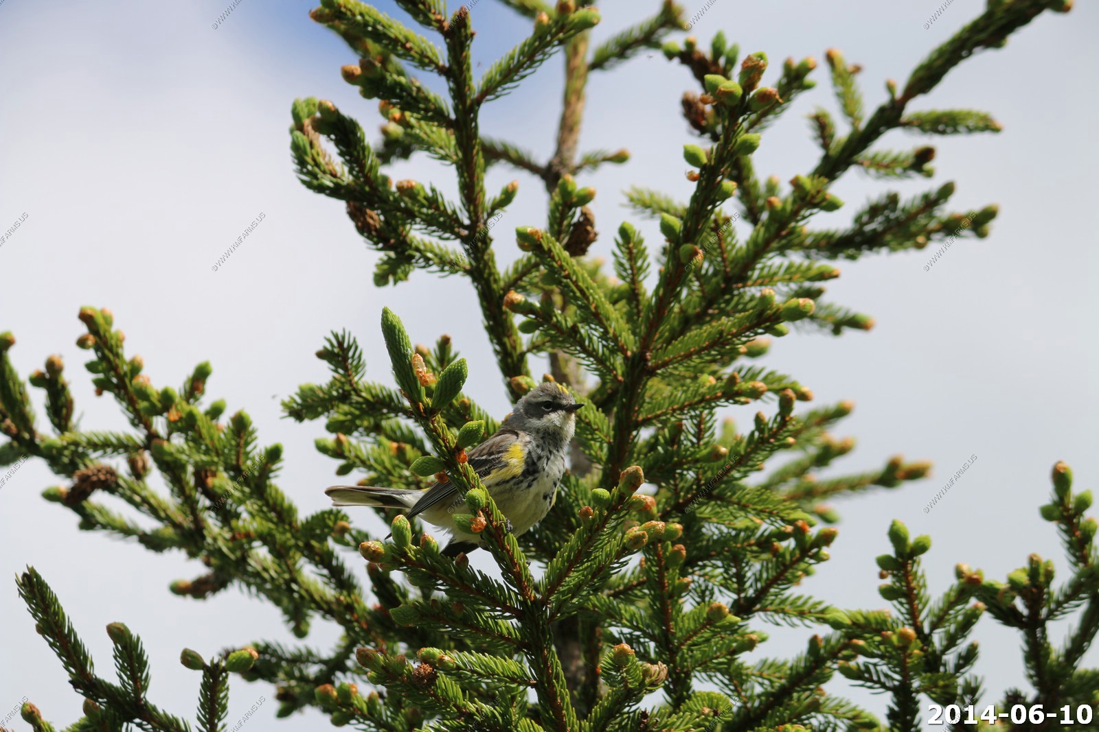

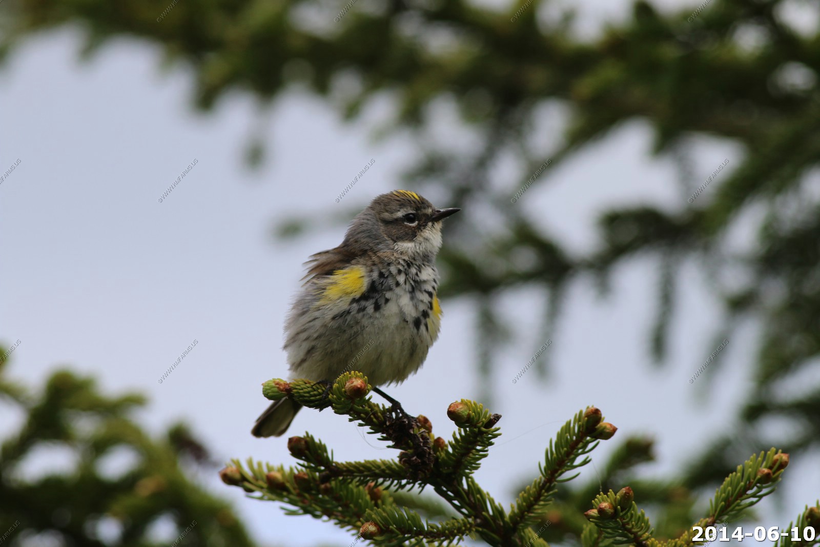
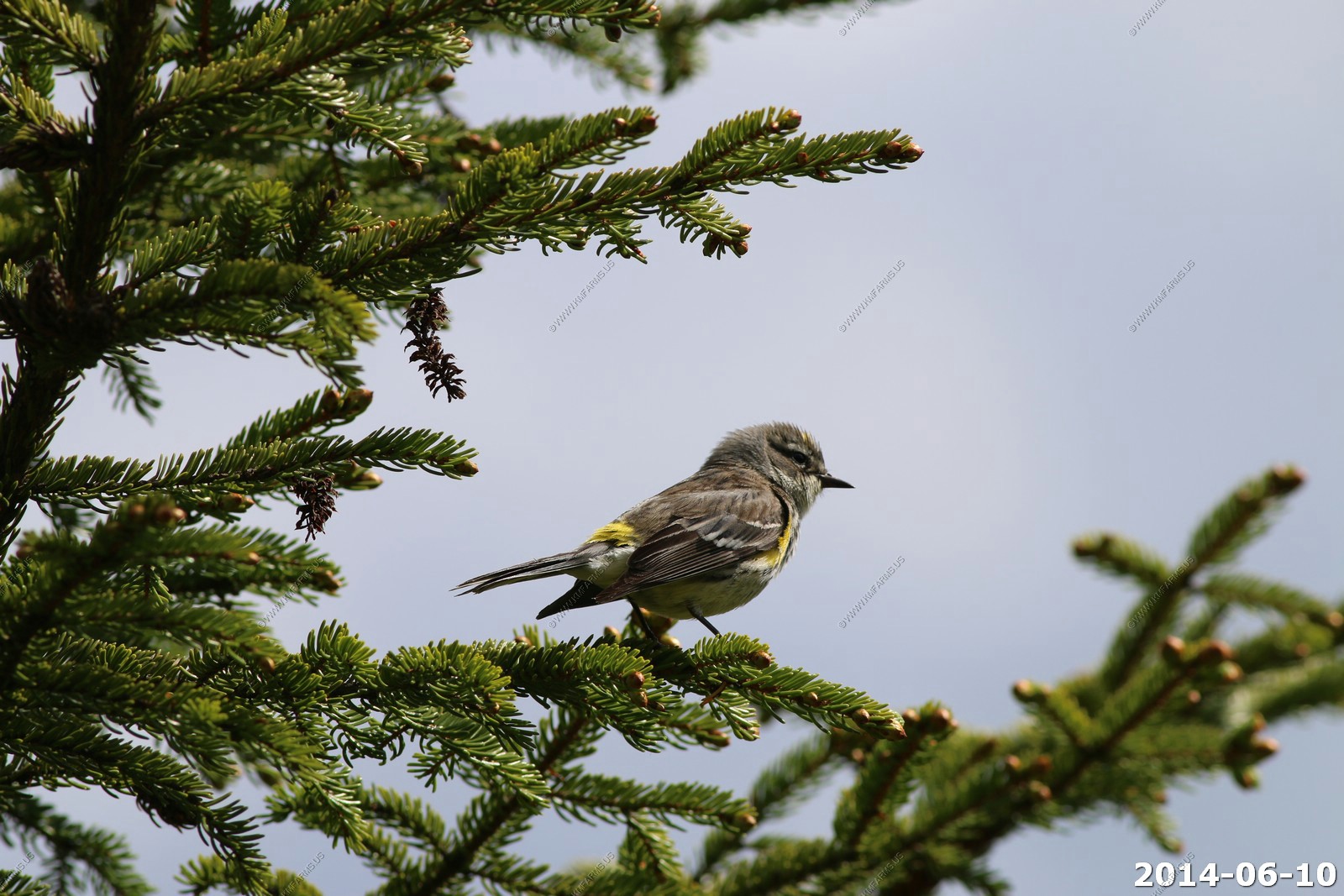
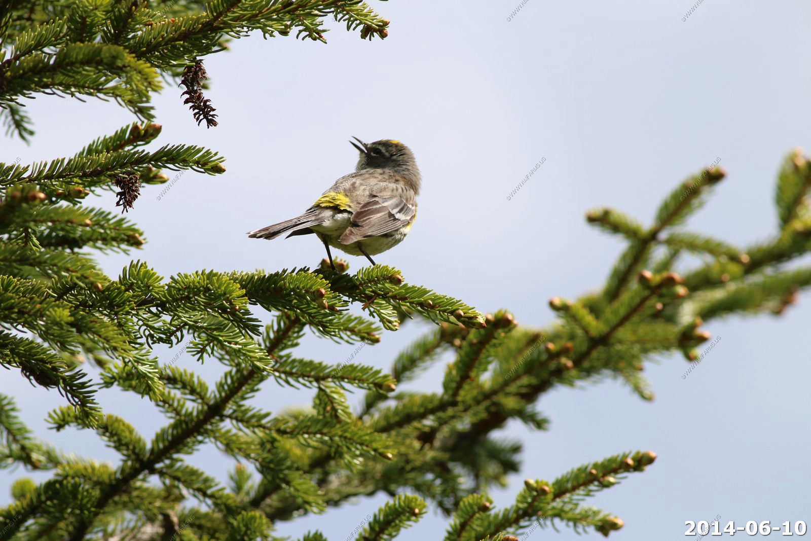
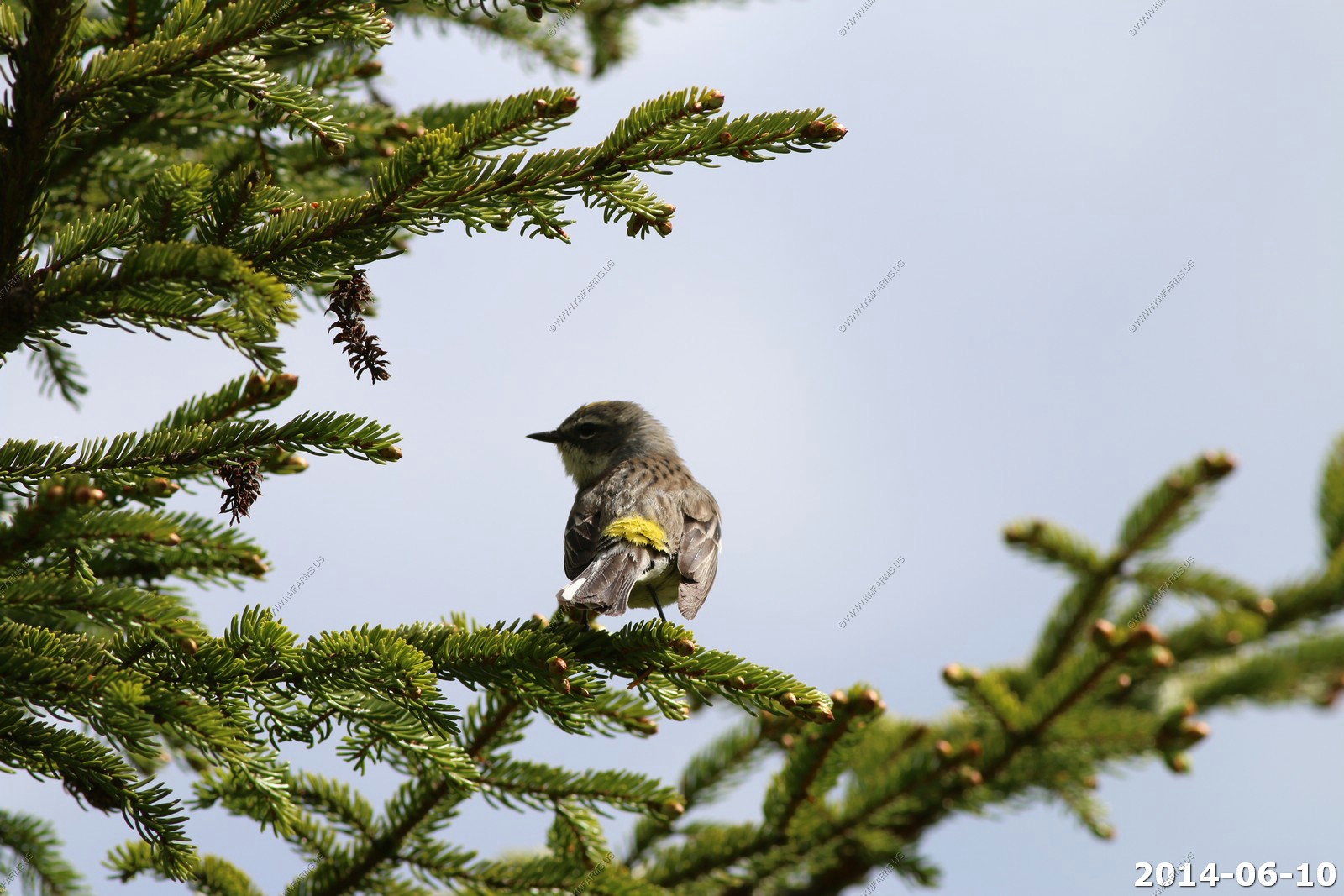
Yellow-rumped Warbler Setophaga coronate - male

Dragonfly

Nice description on what you may see along the trails

Looks like Tuesday is the day to go
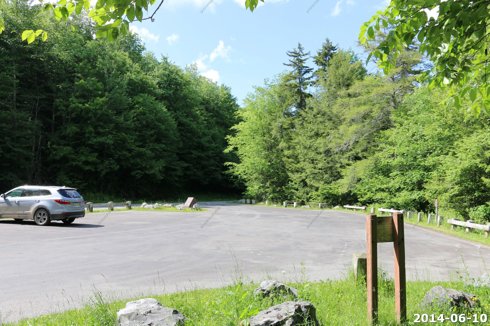
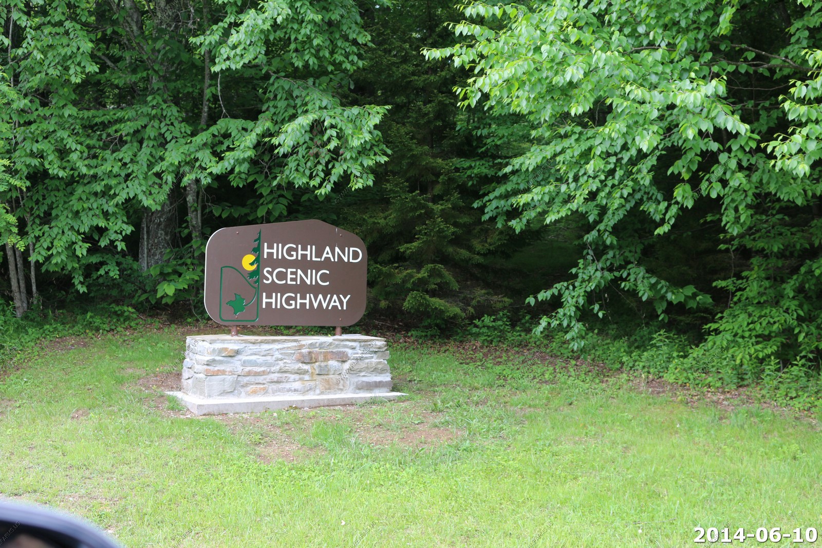
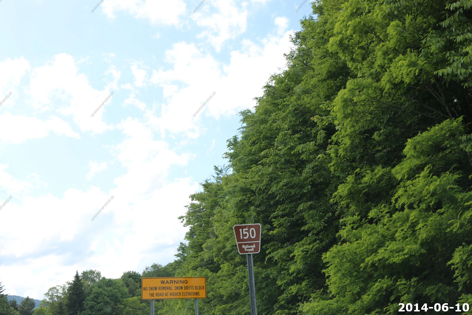
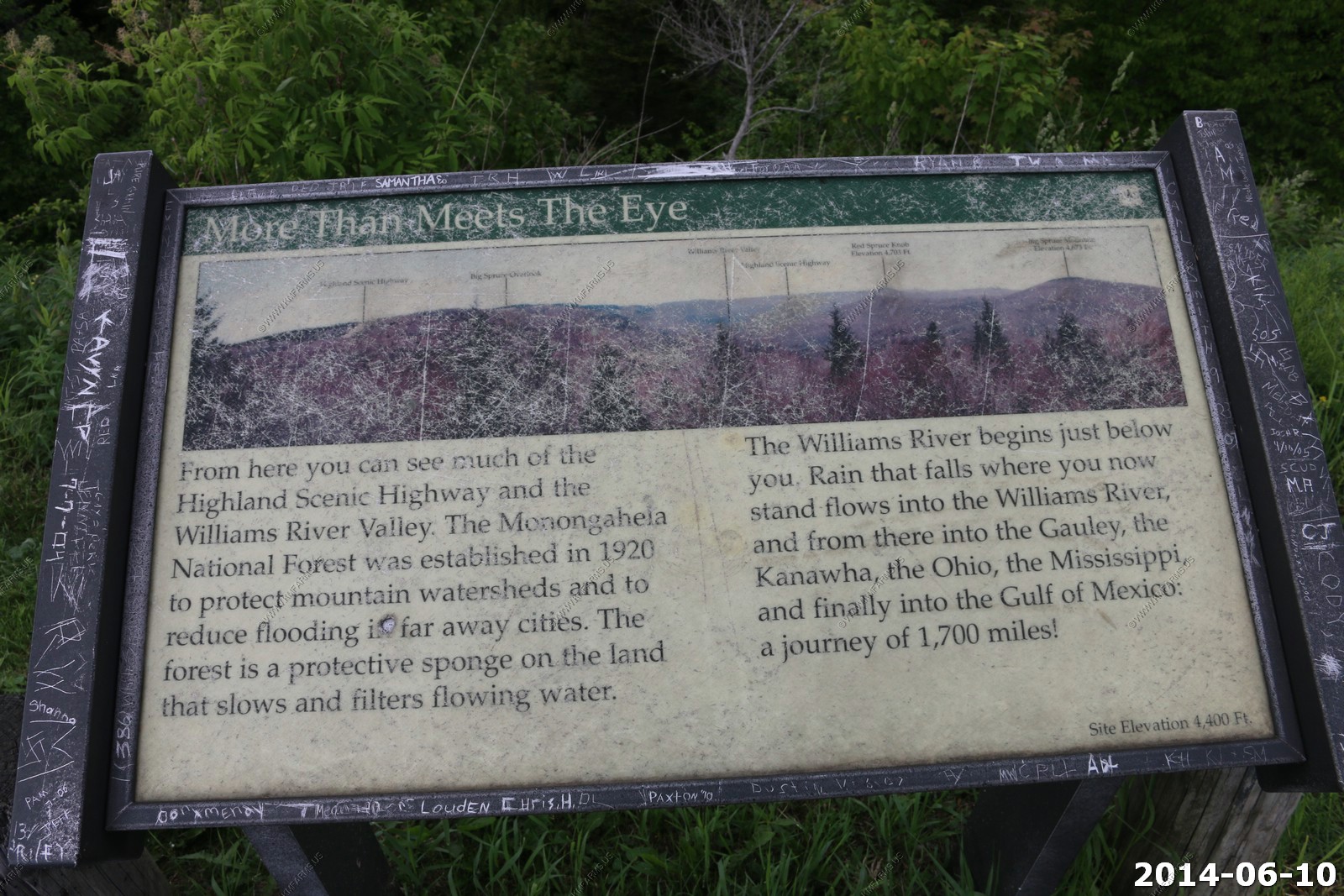
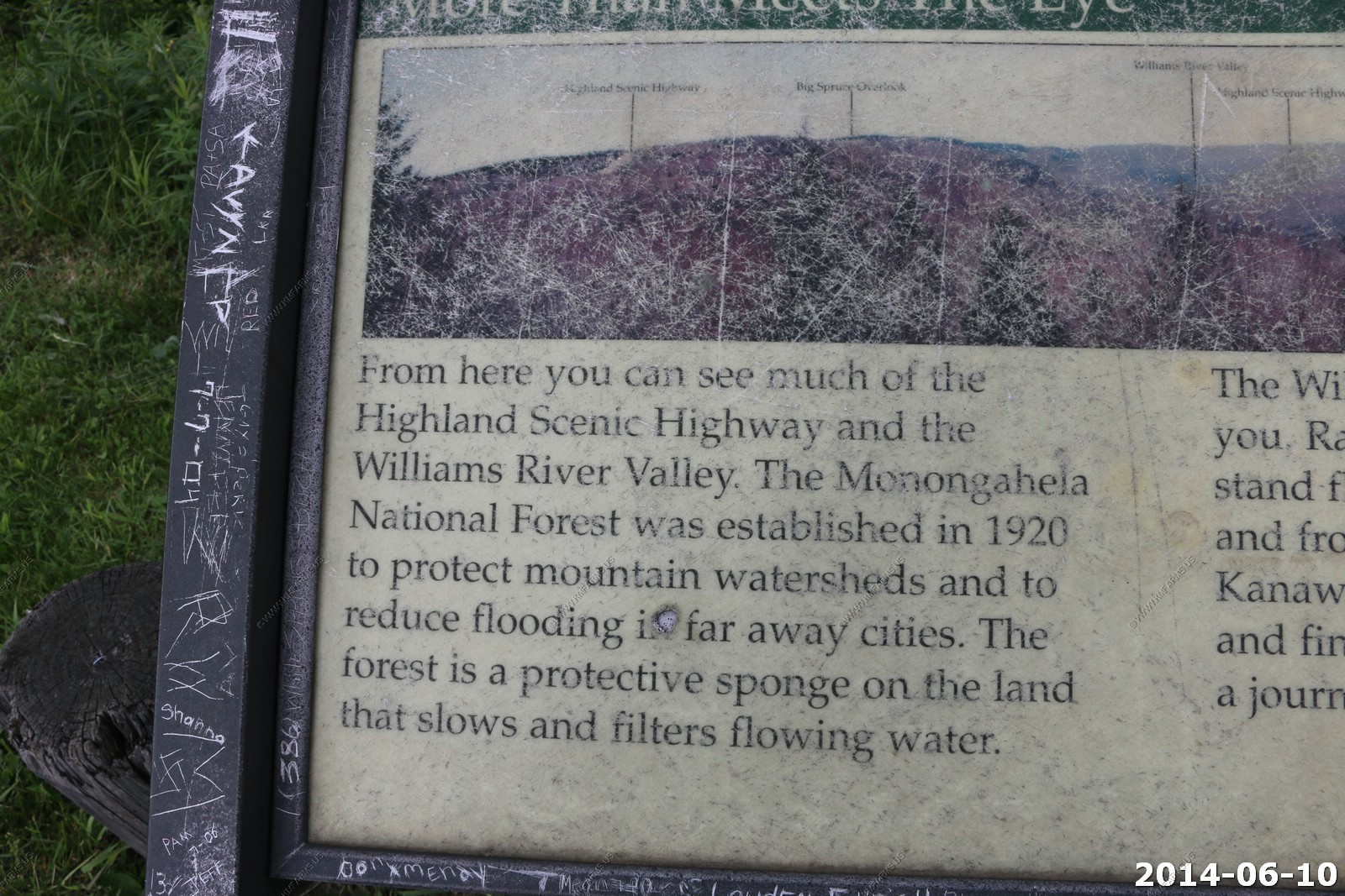
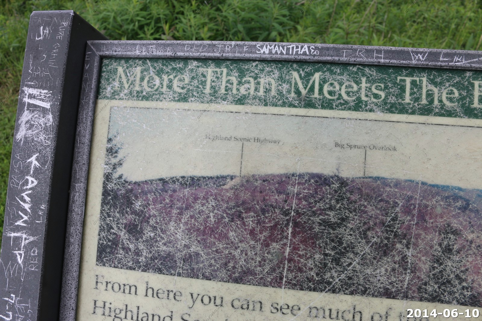
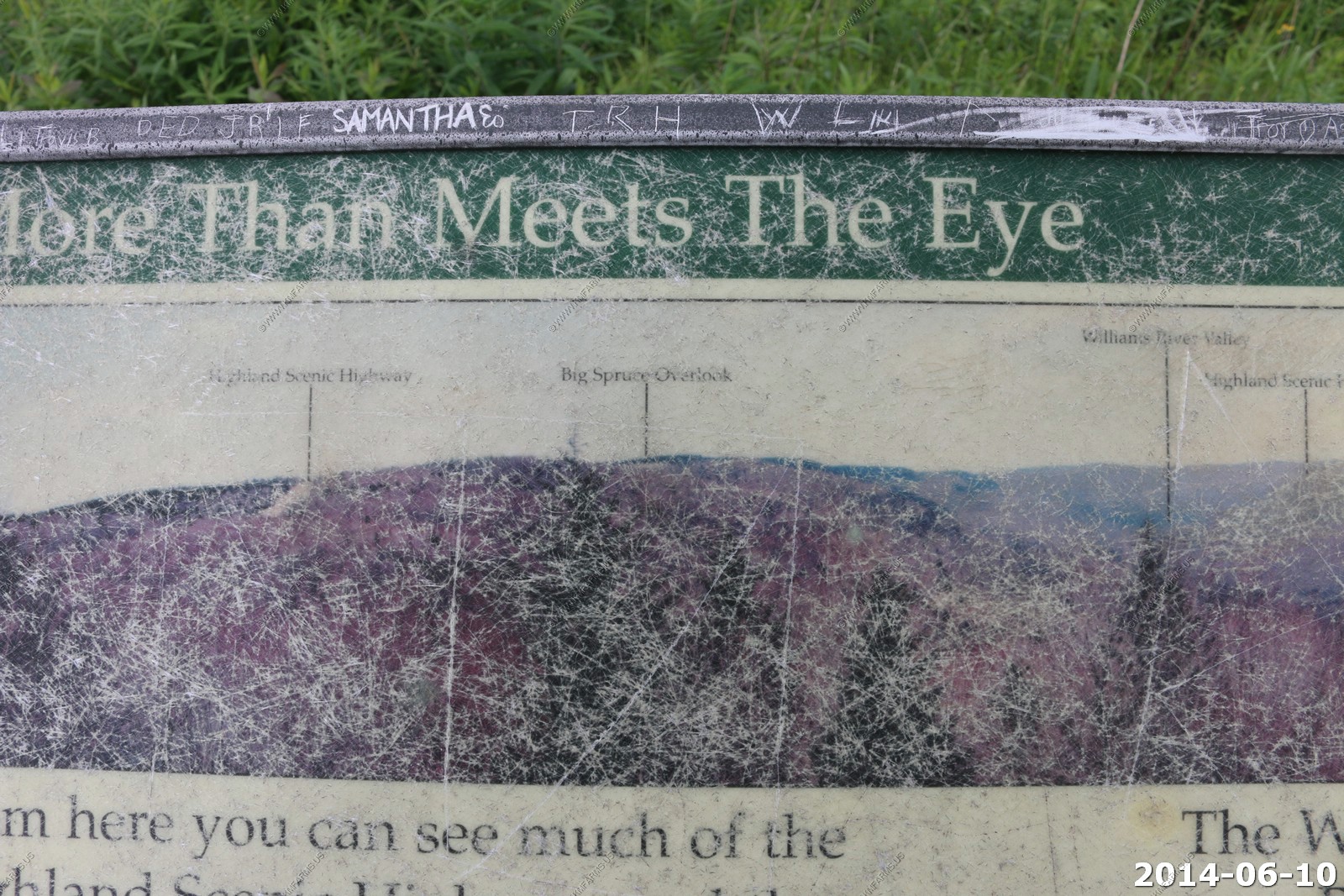
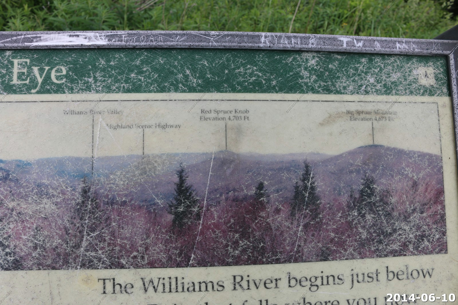
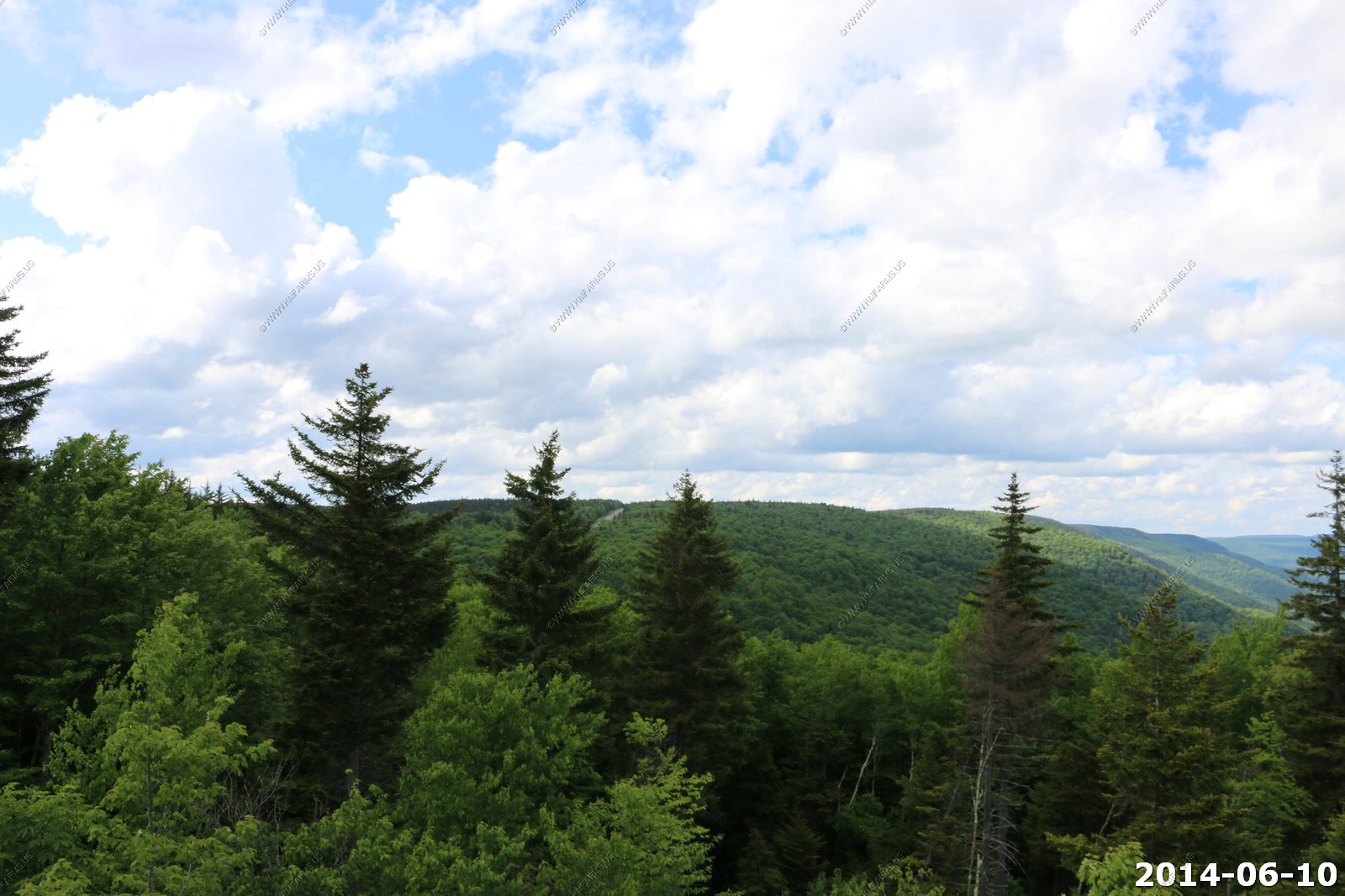
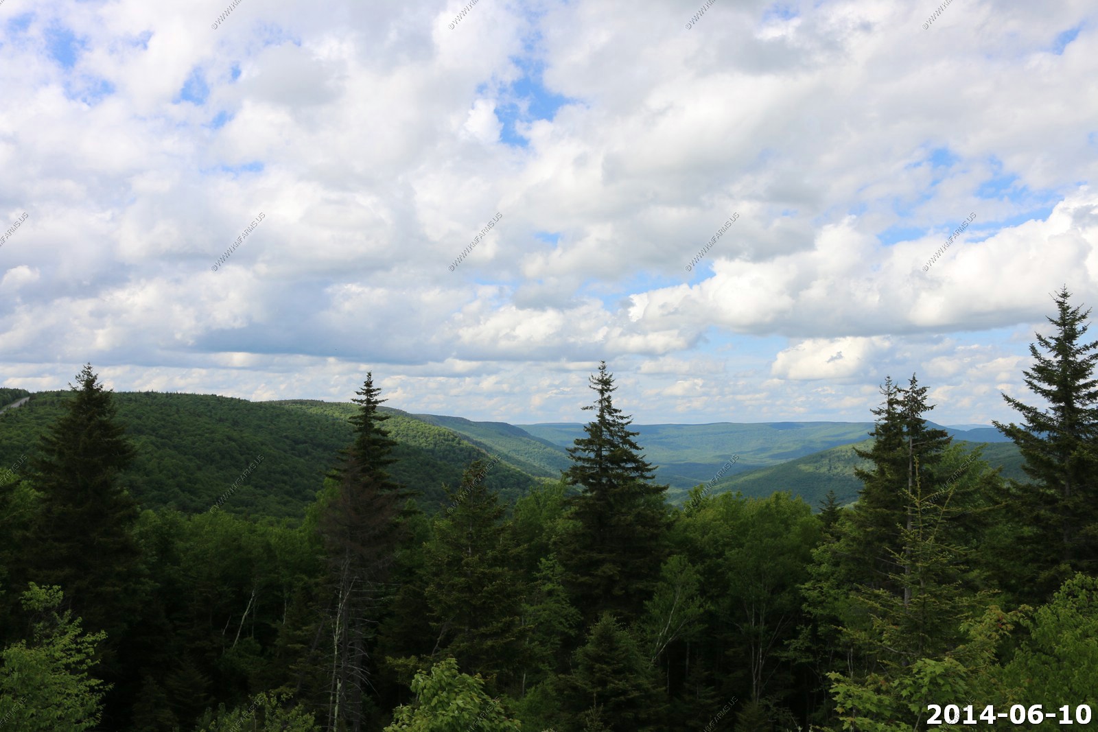
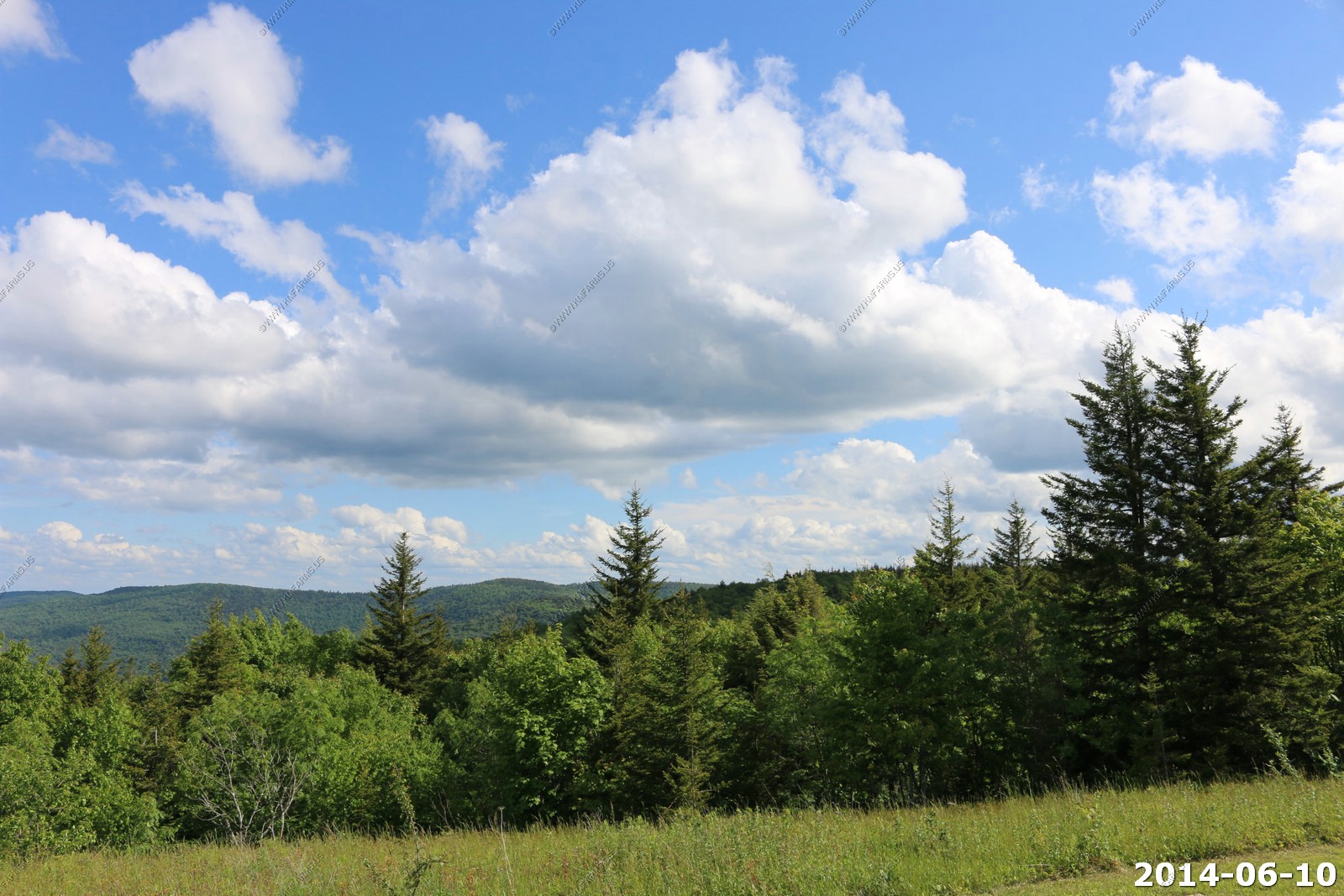
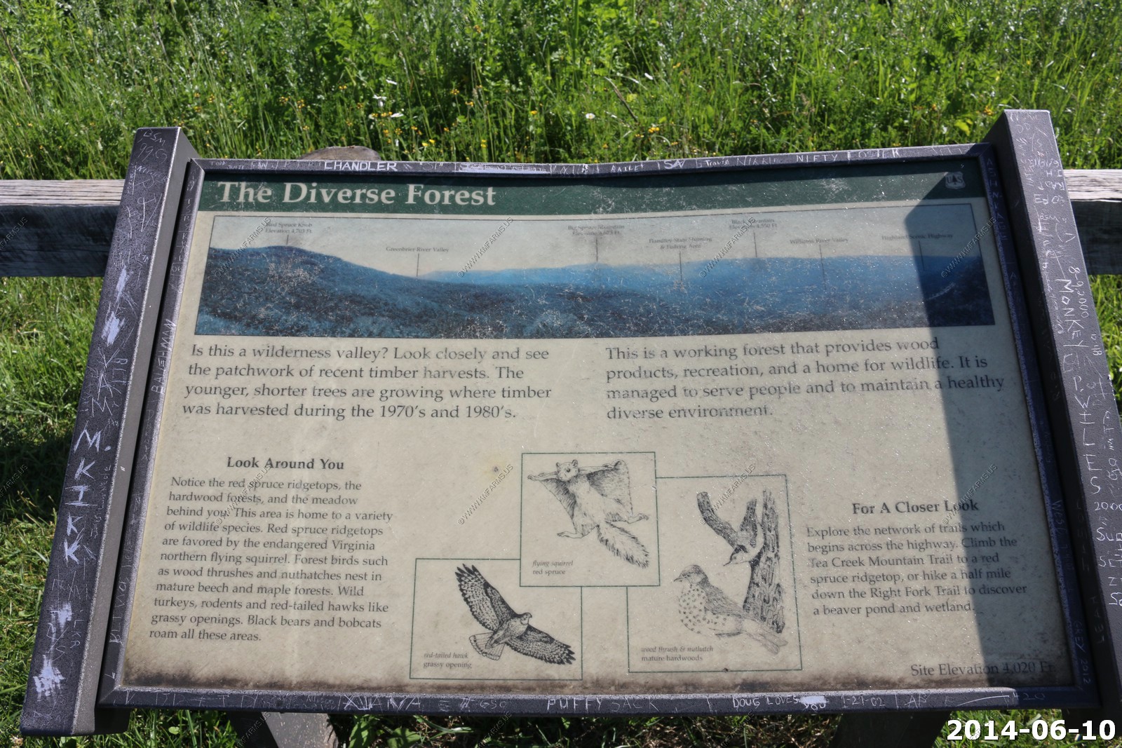
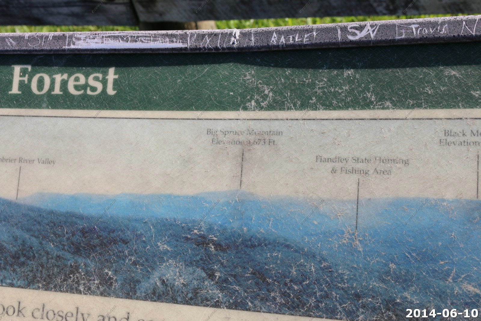
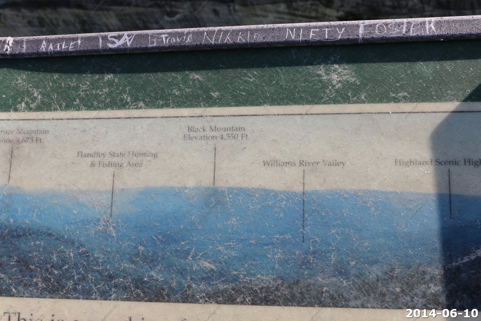
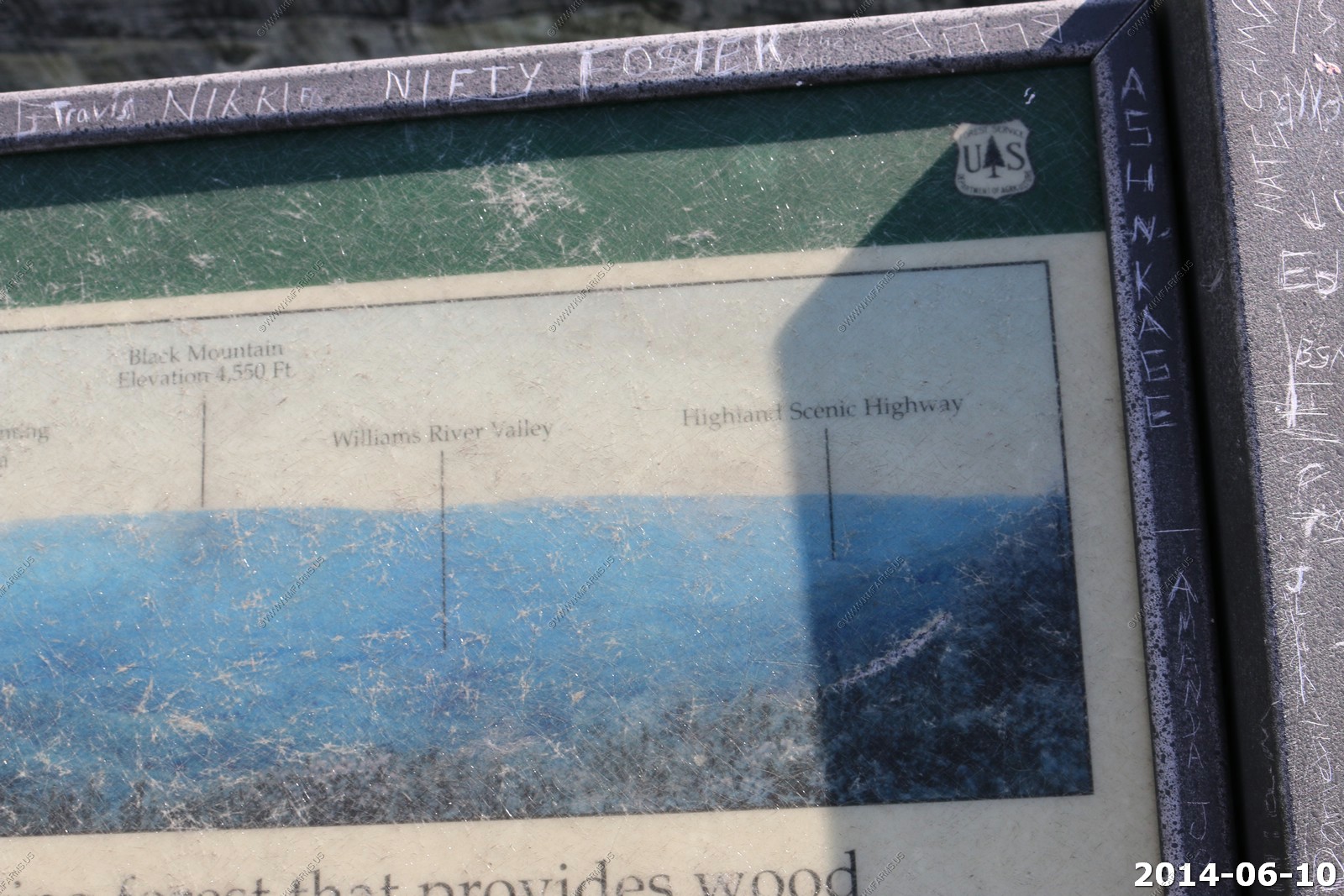
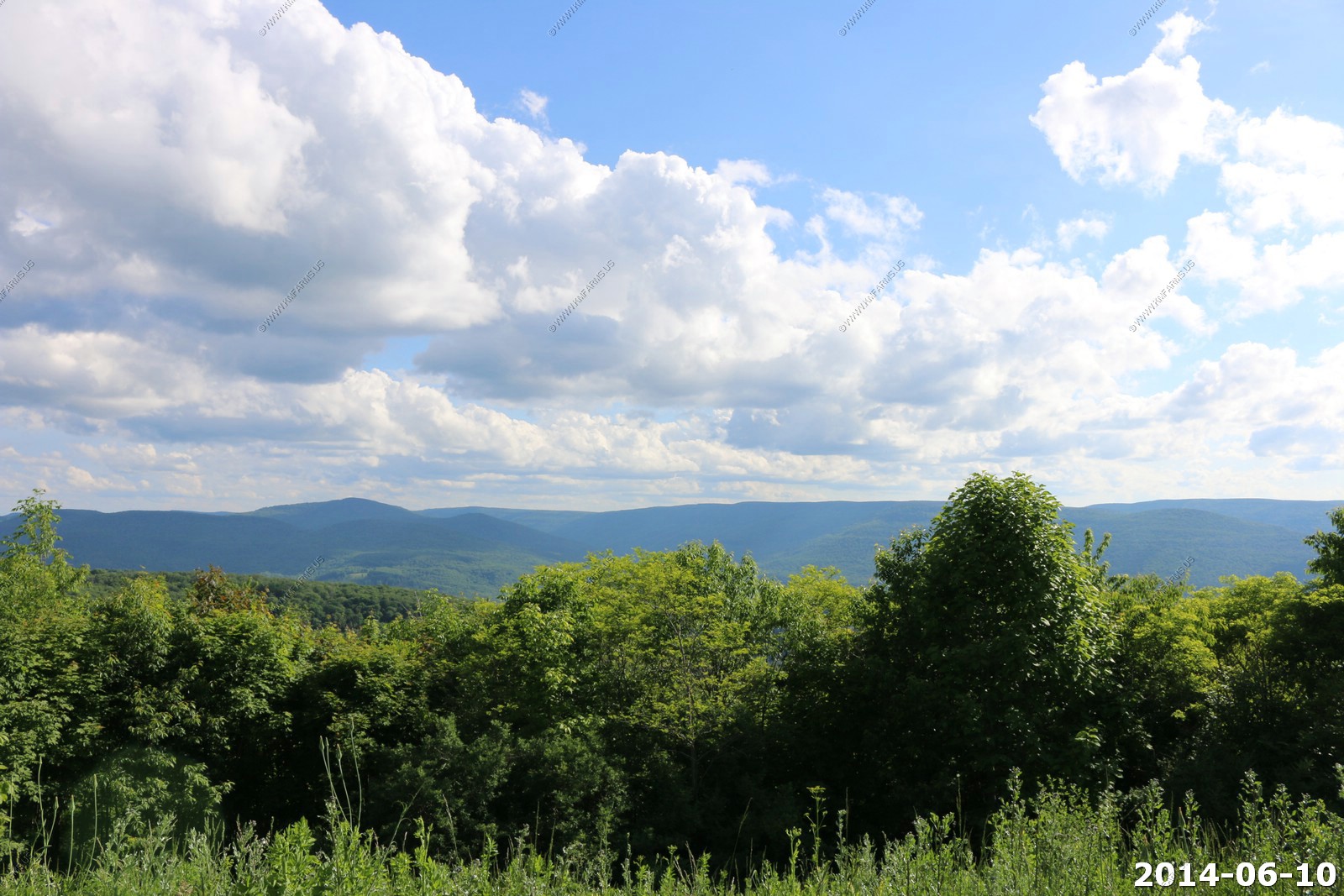
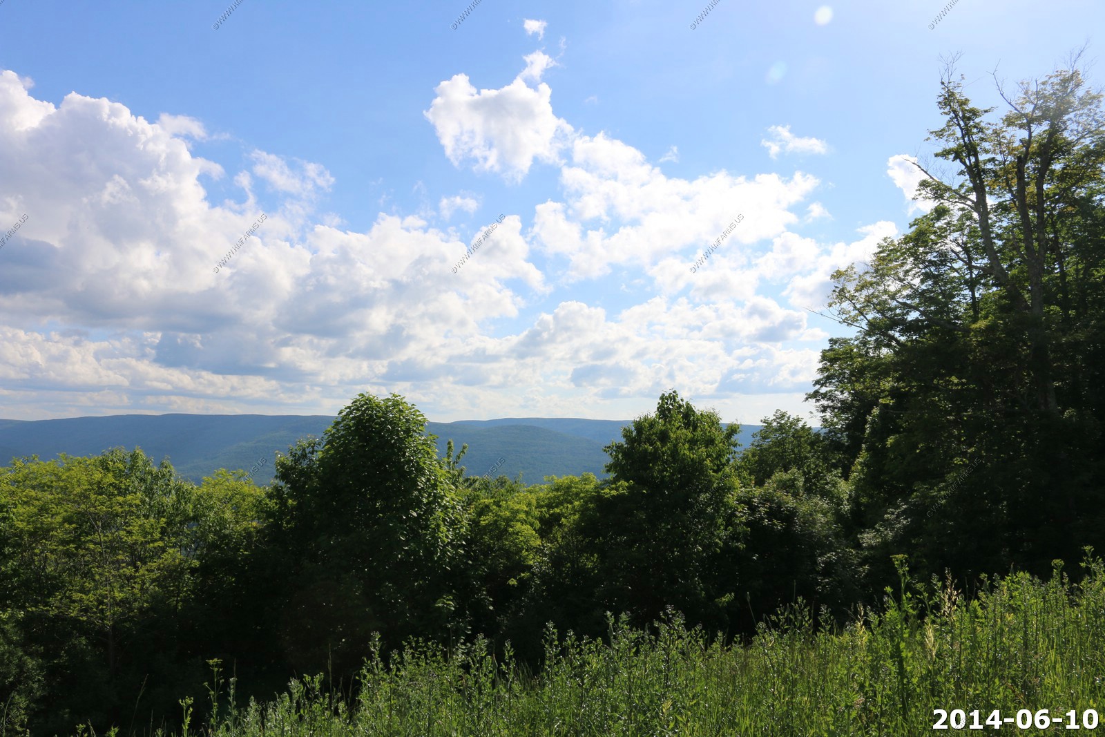
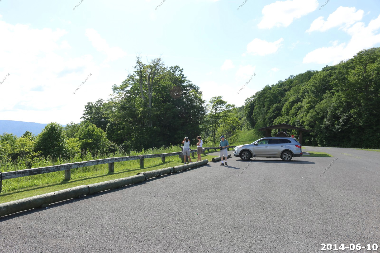
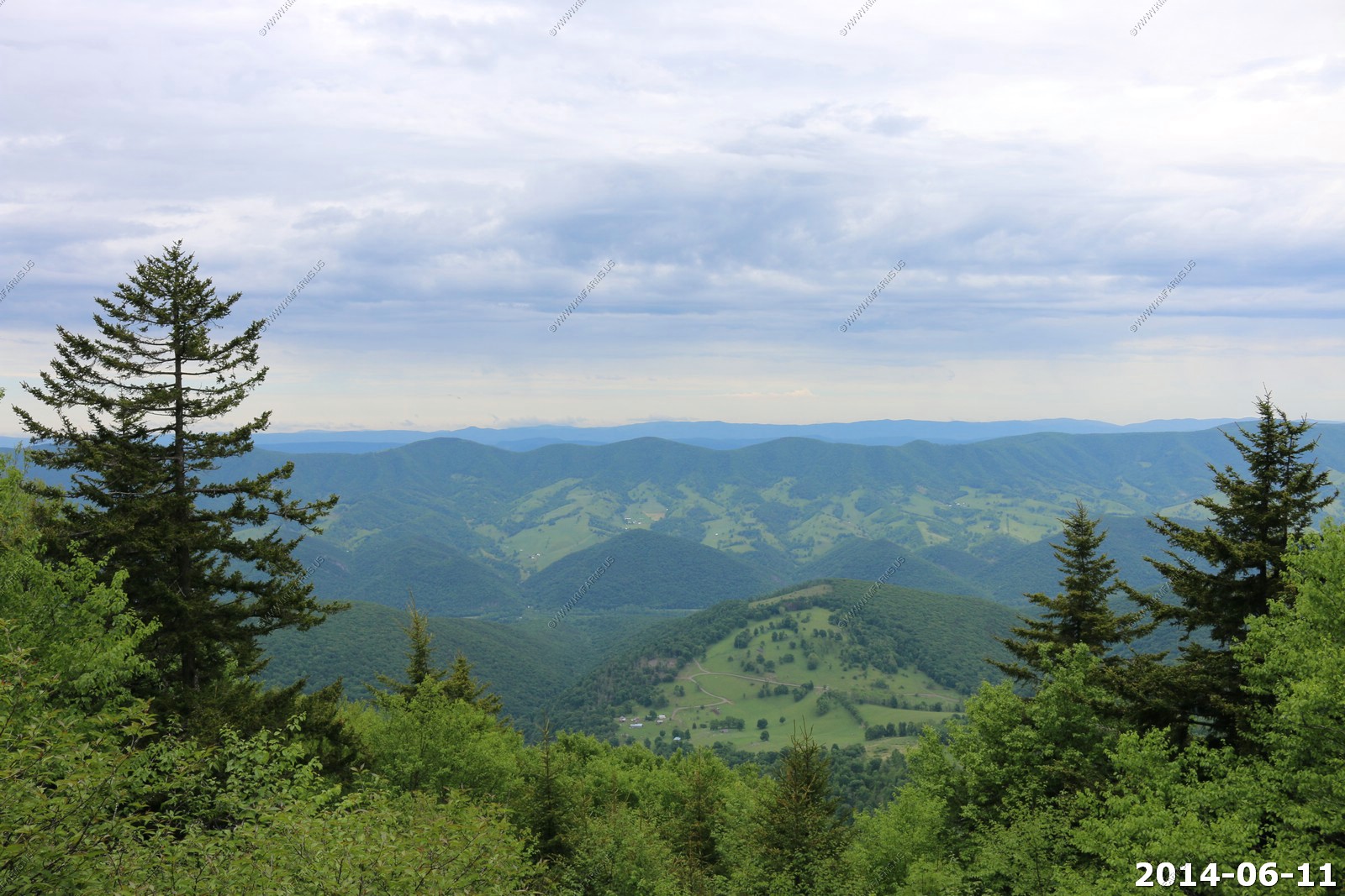
Highland Scenic Highway
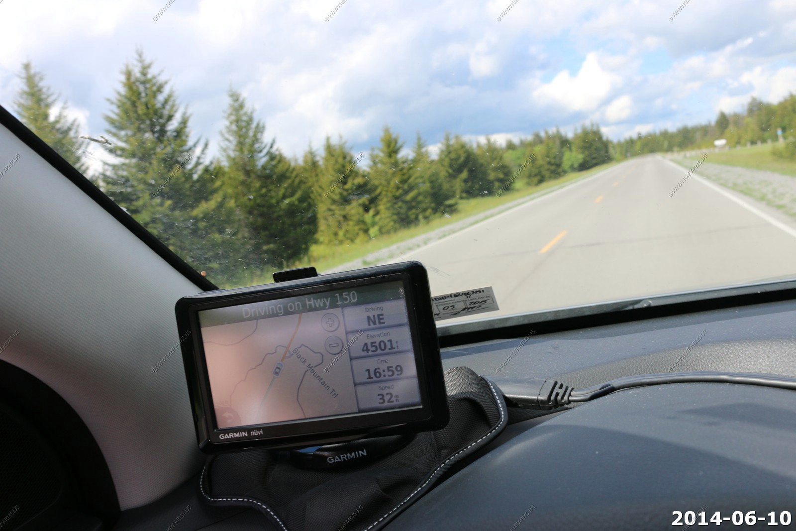
FR-150 is one of my favorite roads in the east. The best part is that its not well known so again you generally have the entire road to yourself
We were having fun calling off the elevation. Here we are up to 4,402

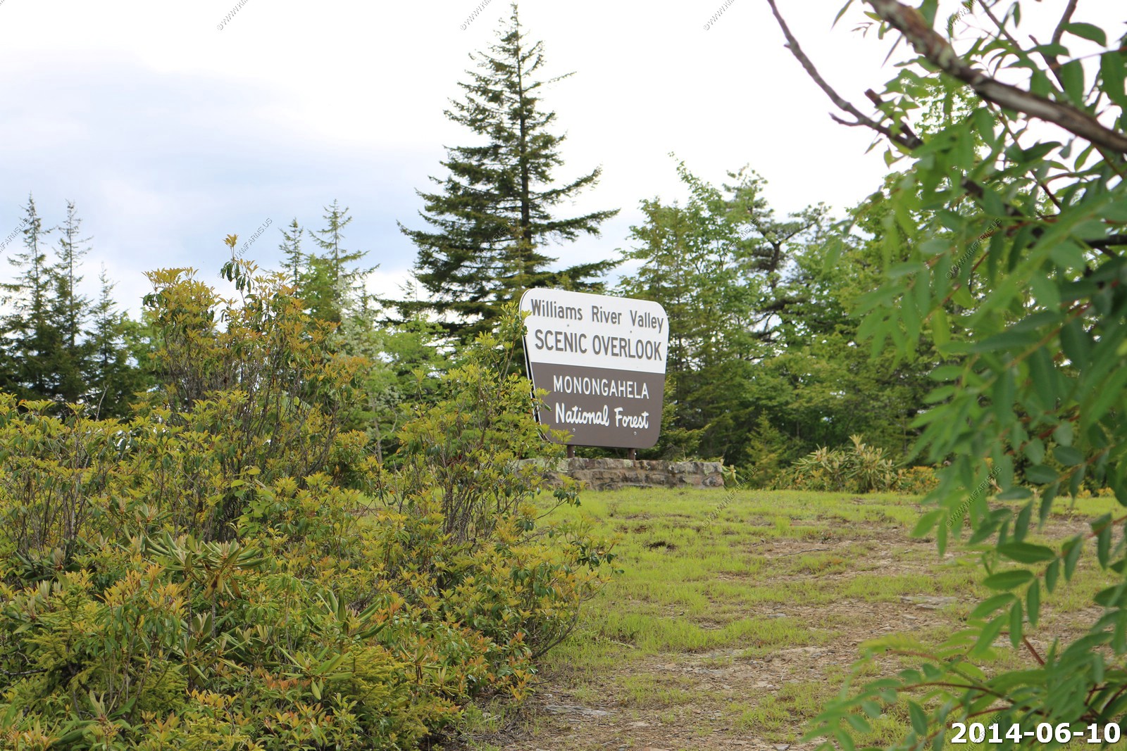
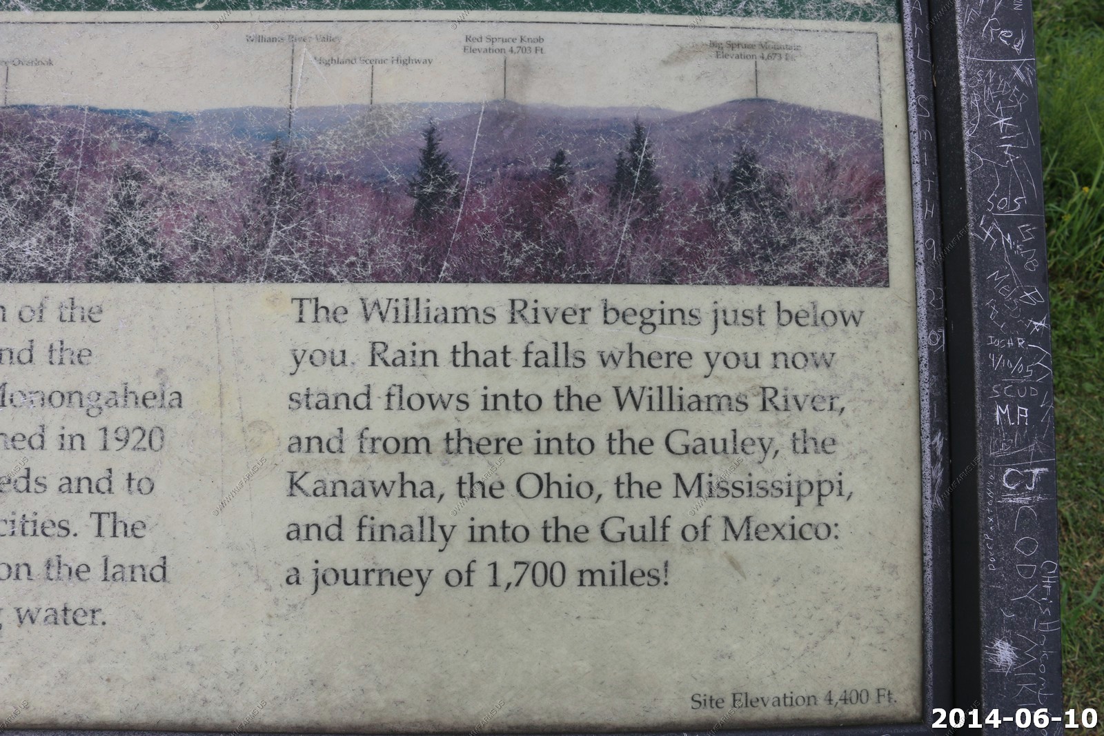
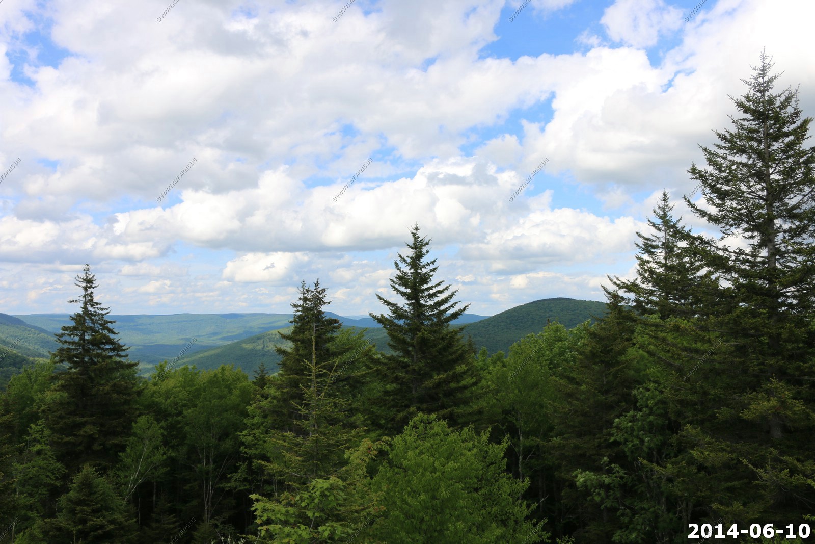
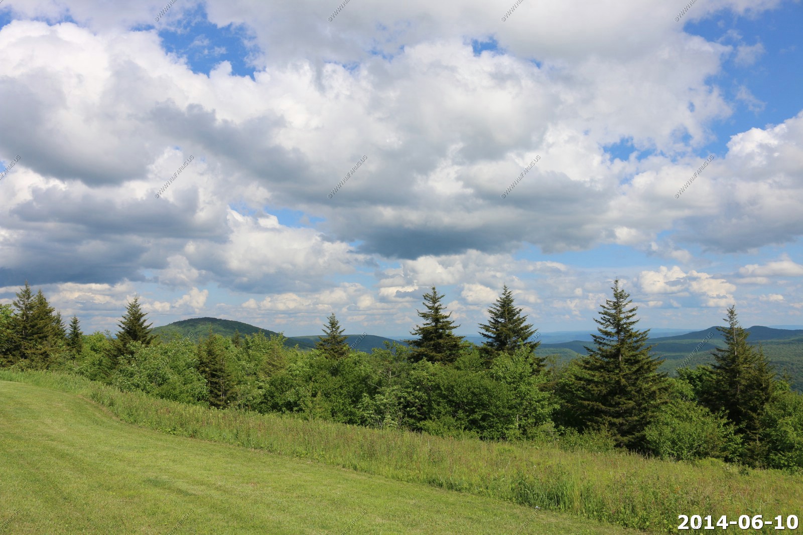
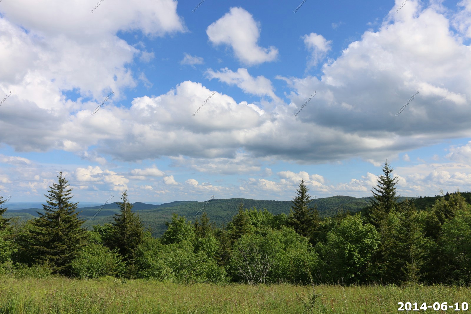
Williams River Valley - Scenic Overlook
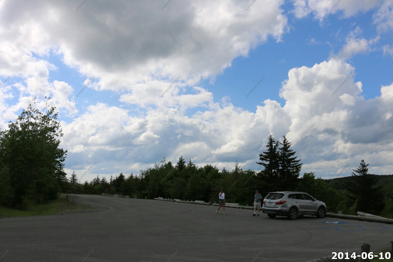
Here we are up to 4,501
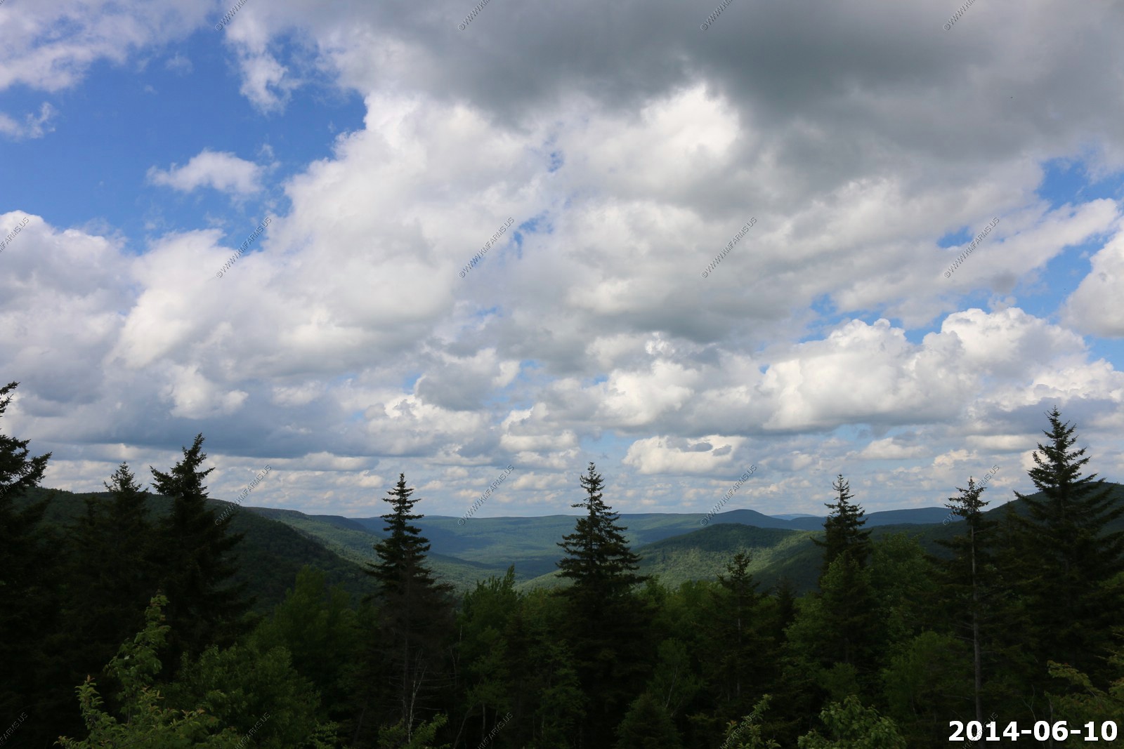
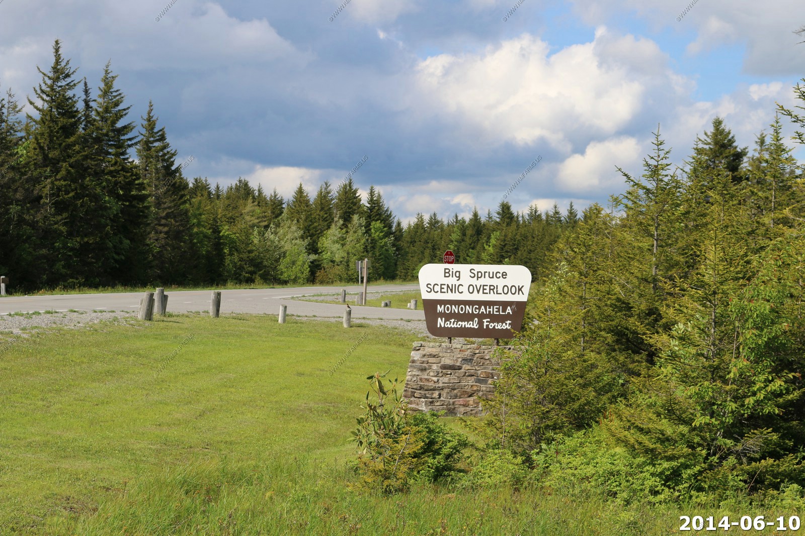
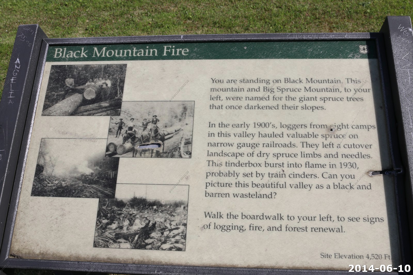
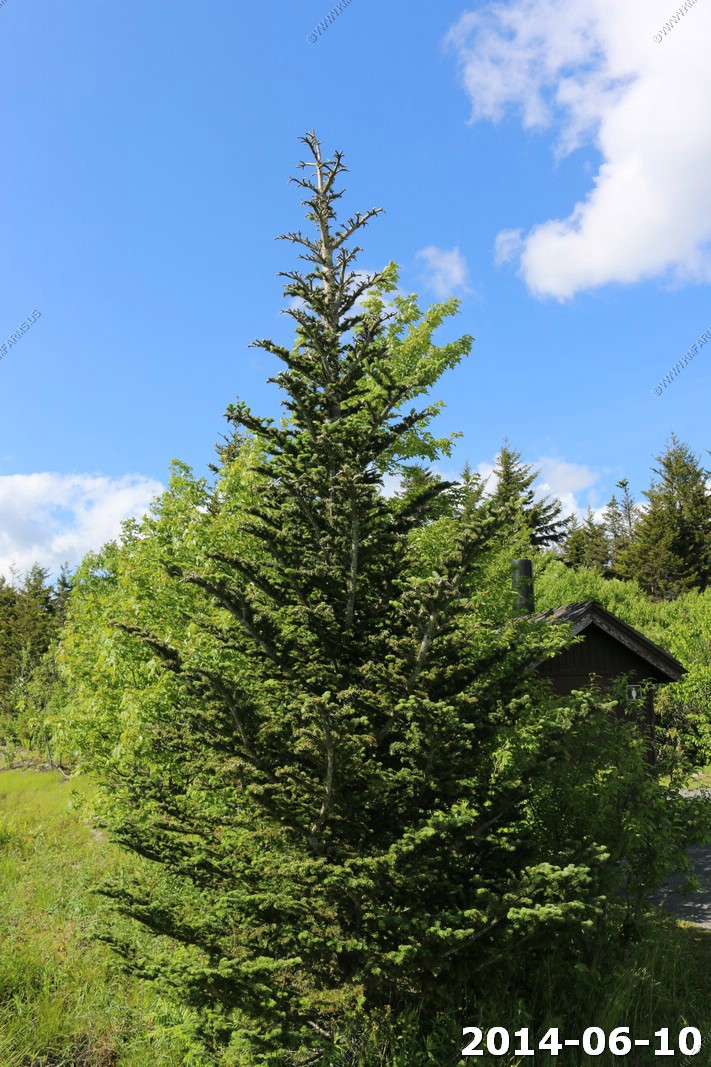
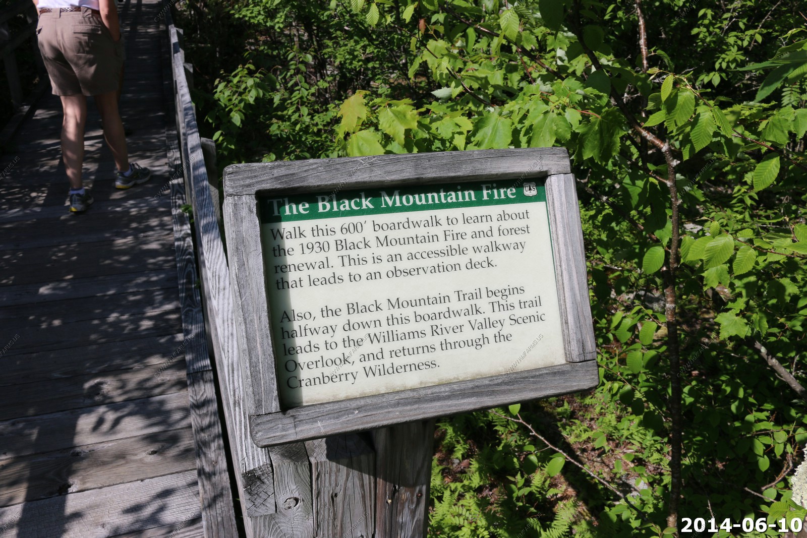
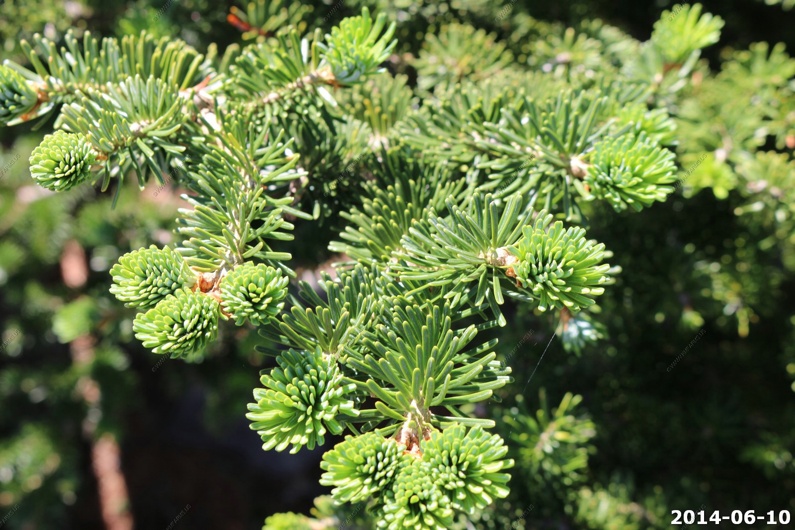
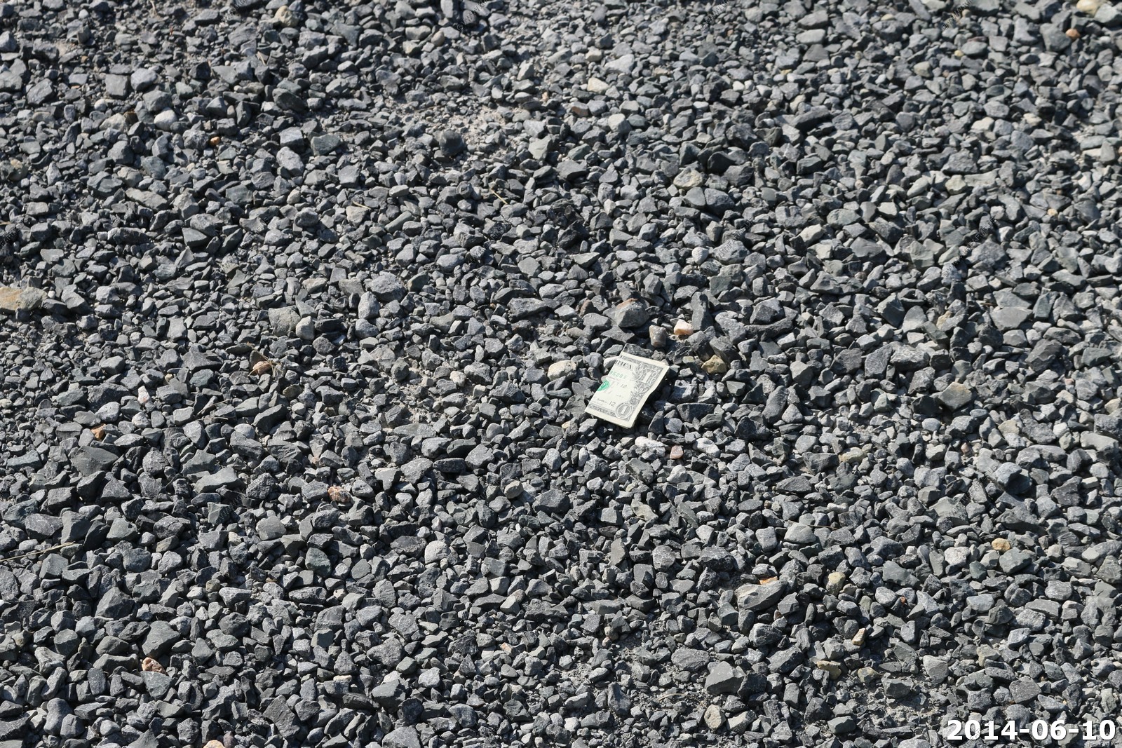
Big Spruce - Scenic Overlook We went on the 600 ft. boardwalk here which was interesting.

Ken found a dollar here. TAX FREE !
The Williams River cuts through this area
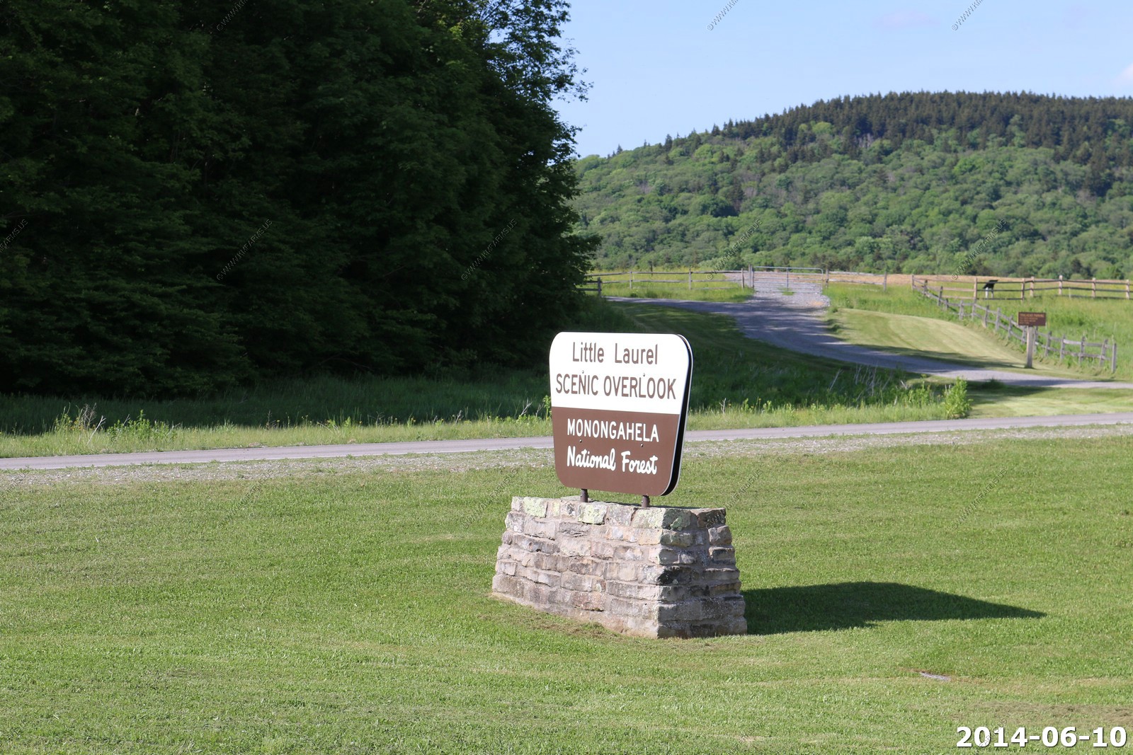
Little Laurel - Scenic Overlook


Snowshoe Mountain Ski Resort to the north. Too bad as this would be a really dark area without that.

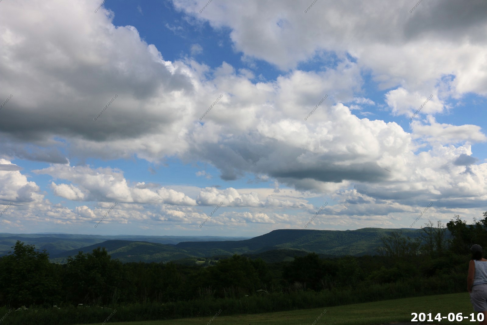
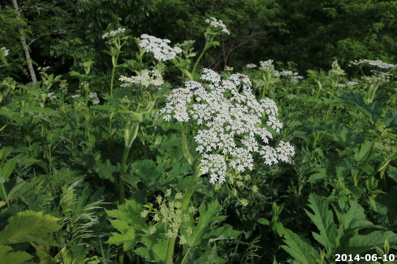
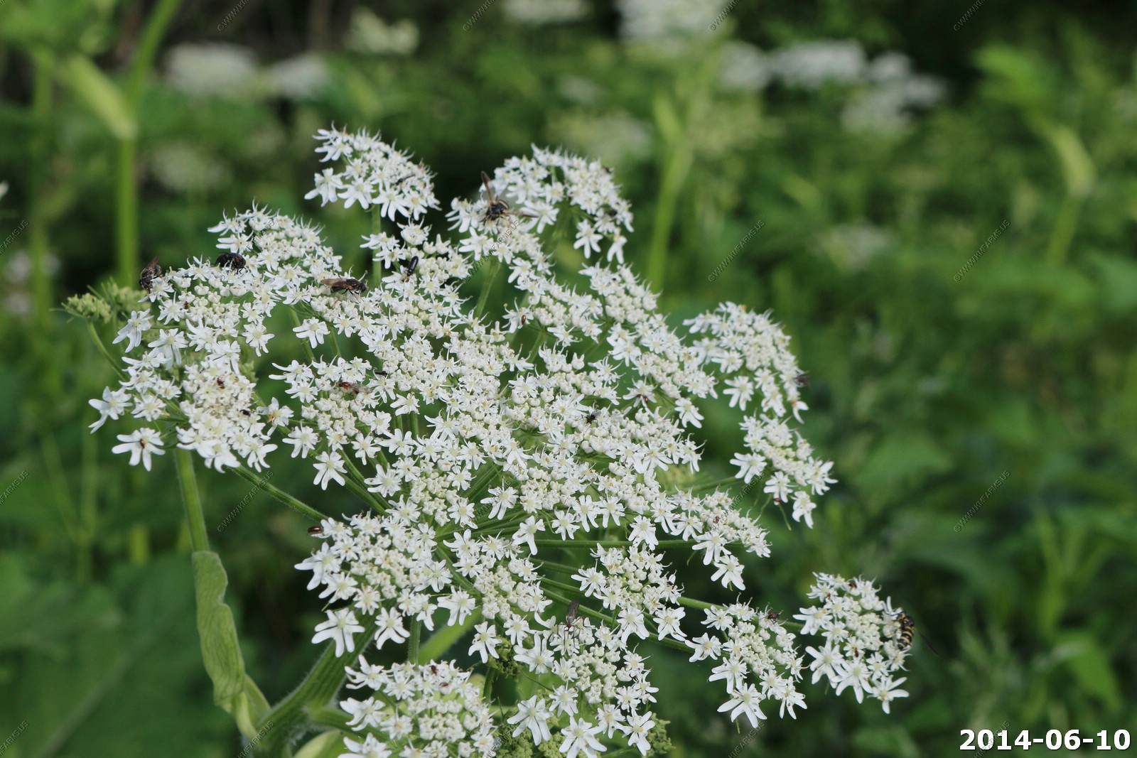
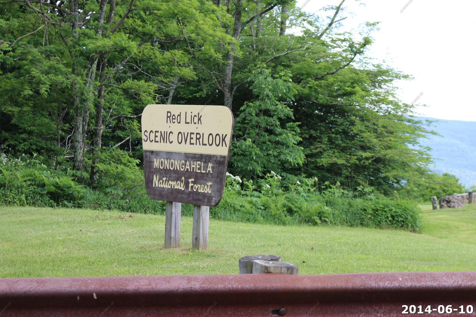
Red Lick - Scenic Overlook
We drove over to Marlinton and ate at Greenbrier Grille and Lodge which was ok. We were feeding the ducks along the Greenbrier River from the restaurant deck.
Morning Glory Inn Bed and Breakfast
Your first glance of the Morning Glory Inn Bed and Breakfast in Slatyfork, WV offers the 90- foot front porch, which is perfect for star gazing, bird watching or just plain relaxing. This was a nice B & B and we had a great breakfast.
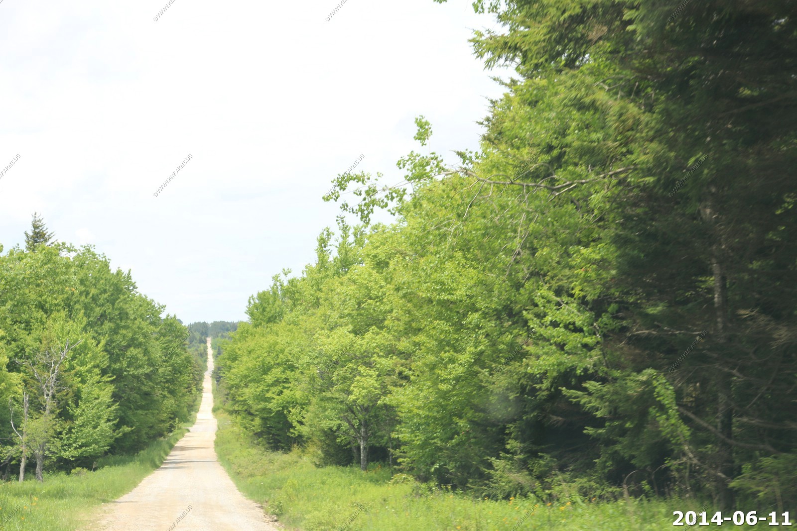
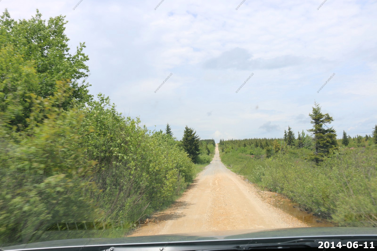
Wednesday - JUN 11 2014
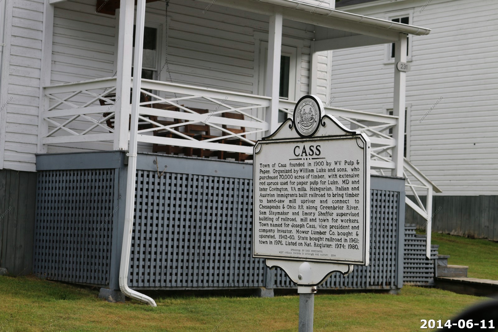
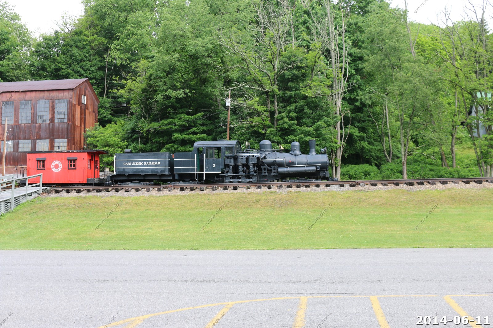
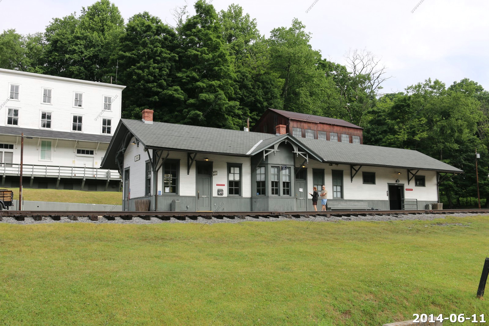
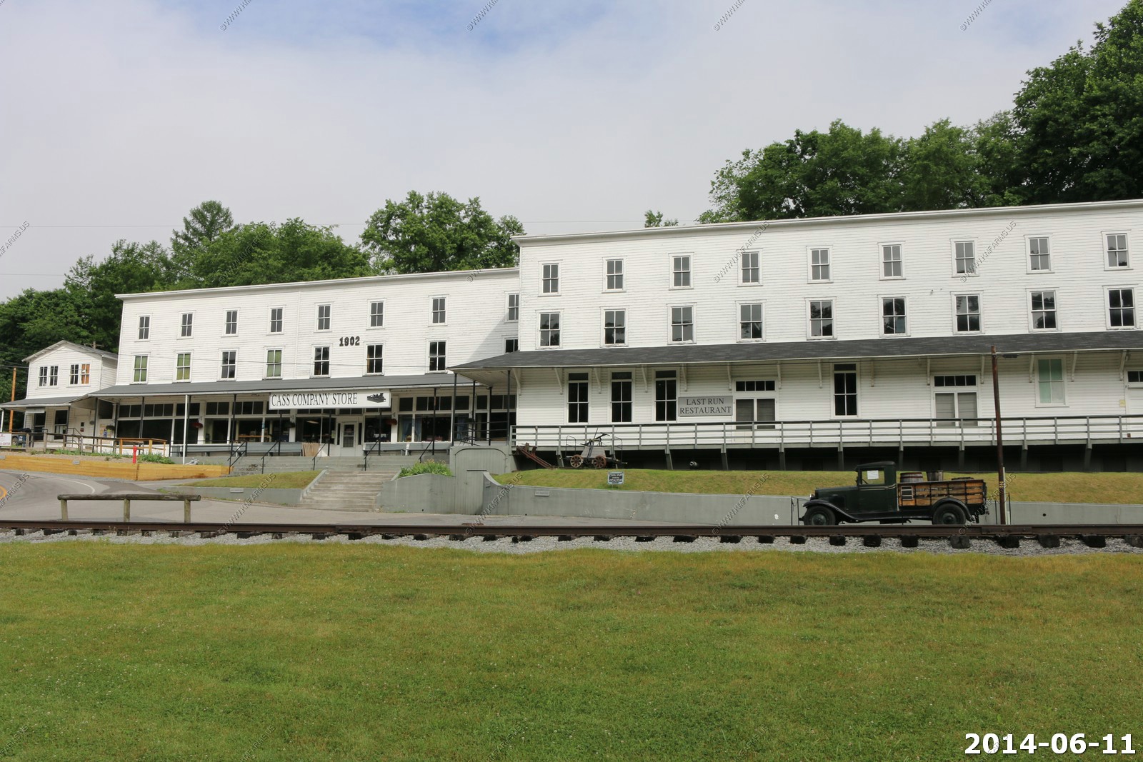
We went through Cass. Nestled in the mountains of West Virginia, Cass Scenic Railroad State Park offers excursions that transport you back in time to relive an era when steam-driven locomotives were an essential part of everyday life. Trips to Cass are filled with rich histories of the past, unparalleled views of a vast wilderness area, and close-up encounters with the sights and sounds of original steam-driven locomotives. We went on this train trip about 15 years ago and enjoyed it.
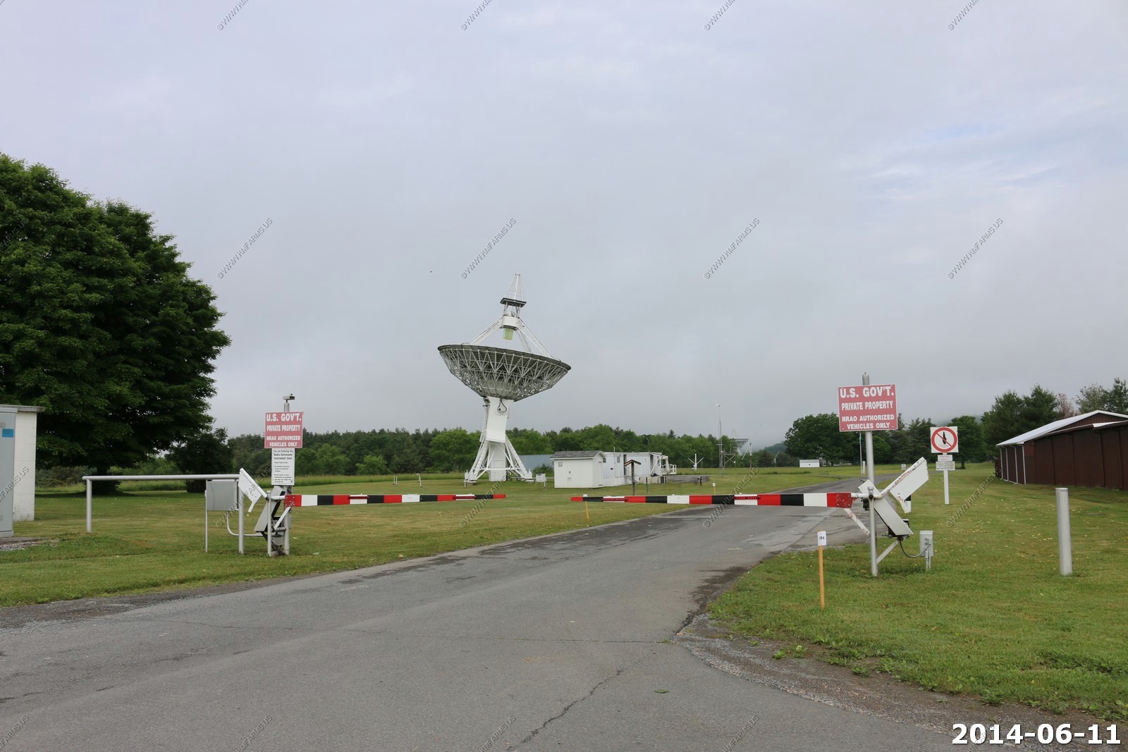
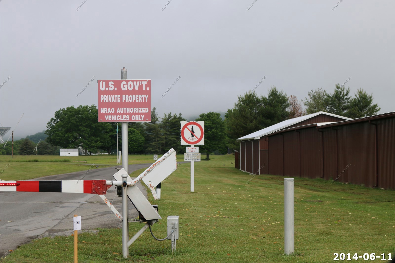
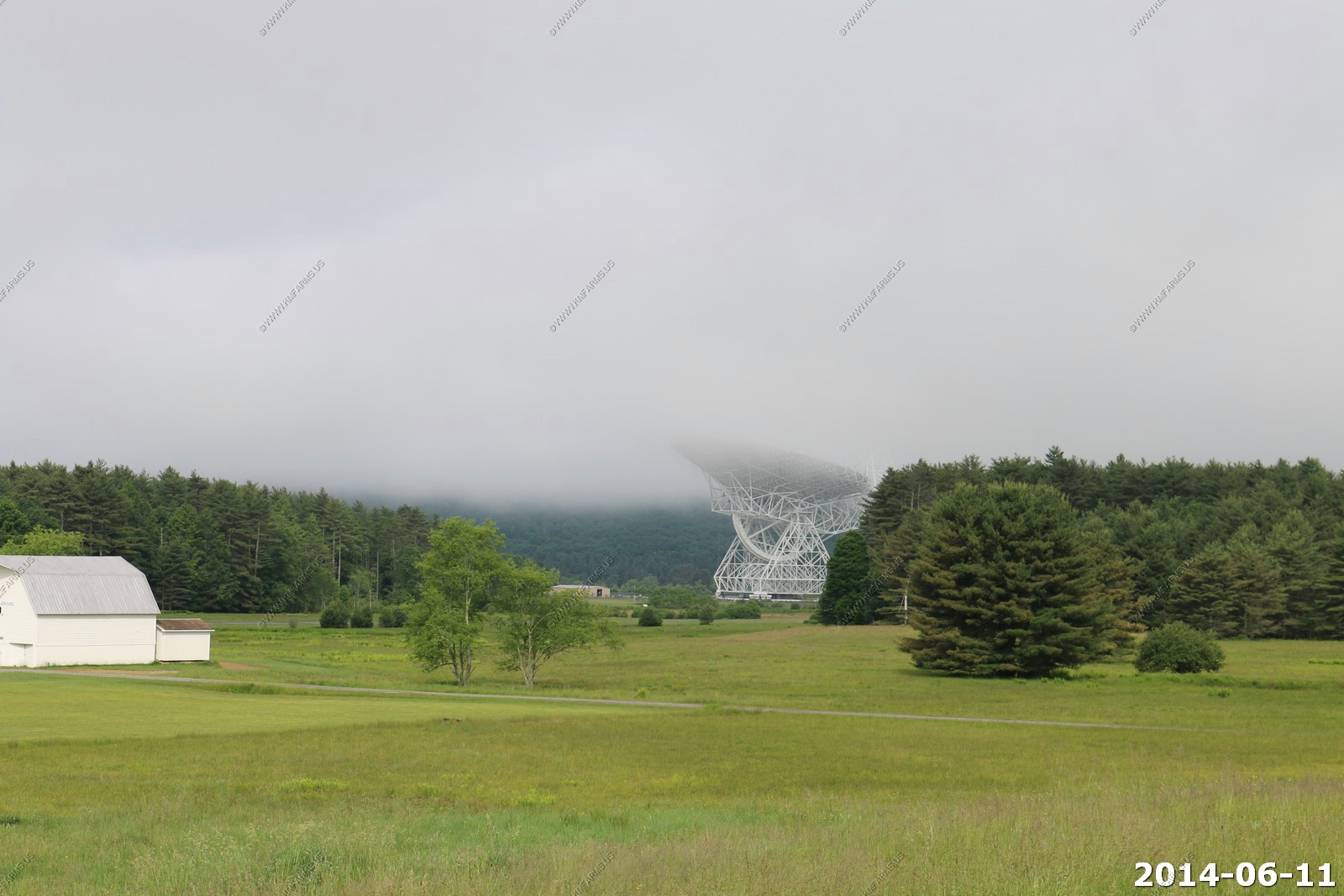
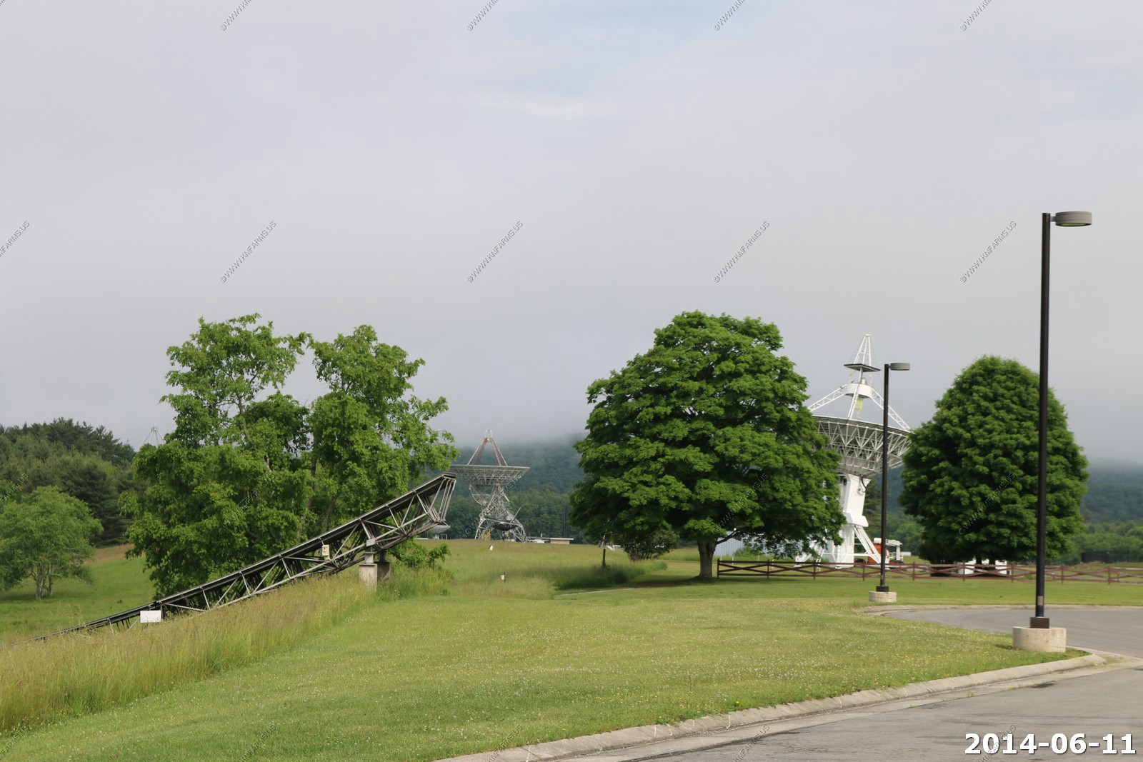
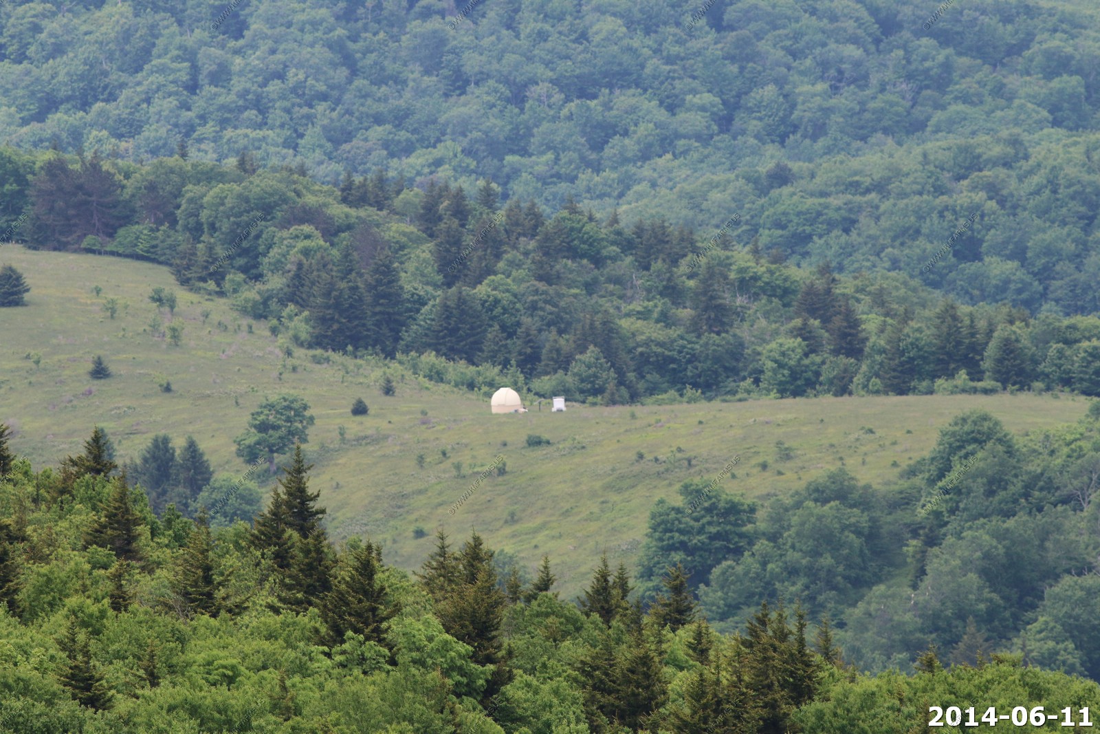
Quick stop at NRAO - The Green Bank Telescope (GBT) is the world's largest fully steerable radio telescope. It is part of the National Radio Astronomy Observatory (NRAO) site at Green Bank, West Virginia, USA.
We approached Spruce Knob from the south using FR-112 off of SR-28. The road was better than I figured it would be.
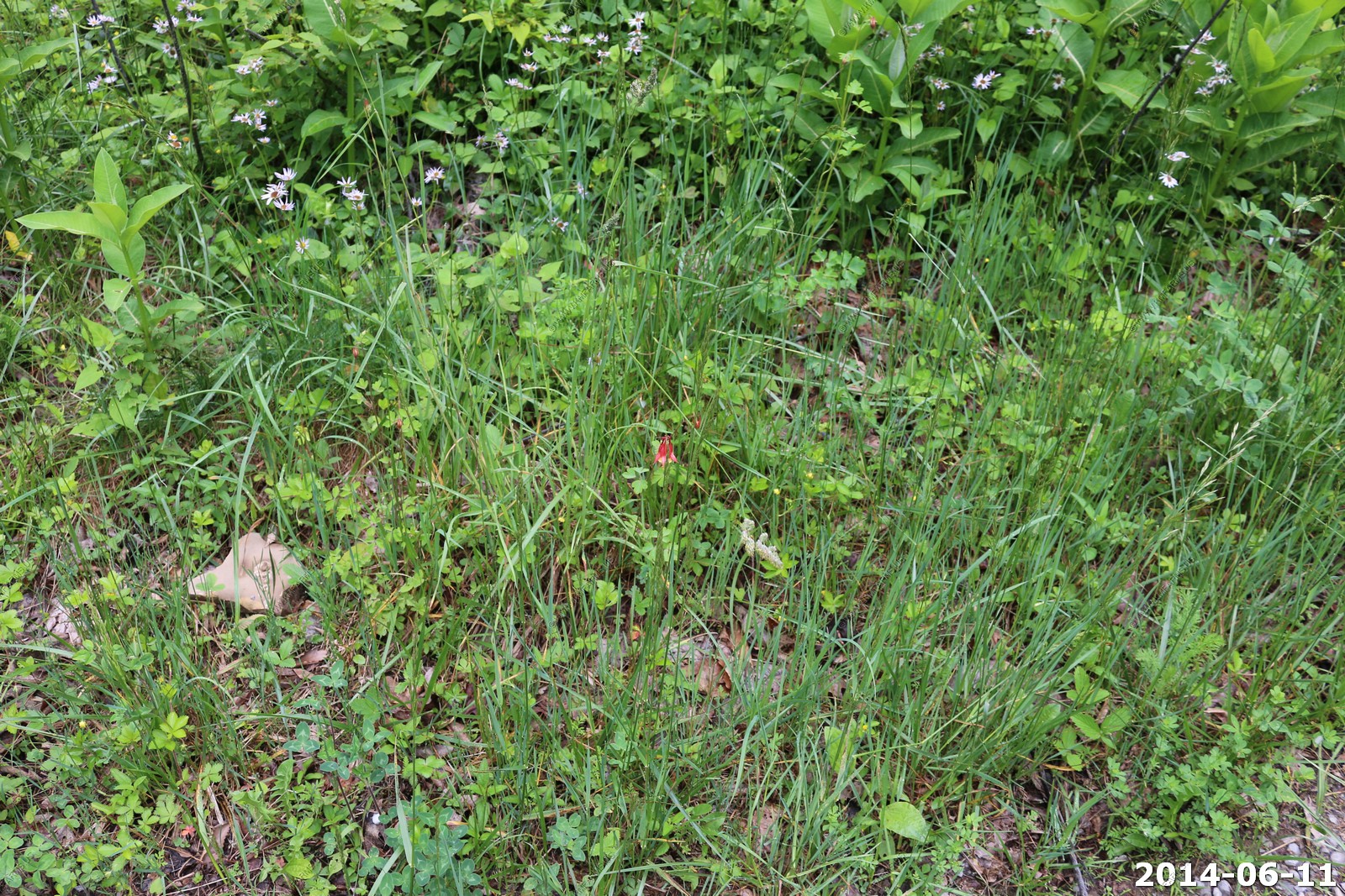
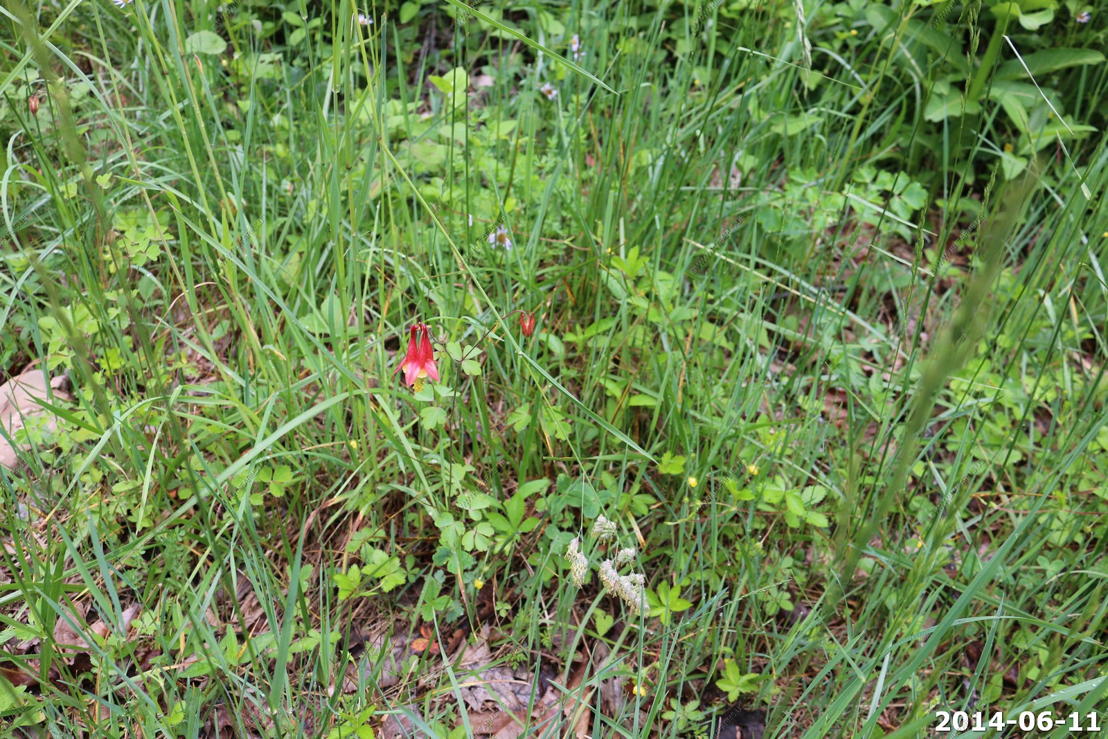
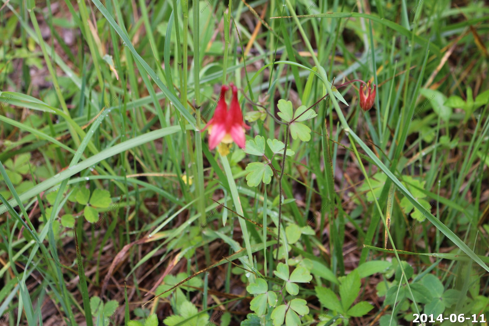
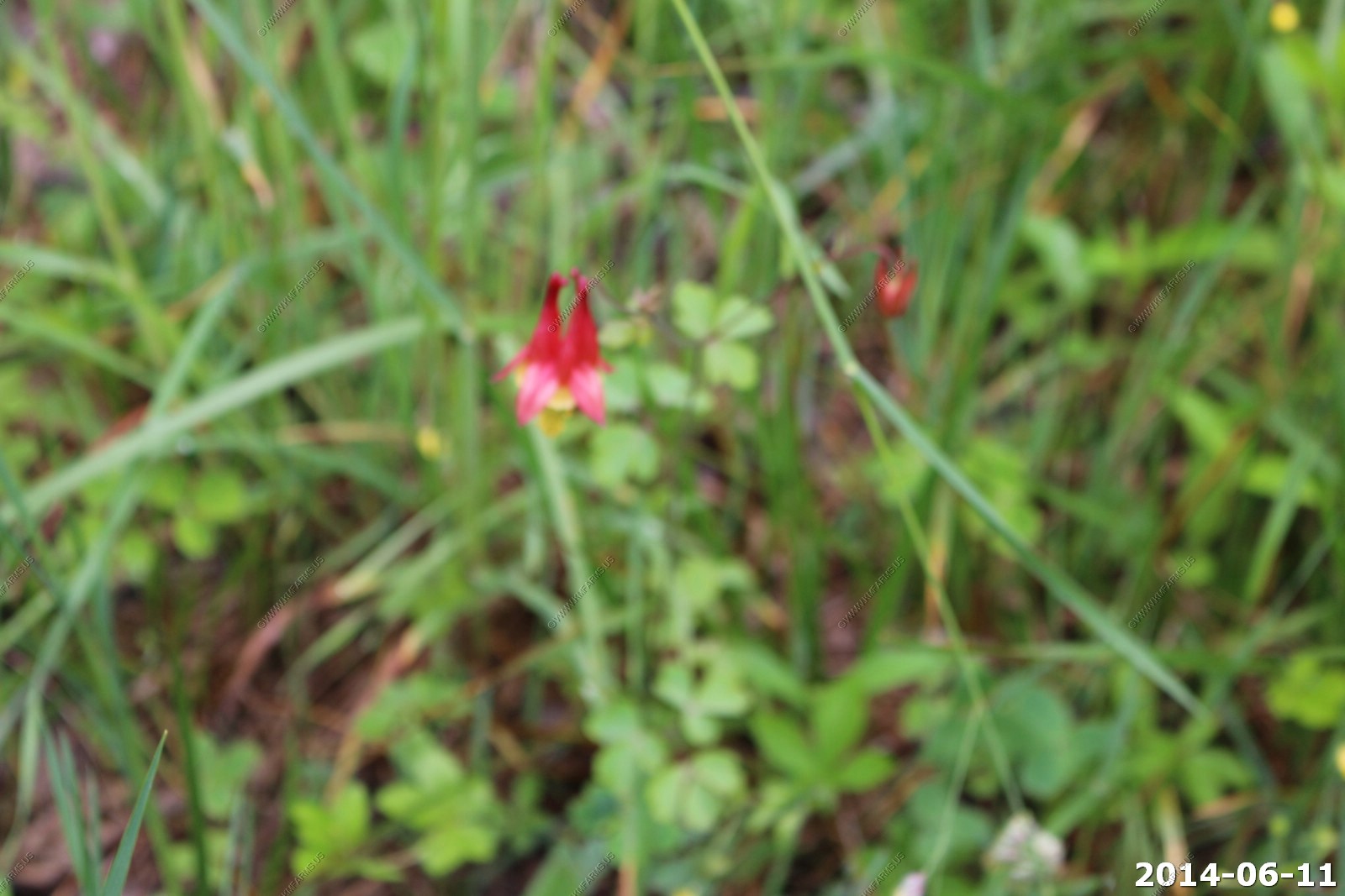
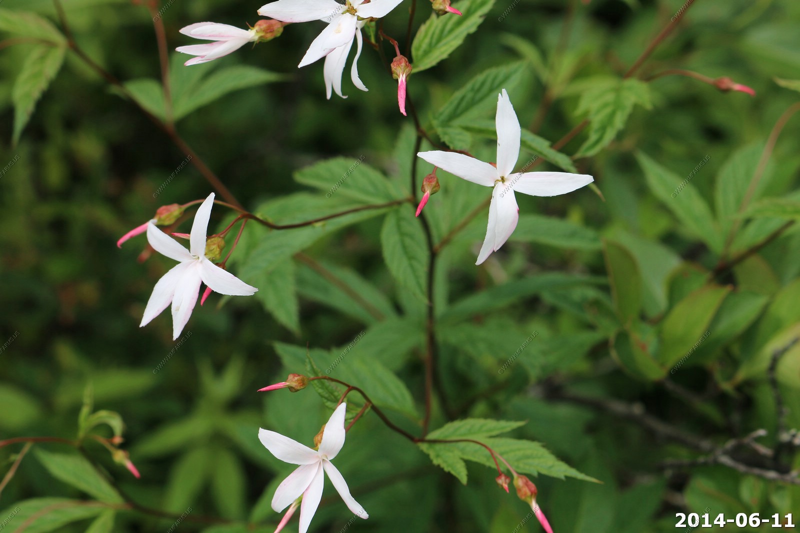
Aquilegia canadensis (Canadian or Canada columbine, Eastern red columbine, Wild columbine) is an herbaceous perennial native to woodland and rocky slopes in eastern North America, prized for its red and yellow flowers.
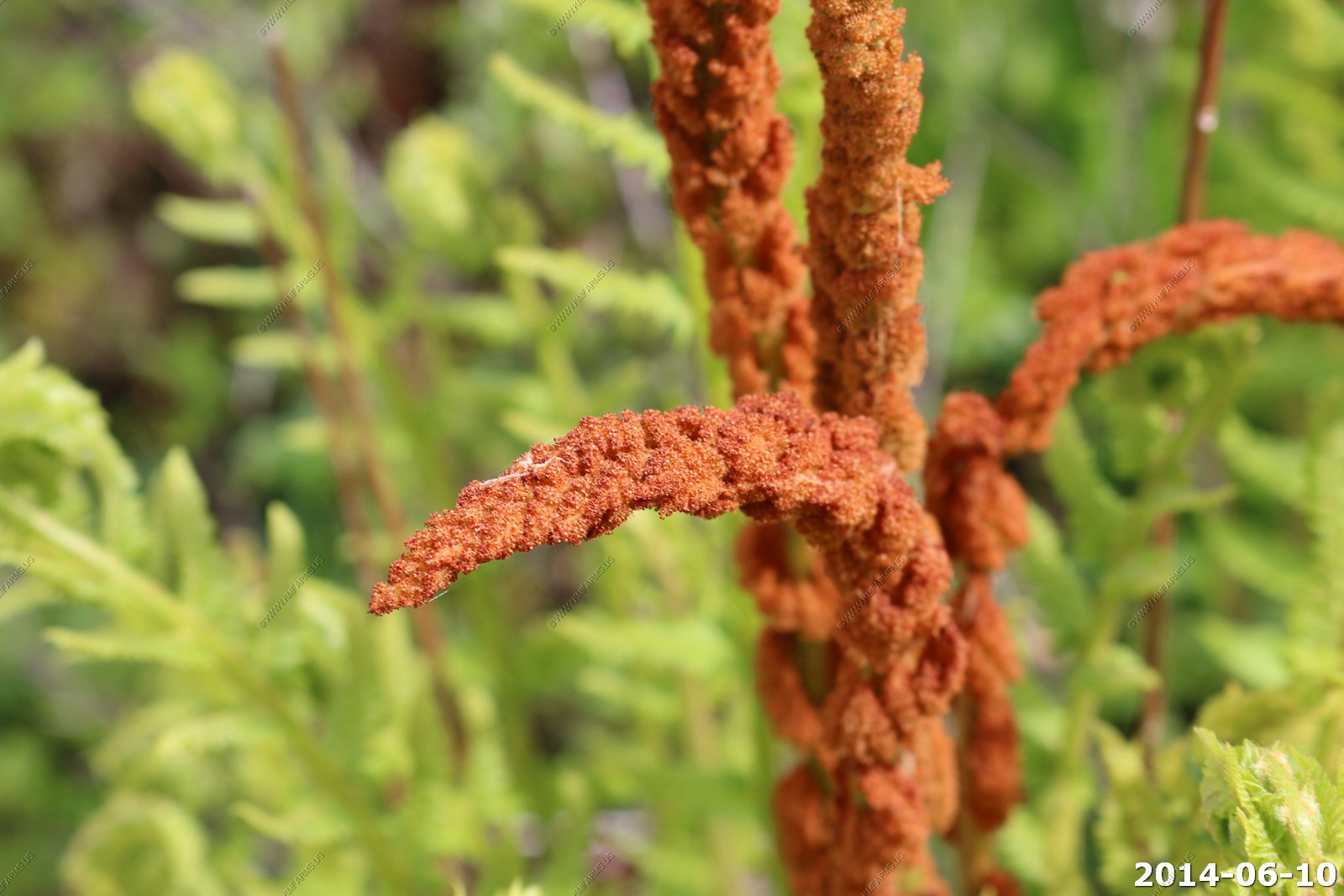
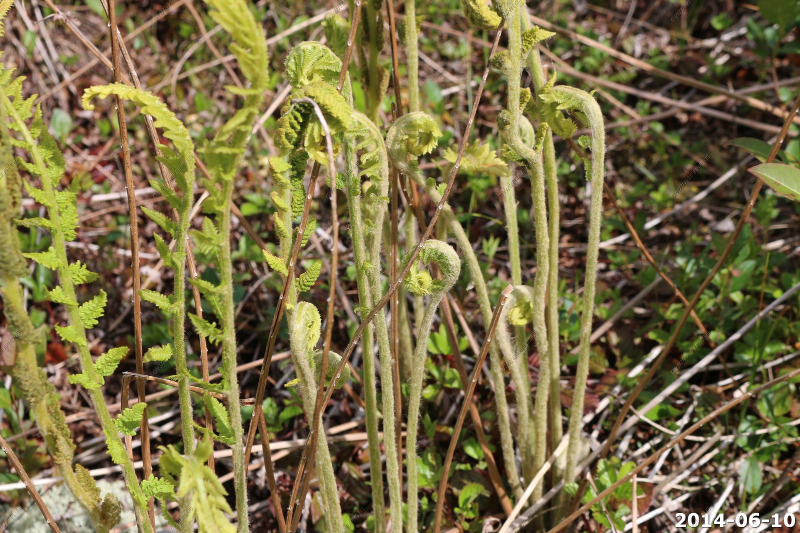
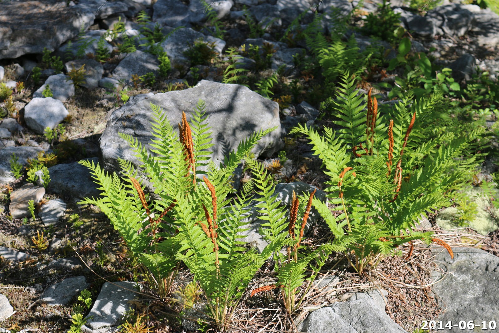
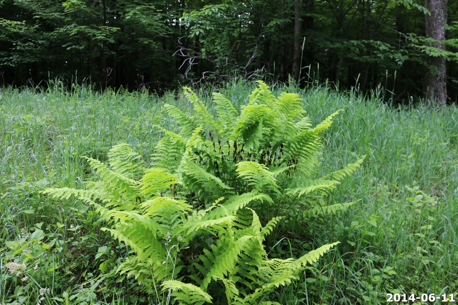
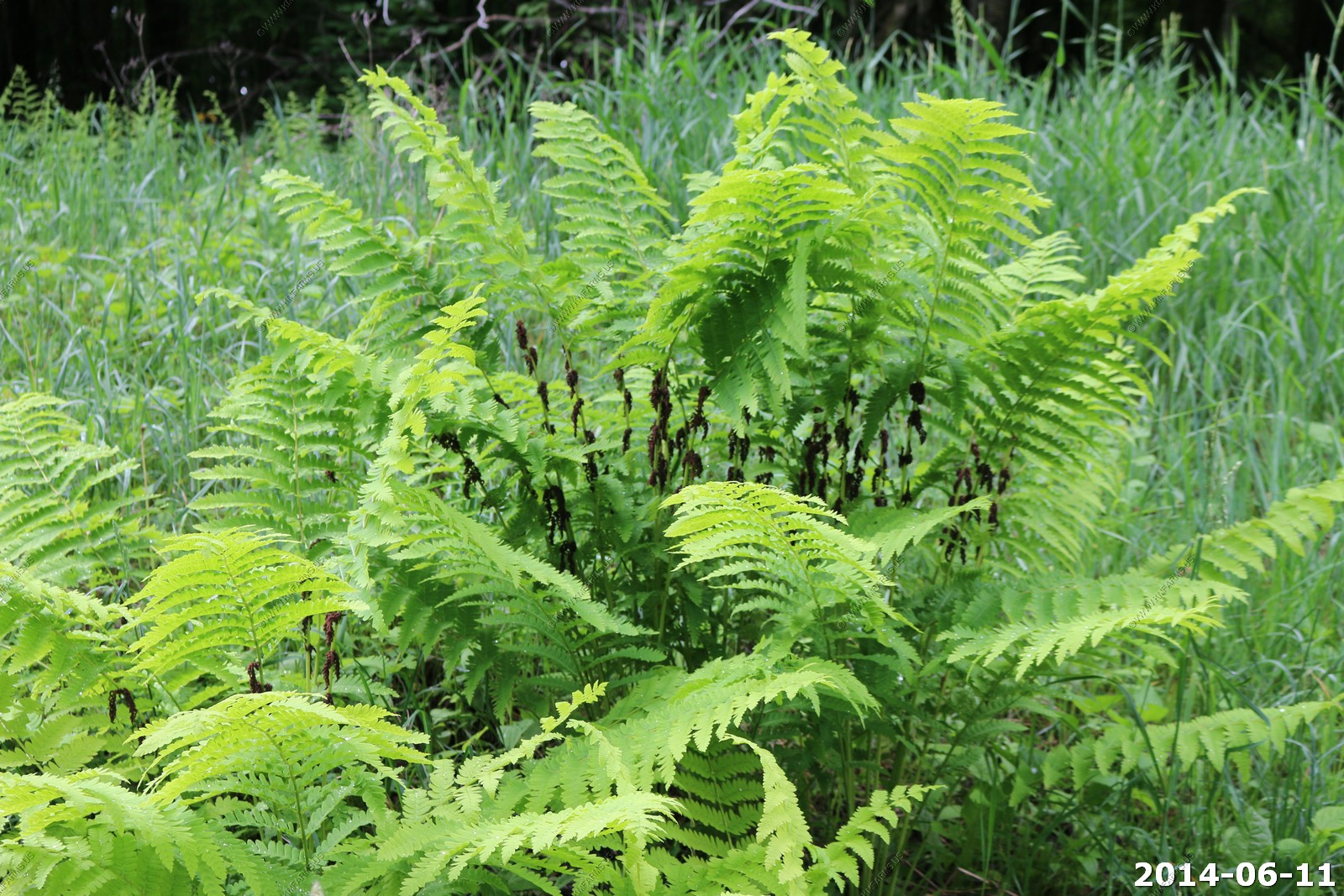
Osmunda claytoniana, the Interrupted Fern, is a fern native to Eastern Asia and eastern North America, in the Eastern United States and Eastern Canada.
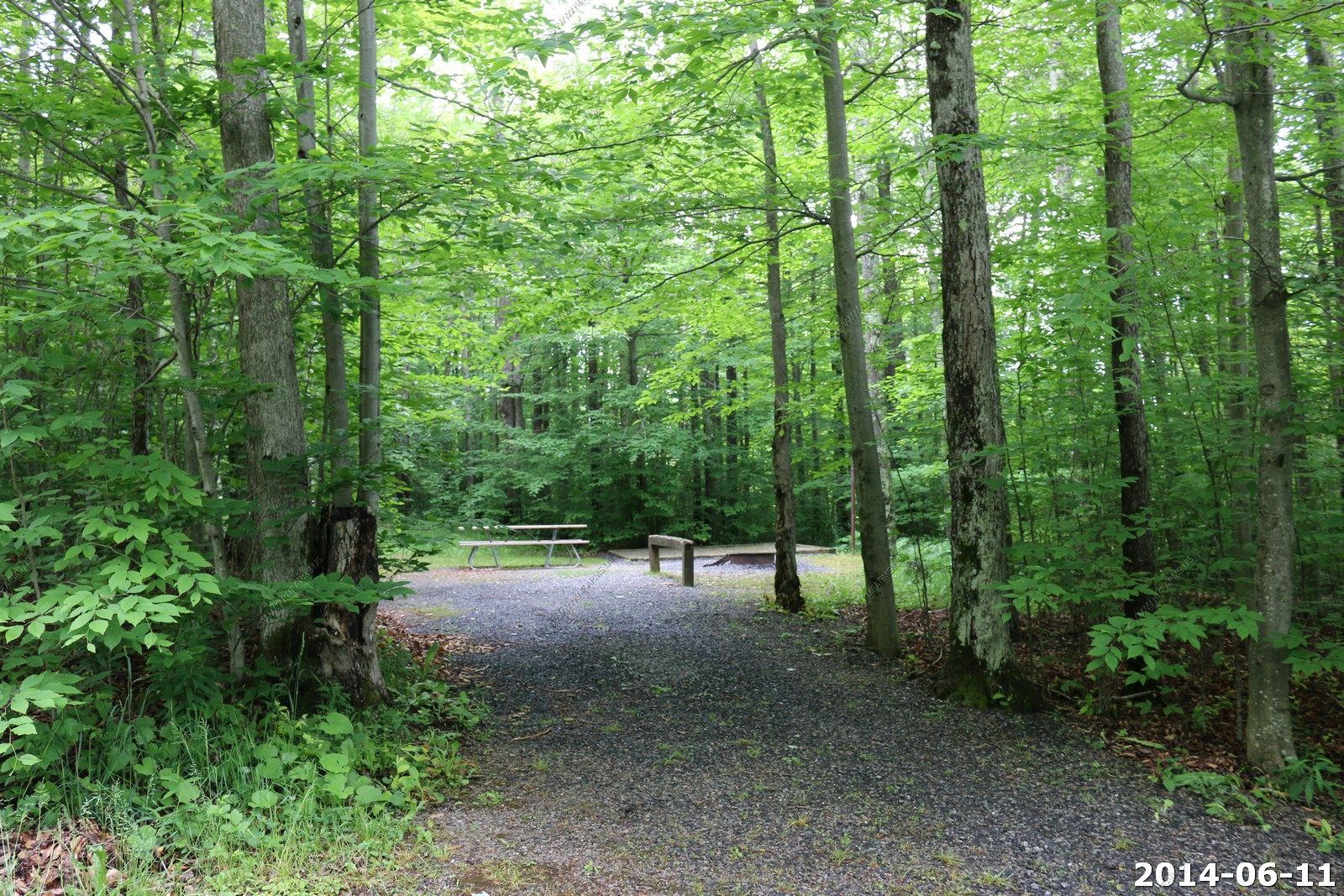
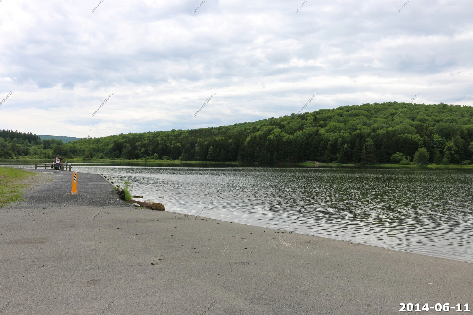
Spruce Knob Lake Campground - Ken use to come here all the time and camped in the truck here. Looks the same as it did 25 years ago.
Spruce Knob Lake - very cold.
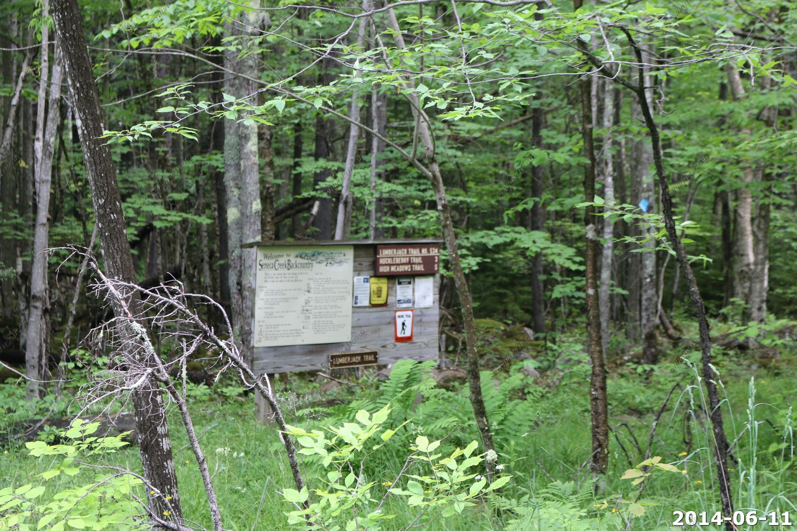
The trailhead of the Lumberjack trail - Seneca Creek Backcountry. Hiked this years ago and it was very remote and wet.
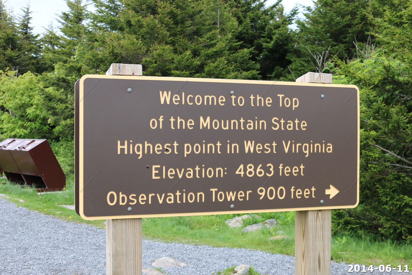
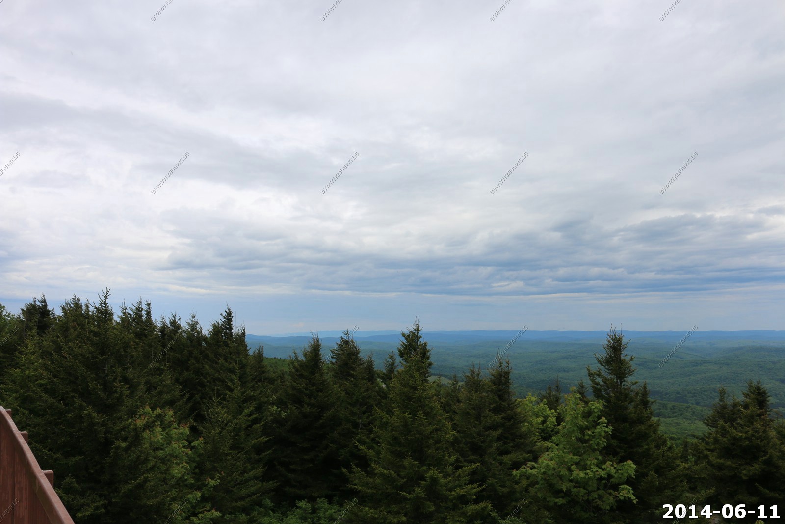
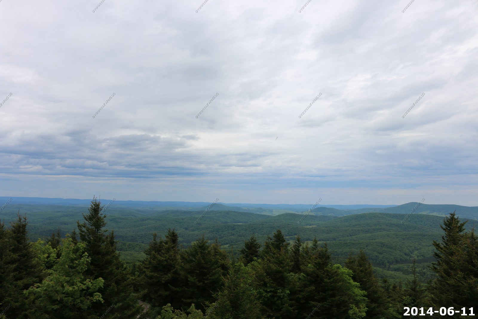
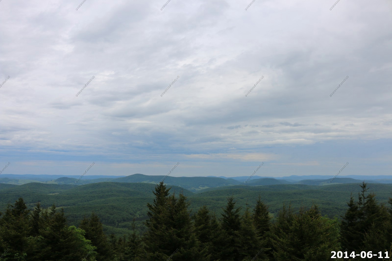
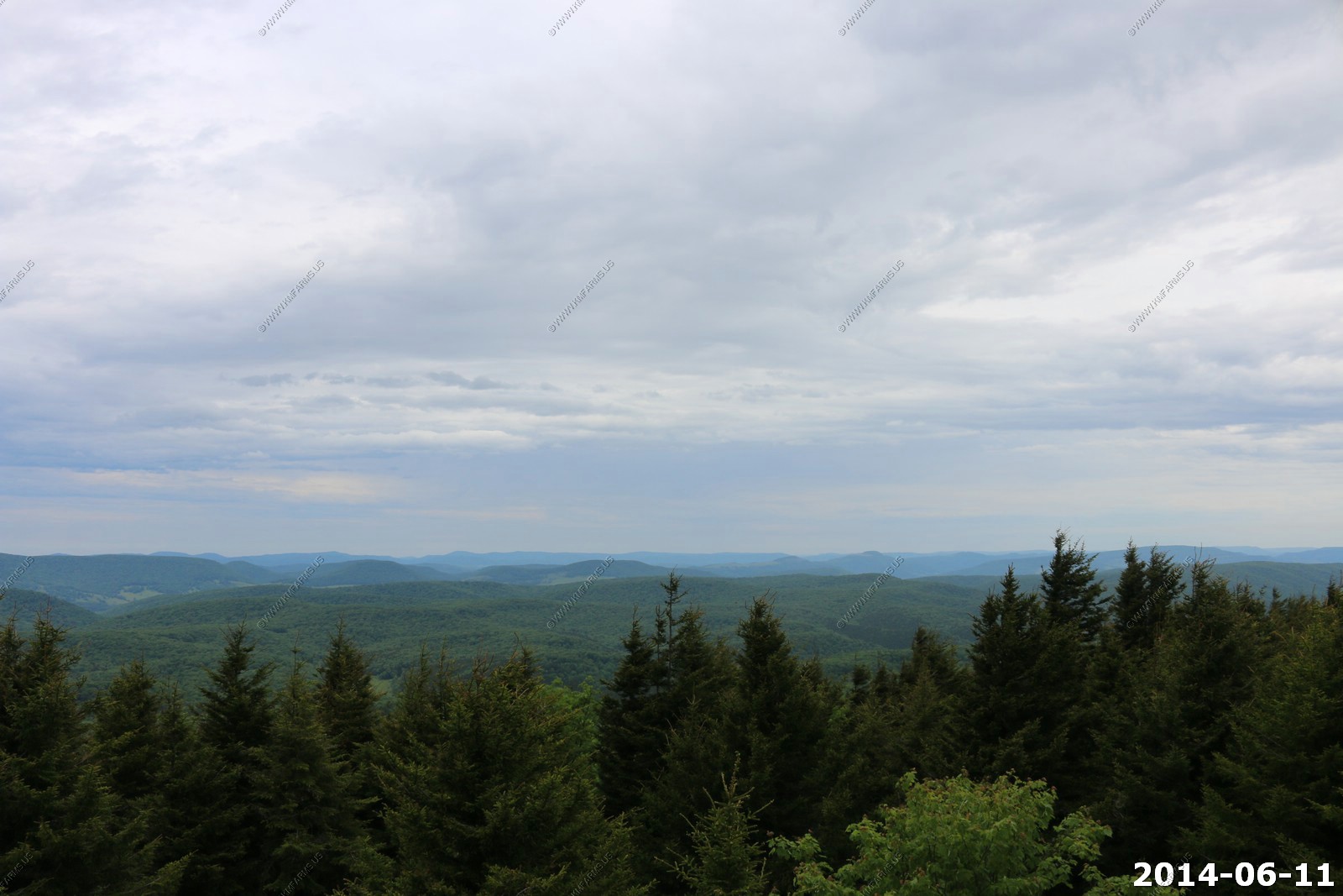
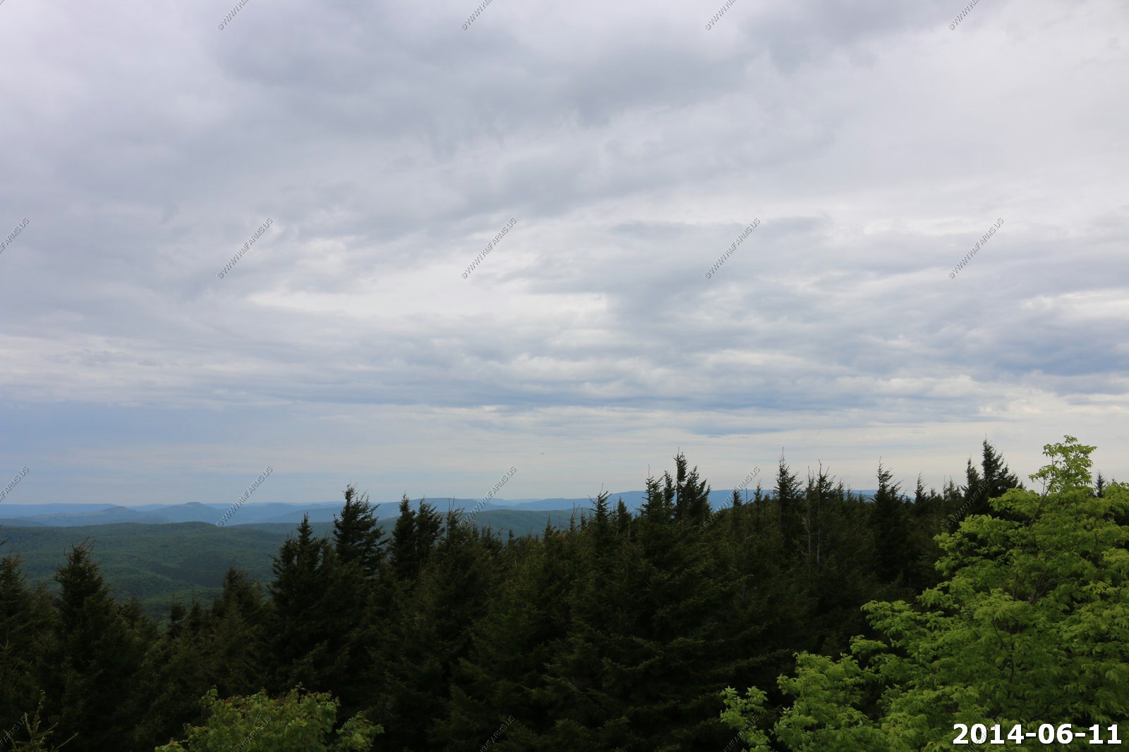
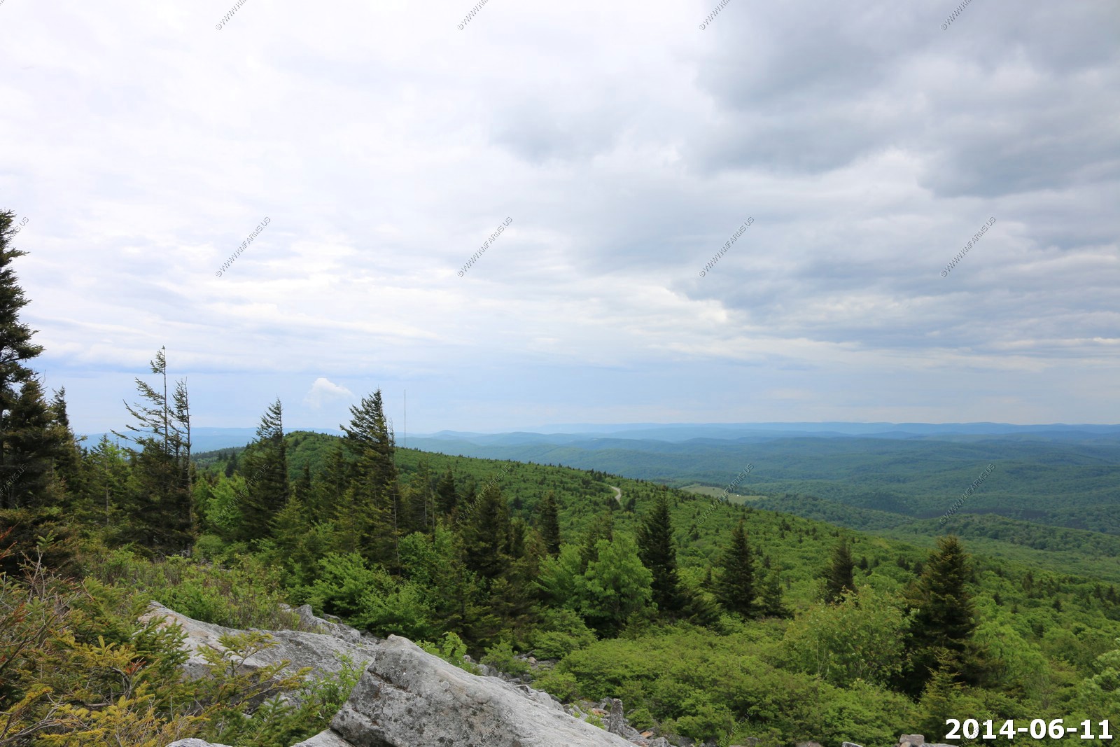
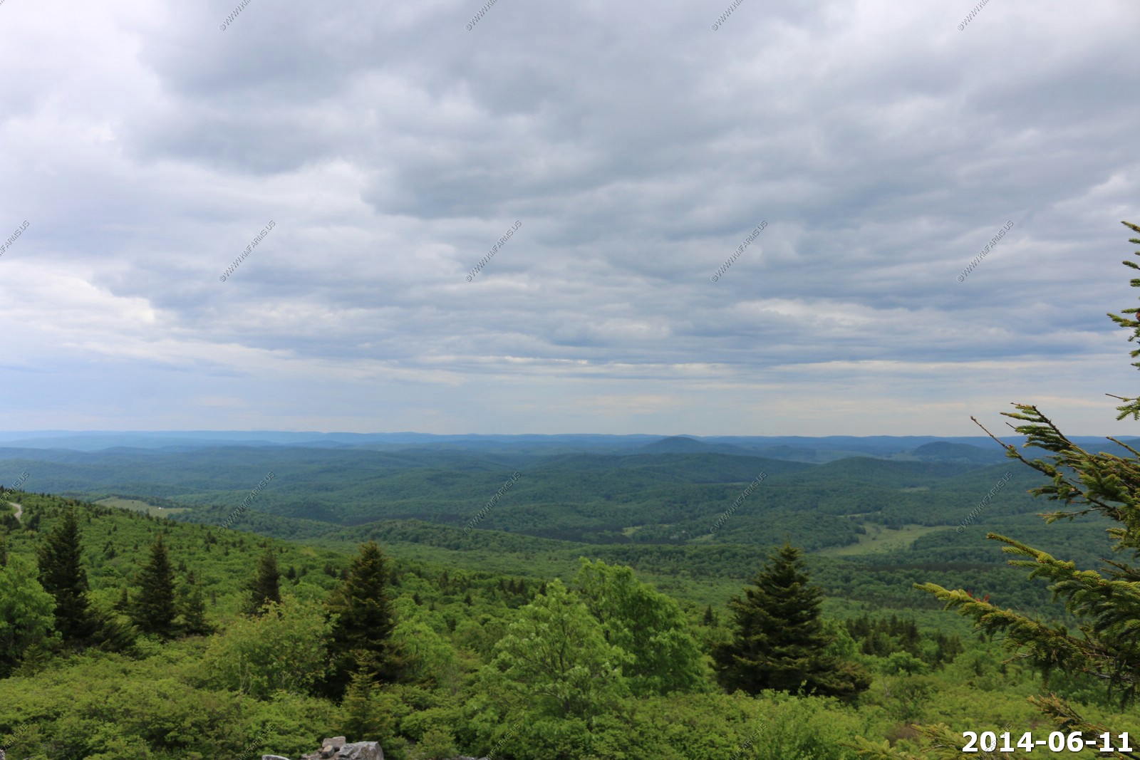
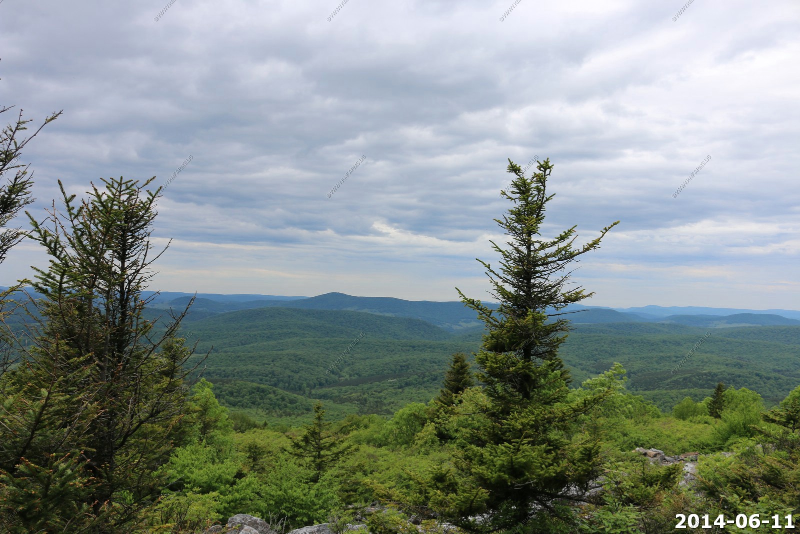
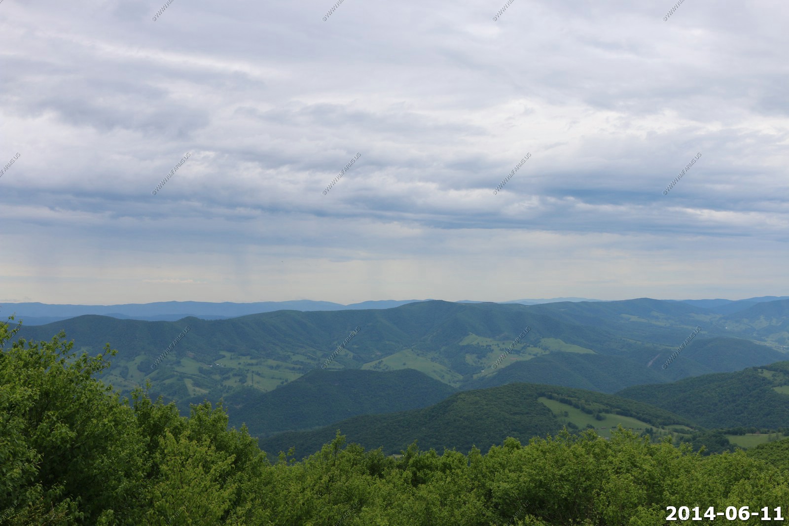
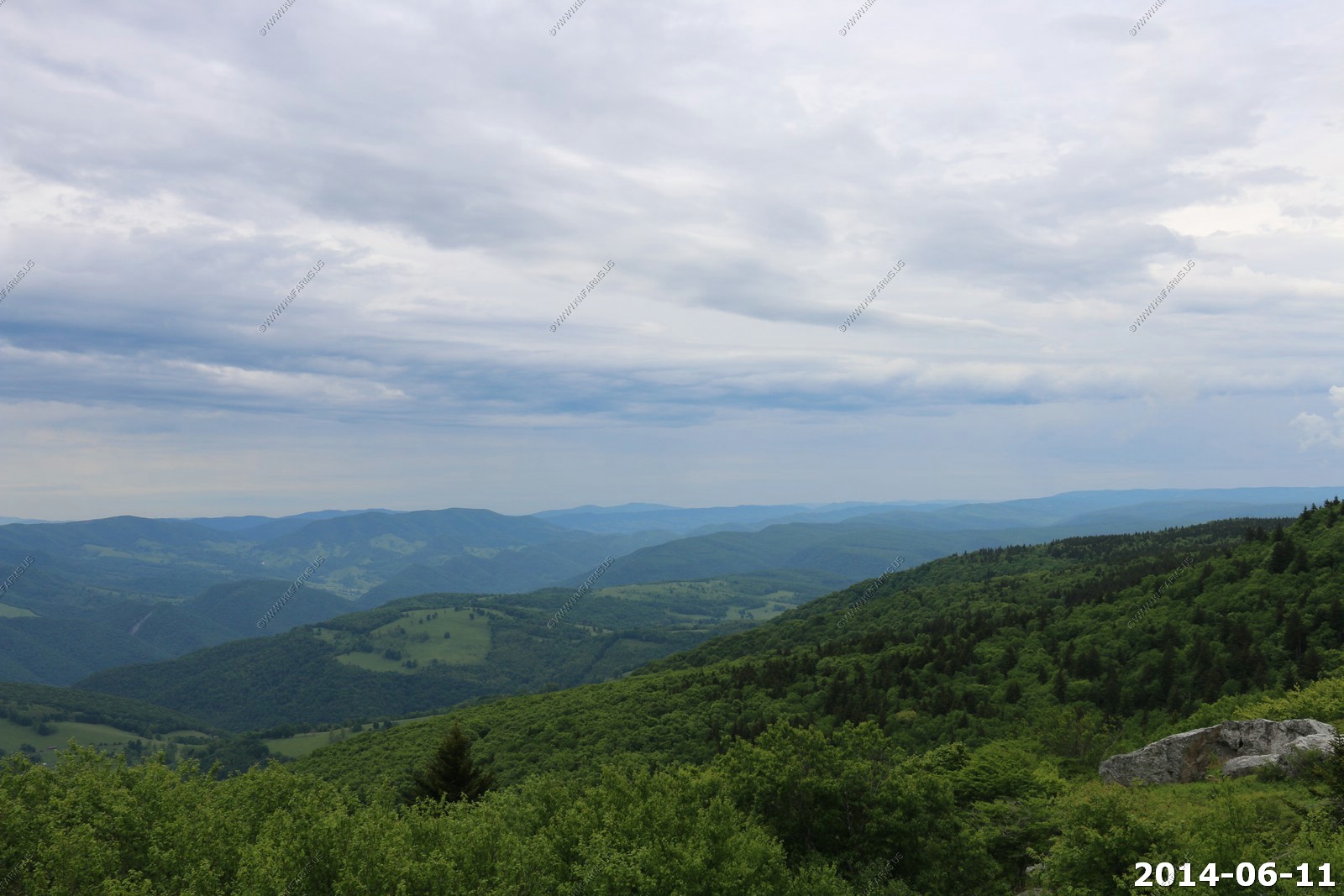
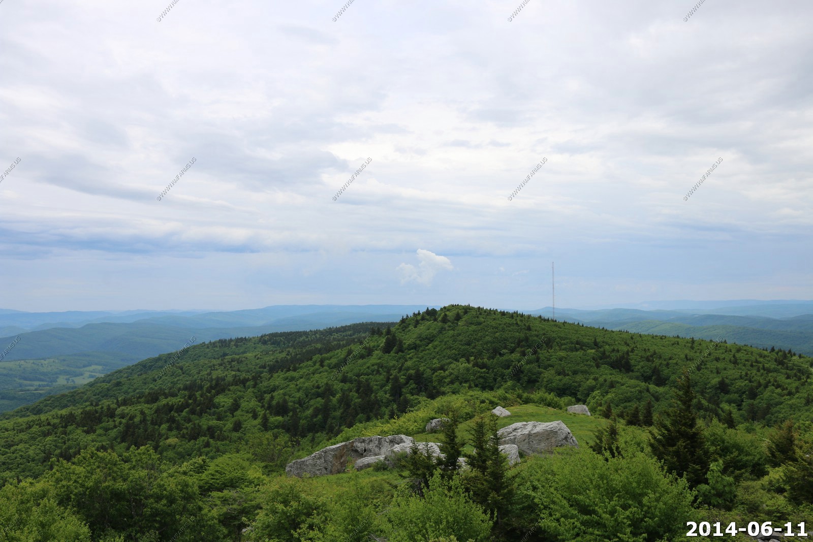
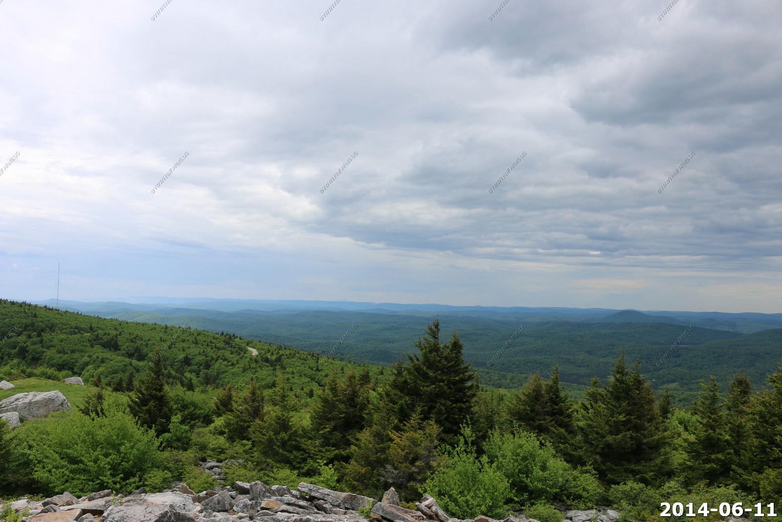
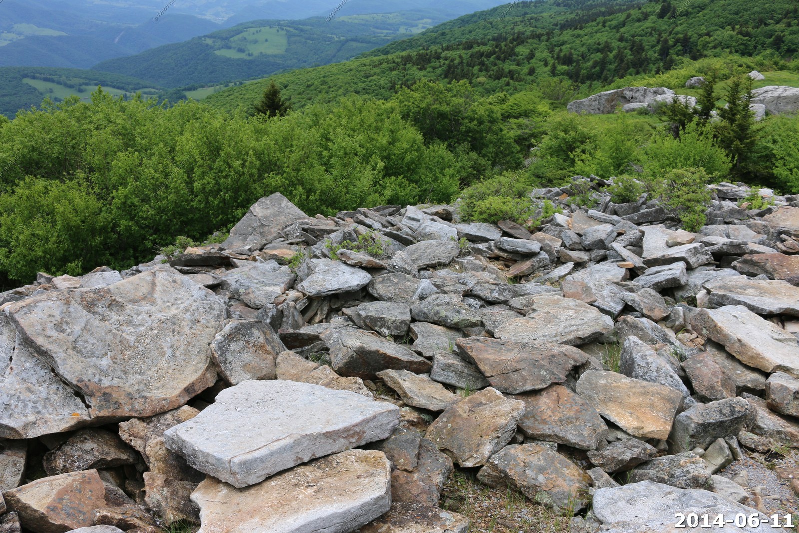
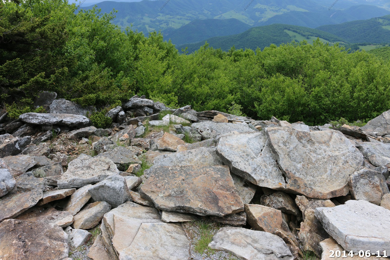
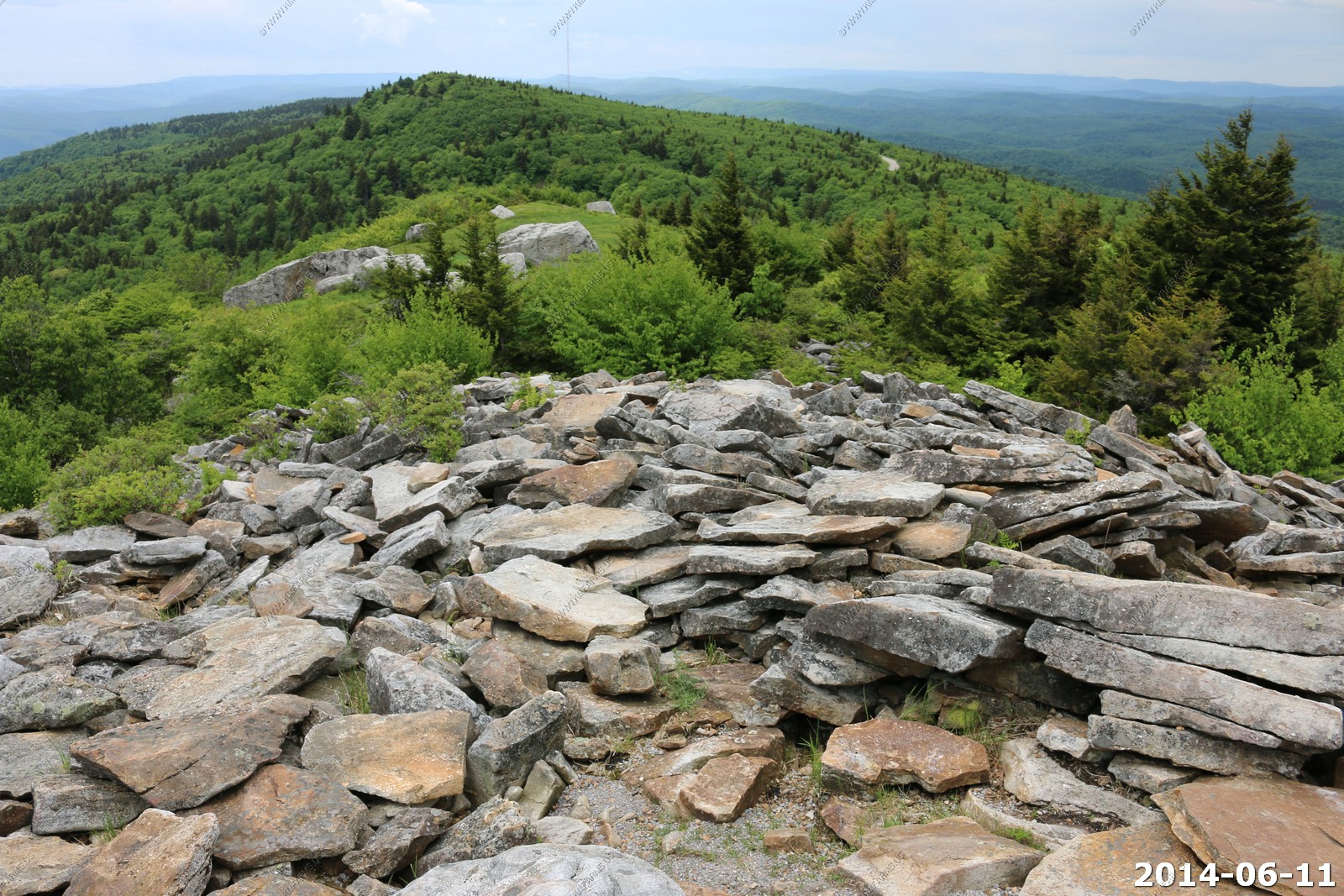
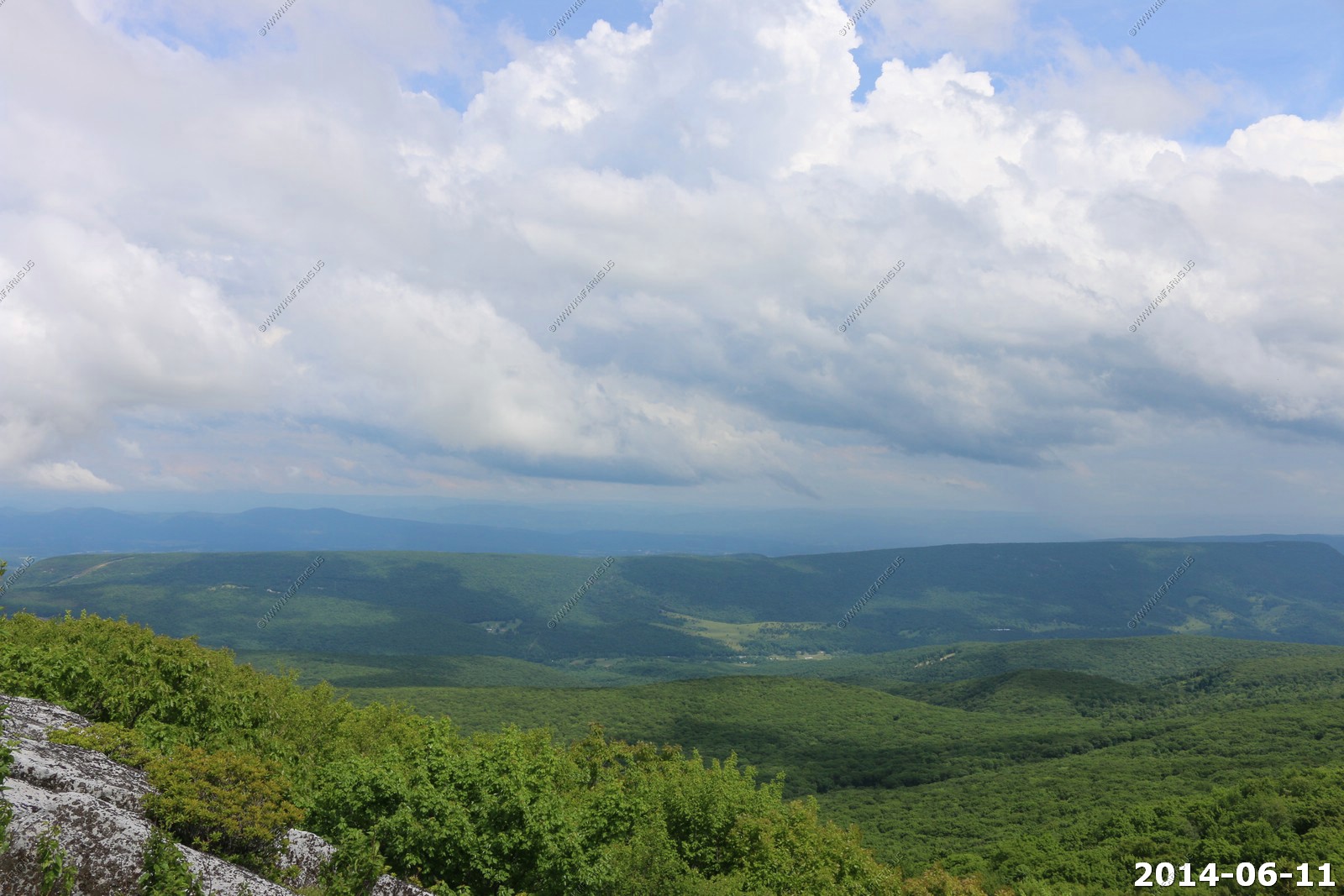
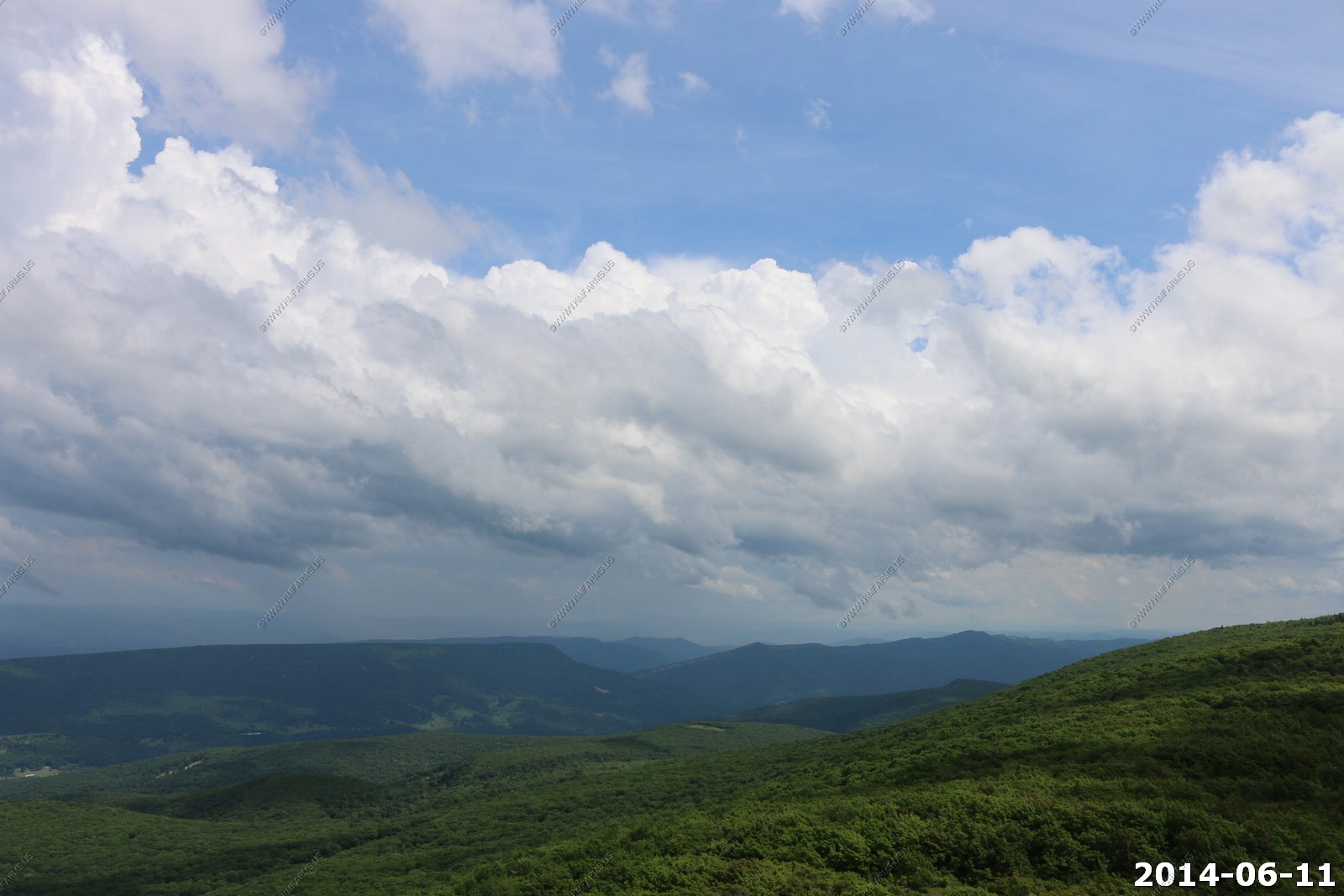
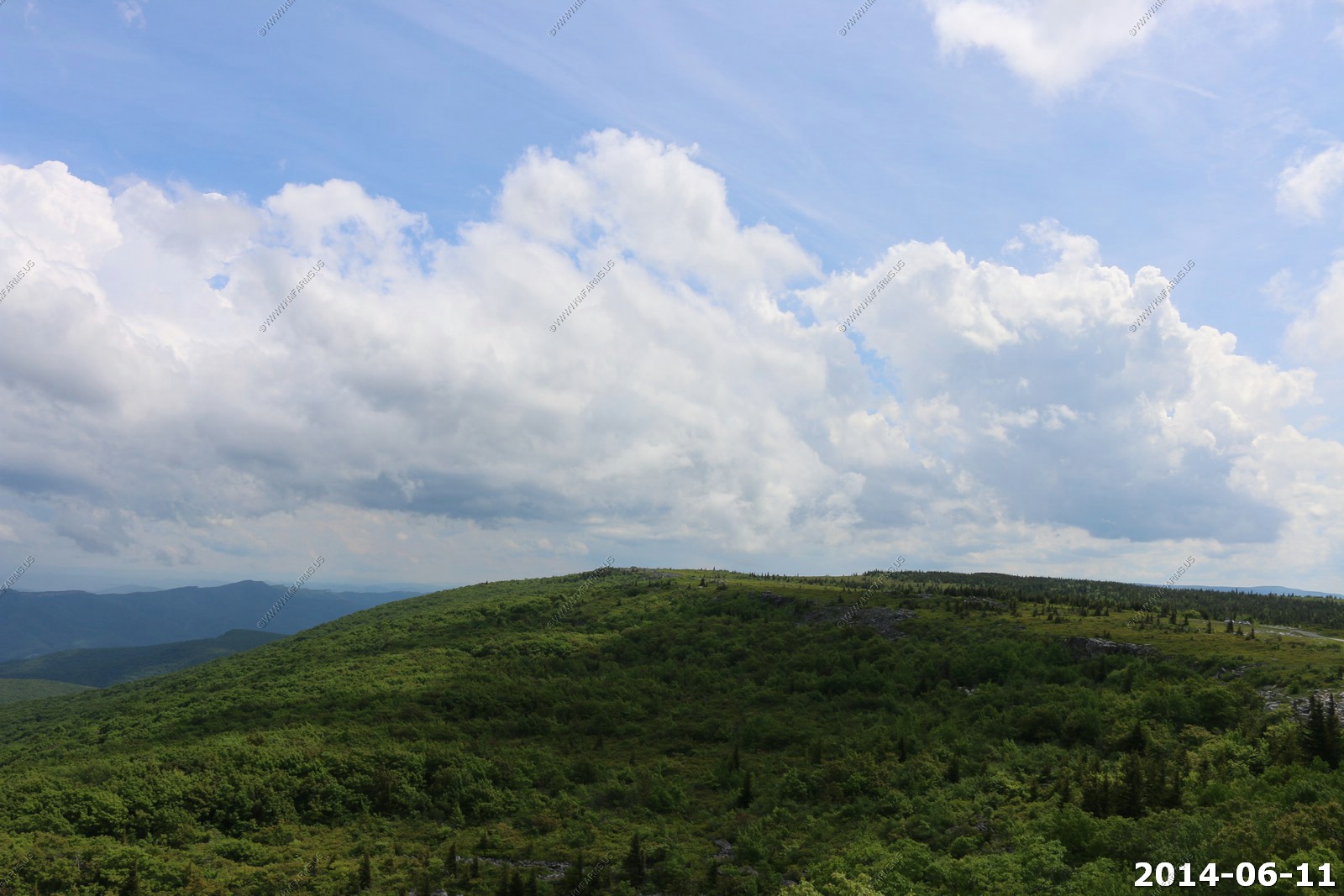
Highest point in West Virginia - El. 4863 Spruce Knob The view is better to the west and south from the tower.
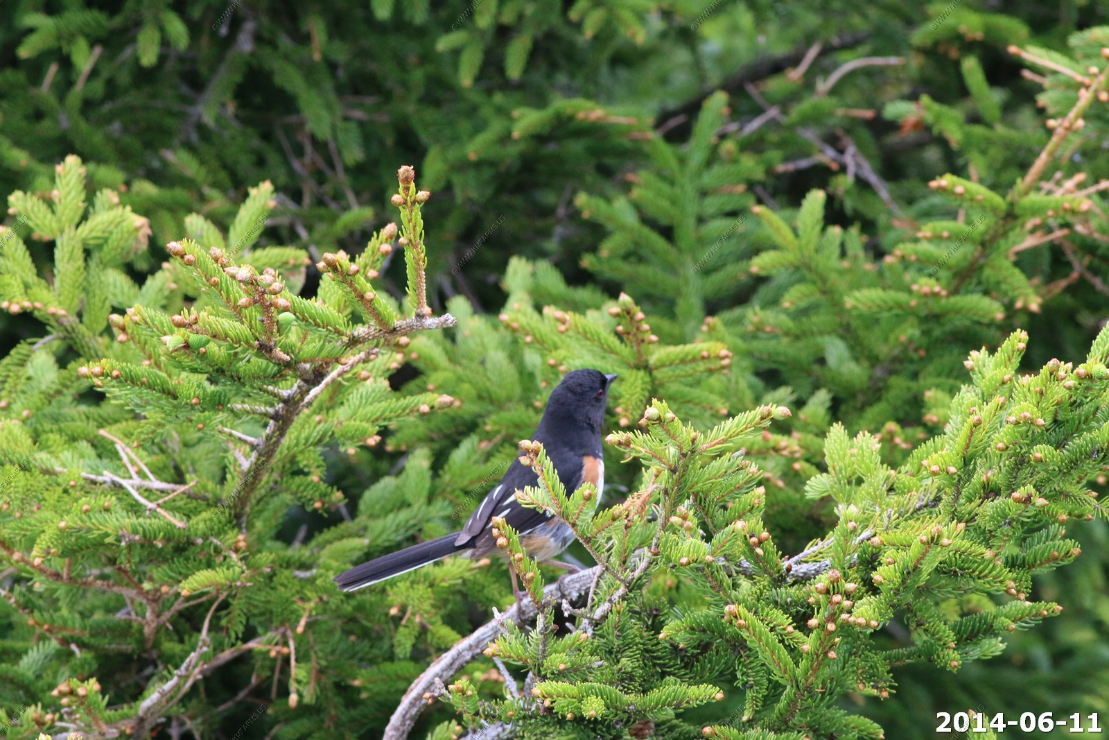
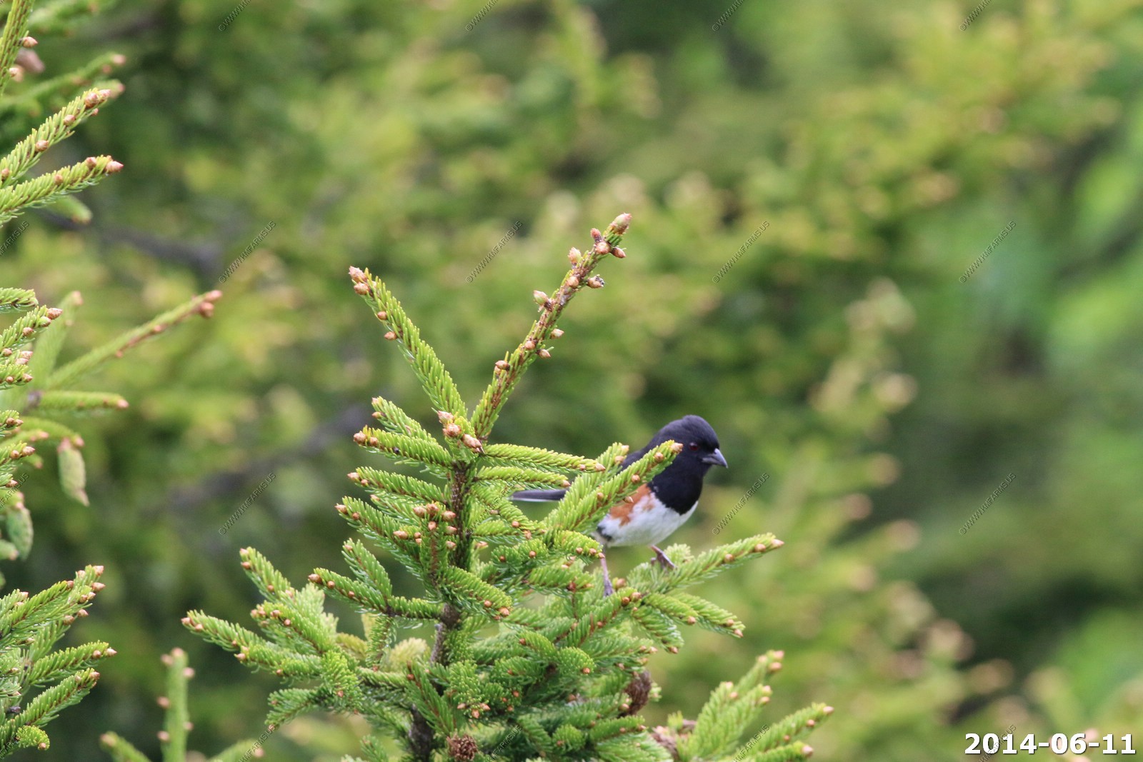
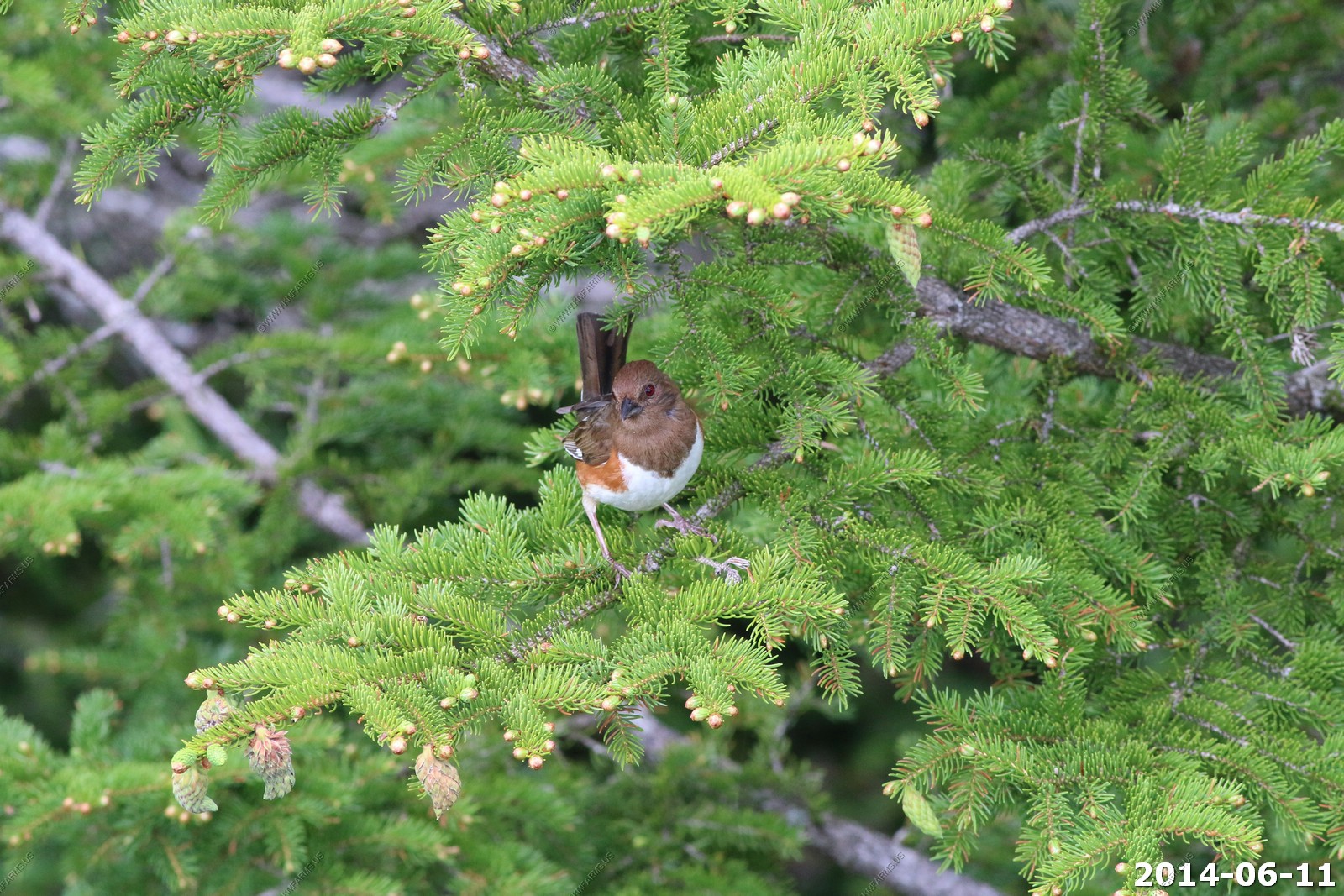
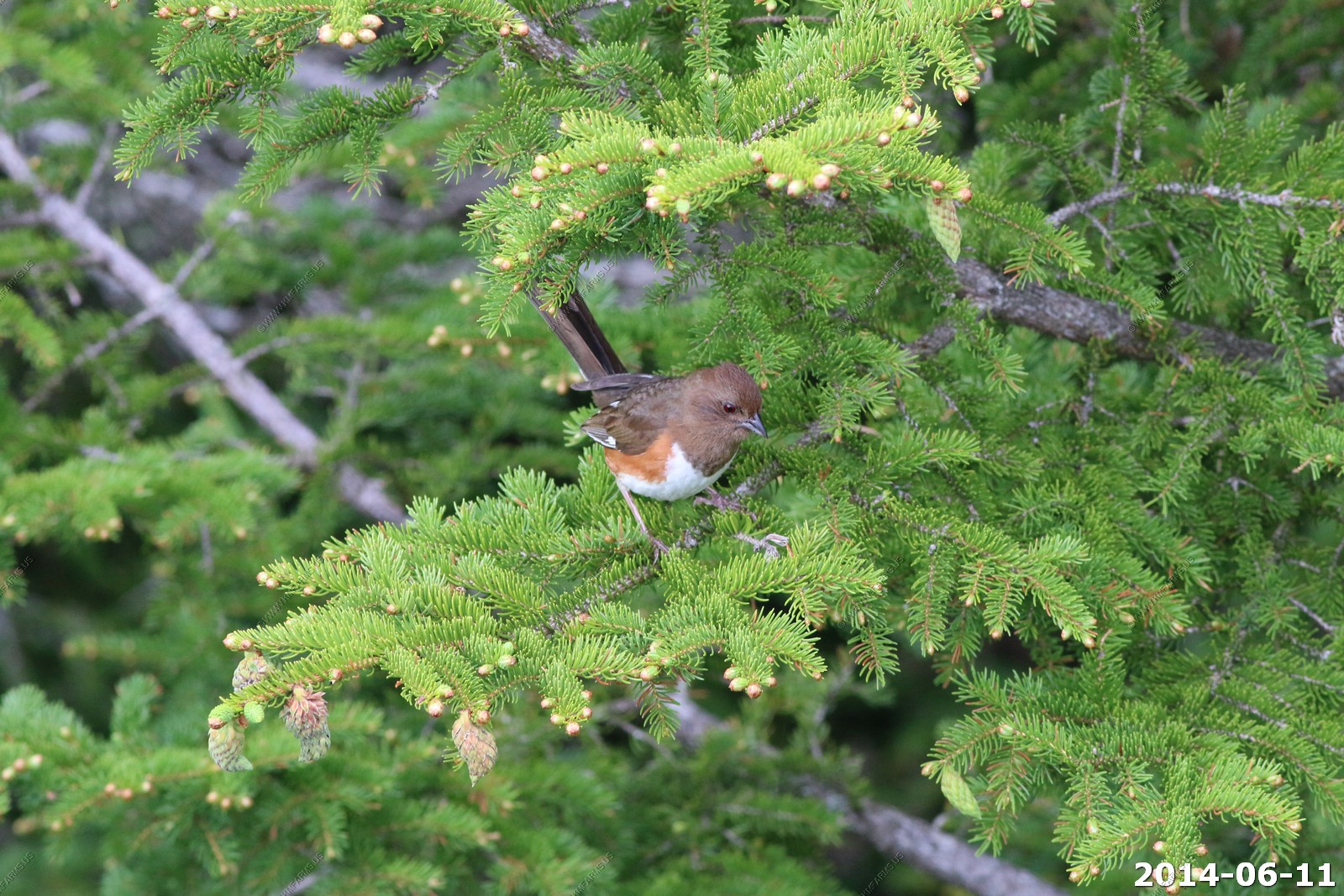
The Eastern Towhee and the very similar Spotted Towhee of western North America used to be considered the same species, the Rufous-sided Towhee. The two forms still occur together in the Great Plains, where they sometimes interbreed. This is a common evolutionary pattern in North American birds - a holdover from when the great ice sheets split the continent down the middle, isolating birds into eastern and western populations that eventually became new species.
Eastern towhee adult male
Eastern towhee adult female

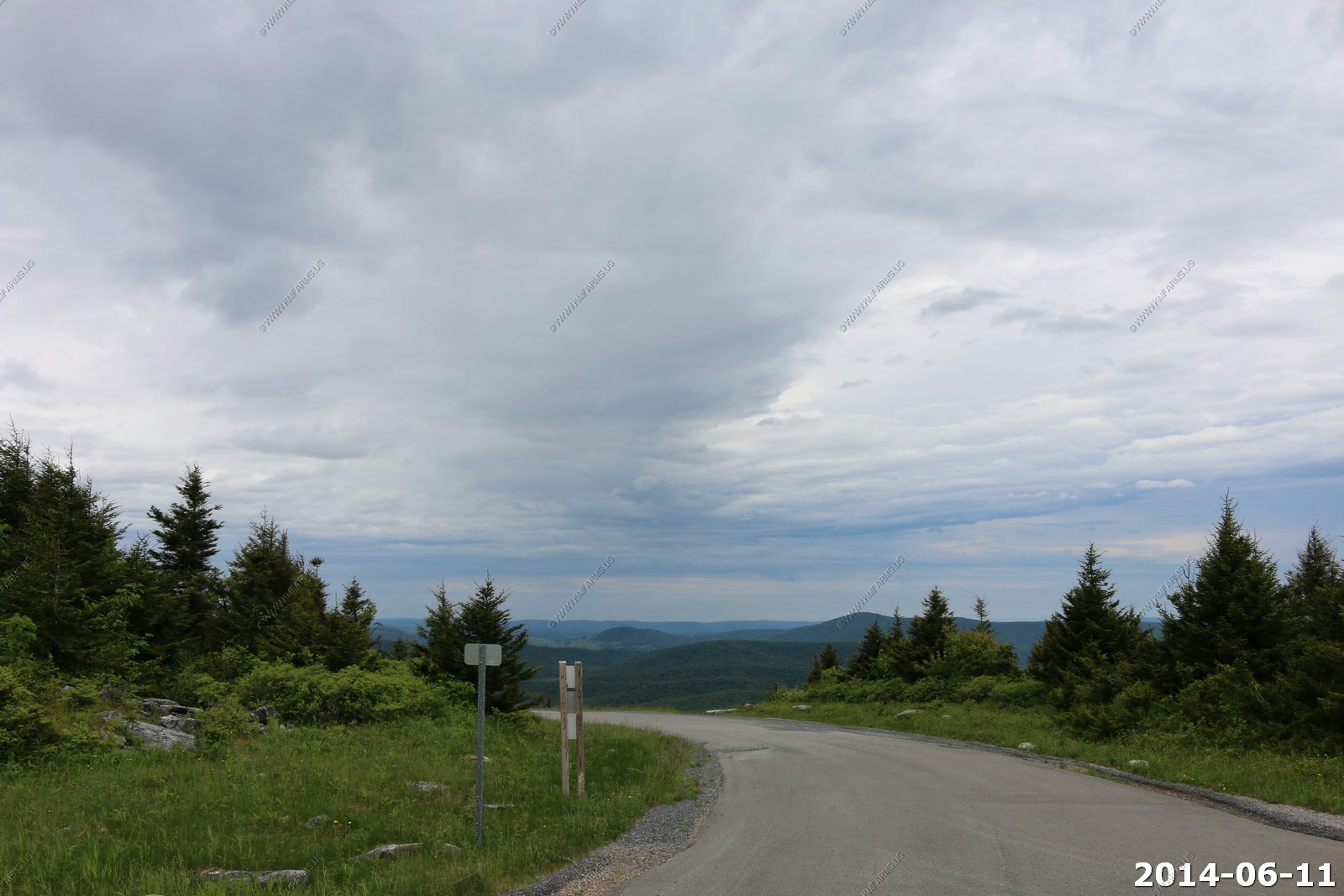
You can walk out to the front of the knob and it gave you an excellent view to the south.

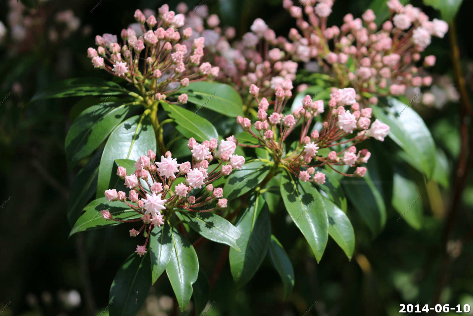
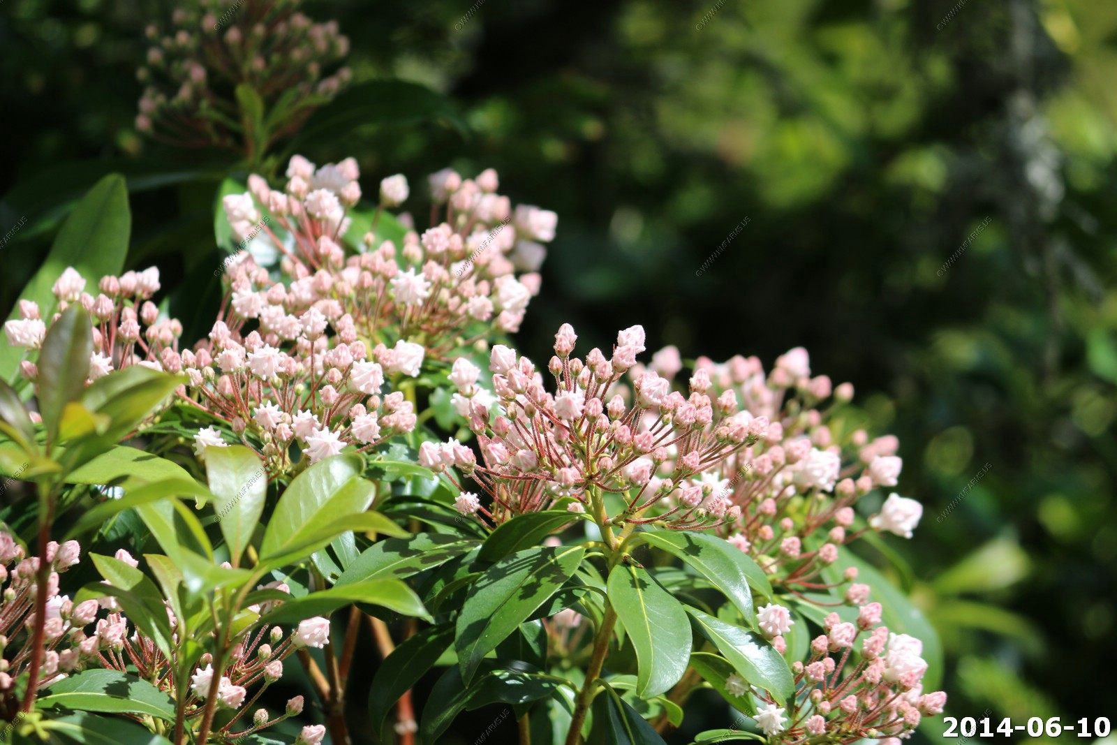
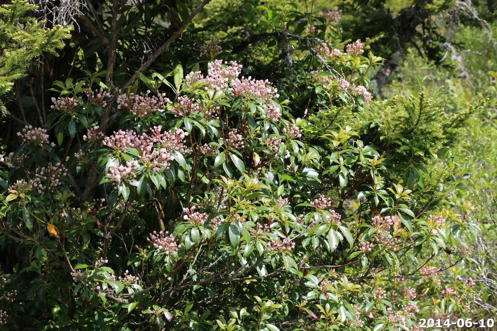
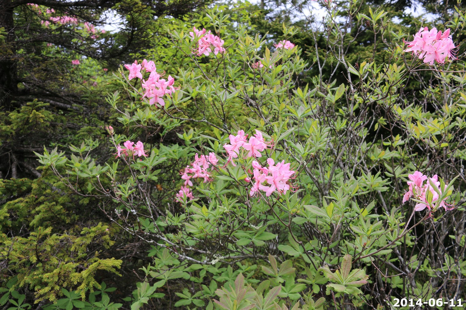
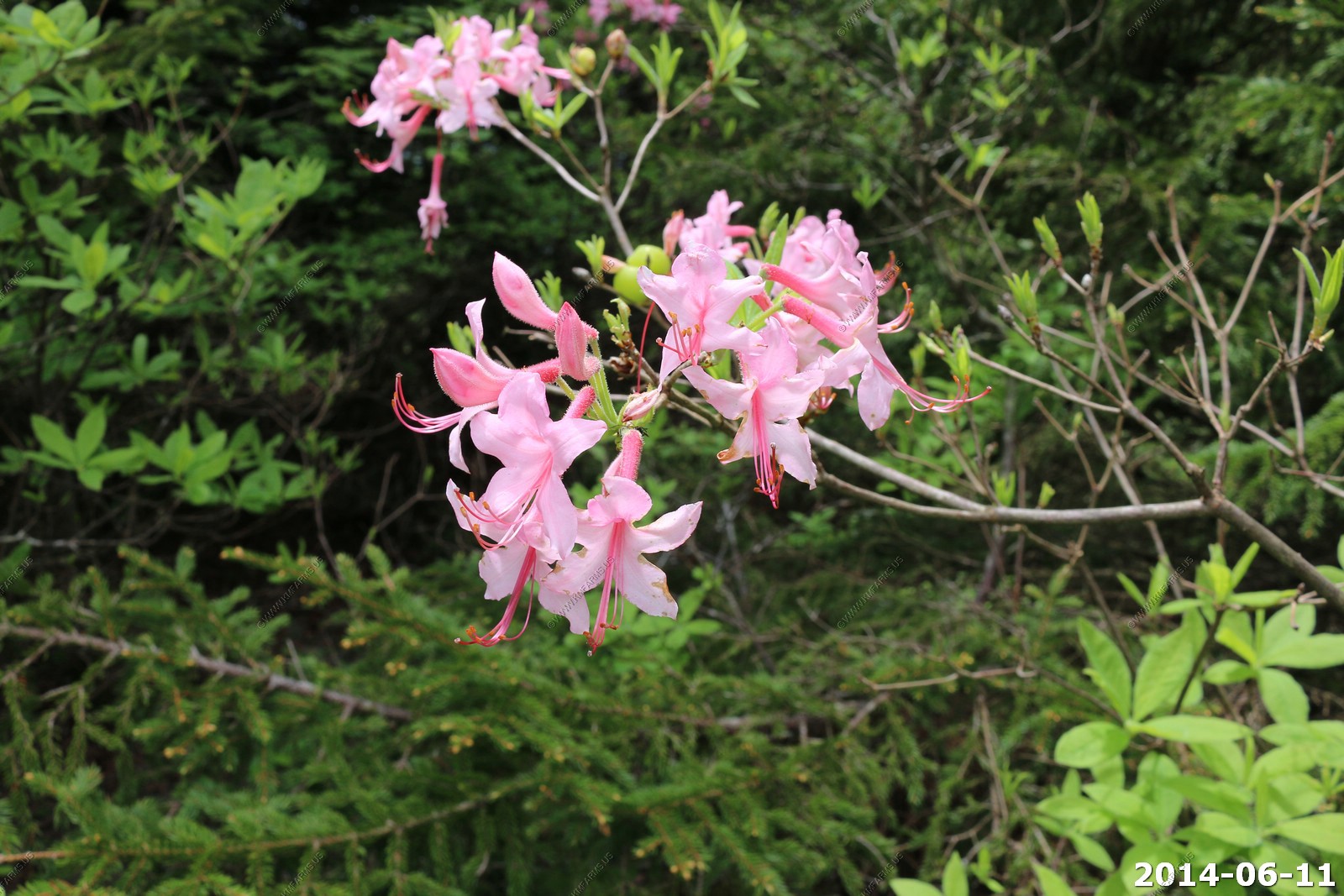
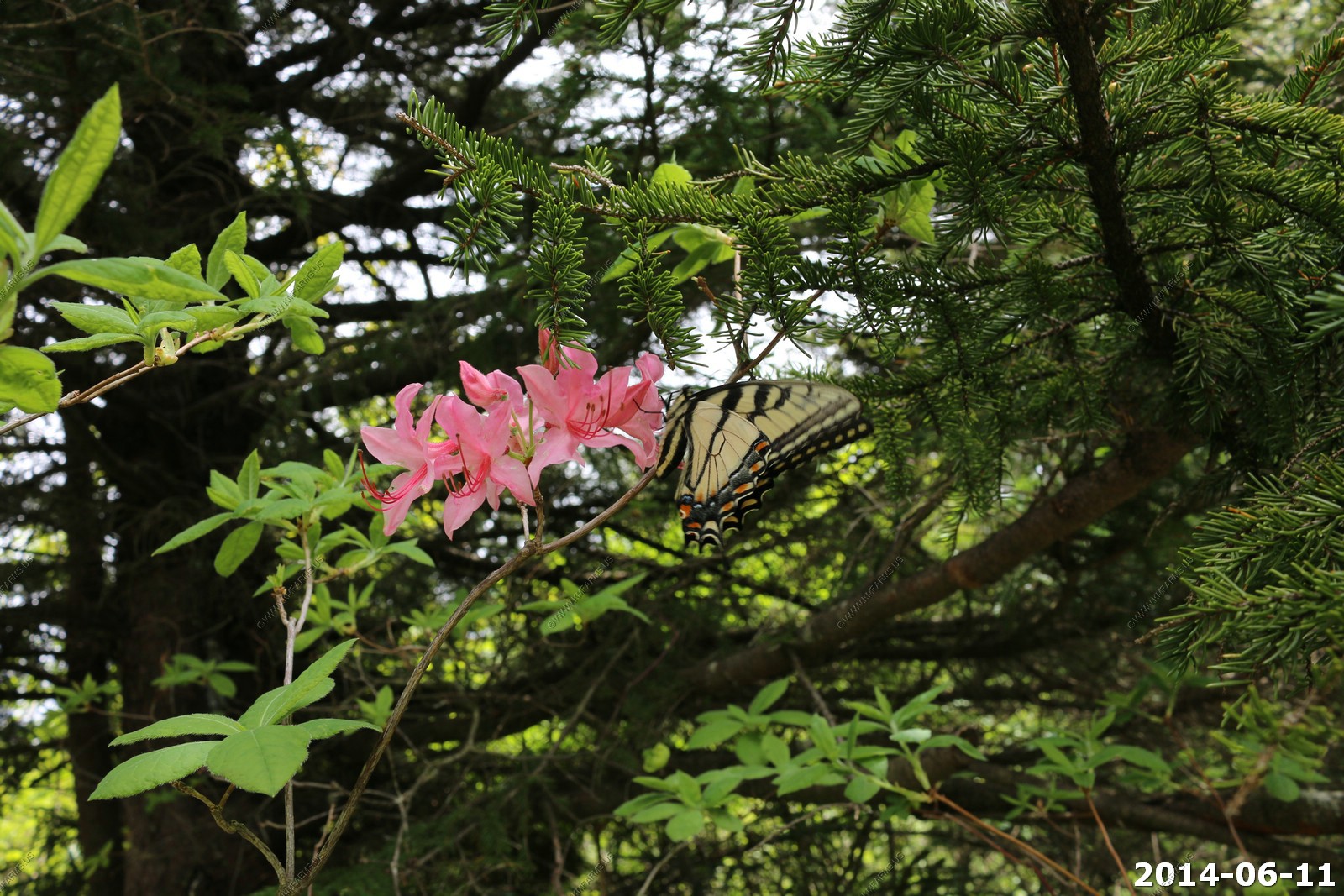
We think that this is Rhododendron prinophyllum (synonymous with R. roseum can be found from southwestern Quebec, through New England and northern Ohio, to Appalachian Mountains at the higher elevations. The flowers are typically rose pink measuring 1.2 to 1.8 inches across and are very fragrant. Rosy rhododendron is common name.
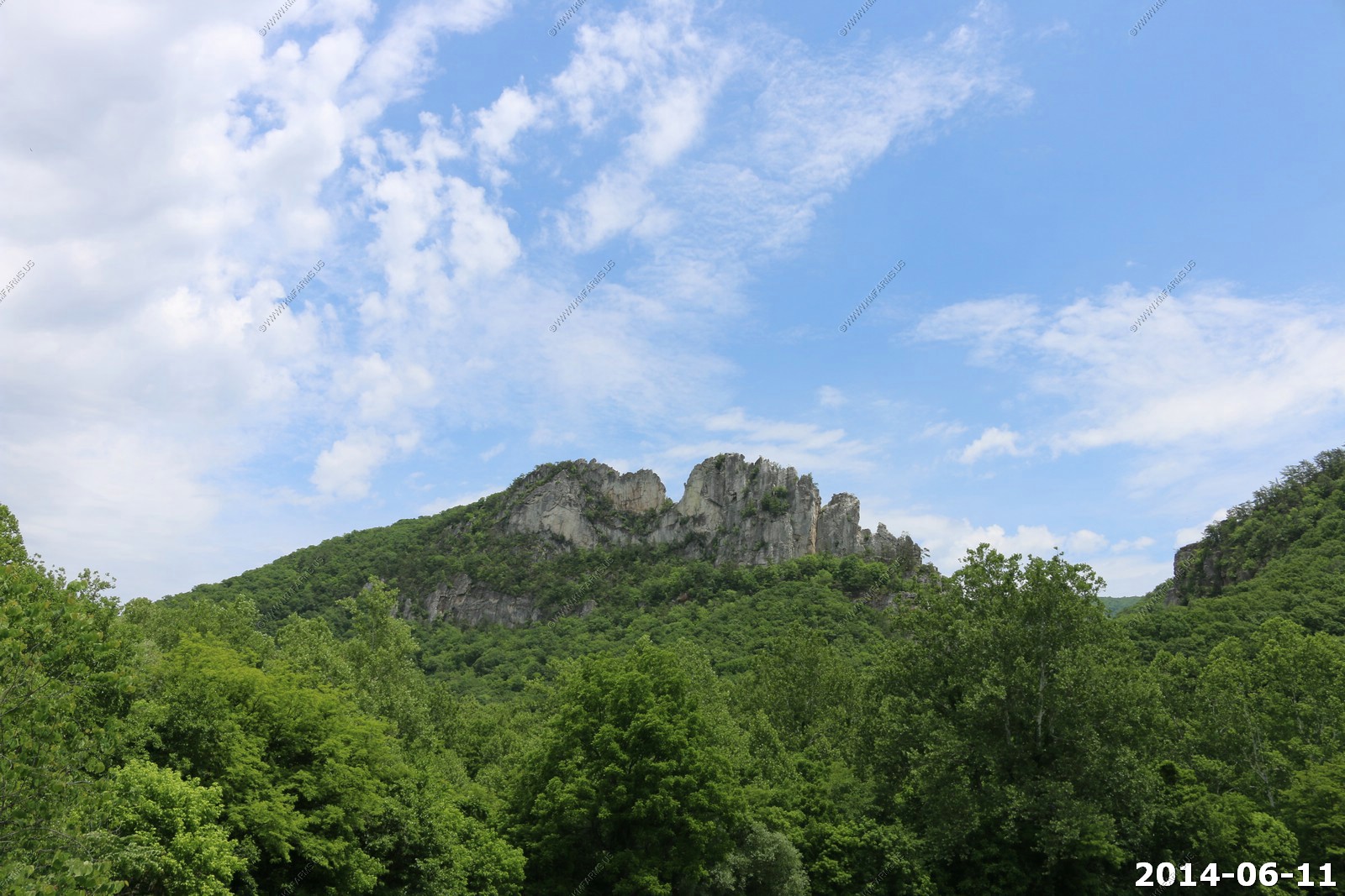
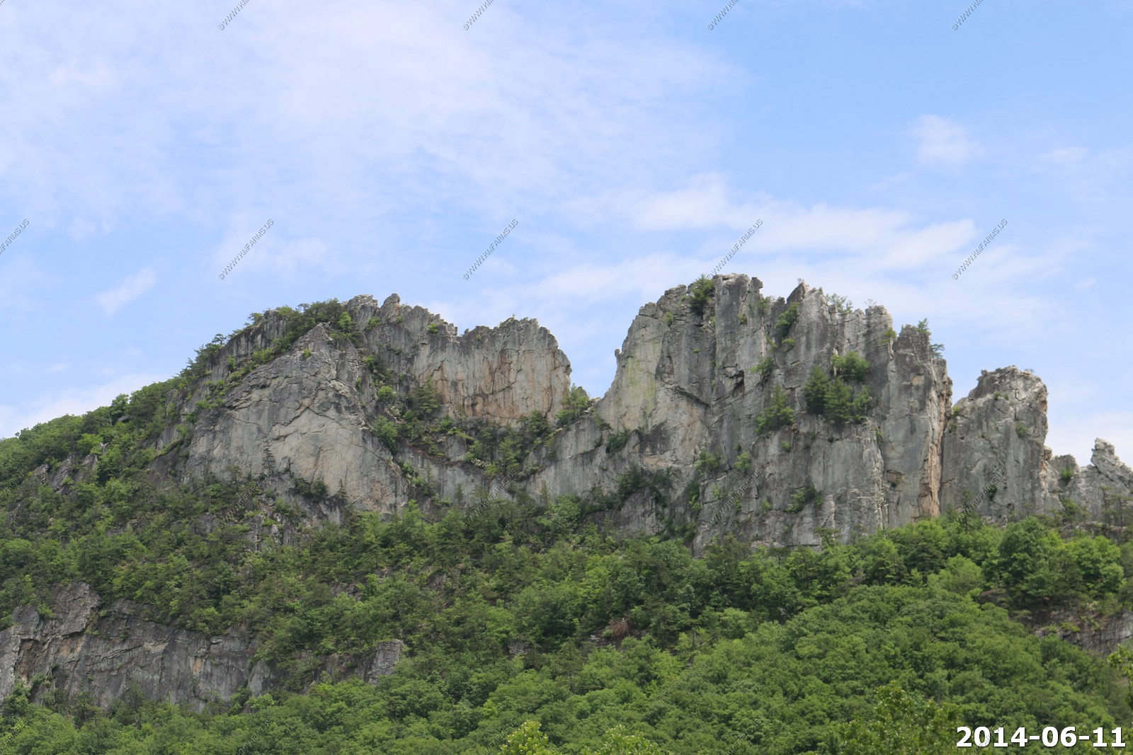
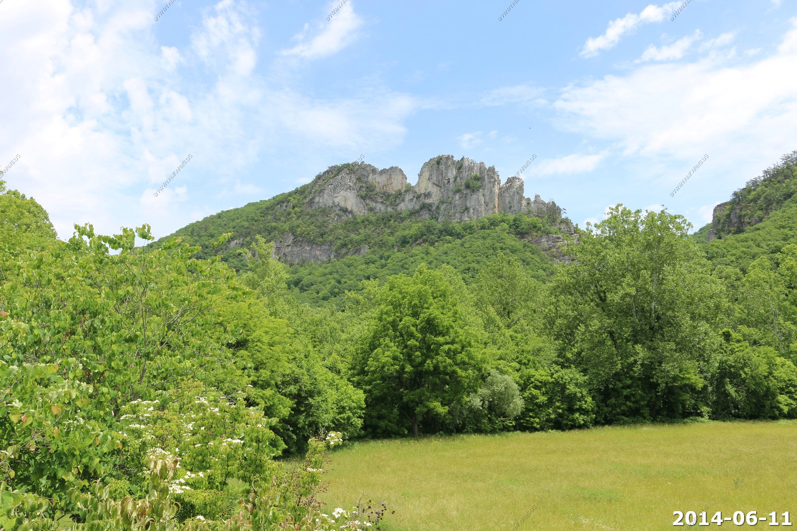
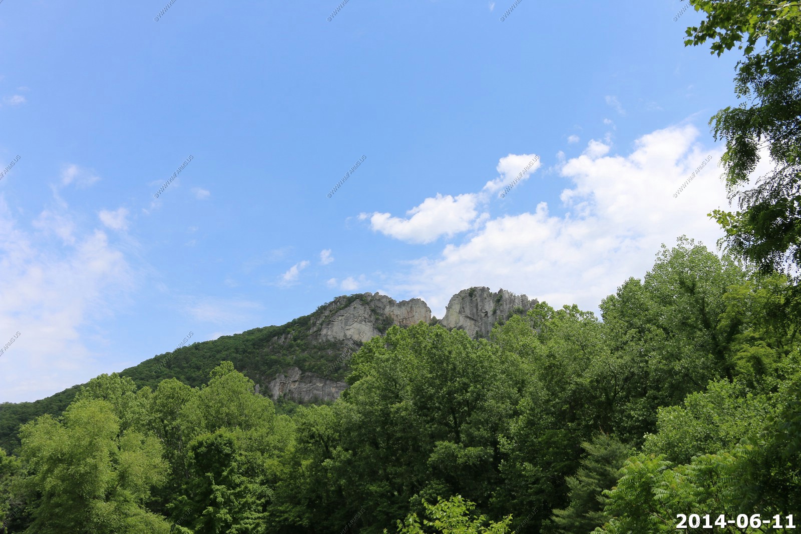
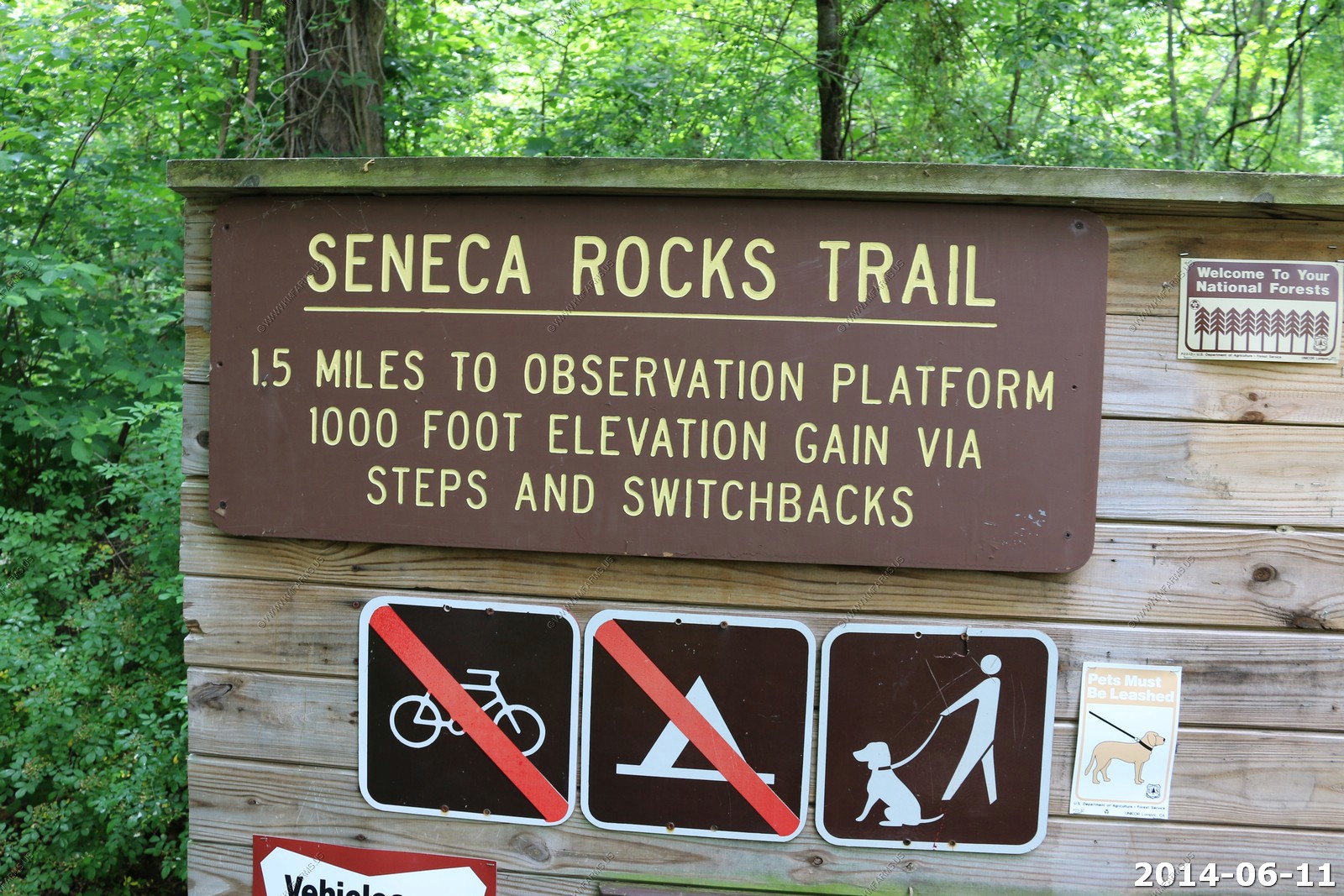
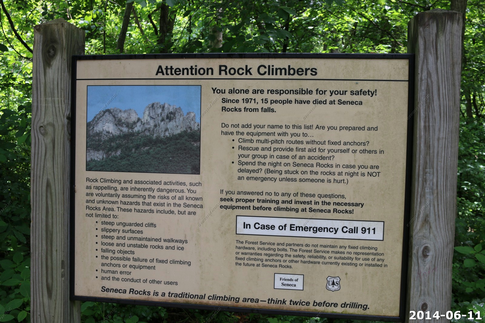
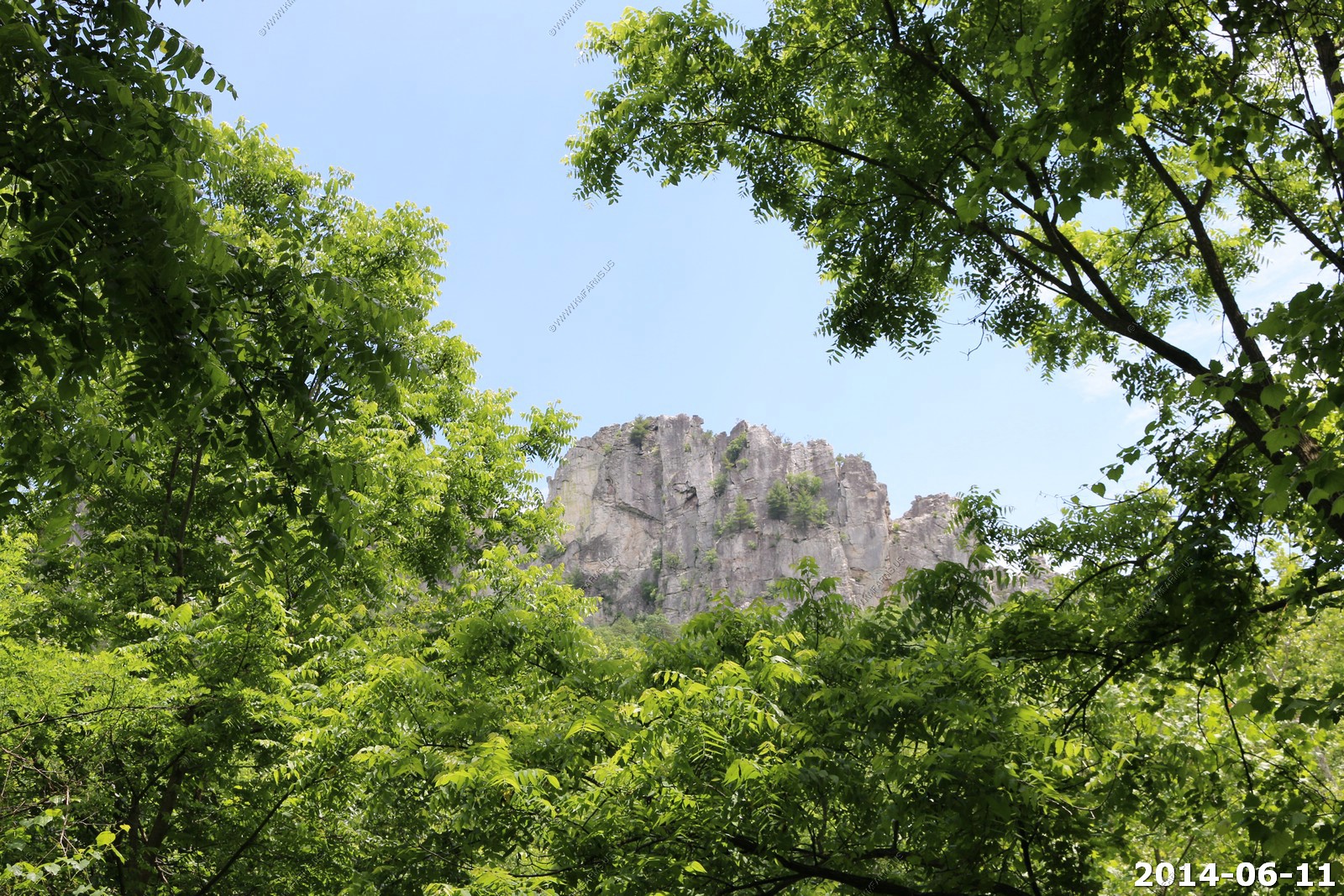
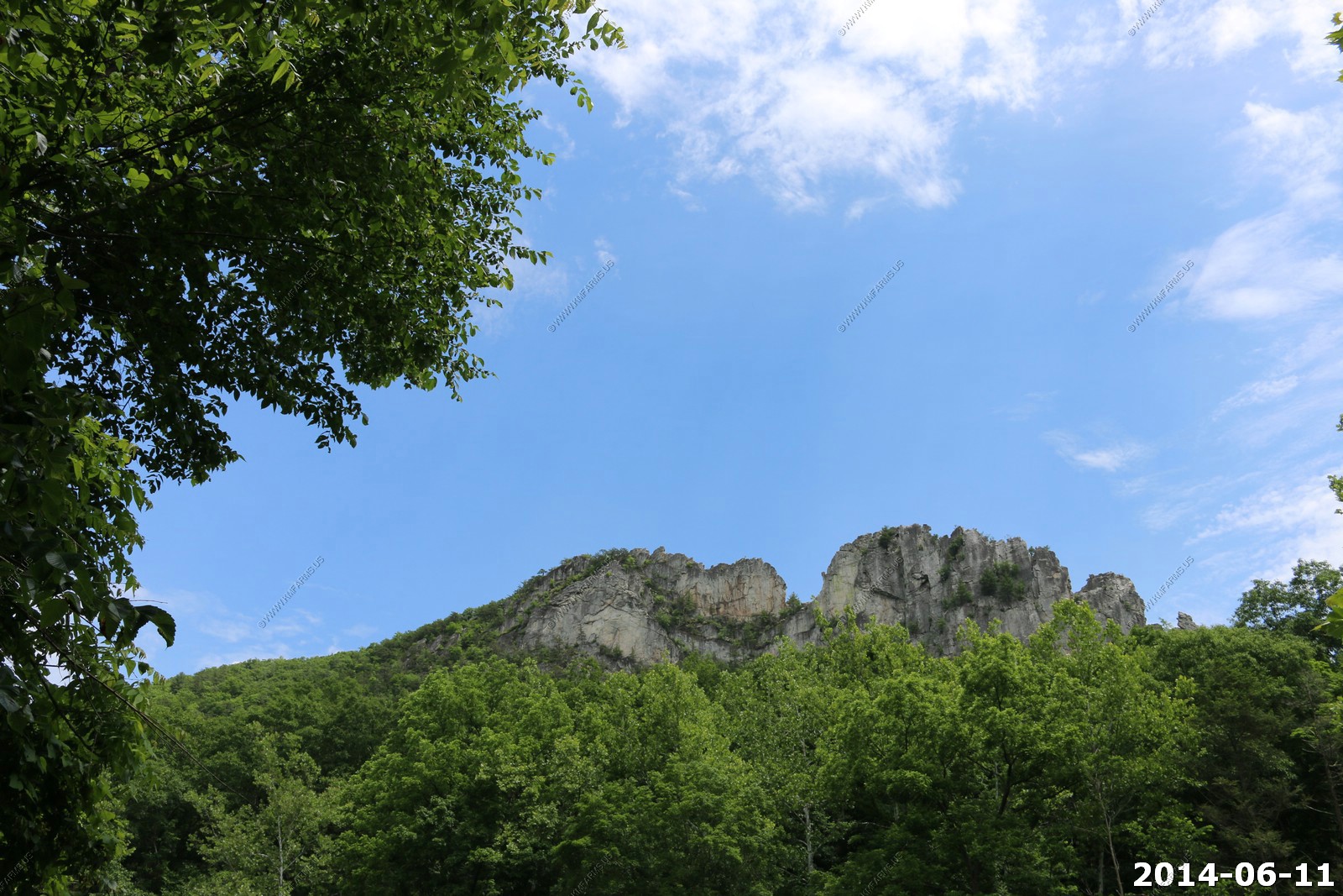
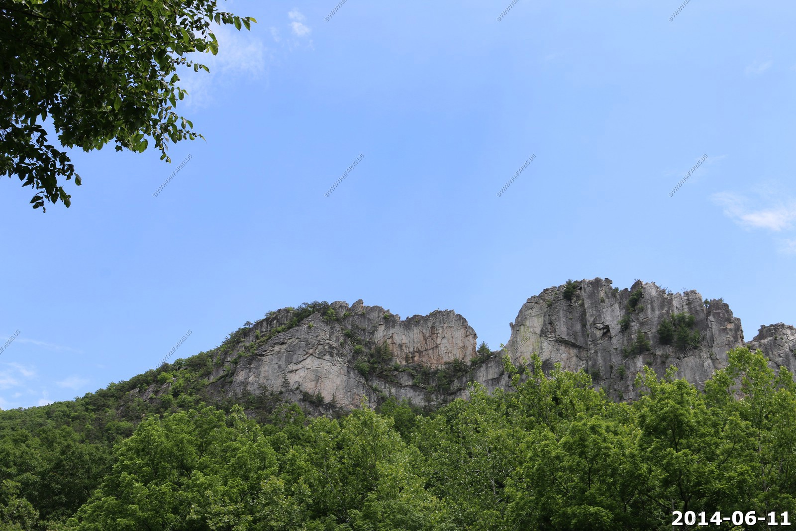
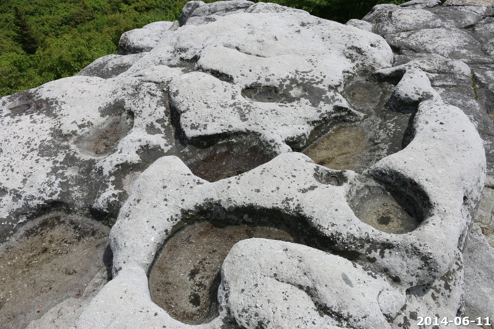
Seneca Rocks
Quick stop at Seneca Rocks where we ate lunch at Harper's Old Country Store. It was ok but lots of dogs.
We walked over to the base of the rocks but did not have the time to make the 900 foot climb.

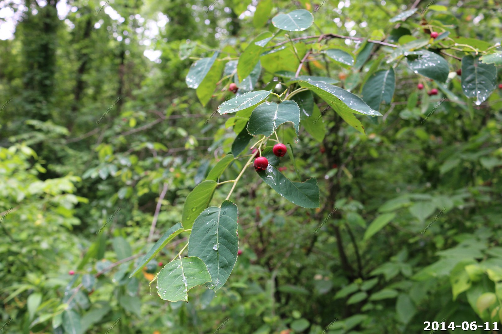
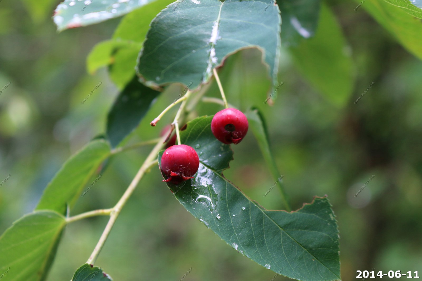
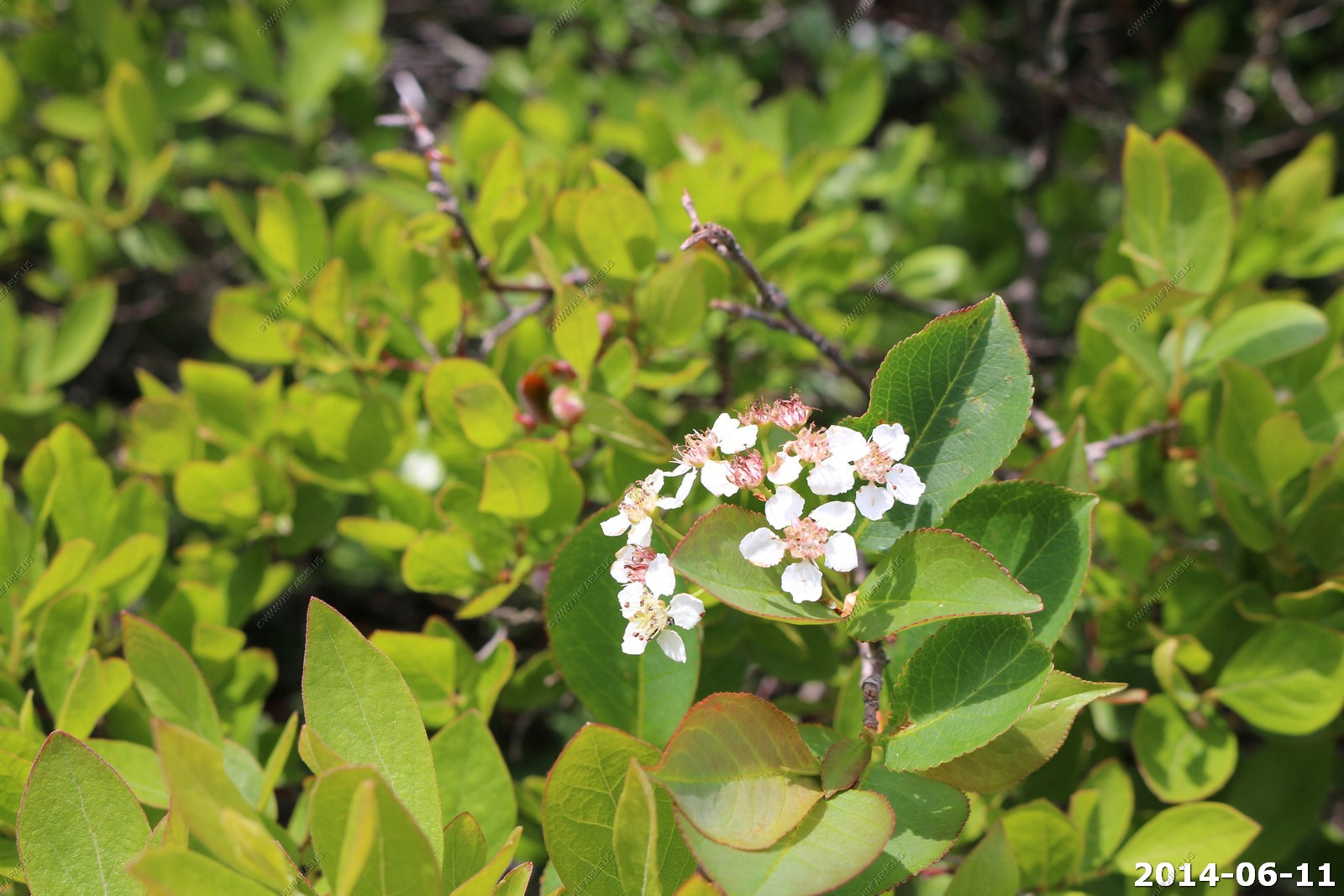
Amelanchier arborea, downy serviceberry, is native to North America.
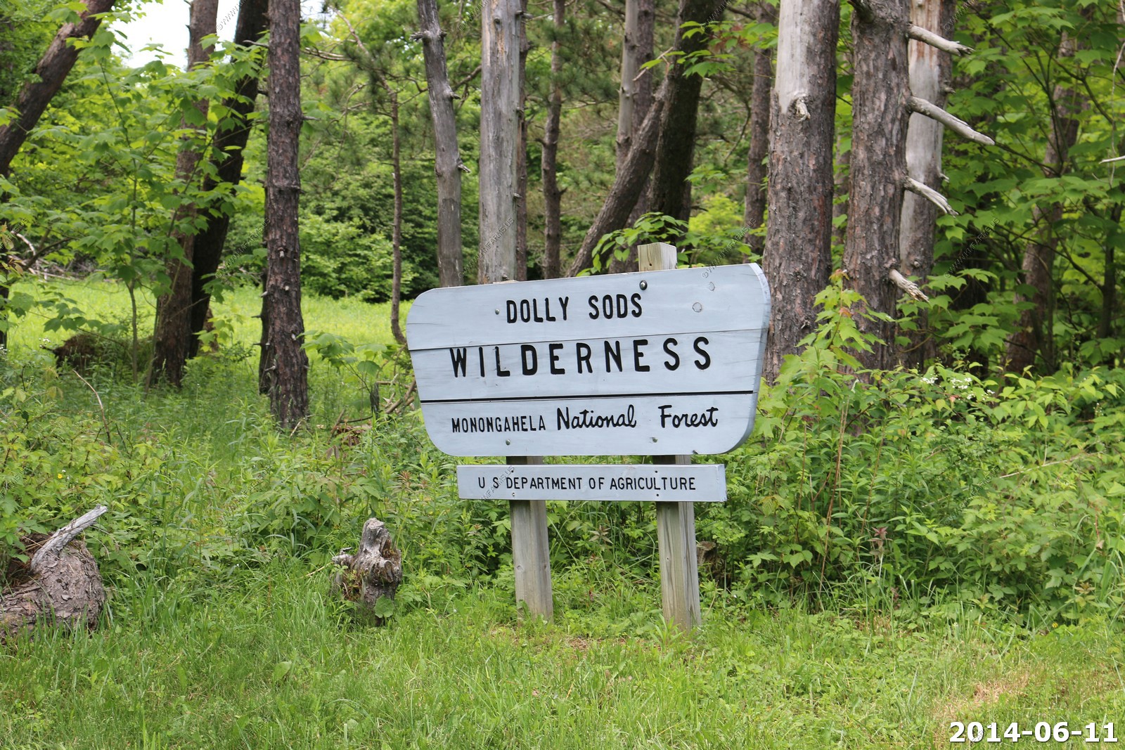
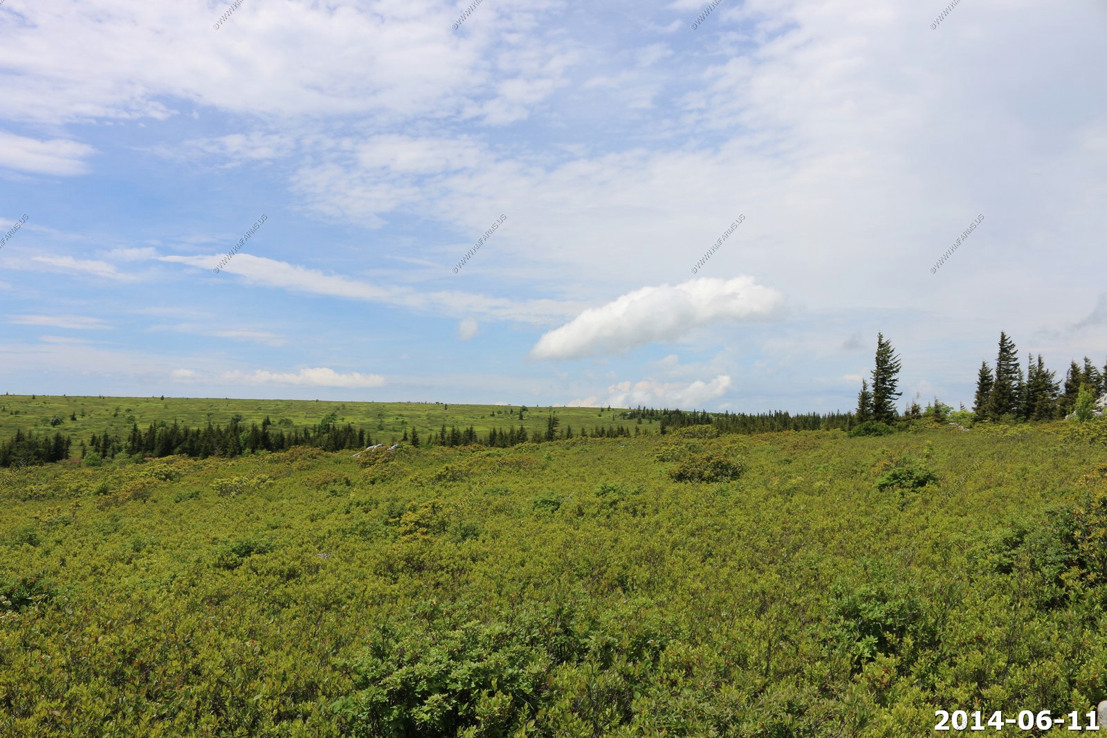
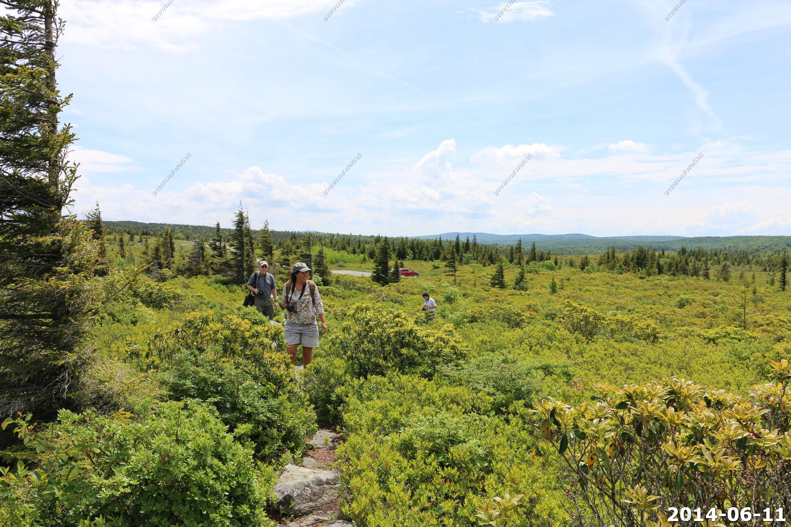
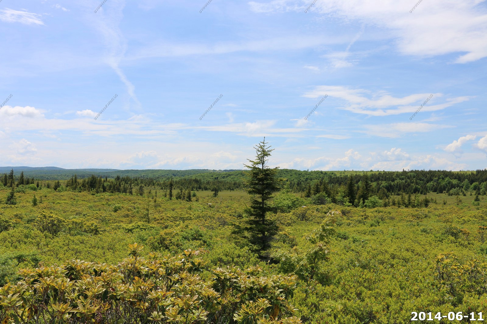
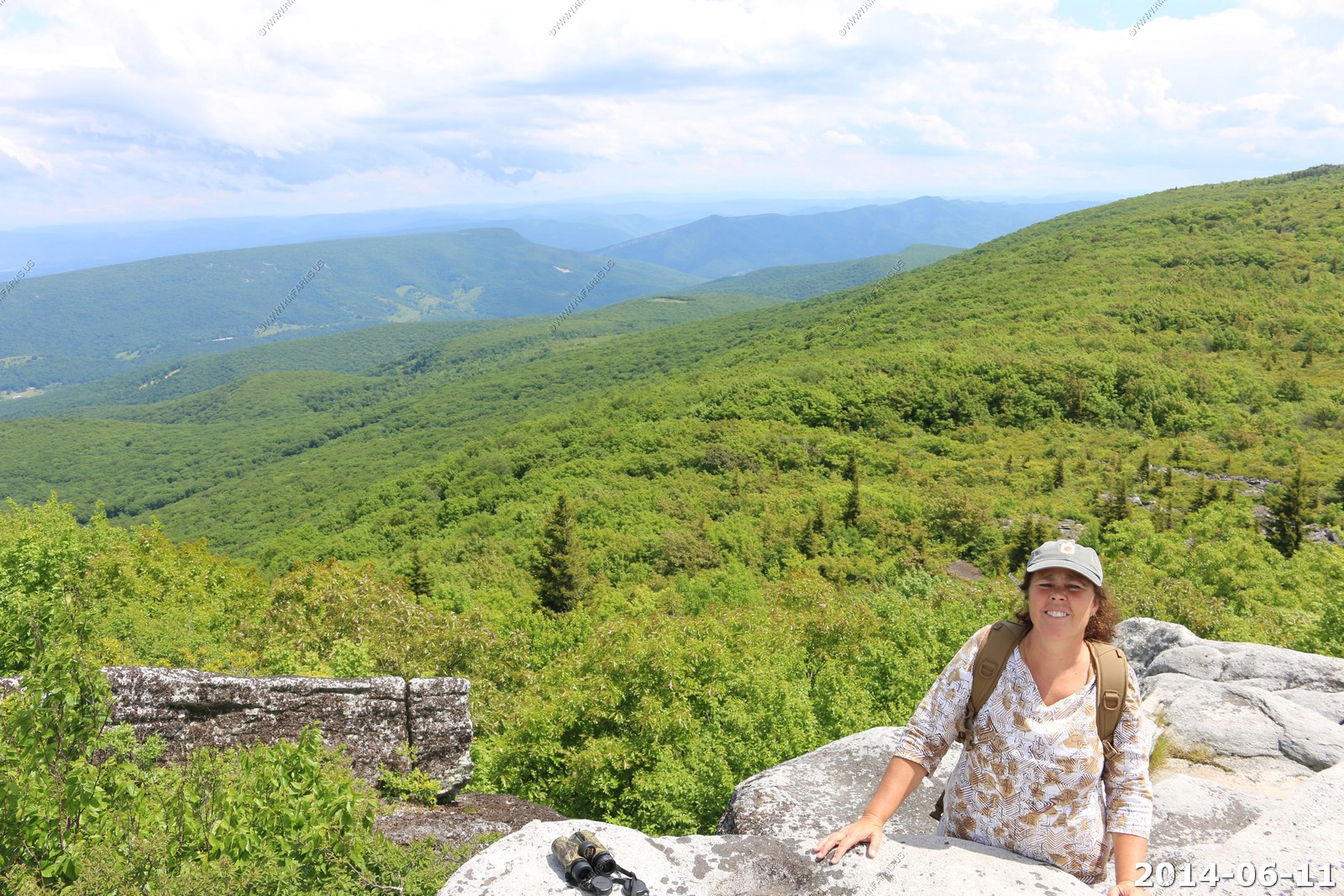
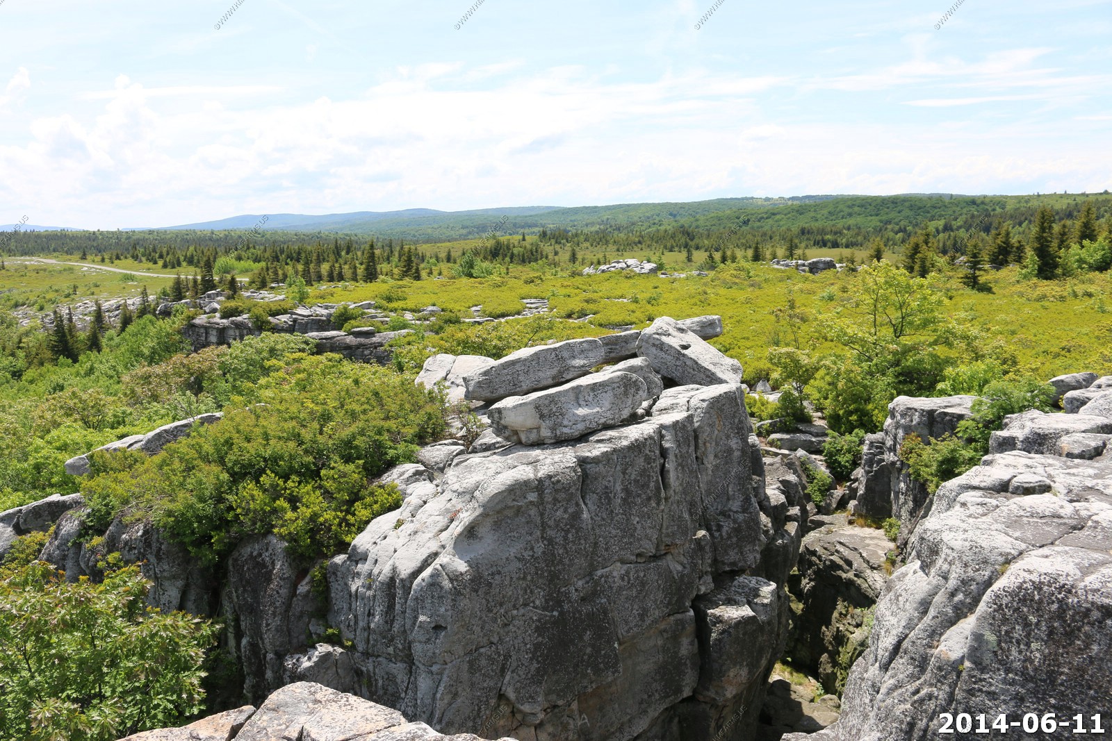
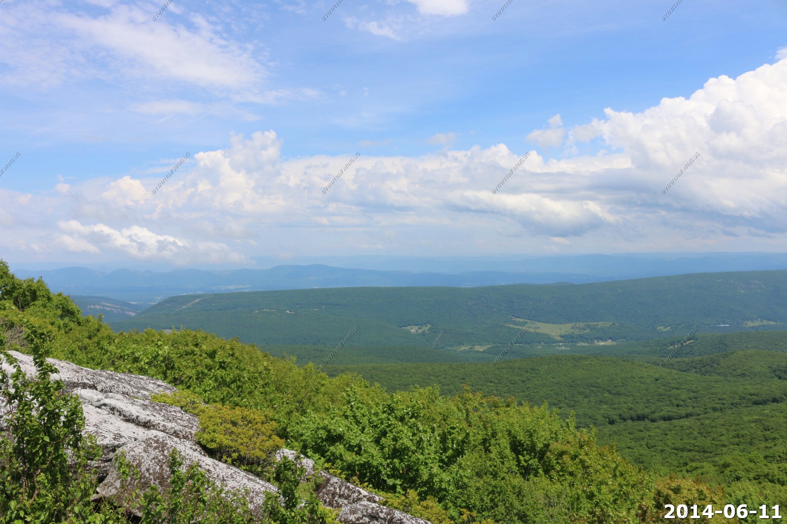
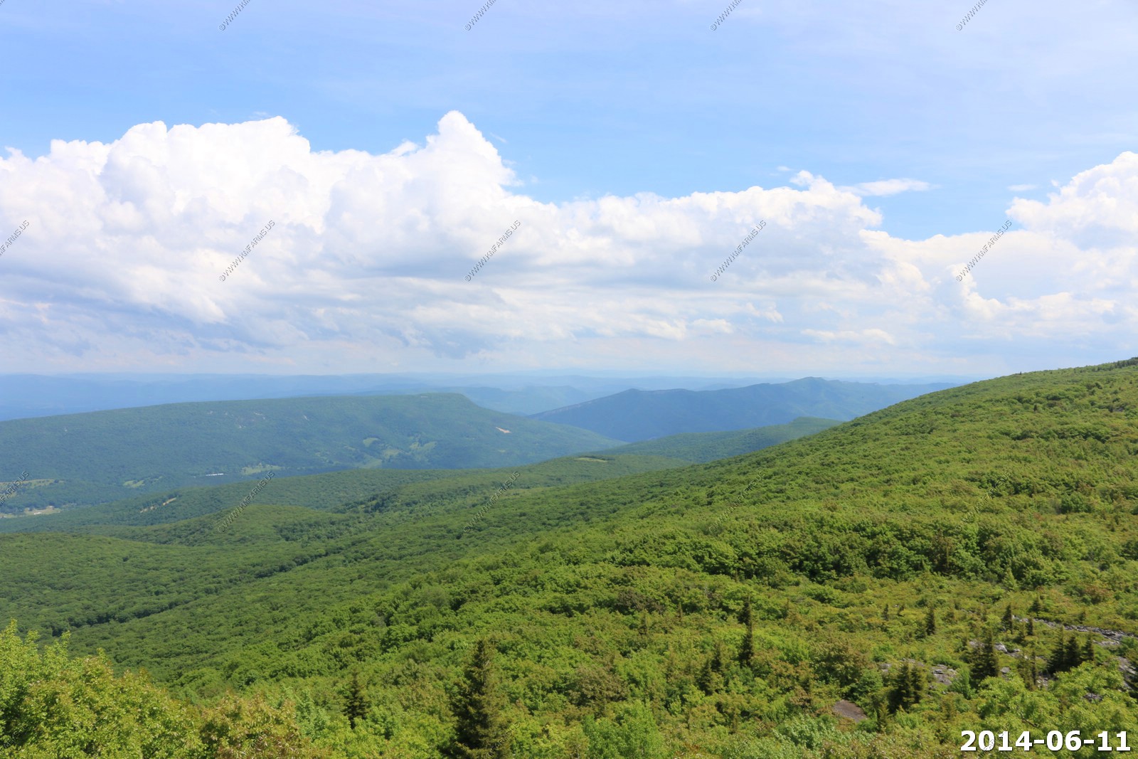
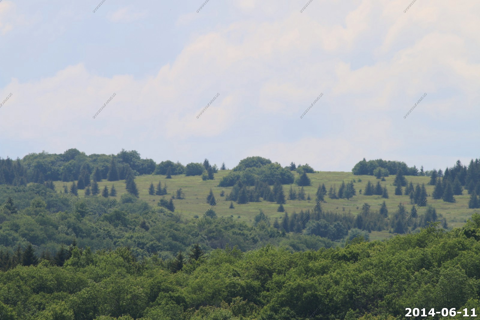
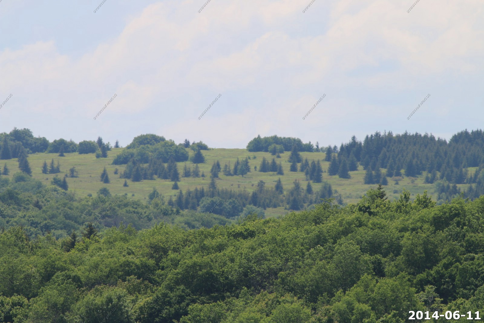
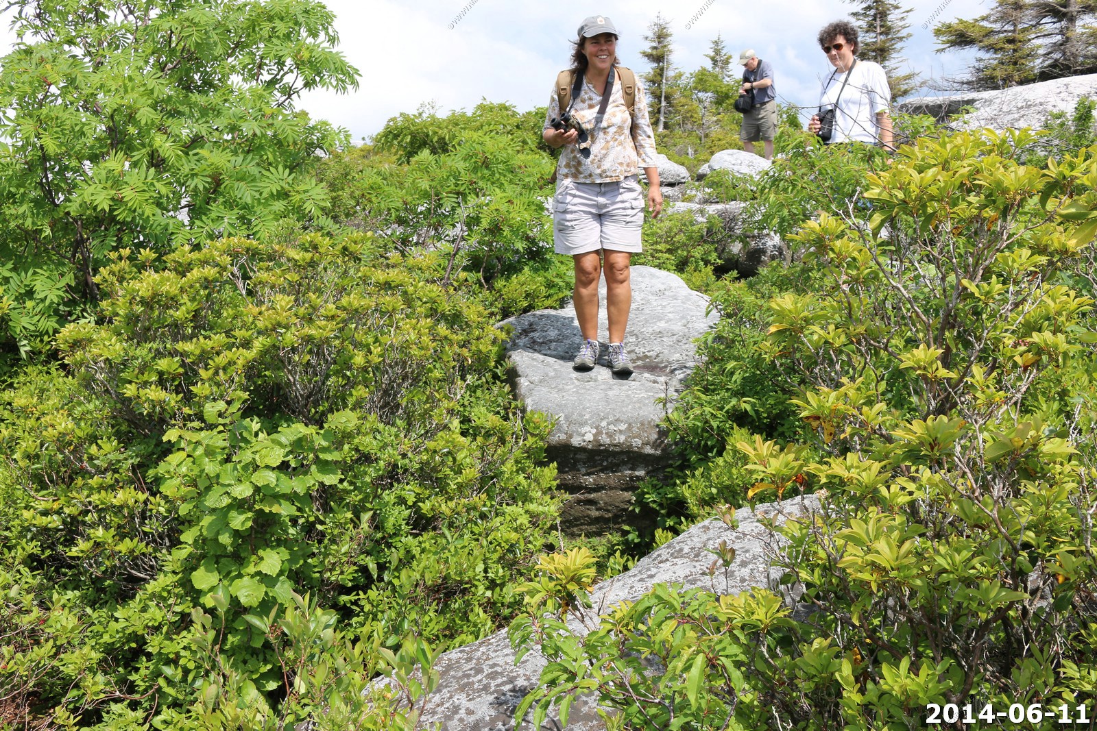
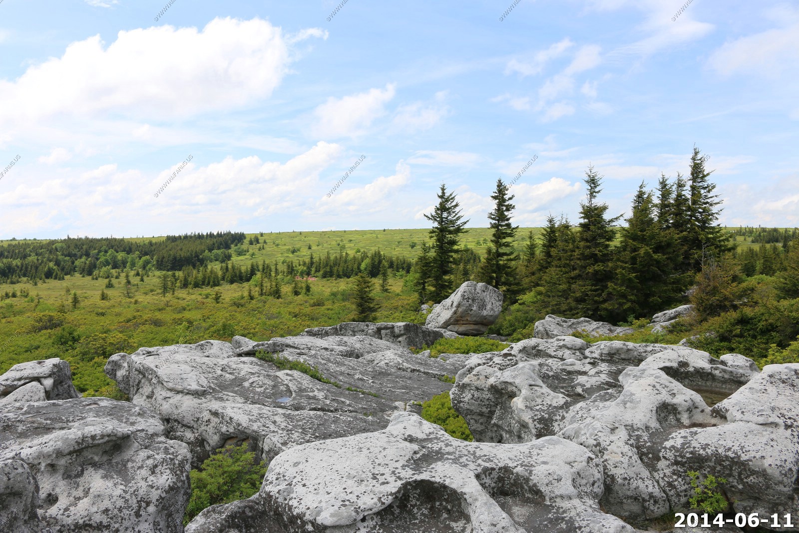
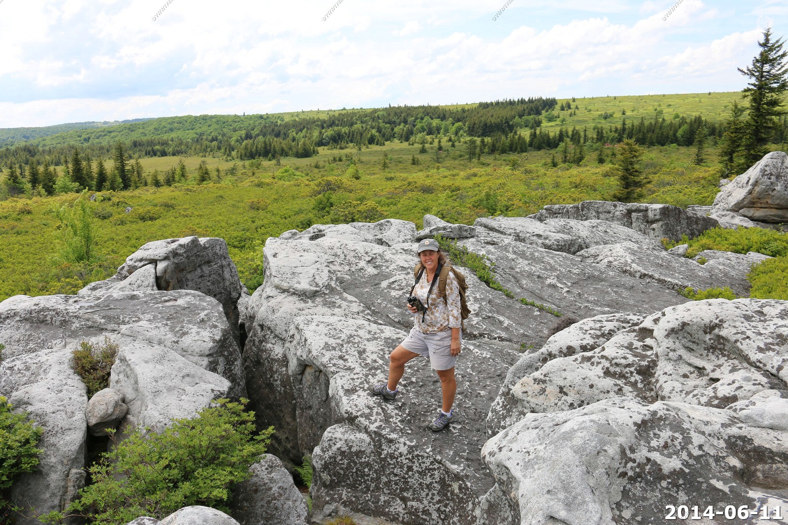
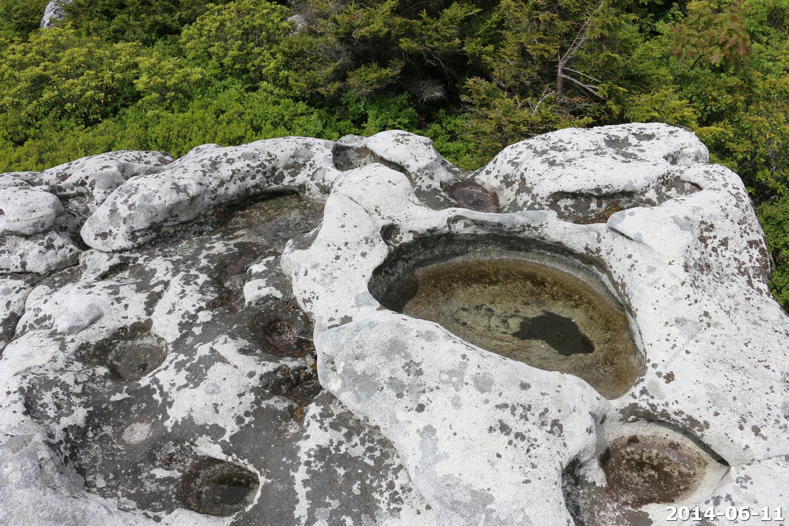
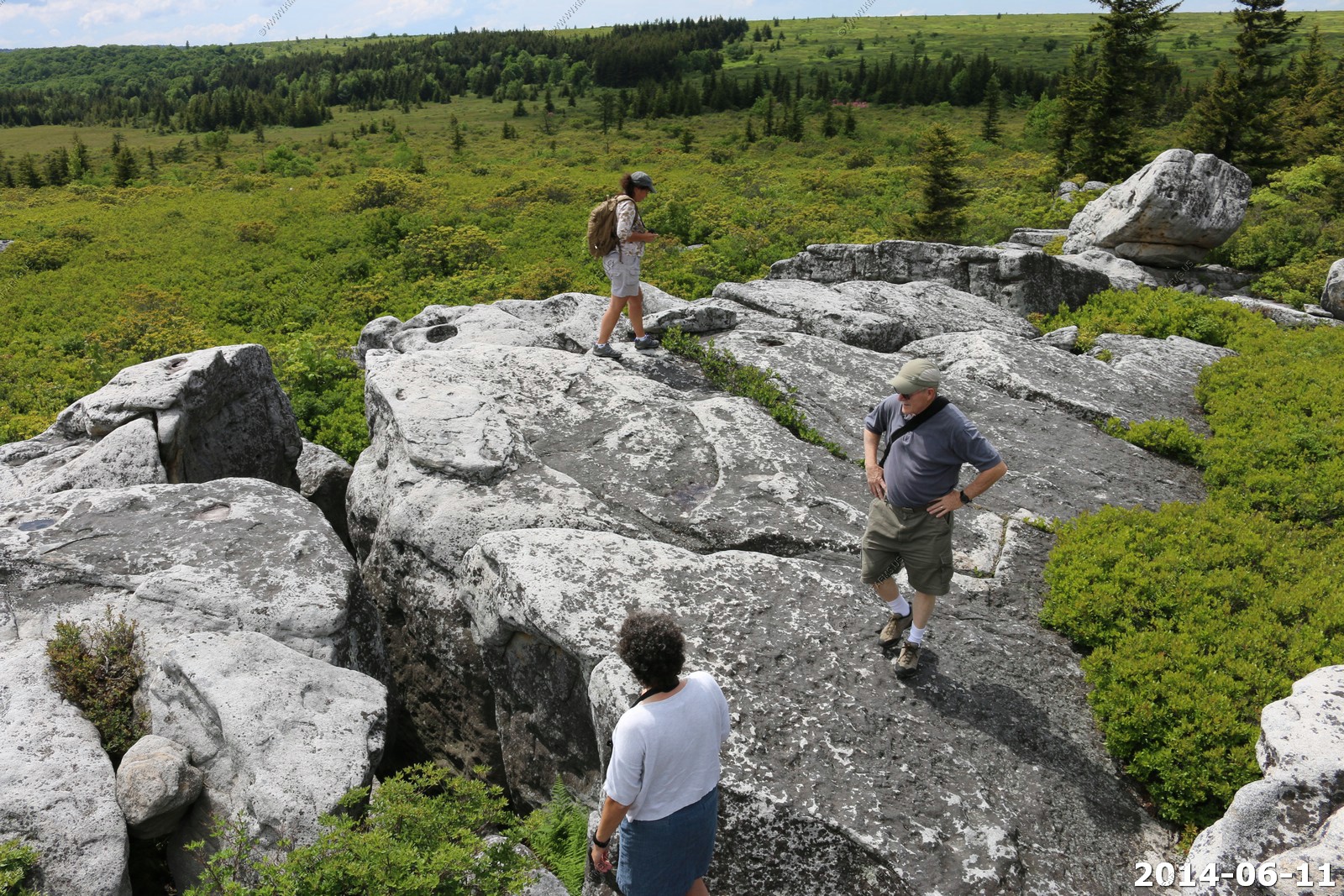
Dolly Sods Wilderness area - Monongahela National Forest
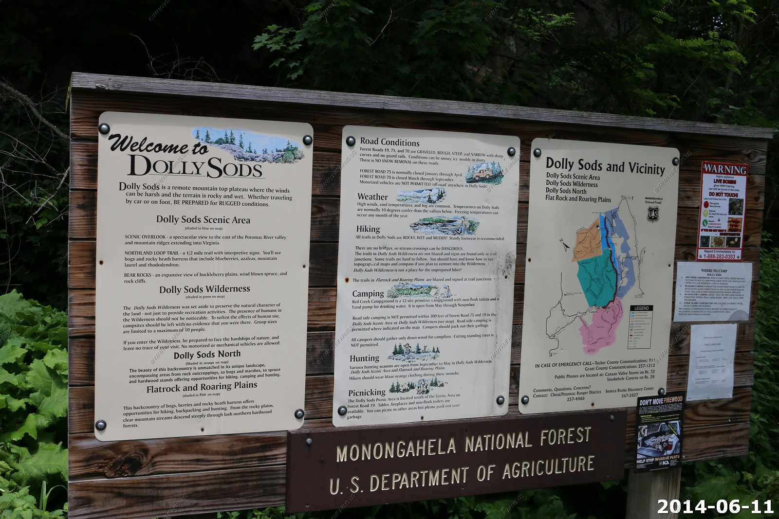
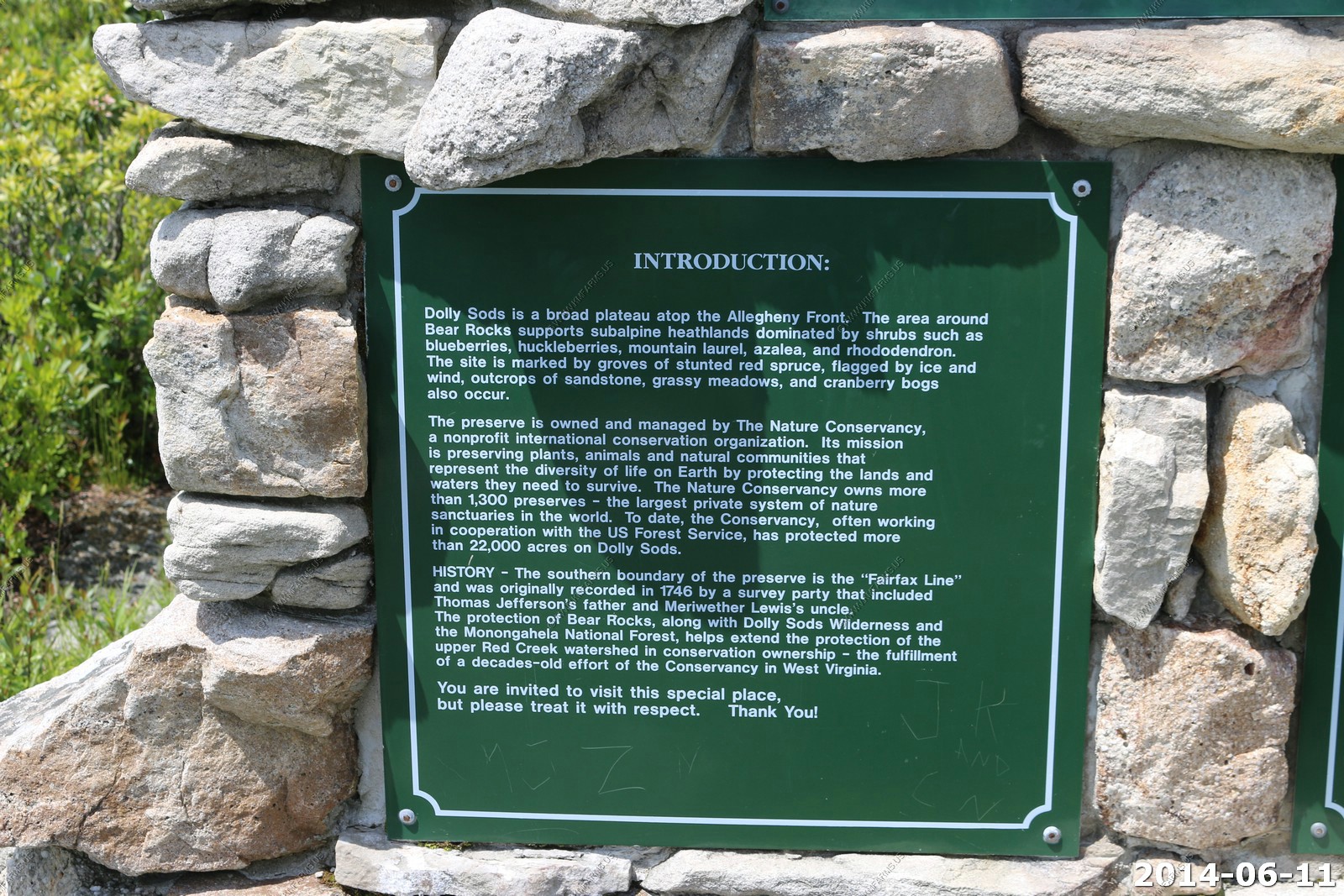
The Dolly Sods Wilderness - originally simply Dolly Sods - is a U.S. Wilderness Area in the Allegheny Mountains of eastern West Virginia, USA, and is part of the Monongahela National Forest (MNF) of the U.S. Forest Service (USFS).
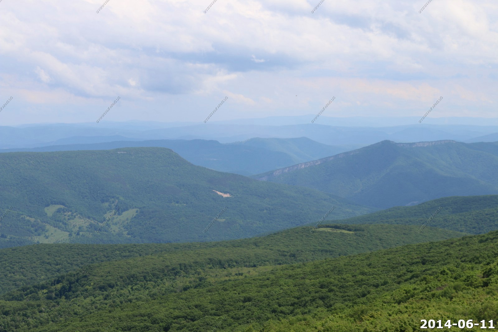
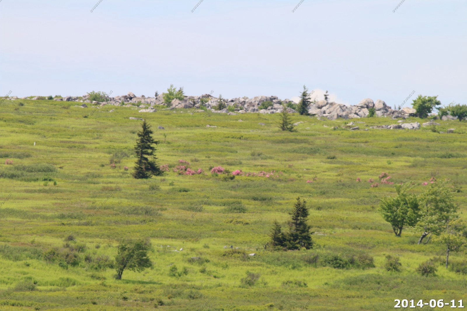
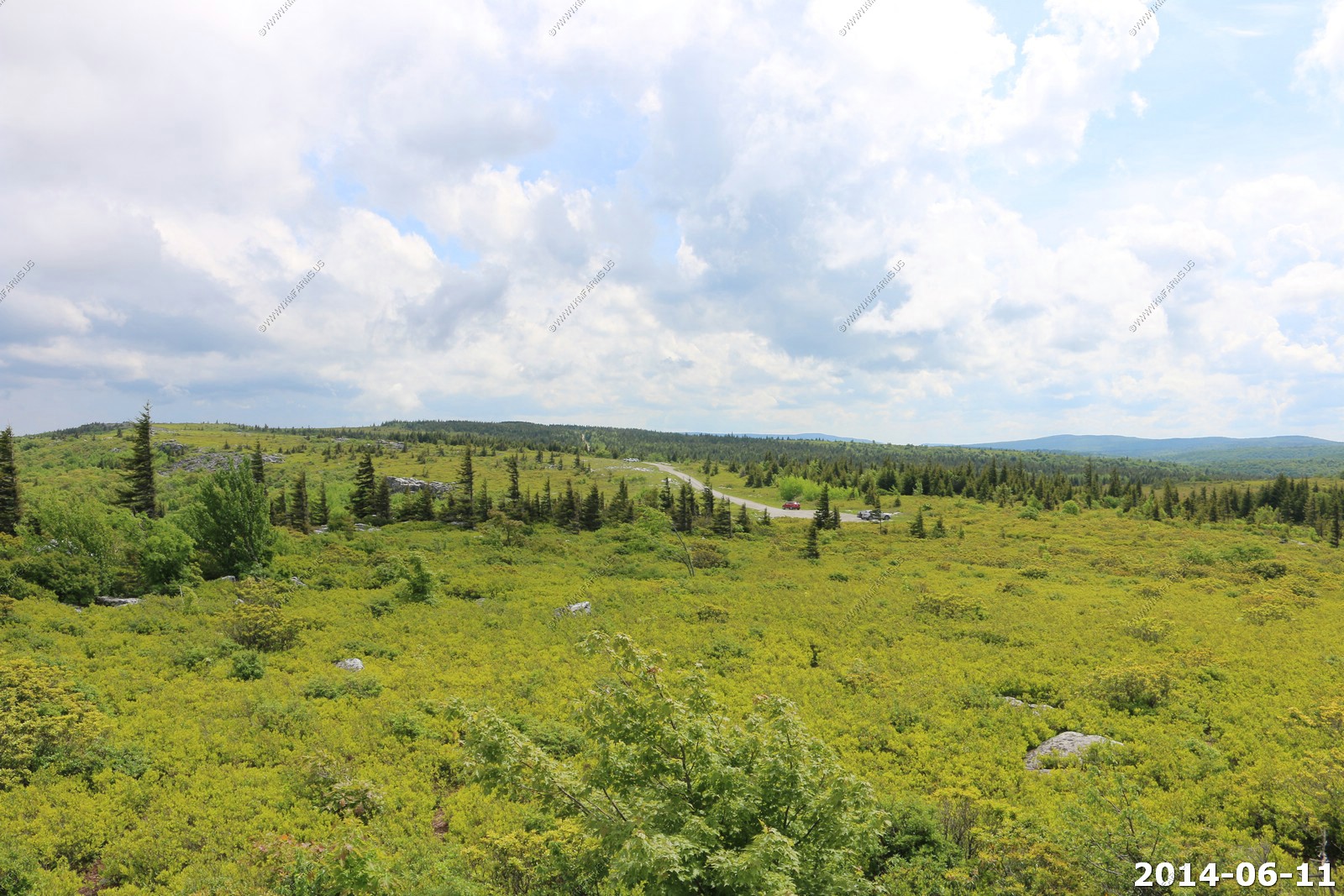
Dolly Sods is a rocky, high-altitude plateau with sweeping vistas and life forms normally found much farther north in Canada. To the north, the distinctive landscape of "the Sods" is characterized by stunted ("flagged") trees, wind-carved boulders, heath barrens, grassy meadows created in the last century by logging and fires, and sphagnum bogs that are much older. To the south, a dense cove forest occupies the branched canyon excavated by the North Fork of Red Creek.
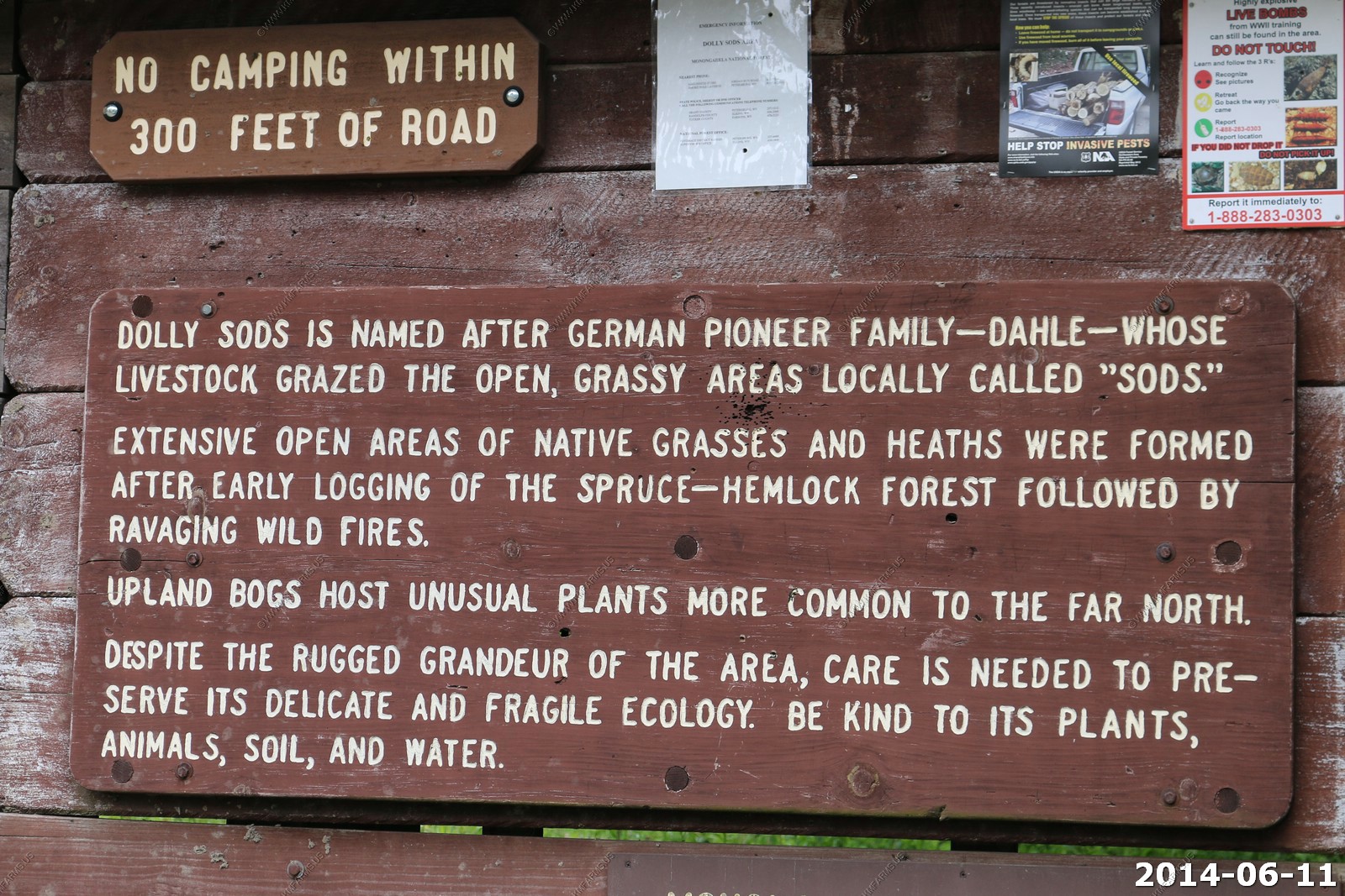
The name derives from an 18th-century German homesteading family - the Dahles - and a local term for an open mountaintop meadow - a "sods".
Perhaps the most intriguing habitat in the area, however, is where the trees don't grow. Dolly Sods is an open stretch of heath barrens that hold Pleistocene plant remnants and a decidedly Alaskan feel. It's hardly a stretch of the imagination to walk, in a single day, from arctic tundra to Quebec-esque spruce swamps to Appalachian hardwood forest. The largest tree ever recorded in West Virginia grew near here, a white oak that was 10 feet in diameter at 30 feet off the ground! Behemoths like this are a thing of the past, but excellent stands of black cherry thrive near Canaan these days.
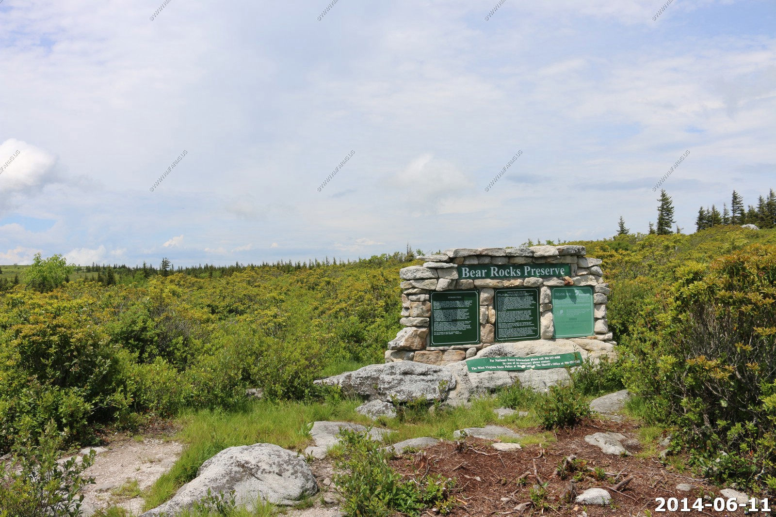
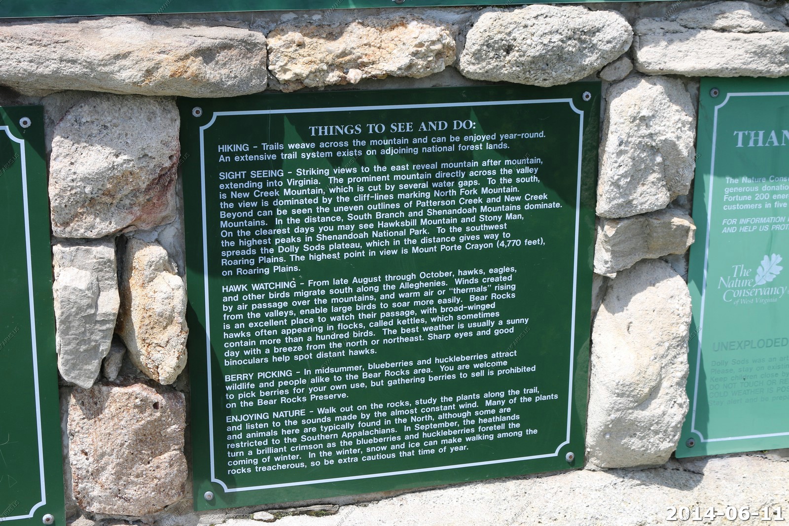
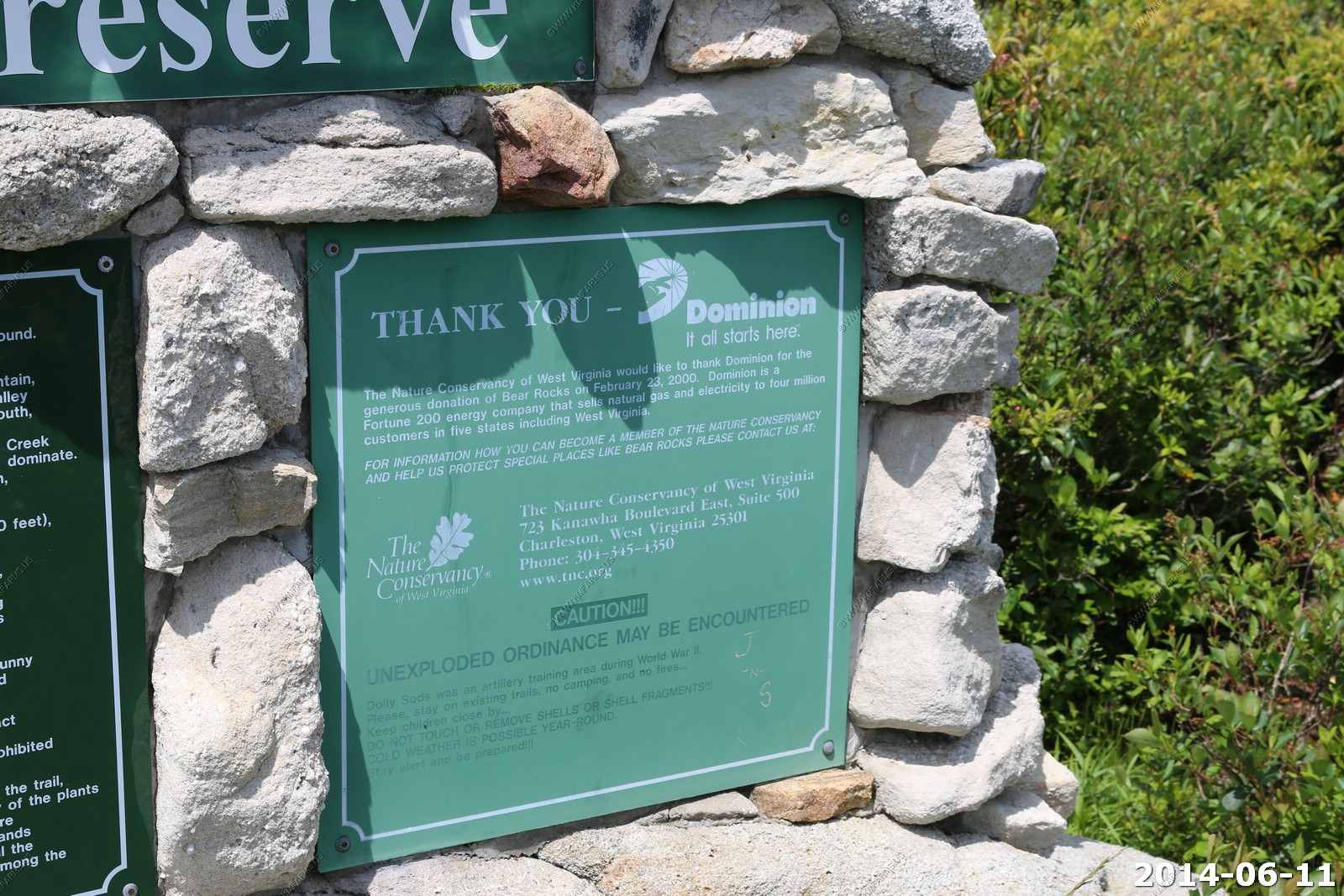
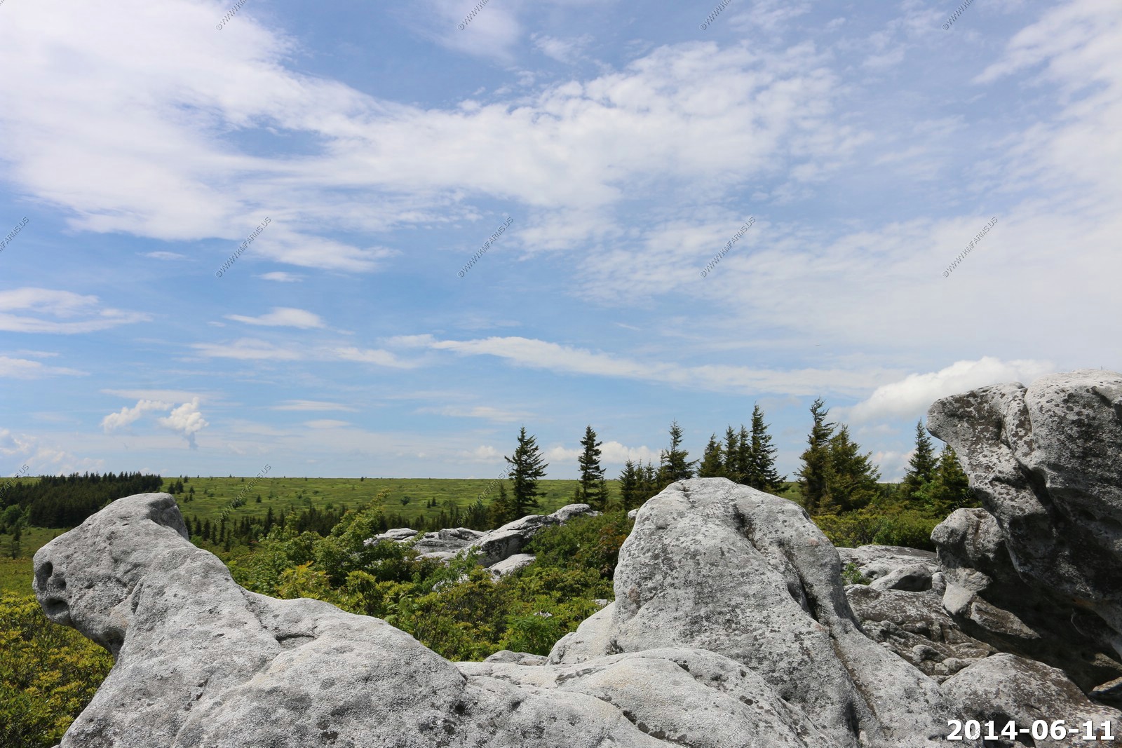
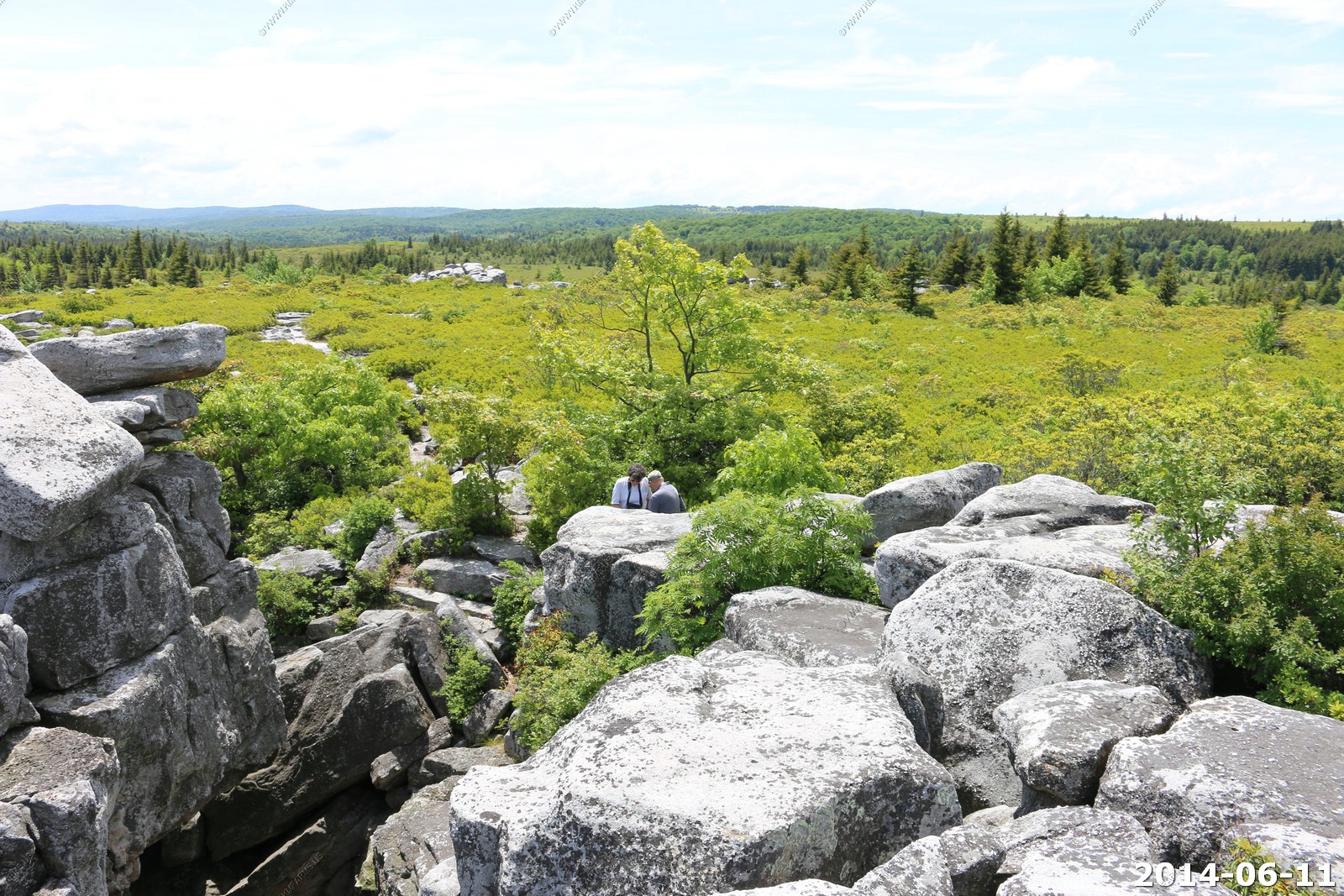
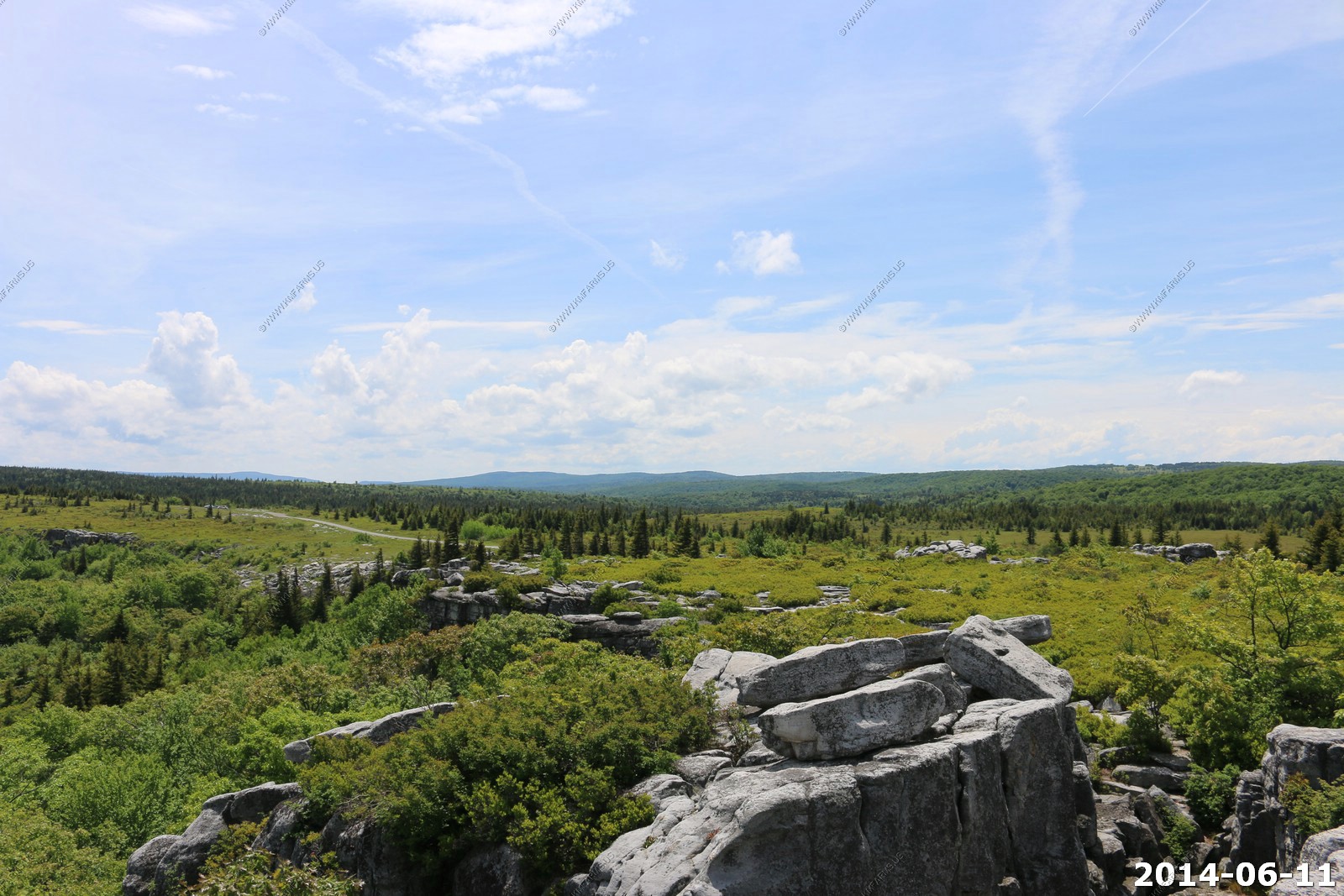
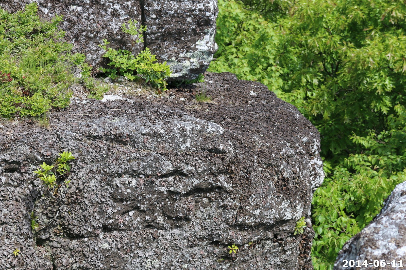
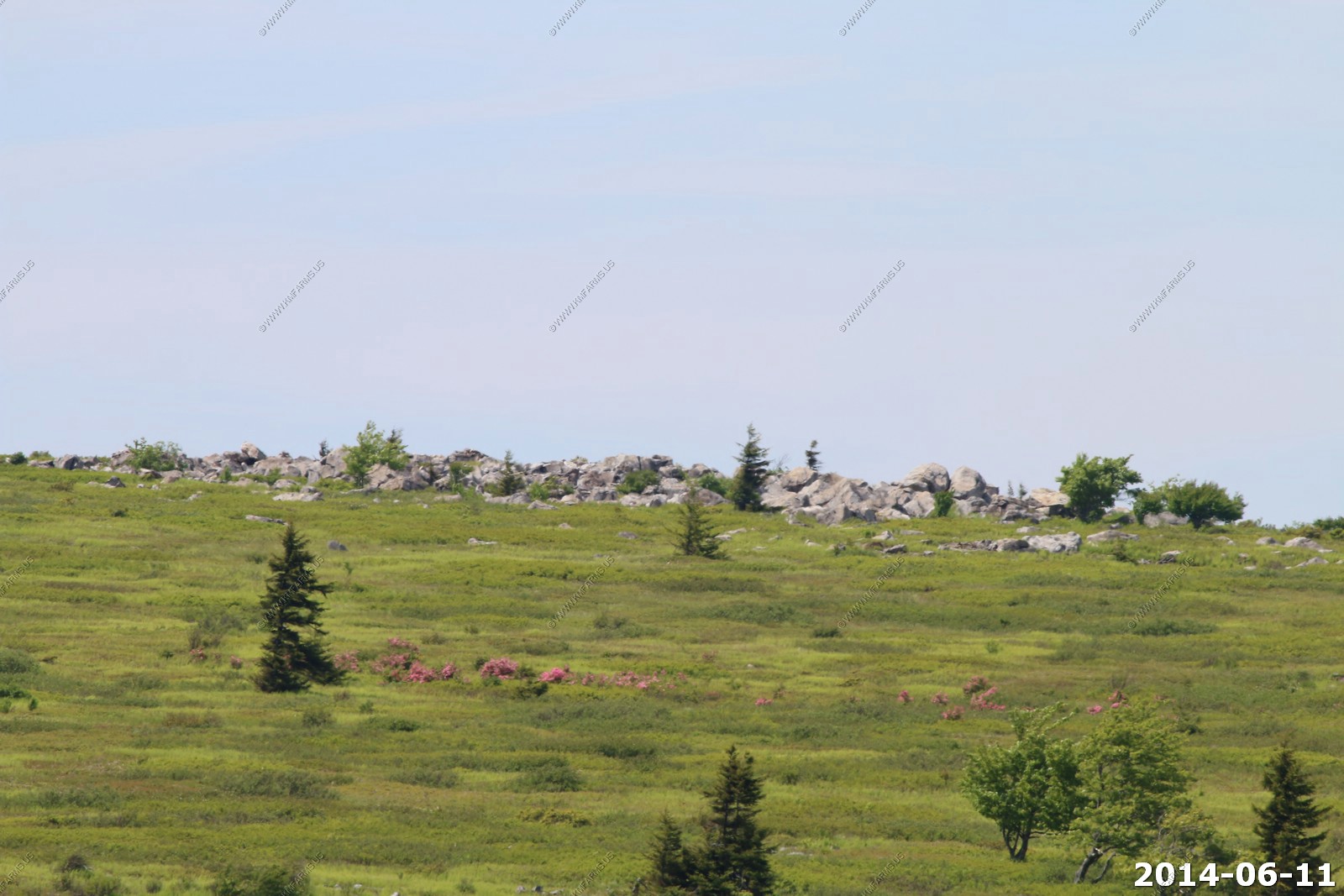
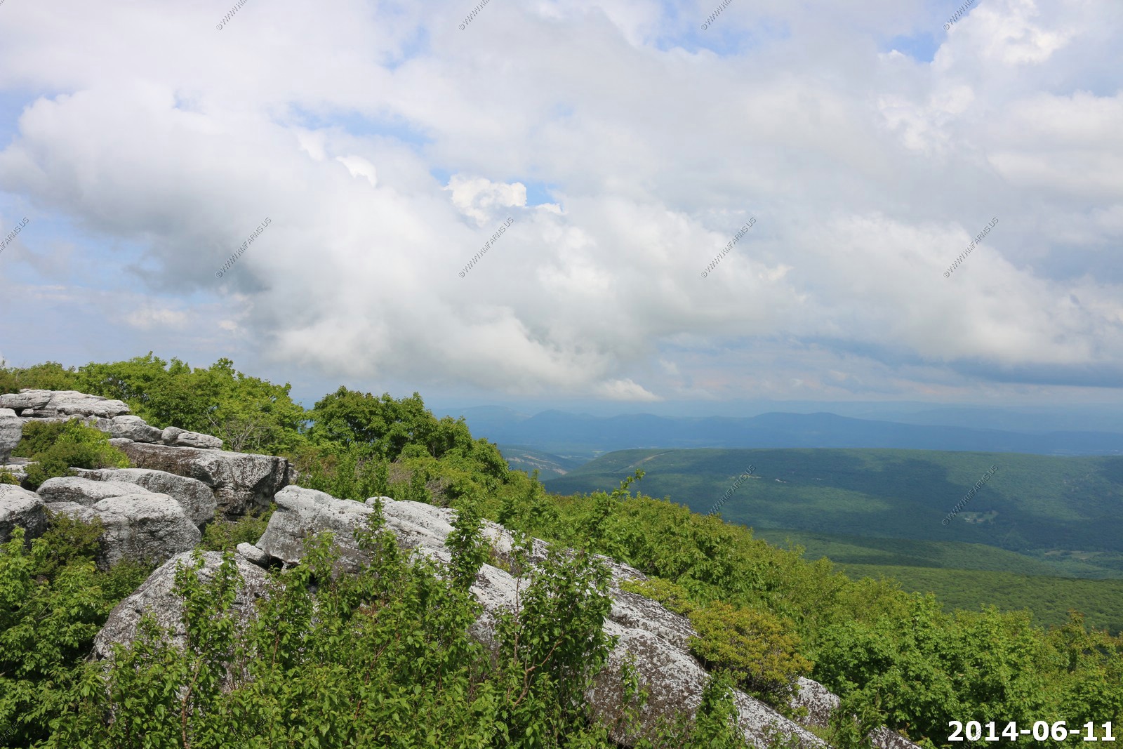
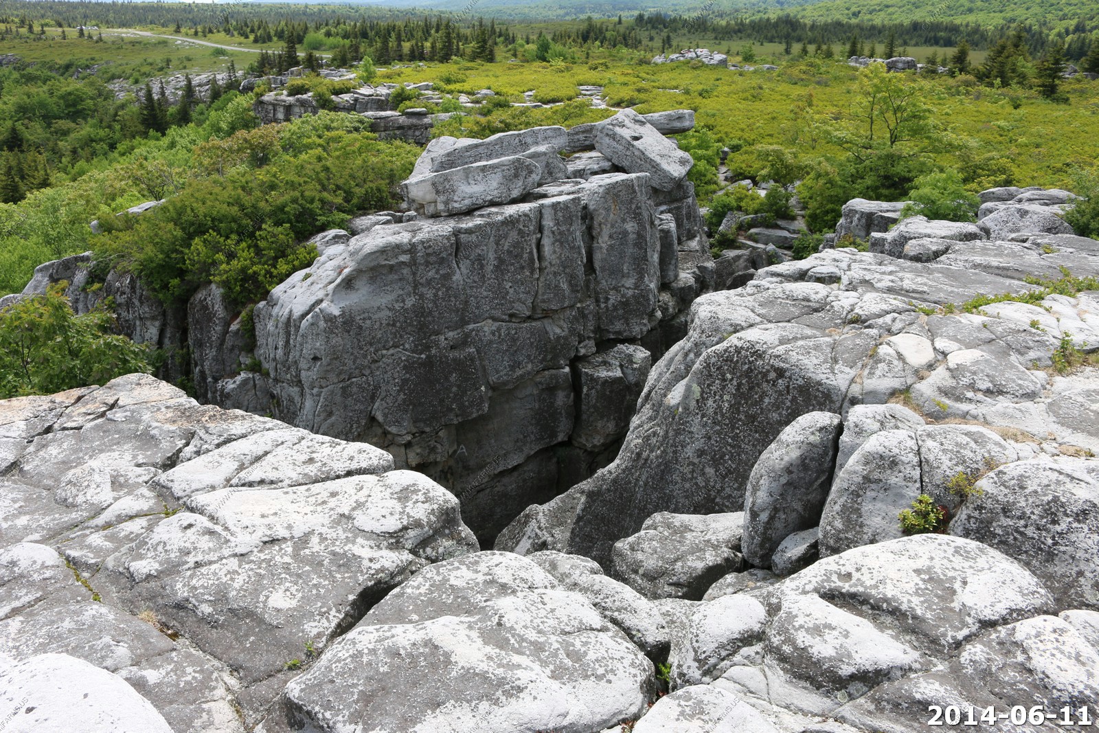
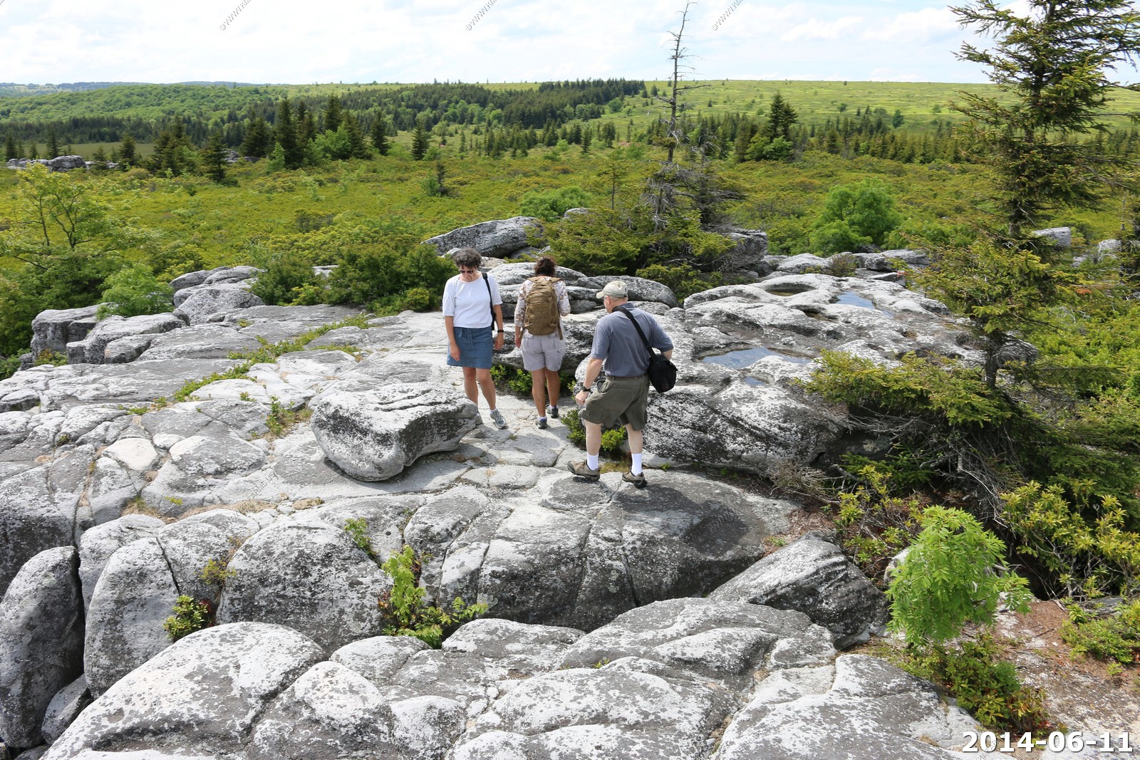
Bear Rocks Preserve - Dolly Sods
Bear Rocks are a widely recognized symbol of West Virginia wilderness and among the most frequently photographed places in the state. They are a well-known landmark on the eastern edge of the plateau that includes the Dolly Sods Wilderness. They sit in a high-elevation heathland punctuated with wind-carved sandstone outcrops and is home to more than a dozen rare plant and animal species. Situated on the crest of the Allegheny Front, Bear Rocks afford vistas over the South Branch Potomac River. Visibility can extend eastward to the Shenandoah National Park in Virginia.
The Bear Rocks Preserve is a 477-acre (1.93 km2) tract that is owned and preserved by The Nature Conservancy.

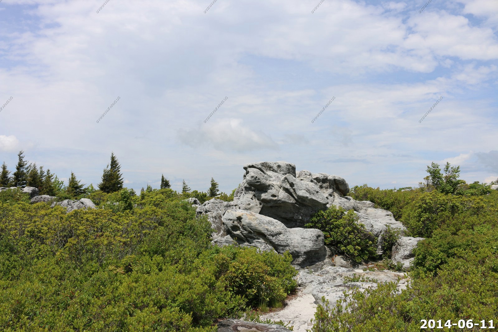
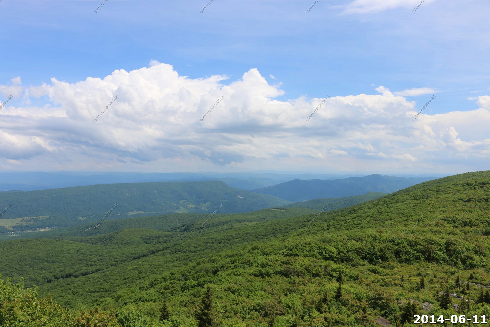
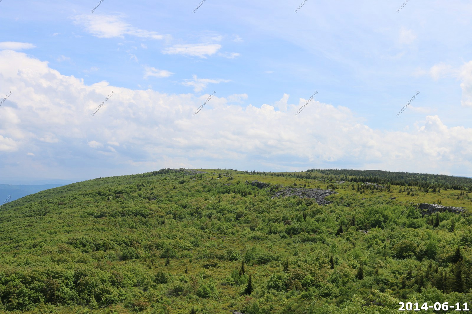
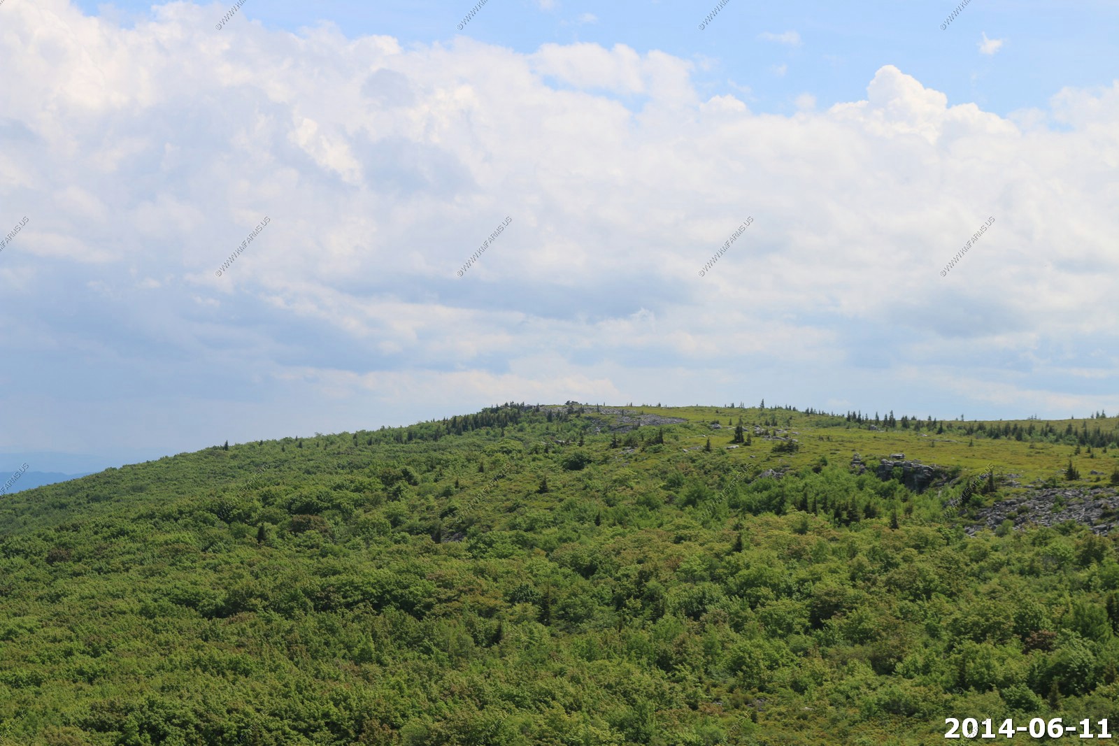
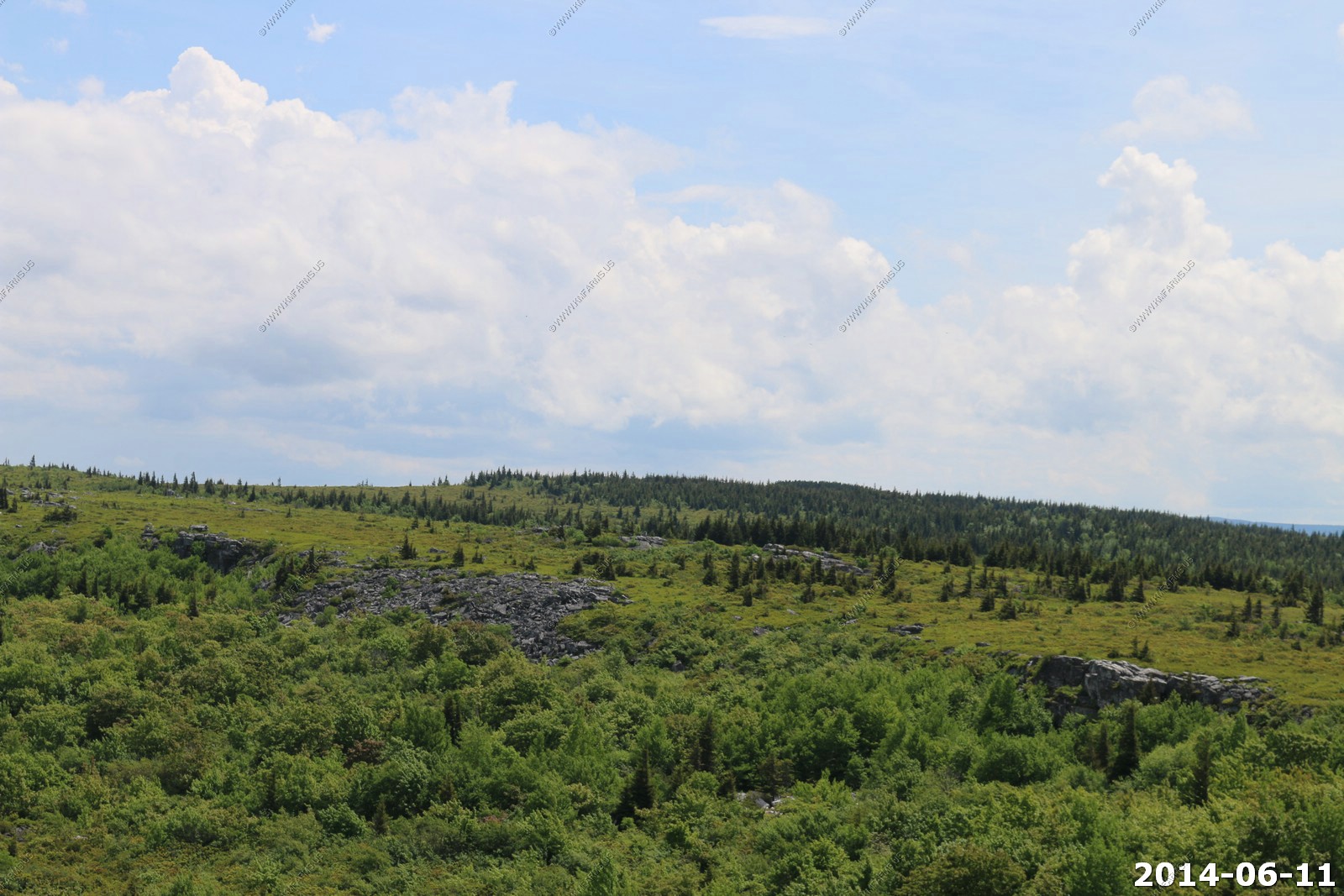

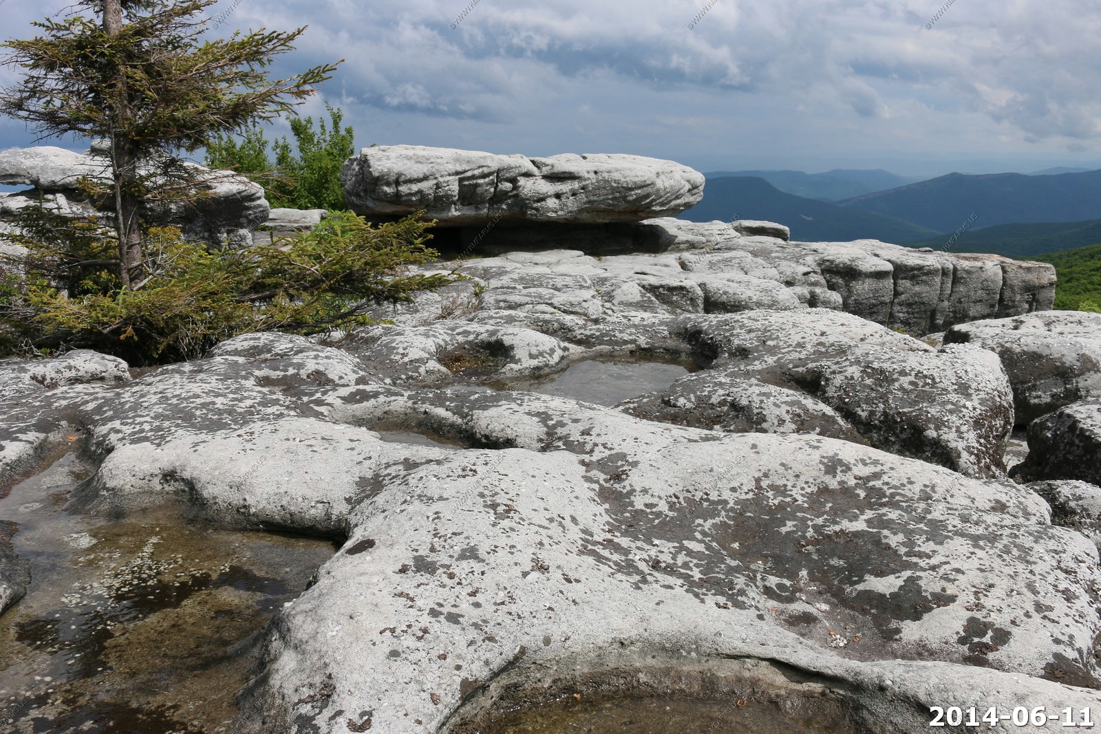
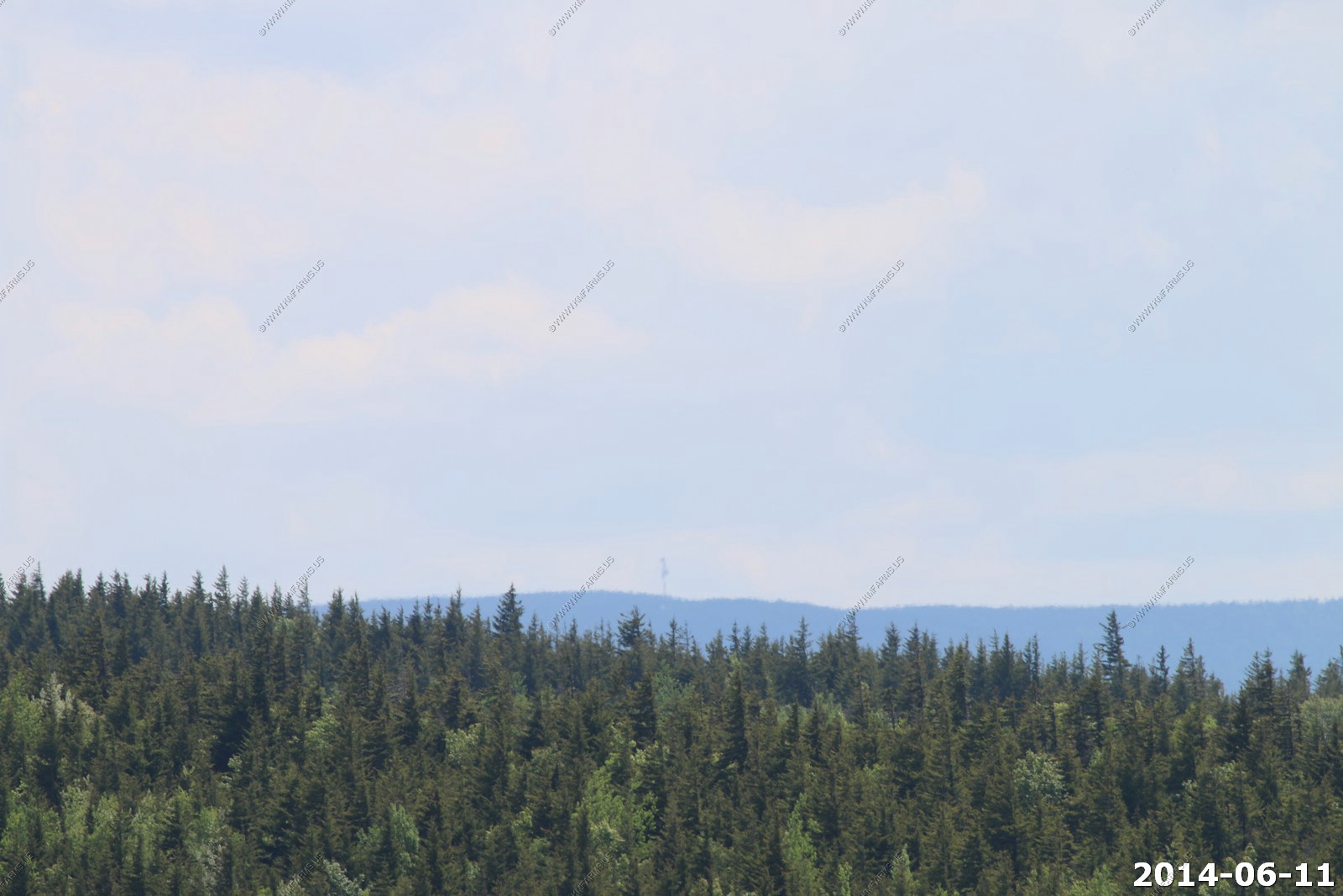
Looking across Dolly Sods to the microwave station near Mt Porte Crayon. We camped in this area back in OCT 1995 and it was a really cool backpacking trip.
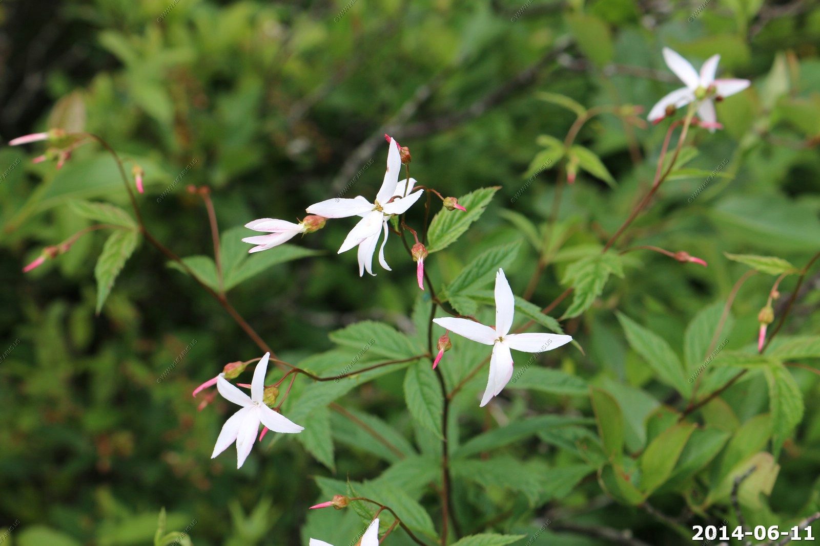
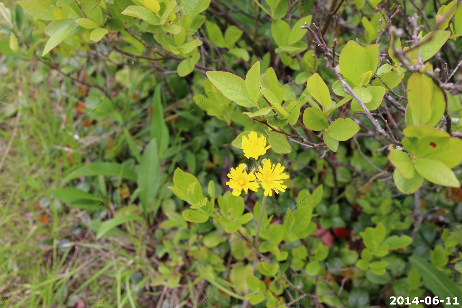
White flowers
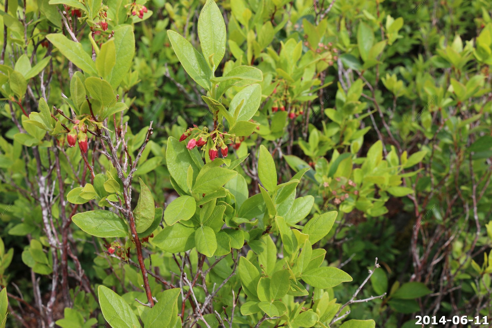
Black huckleberry. This shrub usually reaches 2 to 4 feet in height. Its small, oval leaves with smooth edges are alternately arranged on the twigs. Leaves are green with a faint yellowish cast. The hint of yellow is due to yellow resin dots which are hard to see without a magnifying glass. The leaves turn red in fall.
A huge variety of berries grow on the high plains of Dolly Sods. Locally, they get grouped together under the label "huckleberries." Among the berries that grow there: wild blueberries, chokeberries, black huckleberries, gooseberries, teaberries, and wild cranberries.
Rhododendron prinophyllum (synonymous with R. roseum can be found from southwestern Quebec, through New England and northern Ohio, to Appalachian Mountains at the higher elevations. The flowers are typically rose pink measuring 1.2 to 1.8 inches across and are very fragrant. Rosy rhododendron is common name.
Assumed to be a form of R. periclymenoides (R. nudiflorum) since its first mention in 1787, it was first described as a distinct species in 1914 by Small but had been under cultivation as A. rosea in Europe before 1812. R. prinophyllum can be distinguished from periclymenoides by a number of characteristics including the fact that it is usually deeper pink in color and with a strong cinnamon to clove fragrance. Also, the blossom it is more funnel shaped with comparatively short flower tube, and the pedicels (flower stalks) are longer than the other species.

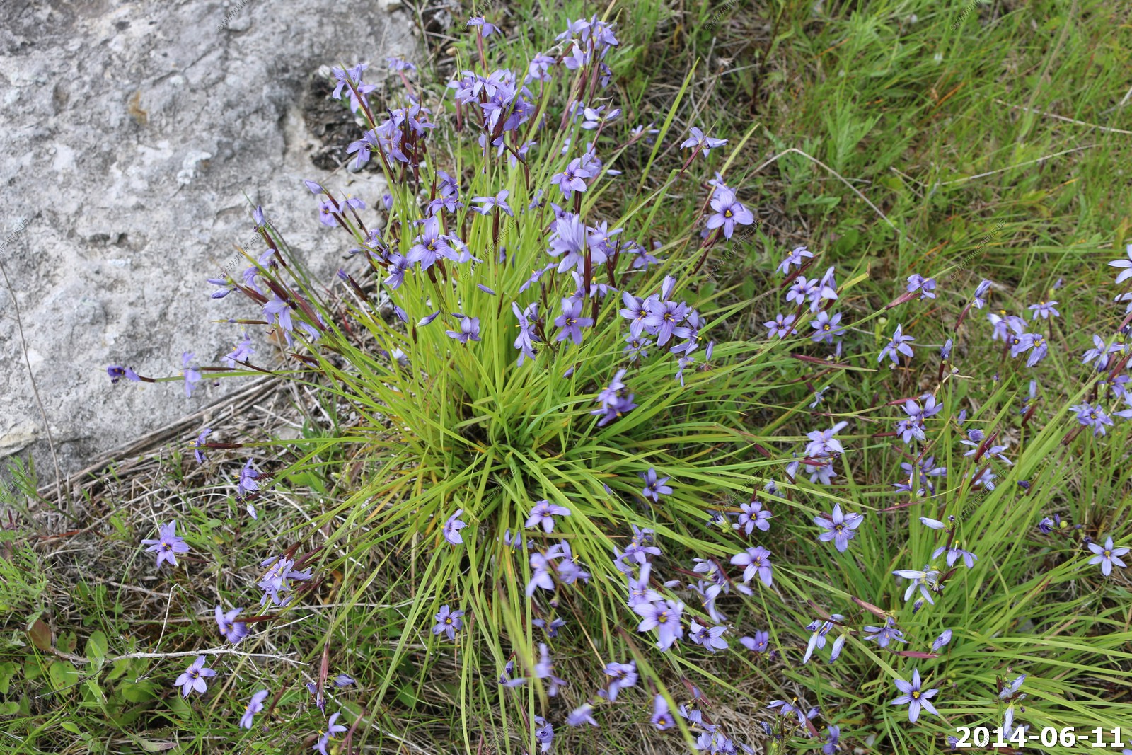
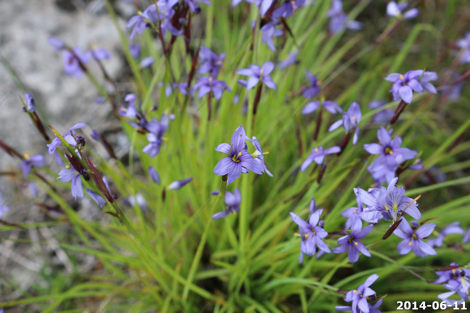
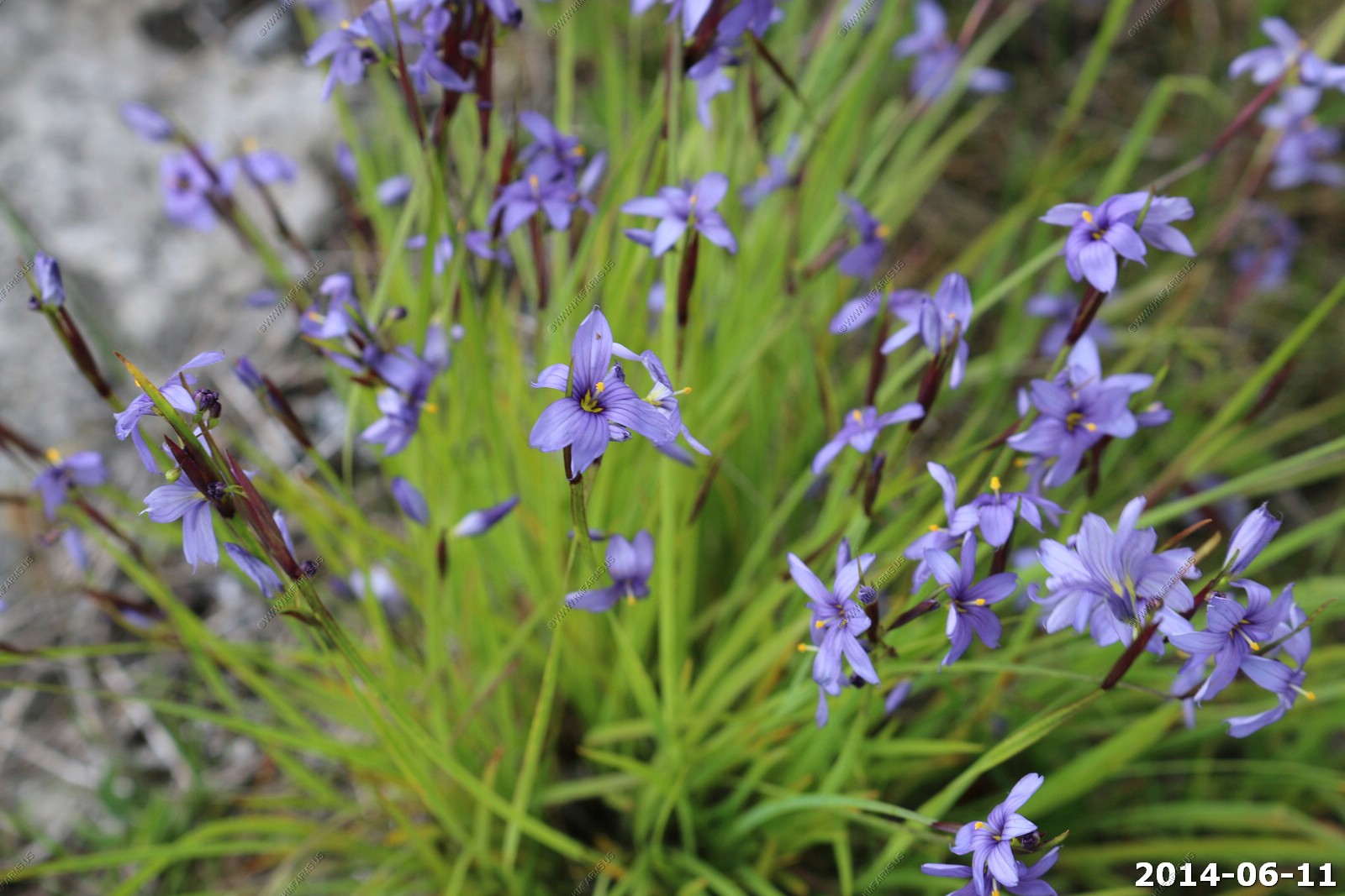
Common Blue-eyed Grass, Sisyrinchium montanum
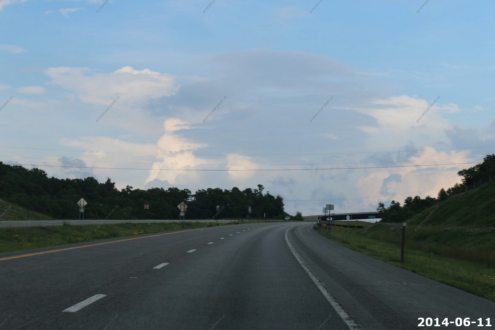
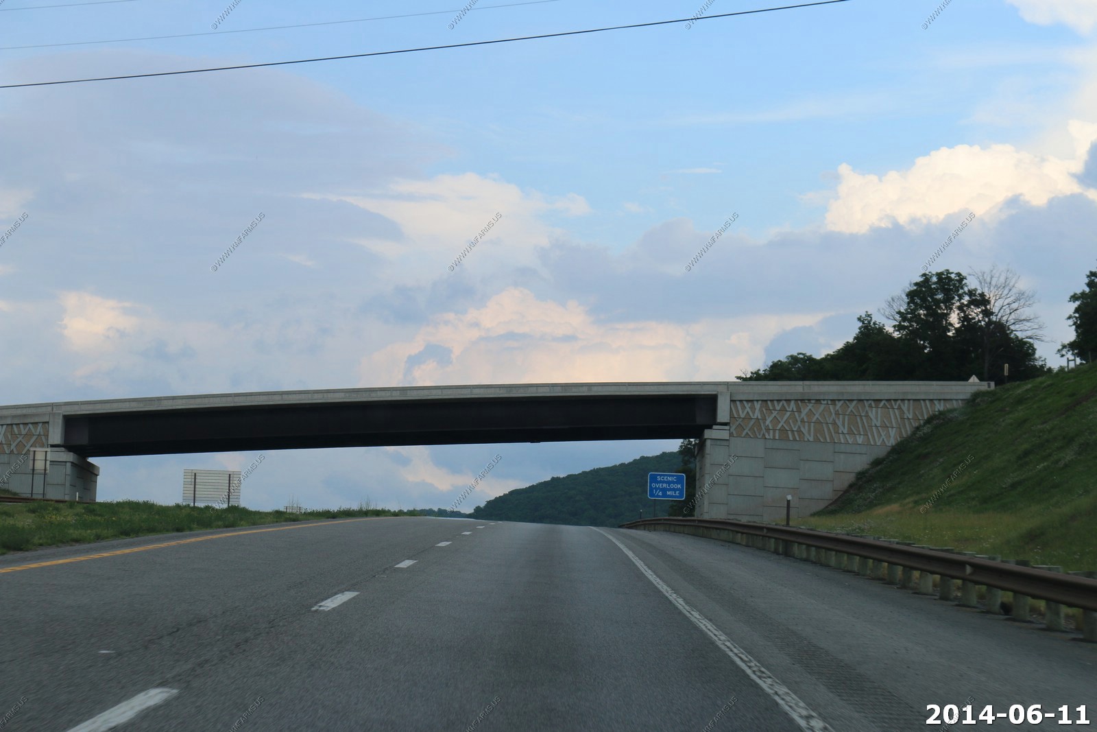
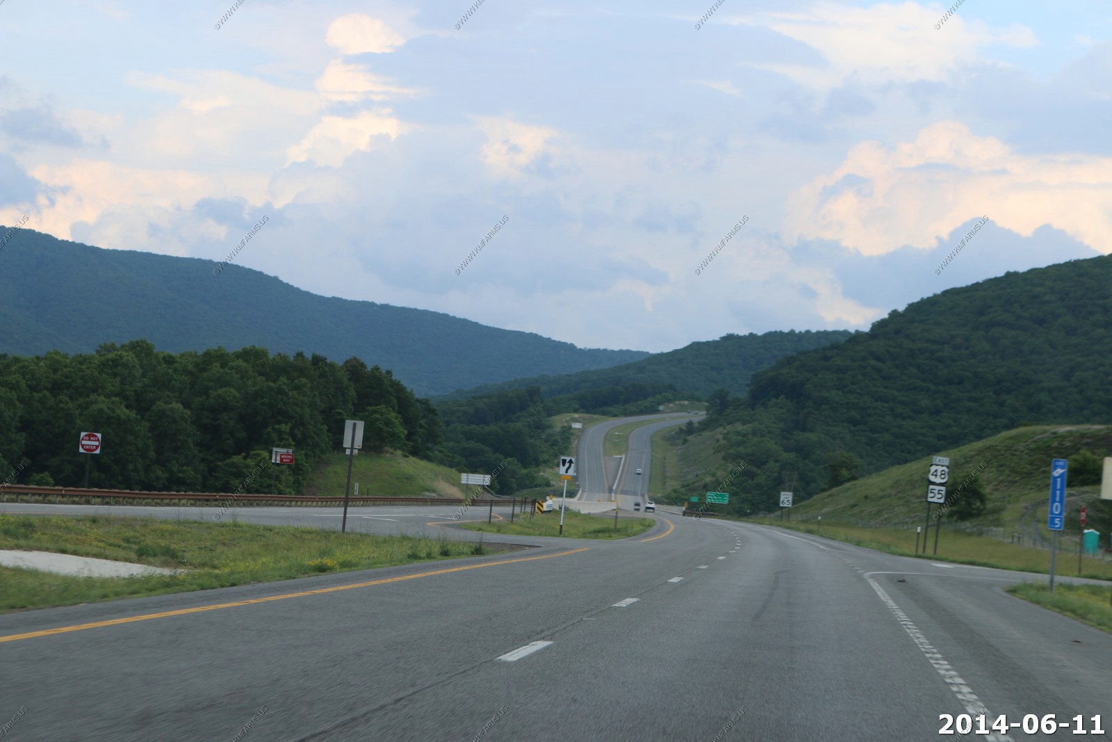
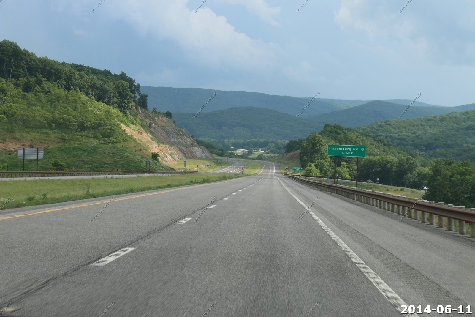
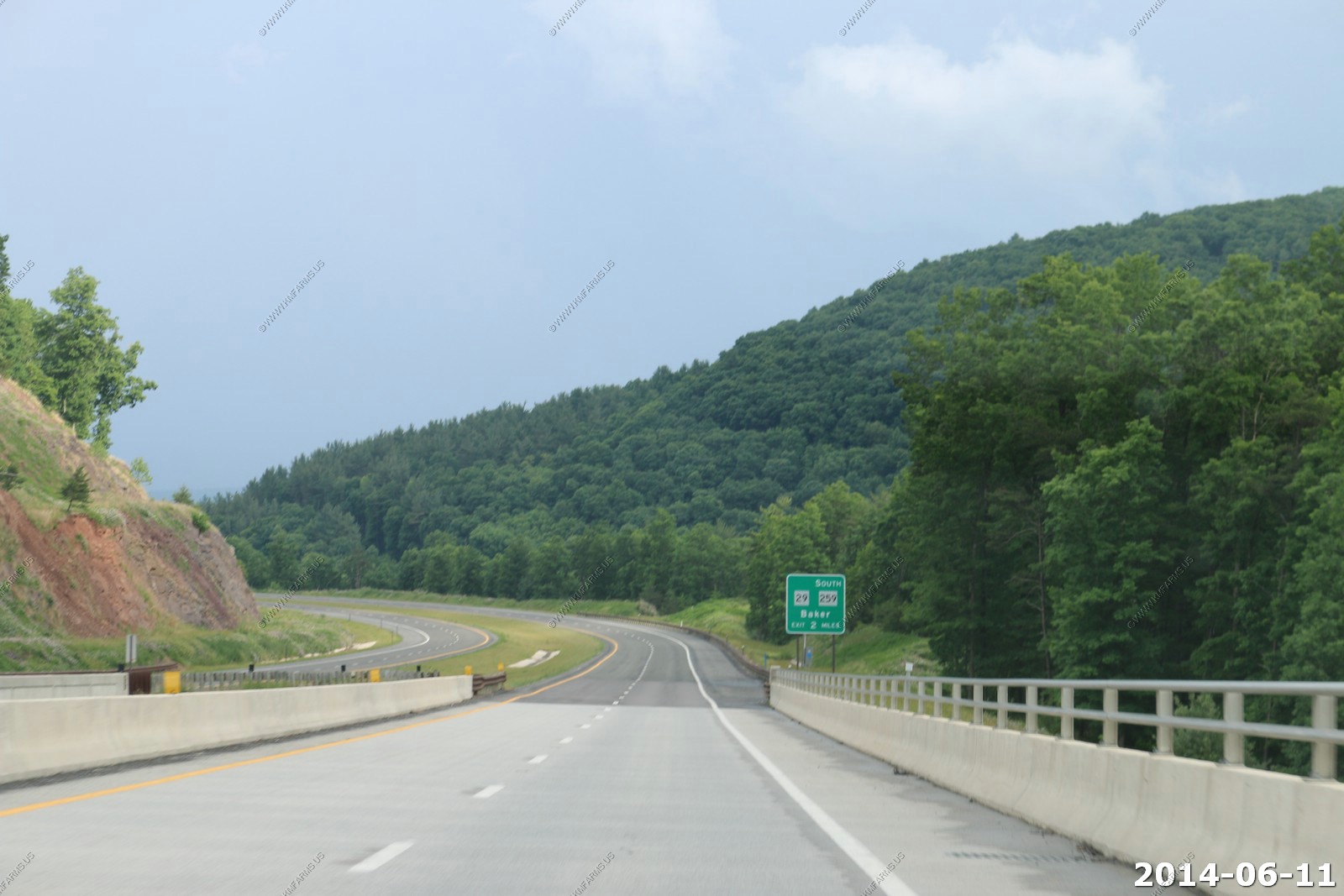
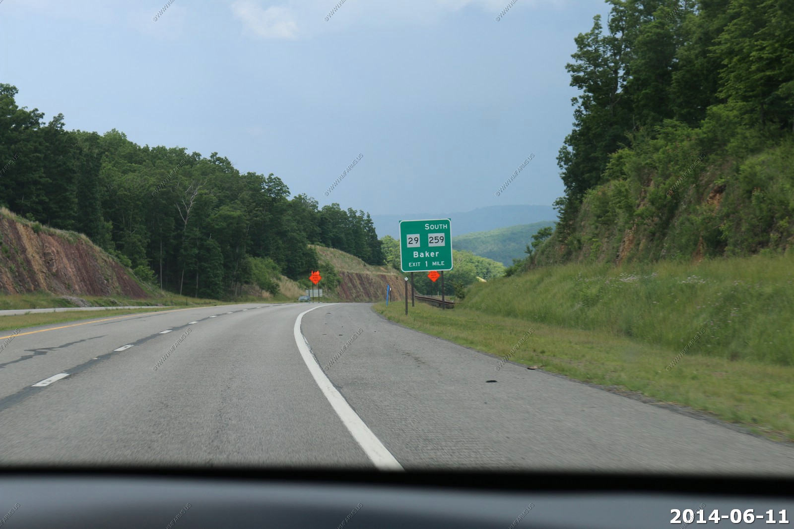
Very light traffic along the new sections of Corridor H
U.S. Route 48 (US 48) is an east-west United States highway that will run 148 miles (238 km) from northern Virginia to central West Virginia. It is being constructed as Corridor H of the Appalachian Development Highway System from Interstate 79 (I-79) in Weston eastward across the crest of the Allegheny Mountains to I-81 in Strasburg, Virginia. While most of the highway has been constructed, only the portion east of Scherr, West Virginia is signed as US 48 due to major segments of highway either under construction or under planning.
West Virginia's segment of Corridor H crosses very mountainous terrain, some of the most rugged in the eastern United States and crosses two major rivers. There are more than 1000 historic structures, five historic districts, two Civil War battlefields and other archaeological sites within five miles (8 km) of Corridor H, and the highway will cross through two national forests. There are over 50 species of plants and animals that are protected under the Endangered Species Act and more than 150 native trout streams, thousands of acres of wetlands and high mountain bogs, areas of karst terrain, abandoned coal mines and numerous recreational facilities within the Corridor H study area.
Two previous highways were designated as US 48. The first, in California, was incorporated into the route of US 50; the second, in western Maryland and West Virginia, was re-designated Interstate 68 (I-68).