Last Updated: 24-AUG-2018
Majority of the photos were taken with a Canon EOS-70D 20.2mp camera and on plane photos were taken with a Motorola Moto-X
For a detailed description of the Canon EOS-70D 20.2mp camera setup I am using visit my Camera Page
Any video was shot with both cameras and converted with AWS Video Converter 8
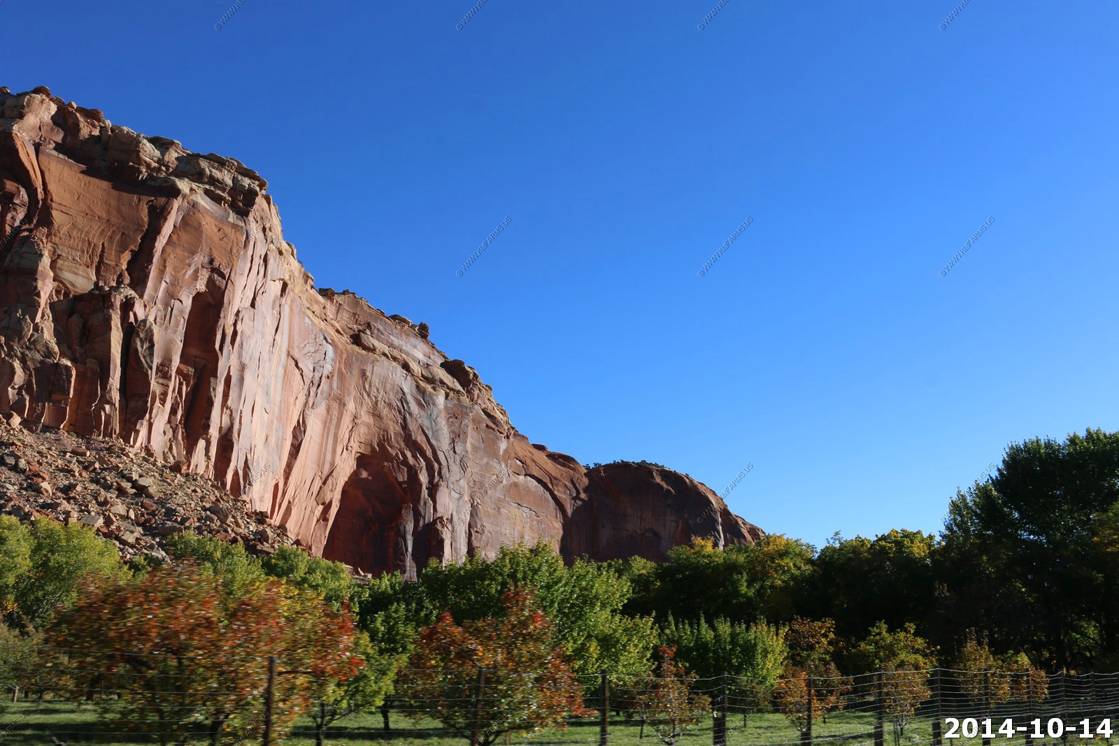
Tuesday - OCT 14 2014
We have less than a hundred miles to travel today over some of the most scenic country on earth and its a beautiful day.
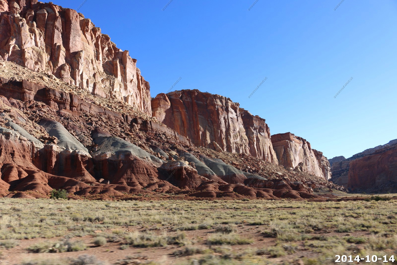
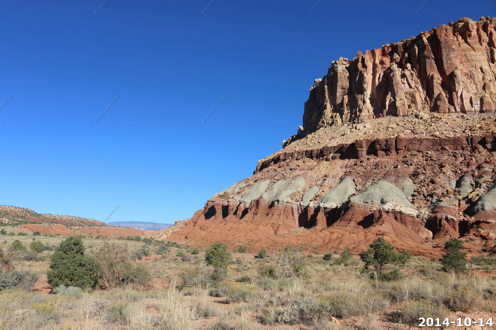
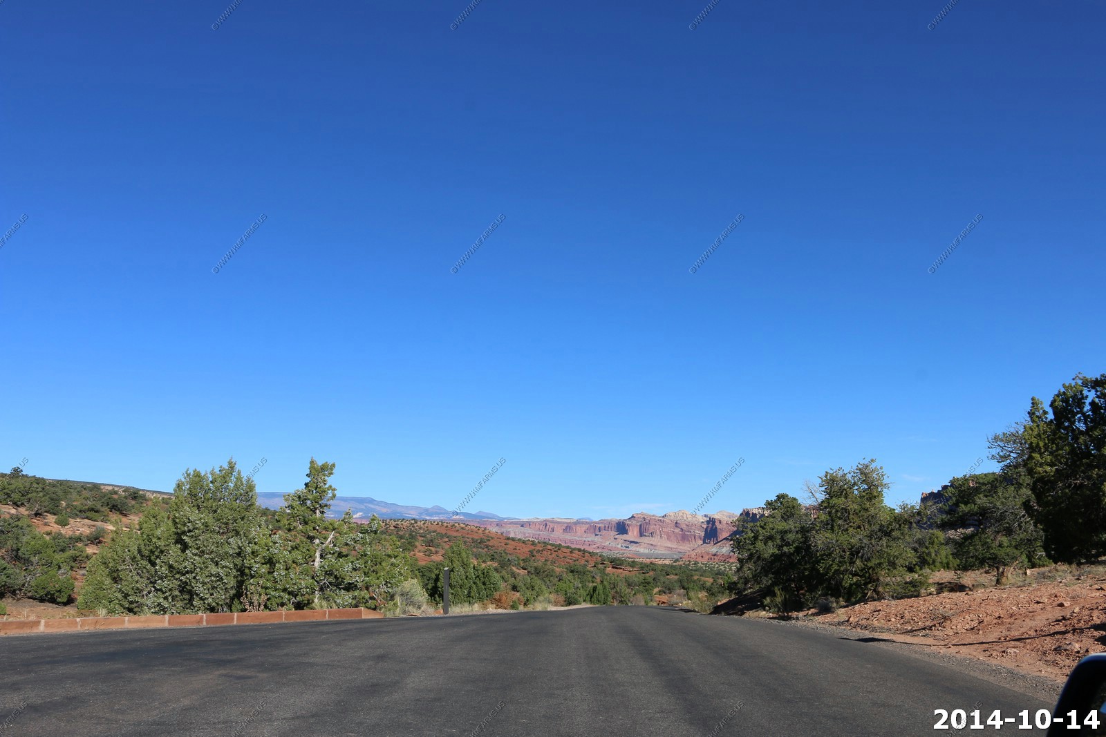
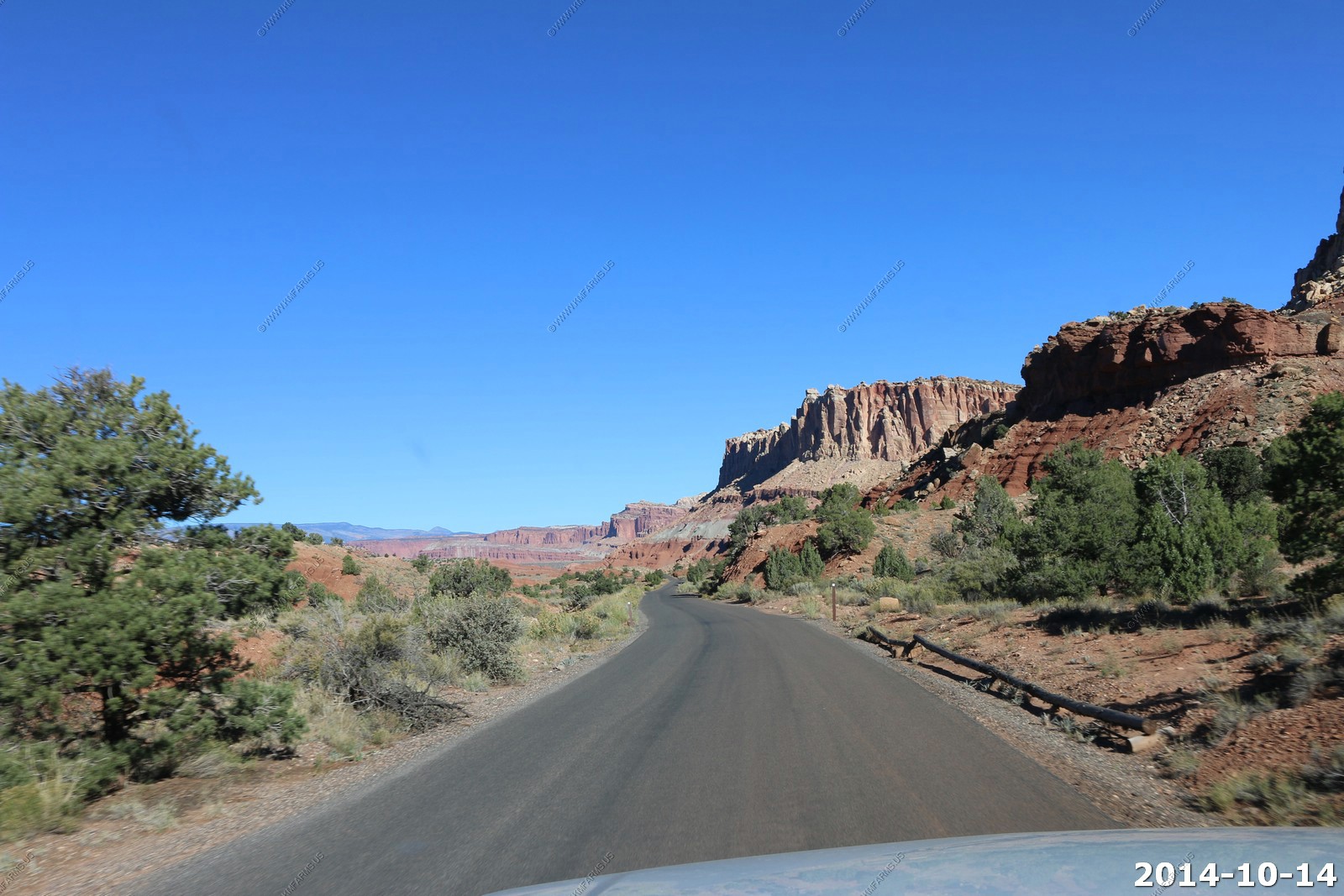
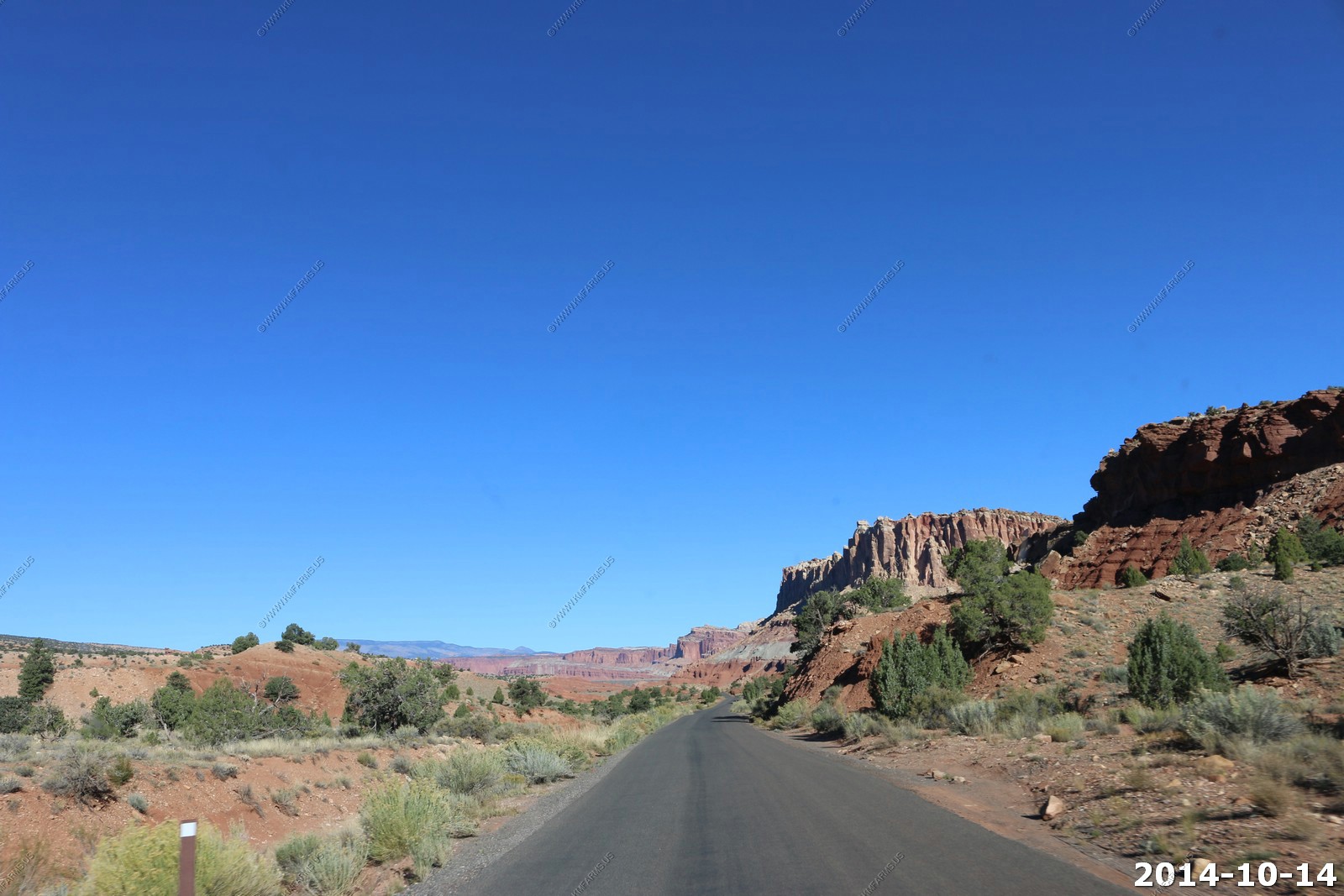
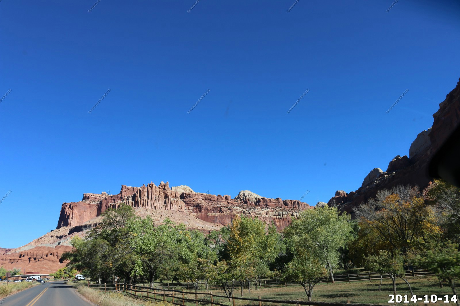
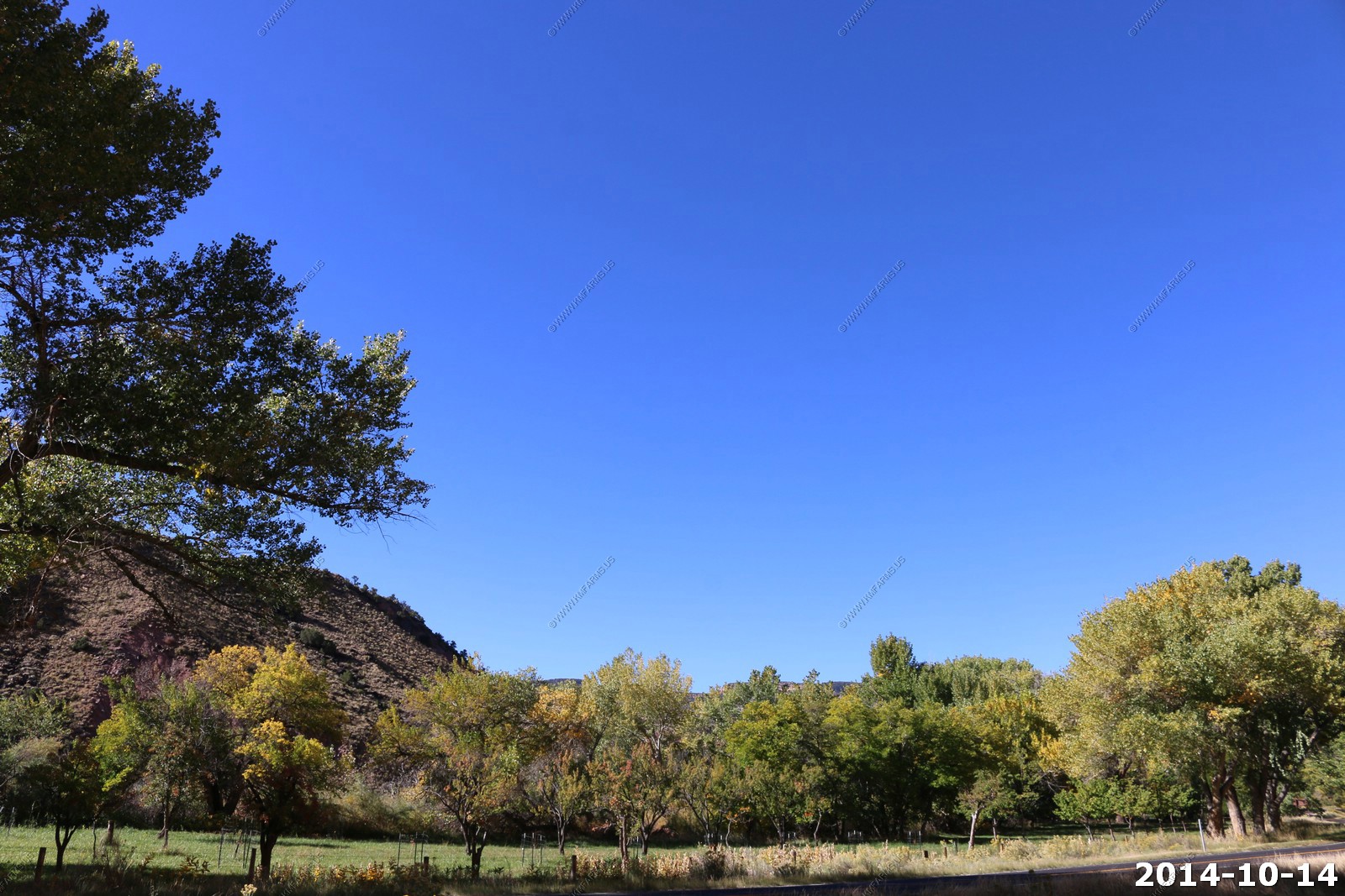
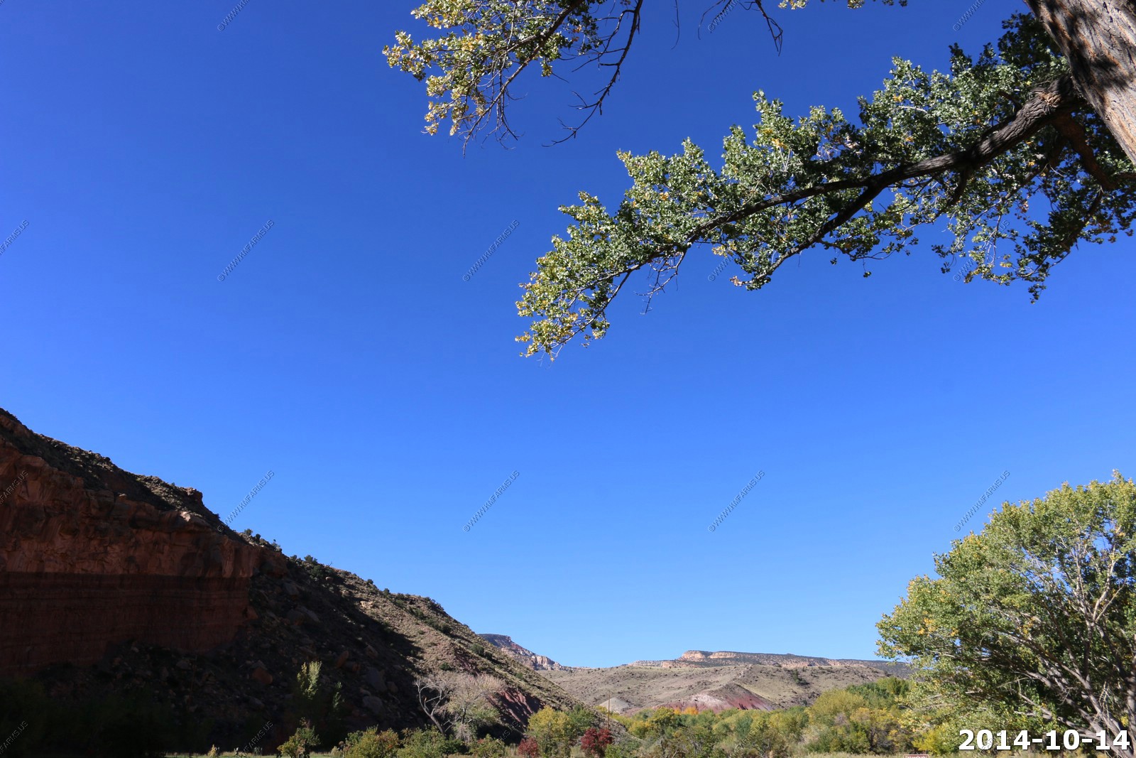
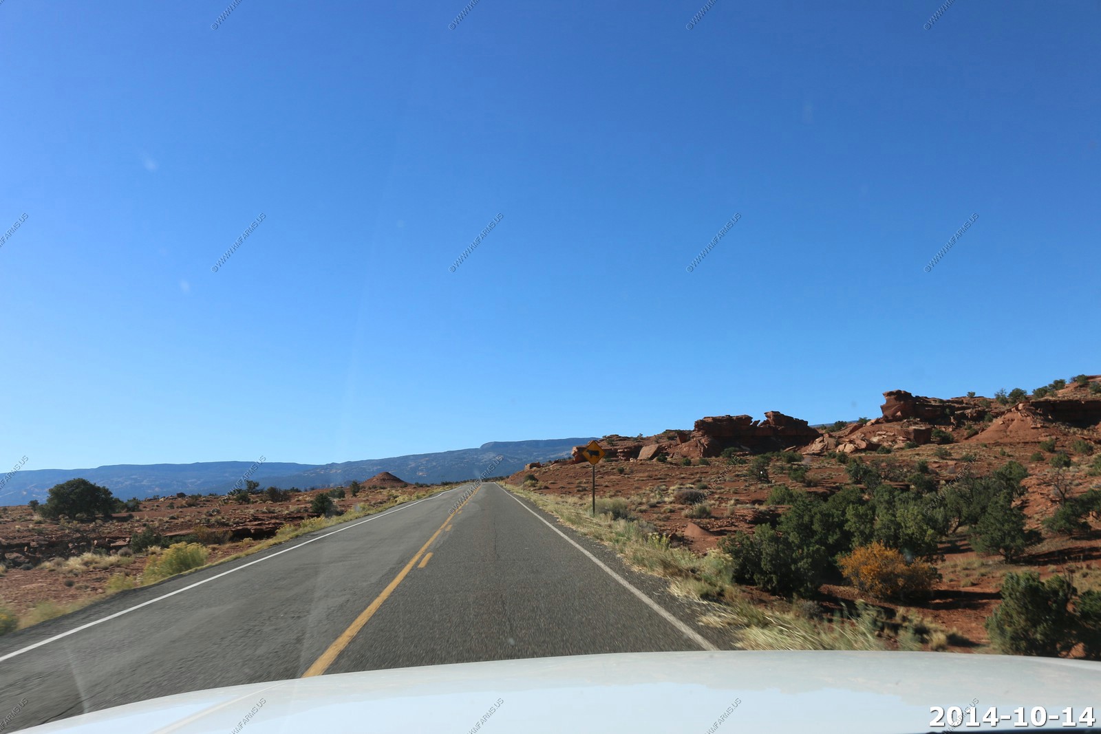
So we left Torrey and went back to the main part of Capitol Reef National Park.
Apple orchards and sandstone cliffs.
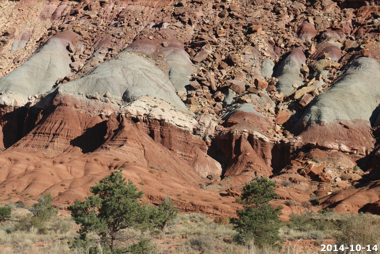
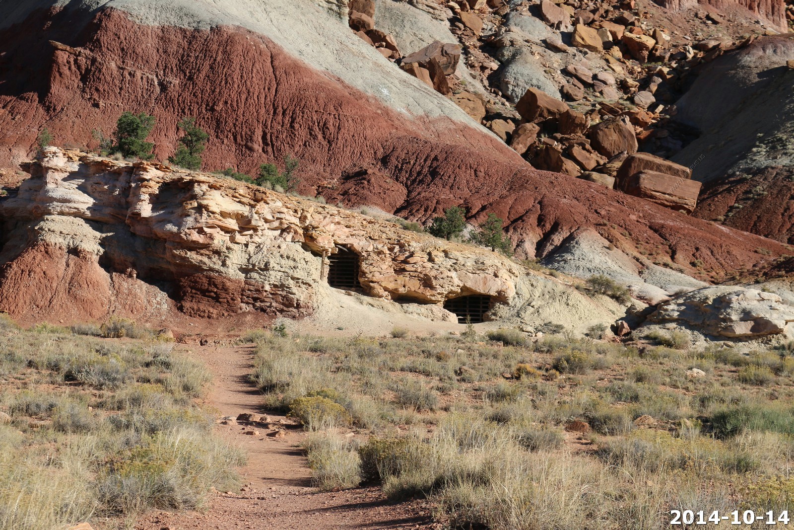
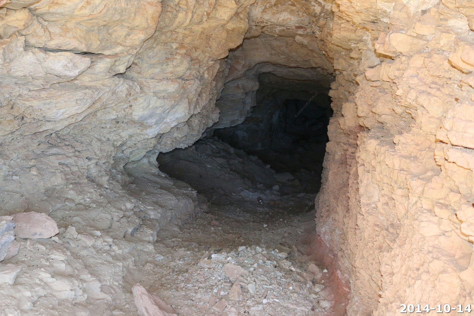
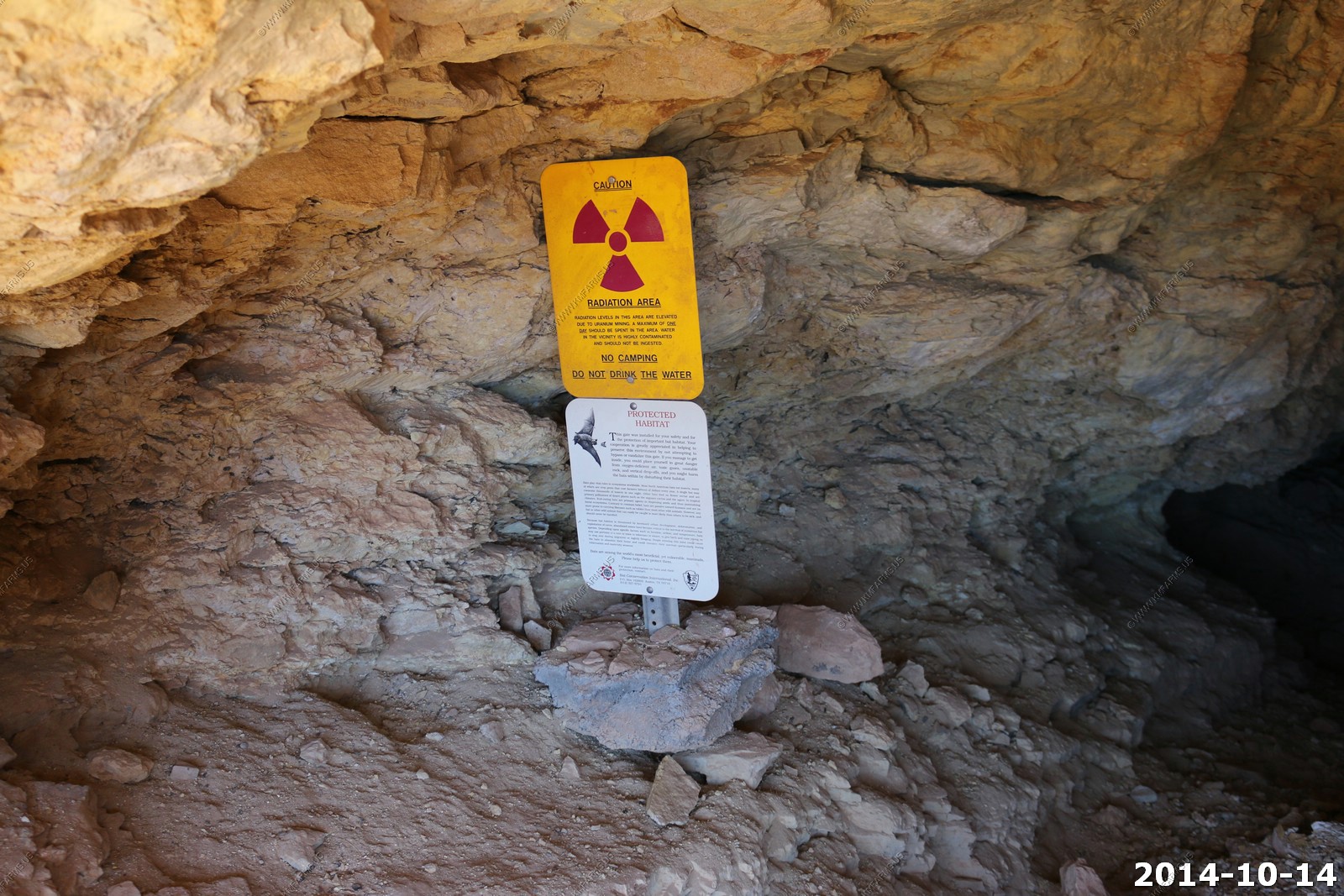
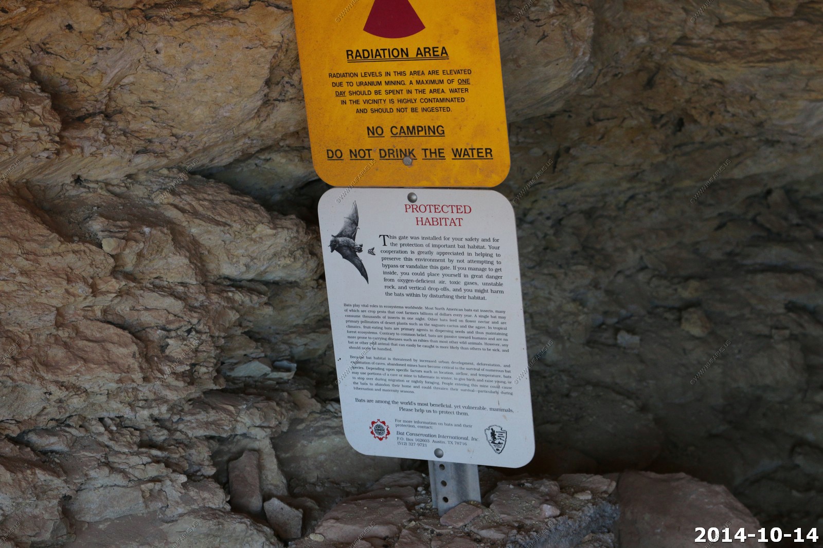
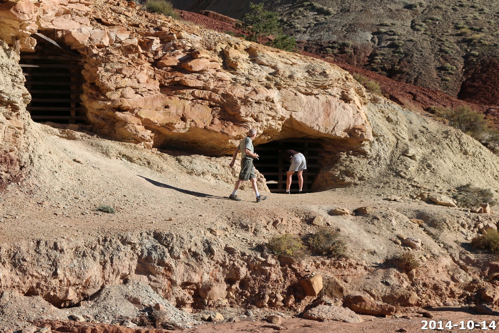
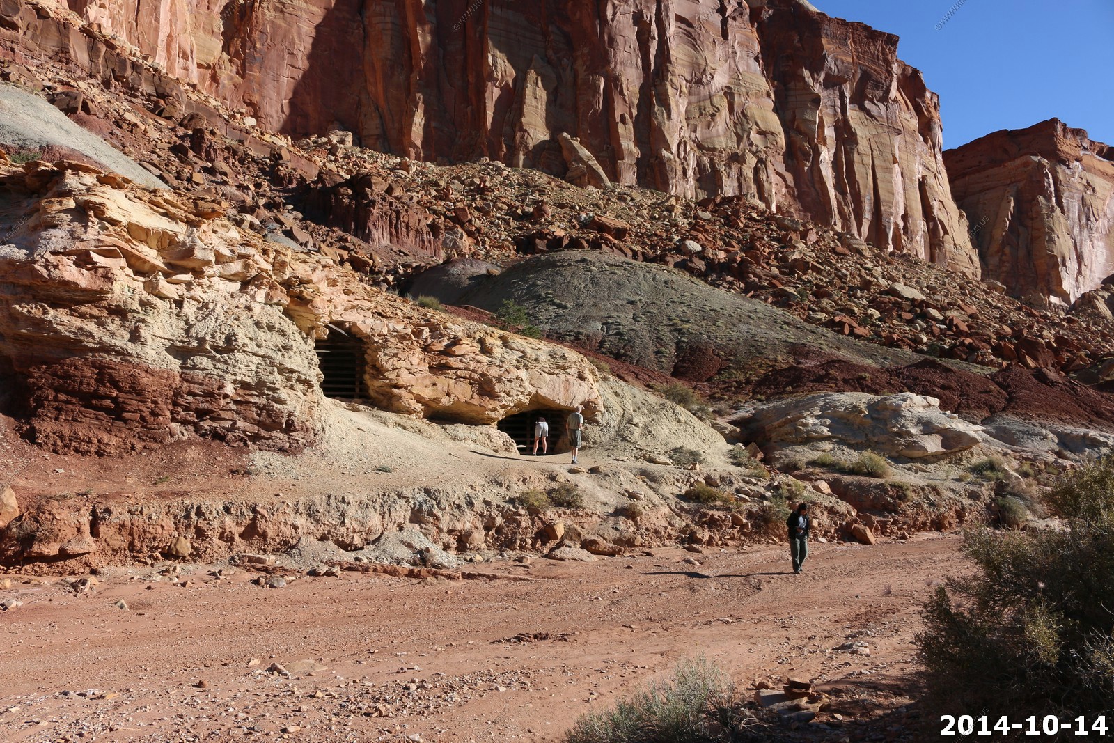
The Uranium mining areas (you can see the gated mines on the red / gray layers).
Funny. Very liberal... "little profit was made" but profit was made.. We should have strip mined this place if it's what it took to make the weapons needed to keep us safe. I am happy we got some material here and I don't see hardly any damage to the land. I enjoy these roads ! As the sign says "Was the price worth it ?" YES ! Also, the mines are fun to explore.
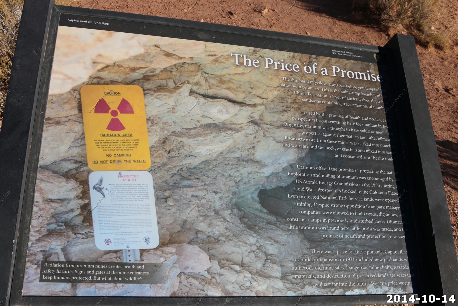
Funny... The bats now live in the mines. So, the park service can't fill them up. We will need this again when we have are future cold war with China.
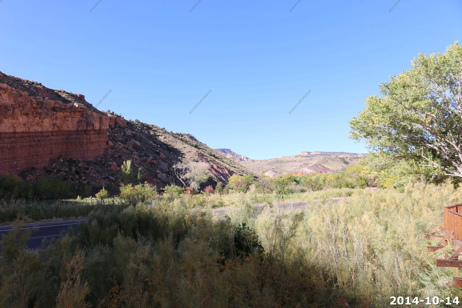
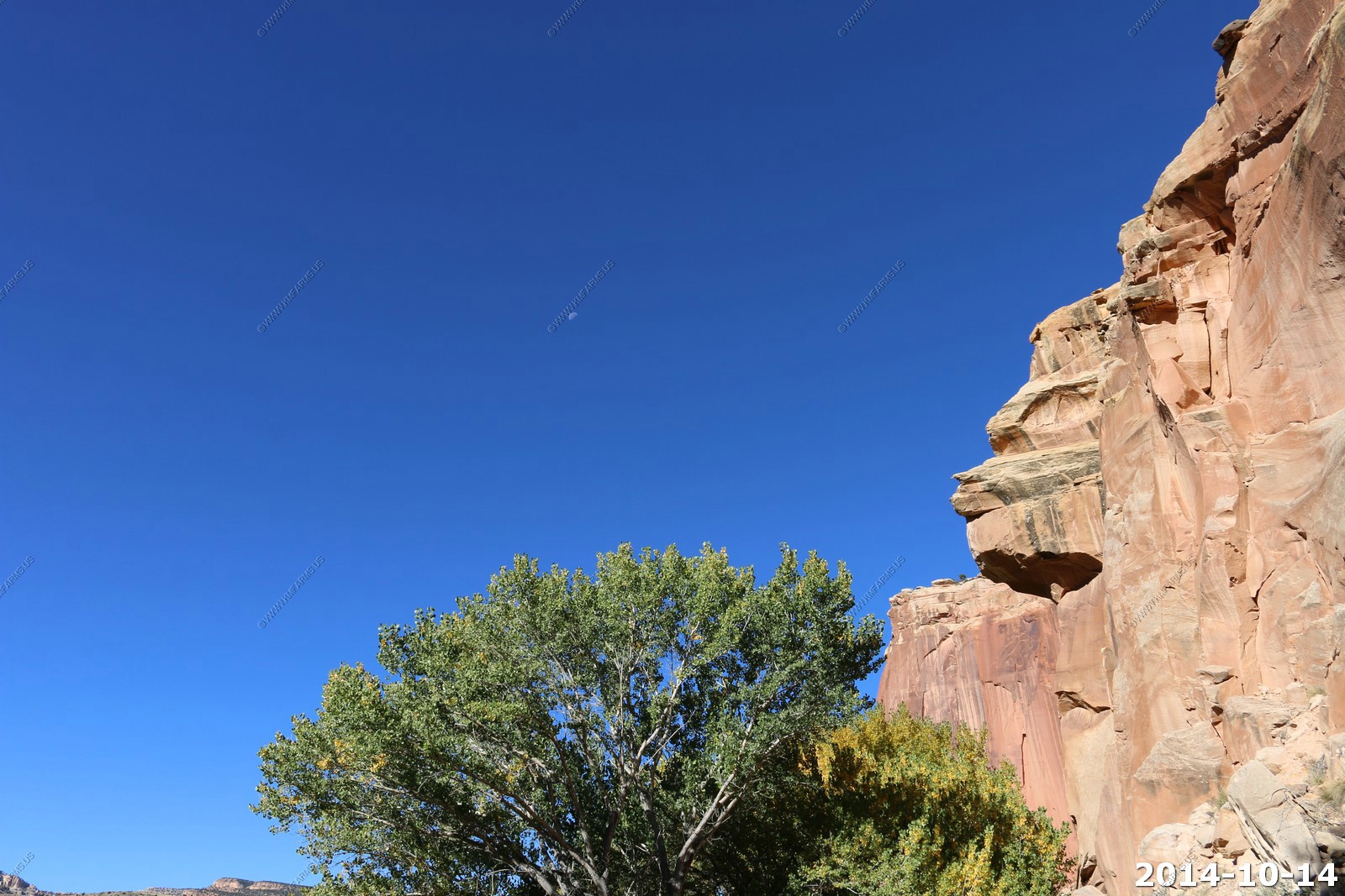
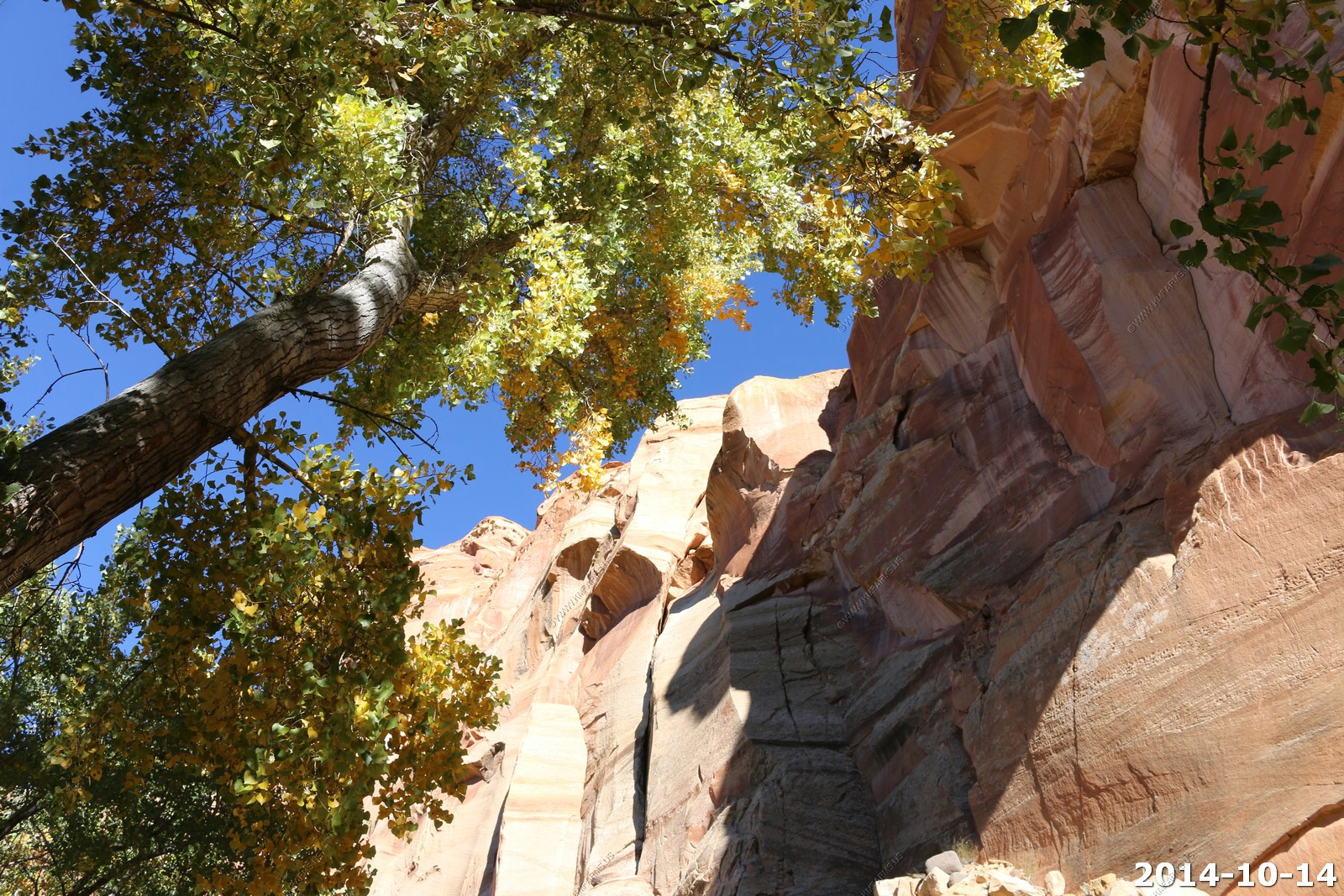
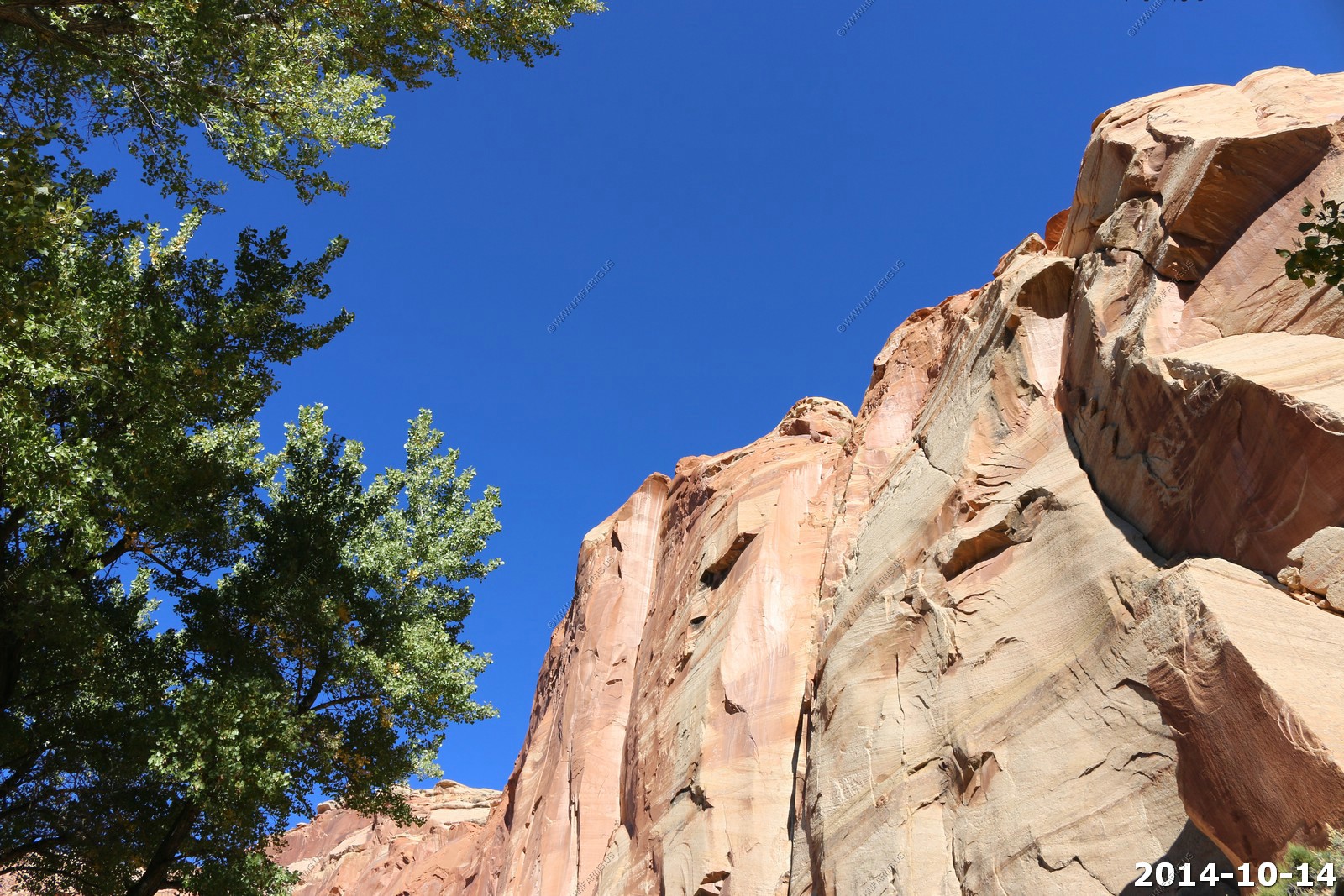
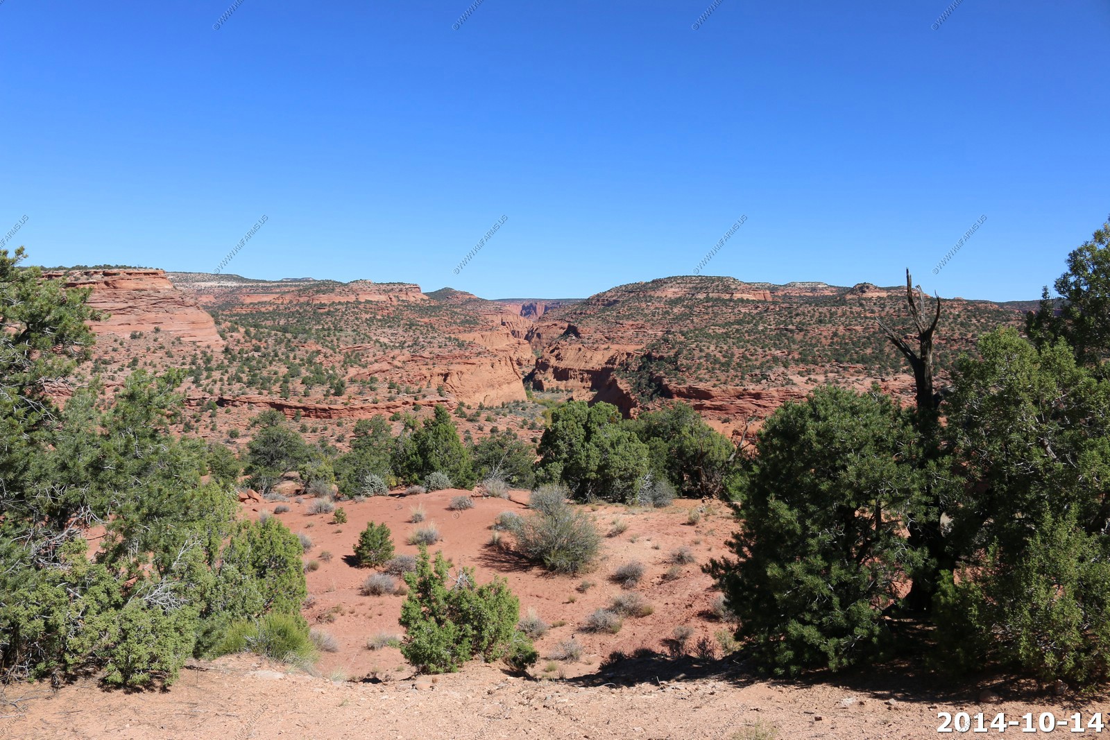
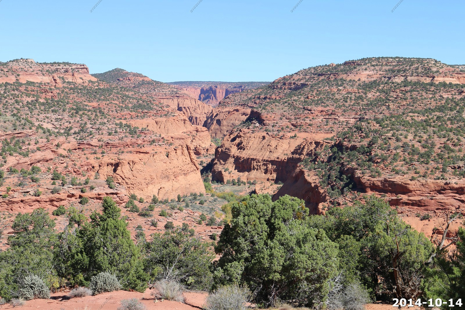
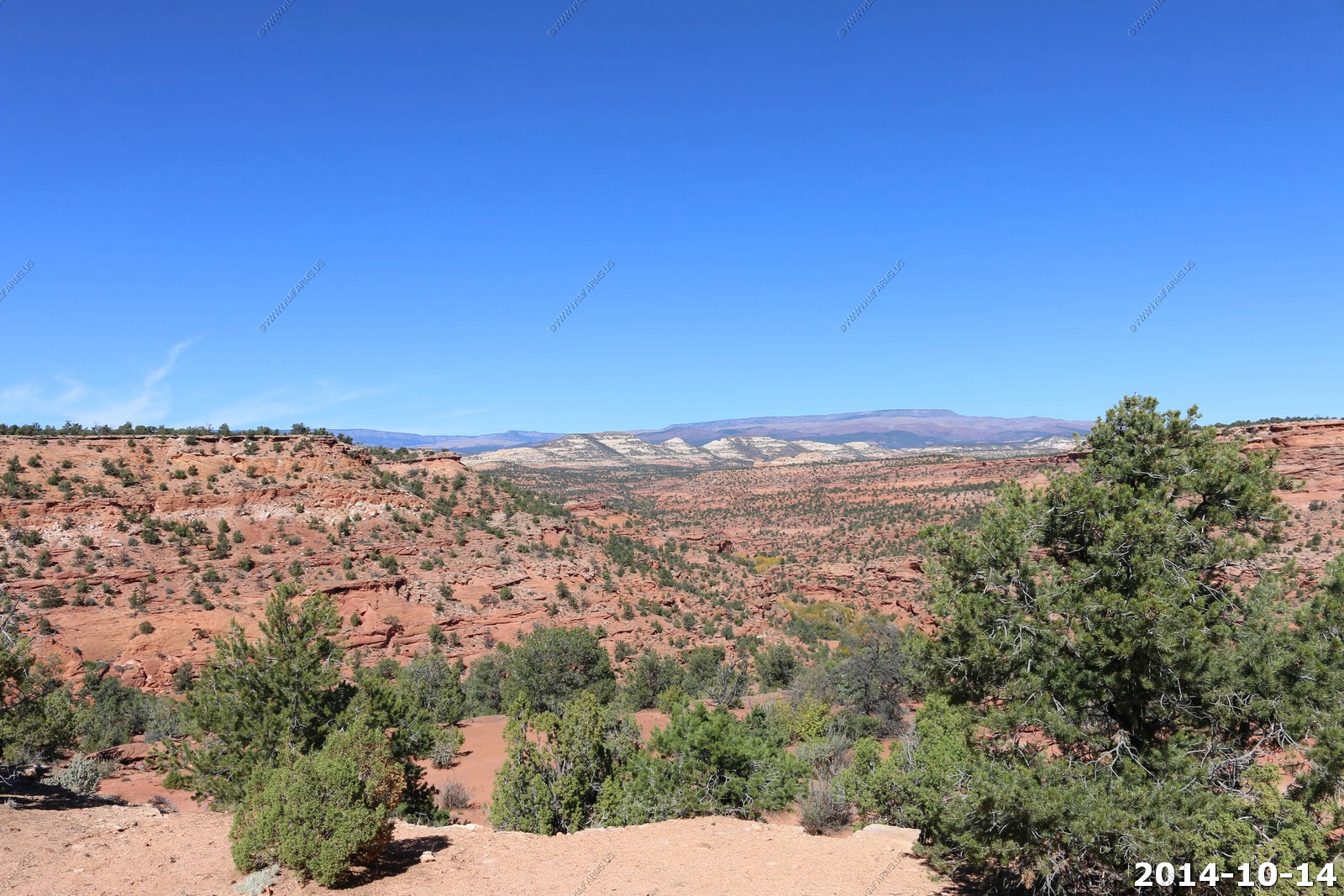
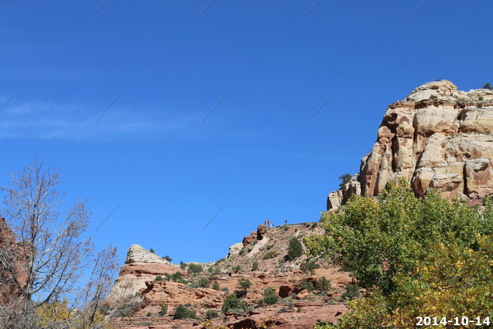
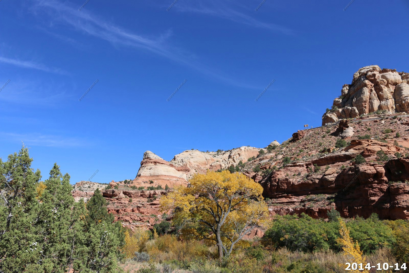
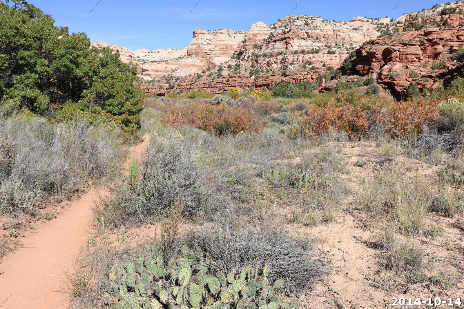
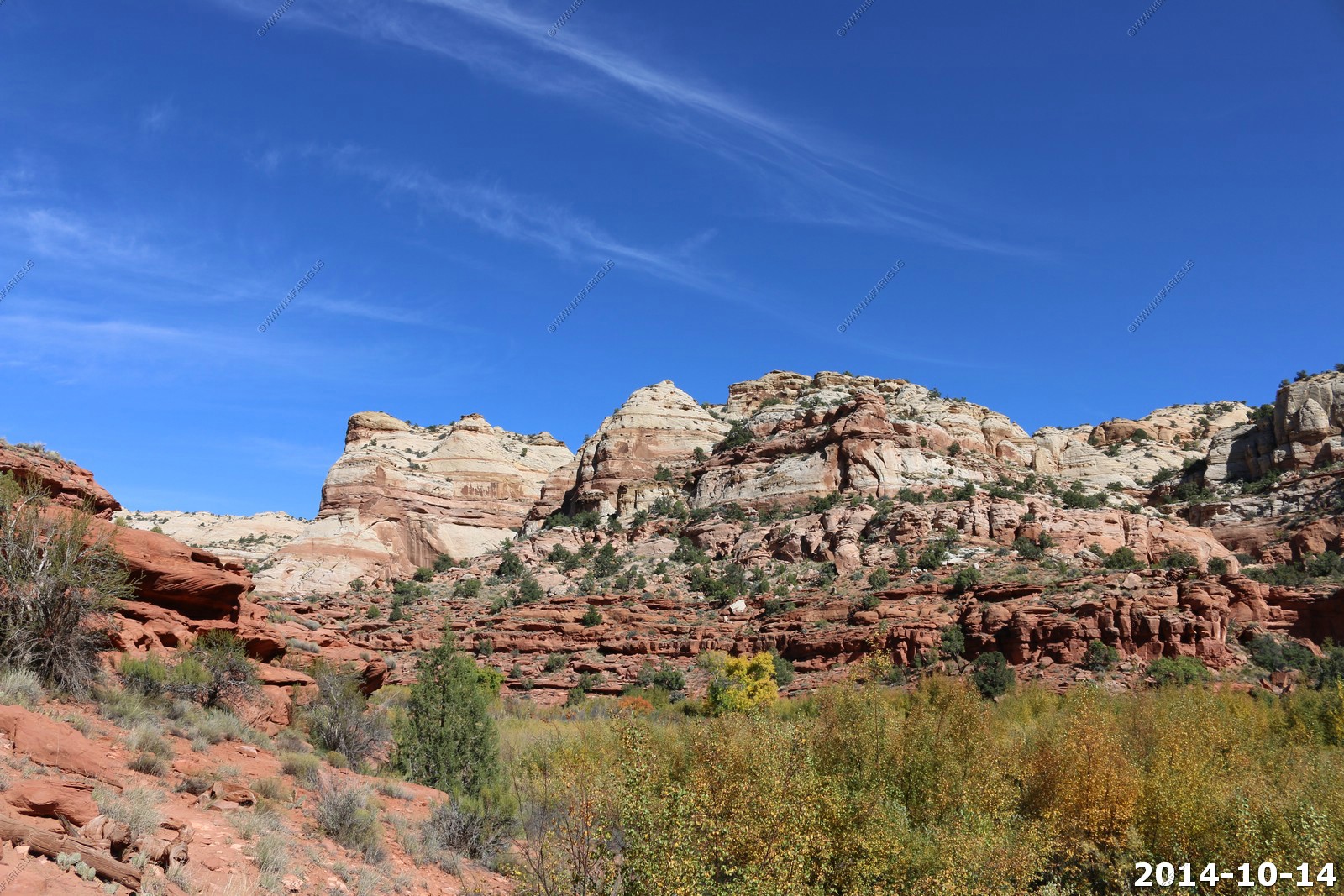
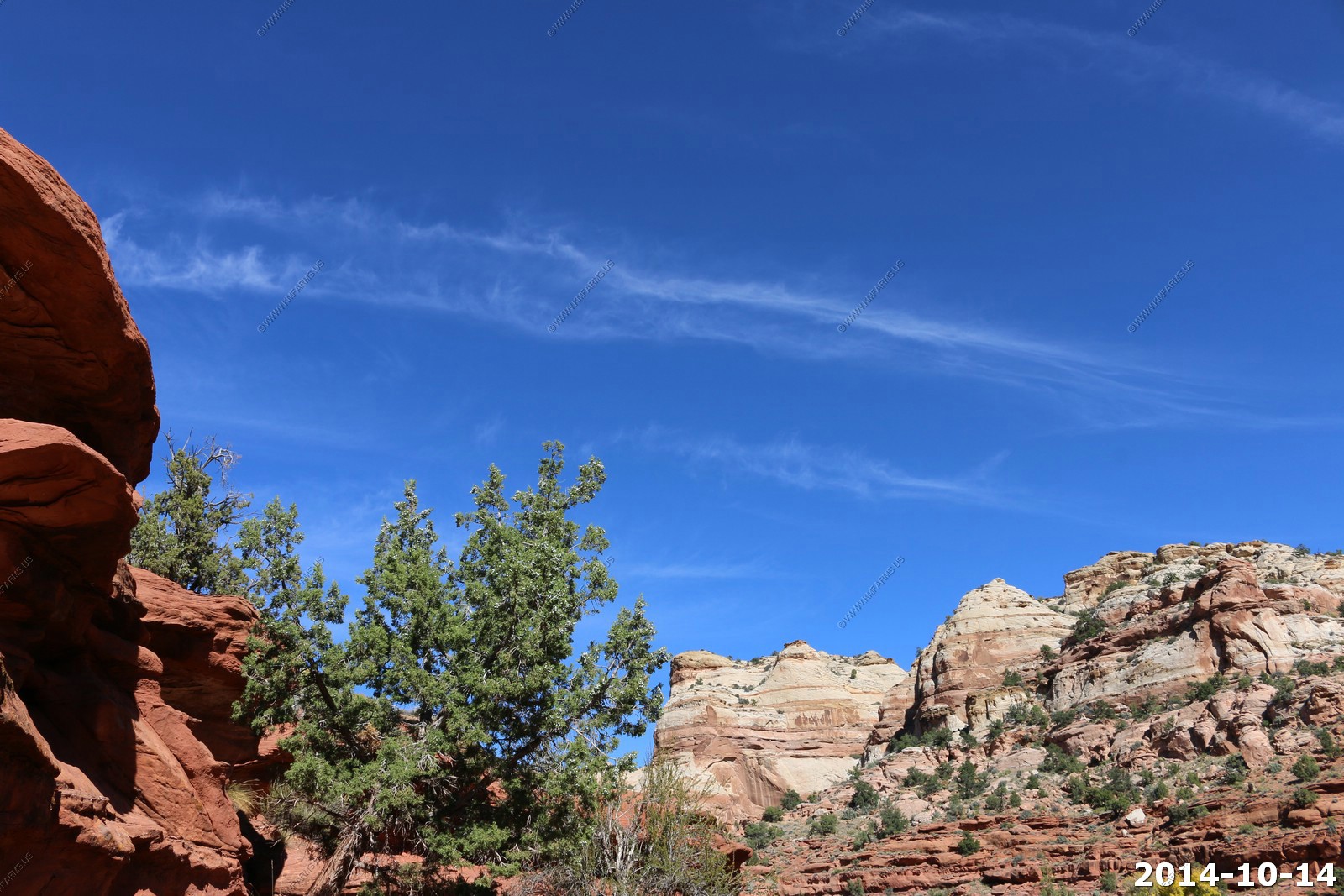
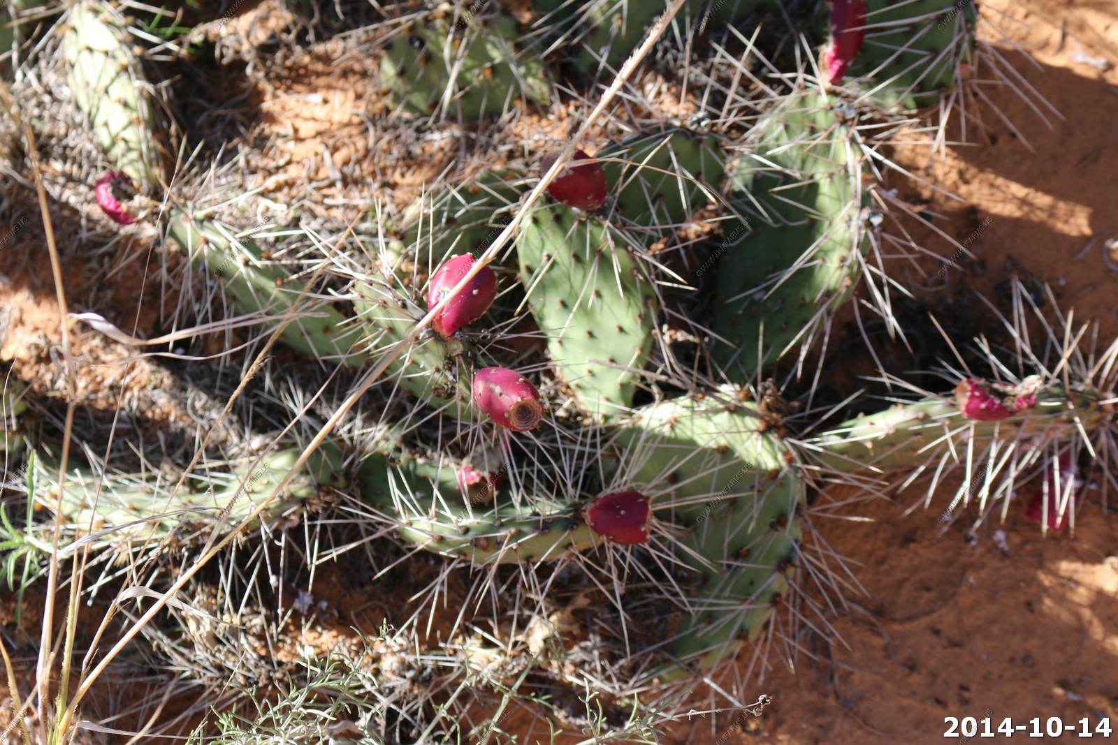
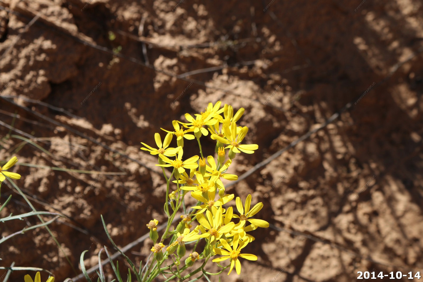
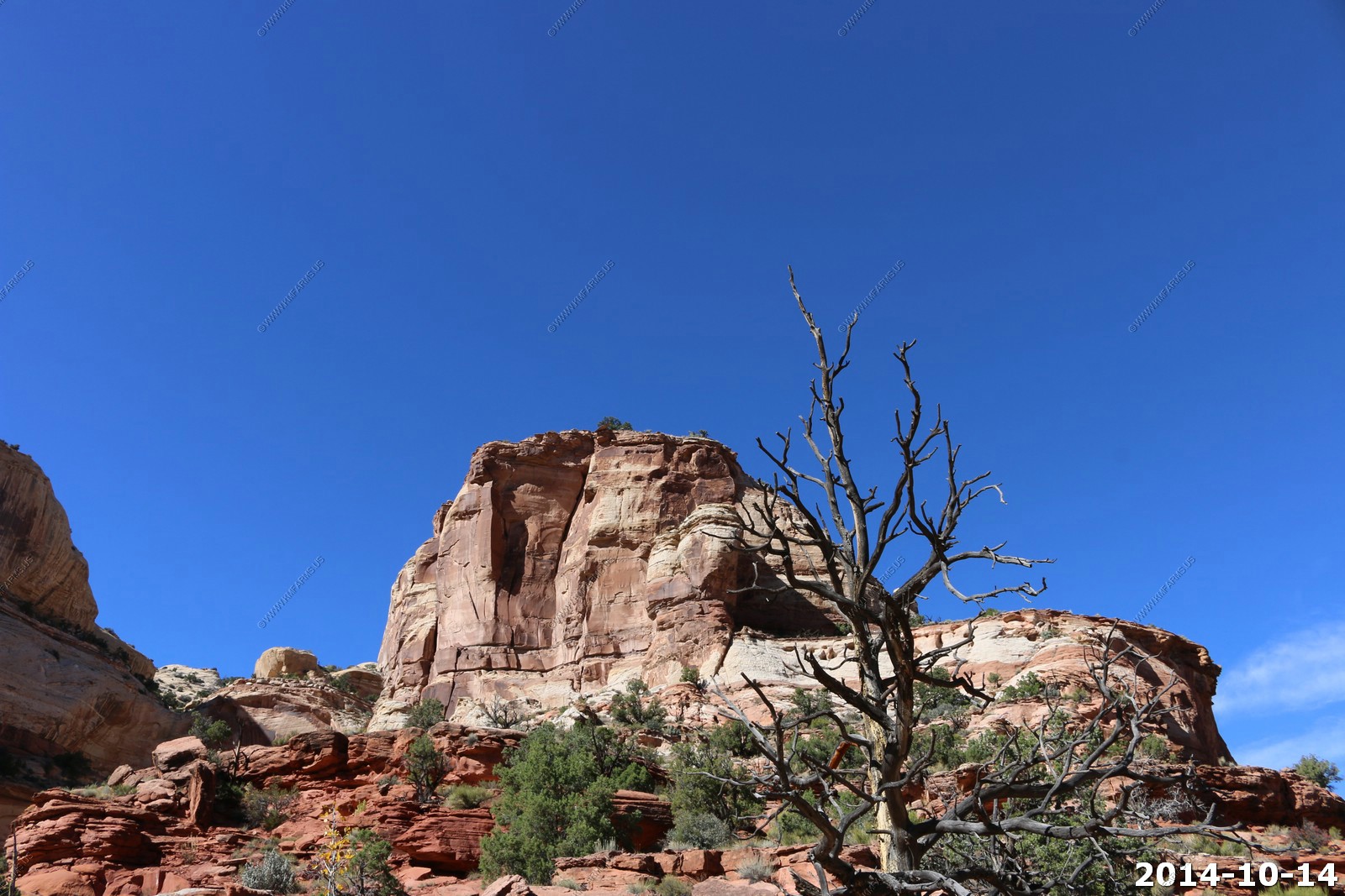
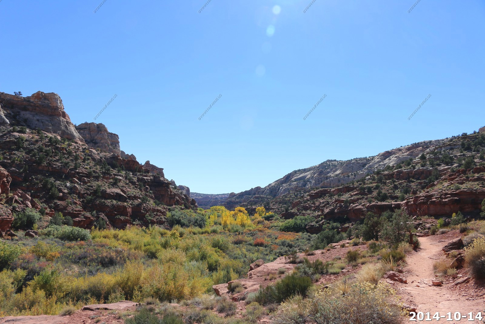
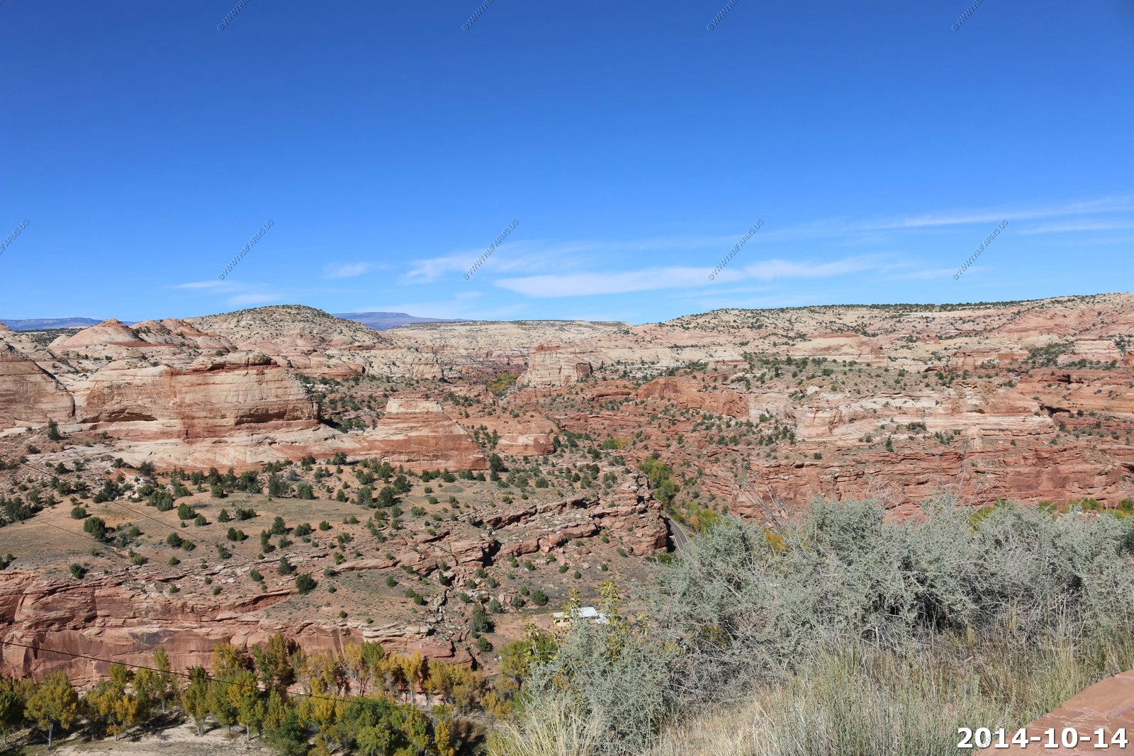
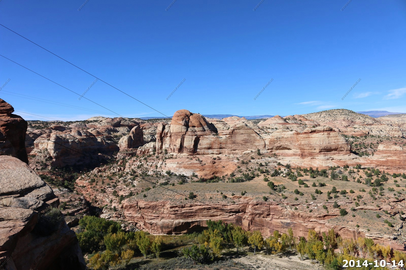
Various capitol Reef views.
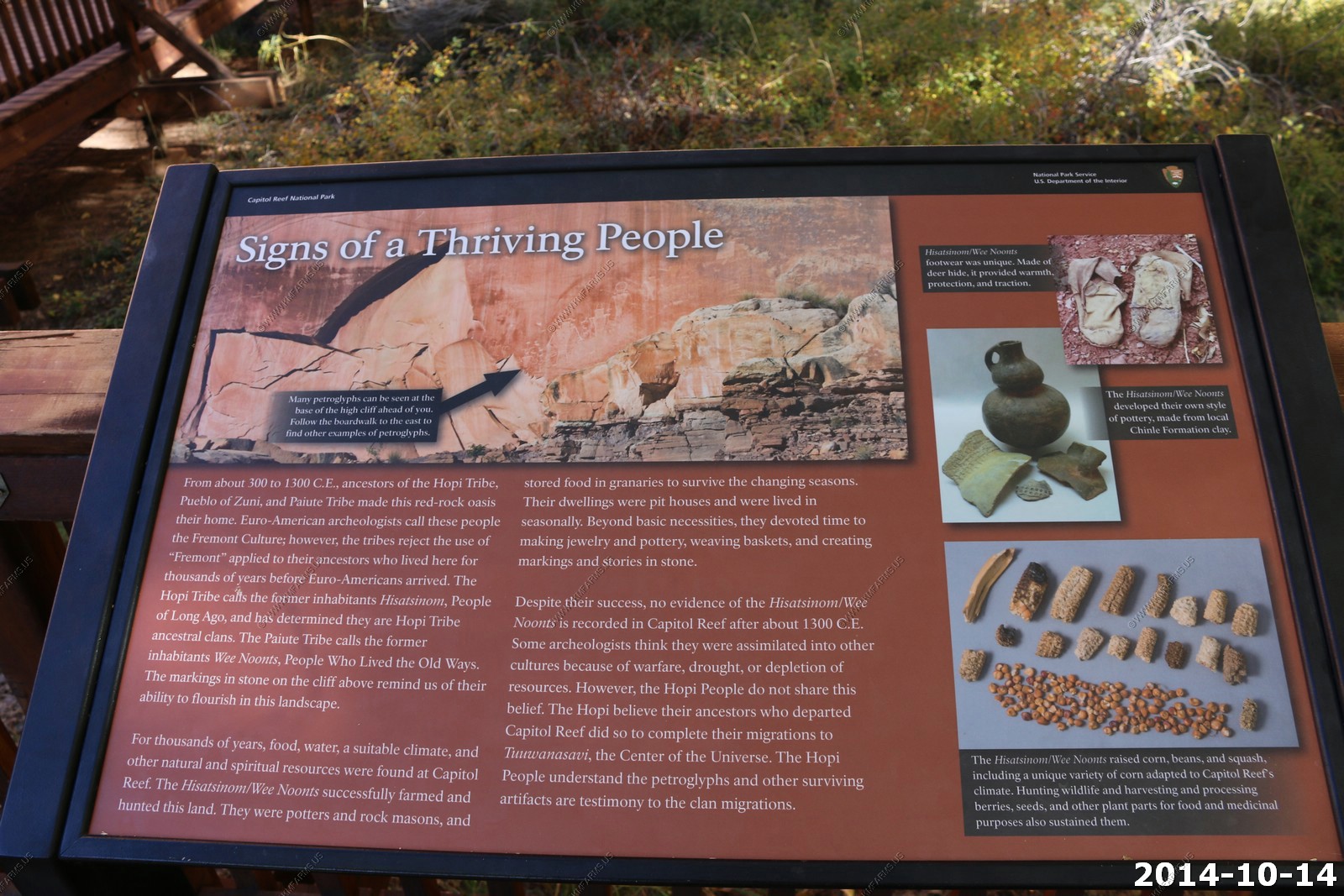
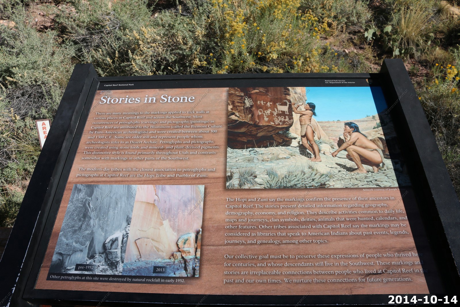
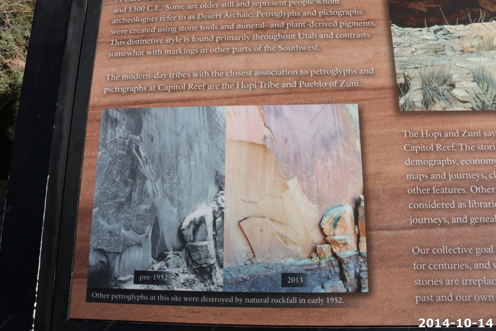
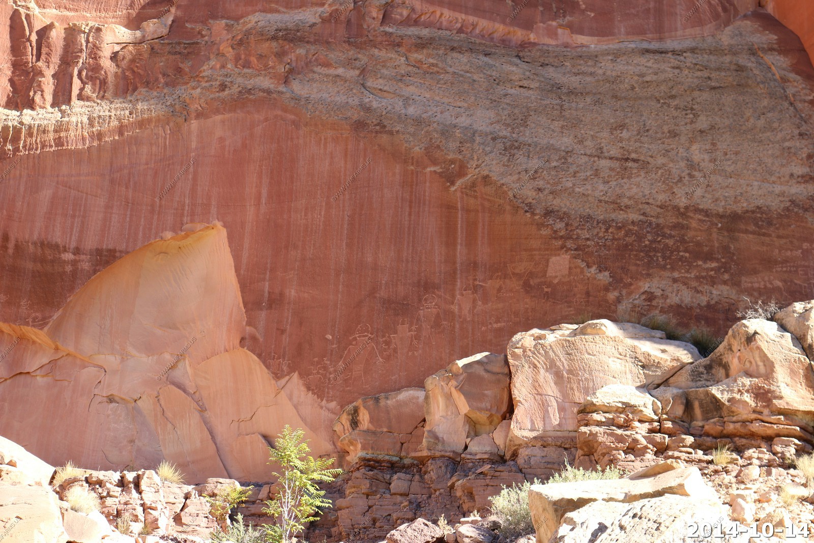
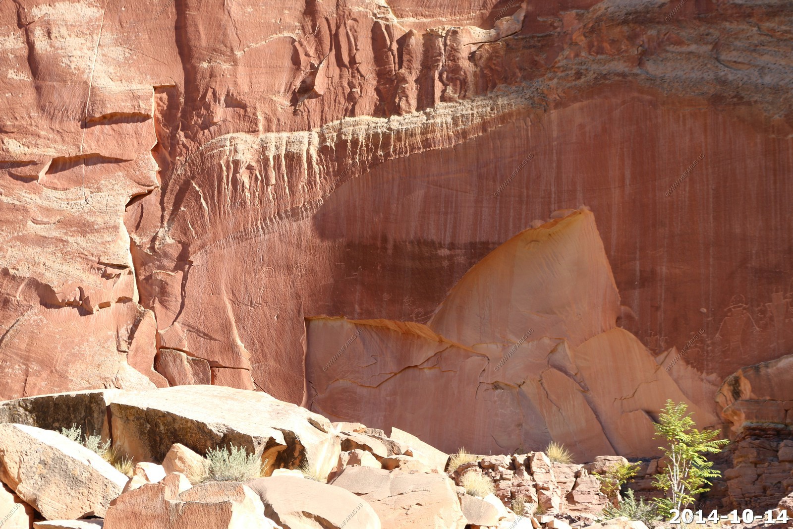
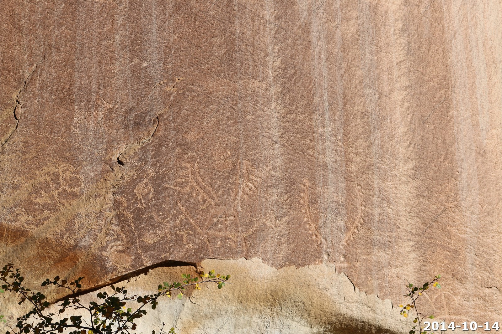
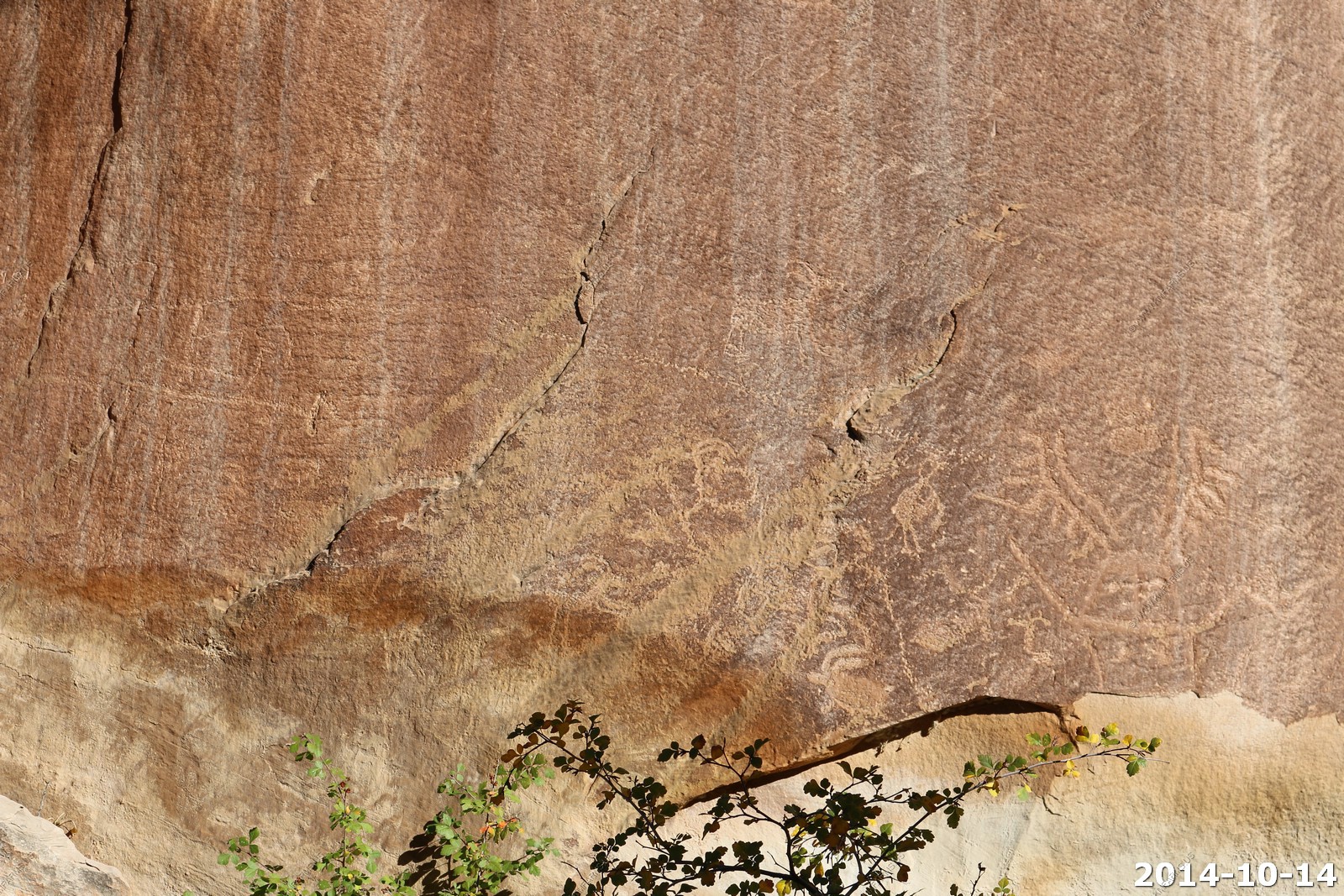
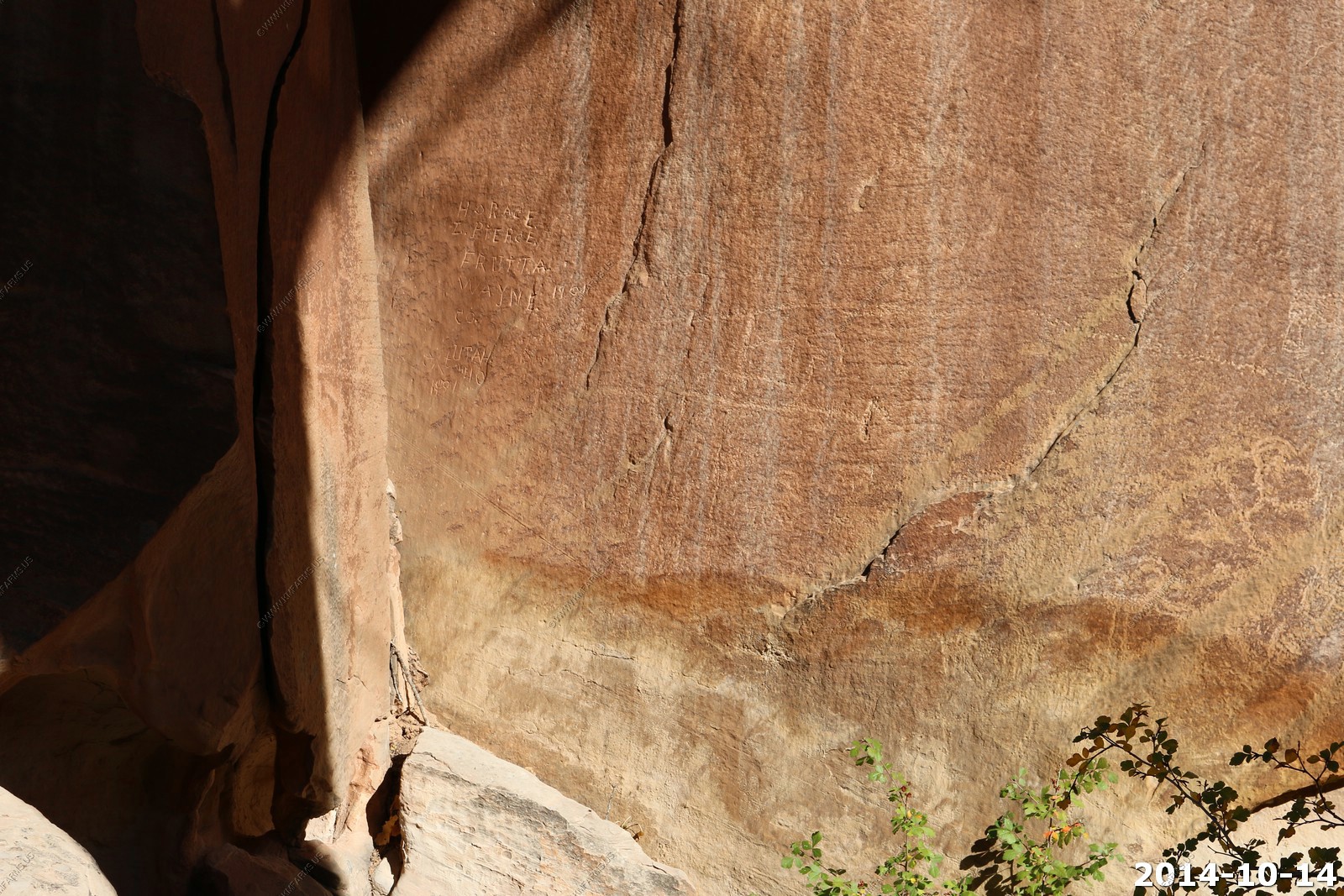
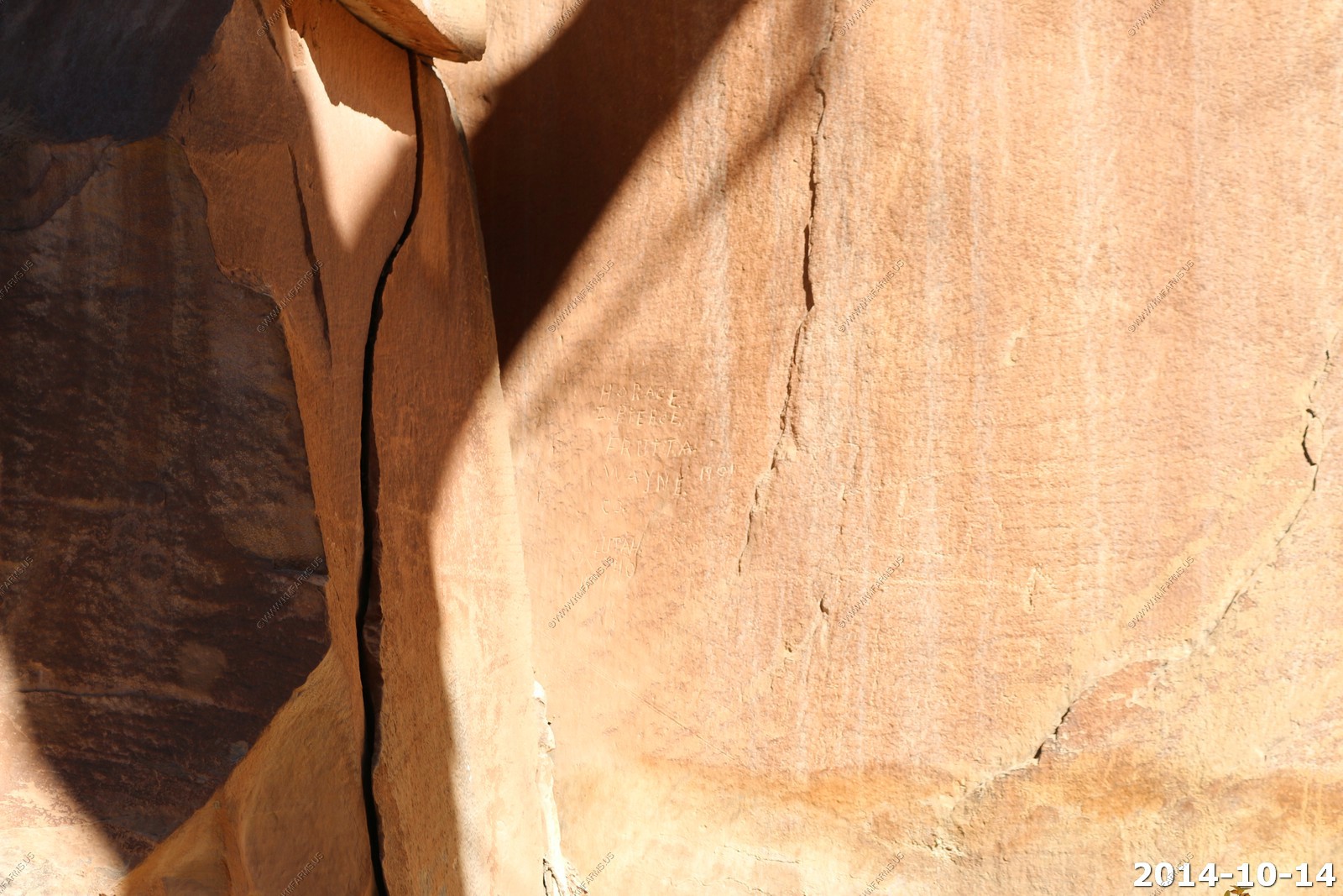
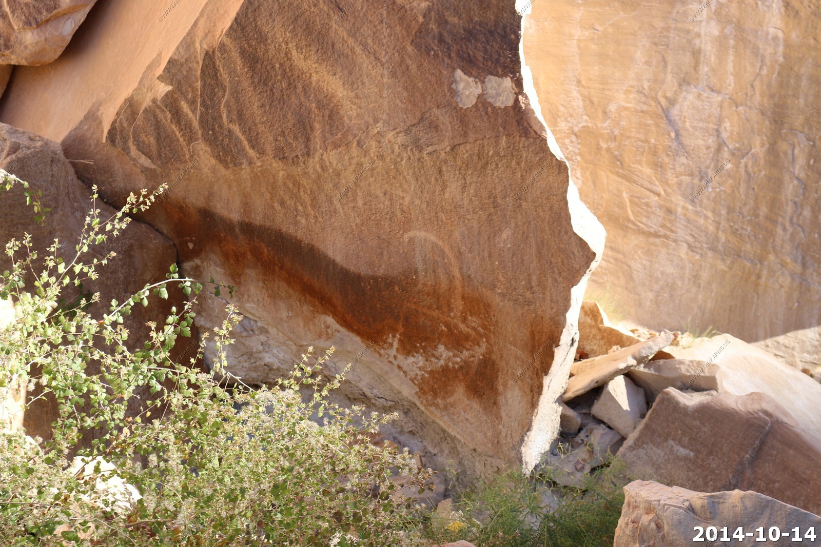
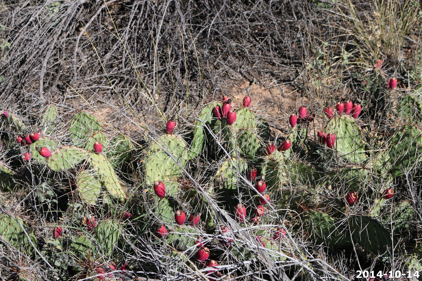
Quick look at the petroglyphs along US24 in Capitol Reef.
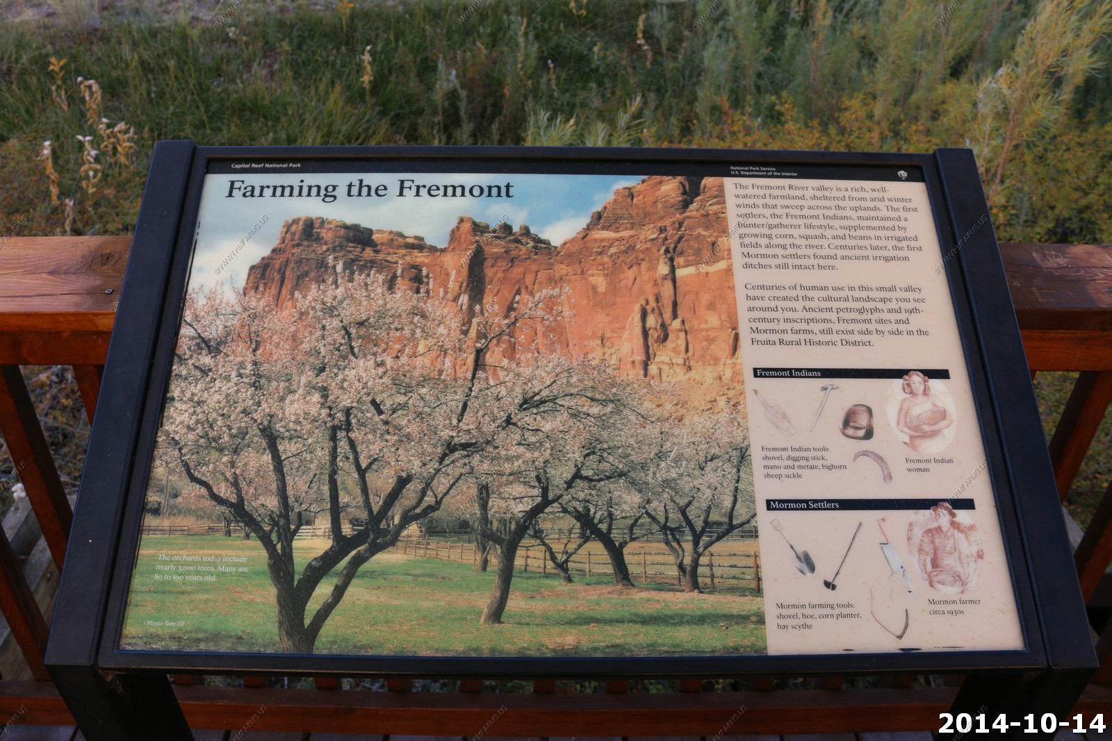
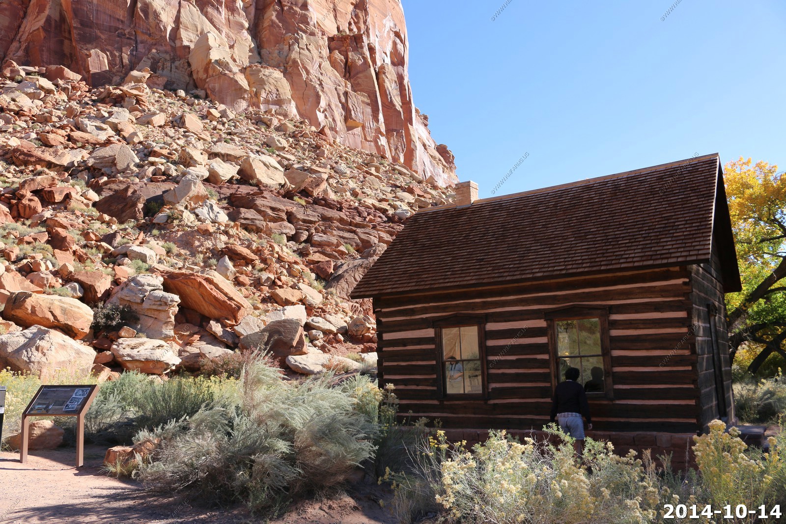
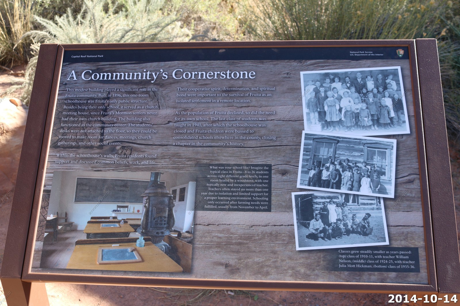
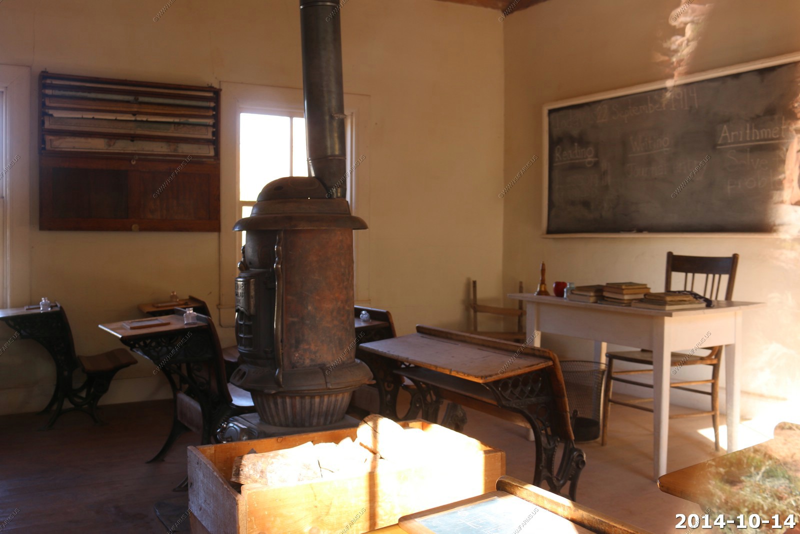
The farming areas along the Fremont River. The Fruita Community.
The Fruita schoolhouse.
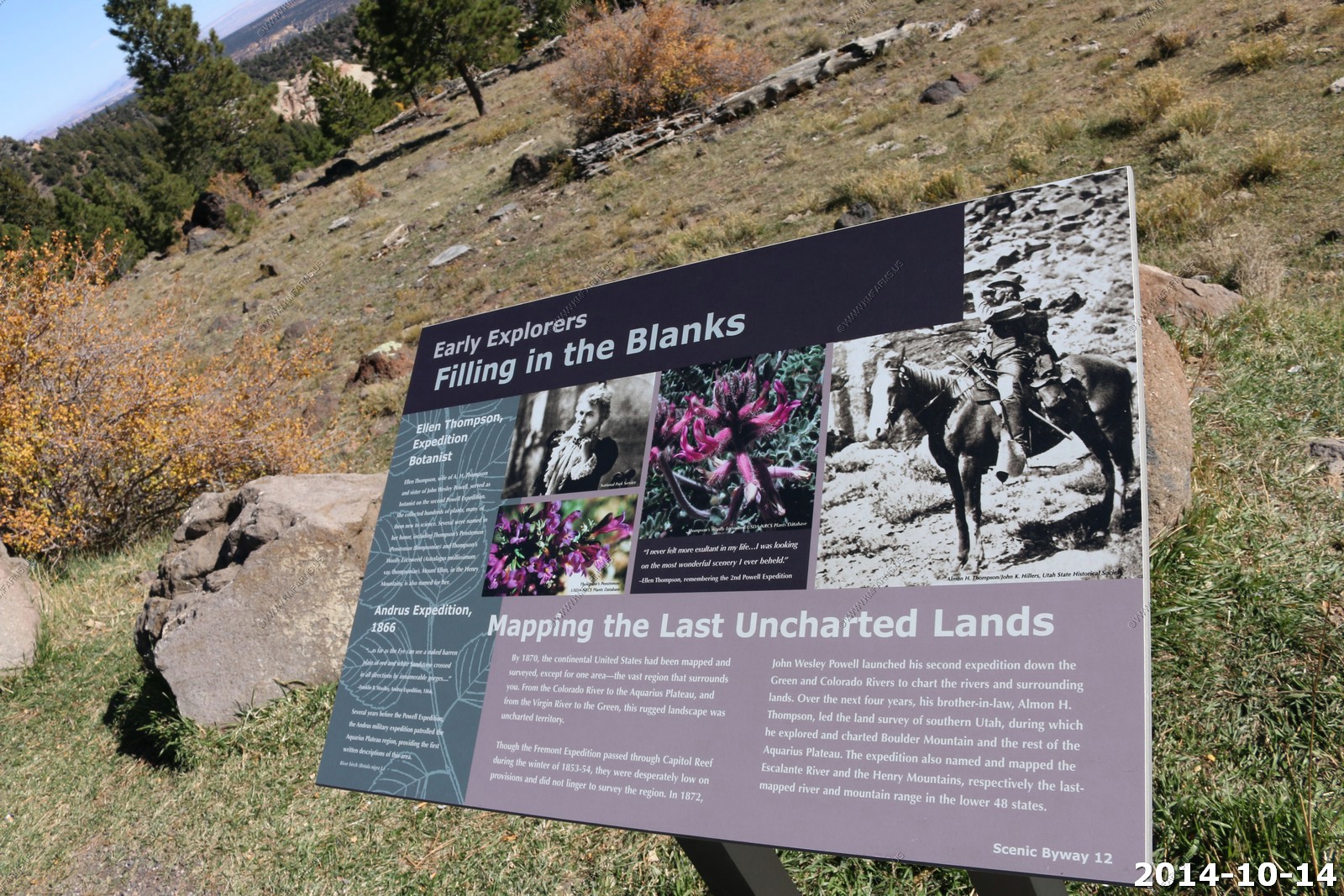
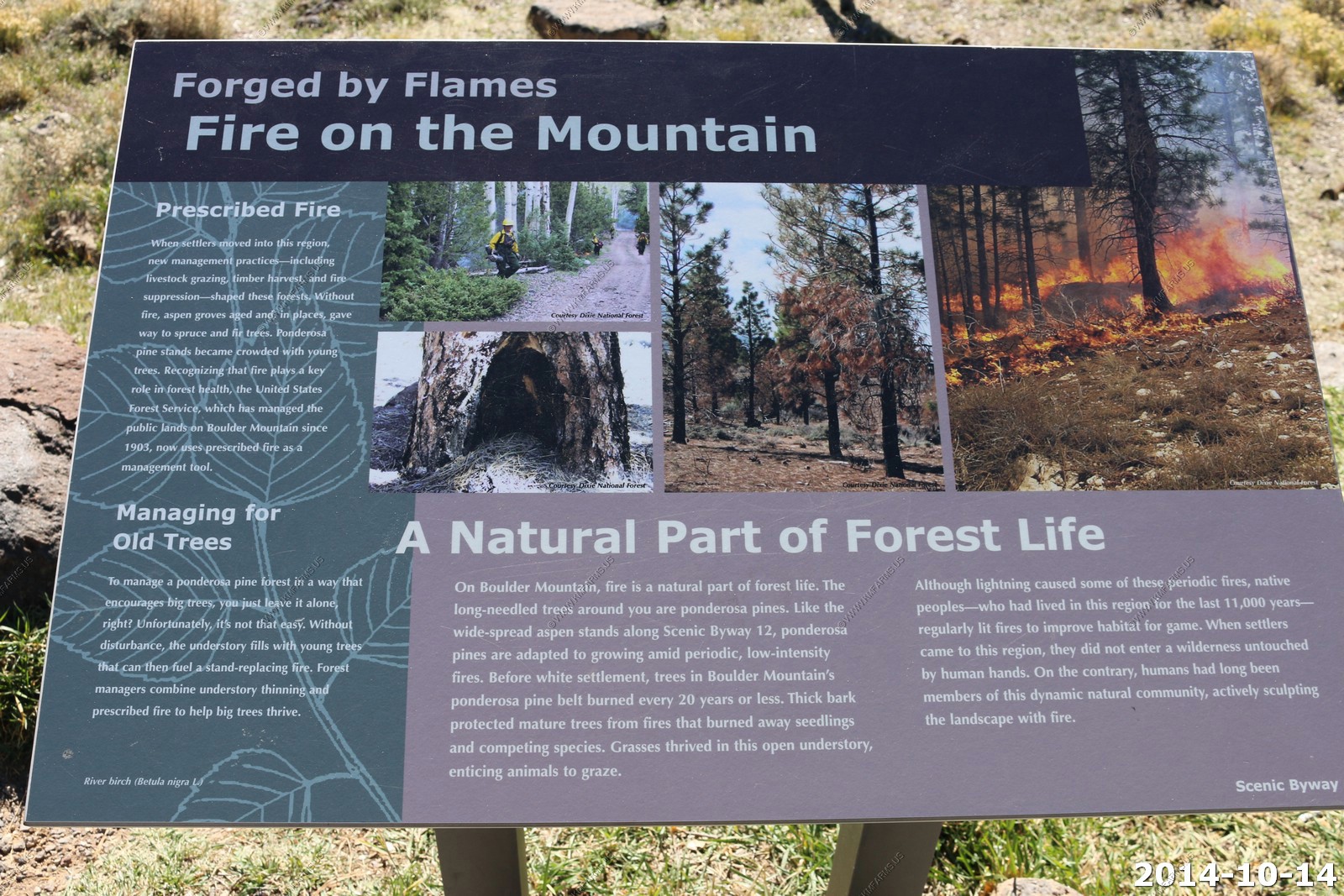
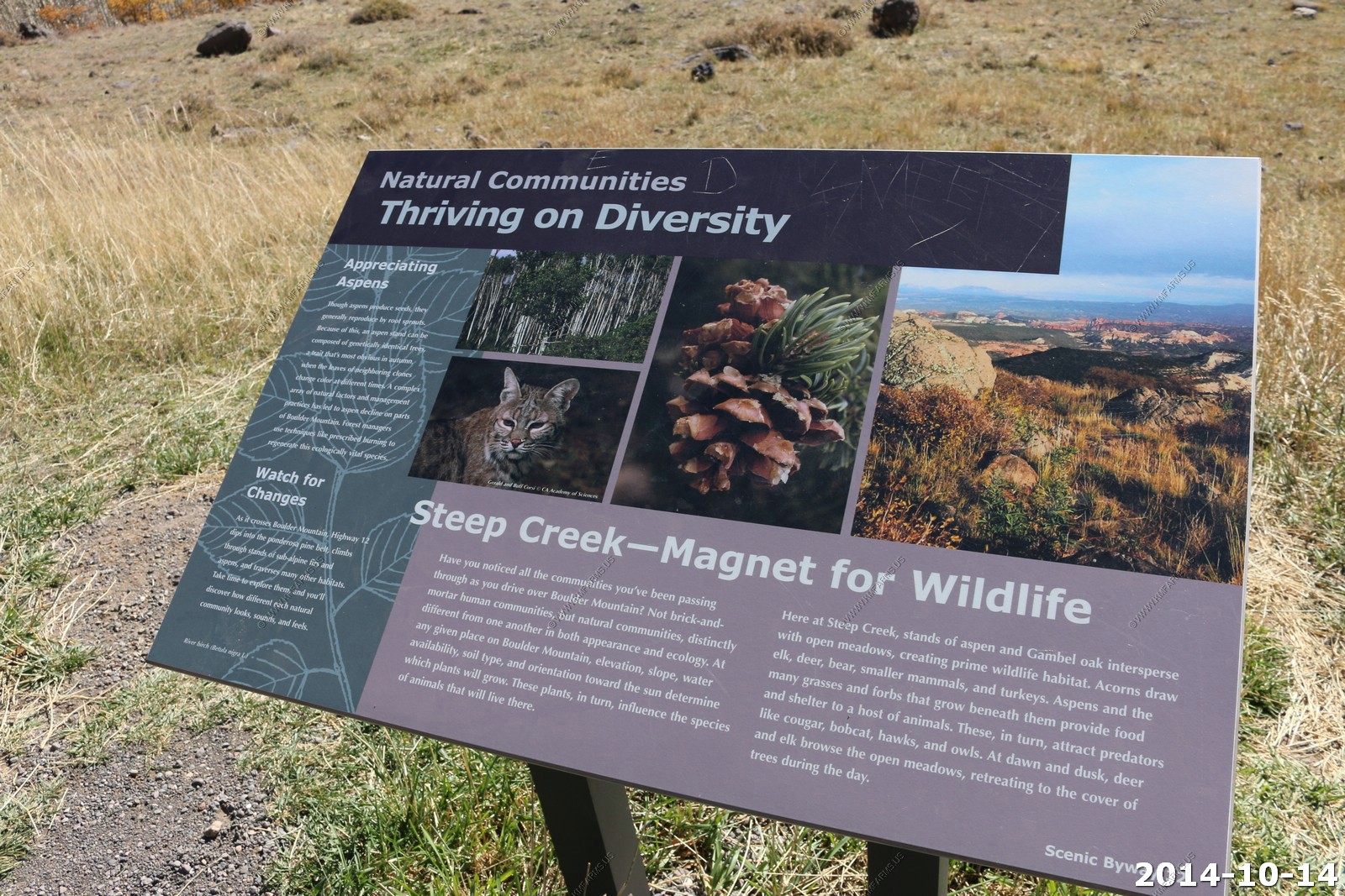
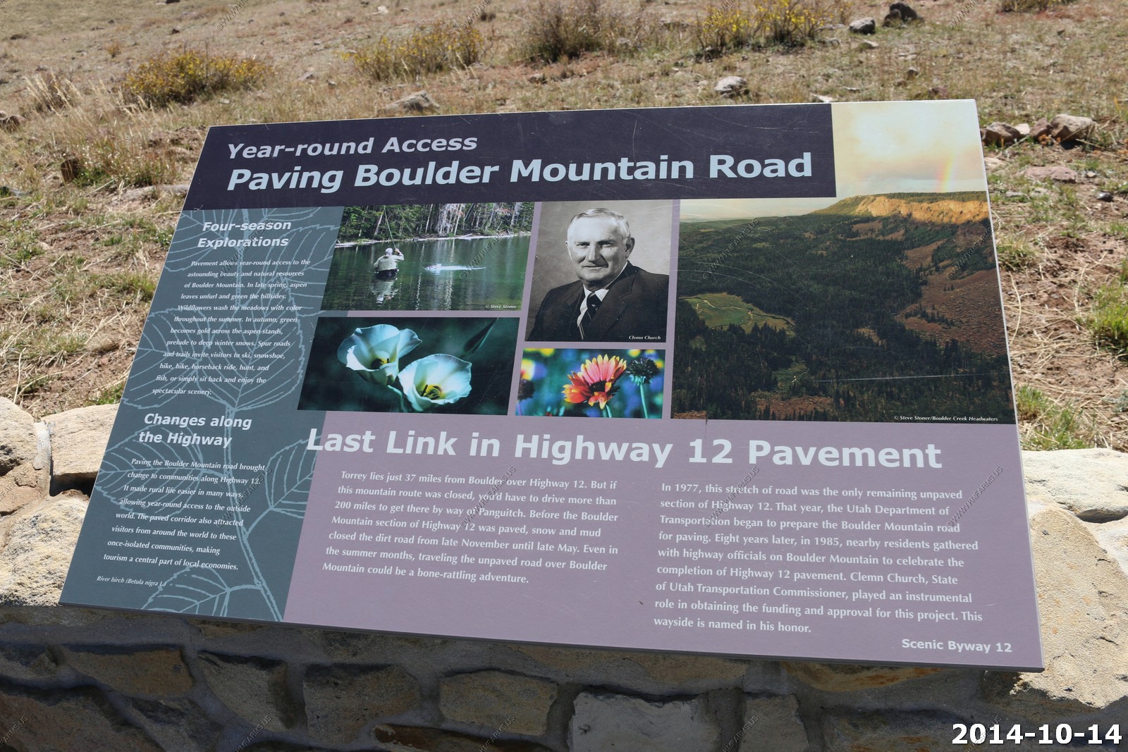
Highway 12 � A Journey Through Time Scenic Byway
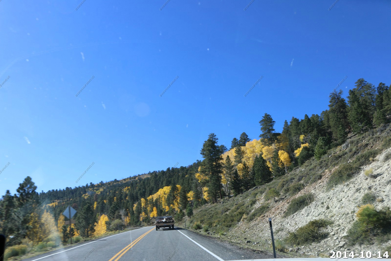
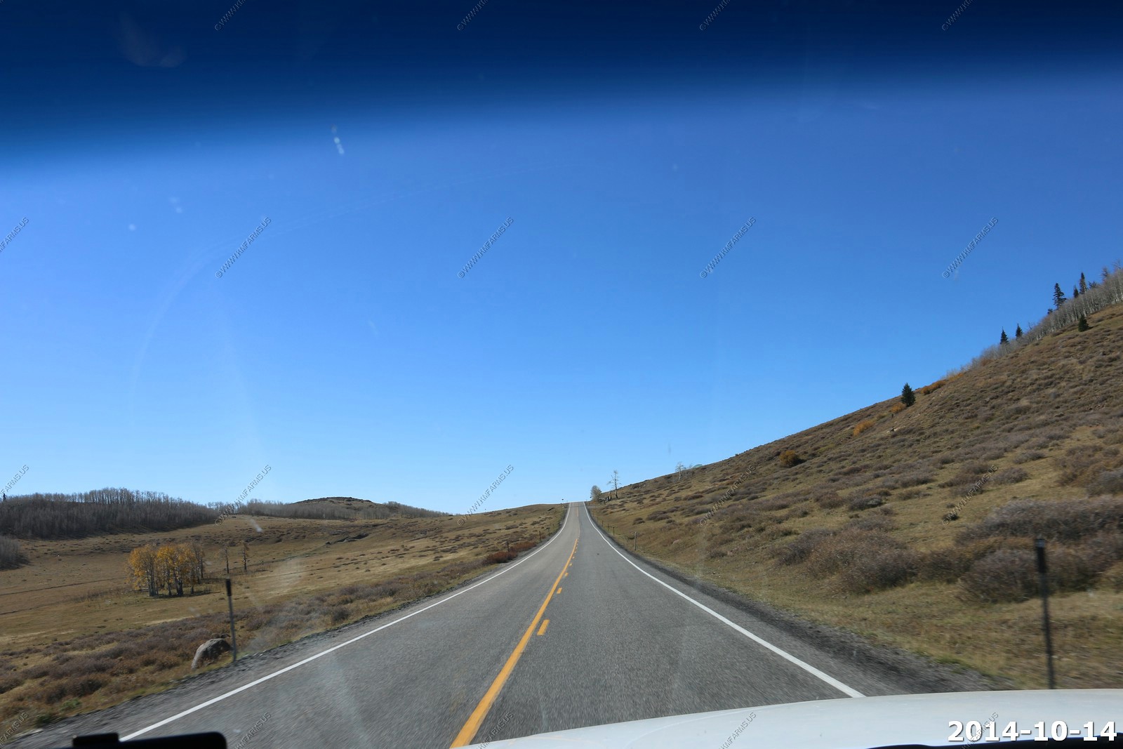
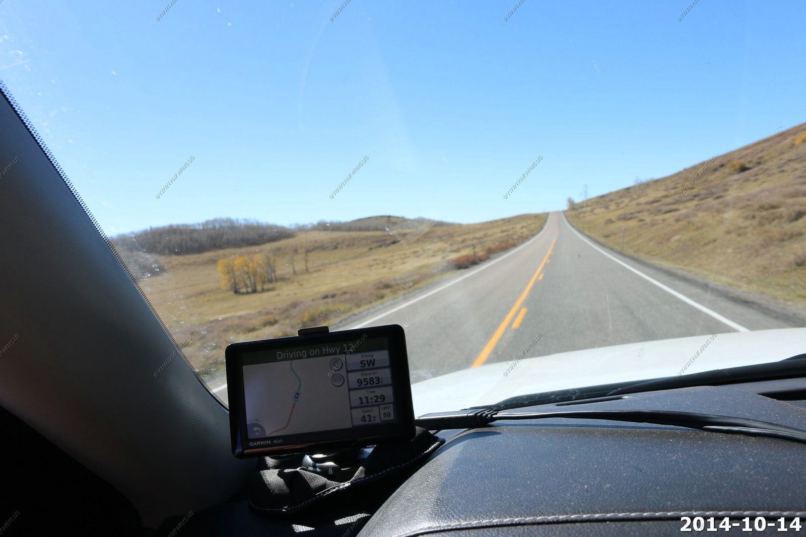
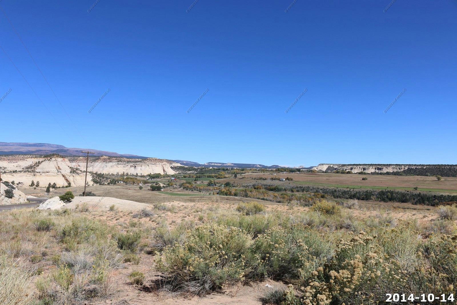
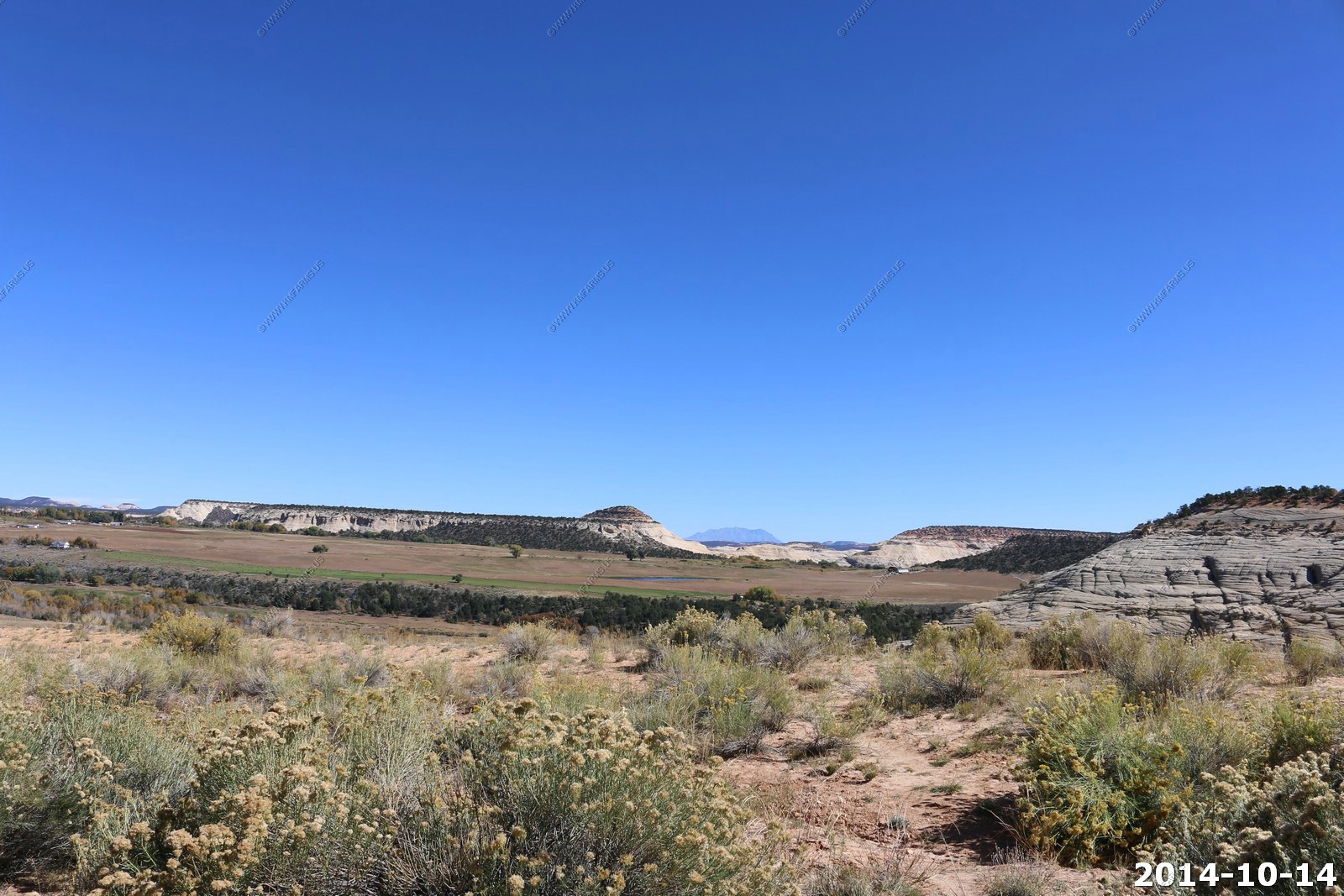
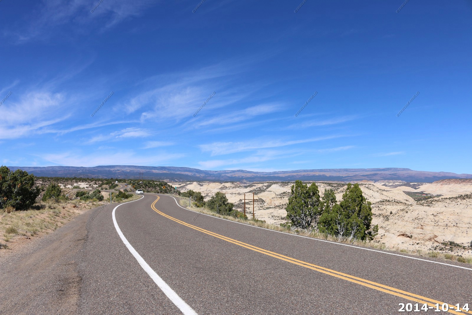
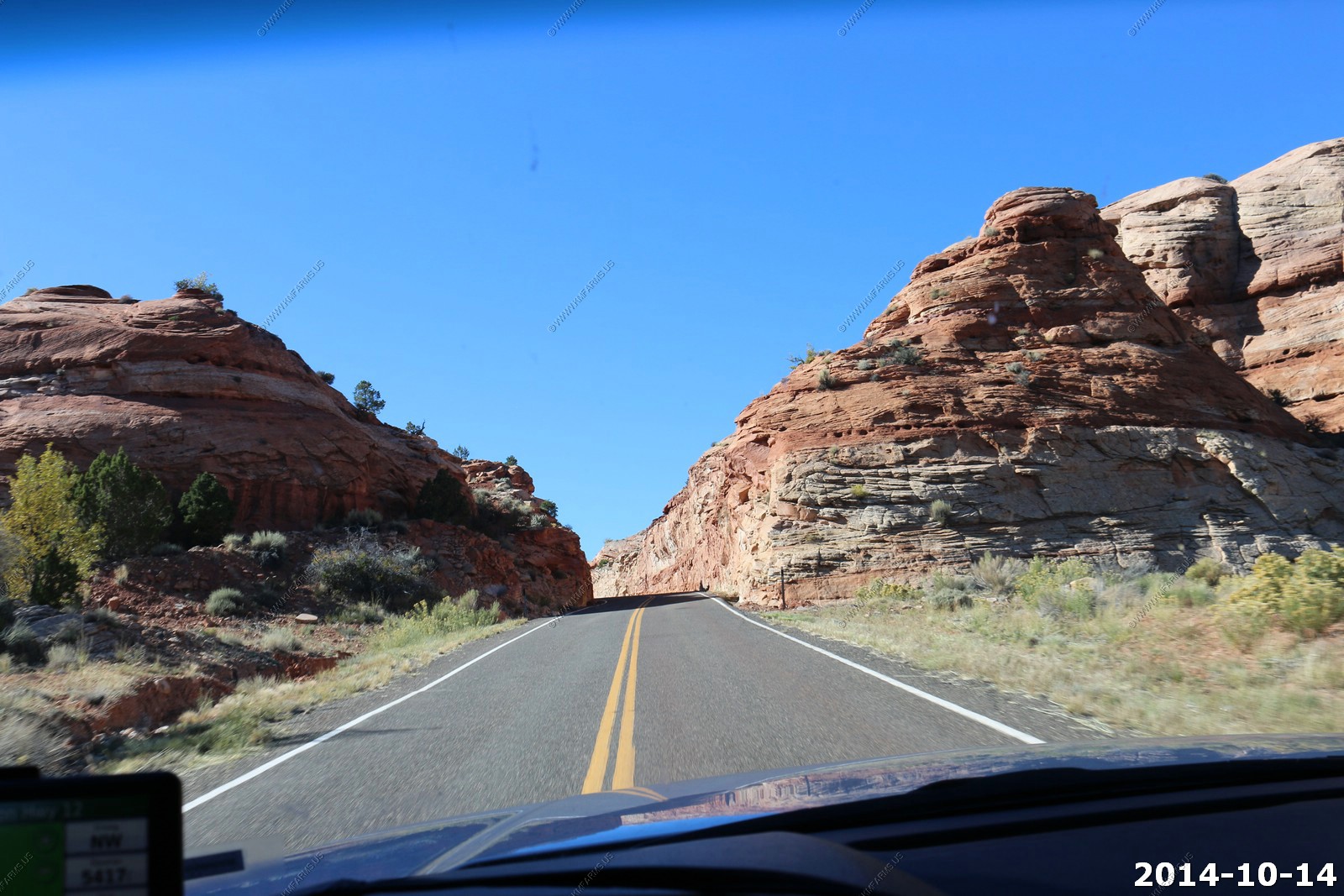
So we headed back to Torrey and headed south on Utah 12 which is designated as All-American Road - America's byway - "Nestled between Capitol Reef and Bryce Canyon National Parks, Scenic Byway 12 is located in one of the most beautiful places on earth."
We have done this road many times and it still impresses us both.
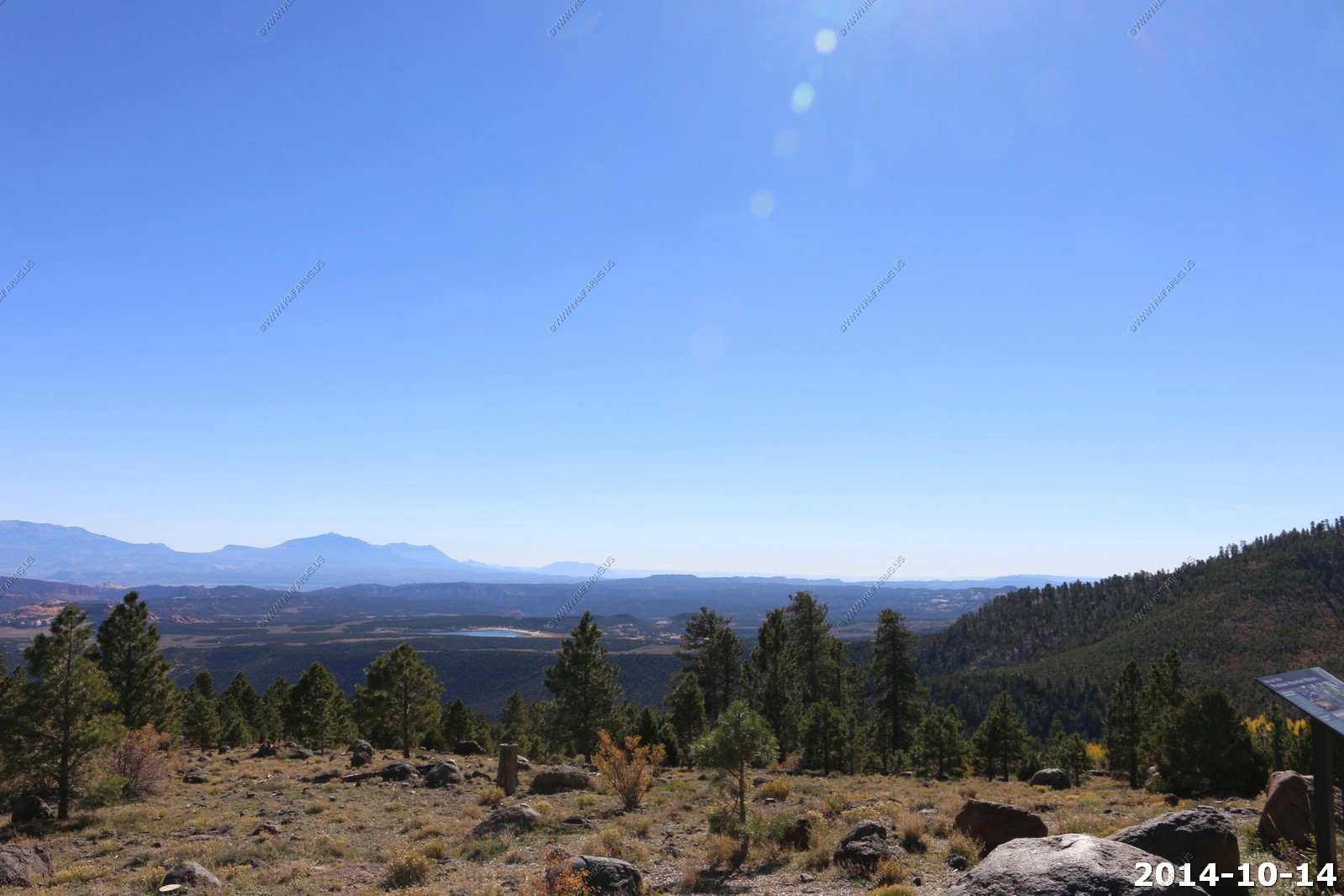
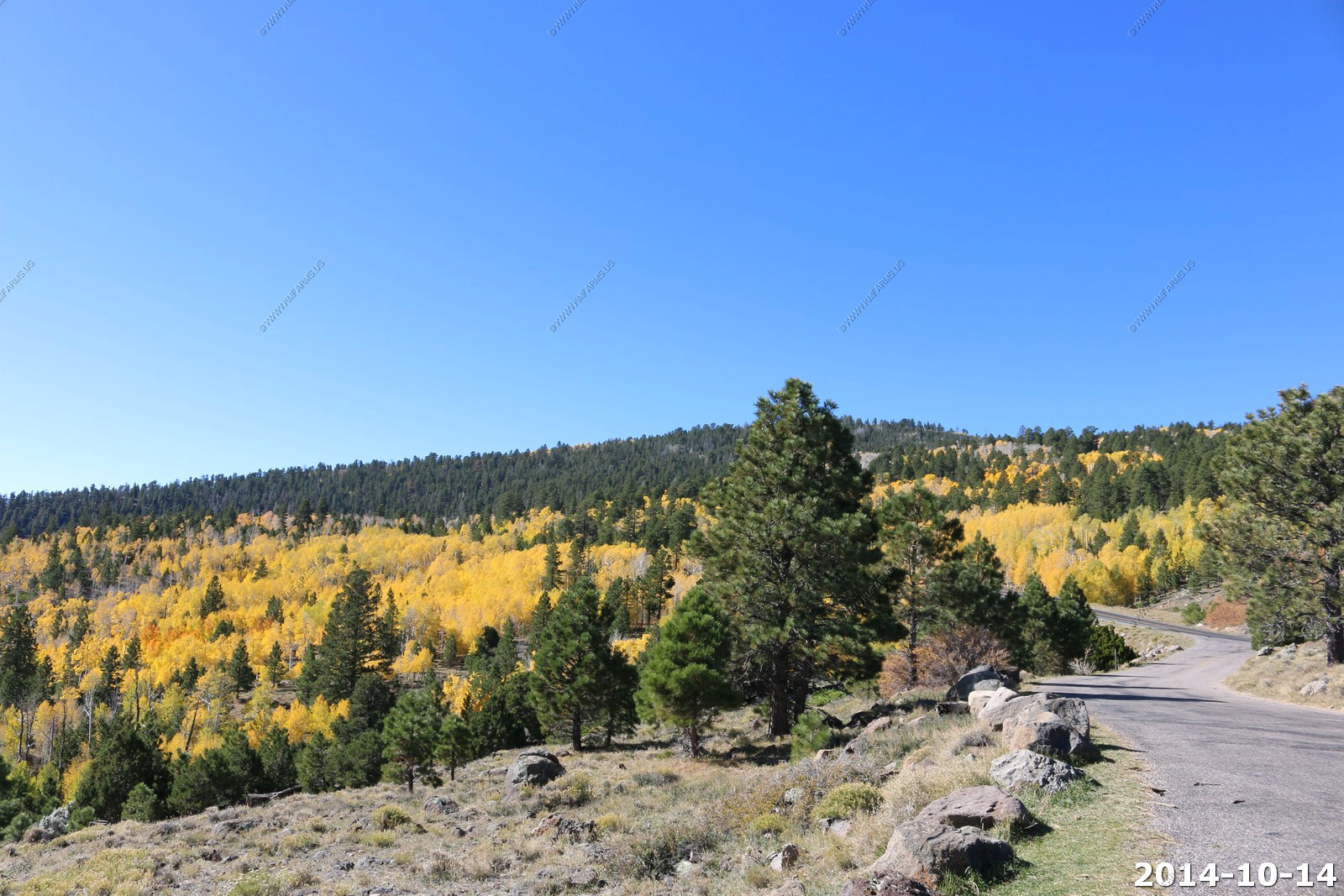
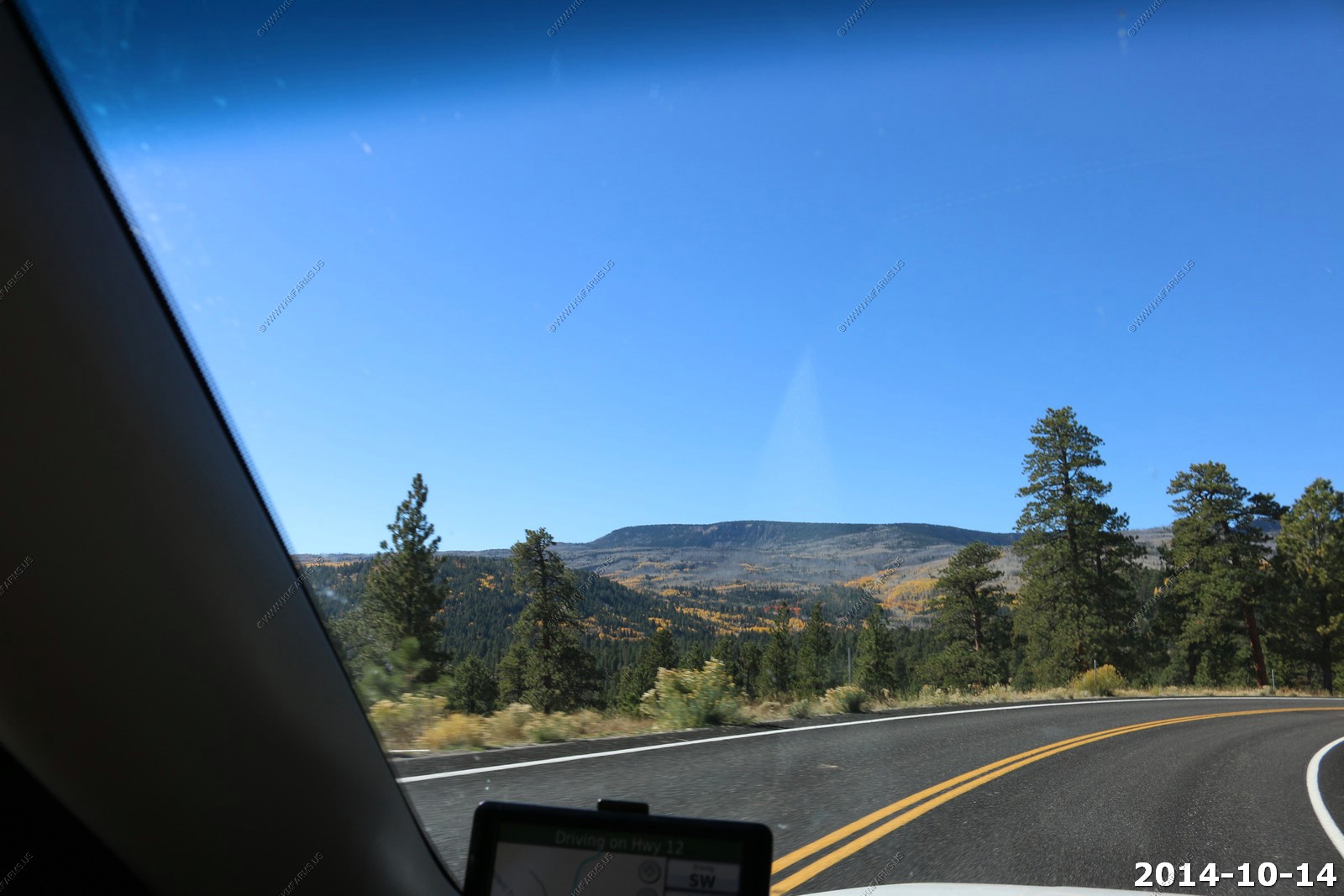
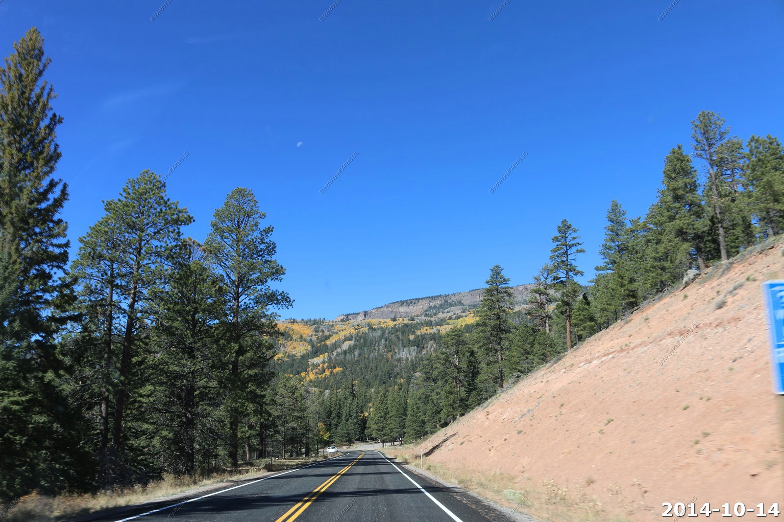
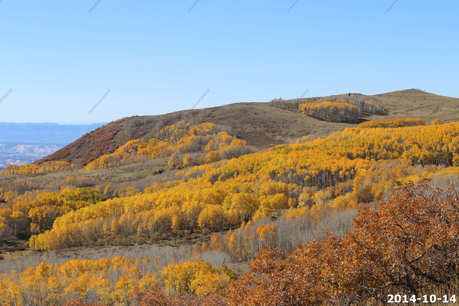
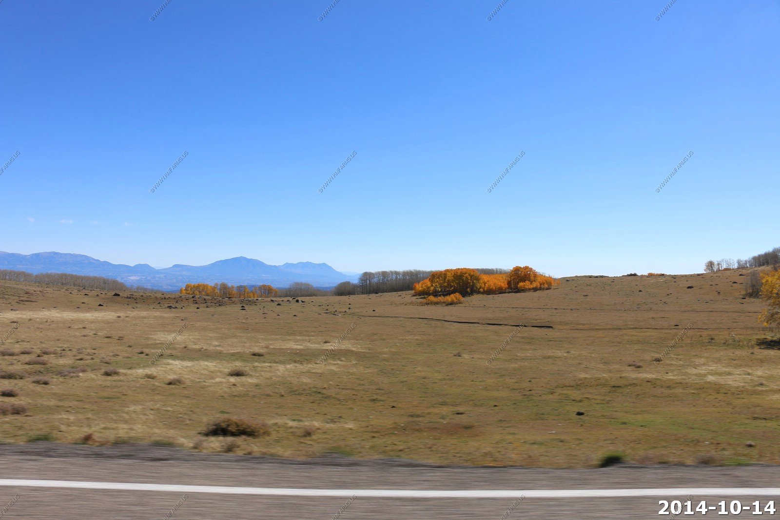
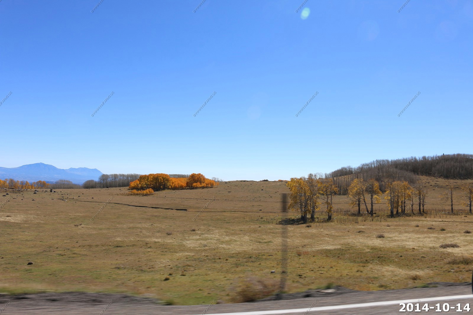
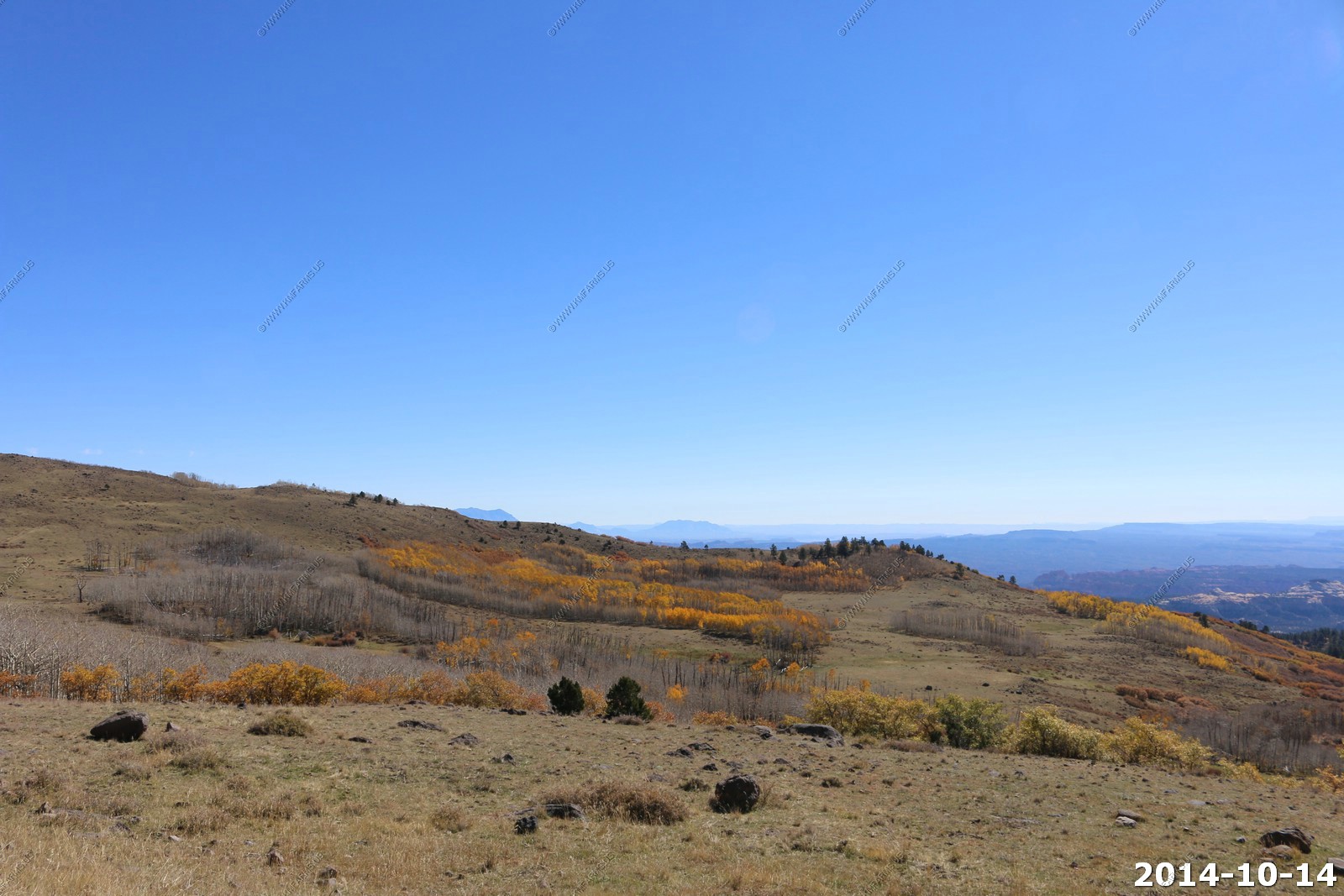
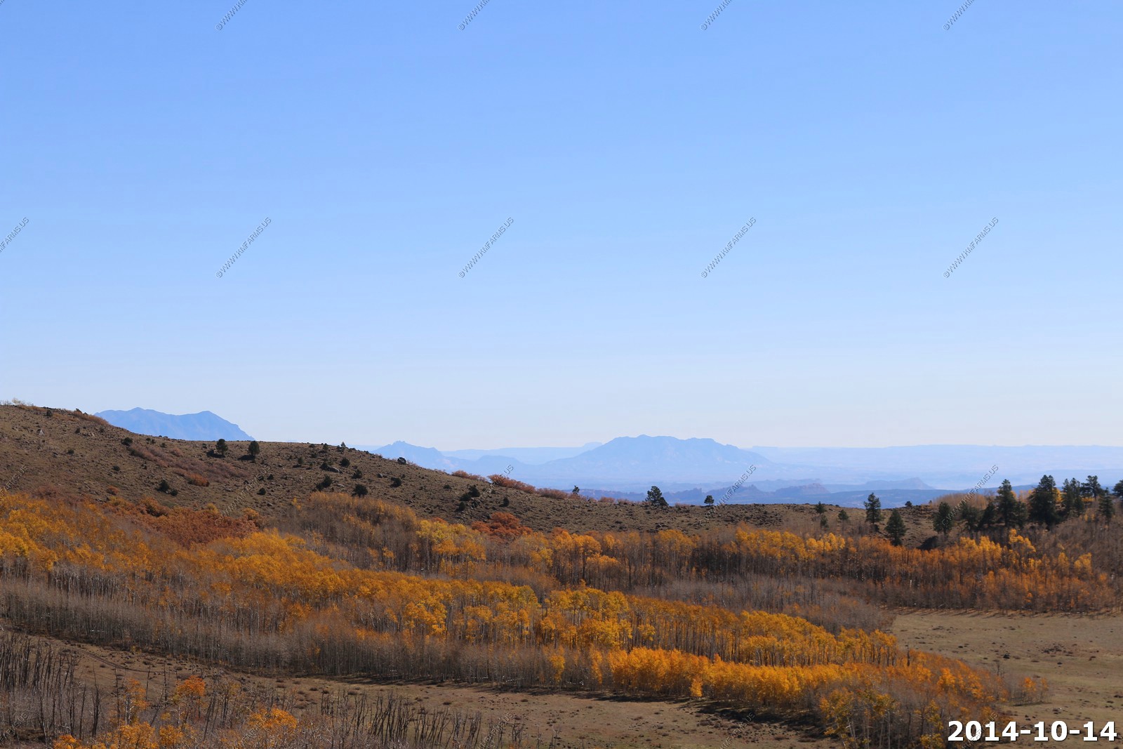
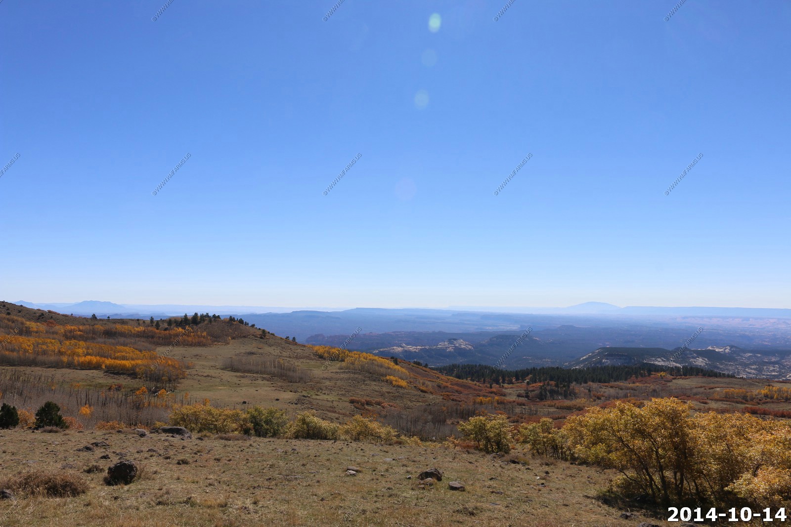
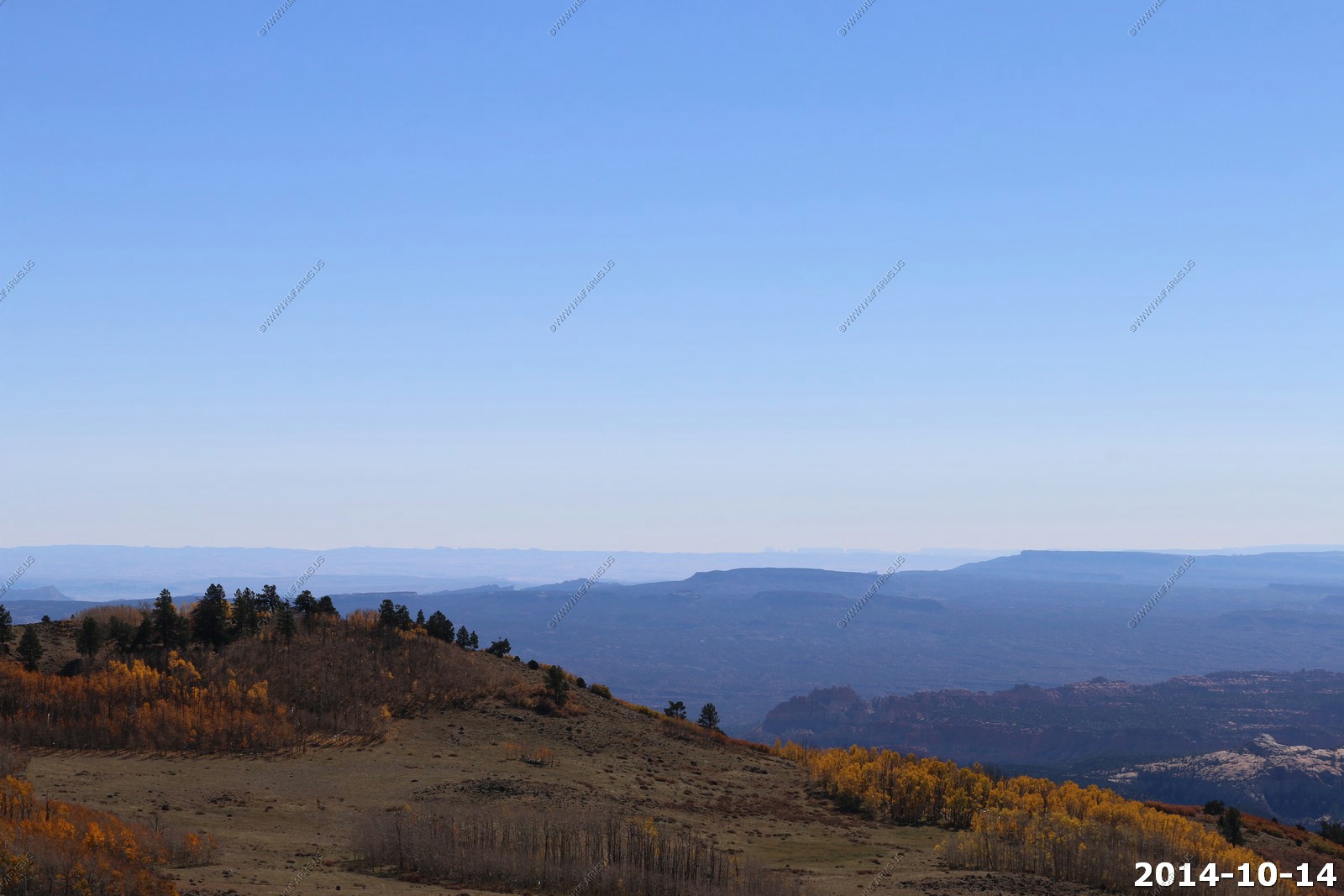
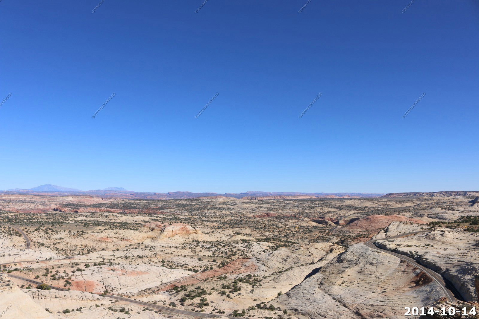
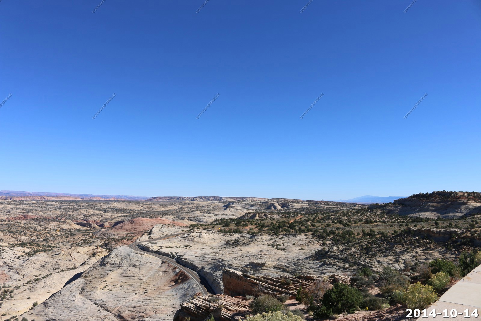
Going south you first ride along the eastern edge of boulder mountain approaching 10,000 feet with amazing views towards the east and south.
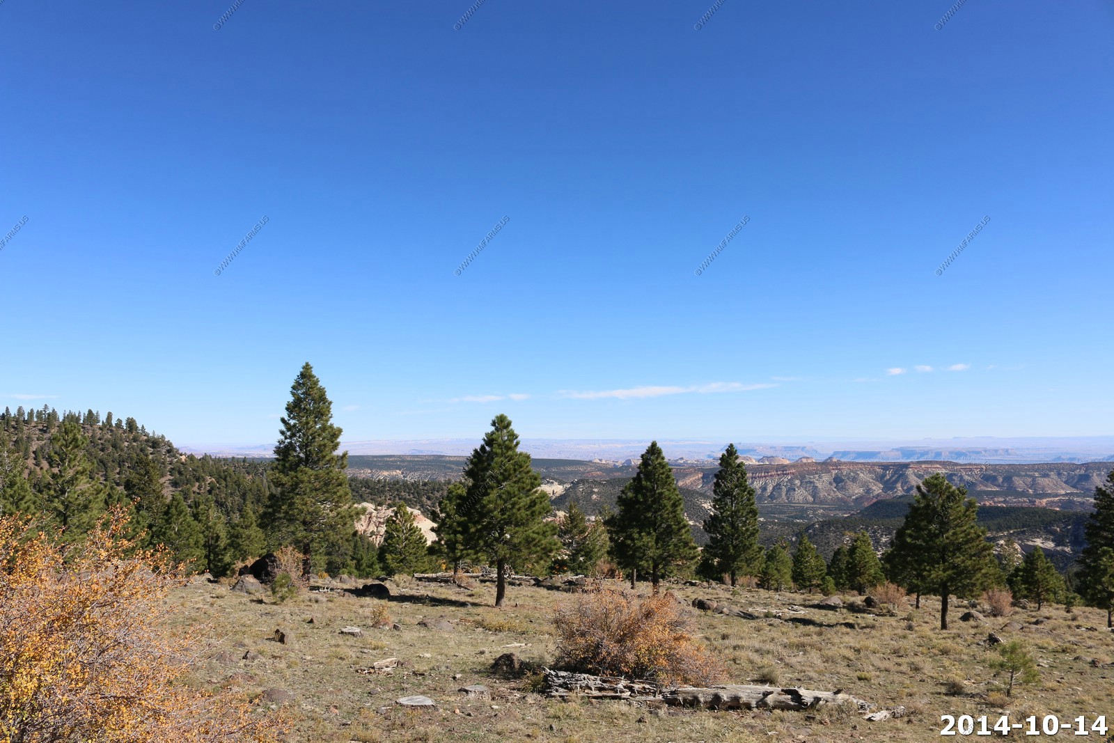
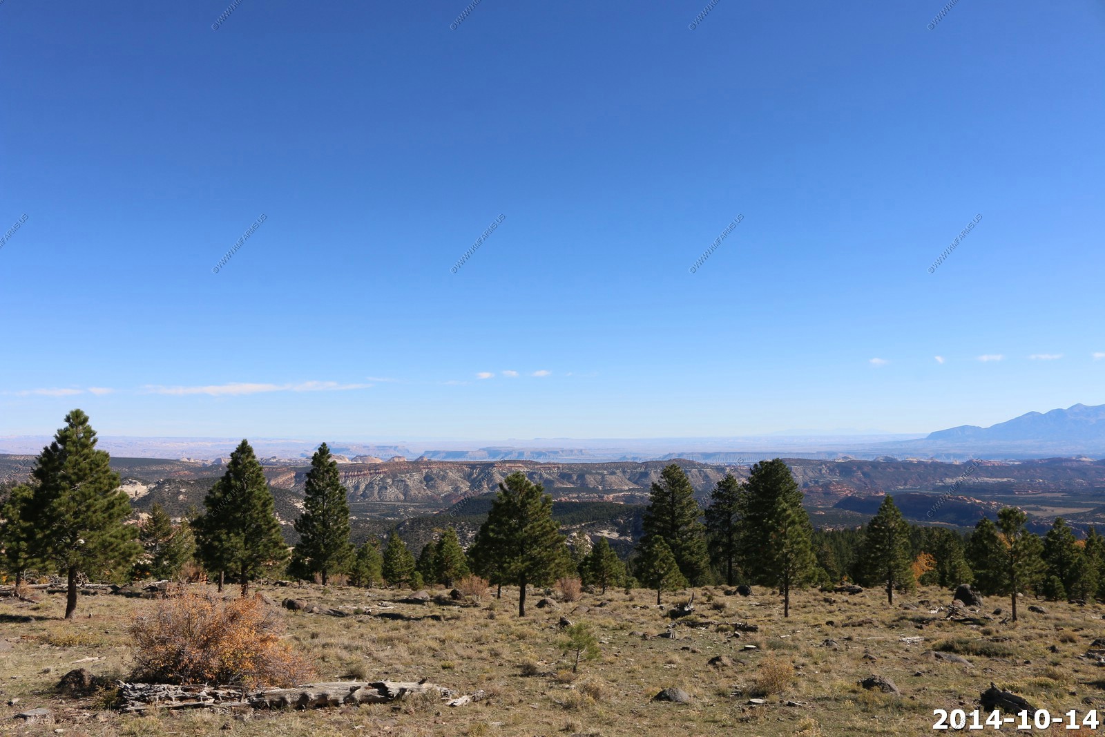
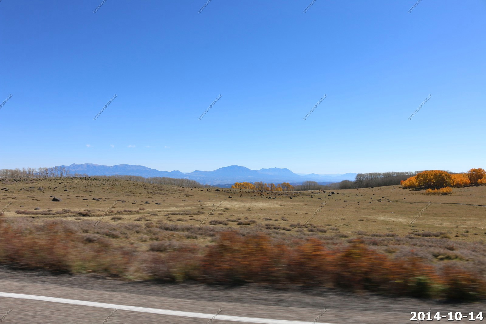
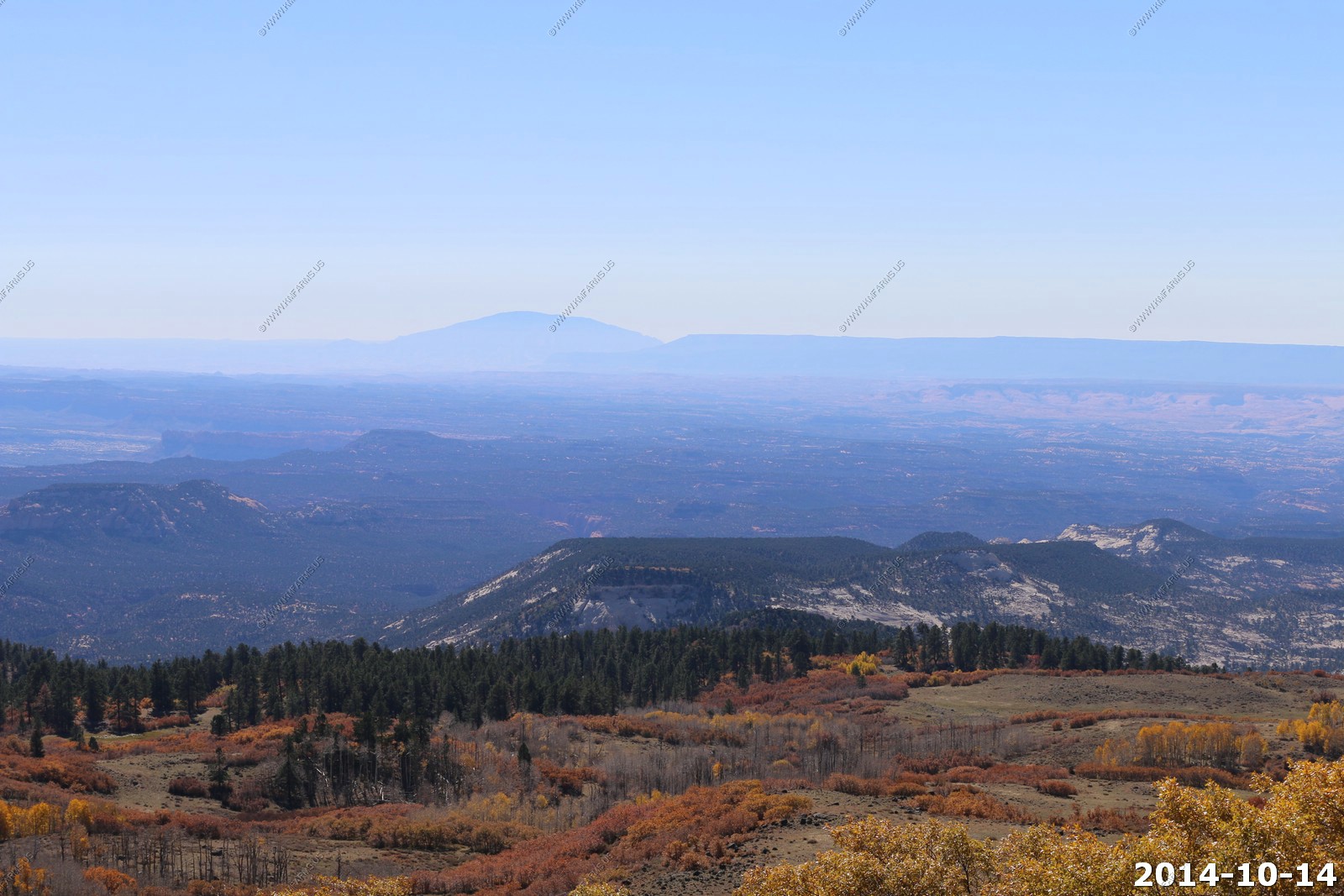
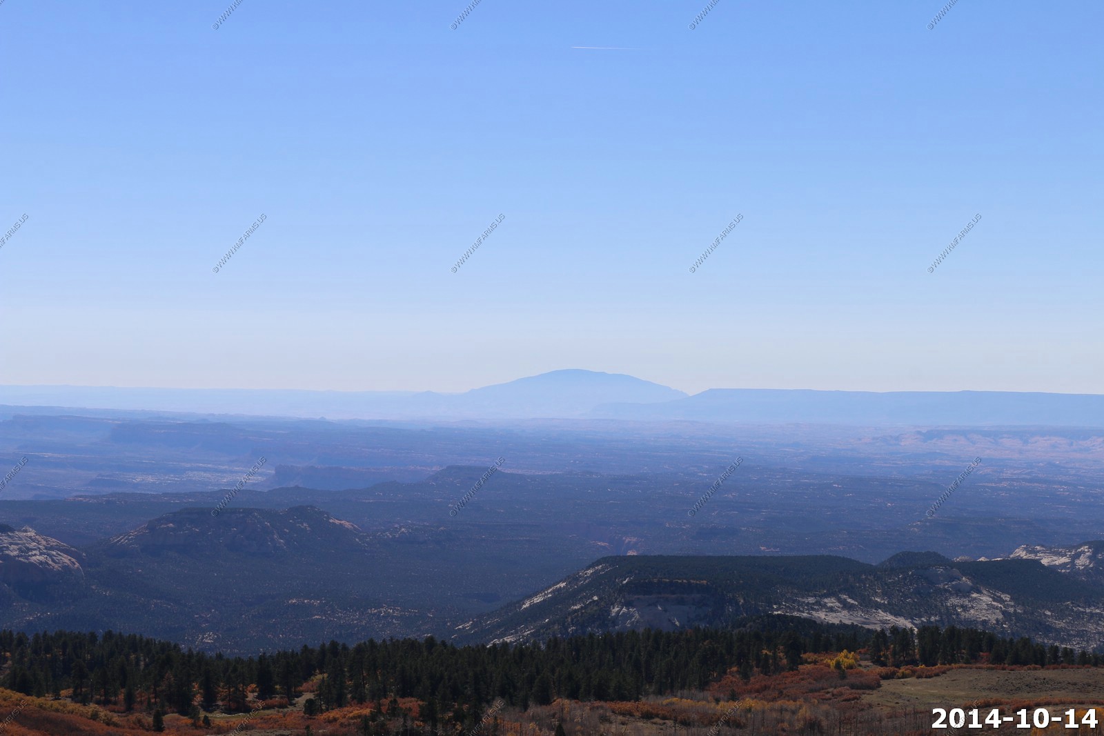
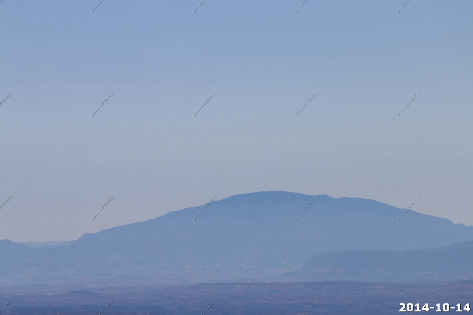
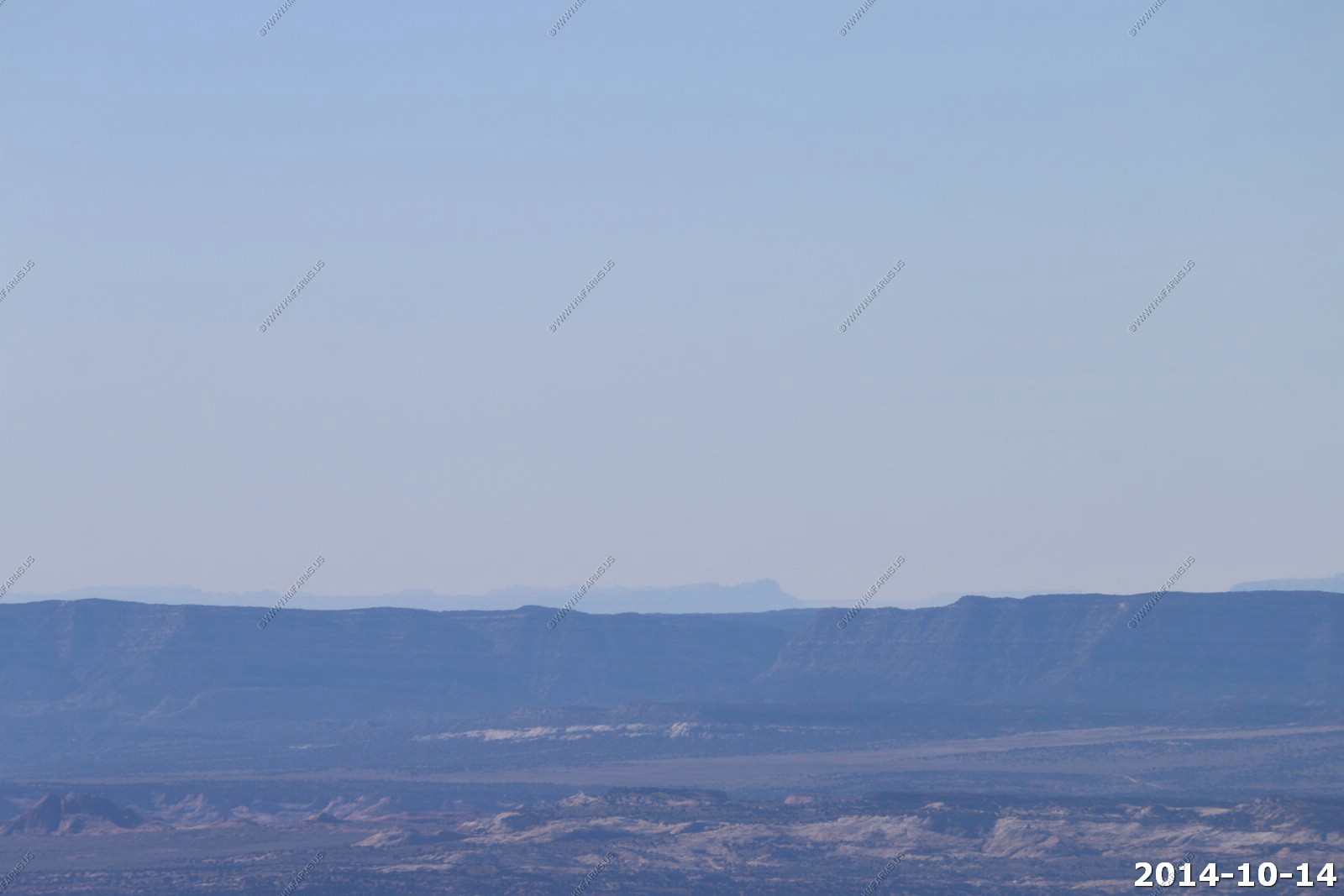
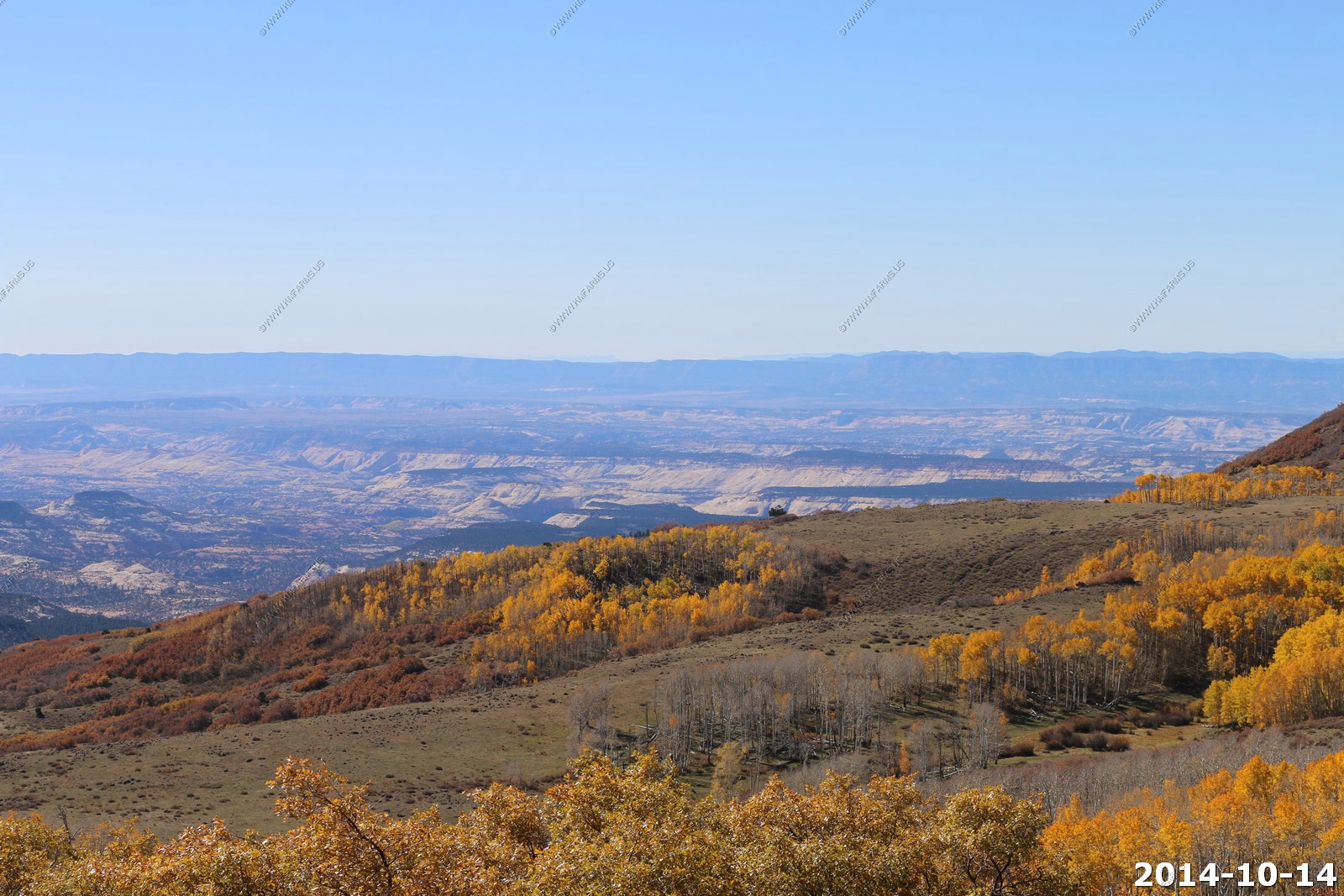
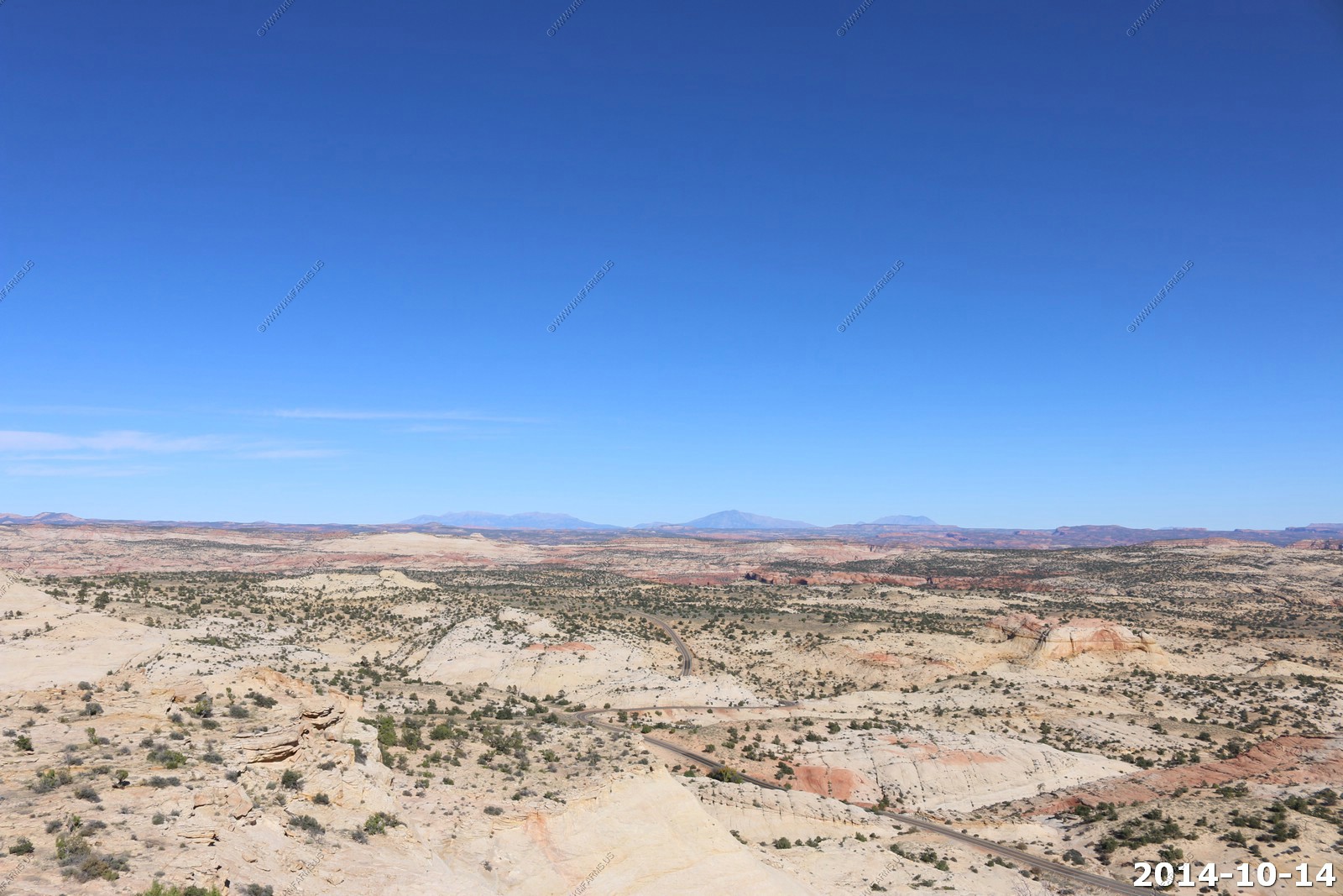
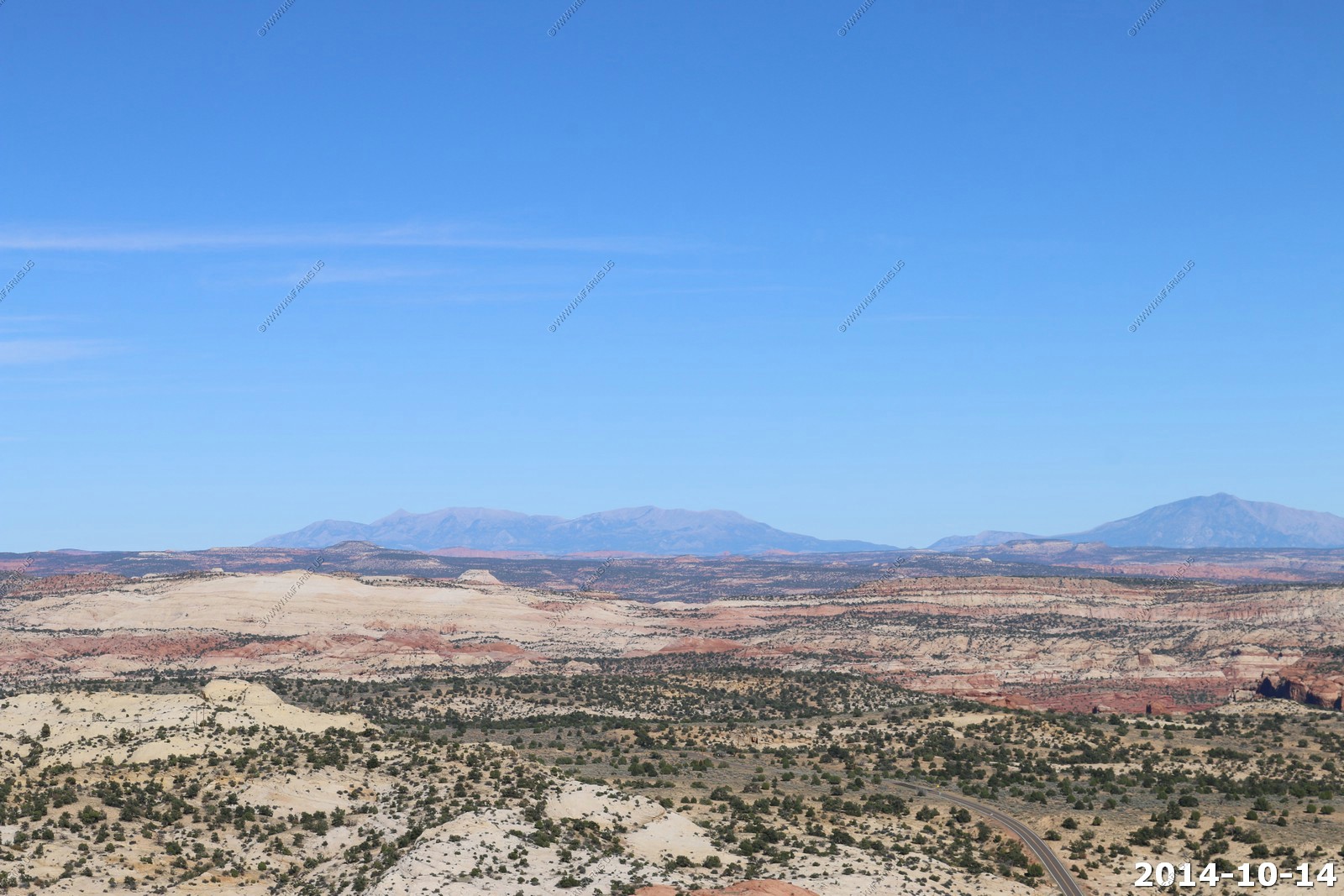
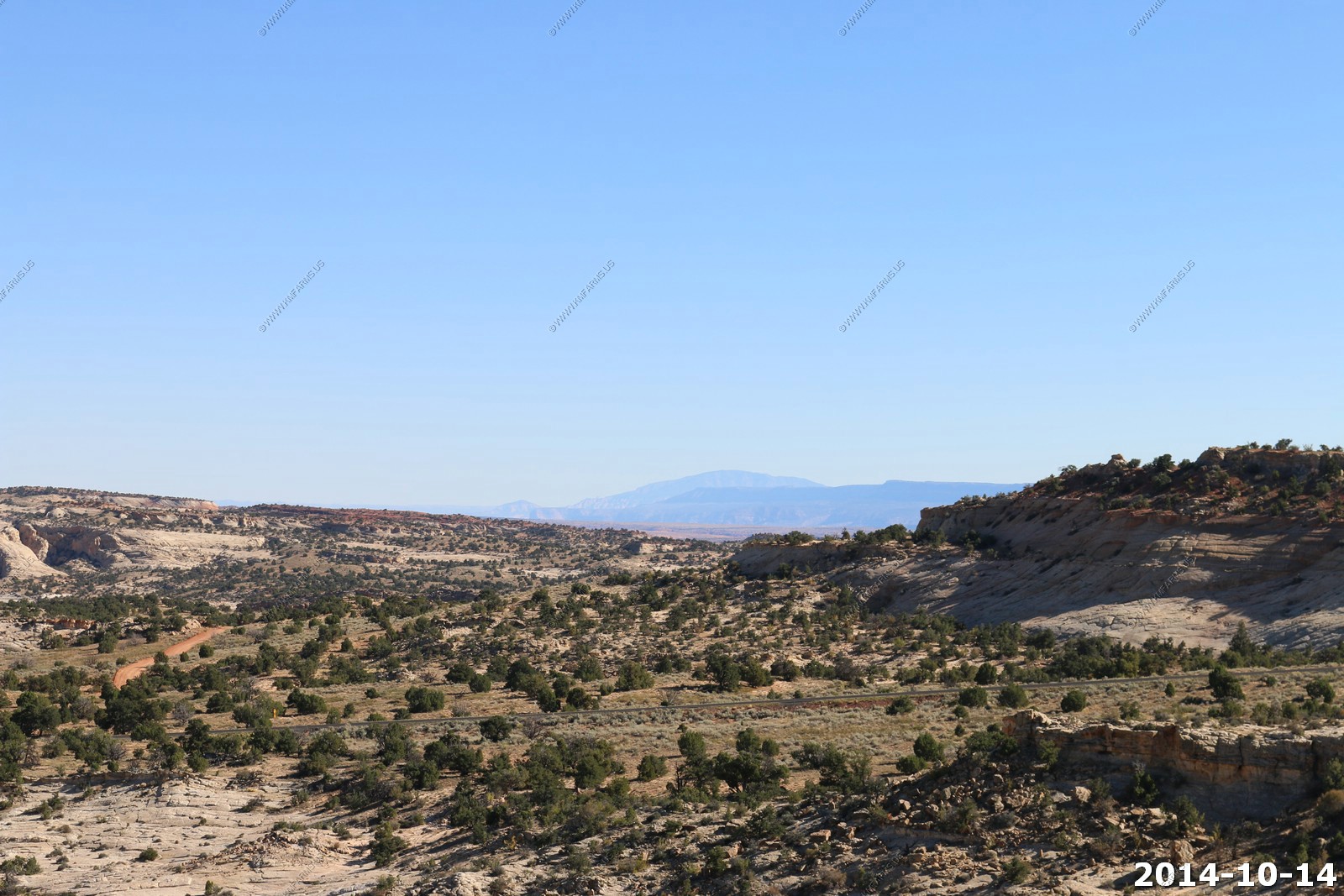
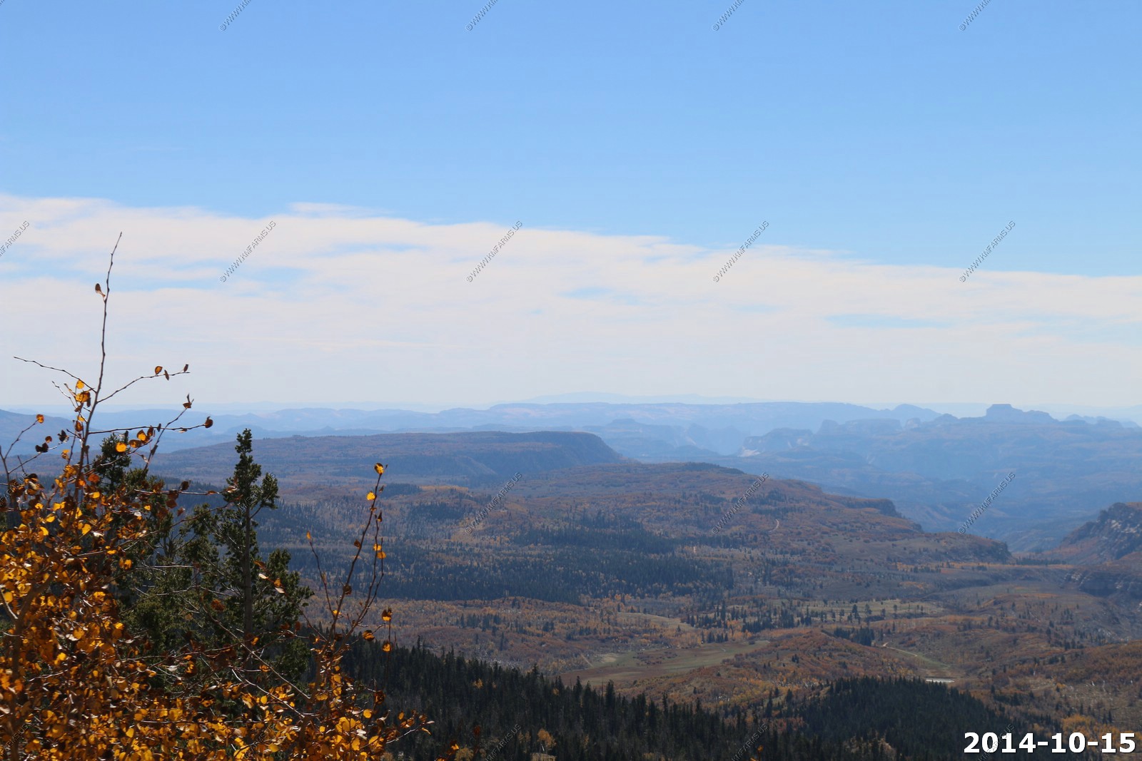
Larb Hollow Overlook Probably one of my favorite viewpoints in the west. If it's clear you can see across 250 miles of the desert southwest. Its like standing in Baltimore and seeing to the outer banks of North Carolina.
Zoomed in on the La Sal's
The Henry's 40 miles away.
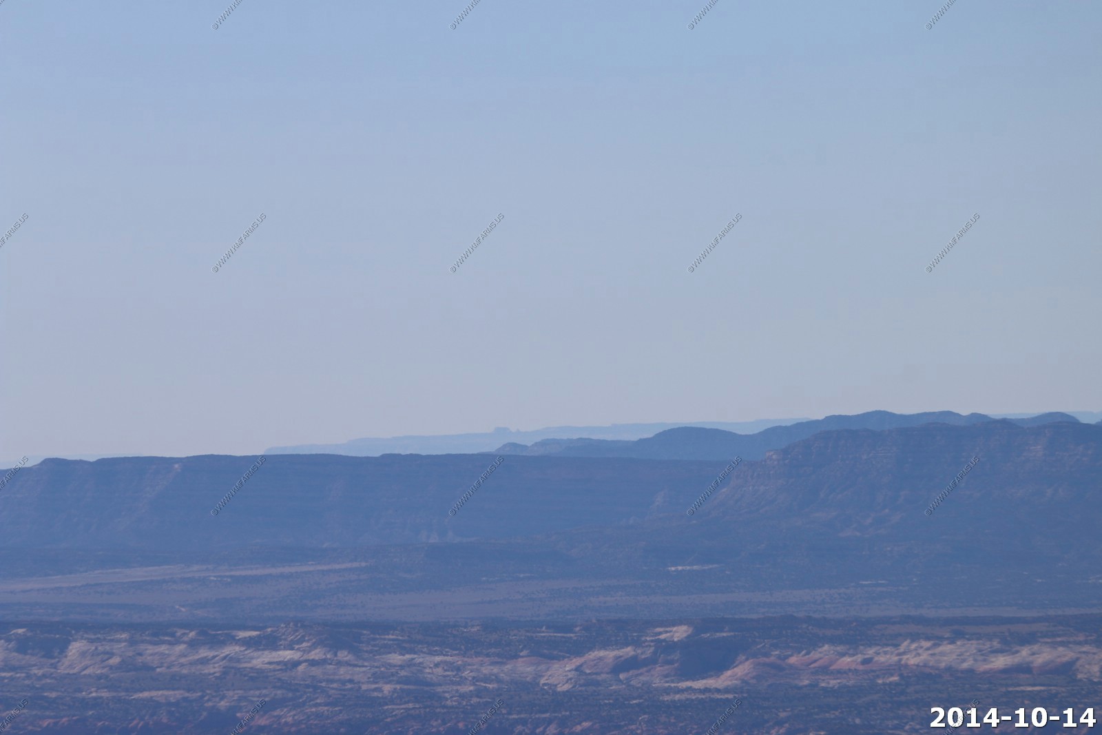
Looking south at the little Rockies. We drove across this yesterday.
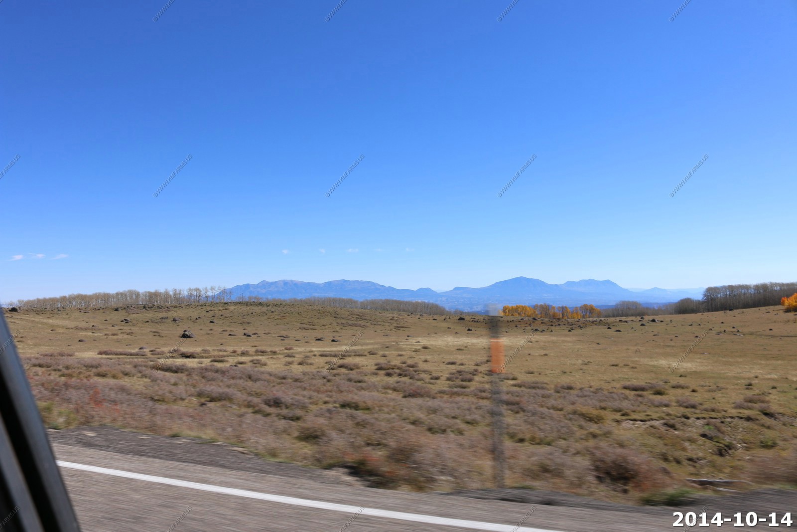
Looking northeast towards Greenriver, UT across Capitol Reef.
Looking a bit more northeast across the San Rafal Desert at Book Cliffs east of US-6 and above I-70. Another 120 mile view.
The signs at this viewpoint.
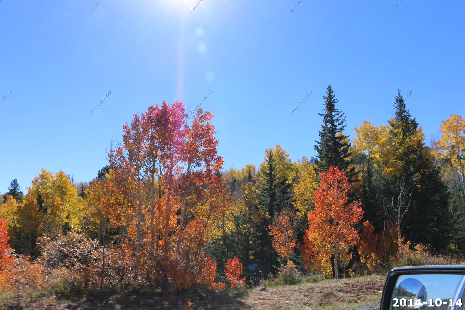
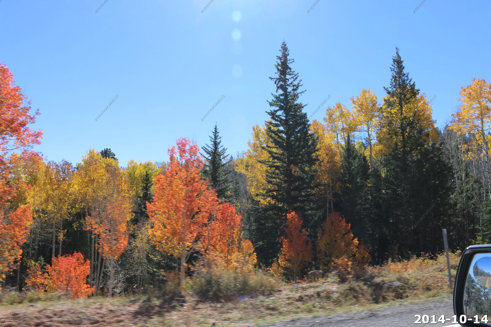
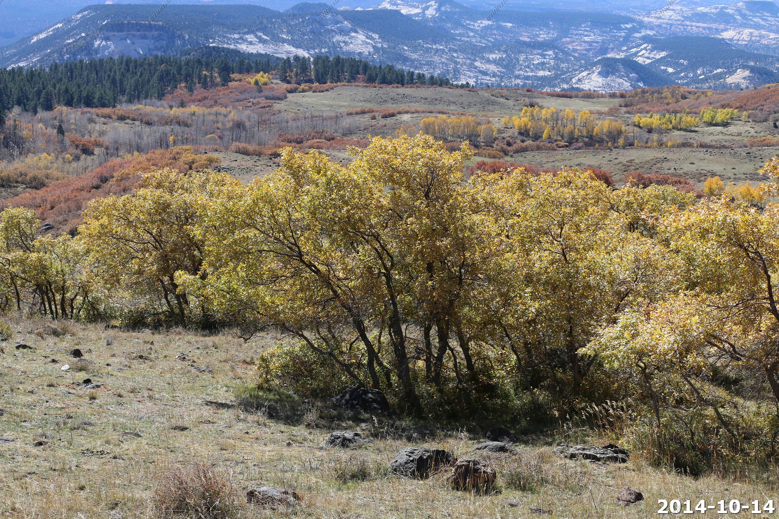
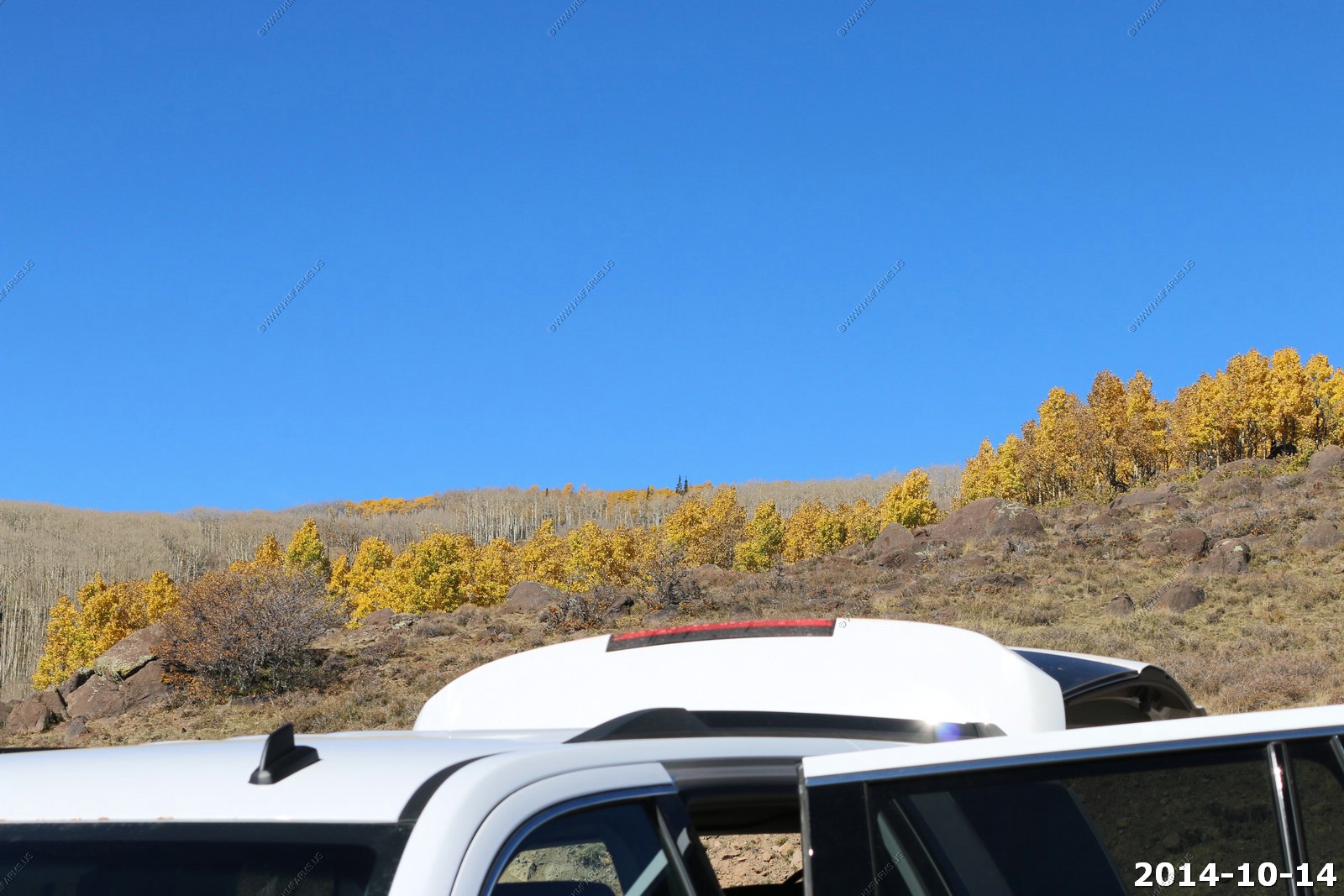
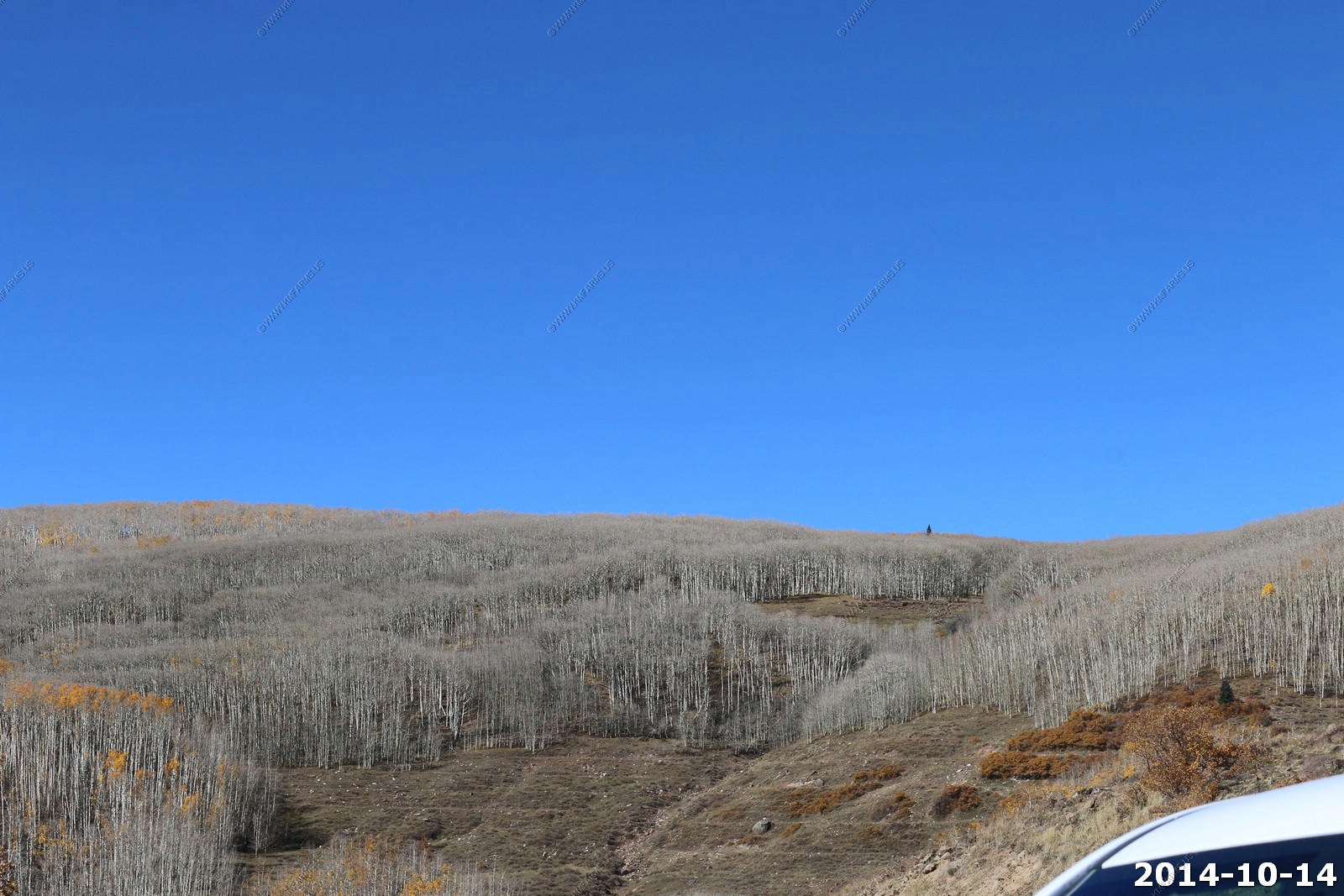
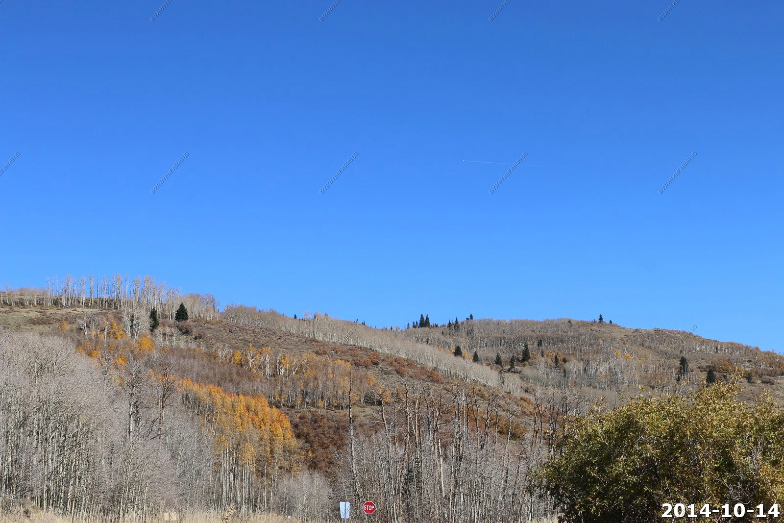
The aspen changing as we continued gaining elevation for a few miles to the next overlook.
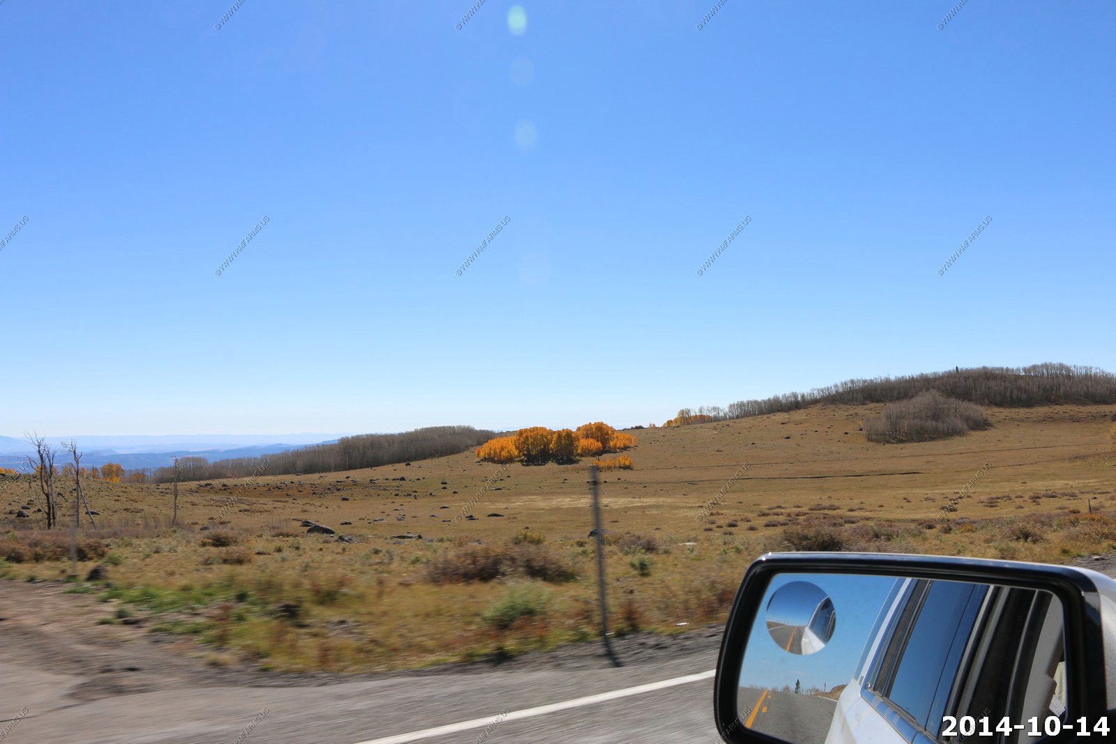
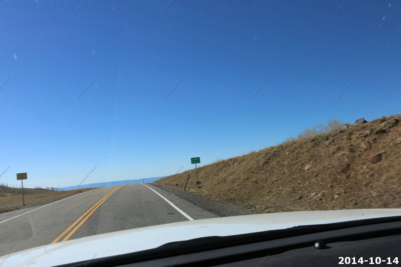
We travel across treeless alpine meadows. No traffic which is nice.
Summit El. 9,600 ft.
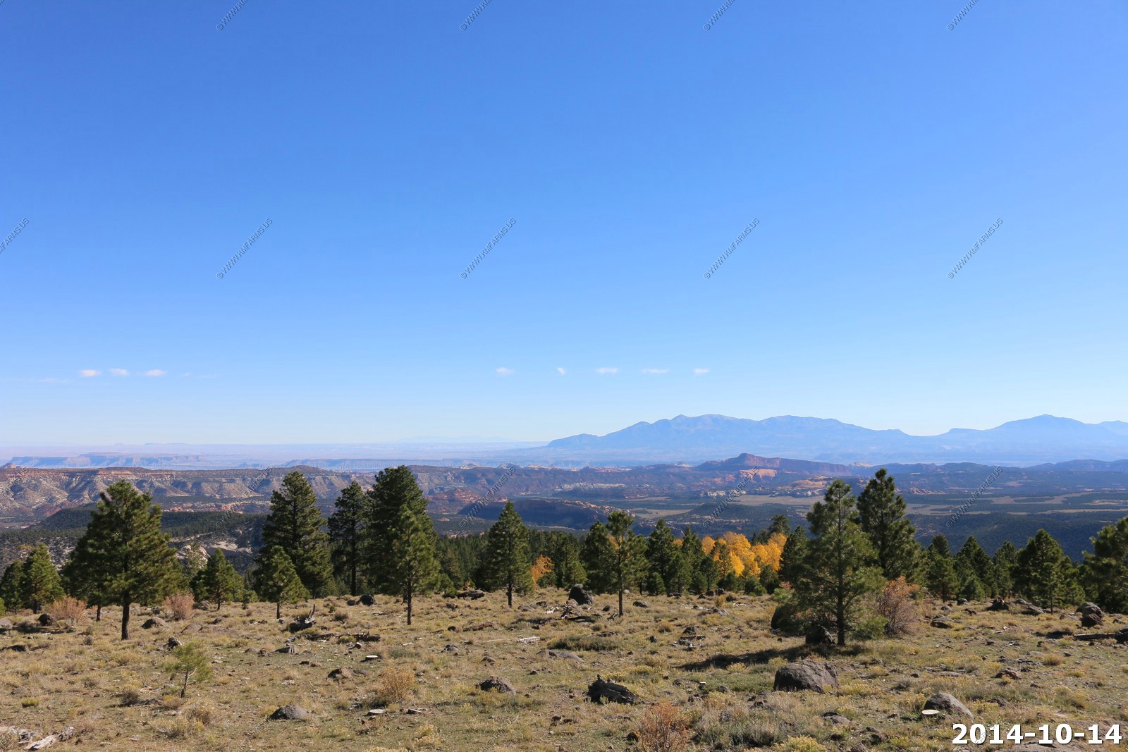
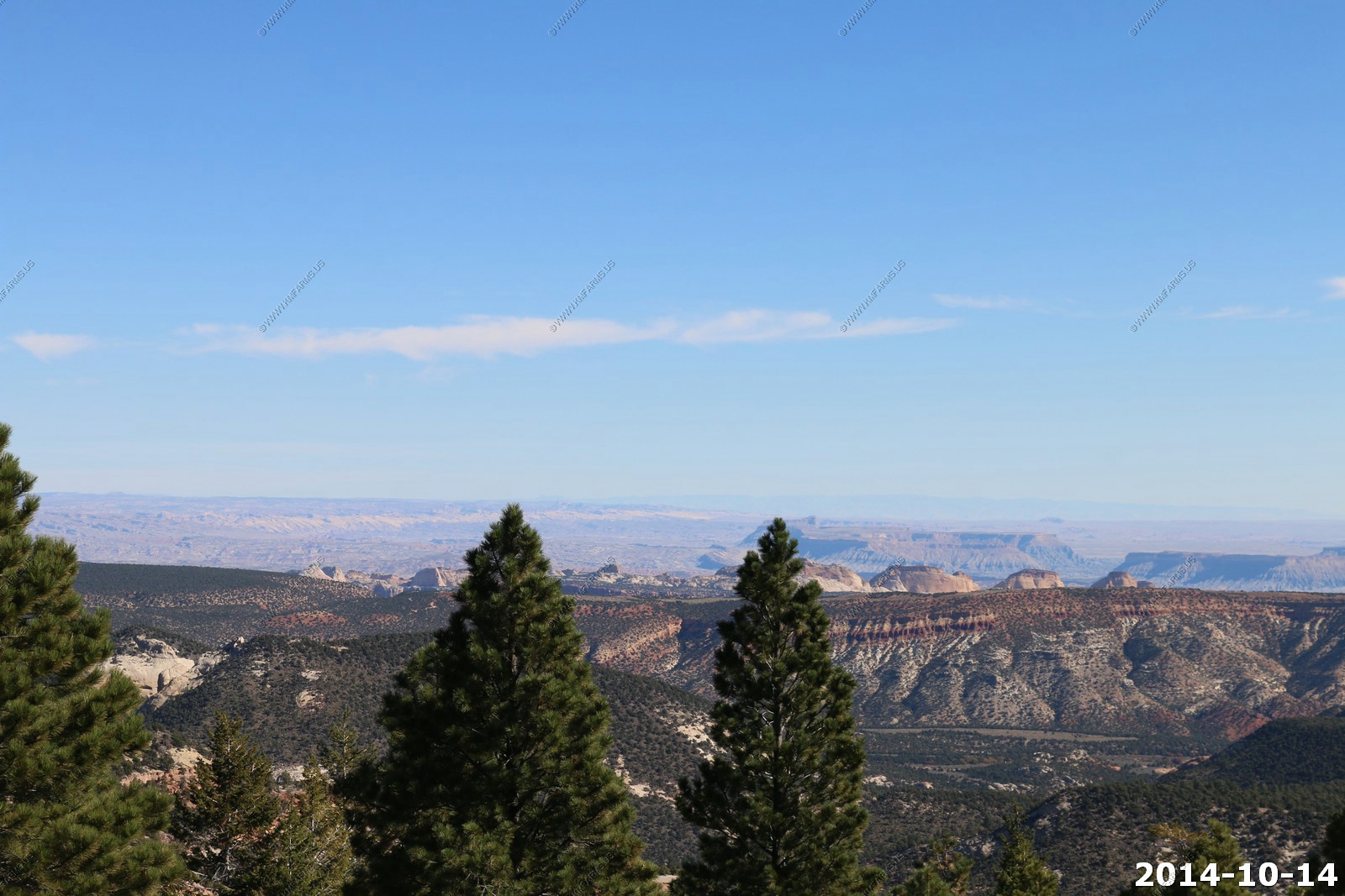
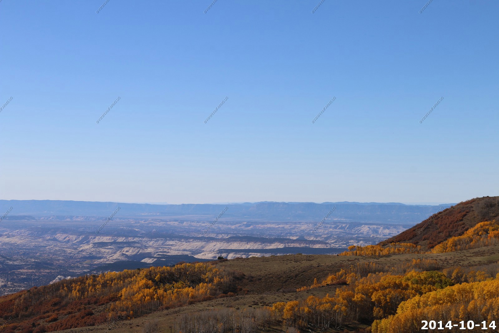
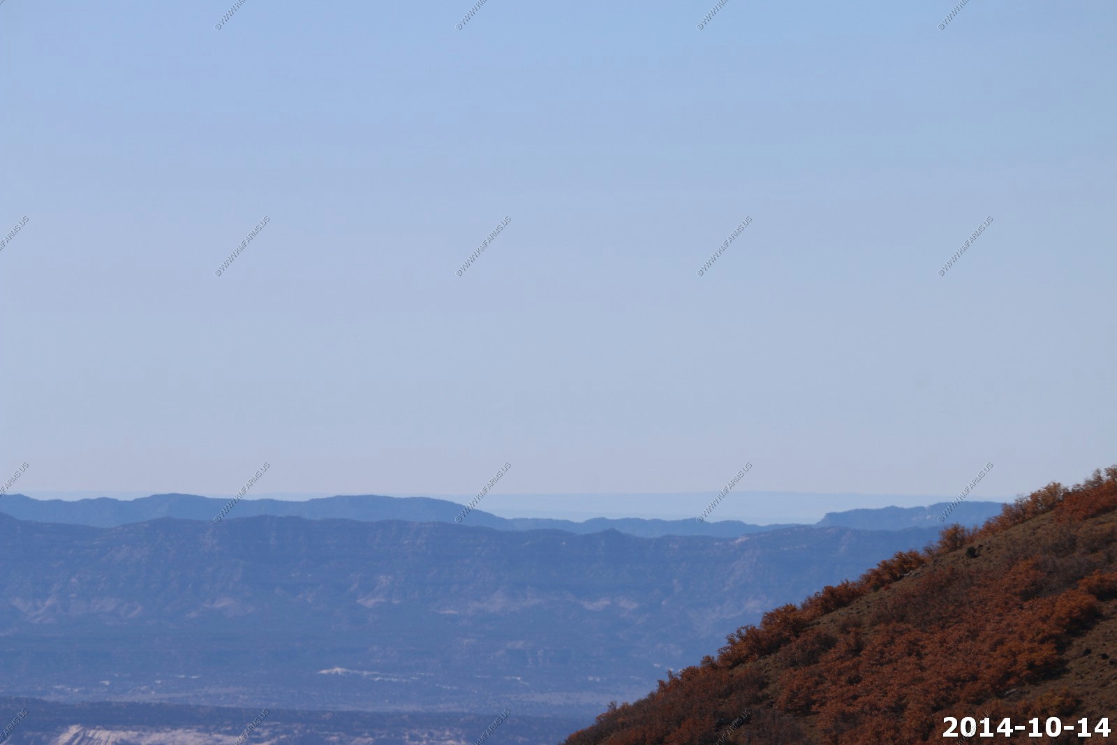
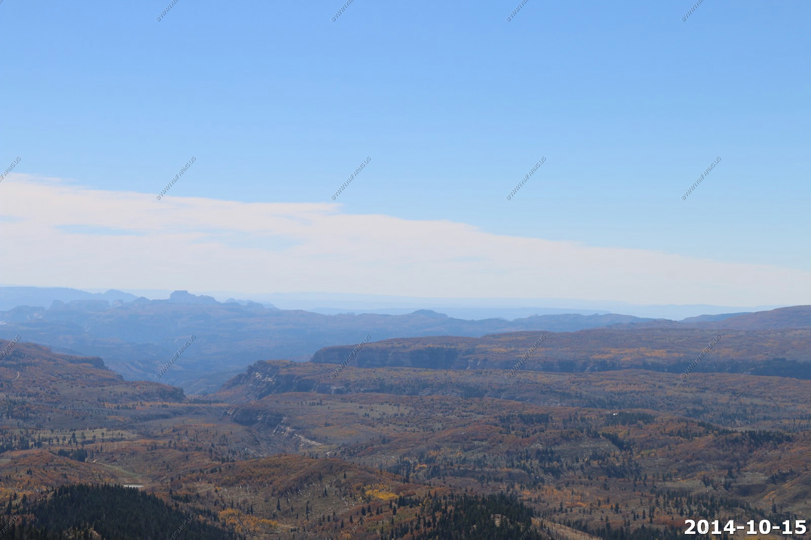
We stopped at the southern viewpoint along UT12. Here you get a good view towards the southwest.
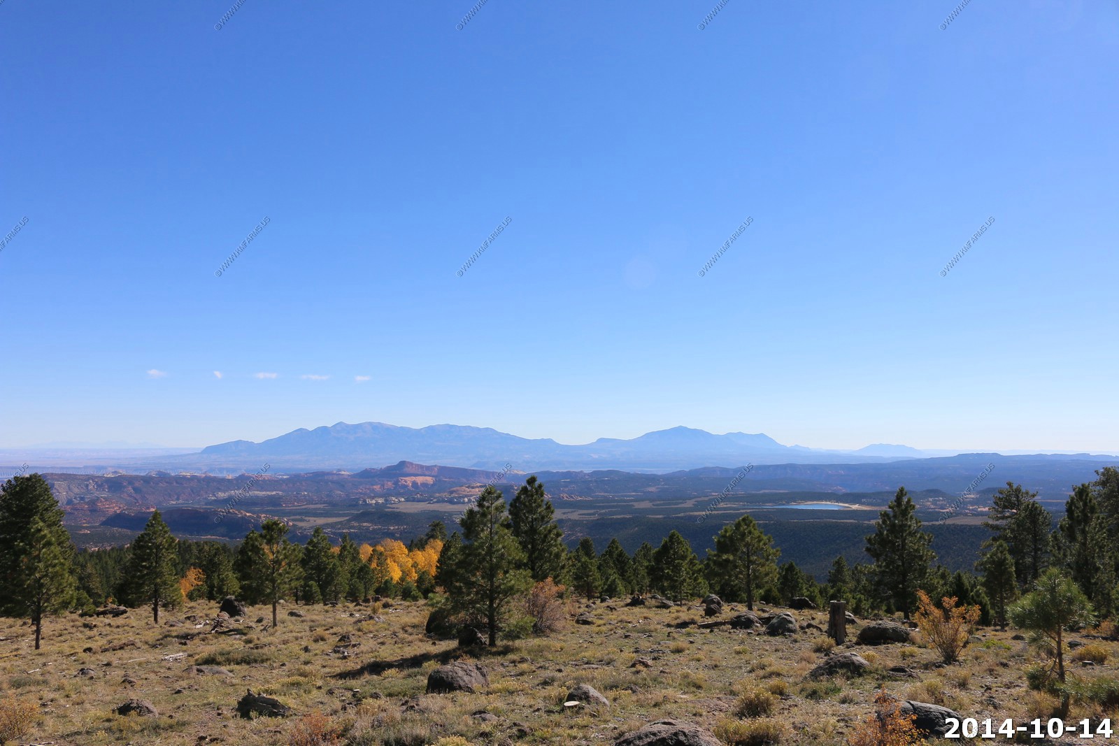
The southern Henrys (little Rockies) and over the pine trees you can see the water of Lake Powell at Halls Crossing.
Navajo Mt. (El. 10,388) the hump on the right 75 miles to the south. With Fiftymile Mountain coming down to it on the right. We are looking all the way to Arizona from here.
Zoomed in on Navajo Mt. Amazing you can see the towers on it. This is with a 255 mm lens.
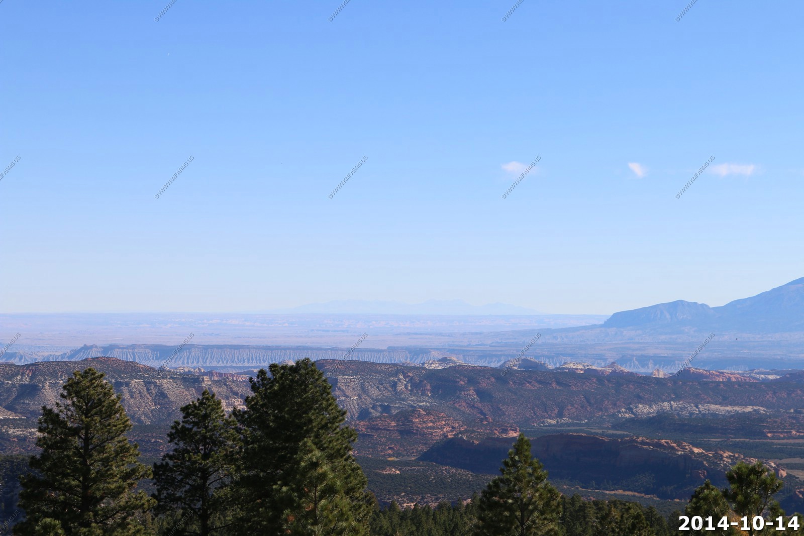
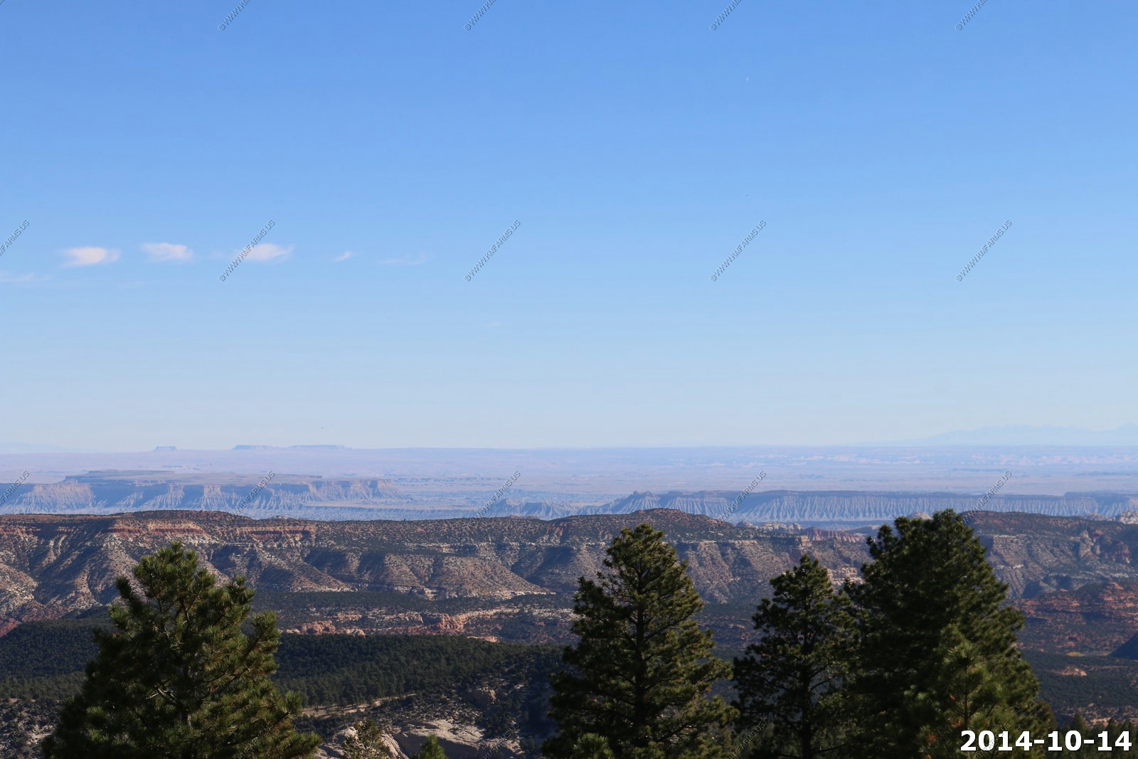
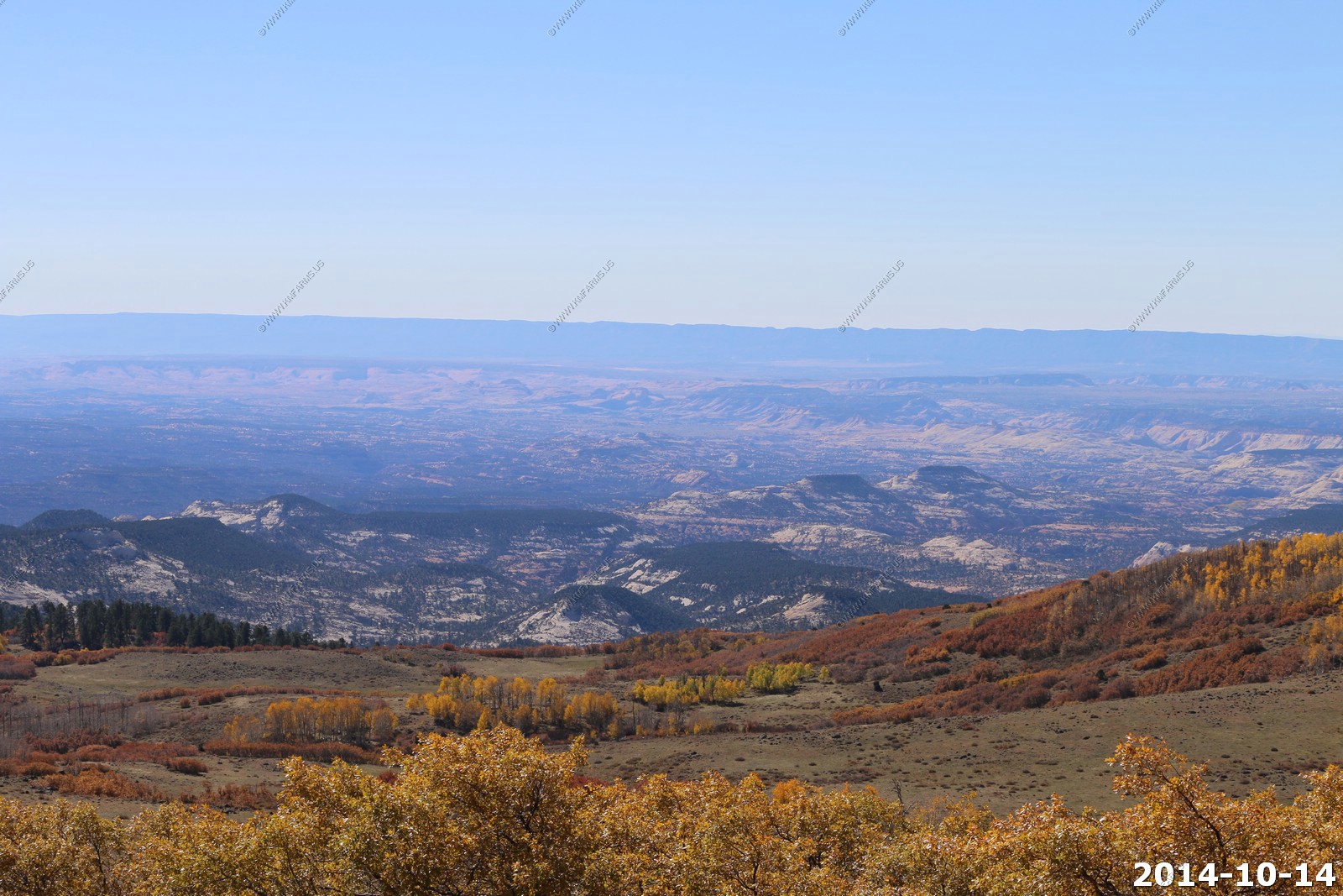
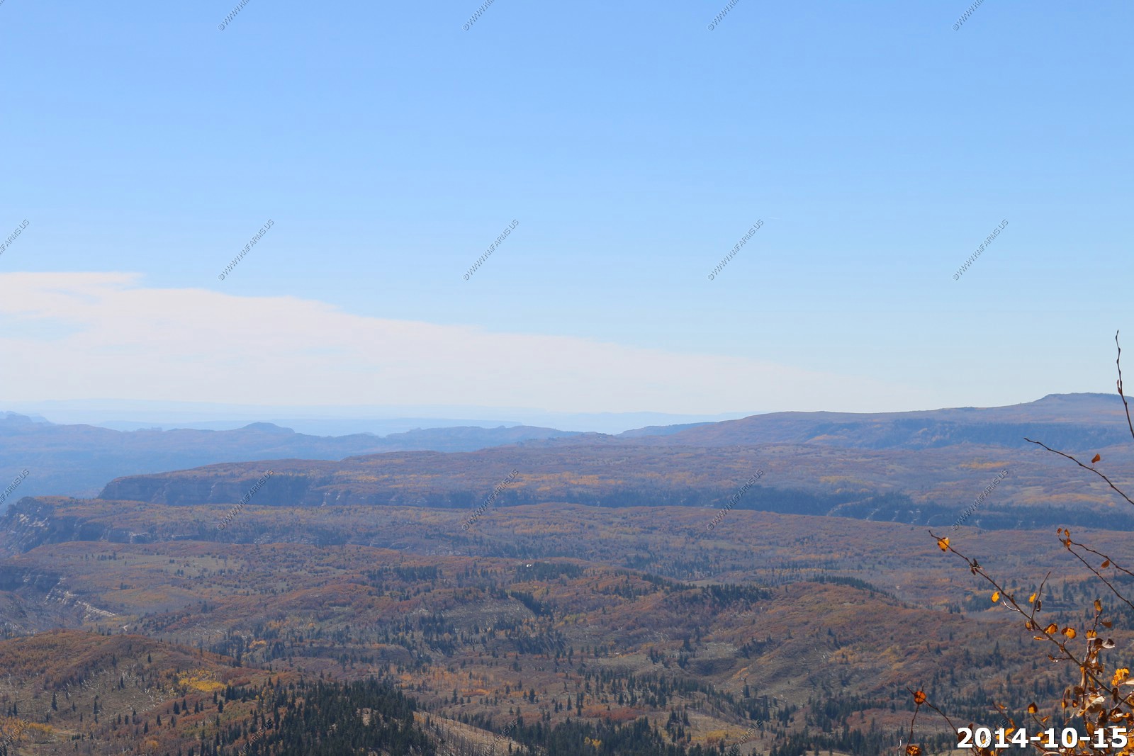
This is where it gets interesting looking west. You can see across Fiftymile Mesa to the North Rim of the Grand Canyon over 100 miles away.
Looking south you can see the jagged cliff's south of Page, AZ along the Colorado river.
Even the oaks are past peak.
Looking up to 11,000 ft. it looks like winter has arrived.
We are about to drive across all of this on UT12.
Cool western shot. Not perfect as I did not have much time to react.
Boulder Hydroelectric Power Plant.
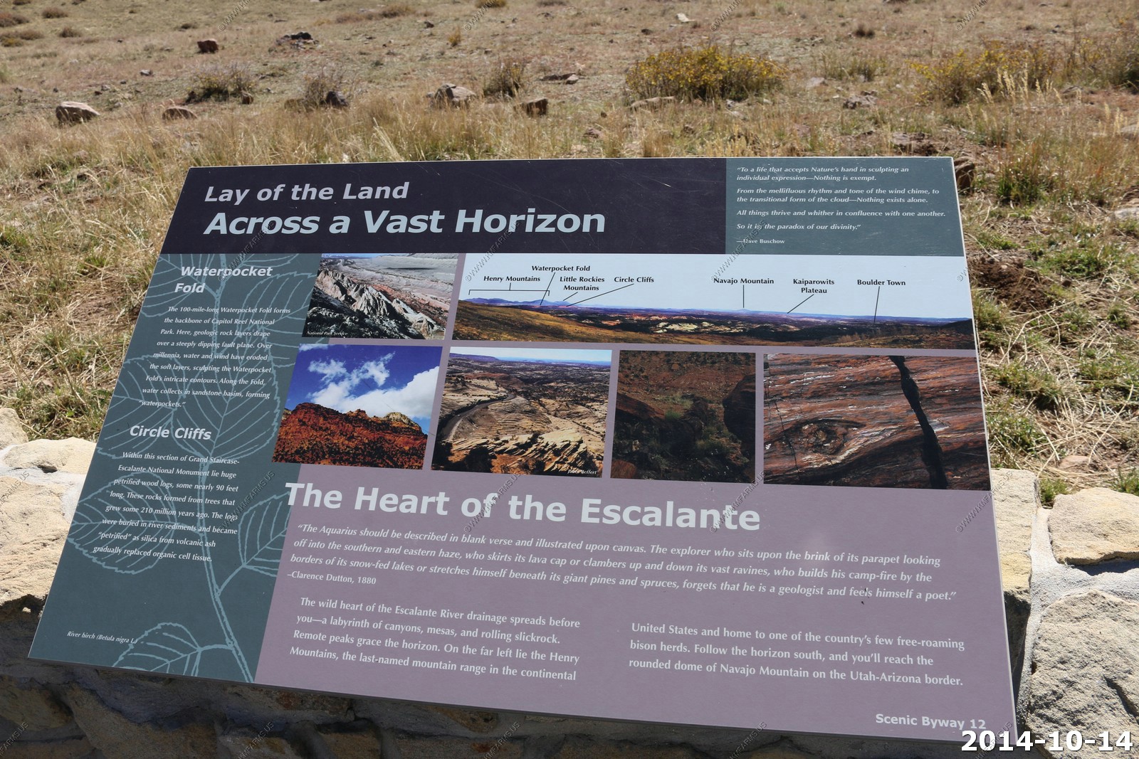
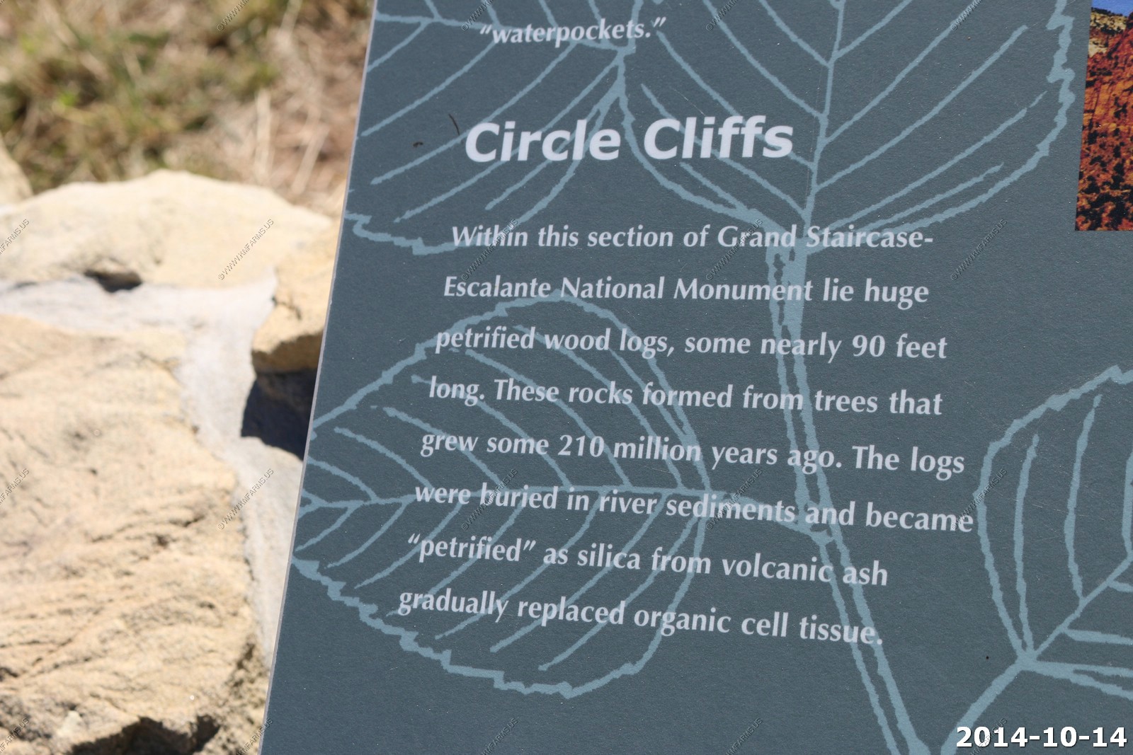
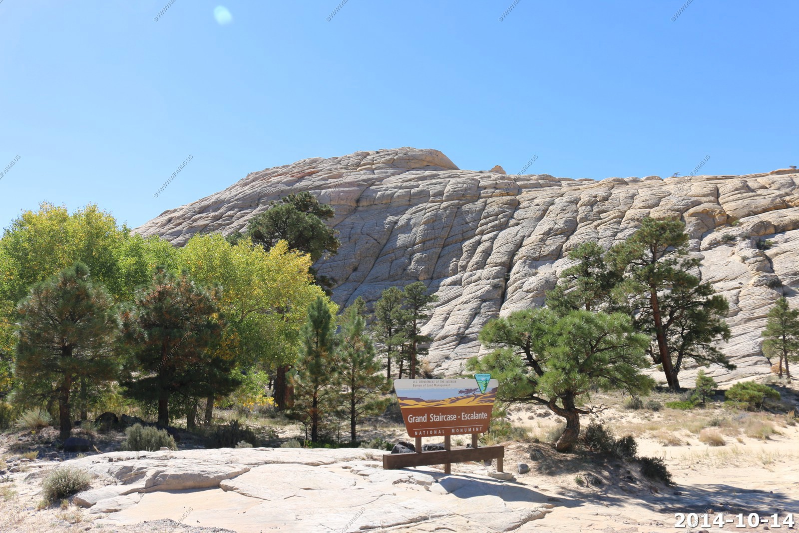
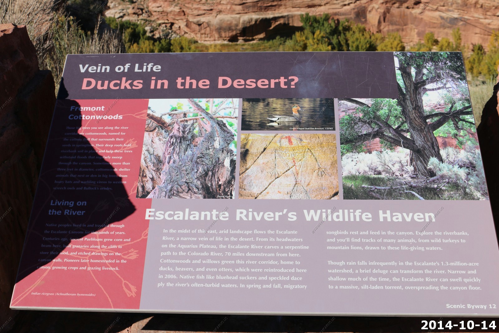
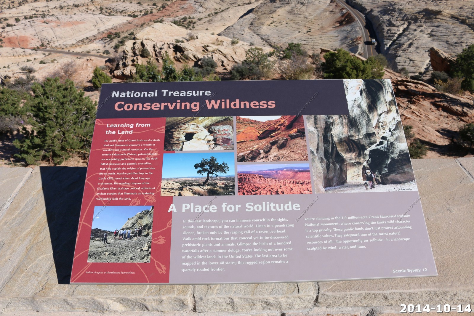
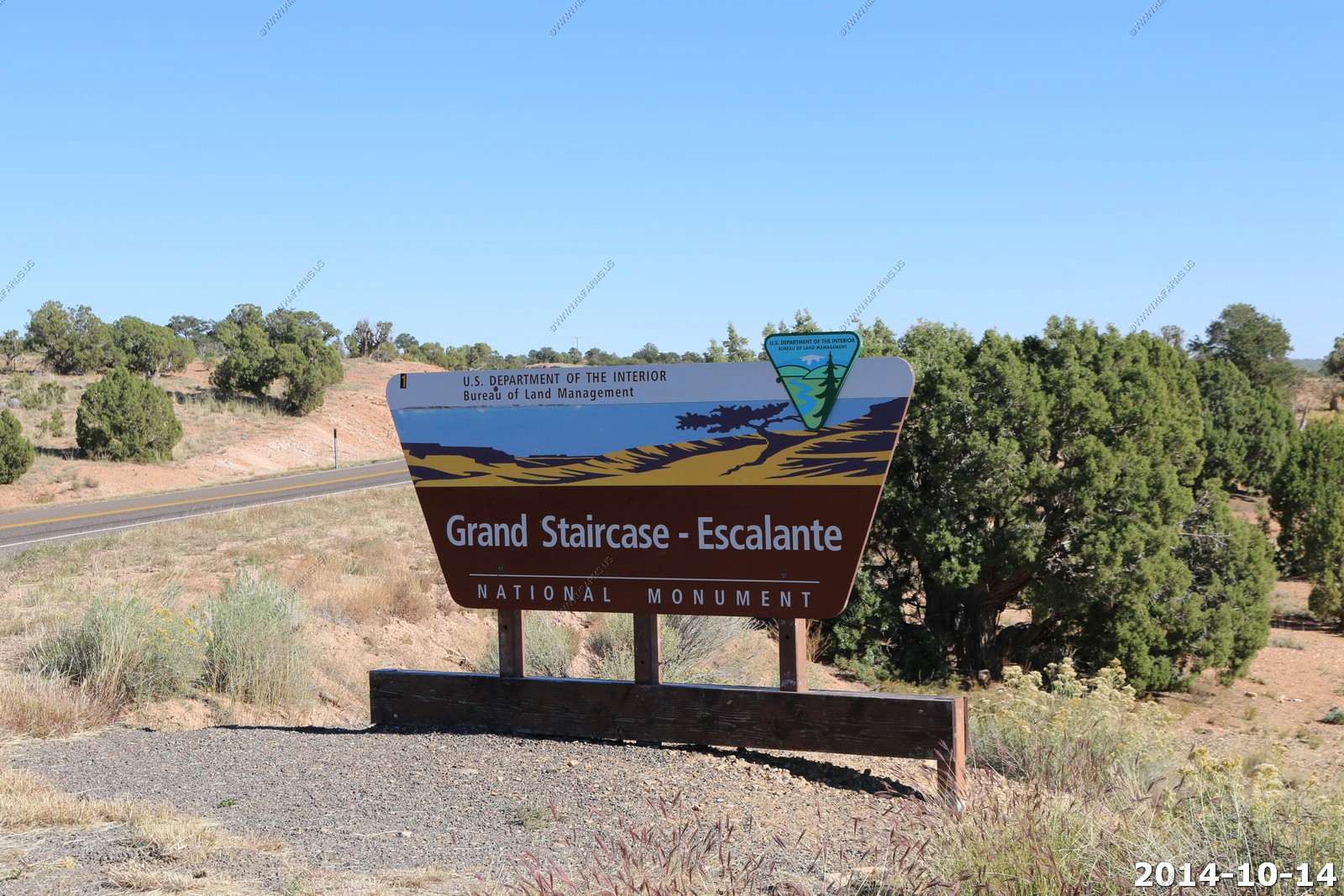
As we are heading further south and west we are now entering the Grand Staircase - Escalante National Monument
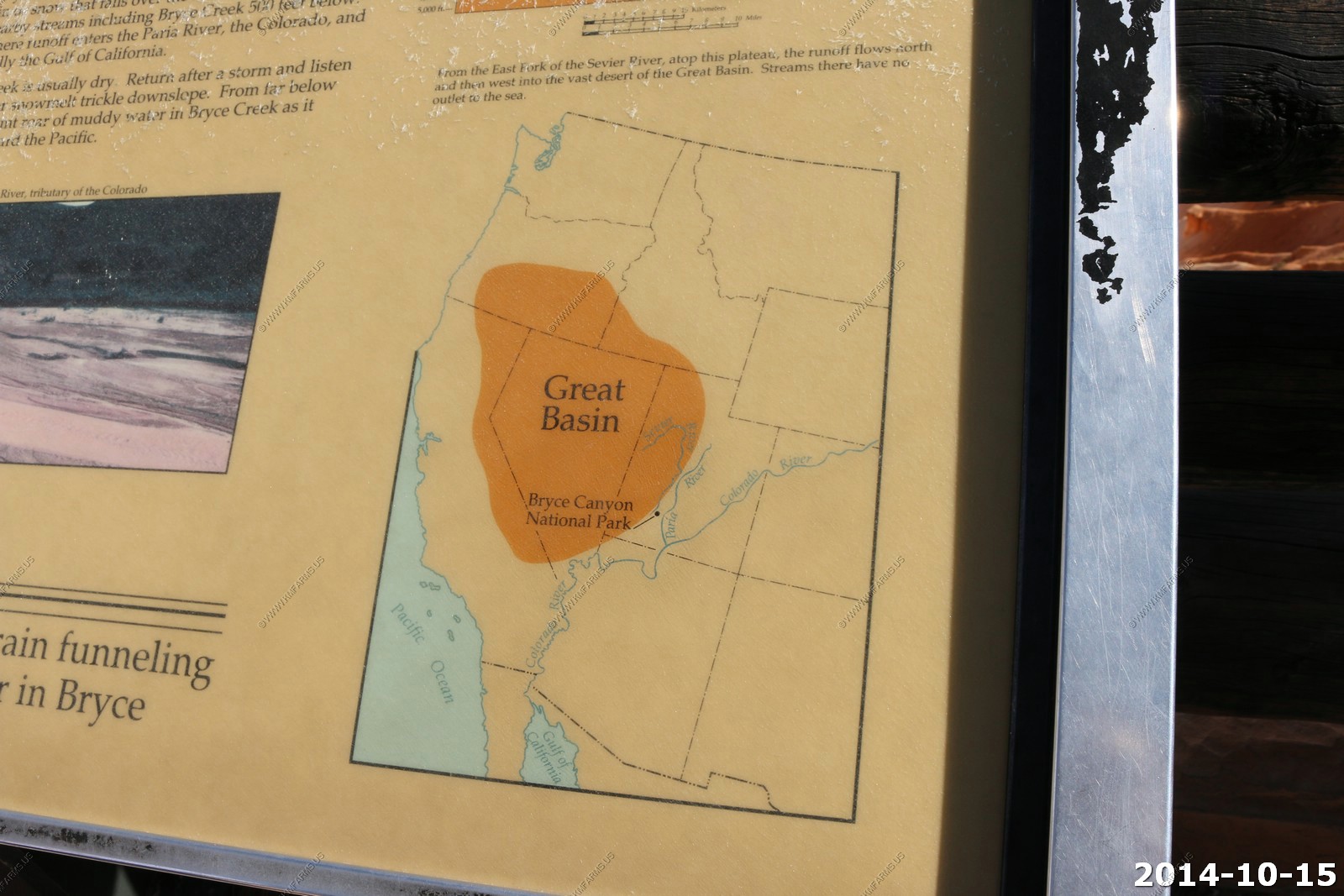
Grand Staircase - Escalante National Monument is a U.S. National Monument protecting 1,880,461 acres of land in southern Utah. There are three main regions: the Grand Staircase, the Kaiparowits Plateau, and the Canyons of the Escalante - all of which are administered by the Bureau of Land Management as part of the National Landscape Conservation System. President Bill Clinton designated the area as a national monument in 1996. Grand Staircase-Escalante encompasses the largest land area of all U.S. National Monuments.
We needed a scenic and quiet place to eat lunch. We drove back the Burr Trail a few miles. The western end is paved.
The Burr Trail takes the adventurous traveler into some of Utah's most beautiful and extraordinary country. Views of the Henry Mountains, the colorfully contorted Waterpocket Fold, red Circle Cliffs, and Long Canyon all await the traveler who wishes to drive this interesting back road. Numerous hikes and side trips are available for those with the time and inclination.
John Atlantic Burr was born in 1846 aboard the SS Brooklyn somewhere in the Atlantic Ocean. He and his family lived in Salt Lake City, then later moved south and established the town of Burrville, Utah, in 1876. John Burr soon developed a trail to move cattle back and forth between winter and summer ranges and to market. This cattle trail through the rough, nearly impassable country around the Waterpocket Fold, Burr Canyon, and Muley Twist Canyon came to be known as the Burr Trail.
Today, the road which connects Bullfrog and Boulder, Utah, and which passes through the painted rock country of Glen Canyon National Recreation Area, Capitol Reef National Park, and Grand Staircase-Escalante National Monument land is known as the Burr Trail.
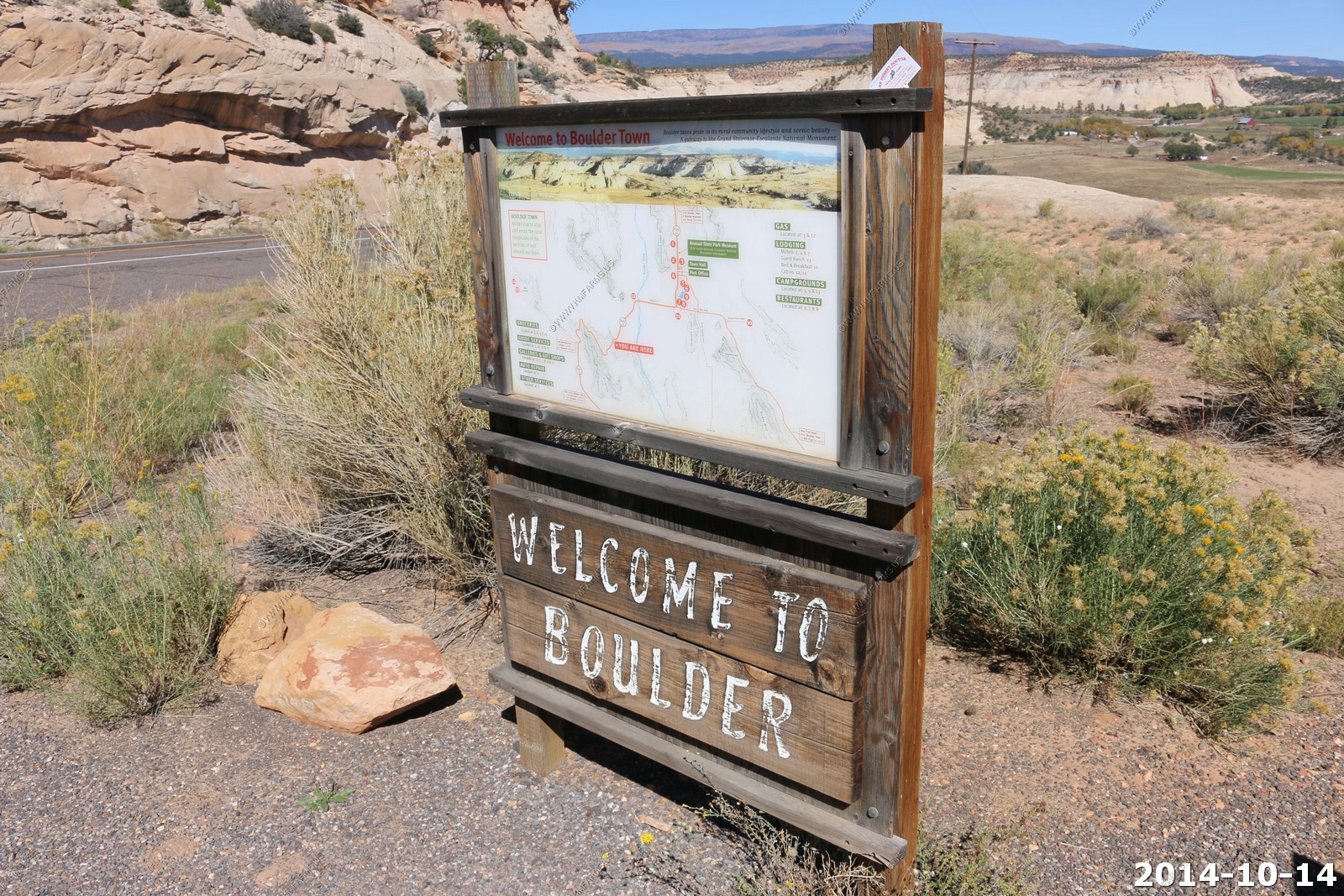
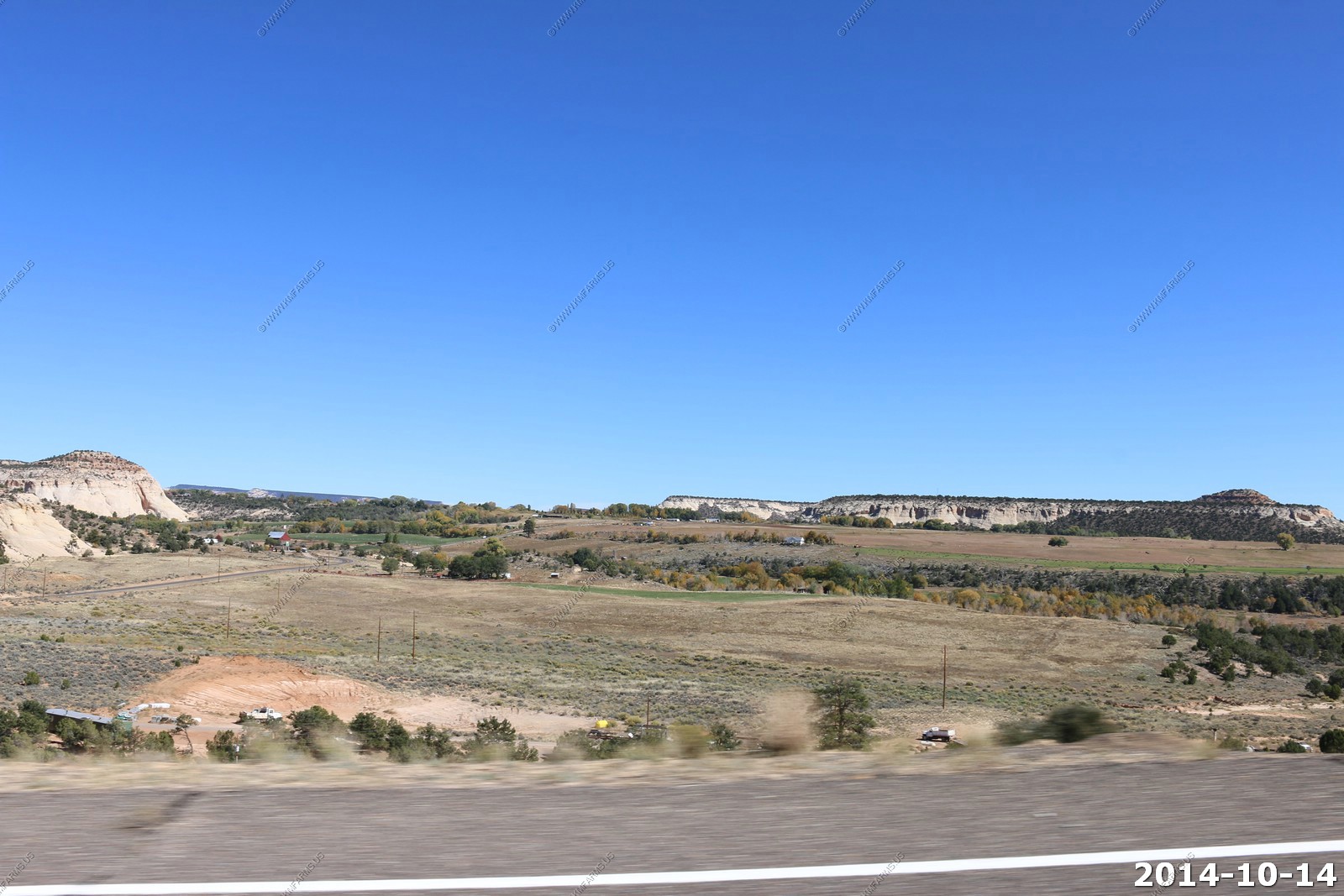
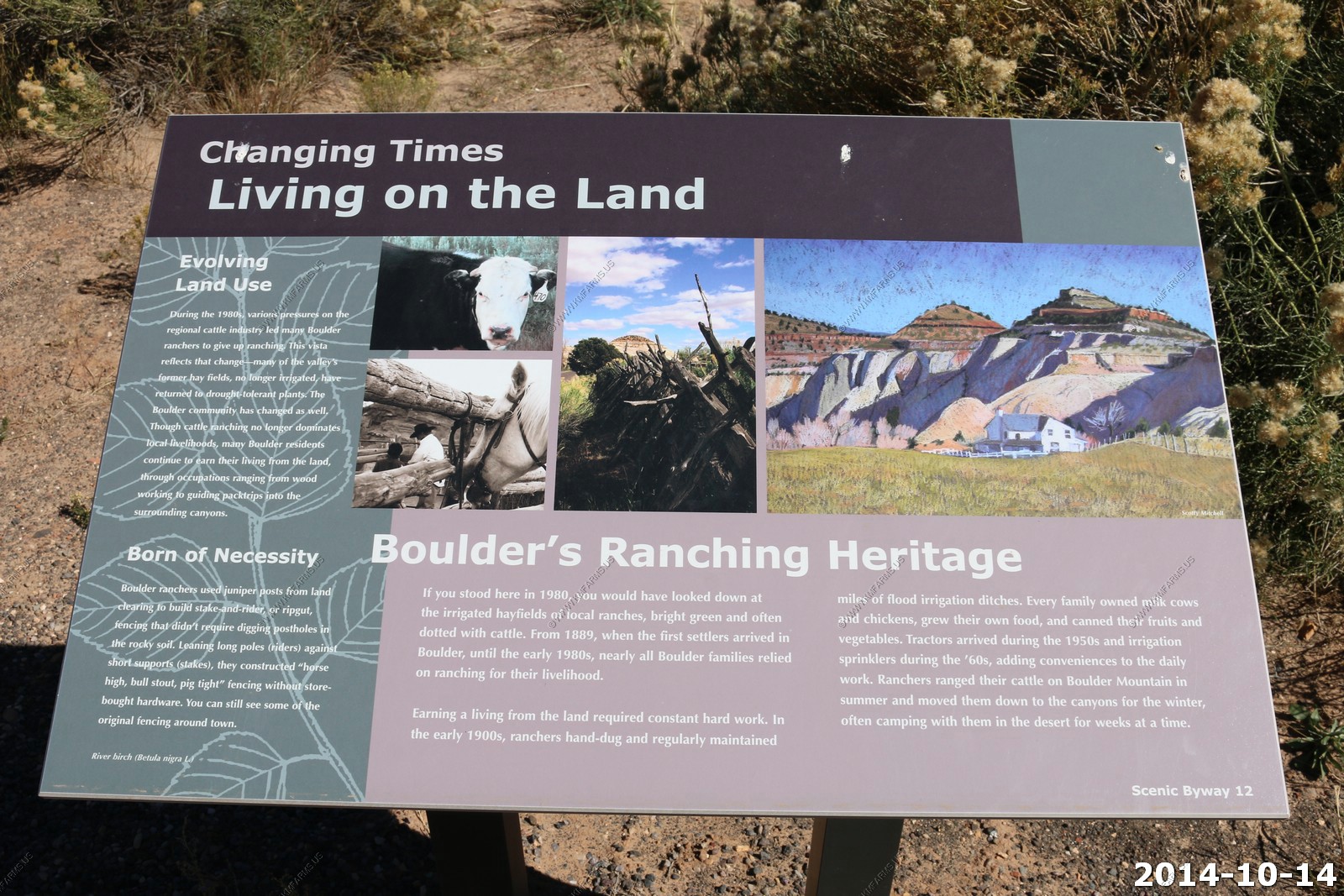
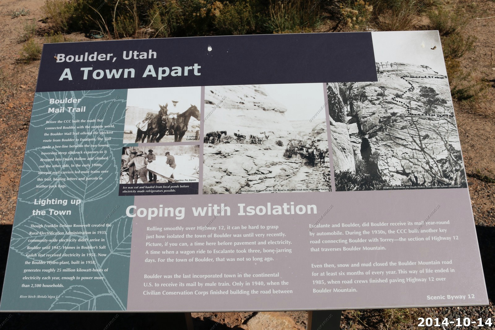
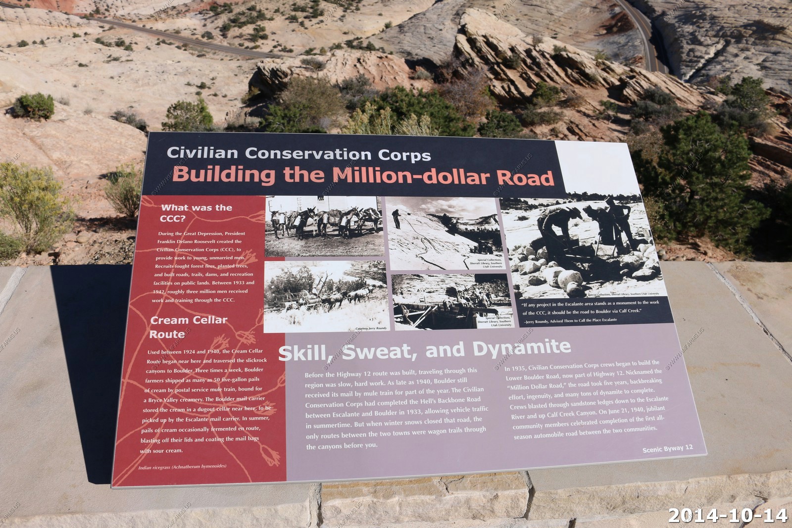
Boulder, Utah - is a town in Garfield County, Utah, United States, 27 miles northeast of Escalante on Utah Scenic Byway 12 at its intersection with the Burr Trail. As of the 2000 census, the town population was 180, a modest increase over the 1990 figure of 126. Boulder, quite isolated until the Civilian Conservation Corps built a road from Escalante, did not get electric power until 1947. The town marks the western terminus of Burr Trail, a mostly paved road that runs eastward through spectacular red rock country to the Waterpocket Fold in Grand Staircase-Escalante National Monument.
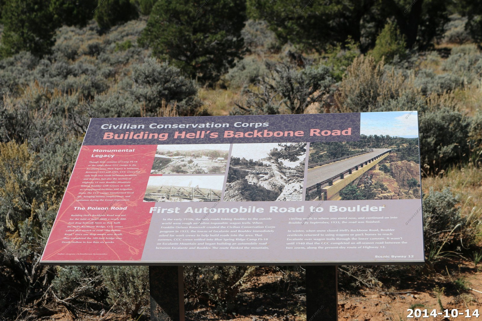
Hells Backbone road - we did it back in 2003.
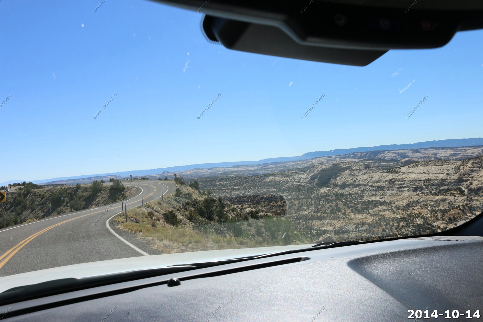
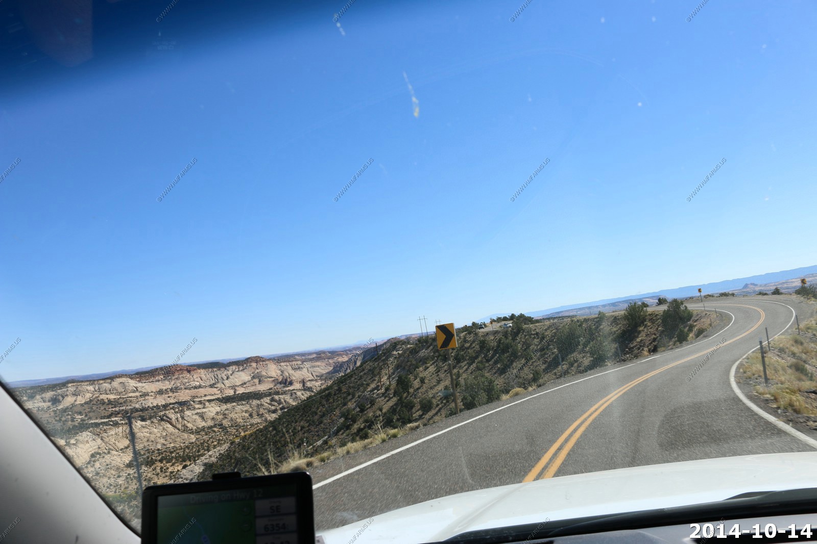
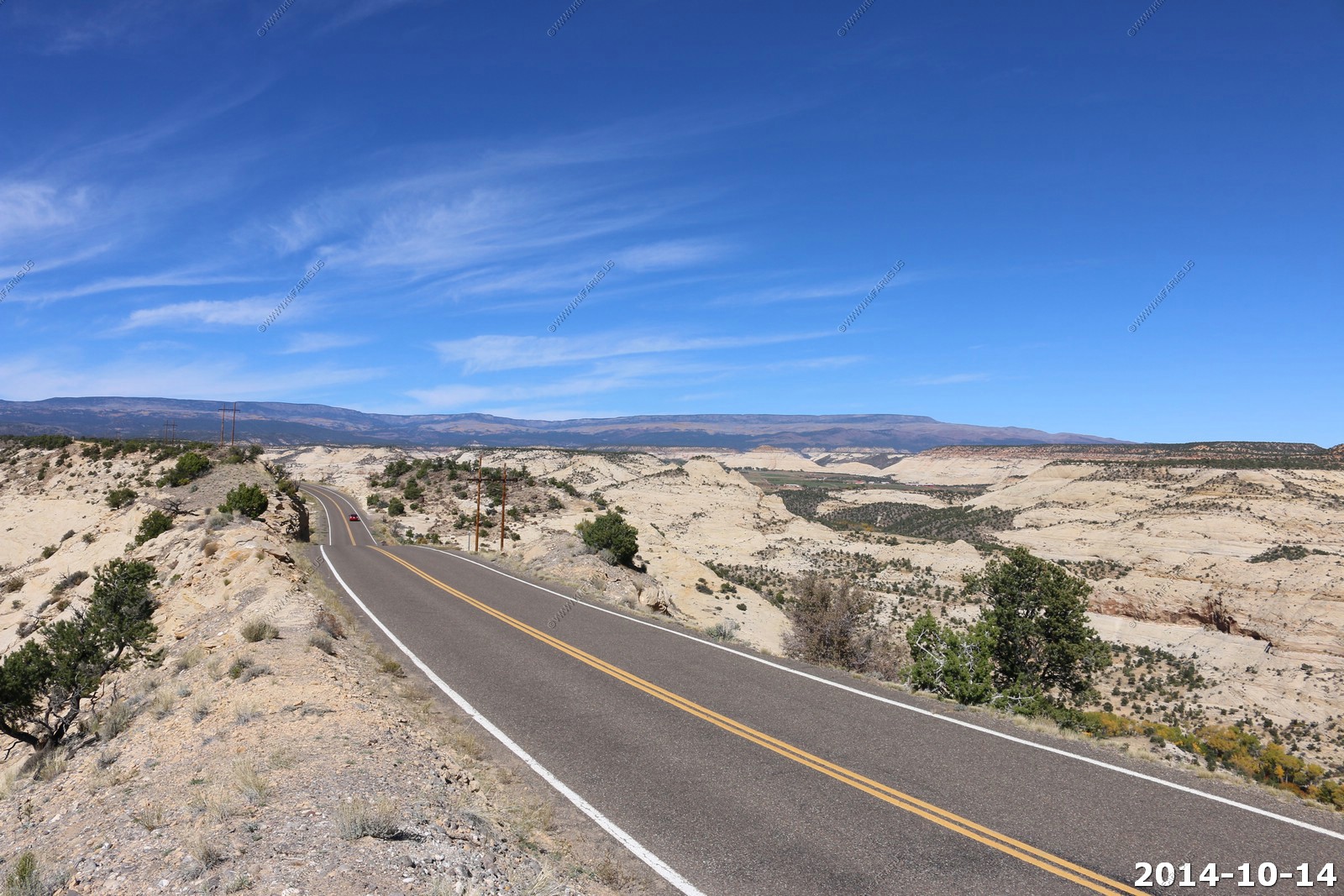
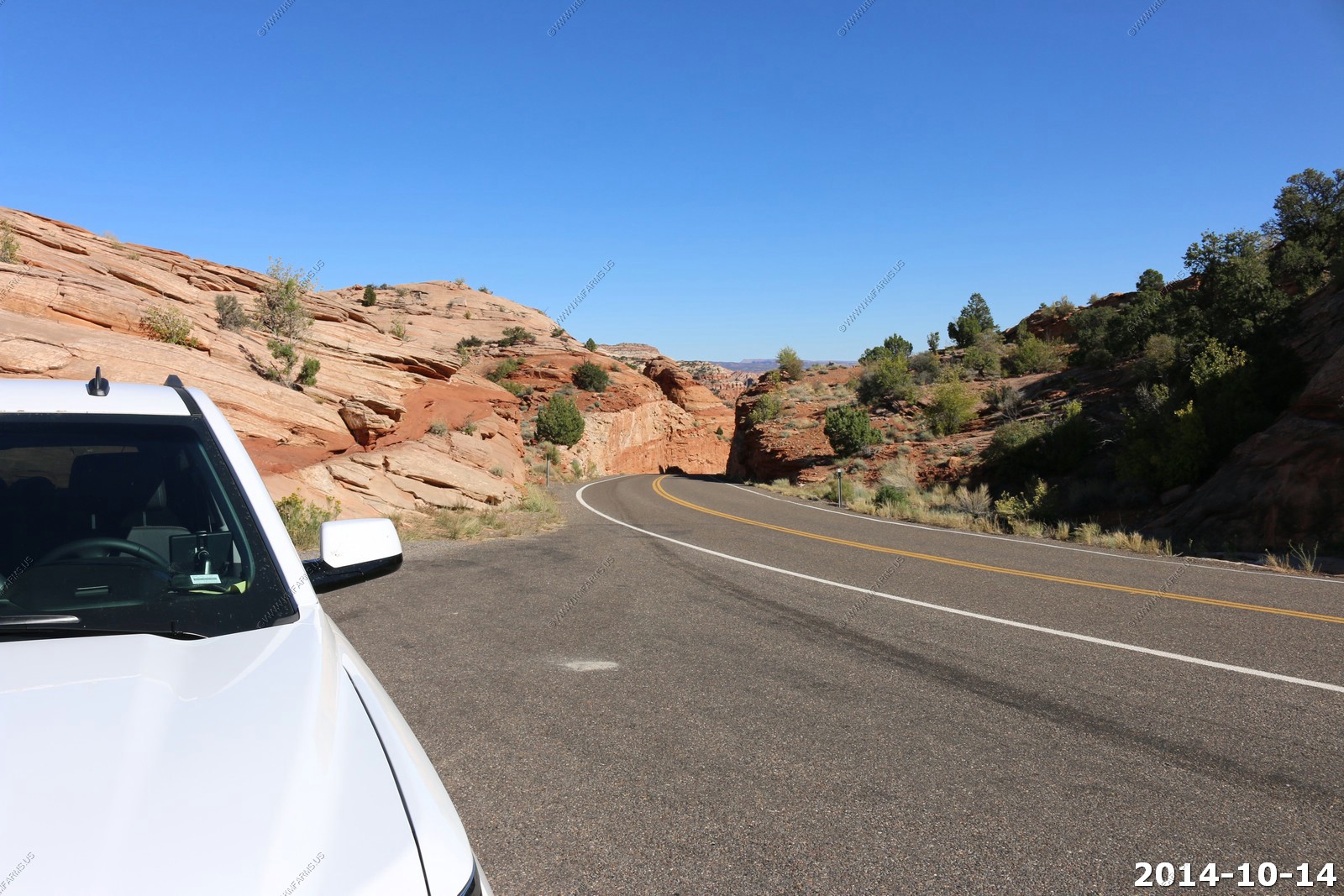
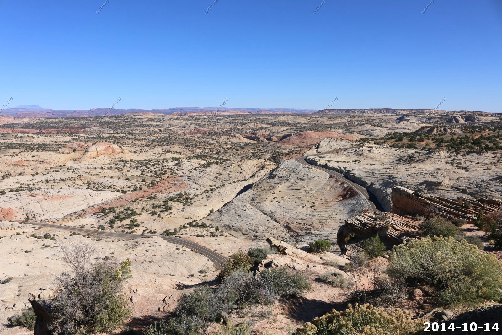
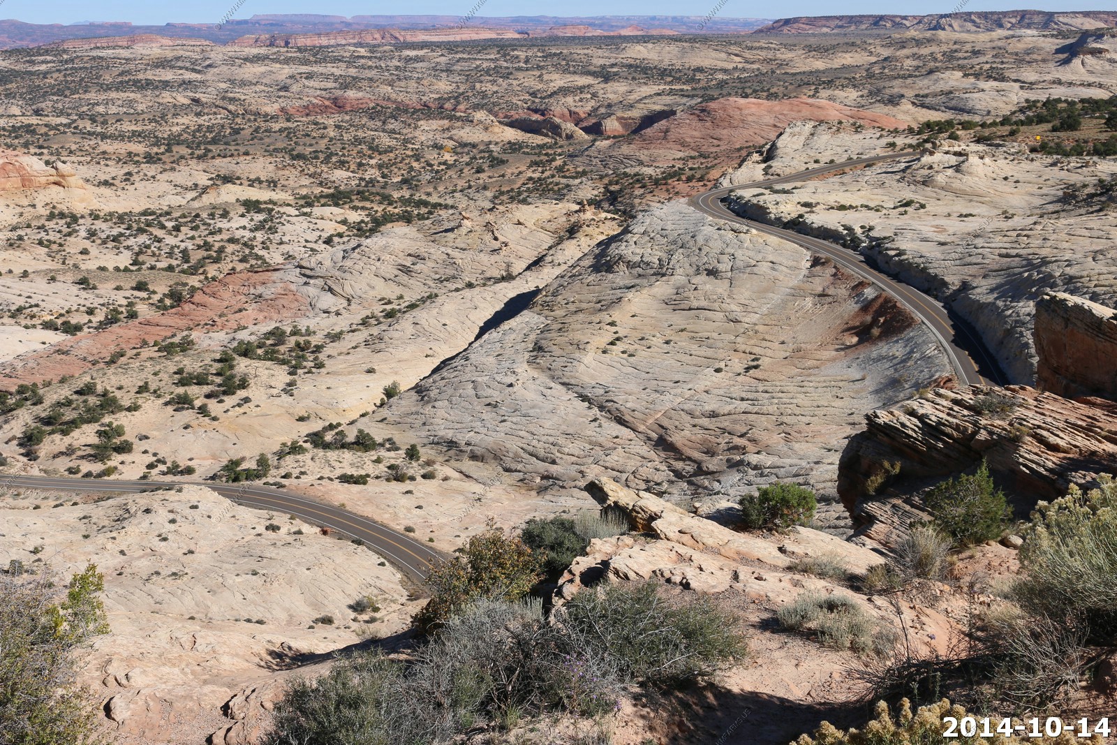
Highway 12 starting to get interesting. No guardrails and nice drop-offs.
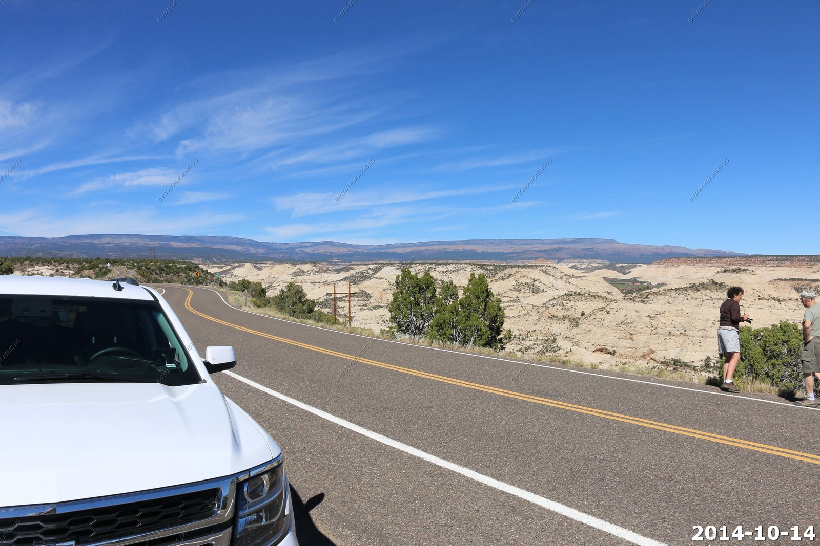
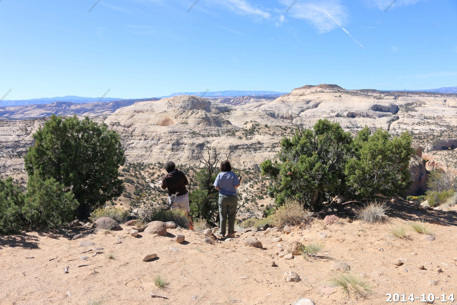
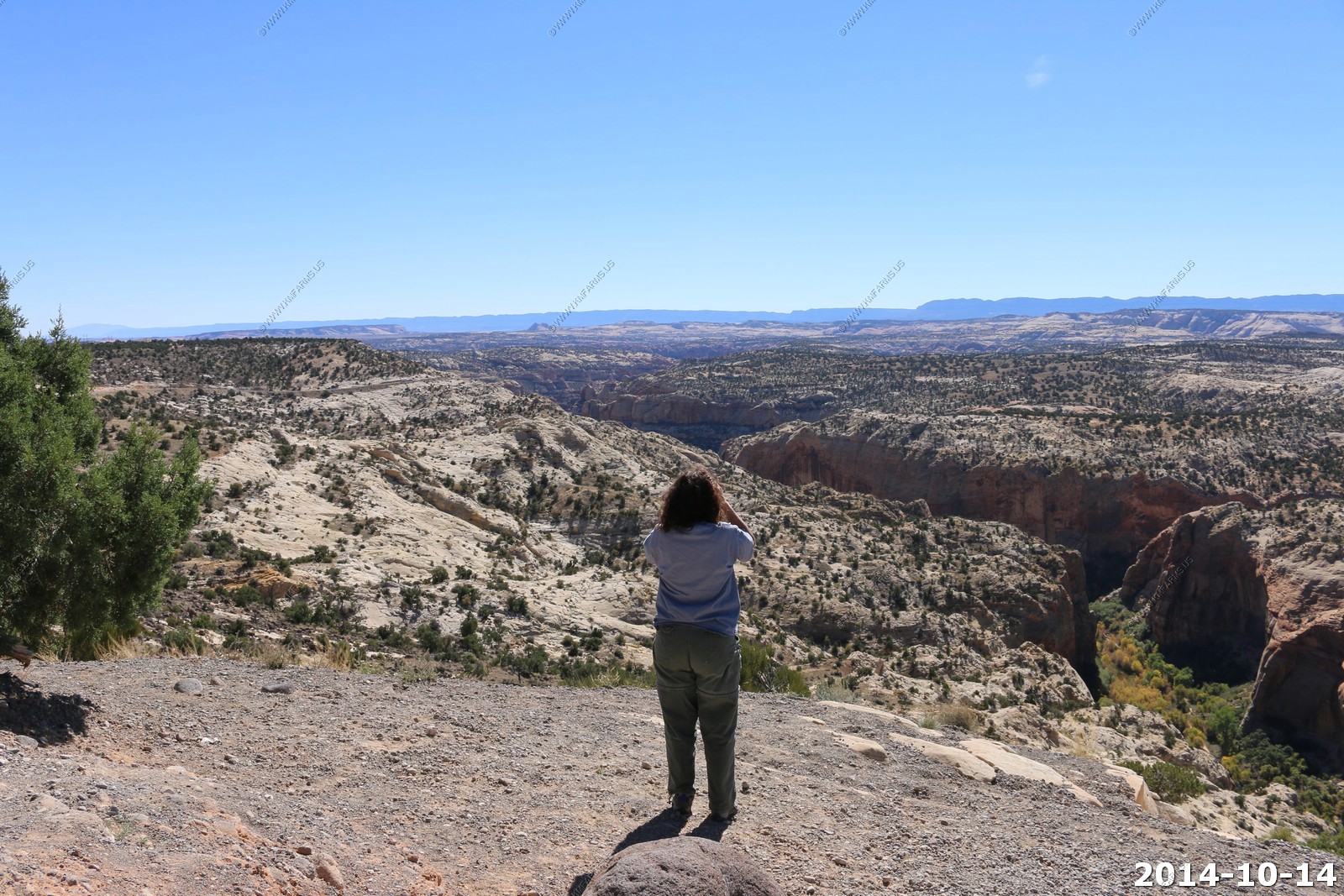
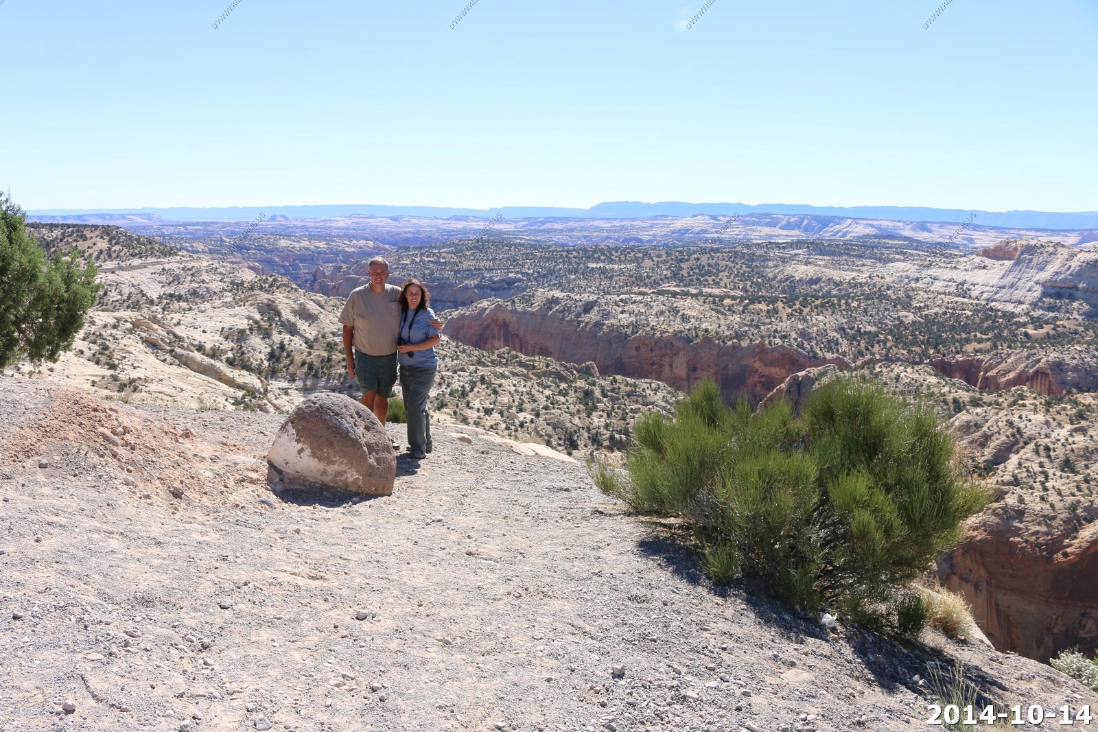
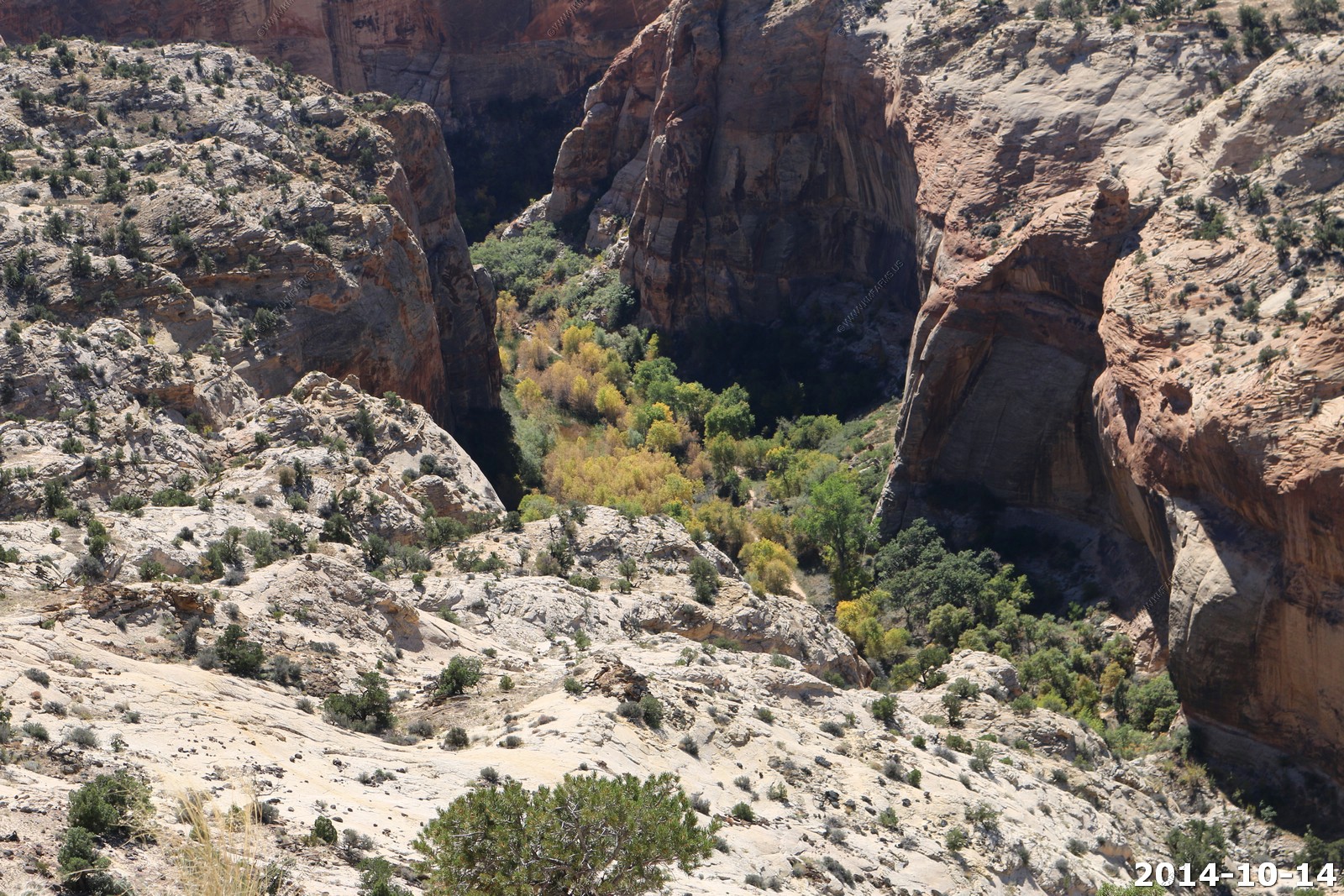
Mary & Monika looking into Calf Creek, Ken & Mary too.
14% - Not bad
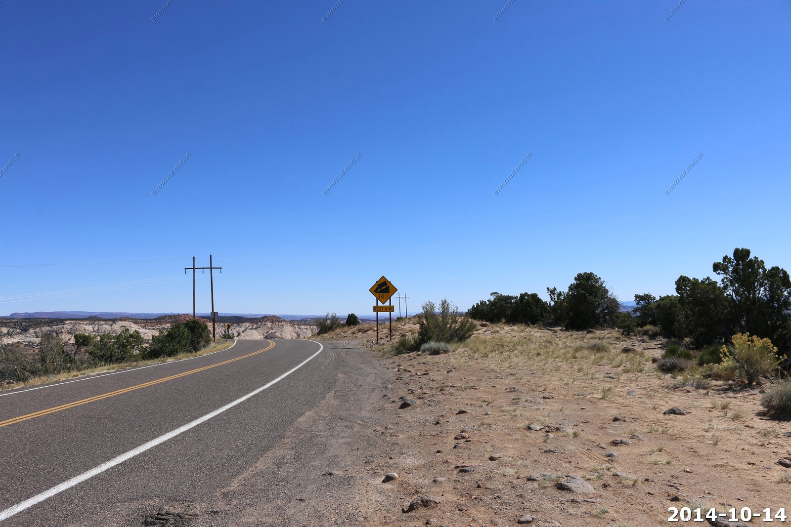
Beautiful road with drop-offs a foot past the white line.
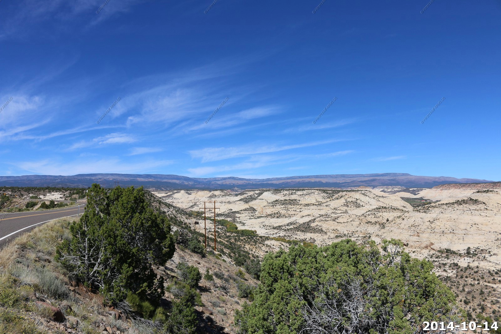
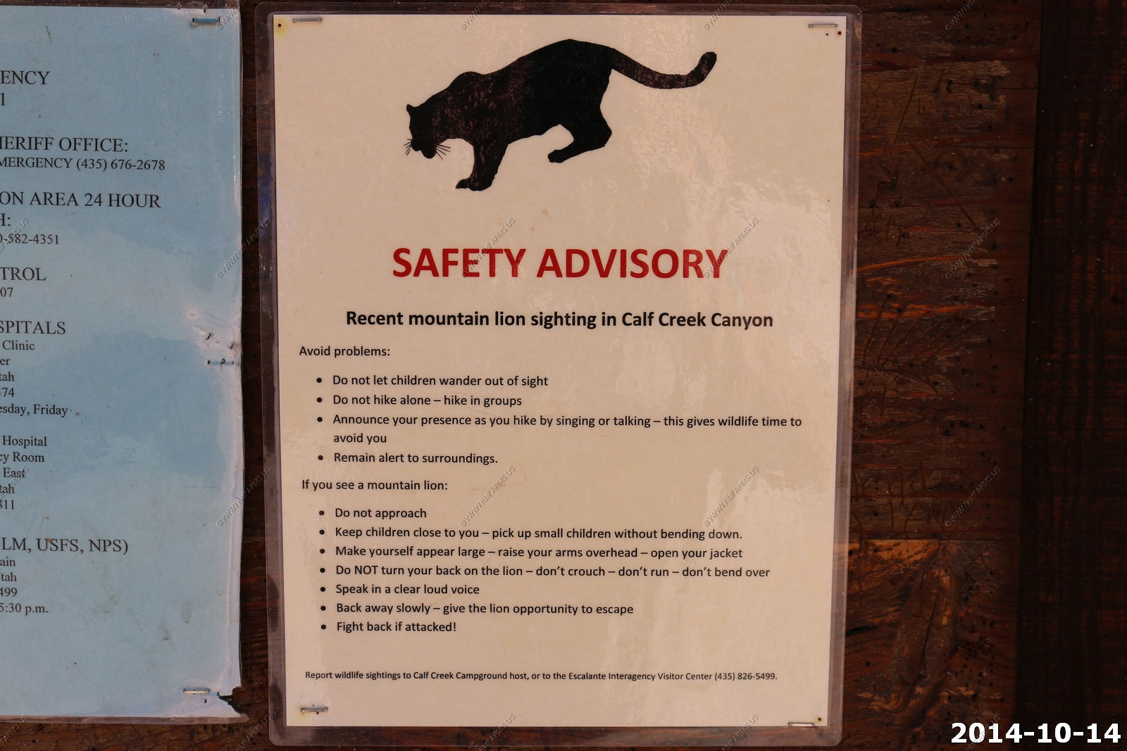
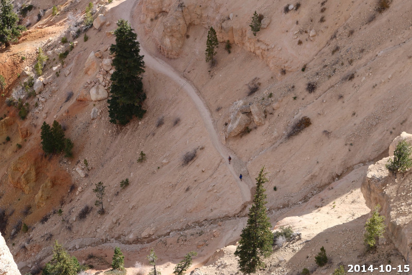
Looking down into Calf Creek - We would be hiking in this area at our next stop.
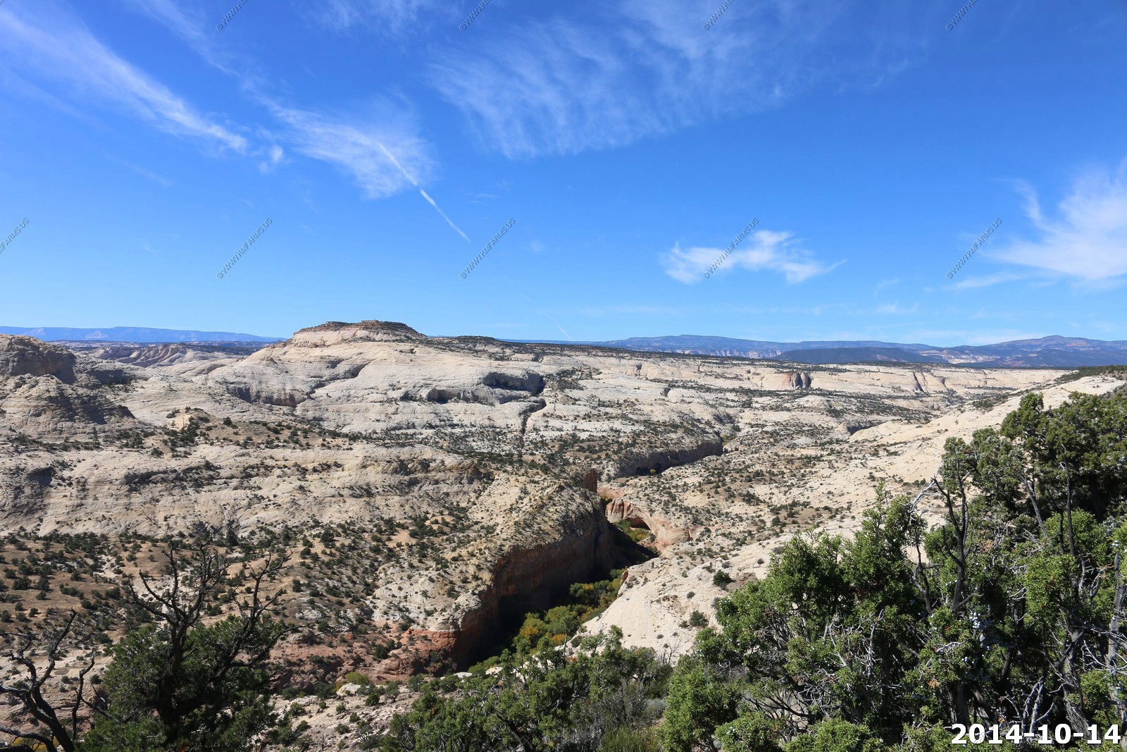
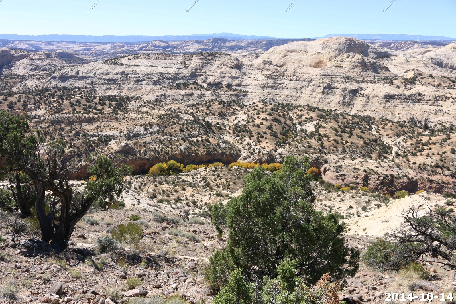
You can even see the trail along Calf Creek.
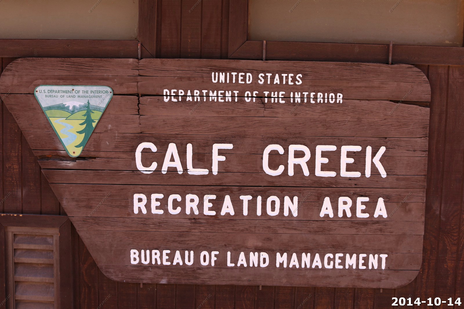
Calf Creek - Recreation Area
Lower Calf Creek Falls - The hike begins in the Calf Creek campground located on Hwy 12, 15 miles east of Escalante. Hikers are charged a day use fee of $2.00 per vehicle. The 6.0 mile round trip hike to the 126 foot lower falls is on a developed trail adjacent to Calf Creek. The hike is moderately difficult due to sandy sections. An interpretive brochure is available at the trailhead. The hike can be hot, especially during summer months, and hikers must carry adequate water. This is a good introductory hike to the Escalante Canyons.
Because of time we did not go all the way to the falls on this visit.
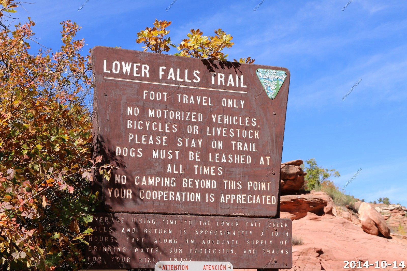
Information at the trailhead.
Looking back up at UT-12 that we were just on.
Along the trail.
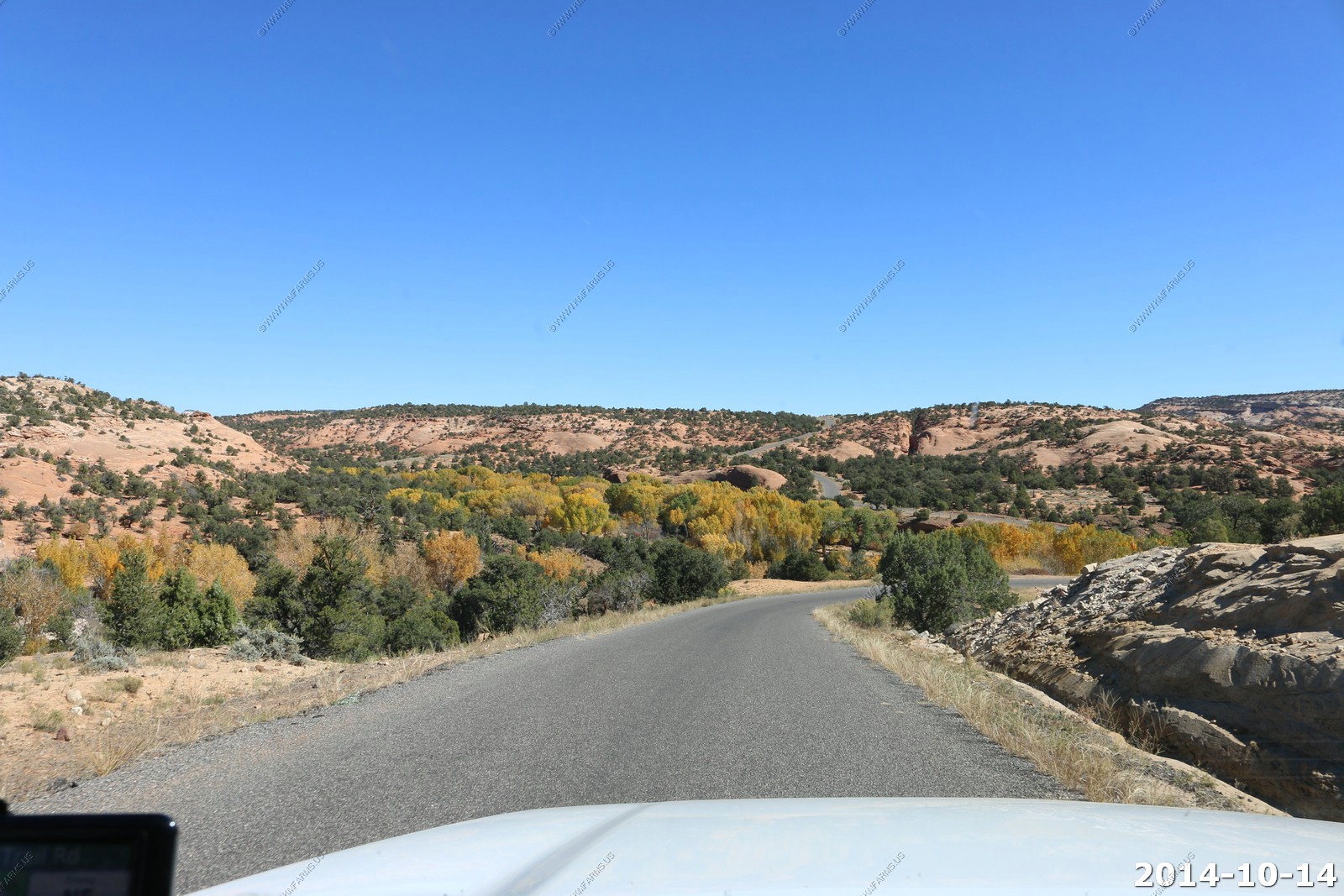
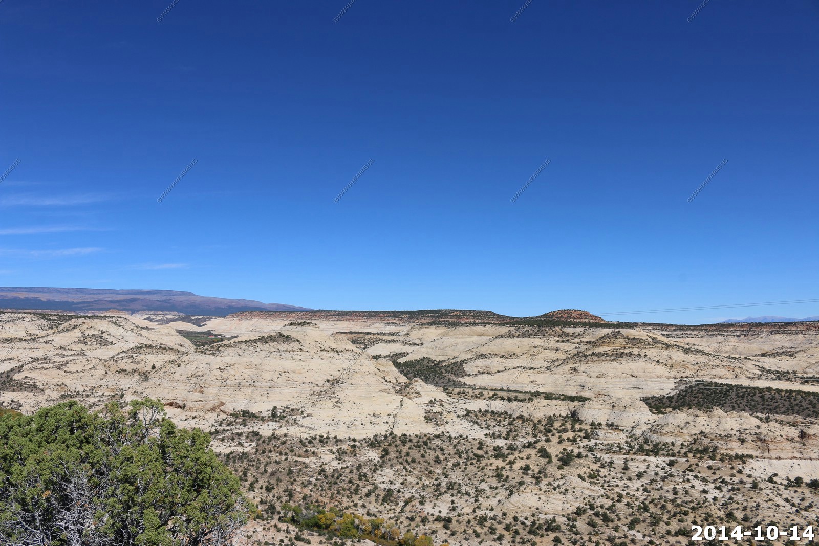
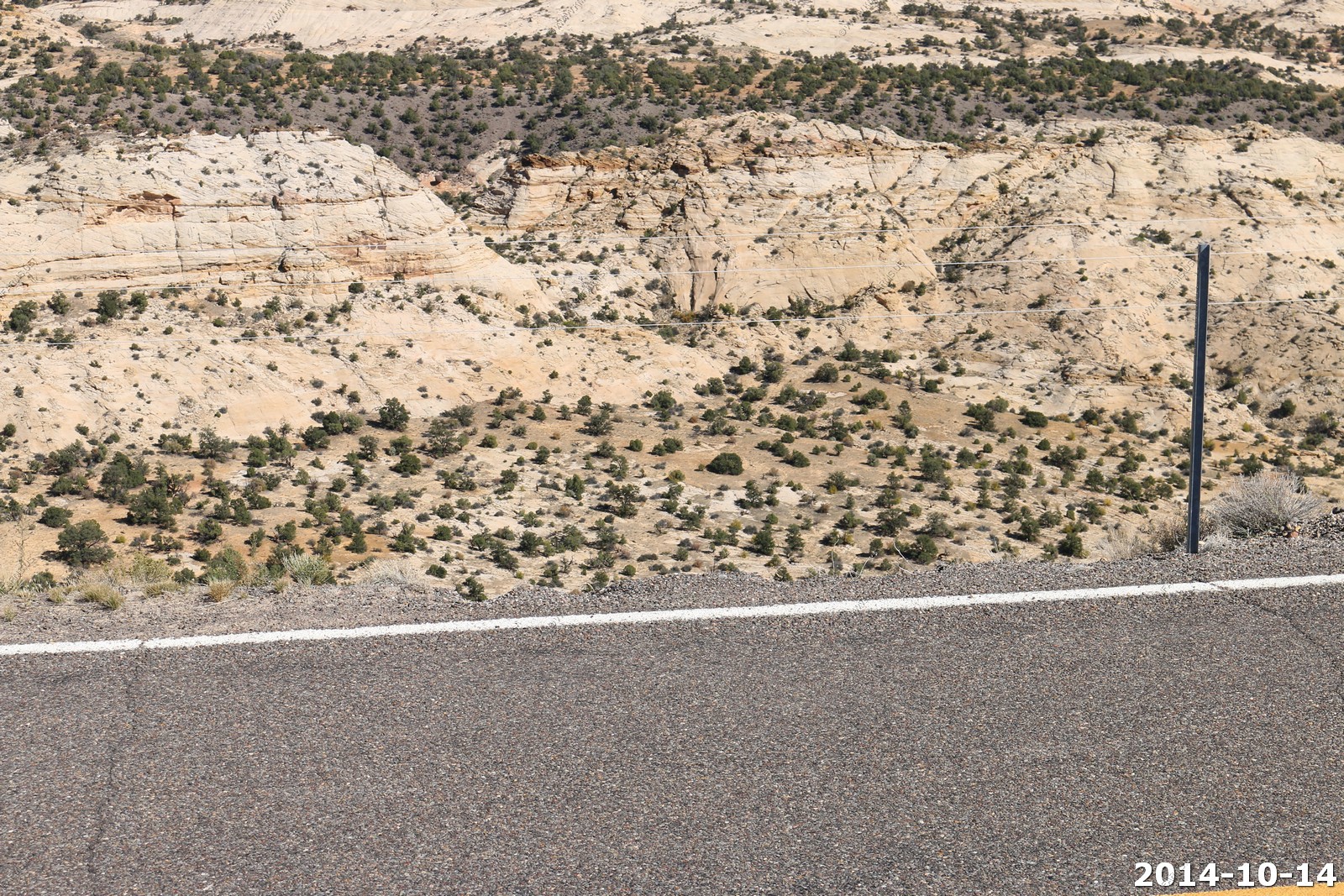
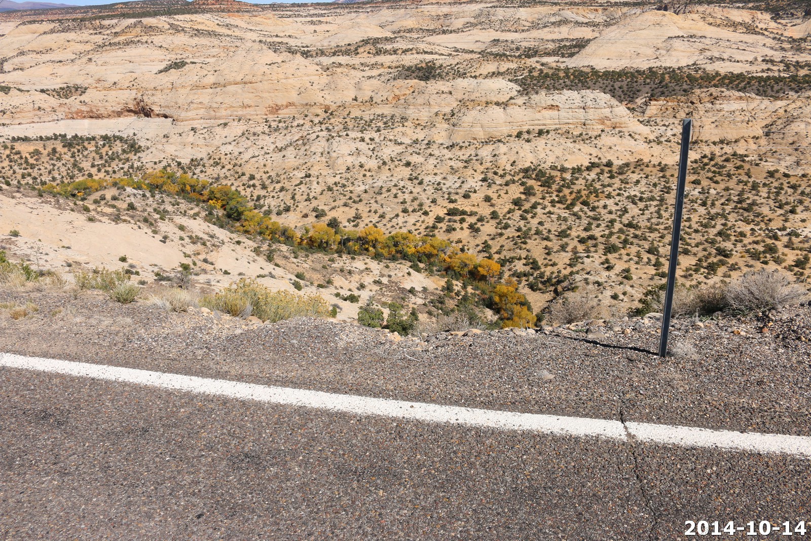
We continued along UT-12 Some interesting road cuts along this section.
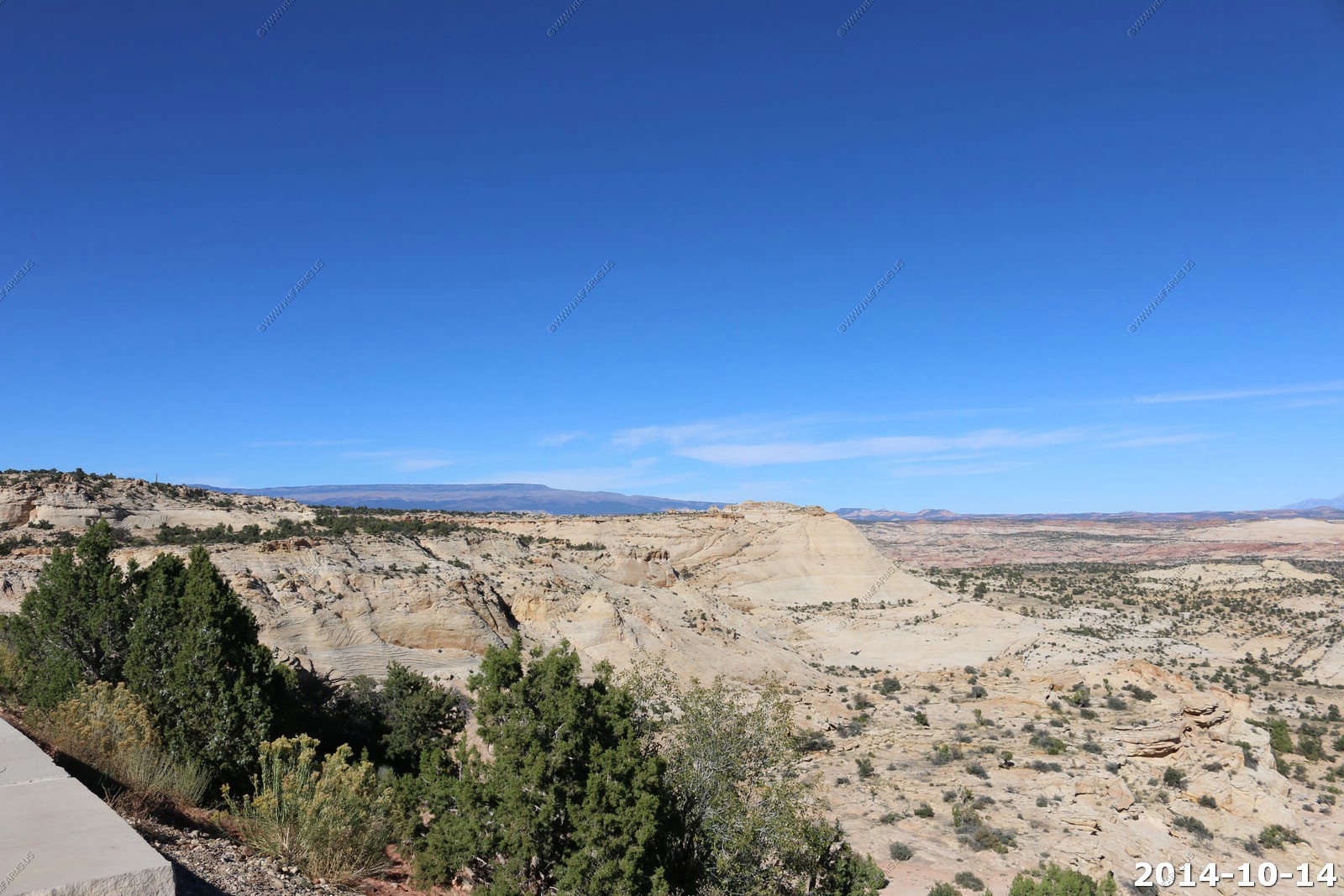
The final viewpoint along US-12 between Boulder & Escalante.
They took down my favorite sign... "On a clear day you could see forever" It was here back in 2003.
This is the last spot we will see the Henry Mountains (easily) The old sign said "Henry Mountains - The panorama before you includes some of the last remaining wild lands in the southwest. On a clear, moonless night it would be hard to find a human source of light in this vast domain."
Information signs
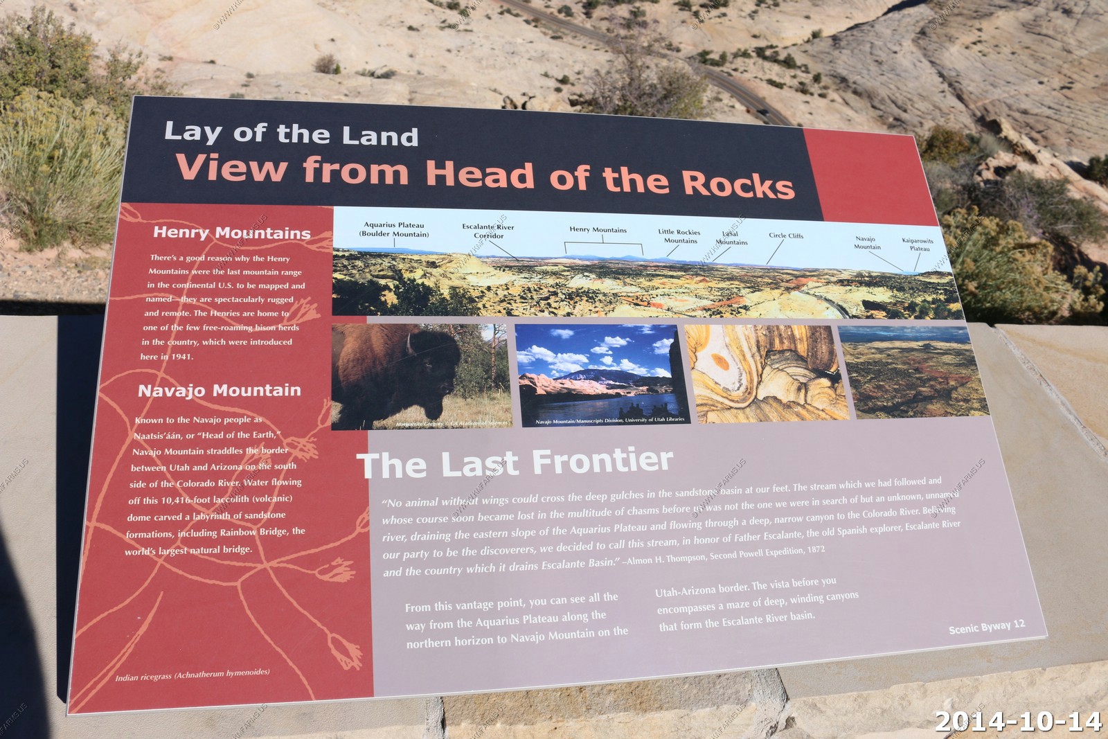
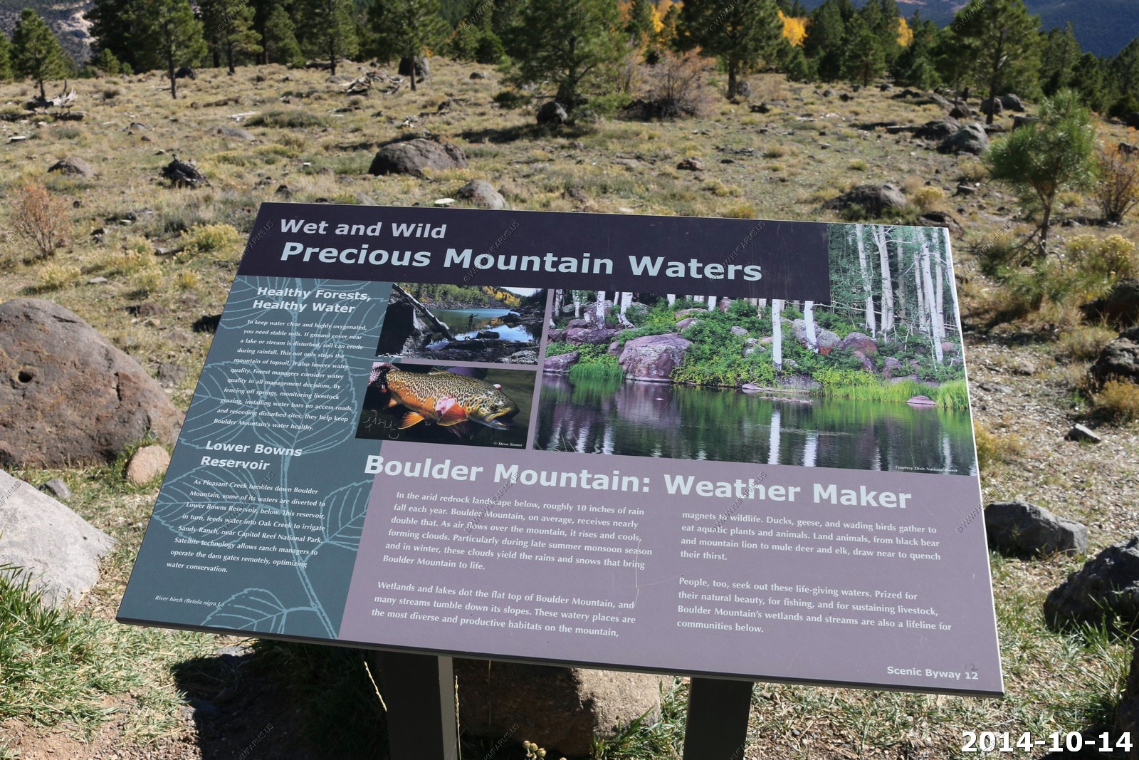
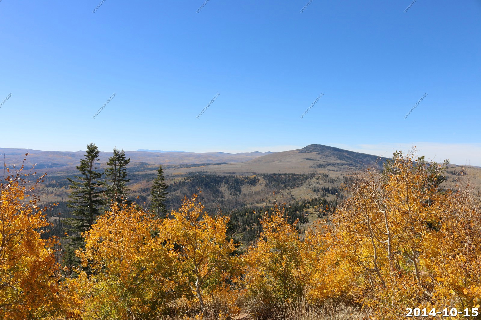
Boulder Mountain
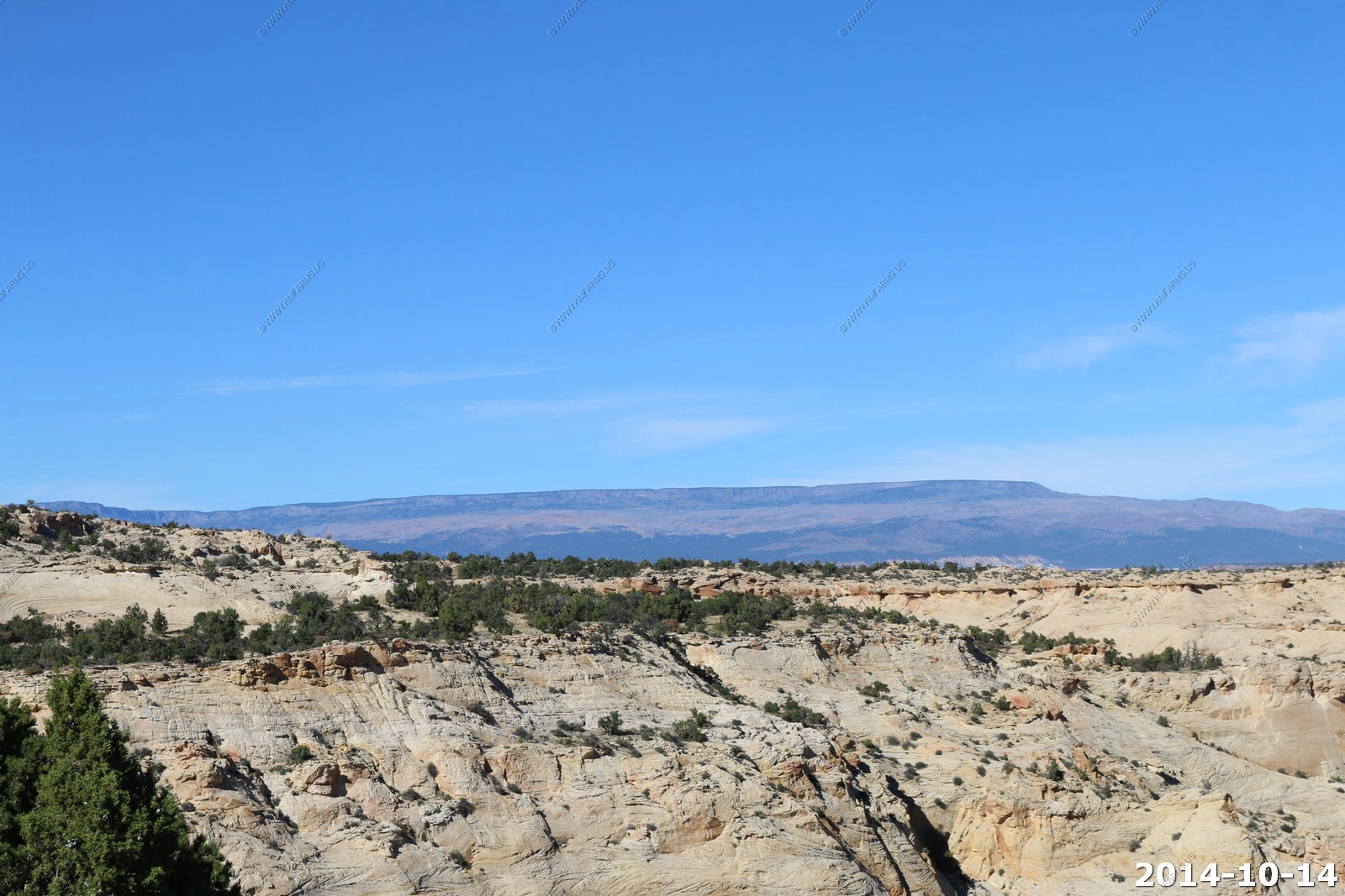
Henry Mountains
Navajo Mountain & Navajo Point on the end of Fiftymile Mountain. Over 60 miles away.
Looking down on UT-12 on how it cuts thru the sandstone.
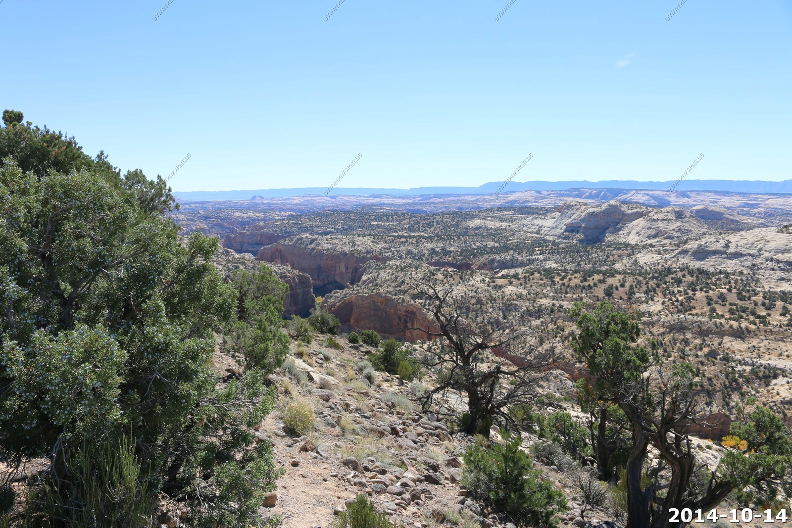
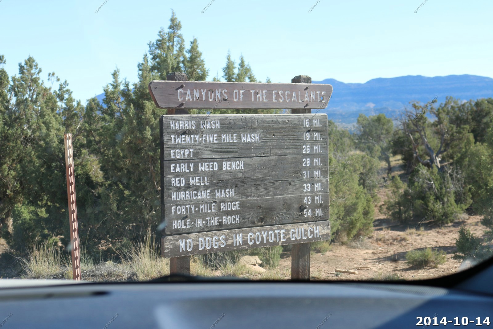
We headed into Escalante which is a is a city in Garfield County, Utah, located along Utah Scenic Byway 12 (SR-12) in the south central part of the state. As of the 2010 census, there were 797 people residing in the city. The nearest towns are Boulder which is 27 mi to the northeast on SR-12, and Henryville which is 30 mi to the southwest on SR-12. Sections of the Grand Staircase-Escalante National Monument (GSENM) abut much of the city's limits. The Hole-in-the-Rock Road, which begins 5 mi east of Escalante, is the main access road into the eastern section of GSENM. The road leads to the Canyons of the Escalante, the Devil's Garden and the Hole-in-the-Rock.
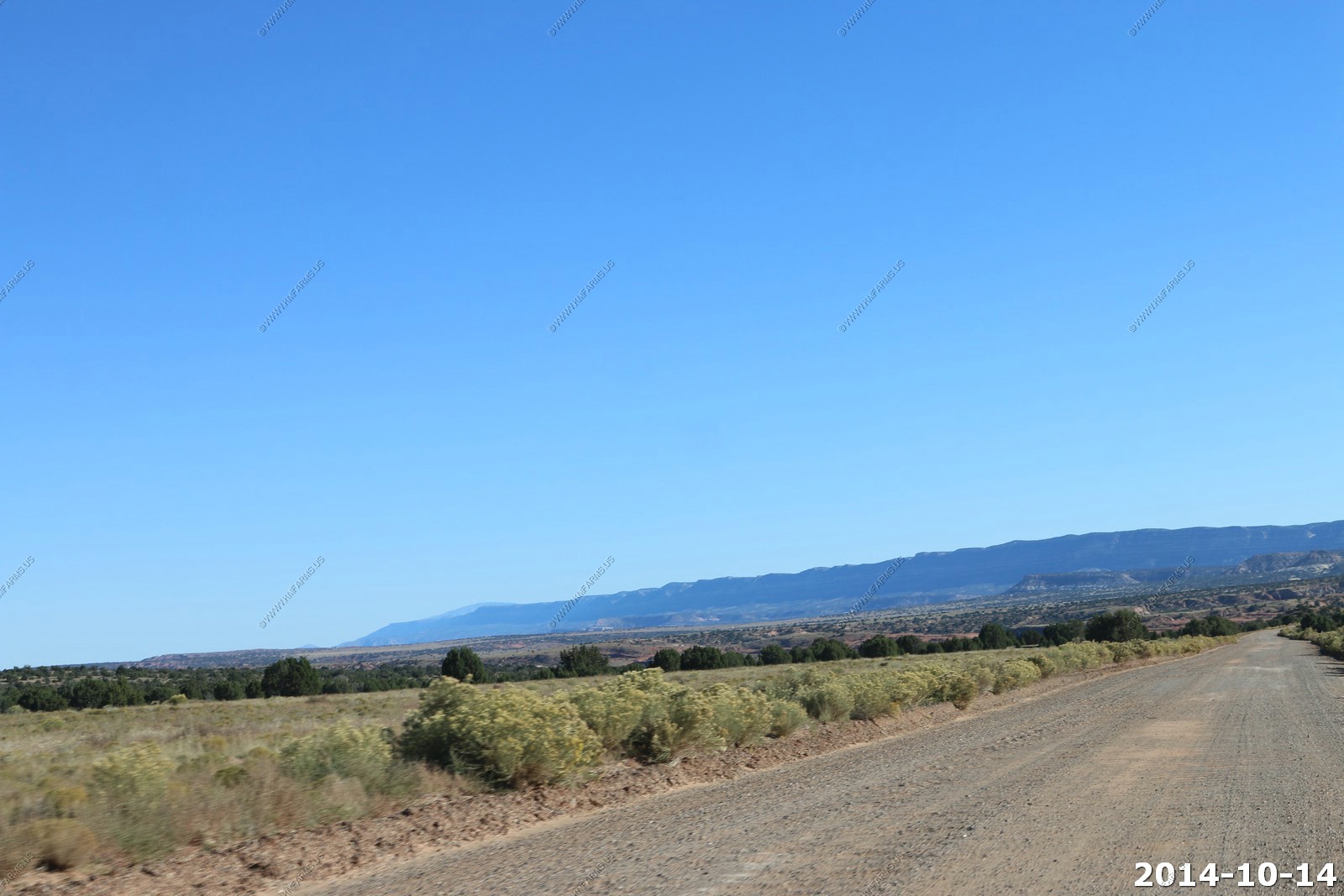
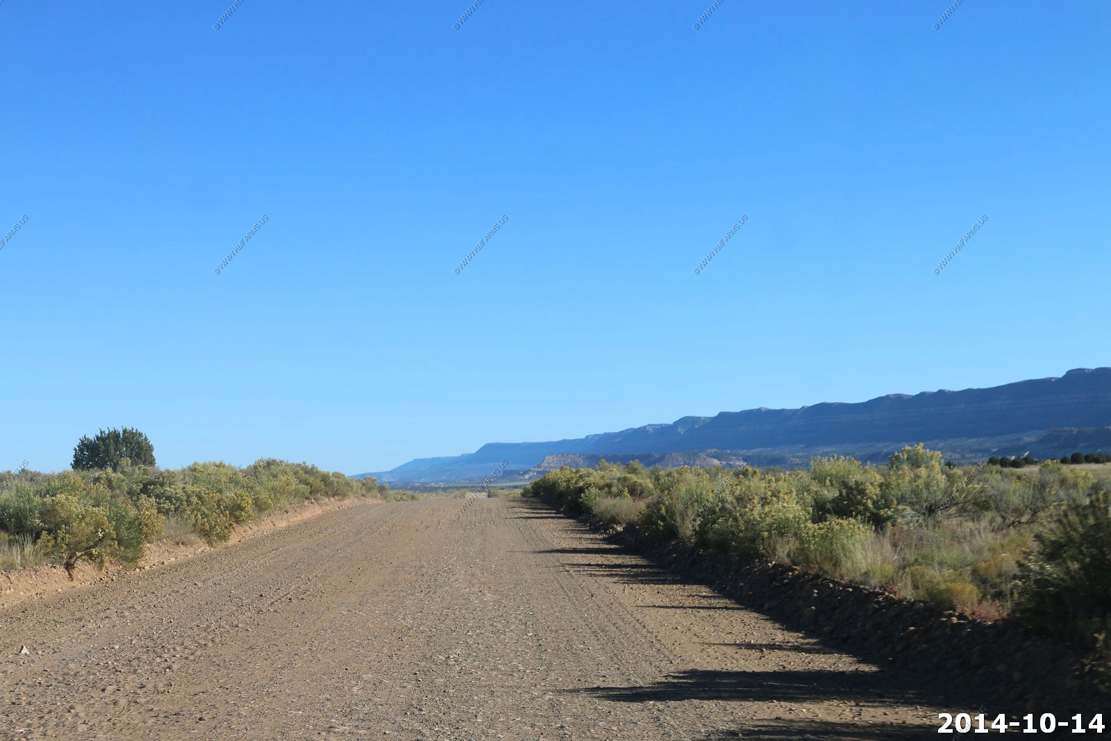
We headed down Hole in the Rock Trail to located 17 mi by road southeast of Escalante.
54 miles of dirt road to the end. No services.. No nothing !
The road is in great shape.
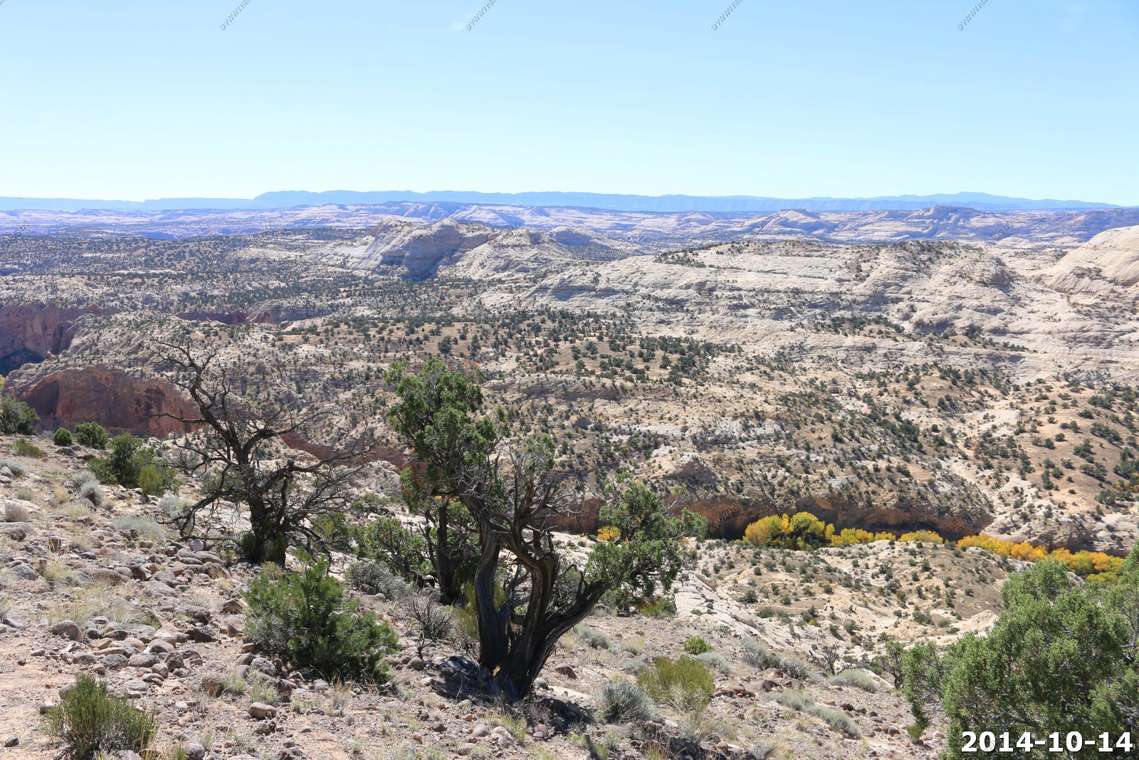
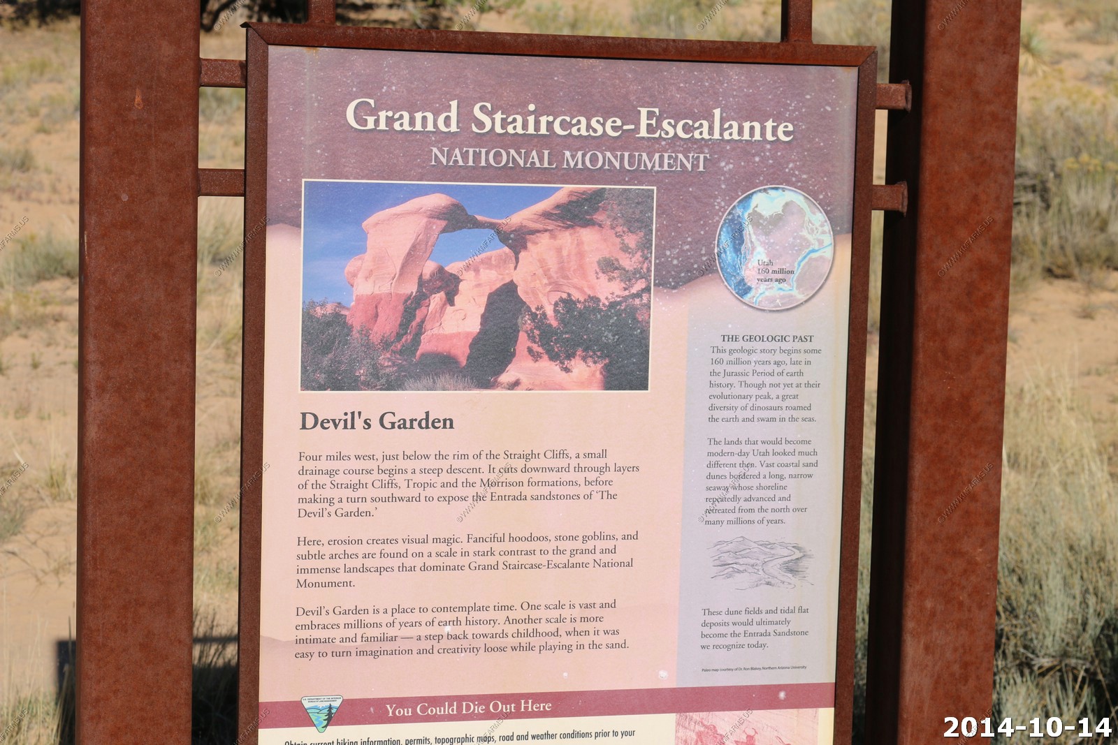
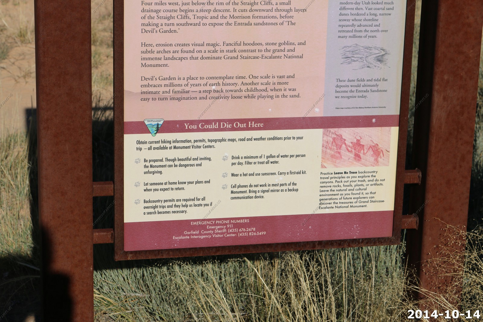
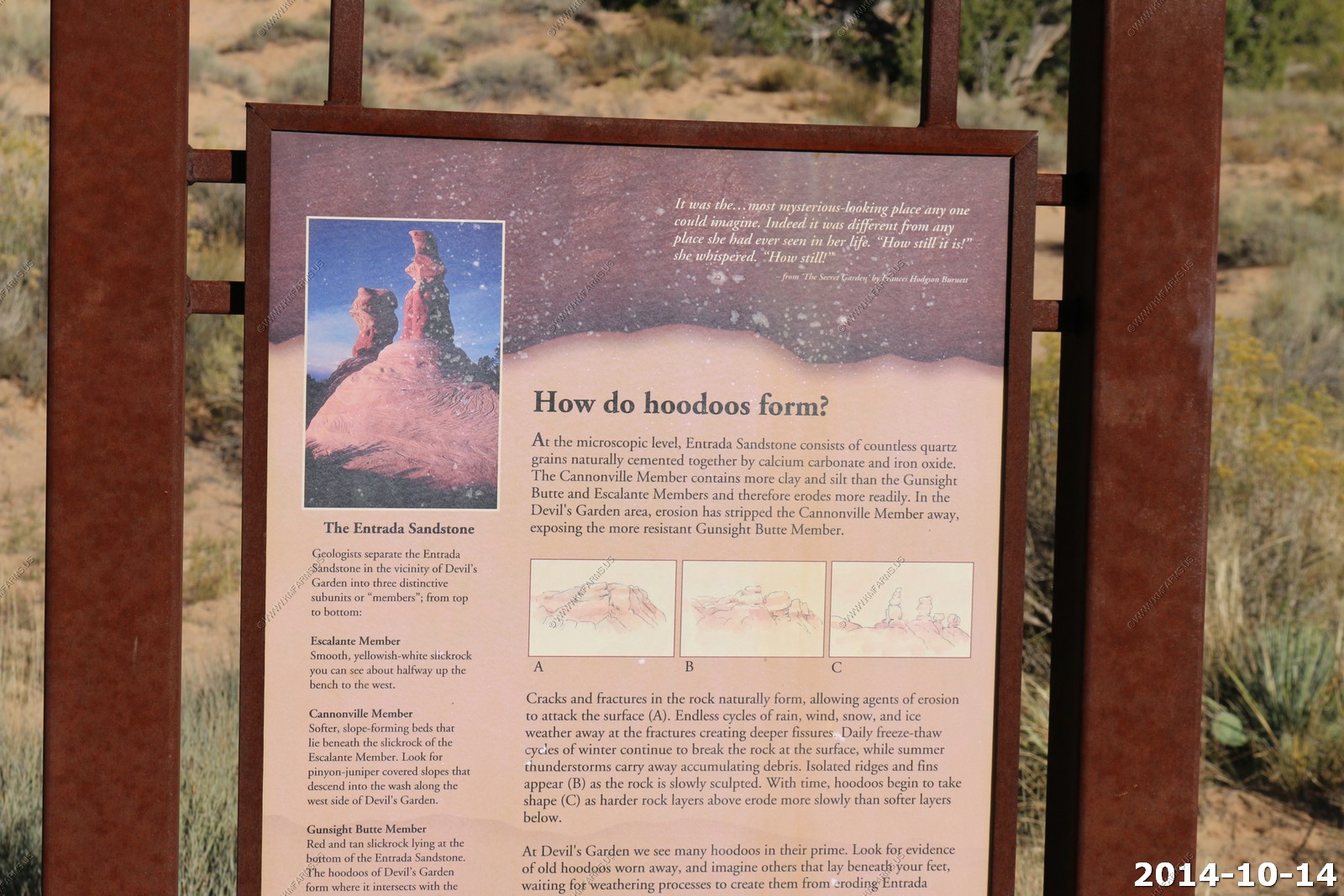
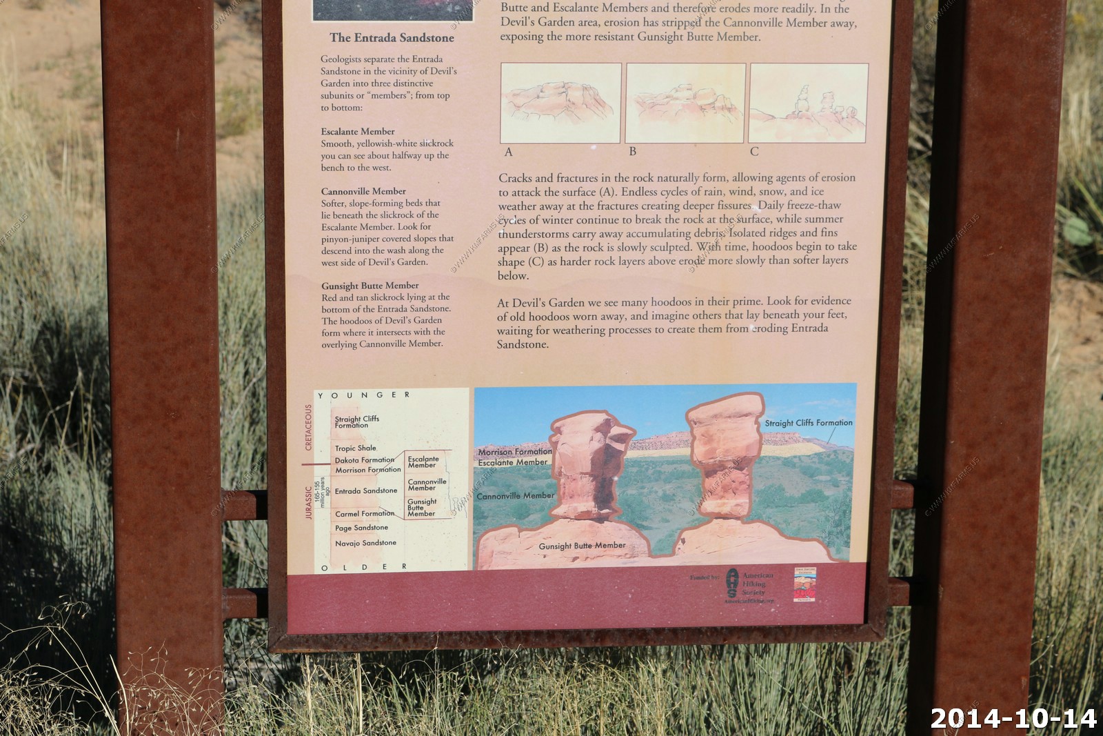
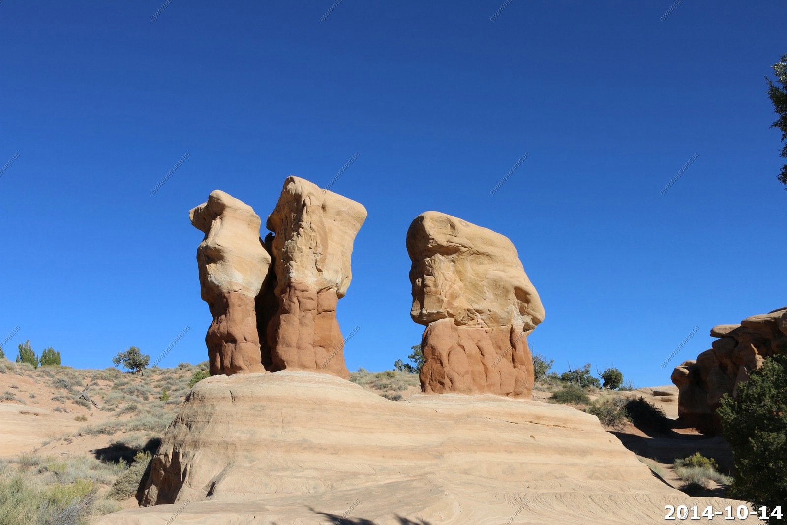
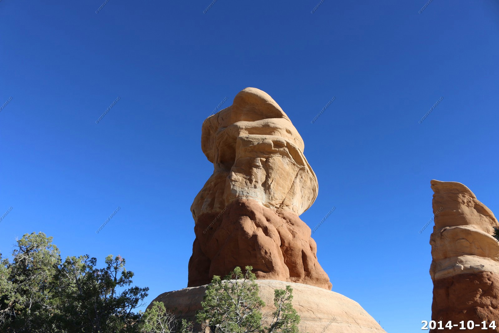
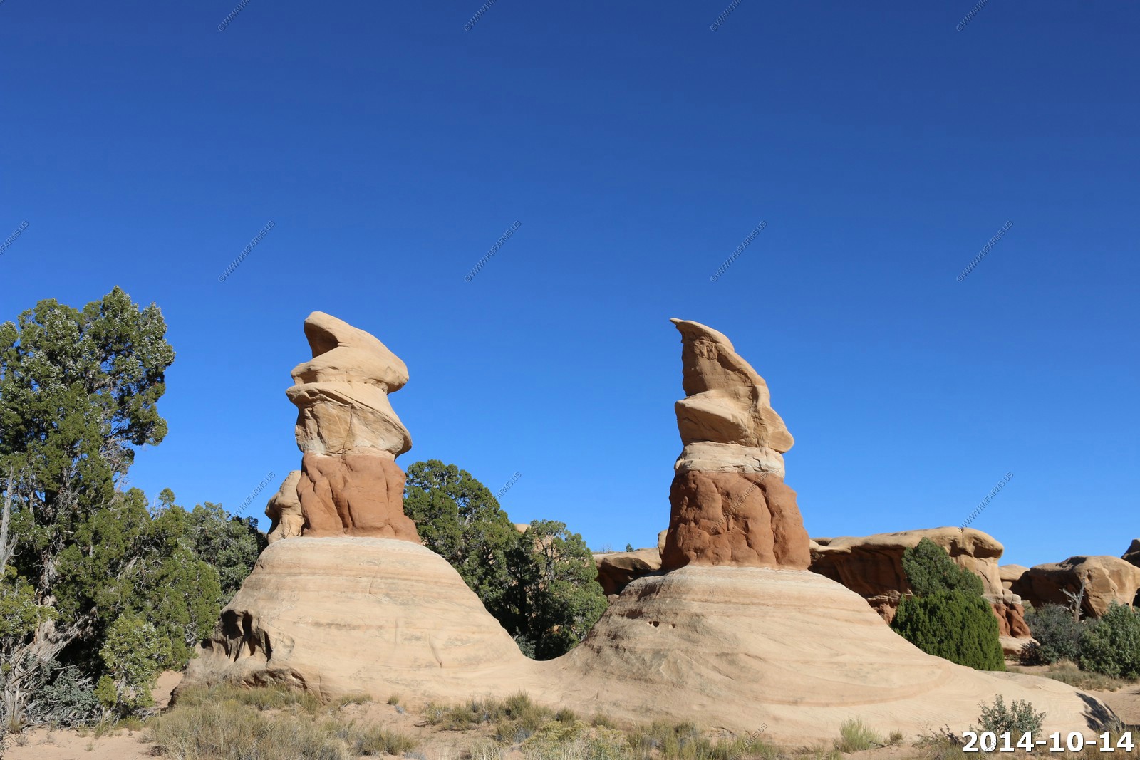
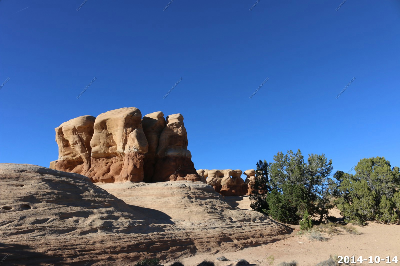
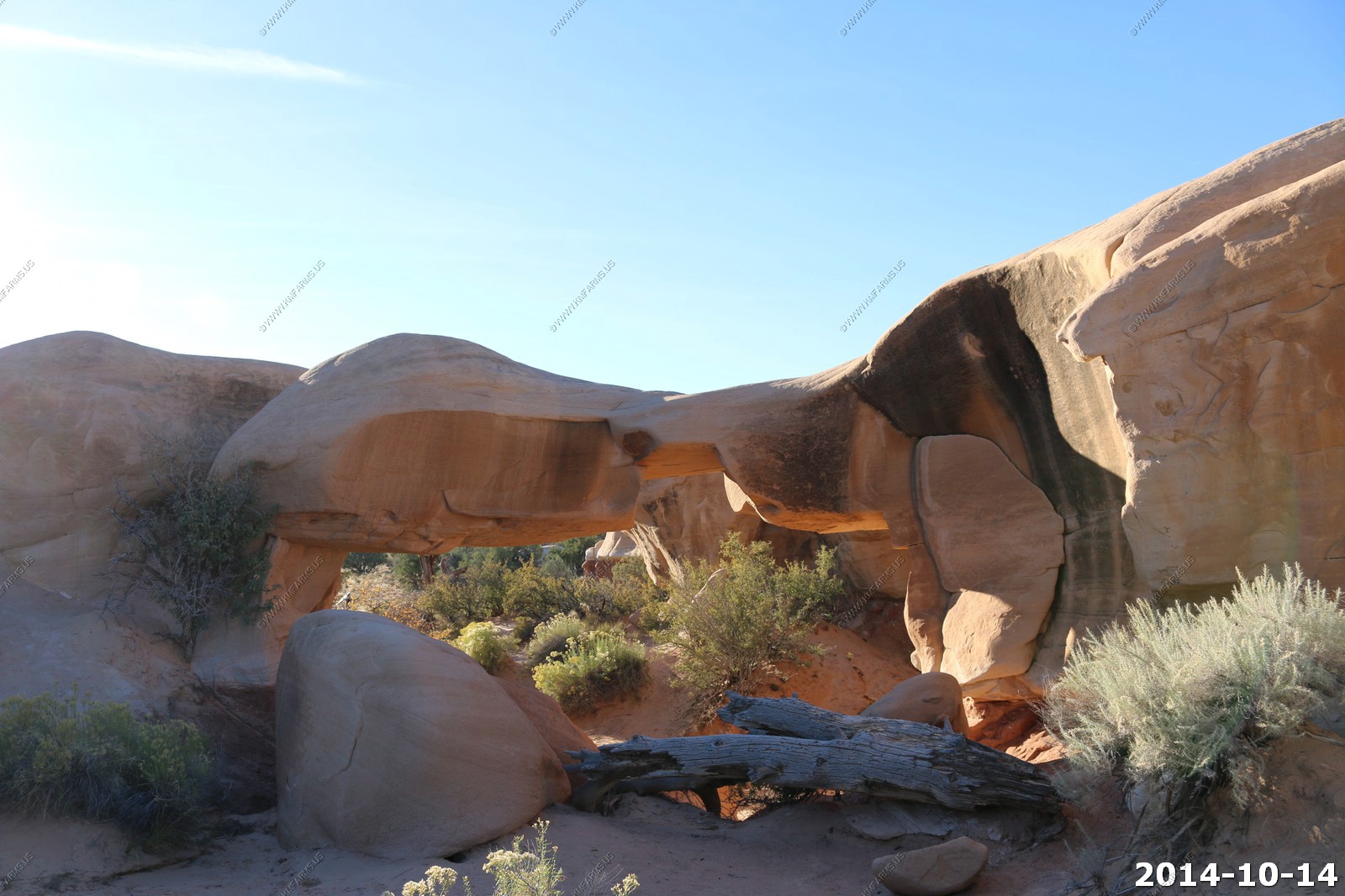
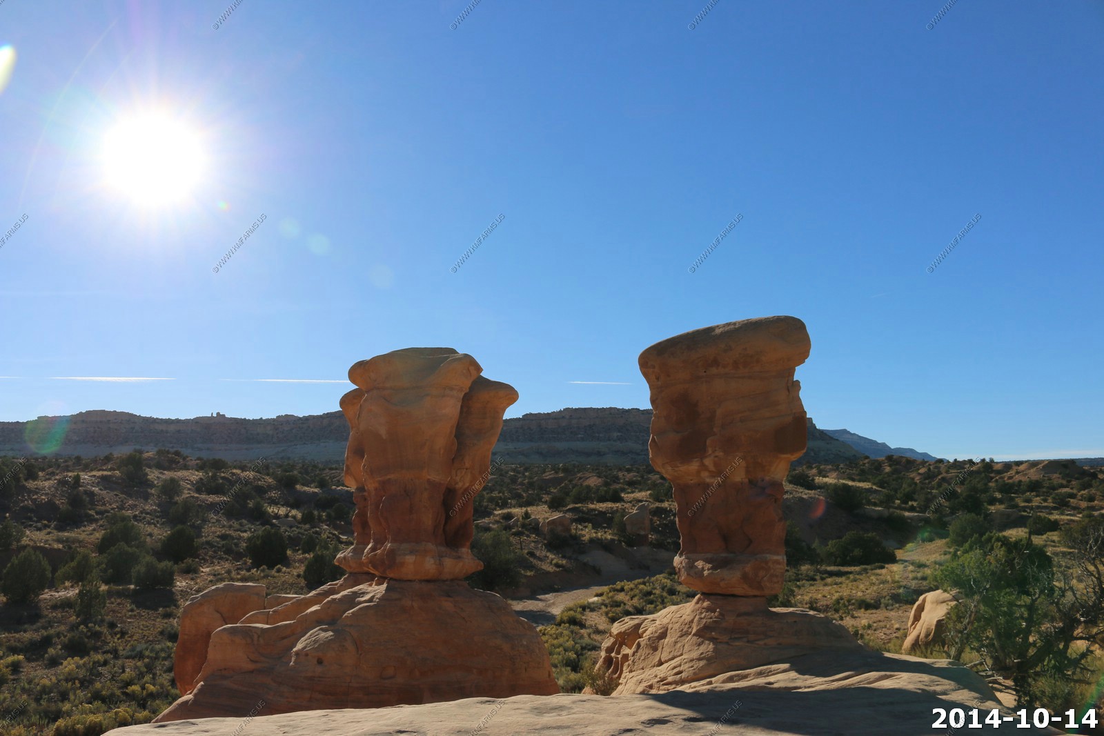
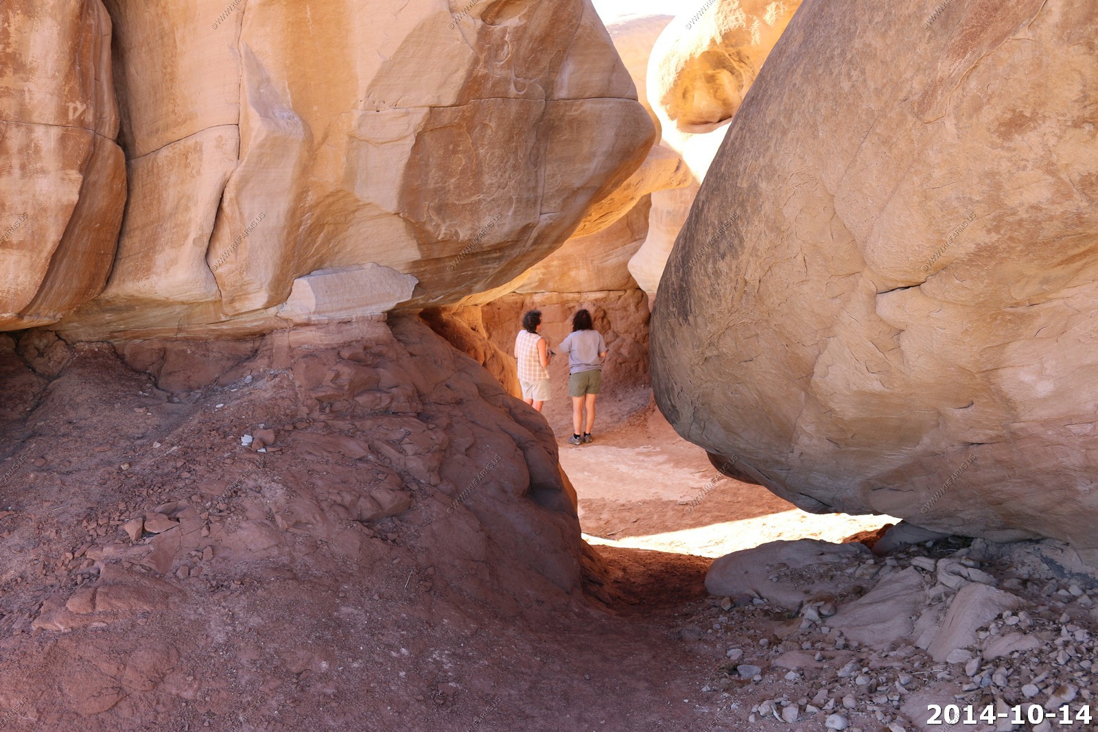
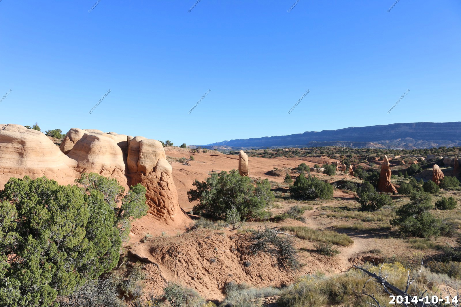
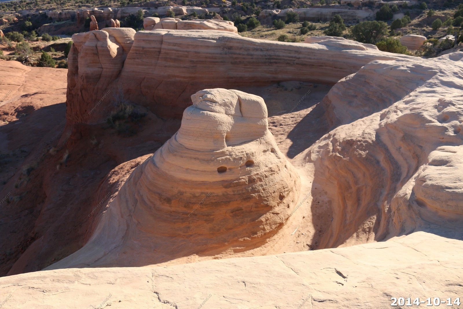
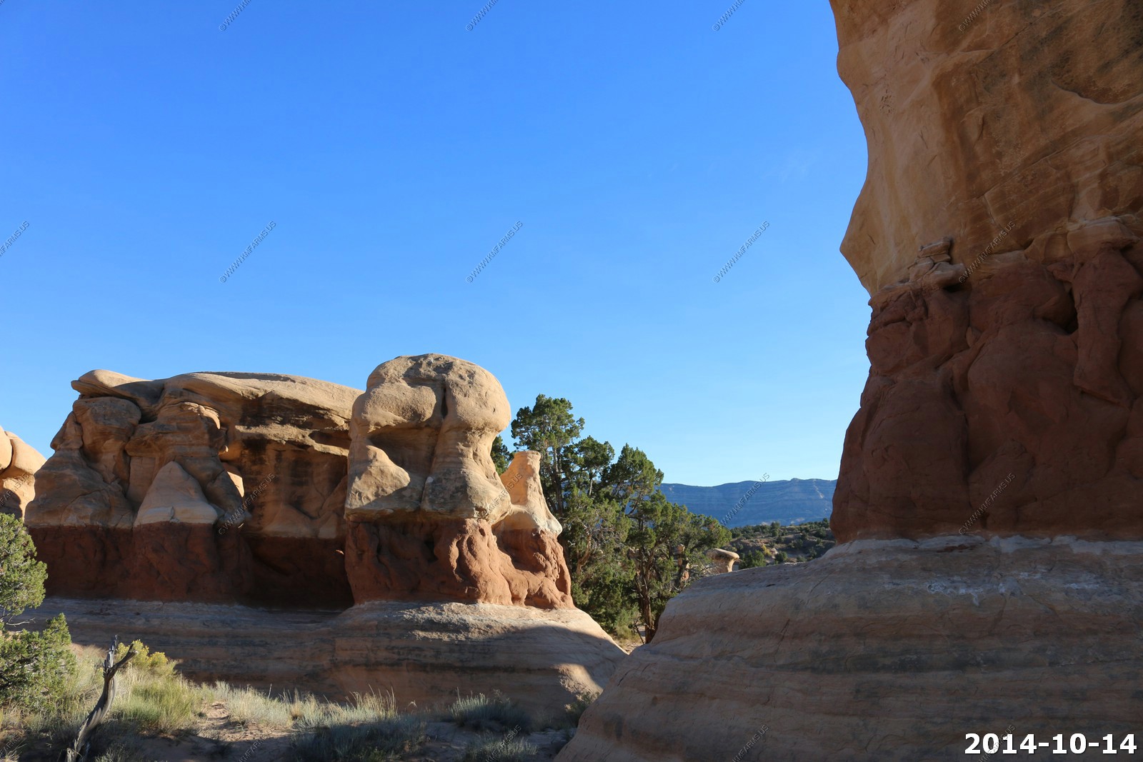
Devil's Garden
Devil's Garden is a natural desert area featuring hoodoos, natural arches and other sandstone formations. The area is also known as the Devil's Garden Outstanding Natural Area. The formations in the Devils Garden were created, and continue to be shaped, by various weathering and erosional processes. These natural processes have been shaping sandstone layers formed more than 166 million years ago during the Jurassic period's Middle epoch.

Info signs
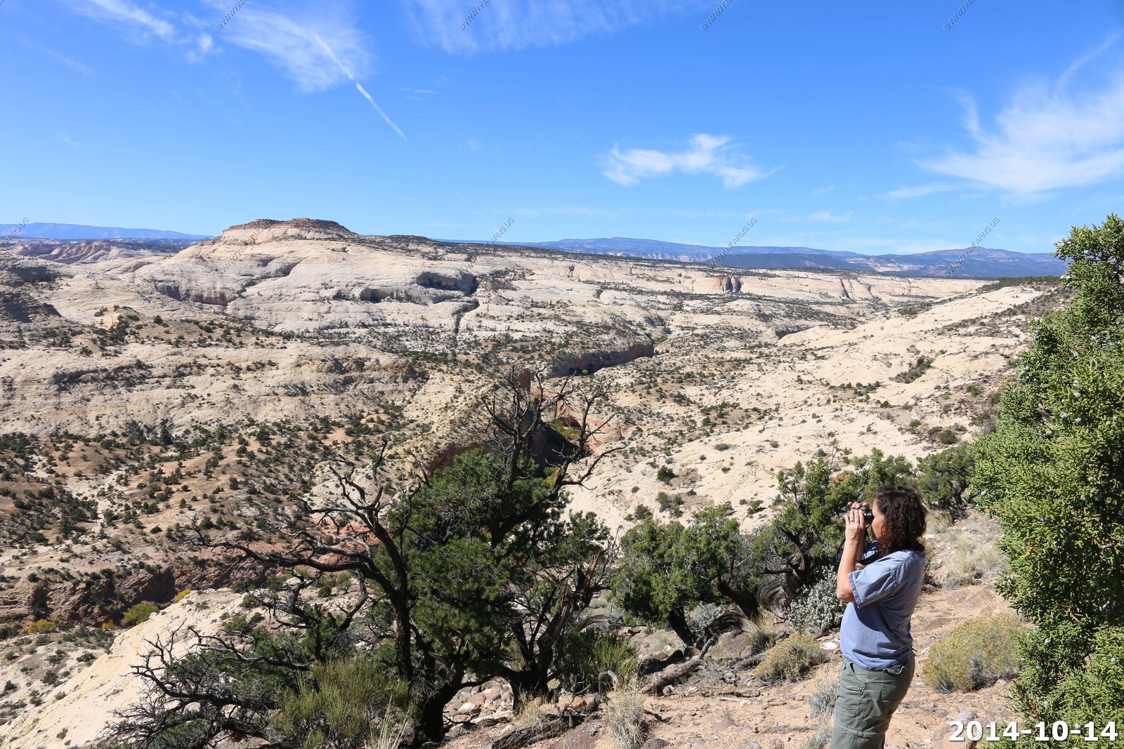
Devil's Garden was one of those places like Mono Lake in California that most of the people were professional photographers that were trying to find the perfect photo.
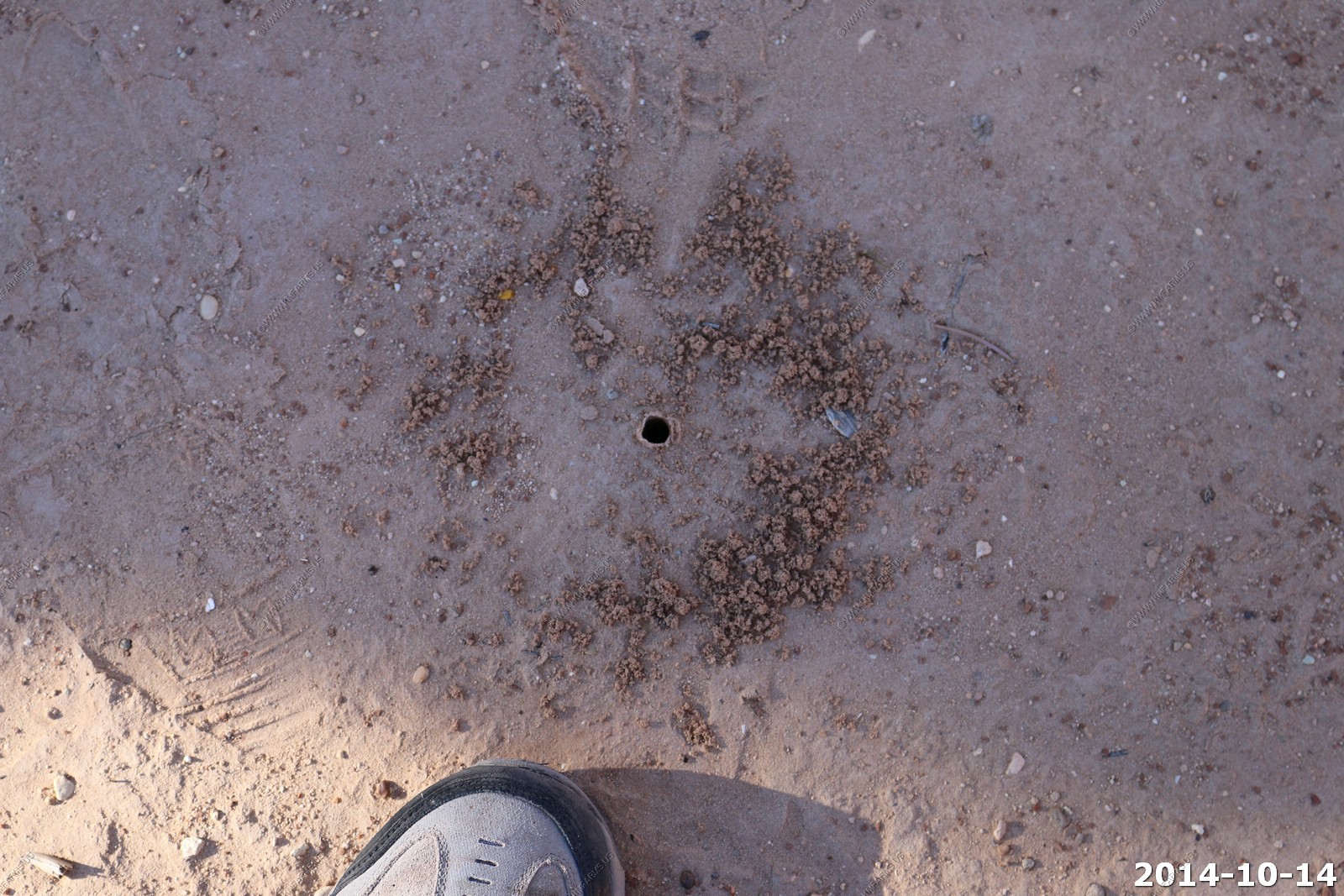
Not sure what had dug this fresh hole.
Small arches
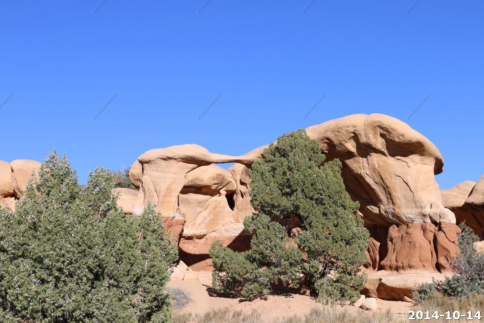
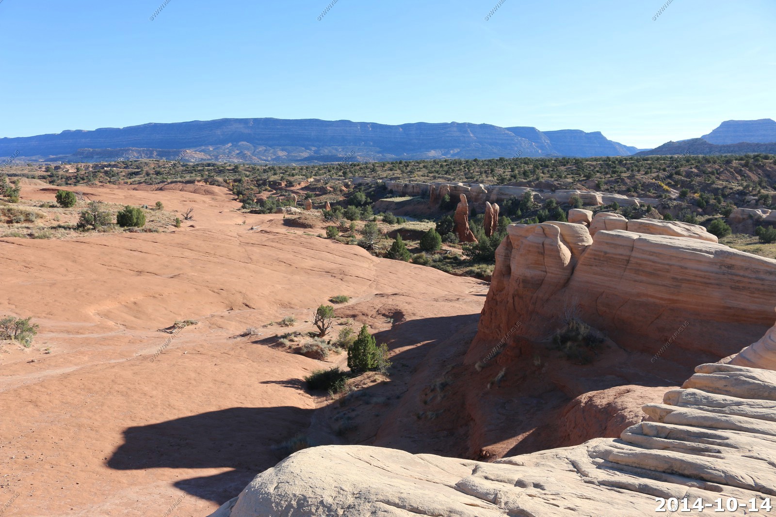
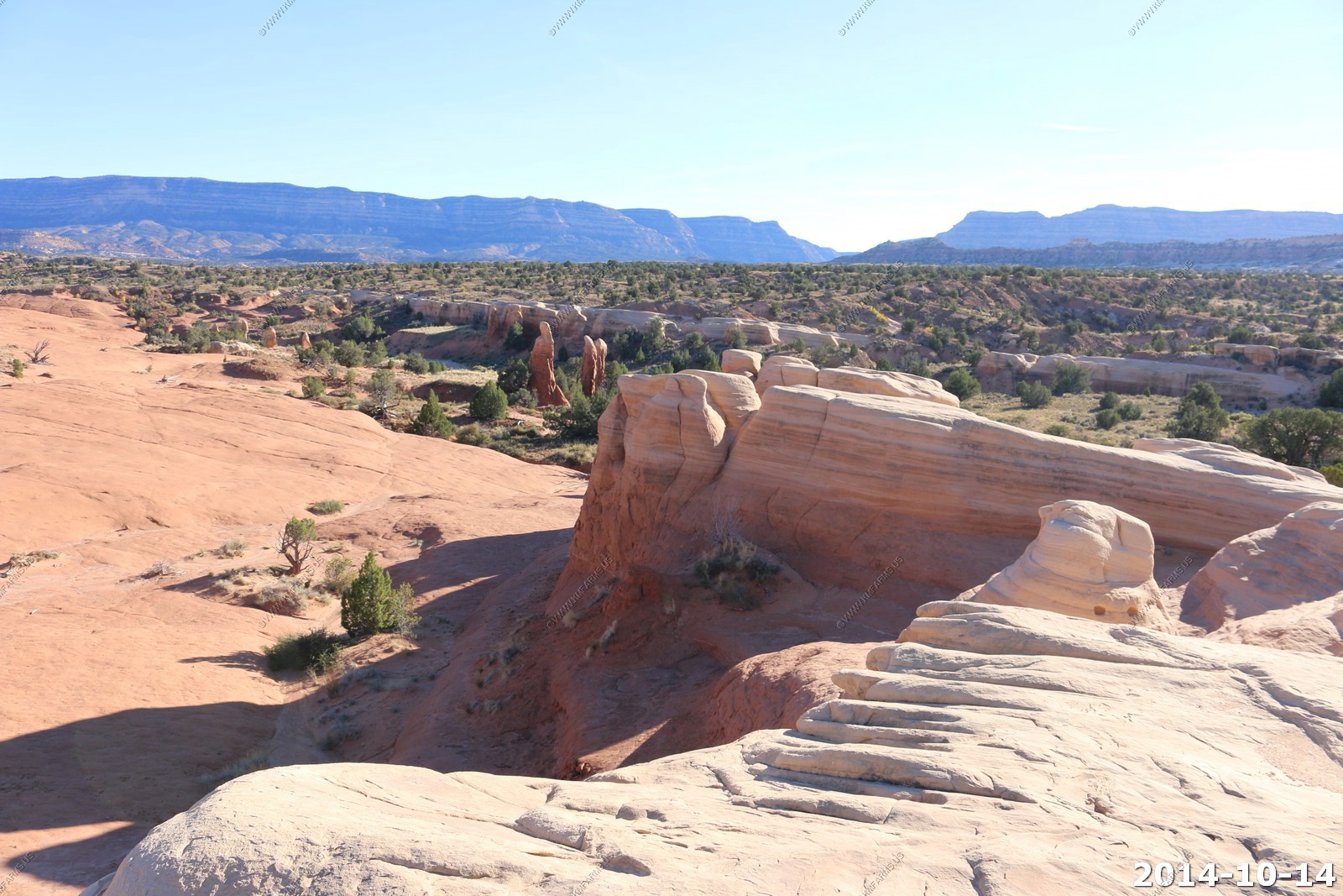
Various views. The mesa in the distance is the Kaiparowits Plateau.
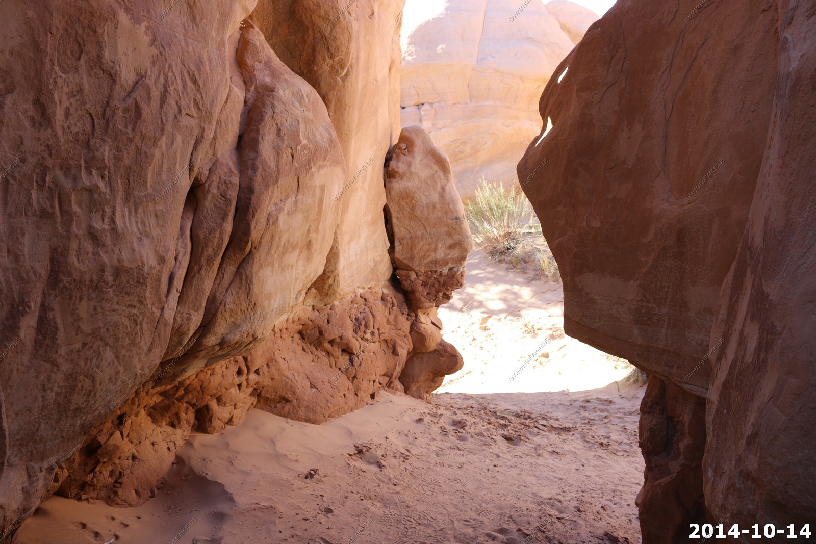
Interesting area.
As we were enjoying the Devils Garden area we heard a tremendous roar off to our east and heading north. I did not have the telephoto lens on the camera but I could easily see that it was B1B Lancer on a low level flight. The B-1B is a nuclear stealth bomber. This area is not a MOA but I would assume they train in these remote areas.
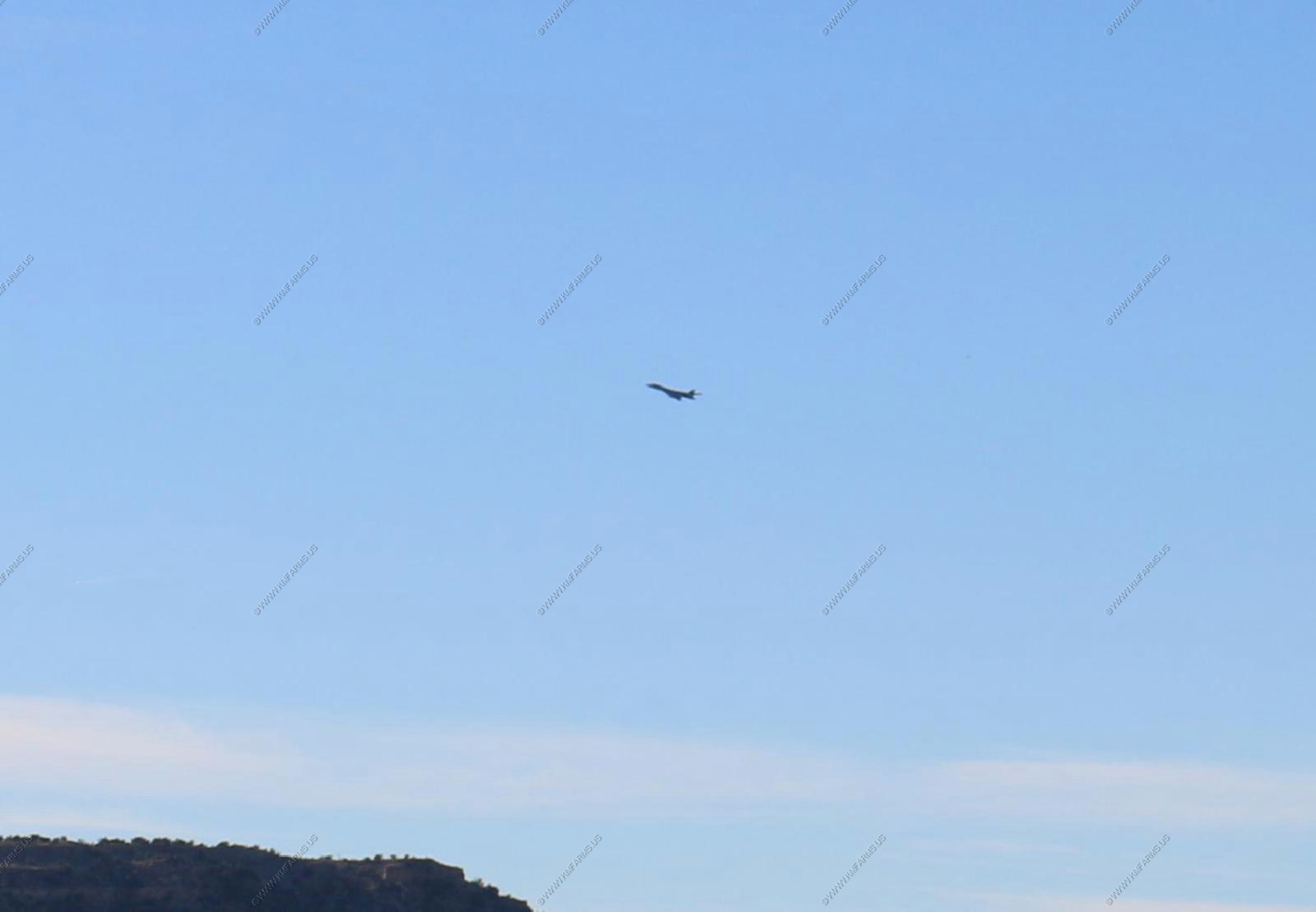
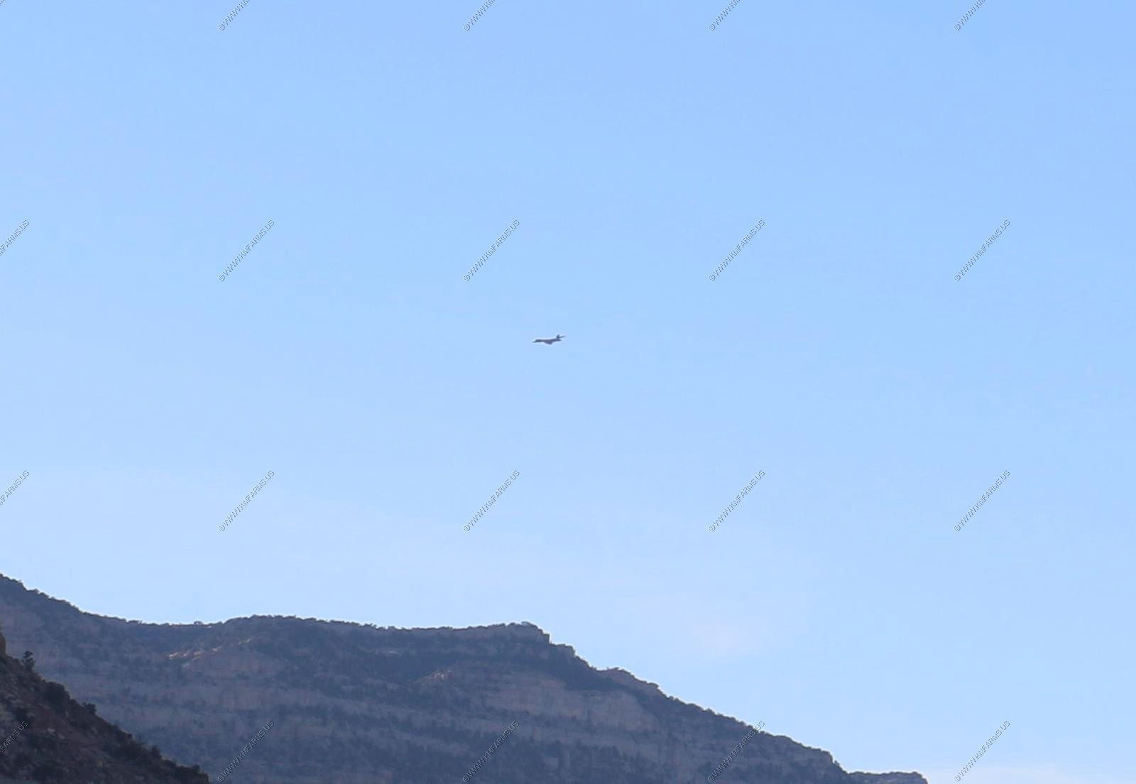
Wanted to tell them that they were in Utah and not Arizona.
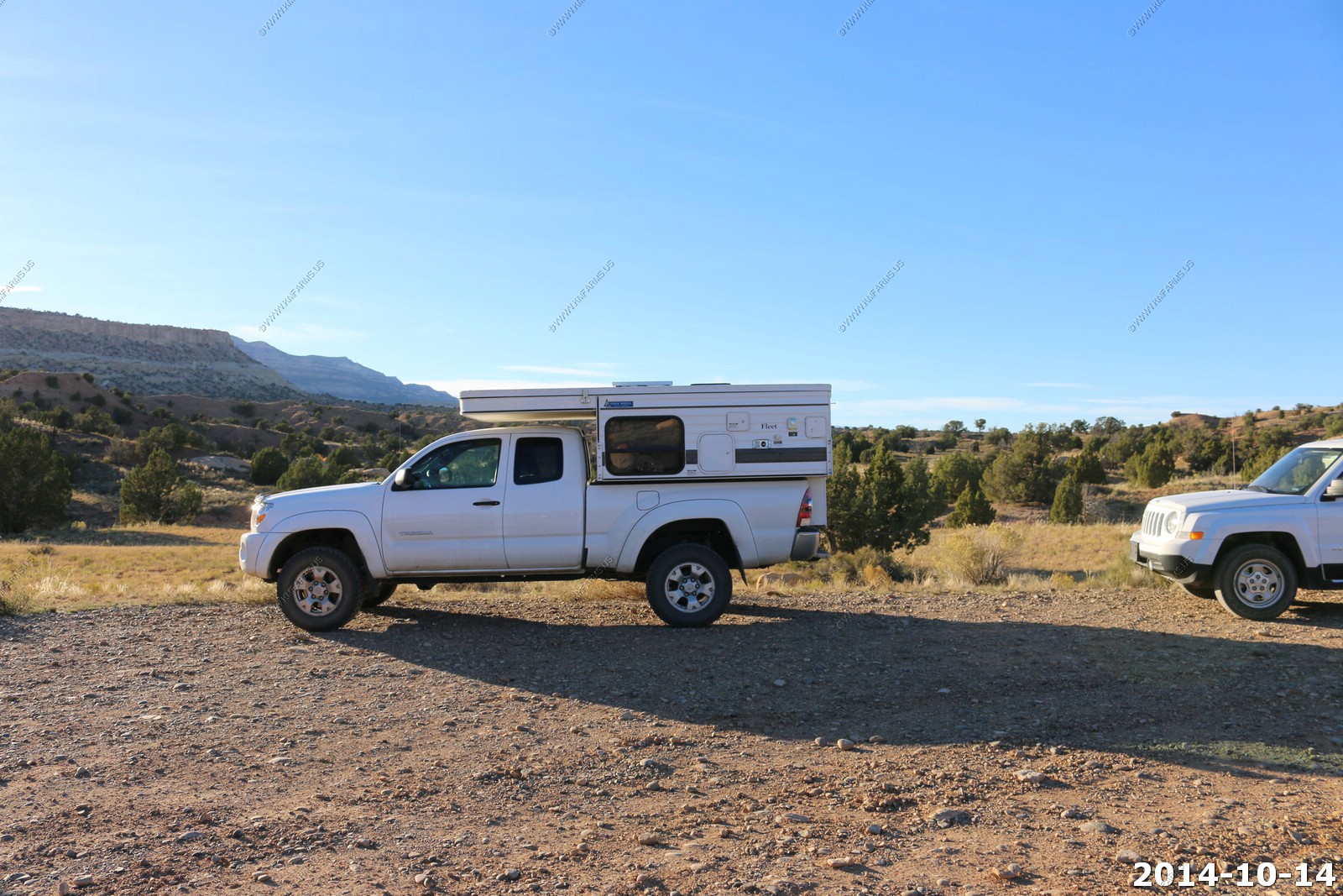
Cool slide in camper on a Toyota.
We headed back to Escalante as we booked on night at the - Rainbow Country Bed & Breakfast - Nice place and our room was in the basement so no good view bit fast WIFI It was very dark here at night. This area has lots to explore and I plan on staying here a couple of night on our next trip.
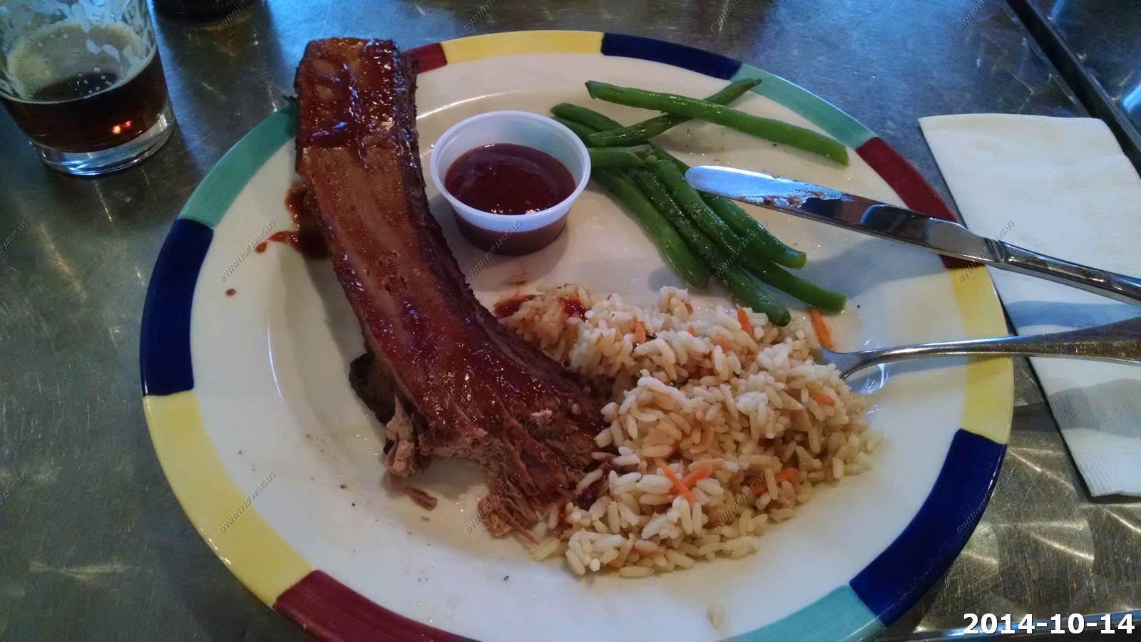
We ate dinner at - Circle D Eatery - in Escalante. I must say I had some of the best Beef Brisket I have ever had.
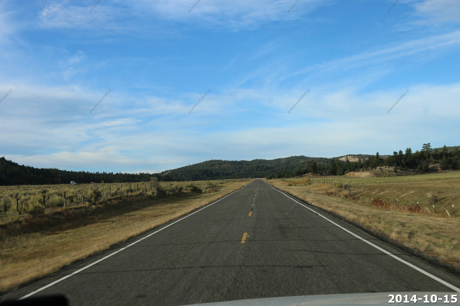
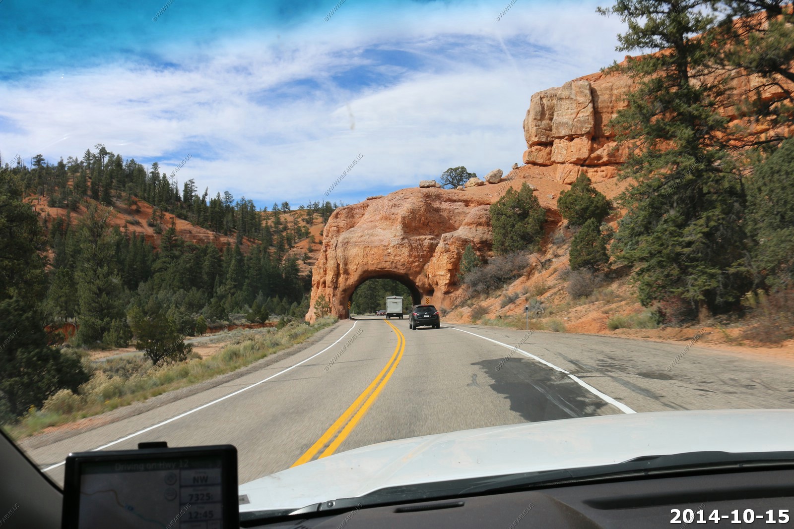
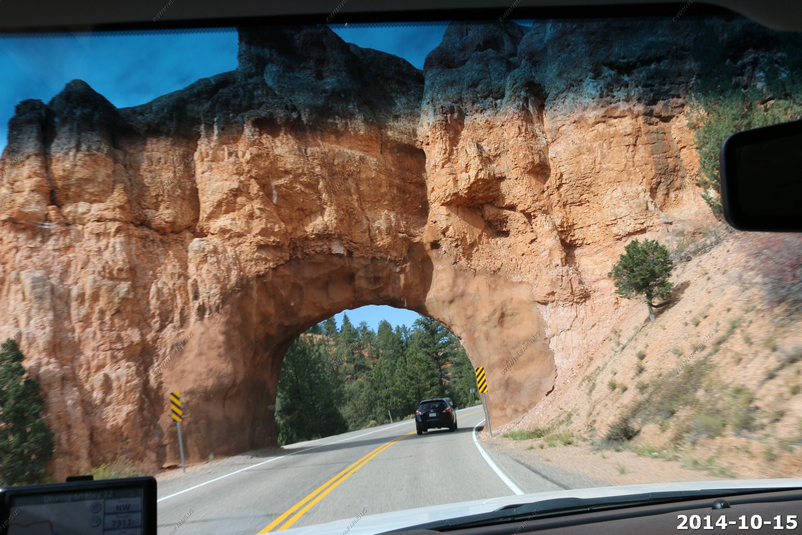
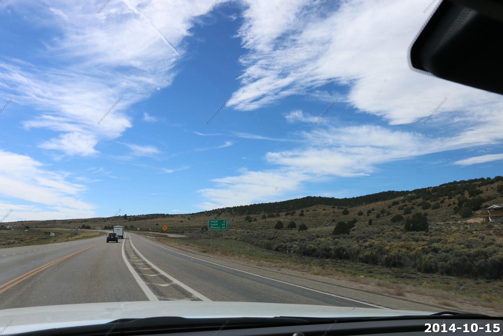
Wednesday - OCT 15 2014
Last fun day of our trip and we had a number of parks to see and some serious distance to travel. Our endpoint today was in Provo, UT close to 400 miles away.
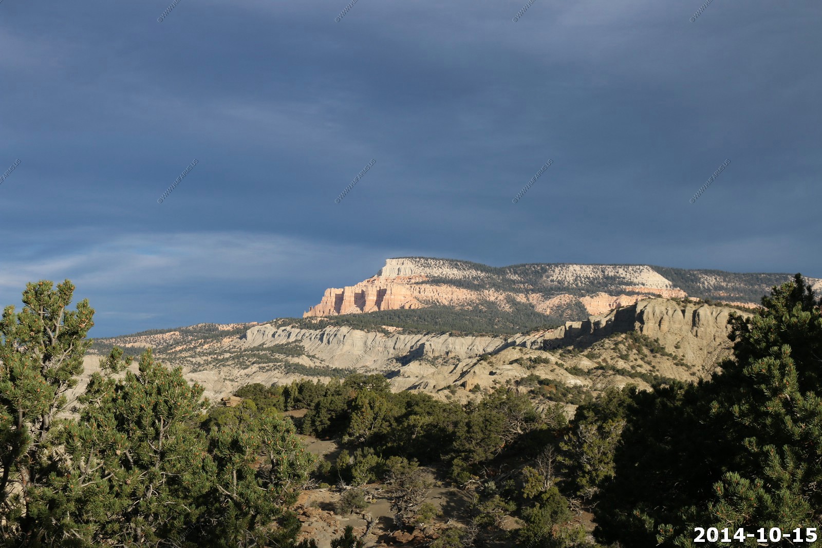
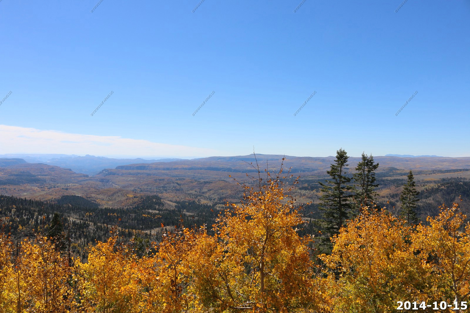
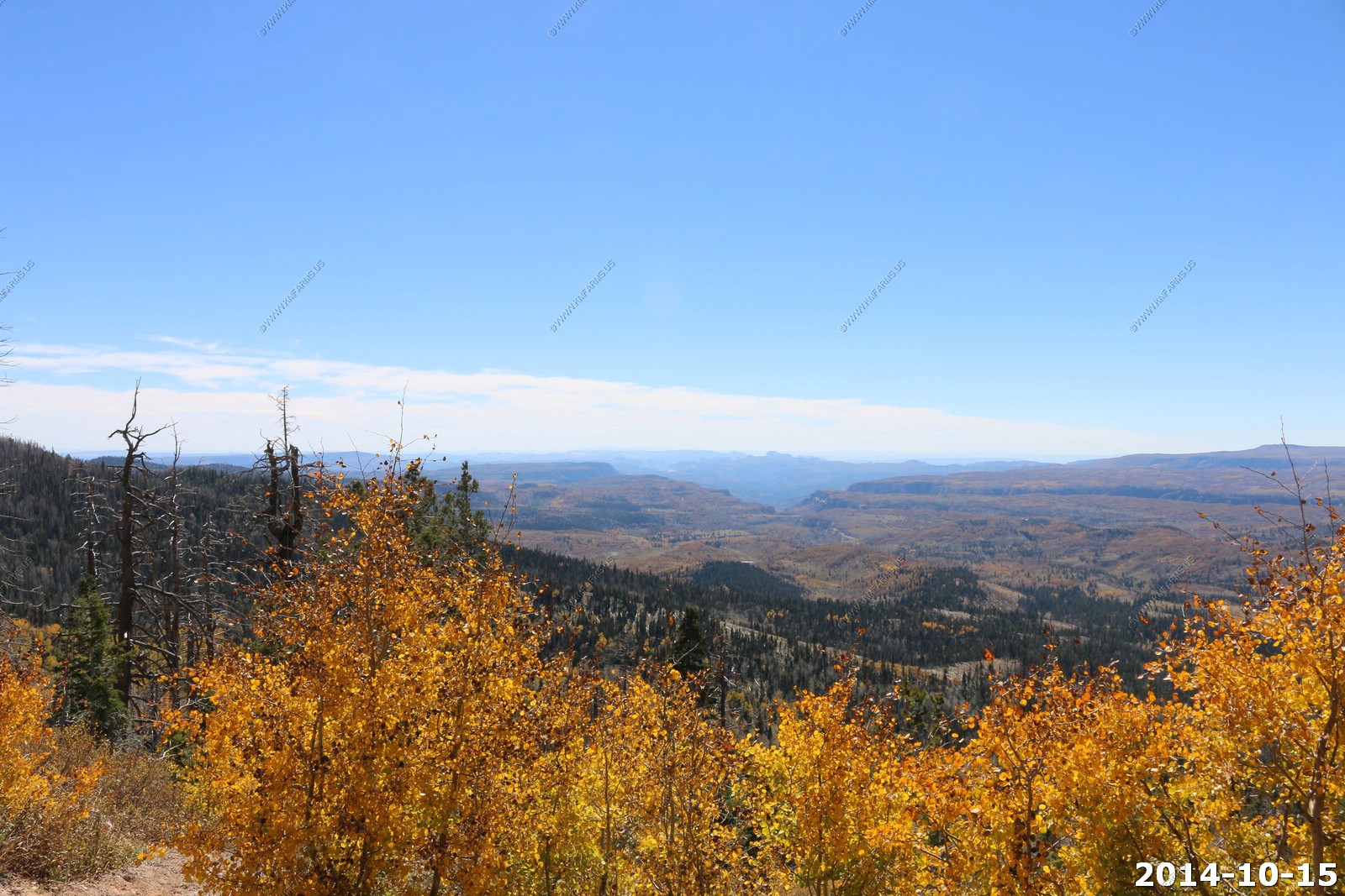
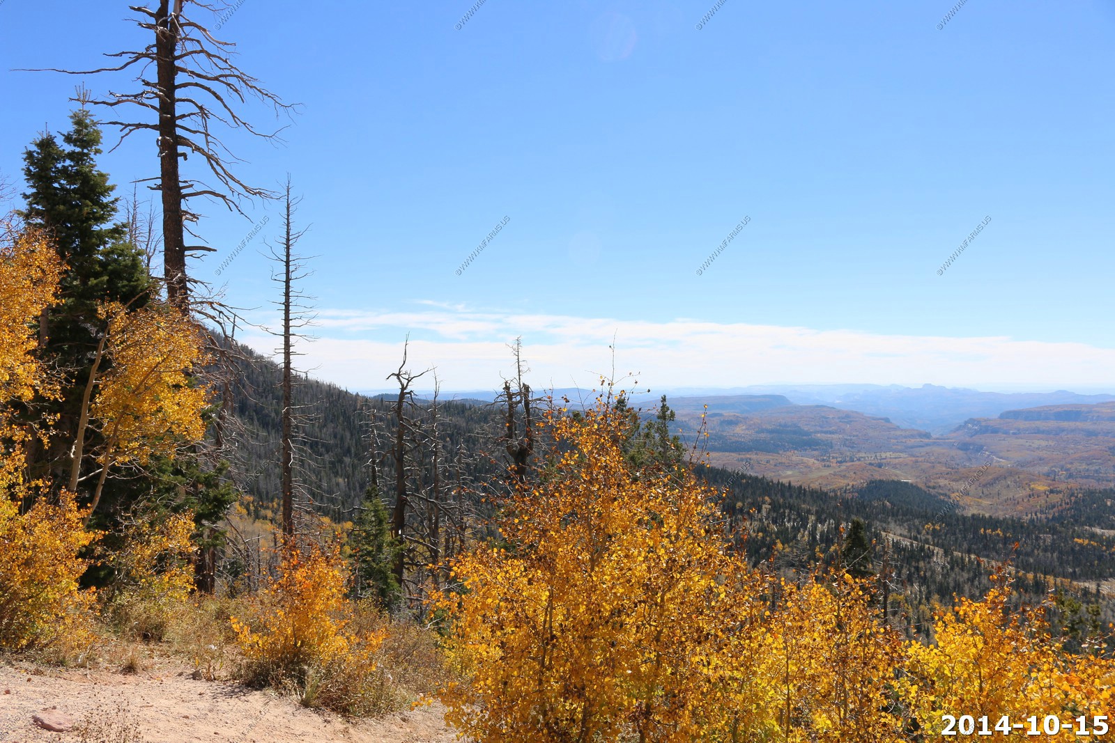
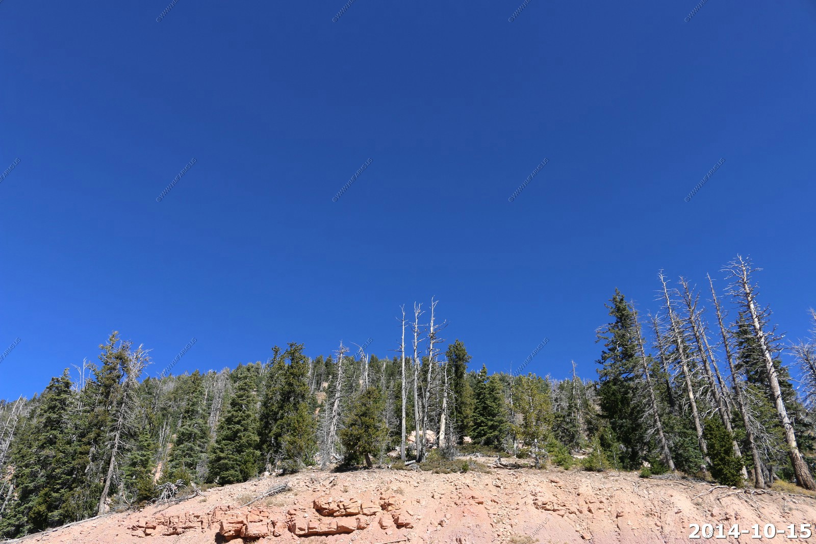
We left Escalante, UT and had appx. 70 miles to go to Yovimpa Point, Bryce Canyon National Park.
Rush hour on UT-12
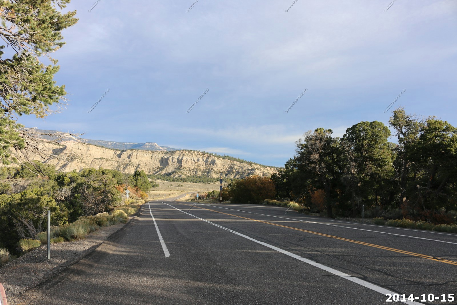
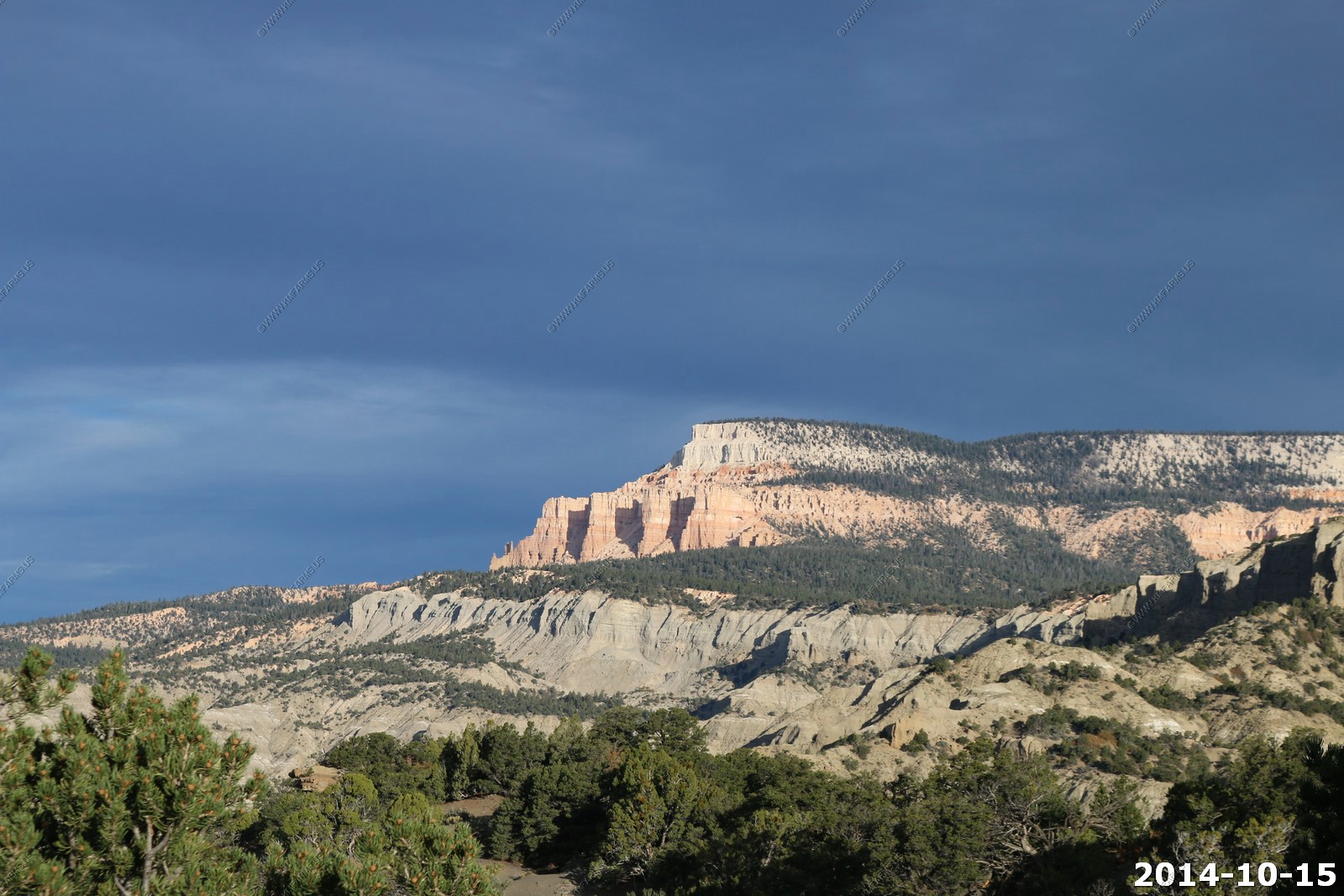
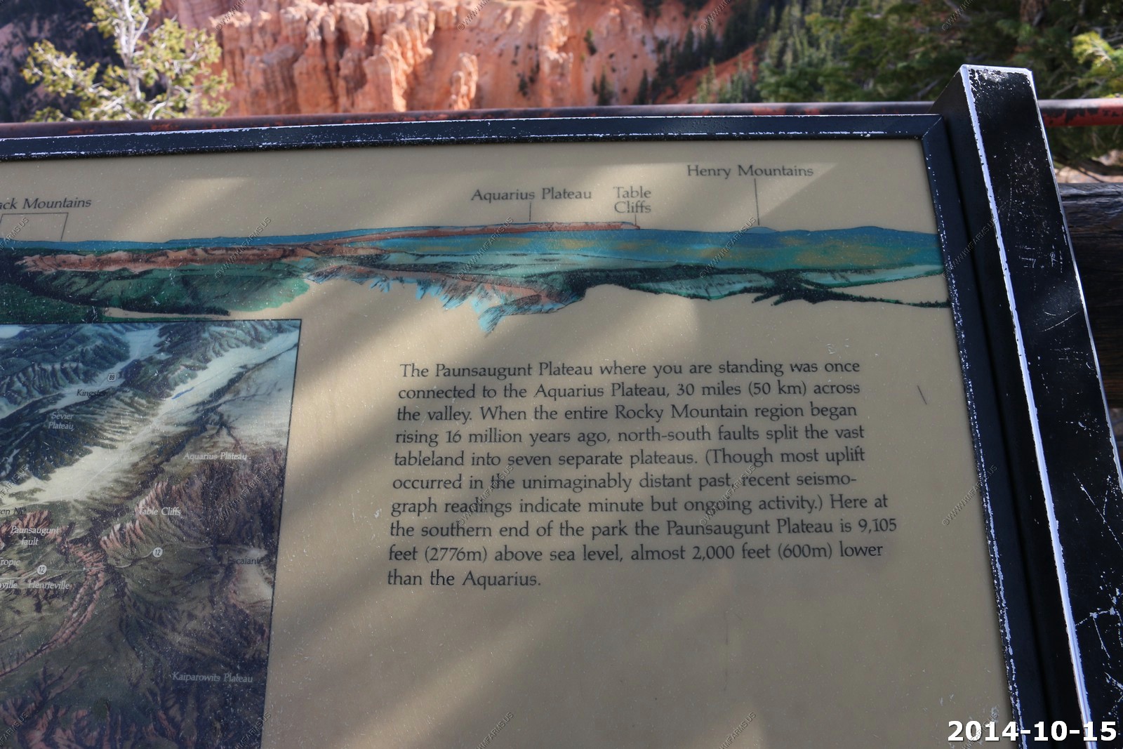
Looking at Table Cliff Plateau (el. 10,300)
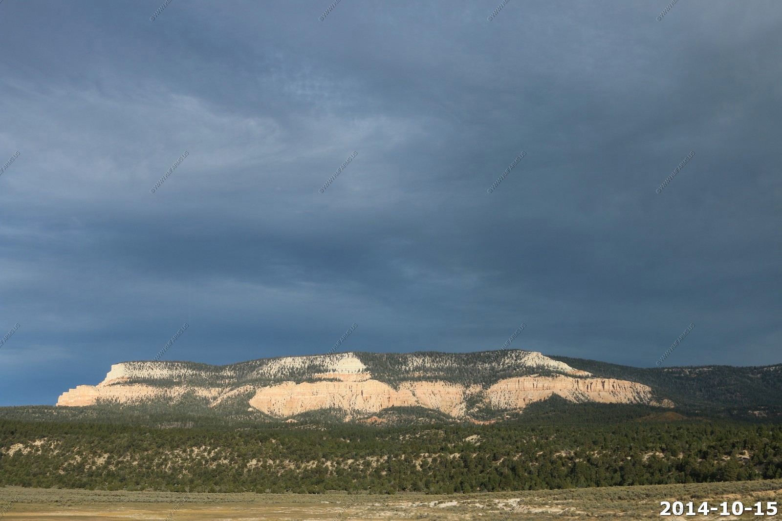
Powell Point (El. 10,188) This is one of my favorite landmarks in the west. Its the topmost layer of the Colorado Plateau's Grand Staircase.
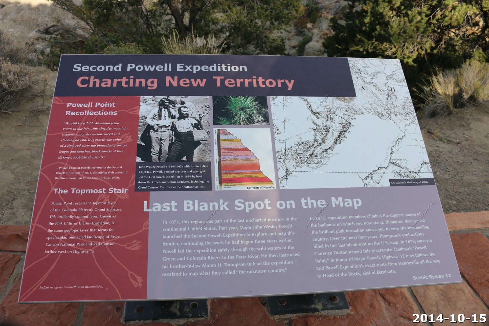
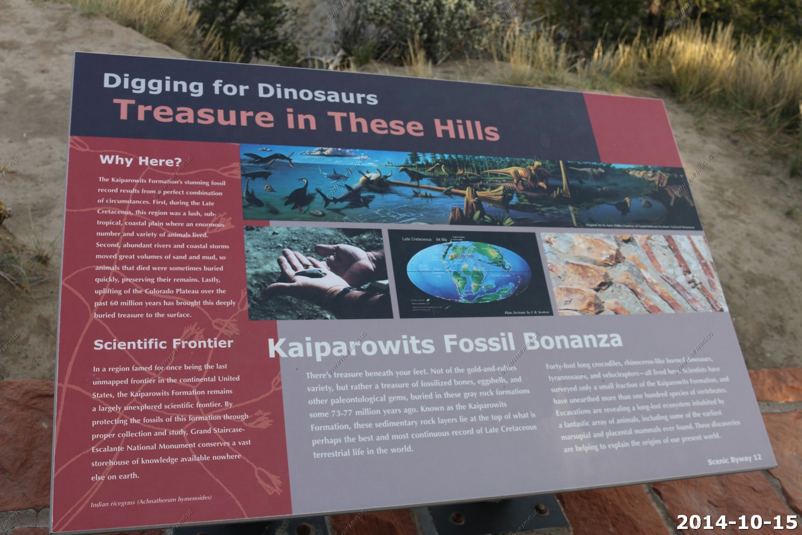
Info signs
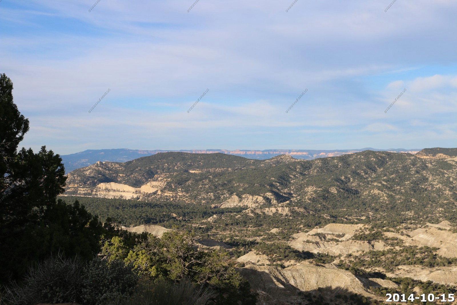
Looking west we can see the cliffs of Bryce Canyon.
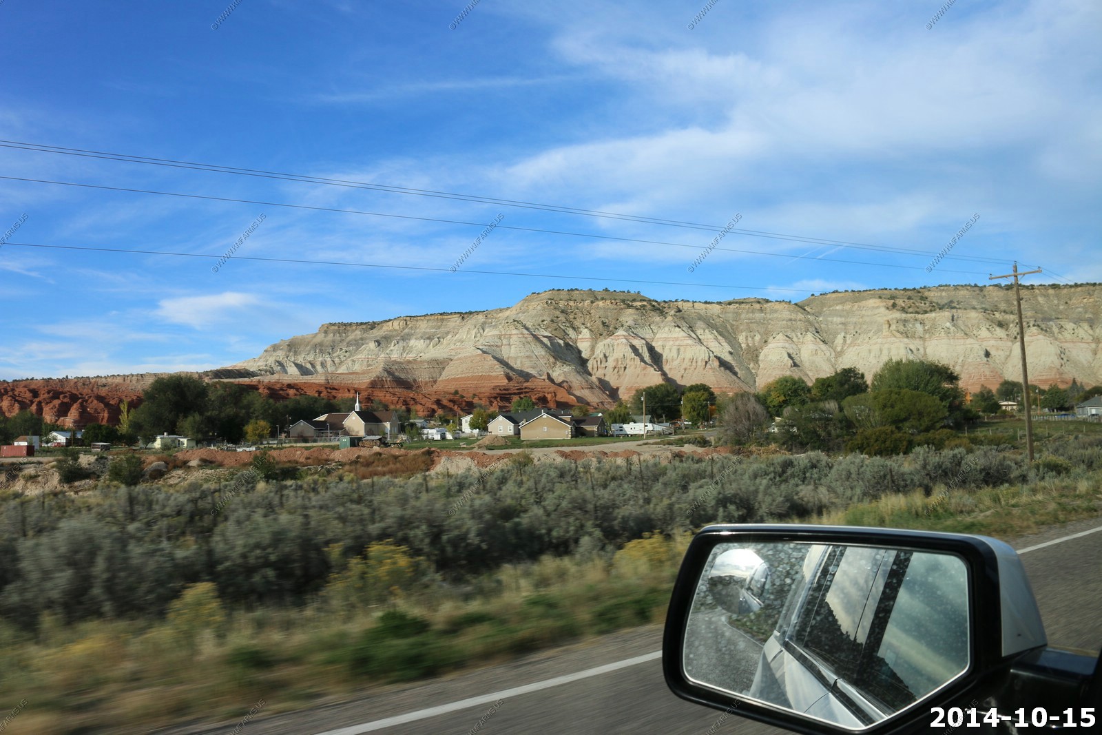
Scenic Cannonville, Utah from UT-12.
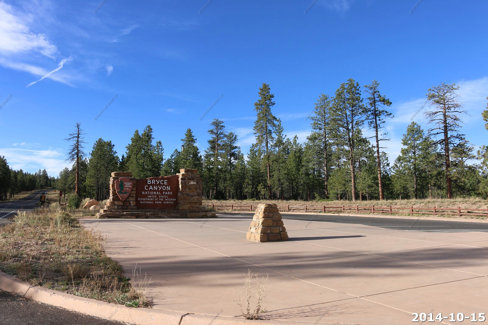
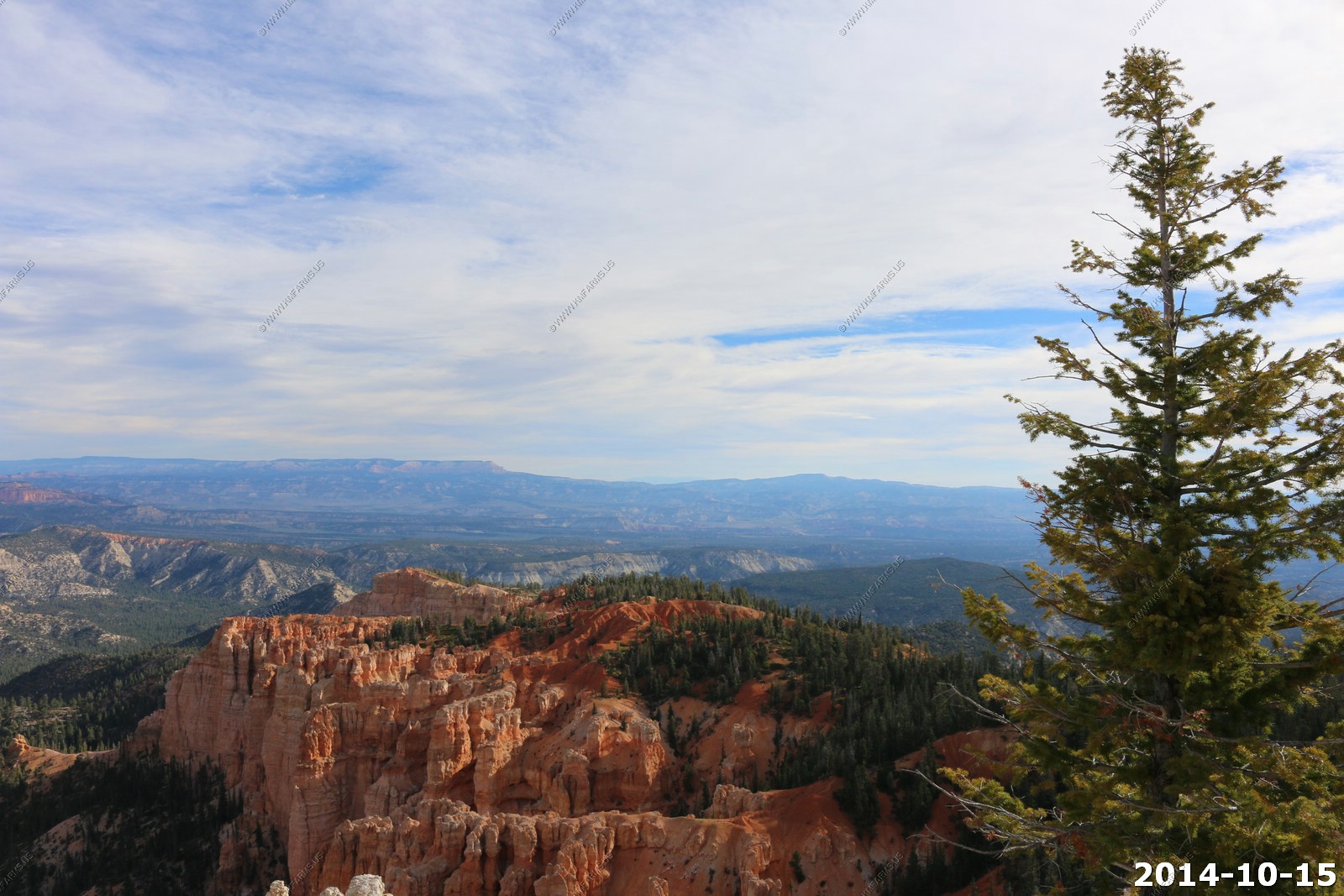
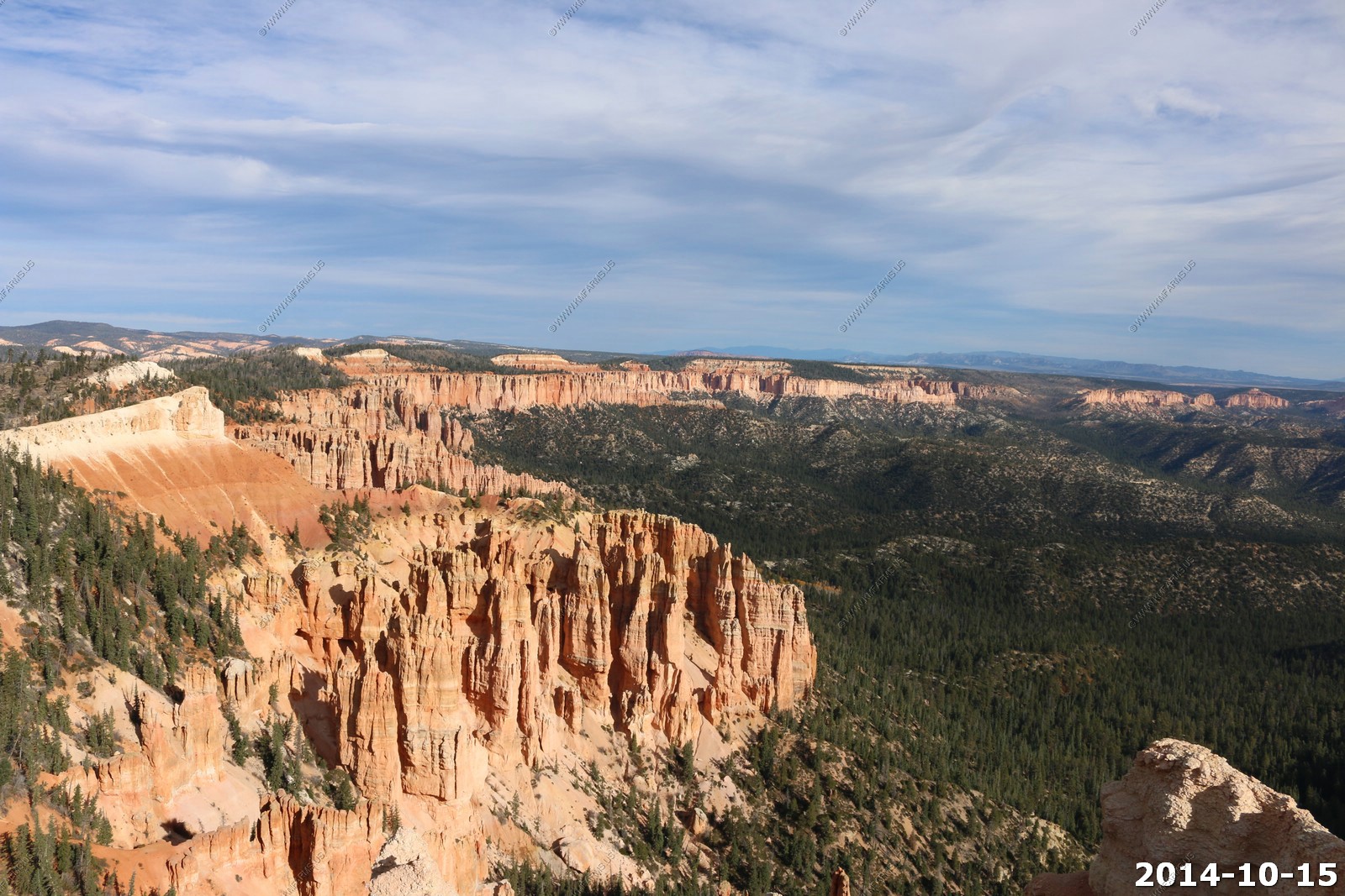
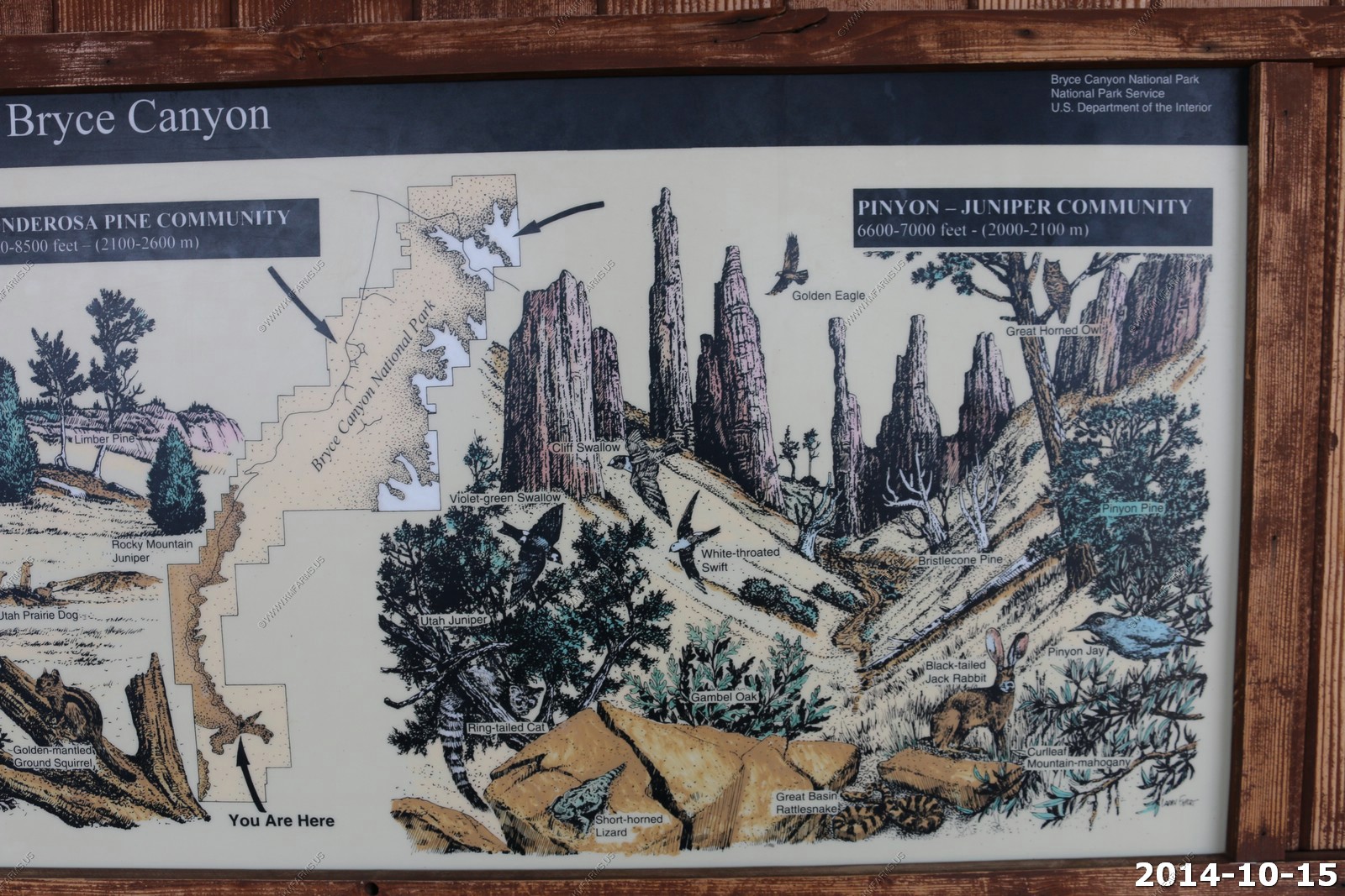
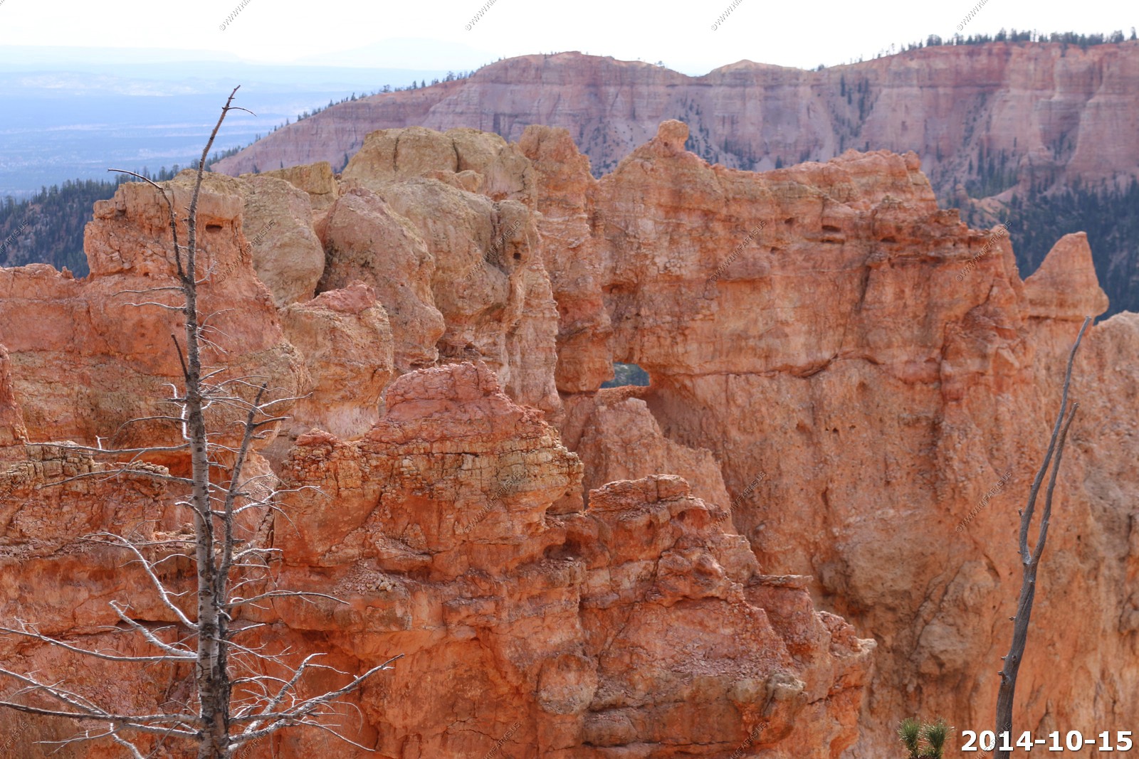
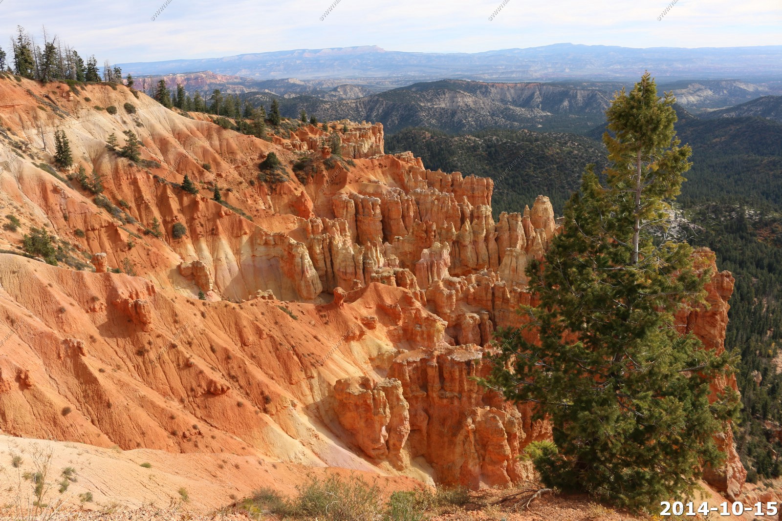
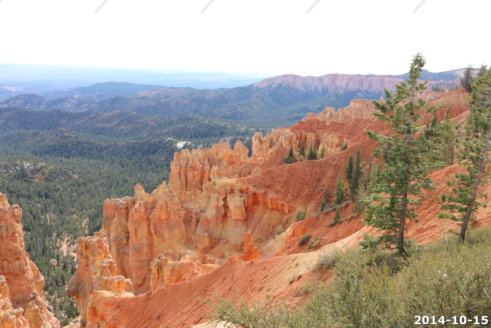
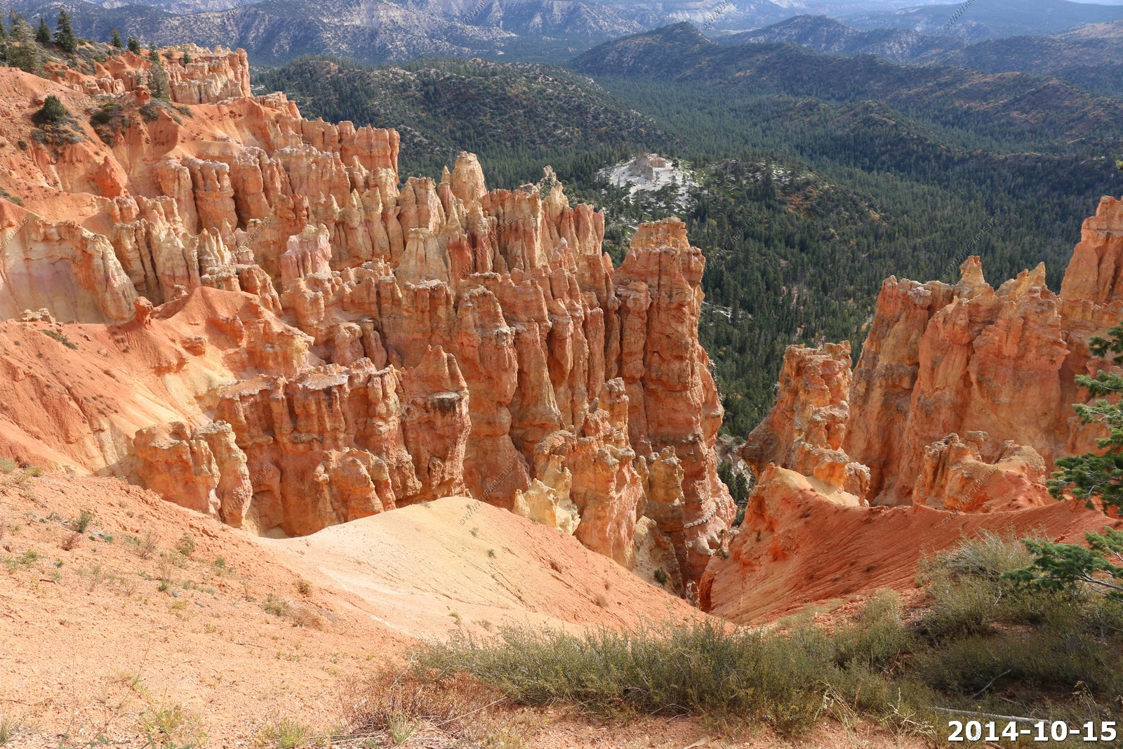
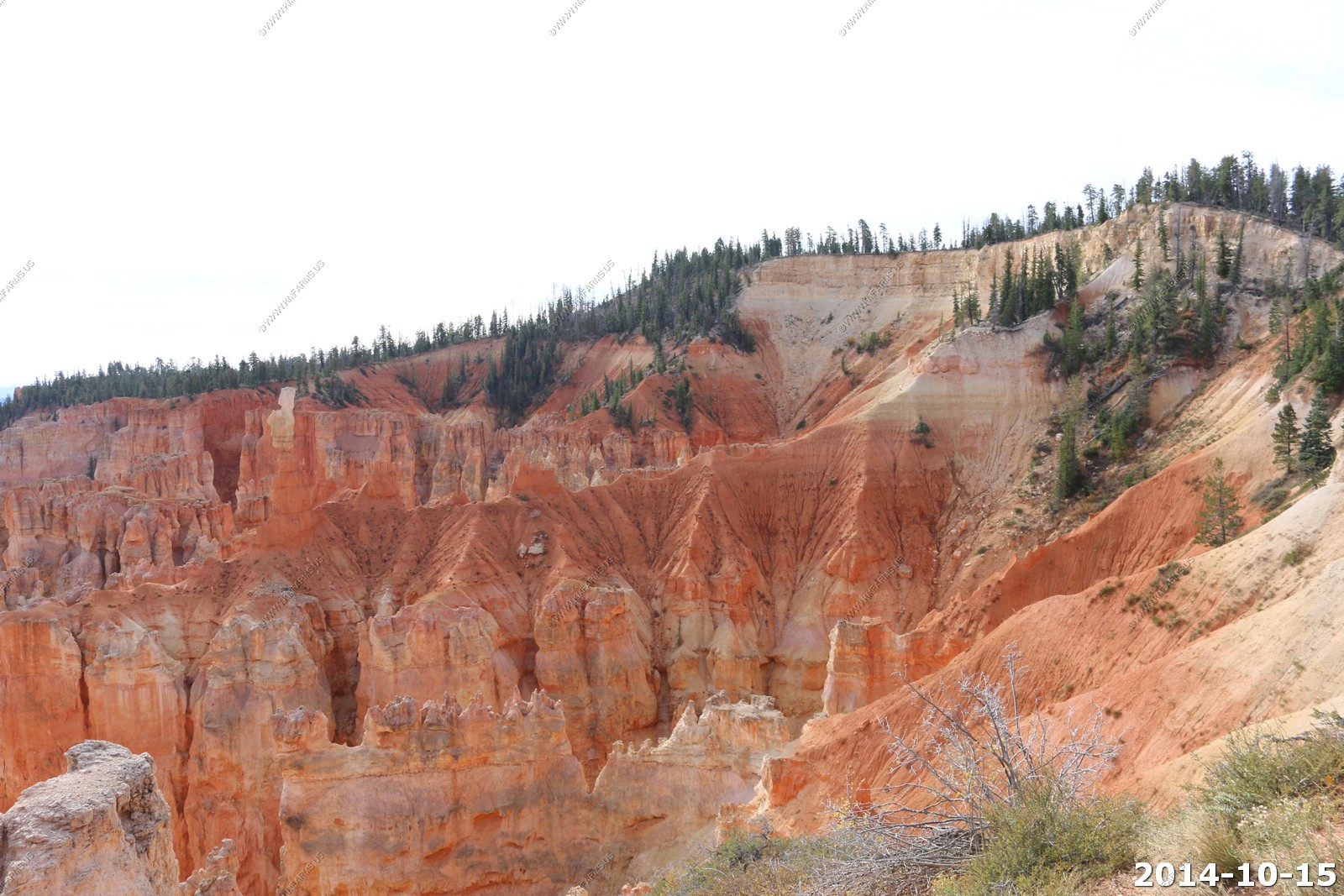
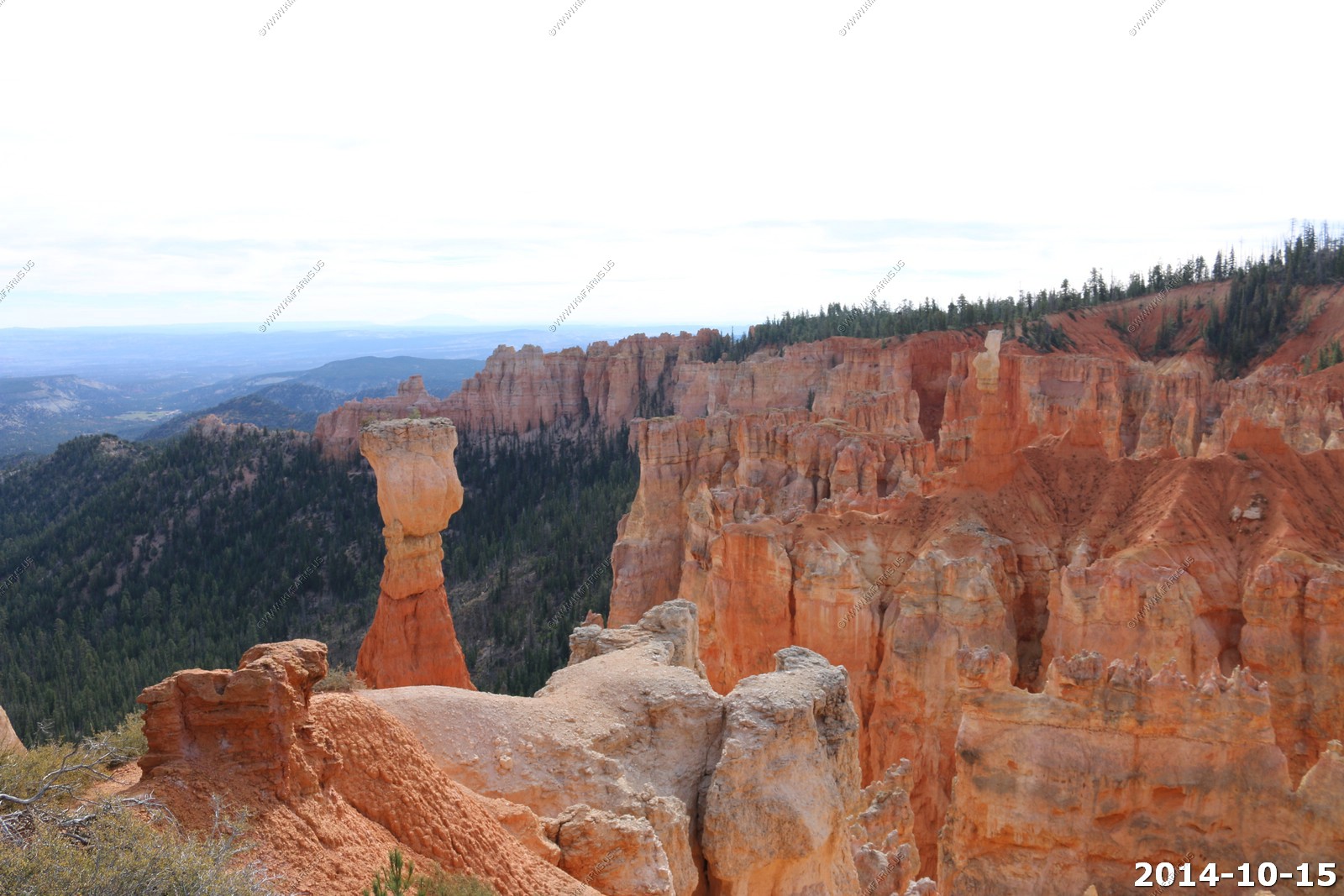
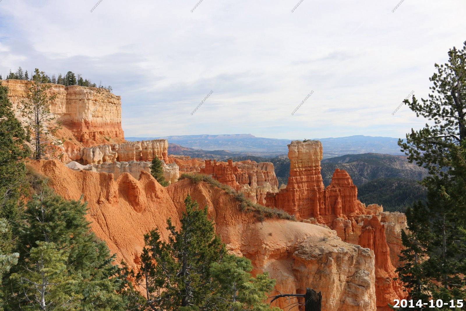
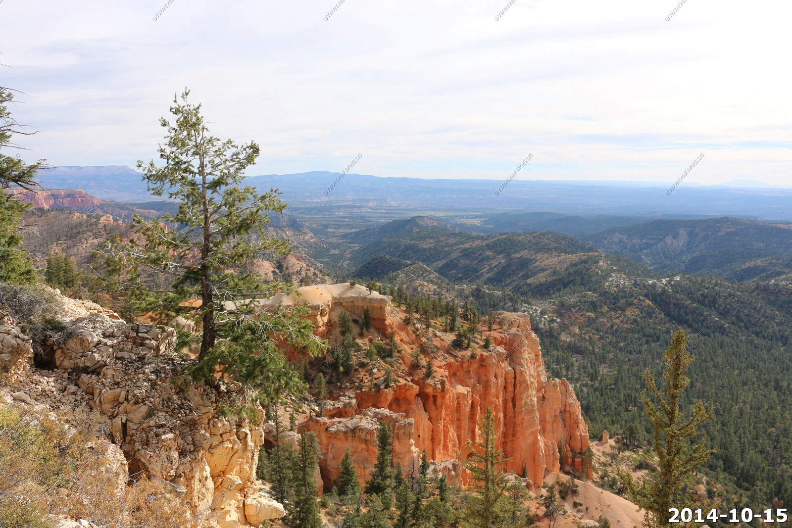
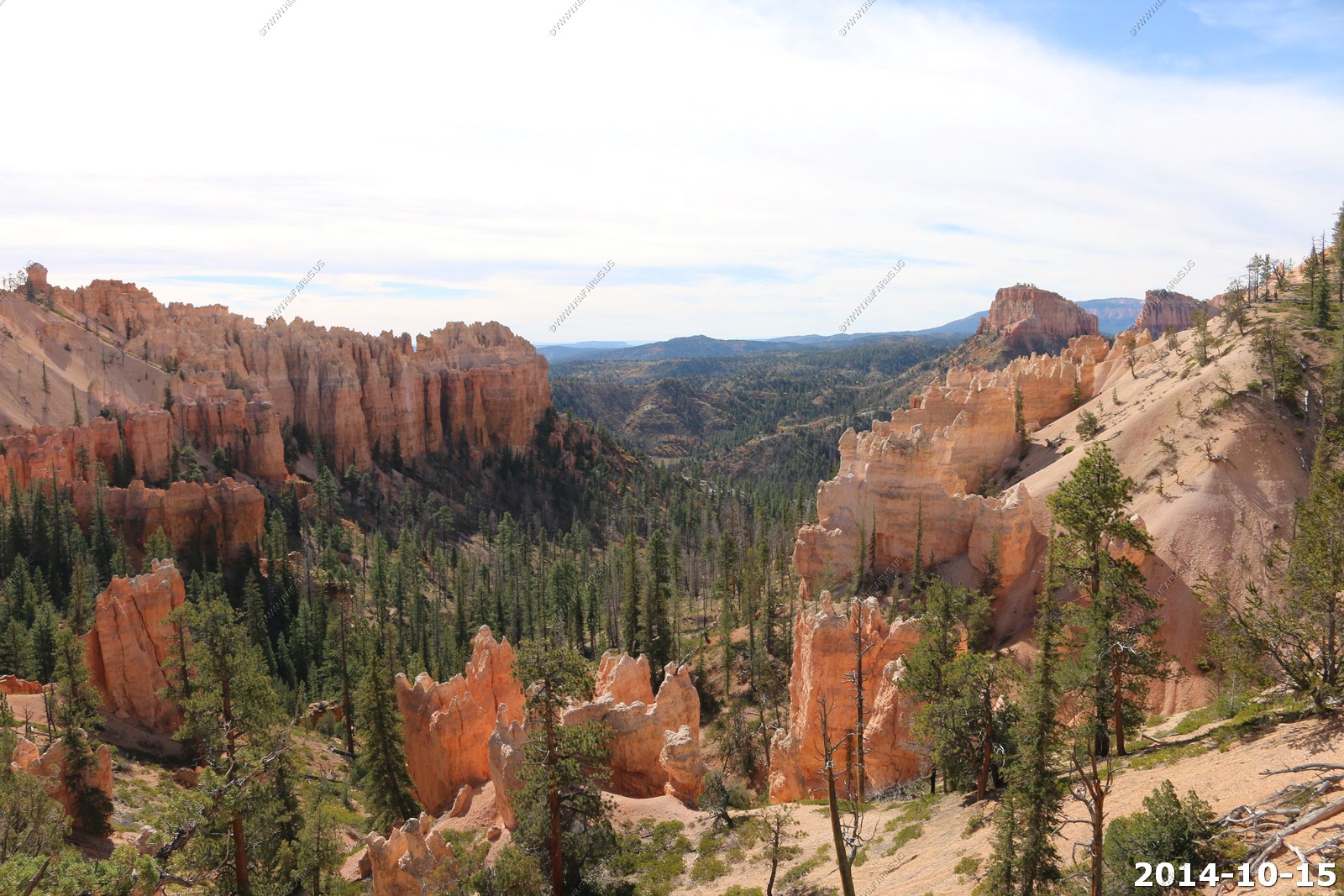
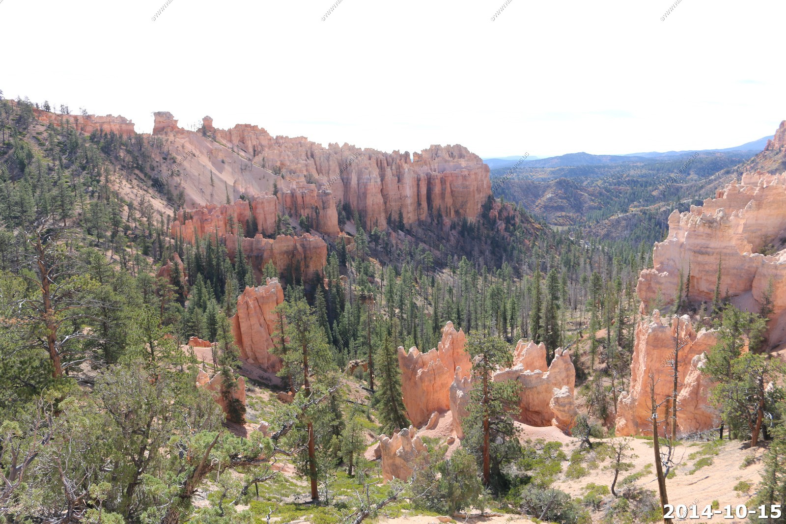
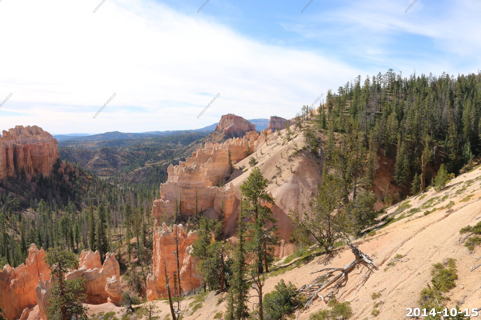
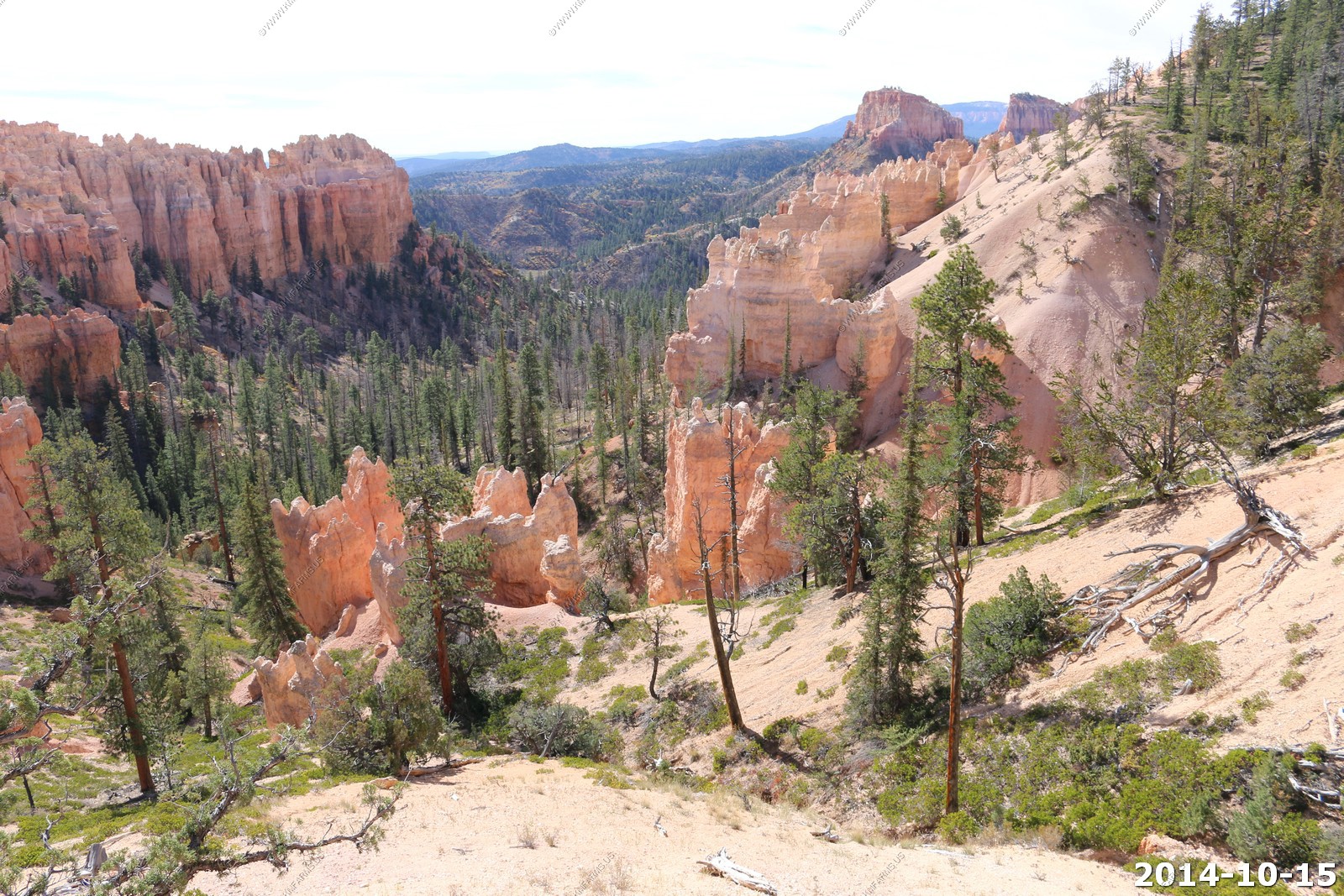
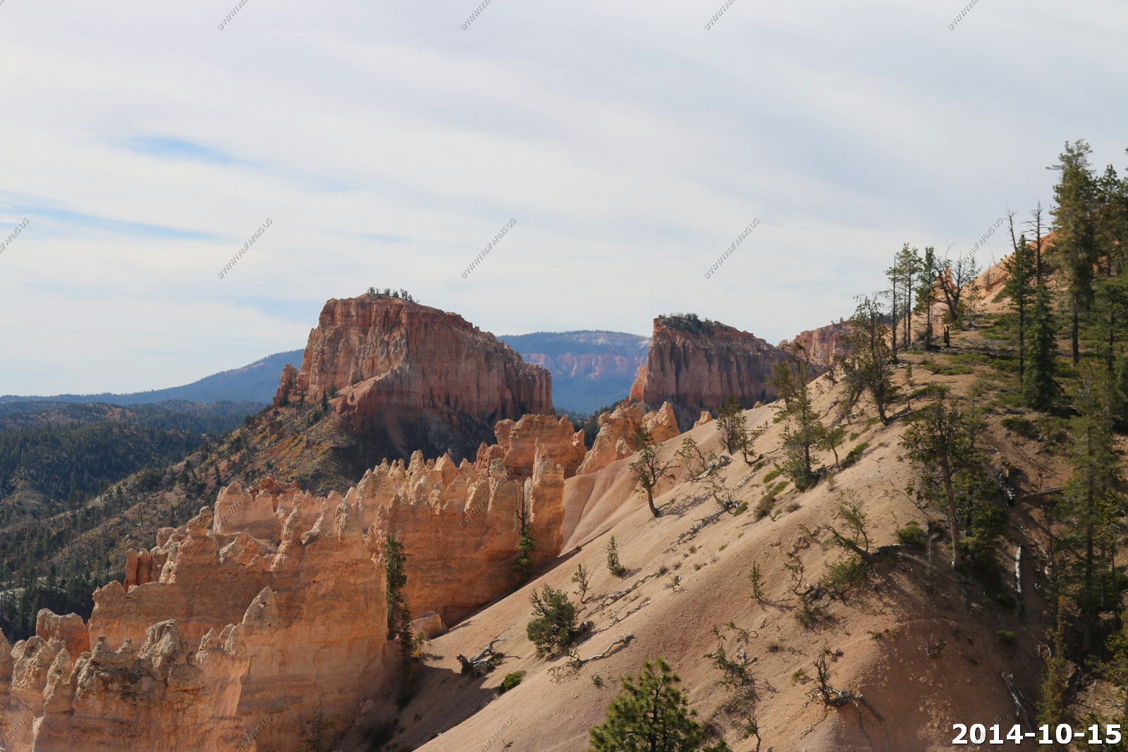
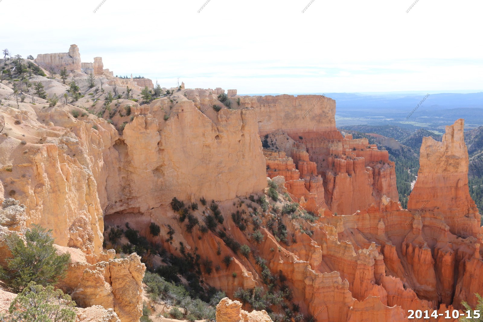
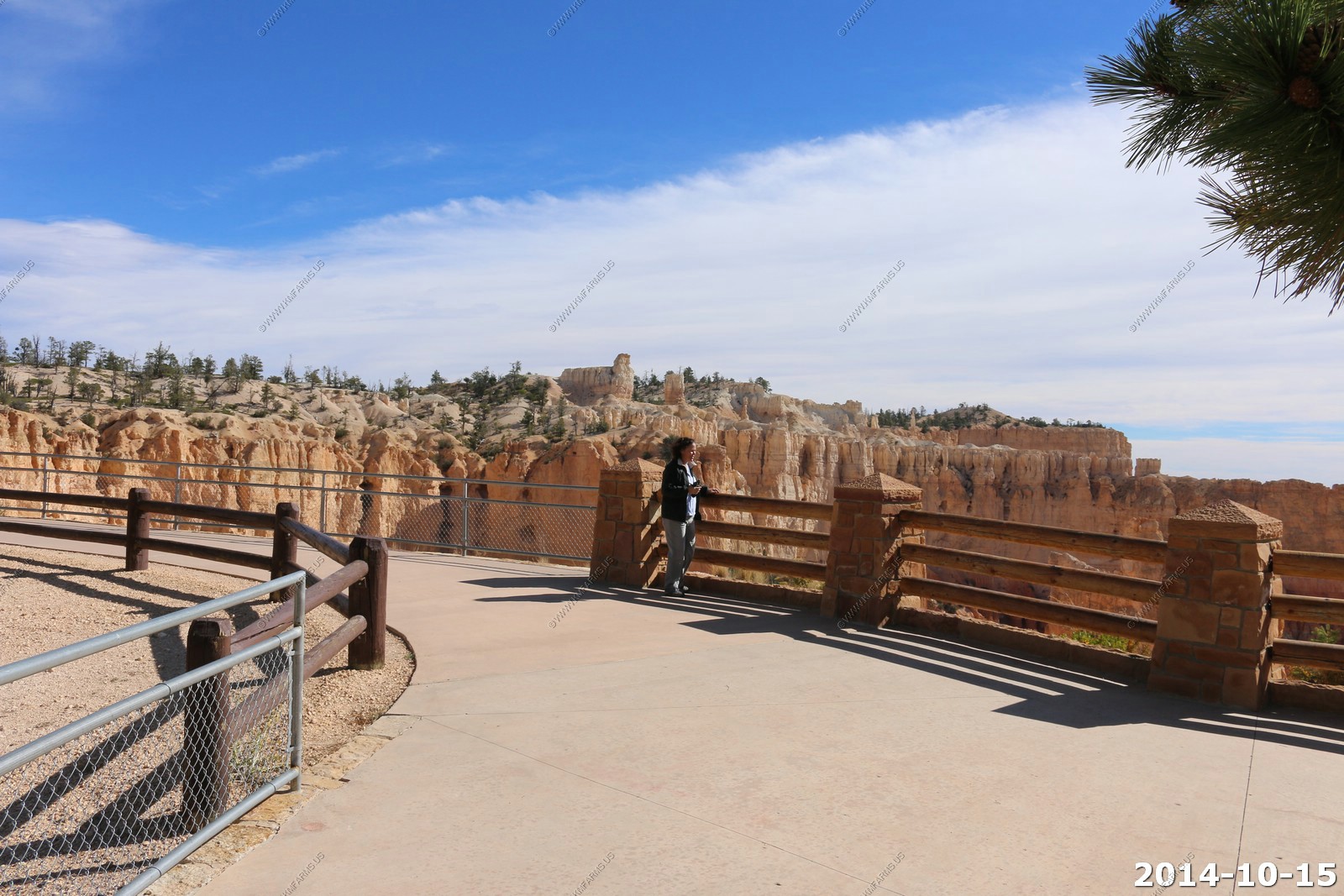
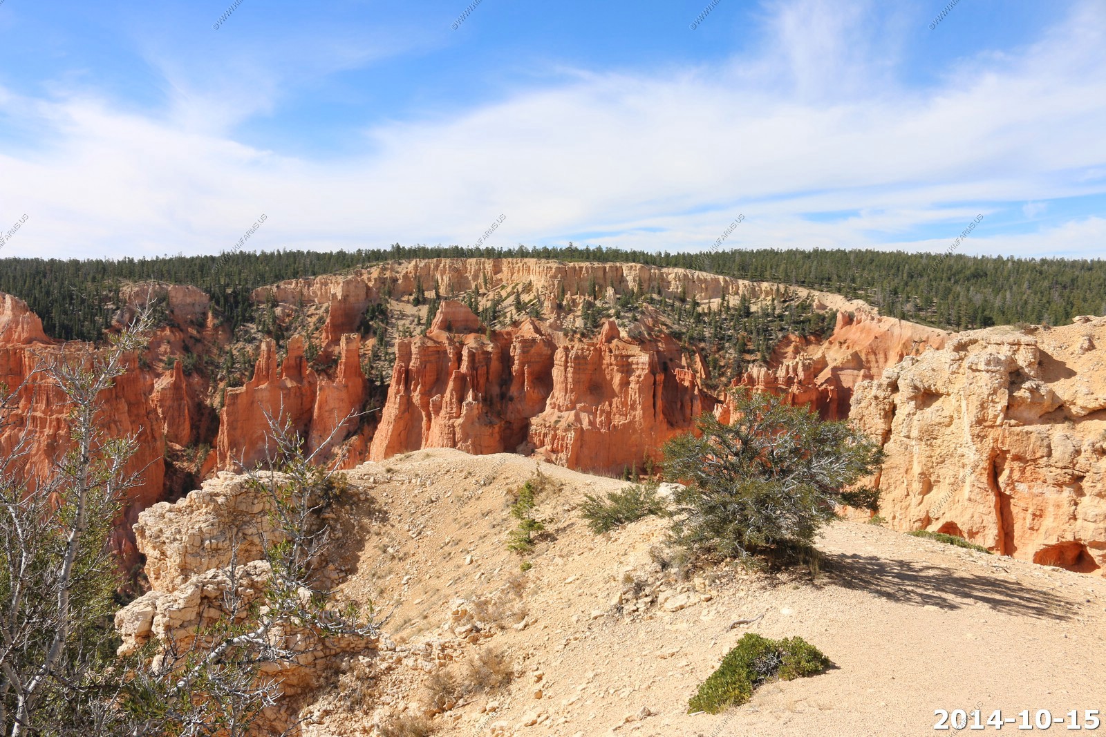
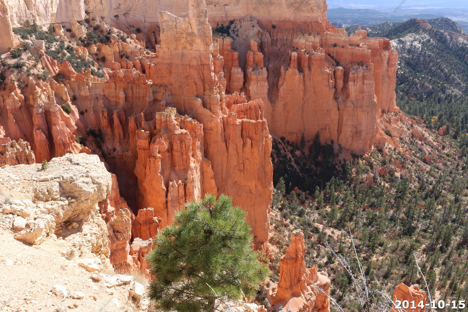
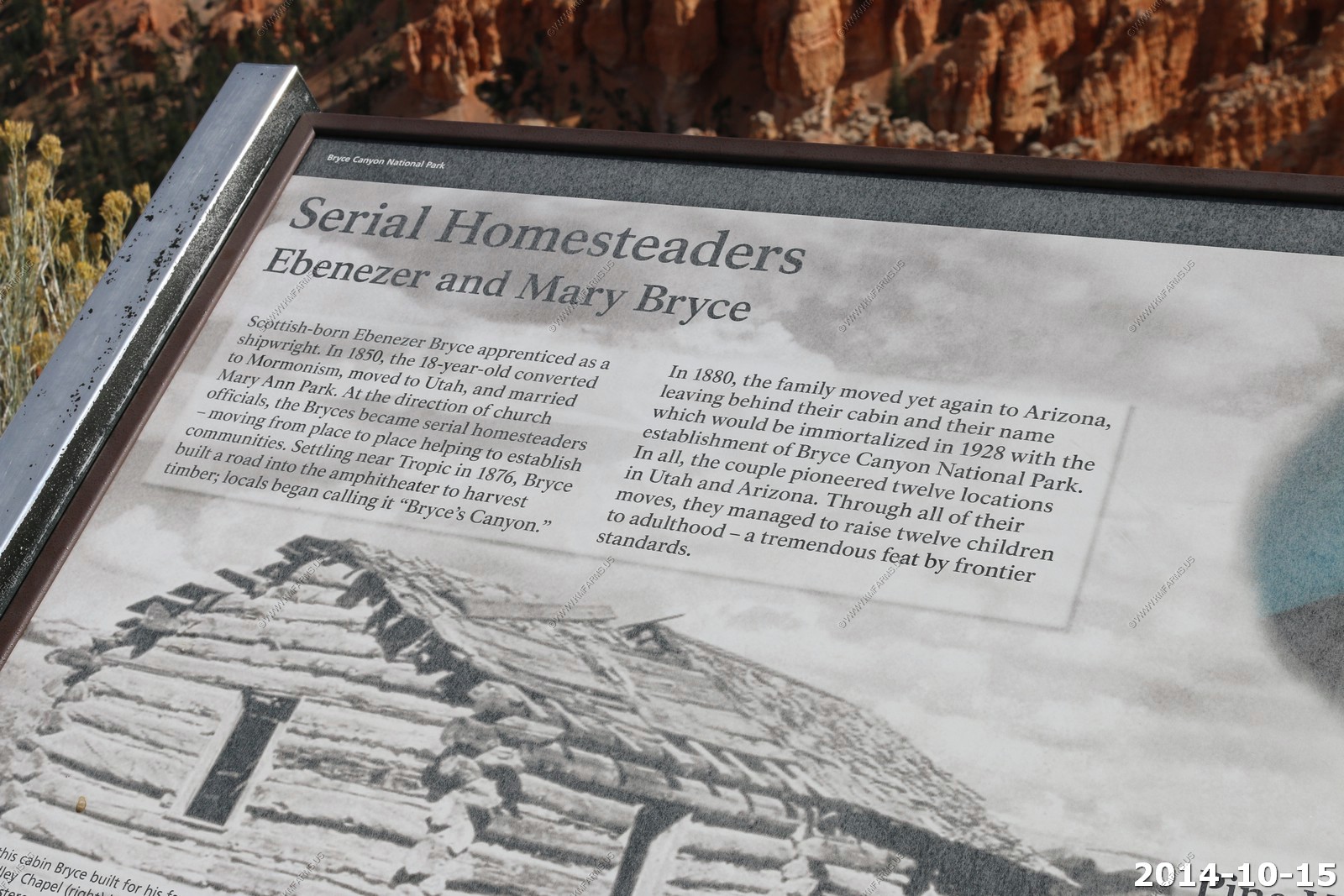
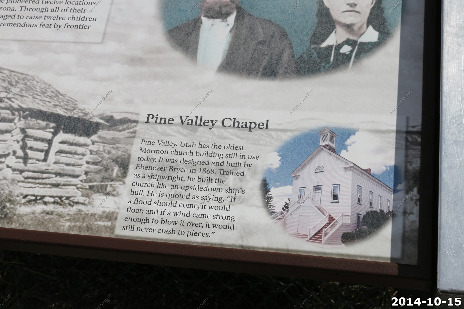
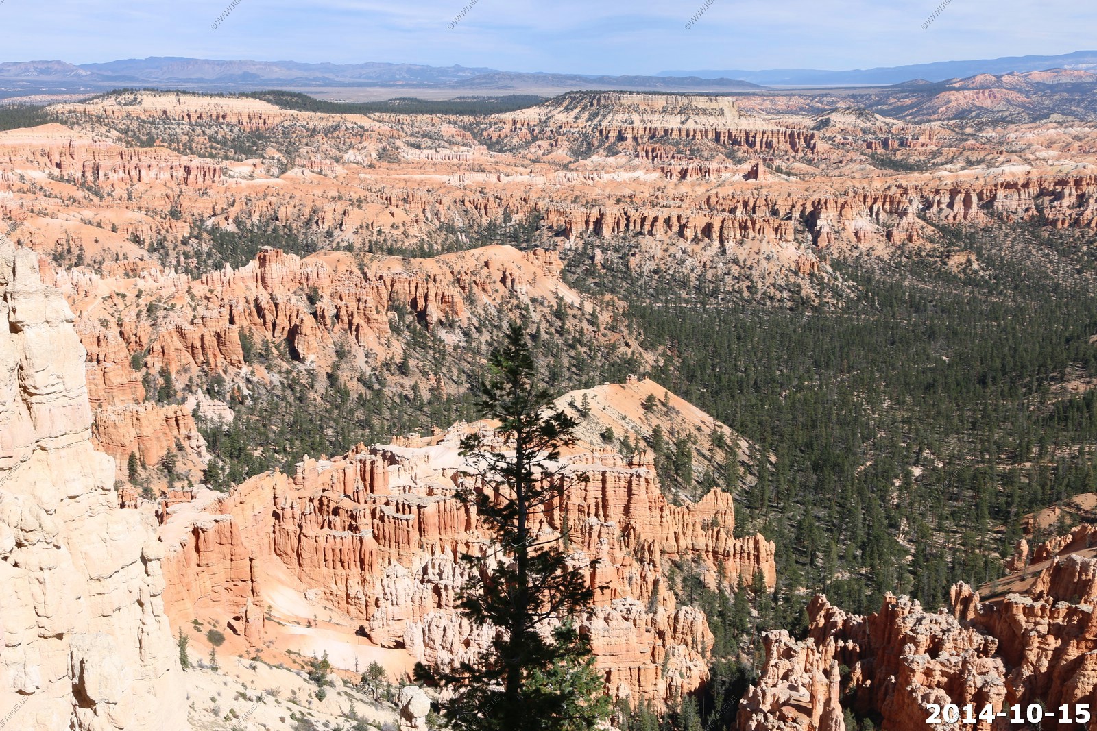
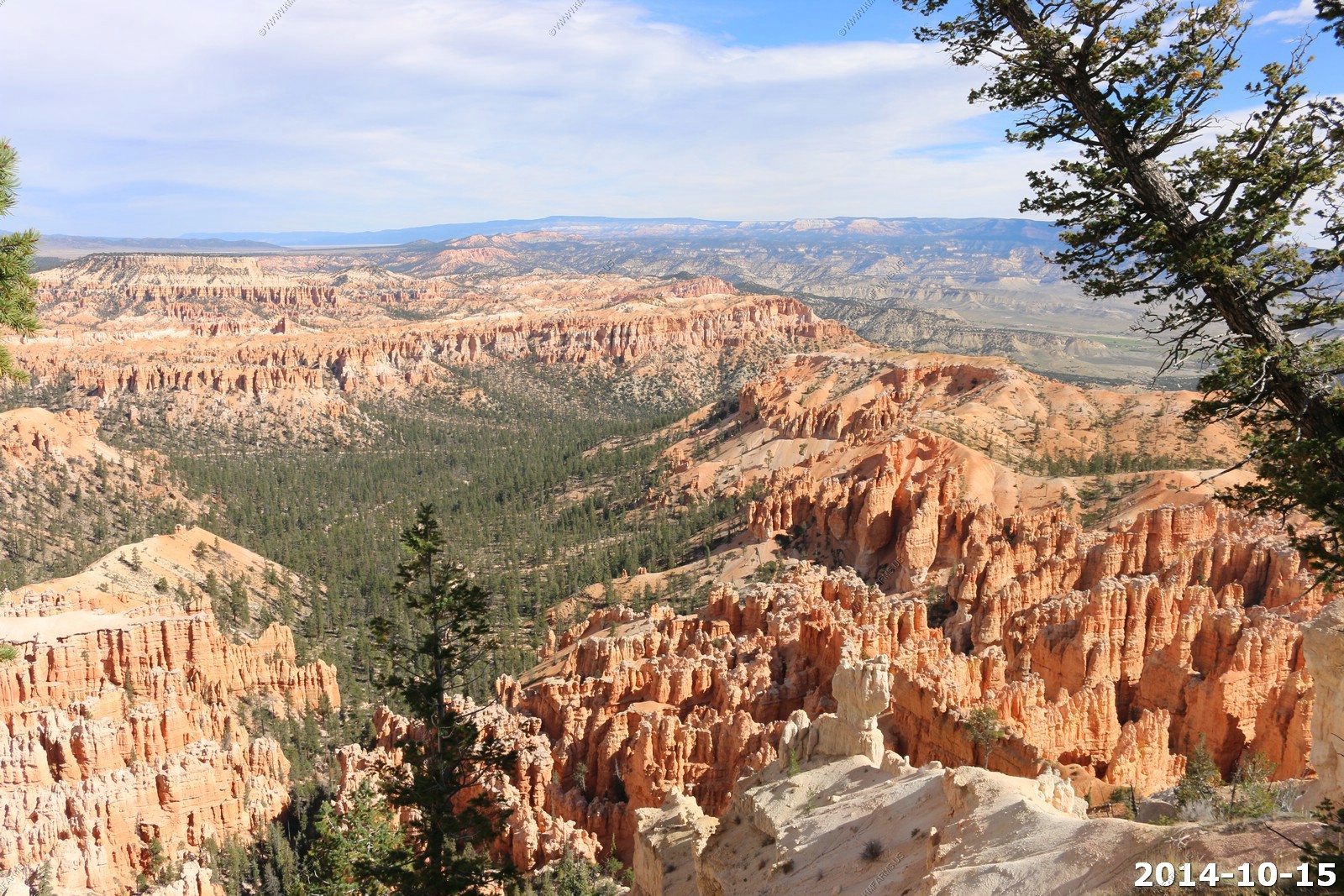
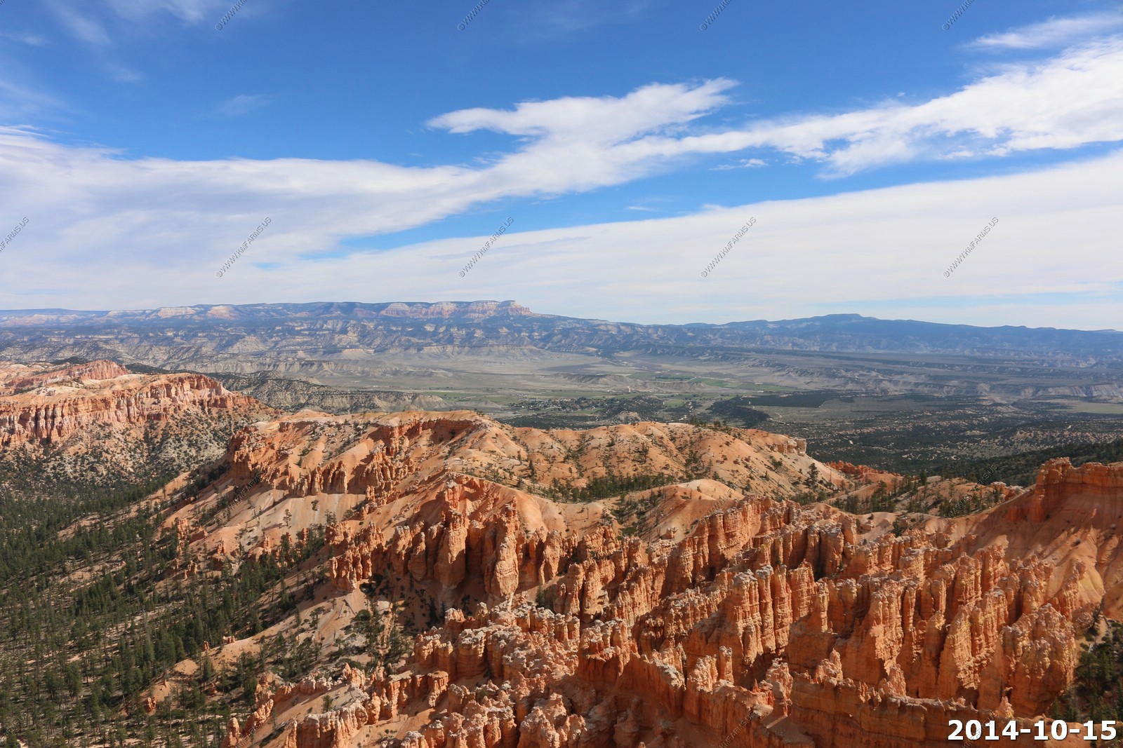
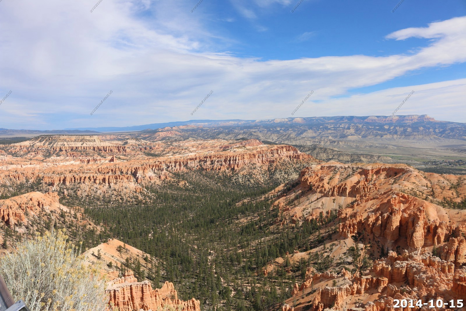
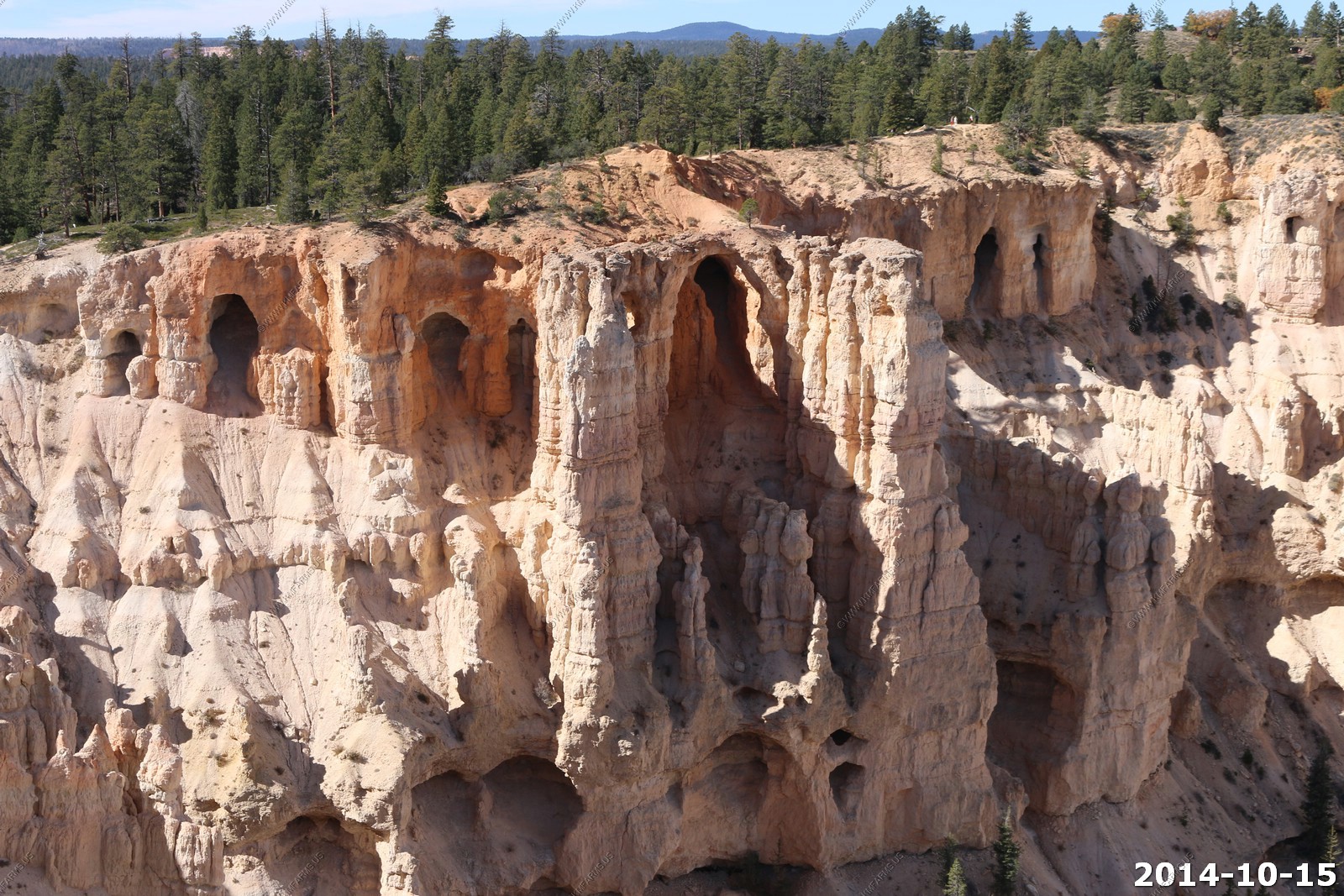
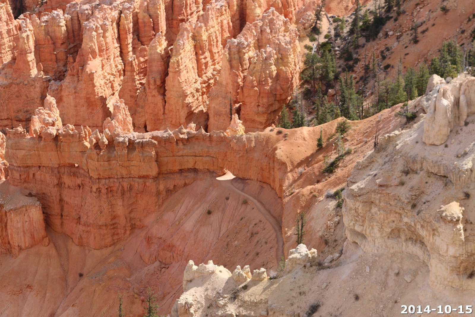
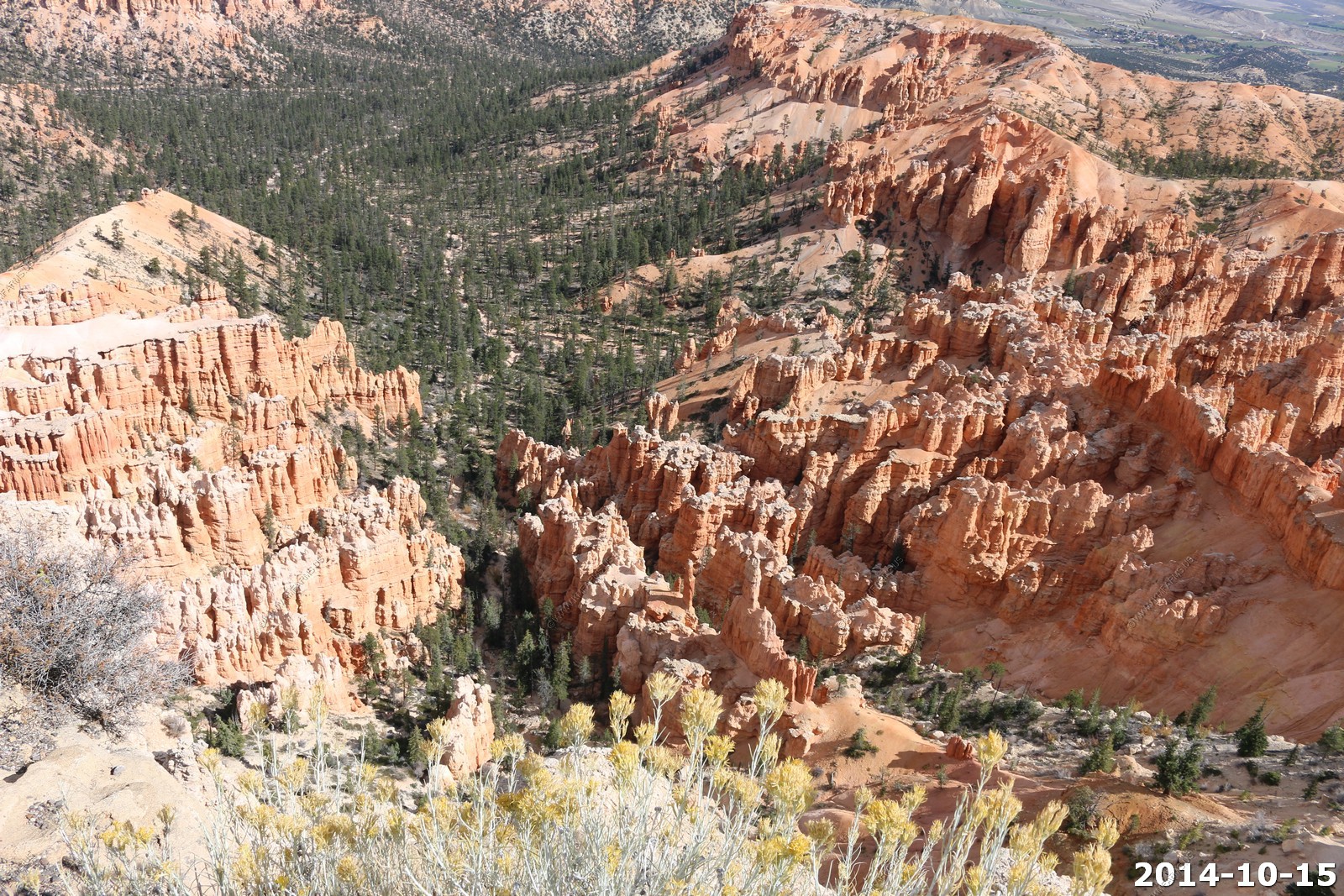
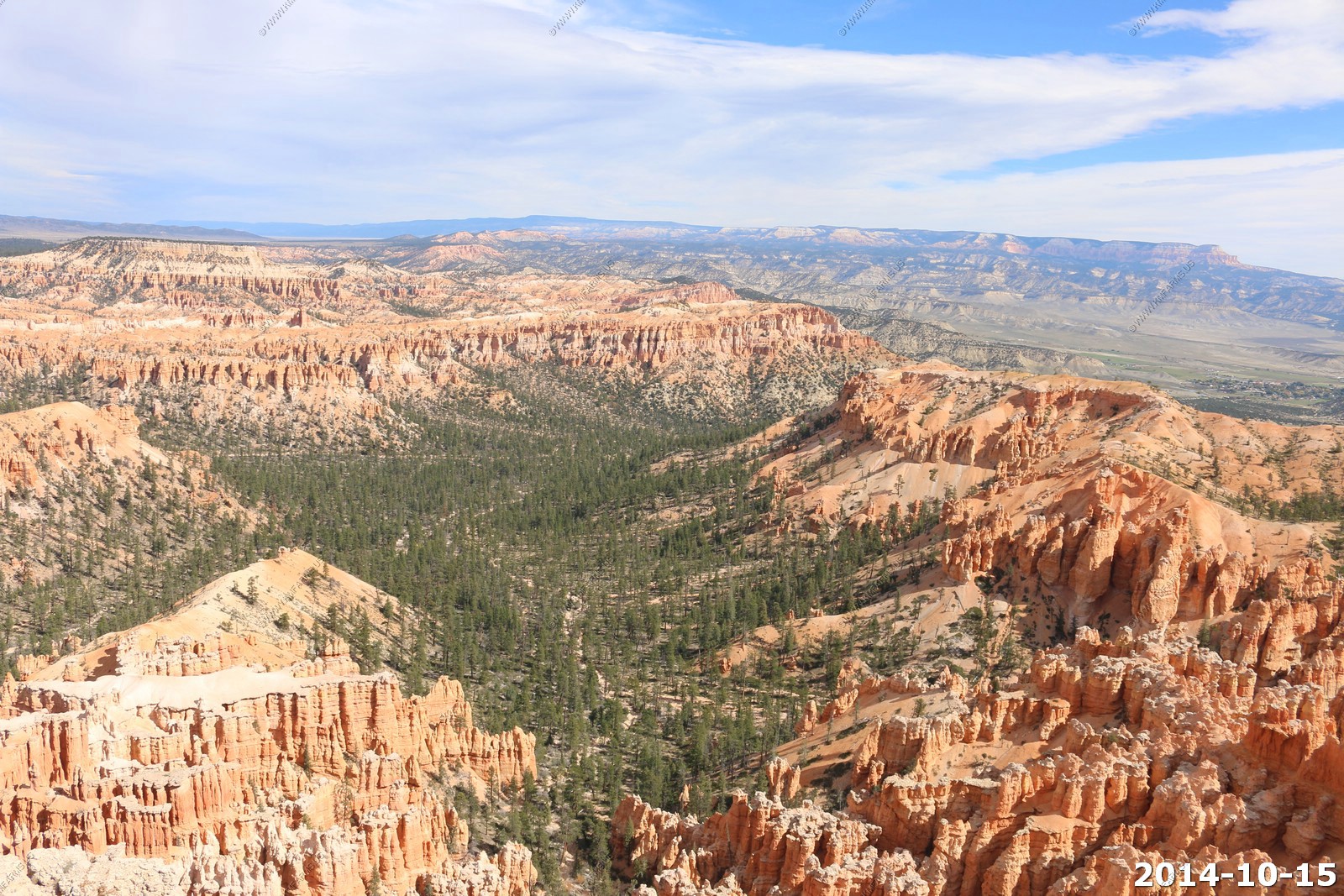
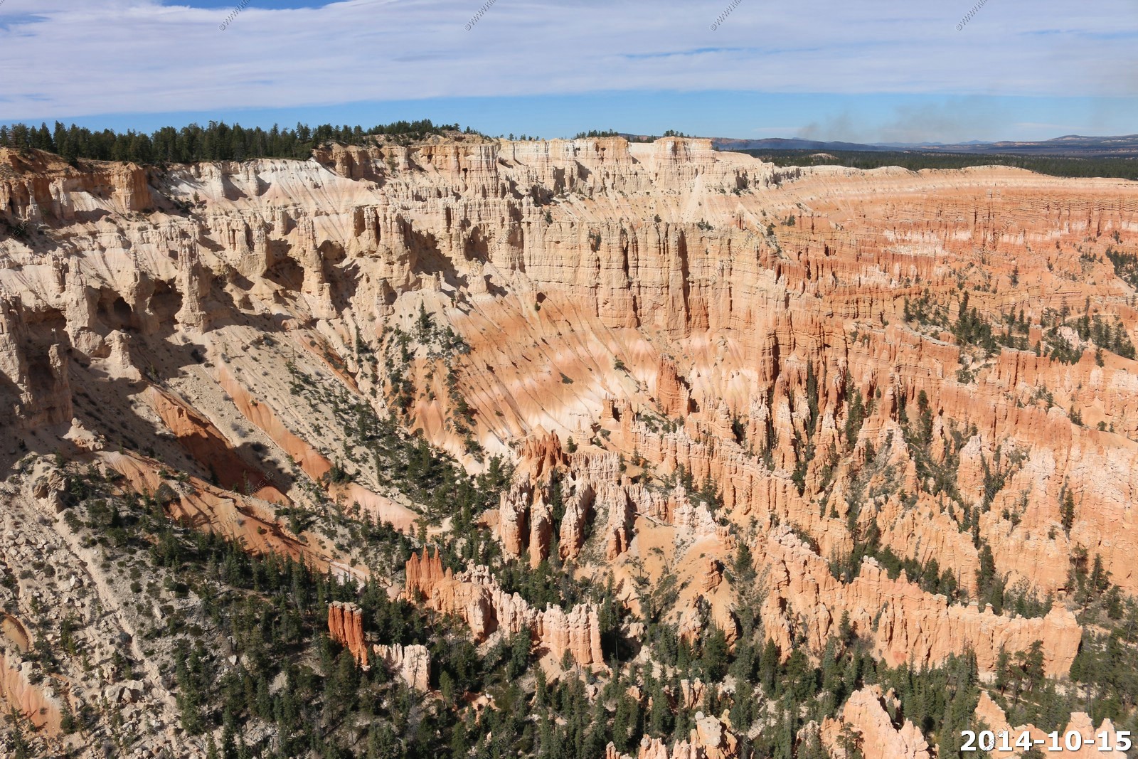
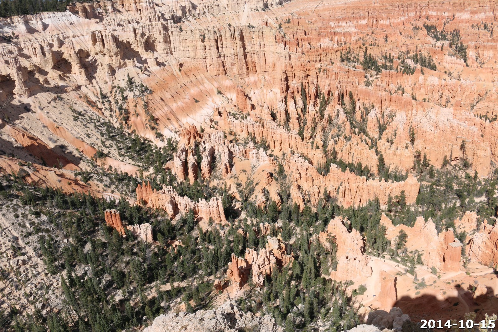
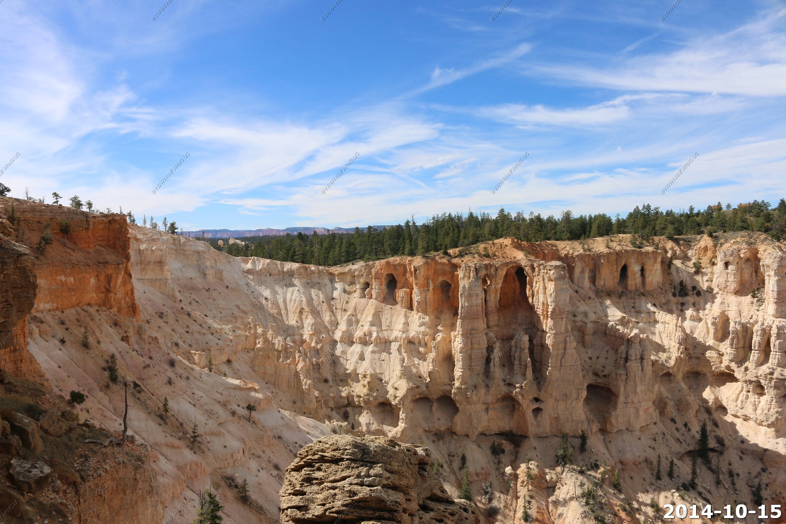
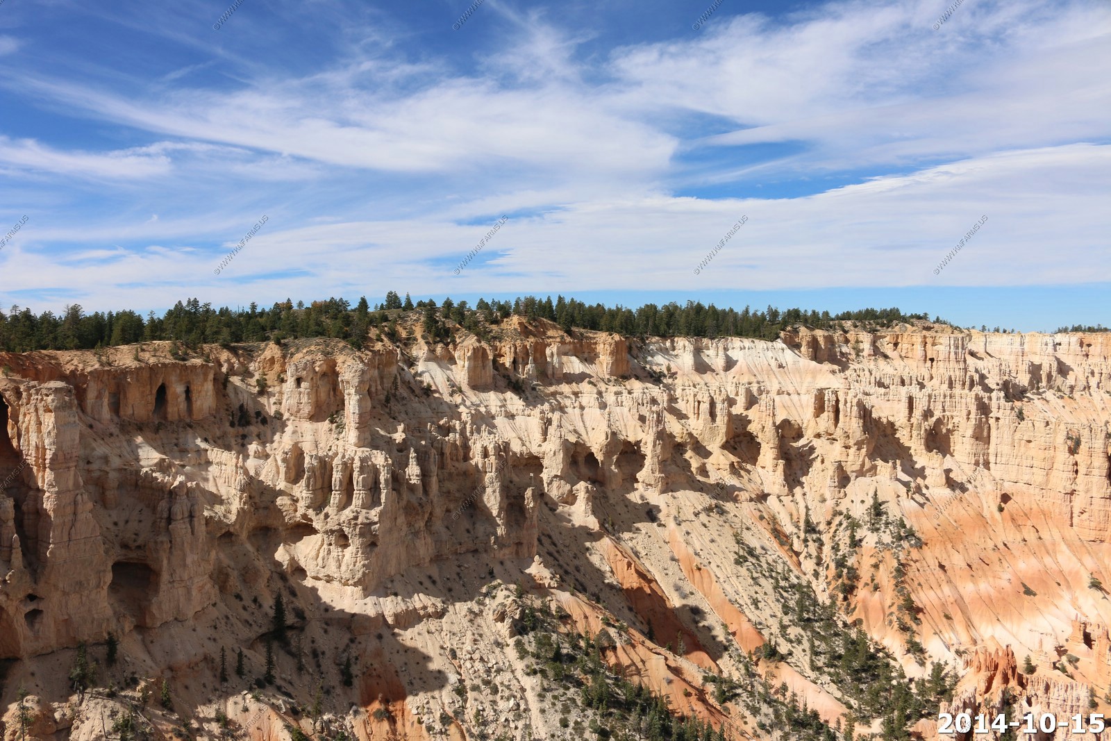
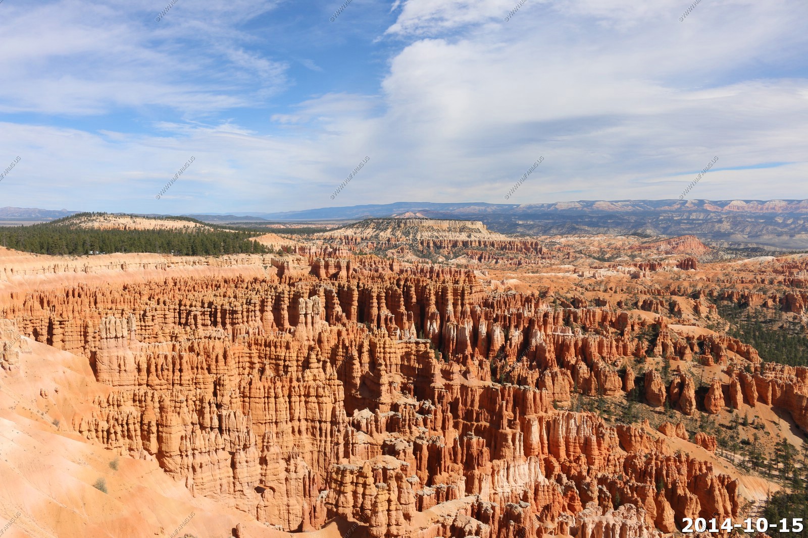
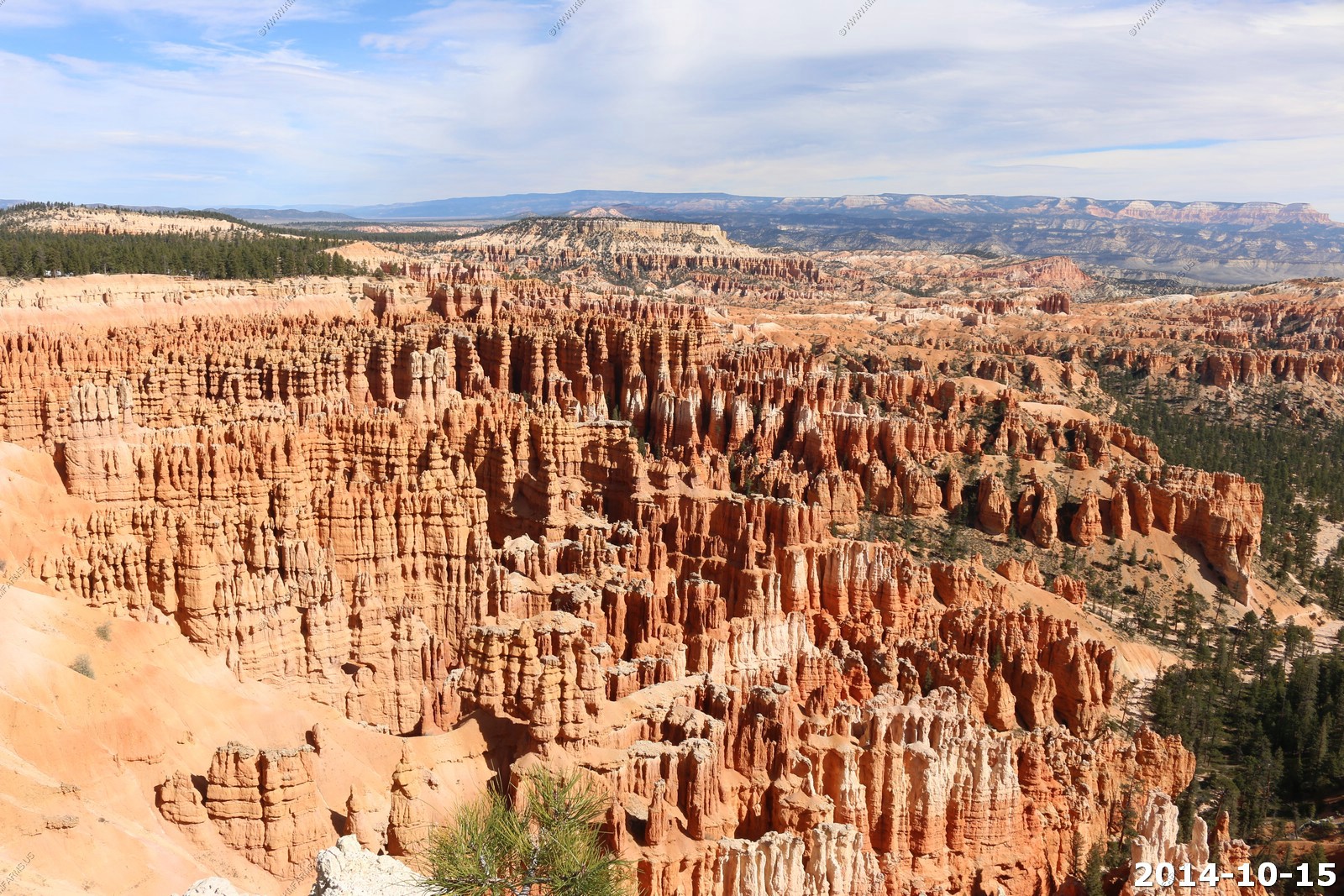
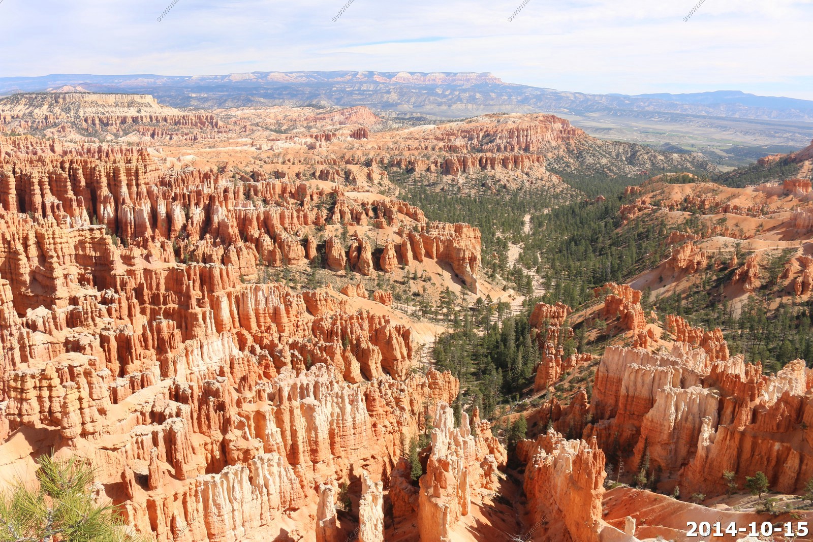
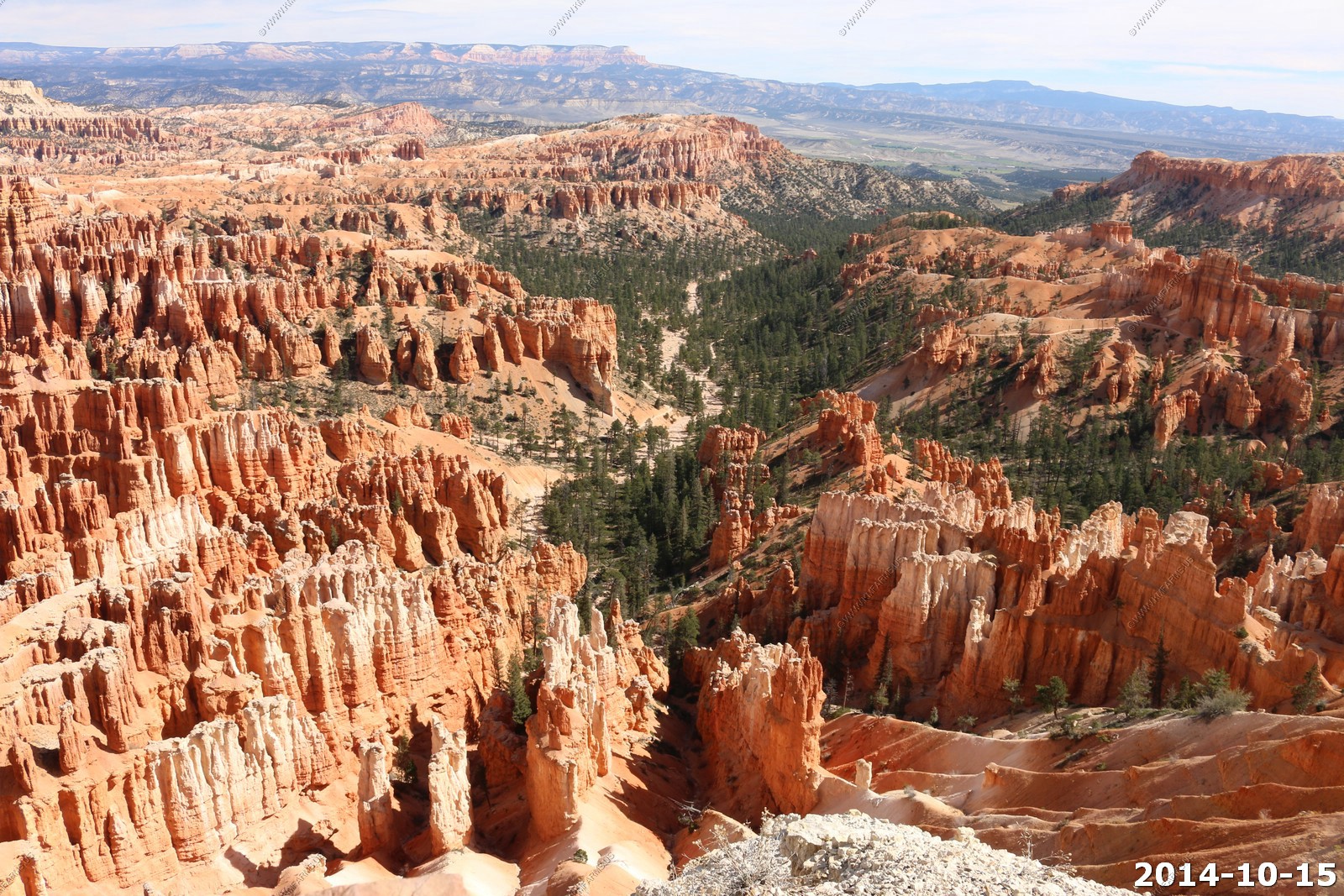
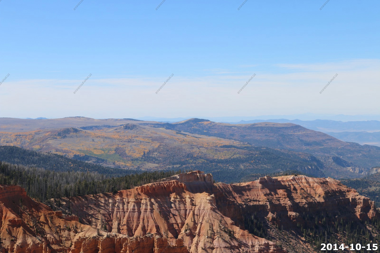
Bryce Canyon National Park
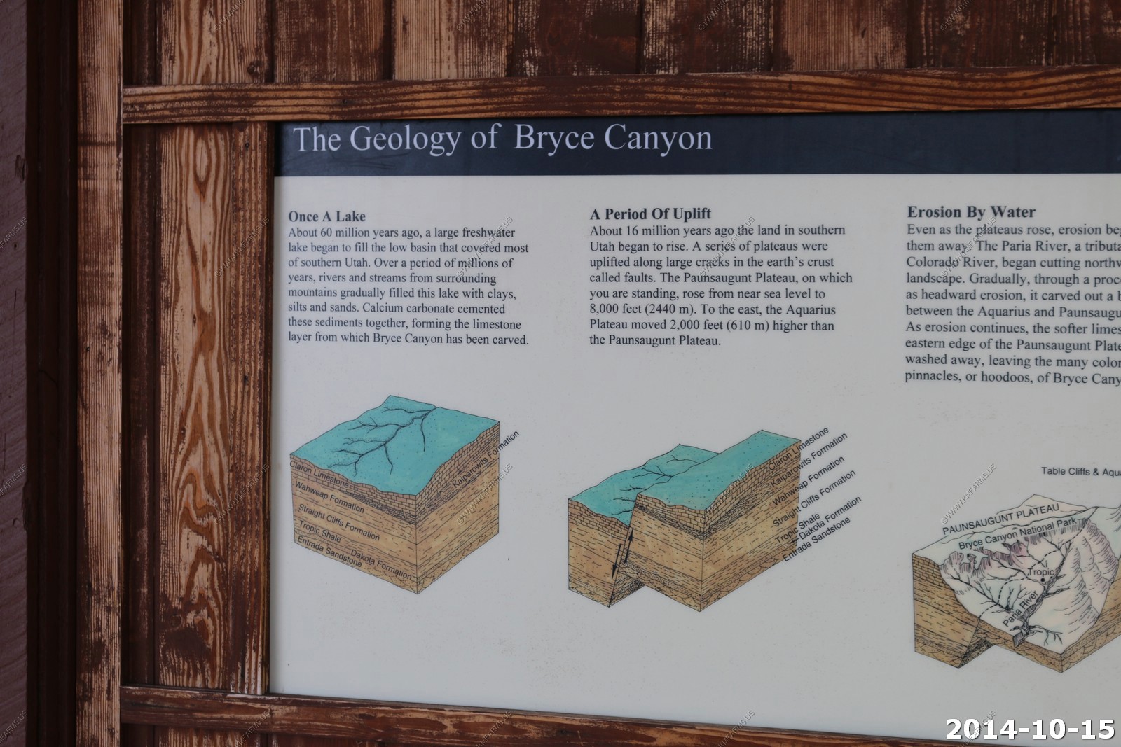
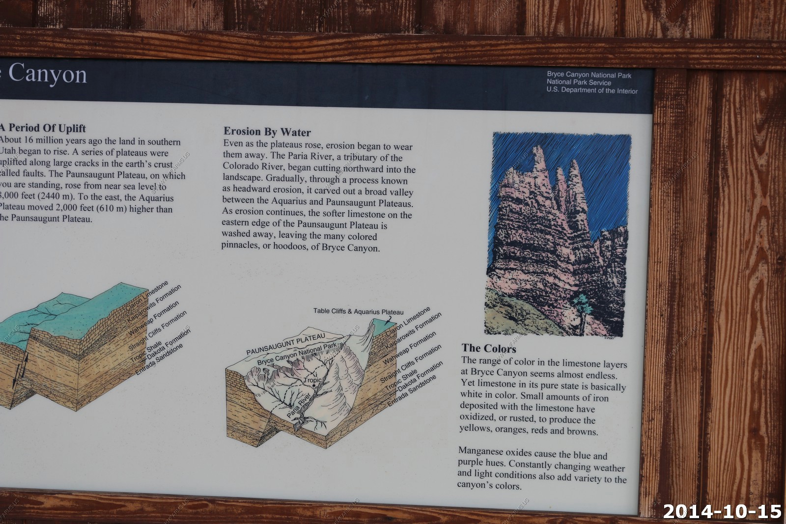
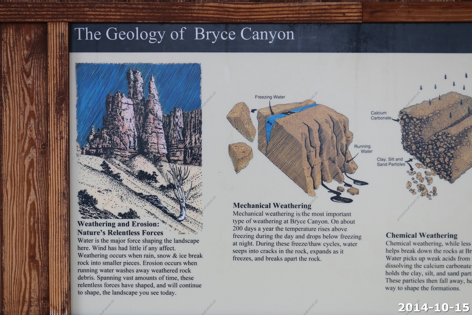
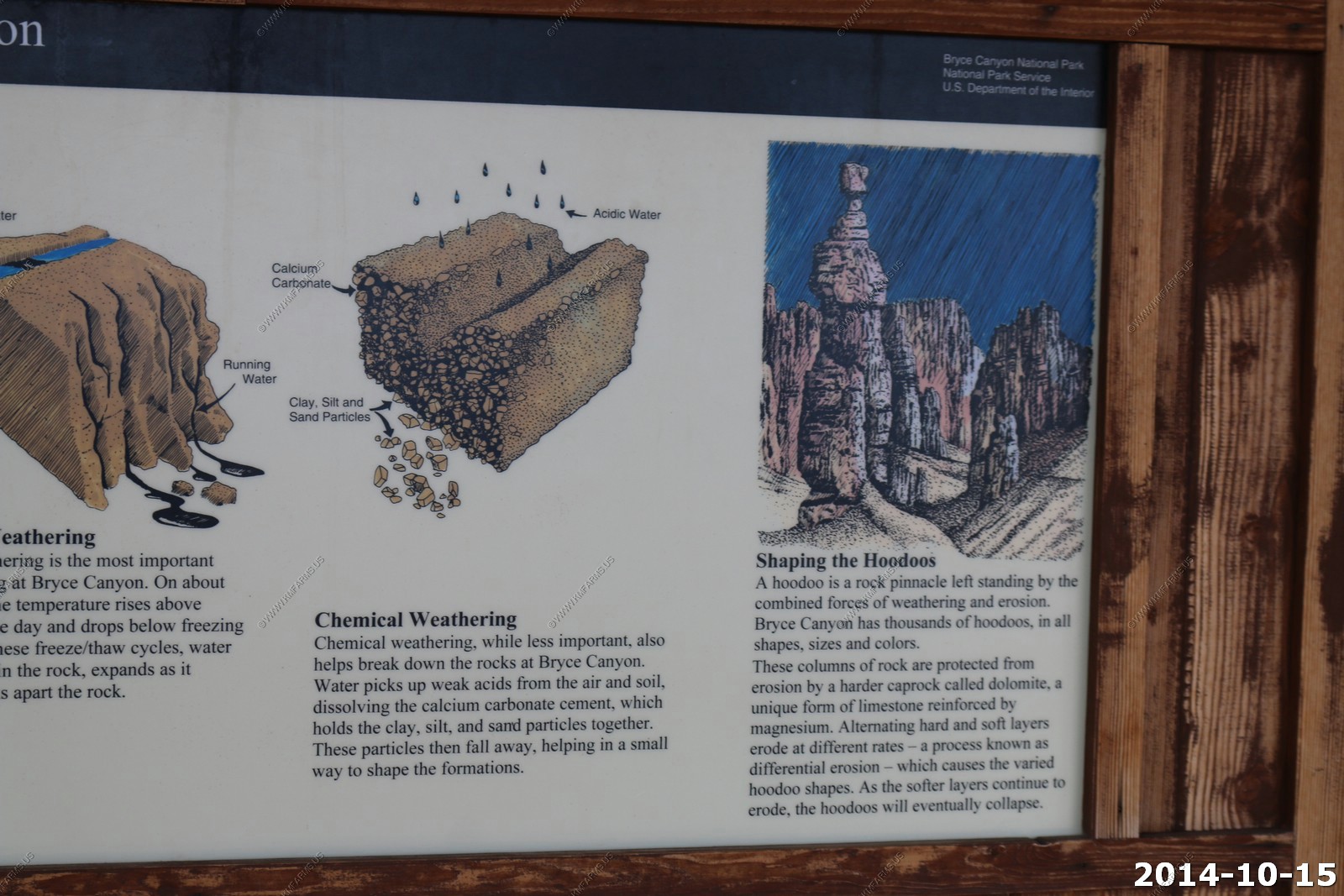
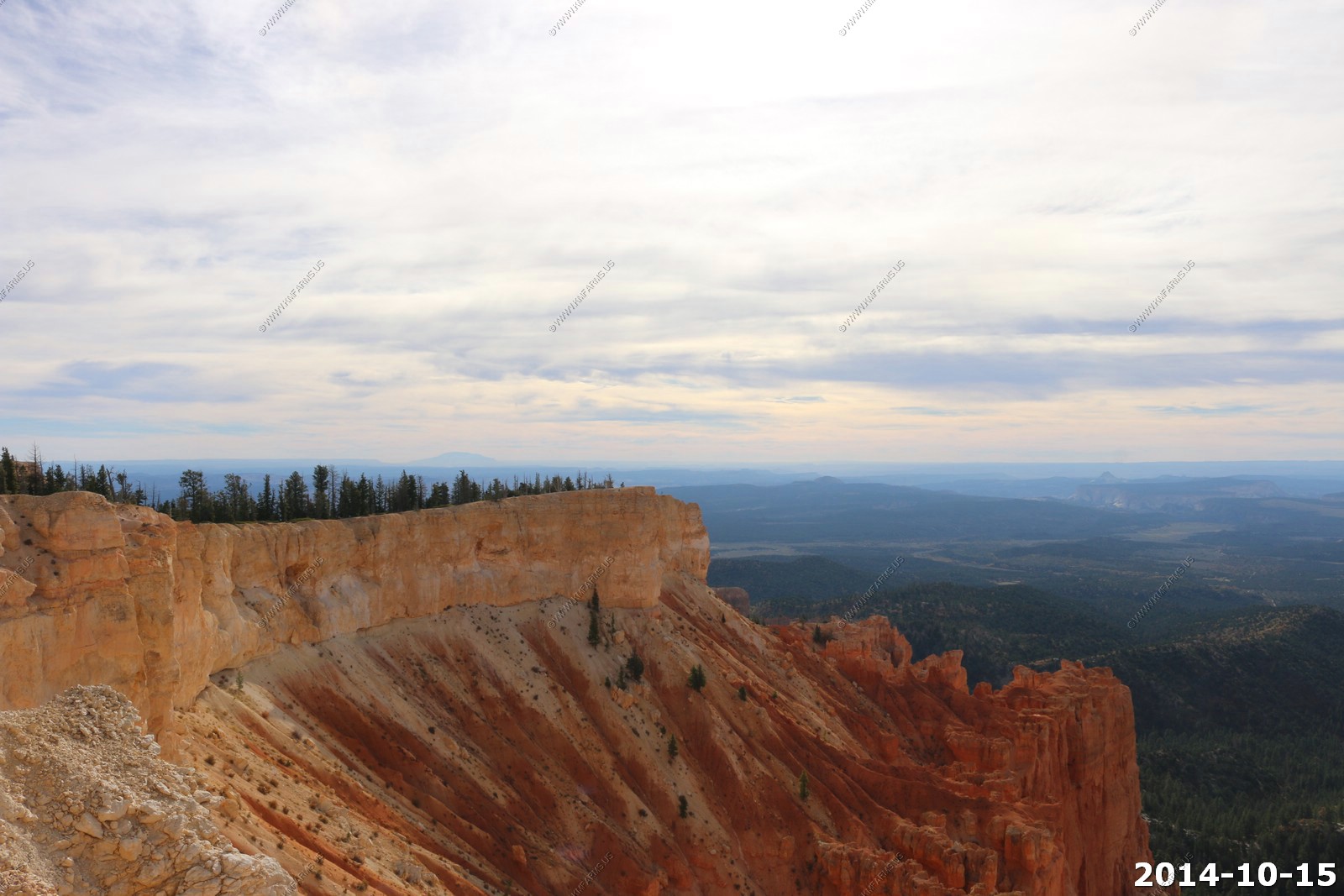
The major feature of the park is Bryce Canyon, which despite its name, is not a canyon, but a collection of giant natural amphitheaters along the eastern side of the Paunsaugunt Plateau. Bryce is distinctive due to geological structures called hoodoos, formed by frost weathering and stream erosion of the river and lake bed sedimentary rocks. The red, orange, and white colors of the rocks provide spectacular views for park visitors. Bryce sits at a much higher elevation than nearby Zion National Park. The rim at Bryce varies from 8,000 to 9,000 feet.
The park covers 35,835 acres and receives relatively few visitors compared to Zion National Park and the Grand Canyon, largely due to its remote location.
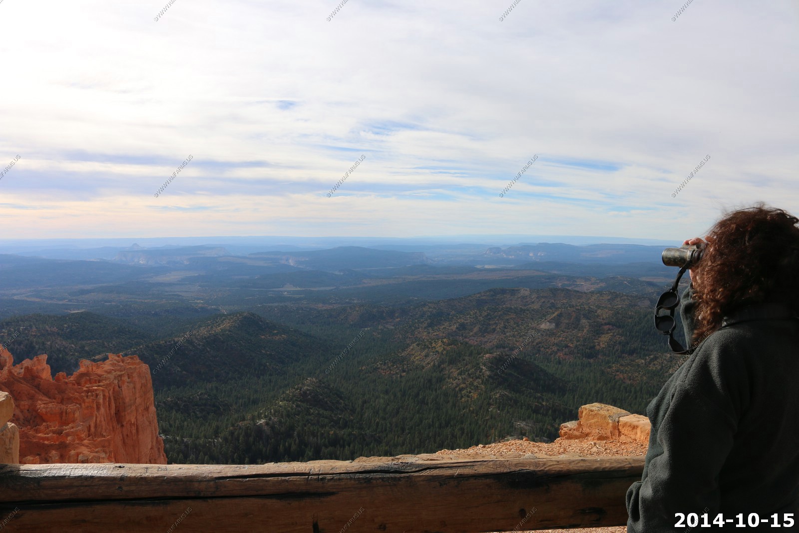
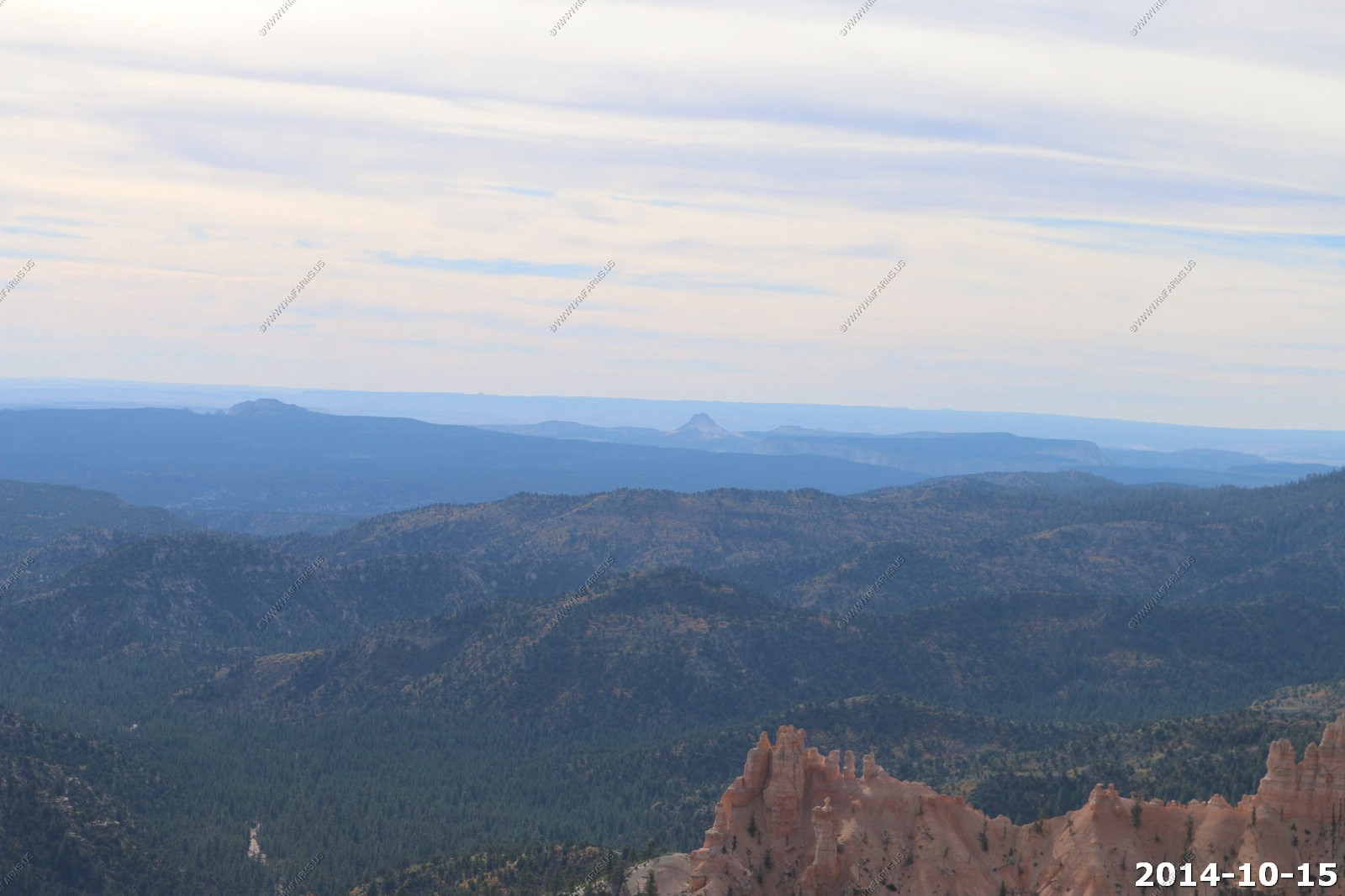
The air in the area is so clear that on most days from Yovimpa and Rainbow points, Navajo Mountain and the Kaibab Plateau can be seen 90 miles away in Arizona. On extremely clear days, the Black Mesas of eastern Arizona and western New Mexico can be seen some 160 miles away.
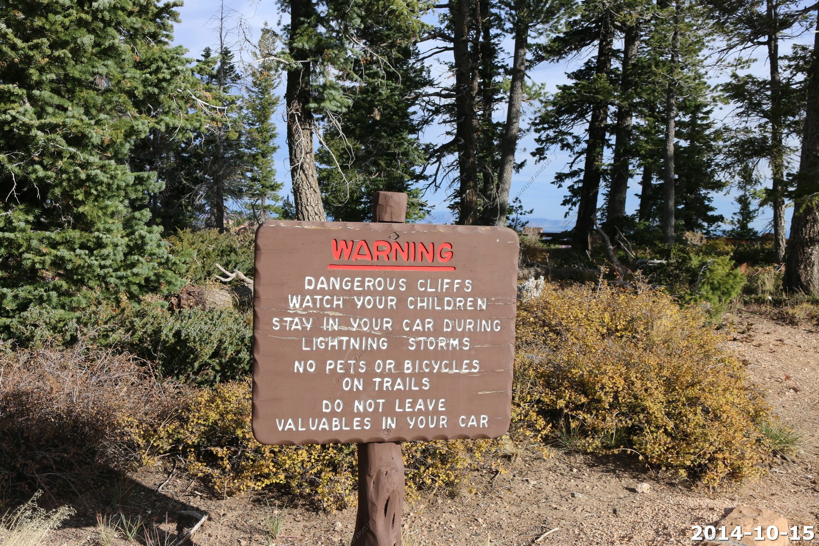
I usually don't concern myself with warning signs directed to the general public but cliffs here are so unstable that they are even eroding the viewing structures.
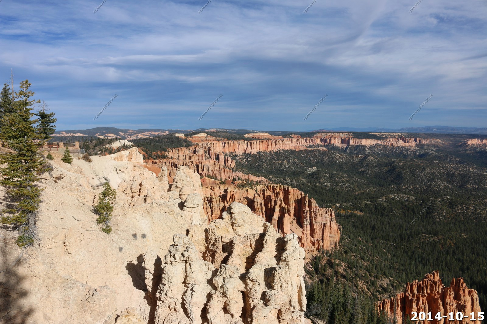
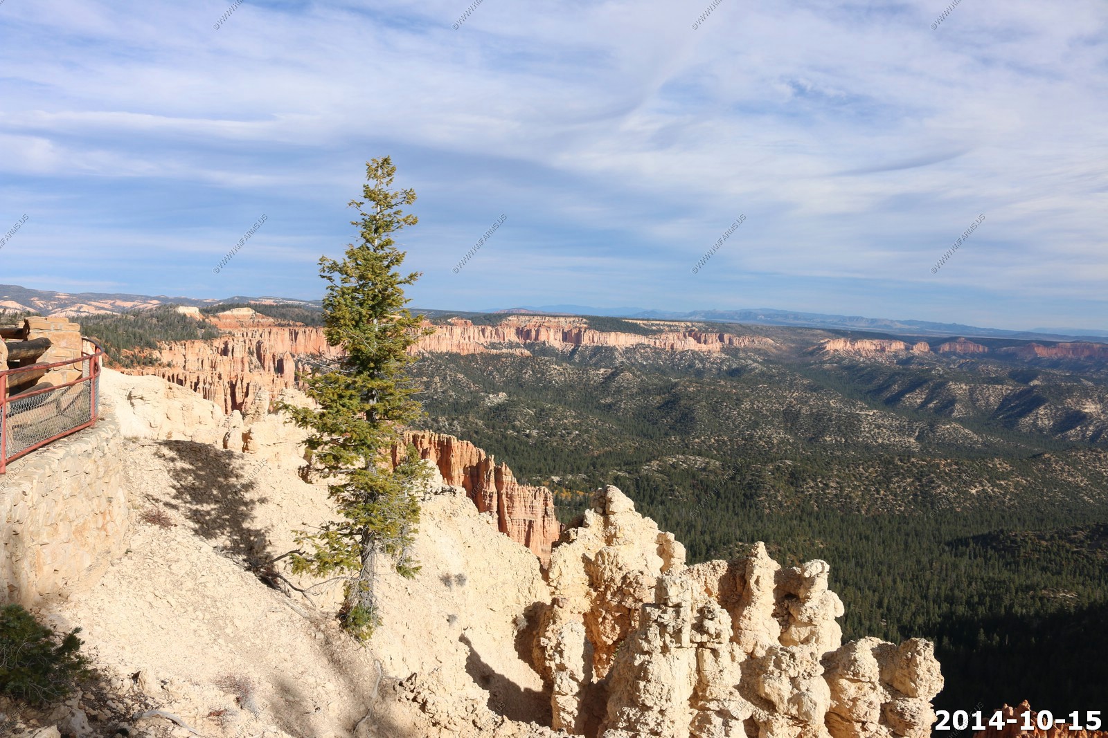
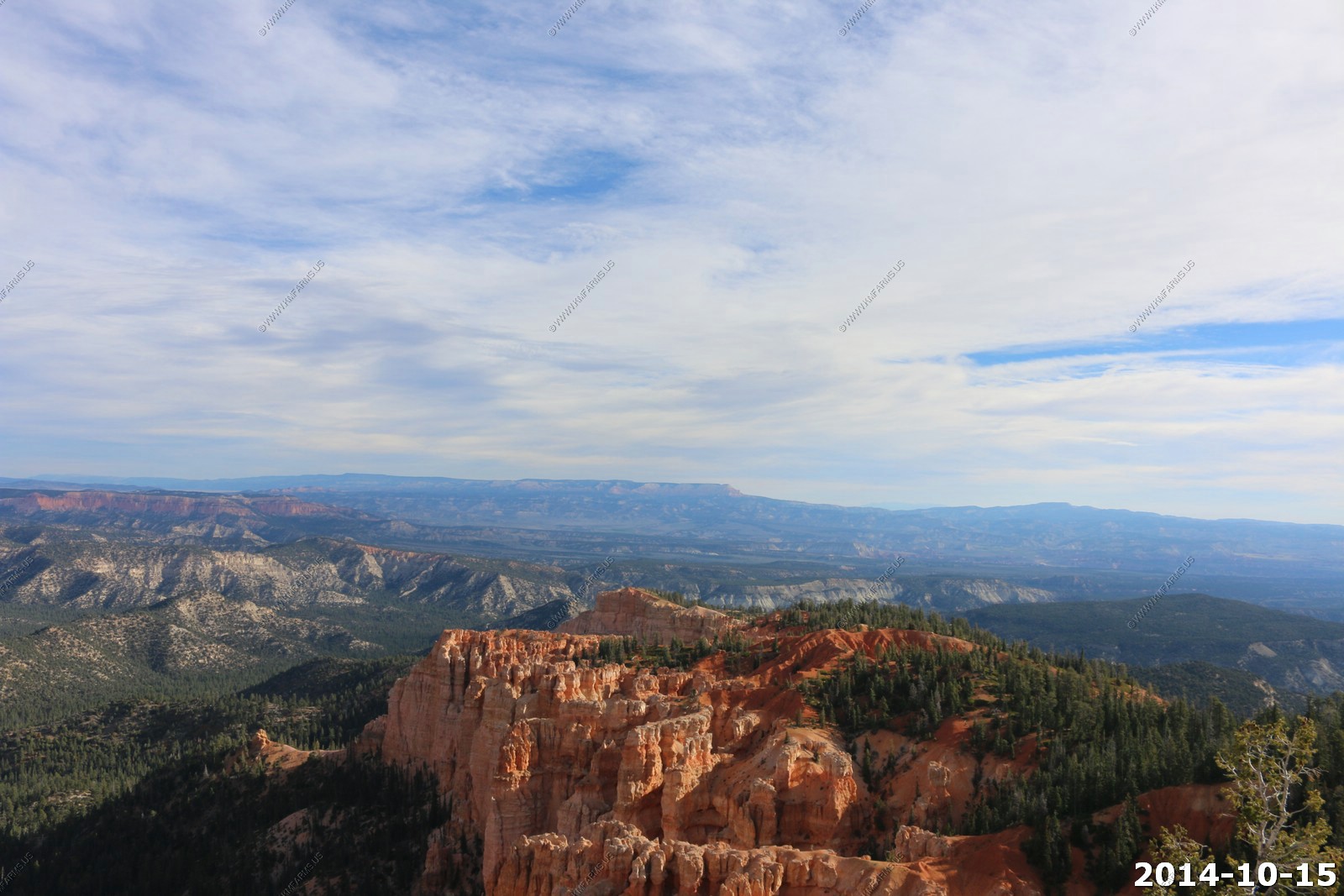
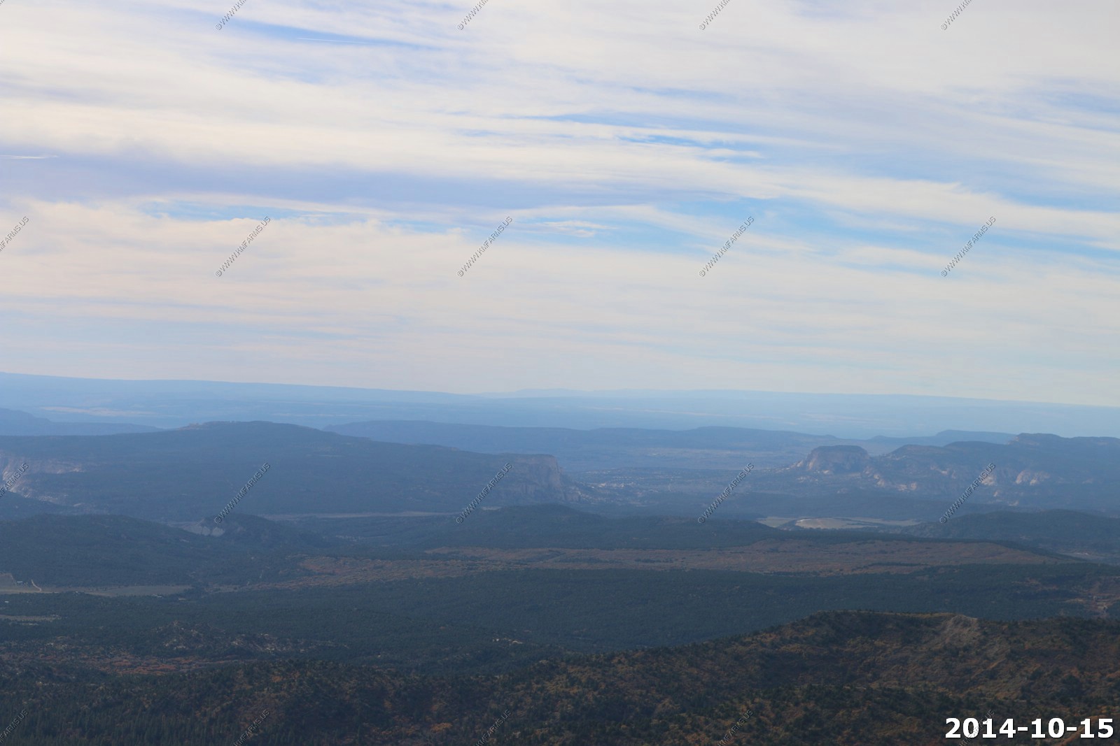
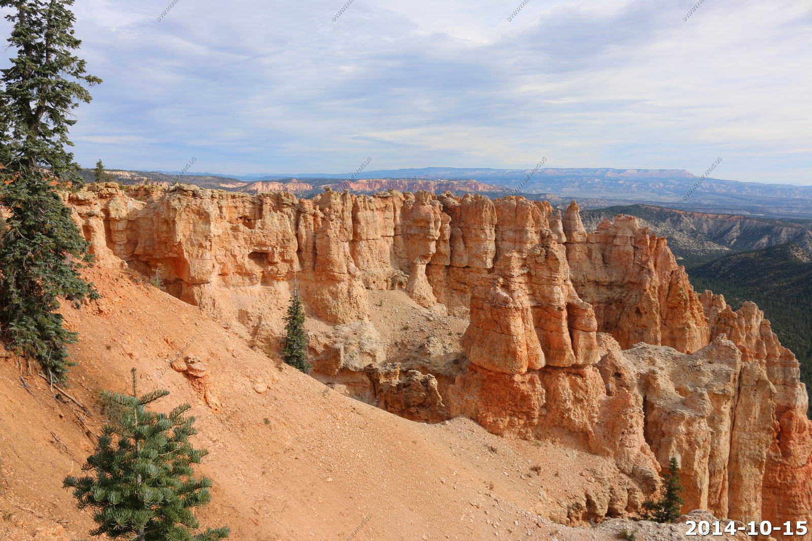
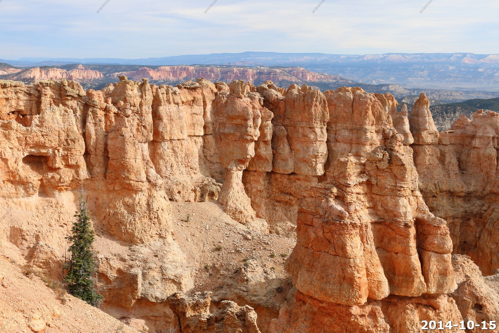
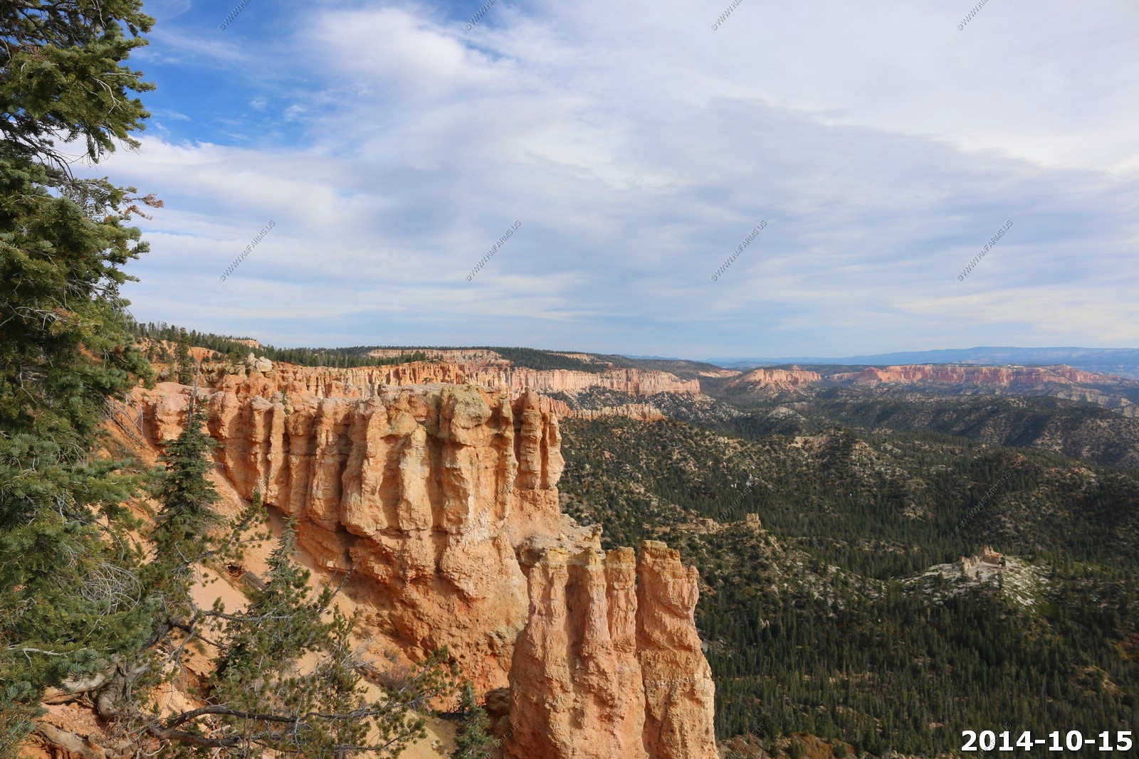
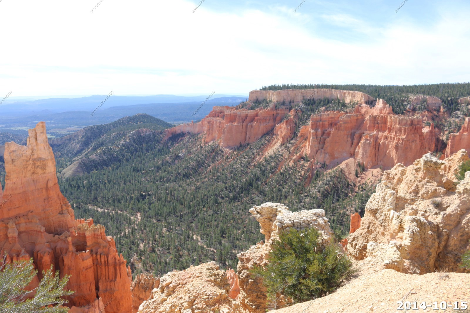
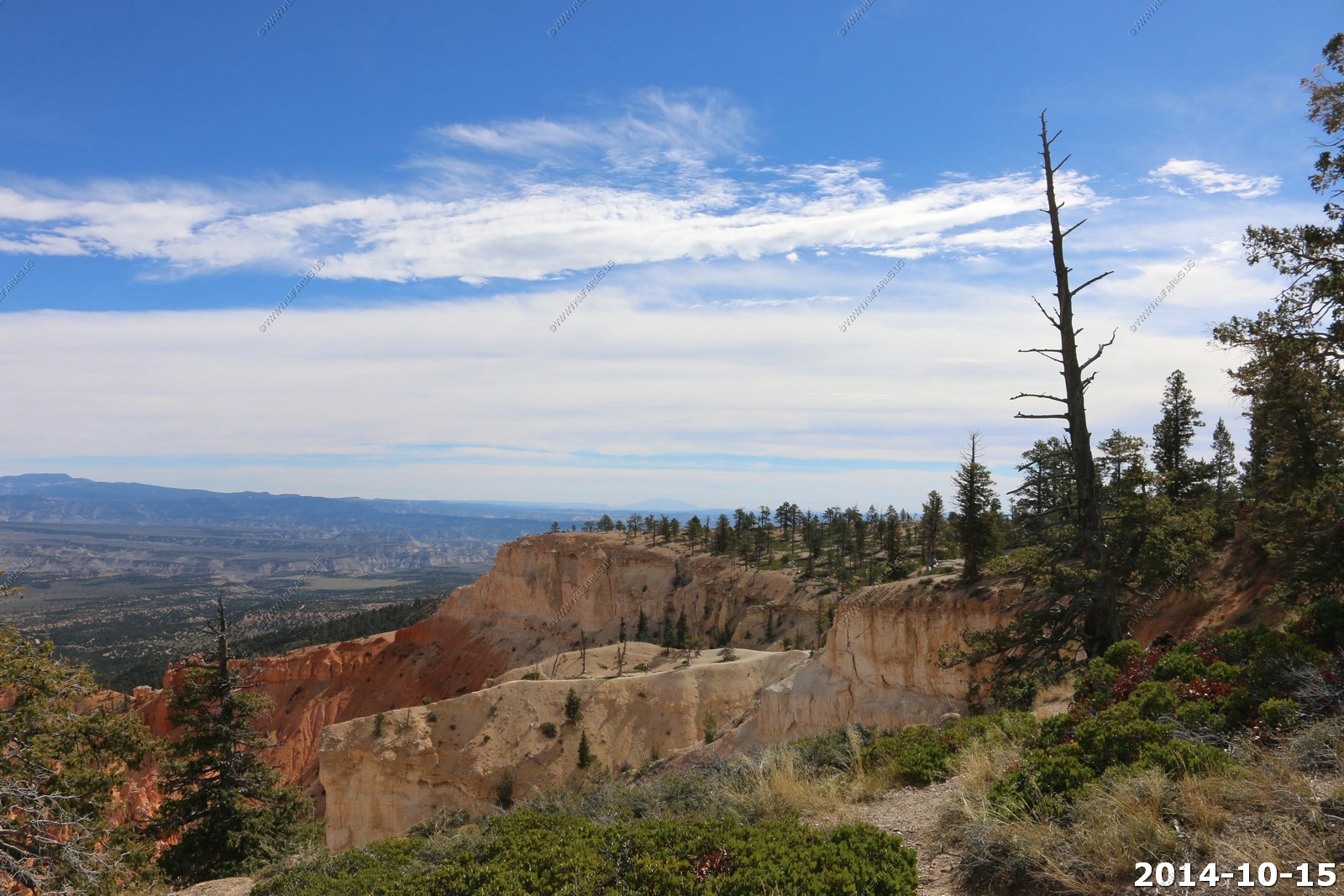
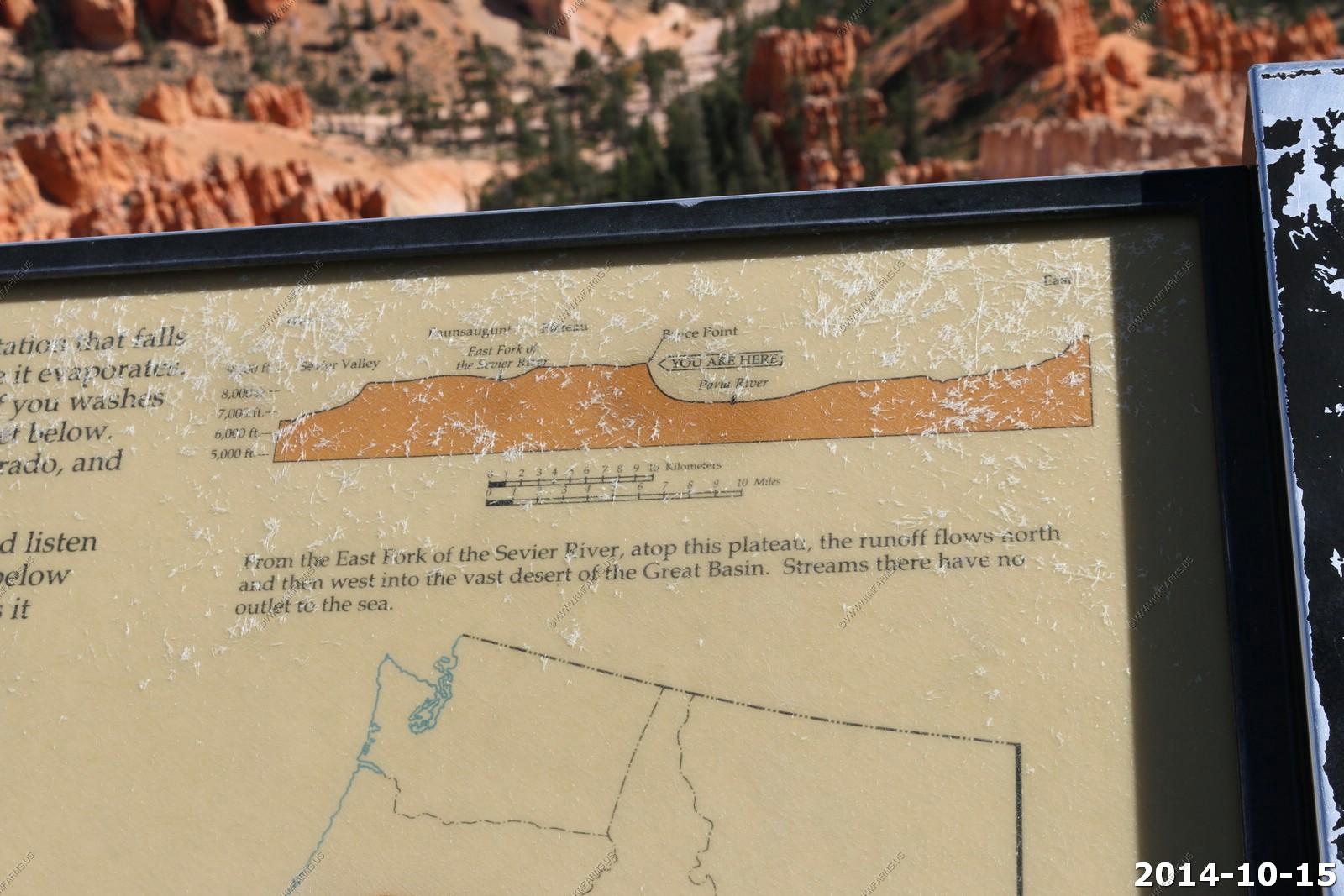
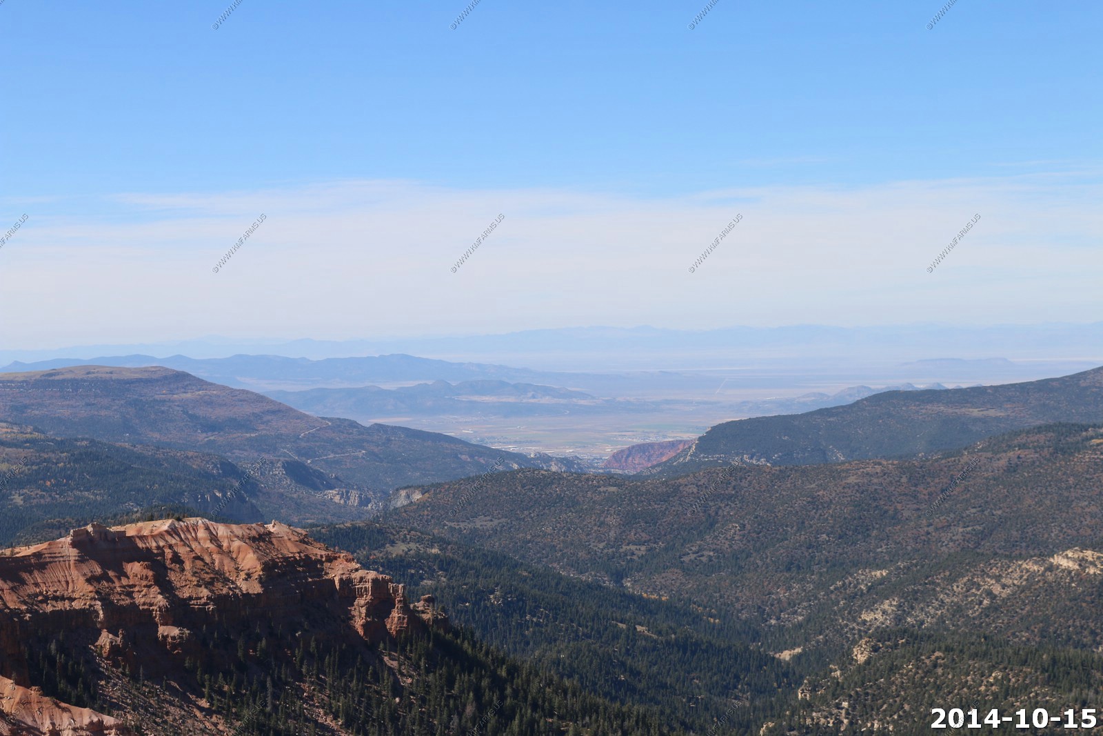
Rainbow Point, the highest part of the park at 9,115 feet is at the end of the 18-mile scenic drive. From there, Aquarius Plateau, Bryce Amphitheater, the Henry Mountains, the Vermilion Cliffs and the White Cliffs can be seen.
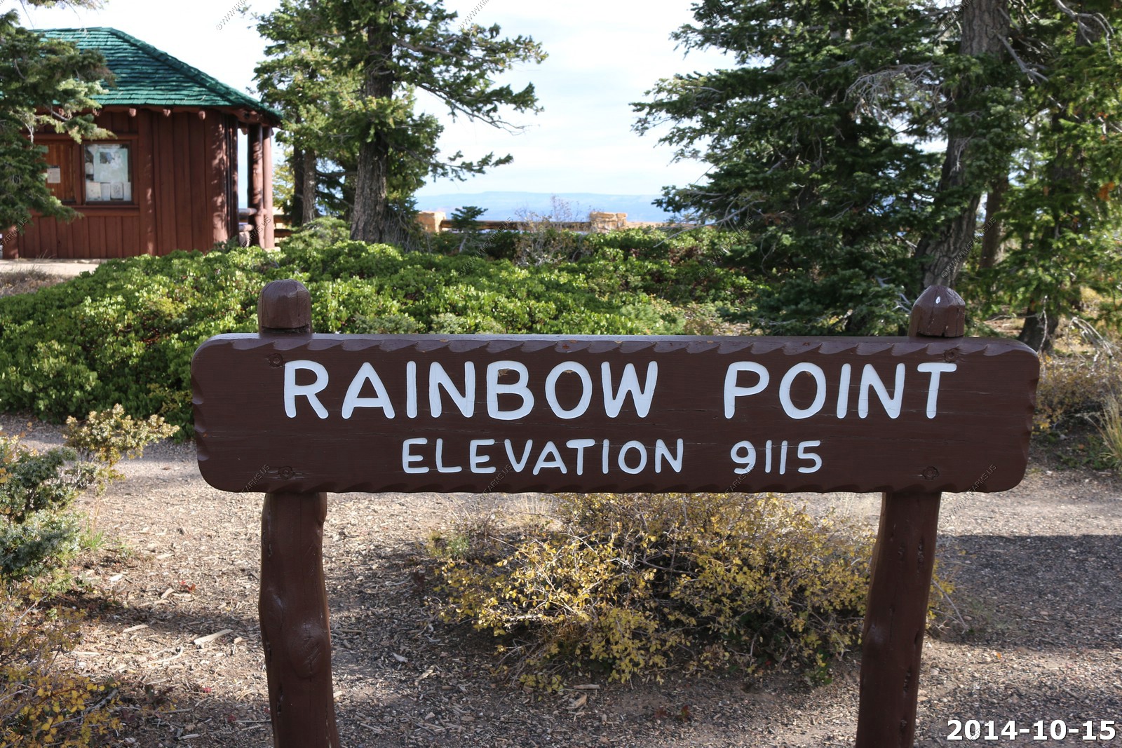
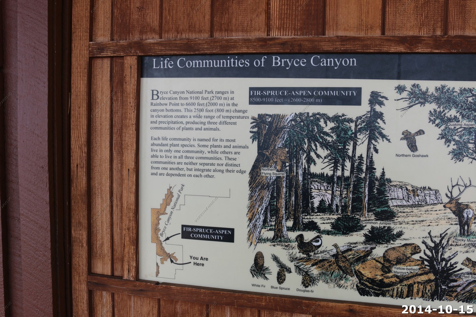
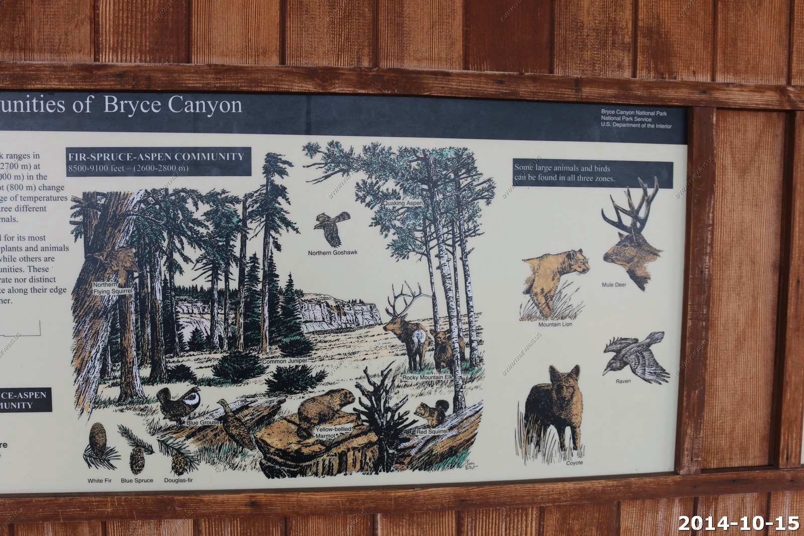
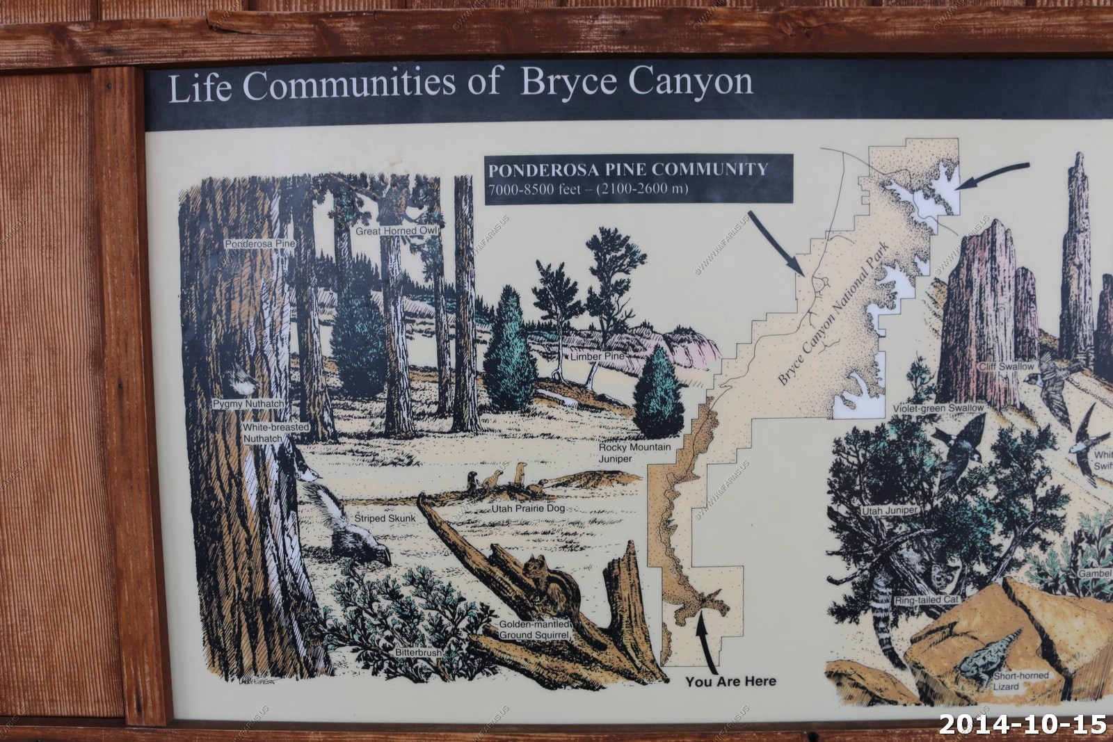
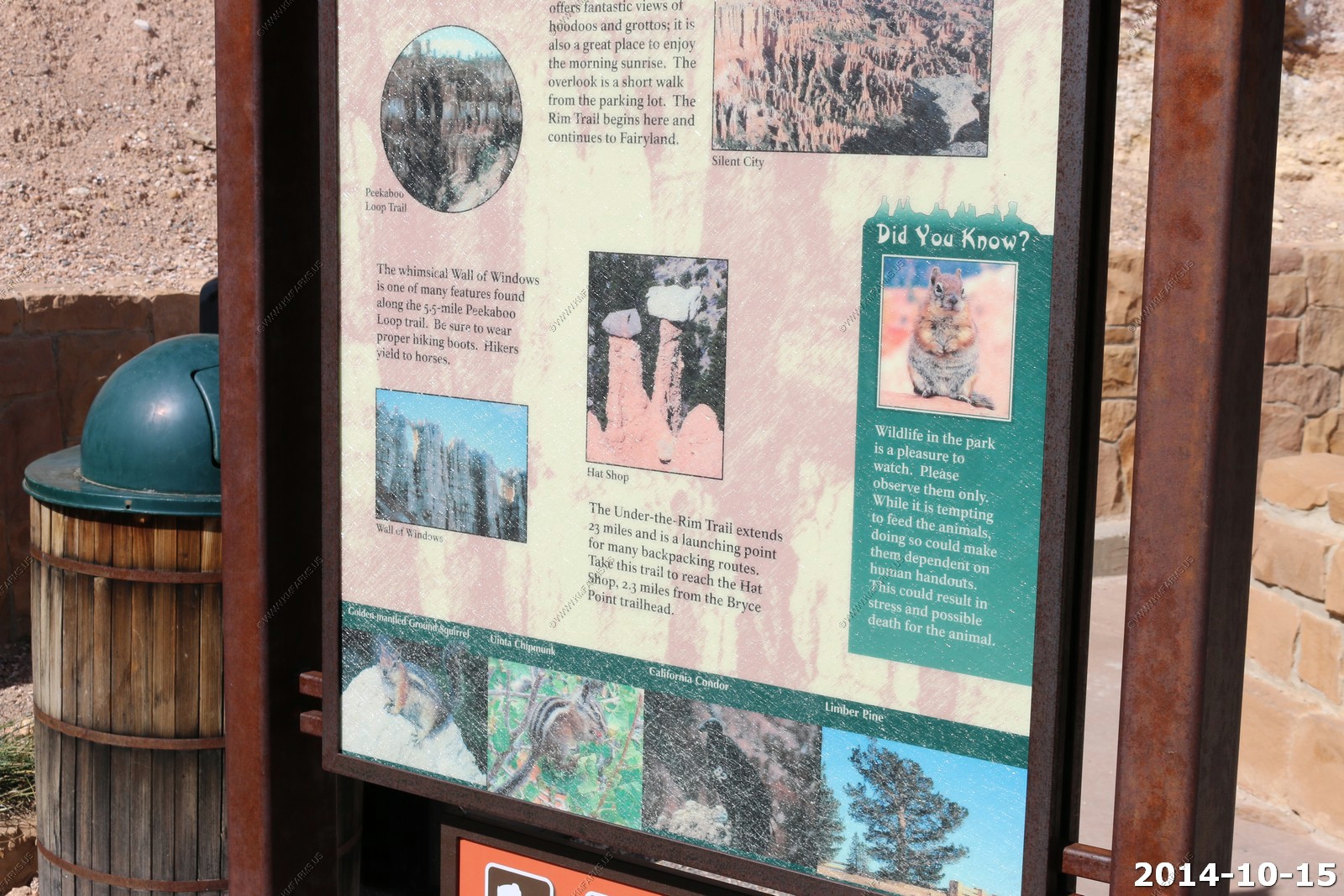
Information signs
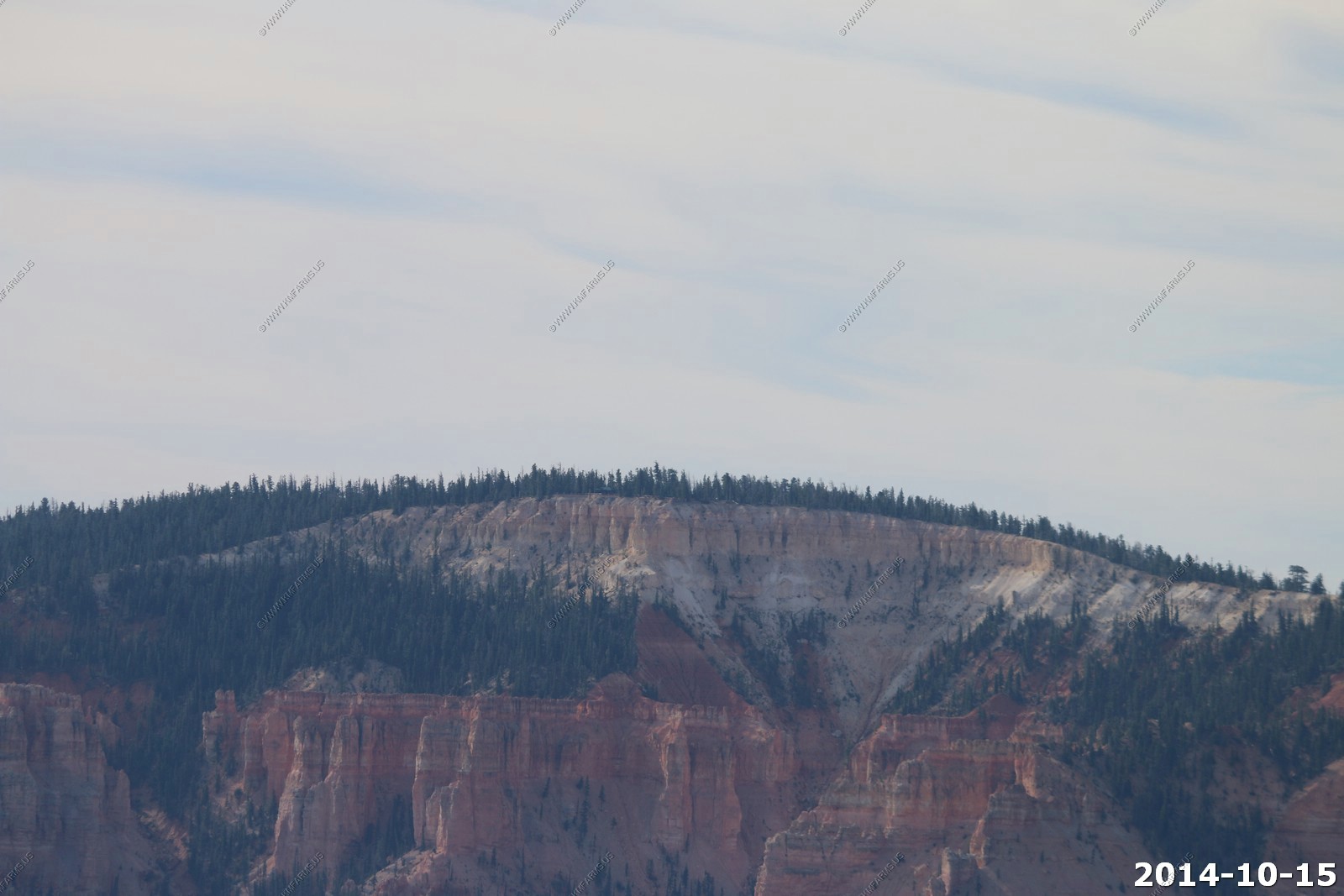
Looking north
To the east - Powell Point.
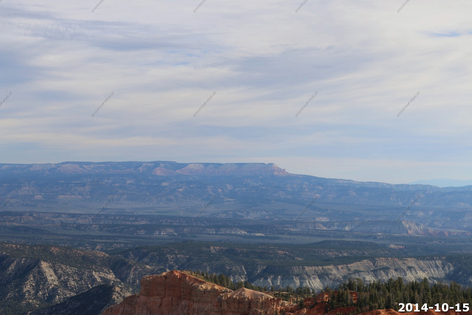
The Henry Mountains (To the right of Powell Point) now 90 miles to the east.
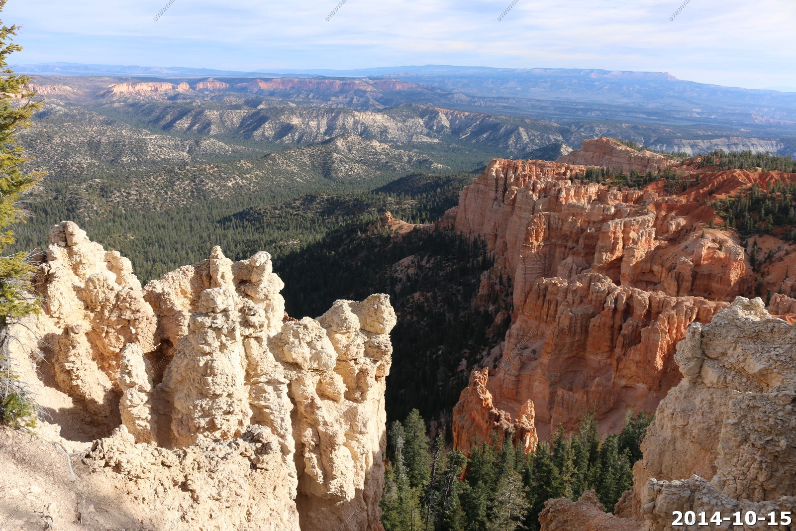
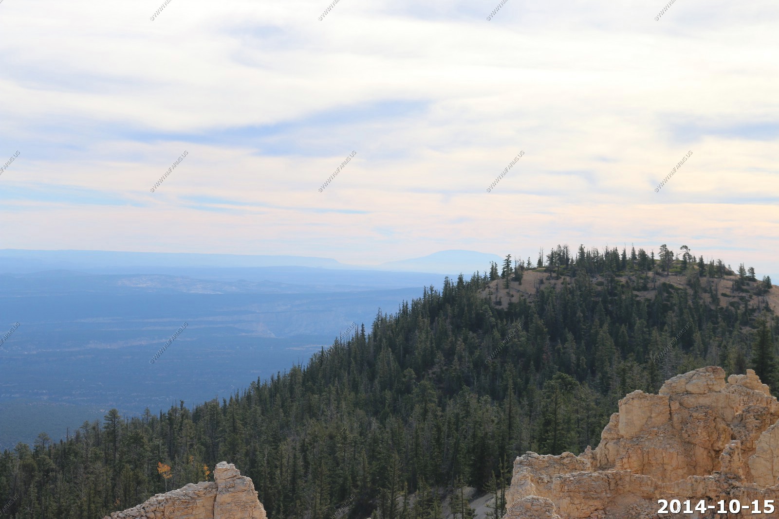
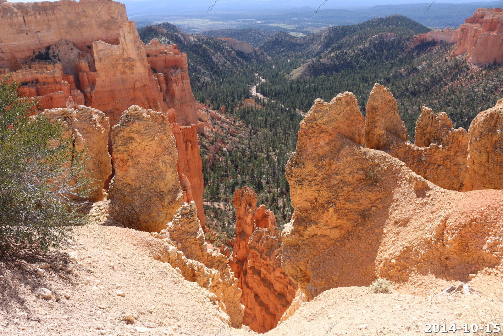
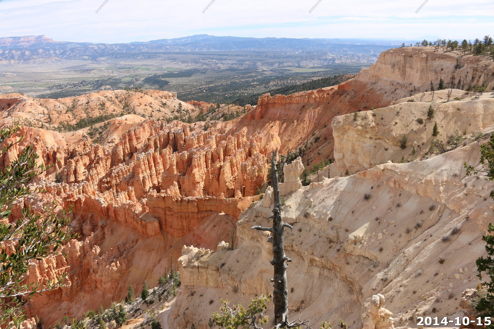
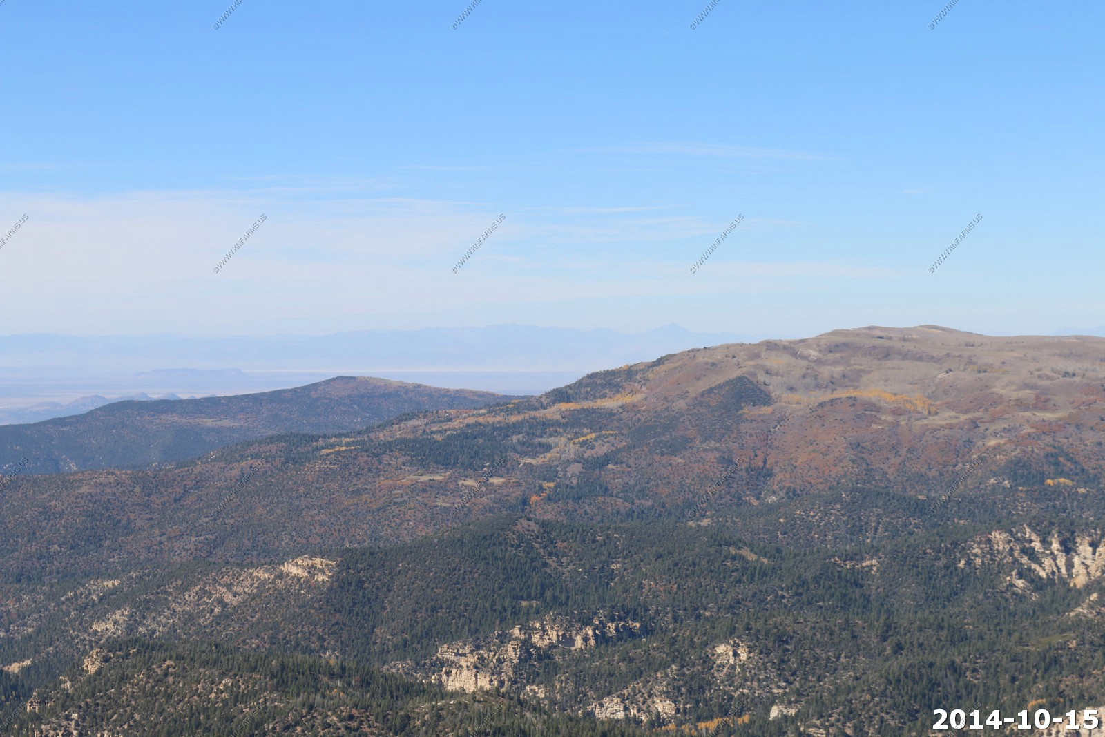
Various Rainbow Point views.
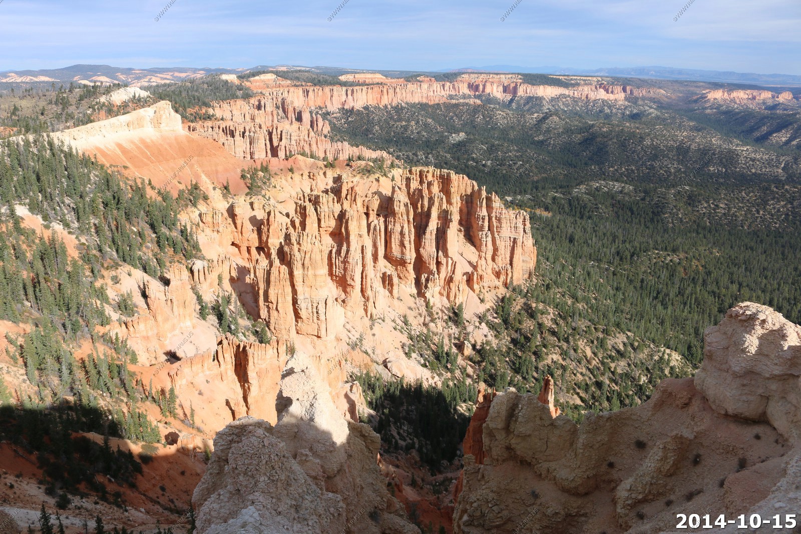
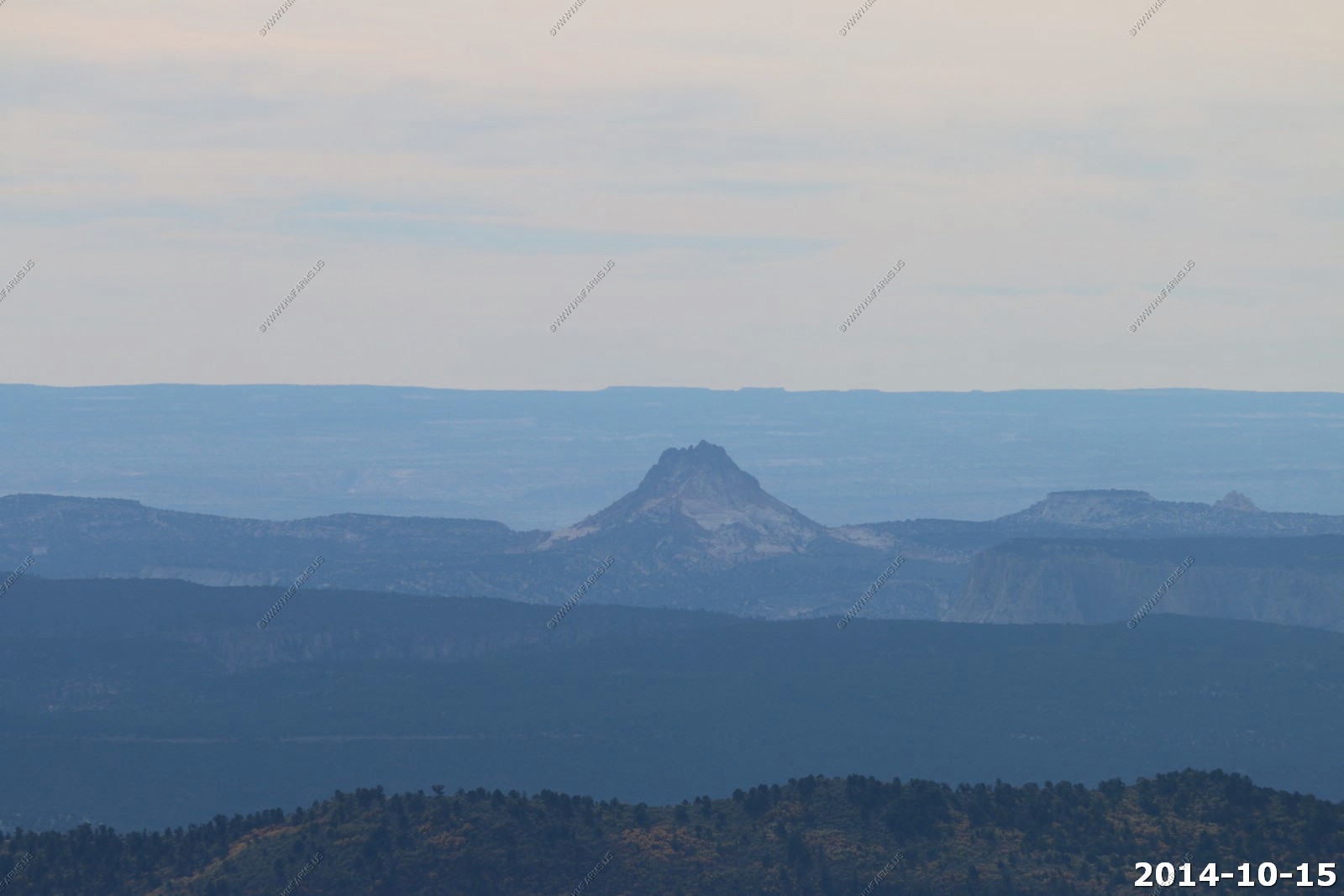
Navajo Mountain (El. 10,388) and Fifty Mile Mountain - Now to the southeast.
The signs at the view point pavilion.
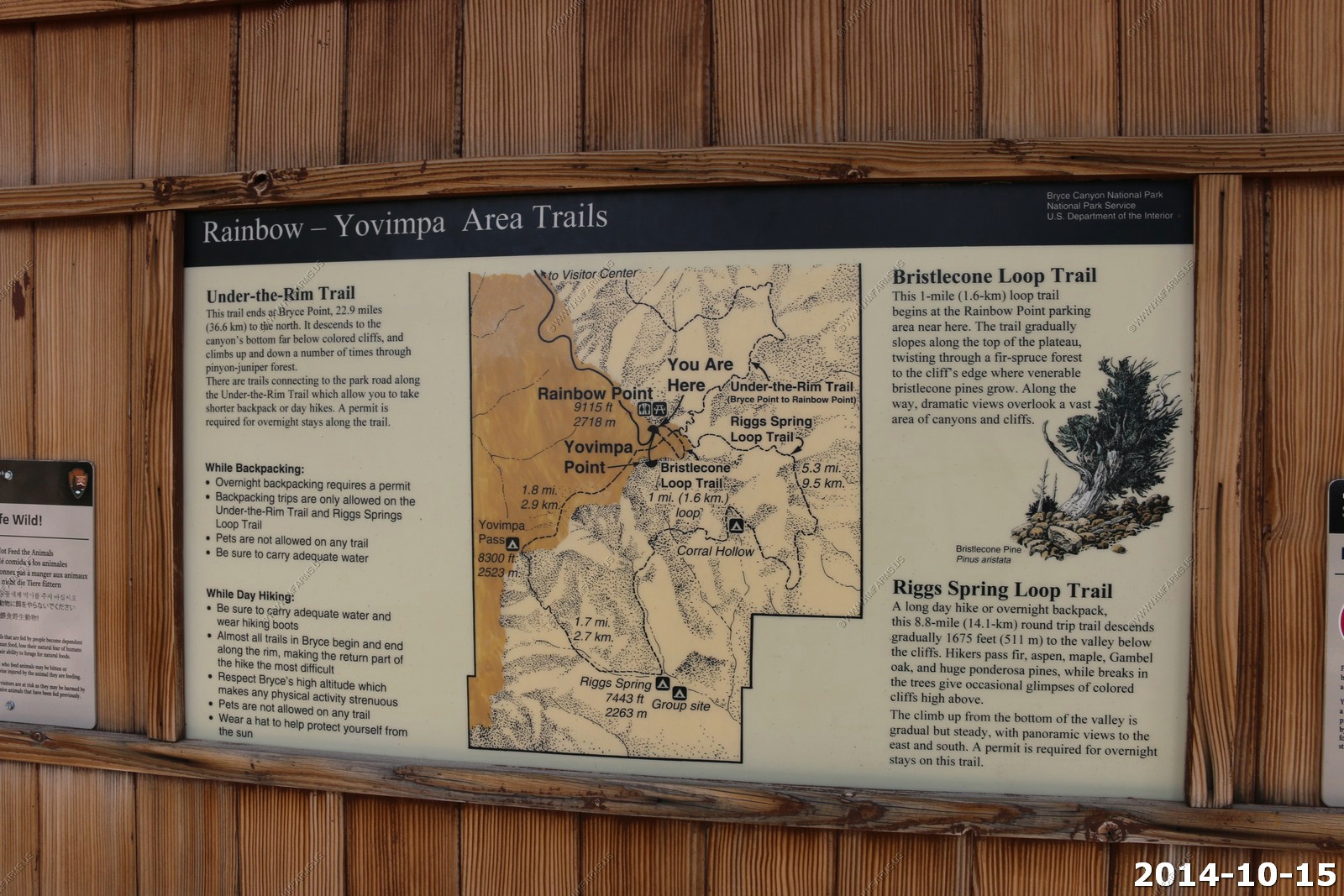
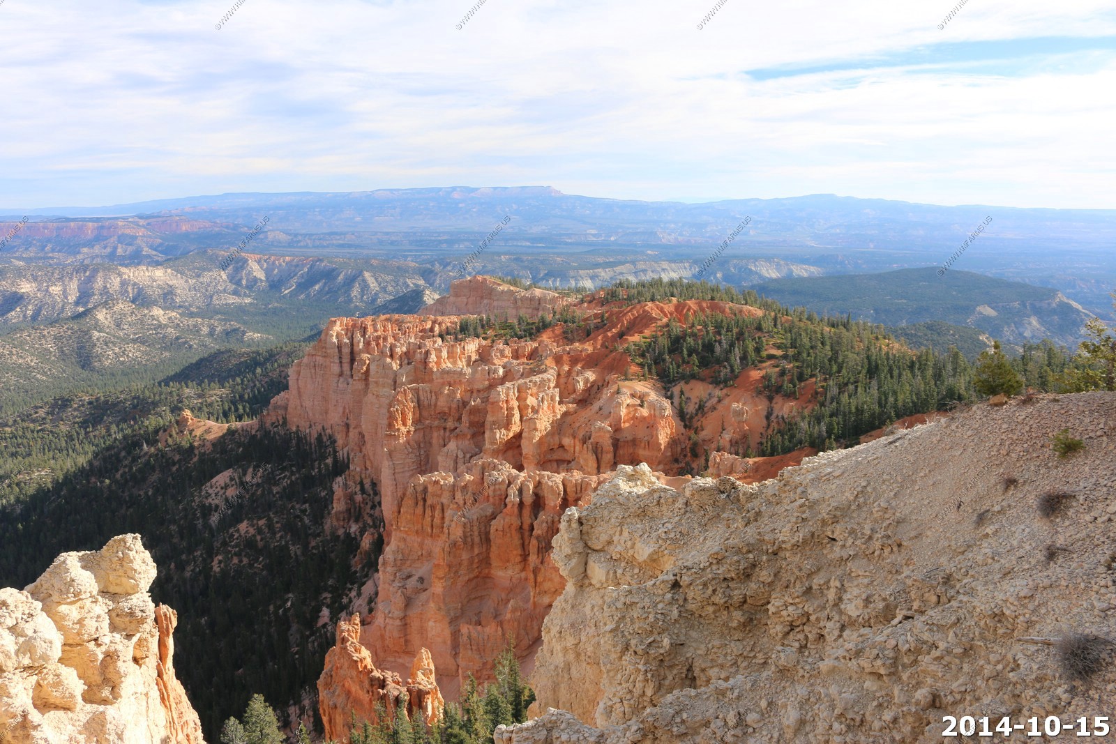
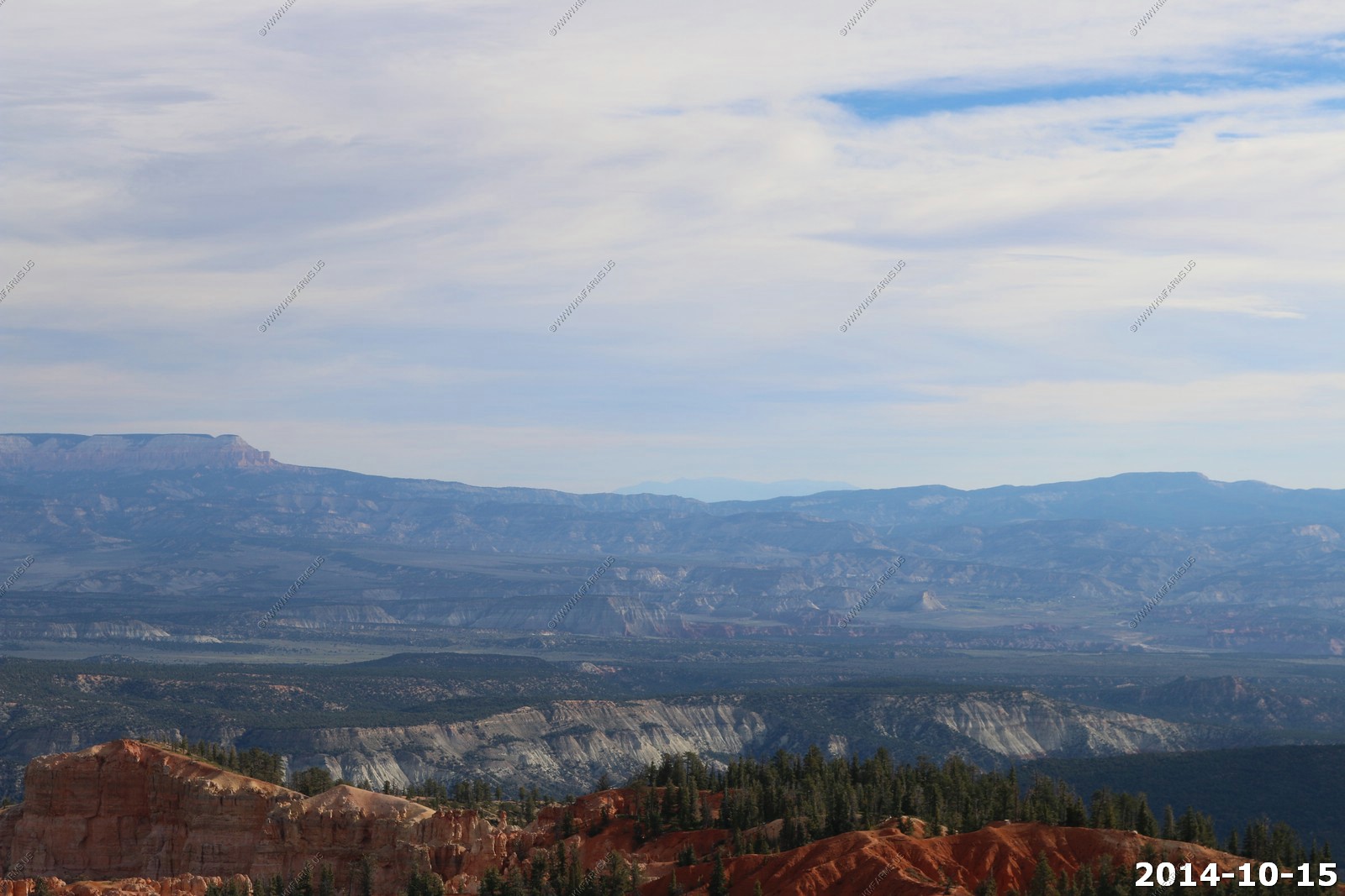
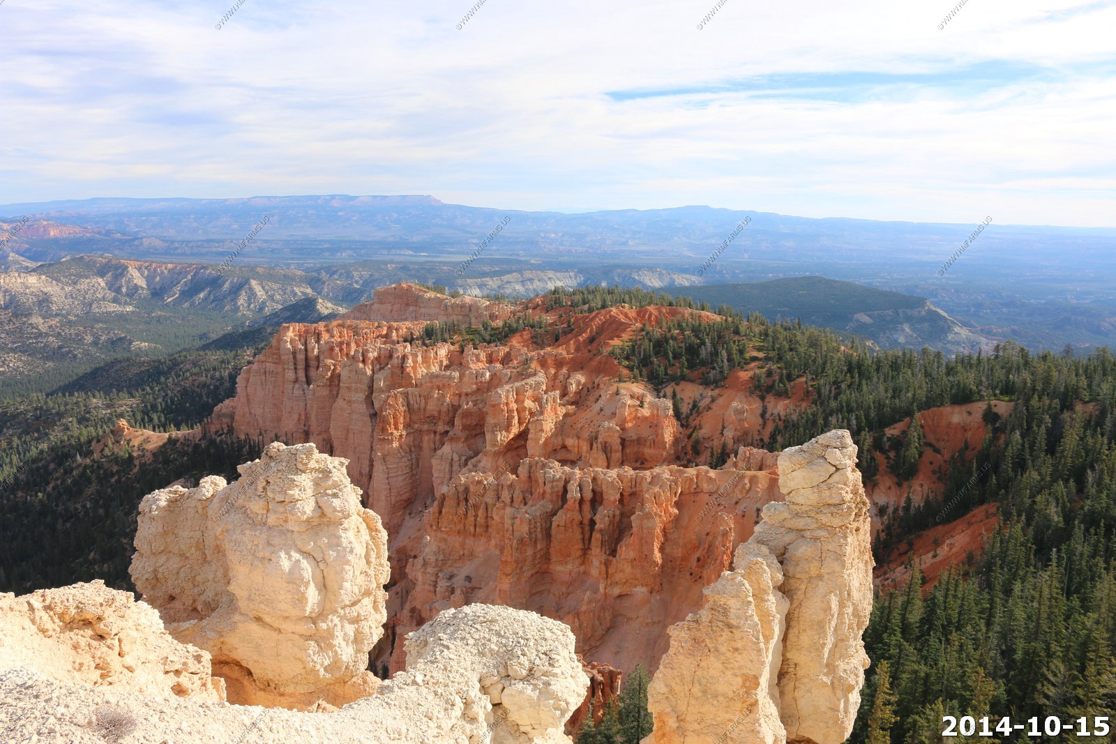
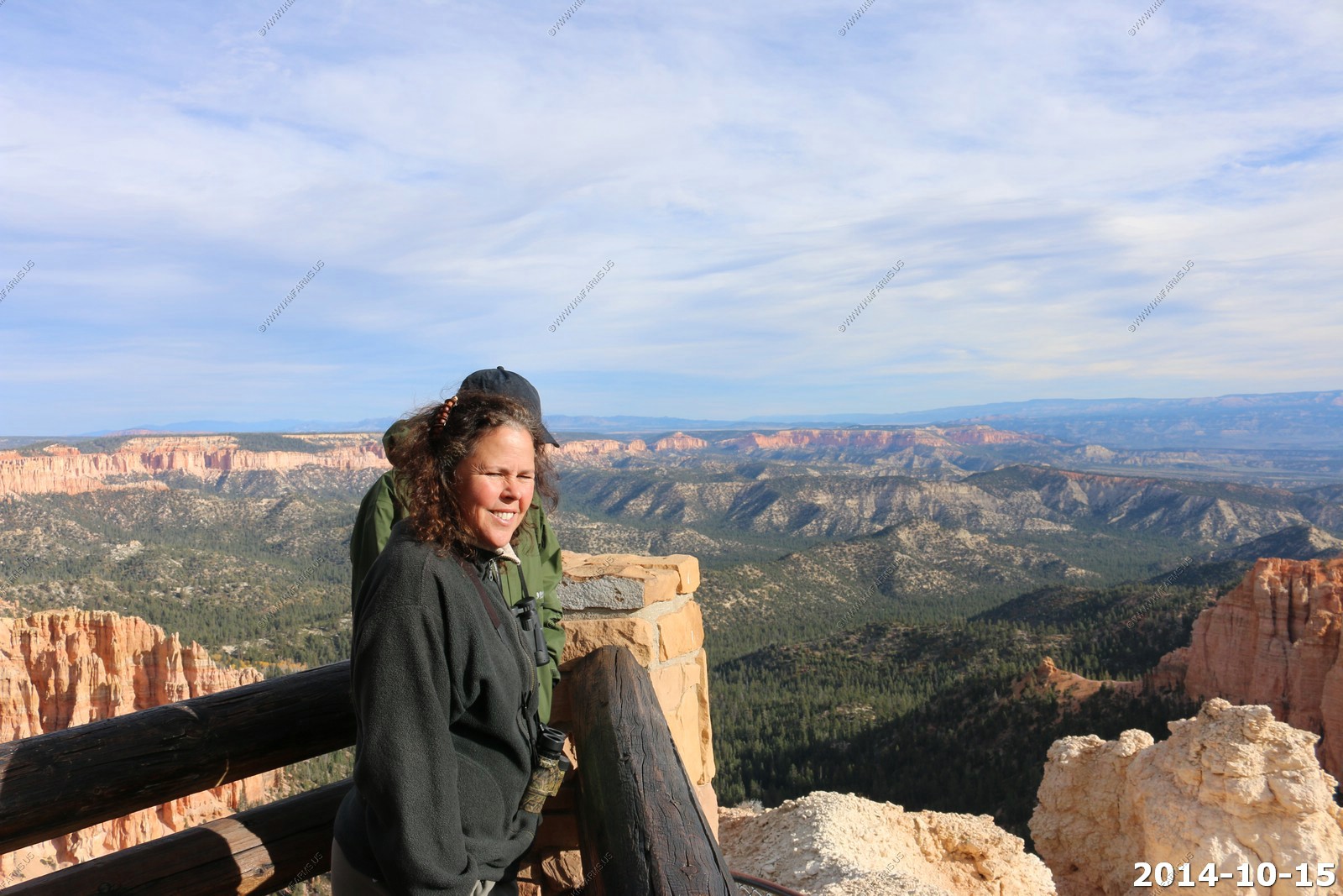
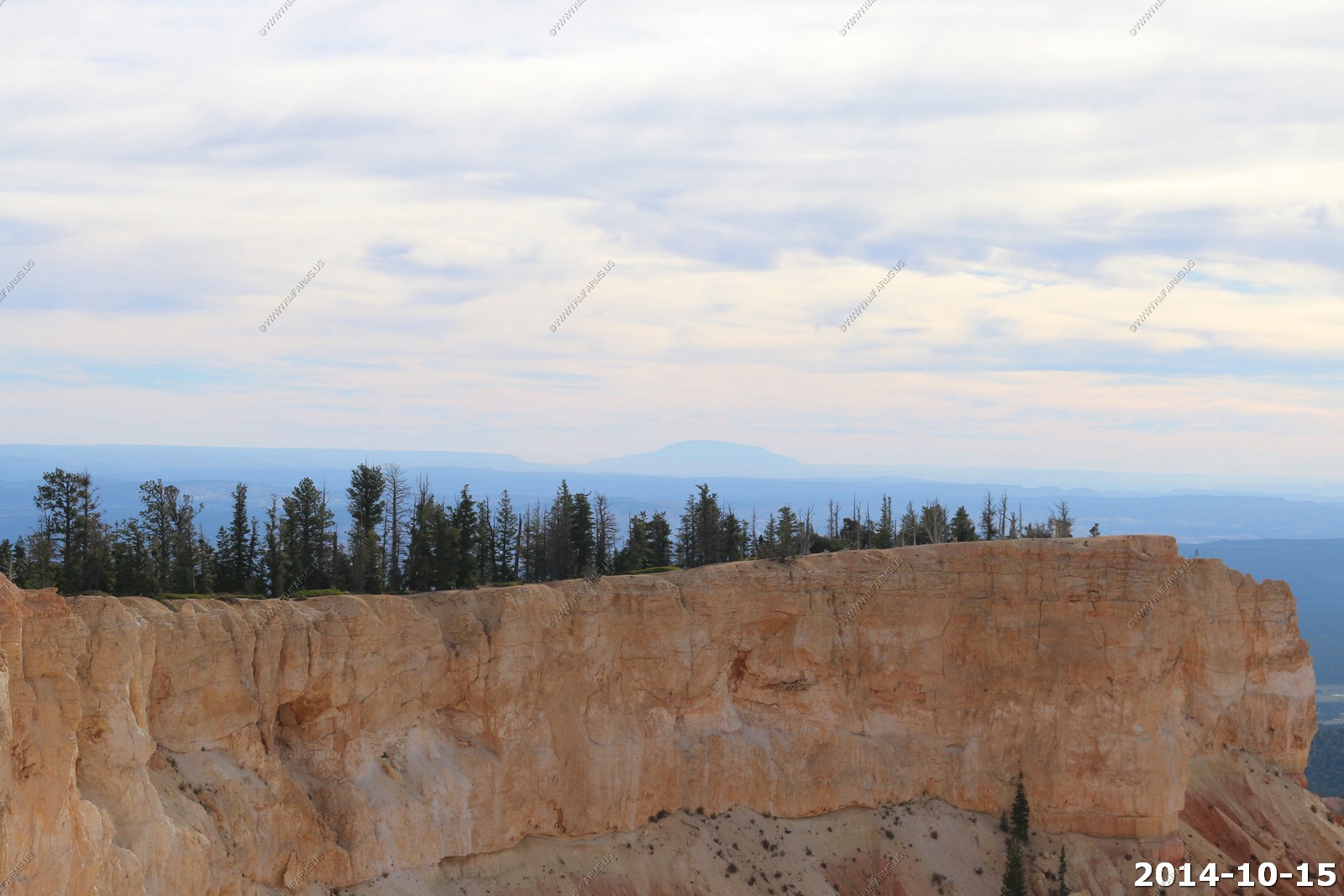
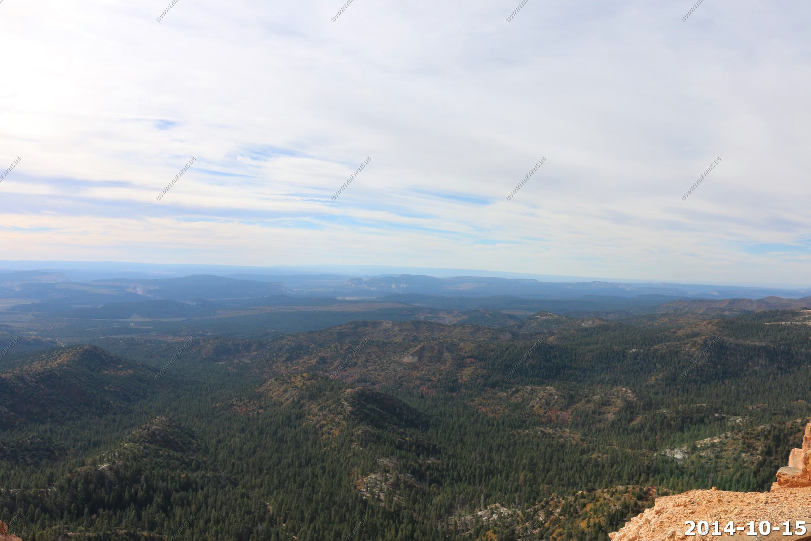
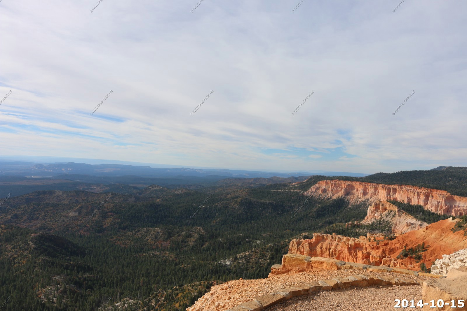
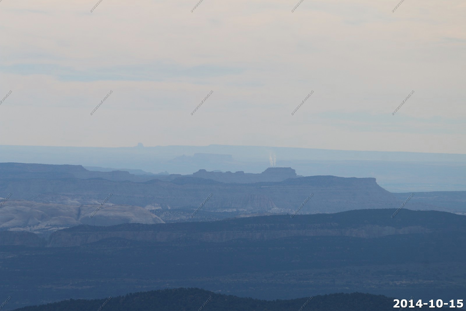
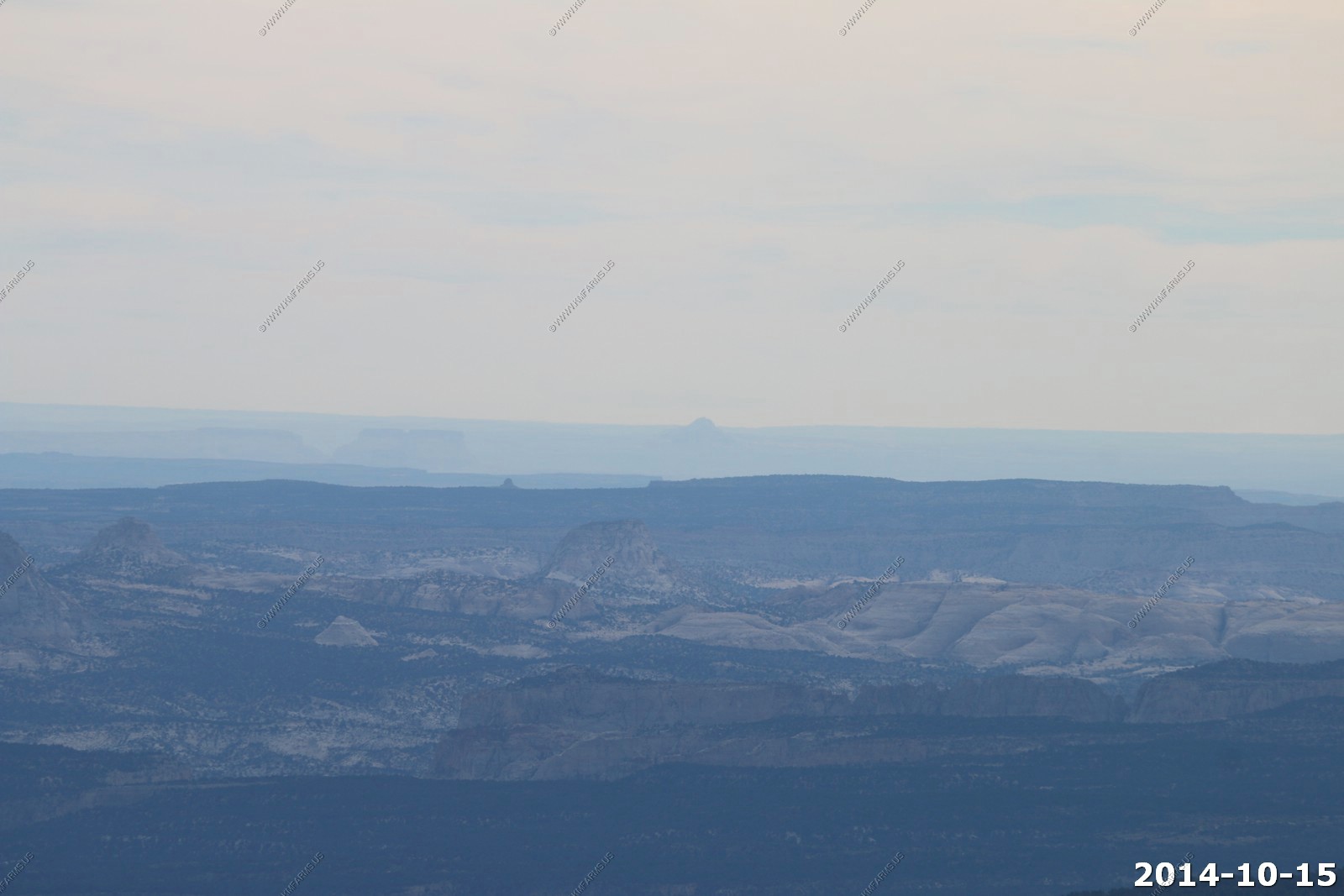
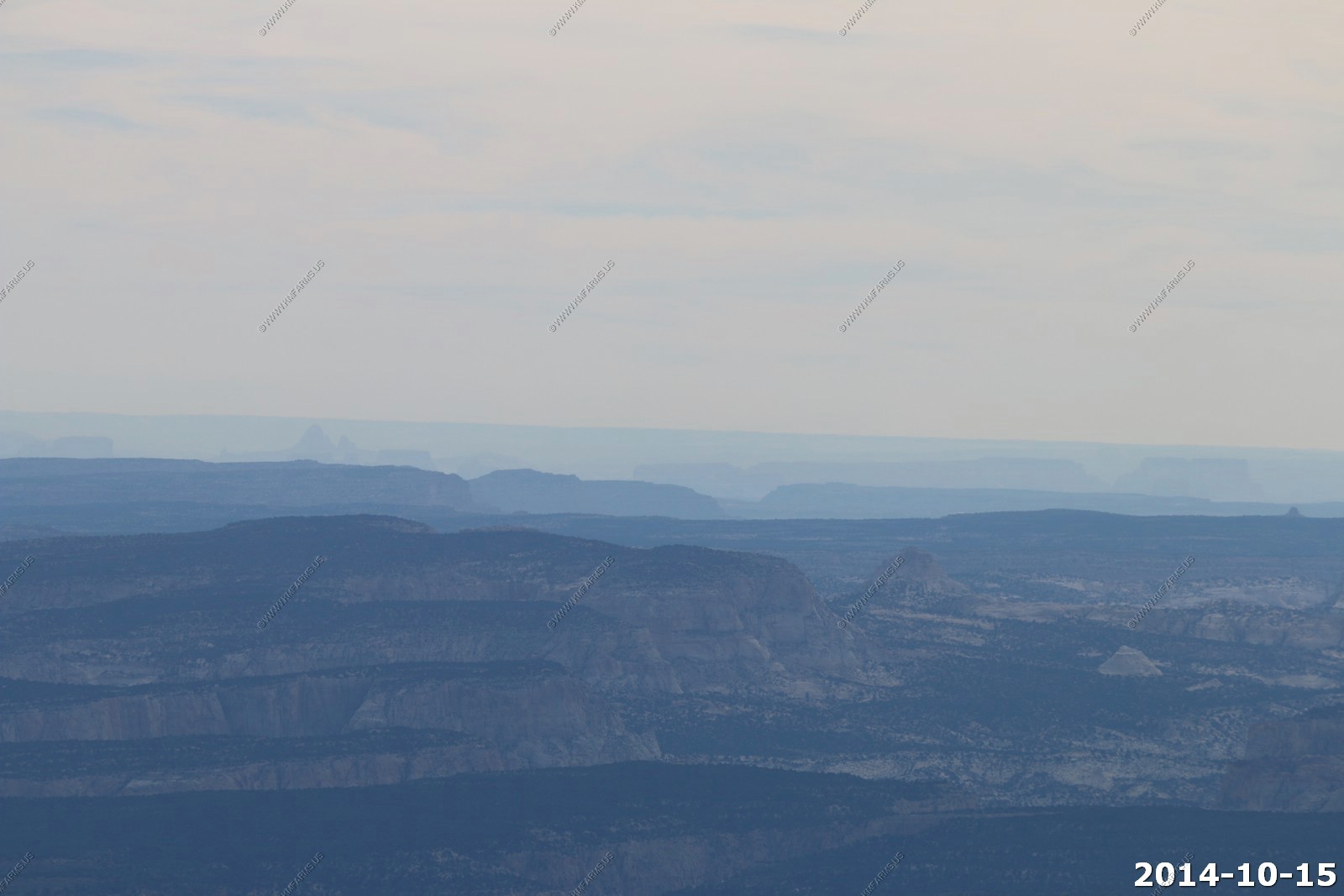
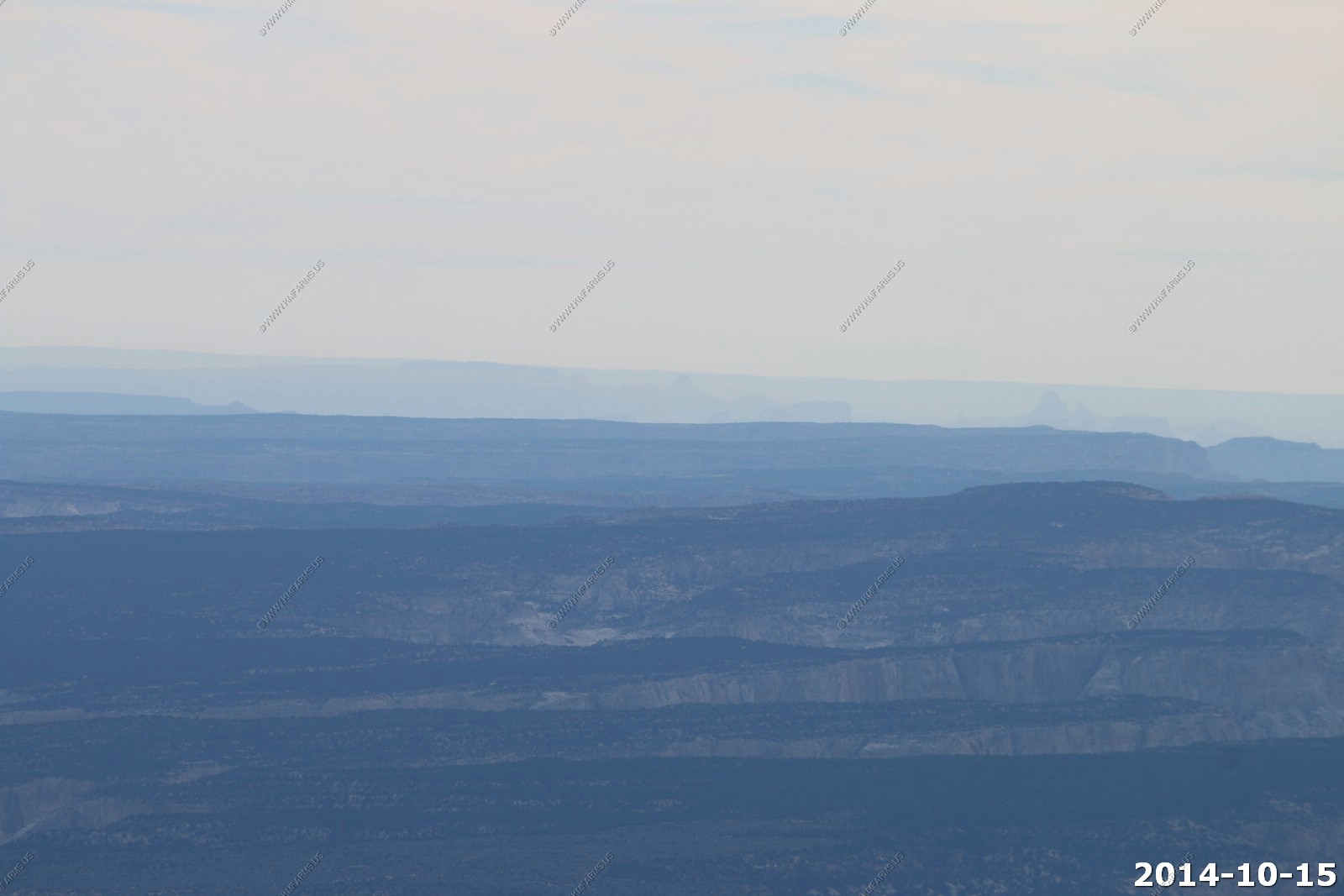
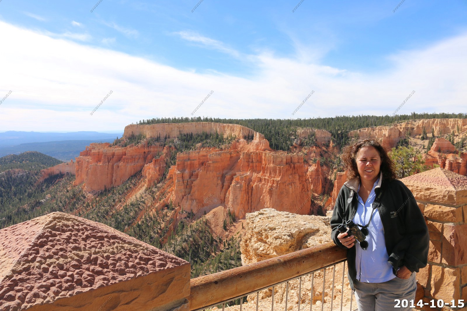
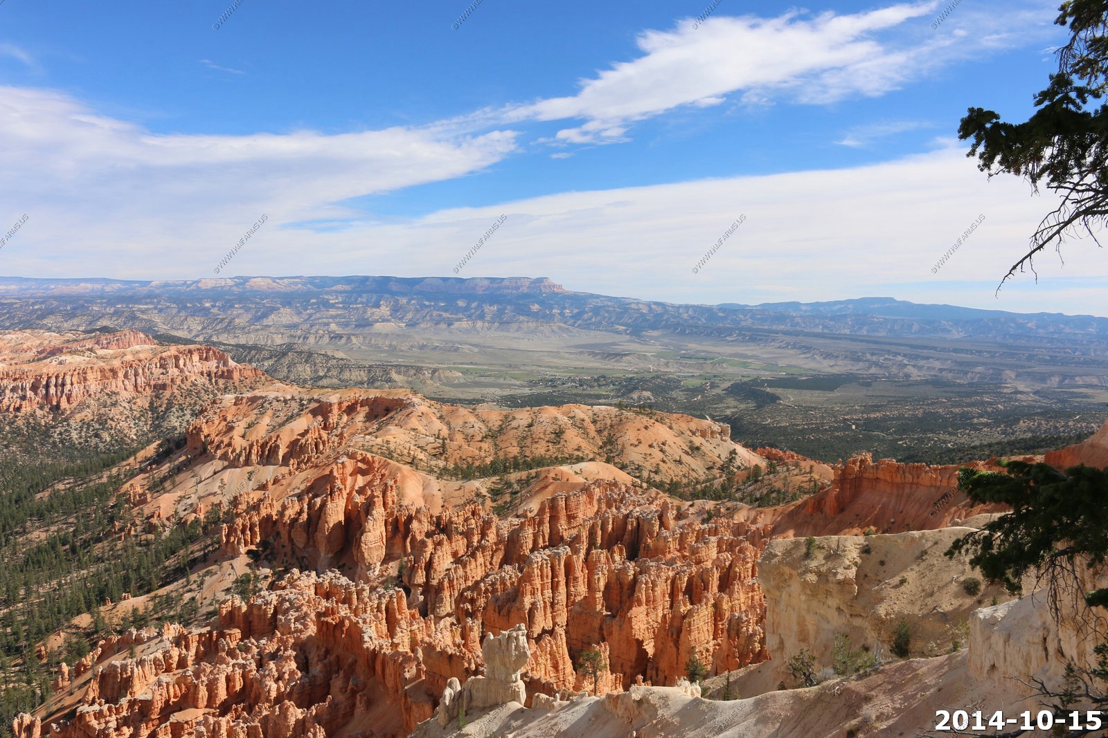
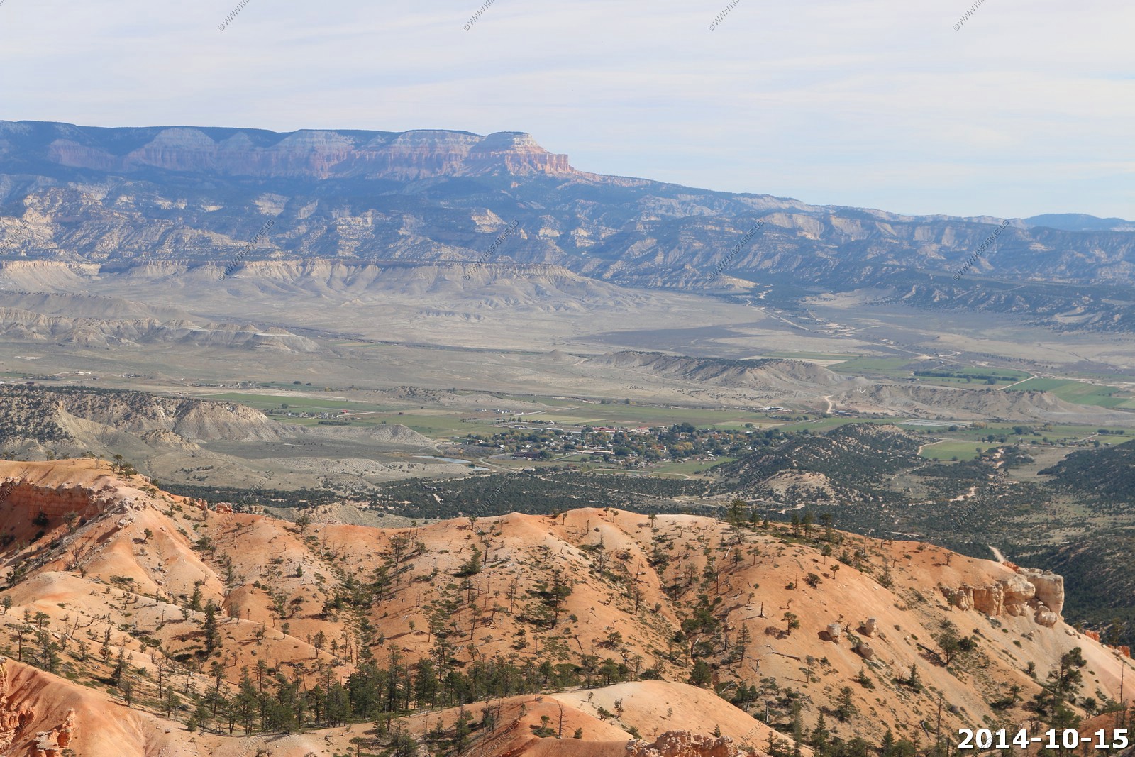
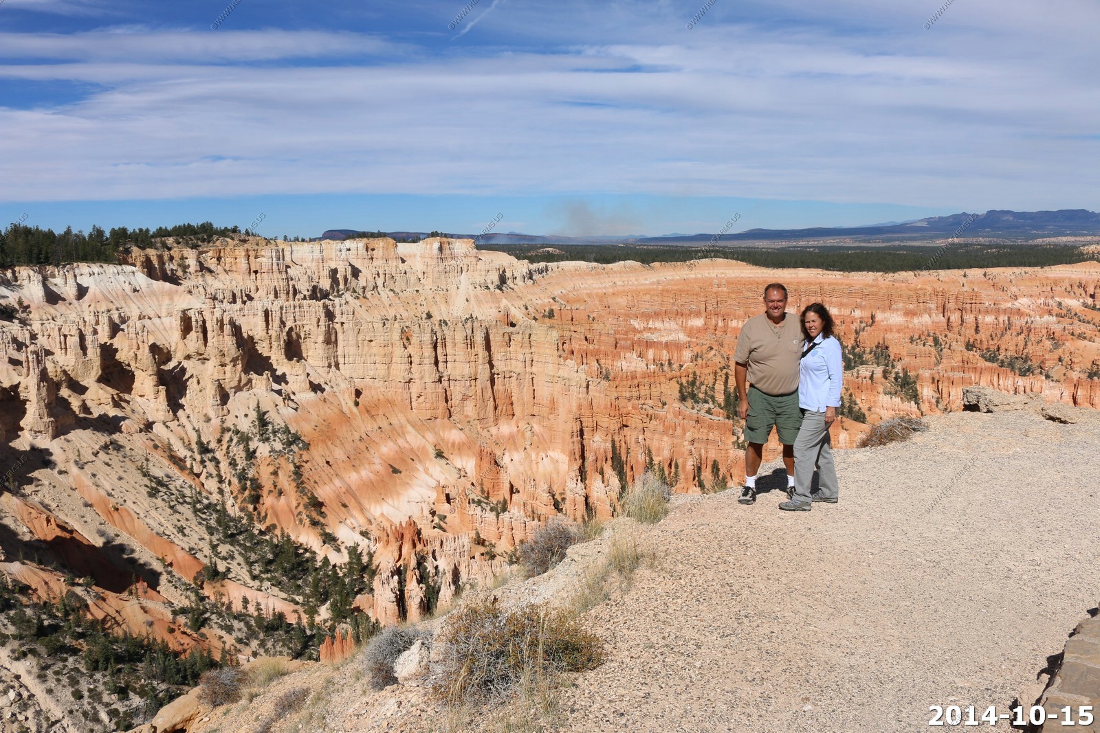
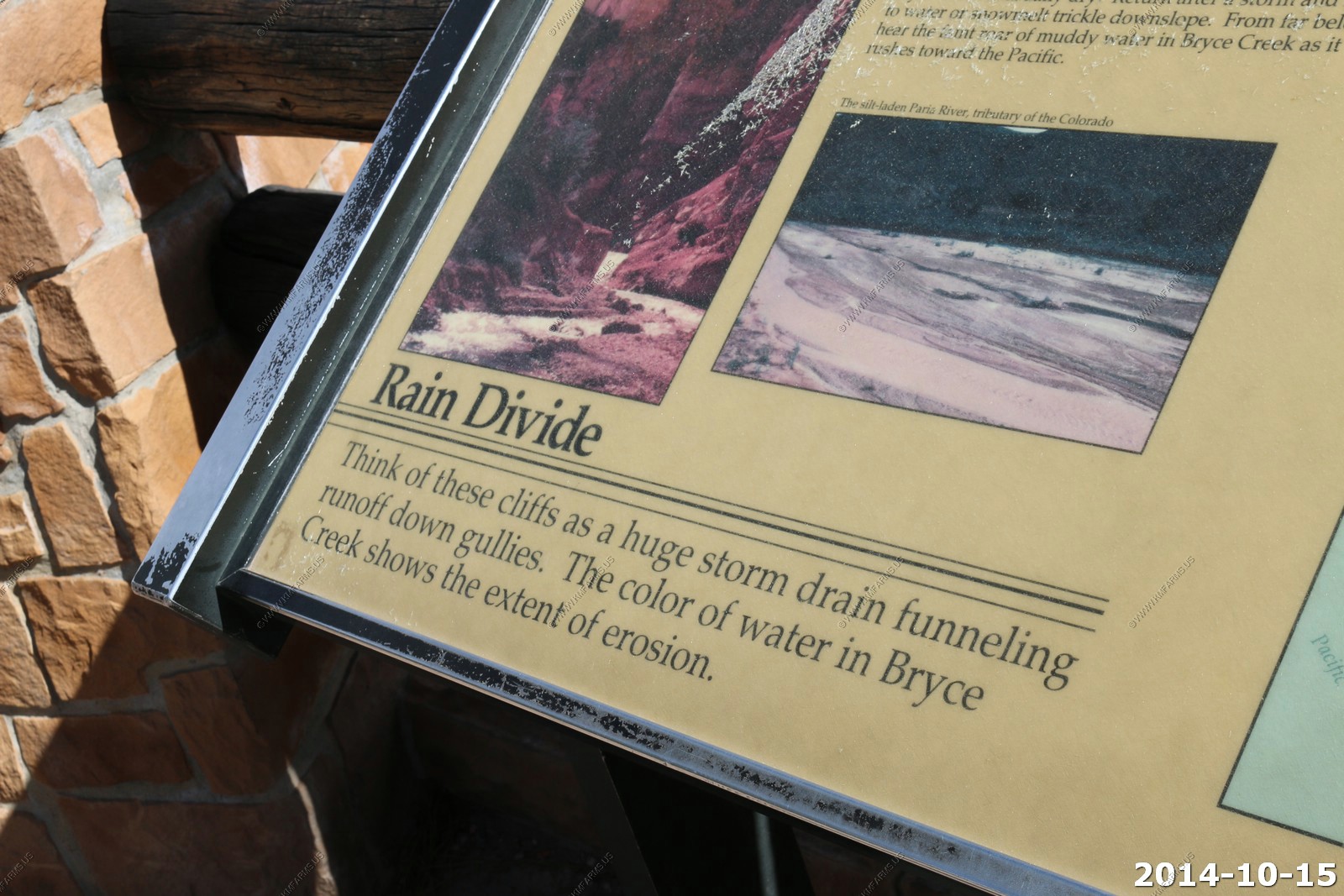
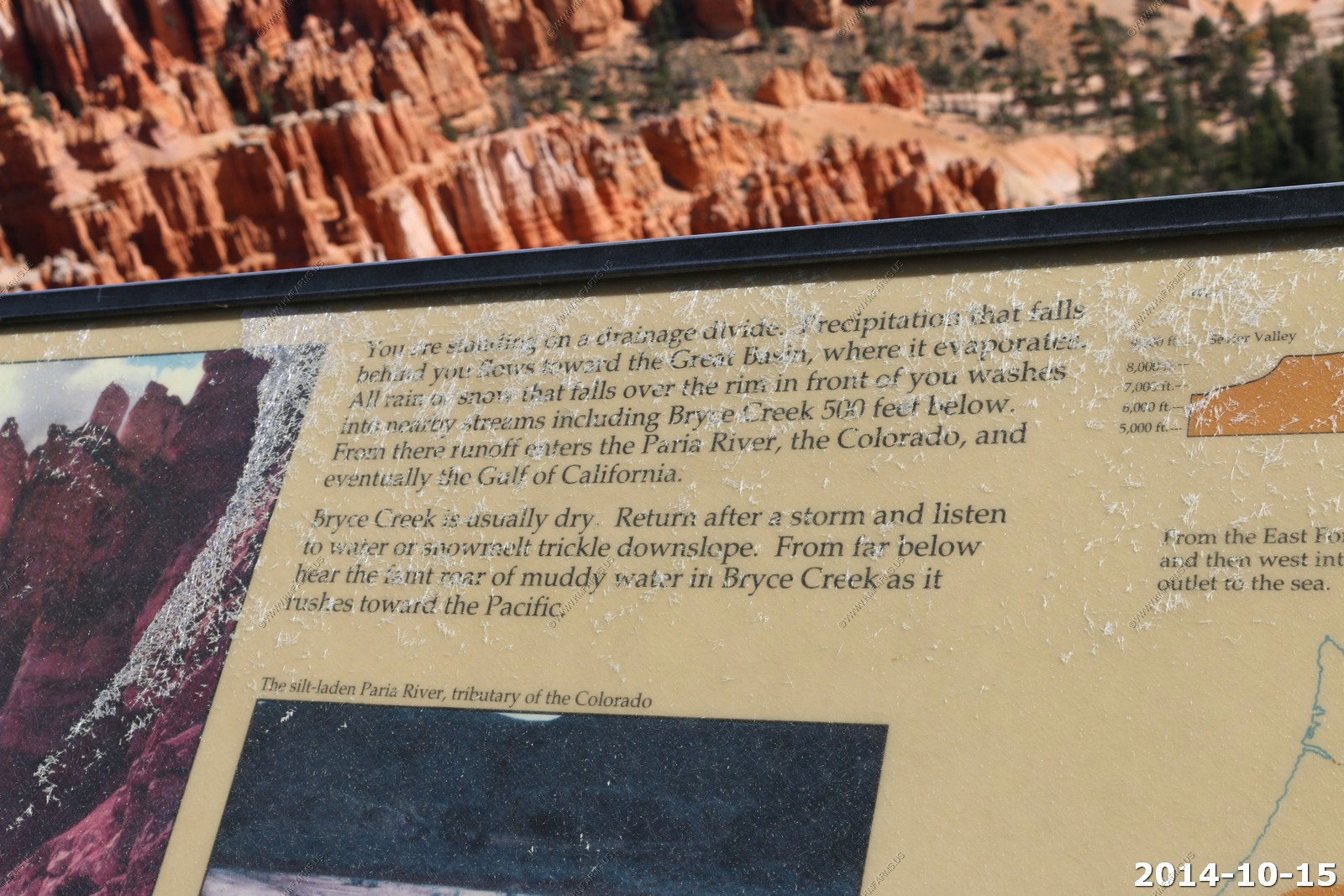
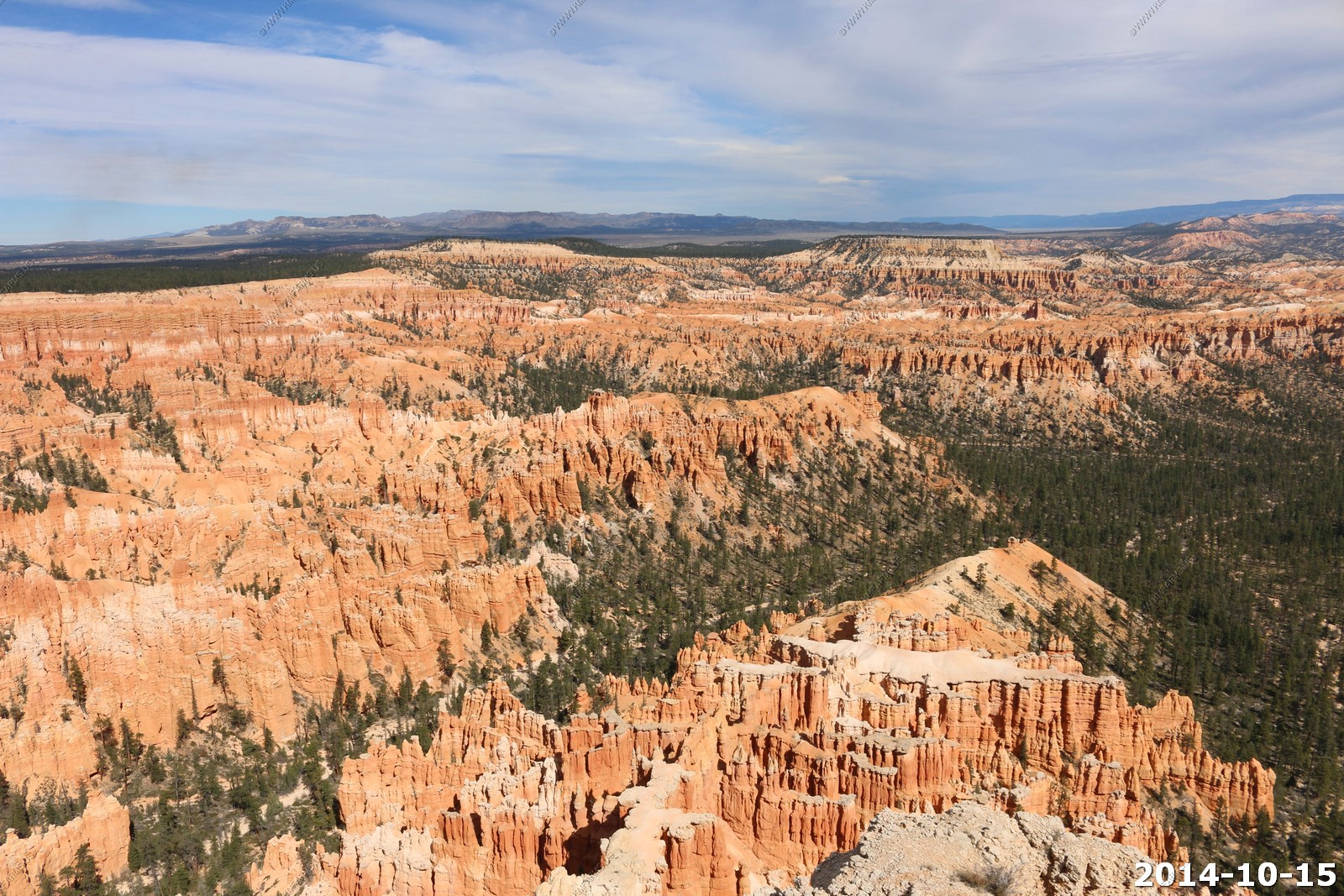
We went to the southwest facing Yovimpa Point (El. 9081 ft). Sad that it was cloudy as this is one of the best viewpoints in the entire southwest.
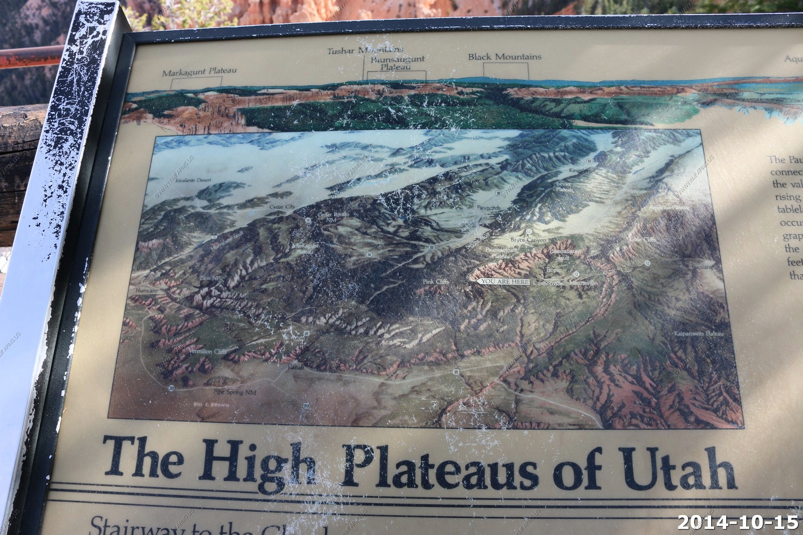
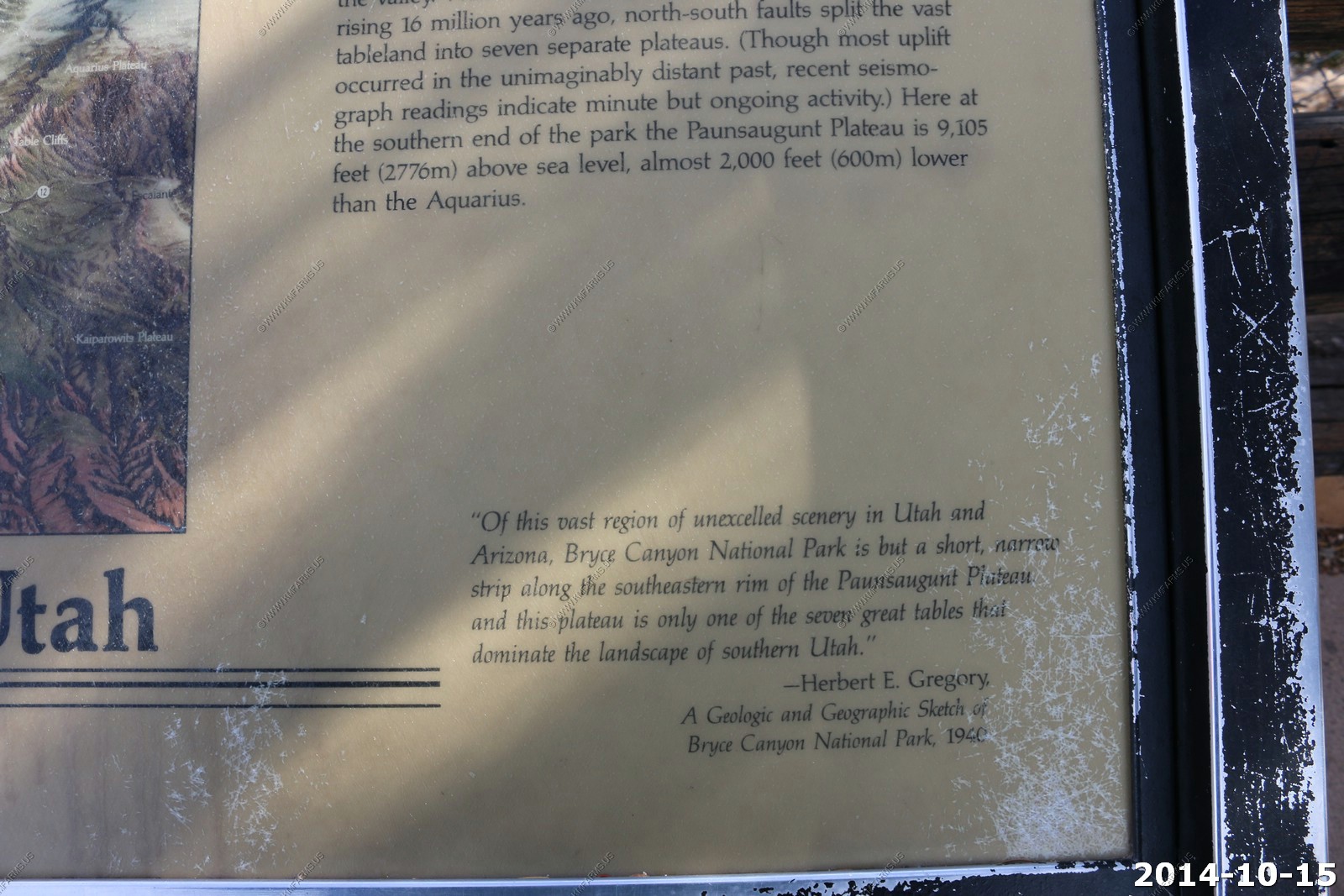
Before you leave the Rainbow Point area make sure you walk to the southern overlook - Yovimpa Point. Here is one of the places you can get a good look at the sequence of rock layers called the Grand Staircase. The sections or steps in the Grand Staircase are named for the dominant color of rock. You are standing on the top step known as the Pink Cliffs. Directly below you are the Grey Cliffs. As you look into the distance you can see Molly's Nipple, which is part of the White Cliffs. Looking down into distant canyons near the horizon, you can just make out some red rock underneath the White Cliffs. This red rock makes up the Vermilion Cliffs. Hidden from view but directly under the towering Vermilion Cliffs are the comparatively diminutive Chocolate Cliffs. The tree-covered hills that meet the horizon belong to the Kaibab Plateau - the North Rim of the Grand Canyon.
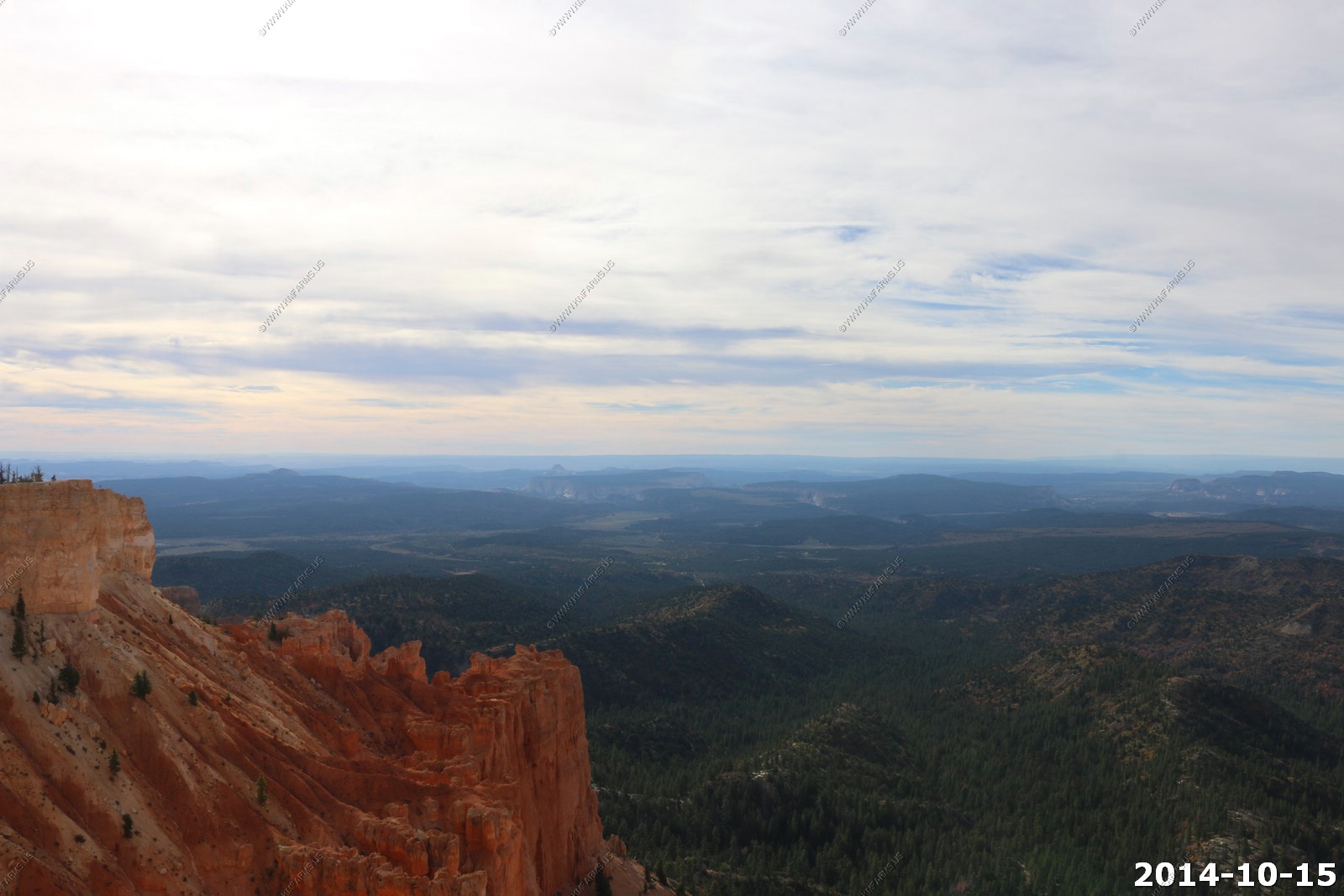
Right center of the photo - smoke from the Navajo Generating Station is a coal-fired power plant with a power of 2280 megawatts located on the Navajo Indian Reservation, near Page, Arizona, USA. The plant has three 775 ft. tall flue gas stacks, listed among the tallest structures in Arizona.
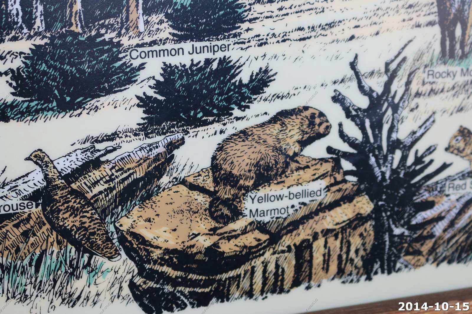
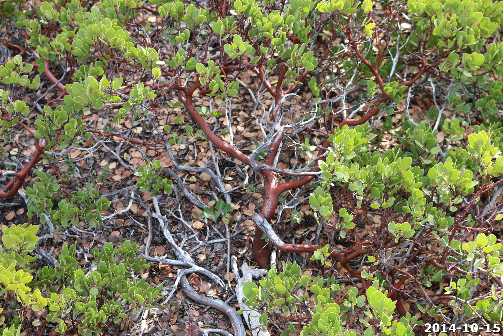
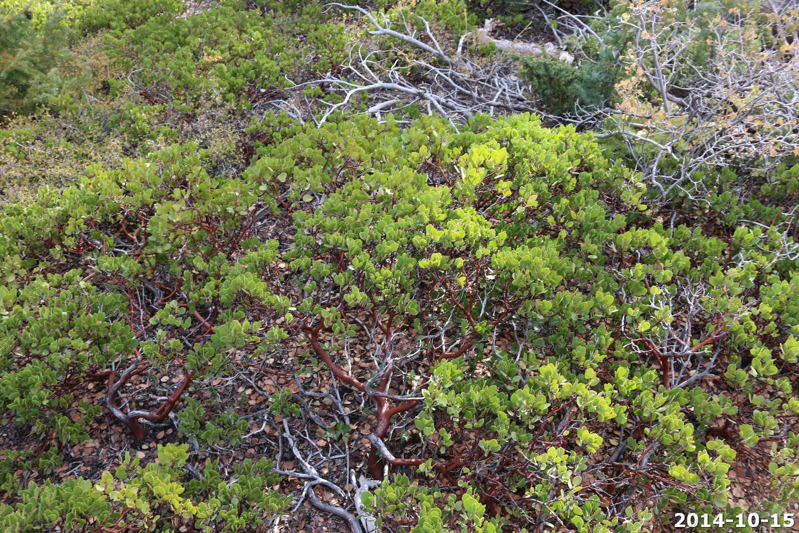
Sure looks like mountain manzanita.
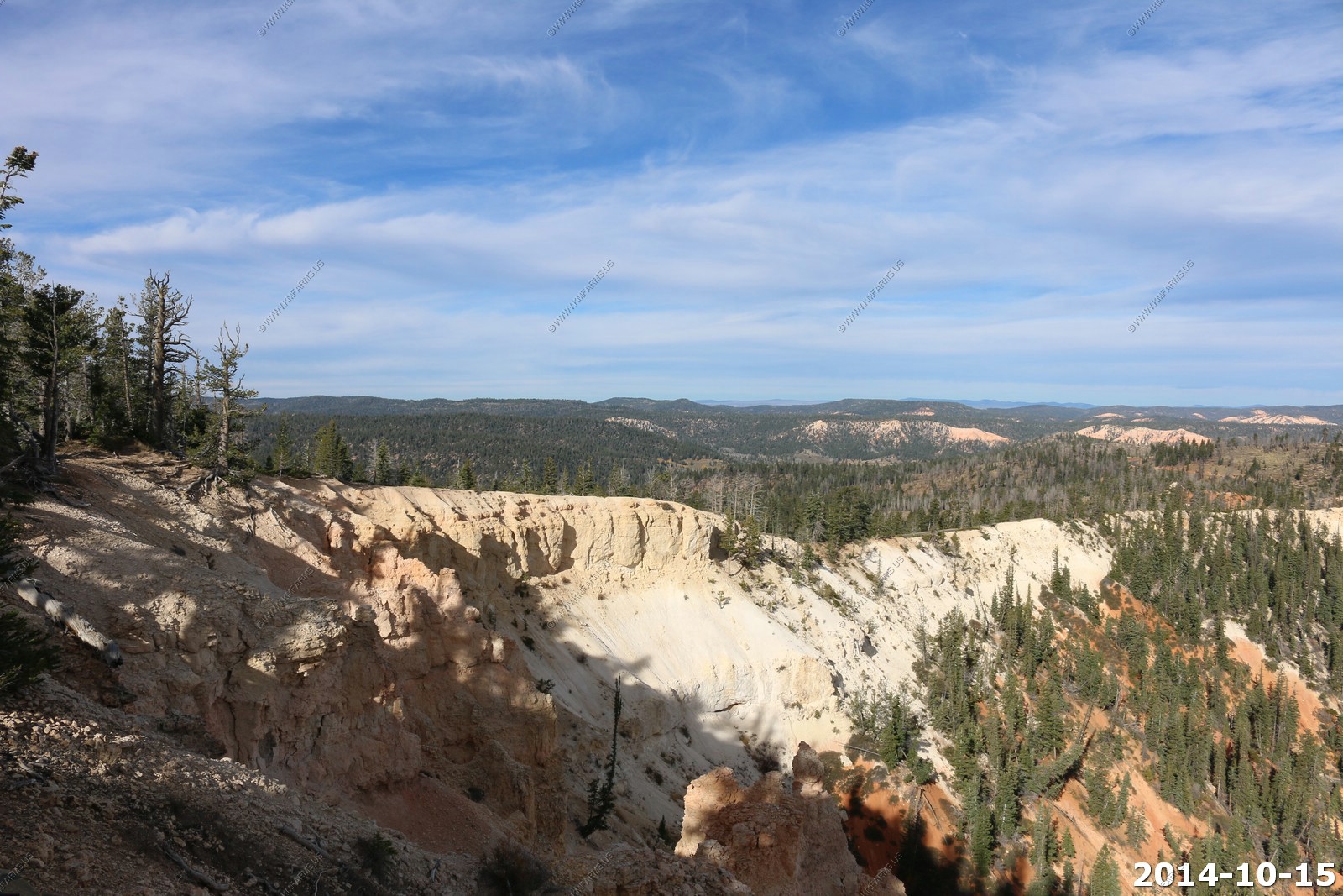
So we started heading out of the park hitting each of the viewpoints.
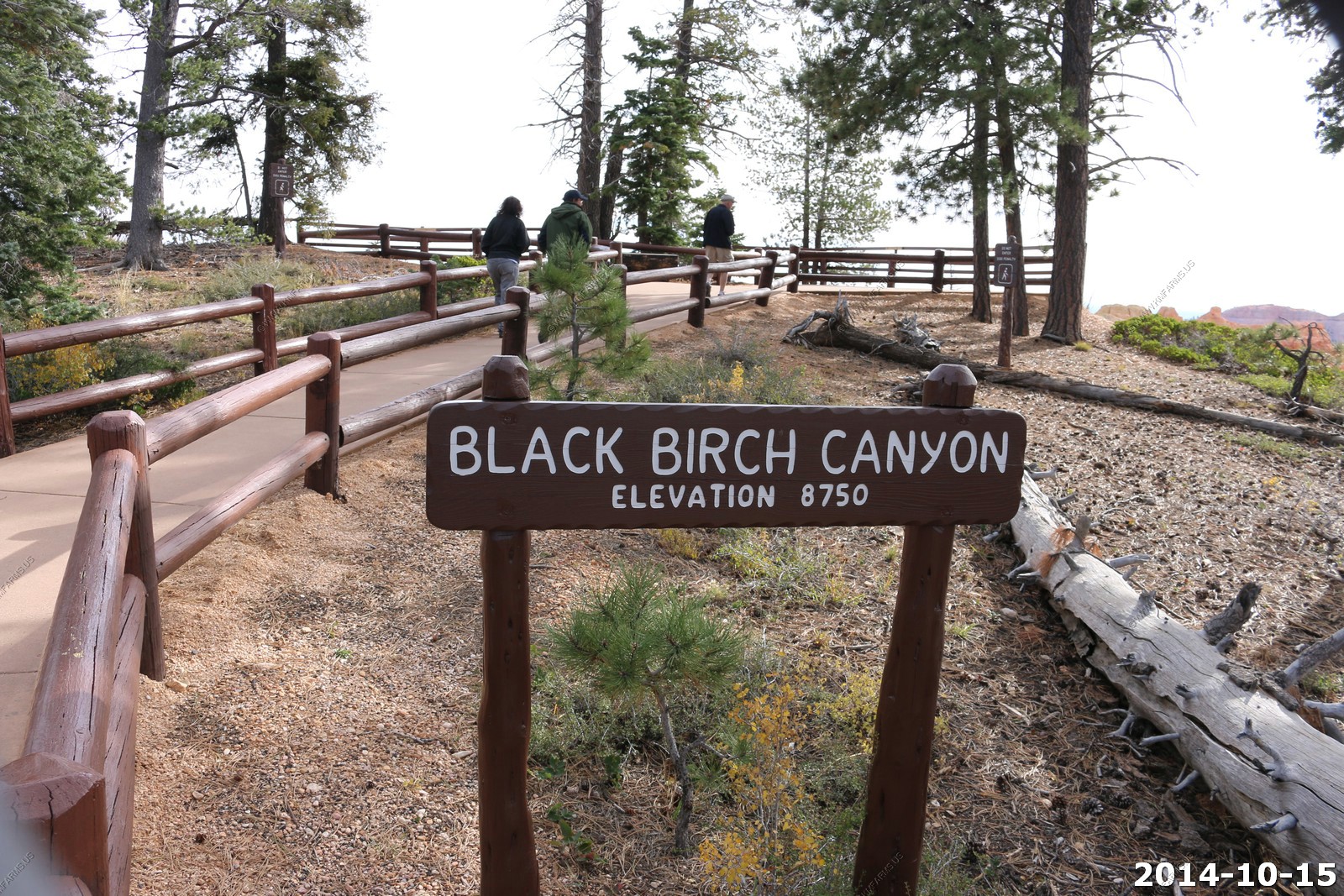
Black Birch Canyon (El. 8,750)
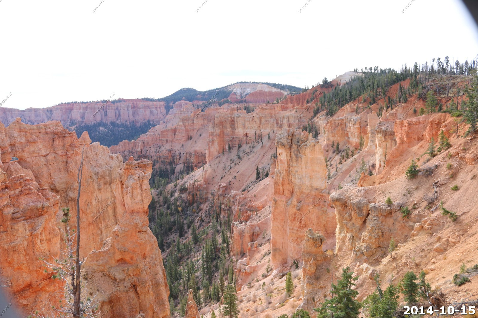
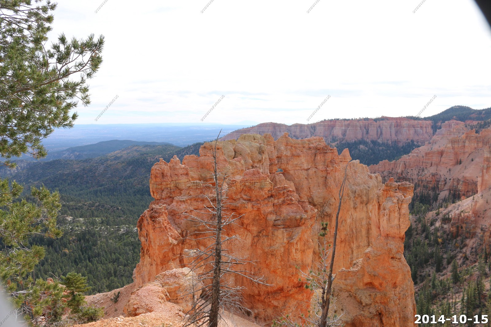
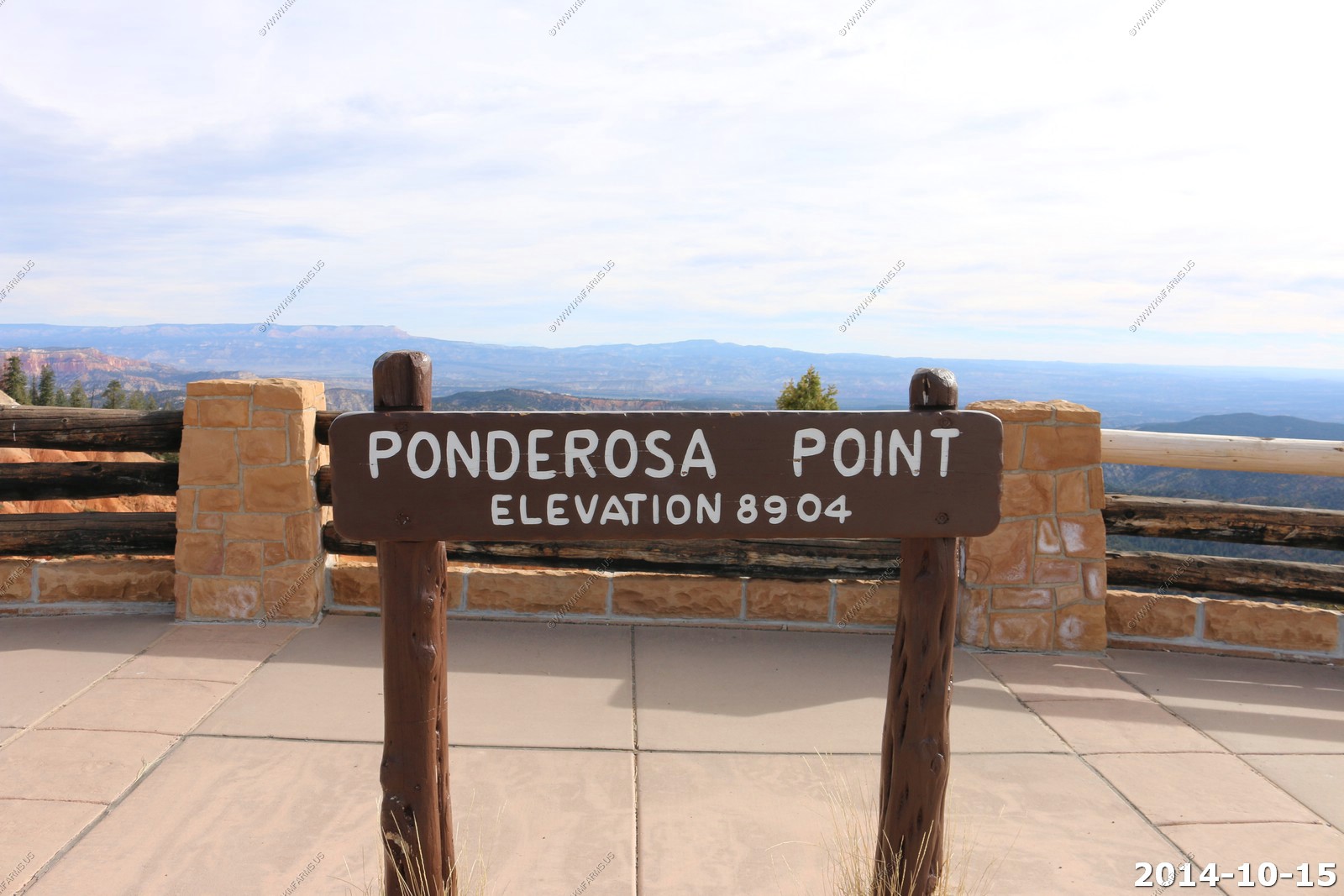
Ponderosa Point (El. 8,904)
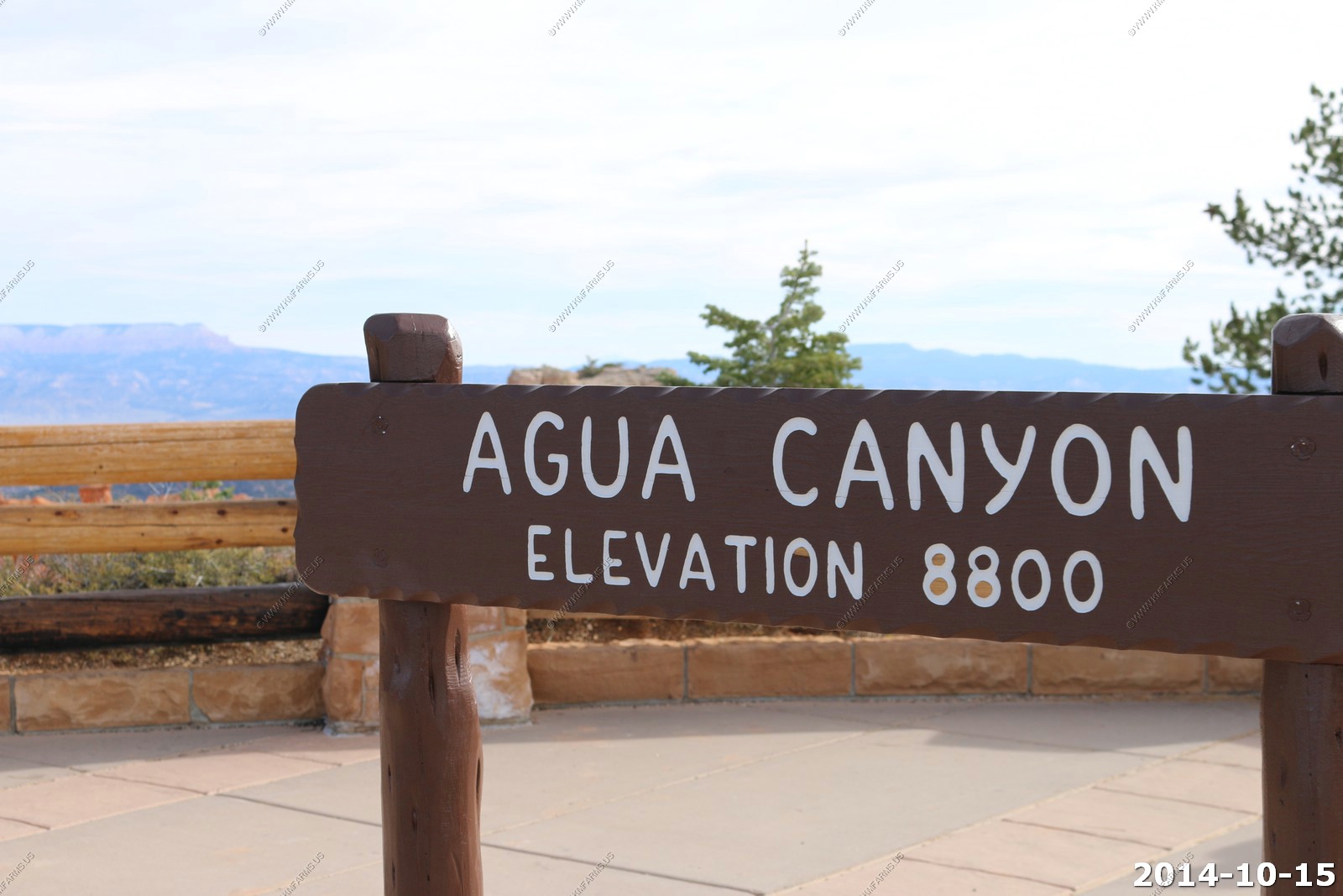
Agua Canyon (El. 8,800)
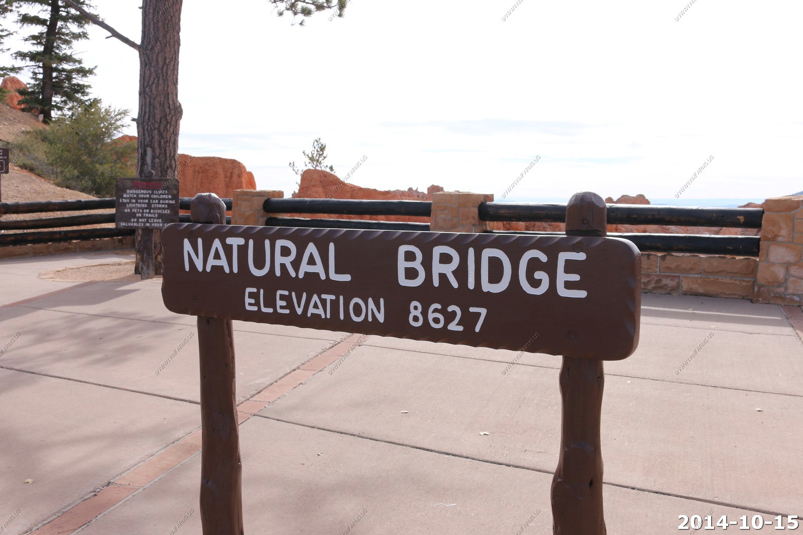
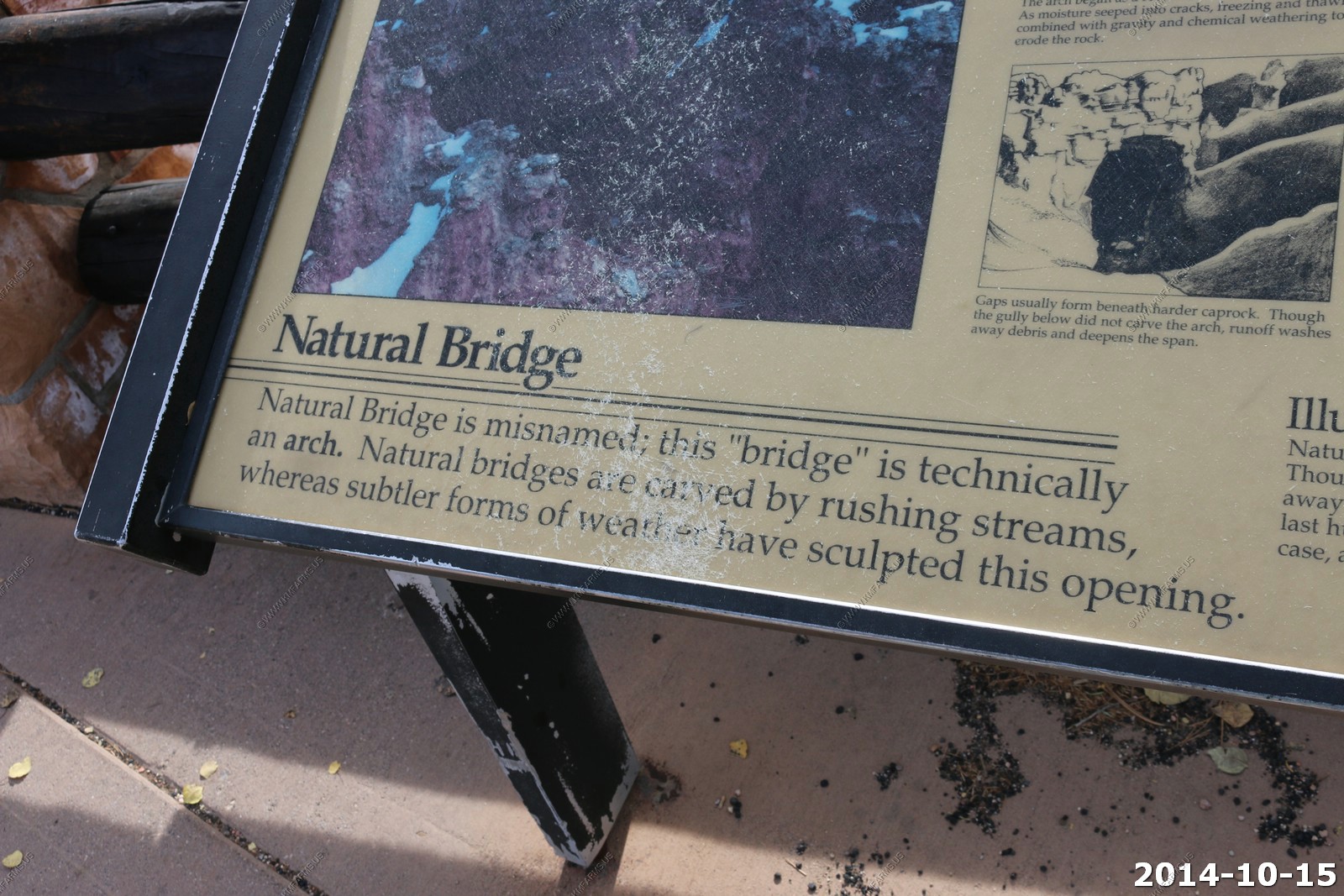
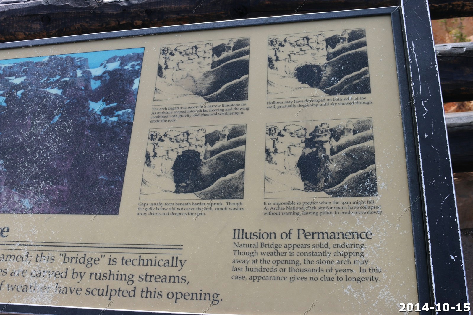
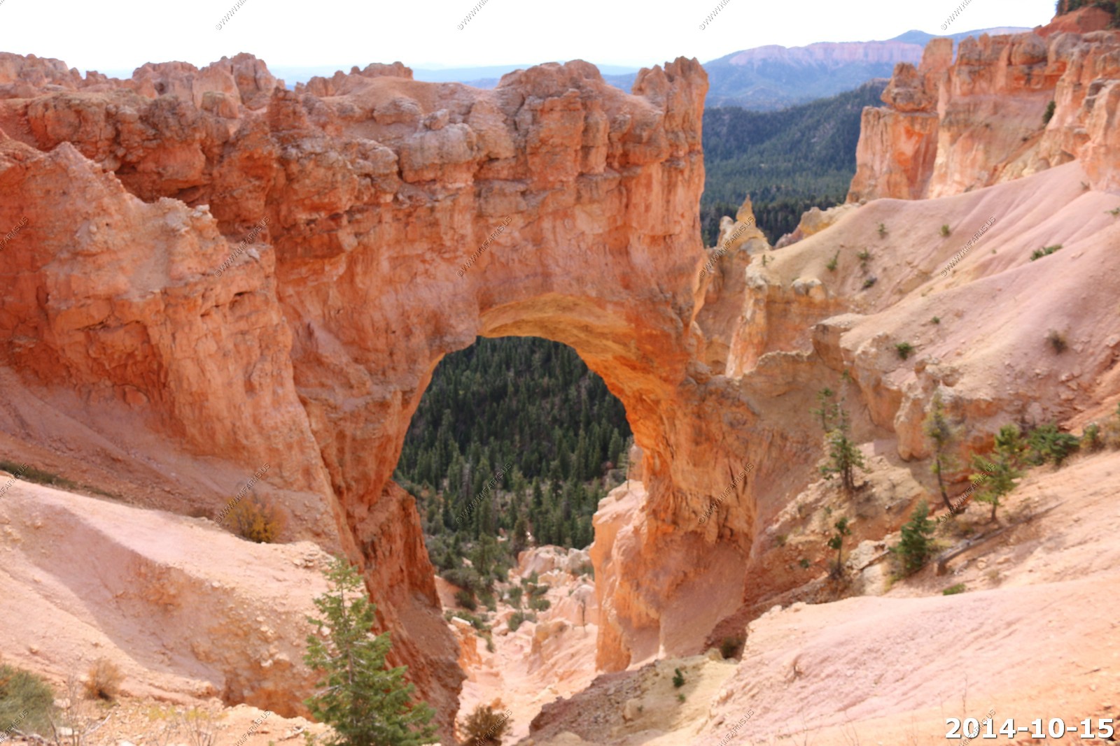
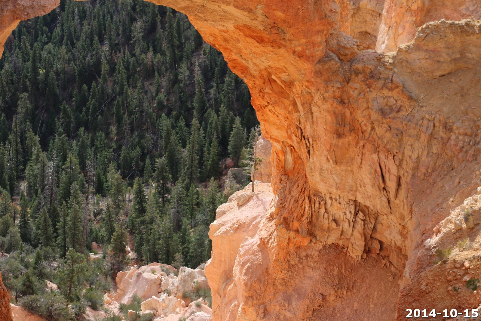
Natural Bridge (El. 8,627)
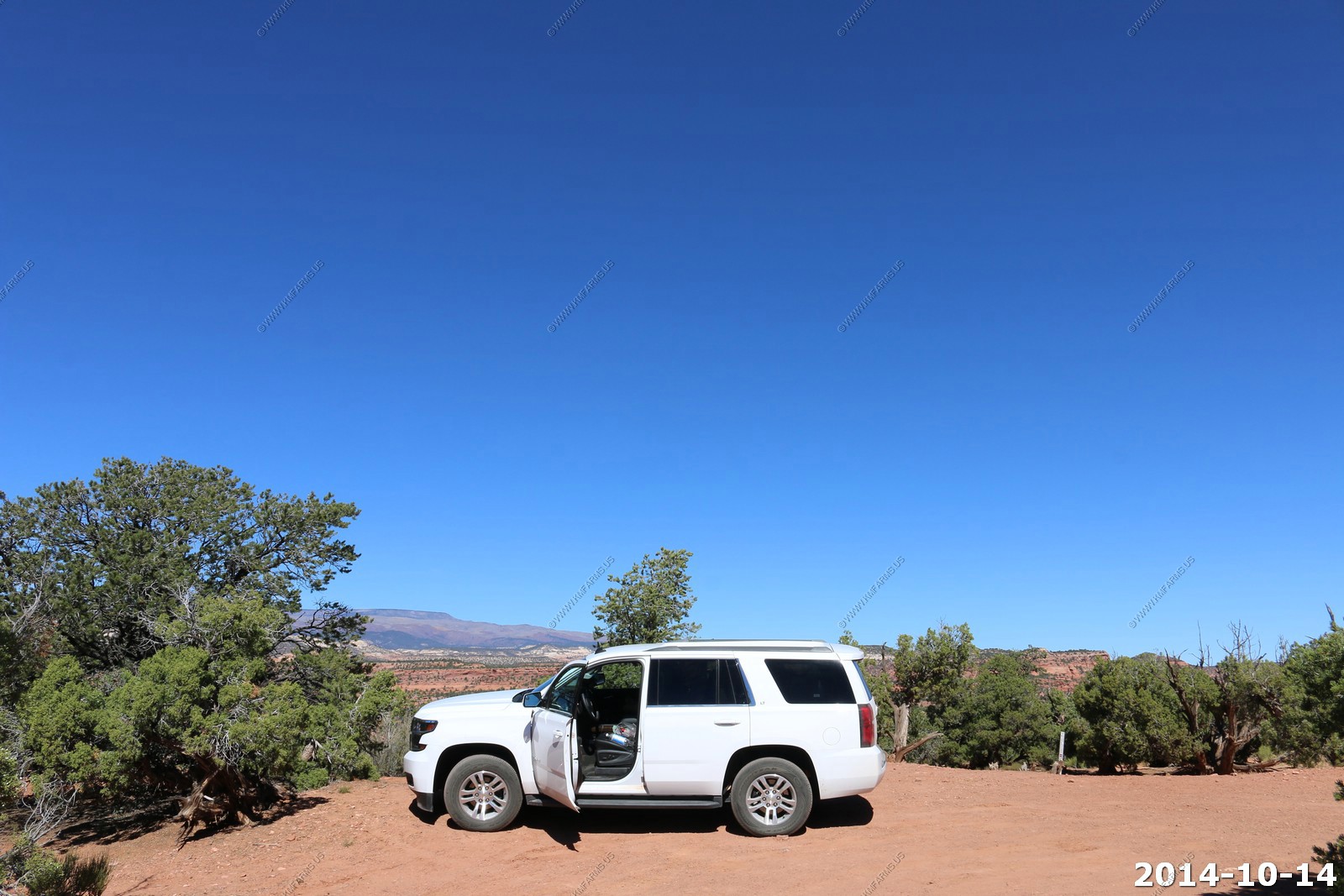
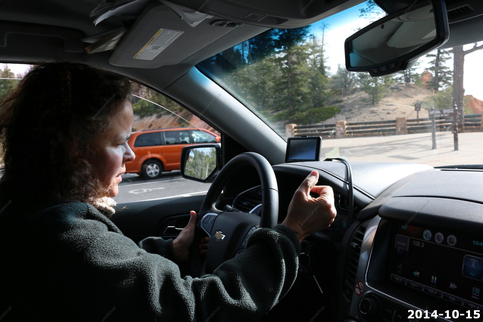
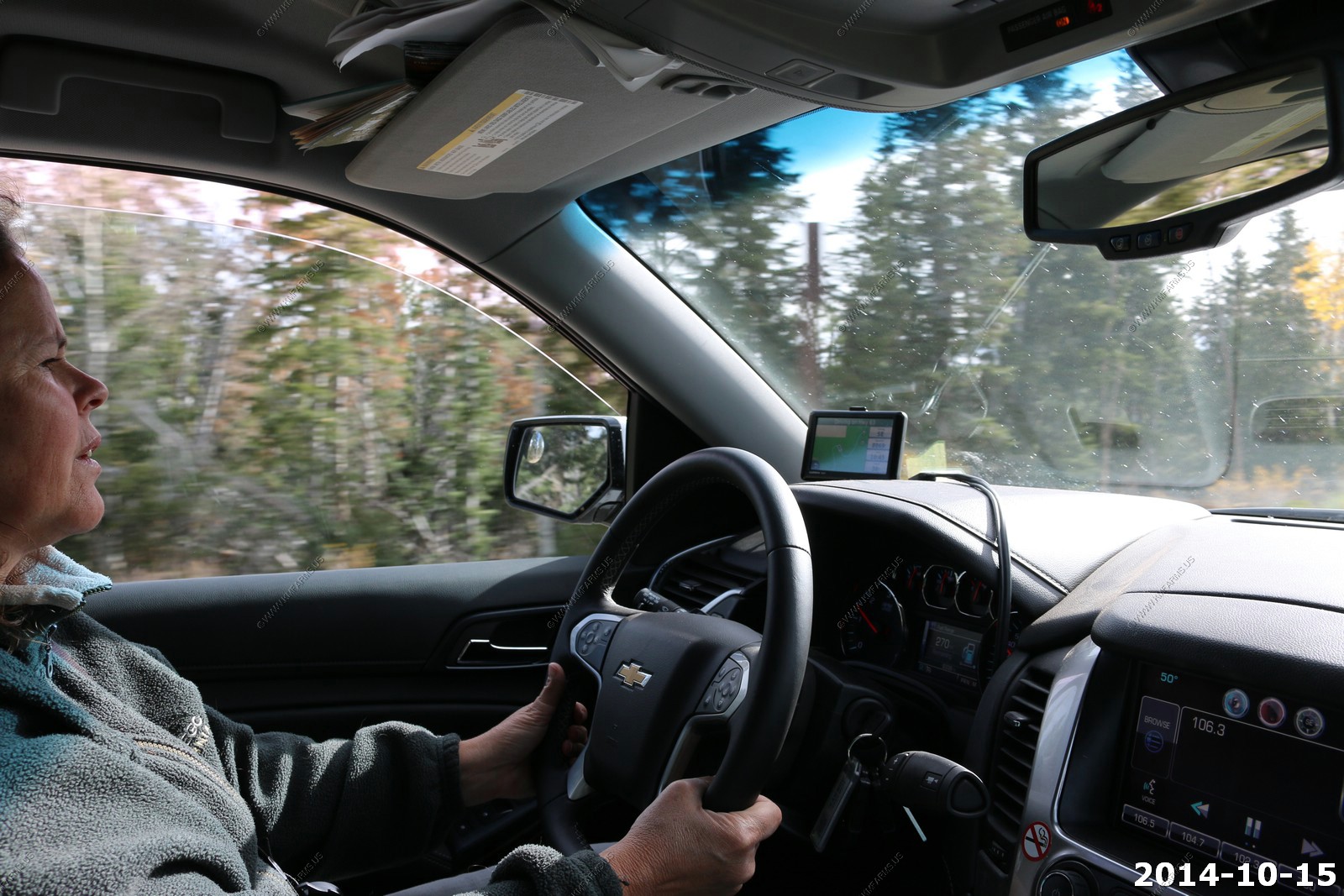
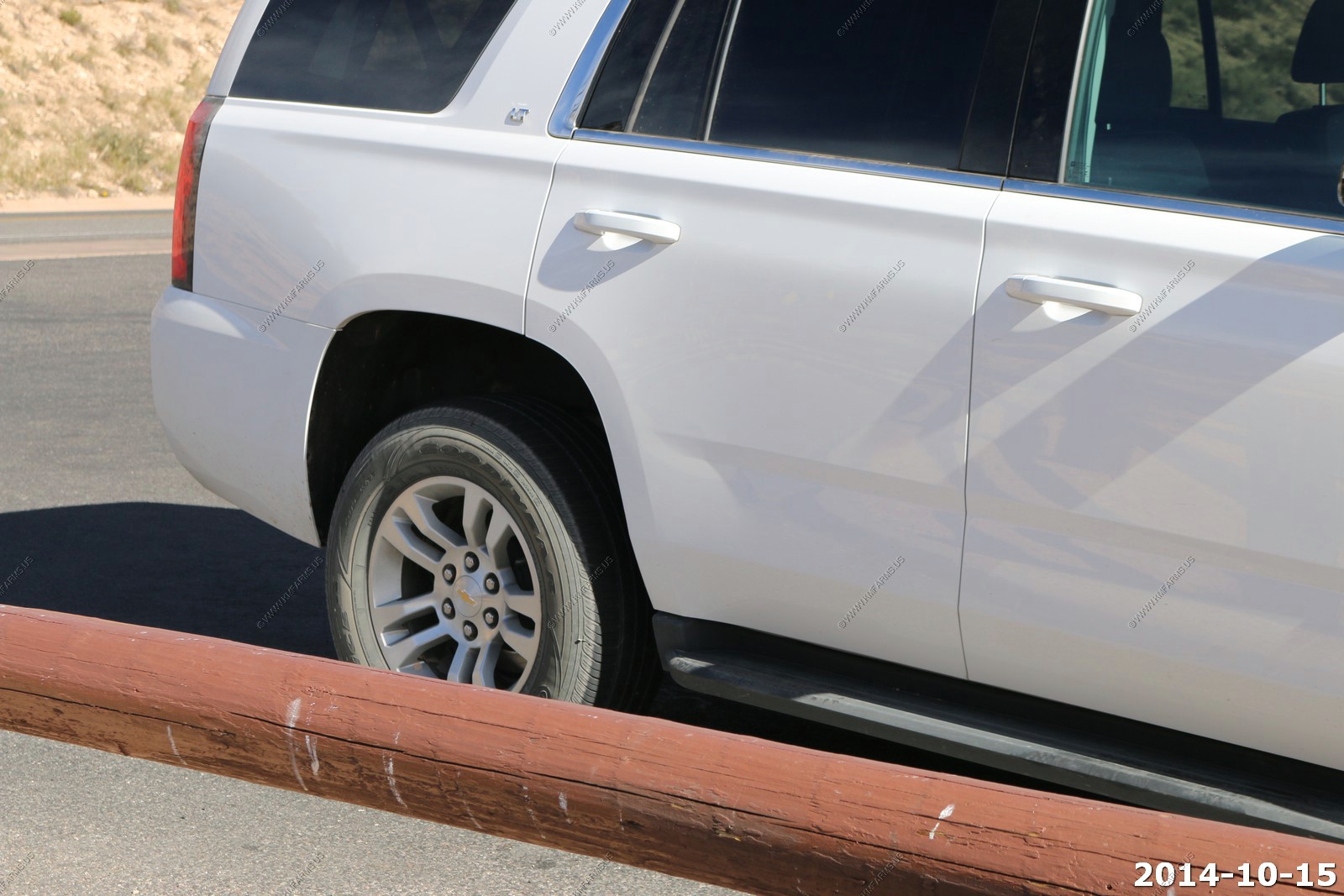
Mary driving the Tahoe for the first time on this trip.
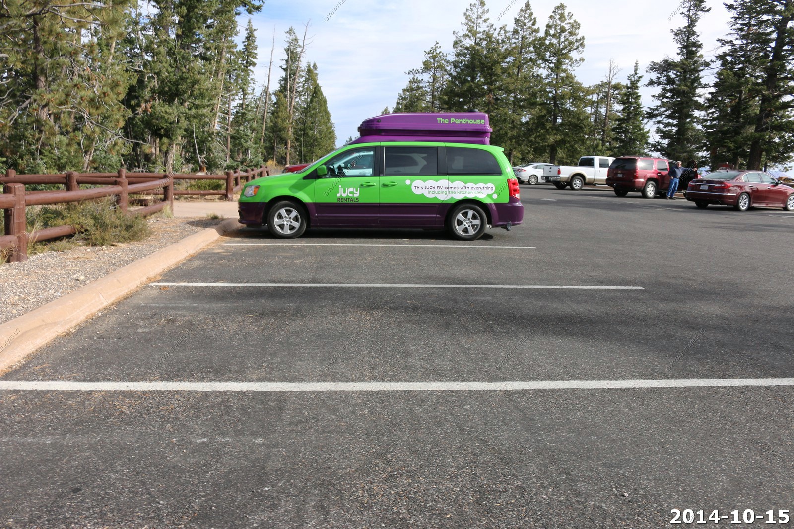
We saw these all over the place. Not a good deal. First they are ugly ! And they have so many rules and you can't drive them on any dirt roads.
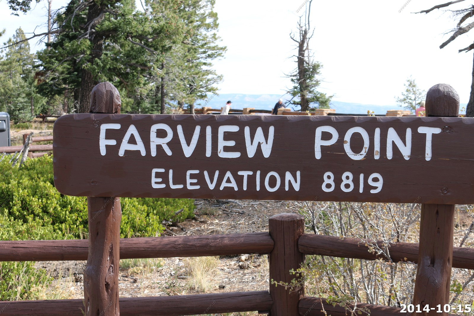
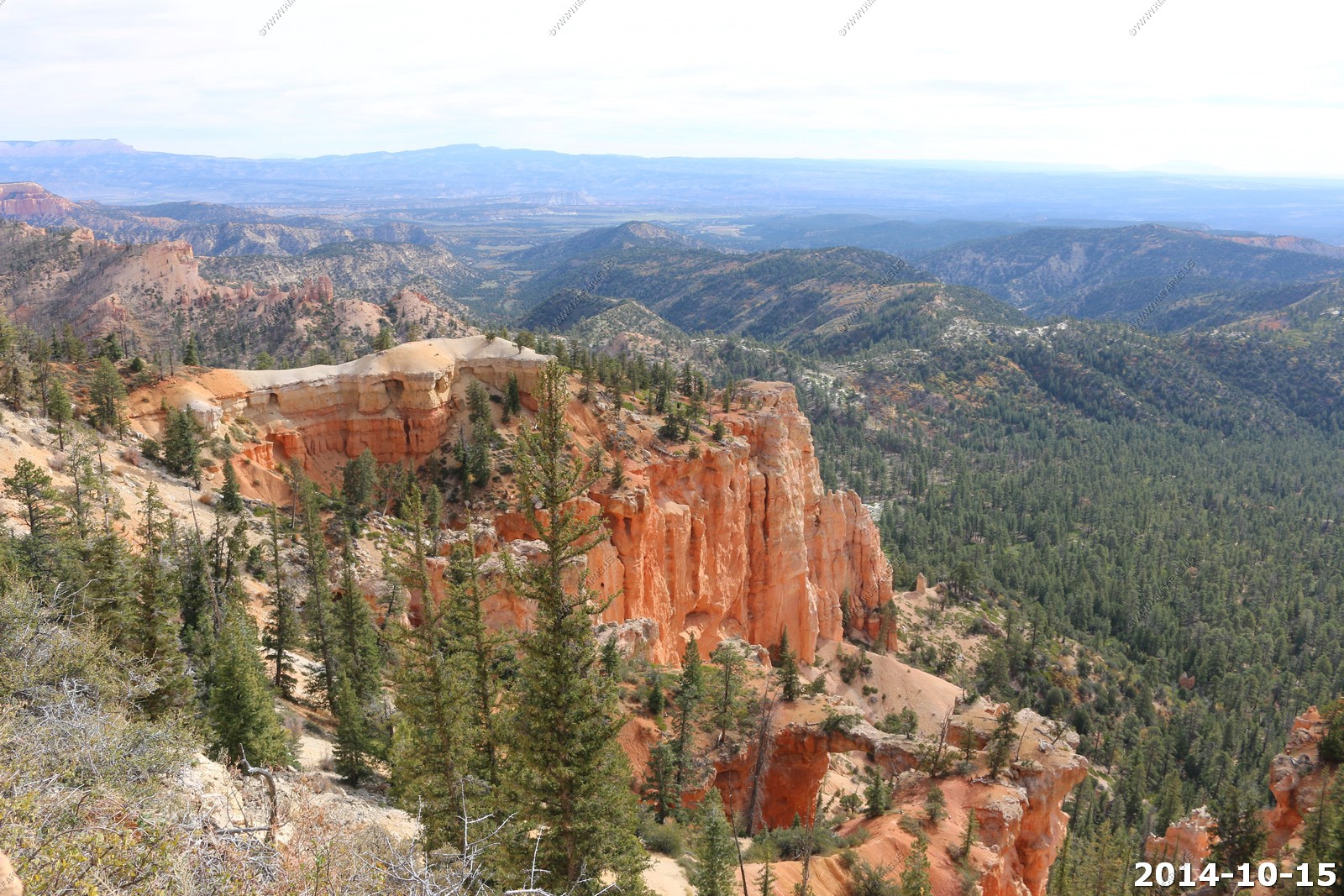
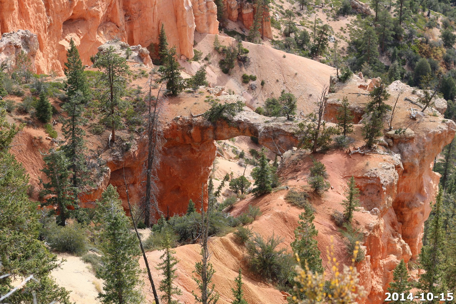
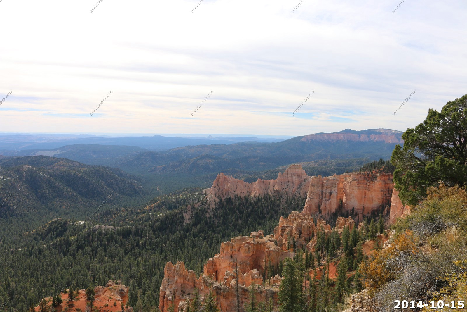
Farview Point (El. 8,819)
This was an interesting viewpoint. We could see back towards Arizona and less wind here so we spent some time looking south.
Molly's Nipple
Looking at where we started - Rainbow Point, the highest part of the park.
Monument Valley, Arizona - Black Mesa, Arizona ? Just not clear enough.
Some burned out areas along the main park road.
Swamp Canyon (El. 7,998)

Noticed that our Tahoe had a dent. We did not do it..
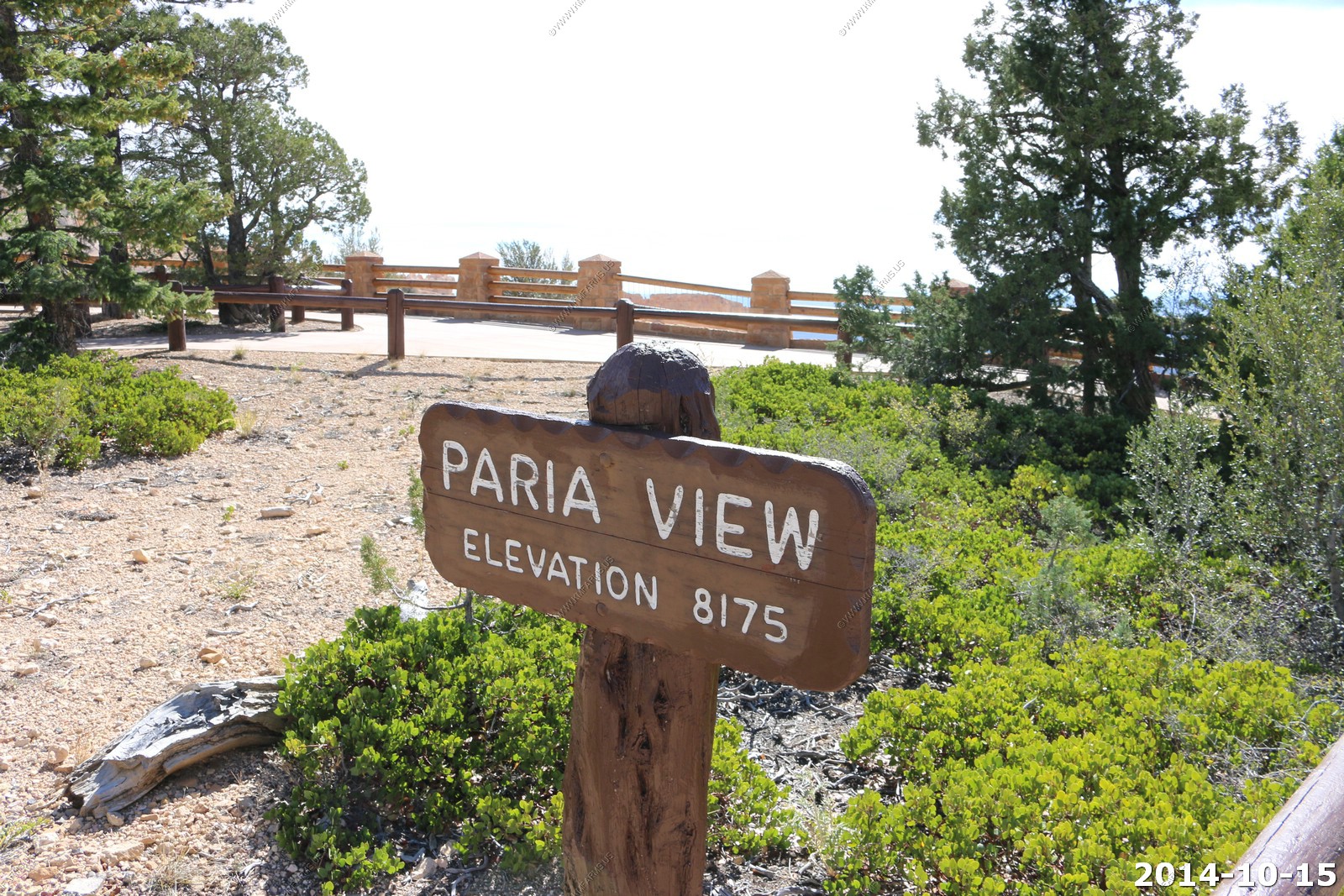
Paria View (El. 8,175)
Started to get sunny.

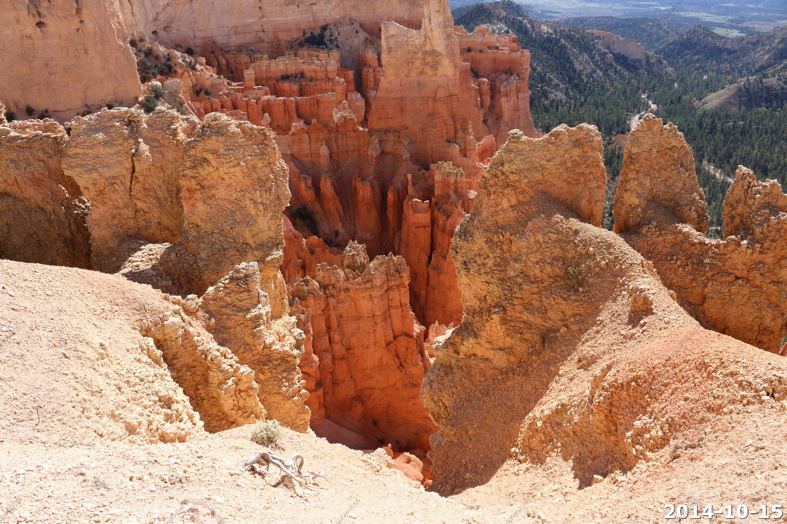
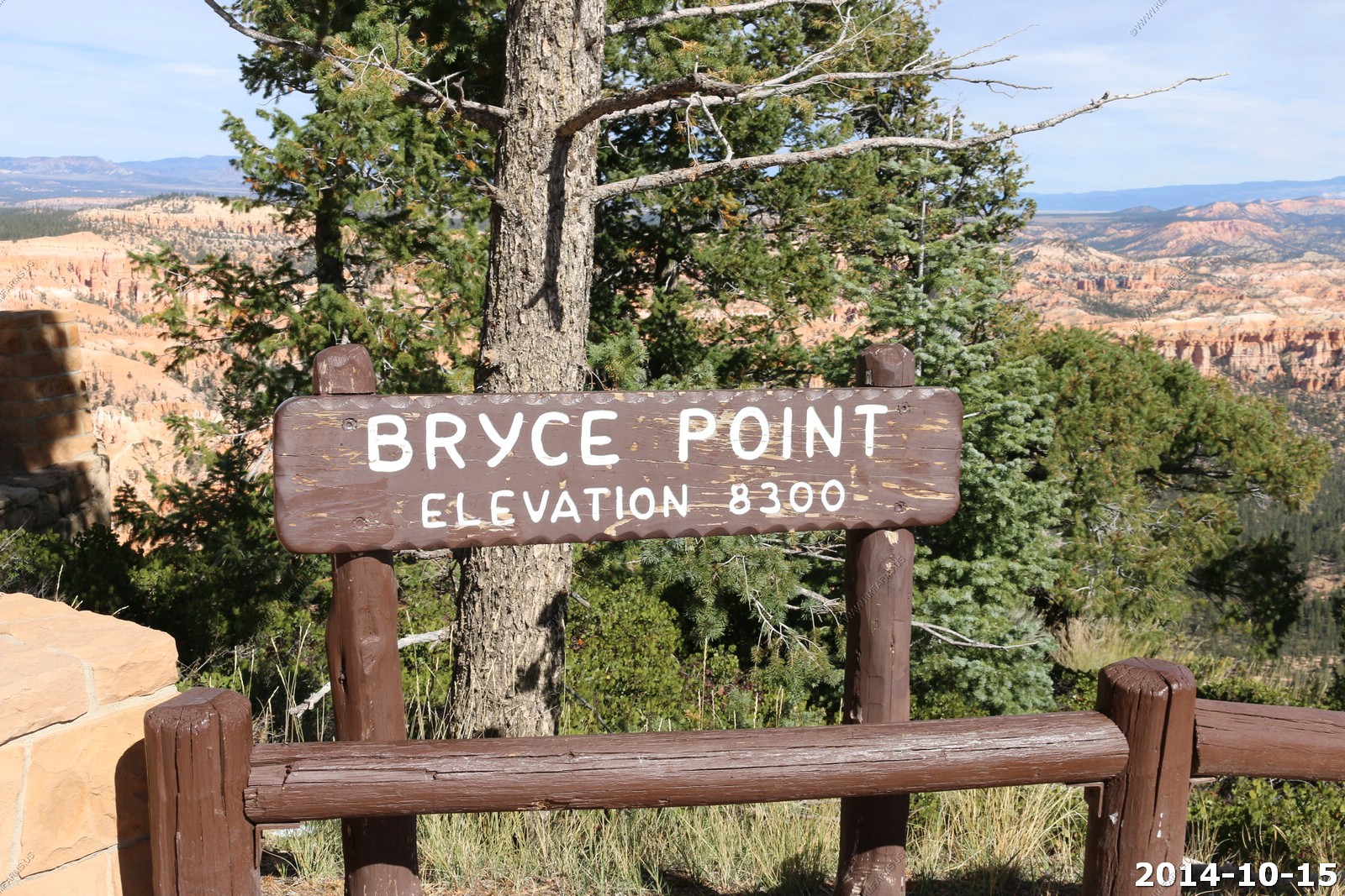
Bryce Point (El. 8,300)
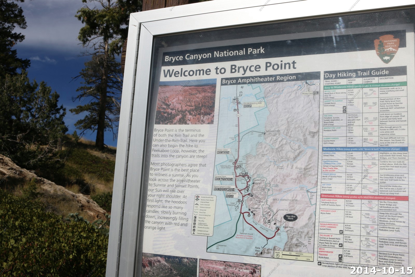
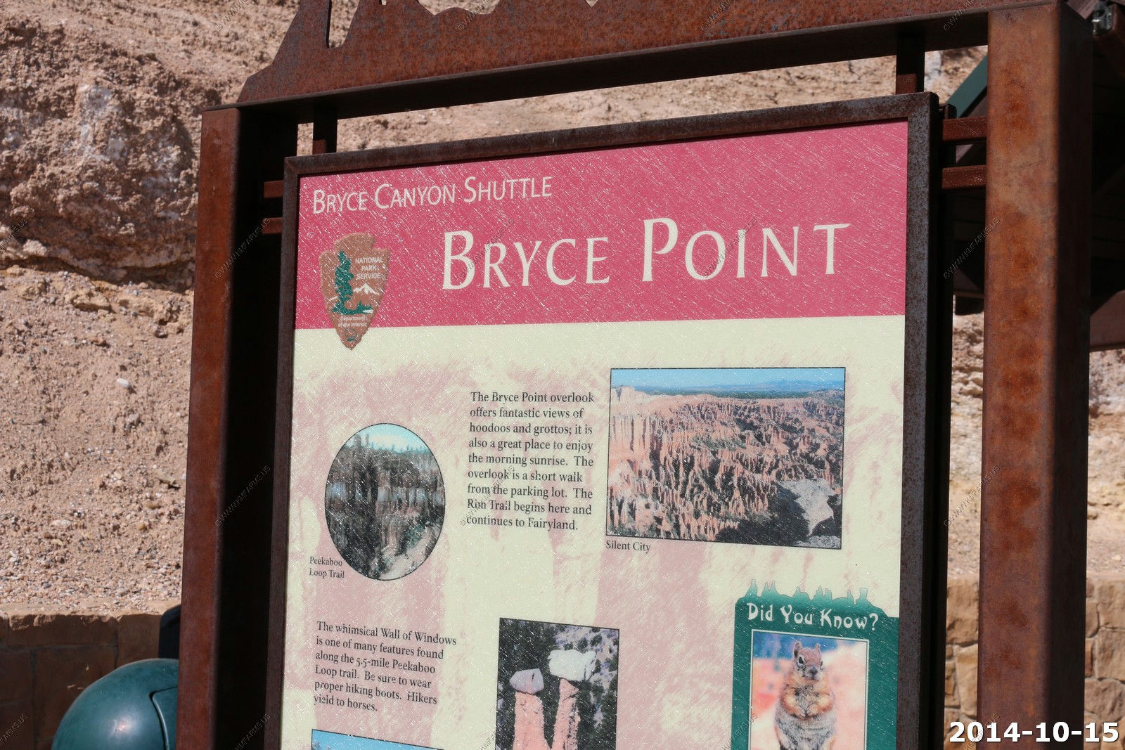
Information signs
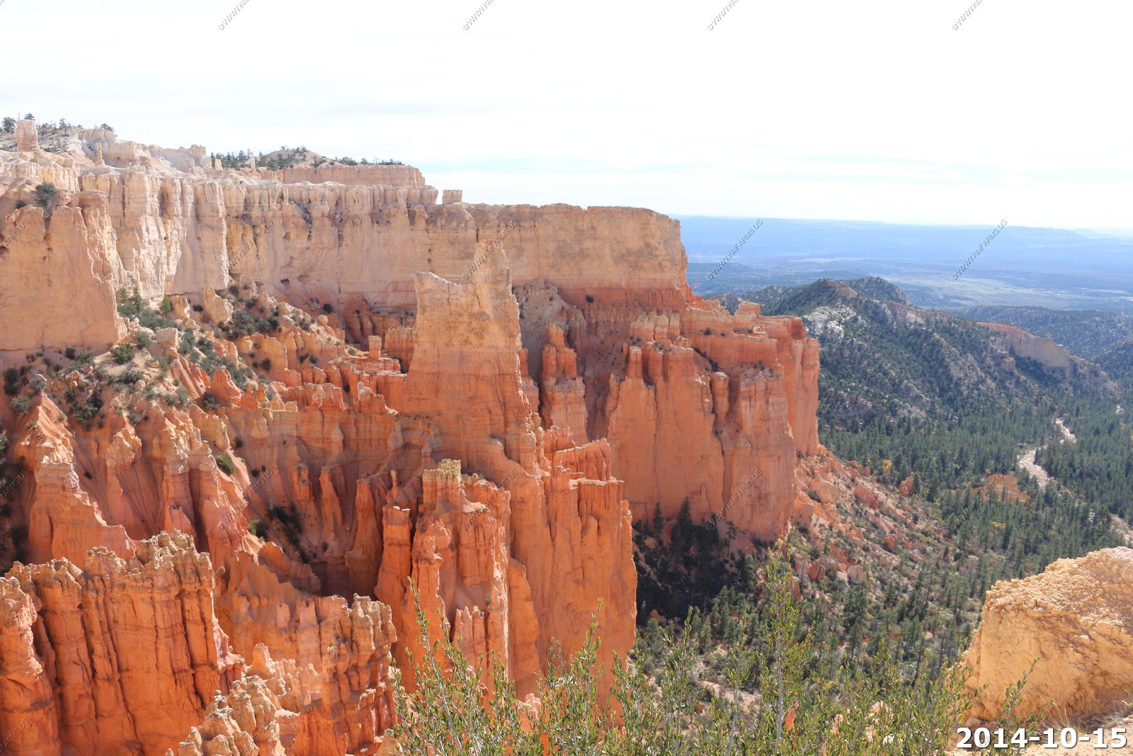
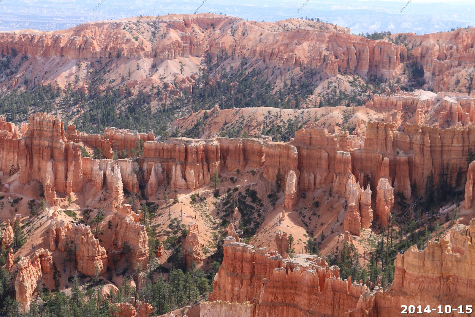
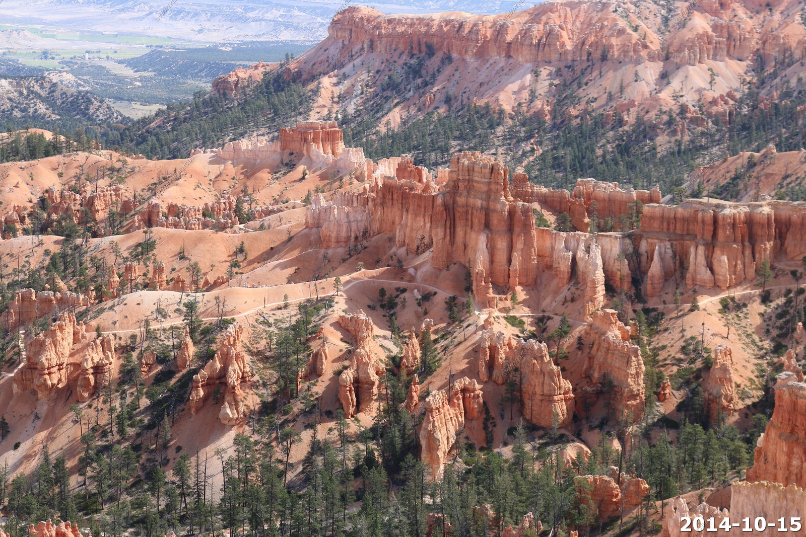
Various Bryce Point views.

Tropic, UT with Powell Point in the background.
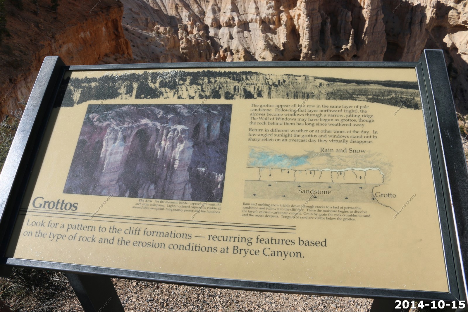
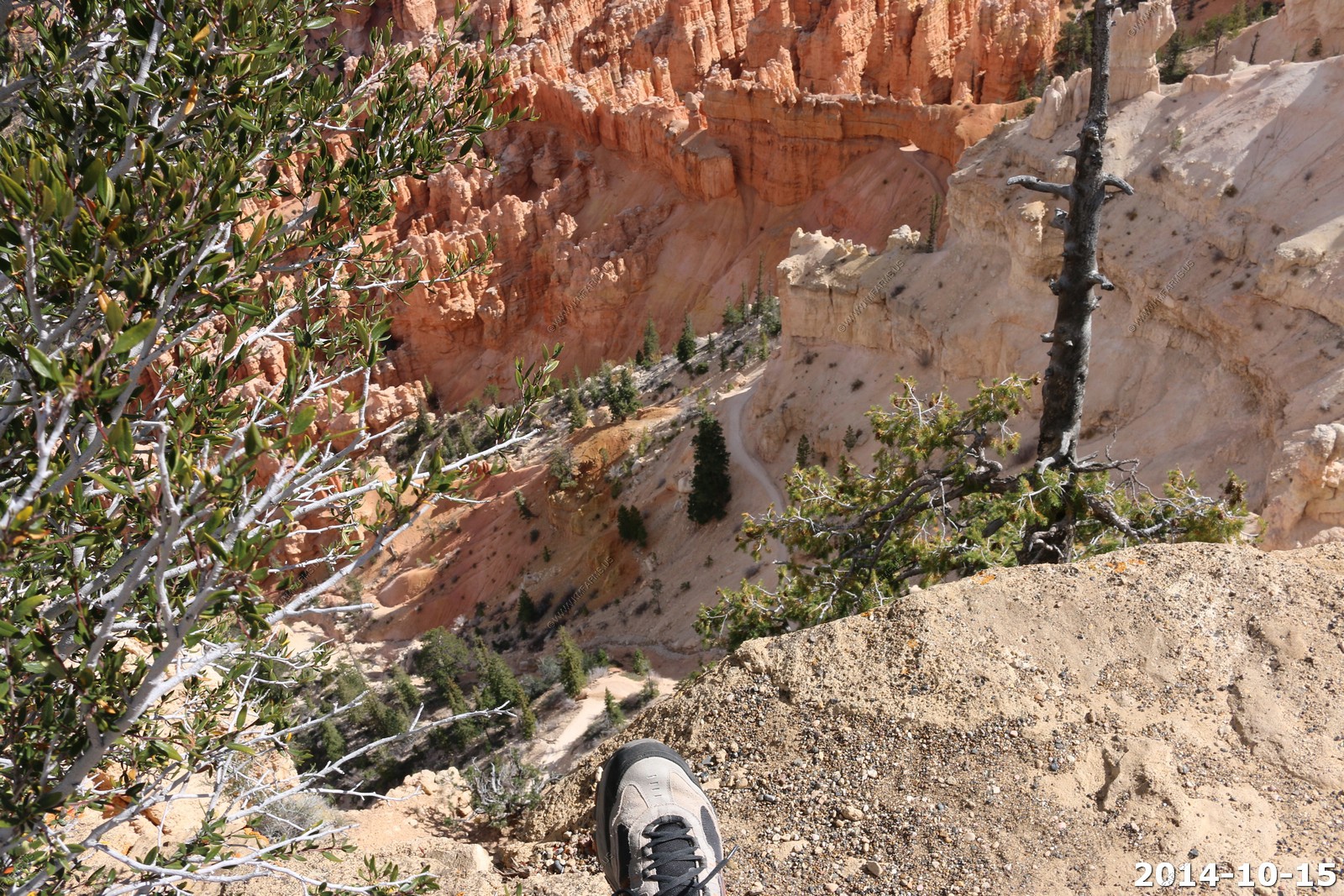
Grottos
Nice drop-off - Cool trail - next time.
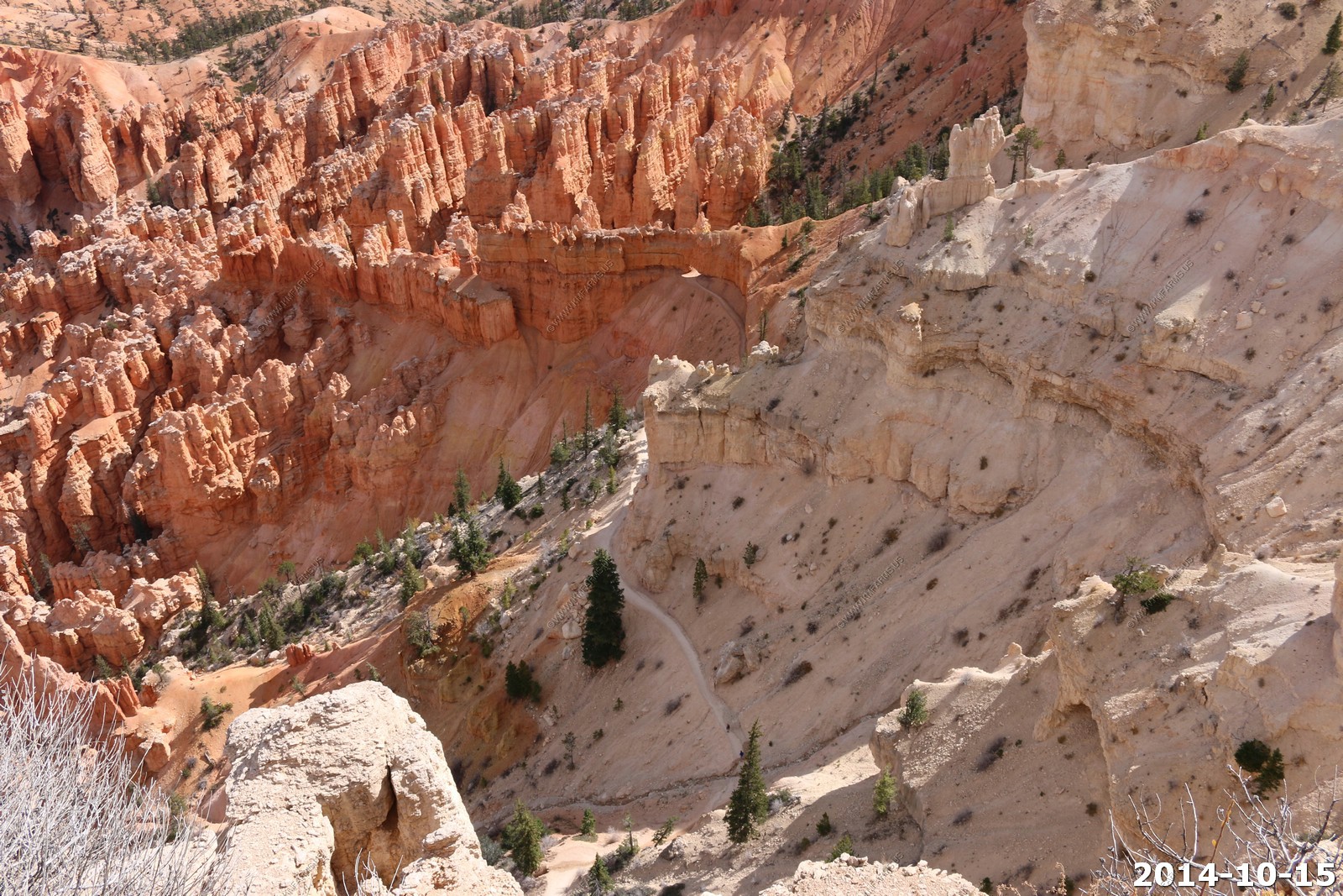
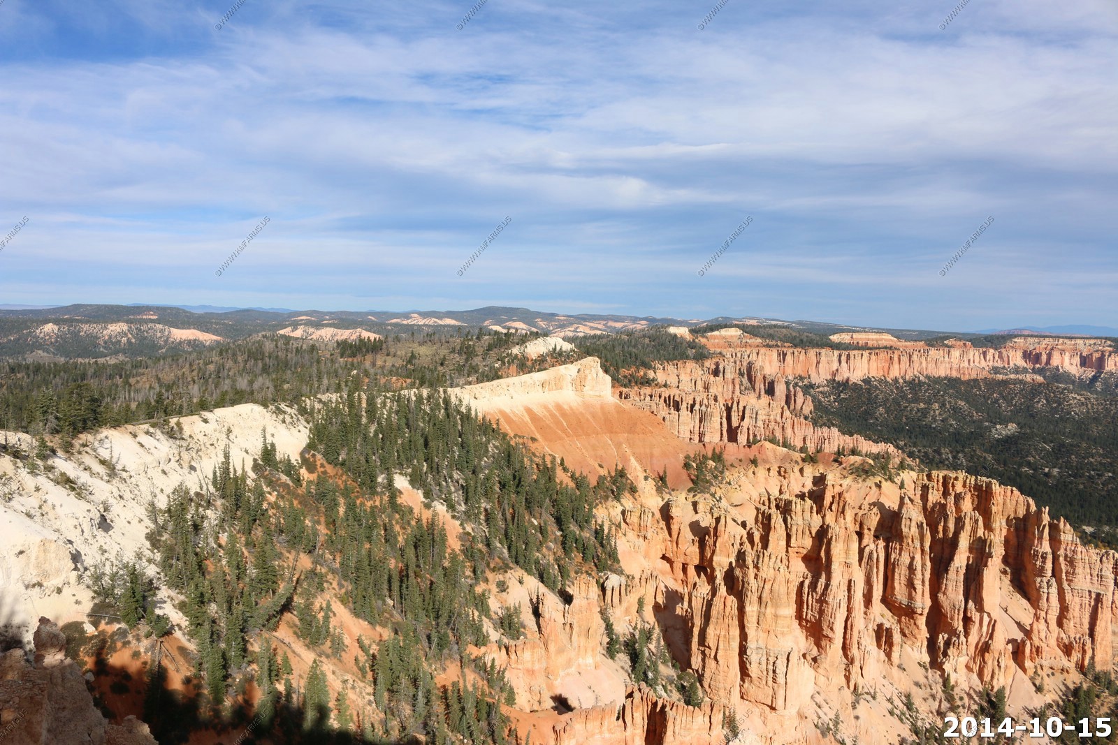
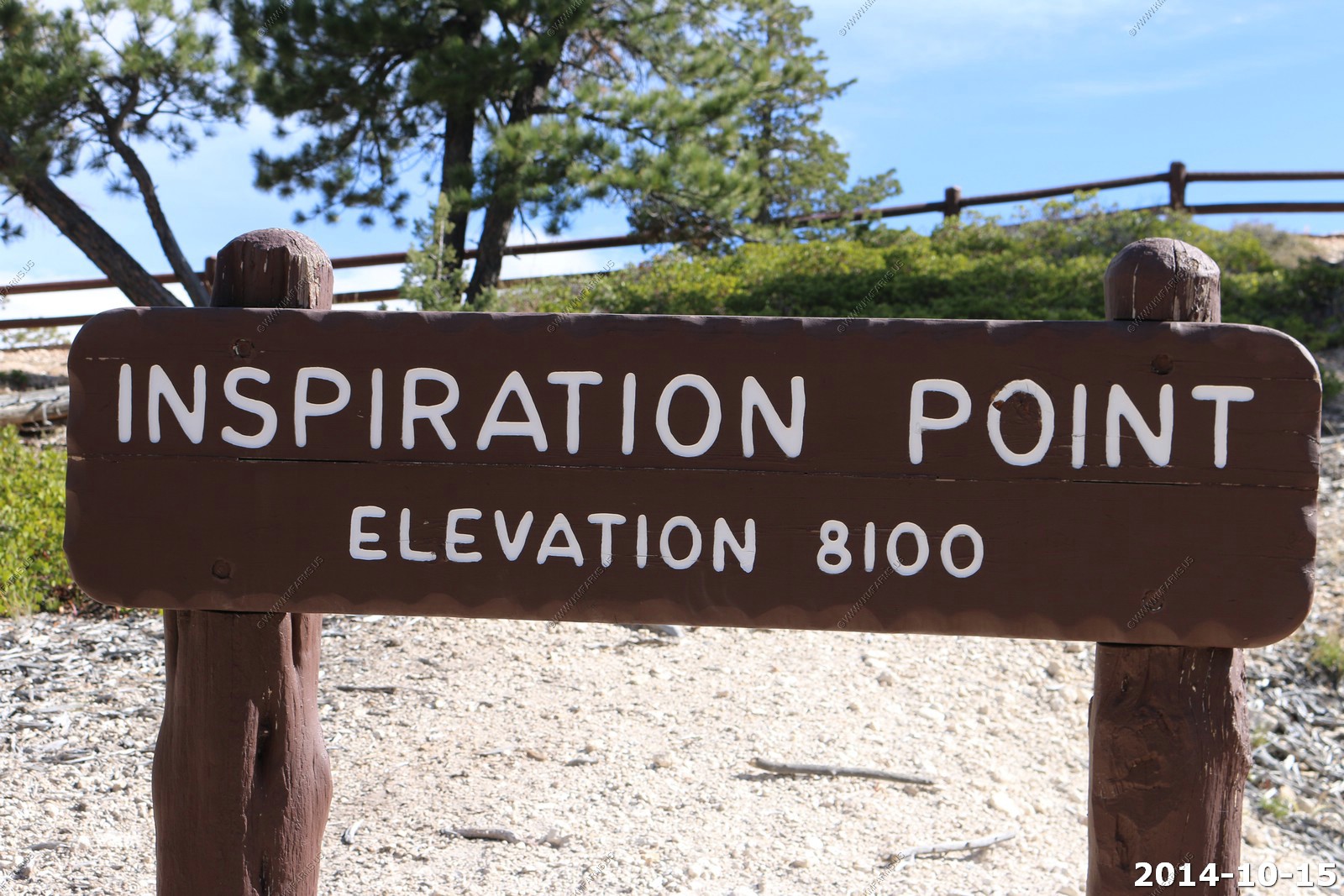
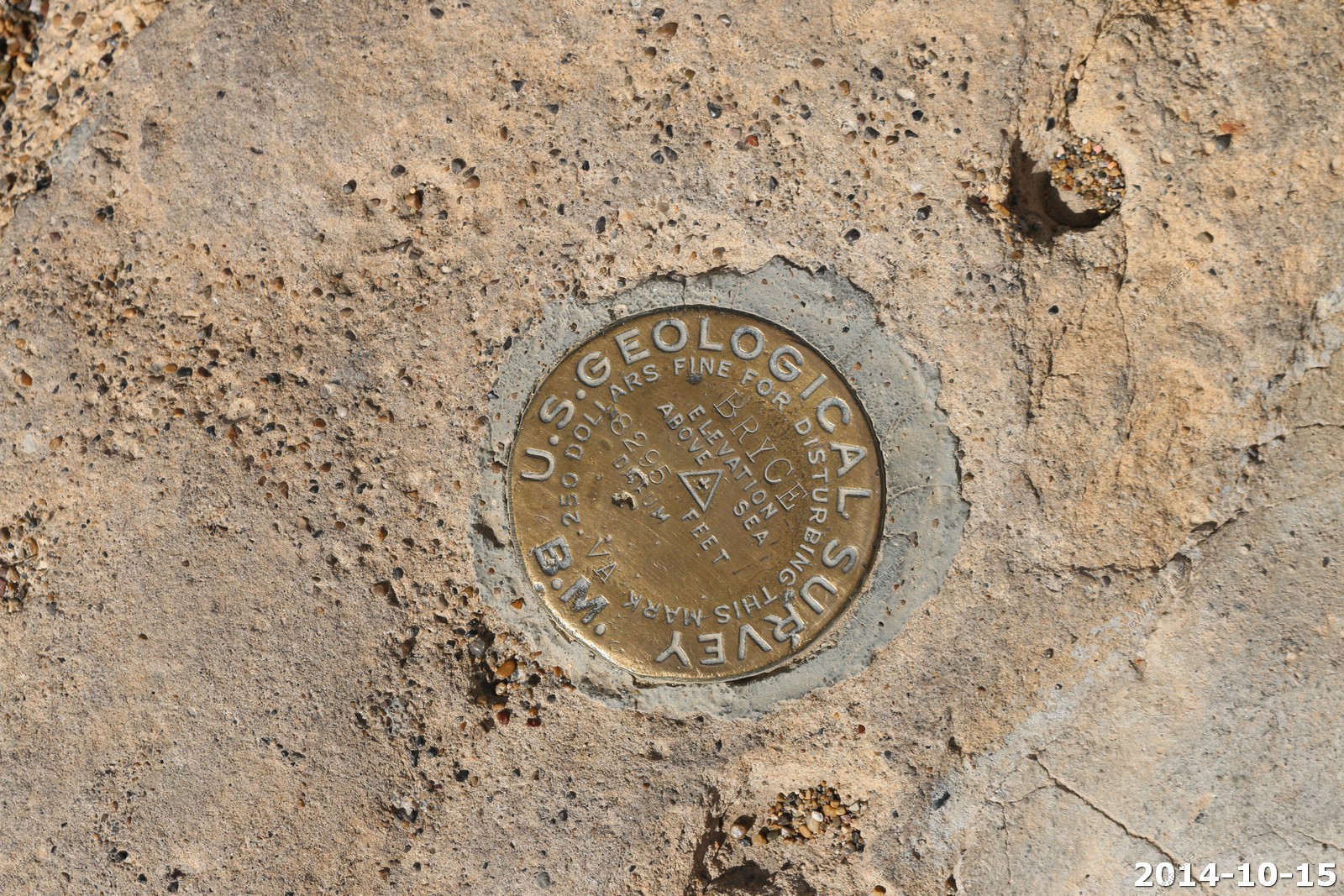
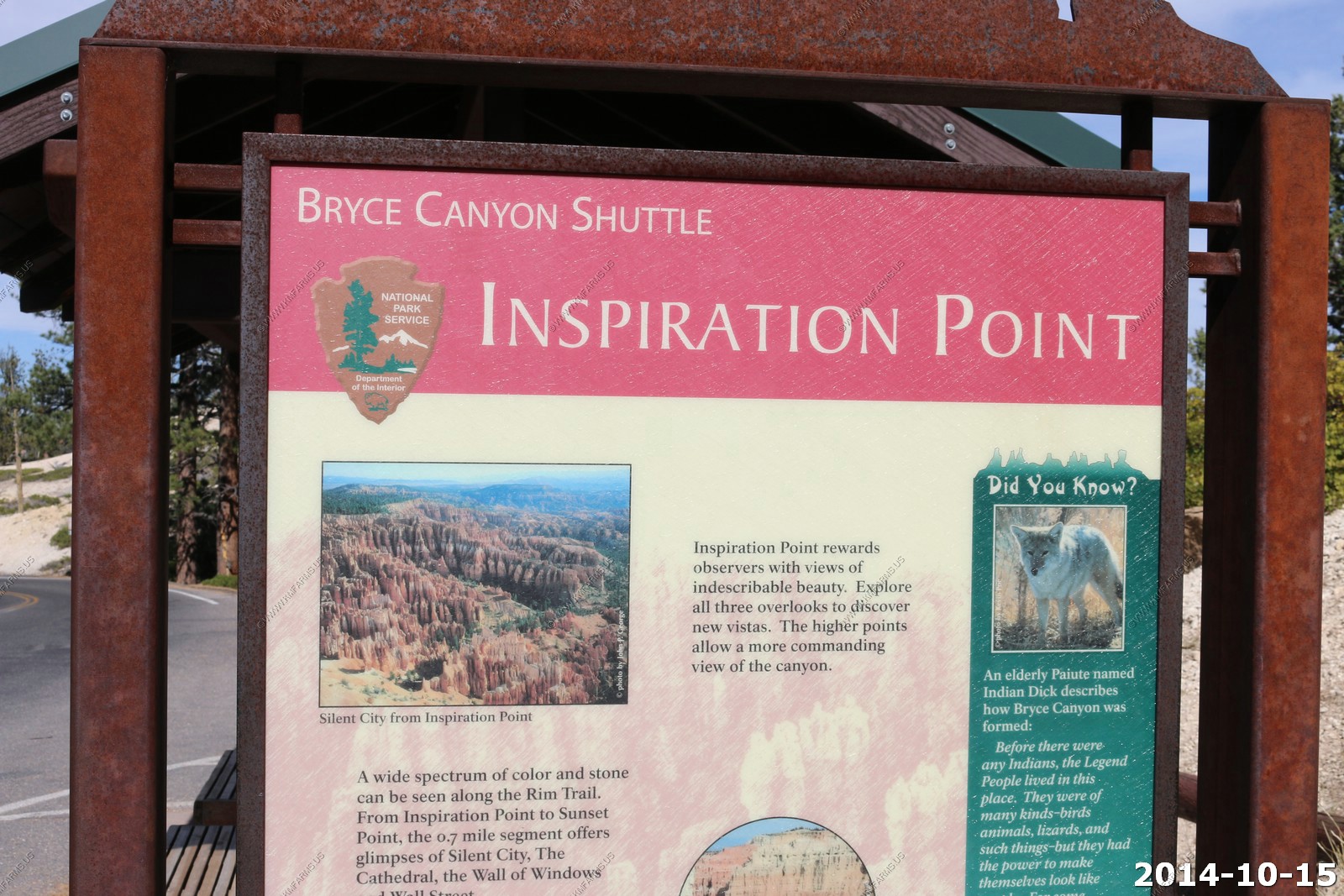
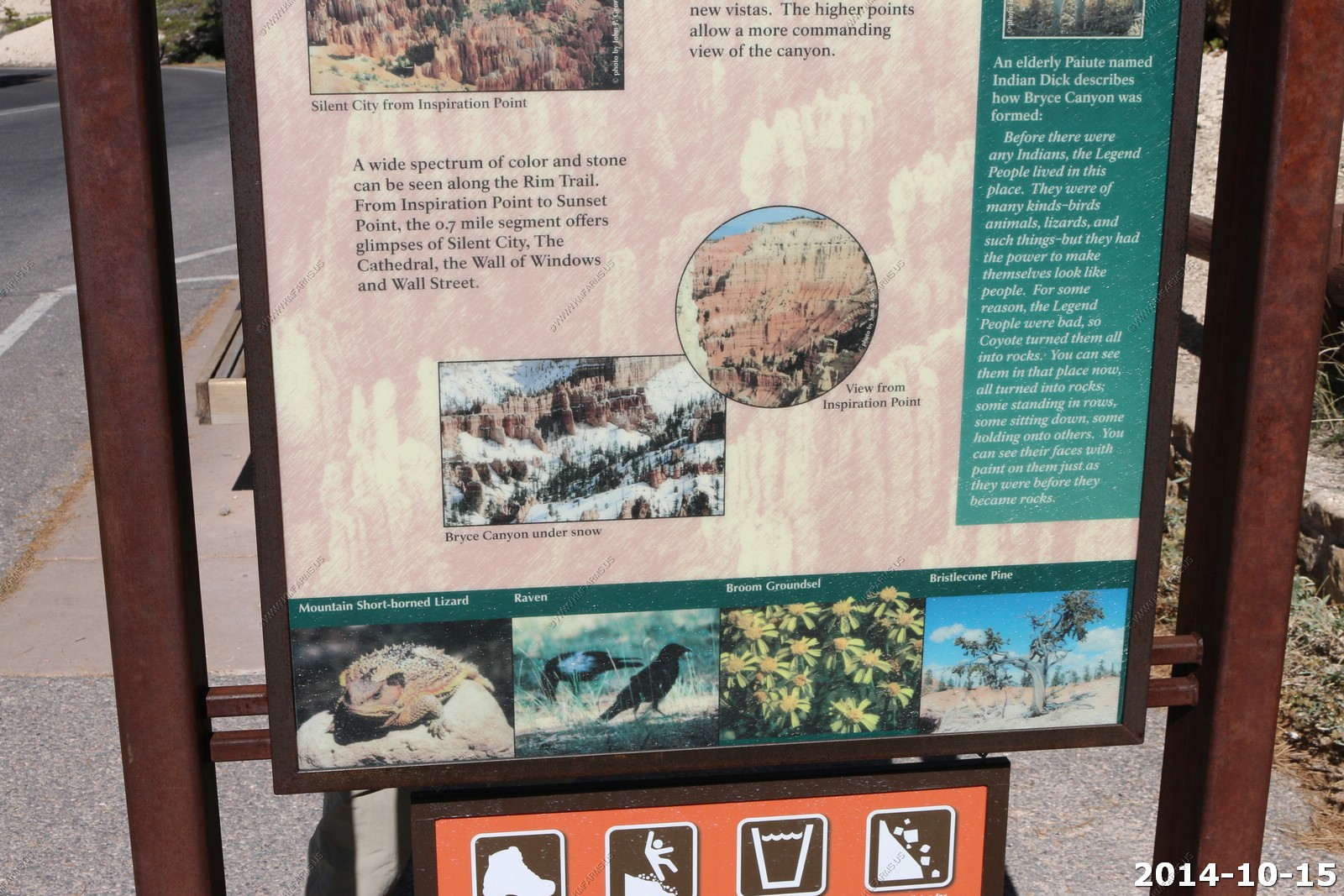
Inspiration Point (El. 8,100)
This is probably the best viewpoint to see the formation colors. Also, this is the most crowded viewpoint.
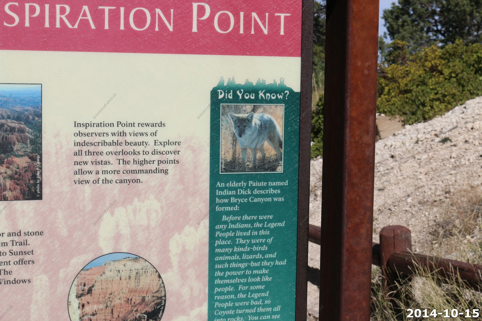
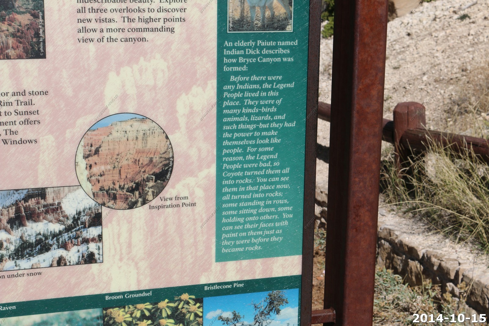
Various Inspiration Point views.
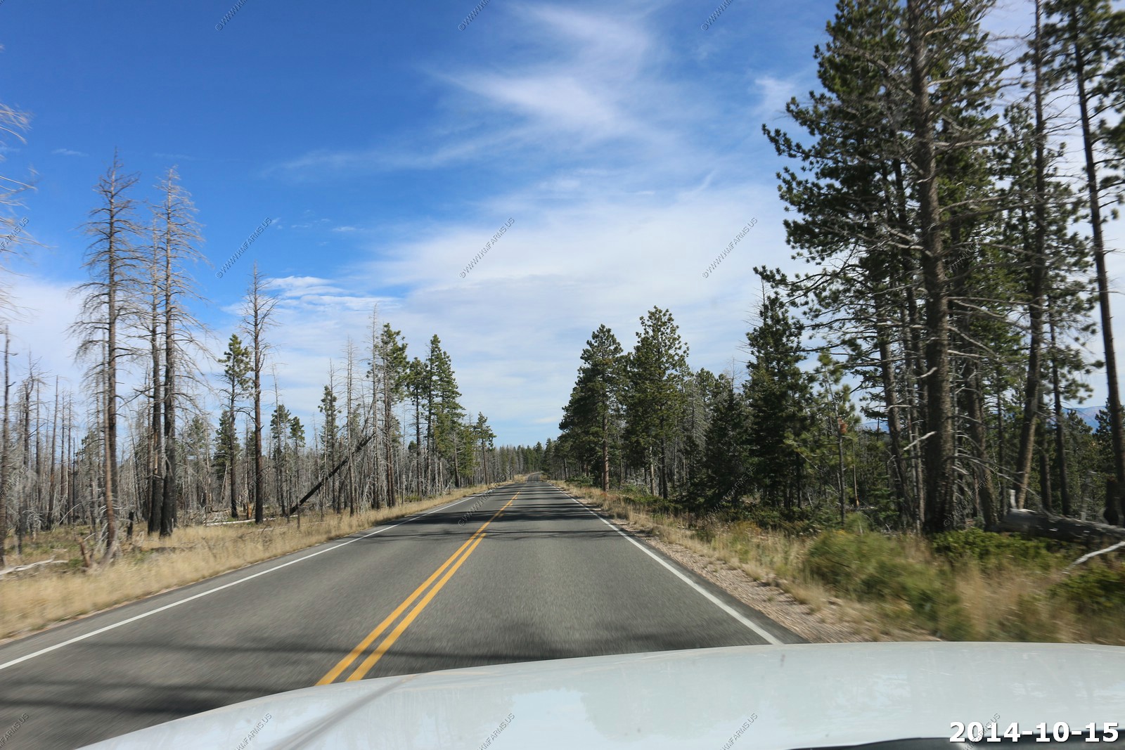
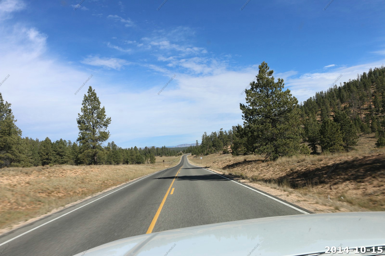
So we continued west on UT-12 The cool formations continue.
On US-89. Only 411 miles to Phoenix, AZ.
We stopped for gas and snacks in Long Valley Junction at Tod's convenience store. This was the first place on our trip that I saw hard liquor for sale. Utah really had changed beer wise in the past 11 years as it now seems to be everywhere but we did not see any bourbon or other 80+ proof sprits. Well they had a bottle of Jack Daniels covered with dust and close to $80 for a fifth. Not a very good deal !
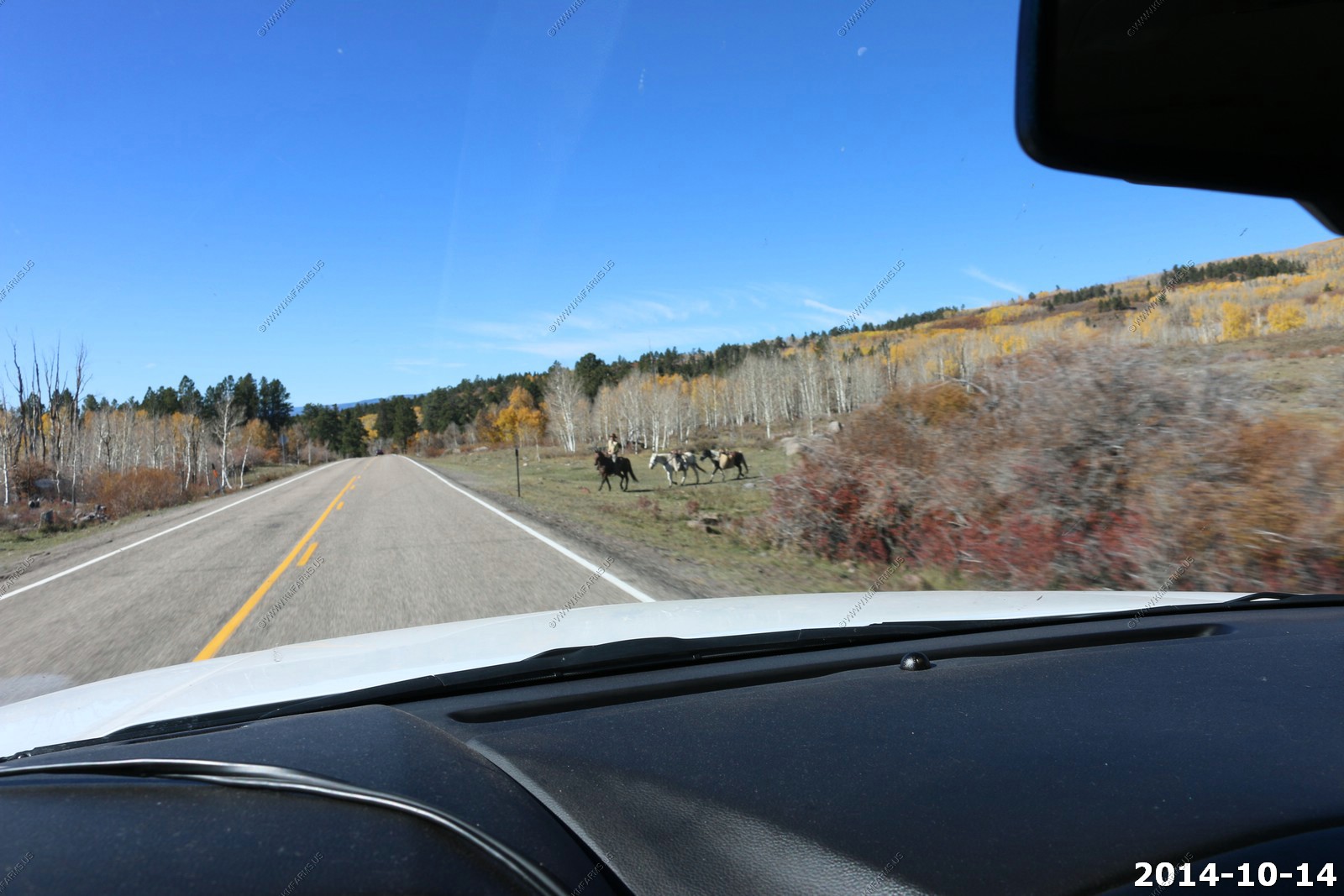
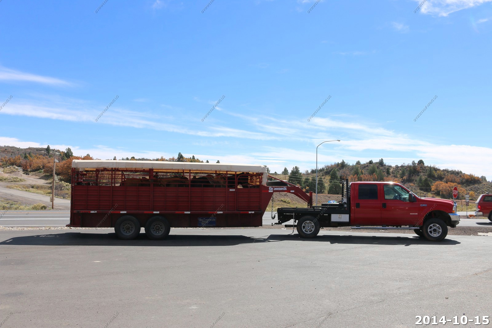
While I was in Mary was taking photos of a trailer with horses.
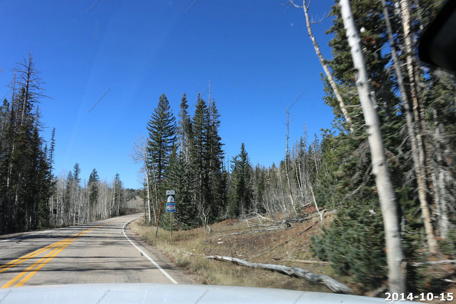
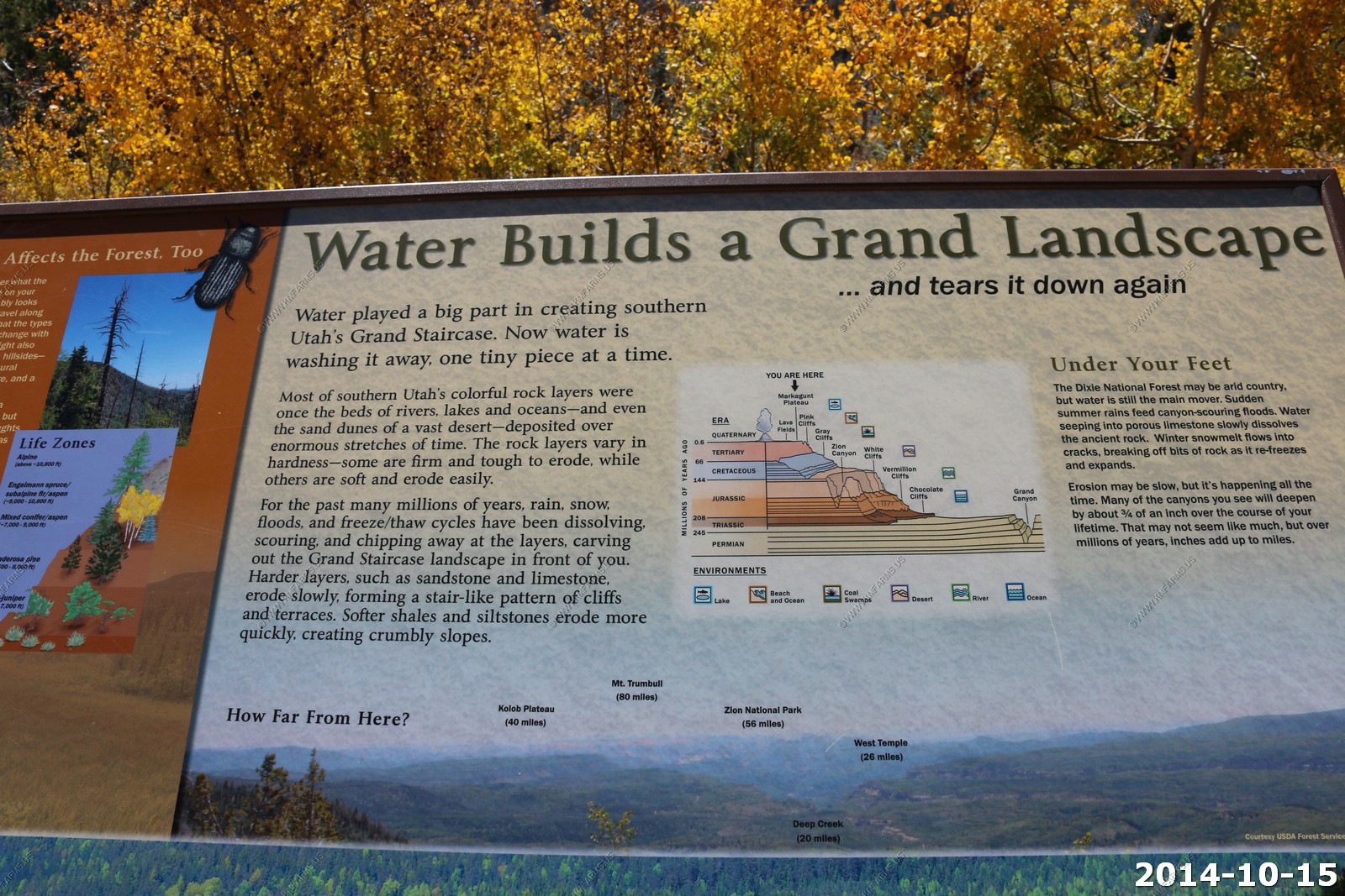
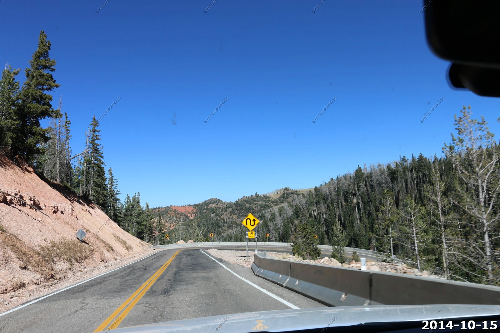
UT-14 is an interesting road. The highway has been designated the Markagaunt High Plateau Scenic Byway as part of the Utah Scenic Byways program.
We would spend teh next 40 miles or so traveling across the Markagunt Plateau is an 800-square-mile plateau located in southwestern Utah between Interstate 15 and U.S. Route 89. It is one of the plateaus that make up the High Plateaus Section of the Colorado Plateau Province.
The name is derived from a Piute word meaning "Highland of Trees".
The Markagunt Plateau volcanic field is an area of basaltic cinder cones and blocky lava flows. The most recent flows occurred around 1050 A.D. and were preceded by a series of trachytic, andesitic and rhyolitic lava.
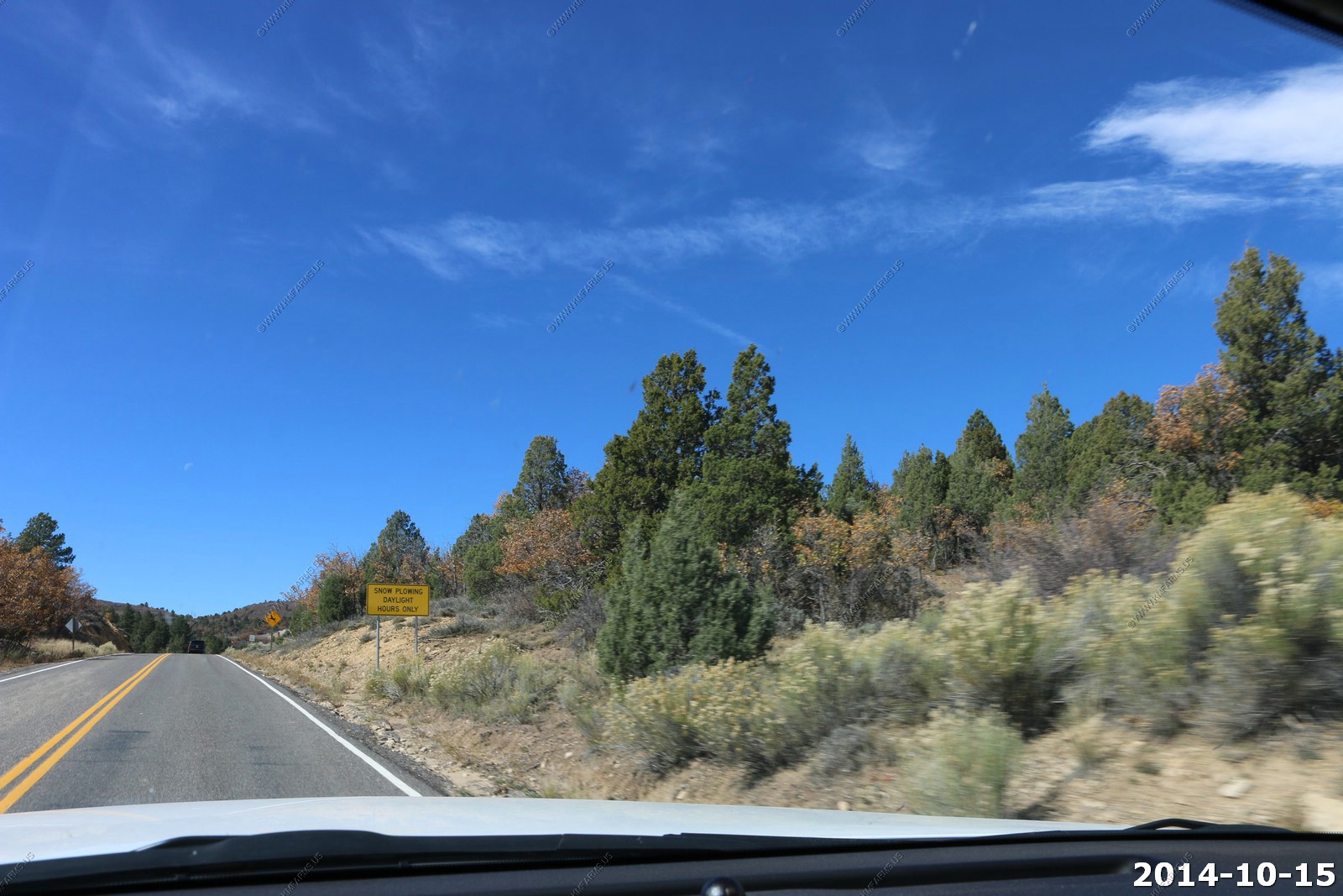
A number of warning signs along UT-14
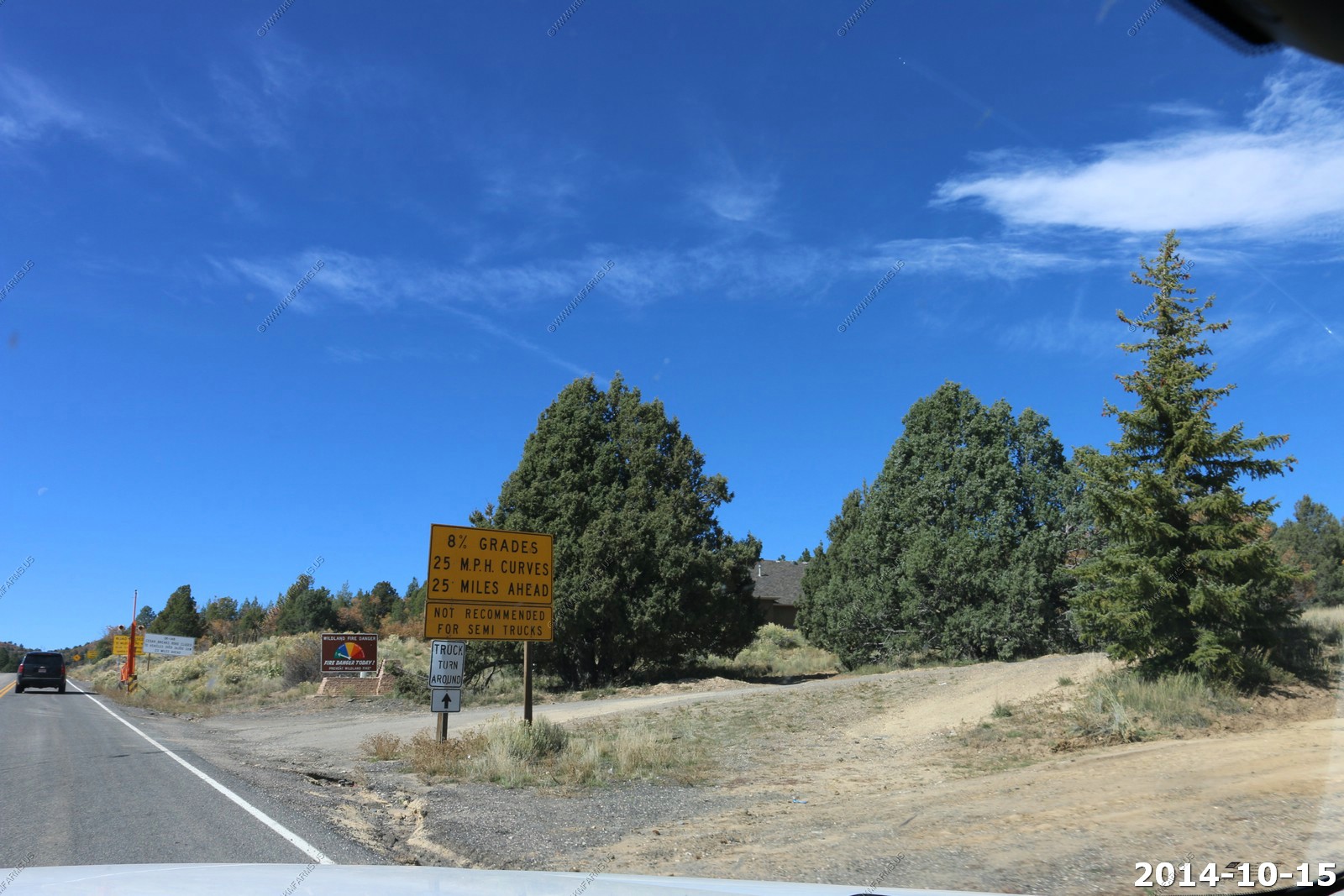
We need this back in the east to slow the idiots down.
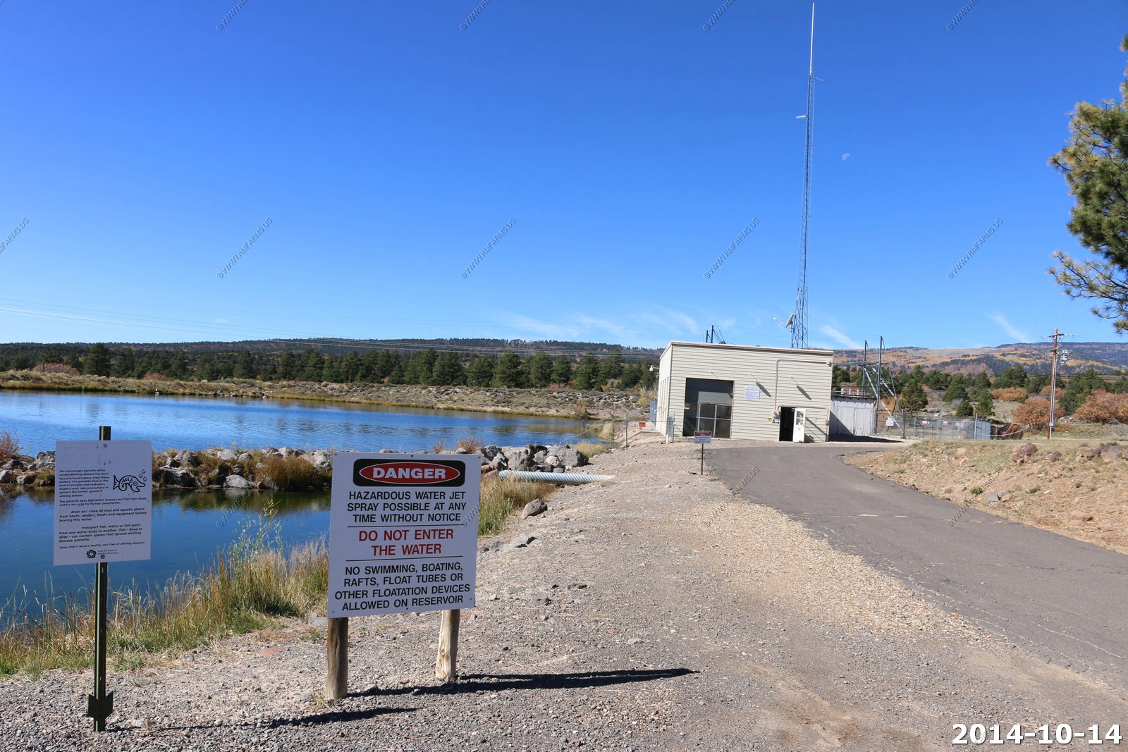
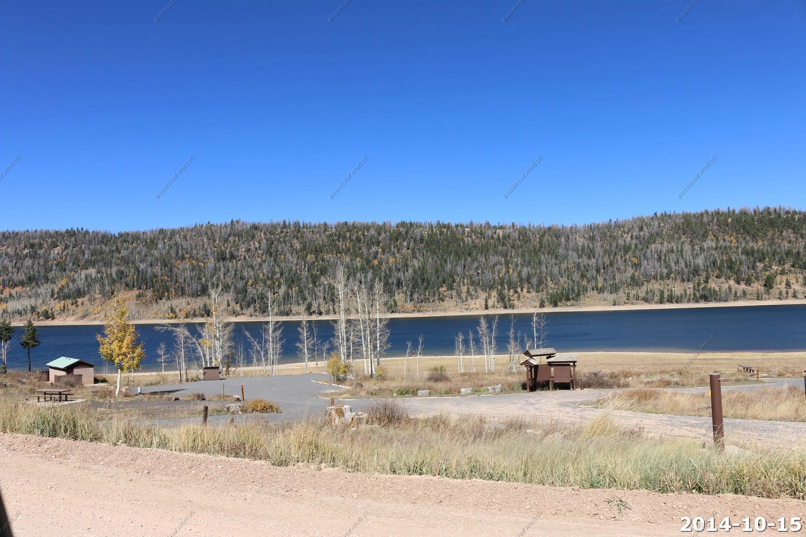
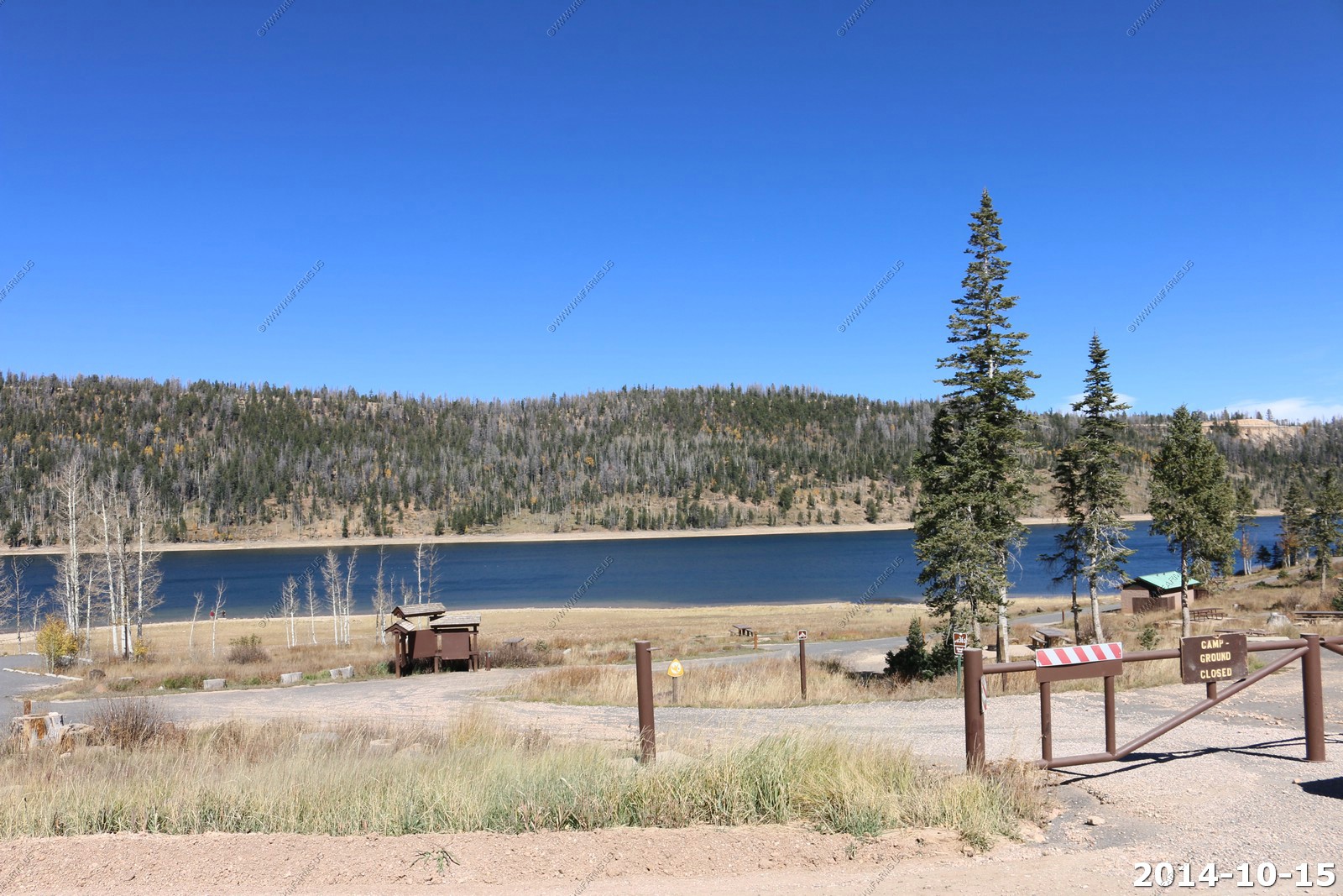
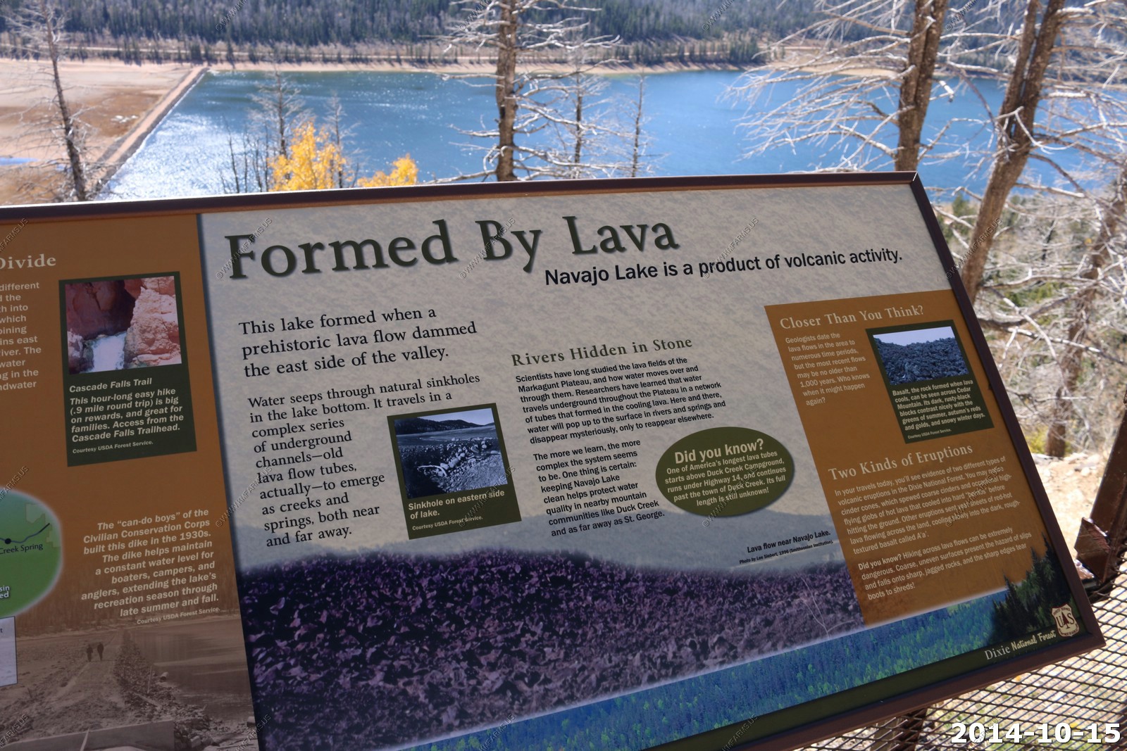
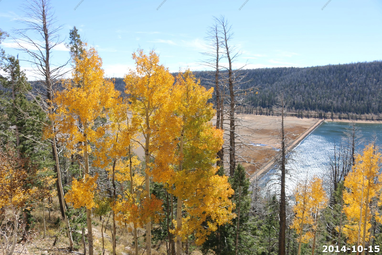
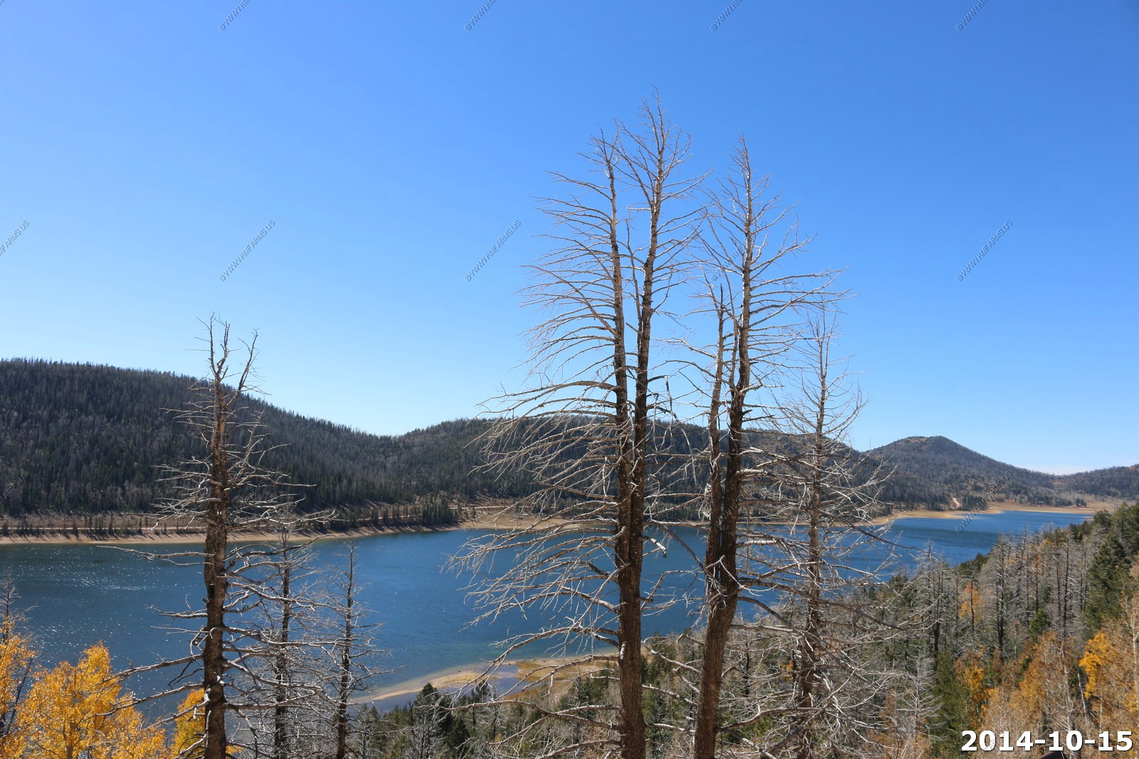
A quick stop at Navajo Lake to look at birds which were too far away.
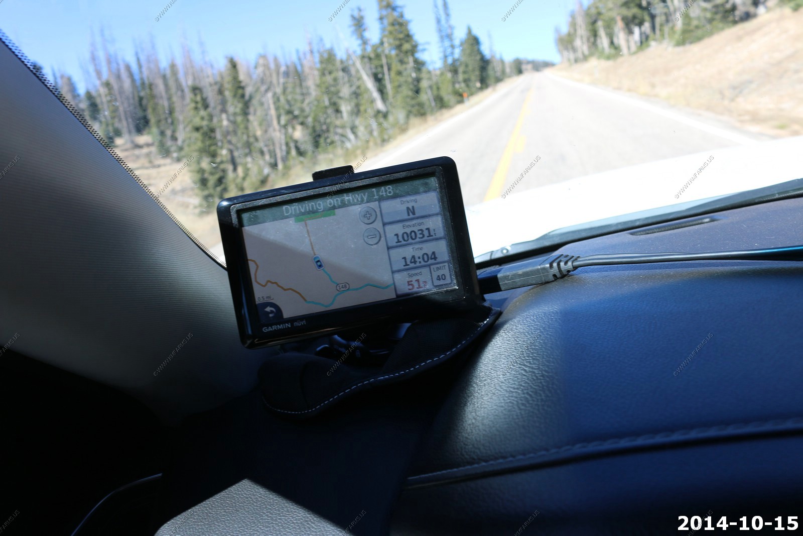
We went a few miles past the junction of UT-14 & UT-148 as I saw that an excellent viewpoint provided views of Zion National Park.
Like the sign said, Zion, The north Rim of the Grand Canyon could be seen.
Very blue sky at 10,000 feet.
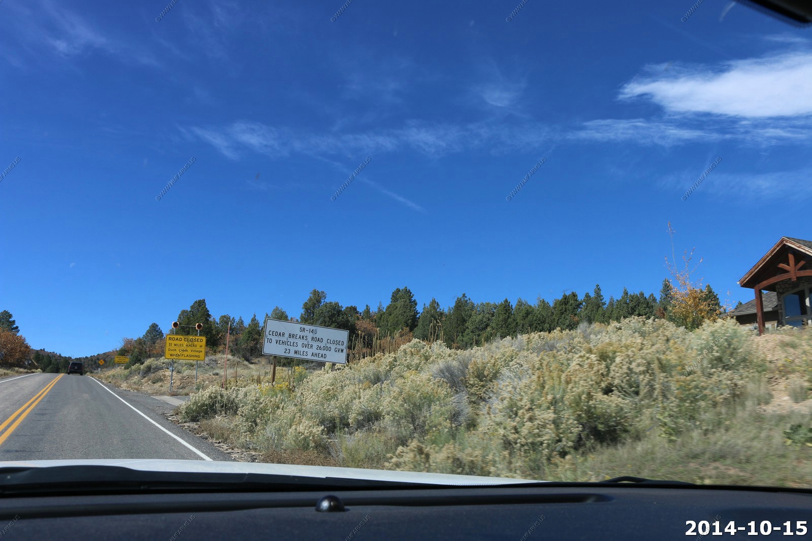
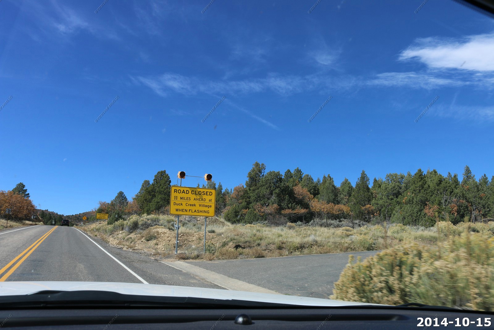
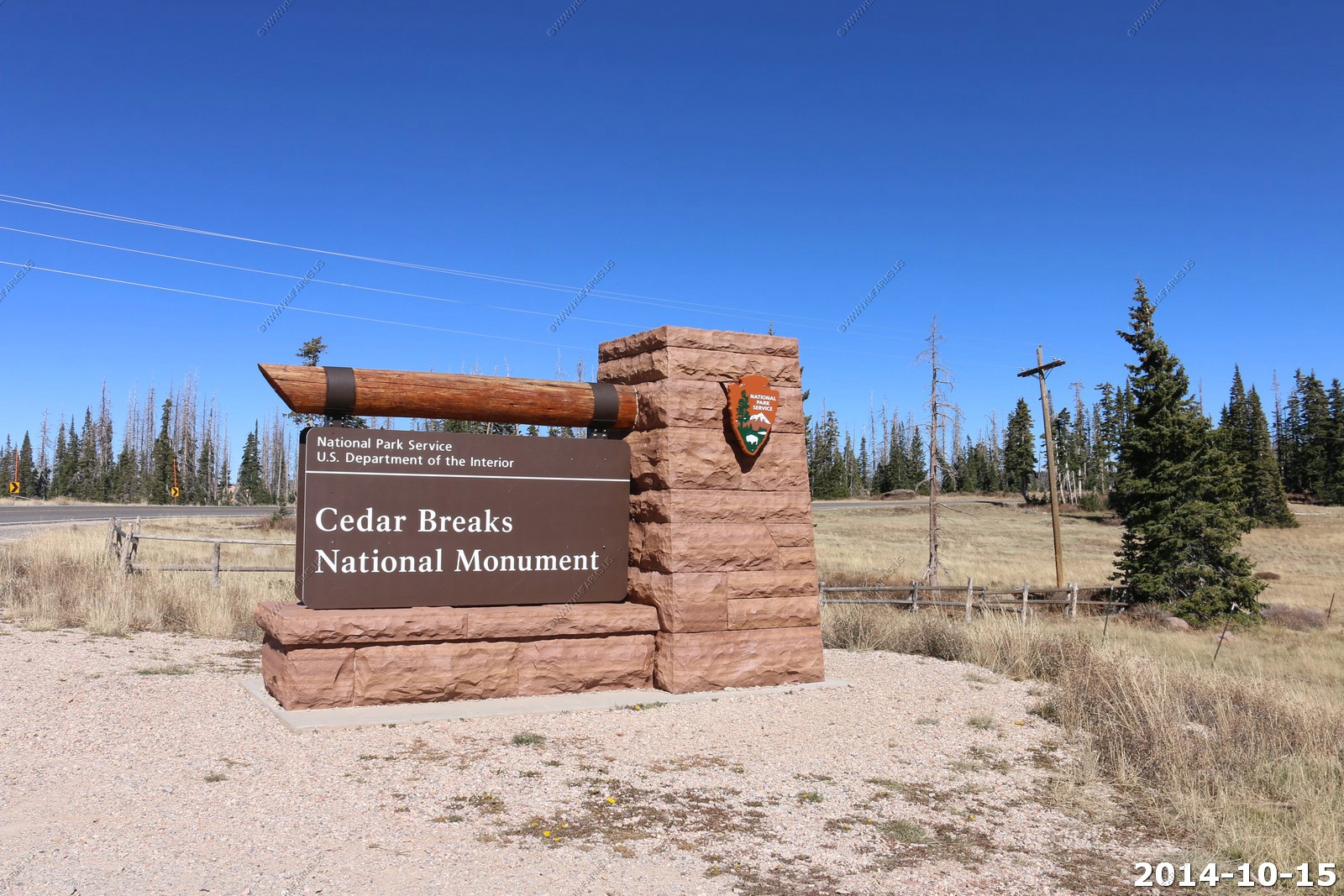
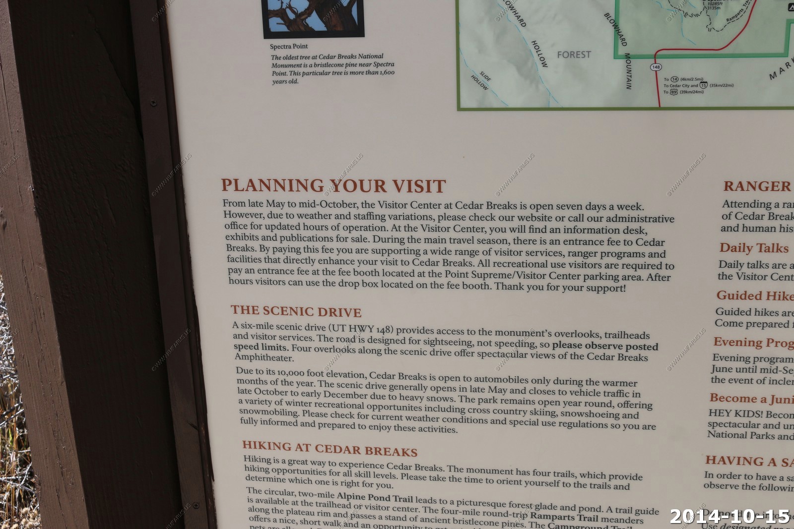
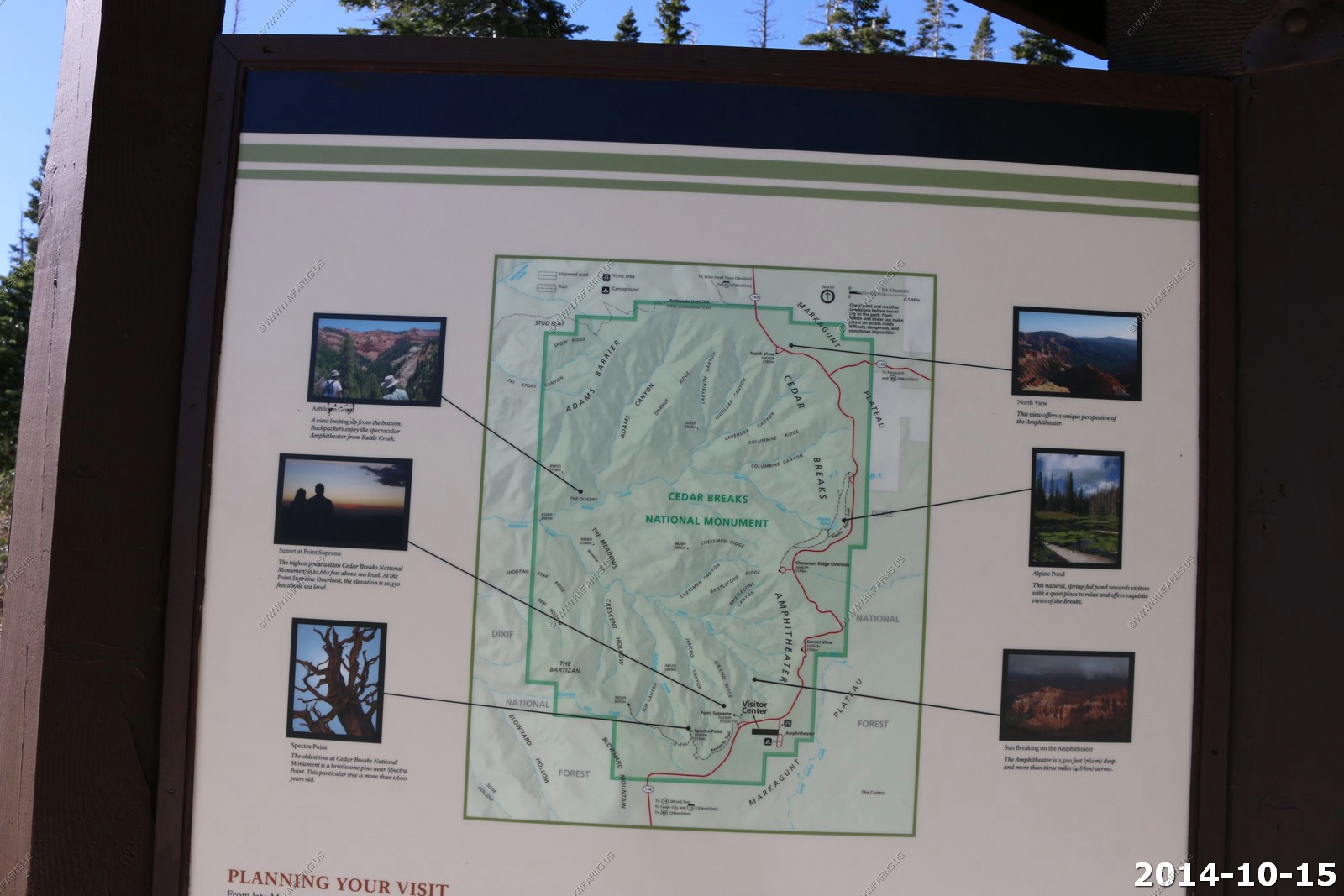
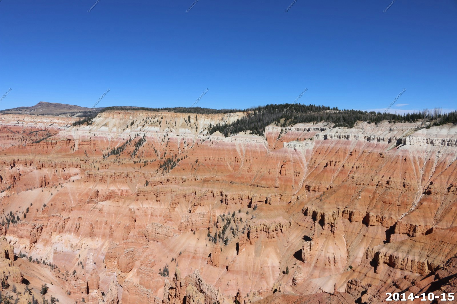
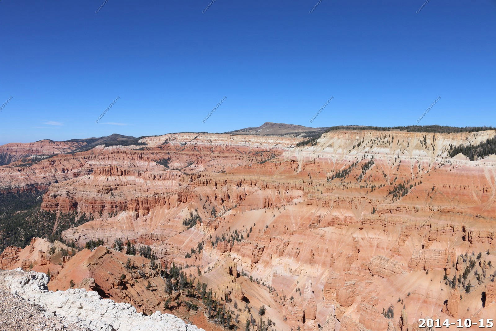
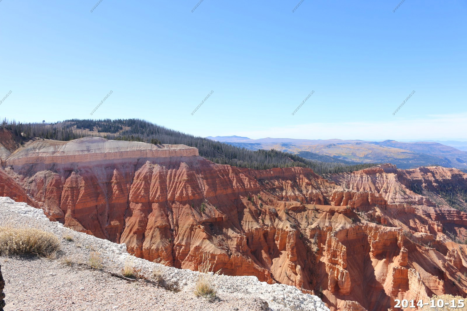
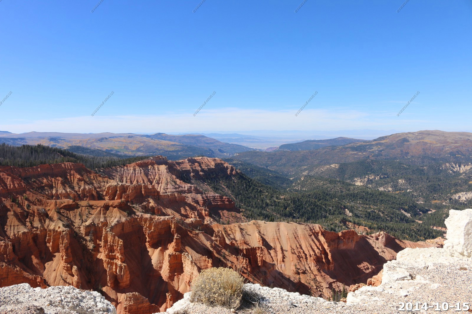
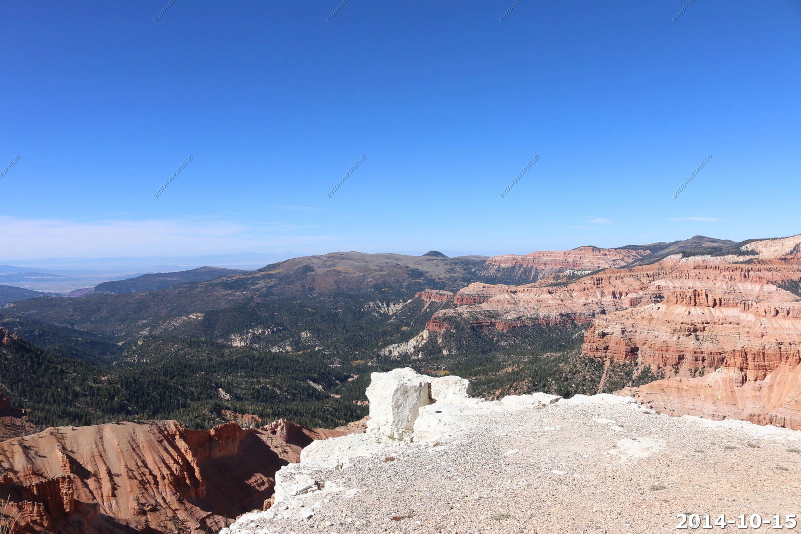
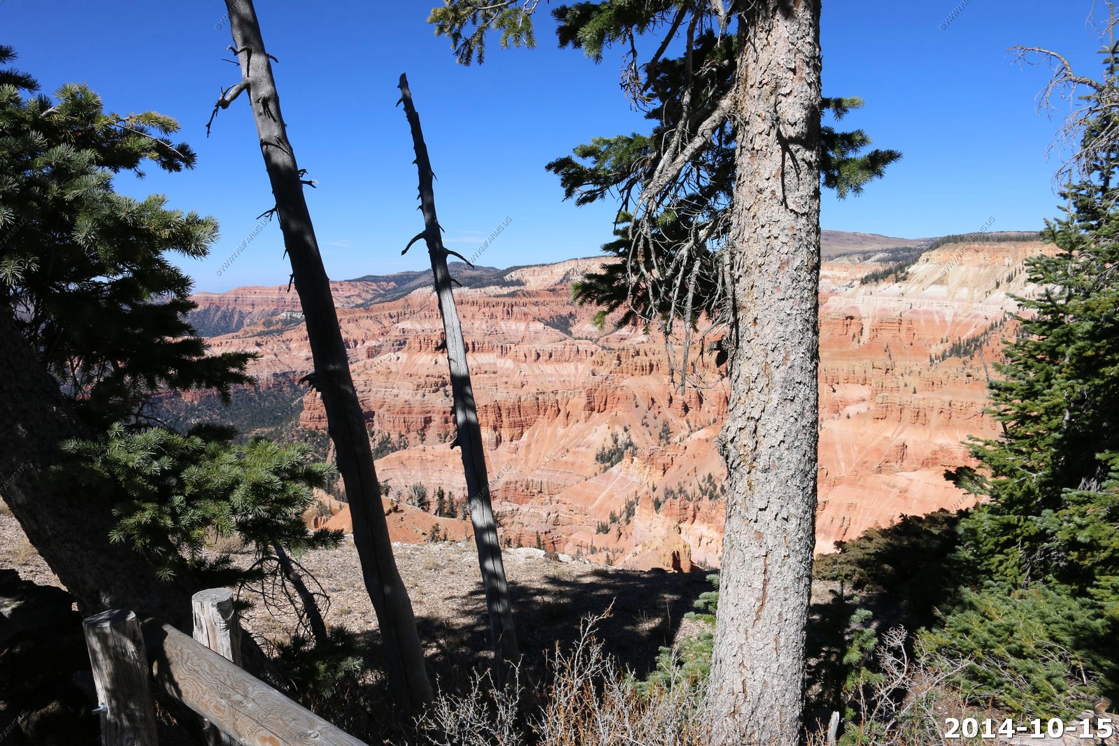
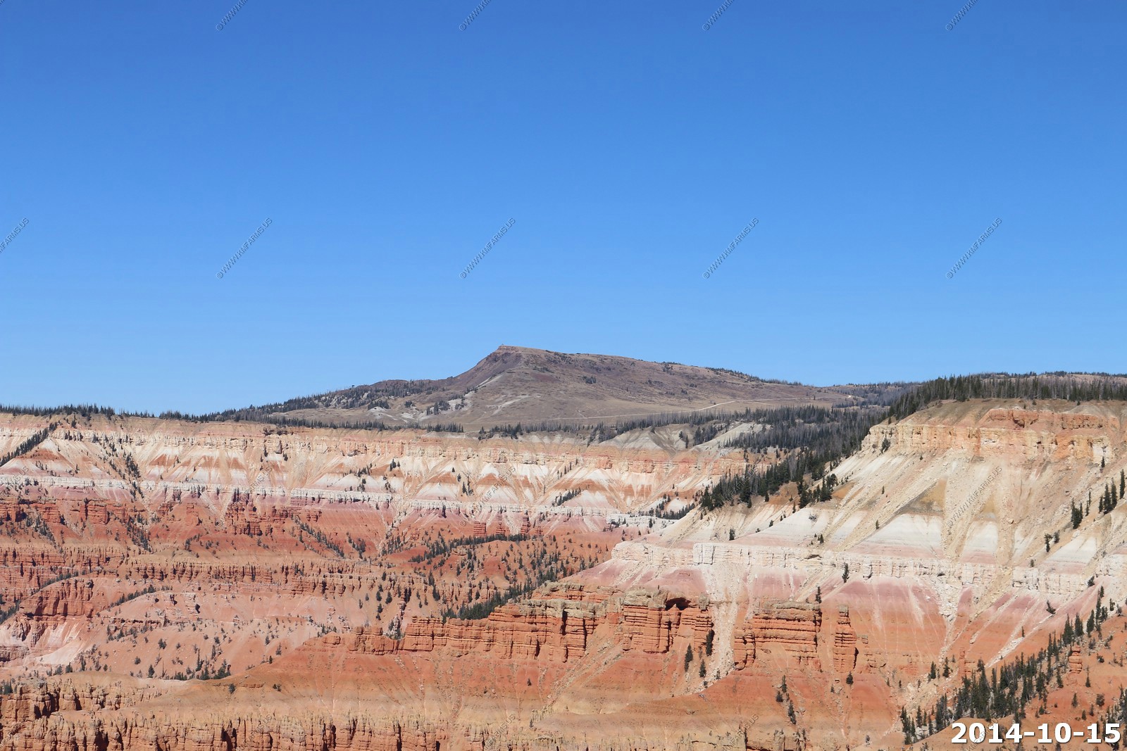
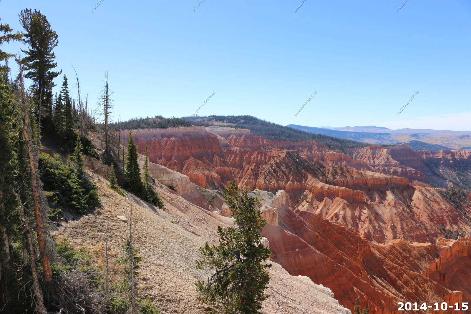
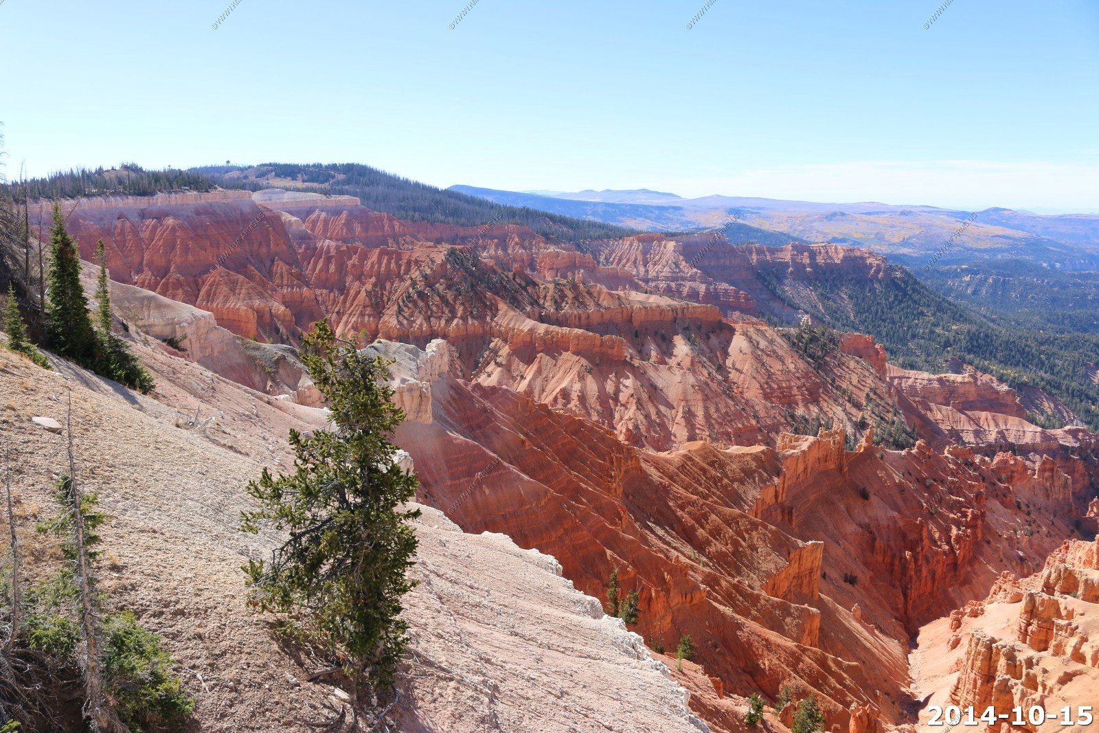
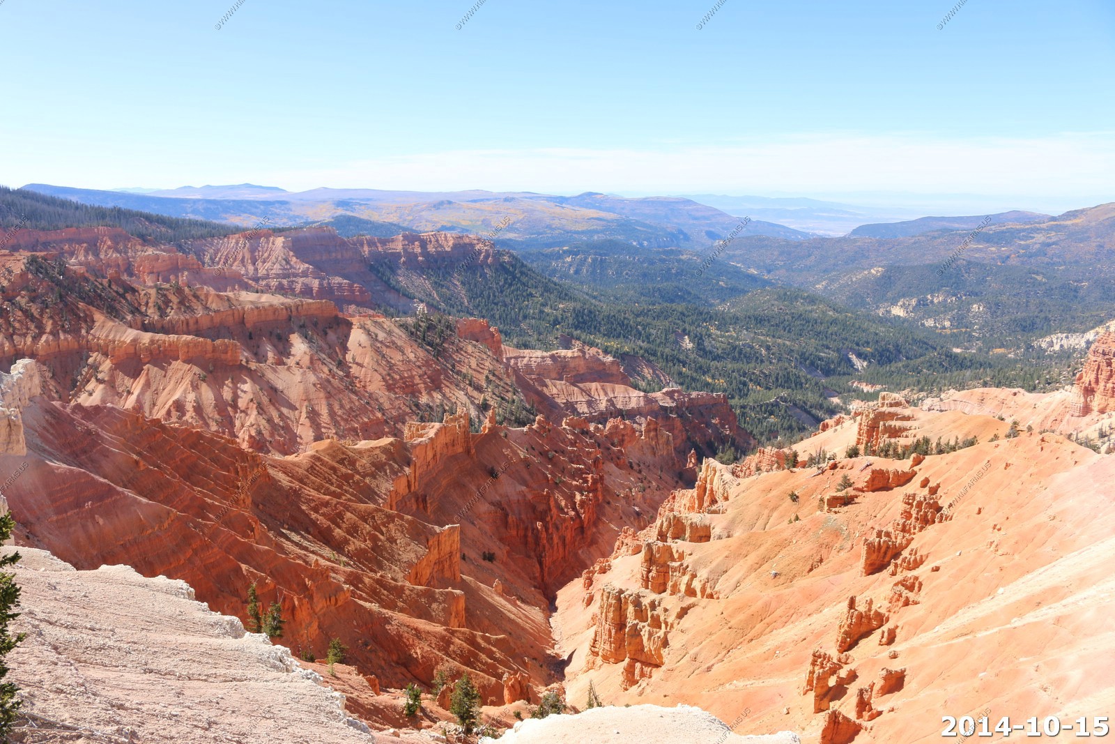
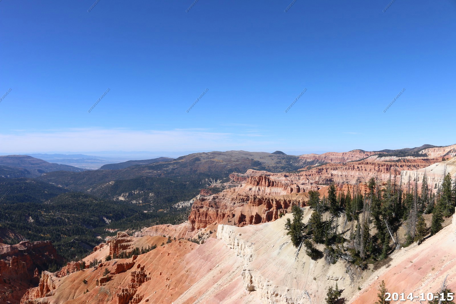
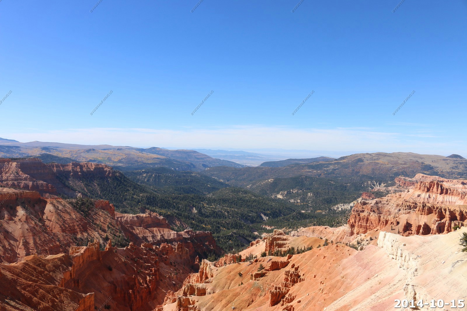
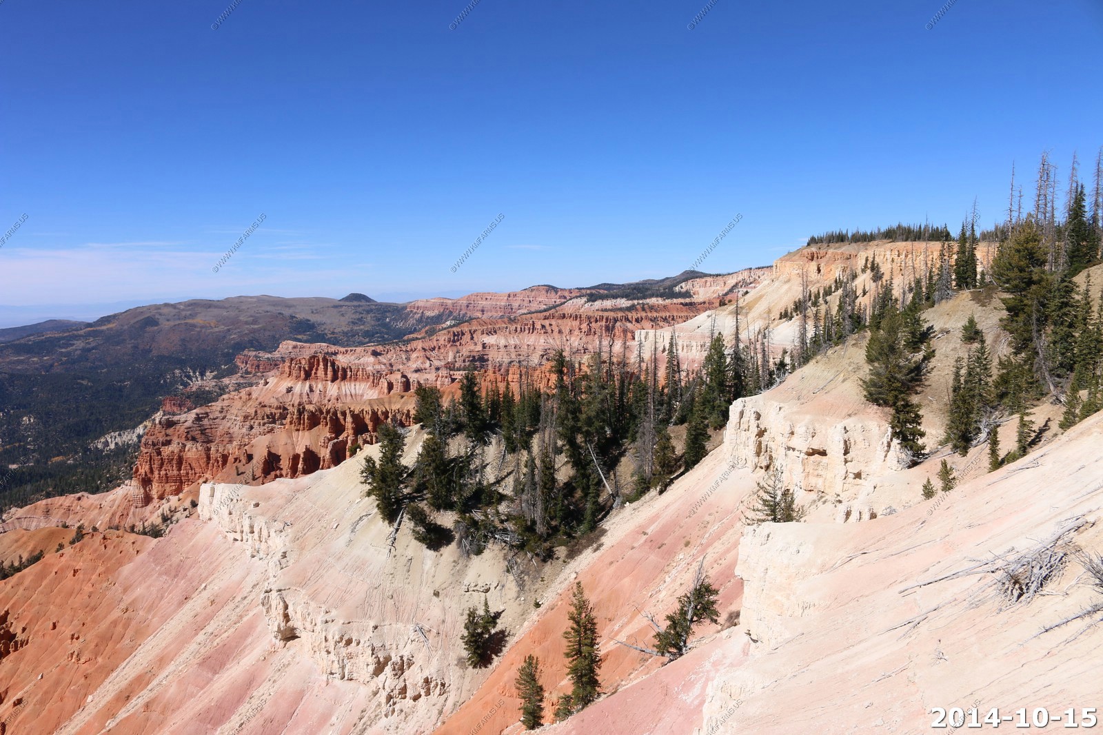
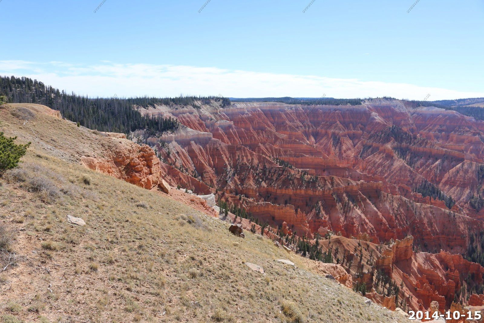
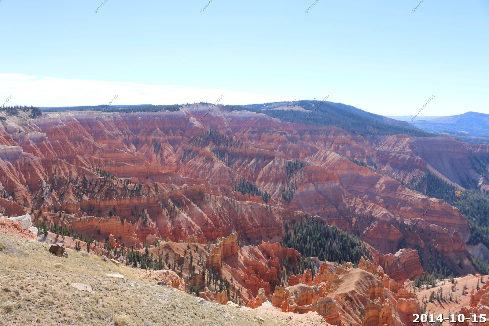
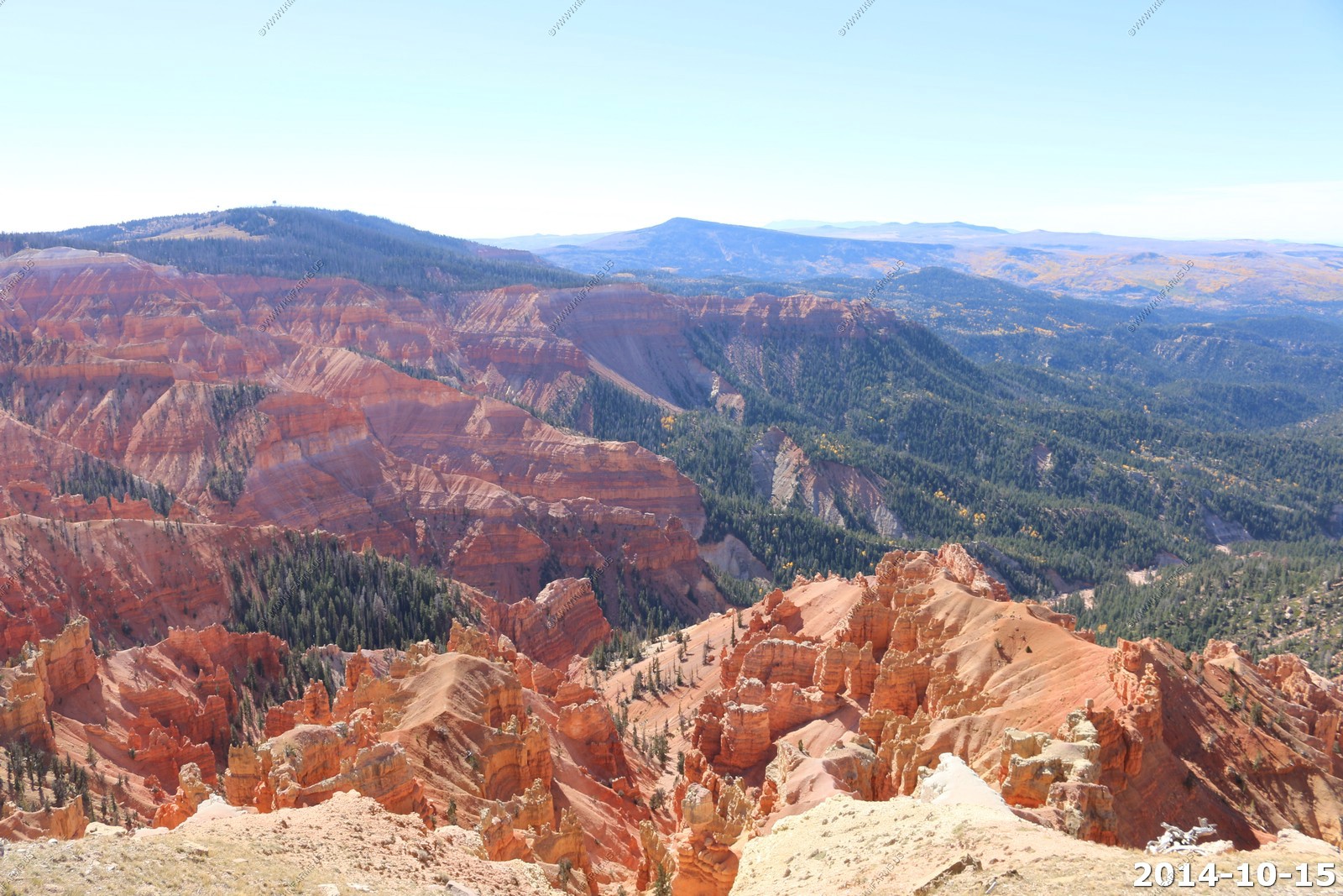
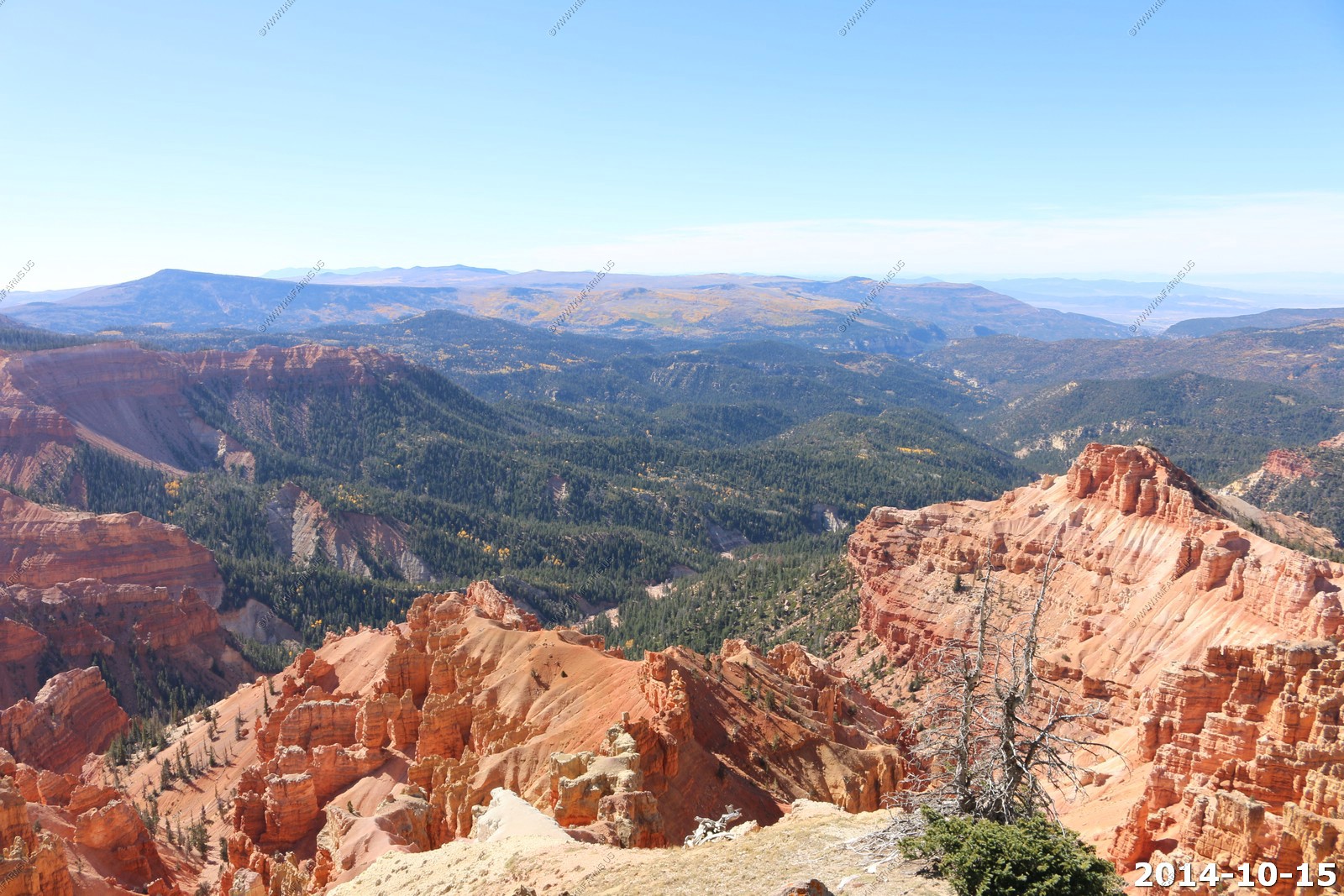
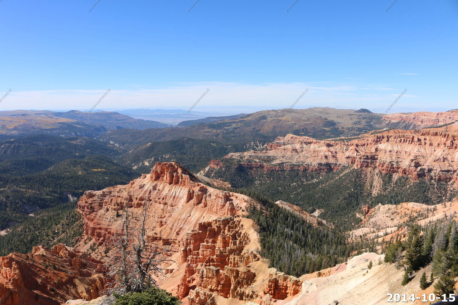
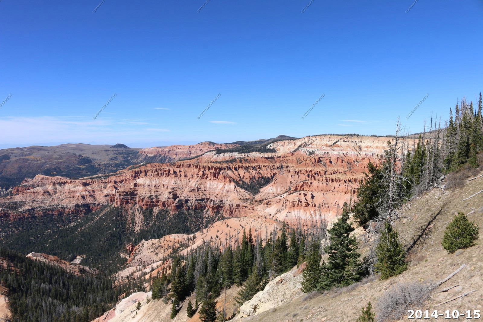
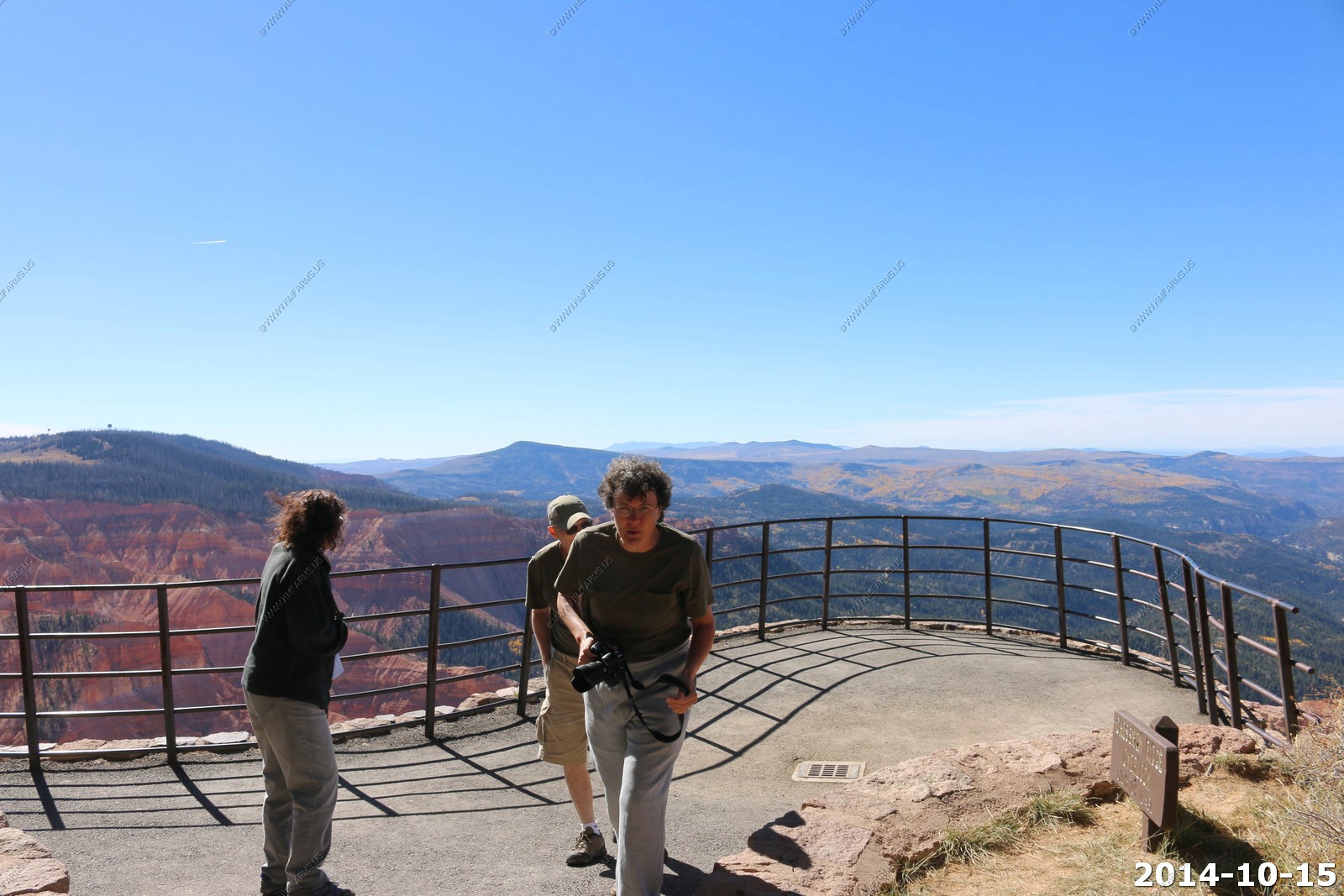
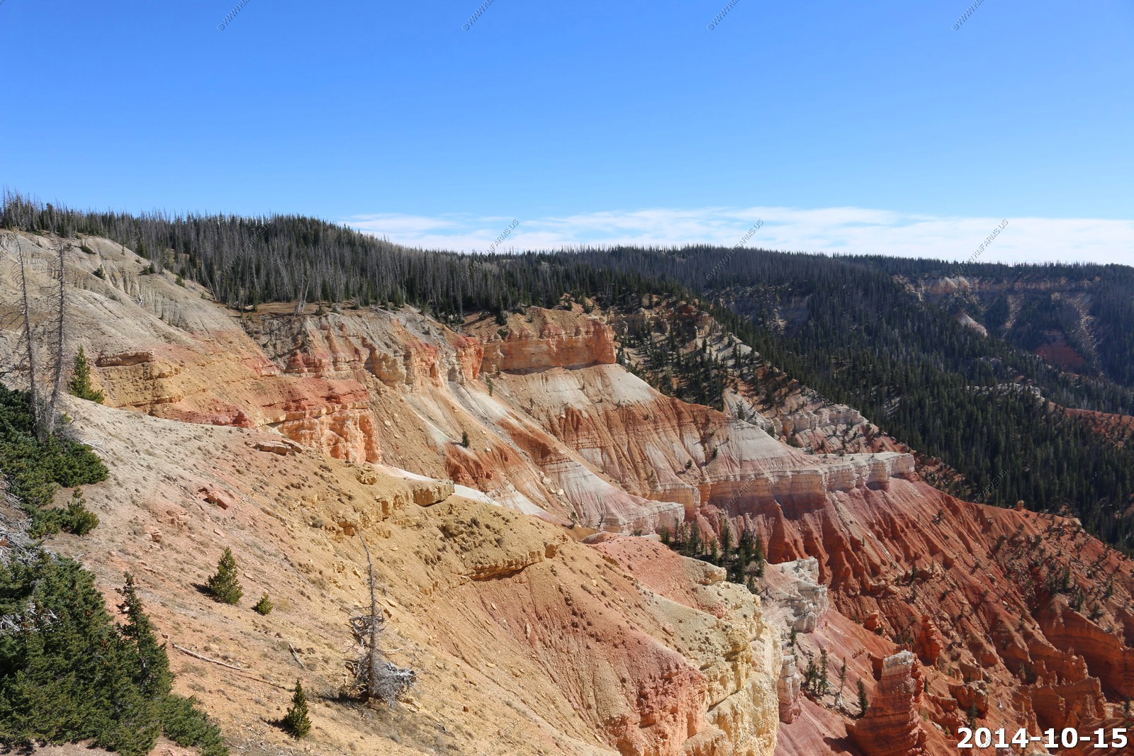
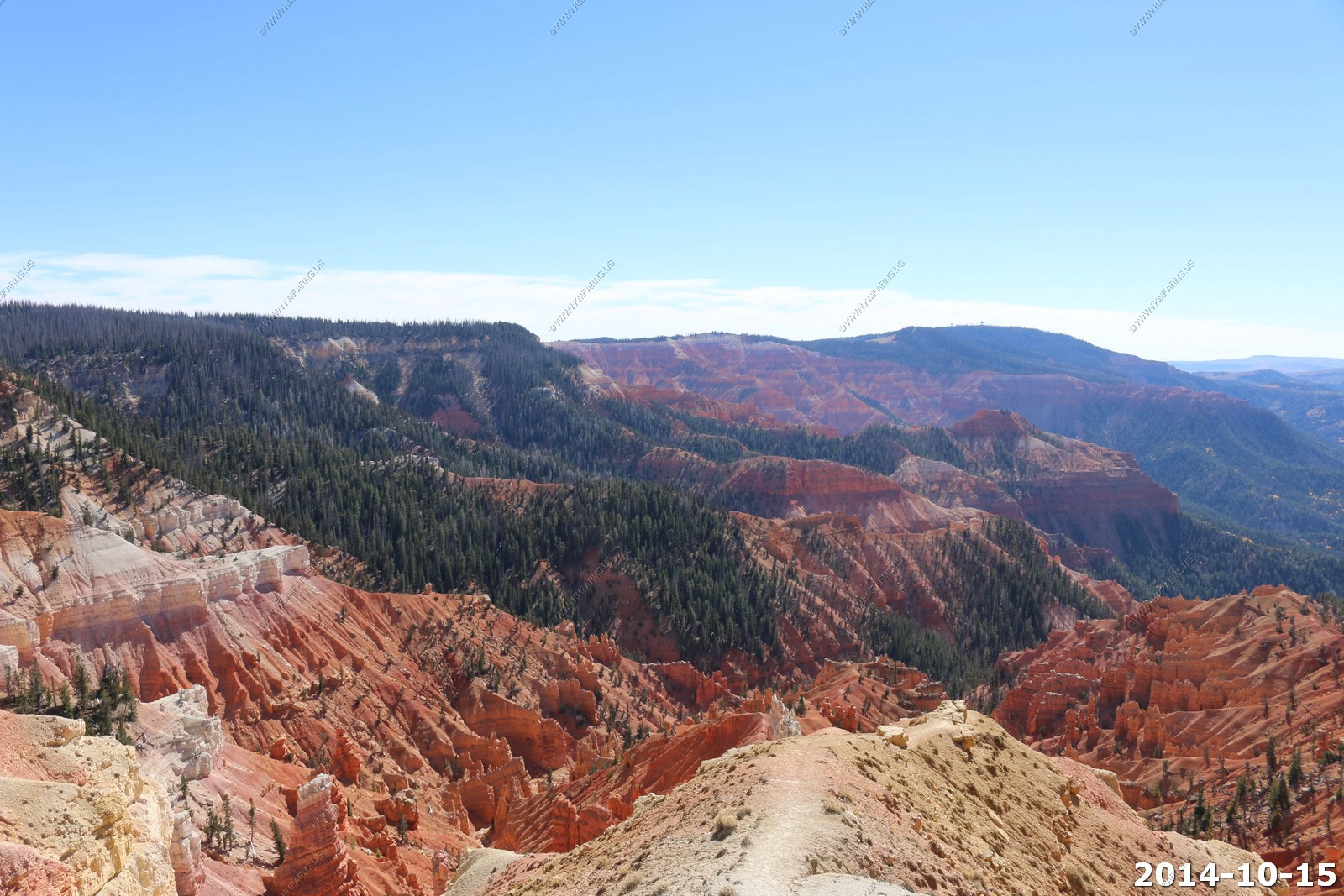
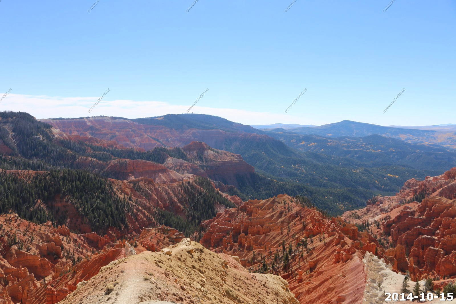
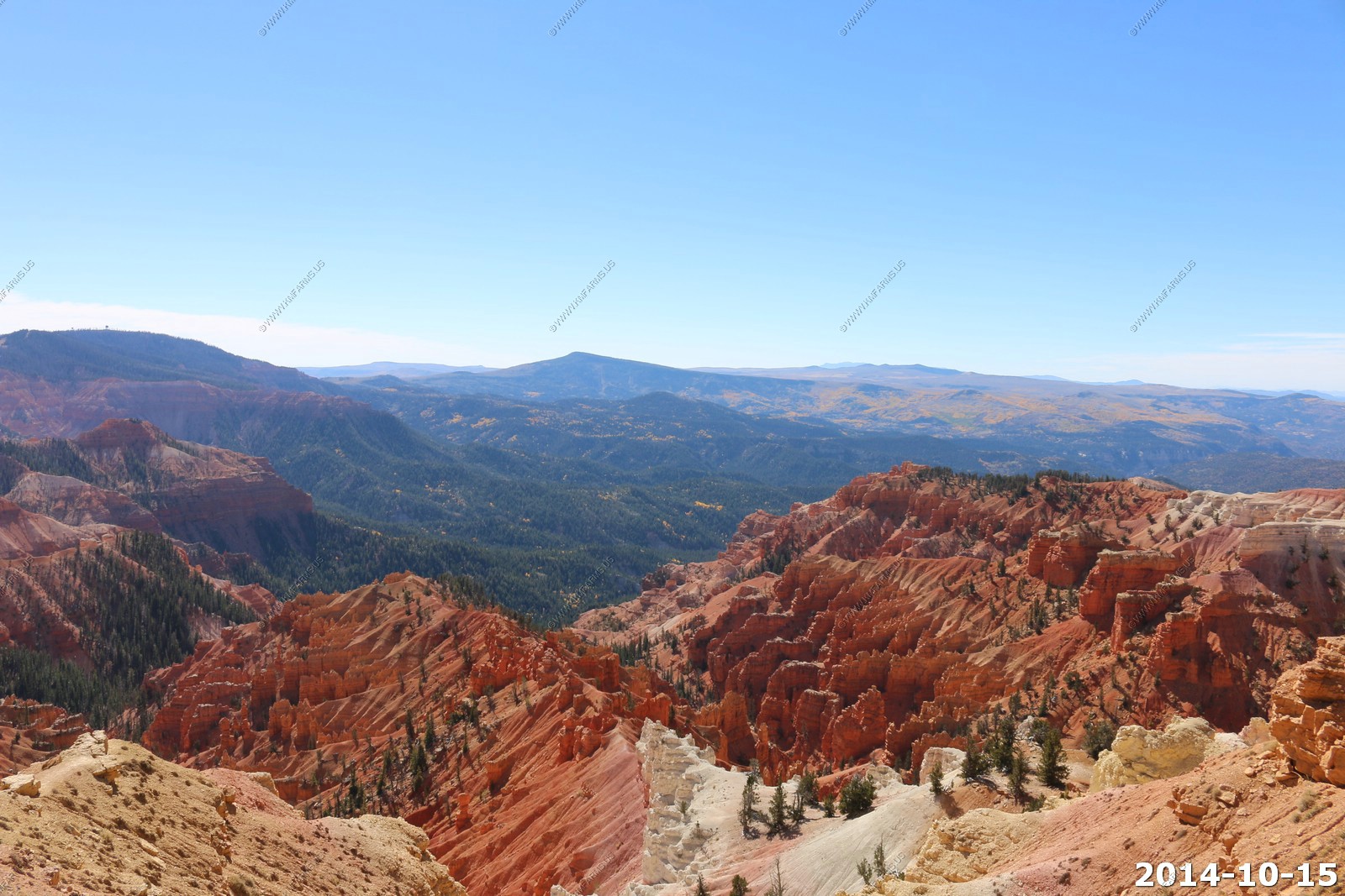
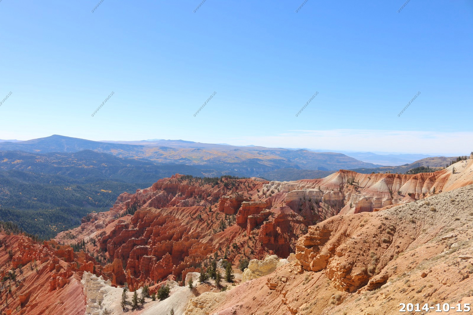
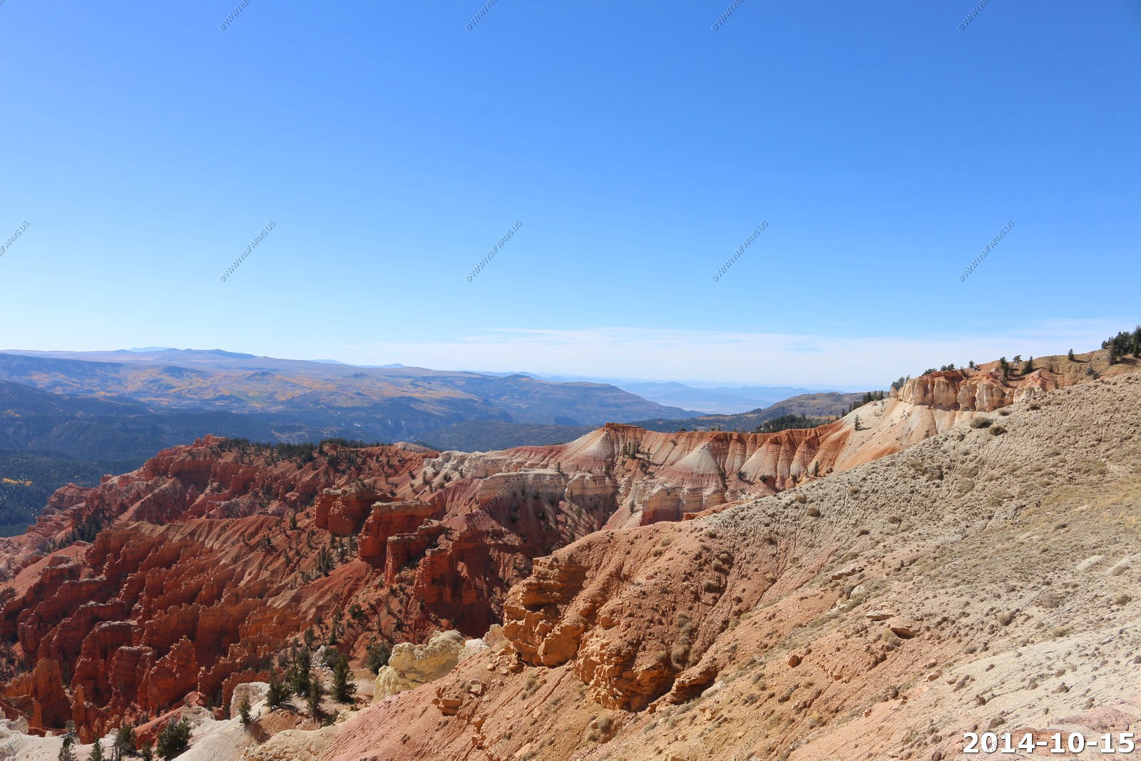
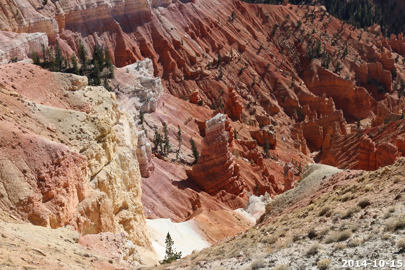
Cedar Breaks National Monument
Cedar Breaks National Monument is a U.S. National Monument located in the U.S. state of Utah near Cedar City. Cedar Breaks is a natural amphitheater, stretching across 3 miles, with a depth of over 2,000 feet. The elevation of the rim of the amphitheater is over 10,000 feet above sea level.
The eroded rock of the amphitheater is more eroded than, but otherwise similar to formations at Bryce Canyon National Park, Red Canyon in Dixie National Forest and select areas of Cedar Mountain (SR-14). Because of its elevation, snow often makes parts of the park inaccessible to vehicles from October through May. Its rim visitor center is open from June through October. Several hundred thousand people visit this spectacular wonder annually.
Information

Clear blue sky
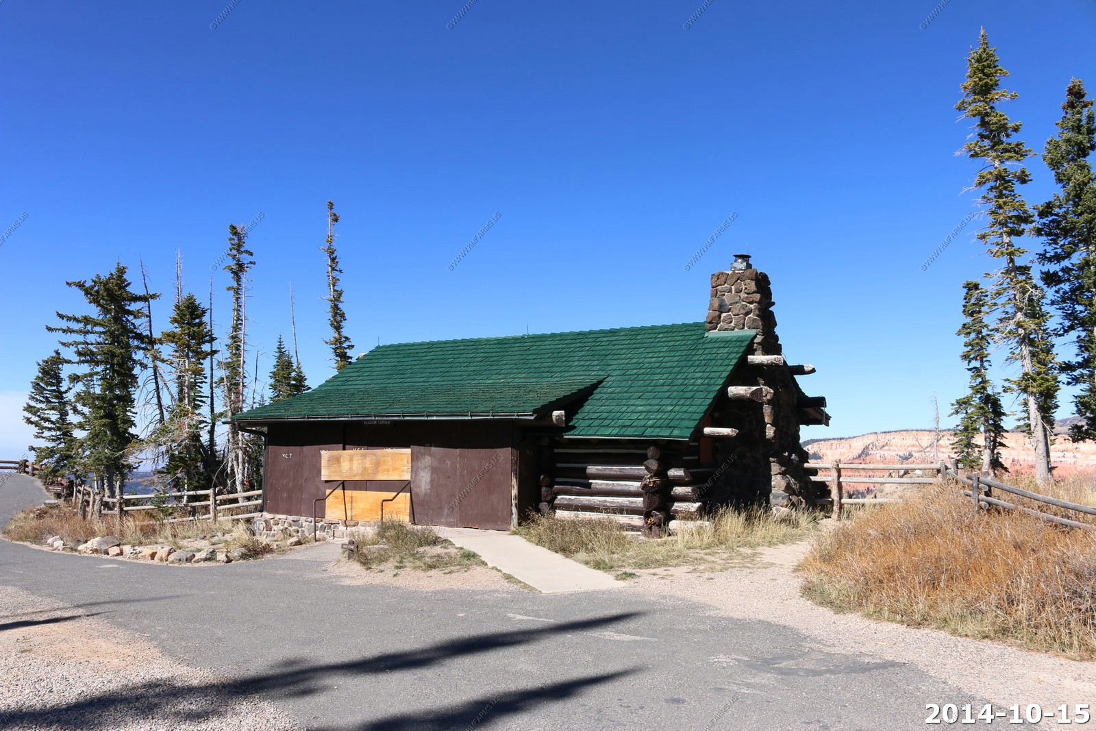
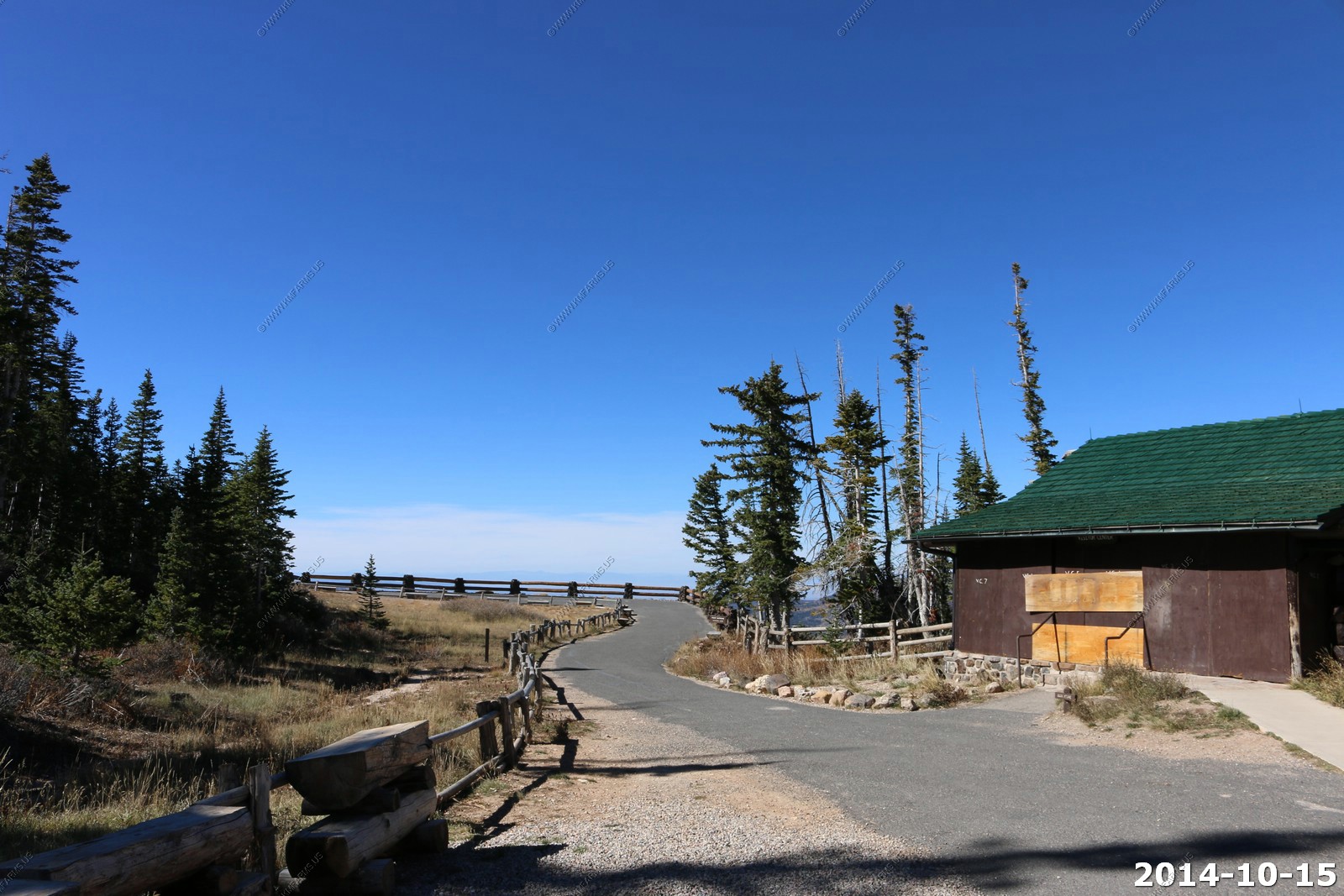
Point Supreme (El. 10,350) This is where the visitor center (closed for winter) is.

The boarded up visitor center.
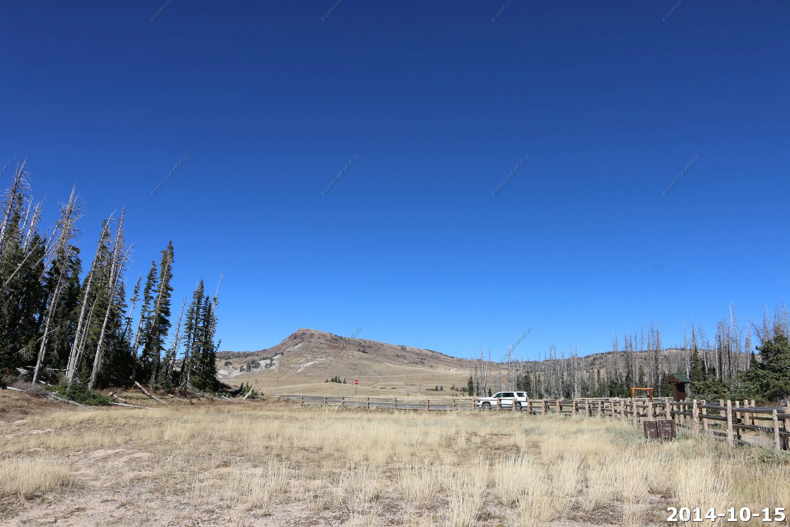
Brian head where we are going next.
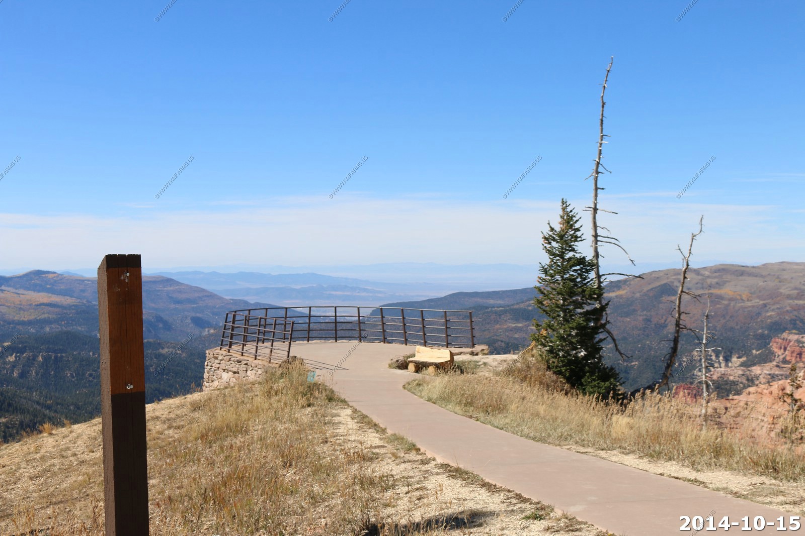
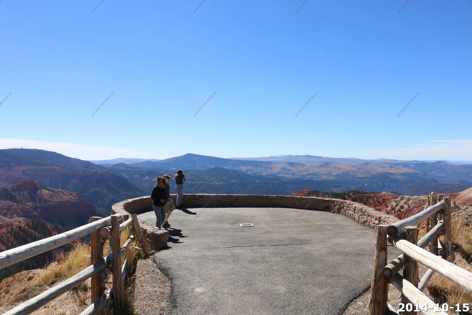
Fighting the crowds - Looking to the west you can see well into Nevada.
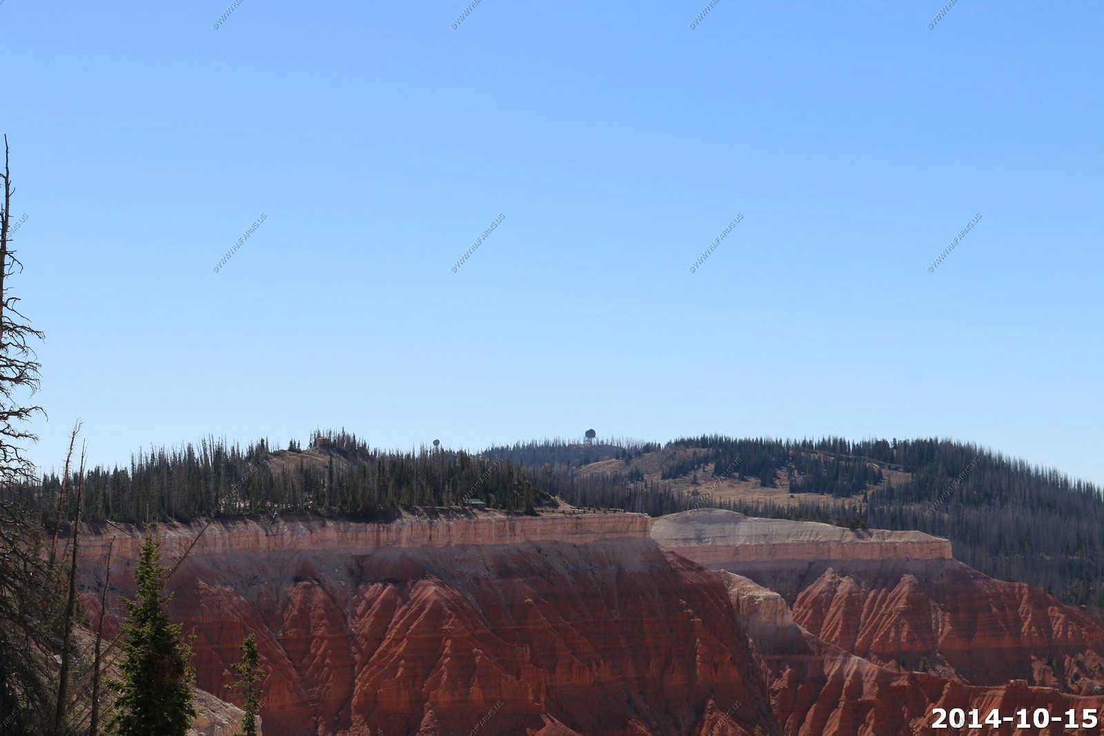
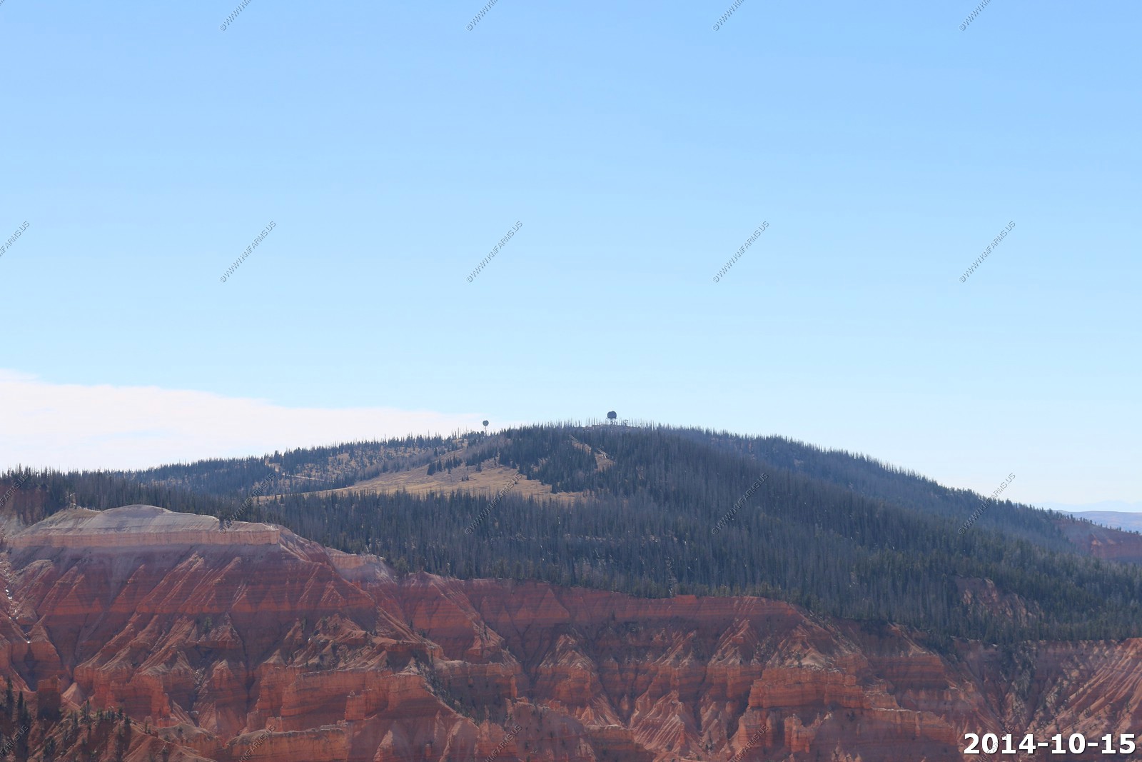
Cedar City Federal Aviation Administration radar site - FAA long-range radar site is now data-tied into the Joint Surveillance System. Radar is an ARSR-2. Site has been operational since 1962.
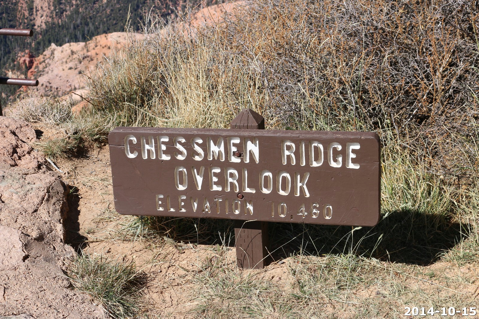
Chessmen Ridge Overlook (El. 10,460)
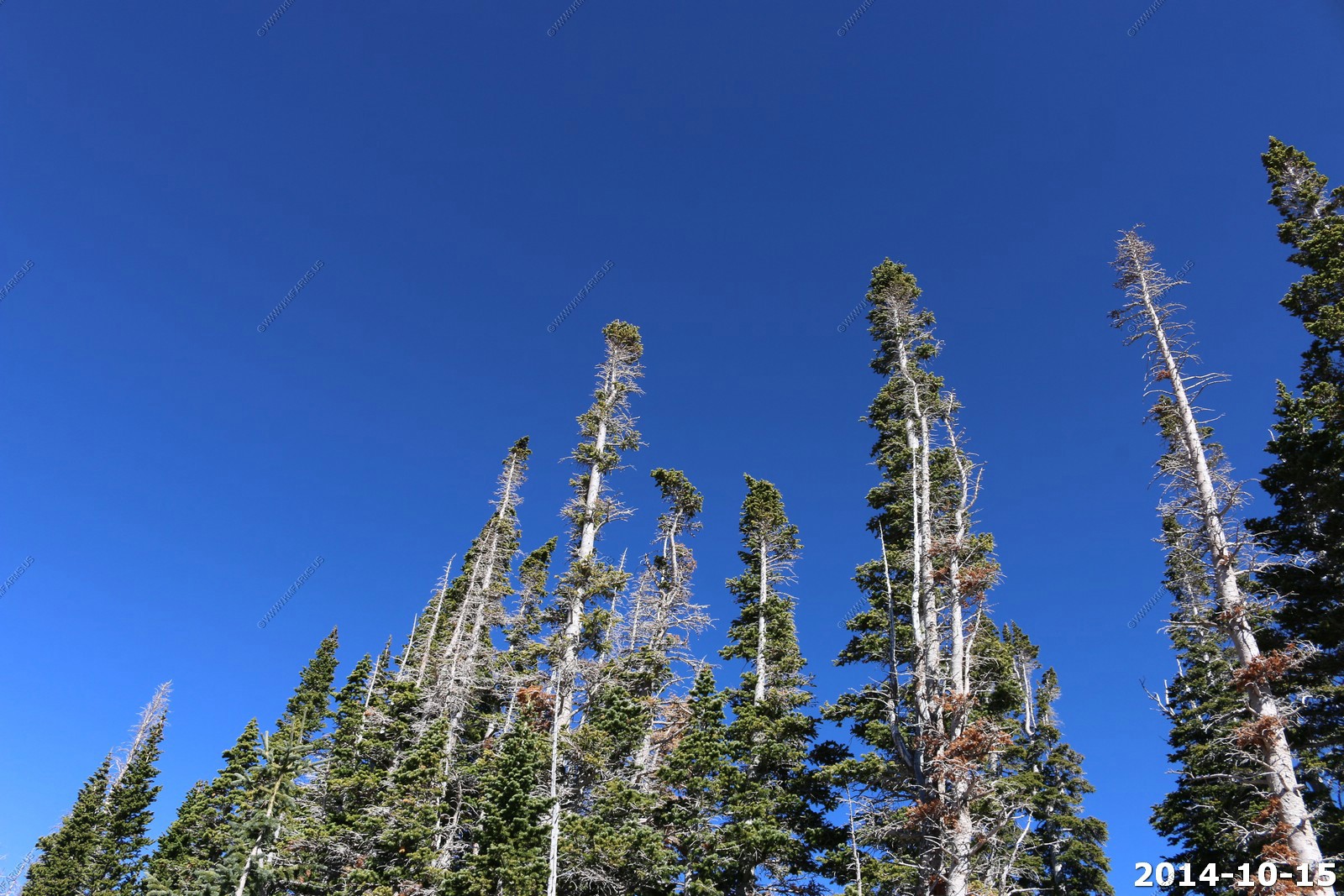
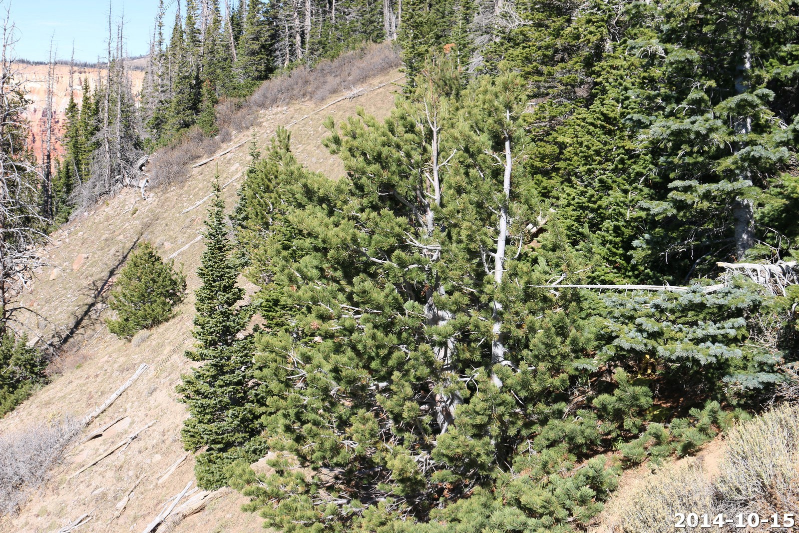
Not sure what type of pine this is.
Running from the wind.
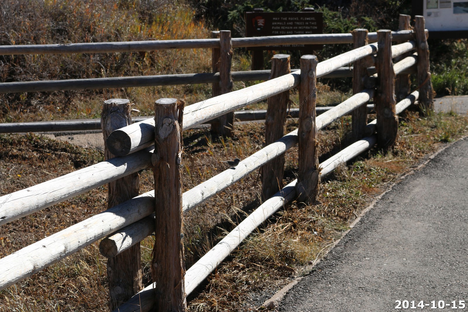
Cool simple fence.
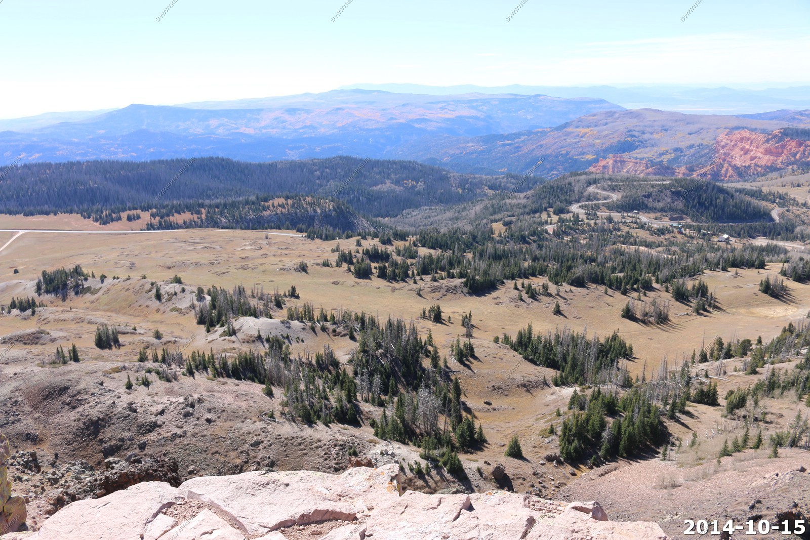
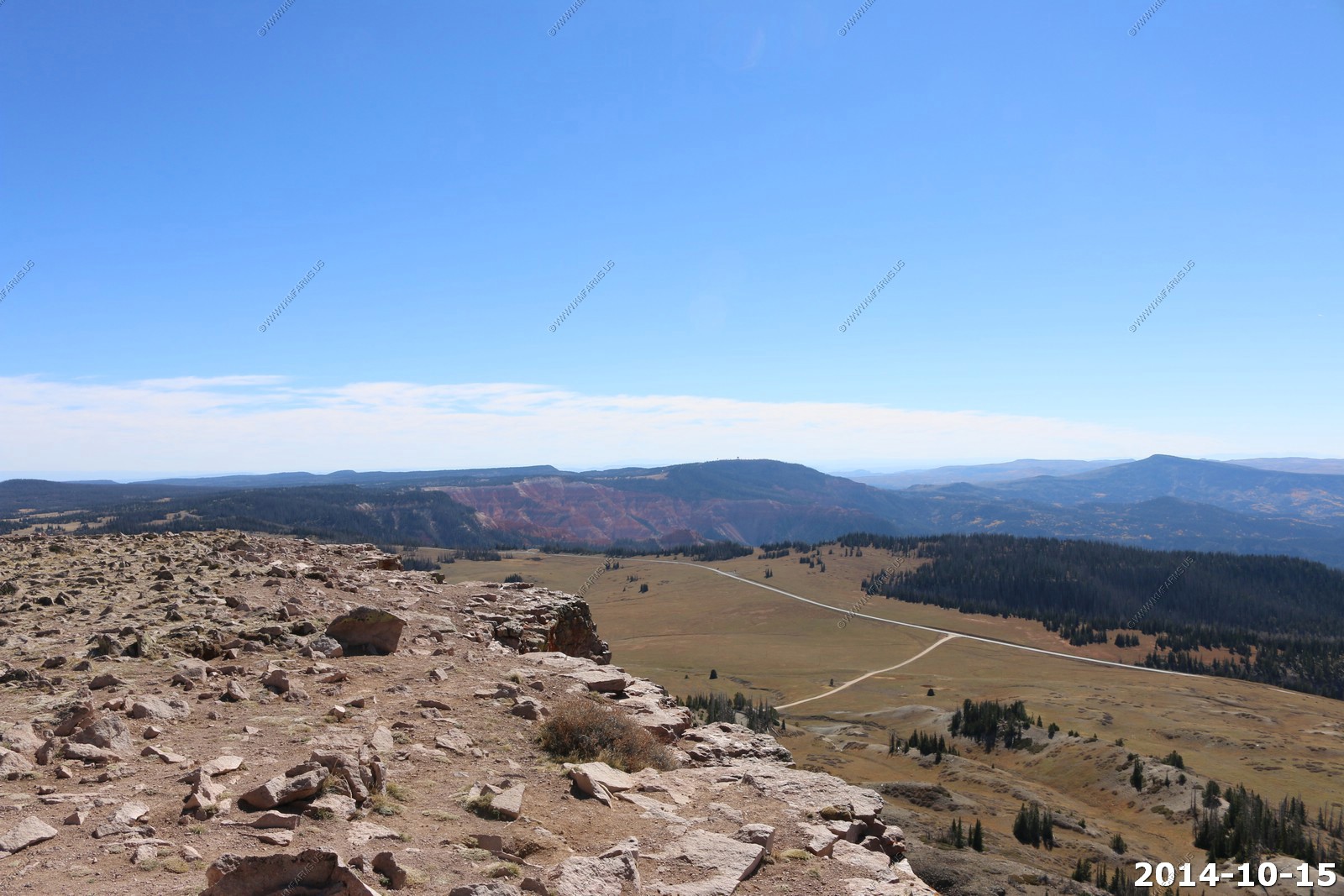
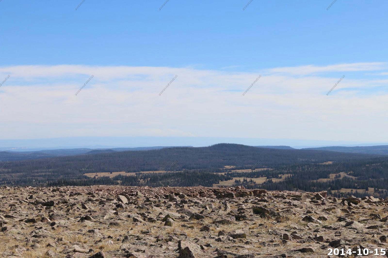
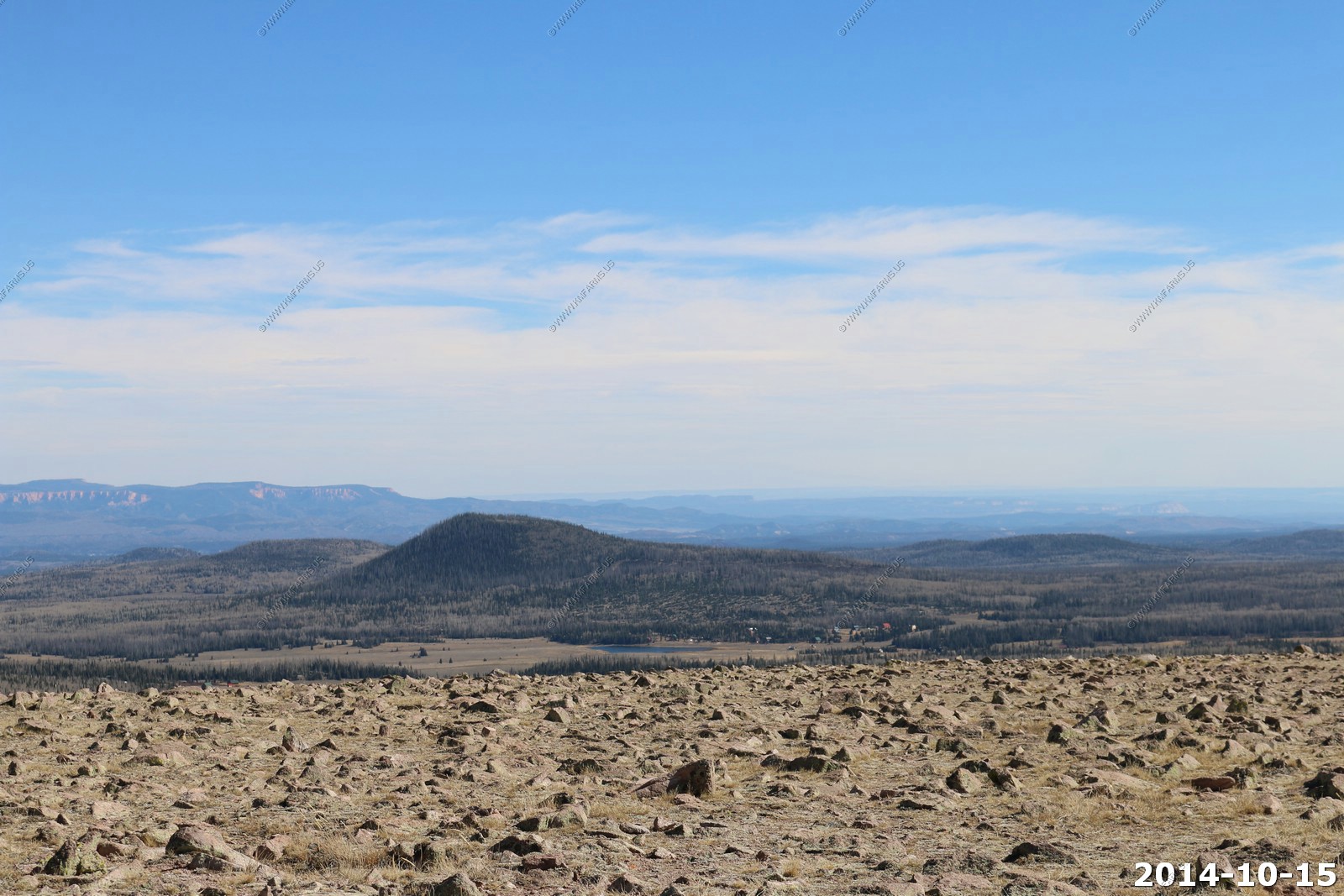
More views - interesting colors in this small monument.

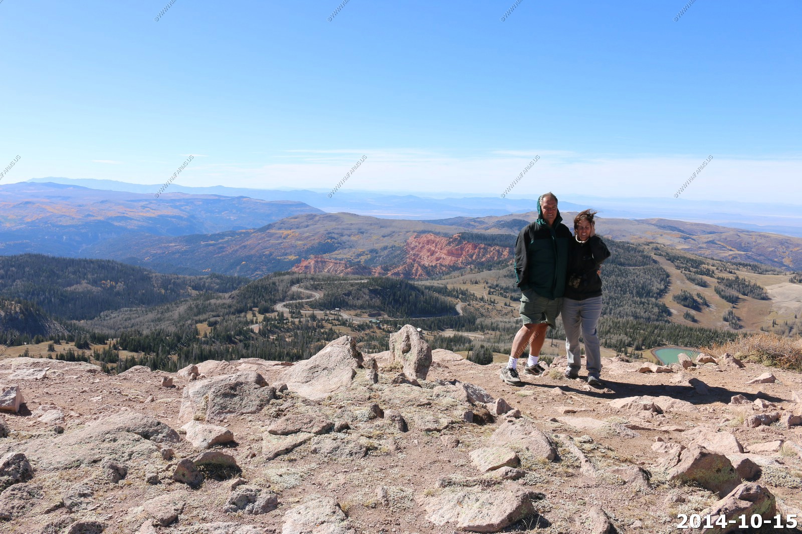
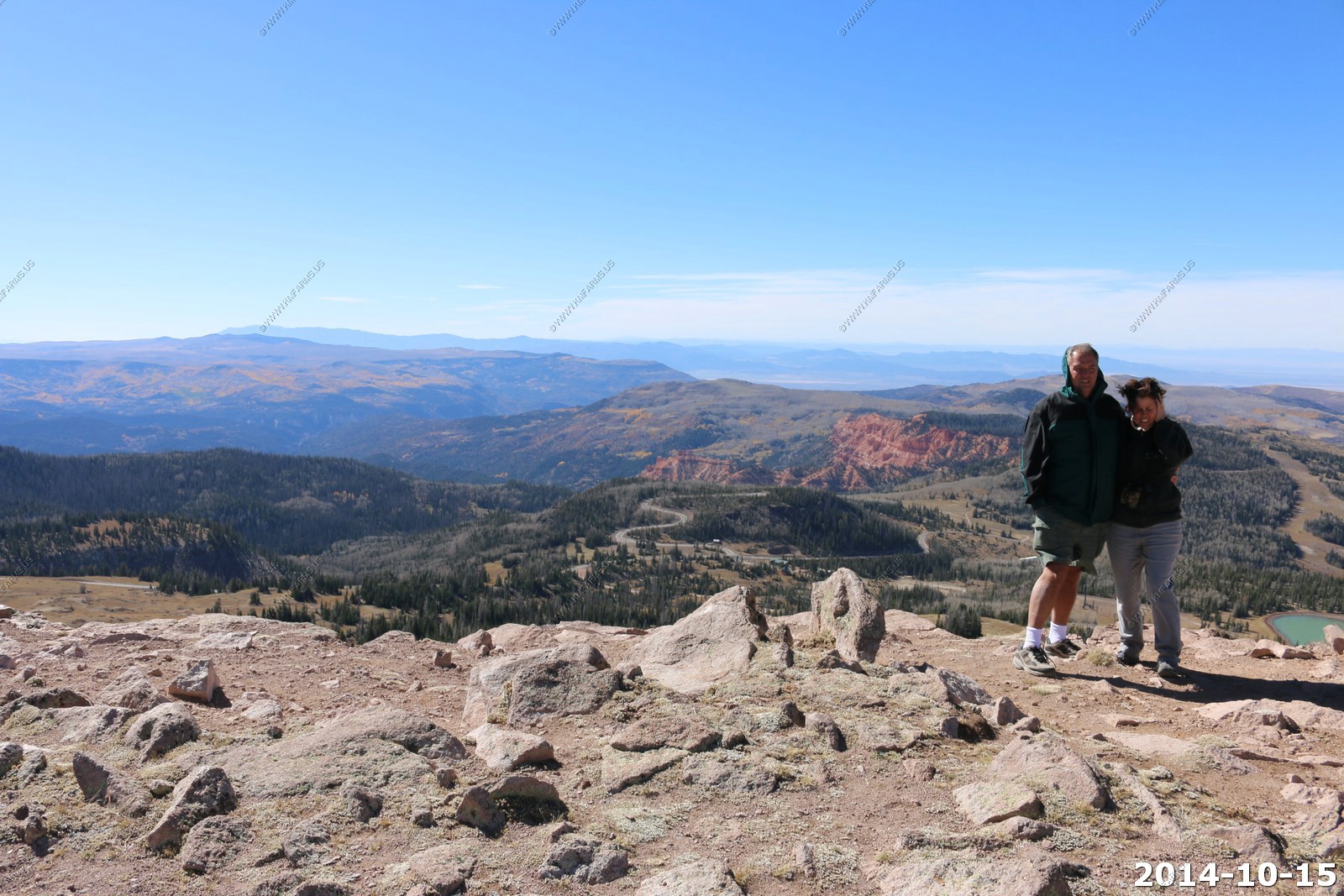
Treeless Brian Head.
Wind
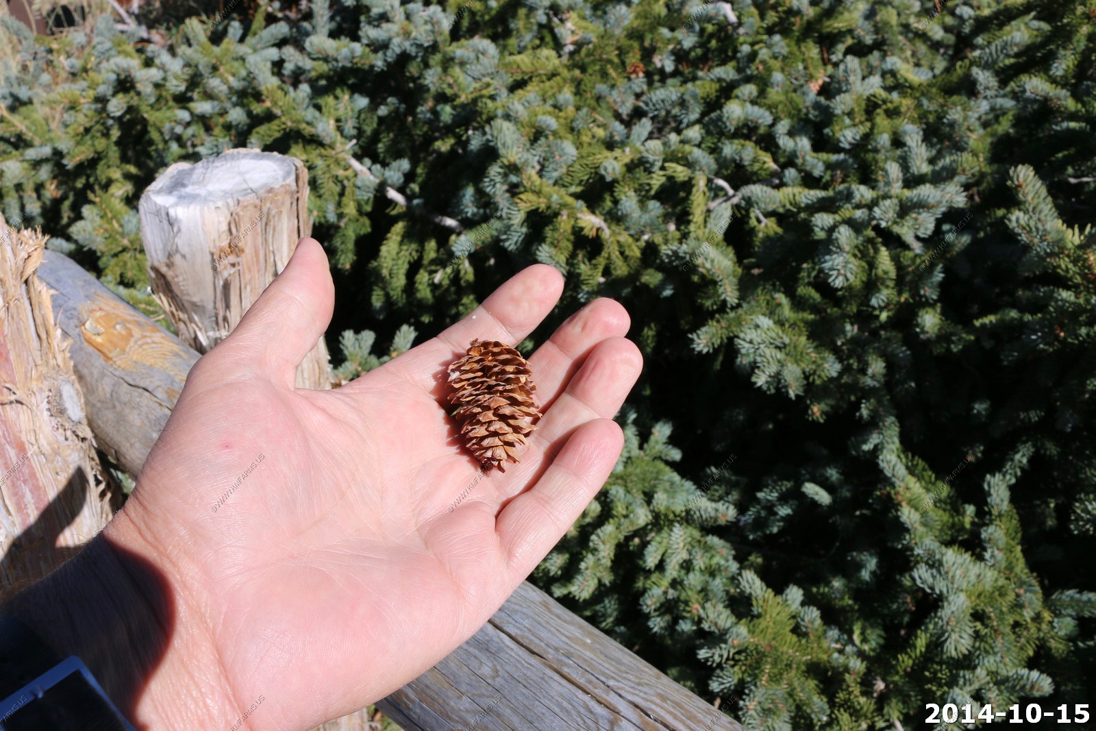
Pinecones
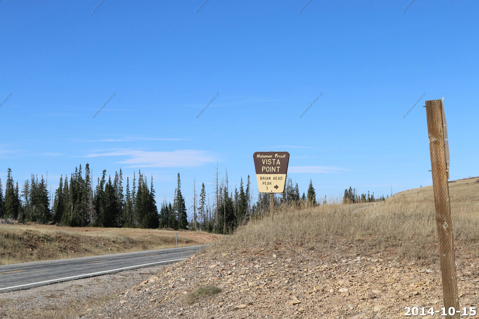
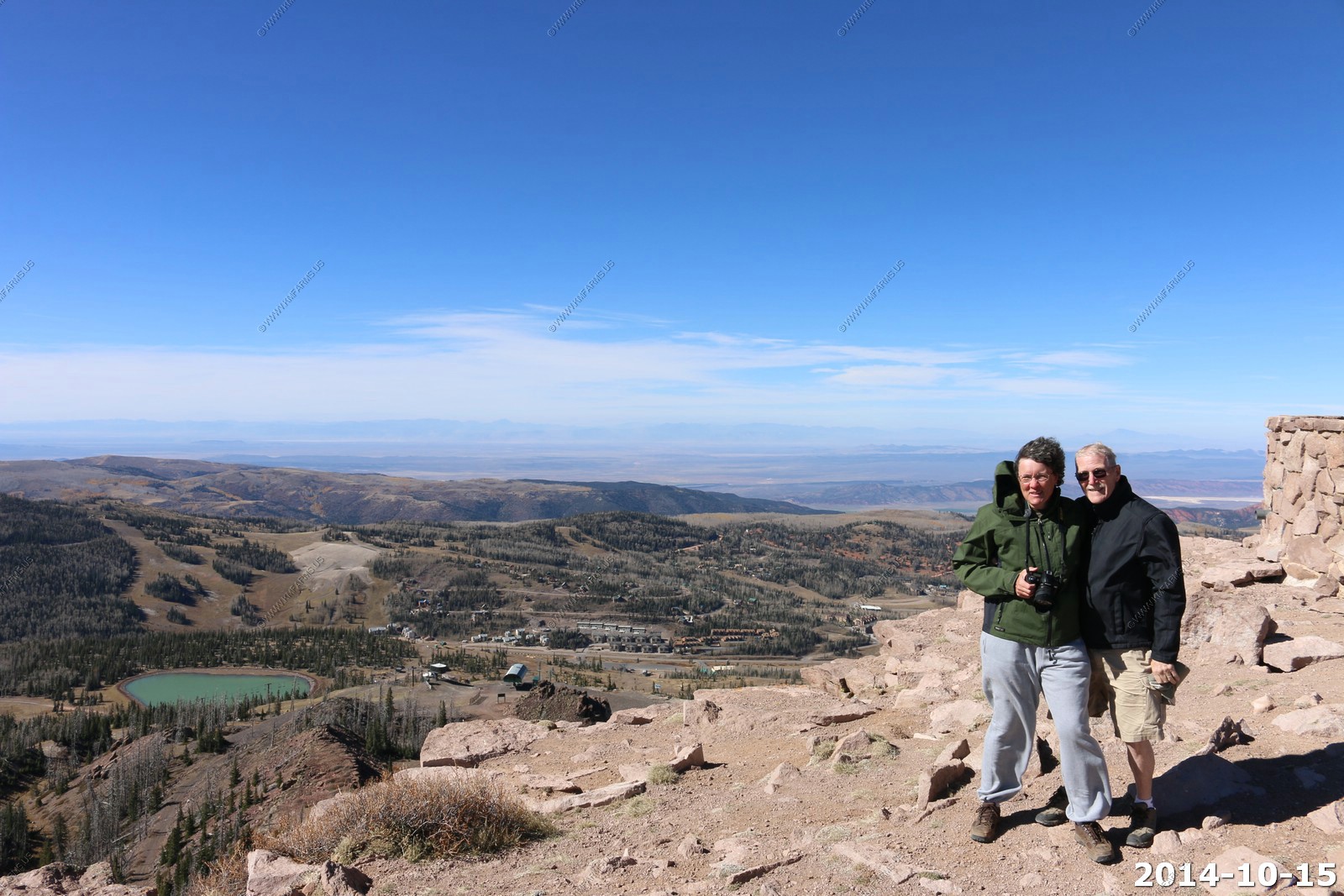
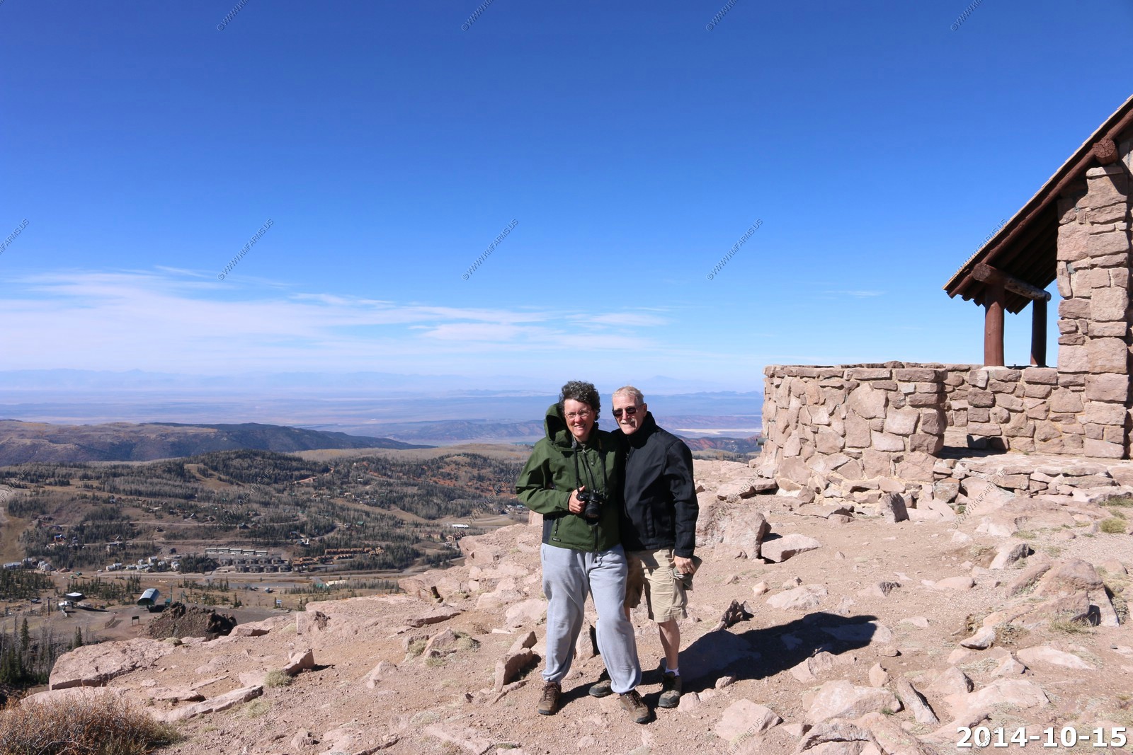
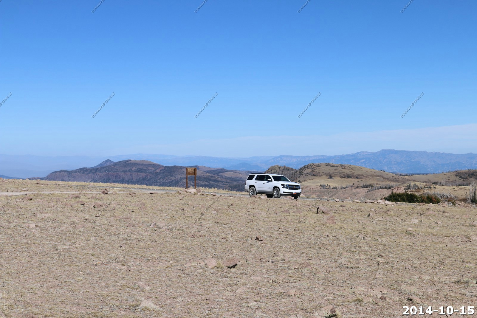
Brian Head - Vista Point
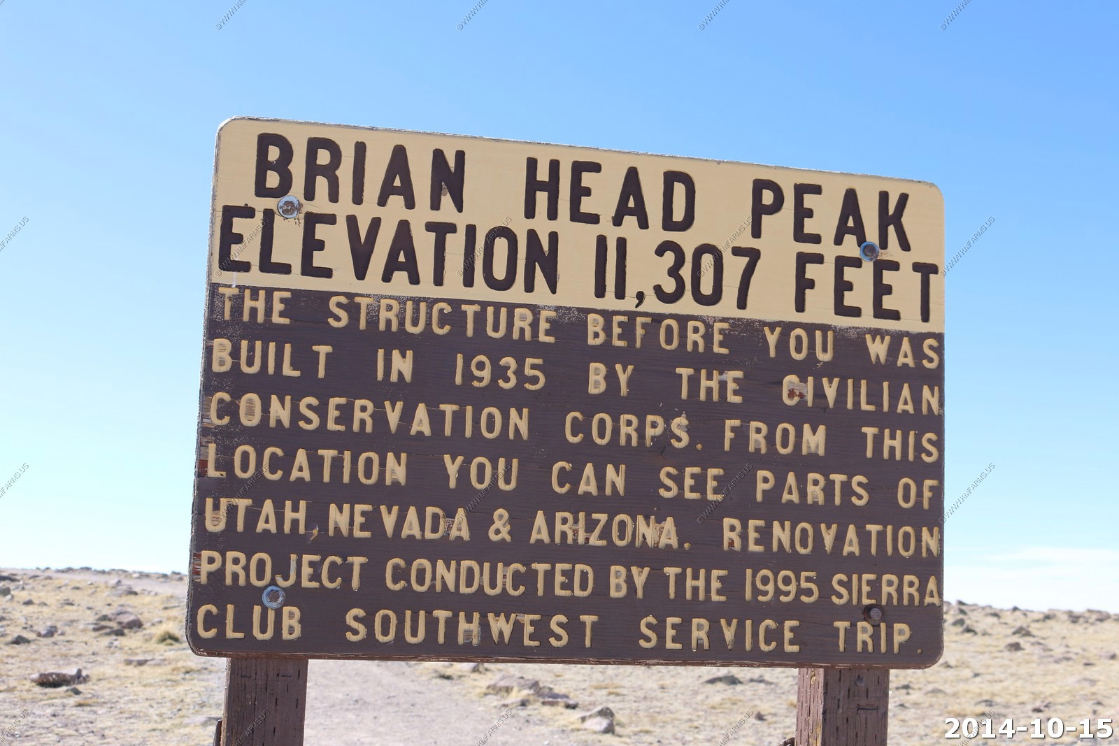
Brian Head Peak, at 11,307 feet high is the highest peak on the Markagunt Plateau and in Iron County in southwestern Utah. Brian Head Peak is located east of Cedar City and just north of Cedar Breaks National Monument in Dixie National Forest. The town of Brian Head at the western base of the mountain is the location of the Brian Head Ski Resort. There is a Forest Service lookout on the peak that was built in 1934-1935, and there is also a road to the summit that can be driven in summer.
From the summit of Brian Head Peak, one can look out at Nevada's Wheeler and Highland peaks, Arizona's Mount Trumbull and Navajo Mountain, Beaver County's Tushar Range and the Paunsagunt, Table Cliffs, and Aquarius plateaus. Then, turning west, little-known ranges with mysterious names such as the Never Summer Mountains and the Wah Wahs become visible.
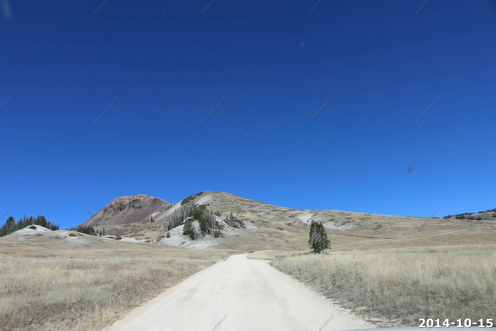
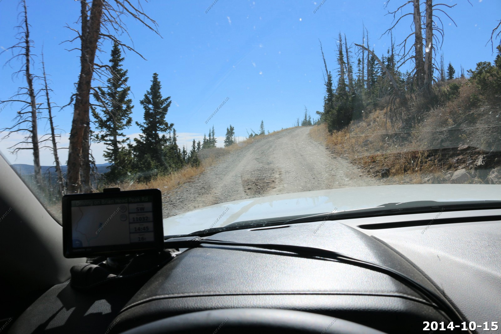
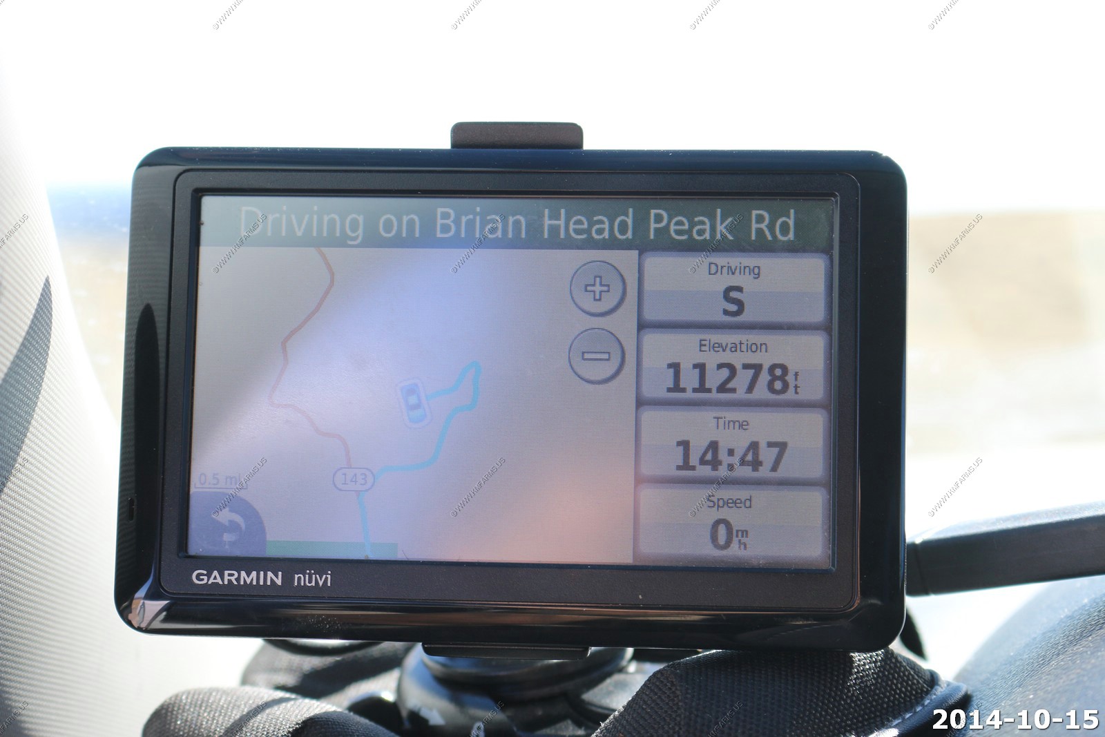
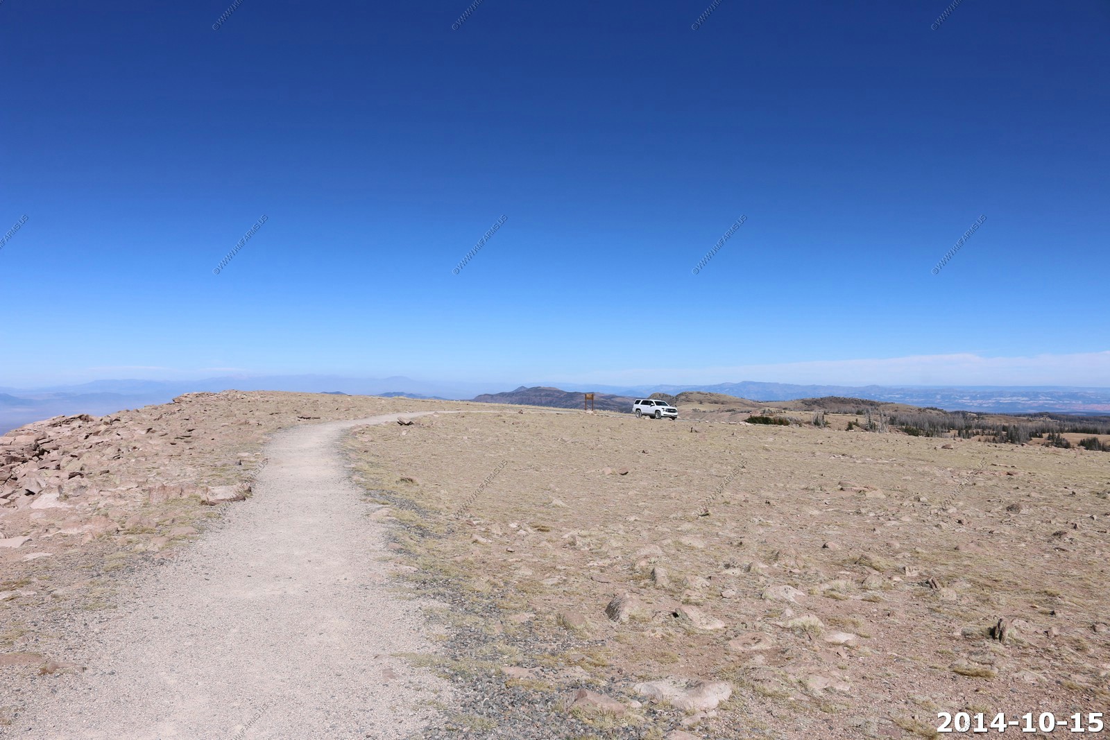
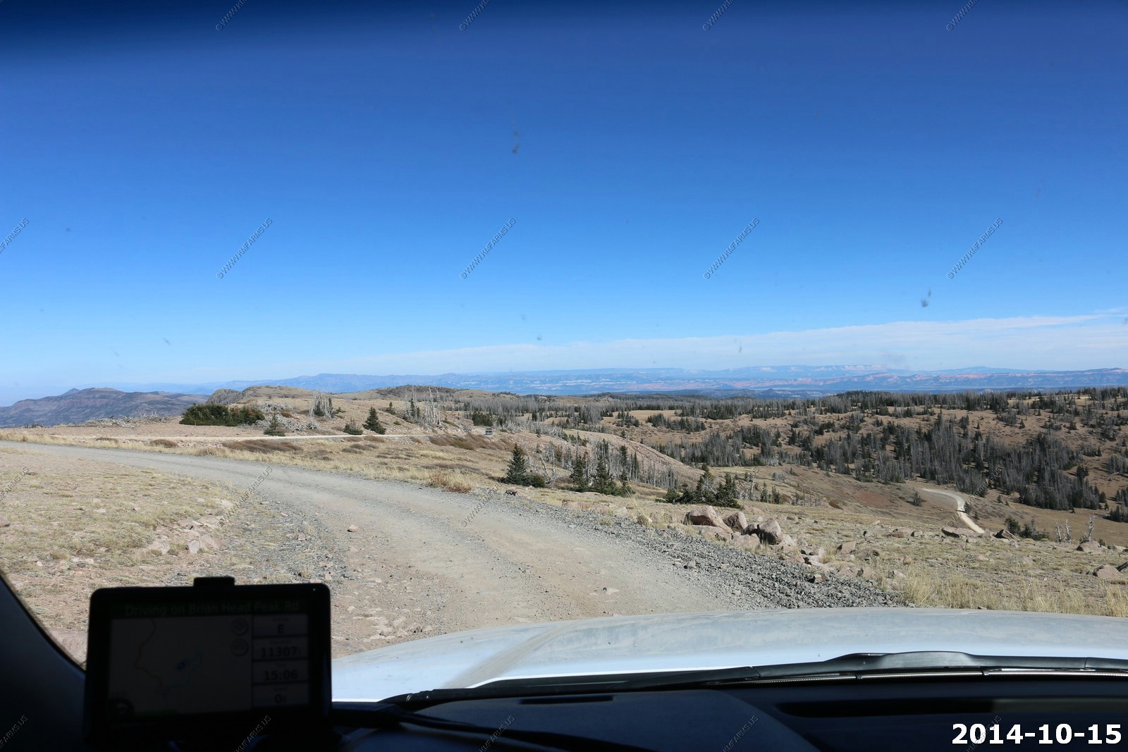
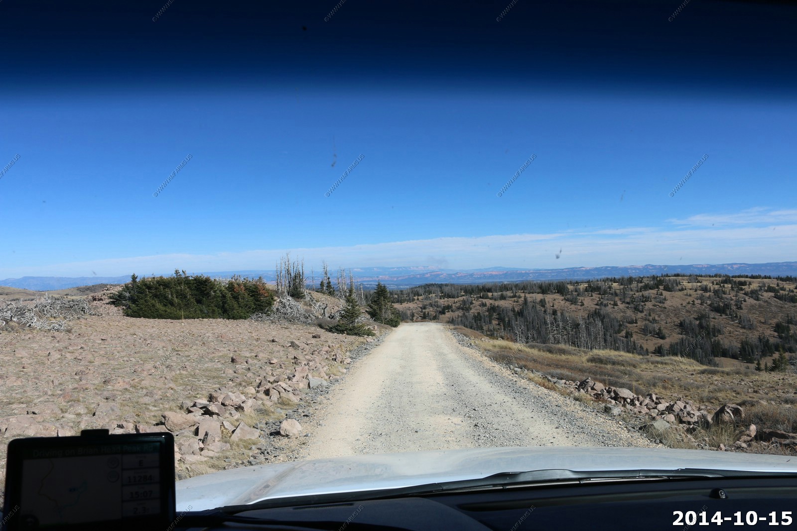
The road up is in very good shape.
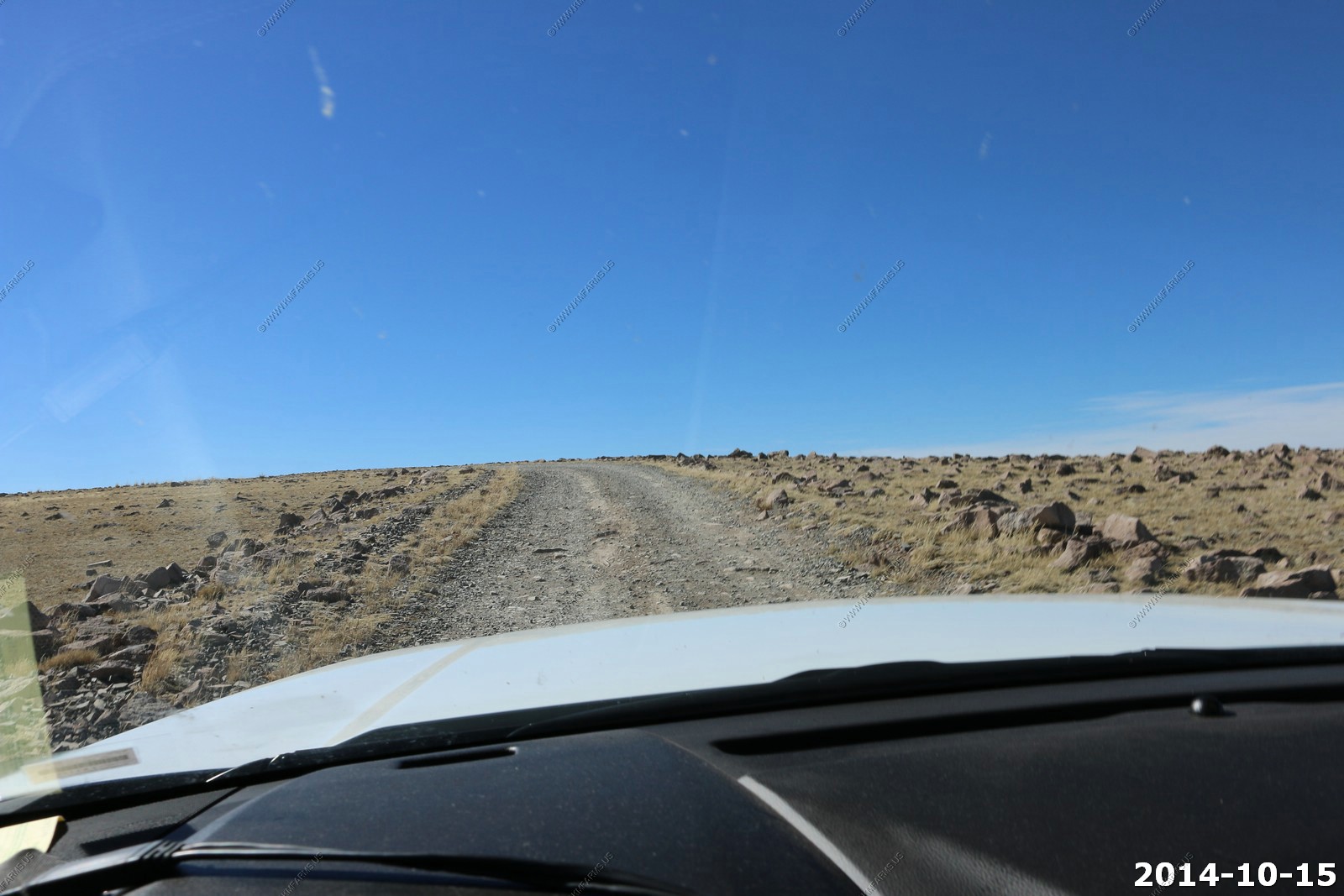
Elevation is 11,278 on the GPS.
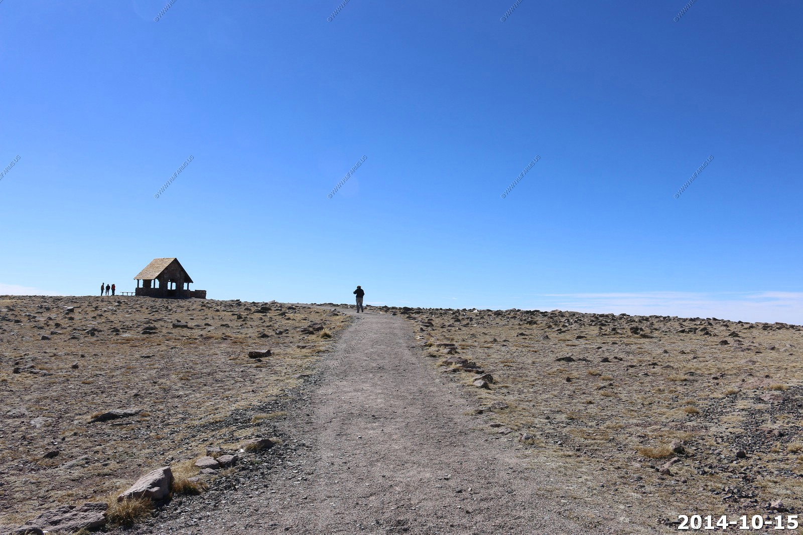
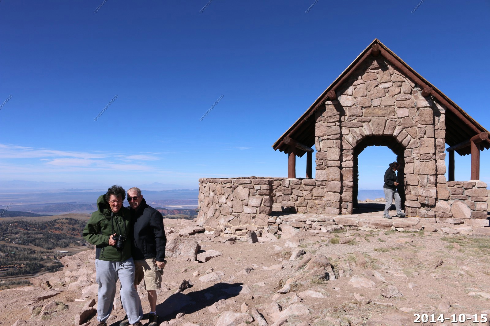
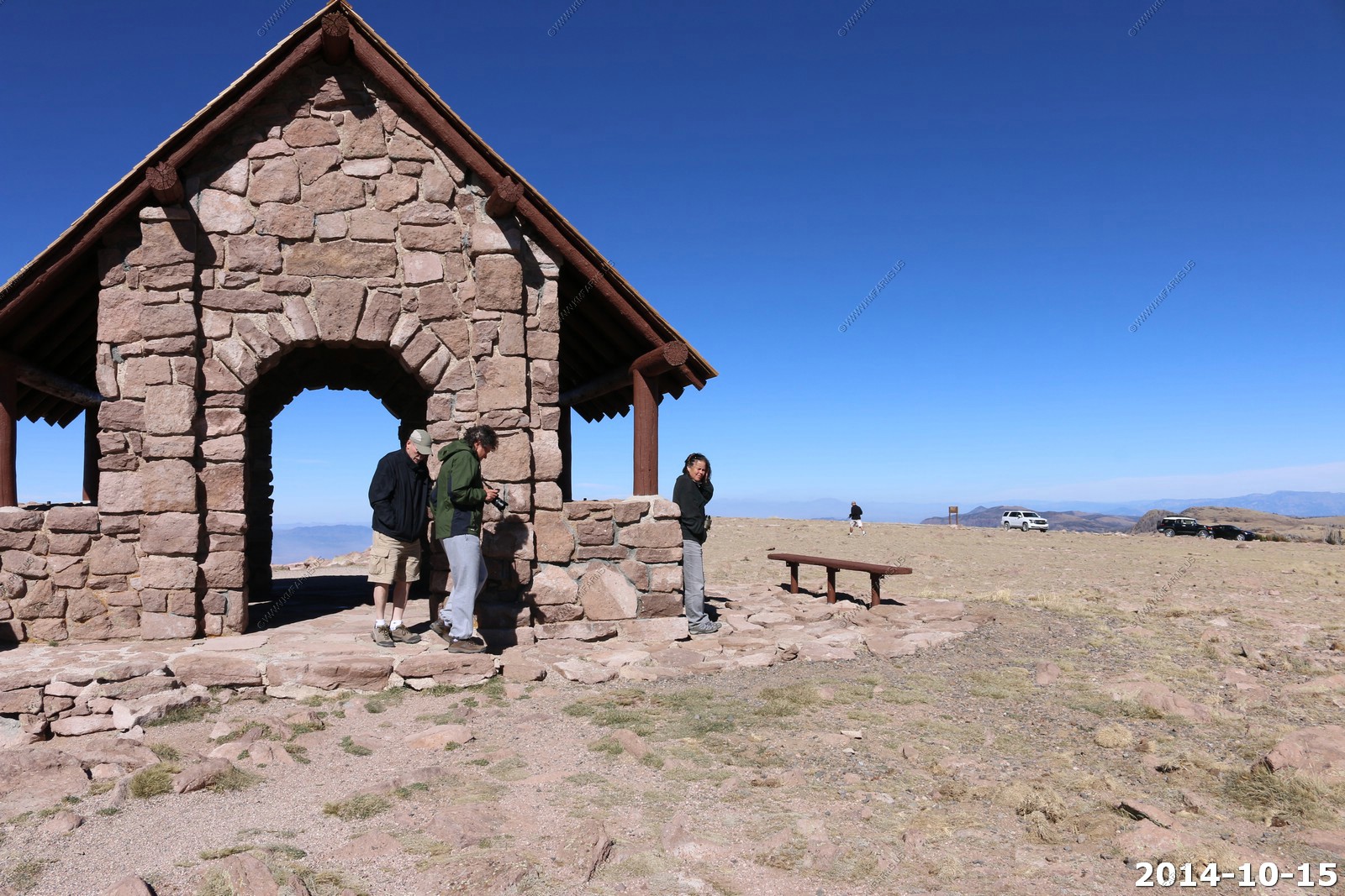
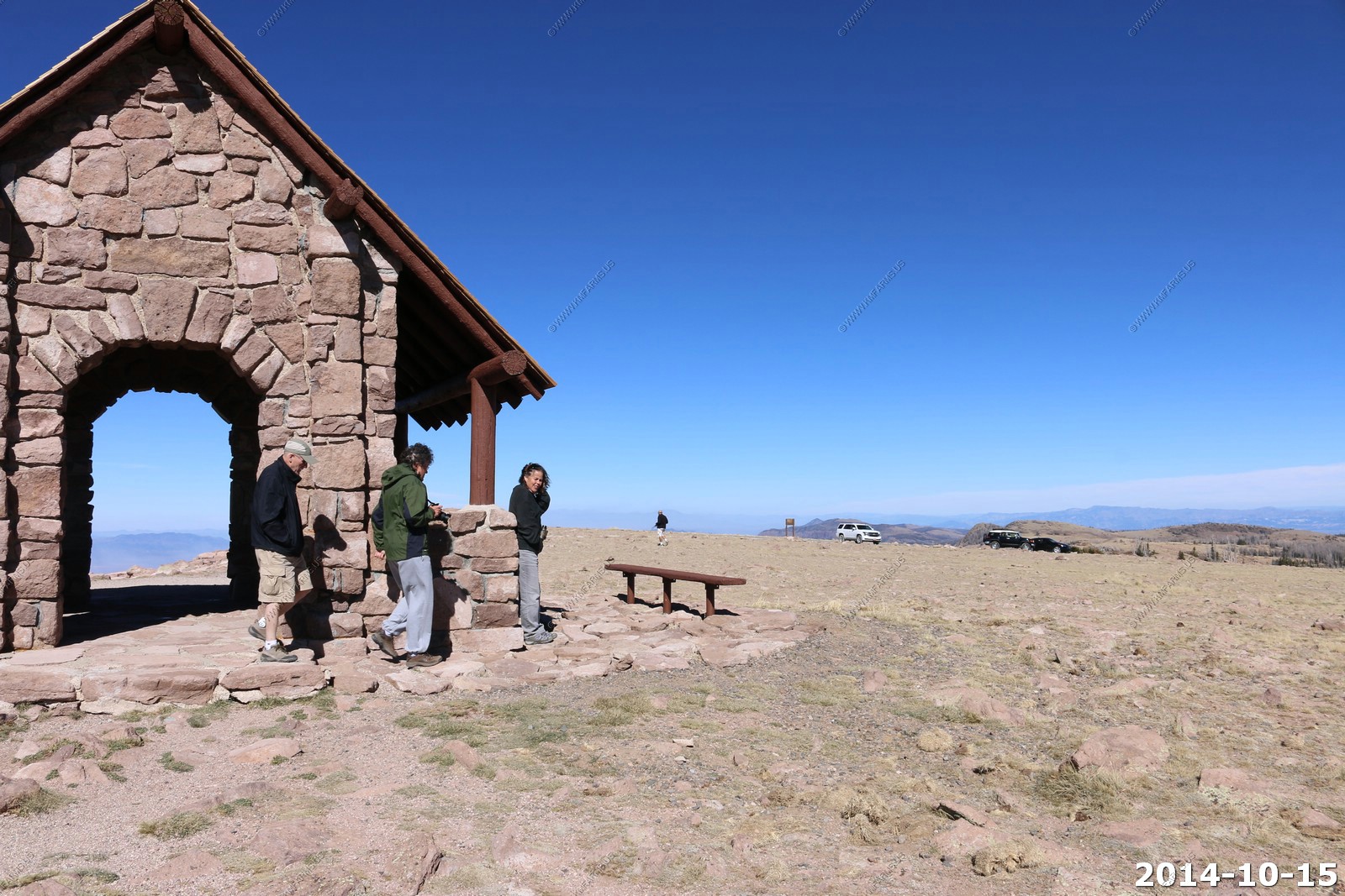
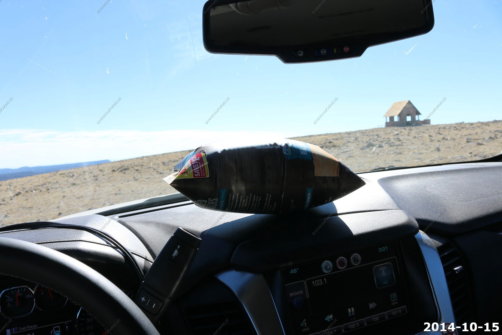
Short walk to the CCC structure.
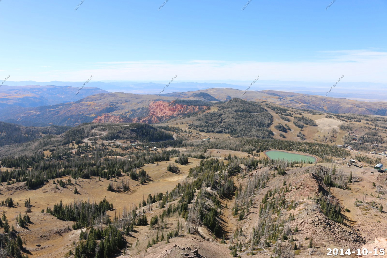
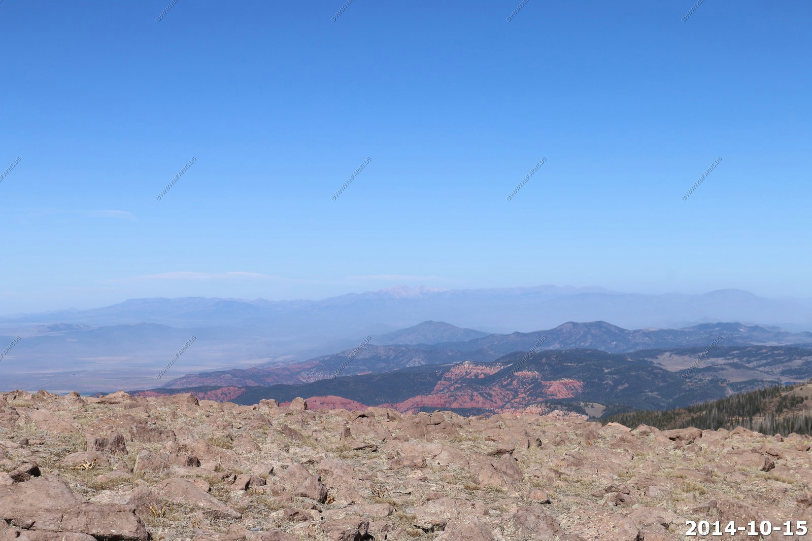
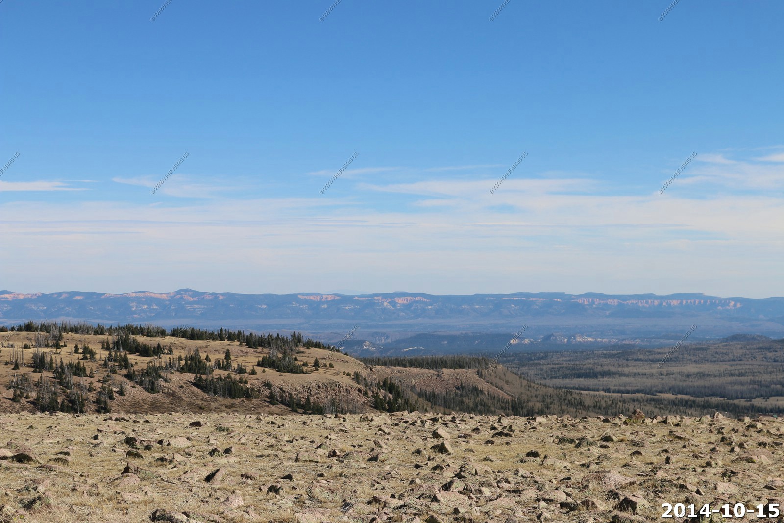
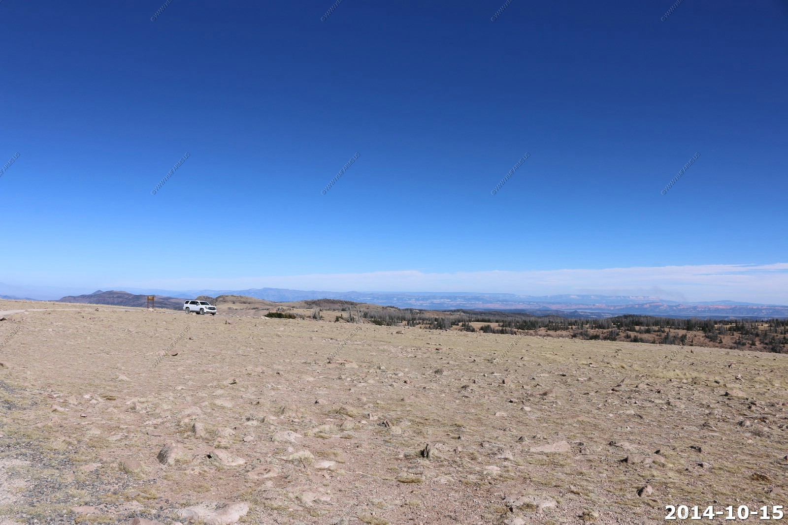
Looking west into the deserts of western Utah & Eastern Nevada.
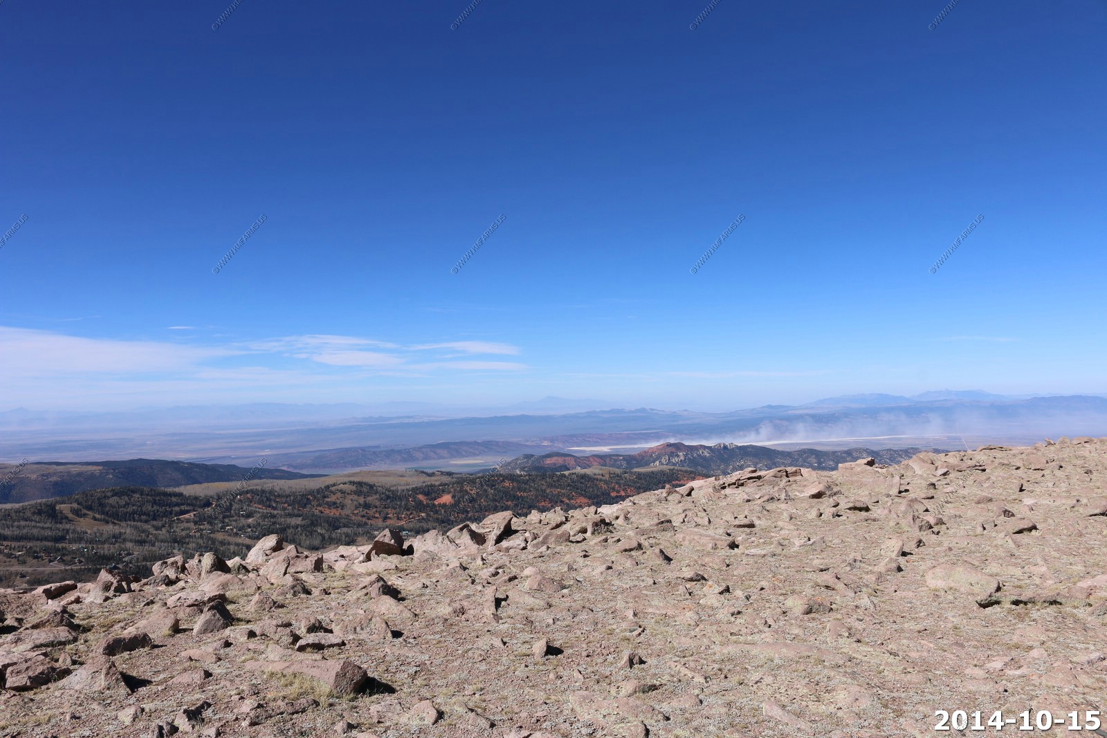
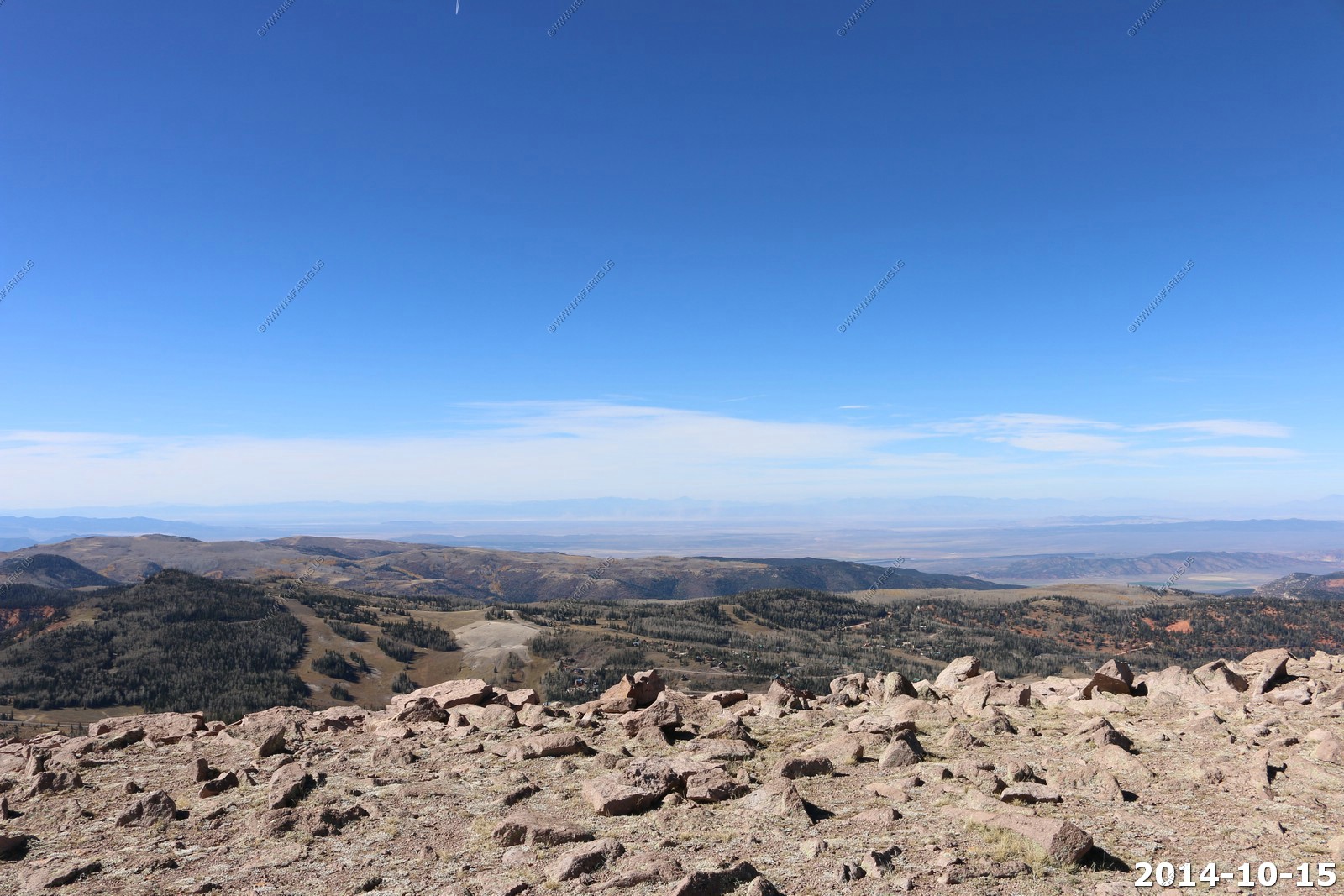
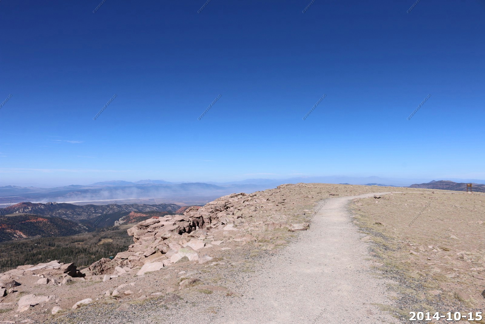
Looking south over Cedar Breaks National Monument and the FAA facility.
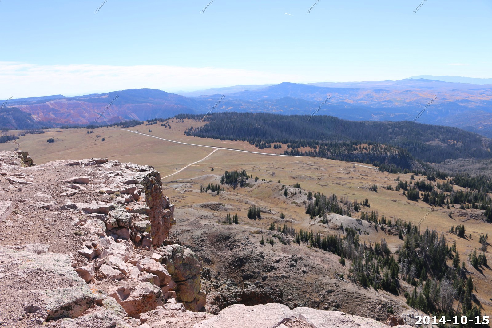
Brian Head ski resort.
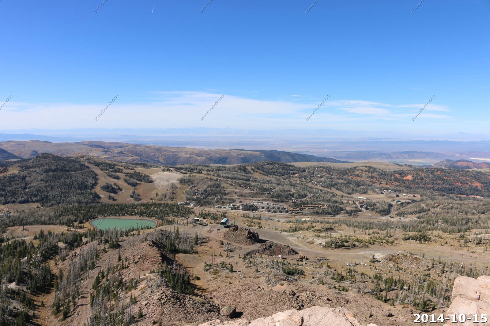
Looking north.

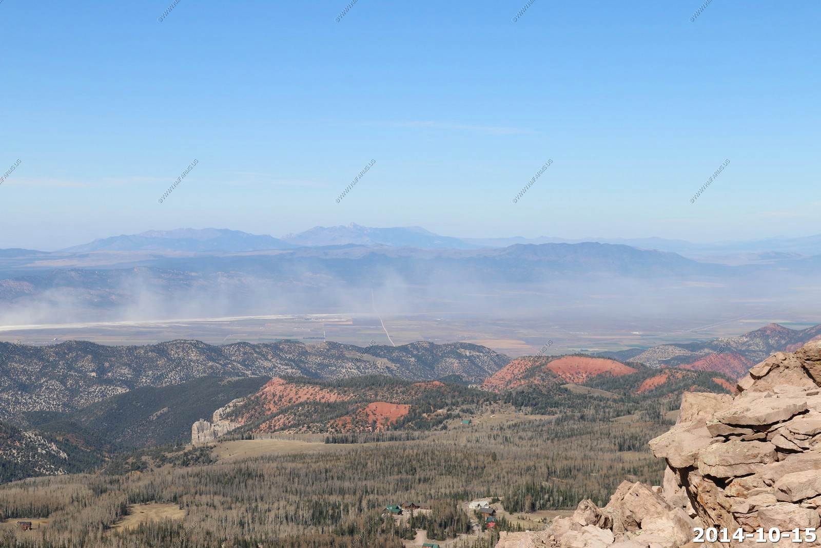
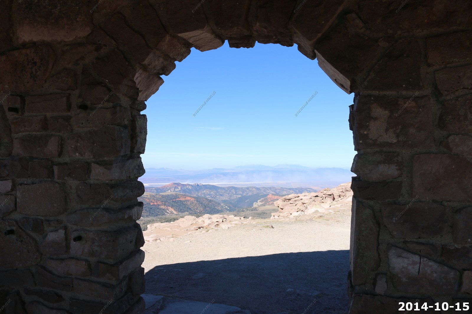
The North Rim.
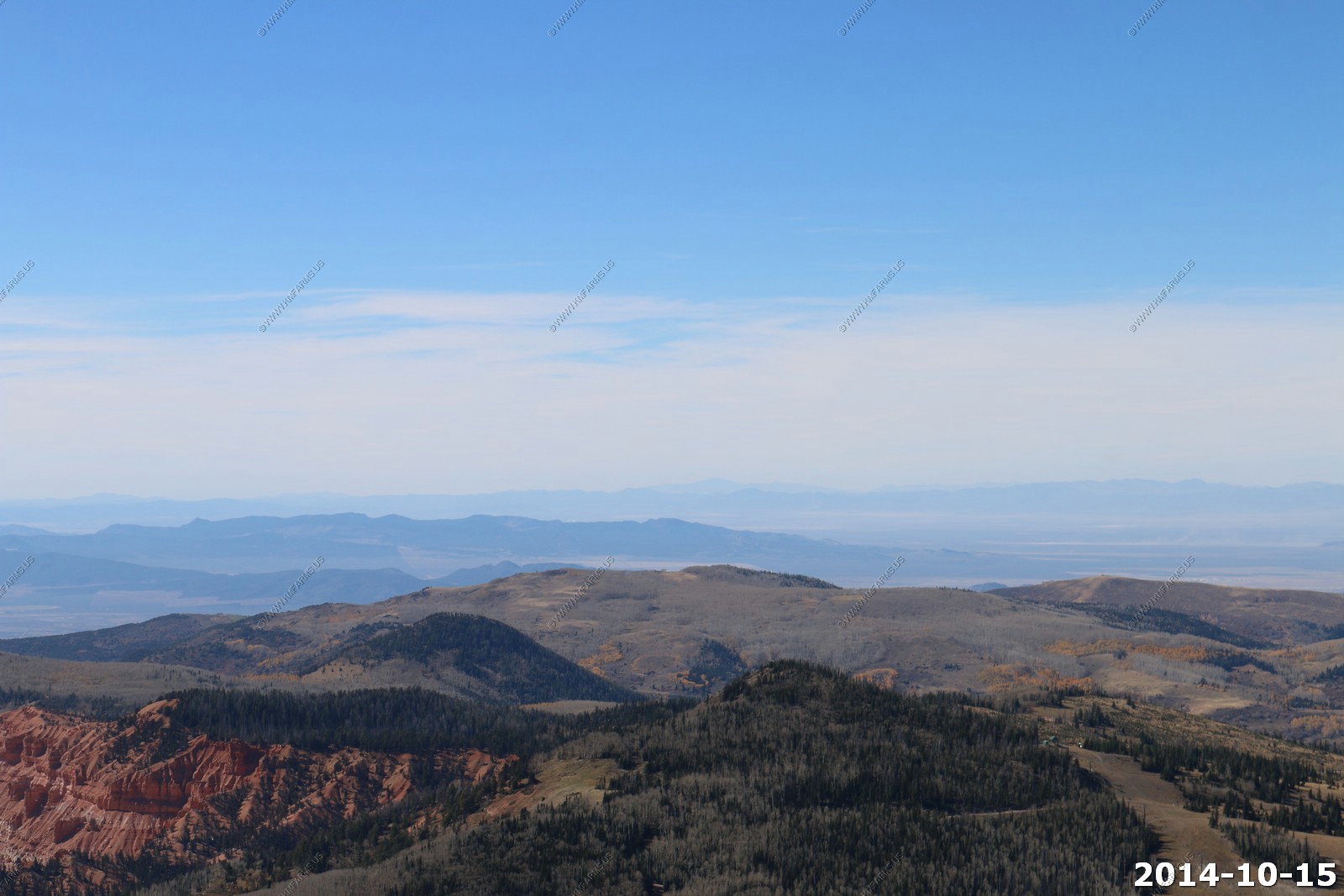
Looking back east at Bryce Canyon National Park.
Powell Point.
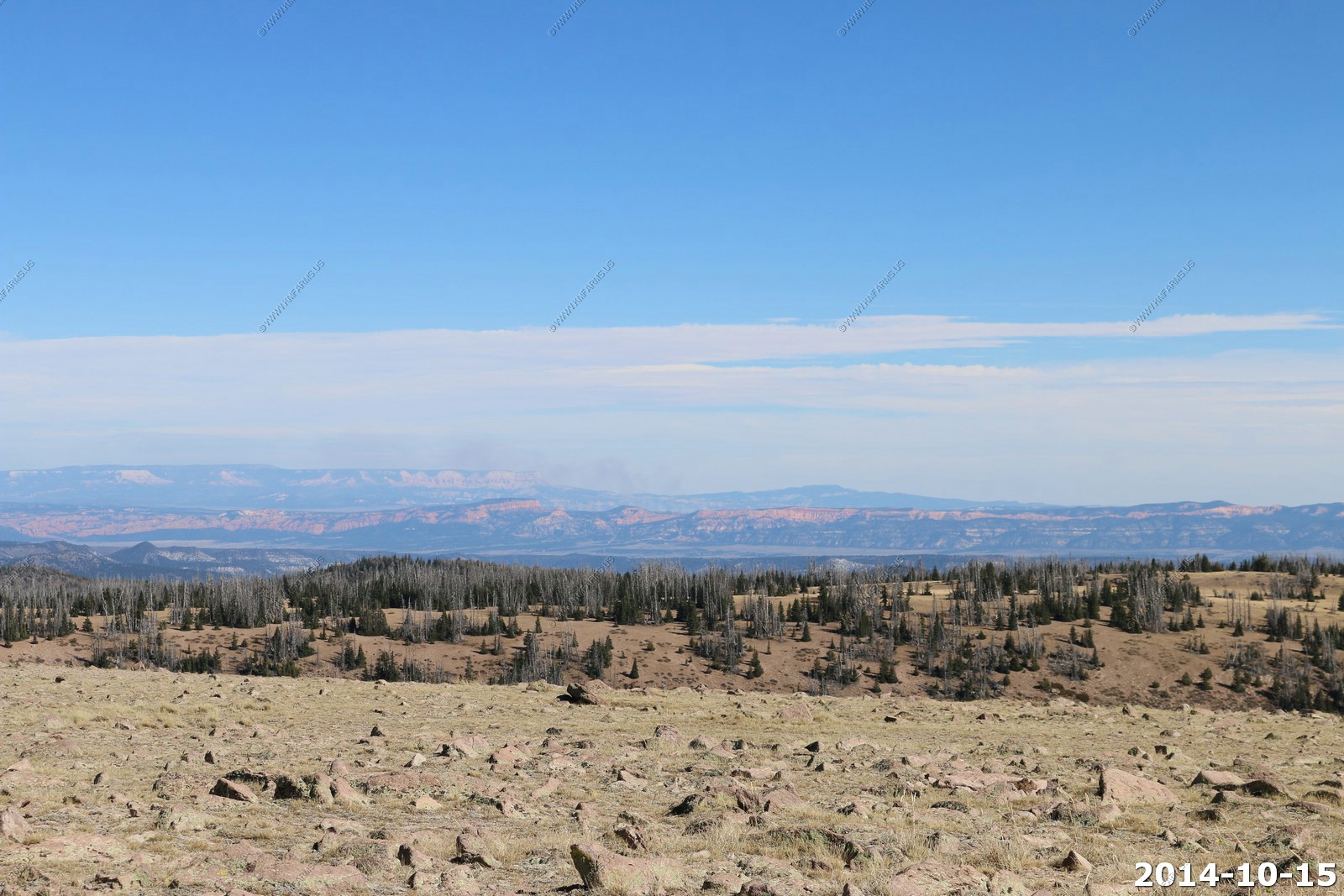
The Henrys rising over Bryce Canyon National Park.
Trying to stay warm.
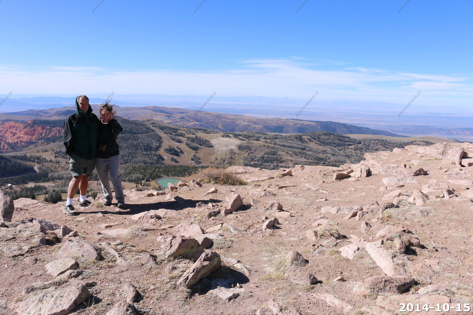
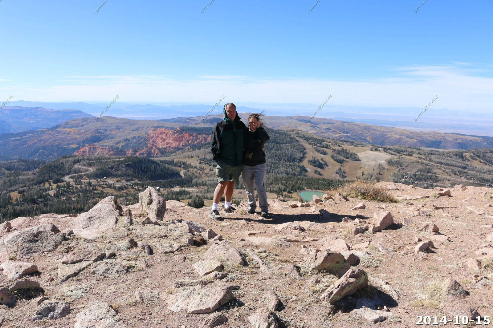
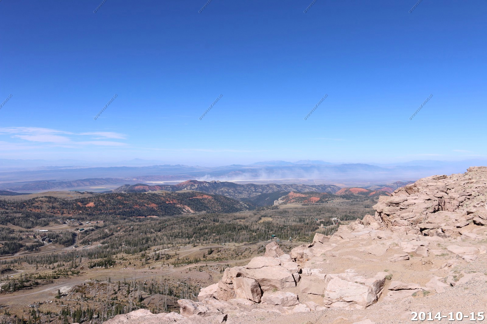
Looking west & south from the shelter.
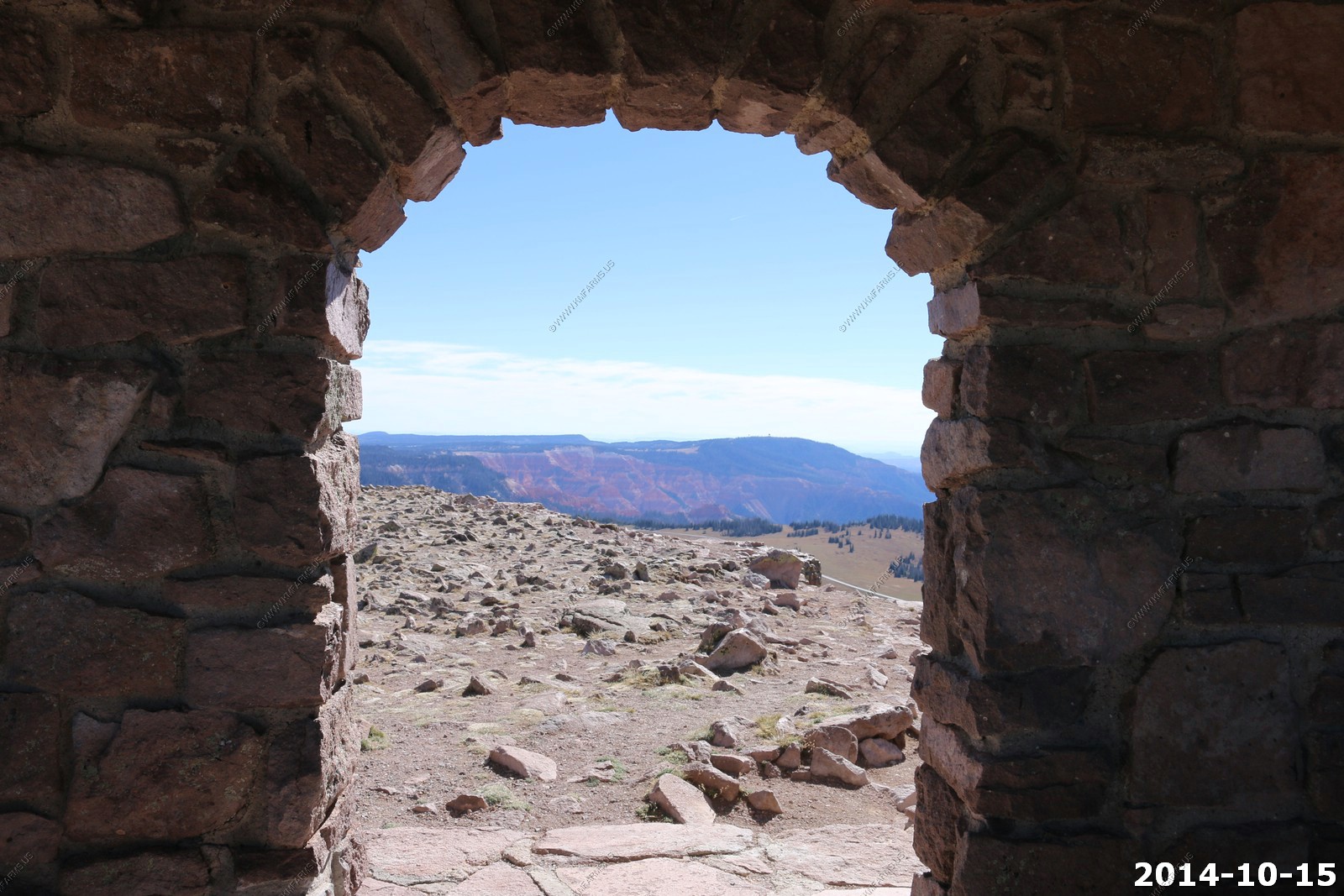
Looking back at the parking area.
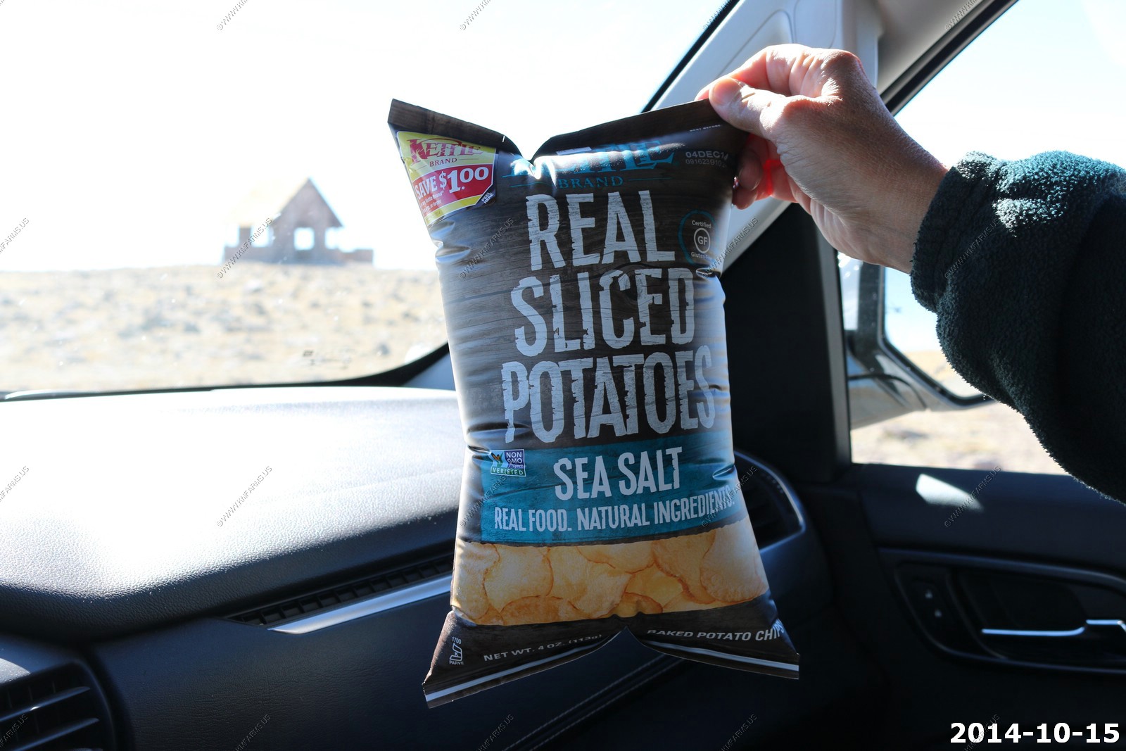
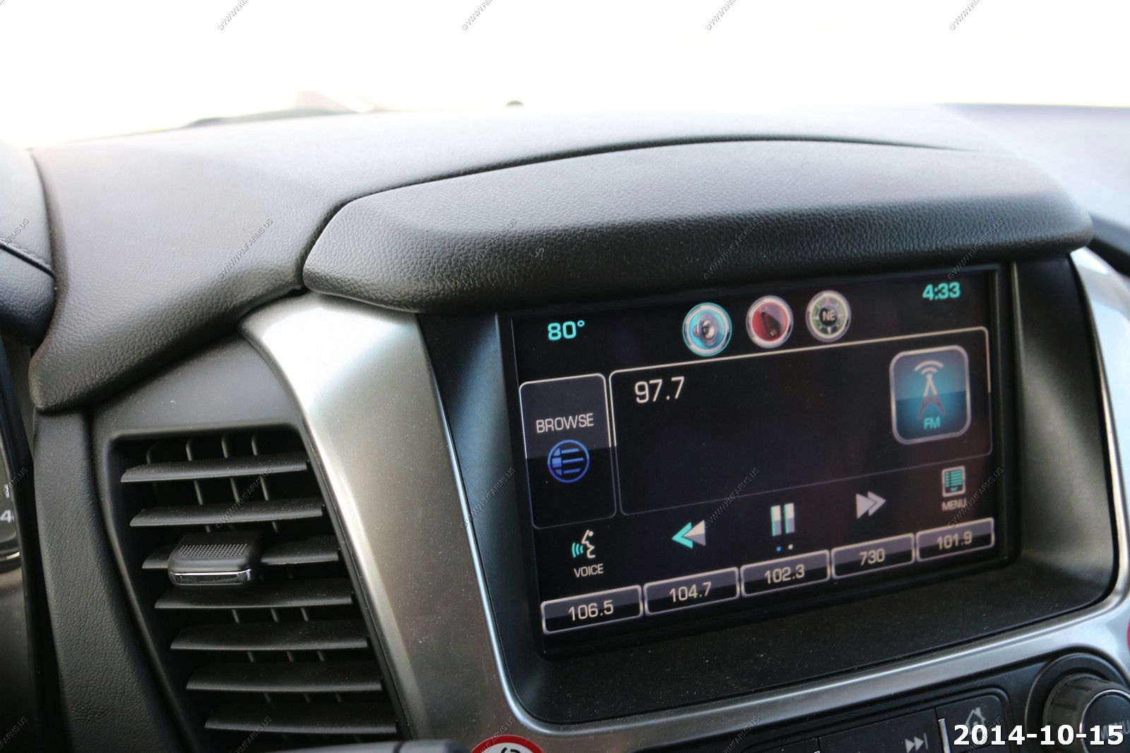
High elevation chip bag. Also, its 46 degrees at 3:01 It will be 80 degrees in 90 min when we are heading up I-15.
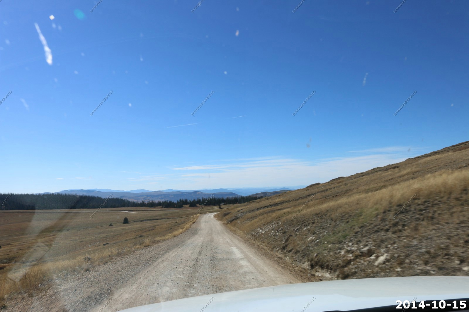
Heading back down from Brian Head.
Not a good road to drink and drive.
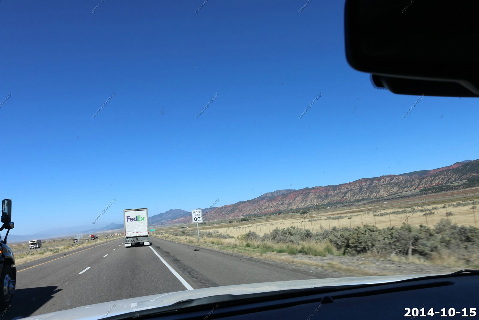
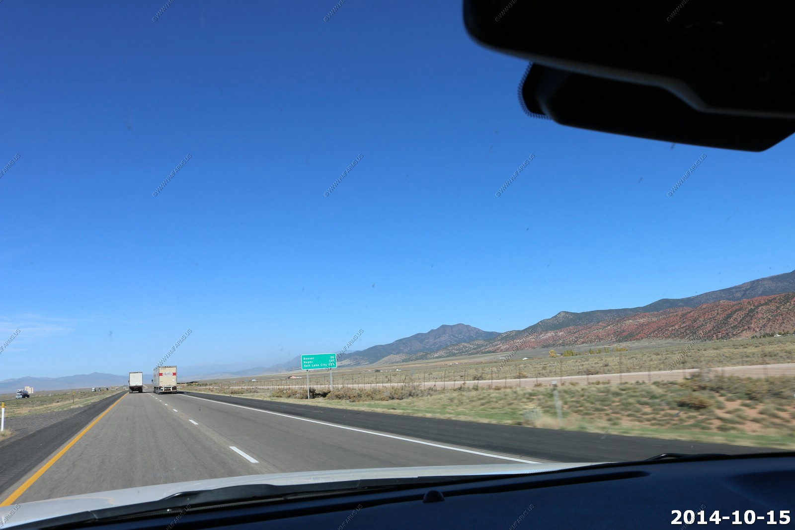
On I-15 - Speed limit 80.
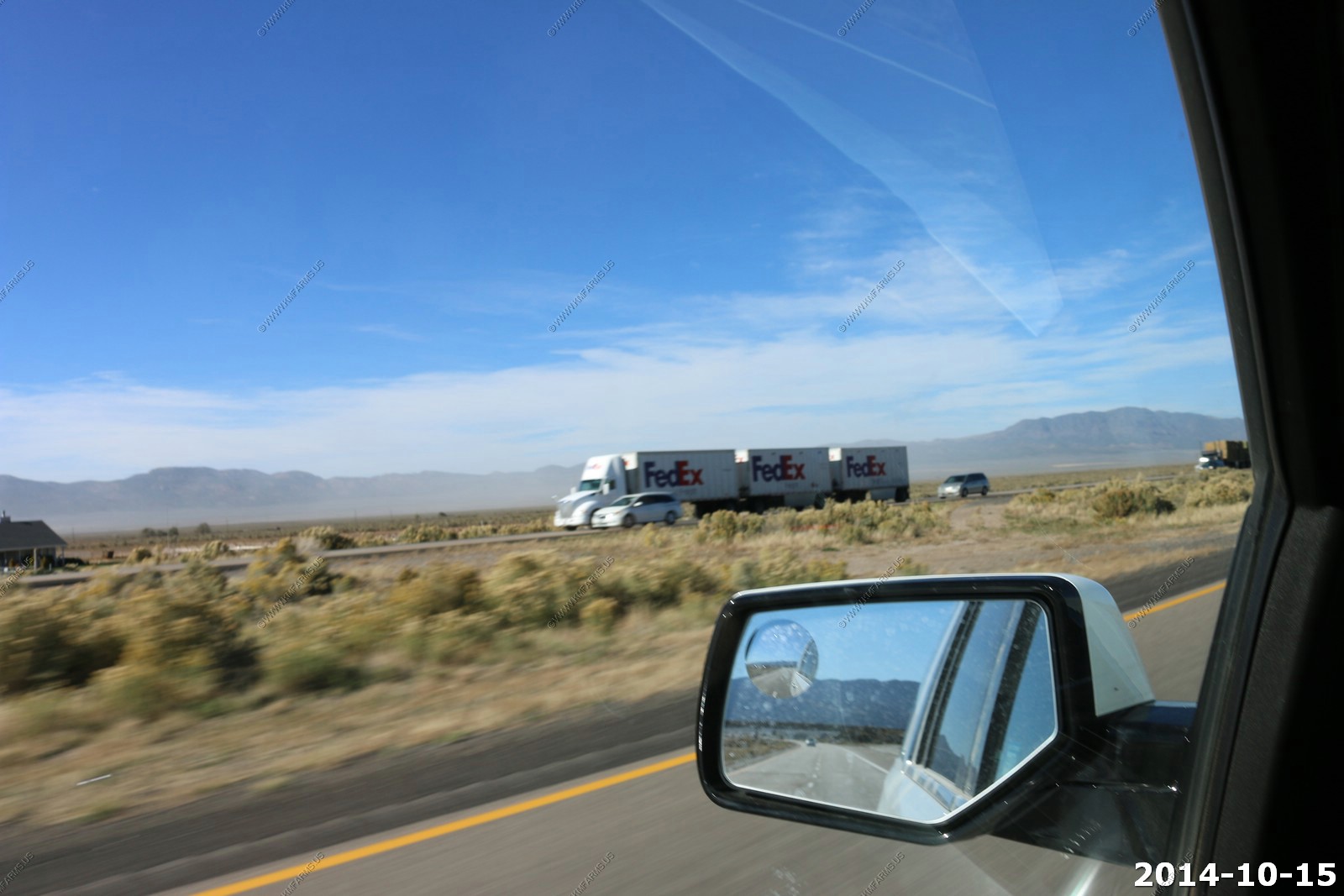
Triple trailers.
Salt Lake City - 225 miles but at 80 it goes quick.
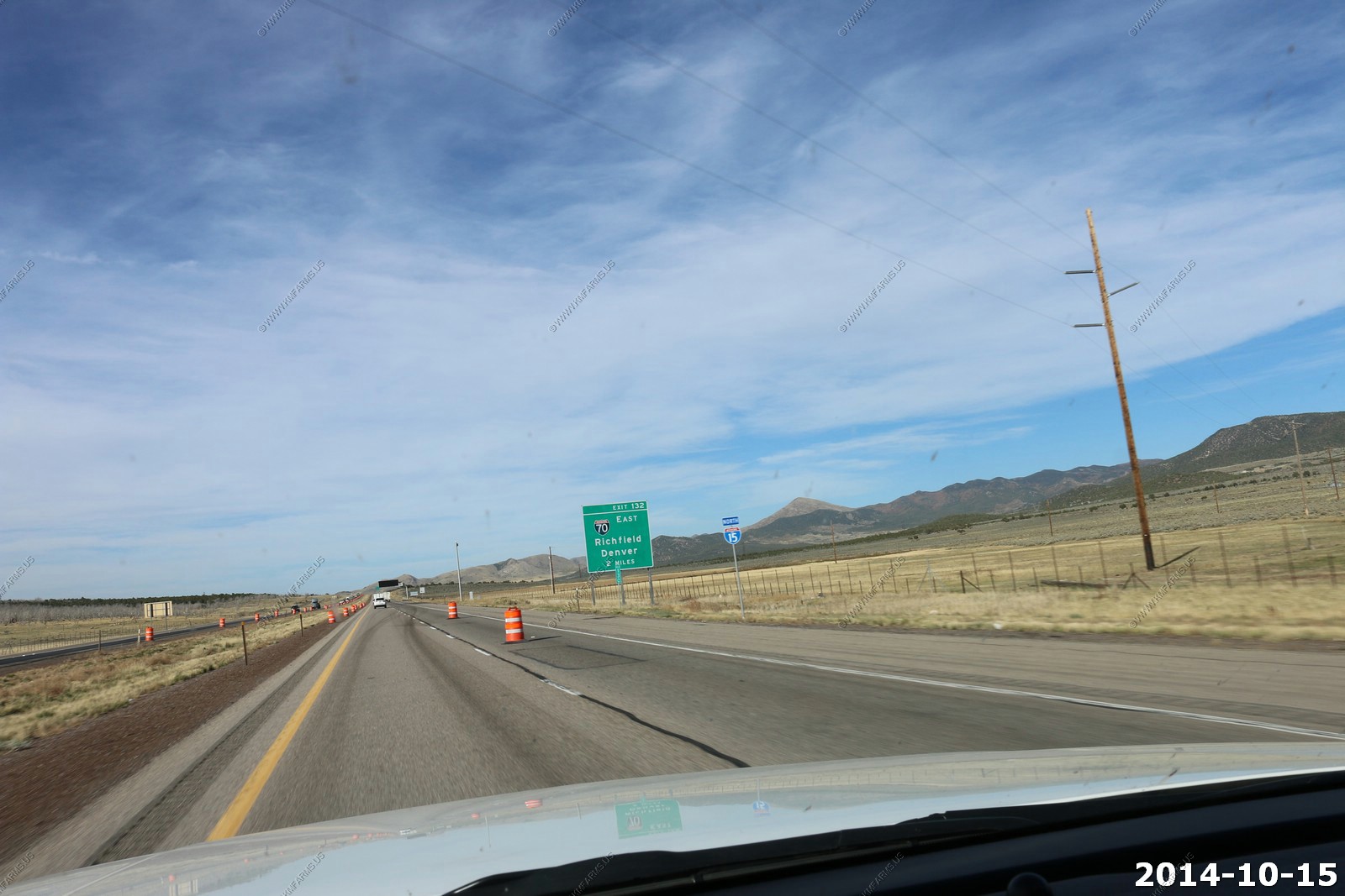
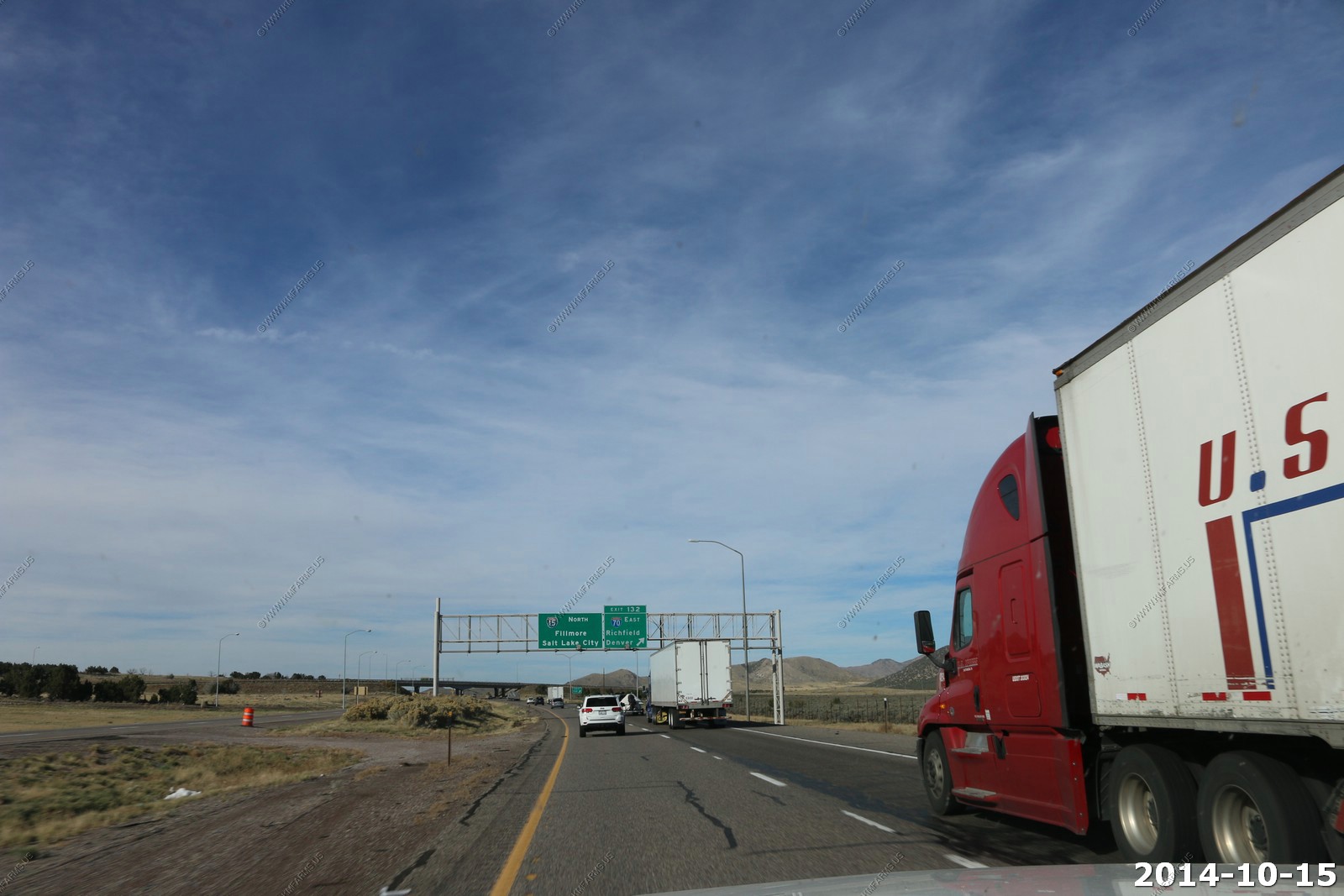
The other end of I-70 - Looks much better here than in Baltimore.
Now up to 80 degrees.. Much better that 43 and wind on Brian Head.
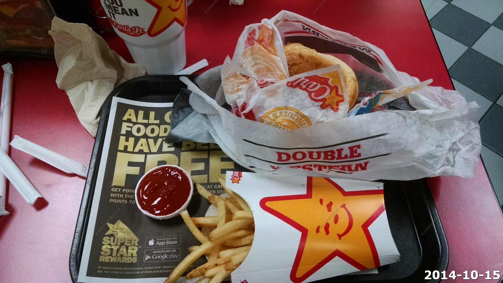
My favorite fast food restaurant is Carl Jr's so we stopped near our hotel in Provo, Utah so I could get a Western Bacon Cheeseburger. It had been a couple of years since my last and it was and remains my favorite burger.
We stayed at the Marriott in Provo. Very new, clean and we were impressed with the place. It was a nice big suite to allow us to pack for the trip home.
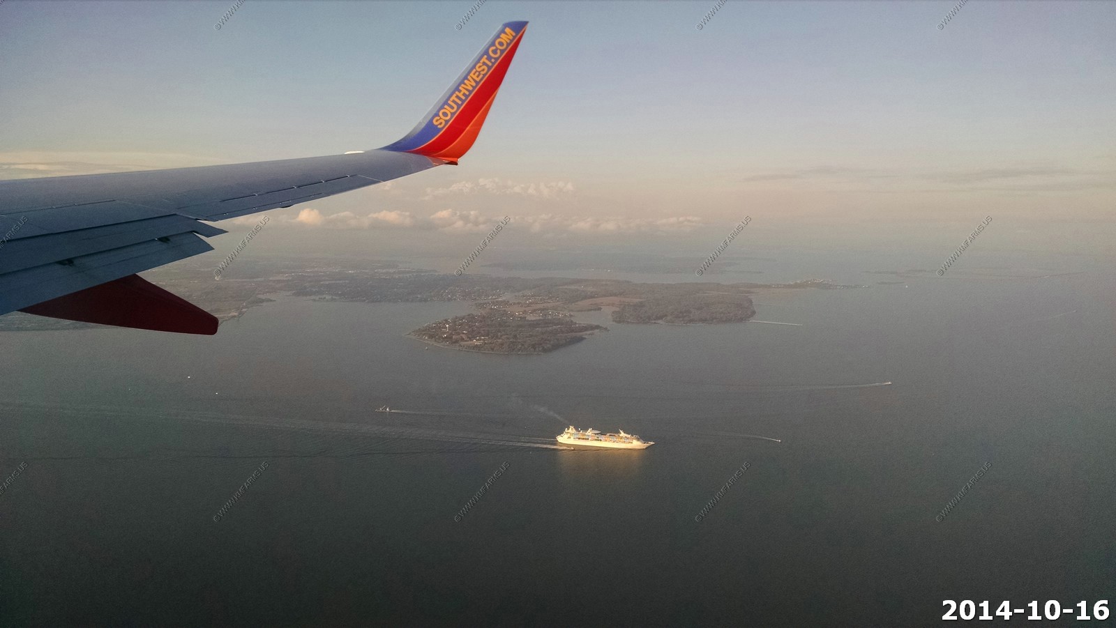
Thursday - OCT 16 2014
Fly home day
No problems getting form Provo to Salt Lake City International during rush-hour. No problems with the flight home.
One of the Royal Caribbean International ships leaving Baltimore, Maryland