Last Updated: 24-AUG-2018
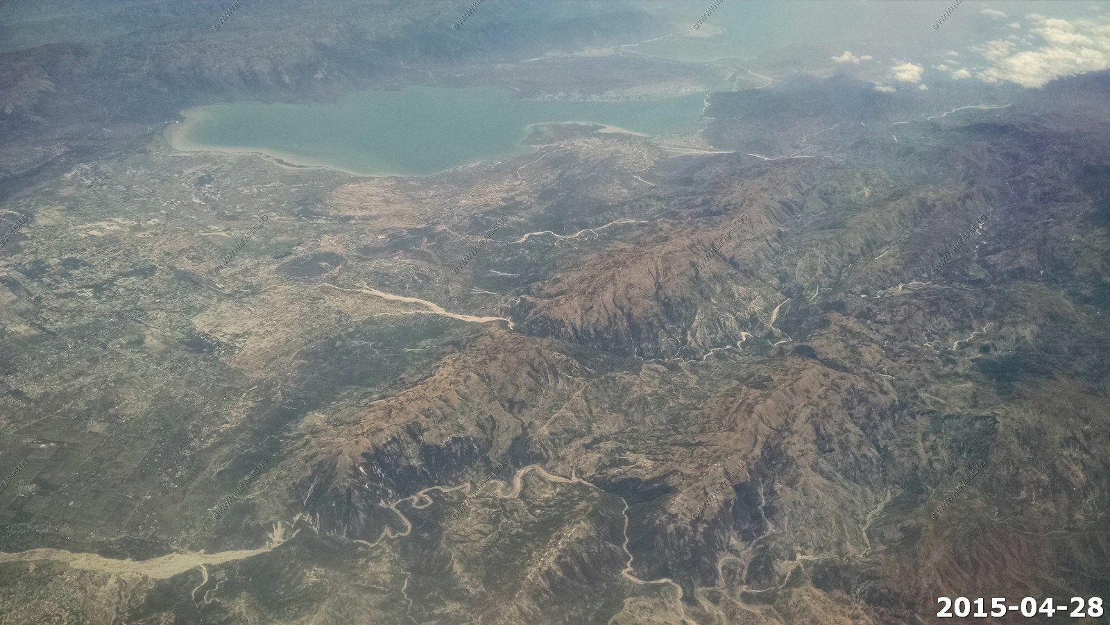
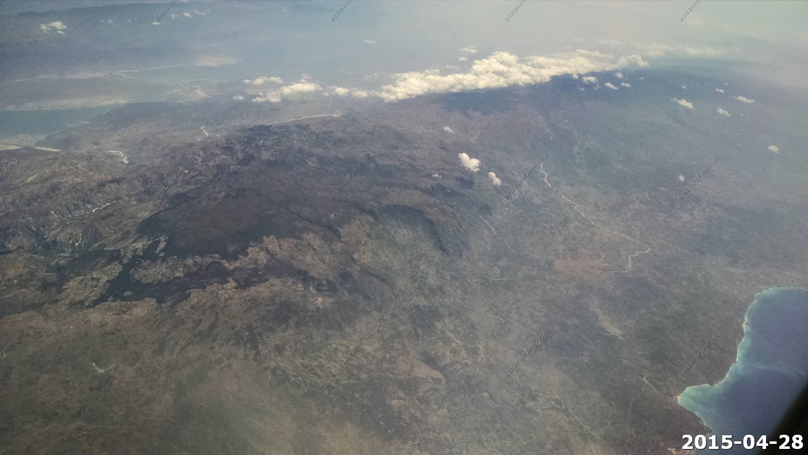
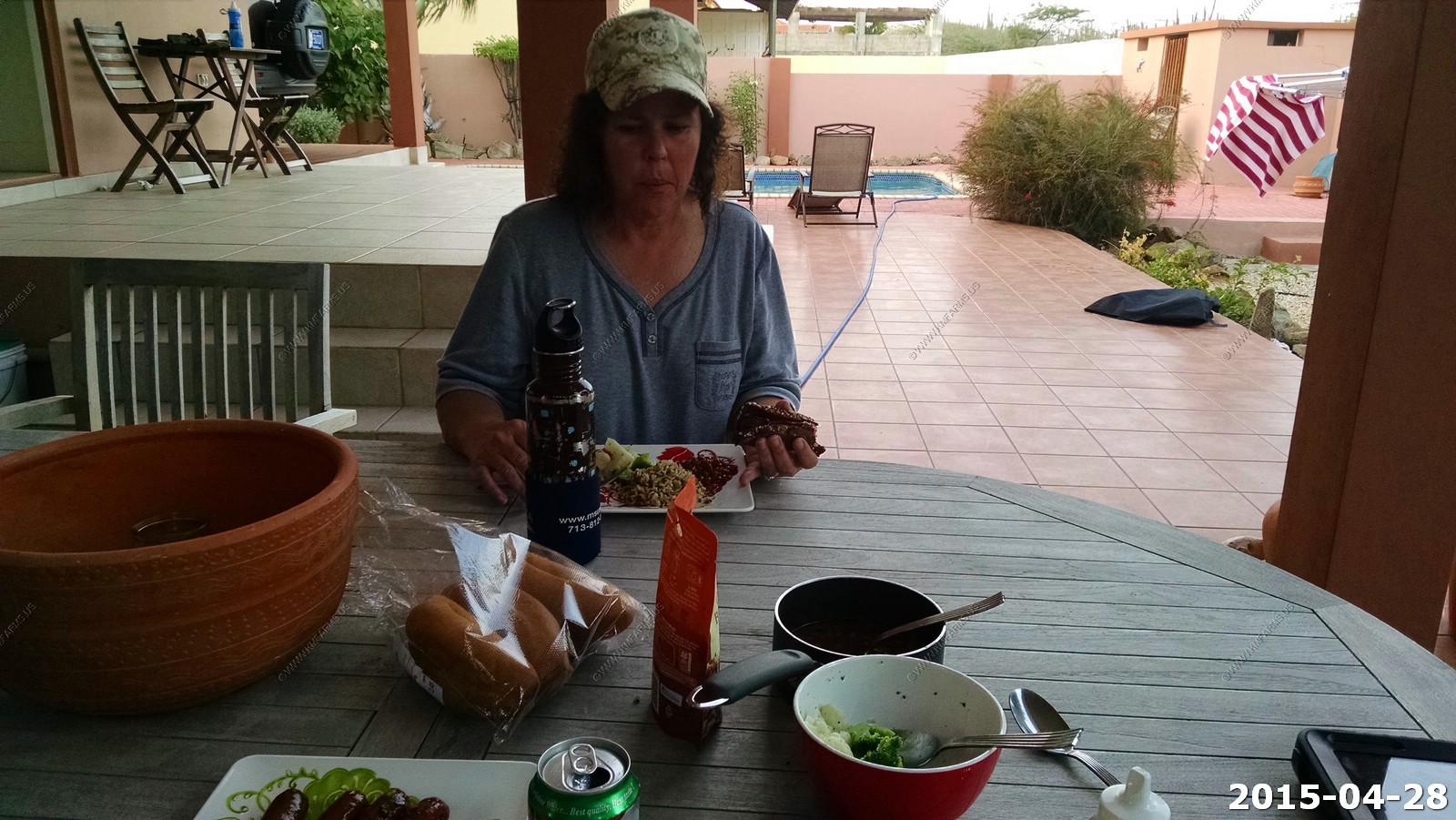
Tuesday - APR 28 2015
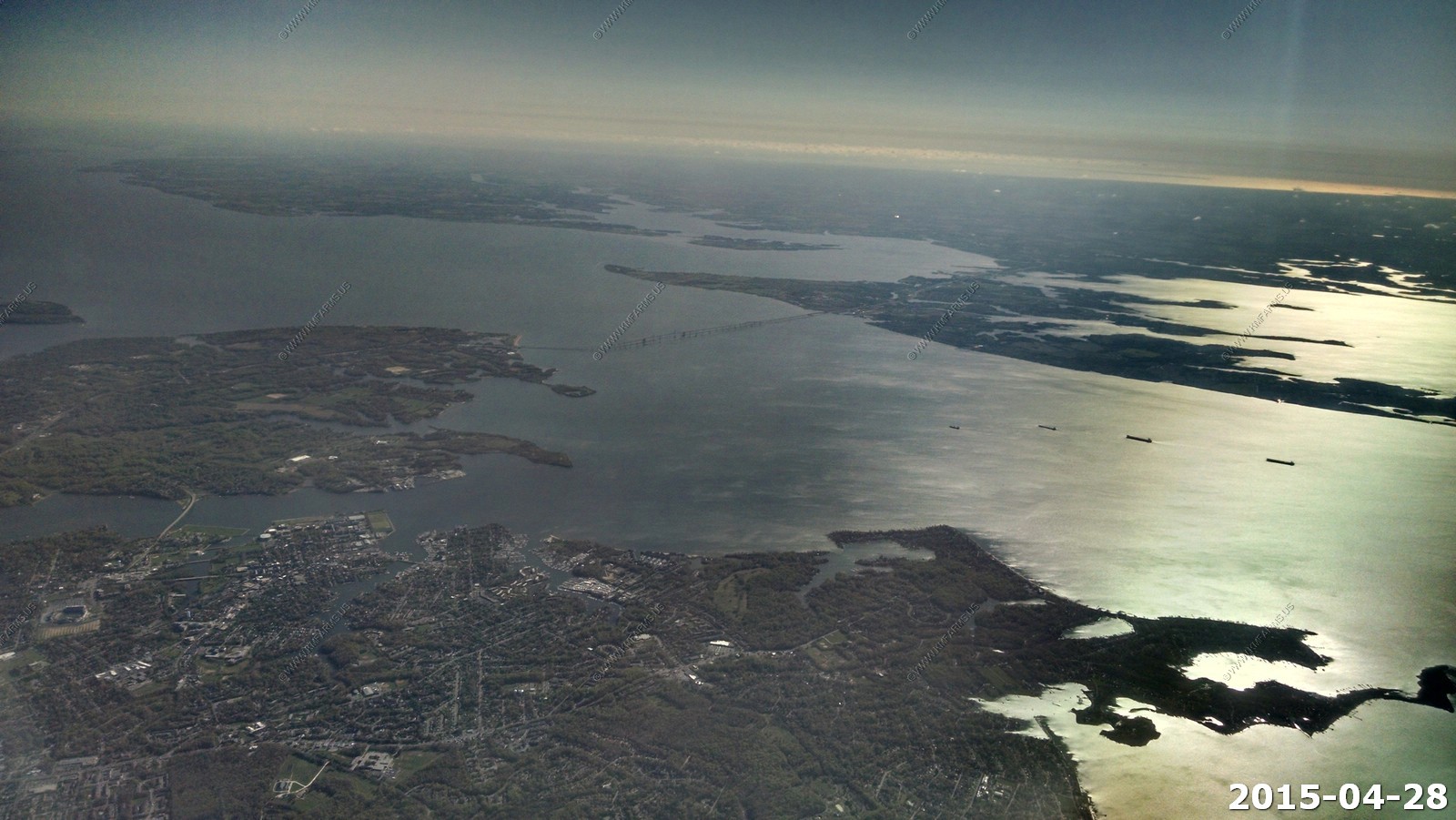
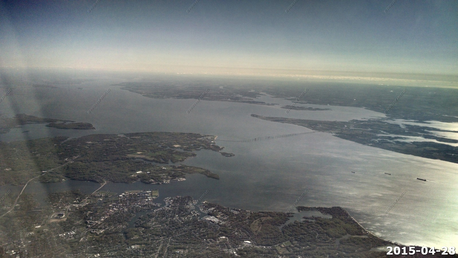
Looking back up over the upper Chesapeake bay and the bay bridge
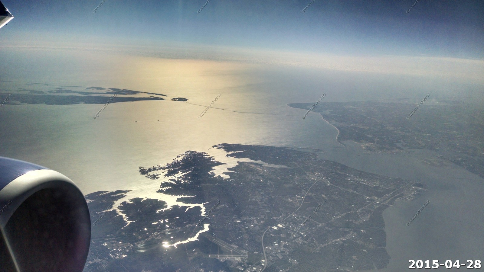
Looking over the lower eastern shore and the Chesapeake Bay bridge tunnel. The runways are Joint Base Langley - Eustis located in Hampton, Virginia
Southern end of Cat island in The Bahamas. We are right over Holland Americas Little San Salvador Island.
Rum Cay - Santa Maria de la Conception Island - Rum Cay was once famous for salt and pineapples. Only about 60 people live in the one remaining settlement, Port Nelson, on the south coast, and the virtual wilderness of the remainder of the island provides excellent opportunities for nature exploration
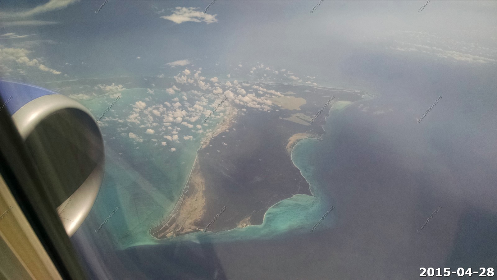
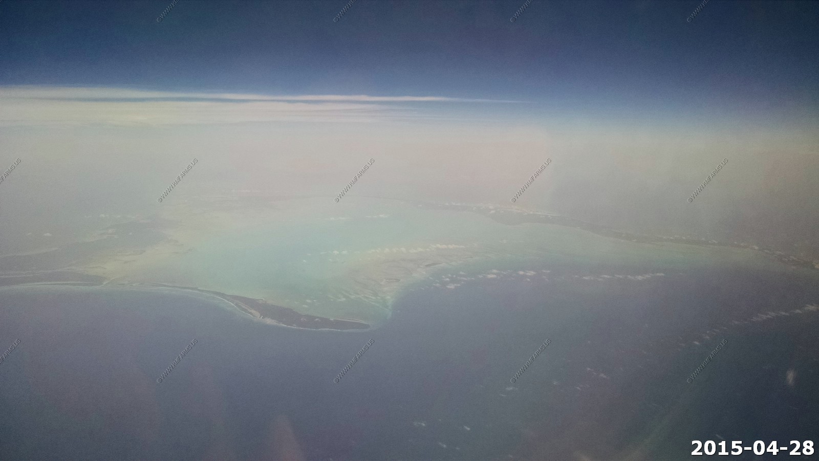
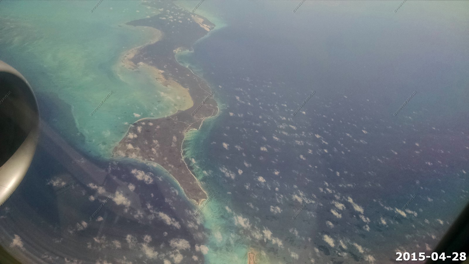
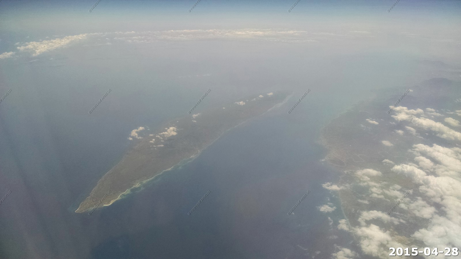
Acklins - Acklins Island, part of the BAHAMAS, is a small island of approximately 389 square kilometers. The island was settled in the 1780's by American Loyalists who setup cotton plantations worked by slaves. After the abolition of slavery the populations dwindled. As next one tried the sponge fishing. Very soon a fungi destroyed the sponges. Today the island is mainly occupied by fisherman and small farmers. The population is just over 400.
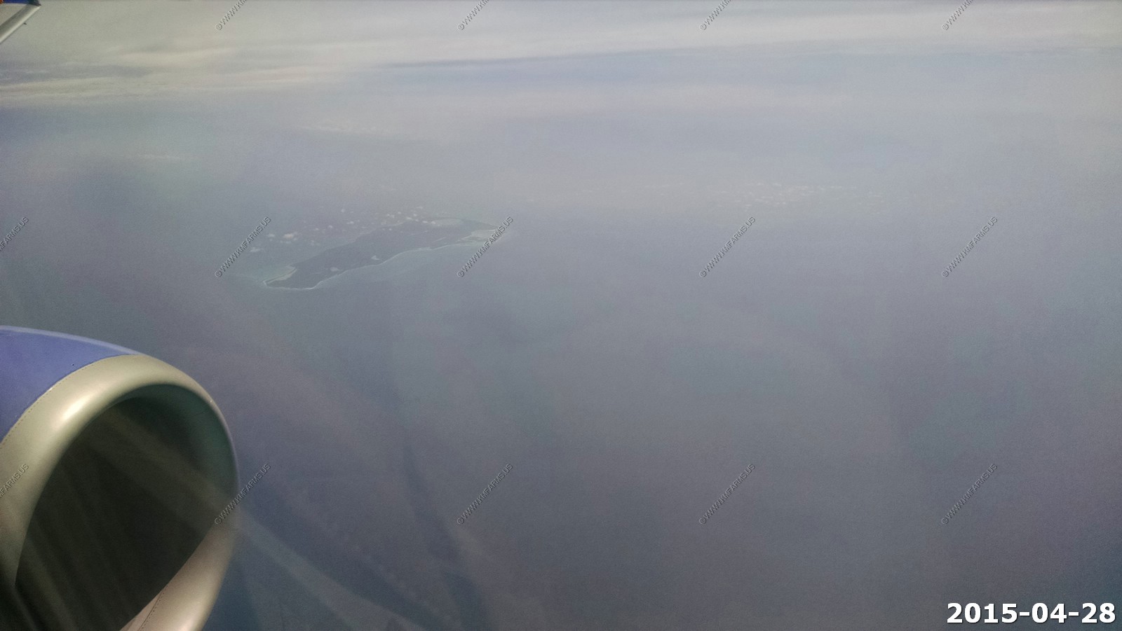
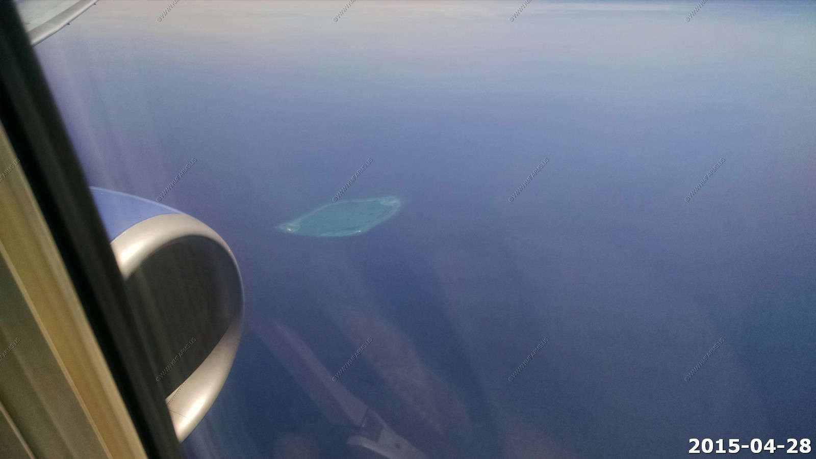
Atolon Hogsty Reef - The reef '' 'Reef Hogsty' '' is a coral atoll uninhabited, located in the southern Bahamas. It is located 70 km north of the Great Inagua island and 70 km south of the is Acklins islands.
Hogsty is a rarity in the Atlantic basin. It is a coral atoll 8 x 5 km rising from 1800 m deep surrounding waters. It is presumed that the atolls are formed of extinct volcanoes, a process by which creates the volcano under the ocean mountain that rises from the depths of the ocean, then the volcano disappears, leaving a coral atoll. There are only a handful of these geological formations in the Atlantic, while there are hundreds of them in the Pacific.
 '
'
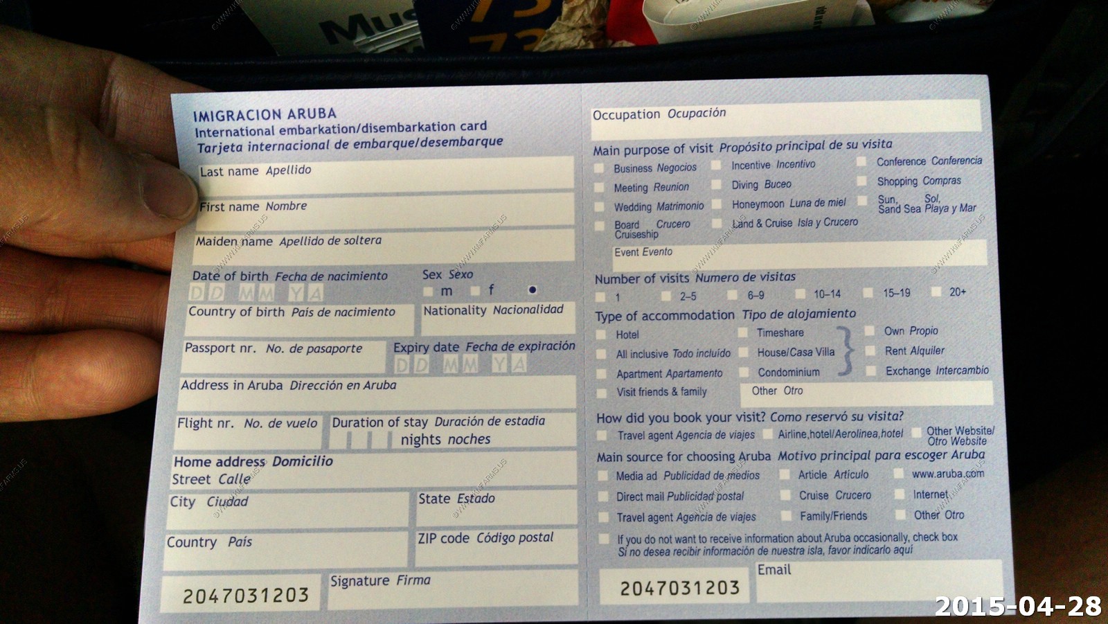
Time to fill out the immigration form
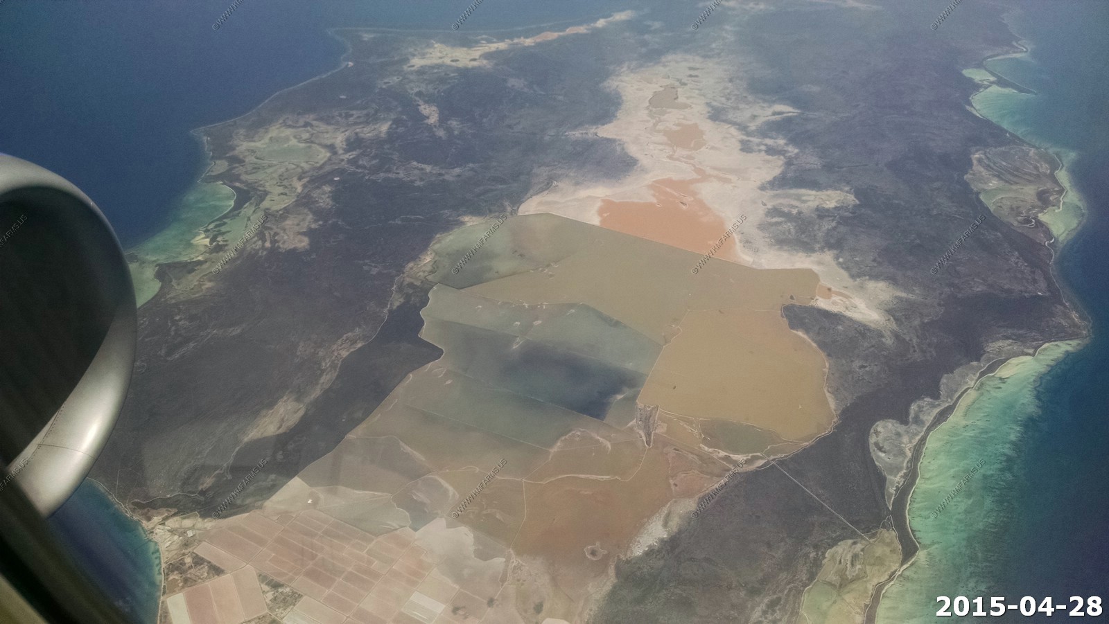
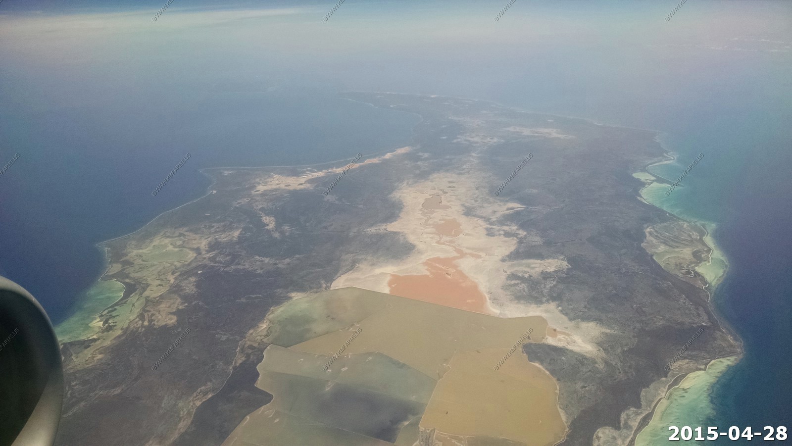
Igagua Island - Lake Rosa
Tortuga - Tortuga (Ile de la Tortue in French) is a Caribbean island that forms part of Haiti, off the northwest coast of Hispaniola. It constitutes the commune of Île de la Tortue in the Port-de-Paix arrondissement of the Nord-Ouest Department of Haiti. The island covers an area of 180 sq km (69 sq mi) and its population was 22,080 in 1982.
Its name in both Spanish (Isla Tortuga) and French means "Turtle Island" or "Tortoise Island", and it is sometimes called that in English. In the 17th century, it was a major center of Caribbean piracy.
Now we are flying over the western end of Haiti.
Looking down on Gonaives (Haitian Creole: Gonayiv) is a commune in northern Haiti, and the capital of the Artibonite Department. It has a population of about 300,000 people (2011 census). The city of Gonaives was founded in 1422 by Indians who named it "Gonaibo" (to designate a locality of caciquat of the Maguana). It is also known as Haiti's "independence city". The Bay of Gonaives is named after the town.
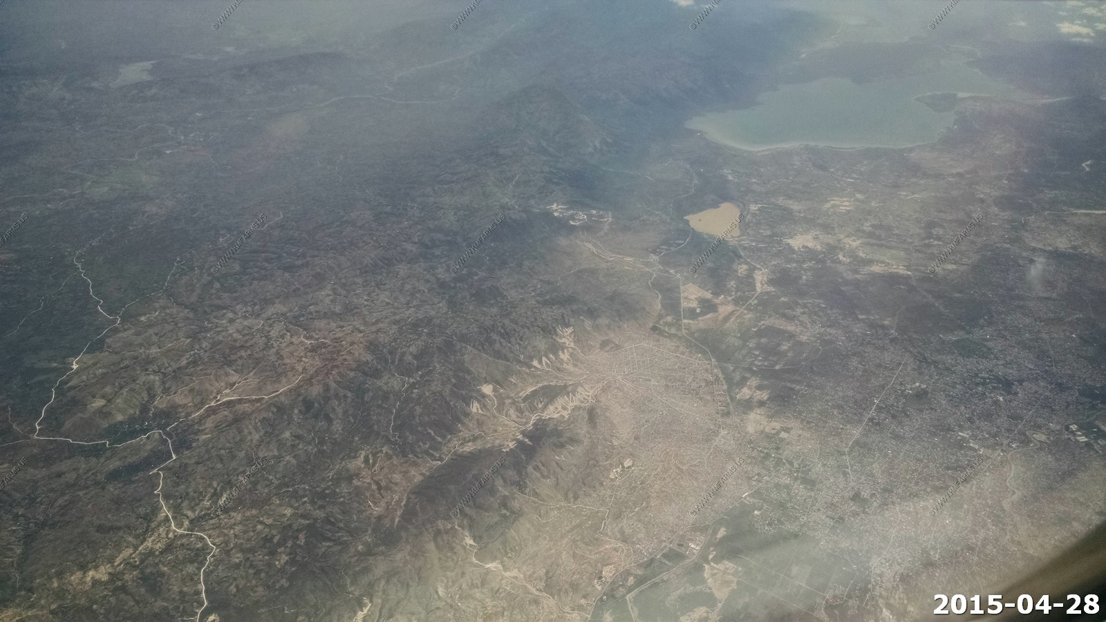
Looking east over Hispaniola (Spanish: La Espanola; French: Hispaniola; Taino: Ayiti) is the 22nd-largest island in the world, located in the Caribbean island group, the Greater Antilles. It is the second largest island in the Caribbean after Cuba, and the tenth most populous island in the world.
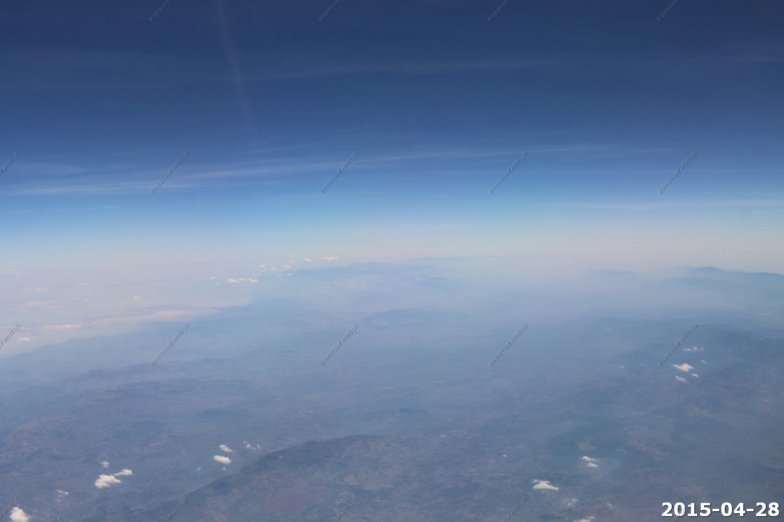
Somewhere out in the haze is Massif du Nord. This mountain range boasts the highest peak in the Antilles, Pico Duarte at 3,087 meters (10,128 ft) above sea level. The area has a climate that very few would associate as typical of a Caribbean island, with cool temperatures all year round, going several degrees below freezing during winter nights.
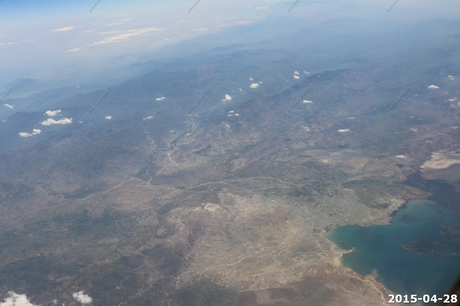
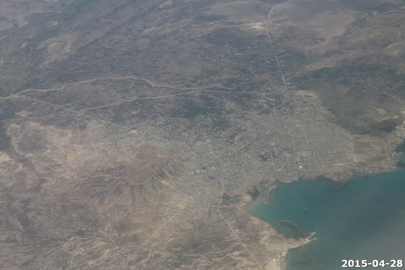
Flying directly over Port-au-Prince, Haiti so I can oly look to the east at the lates Trou Caiman and the larger Lake Enriquillo.
Lake Enriquillo - is one of only a few saltwater lakes in the world inhabited by crocodiles. Lake Enriquillo is located in a rift valley that extends 79 miles (127 km) from Port-au-Prince Bay in Haiti in the west to near Neiba Bay in the Dominican Republic in the east. Its' surface can be as much as 148 feet below sea level as its the lowest elevation in the Caribbean.
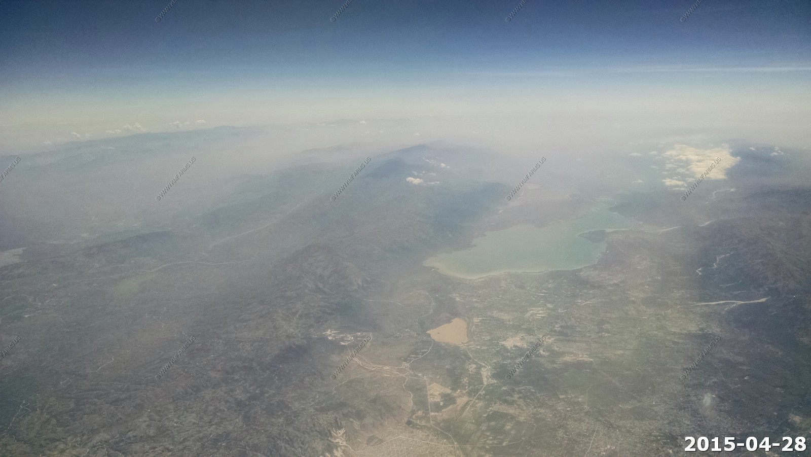
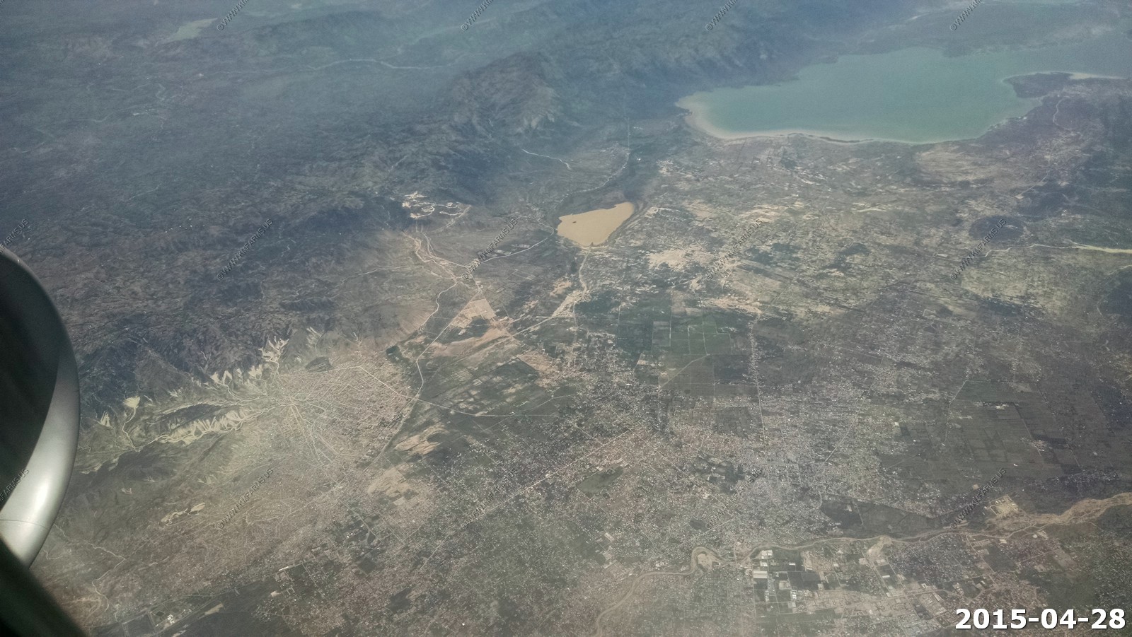
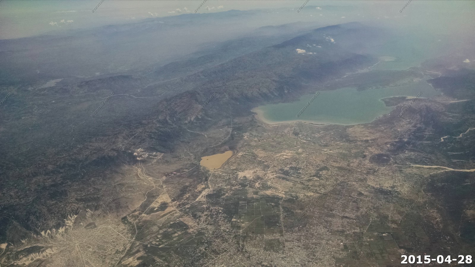
Pic la Selle (Kreyol: Pik Lasel), also called Morne La Selle, is the highest peak in Haiti with a height of 2,680 metres (8,793 ft) above sea level. The mountain is part of the Chaine de la Selle mountain range.
We picked up the rental car from Alamo at Aruba Queen Beatrix Intl (AUA). The car we rented was an automatic (first mistake) Kia Rio. It had AC but would not accelerate with the A/C on. So after the first day no A/C. I should have got a manual as it would have had more power. The total cost for un-limited mileage was $385 USD for 9 days. Not bad. They did authorize a $300 deposit on the car. Looking at the slips they said we drove 2 miles during that 9 days. We spent appx $50 US in gas so I think we went more than 2 miles. They had some strange rules about the car as if you get a flat (Common on an island covered with cacti and broken glass) the tire repair / replacement was on you. As the days progressed I realized that all the tires had slow leaks so I had to find the local places that had free air. Sure a can of fix-a-flat would have fixed this but it was not my car. The car was also leaking transmission as well as engine oil and again not my problem.
We used a few tanks of gas and I really never paid attention to the price.
I had added the international plan to Mary's phone but we were not sure how to dial out and we needed to call the house manager and rental car lady let us use her phone to call him who we met at the house.
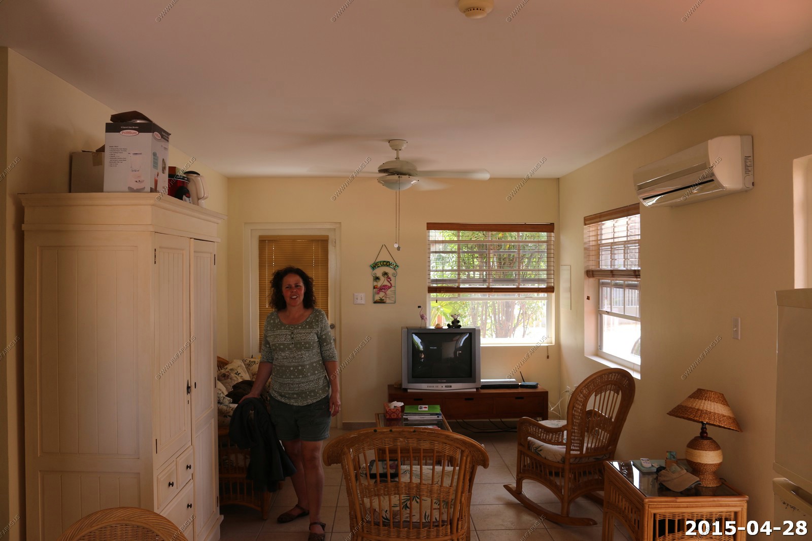
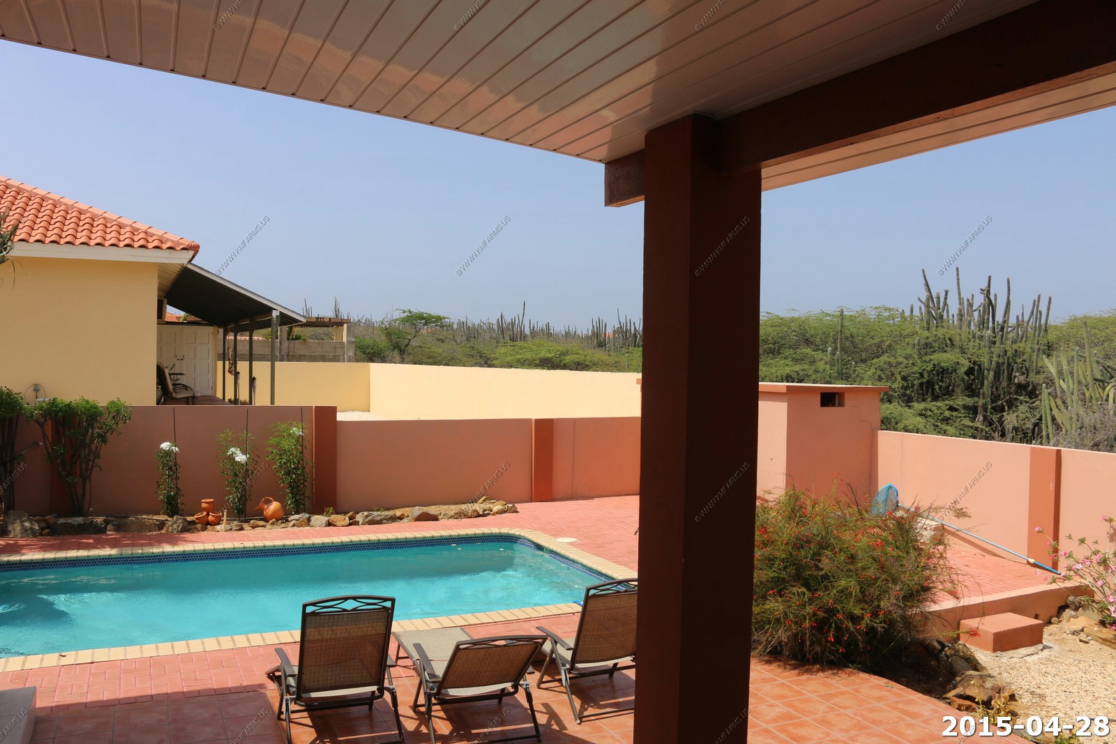
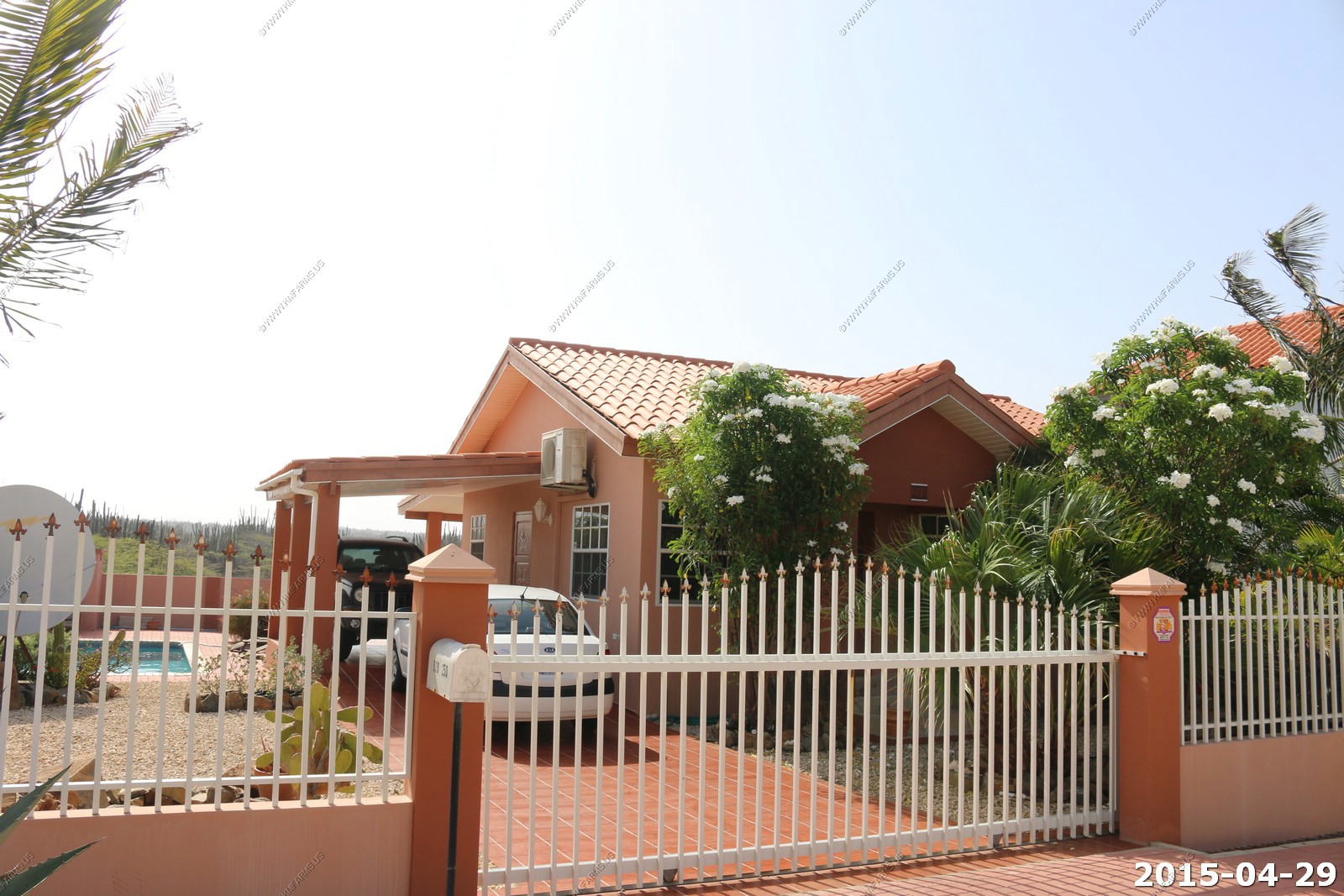
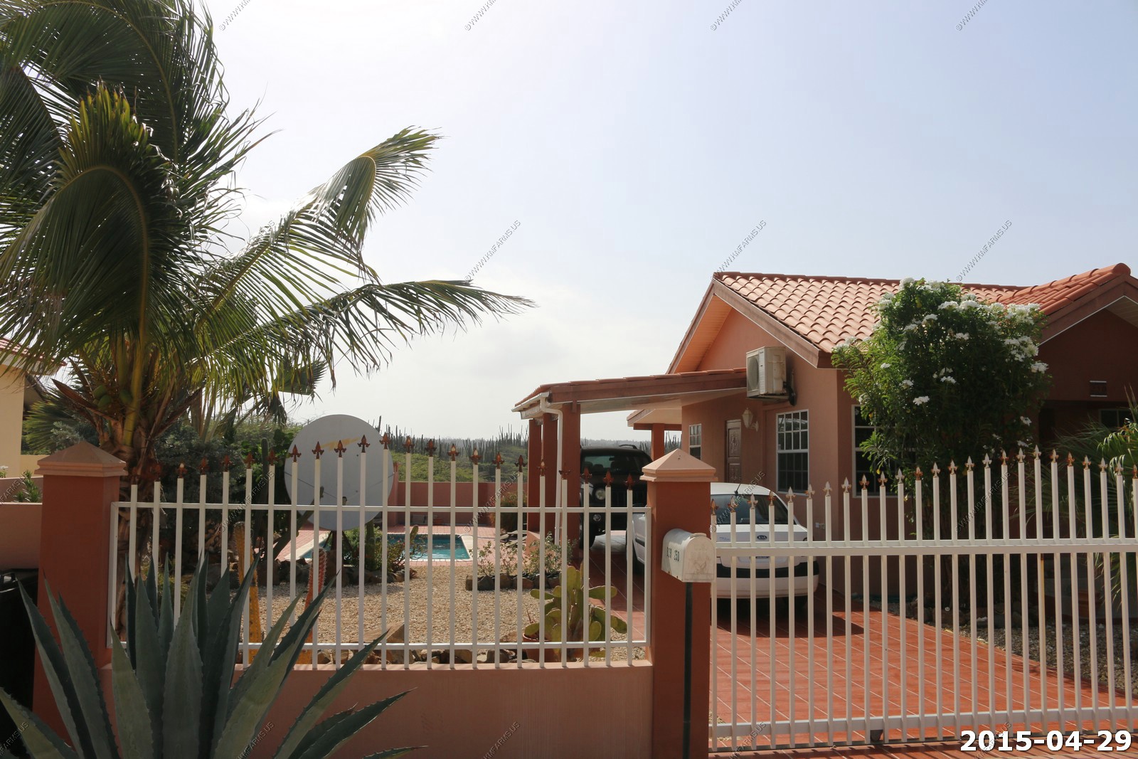
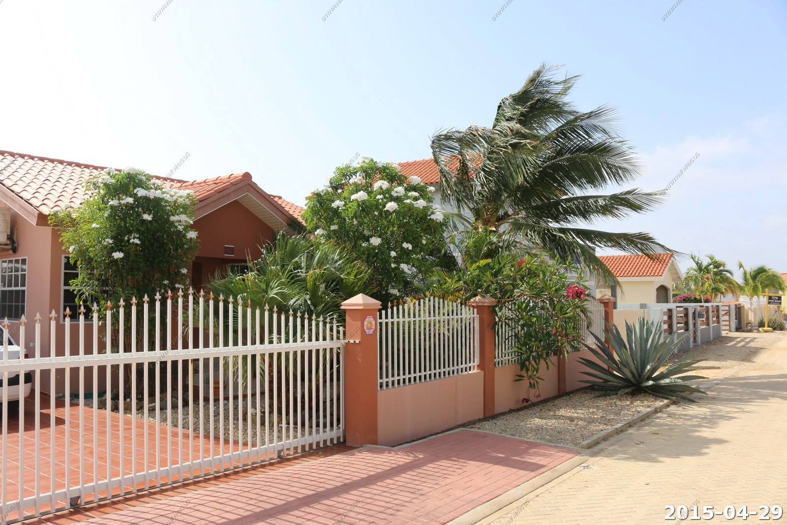
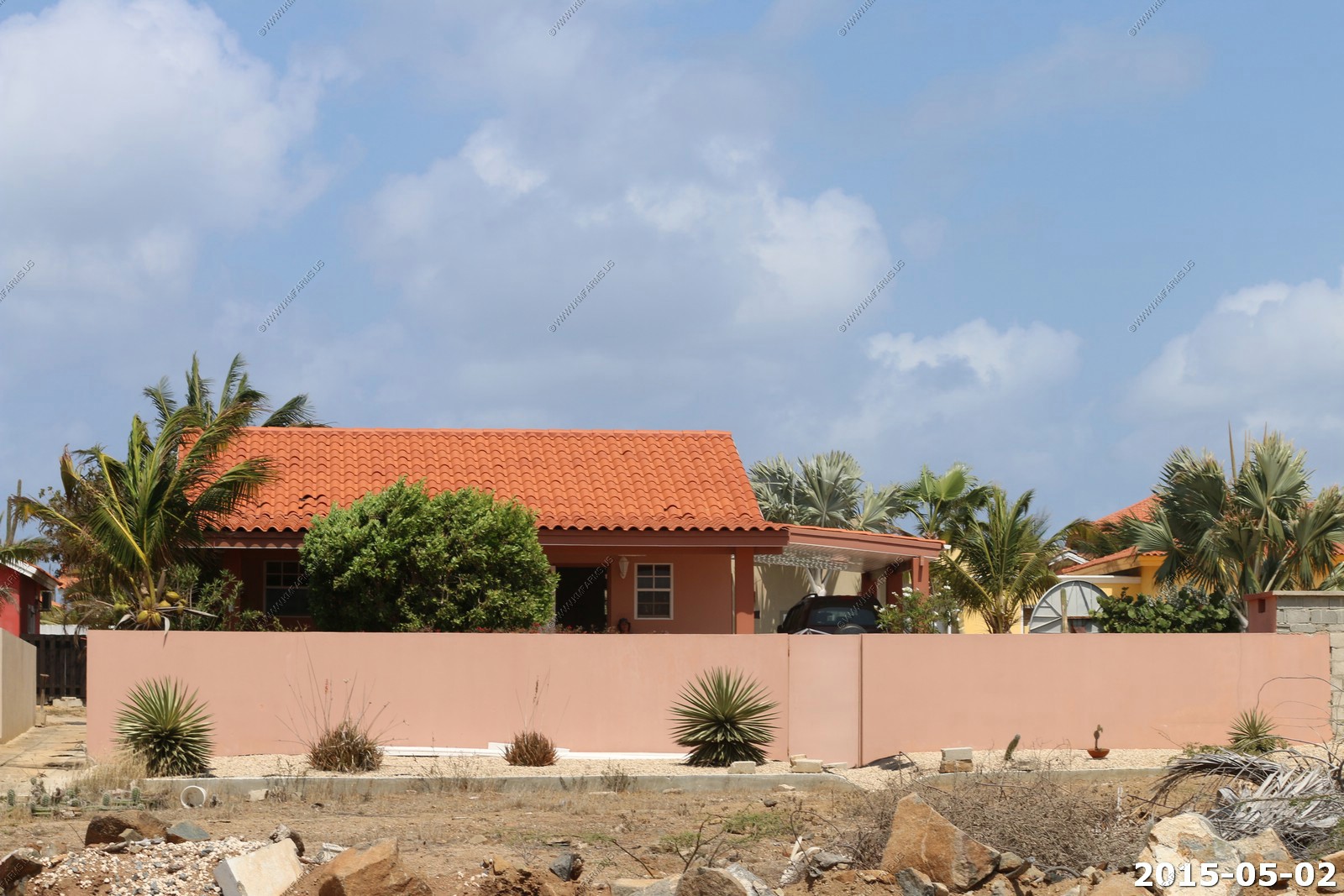
The Rental House
6 miles from the cruise terminal
9 miles from the airport
2.5 miles to Boca Catalina Beach
3.8 miles to the California lighthouse
Some of this is from the write-up from the home away page:
Noord Villa Rental and Description Home away Rental 935141

Cas di Flamingoes. This villa is located in the quiet residential neighborhood of Boroncana, one mile inland from the Marriott Resort and Palm Beach.

3 bedrooms, 2 bathrooms, sleeps 4 adults or 1 couple and 3 kids.

This lovely home is set among gardens and native flowers with a full view of the Aruban cunucu (outback) where many tropical birds like orange trupials, yellow and green parrots,
as well as, the occasional herd of goats visit daily. Relax in your private pool and breath in the serenity. Watch the hummingbirds as they make their rounds among the flowers.
At night, you can dine under the stars in the covered outside dining area after cooking a fresh meal on the gas grill.

Miles of beautiful, uncrowded beaches are just down the street. Maybe play a round of golf at the the beautiful Tierra del Sol course a couple of miles away. You will, also, find
horseback riding around the corner. This is the perfect place to escape to for peace and quiet and, by the way, the yoga mats are included. Suitability: children welcome, pets
not allowed, suitable for elderly or infirm, wheelchair accessible
Small but its all we need.
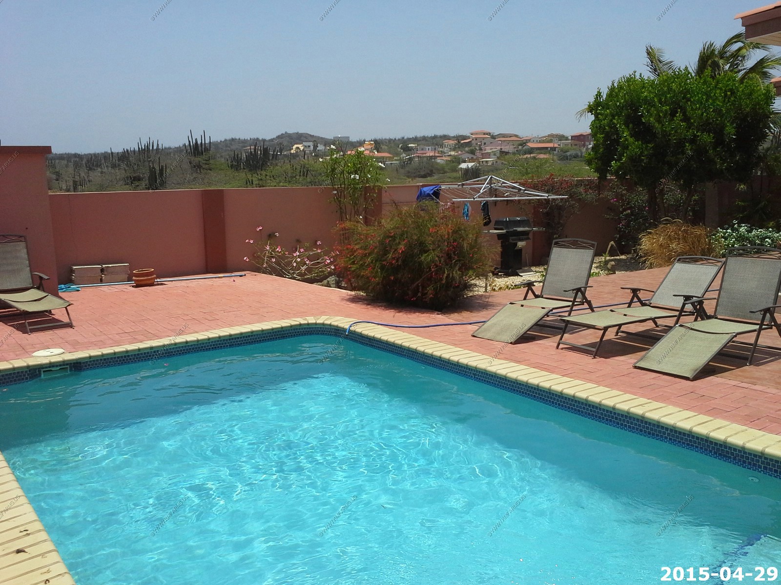
Nice pool and we spent many hours in it.
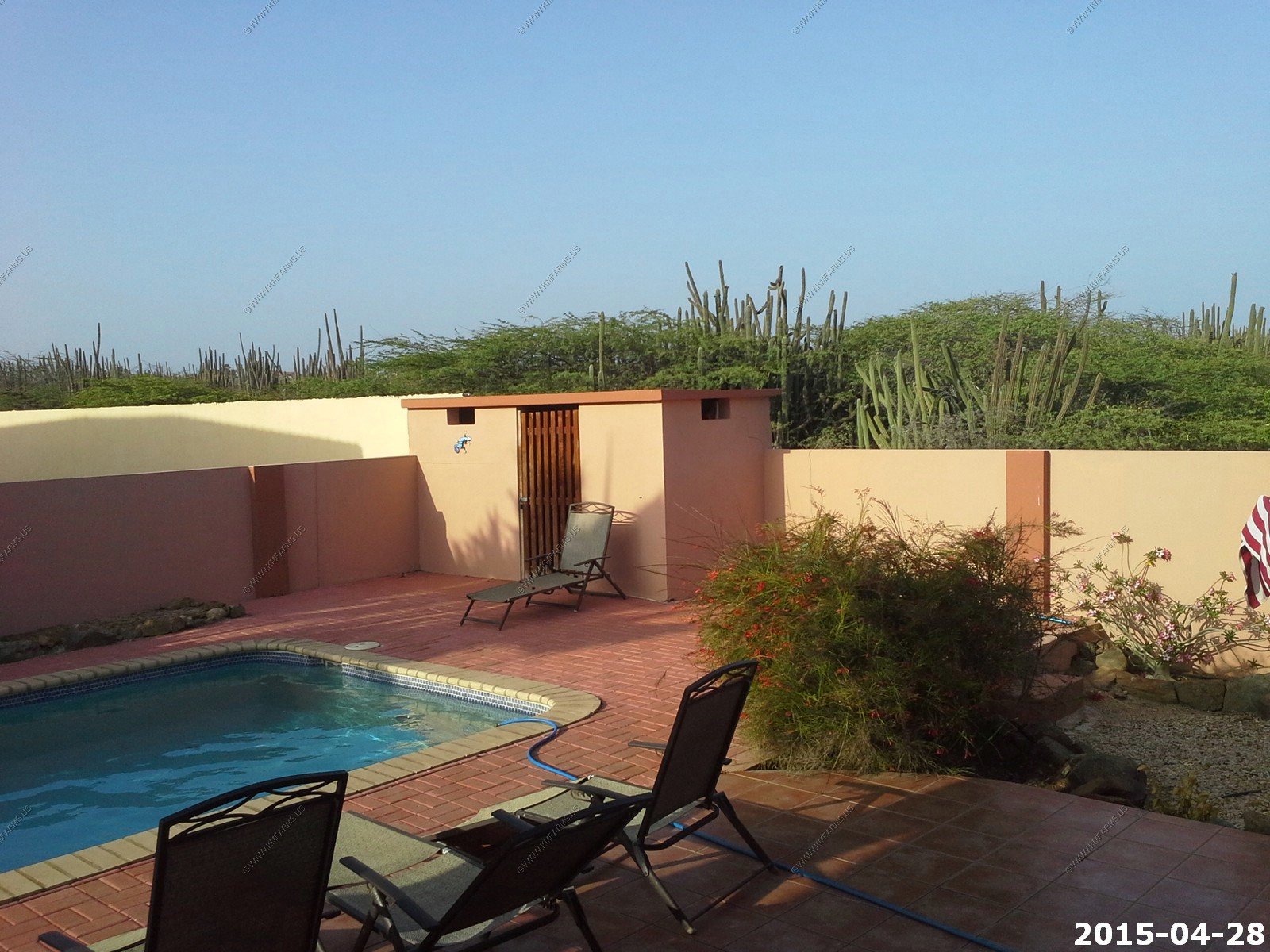
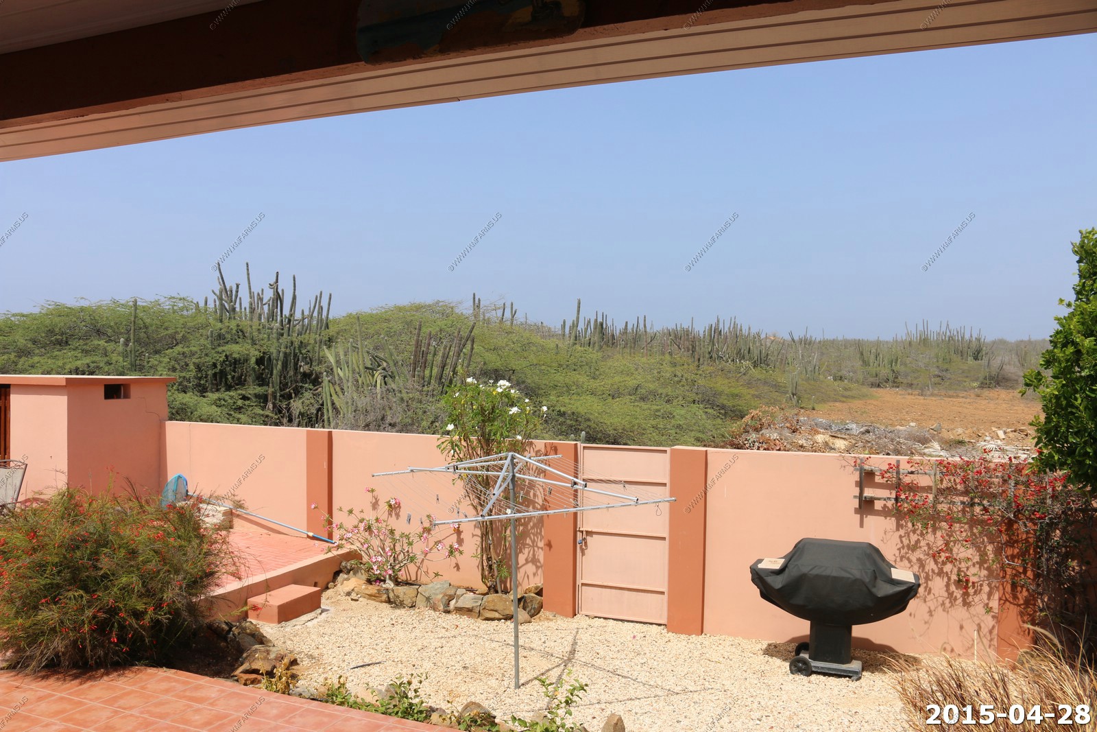
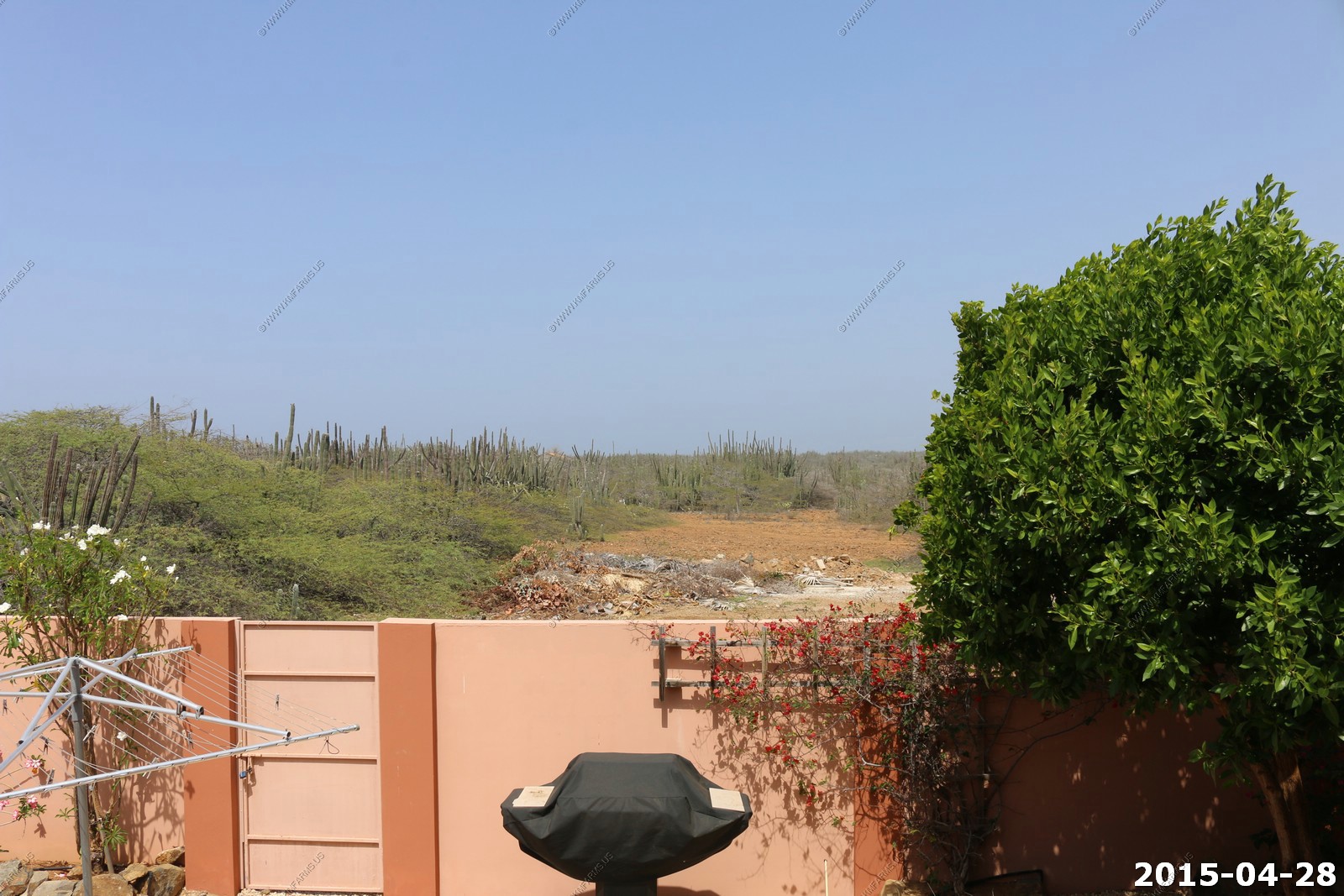
Desert (trash and much more on that later) right behind the house. Interesting that you could not see this on the VRBO photos of this property.
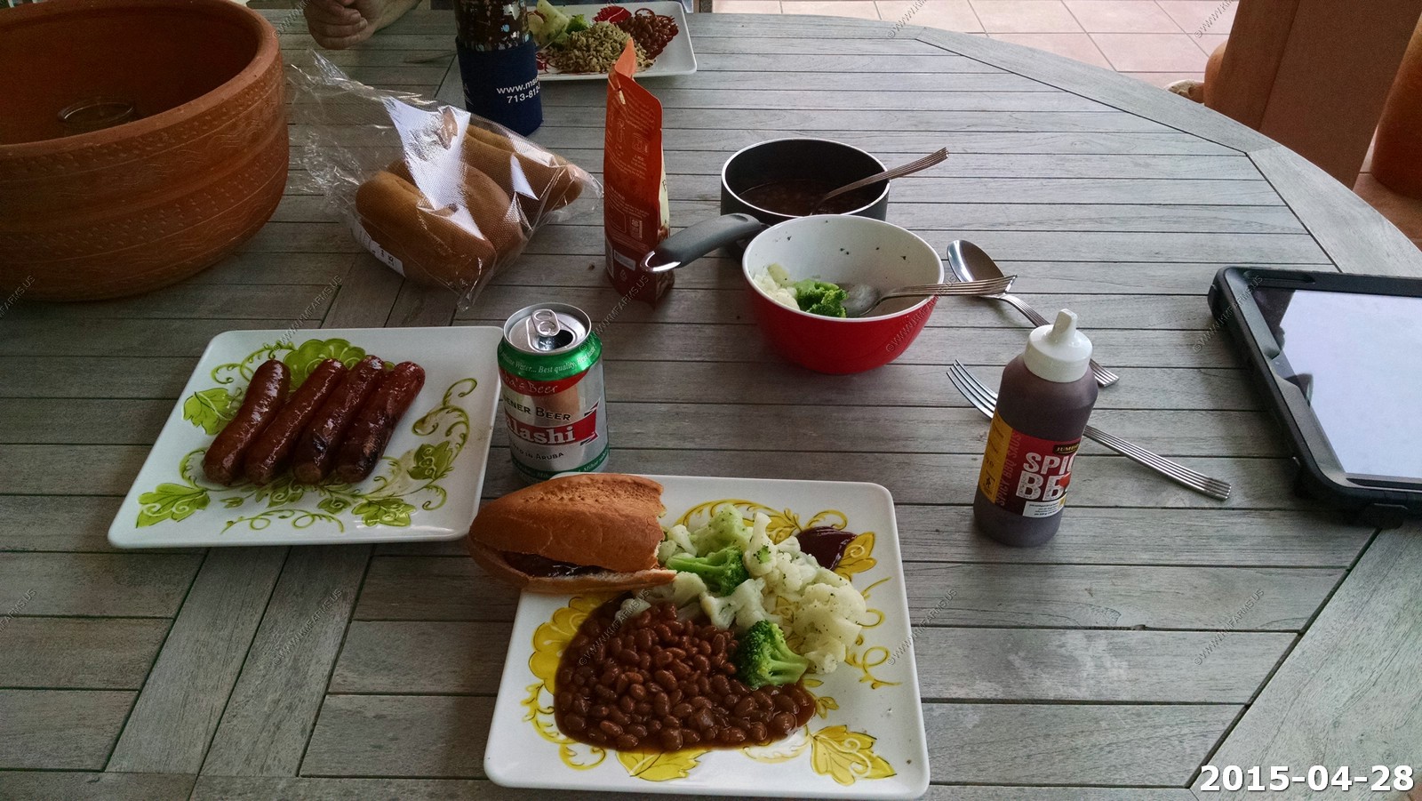
Our first dinner
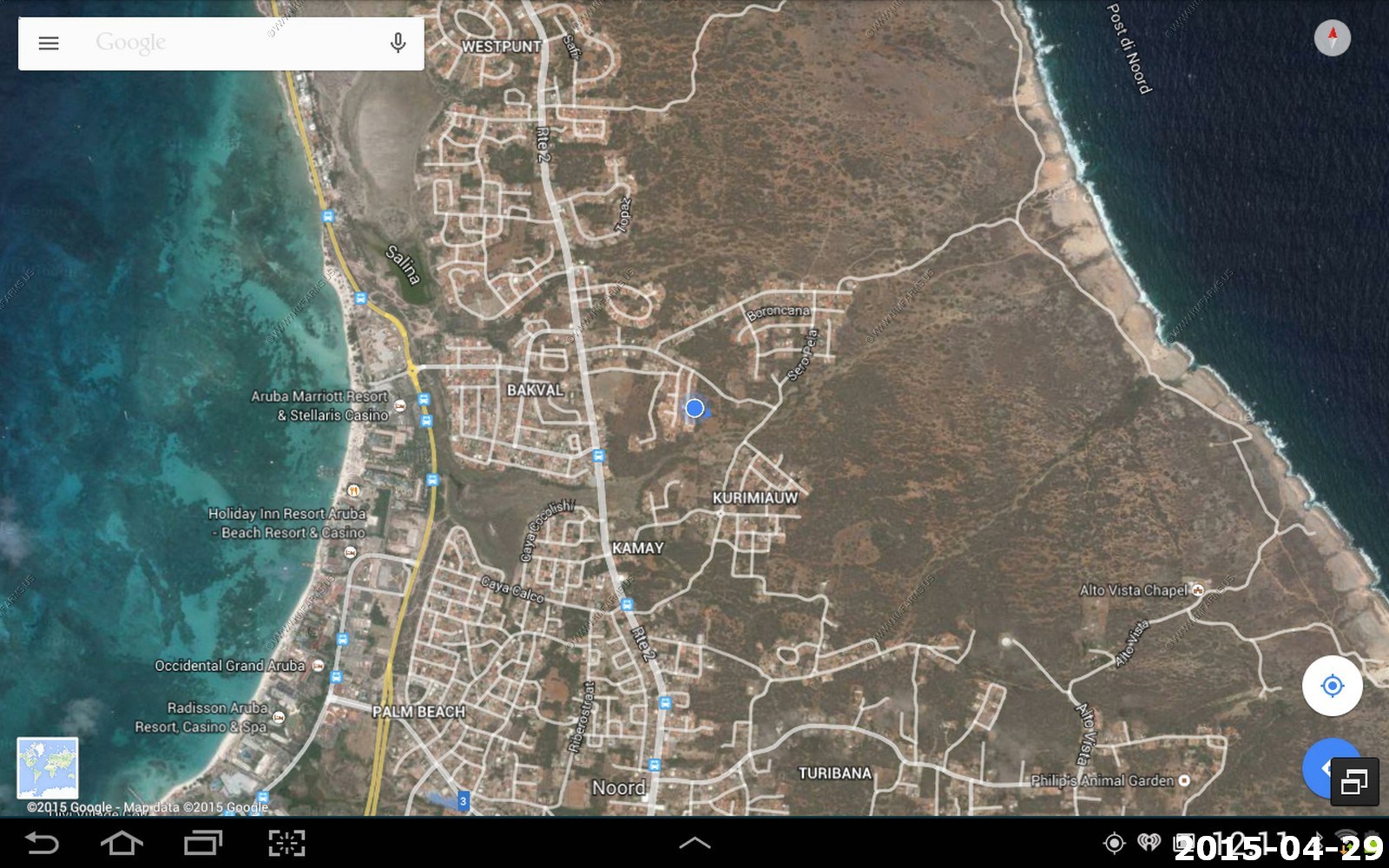
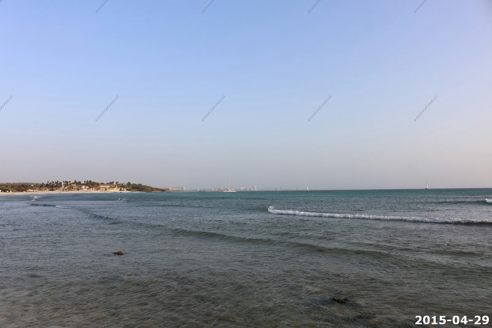
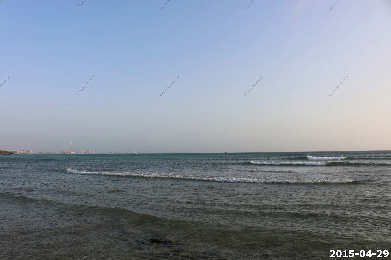
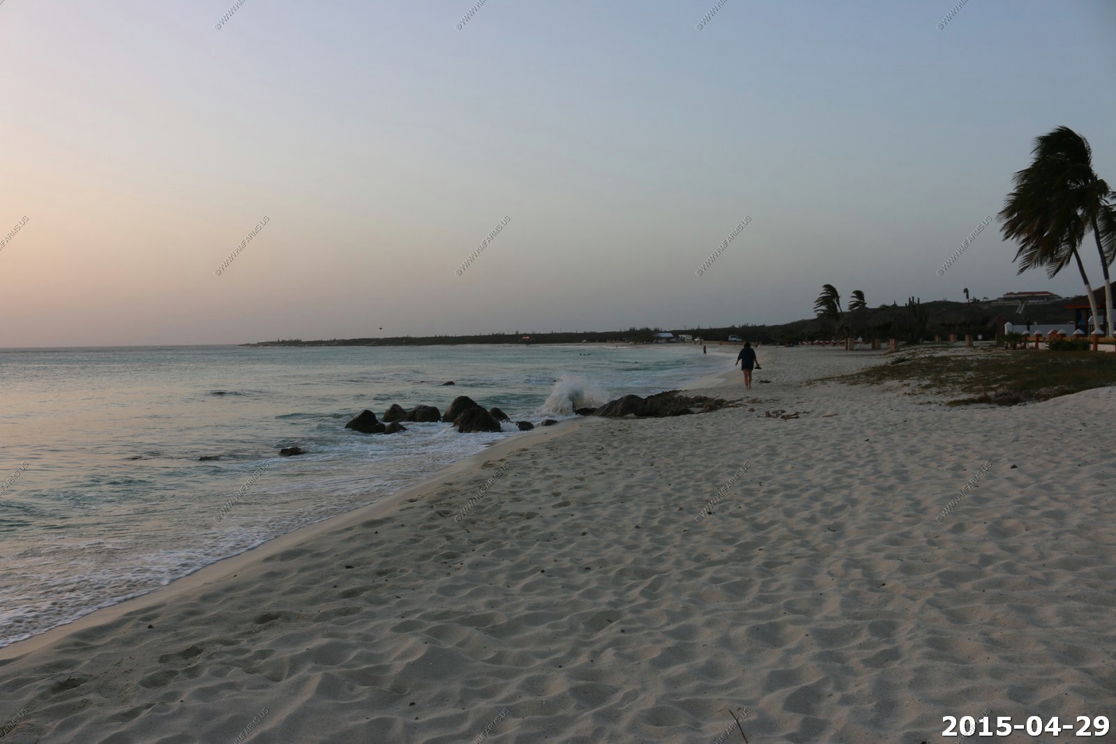
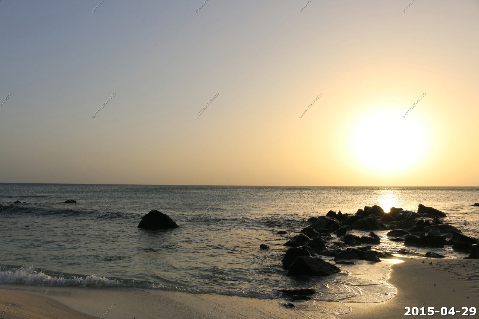
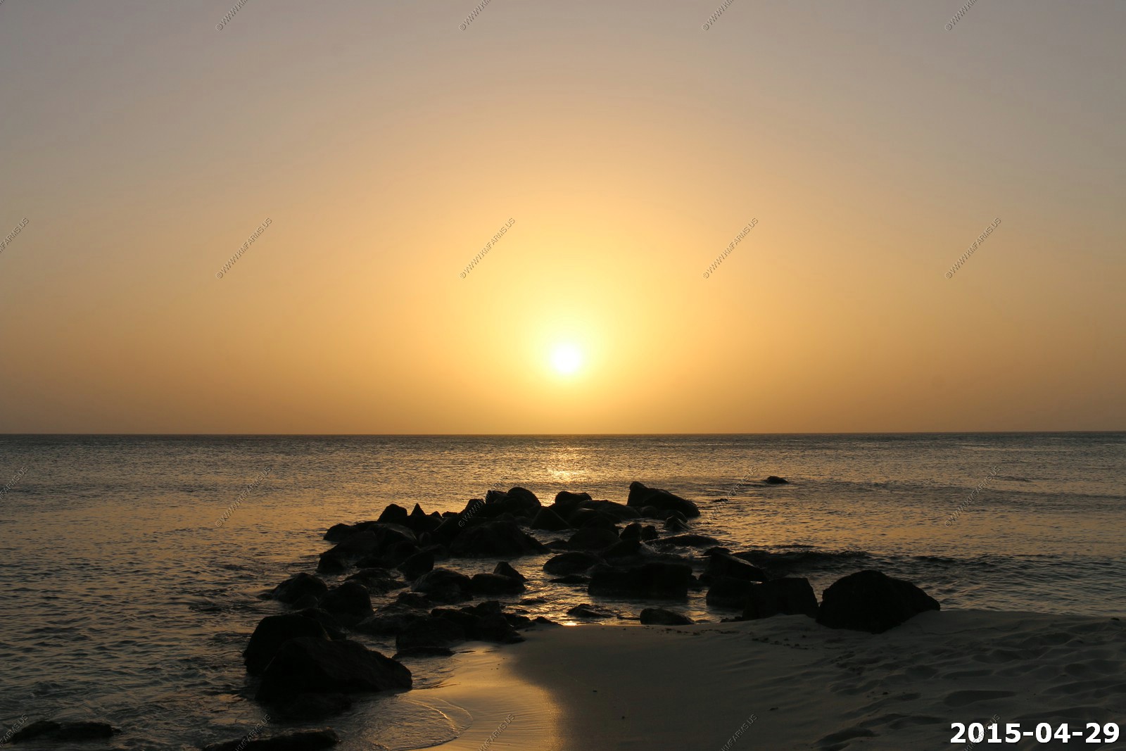
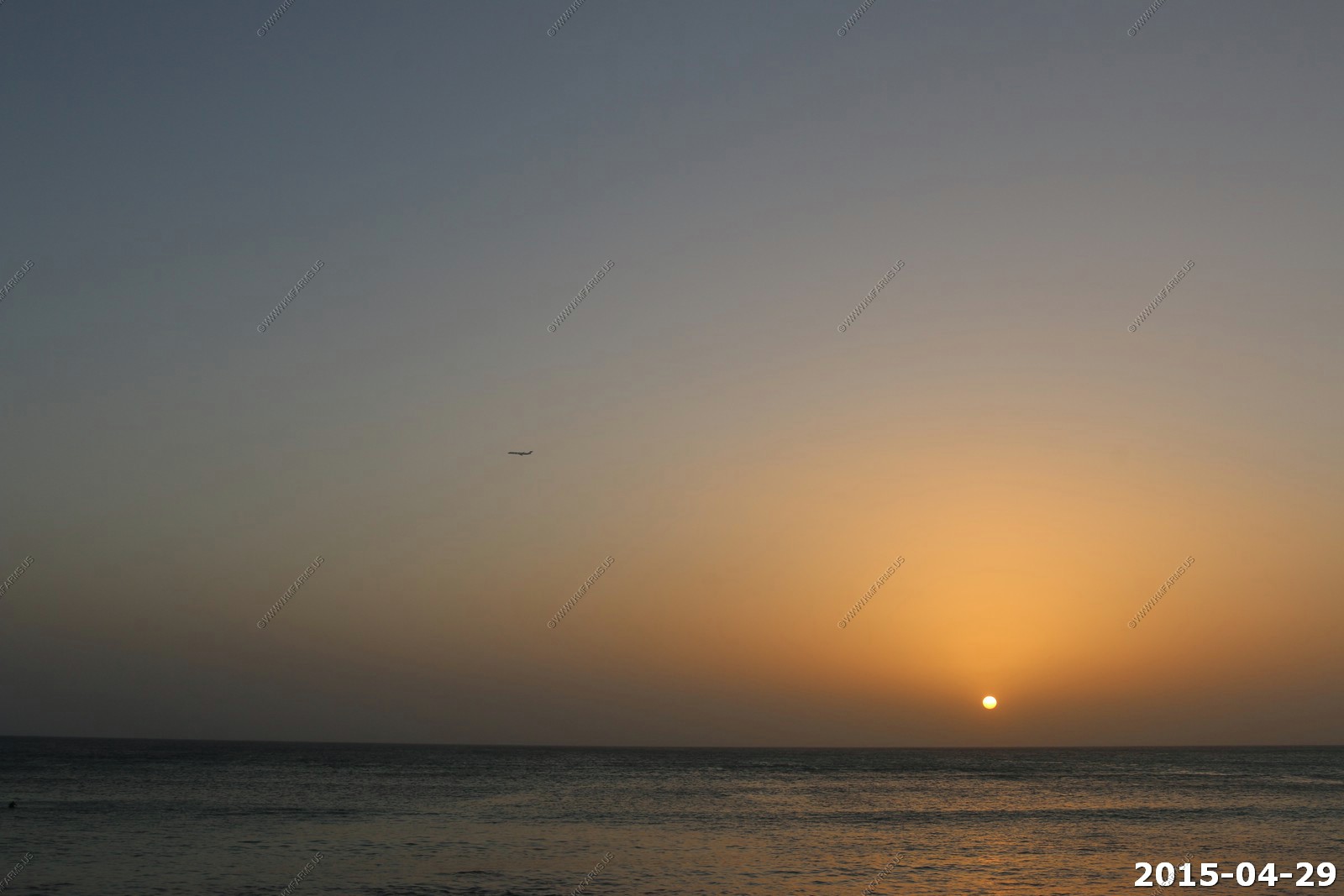
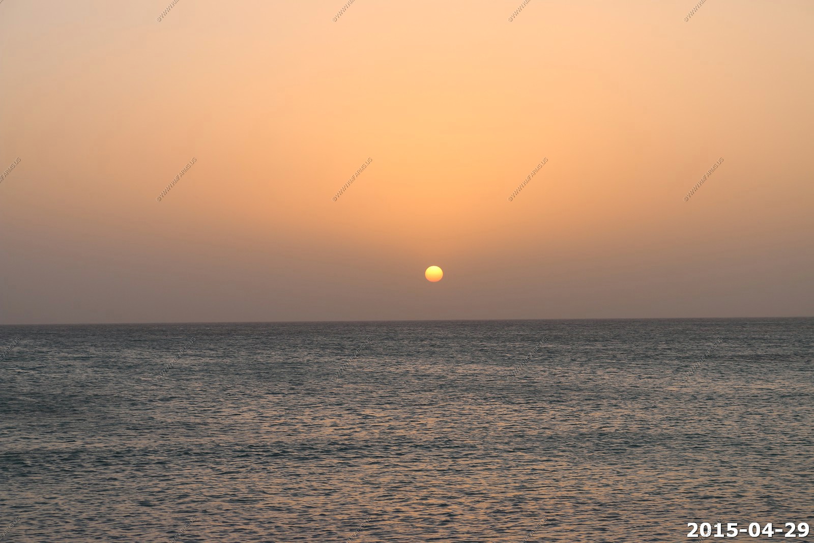
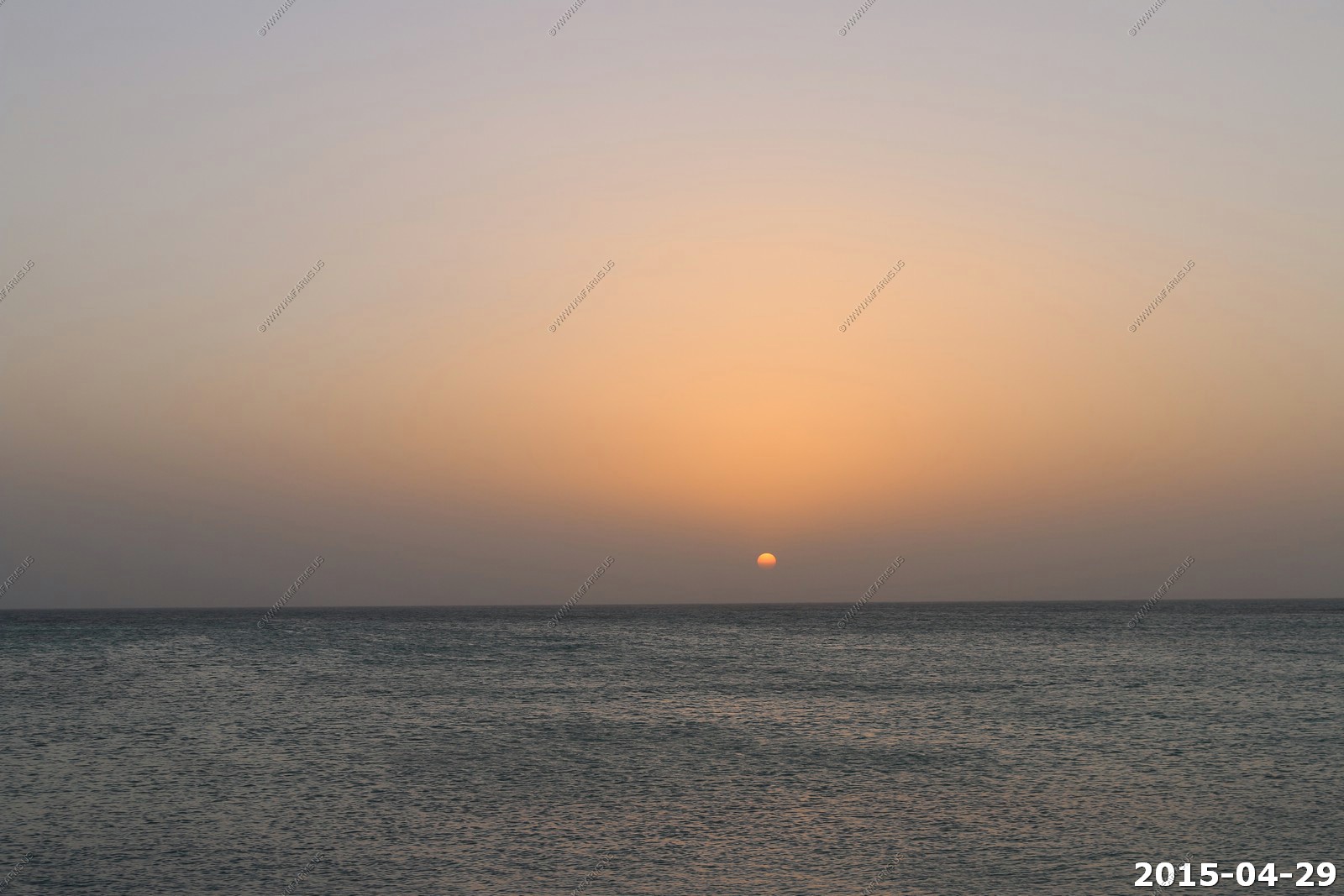
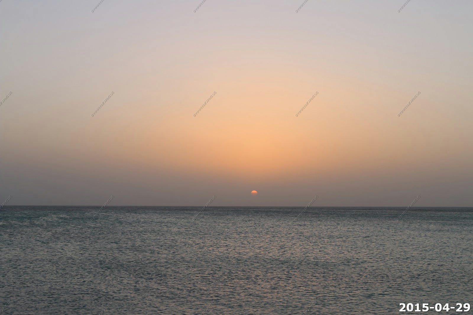
Wednesday - APR 29 2015
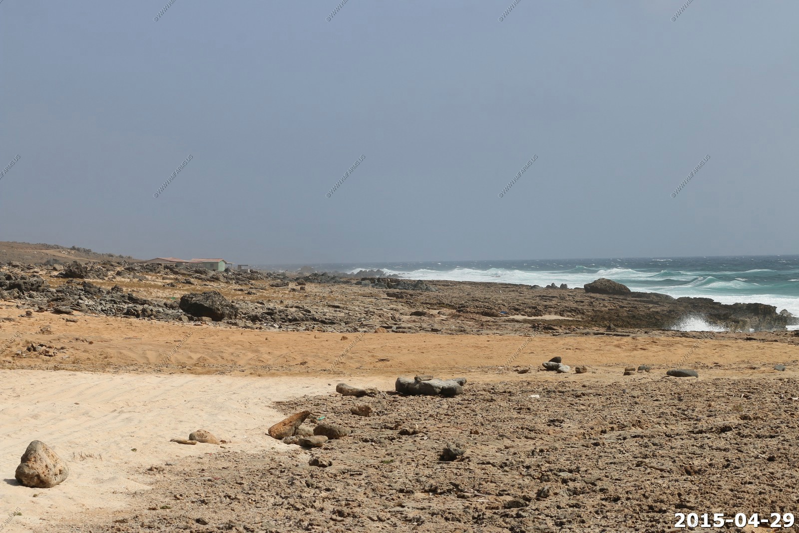
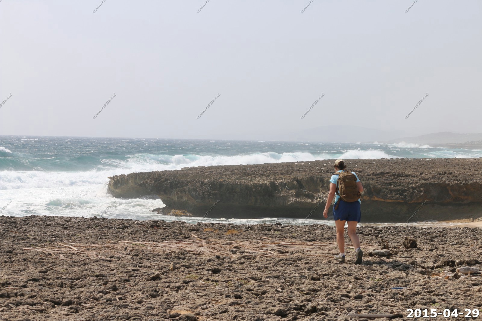
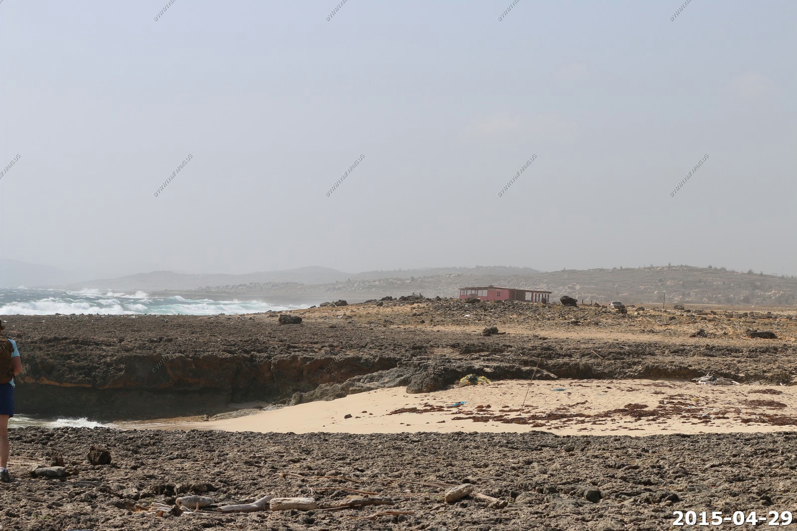
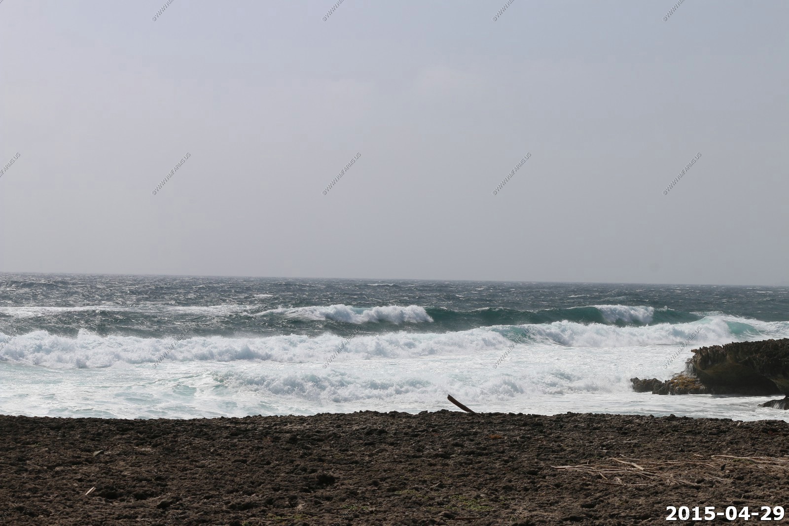
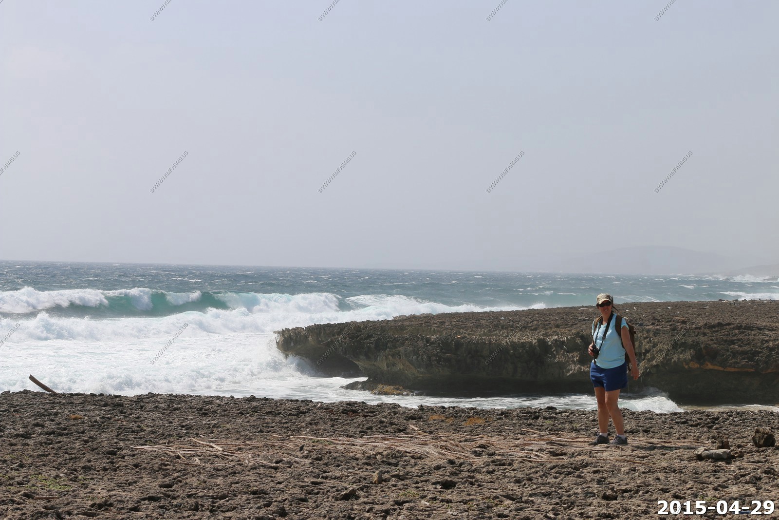
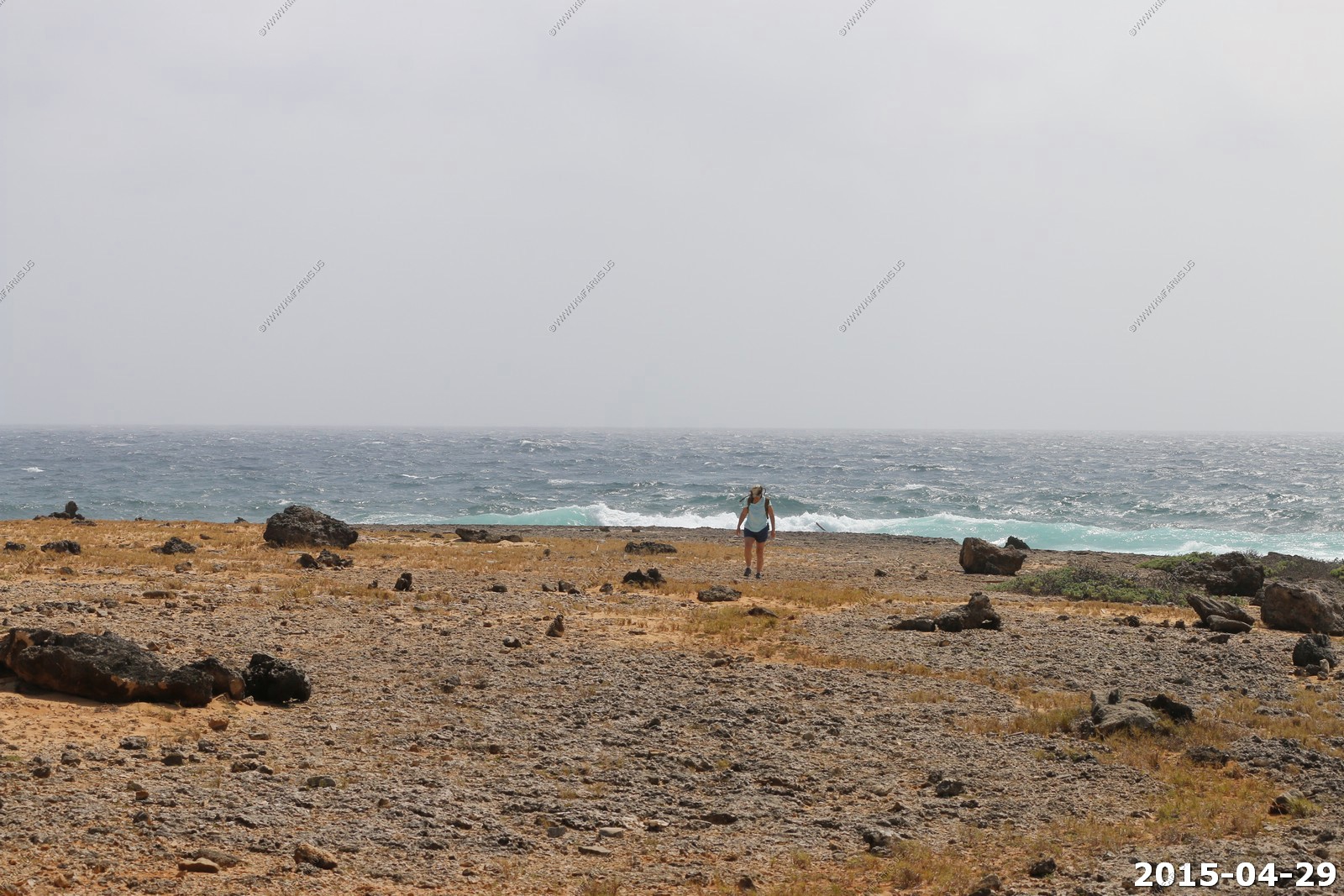
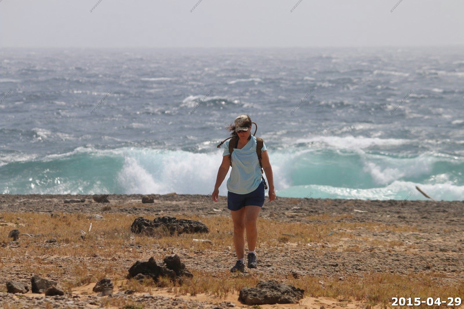
Today we walked to the wild north side and then went and explored some of the beaches.
The pool
The blue dot in the center is where the house is. Its only 1.5 miles via road to the coast (On the right) We could have drove the car but we needed a good walk.
We had a $50 credit for utilities and had to pay $50 more. That was considered an inexpensive bill. We kept the A/C on in the master bedroom most of the time. When we arrived the house had been closed up and it was very hot in the house.
The manager suggested leaving the windows and doors open in the kitchen, family room. It cooled off in minutes due to the wind. We were amazed at the winds. We couldn't sit outside on the patio without the wind blowing away napkins, drink cans etc. We learned how to handle that. Sun and wind dried our laundry in minutes. Someone told us that it is very windy around Easter.
Because it is within the area of the eastern Caribbean trade winds is the reason why Aruba is described as windy. Specifically, Aruba is a beautiful, but flat island whose vegetation consists more of low-lying ground cover than of trees. The island therefore has no natural protection by which the force of the trade winds can be deflected or minimized. The consequence is a year-round, coolly welcome breeze whose force tends to be more obvious in April, May and June than during other months in Aruba.
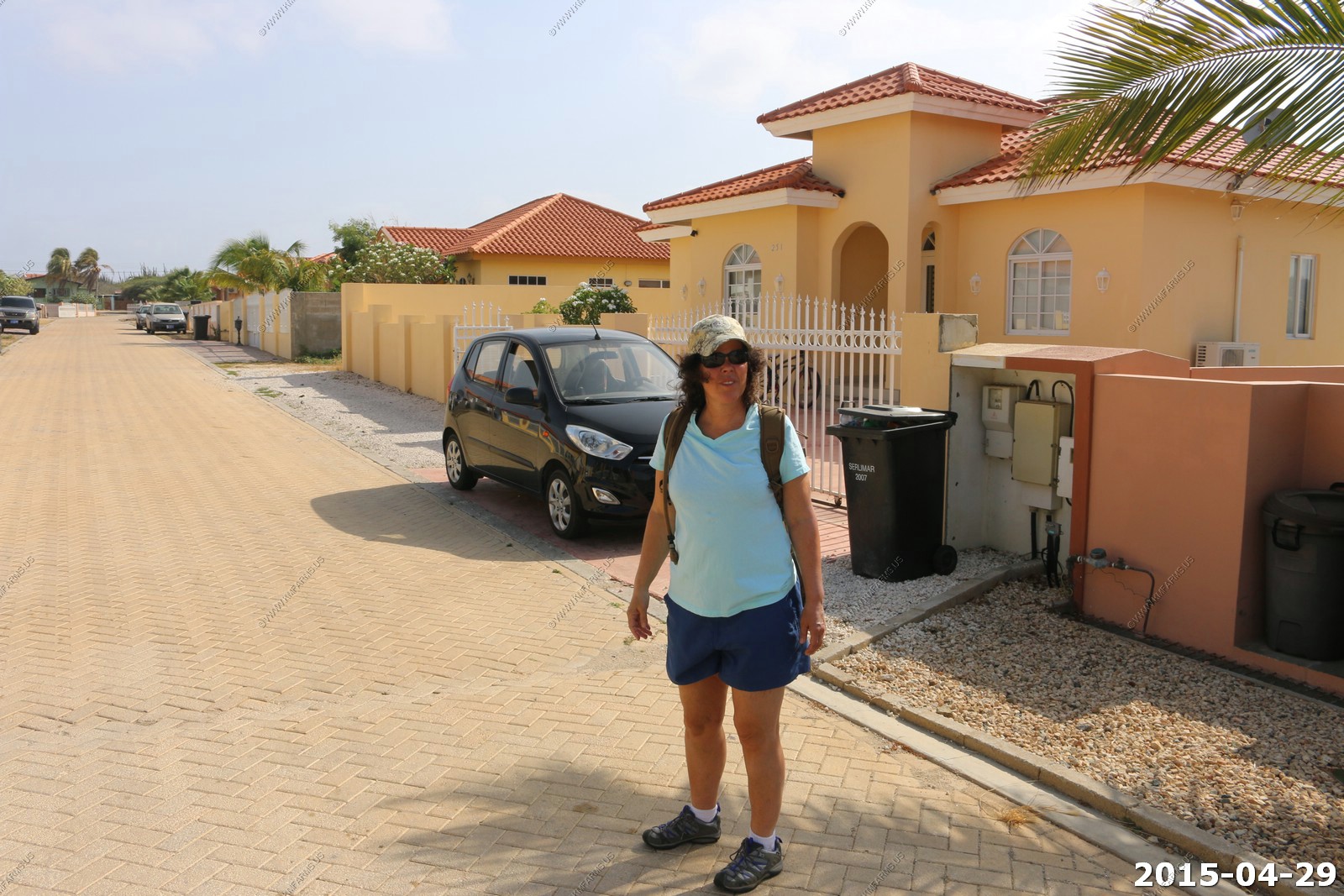
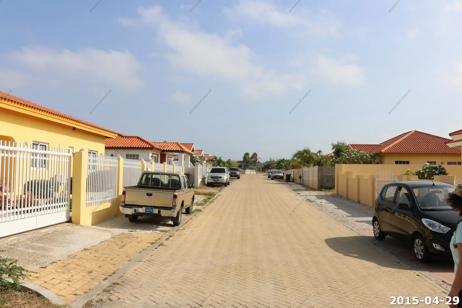
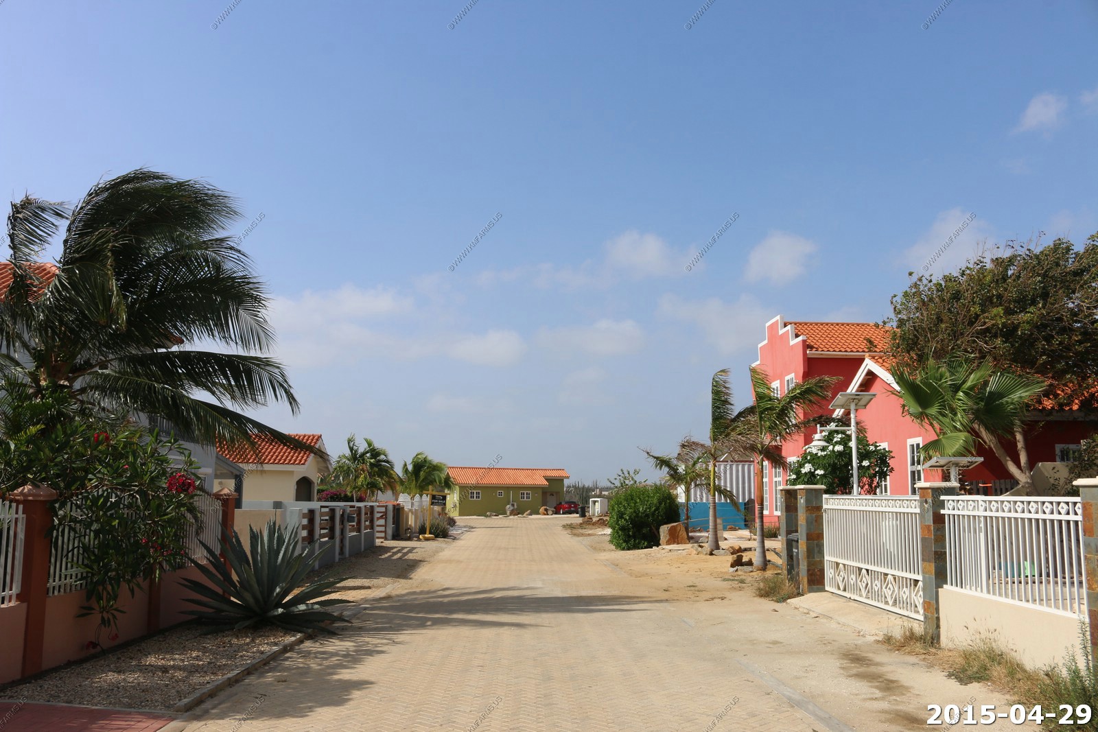
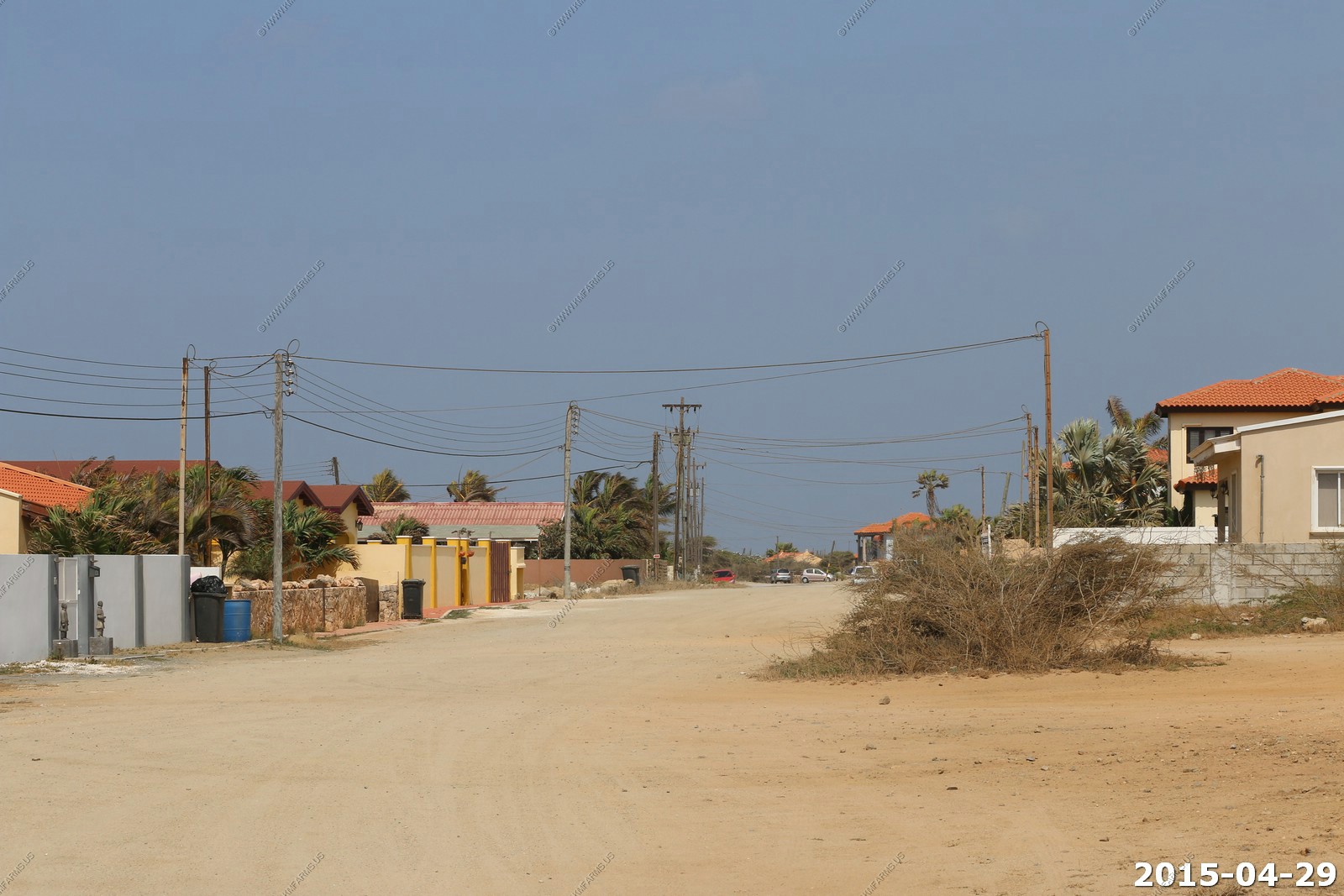
House and street views. I was a bit concerned with the house manager saying we need to keep things locked up and the security system on when we left. In the end we had no issues.
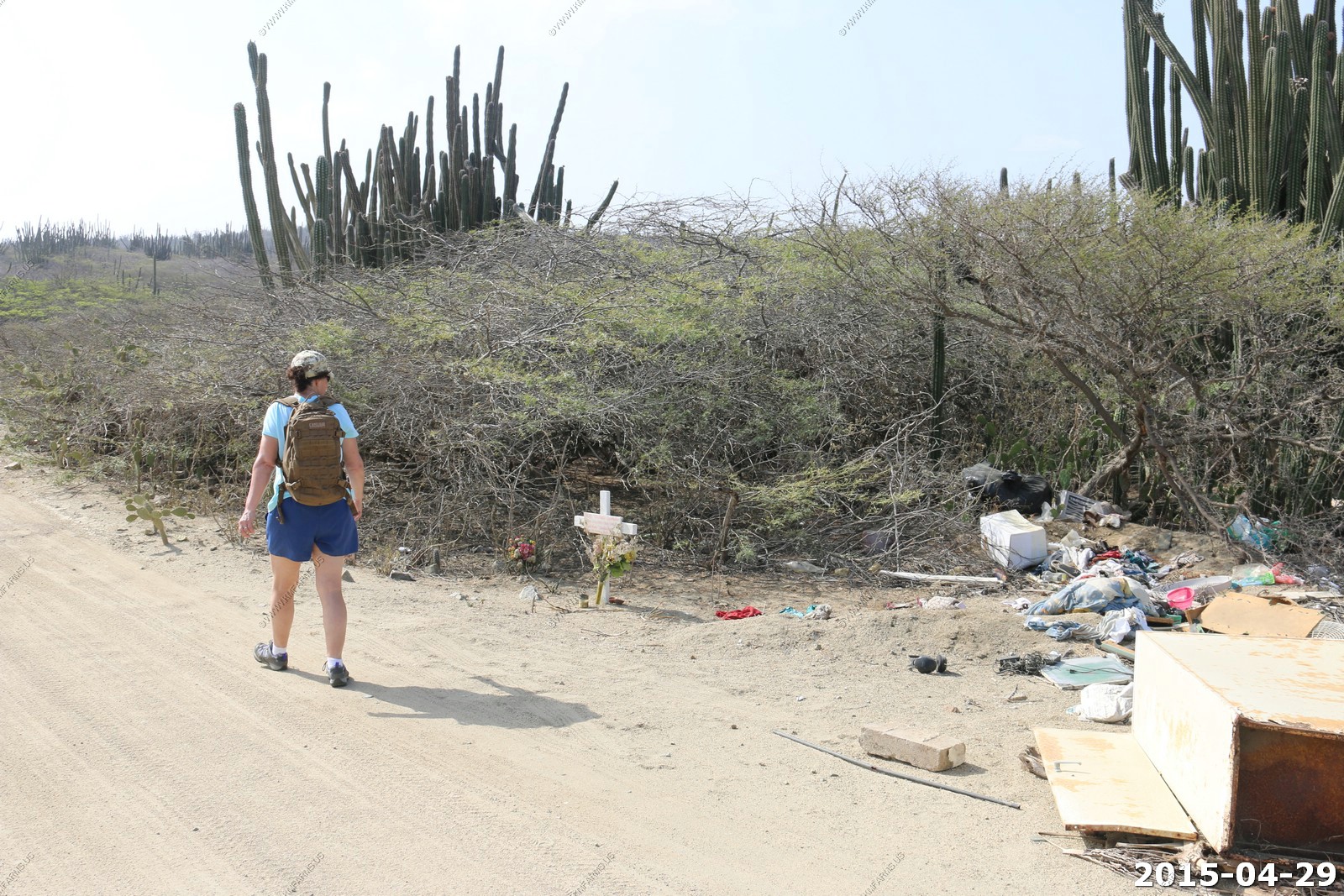
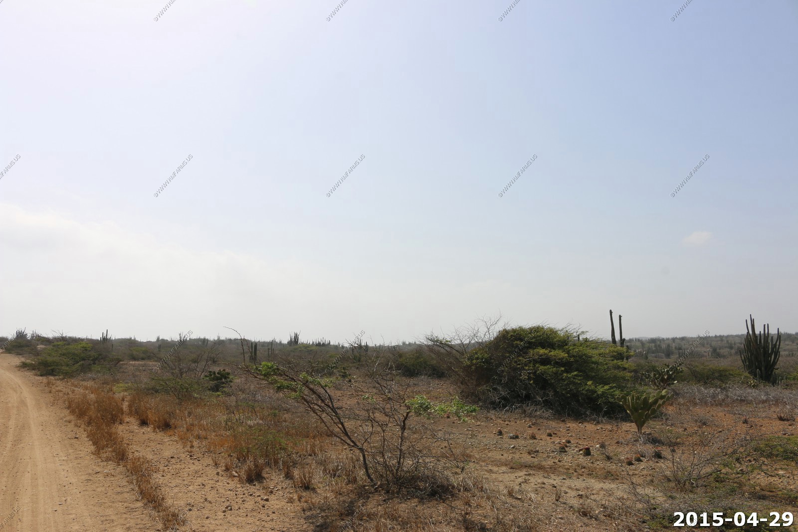
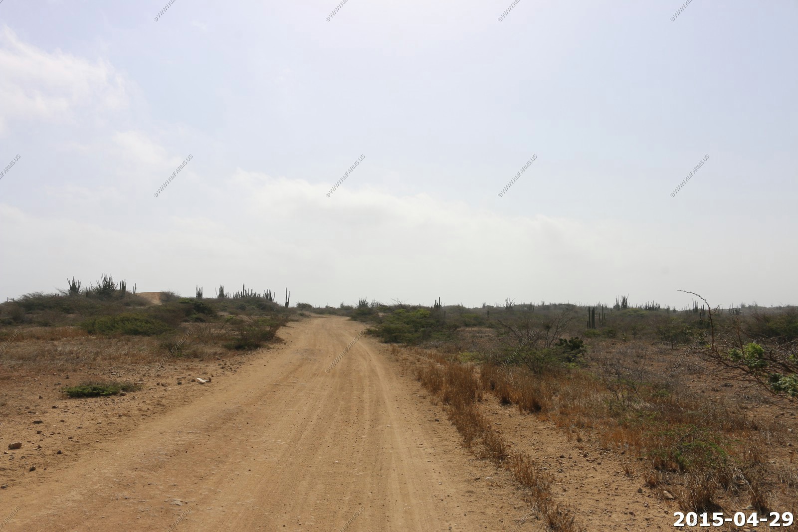
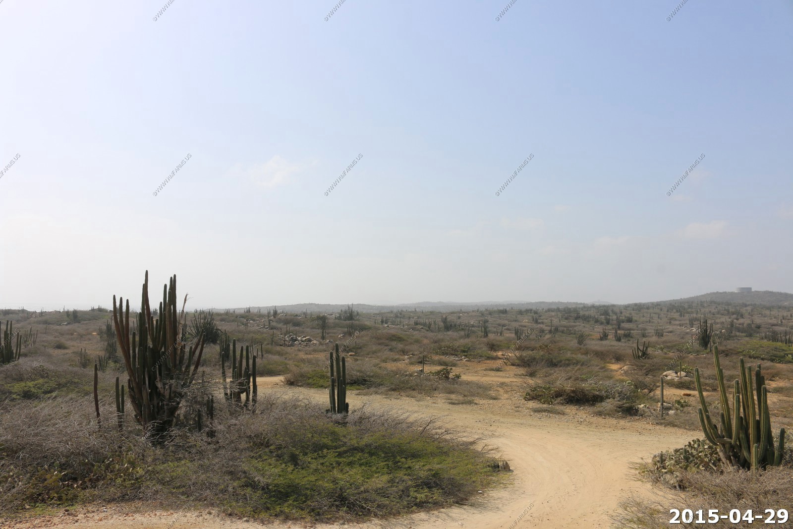
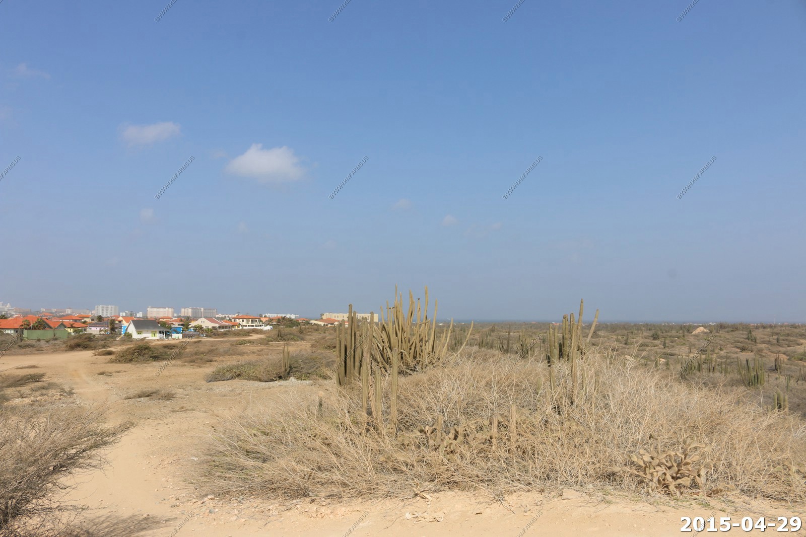
At the end of the street the road turned to dirt.
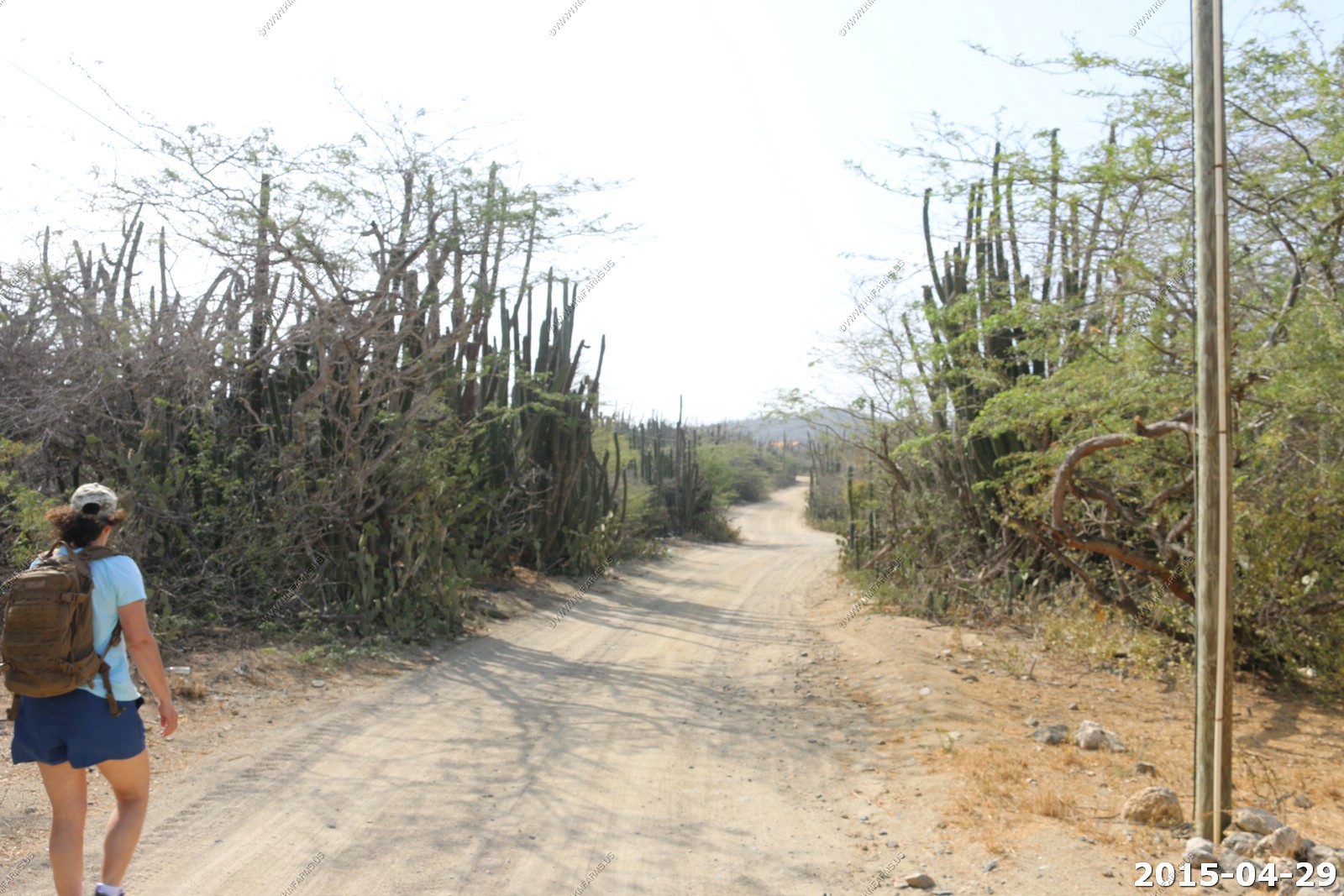
As we walked we were shocked with the amount of trash that was dumped all along this road. We later found out that Aruba has no recycling so millions of can's and bottles are just dumped into the desert. We would later go past the burning garbage dump on our snorkeling trip.
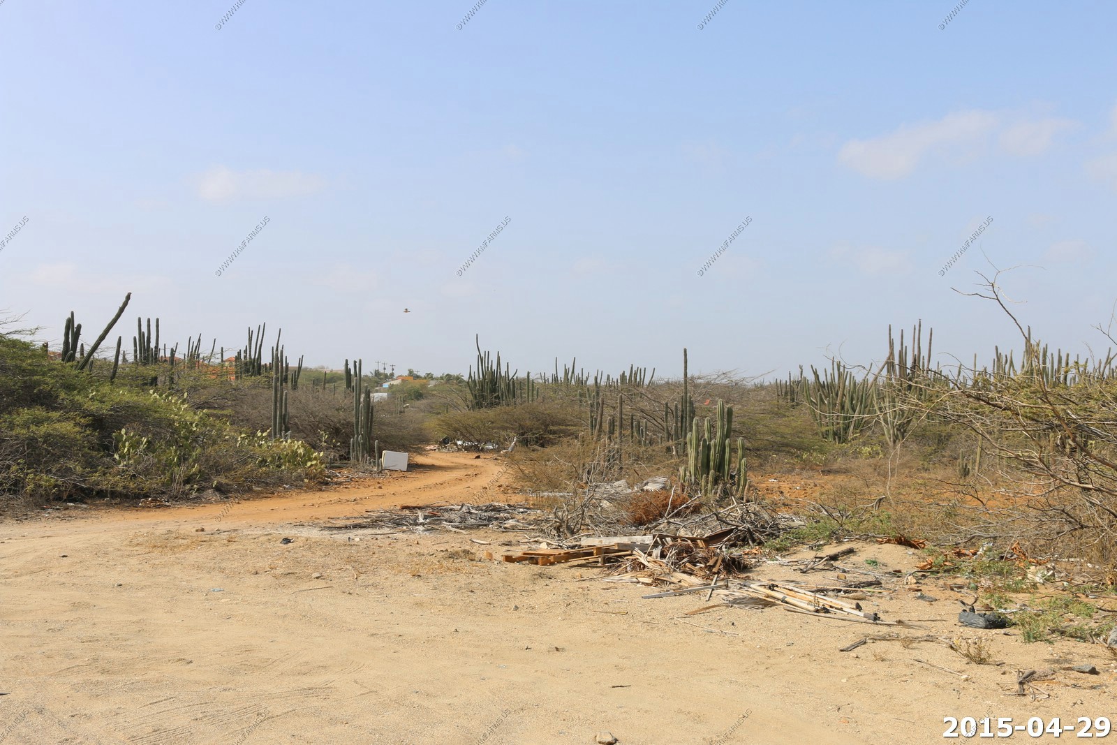
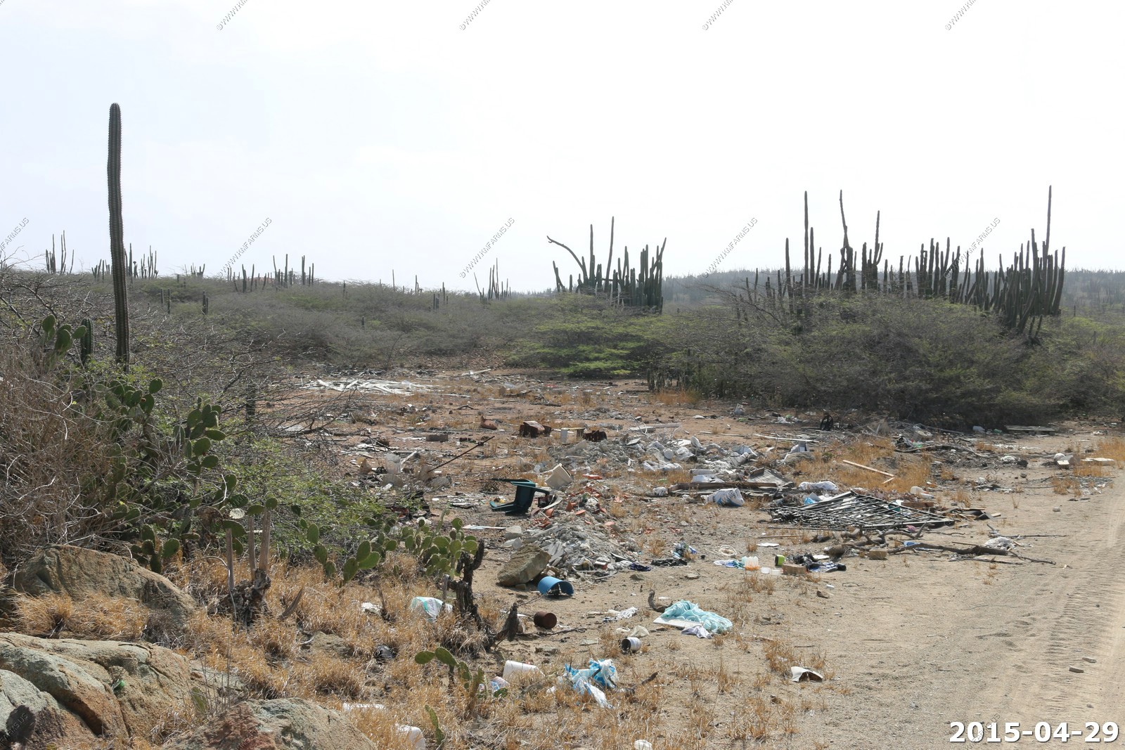
Perhaps someone died while dumping trash ? In reality this was probably not a safe place to be walking.
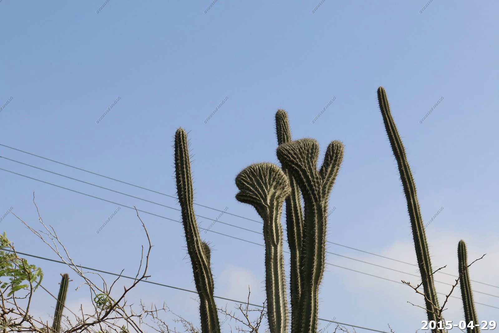
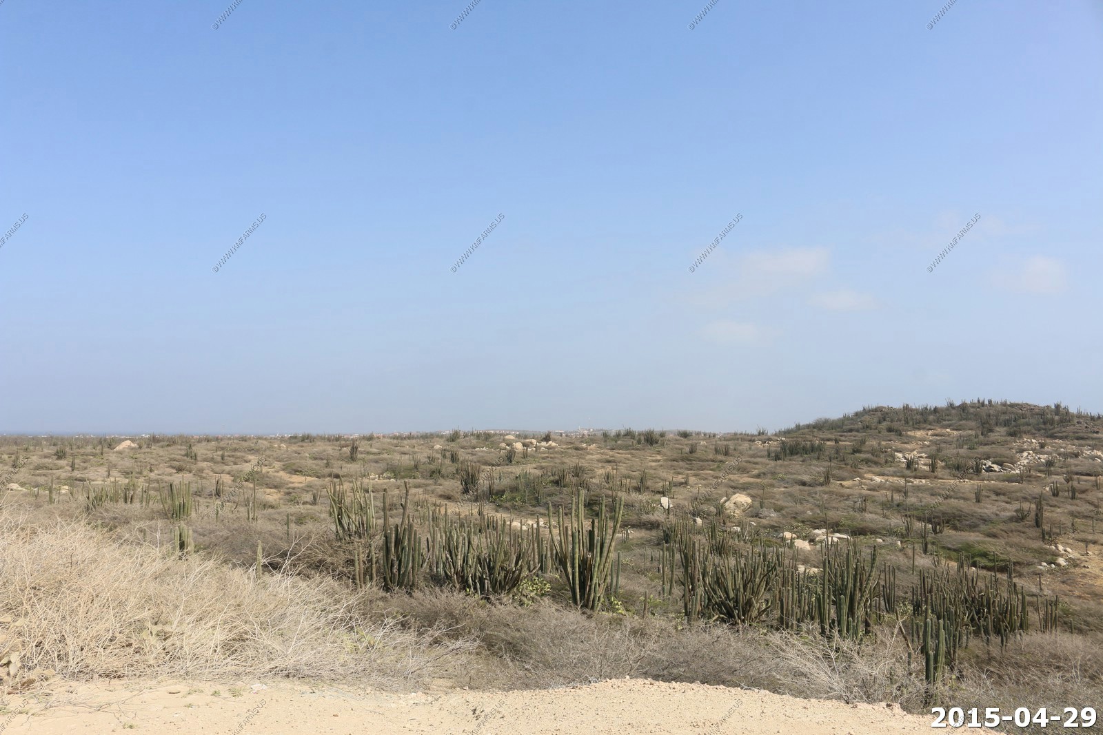
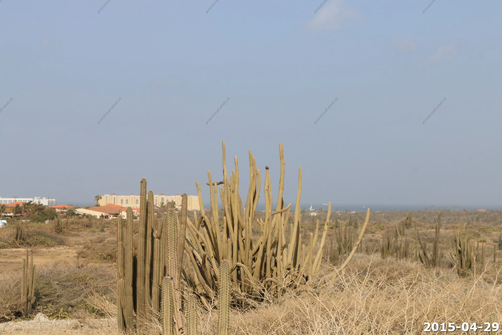
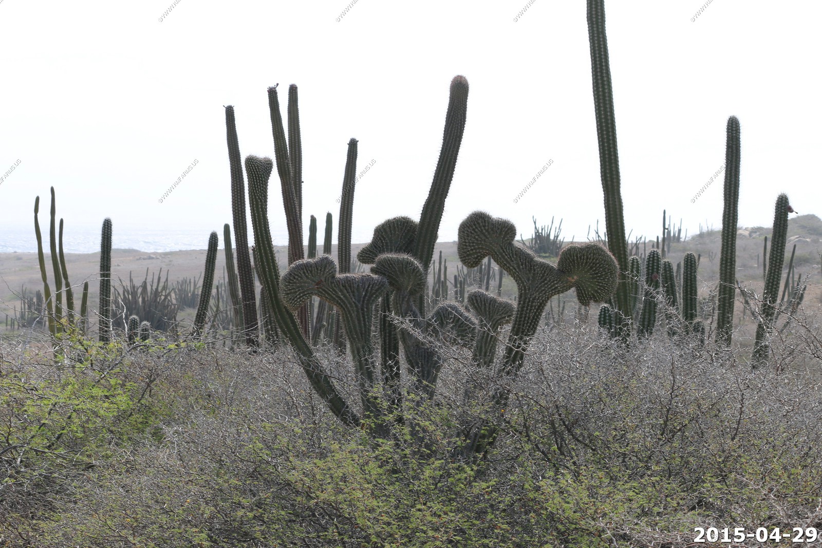
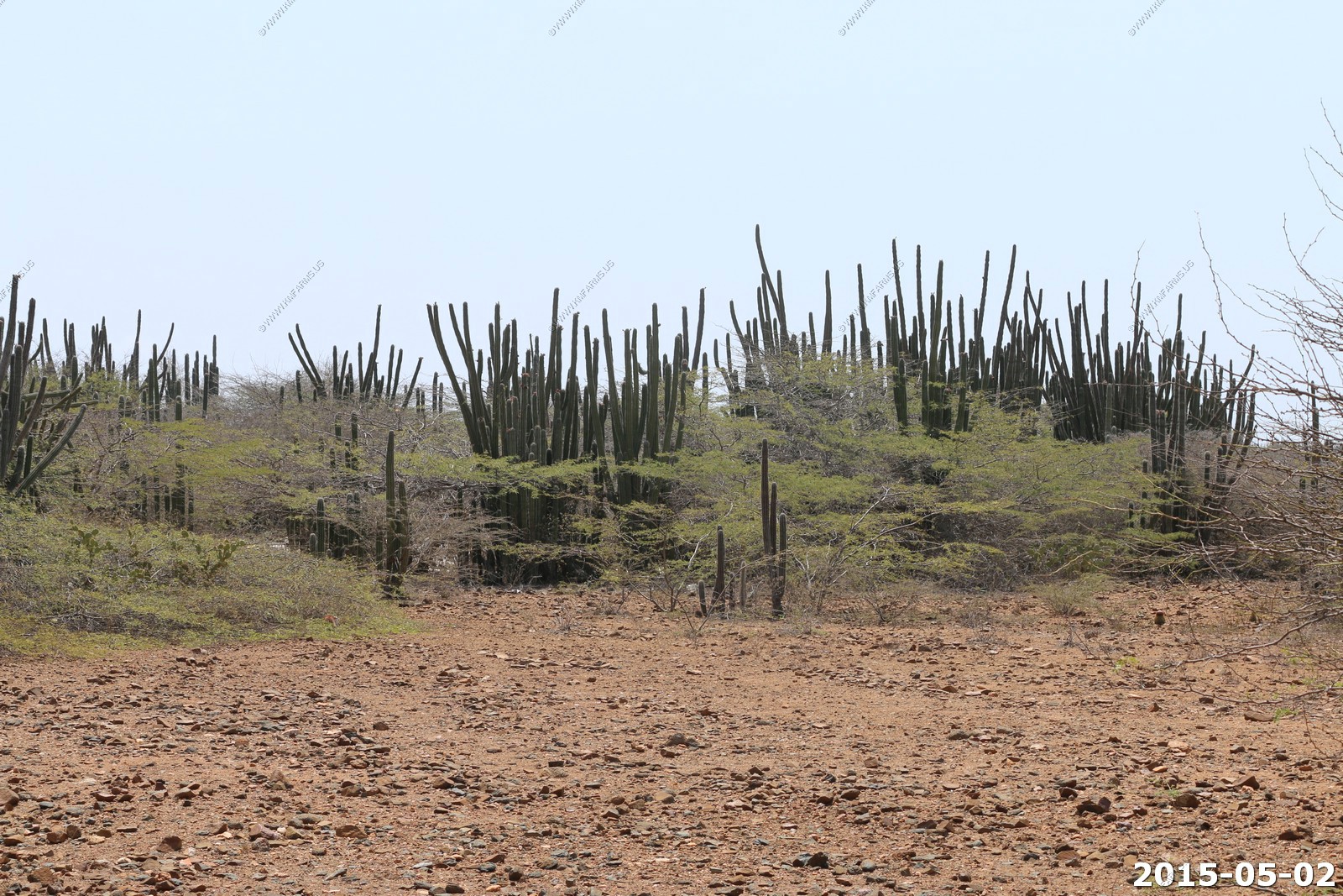
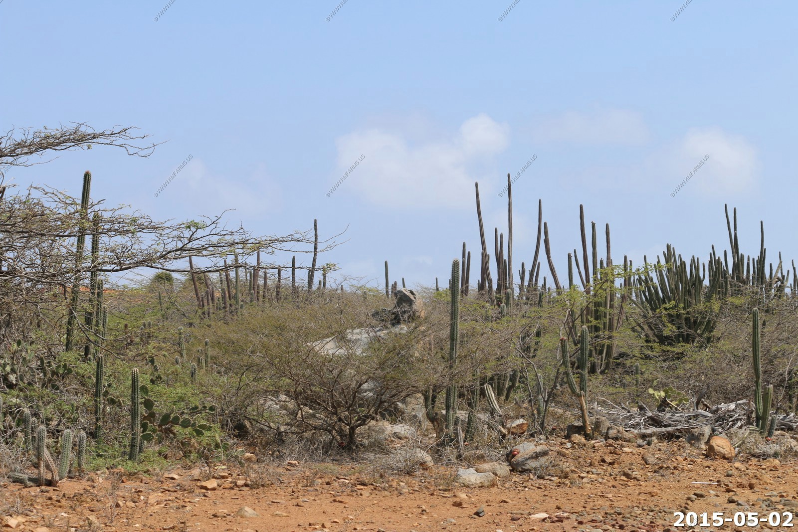
These are Kadushi cactus. In Arizona its rare to see Crested Saguaros. Now these are not Saguaros but they are similar. We saw lots of crested ones.
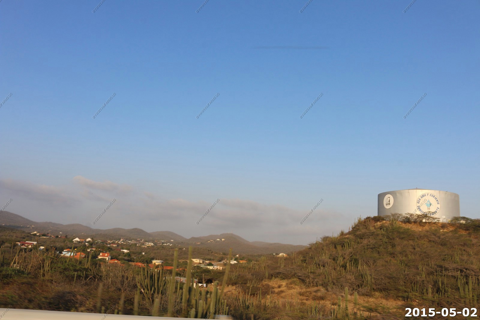
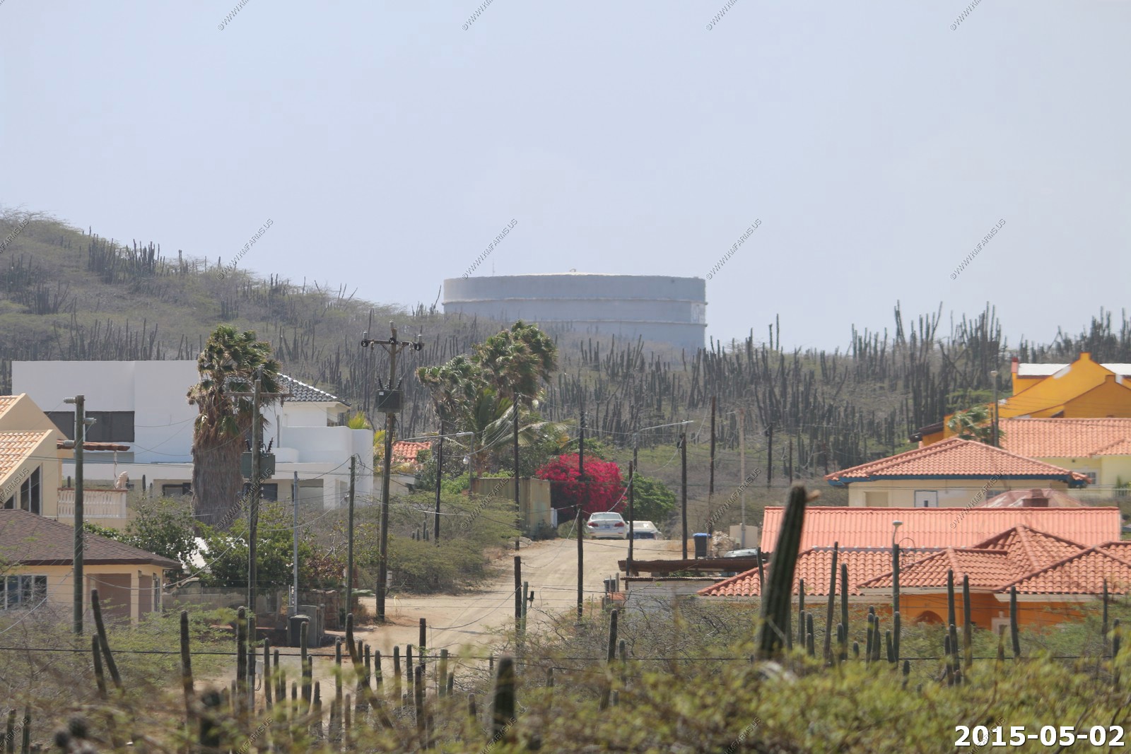
Large water tank south of us.
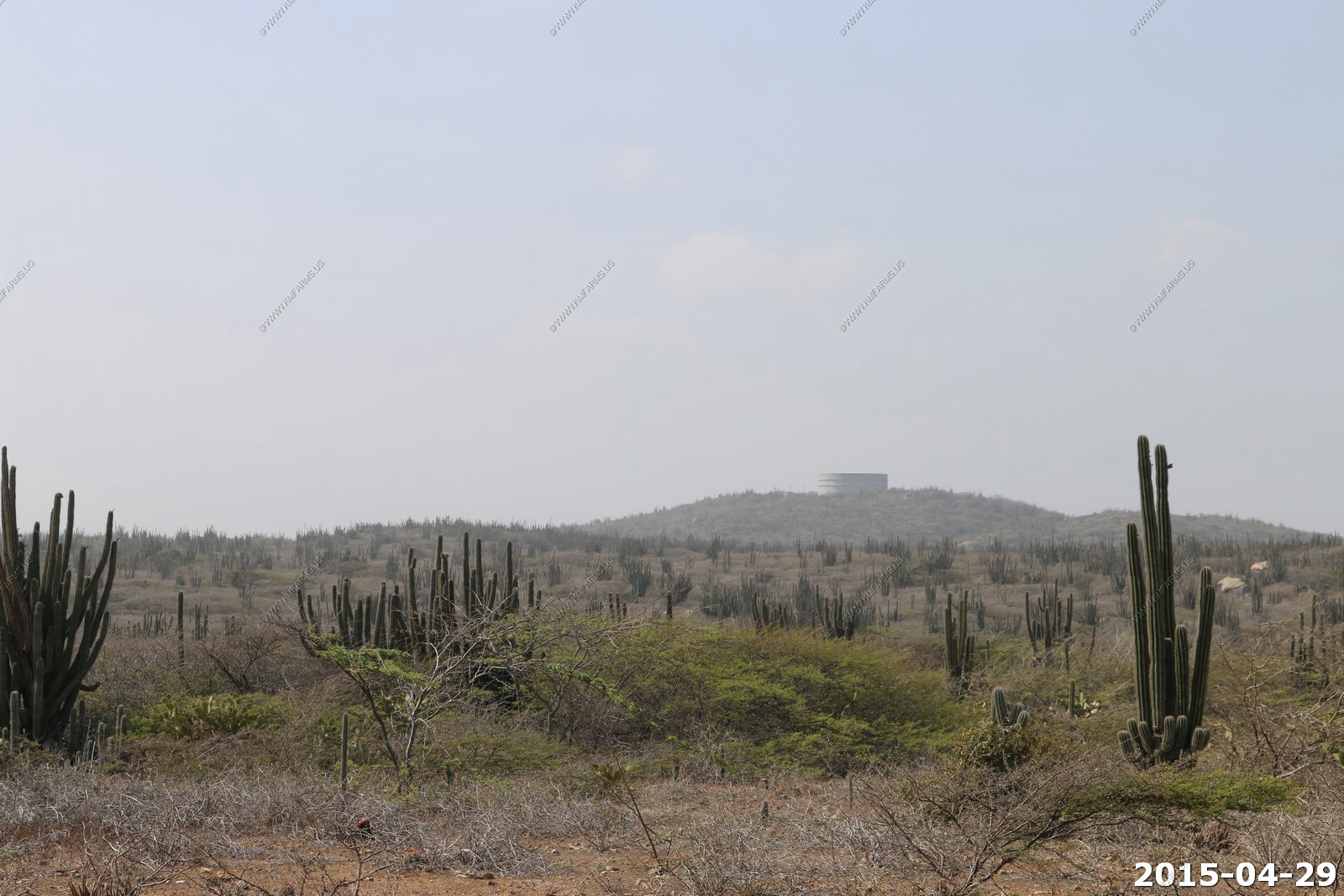
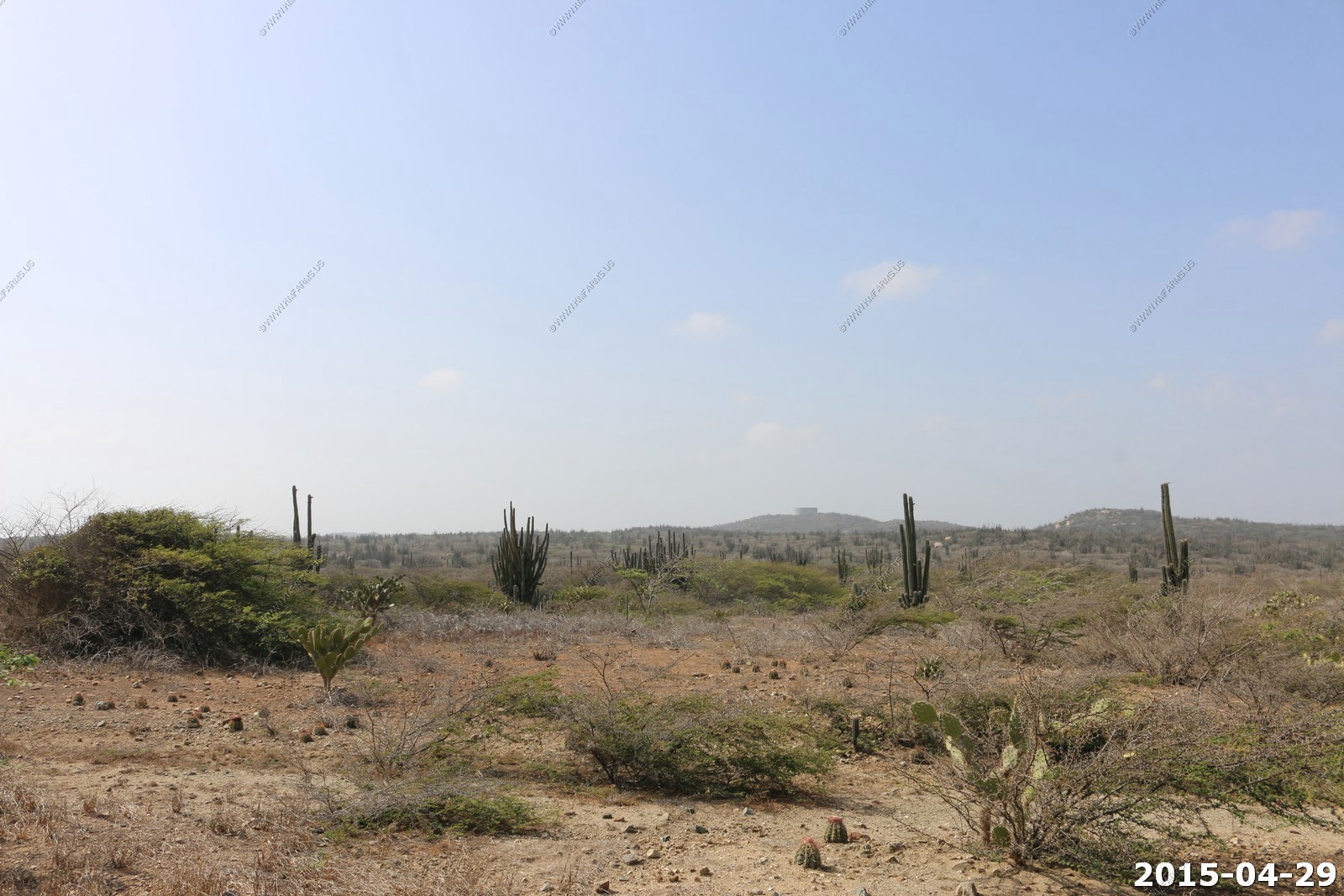
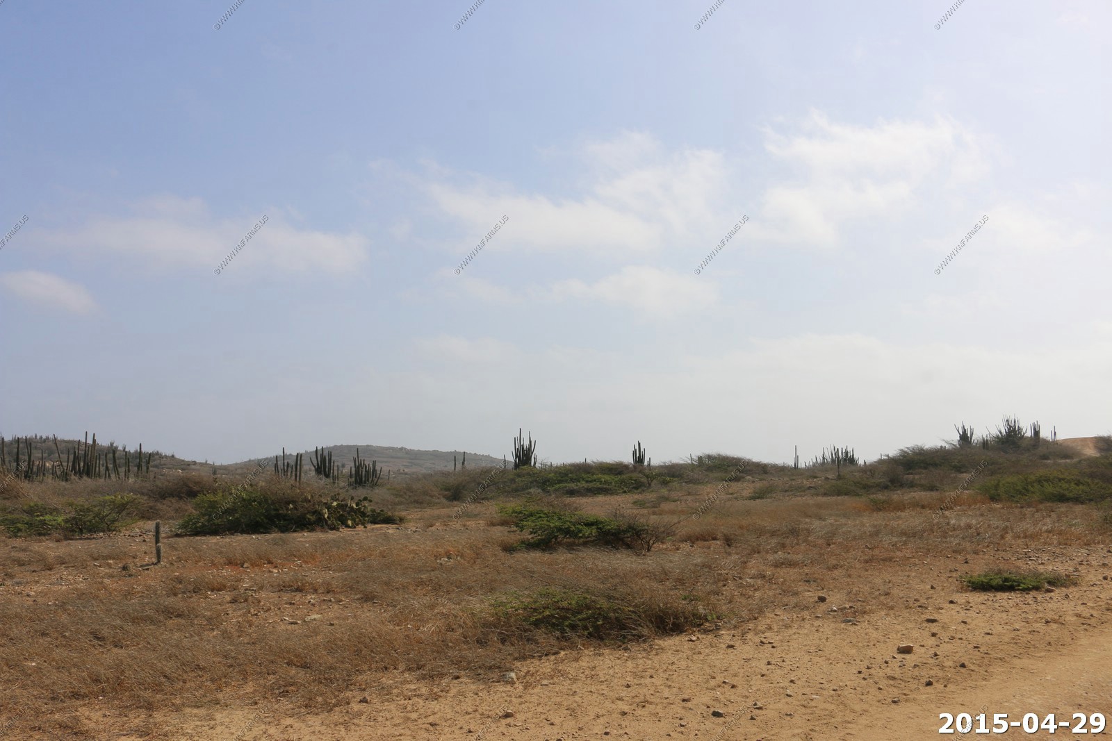
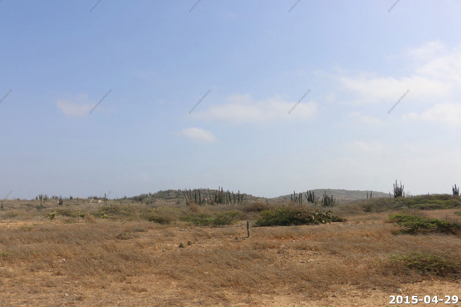
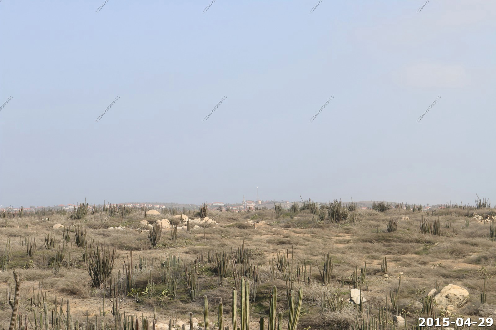
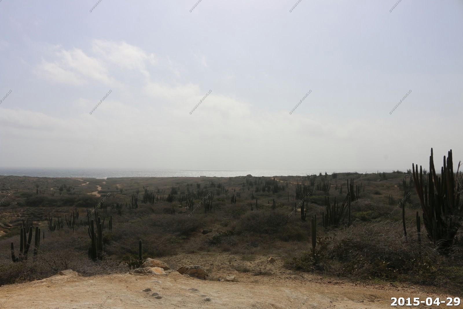
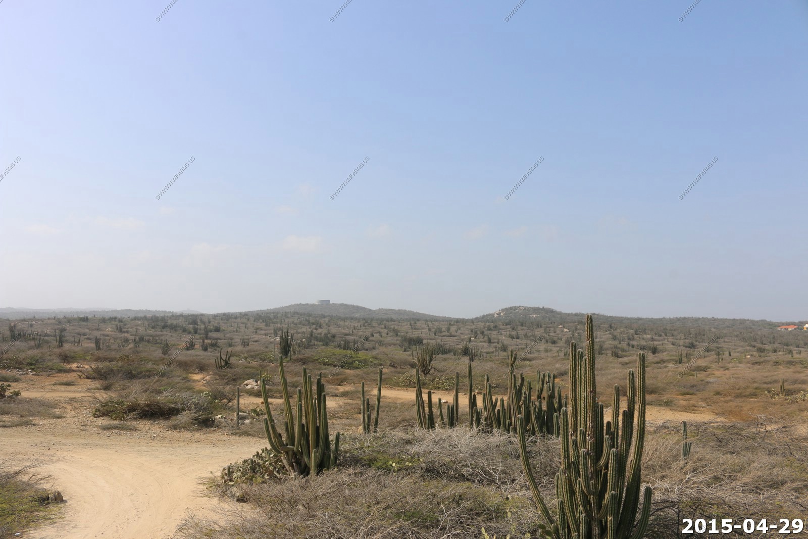
As we got away from the trash it was very arid and scenic
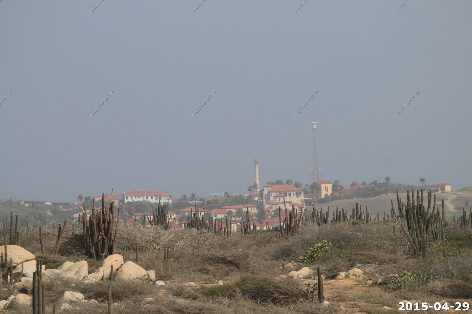
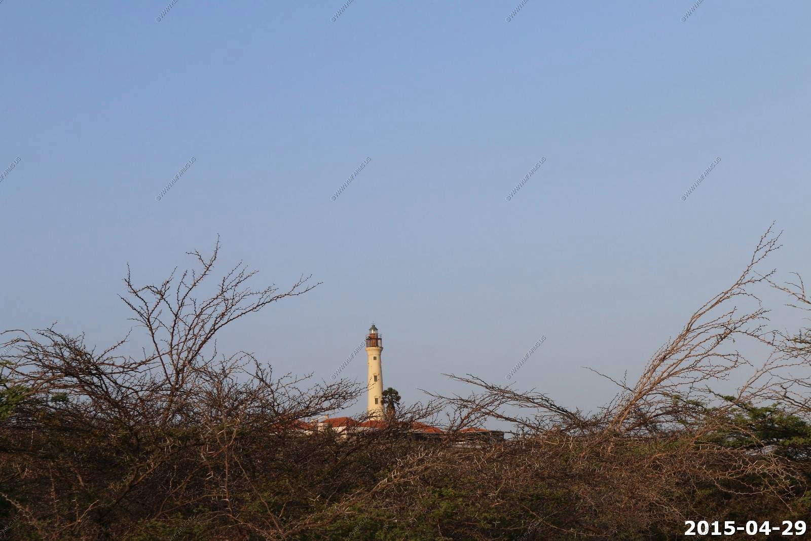
The California Lighthouse on the northern end of the island appx. 2.62 miles away
The Caribbean Sea (Some say Atlantic side ?)
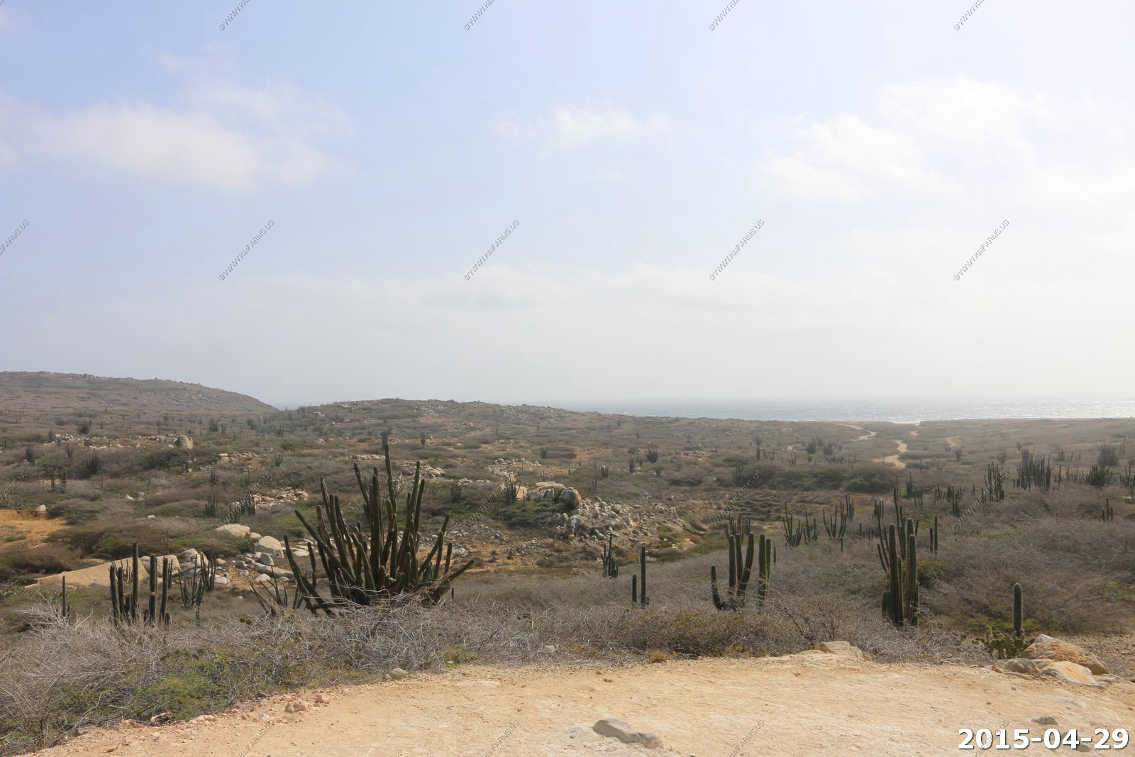
Looking south
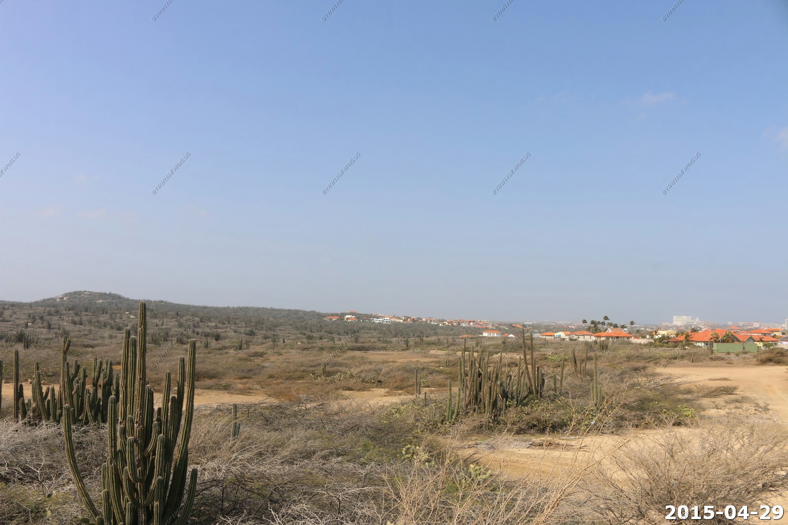
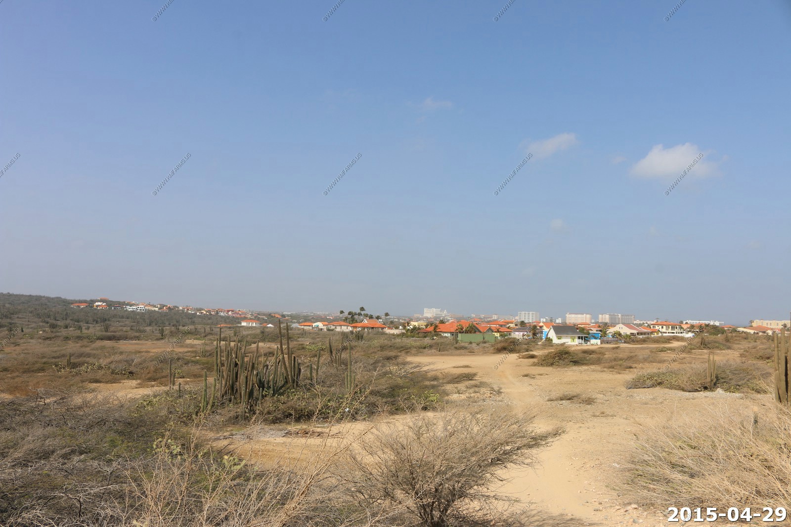
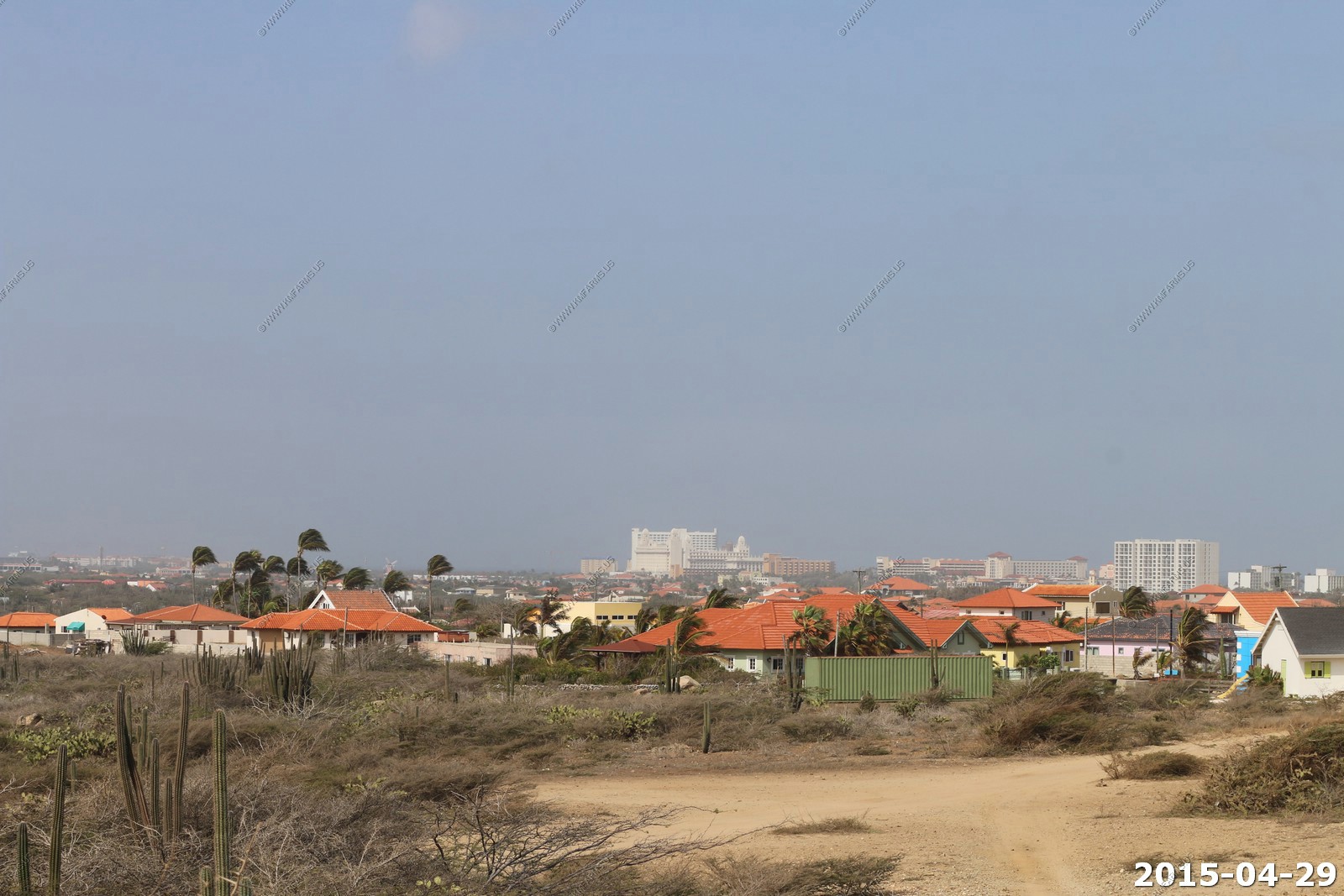
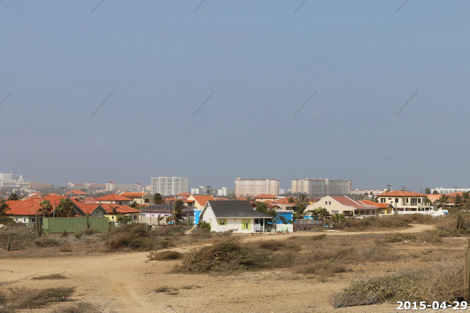
Looking west at the developed areas
Looking north at the California Lighthouse area
More crested Kadushi cactus
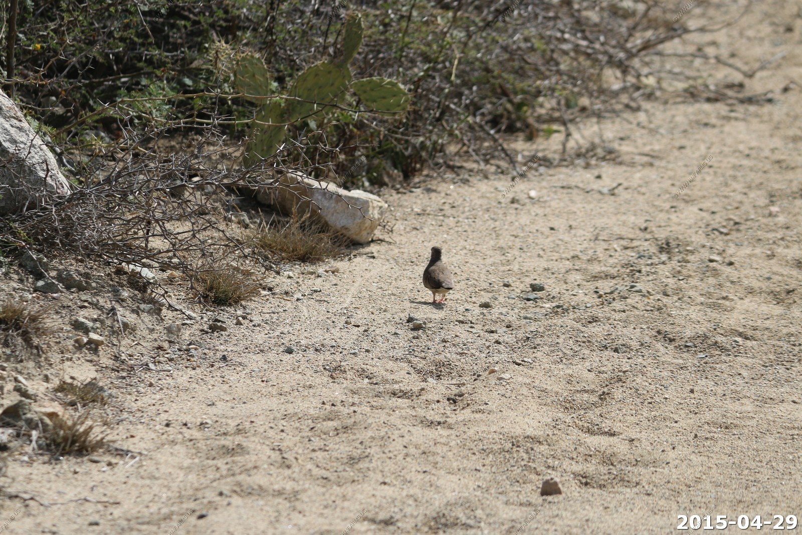
The only critters we saw around here were small doves
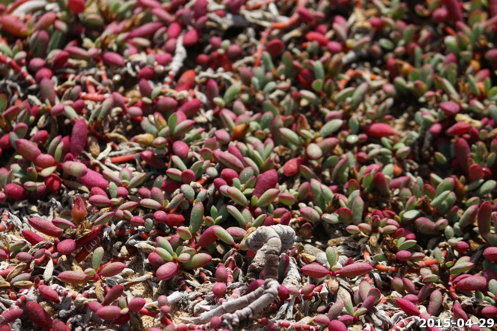
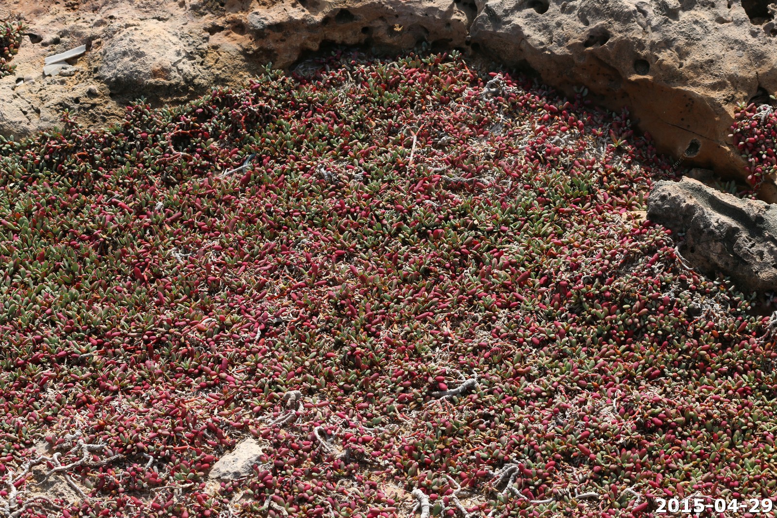
Saltwort
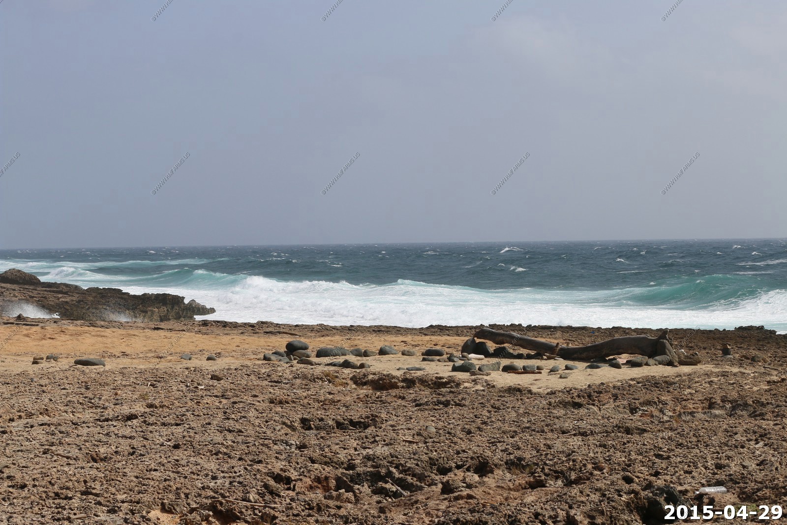
Big waves and lots of spray
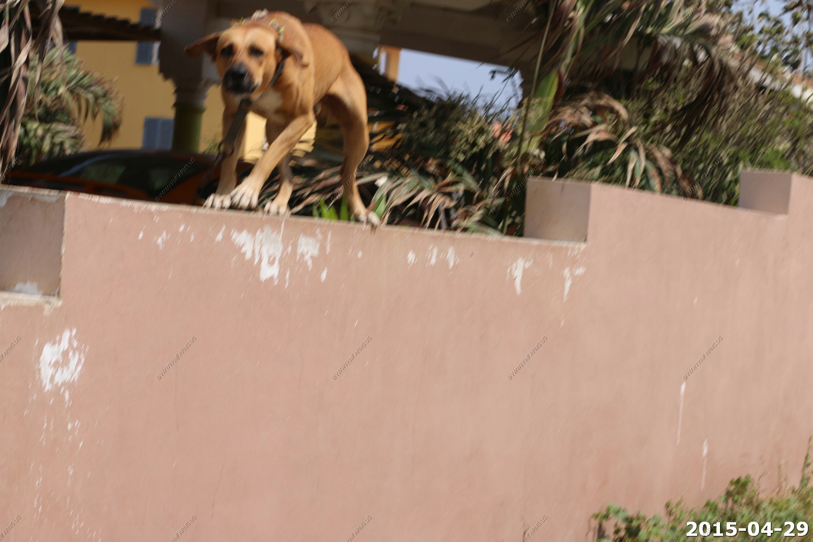
So we walked back to the house. Dirt streets, lots of walls and mean looking dogs
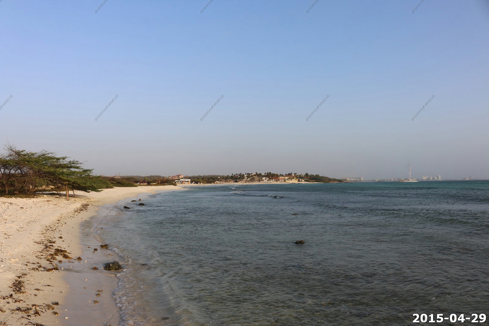
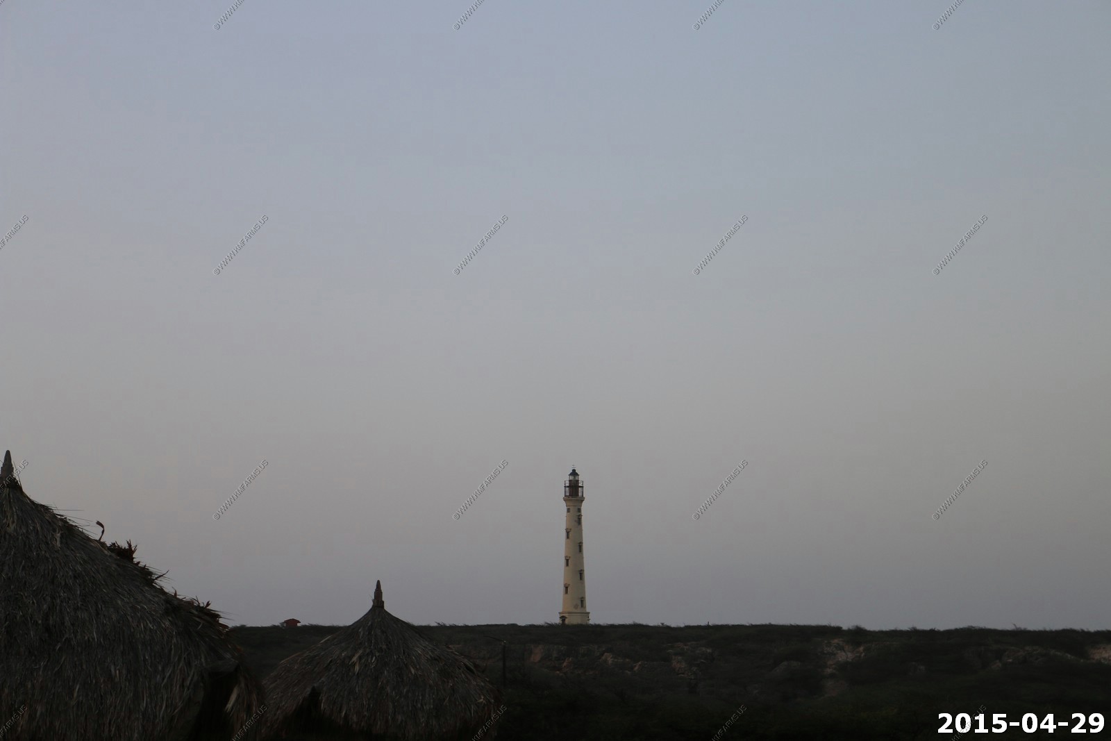
Our next adventure of the day was to drive north near the California Lighthouse and explore some of the beaches
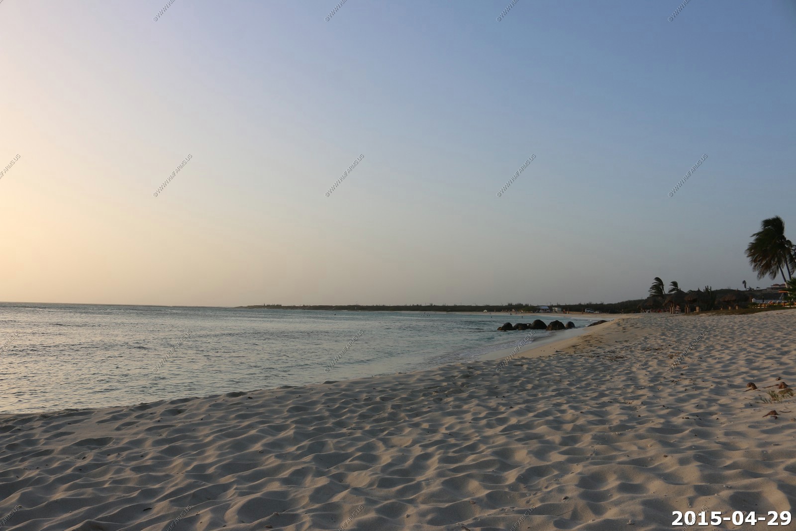
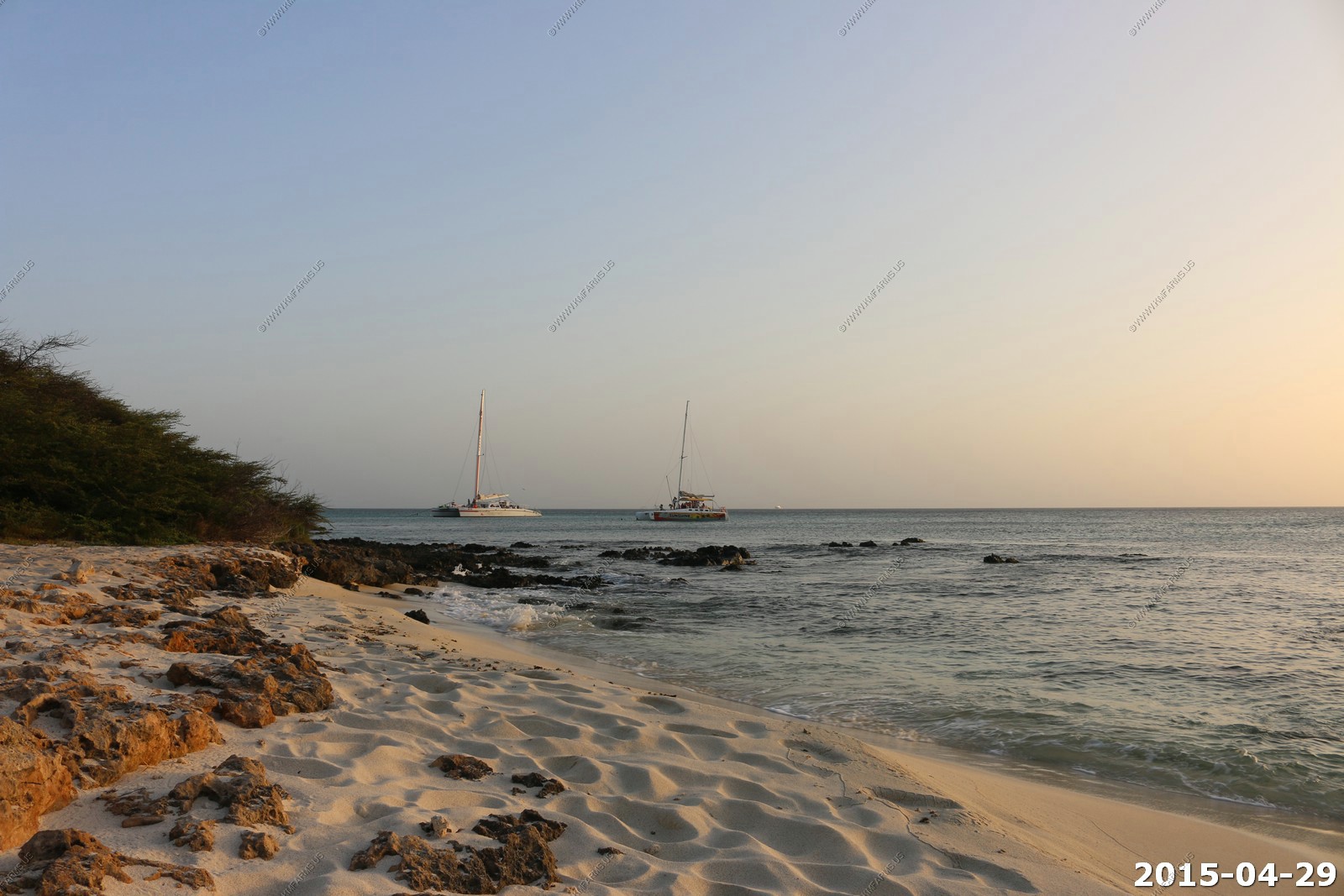
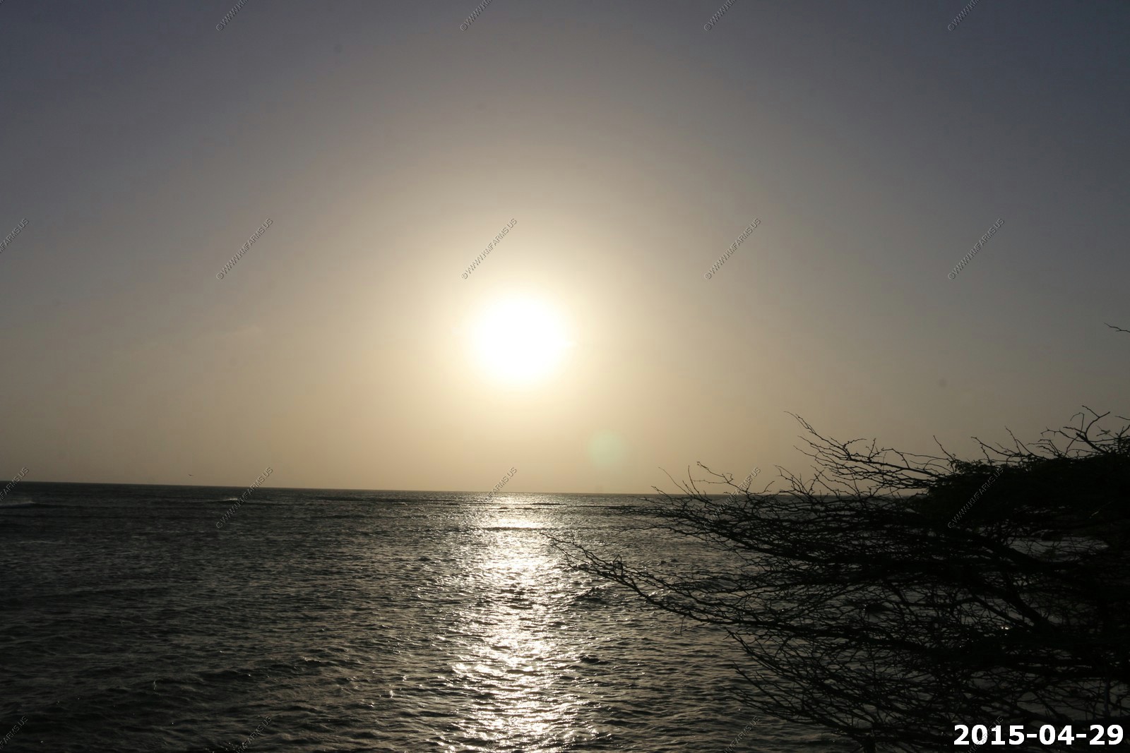
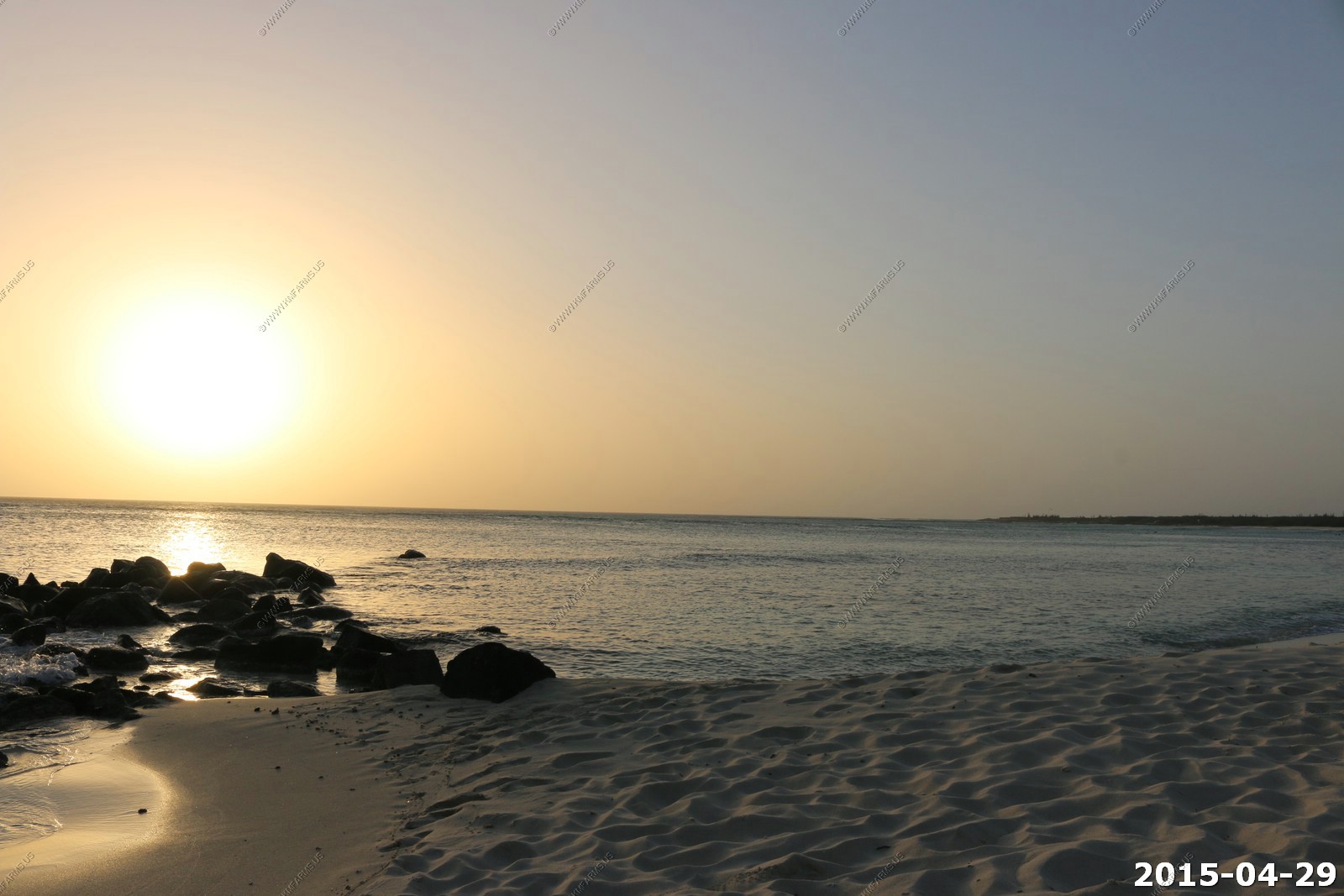
We stopped at Arashi Beach Park where we went for a walk and watched the boring sunset. In fact all the sunsets here were very boring !
From Arashi Beach we did not realize yet that these boats were parked in an excellent snorkeling spot
California Lighthouse
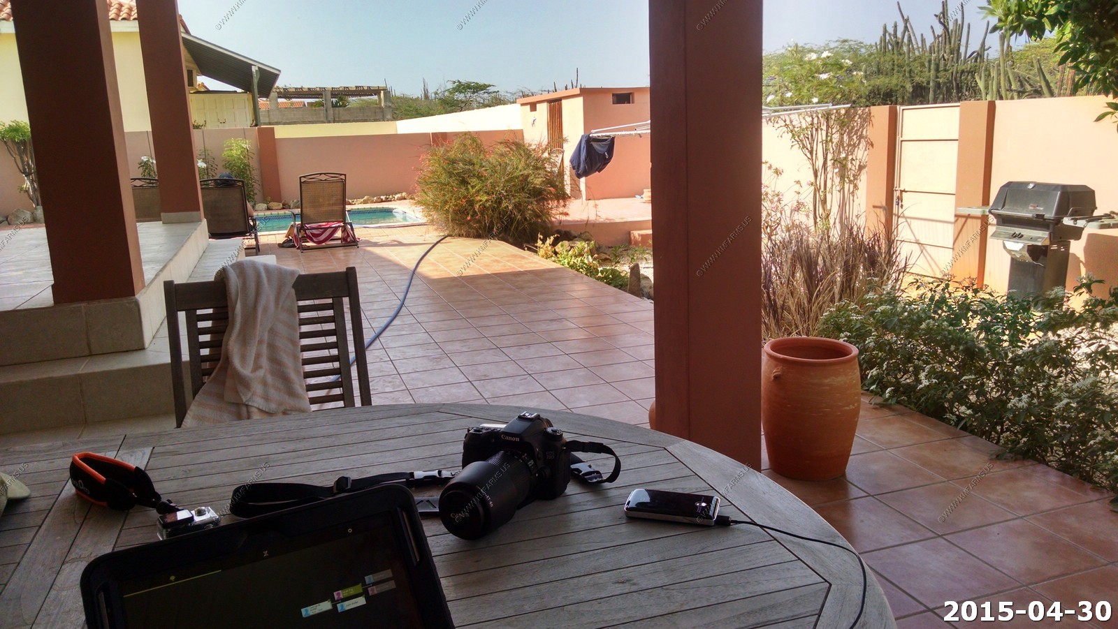
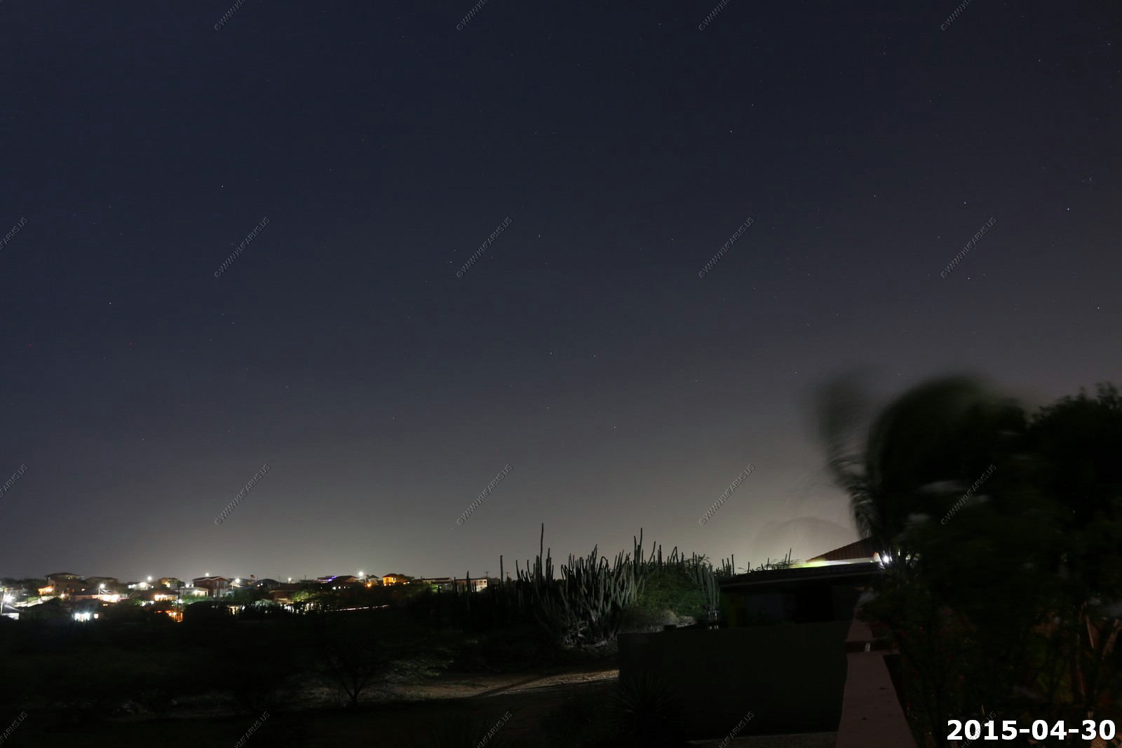
Thursday - APR 30 2015
Ken messing with the GoPro camera in the pool
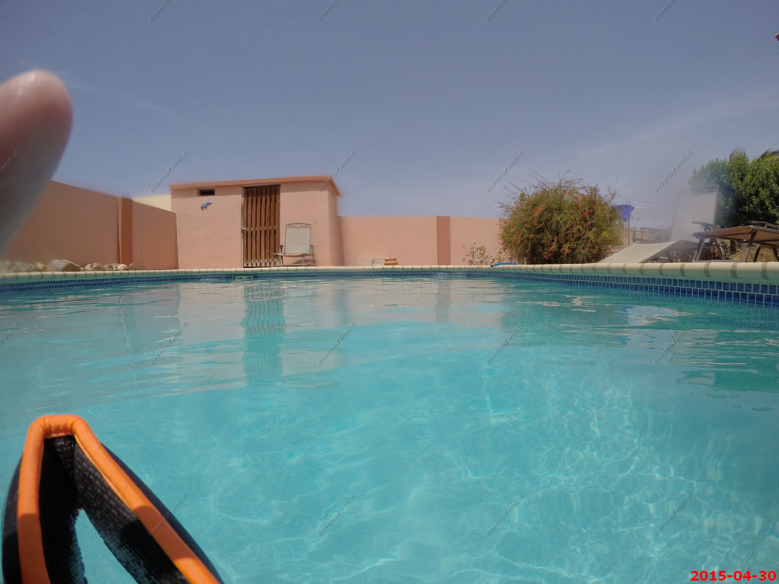
One of the main goals of this trip was to relax so Ken would spend the day in the pool and entering genealogy data into acncestry.com. So this was my office view.
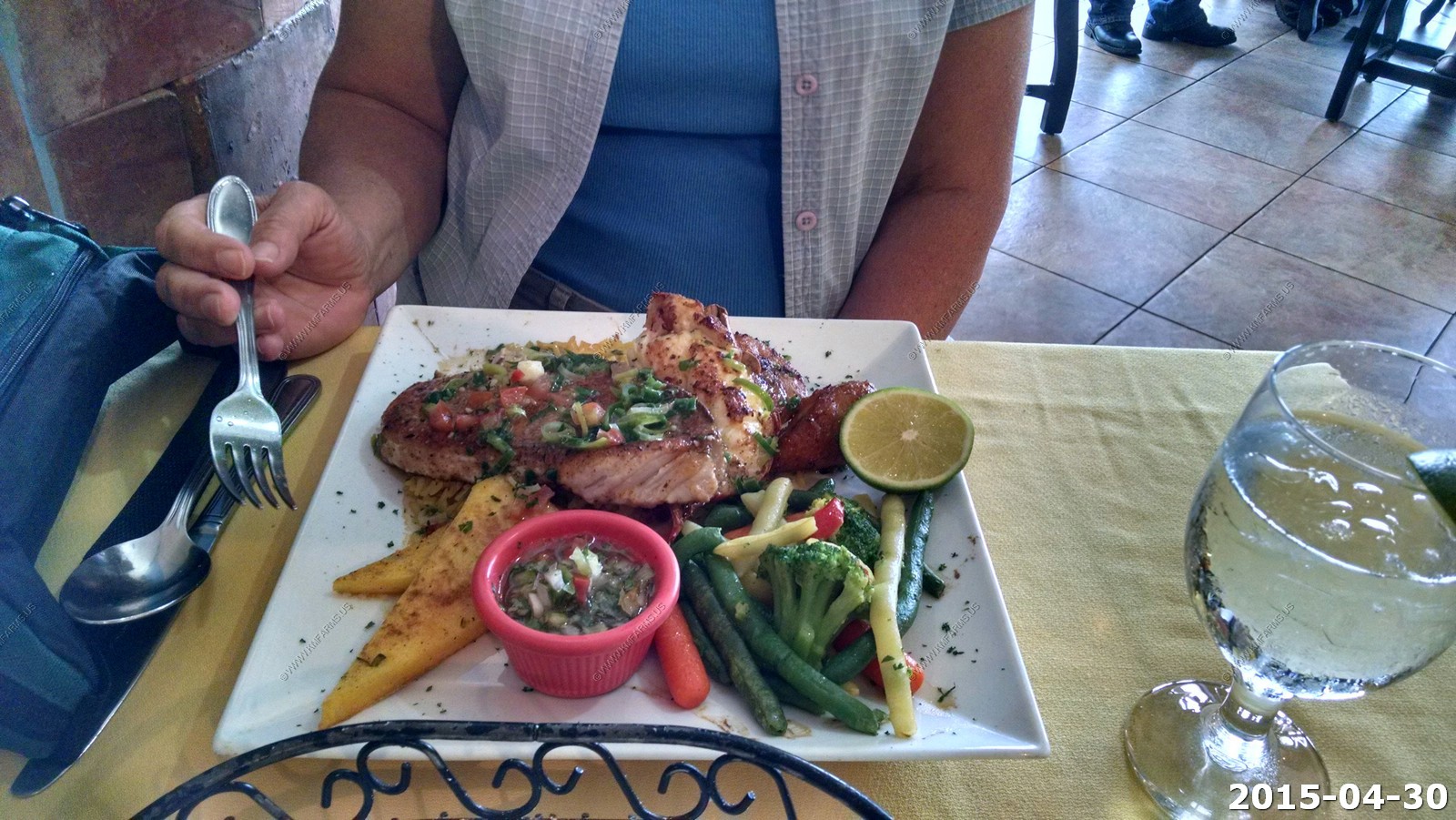
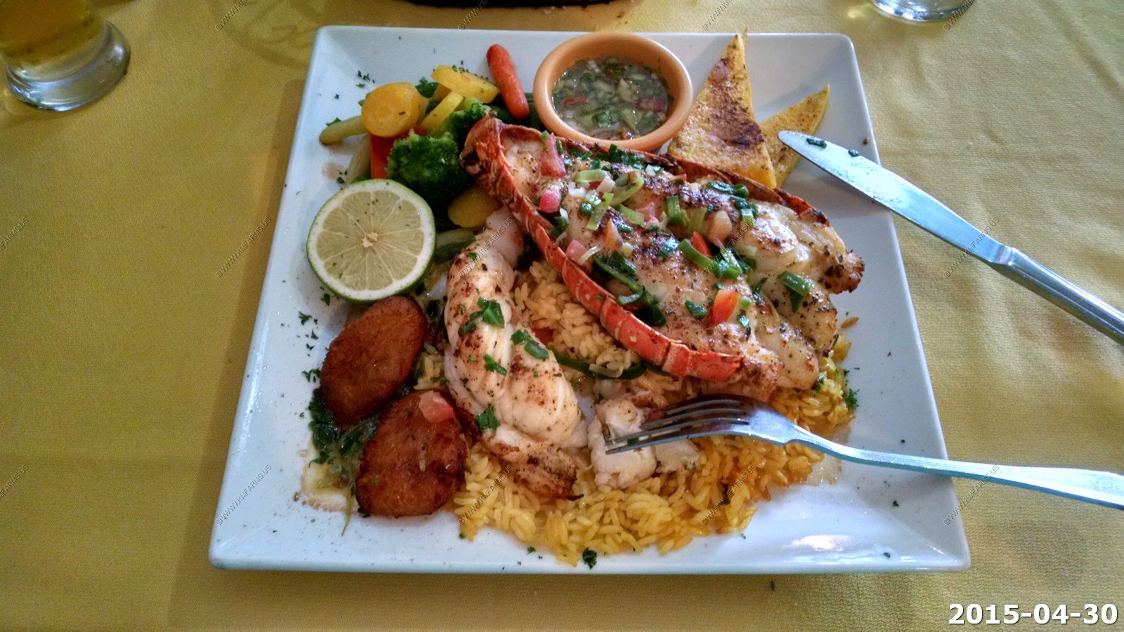
We went out to eat to Wacky Wahoo's which was suggested by the property Manager. It was expensive but good. One thing we noticed is how prices seemed to be in Aruban florin for the locals and then in US dollars for where the tourists visit. You never know what you would be charged in. For eating I believed we were getting a better deal in the Aruba currency as the locals did not have the money that the tourists had. Wacky Wahoo's was a excellent example. We looked at the prices and figured it was in florin's and when we got the bill it was in USD. They got us once. It was our most expensive meal of the trip coming in at $83 for dinner.
We discovered Red Fish Aruba which is located at Italiestraat 50 and the shrimp was excellent. Both of us ate and drank well for about $35. We ate their twice on the trip and it was popular with the locals.
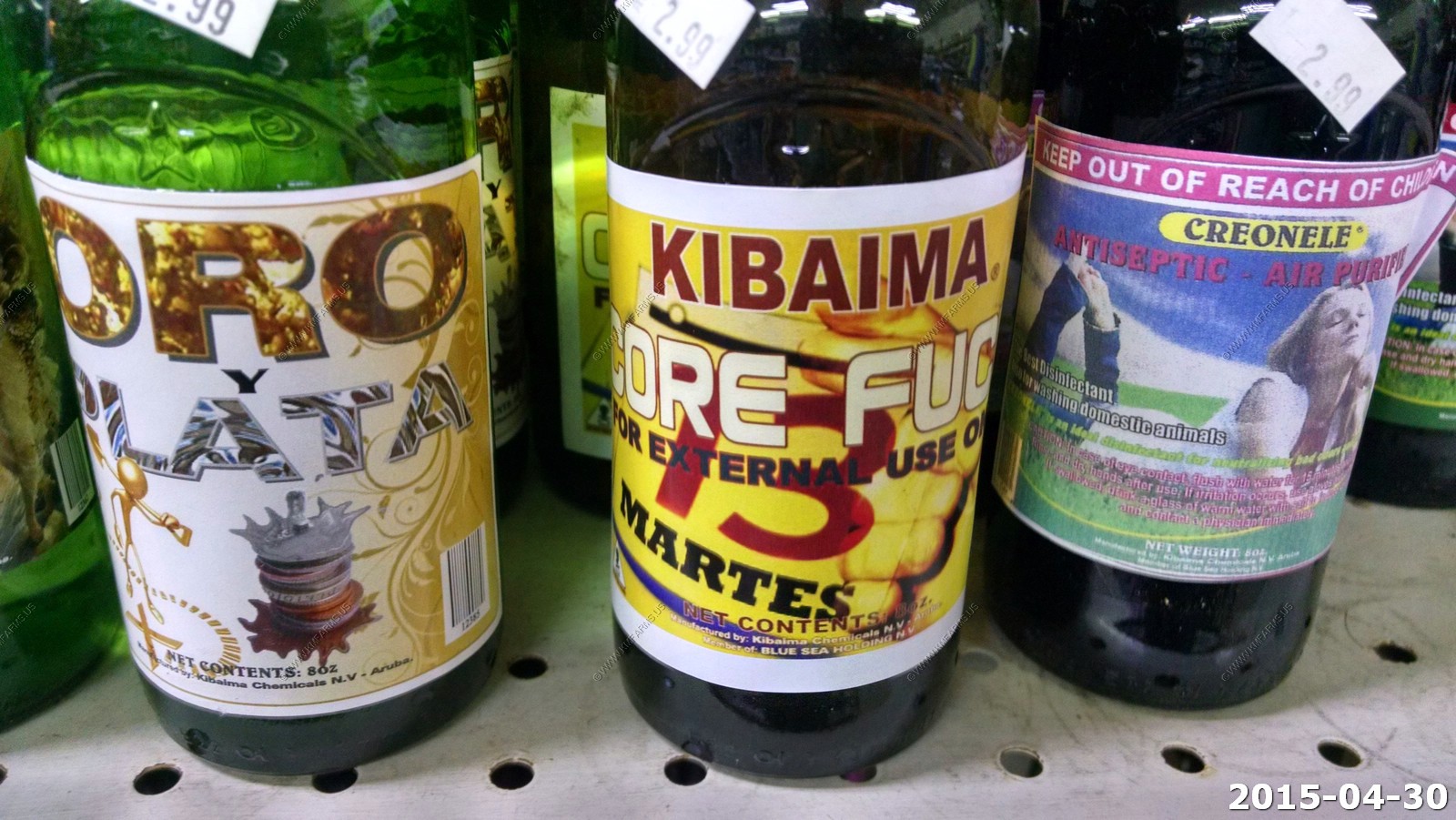
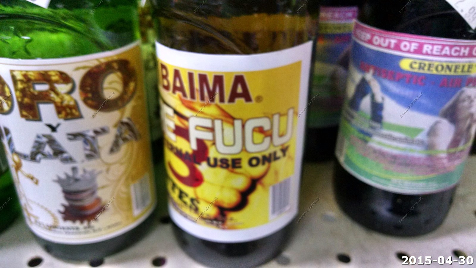
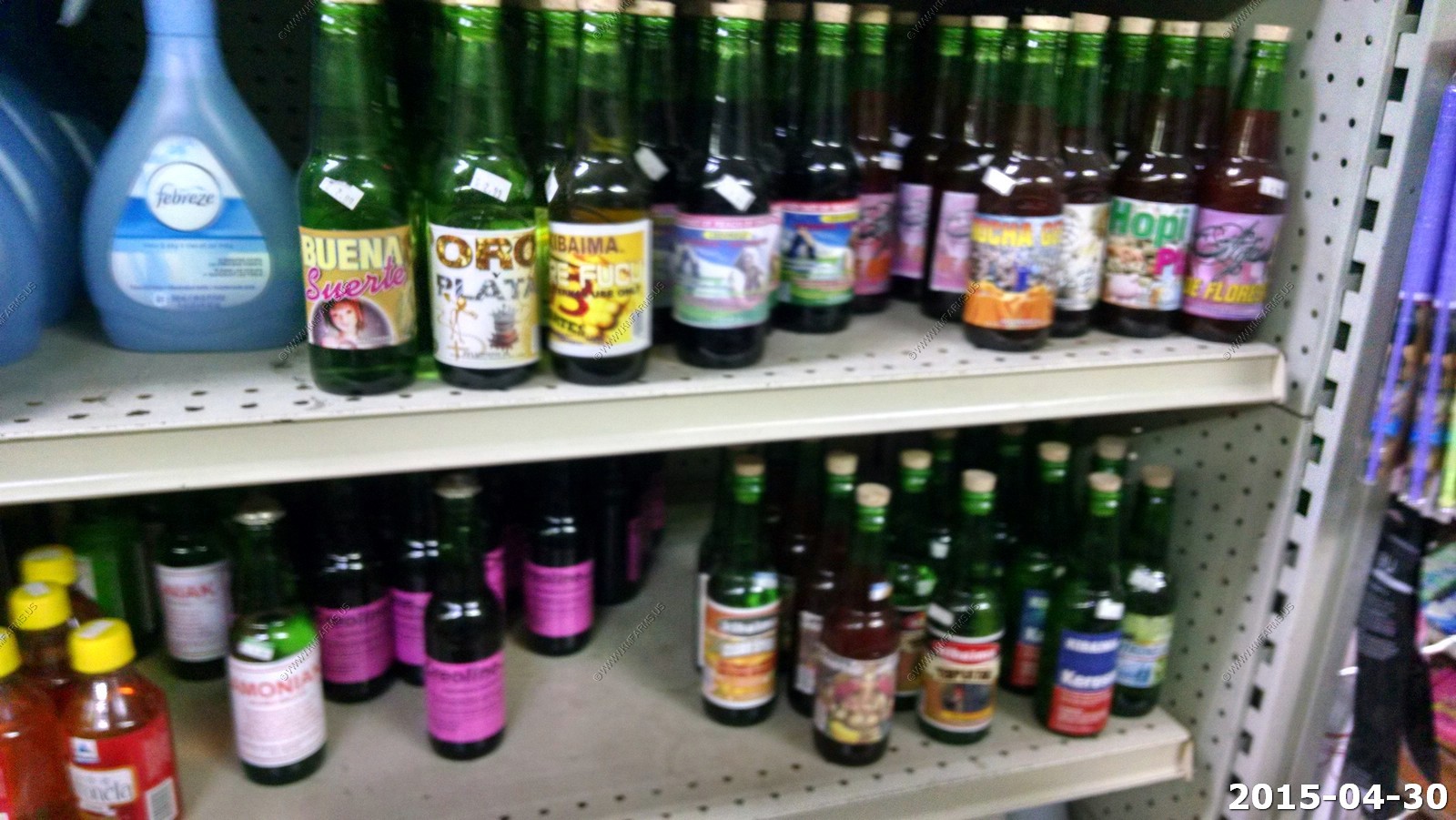
We found that many of the small supermarkets here are owned by Chinese. The locals did not seem to have an issue with it. We made a few trips to the large supermarket - Superfood in Bubali but for most things these small markets had what we needed. This one had some strange drinks to increase your sex drive. We did not try any.
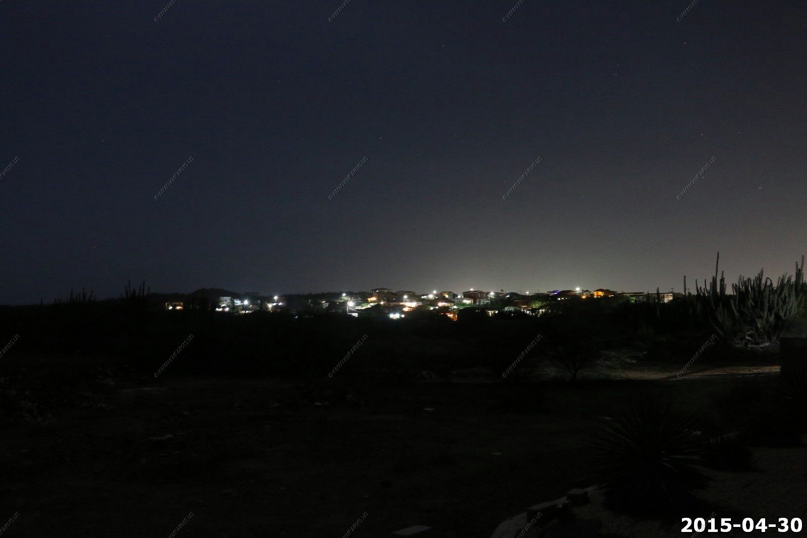
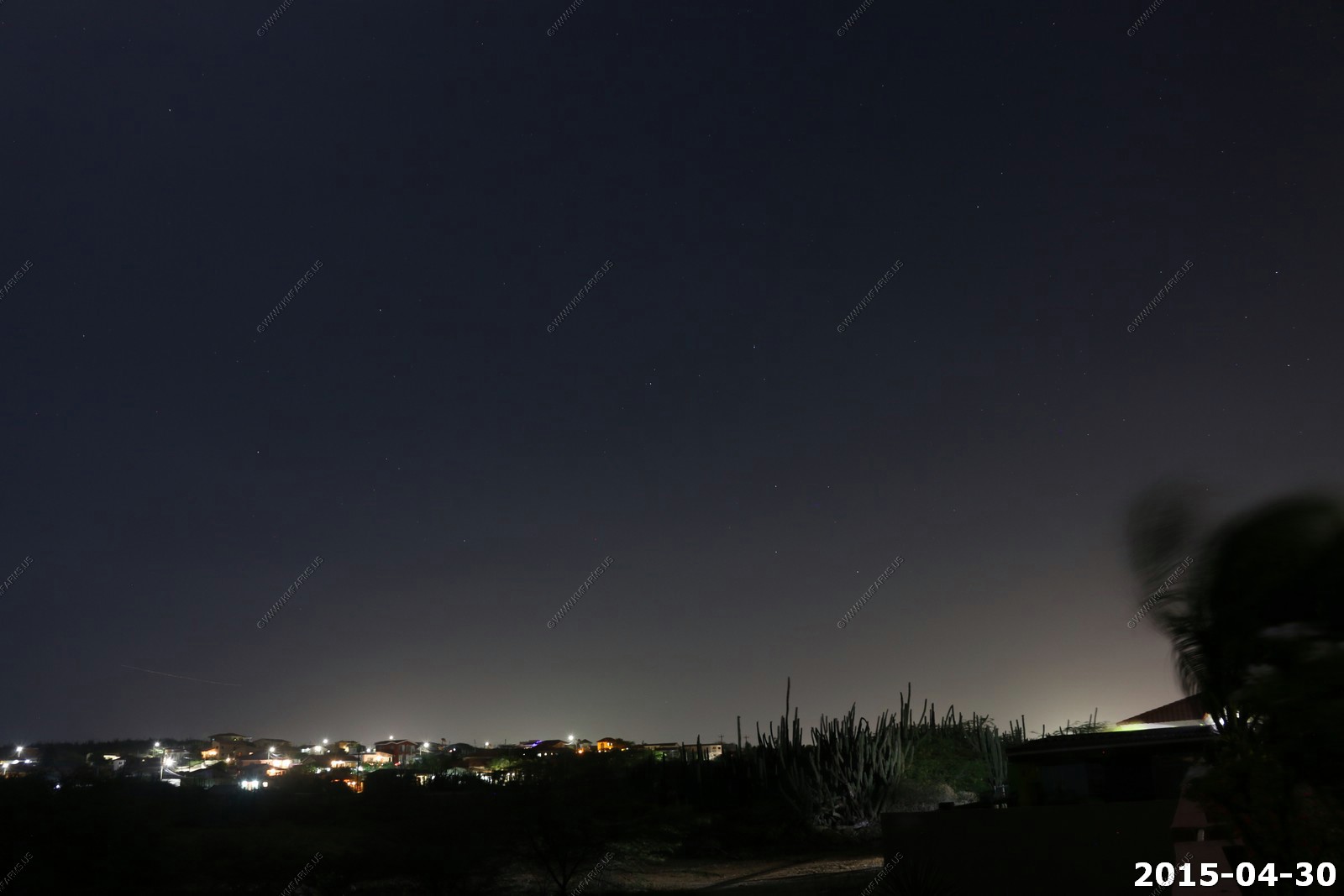
Not the best view for night photography as all the hotels were to our south and west. We did not drive at night here due to security reasons.
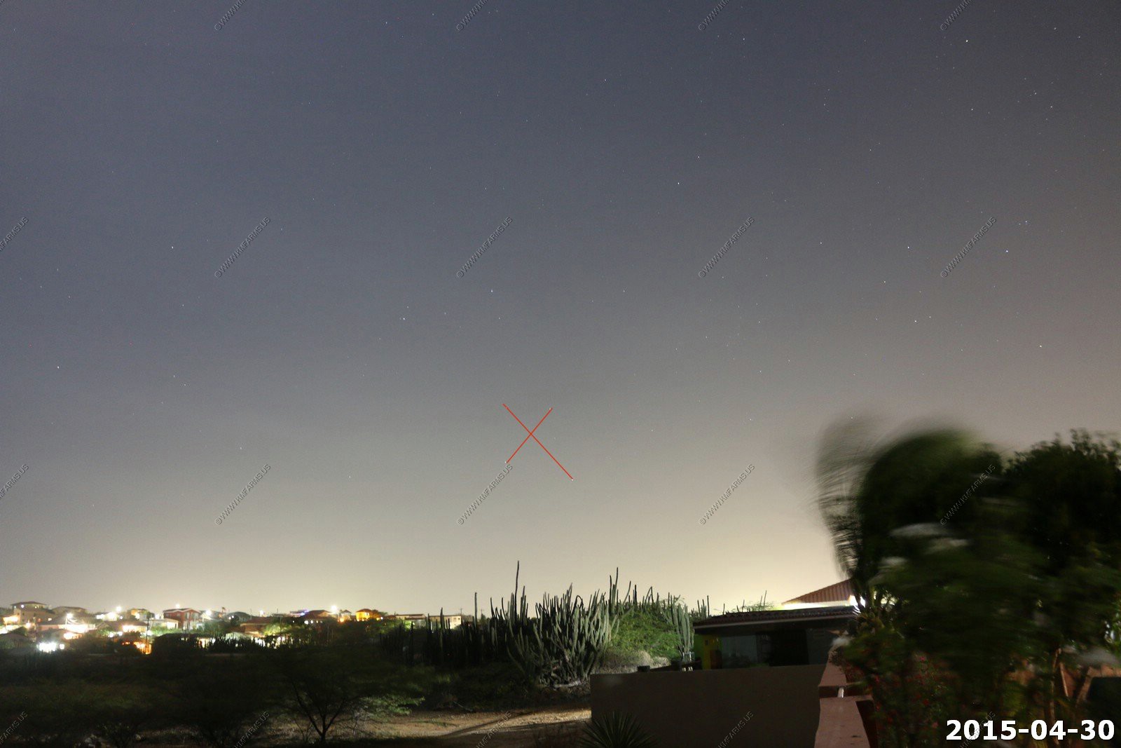
Southern Cross (marked on first photo)
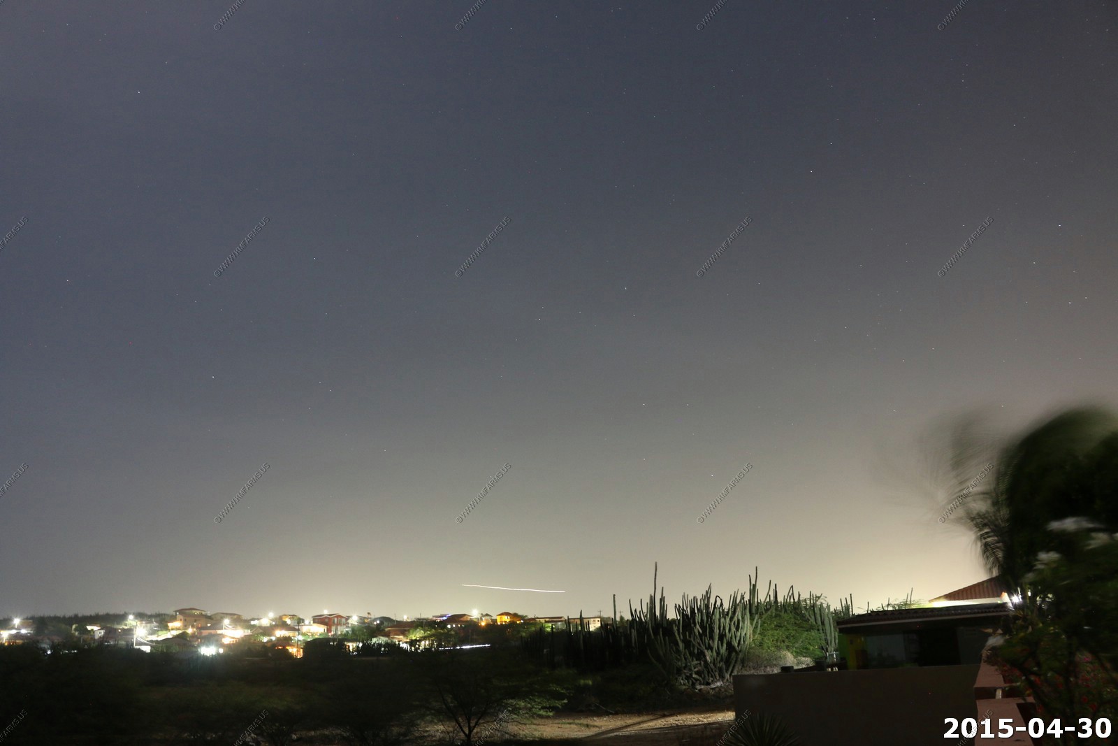

Orion
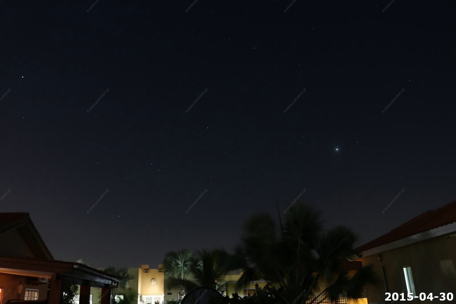
Someday I will figure out what the other cross is. The southern cross (in red) and the other (in green) I always have to make sure I am looking at the correct one.

Same photo with no lines
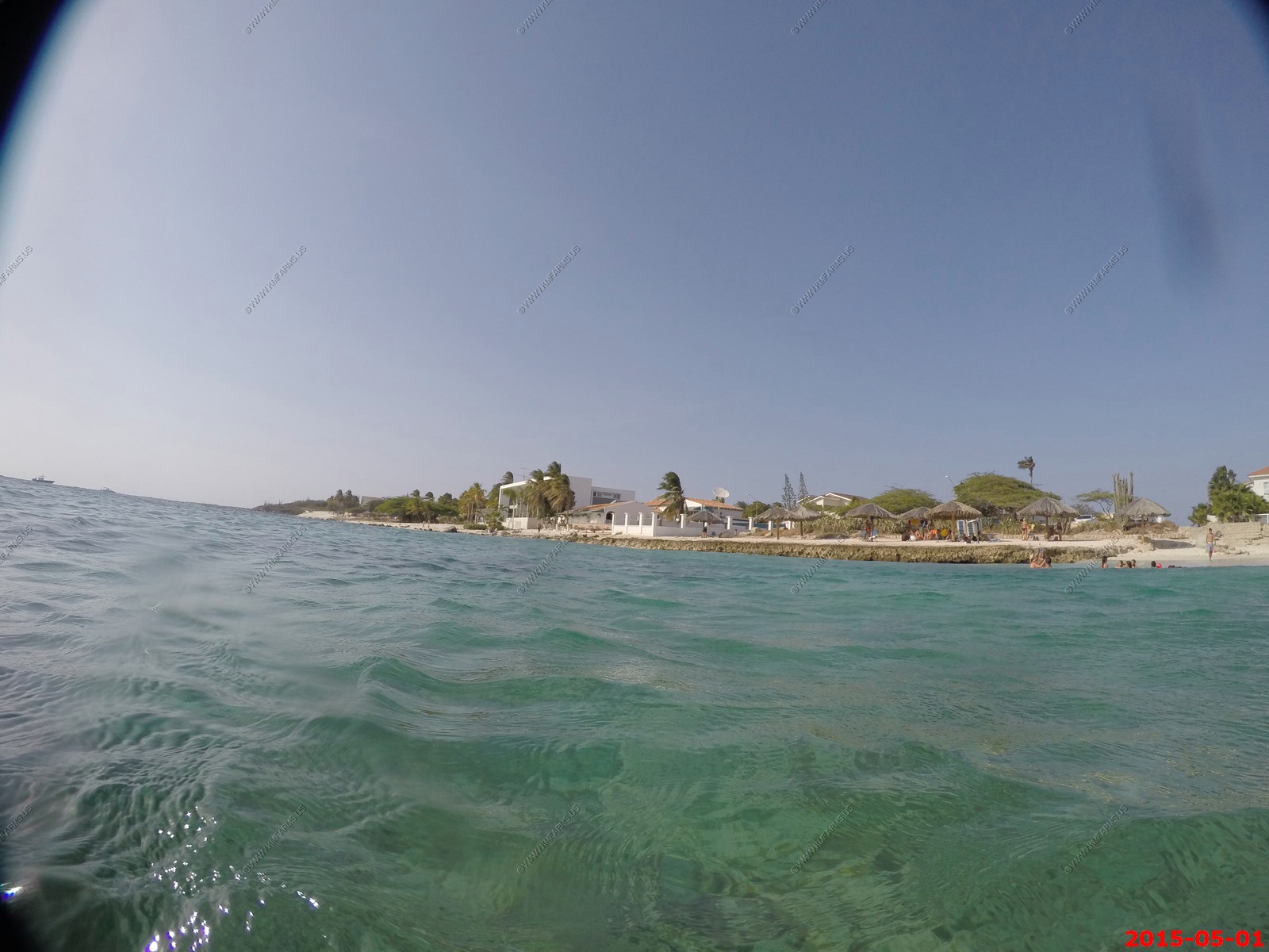
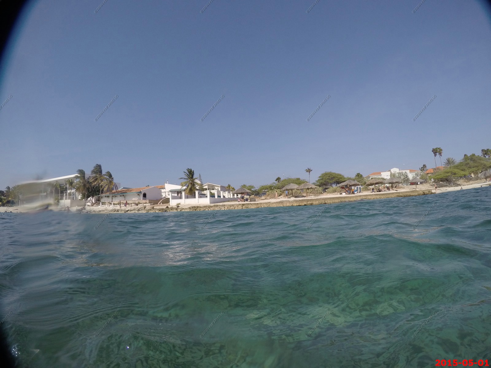
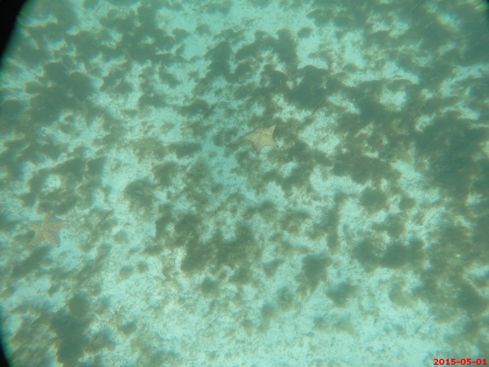
Friday - MAY 01 2015
Relaxing day spent at the house and the beach at Boca Catalina
Large starfish off of Boca Catalina
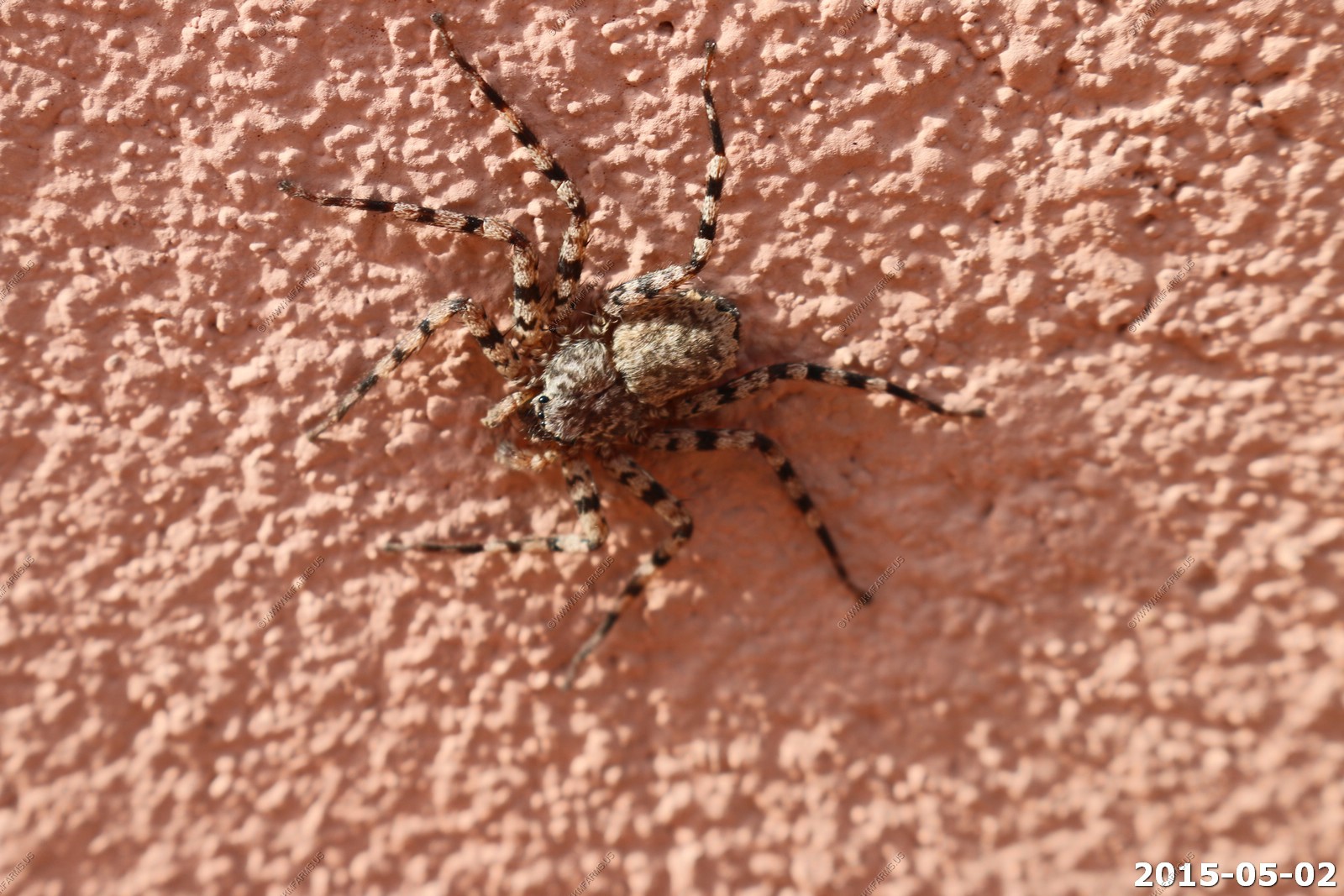
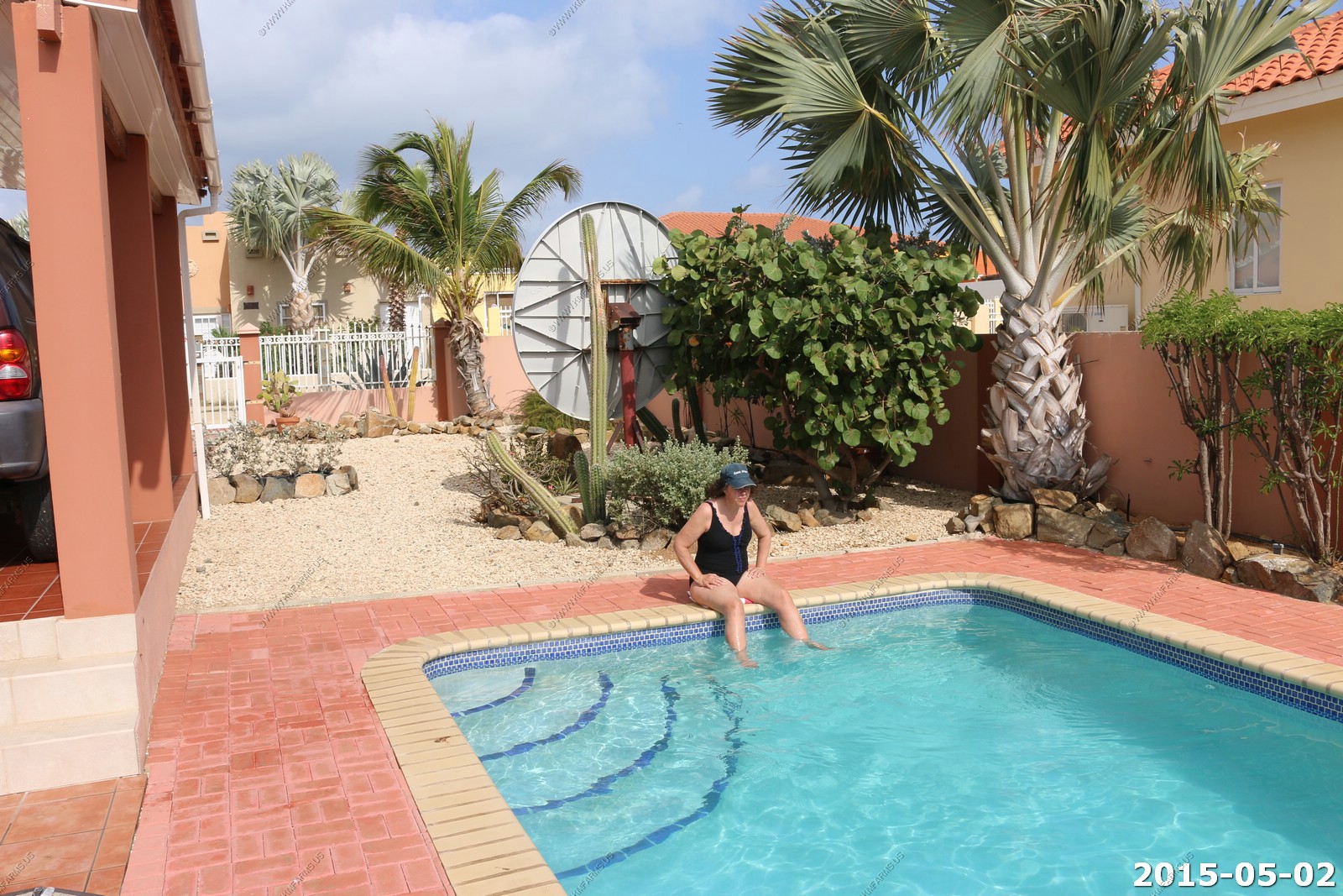
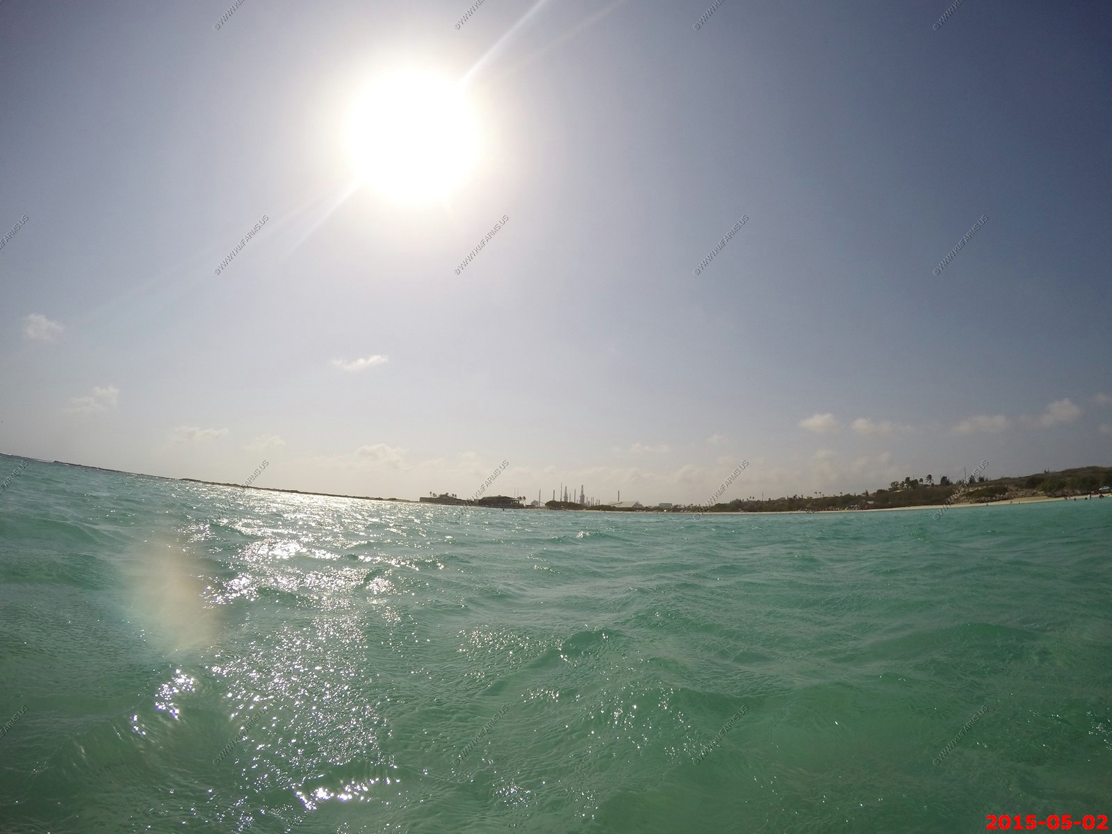
Saturday - MAY 02 2015
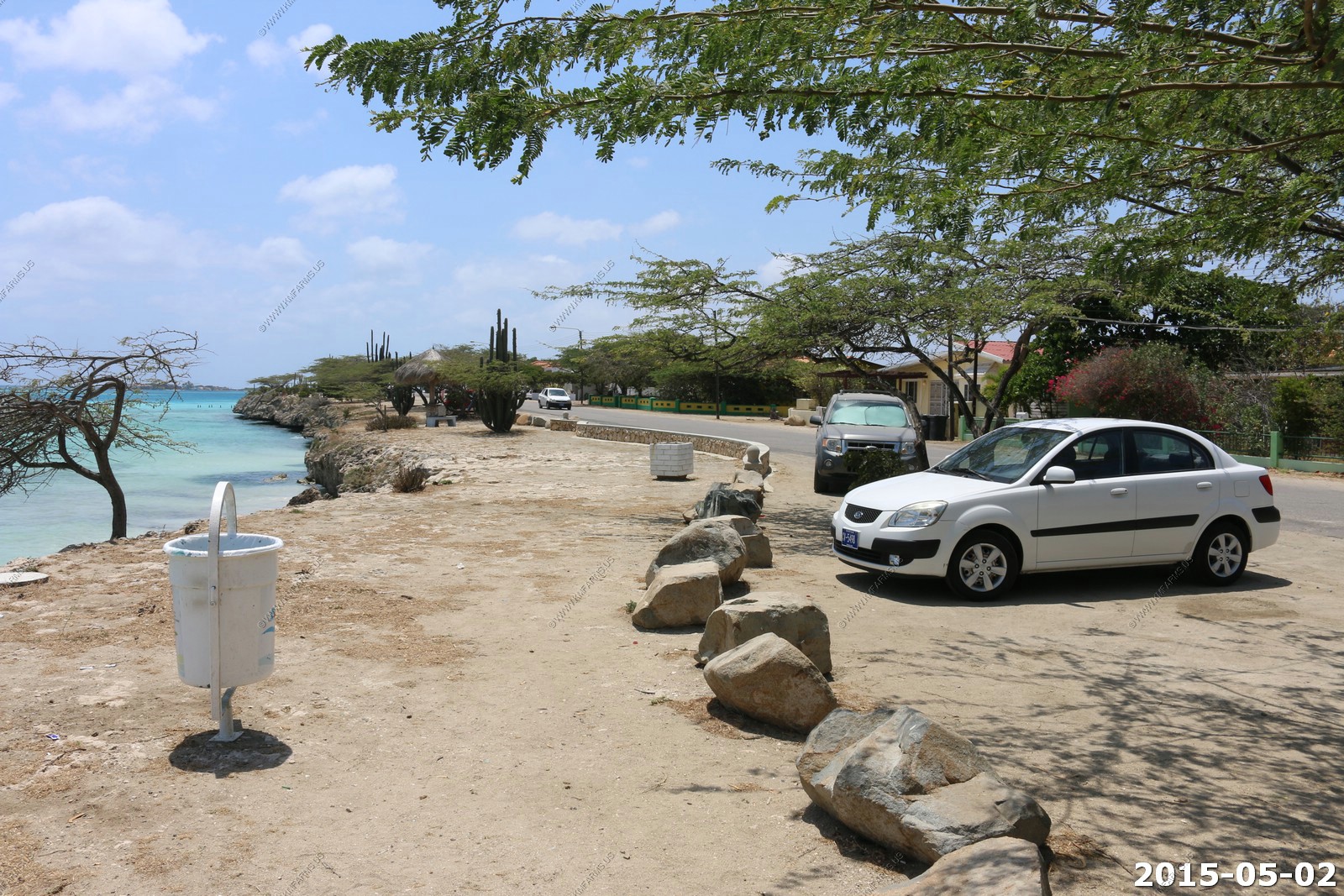
Driving here is a bit complicated and it really was a lot more stressful than I figured it would be. Most of the drivers we just pull right out in front of you or pass you if they didn't think you were going fast enough. Red lights seem to be just a suggestion and not having any lights when we were driving the four miles over to the Boca Catalina snorkeling Spot near our place was low stress but today we decided to drive to the southernmost end of the island. I must say that it felt like we had drove a couple hundred miles but in fact it was less than 40 miles total for the day.
Very few insects here. This is the only spider we saw.
Probably a Huntsman spider - Sparassidae (formerly Heteropodidae) are a family of spiders known as huntsman spiders because of their speed and mode of hunting. They also are called giant crab spiders because of their size and appearance. They have been known to inflict defensive bites, but are not widely regarded as dangerous to healthy humans. Huntsman spiders are widely considered beneficial because they feed on insect pests such as cockroaches.
Mary enjoying the pool
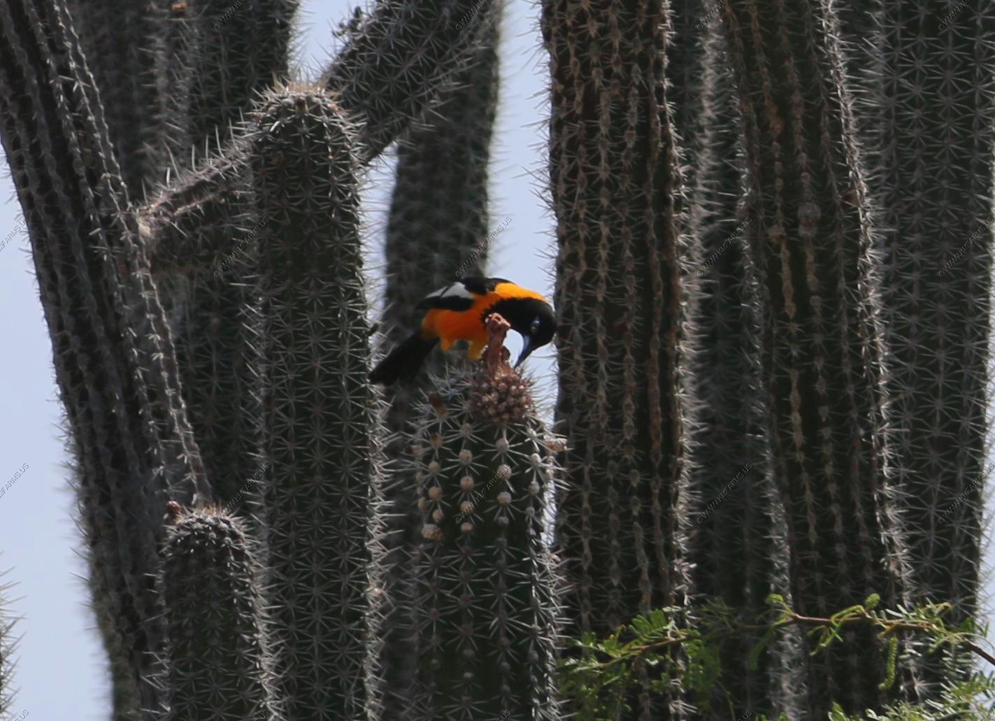
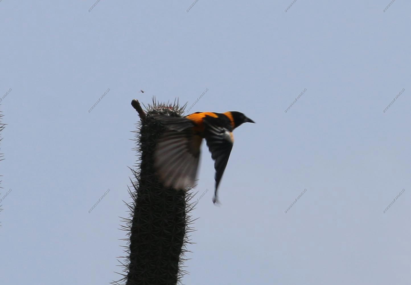
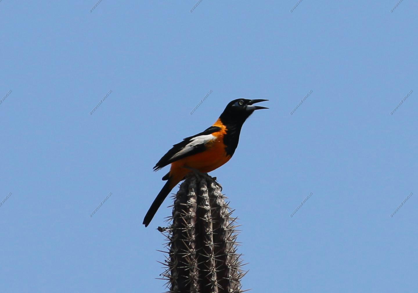
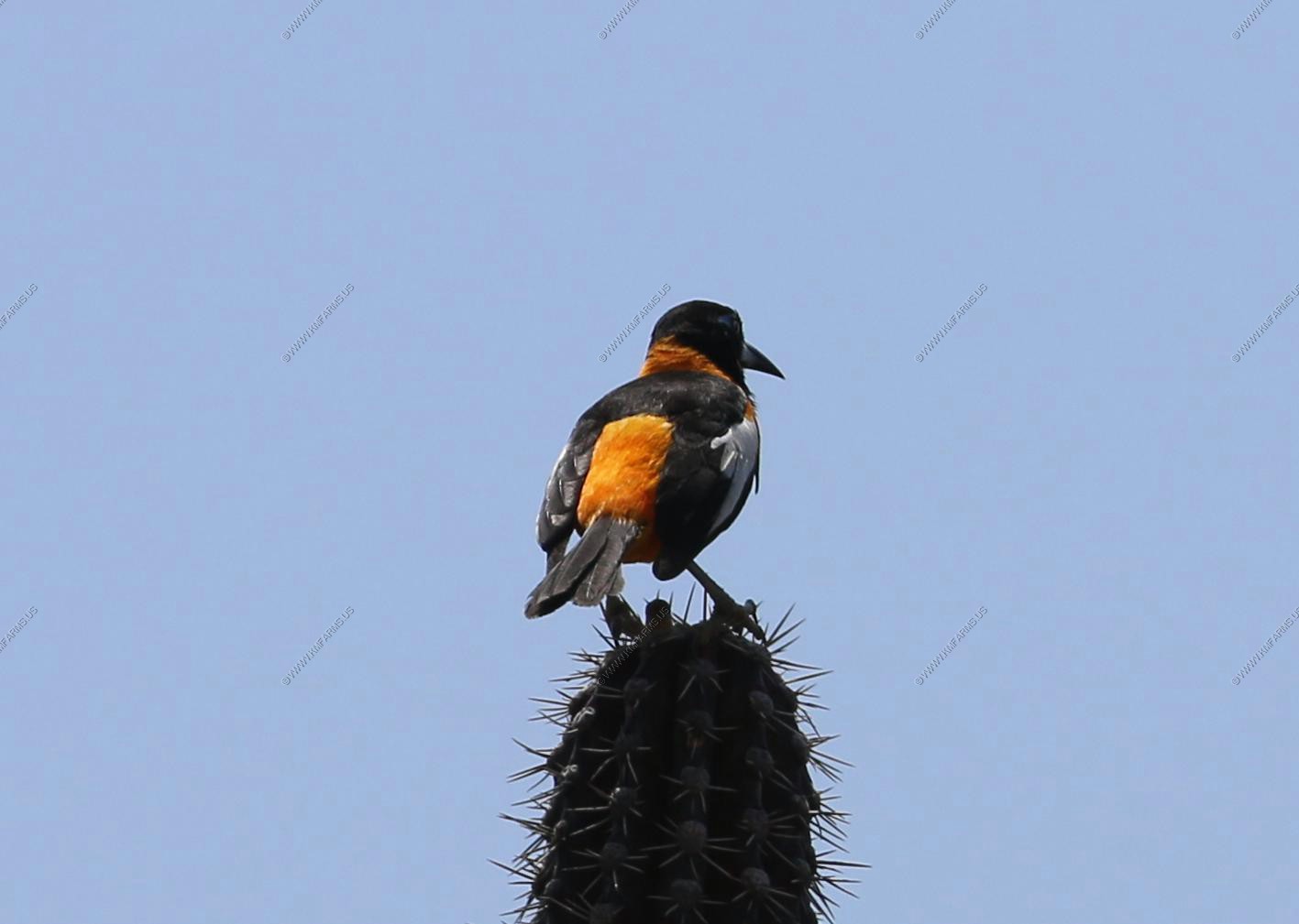
We would watch Venezuelan troupials in the cunucu (outback) behind our house. These birds are the national bird of Venezuela and one of about 25 or so species of New World orioles. It is found in Colombia, Venezuela, and the Caribbean islands of Aruba, Curacao, Bonaire, and Puerto Rico.
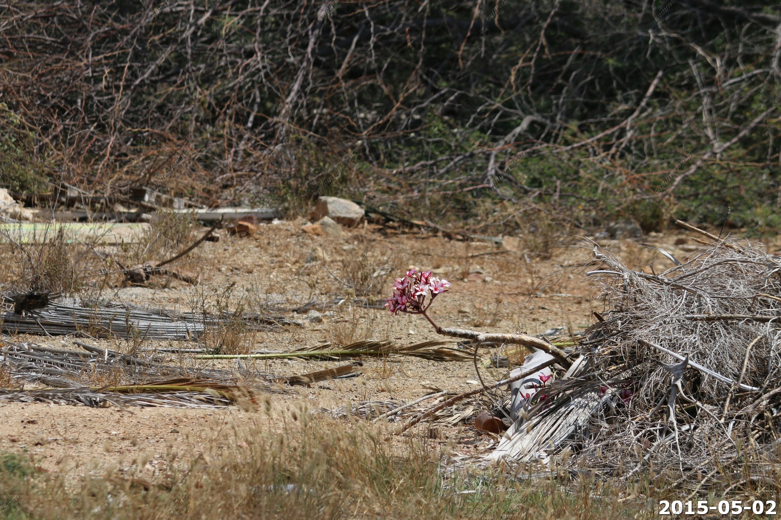
A flower in the garbage dump behind our house
The hood behind our house with the water tank.
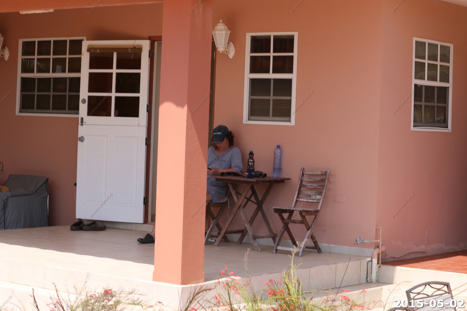
Mary hiding from the sun.
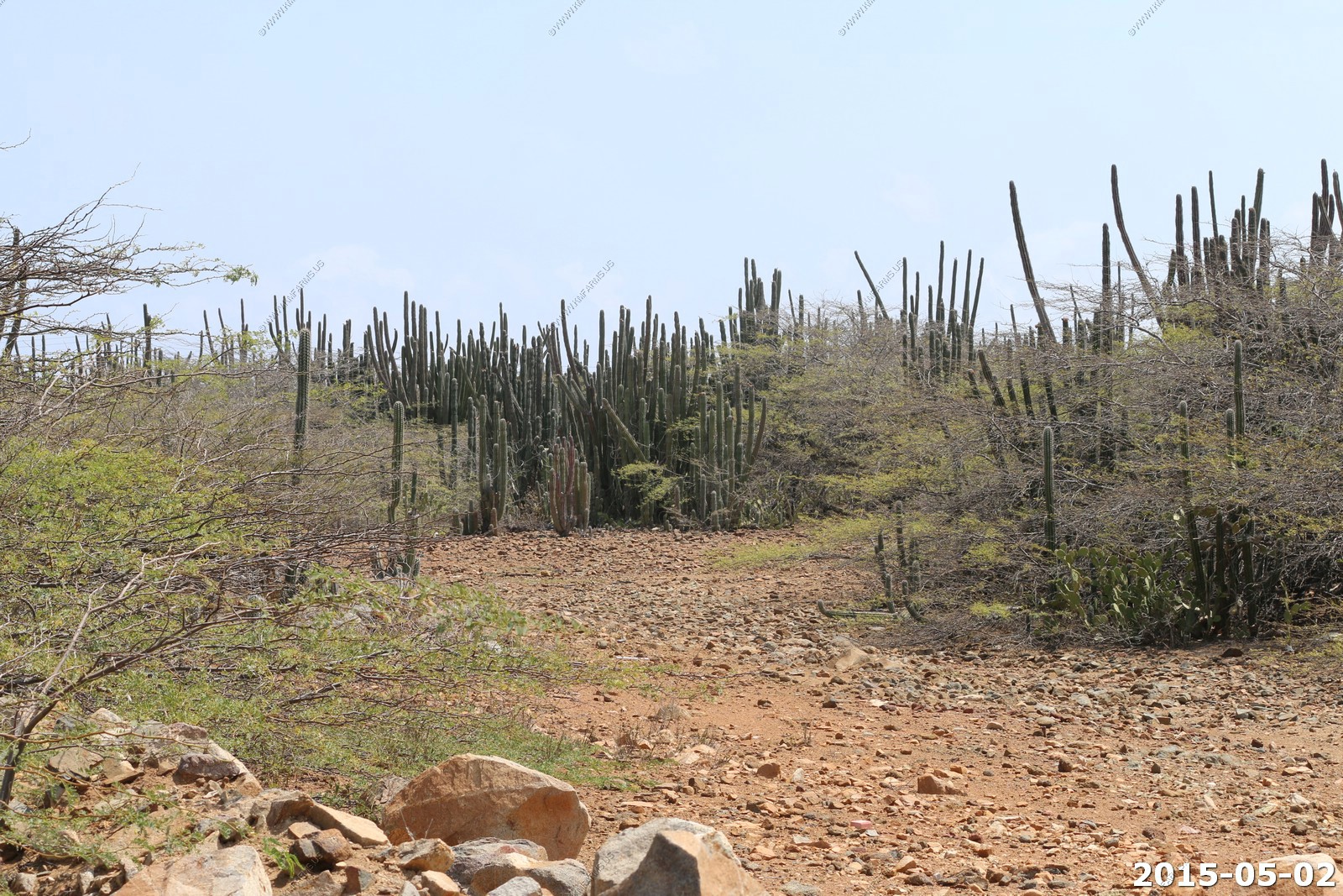
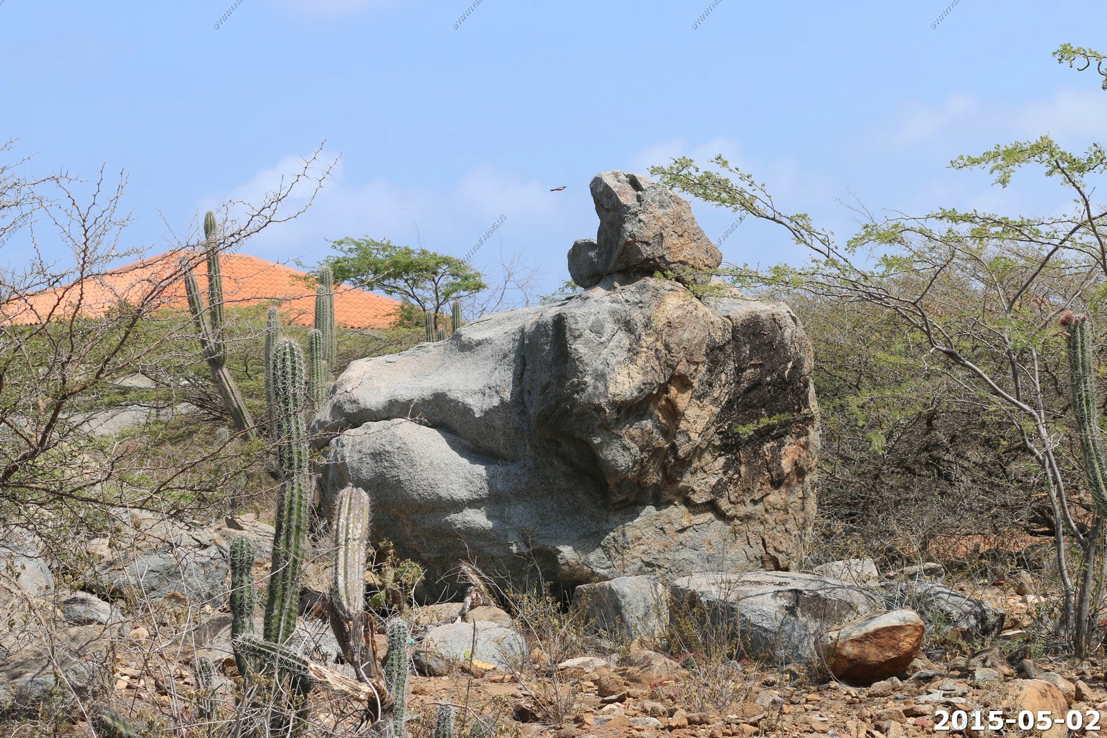
I walked out behind the house. Nice rocks and cacti when you avoid the trash. As I got further the smells suggested something was very dead. I chose not to figure out what it was.
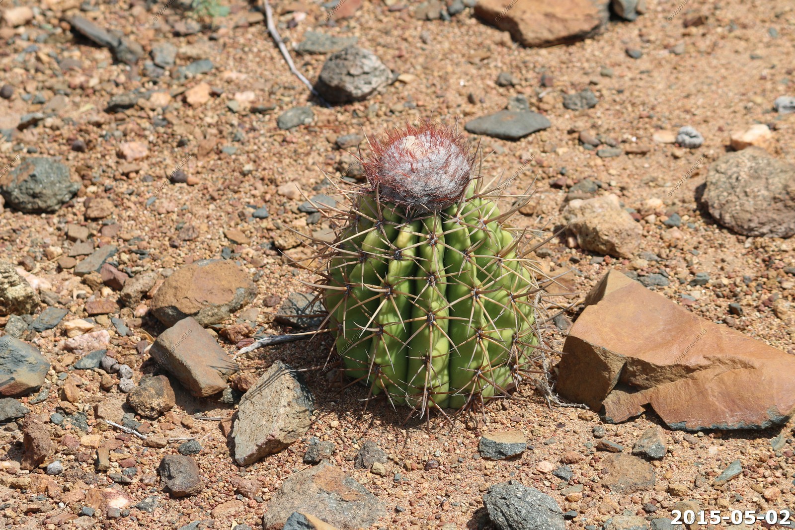
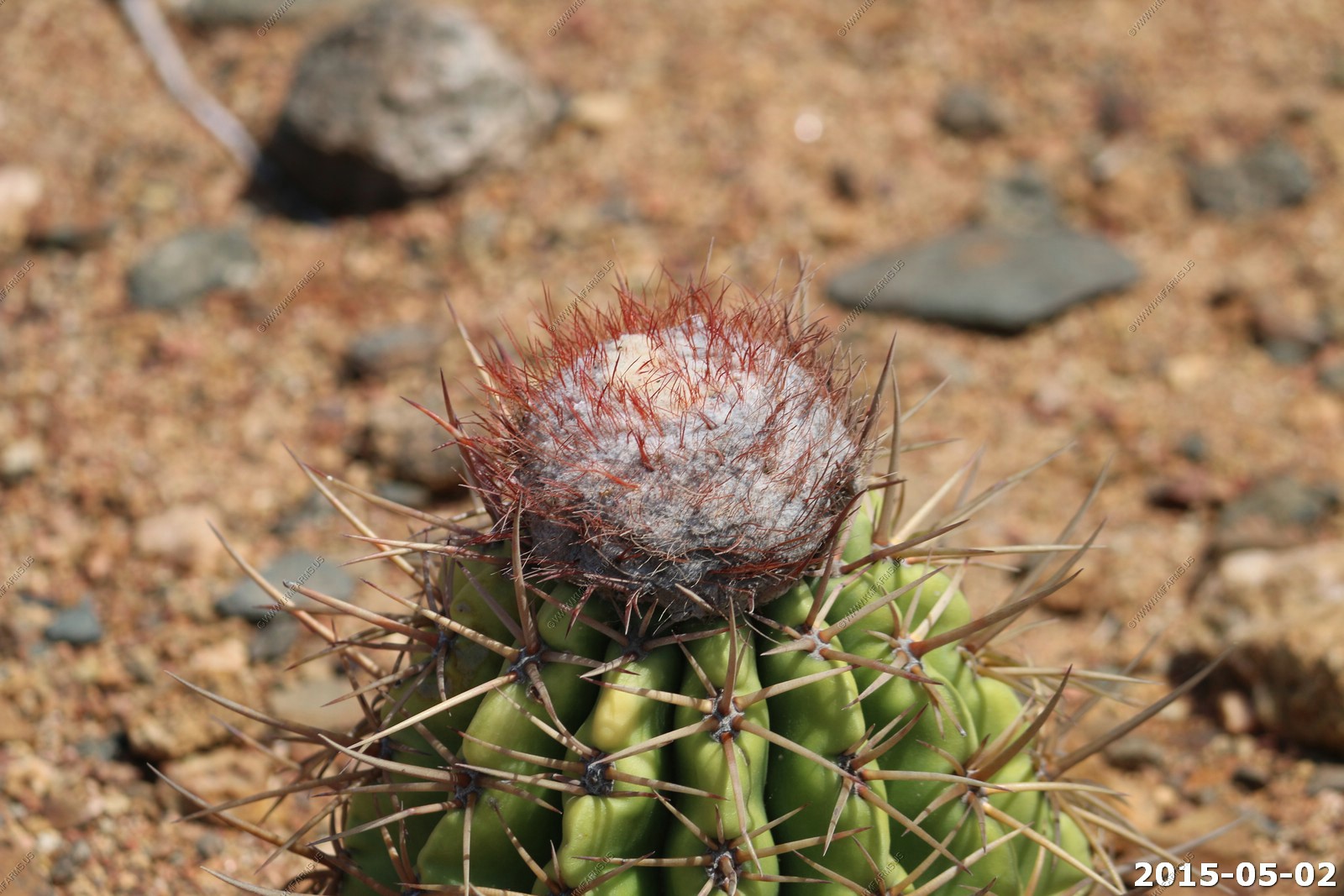
Turban Barrel Cactus
The house from the back
Caesalpinia coriaria is a leguminous tree or large shrub native to the Caribbean, Mexico, Central America, and northern South America. Common names include Divi-divi. The divi-divi, usually never more than a dozen or 50 feet tall, is permanently bent, at nearly a right angle, with its Medusa-like branches seemingly swept back by the wind. All divi-divi trees point to the west, in the direction of the trade winds that come from the northeast.
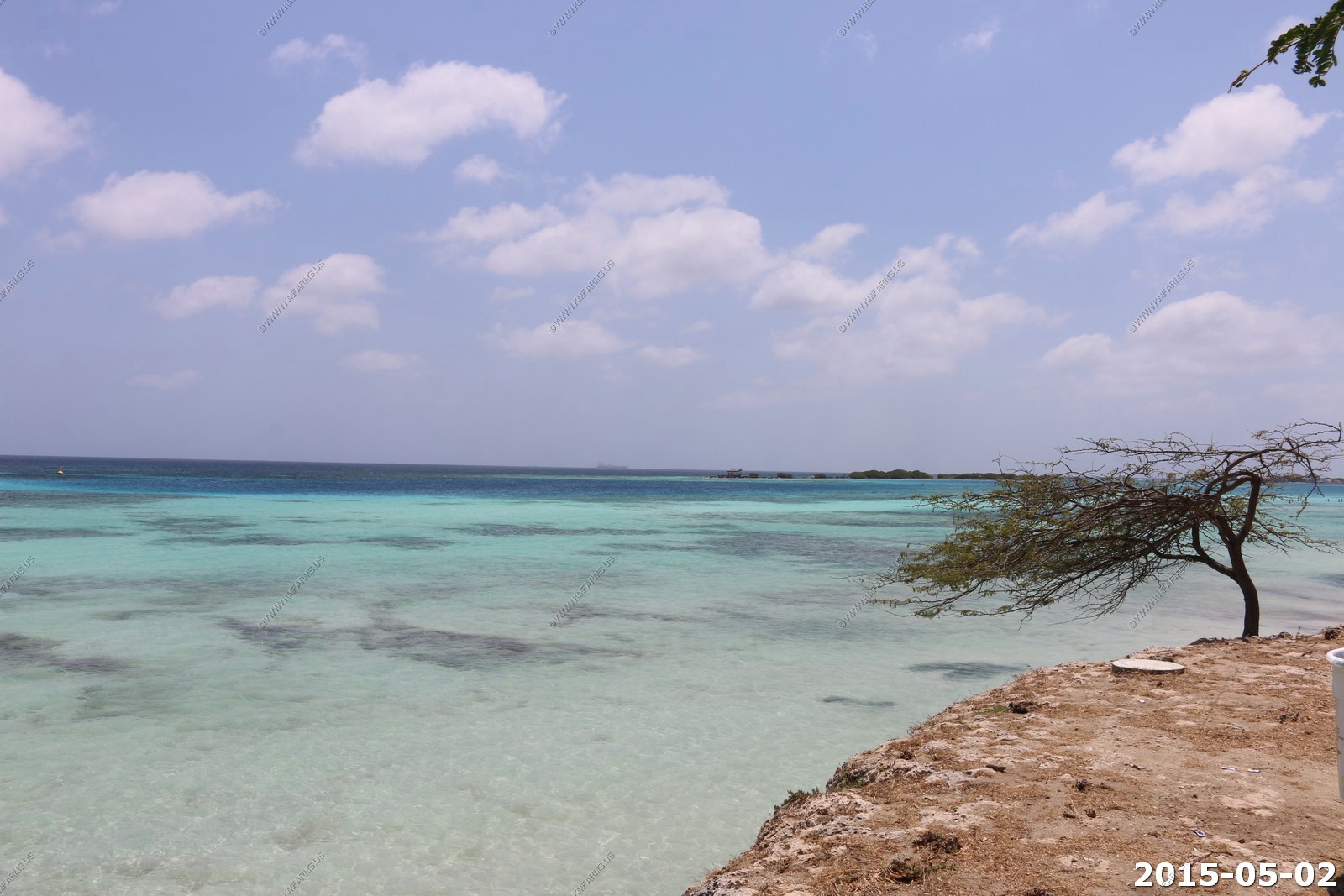
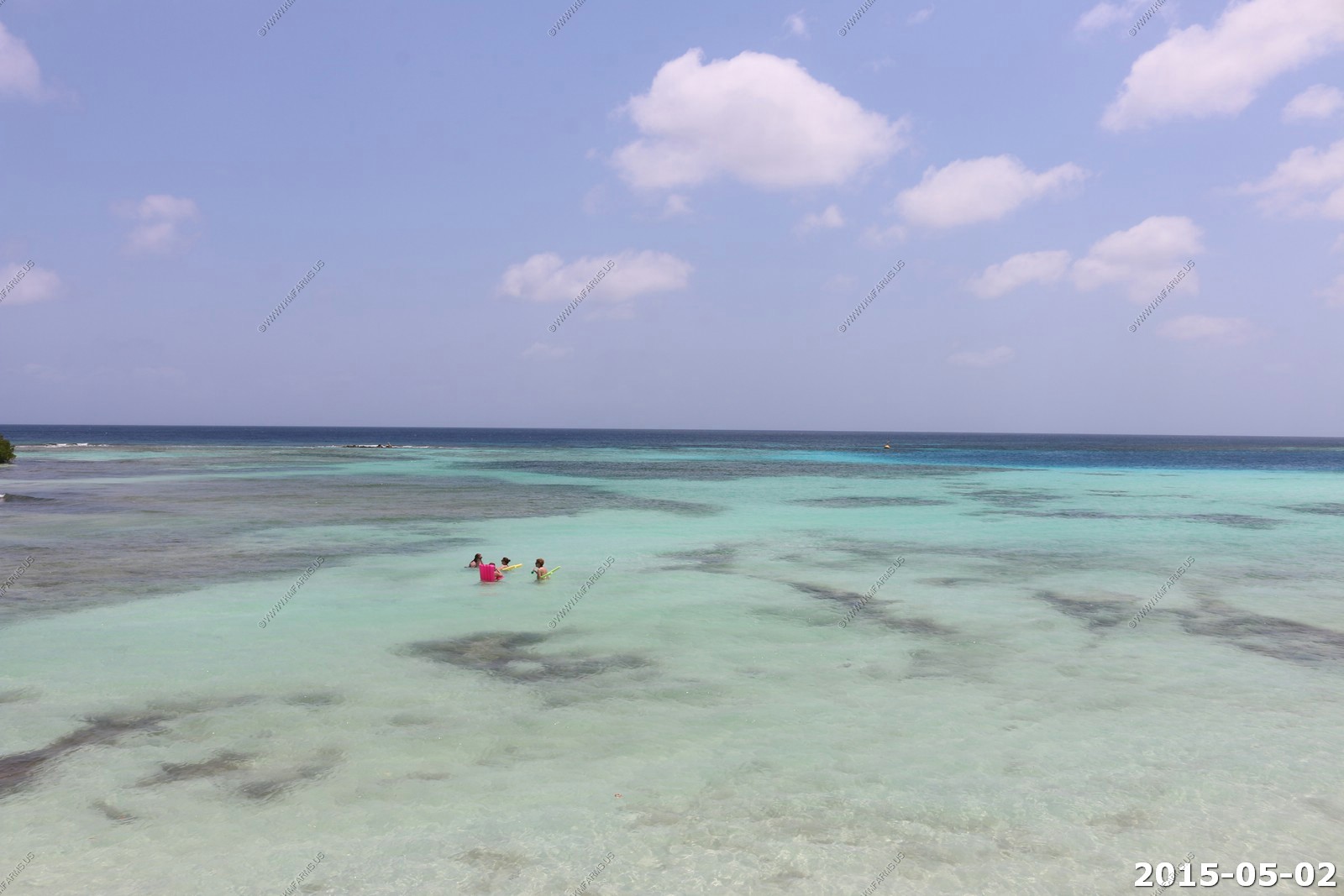
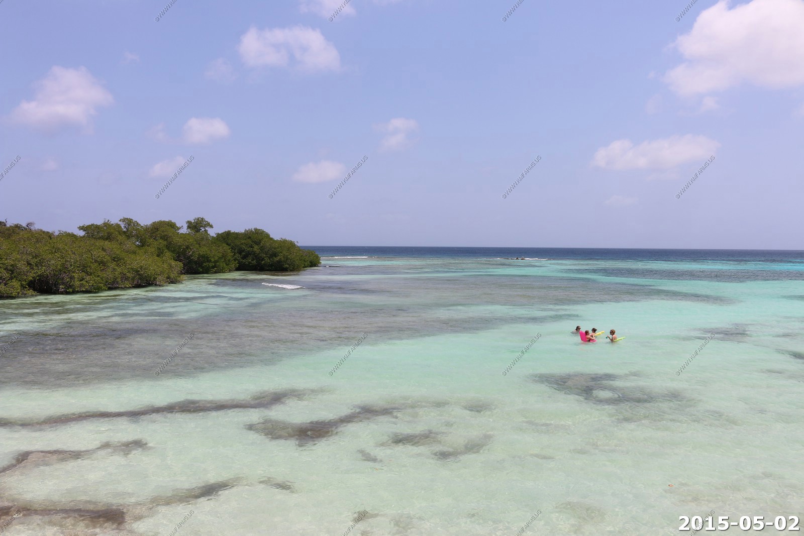
So we drove down to the southern end of the island. One of the snorkeling places to visit was Mangel Halto. The problem is that the currents here were very strong. Also, it was a considerable distance from the beach to where it got interesting.
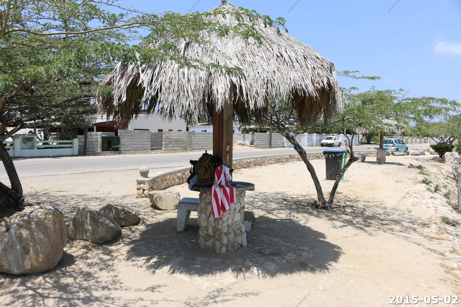
So we parked along the main road (Spaans Lagoenweg) first but with the cliffs it was hard to get into the water and would be impossible to get out.
We then moved down to a beach area but still it was too far to get out to the good areas. We did not realize that we would come down to this area in a few days on the snorkel boat ride. And even then it would be too rough to enjoy the area.
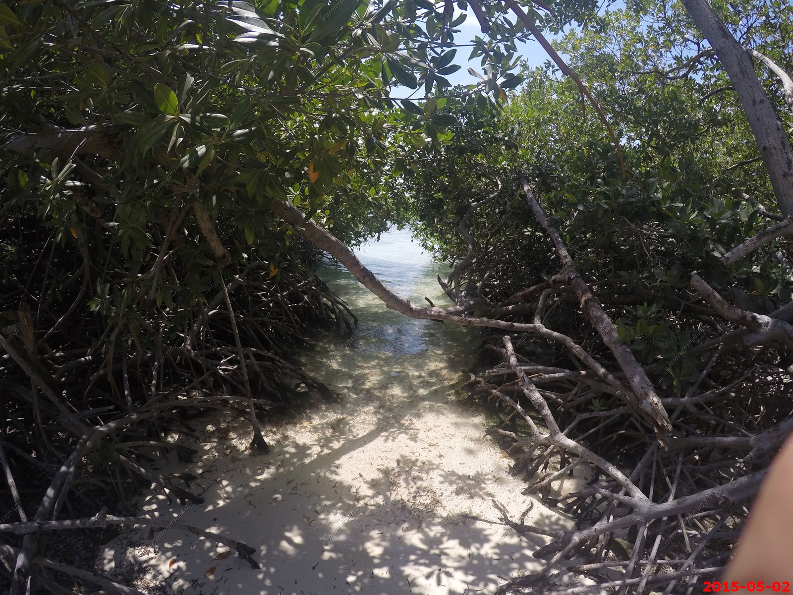
Easy water access here thru the mangroves.
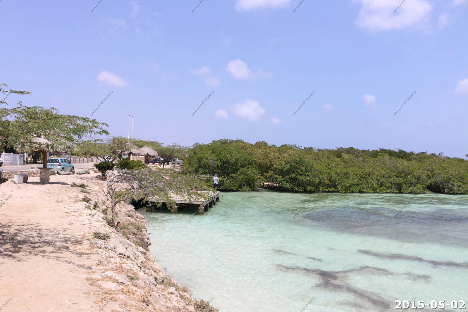
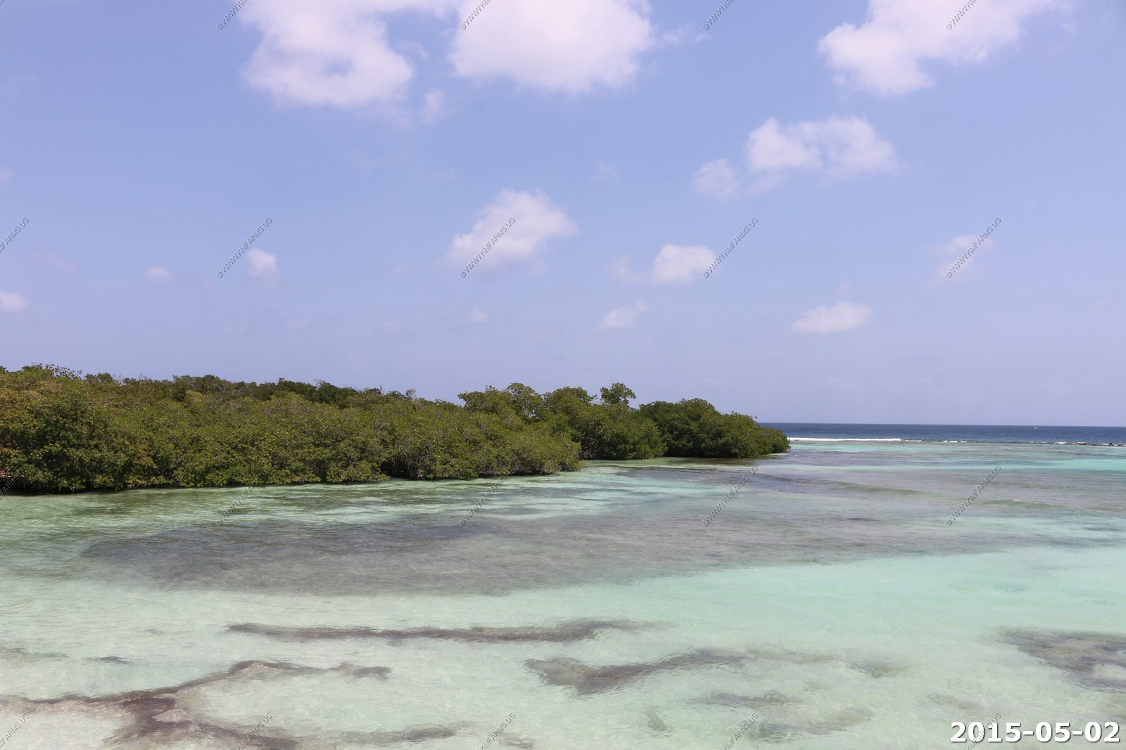
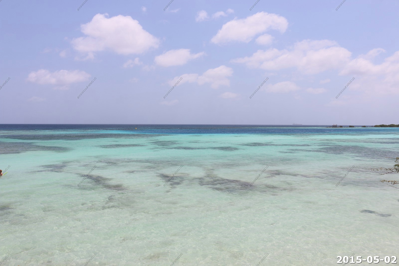
Clarity was good here at Mangel Halto. Large fish in the middle.
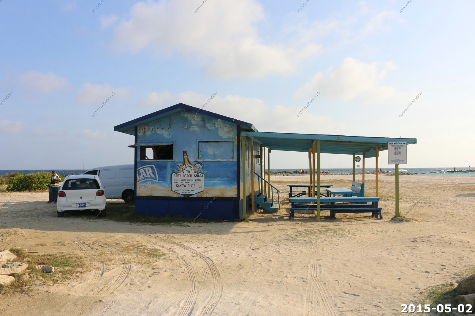
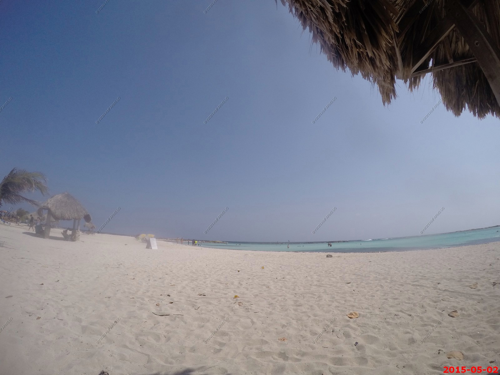
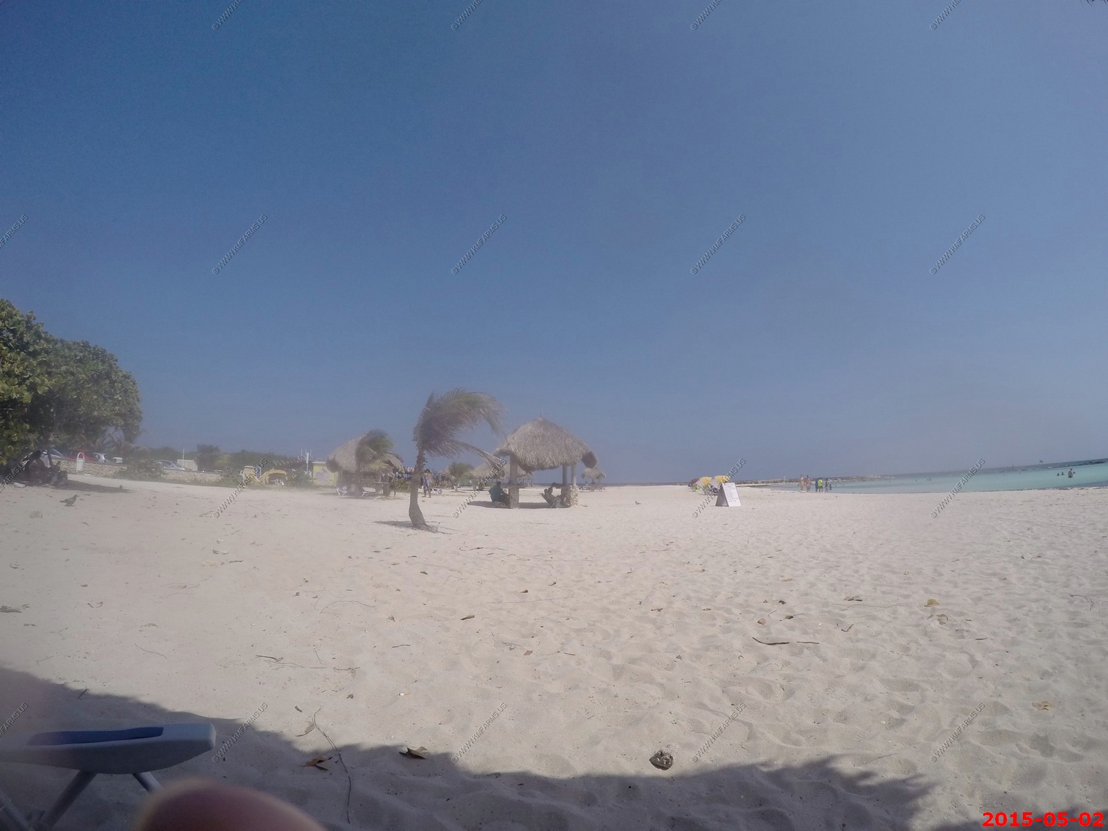
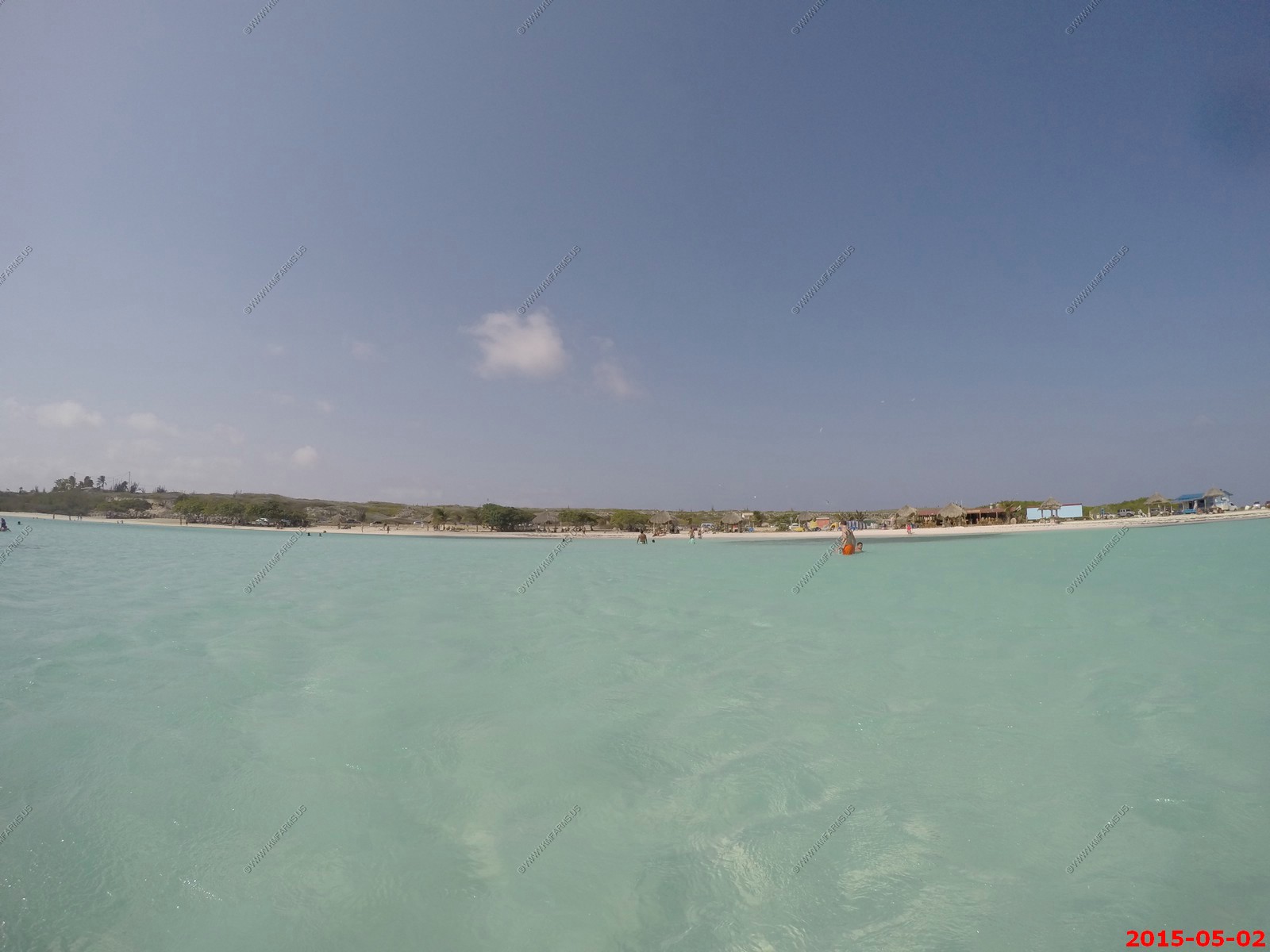
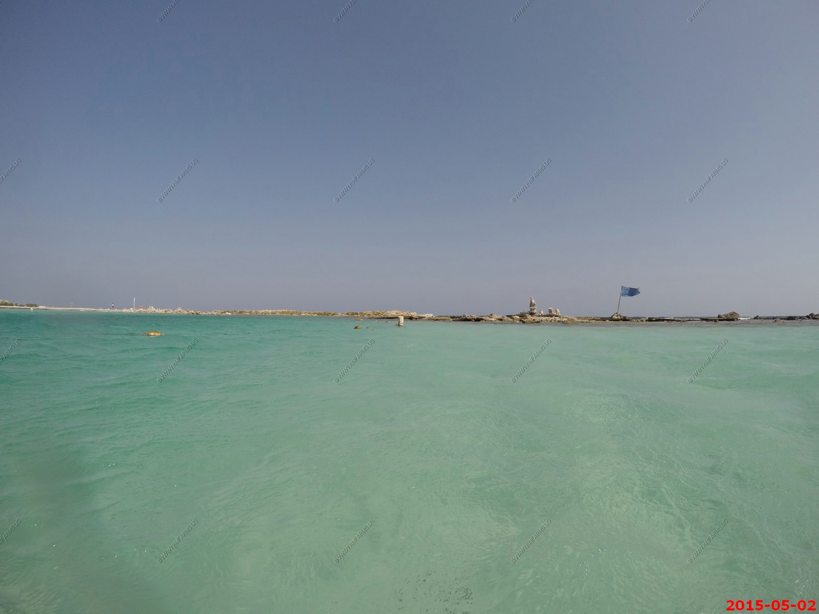
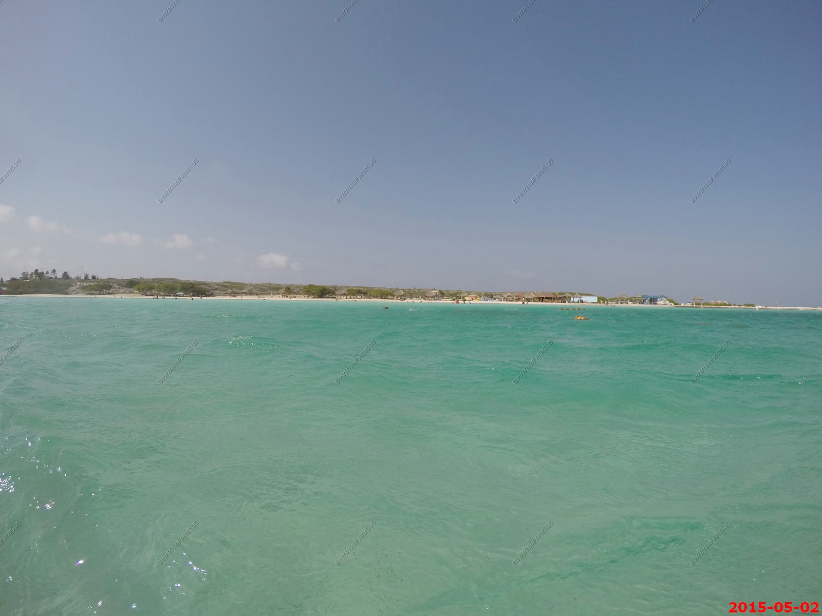
Baby Beach
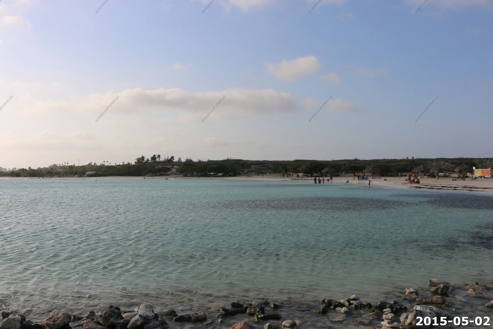
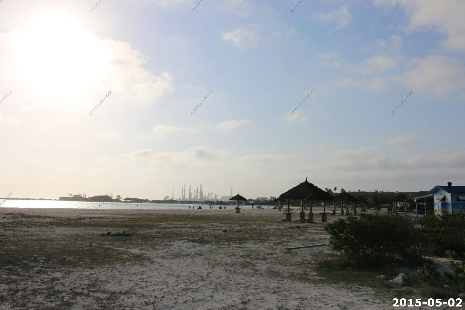
So we continued to the most southern part of the island - Baby Beach. It was a great beach but generally only locals and not many good places to snorkel.
Shallow Lagoon area east of the Valero Refinery San Nicolas. Use extensively by tourists and residents. 1275 by 775 feet and depths ranging from 2 to 8 feet across most of the lagoon. Home to lots of juvenile fish.
It had a small place to buy beer & sodas.
Views of the beach
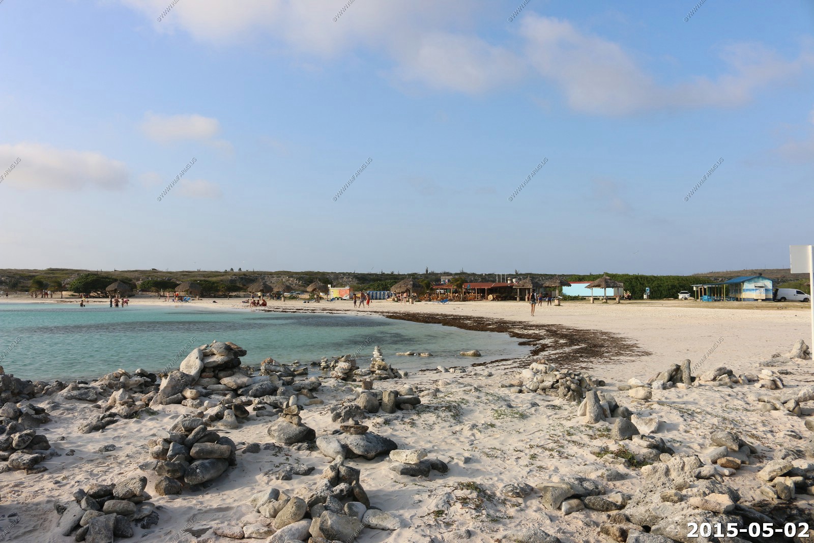
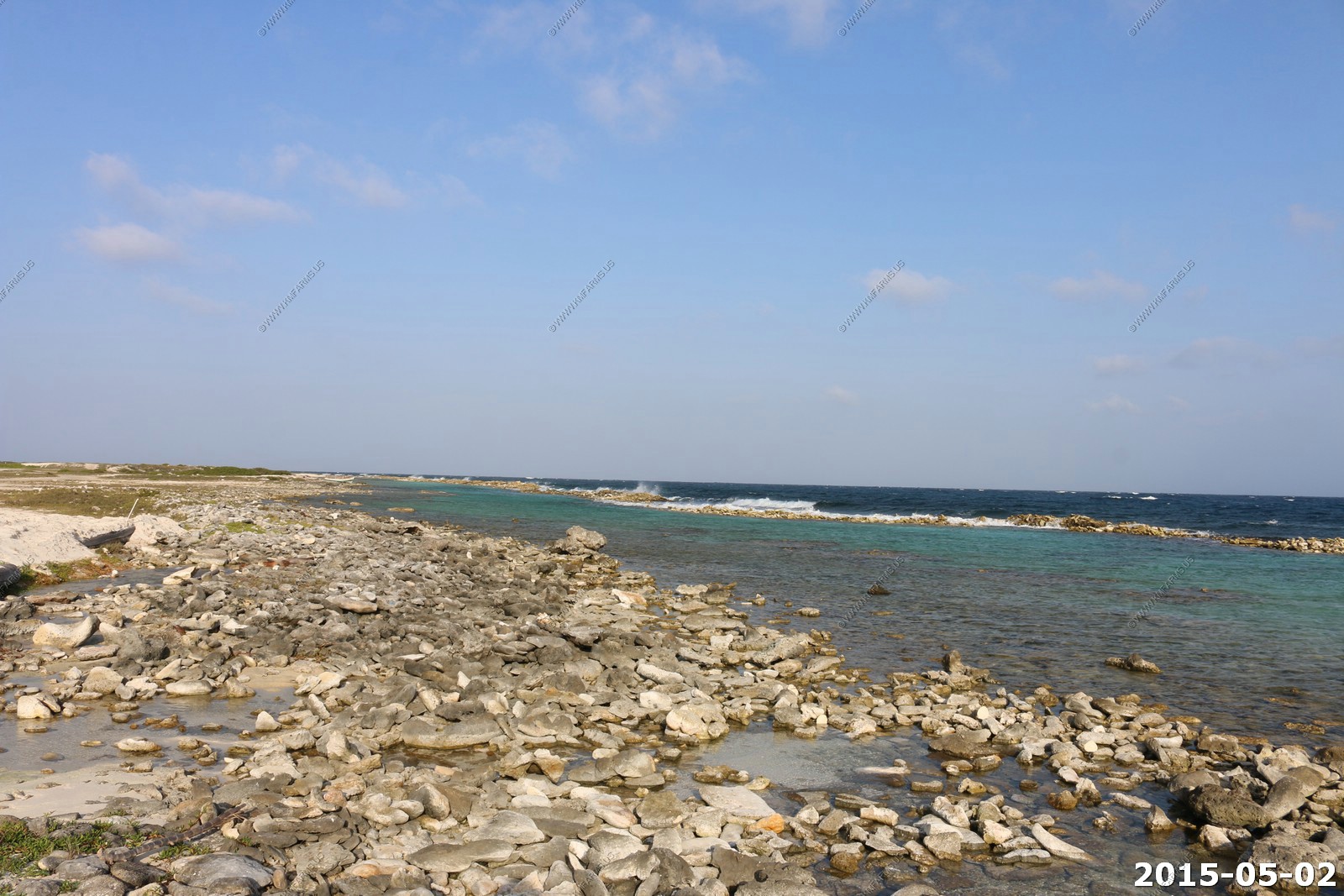
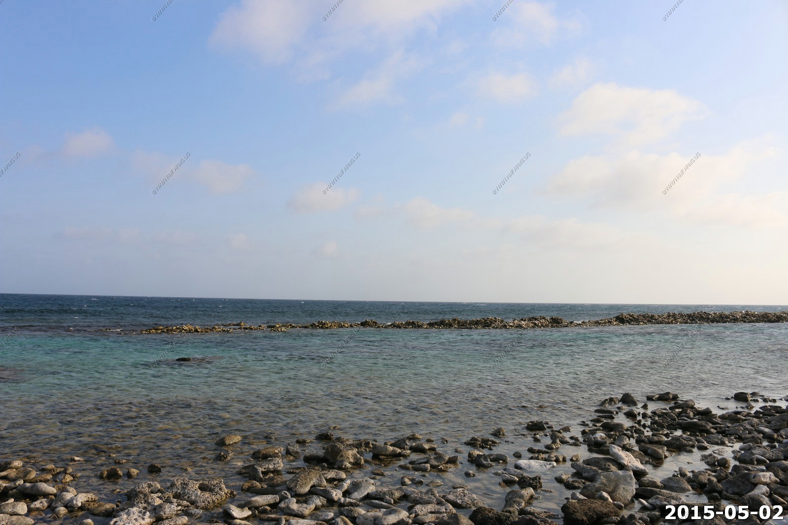
These pools along a breakwater had some good areas to explore but were very shallow.
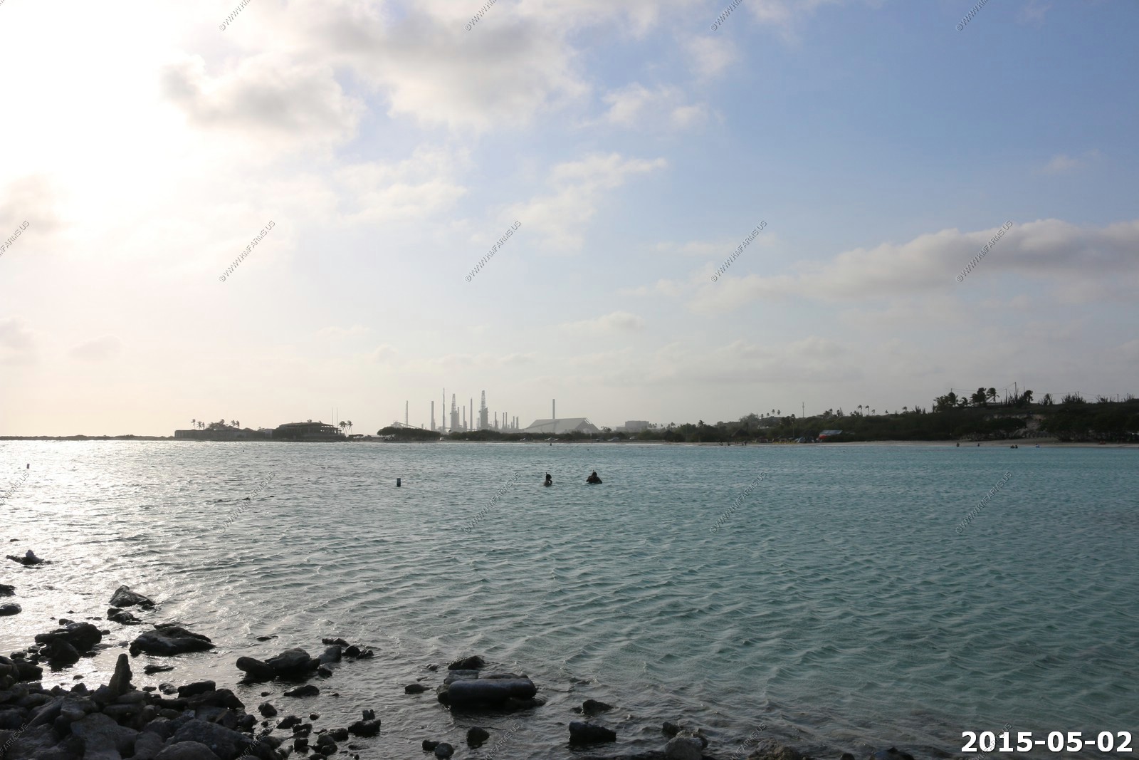
Looking across Baby Beach at the oil refinery (Valero Refinery San Nicolas).
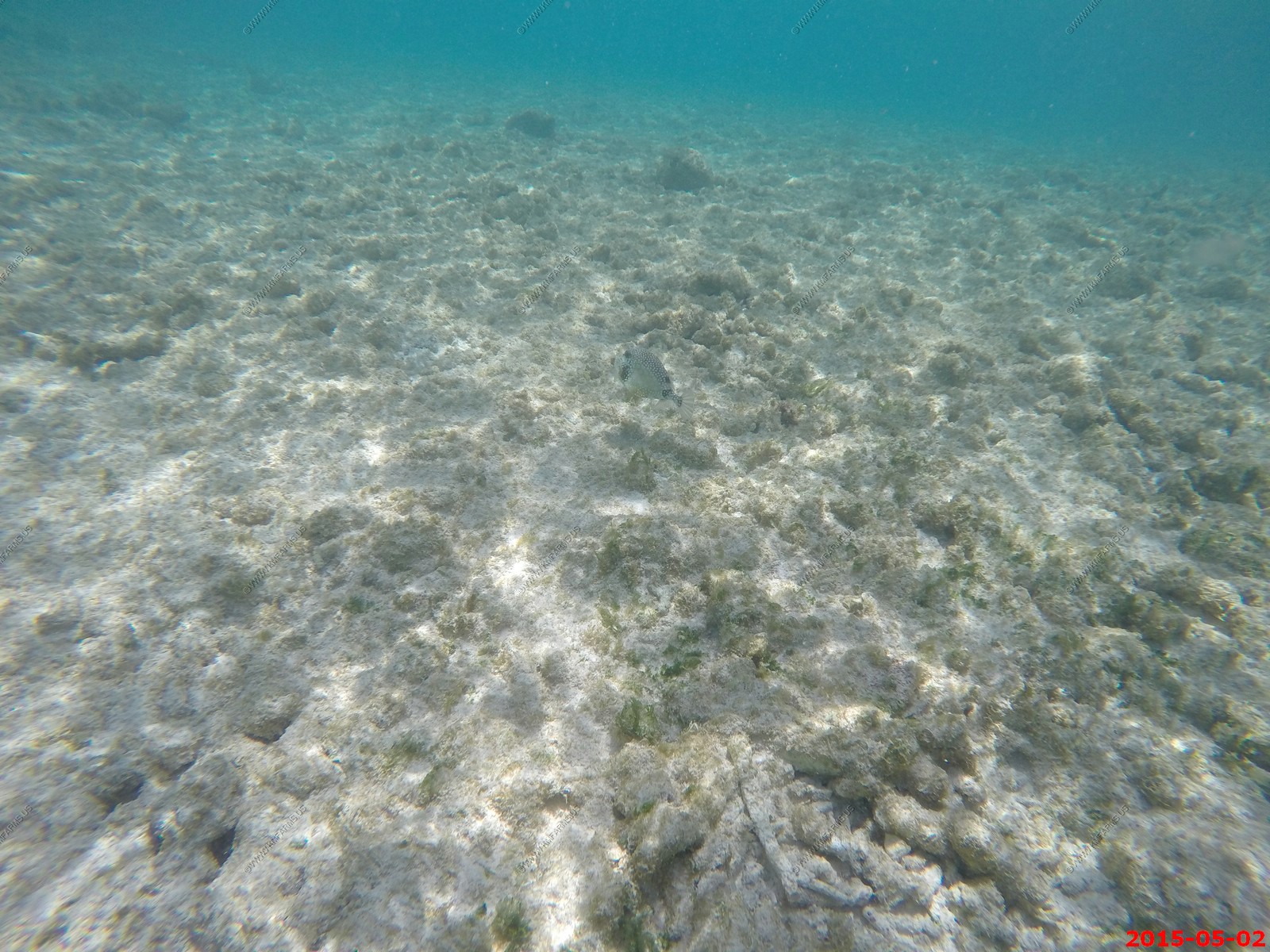
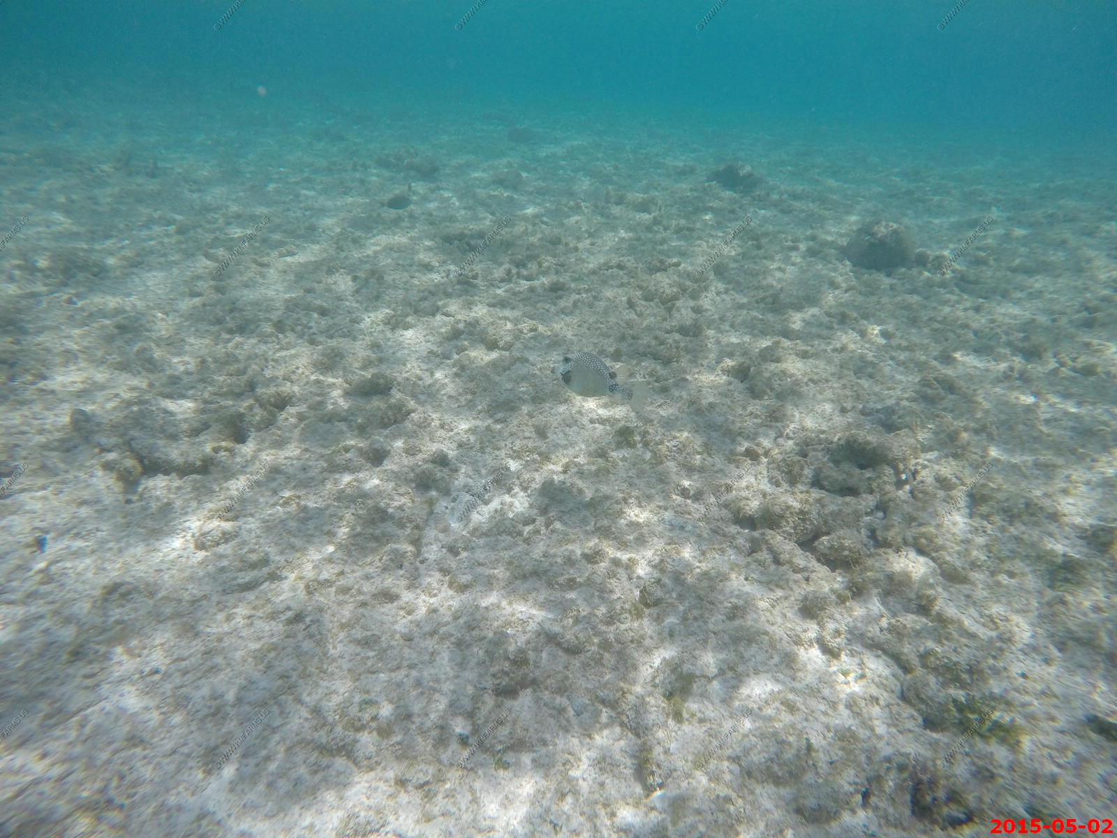
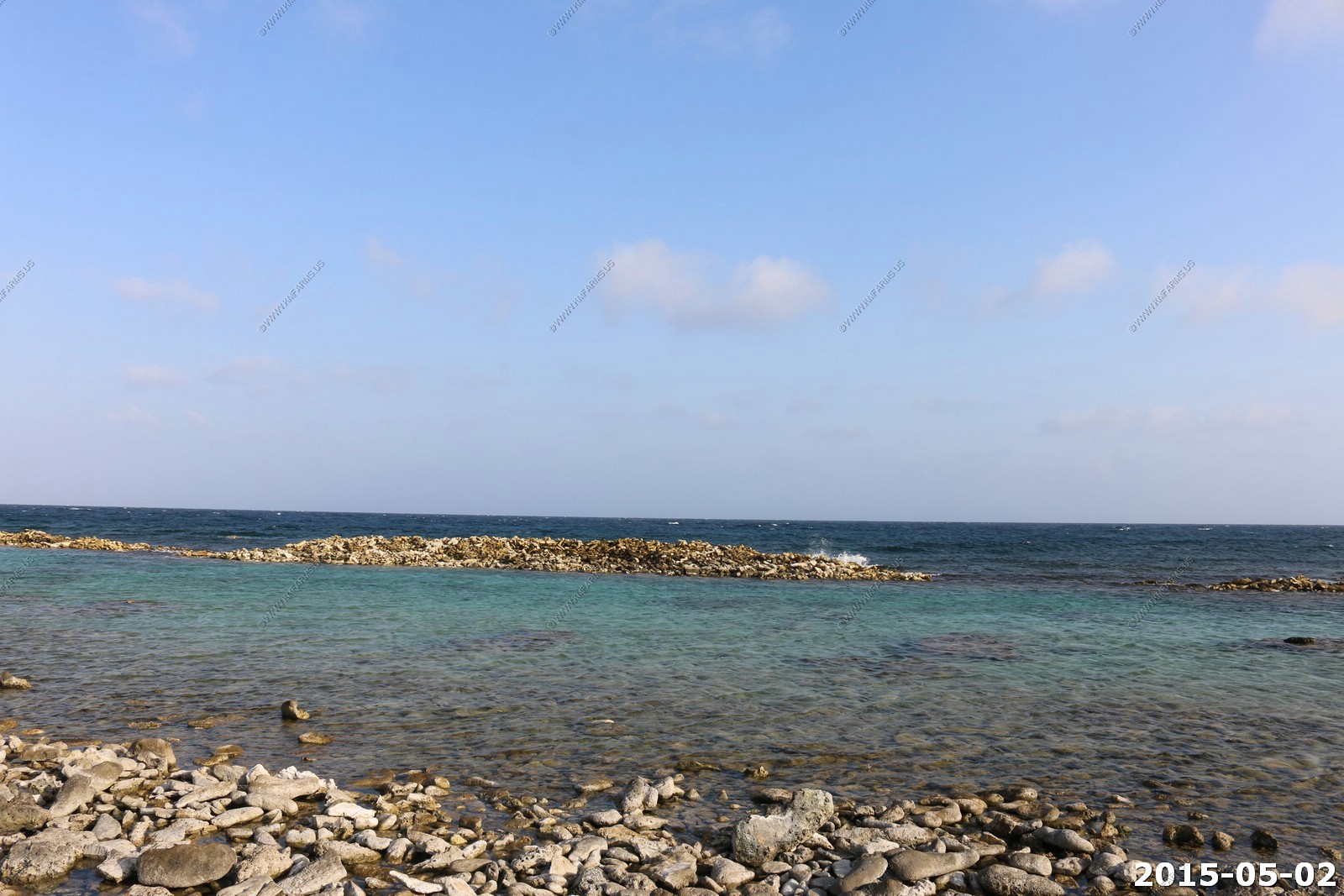
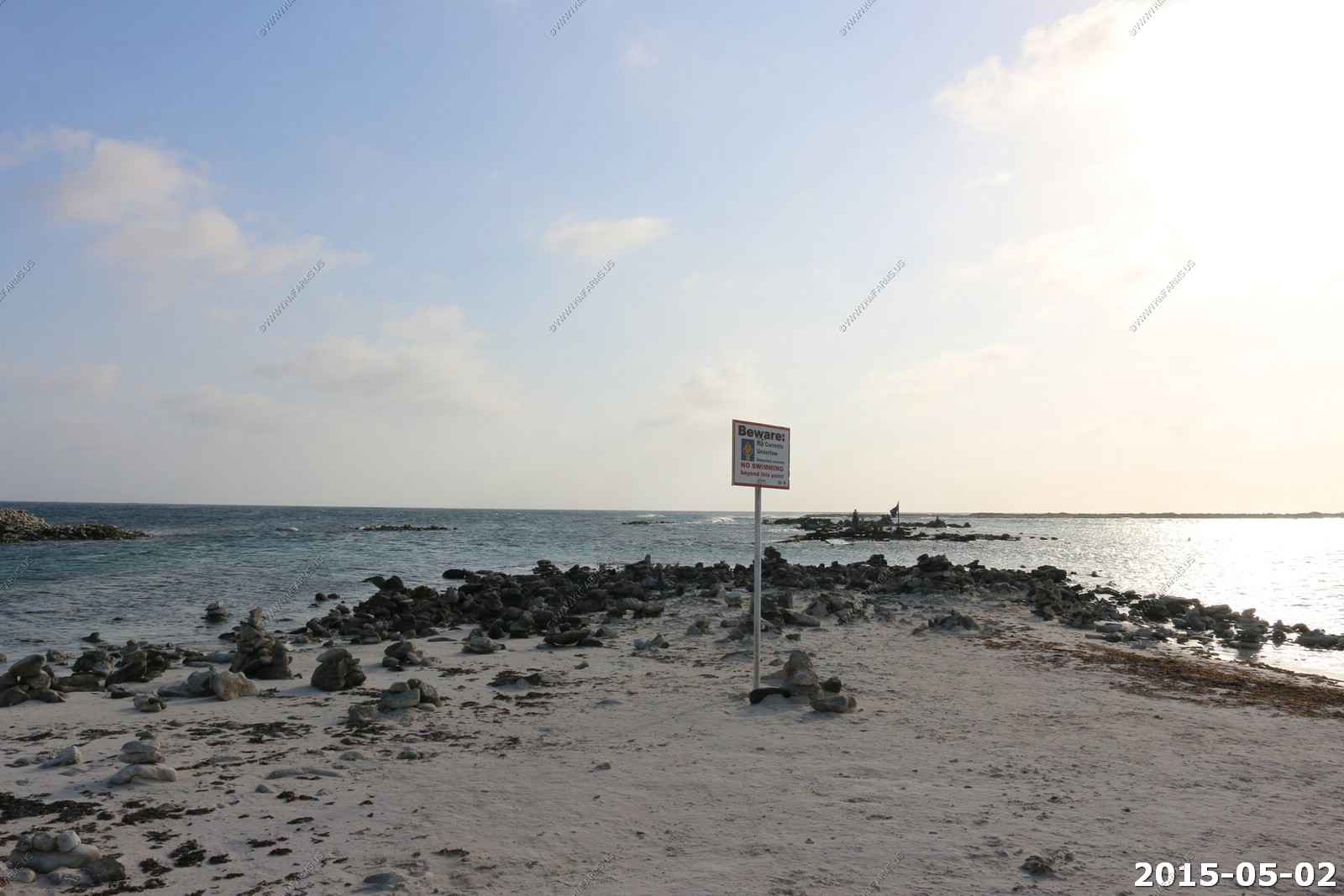
The inlet area where the snorkeling was good.

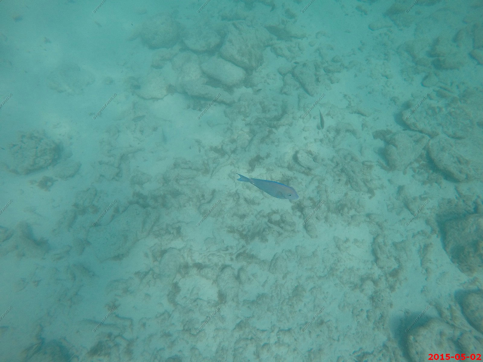
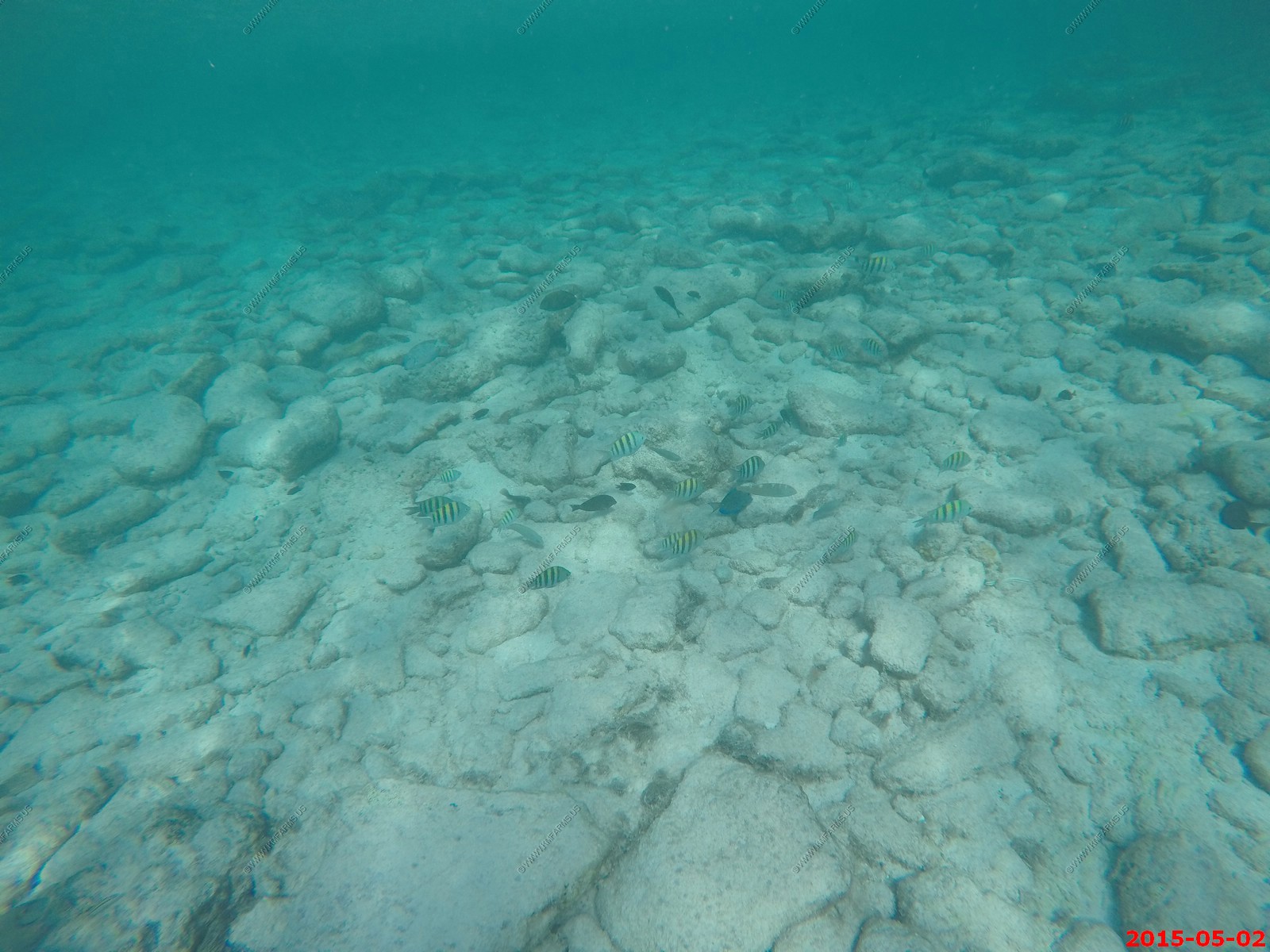
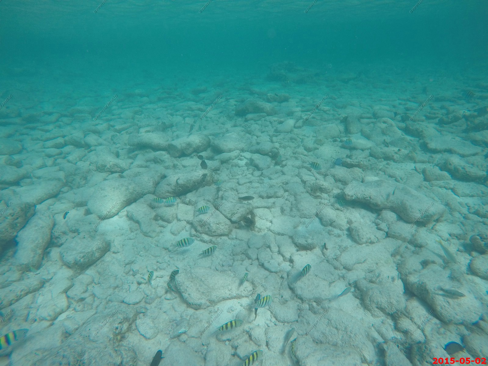
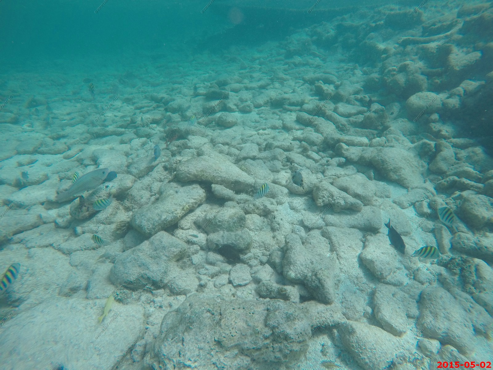
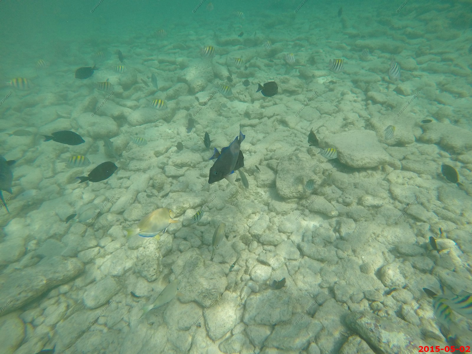
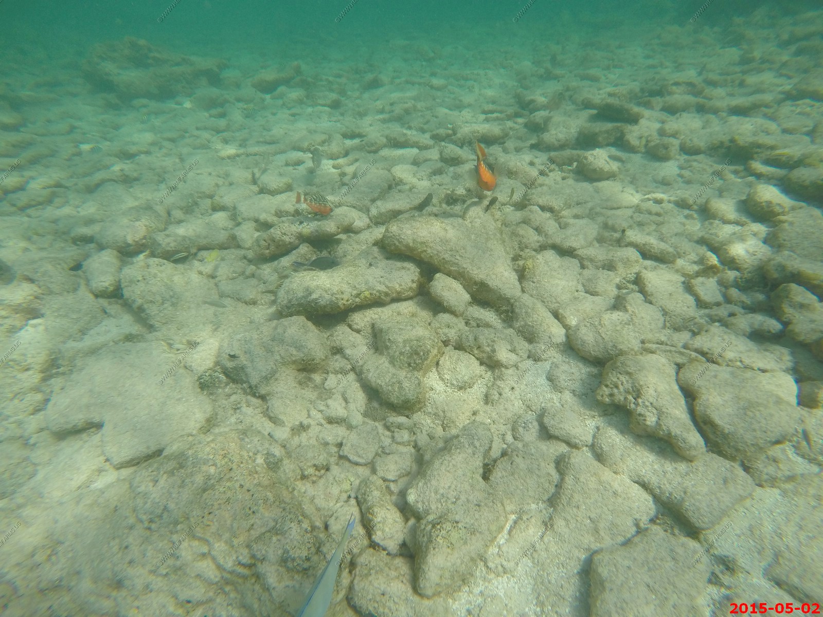
Underwater photos of the inlet area.
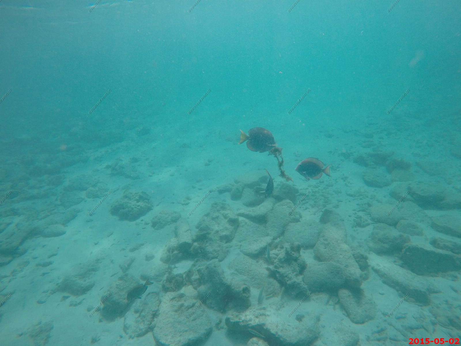
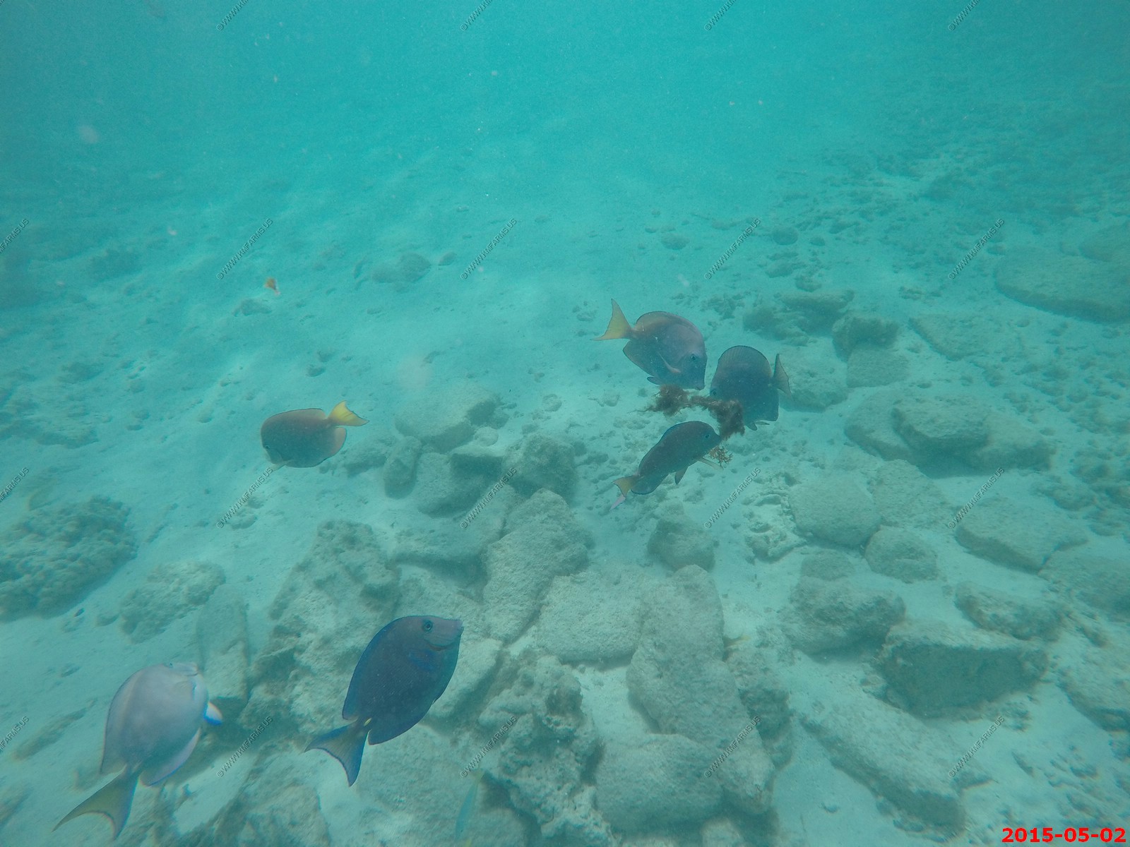
Looking at the inlet from the inlet.
Looking back at Baby Beach.
Is that an oil refinery? Answer is yes !
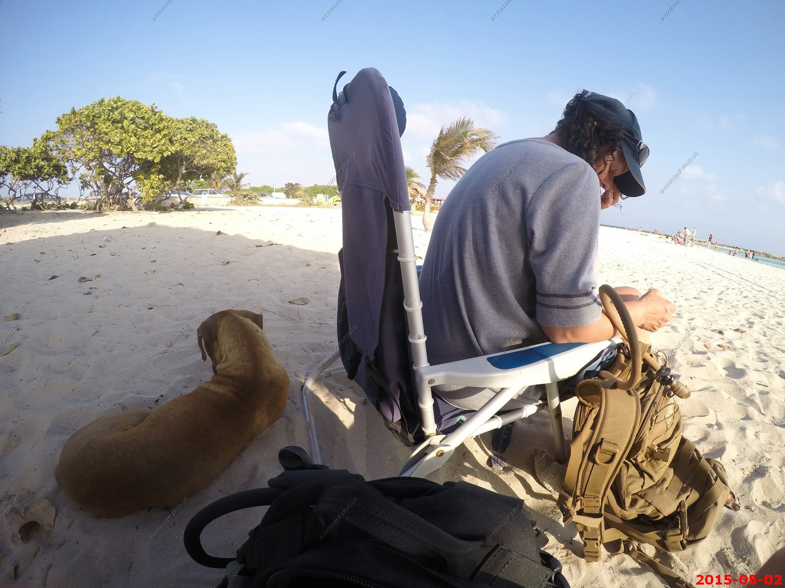
At Baby Beach, Mary adopted a Aruba dog for the afternoon.
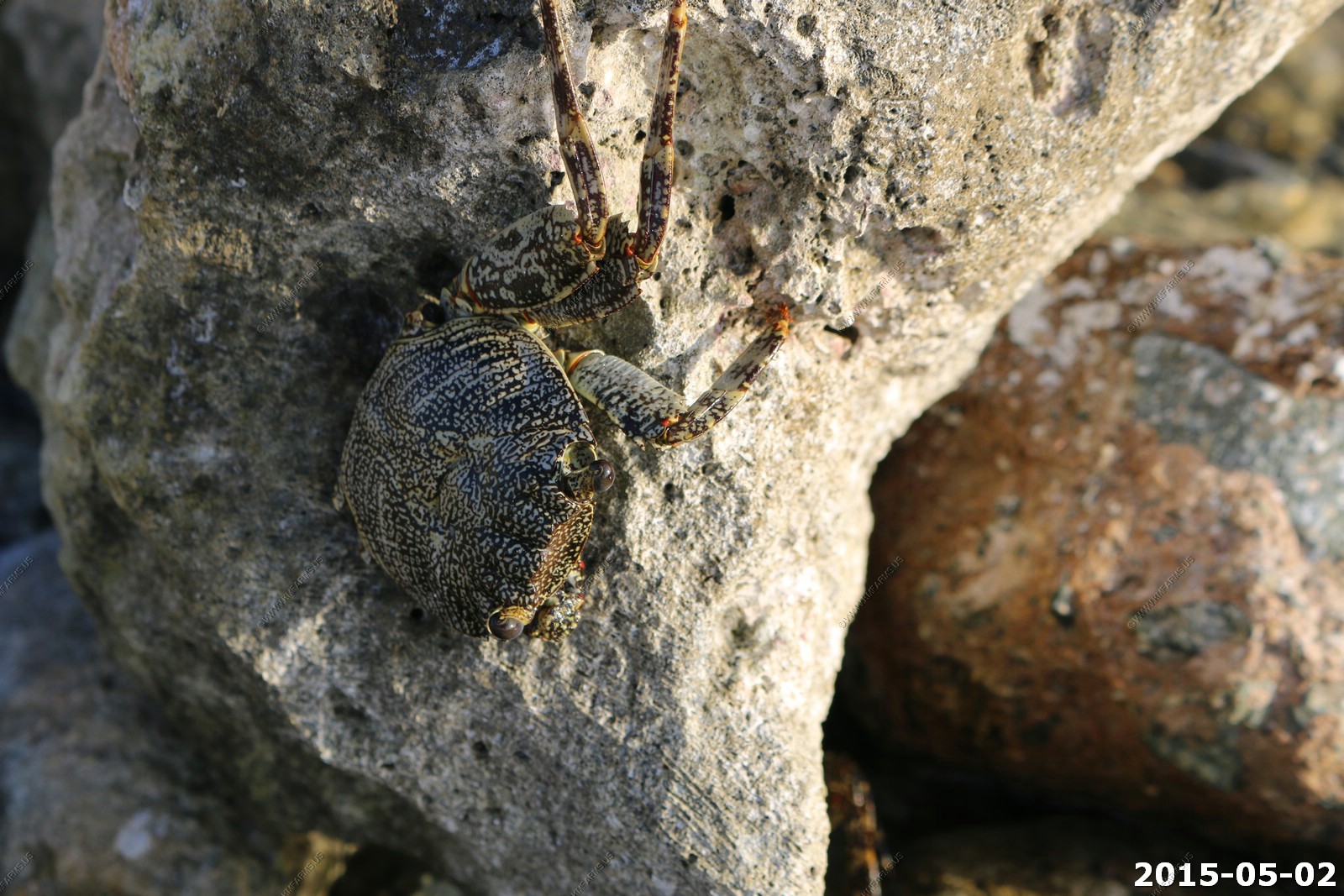
The Zagaya crab, Grapsus grapsus, has a nearly circular shell and very flat. inedible, can be seen on the rocky beaches of the coast of Martinique and the Caribbean. Adult, its shell the color of the rocks, speckled gray with white spots with various models, measures about 5-8 centimeters, while young Zagaya are dark in color. It is very dynamic, flat and resistant to powerful waves crashing on it. It has the peculiarity of moulting in the open air. The Zagaya spends his time hiding in rock crevices.
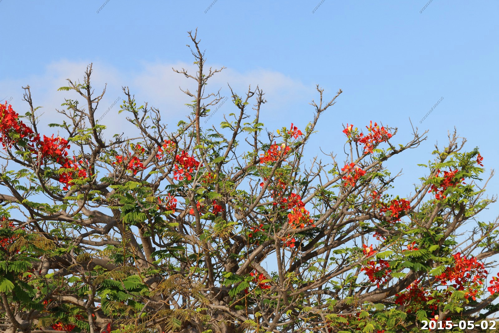
Interesting flowering tree.
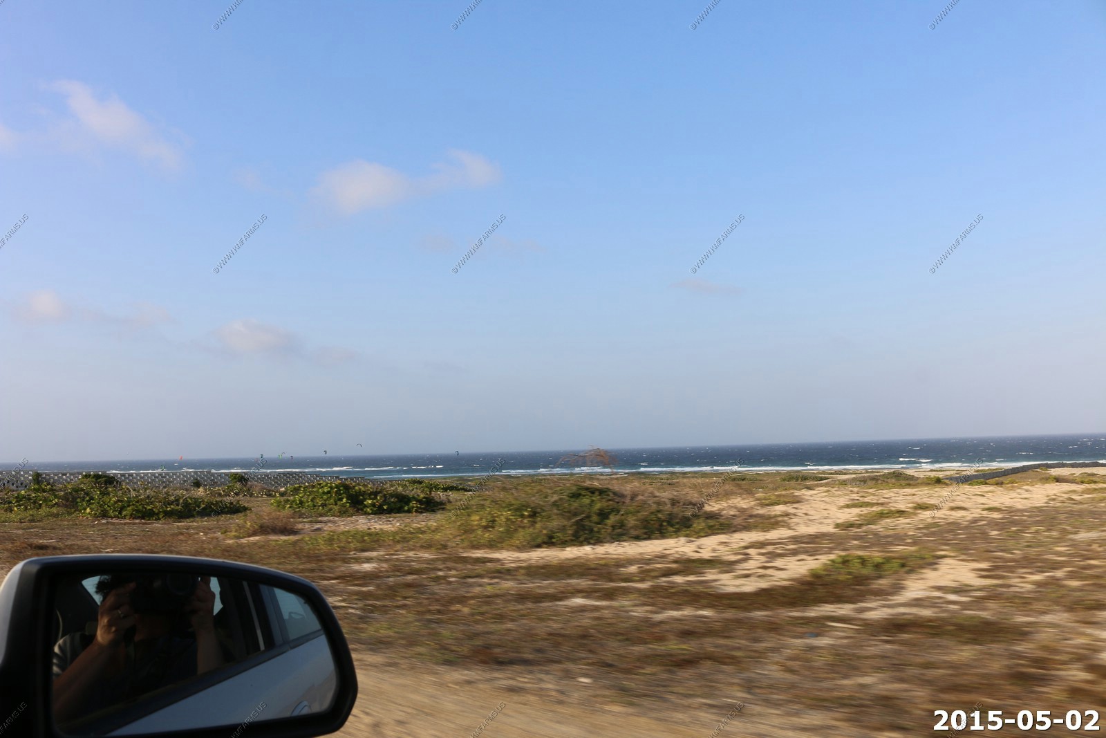
We headed to Colorado Point & Grape Field.
Most eastern point of Aruba. Seroe Colorando means Colored Hill in Papiamento, while in Dutch it is known as Rooden Berg (Red Hill).
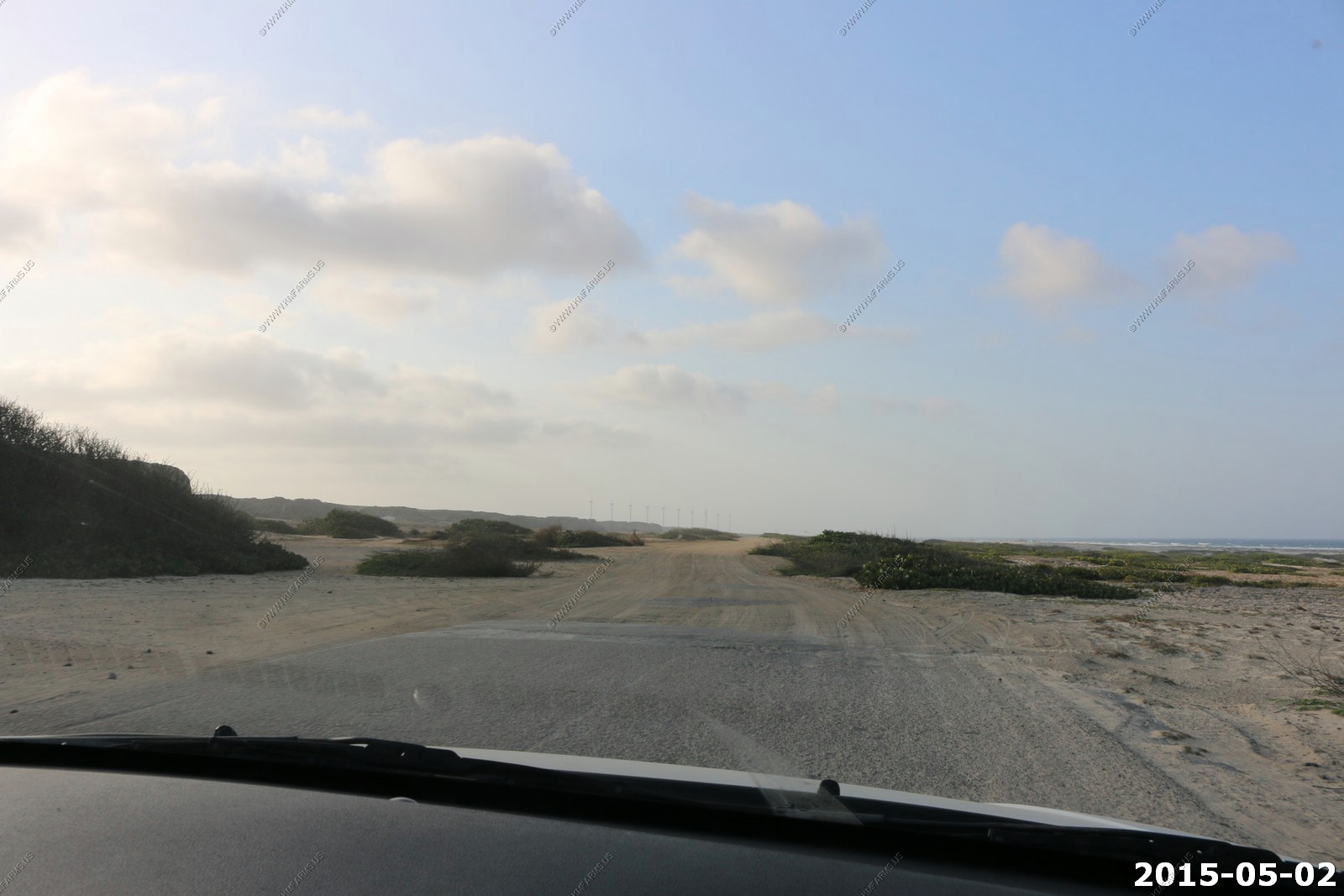
Open desert Grape Field.
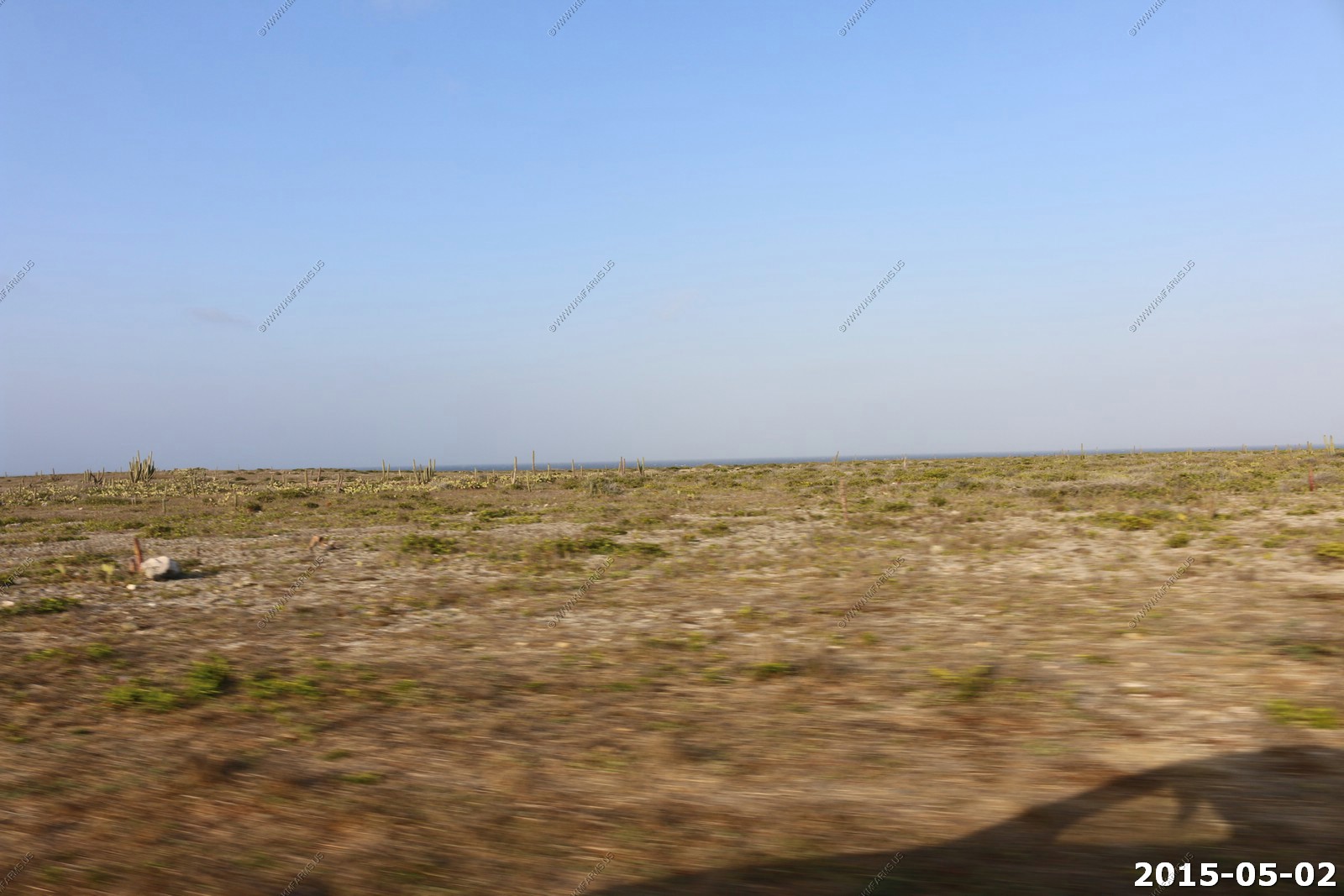
Narrow roads and back to dirt. Windmills off in the distance (Vader Piet Windfarm).
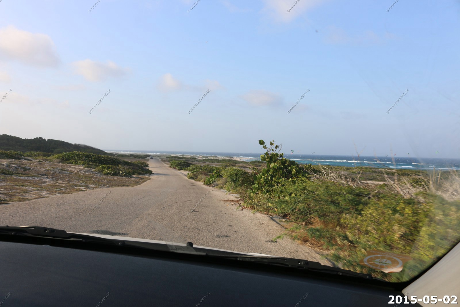
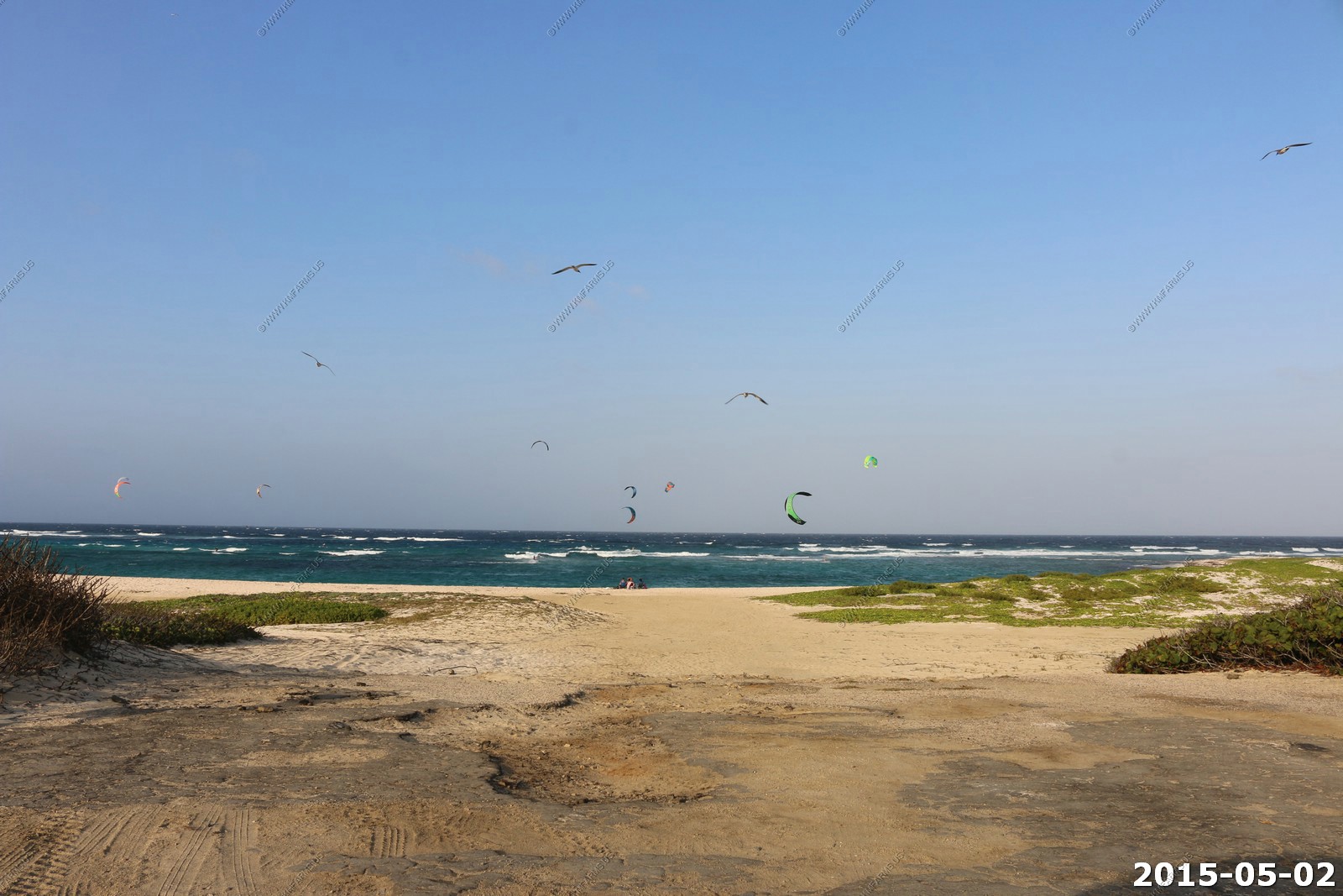
With the wind this was the place to kite surf and fly kites.
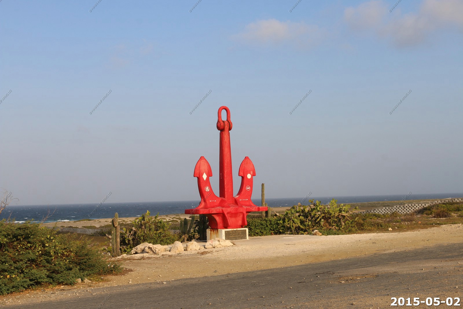
Ship's Anchor Sailors Memorial - Dedicated in the memory of Charlie Brouns Jr. Son of the founder of Charlie's Bar in San Nicolas to sailors everywhere
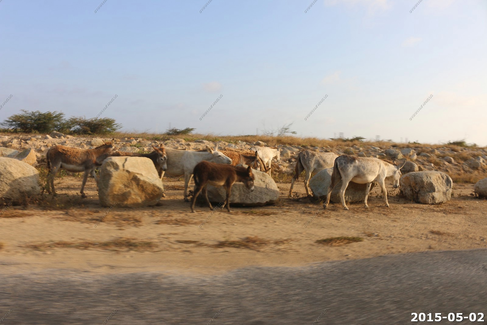
Wild donkeys along the roads.
Interior Aruba and looking towards Arikok National Park - Will explore the next time we are here