
Last Updated: 23-JAN-2018
Friday OCT 09th
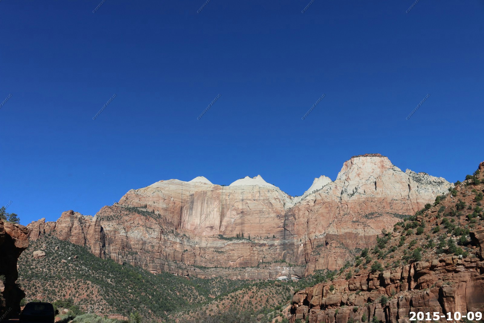
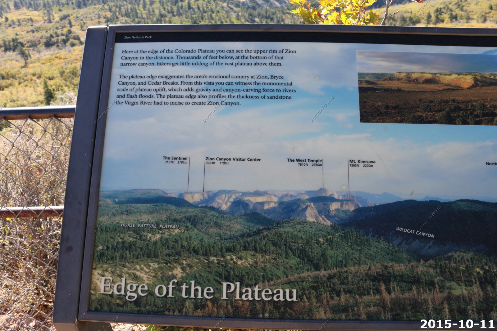
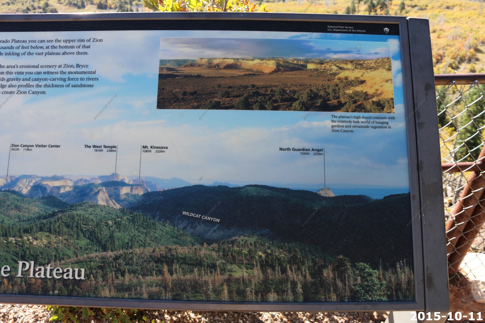
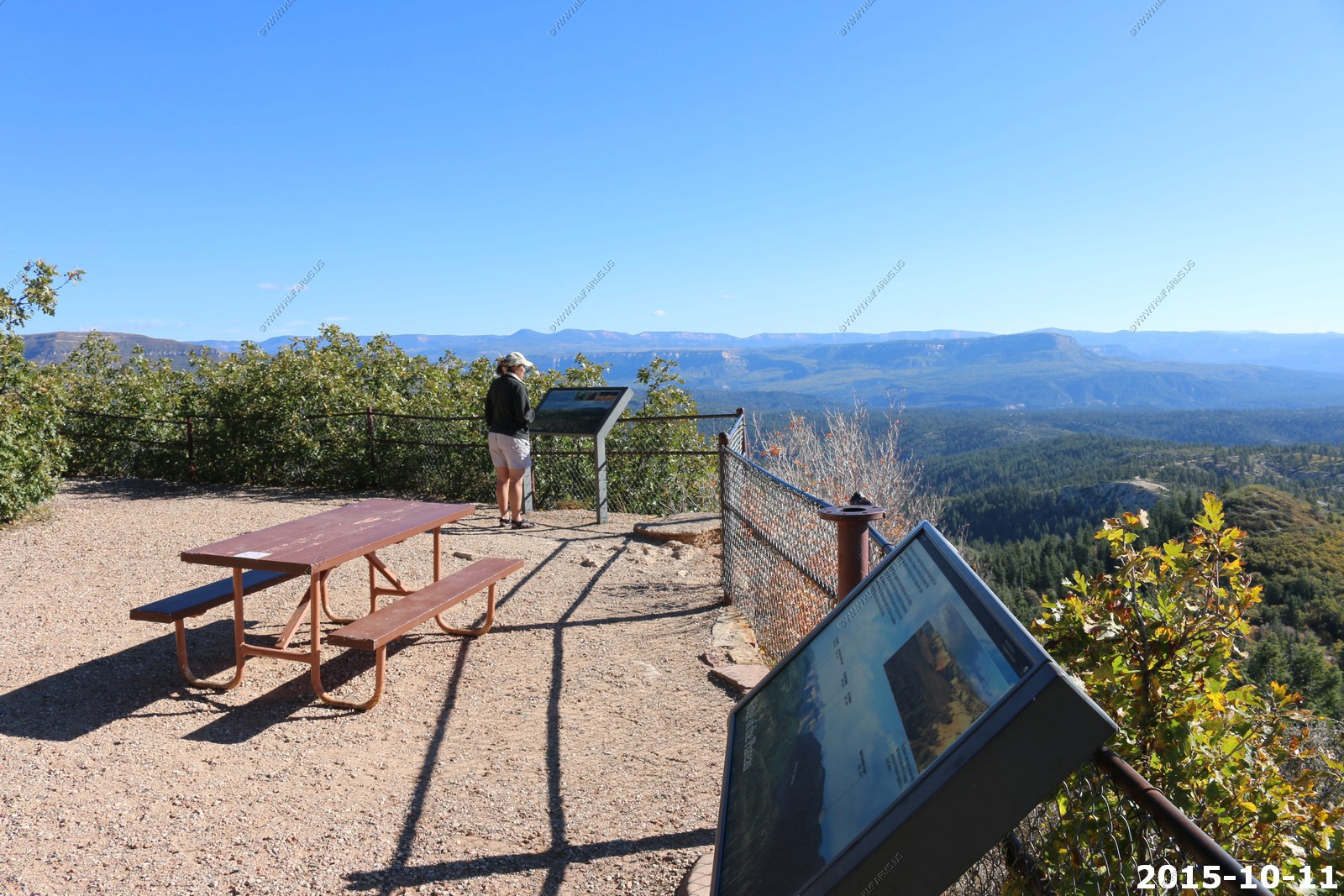
Today's plan is to drive to the eastside of Zion National Park to do a 8 mile hike we did back in 1998, the year we were married. Much has changed in the 17 years since we did this. First Zion has become very popular so the traffic here can be a mess. Second the internet and GPS has allowed anyone to find these remote places. When we did this the first time we were all alone at this viewpoint. This time we tried to enjoy the views with over 20 people.
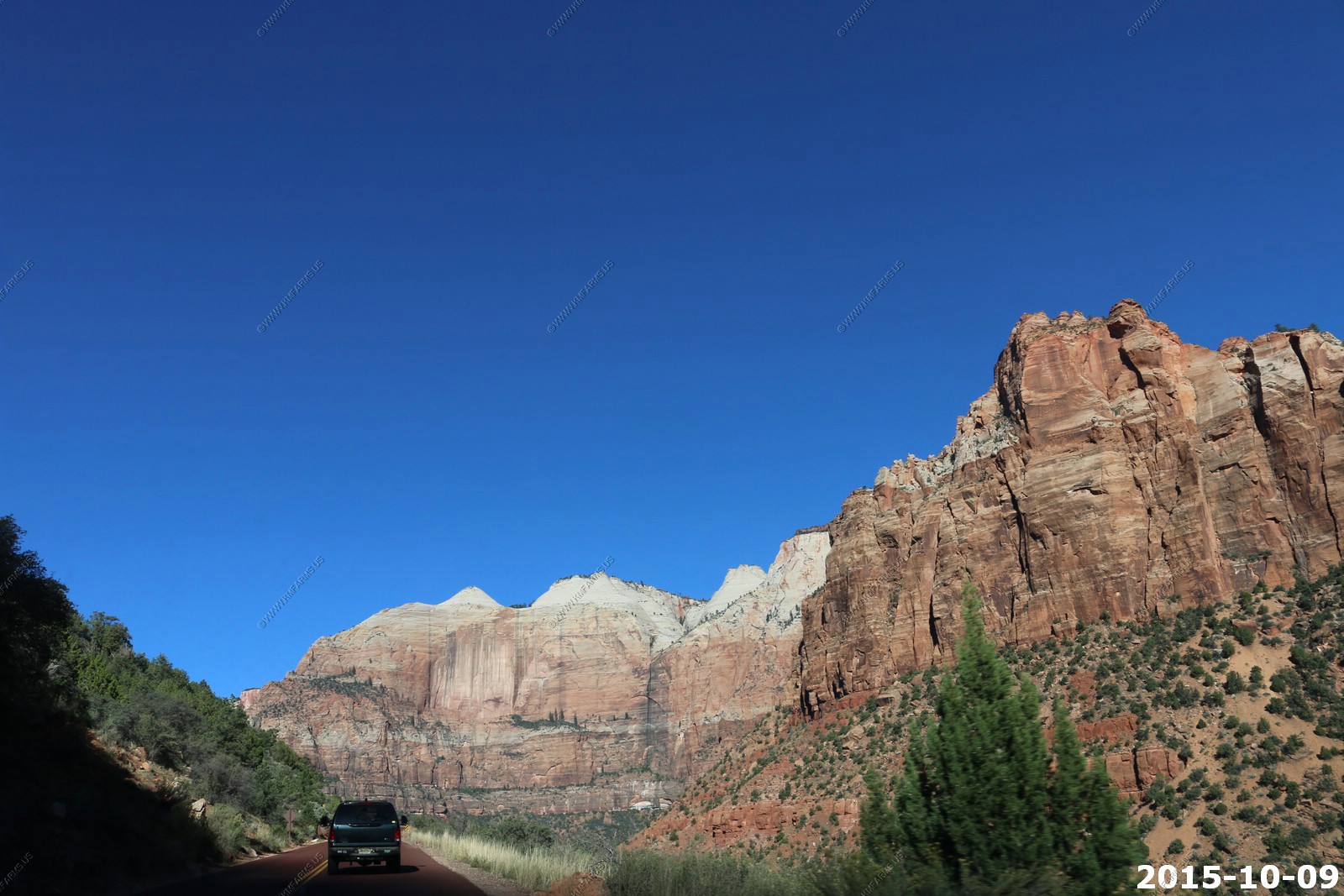
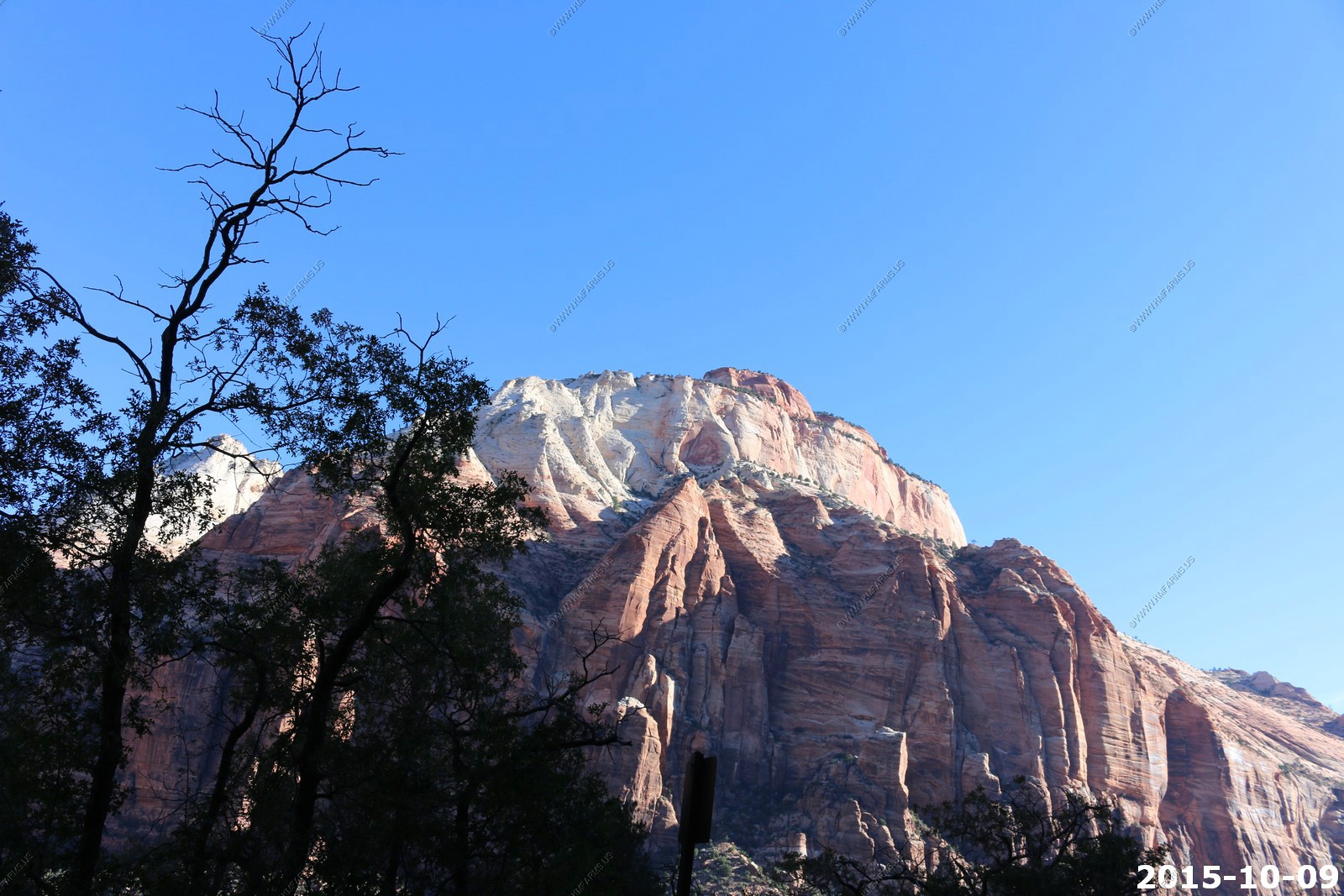
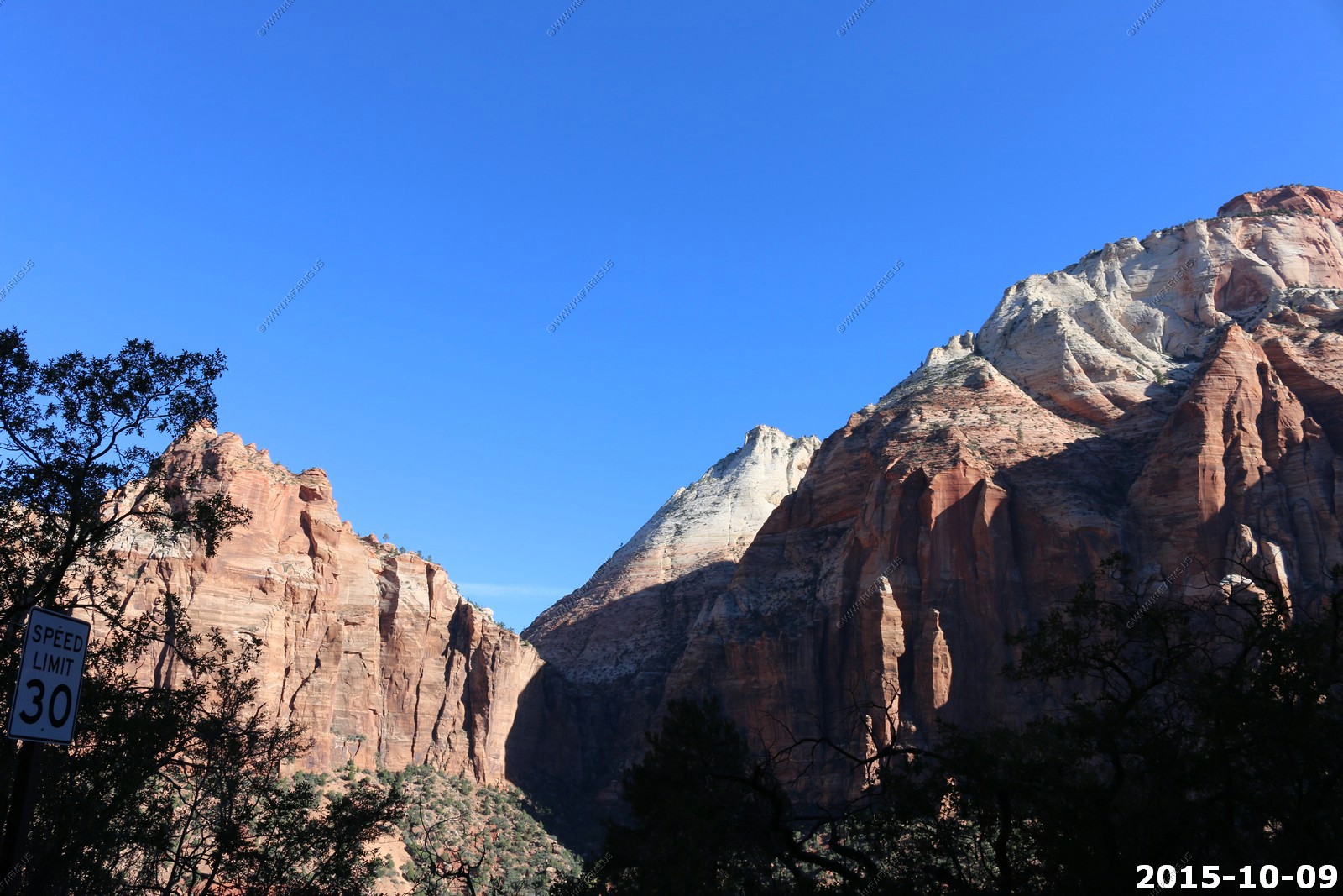
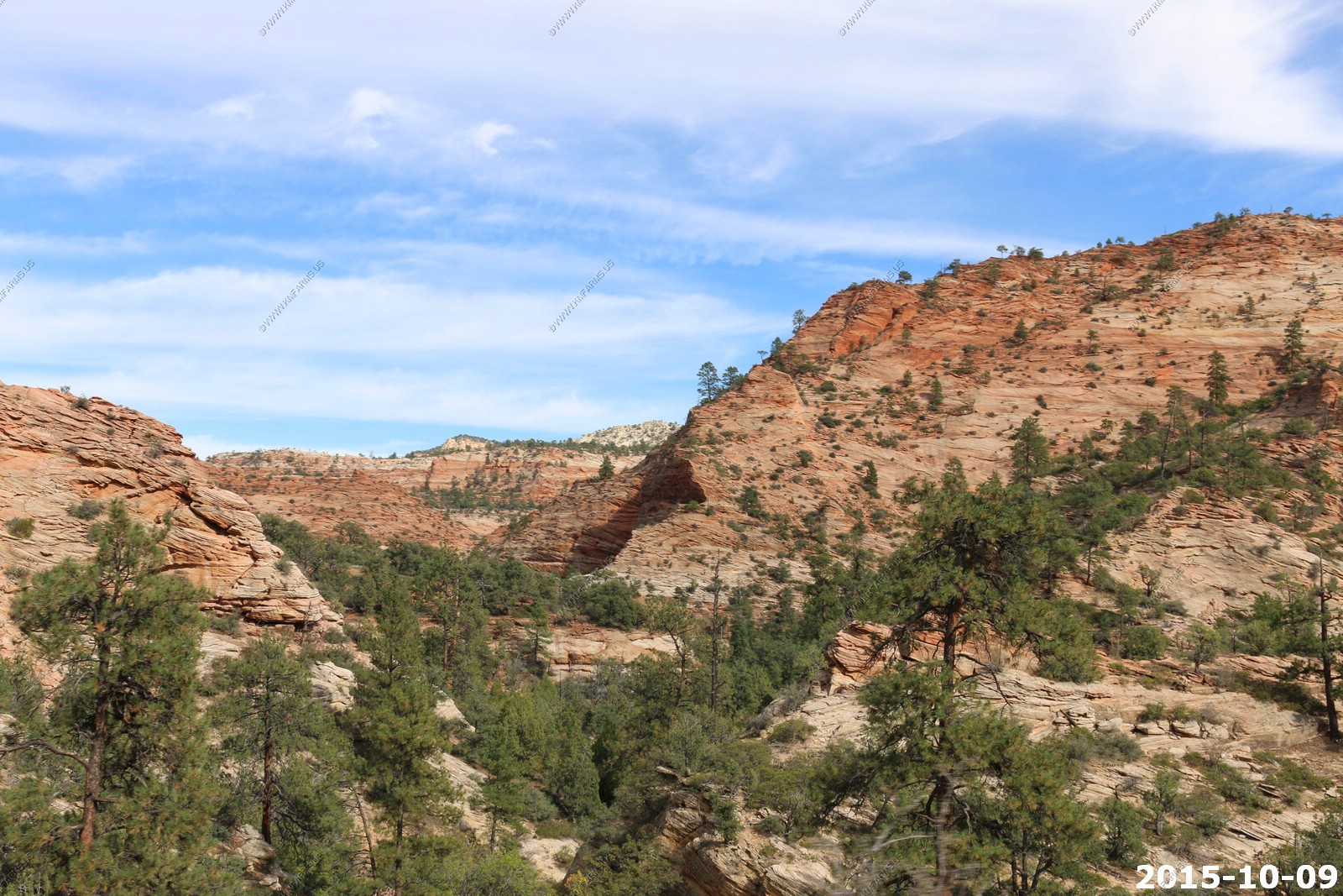
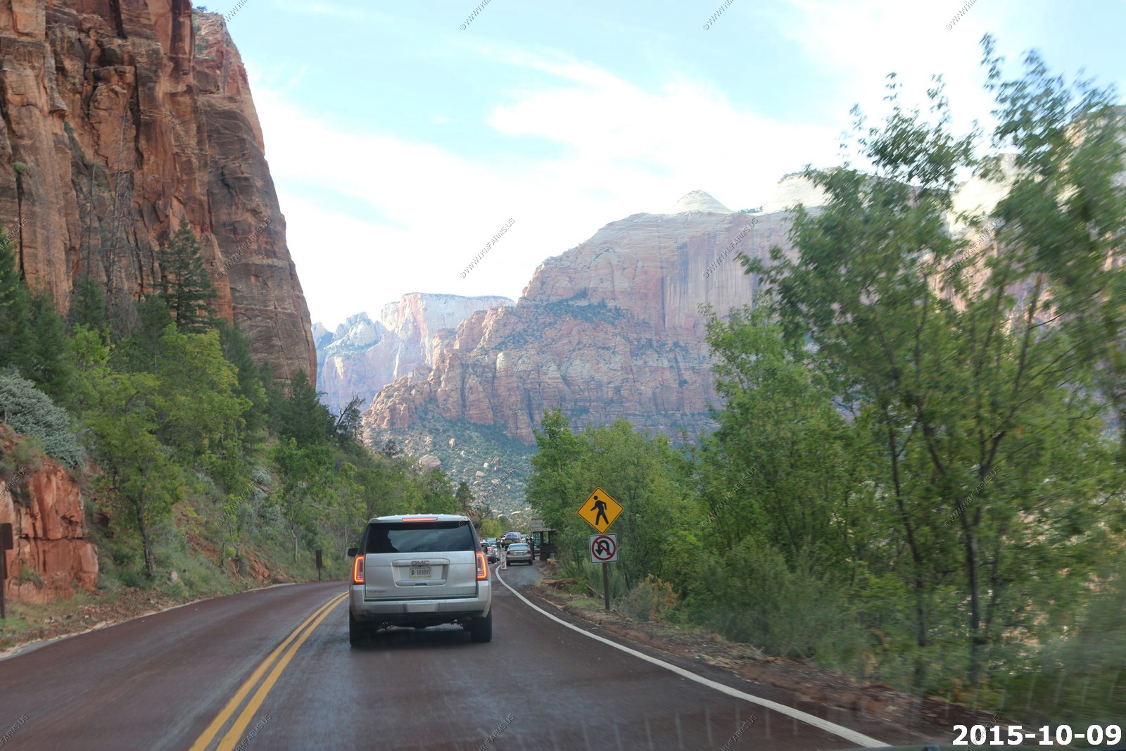
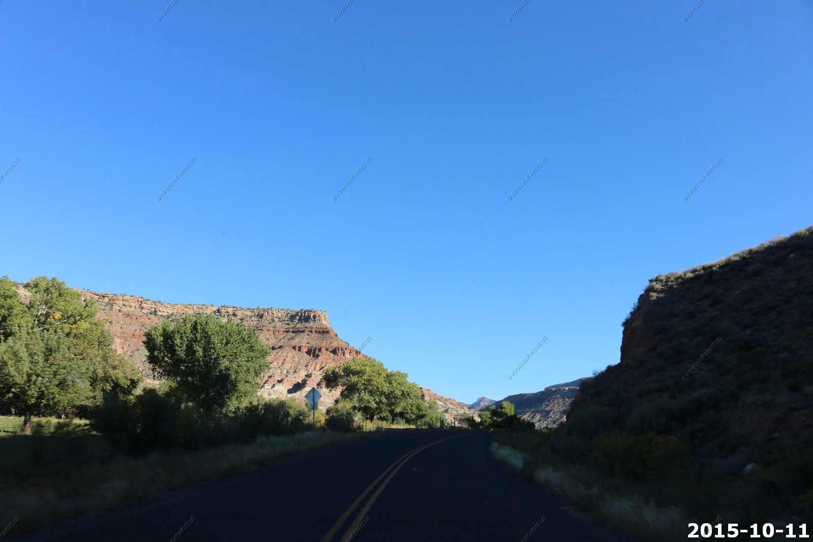
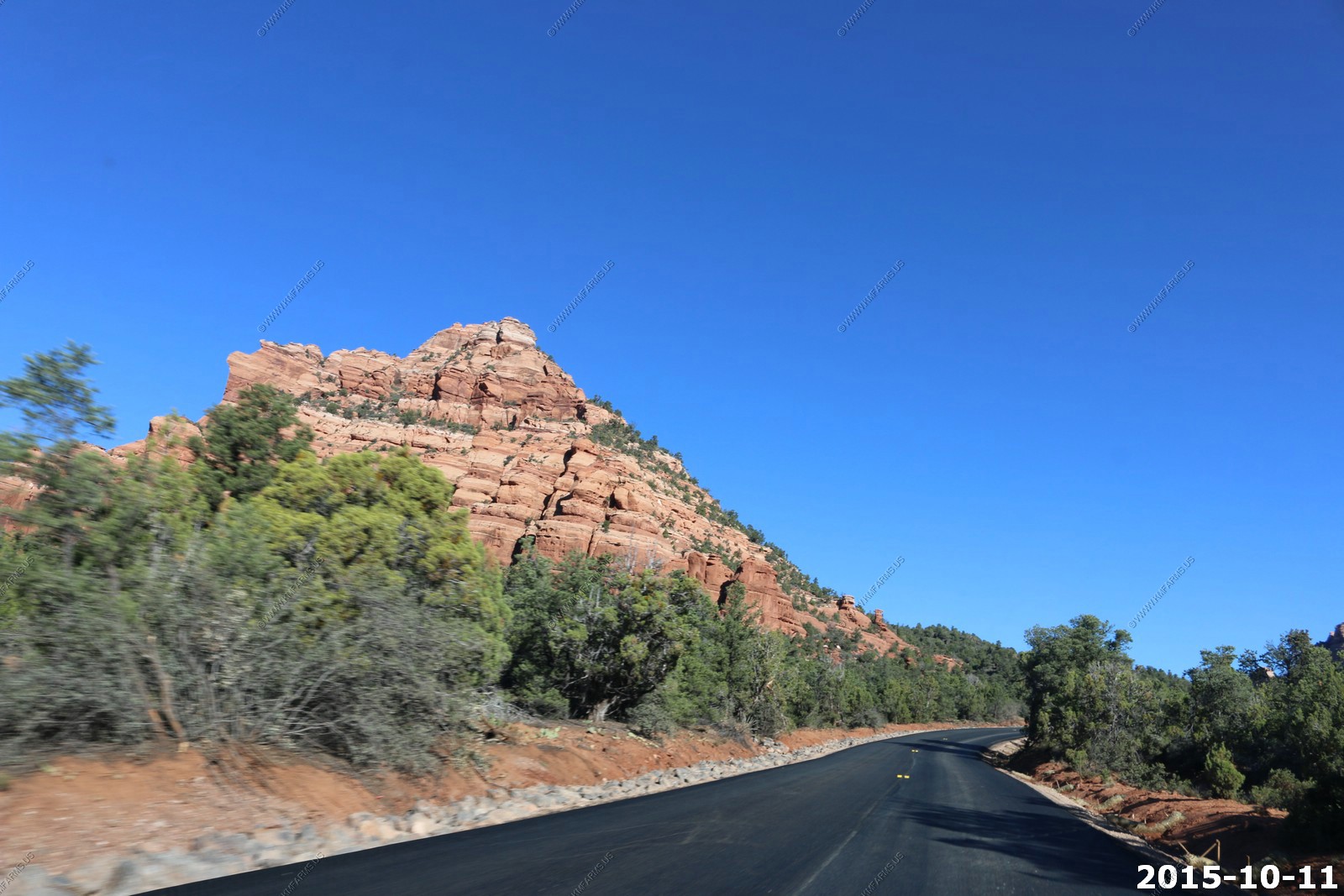
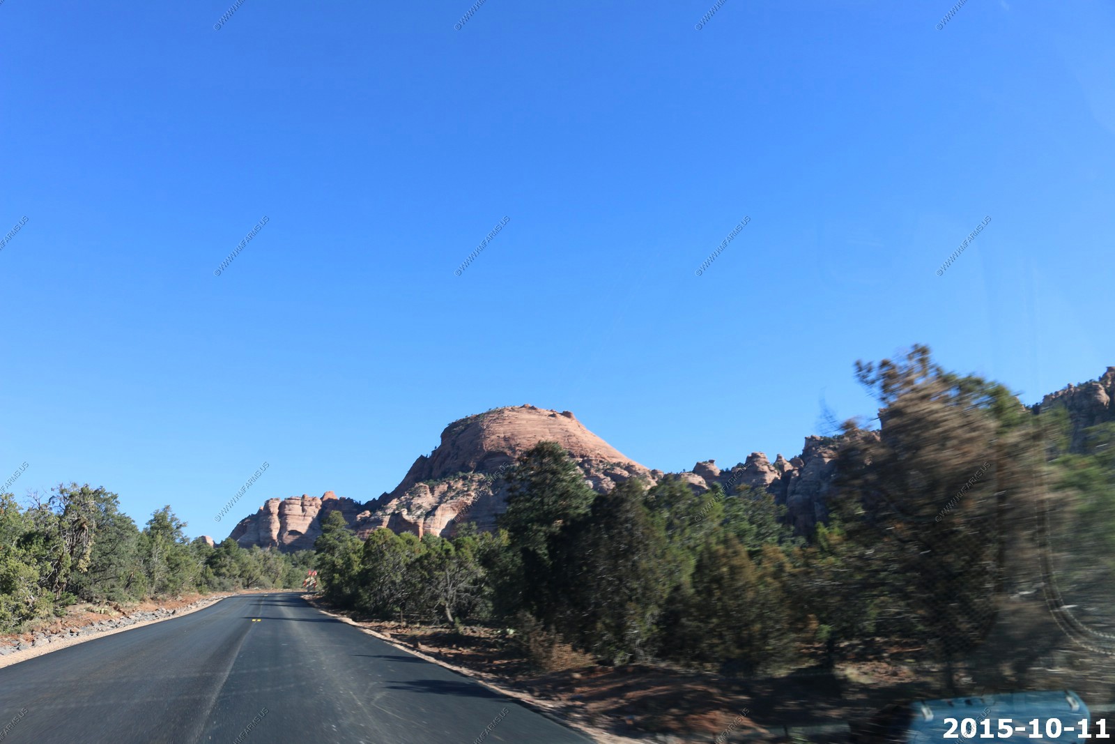
First we had to drive thru the park. Amazing day !
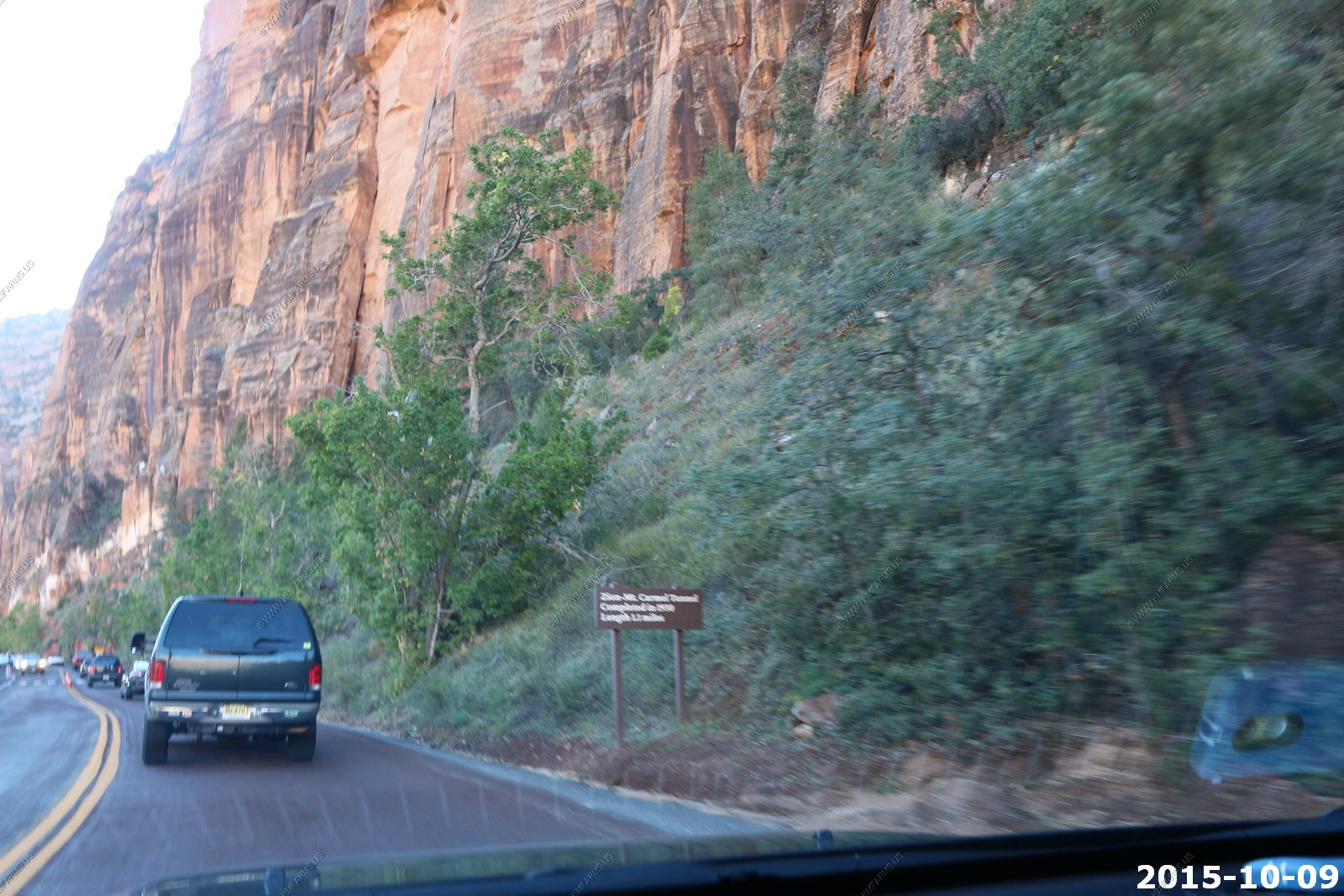
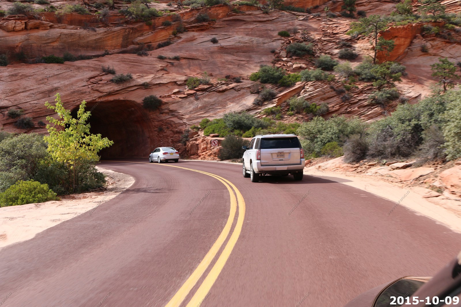
Heavy traffic going east at the 1.1 mile long tunnel as they can't let 2 RV's go thru at the same time.
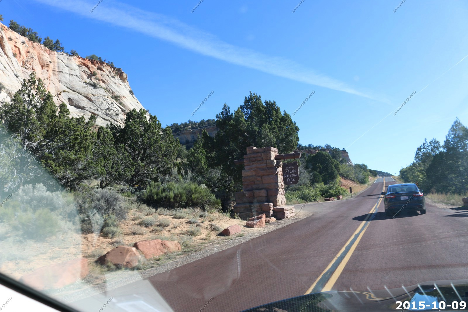
Already leaving the park
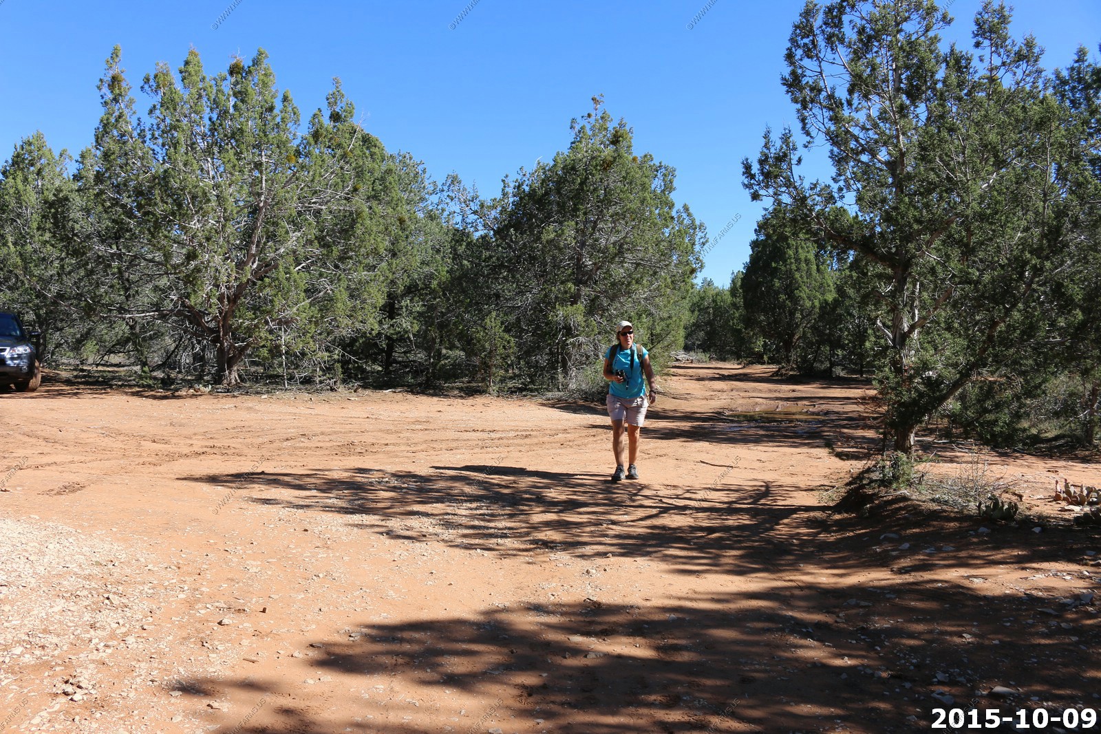
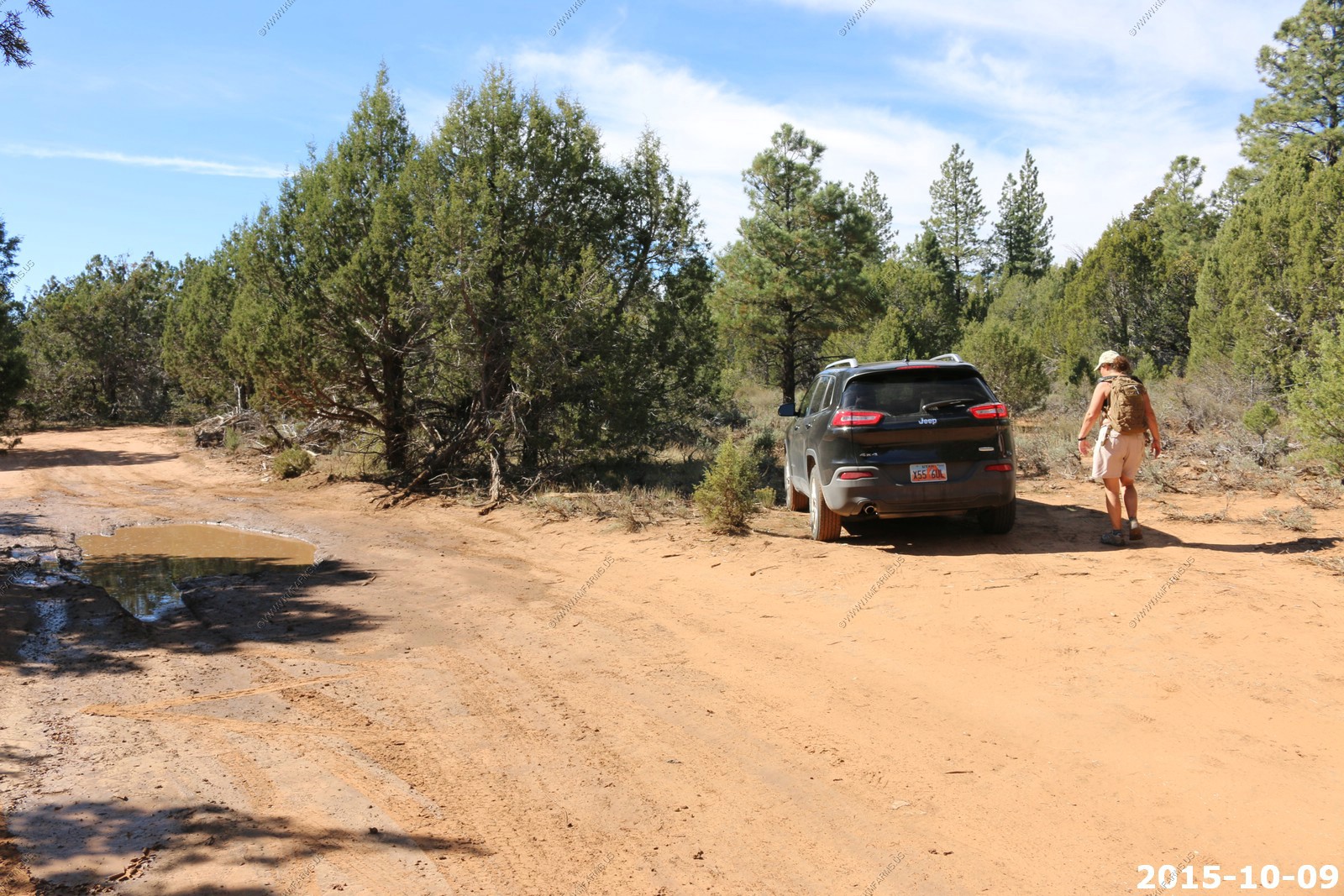
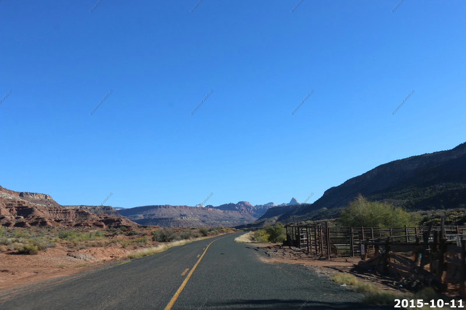
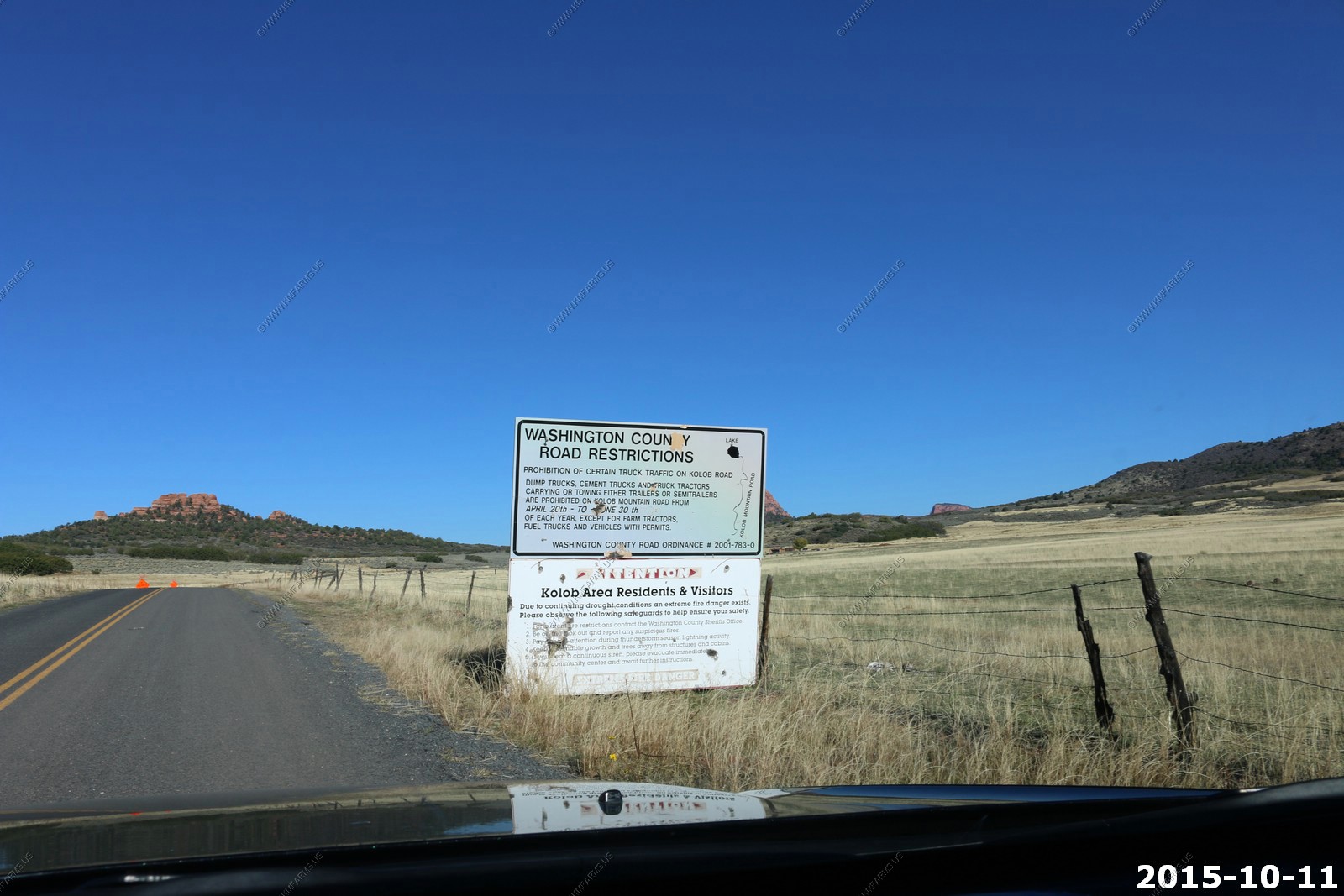
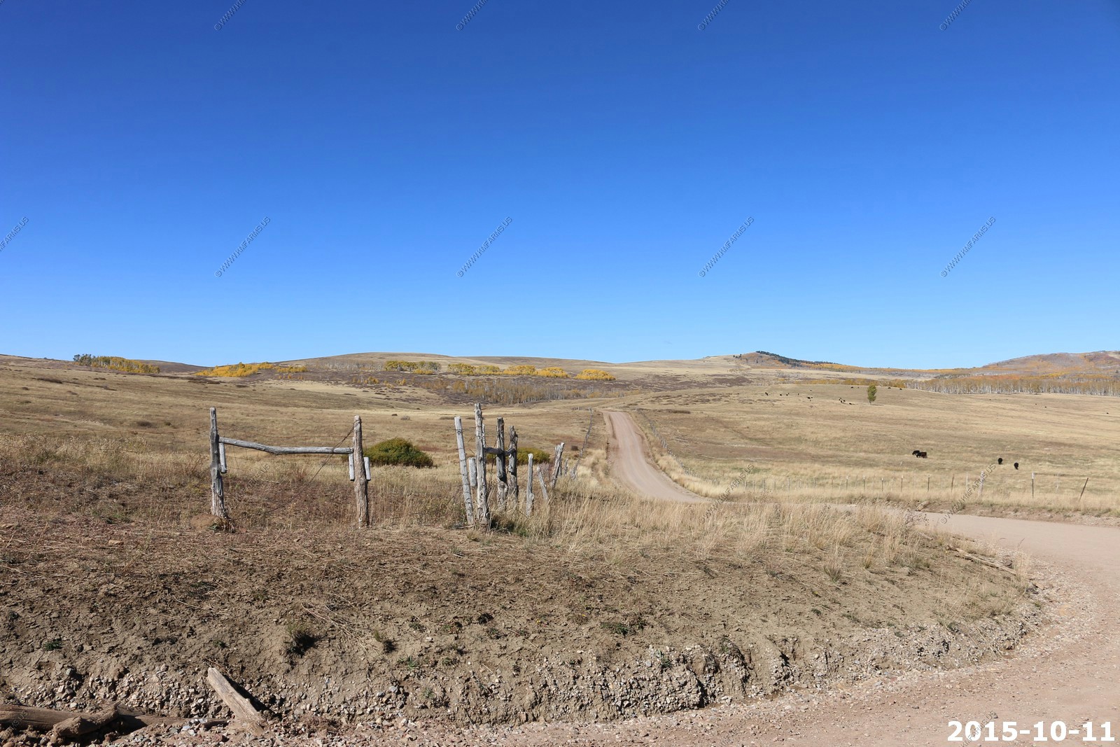
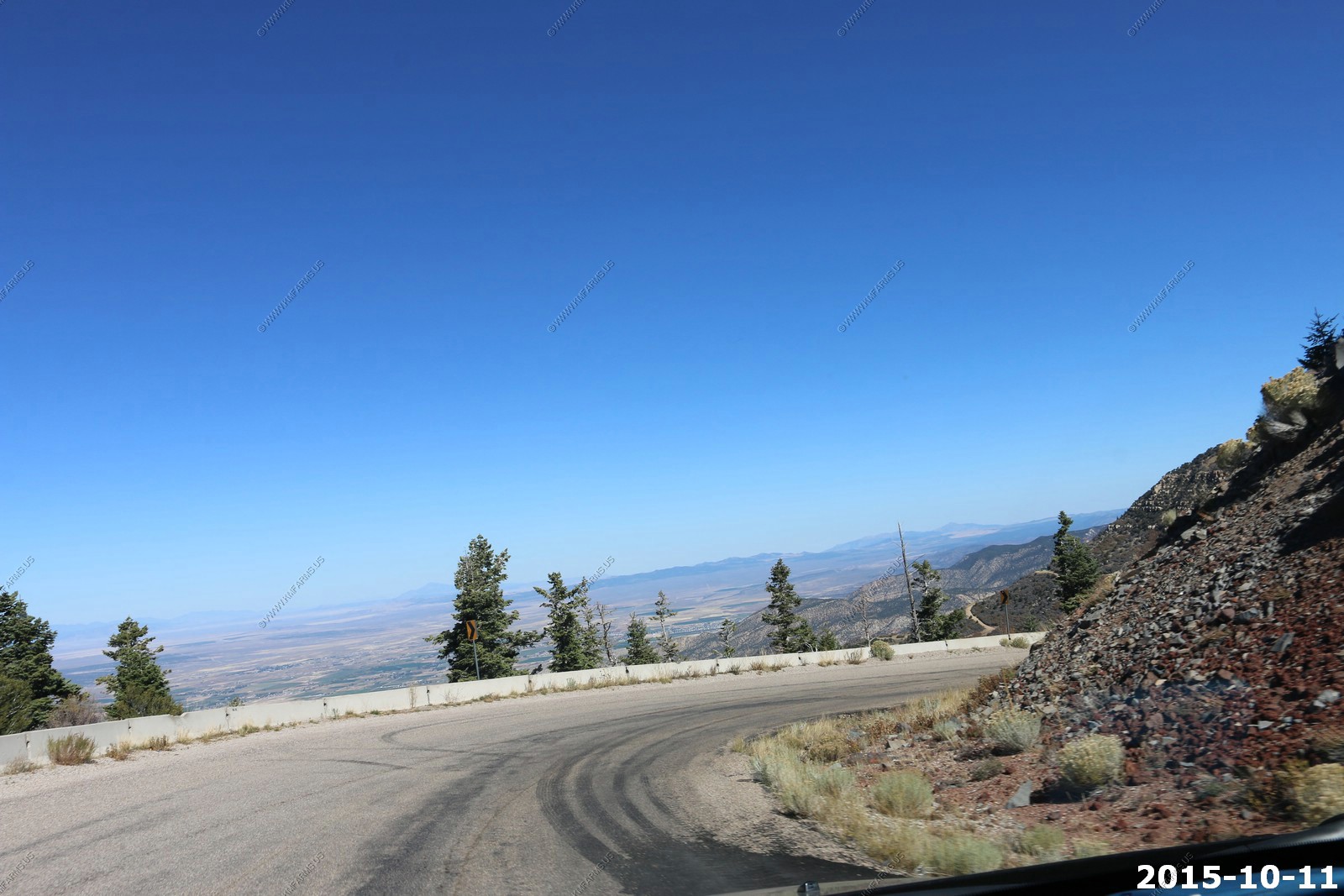
Marked better now. Before we really had to look for the parking area.
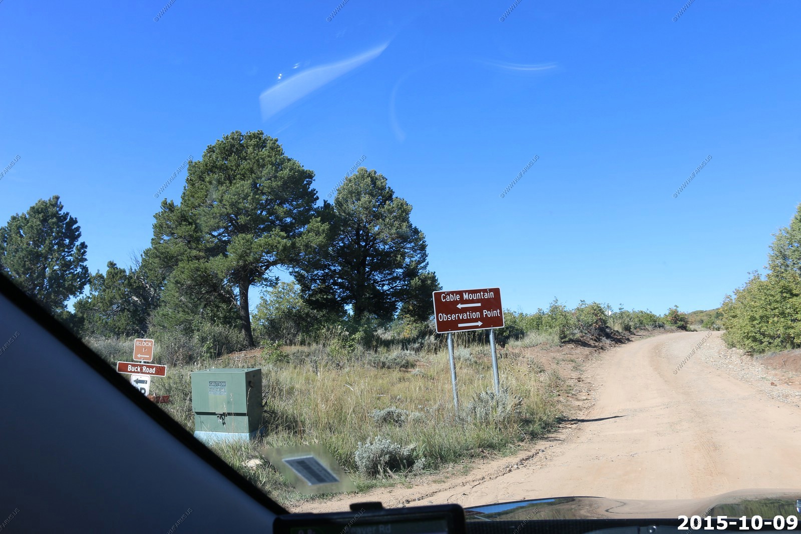
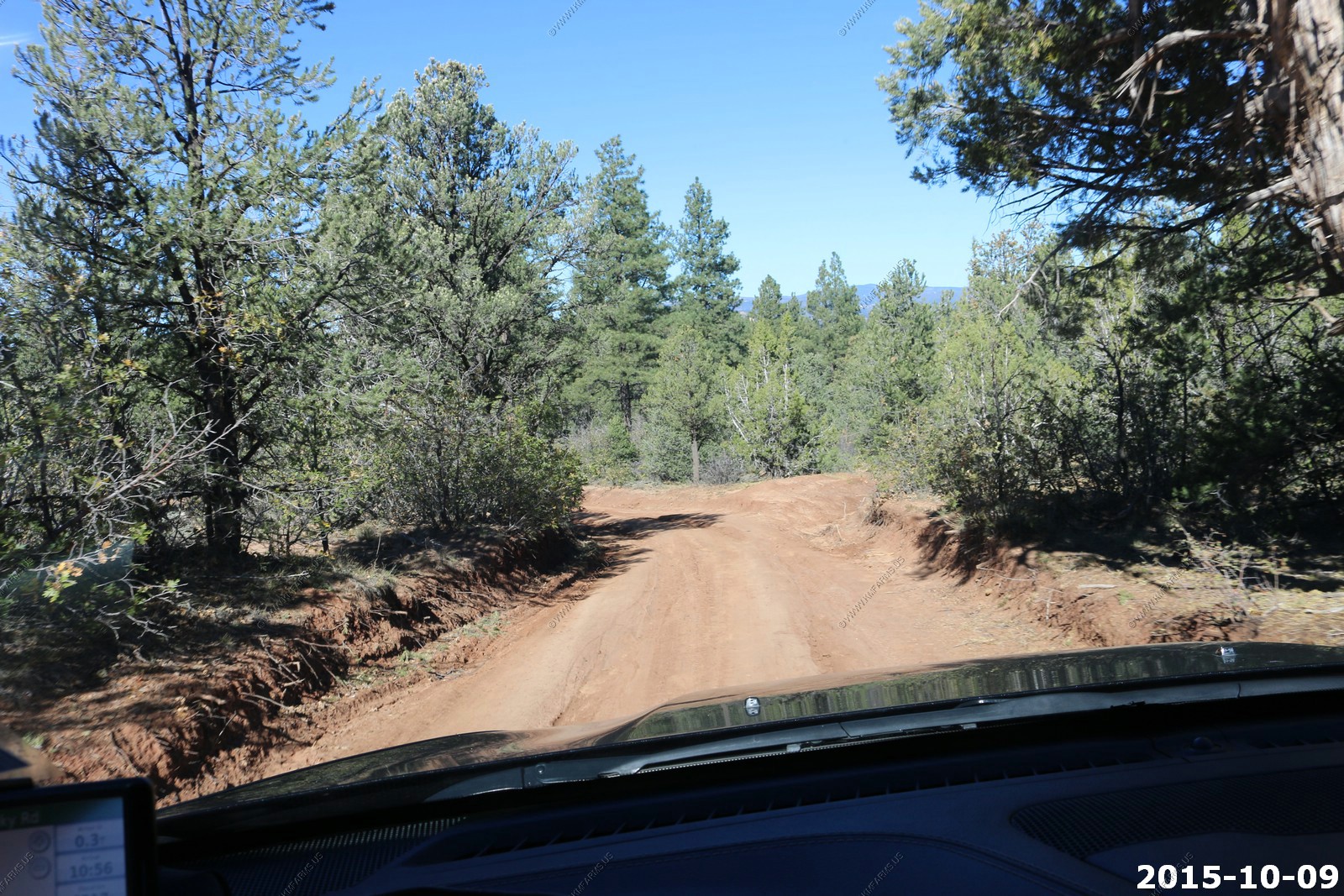
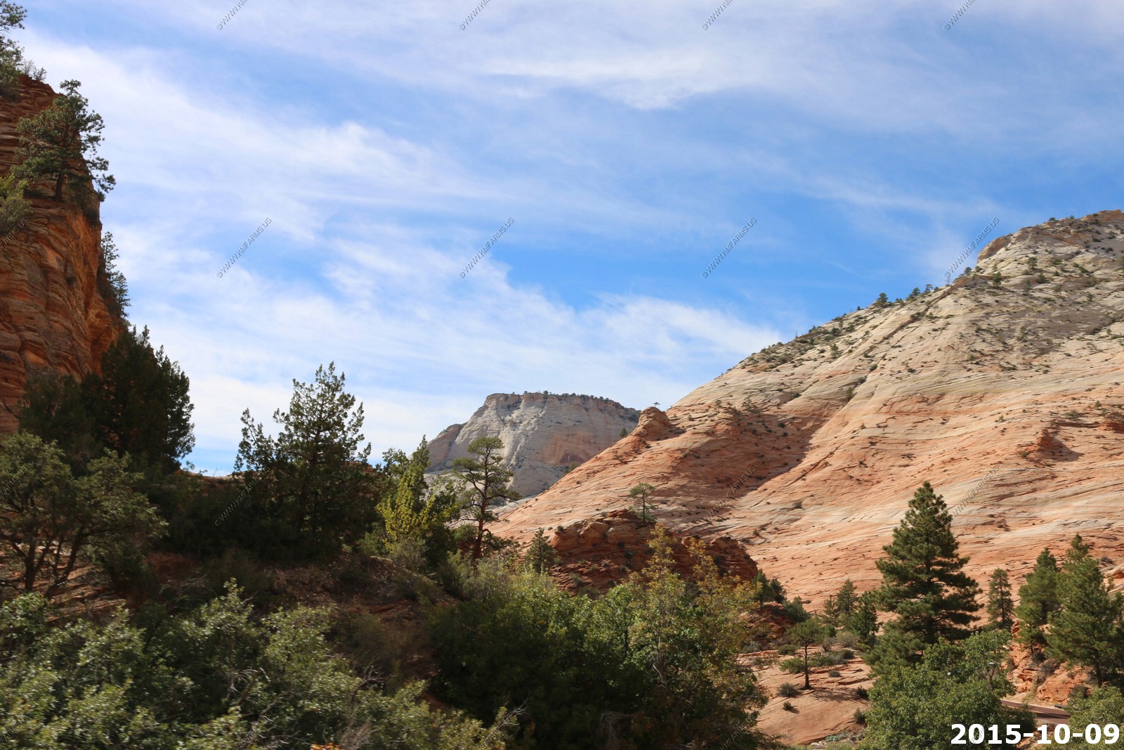
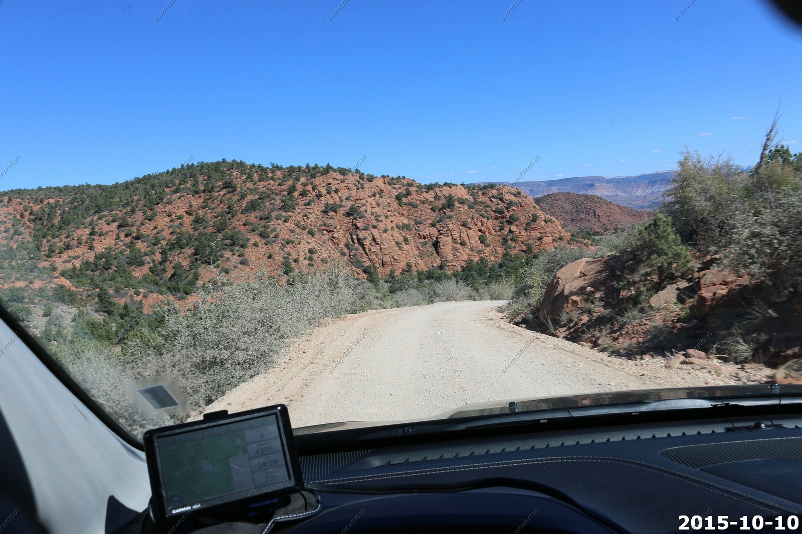
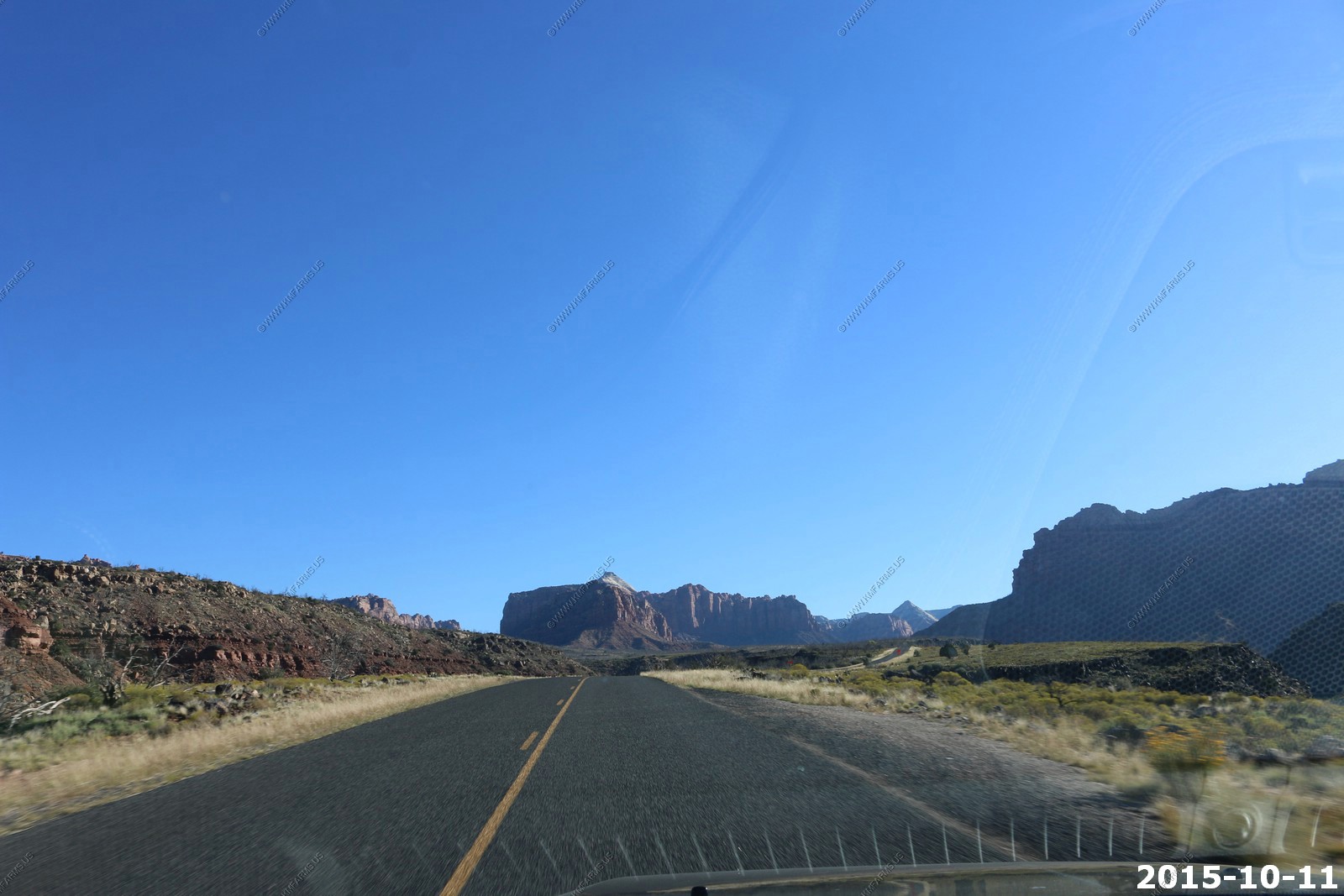
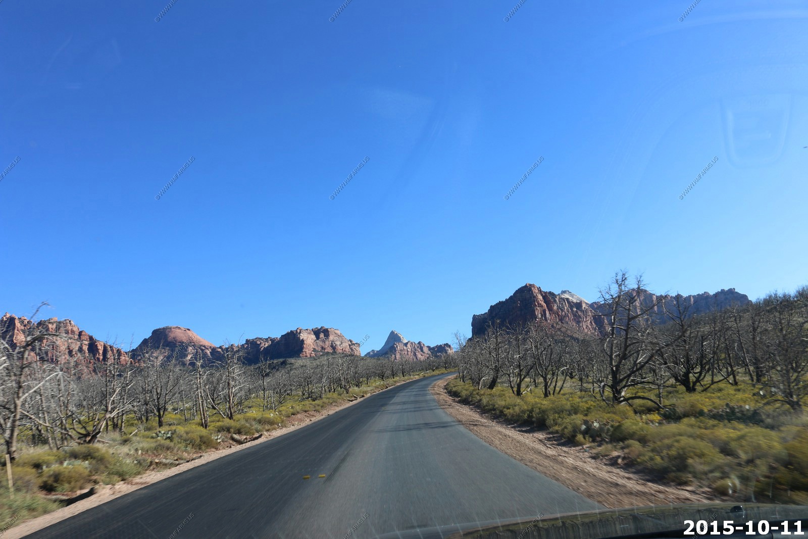
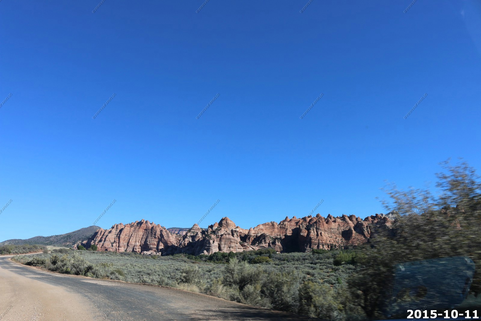
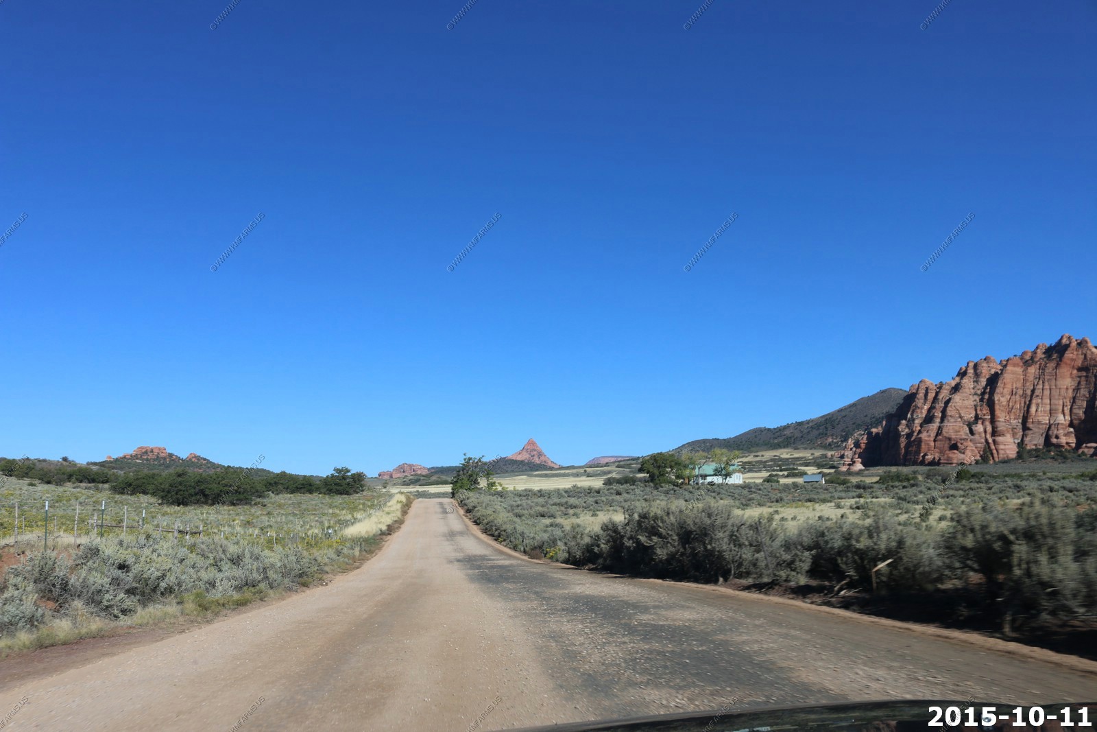
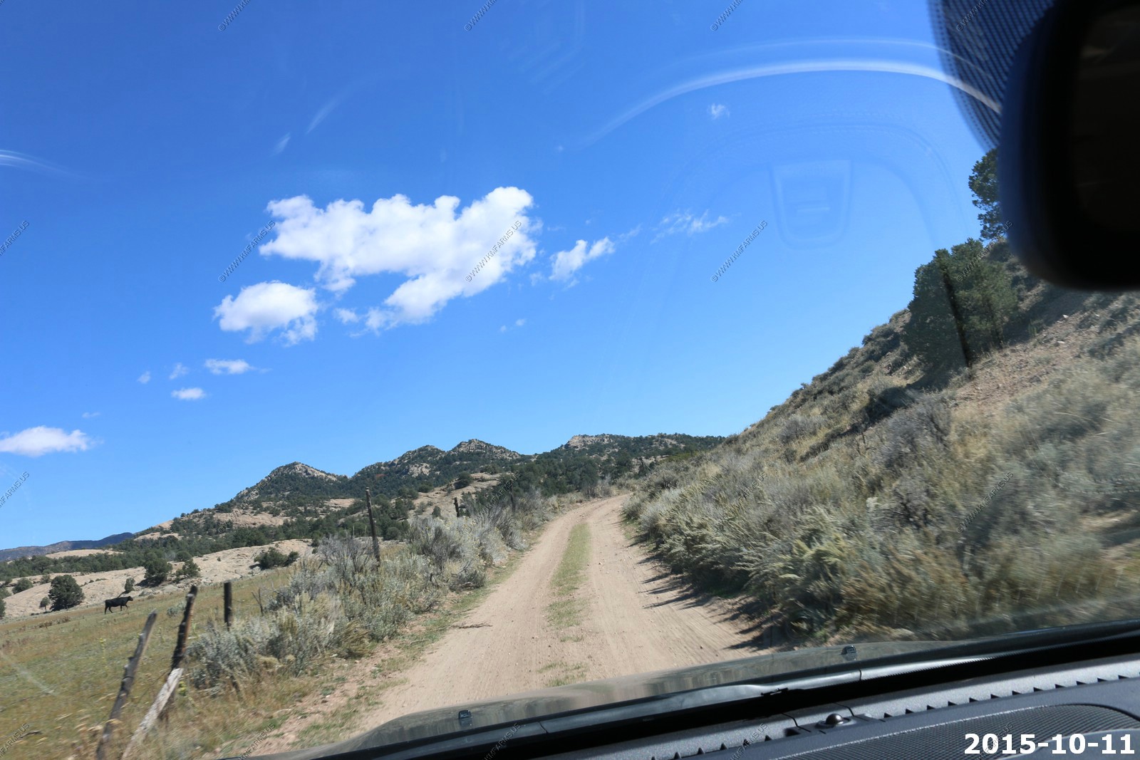
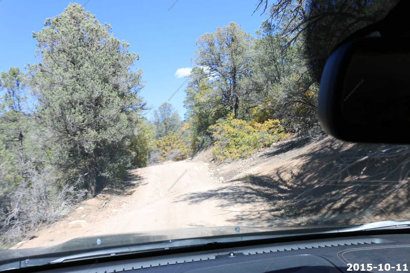
The roads are in good shape too

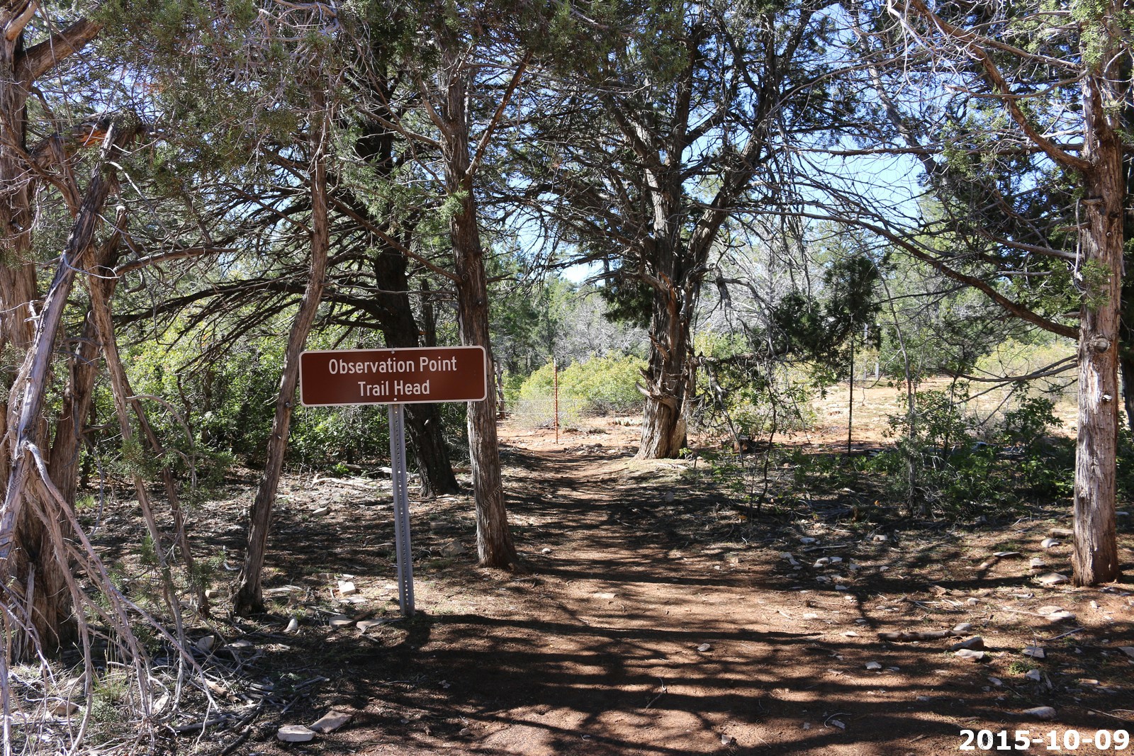
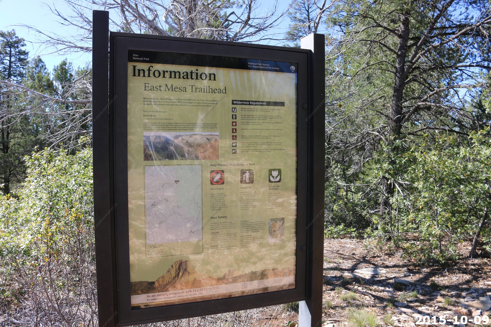
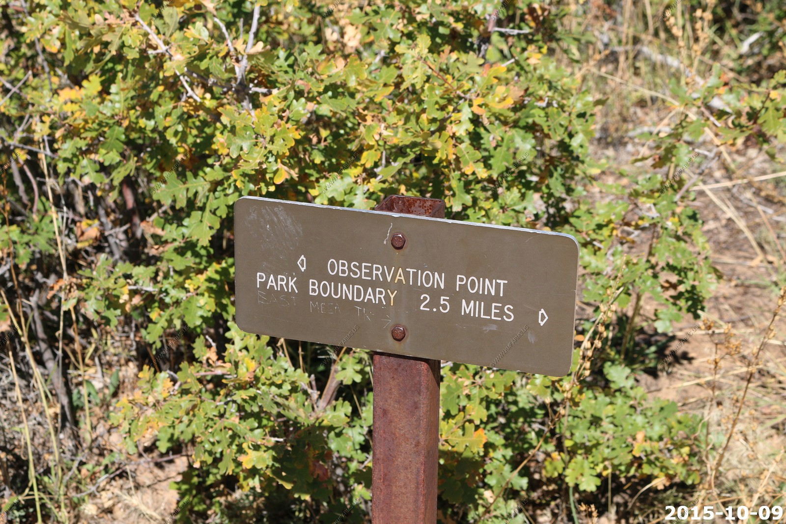
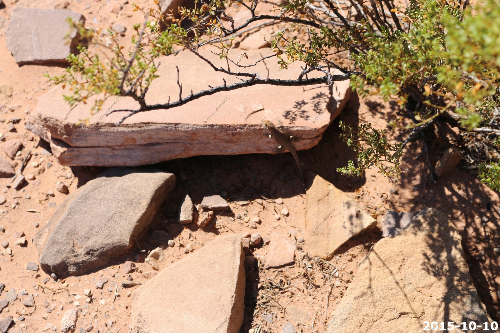
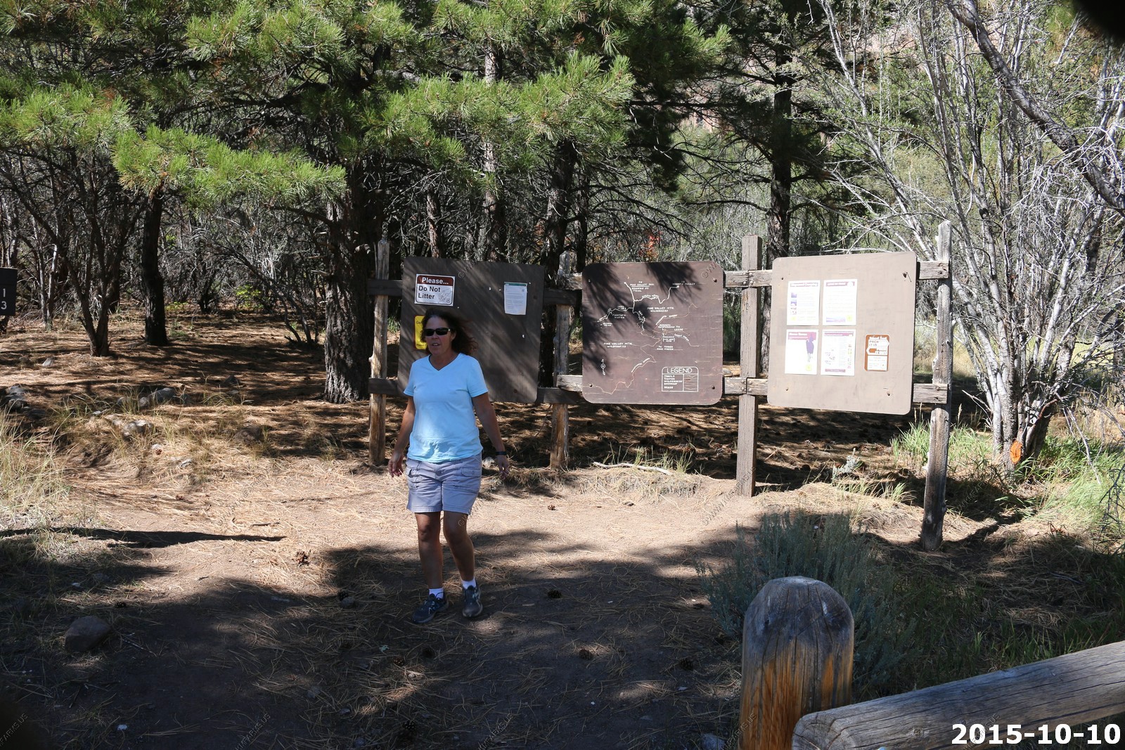
East Mesa Trail Head / Observation Point Trail Head - Was surprised that we had good ATT cell service here
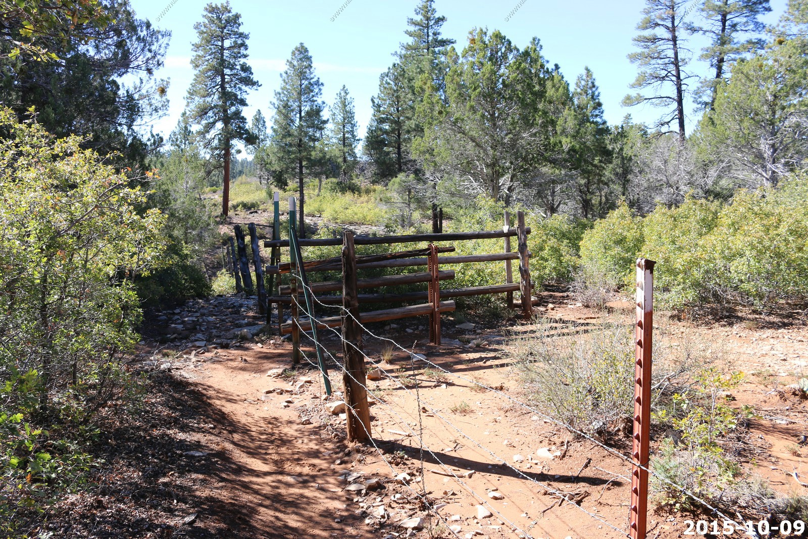
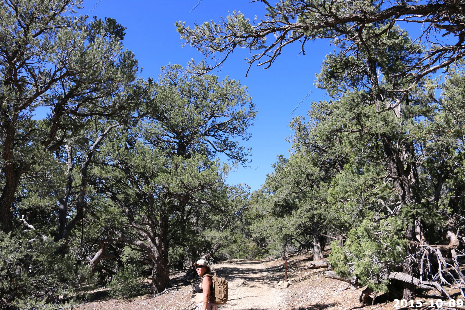
No mountain bikes on the trail which is a good thing.
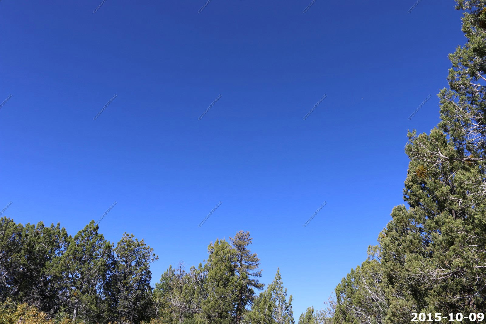
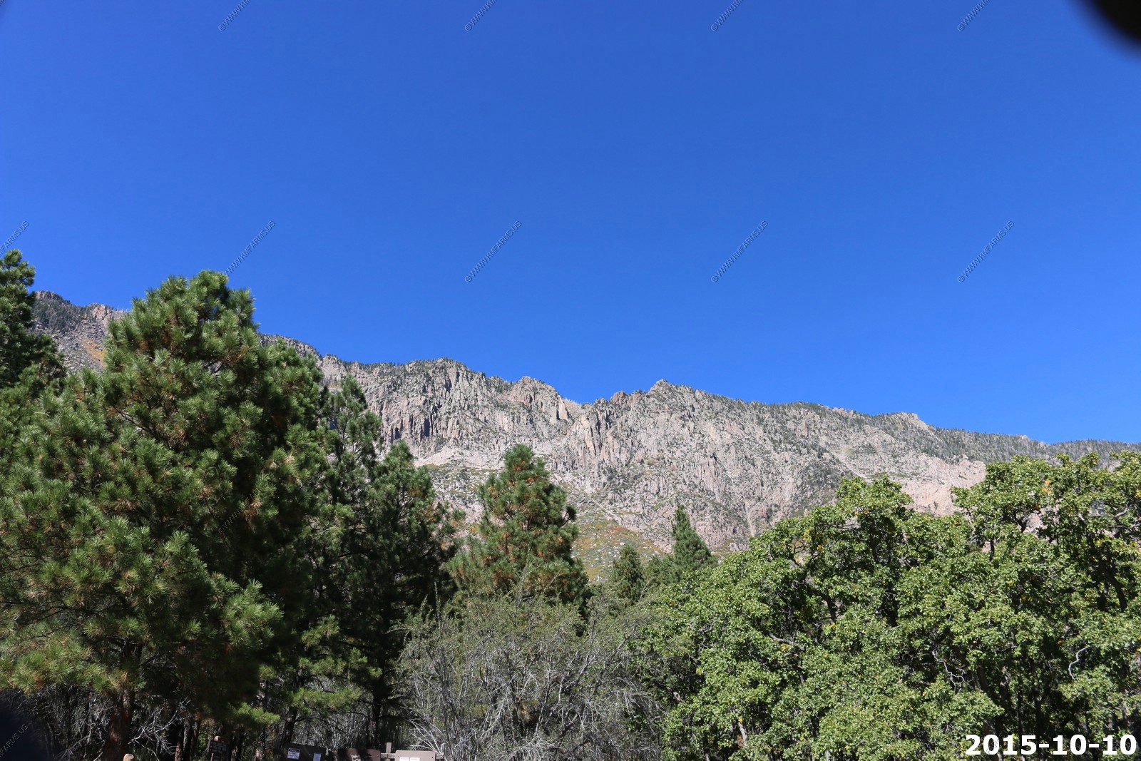
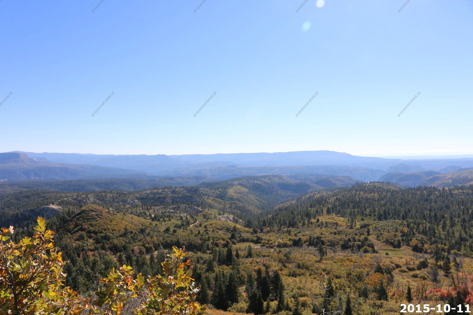
Amazing blue sky at 7,000 feet
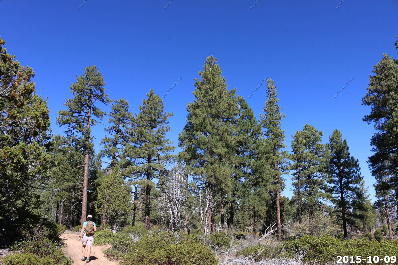
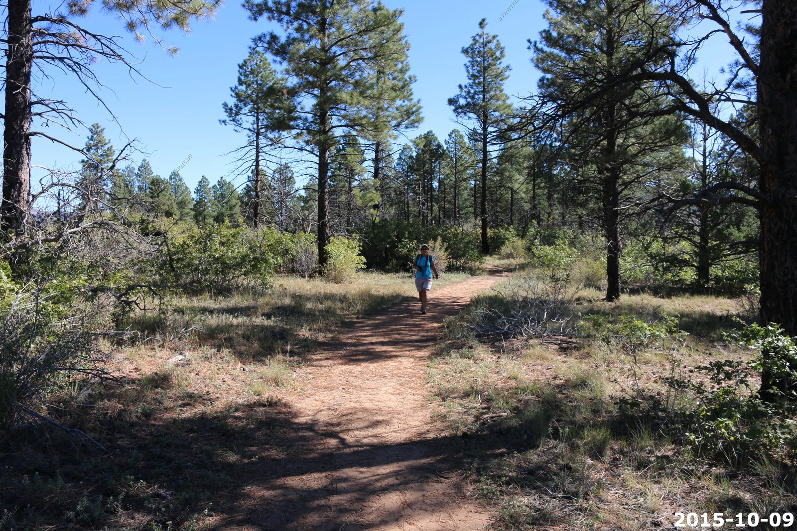
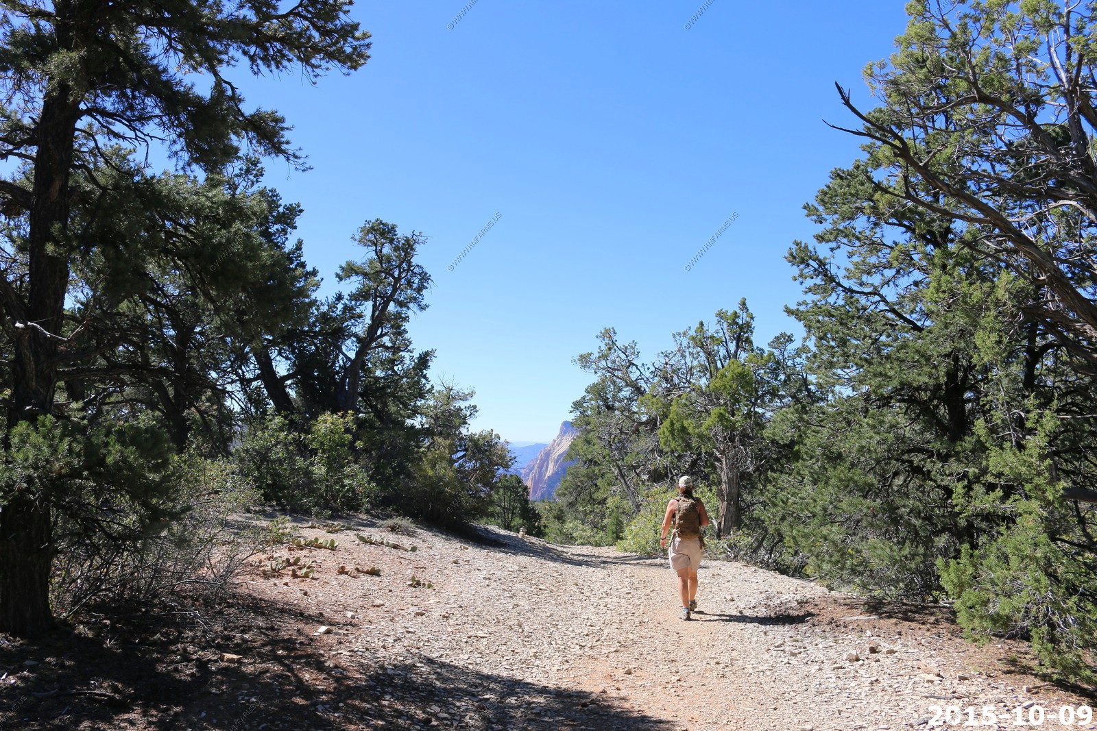
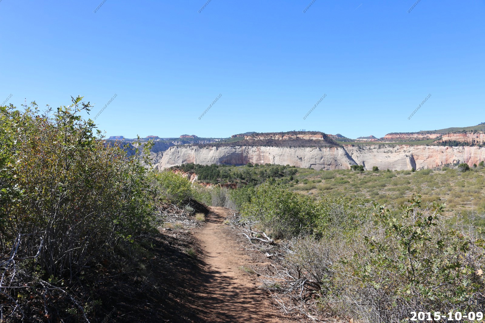
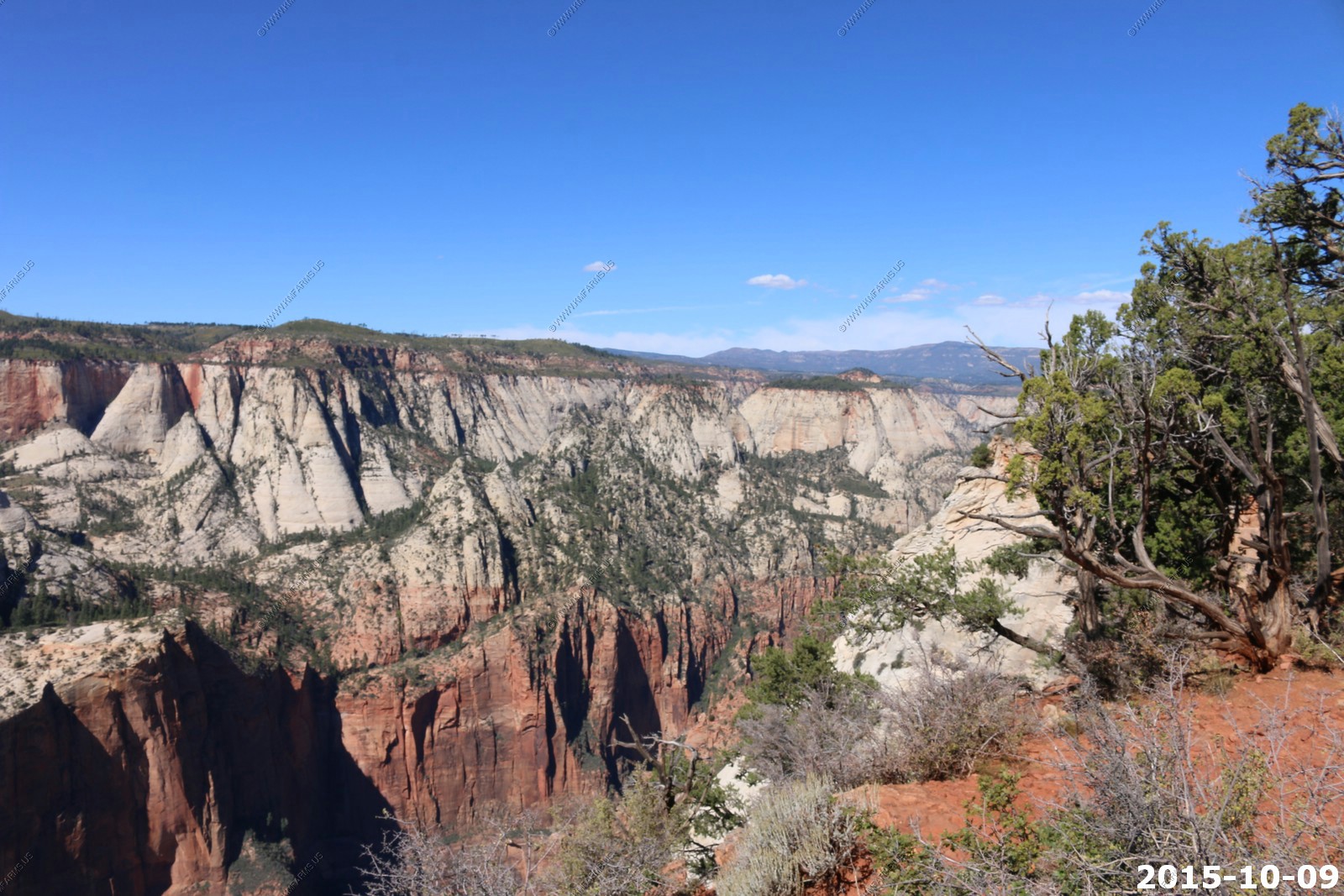
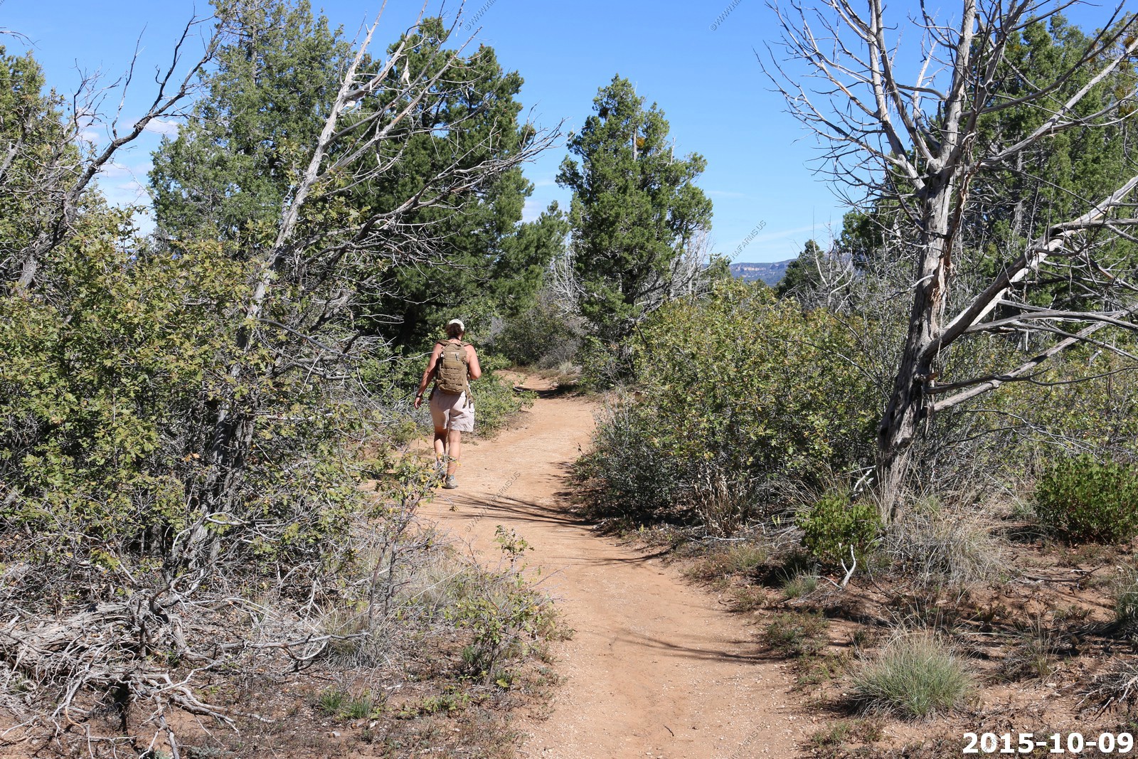
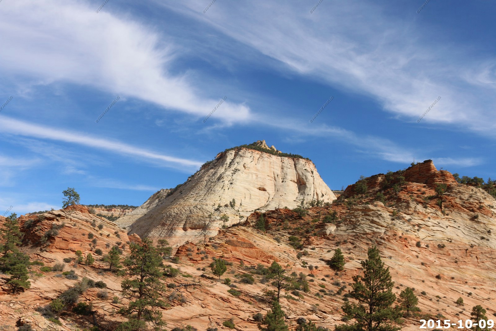
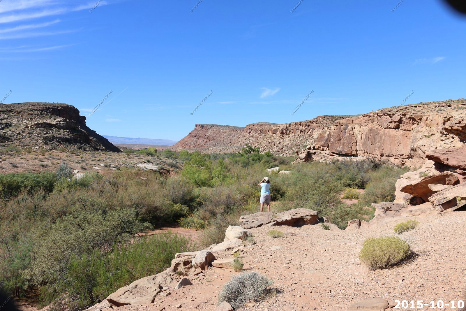
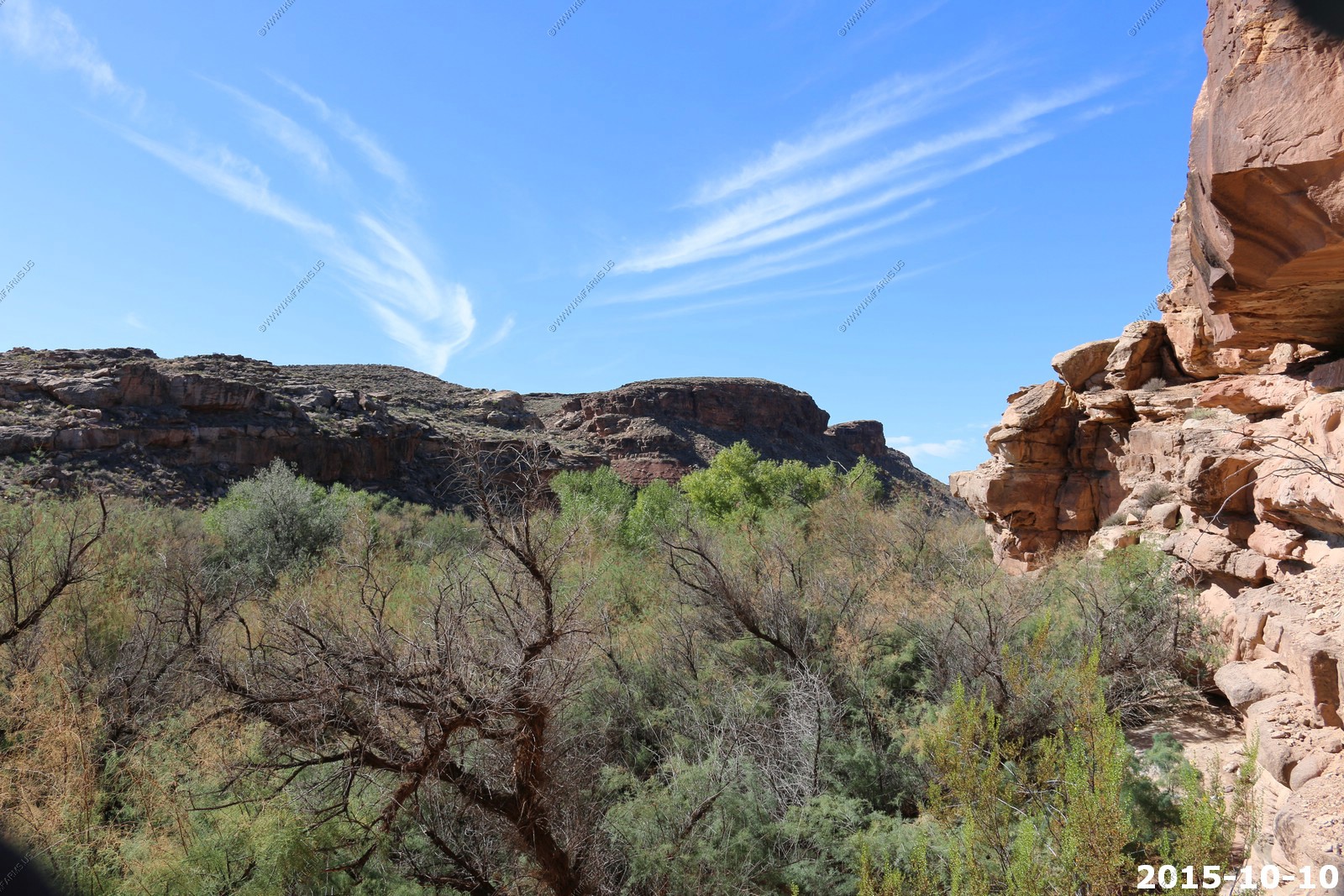
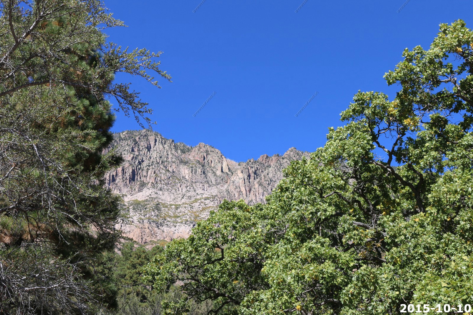
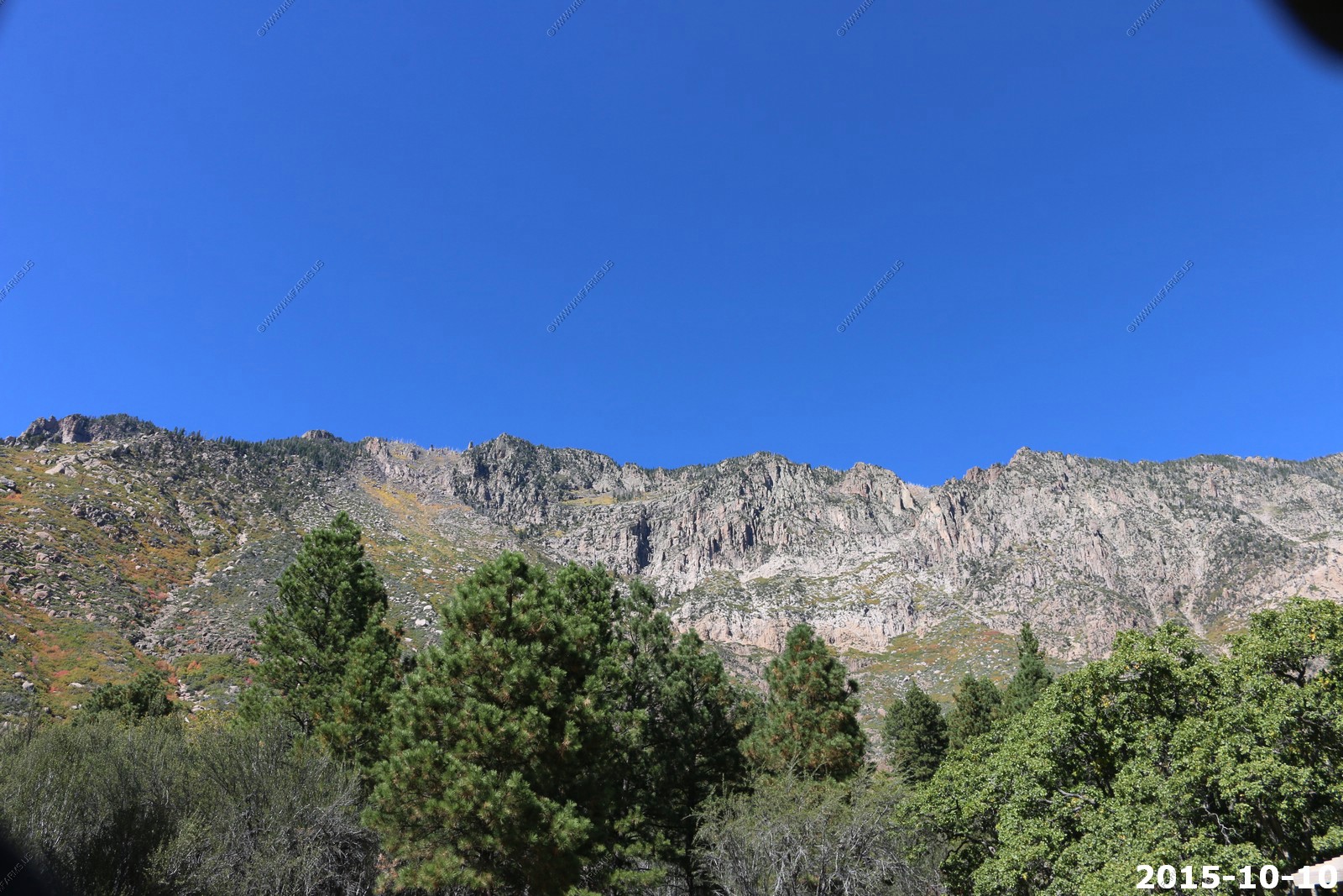
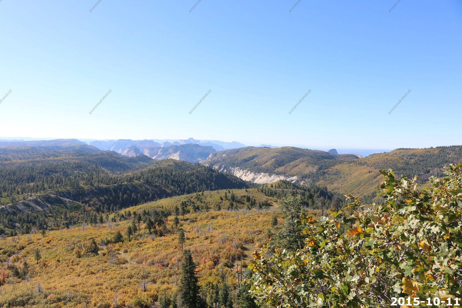
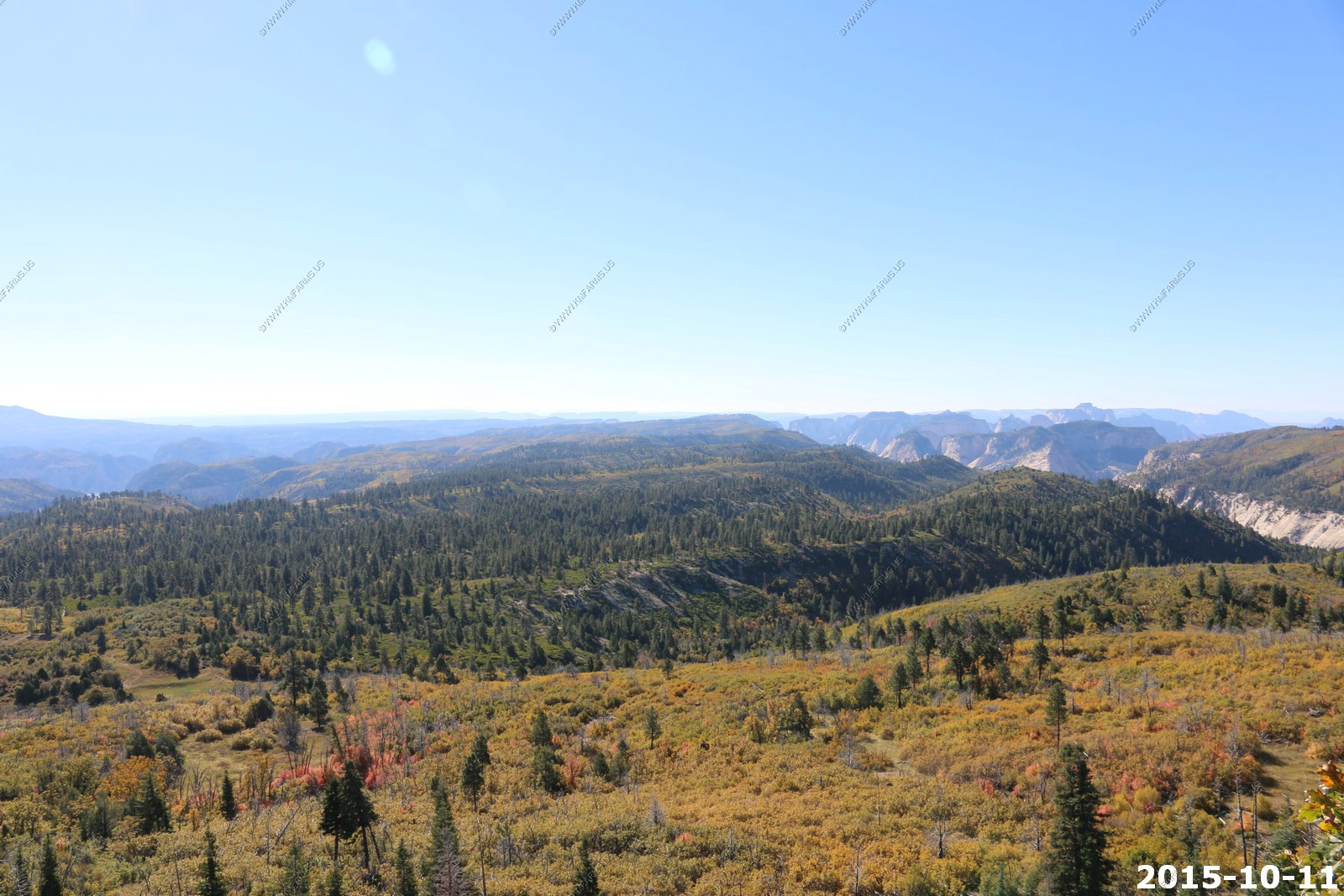
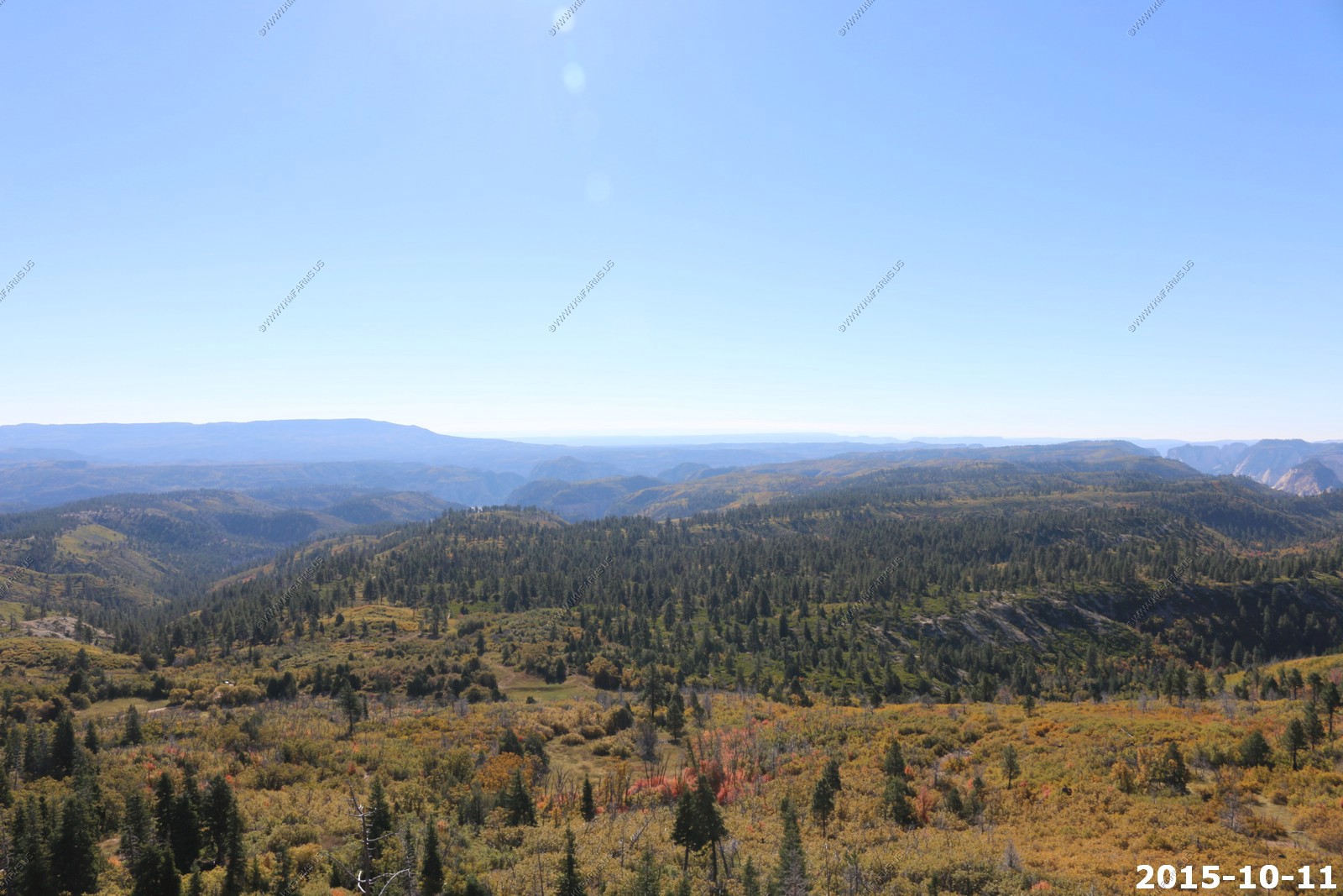
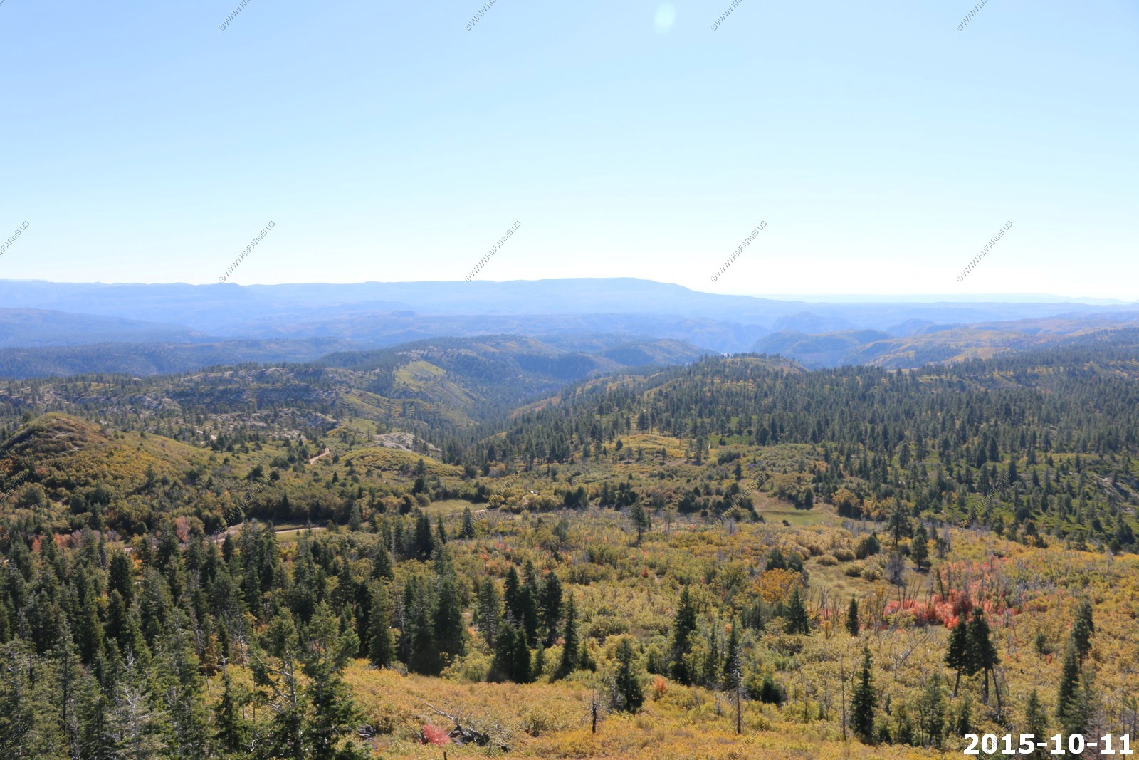
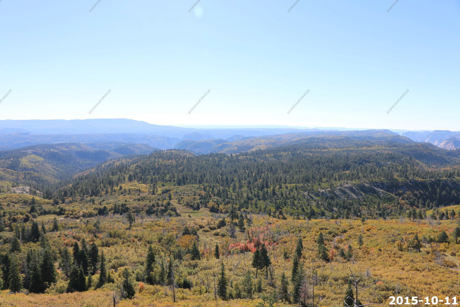
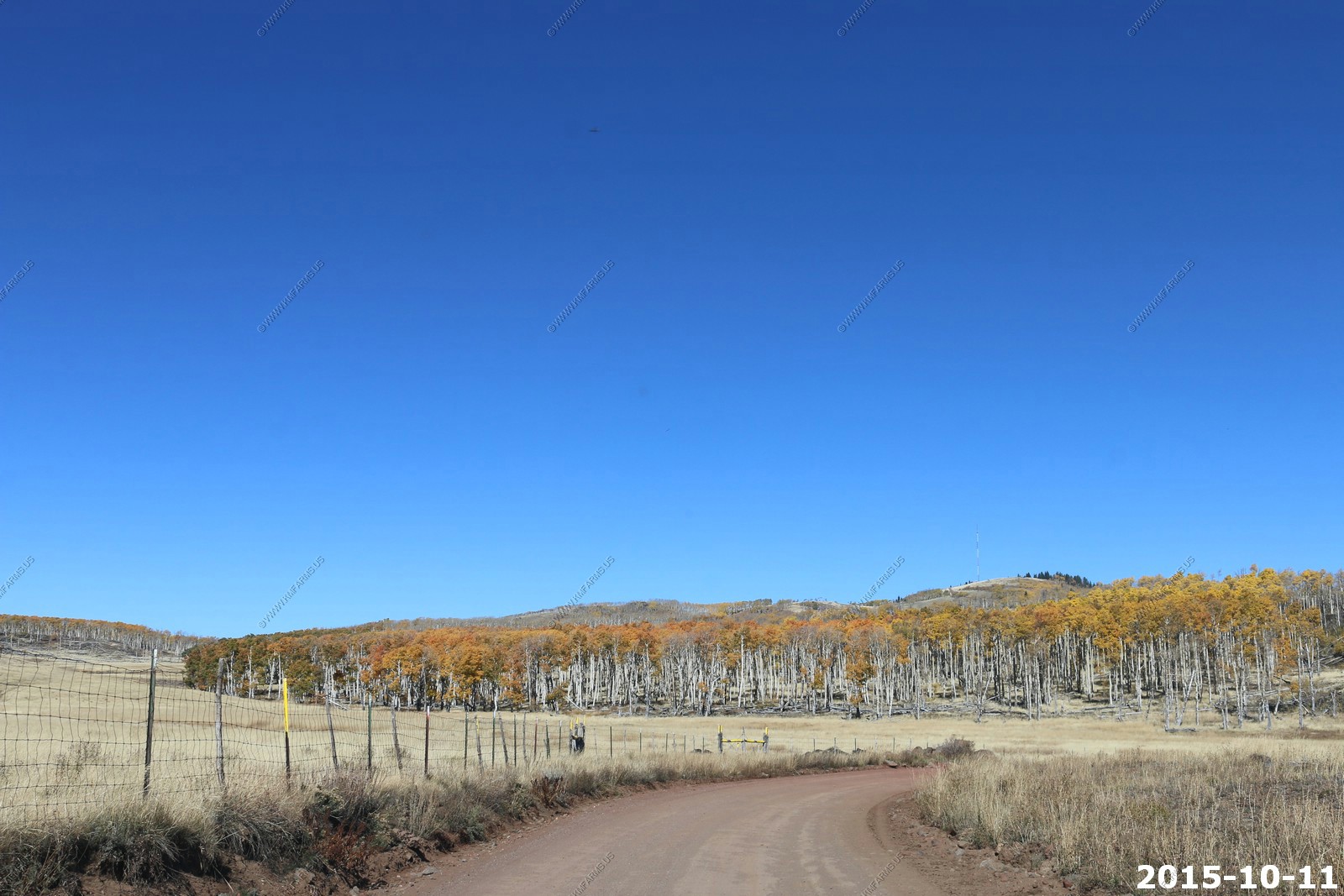
This trail is generally level for the first 3 miles then it drops down to Observation Point. Its very scenic.
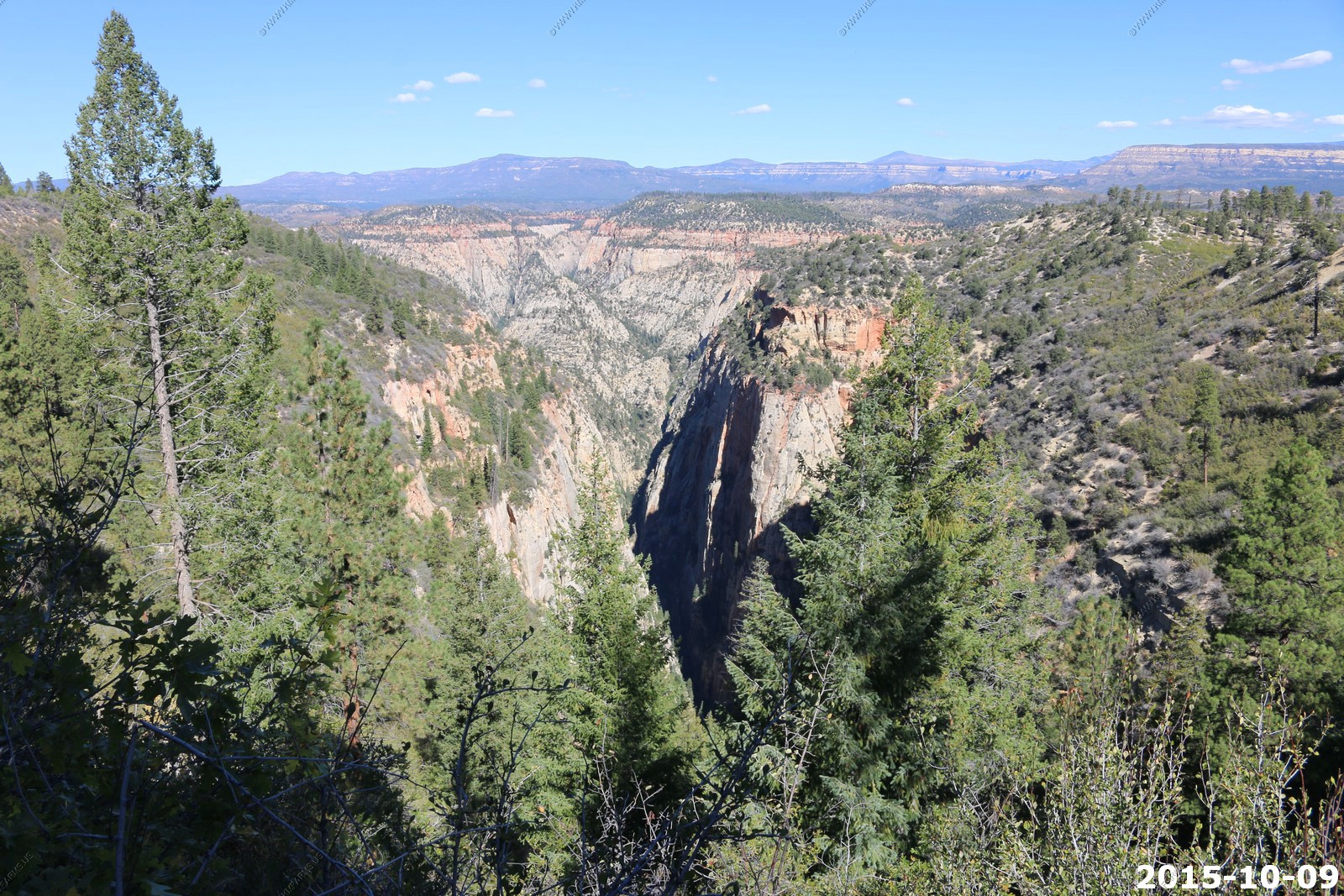
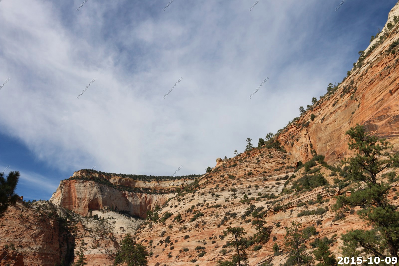
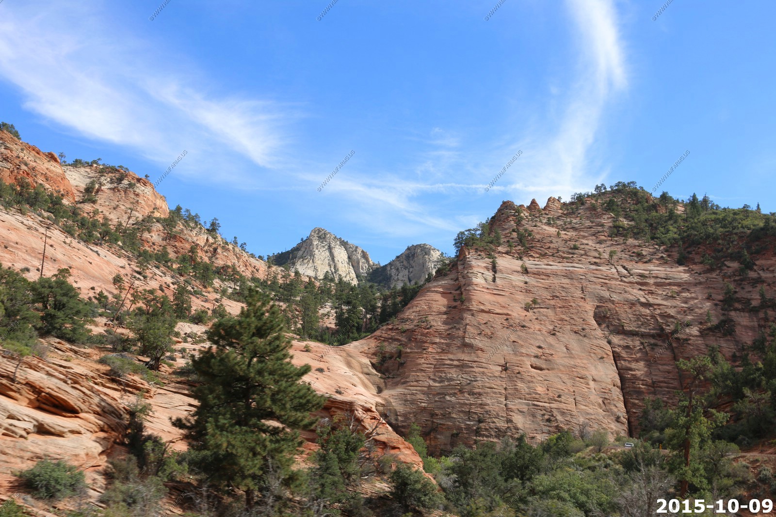
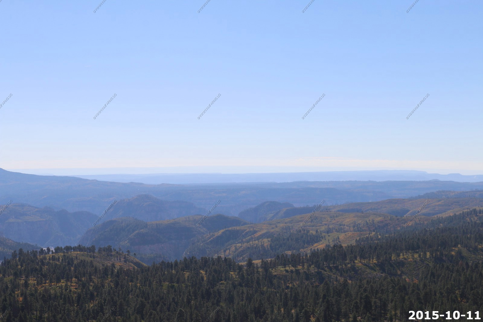
You pass a couple of side canyons as you head west

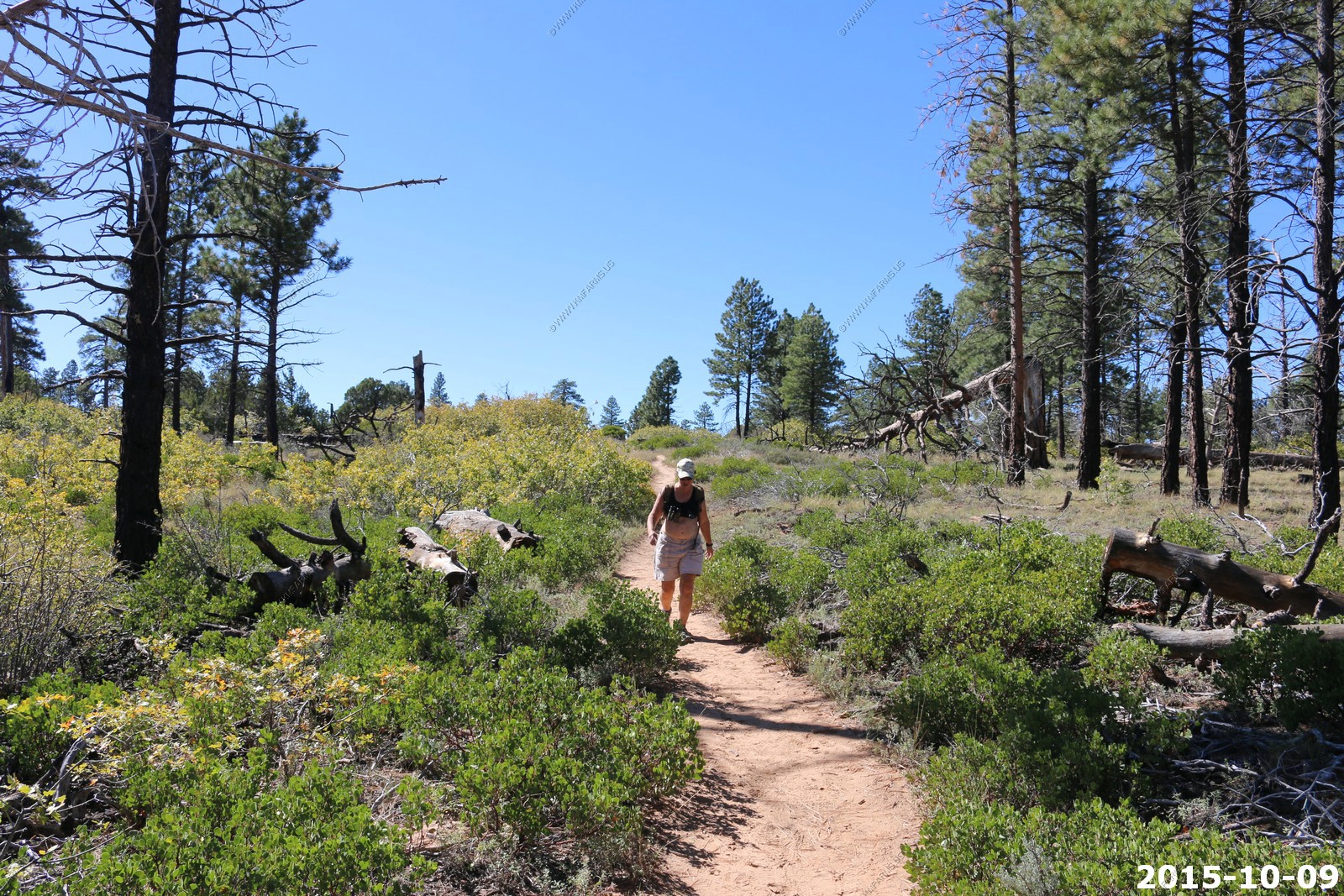
Mary trying to keep up
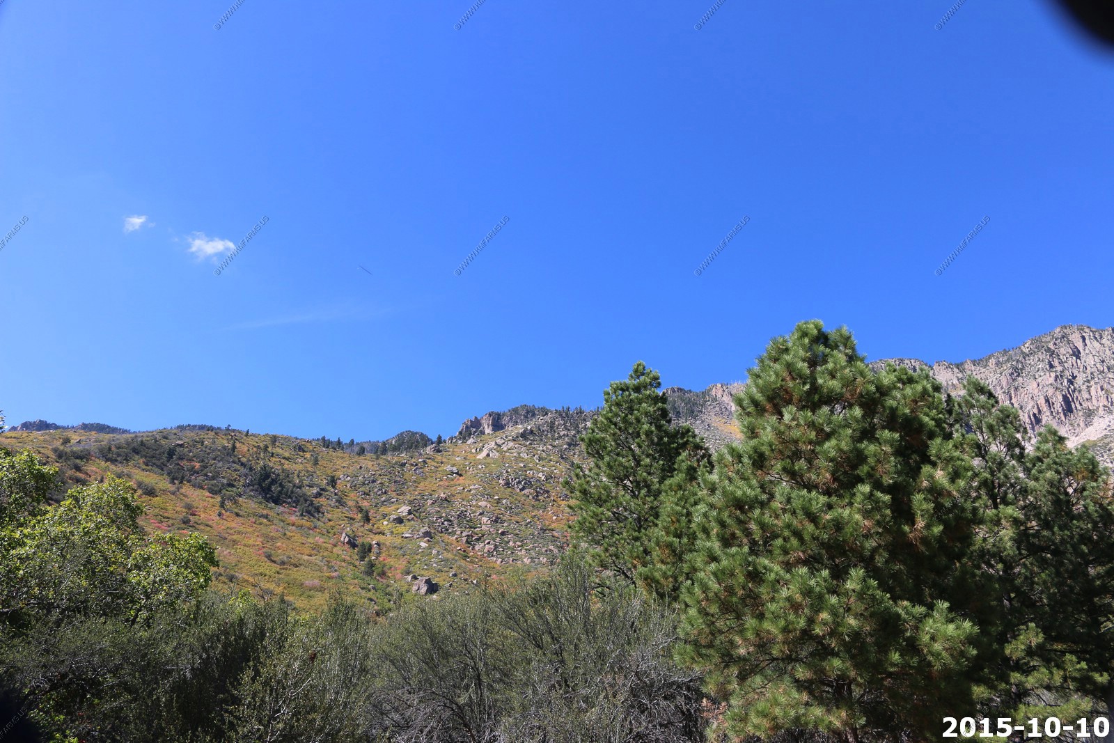
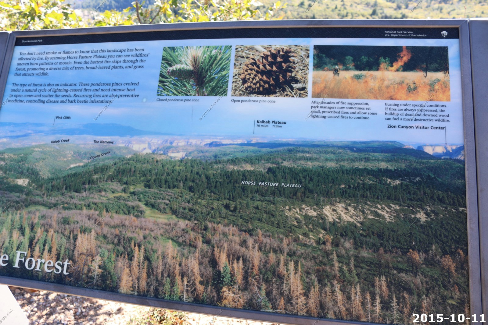
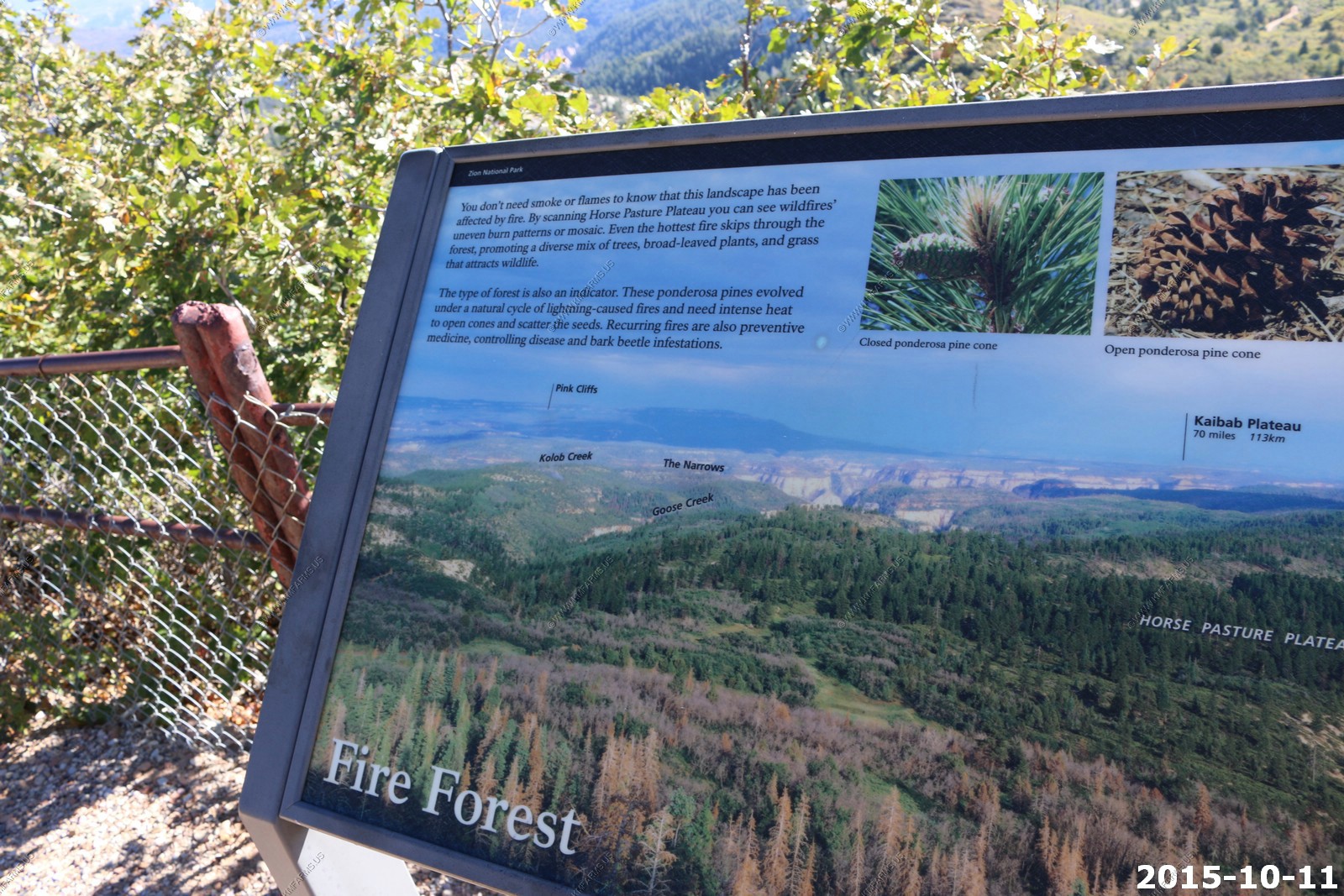
Old burn areas
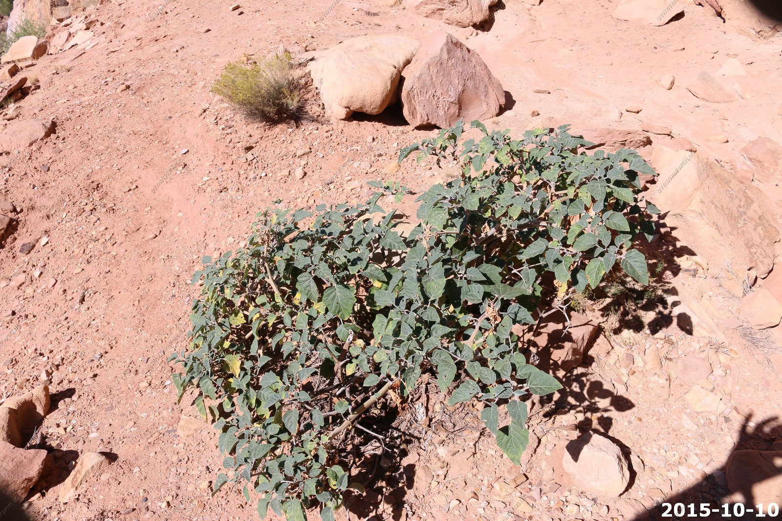
Looks like what we have growing at home
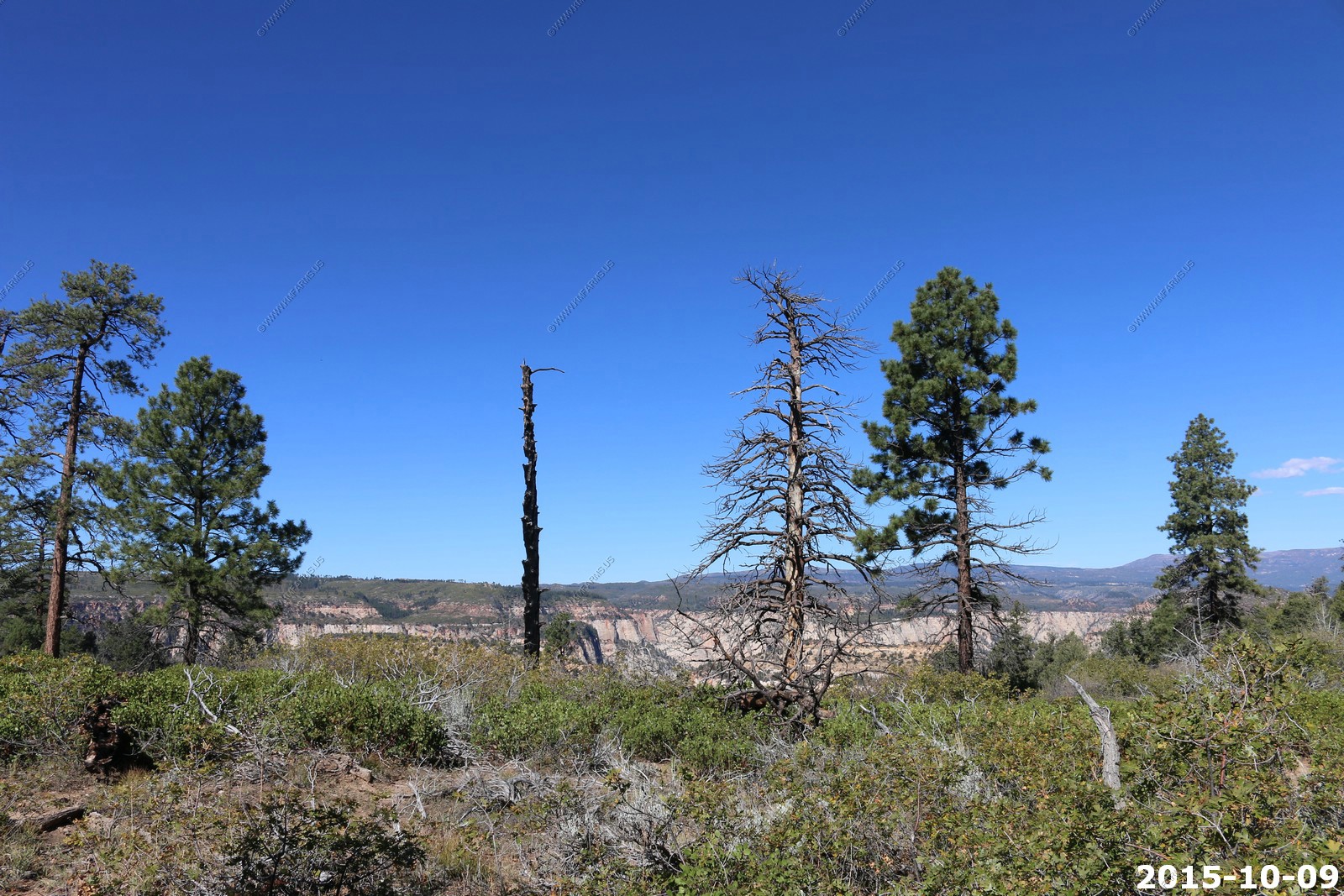
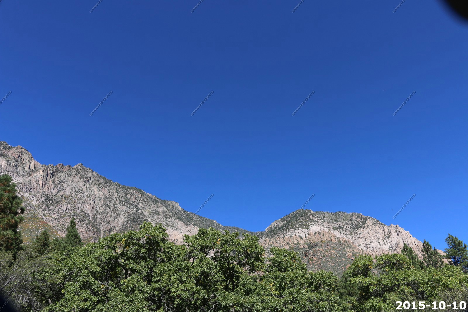
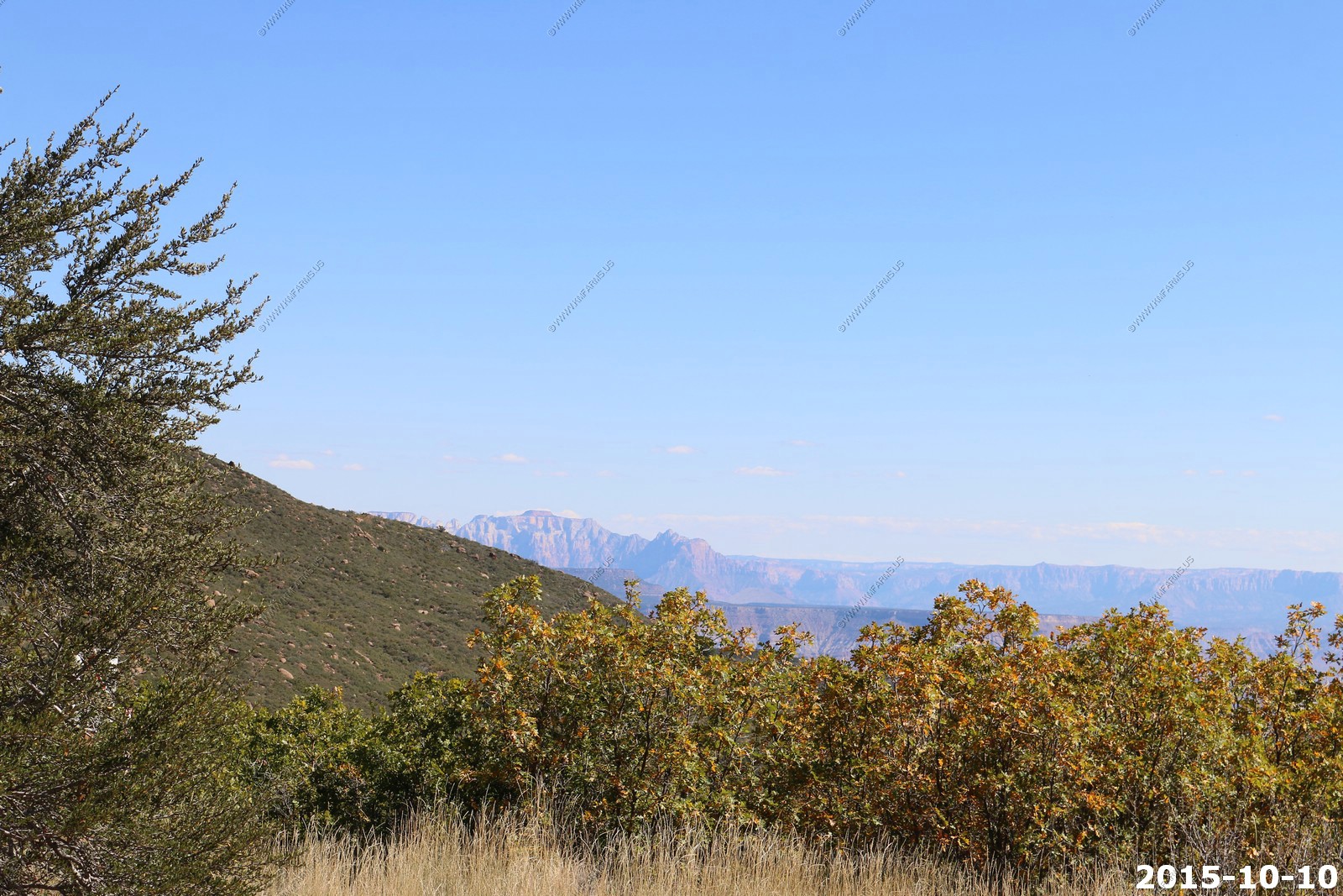
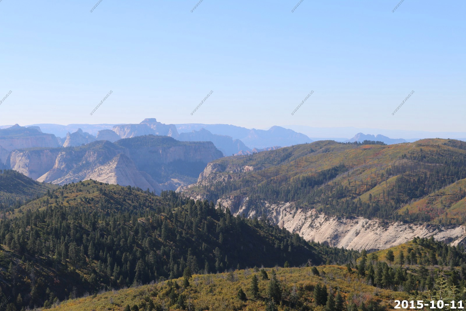
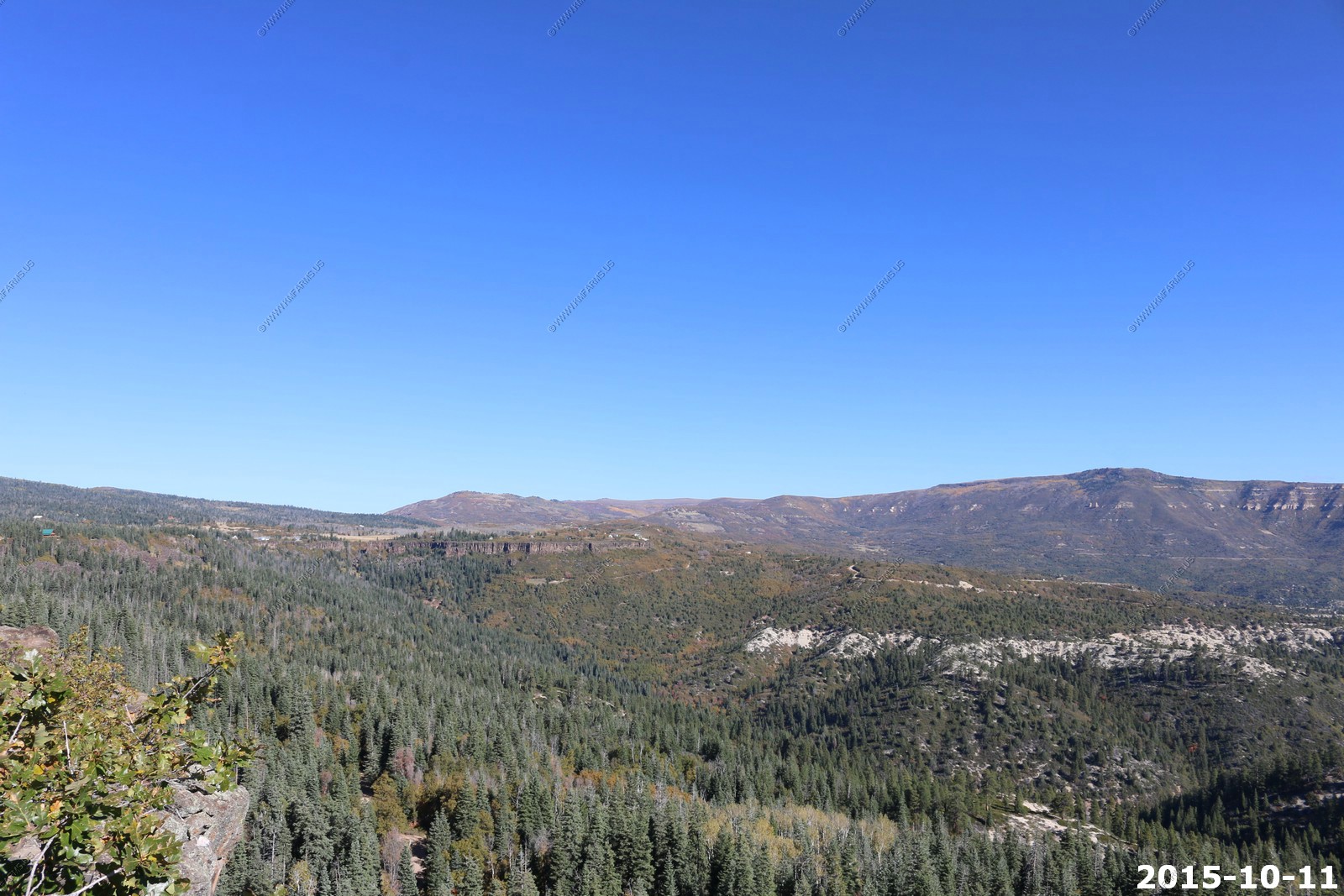
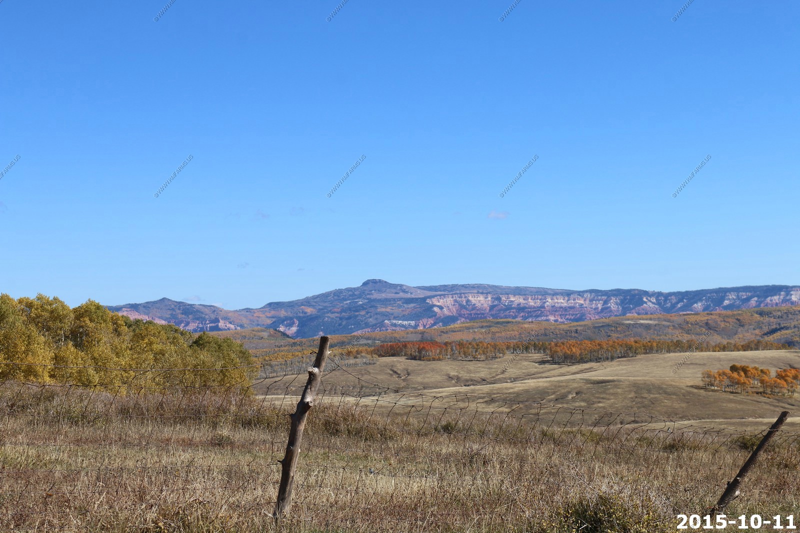
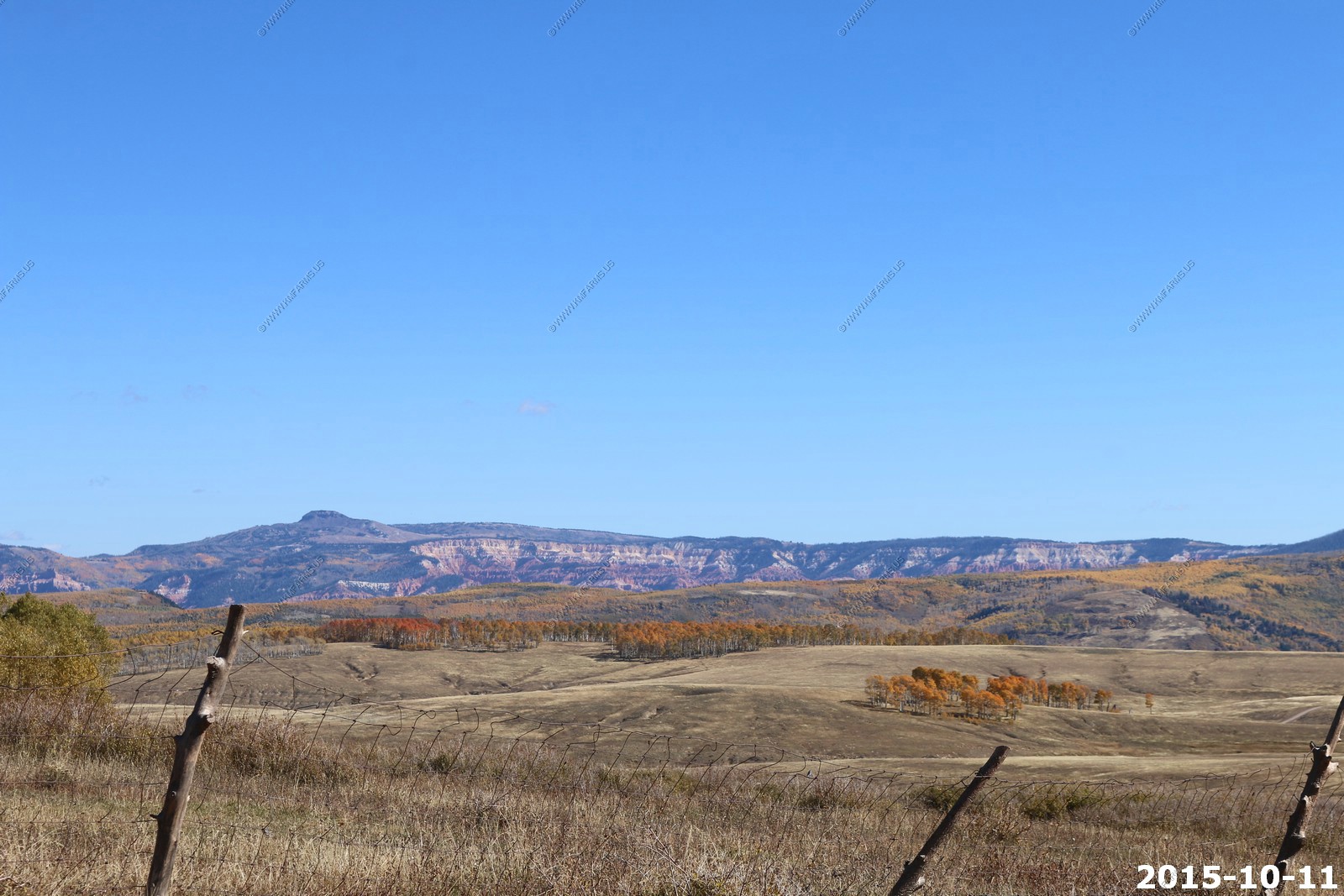
Side canyon and north view. You can see up to Cedar Breaks National Monument on the right
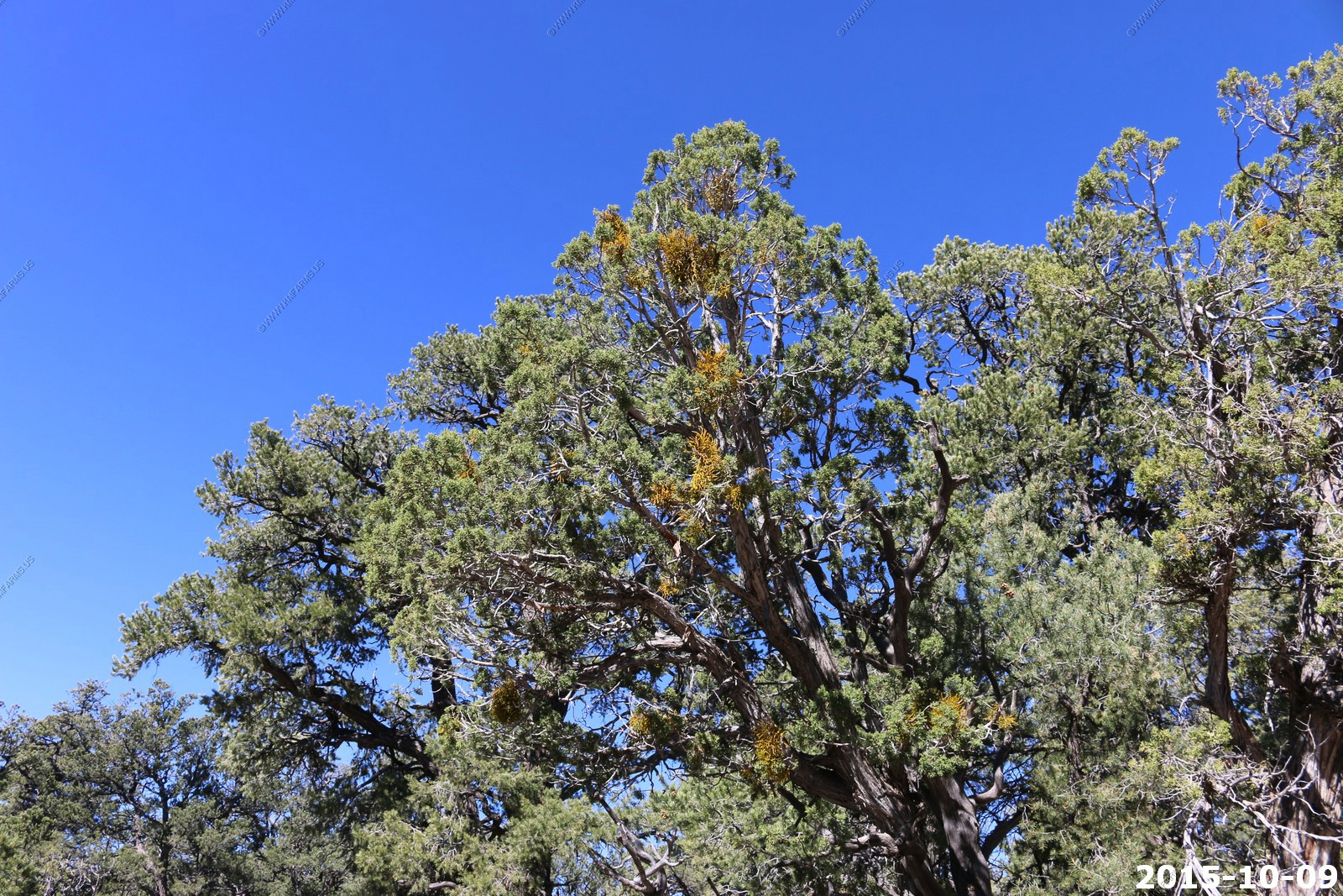
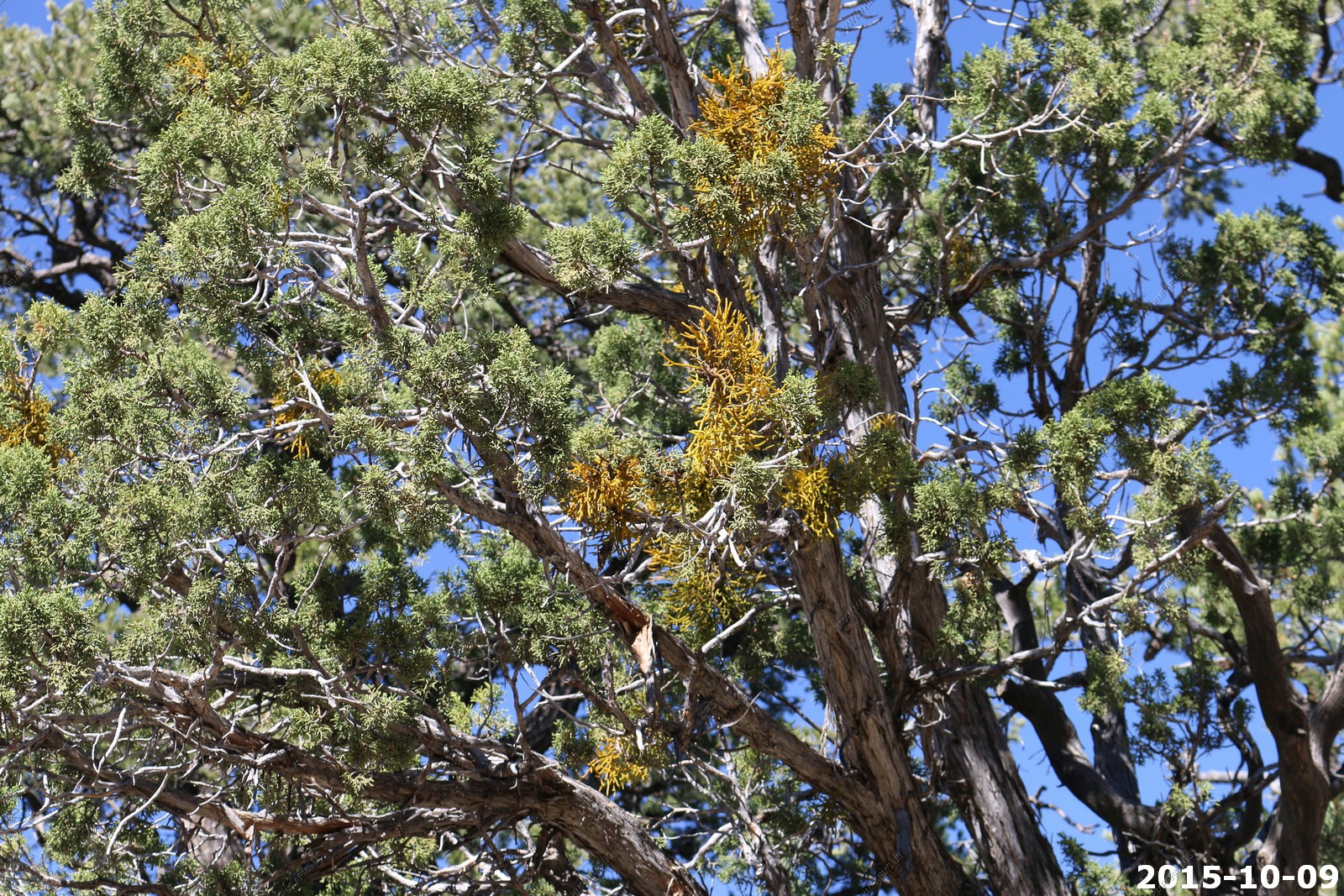
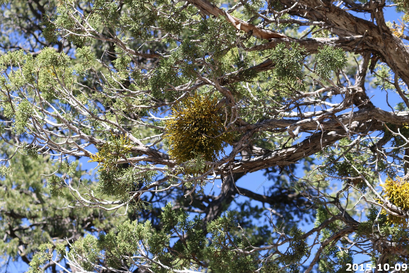
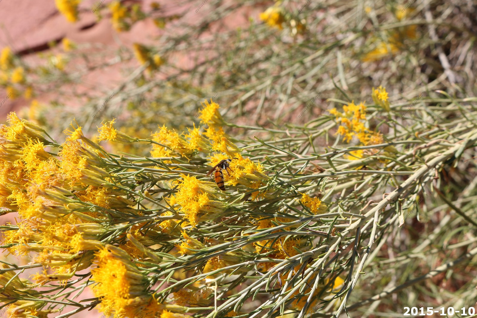
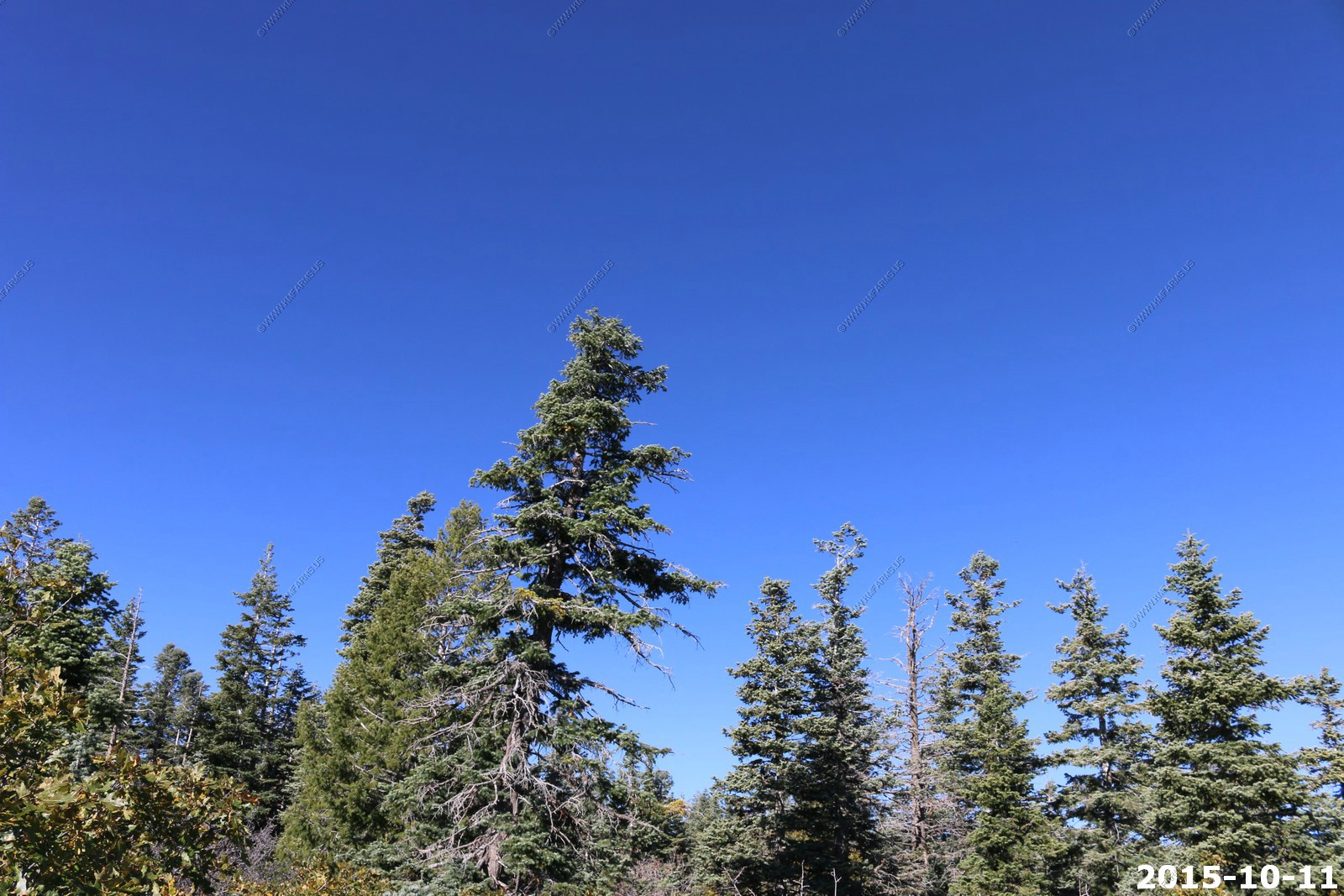
Along the trail, blue sky and some type of Mistletoe in the pines
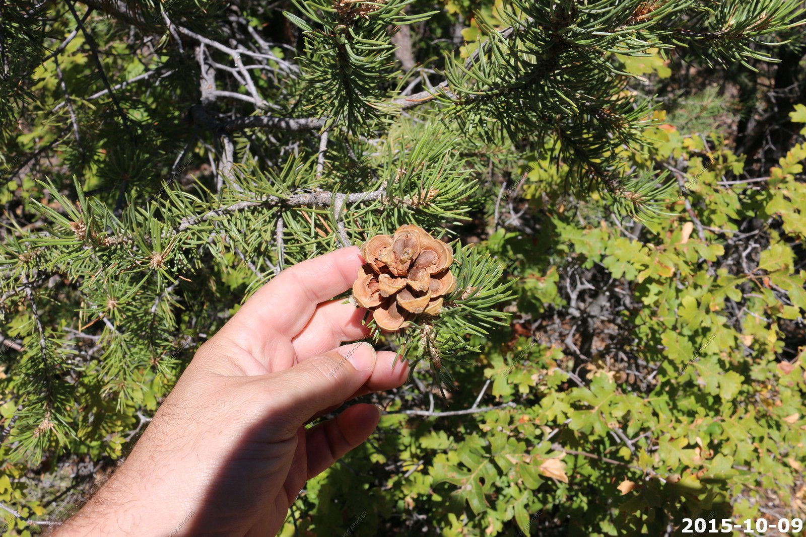
Pine Cones
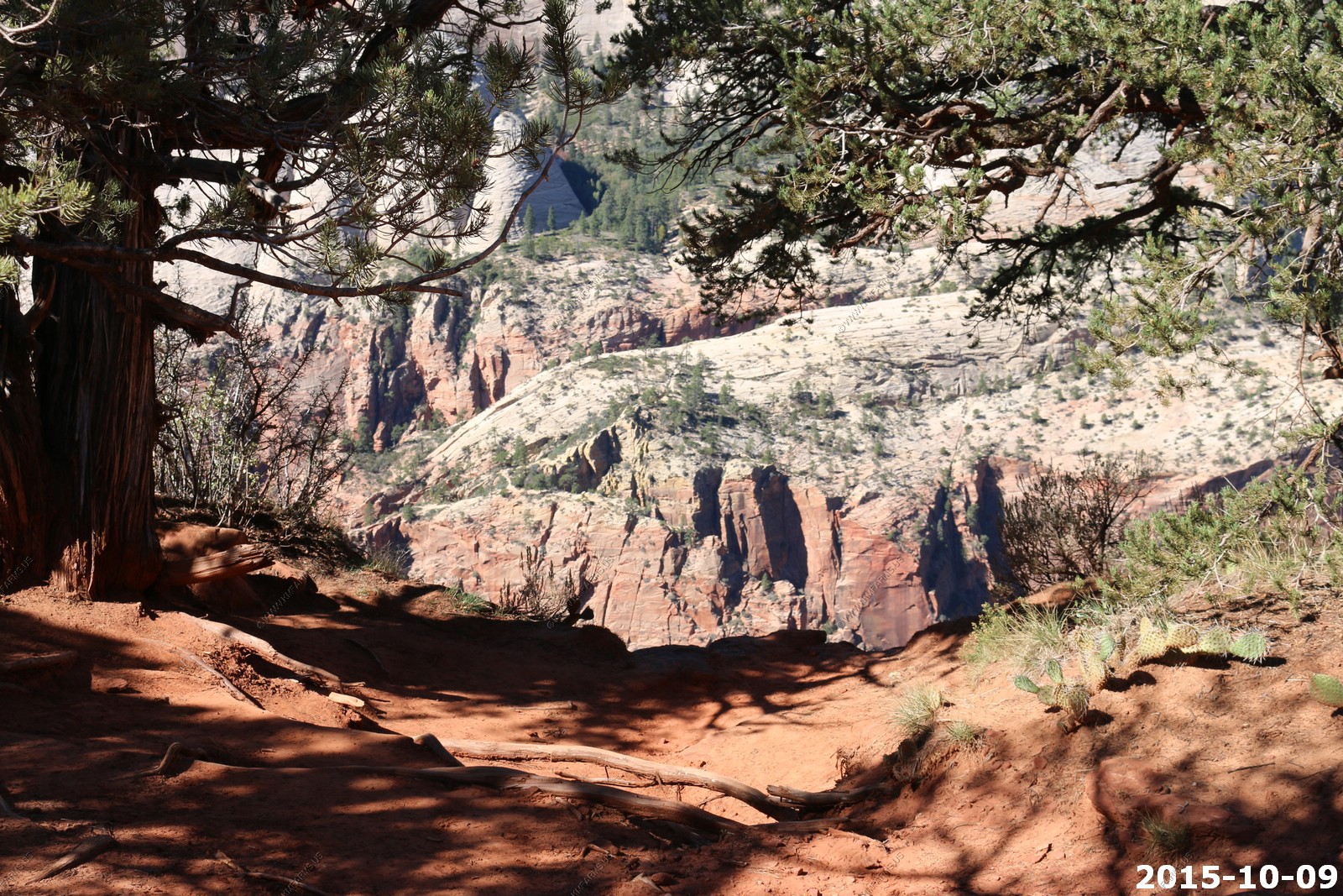
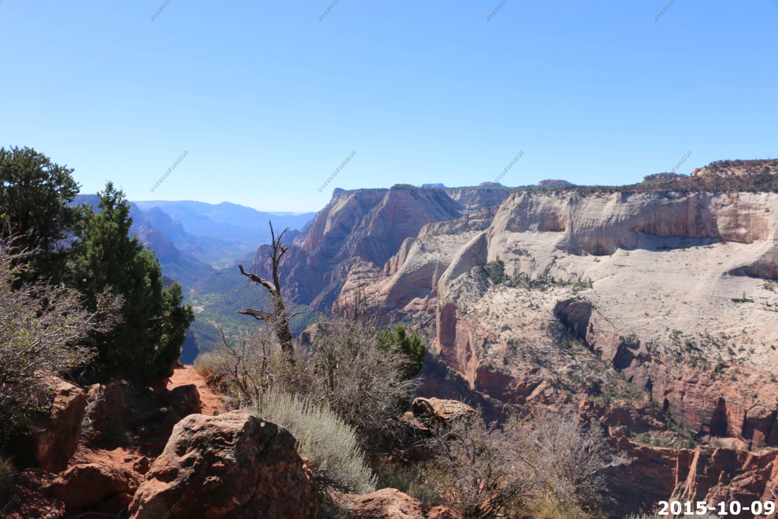
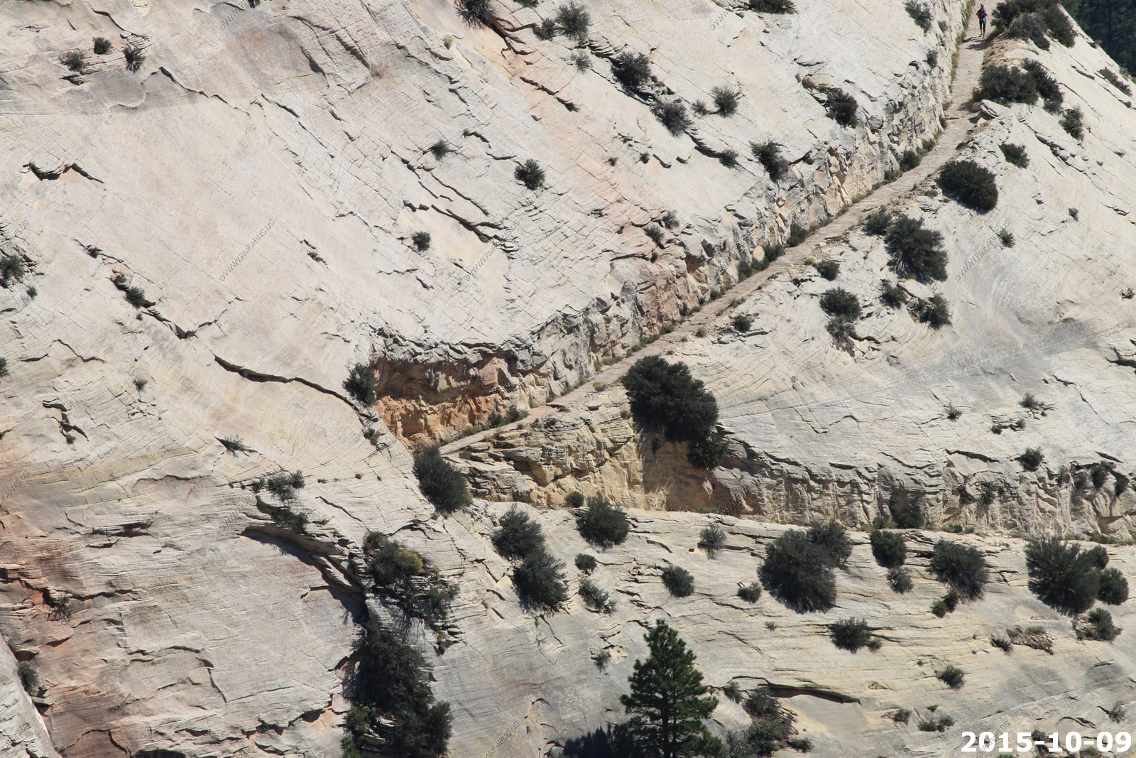
Where the trail drops down as we get to the canyon
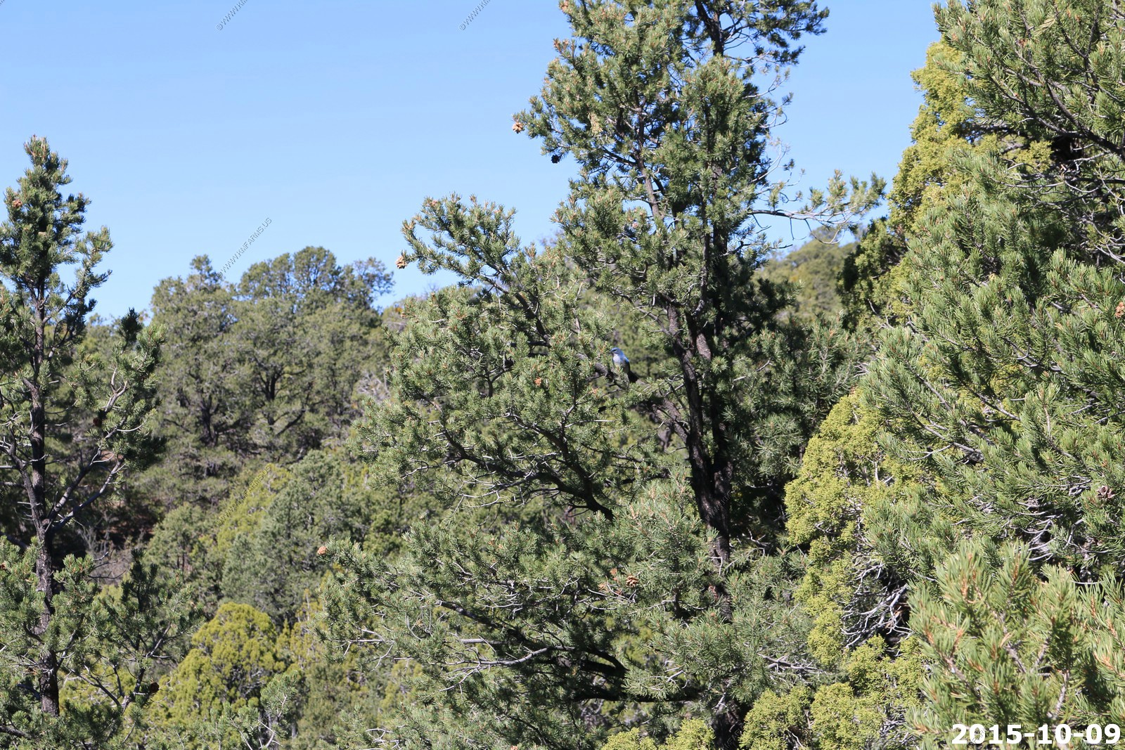
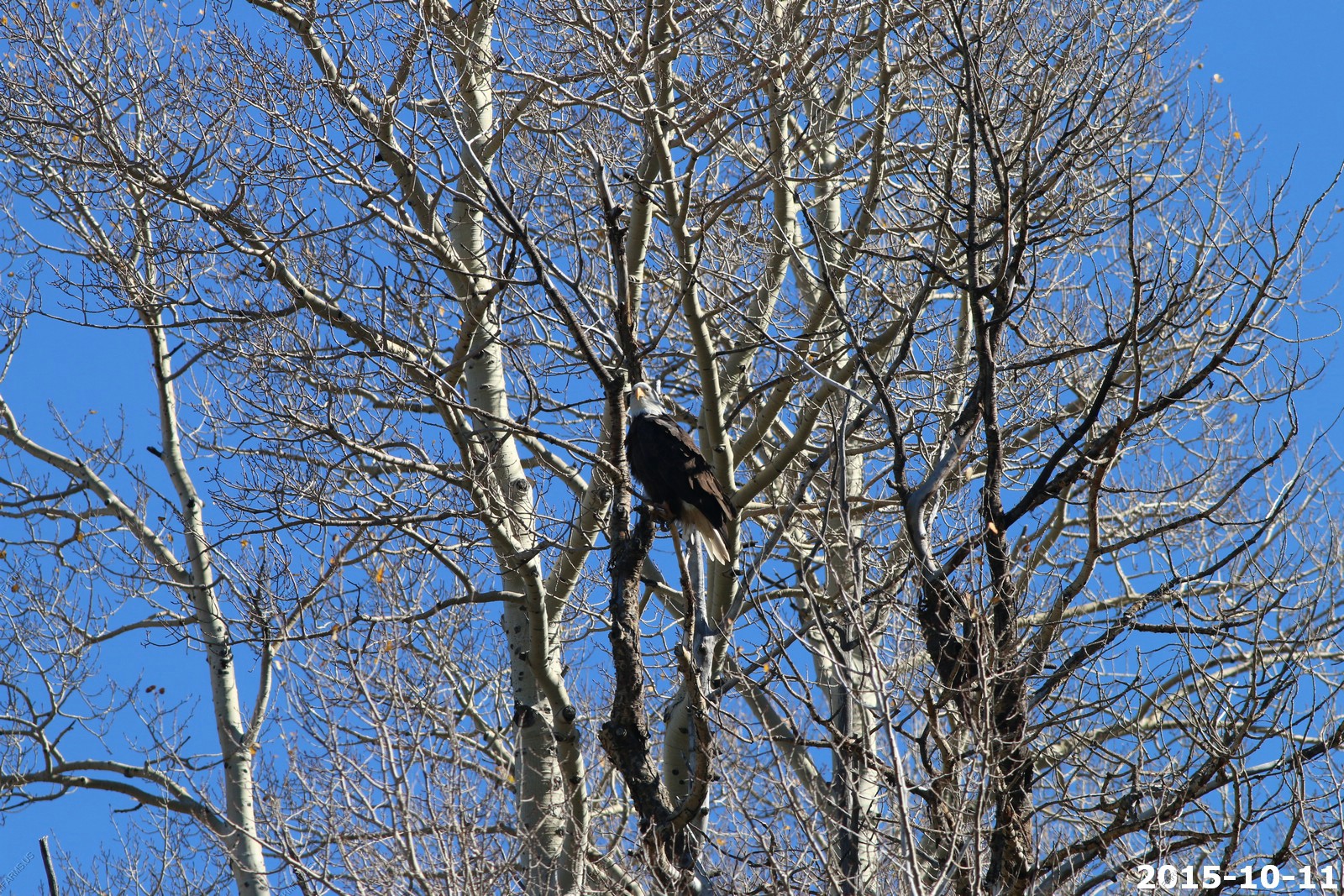
Big Blue Bird
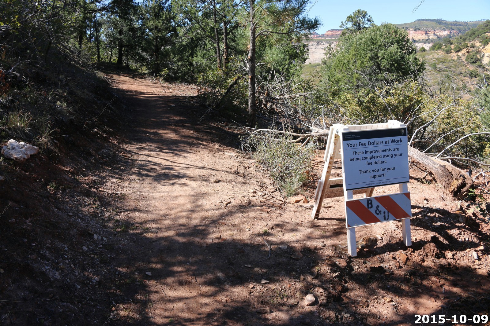
Oh no construction. Hope we don't get into a trail backup !
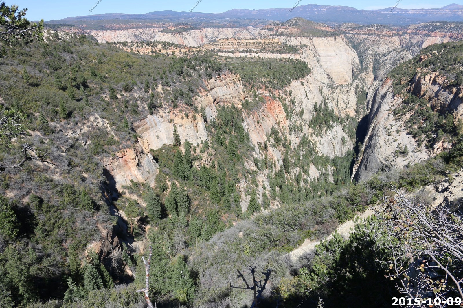
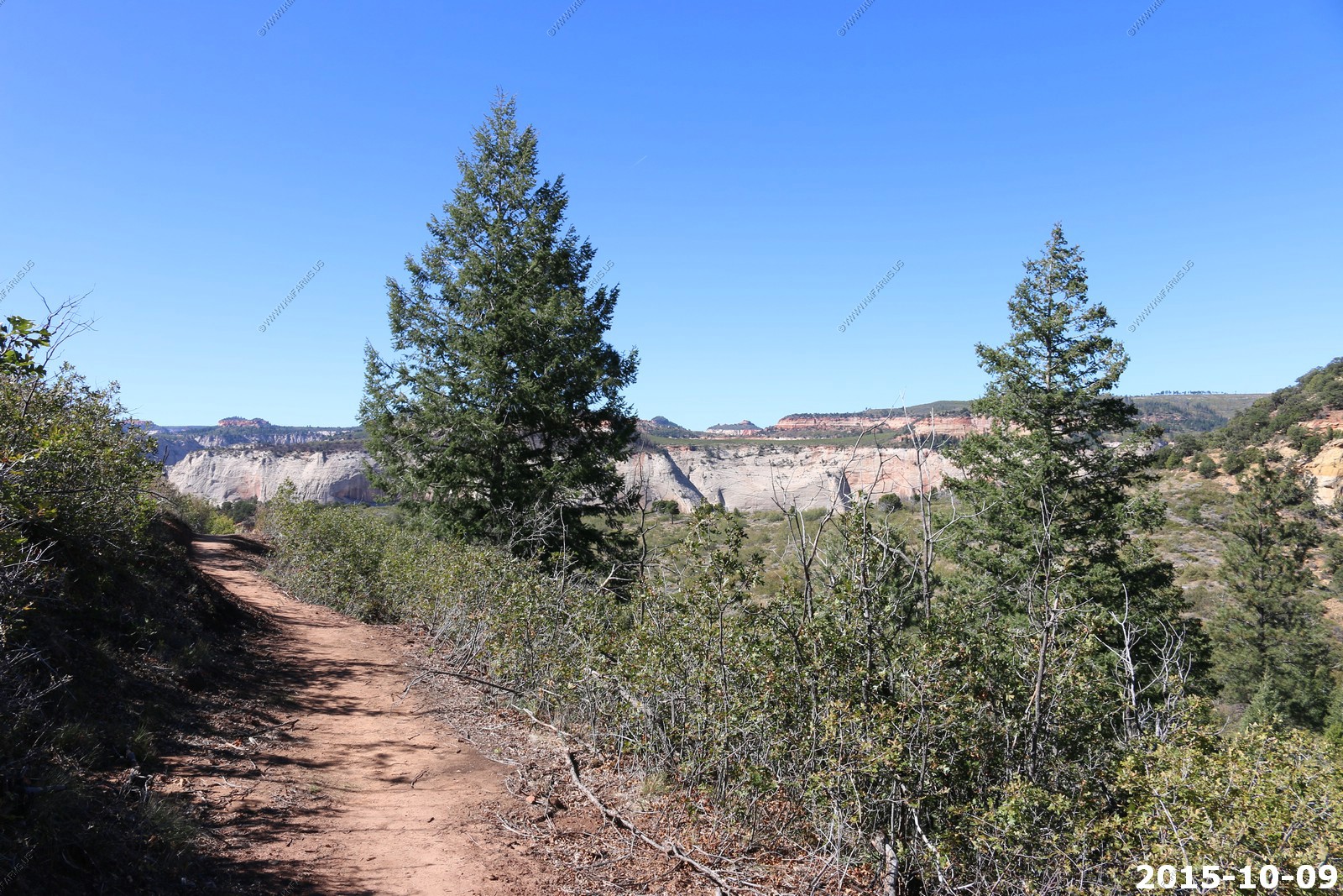
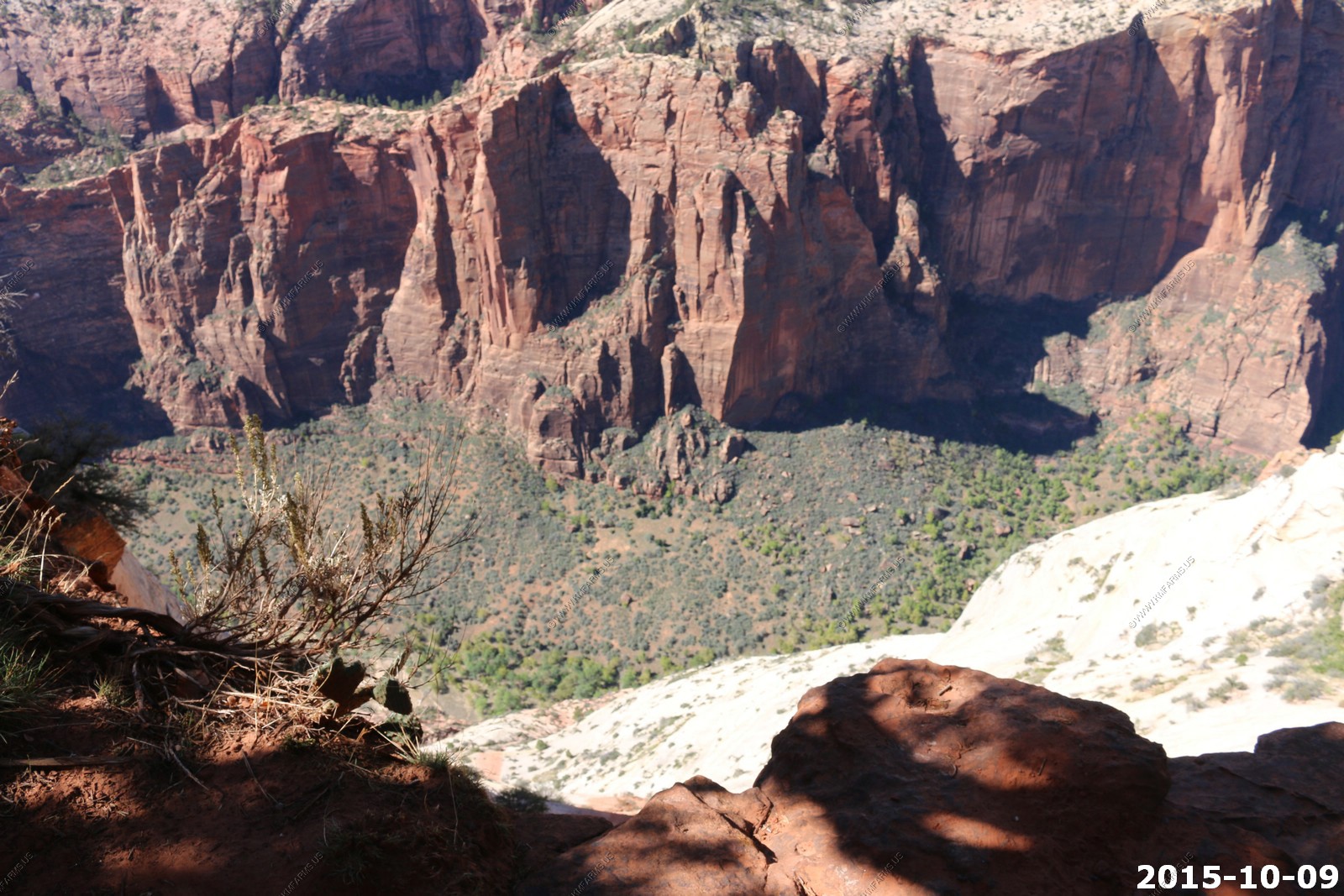
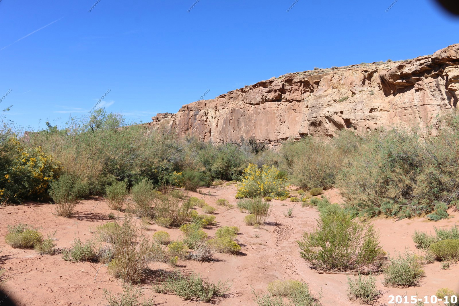
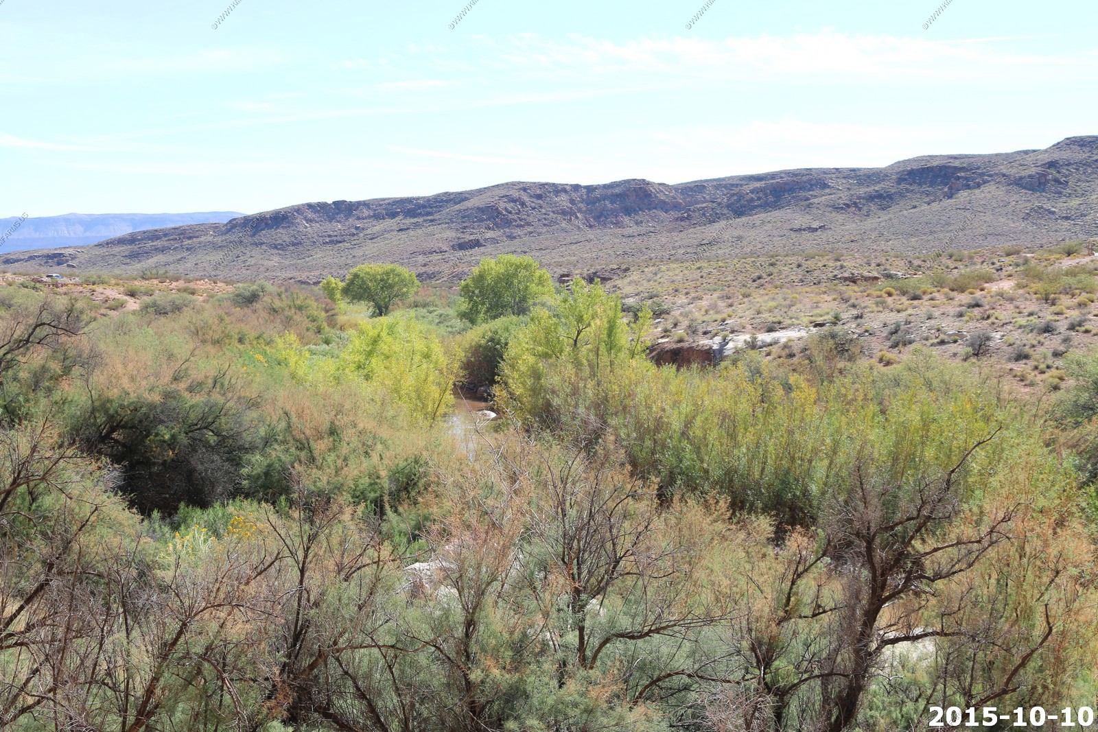
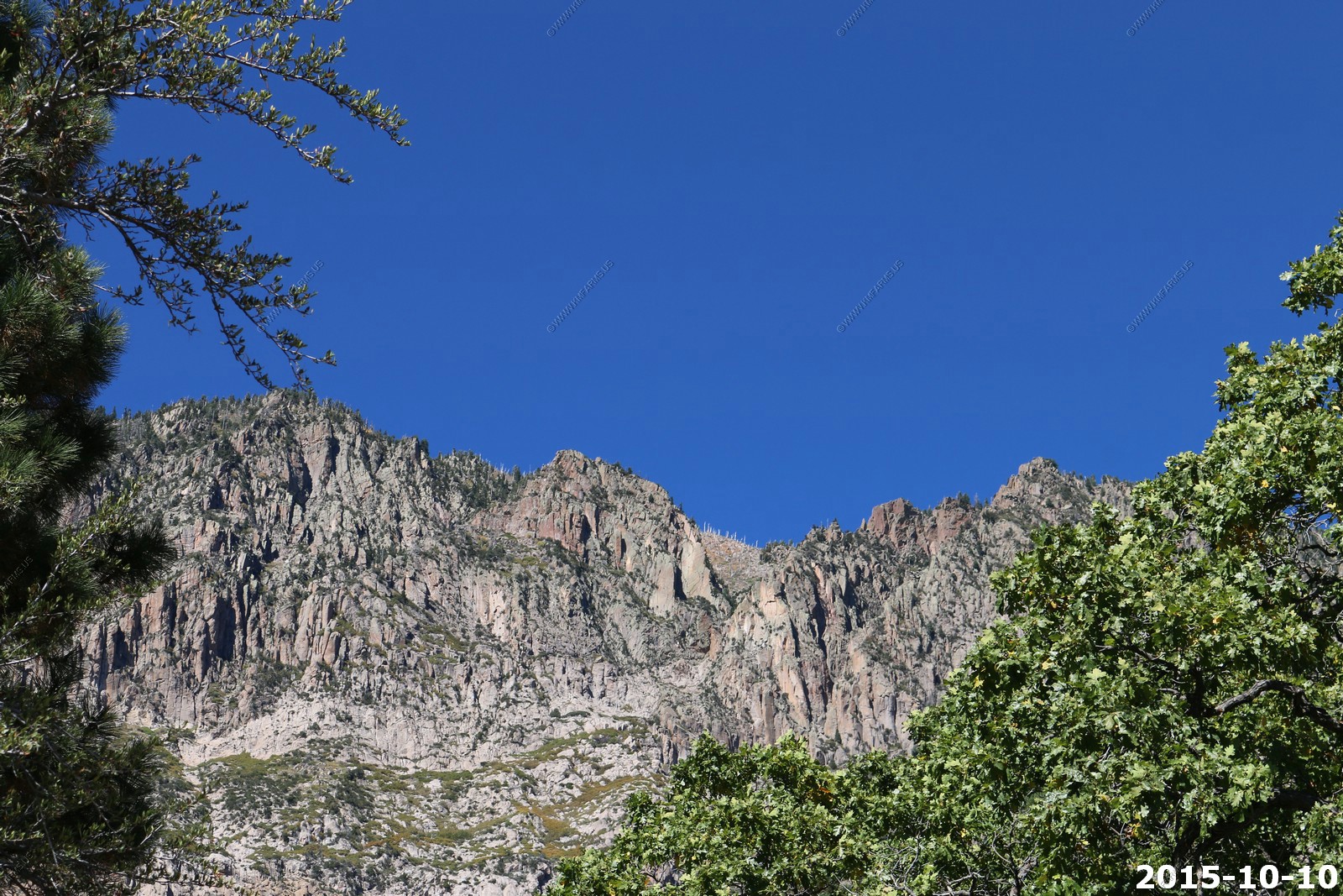
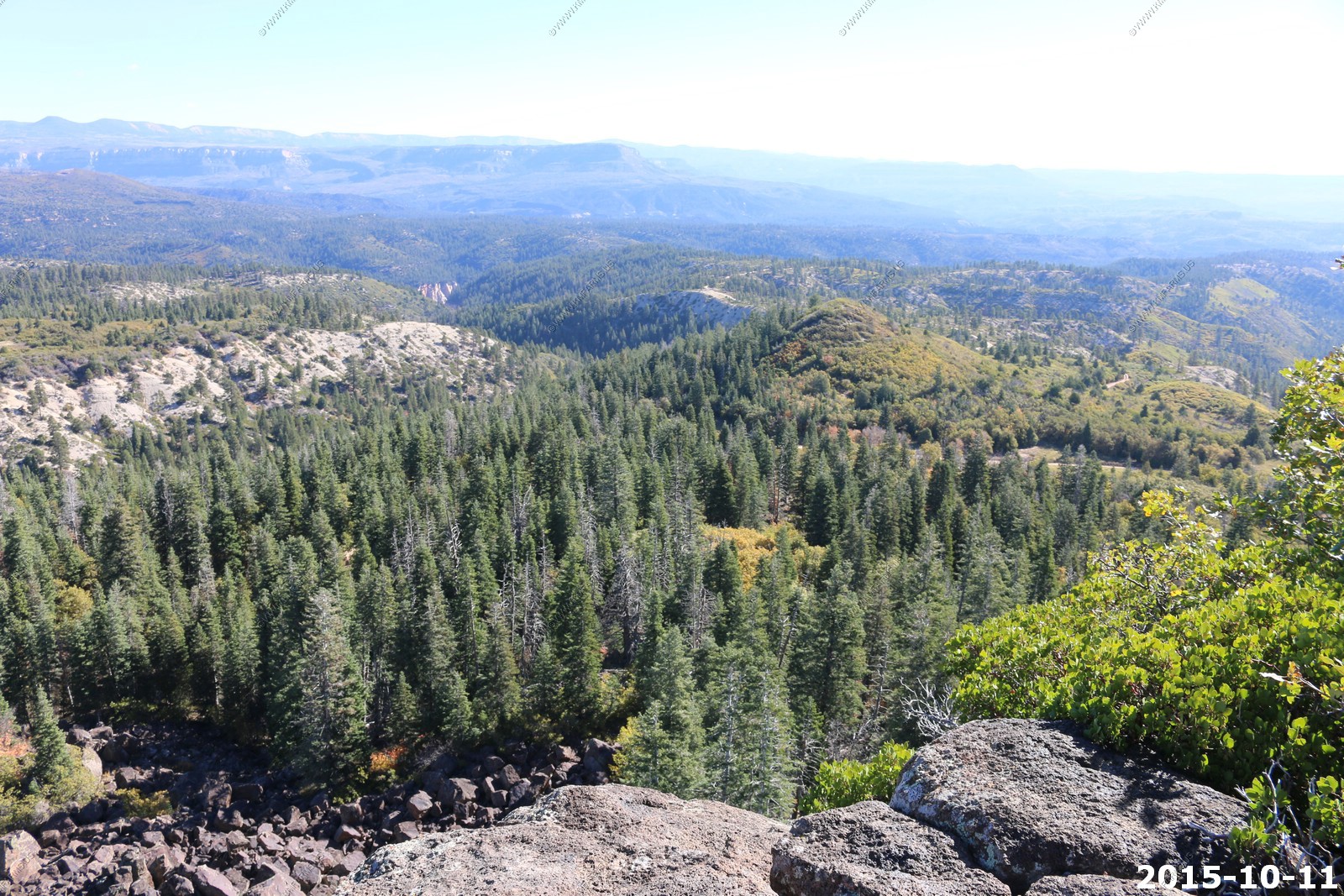
Another side canyon
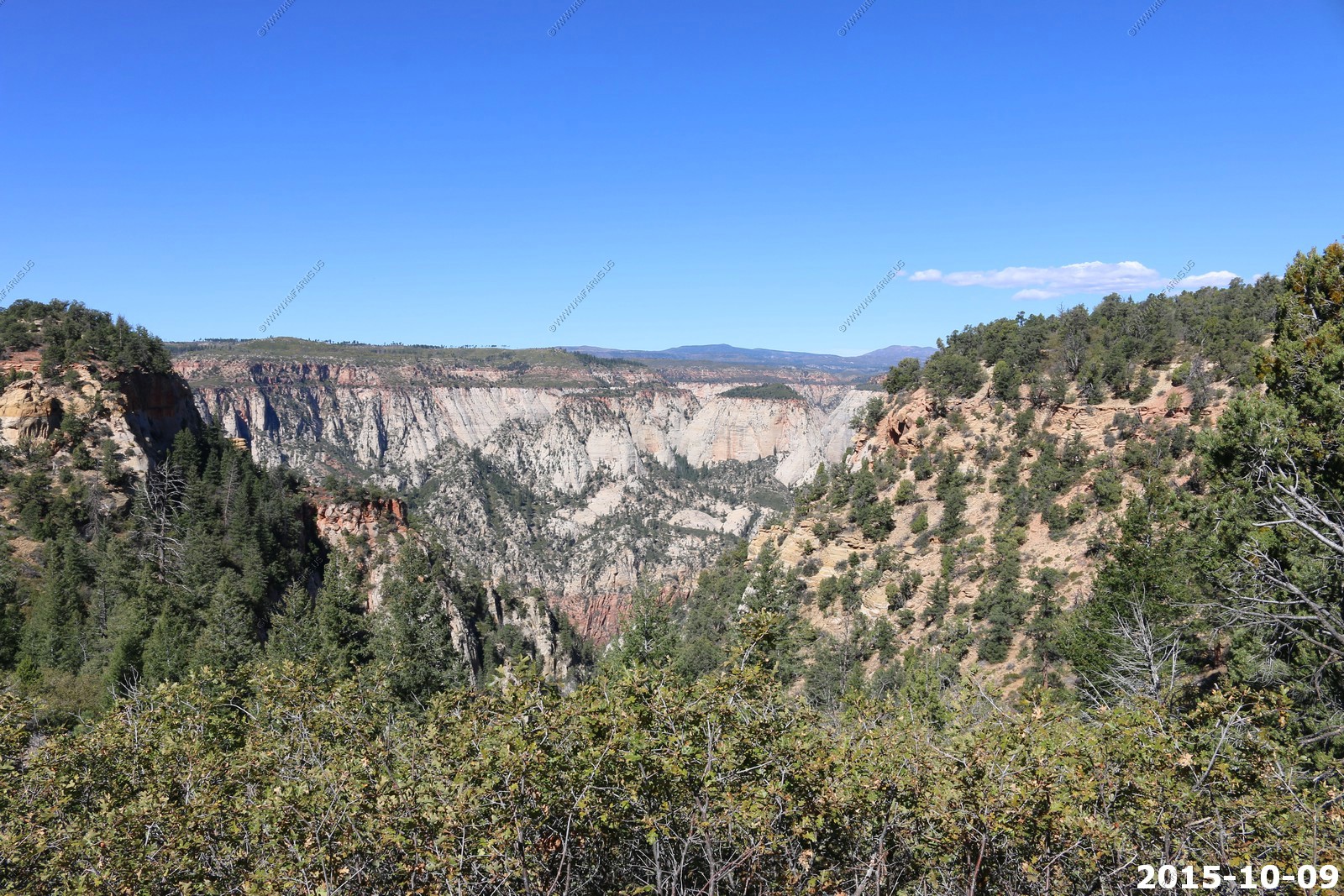
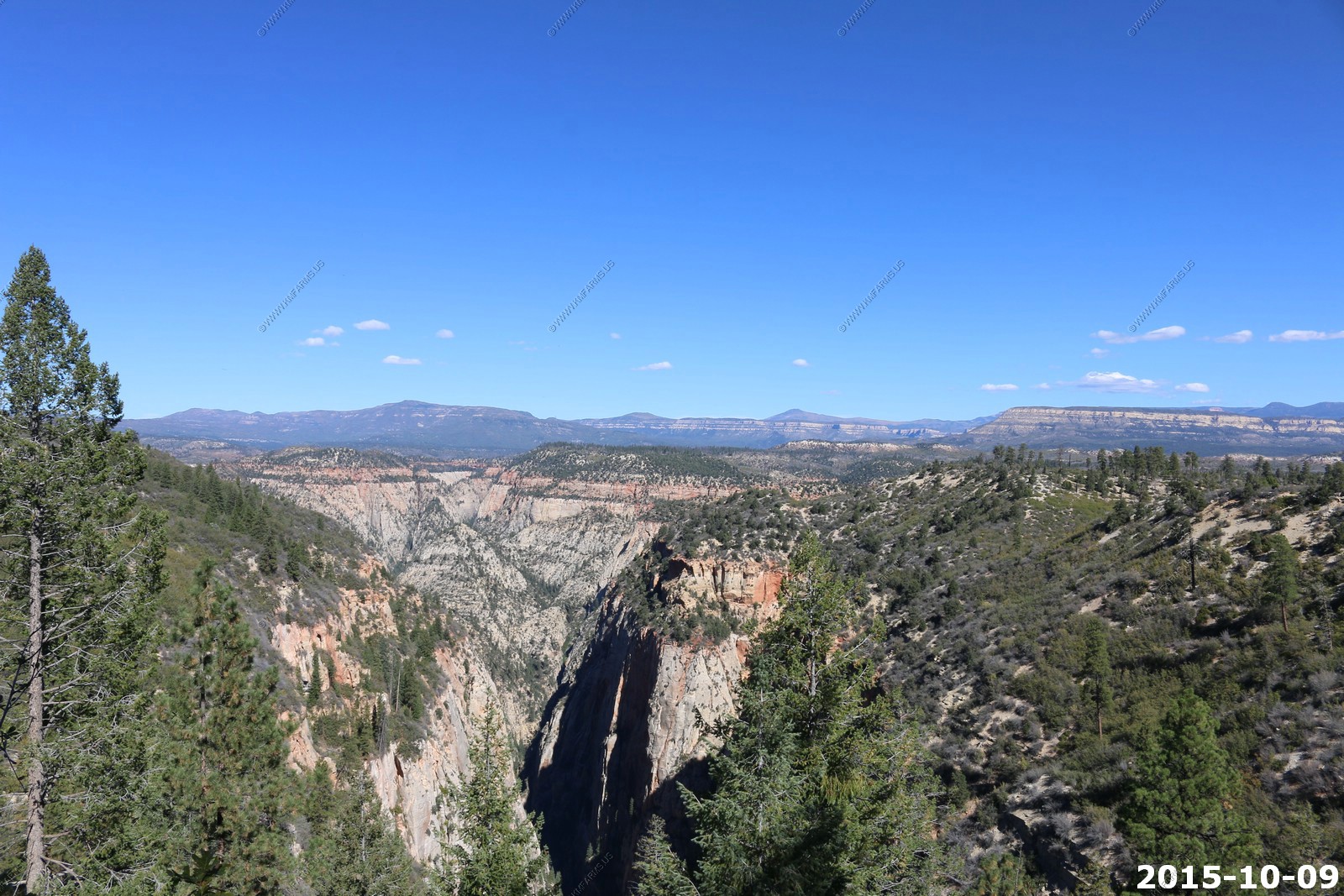
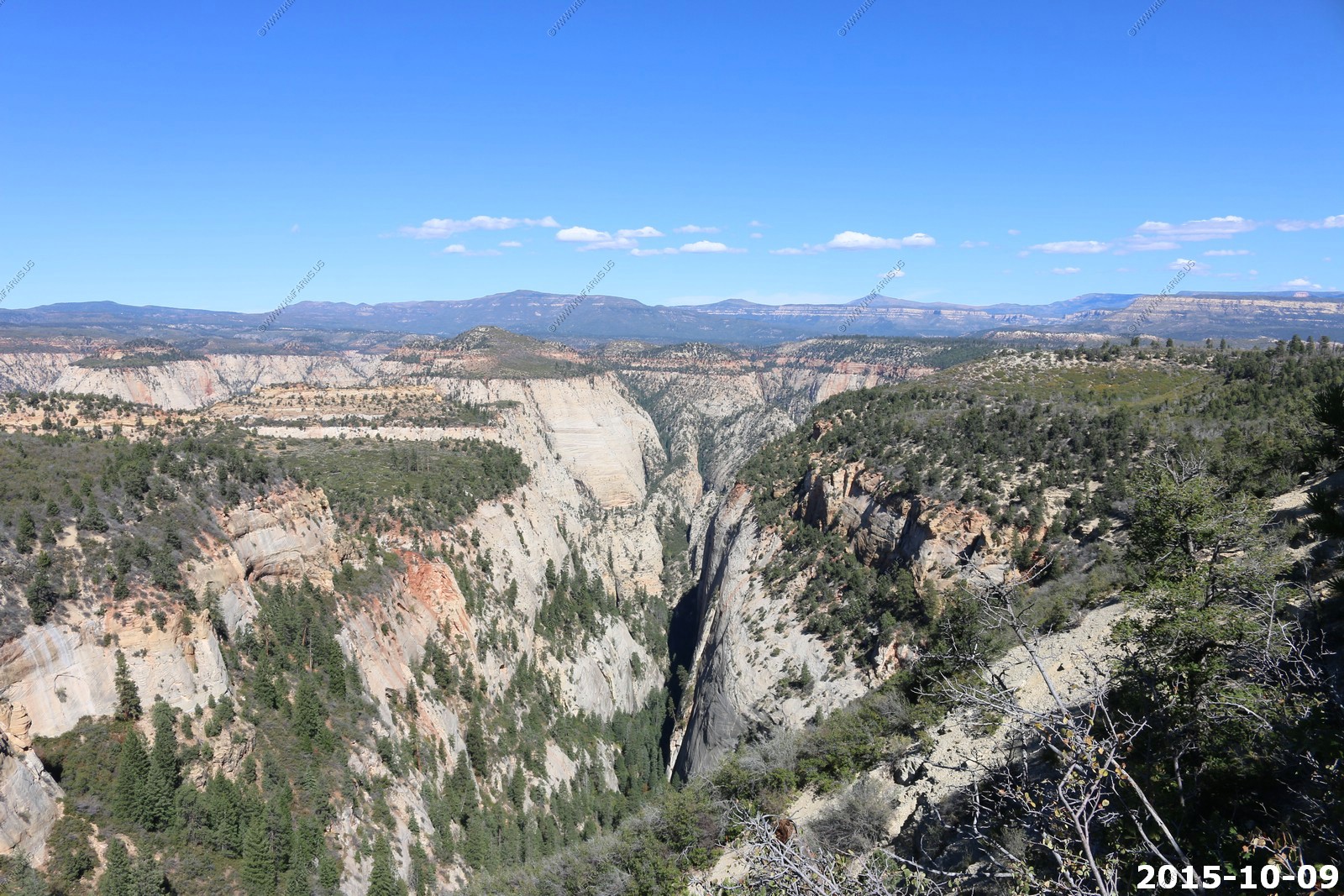
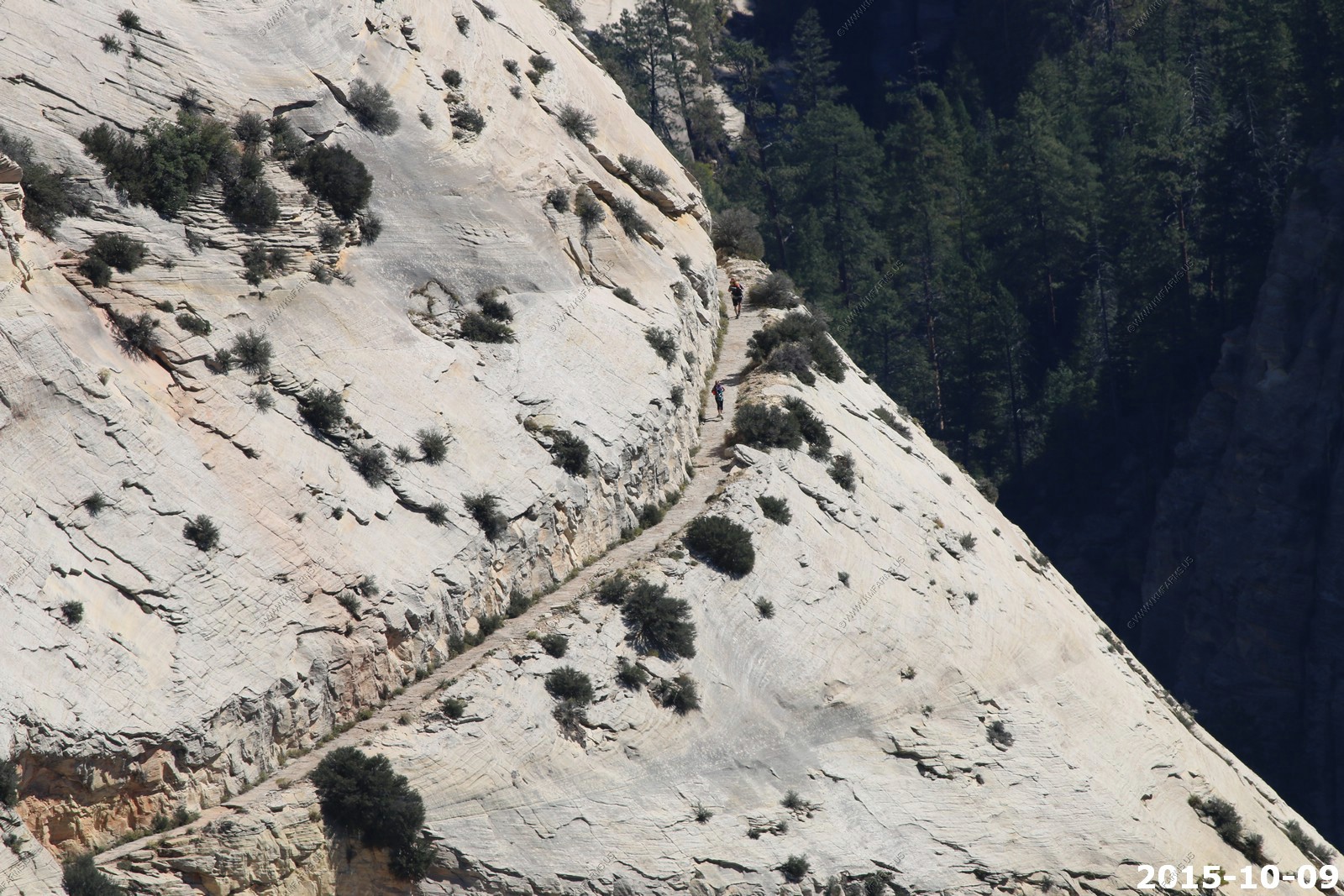
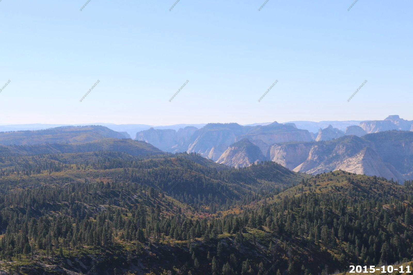
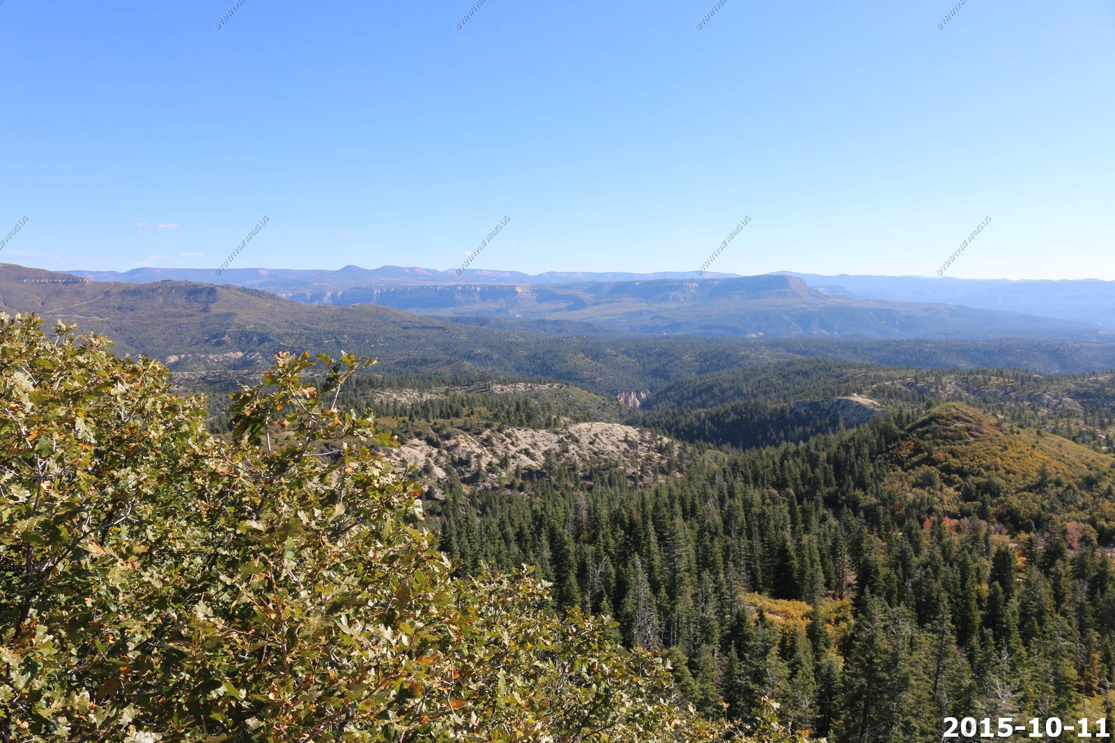
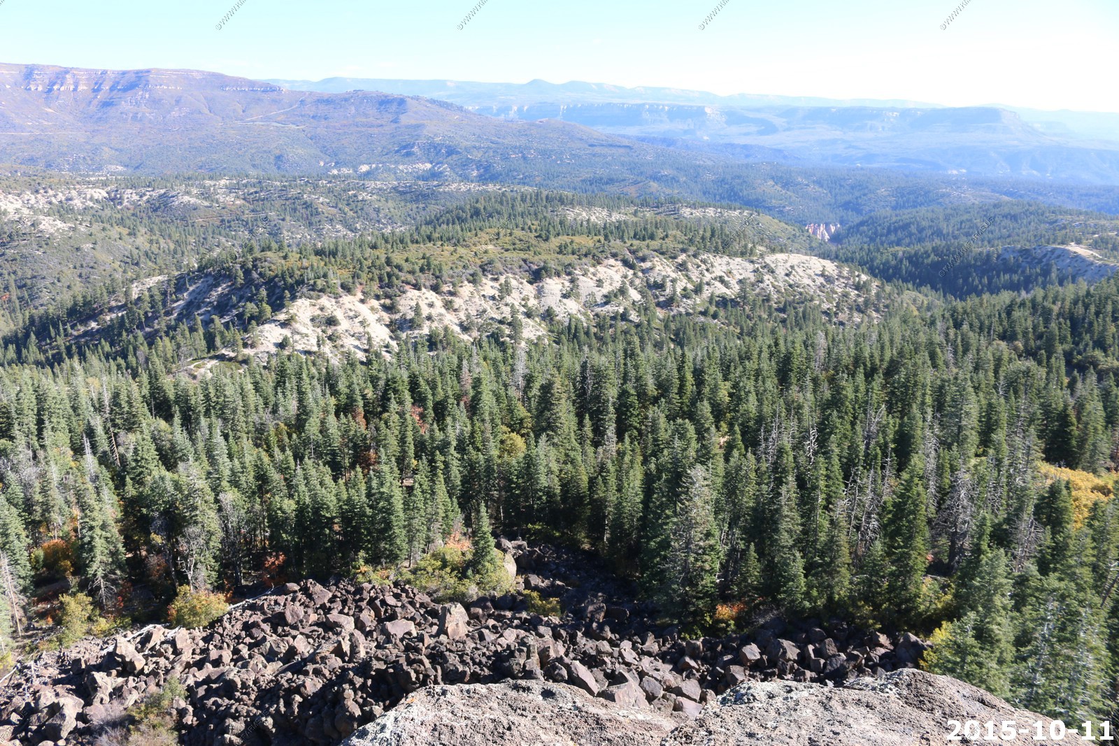
Had to believe that a 2,500 foot deep canyon runs between us and the other side where you see the trees.
Trail junction marker
Not a good place to trip
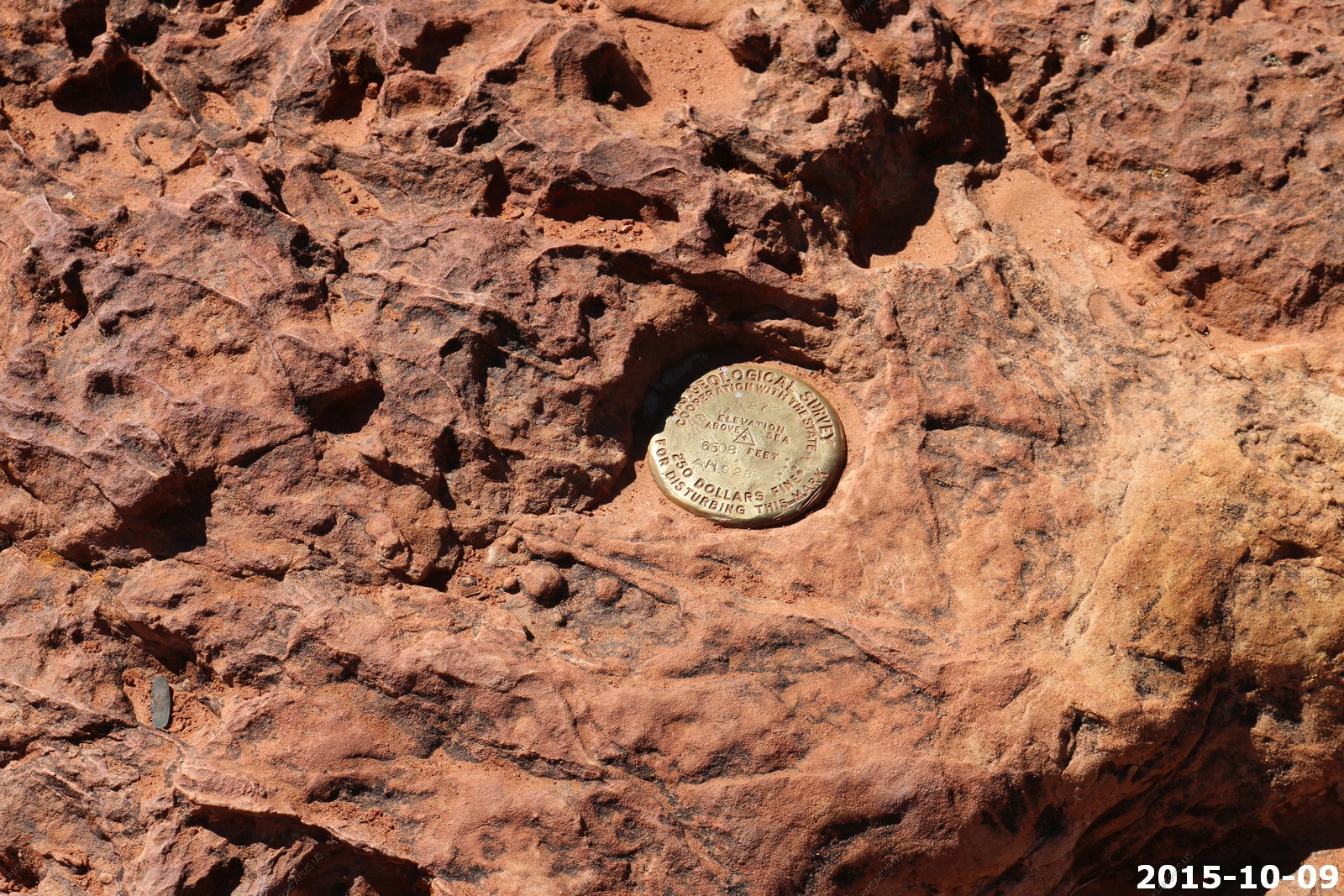
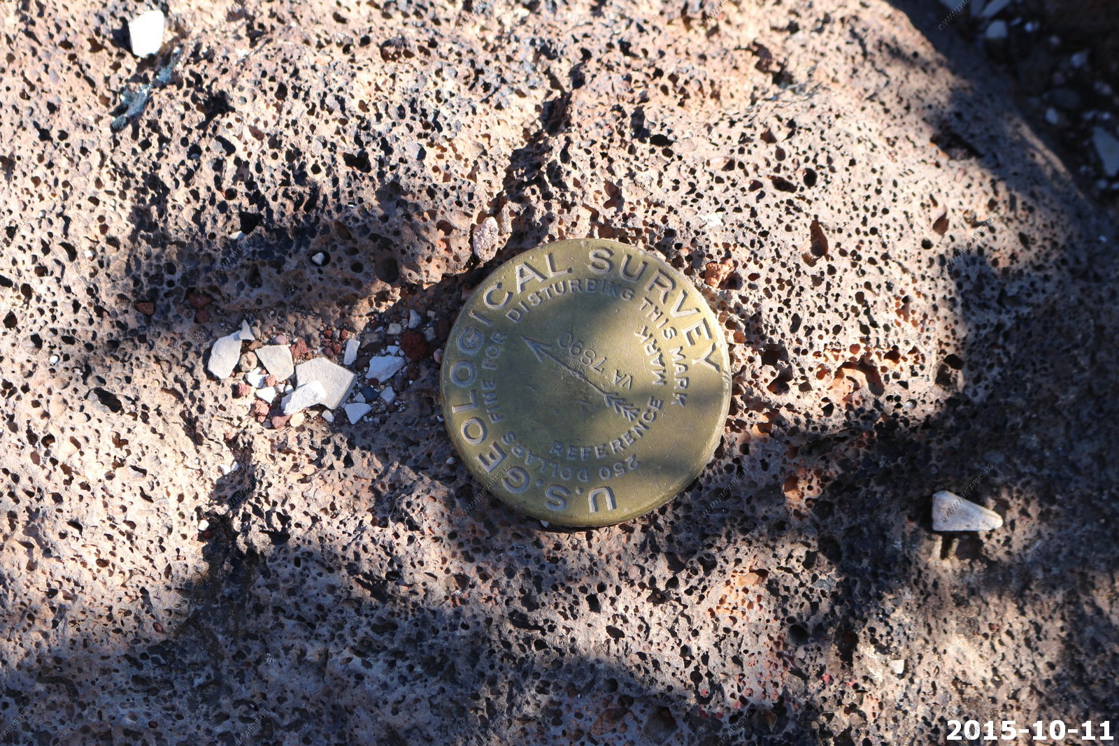
The benchmark
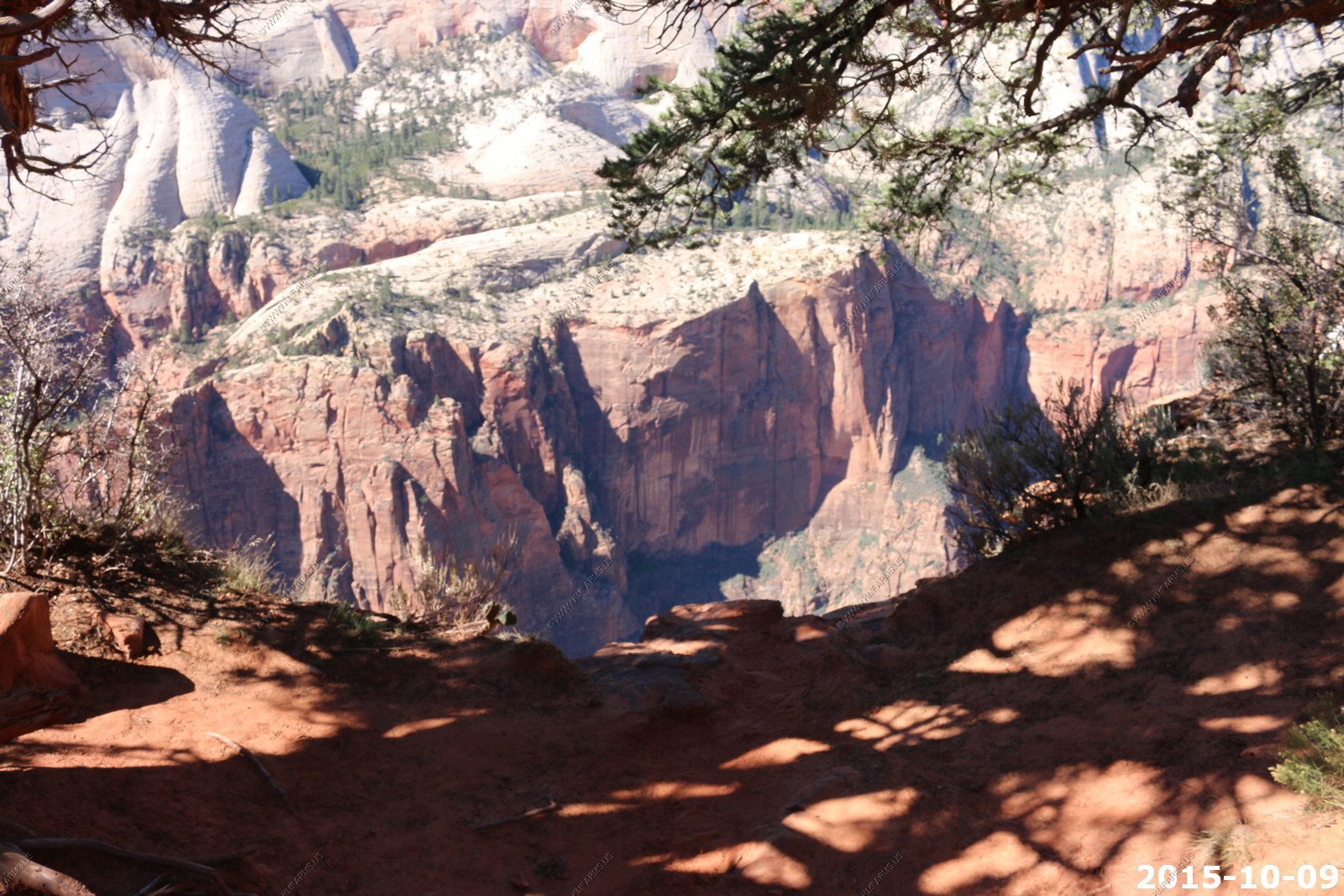
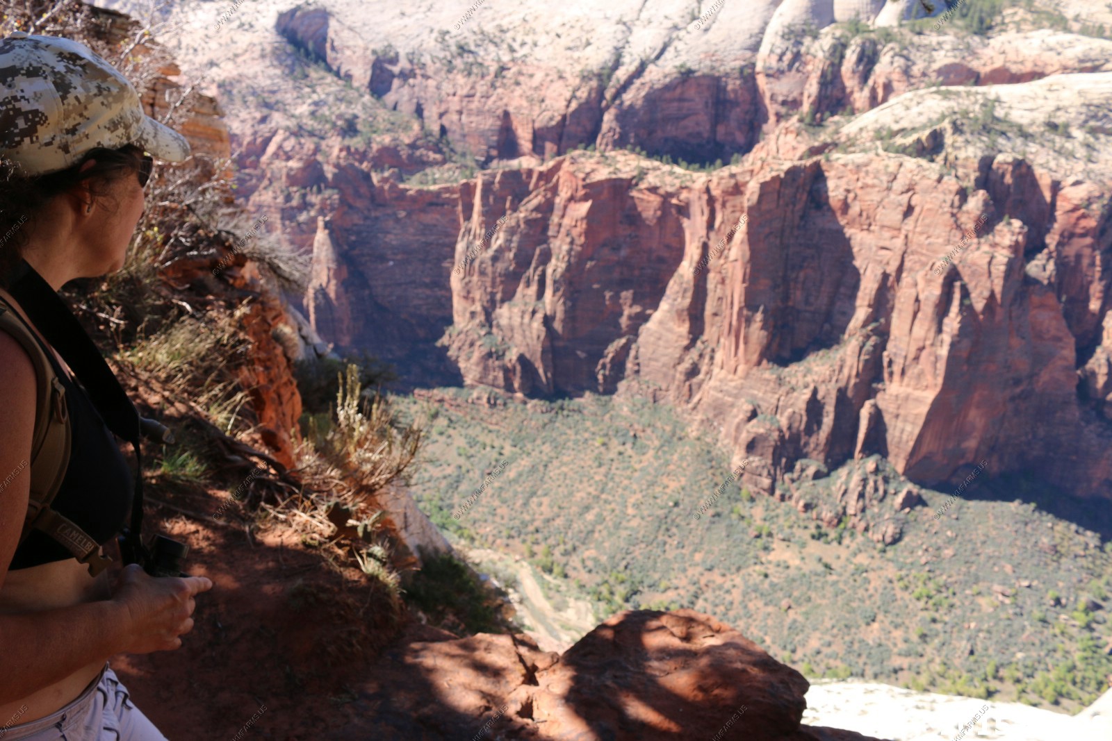
Looking down on the Virgin River Canyon
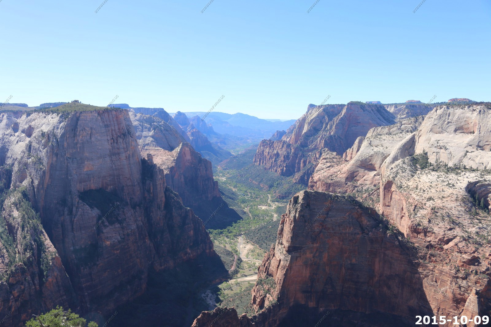
2,500 feet straight down
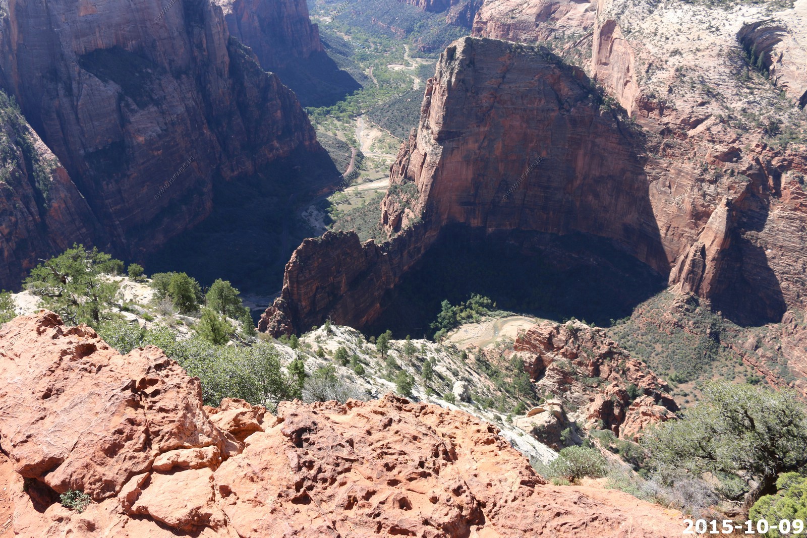
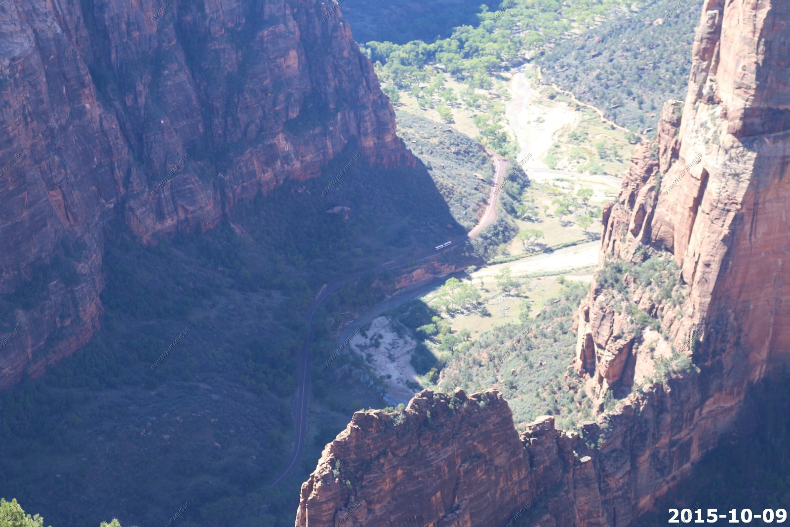
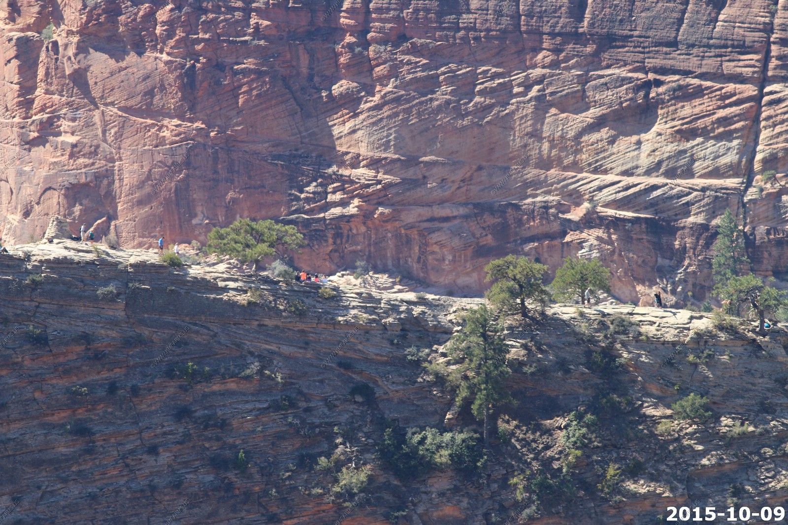
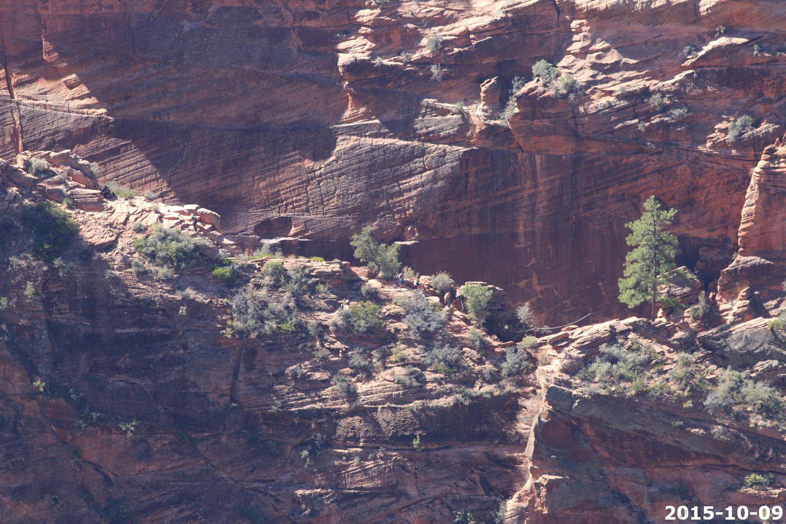
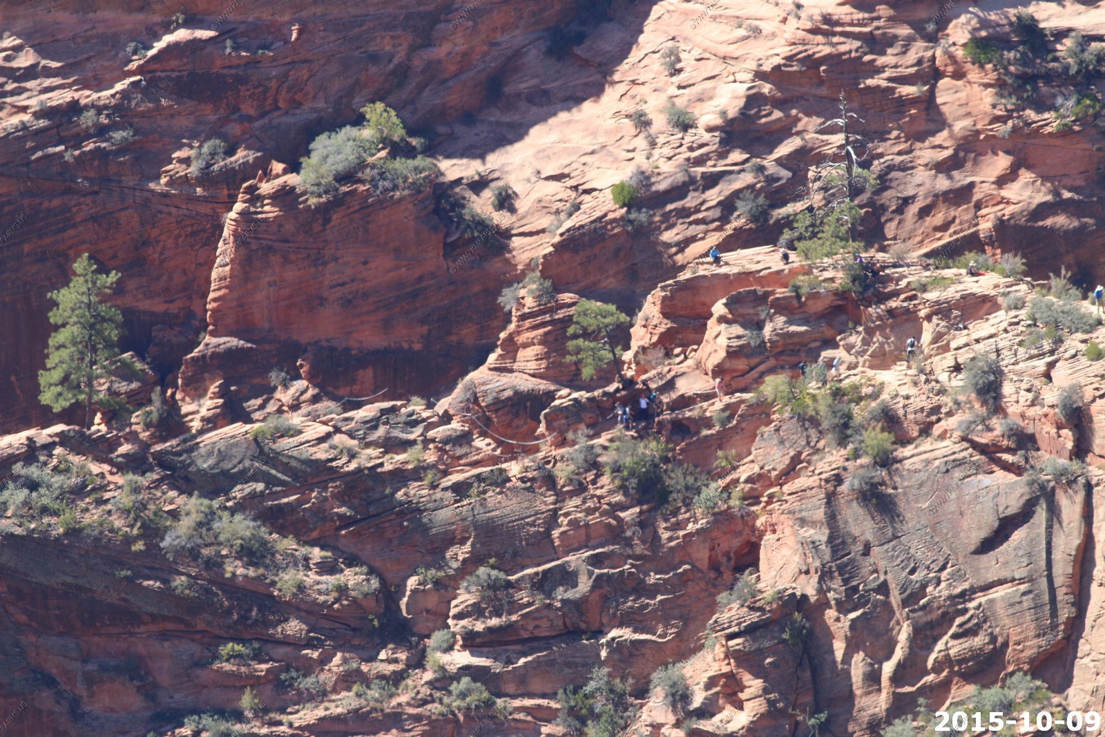
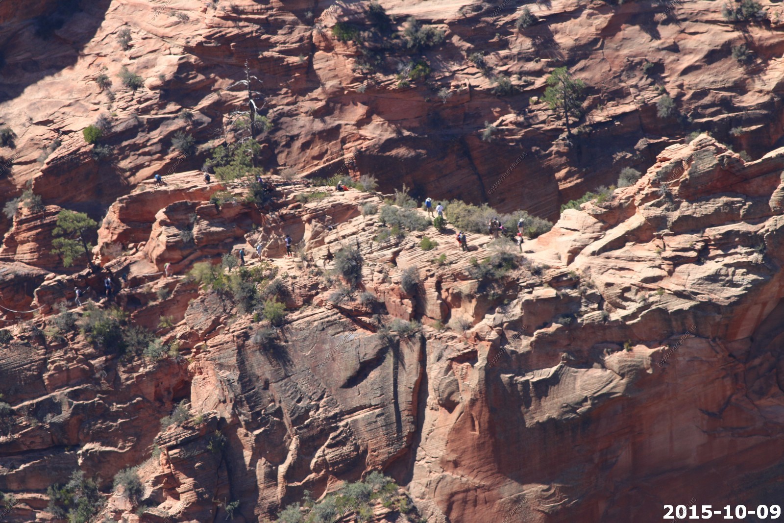
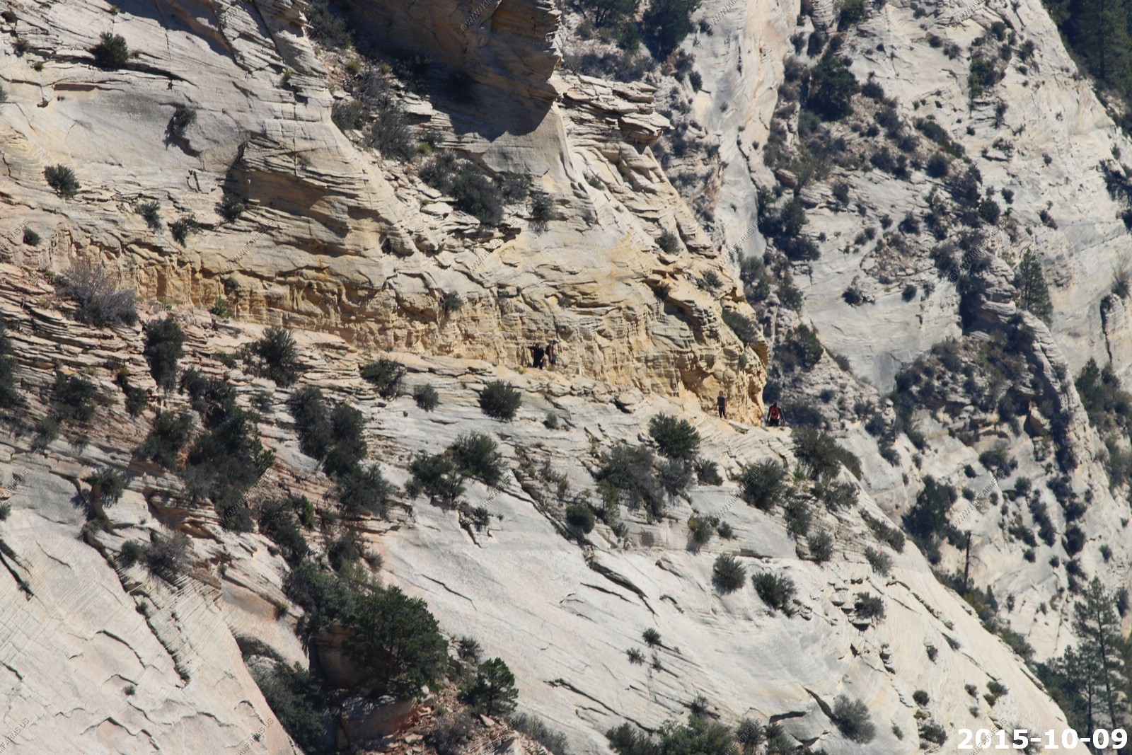
400 mm lens shot of people across the canyon on Angels Landing (El. 5790) they are 1,000 feet above the canyon floor
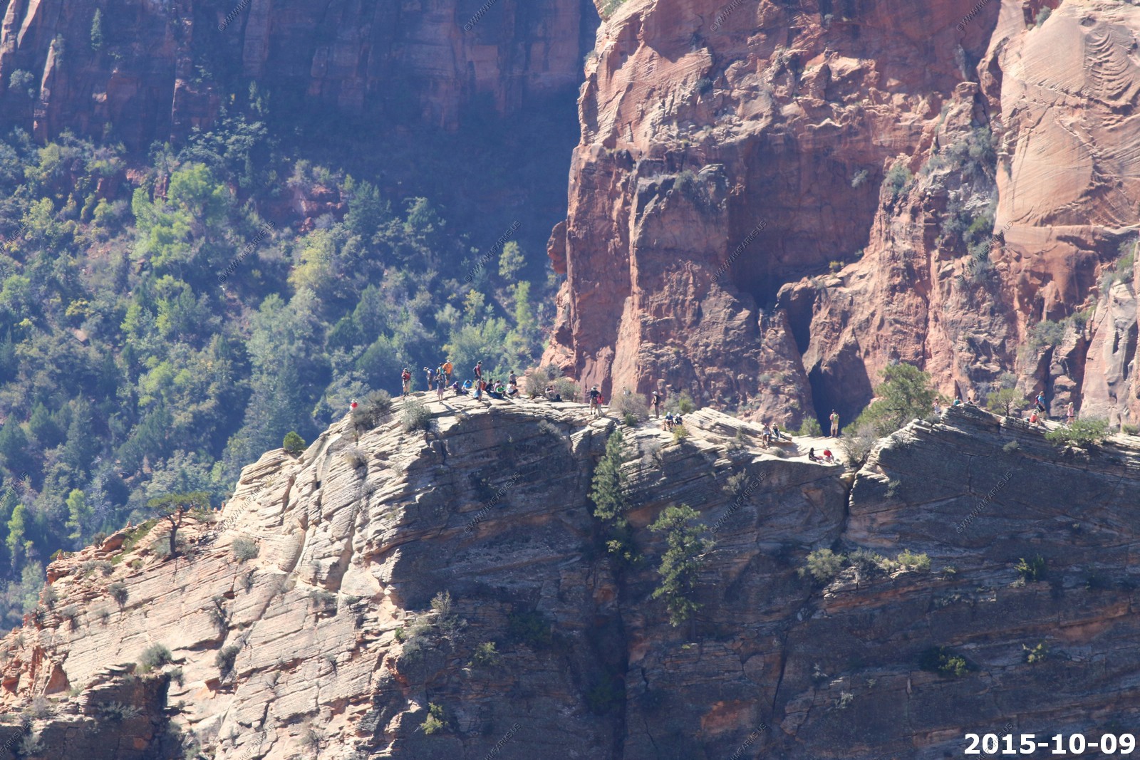
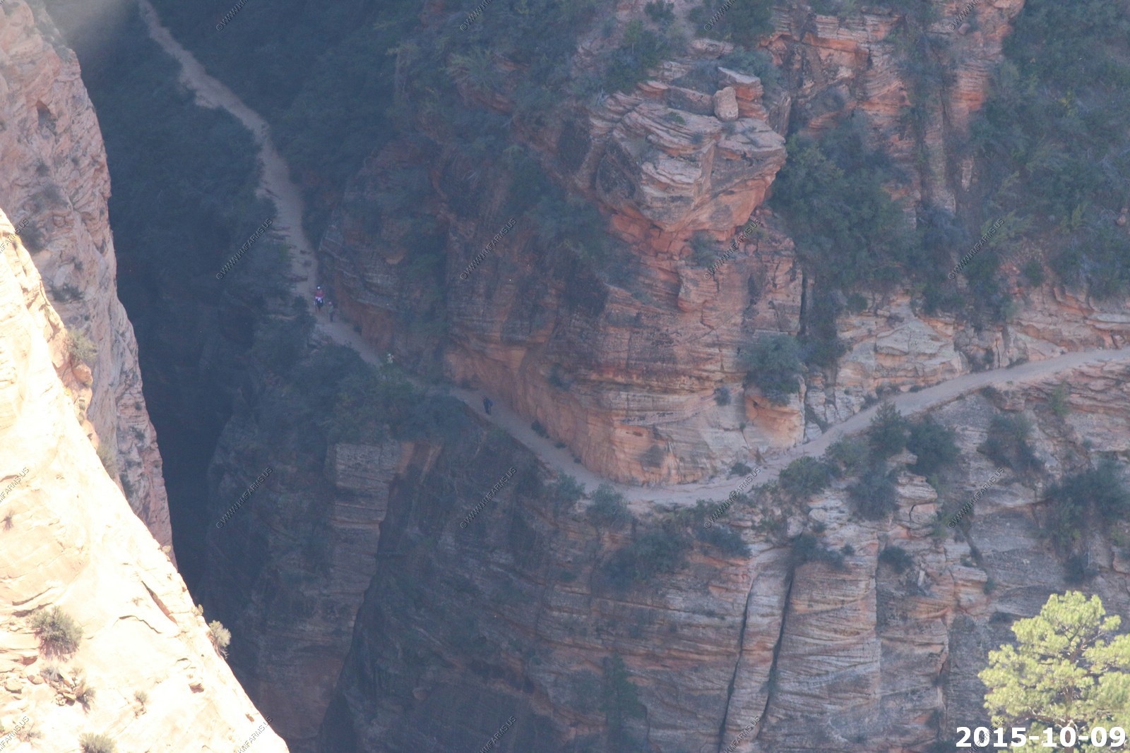
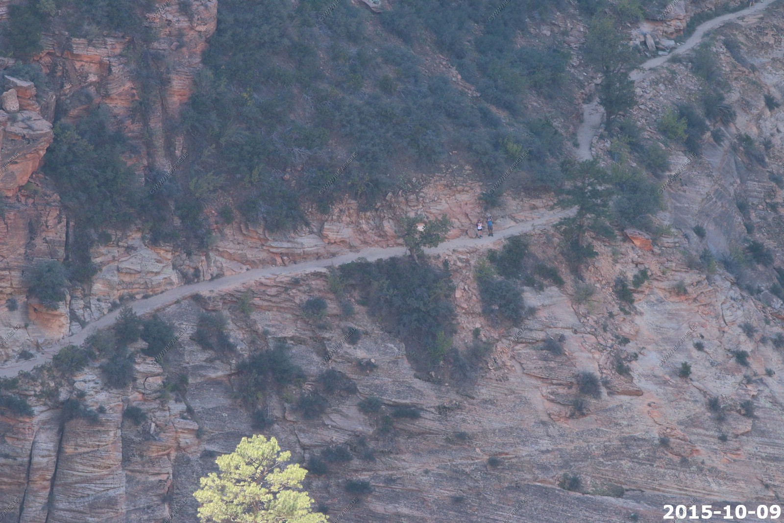
The trail up to Angels Landing
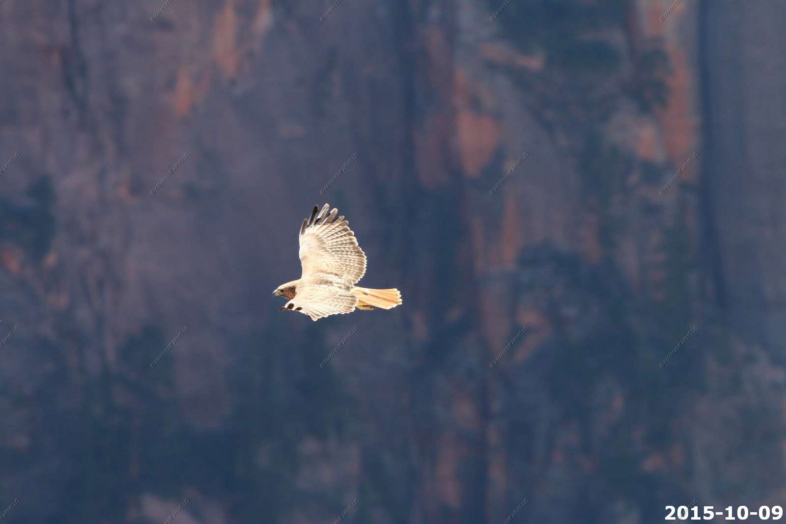
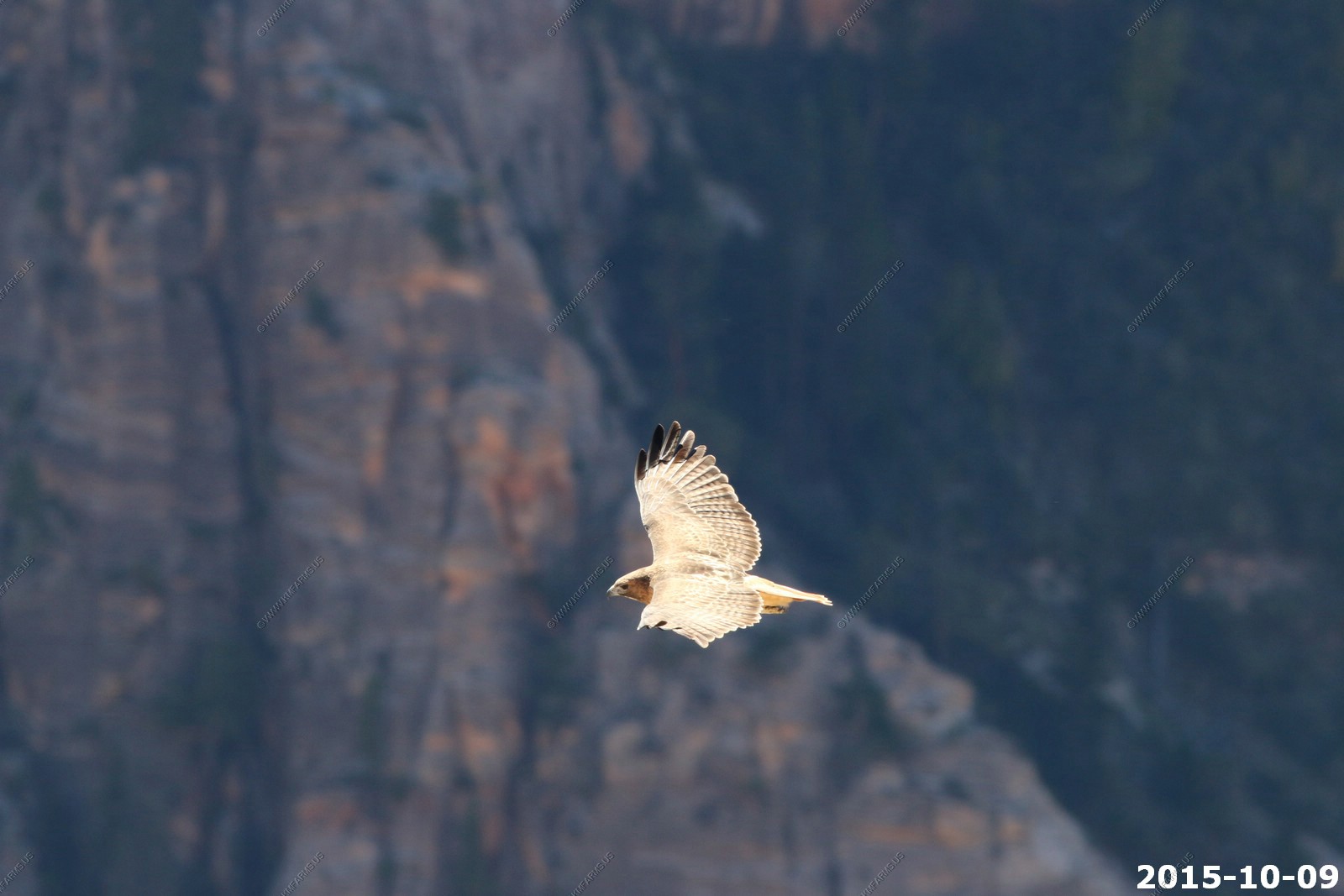
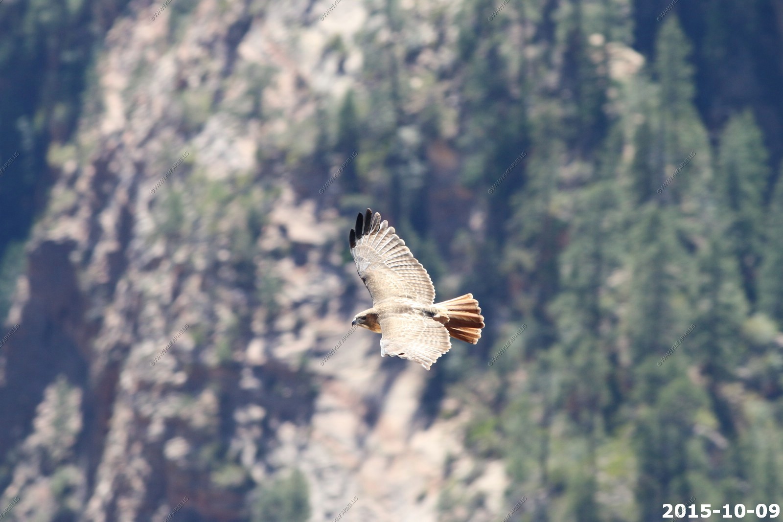
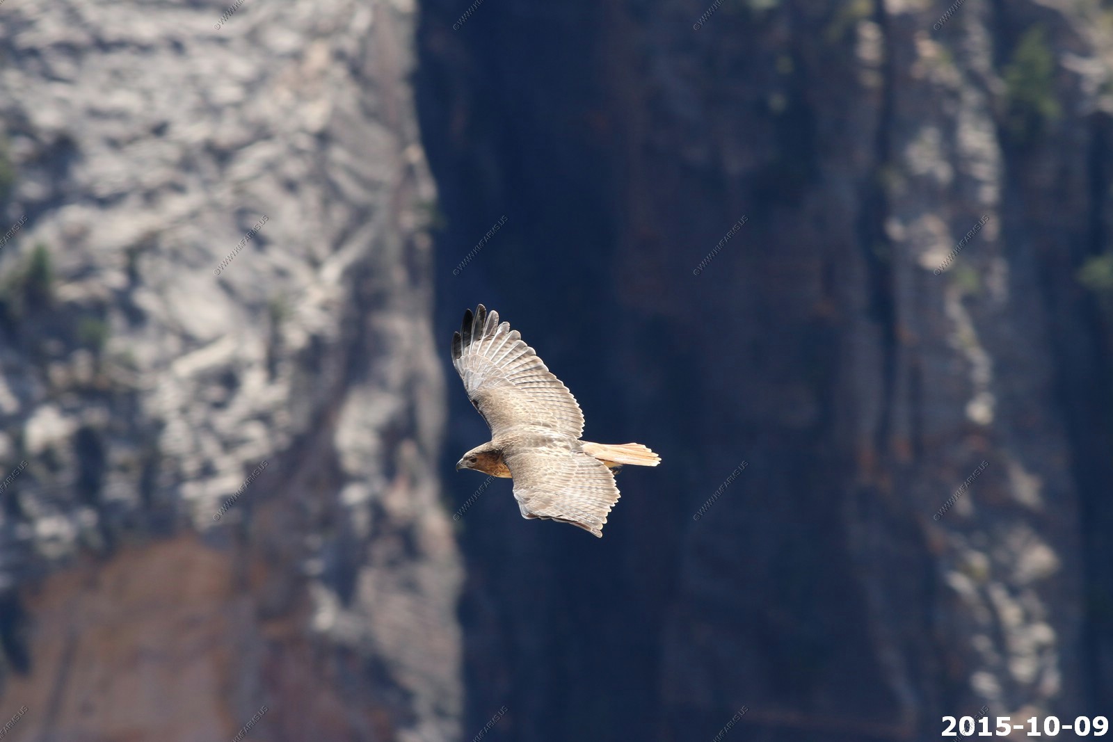
Mary watching Hawks
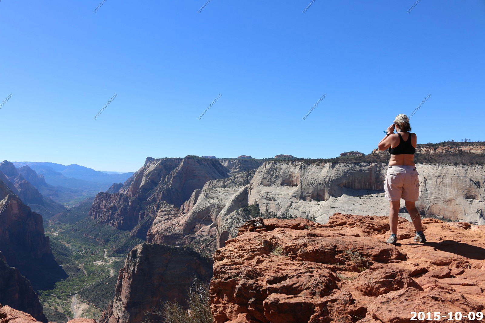
The Hawks would fly right past us

Echo Canyon trail from the valley floor. We were able to avoid this by hiking from the east side on East Mesa Trail.
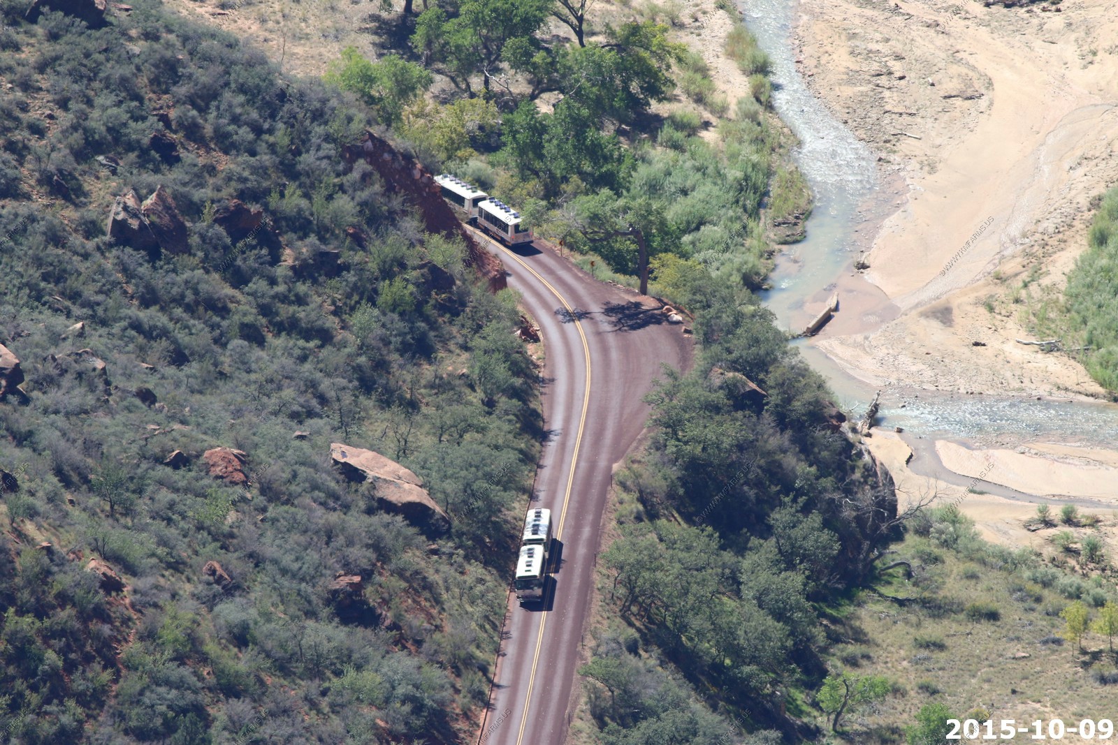
The shuttle buses that they force you to ride on now. They should have jacked up the prices to reduce the visitor count.
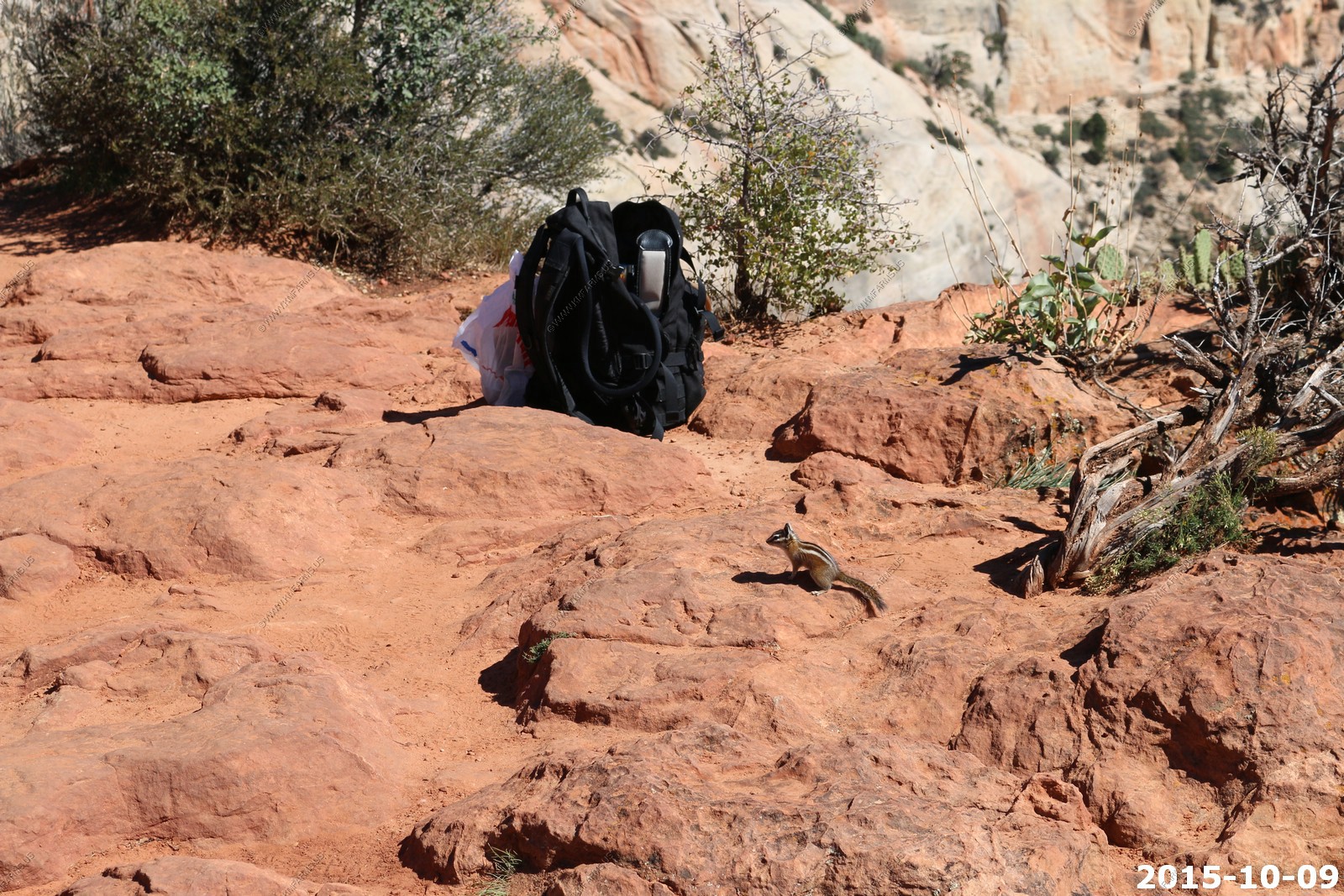
Friendly critter looking for a handout
This is a terrifying drop-off. Because of the angle you would probably live most of the way down as you wear away on the angled rocks
Heading back. Mary was dragging on this trail. We had cell service here so I was sending Monika text messages on how elderly Mary has become in the years since we hiked this.
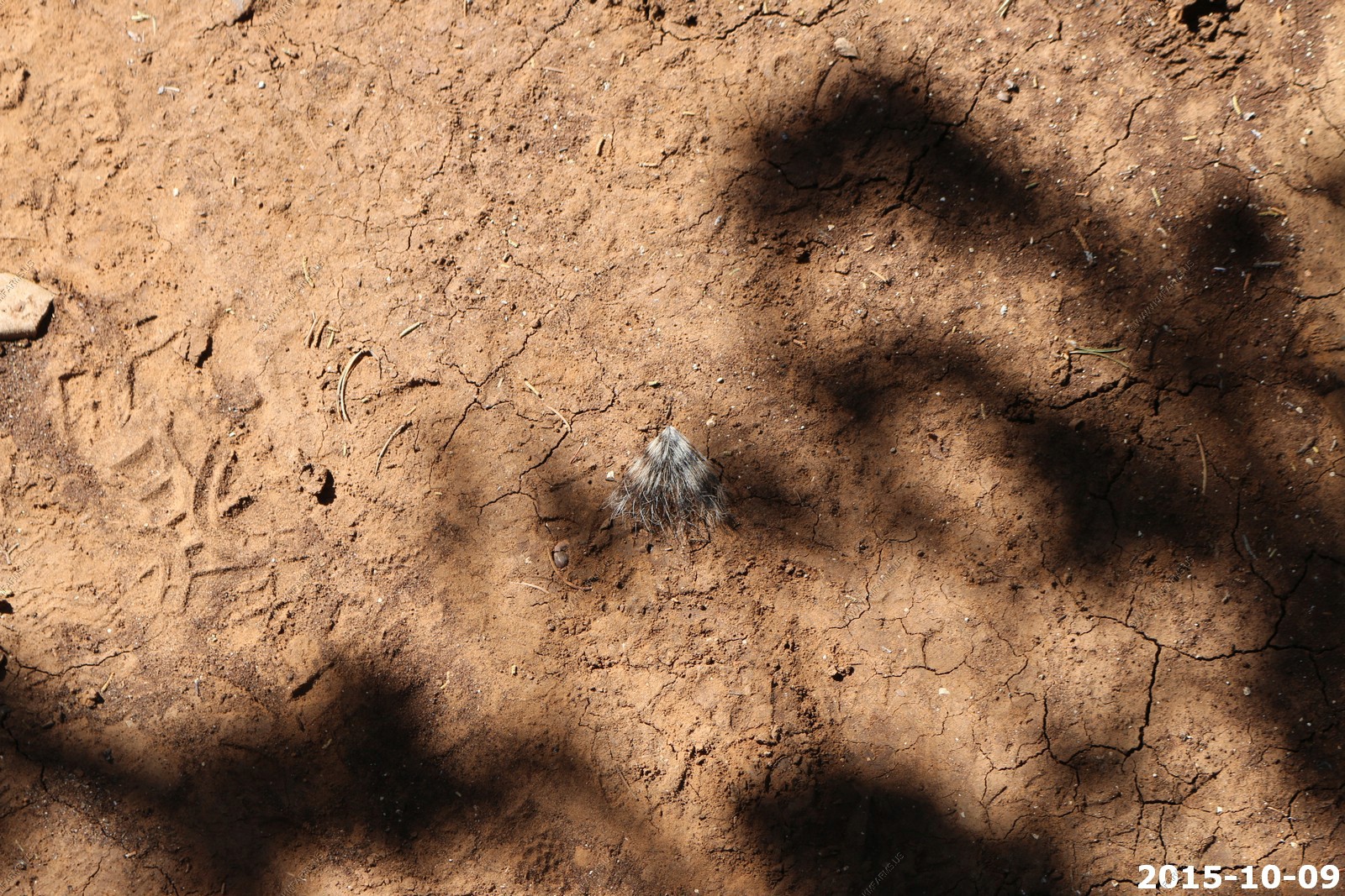
Critter fur
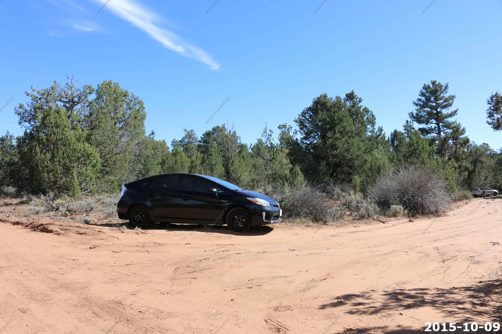
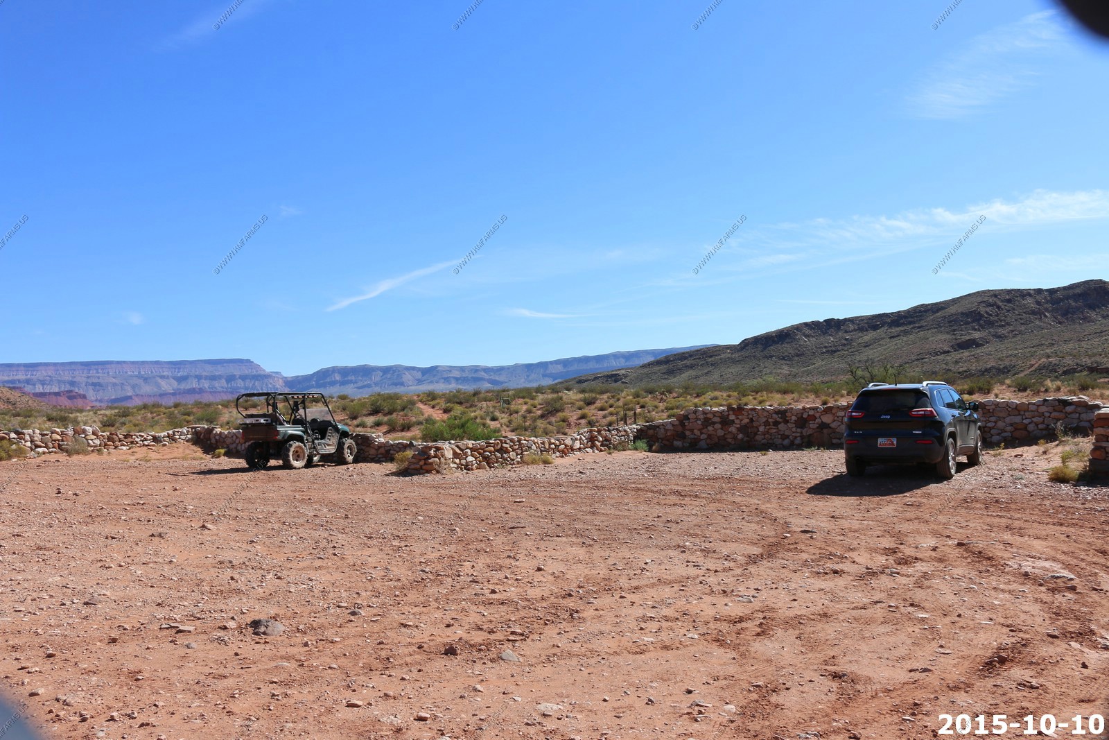
Back to the parking area located at 37.296N 112.900W
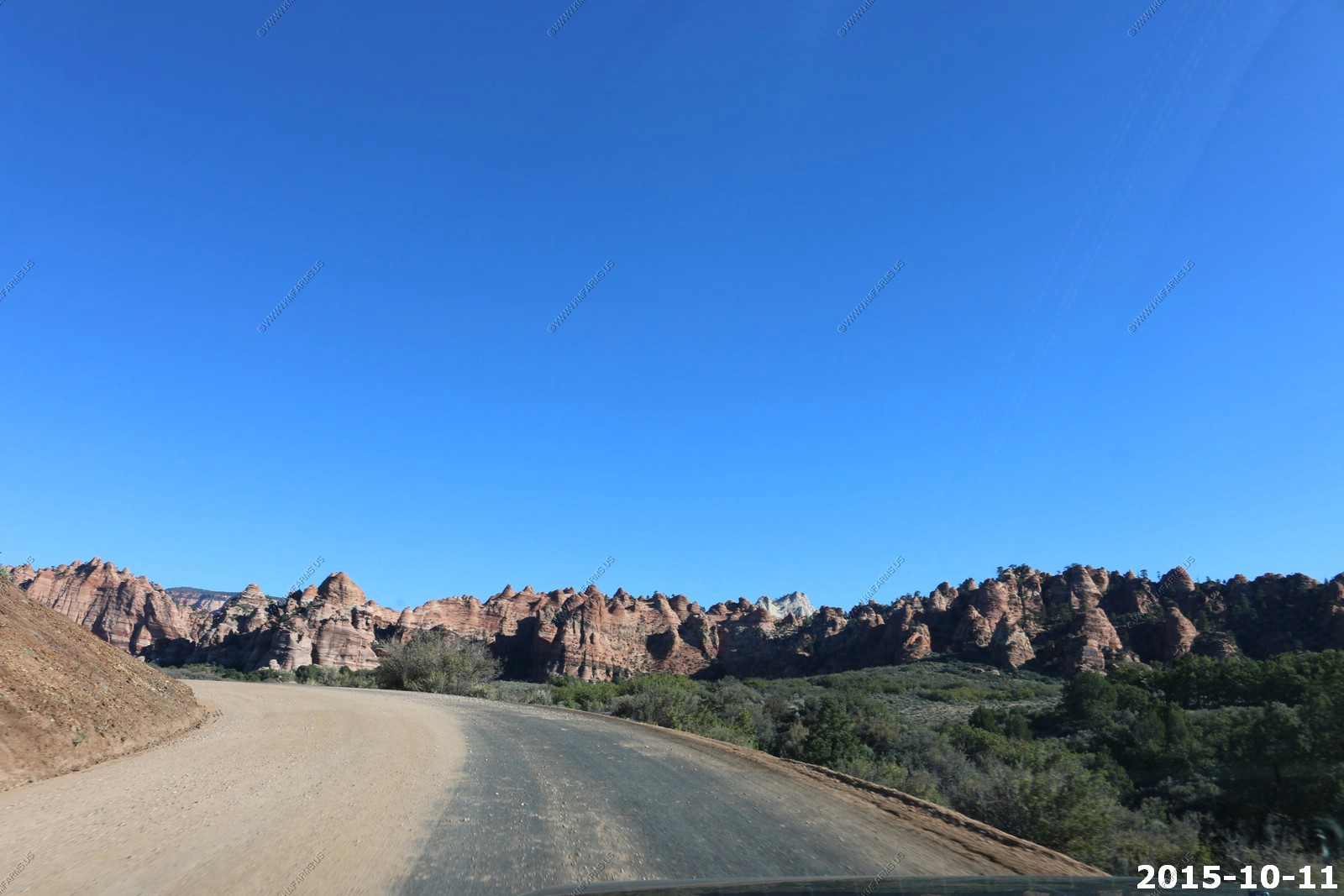
Funny a Toyota Prius made it back into this area. The roads were rough, rutted and lots of sand but it made it
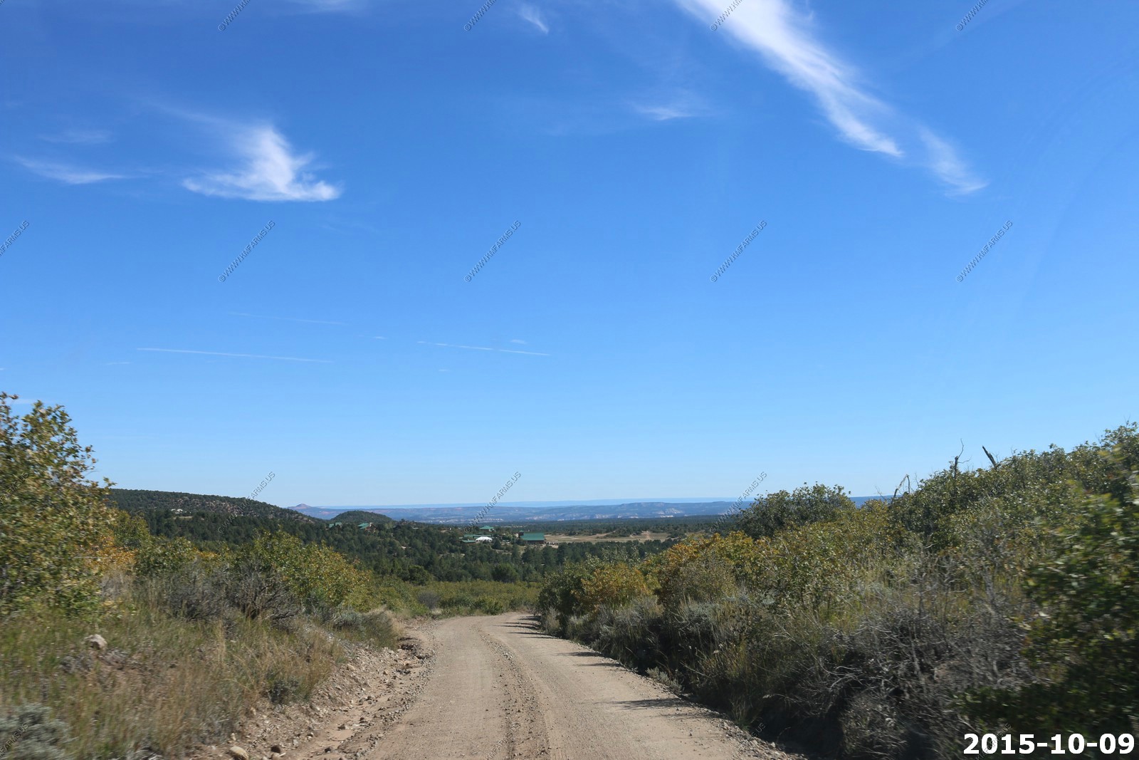
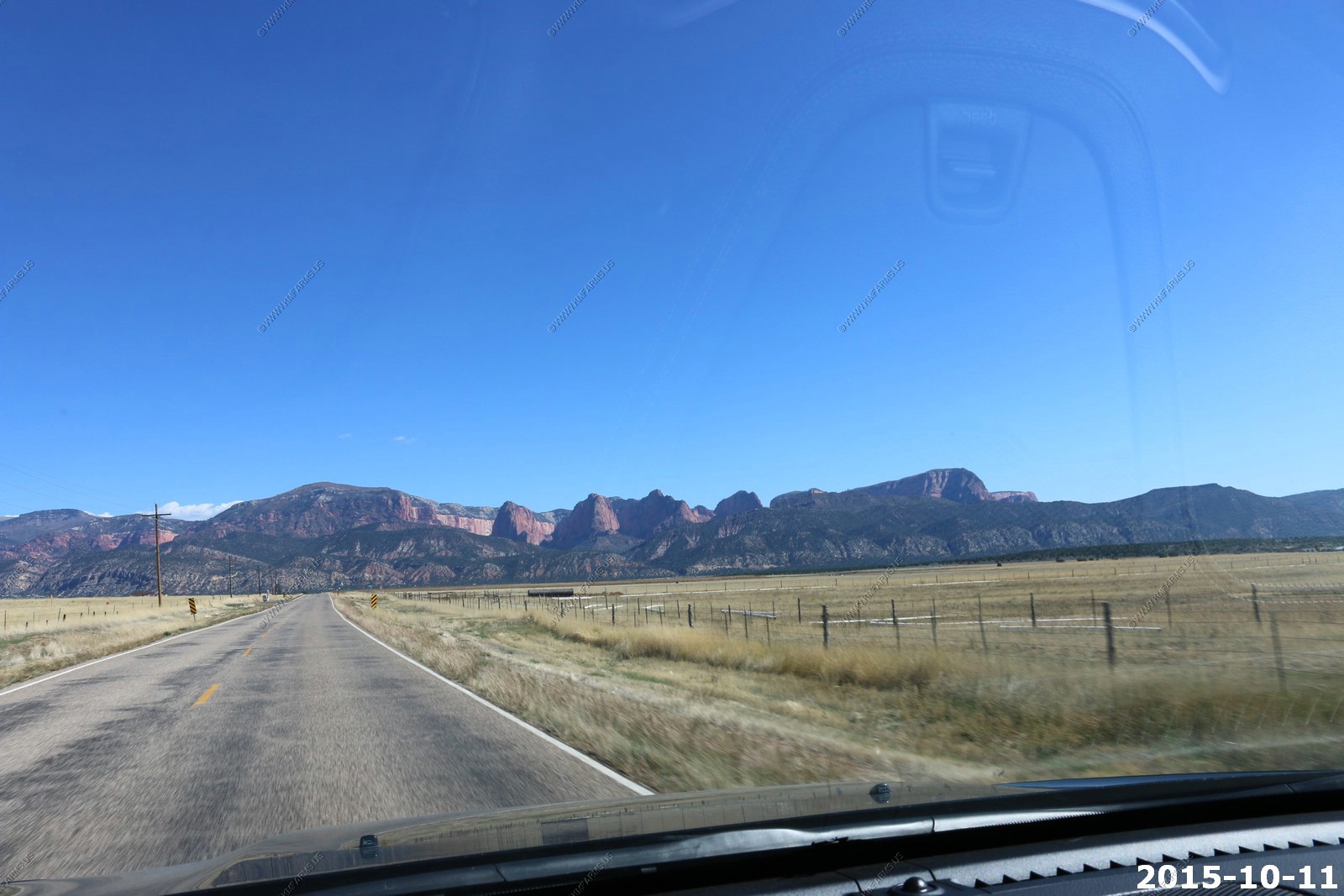
Back down North Fork road to UT-9. You can see the Kaibab plateau off in the distance which is the North Rim of the Grand Canyon
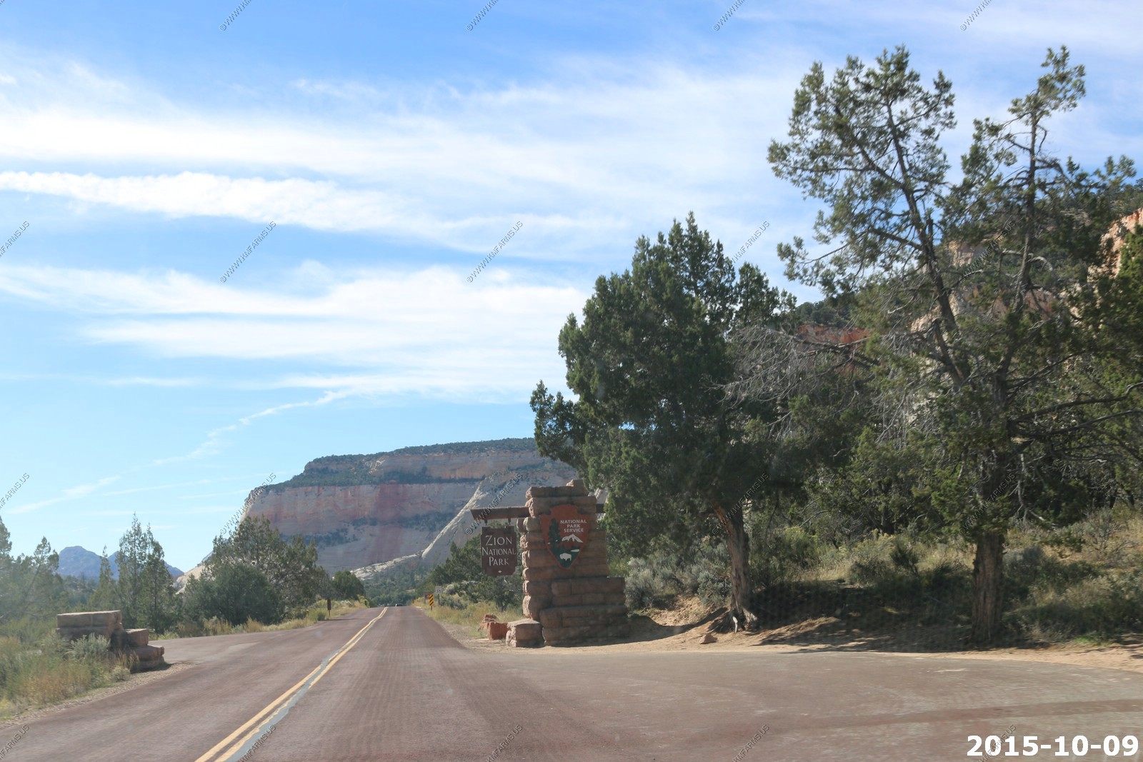
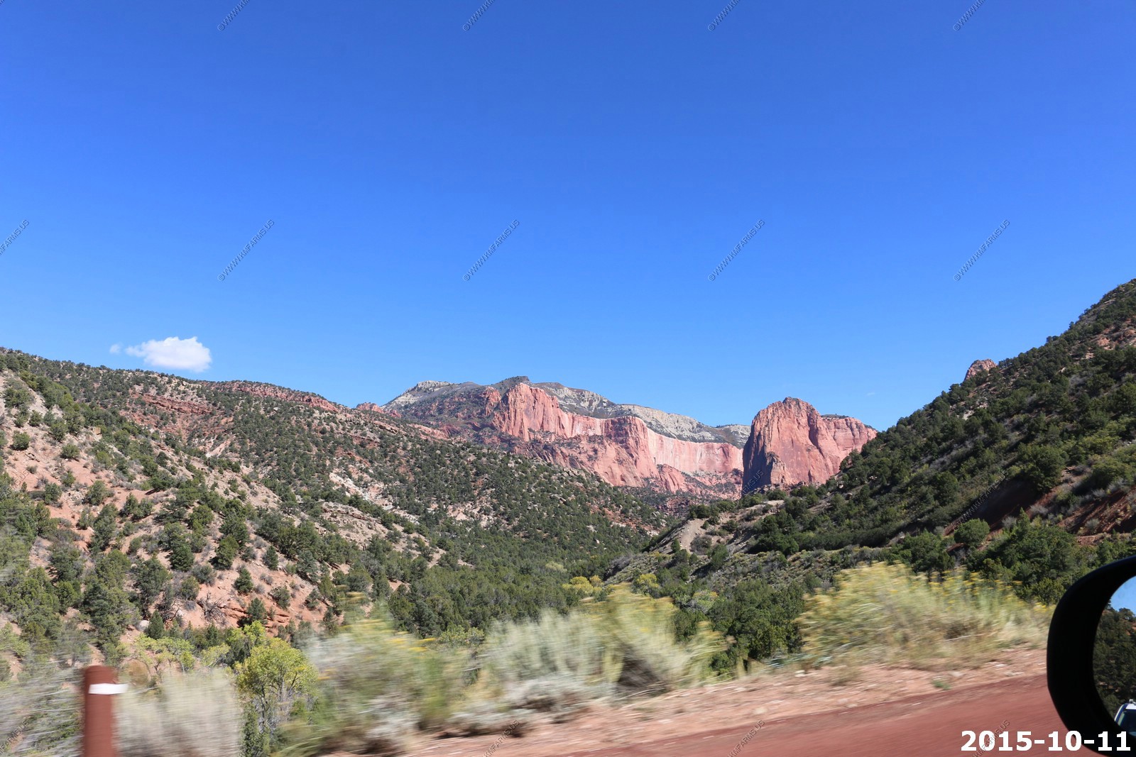
The East entrance of Zion. No traffic here. Views along UT-9 thru the park.
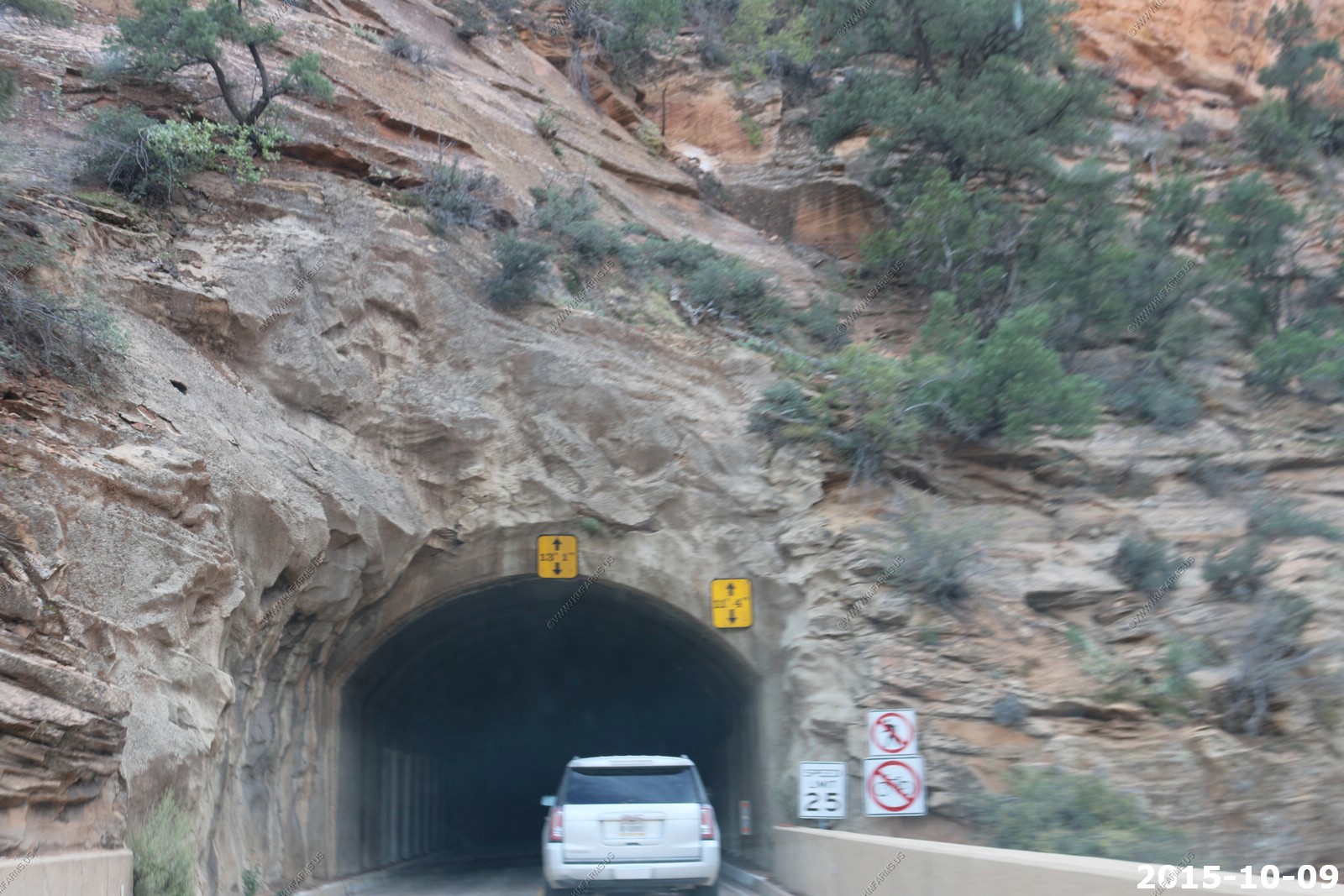
One of the small tunnels along the Zion - Mount Carmel Highway. No liner just natural rock.
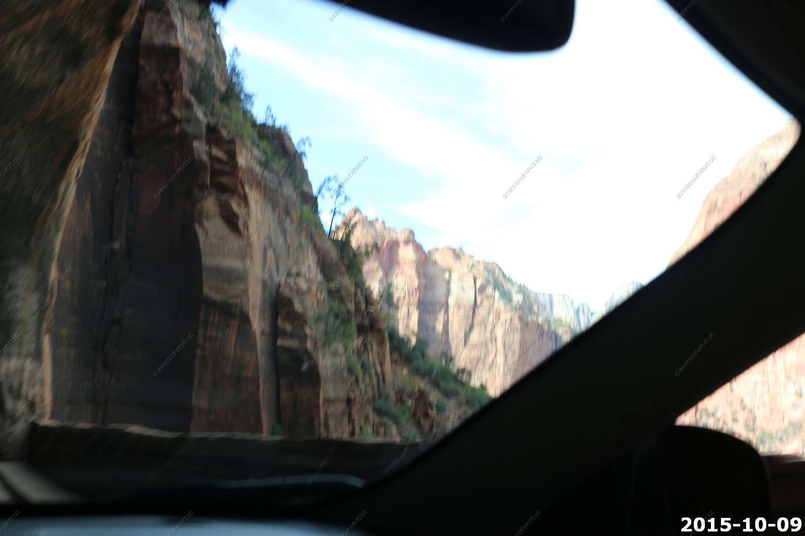
More views and into the longer tunnel.
This tunnel has a number of portals that were used to remove spoils when they were constructing it. Now the are cool windows into the valley.
Back to the area were they restrict traffic to only one way at a time in the tunnel.
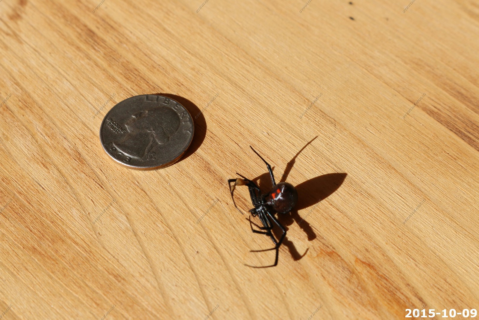
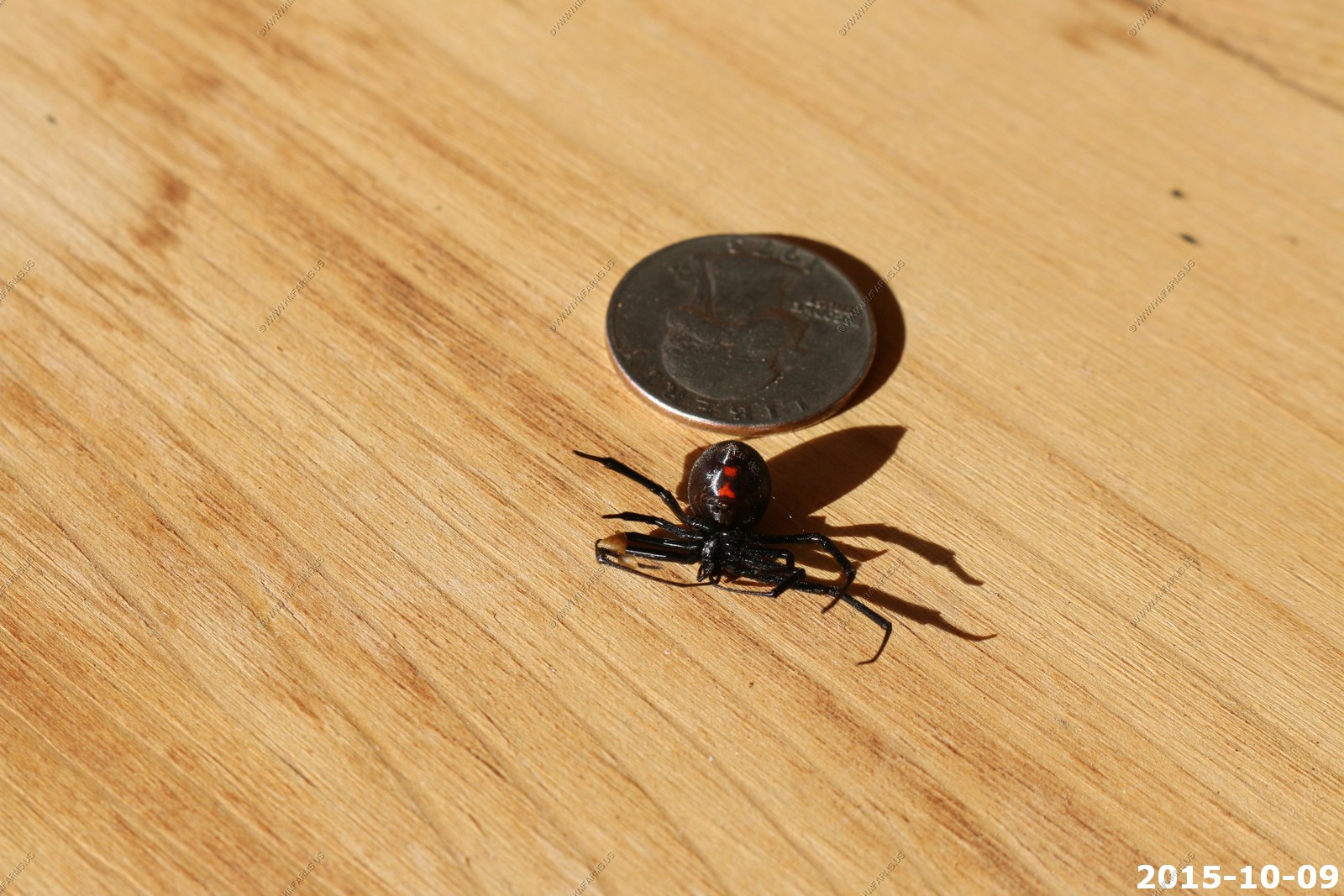
Back at the house. Found a very large black widow spider and compared it to a quarter
We saw that they had a "call of the canyon" speaker event at Snow Canyon State Park on The Dirt World of Archaeology from 7 to 8 pm and we went. The description was "What is the archaeology of the area telling us? Join Steve Hall, of Bighorn Archaeology Consultants, for an evening presentation on historical and native cultures." The talk was extremely interesting and after we talked to the speakers and it was apparent that we both could become employees and or volunteers in this area due to her skills working with the Army Corps of Engineers and my knowledge of GIS systems.
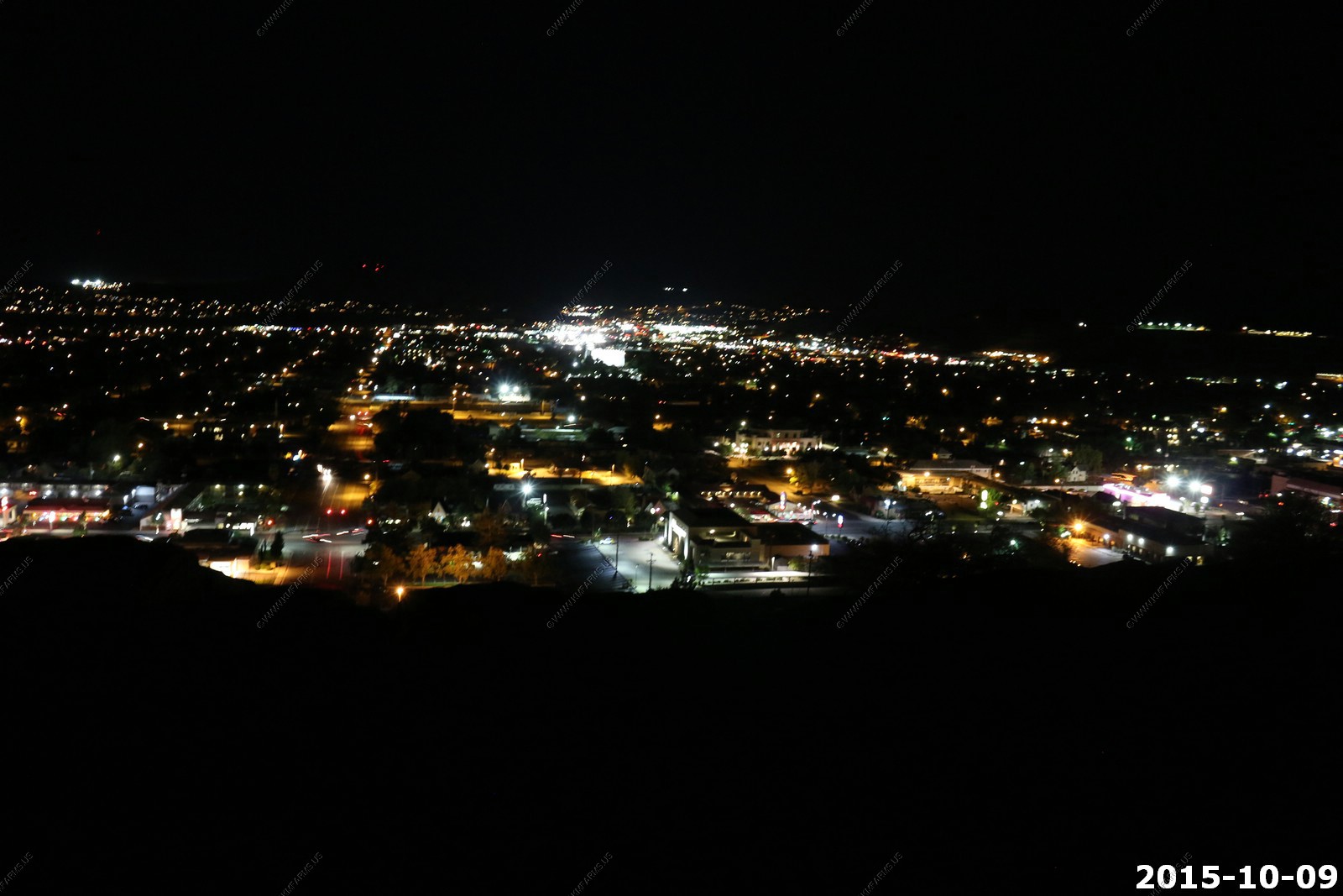
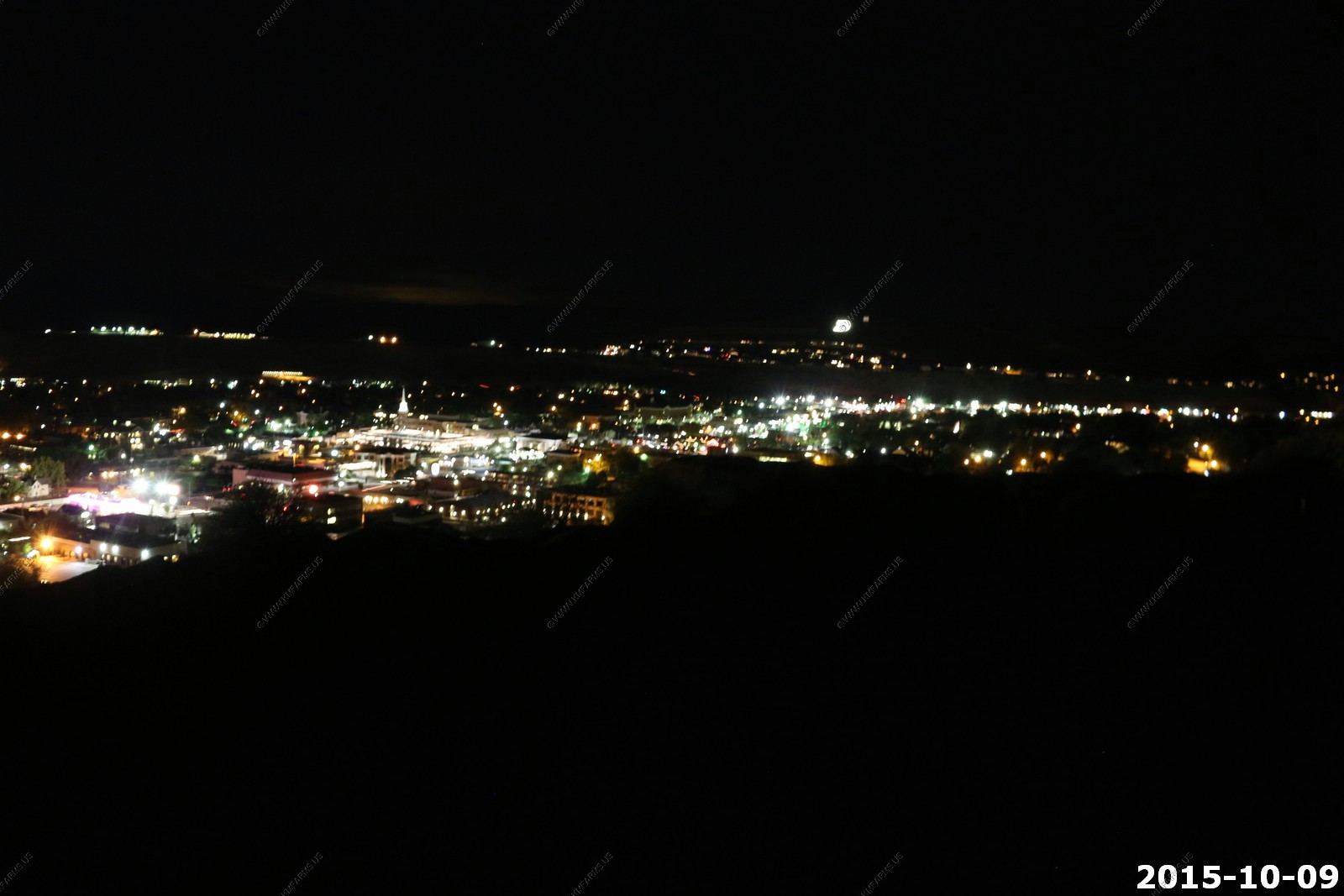
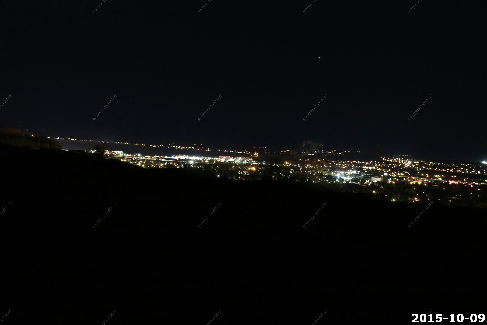
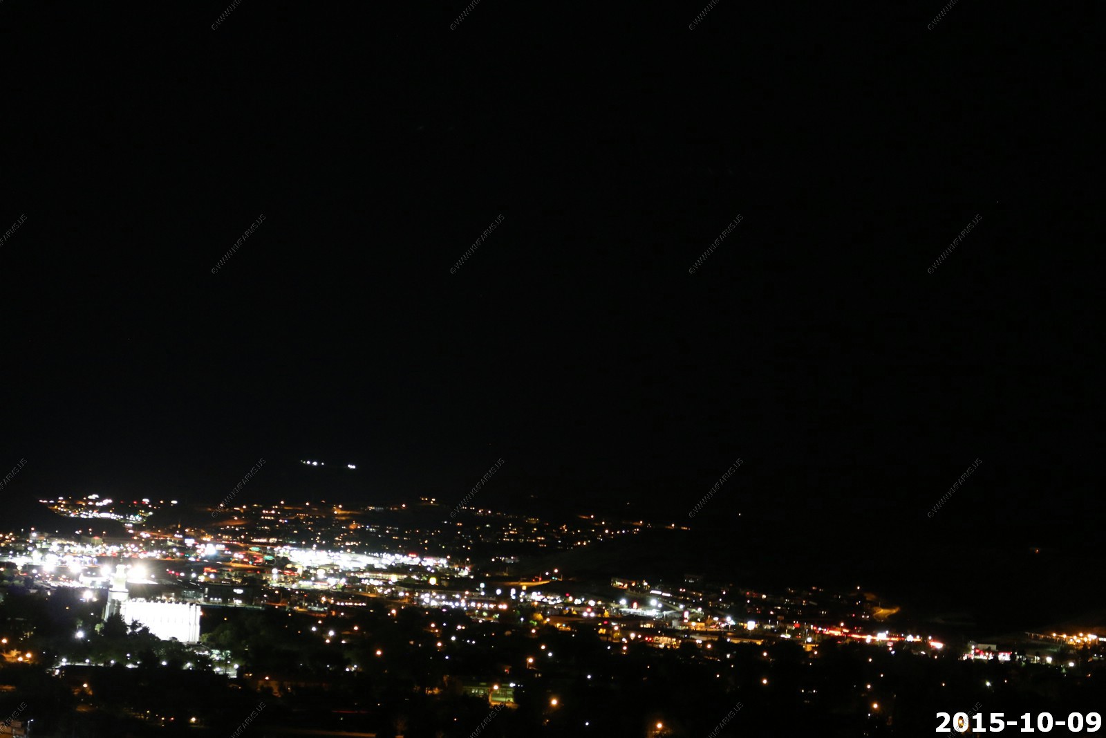
On the way back from Snow Canyon State Park we stopped at one of the view points along Skyline Drive. I did not have the tripod with me so I braced the camera on the railings. These are shots of St. George at night. Not that good quality but gives you an idea of what can be seen.
The big "D" is for Dixie College - The big "D" located on the side of Black Rock Hill has long been a symbol of Dixie State College. Every year since 1915, students hike up the side of the hill and whitewash the "D". Since 2004, the "D" has been lit at night. The "D" can be seen from nearly everywhere in the city, but especially in the northern part of town as it is at a higher elevation.
Looking southeast
Attempt to get a shot of the LDS temple. Lower left
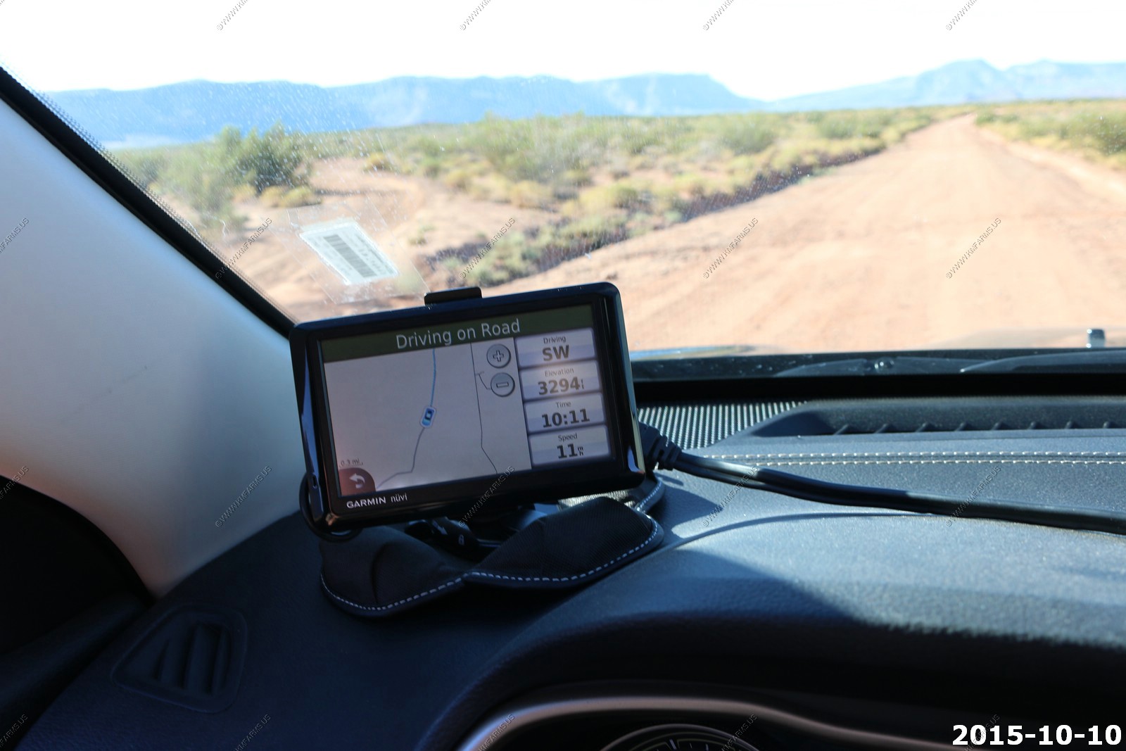
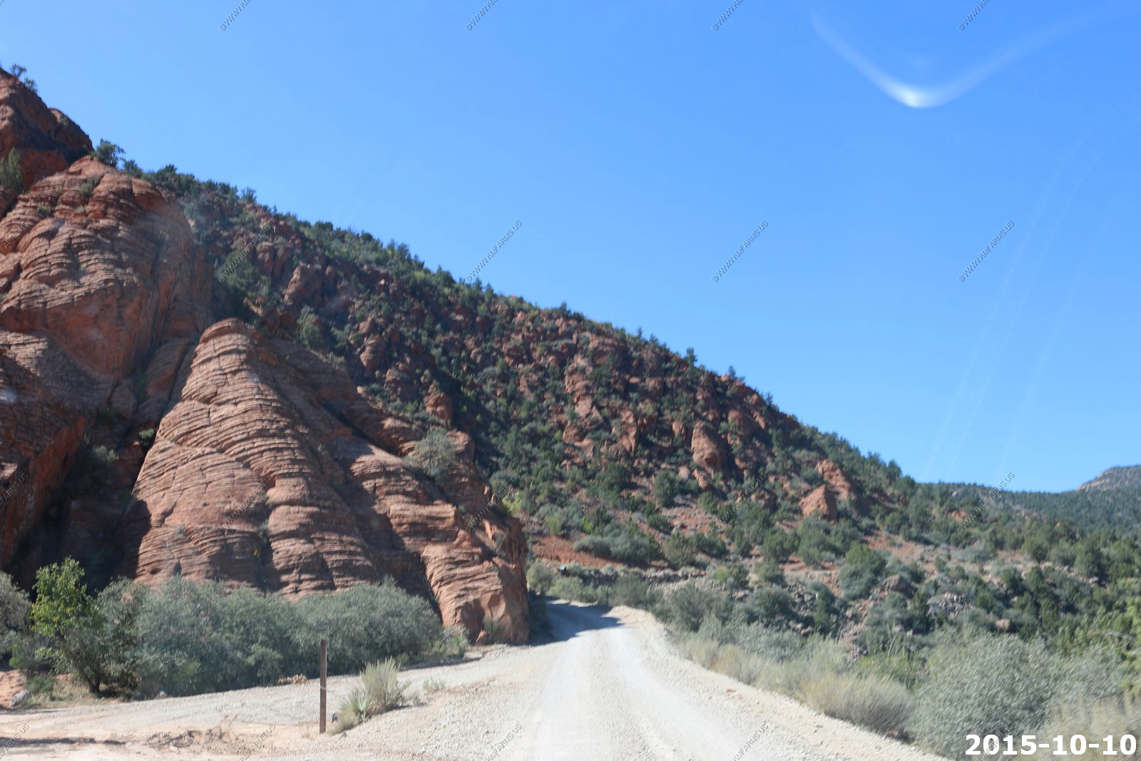
Saturday OCT 10th
Today we wanted to do a loop to the south as we constantly hear off road vehicles driving past our neighborhood and we wanted to see what was available. Also, we needed to eat at Carl Jr's on this trip and today was the day. Then we were going to head up into Pine Valley Mountains to explore. The final goal was to get back home mid-afternoon and relax by the pool on this summer like 90+ day.
This was a strange house. The listing was removed from the VRBO web site and in the weeks before we went we were wondering what was going on as we had already paid. This part of Utah has passed ordnances against renting your home for less than 30 days. So, I assume the owners try to stay ahead of the locals when it comes to renting by removing the house from various web-pages. Still, they should have contacted us.
As of June 2016 this house has been listed for sale on Zillow:
949 W 3450 S, Hurricane, UT 84737
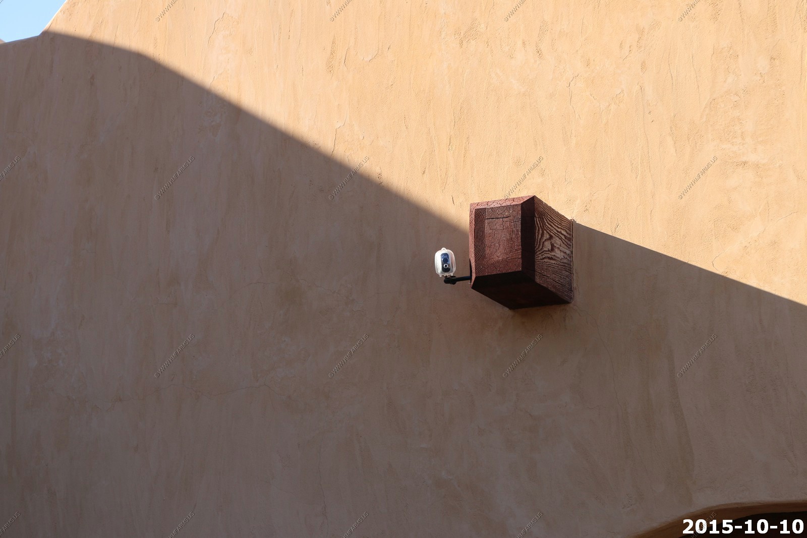
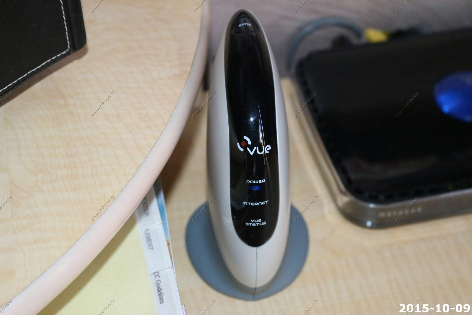
They had a vue personal video network camera that would watch the area where we parked. The camera was battery powered and from what I could find on the web it would capture a image and pass it to the gateway located in the office. The reliability of this was listed as not good. So, we were not too concerned of this. Also, if I had a rental I would probably have more cameras outside than just one battery powered one. I looked around the property and this was the only one we found.
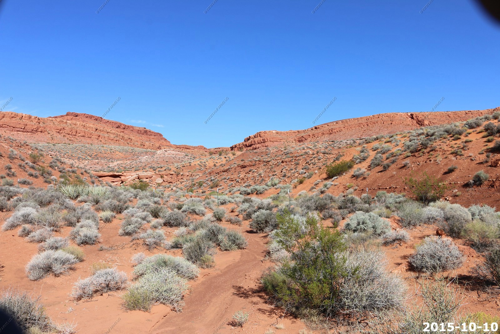
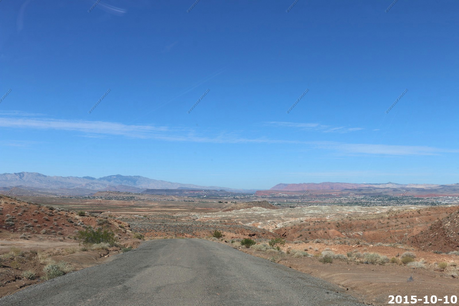
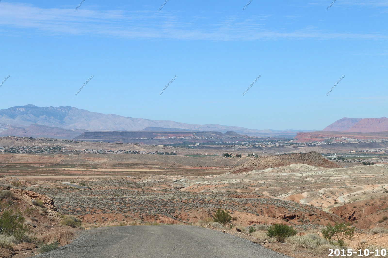
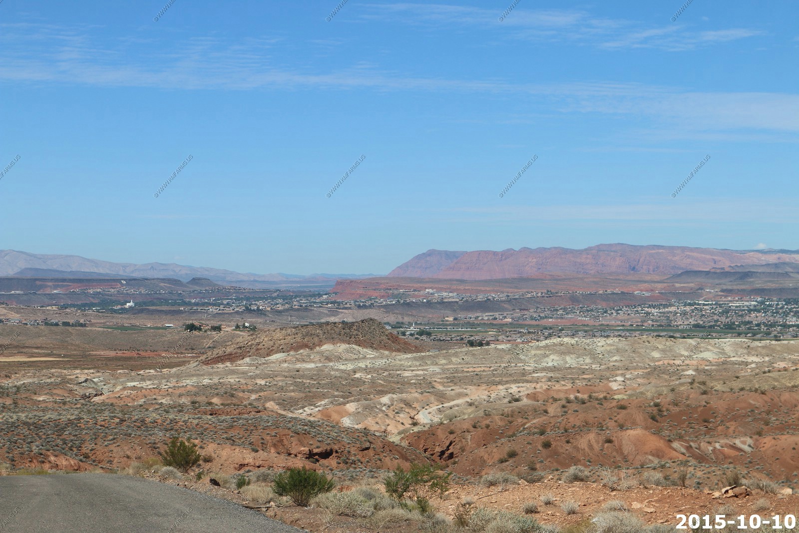
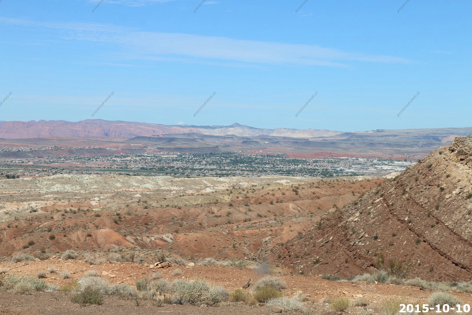
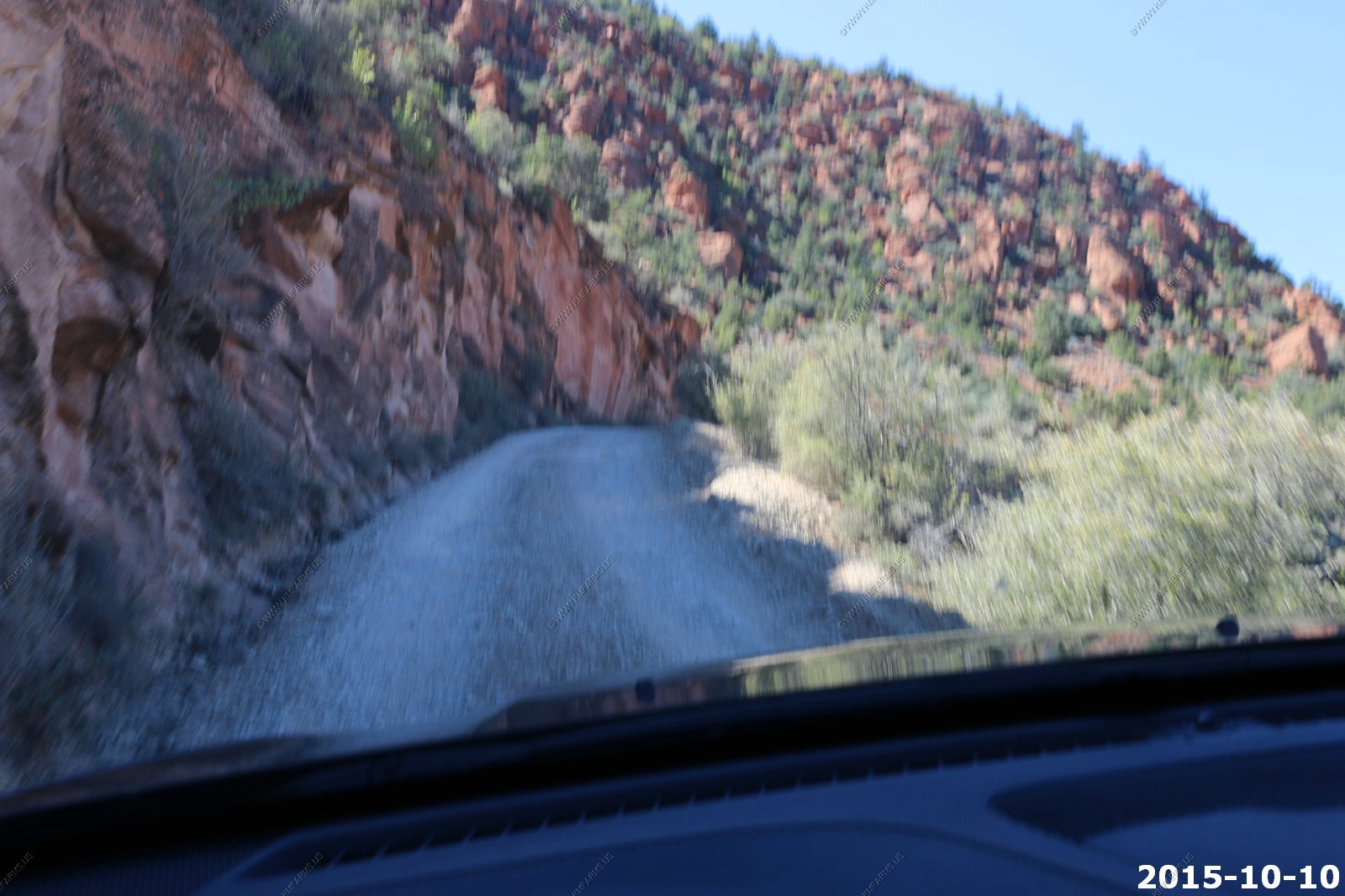
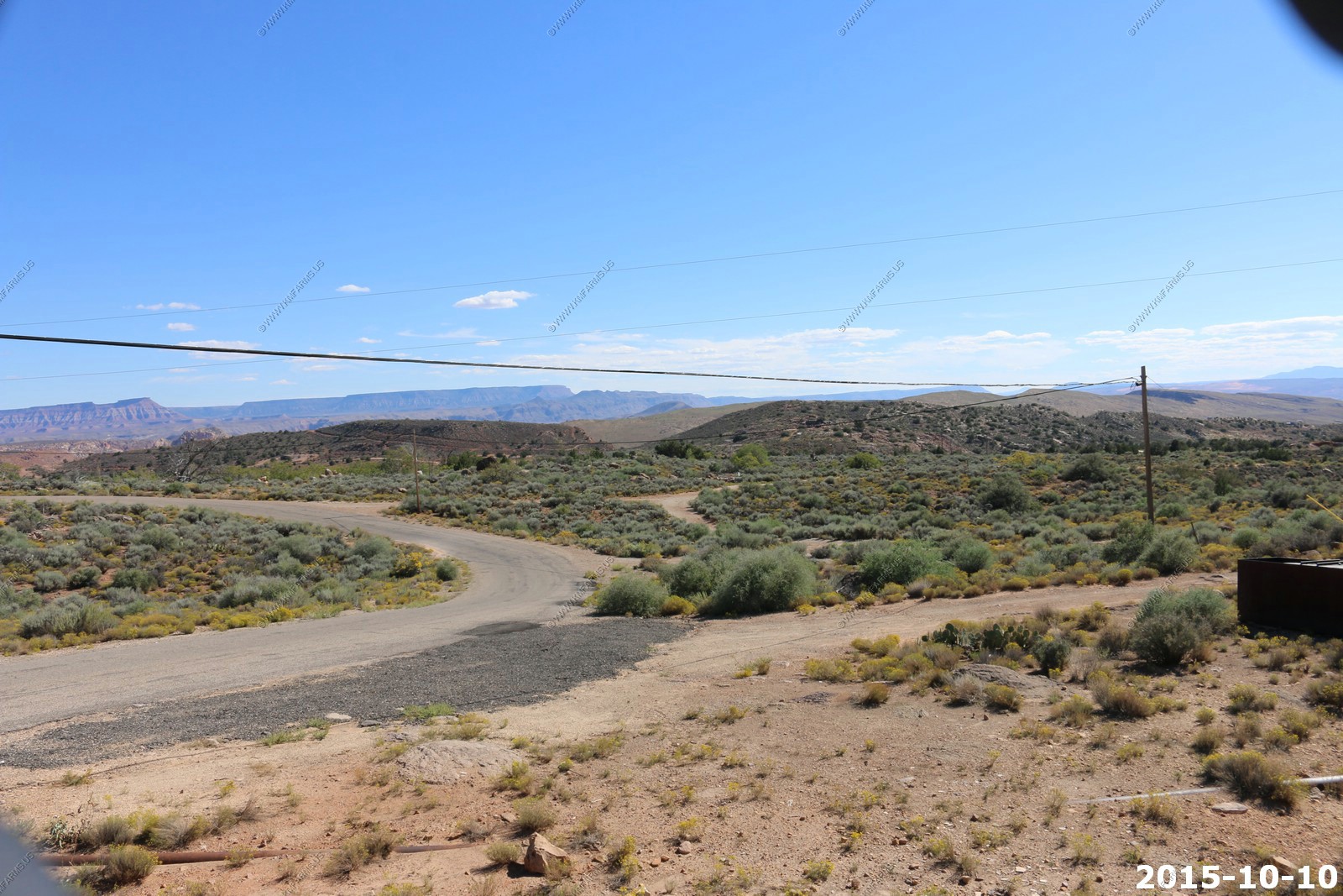
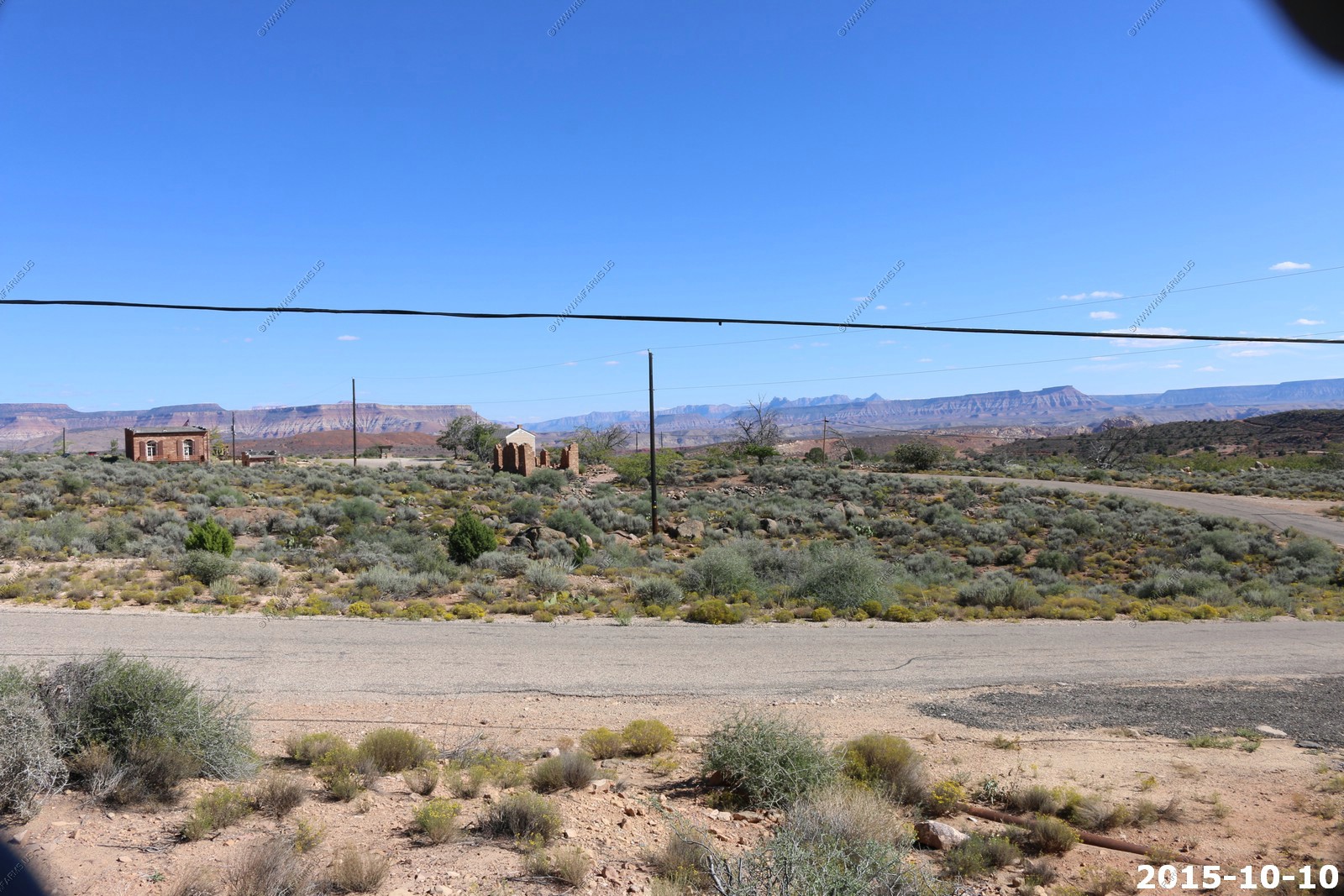
It only takes a few miles to be out in the desert
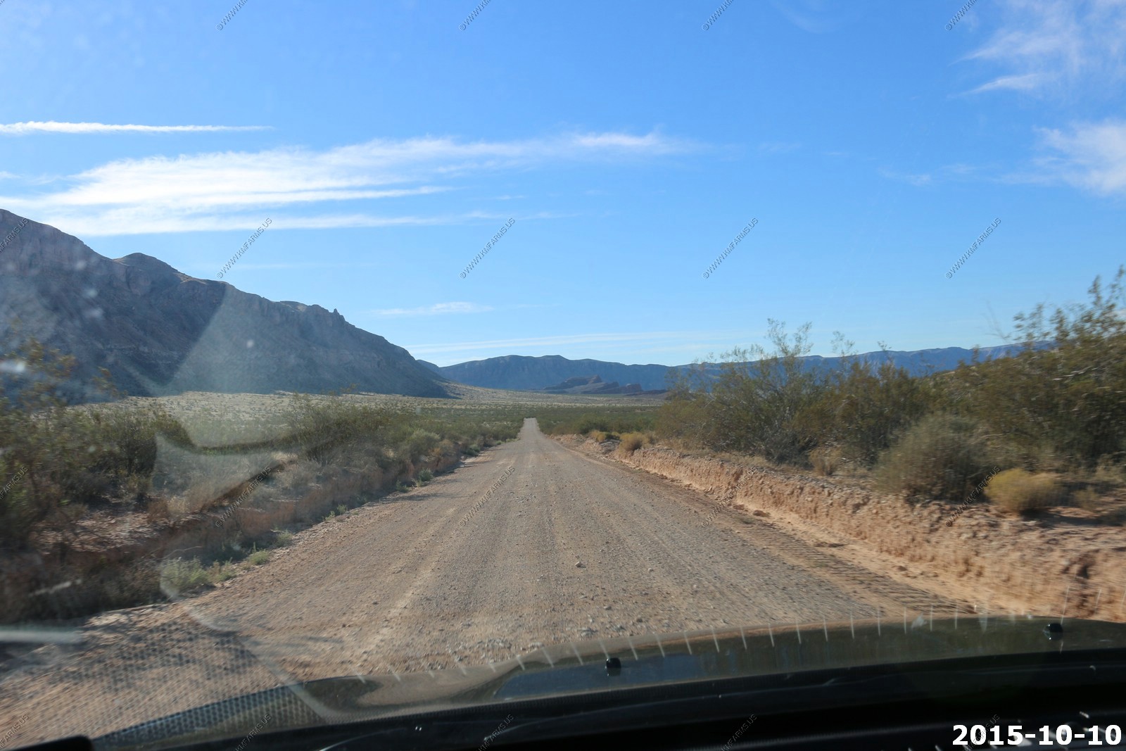
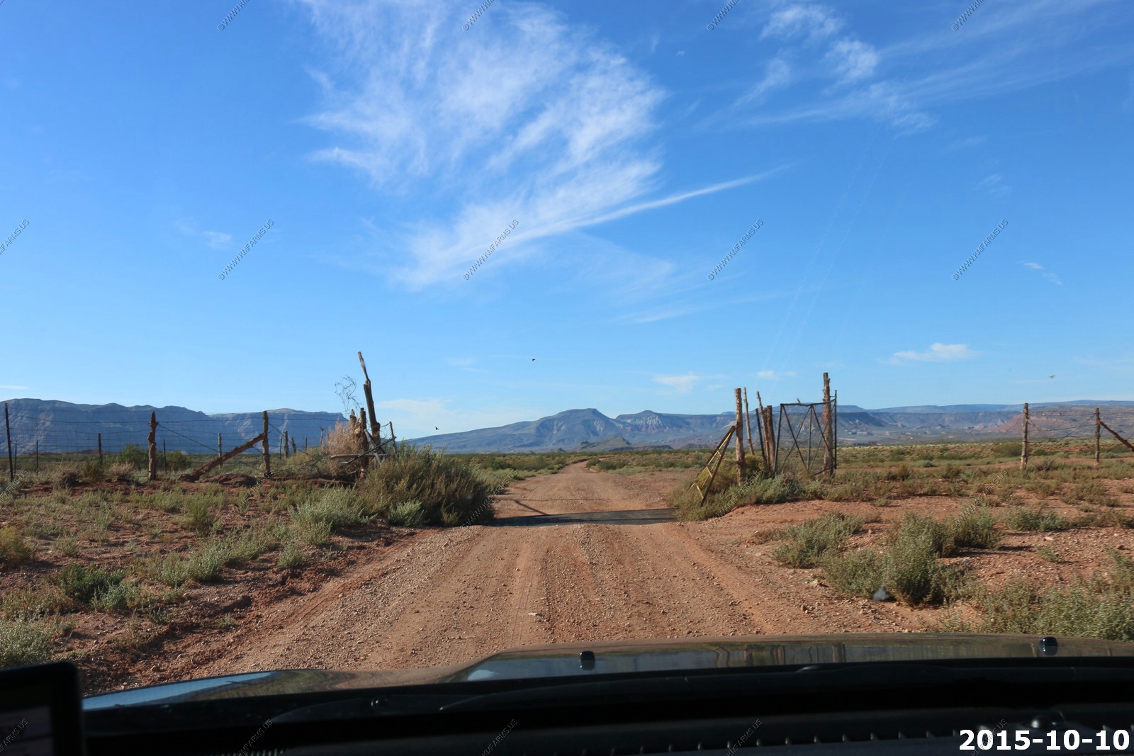
Yes, we are driving on a road
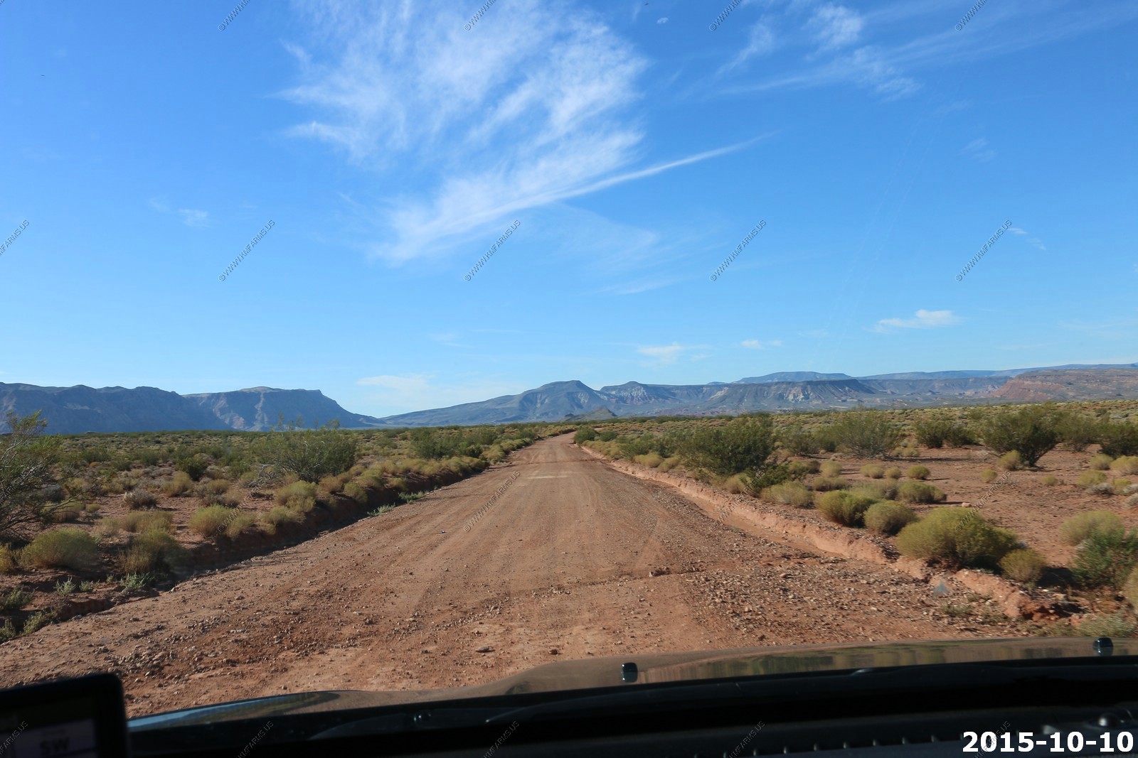

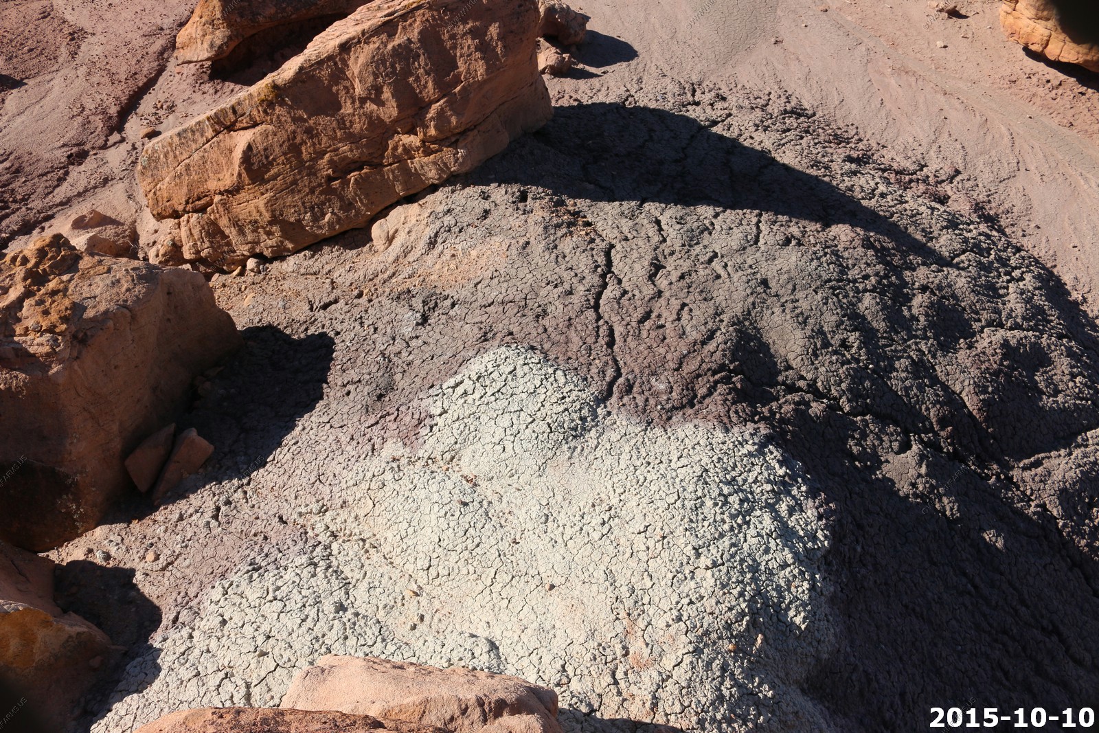
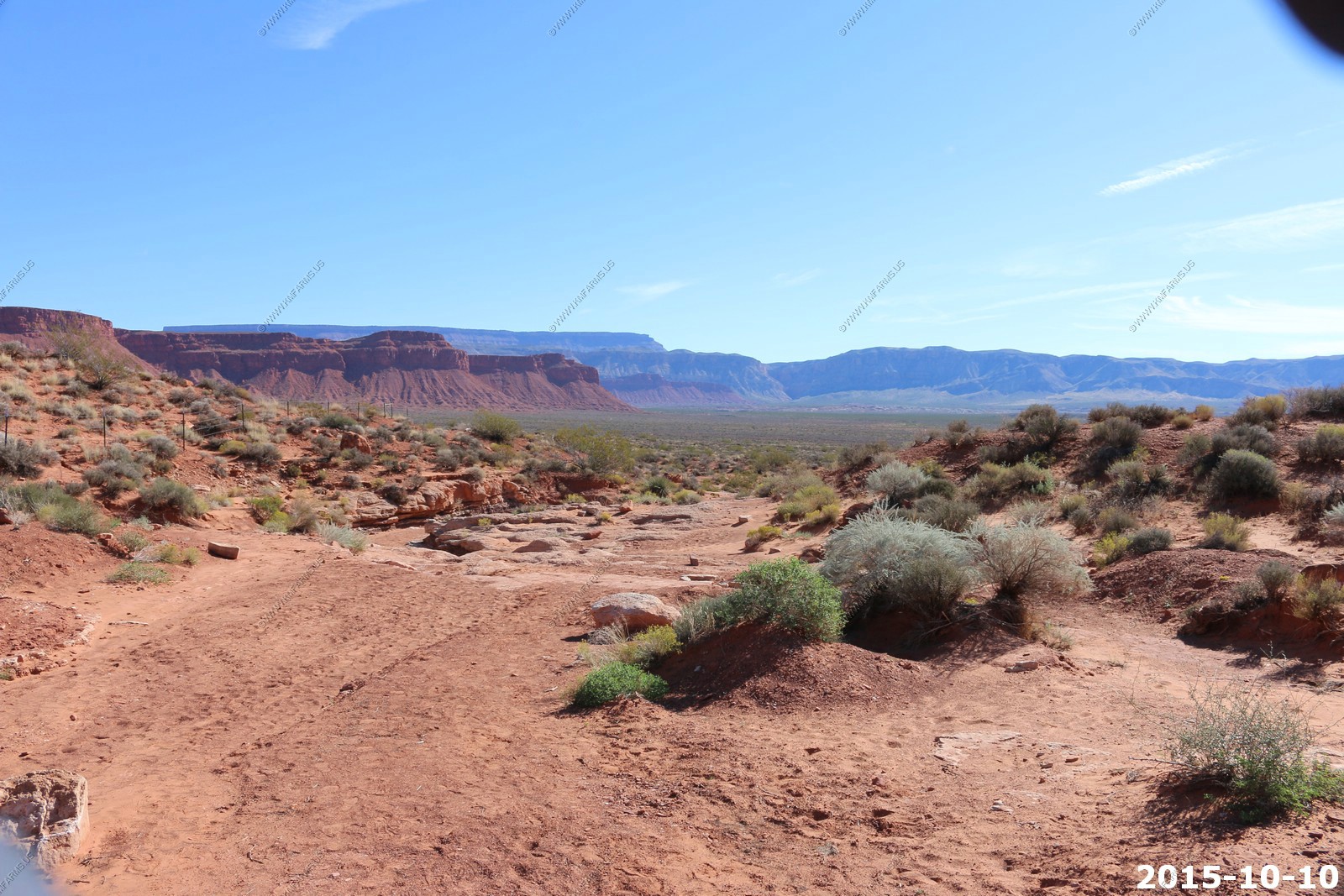
We stopped at a couple of places to look at rocks
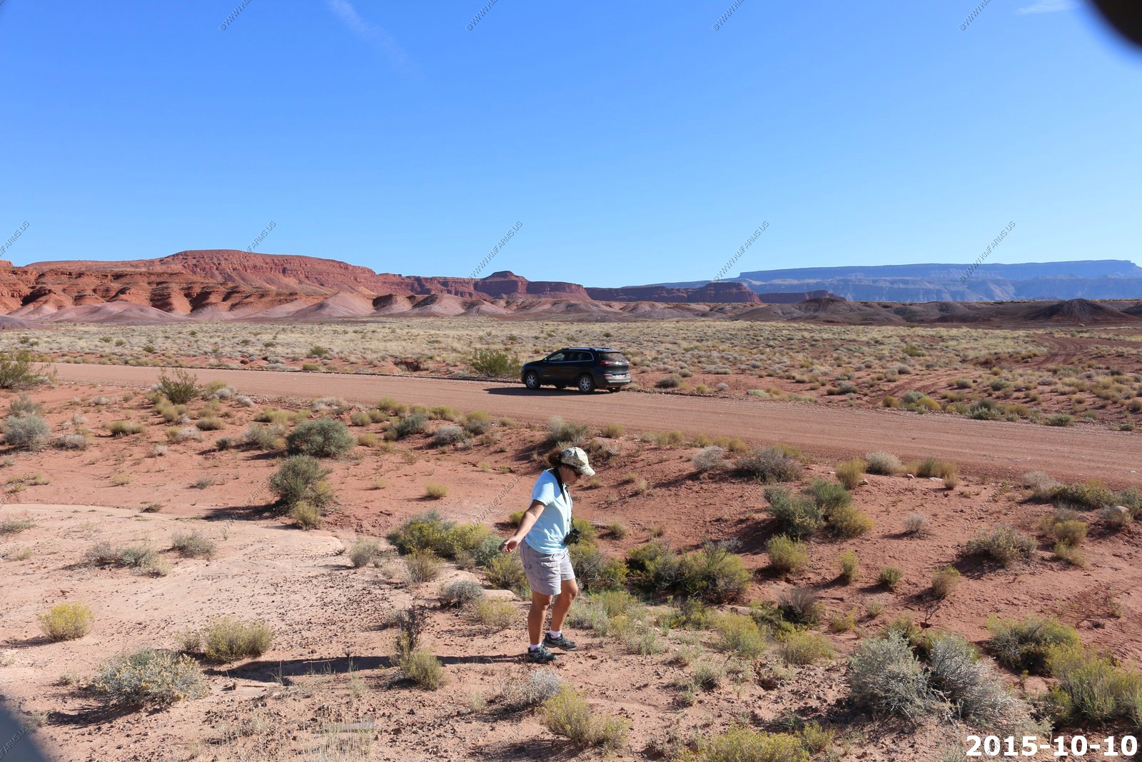
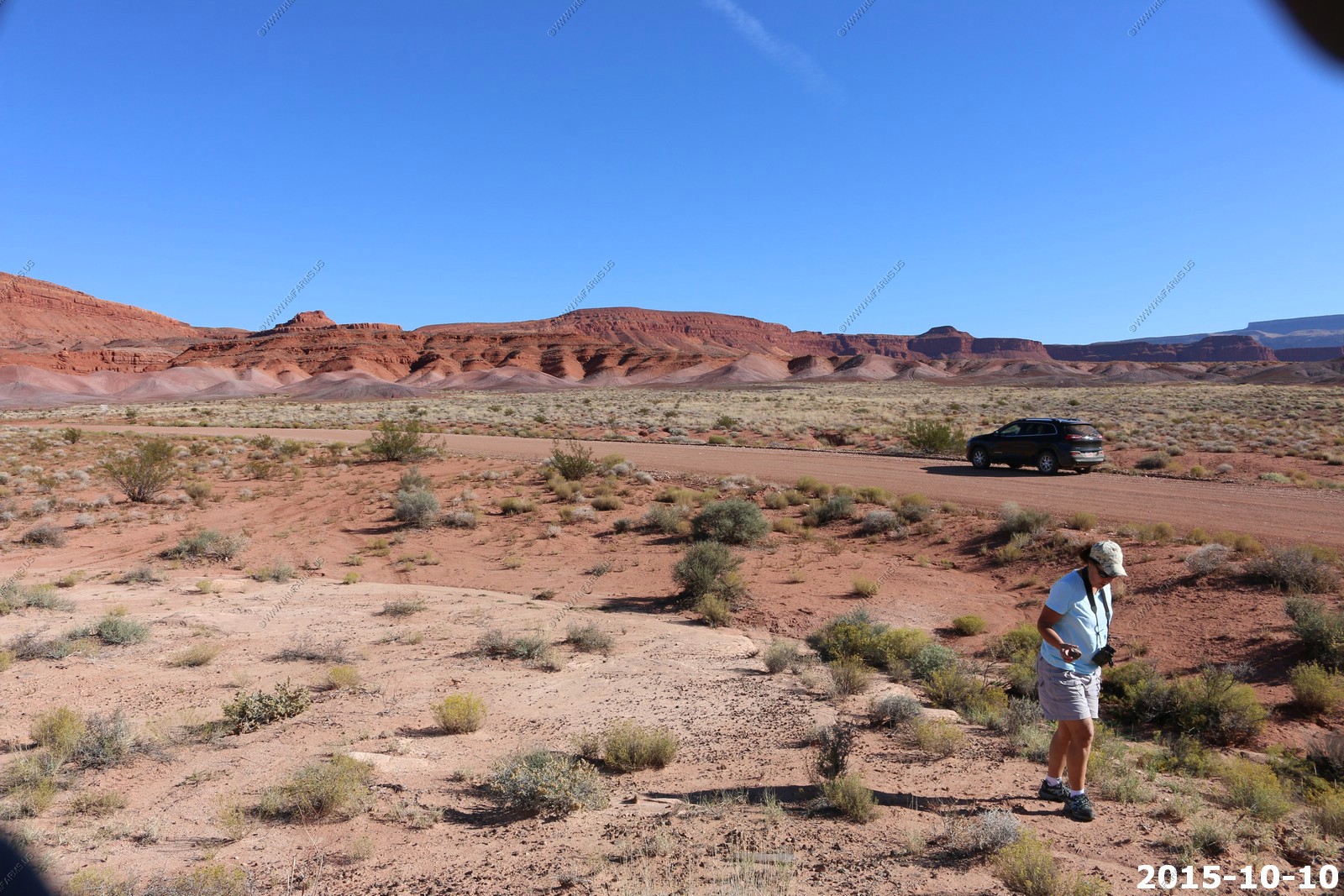
Bentonite clay - Cat litter... You don't want to drive on this if it gets wet. Years ago we almost went of a cliff not far from here trying to drive on this when it was raining.
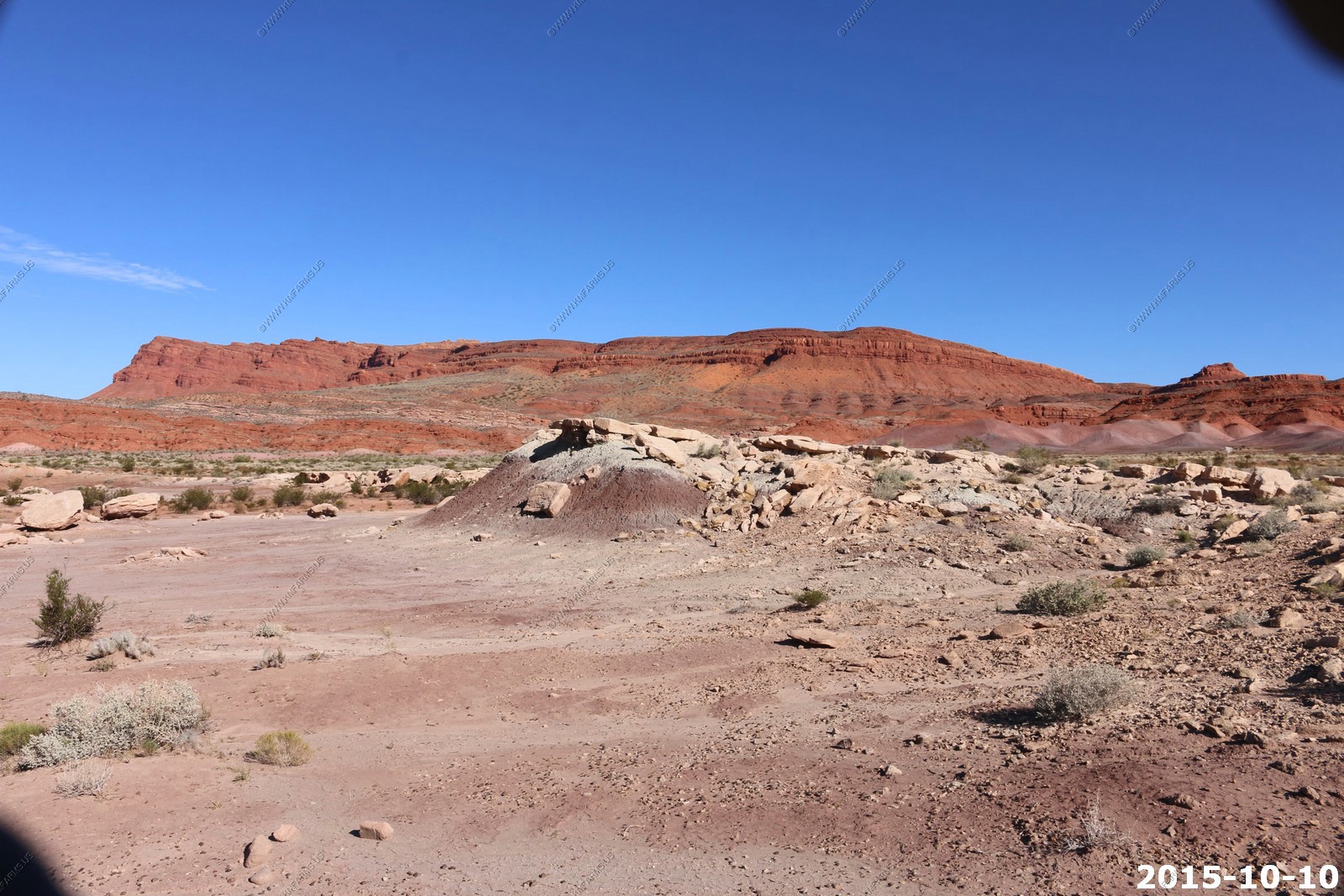
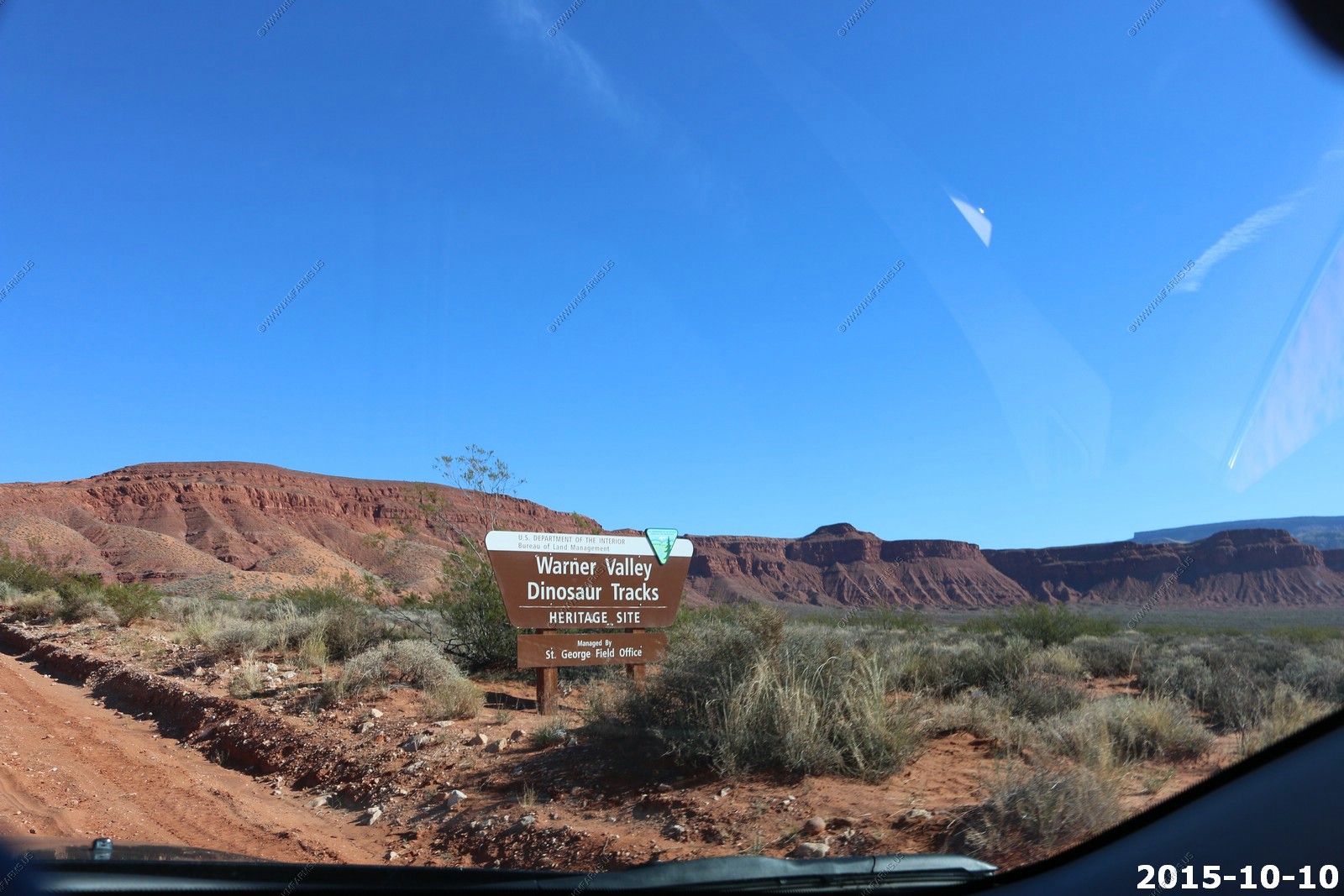
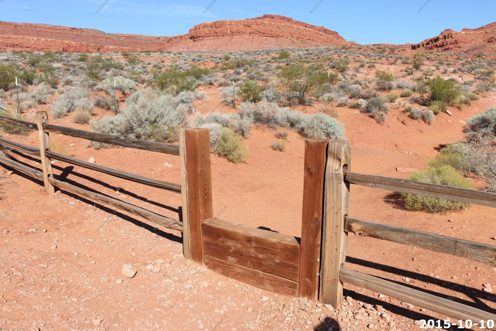
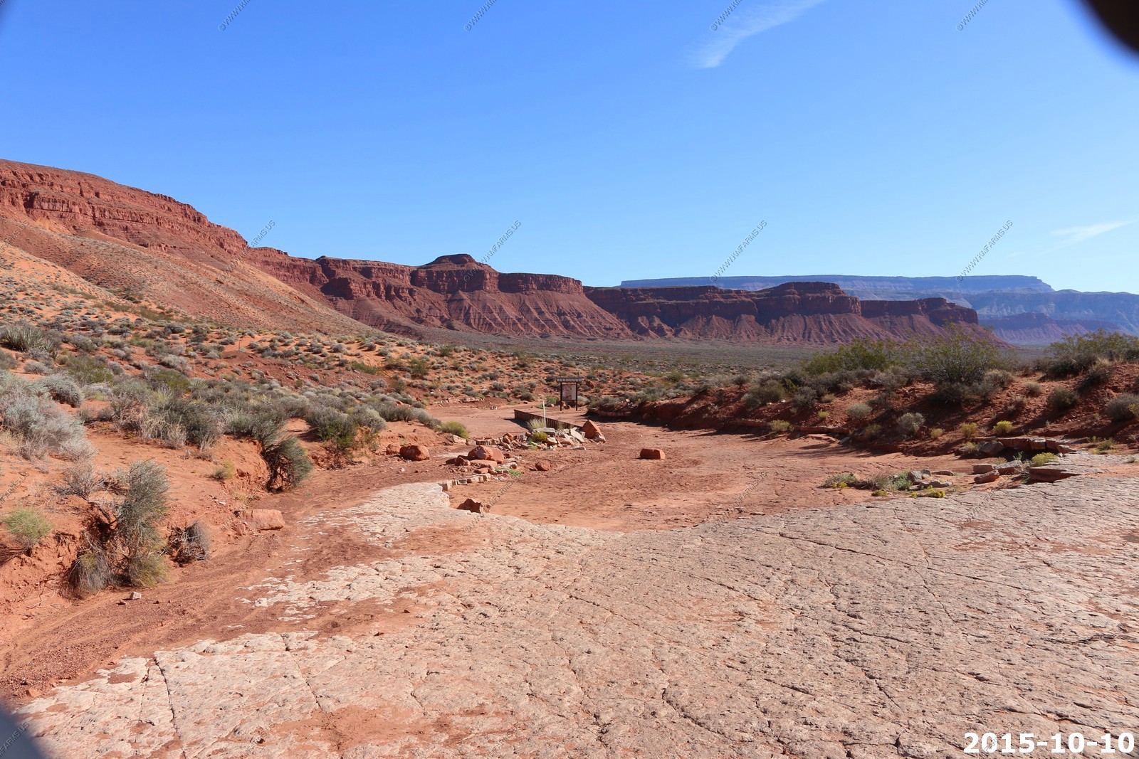
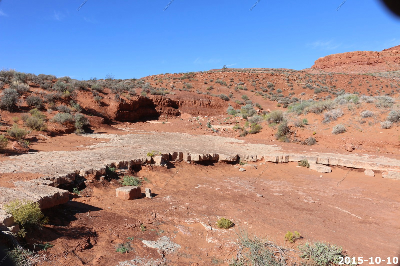
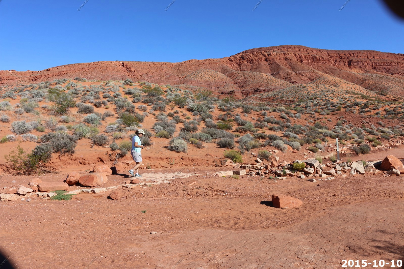
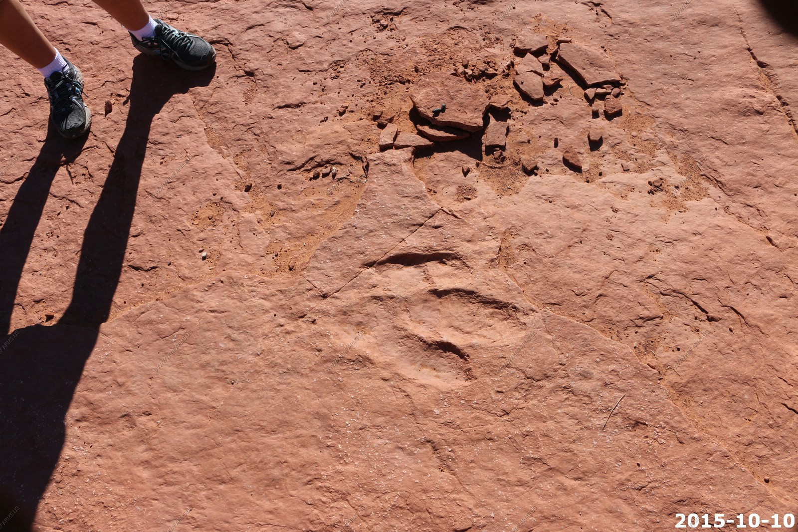
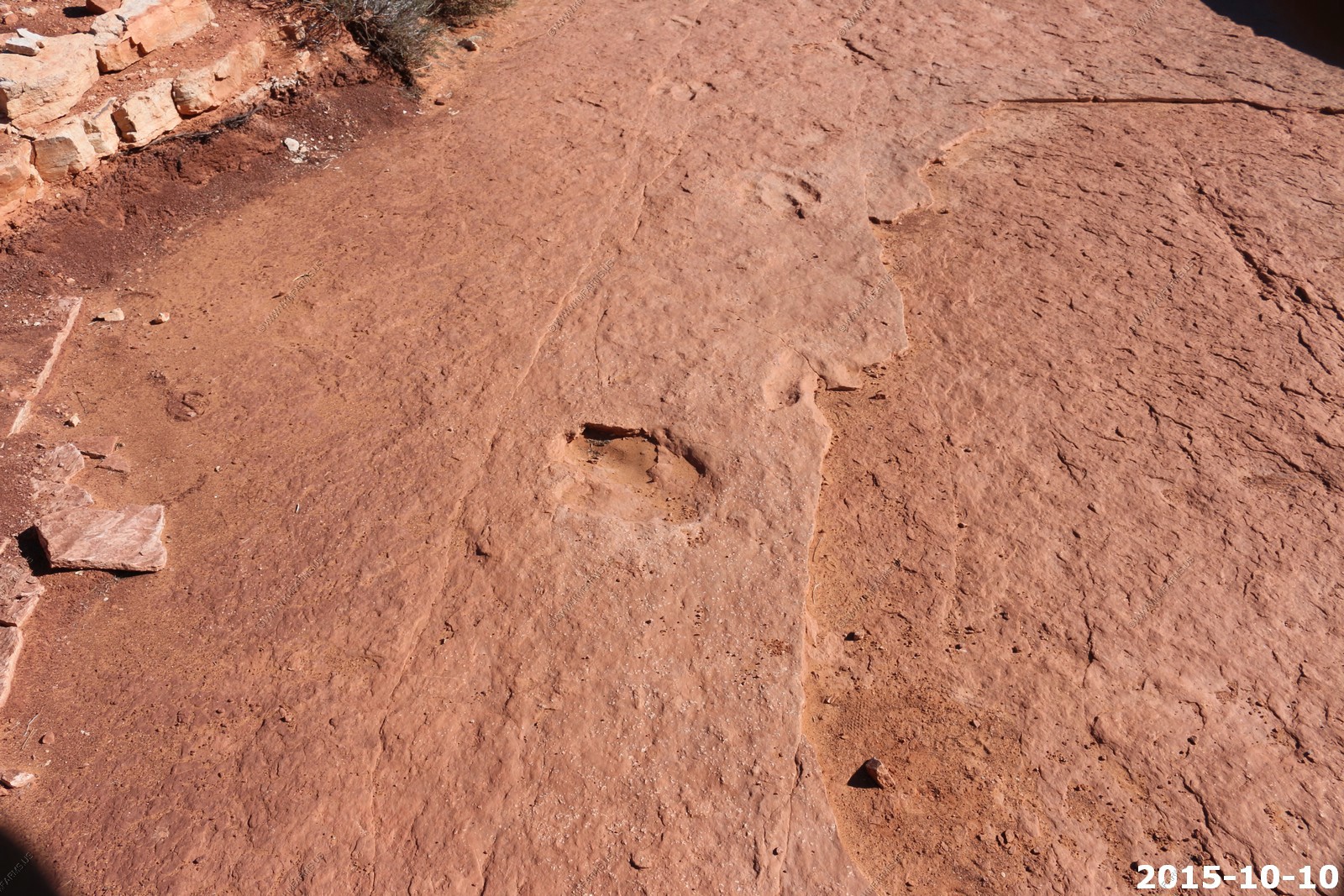
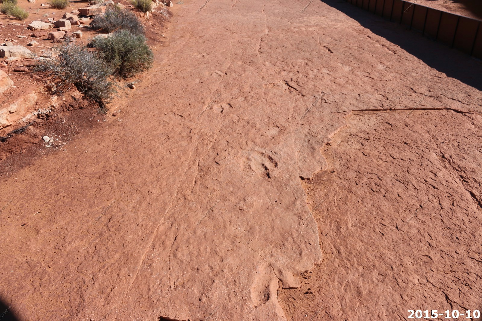
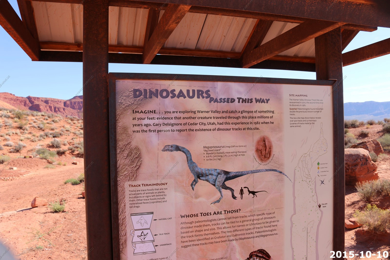
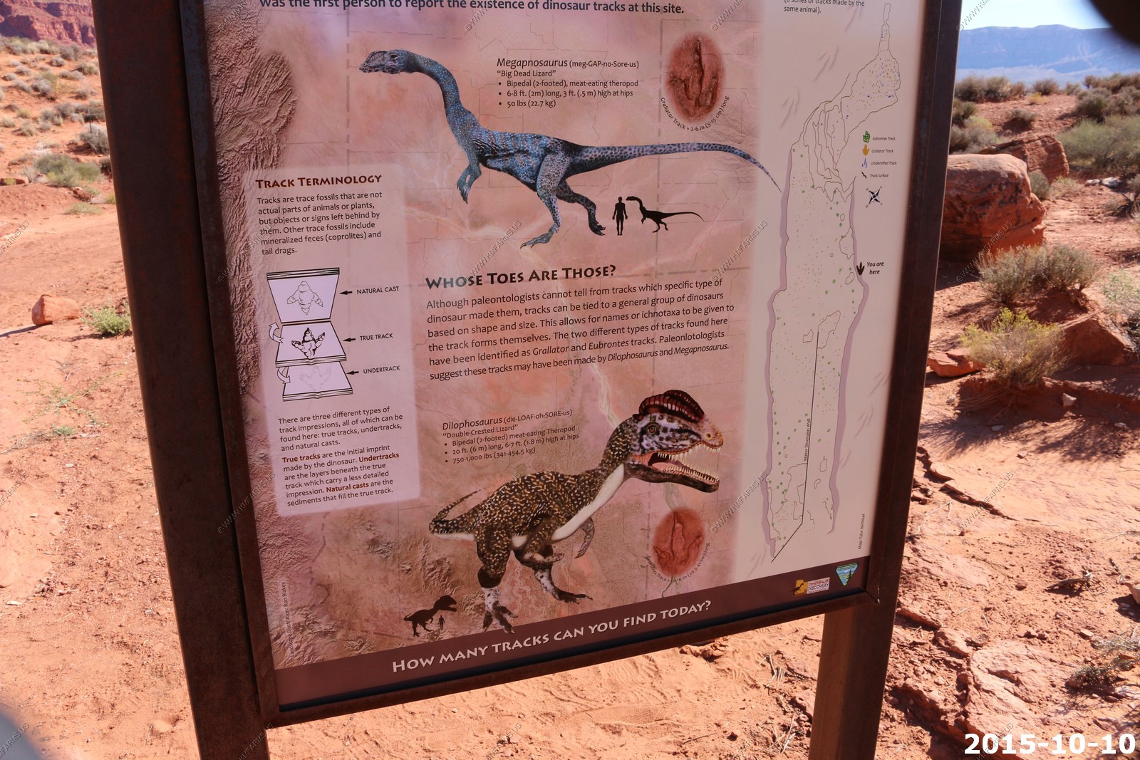
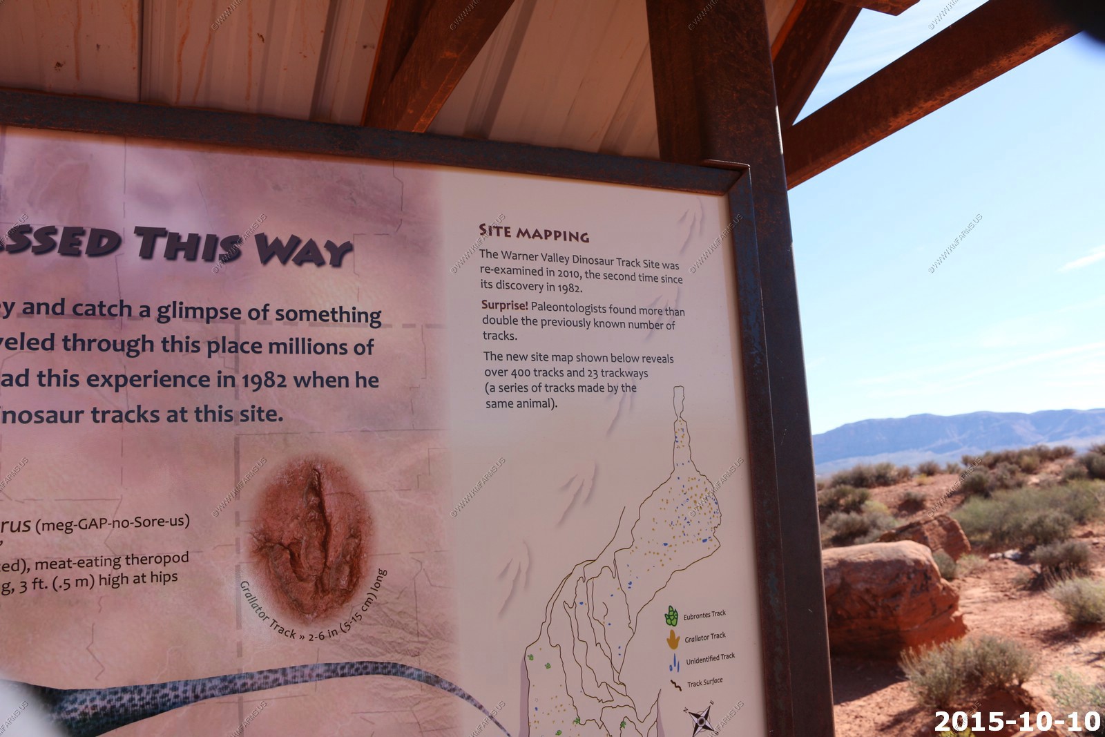
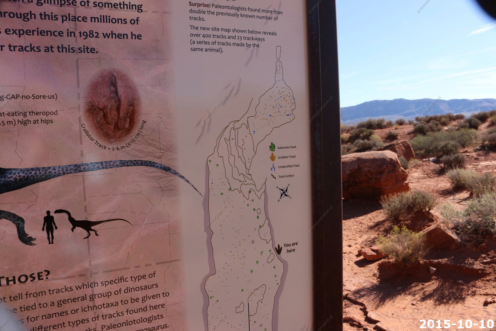
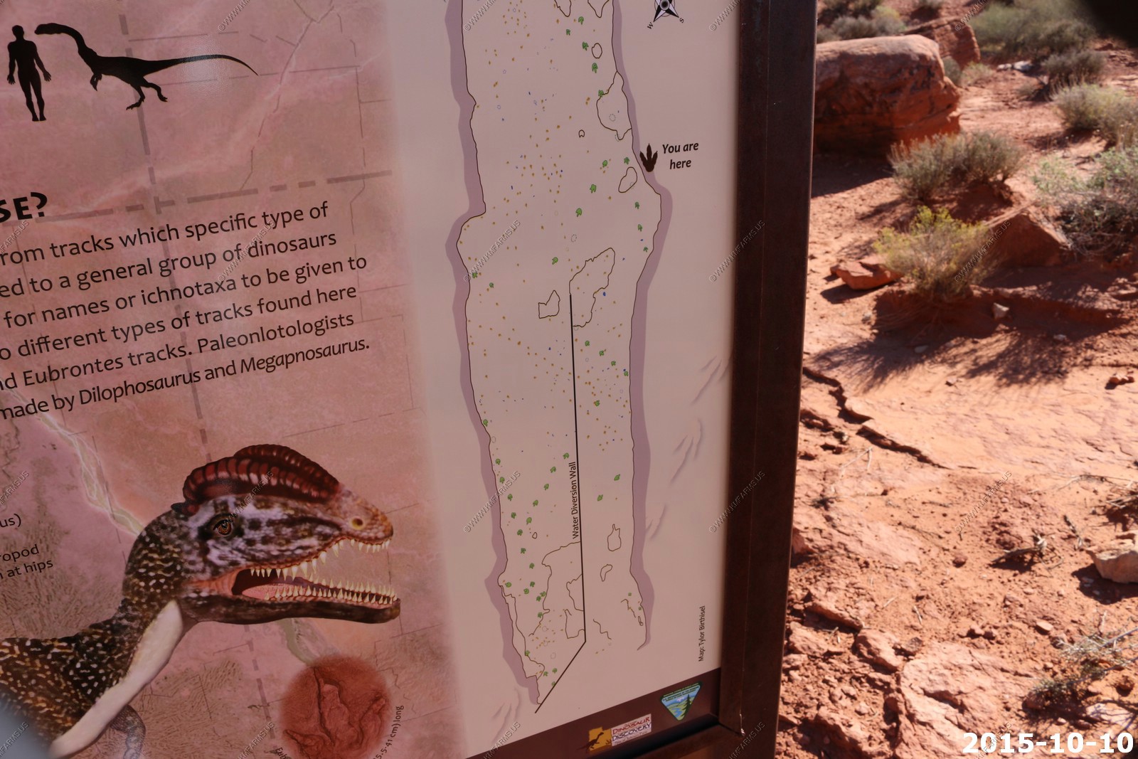
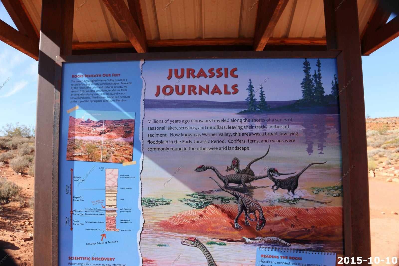
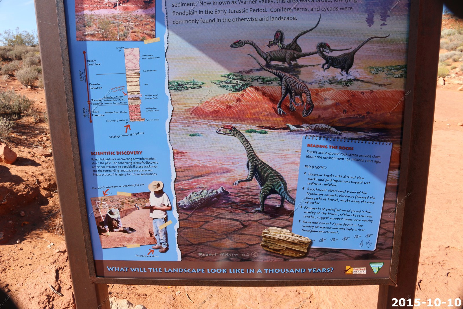
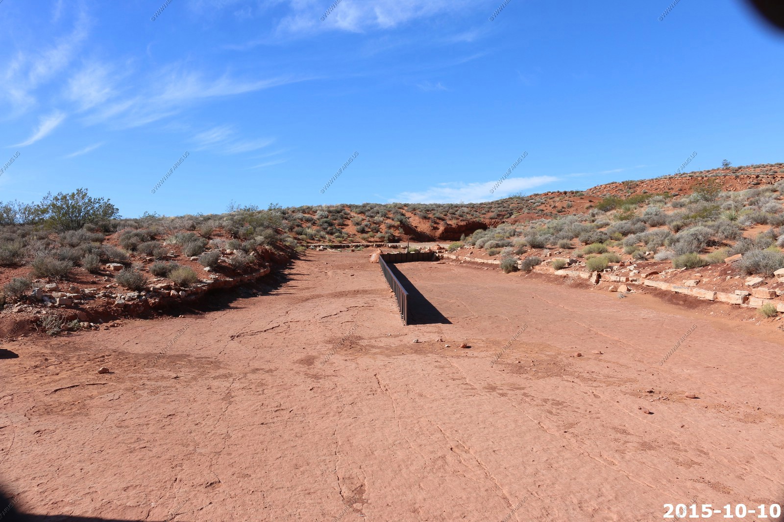
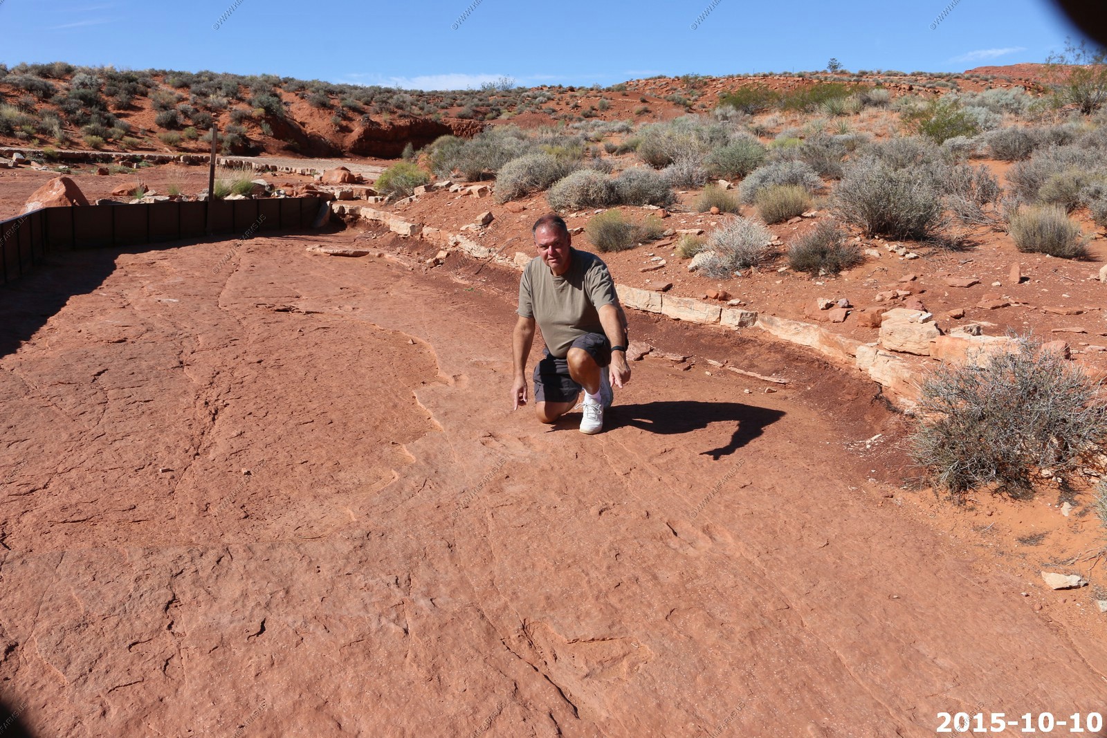
Warner Valley Dinosaur Track Site
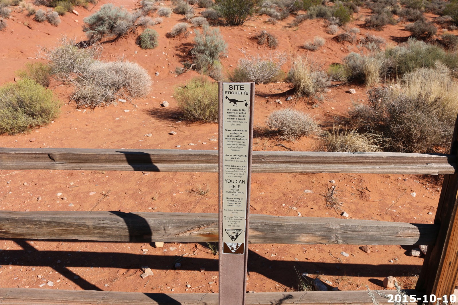
What To See and Do: At the Warner Valley Dinosaur Trackways locality you can see 161 individual footprints and 23 trackways. The trackways at this locality include Grallator footprints (attributed to coelophysid dinosaurs such as Coelophysis) and Eubrontes footprints, which are likely produced by a Dilophosaurus-sized theropod. This locality provides an excellent opportunity to see where dinosaurs walked in the early Jurassic period. A short trail leads to the trackways and there is an information sign for visitors to read.
I guess this is to stop bikes
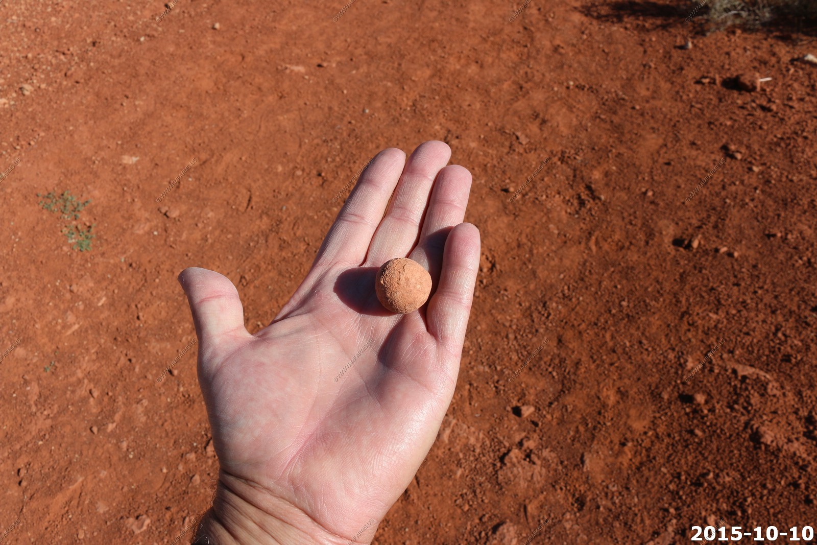
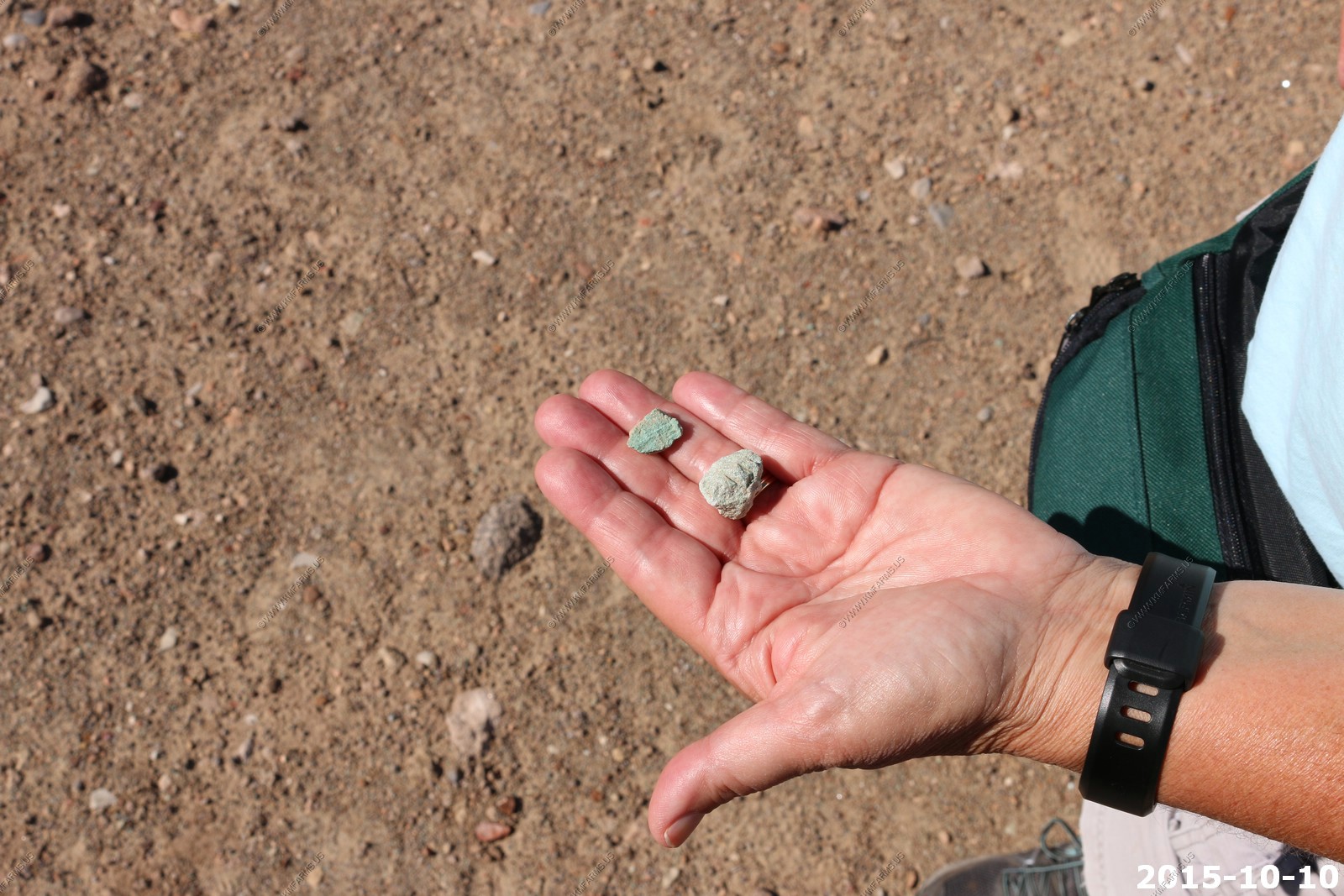
Ken found a Moqui Marble
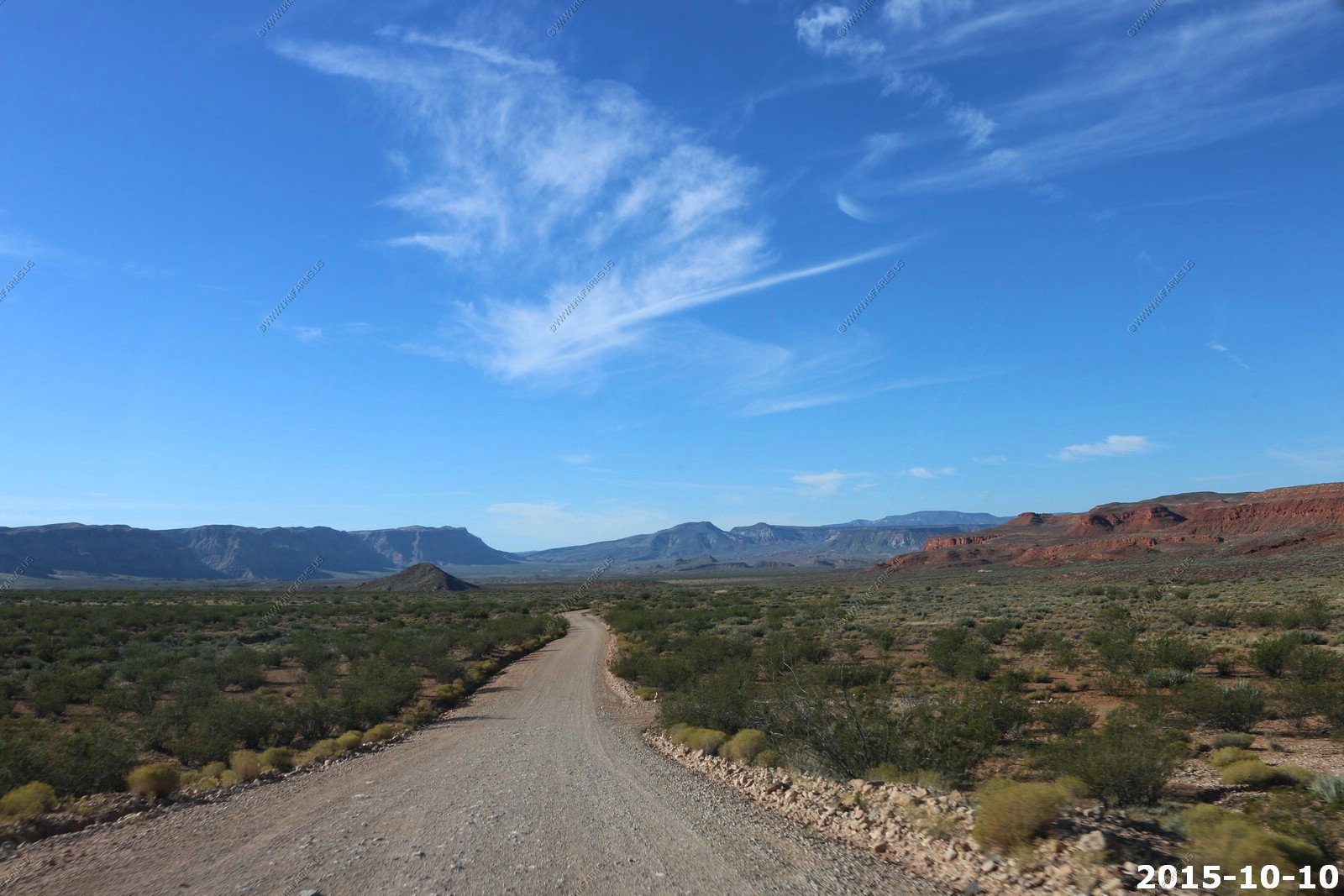
Scenic high desert
The tracks were in a active wash
Very cool
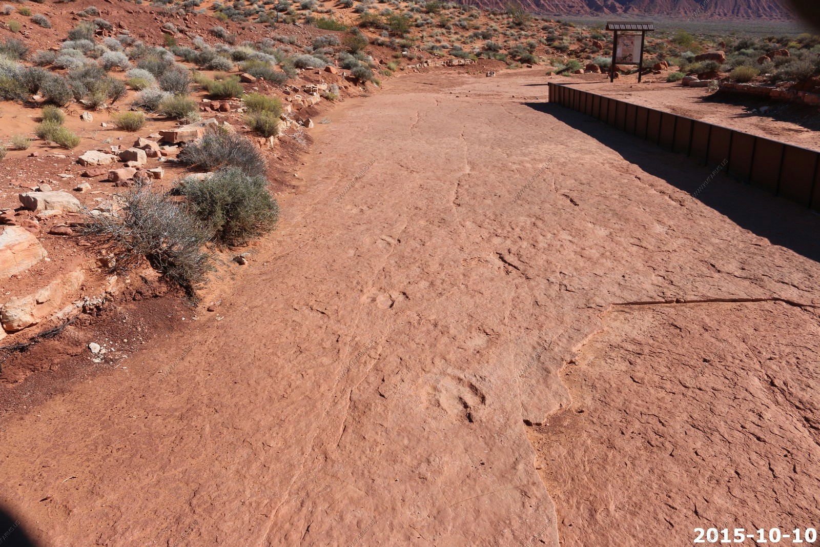
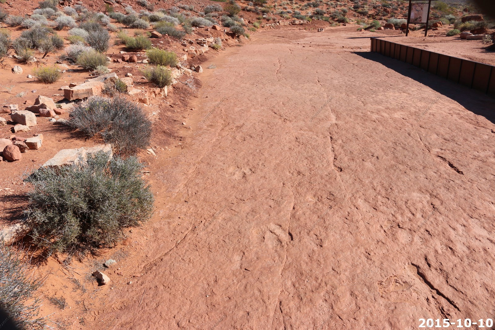
The info signs that they had
Where they diverted the wash water off of the tracks
Ken pointing at the tracks
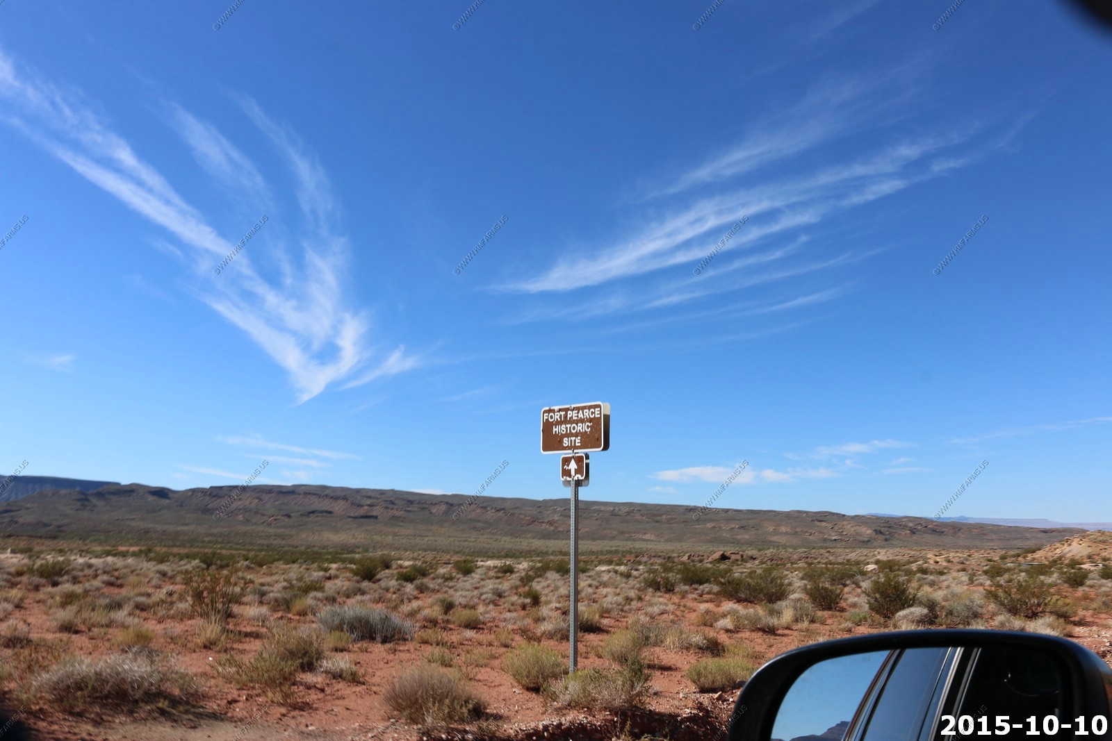
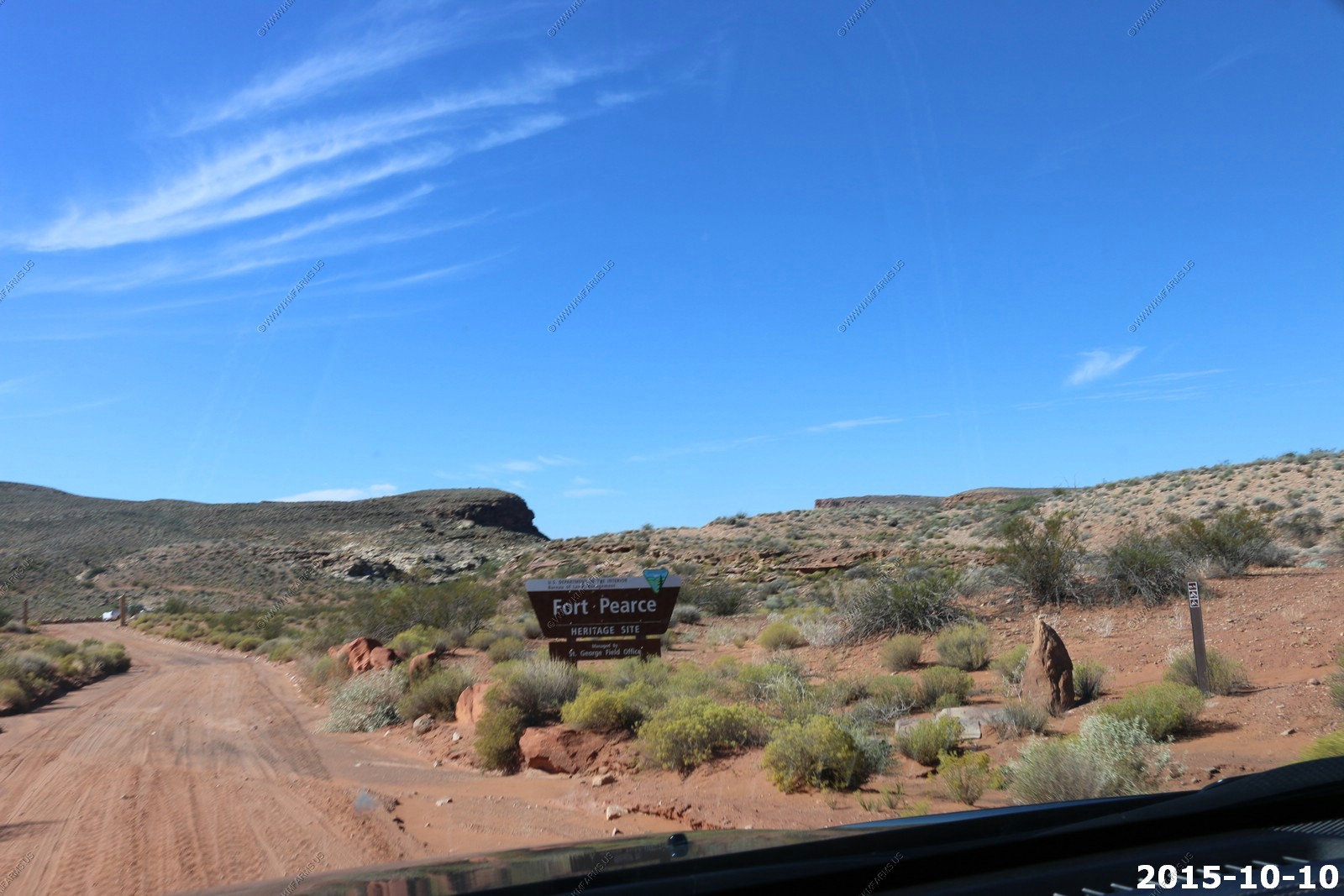
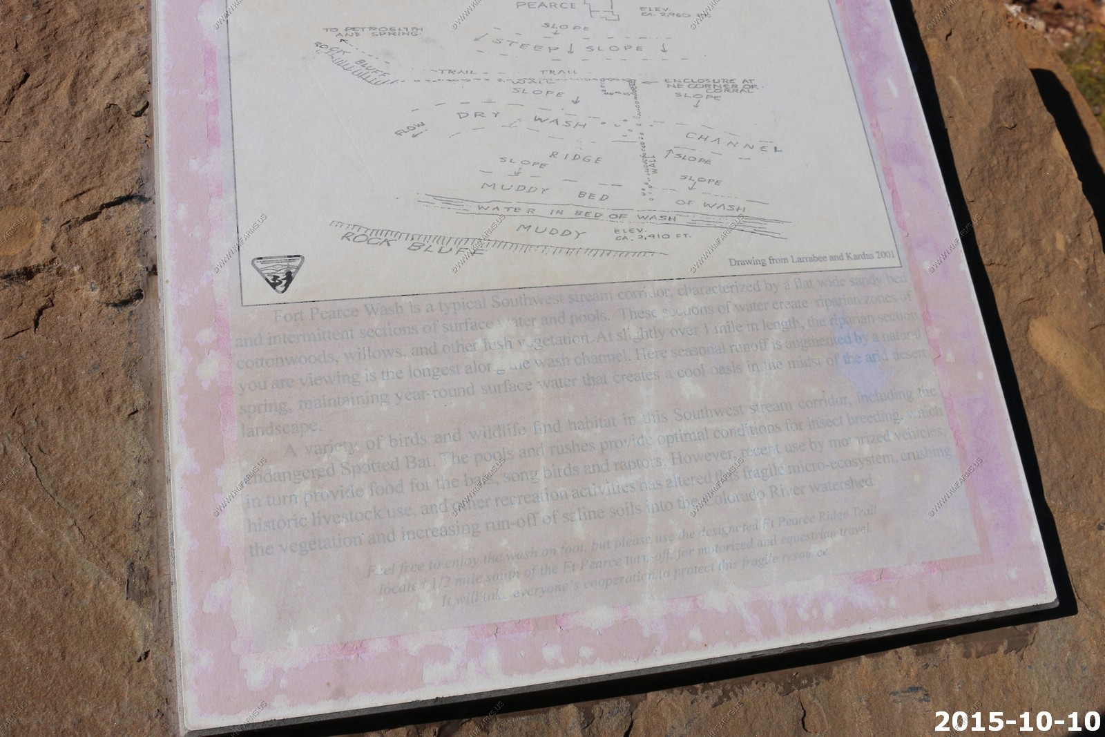
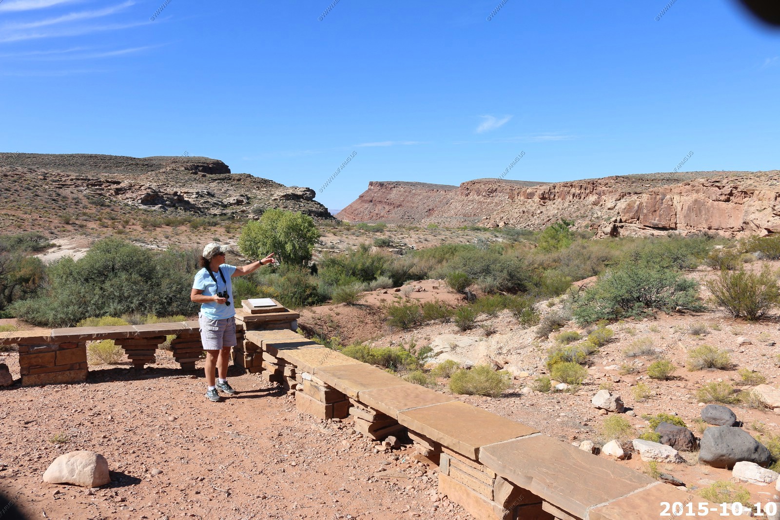
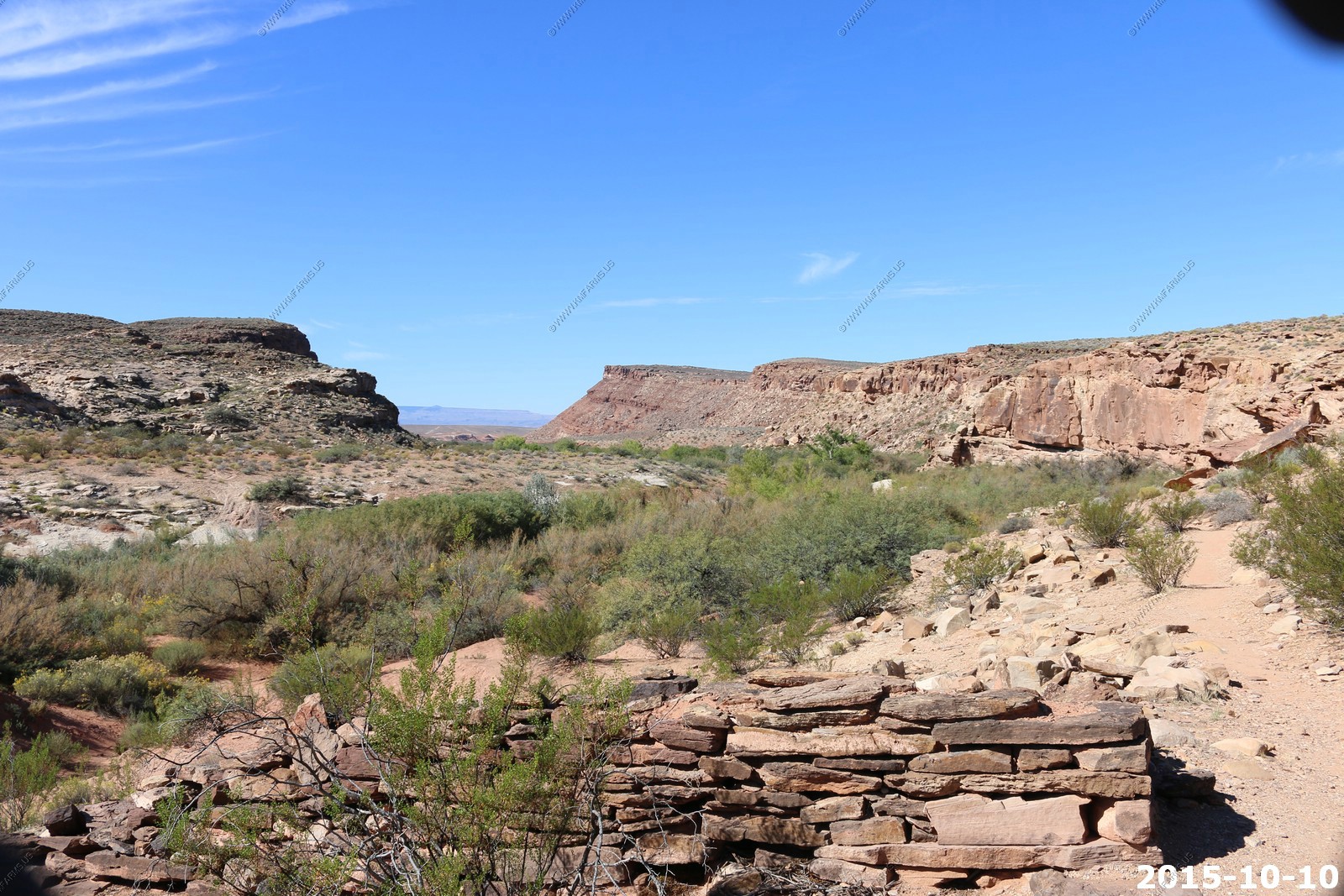
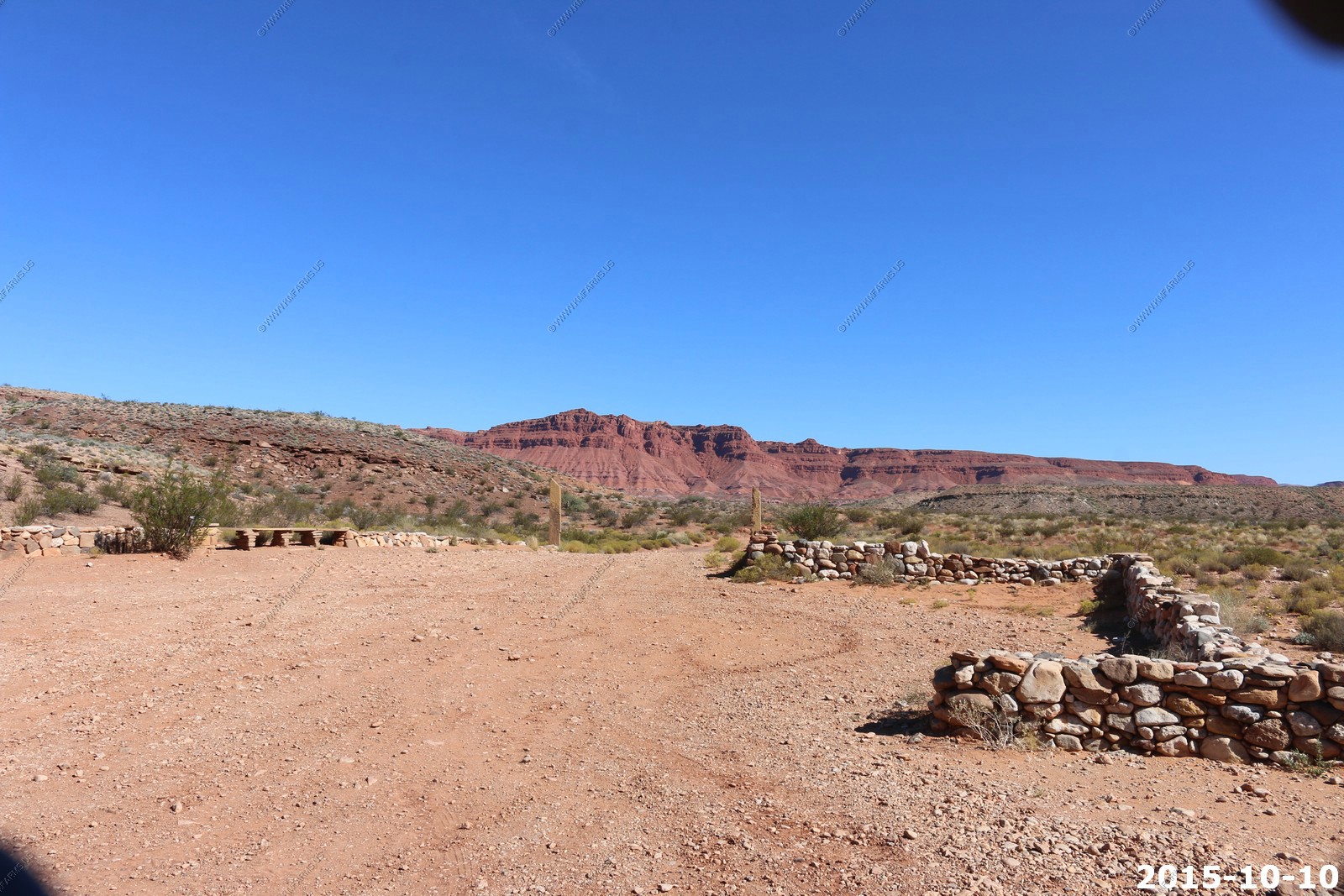
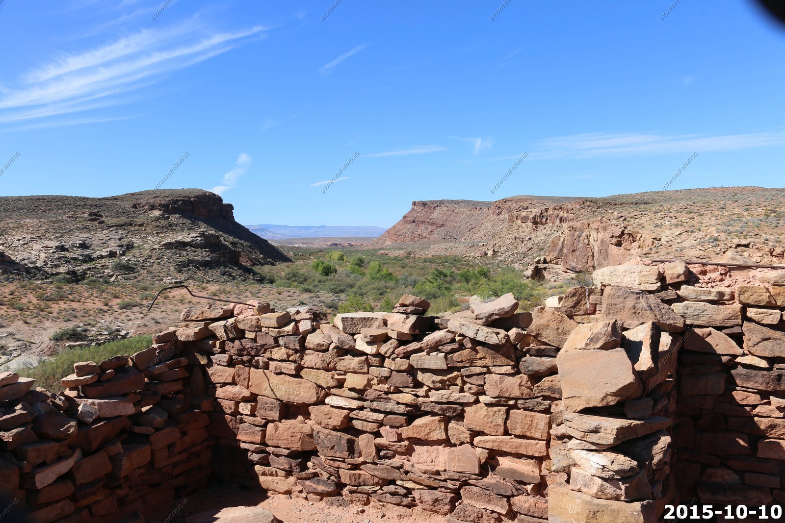
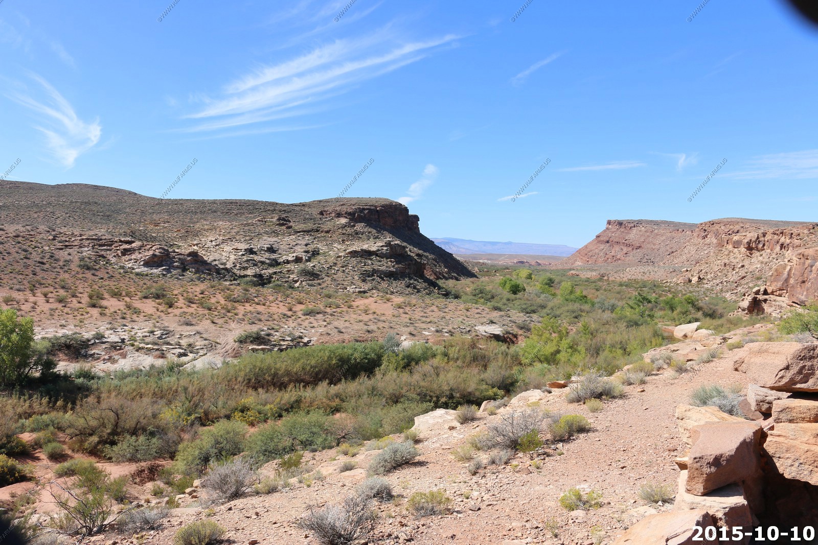
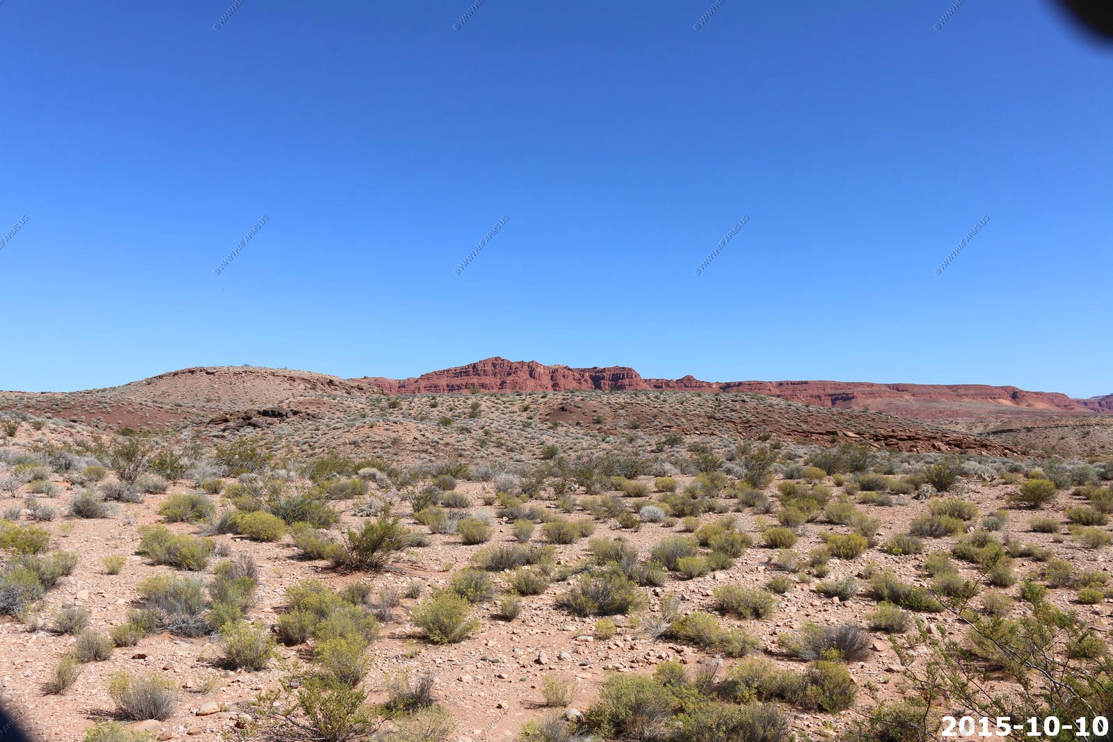
The next interesting area south of town was Fort Pearce Historic Site
Fort Pearce Historic Site, listed on both the National Register of Historic Places and the State of Utah Register of Historic Places. Located approximately 12 miles south of St. George, Utah, the historic site is generally accessible year-round, via the unpaved Warner Valley Road. Other heritage points of interest on public lands are nearby, including the Honeymoon Trail and the interpreted Warner Valley Dinosaur Track Site.
The small structure at the Fort Pearce Historic Site is one of only three remaining stone guard posts built during Utah's Black Hawk War. This "war" was actually period of intermittent raiding between 1865 and 1870, during which the Ute Tribe, led by Chief Black Hawk (Antonga), and other Native Americans allies attempted to drive the Mormons from the Ute traditional homelands. Mounted Ute raiding parties, often joined by Navajos, stole Mormon livestock, attacked outlying ranches and settlements, and killed settlers who interfered with the raids. More than 100 Native Americans and at least 70 Mormons were killed during the raiding.
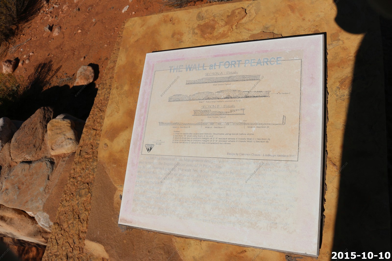
To protect their herds and homes, local Mormon militia constructed a series of protected guard or sentry posts, called 'forts', along major trails and travel corridors in central and southern Utah. Four to six armed men with horses were stationed at each post, to attack and delay the Indian raiding parties, while a rider raced to the nearest settlements with a warning. Horses were stabled at night in the guard posts, to ensure that the early warning ride could be made without delay.
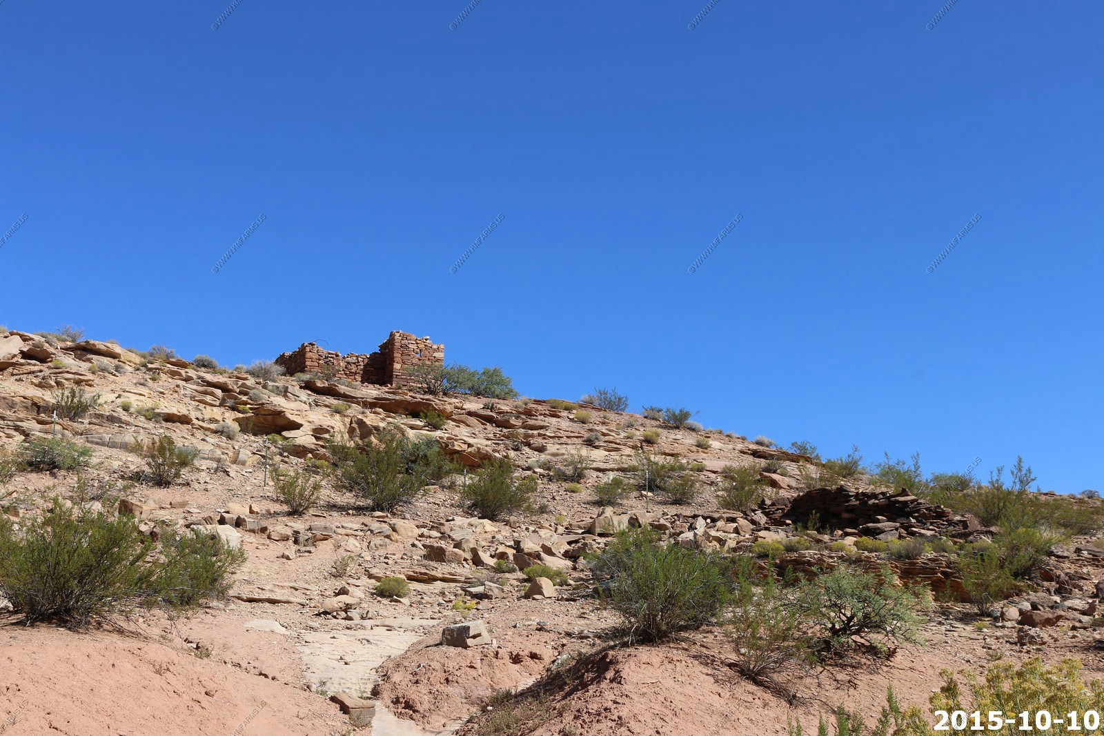
Fort Pearce Wash was one of the primary routes along which Ute-Navajo horsemen traveled to raid the livestock herds and settlements of the St. George Basin. A site was selected in the spring of 1866, on a high bluff overlooking a narrow, steep-sided canyon, just above the only natural spring for miles, for a guard post along Fort Pearce Wash. A small number of armed men could easily defend this location and water from the spring would support the defenders and their stock. A work party of 20 men began construction on that guard post on December 4, 1866, working for nearly a month to quarry enough local sandstone to construct the dry-laid or mud-mortared defensive structure and a stock corral; the post and the drainage were named in honor of Major John D.L. Pearce of the Iron County Militia.
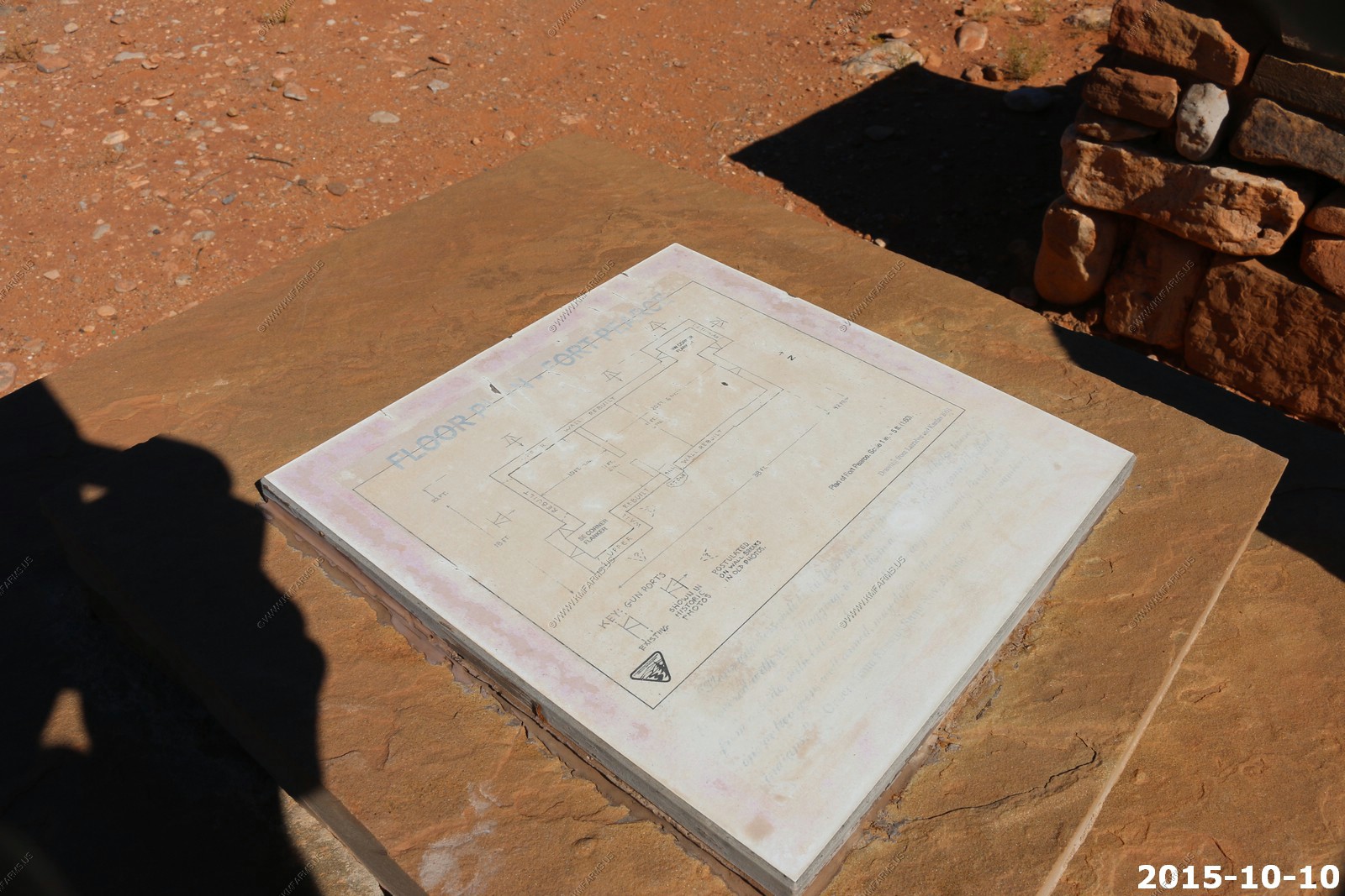
The dimensions of the roofless guard post were approximately 42 feet north-south by 22 east-west, with 7 to 8 foot high walls and one exterior doorway. The interior of the structure was divided by a partition wall into two rooms. Small protruding rectangular abutments were added off the northwest and southeast corners as flanking walls and 10 vertical firing slits or gun ports were constructed near the tops of the walls. No armed conflicts are known to have taken place at Fort Pearce, but the guard post was manned, at least intermittently, from 1866 until 1873, when peace negotiations and U.S. Army actions ended the raiding that was known in Utah as the Black Hawk War.
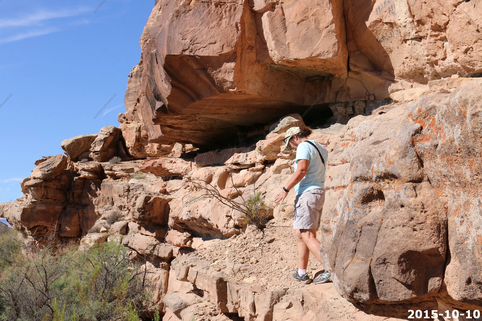
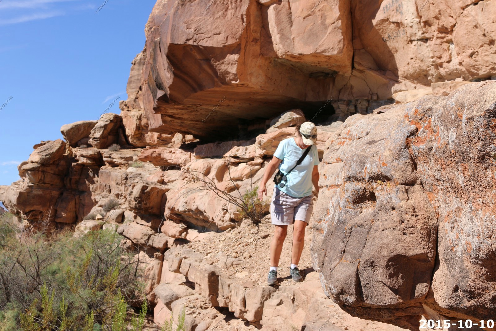
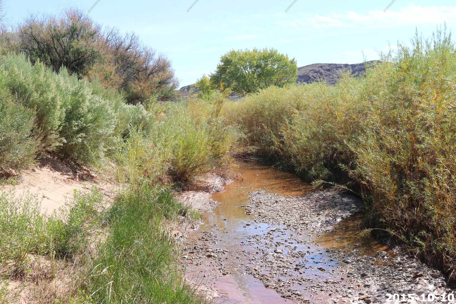
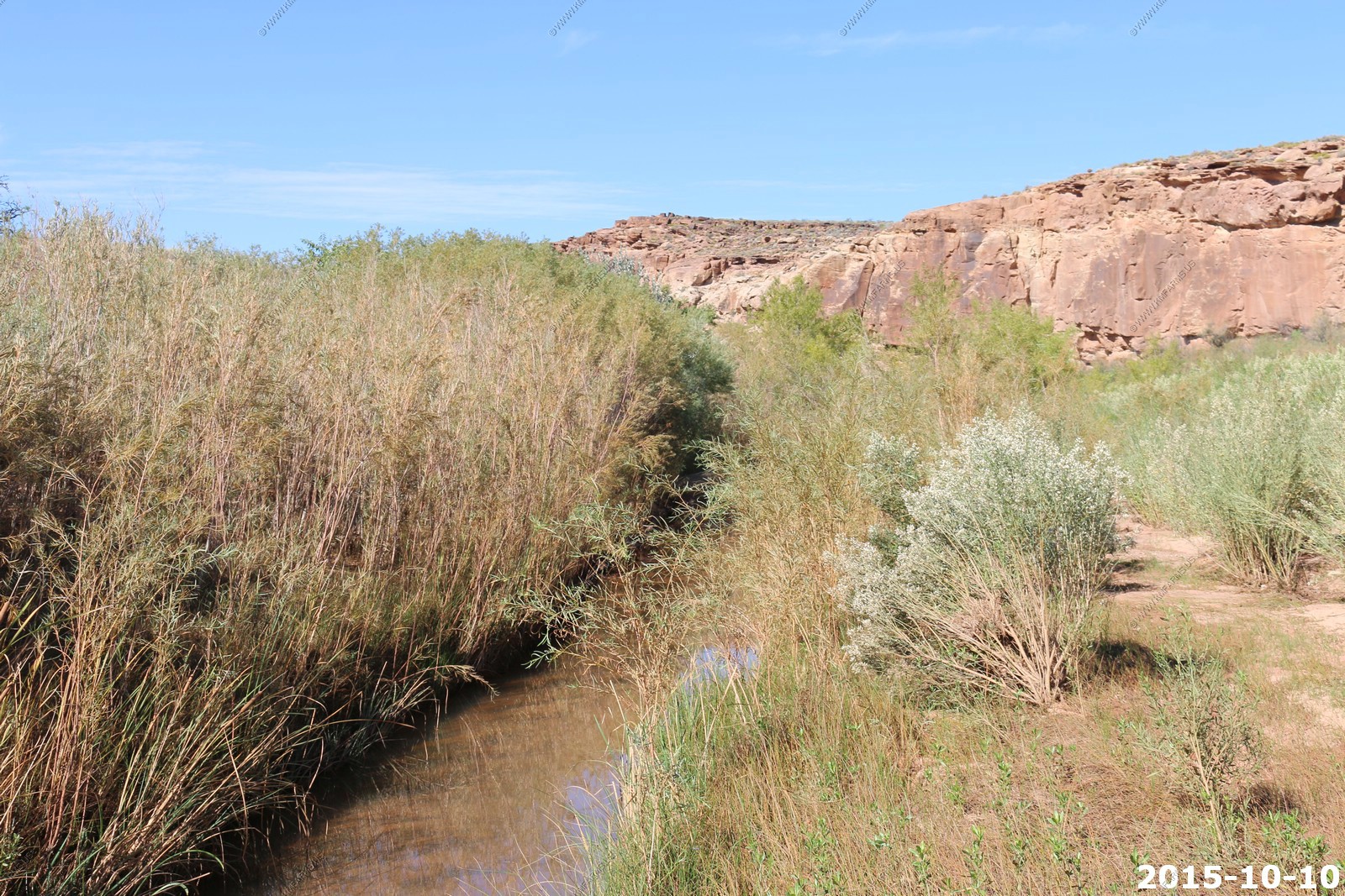
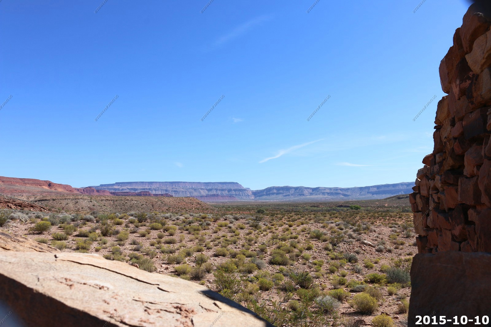
Various Ft. Pearce views

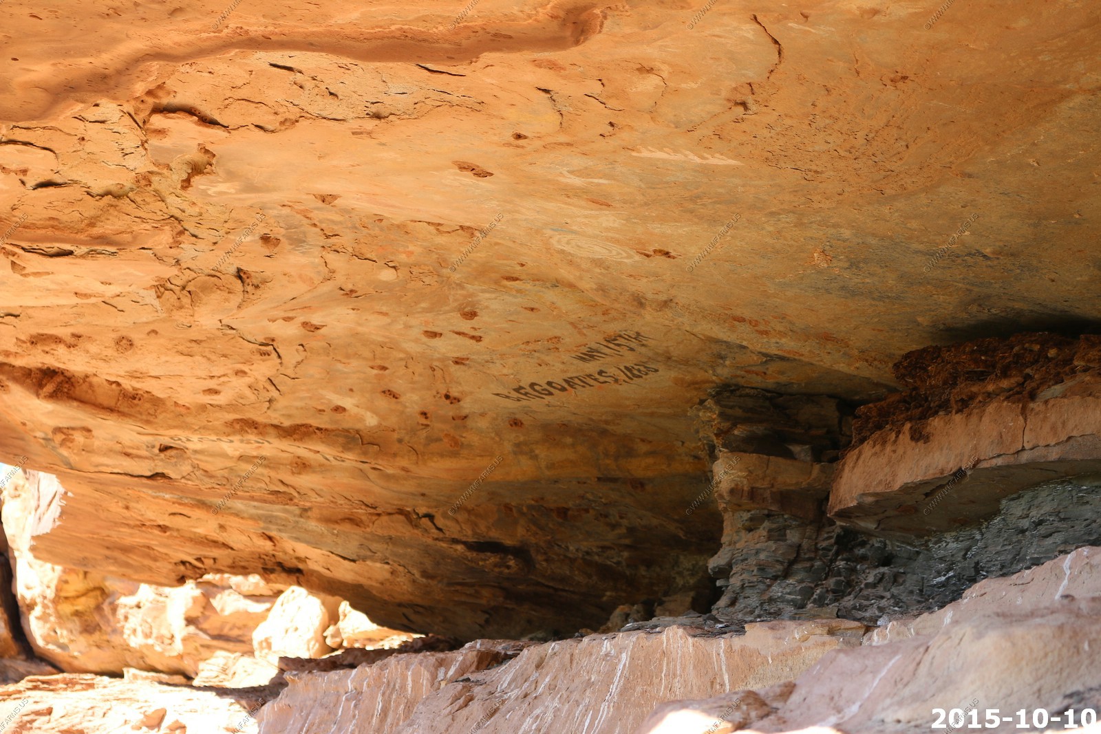
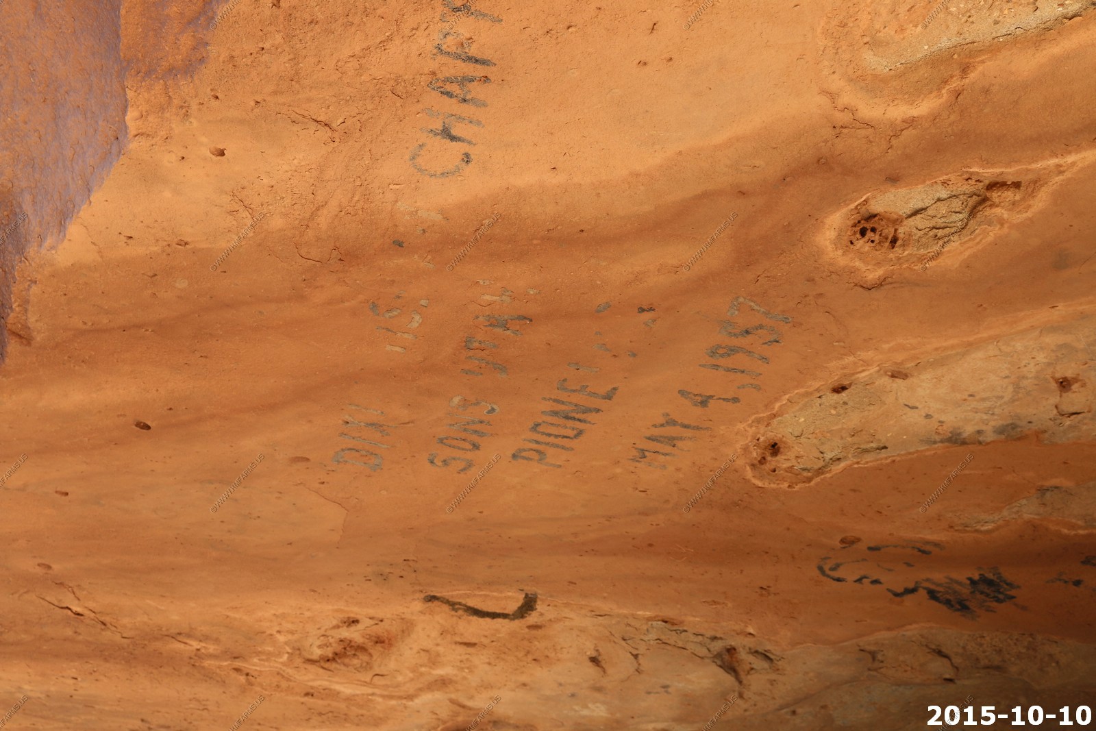
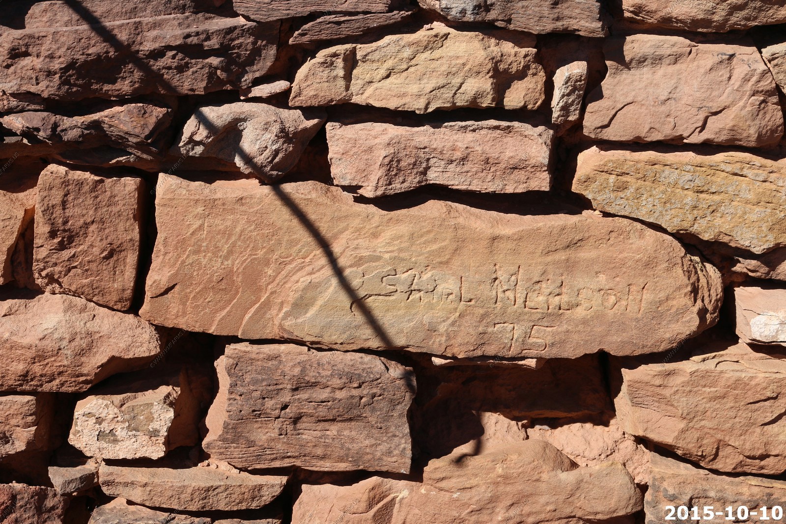
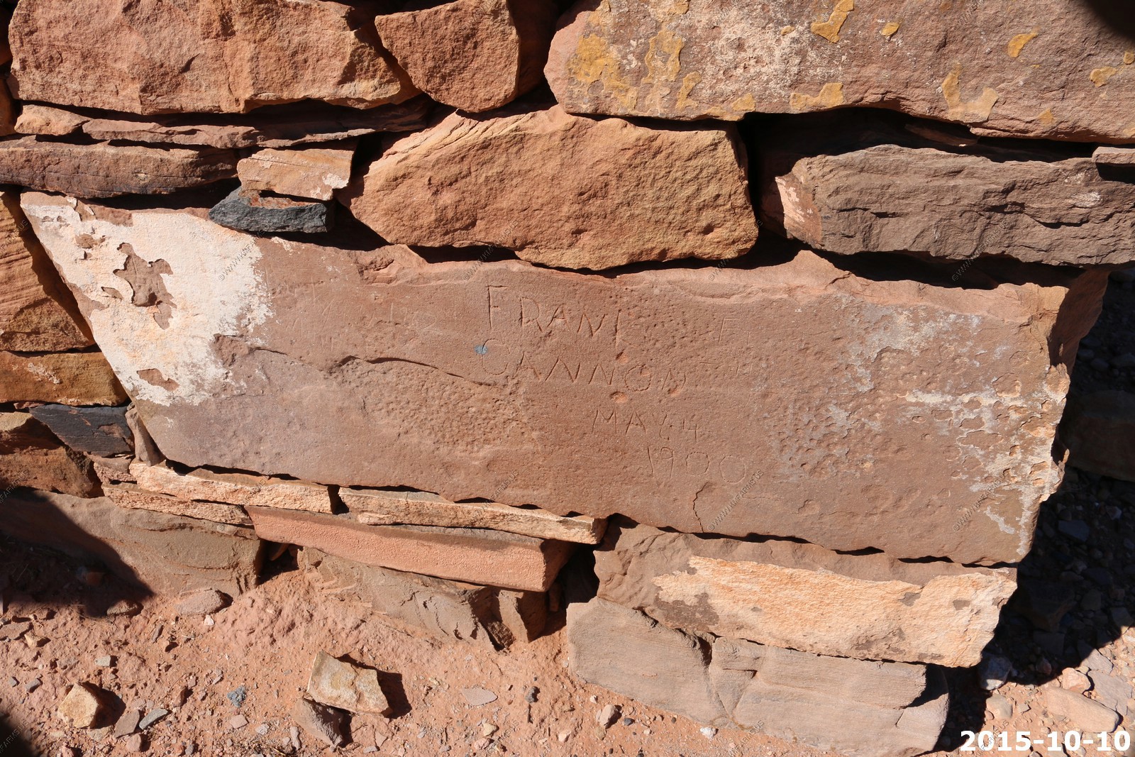
Interesting dates carved along the river near the fort.
I think I can make it. Its only a 20 foot drop into soft sand
Hiking along the cliffs. Great place to find snakes !
I can see why the fort was here. Water
Looking up at the ruins. That wonderful western blue sky !
Utah allows all utility vehicles (ATV's, UTV's RTV's) on the highways. (Arizona does too)
The fort and views from fort.
Looking NW at St. George from the Warner Valley Road. You can see the "D" and the LDS temple
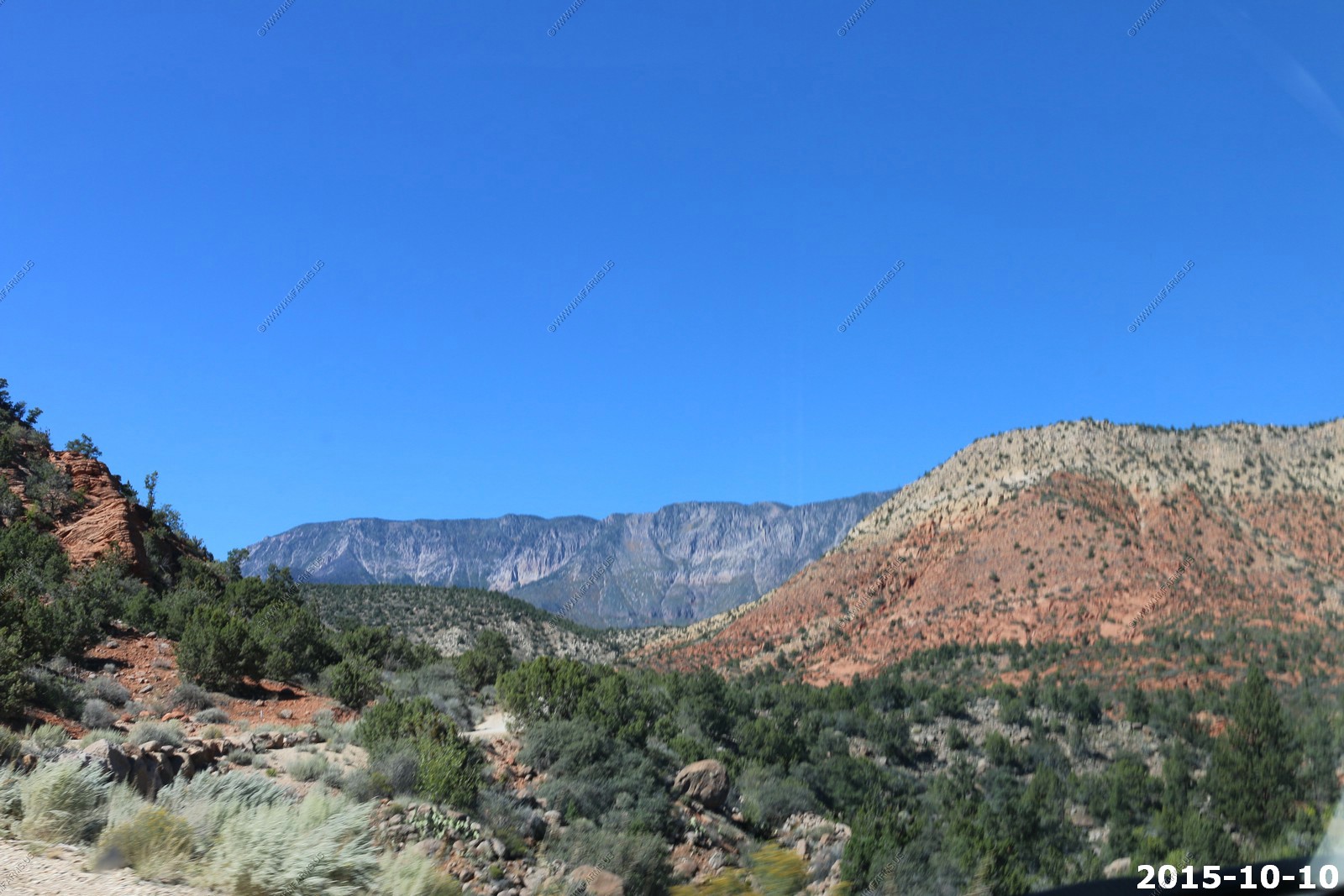
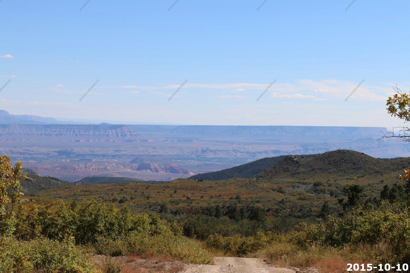
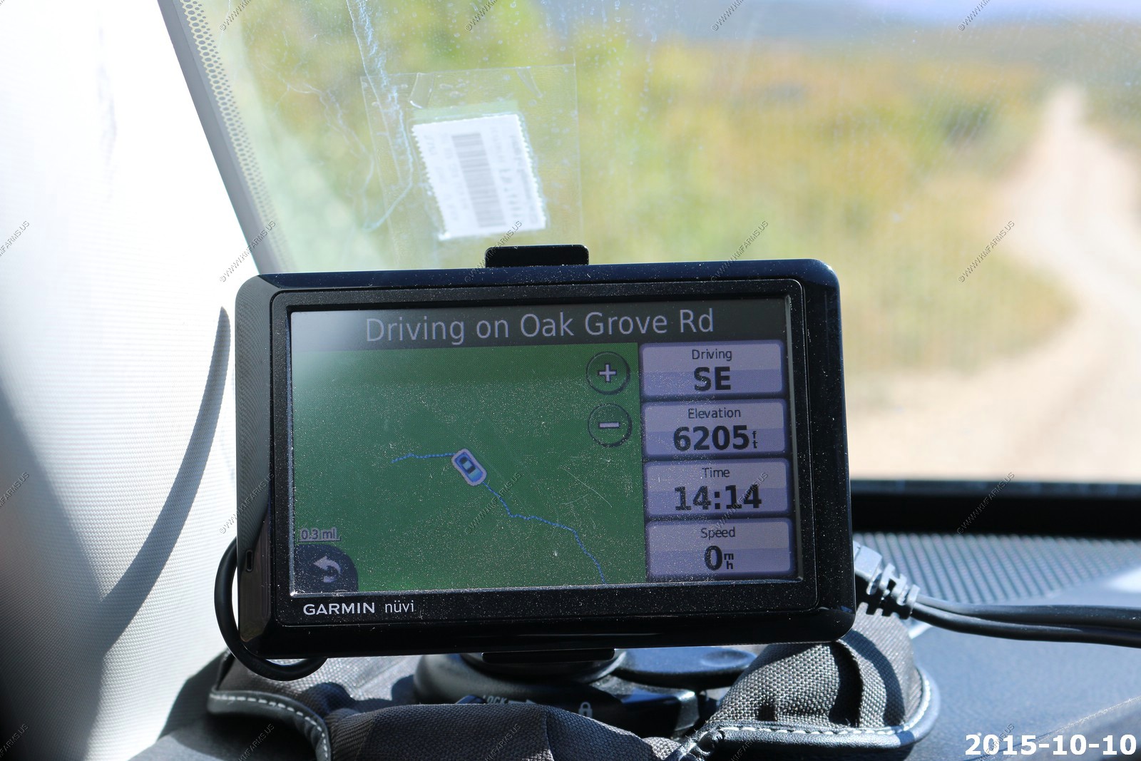
One of the reasons we like St. George is that we can get to the high country quickly to escape the Heat of the summer. So after we ate our lunch at Carl Jr's it was time to see how long it would take us to get up to Oak Grove in the Pine Valley Mountains.
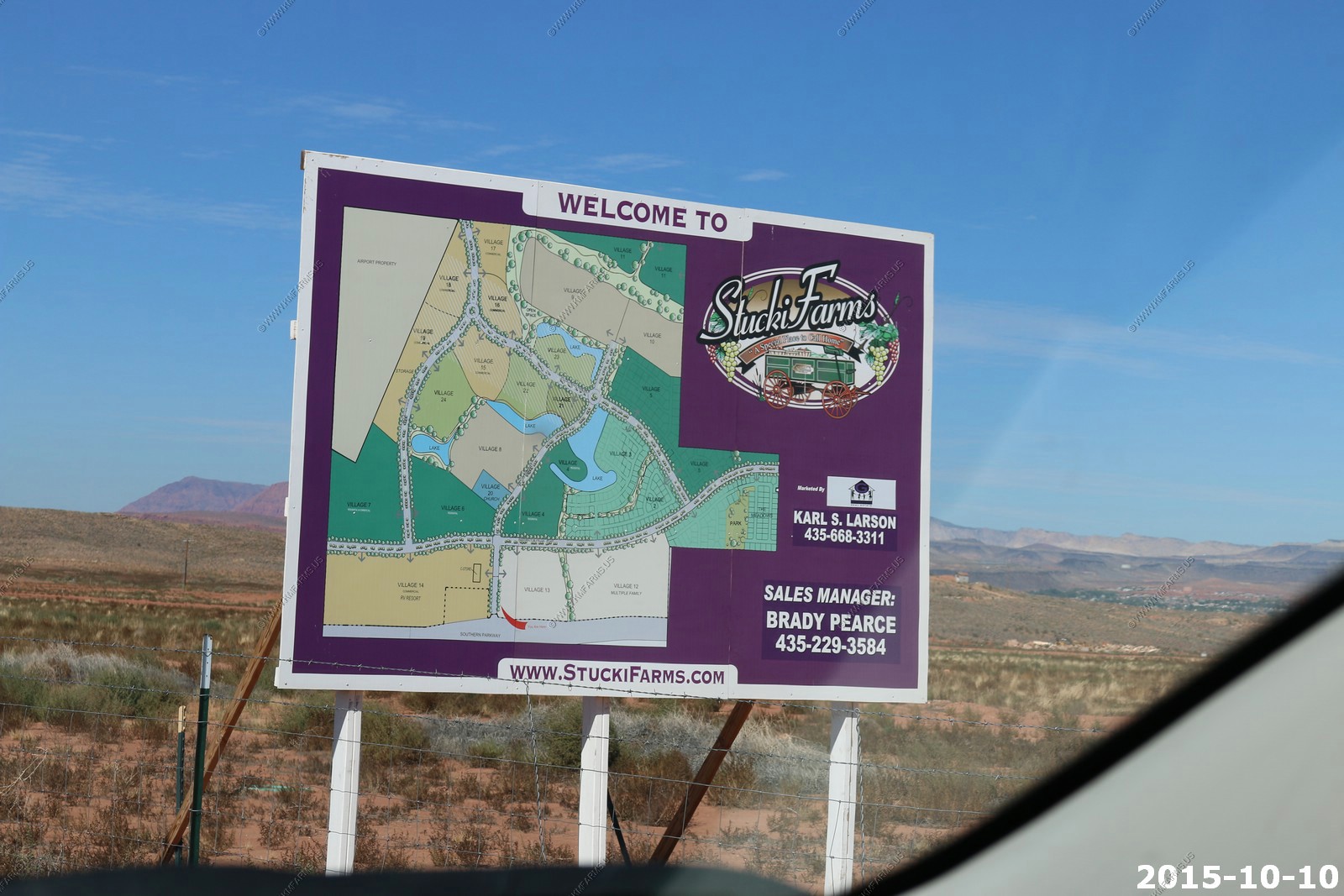
More development - Stucki Farms
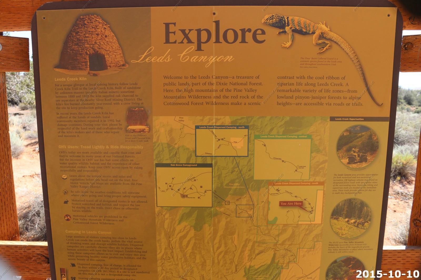
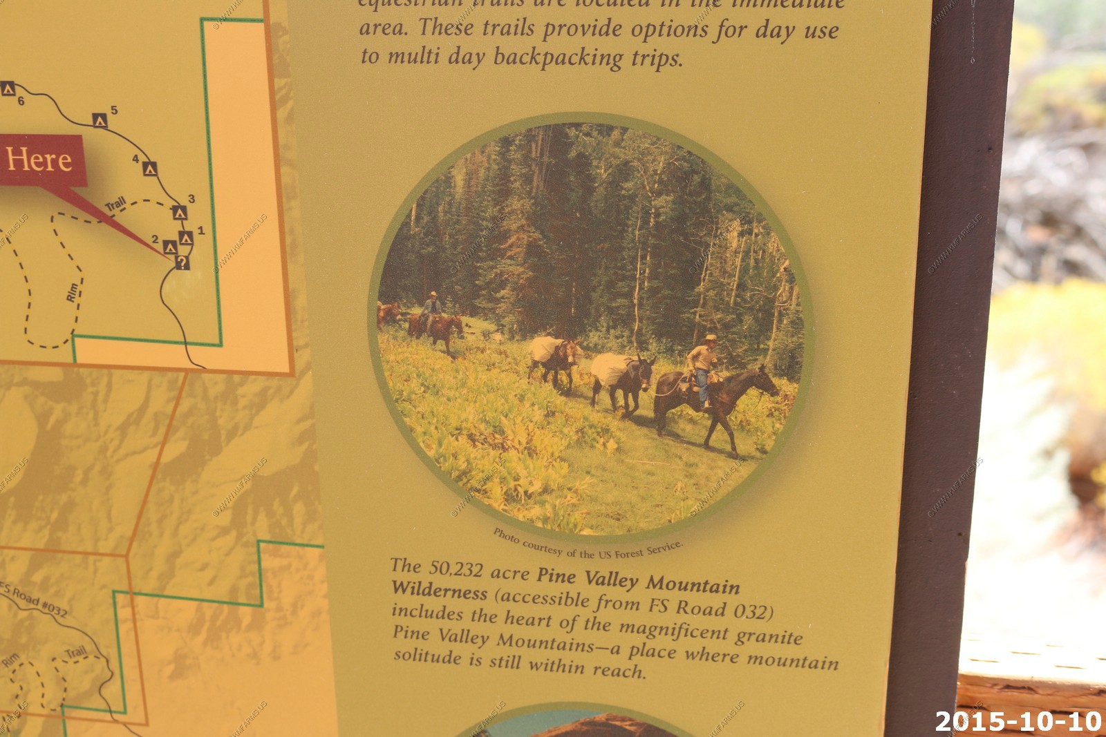
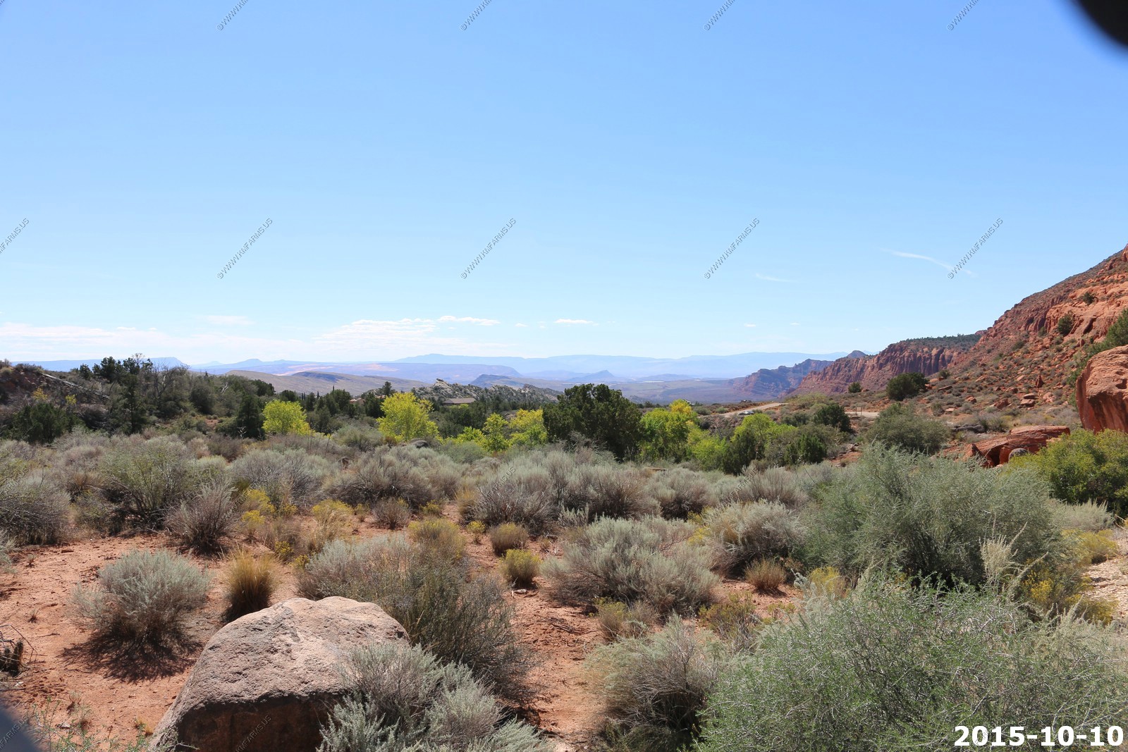
Leeds Canyon - One of the more picturesque canyons in Utah's Dixie that demonstrates a subtle transition from Dixie Corridor to Montane is Leeds Creek or Leeds Canyon
High desert - Camera was knocked off of auto focus
Pine Valley Mountains - The Pine Valley Mountains formed from the Pine Valley Laccolith, which is the largest laccolith in the United States and perhaps the largest laccolith in the world. A laccolith is a sheet intrusion (or concordant pluton) that has been injected between two layers of sedimentary rock. The pressure of the magma is high enough that the overlying strata are forced upward, giving the laccolith a dome or mushroom-like form with a generally planar base.
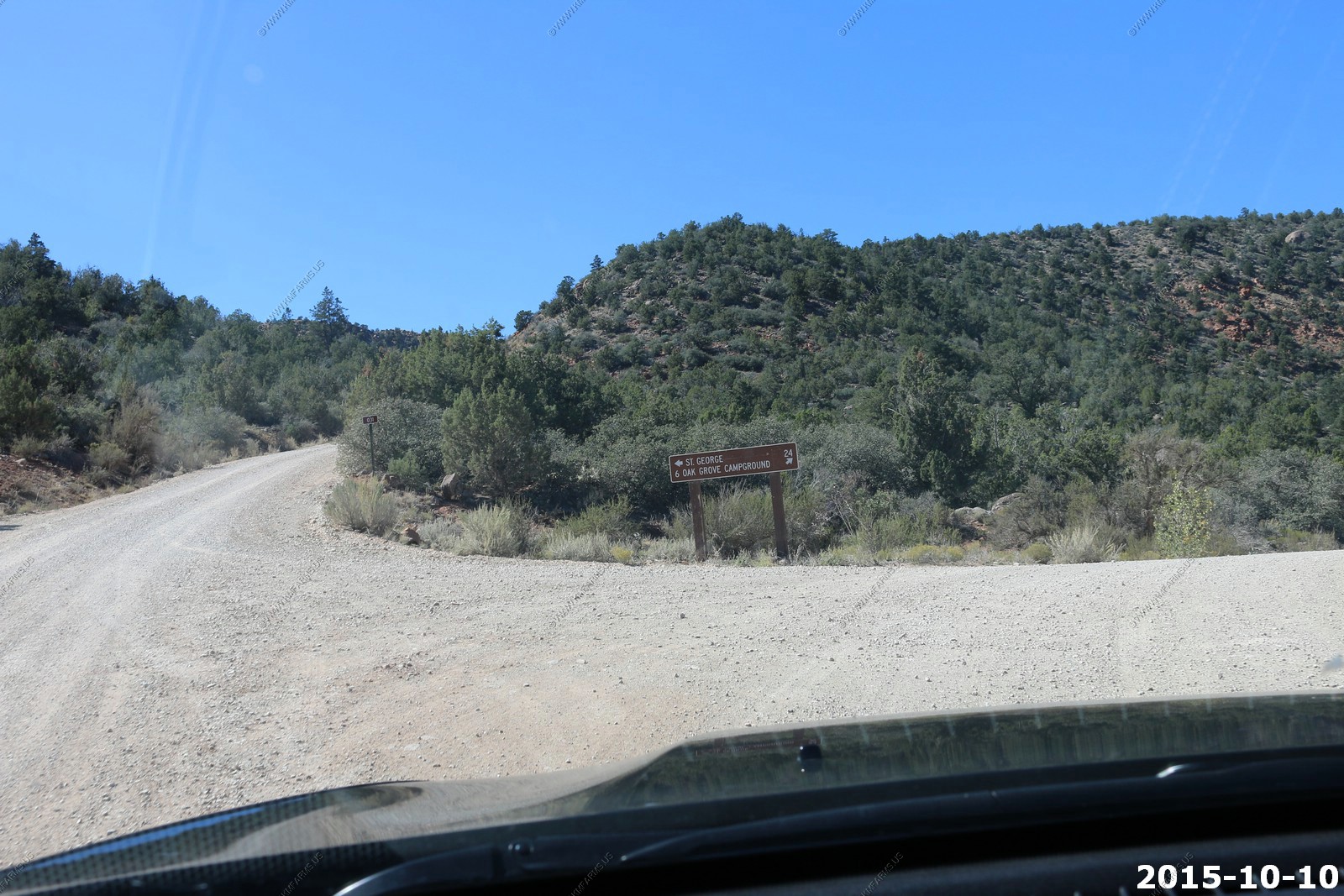
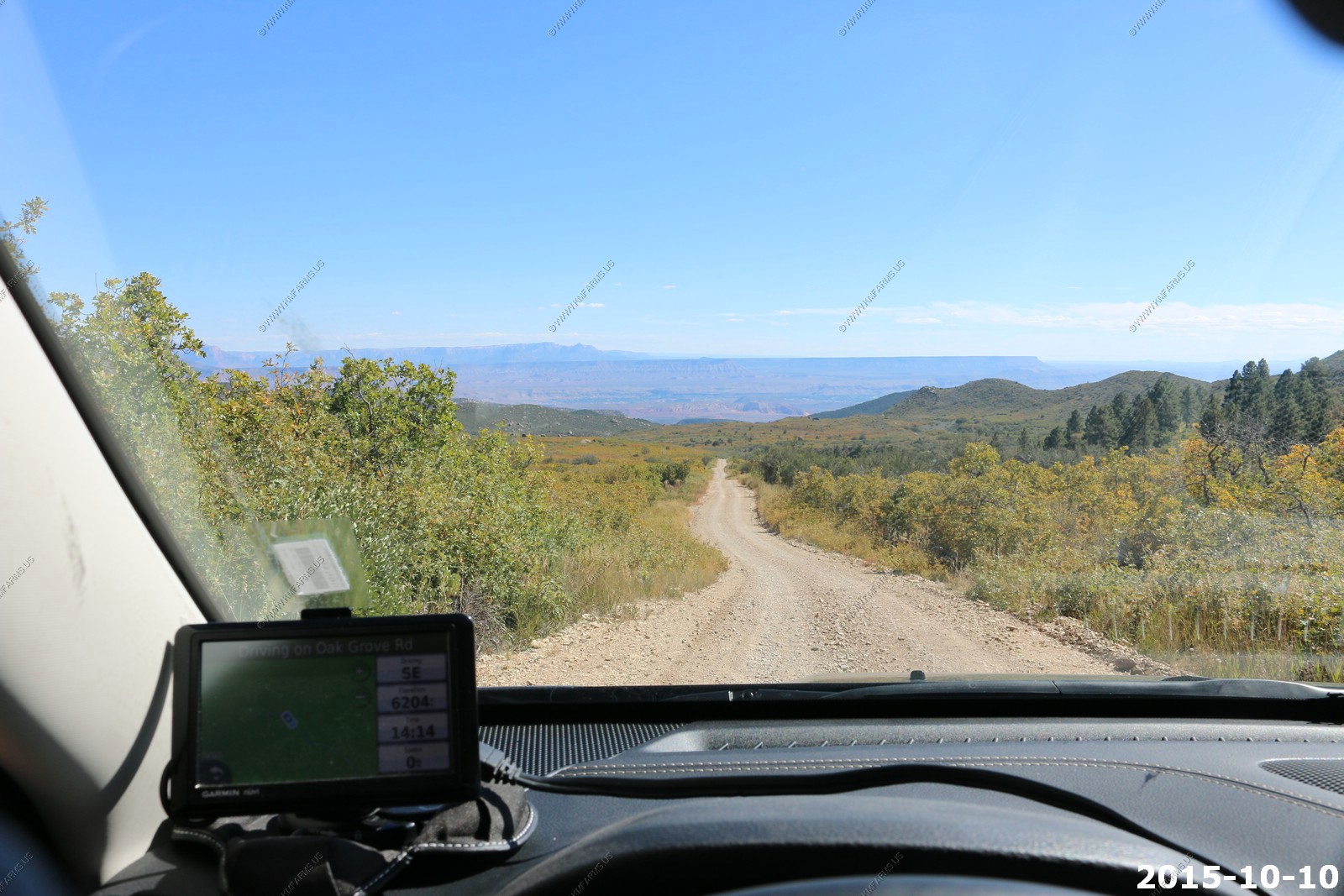
St. George 24 miles back on a dirt road. Next time.
Getting higher. Pine Trees
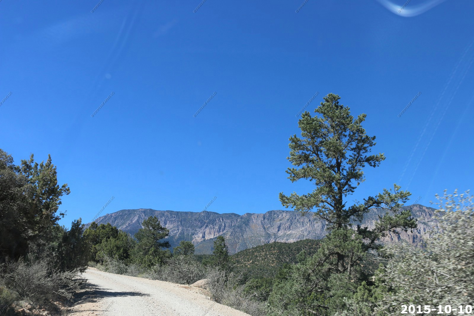
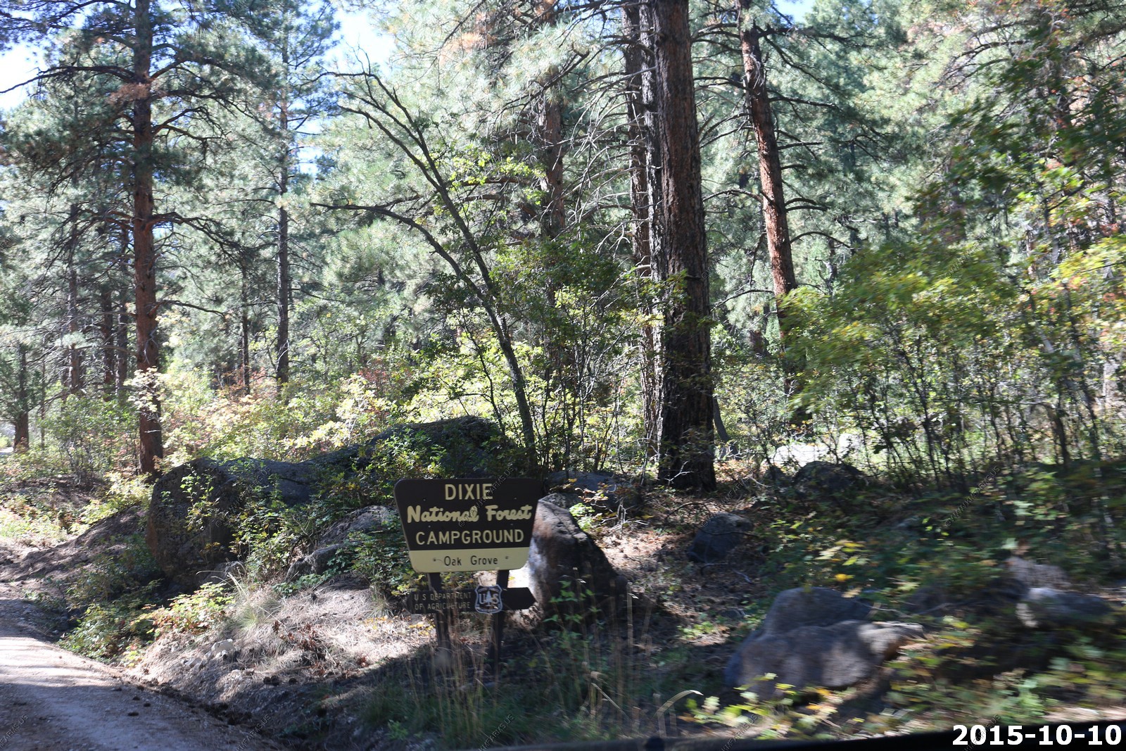
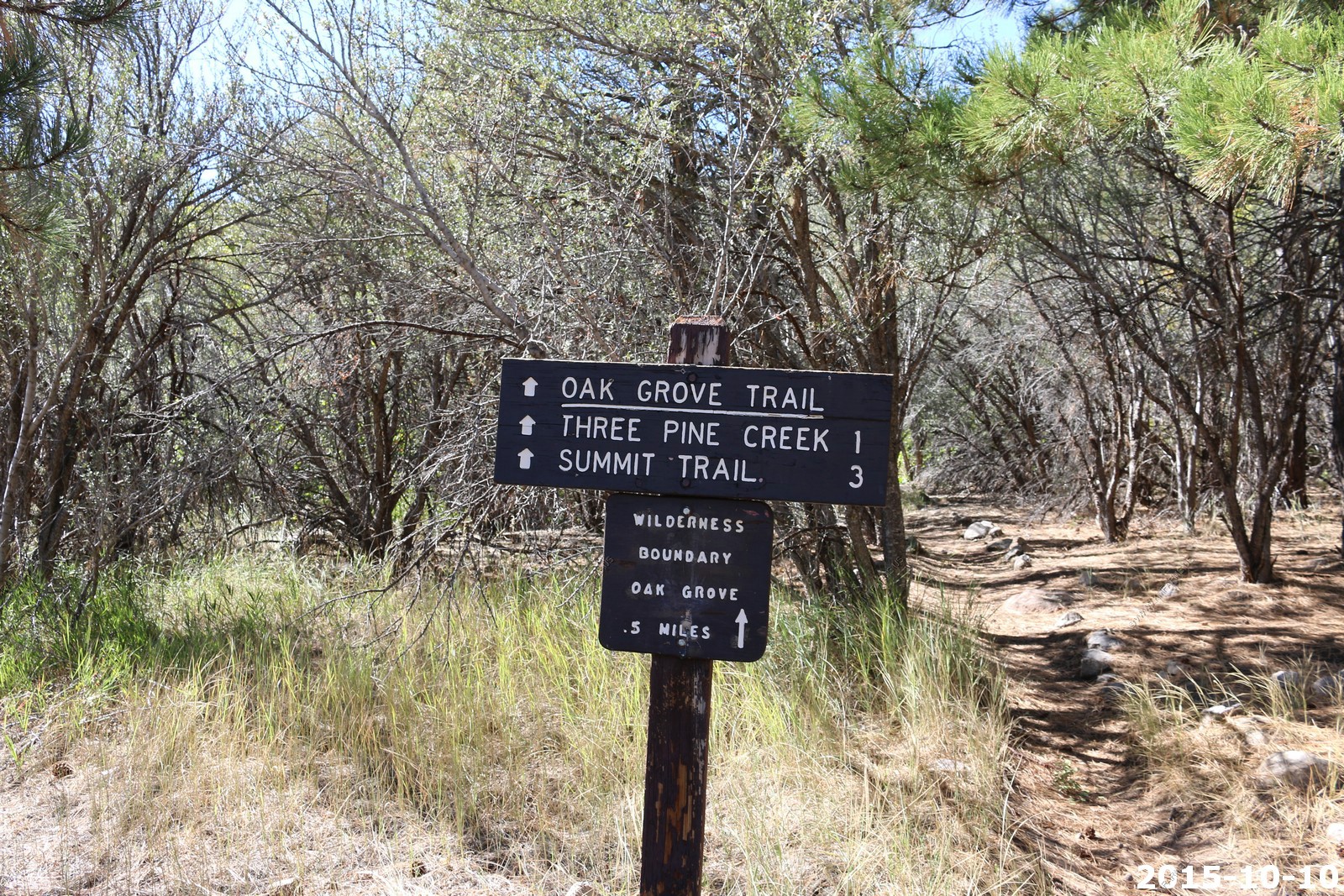
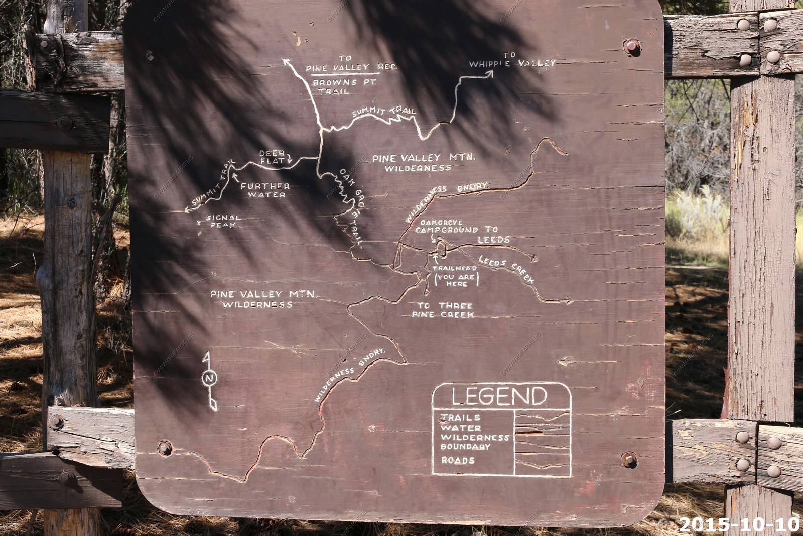
Oak Grove Camp Ground. This is a Saturday in October and the place was empty.
A trail goes up to over 10,000 feet from here. Next time.
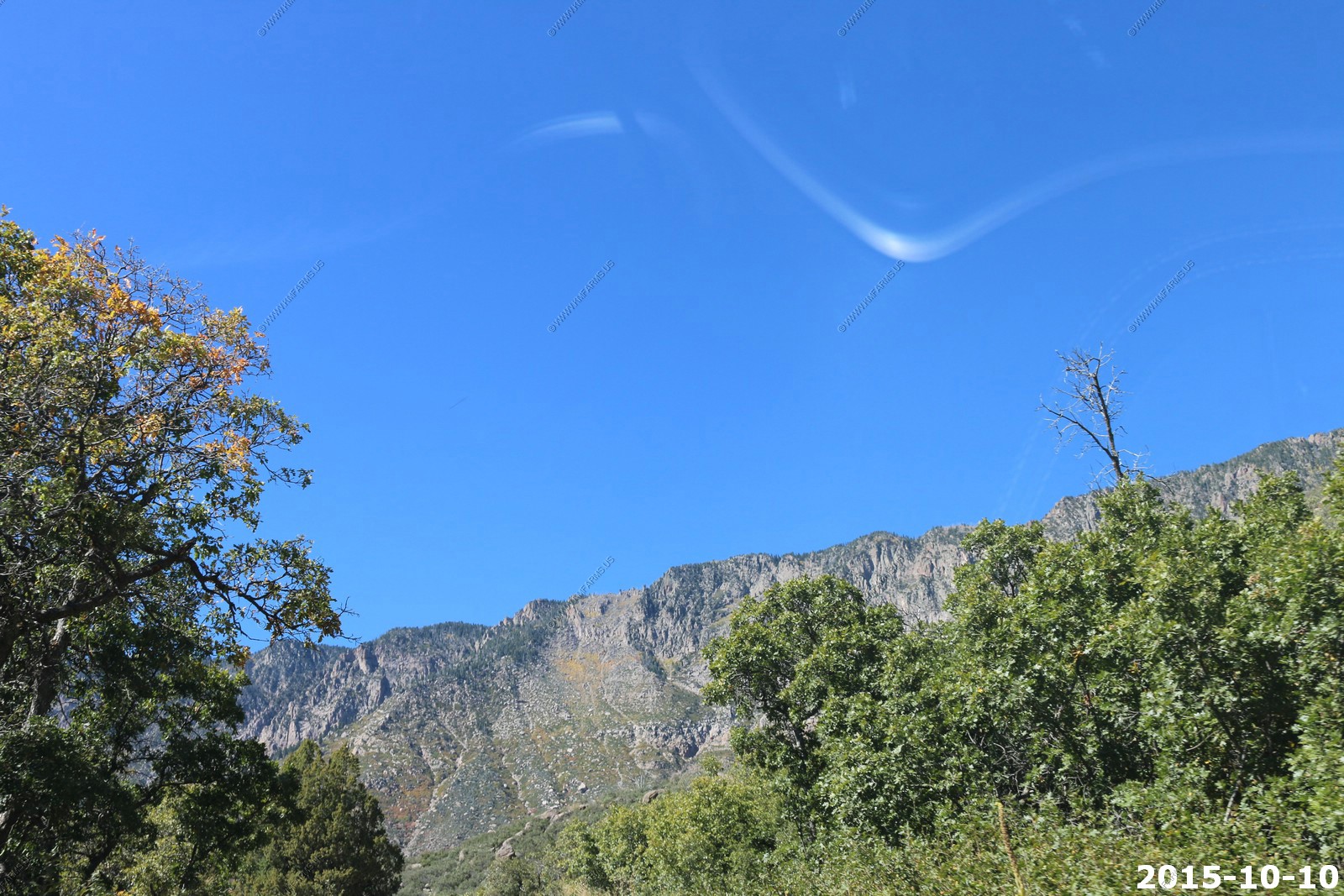
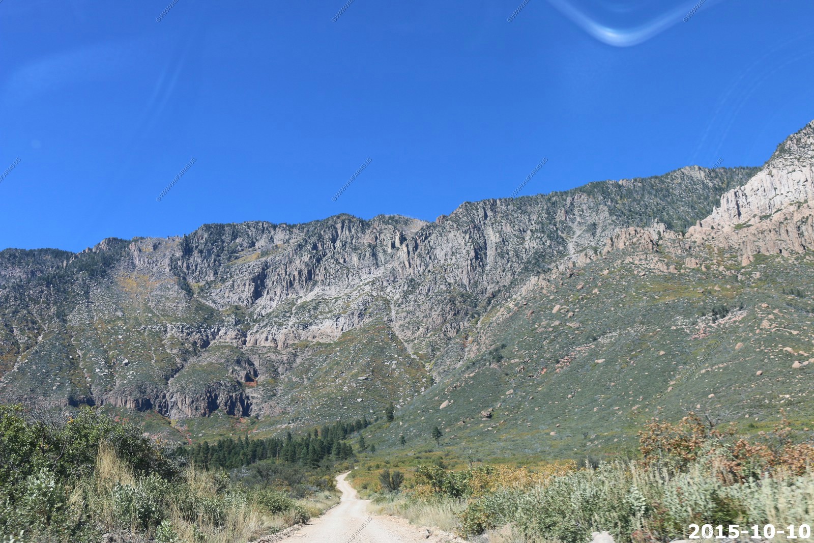
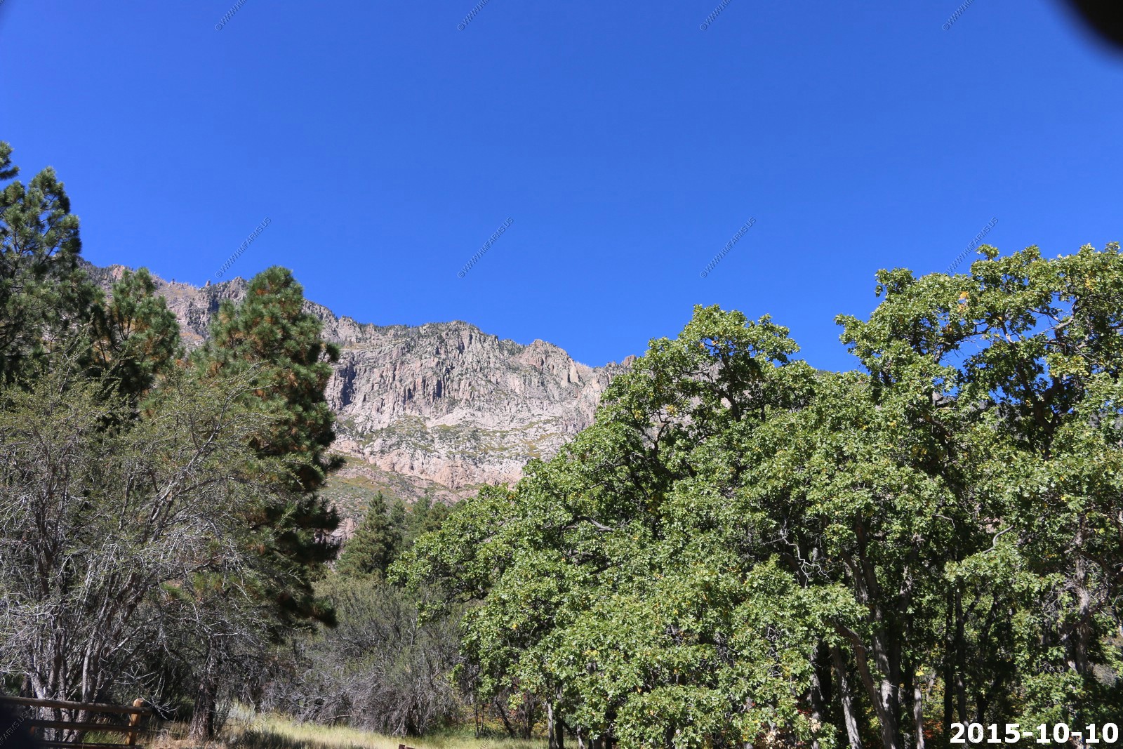
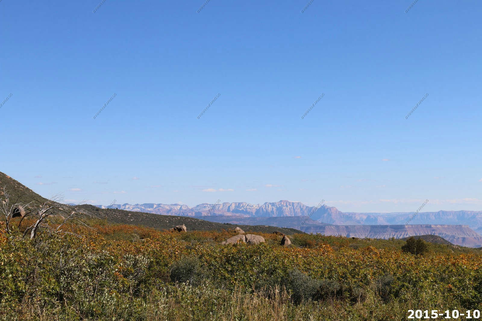
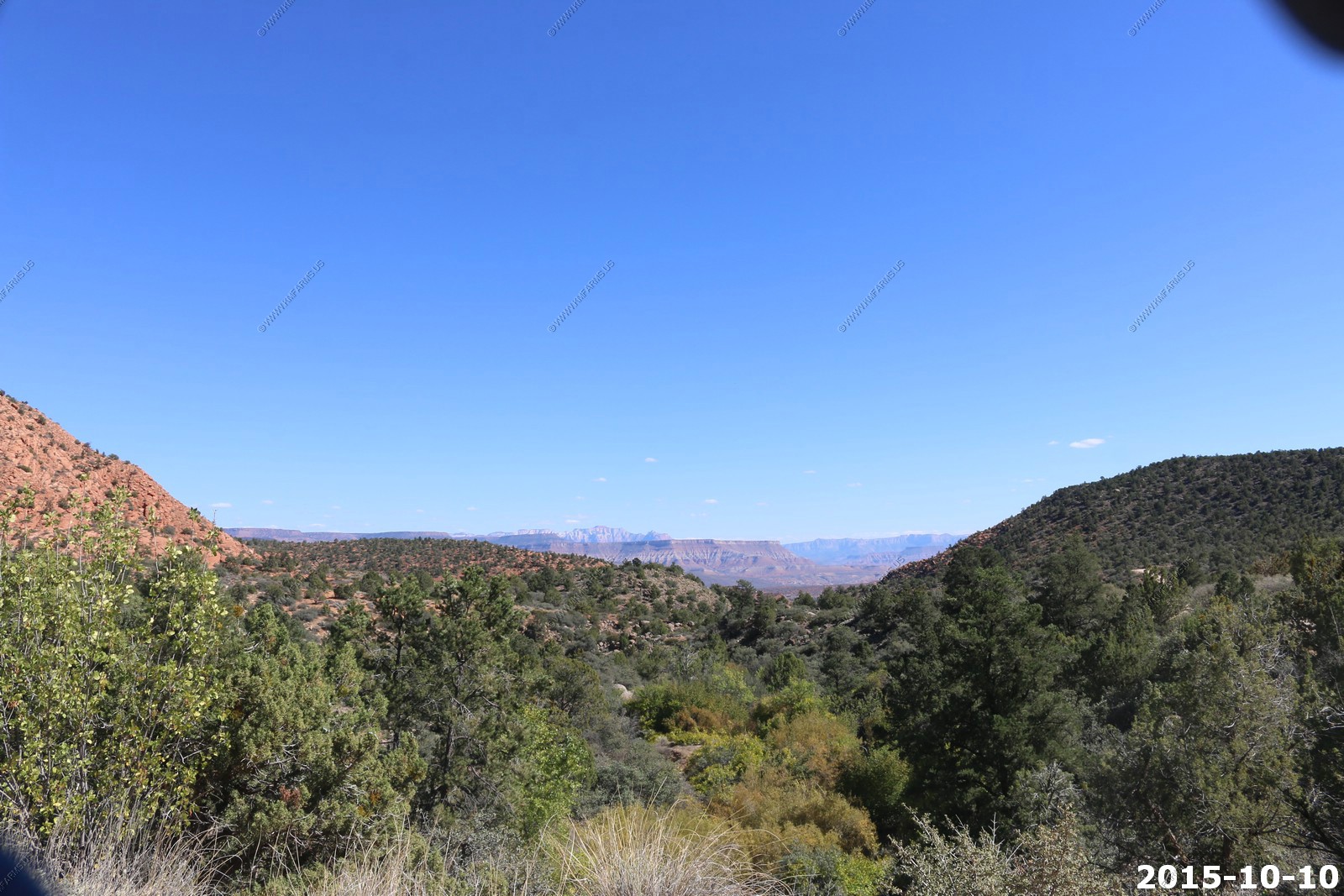
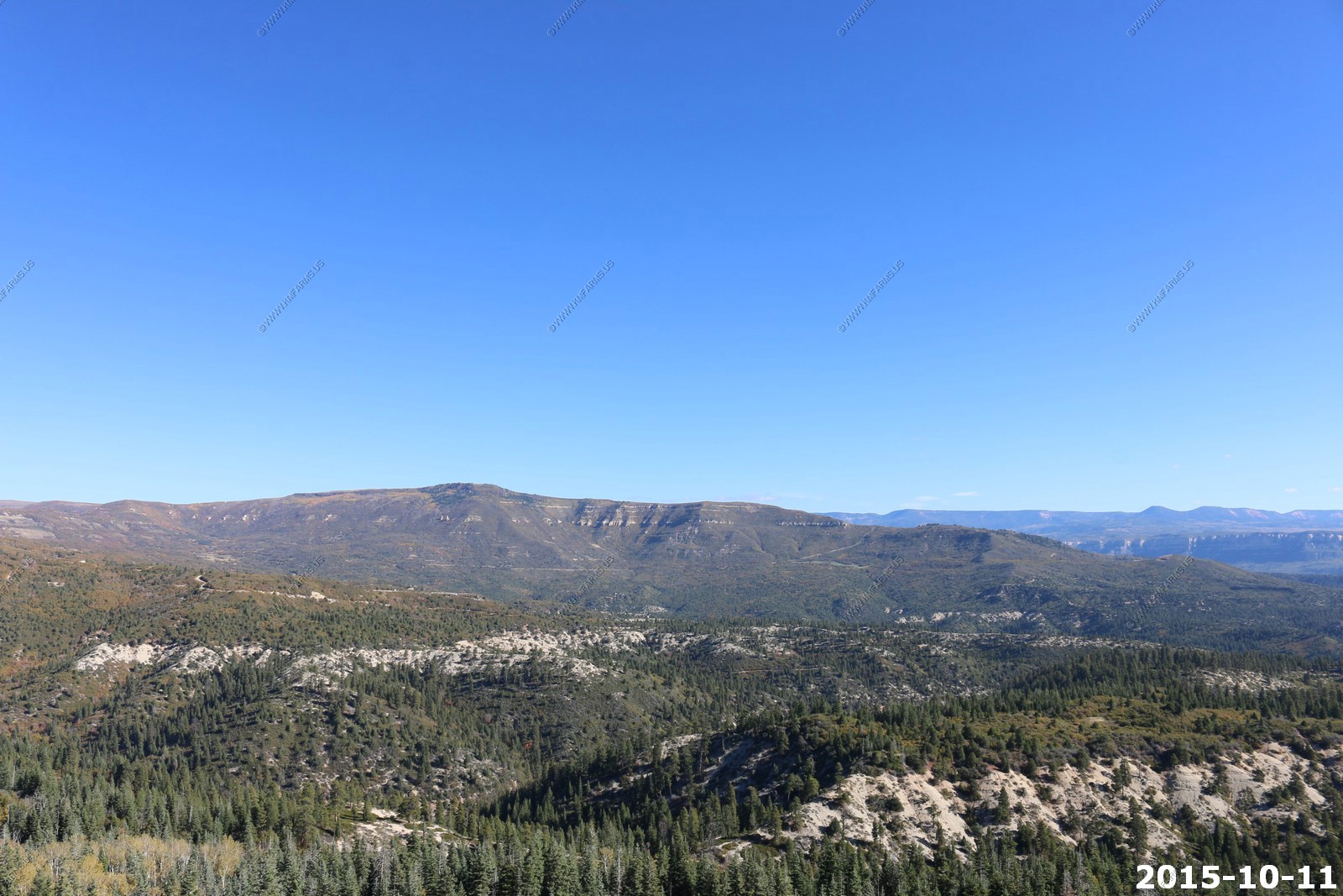
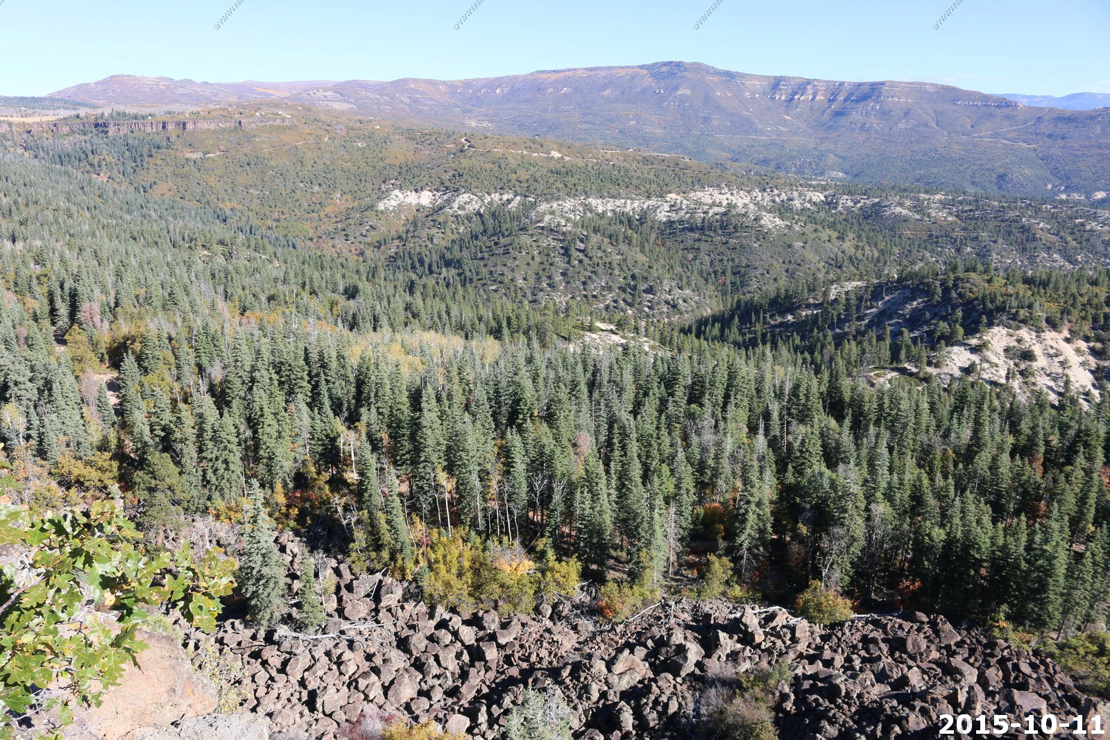
Various views of the Pine Valley Mountains.
The rental Jeep

Not bad. $5 a night

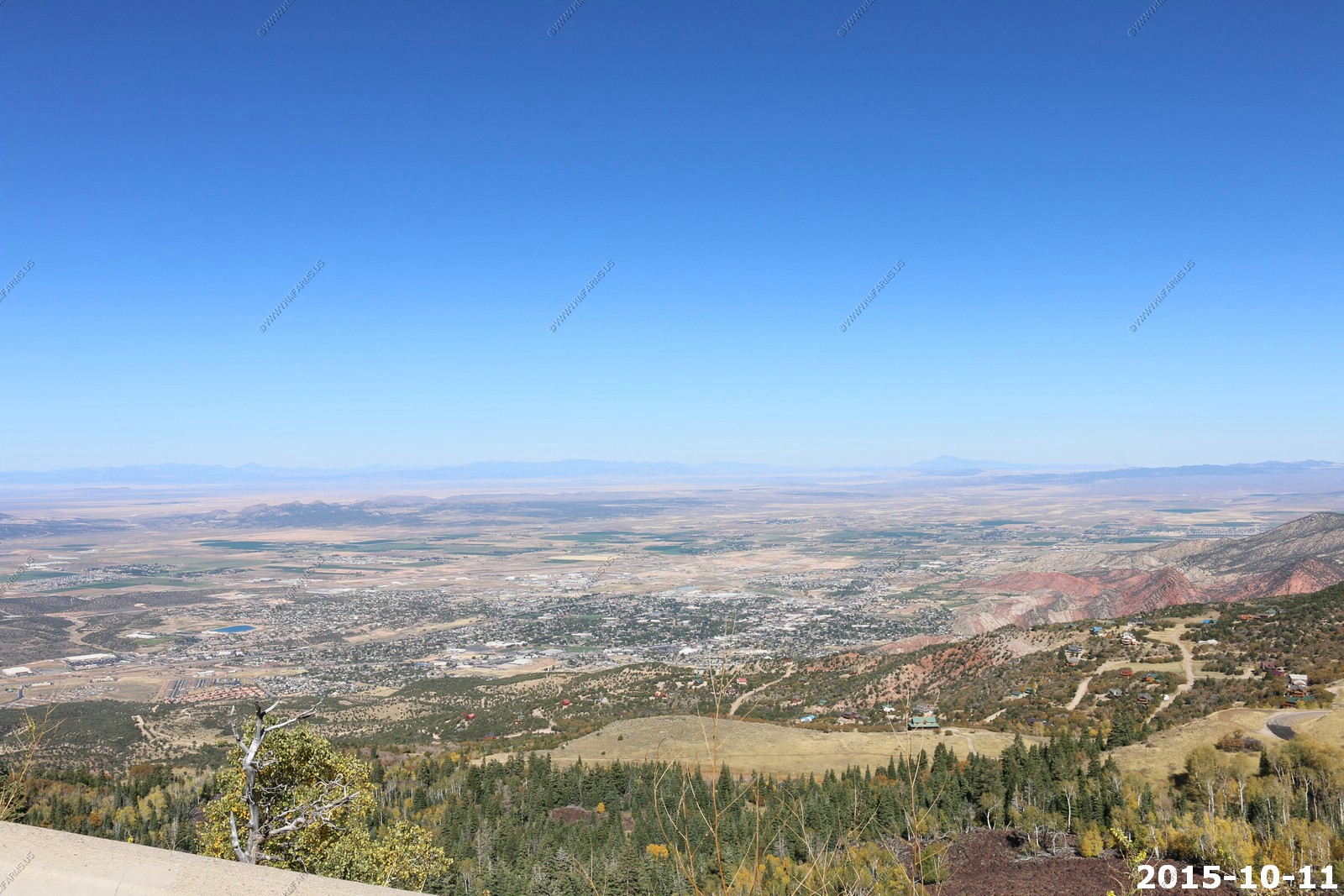
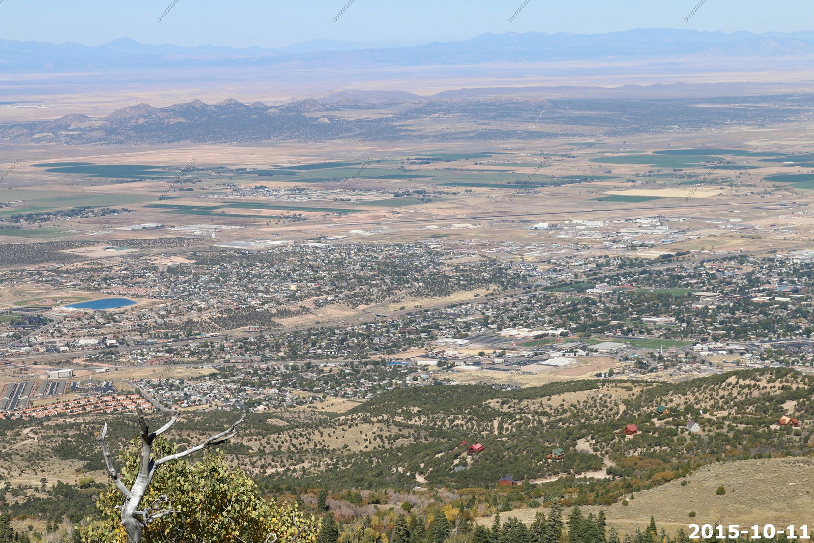
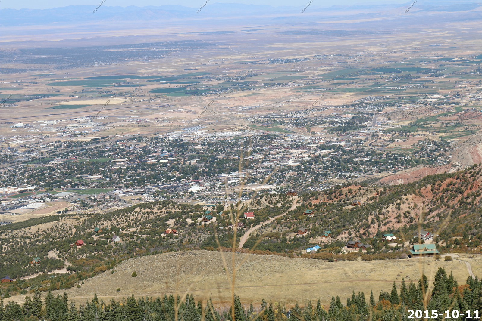
Looking across I-15 valley at Zion, NP. Impressive views from this area.
Looking at Hurricane, UT and the Kaibab Plateau "North rim"

Down to 6200 ft.
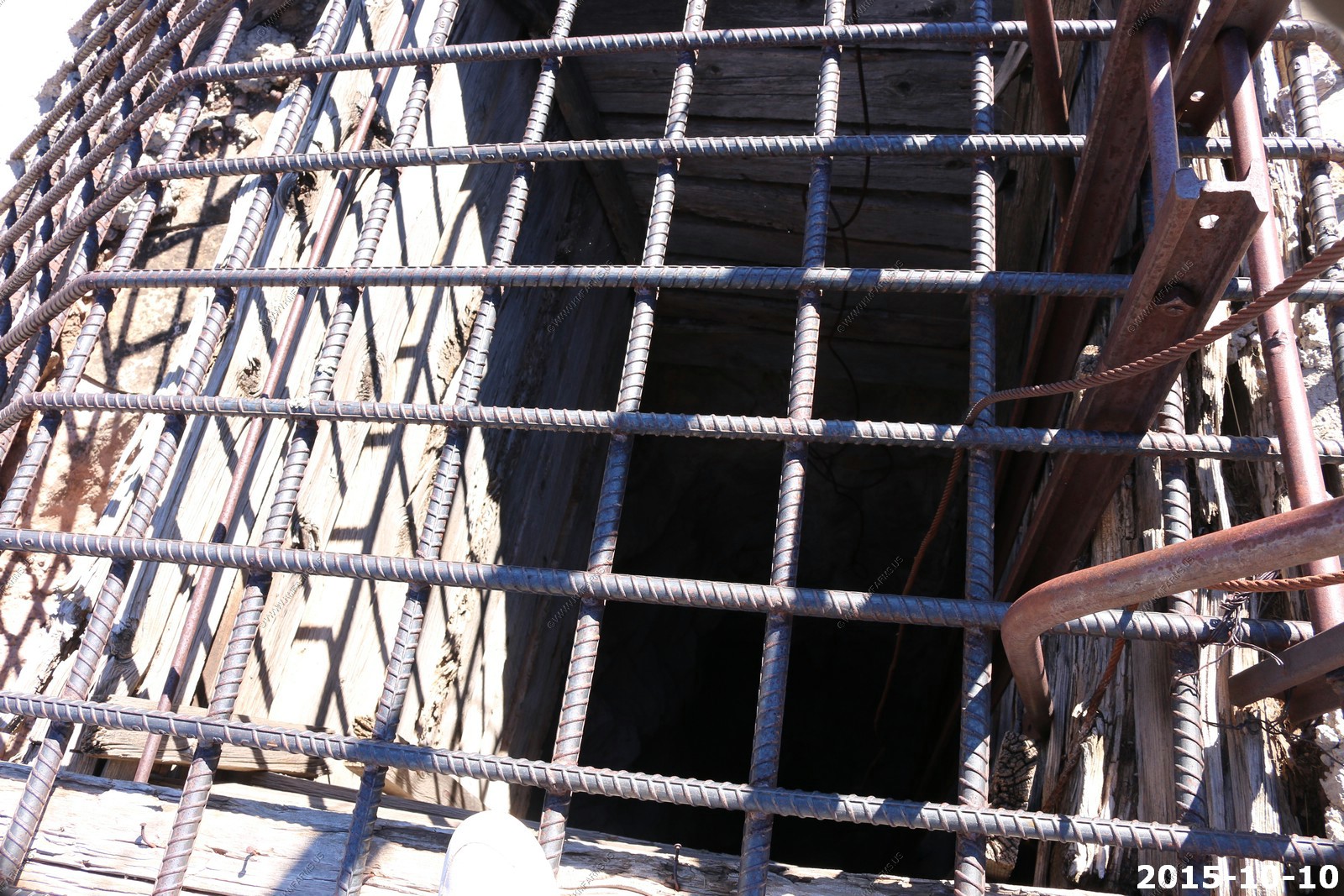
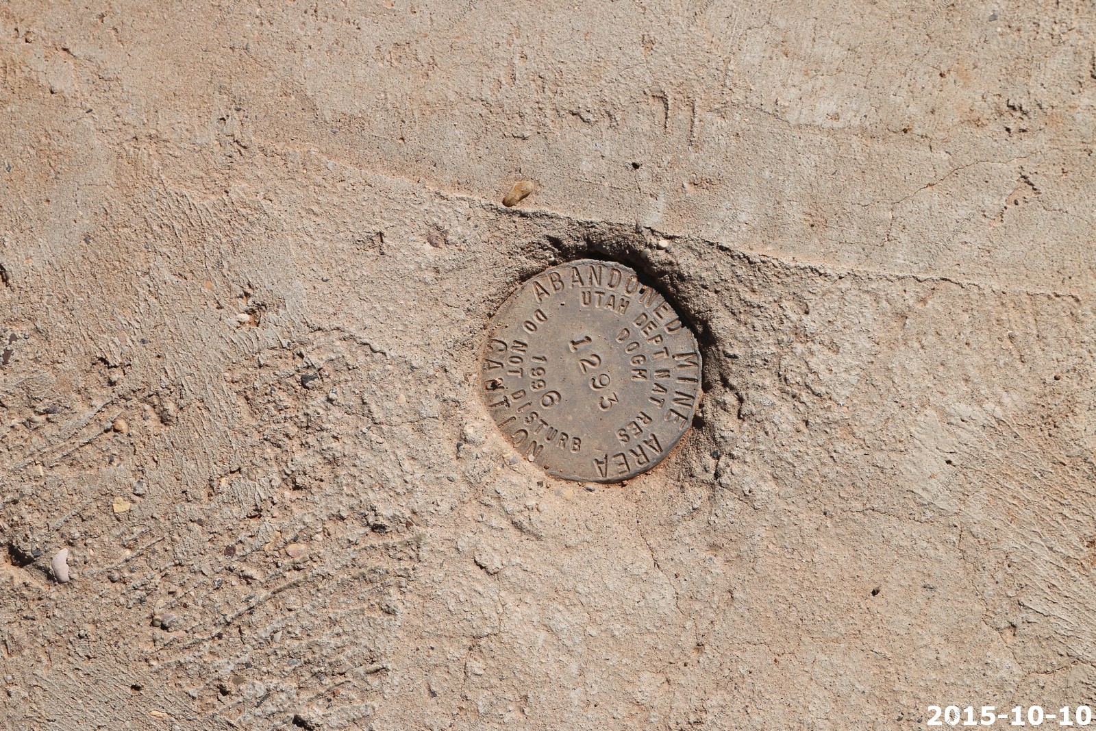
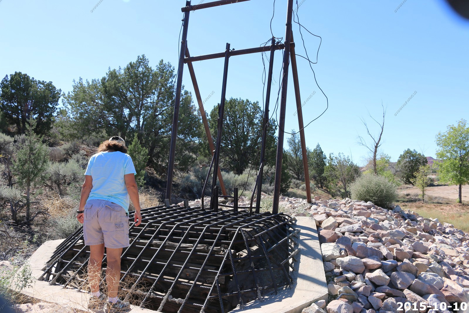
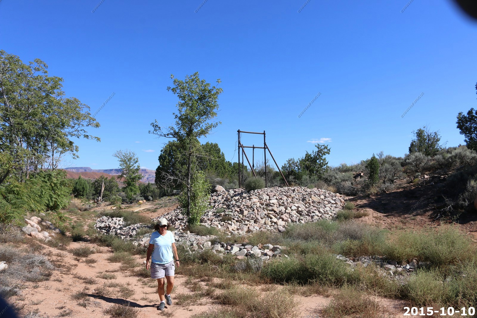
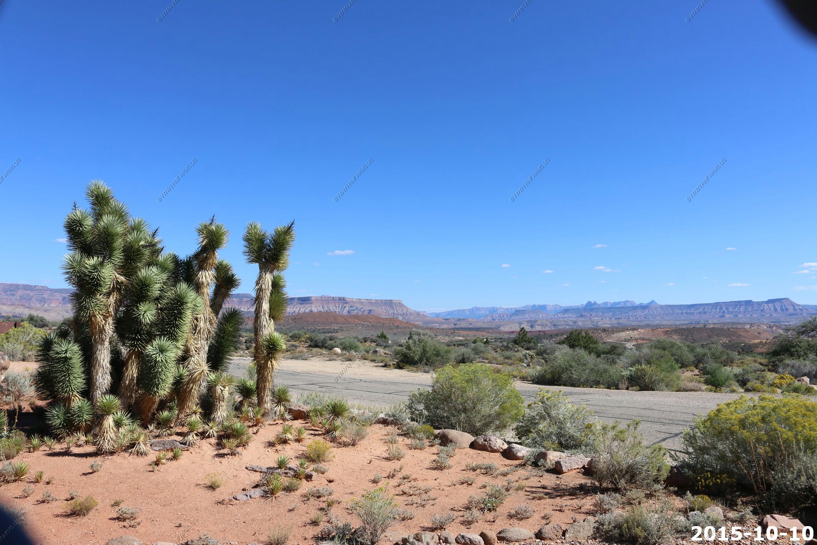
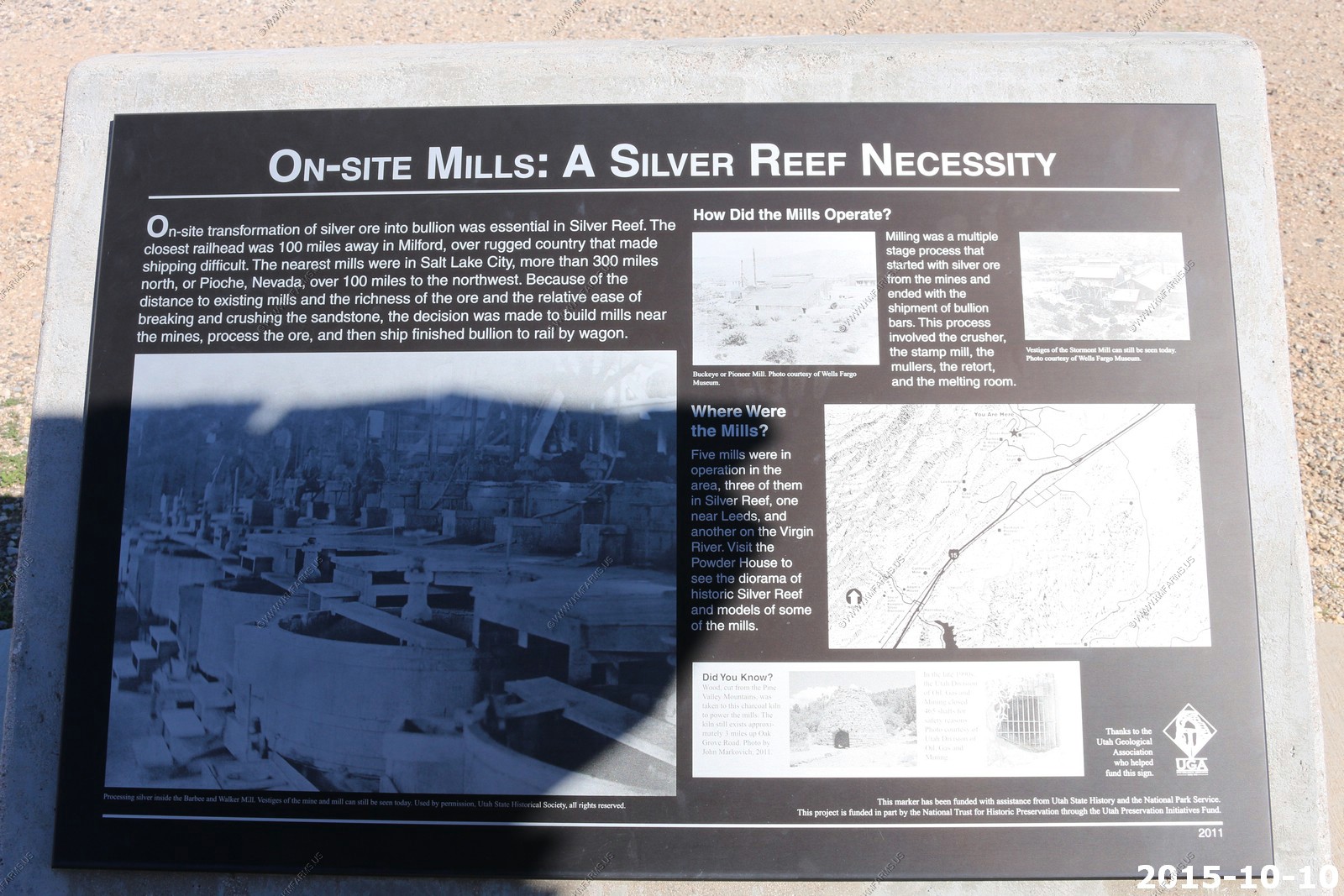
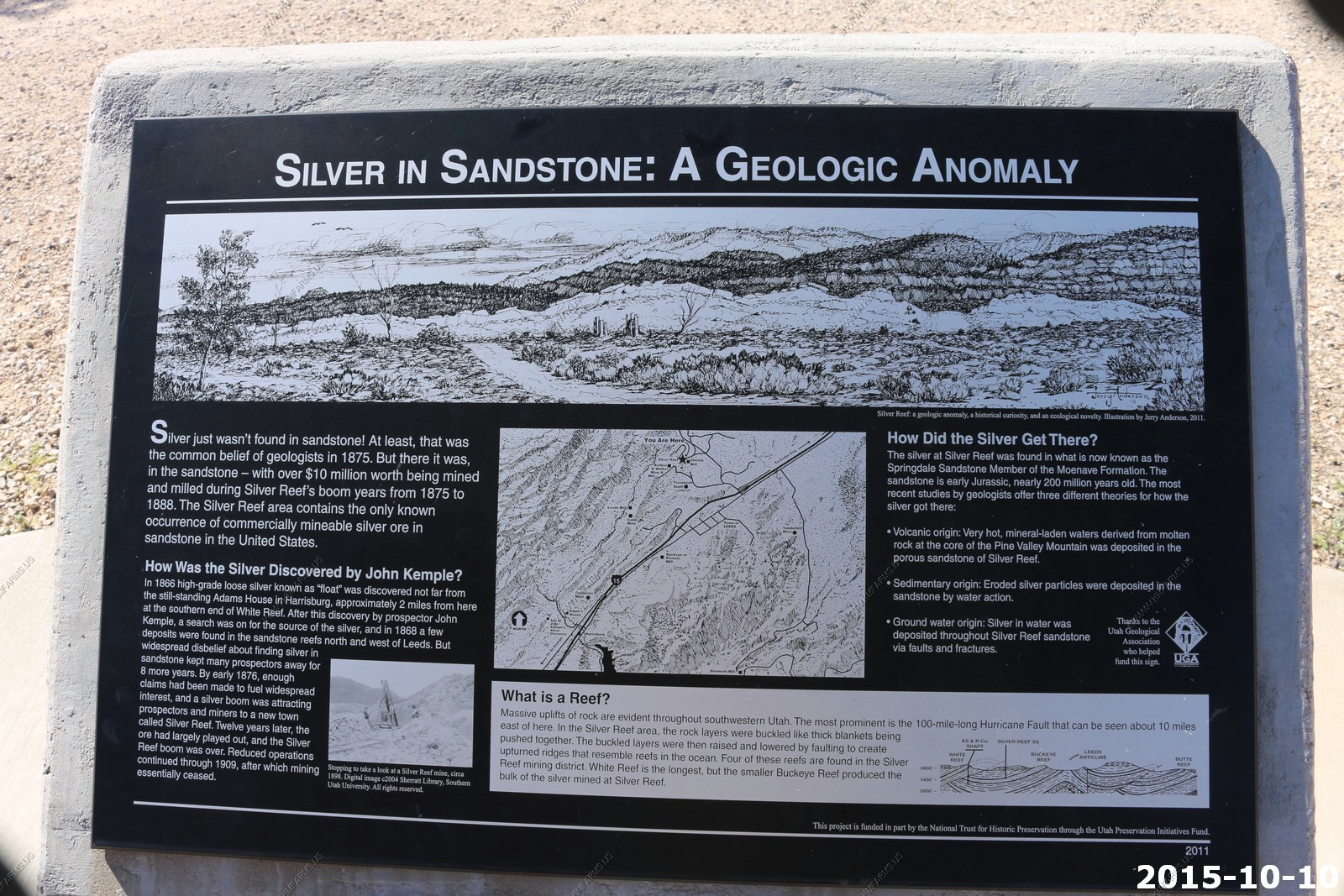
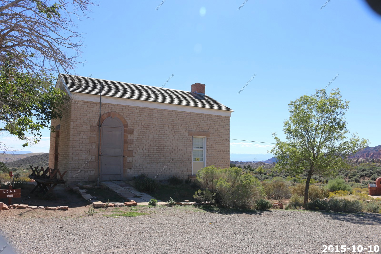
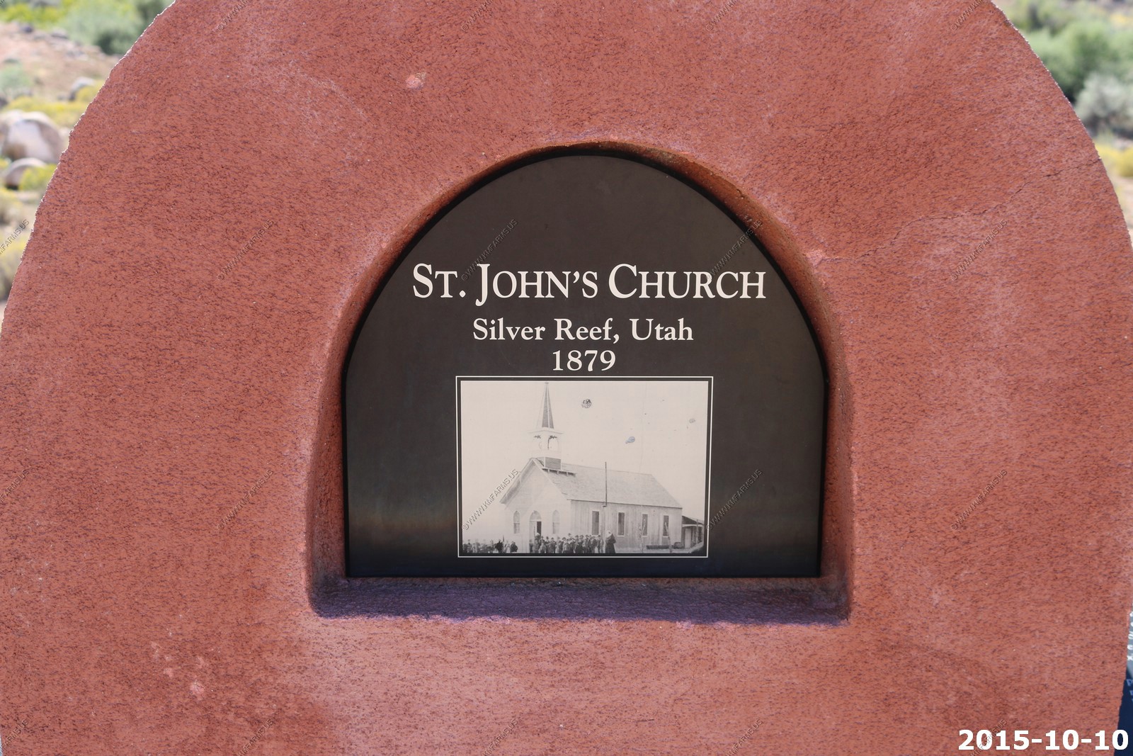
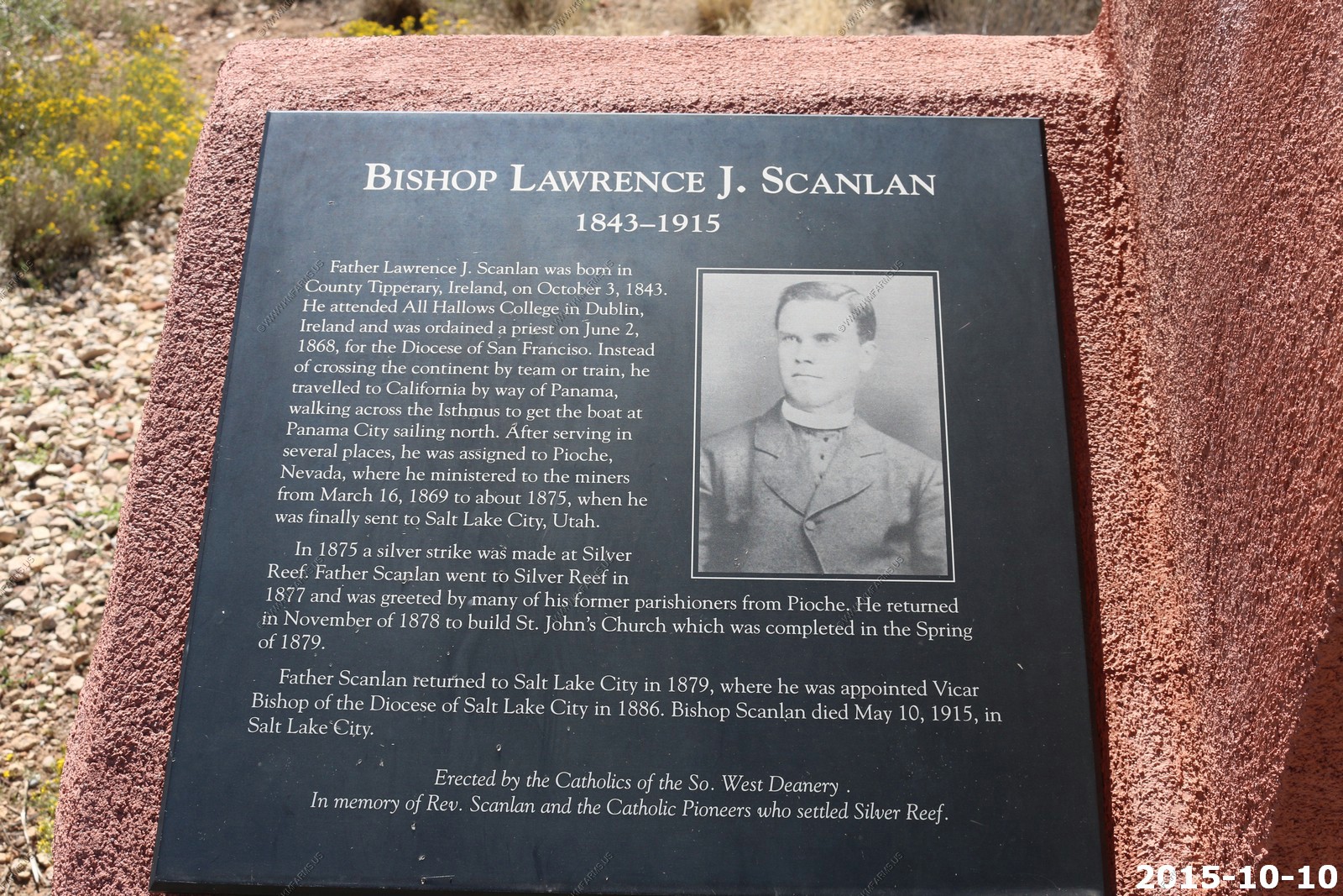
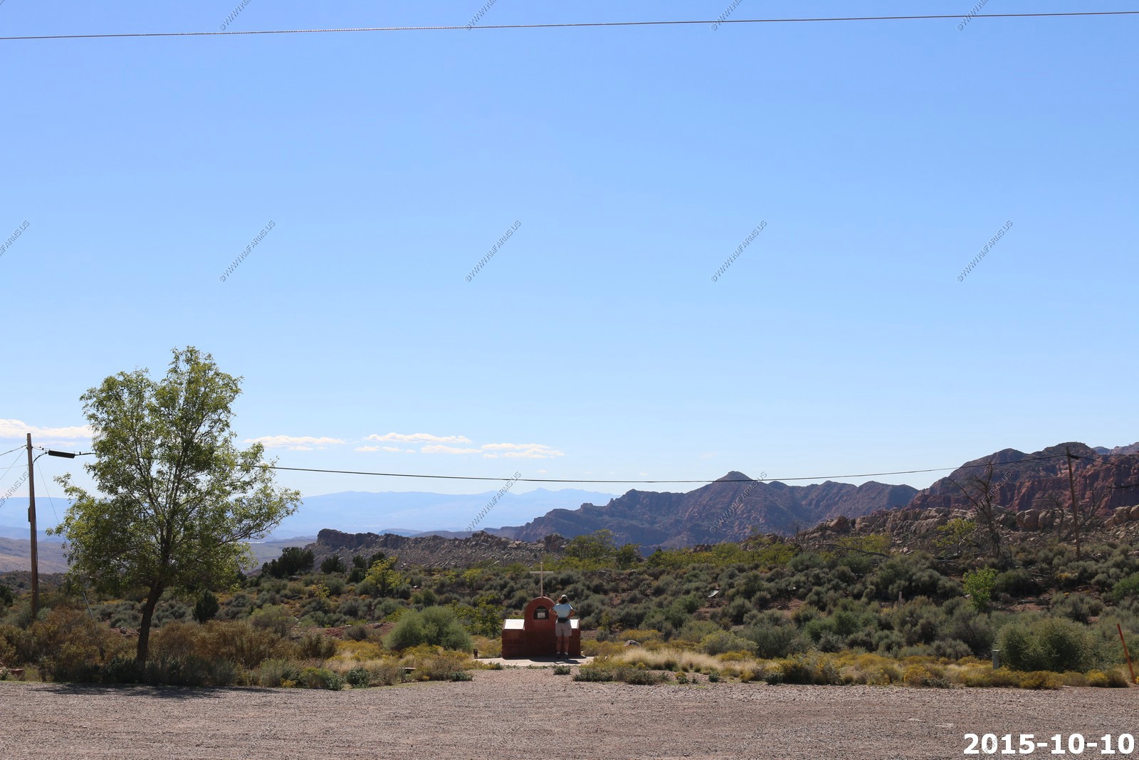
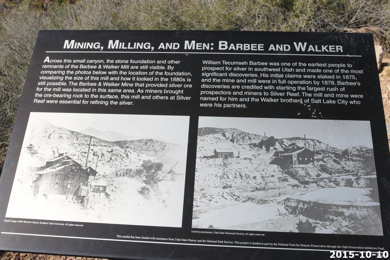
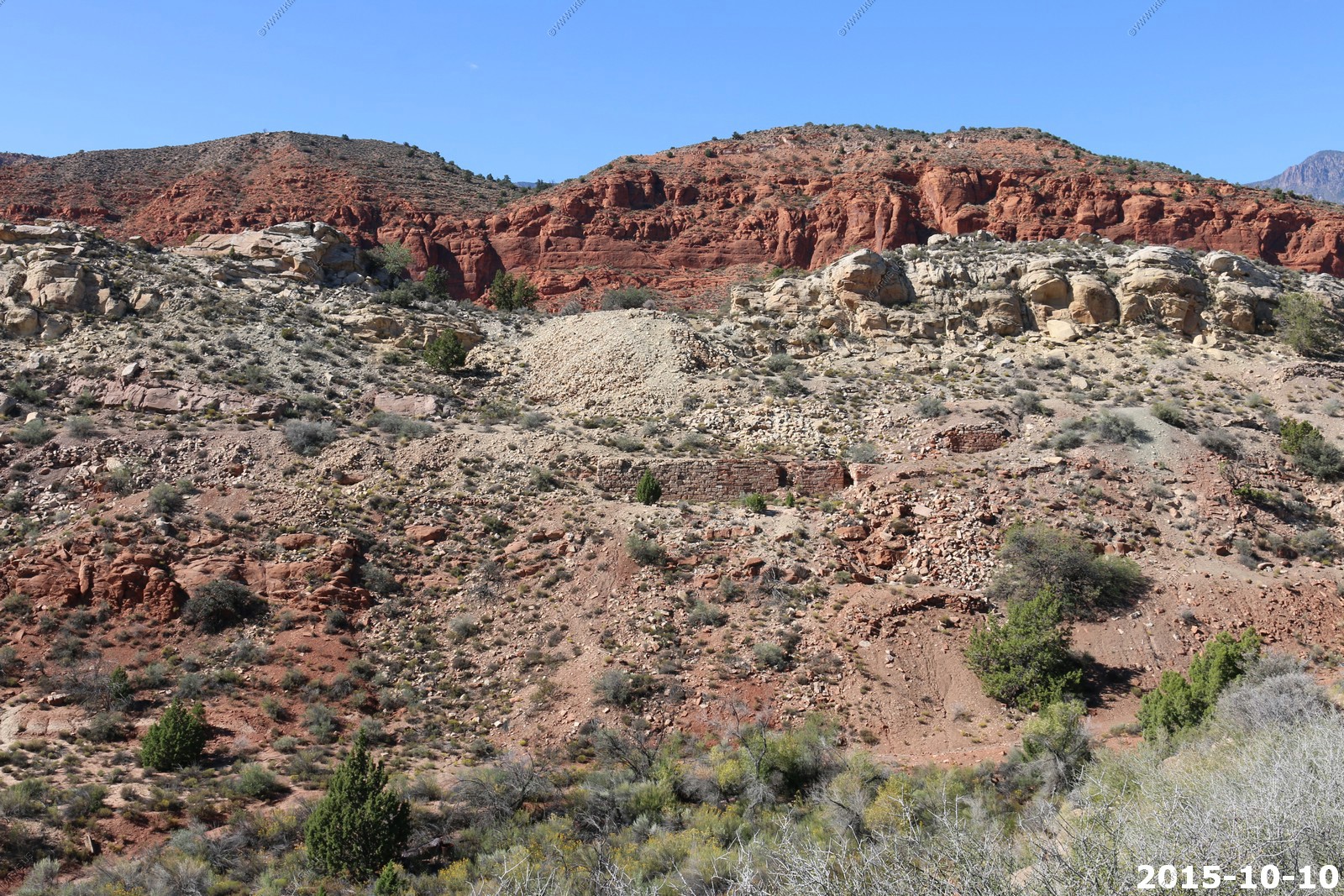
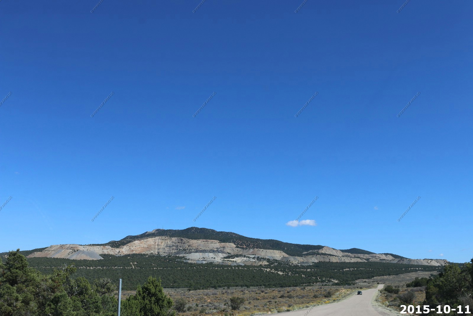
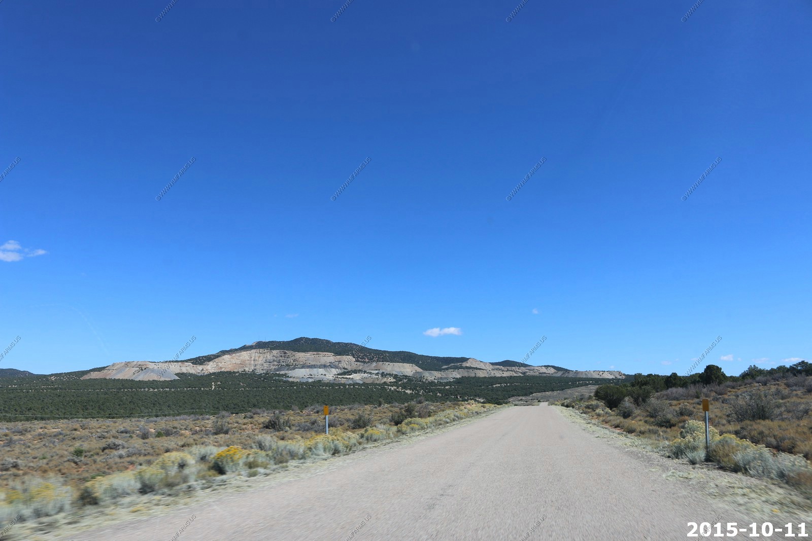
Checking out the old mines in the Silver Reef area
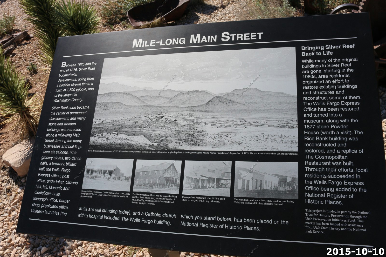
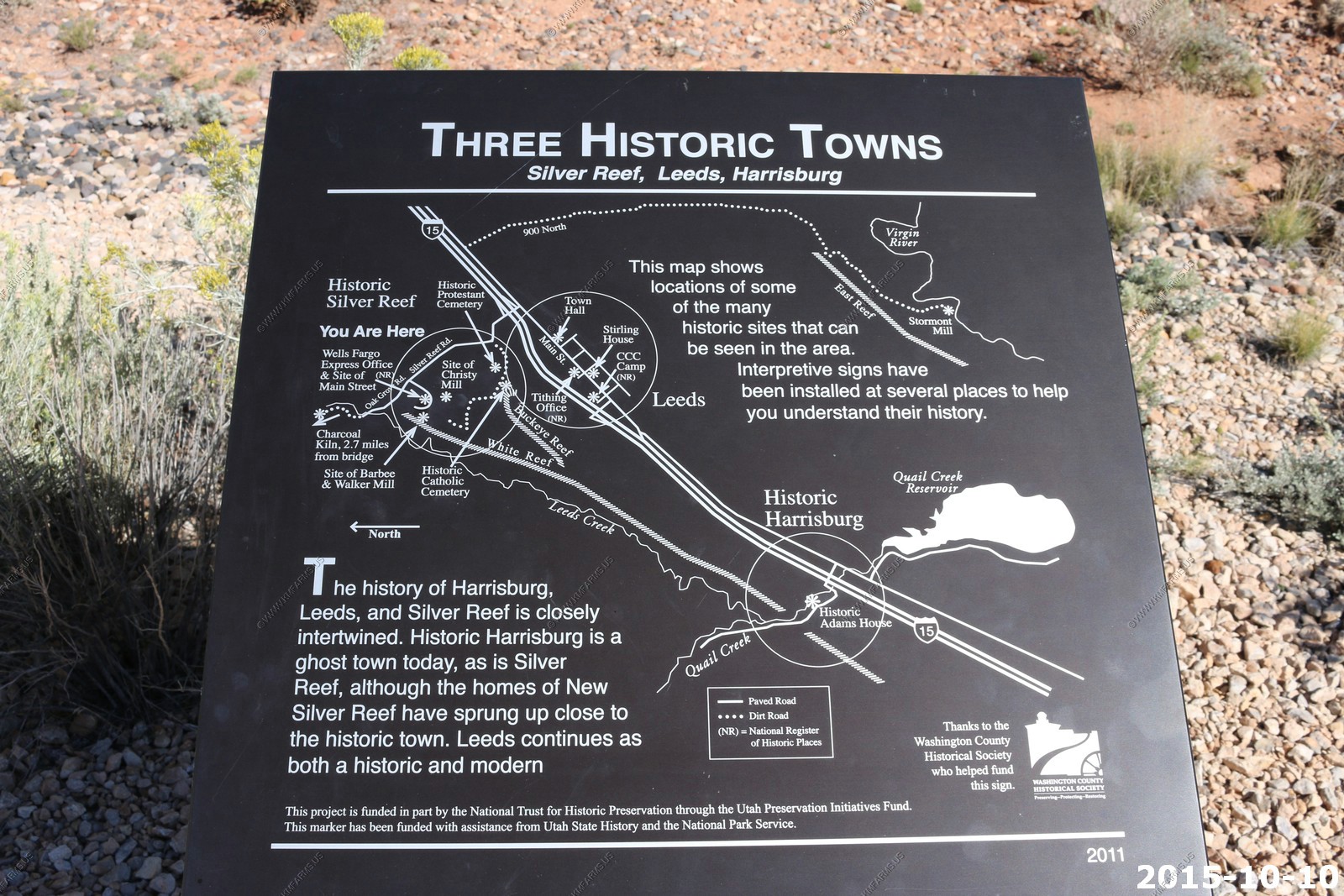
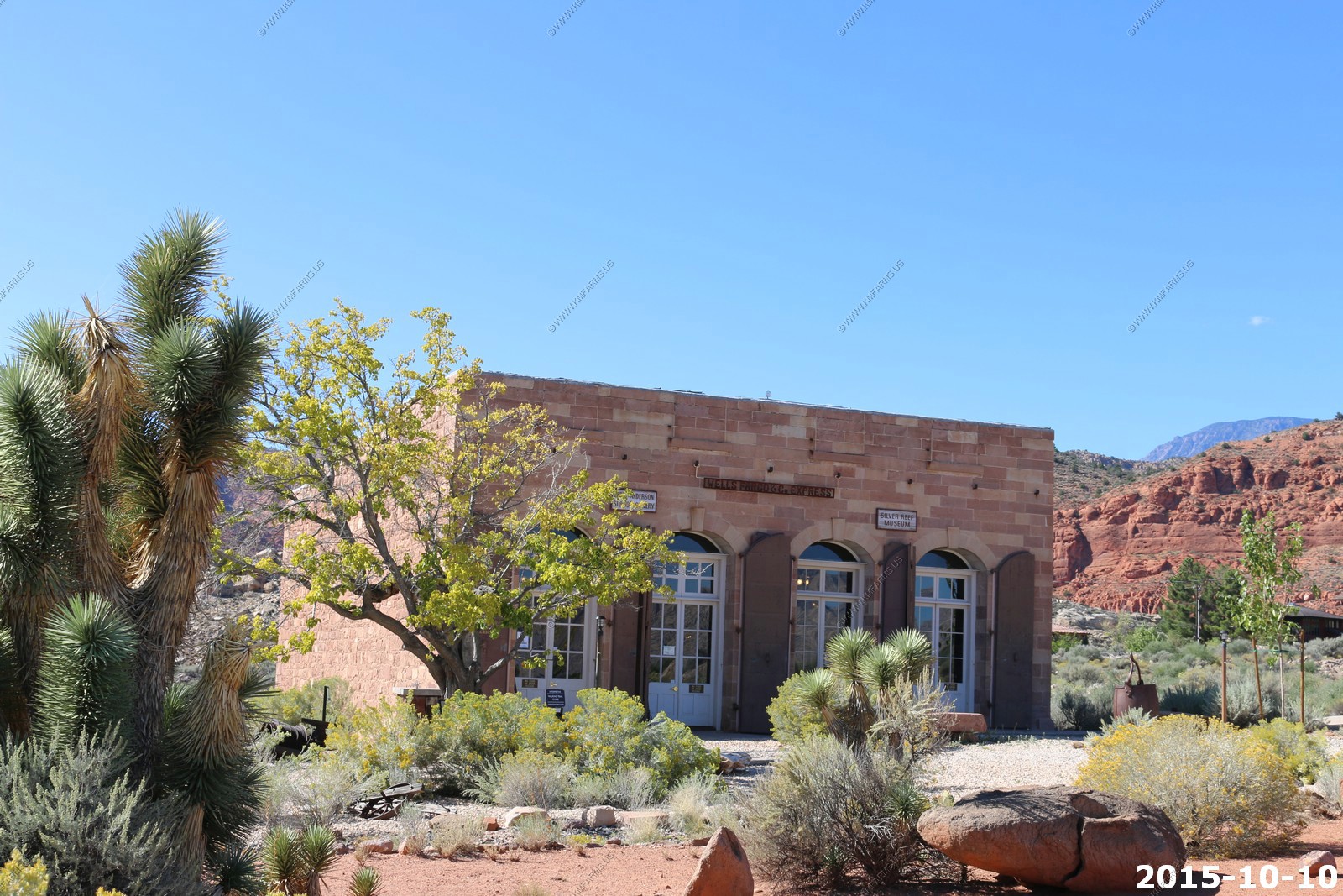
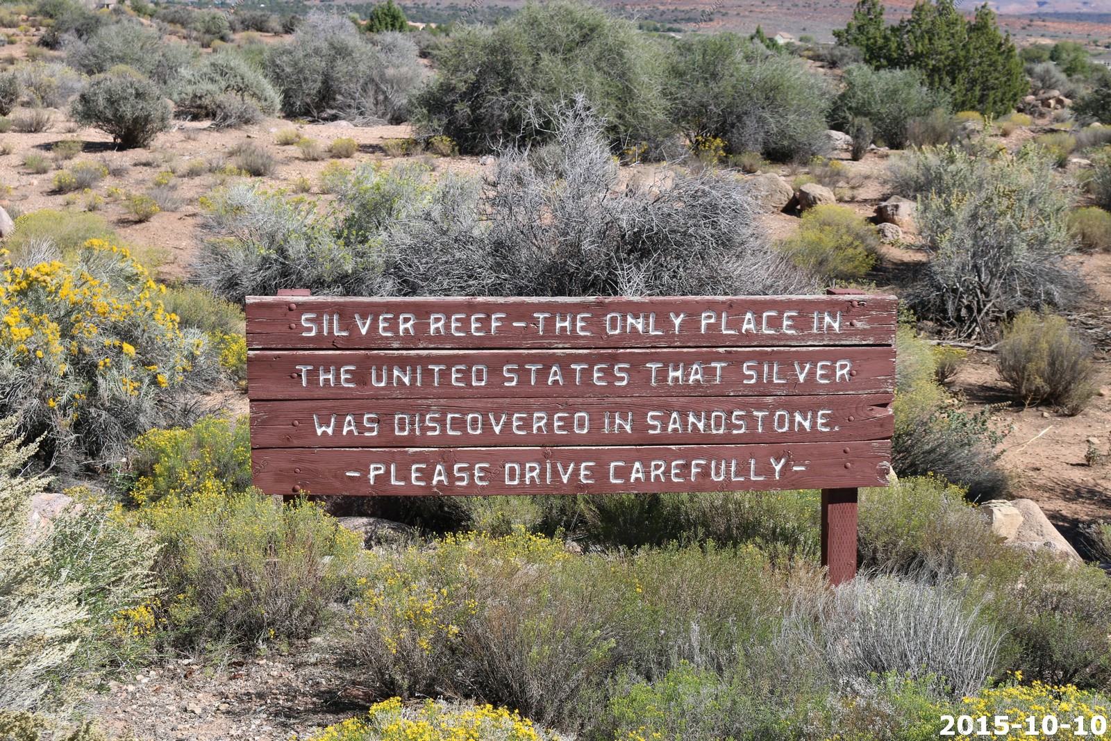
Silver Reef is a ghost town in Washington County, Utah, United States, about 15 miles northeast of St. George and 1 mile west of Leeds. Silver Reef was established after John Kemple, a prospector from Nevada, discovered a vein of silver in a sandstone formation in 1866. At first, geologists were uncertain about Kemple's find because silver is not usually found in sandstone. In 1875, two bankers from Salt Lake City sent William Barbee to the site to stake mining claims. He staked 21 claims, and an influx of miners came to work Barbee's claims and to stake their own. To accommodate the miners, Barbee established a town called Bonanza City. Property values there were high, so several miners settled on a ridge to the north of it and named their settlement "Rockpile". The town was renamed Silver Reef after silver mines in nearby Pioche closed and businessmen arrived.
By 1879, about 2,000 people were living in Silver Reef. The town had a mile-long Main Street with many businesses, among them a Wells Fargo office, the Rice Building, and the Cosmopolitan Restaurant. Although adjacent to many settlements with a majority of Mormon residents, the town never had a meeting house for Latter-day Saints, only a Catholic church. In 1879, a fire destroyed several businesses, but the residents rebuilt them. Mines were gradually closed, most of them by 1884, as the worldwide price of silver dropped.[4] By 1901, most of the buildings in town had either been demolished or moved to Leeds
Today, the Wells Fargo office, the Cosmopolitan Restaurant, the Rice Building, and numerous foundations and walls remain in the town site, and a few dozen homes have been constructed in the area.
Old Shaft
Around Silver Reef
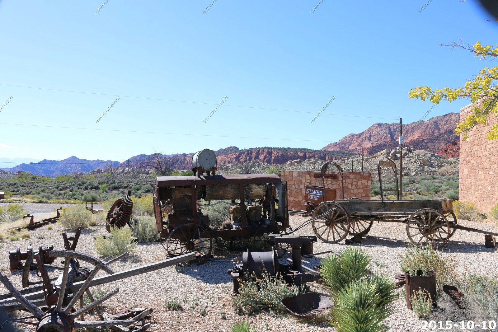


Ken trying to find silver !
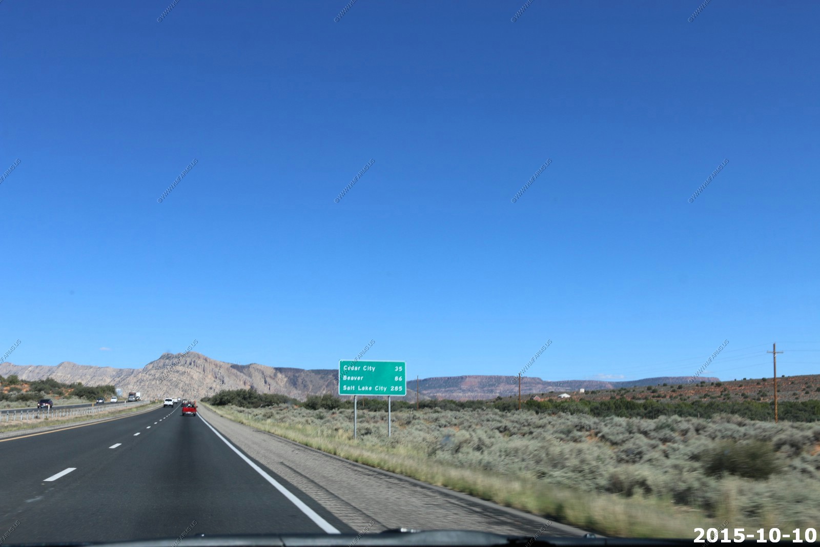
Back up I-15 at 80 mph. Salt Lake City - 285 miles

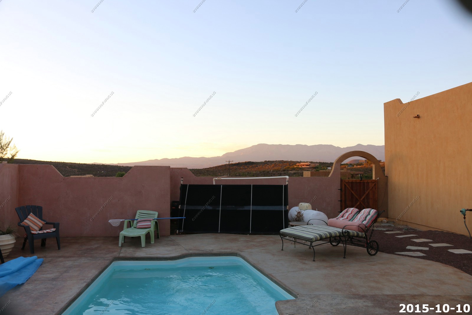
Back to the house. Interesting pool. The solar heater was broke and was not hooked up. They used propane to heat it.
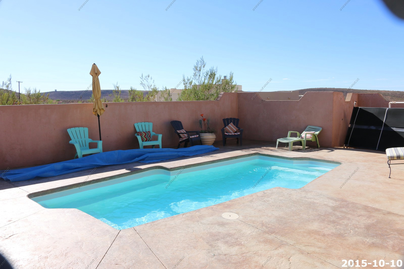
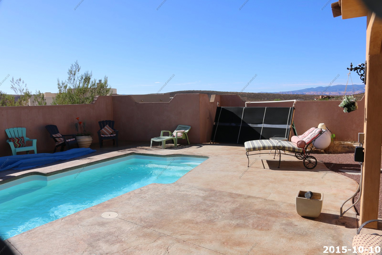
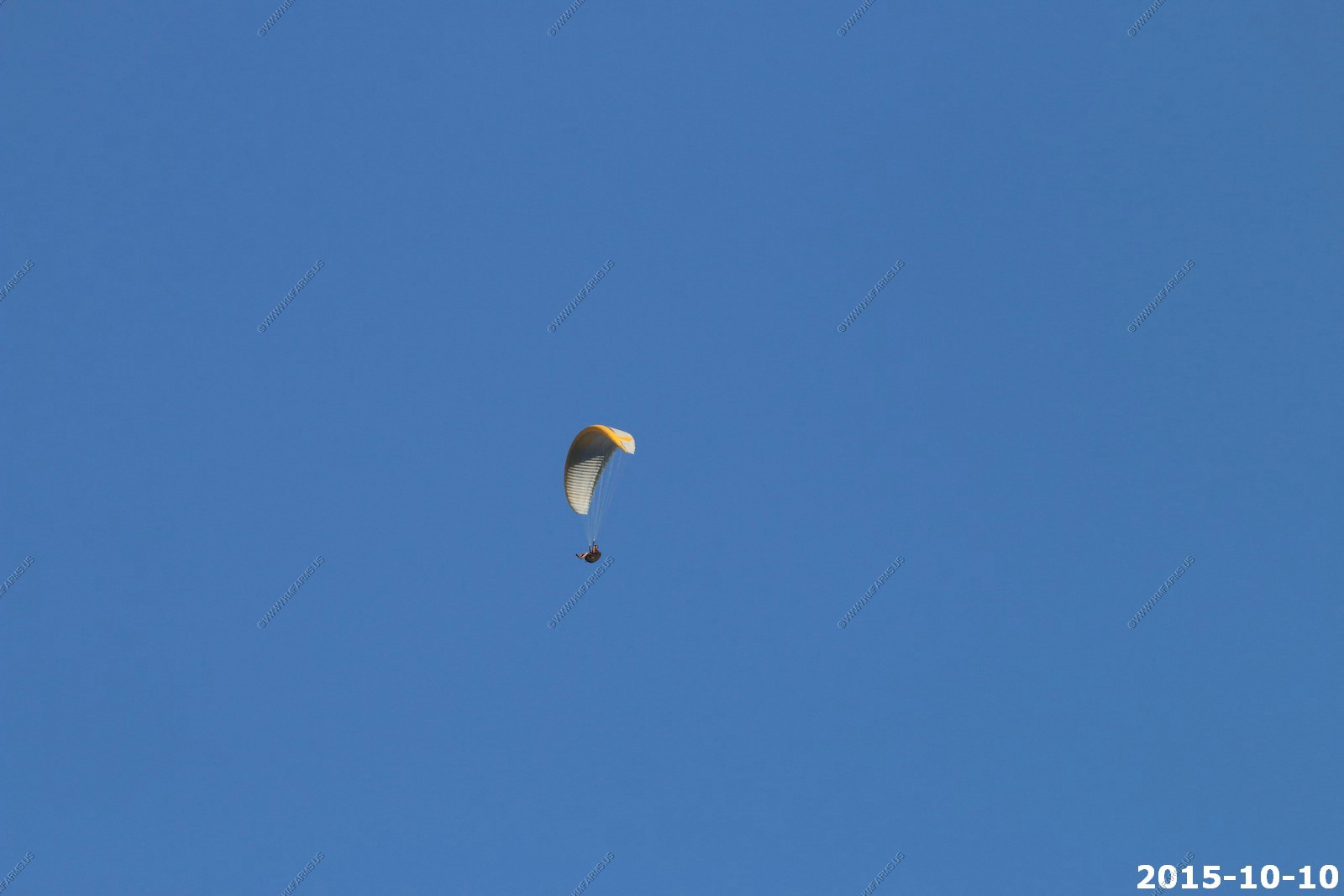
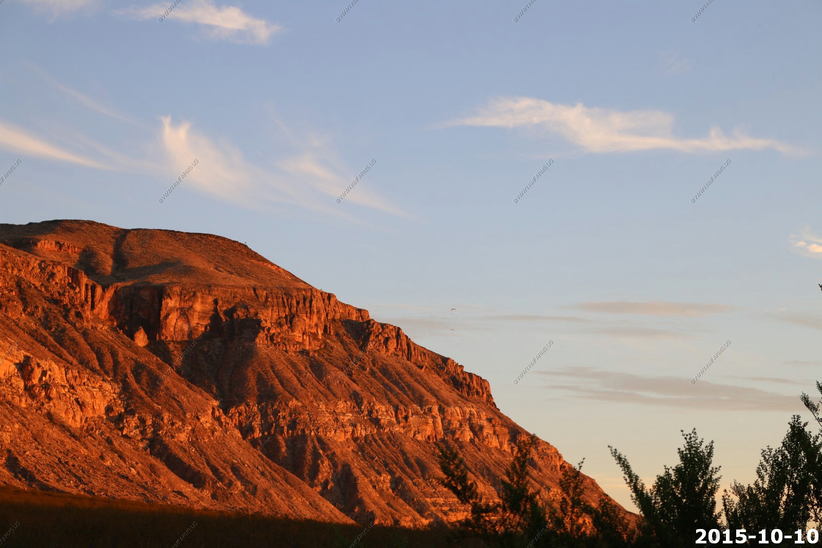
We had a good bit of parasailing along the cliffs every evening. I would not like this if I owned a house in this areas due to privacy concerns.

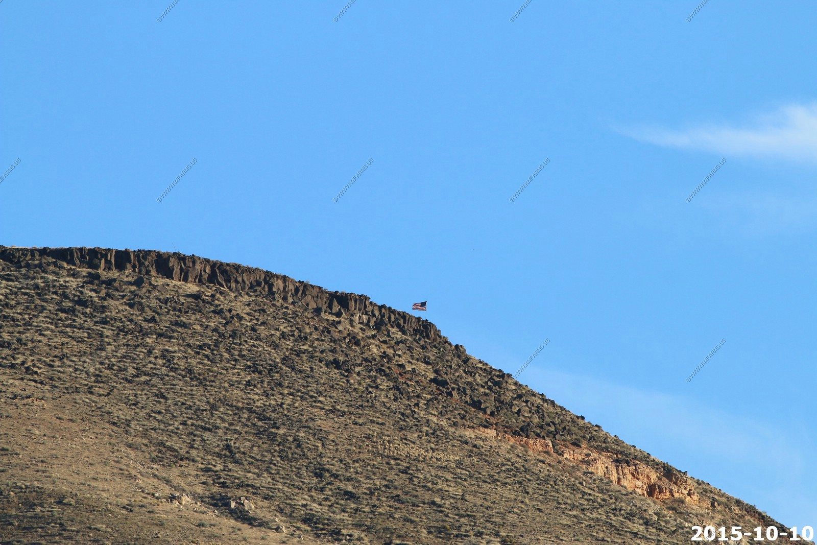
Someone put a US flag up on the Hurricane Cliffs.
Another one

What the parasaling looked like with no zoom. You can see the flag towards the top.
Pine Valley Mountains from the patio
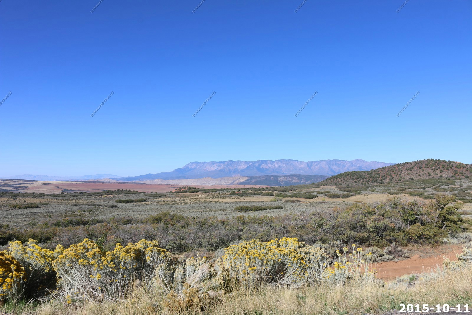
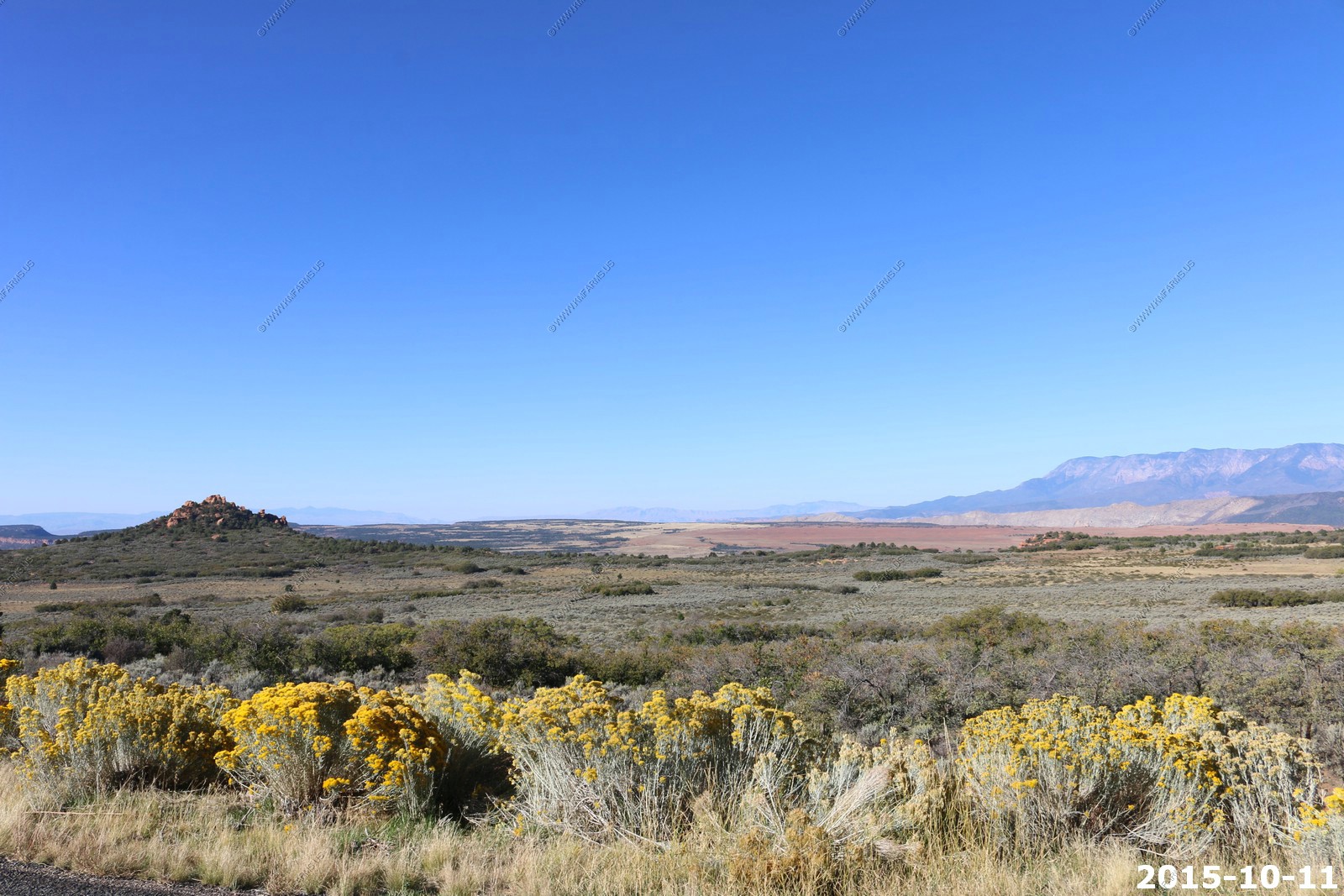
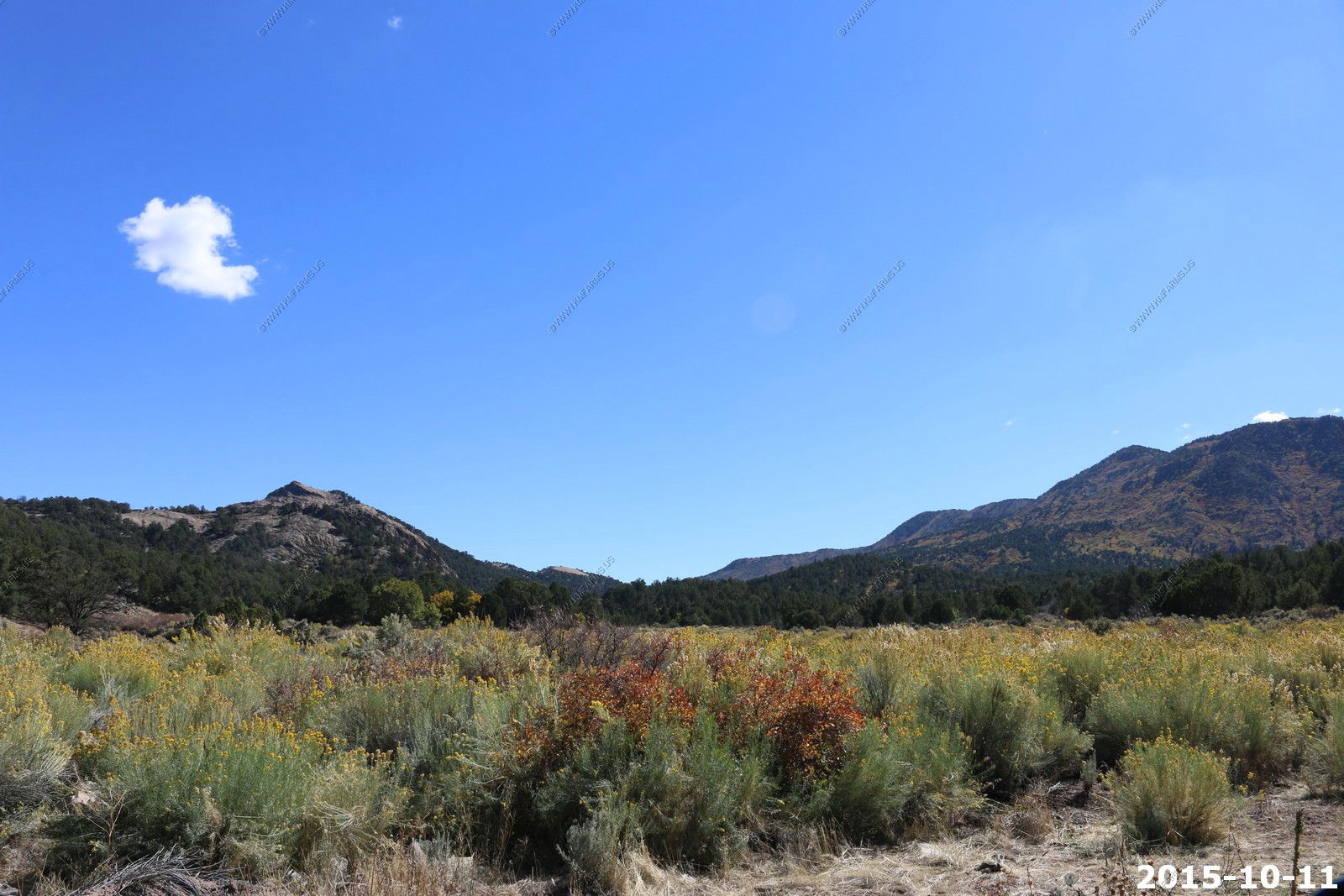
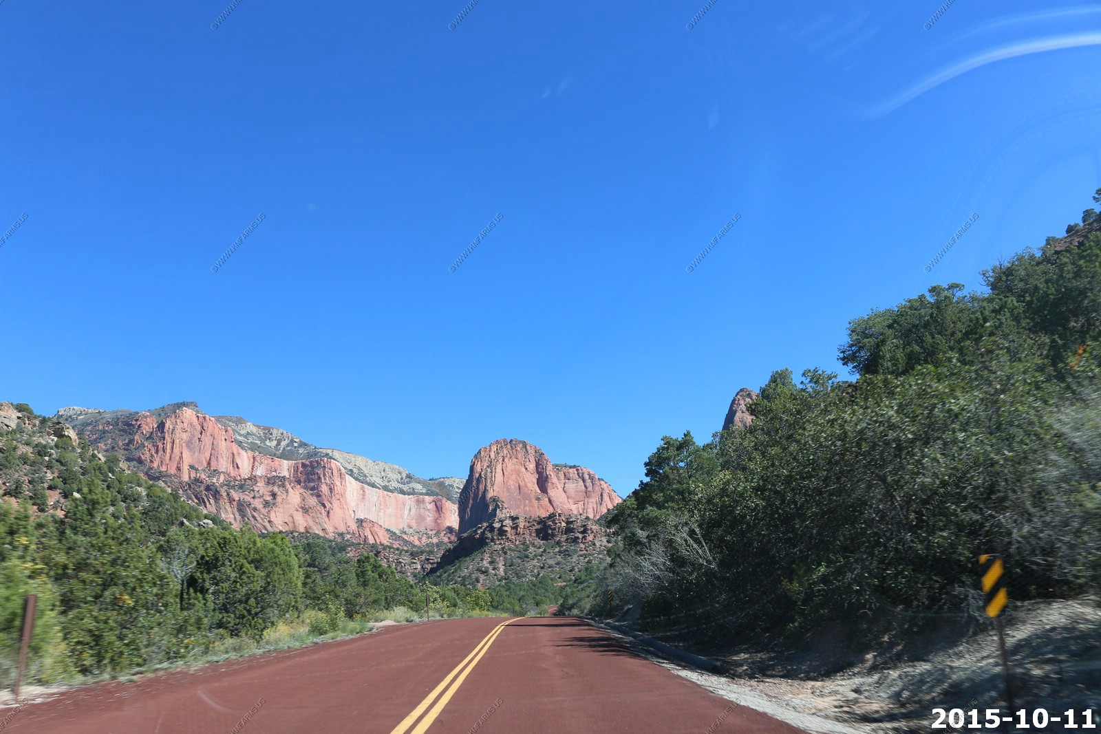
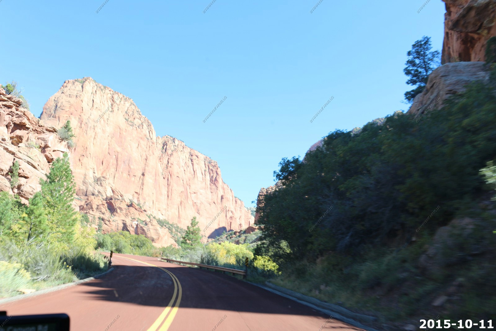
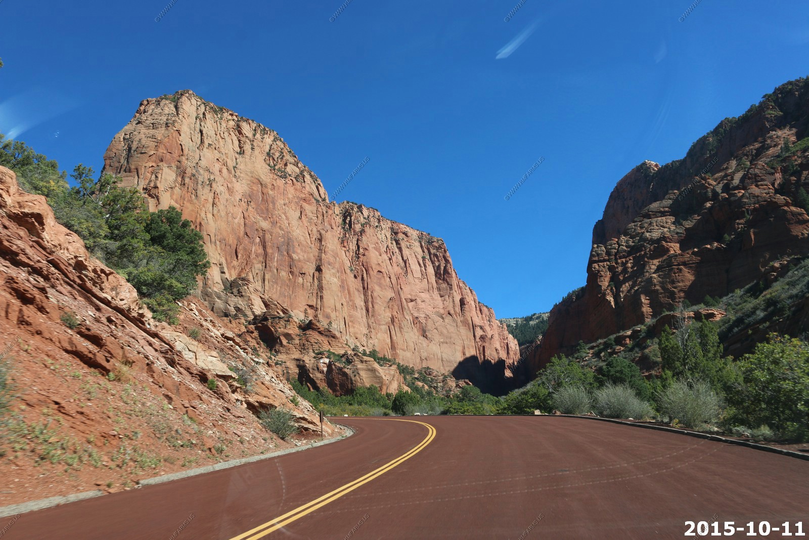
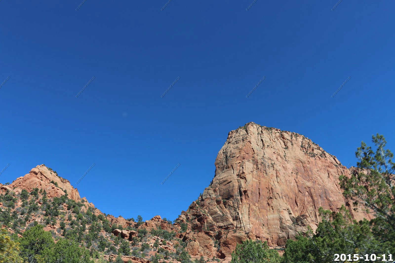
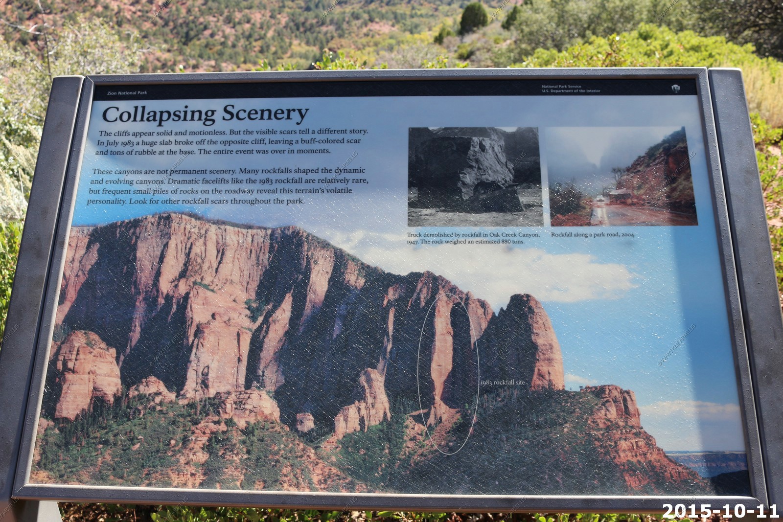
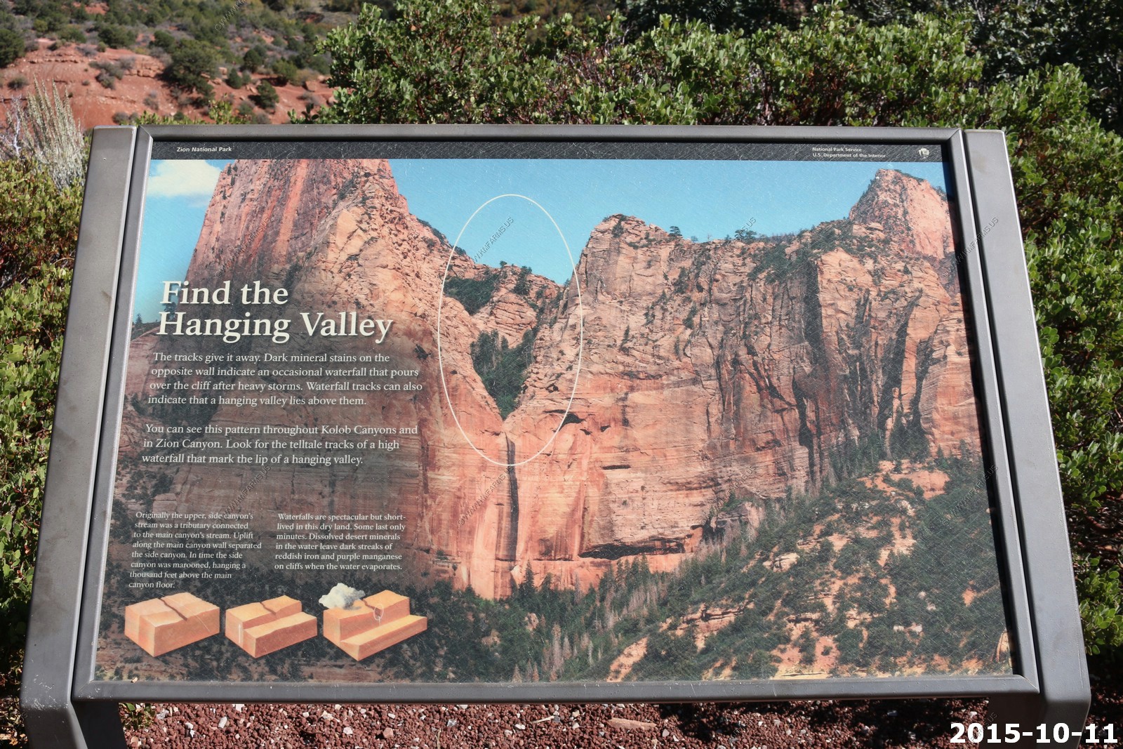
Sunday OCT 11th
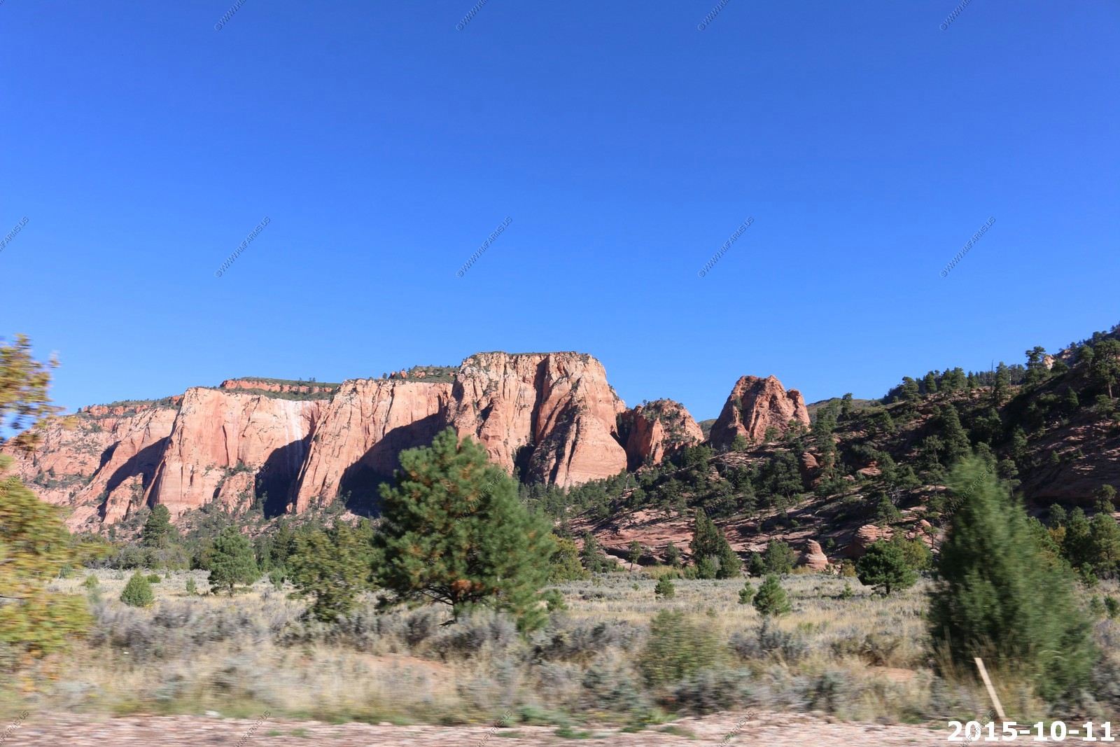
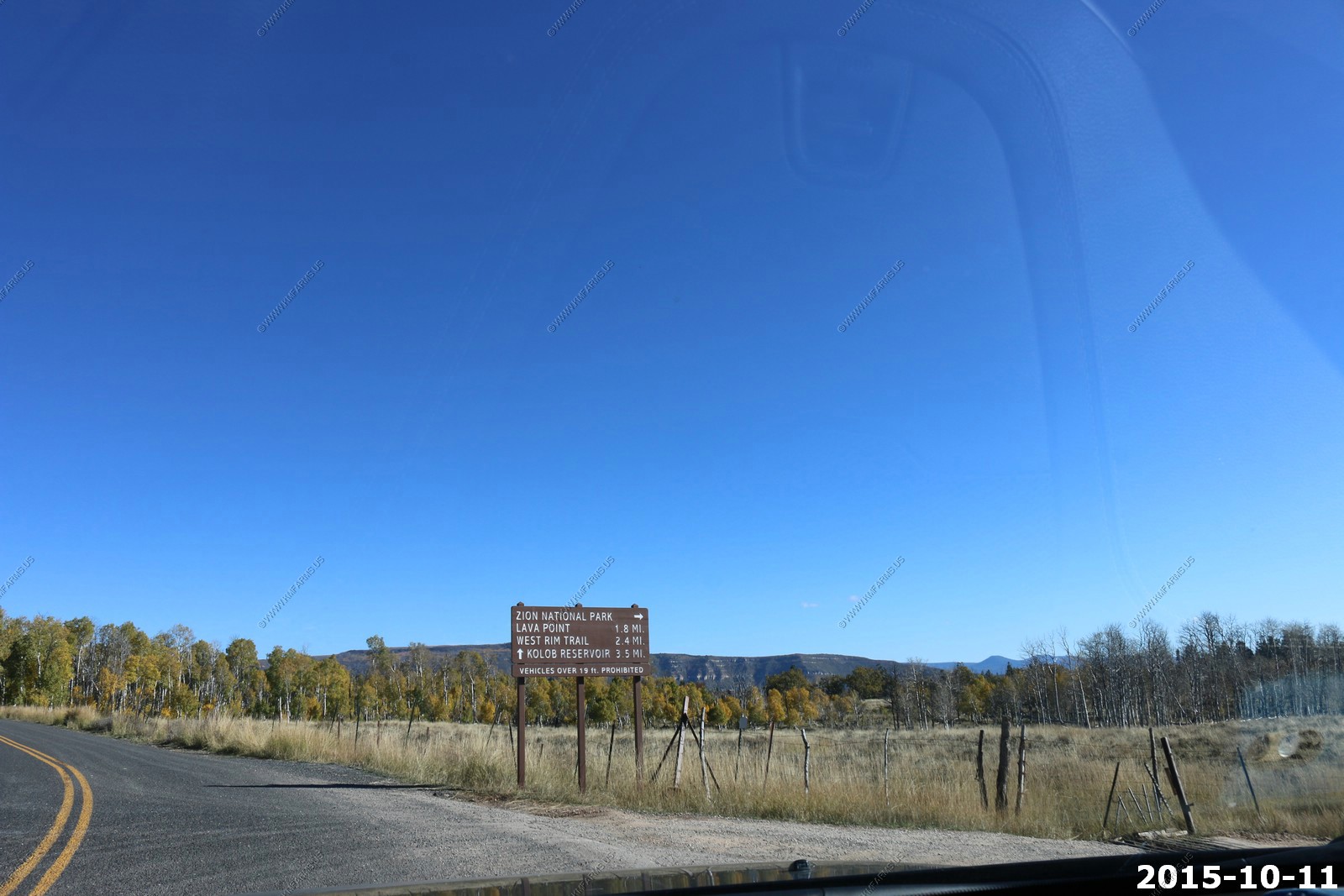
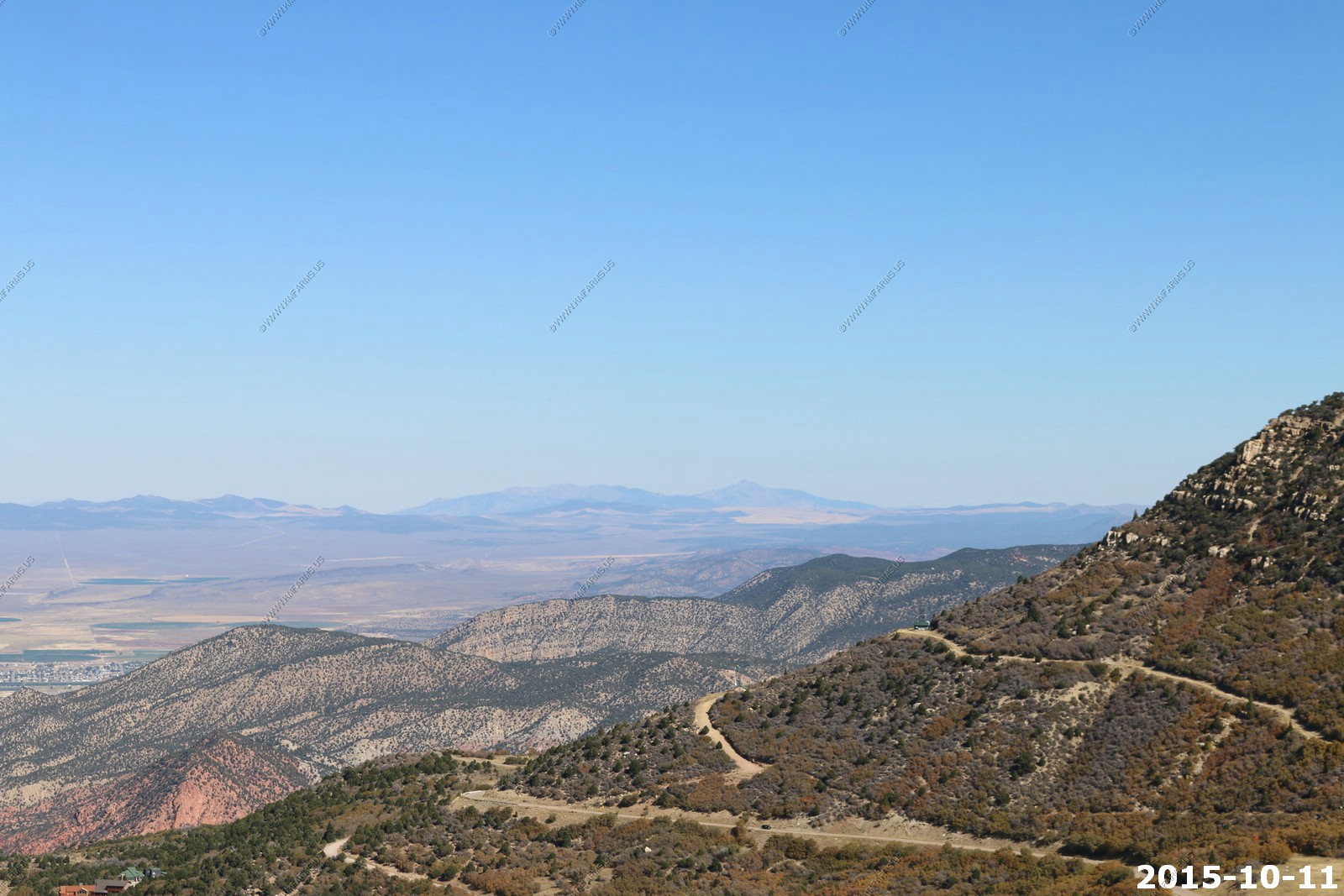
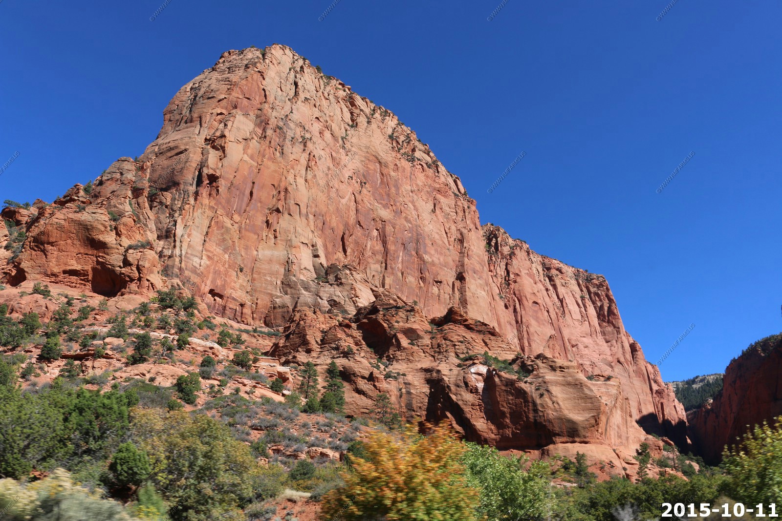
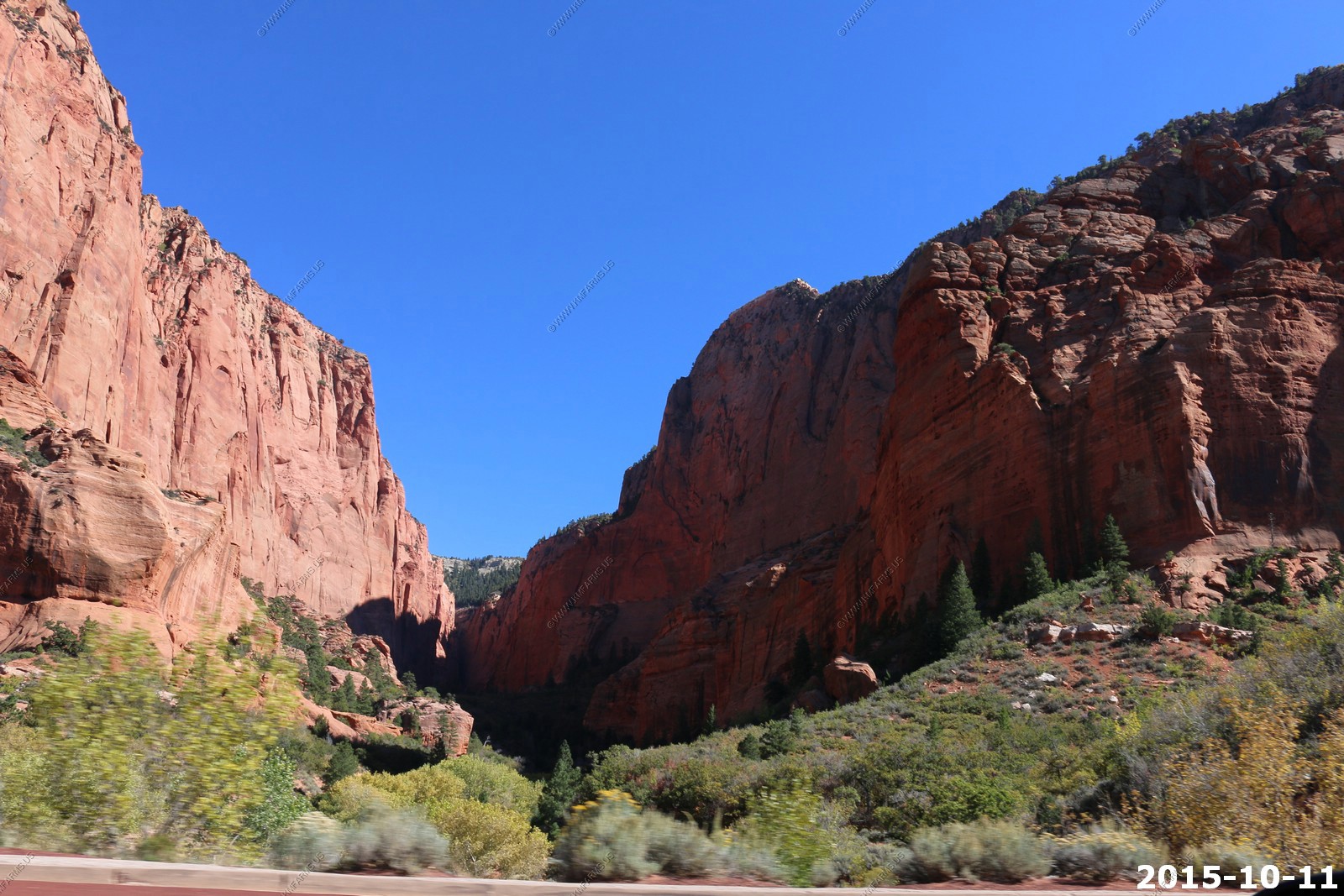
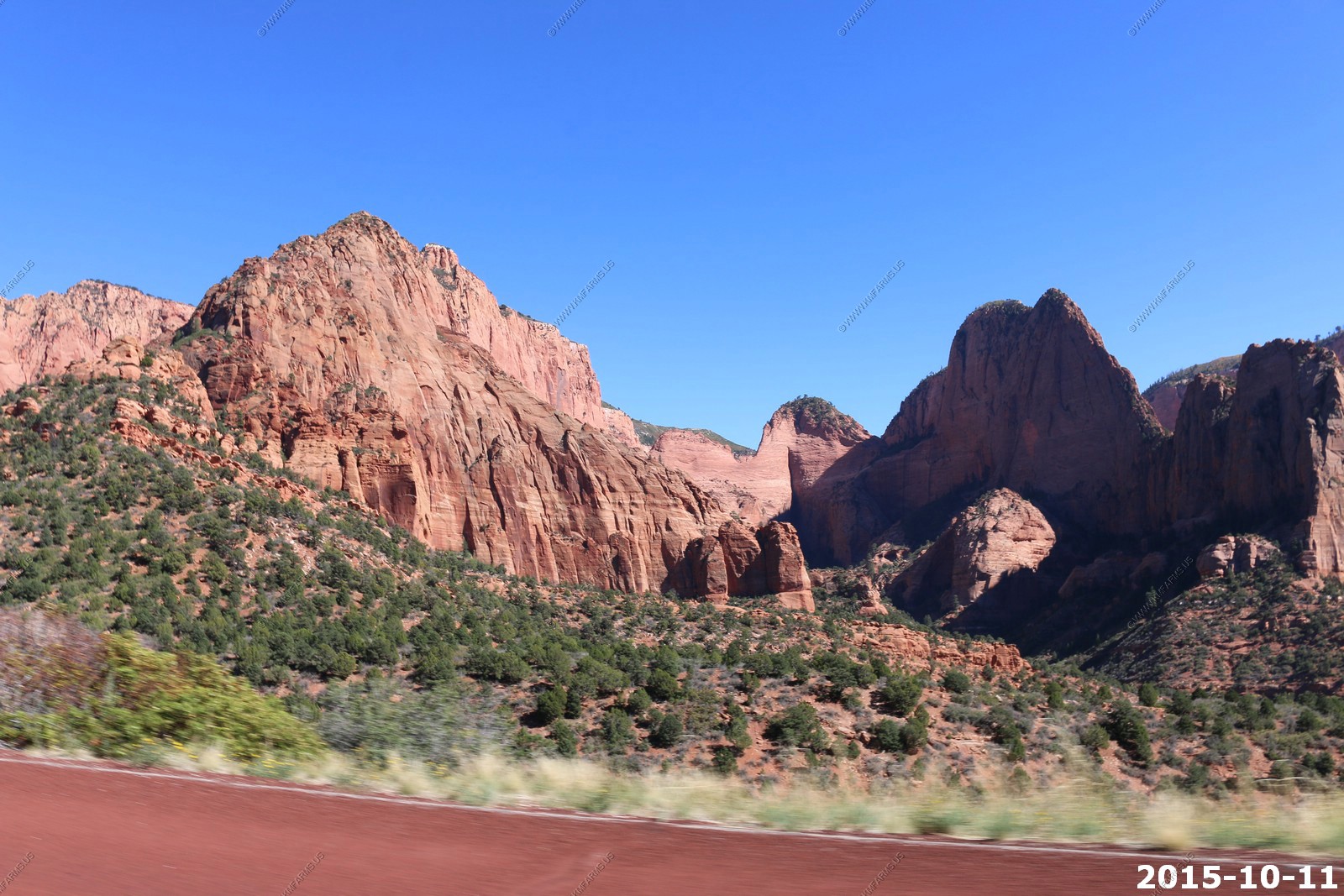
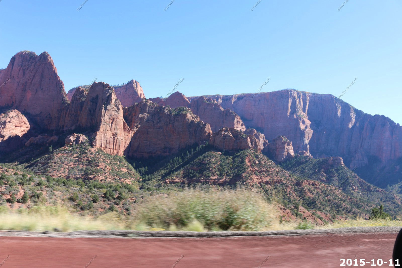
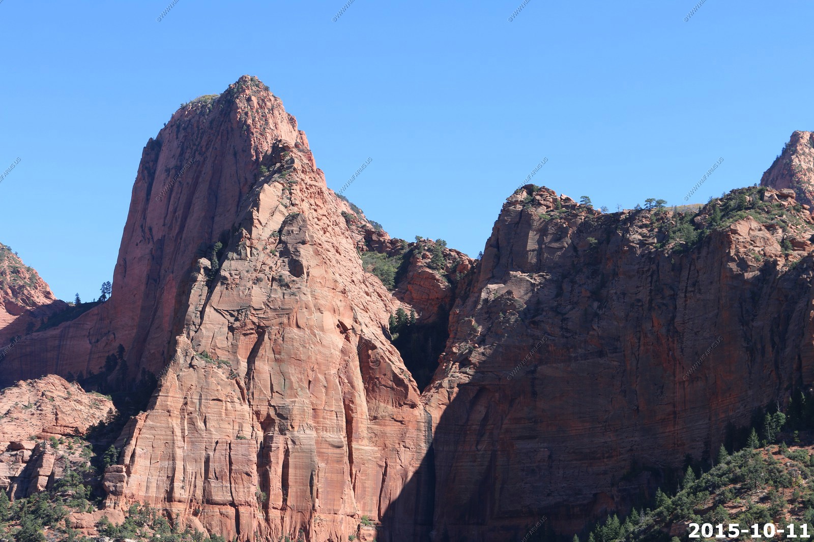
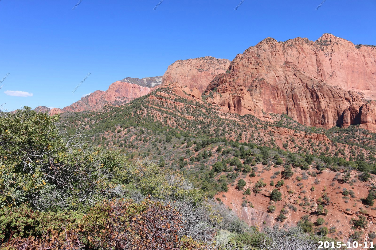
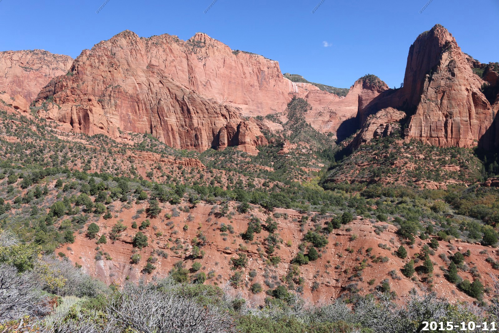
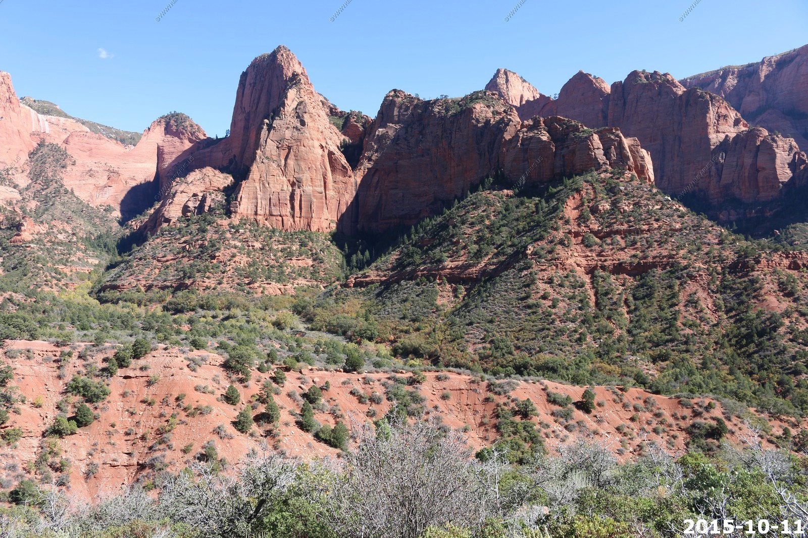
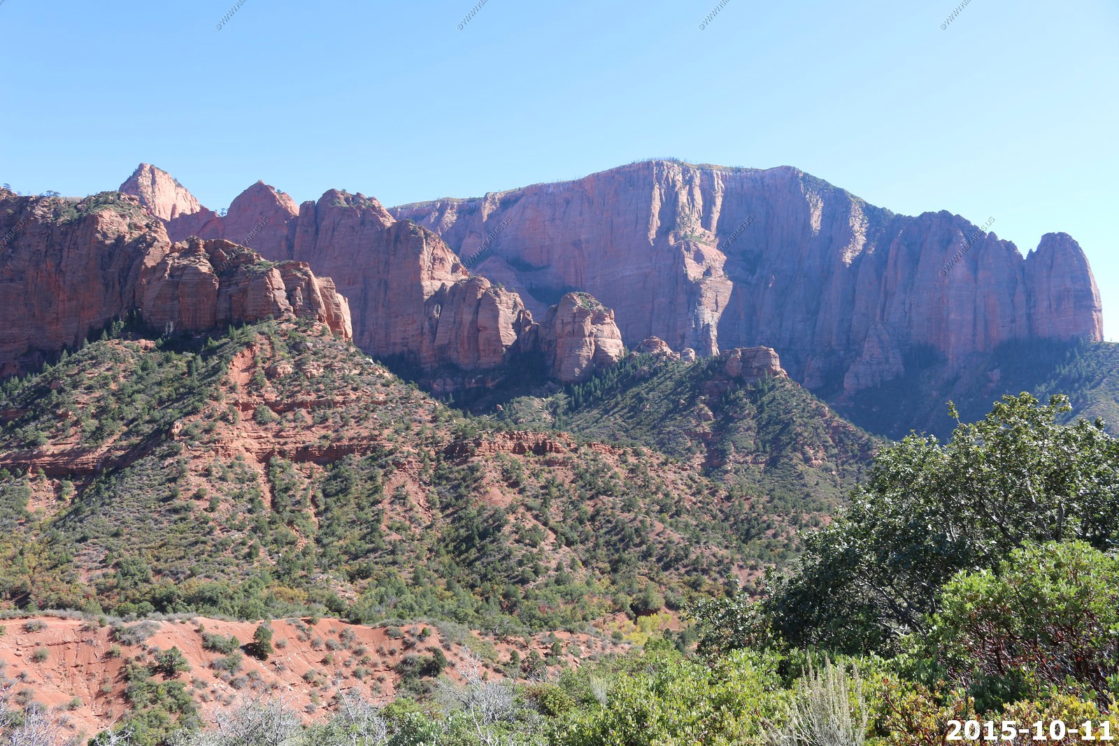
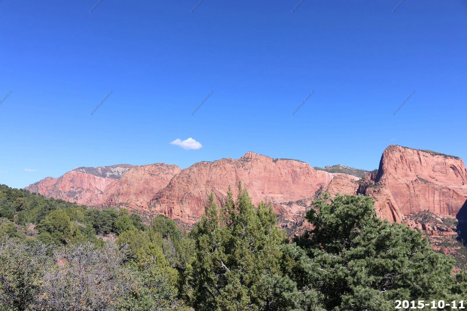
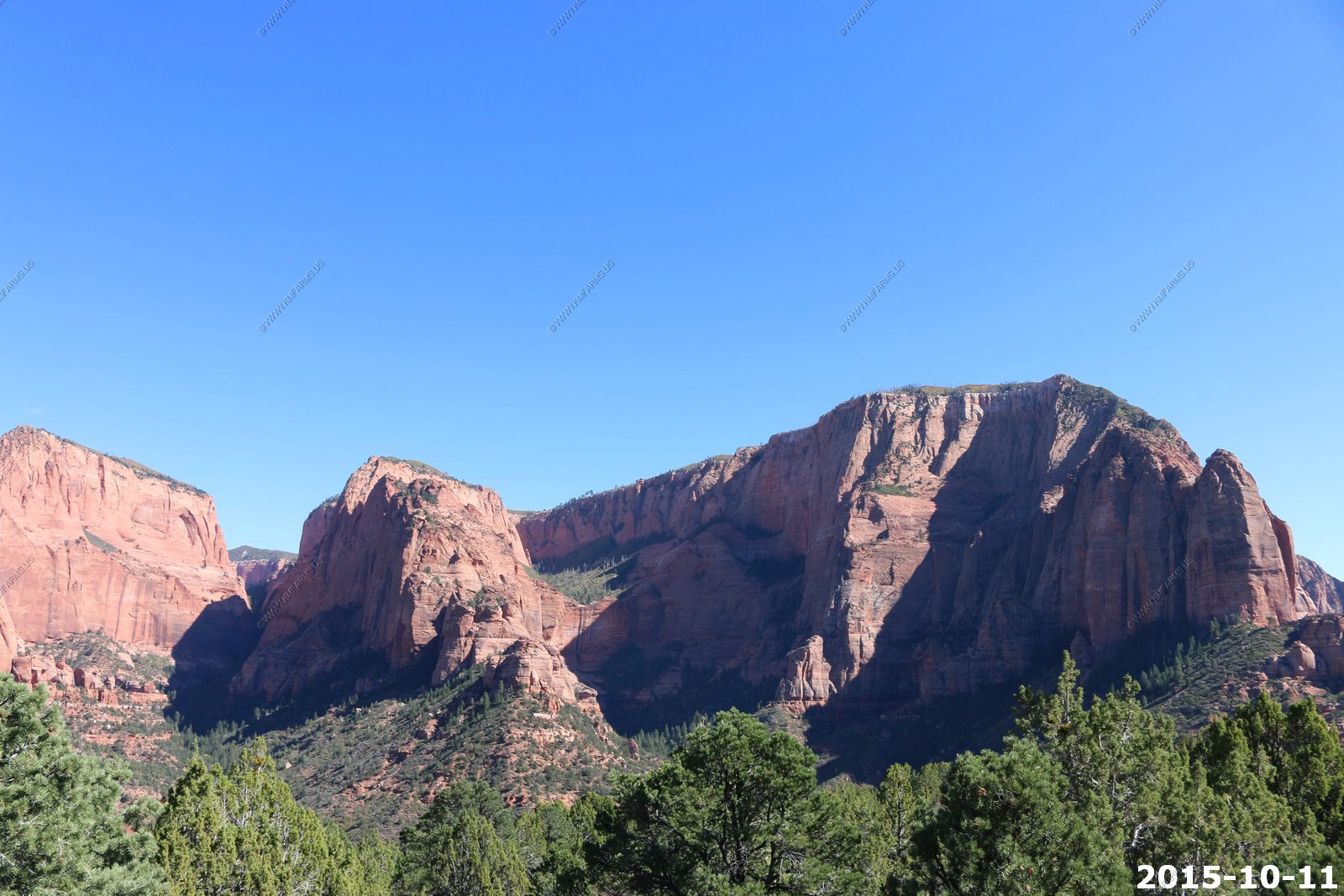
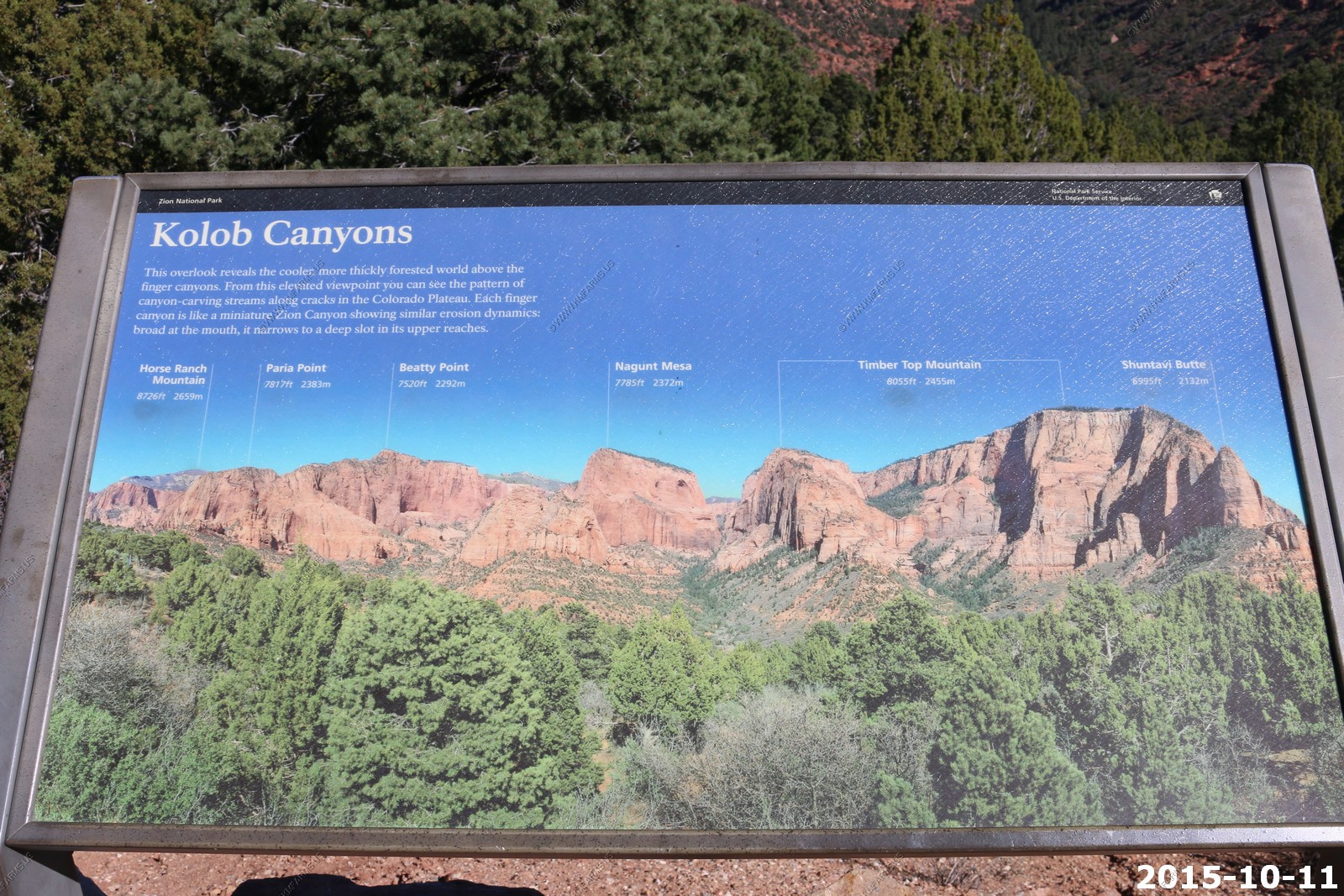
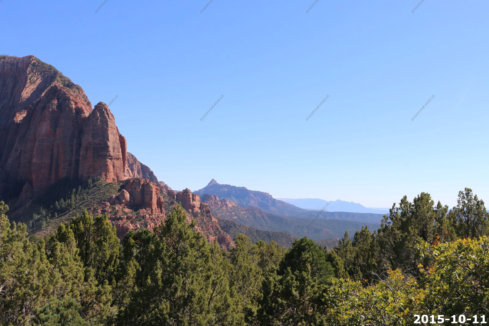
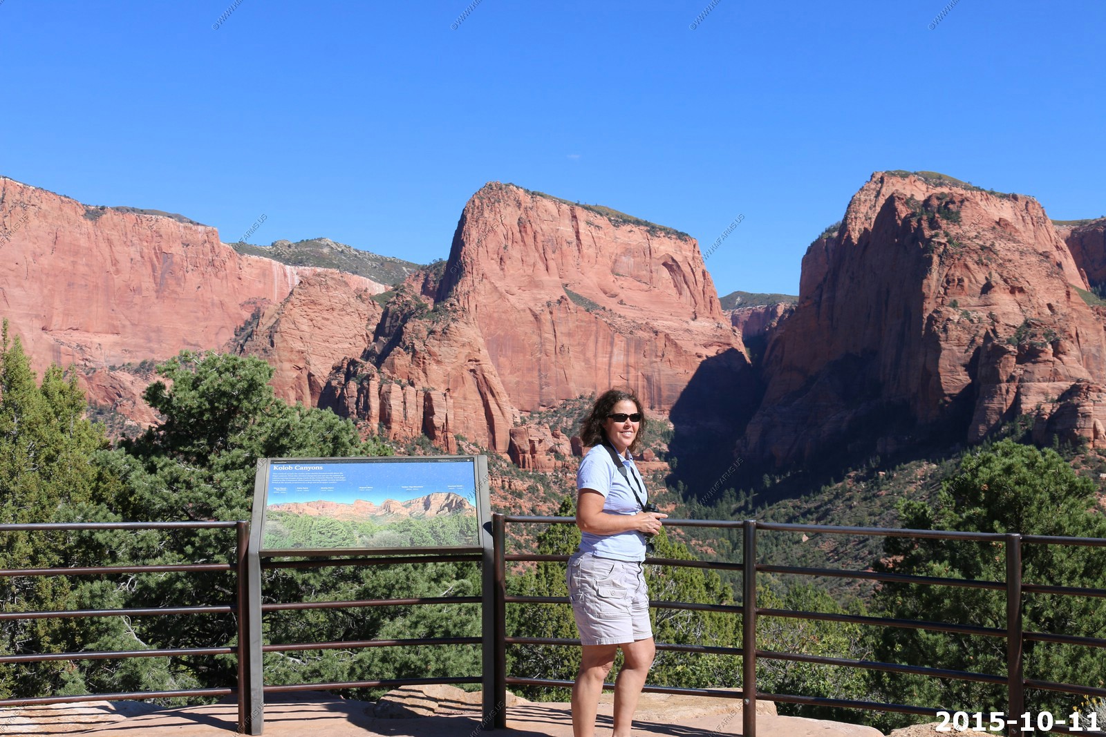
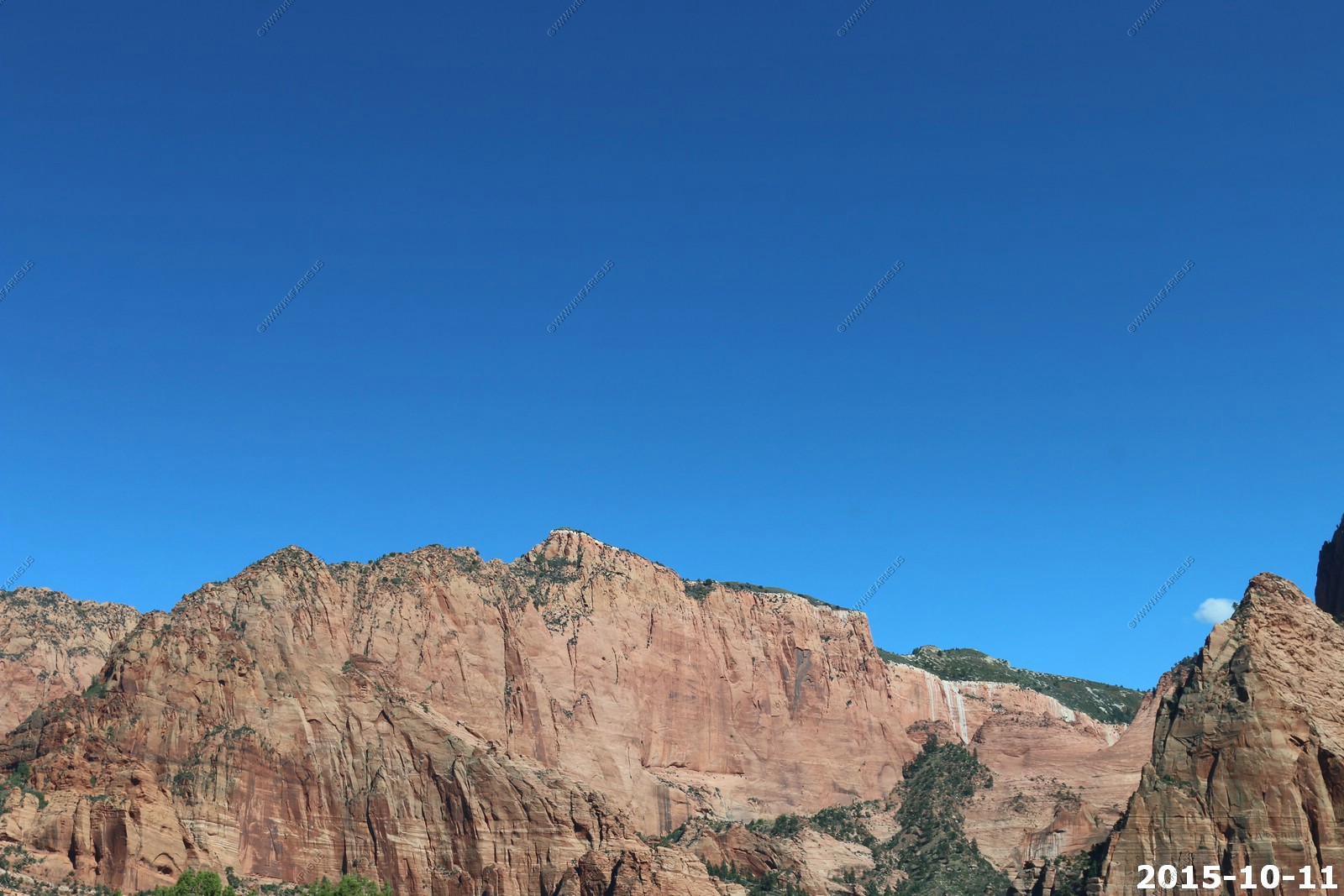
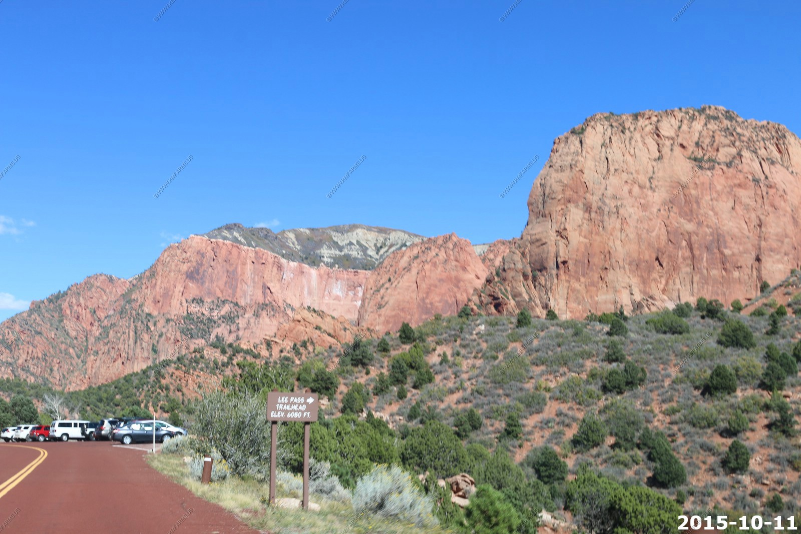
We did not want to go to close to Zion, NP as it was a weekend. So, today we went exploring up Kolob Terrace Road (west side of Zion). to Lava Point in Zion then on to Kolob Reservoir. A quick ride thru Cedar City and west to Old Iron Town. We ended the day at the western part of Zion NP called Kolob Canyons.
Got back to the house to enjoy an afternoon in the pool.
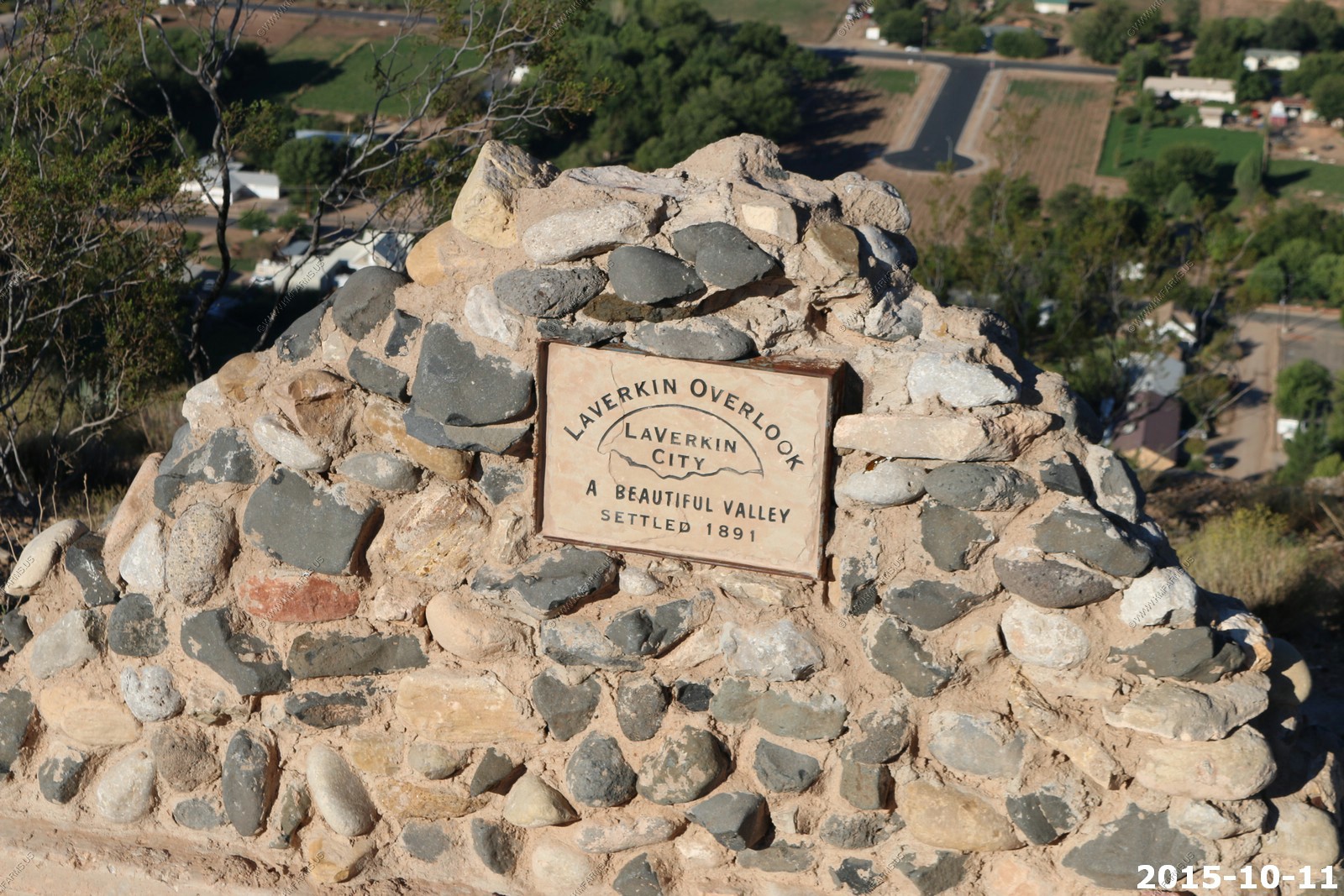
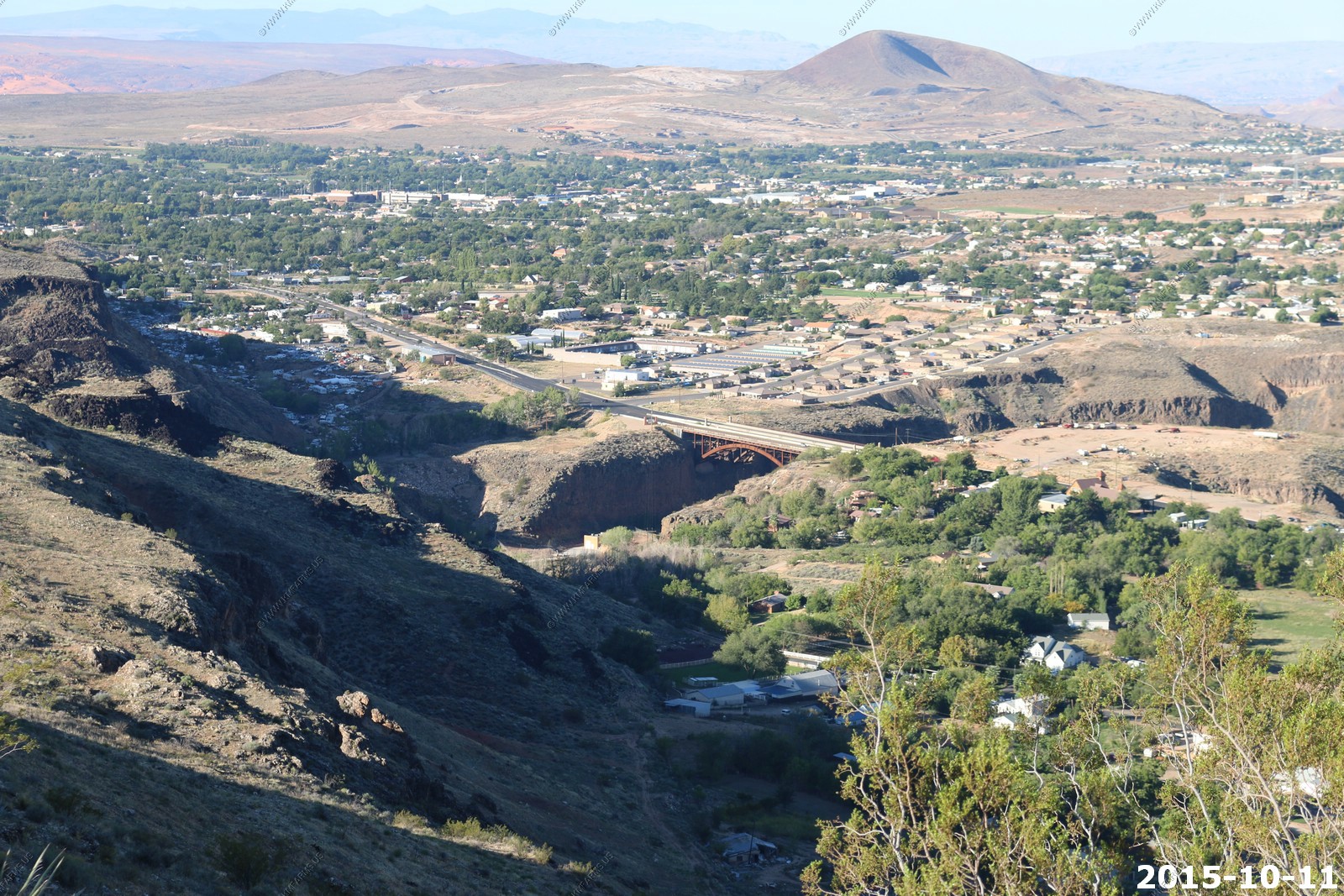
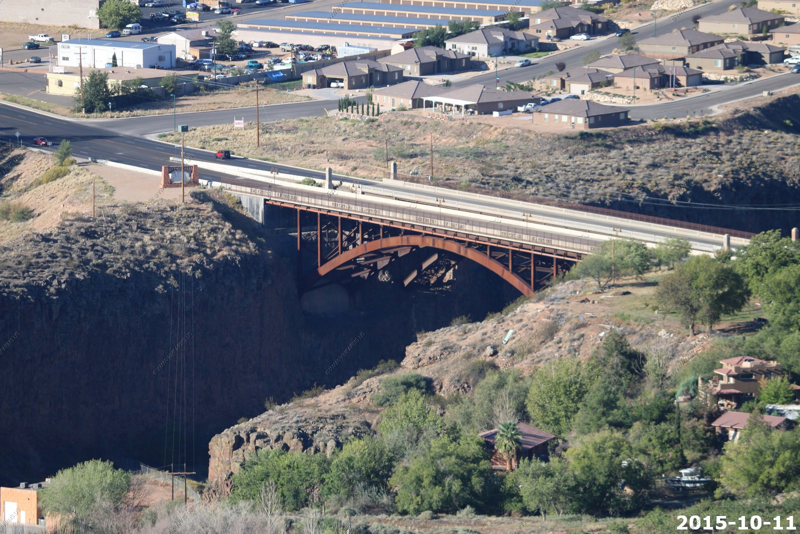
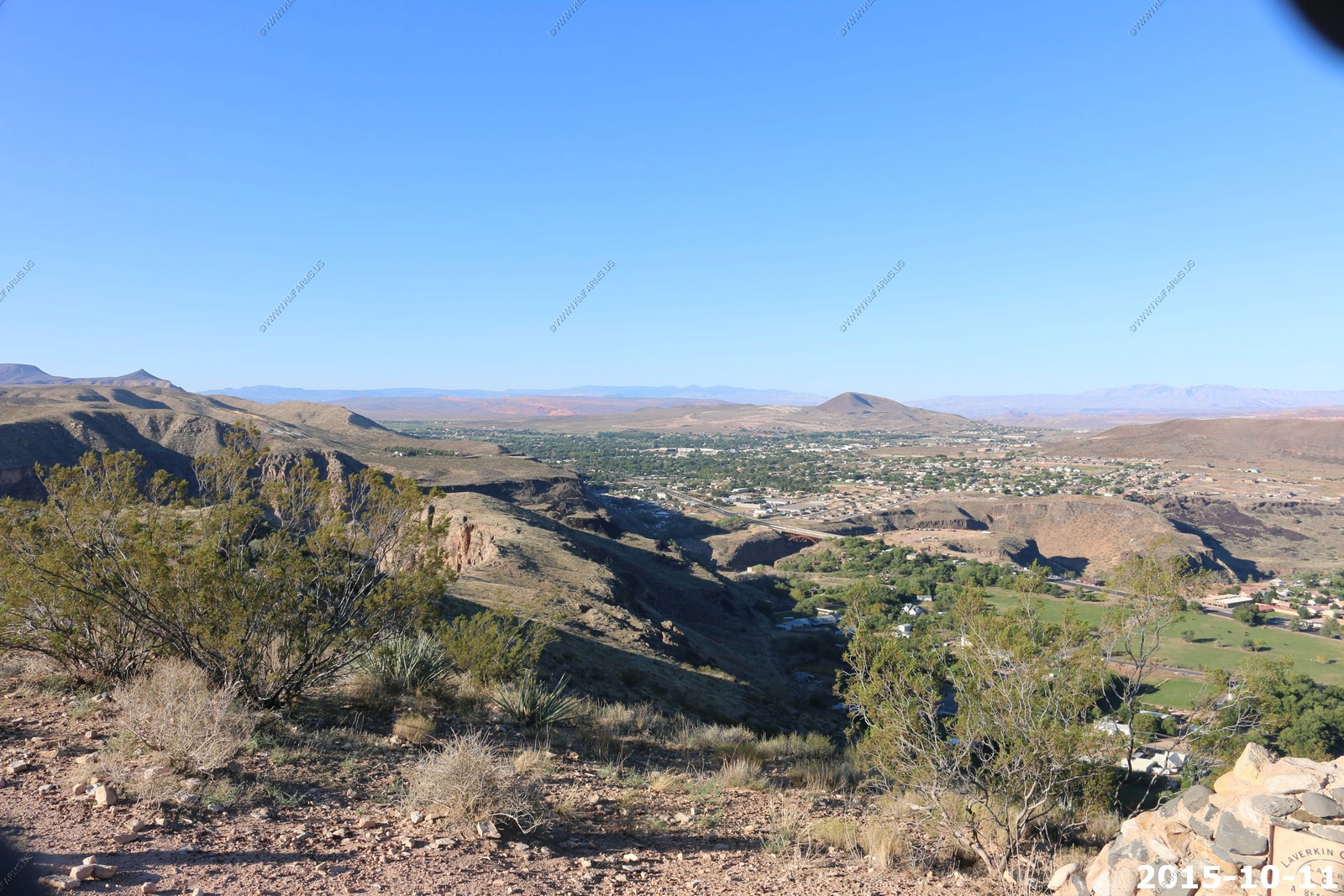
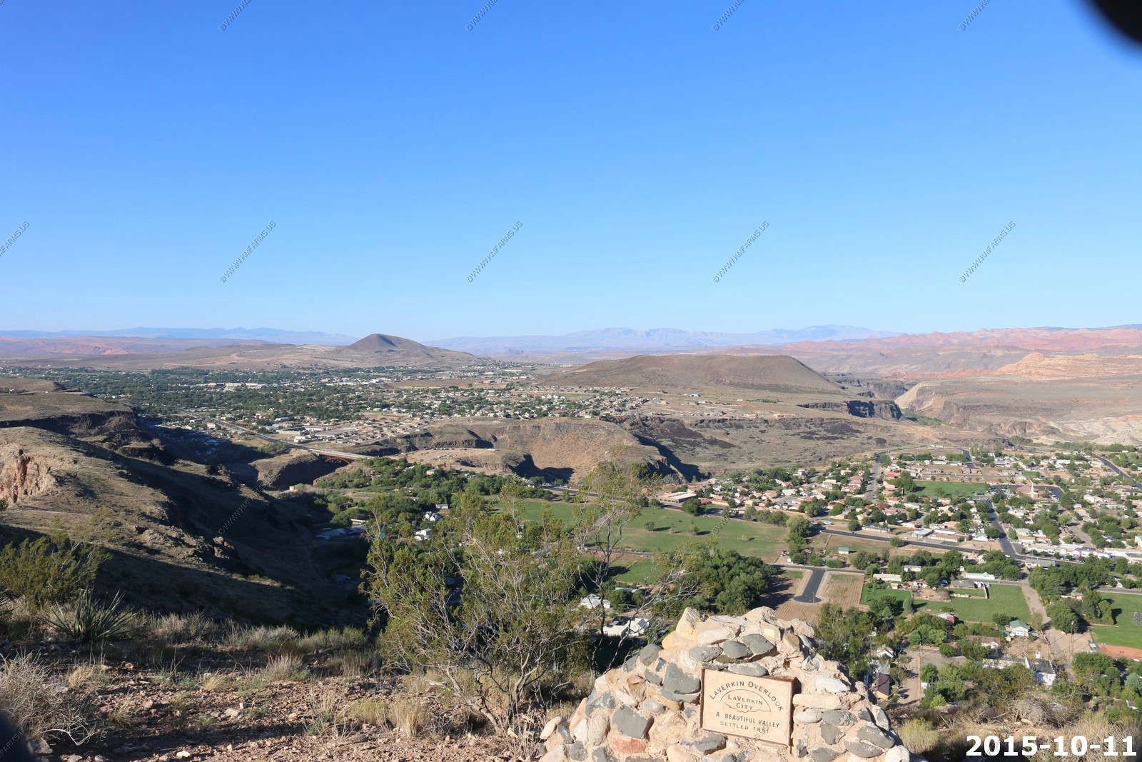
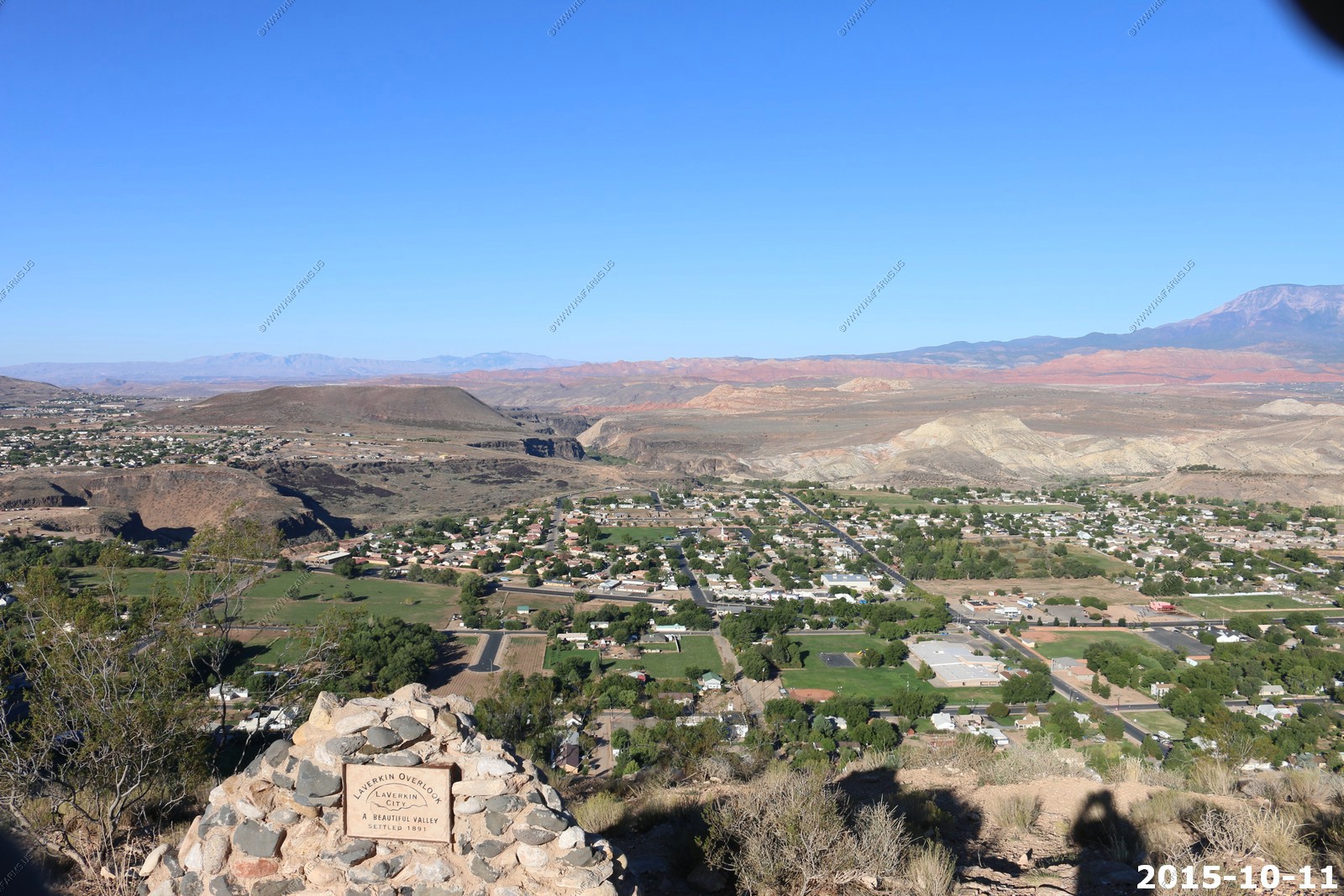
Laverkin Overlook
Did not realize that the canyon that we were crossing was so deep.
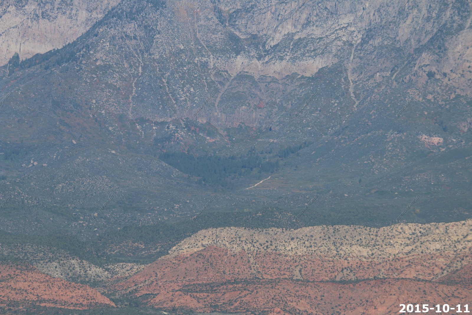
Pine Valley Mountains
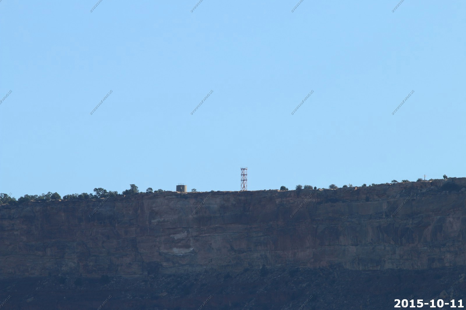
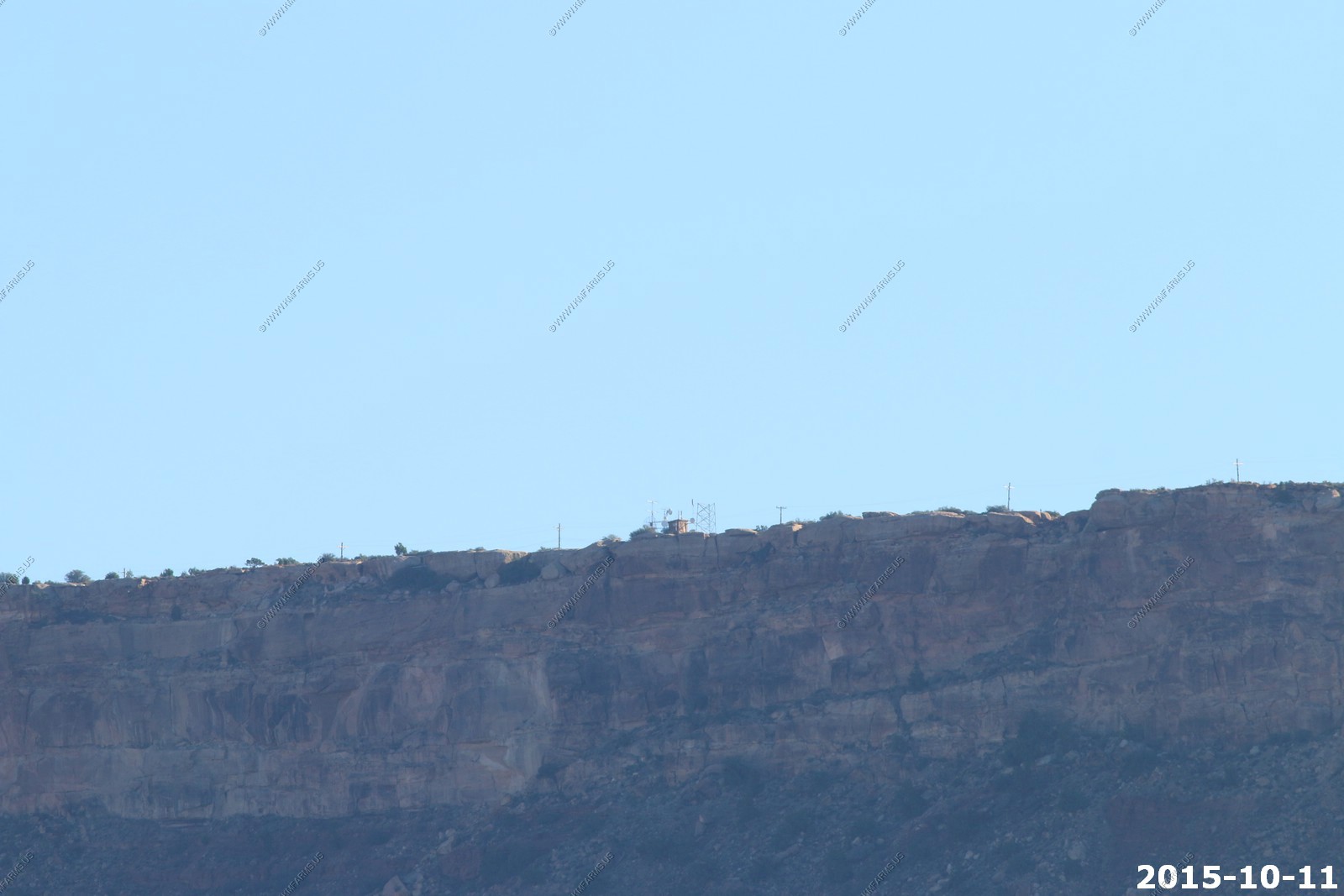
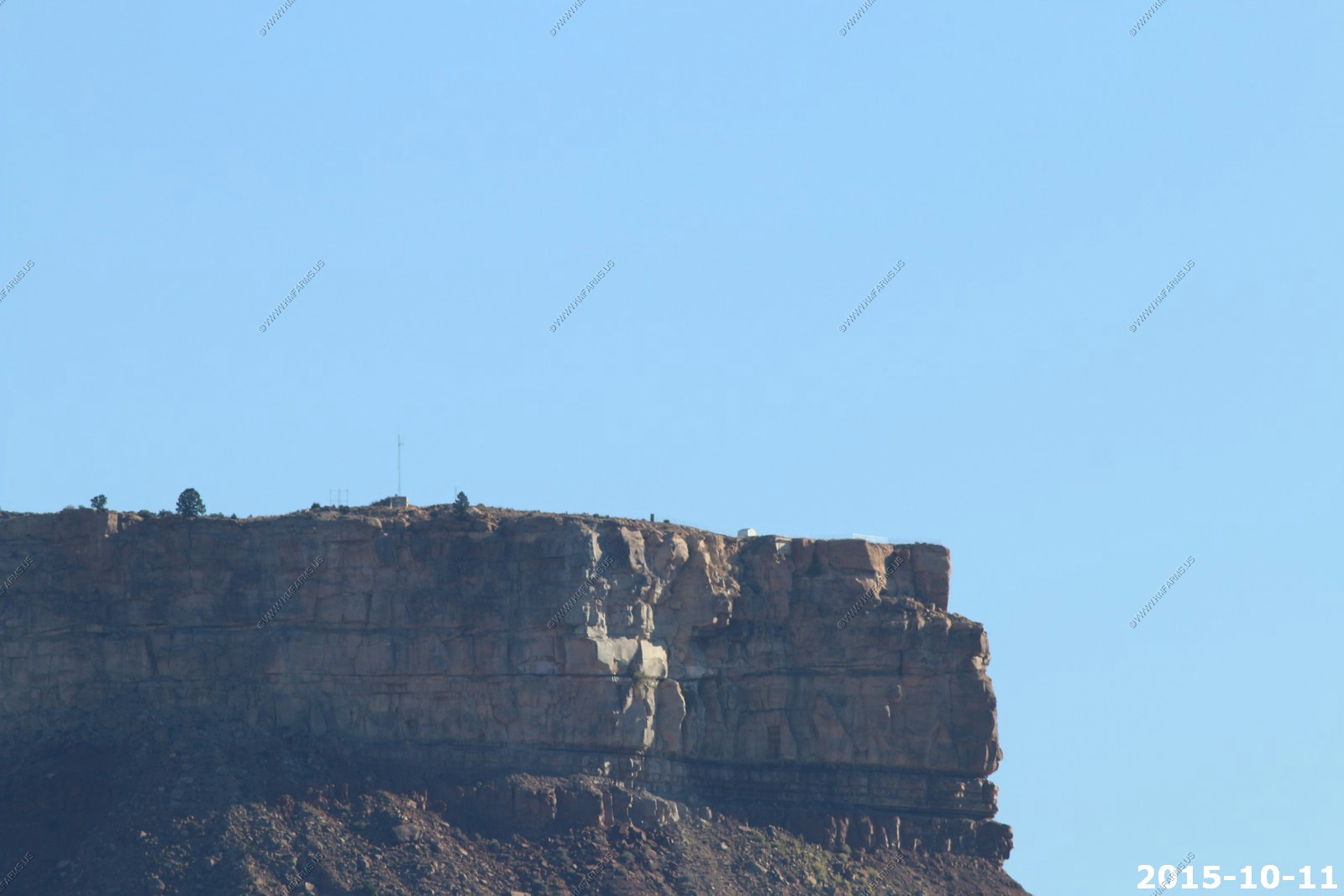
Hurricane Mesa Test Facility (Virgin, Utah)
The Hurricane Mesa Test Facility includes a 12,000 foot long test track. It was initially owned by the U.S. Air Force, constructed in 1954 and 1955 by Coleman Engineering and subsequently operated by Coleman. The site was used in the testing of ejection seat systems and other aviation systems.
The U.S. Air Force ceased operations in 1961 at the site. Since 1963 the facility has been privately owned and operated. It remains in operation as a private test facility.
Some locals claim that the facility is a secret military base on par with area 51.
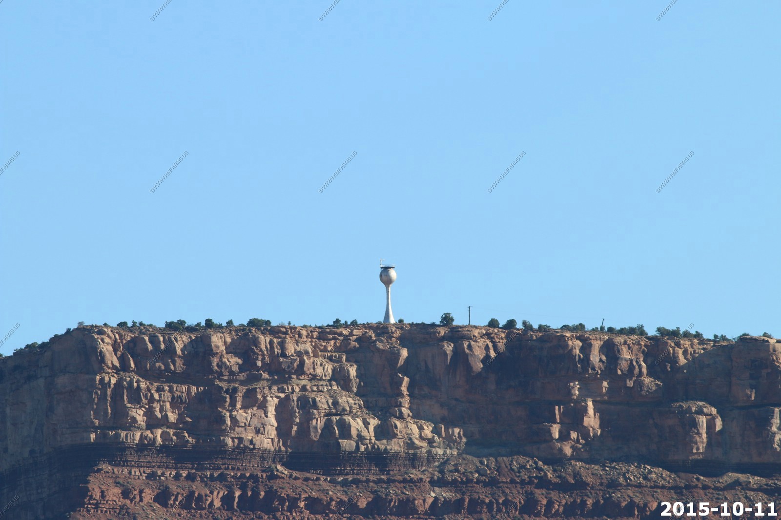
Water towers, a communications tower, and a trailer that sticks out over the edge of the mesa rim cliffs can be seen from below.
A narrow winding paved road offers access to the mesa top, where it becomes a dirt road that continues past the test facility. The road continues and ascends to the top of the higher Smith Mesa which is perched atop Hurricane Mesa. While public is not usually allowed onto the private property, the road is a public right-of-way.
Looking across at Oak Grove Camp Ground in the Pine Valley Mountains appx. 16 miles away
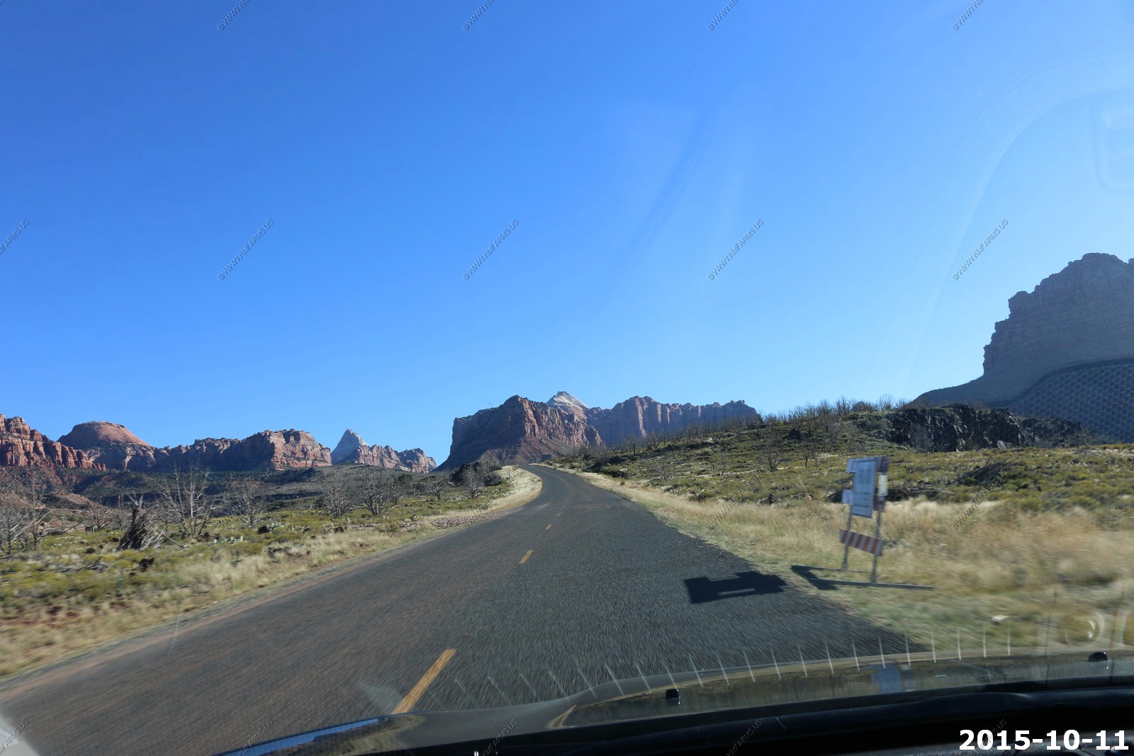
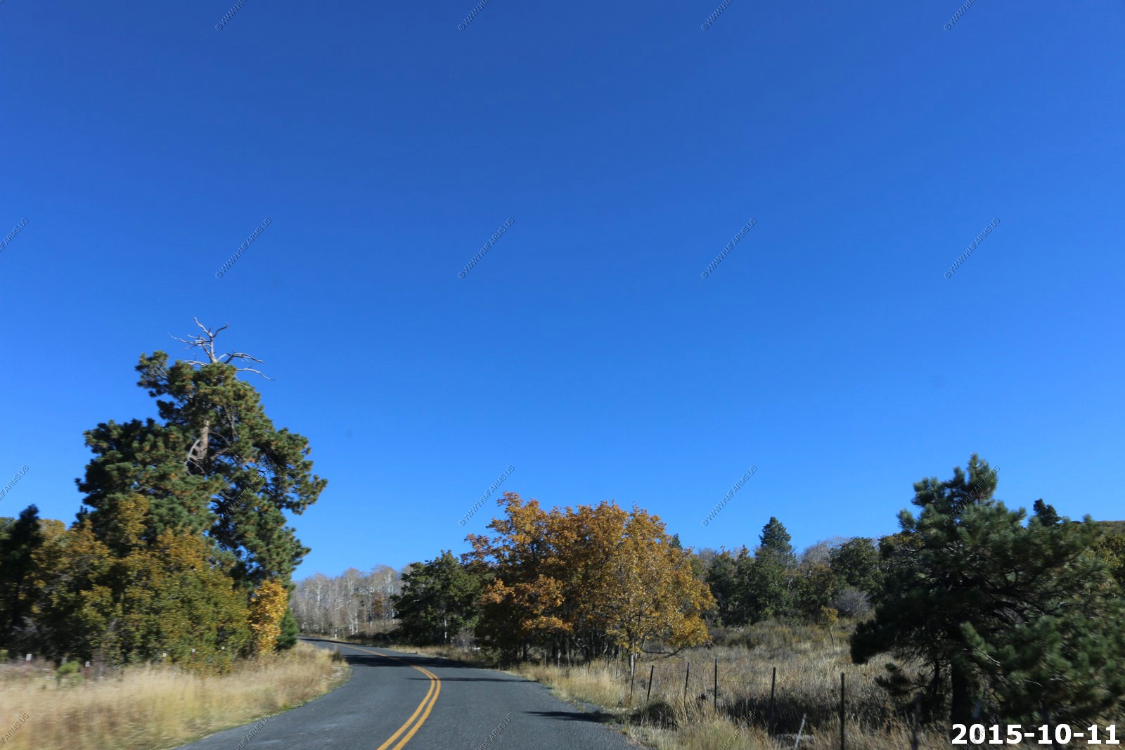
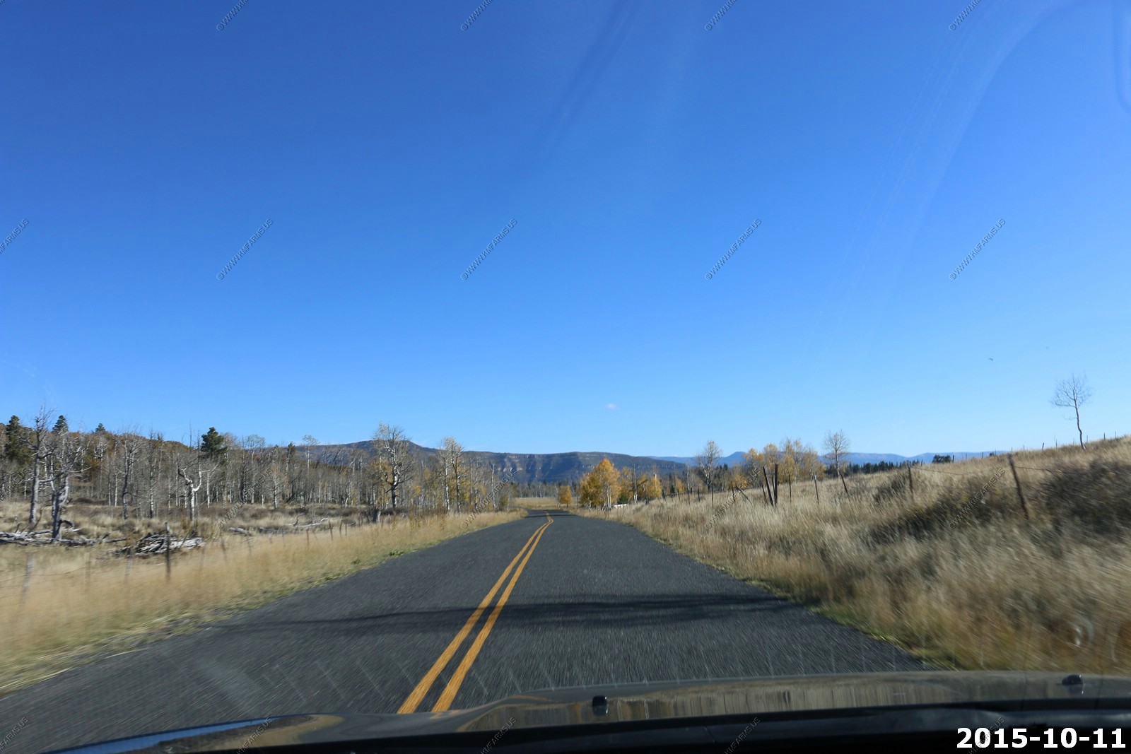
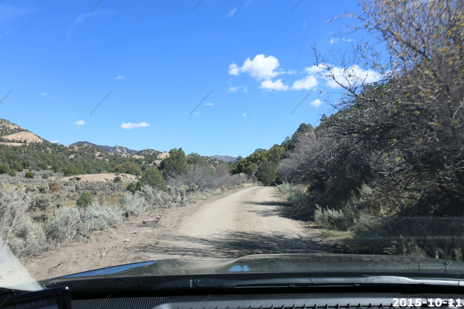
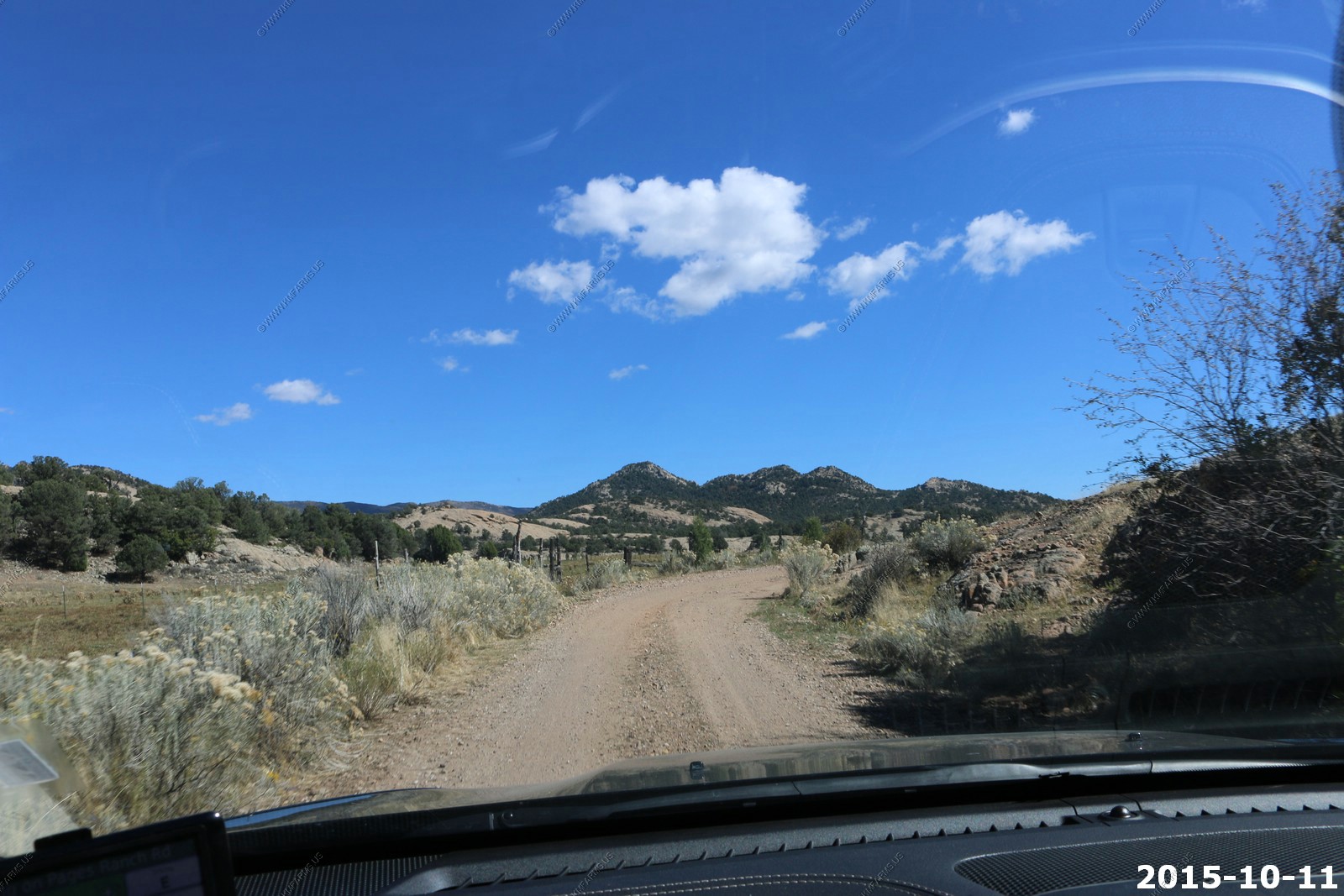
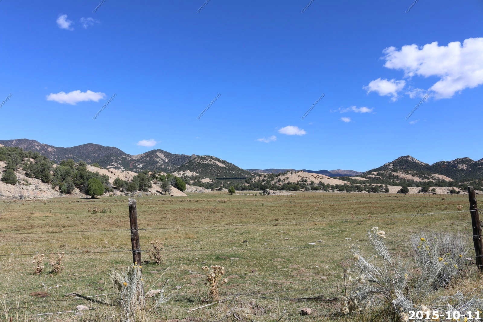
Kolob Terrace Road
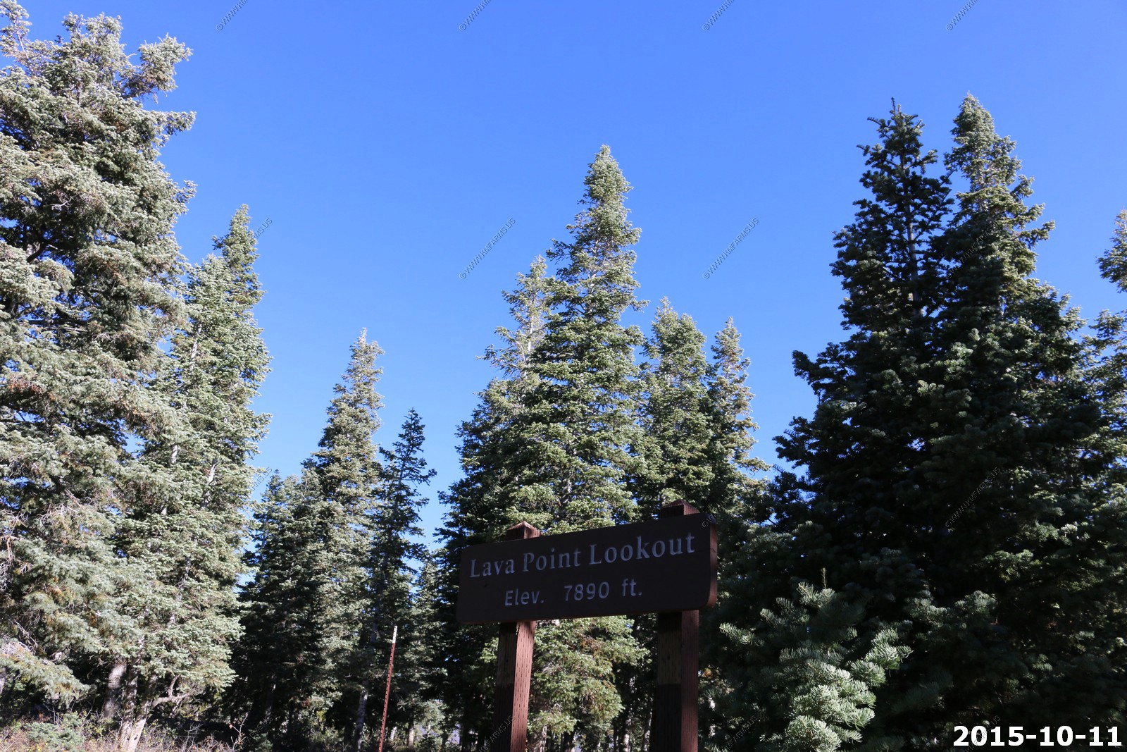
Kolob Terrace Road, also known as Kolob Reservoir Road, is the least travelled of the main roads through Zion National Park, and provides an easy way to quickly reach the wilderness and escape the crowds that can affect the more well-known areas. It offers great views of distant cliffs and valleys, hiking trails to high overlooks and along narrow canyons, and varied landscapes reflecting the wide elevation range of 3,550 to 7,890 feet. The road passes close to Lava Point, the highest summit in the park except for two peaks in the far northwest region, and affords exceptional, near 360 degree views of the whole park.
During the week there is a good bit of construction along this road
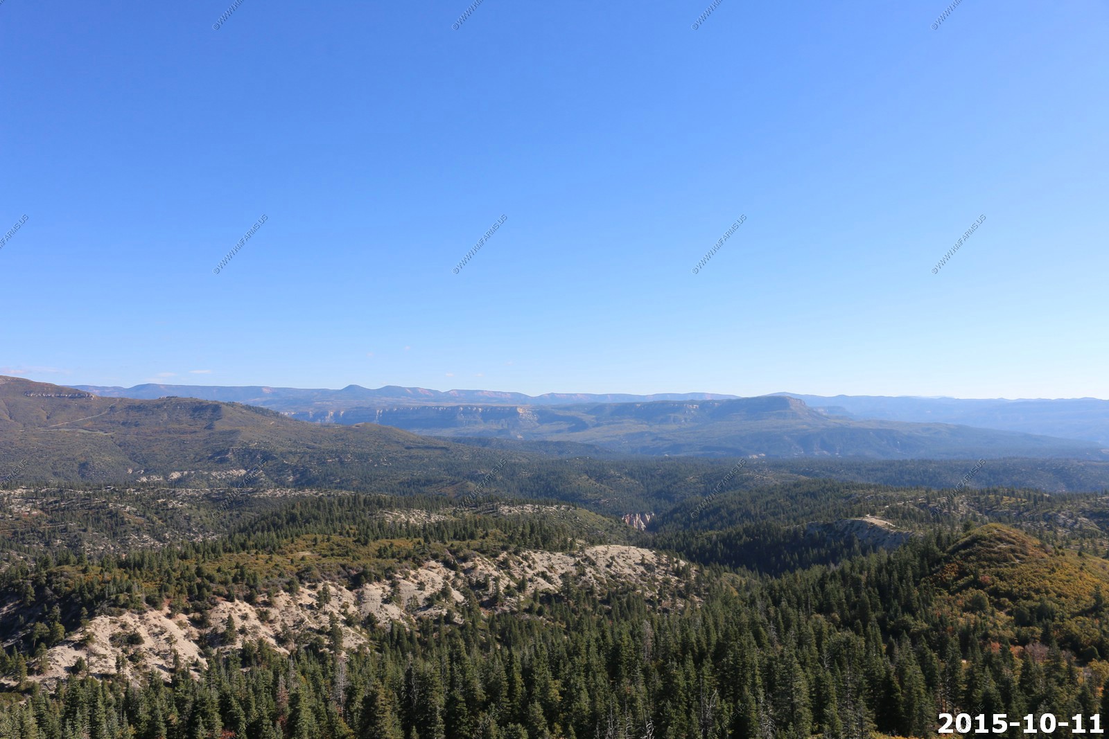
Various views
Entering Zion. Large area of burned trees.

Looking back to the SW at Pine Valley Mountains. You can see into Nevada and Arizona from here.
Getting higher
Lava Point in Zion. El. 7890 which is the highest point in Zion National Park
Don't think we have to worry about Lightning today

You can see the North Rim area of the Grand Canyon. It's the flat area on the left side of this photo which is over 65 miles away.
This was a cool overlook. This was our first time here.
Mary enjoying the views
Amazing sky and more views
The USGS benchmark
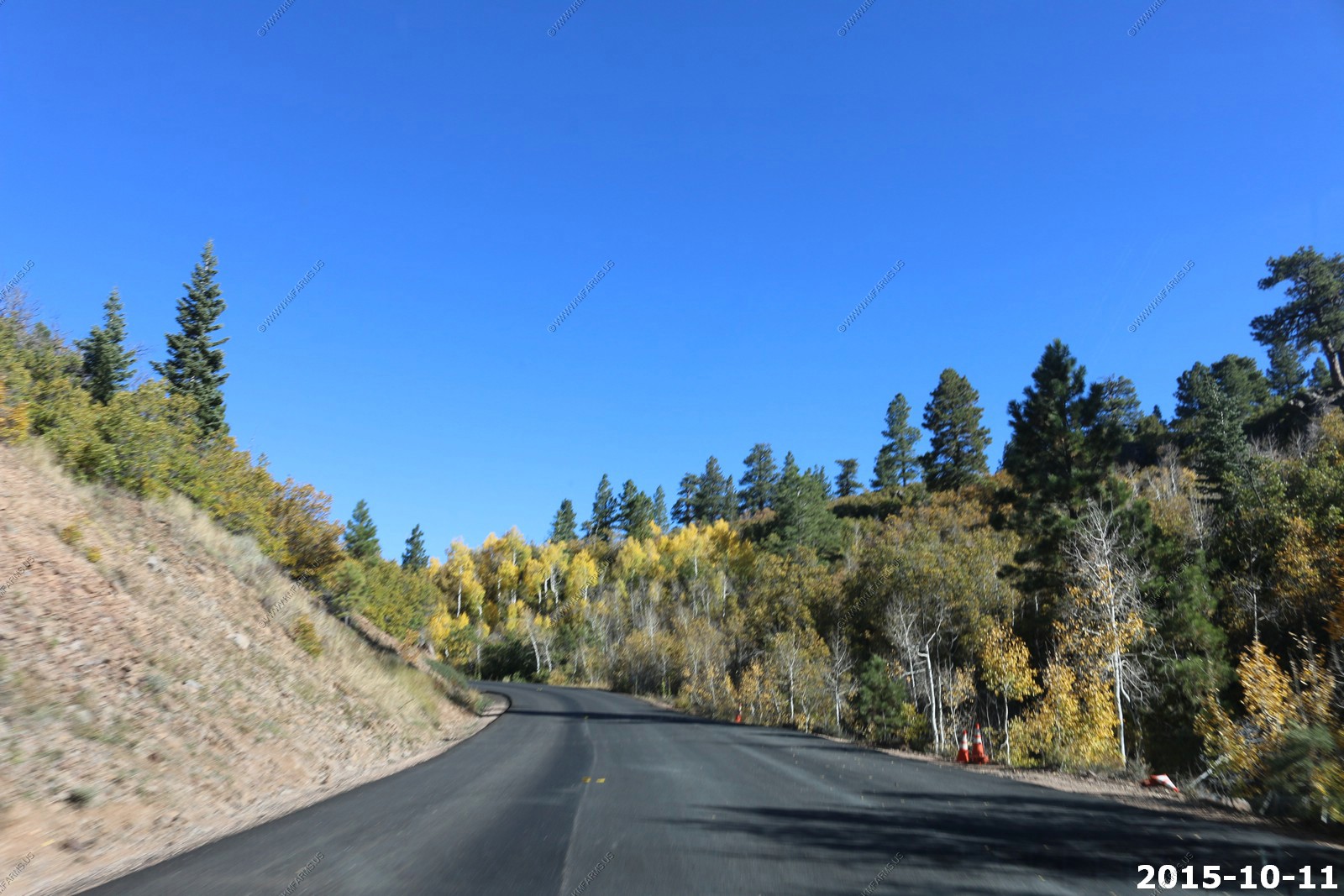
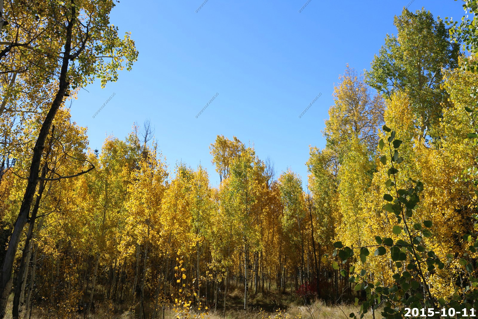
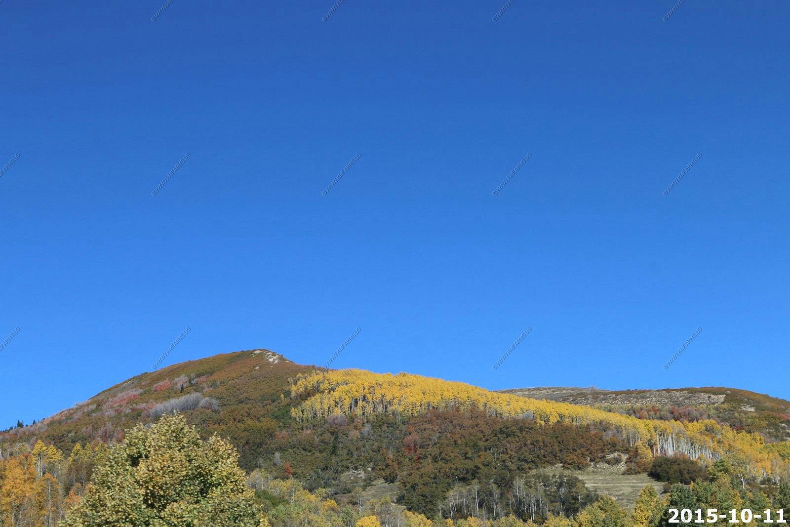
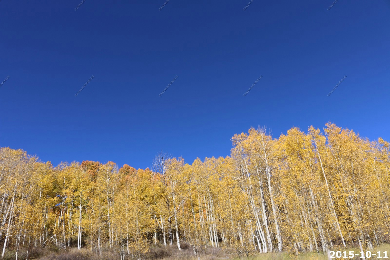
Aspin was past peak here.
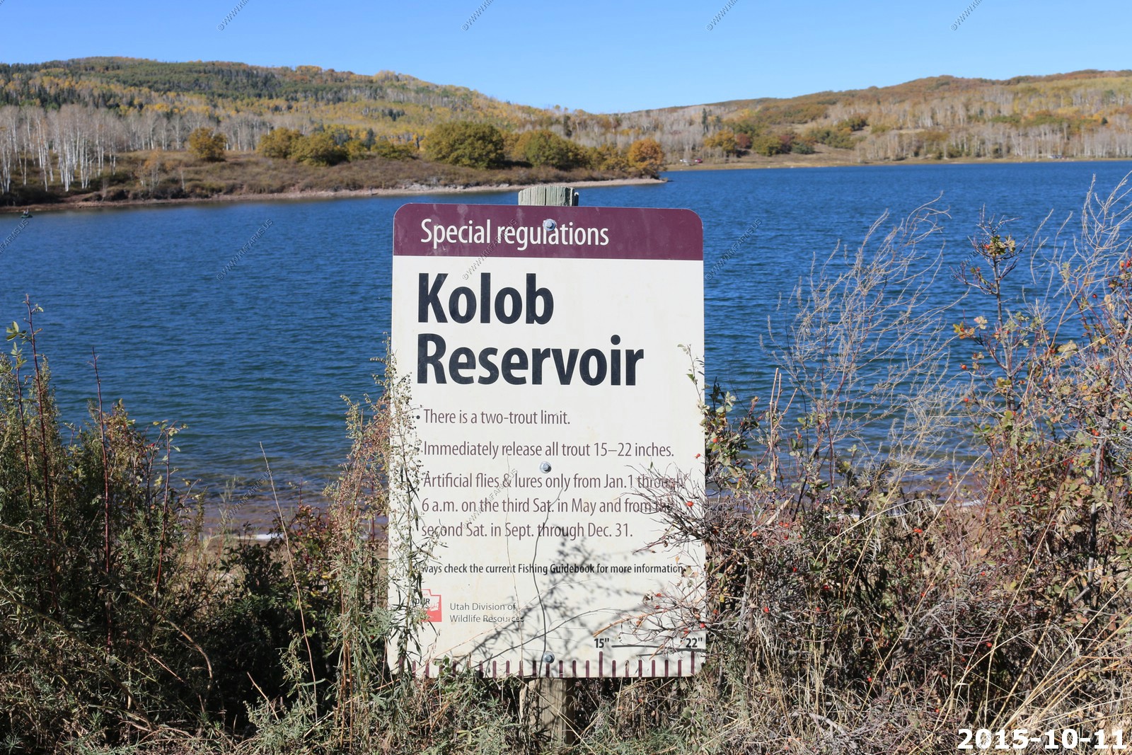
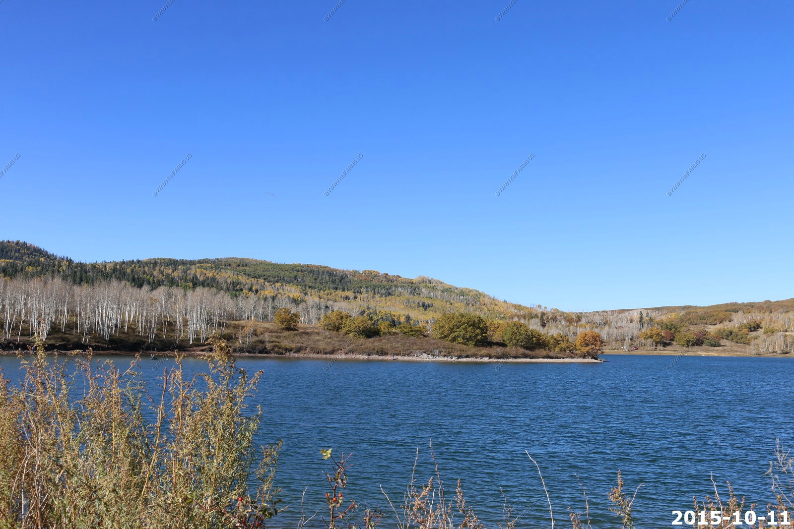
Kolob Reservoir (El. 8,118 ft.) is a reservoir in southern Utah on Kolob Mountain, created by the 1956 Kolob Creek Dam.
There are two entrances to Kolob: one is in the town of Virgin and the other is near Cedar City, Utah. In the winter the reservoir is only accessible by snow mobile. The reservoir is surrounded by private land, so camping is only allowed near the lake. There are fences marking the start of private land on almost all shores of the reservoir. One can fish the reservoir, but there are special regulations.
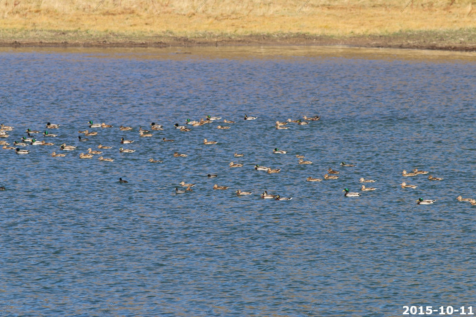
Mallard Ducks
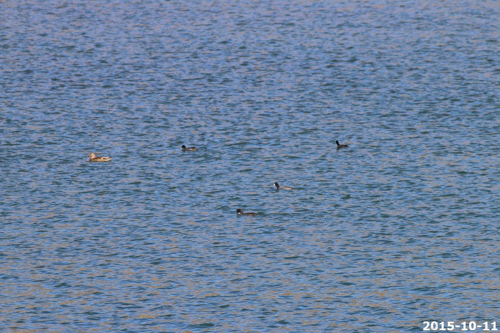
Coots ?
Bald Eagle up in the tree by the lake
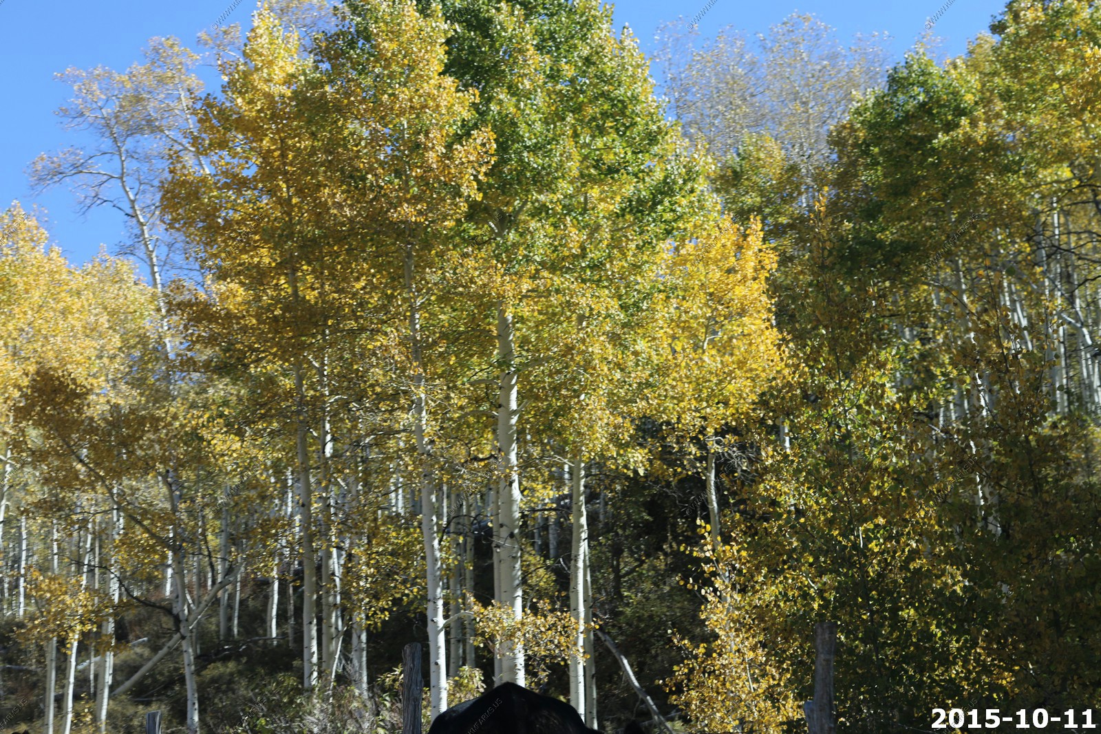
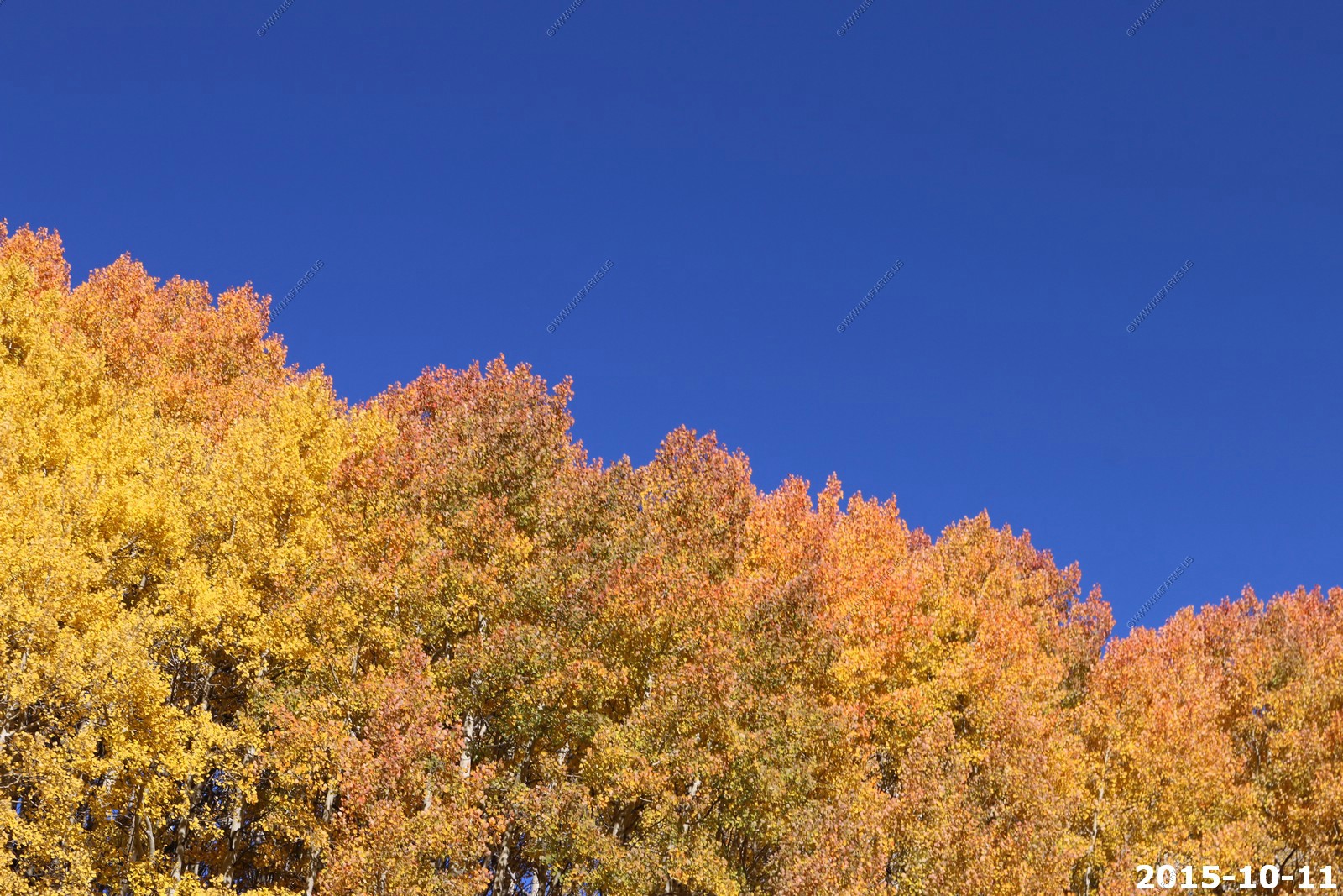
More aspen at or just past peak
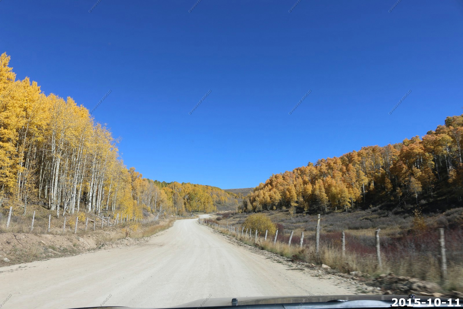
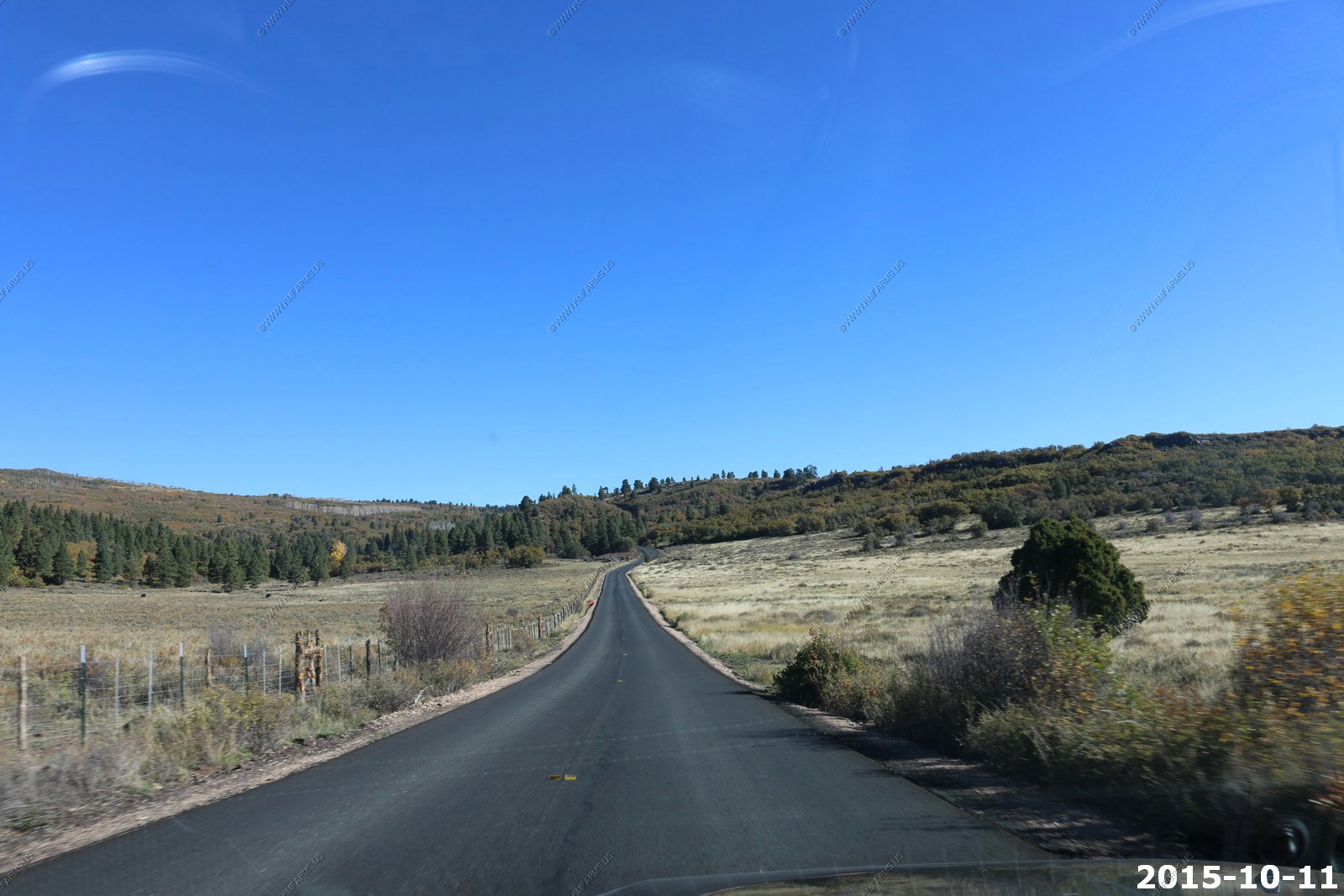
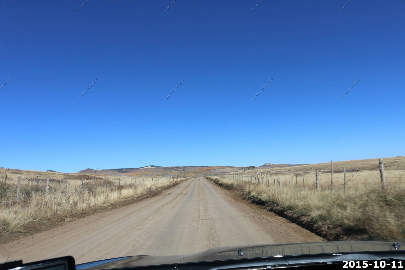
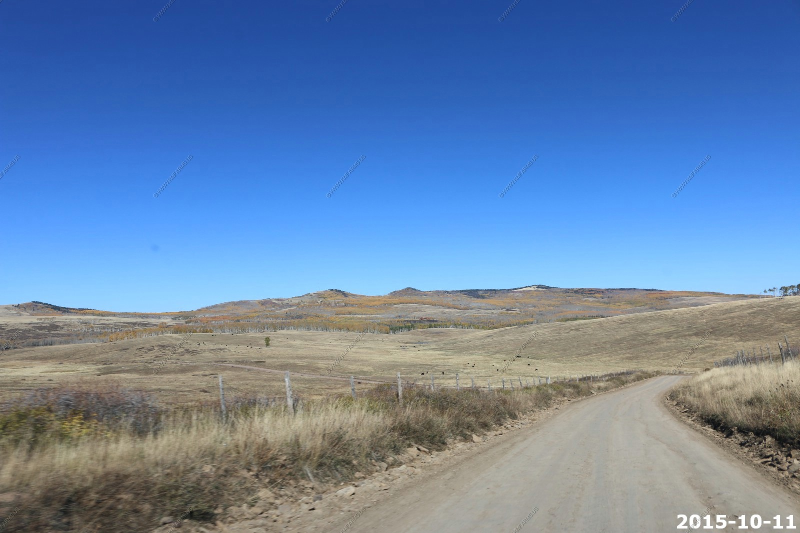
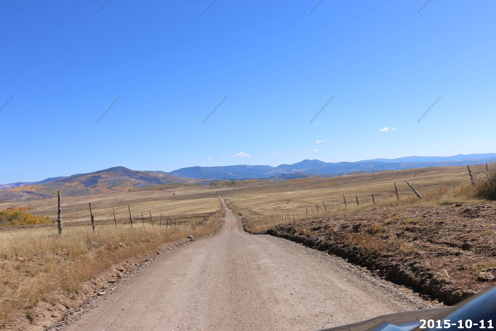
The road passes through some wide open areas
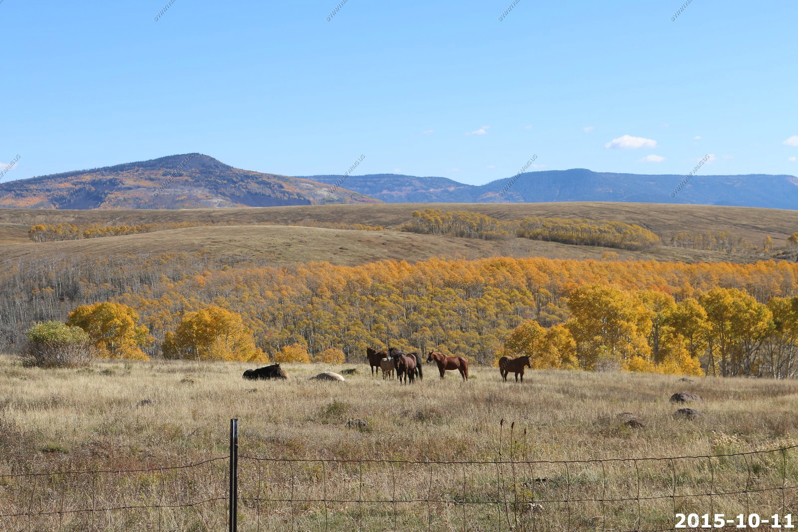
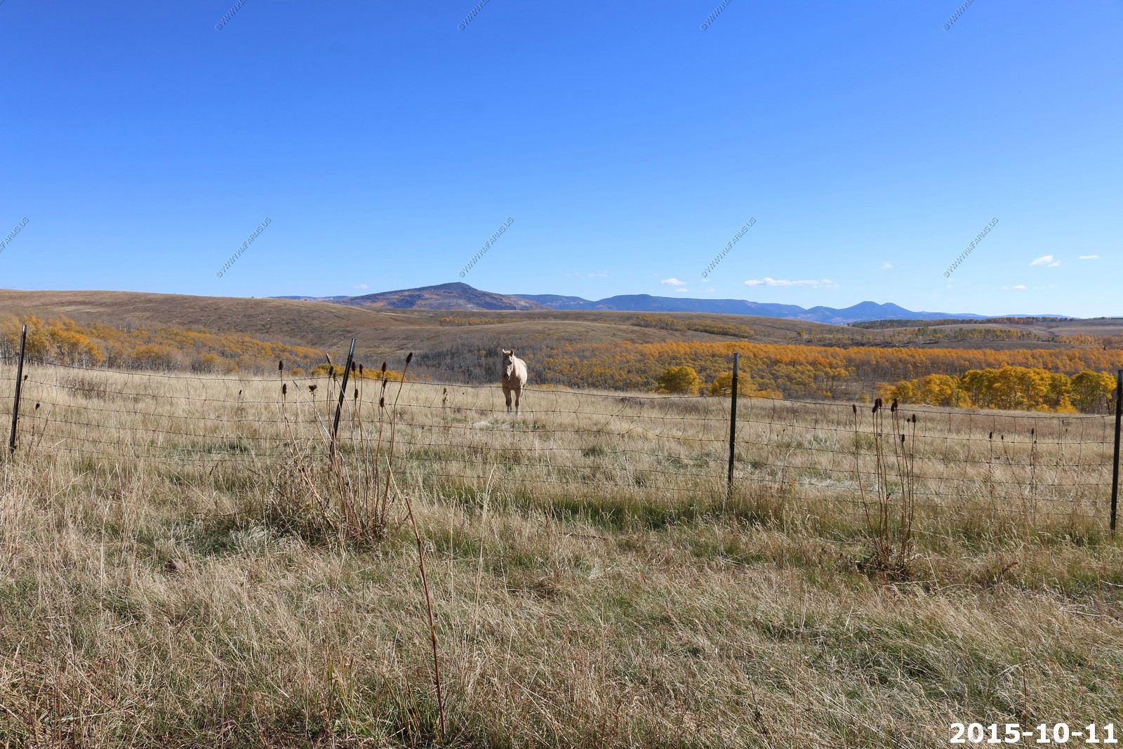
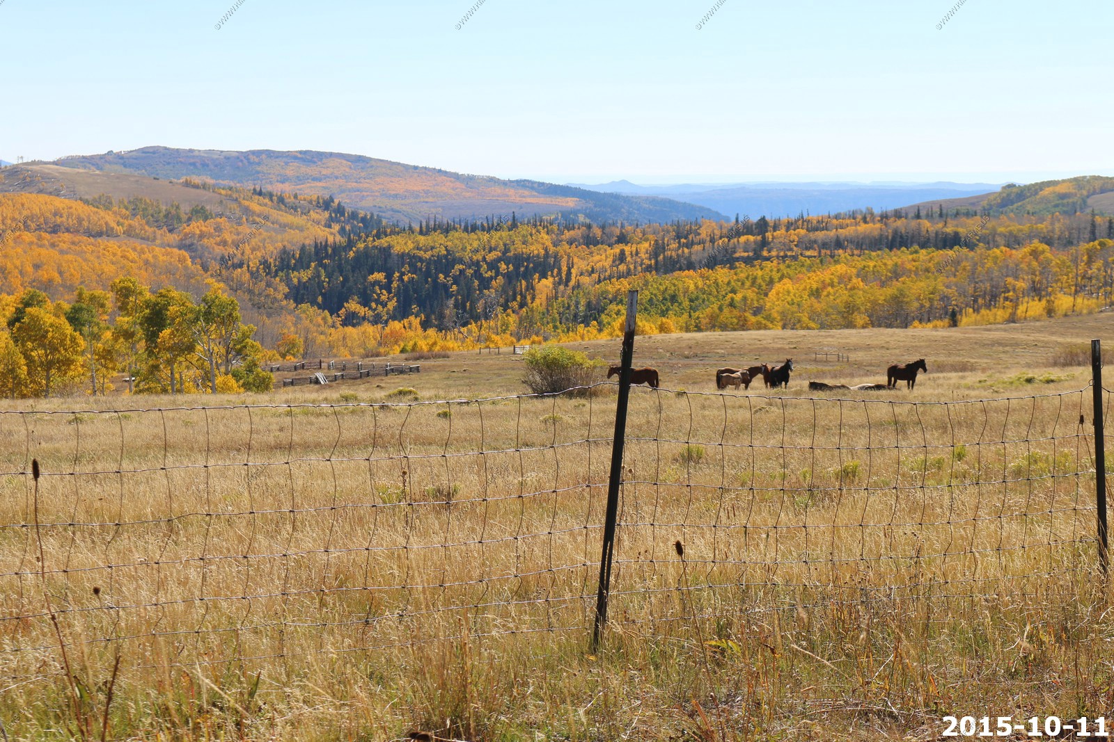
Mary took these horse photos
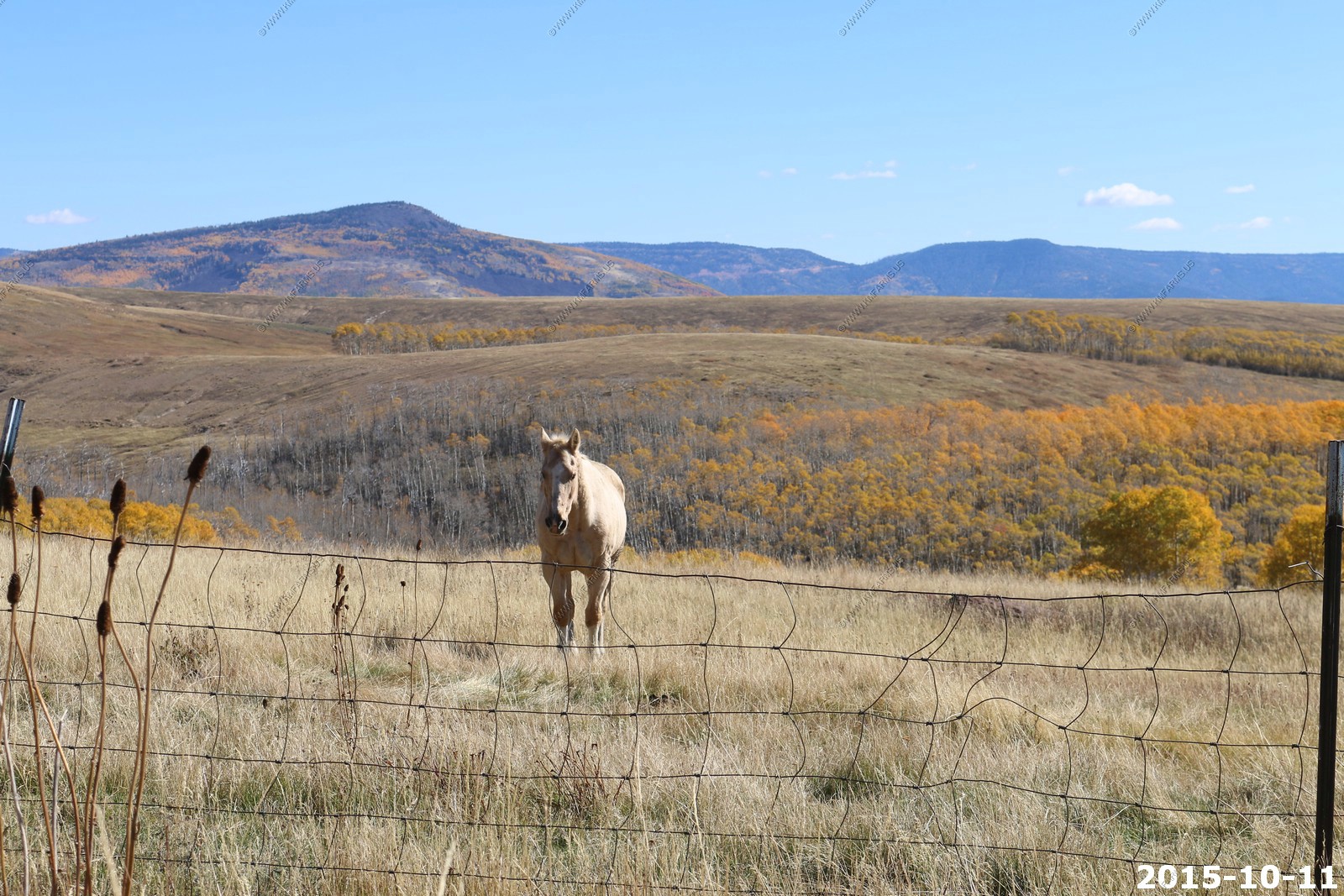
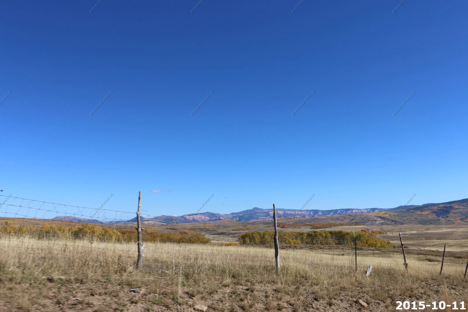
Wide open spaces
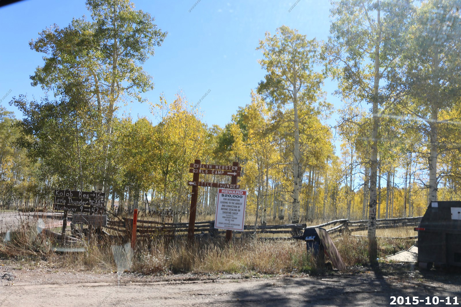
Cedar Breaks National Monument - over 10,000 feet. We visited this area a year ago in the fall of 2014
$20,000 reward for shooting sheep
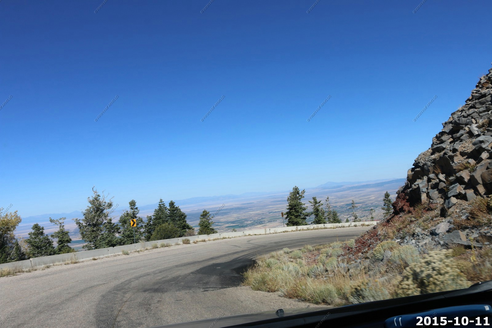
Time to drop off of the Markagunt Plateau to Cedar City, UT. You drop from 8000+ feet to 5800 along I-15.
Cedar City is a city in Iron County, Utah, United States, 250 miles south of Salt Lake City, and 180 miles north of Las Vegas on Interstate 15. It is the home of Southern Utah University. As of the 2010 census, the city had a total population of 28,857.
While this area is very scenic it's too cold and they get lots of snow here. Also, the crime rate is a bit high as they have considerable drug issues.


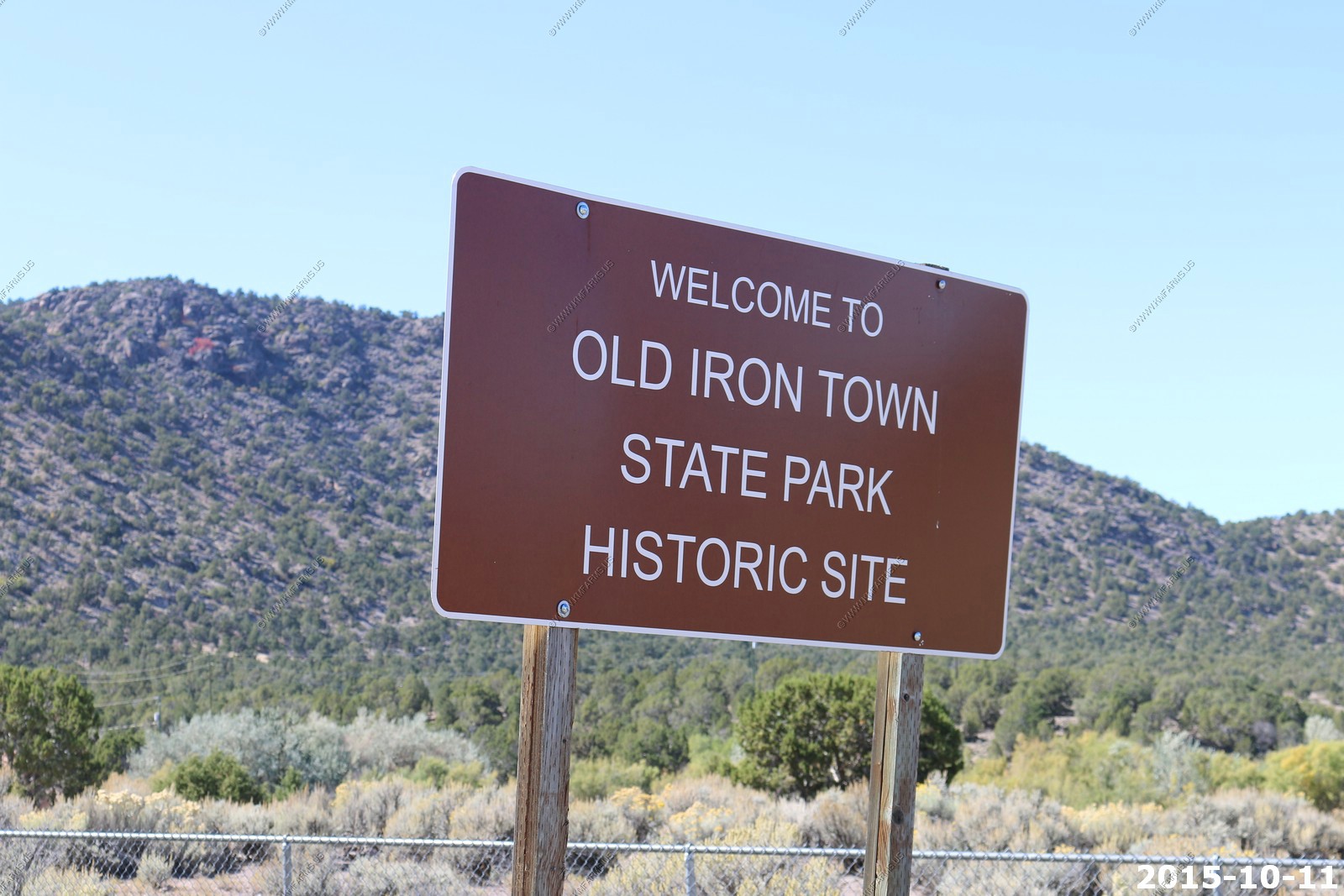
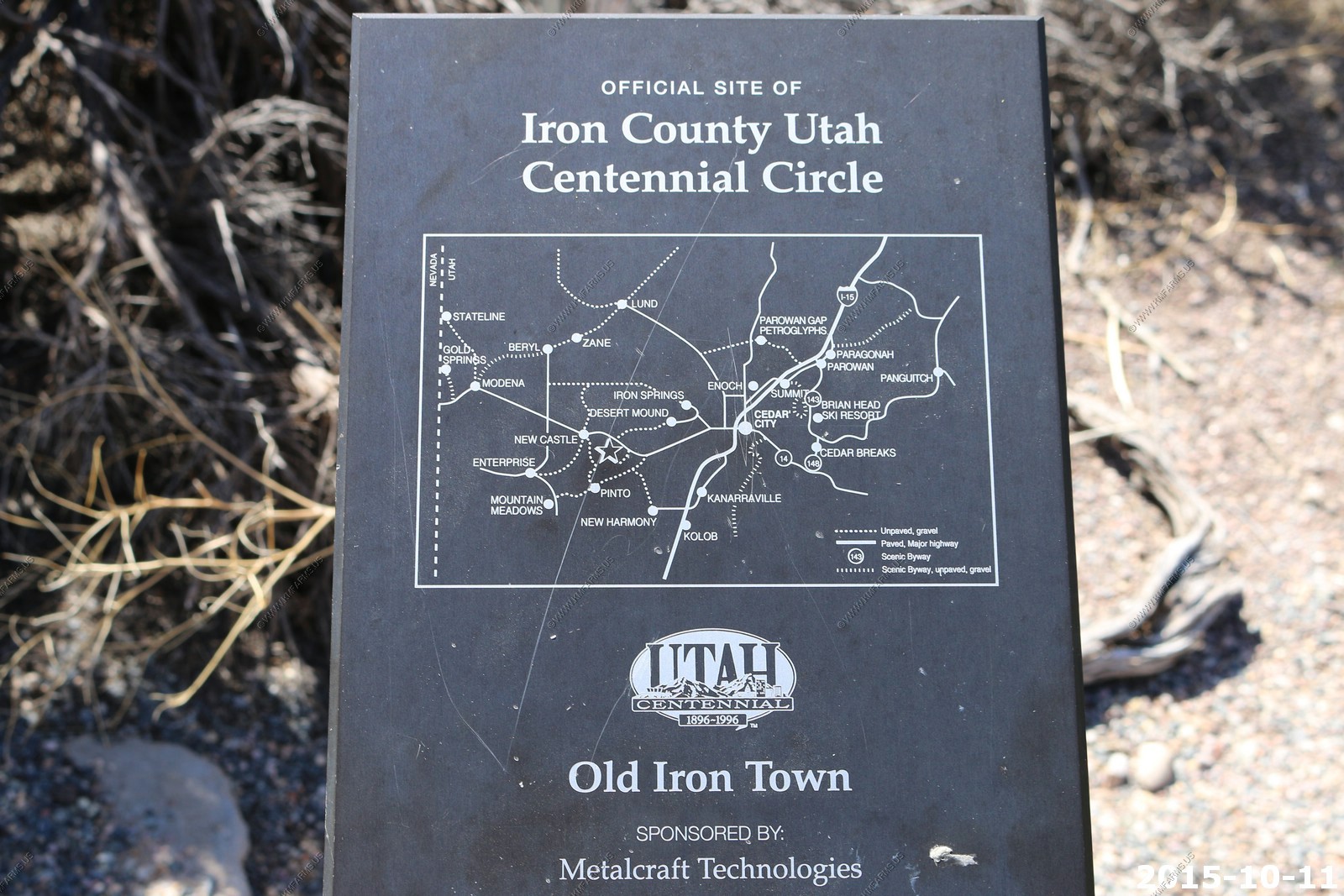
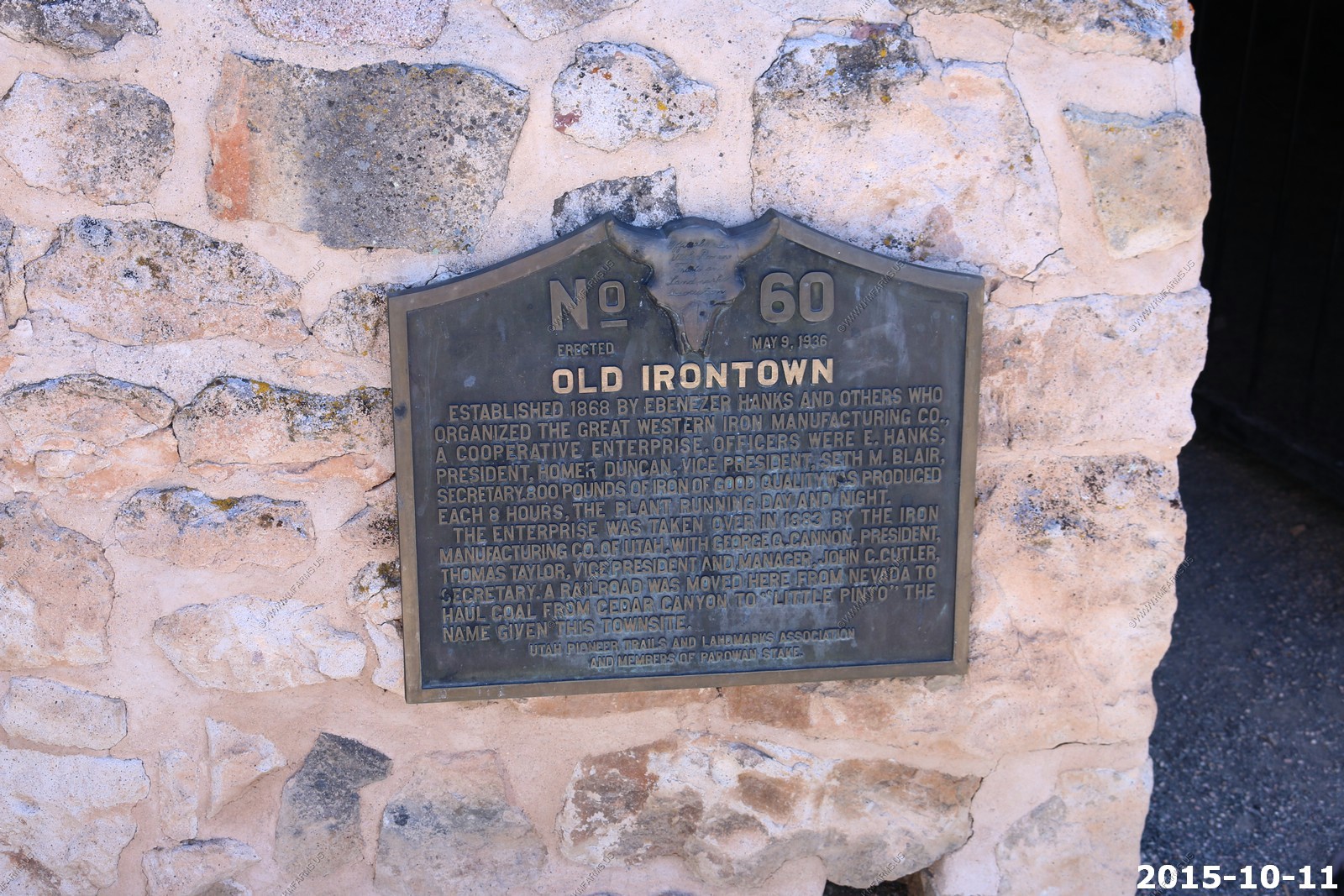
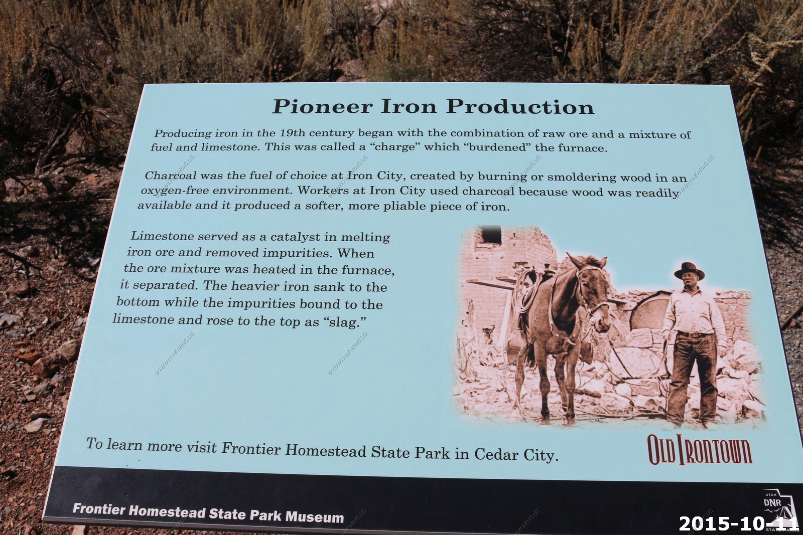
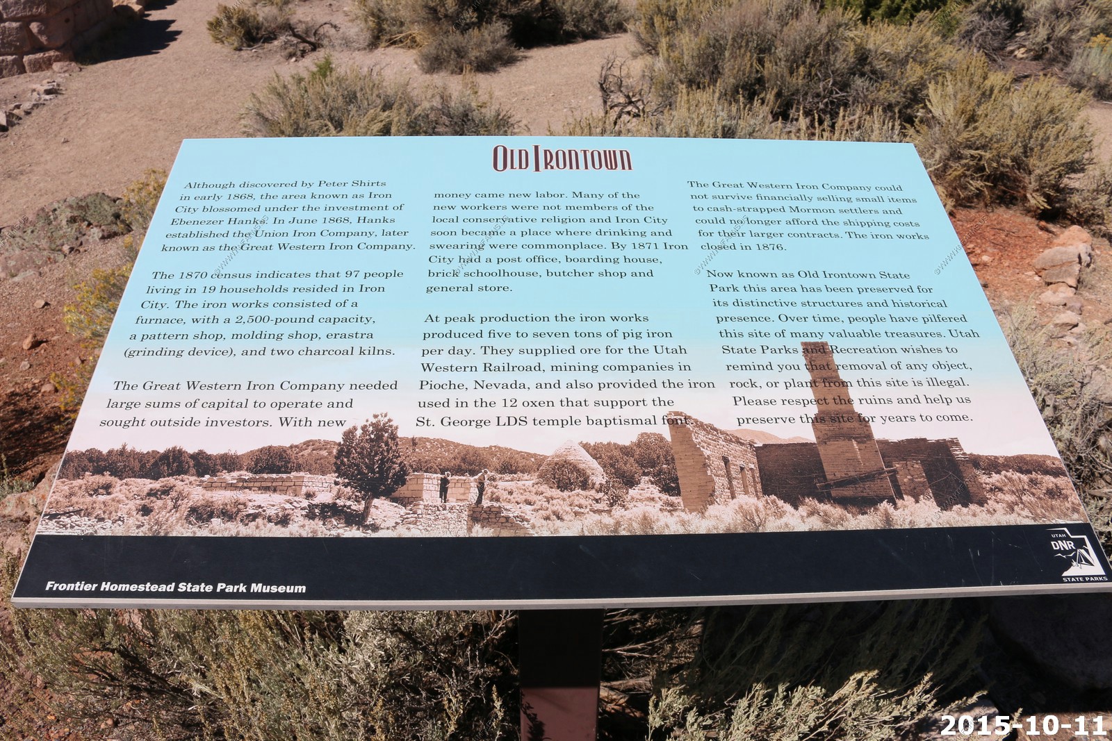
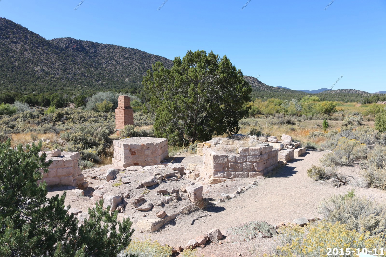
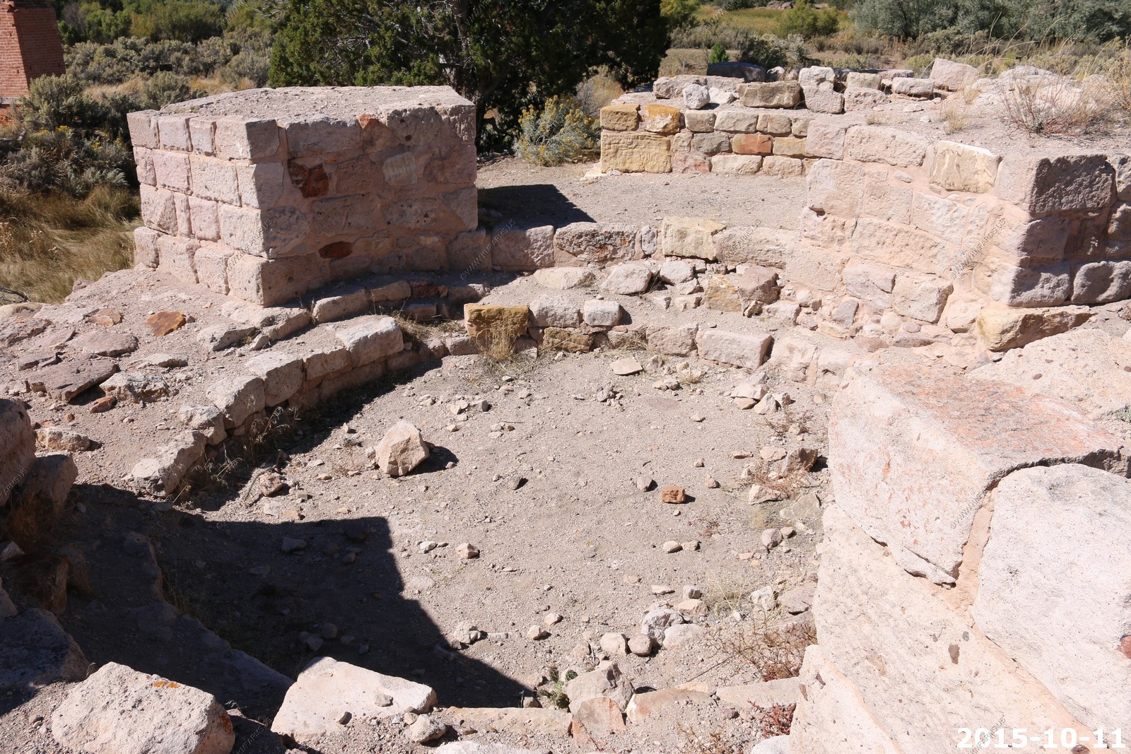
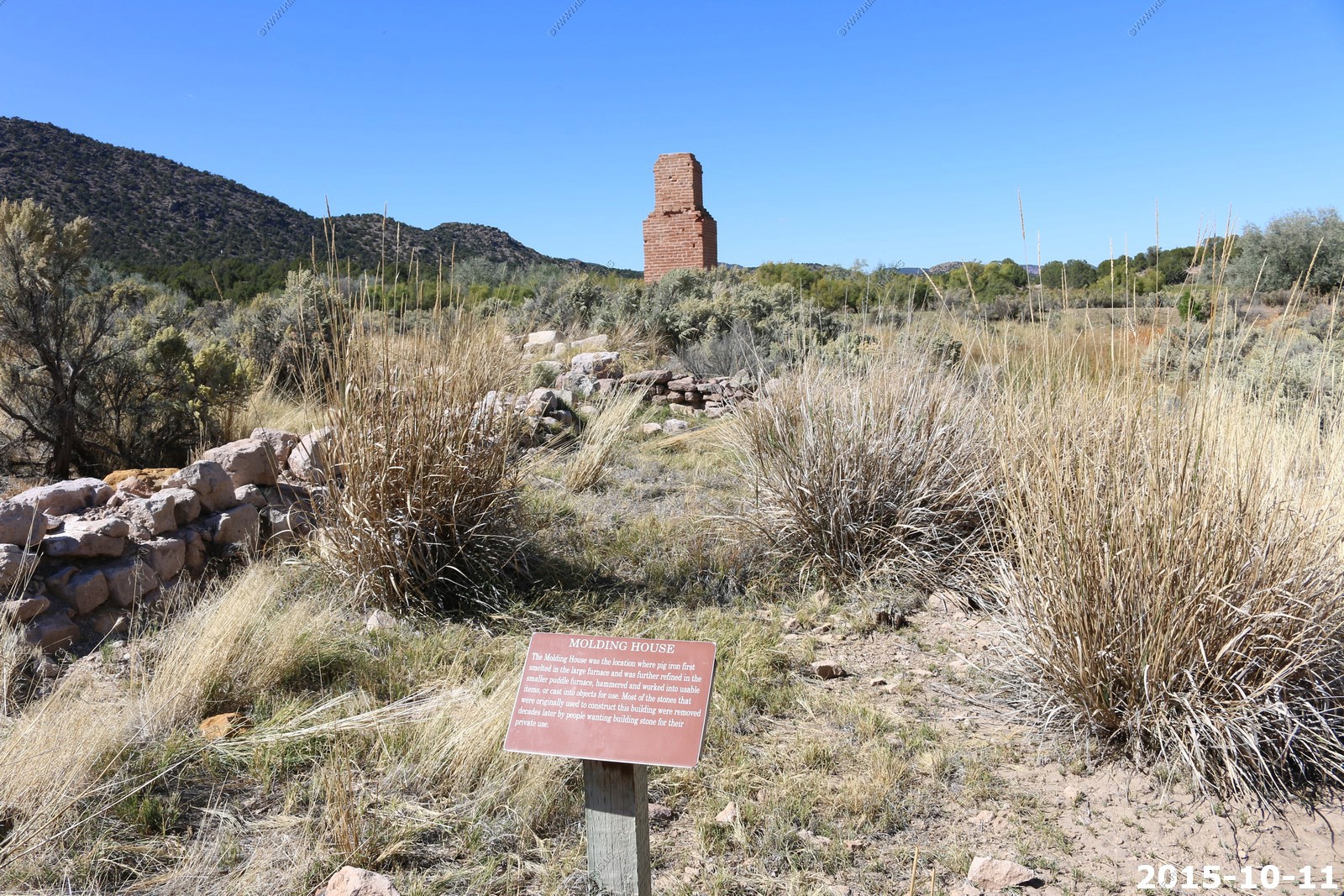
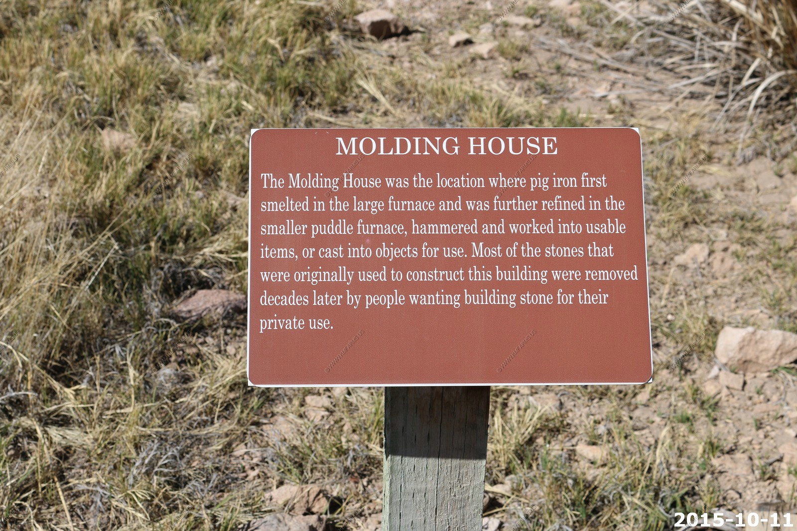
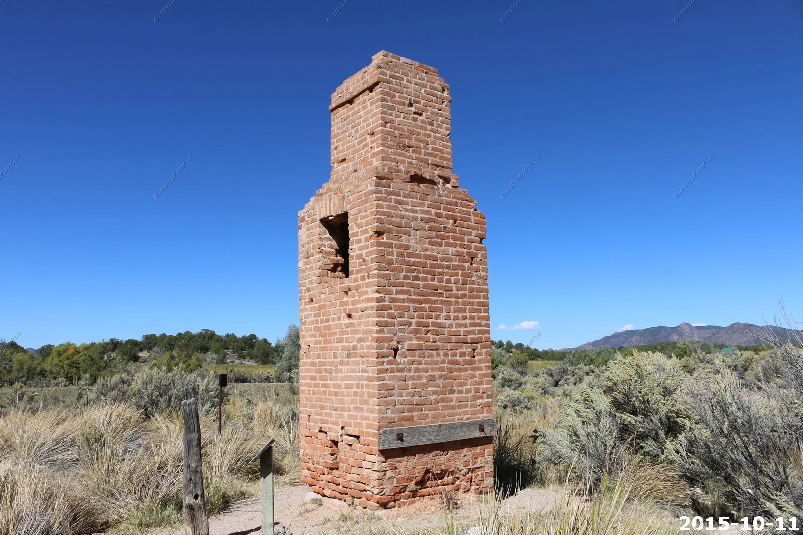
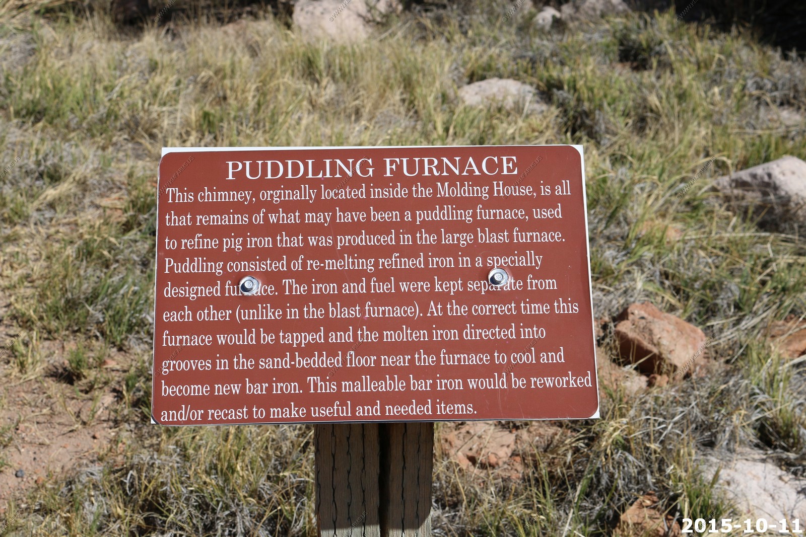
We gassed and snacked up and continues to the west to check out Old Iron Town, Utah
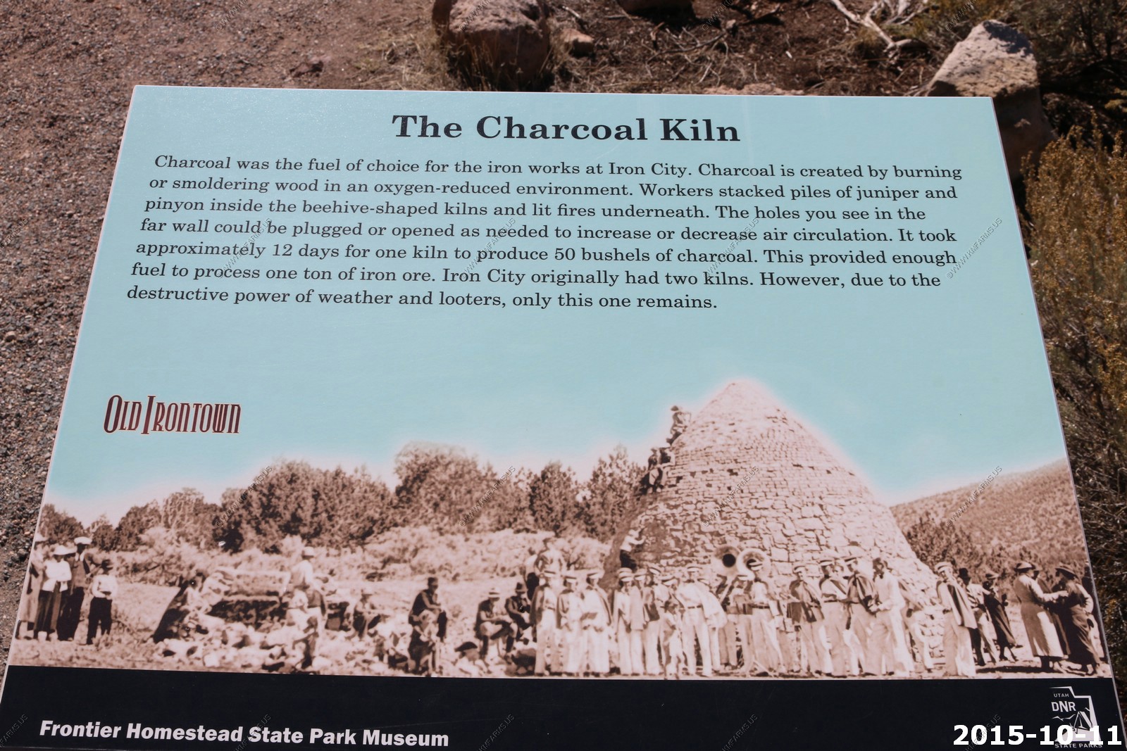
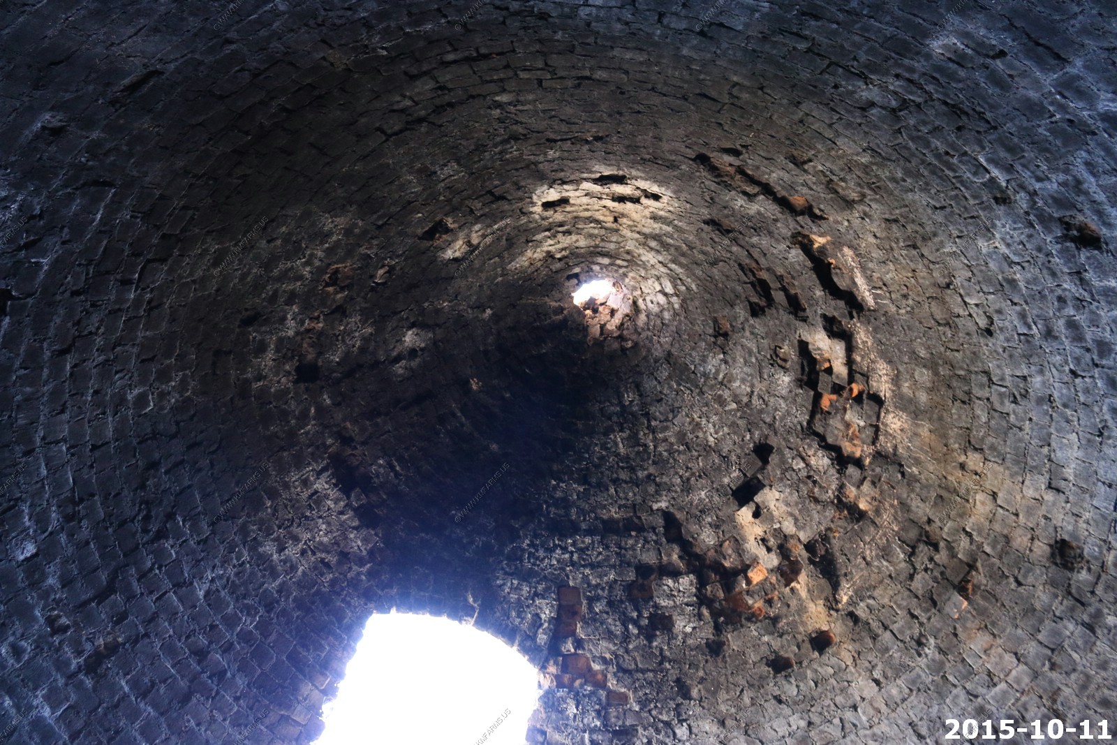
The largest deposit of iron ore in the United States is located here. The town site is partially a park with one of the old furnaces and the remains of the foundries. Started in the late 1800's. The surrounding mountains have large tailing piles.
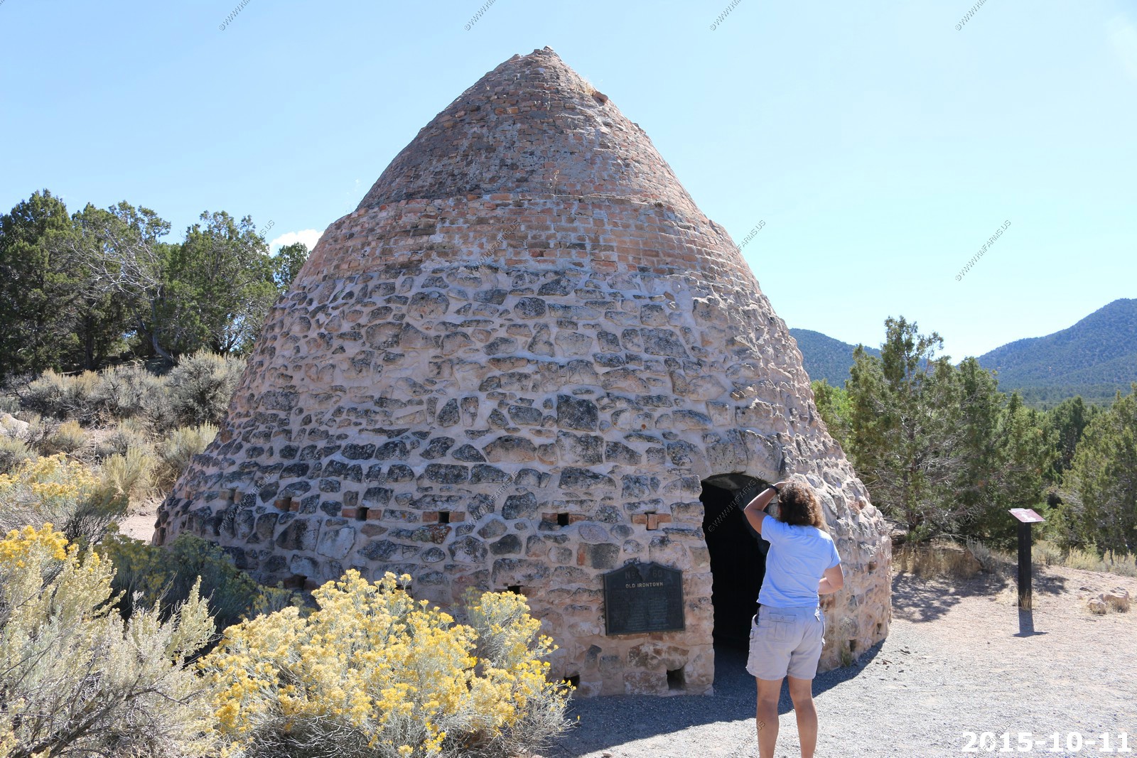
This did not look too safe. Lots of bricks ready to fall
More mines
We decided to cut across the northern part of the Pine Valley Mountains thru Pinto, Utah.

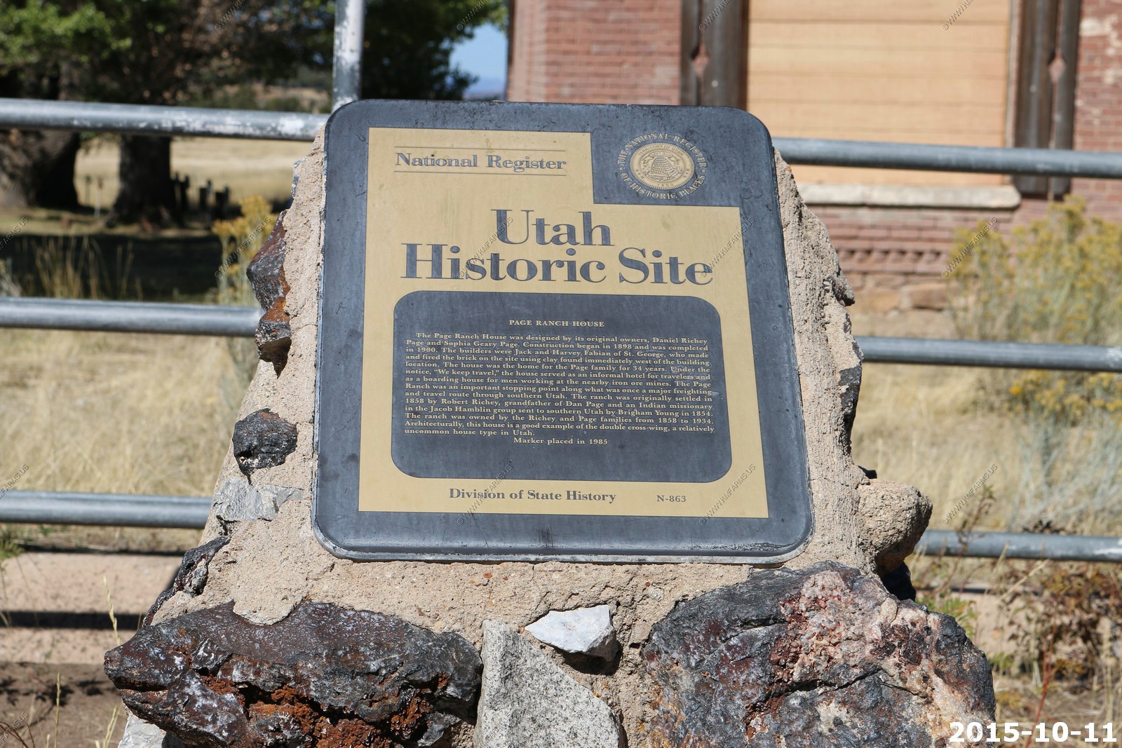
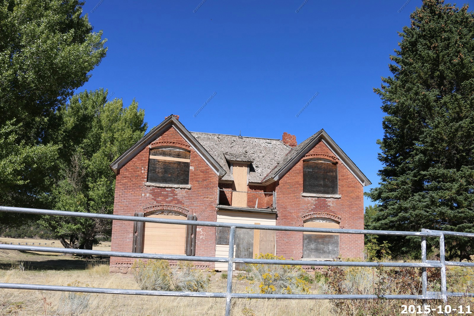
Page Ranch House
Decisions
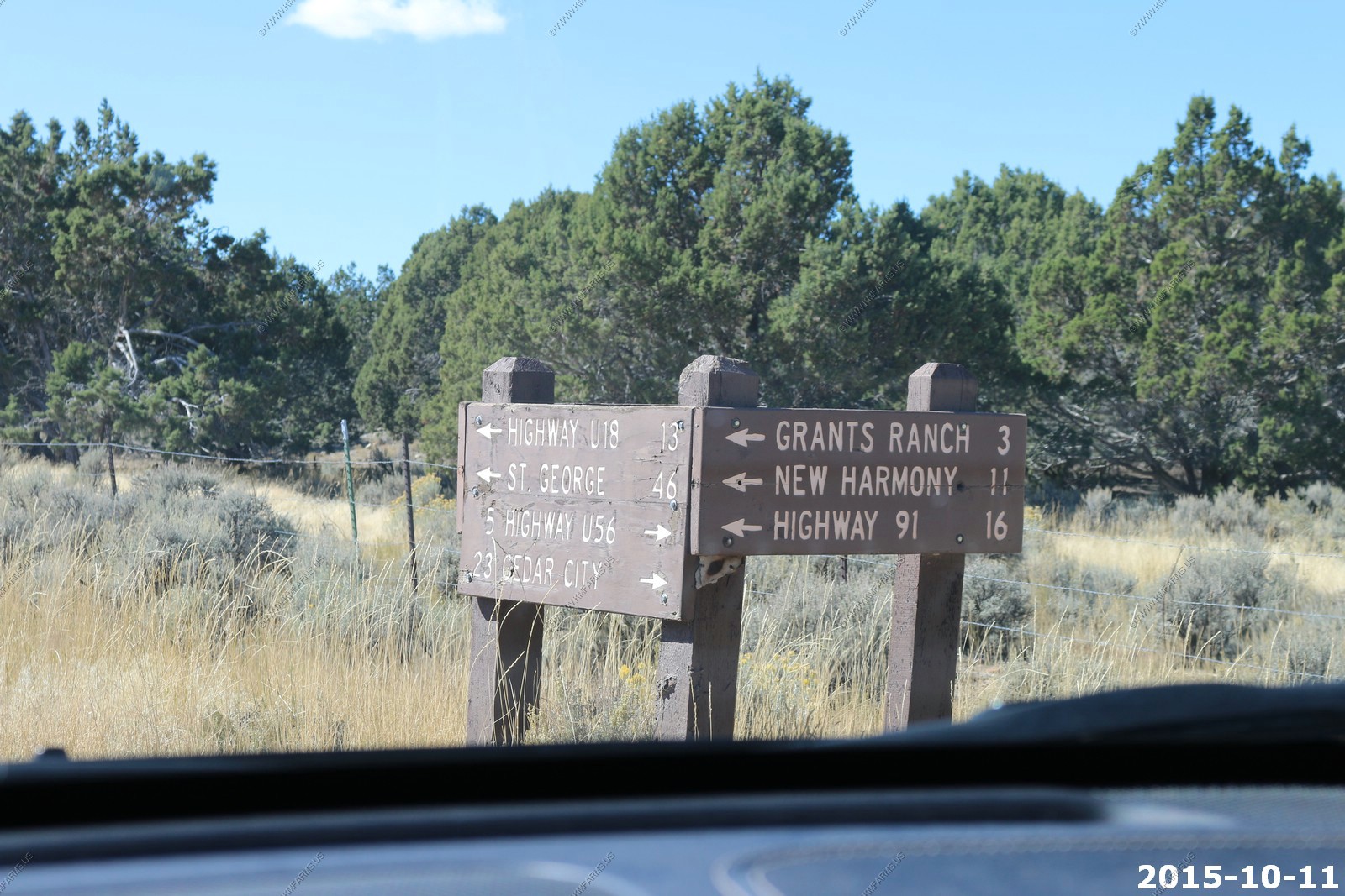
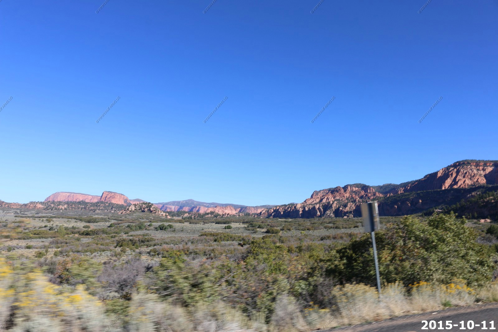
Views along FR-029 between Old Irontown and New Harmony. The road was rocky but in good condition.
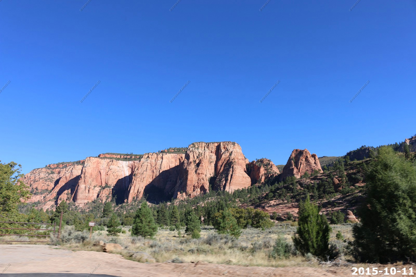
Impressive view of the western part of Zion NP called Kolob Canyons. We are driving east of New Harmony, Utah
We did a quick drive-thru of the dead end road here. Will come back here again someday.
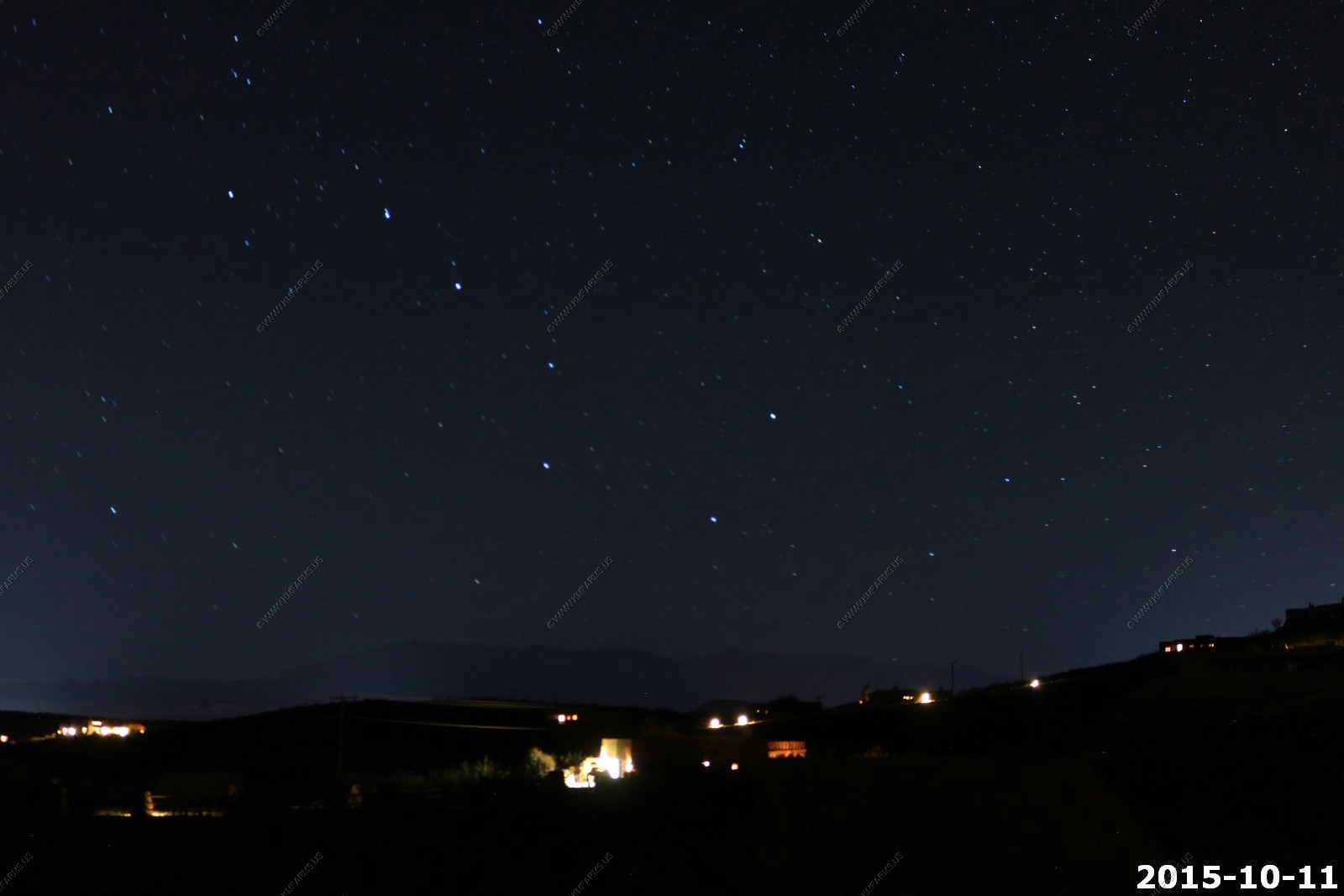
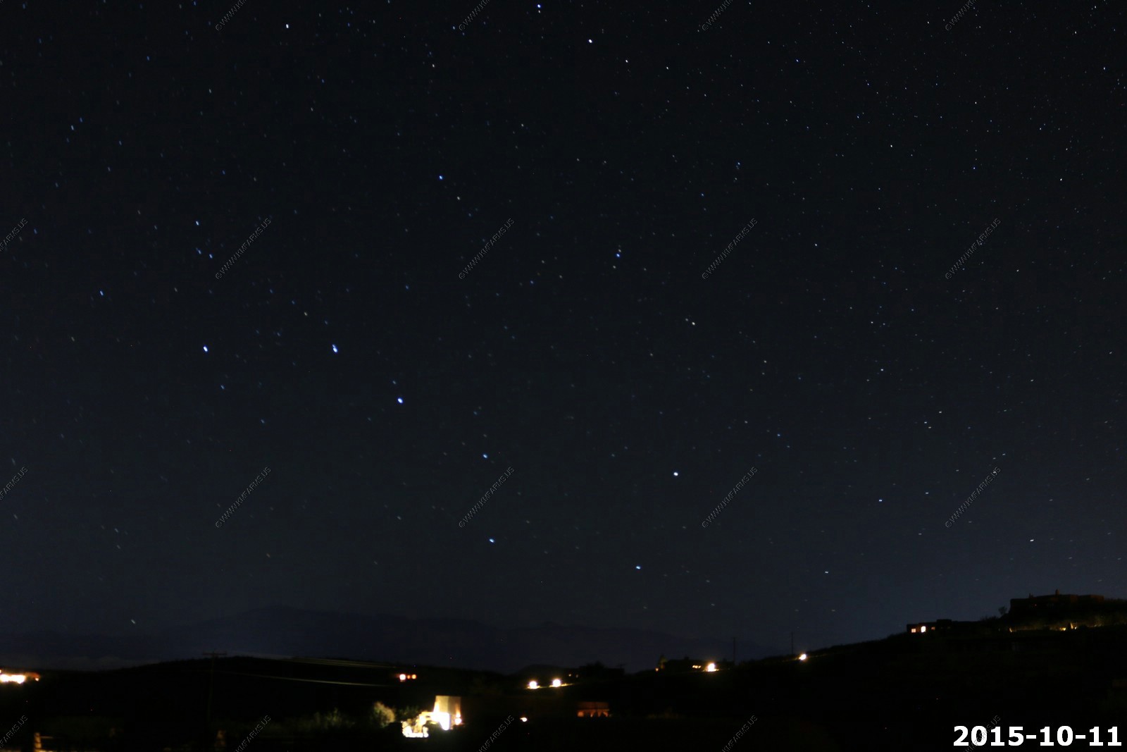
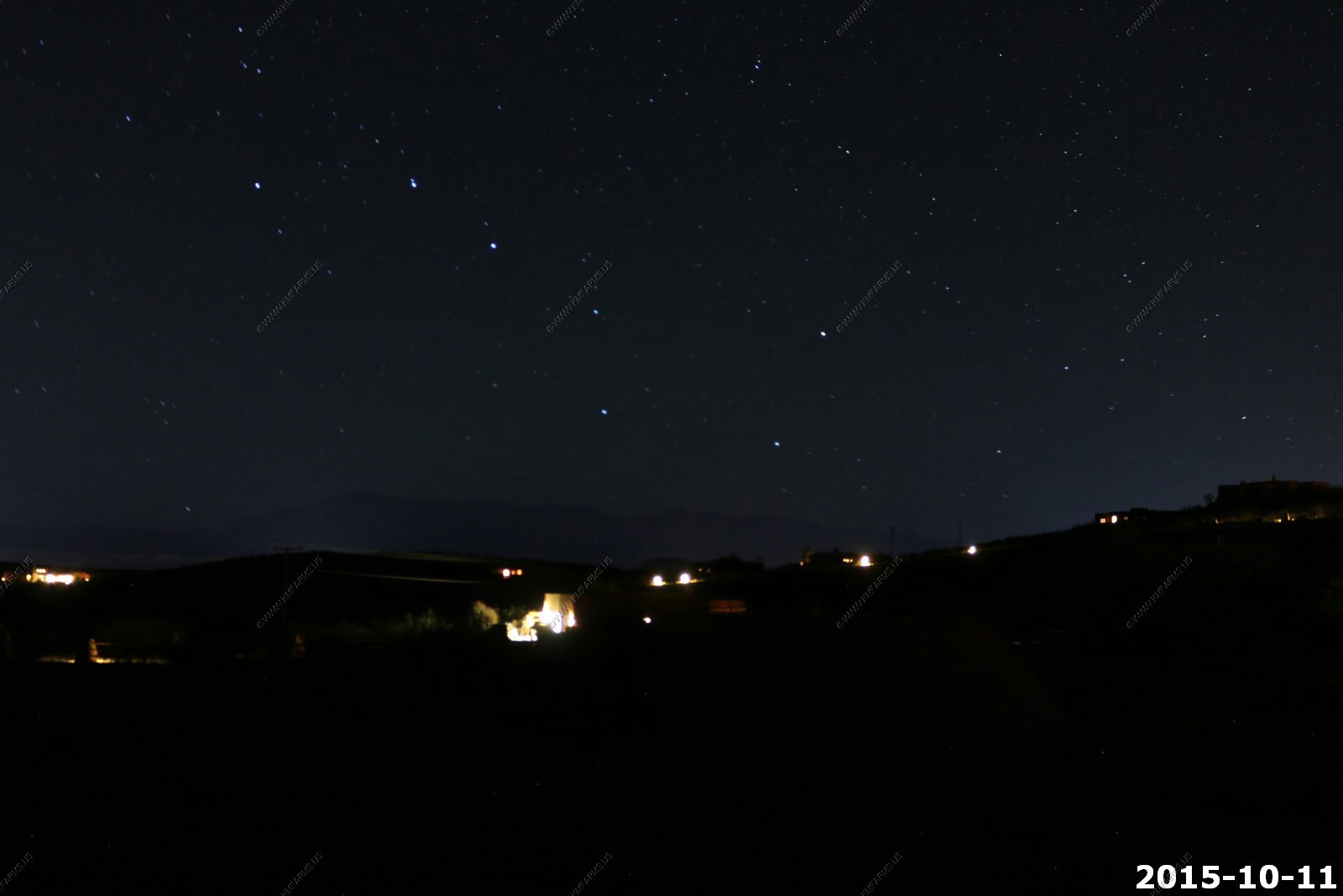
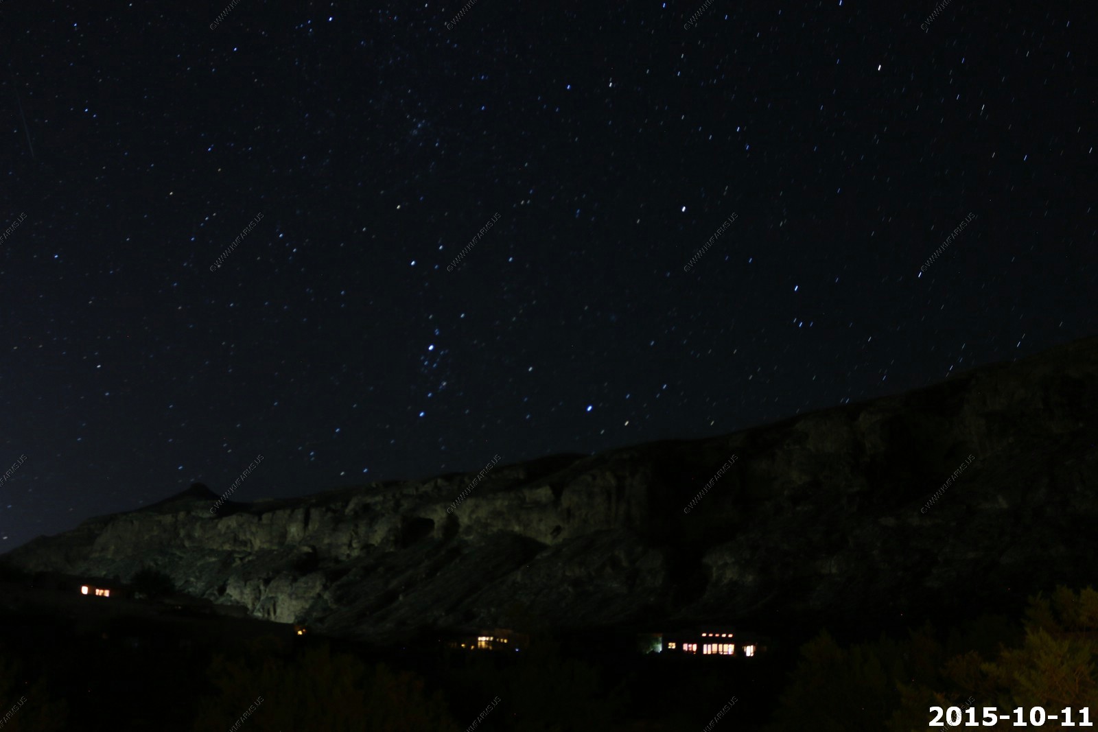
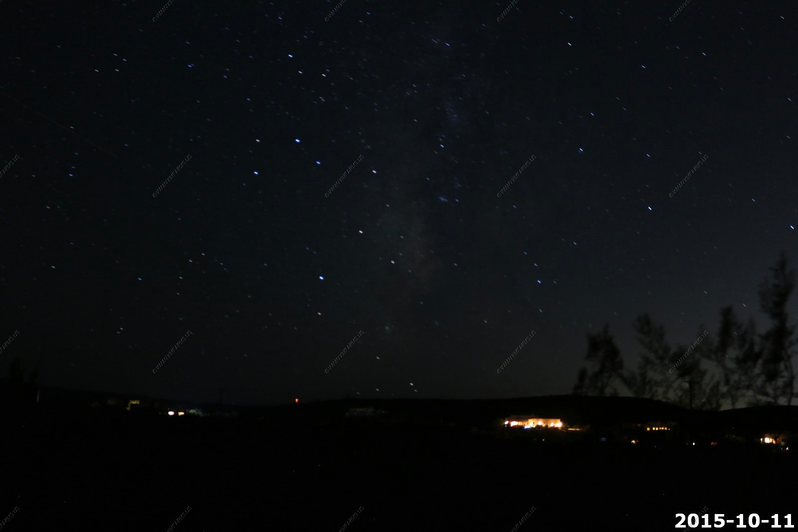
Night Shots with the good camera from the rental house south of Hurricane
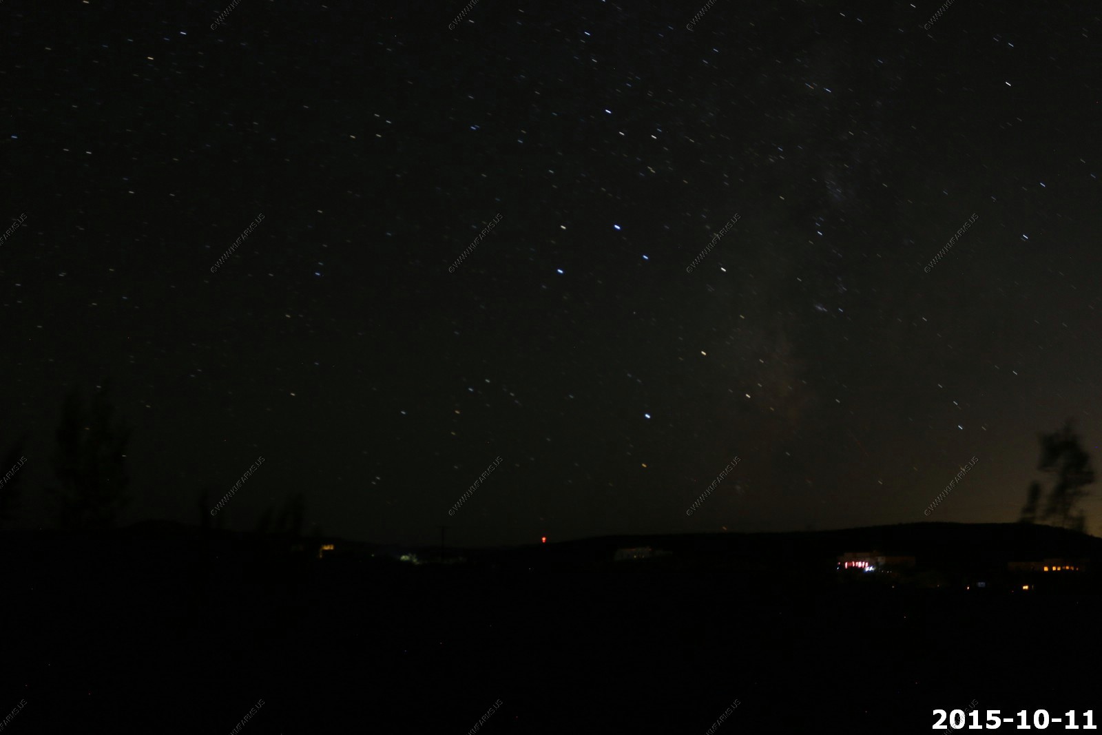
Looking west towards Pine Mountain with the big dipper
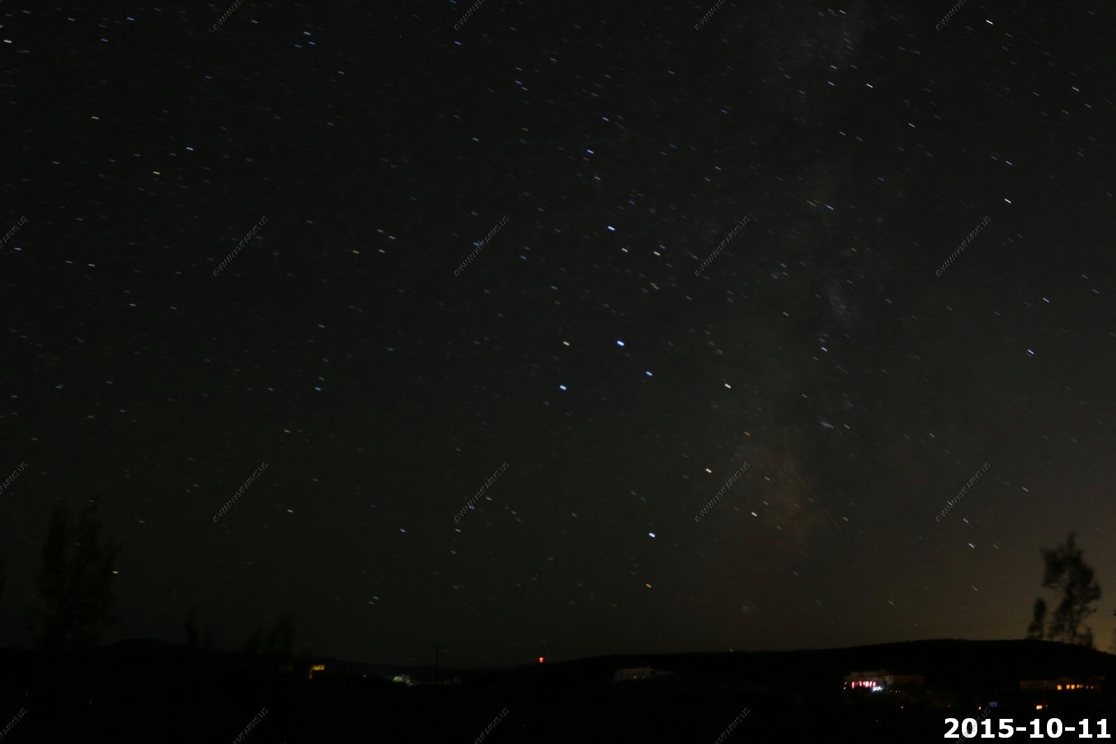
Looking East over the Hurricane Cliffs
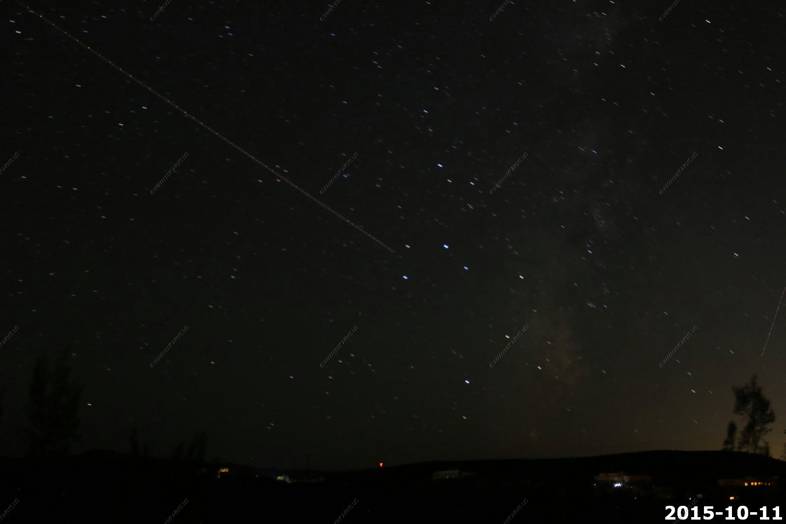
Looking south (This was our darkest direction) with the Milky Way rising from the horizon.
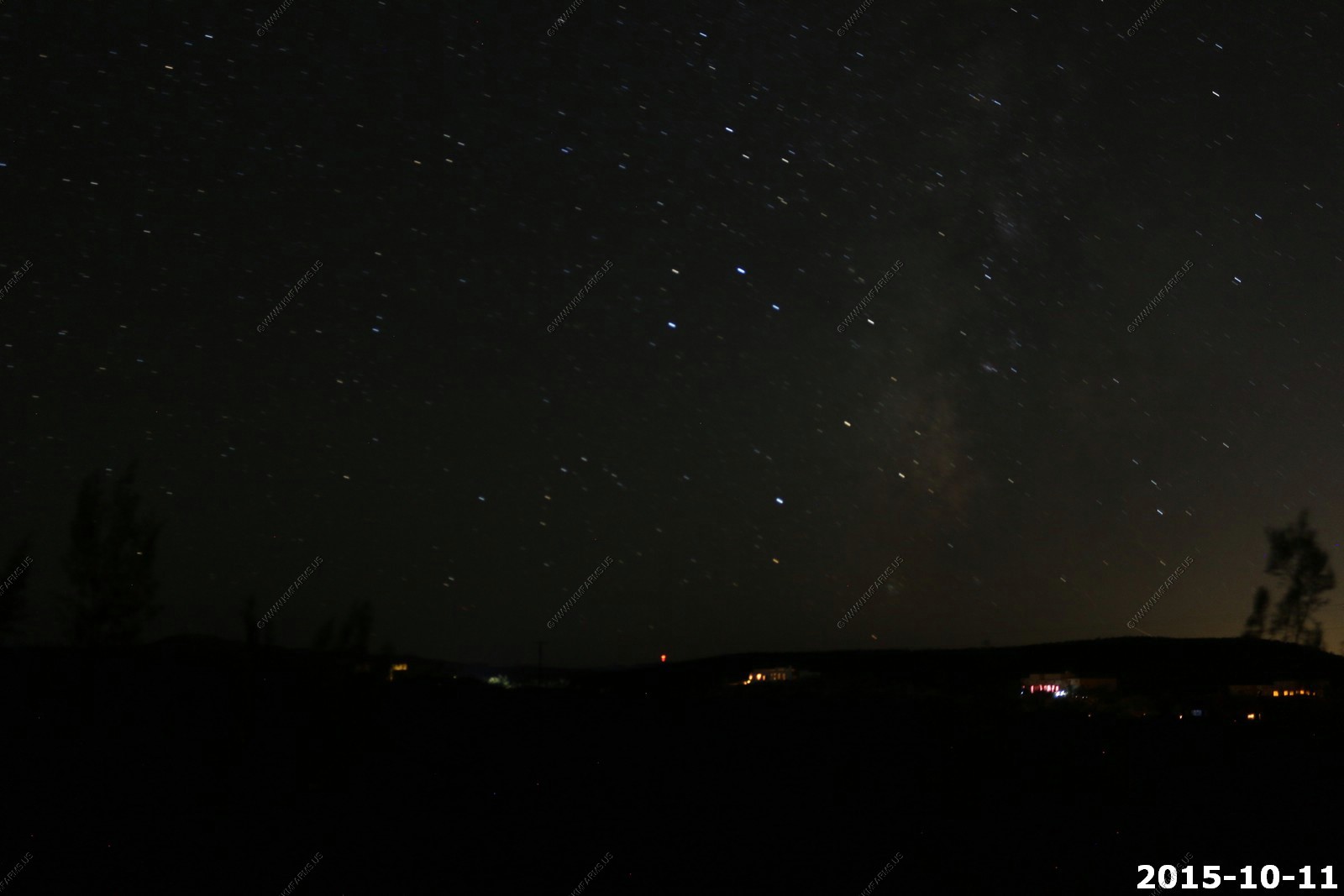


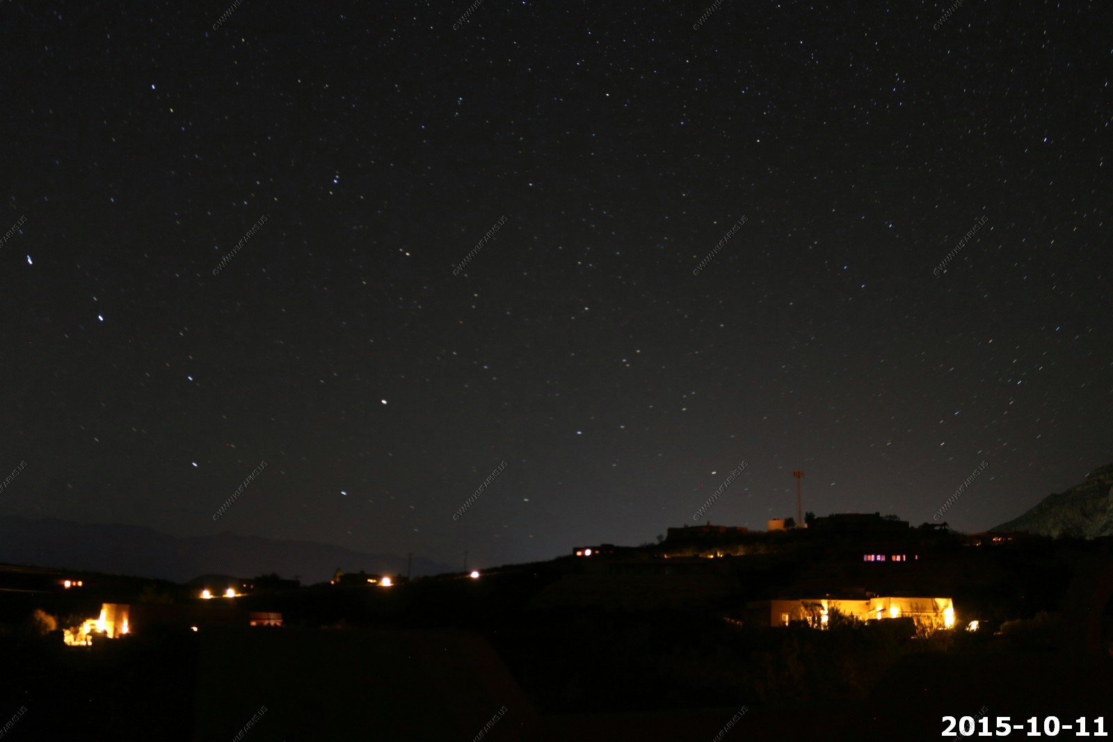
Looking north and you can see the lights of Hurricane
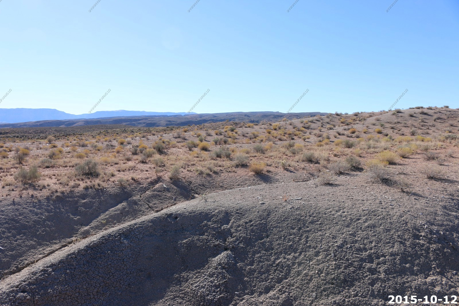
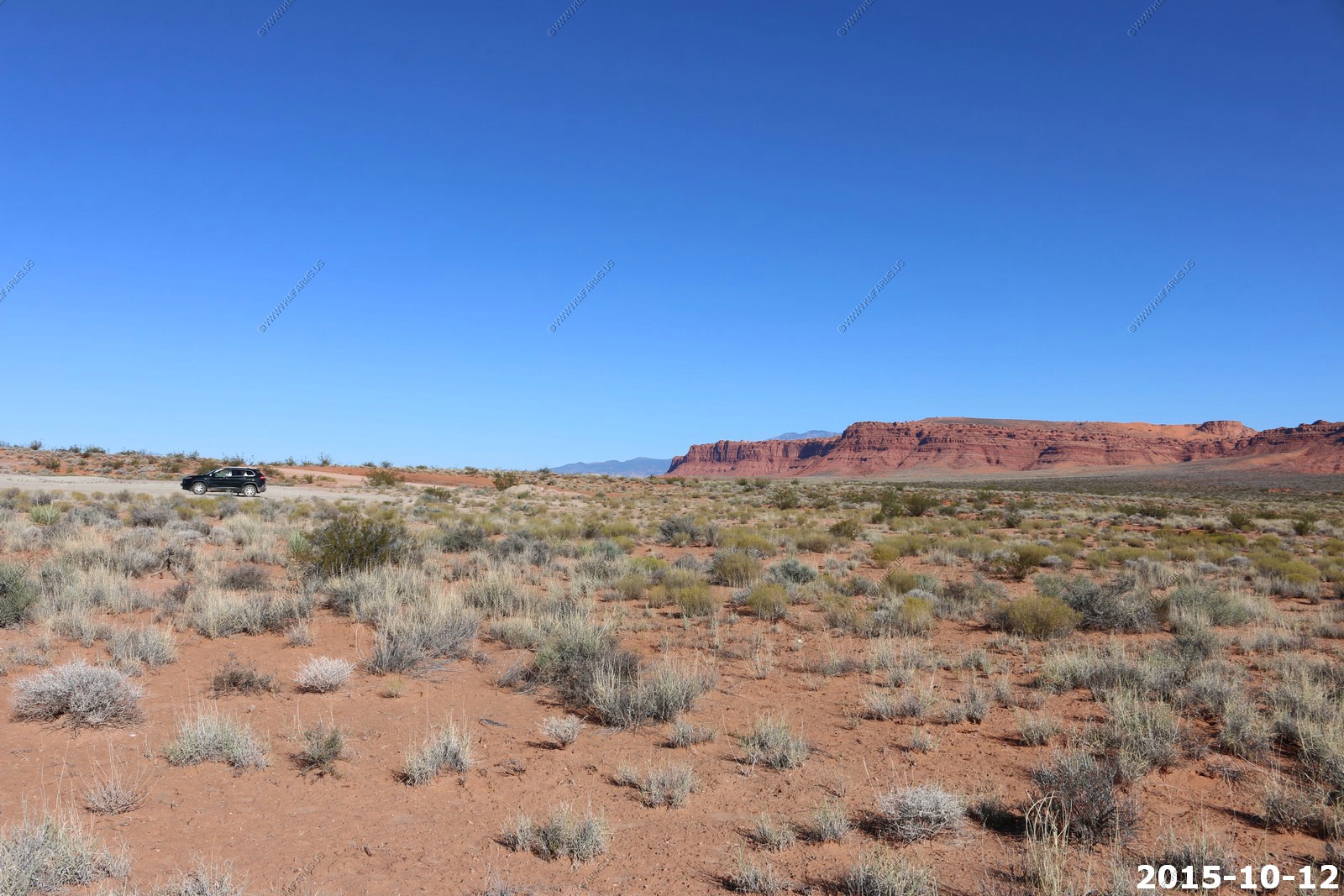
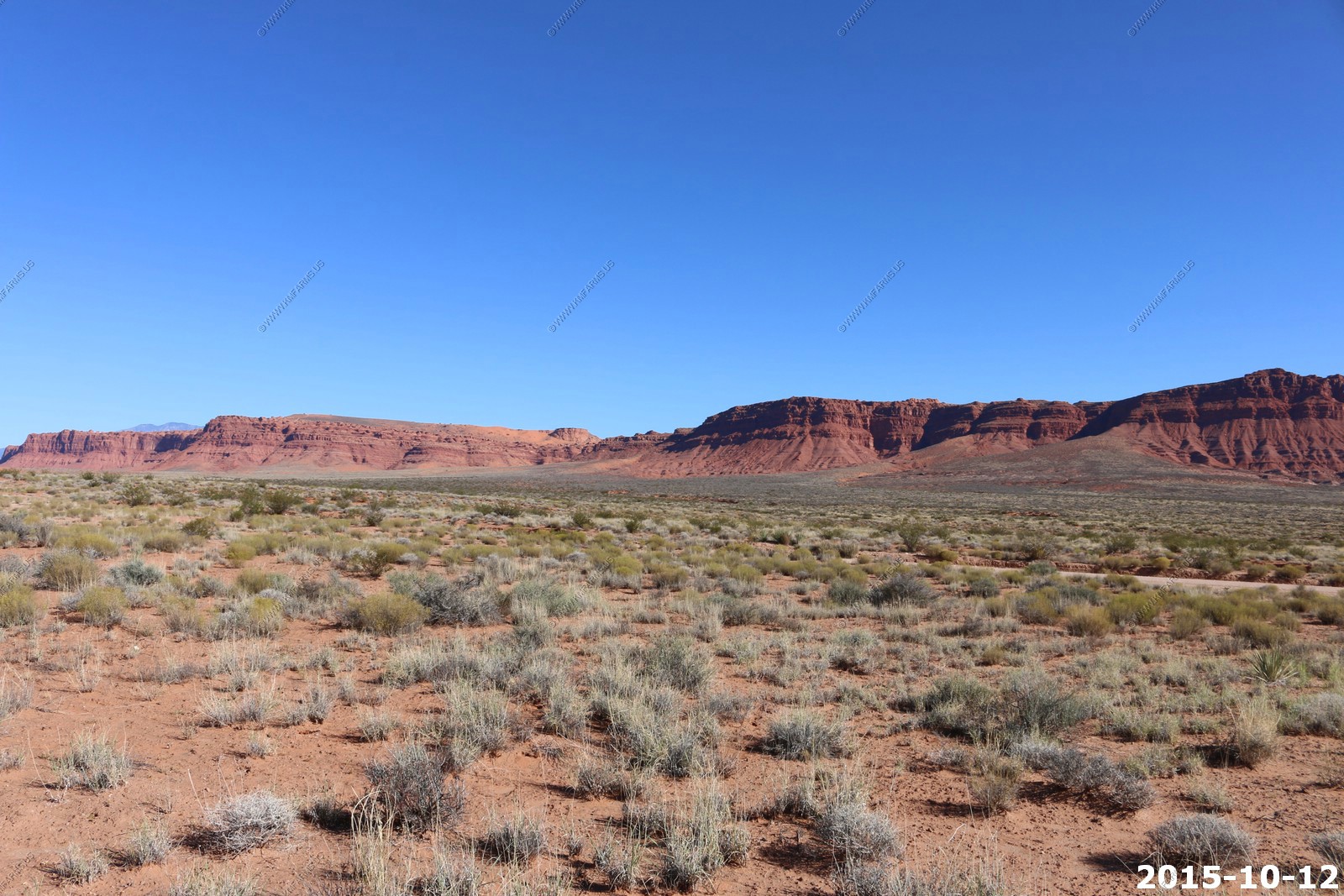
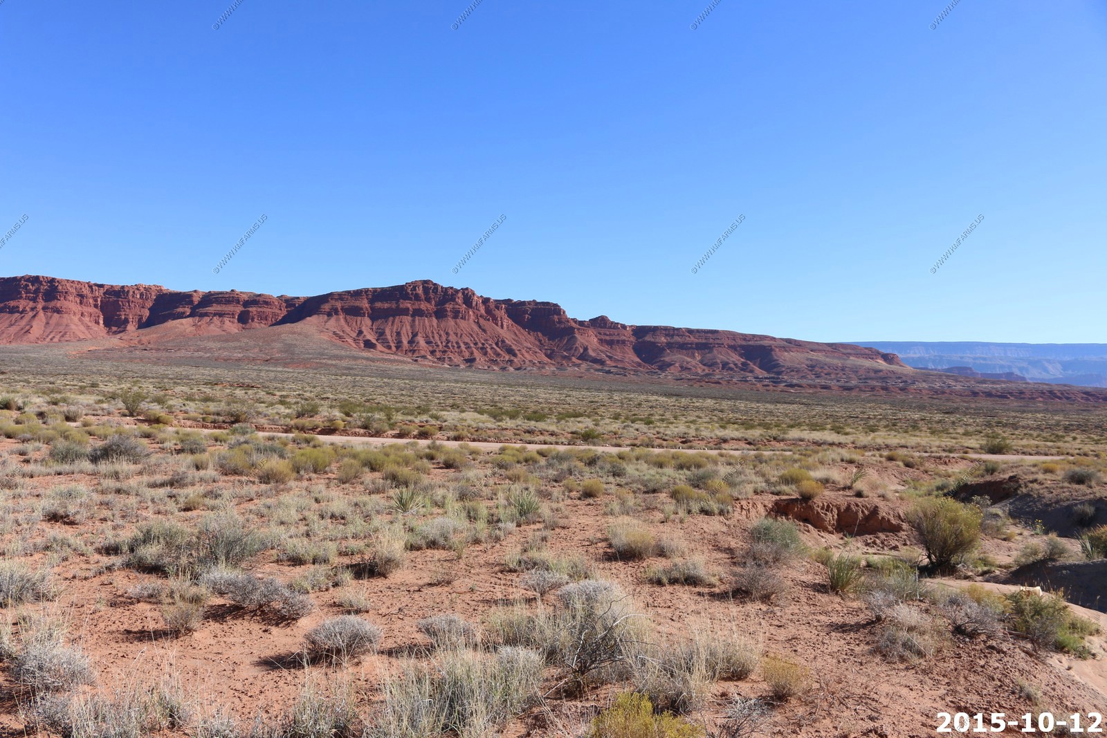
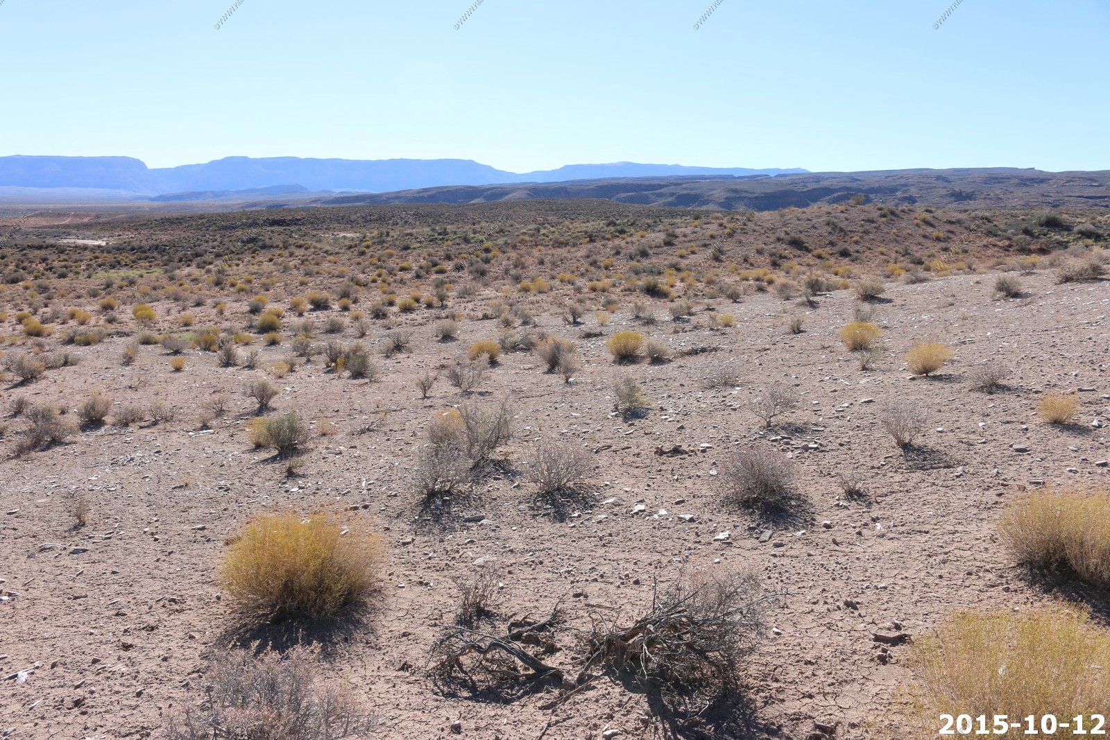
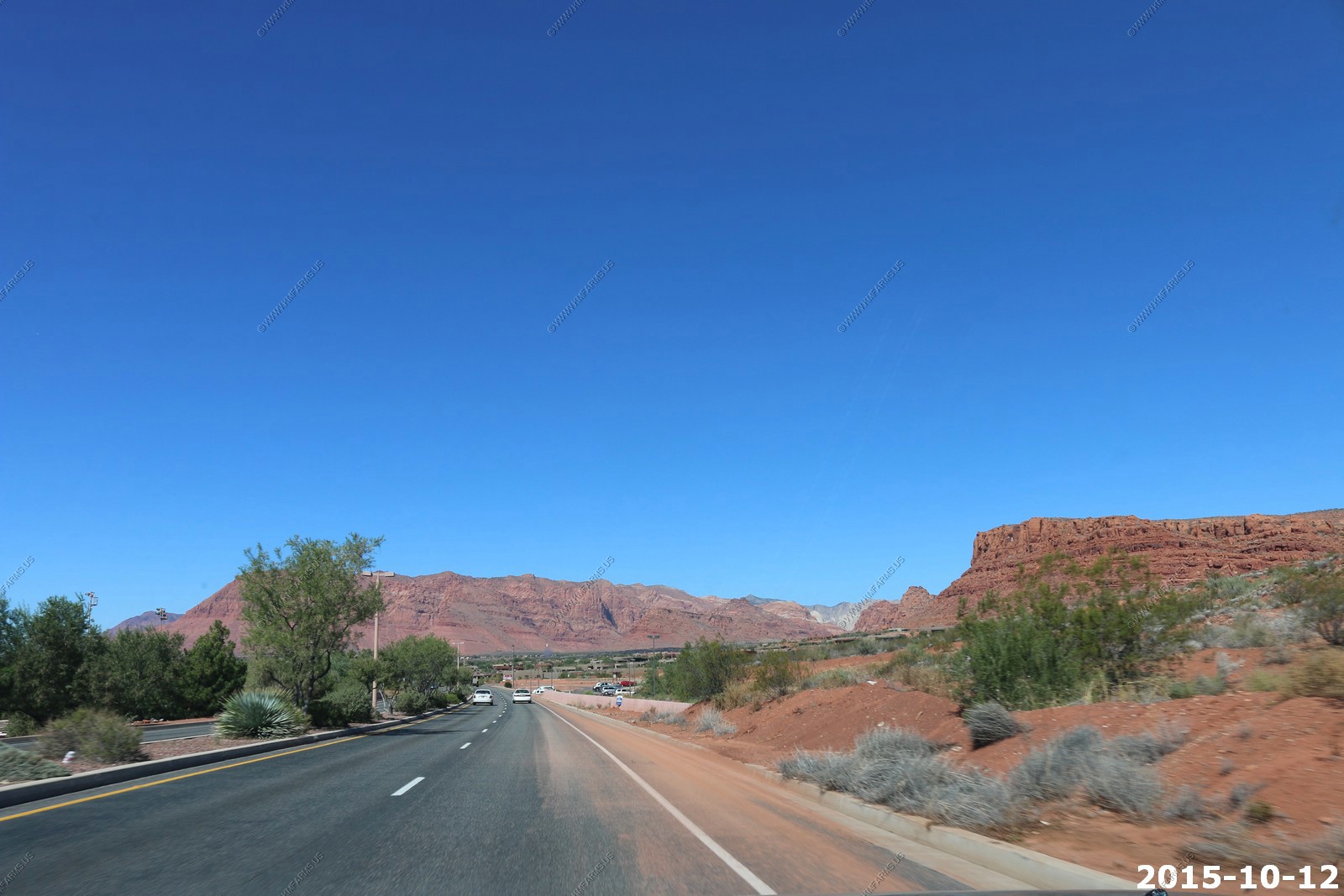
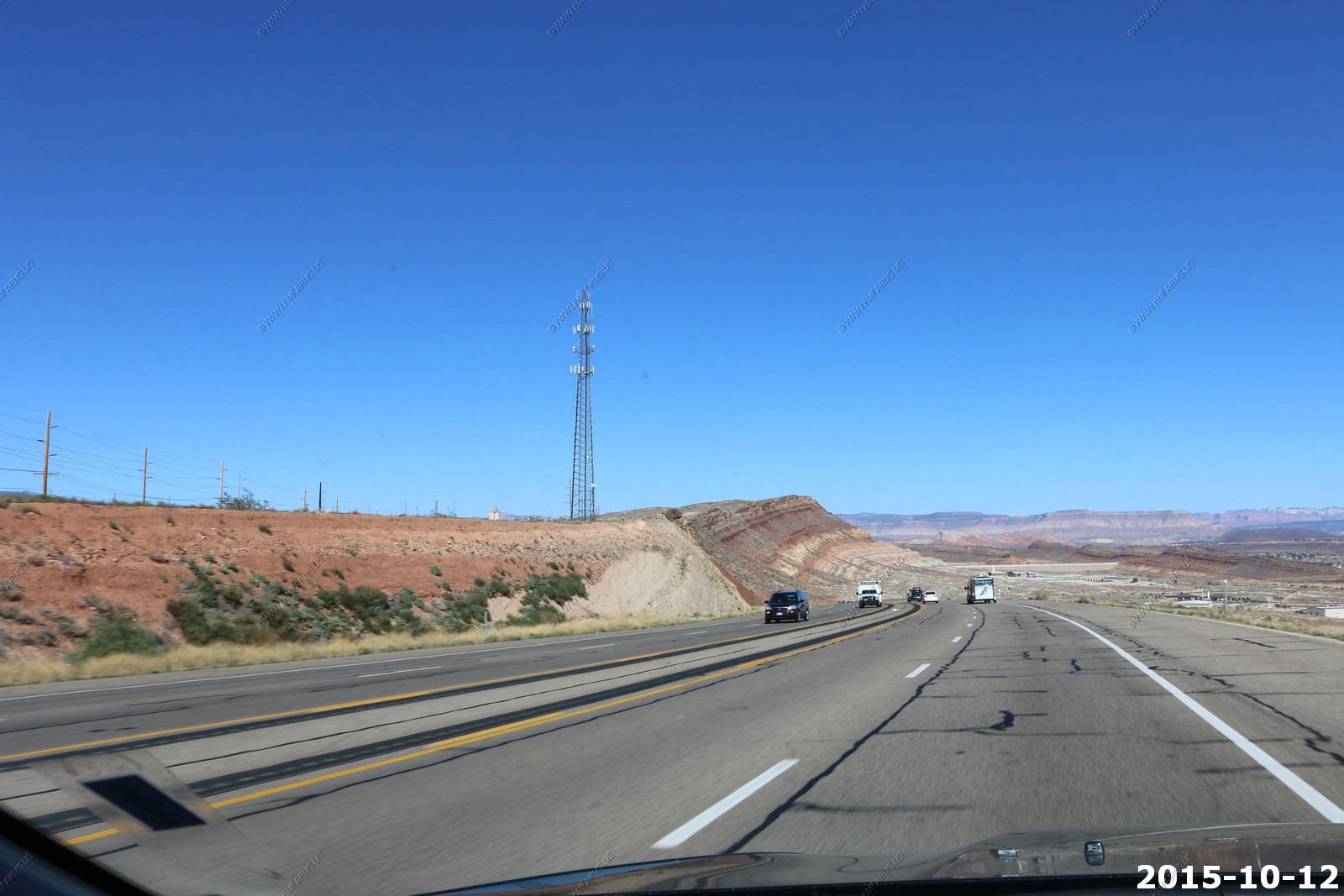
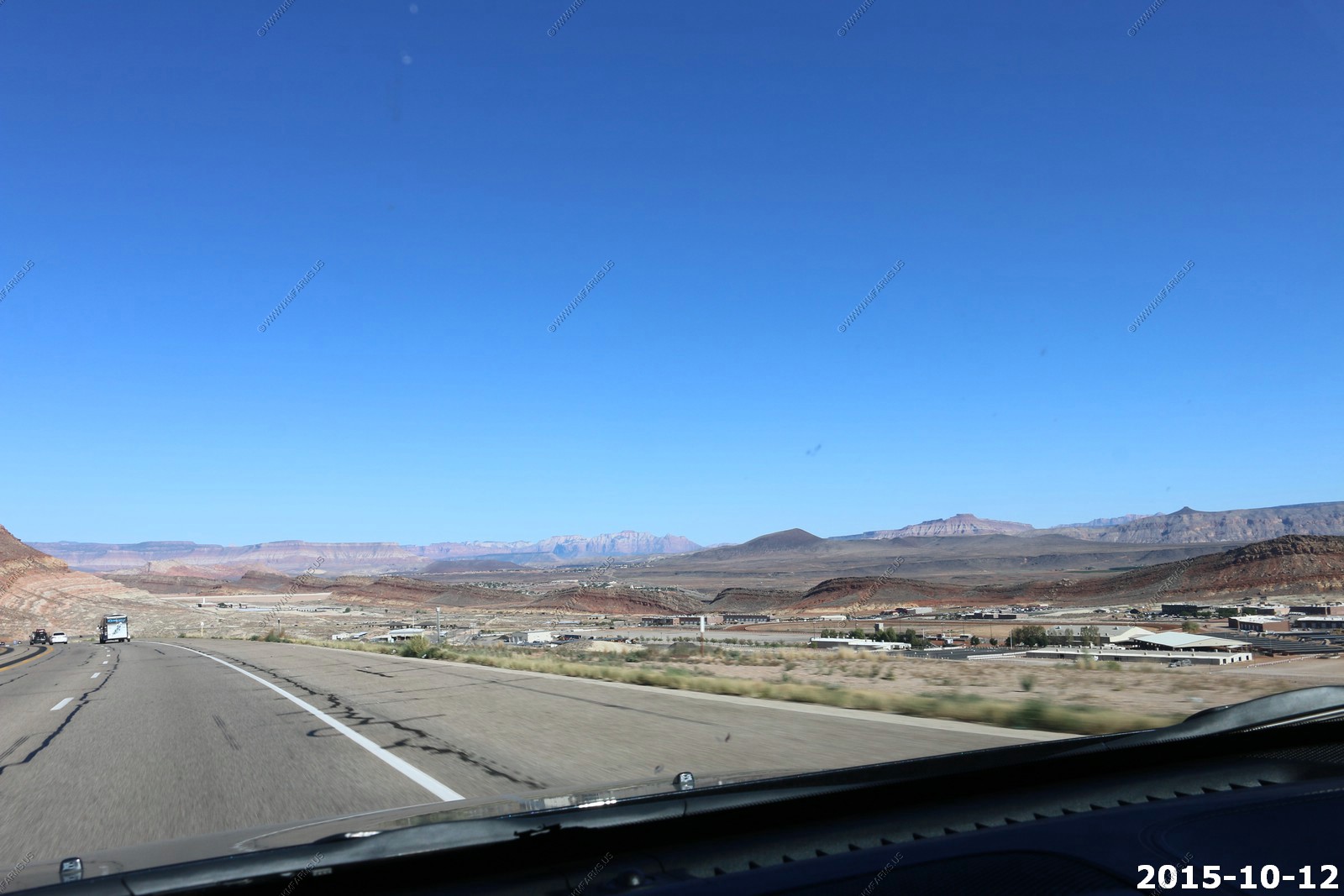
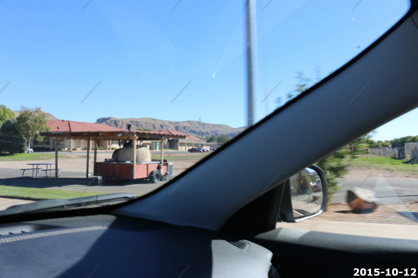
Monday OCT 12th
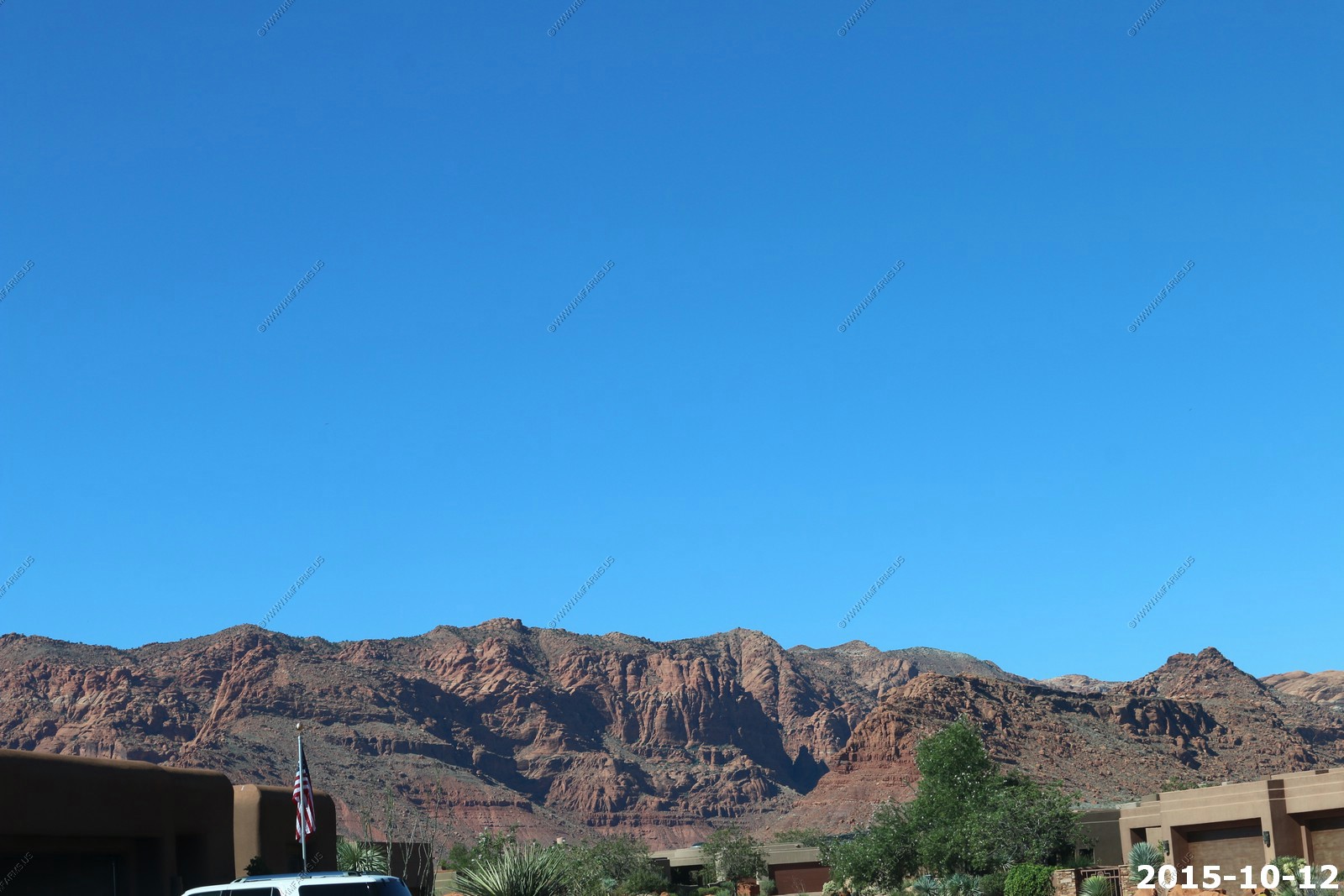
Last fun / full day. The plan was south again to explore the back roads, And spend time in St. George, Entrada, Talk to a realtor, look at some homes and spend more time in Kayenta. Also, we wanted to spend more time in the house / pool. It was in the 90's again today !
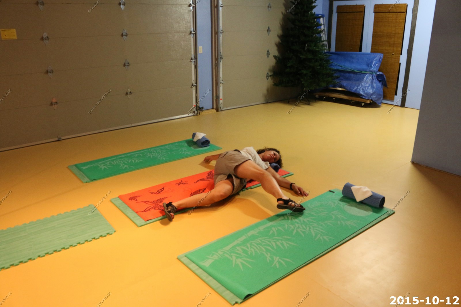
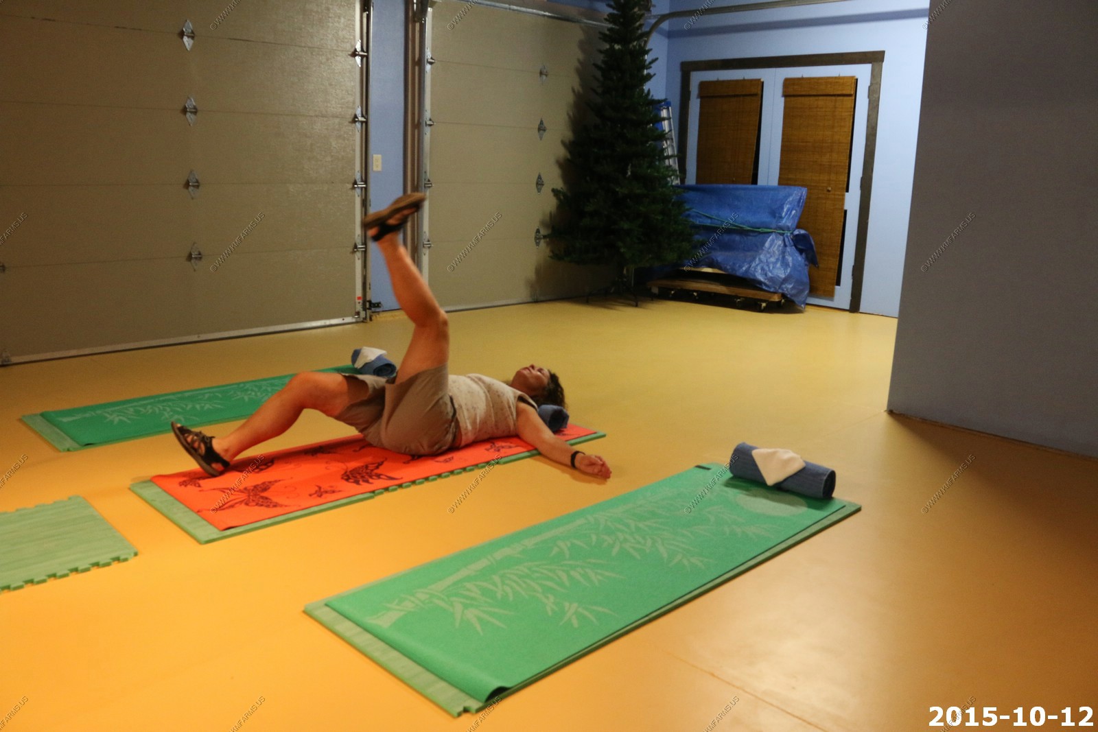
The house we were in had yoga mats in the garage. Mary was taking advantage of it. Not for me !
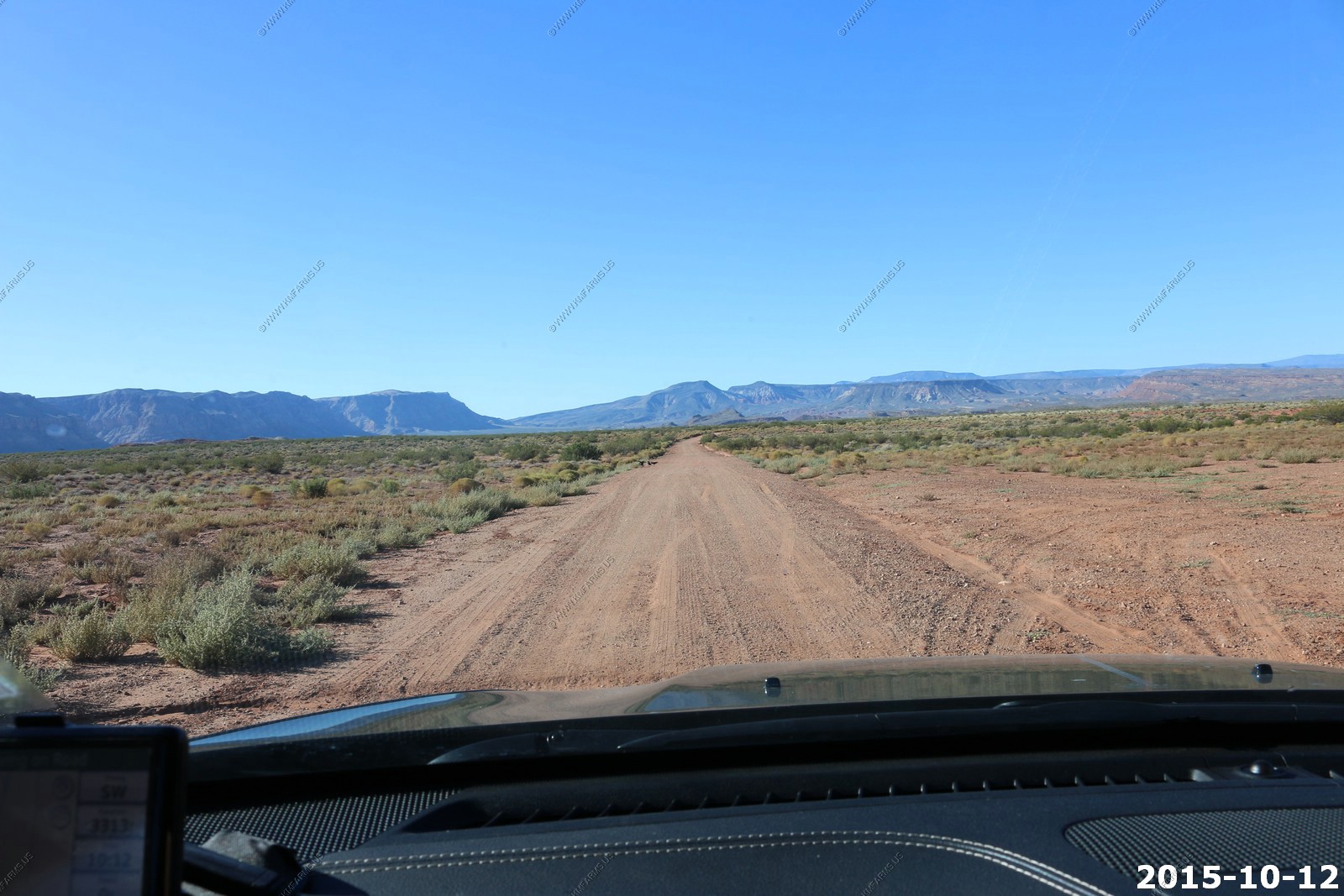
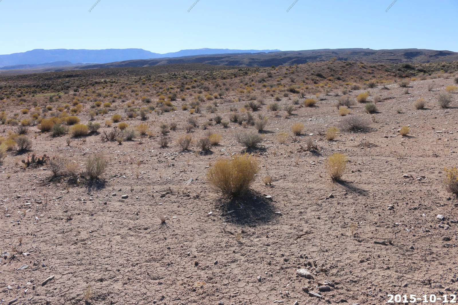
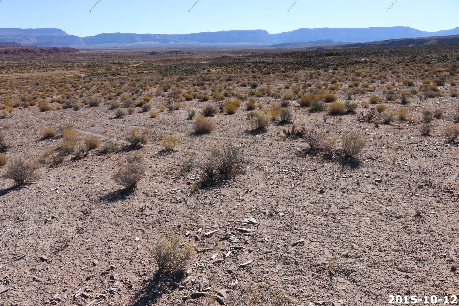
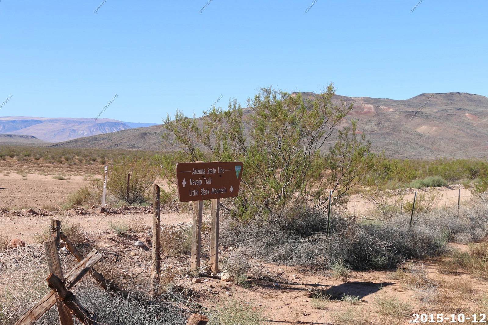
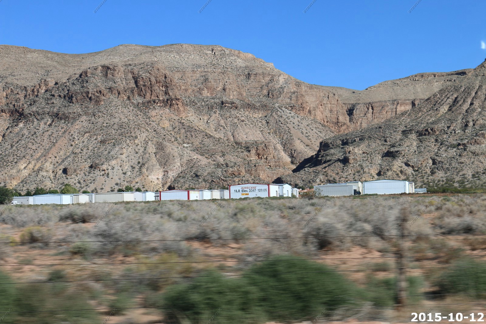
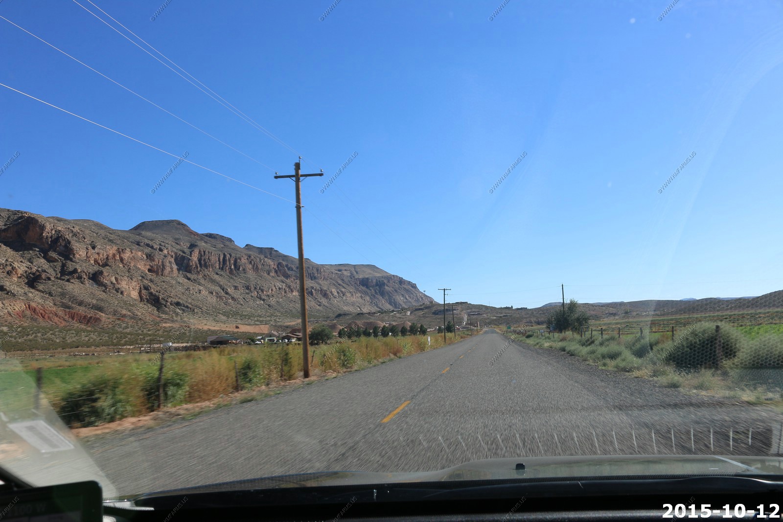
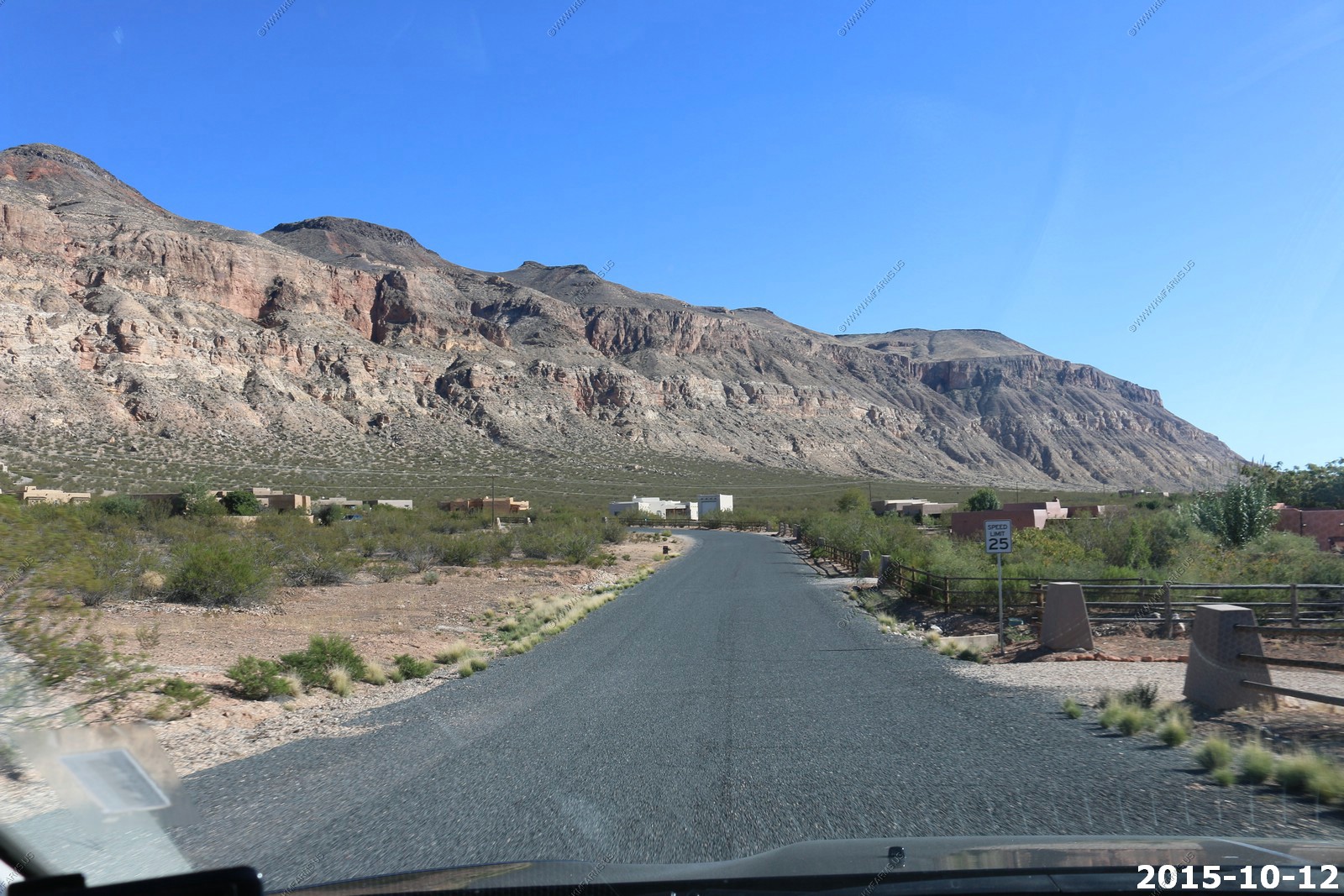
Again, we are impressed that we can be out in some remote areas in a couple of minutes. Heading south.
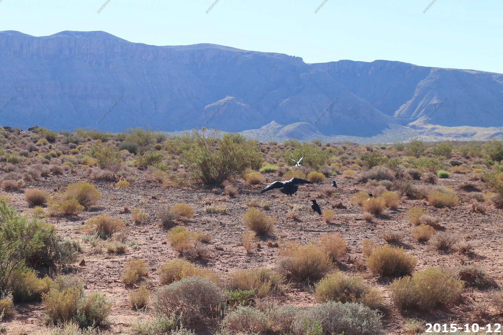
Ravens with Hurricane Cliffs in the background

Mica along the road and various views.

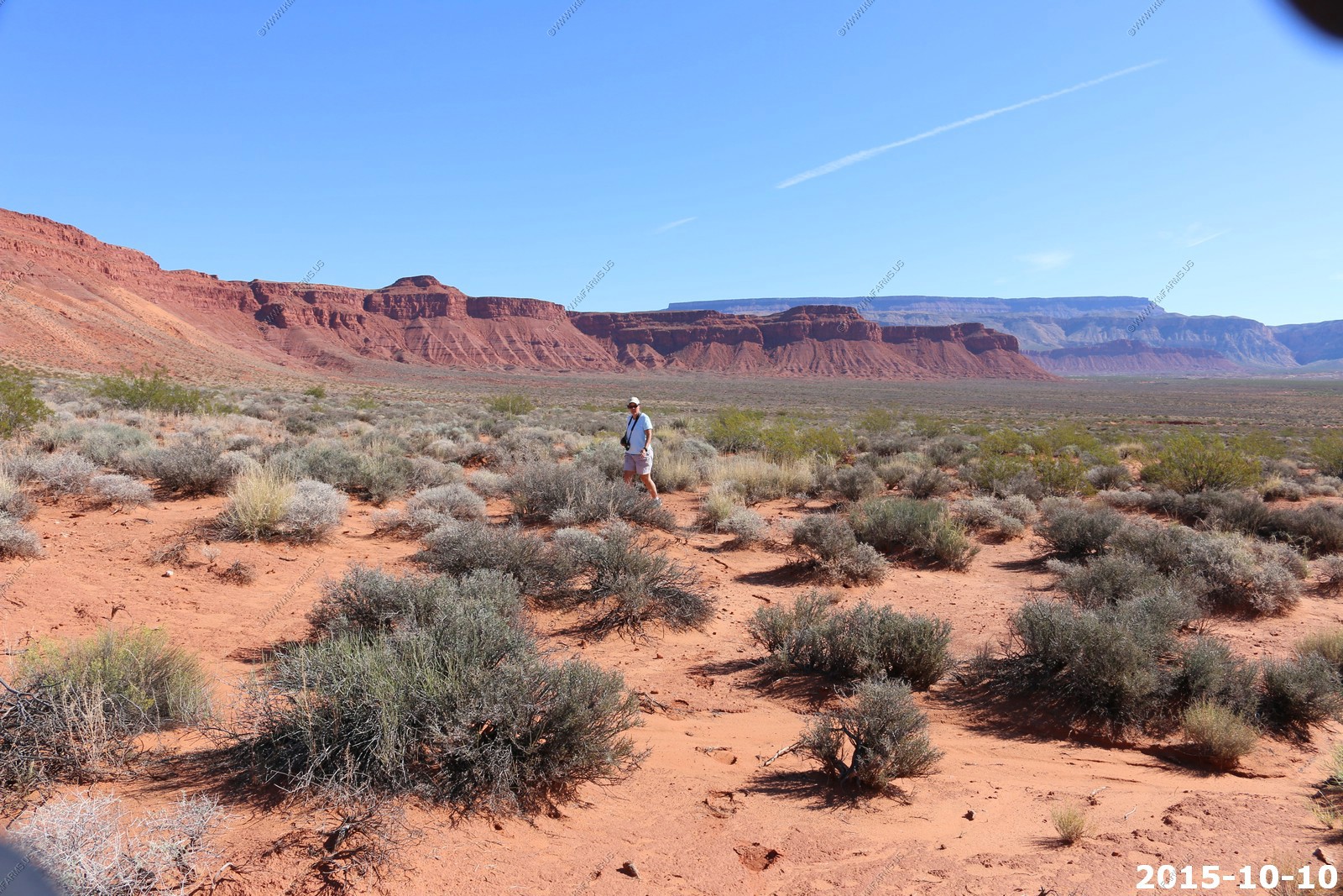
Ken & Mary in the desert
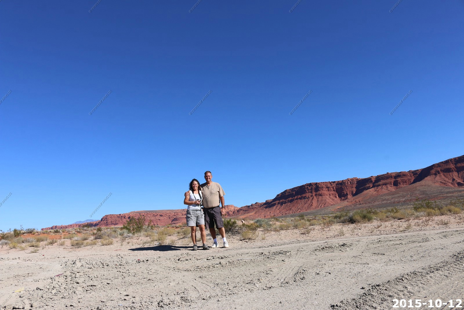
Red Cliffs and Pine Valley Mountains in the background

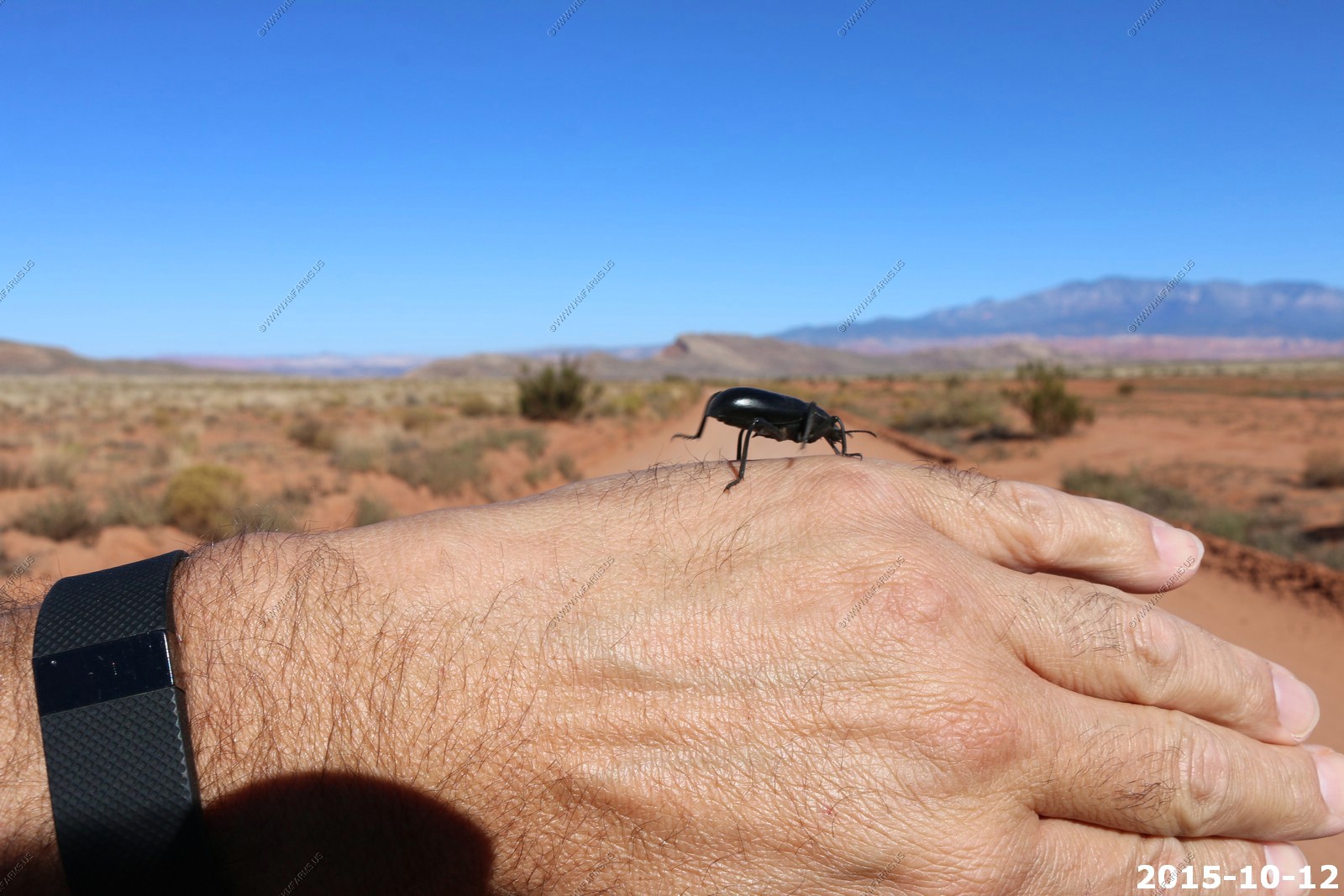
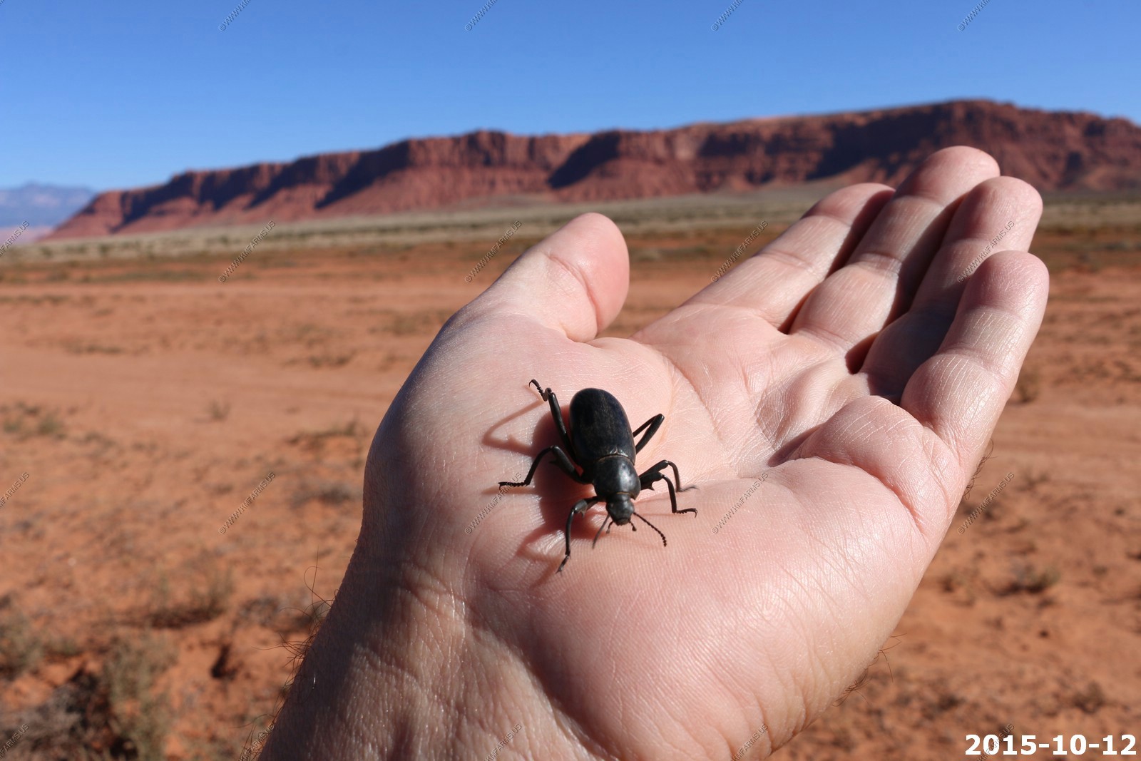
Found a large Darkling Beetle along the road. In the West we call these "stink bugs" because when they are bothered they put their behinds in the air and emit a foul odor. Most predators avoid this bug but the Grasshopper Mouse grabs this stinker and plants its behind in the ground before it can shoot its foul juices. Then lunch begins for the rodent.

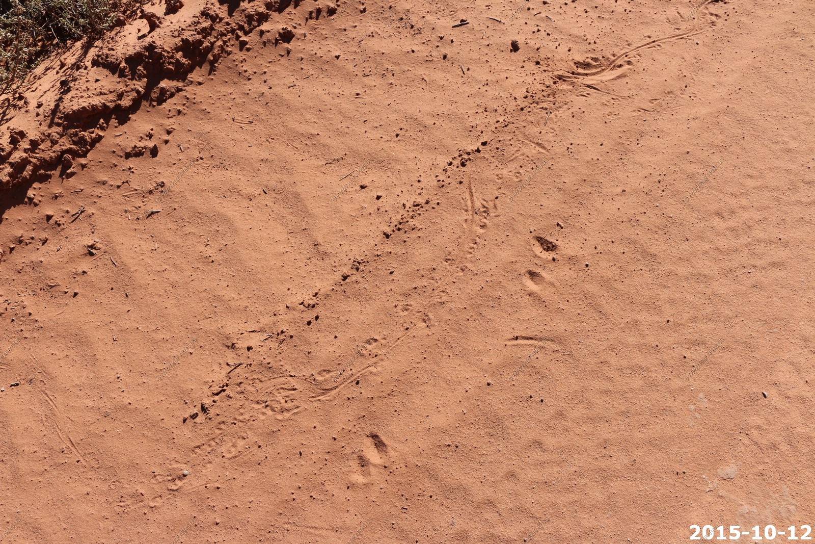
Lizard tracks along the road dust
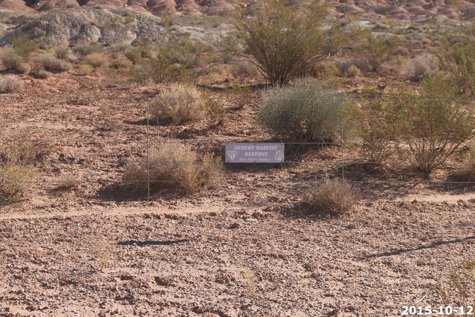
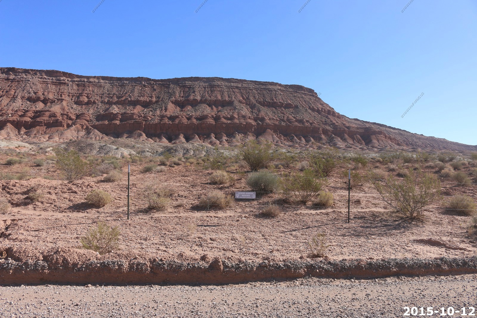
We saw these sign everywhere "Desert Habitat Reserve"
Lots of goats

Welcome to Arizona
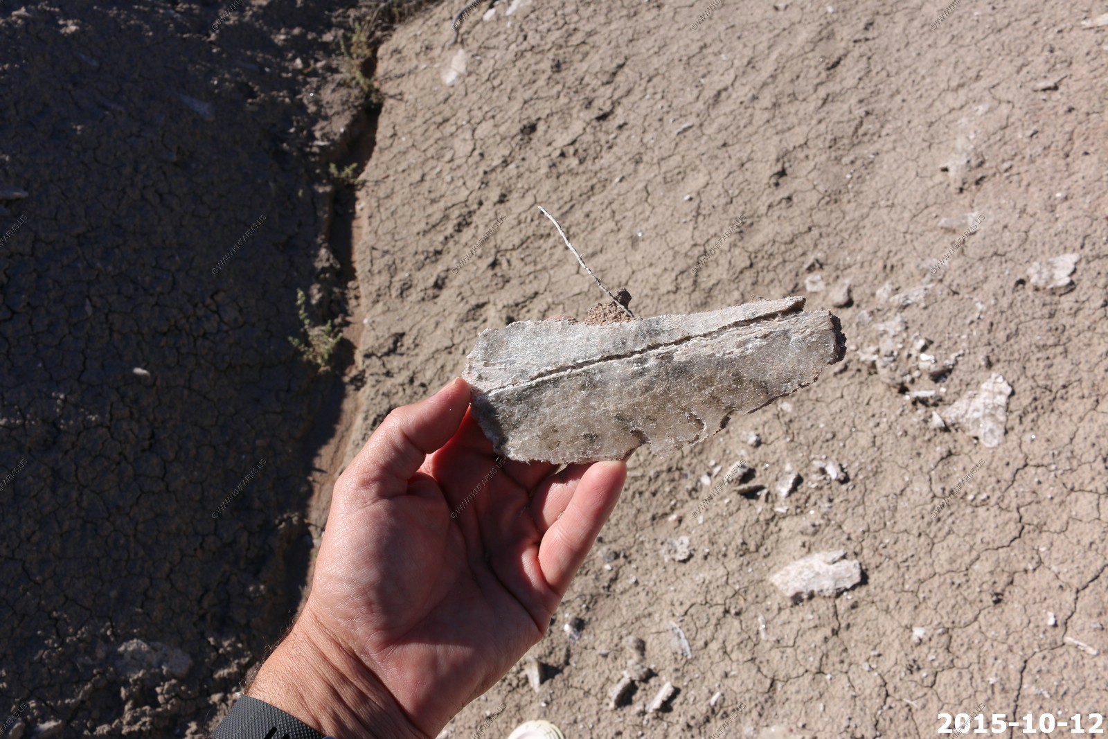
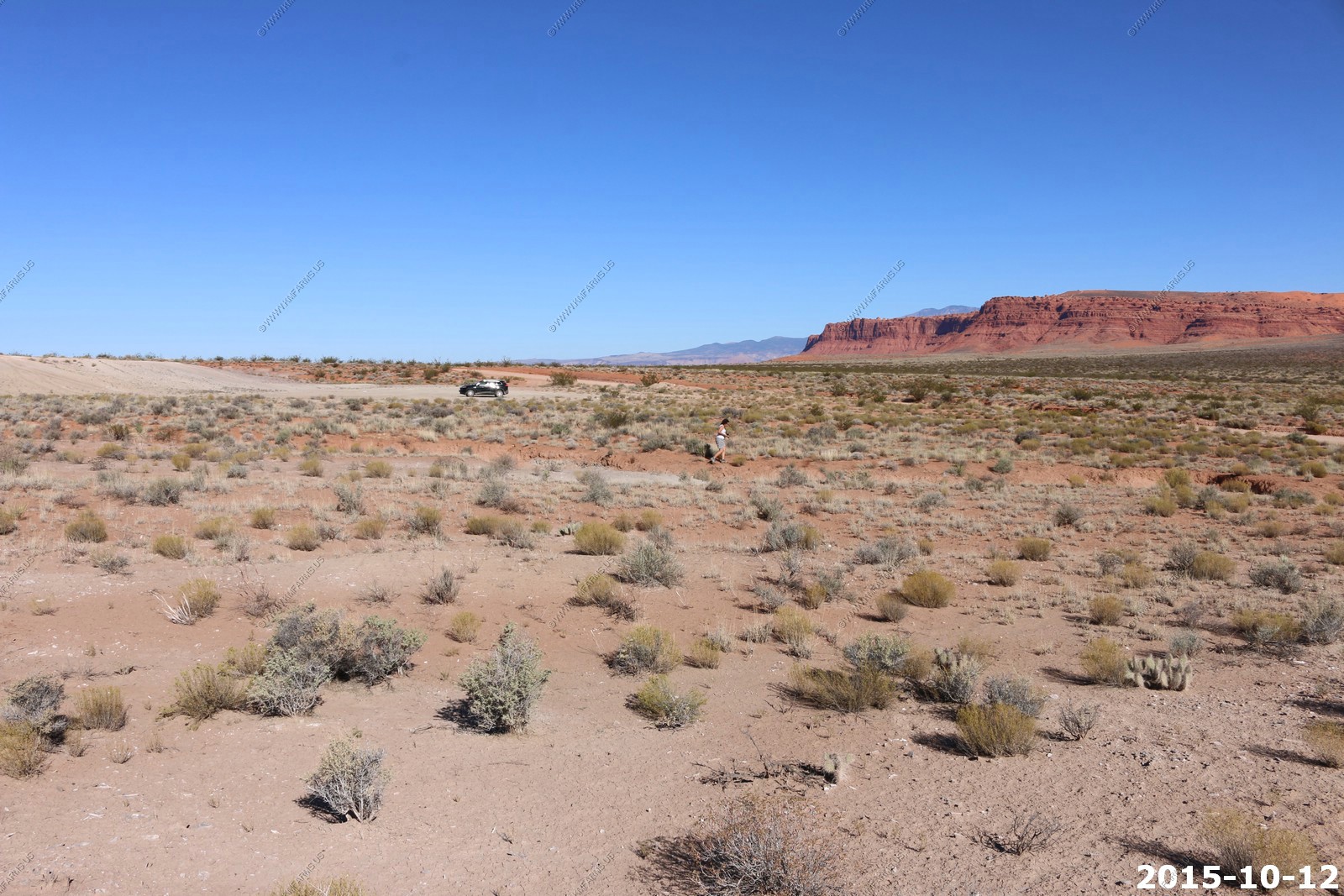
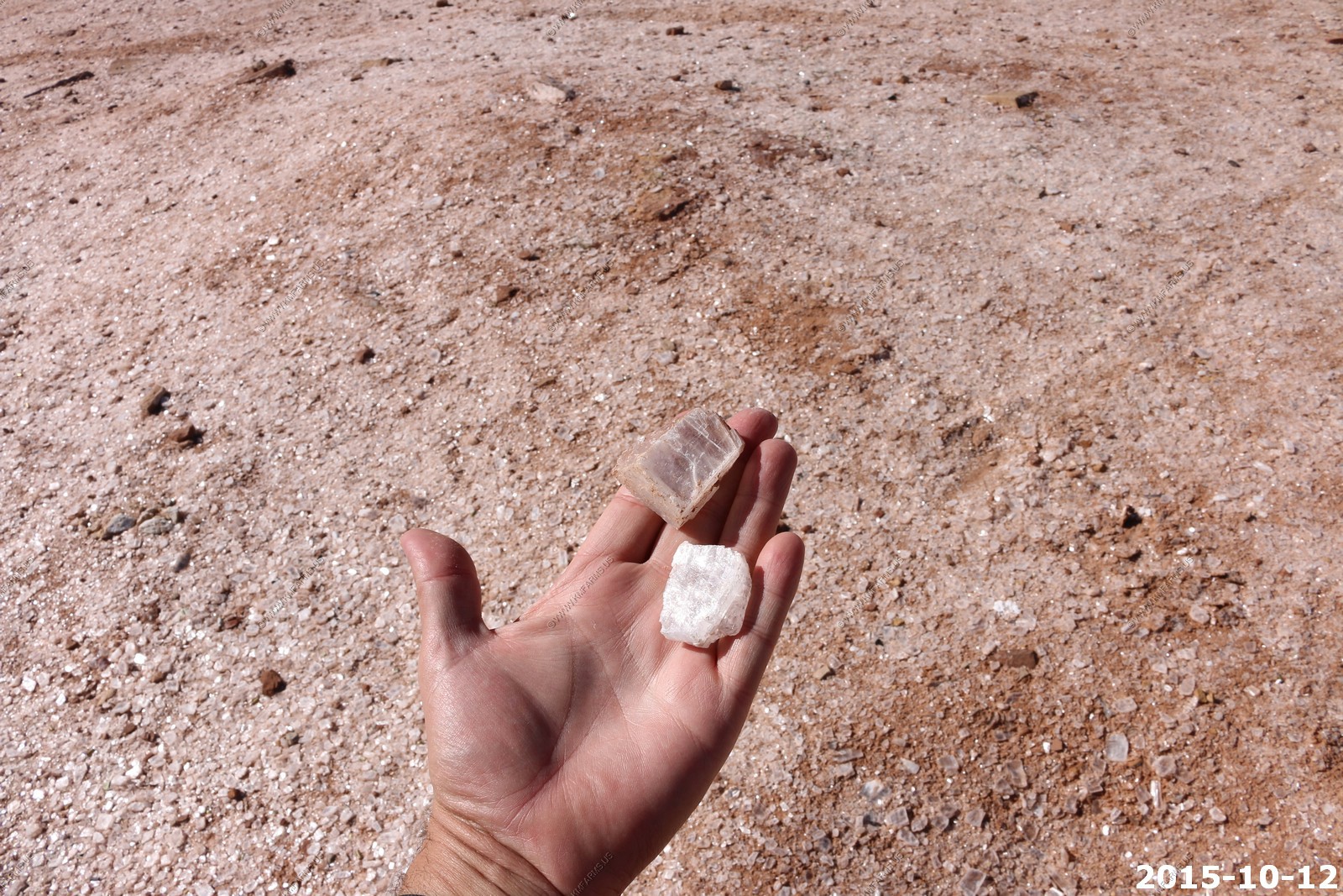
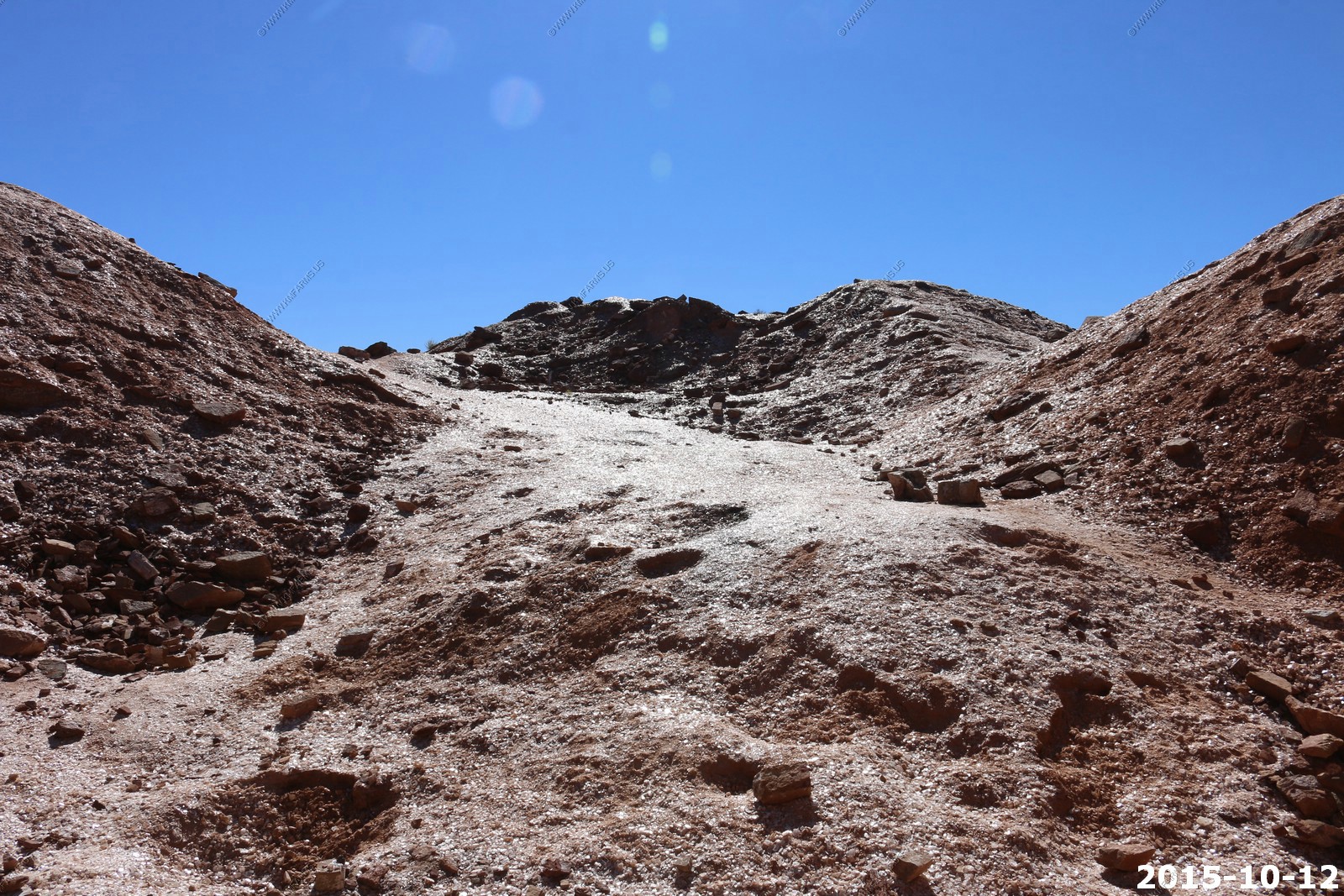
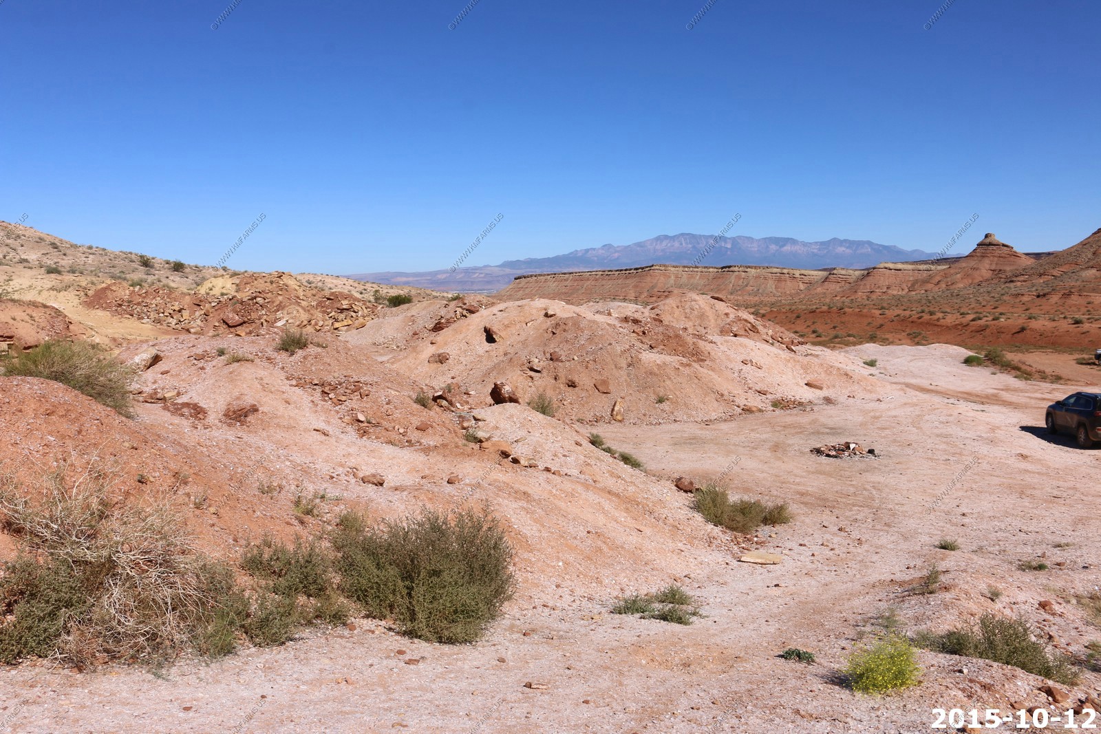
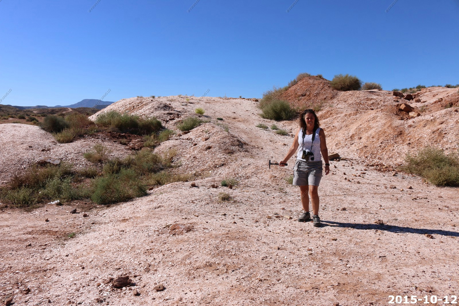
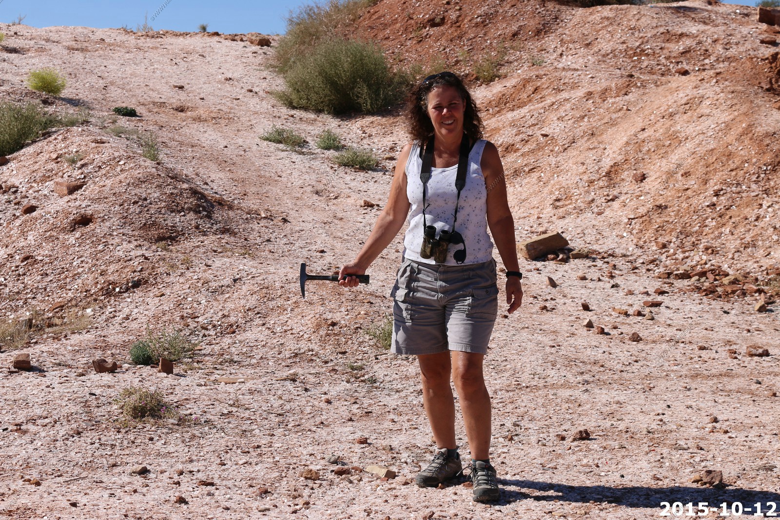
Our first stop today was Sparkle Mountain, Glitter Mountain, the Glitter Pit which is located in Arizona appx. 10 miles south of St. George. It's not the easiest place to find because of the new highway but its located near N 36 58.715 W 113 27.832
We picked up a couple of pounds of pure selenite which is transparent and colorless, or very lightly colored, and easily splits into sheets. It is a variety of gypsum that forms in distinct crystals.
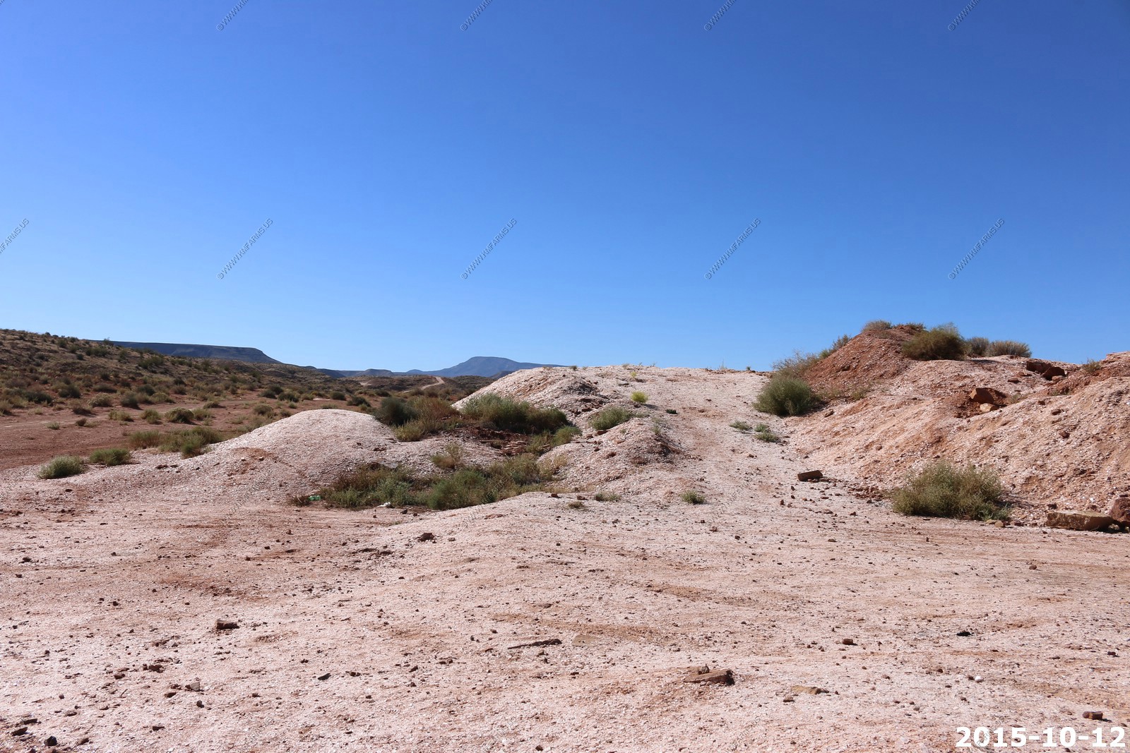
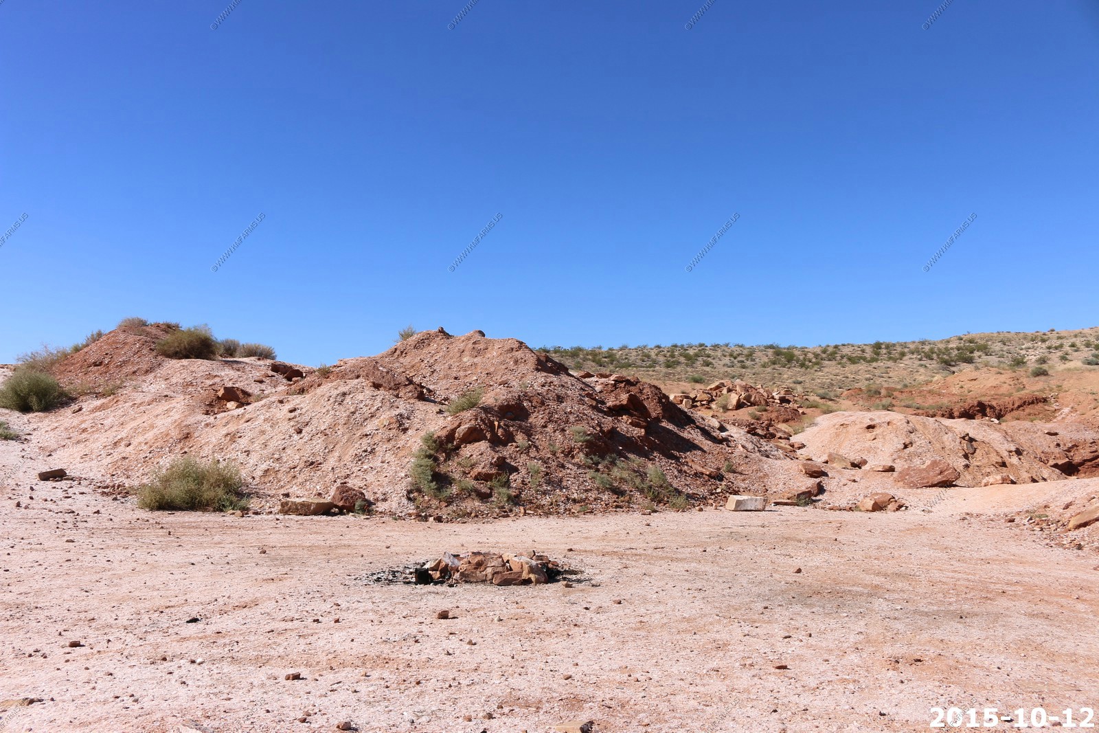
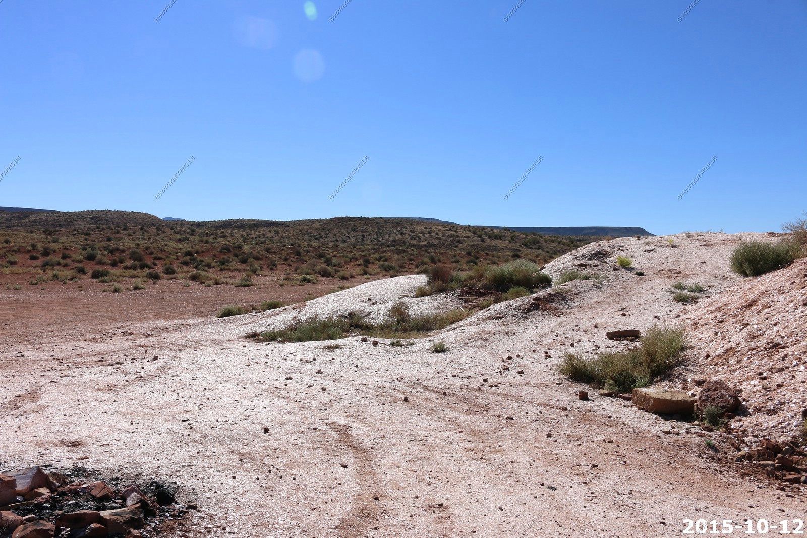
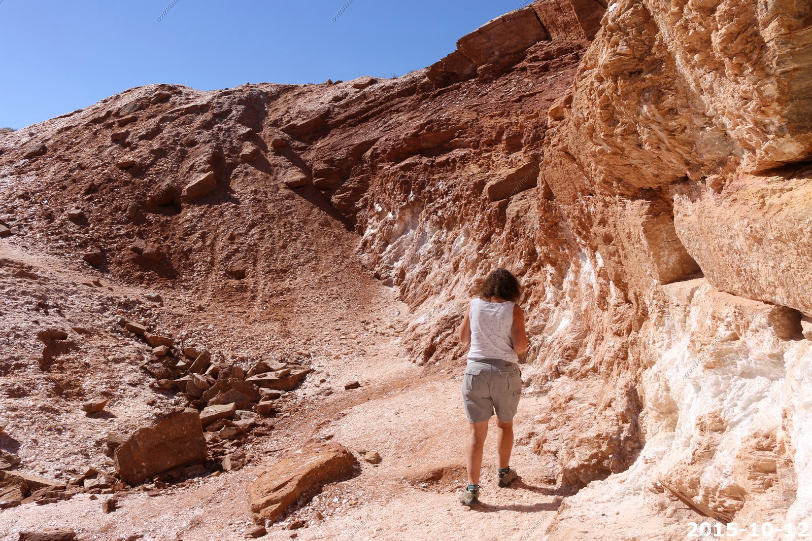
Mary ready to explore. Various mine views
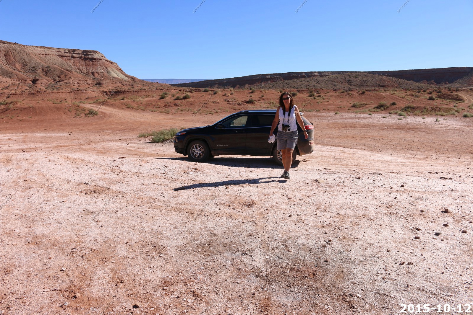
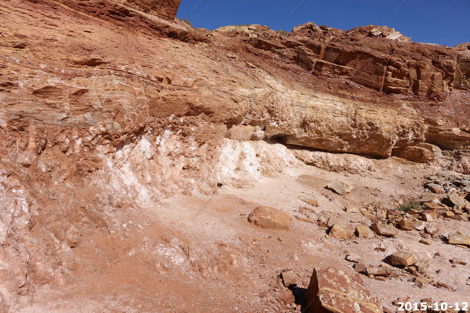

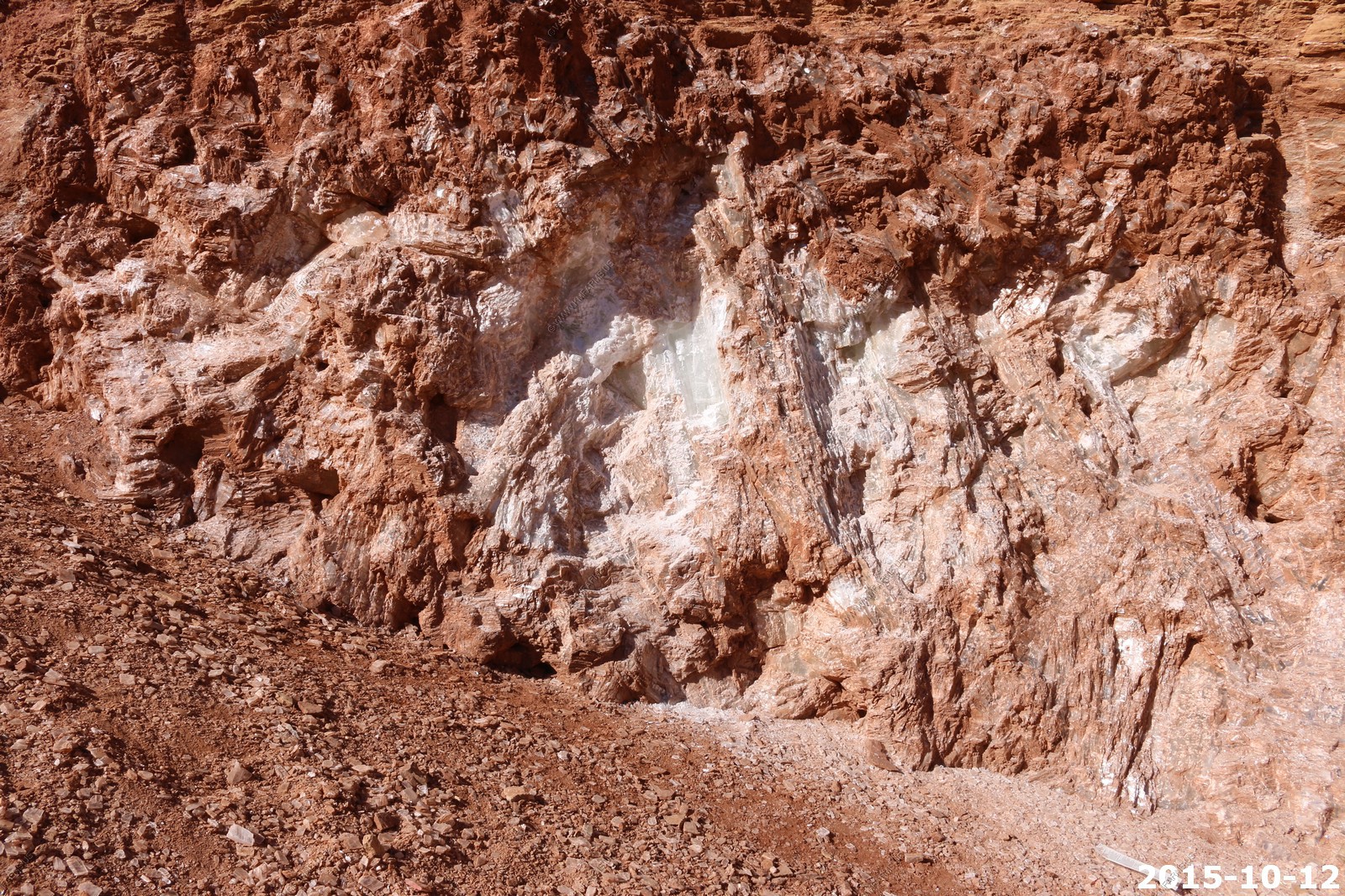
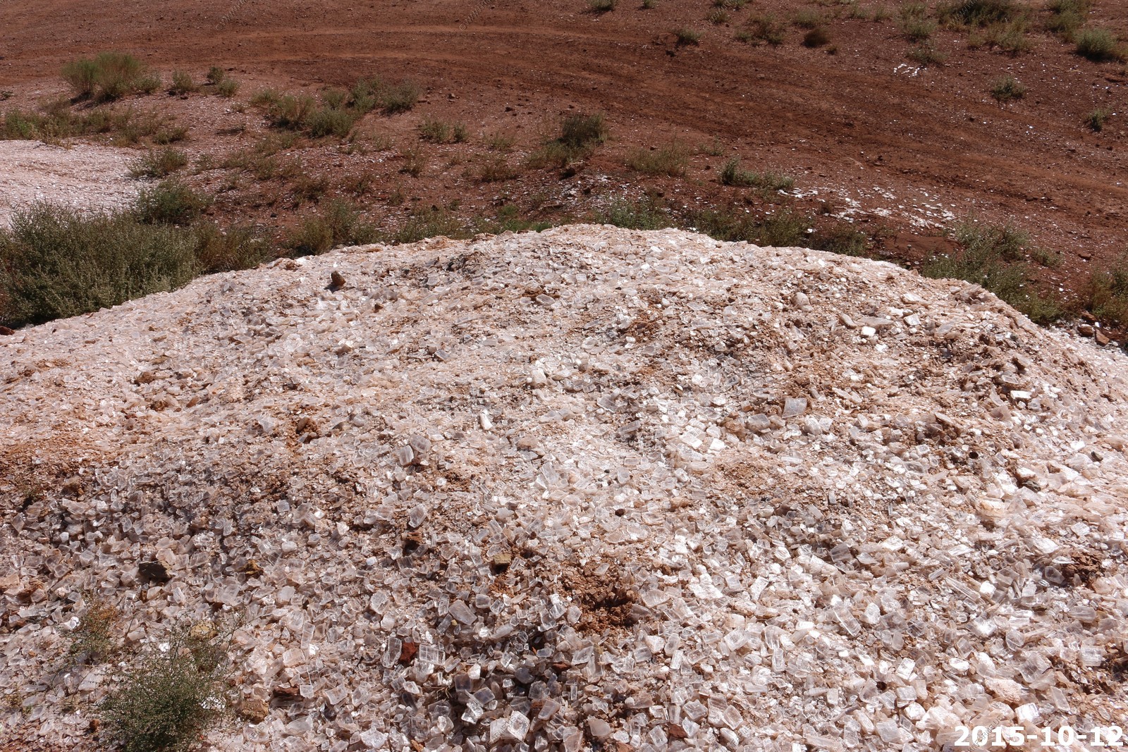
The vein is over 6 feet thick
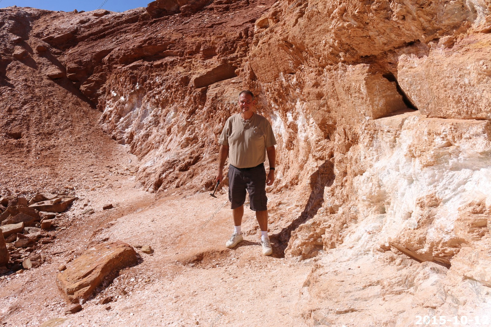
Mary with her rock pick
So, today being house look day we headed back up to St. George. It was lunch time so we ate at Pioneer Park which is a public Park in the City.
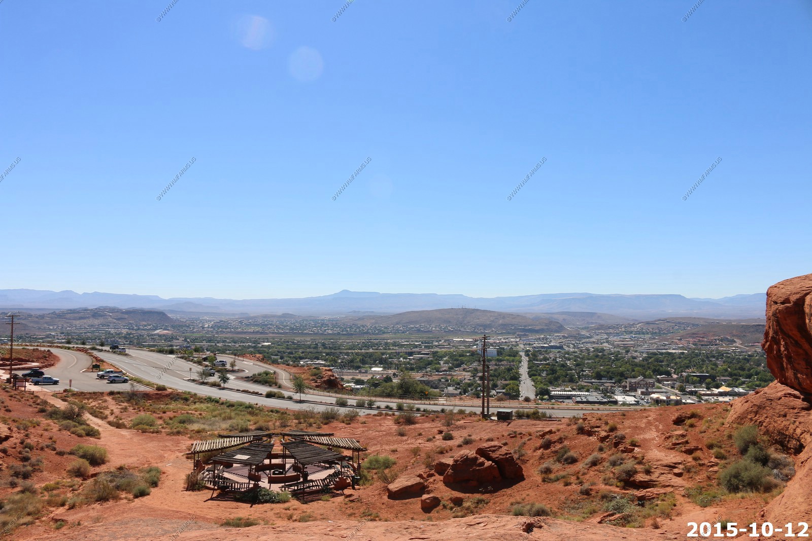
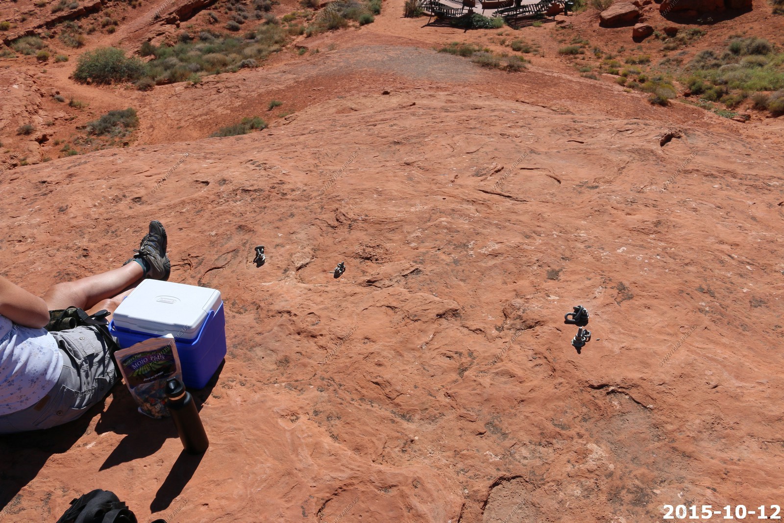
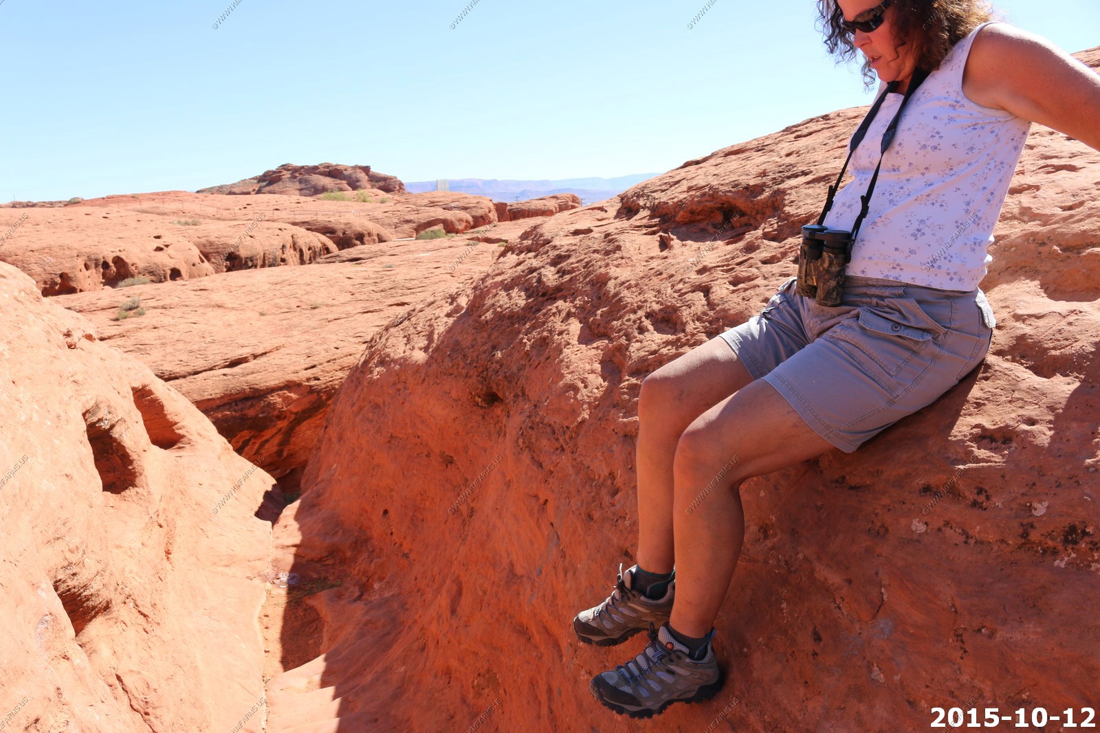
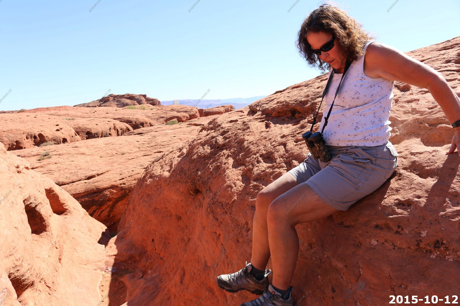
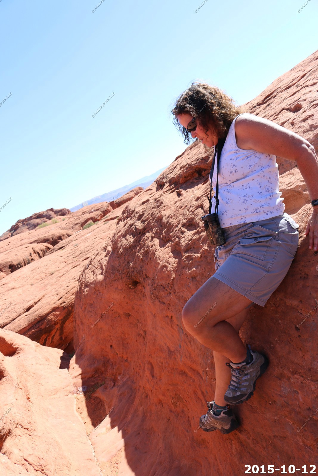
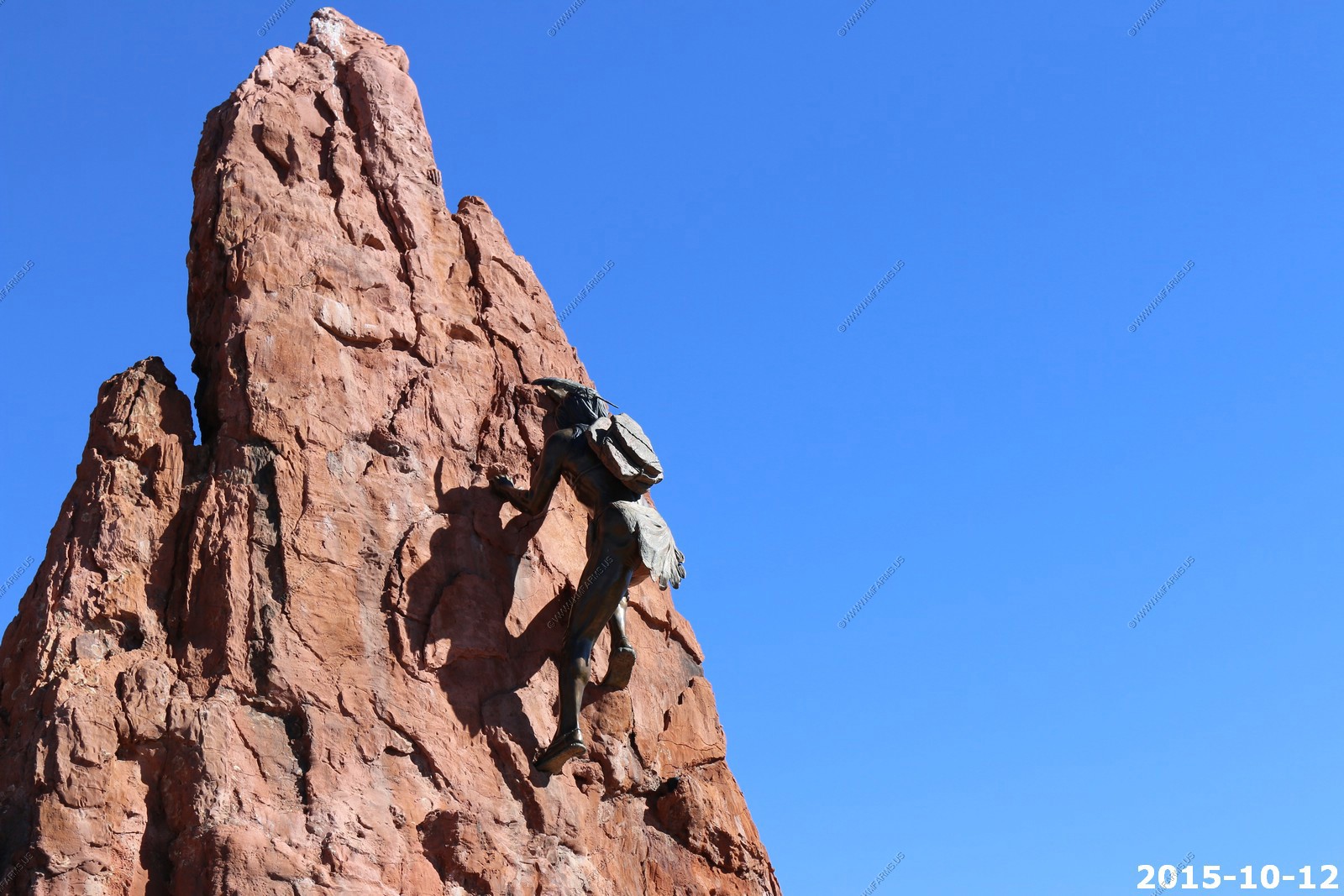
We climbed up on Dixie Sugar Loaf Rock. This rock formation is called the Sugar Loaf by the locals. A sugar loaf was an edible item baked by settlers in the area in the 1800s. The Sugar Loaf is visible in most places in St. George.
This area had attachment points for rock climbing.
Microwave reflector. I doubt if it's used anymore
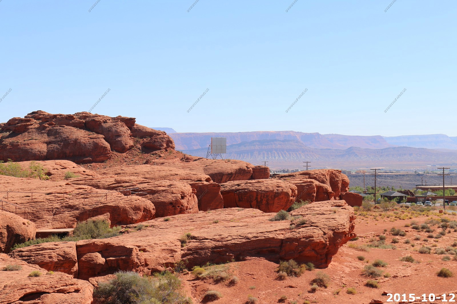
Looking south at the LDS temple and down South 200 East

Mary falling off of the Sugar Loaf

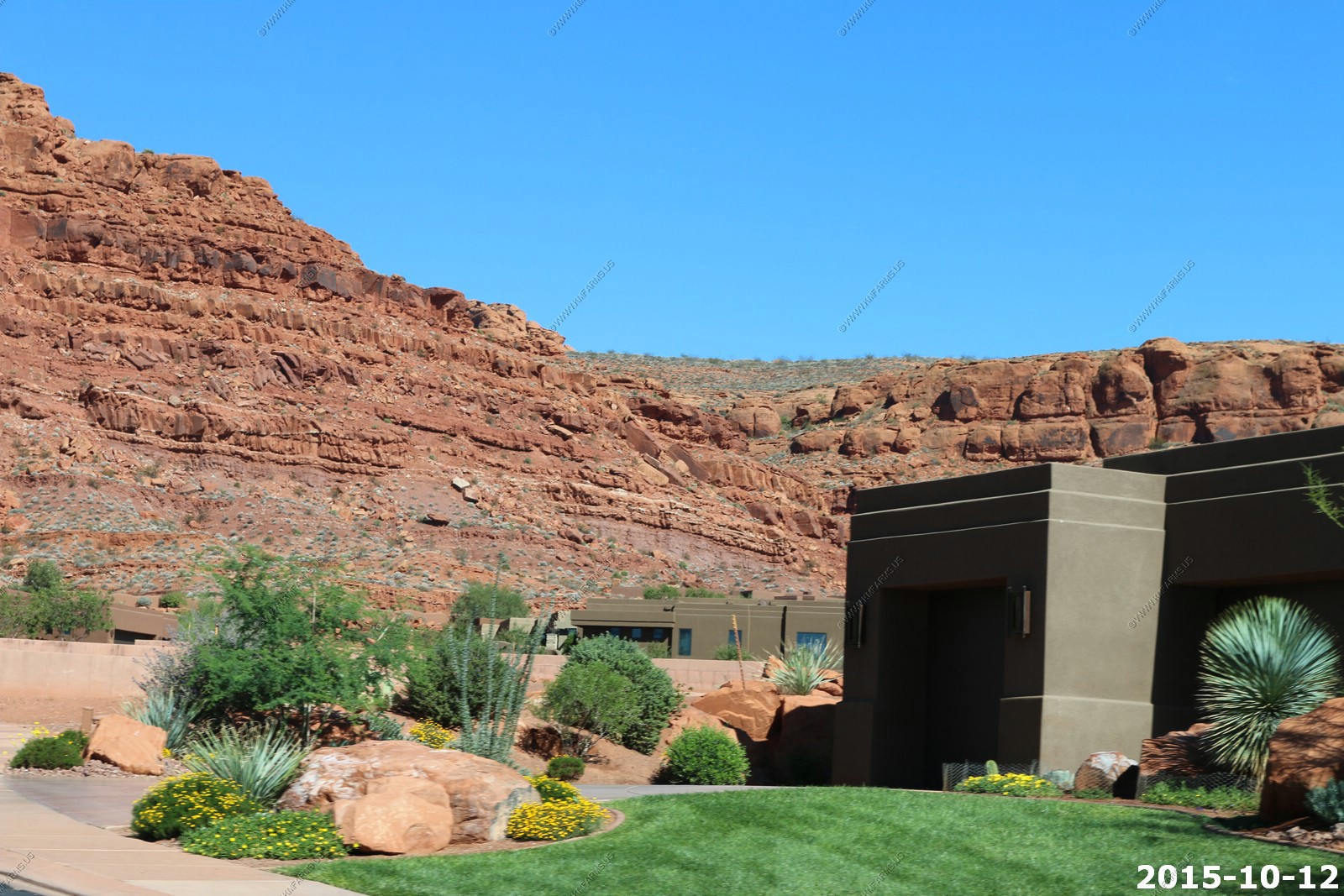
So, it was time to do some neighborhood exploring. We looked at another of developments along Snow Canyon Parkway west of Bluff Street. The houses were nice but too close to each other.
The view along Snow Canyon Parkway looking west
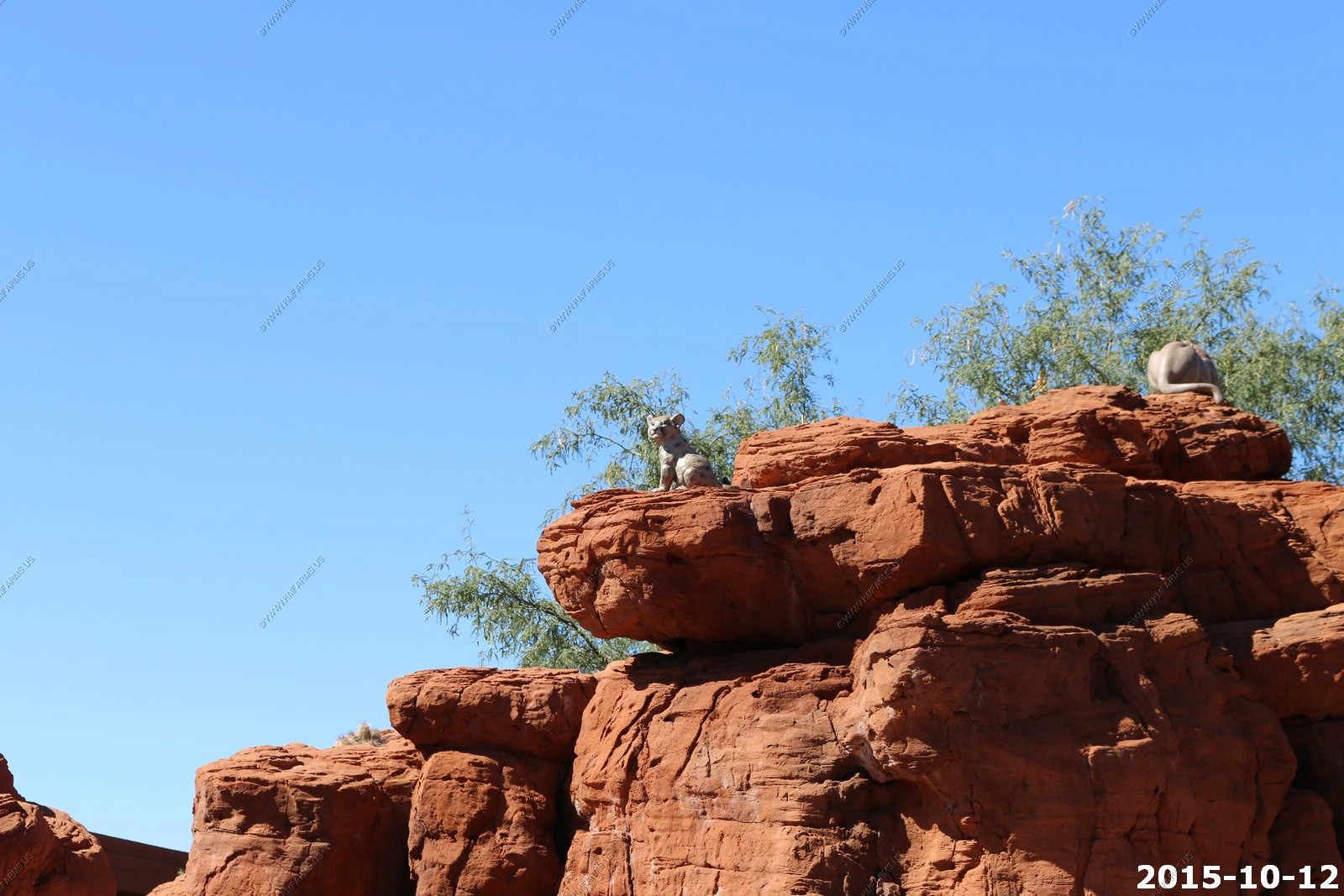
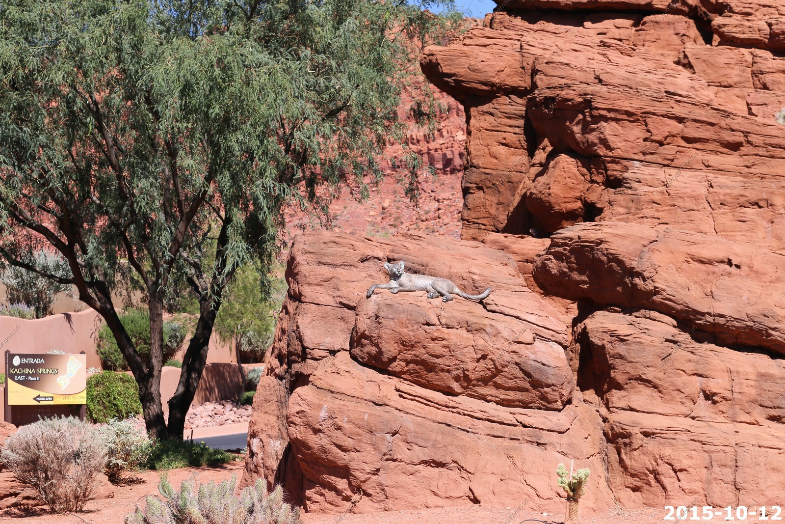
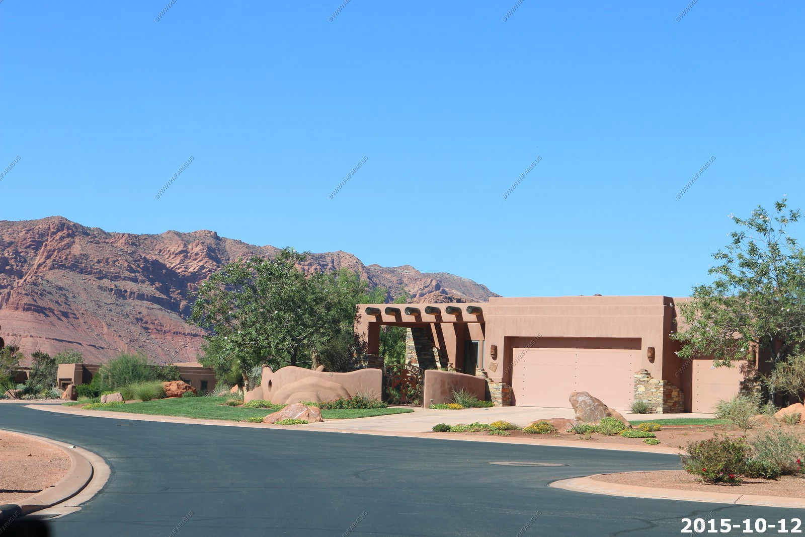
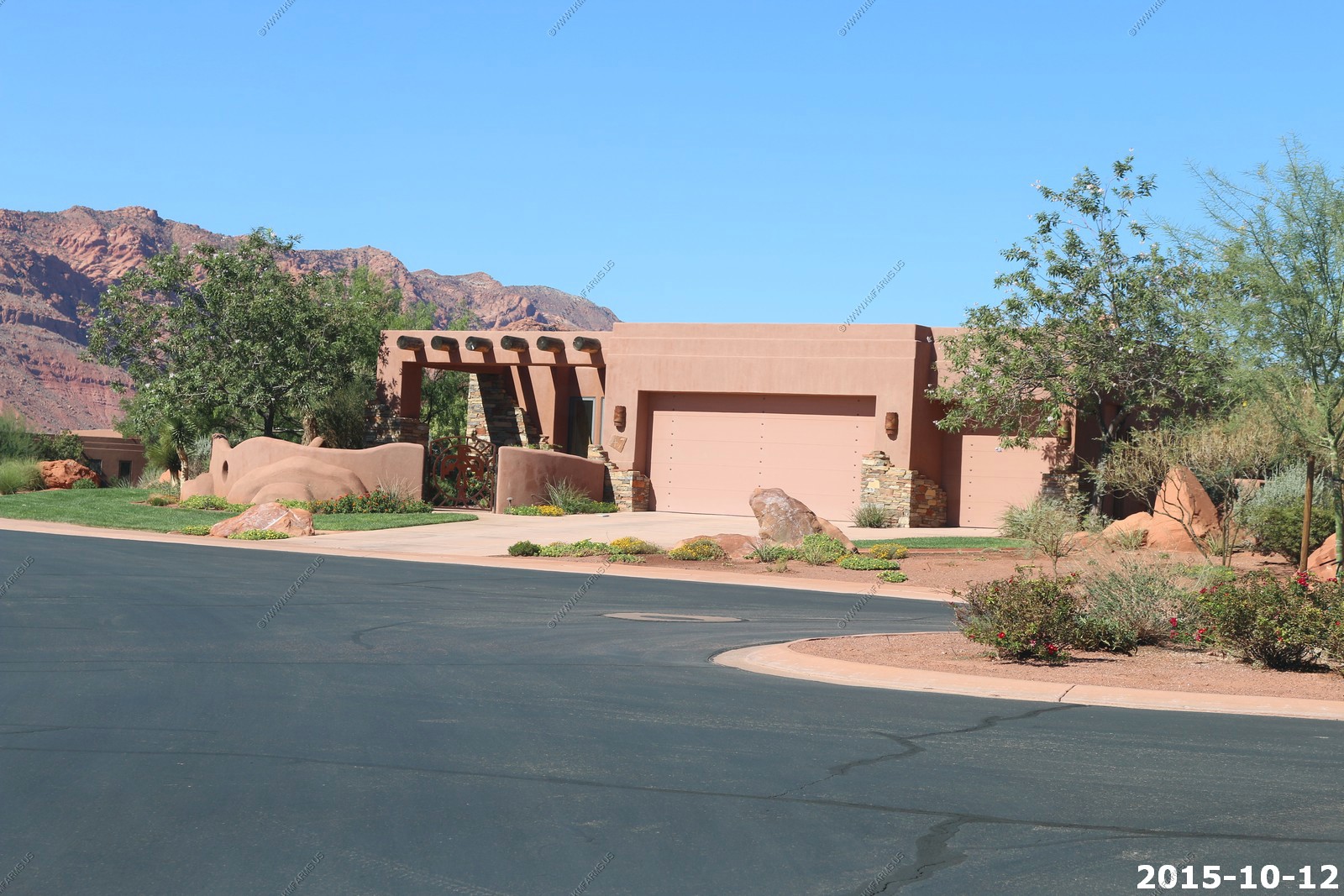
We went into Entrada at Kachina springs to look at the model homes.
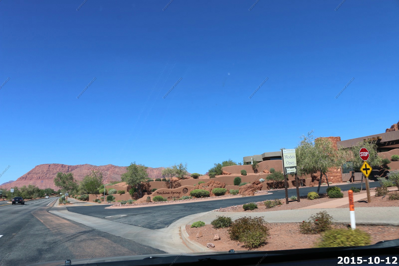
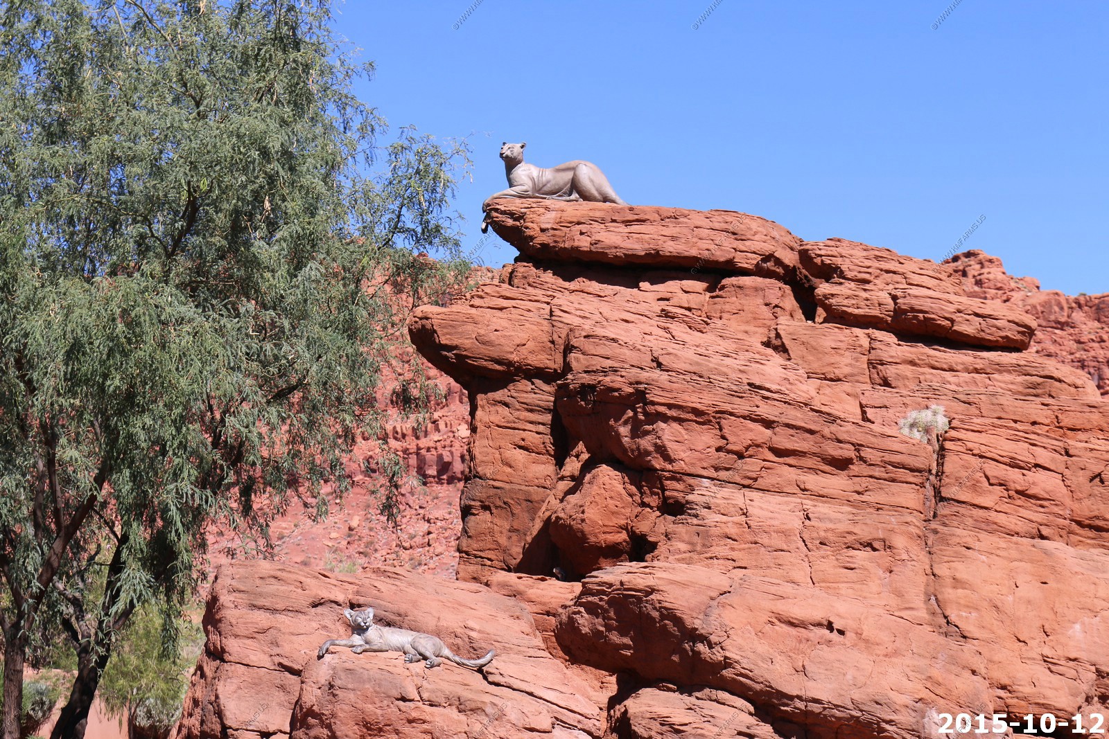
We were impressed with the layout of Entrada. Its gated, has lots of art like the cougar and kittens on the rocks in the traffic circles.
The cliffs are close and the homes are new and its very clean BUT its just too darn close. Also, its not cheap.. And you don't actually own the land, only the home.
The model that we looked at
More art
Mountains are close
Back over to Kayenta. We really like it here. Feels like home.
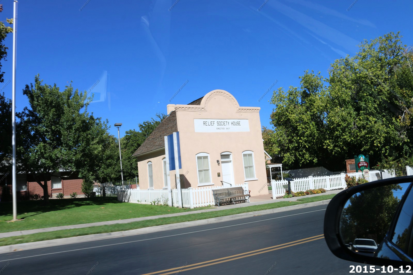
The Relief Society House
Completed in 1908, the Santa Clara Relief Society House is significant as the oldest remaining LDS church building in this pioneer community. Some of the functions of the Relief Society (the women's auxiliary organization of the Mormon church) continued in this historic hall until completion of the adjacent LDS meetinghouse in 1949. It also served as a school (1908-1913), a makeshift clinic (1939-1950s), and the local post office (1953-1963).
The Victorian Eclectic style Santa Clara Relief Society House is also architecturally significant in the community. While not built as a meetinghouse, it is similar in size, configuration, and use to other "settlement phase" LDS meetinghouses. In 1992 during work to repair and restore the building, it was damaged by an earthquake. Its previously coated brick exterior was reinforced and covered with stucco. It has since been restored through local community efforts to serve as a museum of Relief Society and pioneer memorabilia and a meeting hall.
Carl Jr's. The western Bacon Cheeseburger can be found here.

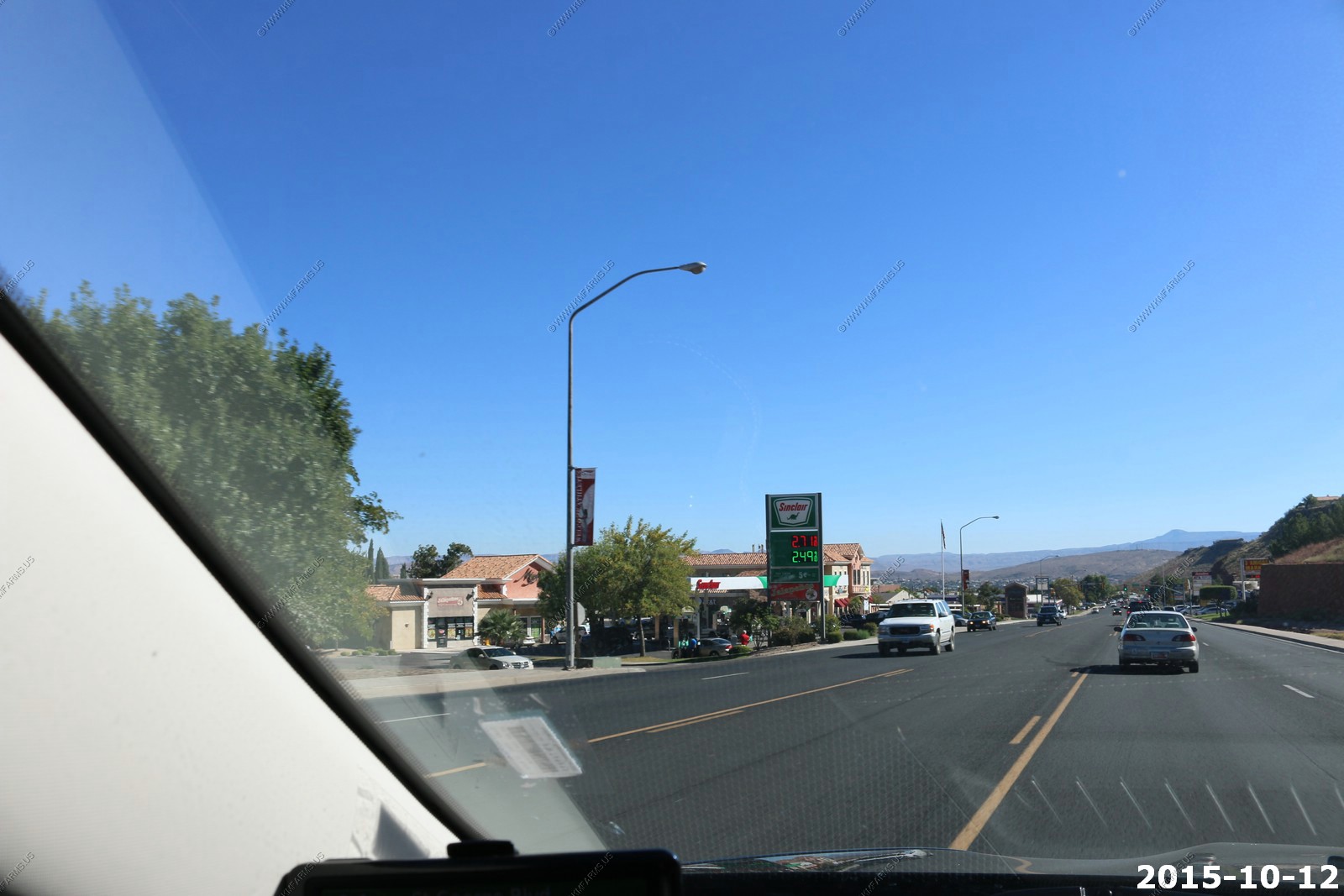
Gas prices. Diesel is much cheaper here.
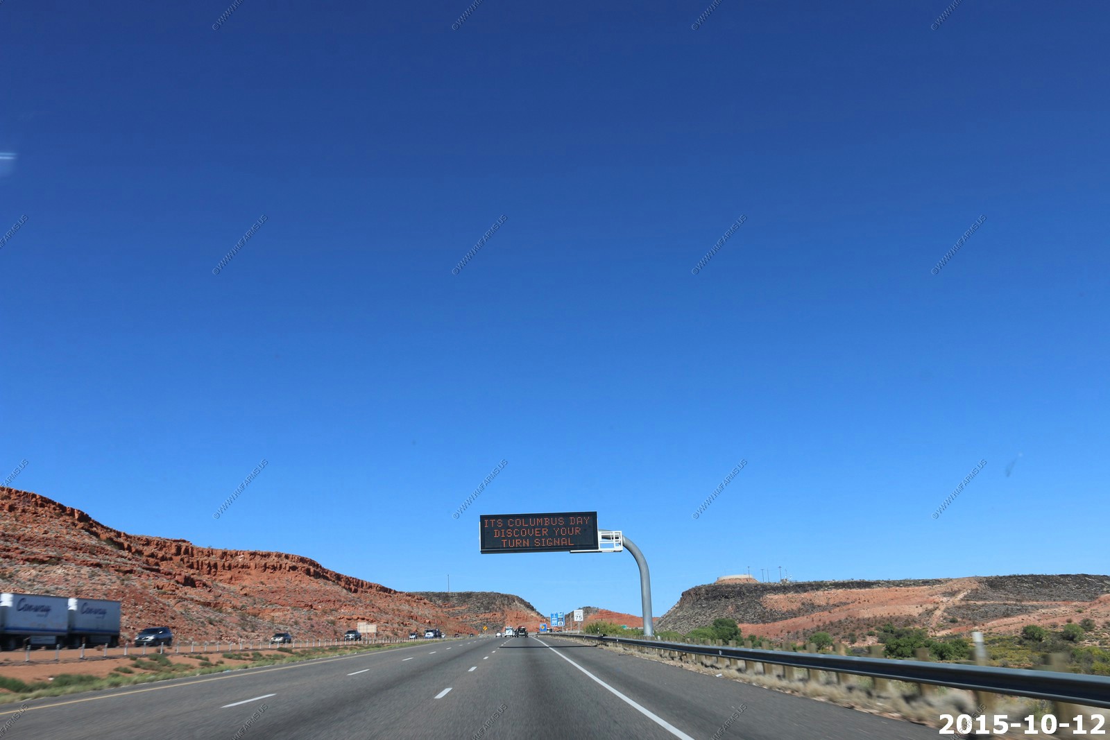
Last day. 92 degrees
Funny. They would never put this up in Maryland as the idiots would all have to slow down at look at it !
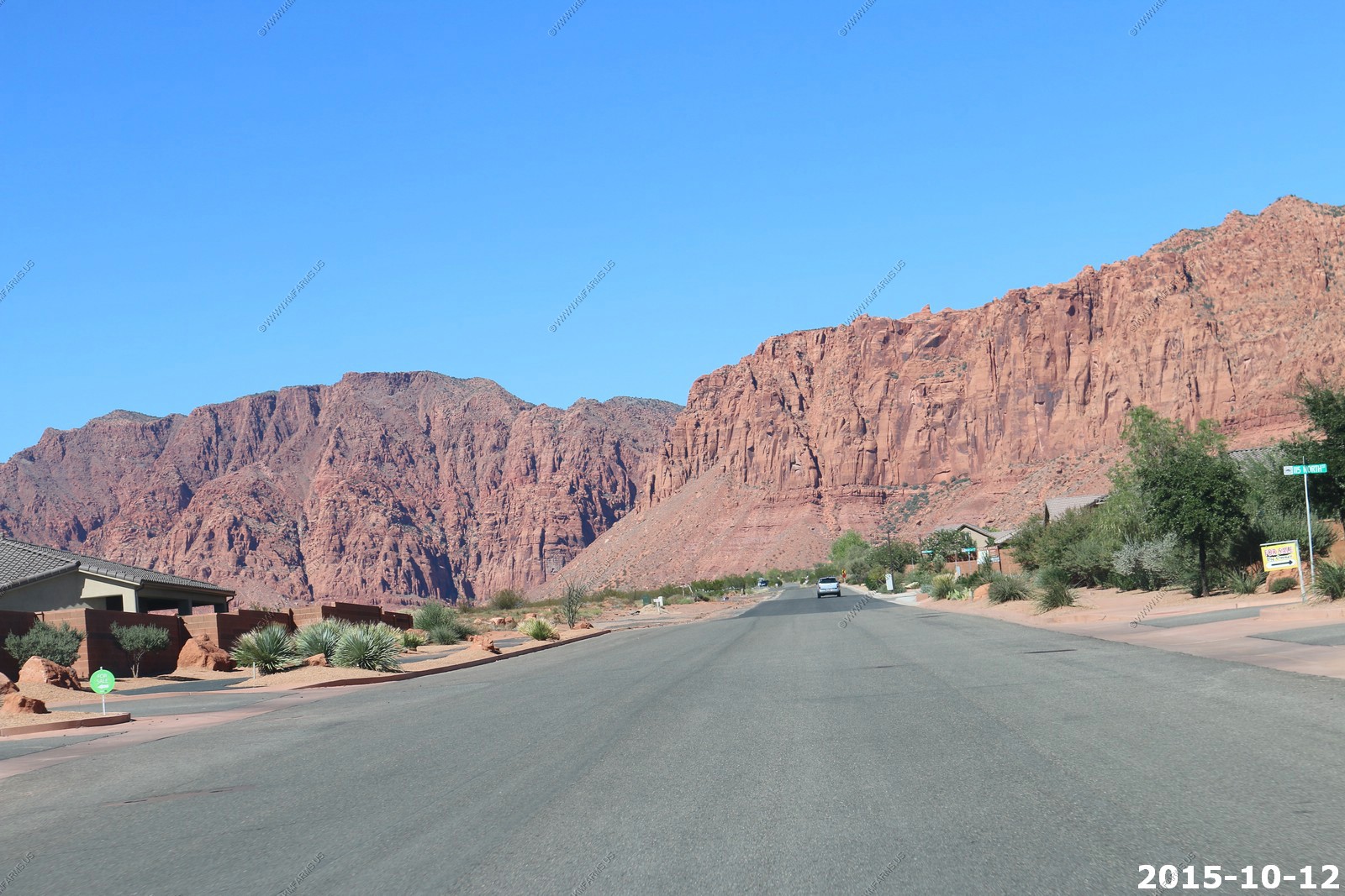
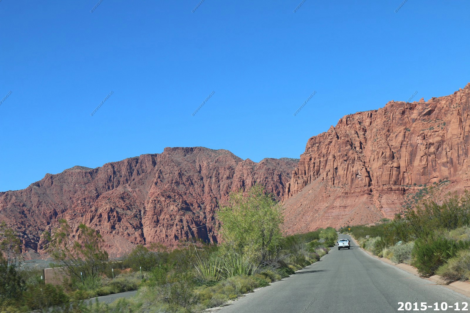
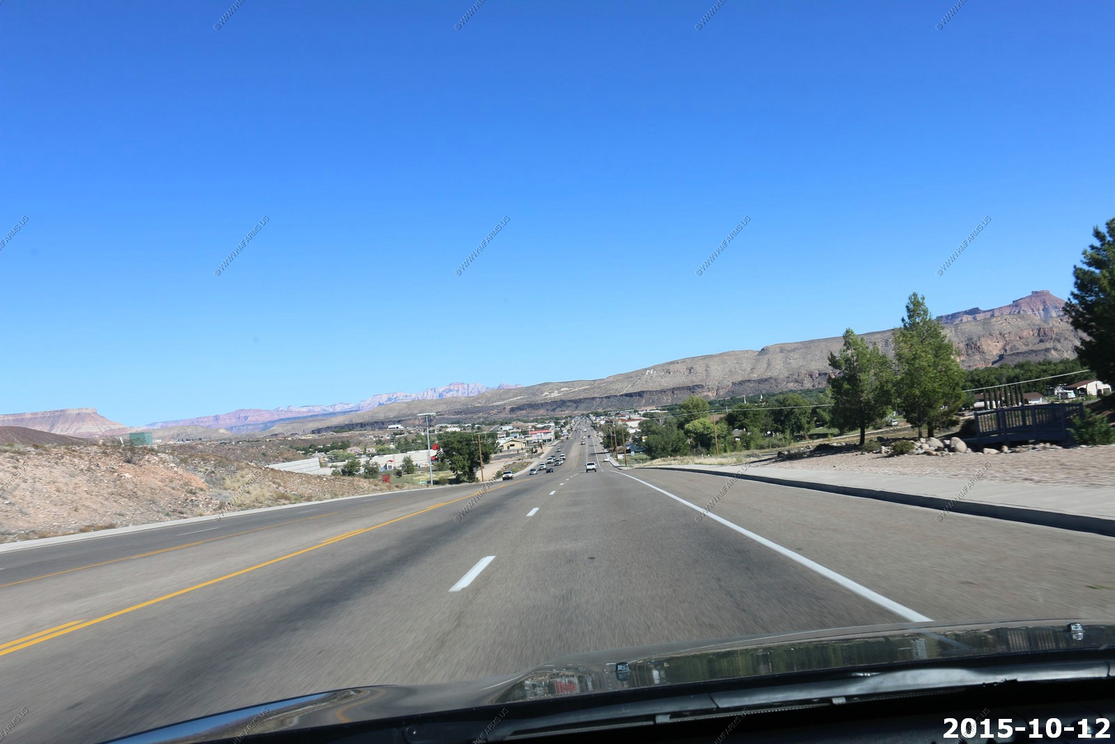
Heading back over to Hurricane on West State Street (Utah State Highway 9) You can see Zion National Park off to the East.
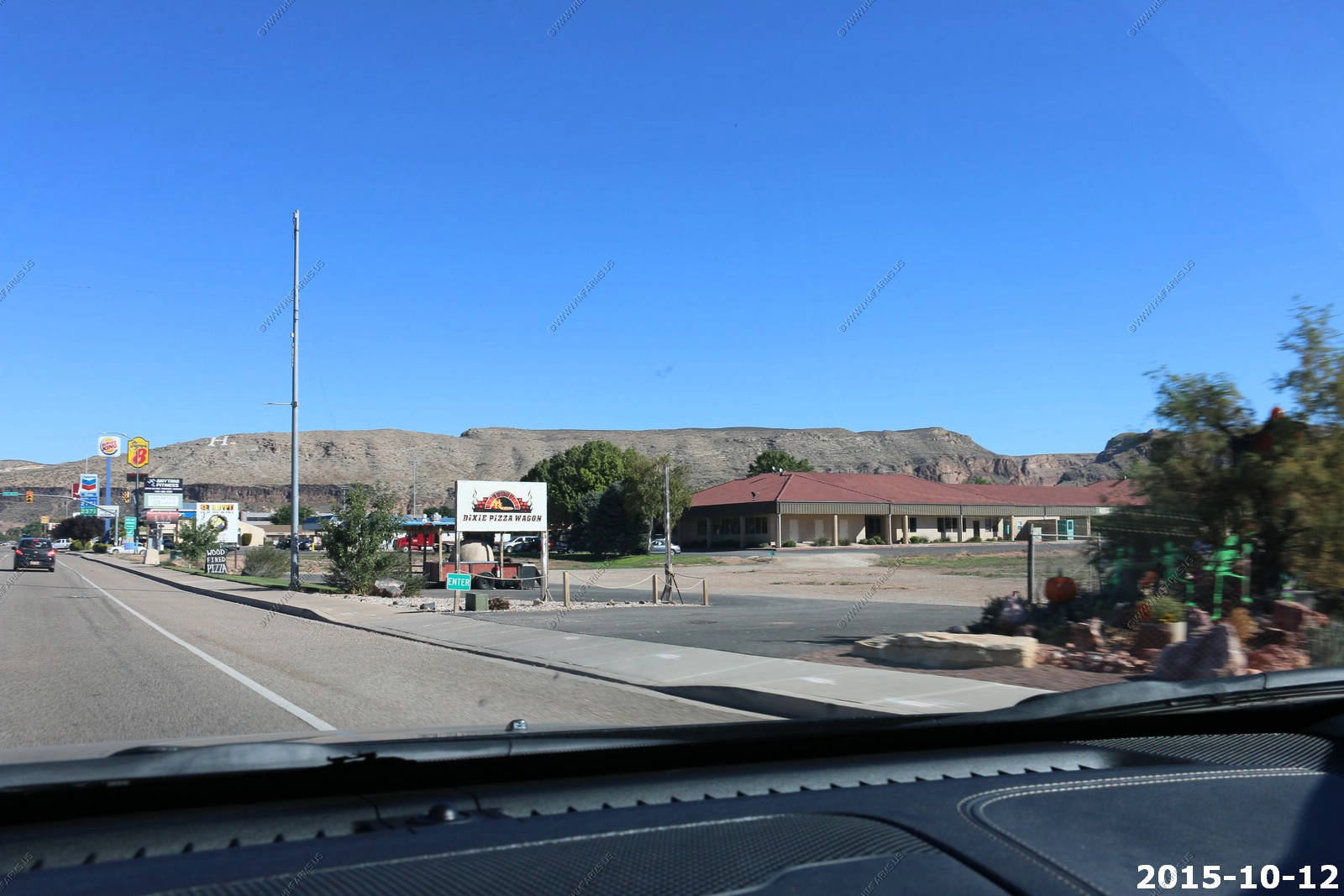
Coming into Hurricane
Dixie Pizza Wagon was supposed to be very good. Next time.
The Hurricane Airport near the rental
Heading south to the Cliffdwellers development. The entrance and the street we were on.

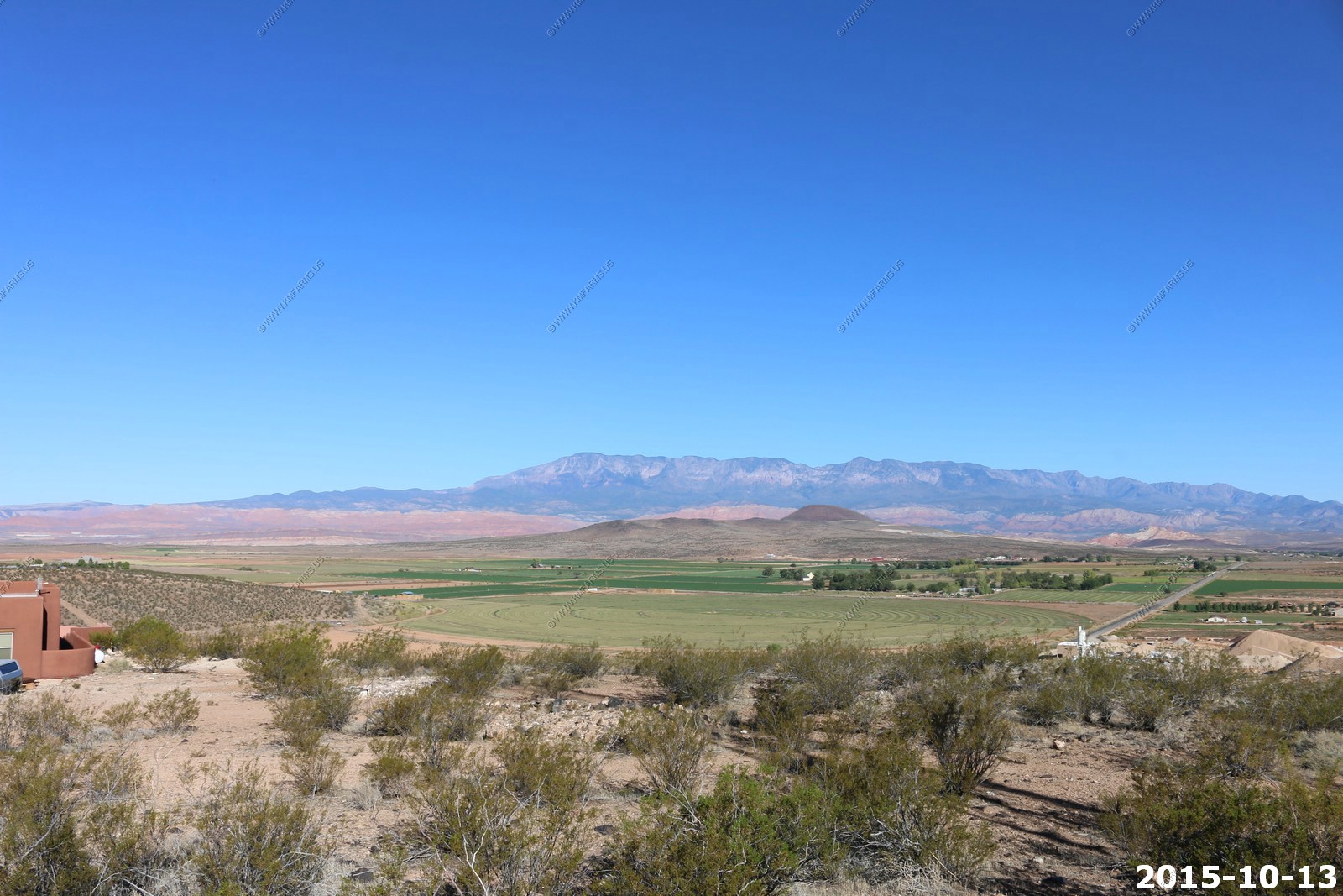
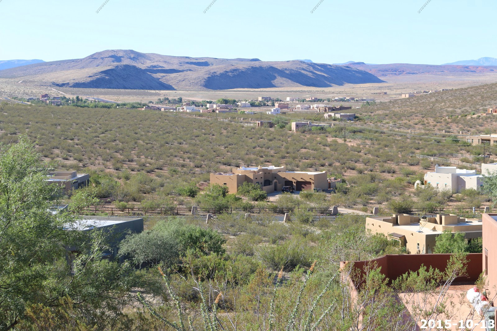
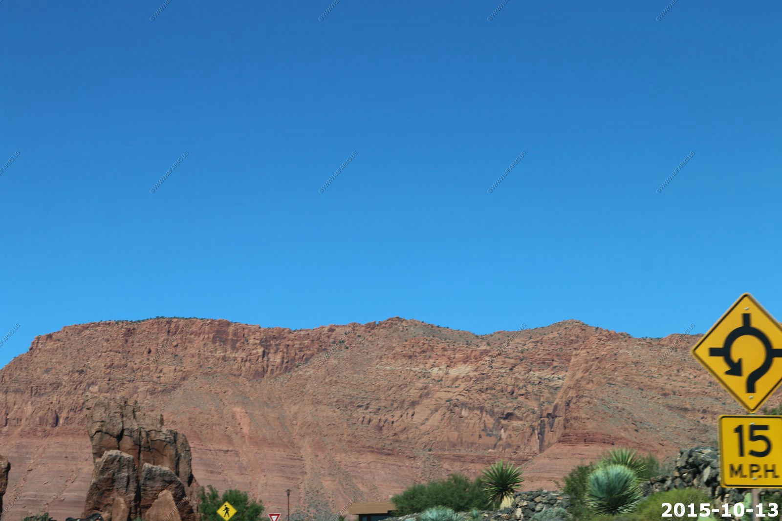
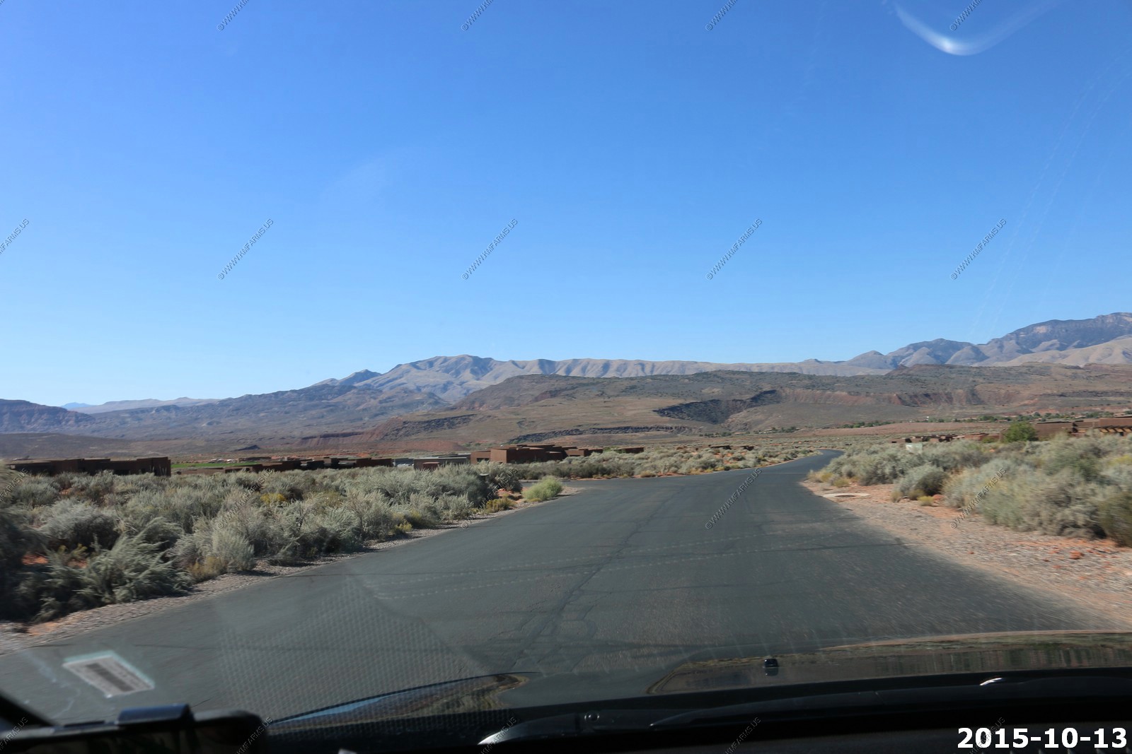
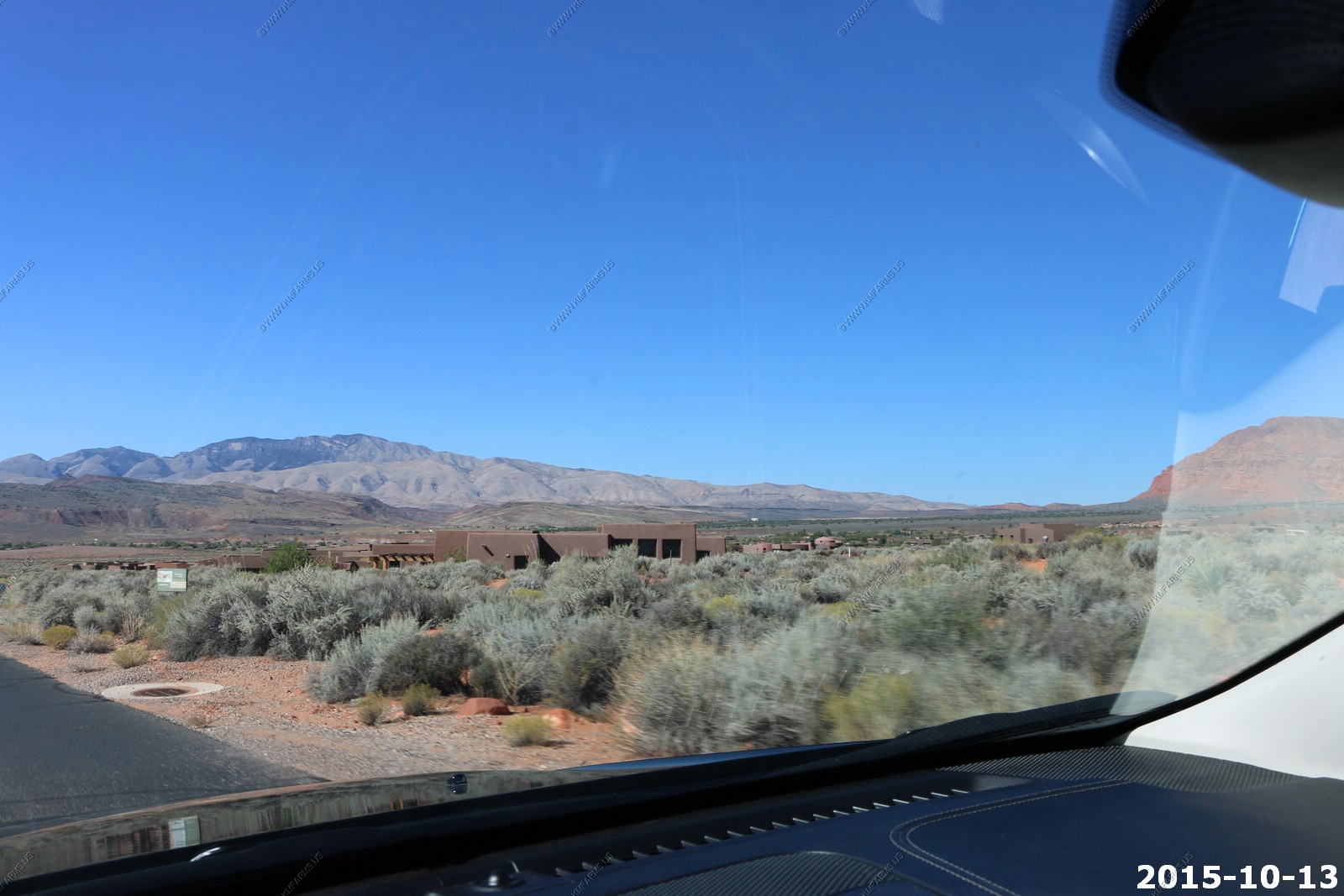
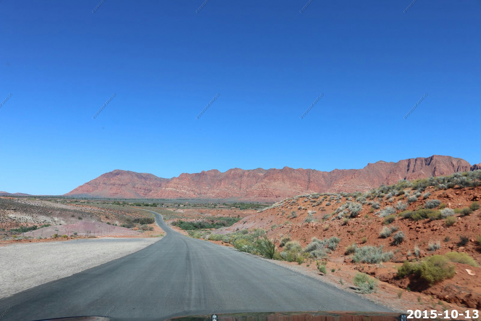
Tuesday OCT 13th
Back to reality day. We walked around our development and took more photos. Then drove across St. George and checked out Kayenta again. It's less than 2 hrs. back to Las vegas McCarran International Airport (LAS/KLAS). So not in a hurry today.
Looking down our street South 1050 West
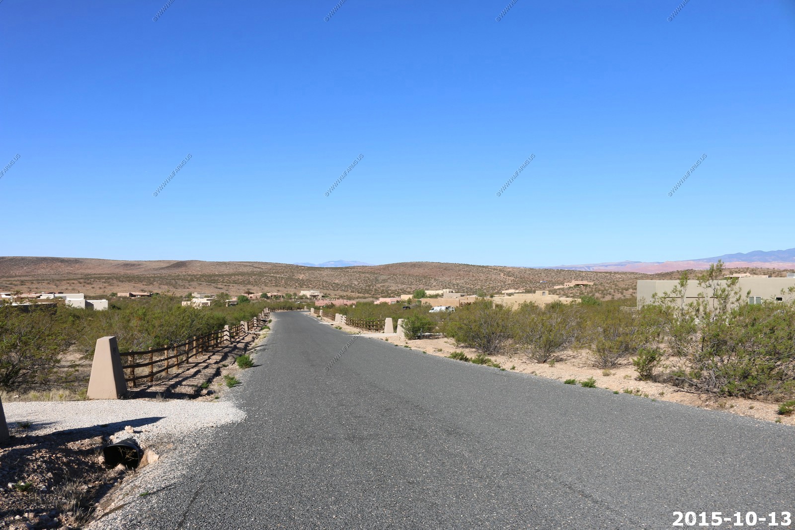
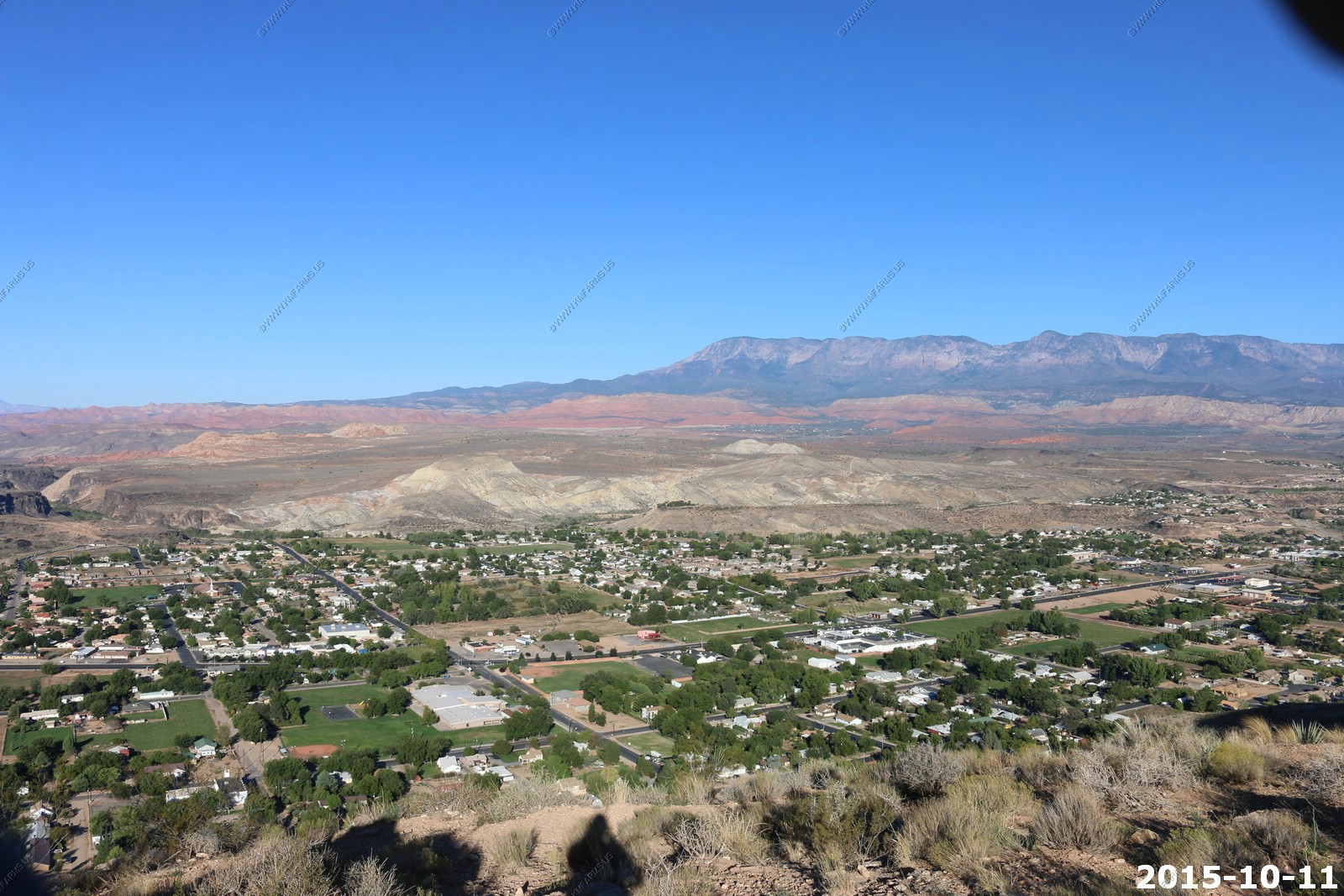
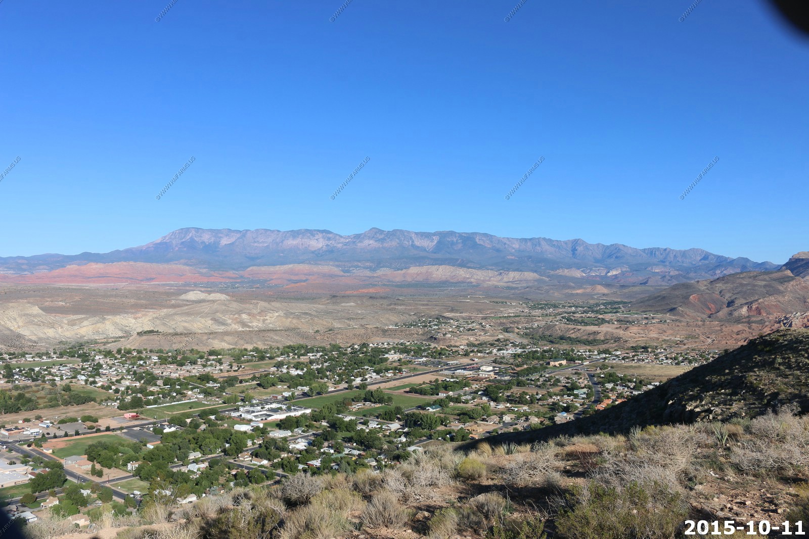
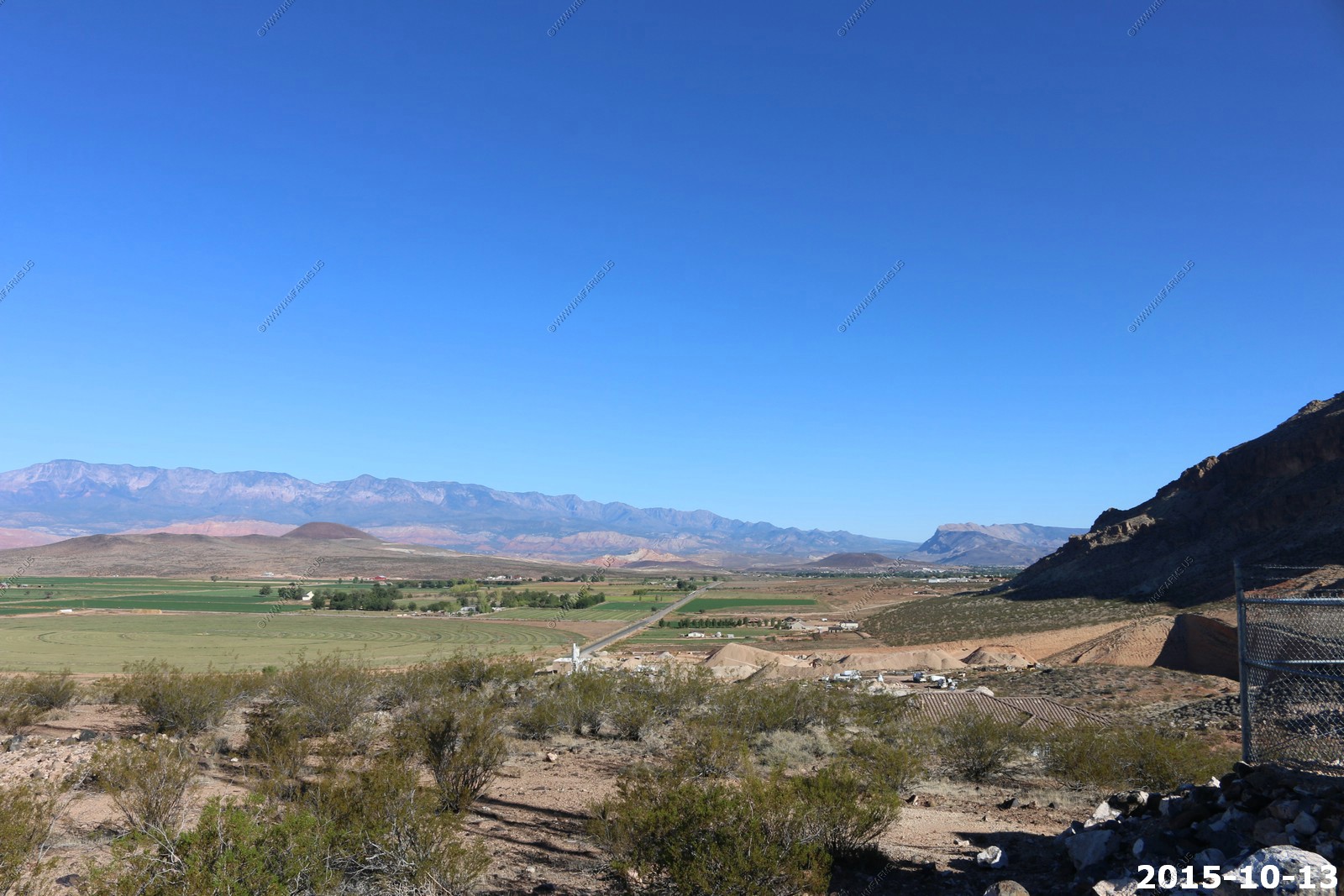
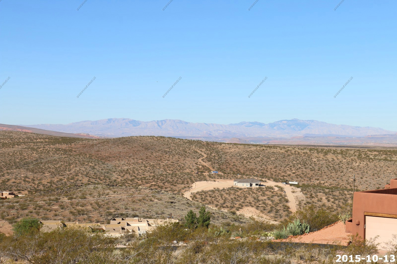
Up at the top of the hill. Looking south to the backcountry area that we were exploring. Its only a few miles to Arizona
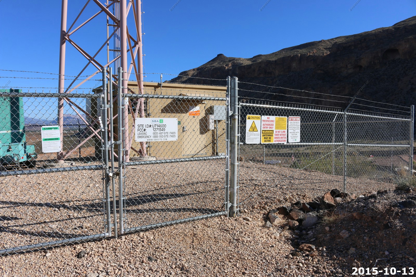
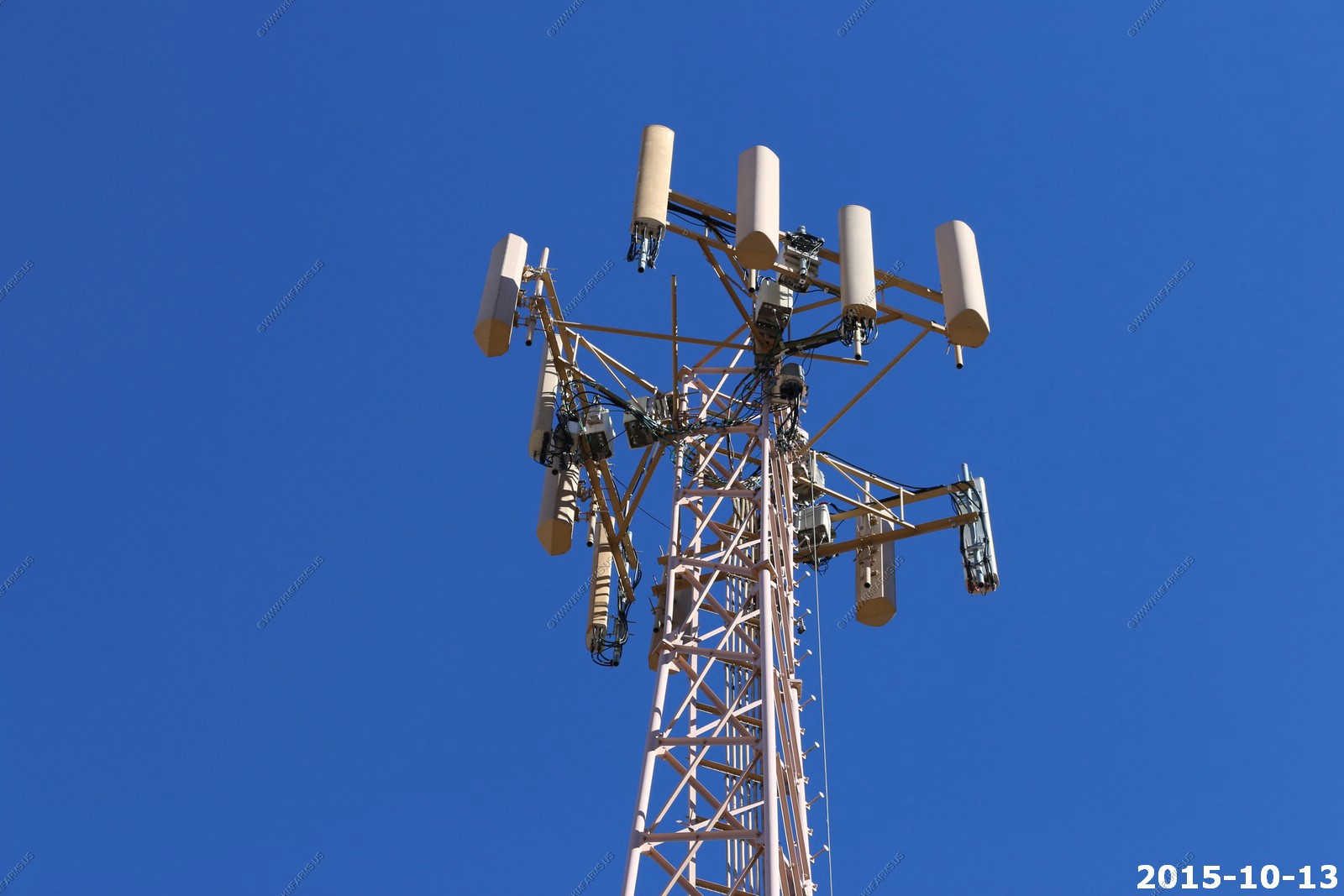
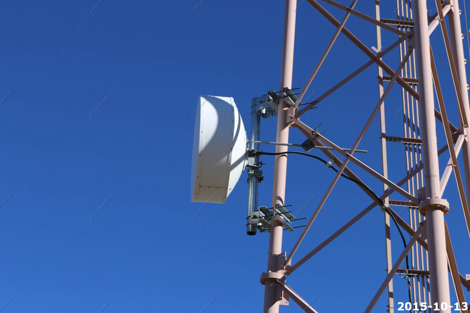
The cell site at the top of the hill (middle of the development) normally I would not like this but our phones worked very well in this area.
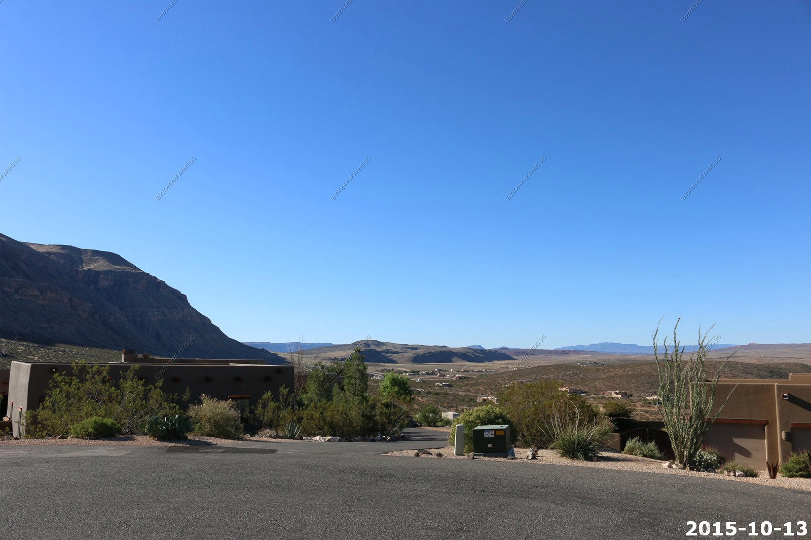
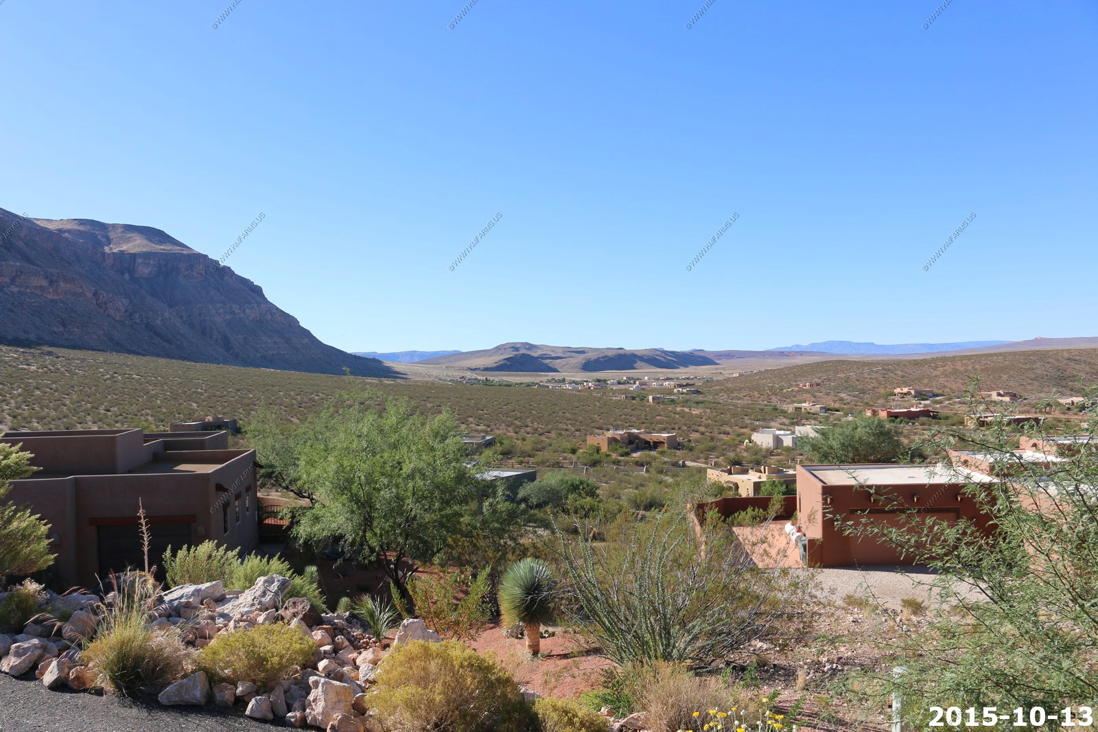
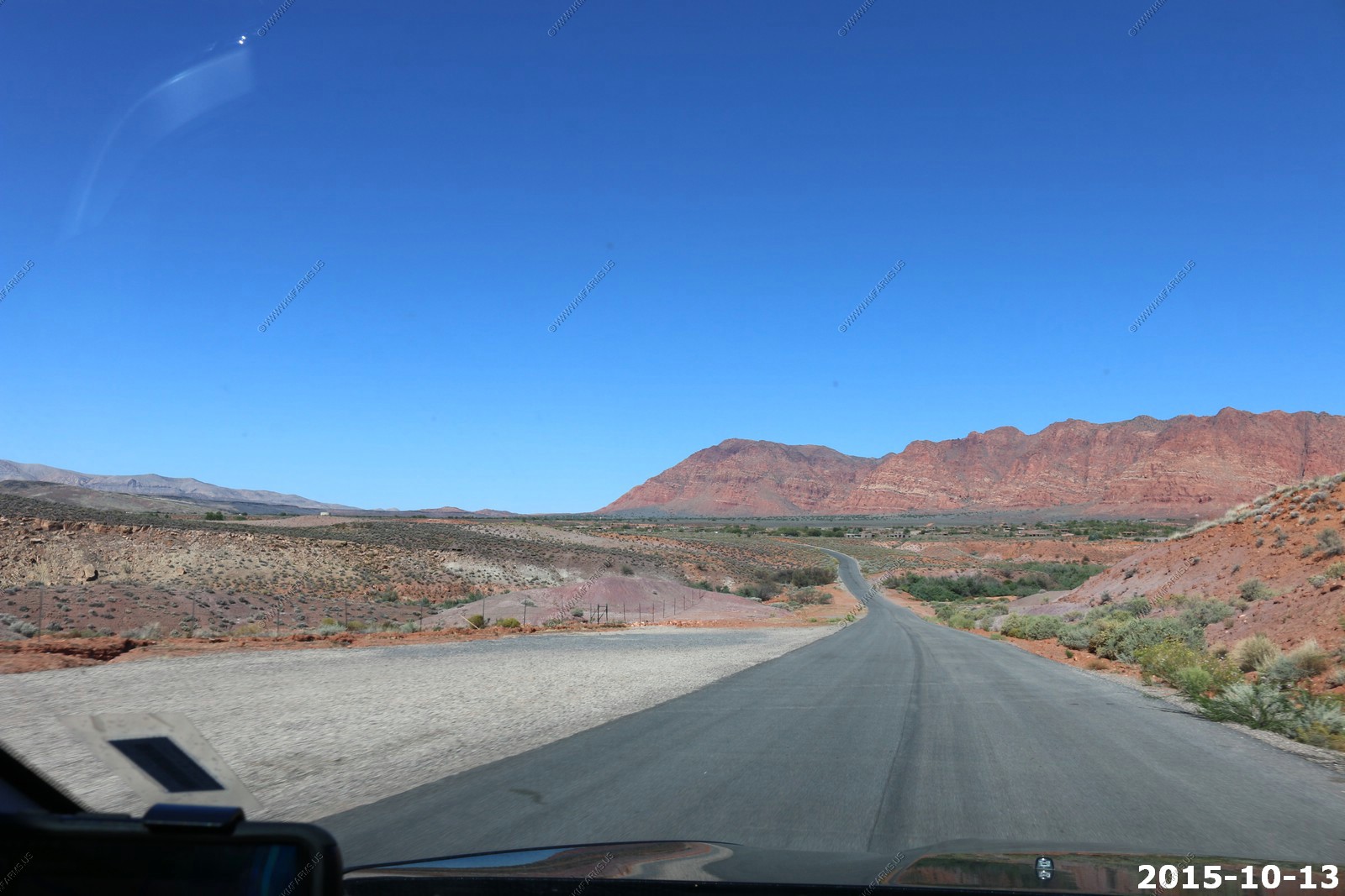
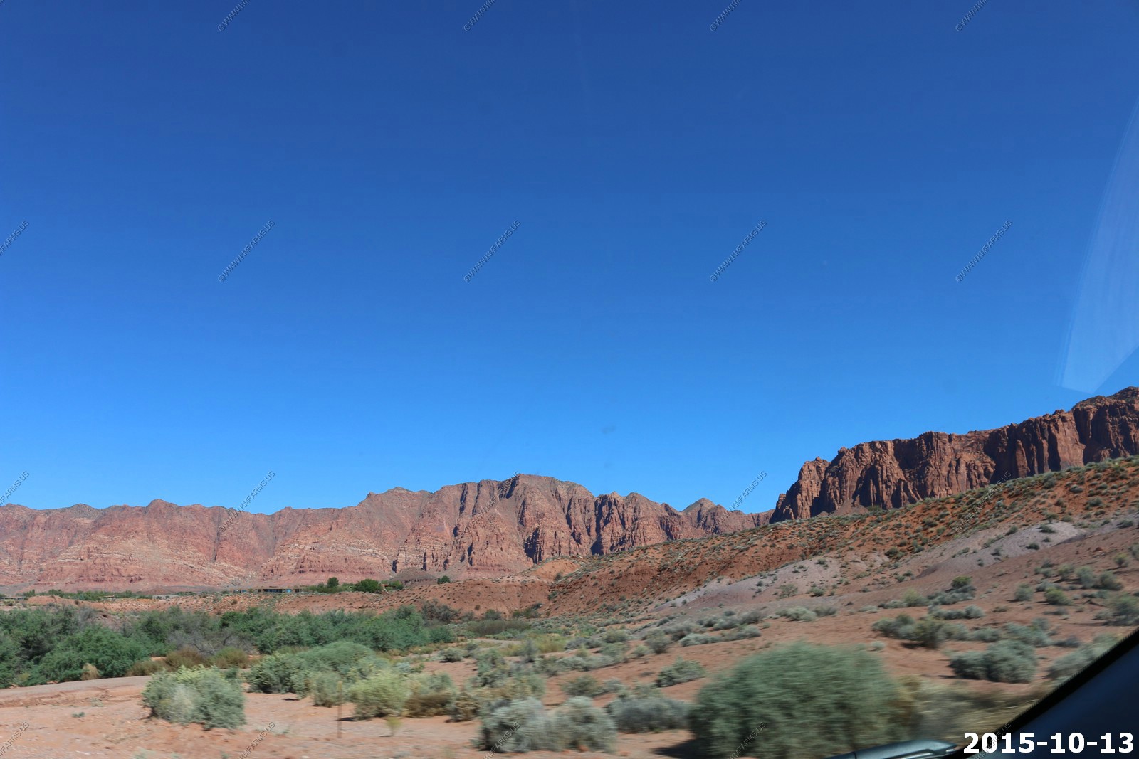
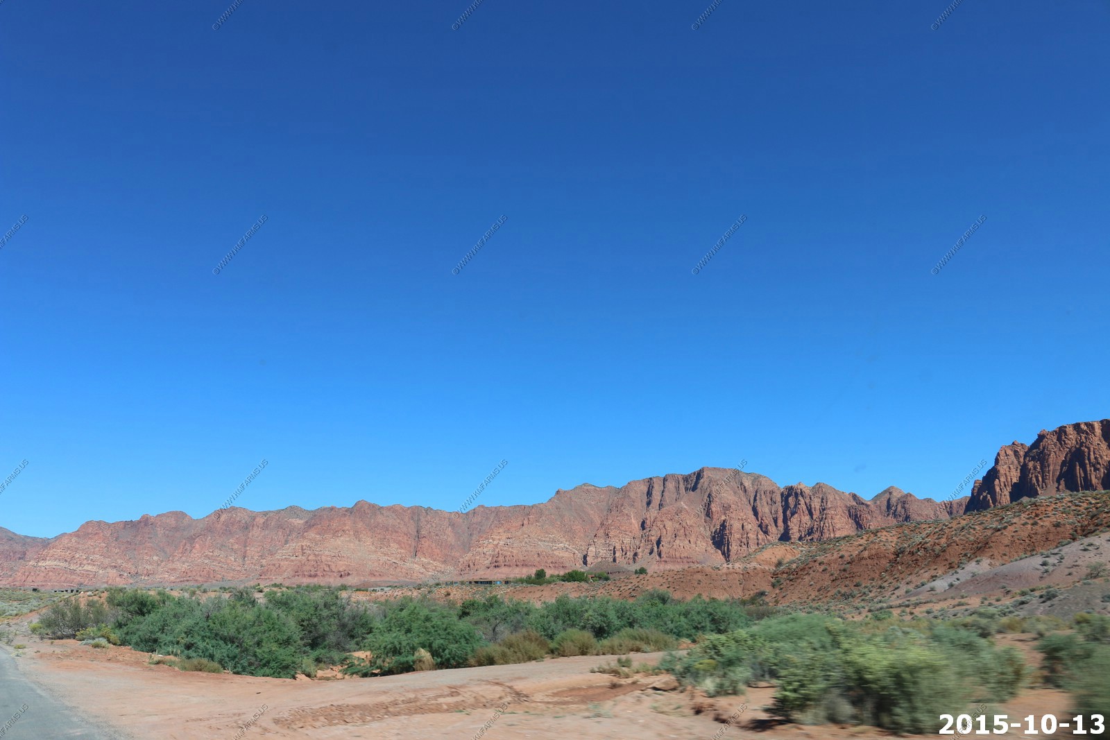
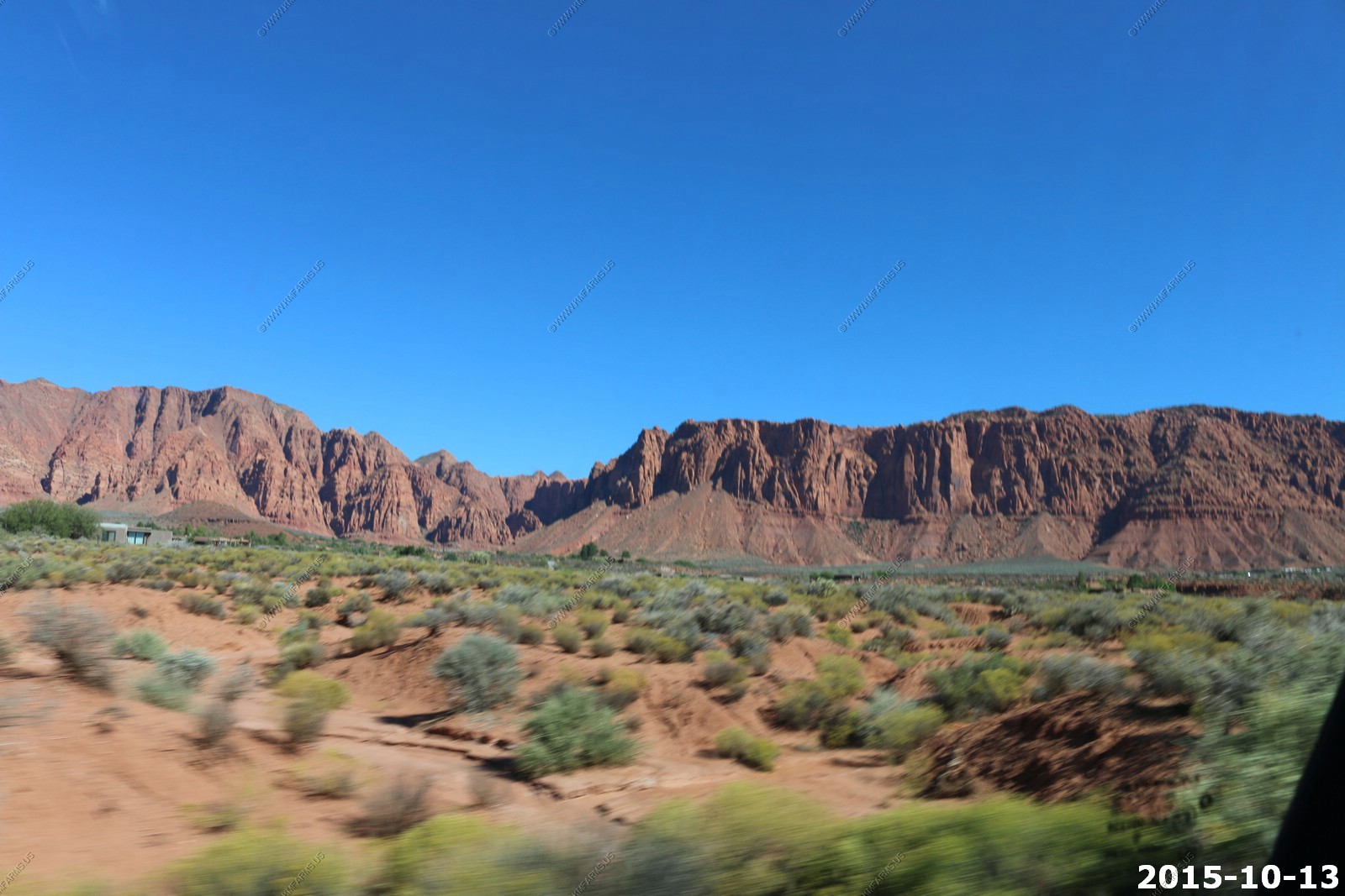
Looking north from the developement. Pine Valley Mountains on the center left and Hurricane, Utah on the right.
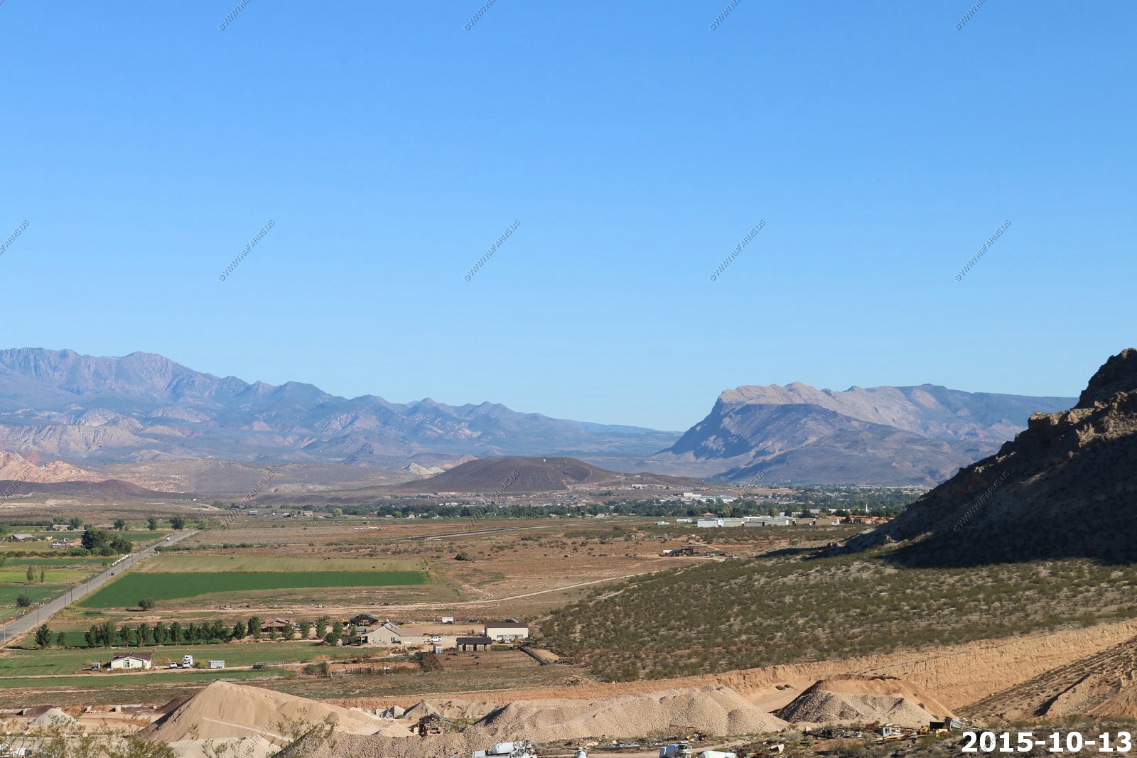
Pine Valley Mountains
Beaver Dam mountain range on the Nevada / Utah line. It's on the other side of the St. George area. El. 7680 Ft.
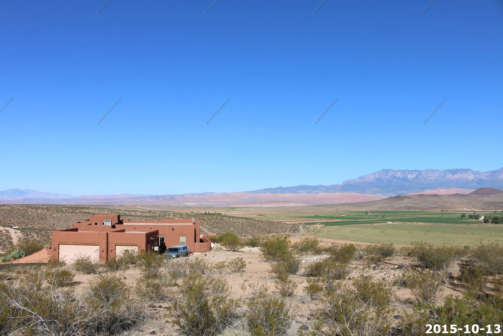
The house we rented. We liked it here. At first I was dissapointed that we could not rent in the western part of the valley. The area grew on me and renting allows up to make an evaluation of the area. It was quiet here and very close to an amazing amount of recreation opportunities literally a mile from the development. BUT, one big problem was the Hurricane cliffs that were too close to the house. I did not like how it would take a couple of hours after sunrise to get sunlight on the property. In the summer I don't see it as problem but in the winter it would not be good.
Off for our last ride thru Keyenta
The Realtor told us that this notch (center on mountain) was man made ?
Various views driving around Kayenta. We stopped at the Art Village. Again lots of friendly people.
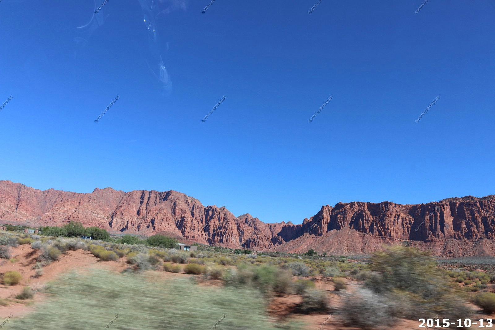
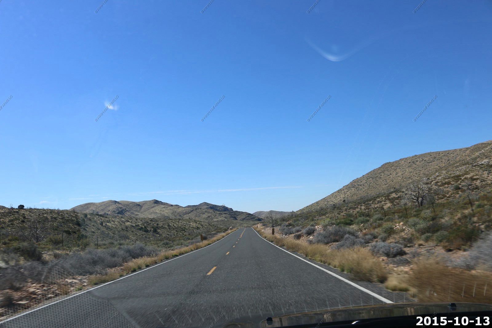
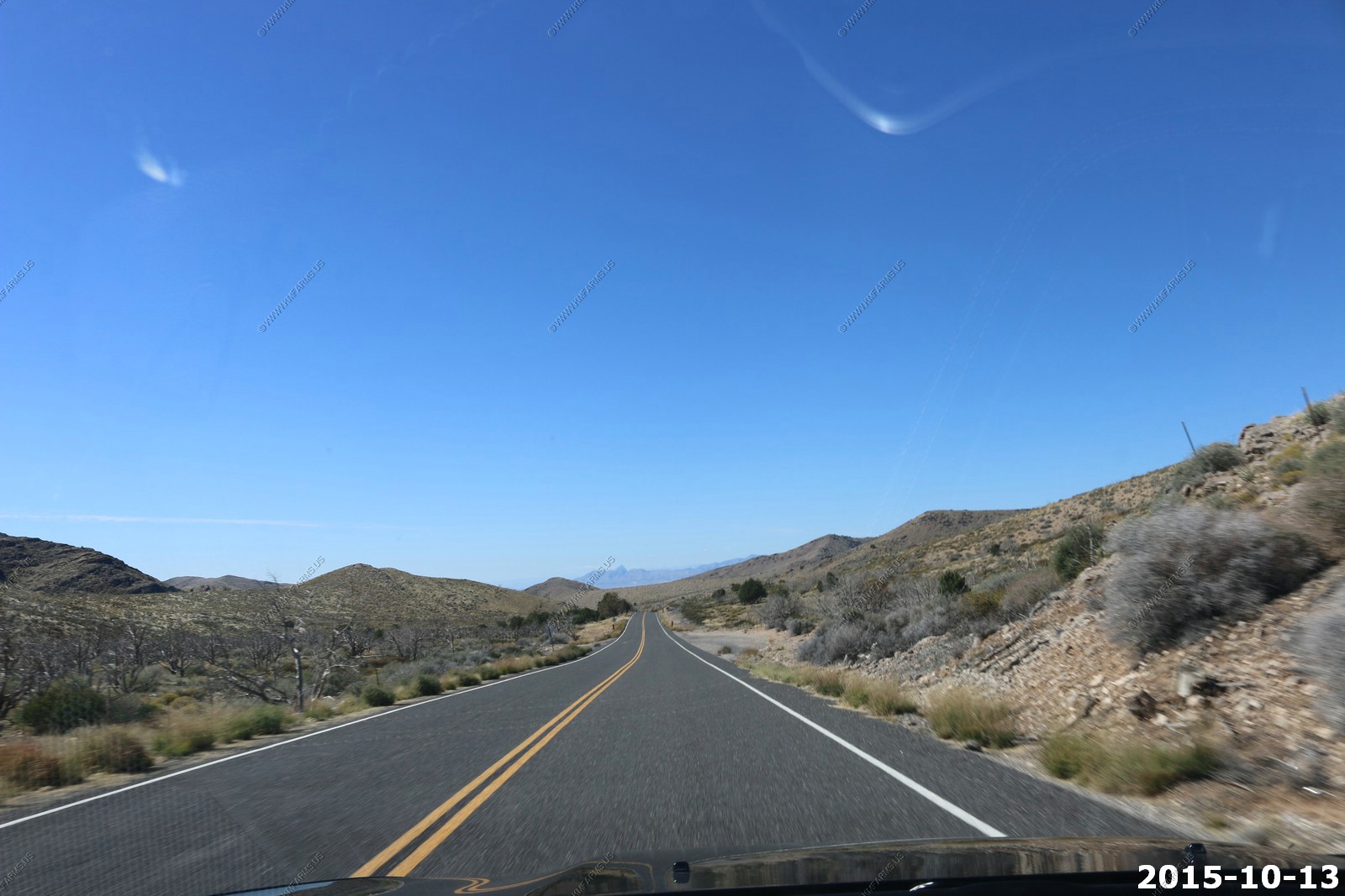
Time to head back to Las Vegas. We headed south on Old Highway 91
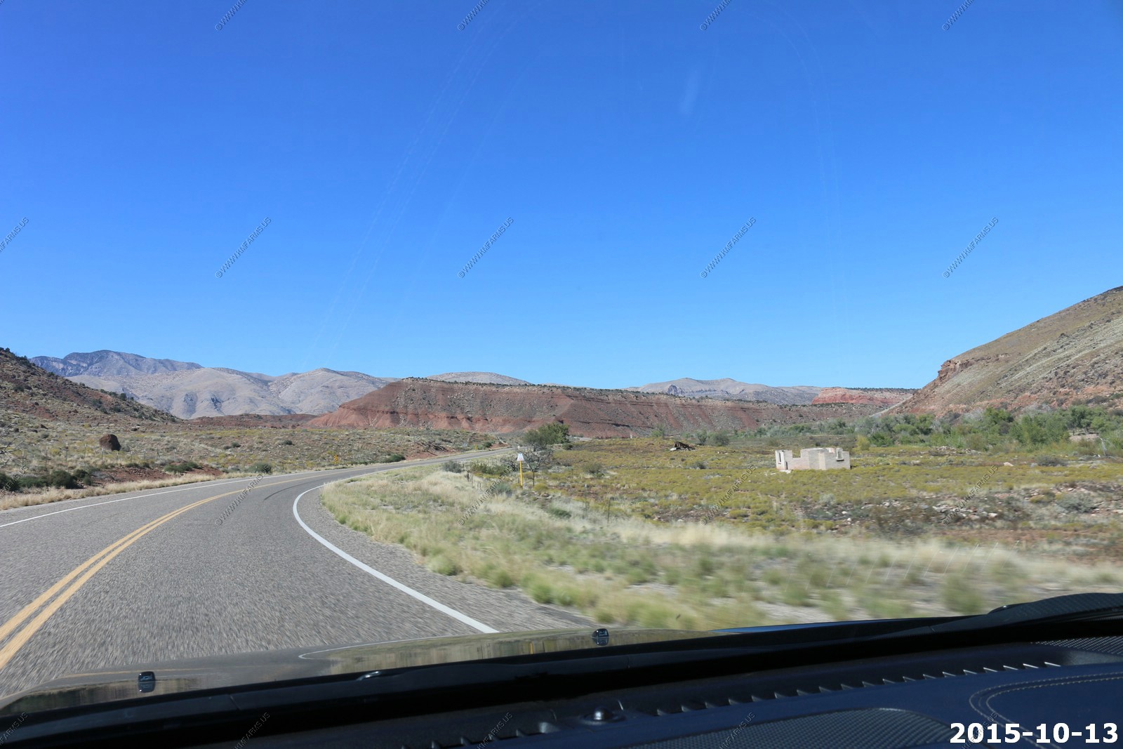
Las Vegas 113 miles & UT-91 views
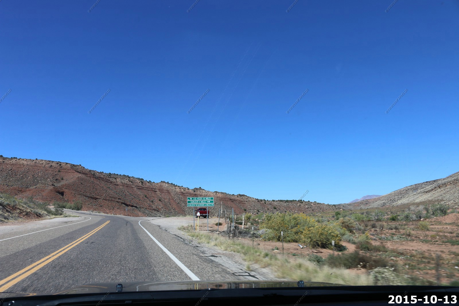
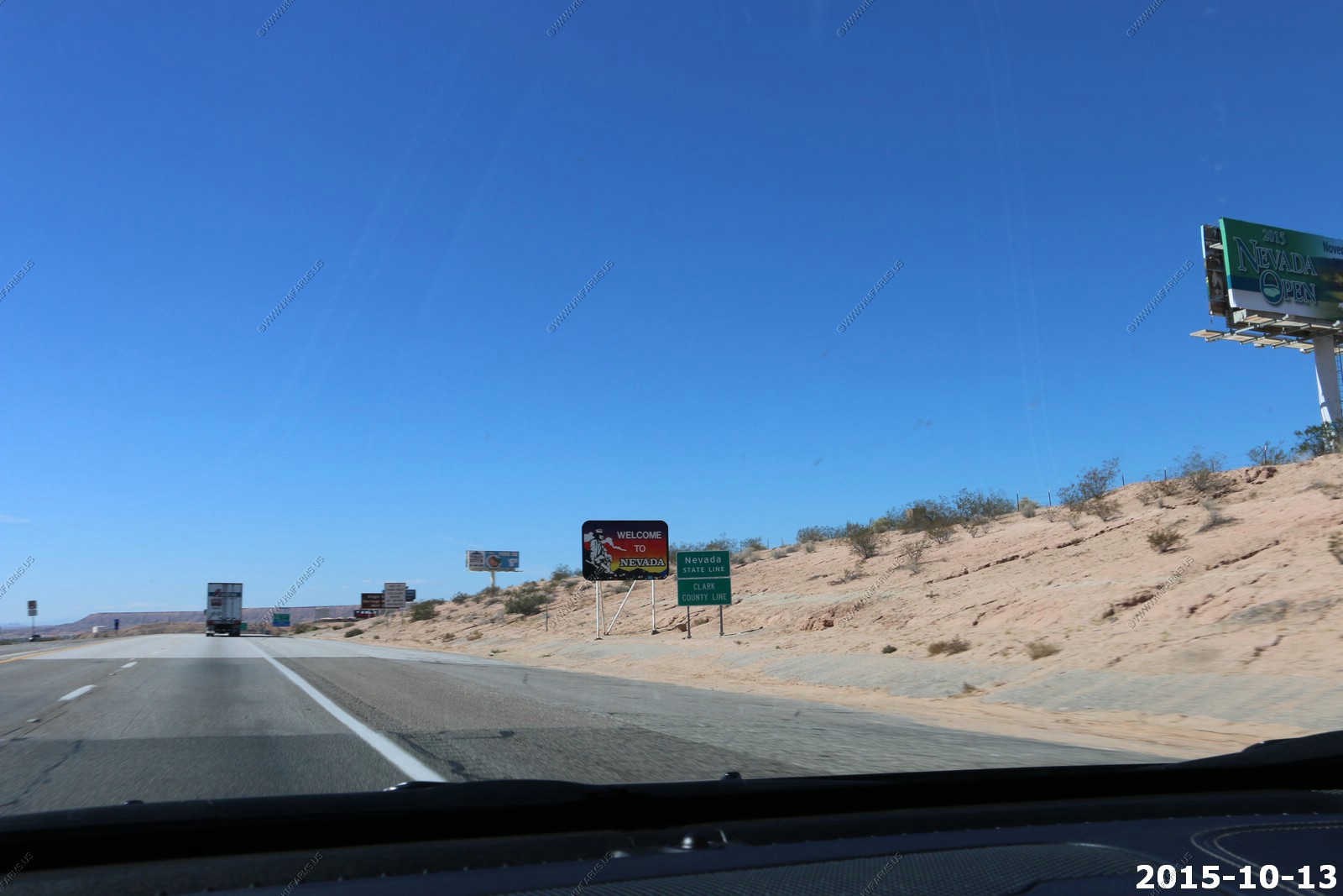
Back in Arizona for a bit

Welcome to Nevada along I-15
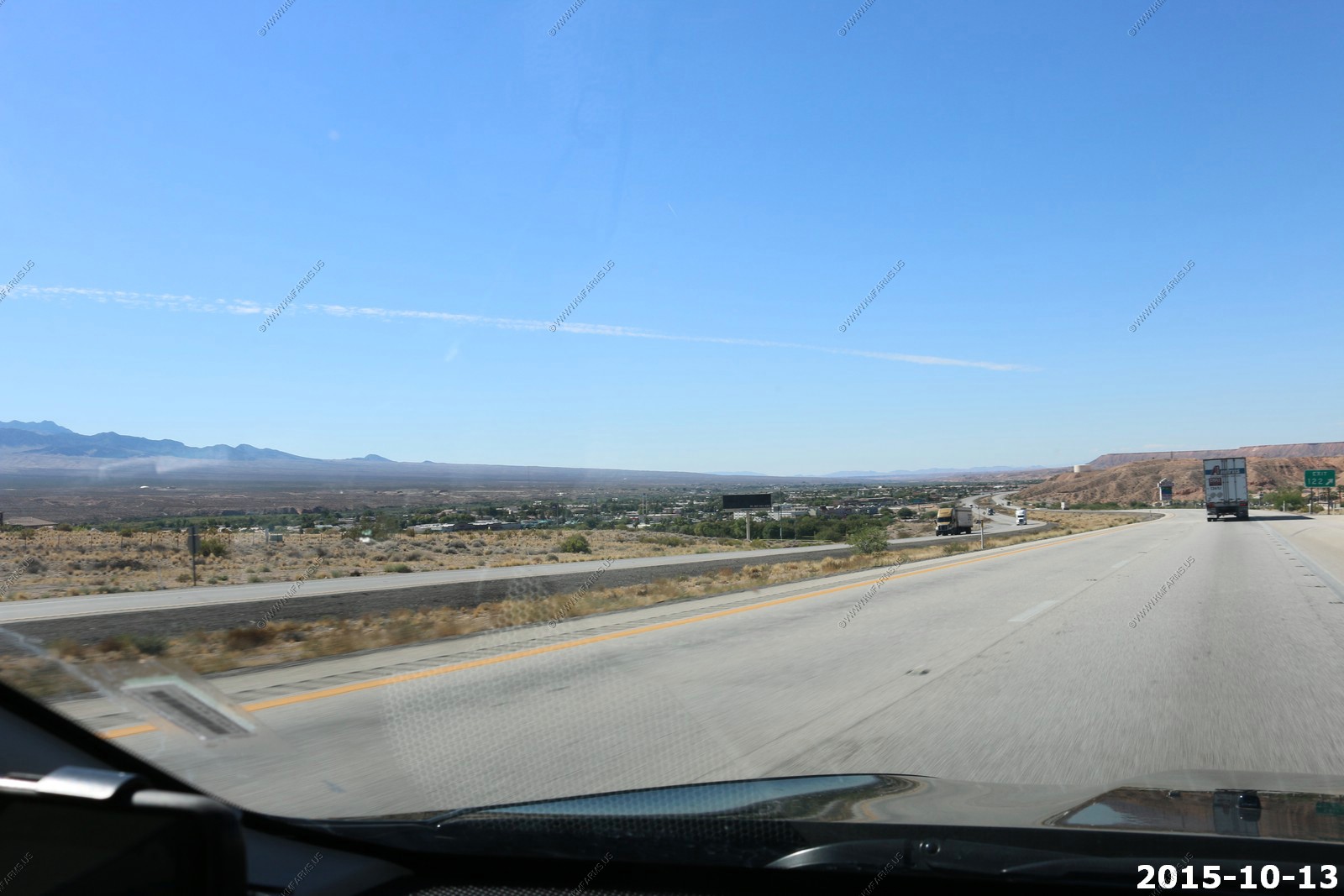
Exit 122 Mesquite / Bunkerville, Nevada Where the best booze stores are if you live in St. George.
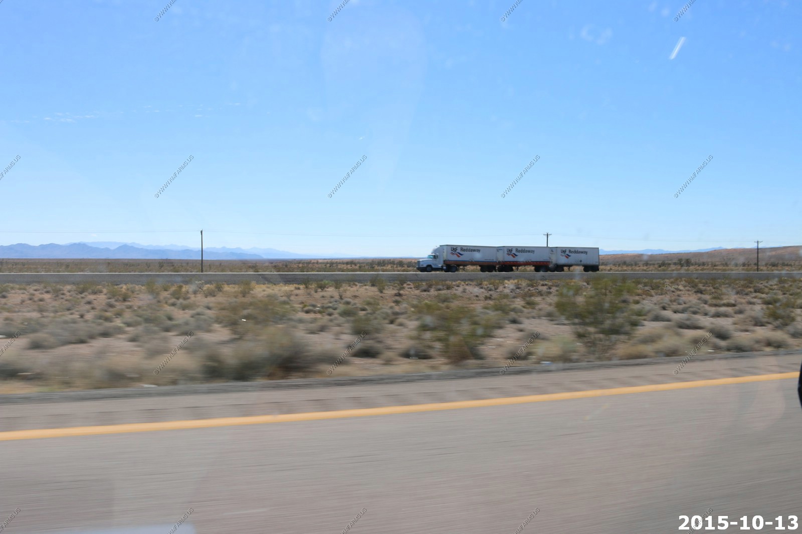
Triple trailer on I-15
Clouds over Mt. Charleston EL. 11,916 ft.
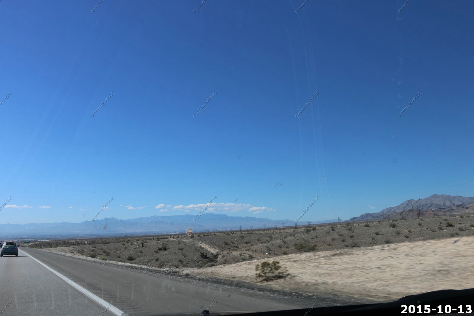
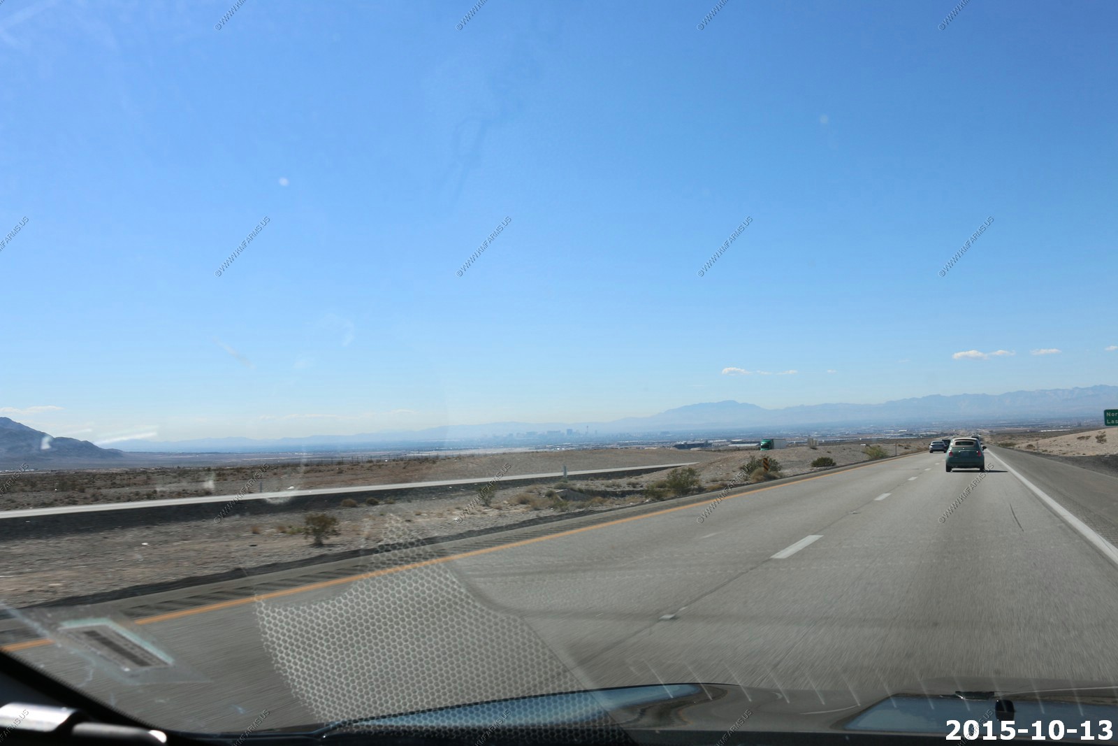
Las Vegas
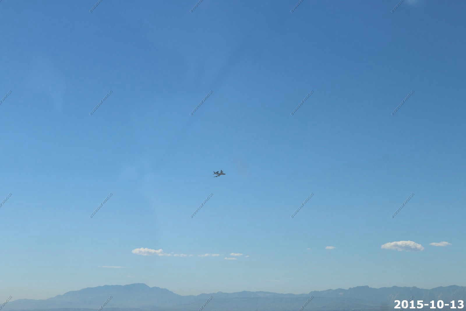
The Boeing E-3 Sentry, commonly known as AWACS taking off from Nellis Air Force Base (LSV/KLSV). Probably heading up to the test site for an exercise.