Last Updated: 11-MAR-2023
This was our second trip to the Tucson area as these trips had two purposes, vacations and to check out the area for possible future relocation
We researched the St. George, UT area in the fall of 2015 for relocation / retirement. The full story of that trip is here St. George, UT - Trip OCT-2015 I have some of the logic that got us to St. George, UT on the front page. Will not go over that again here.
AREA RESEARCH AND THE DECISION - We wanted to check out the Tucson, Arizona area after watching the temps in St. George, Utah over the winter as we did not like what we were seeing. We wanted it much warmer. I lived in Phoenix back in 1984, 1985 and I did not want to go back to that polluted, congested massive city. Sure, Phoenix (The valley) is better than living where we are now but I want to live someplace without crowds. For what we are looking at in a home the only area in Phoenix that we could find the good life is in the UPPER Scottsdale to Cave Creek to Fountain Hills area and that really limits our choices.
SO WHY TUCSON
The weather - As I get older I like it hotter and I hate winter & and the gloomy weather. So, this area has excellent weather when you look at the southwest. Yes, it goes over 100 in the summer but it cools off at night more than low urban desert areas like Phoenix. Yes, it does get snow but its quickly gone and being retired I have no place I need to go anyway. In the summer if I want to have a cool day, I have a number of places within 2 hours where I can go over 9,000 feet so I can find 70's day and 40's at night even in July. I don't want ANY yard work so the houses we are looking at are close to 100% desert landscaping which is what we want. After spending the last 17 years dealing with 5+ hrs. a week mowing grass as I have seen enough yardwork!
Urban problems - After living with all the drama of Baltimore which is along the route that I commute and where Mary works, I want to live in a very non-urban area. We are looking at the NON-urban rural parts of Tucson or the small towns East of Tucson so no urban issues. Also, the traffic in Tucson compared to Baltimore & Washington is not an issue at all.
Crime - Tucson city has crime. In fact it has some of the highest property crime in the United States. Where we are looking its very low comparable to where we live now. As we refine the areas that we are looking at crime is not a problem. In fact many of the homes are in gated communities and a couple of our top homes, have its own gate inside of the gated community. It's funny that some of the more urban homes that come up in the searches have bars on the windows and security doors. Not sure why someone would spend 700K or more on a house in an area like that. Also, Arizona is a VERY GUN FRIENDLY state and like I do here, I will be armed all the time so that lowers the risk of someone getting away with something.
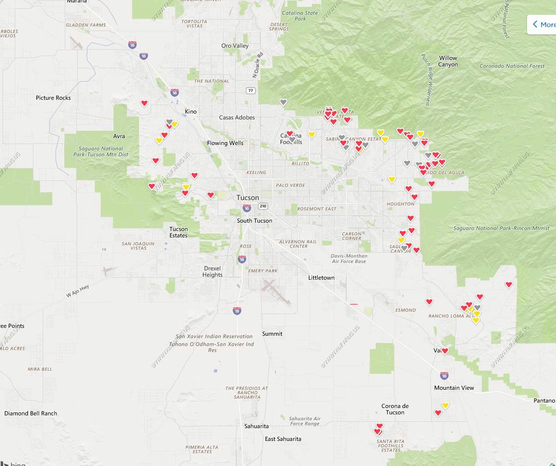
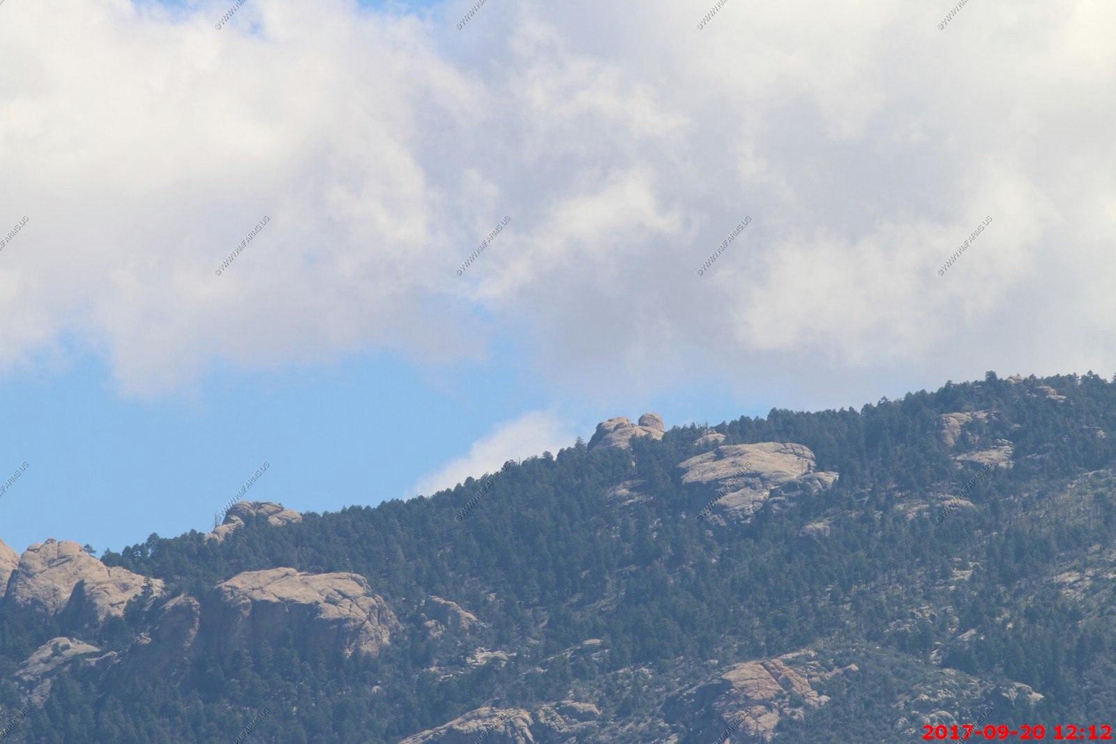
The hearts in the image below show where we are currently looking at houses in the Tucson area. Targeting the valley edges and we prefer the upper right side (North East) area.
Guns - Extremely friendly - Pennsylvania is a gun friendly state but it's becoming surrounded with liberal states so it's only a matter of time before it falls. Arizona is even better than Pennsylvania.
TRAFFIC / POPULATION DENSITY - Very low in the areas we are looking at. It does increase in the winter when the snowbirds vacation in the area.
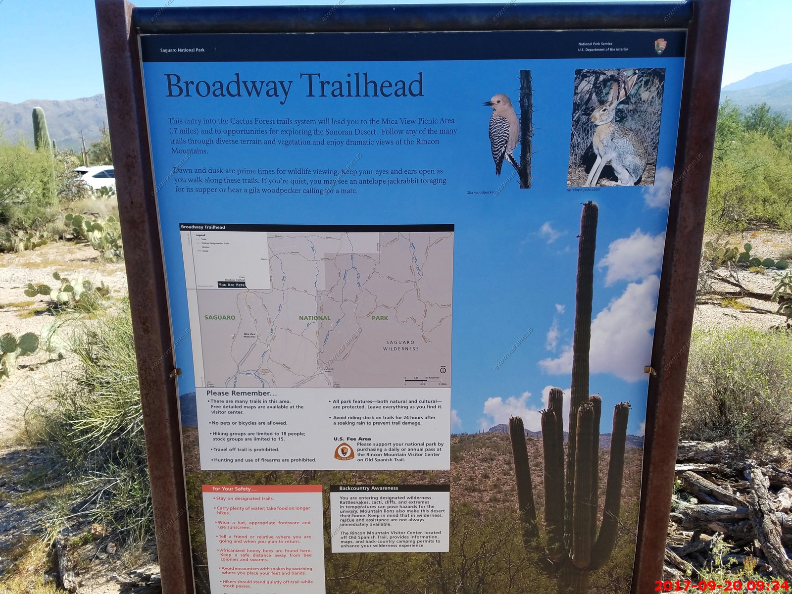
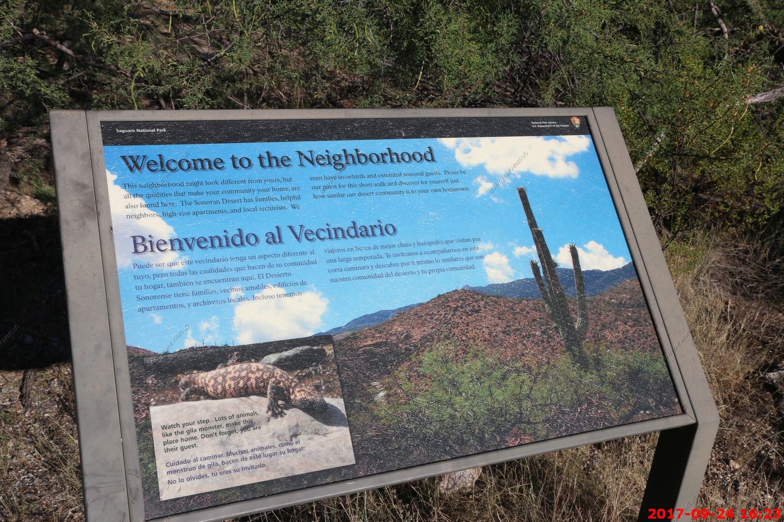
HIKING - Some of the homes are within walking distance to Saguaro National Park. Literally 100's of world class trails are within a few hours of Tucson.
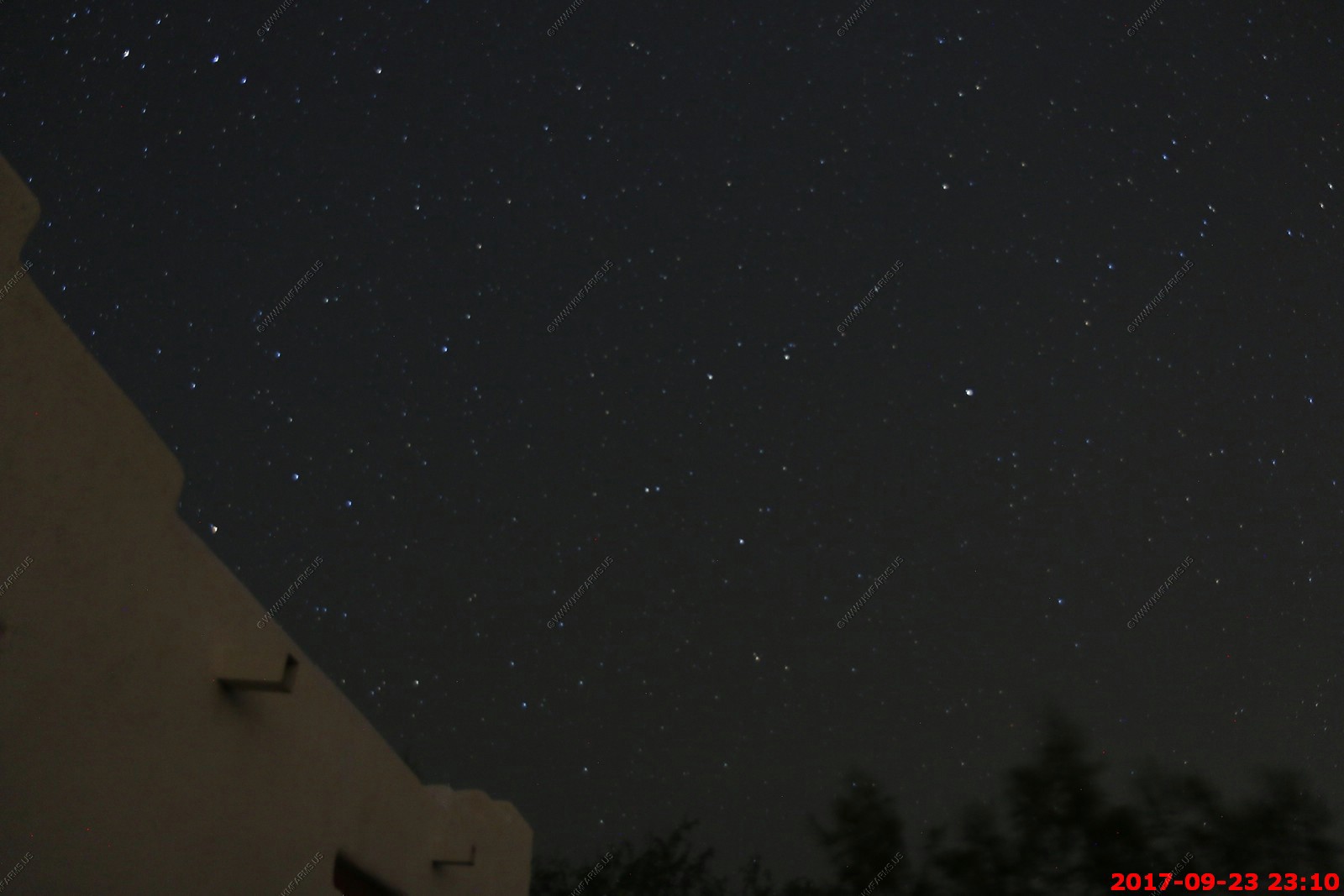
NIGHT SKY - Tucson has ordnances regulating lighting so your chance of having some crazy neighbor installing streetlights all over the place is less. You could easily see the milky way every night even close to town. Numerous star parties occur monthly at various federal & university astronomical facilities within an hour or so from downtown Tucson
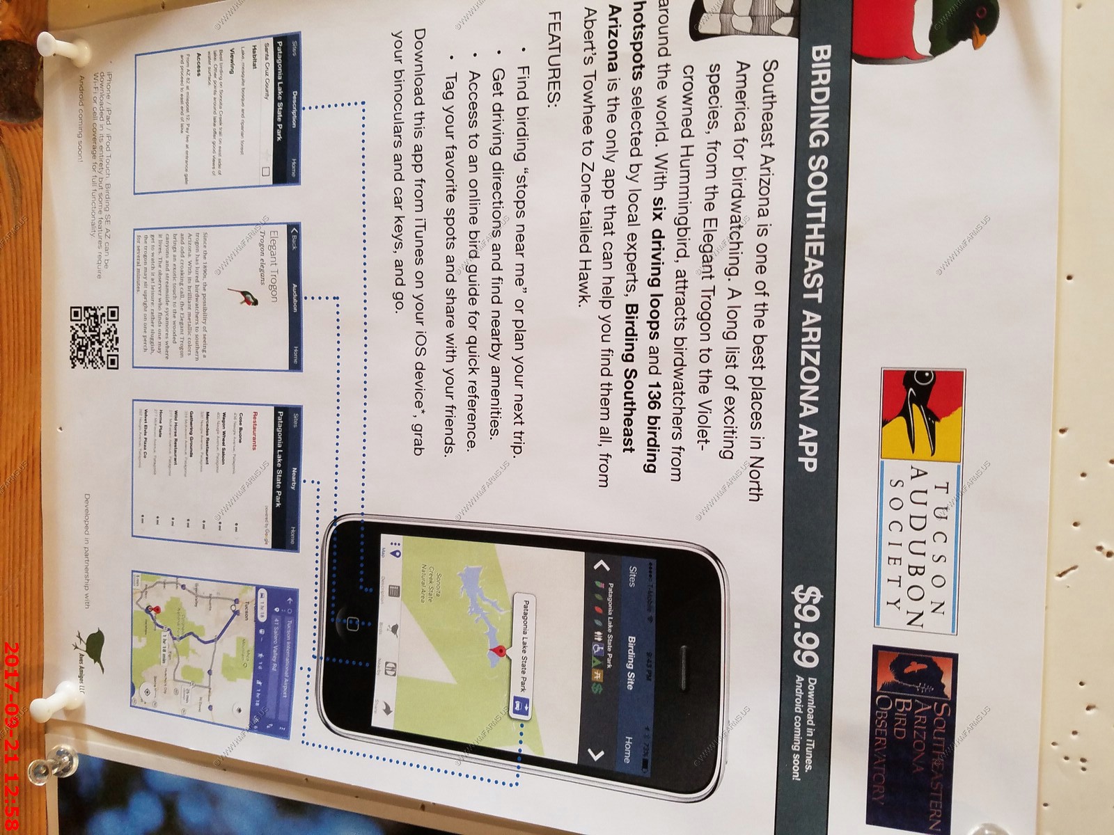
EXPLORING - A lifetime of opportunities exist in southern Arizona. From world class birding locations, mountain hikes, Mexico is only 60 miles away so plenty of places to visit away from the border areas. Also, the beaches of Mexico & Southern California are a easy 1/2 day drive away.
WHAT ARE WE LOOKING FOR
We are experts in looking at houses and properties. After the complete renovation of this house as well as considerable renovation of Mary's house we know what we want.
Over time this requirements list changes (as of fall 2017)
As for property, we want privacy, low maintenance (desert landscaping), security, very quiet, CITY WATER (NO WELL or WATER TANK) internet access, cell phone service. We want a community gate or setback to install our own additional gate. Hopefully a DISTANT CITY VIEW. WE REQIRE a couple of ACRES or more to make sure we are far enough away from other houses.
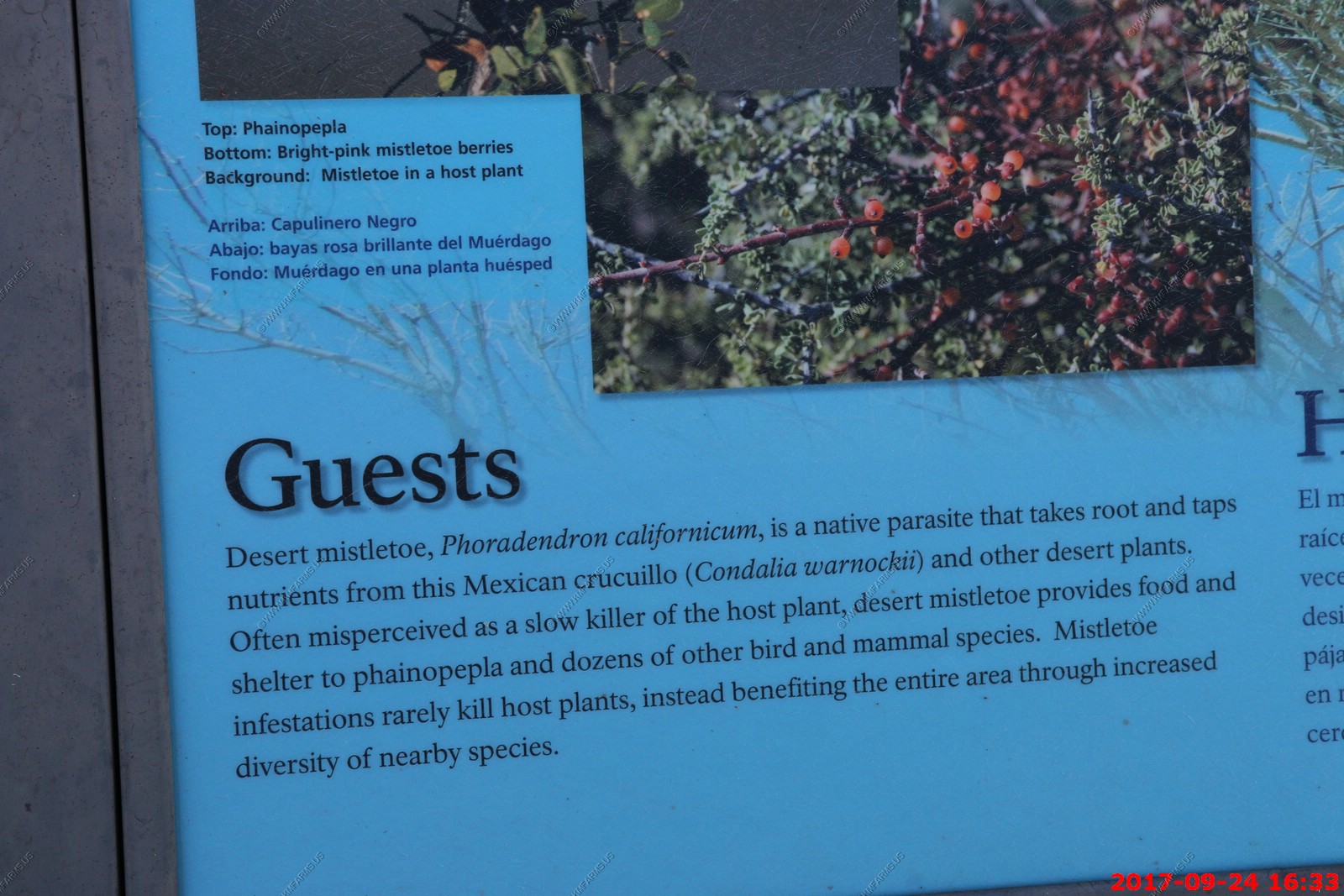
No above ground utilities next to the property. I am amazed that some of the homes that I have really liked and after more research, you discover that the property has high-tension power lines running right across the back yard and in some cases over the pool. The online photos taken by the realtor, purposely are placed at angles that don't show the wires. I am moving to Tucson to have great views and having something like that near or across my property will not happen.
As for the house, we want 3-5 bay garage, more than 3,700 sq. ft. but prefer around 5,000 sq. ft. Why so much ? Hobby rooms, 2 guest rooms. so 4 or 5 bedroom, I am not ready to downsize yet. Pool, hot tub or space for hot tub, pool heating capability, solar power installed or space for it. Very high end kitchen with little to no tile. NO WALLPAPER (went thru hell removing that here - NEVER AGAIN!)
A number of the houses we looked at had various hits on the above list. Currently a couple of the houses we are watching has everything on the list but it's still too early to buy.
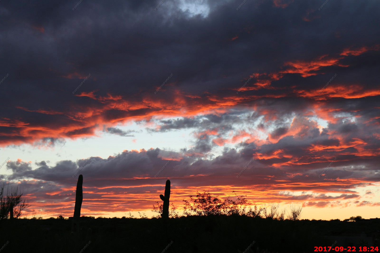
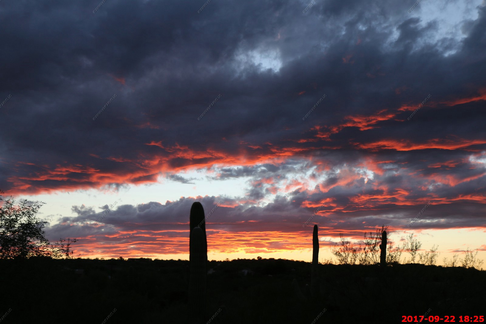
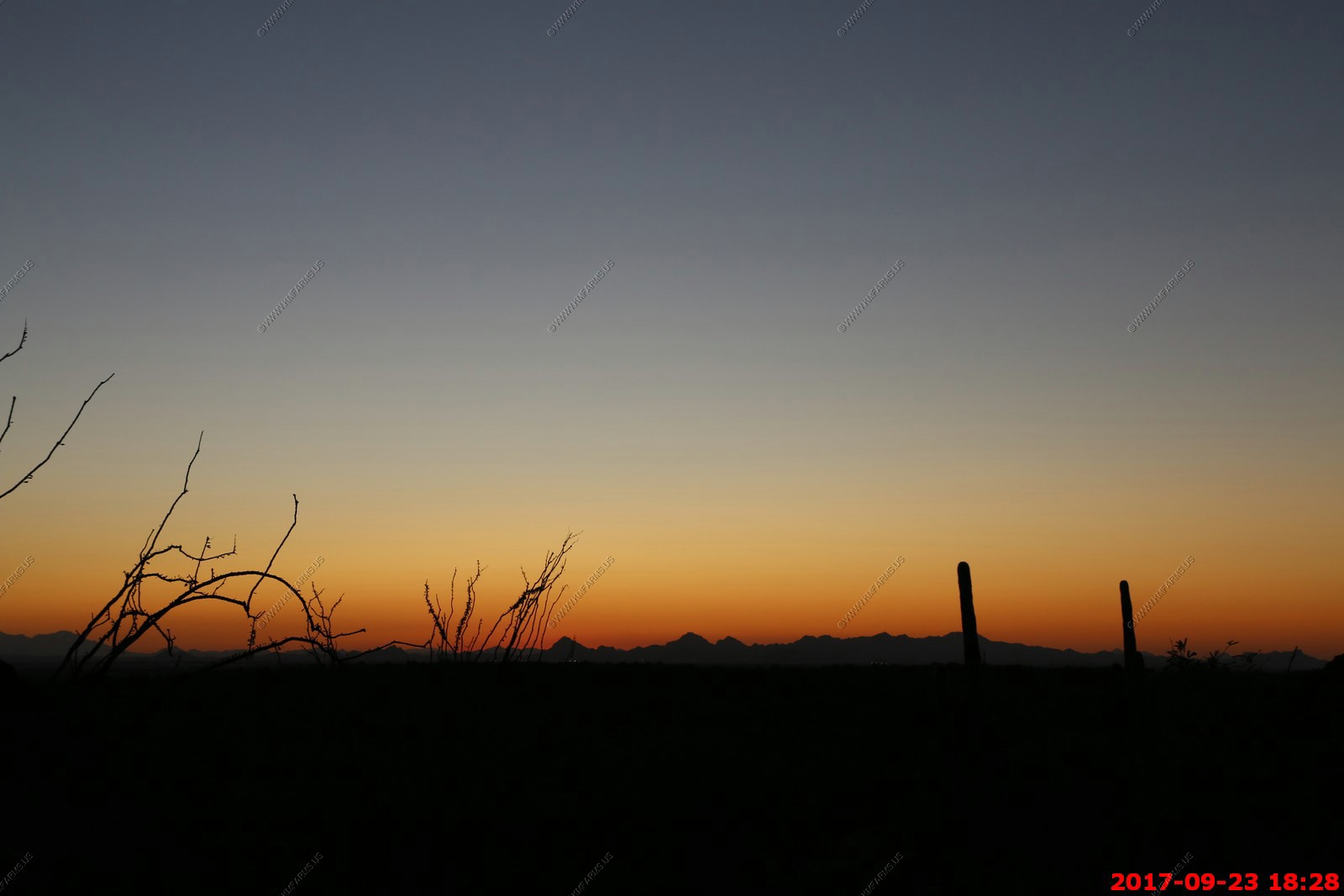
Sunday SEP 17th
Packing time. We go thru this on every trip as they figure out we are leaving. Orange and Tucson want to go

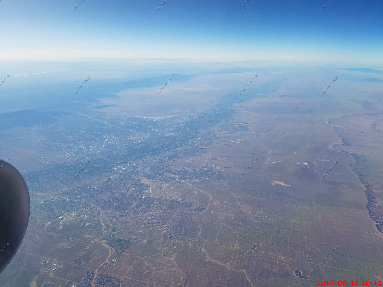
Tuesday SEP 19th
Flying over the Trementina Base is the popular designation for a property of the Scientology-affiliated Church of Spiritual Technology (CST) near Trementina, New Mexico
The huge symbols on the base (Center of photo), distinguishable only from an aerial view (353128.56"N 1043420.20"W), are specifically those of Scientology's Church of Spiritual Technology. Former members of the Church have said that the symbol marks a "return point" for Scientologists to help find Hubbard's works when they travel here in the future from other places in the universe. I guess it sucks that J244 High IFR allows thousands of people a day to fly over and look down on the secret location.
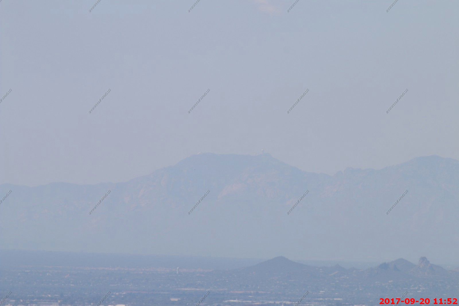
Looking at Albuquerque, New Mexico as well as Sandia and Manzano Mountains
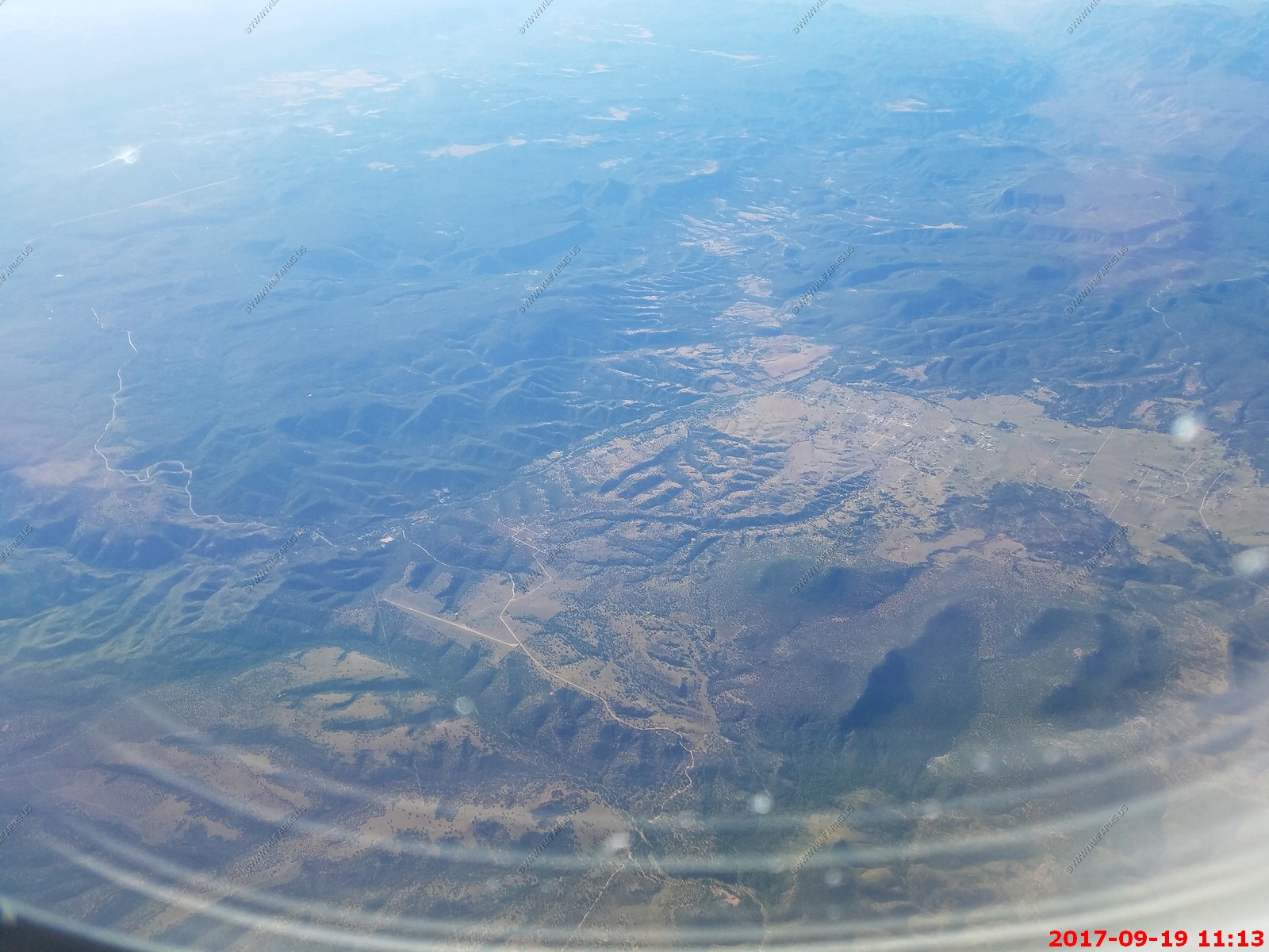
Young, Arizona A interesting and remote place.
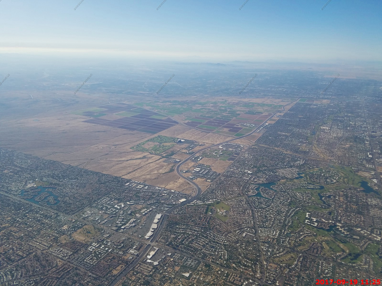
Loop 101 and along where Pima Road was. This where Cademic, Inc. was located before it went out of business due to management issues in late 1984
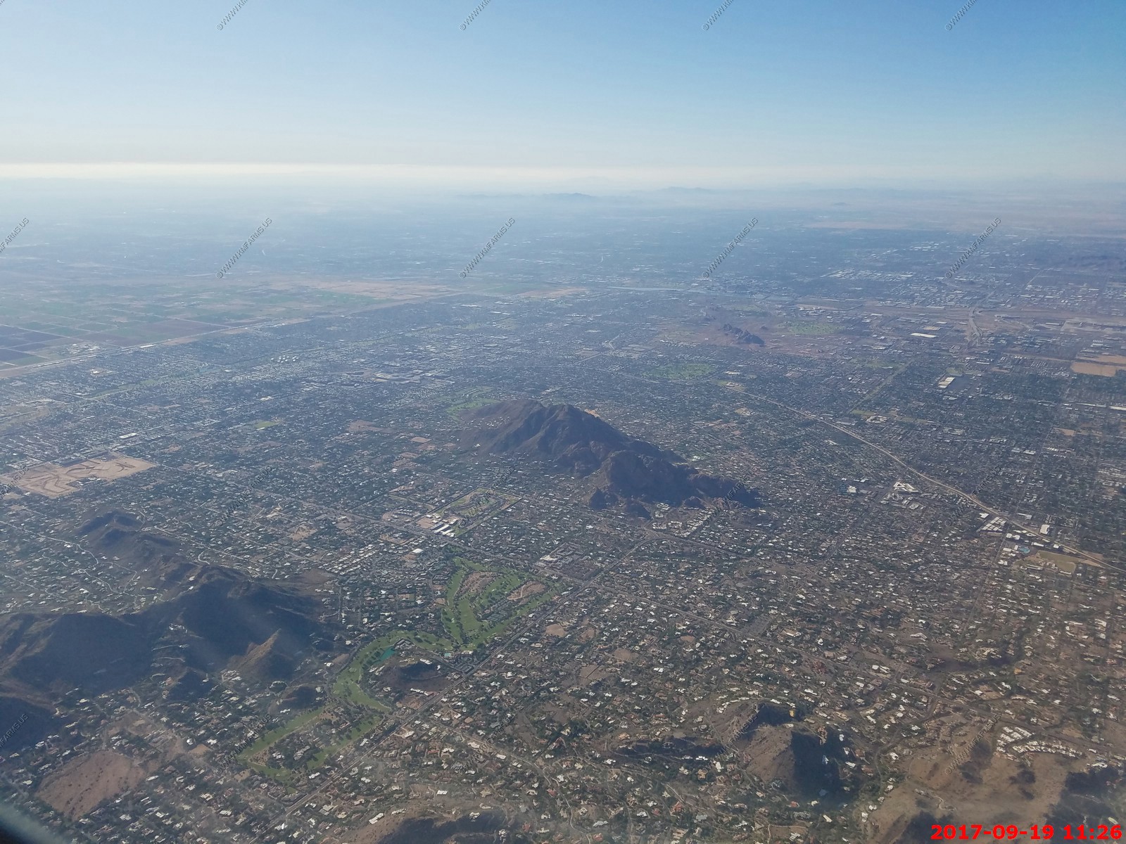
Camelback Mountain in Scottsdale
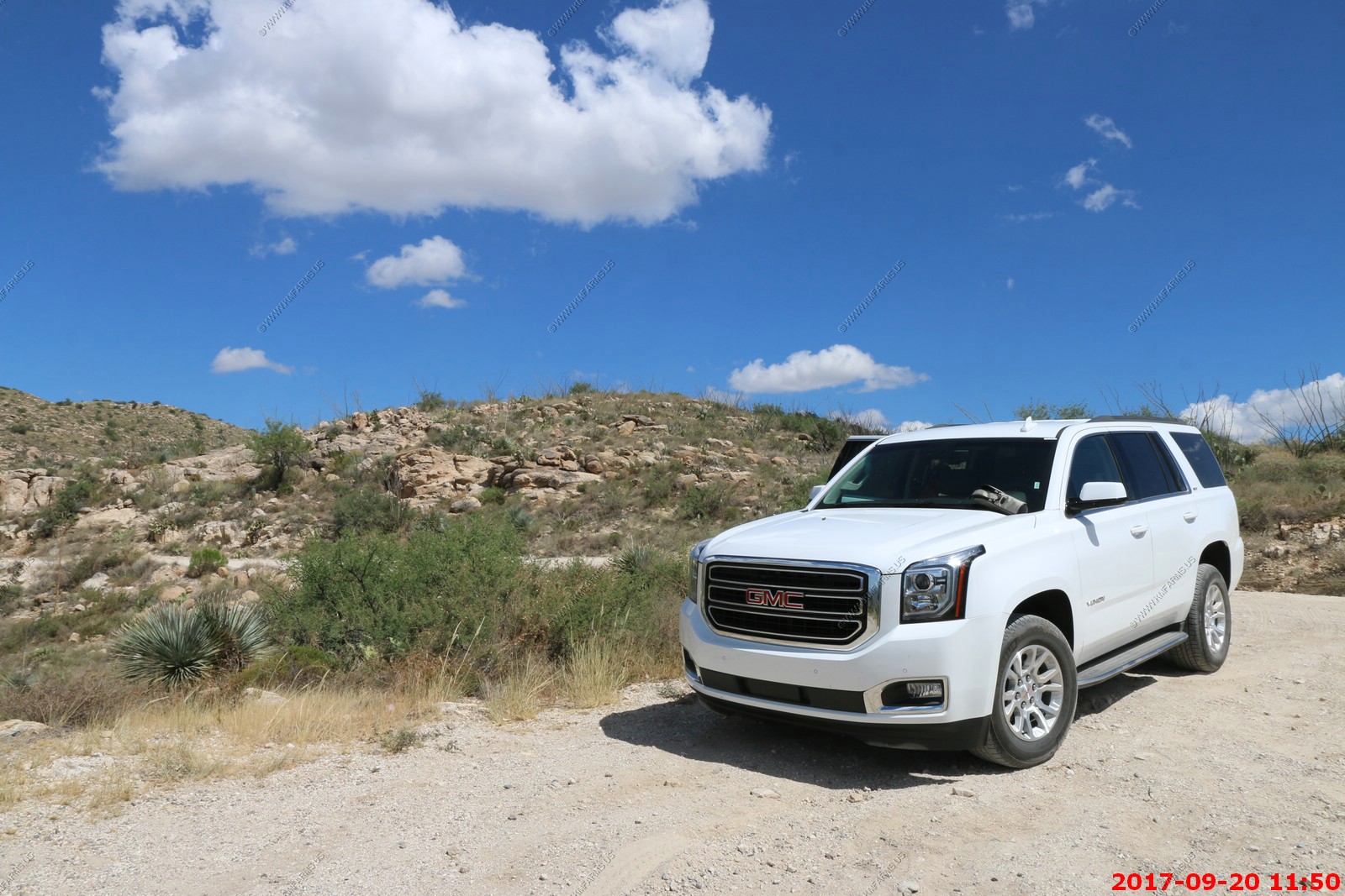
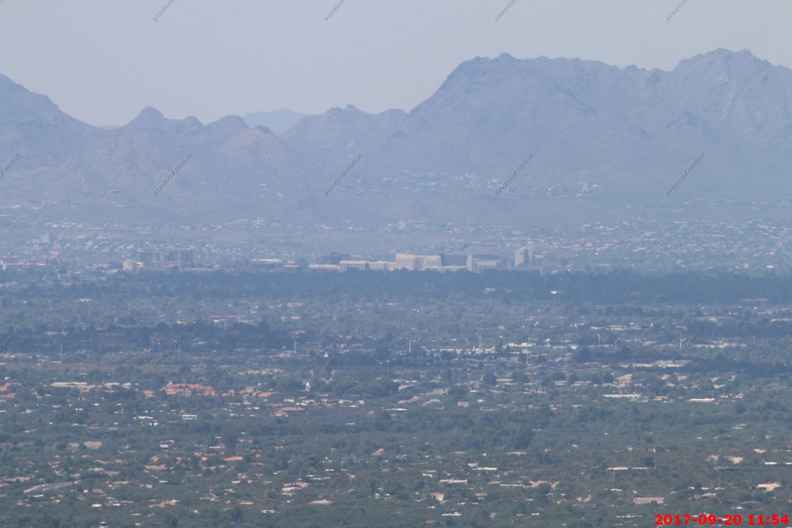
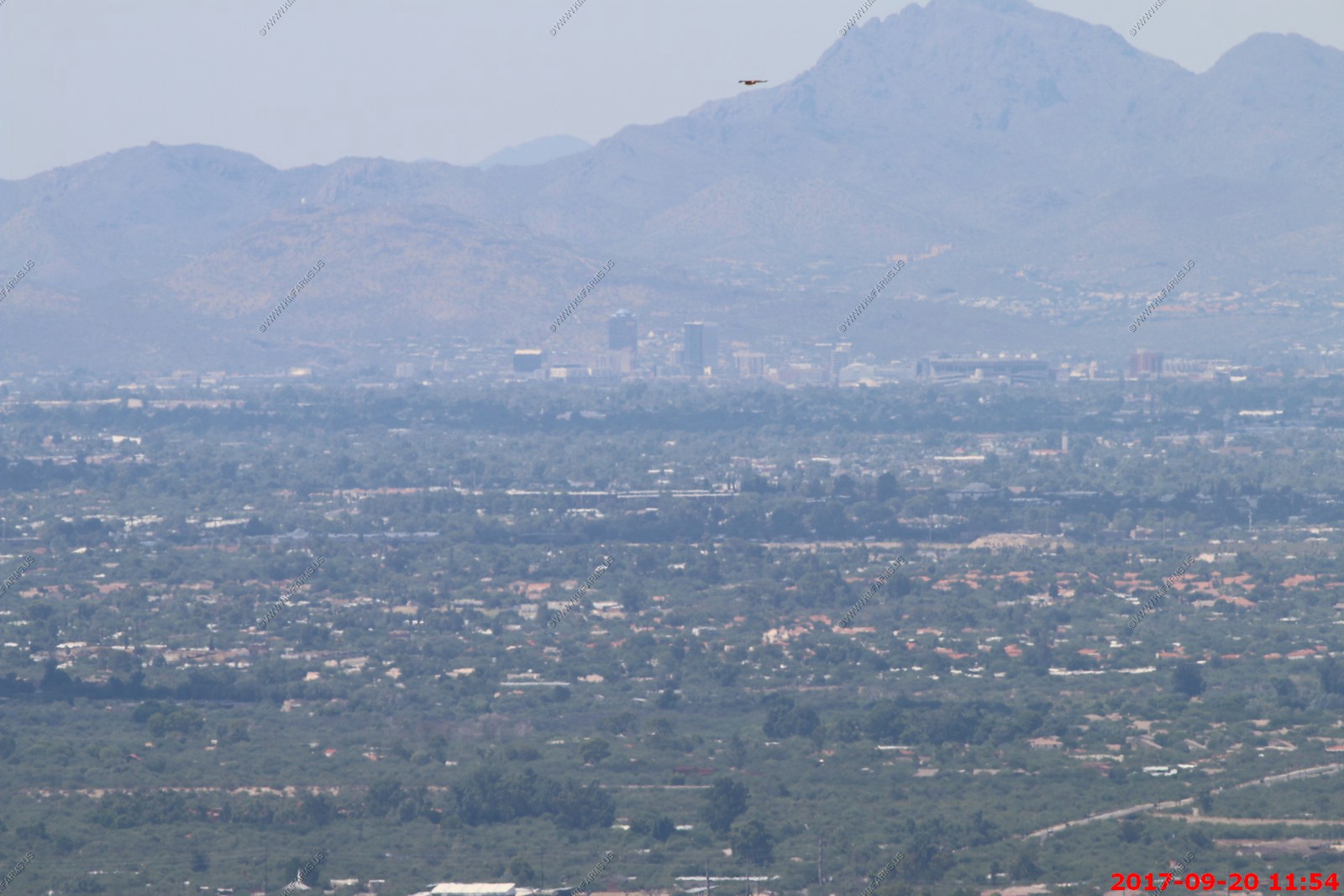
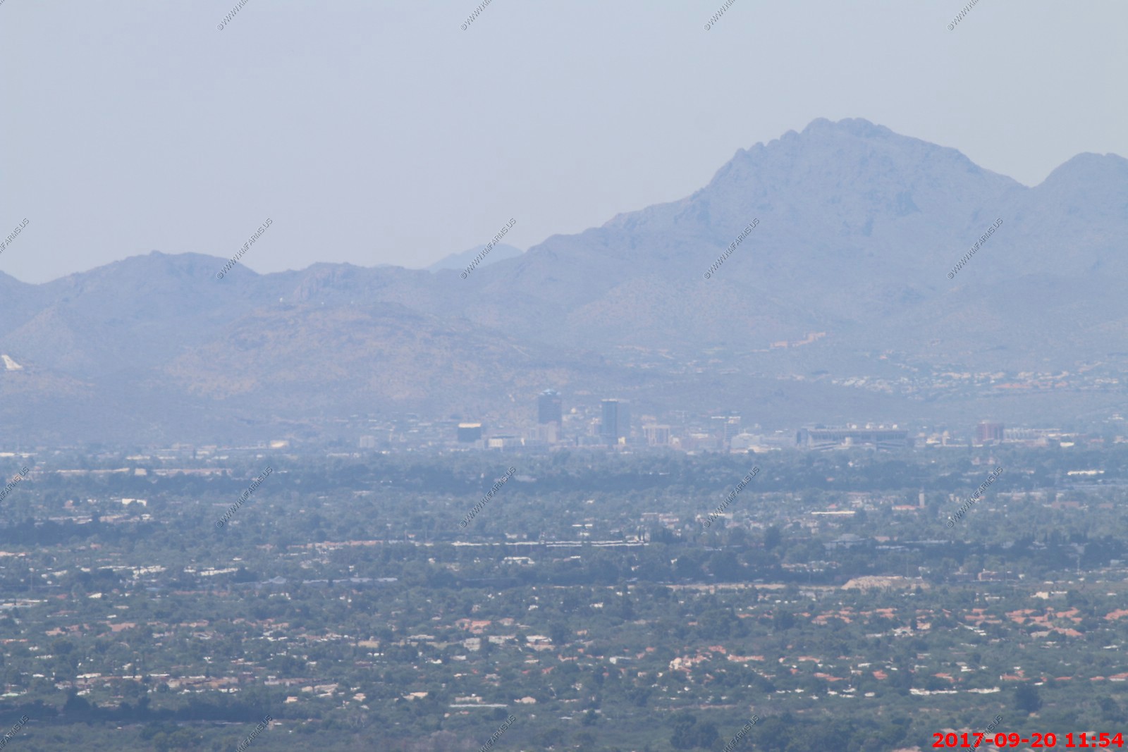
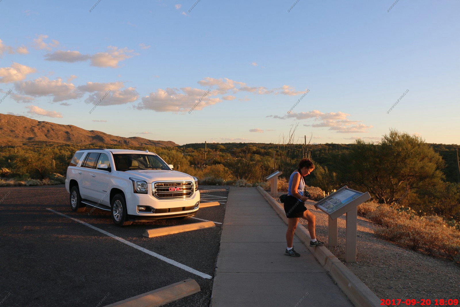
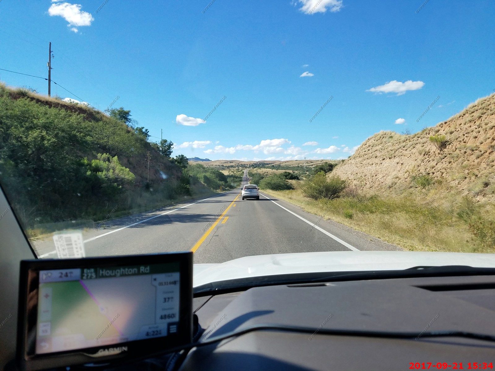
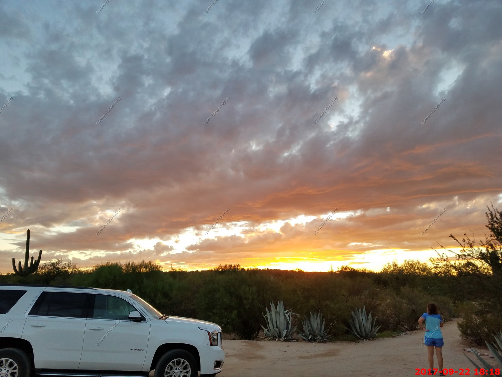
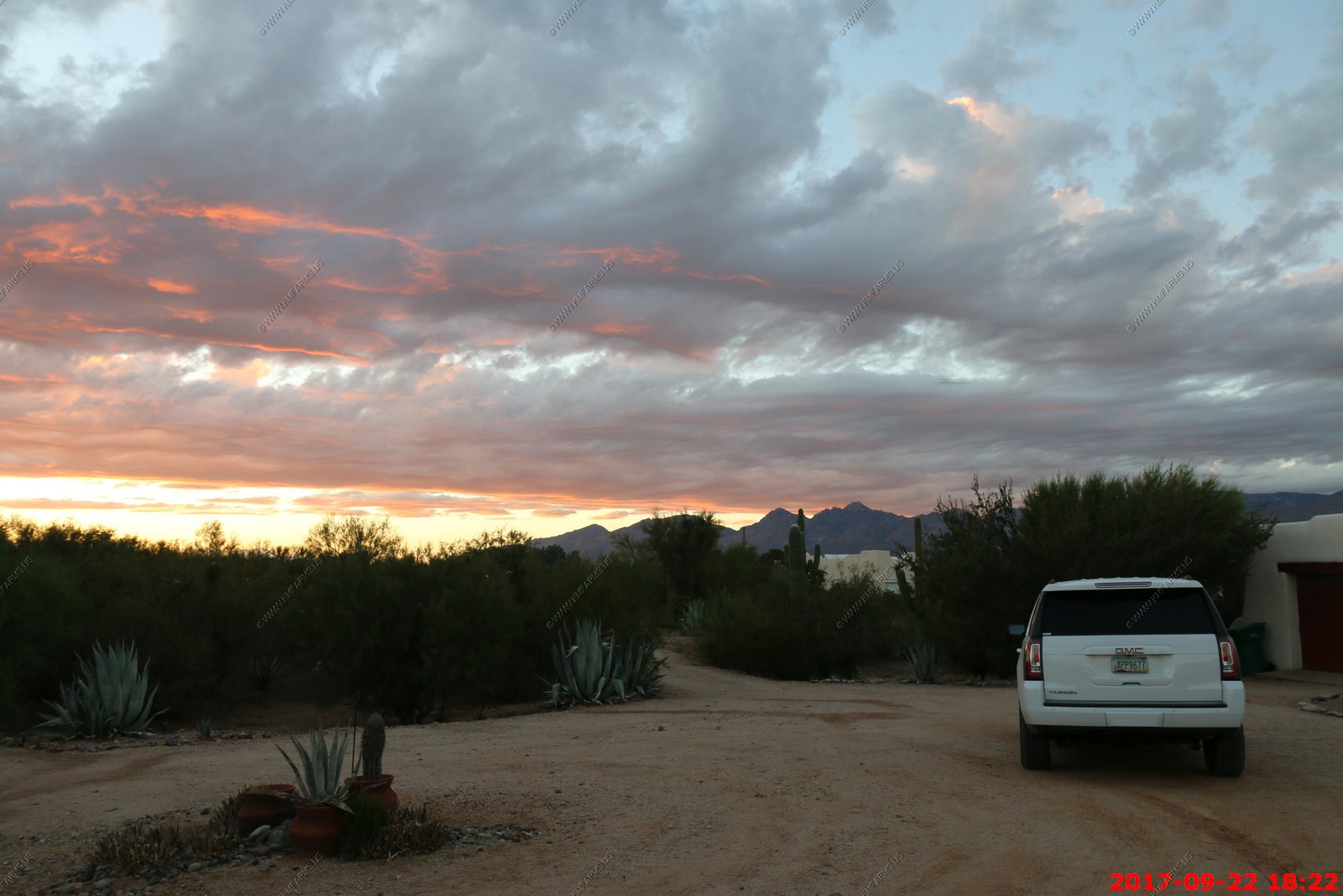
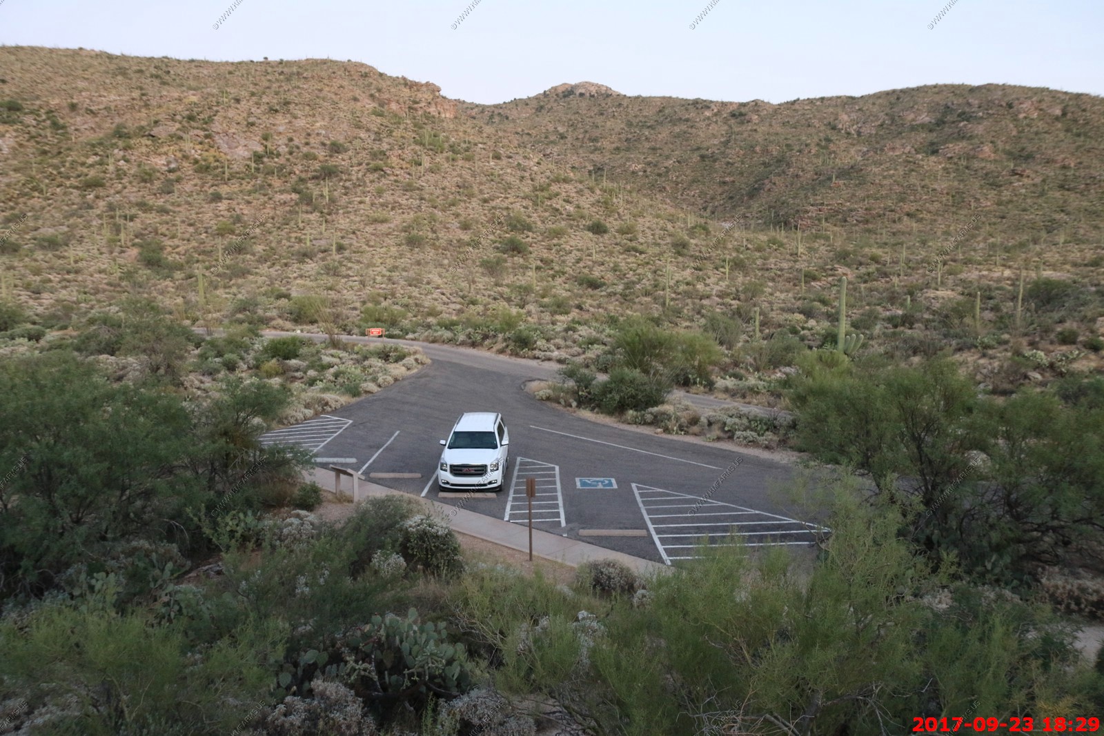
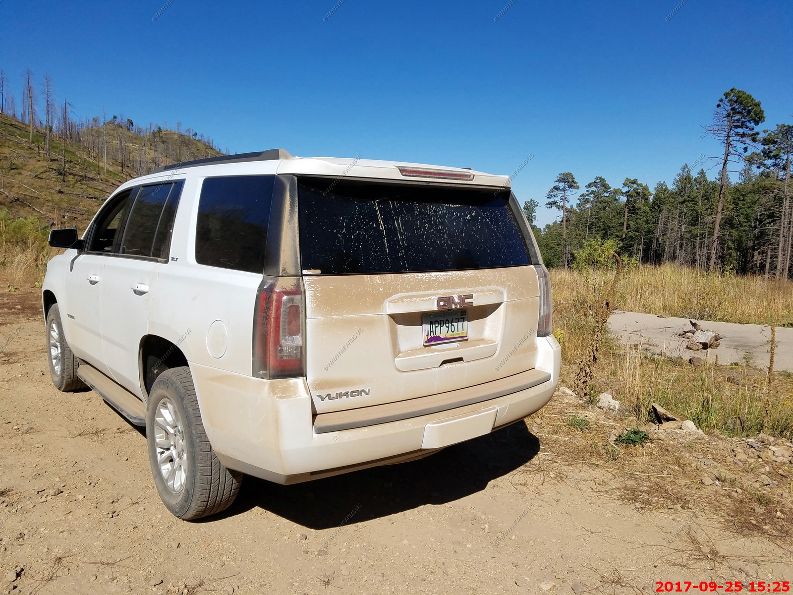
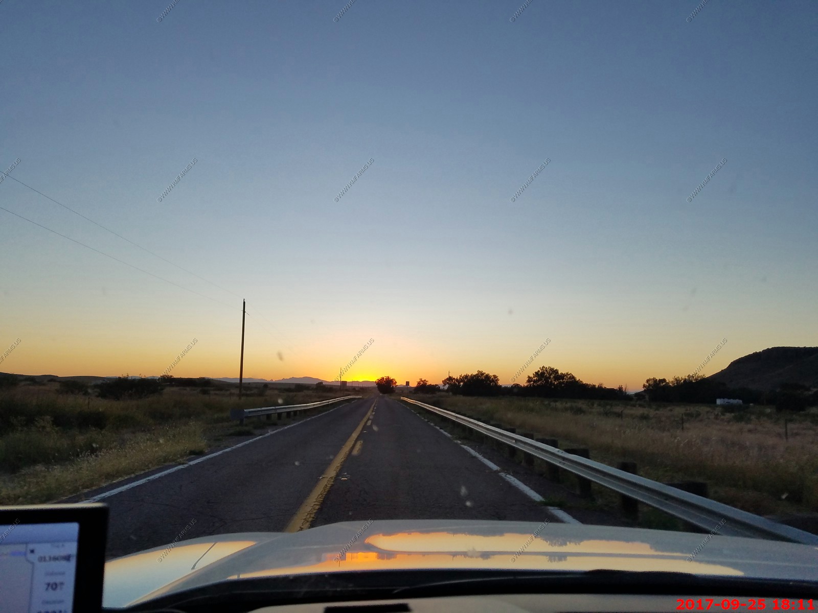
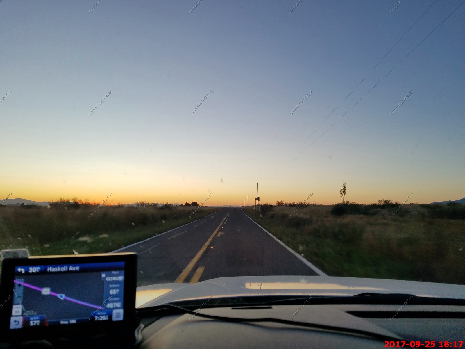
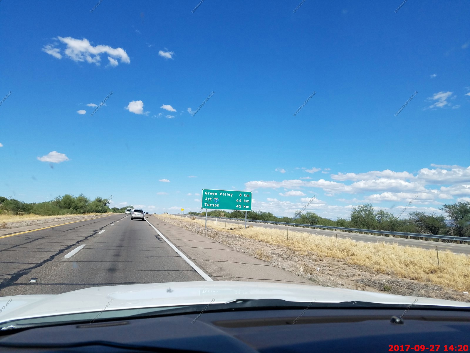
No issues getting into Phoenix. Using Alamo car rental as it's getting harder to get a 4x4 / AWD type vehicle. Paid appx. $557.00 for a GMC Yukon. Then they tack on $300 yes $300 in taxes and other fees. I paid $23.73 for a stadium surcharge for a stadium I would never use. Oh well. This is the last time I will fly into Phoenix as the next time I will be living here.
So, in the end we put 1,307 miles on the rental and had no issues with it.
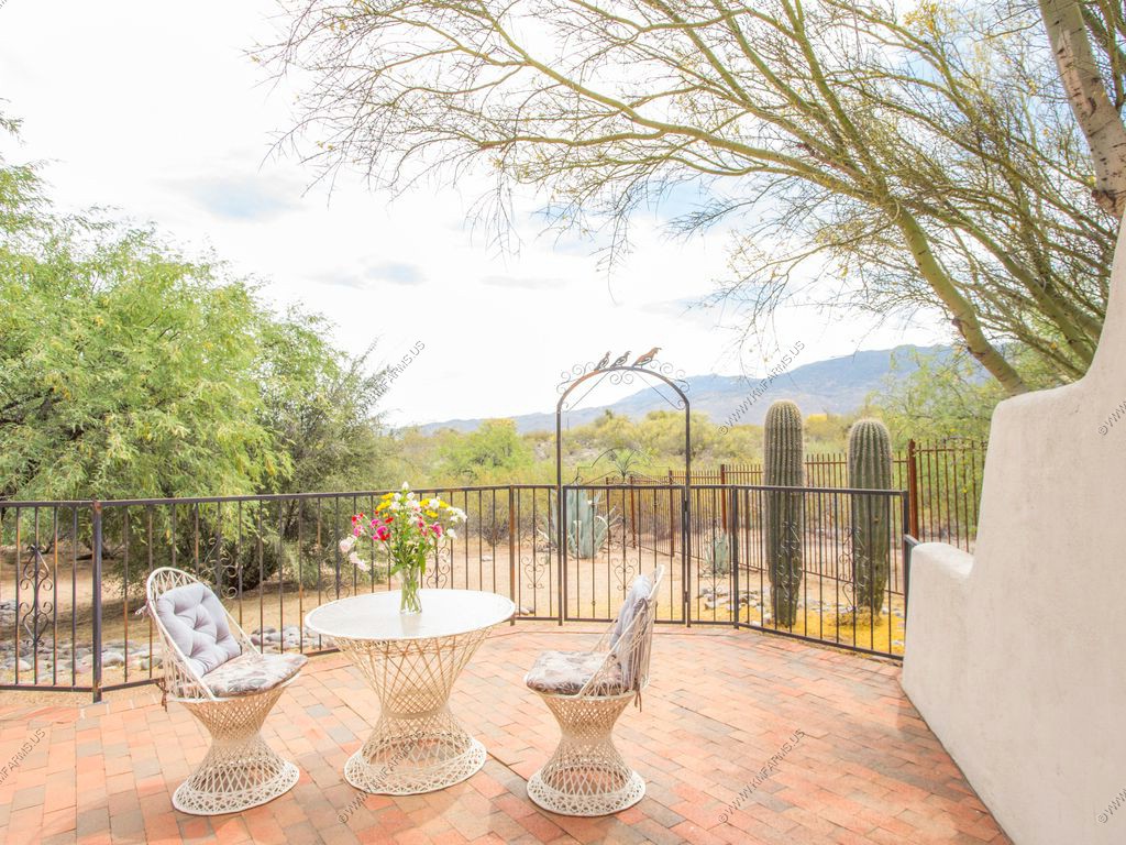
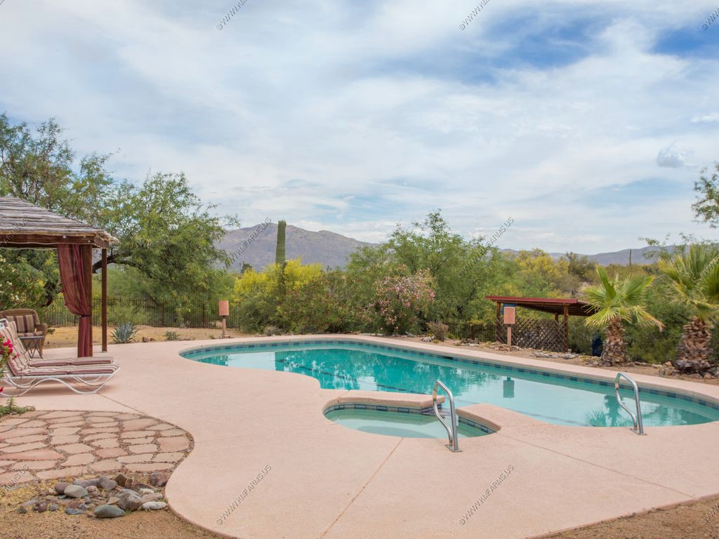
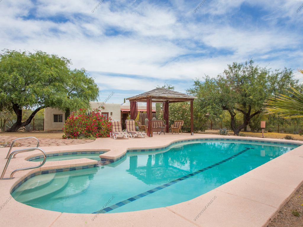
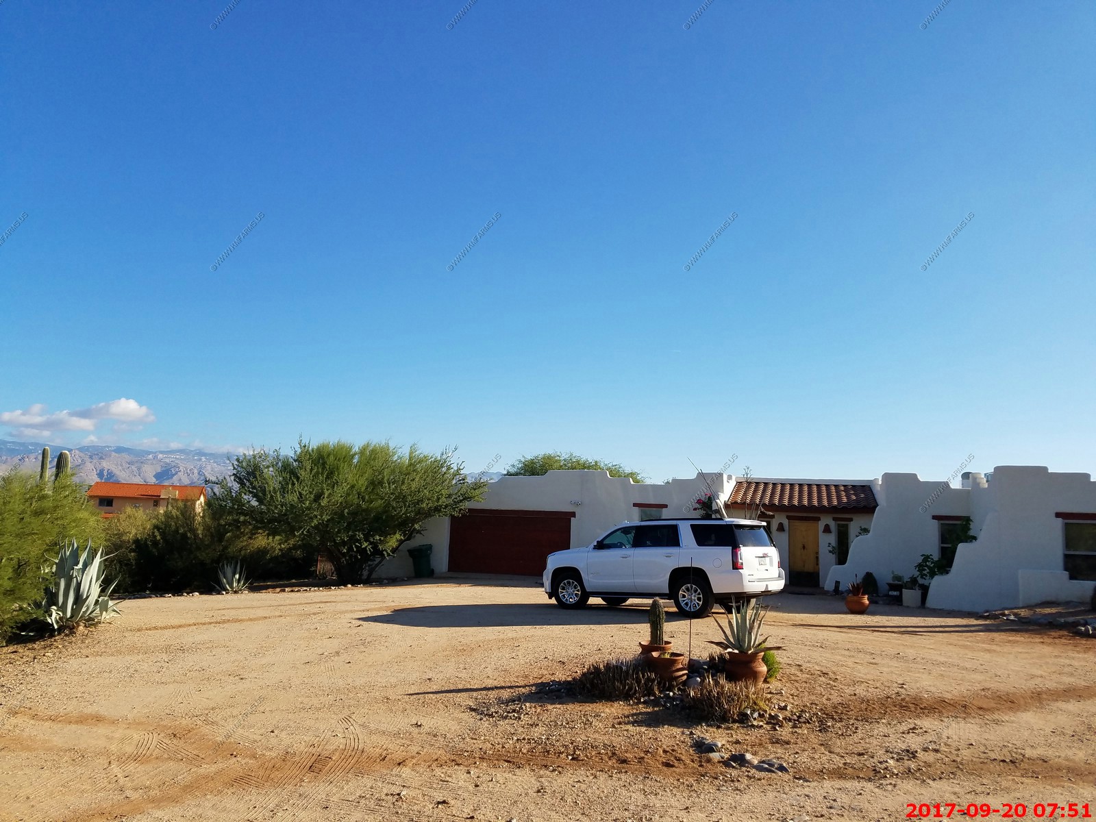
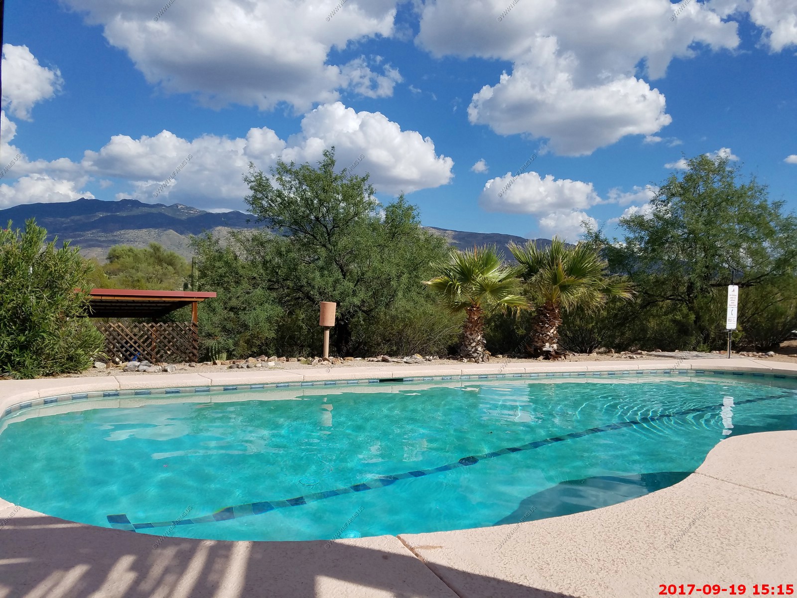
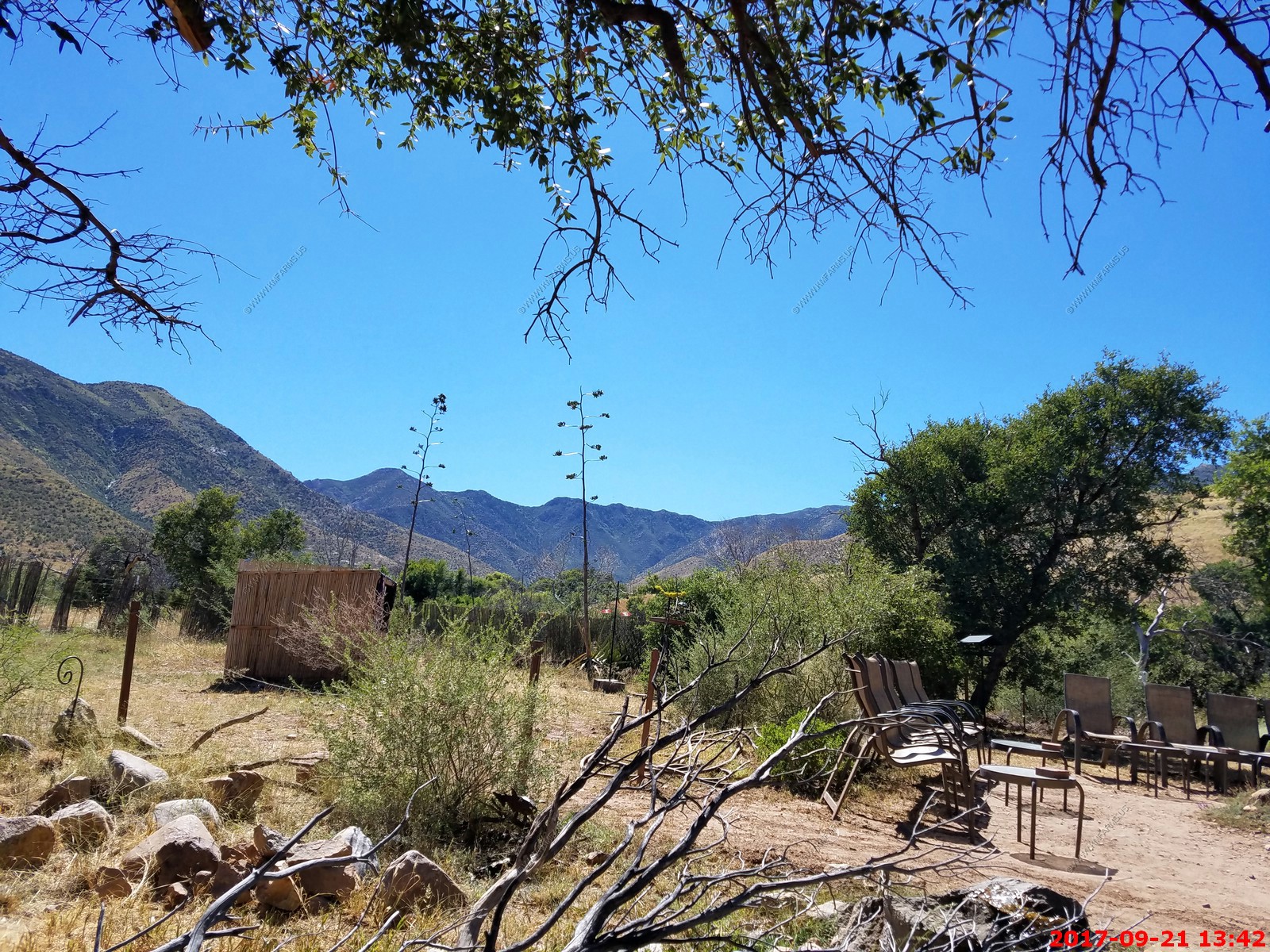
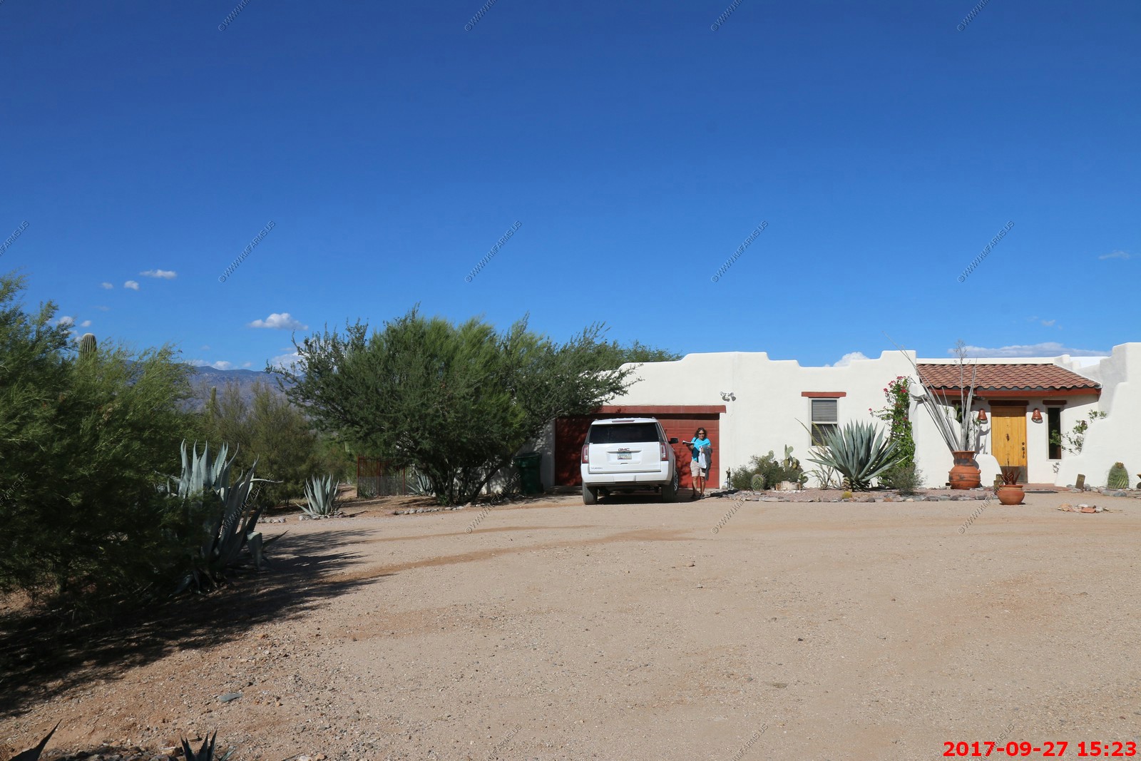
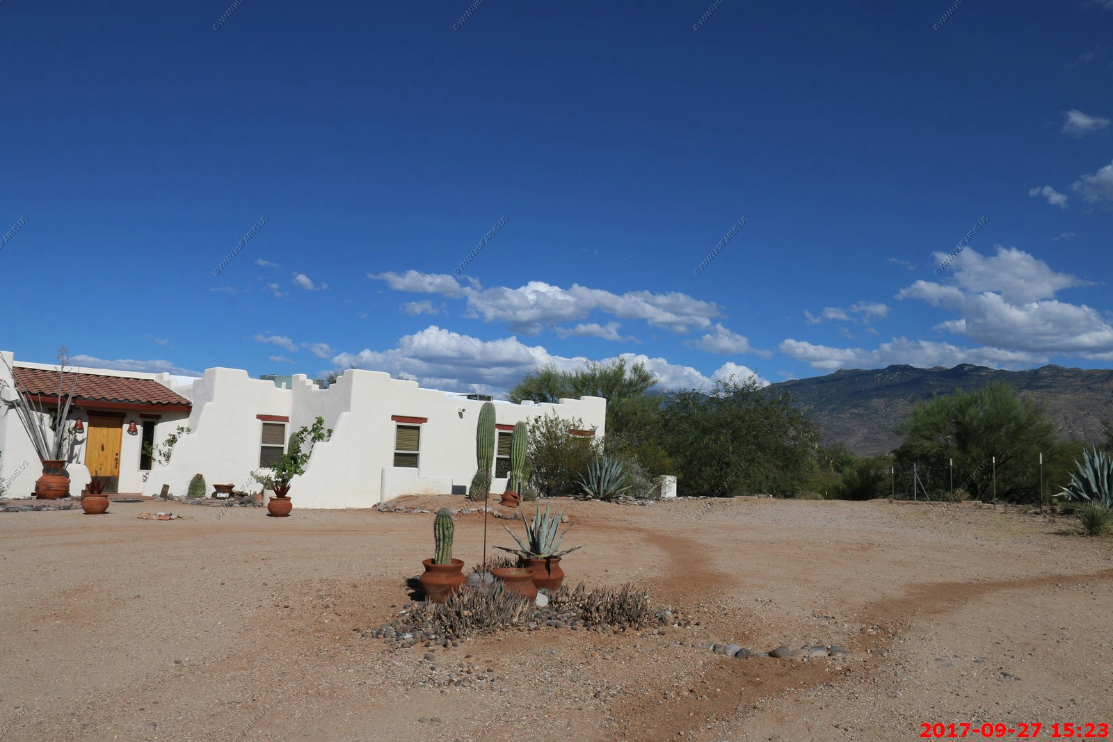
It takes appx. 2 hours to drive from Sky Harbor airport in Phoenix to the East side of Tucson. We rented this house VRBO - Hacienda with Views
The description: Hacienda with Views, Charm, Comfort and Quality close to town, 4 acres on National Park - Main house has 4 bedrooms and 4 bathrooms
Here are the photos from the VRBO site (I find that they go offline eventually)
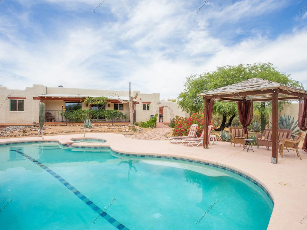

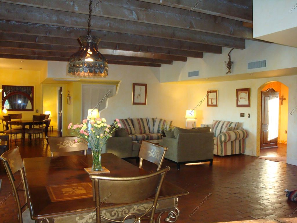

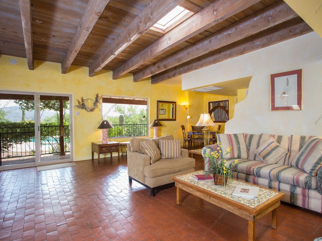

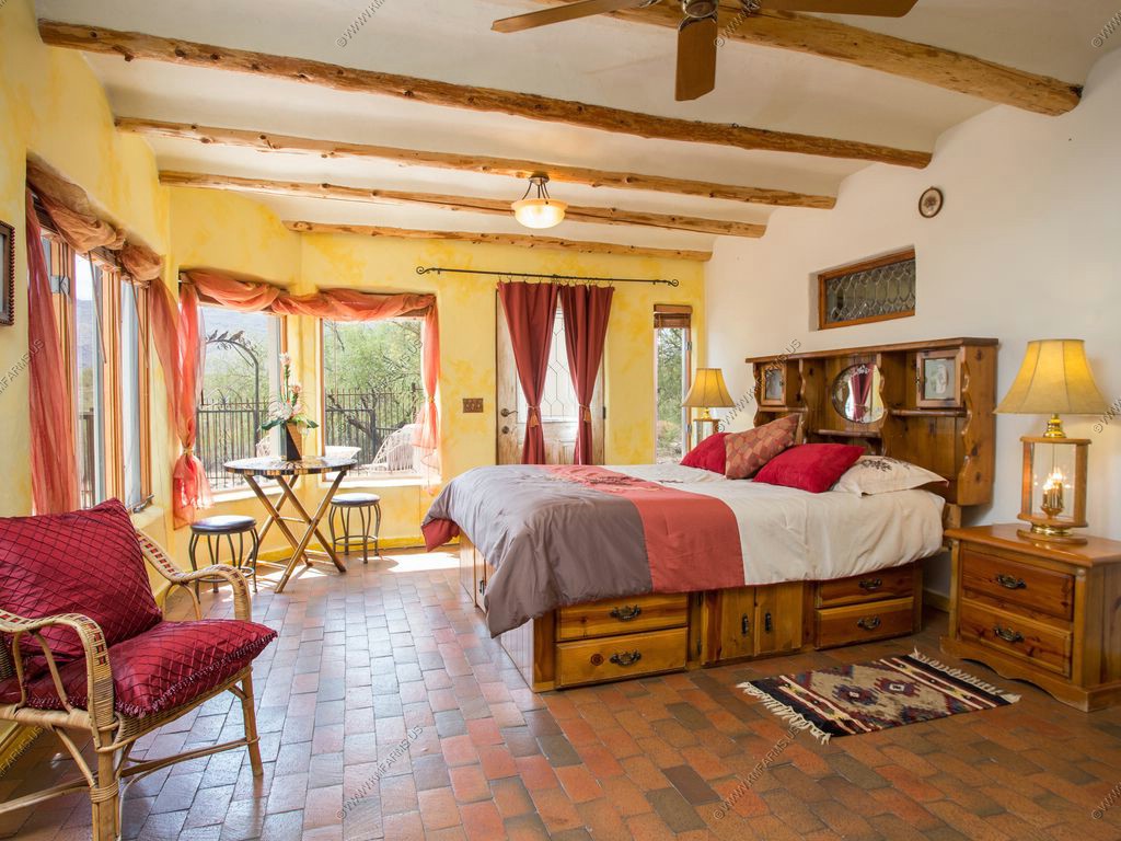
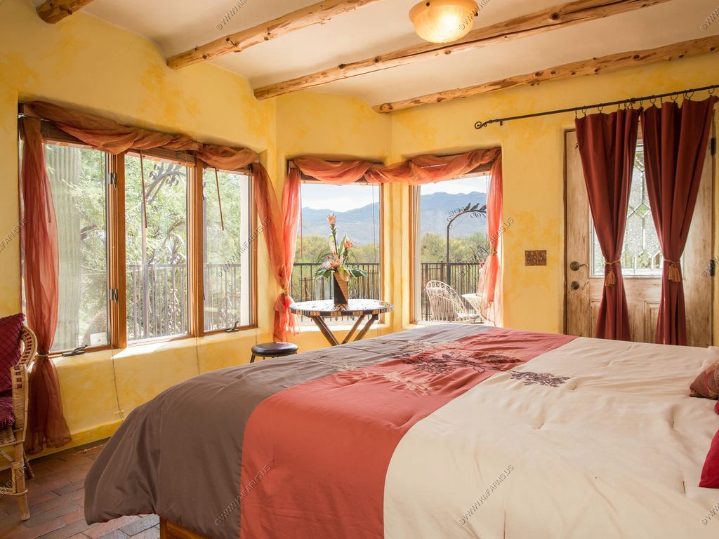
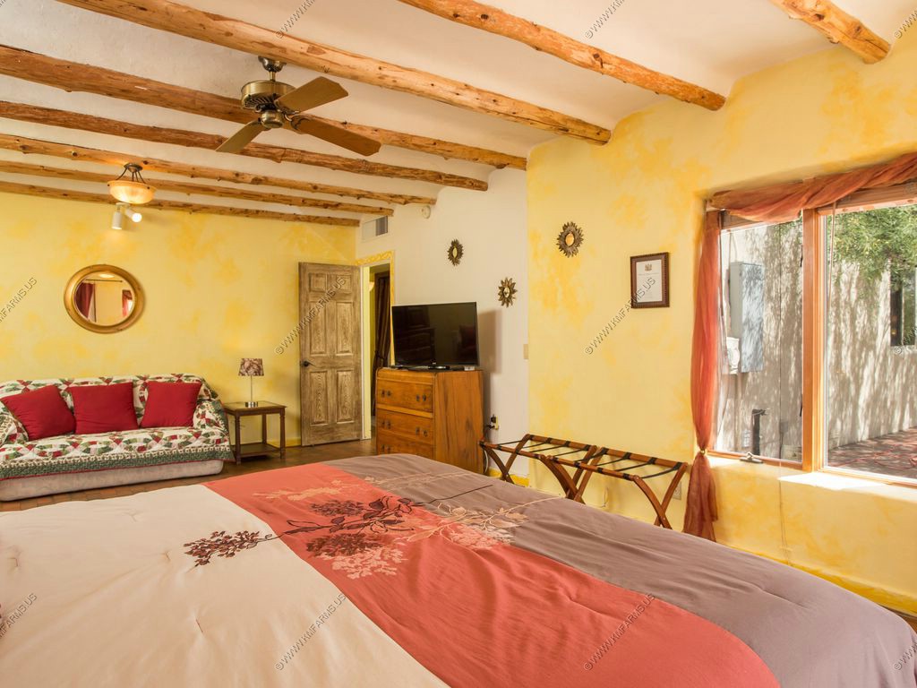
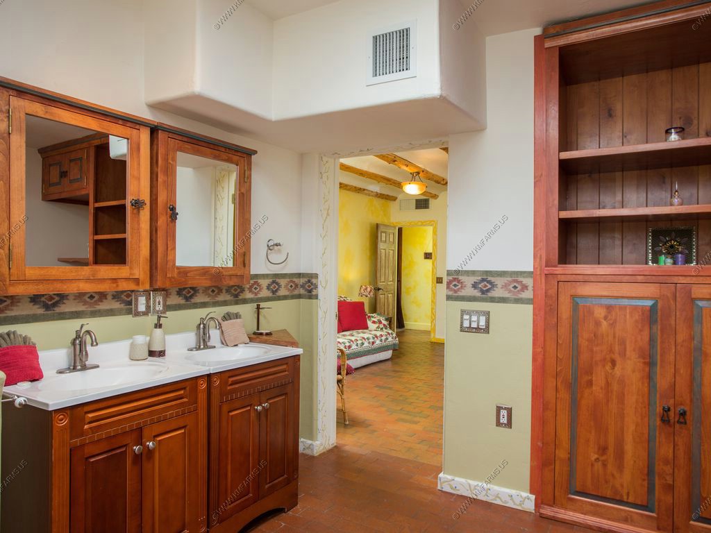
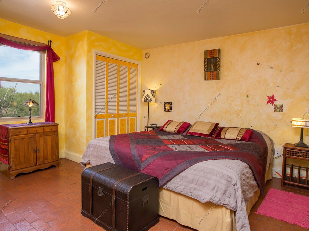
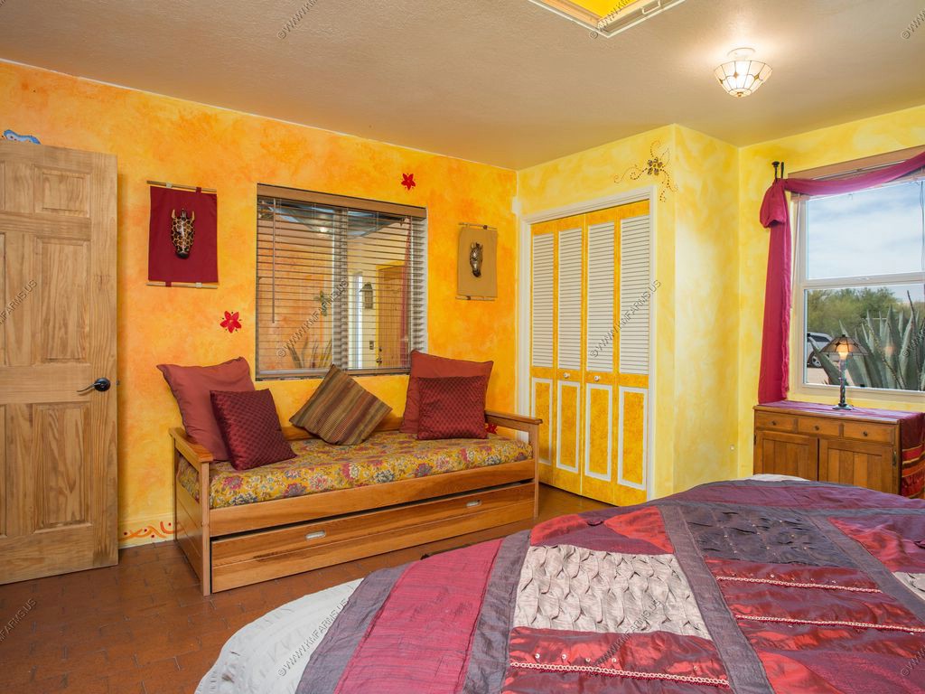
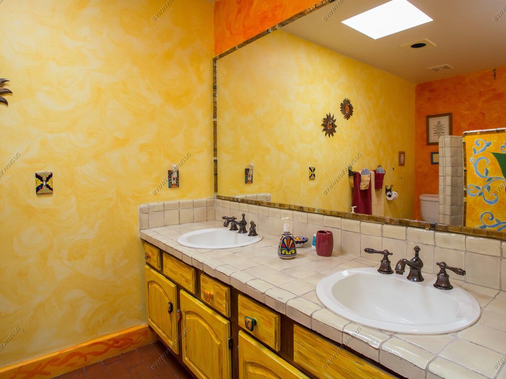
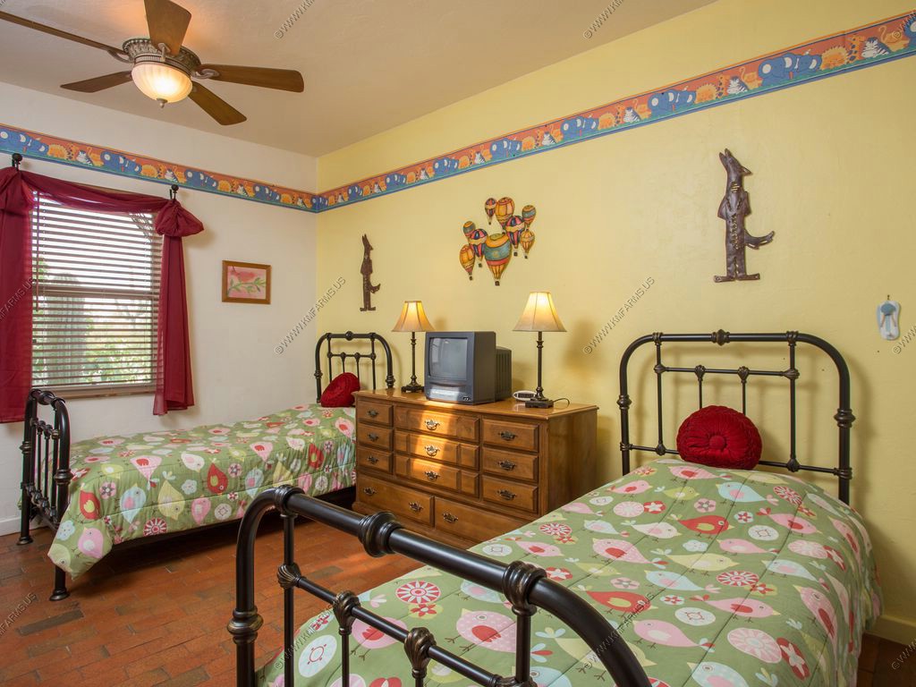
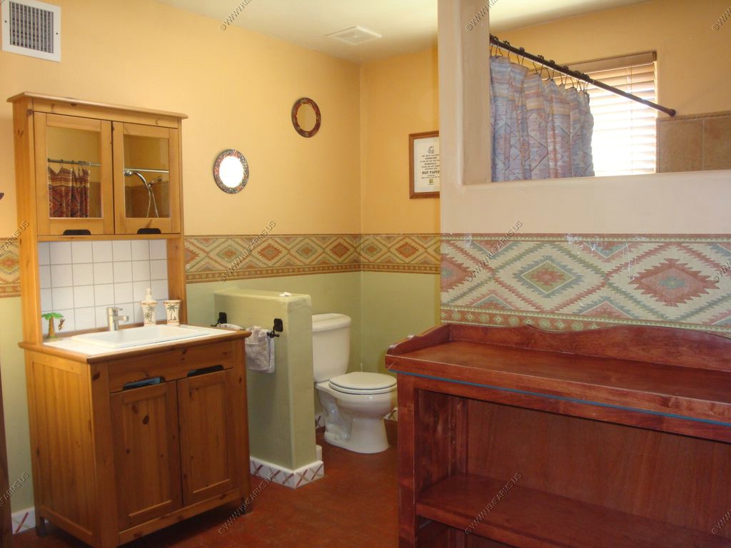
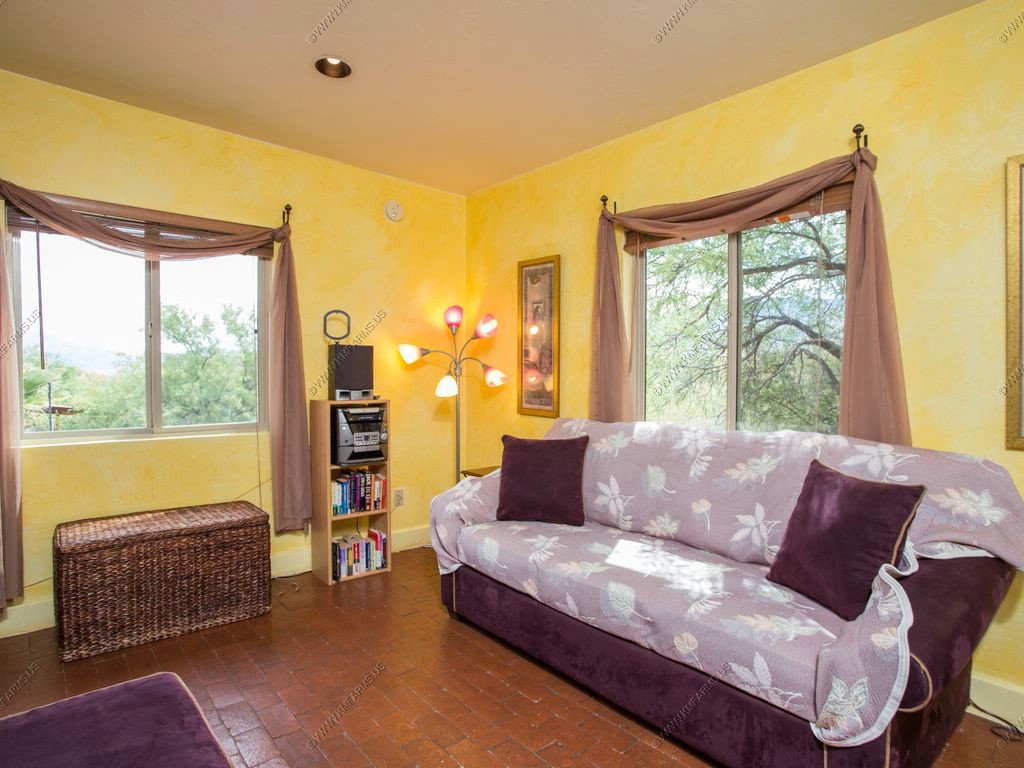
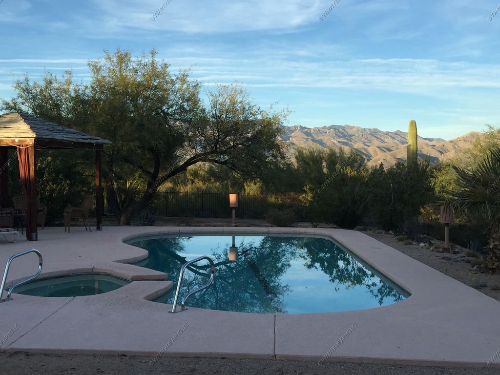
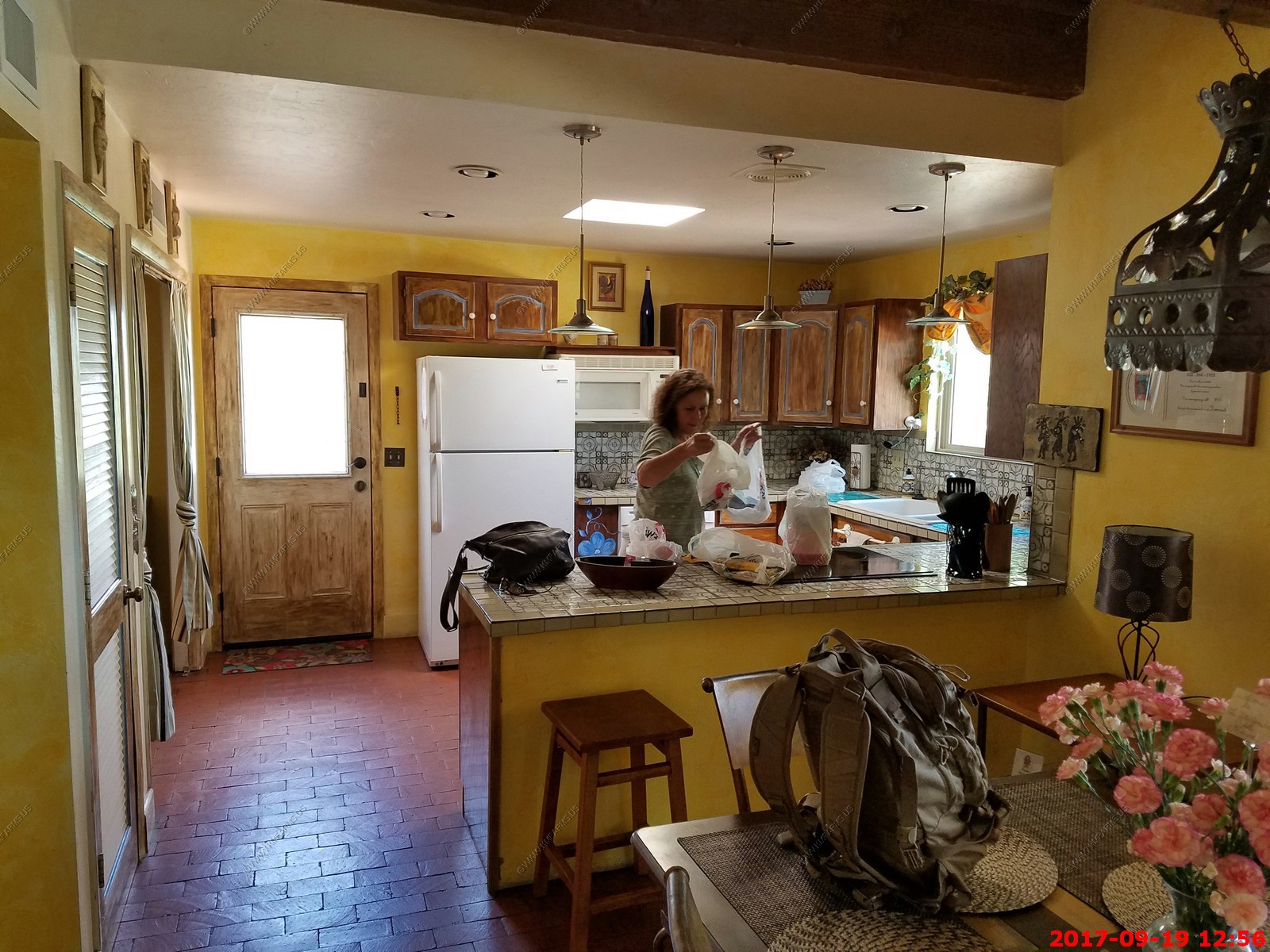
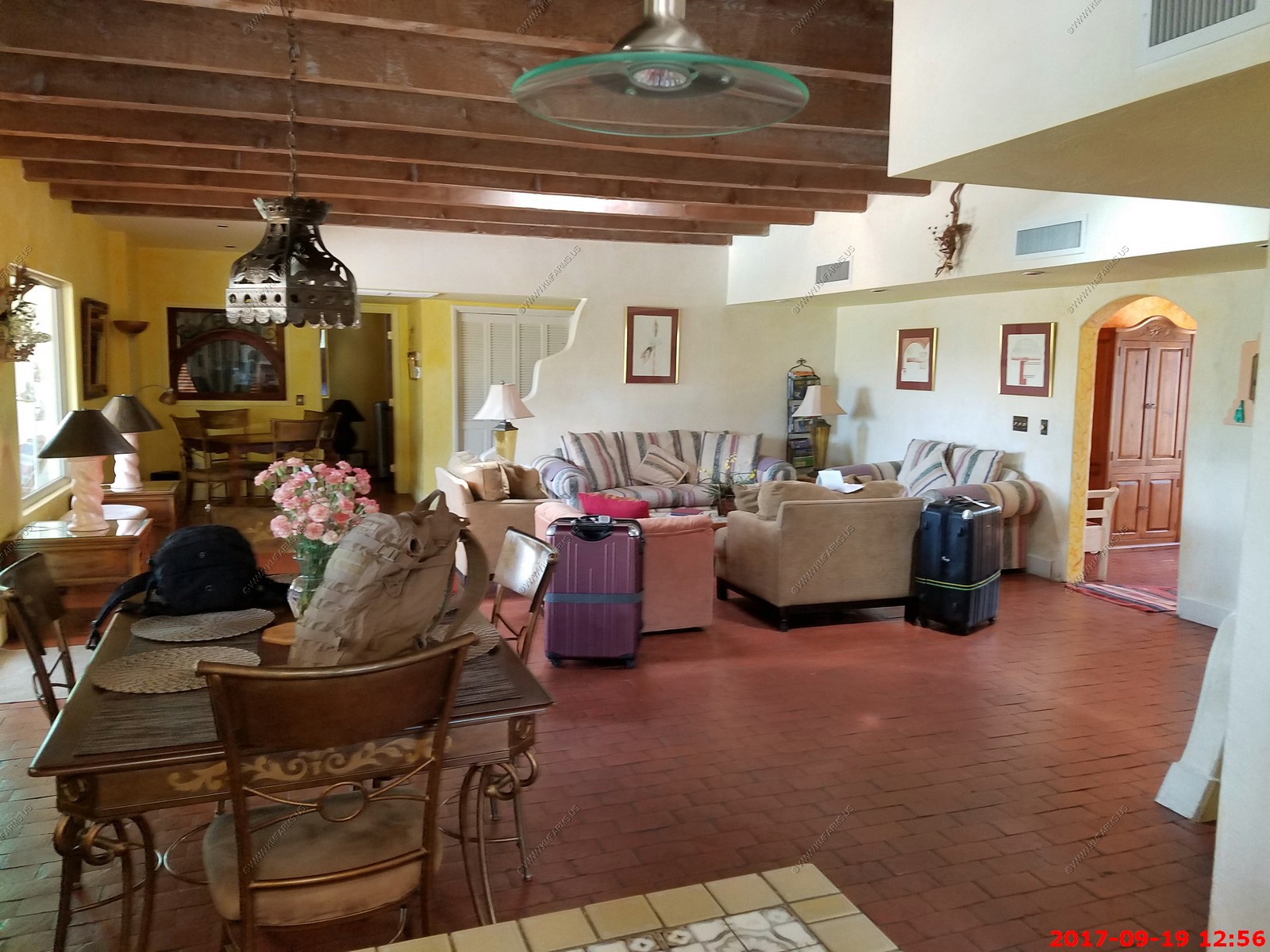
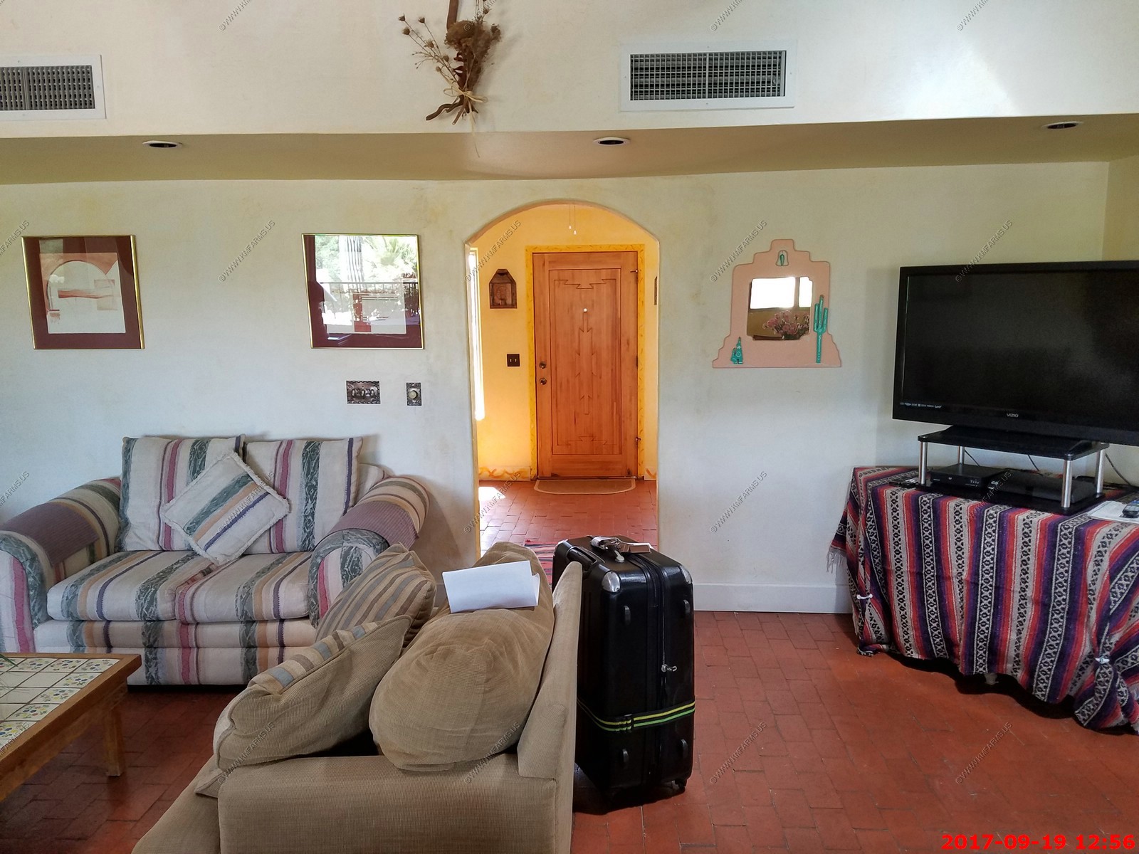
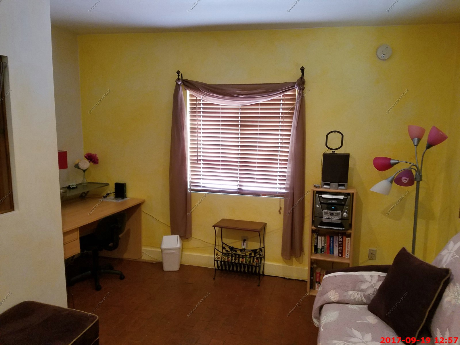
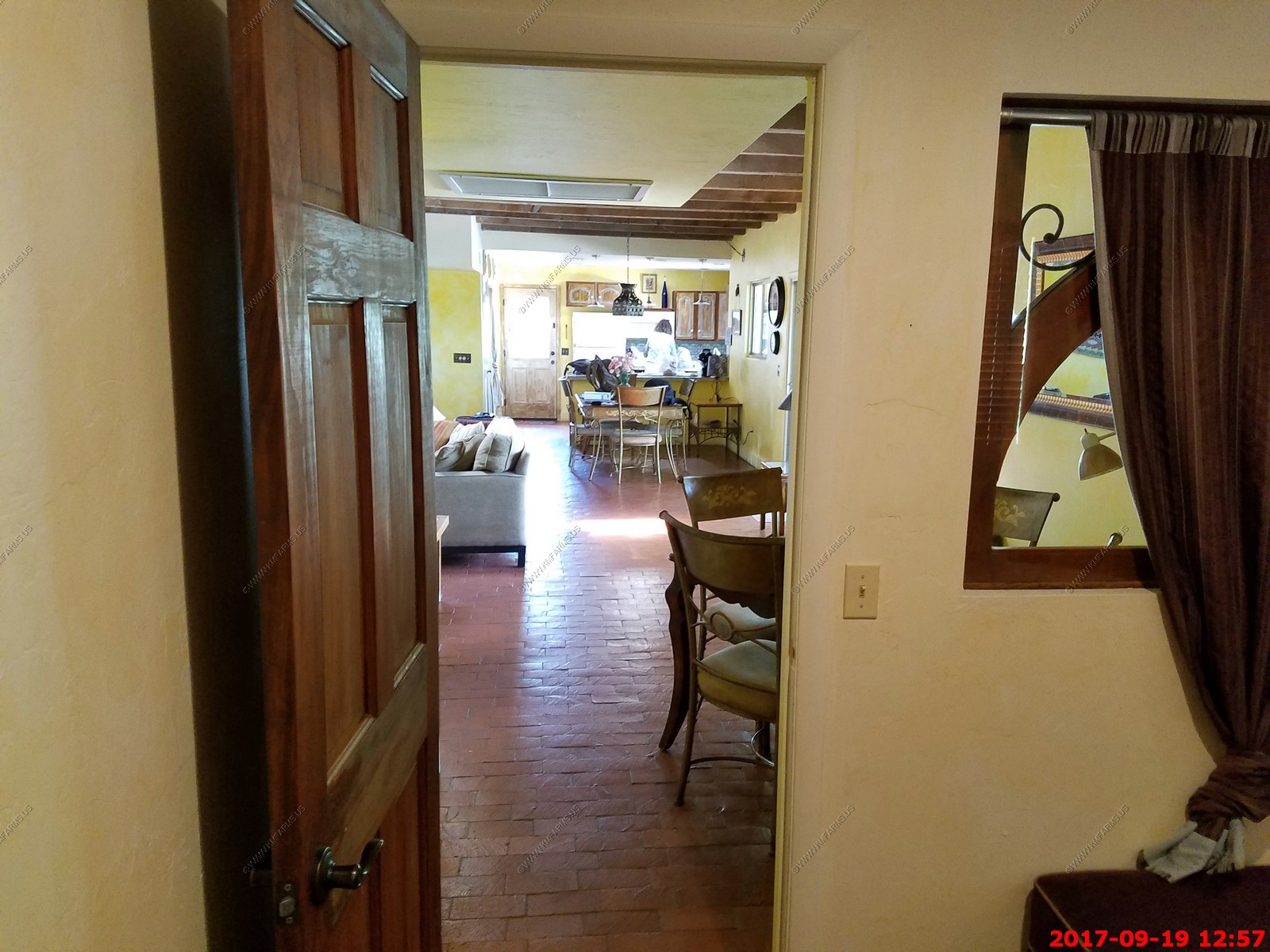
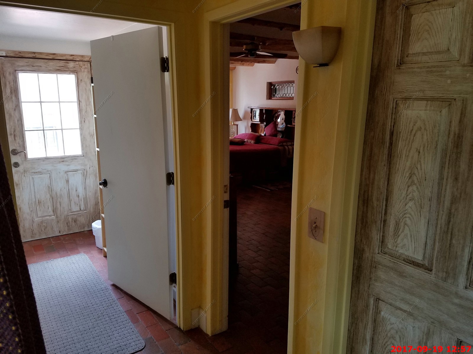
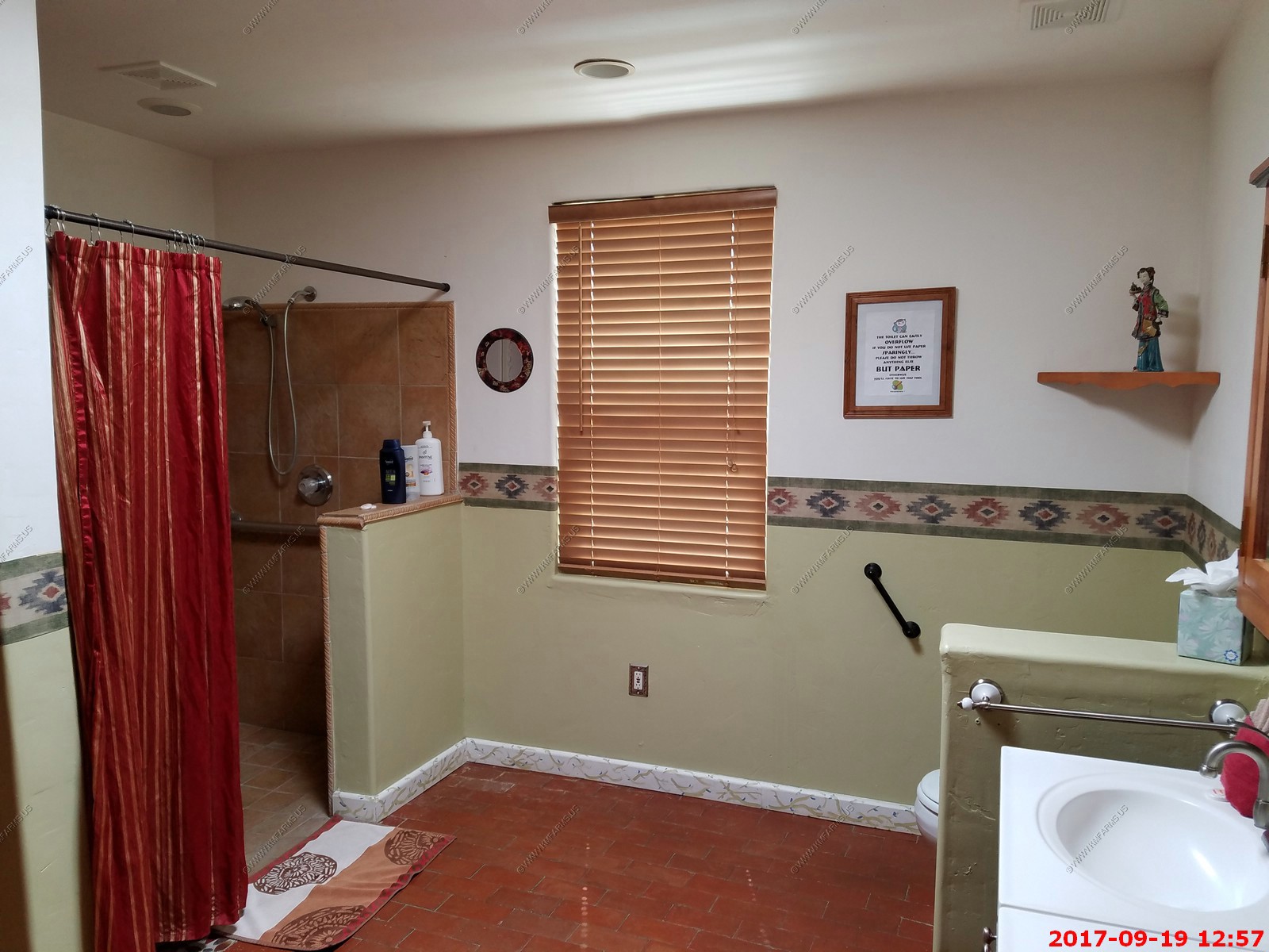
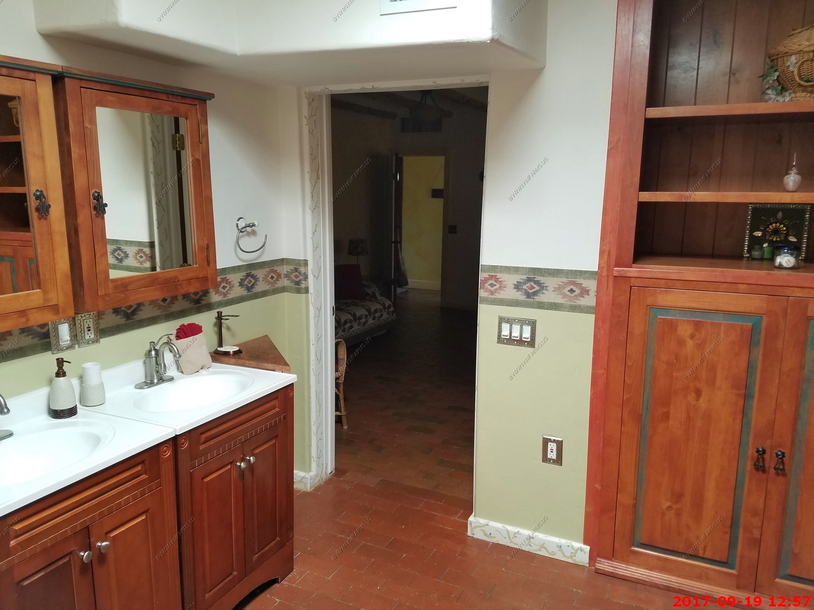
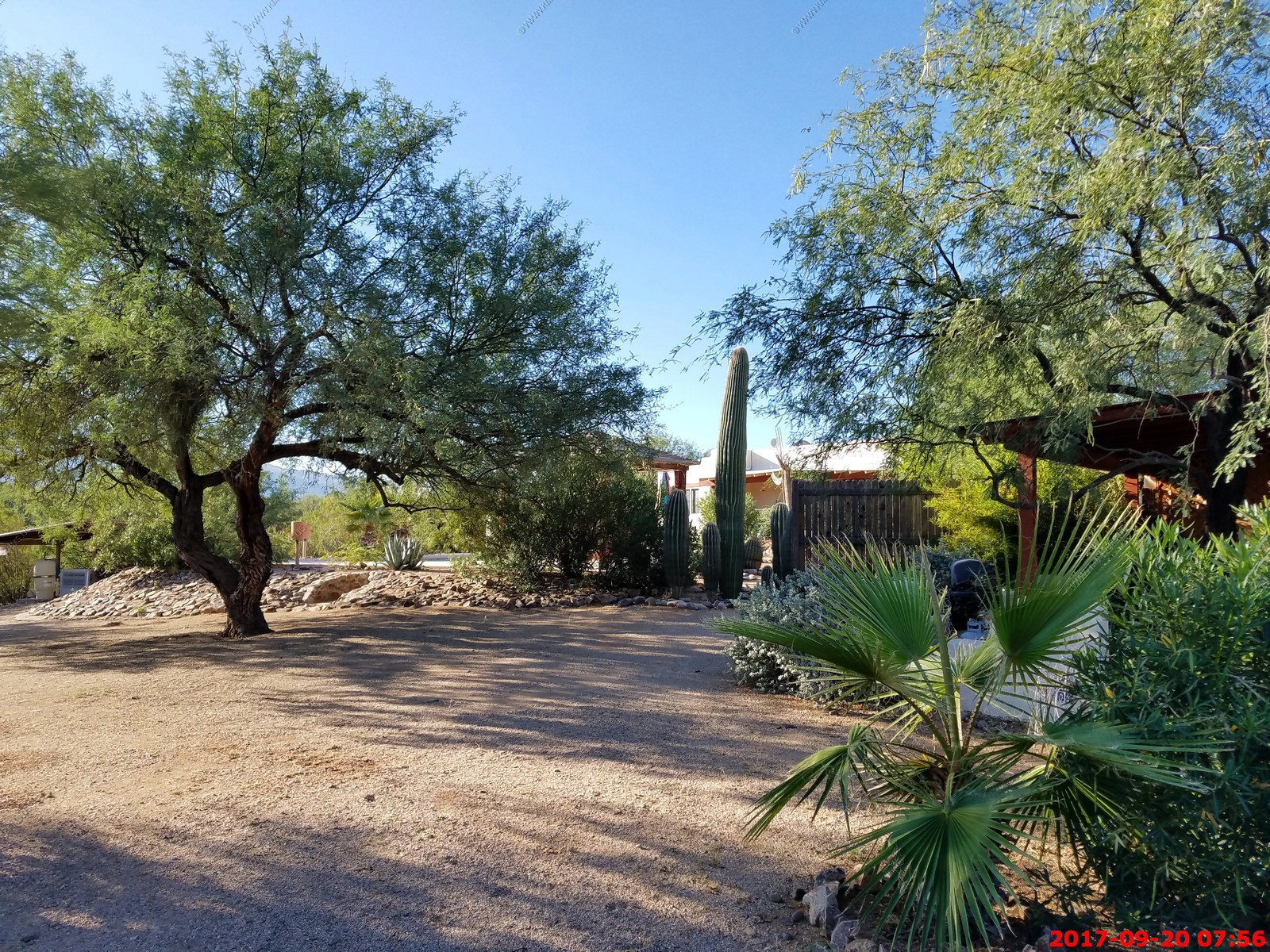
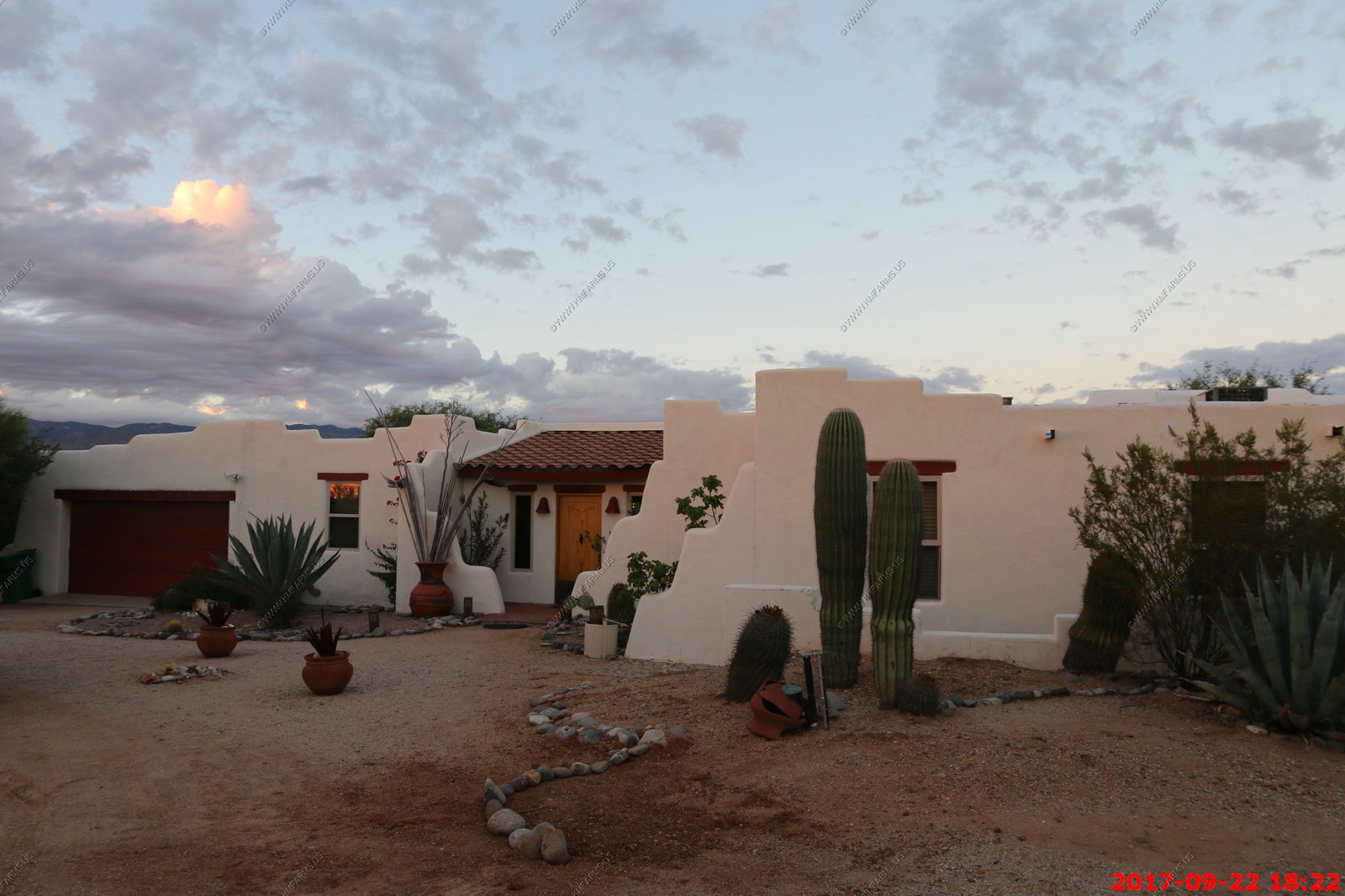
These are the photos we took before we trashed the place. The house was around 3,600 sq. feet so not a bad size. At first I did not like the house layout but over the vacation I started liking it.


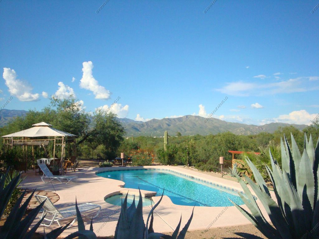
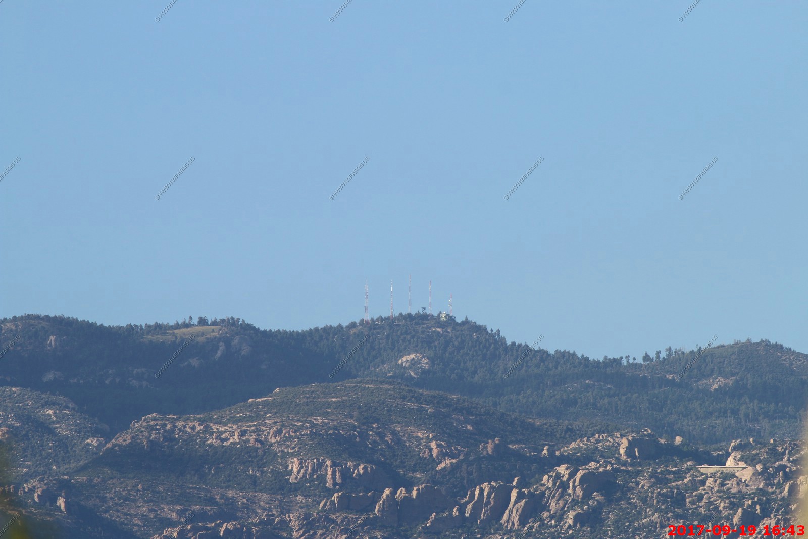
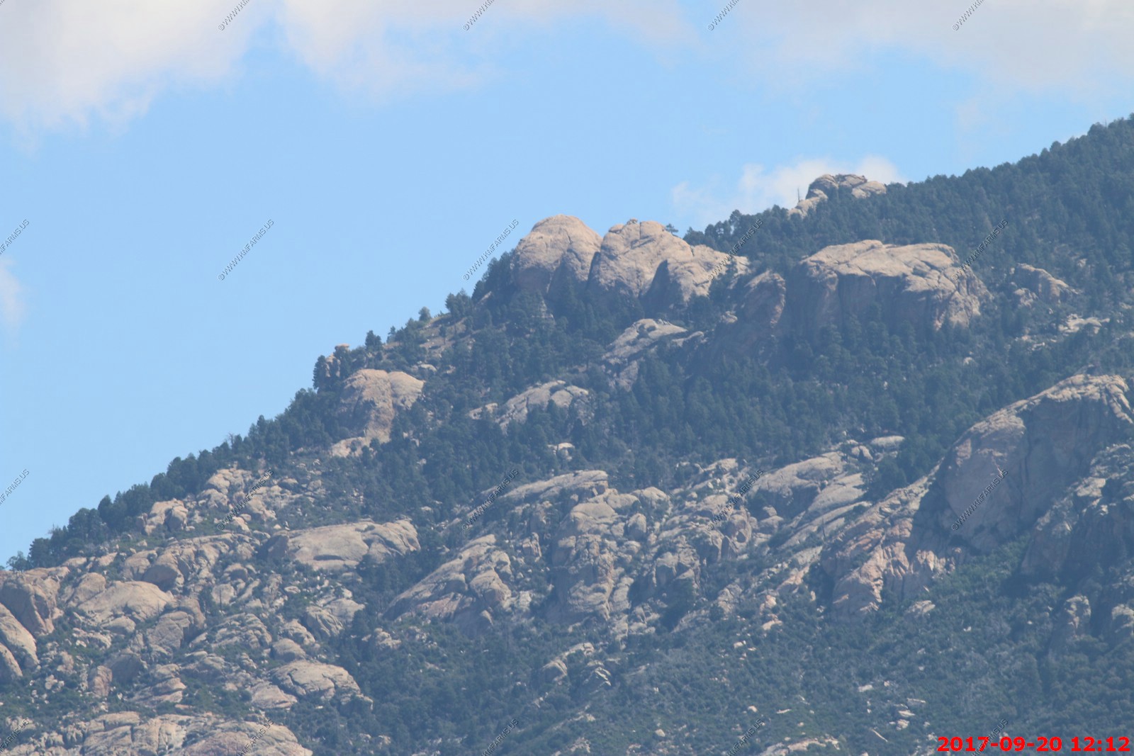
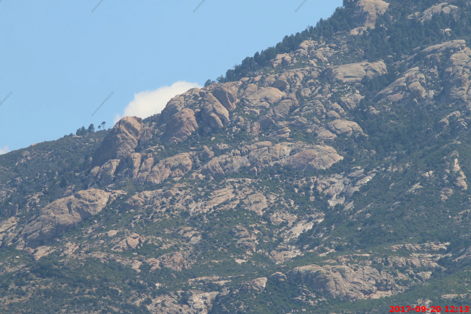
From the house - Mount Bigelow El. 8,540- TV, Radio and communication towers. It's also home to the astronomical observing facility Catalina Station which operates the 61" Kuiper Telescope owned by the Steward Observatory of the University of Arizona.
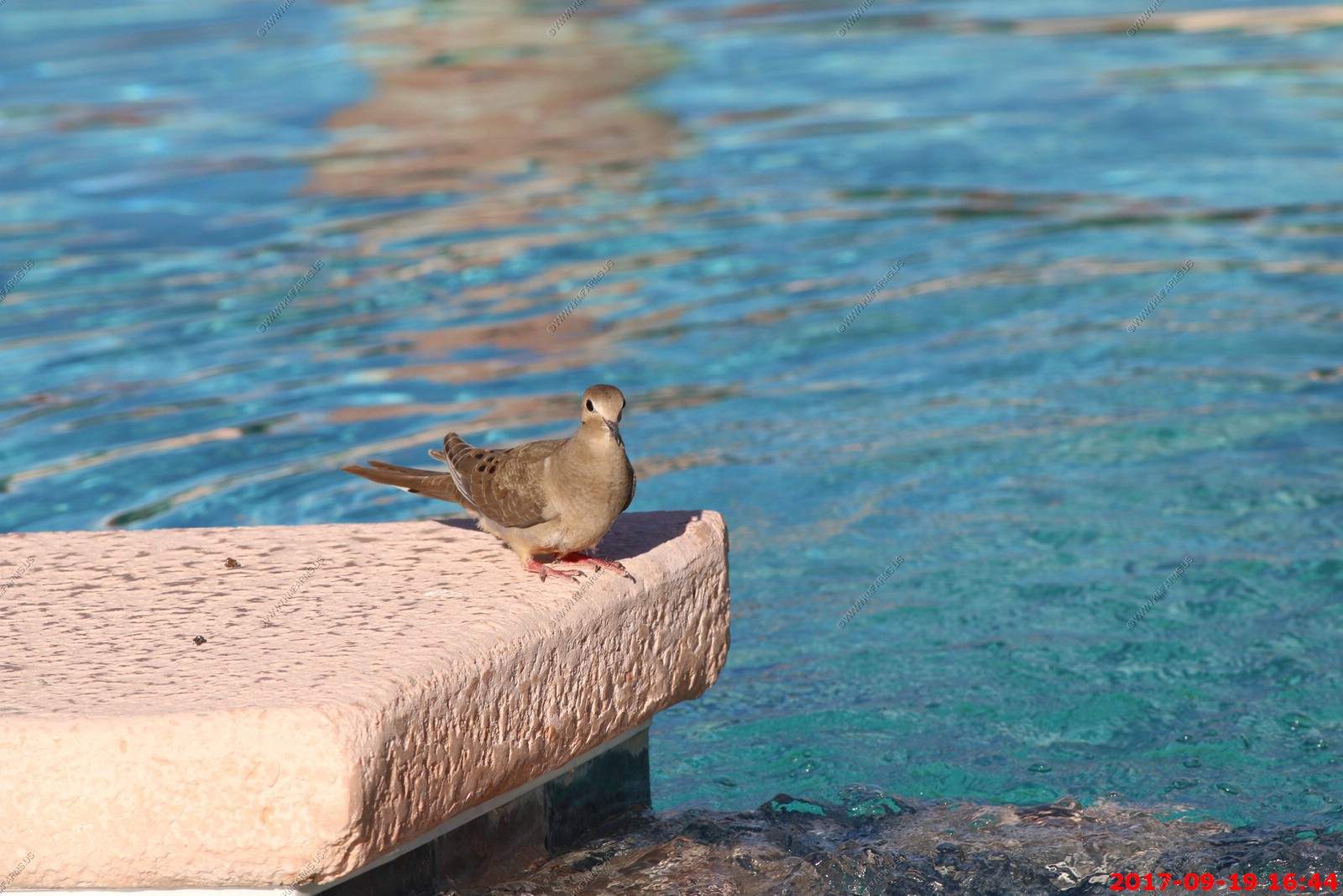
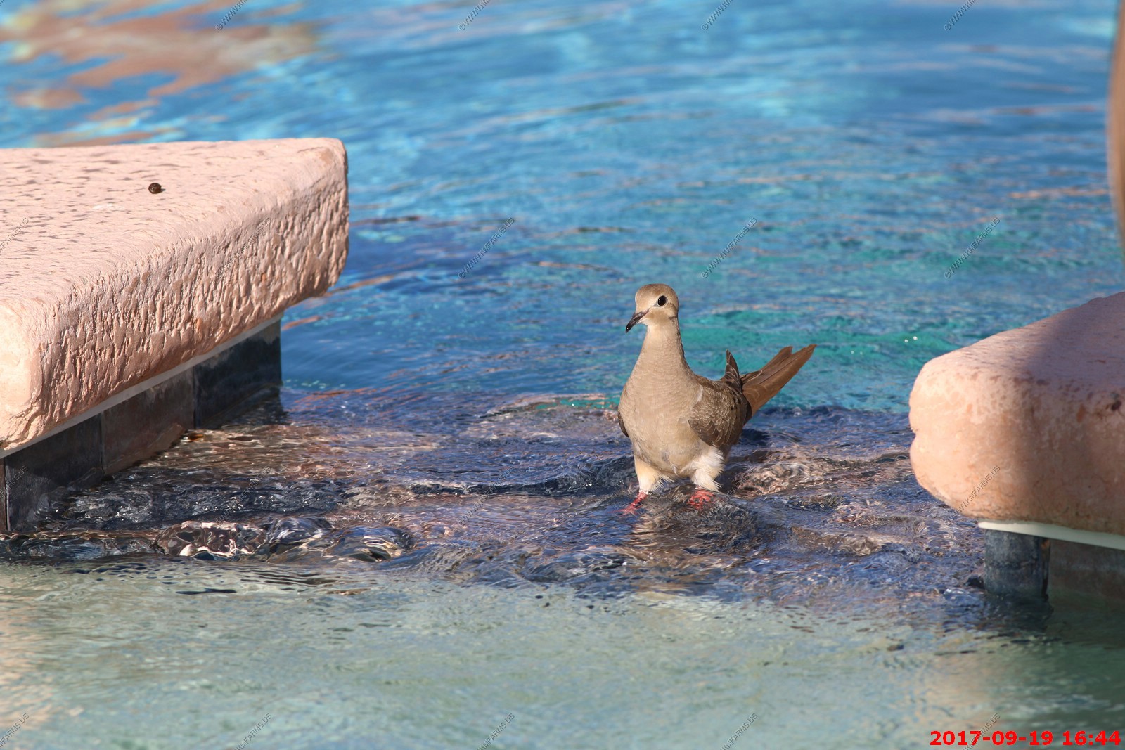
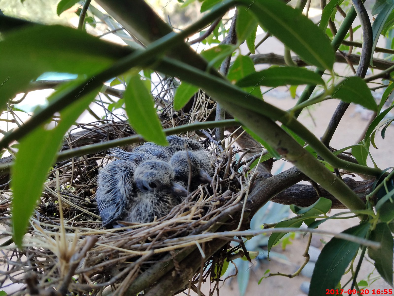
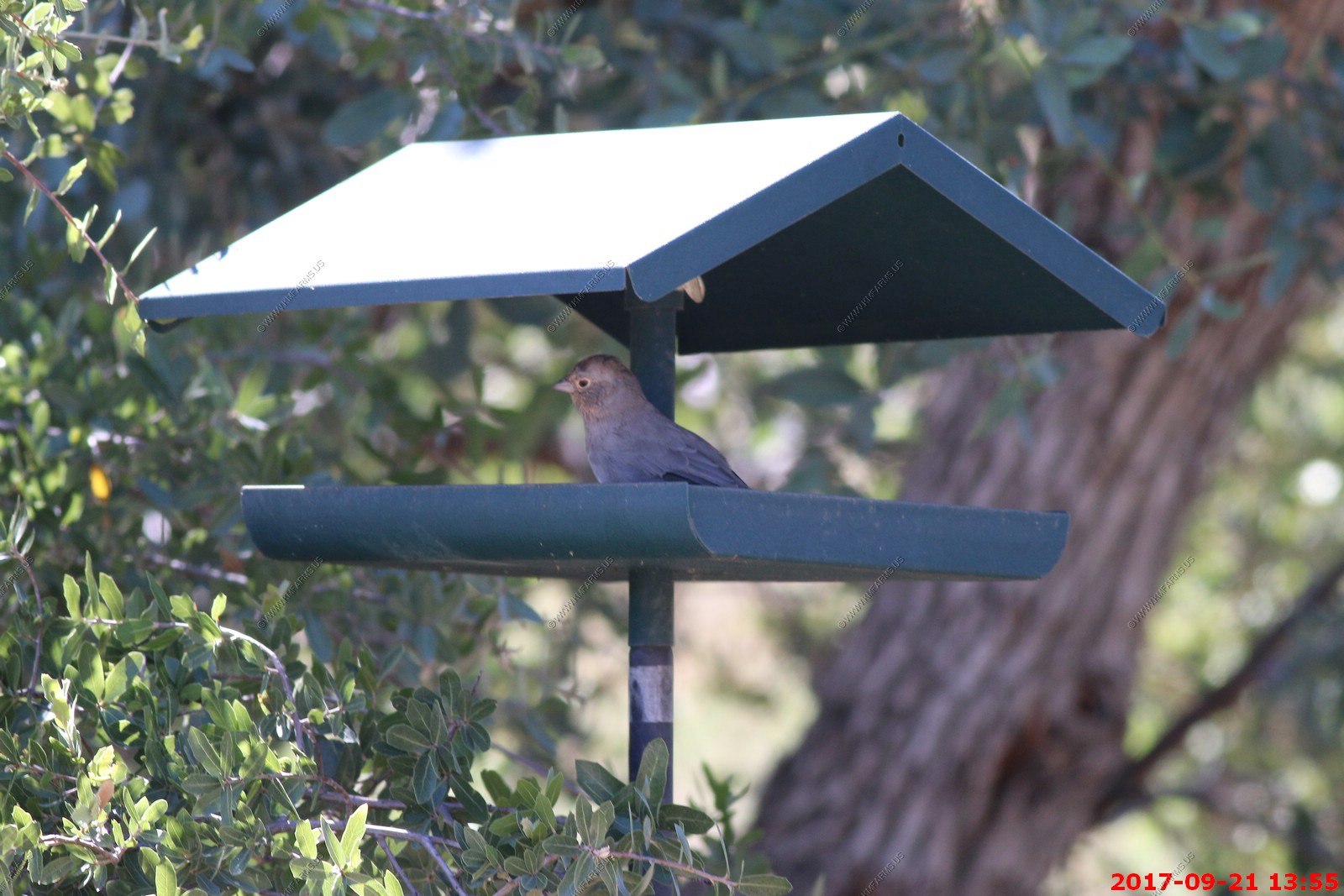
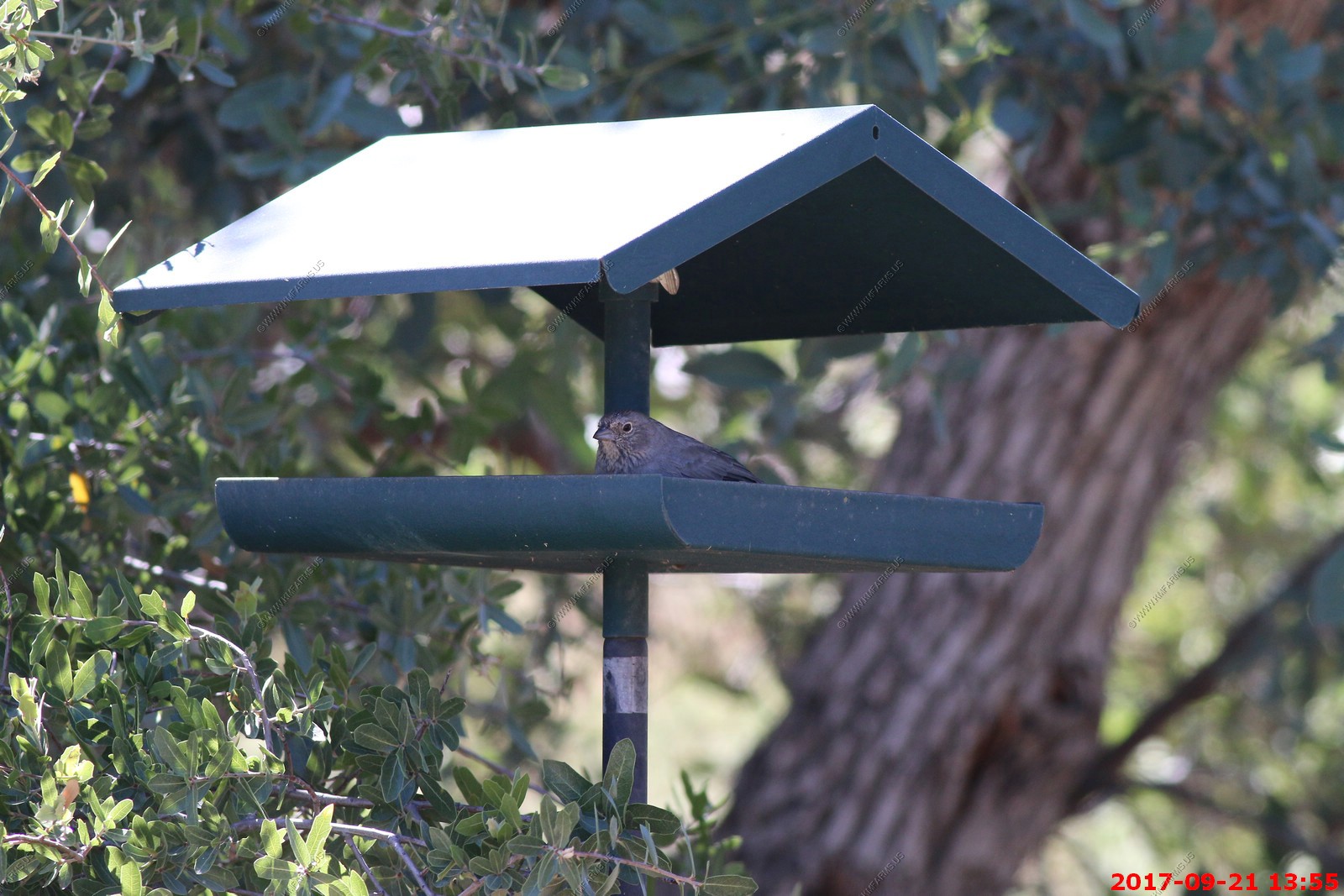
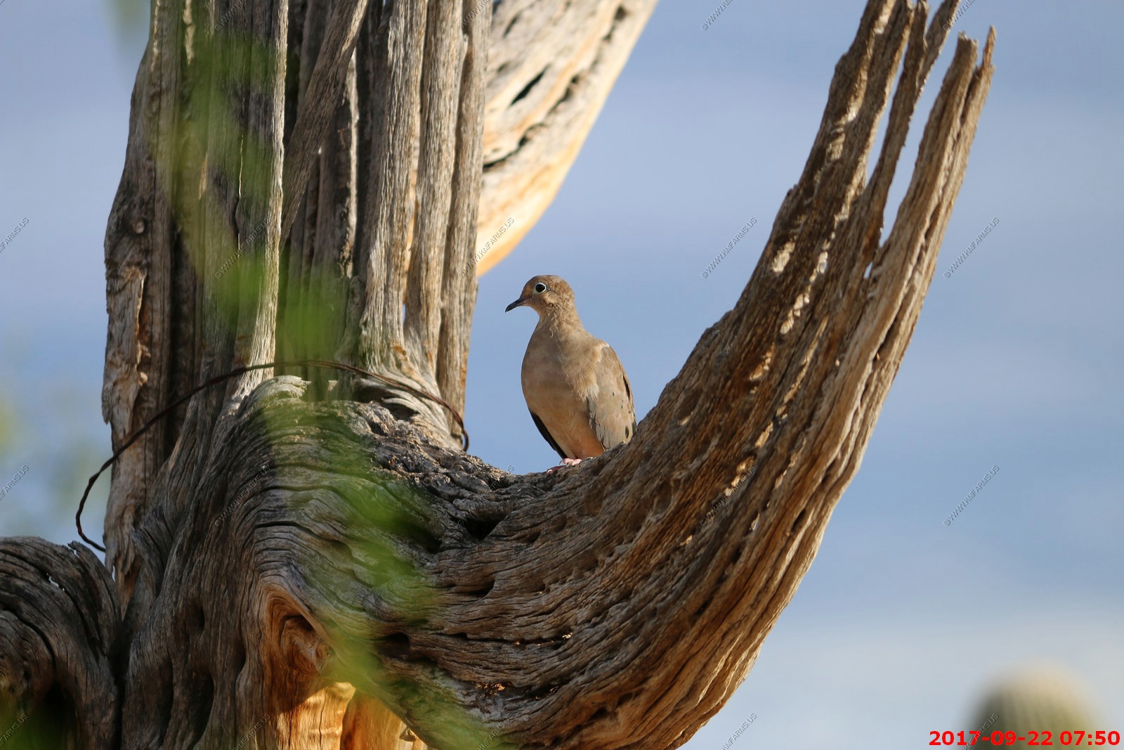
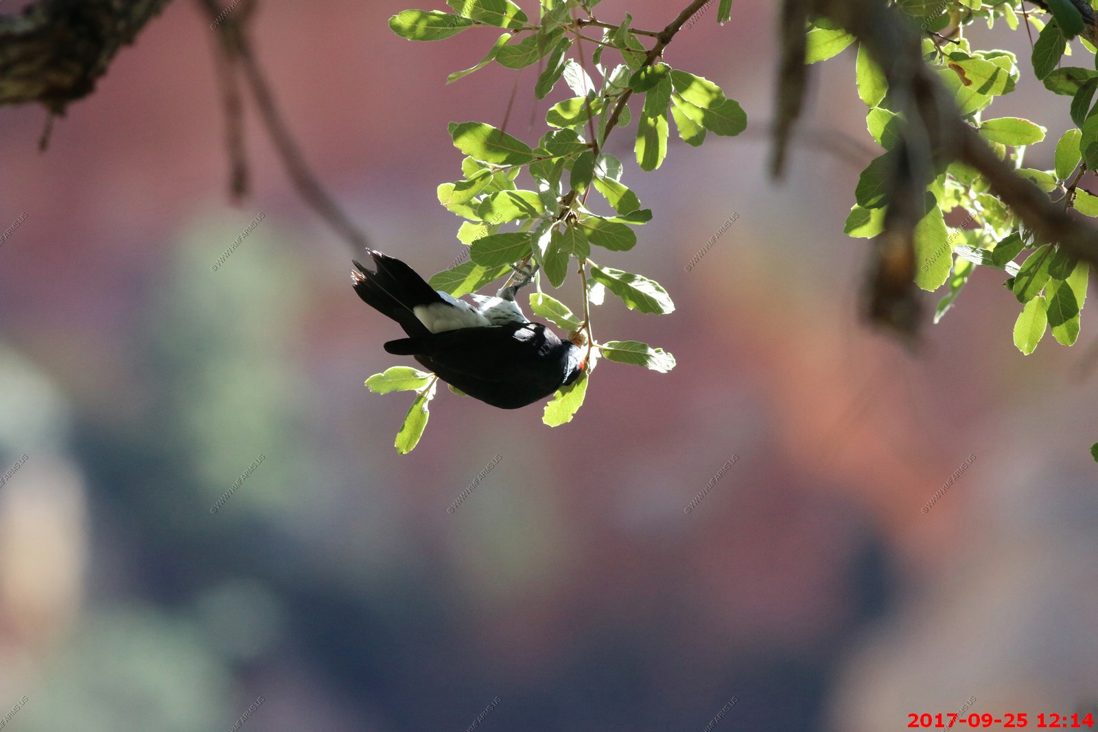
The design of the swimming pool had all the doves in the neighborhood coming for a drink and a bath. Not good as they crapped all over this area.
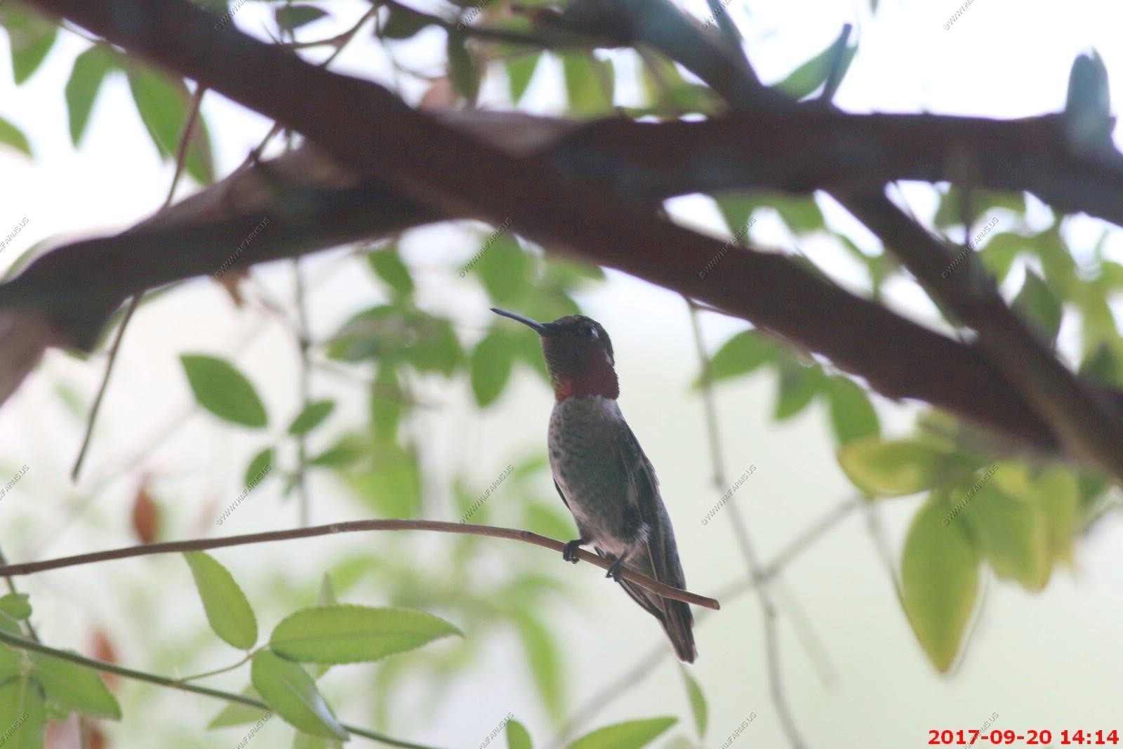
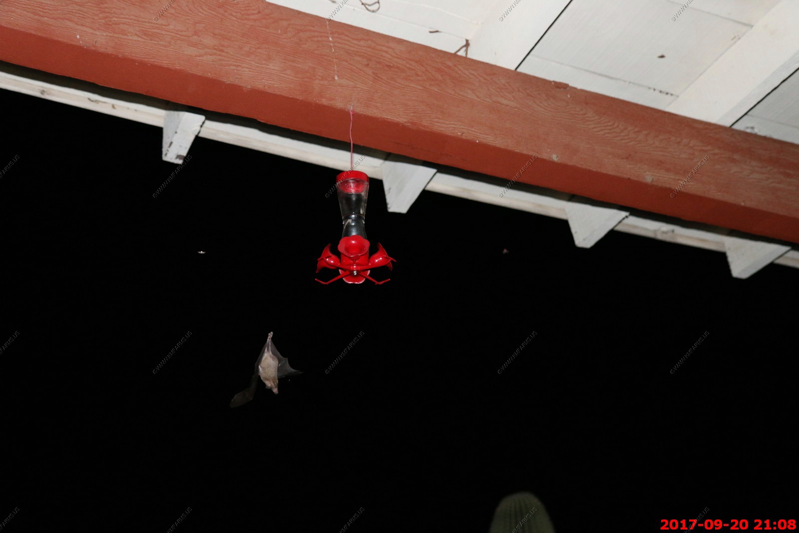
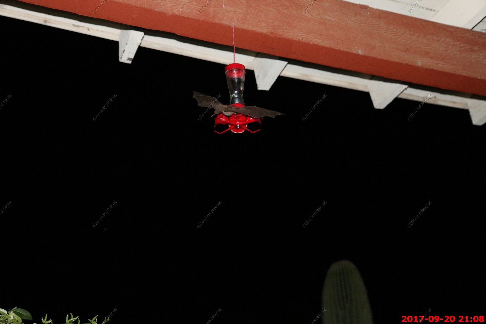
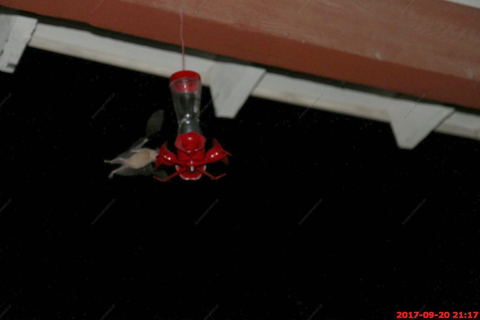
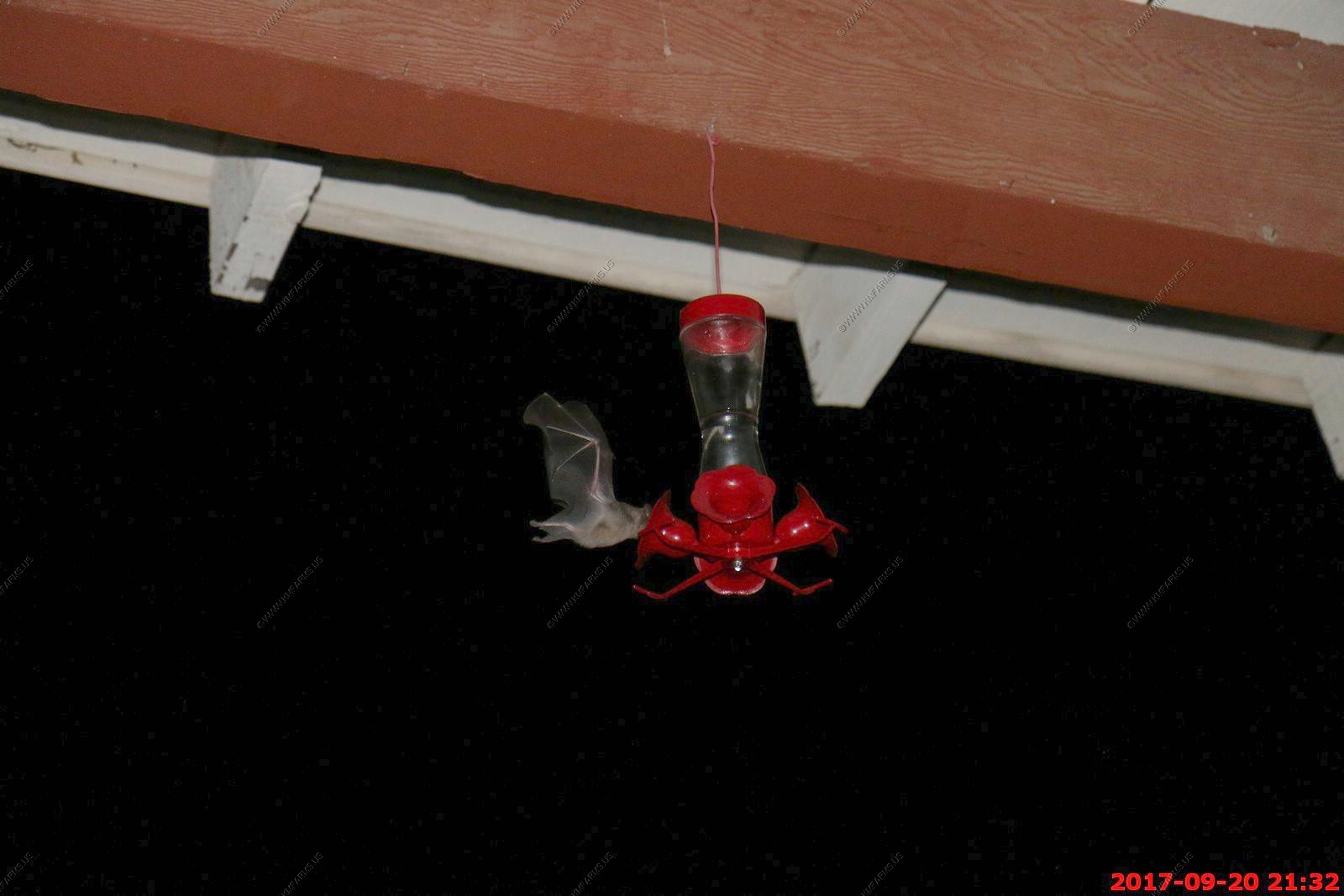
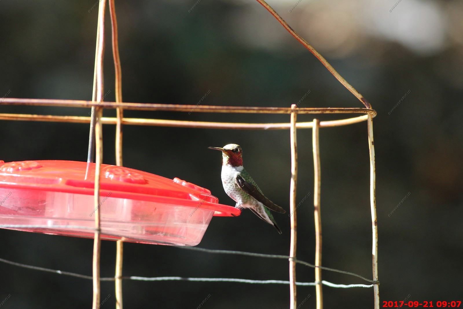
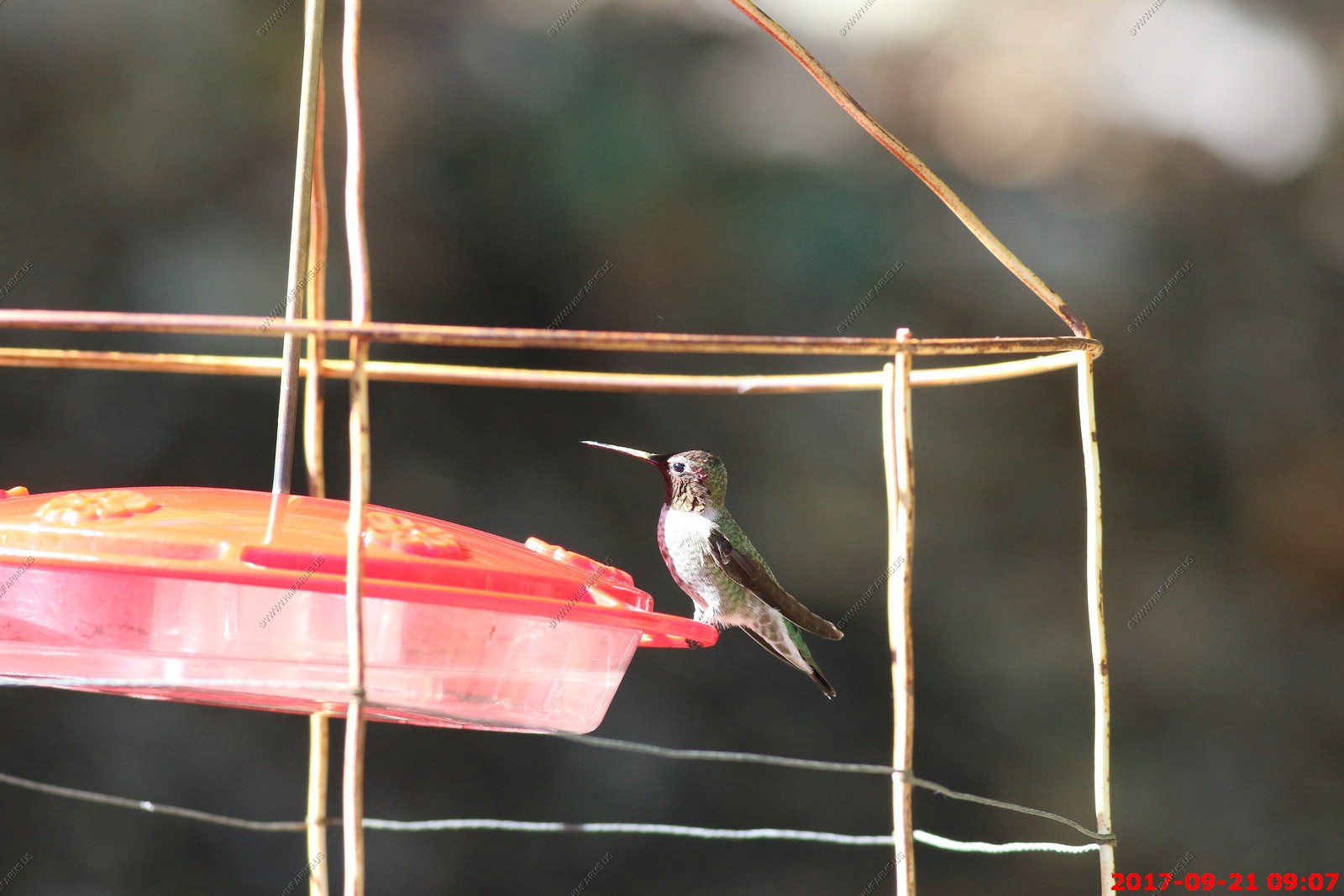
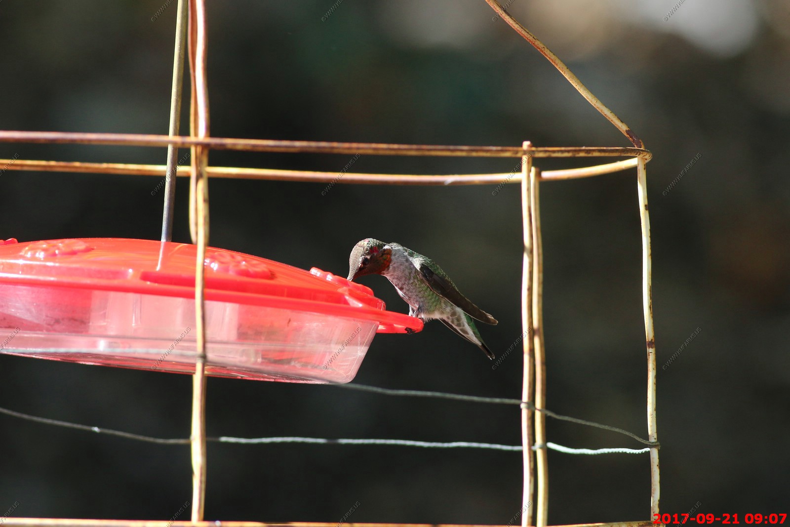
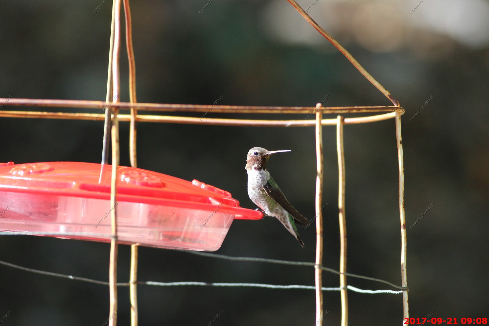
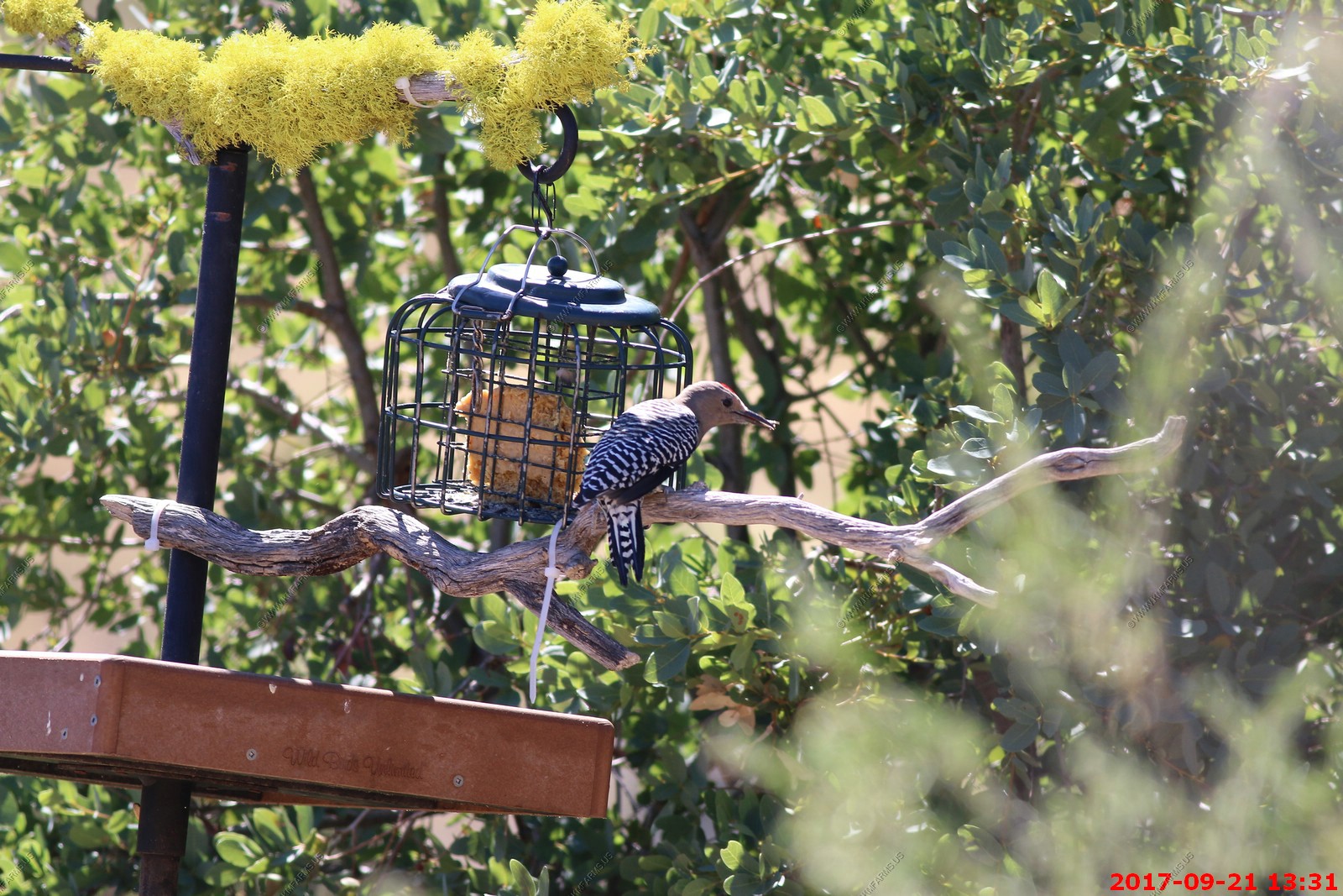
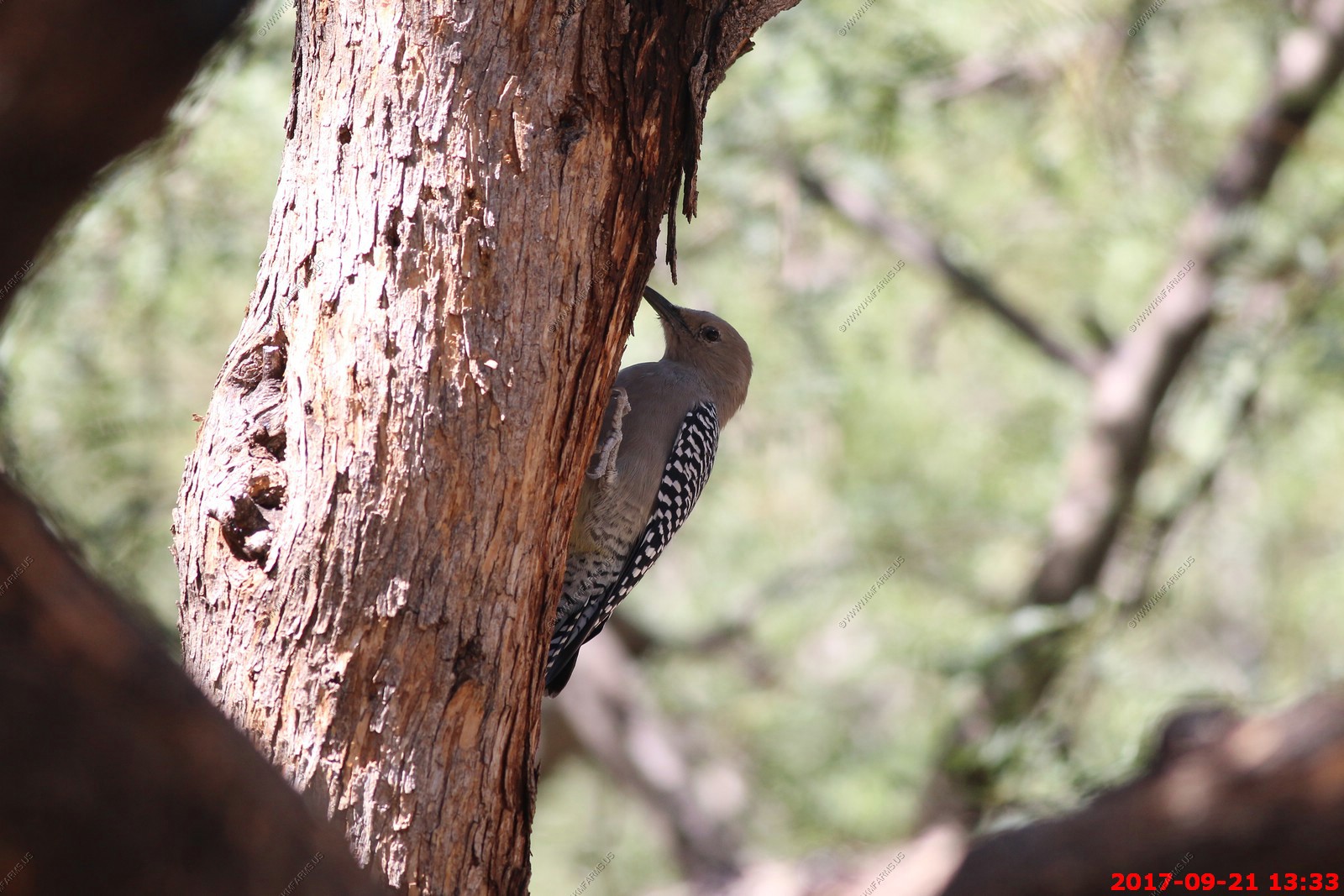
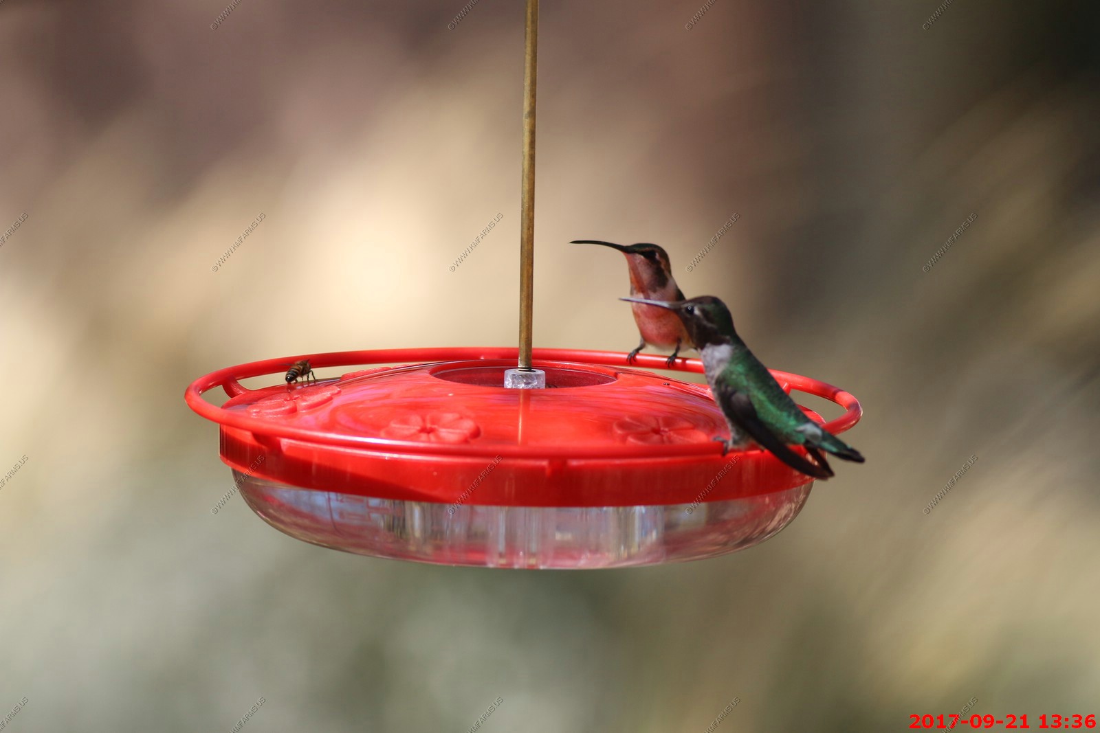
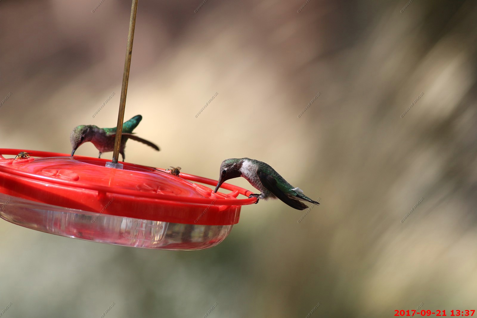
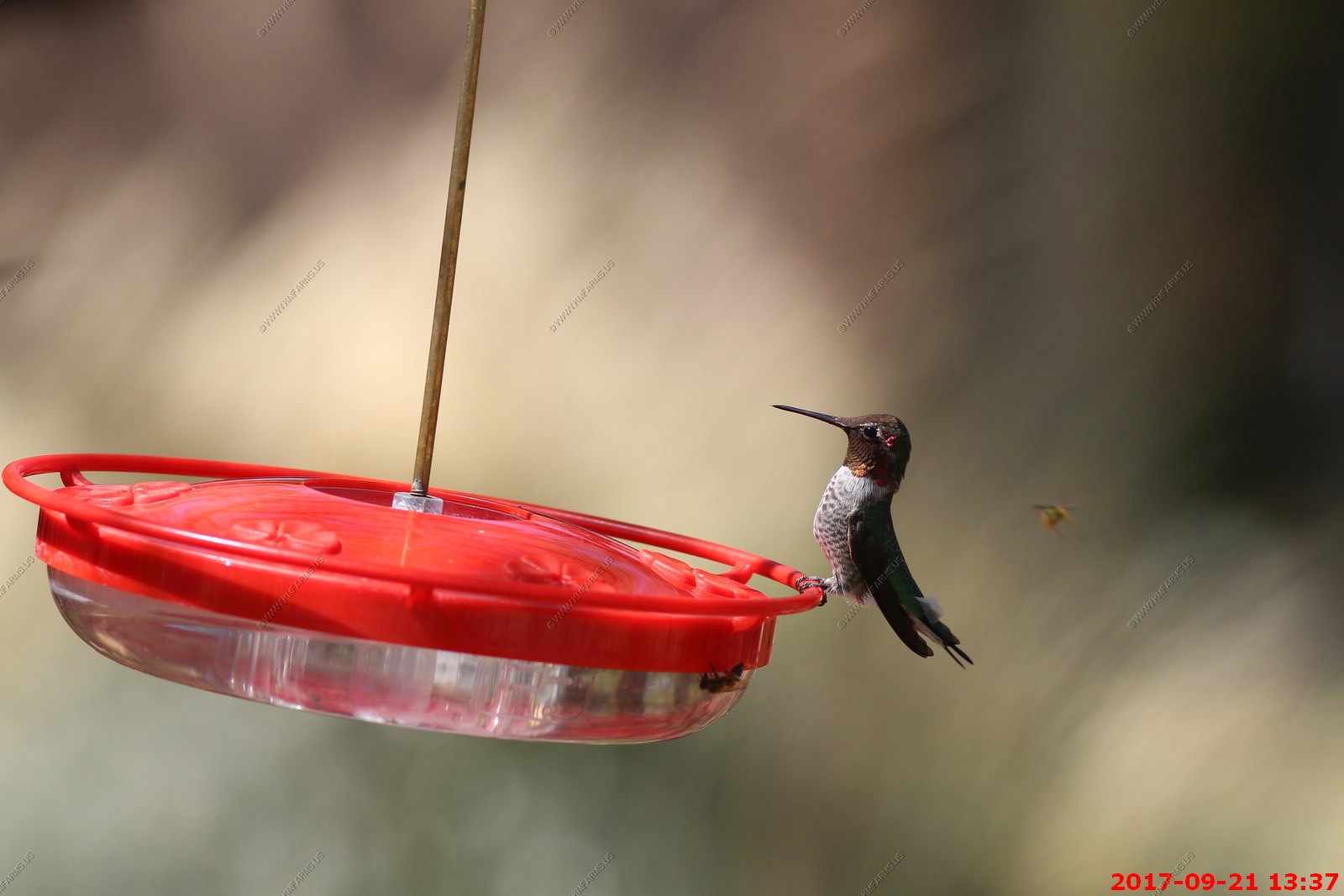
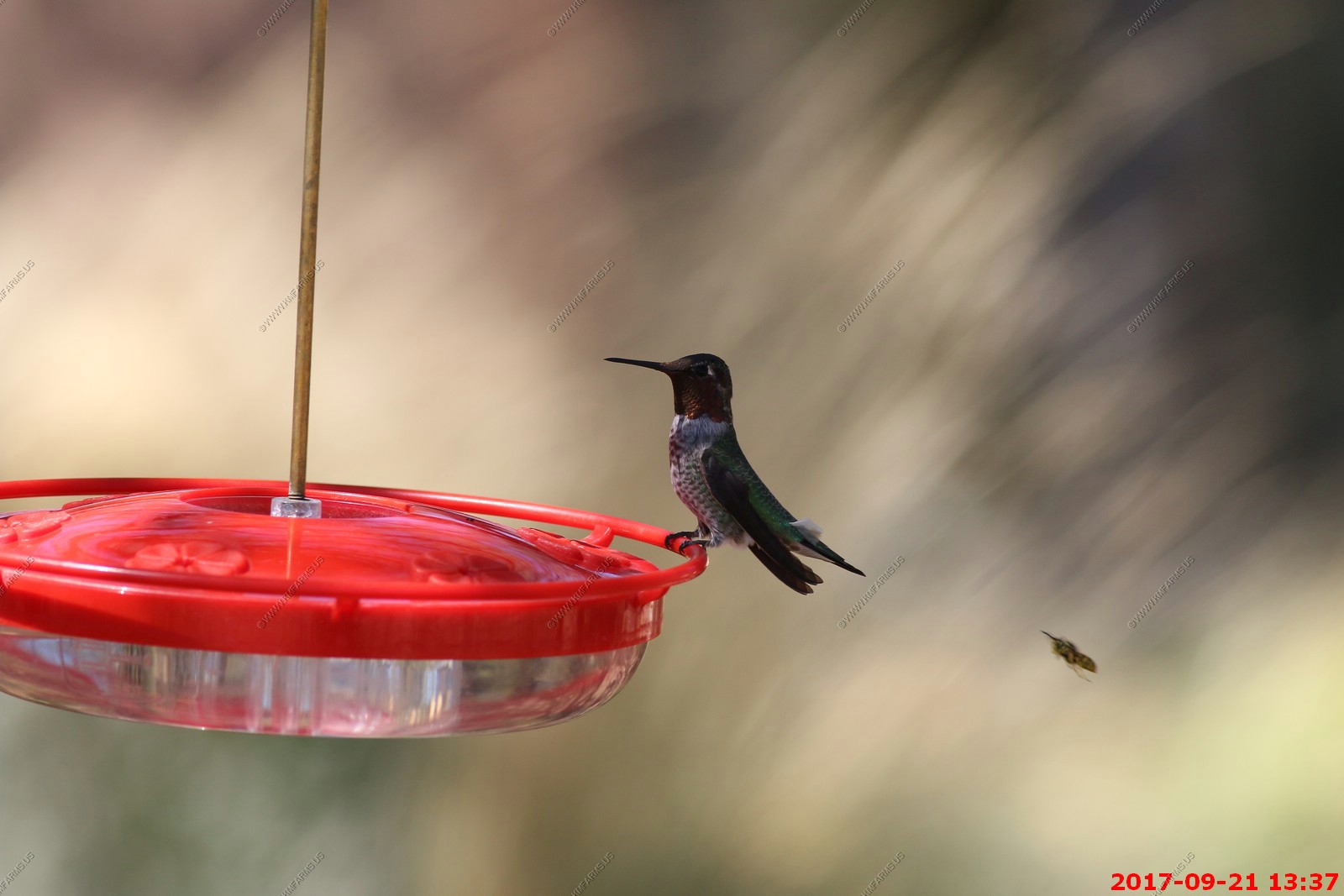
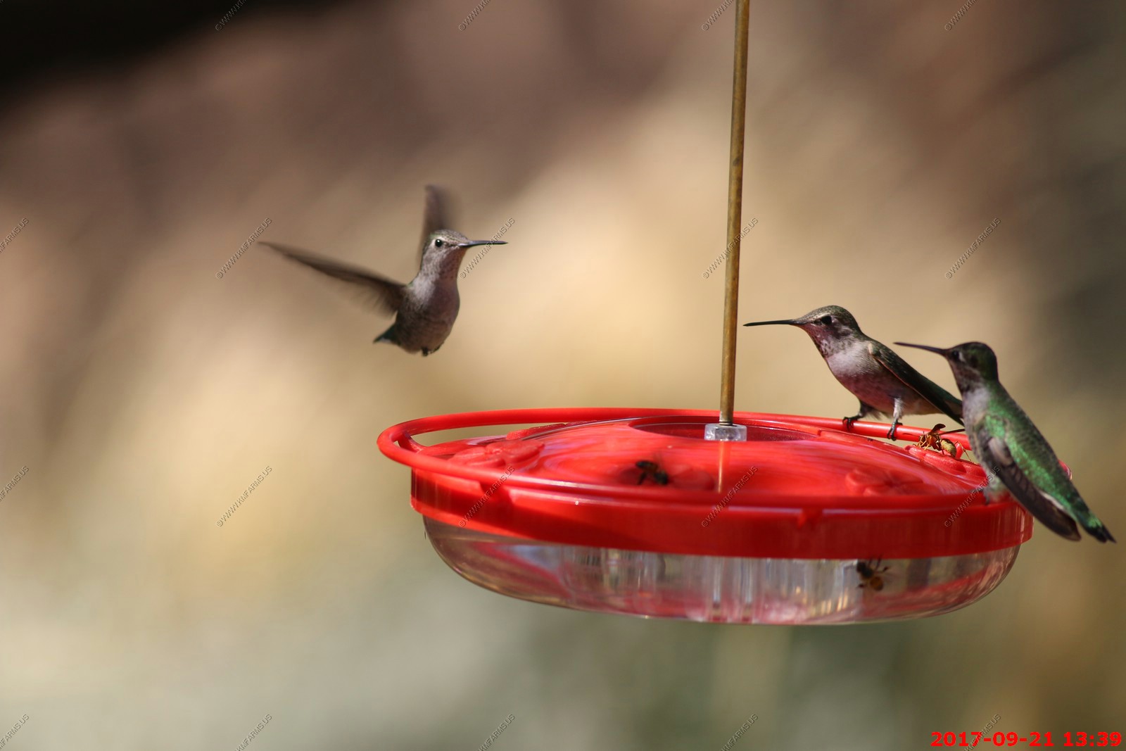
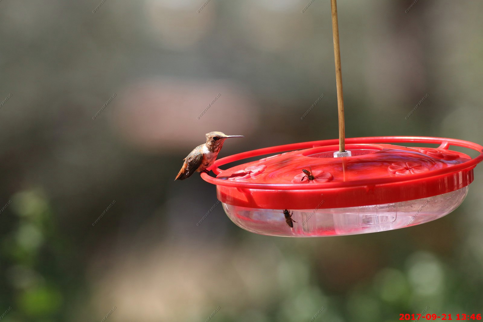
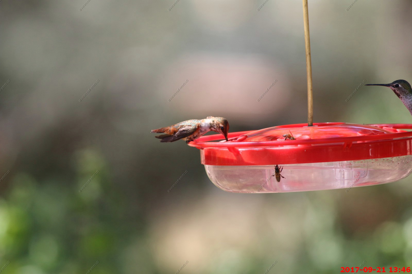
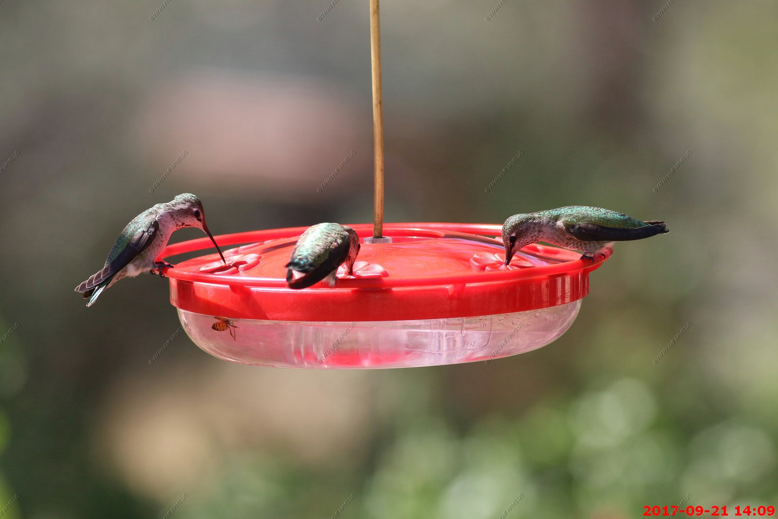
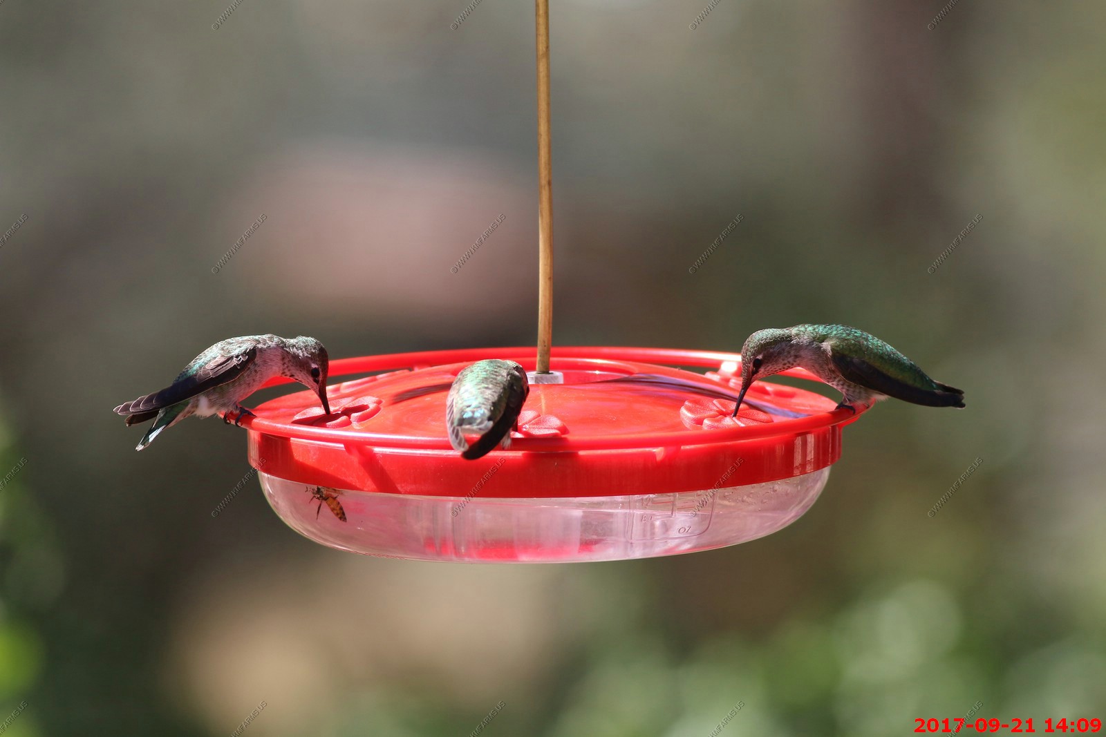
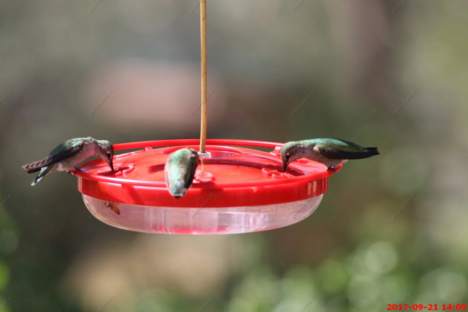
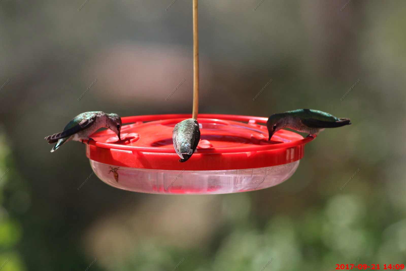
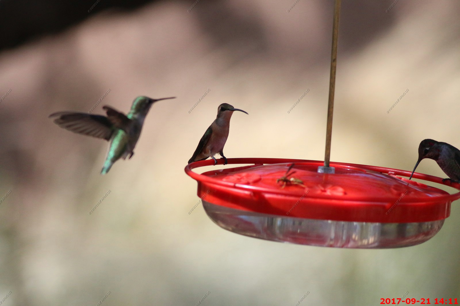
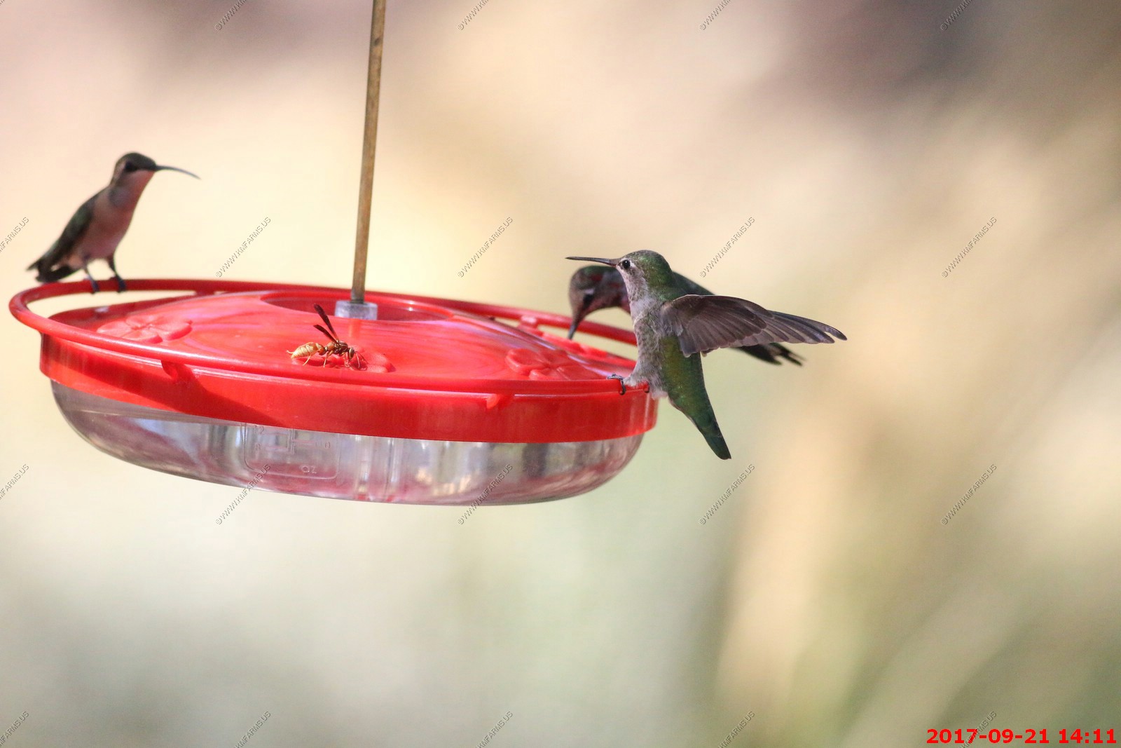
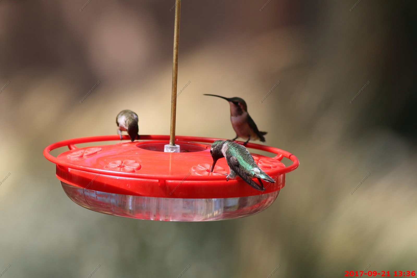
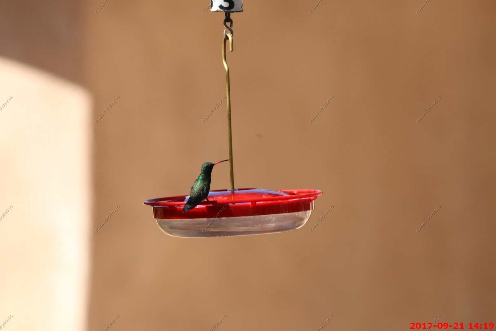
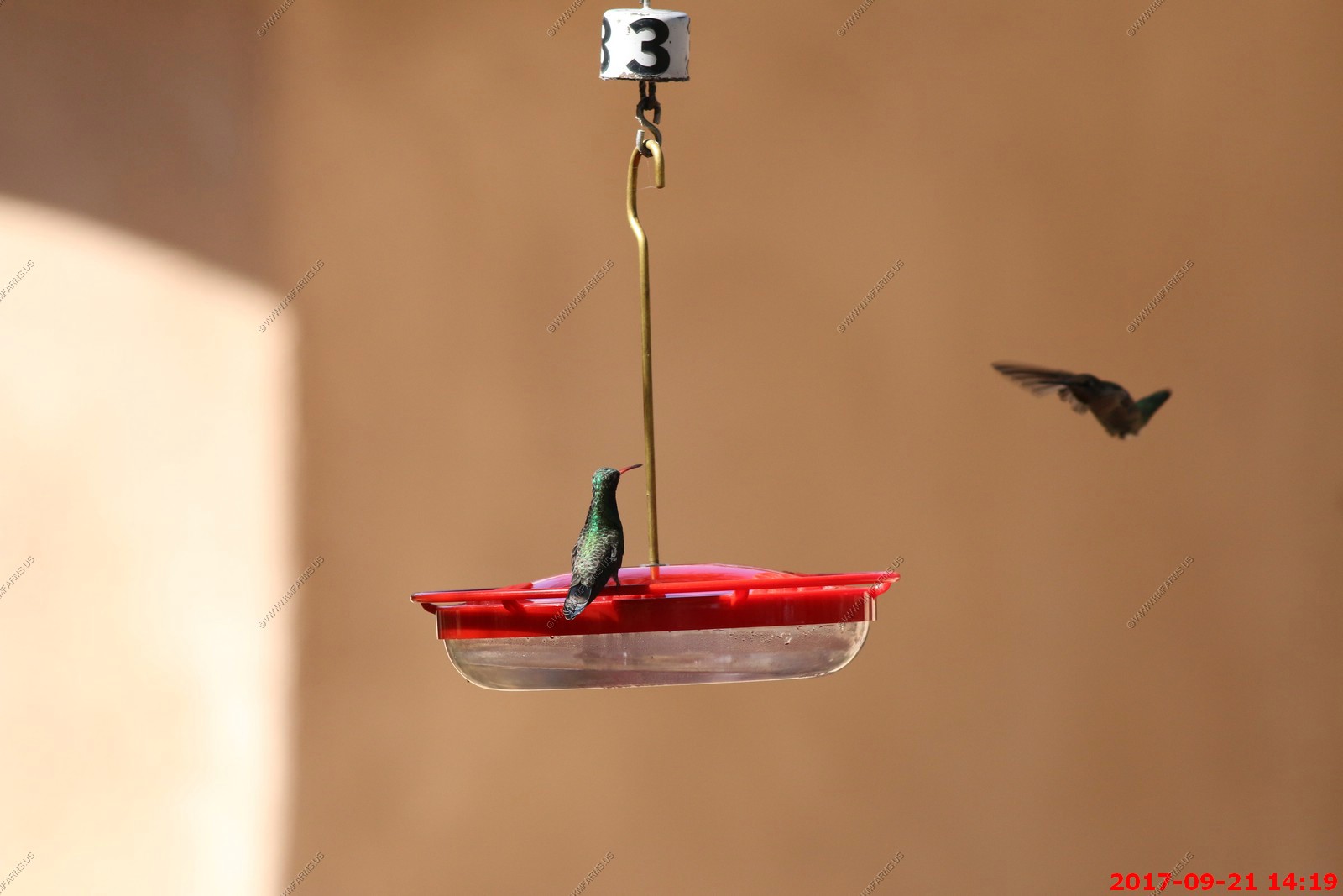
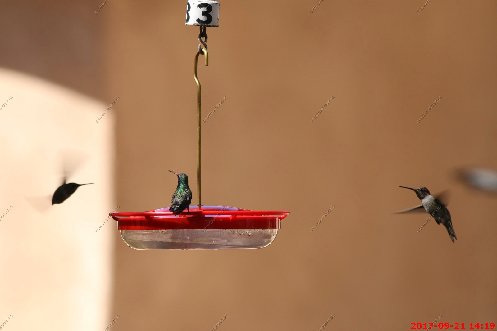
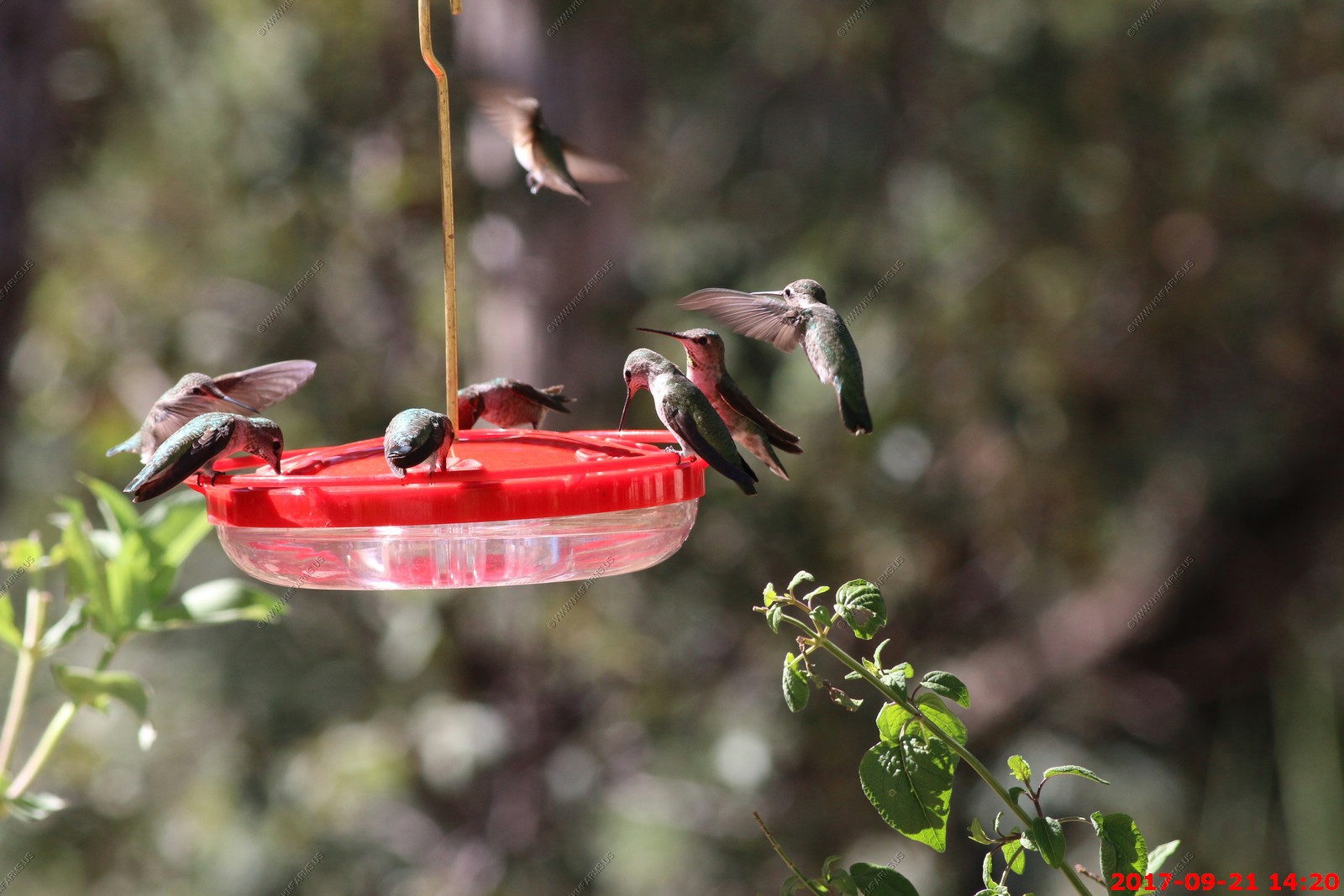
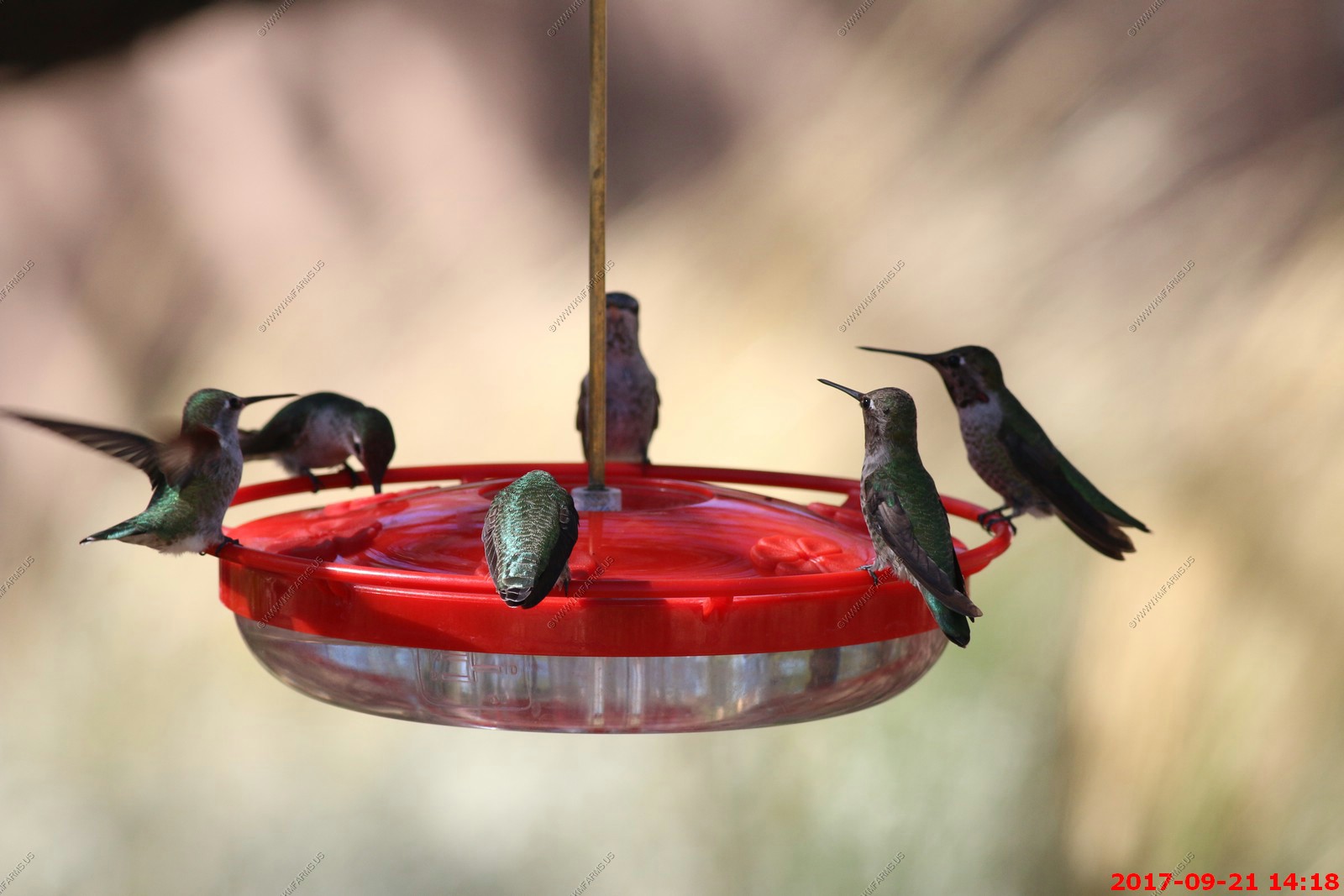
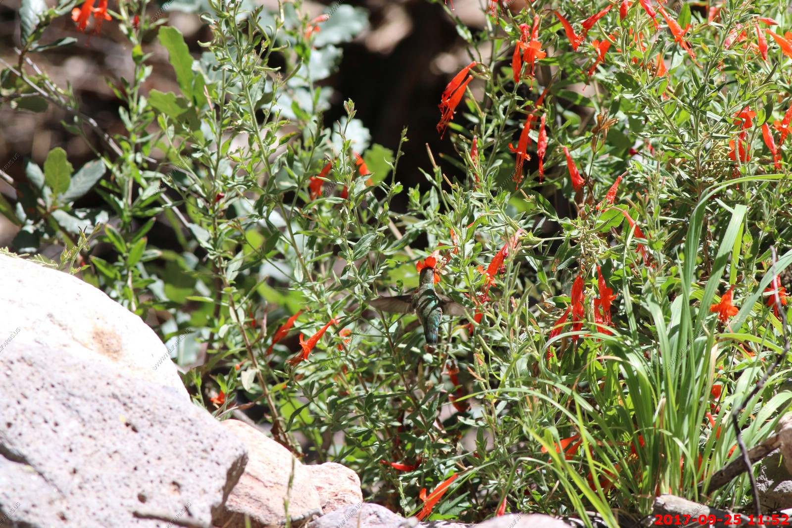
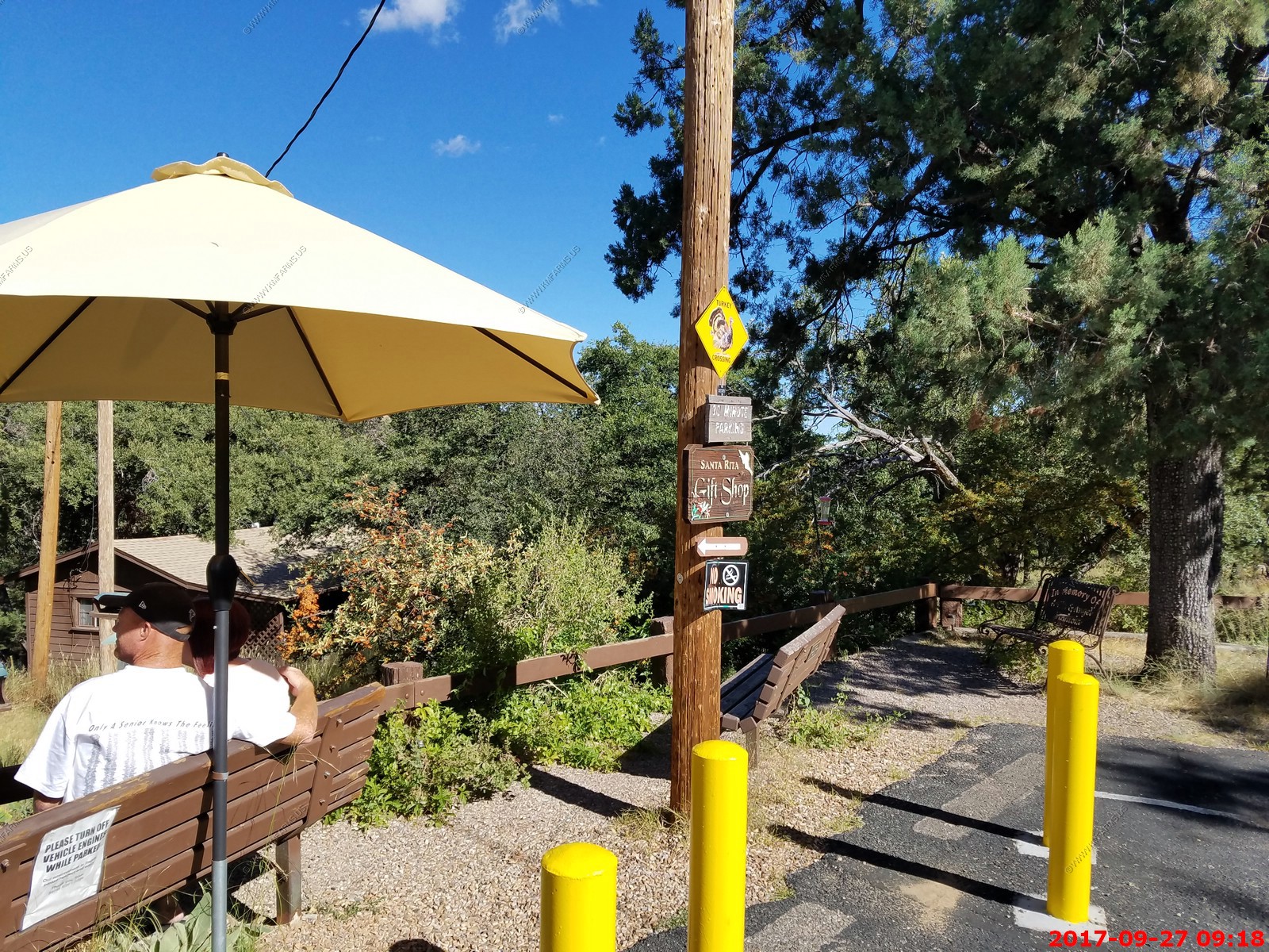
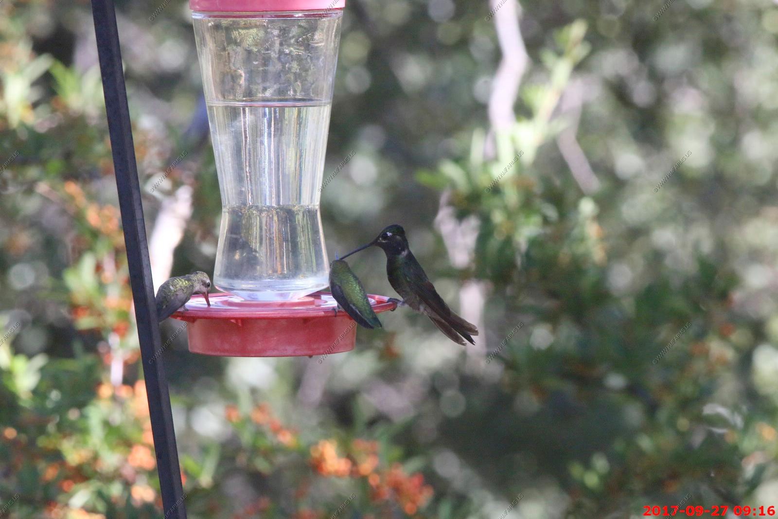
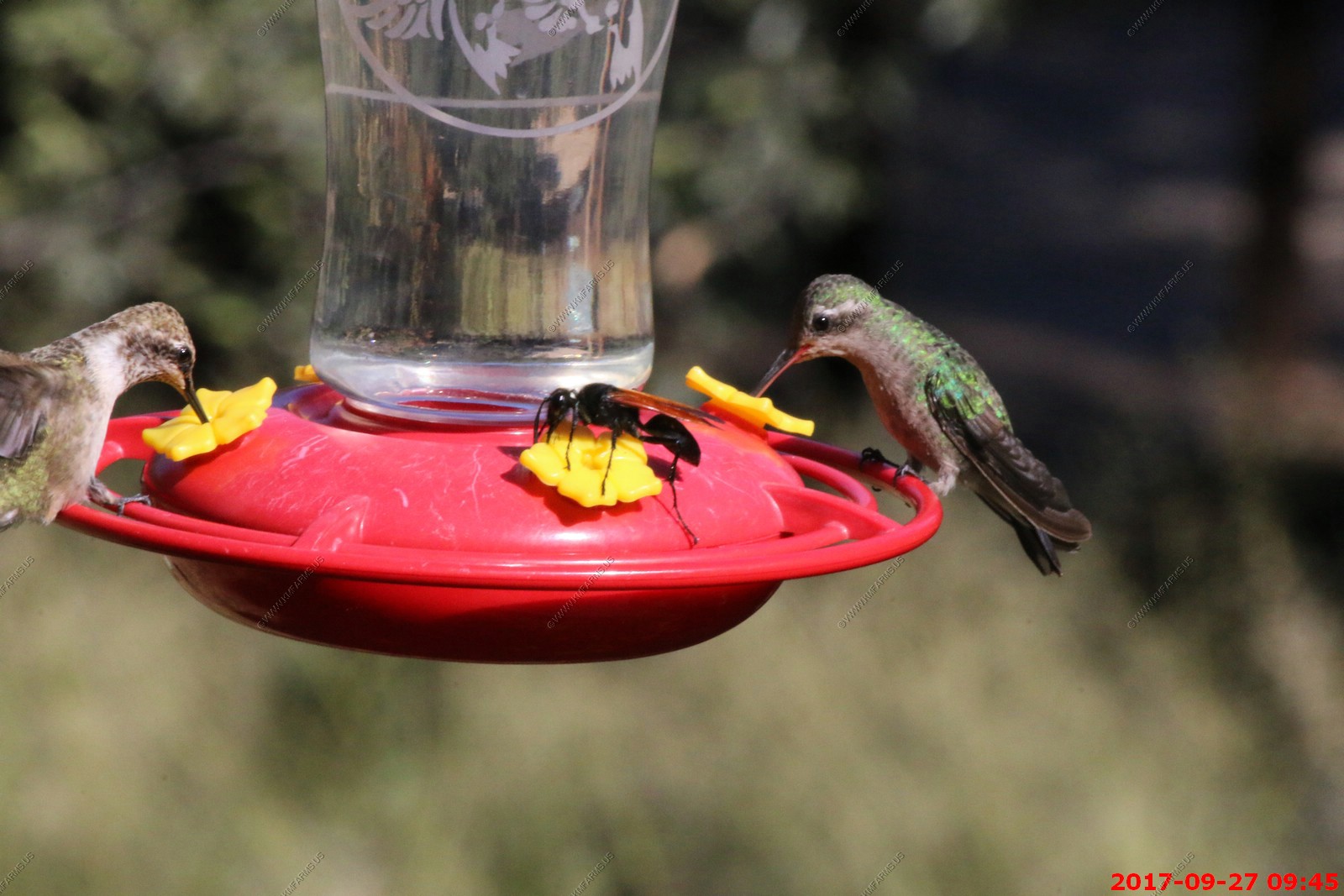
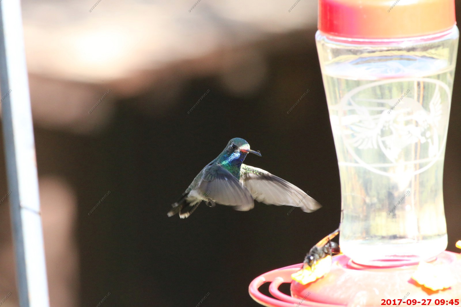
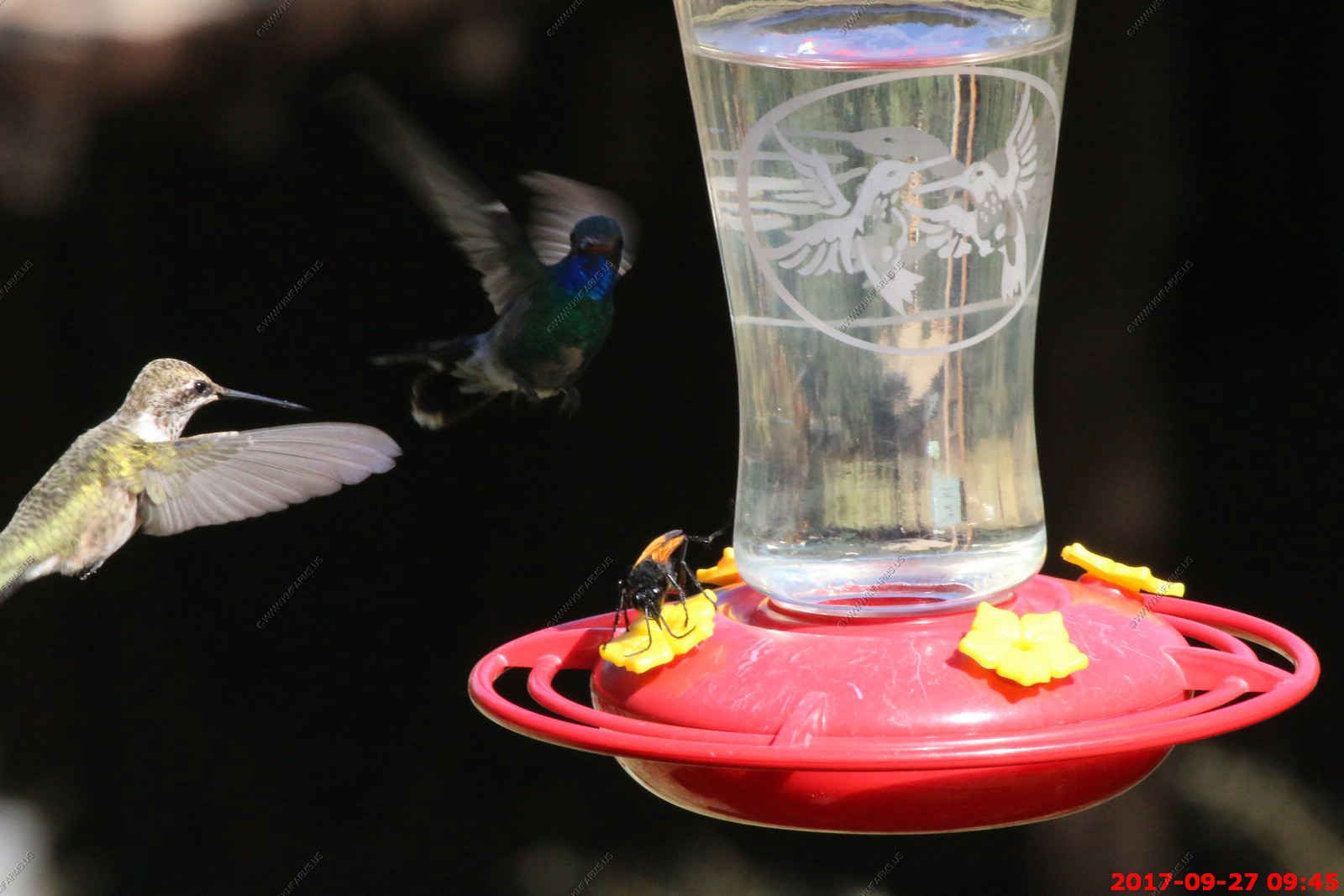
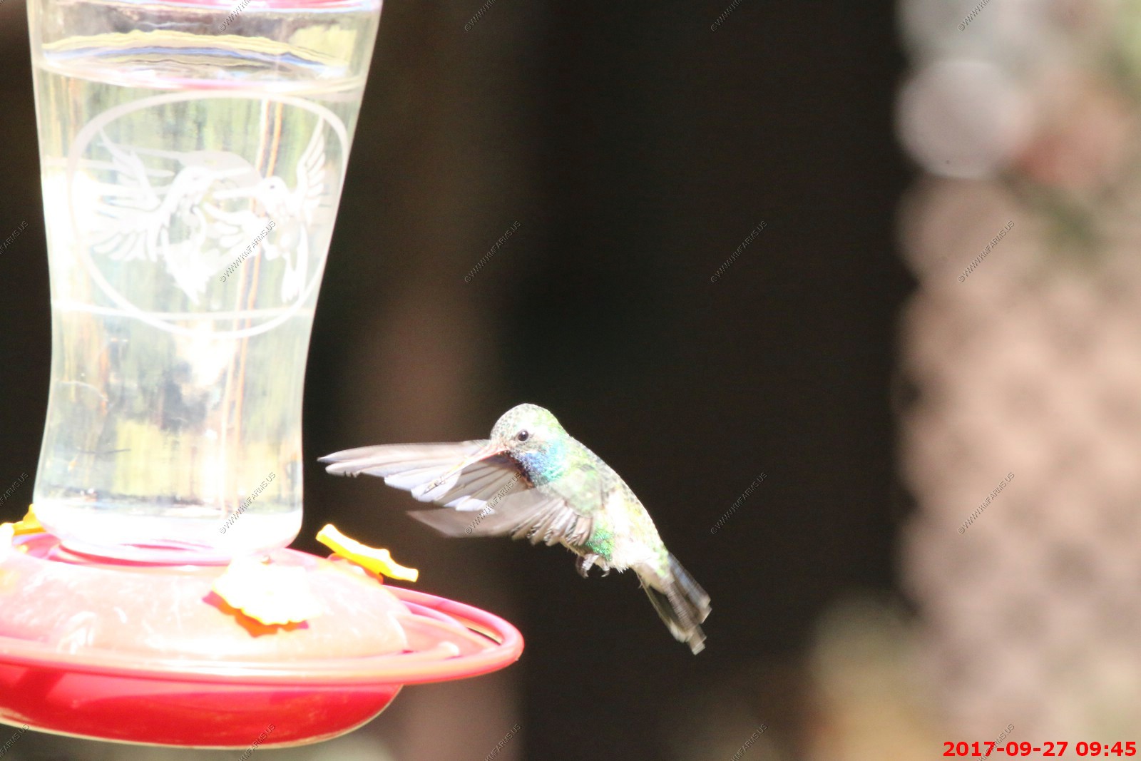
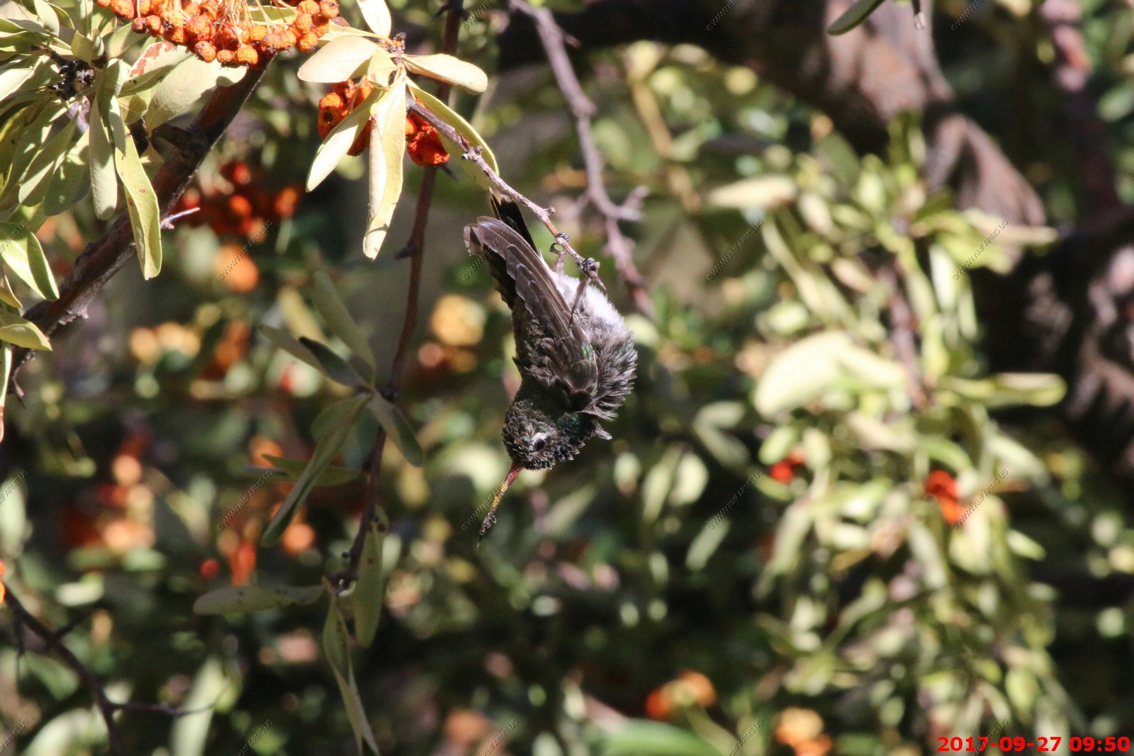
The hummingbird feeder where we would see more than hummingbirds.
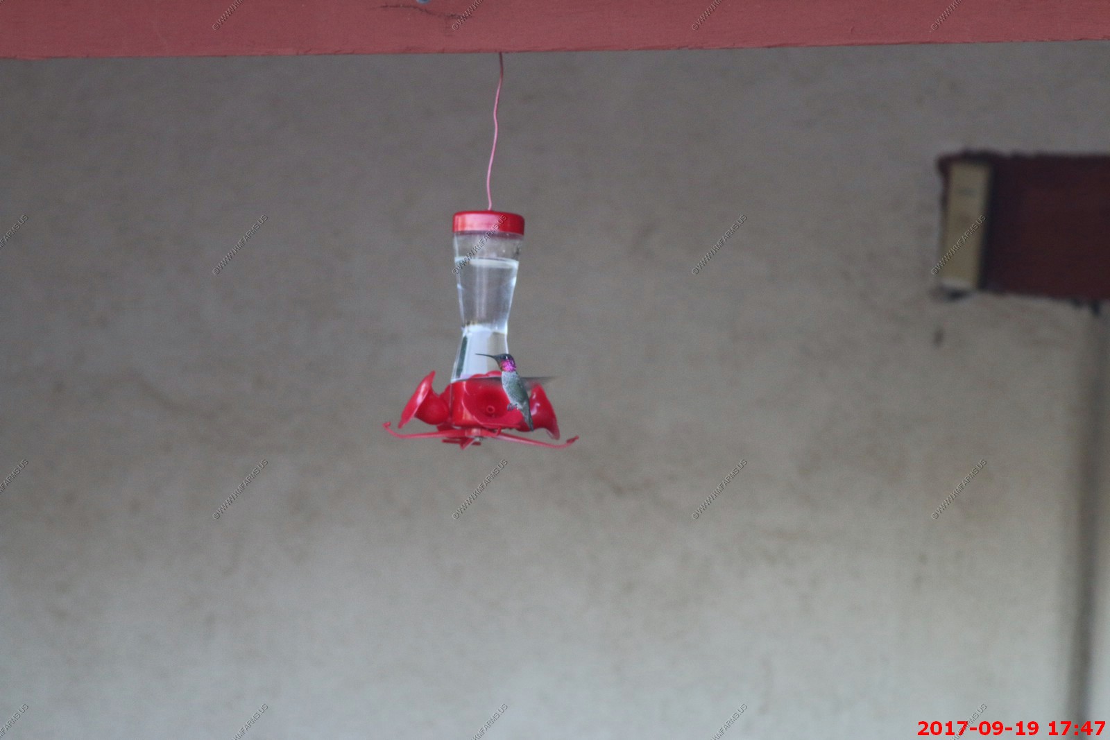
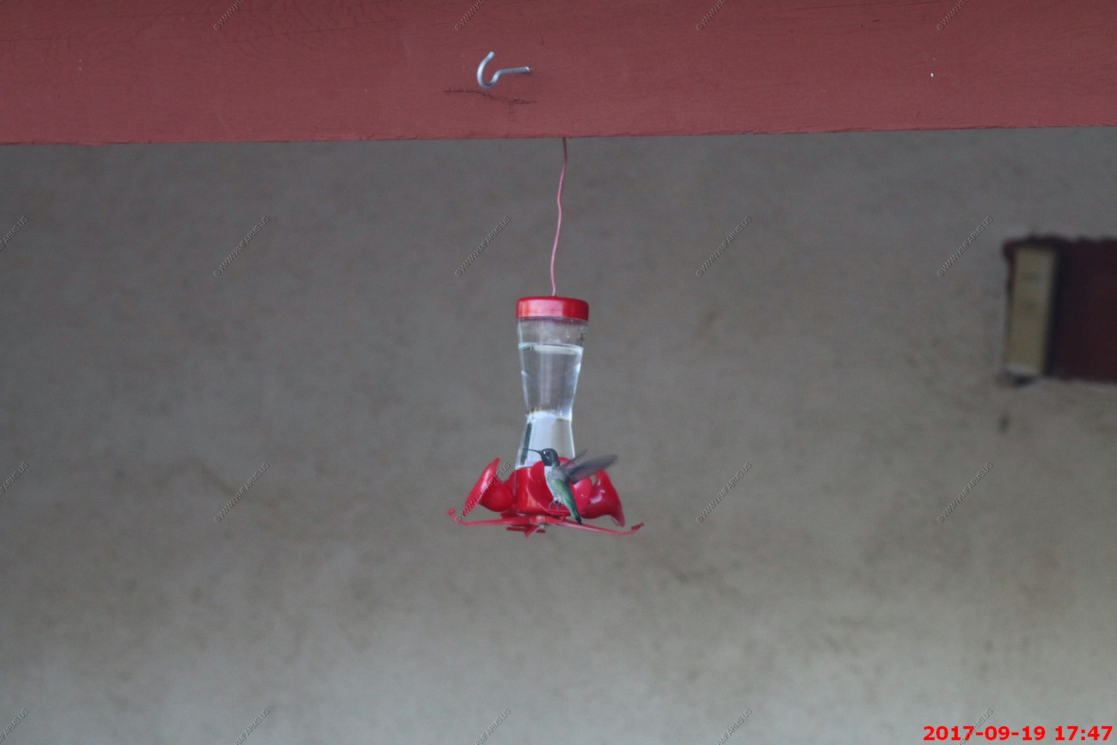
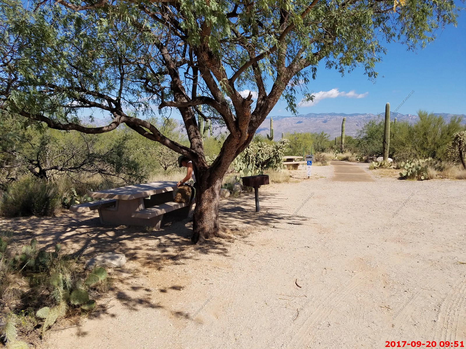
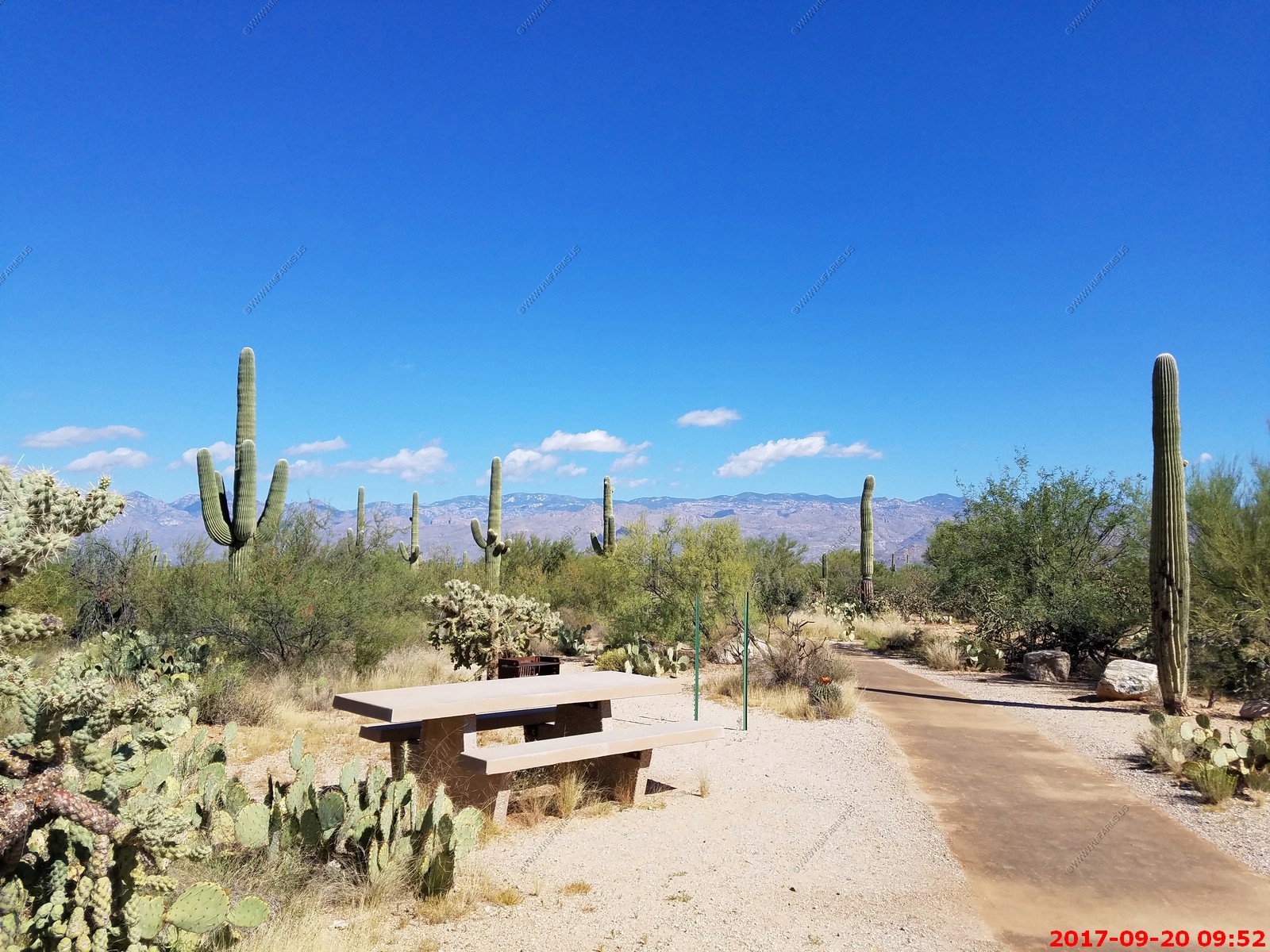
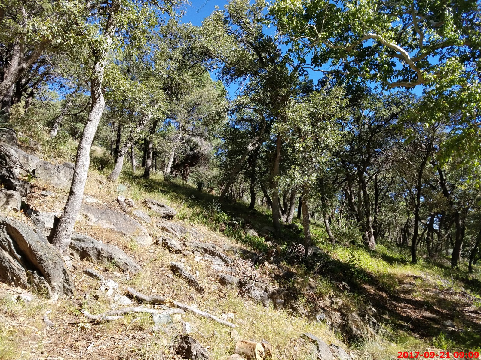
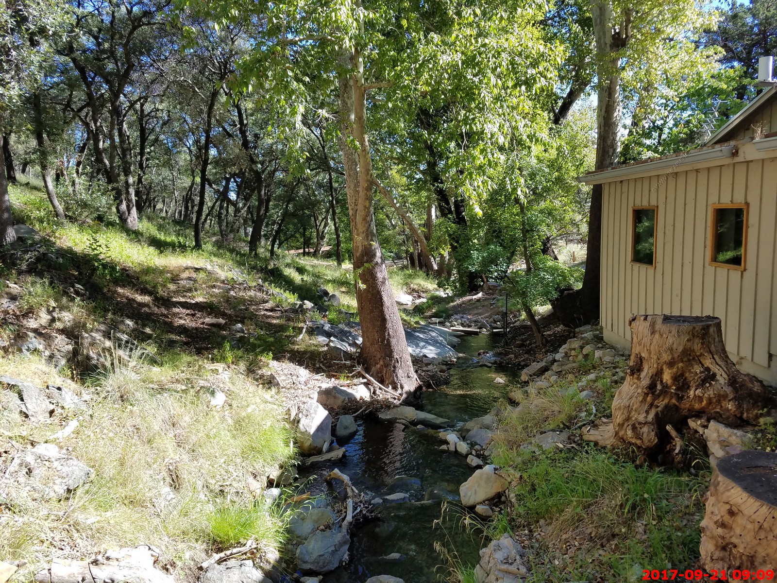
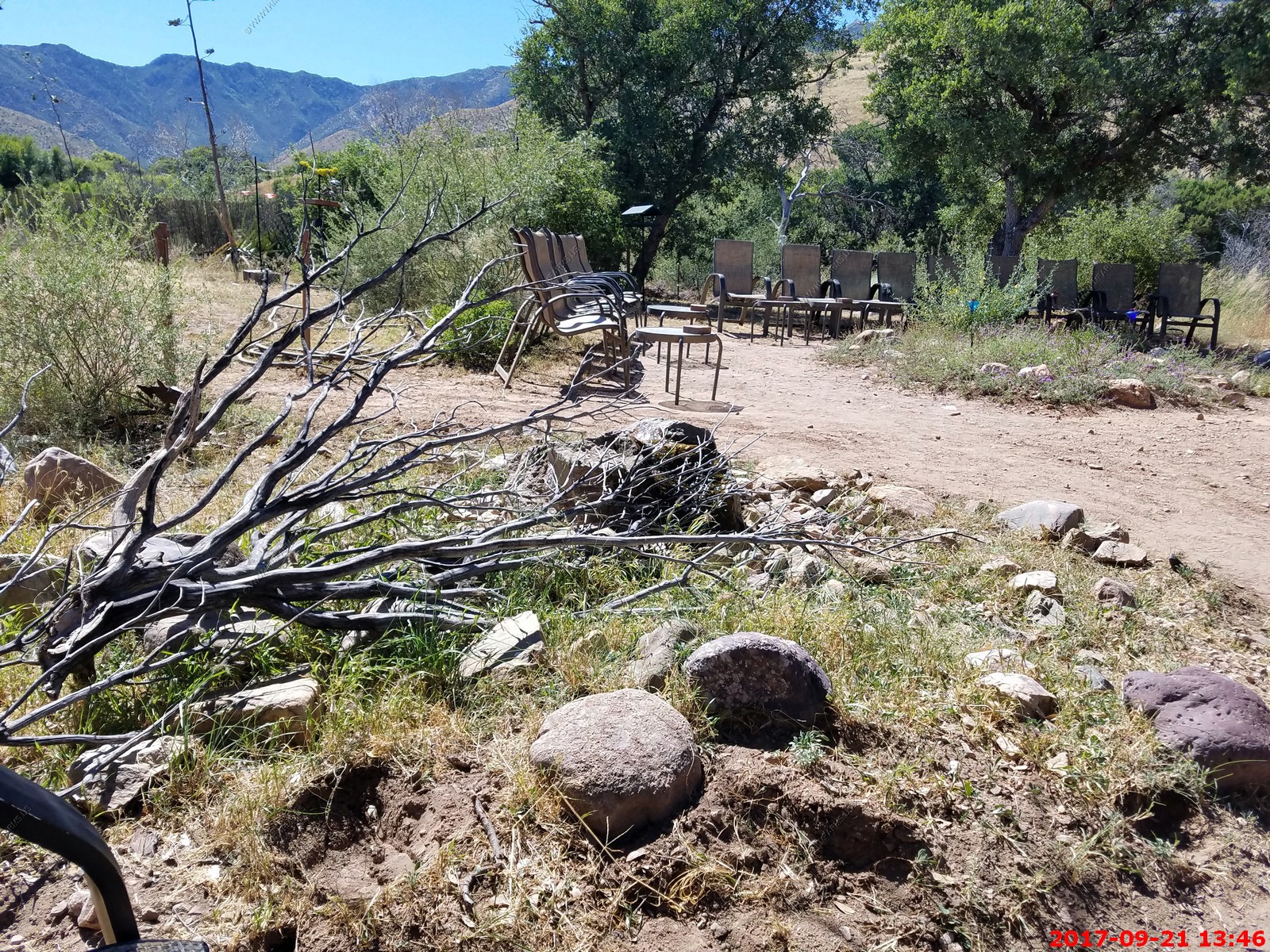
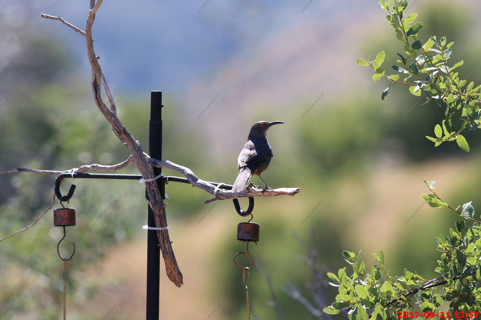
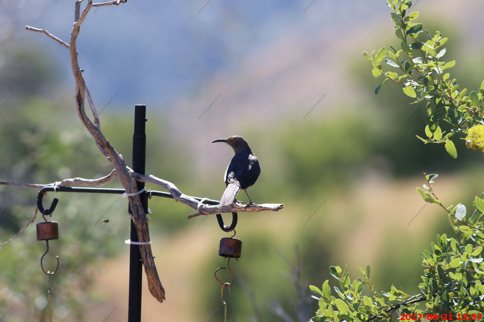
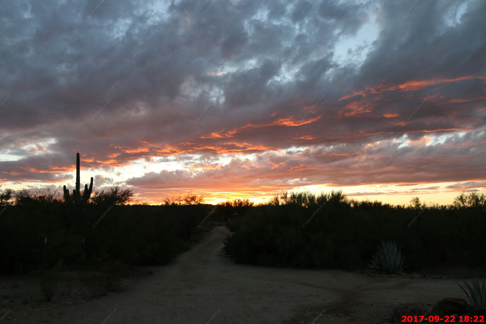
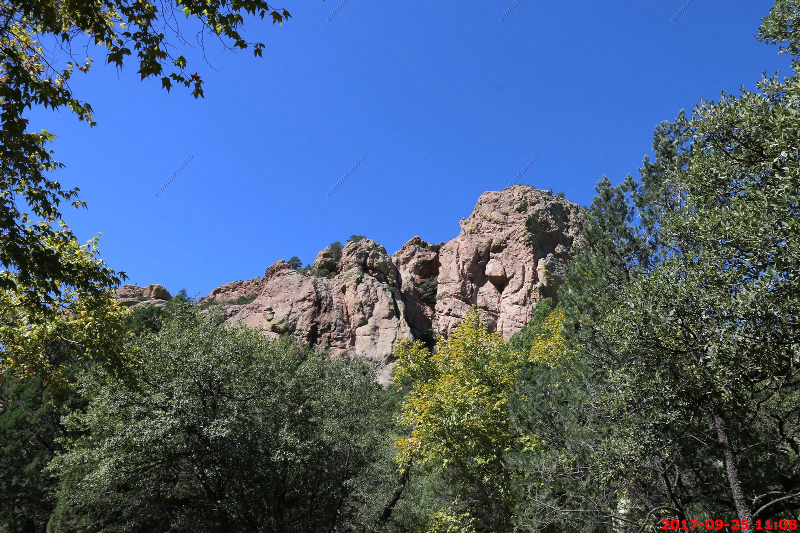
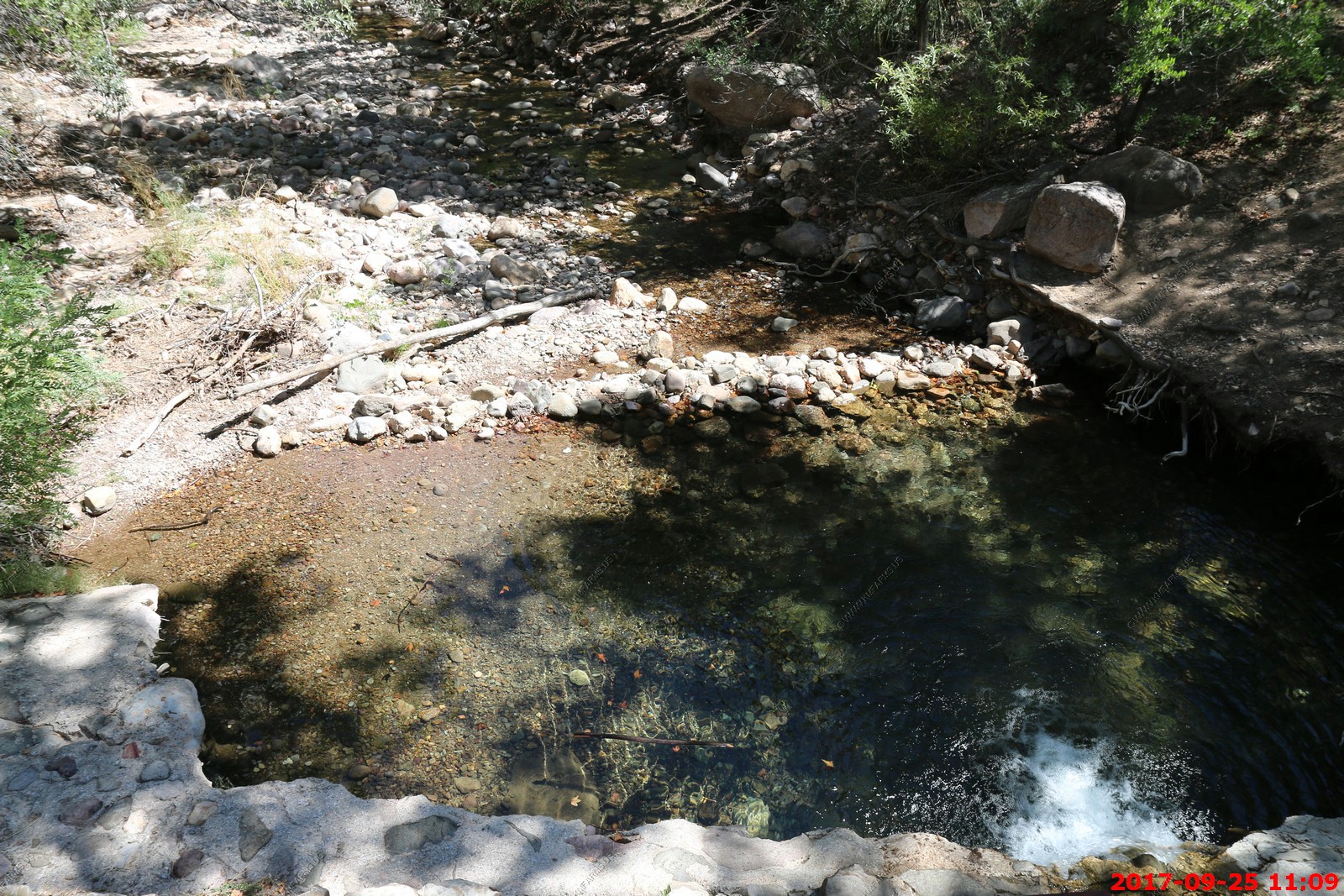
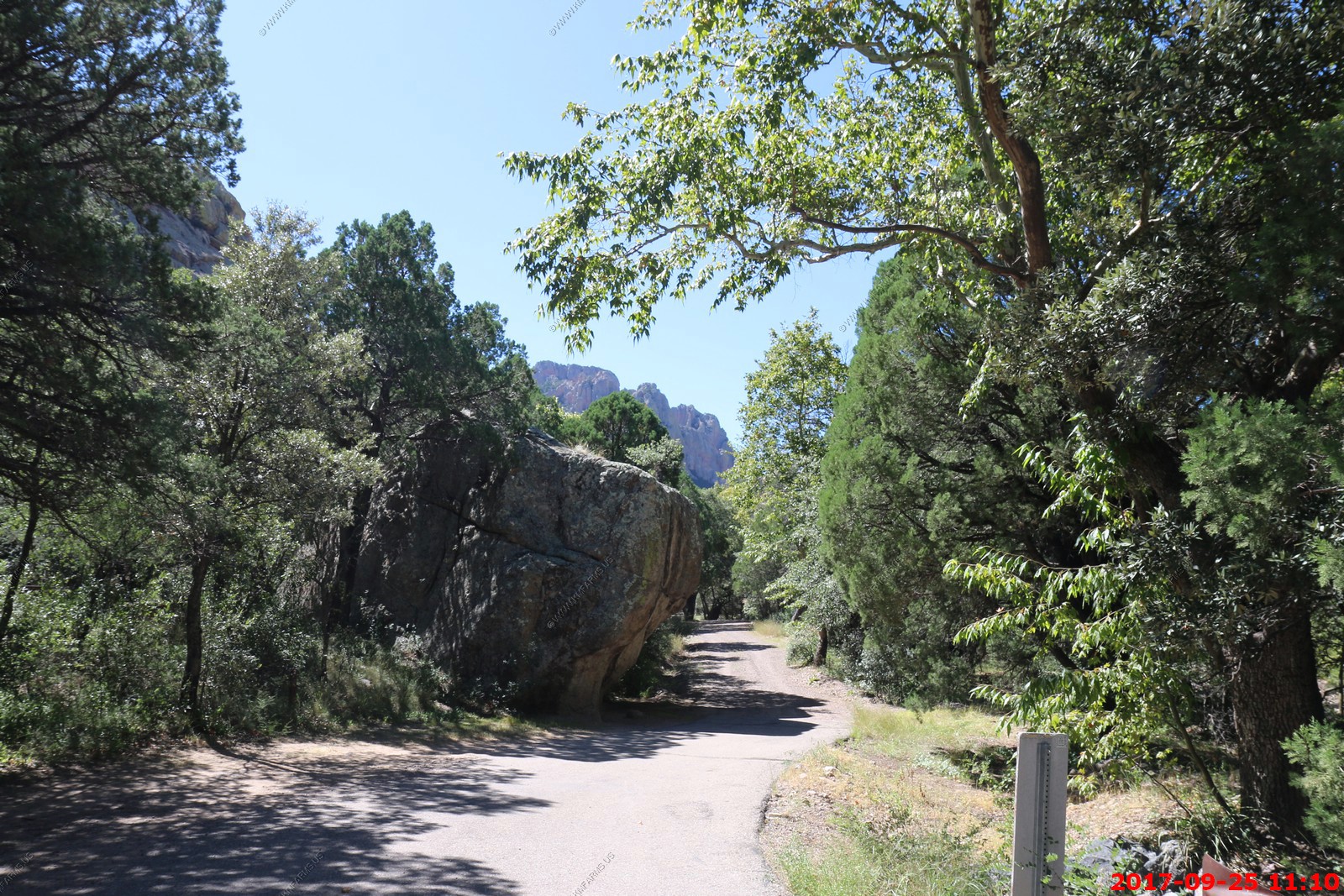
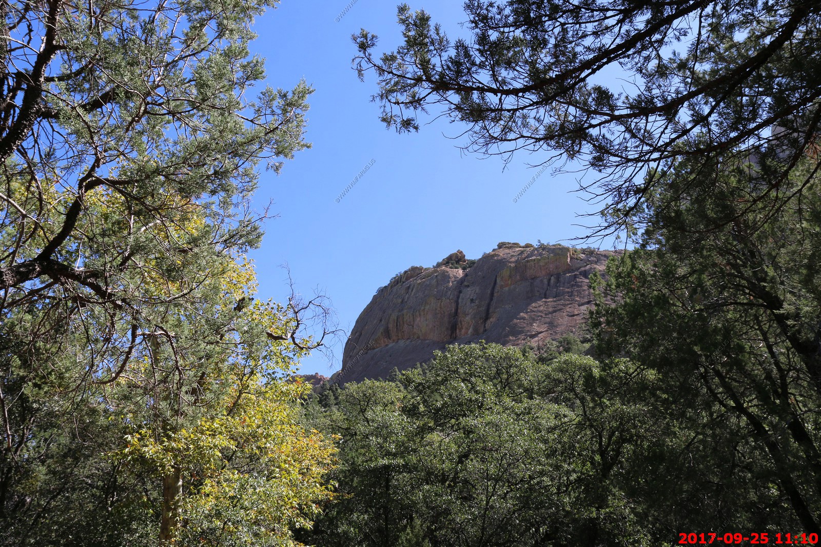
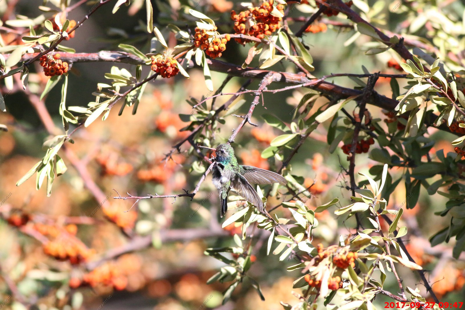
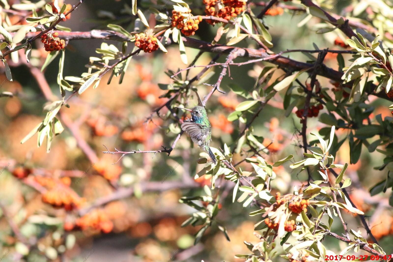
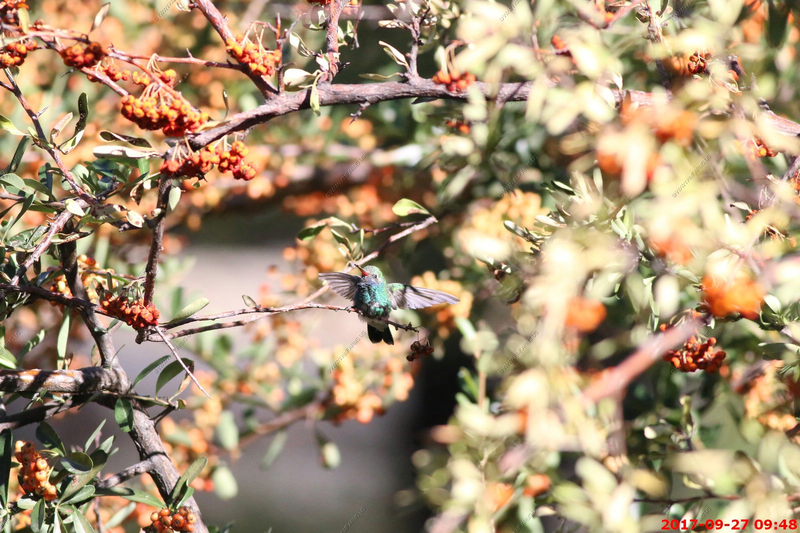
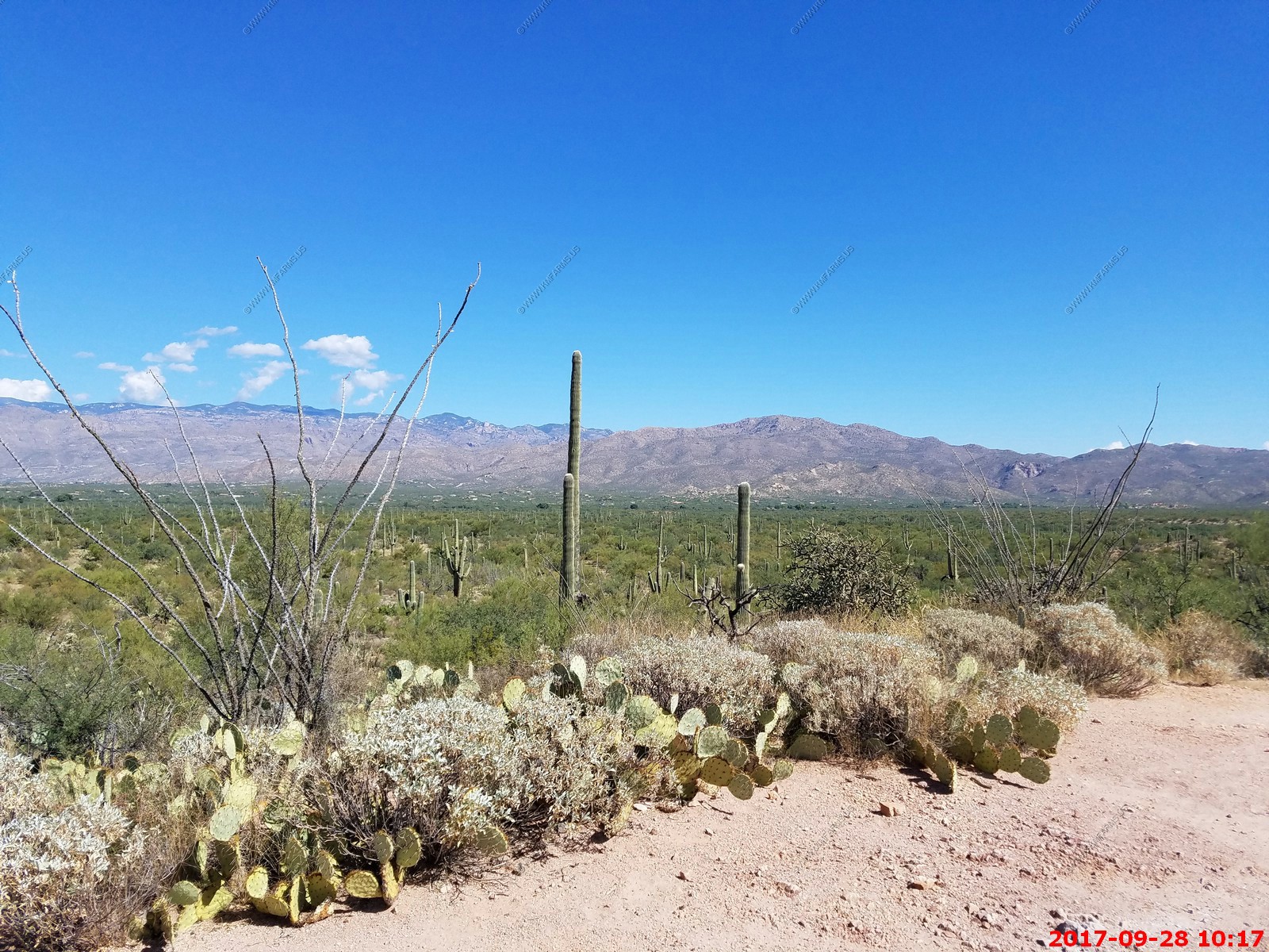
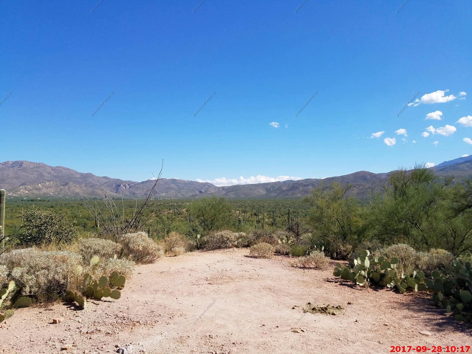
Around the rental on a cool morning
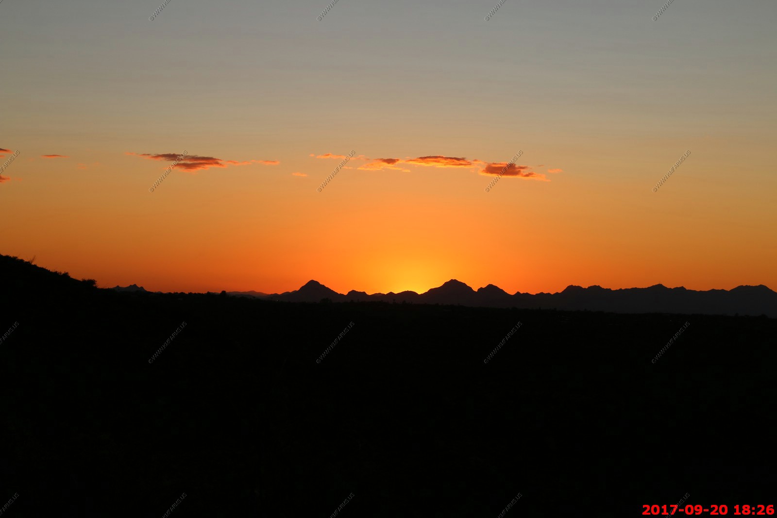
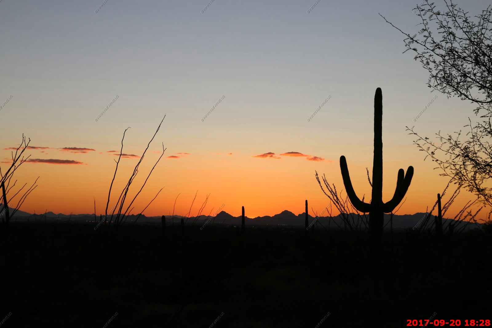
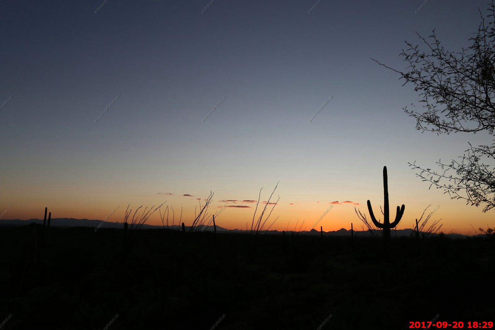
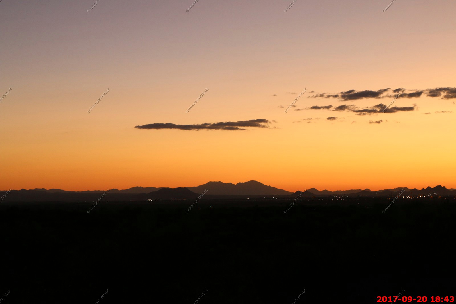
Wednesday SEP 20th
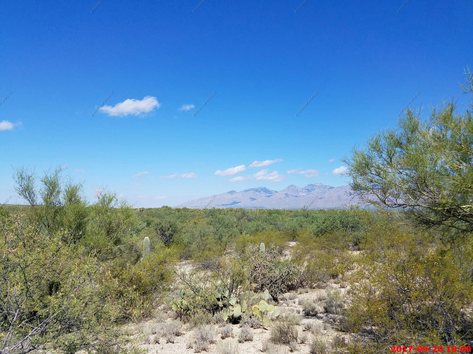
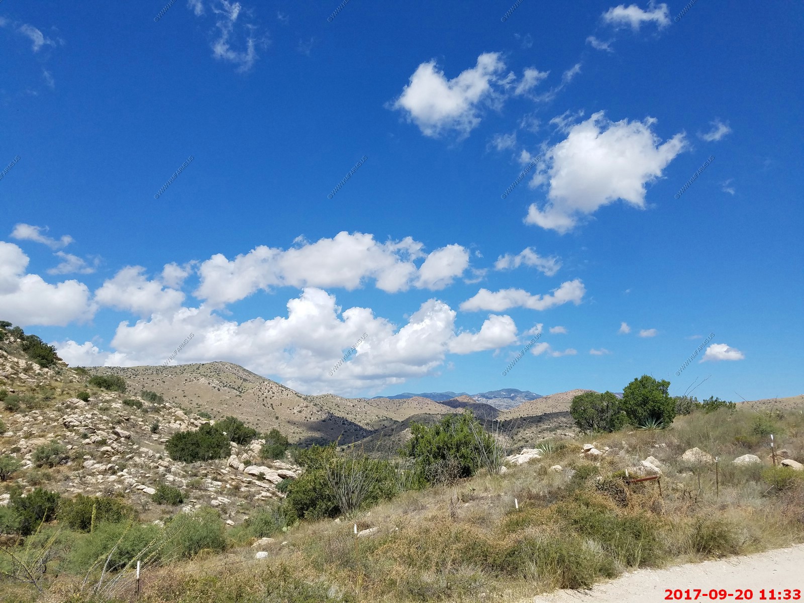
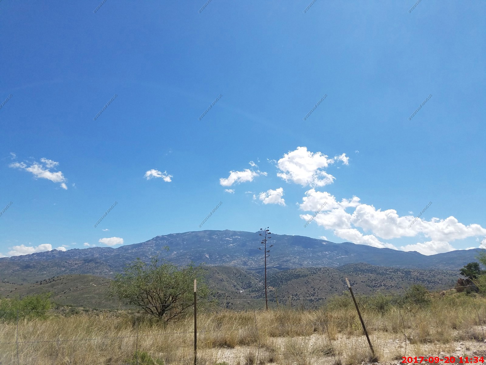
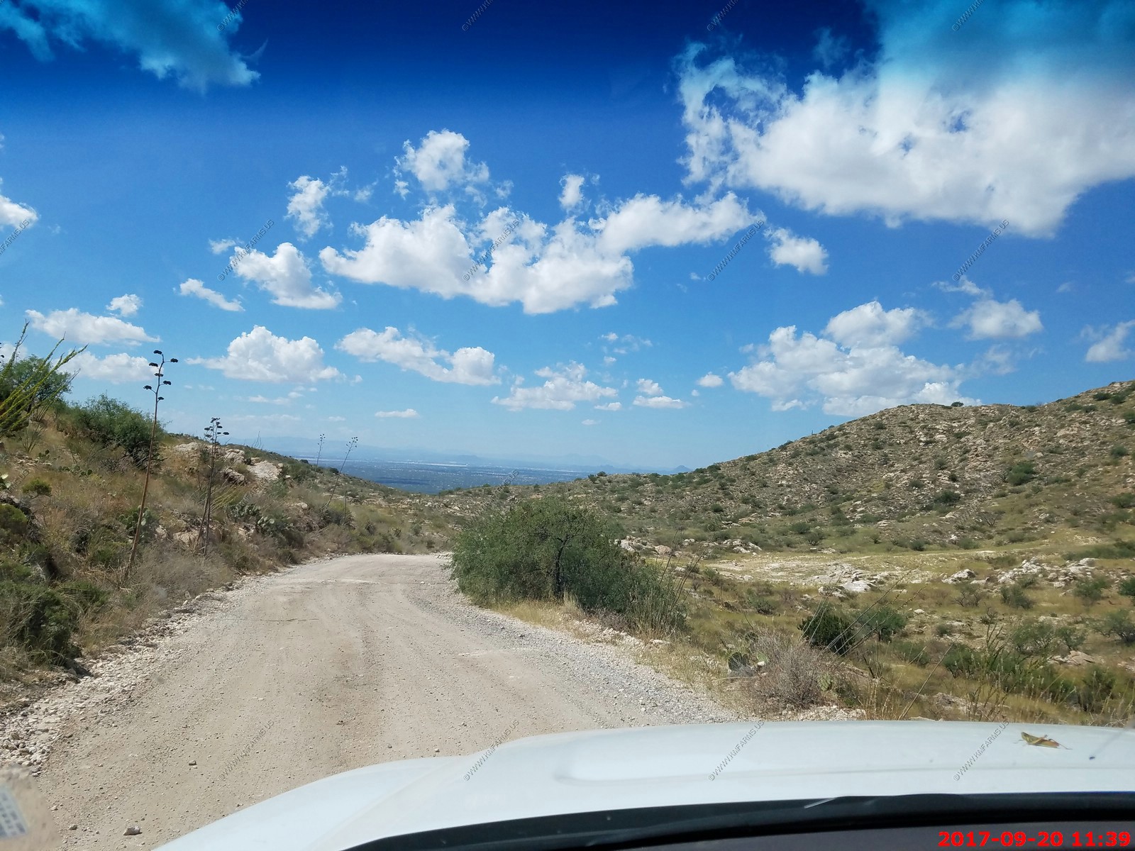
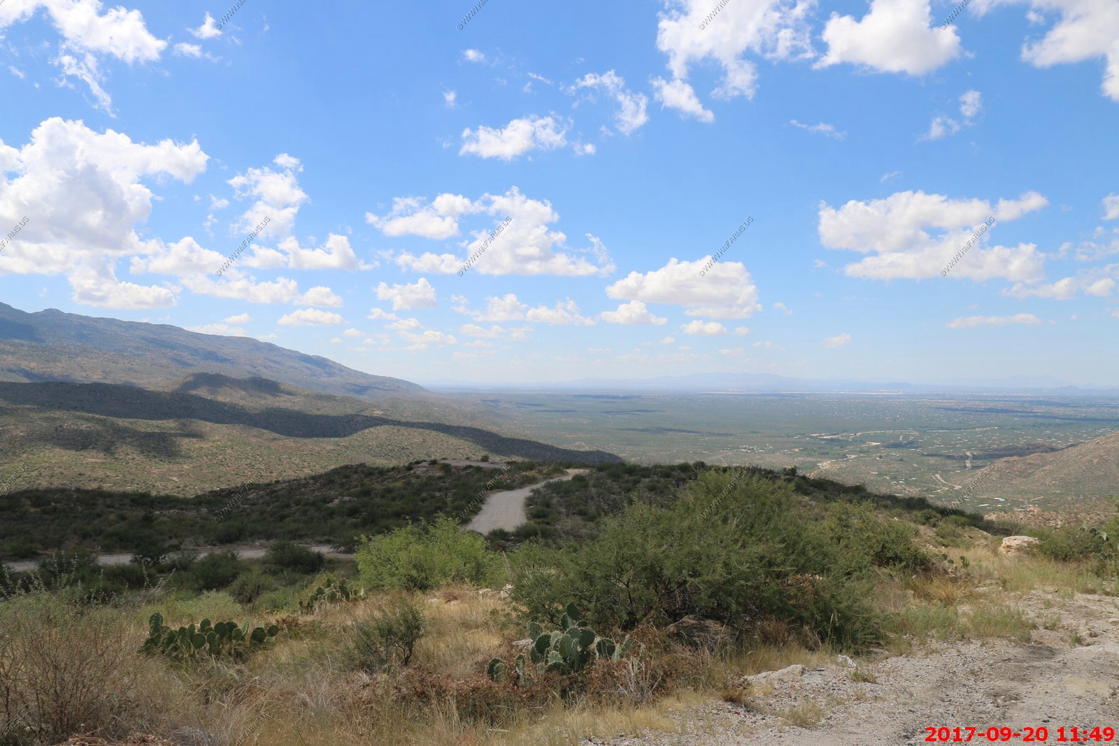
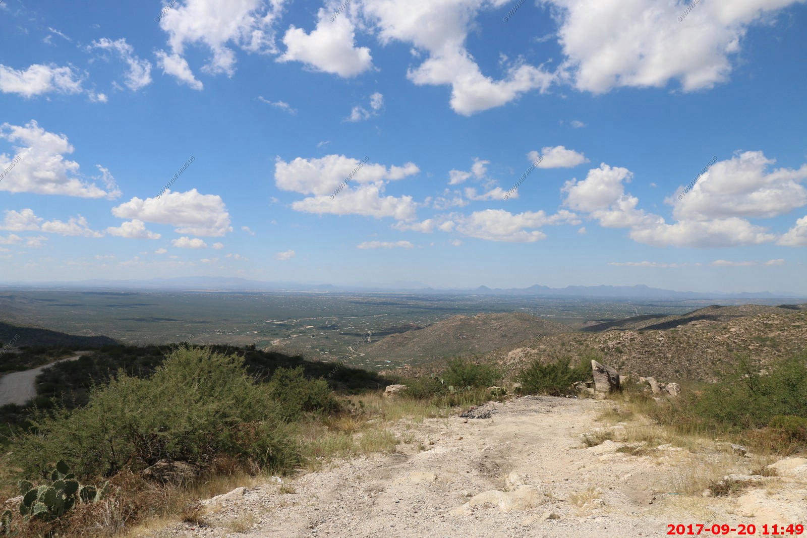
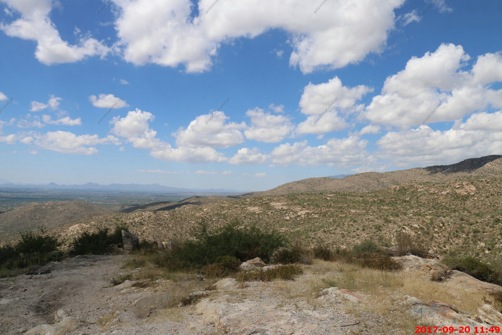
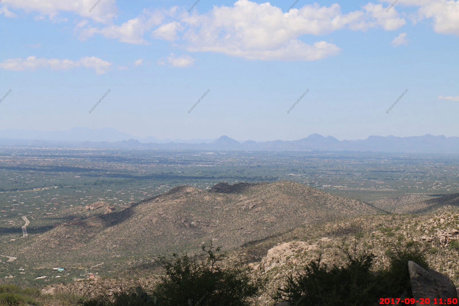
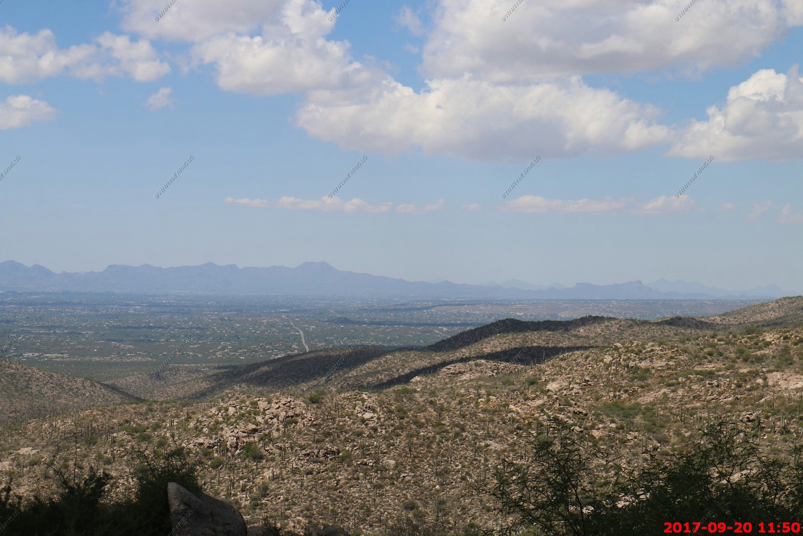
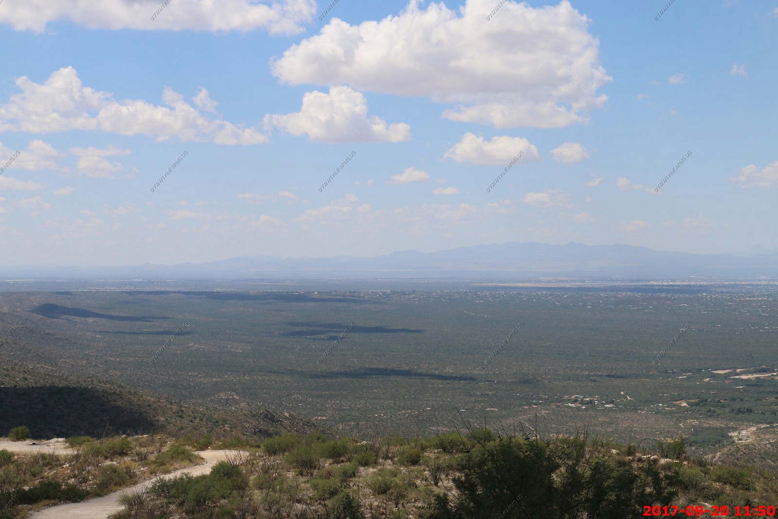
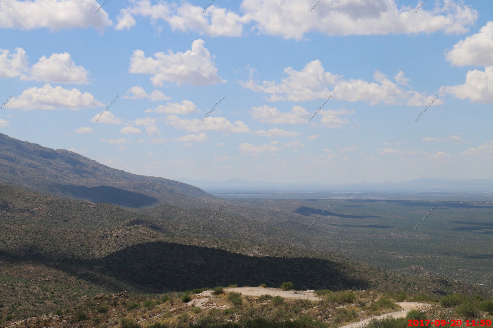
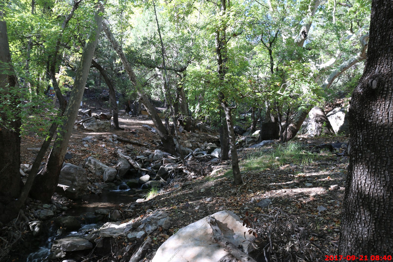
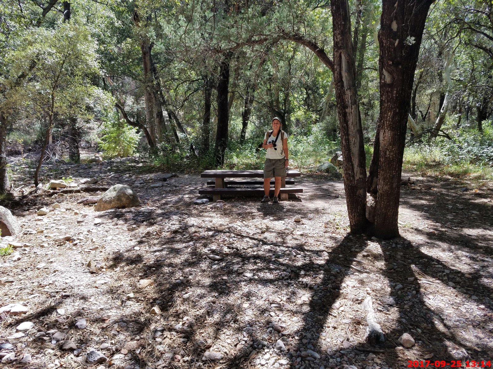
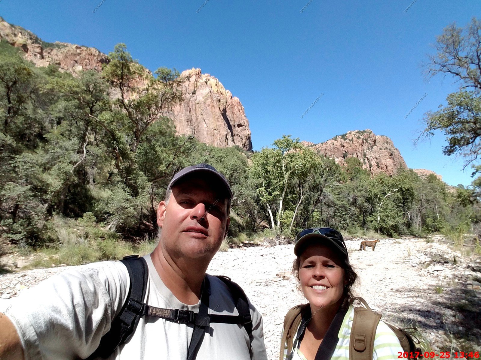
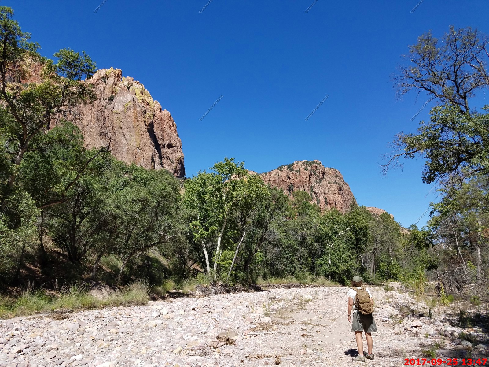
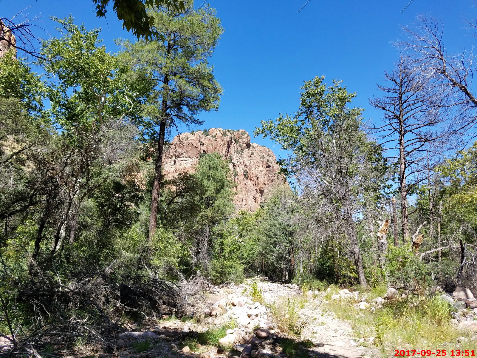
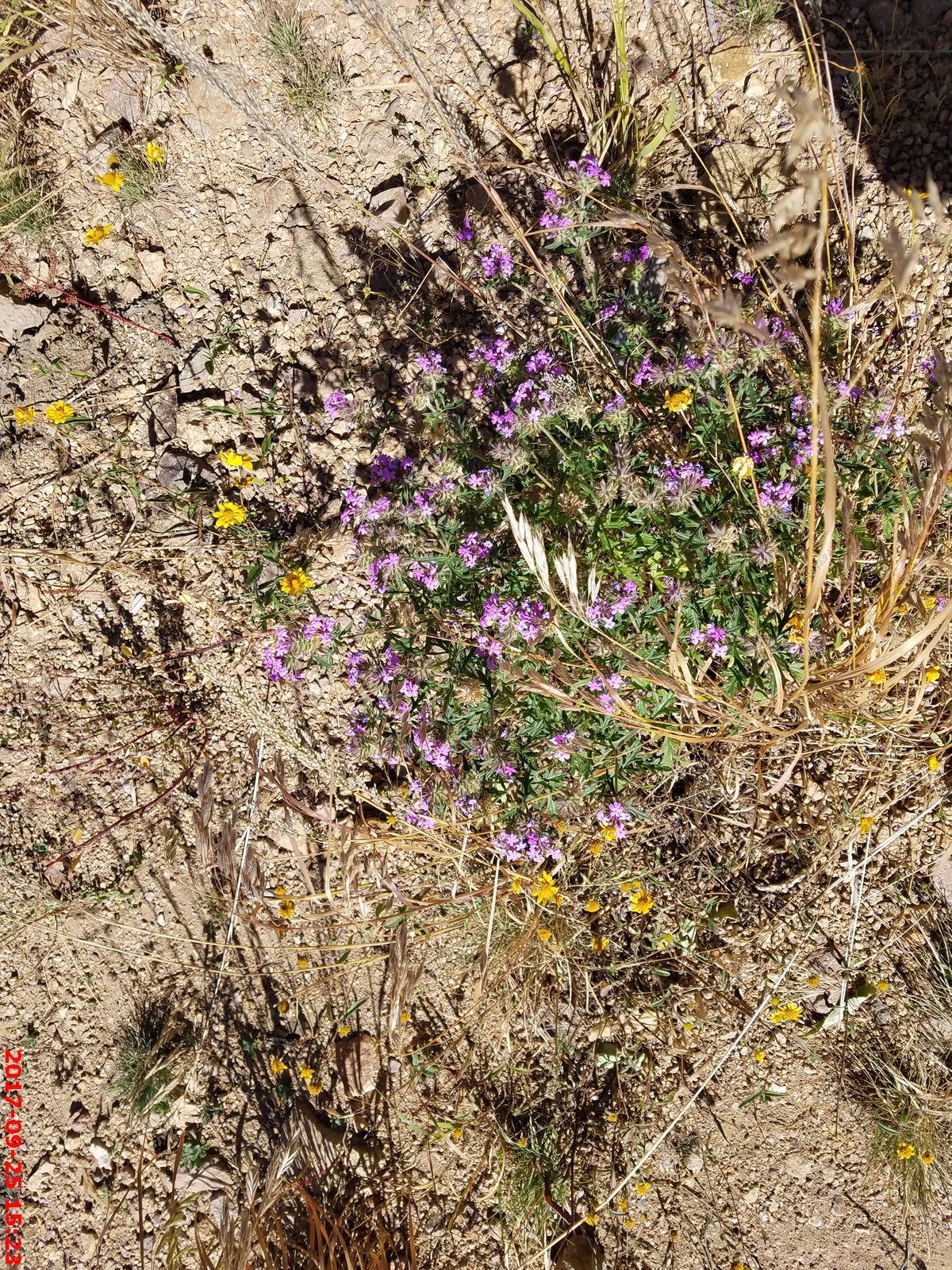
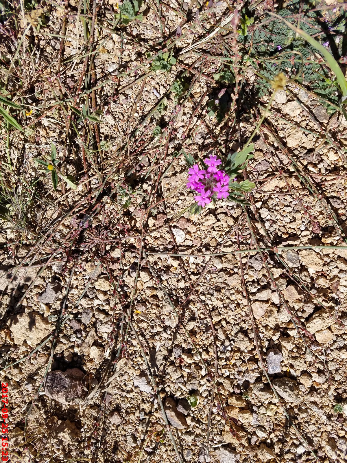
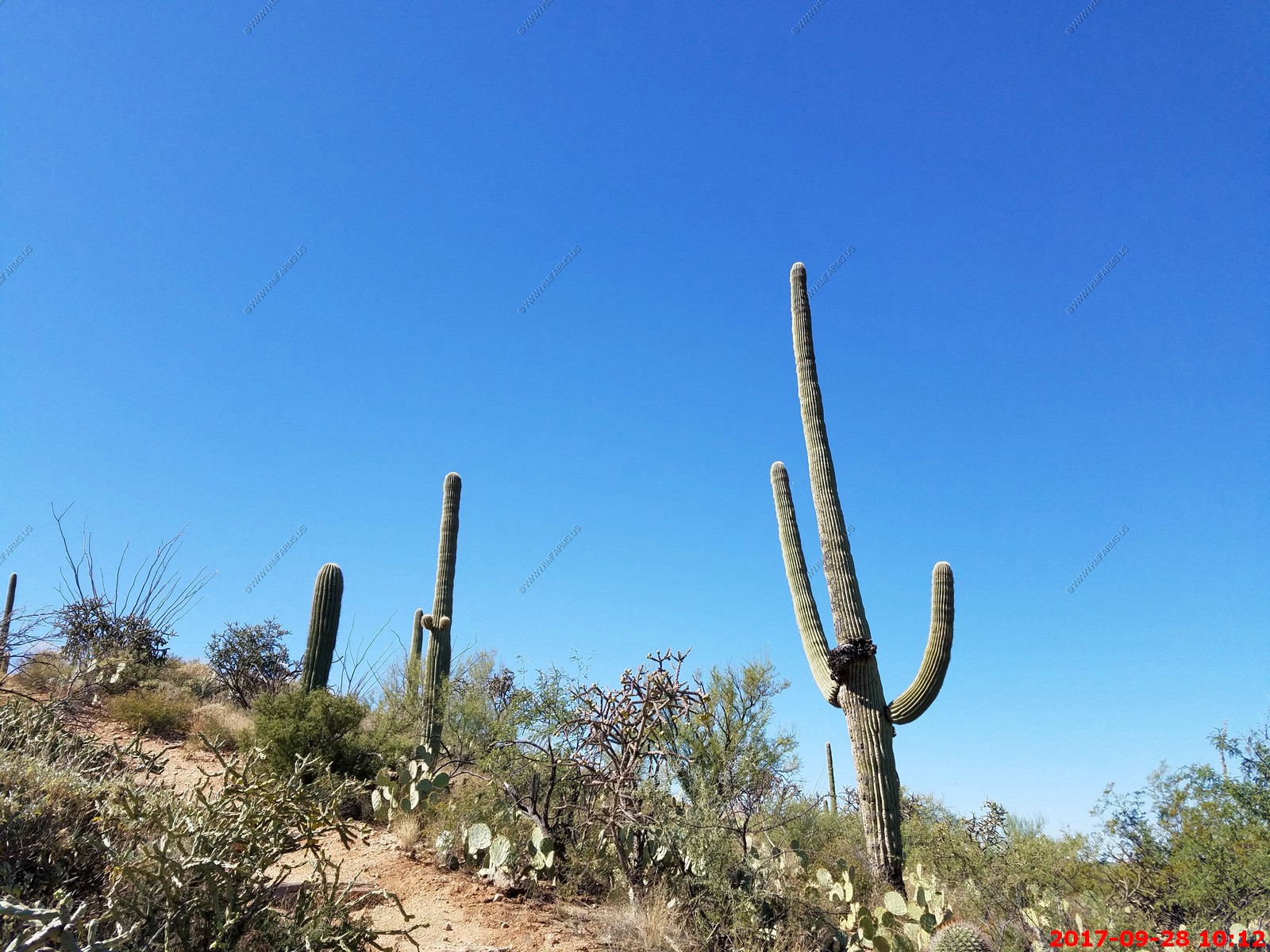
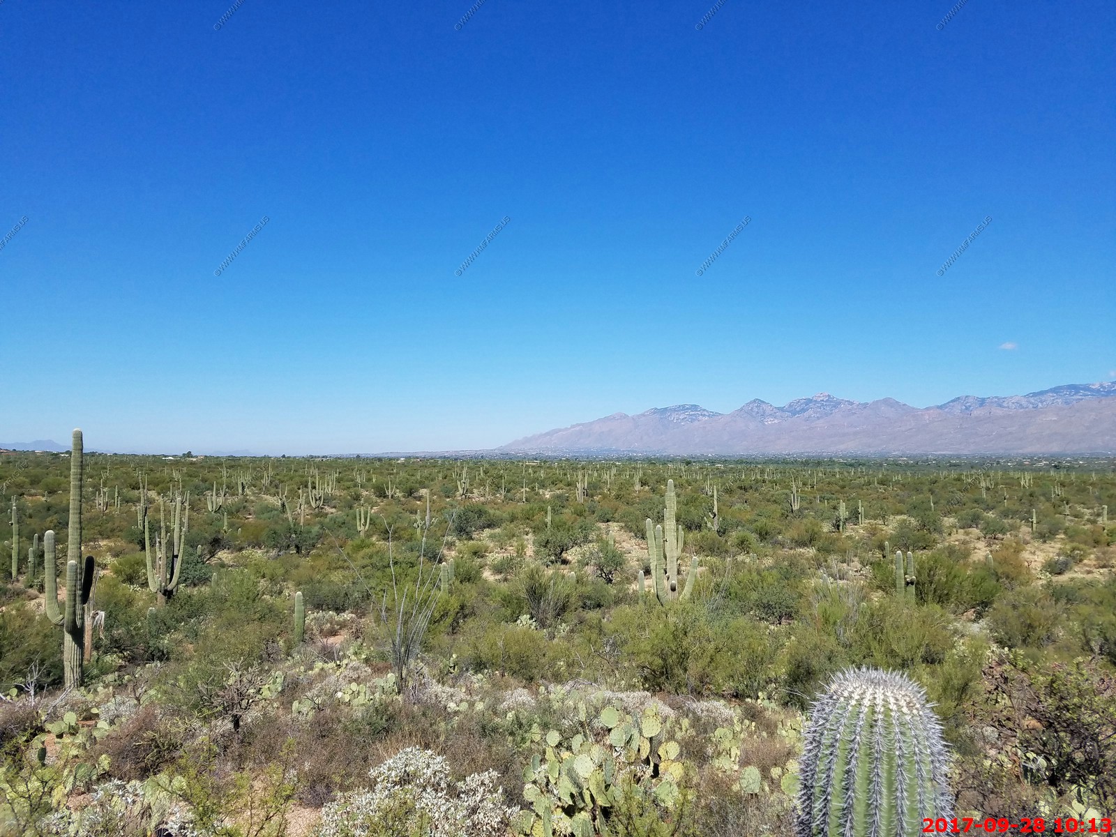
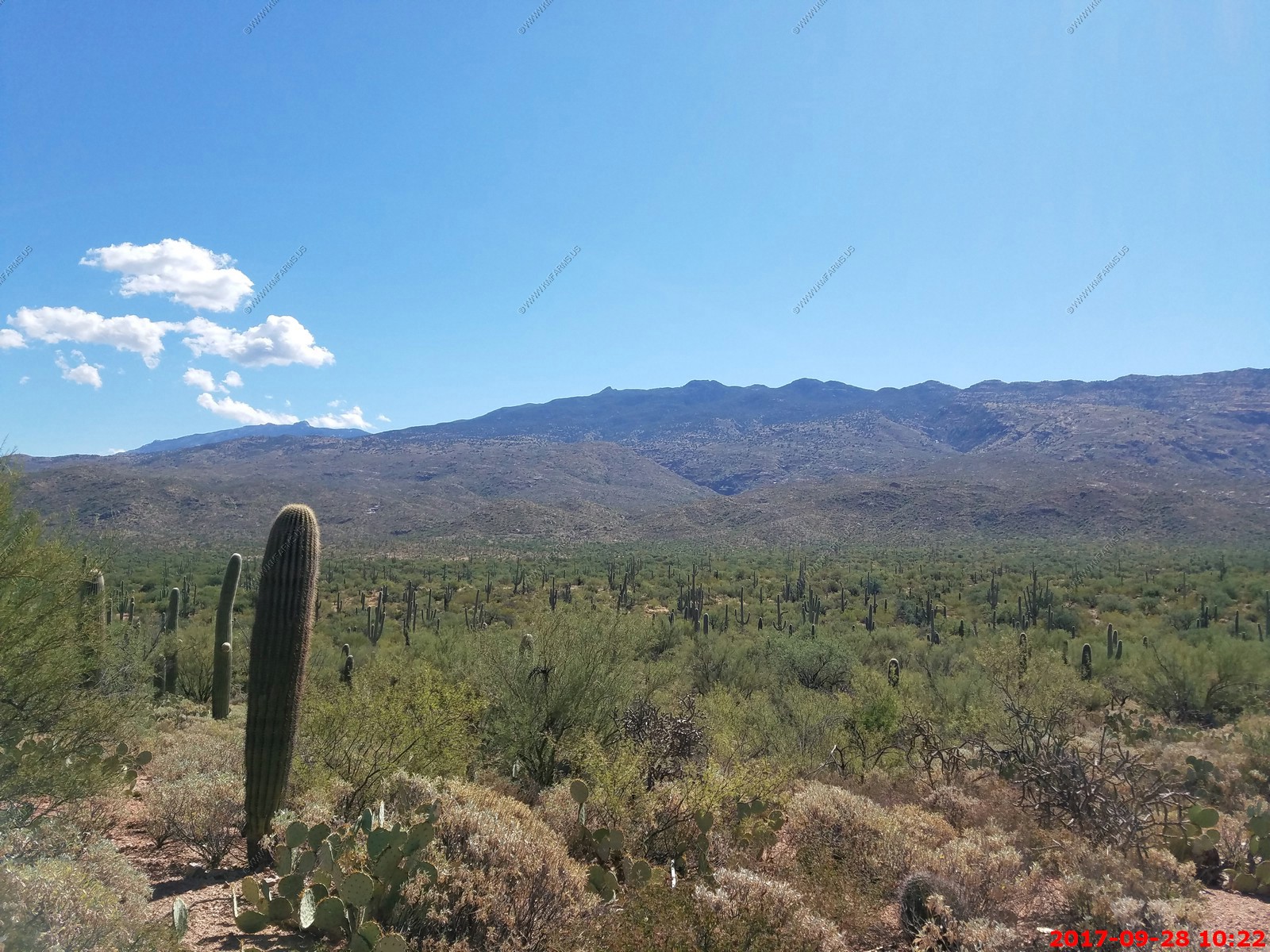
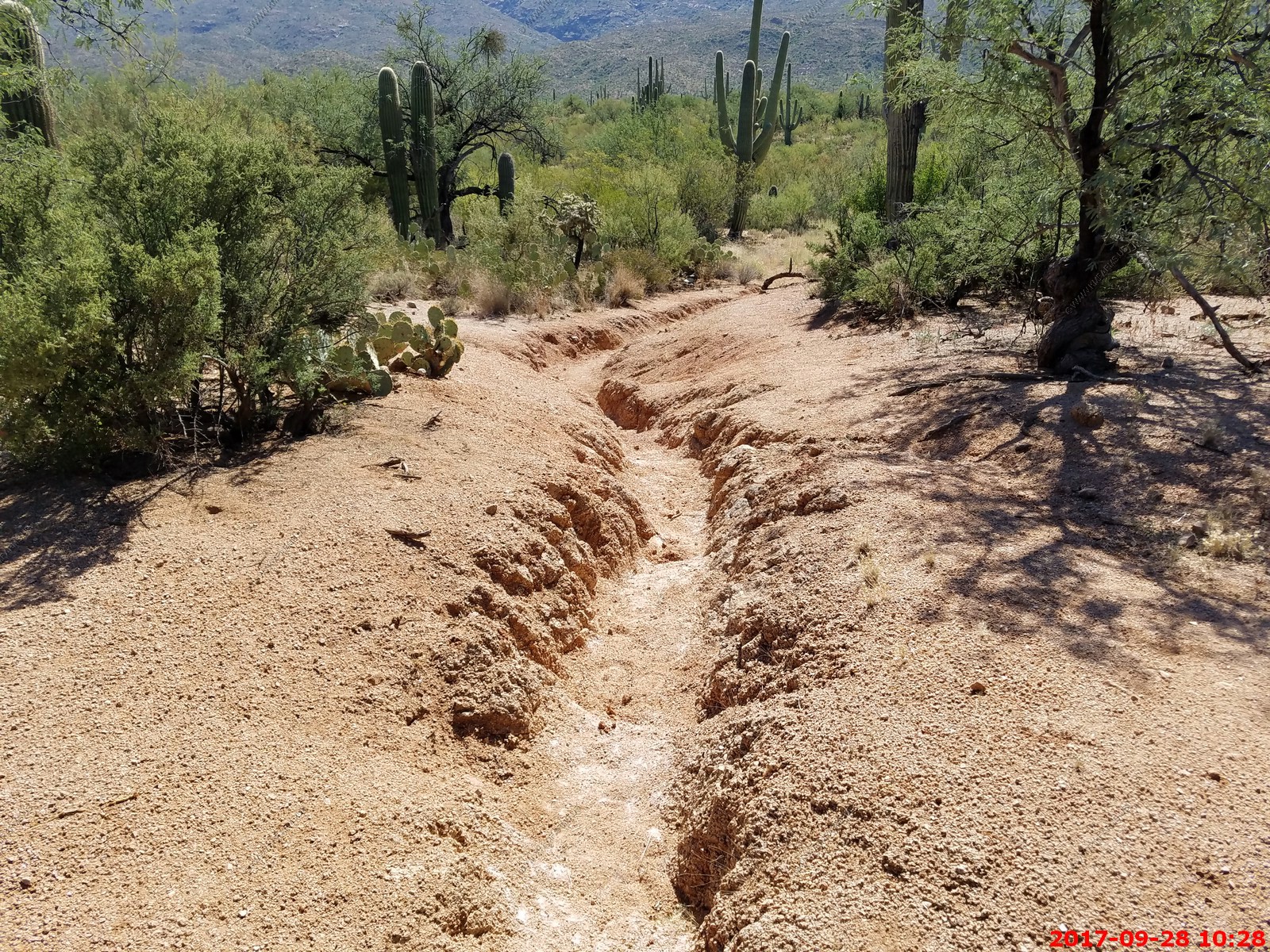
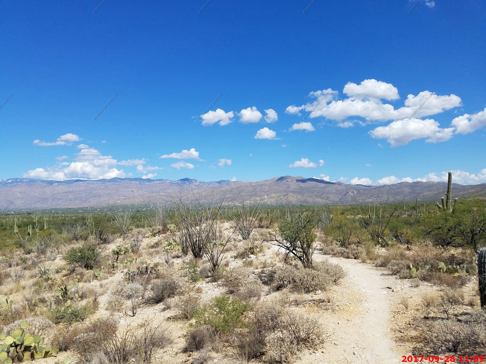
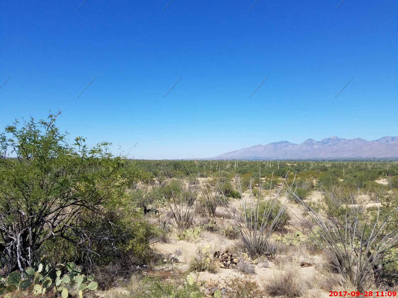
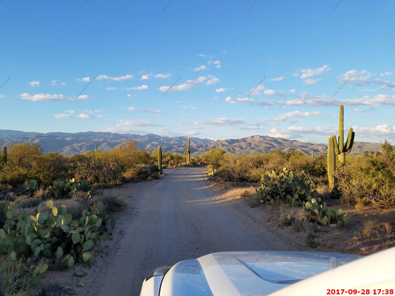
Wednesday we got up and went up to Tanque Verde and hiked about 3 miles south into Saguaro to Mica picnic area. For being so close to the house this area was quite impressive. We went up over Readington Road up into the pass which the road was pretty rough and I discovered that the Tahoe that we had generally speaking is a car with car suspension so it bounces around a lot but it is all wheel drive. We ate our lunch on top of the pass looking at the excellent view off to the west covering most of Tucson.
We then went by one of the houses (that we would visit on Sunday) and really liked it from the road.
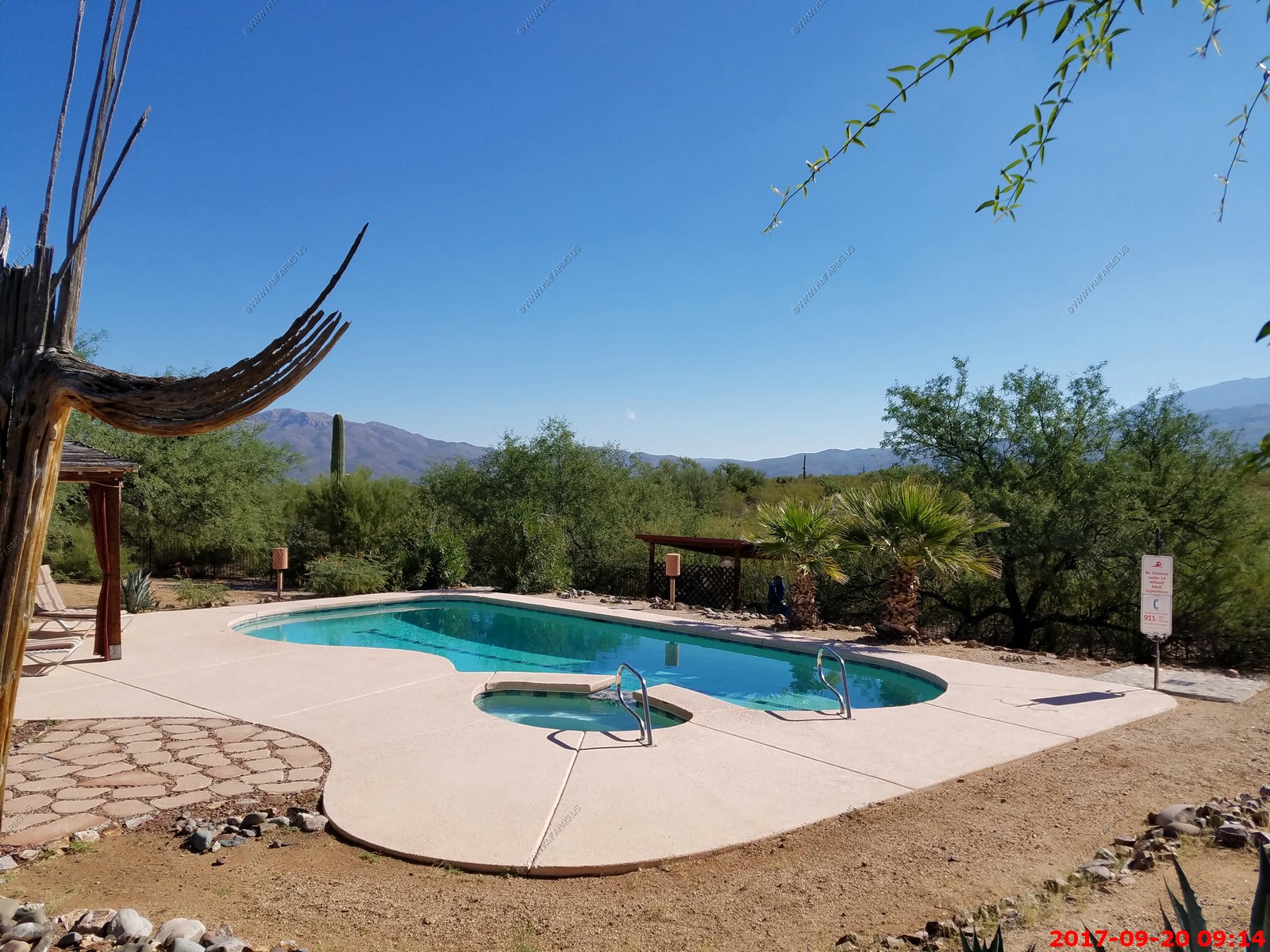
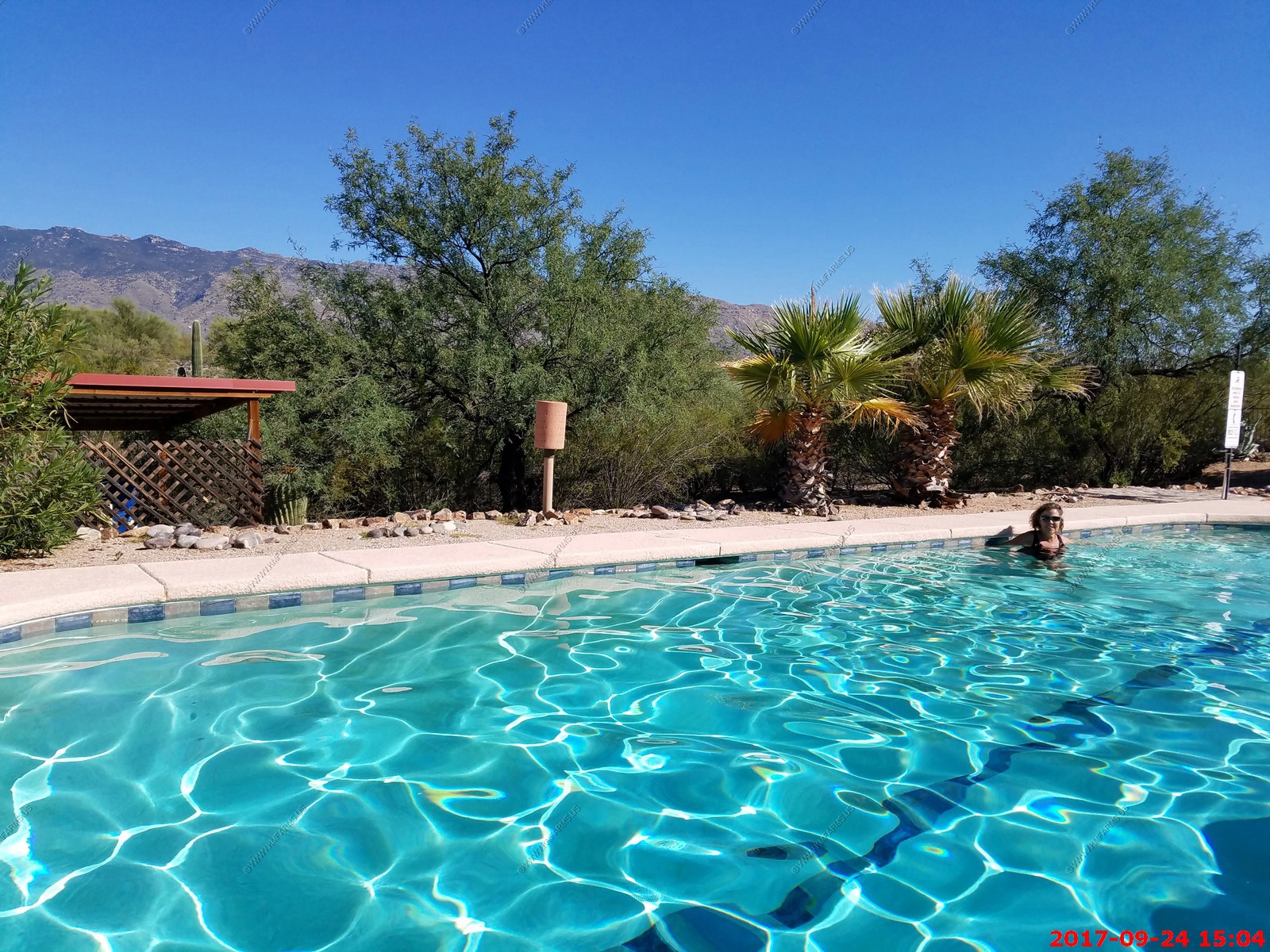
We then got in a couple hours of pool time.
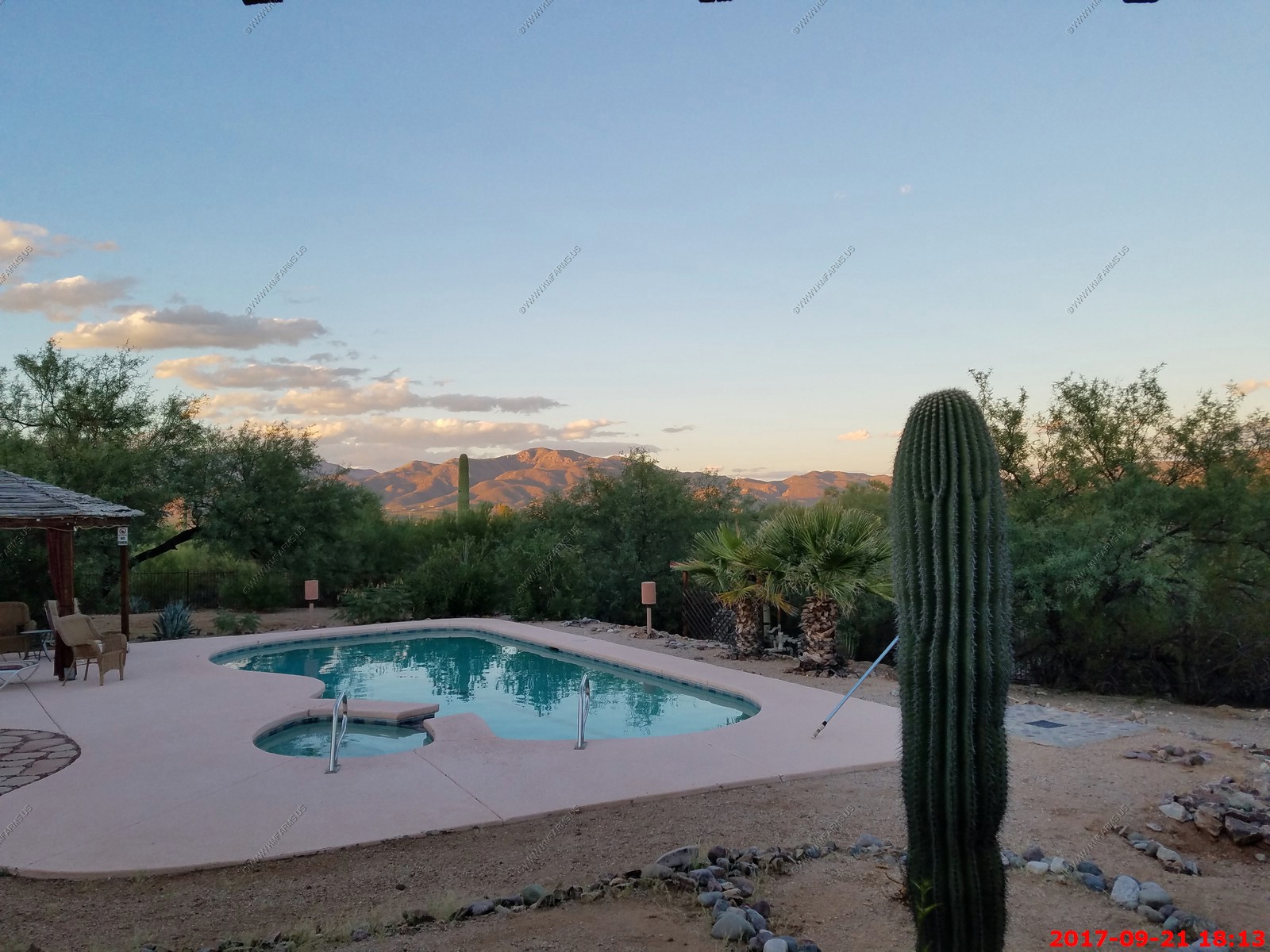
Nice Pool
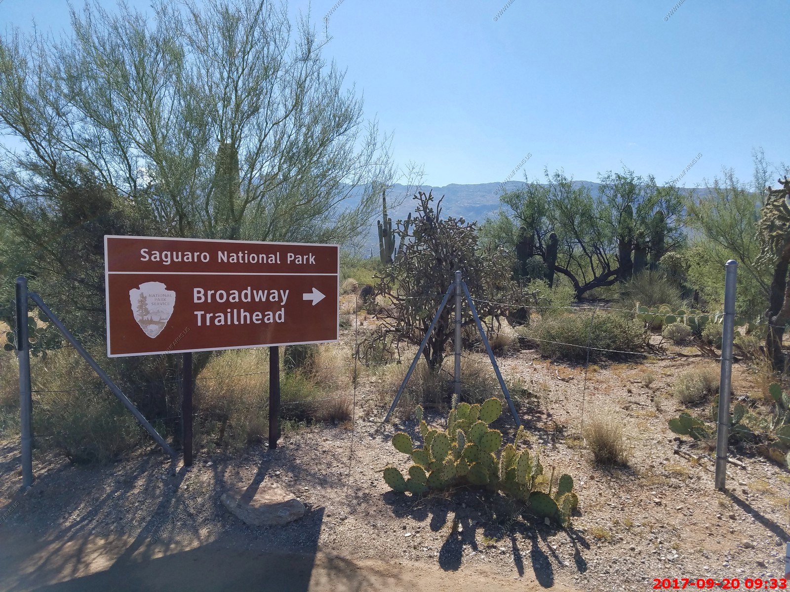
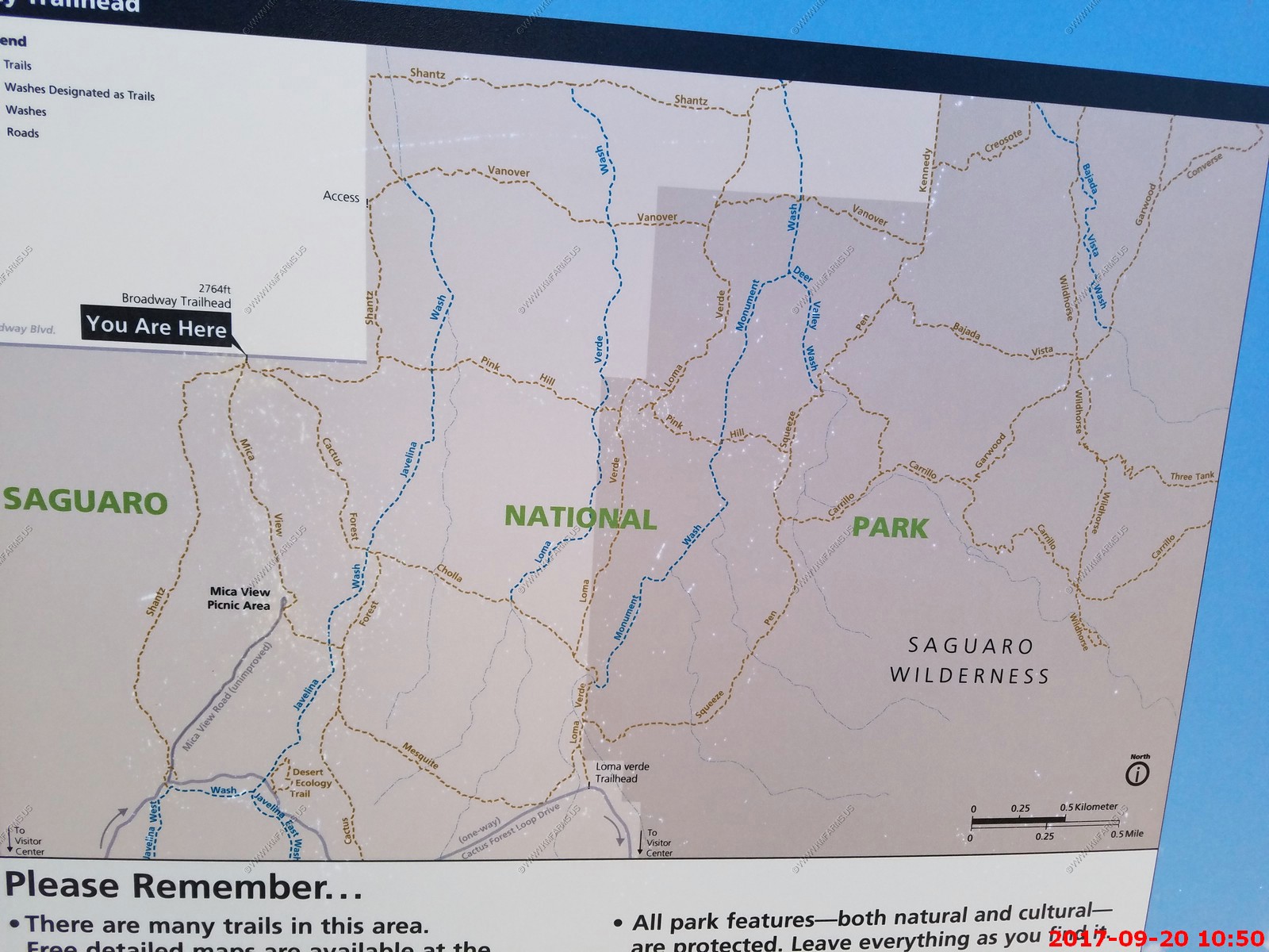
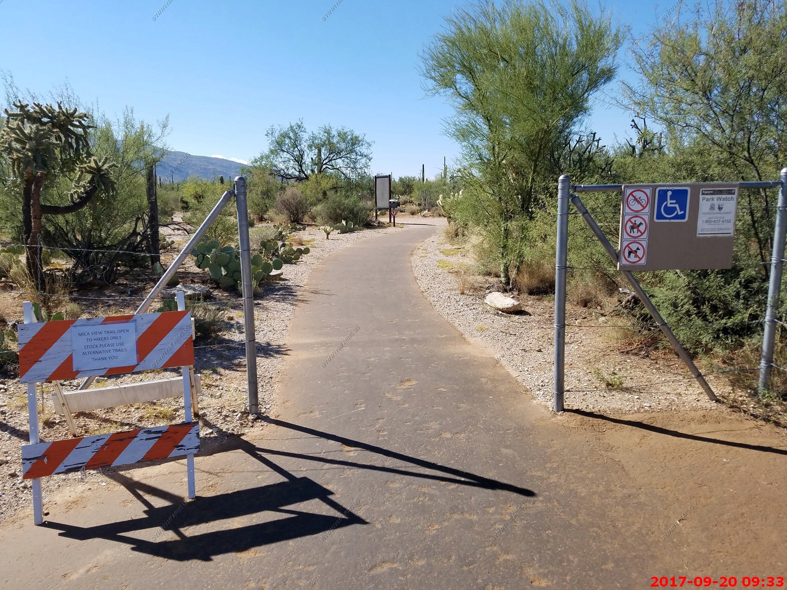
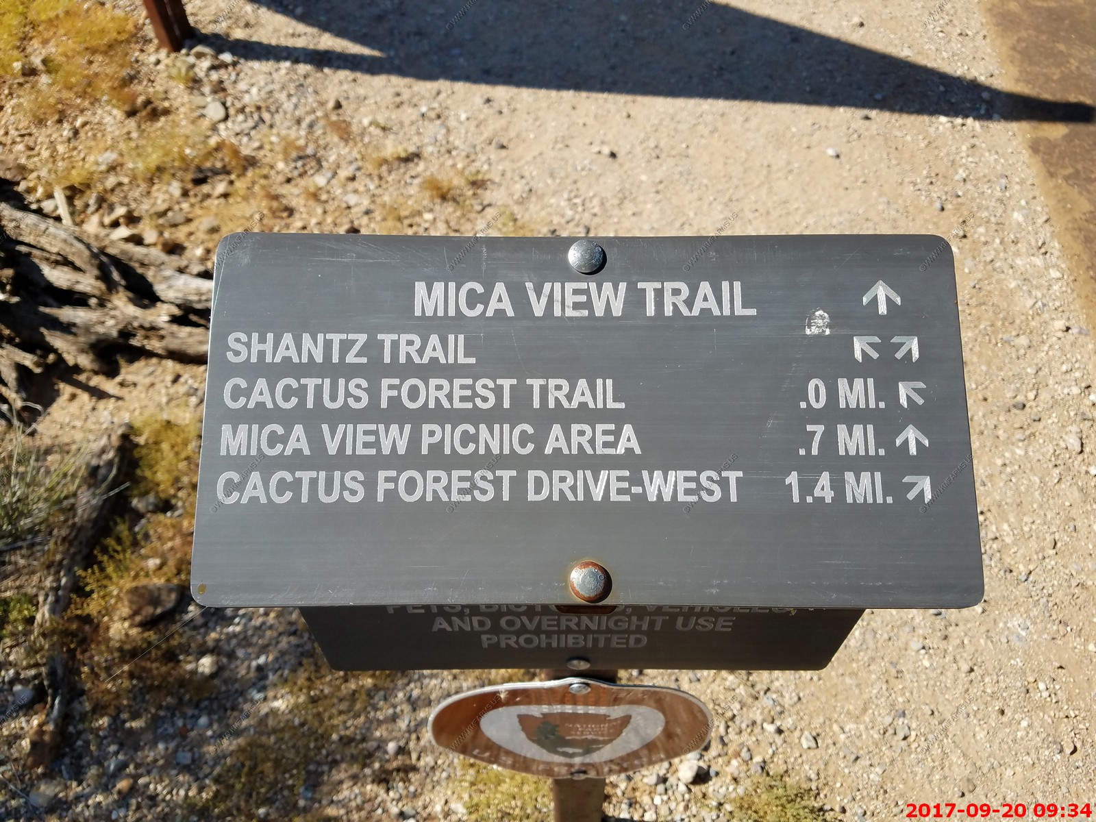
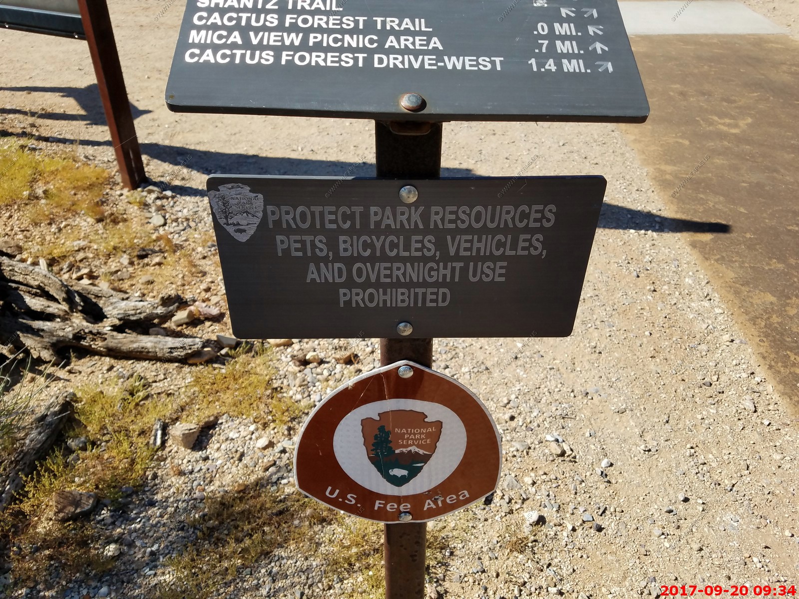
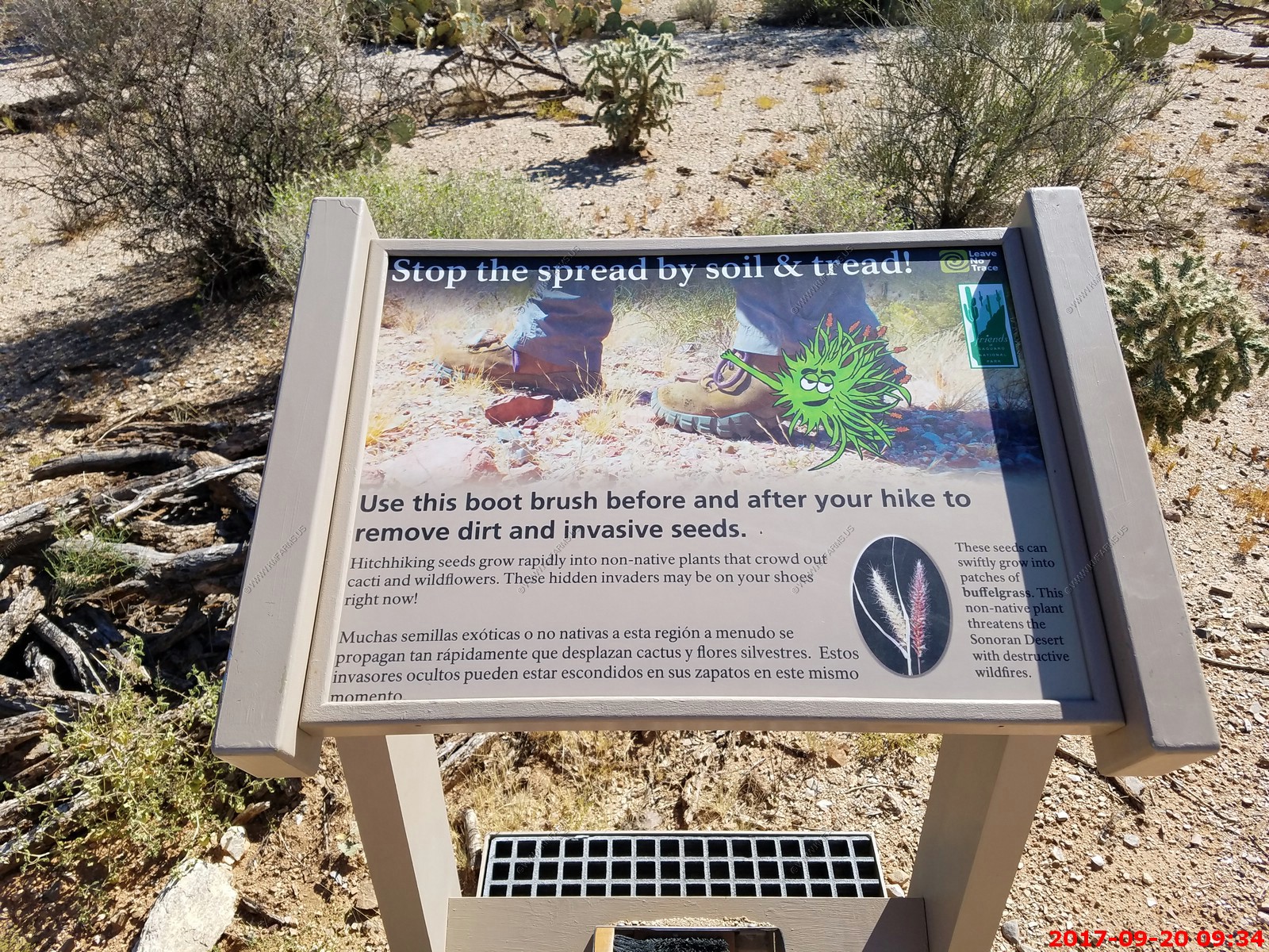
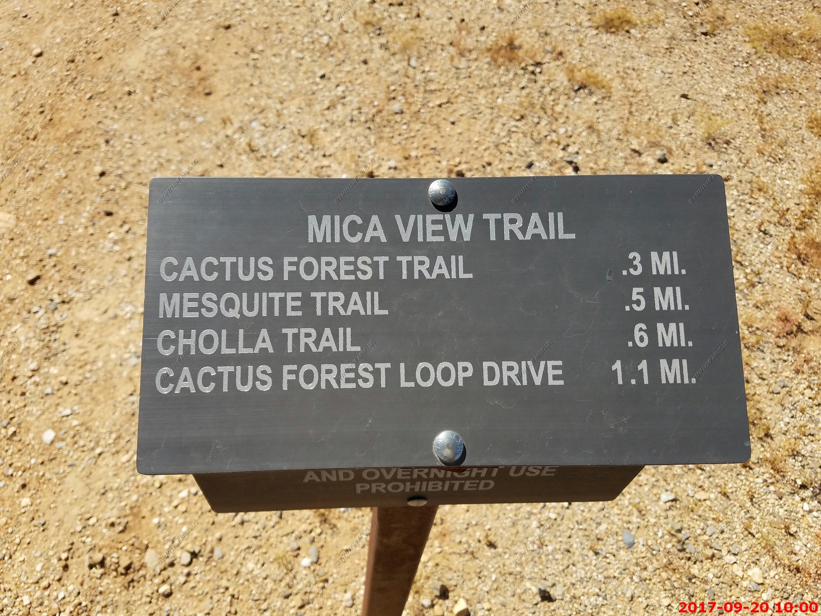
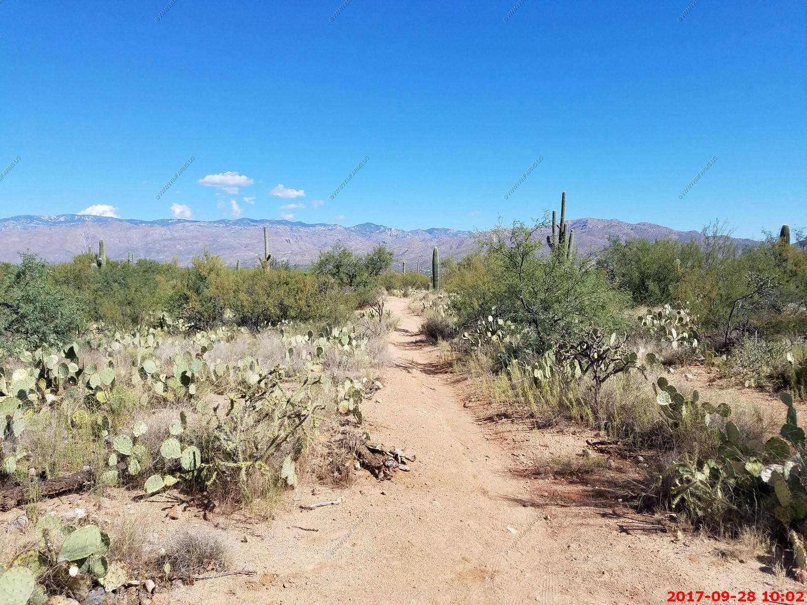
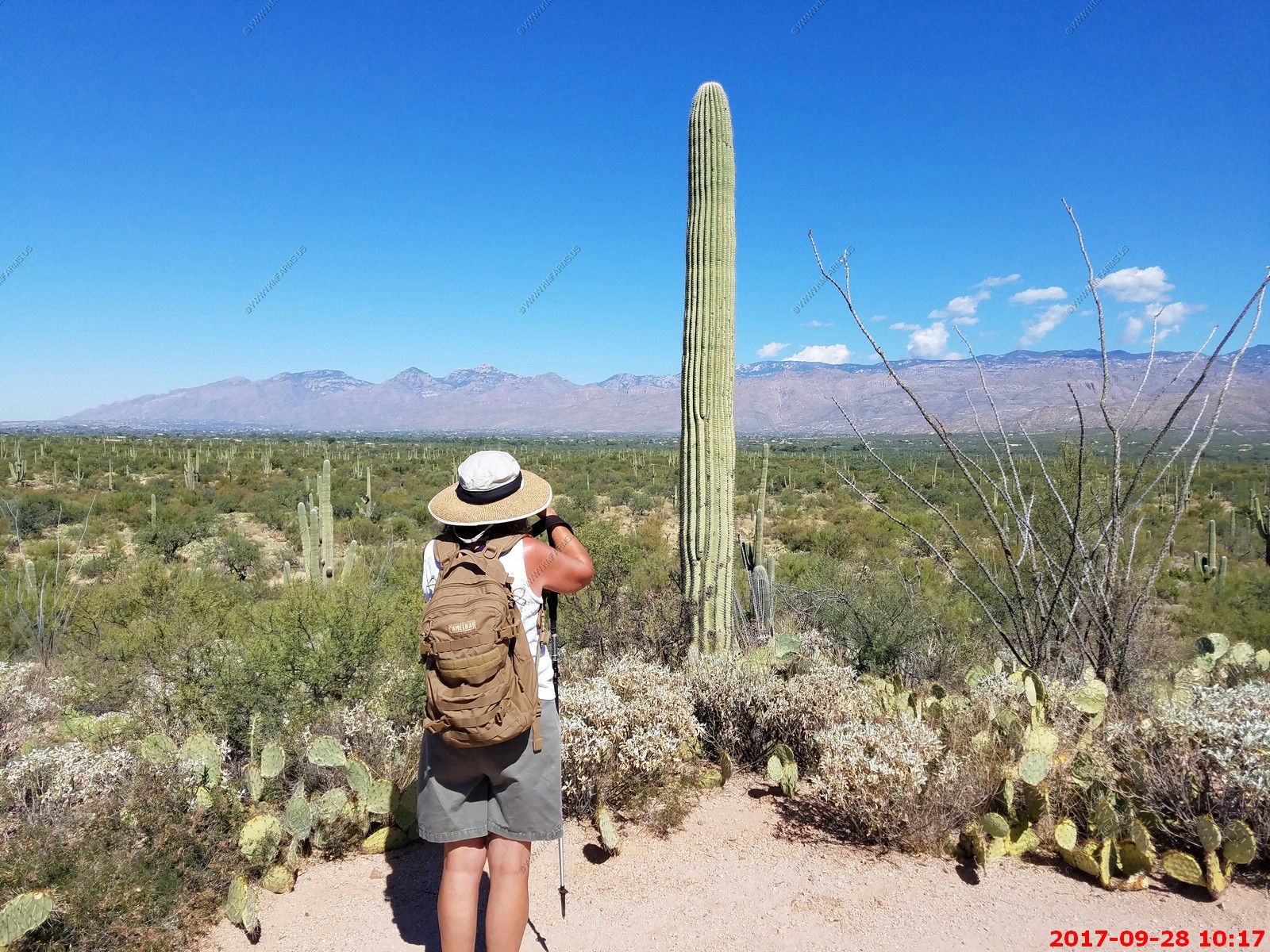
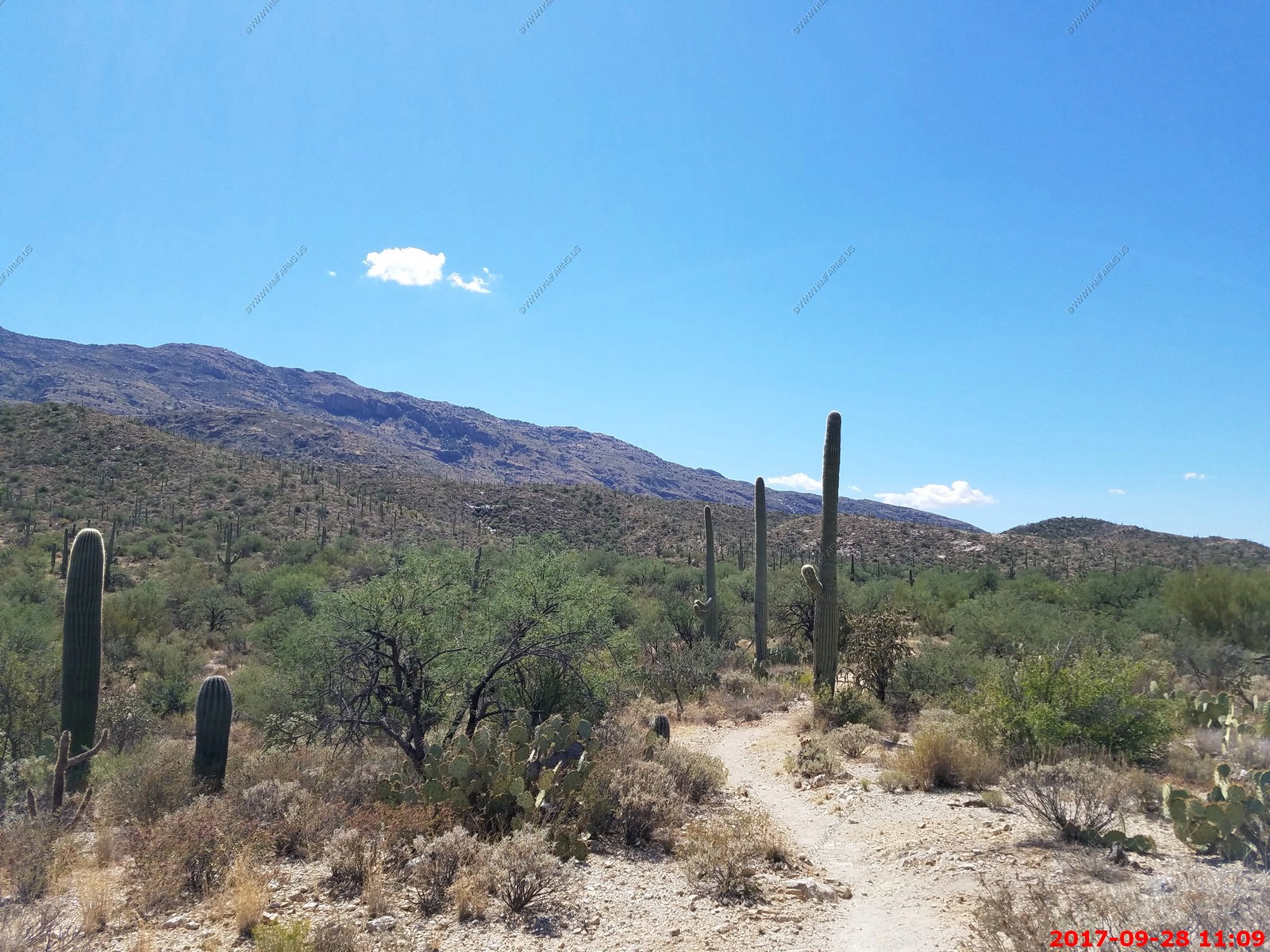
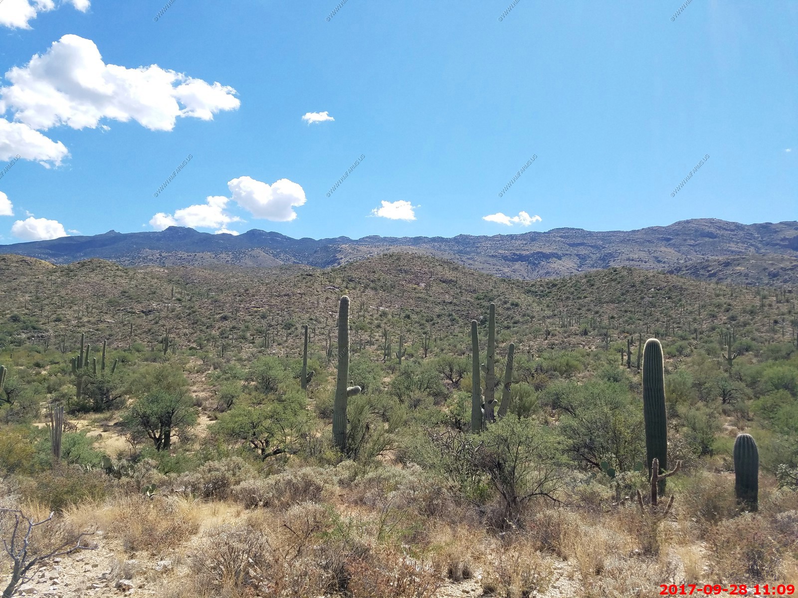
We drove a mile or two up for a hike into Saguaro NP on the Broadway Trailhead. Lots of trails can be accessed from here. We did a couple of mile loop up to Mica View Picnic Area and back.
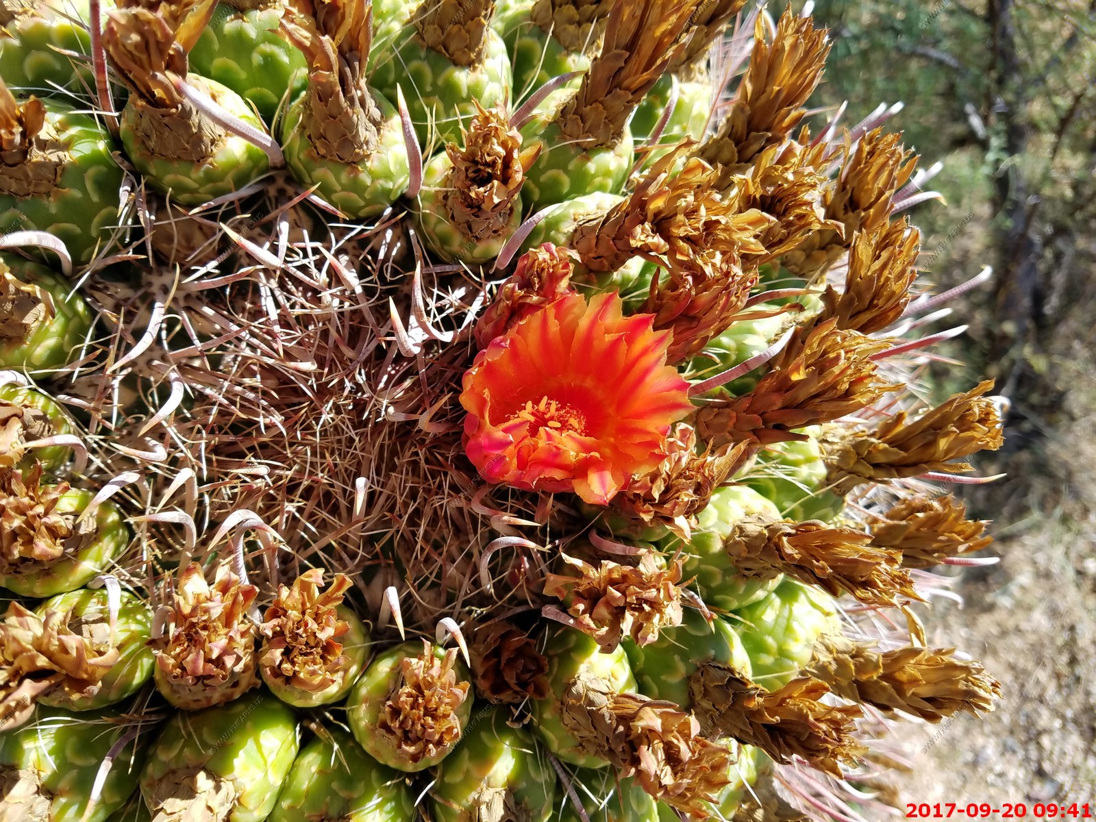
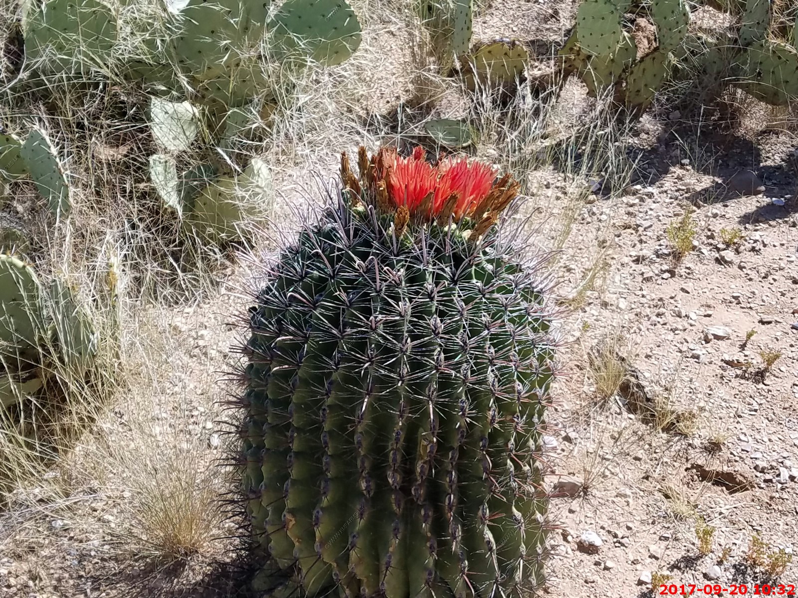
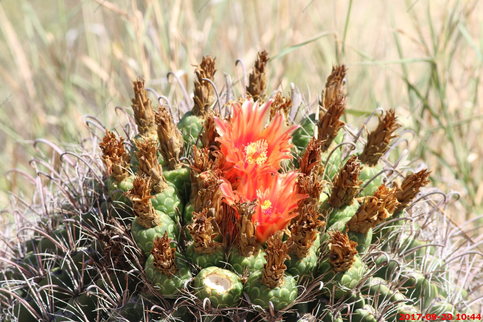
Barrel Cactus Blooming
Mica View Picnic area and trail mileage.

Looking NW along the Santa Catalina Mountains
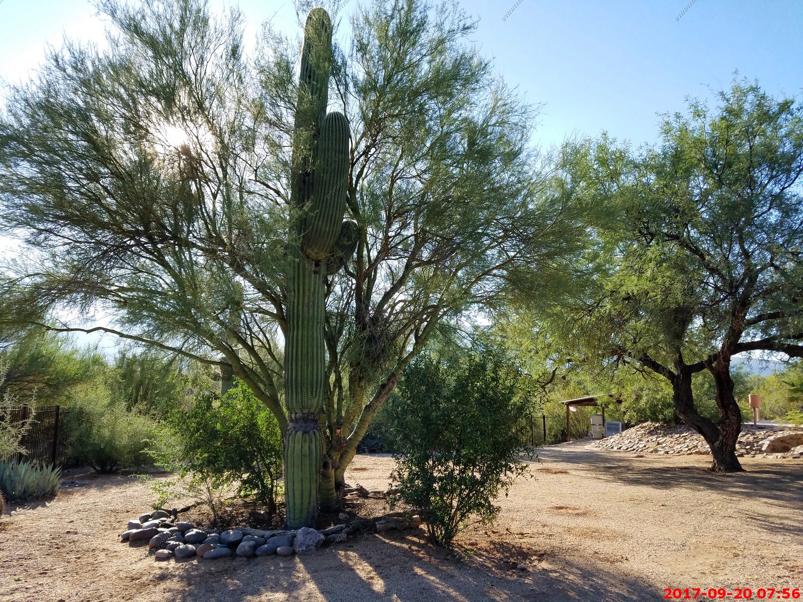
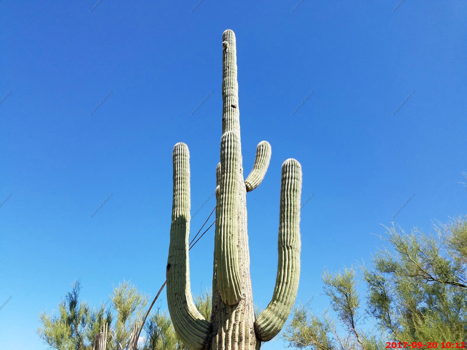
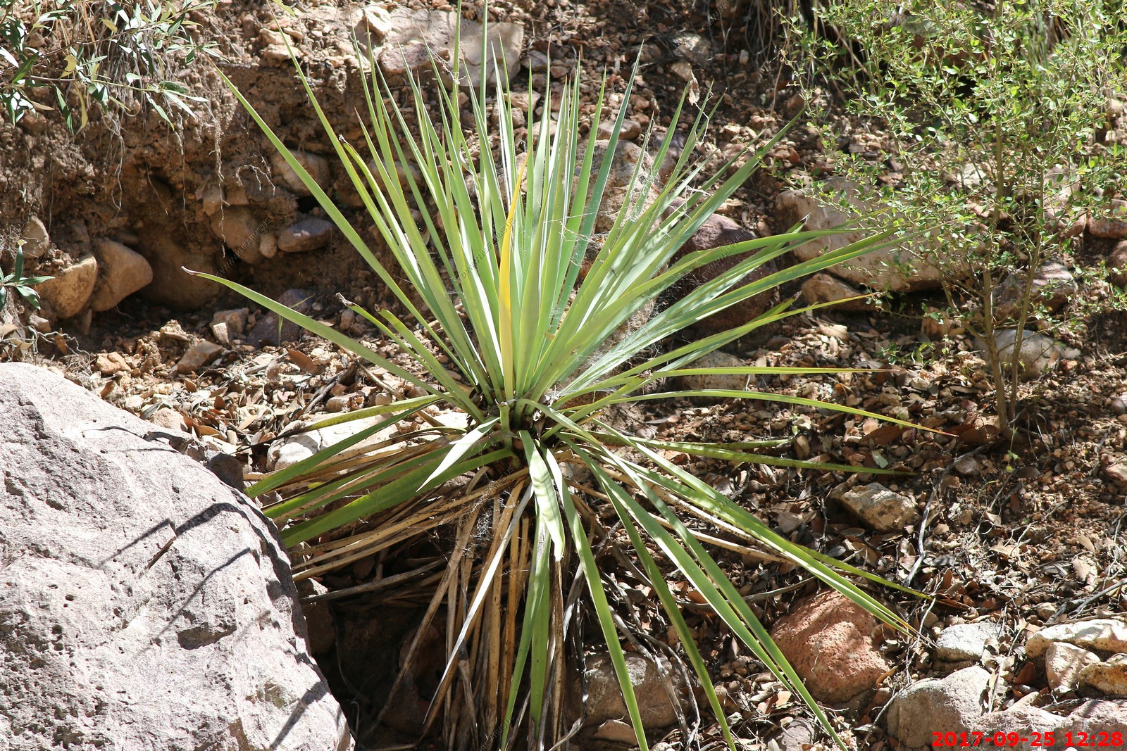
Saguaro Cactus
C-130 flying over

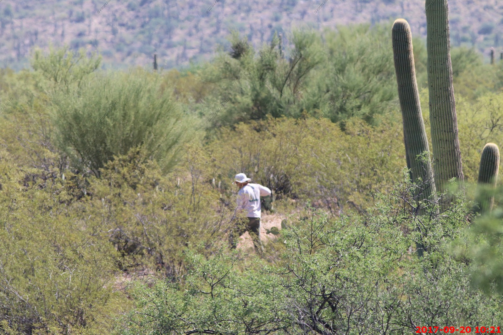
a person digging out in the desert. Hopefully he was working on trail reconstruction.
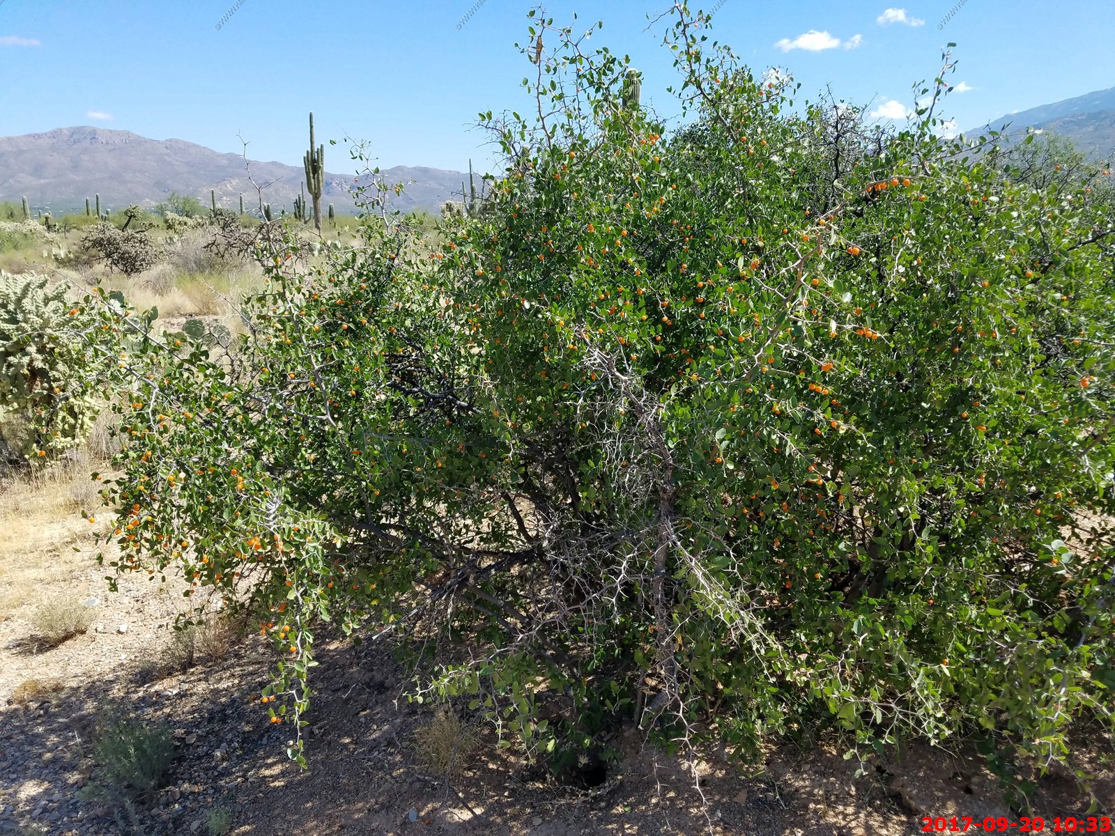
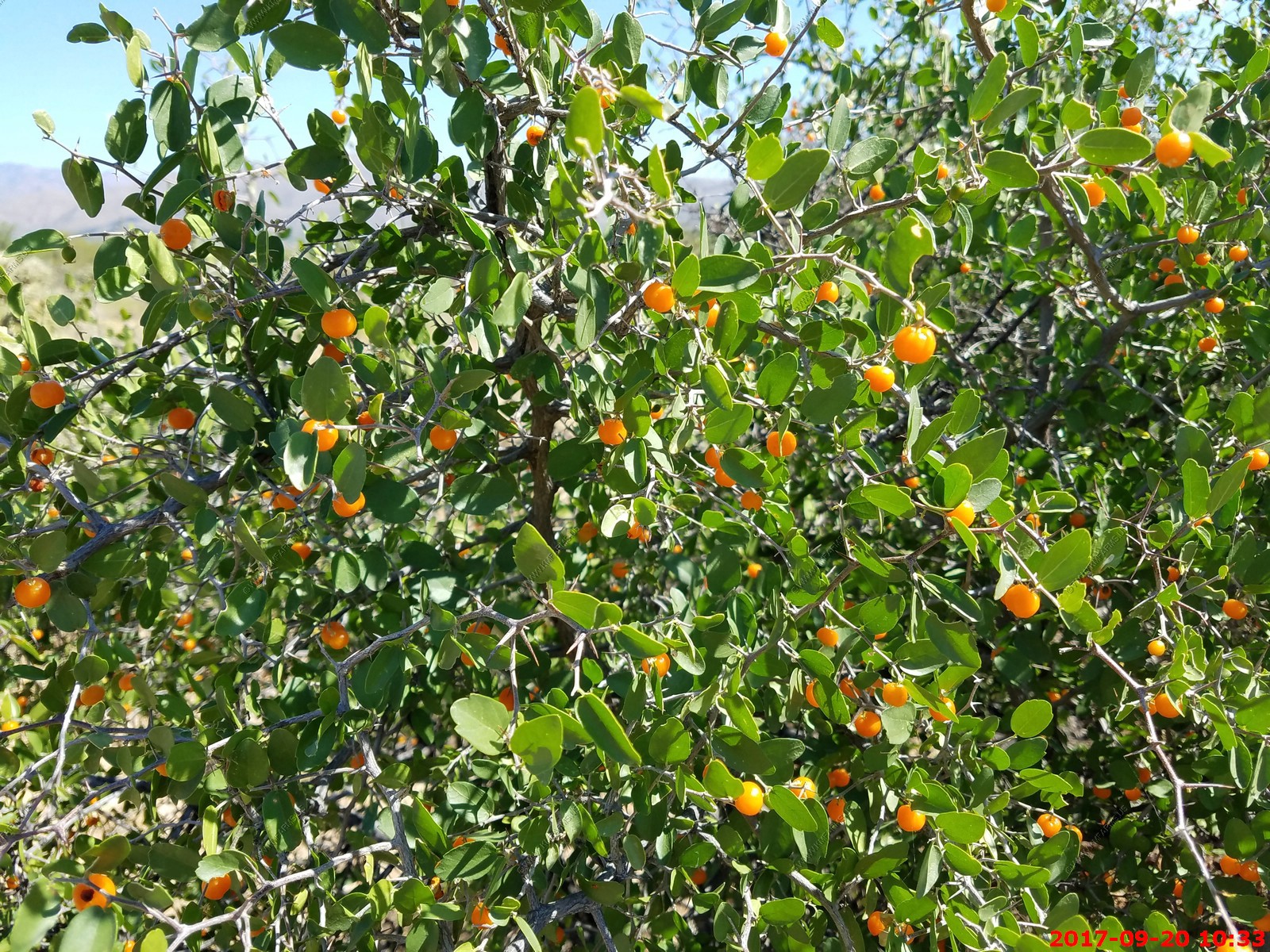
We looked these up - Spiny hackberry (Celtis ehrenbergiana) and were eating them. Not bad... Lots of history of the Indians eating them.
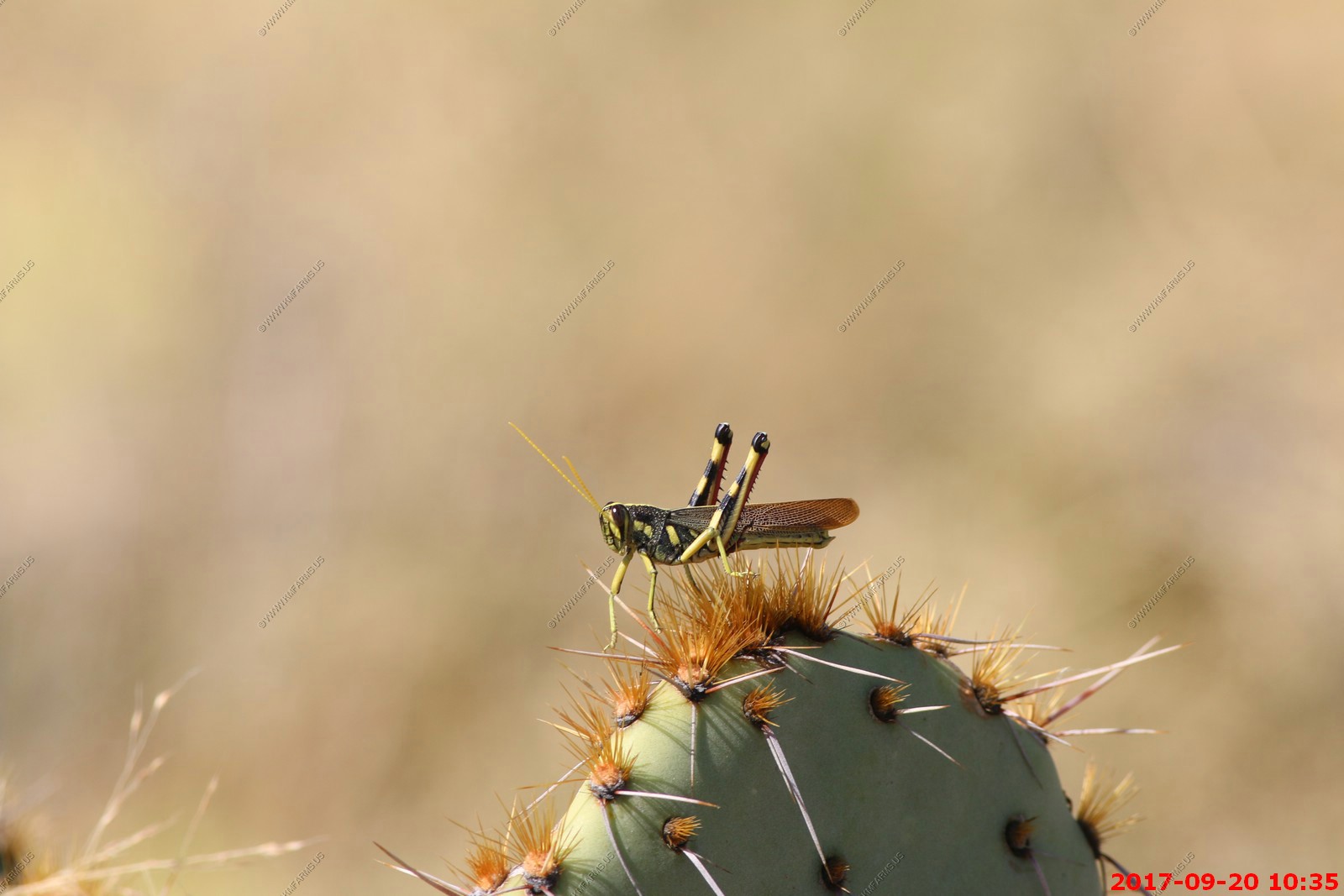
Grasshopper on a prickly pear cactus.
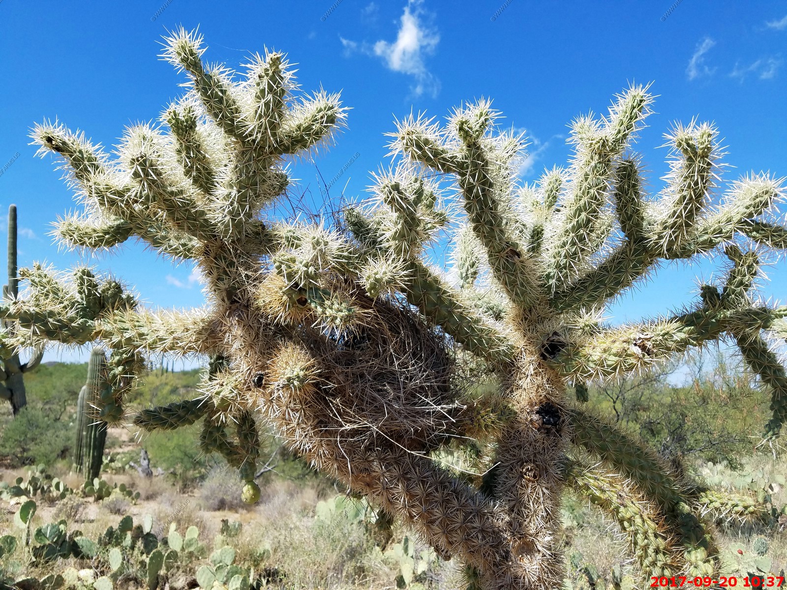
Cholla with nest in it for protection
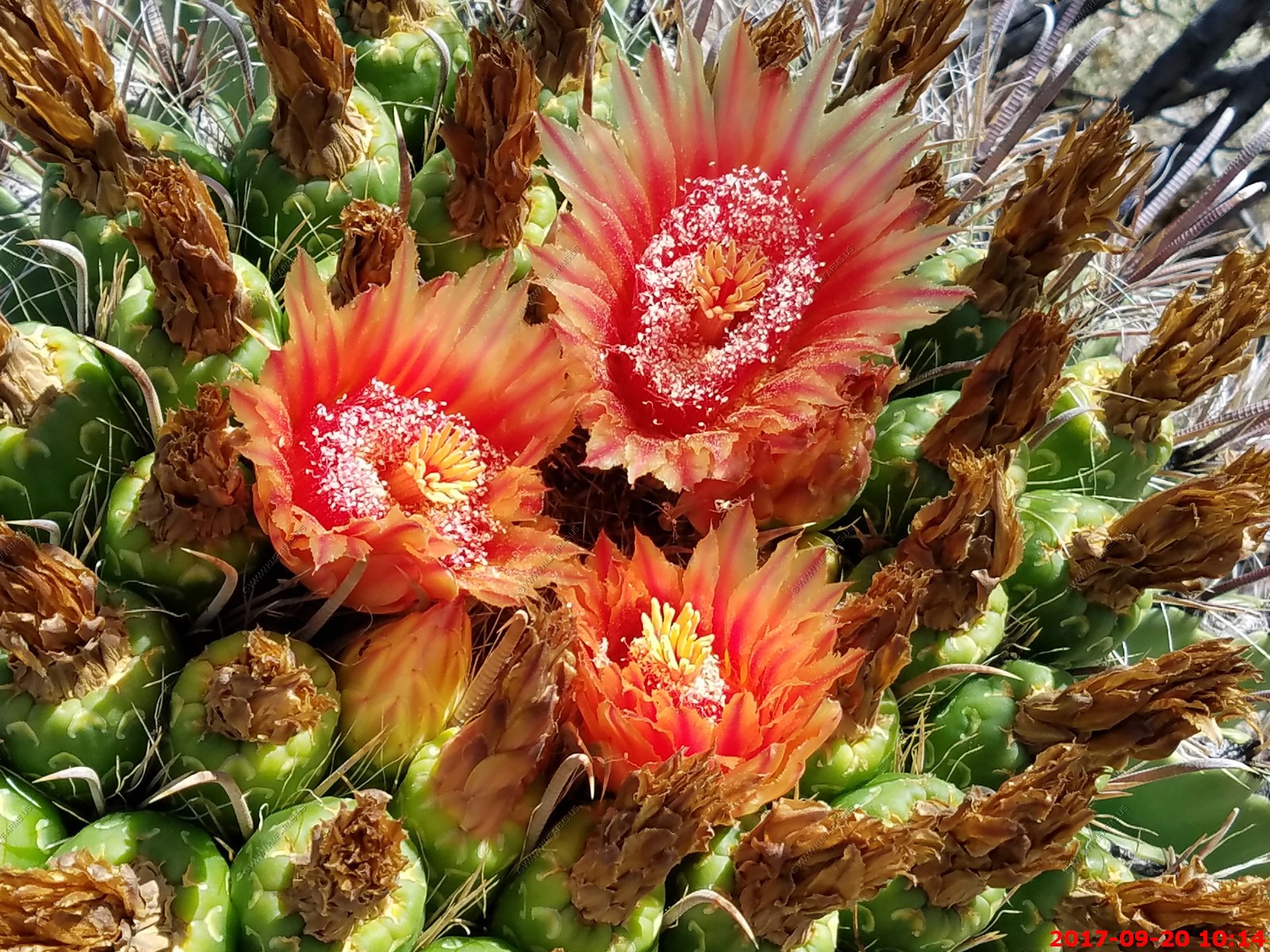
Fish Hook Barrel
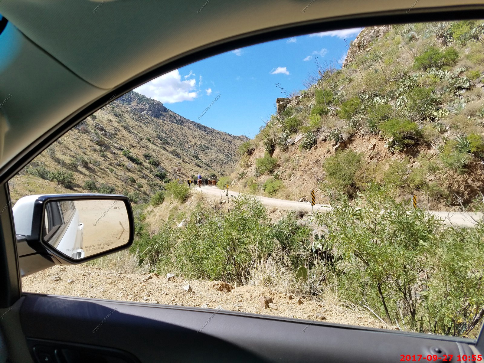
A drive up to the peak of Redington Pass
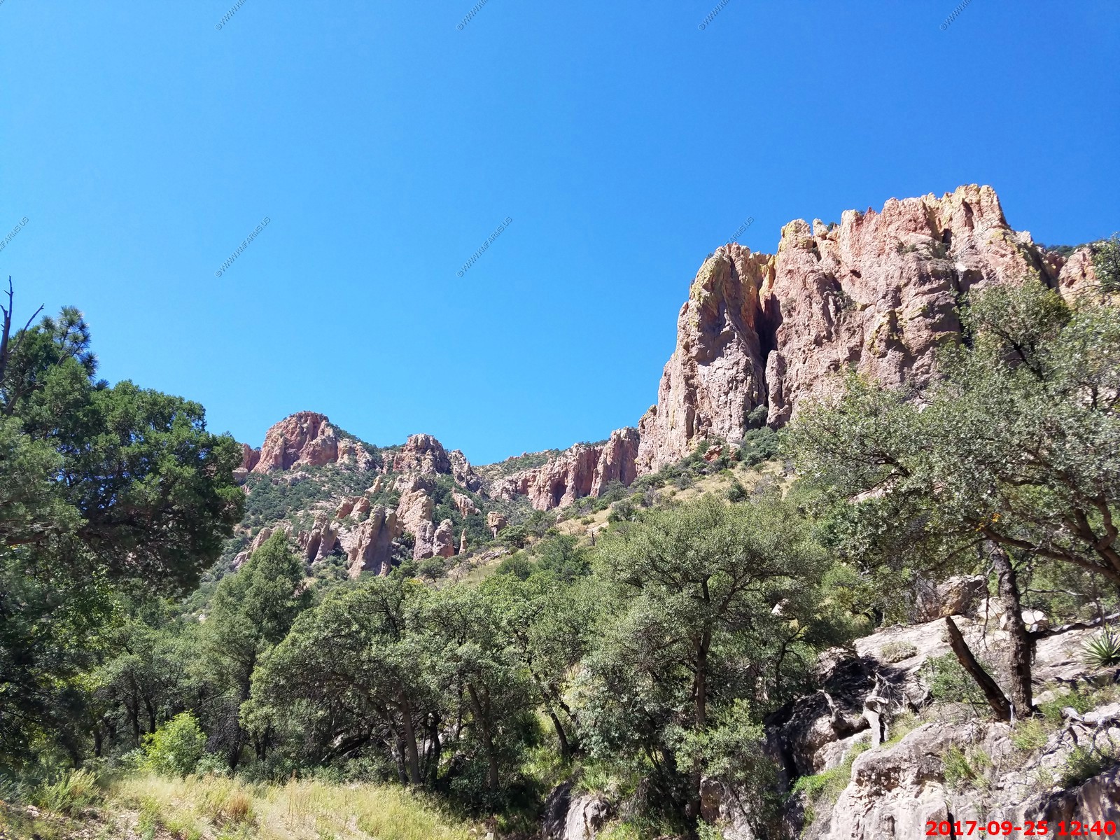
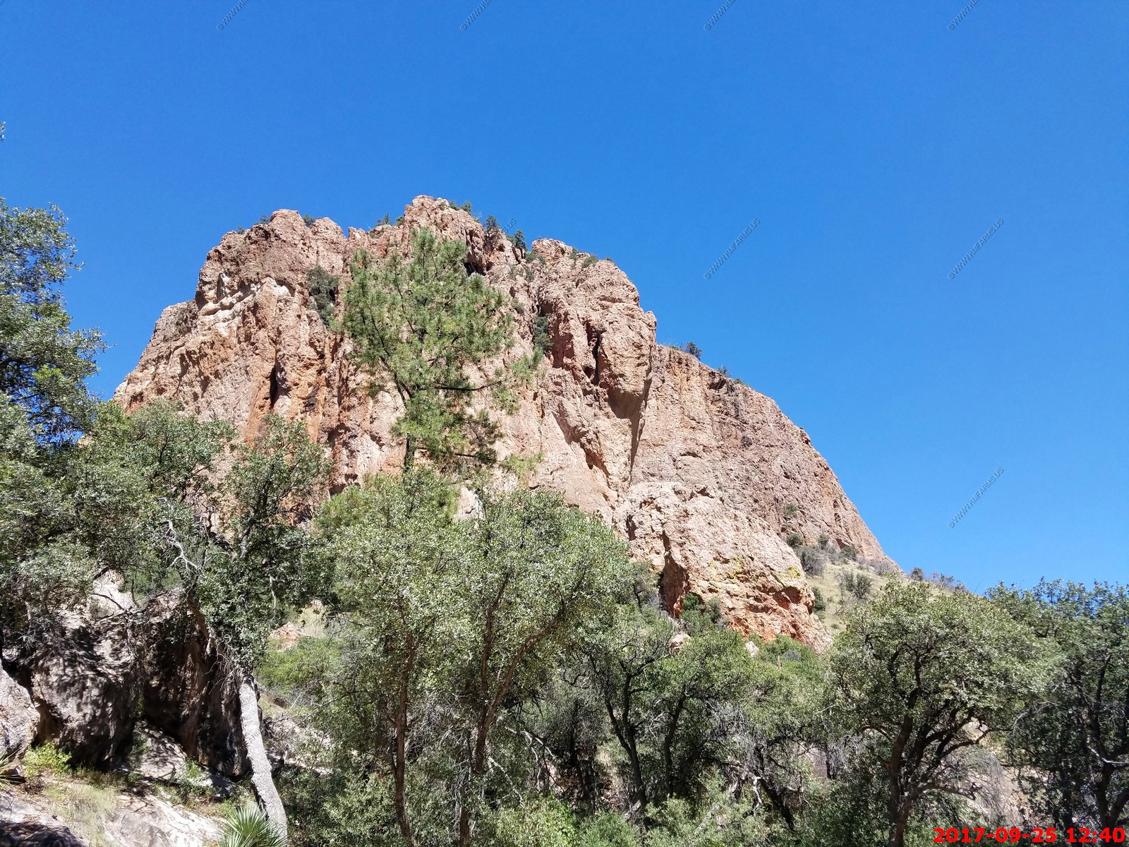
Redington Pass El. 4300 ft. is a high mountain pass between the Santa Catalina Mountains and the Rincons in northeast Pima County, Arizona. It is located just east of Tucson. Historically, it was the connection between the farming and ranching areas of Redington along the San Pedro River on the east side of the pass and Tucson on the west side.
The road through Redington Pass is unpaved and the area throughout the pass is a favorite of mountain bikers and all-terrain vehicle riders. The area was also frequented by firearms enthusiasts, as the region contained three unofficial shooting range areas. As of 2013 these unofficial shooting ranges have been shut down by federal officials due to litter and noise pollution. The west side of the pass near Tanque Verde Falls affords views overlooking the east side of the city of Tucson, spread out across the Sonoran Desert floor below.
Many of the homes we are looking at are near this pass. One of my plans is to take the RTV utility vehicle up into this area to explore.
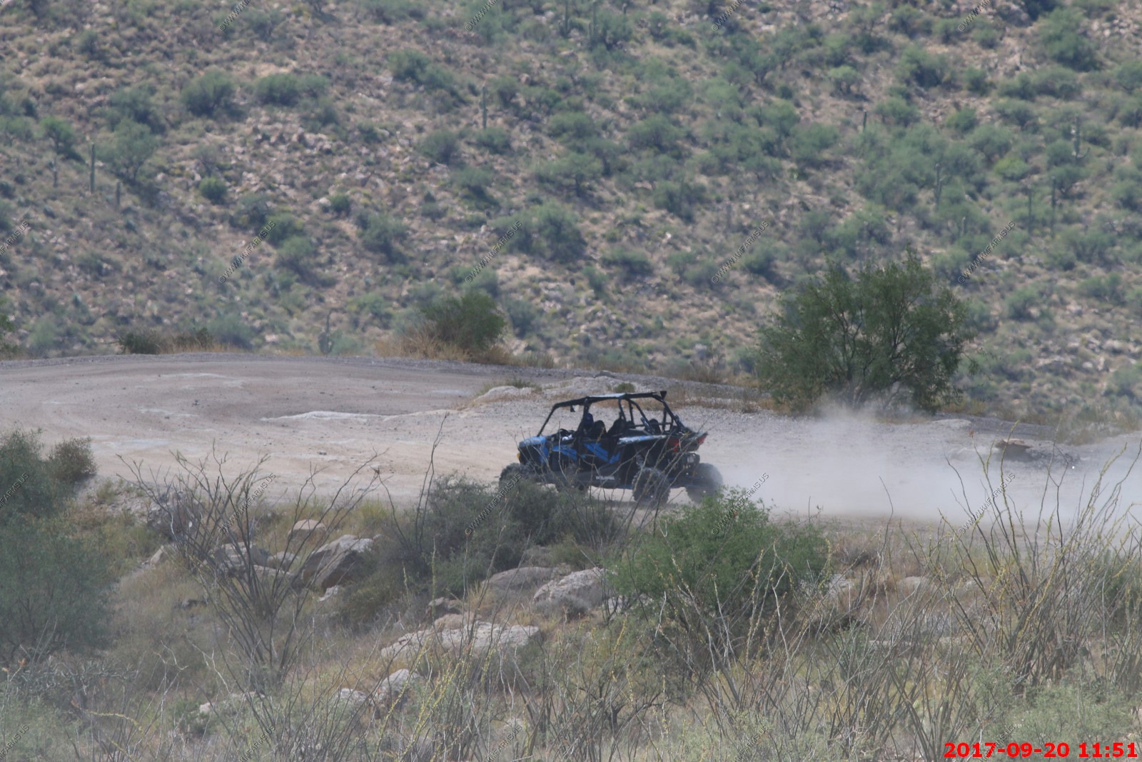
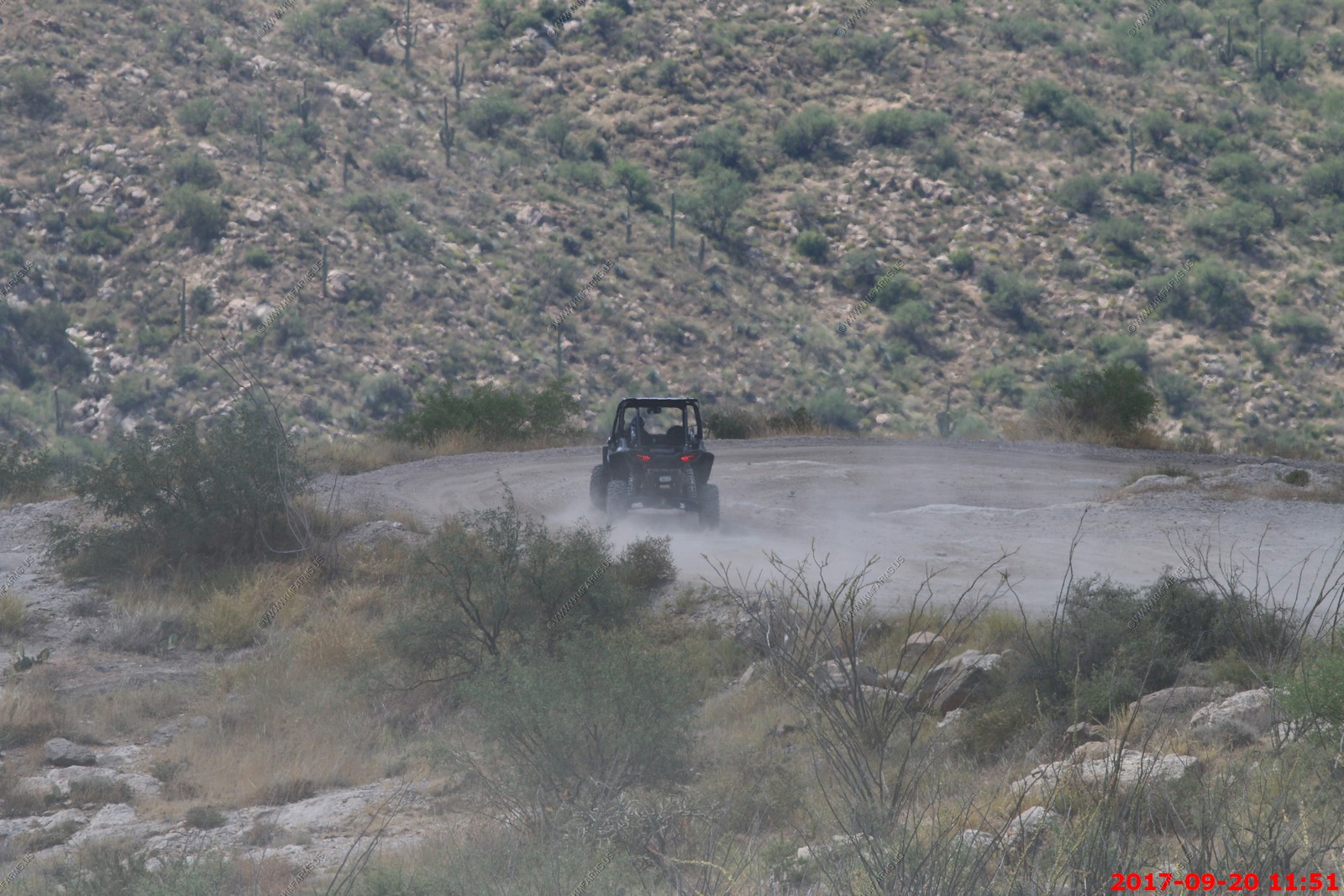
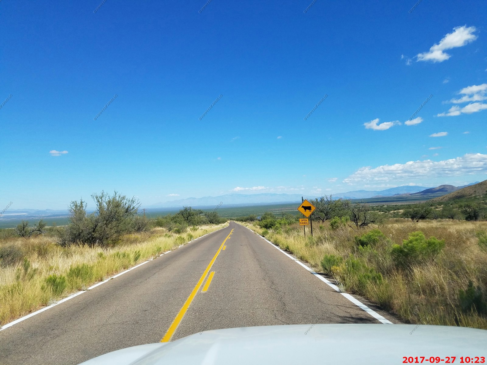
My kind of road - nothing for 70 miles till you get to Benson, AZ
The GMC Yukon with its car suspension was not happy on this road.
We turned around when we started going downhill towards Redington (site) & Cascabel Road.

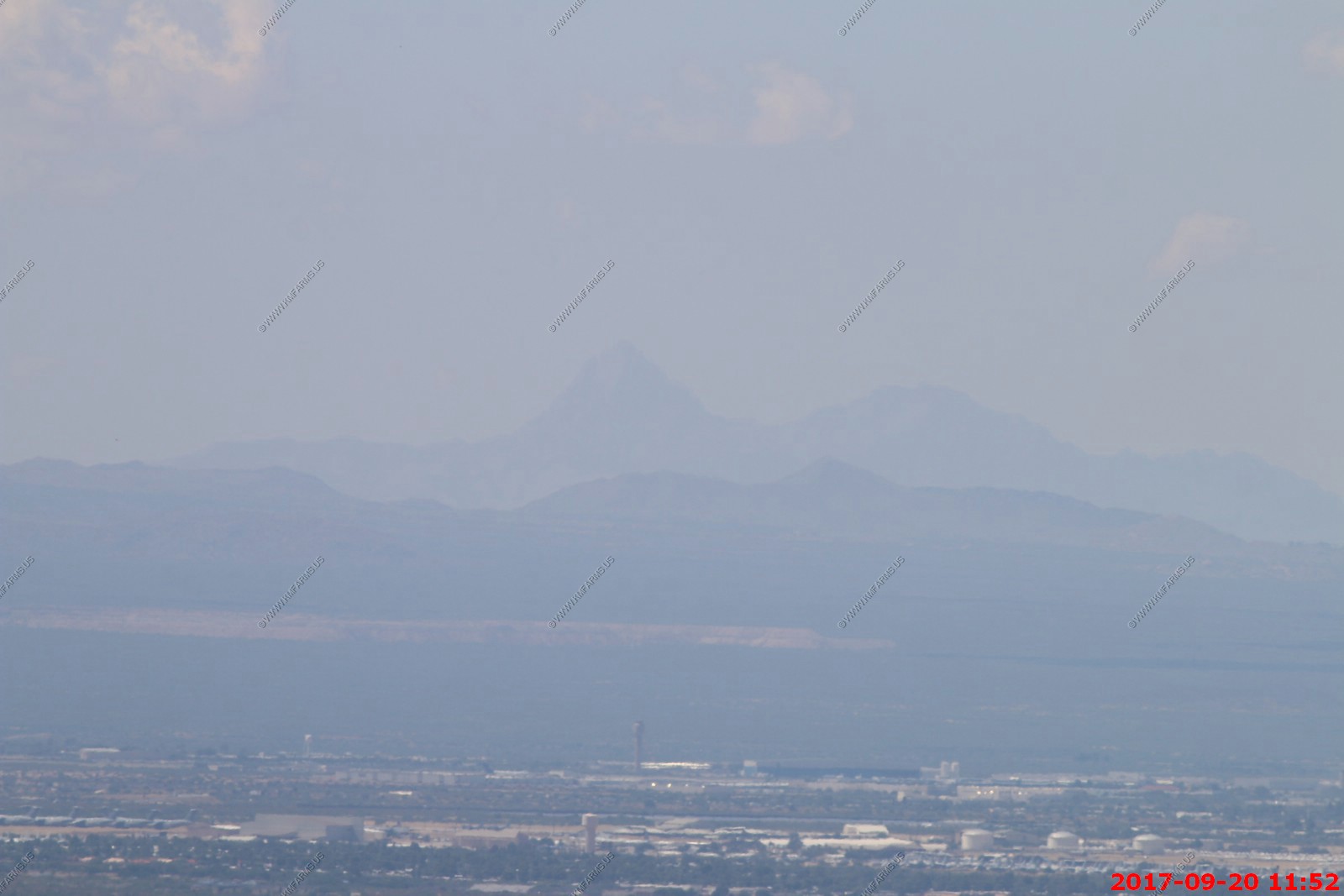
Starting to see Tucson again
This guy held on for most of the ride
We sat and ate lunch enjoying the view. A tarantula hawk landed on Mary's PB sandwich.
Various views of the valley and a quiet place on a Wednesday.
Looking down on Tanqua Verde
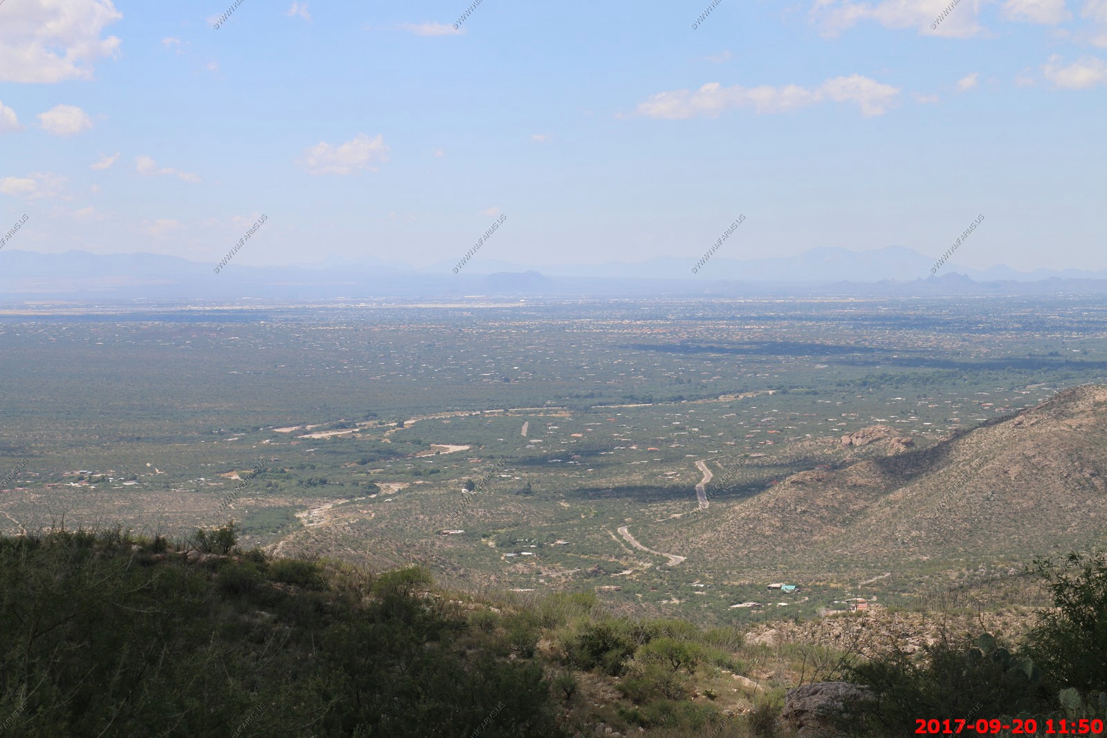
Looking down on Sagurao NP (where we just were hiking) and then along Freeman road where our Rental House is
The foothills to the Rincons in Saguaro NP
The GMC Yukon at our lunch stop. Its AWD but no way to control it.
Arizona allows anything on the roads
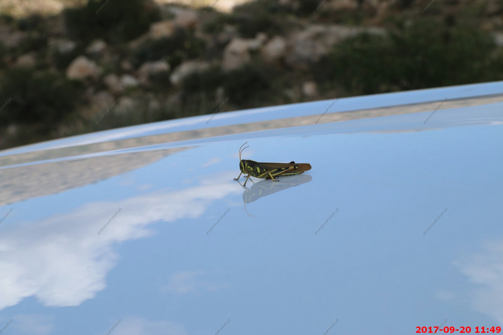
Put the 400mm lens on the Canon.
Baboquivari Peak - Wilderness - Cool place but very remote. Its appx. 65 miles from where we are now.
The Kitt Peak National Observatory (KPNO) is a United States astronomical observatory site located on 6,880 ft. Kitt Peak of the Quinlan Mountains in the Arizona-Sonoran Desert on the Tohono O'odham Nation, 88 kilometers (55 mi) west-southwest of Tucson, Arizona. With 24 optical and two radio telescopes, it is the largest, most diverse gathering of astronomical instruments in the world.
We plan on attending many of the events at this facility when we live out here as it's appx. 60 miles from where we are.
Because of these astronomical facilities, Tucson has some of the most strict outside lighting laws in the country. This is a good thing.
U of A and downtown Tucson views
Hard to see. The copper mine tailings just west of Green River. These are why Green River is NOT on our short list. You can see the dust blowing.
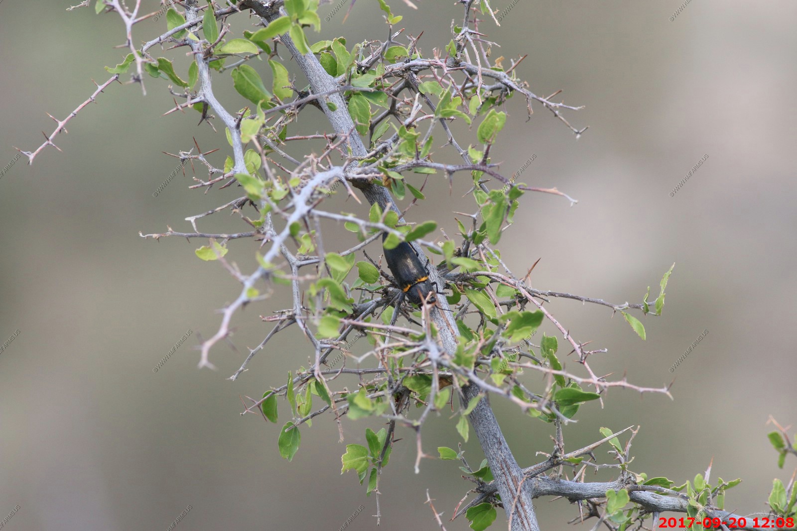
A large black and orange beetle was in a shrub near us. Possibly a Megalodacne heros ?
Looking at the top of the Rincons. These rock outcroppings Tanque Verde Peak 7,049 ft. and I believe Helens Dome 8,364 ft.
This is a popular hiking and horse pack area.

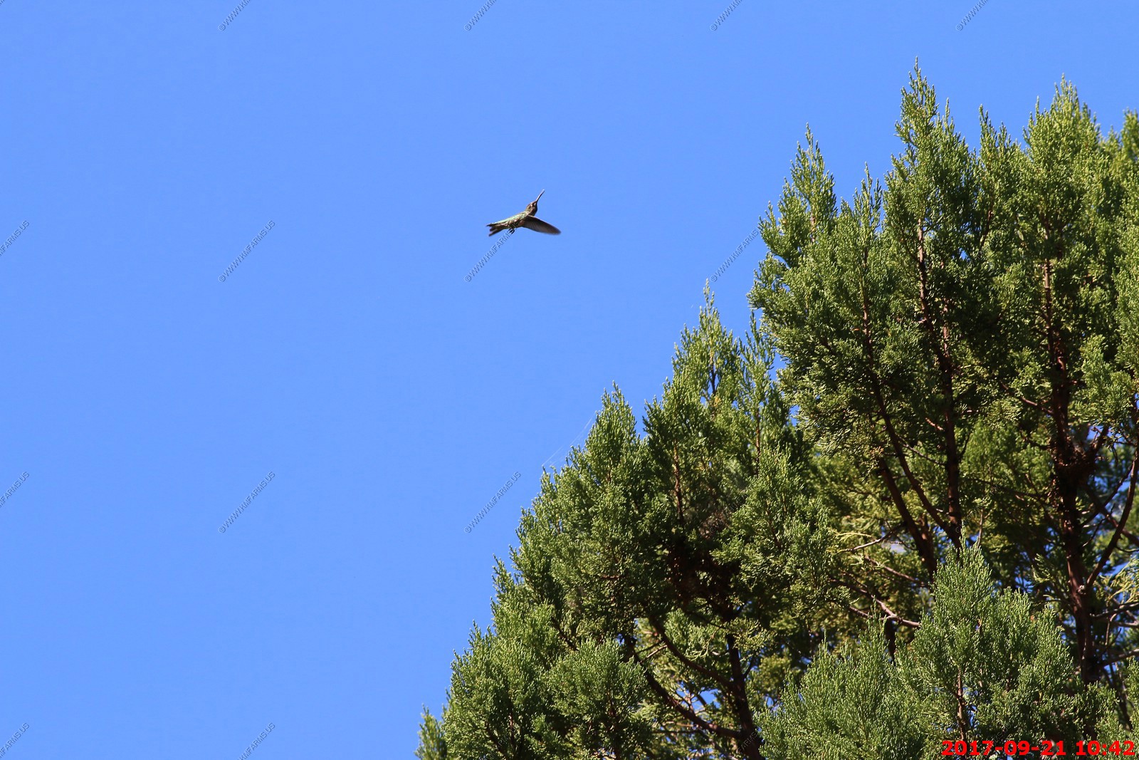
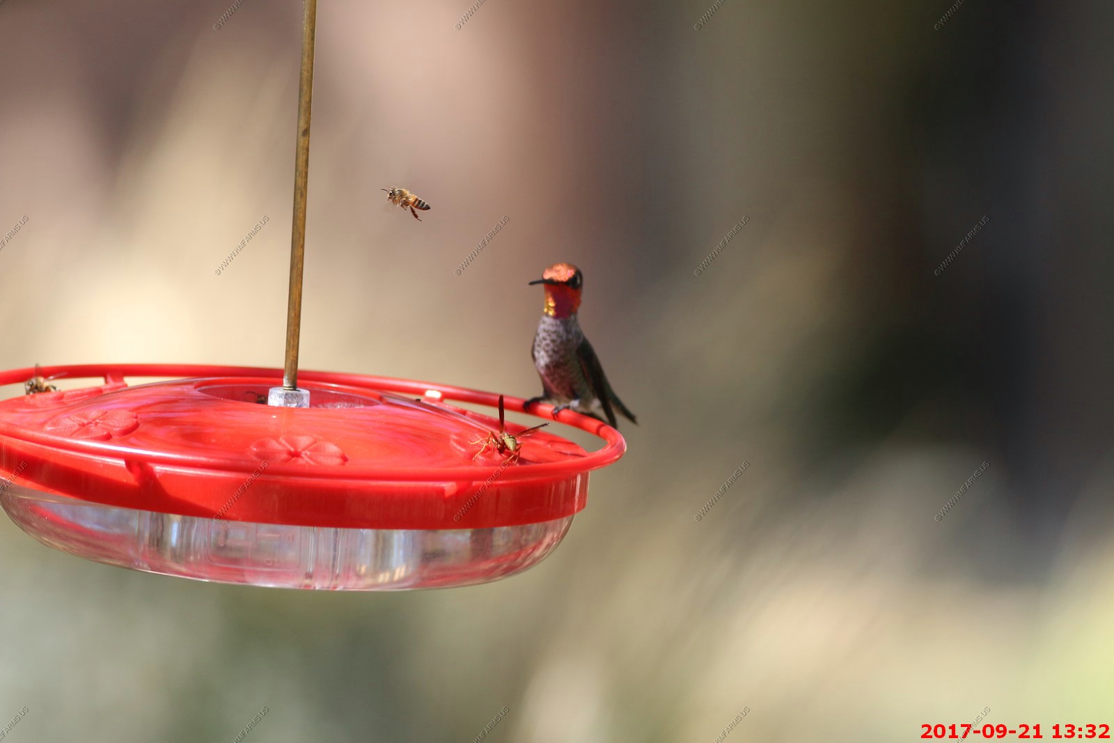
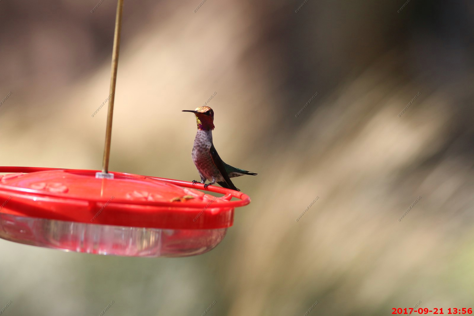
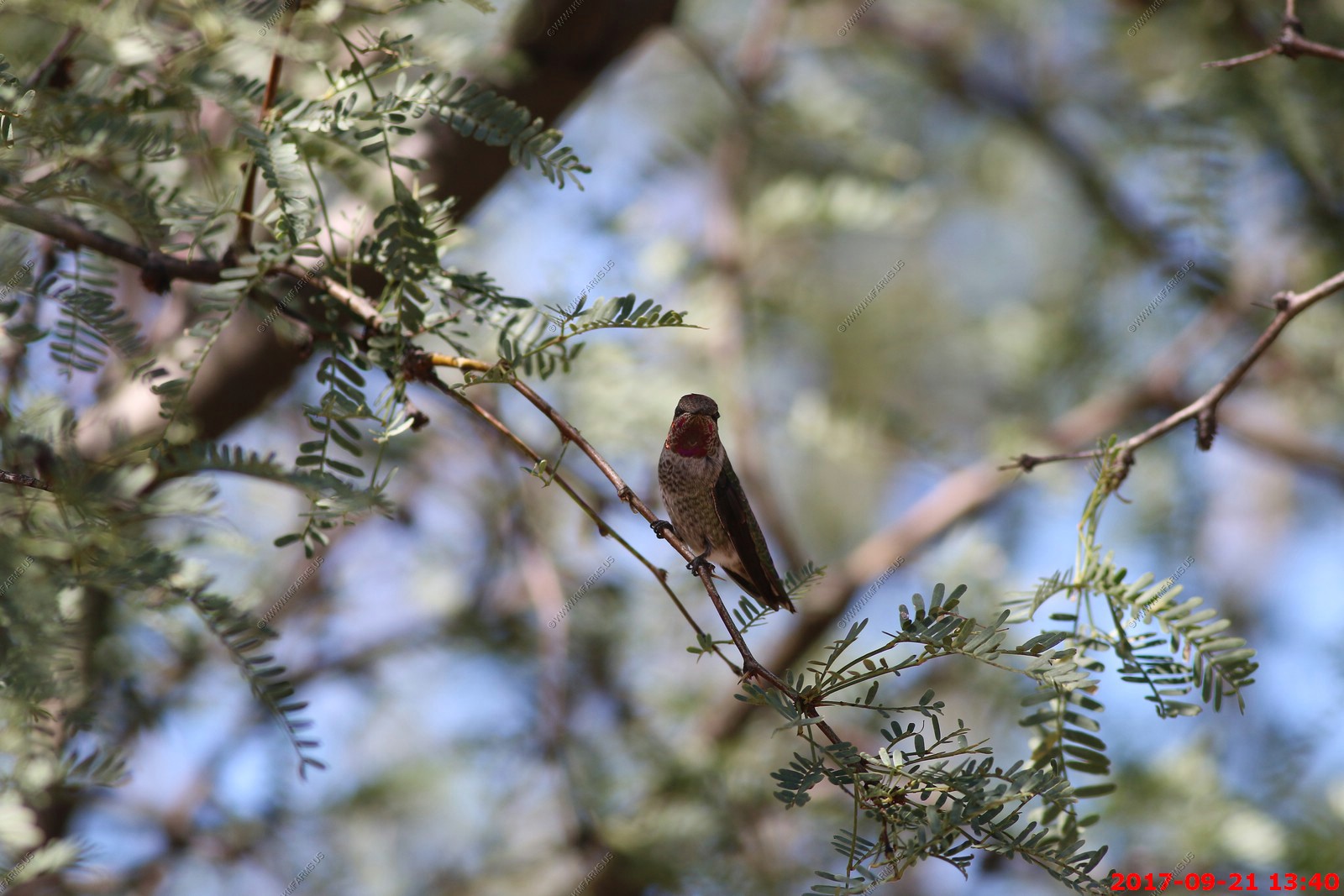
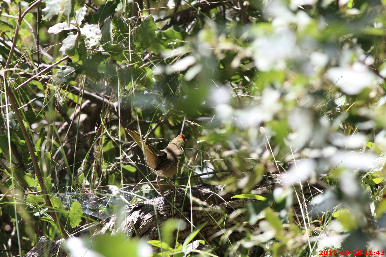
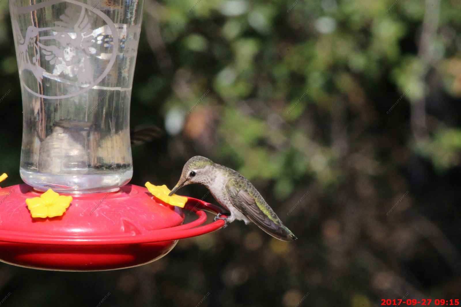
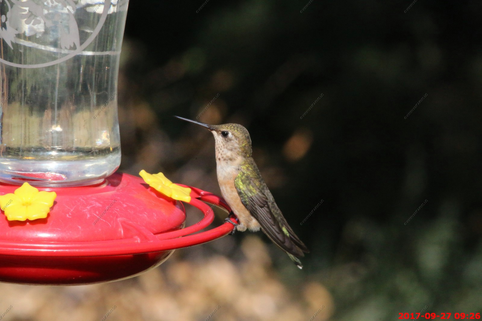
Anna's hummingbird male at the rental house but we are not 100% sure
The Anna's Hummingbirds are among the most common hummingbirds along the Pacific Coast, yet they're anything but common in appearance. With their iridescent emerald feathers and sparkling rose-pink throats, they are more like flying jewelry than birds. Though no larger than a ping-pong ball and no heavier than a nickel, Anna's Hummingbirds make a strong impression. In their thrilling courtship displays, males climb up to 130 feet into the air and then swoop to the ground with a curious burst of noise that they produce through their tail feathers.
Anna's Hummingbirds hover deftly and zip from flower to flower. They are at their most splendid when performing their wild courtship dives. A male flies as high as 130 feet in the air and then plummets toward the ground (and the watching female), where he lets loose a unique short high-pitched noise made by air whipping through his tail feathers. As courtship progresses, the male chases a receptive female, who leads him toward her nest site, and perches again. The male then performs a "shuttle display," where he swings back and forth about a foot above the female, keeping his body horizontal and his head down toward the female, often singing an intense song. When males are not feeding or performing, they often sit fairly high in a bush or small tree, noisily chattering. Males and females do not form pairs, and both sexes likely mate with more than one individual per season. Only the females care for the young.
Back at the house - A nest of doves between the house and the pool
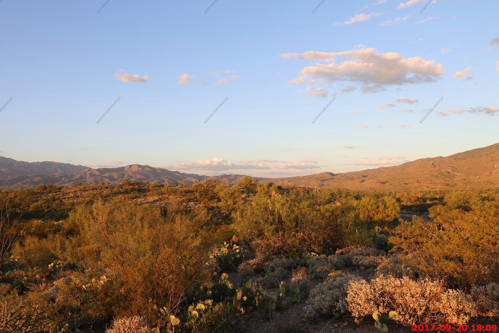
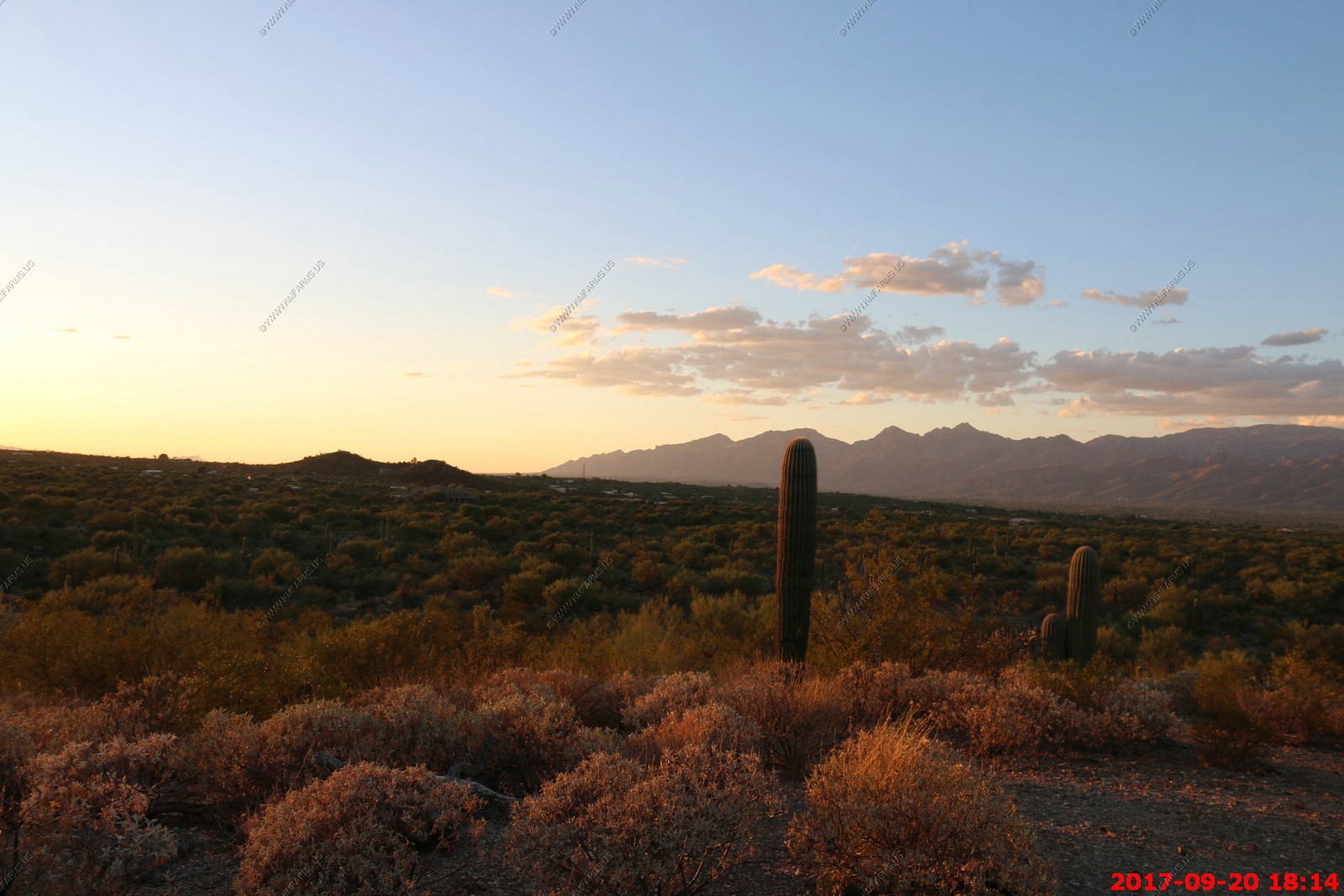
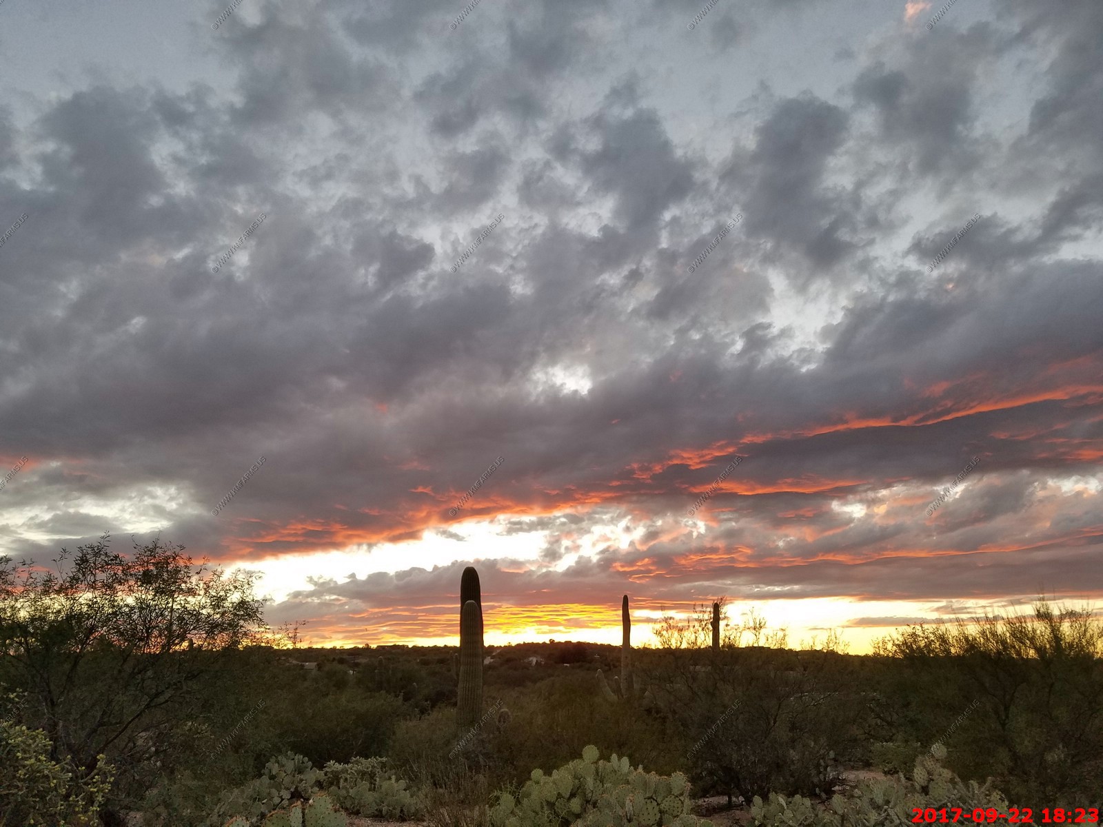
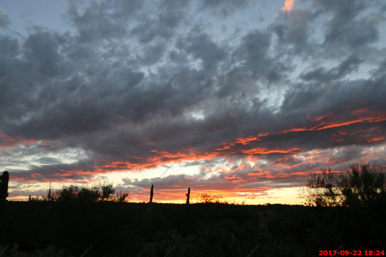
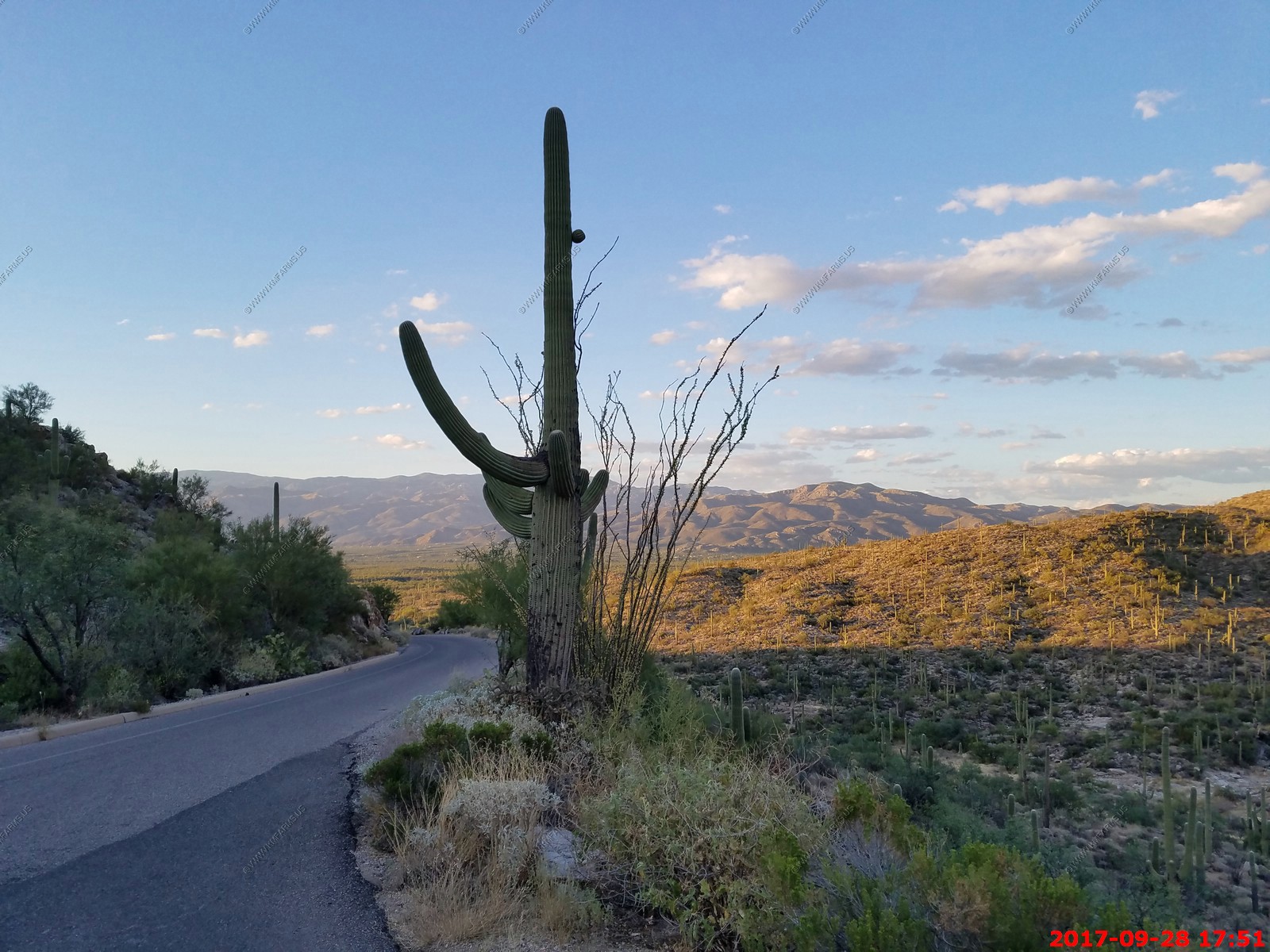
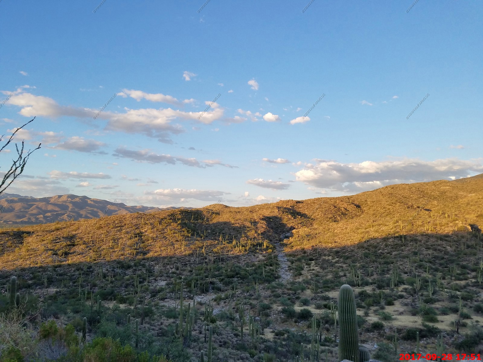
Sunset drive thru Saguaro National Park
Looking North East at Redington Pass
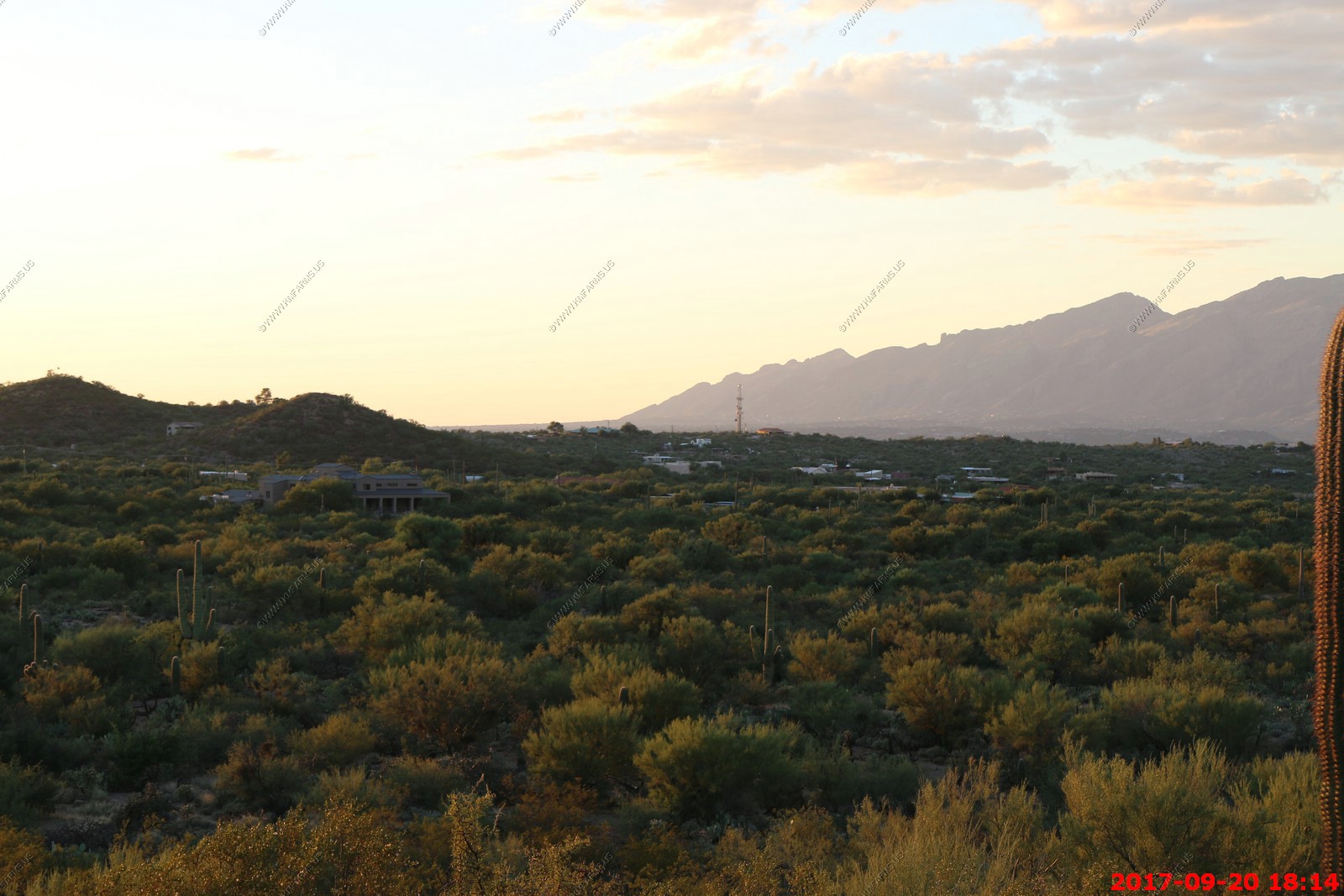
Looking north over Tanque Verde where we are looking at houses.

At one of the stops along the Loop in Saguaro National Park
Sad. Snow here once per year.
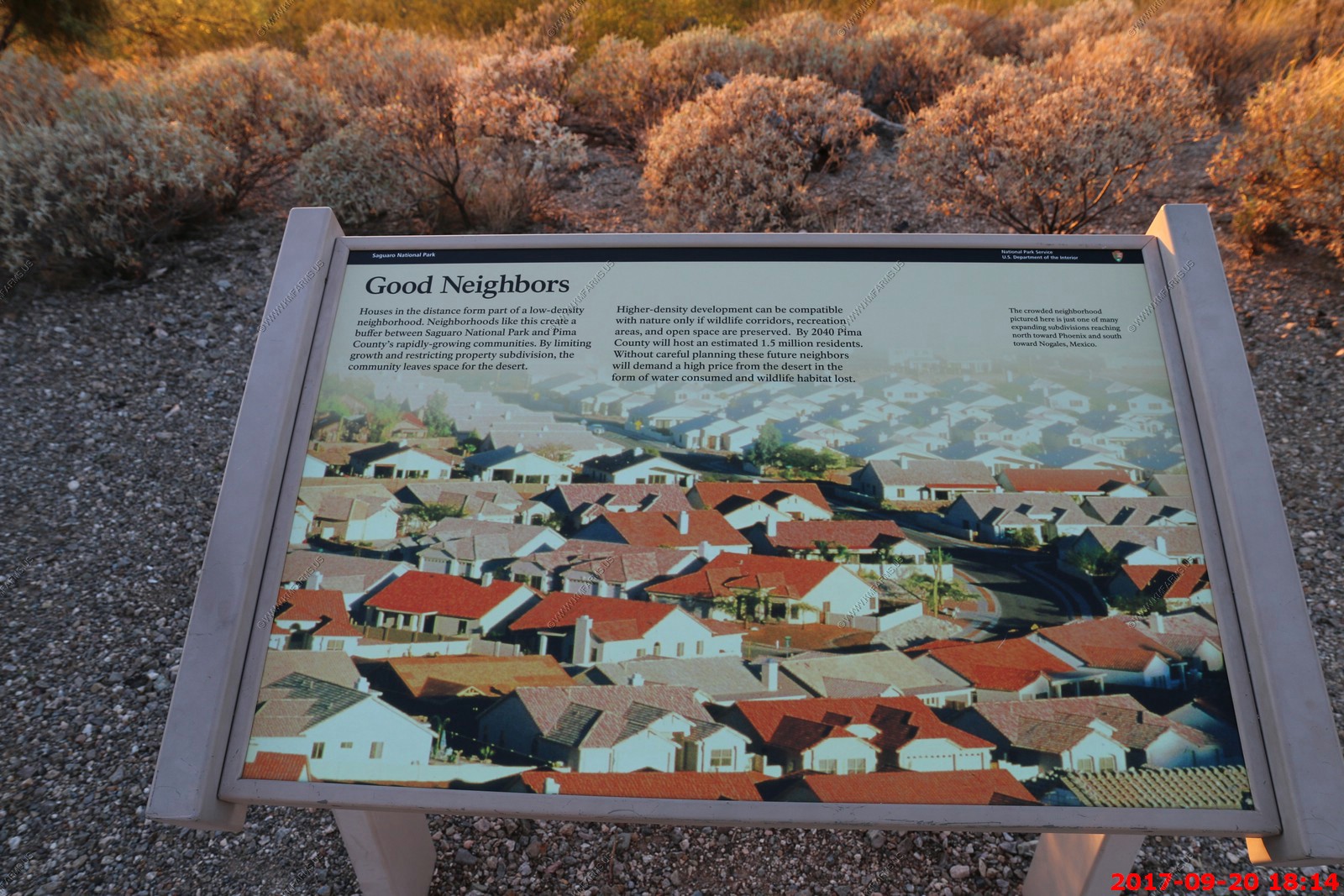
High density living. Good that's it's not near here.
The house we rented was to the right of the cell tower but it's too low to be seen from here.
Redington Pass goes up over the mountains above the houses near the foot of the mountains.
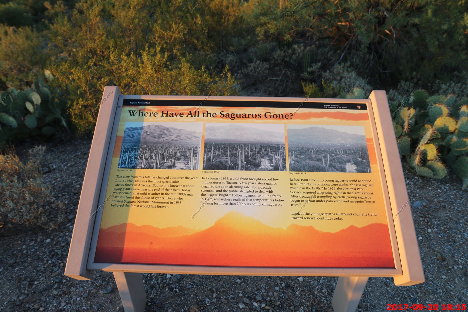
Missing Saguaros
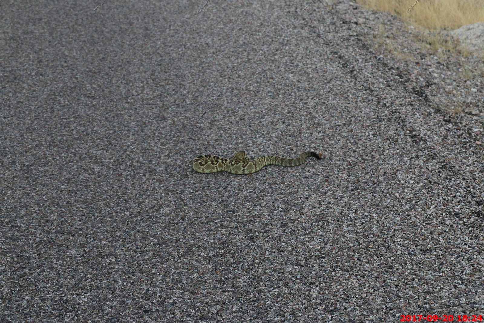
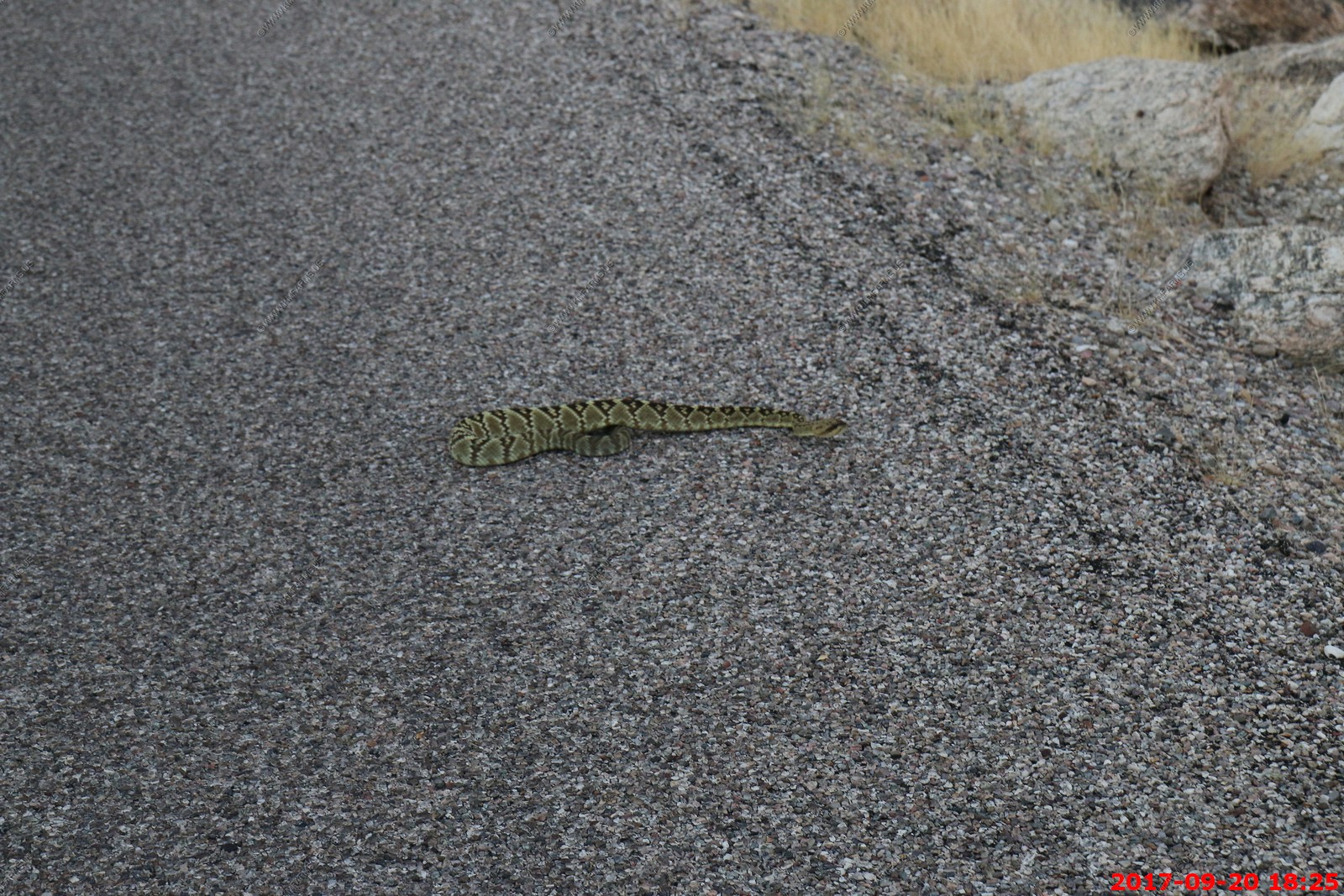
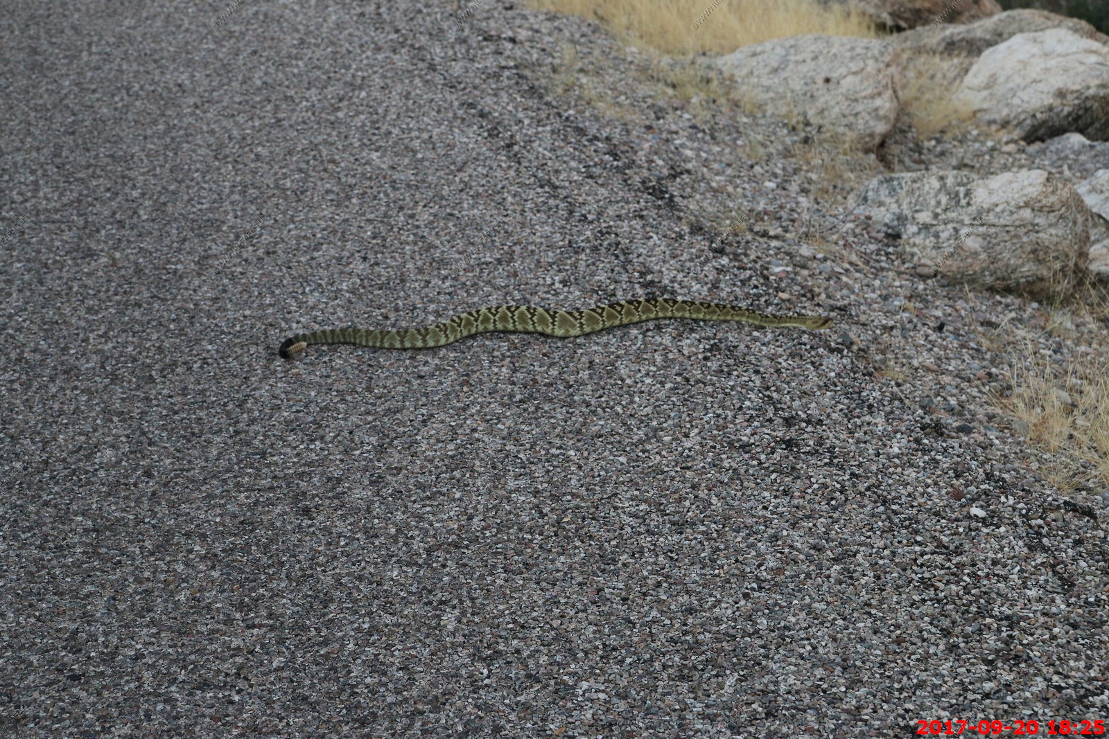
Black-tailed rattlesnake - Crotalus molossus
We came up on him while watching sunset along the SNP loop road. It was getting dark so the photos are not that clear.
C. molossus is often considered to be one the most docile rattlesnake ever, because of their placid and curious attitude. Bites rarely occur because of this. They rely mostly on camouflage to avoid trouble. C. molossus normally tries to back away when confronted, but will rattle when cornered and threatened.
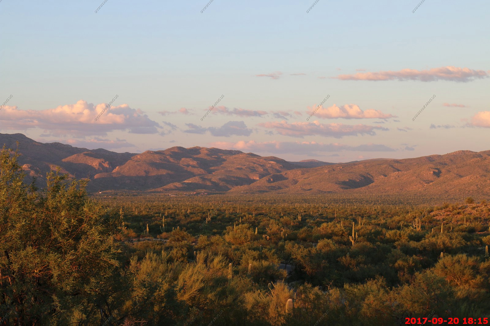
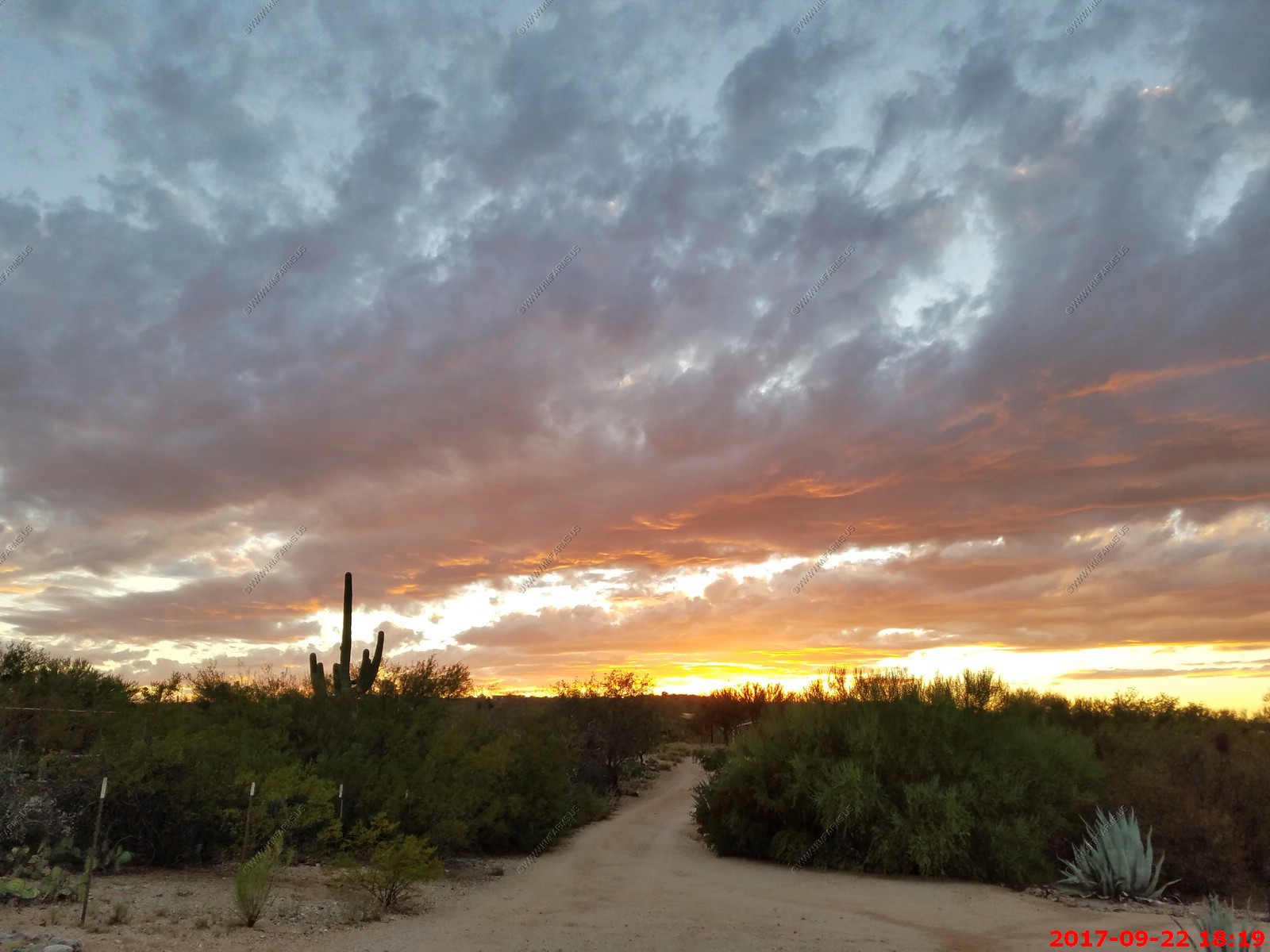
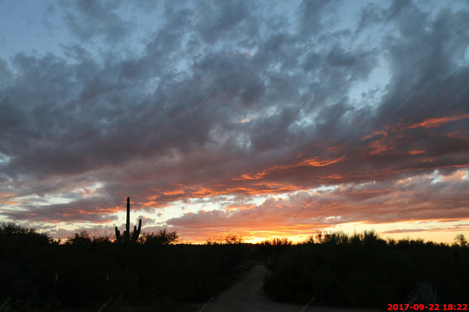
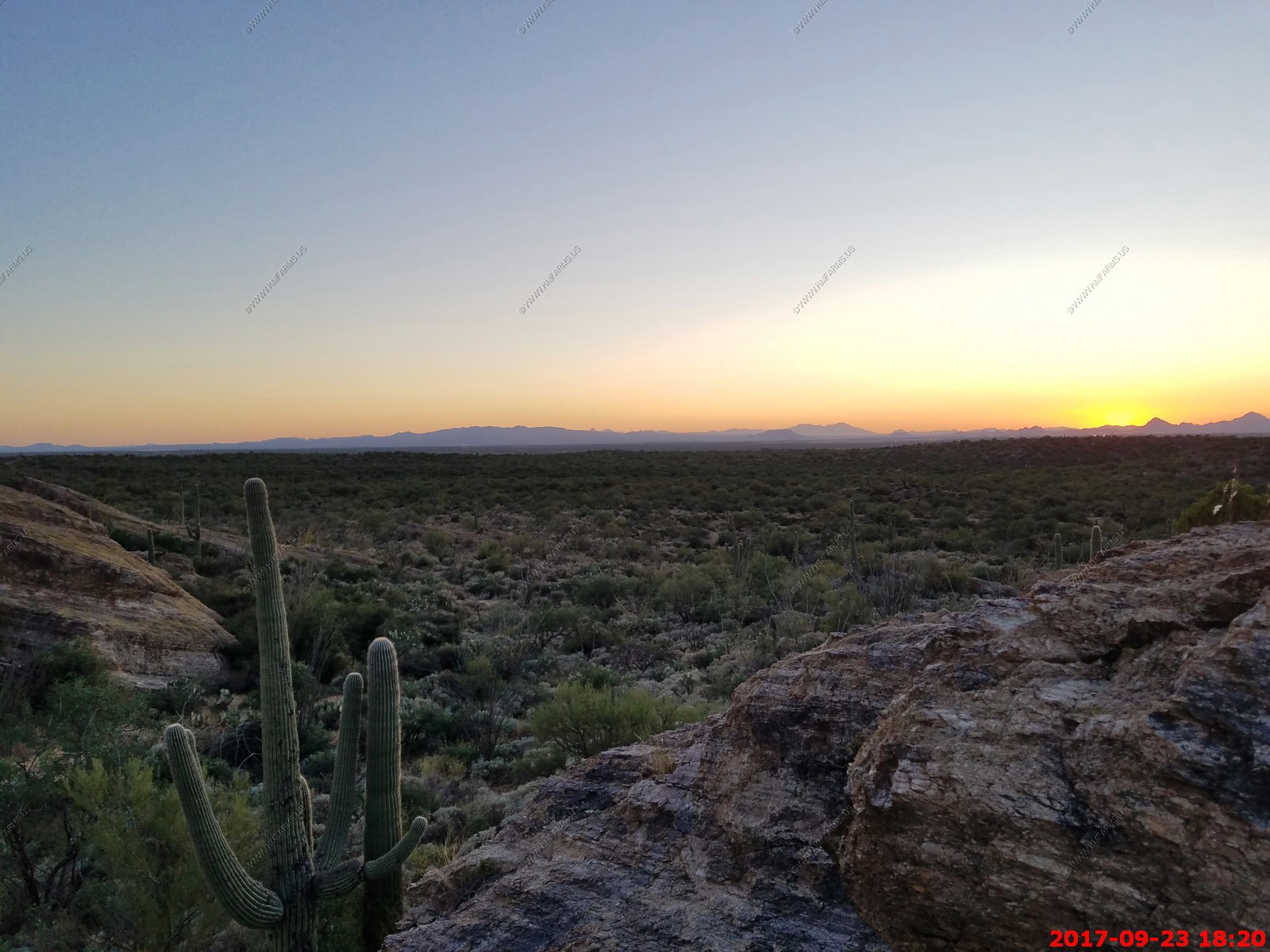
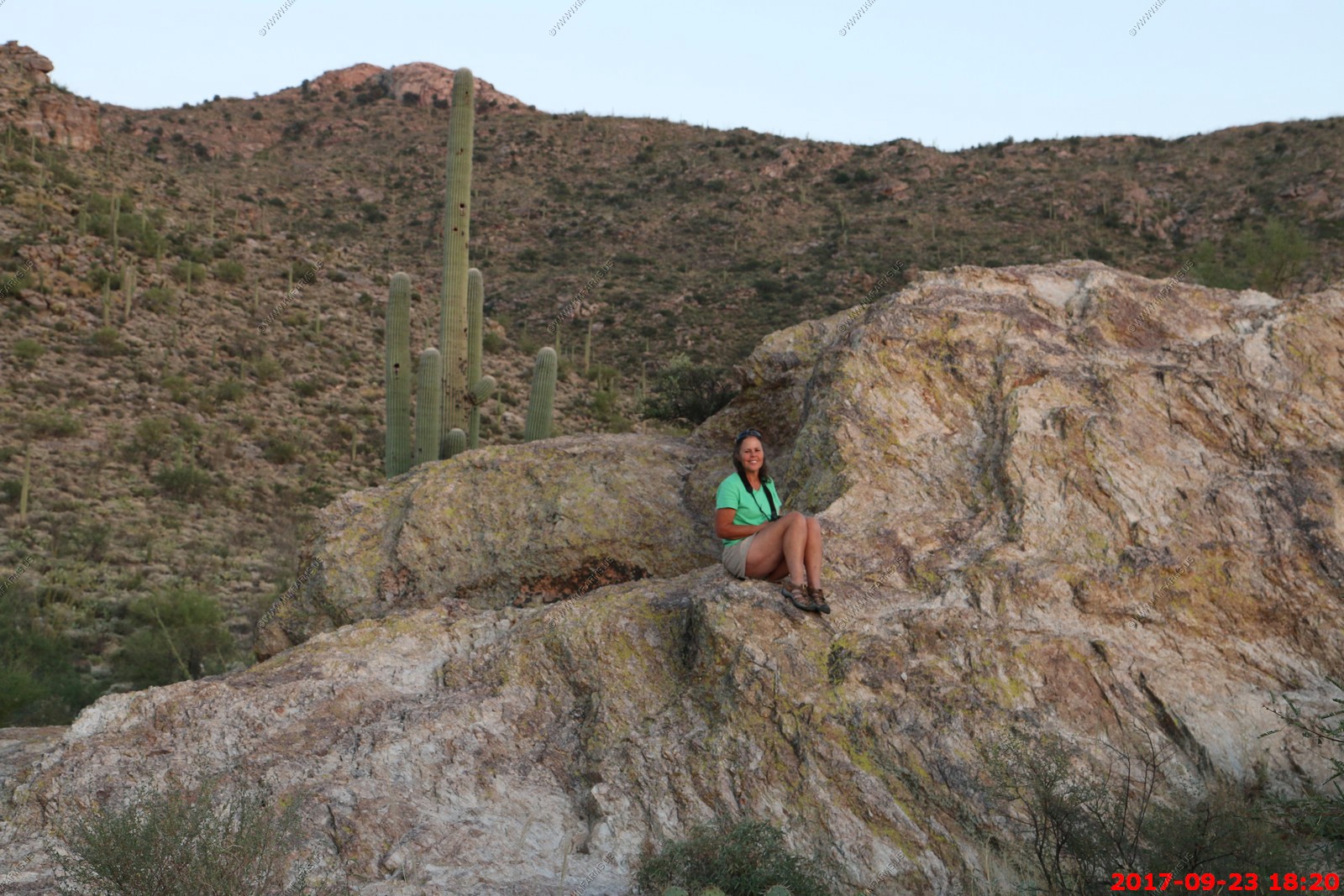
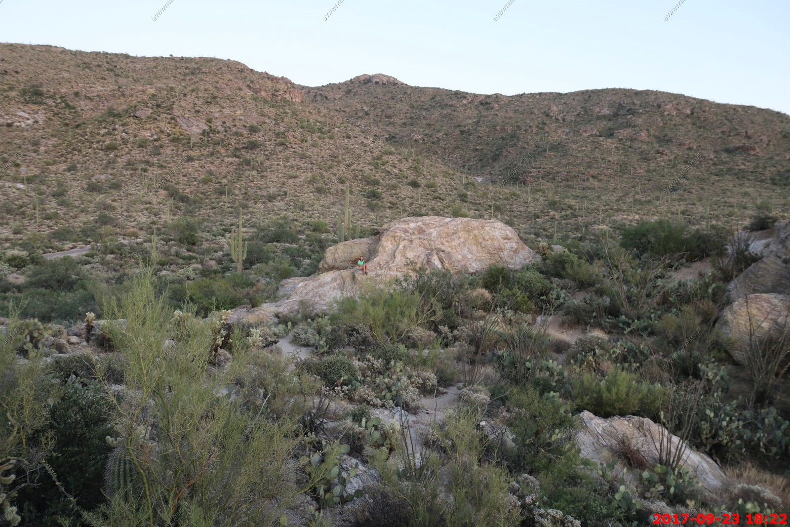
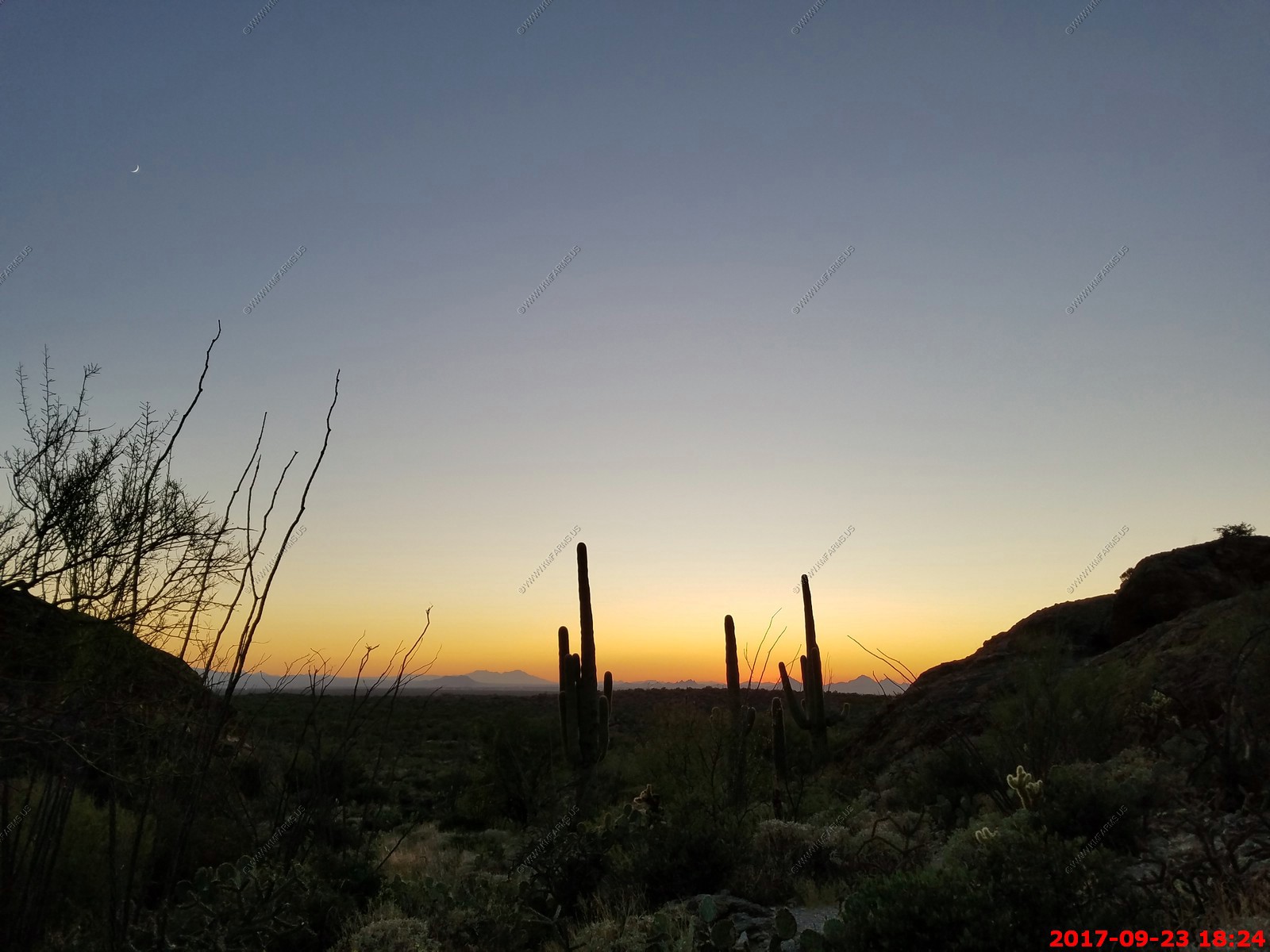
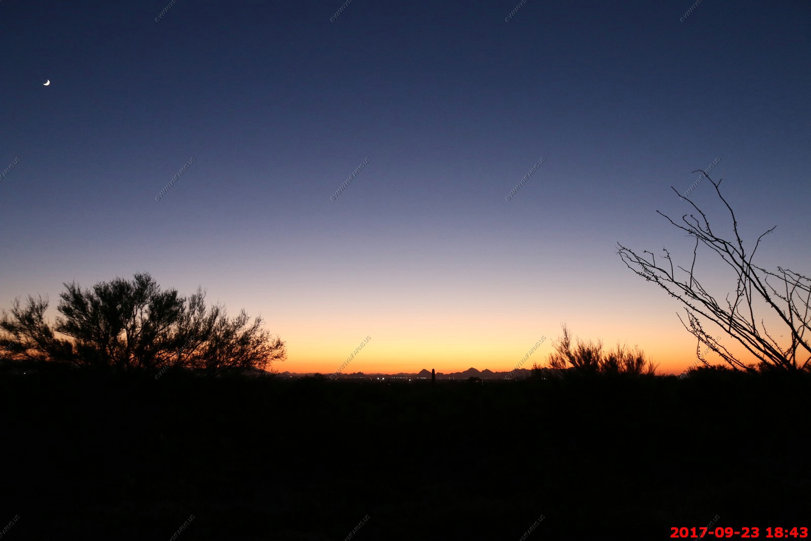
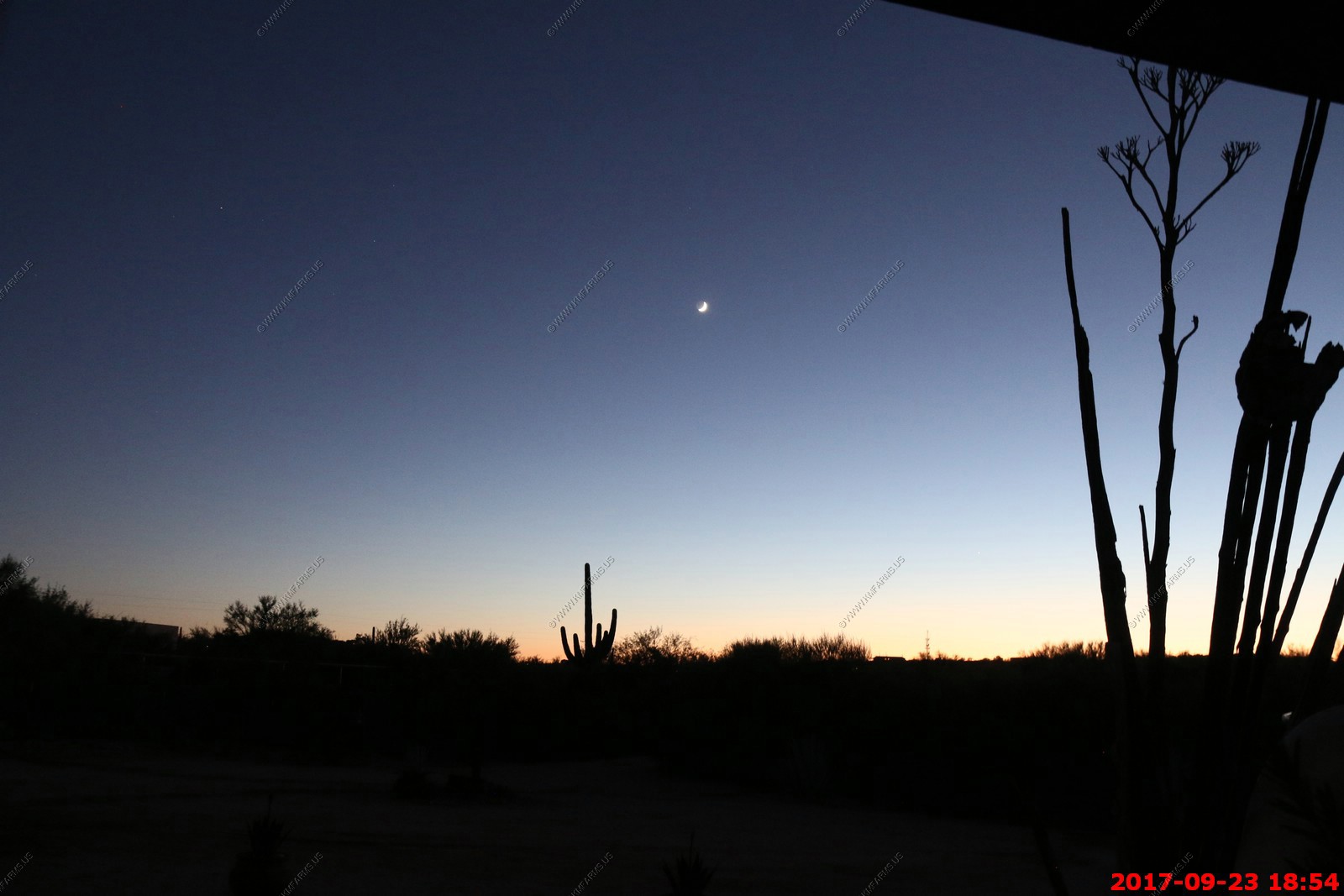
Sunset. This was one of the many nights we came up here to watch the sunsets.
You can see Kitt Peak National Observatory on the flat mountain in the center of the photo. Its appx. 55 miles across the entire city of Tucson.
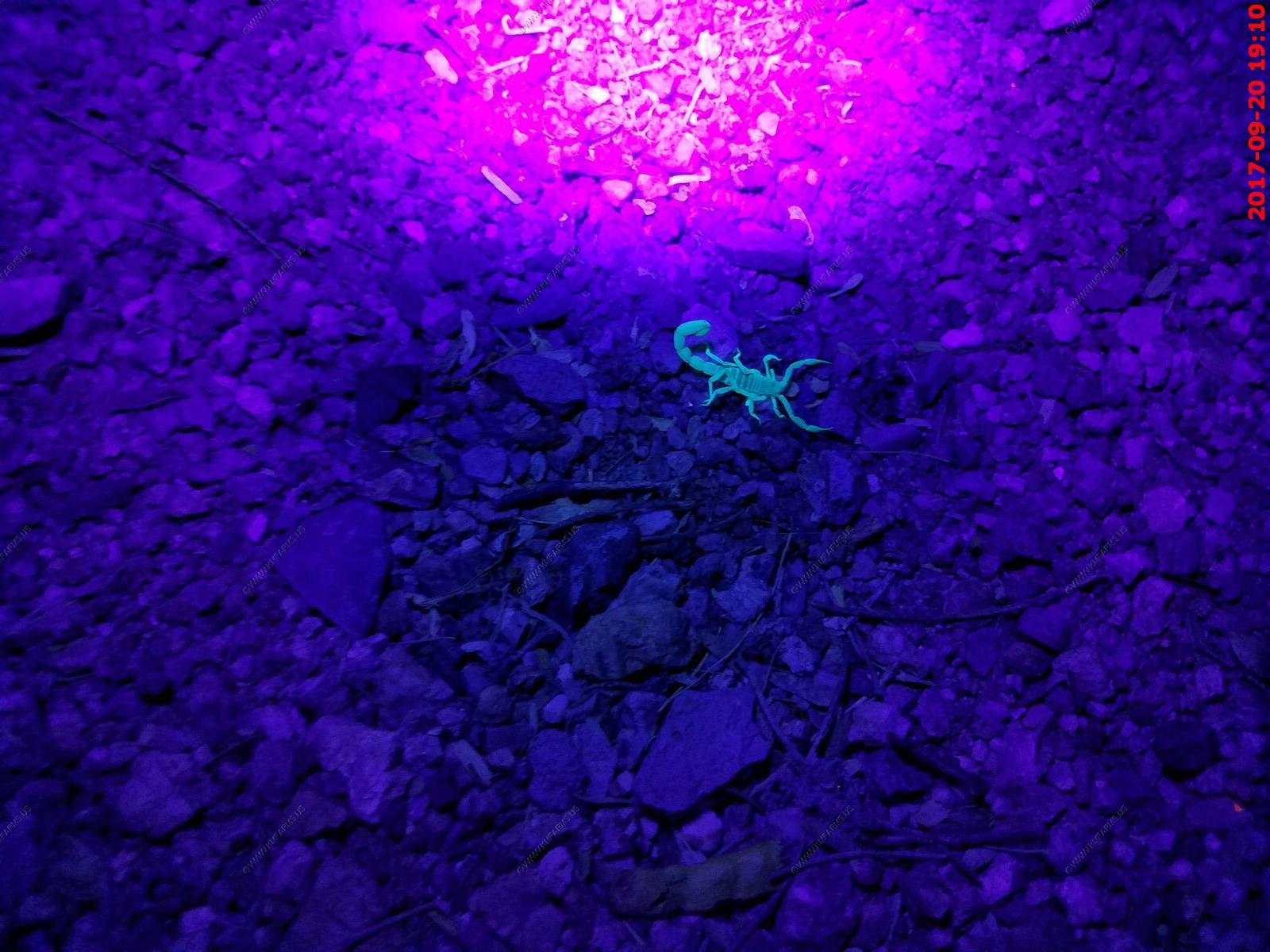
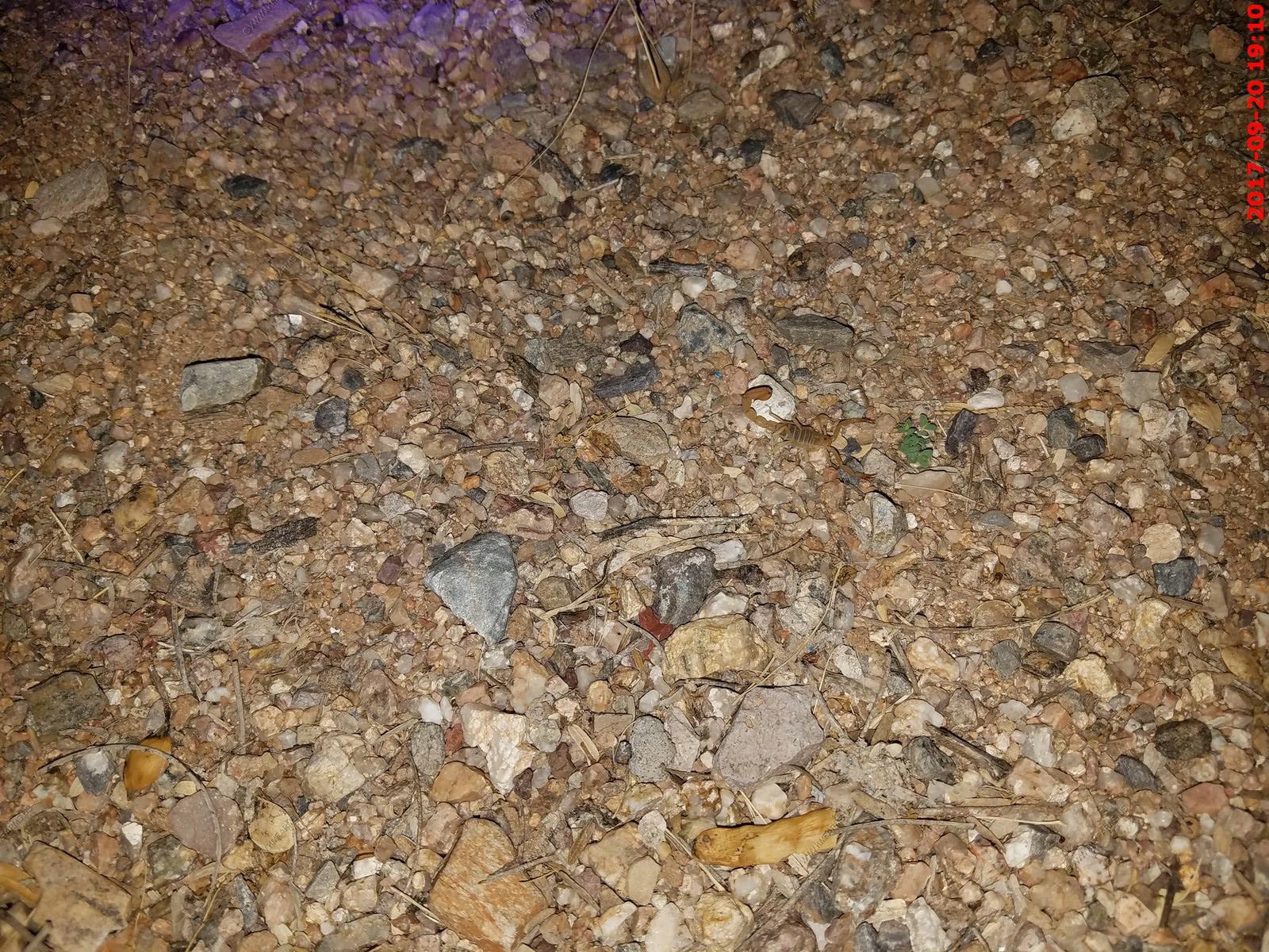
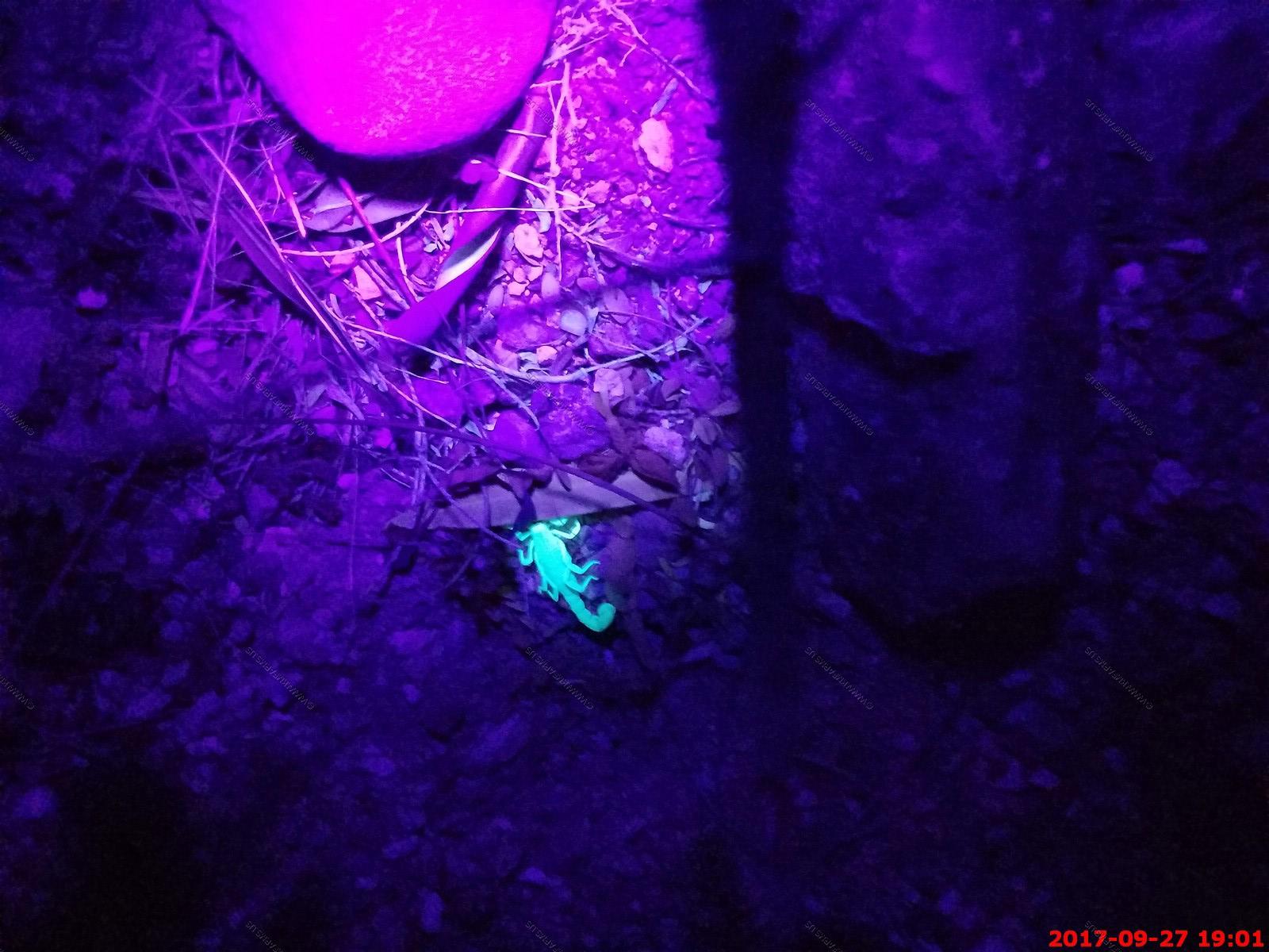
We always go on scorpion hunts after dark. Here we were finding a few of them around the house but only on the warm (above 70 degree) nights.
A UV light is the best way to find them. Ay you can see here they are very hard to see with the regular flashlight.
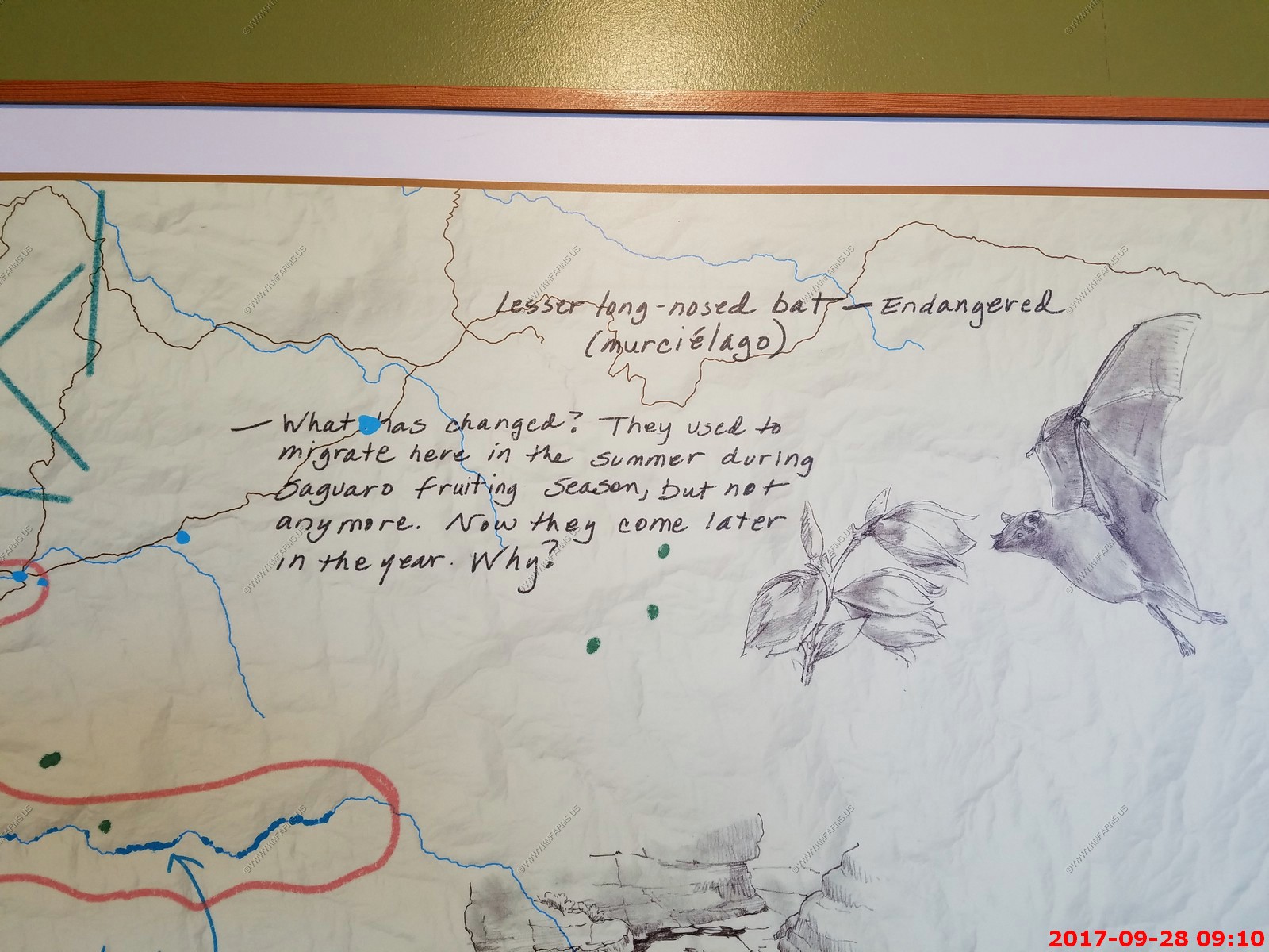
Lesser Long-nosed Bat, Leptonycteris curasoae, is distinguished by the deep indentation of the membrane between the legs giving the appearance of wearing pants. The wingspan can range from 14-16 inches.
NECTAR BATS of southeastern Arizona
Nectar bats feed on the nectar and pollen of agave and columnar cactus, such as saguaro and organ pipe. Their long tongues enable them to reach deep within the flowers to obtain the nectar, much like hummingbirds. They also feed on cactus fruit. They are fascinating creatures and can easily be watched for they also drink the sugar water found in hummingbird feeders.
Most of their range is in Mexico, and even farther south, but two species occur in southeastern Arizona from April to October. They migrate here to breed and to take advantage of the flowering cactus and agave. Of the two species, the Mexican Long-tongued Bat, Choeronycteris mexicana, has a longer snout but the best way to separate the two species is by looking at the membrane between the legs. The tail membrane of the Mexican Long-tongued Bat is only slightly indented and gives the appearance of a skirt. The Lesser Long-nosed Bat has no tail resulting in a deep indentation of this membrane which makes it look like it is wearing pants. More information on these bats can be found at the Arizona Game and Fish web site at www.gf.state.az.us/. Use the search feature to locate PDF documents on each of the species.

Thursday SEP 21th
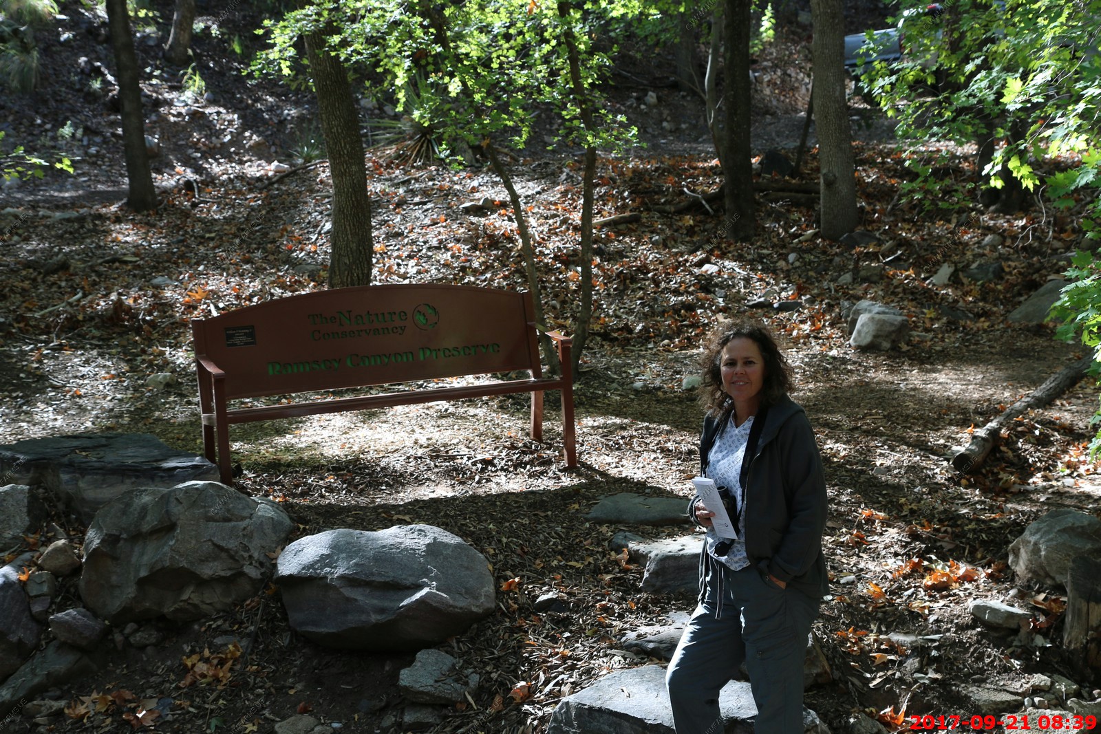
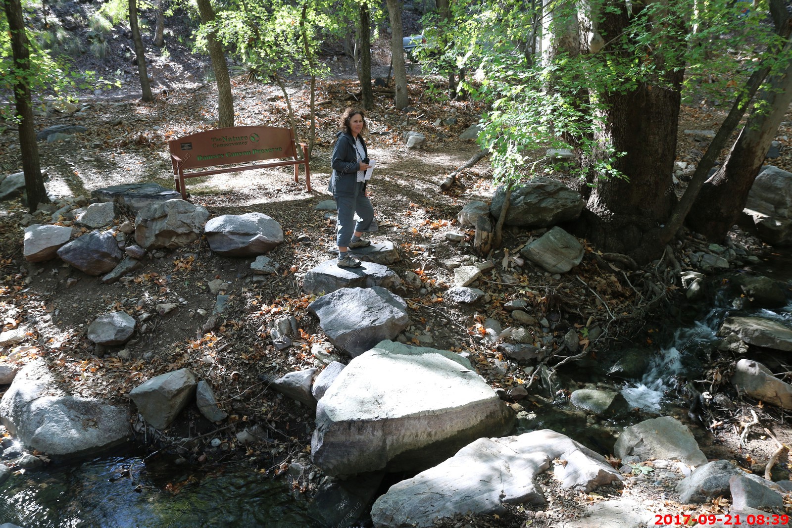
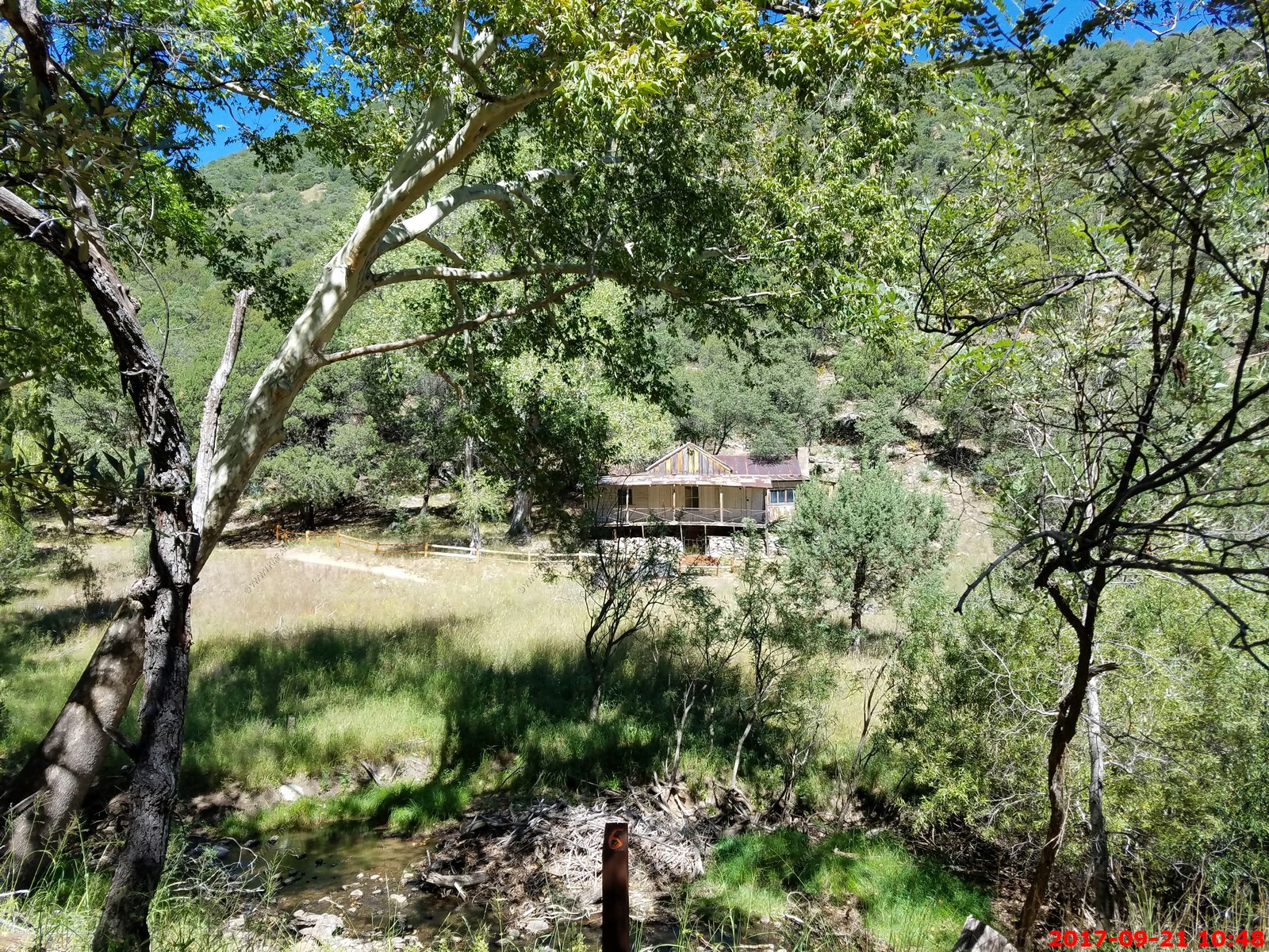
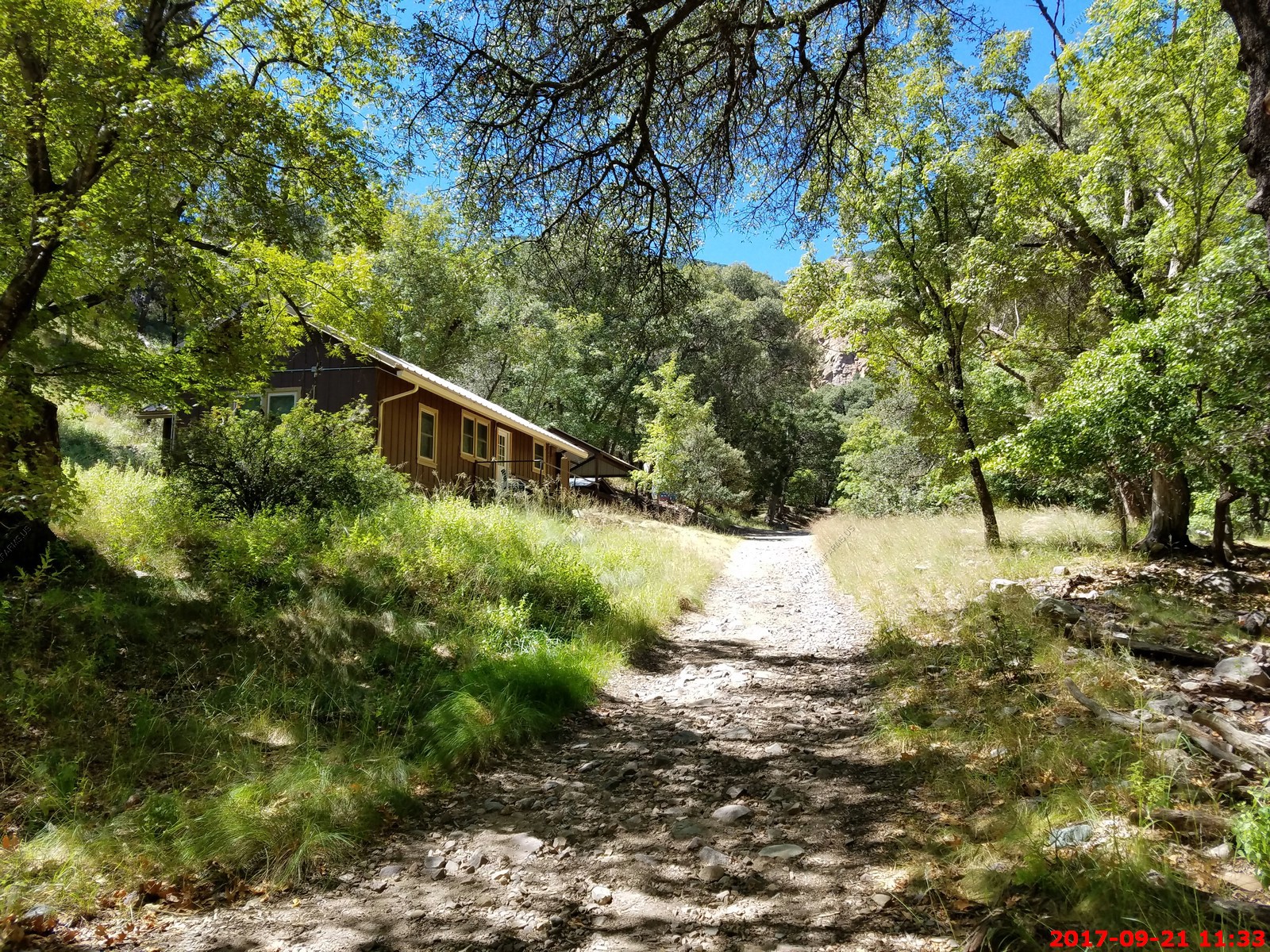
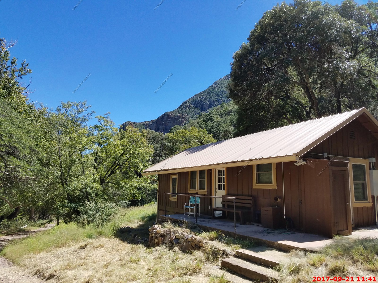
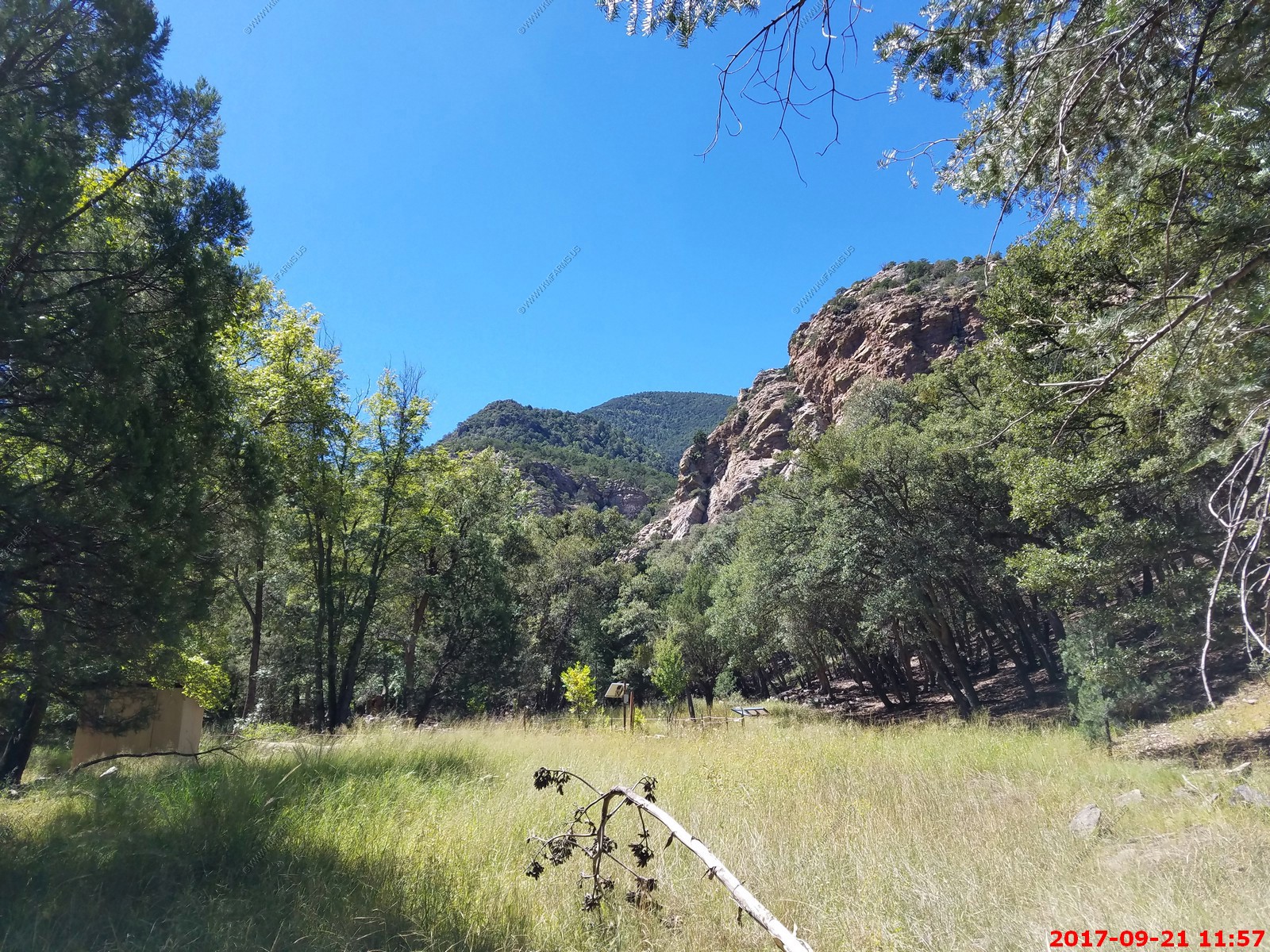
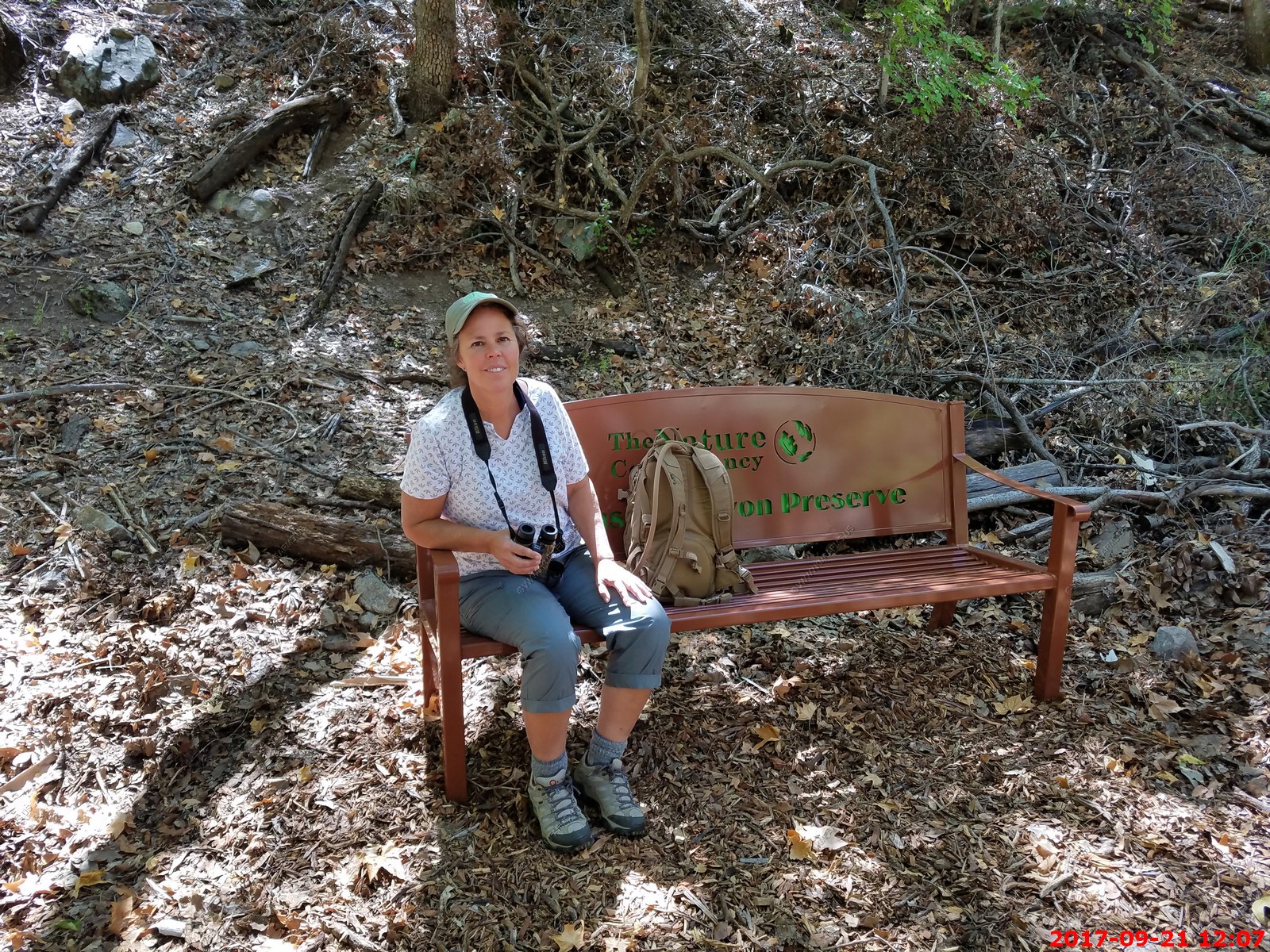
Ramsey Canyon Preserve - This is one of my favorite places - Ninety miles southeast of Tucson, Arizona, near Sierra Vista, claims the title of "hummingbird capital of the United States." Up to fourteen species of hummers are included in the more than one hundred and fifty species of birds in the preserve, making this peaceful oasis one of the best bird watching spots in the world.
Nestled deep in the Huachuca Mountains, one of Arizona's "sky islands," the preserve is home to southwestern rarities, including the ridge-nosed rattlesnake, lesser (Sanborn's) long-nosed bat, elegant trogon and white-eared hummingbirds.
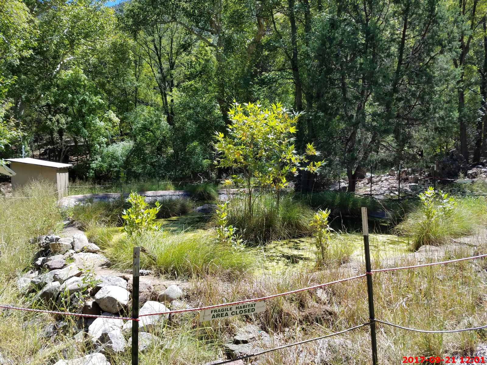
Fed by year-round Ramsey Creek and protected by high canyon walls, the preserve provides a moist, cool environment for water-loving plants like sycamores, maples and columbines, with the cacti of the Sonoran desert always close by.
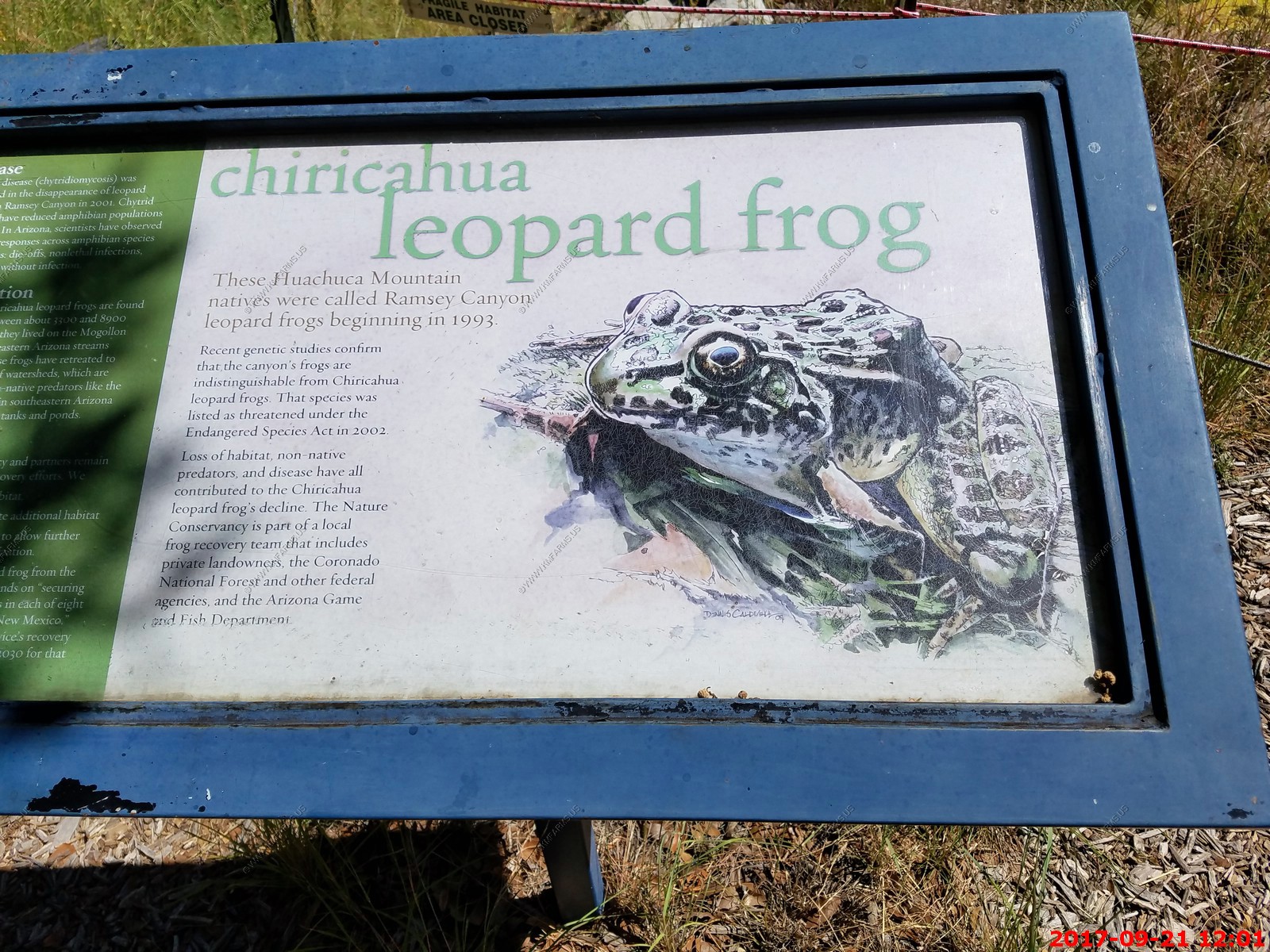
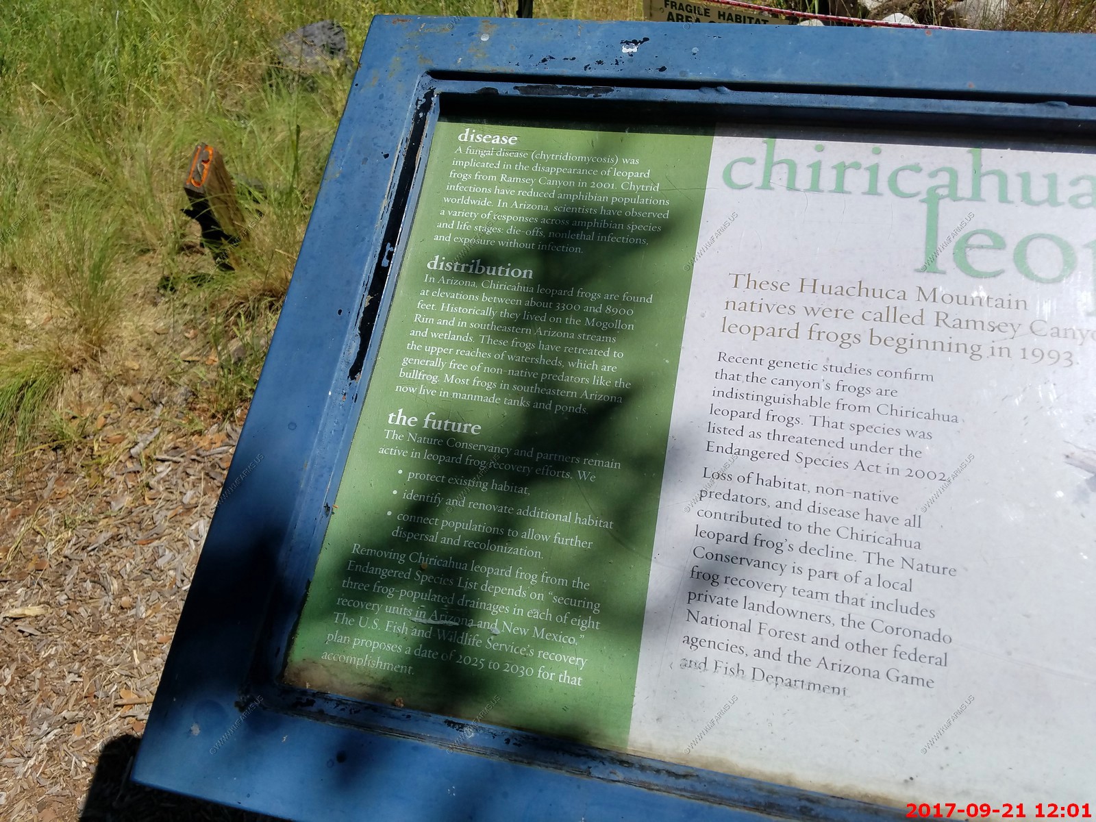
Wildlife viewing is the favorite activity of visitors. Coues deer, coatis, mountain lion, and dozens of varieties of butterflies are only part of the wildlife indigenous to Ramsey Canyon. The Ramsey Canyon leopard frog exists only in Ramsey Canyon and several nearby sites in the Huachuca Mountains and foothills. Discovered in the late 1980's, it was declared as a species new to science in 1993. There are forty five mammal species and twenty species of reptiles and amphibians in and around the preserve.
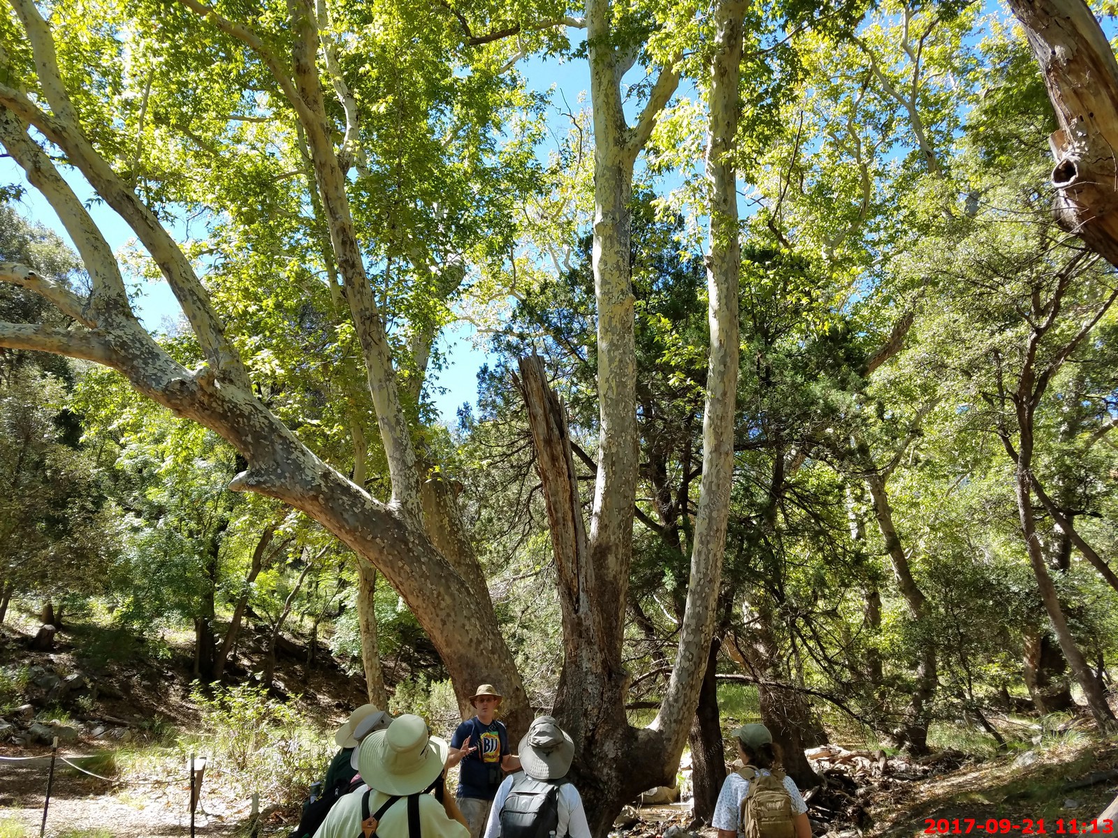
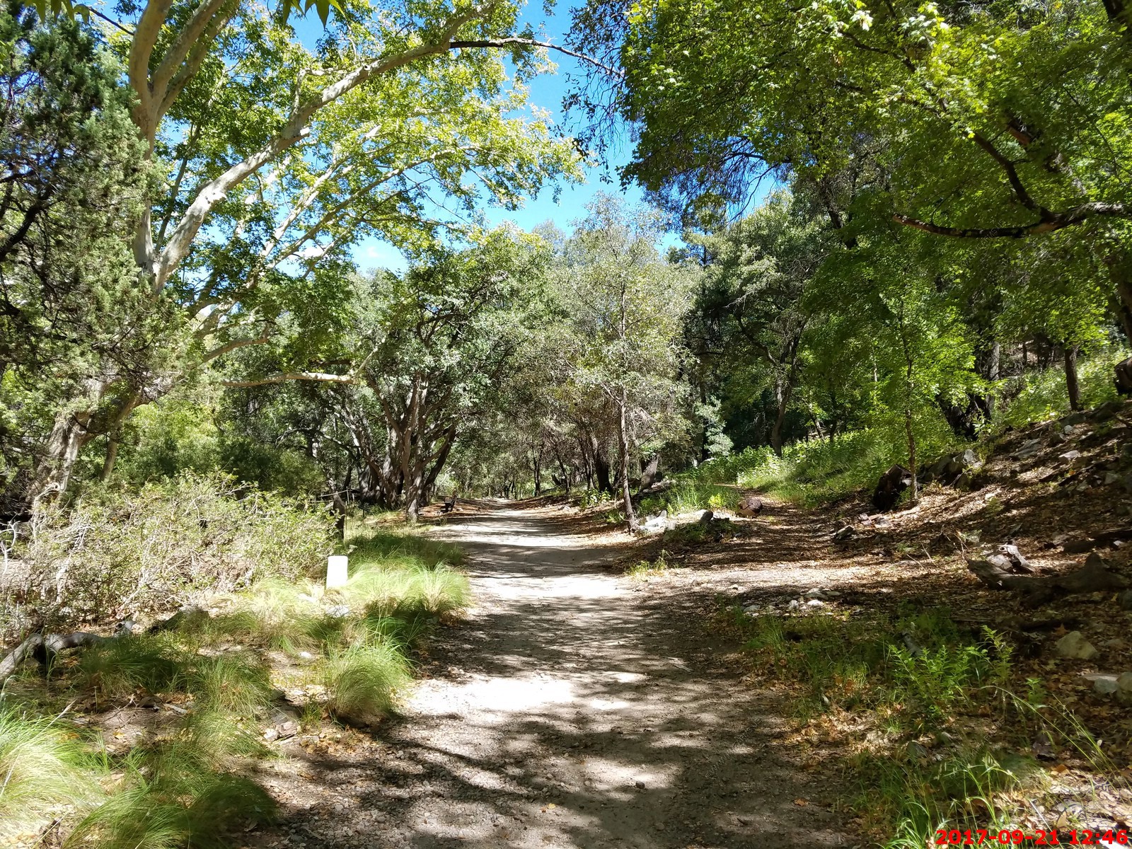
Hikers can follow Hamburg Trail along Ramsey Creek. It tops out at an overlook in the Coronado National Forest, then connects with other trails in the Miller Peak Wilderness Area. You can join a guided nature walk at 9:00 a.m. every Tuesday, Thursday and Saturday morning from March through October
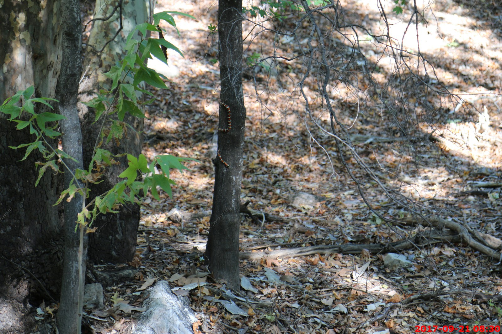
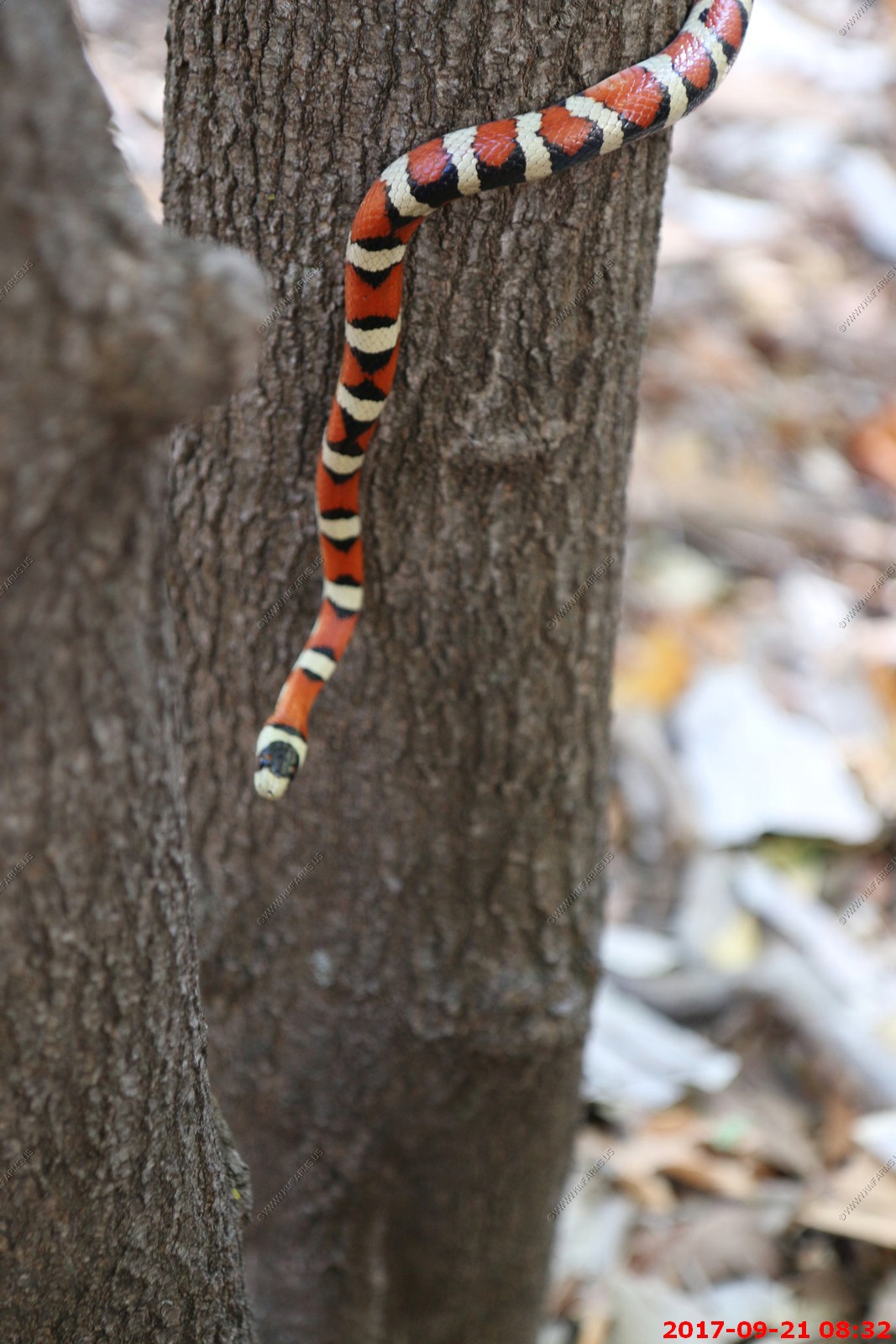
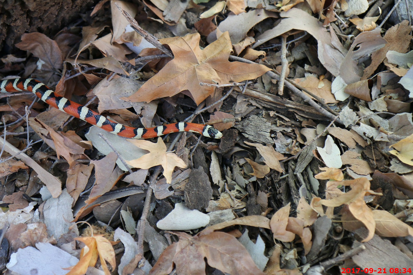
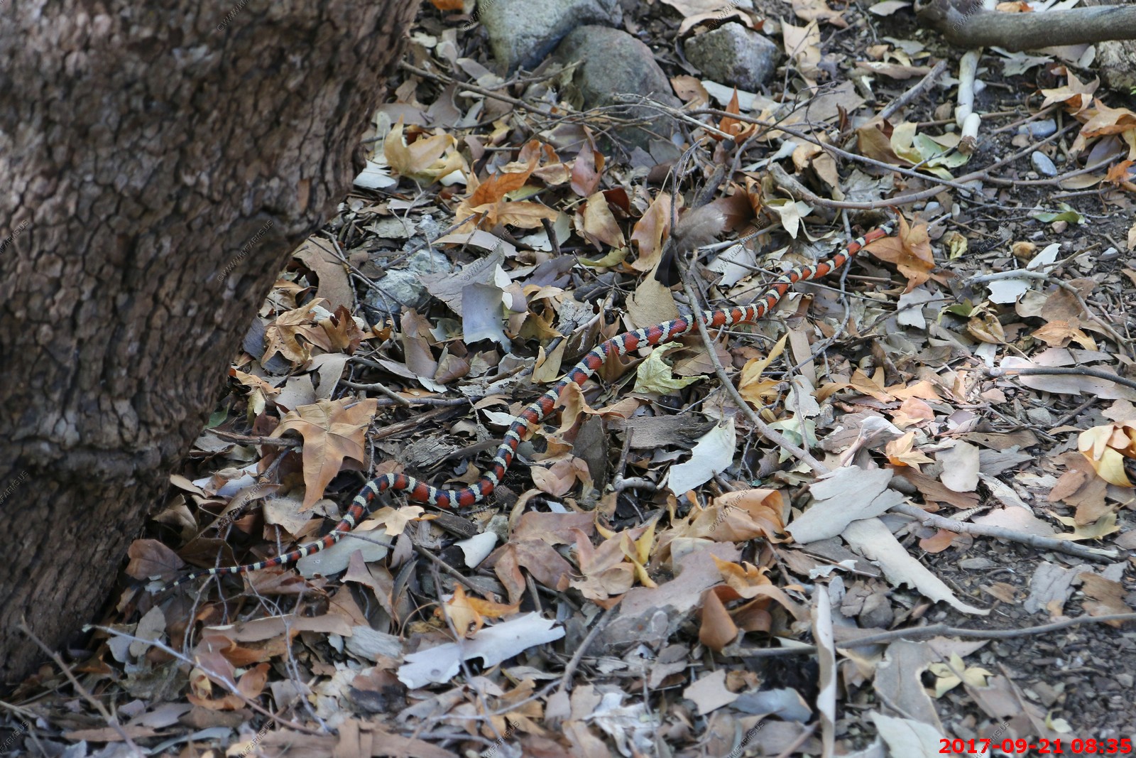
We were walking along the trail before the guided hike started and spotted a Arizona Mountain King Snake (Lampropeltis pyromelana), is a species of snake native to Arizona. It can grow up to 36 inches in length. L. pyromelana feeds on lizards, rodents and nestling birds. It tends to spend the daytime among rocks, logs, or dense clumps of vegetation.
The famous chair where my uncle Dale stopped exploring when we were her in 2016. But, it was a good spot.
Does not look like Arizona
Anna's hummingbird male (The wire frame is to keep the bats out of the feeders at night)
Watching a tiny hummingbird, wings a-blur, drinking from a sugar water feeder in your yard may not conjure up images of predatory dinosaurs like Tyrannosaurus rex, but it should. Turns out that these delicate feathered jewels we recognize as hummingbirds in North America are the closest direct living descendants of dinosaurs like T. rex.
At over 5,000 feet the vegetation is quite variable.
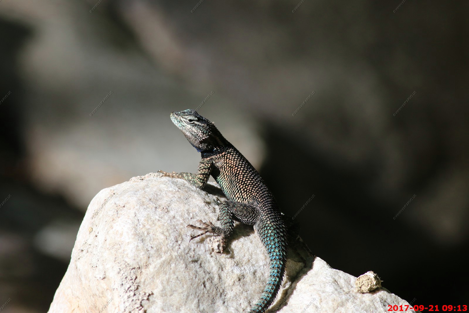
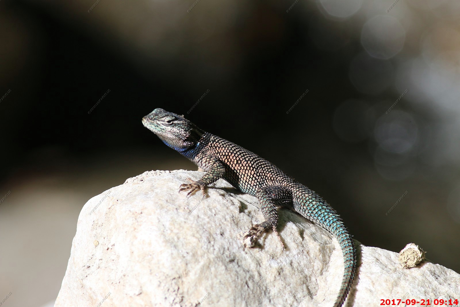
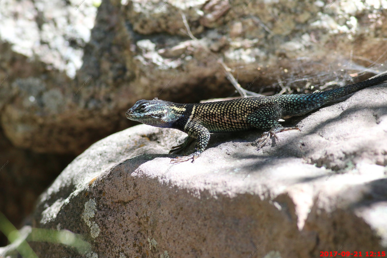
Yarrow's Spiny Lizard (Sceloporus jarrovii)
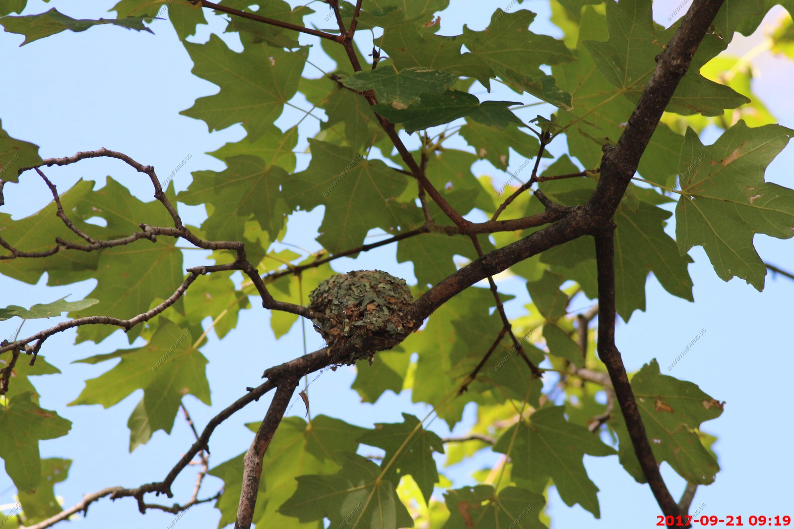
Humming Bird nest
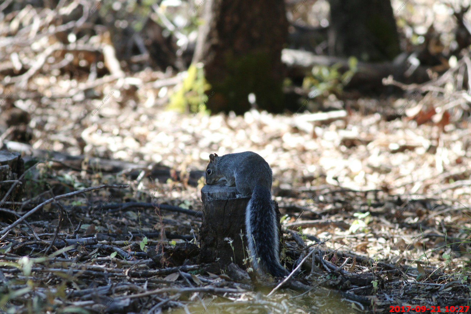
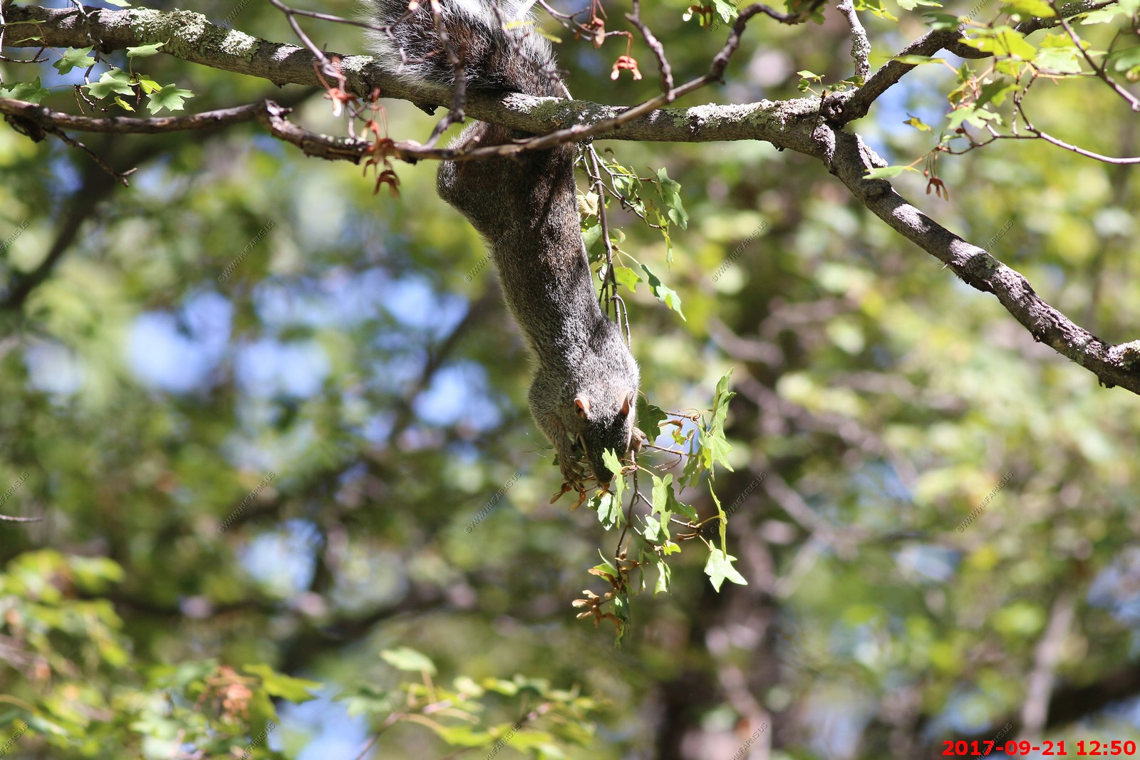
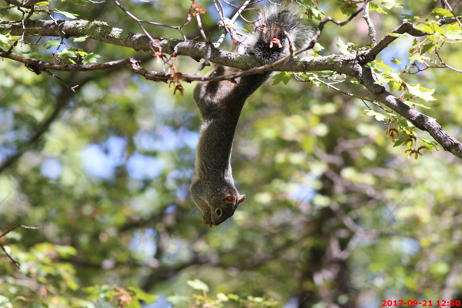
Lots of squirrels here
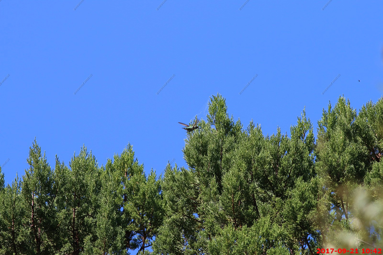
Most people don't realize that Hummingbirds supplement their sugar diets by feeding on small arthropods. Nectar has no protein. We were watching them "hawk" for insects in the cedars.
Another Yarrow's Spiny Lizard (Sceloporus jarrovii)
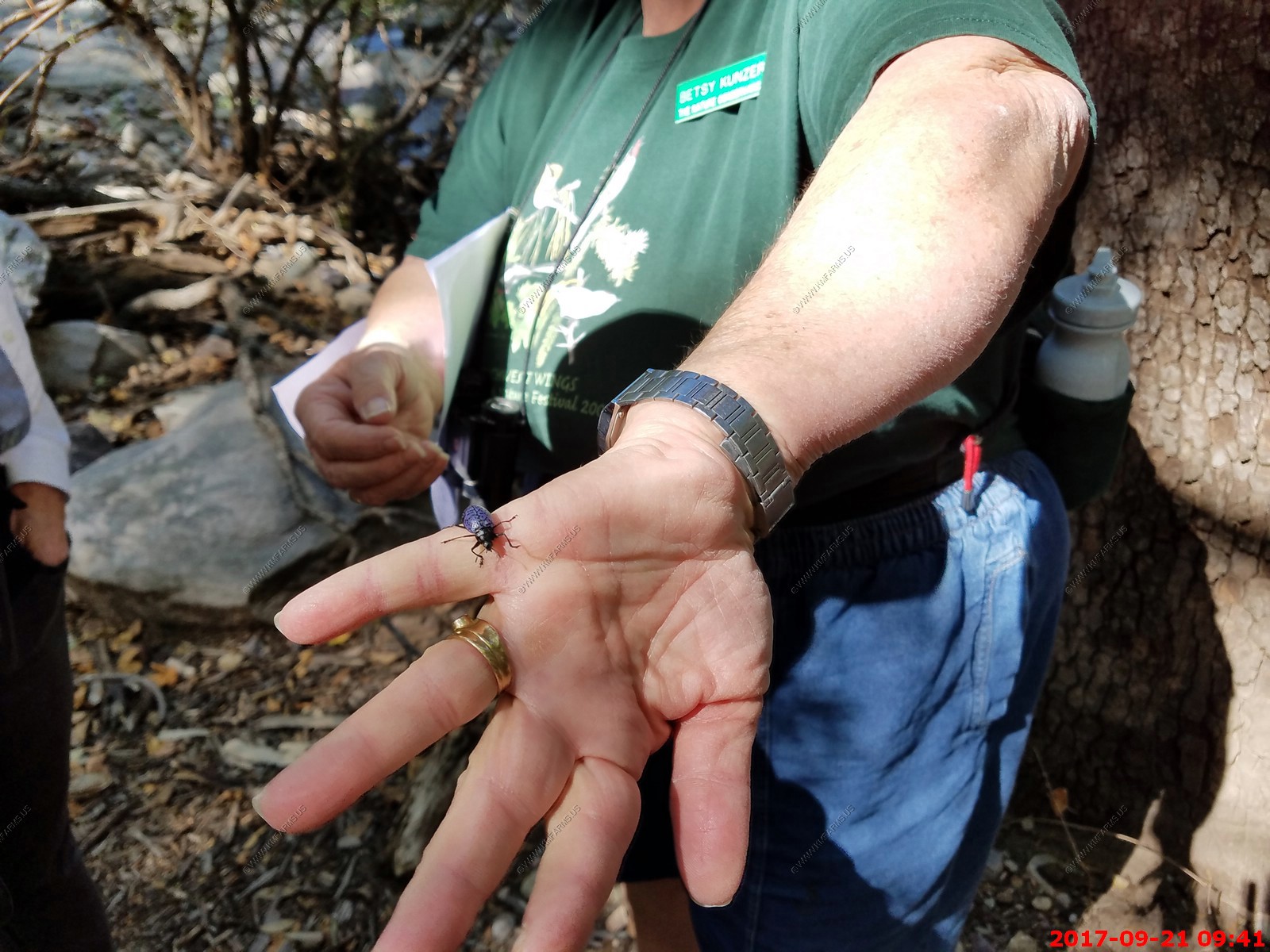
We found a Gibbifer Californicus Beetle. Very cool colors
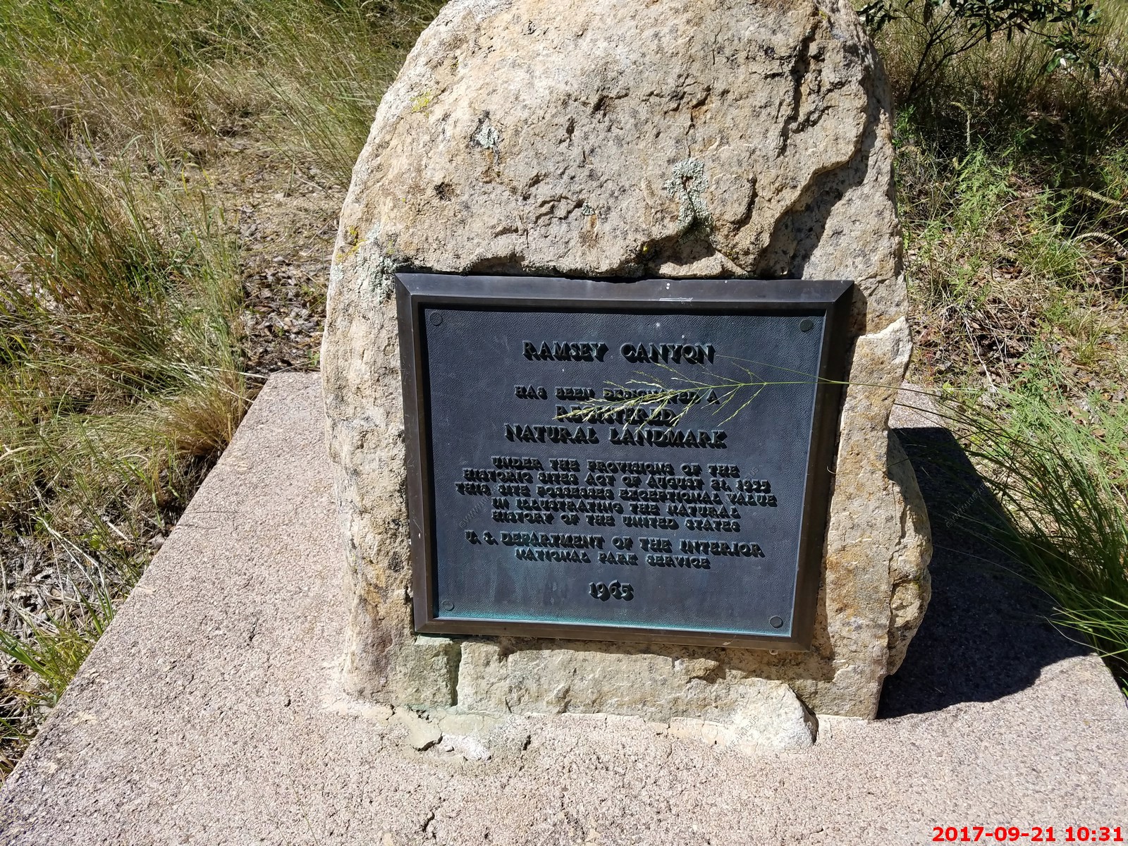
Natural Landmark - Ramsey Canyon
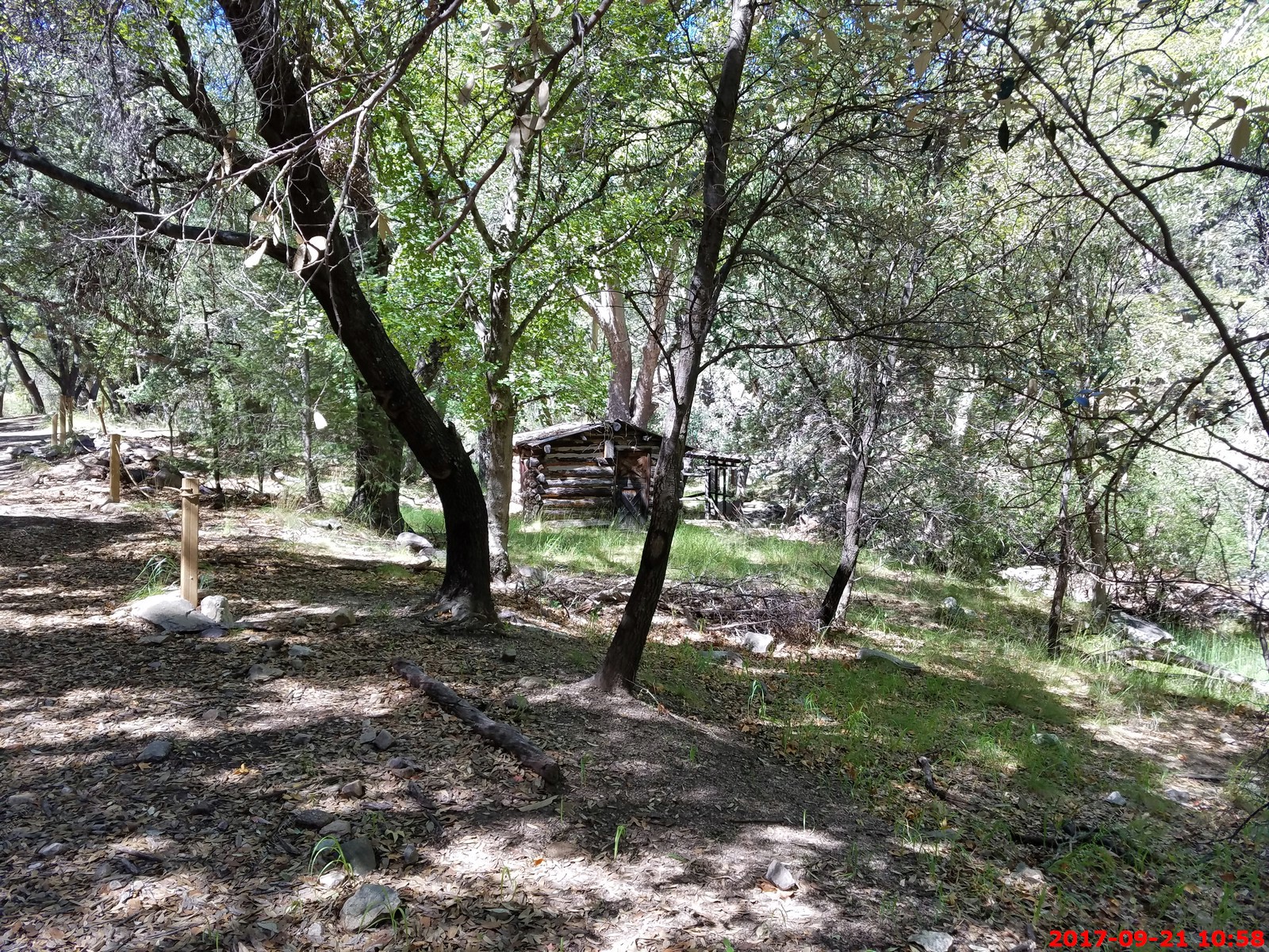
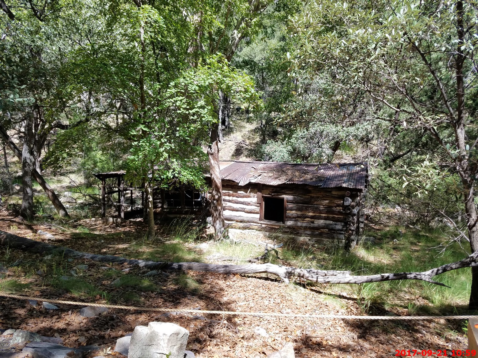
Old buildings in the canyon.
The guide and group we were with
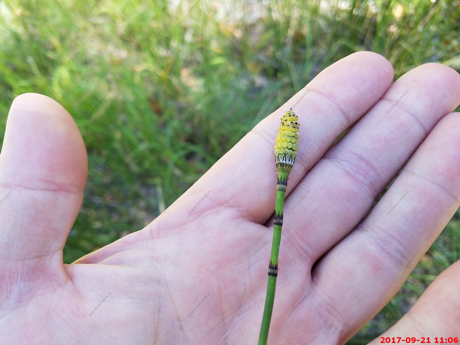
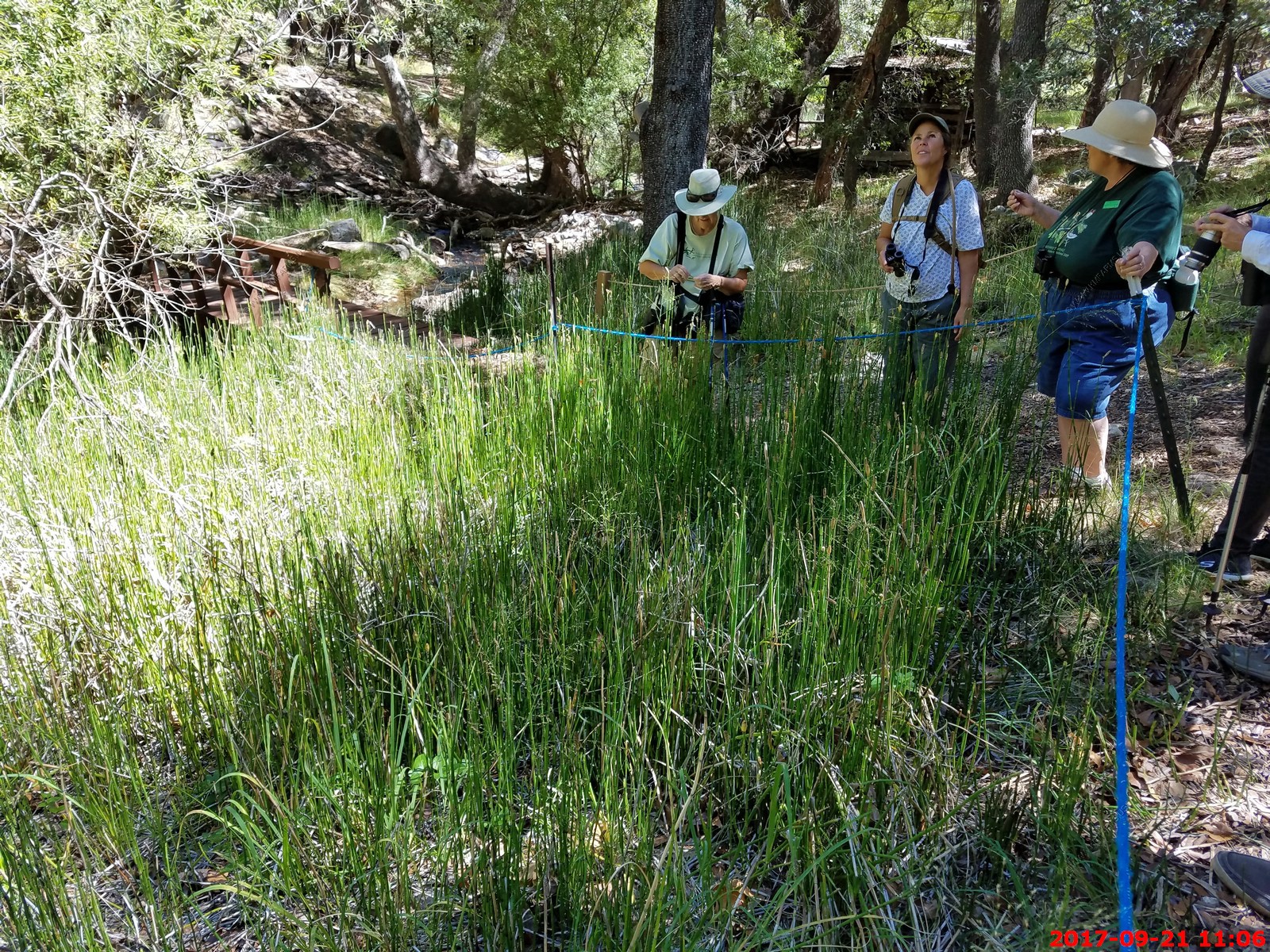
Equisetum hyemale - Scouringrush Horsetail
More squirrels eating maple seeds in the trees.
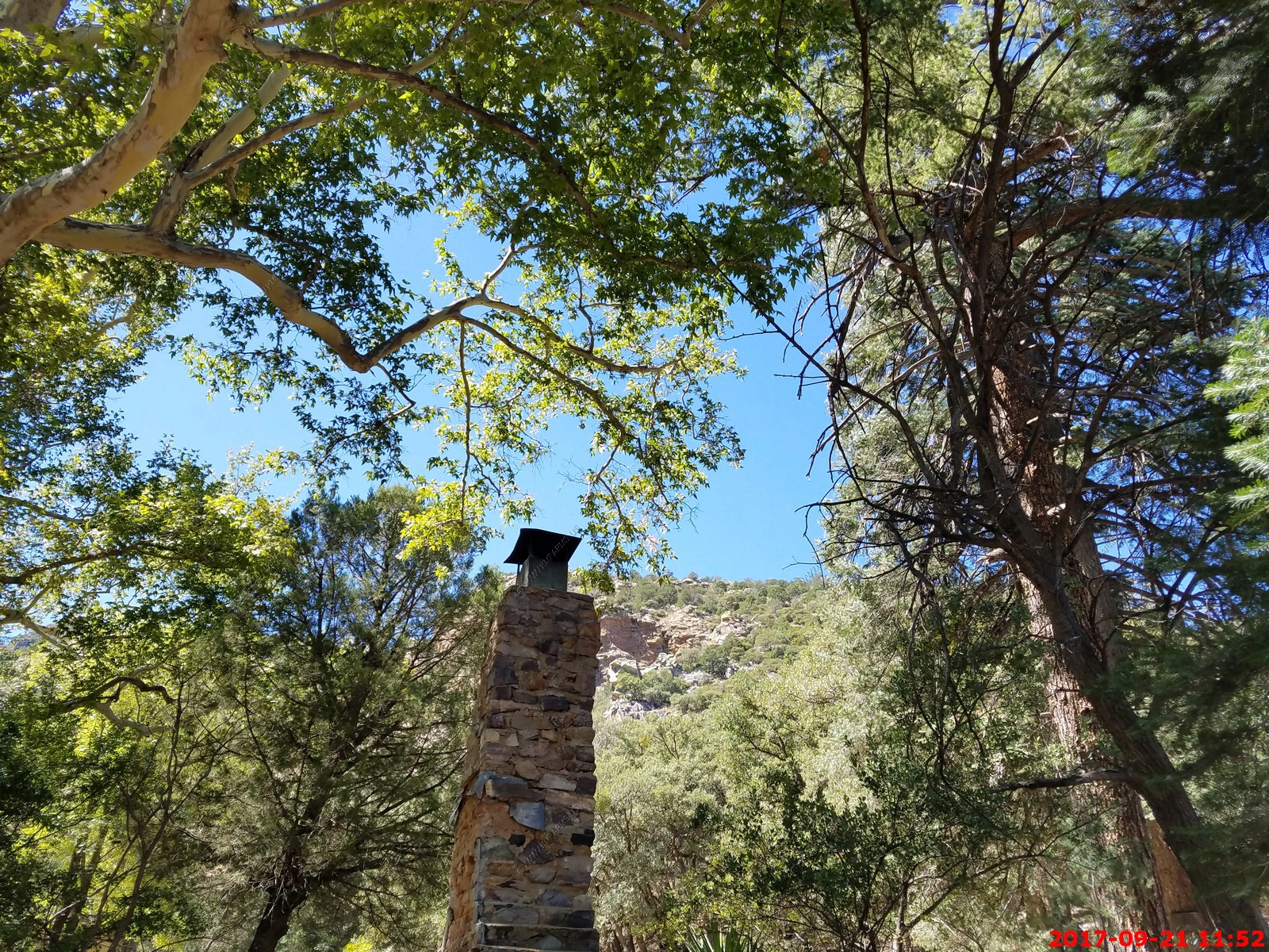
One of the research buildings a mile or two up the canyon
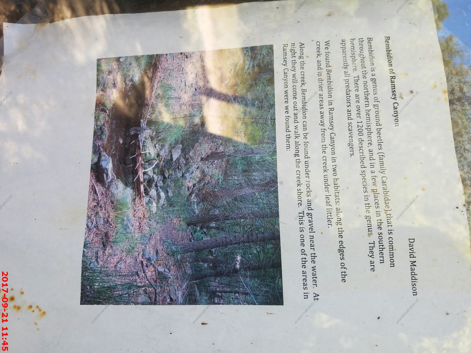
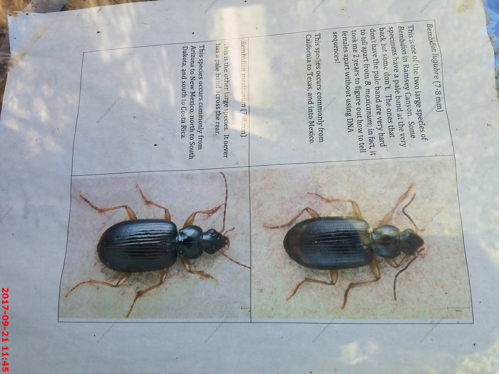
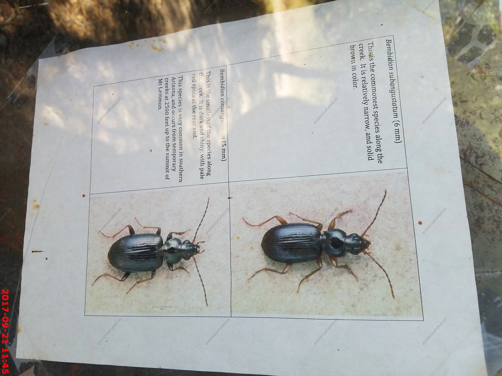
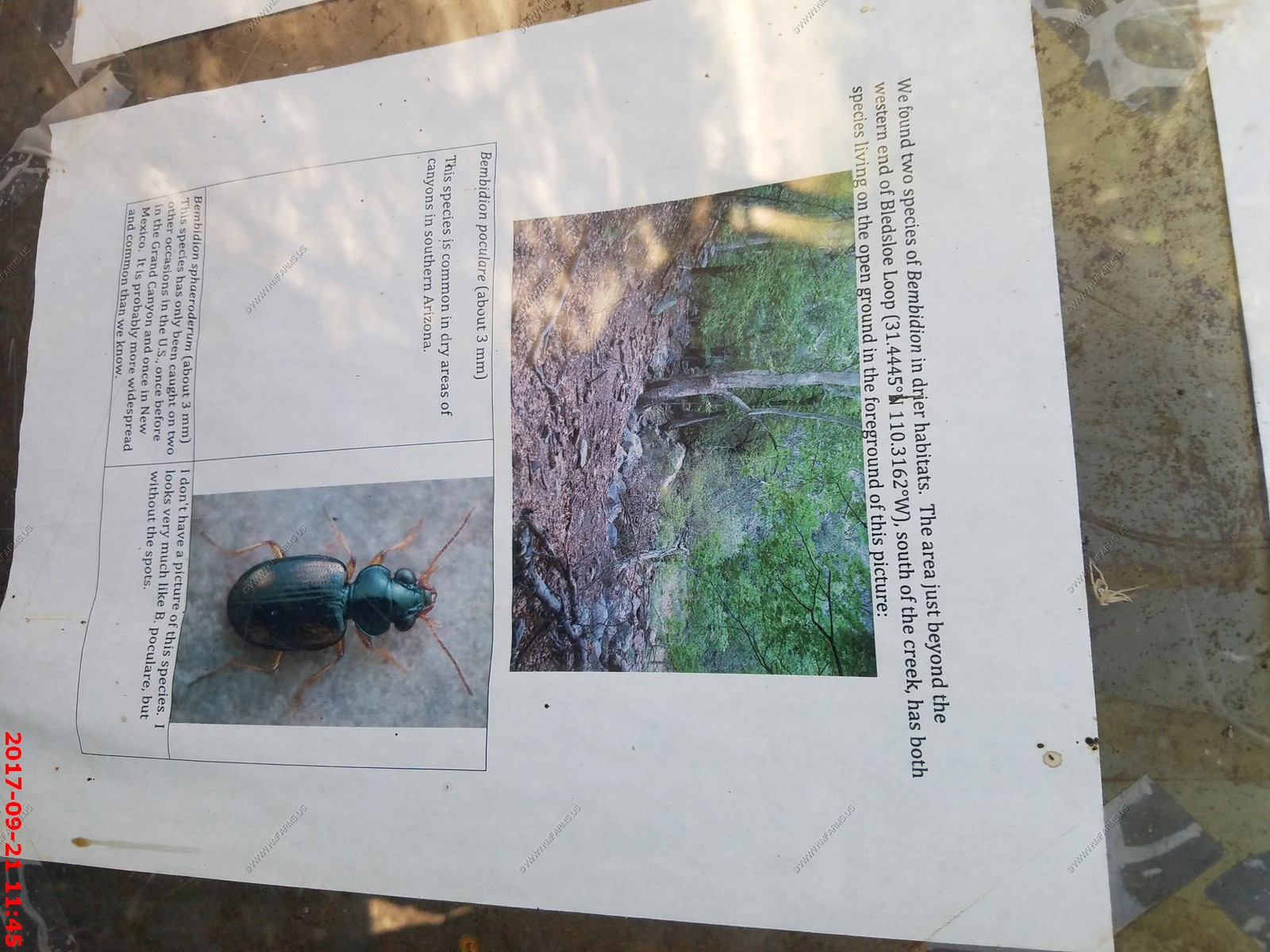
Ground Beetle information
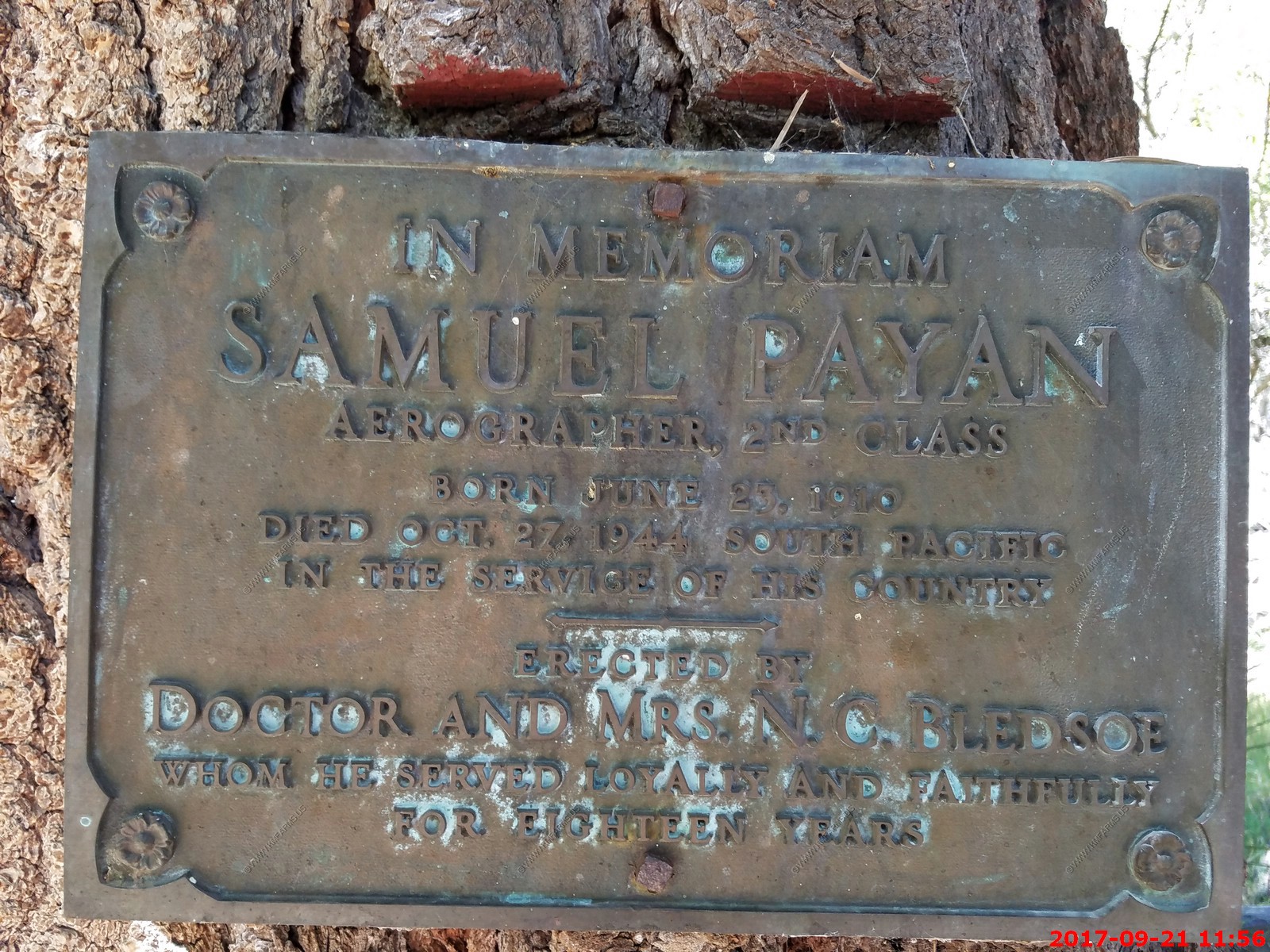
Old building foundations - Sakuel Payan - Very scenic
Manmade pond that filled up with sediment
Big oak trees and what a great trail

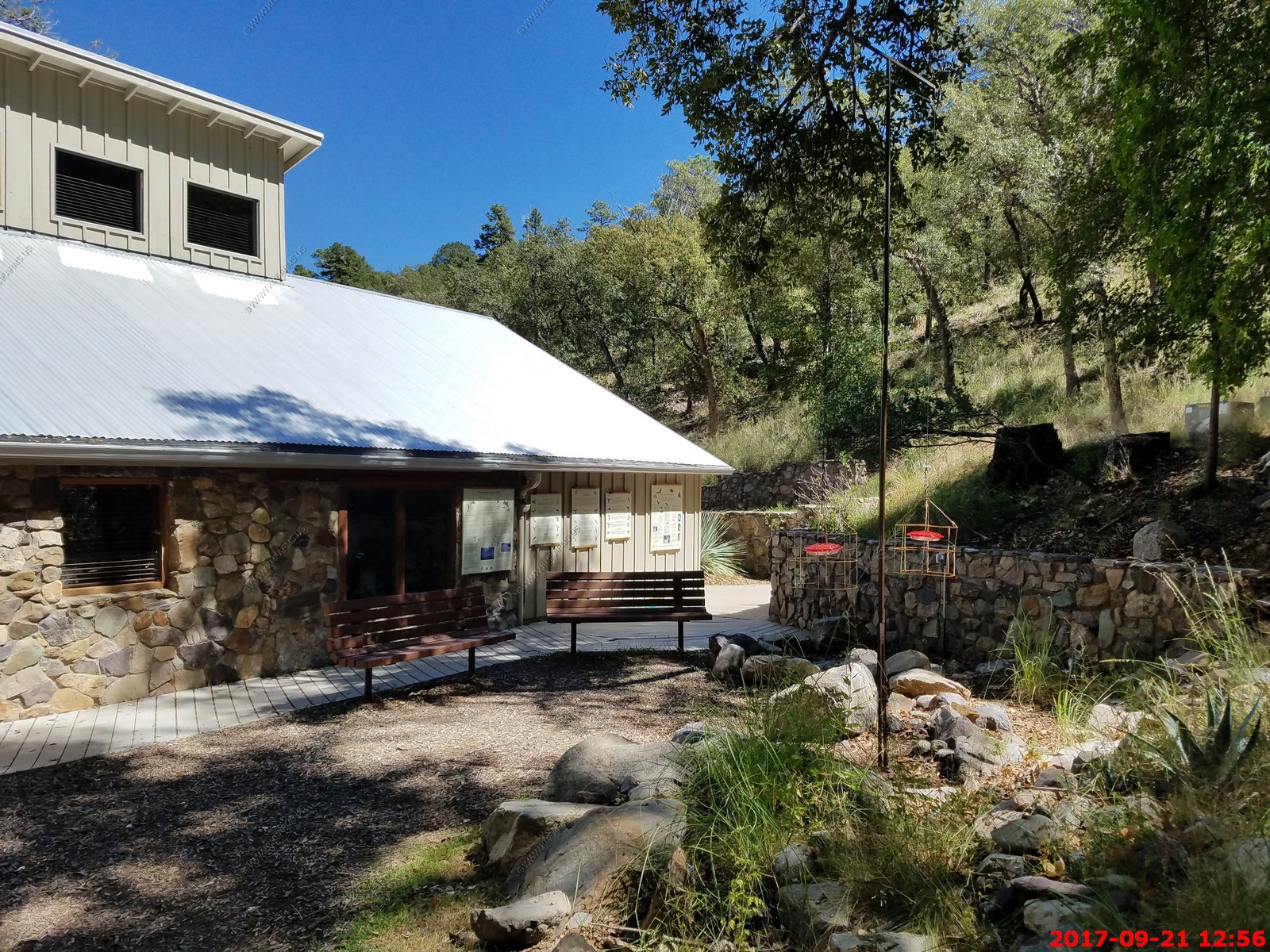
Back to the visitor center
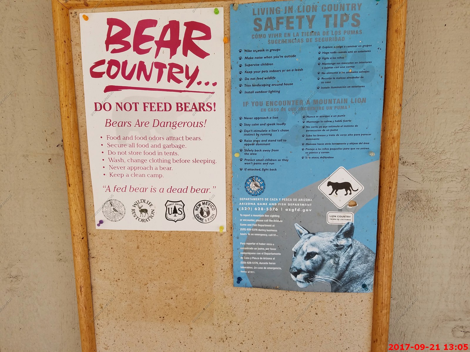
Now they tell us... Bears are dangerous
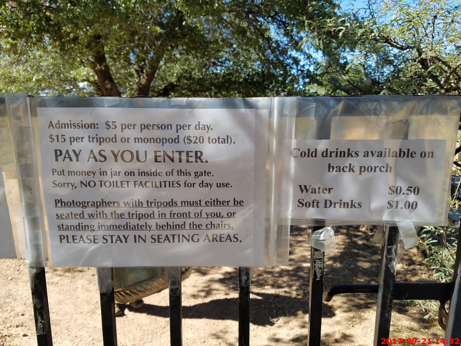
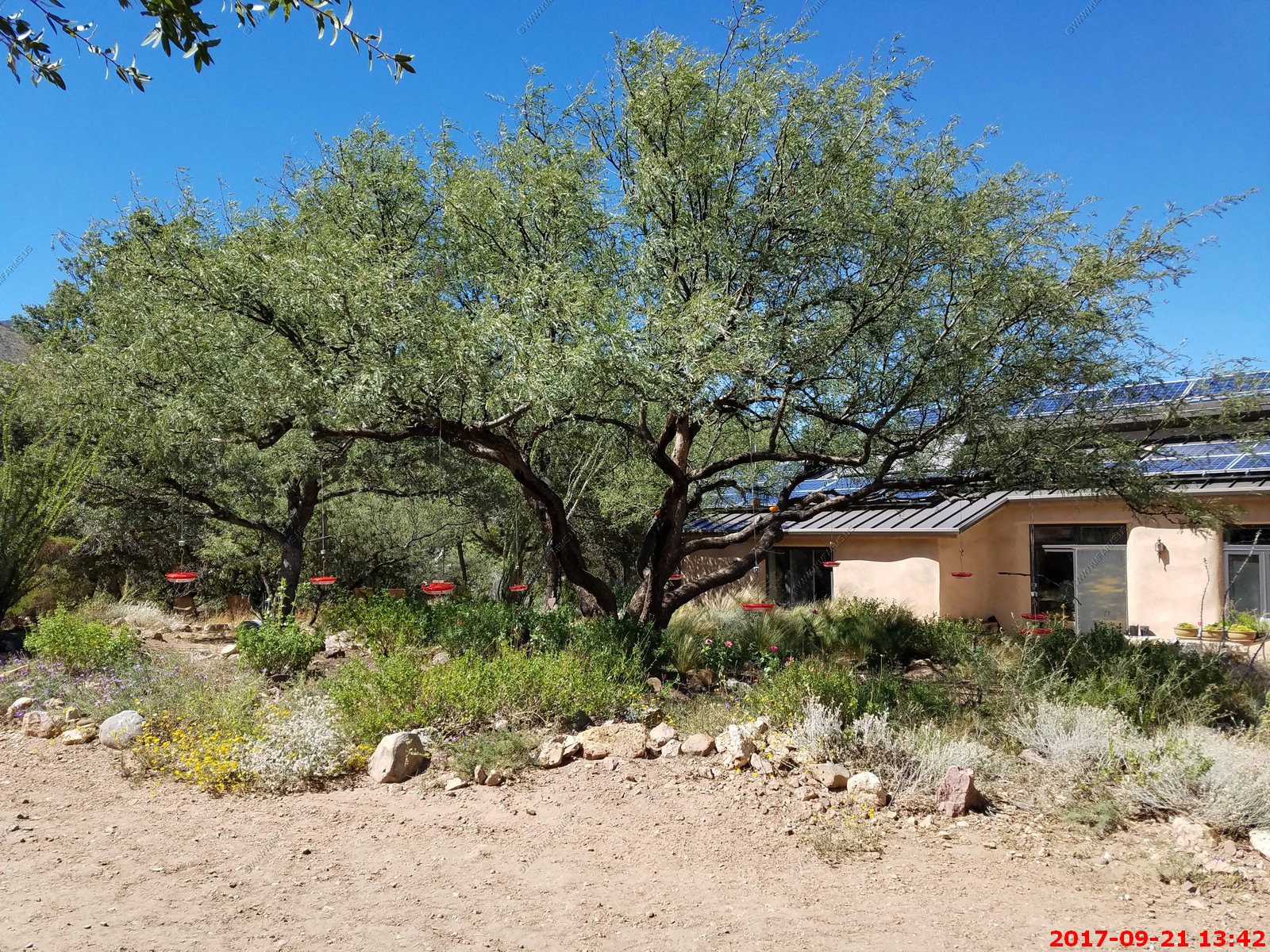
Ash Canyon Bed and Breakfast - Interesting place offers year-round, wheel-chair accessible feeding station and native plant garden is well known for attracting SE Arizona specialty birds, in particular the dazzling Lucifer Hummingbird (April 1 to October 1). We are the most reliable and accessible site for this species in the U.S.
We paid the $10 ($5 per person) and sat and watched the birds for well over an hour. Never saw anyone else which was great !
We are only a few miles north of the US / Mexico border at this point.
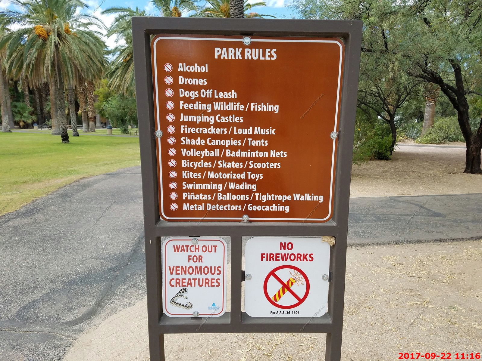
The rules
The bird area, lots of chairs and a water feature
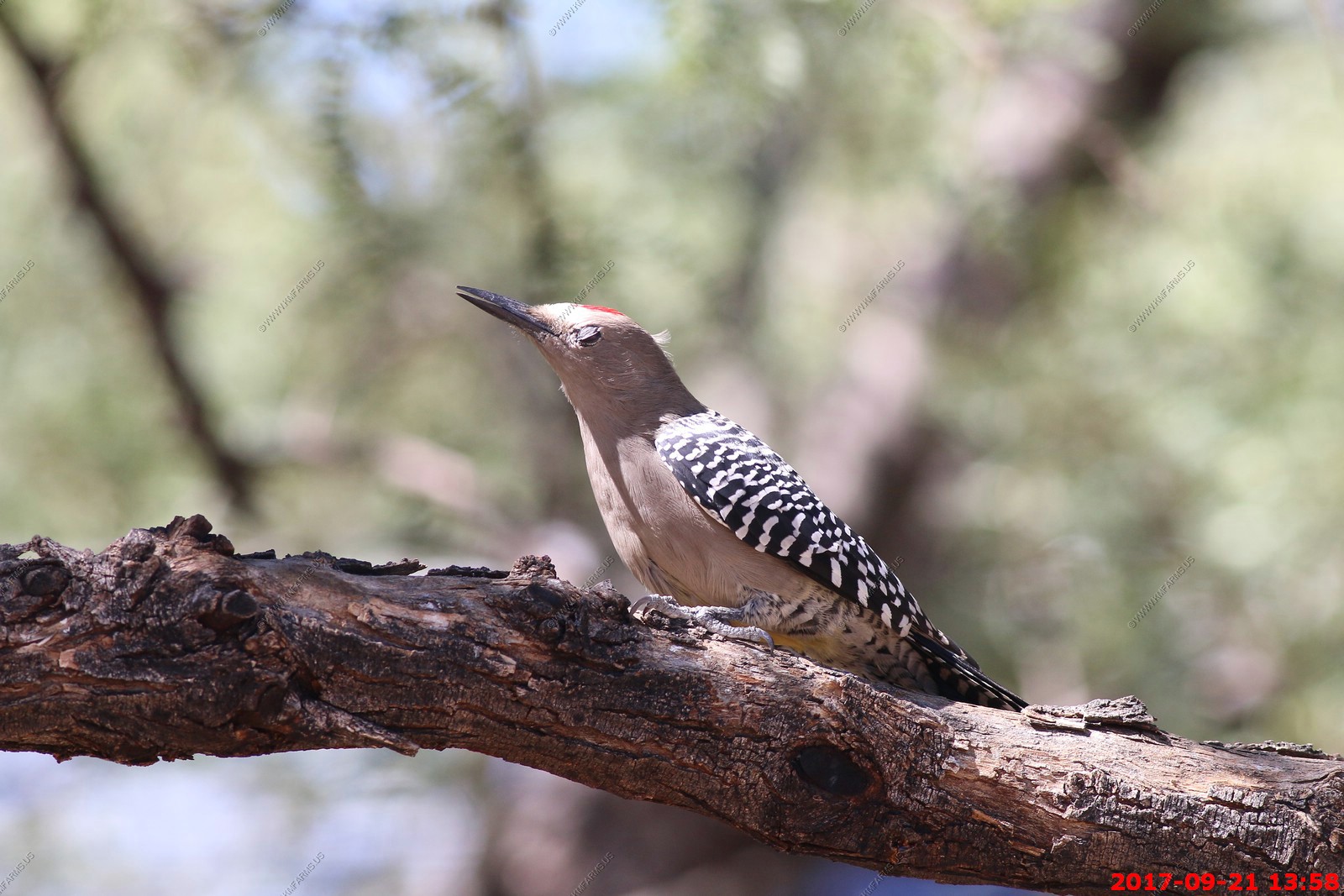
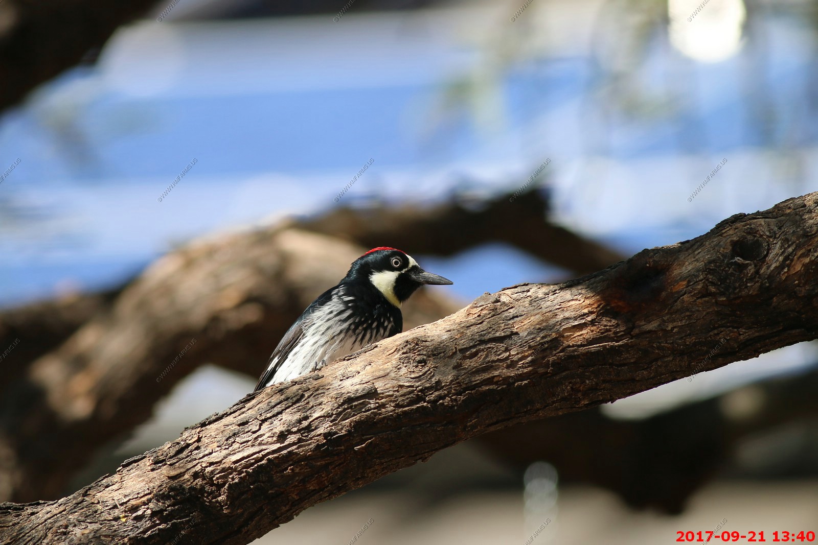
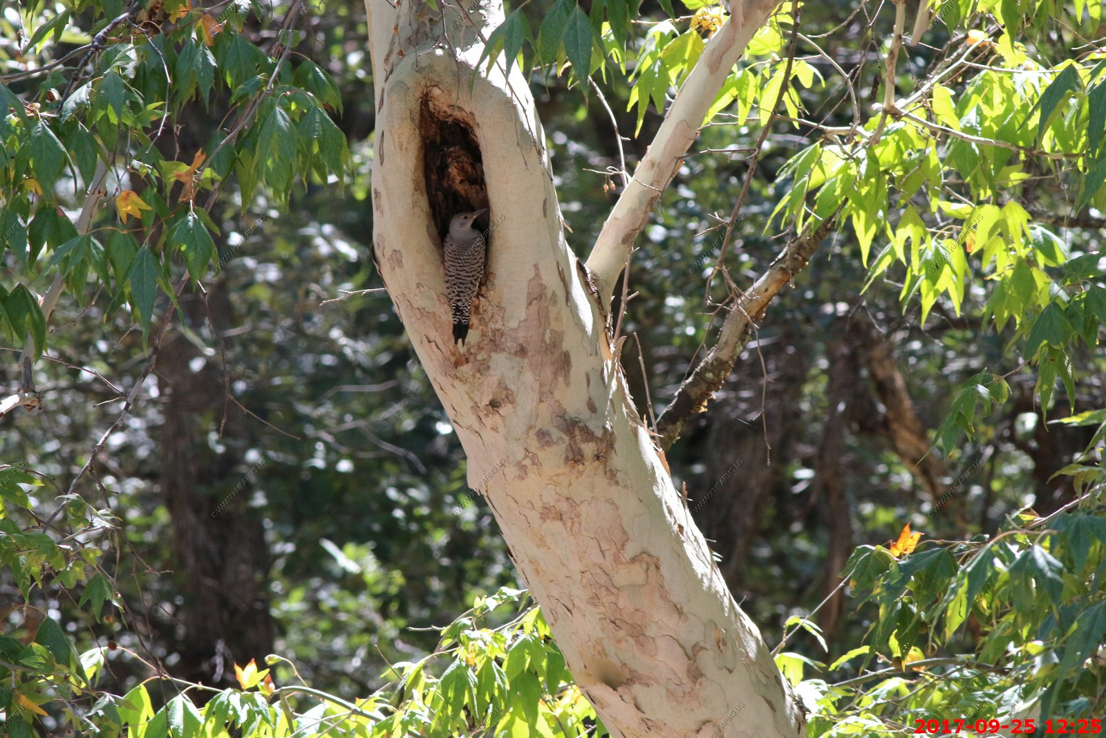
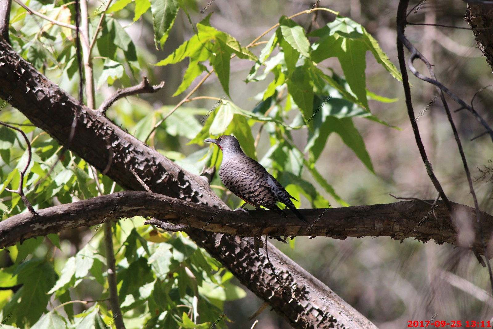
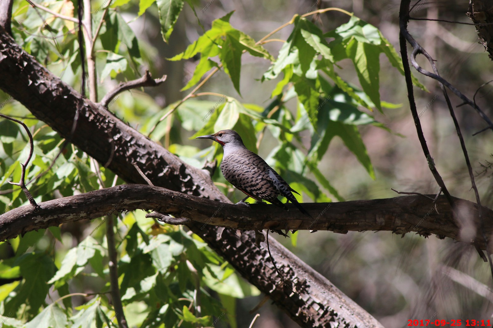
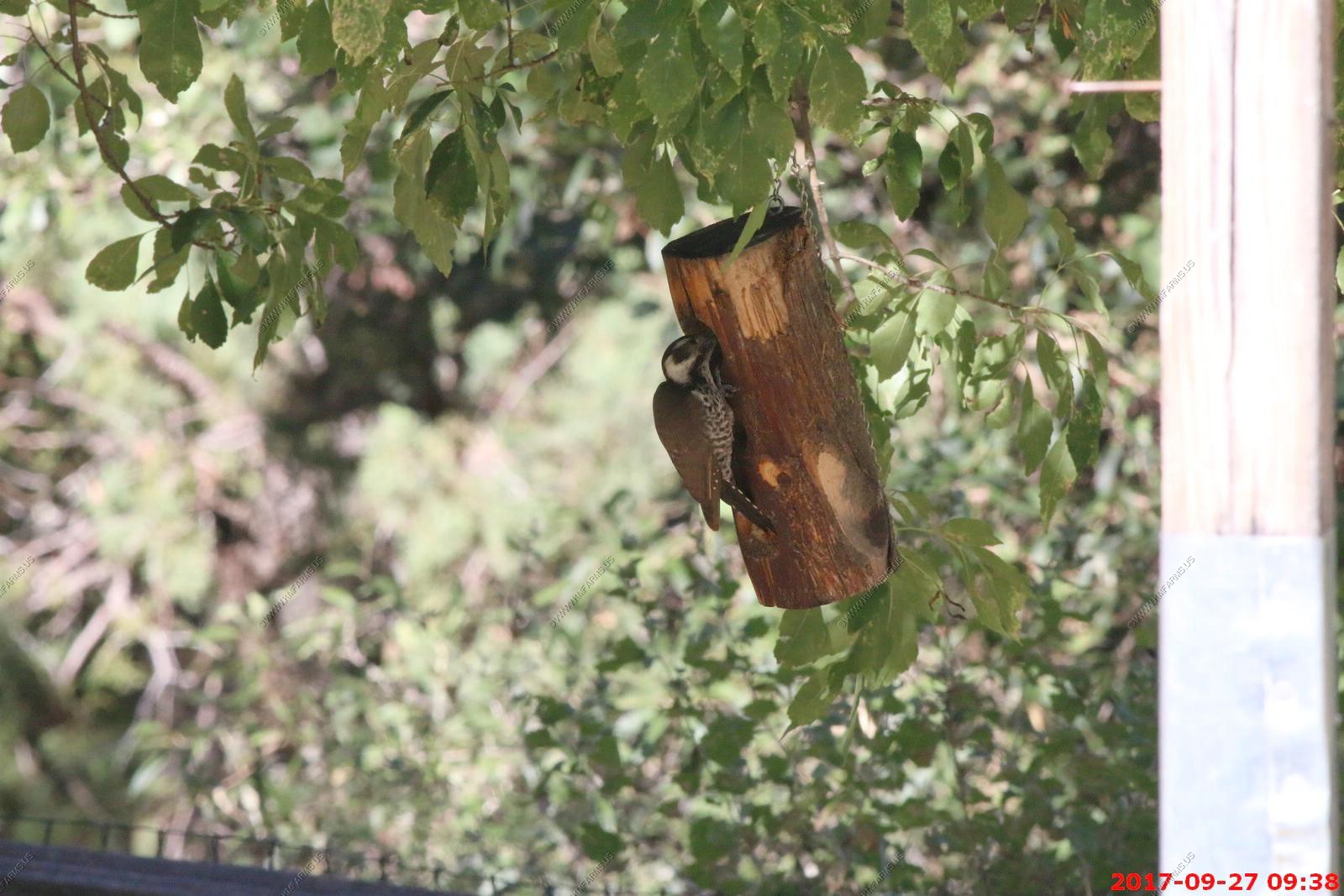
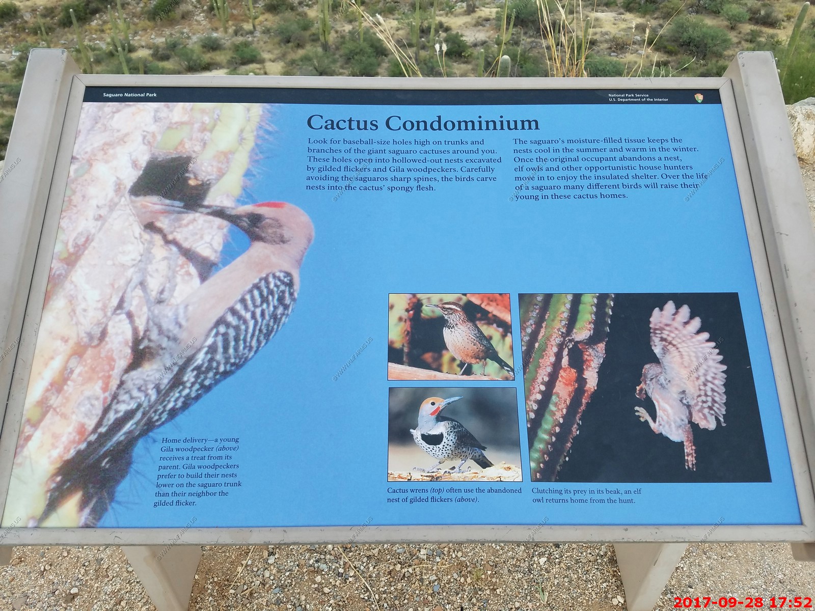
A conspicuous resident in the deserts of the Southwest and Mexico, the Gila Woodpecker is a characteristic bird of the saguaro cactus forests.
Medium- to large-sized woodpecker - Back barred black-and-white - Brown face and neck - Male with red cap.
When a pair of Gila Woodpeckers excavates a nest hole in a saguaro cactus, it typically does not use it for several months. Drying time is required for the inner pulp of the cactus to form a solid casing around the cavity. The male Gila Woodpecker forages mainly on the trunk and main branches of saguaro cacti, while the female concentrates on the periphery and diseased areas. Then oldest recorded Gila Woodpecker was a male in Arizona, who was at least 7 years, 9 months old.
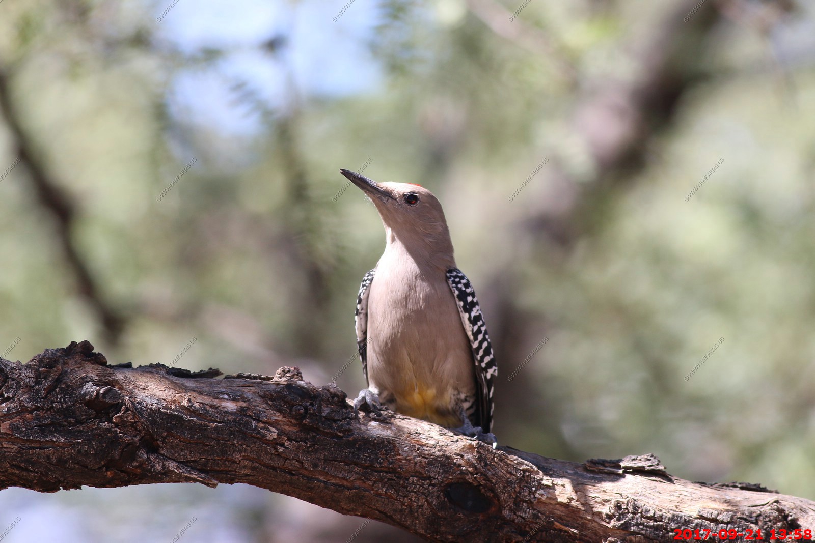
Gila woodpecker male
When a pair of Gila Woodpeckers excavates a nest hole in a saguaro cactus, it typically does not use it for several months. Drying time is required for the inner pulp of the cactus to form a solid casing around the cavity.
The male Gila Woodpecker forages mainly on the trunk and main branches of saguaro cacti, while the female concentrates on the periphery and diseased areas.
Then oldest recorded Gila Woodpecker was a male in Arizona, who was at least 7 years, 9 months old.
So many photos of hummers. I had taken well over 200 photos here so I kept the best ones.
Not just the feeders, the trees were a good place to watch the hummingbirds too
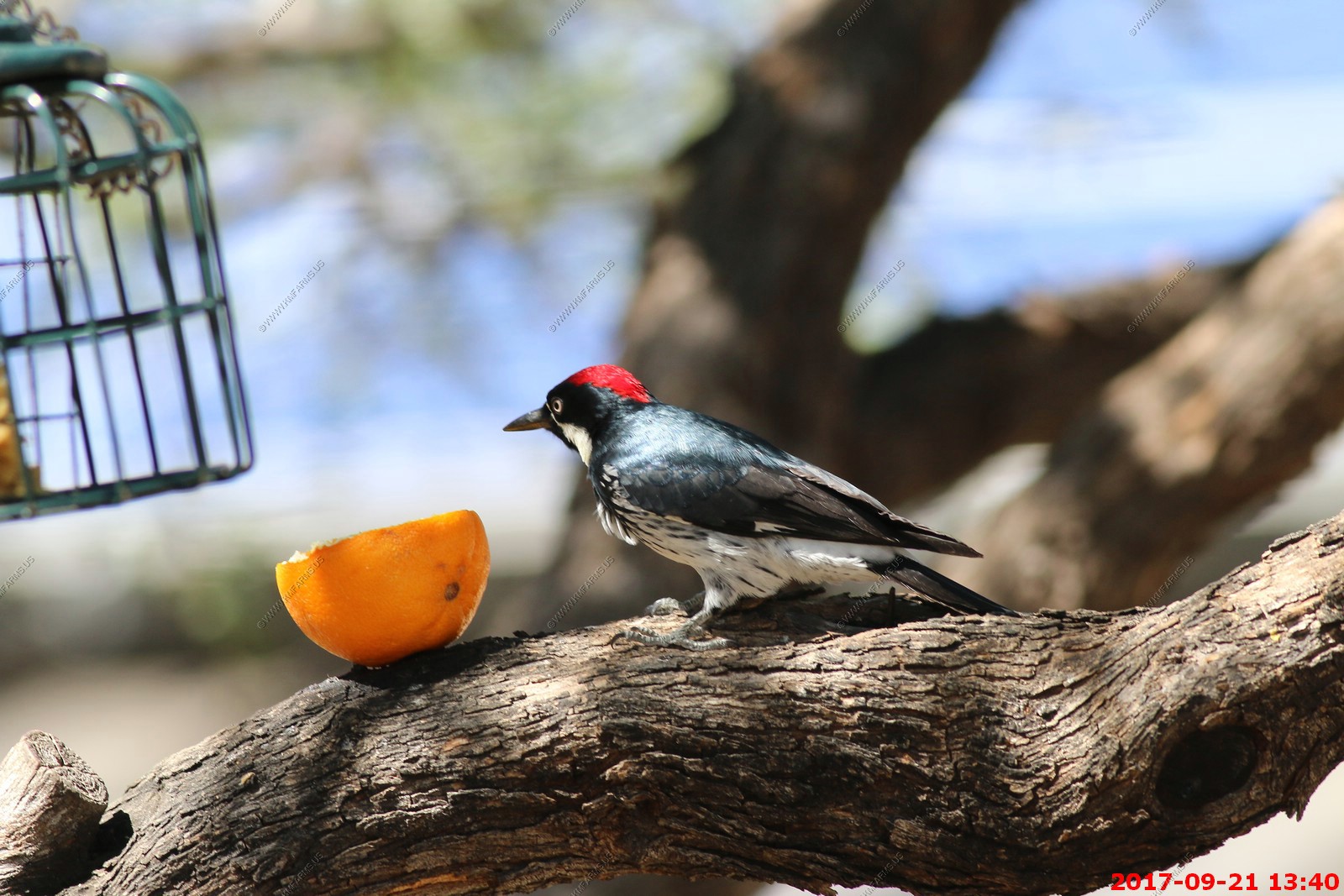
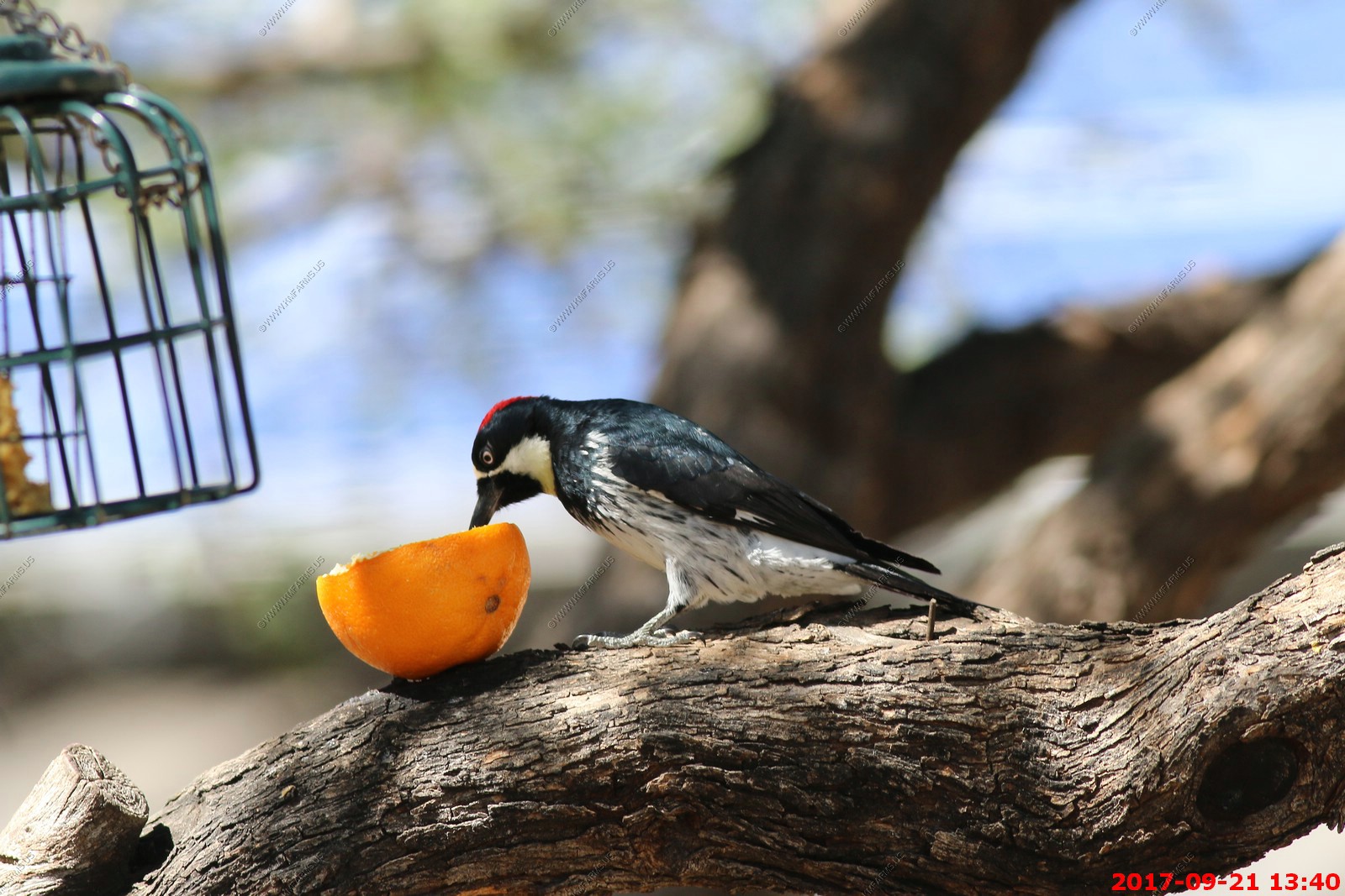
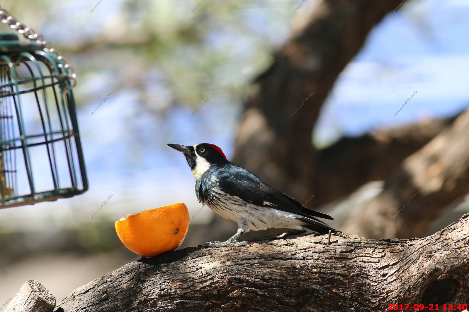
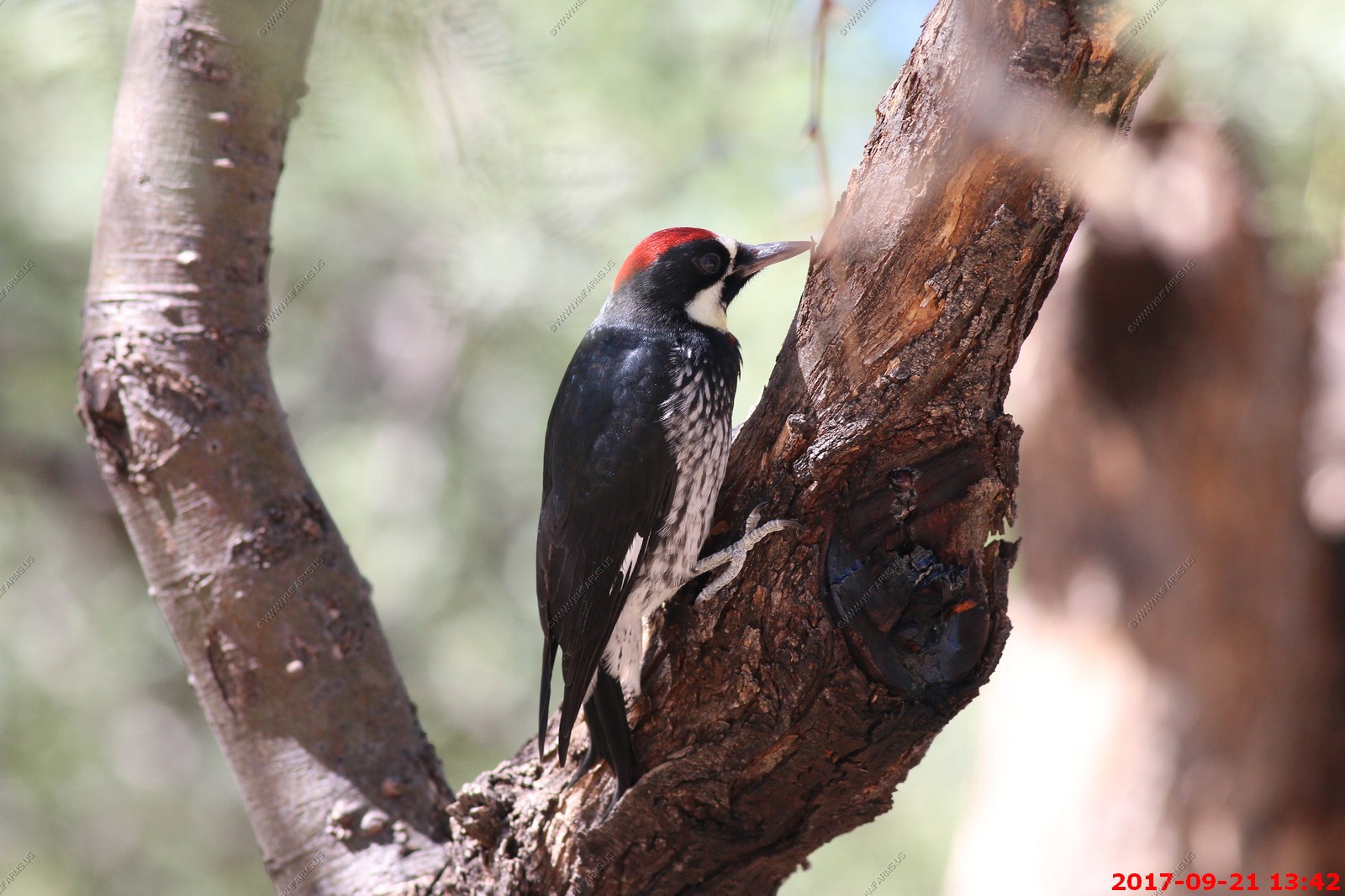
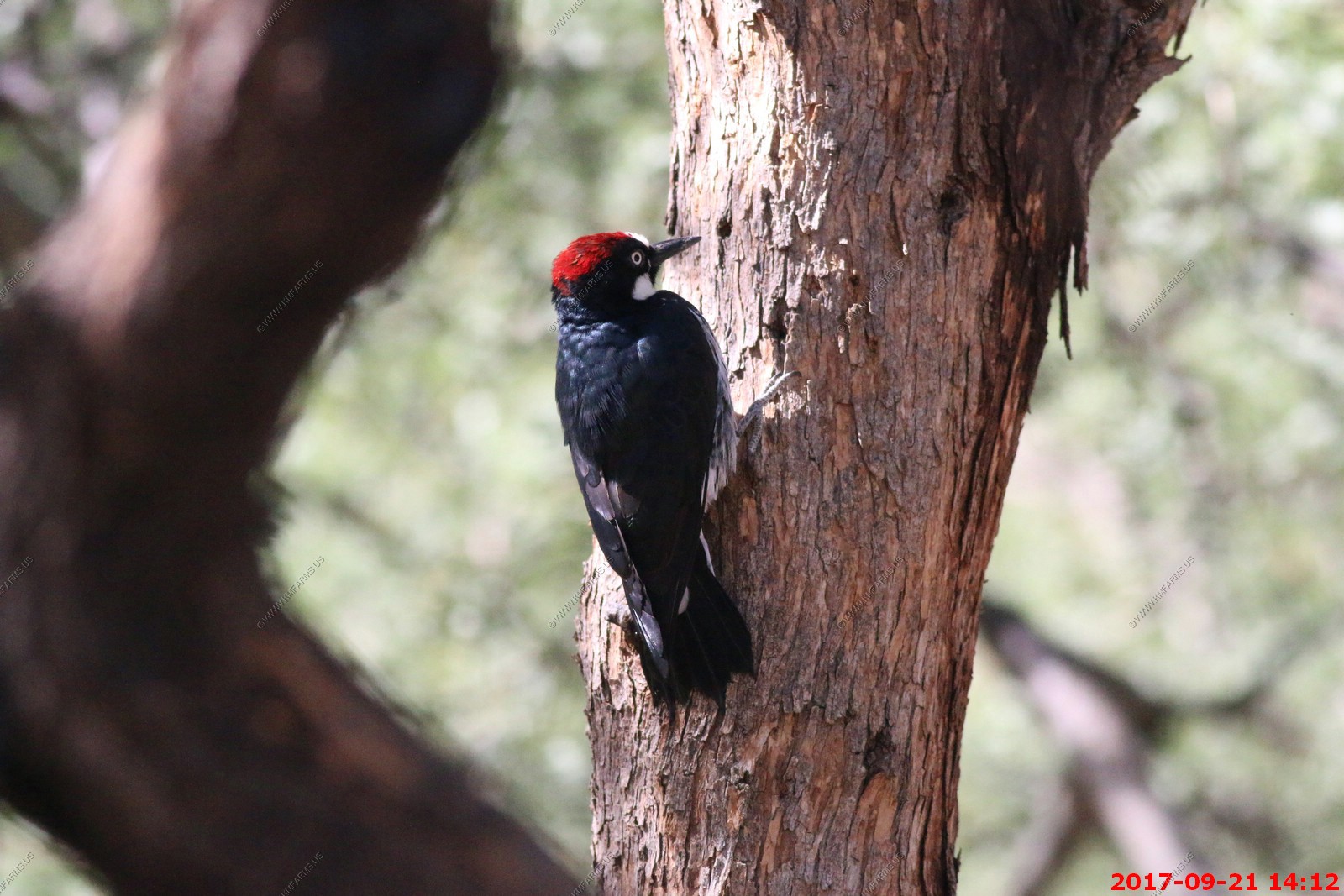
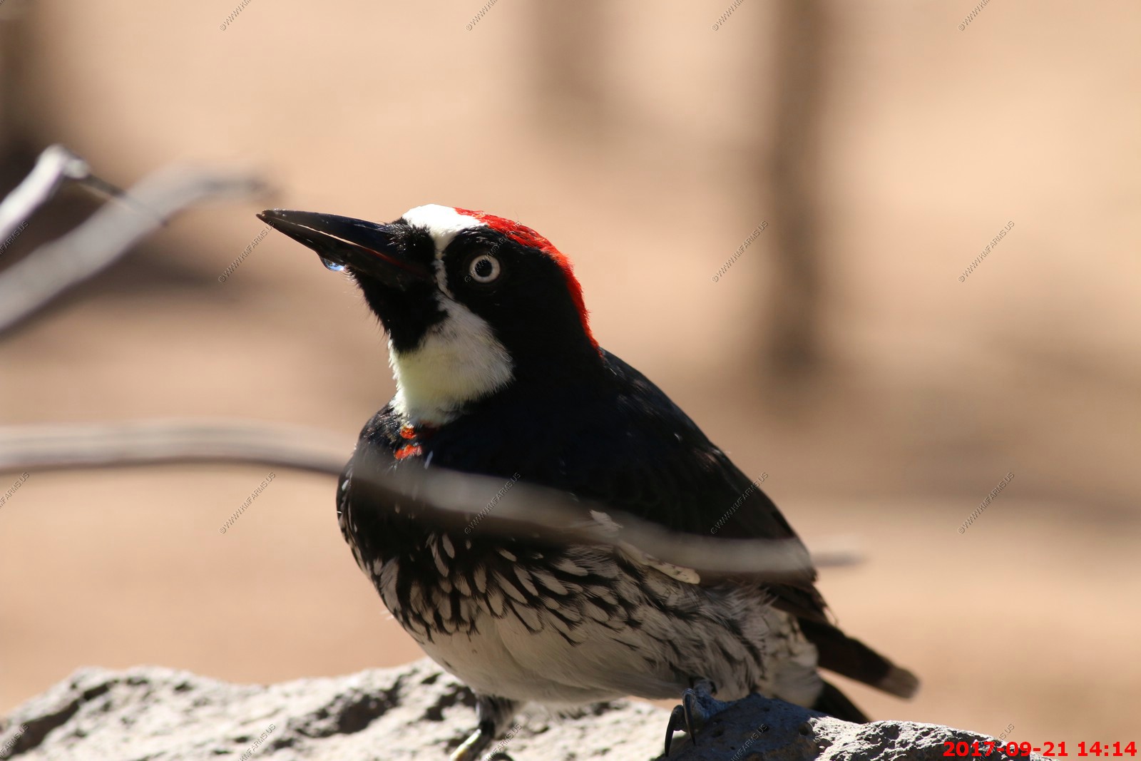
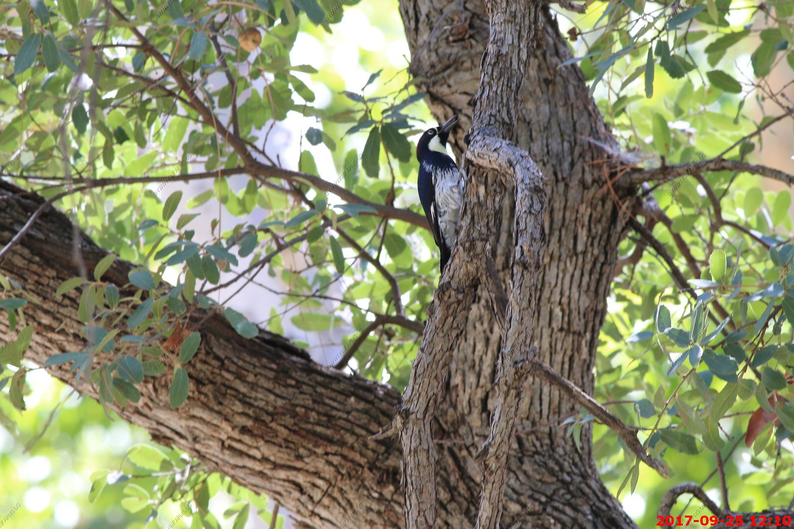
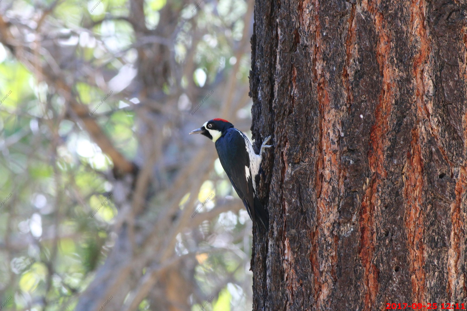
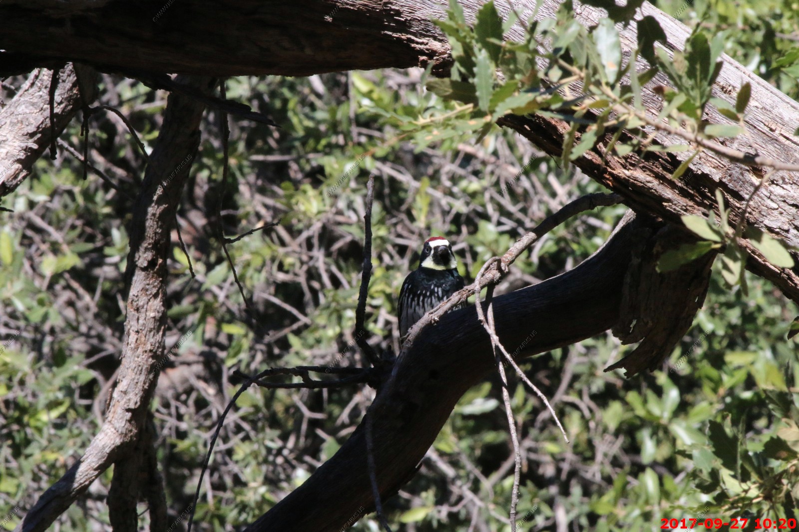
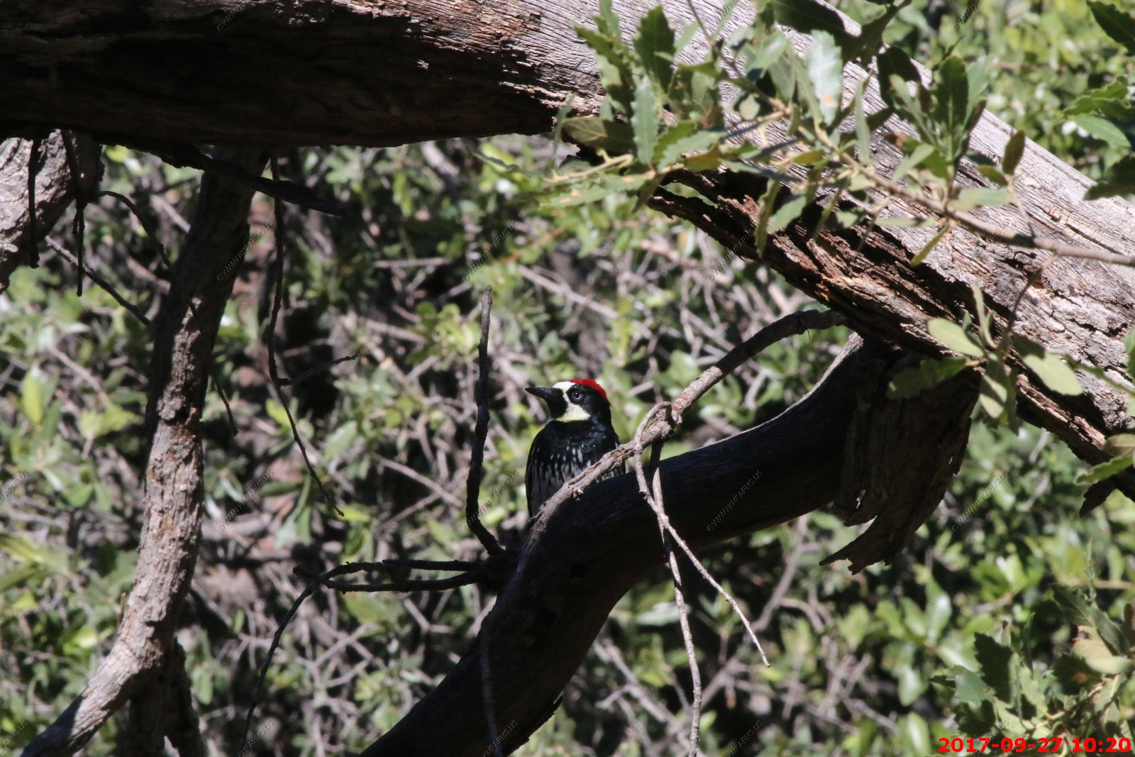
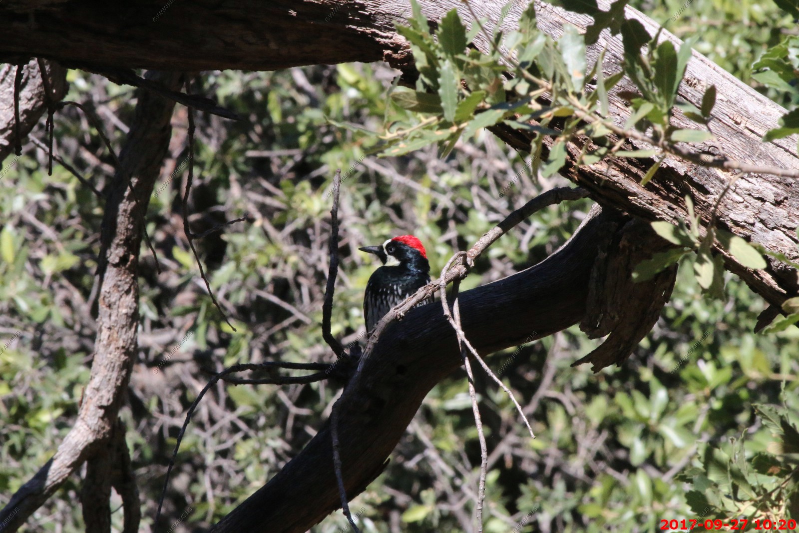
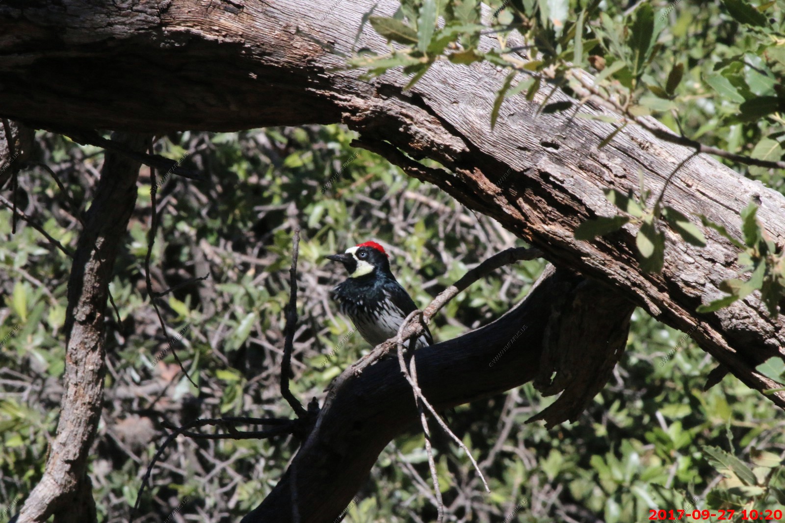
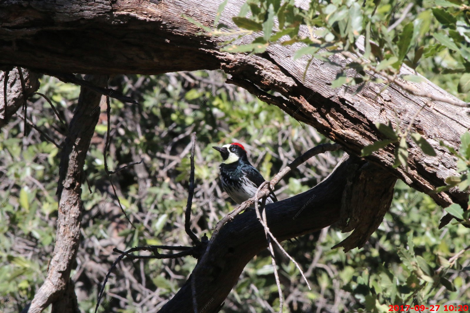
Acorn Woodpecker
Reminiscent of a troupe of wide-eyed clowns, Acorn Woodpeckers live in large groups in western oak woodlands. Their social lives are endlessly fascinating: they store thousands of acorns each year by jamming them into specially made holes in trees. A group member is always on alert to guard the hoard from thieves, while others race through the trees giving parrot like waka-waka calls. Their breeding behavior is equally complicated, with multiple males and females combining efforts to raise young in a single nest.


Interesting colors
_____________
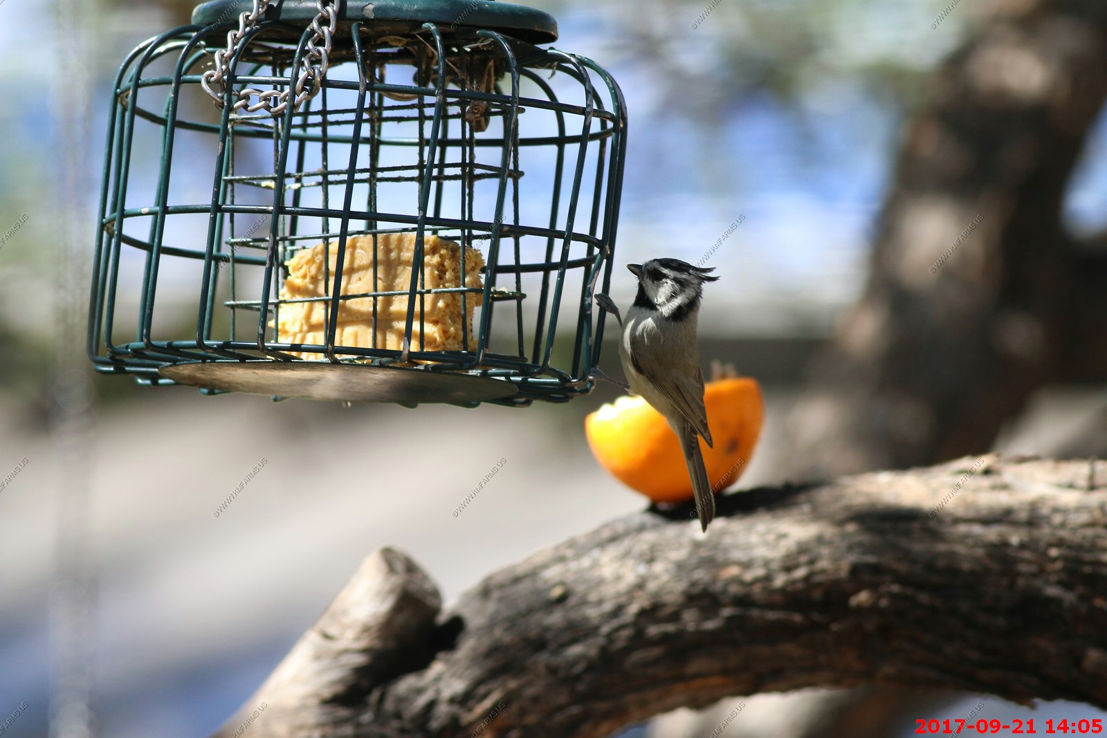
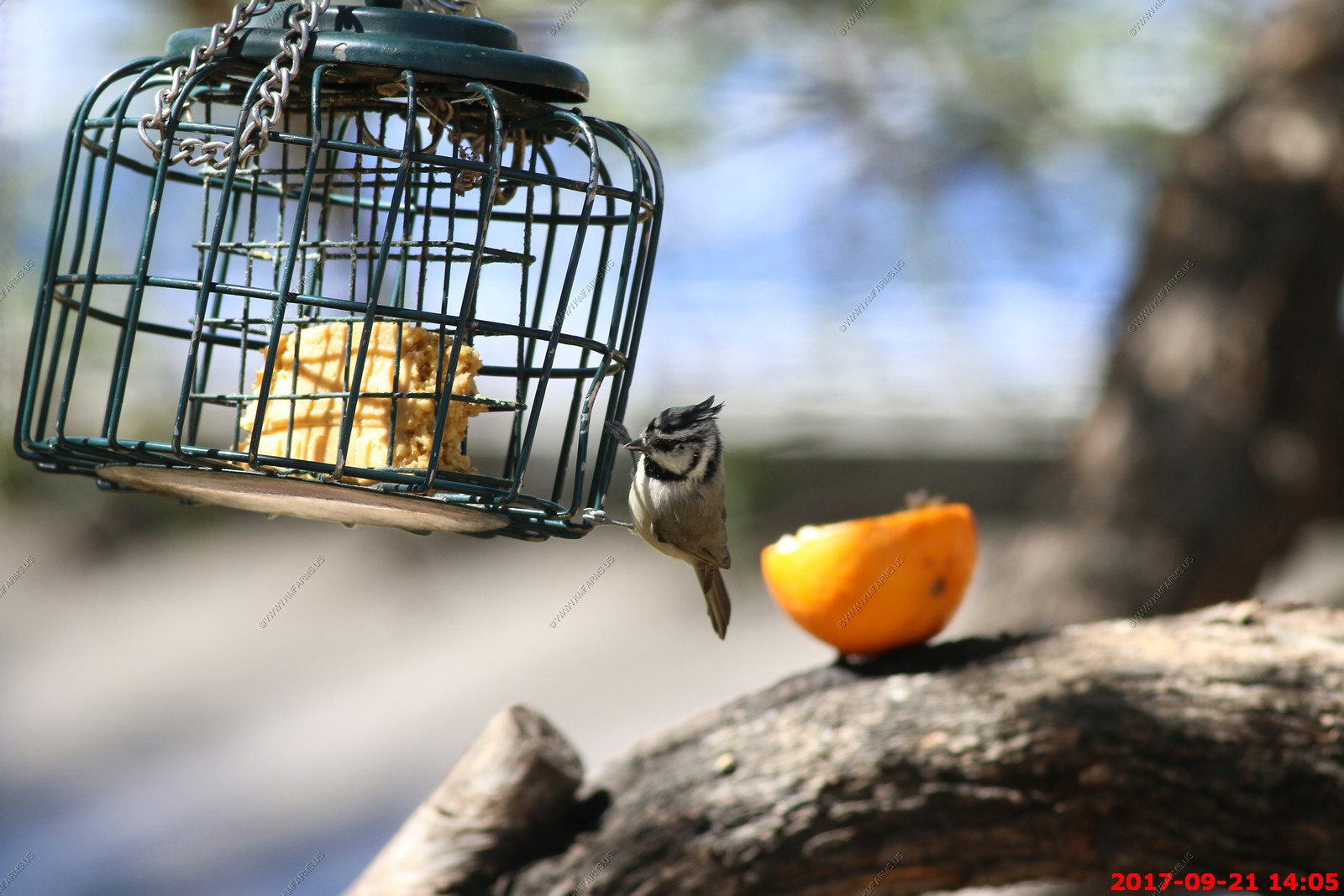
The most strikingly marked of the American titmice and chickadees, the Bridled Titmouse has a black bib and a white-and-black patterned face. Primarily a Mexican species, its range reaches the United States only in the southern mountains of Arizona and New Mexico.
_____________
Looks like a female Lucifer hummingbird with de-curved bill on left
Now on right
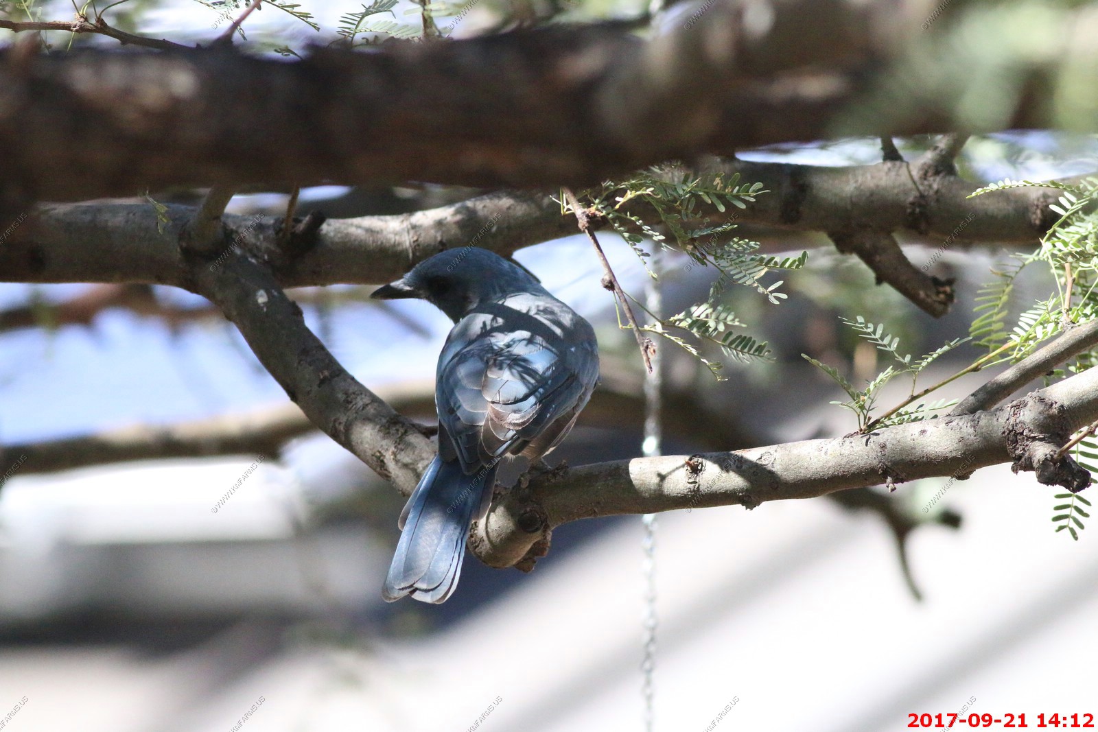
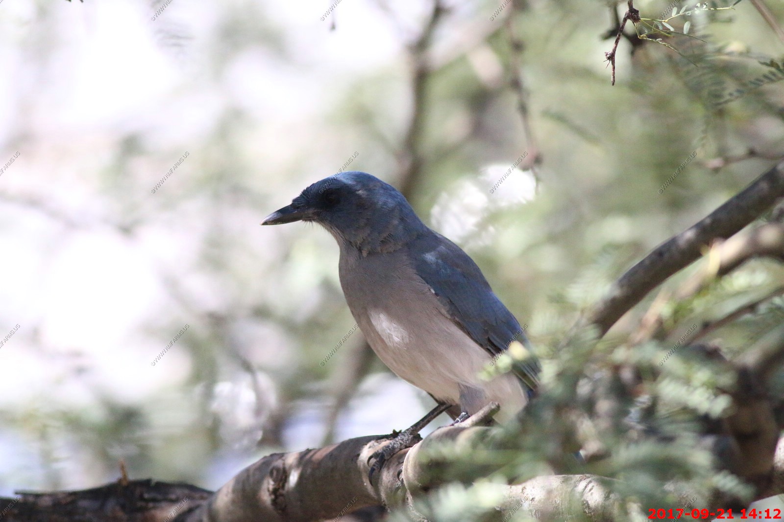
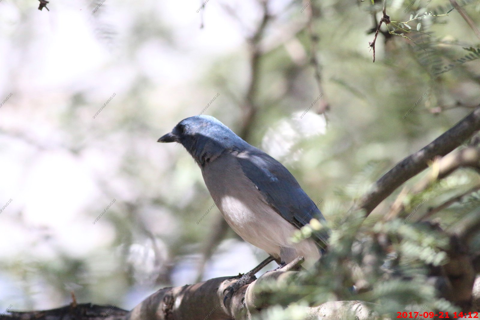
Mexican jay


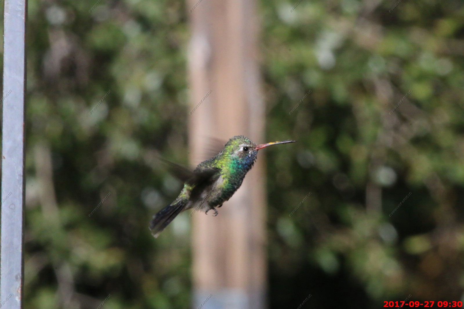
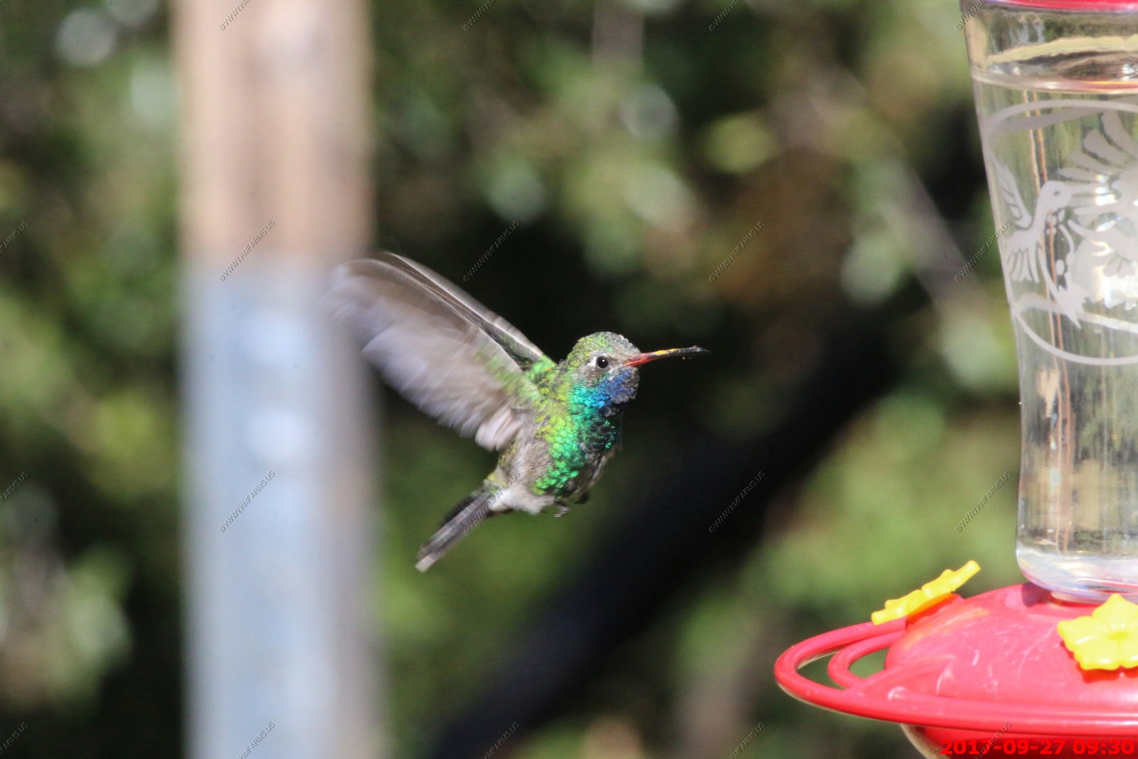
Broad-billed Hummingbird male - The Broad-billed Hummingbird (Cynanthus latirostris) - also known as Circe Hummingbird - is a medium-sized, strikingly colorful hummingbird.
How many can I see on one feeder
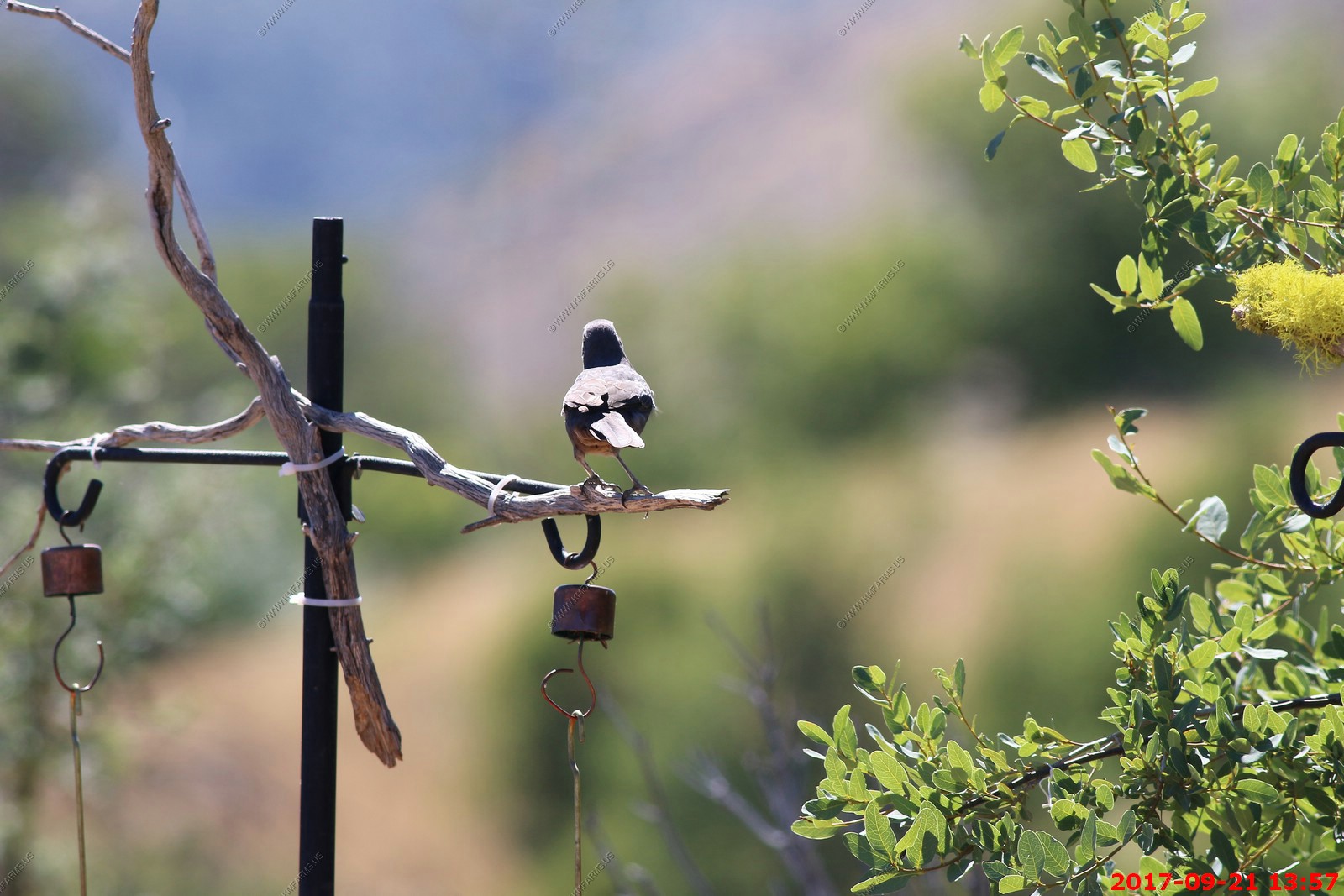
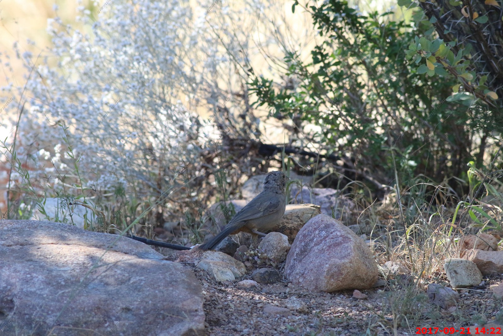
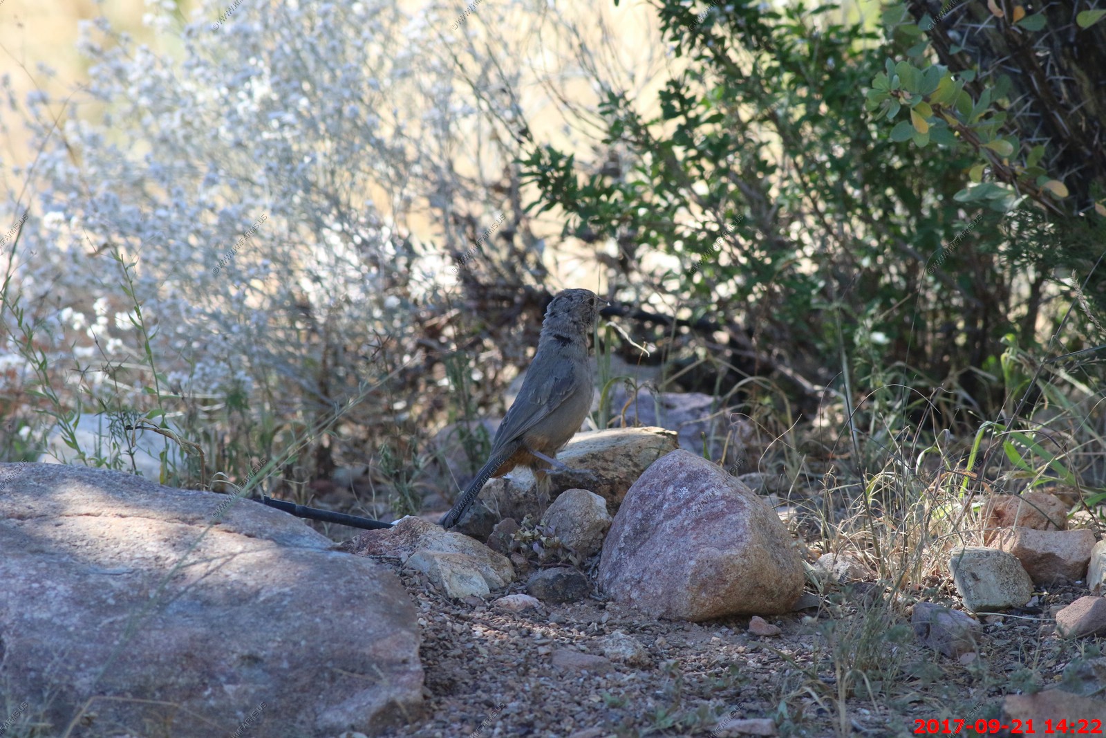
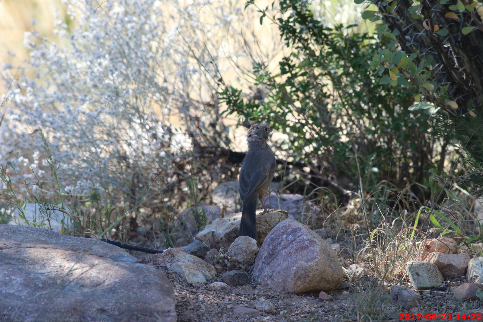
Canyon Towhees keep a low profile across their range in the Desert Southwest. These big, warm-brown sparrows are common on the ground and underneath shrubs in a variety of scrubby habitats, but they easily blend into the background. Look for a fairly long-legged, long-tailed sparrow that's the same color as the dirt, with warm rusty brown under the tail.

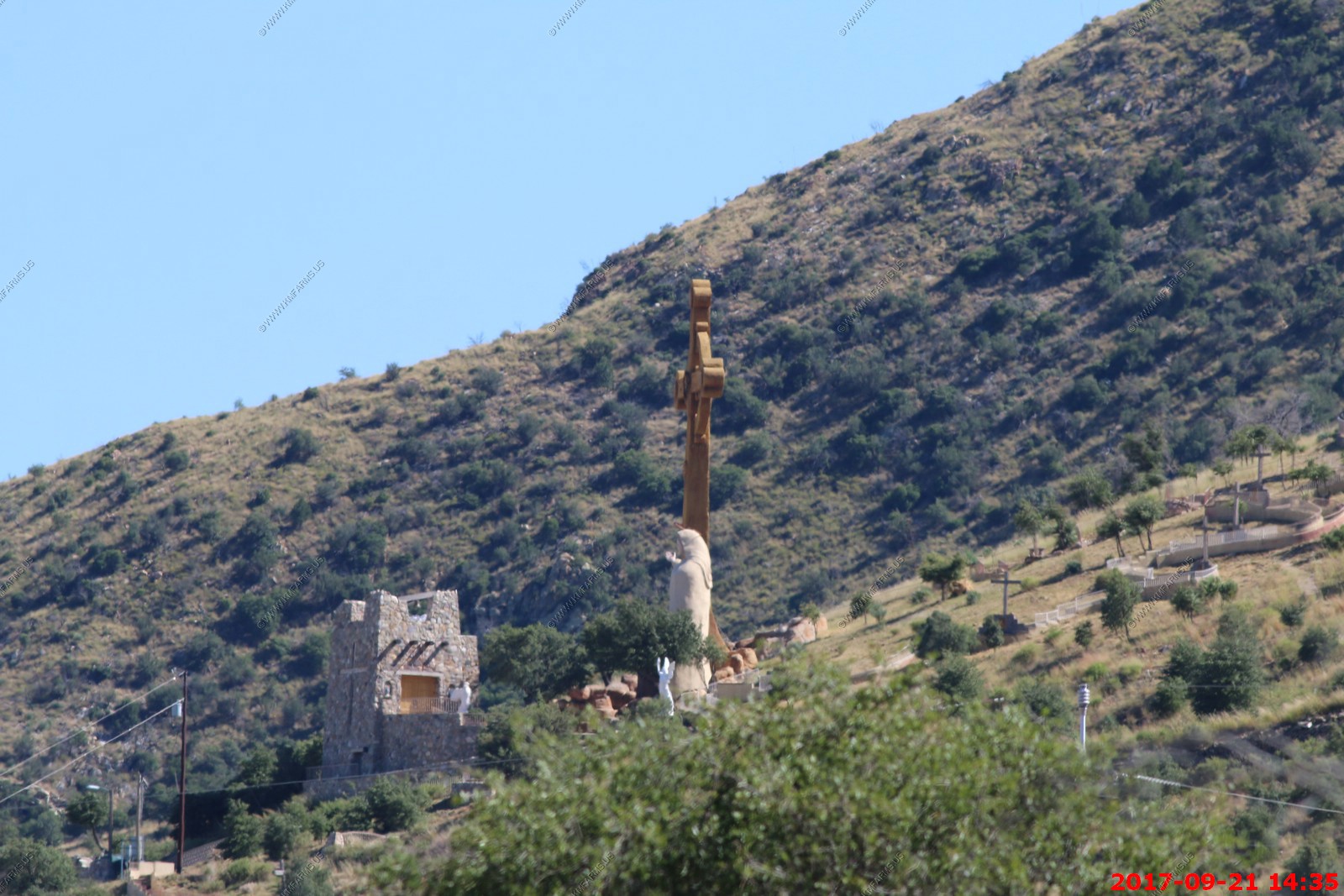
When we left Ash Canyon Bed and Breakfast you could see Our Lady Of The Sierras (Cerro De La Virgen) up on the hill
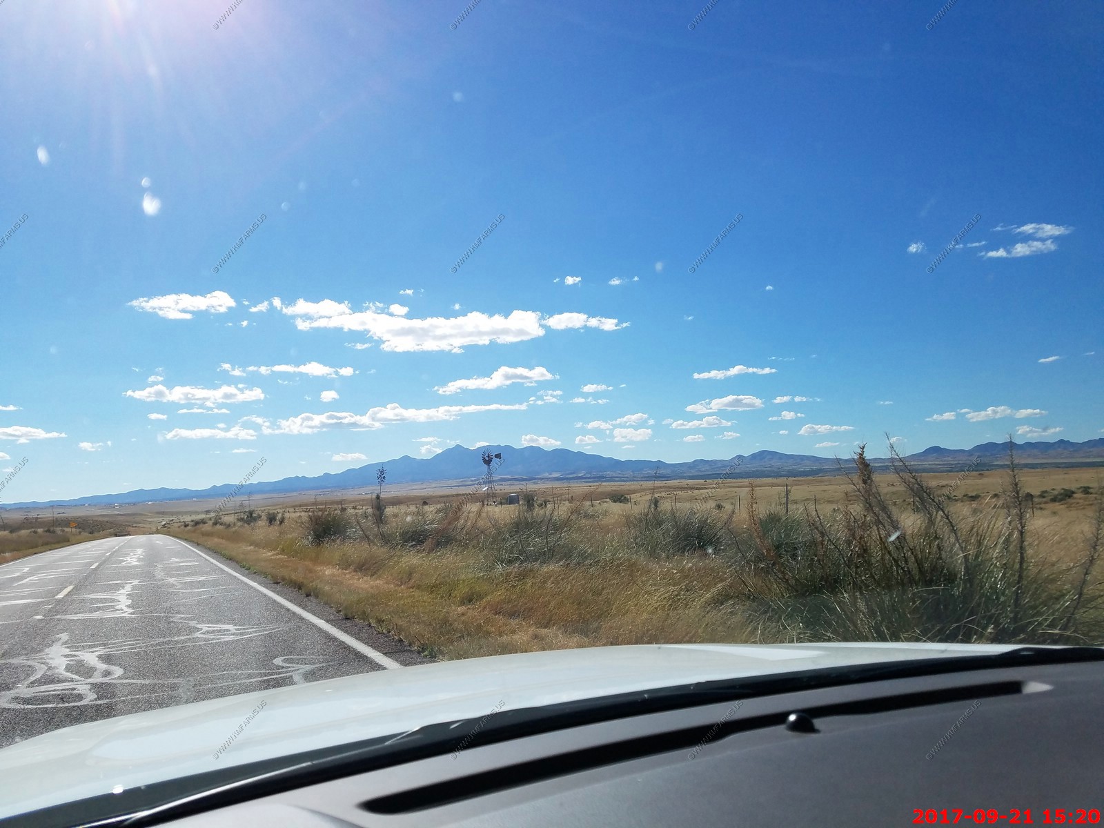
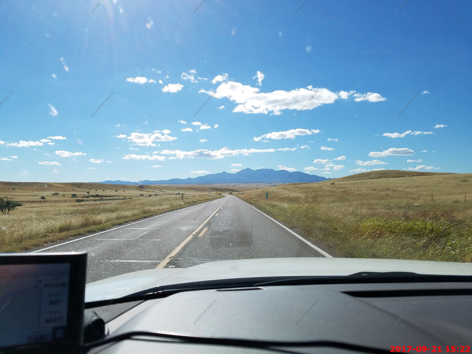
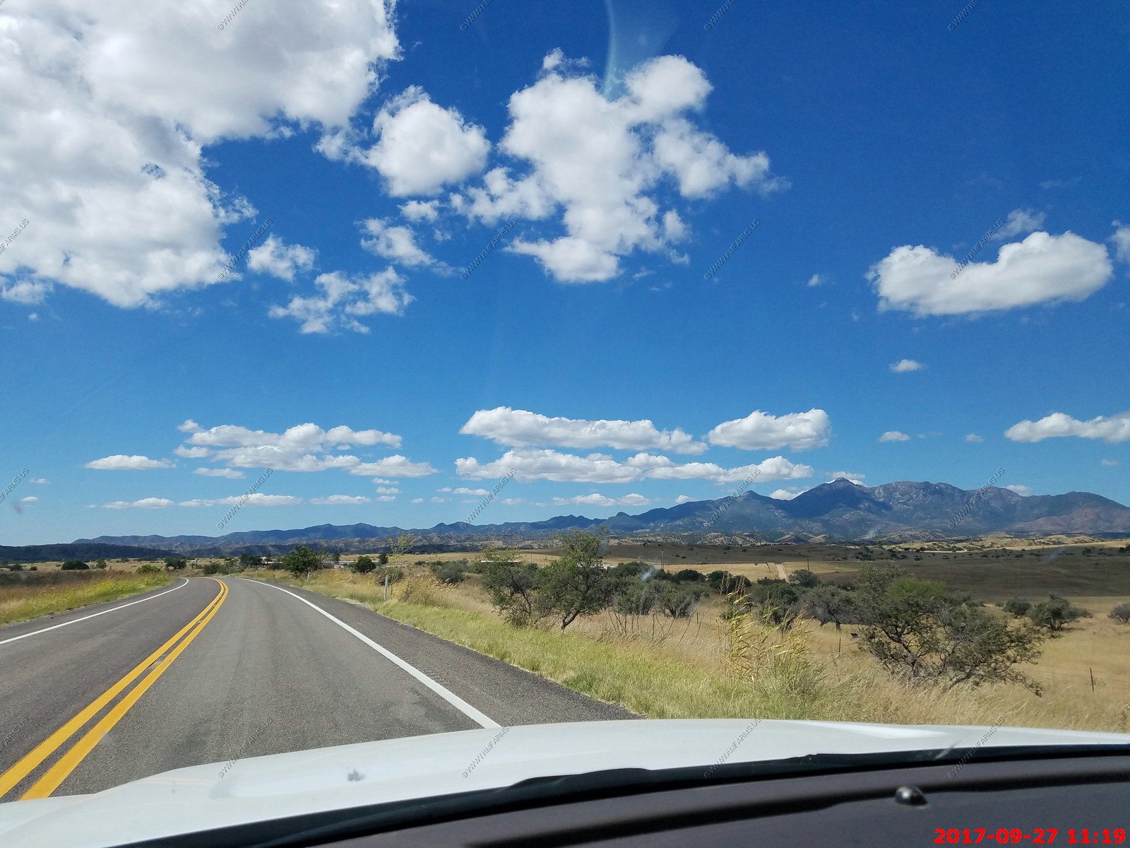
We took AZ-82 back to Sonoita. Wide open spaces and had a great view of Mt Wrightson El. 9,456 ft. from the east


Border inspection area on AZ-83 North (down in the dip)
Almost back to the house. On south Freeman Road with Tucson on the left and Saguaro National Park East on the right.
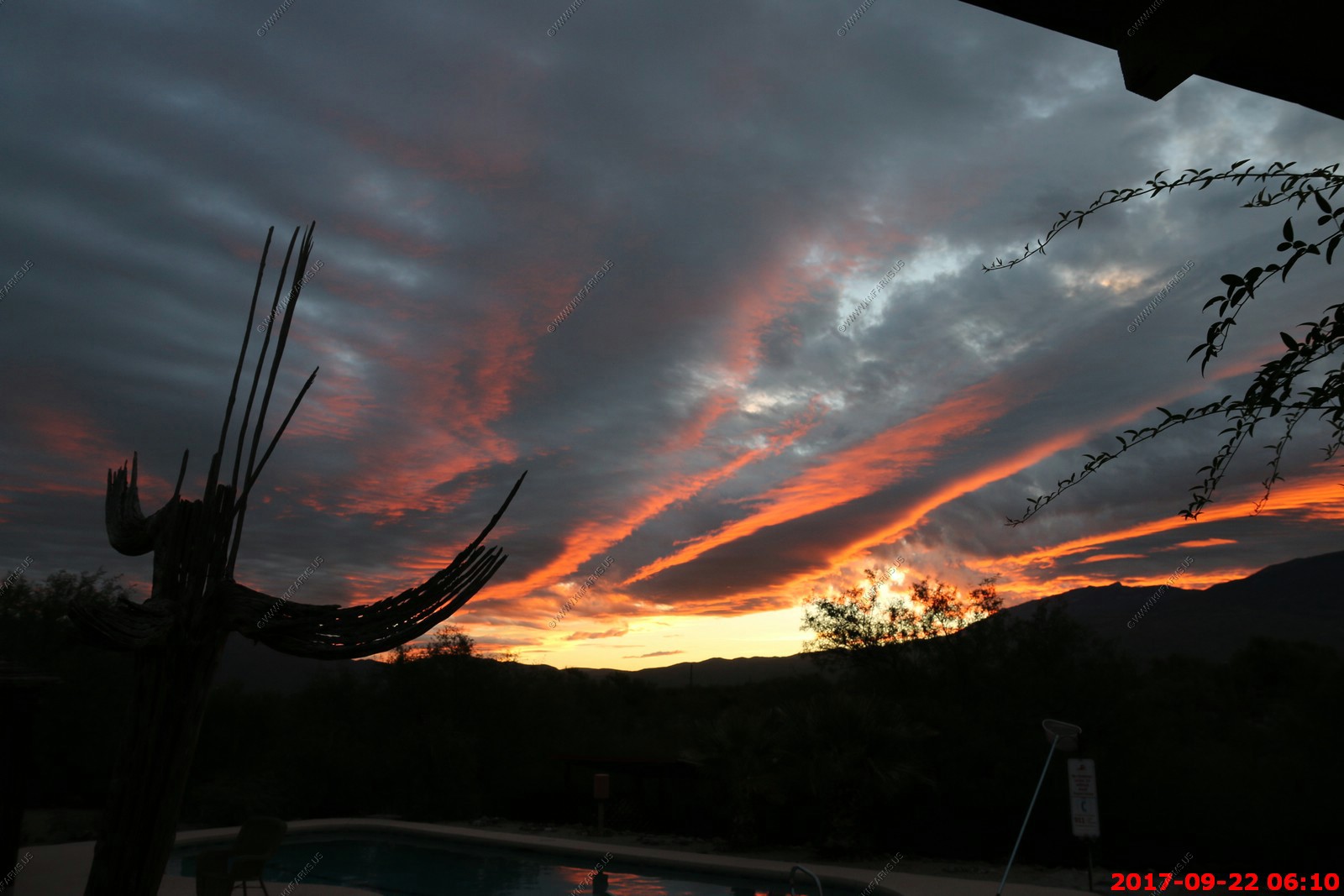
Sunset and a nice pool
Friday SEP 22th
Sunrise
The doves that crap in the pool
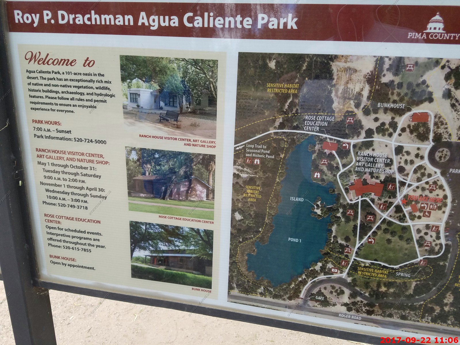
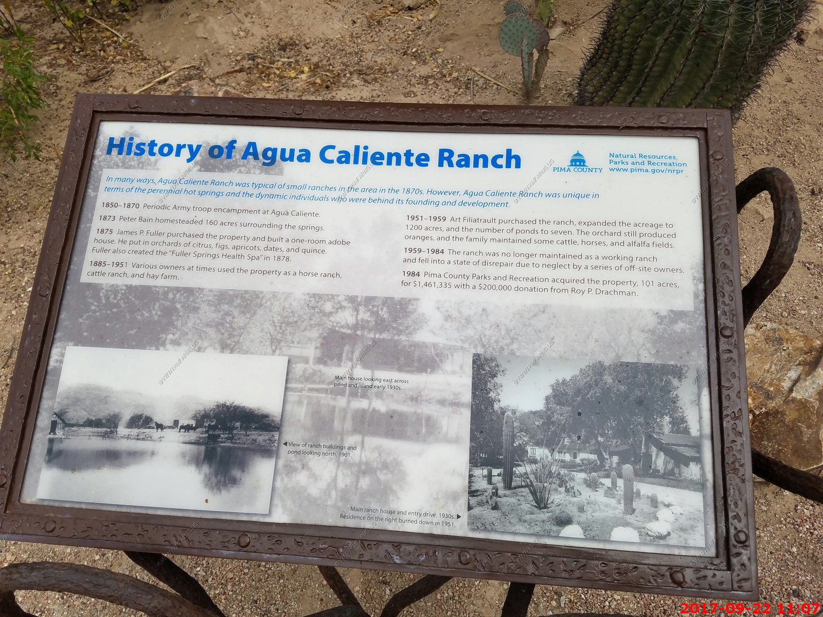
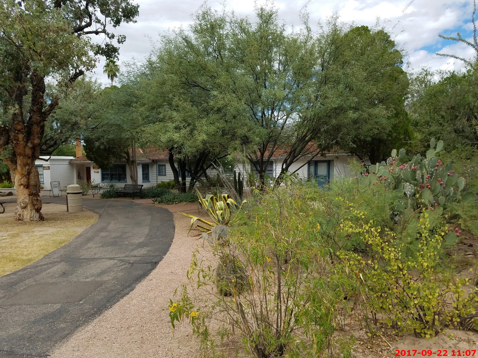
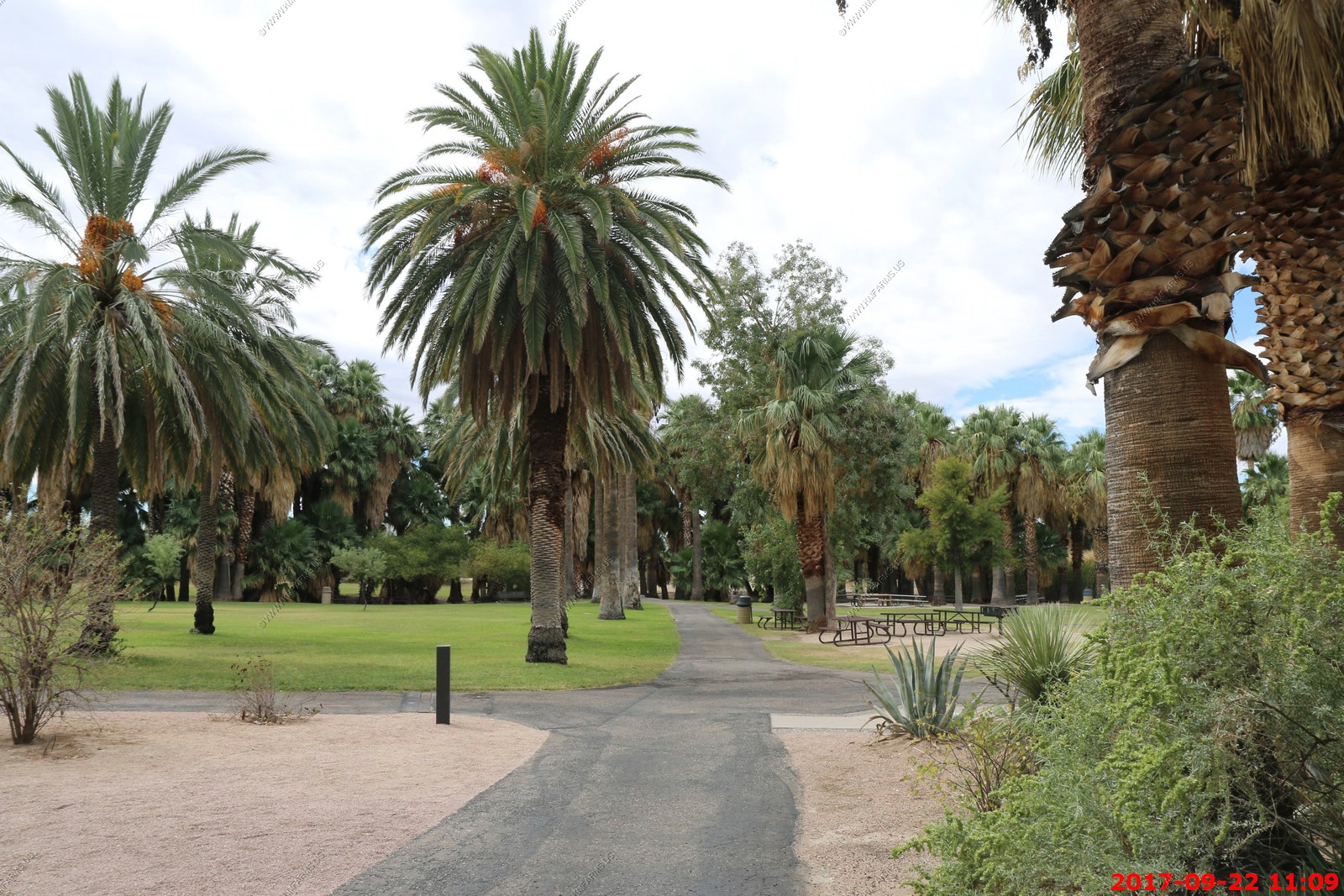
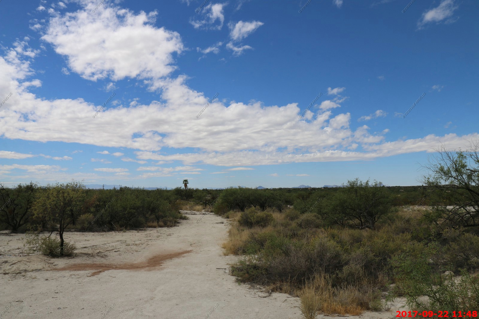
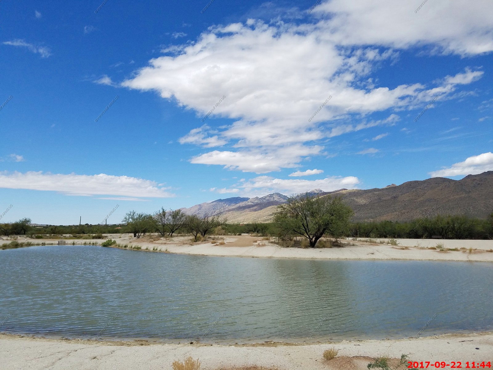
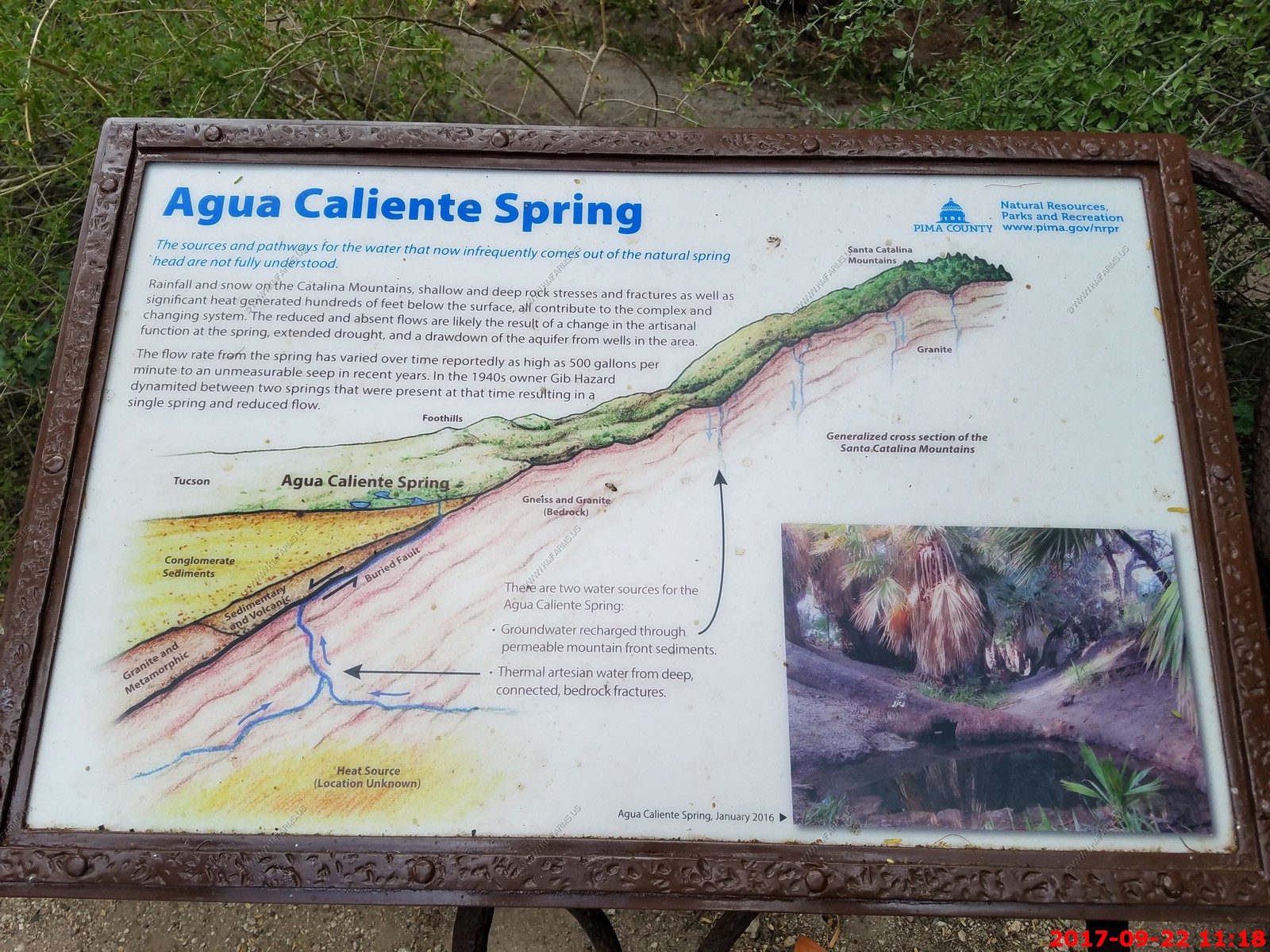
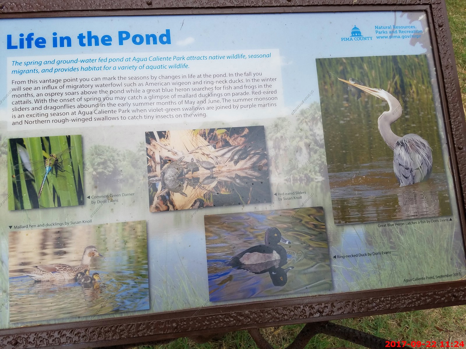
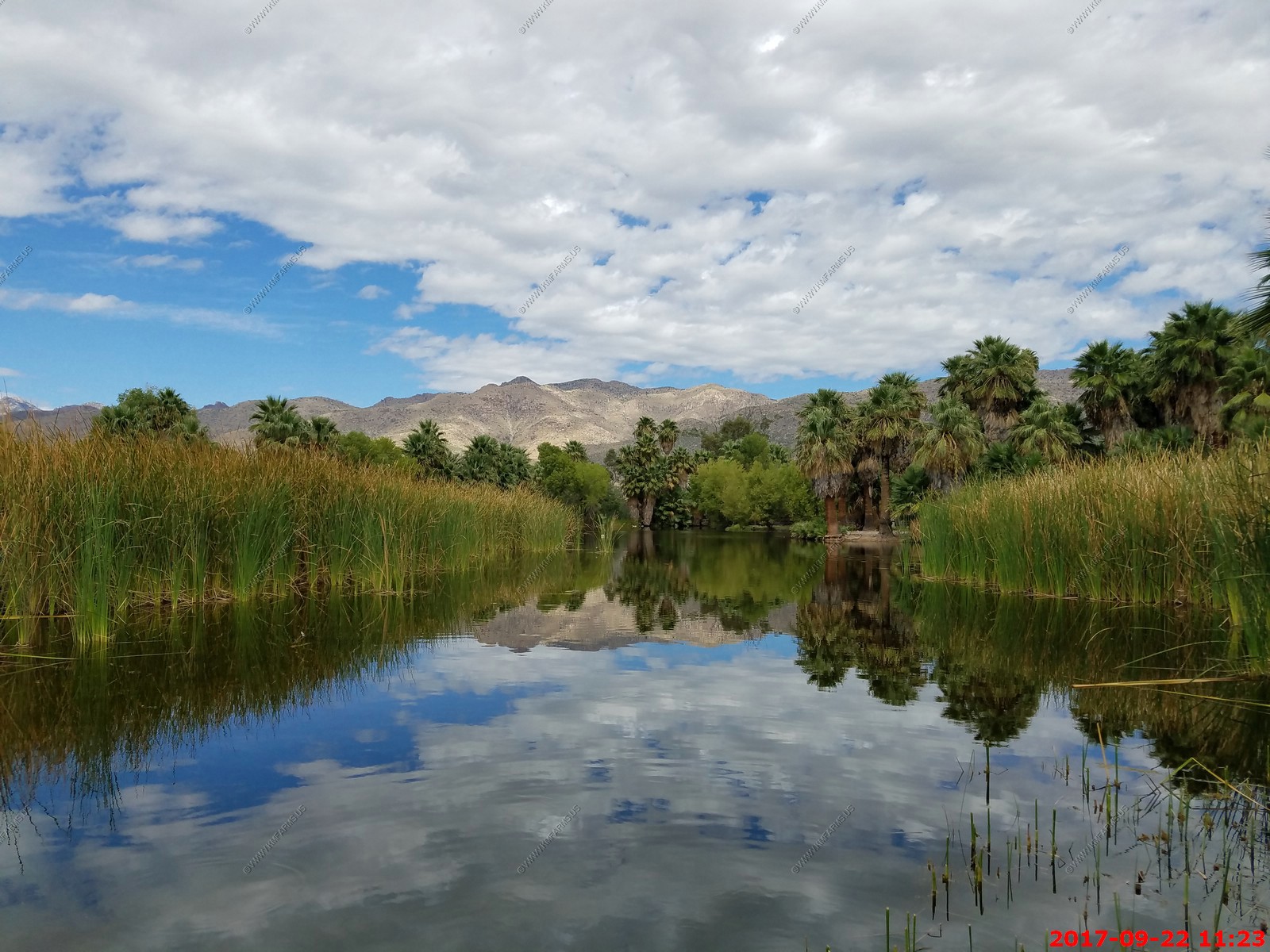
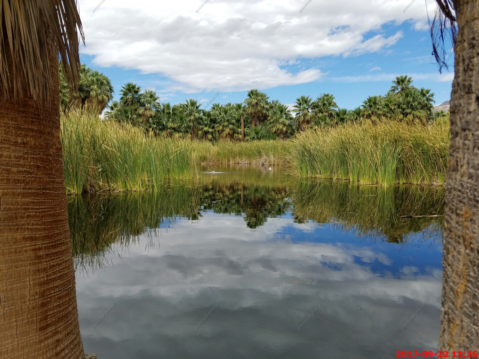
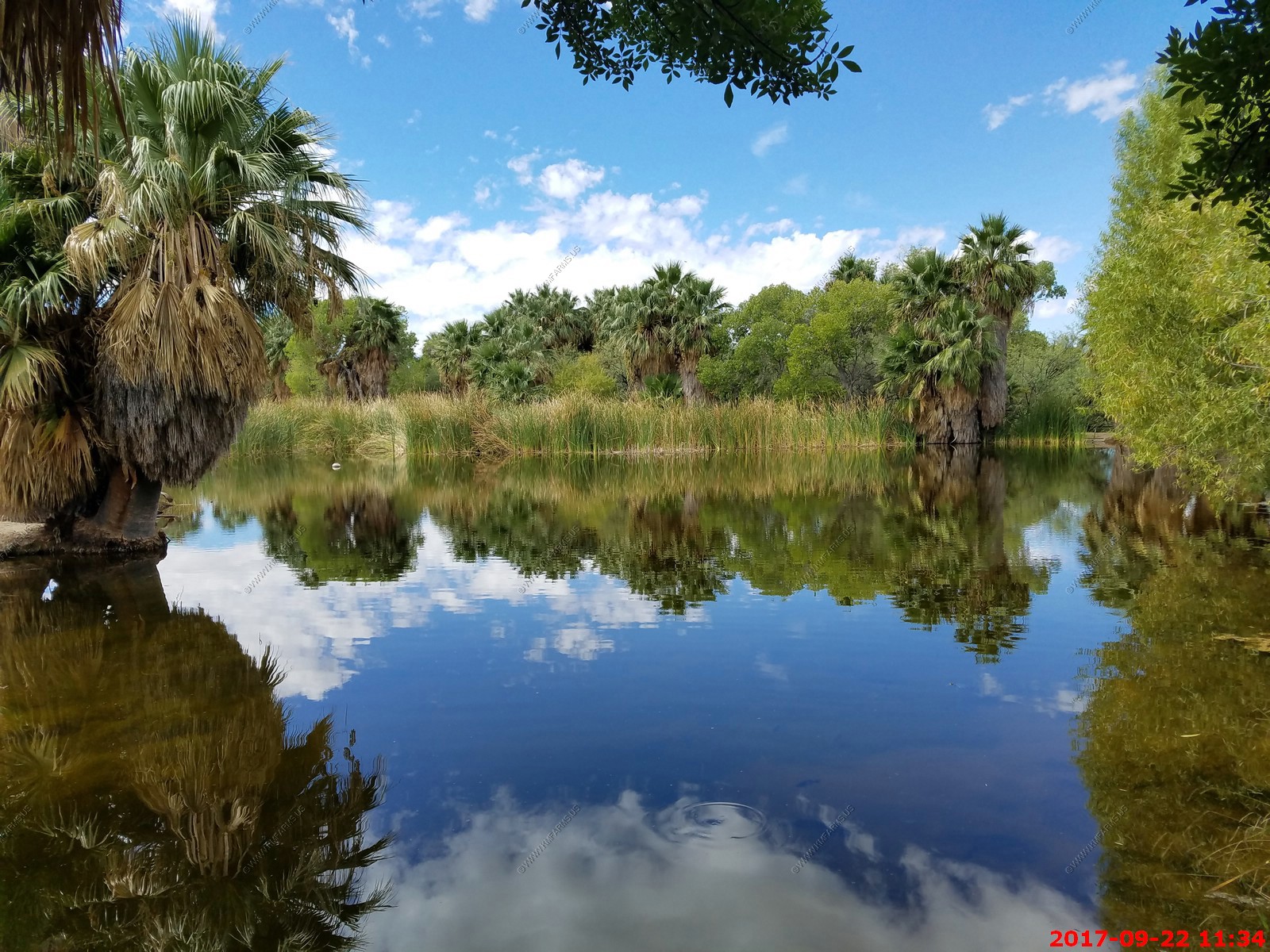
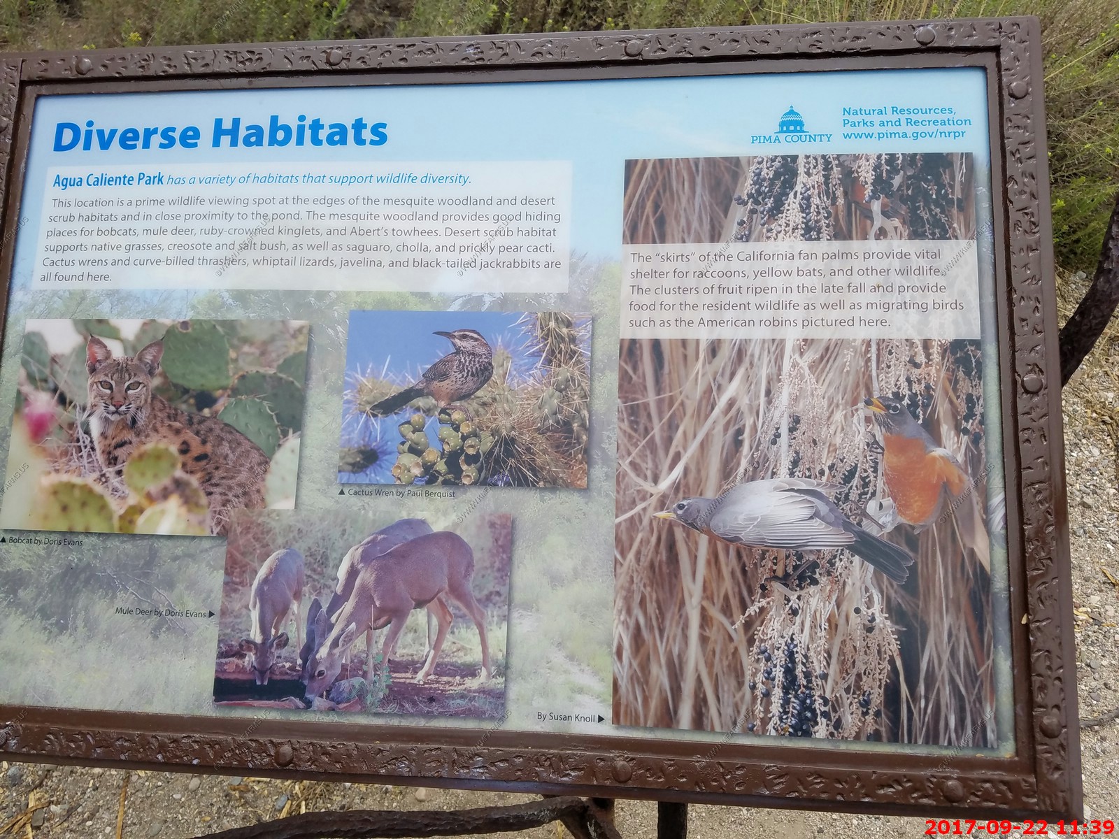
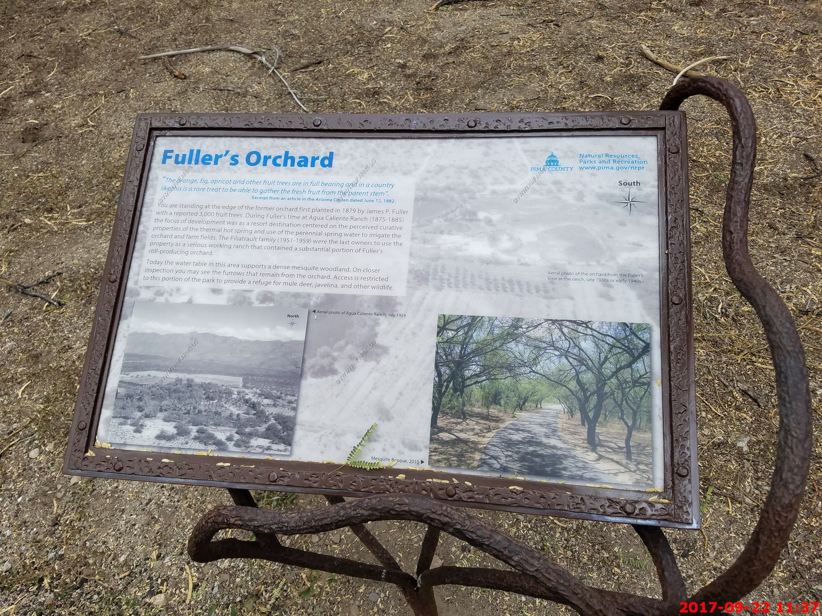
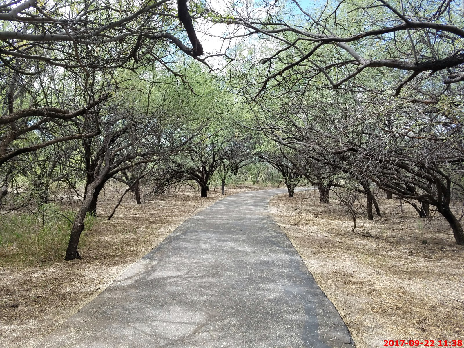
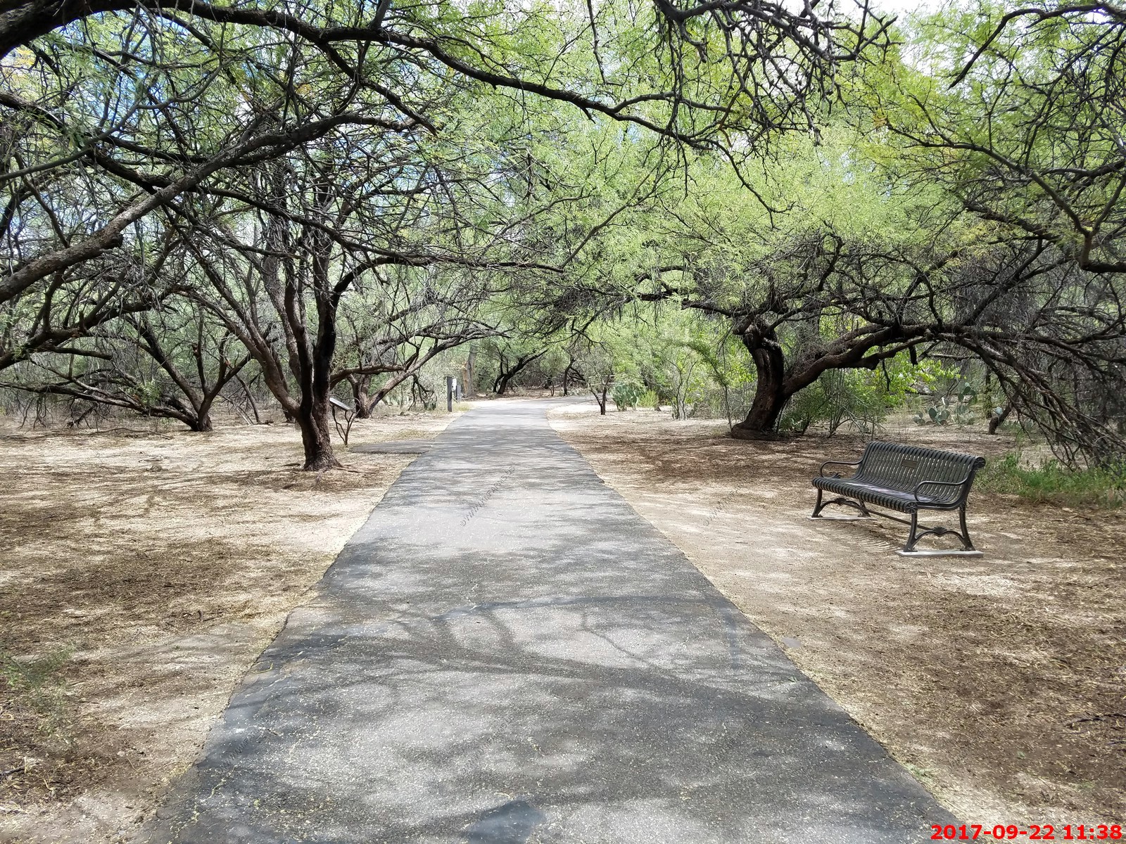
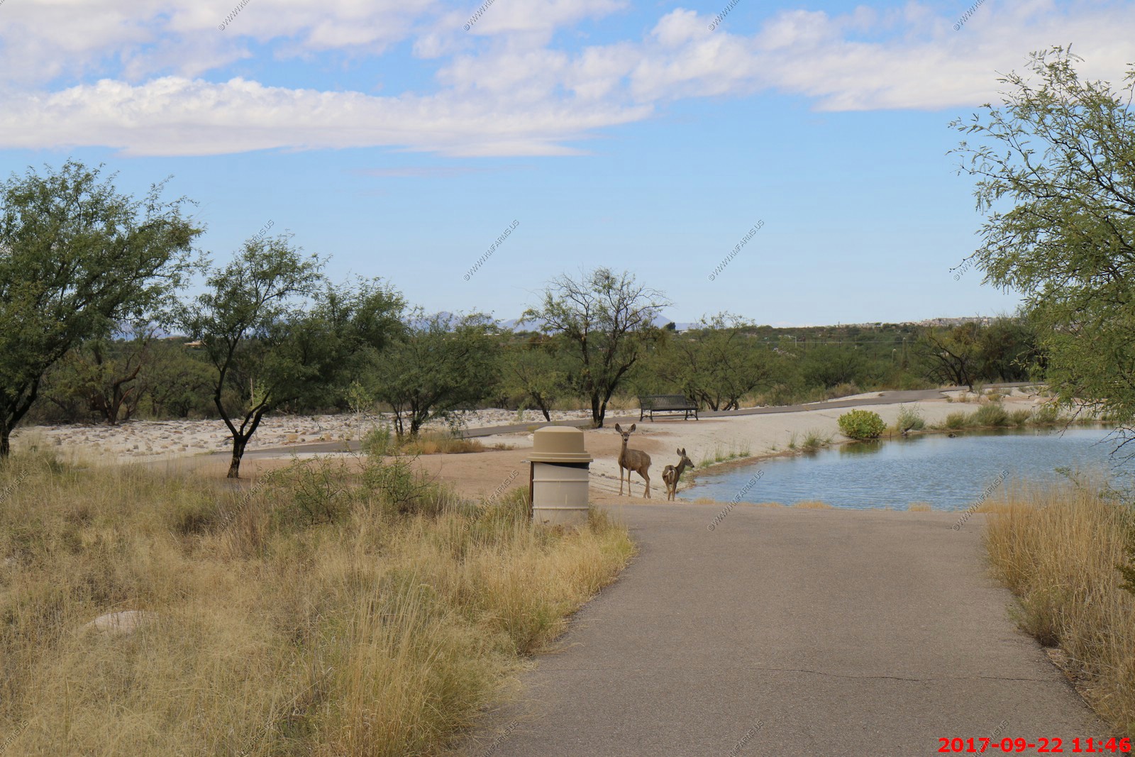
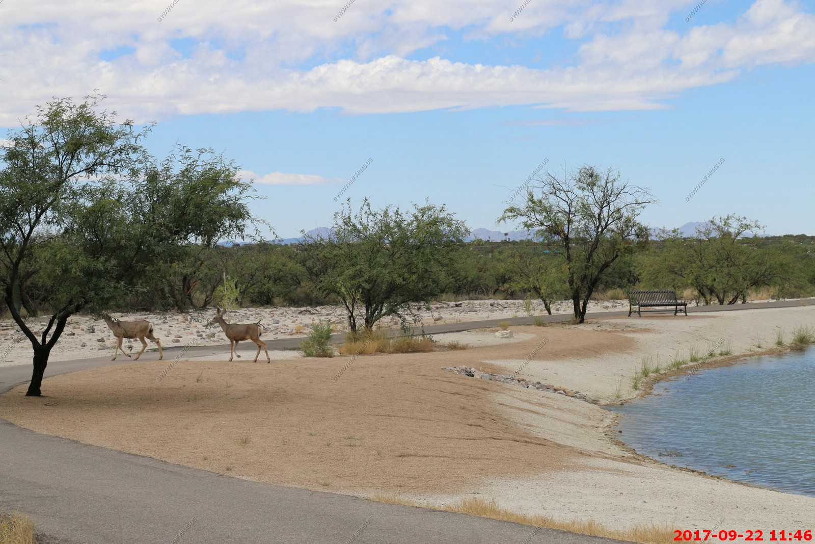
Agua Caliente Park - One of the reasons we like this part of the Tucson area.
Agua Caliente, literally meaning hot water, is a unique 101-acre park that features a perennial warm spring and pond that is home to an exceptionally rich mix of plants and animals. Agua Caliente Park has a long and interesting history with evidence of human habitation dating back about 5,500 years. In 1873, a ranch and health resort was developed to promote the curative properties of the warm springs. In 1984 local businessman Roy P. Drachman donated over $200,000 toward the purchase of Agua Caliente Ranch and Pima County named the park in honor of this contribution. Roy P. Drachman Agua Caliente Park opened to the public on January 19, 1985.
The flow rate from the spring has varied over time reportedly as high as 500 gallons per minute to an unmeasurable seep in recent years. The sources and pathways for the water that now infrequently comes out of the natural spring head are not fully understood. Rainfall and snow on the Santa Catalina Mountains, shallow and deep rock stresses and fractures as well as significant heat generated hundreds of feet below the surface, all contribute to the complex and changing system. In recent years the pond has been maintained with water pumped from a well located on the property.
One of the reasons we want to live here. Lots to do all the time
They need this at the airport
Various views of Agua Caliente Park


Good that guns are allowed
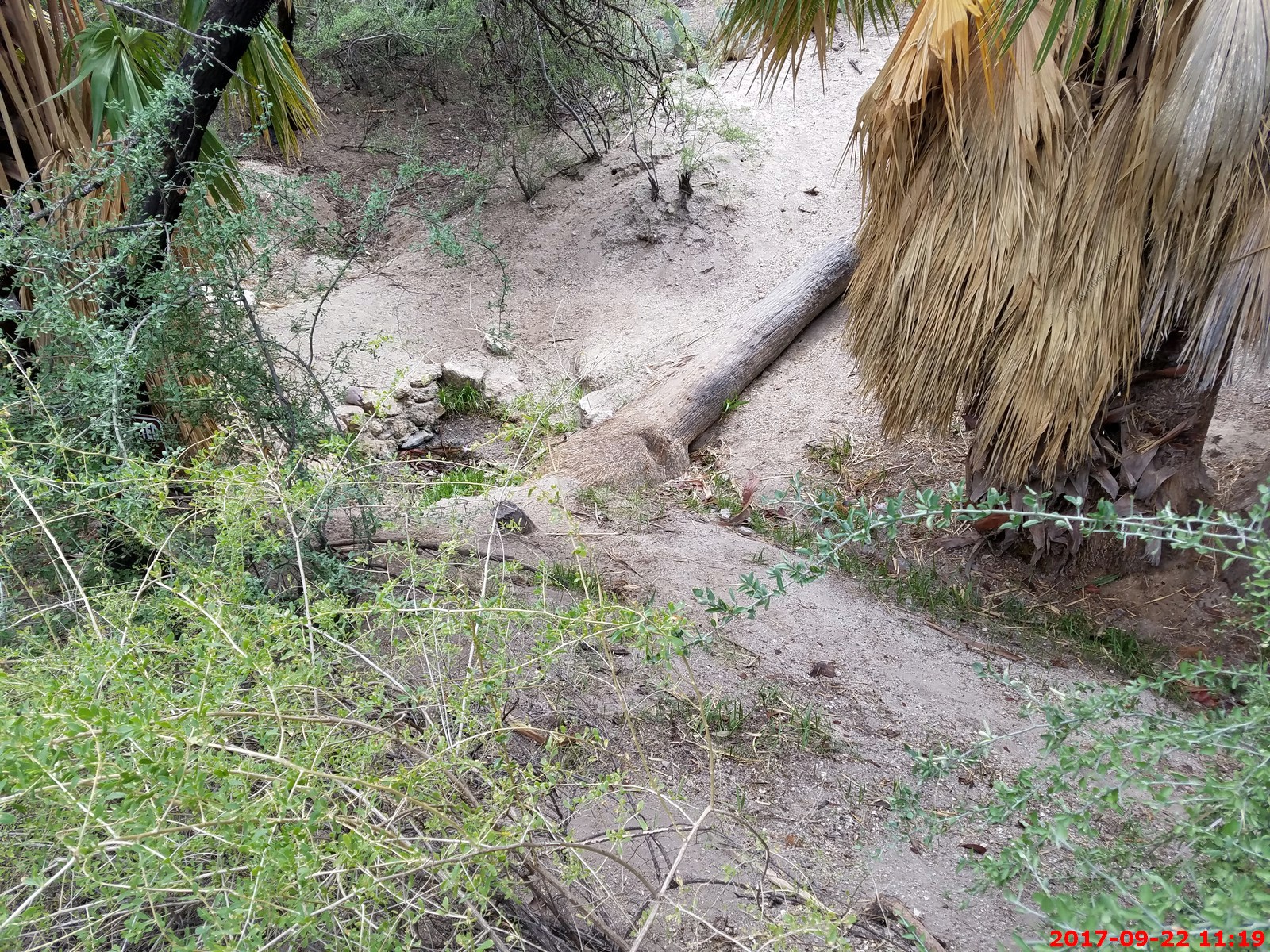
The actual spring - nothing today
Cool park which is very different from the surrounding area.
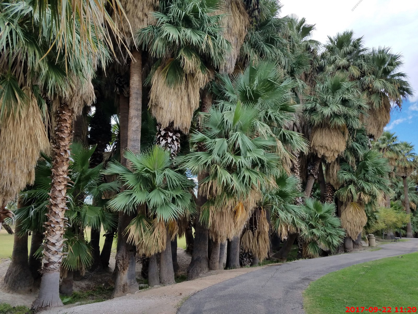
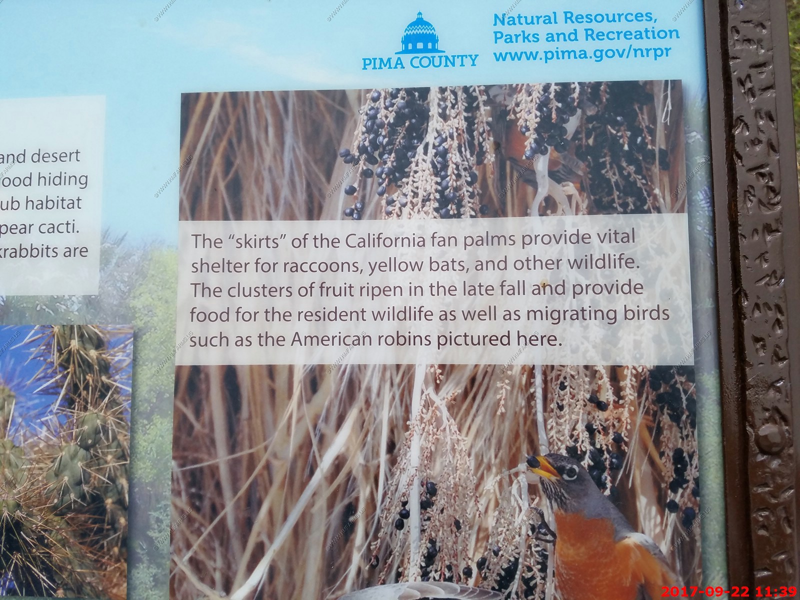
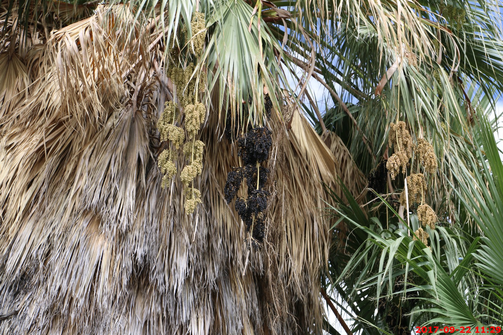
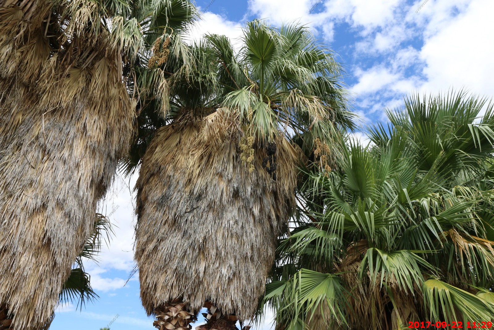
Washingtonia filifera, also known as desert fan palm, California fan palm or California palm, is a flowering plant in the palm family, and native to the far southwestern United States and Baja California.
Fuller's Orchard - Now part of Agua Caliente Park
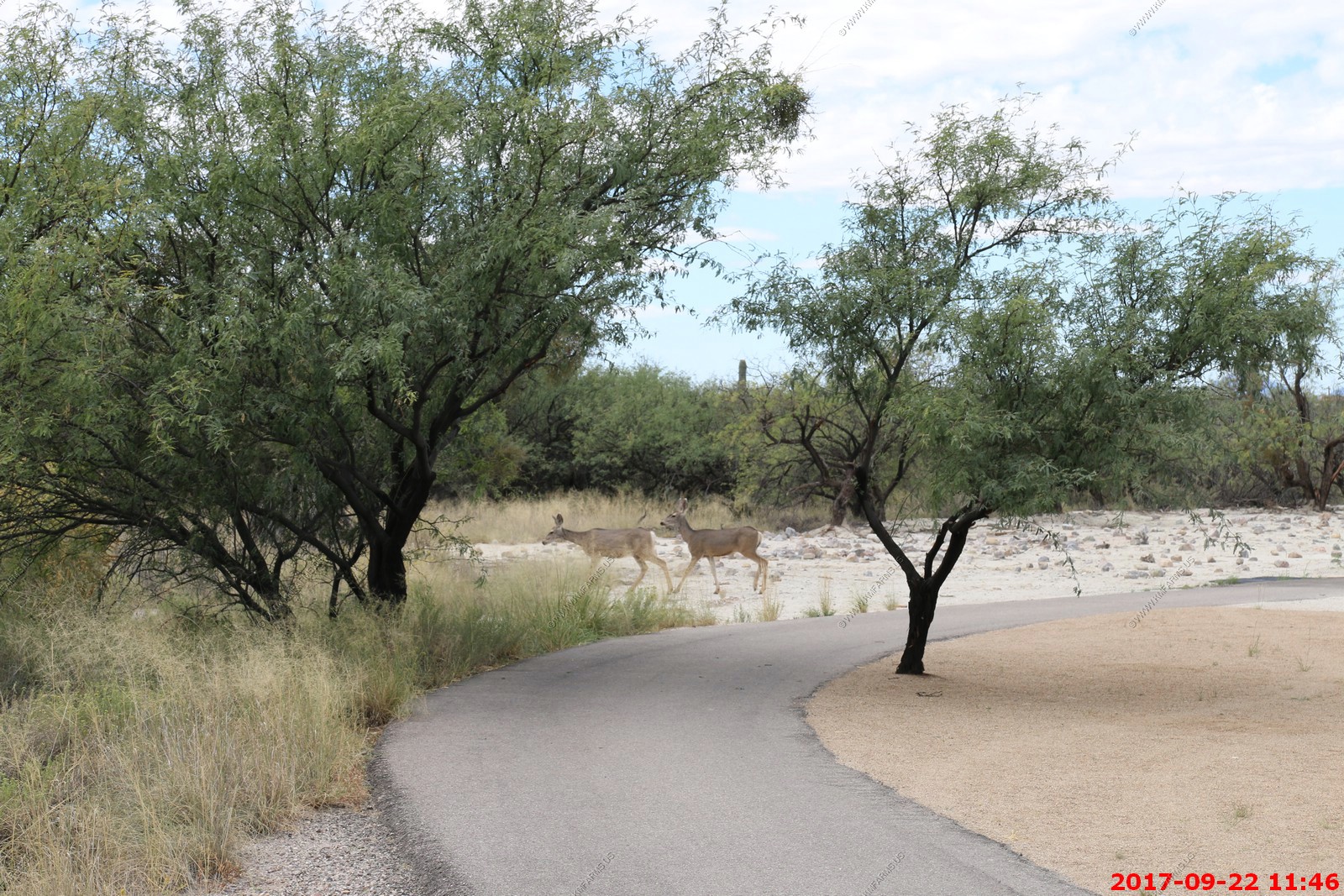
The most noticeable differences between white-tailed and mule deer are the size of their ears, the color of their tails, and the configuration of their antlers. In many cases, body size is also a key difference. The mule deer's tail is black-tipped, whereas the whitetail's is not. Mule deer antlers are bifurcated; they "fork" as they grow, rather than branching from a single main beam, as is the case with white-tails.
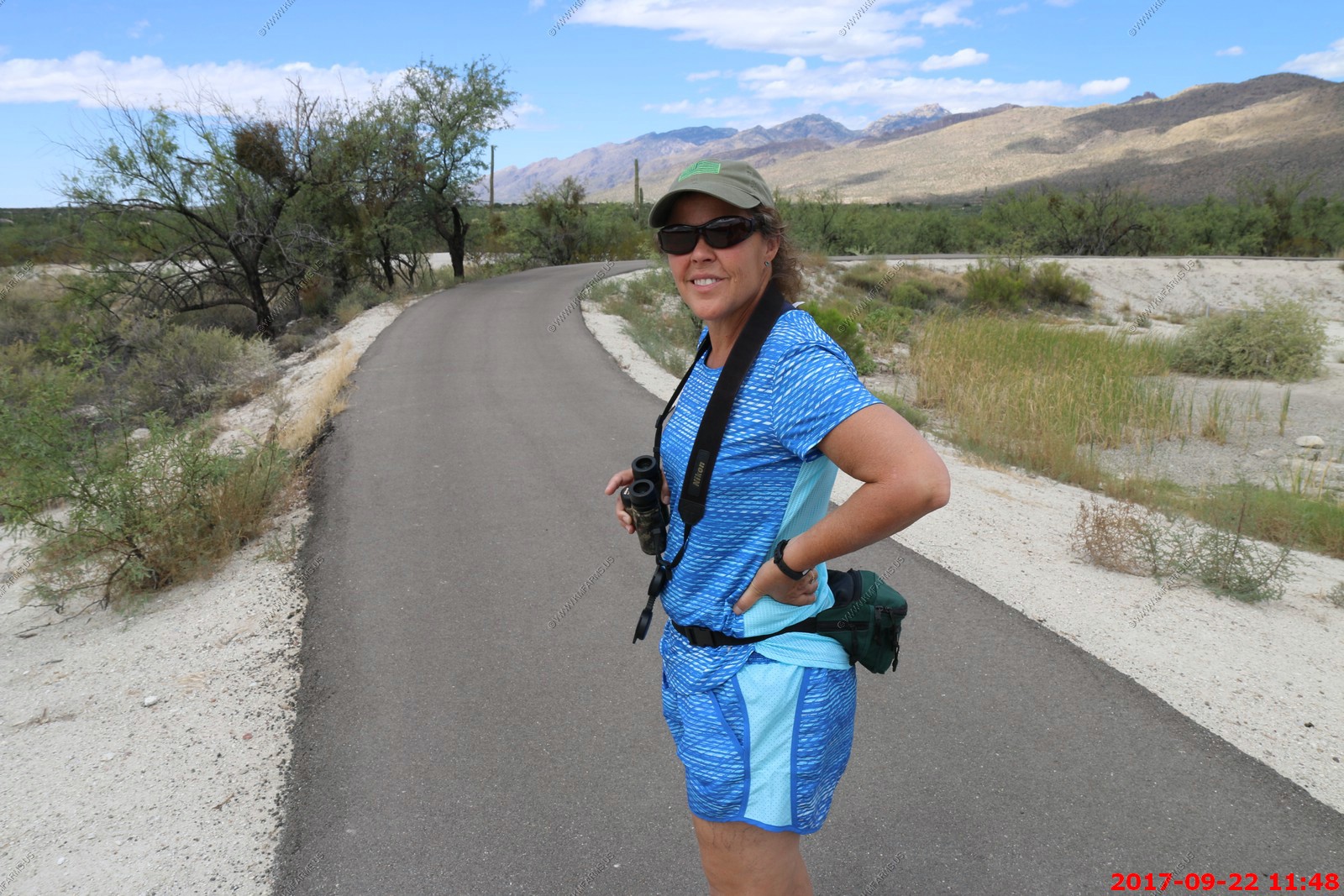
Mary in her hiking pajamas
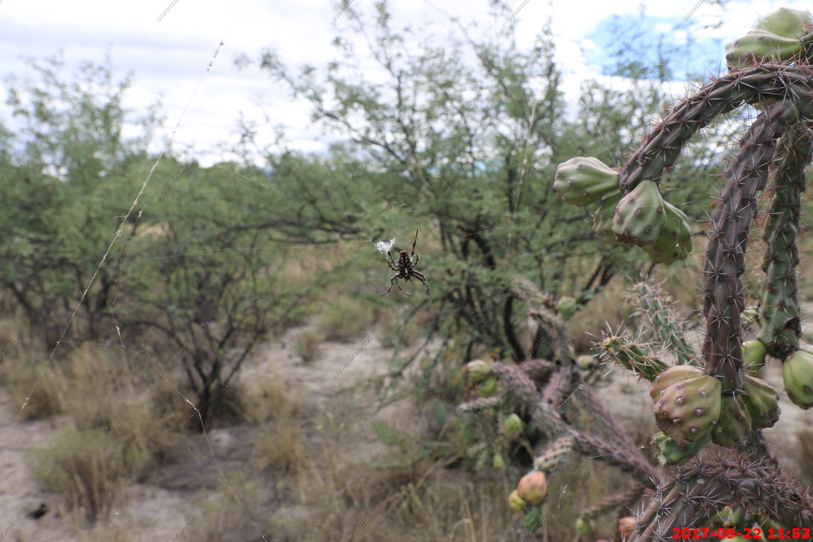
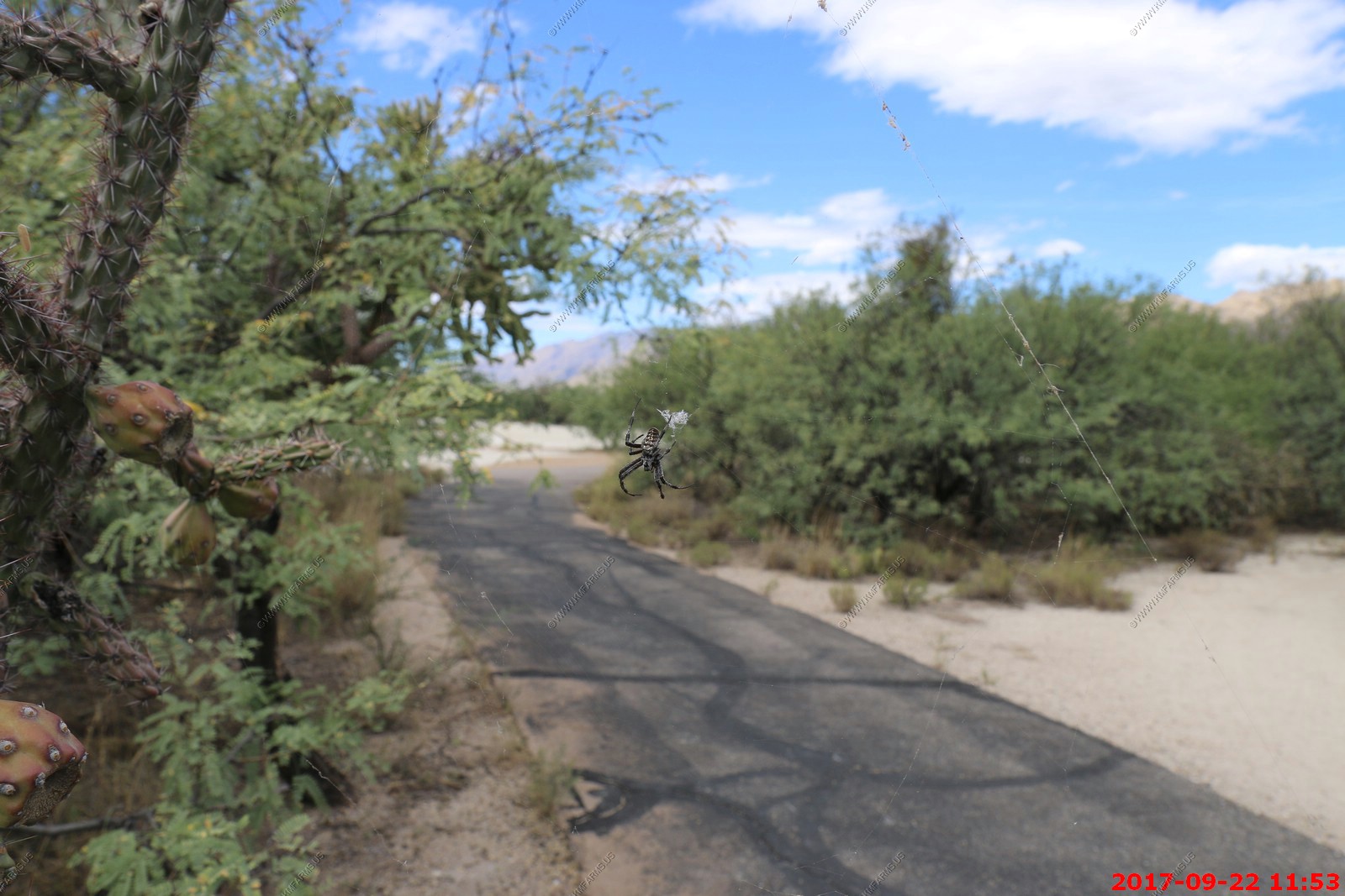
Some type of harmless Orb-weaver spider along the path
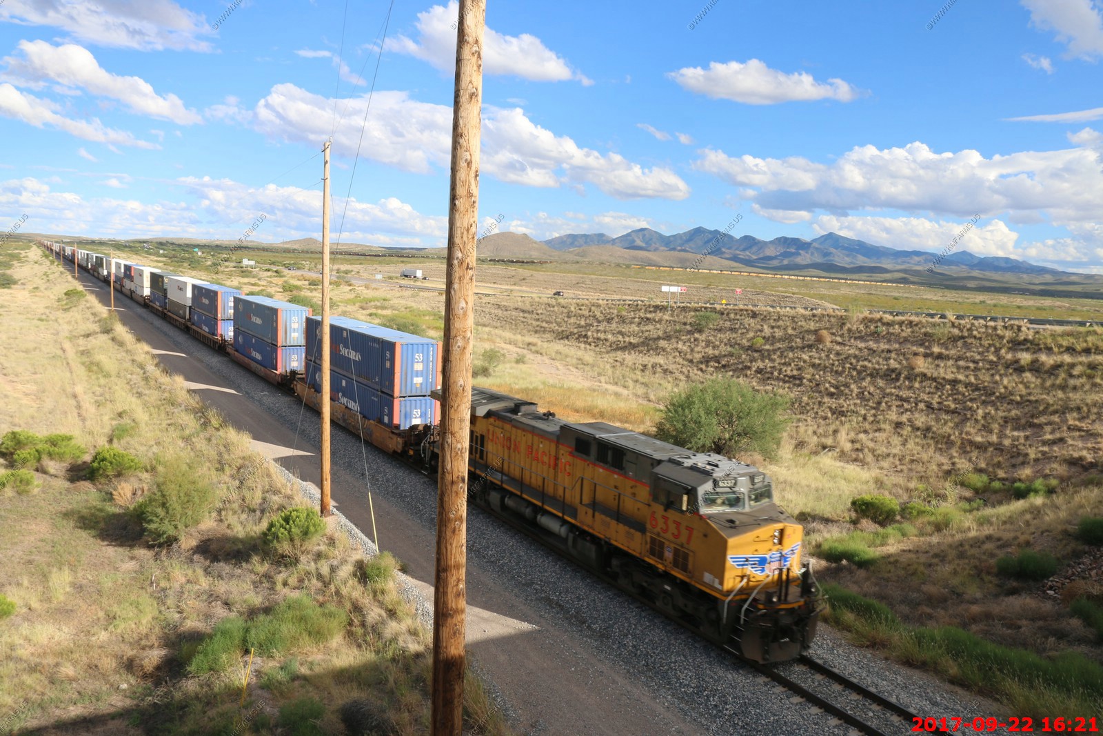
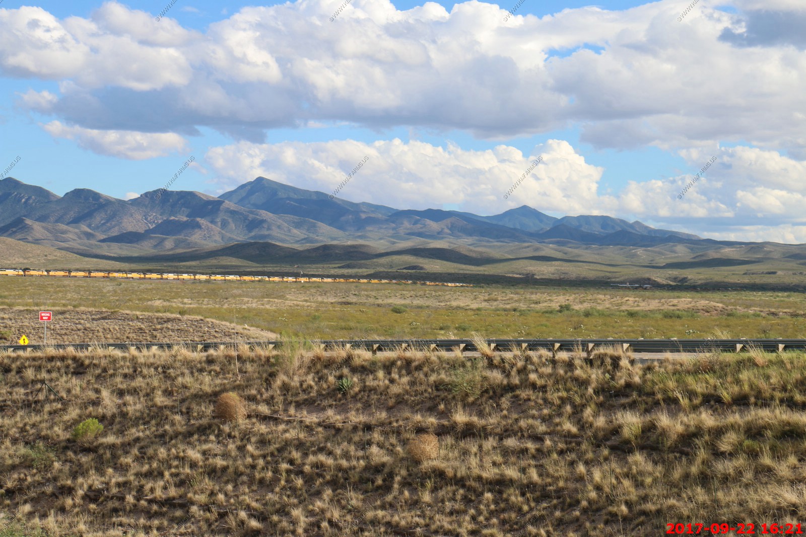
Well, we went for a ride down past Vail, AZ to see if we could watch some trains and birds.
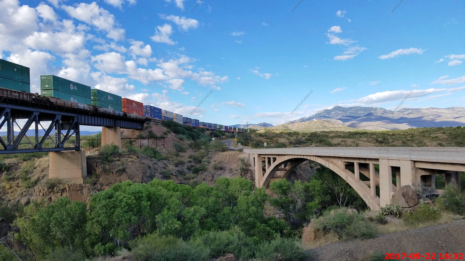
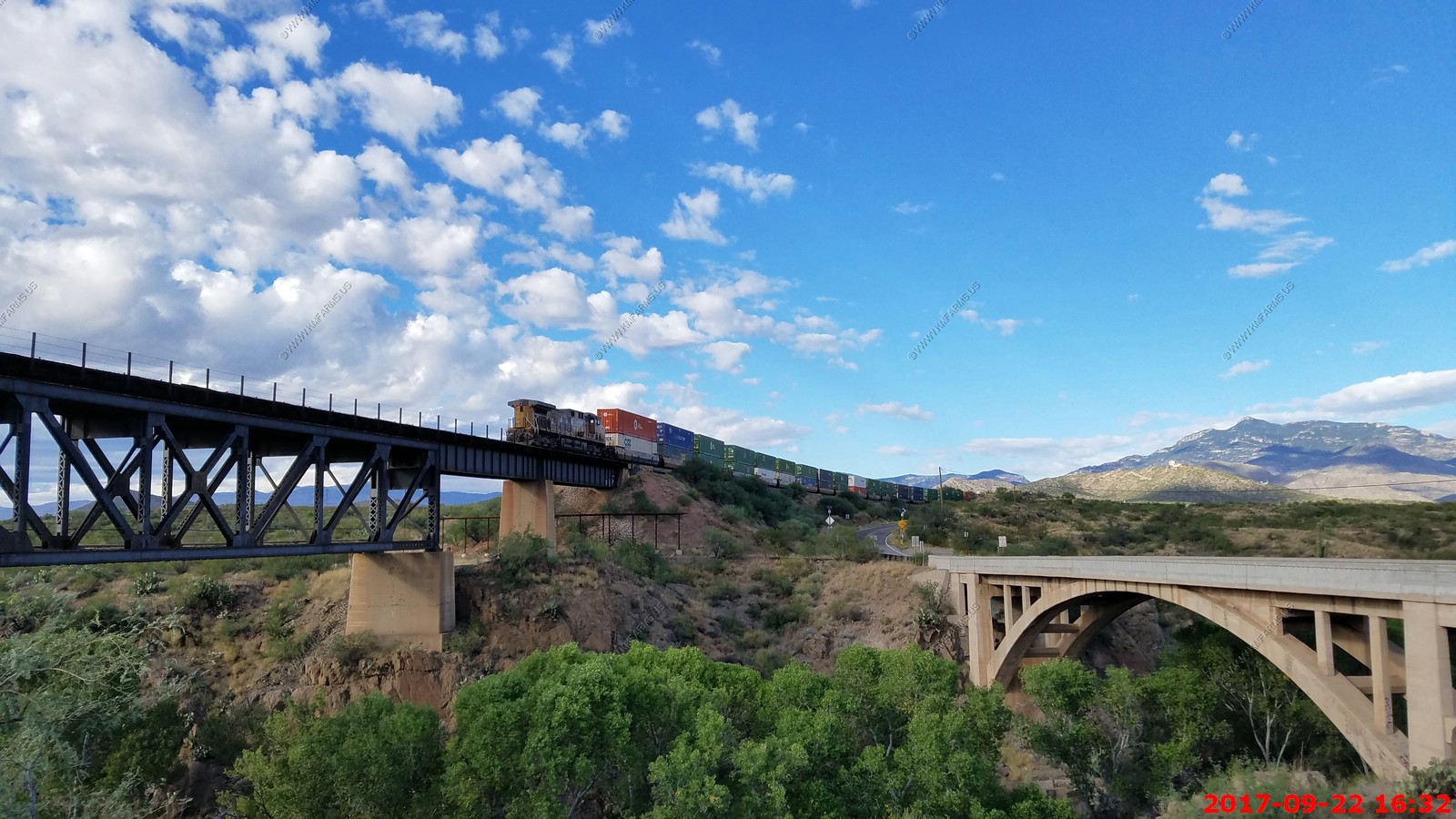
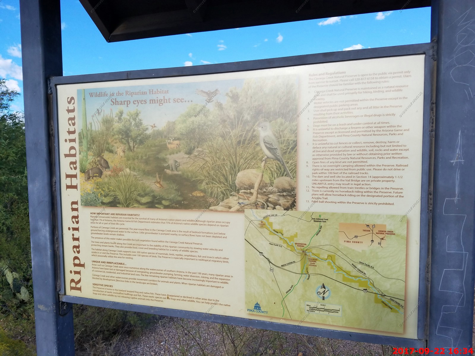
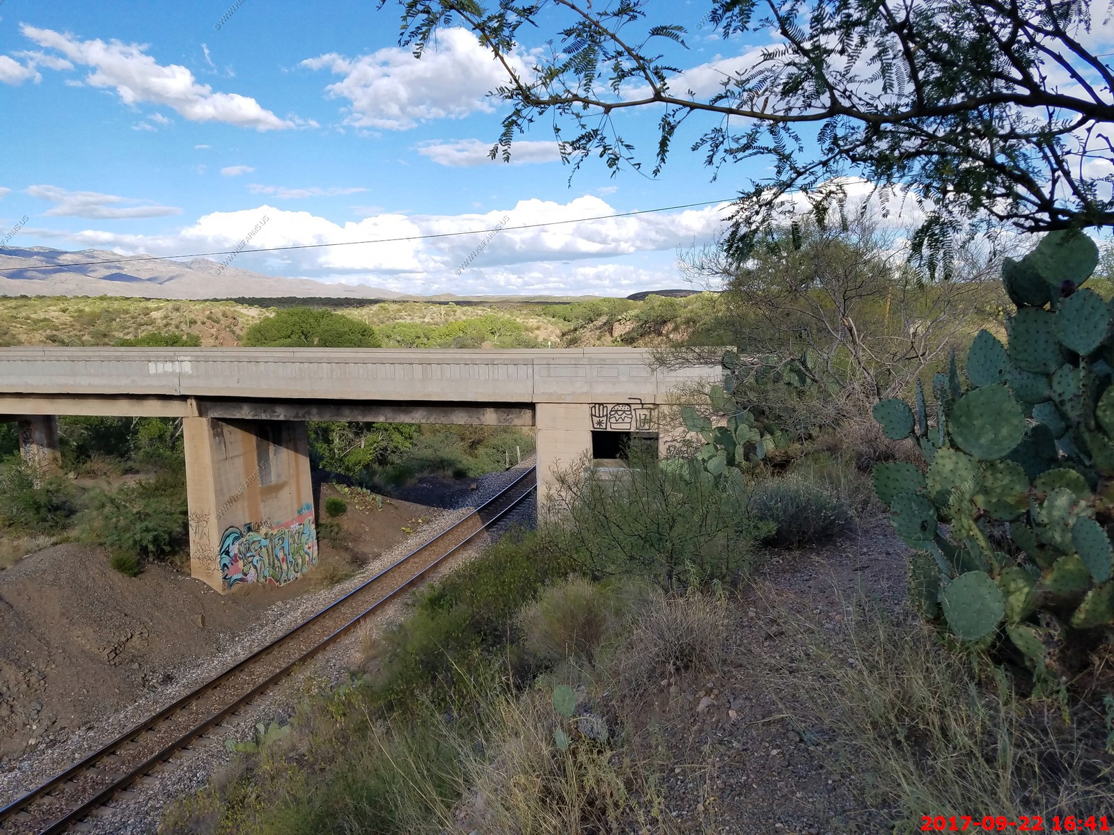
This is Cienega Creek (and number 2 track) Bridge. A rare instance where a railroad mainline crosses over itself. Also bridges Cienaga creek which is one of the most intact riparian corridors left in the state. It originates in the Canelo Hills and continues northwest about fifty miles to an area just outside Tucson, where it becomes known as Pantano Wash. This wash continues through Tucson and eventually connects with the Rillito River.
This is the Union Pacific transcontinental mainline that runs from Texas to California and is the reason that the Gadsden Purchase. If you drive I-10 west of El Paso, Texas you will follow this mainline.
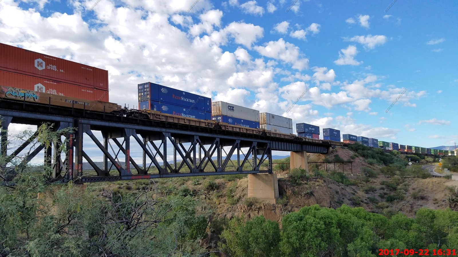
East bound stack train on the track below us
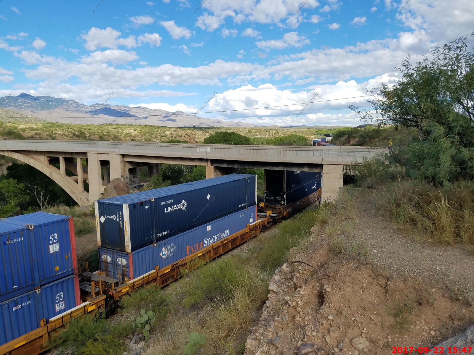
Shortly after the eastbound a west bound stack went over the bridge


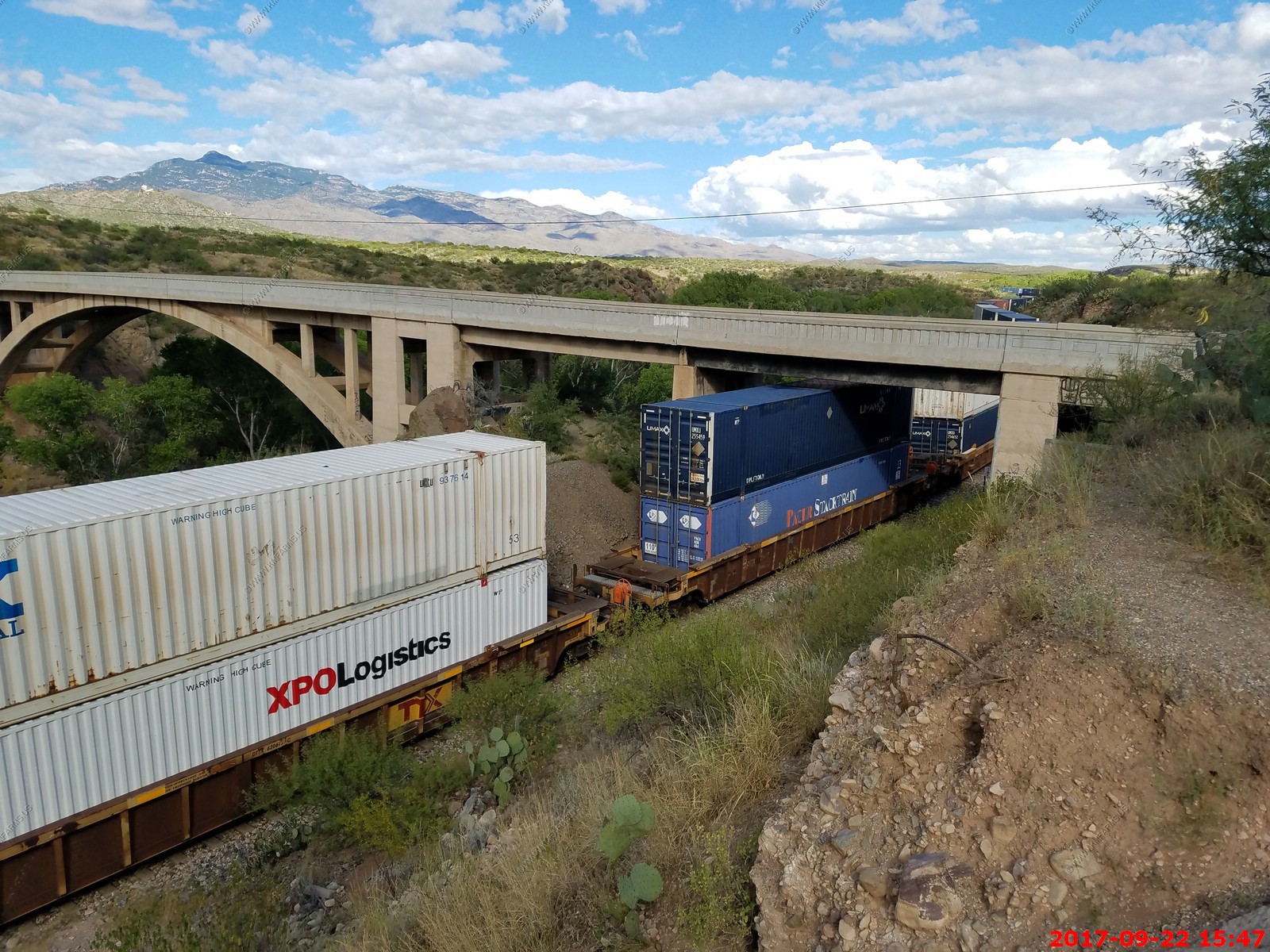
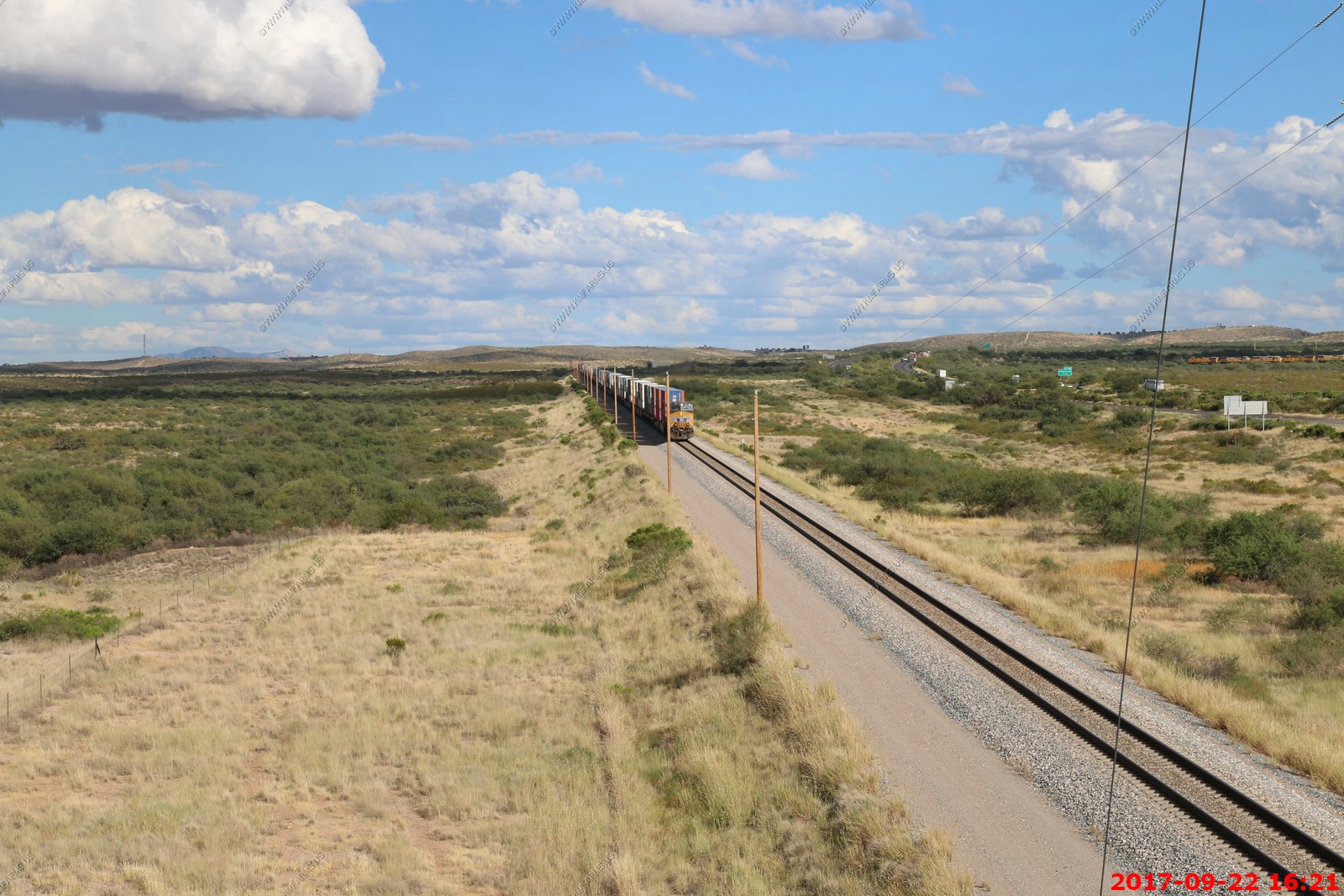
So, we drove East on Marsh Station Road to where it intersects I-10. It's about 8 miles.
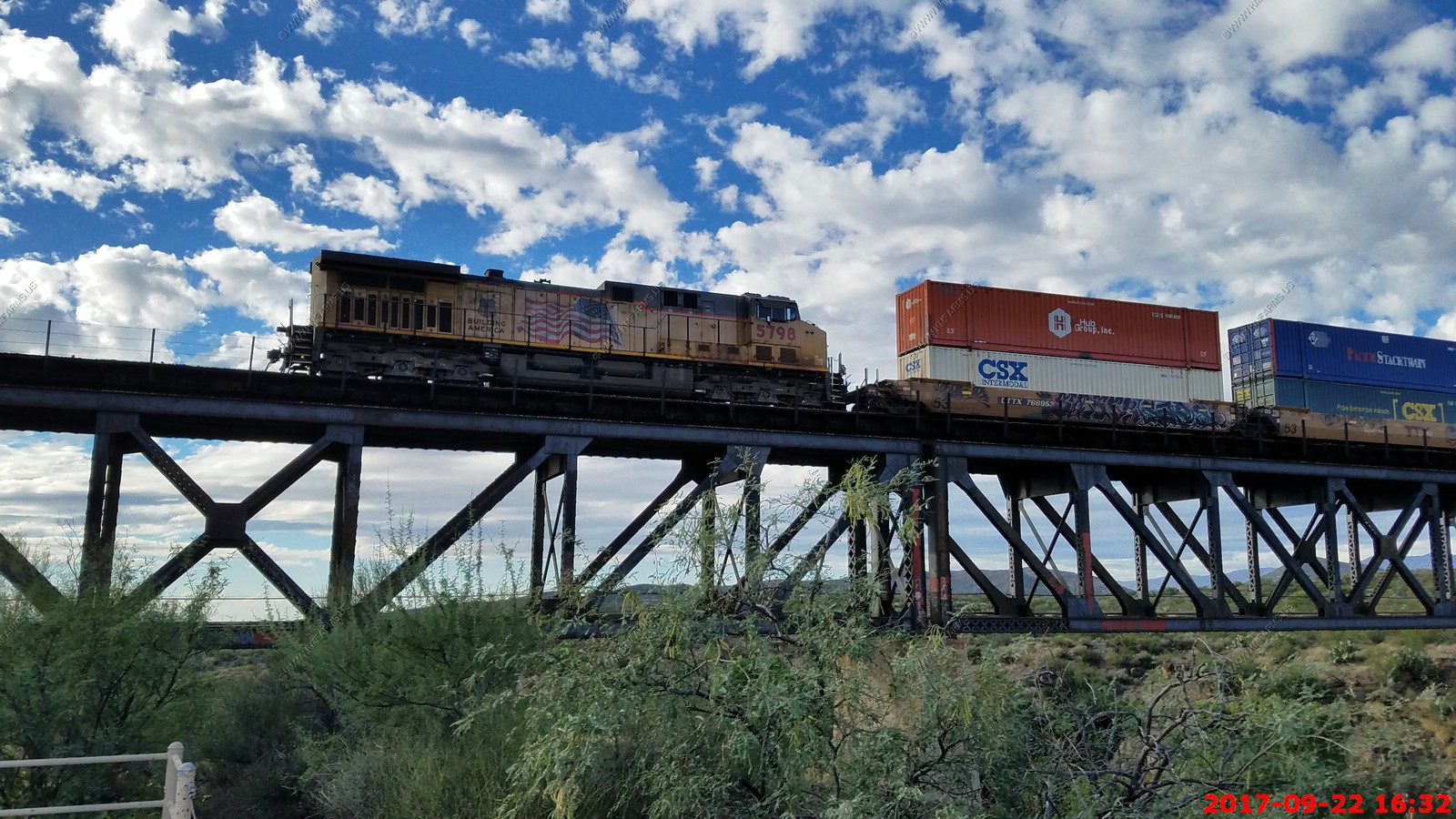
We caught up to another east bound stack train
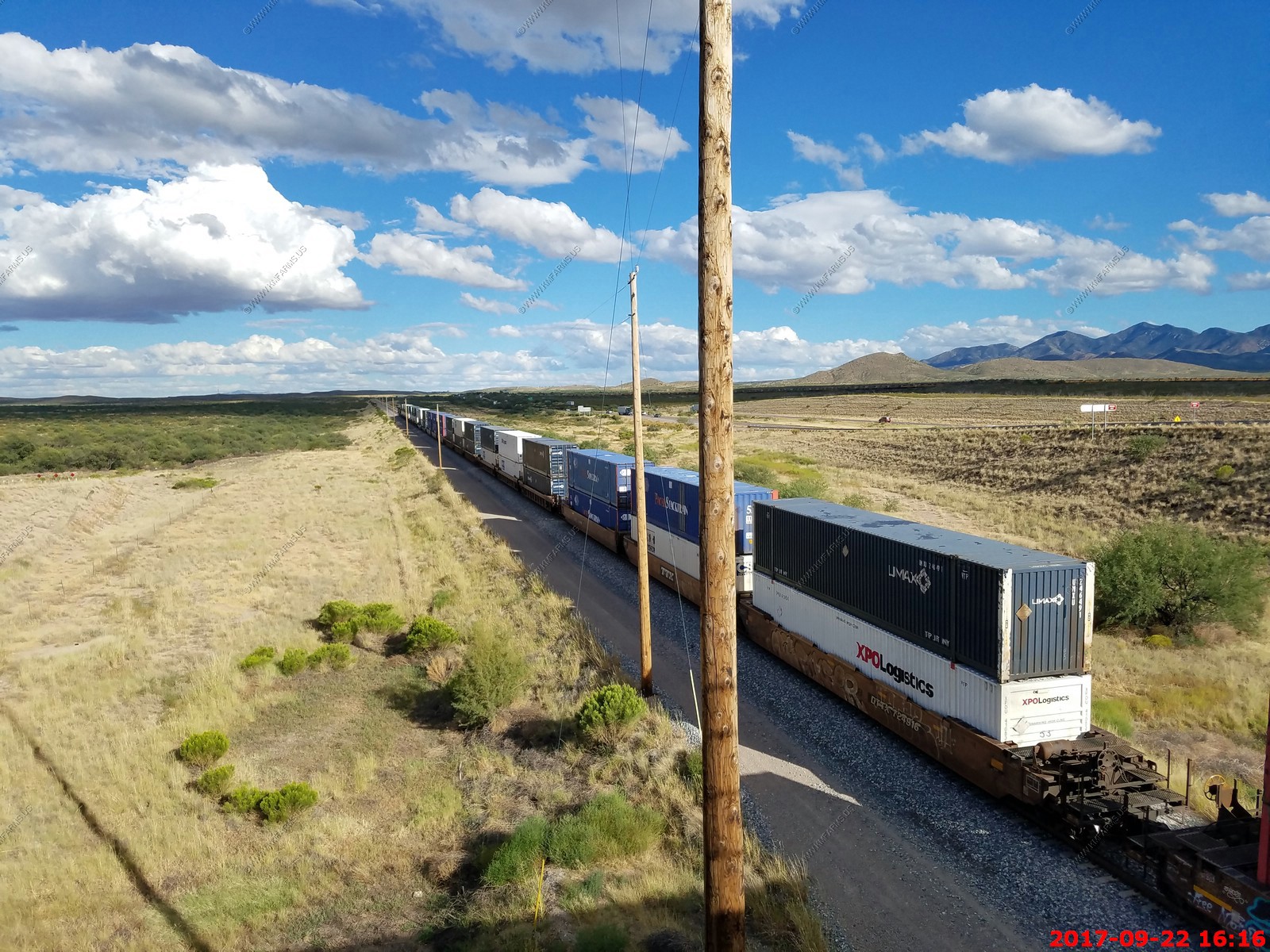
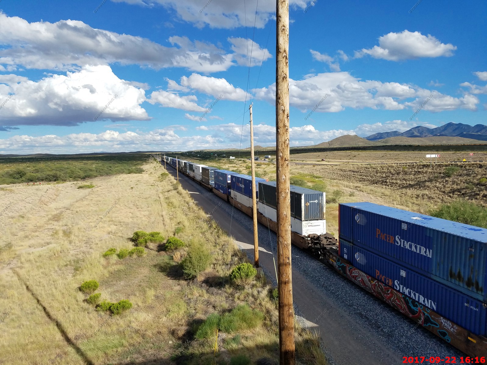
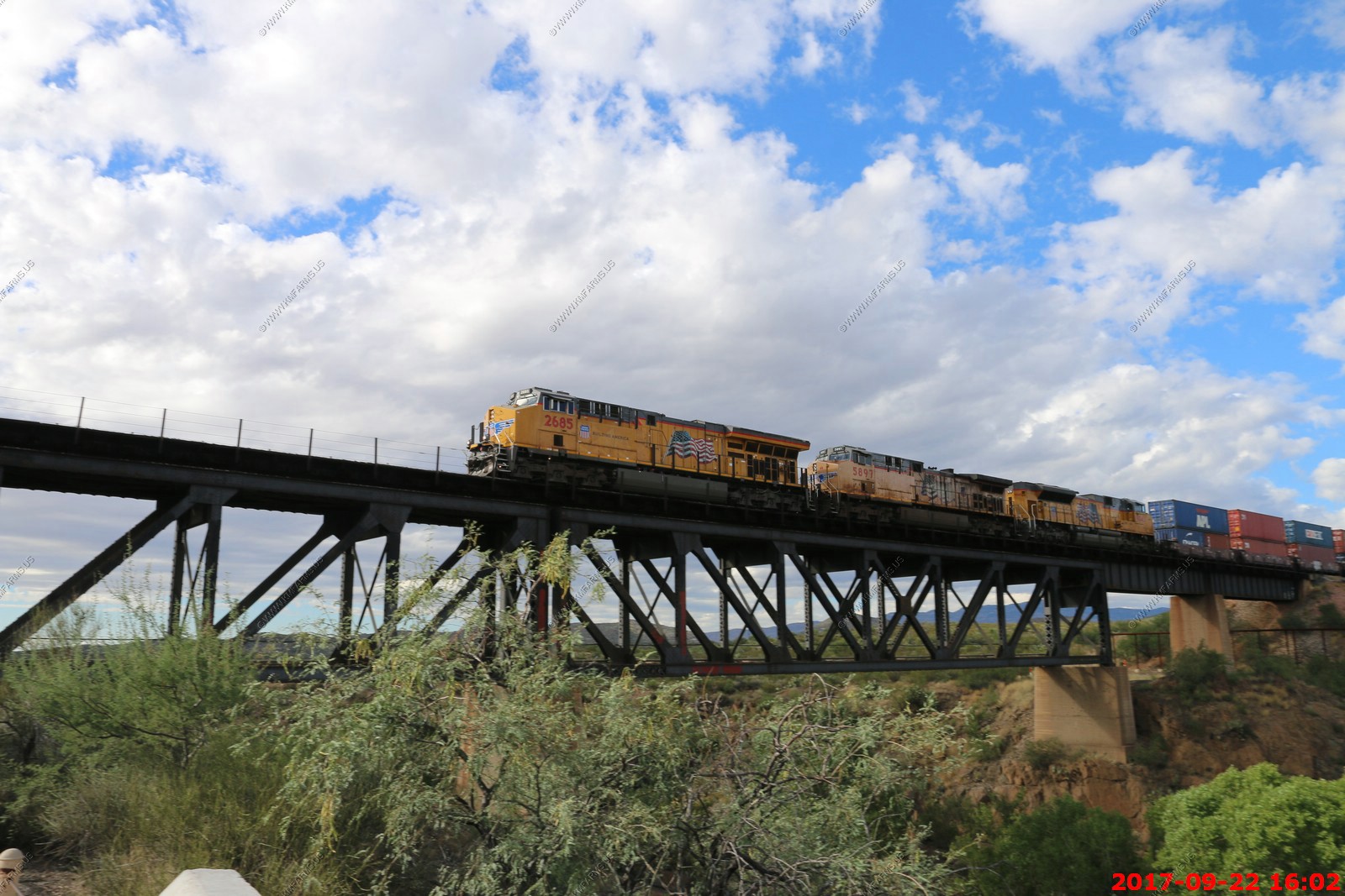
A few minutes another east bound. I had Mary taking these photos and I was filming. A woman engineer was waving at us. They probably don't see many female rail fans.

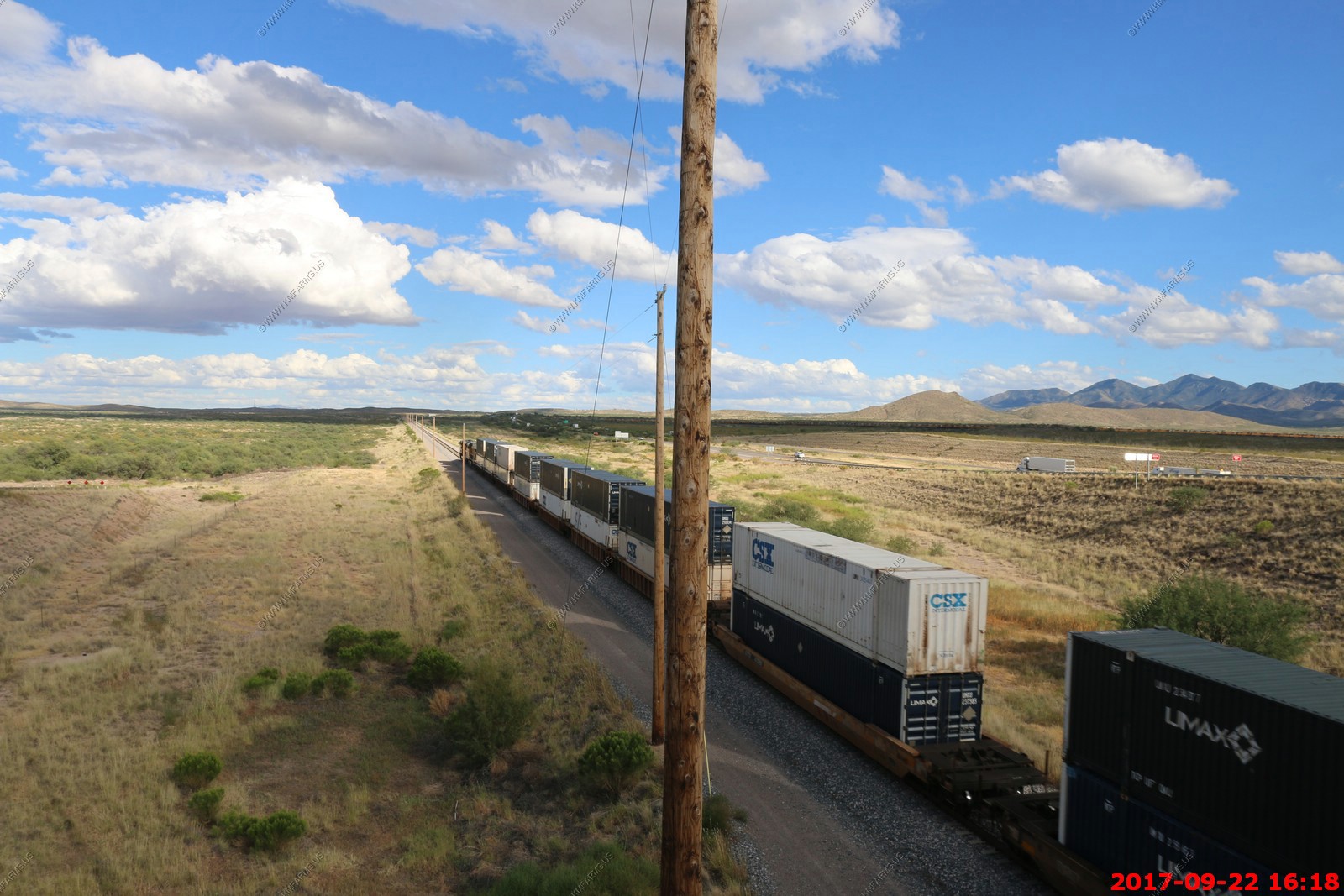
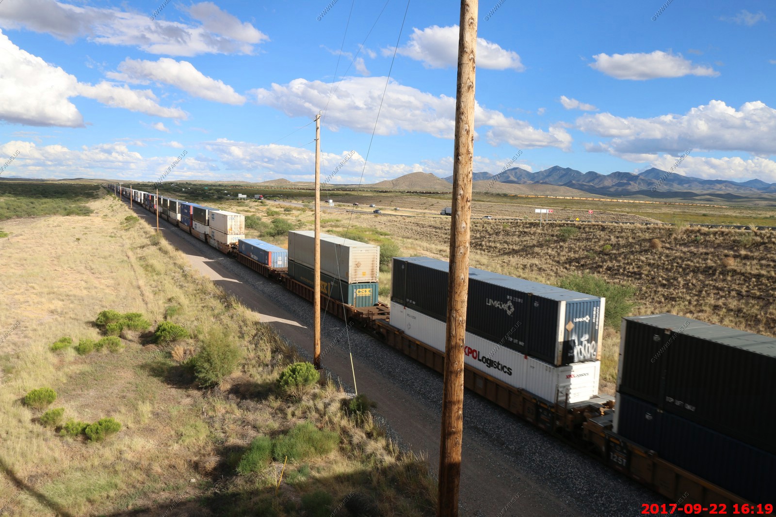
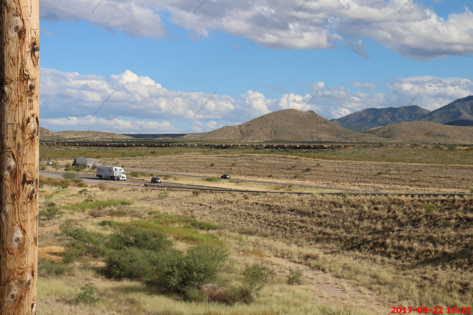
The pusher was really struggling as this is uphill to the east.
Across I-10 you could see the Union Pacific diesel engine storage area. UP has around 300 unused (old) diesel engines stored on a 3+ miles section of track cut off by the I-10
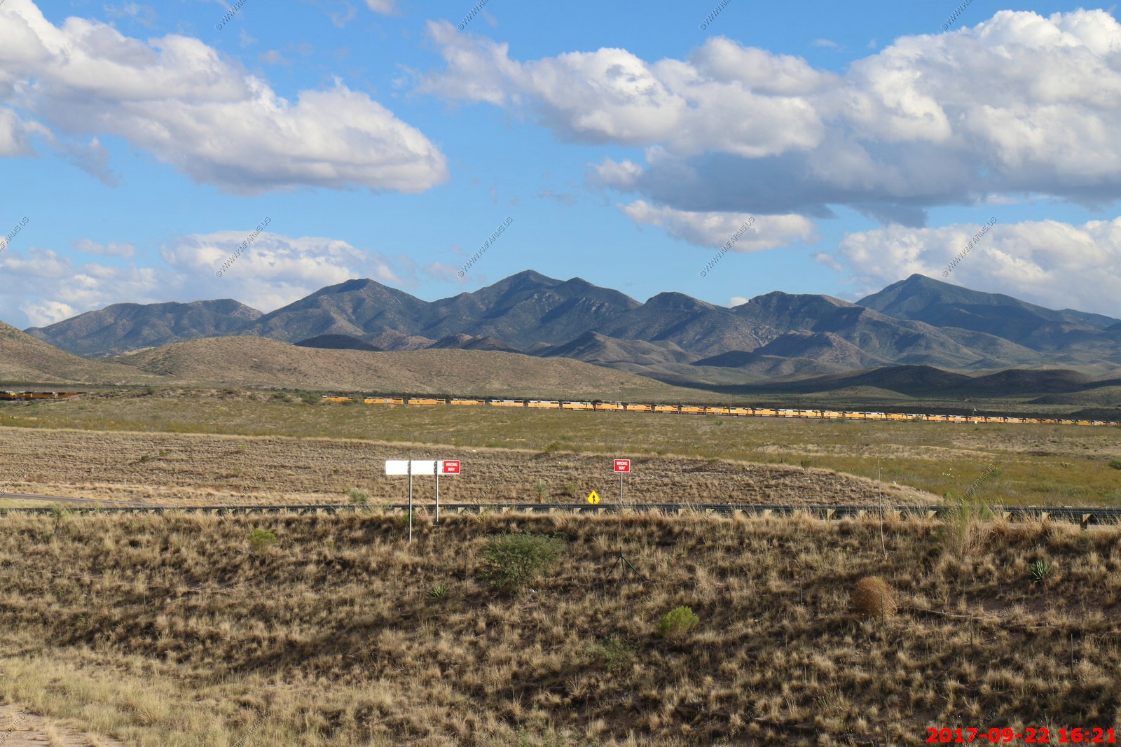
We chased a east bound train back to Cienega Creek to see it cross the bridge.
Another rear pusher
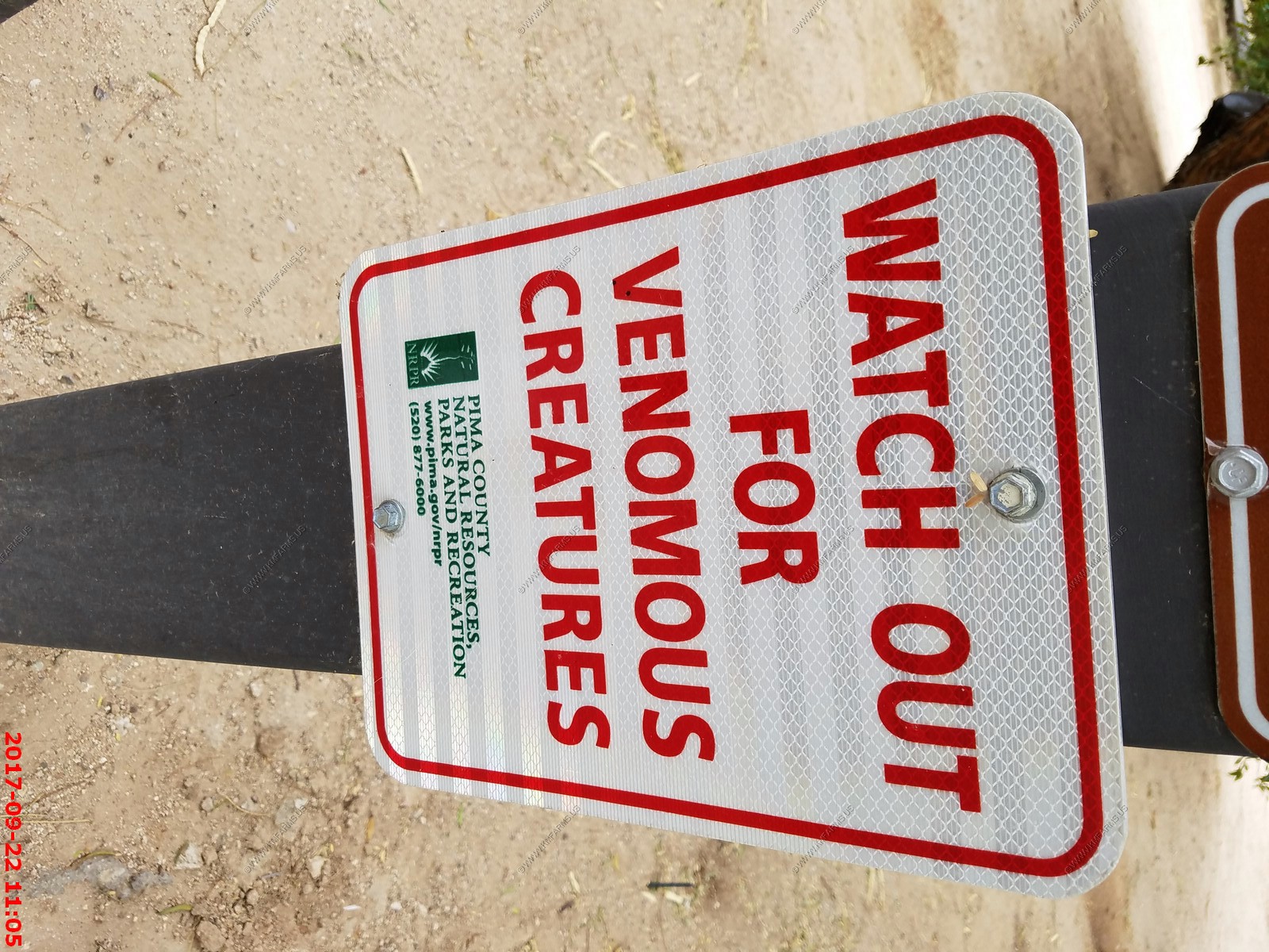
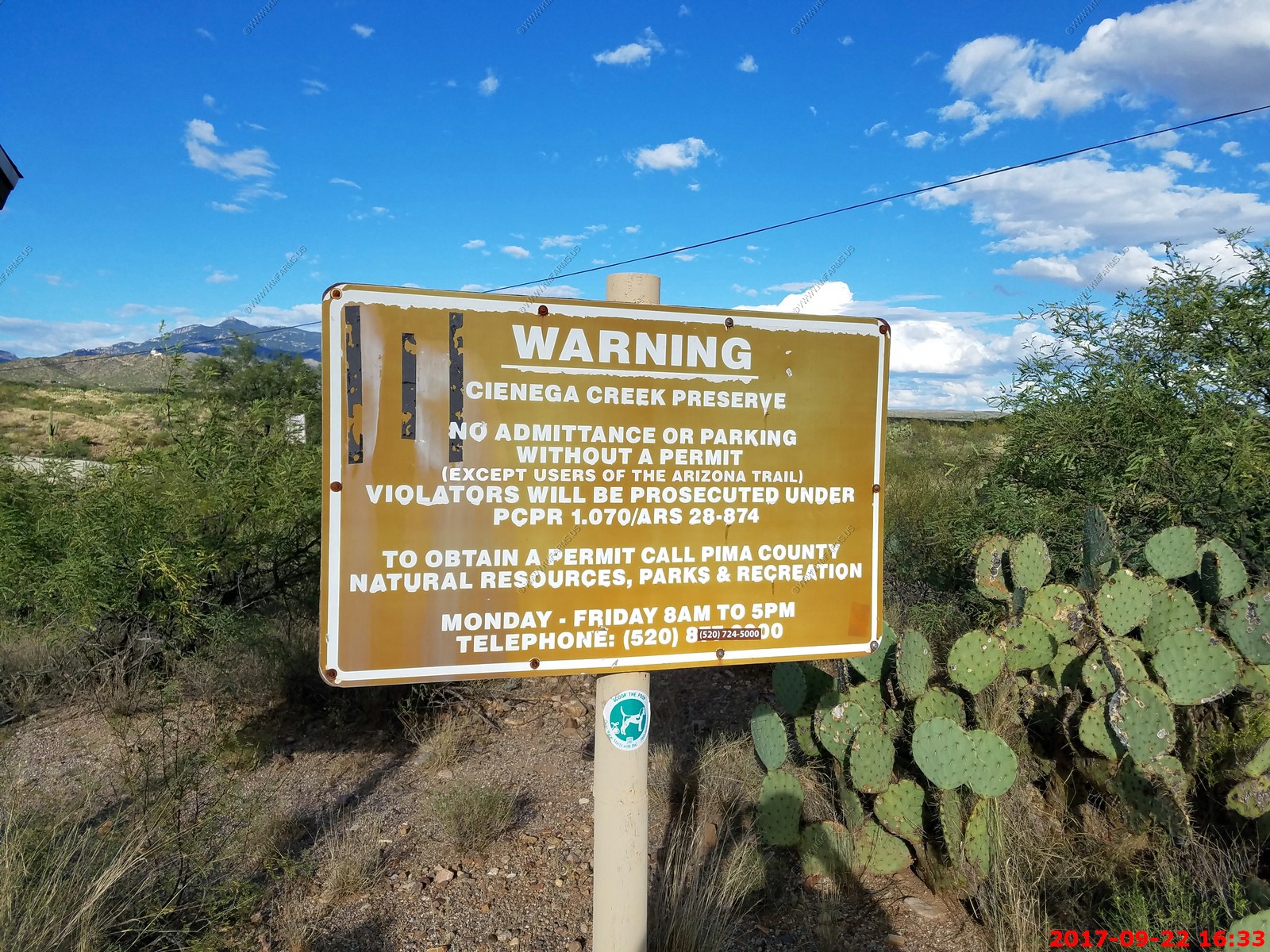
You have to call and get a permit to hike here. Many issues here. First it's a dangerous area as this is an illegal & narcotics transit area. Also, you don't want to leave your car all alone here. We will wait till we live out here and hike the area heavily armed so we can deal with any issues that we may encounter.
Interesting gang graffiti consisting of Fries, Burger & Drink with a 17 in it. My uncle Dale probably belongs to this gang.
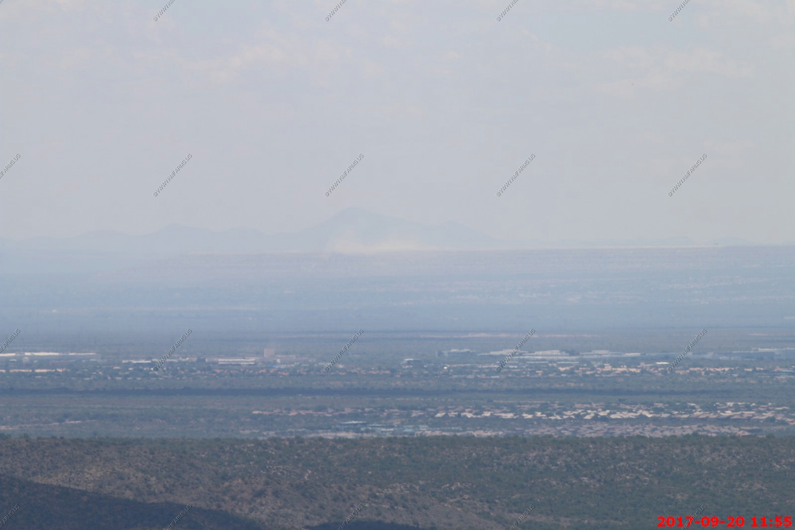
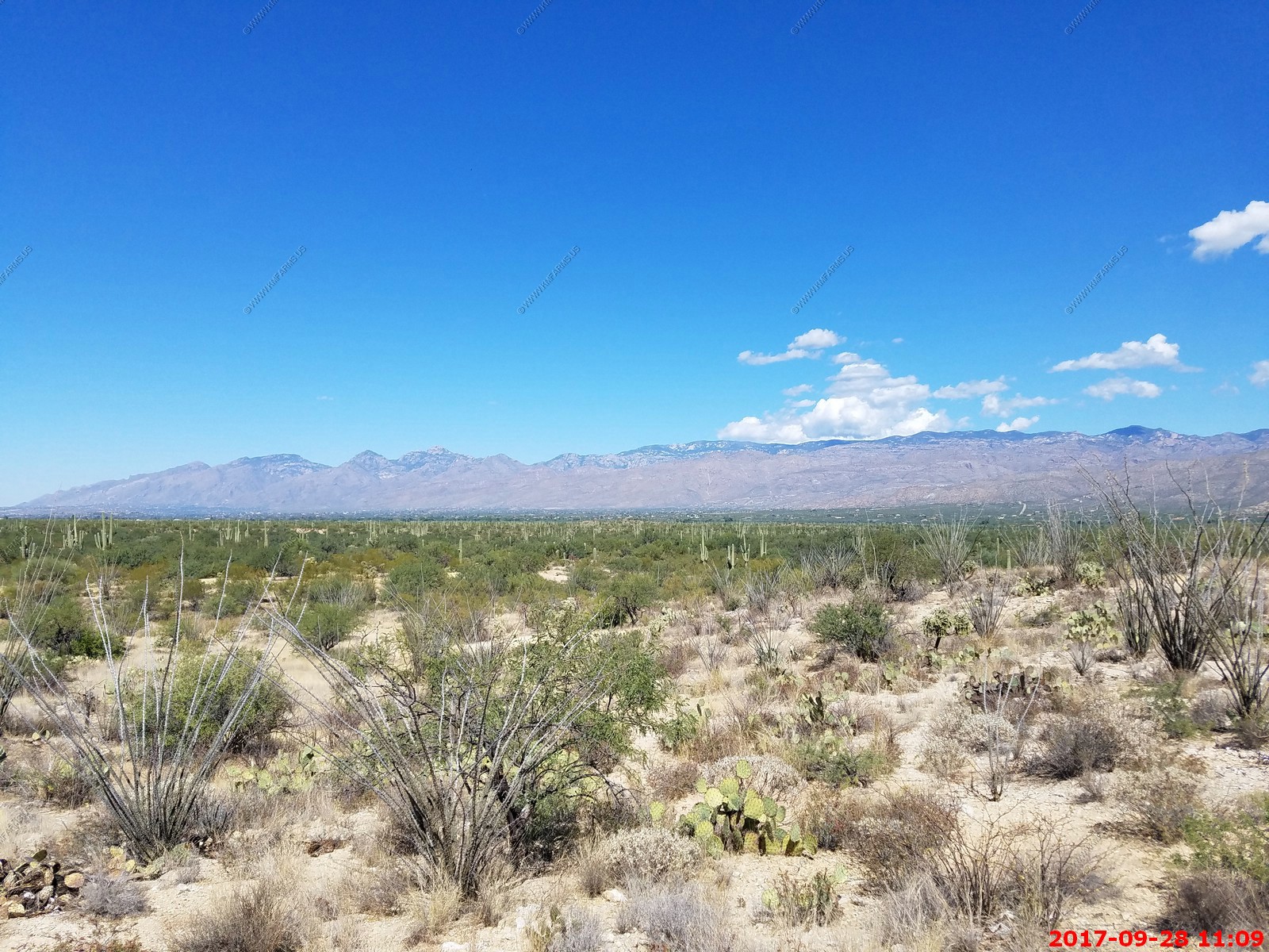
This is the view from S. Pistol Hill Road near Colossal Cave Mountain Park. Downtown Tucson is 20 miles. The end of the Catalina's are 27 miles and you can even see Picacho Peak from here which is 60 miles.
Sunset at the house. Today we went for a walk around the property
One of the many reasons I like Tucson. From everywhere you can see the mountains. Not the case in Phoenix.
Saturday SEP 23rd
HOUSE SEARCH DAY - 1
Since we don't like to go to parks on the weekends, We had one weekend here so the plan was to do our house searching on SAT and SUN
We went to went down to the Rincon Valley Farmers & Artisans Market along E. Old Spanish Trail in Vail which when we live her we will visit often. People were very friendly and there was a number of different stands selling art that we would have to use to populate our Southwestern theme. We bought bread, beef jerky and I picked up some tortilla chips as well as some pulled pork off of a Indian (native) looking guy that drives all the way from Silver City New Mexico to go to two markets in this area each weekend. We came home and ate that and it was very good. Our house hunting started at 13:30 so we had to be fueled up and ready.
| Saturday & Sunday Relocation House Research - SEP-2017 |
Back from house hunting part of the vacation
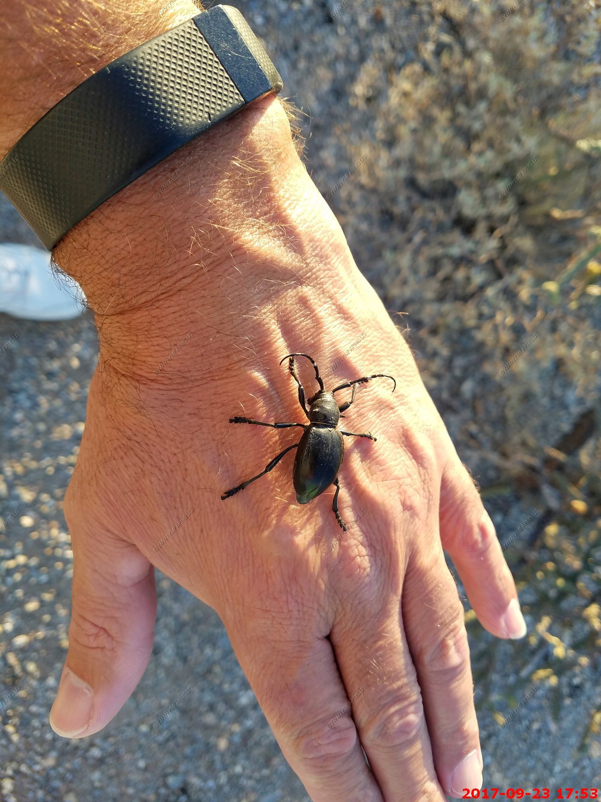
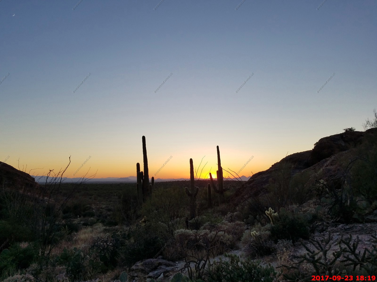
After looking at the four houses, we drove over to Saguaro National Park East to watch the sunset. Ken was playing with a Pinacate Beetle and or darkling (Stinkbug). Never had one stink me and I play with these all the time as they are cool.
We parked at Javelina Rocks - Saguaro National Park East to watch the sunset.
You can see 60+ miles across the valley
Mary watching the sunset. She was scared of critters so stayed closer to the trail
More sunset
Fighting the crowds and this is a Saturday night
Crested Saguaros
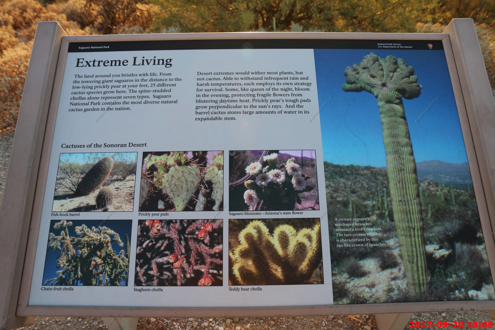
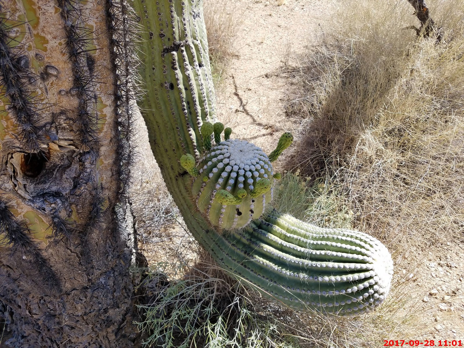
Even when saguaro cacti grow in their normal form, they rarely grow symmetrically. Saguaros sometimes grow in odd or misshapen forms. The growing tip occasionally produces a fan-like form which is referred to as crested or cristate. Though these crested saguaros are somewhat rare, over 25 have been found within the boundaries of the park. Biologists disagree as to why some saguaros grow in this unusual form. Some speculate that it is a genetic mutation. Others say it is the result of a lightning strike or freeze damage. At this point we simply do not know what causes this rare, crested form.

Amazing colors as the city lights are showing up
Back at the house watching the sunset
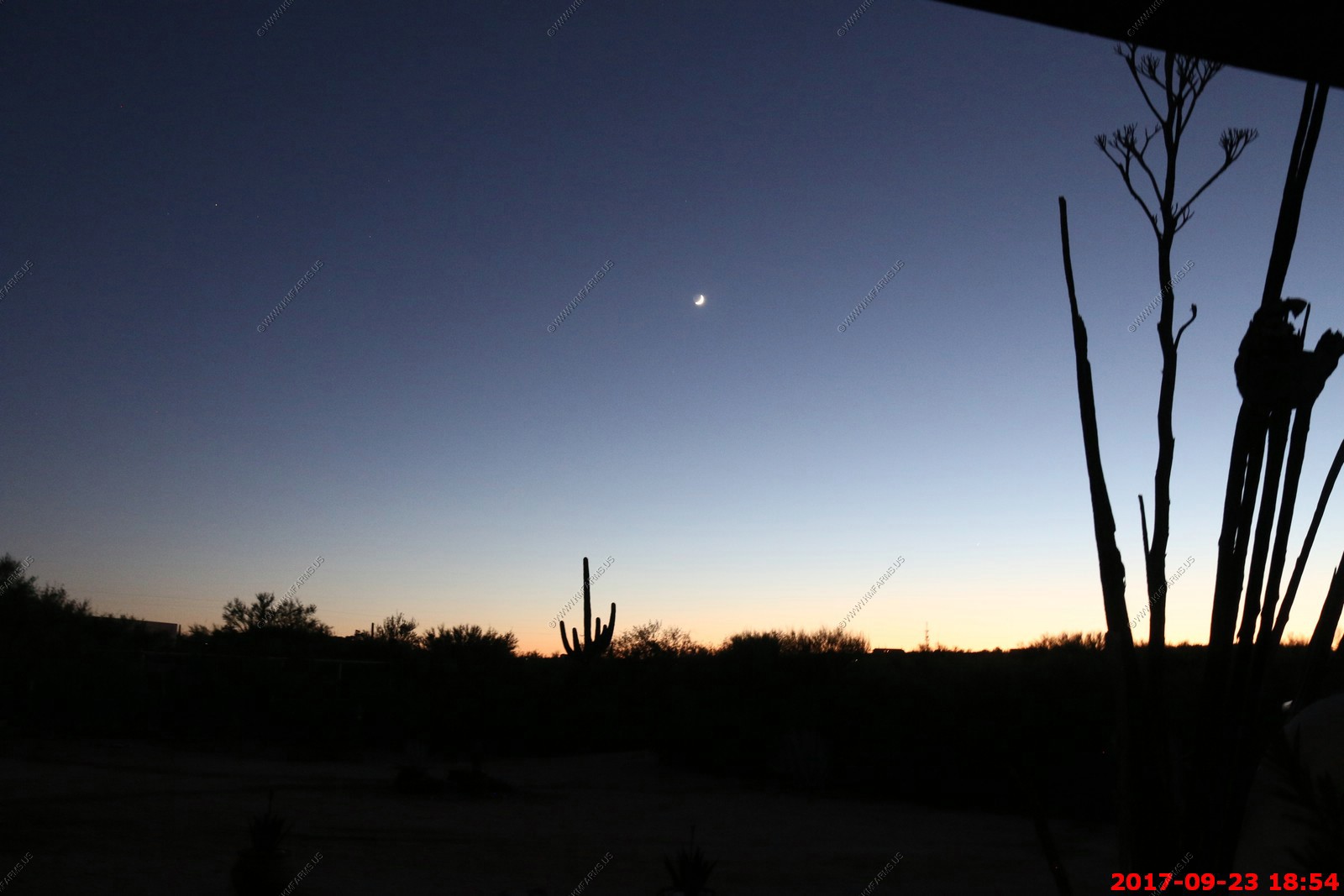
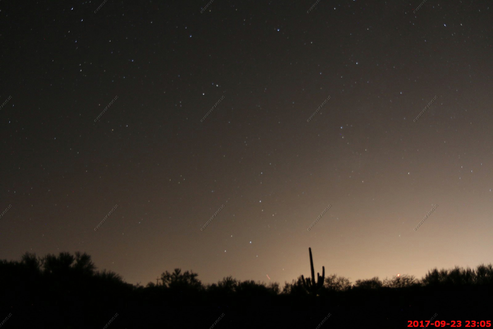
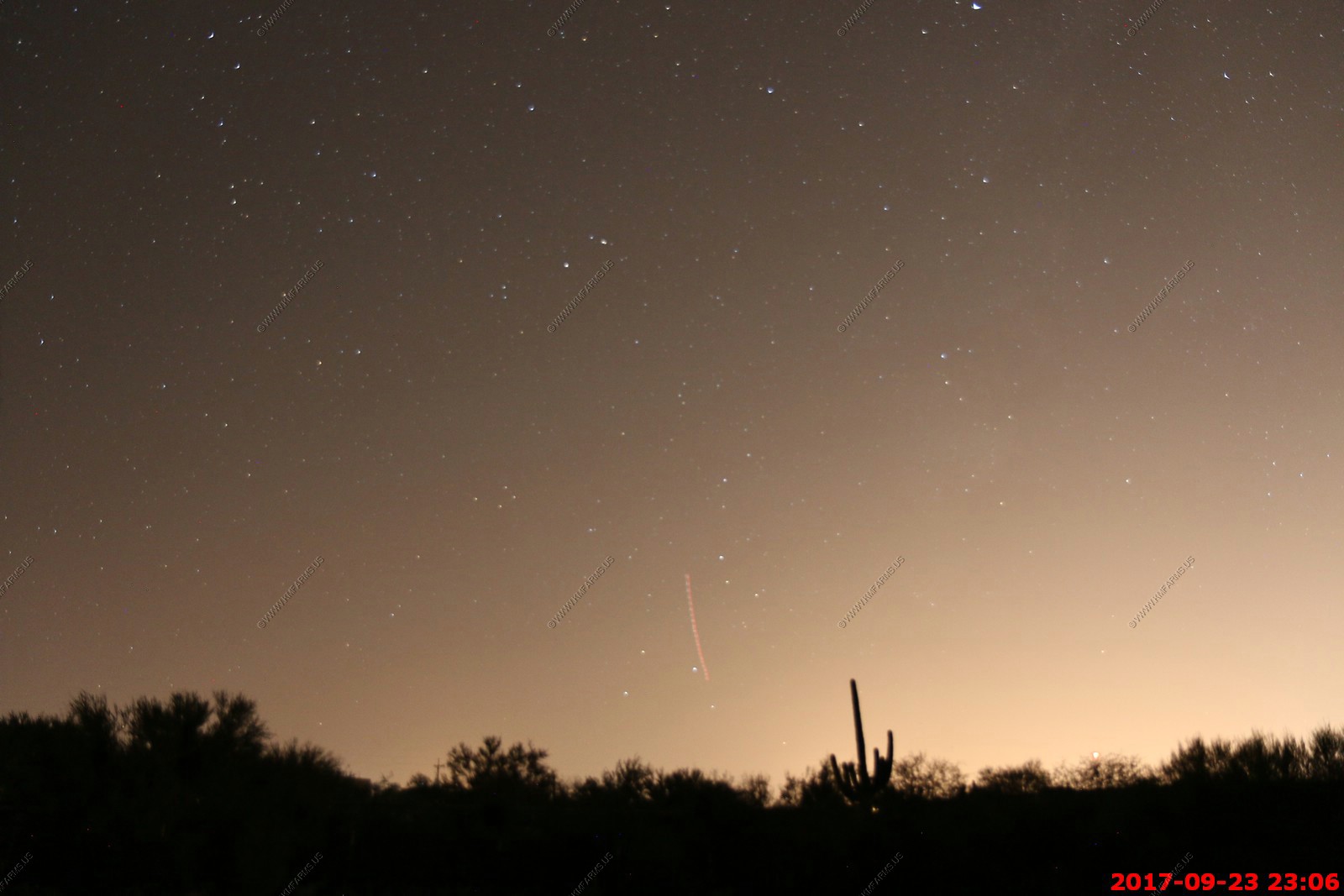
Couple of shots with the good camera looking at the stars.
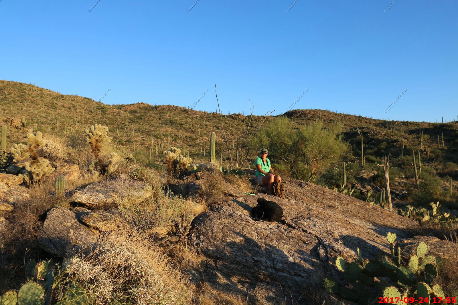
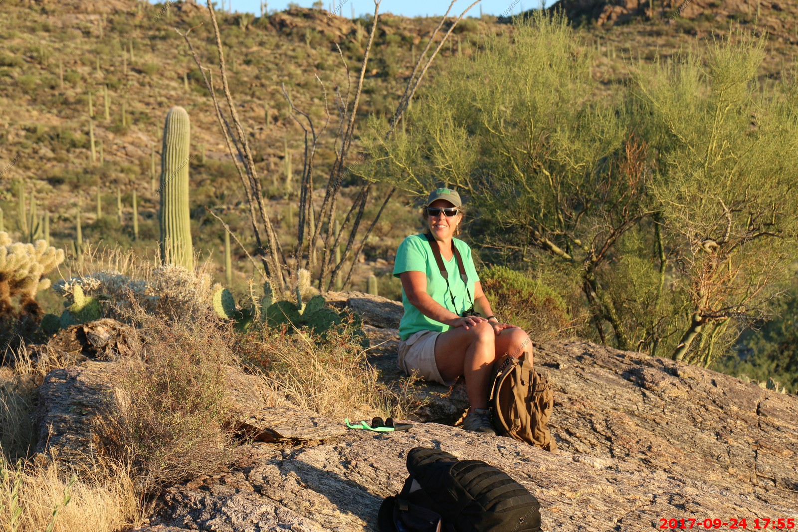
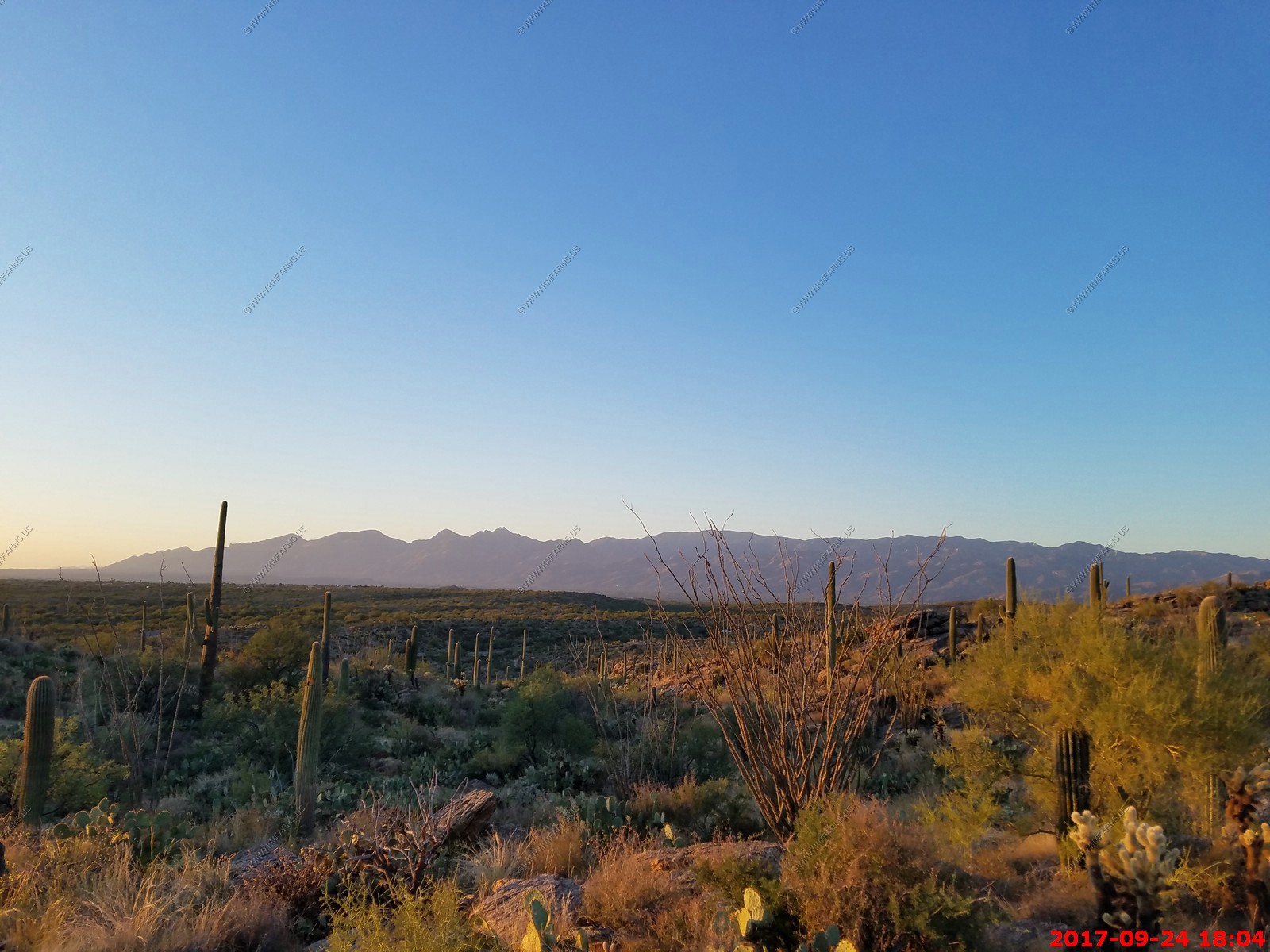
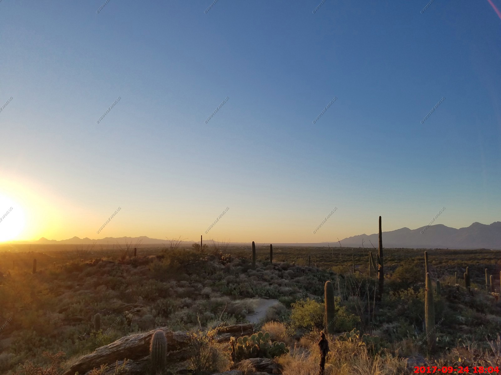
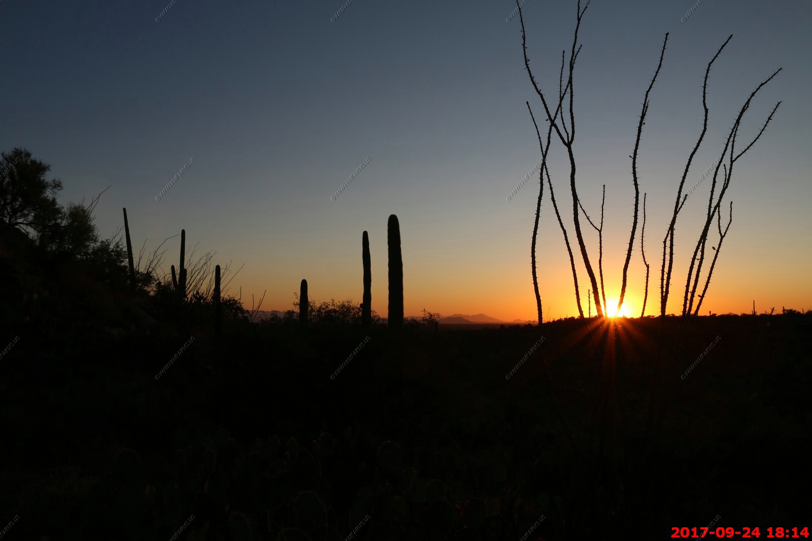
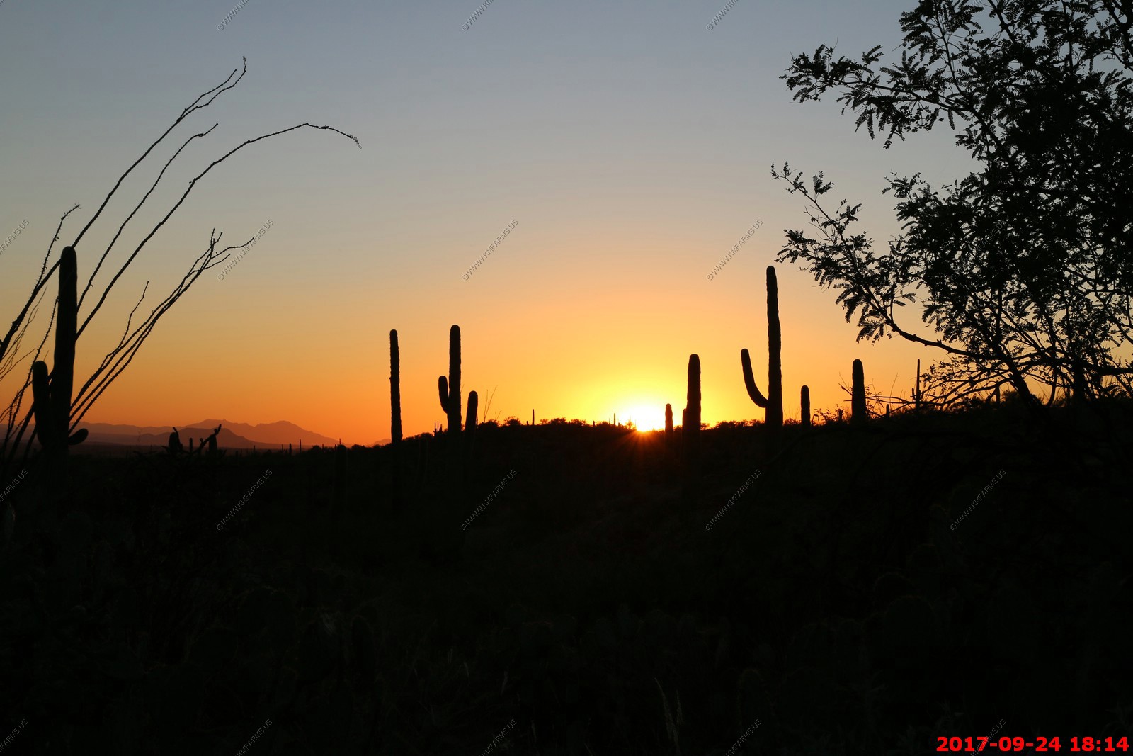
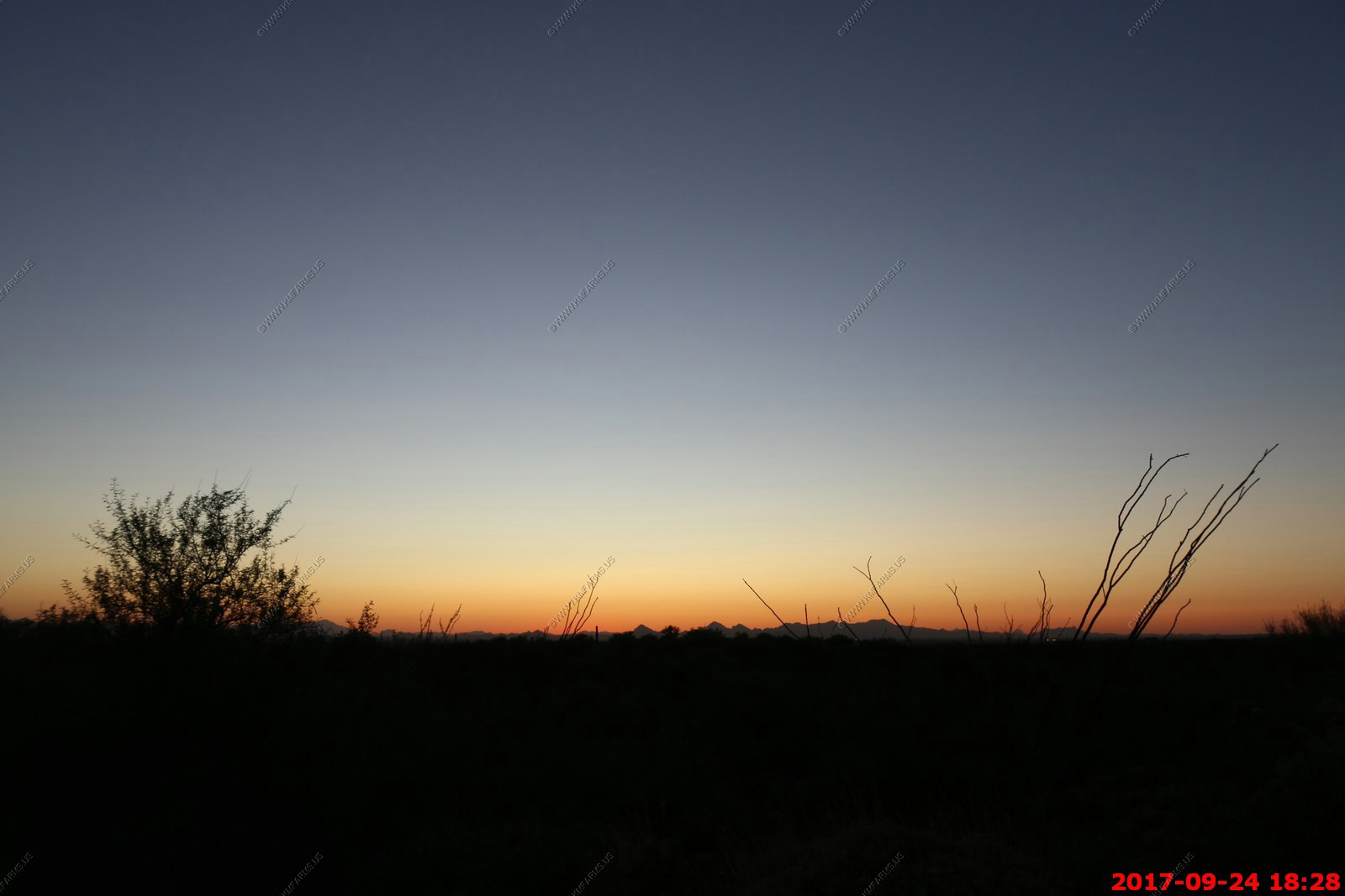
Sunday SEP 24th
HOUSE SEARCH DAY - 2
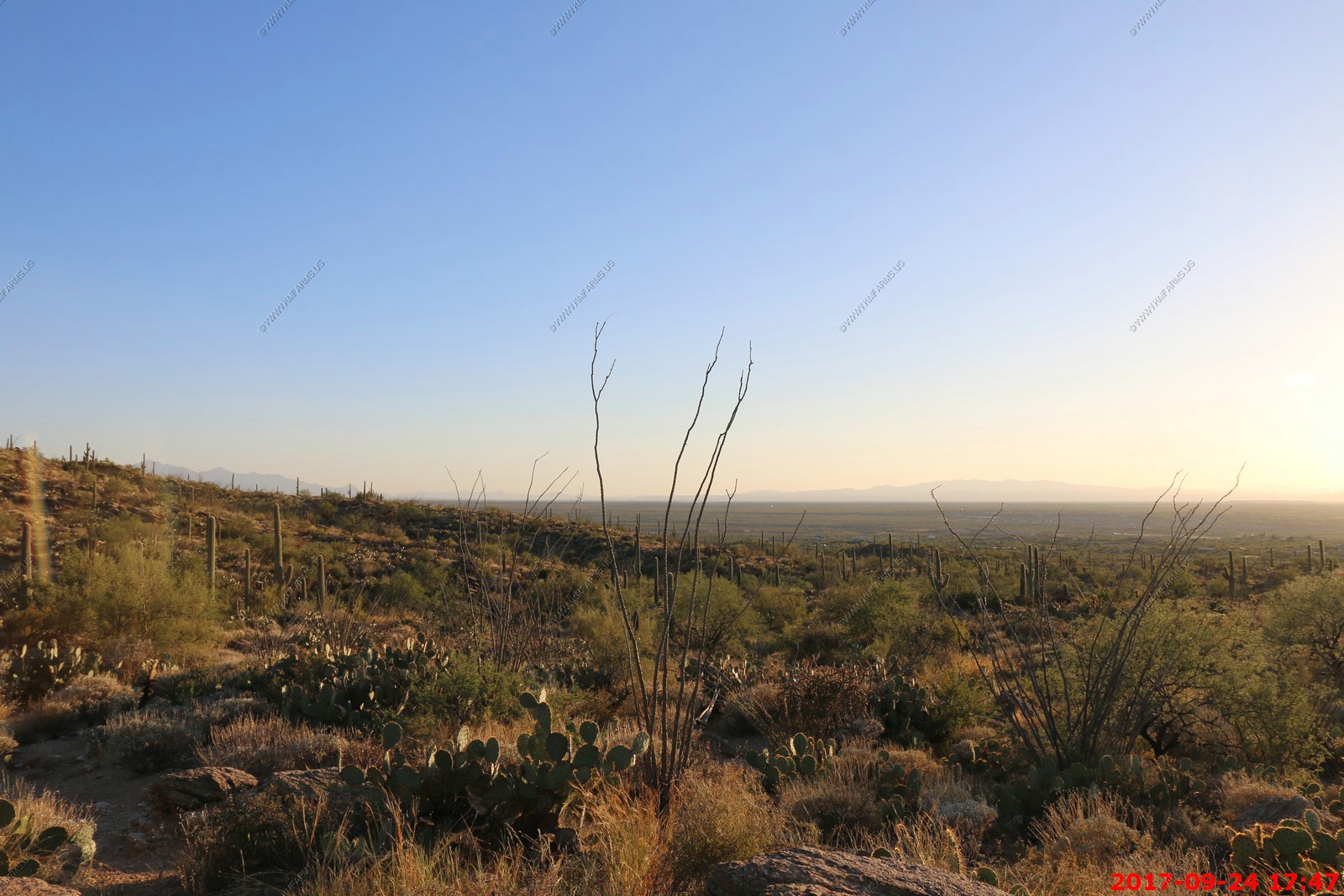
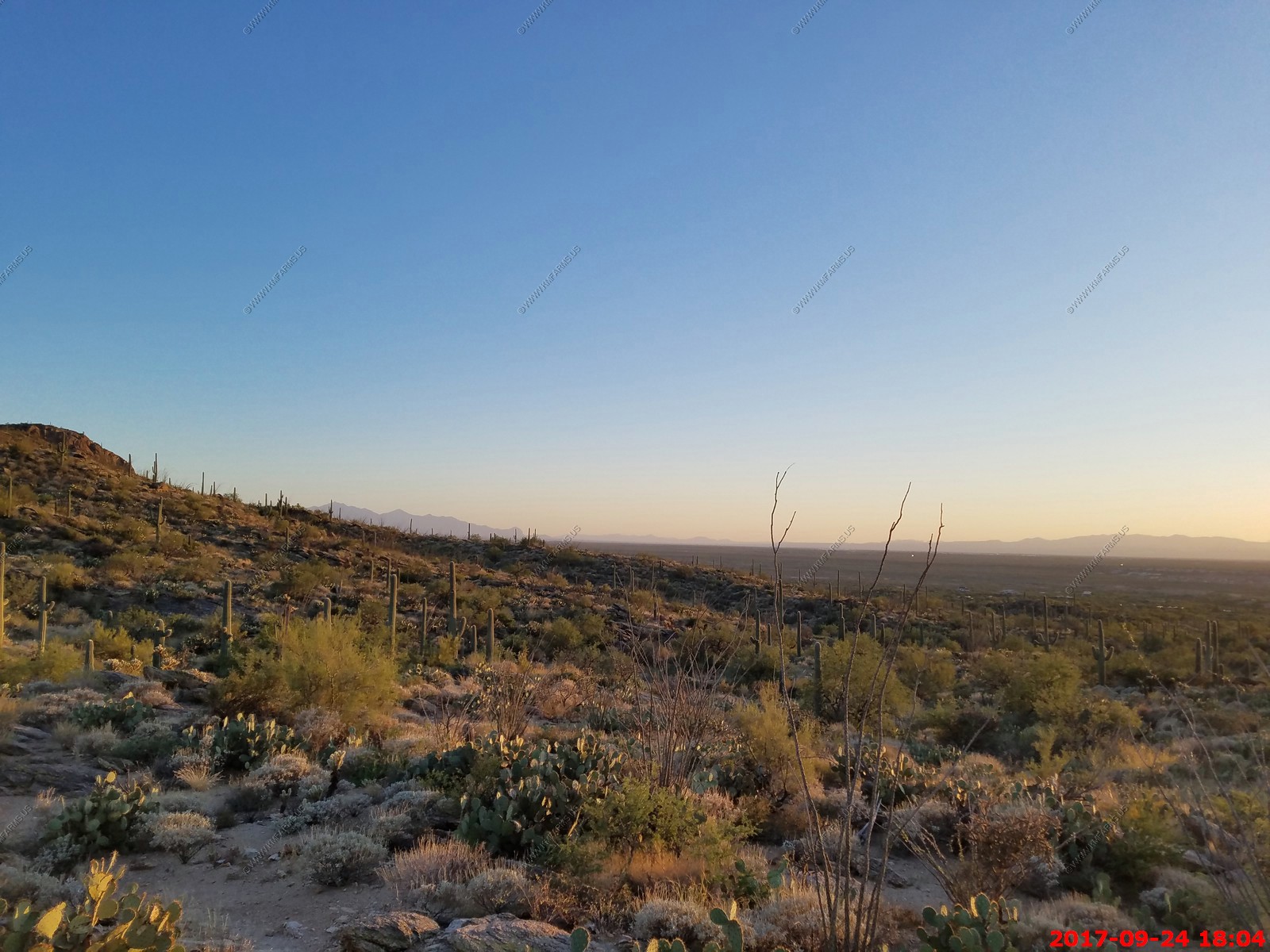
Sunday we got up and had a nice morning as we did not have to meet the realtor until 10:15 at house one of two today which were both about four miles from here. We then went back and spent the afternoon at the house enjoying the pool. At sunset we went back over to Saguaro National Park East and parked at Tanque Verde Ridge Trail and hiked a mile or so up the trail to watch the sunset.
| Saturday & Sunday Relocation House Research - SEP-2017 |
Back to the house to relax in the pool

Sunset hike again - Back to Saguaro National Park East
I love this sign. This happens to me every day that I drive and go to work.
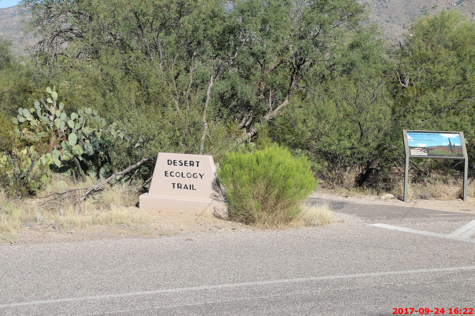
We hiked on the Desert Ecology Trail - Various views and signs


Back to the packed parking lot on a Sunday no less.
Great place to ride a bike
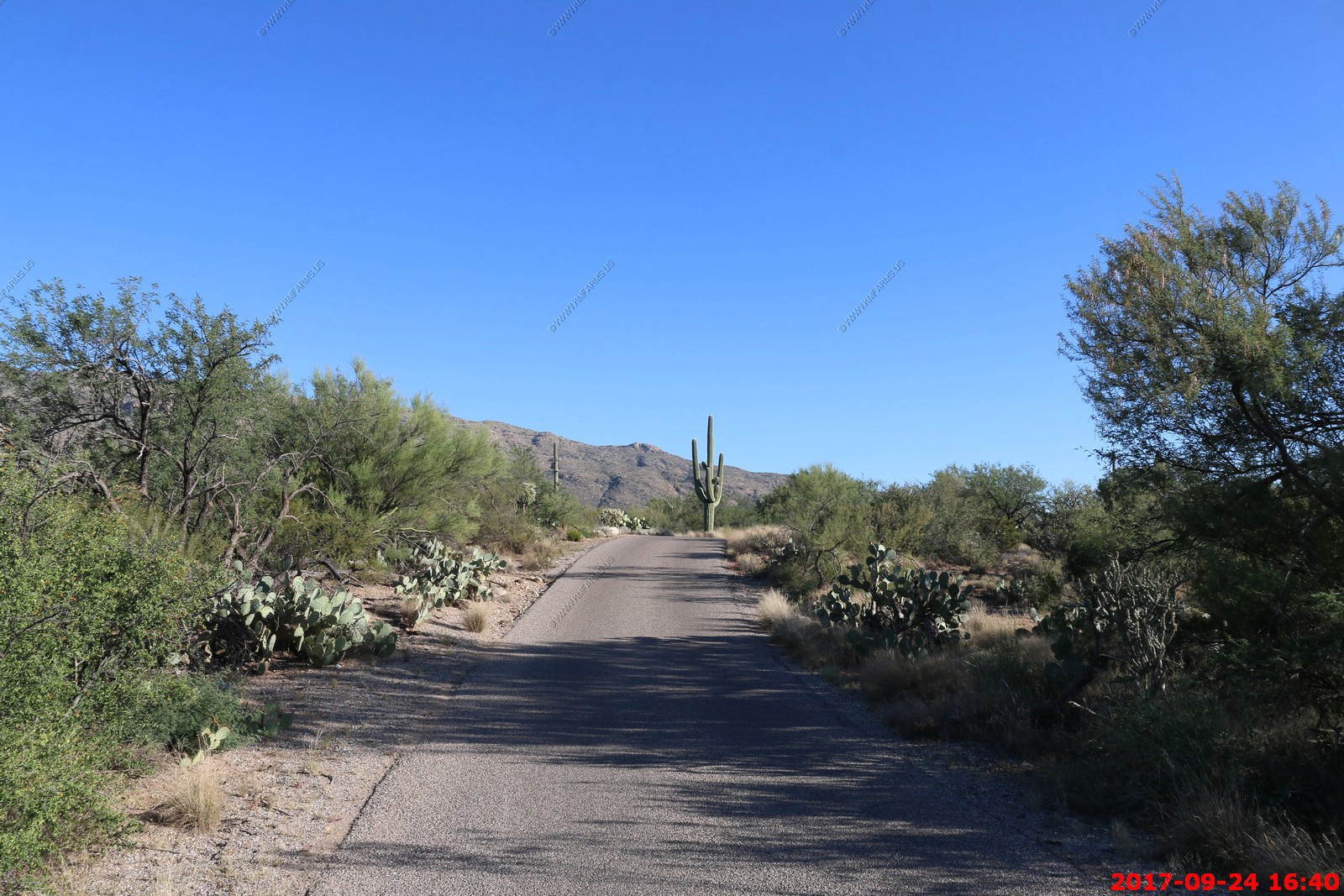
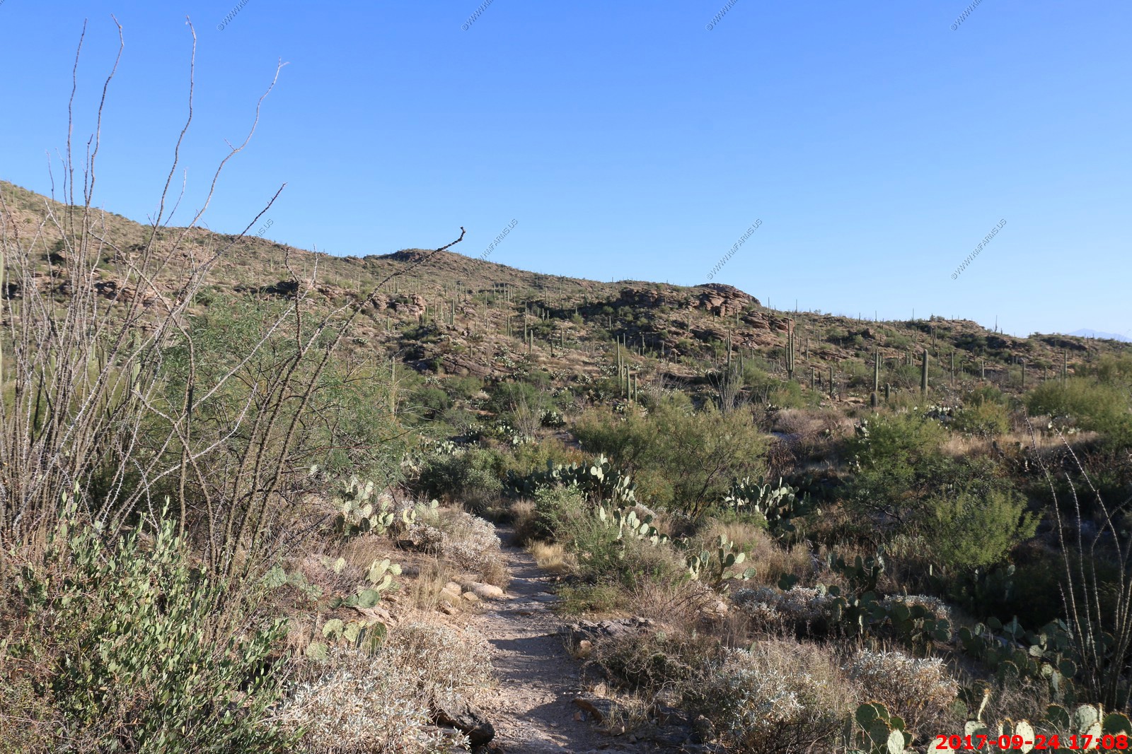
So we rode back to the Tanque Verde Ridge Trail, Saguaro National Park East parking area.
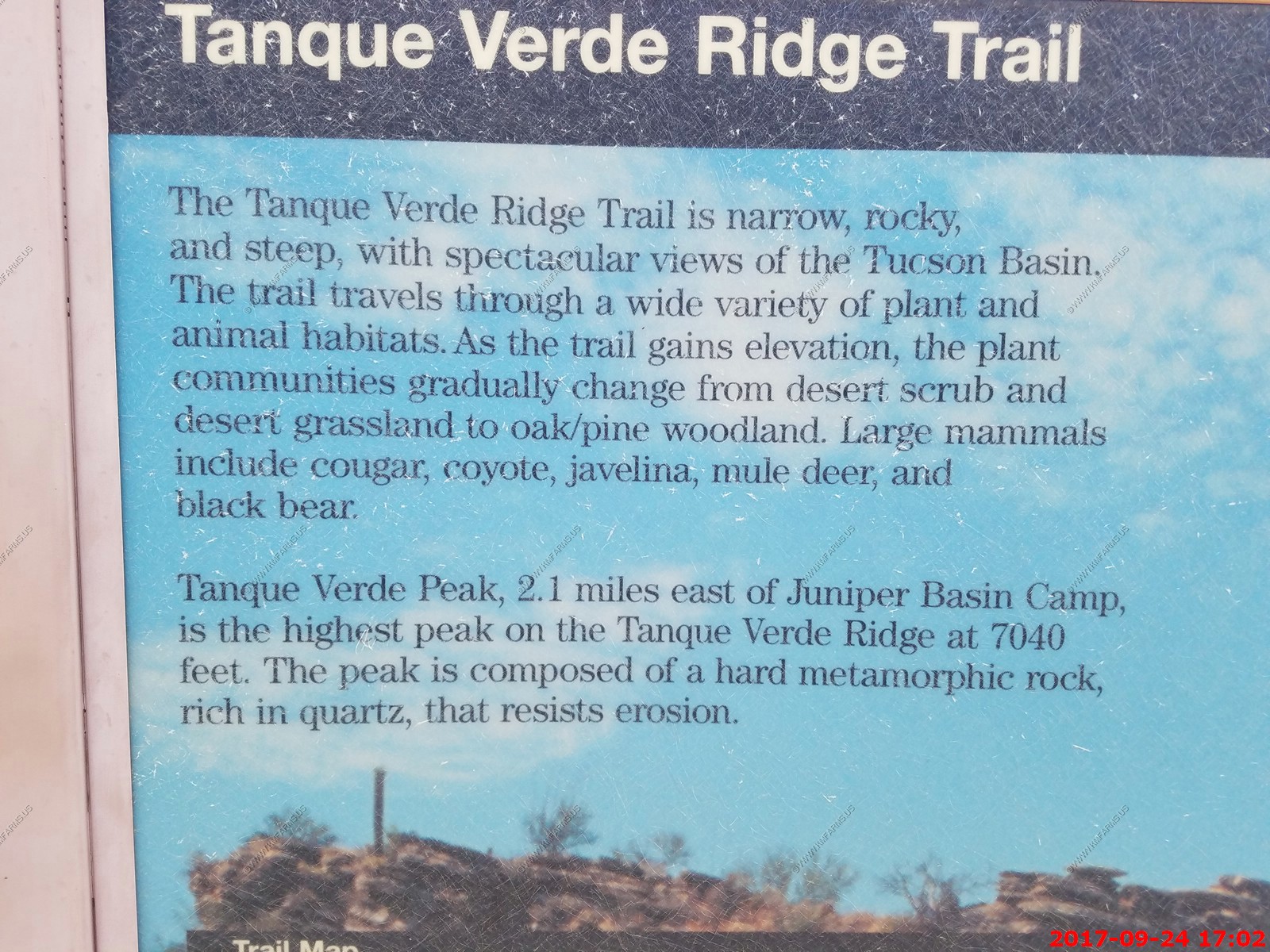
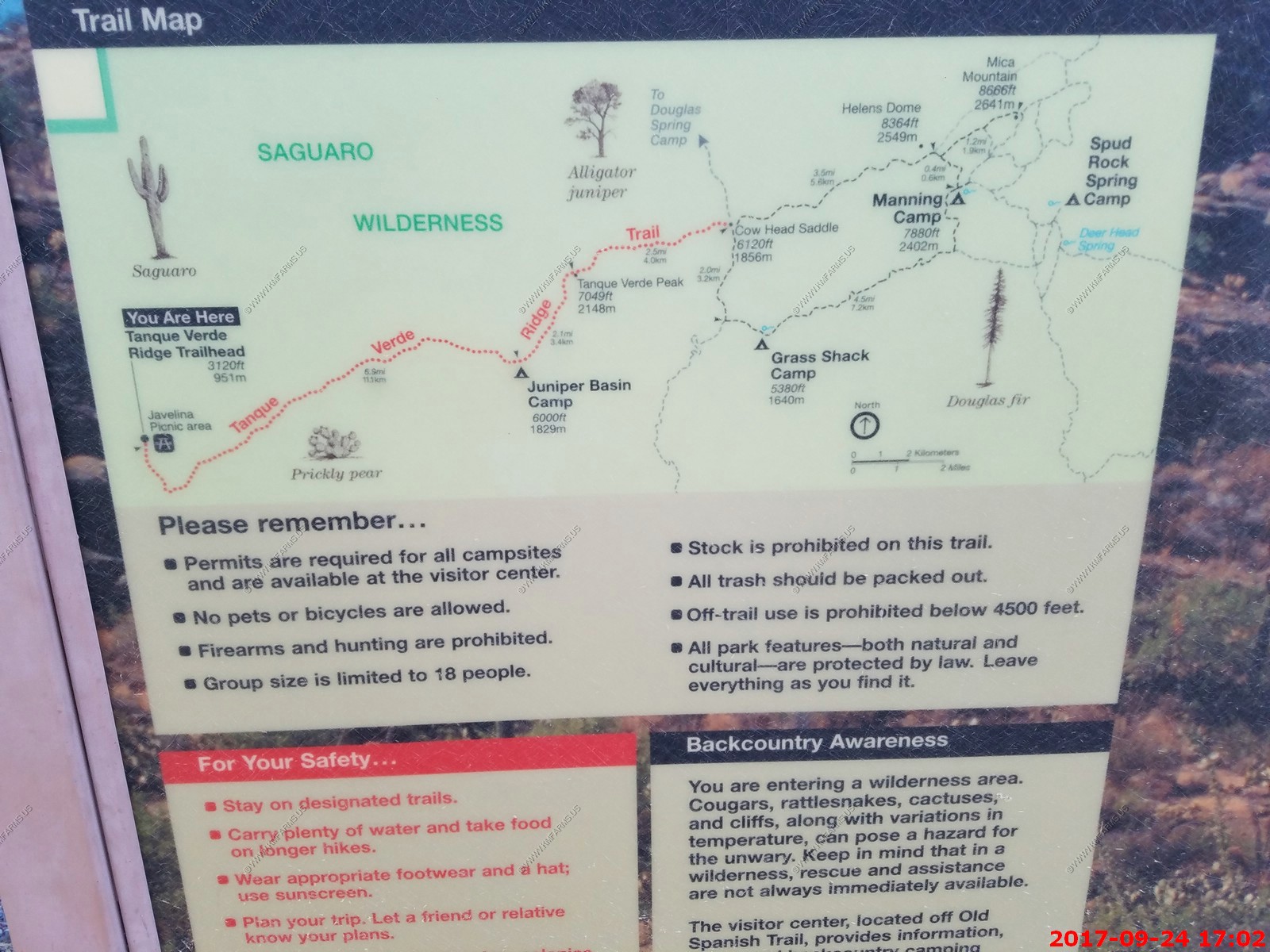
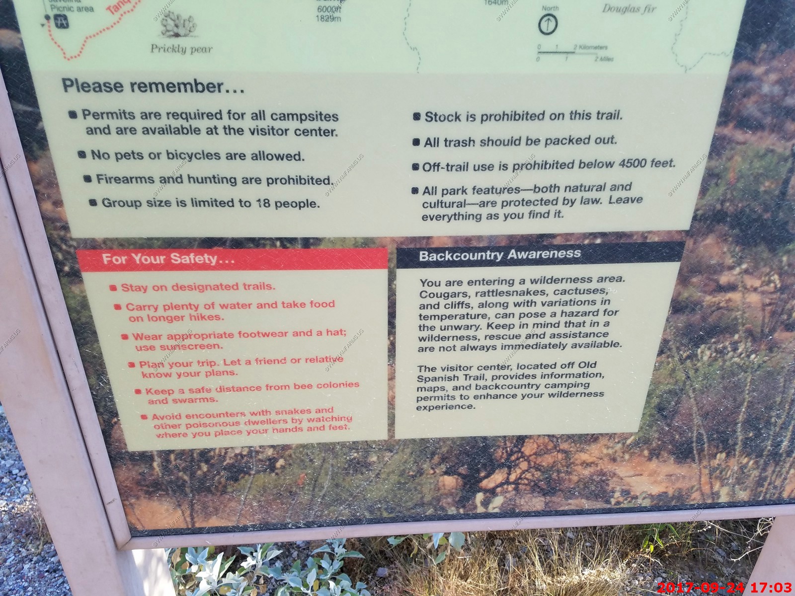
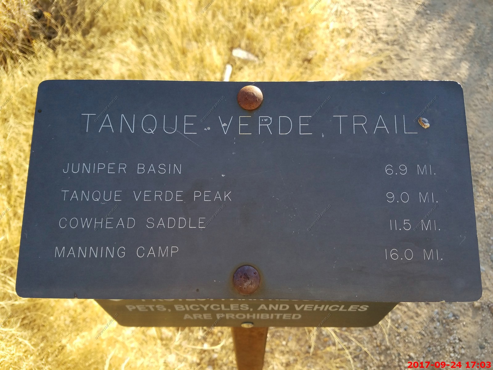
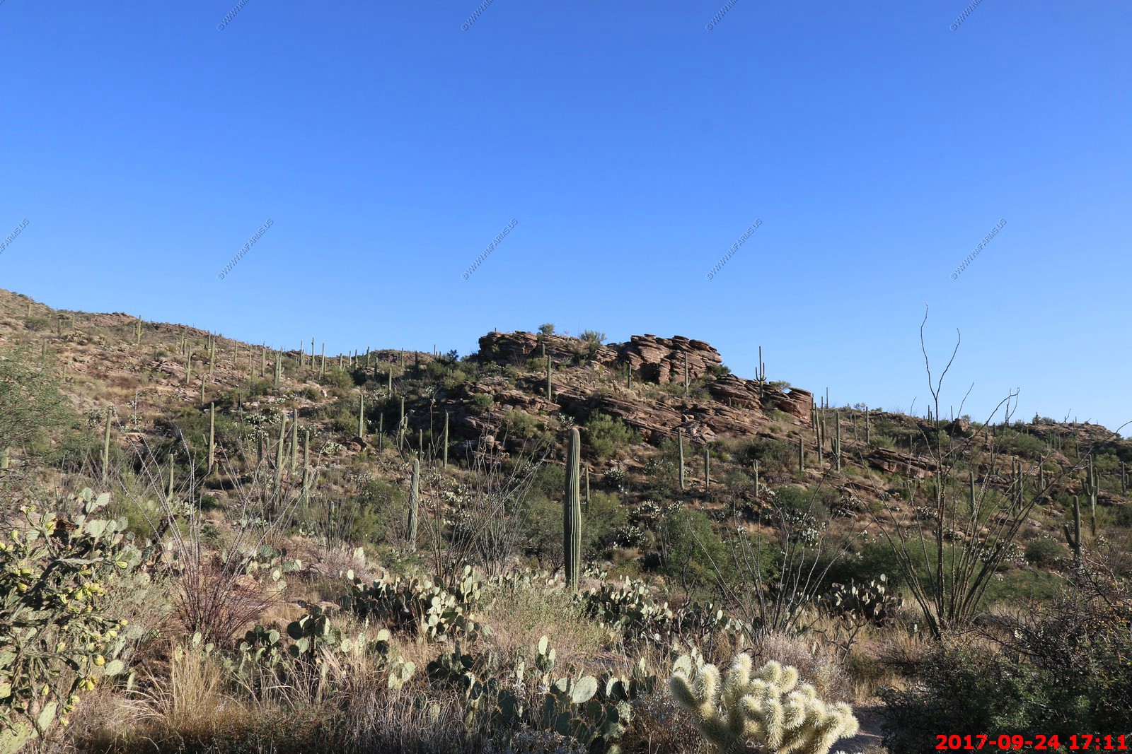
The main path ascends quickly at the start and experiences several distinct changes in vegetation over the first few miles, from cholla (Cylindropuntia bigelovii), prickly pear and dense forests of saguaro at first, through colonies of ocotillo, agave and yucca, then into open grassland, followed by pinyon-juniper trees around 5,500 feet (including Juniper Basin, location of a primitive campsite), and ponderosa pine forests at the highest elevations. The varying vegetation is one appeal of the hike; the other is the long distance panorama, over deep valleys to the north and south, higher mountains beyond, and across the Tucson Basin to many other distant ranges to the west. Just walking two or three miles along the trail is enough to experience both these aspects, but for longer trips taking all day, two possible destinations are Juniper Basin after 7 miles or 7,049 foot Tanque Verde Peak after 9 miles. The entire route is exposed and some places are quite steep, so the trip is not recommended for the hot summer months, but during cooler times the hike is relatively easy.
We will make the full hike when we live out this way.
Its a good trail but you do have to pay attention as you don't want to bump into things

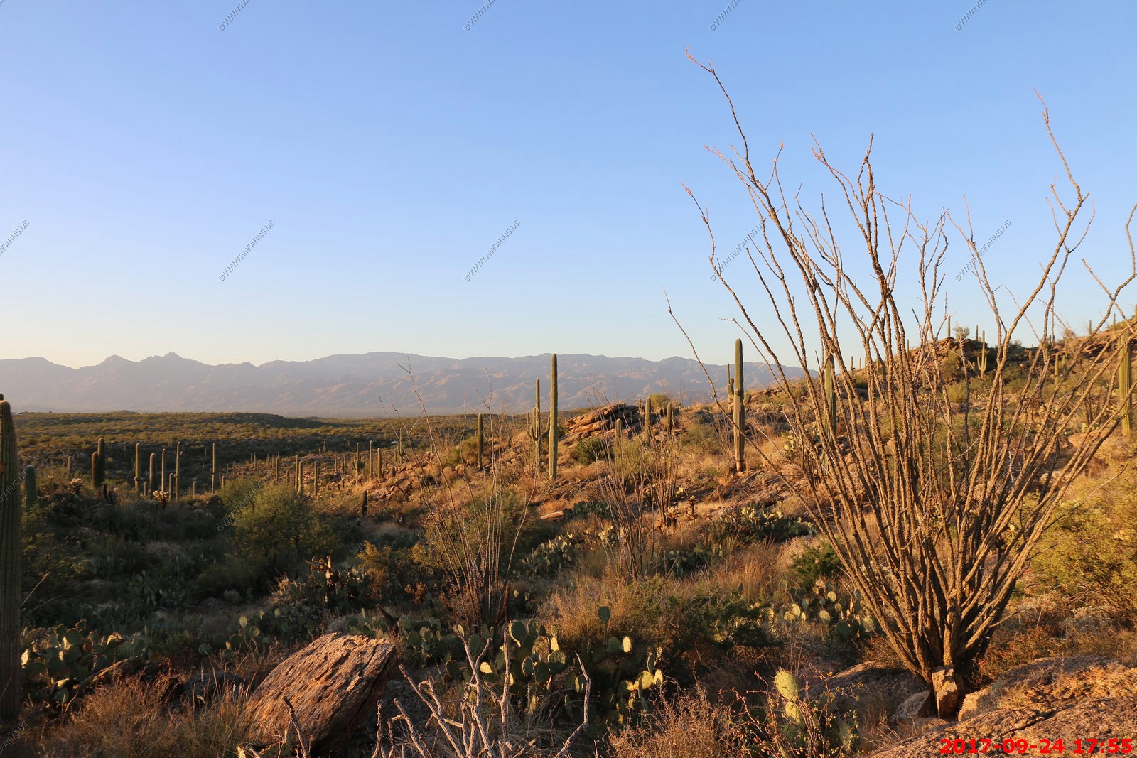
Not sure why the sun is so big but we were enjoying it !
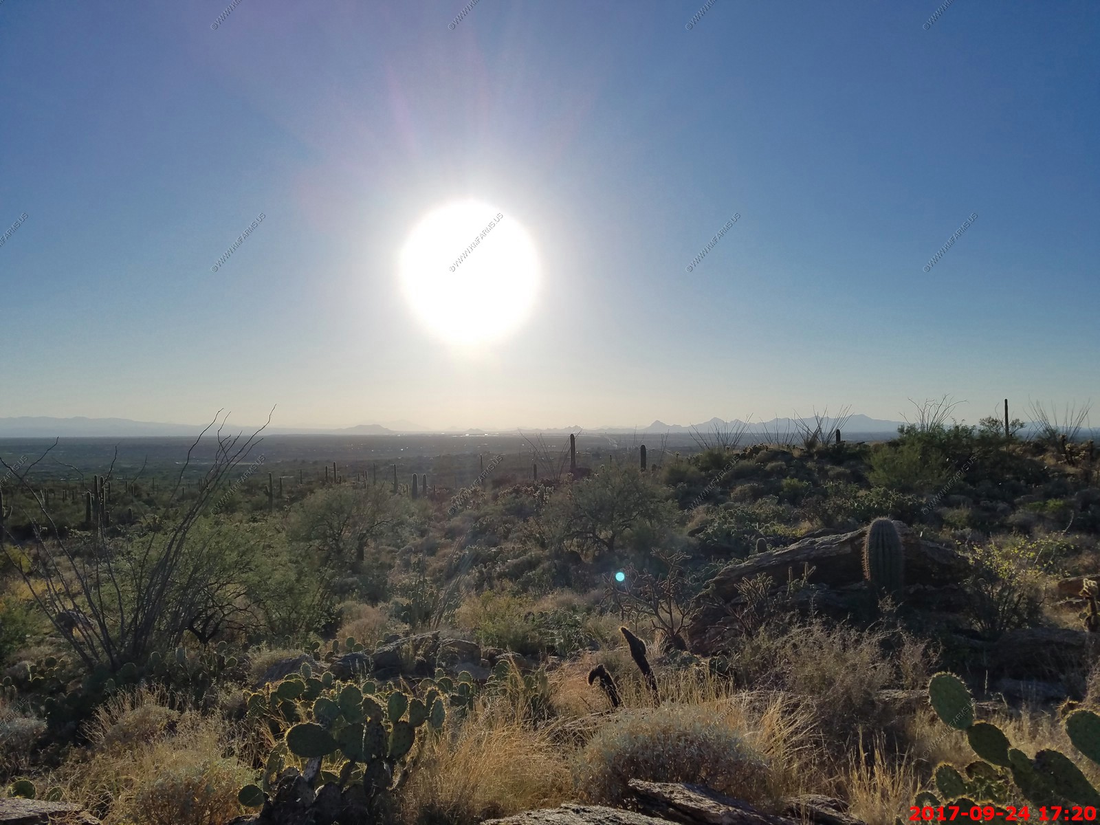
Looking SW towards Mexico
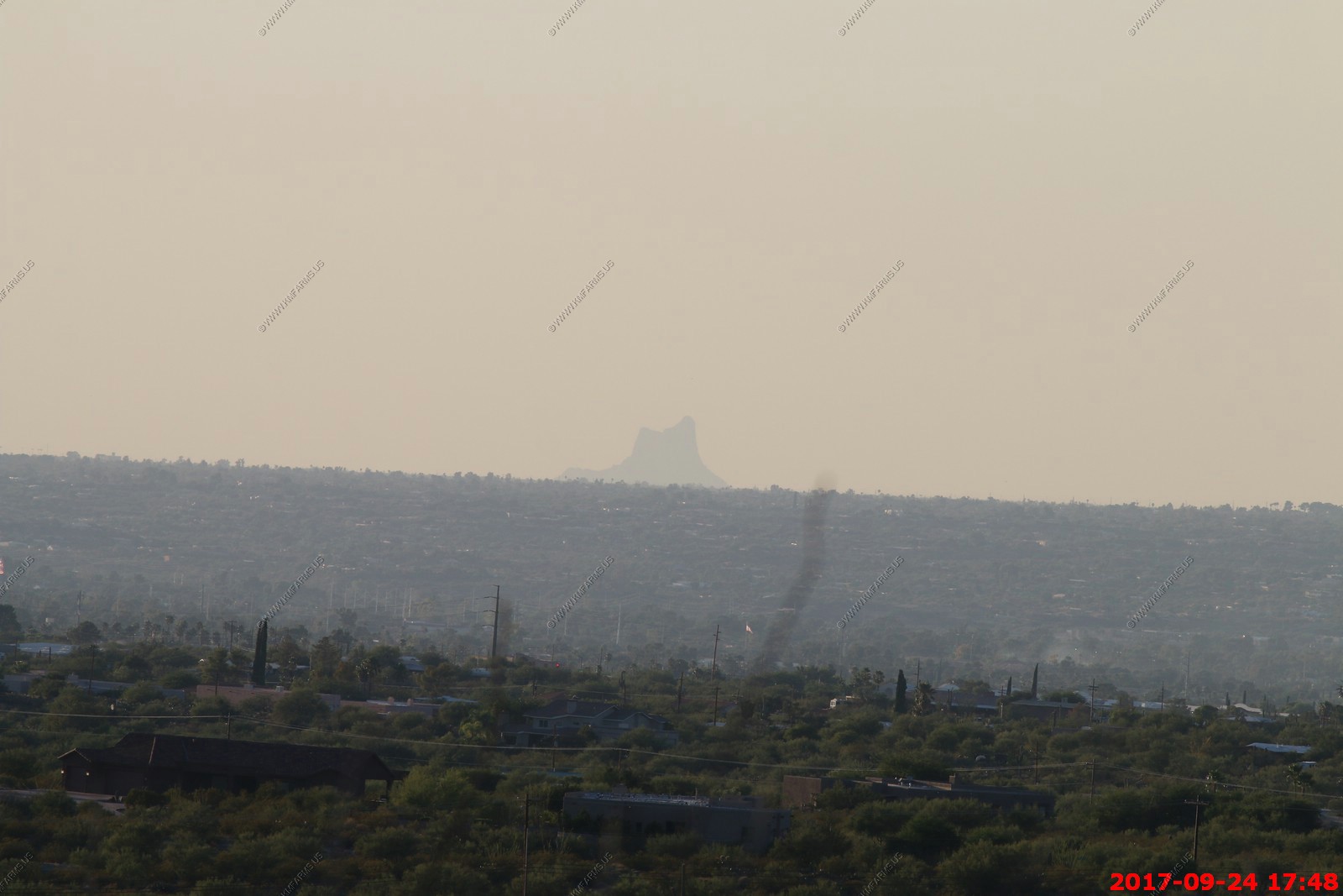
Looking across Tucson at Picacho Peak - El. 3,374 Its about 65 miles NW from here towards Phoenix. Though appearing to be the remnant of a volcanic neck, it is now believed to be a tilted and eroded piece of rock overlain by a lava flow. The place name is redundant: "picacho" means "big peak" in Spanish.
Mary waiting for the sunset
The Santa Catalina Mountains, commonly referred to as the Catalina Mountains or the Catalina's, are north and northeast of Tucson in Arizona, United States, on Tucson's north perimeter. The mountain range is the most prominent in the Tucson area, with the highest average elevation. The highest point in the Catalina's is Mount Lemmon at an elevation of 9,157 feet above sea level and receives 180 inches of snow annually.
Looking down the Santa Cruz River valley with the Catalina Mountains on the right. The Tucson Mountains (Saguaro National Park West) is on the left and Picacho Peak is a small bump in the middle.
Sunset time
Monday SEP 25th
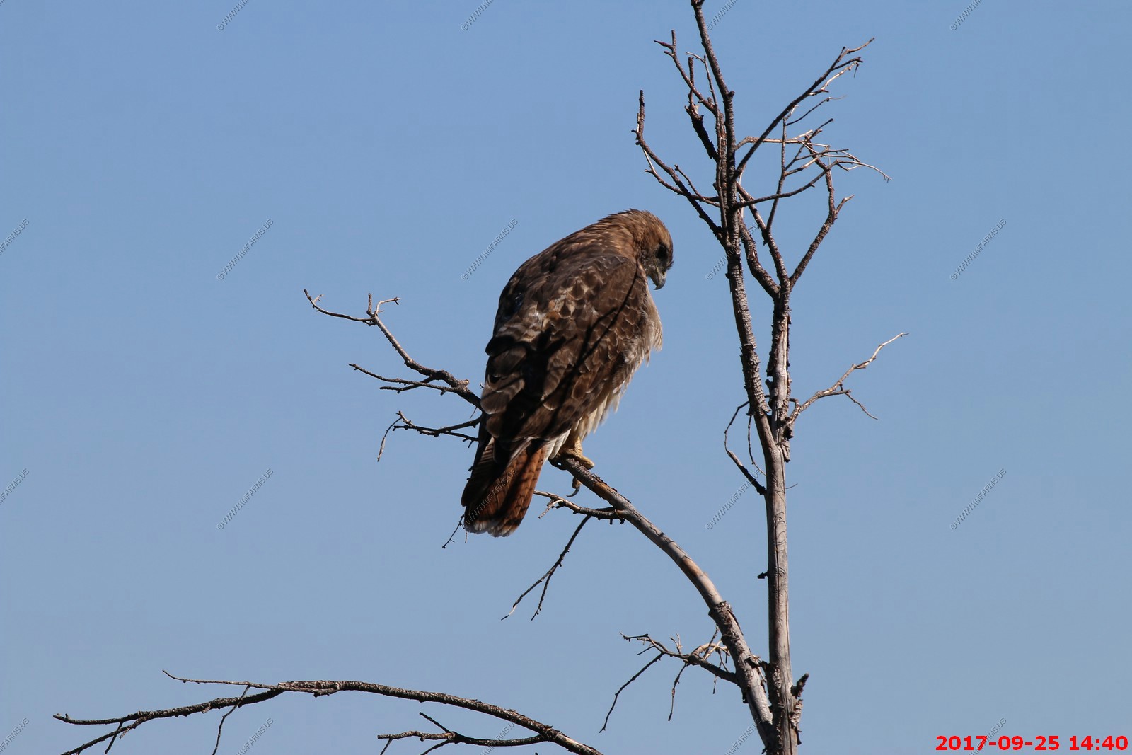
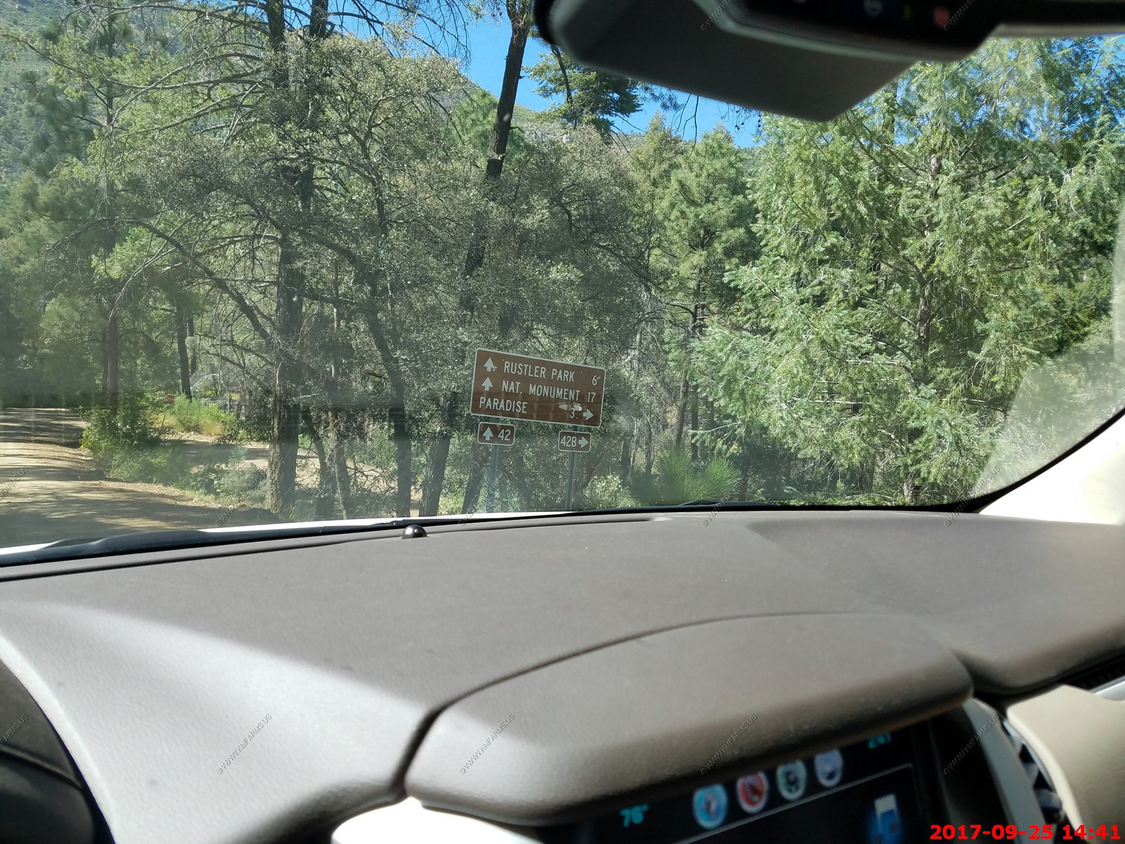
Since it was back to work day for most people we decided to go on a long trip today to the Portal, Arizona & Chiricahua Mountains.
Dealing with the Monday morning commute. Heading east on I-10 near Wilcox, AZ
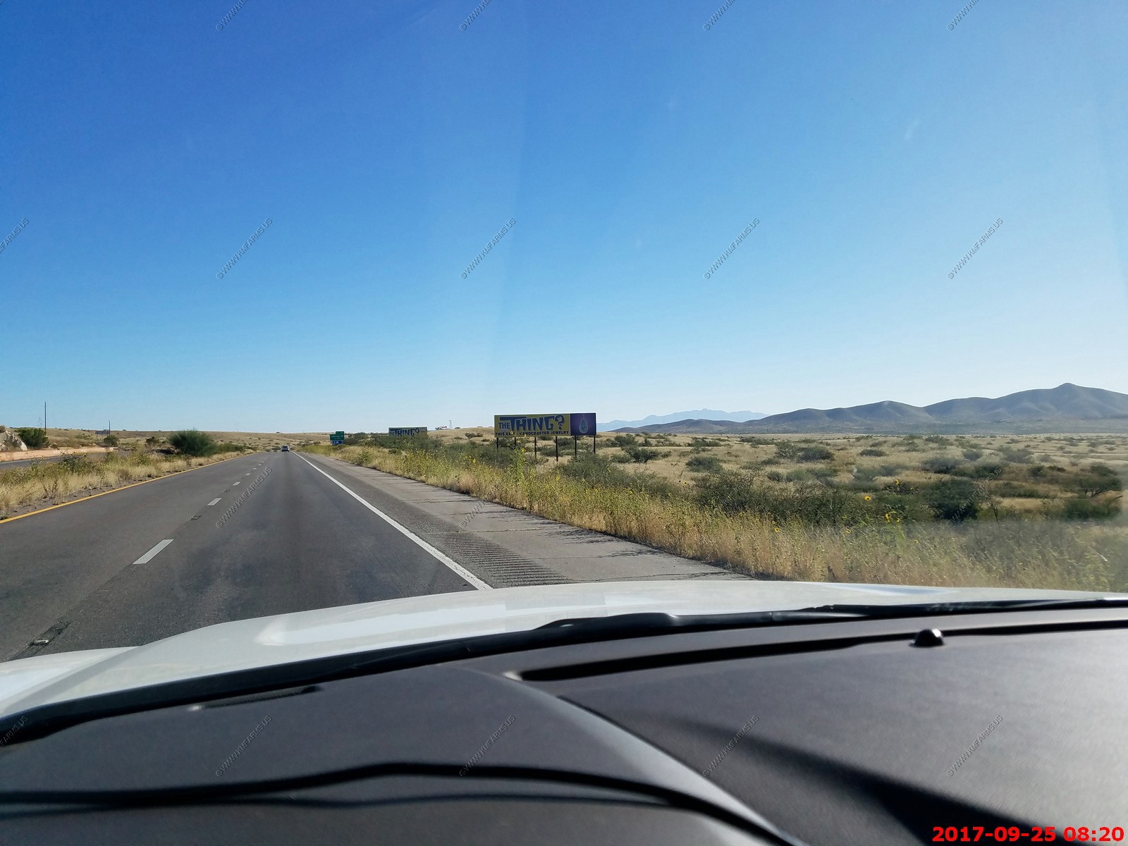
The Thing. If you have spent any time in AZ in the past 30+ years you have seen the signs. It's a NON-PC dead Indian woman that they found in the desert someplace.
The two points are Dos Cabezas Peaks - The 11,700 acres Dos Cabezas Mountains Wilderness lies 20 miles east of Wilcox, Arizona and 7 miles south of Bowie, Arizona in Cochise County. The mountain range's name means Two Heads in Spanish, for the twin granite peaks, Dos Cabezas Peaks, that sit atop the range.
Ahhh, Dos Cabezas. Anyone who has seen these two magnificent peaks from say Hwy 191 or I-10 knows that they are sort of the Matterhorn of Southern Arizona. No, not in the sense of technical difficulty or elevation, but in the sense of unique, eye-catching protrusion from the earth. They shoot up to 8,354 ft. as masses of solid rock to dominate the skyline of the Dos Cabezas range. And to trump the Matterhorn, there are two of them, right next to each other, and almost exactly the same height! The translation from Spanish is "Two Heads", and as we all know, two heads are better than one! Take that, Switzerland!
At San Simon we started heading south towards the east side of the Chiricahua Mountains.
The largest grove of irrigated pecan trees in the world lies just south and east of Tucson, where it's been for the past 75 years. Green Valley Pecan Company maintains nearly a quarter of a million nut trees, 125,000 of them in their 12-mile-long, 7,000 acre property in Sahuarita with another 3,000 acres in San Simon and 800-plus acres in Georgia.
A very straight road
Decision time. This was near 32.010N 109.188W We went left which was the right choice.
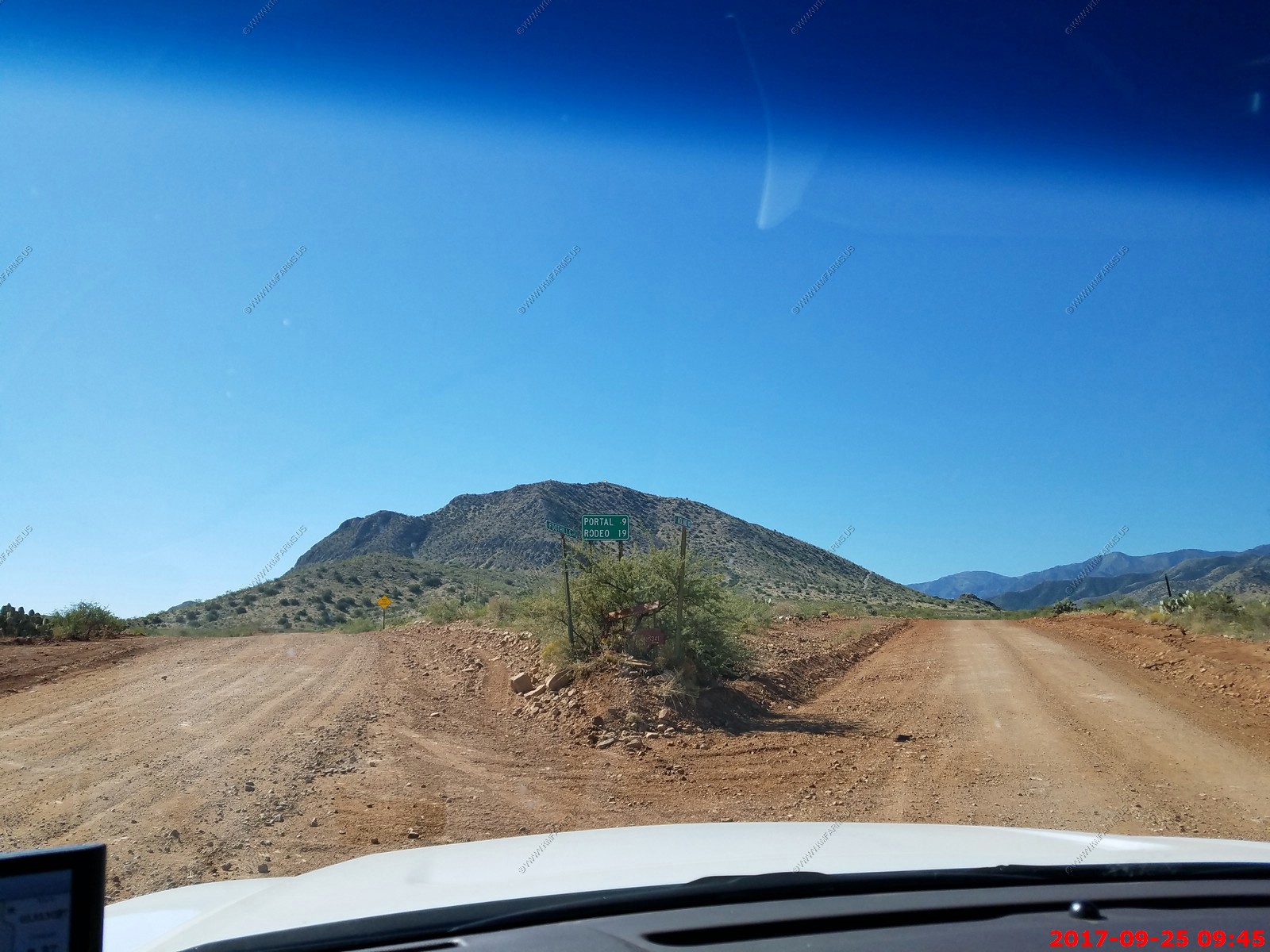
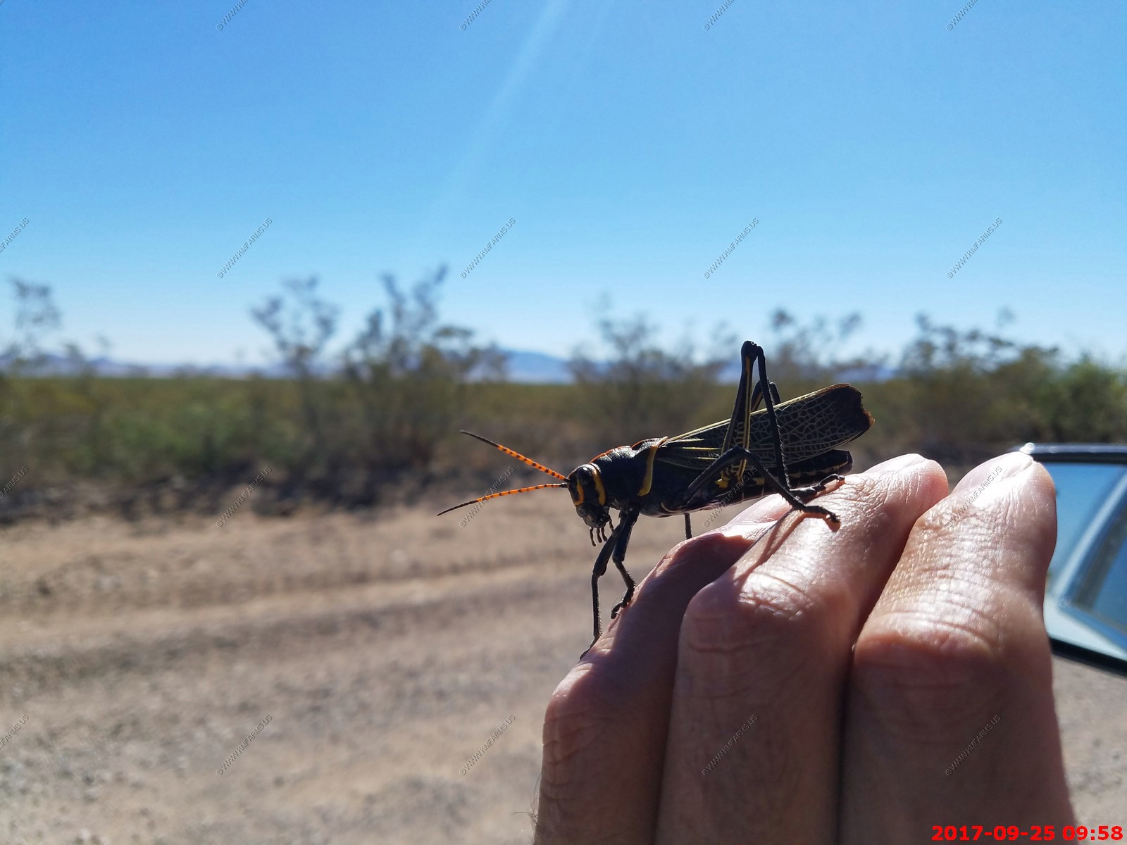
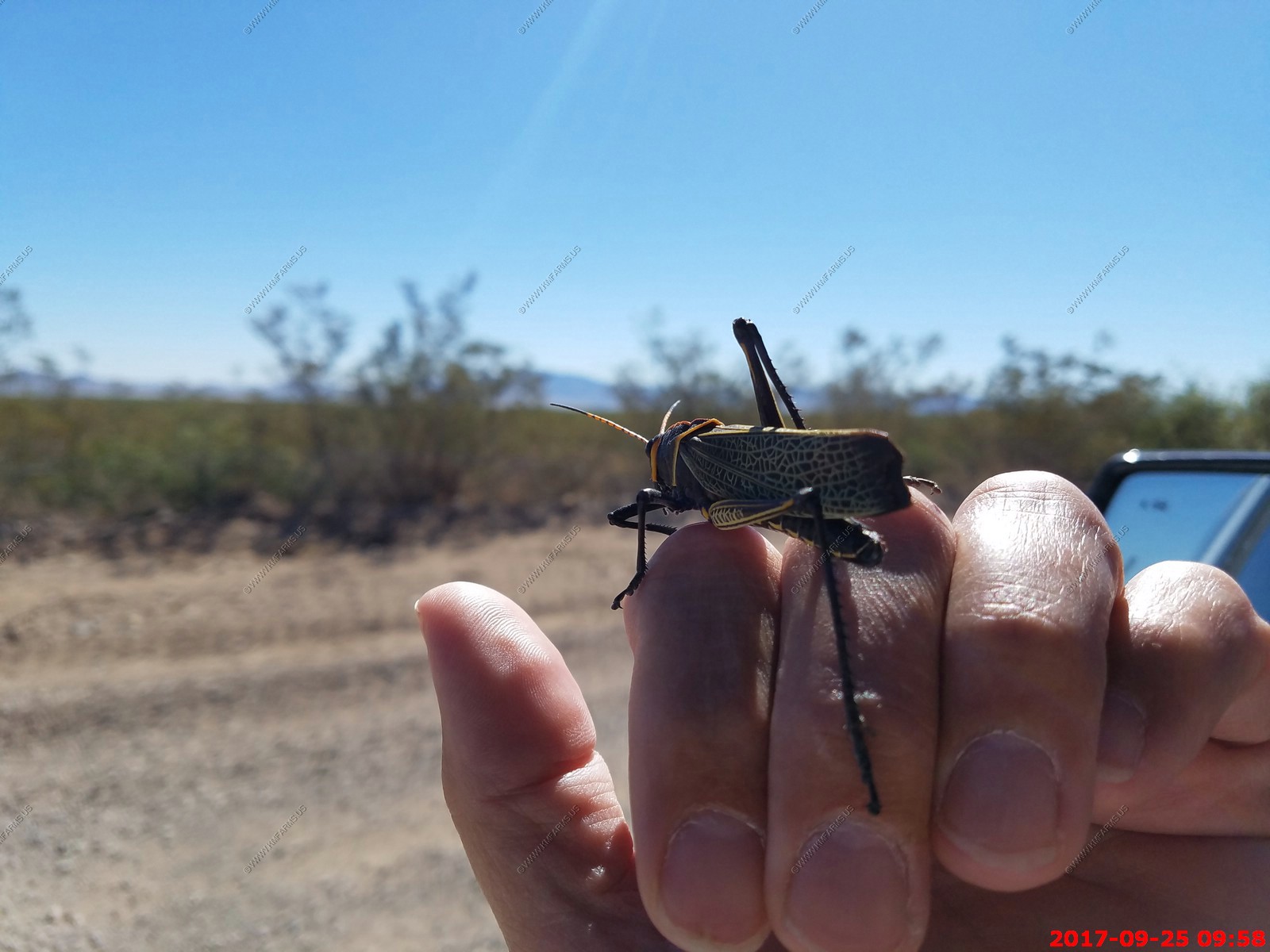
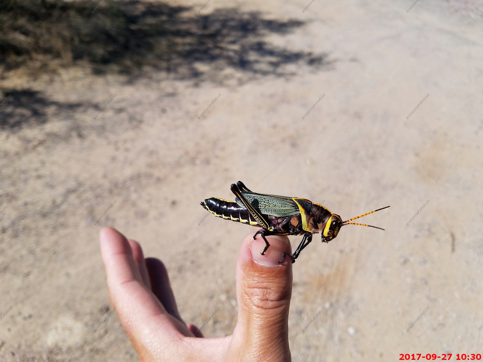
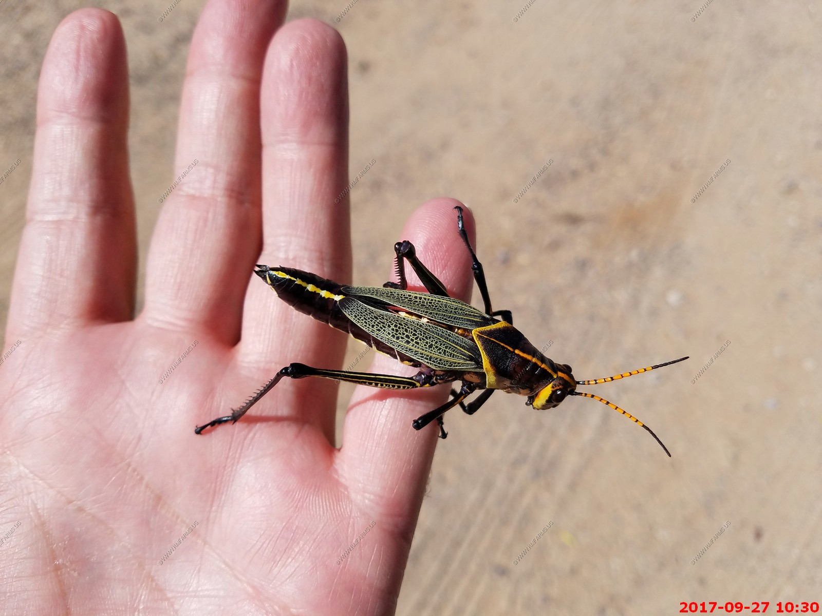
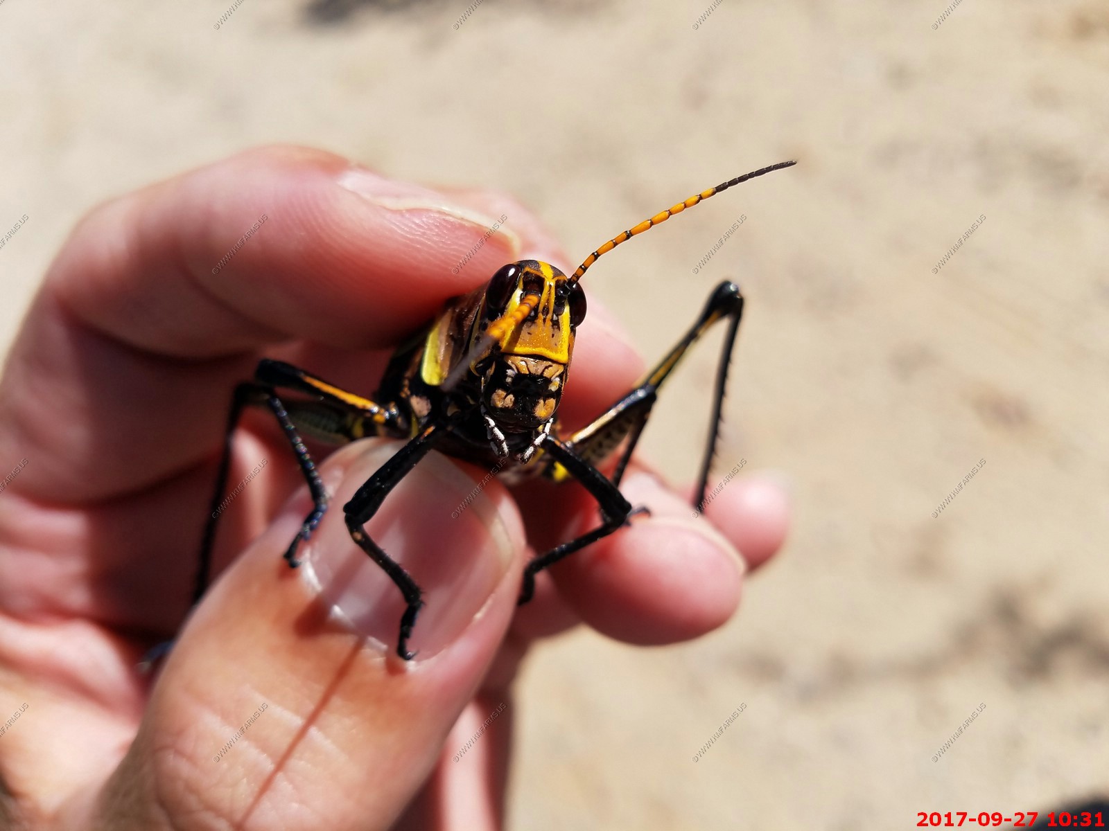
Along Foothills Road we saw many Horse Lubber (Taeniopoda eques) grasshoppers. Very cool insect (we would see these again in a few days)
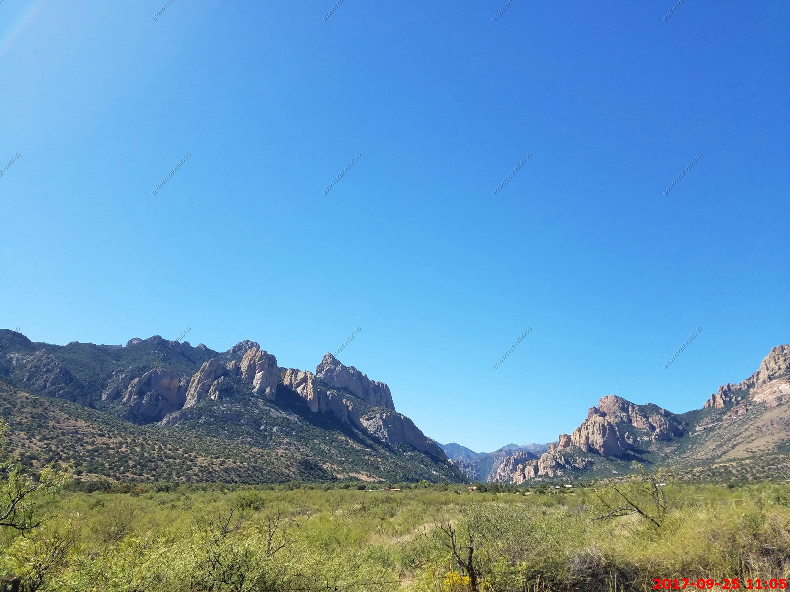
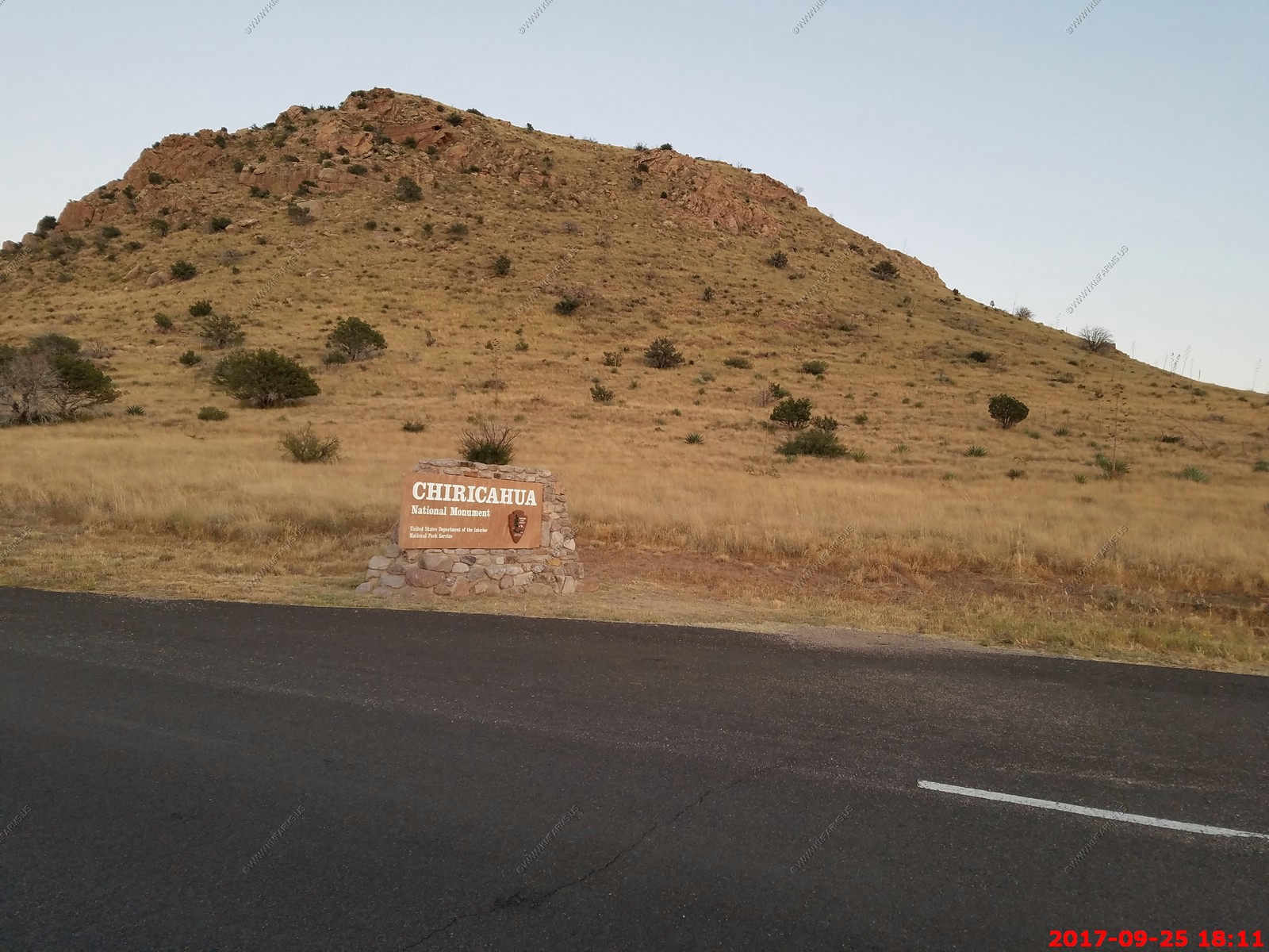
Chiricahua Mountains / Portal, Arizona / then driving over the mountains to Chiricahua National Monument
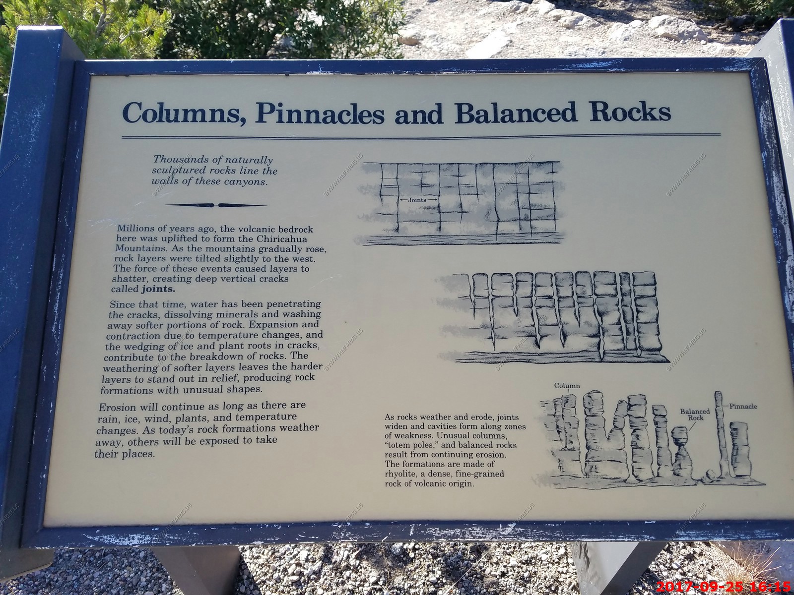
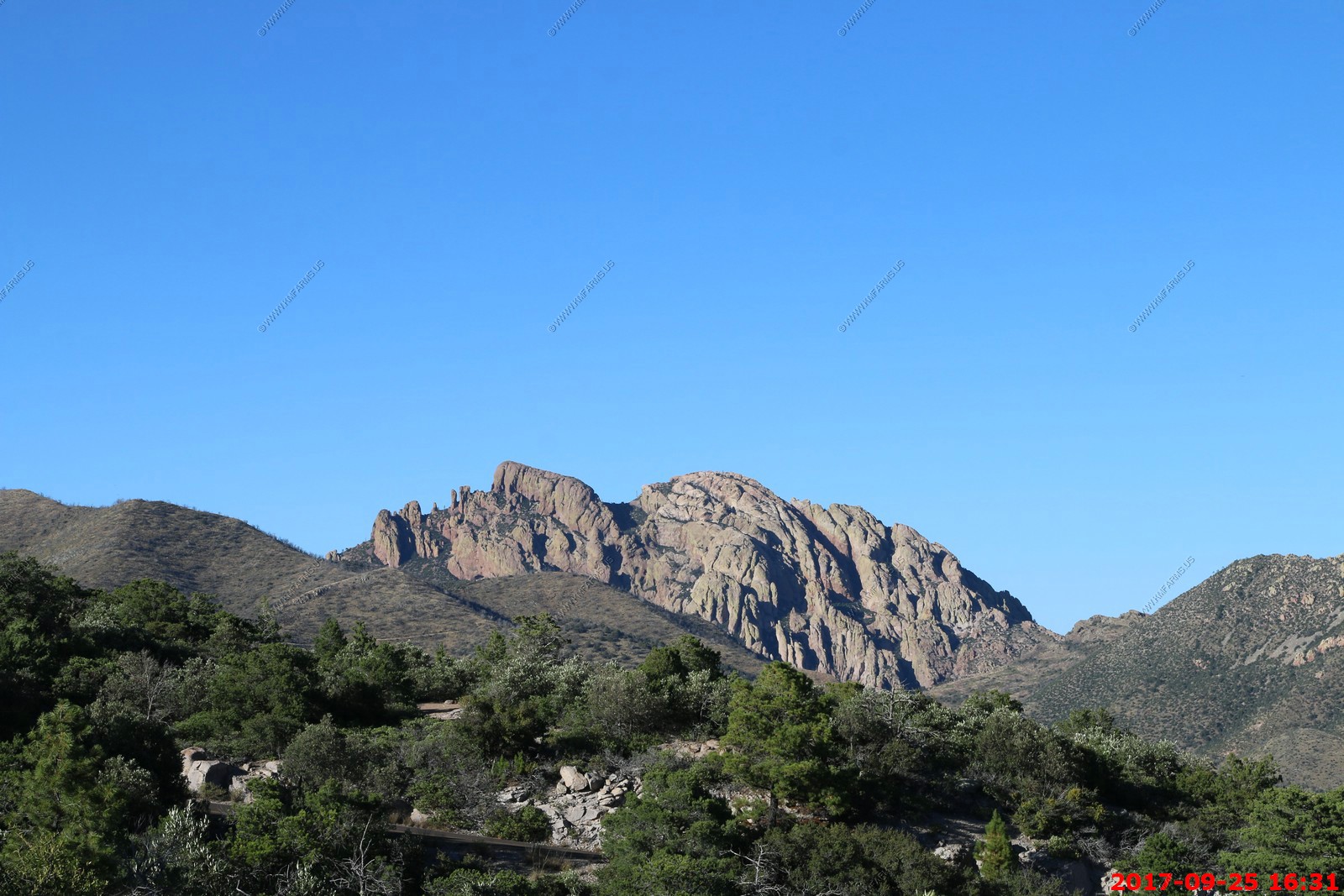
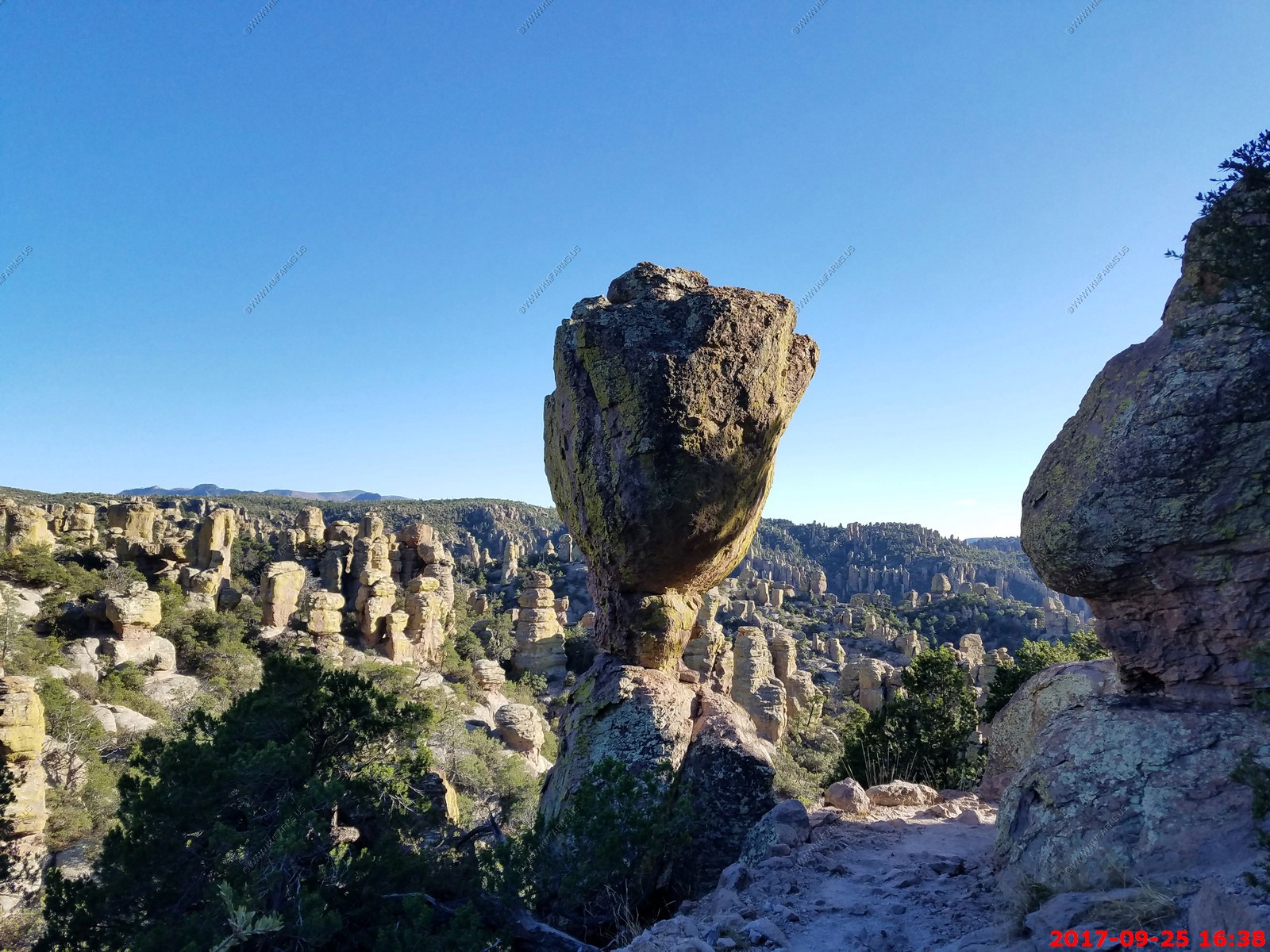
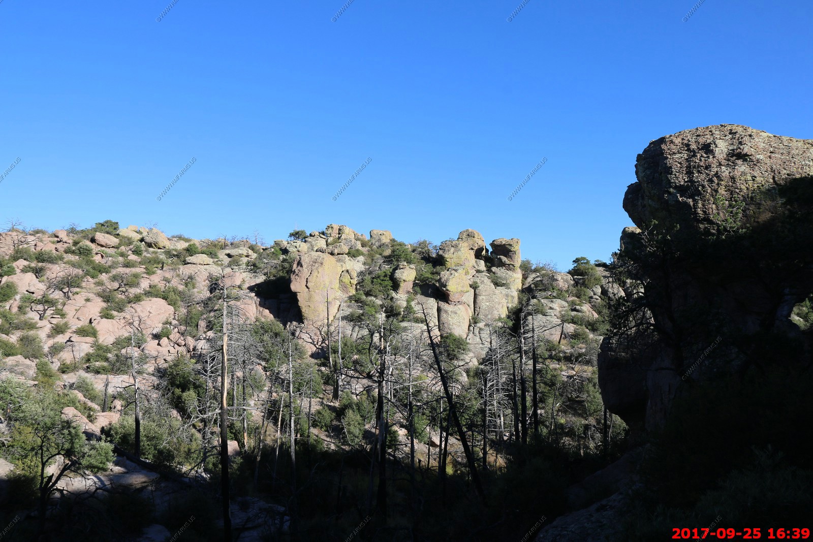
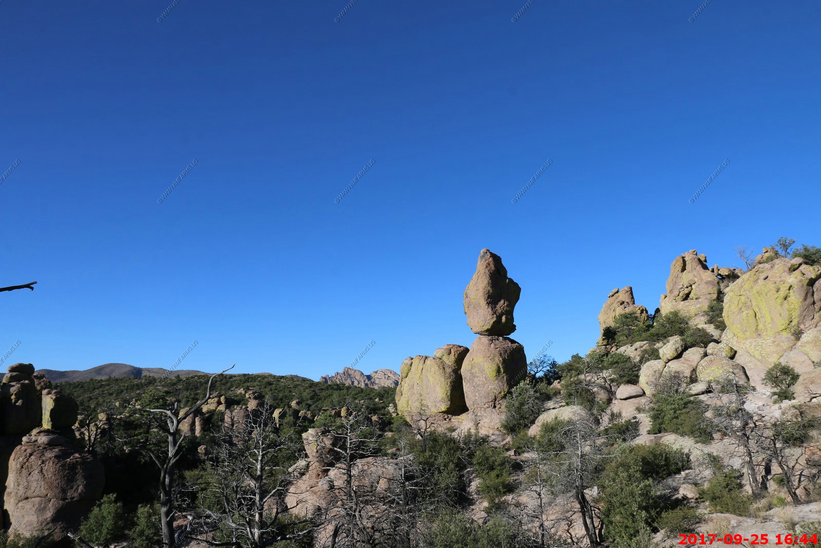
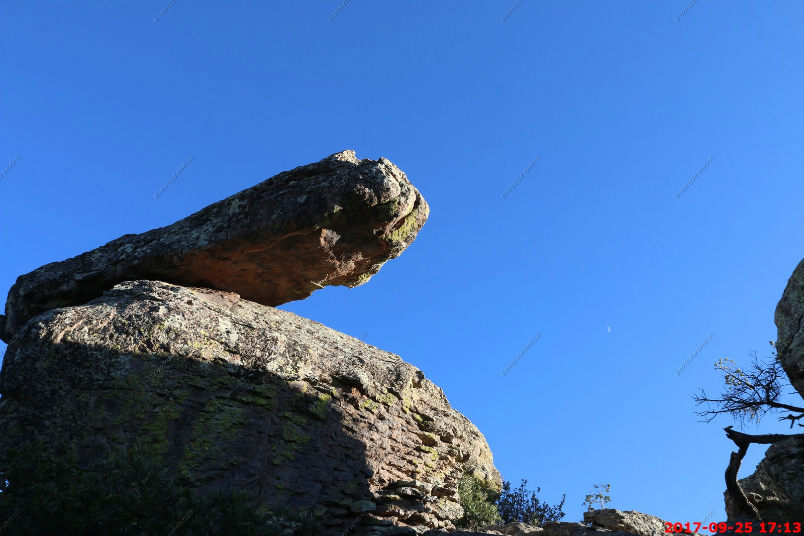
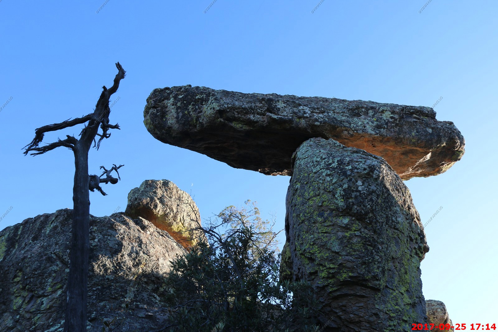
In the far southeastern corner of Arizona are the impressive Chiricahua Mountains, one of several sky island mountain ranges surrounded by expansive desert grasslands. The Chiricahua Mountains are an inactive volcanic range twenty miles wide and forty miles long. It forms part of the Mexican Highland section of the Basin and Range Biogeographical Province and rises up dramatically from the valley floor to over nine thousand feet, cresting in a series of uneven, volcanic looking peaks. At the northern end of the range is an extraordinary area of striking geological features and enormous biodiversity. Tucked deep into these steep, forested valleys and beneath the craggy peaks are the remains of violent geological activity that continued for many millions of years the pinnacles, columns, spires and balanced rocks of Chiricahua National Monument.
The Madrean Sky Islands are enclaves of Madrean pine-oak woodlands, found at higher elevations in a complex of small mountain ranges in southern and southeastern Arizona, southwestern New Mexico, and northwestern Mexico. The sky islands are surrounded at lower elevations by the Sonoran and Chihuahuan deserts. The northern west-east perimeter of the sky island region merges into the higher elevation eastern Mogollon Rim and the White Mountains of eastern Arizona (southern Anasazi region).
The sky islands are the northernmost of the Madrean pine-oak woodlands, and are classified as part of the Sierra Madre Occidental pine-oak forests ecoregion, of the tropical and subtropical coniferous forests biome. The sky islands were isolated from one another and from the pine-oak woodlands of the Sierra Madre Occidental to the south by the warming and drying of the climate since the ice ages. There are approximately 27 Madrean sky islands in the United States, and 15 in northern Mexico. The major Madrean sky island ranges in Arizona are the Baboquivari Mountains, Chiricahua Mountains, Huachuca Mountains, Pinaleno Mountains, Santa Catalina Mountains, Santa Rita Mountains and Whetstone Mountains. Similar sky island ranges include the Animas Mountains in New Mexico and the Guadalupe Mountains, Davis Mountains and Chisos Mountains in west Texas.
We had not been here since March 2001 and for Ken this is one of his favorite places on earth. Will be very cool to live where it's an easy day trip to come here.
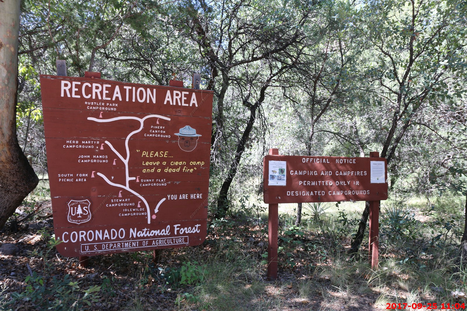
The big town here is Portal El. 4,760 is an unincorporated community in Cochise County, Arizona, United States. It lies 25 miles south-southeast of San Simon and at the mouth of Cave Creek Canyon on the east side of the Chiricahua Mountains. Often called the Yosemite of Arizona, the rock walled canyon is composed of fused volcanic tuff
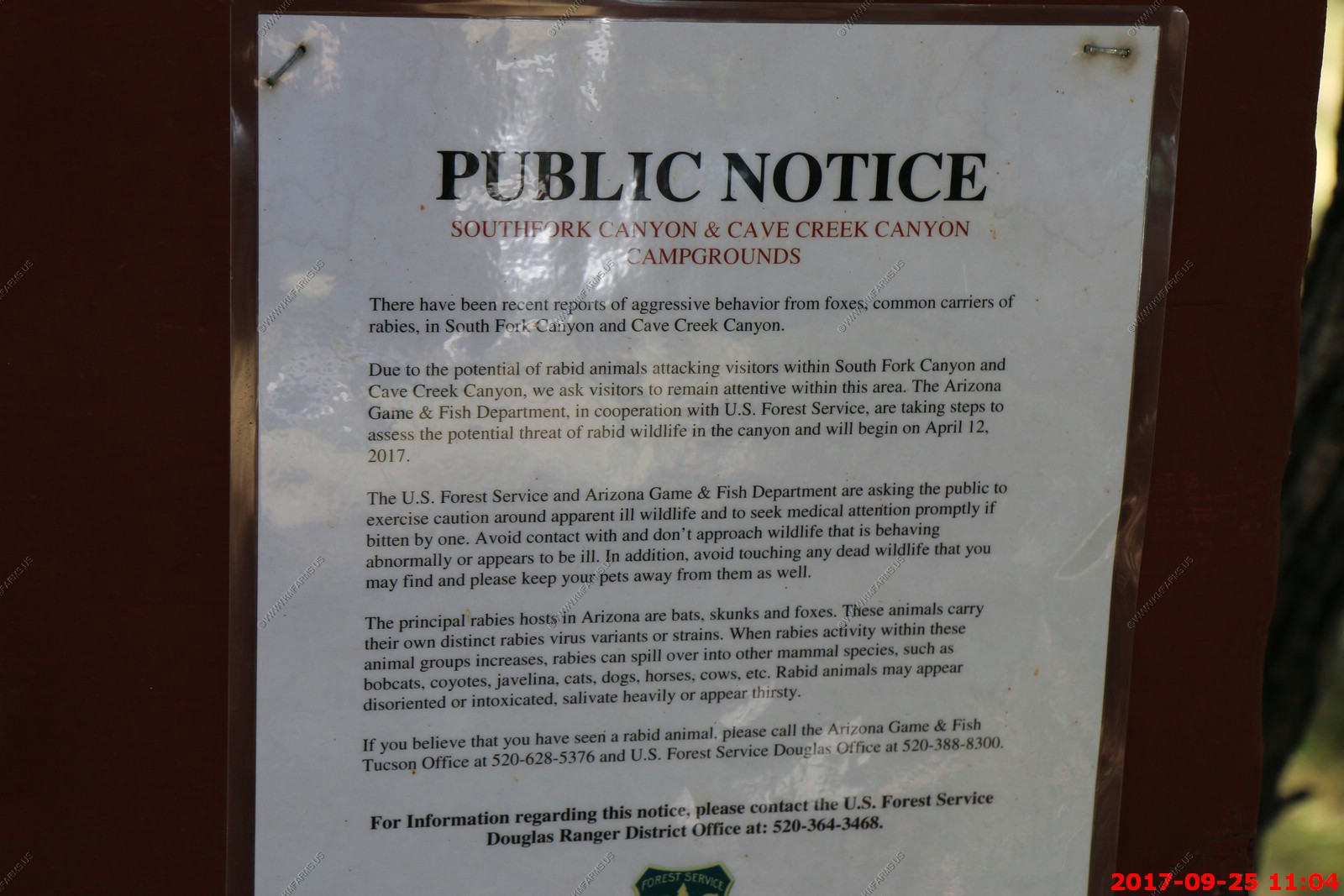
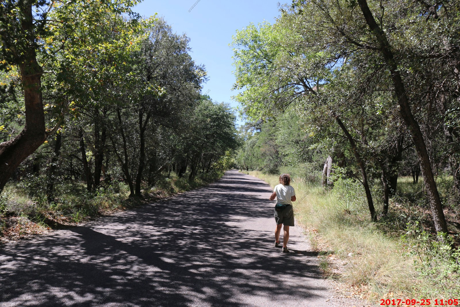
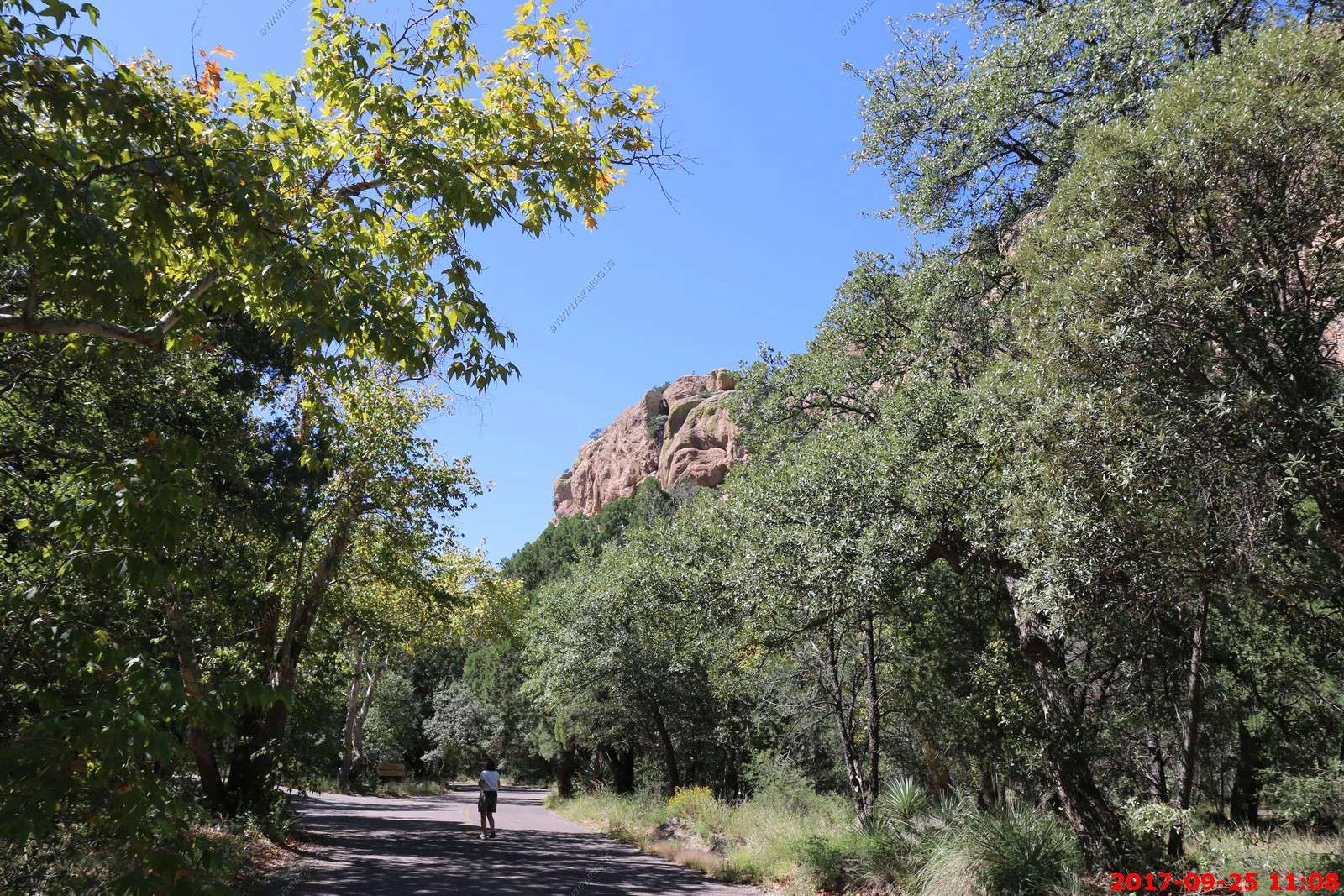
We parked and walked around the South Fork Trailhead area looking for birds and other critters.
Note: some of the times are off on the photos as we went into New Mexico cell system and the phone advanced an hour so I grouped them the best I could.
Not sure what this was but looked interesting.
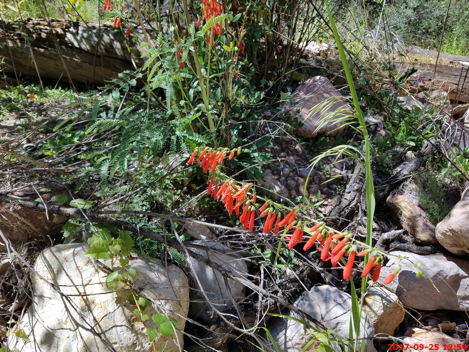
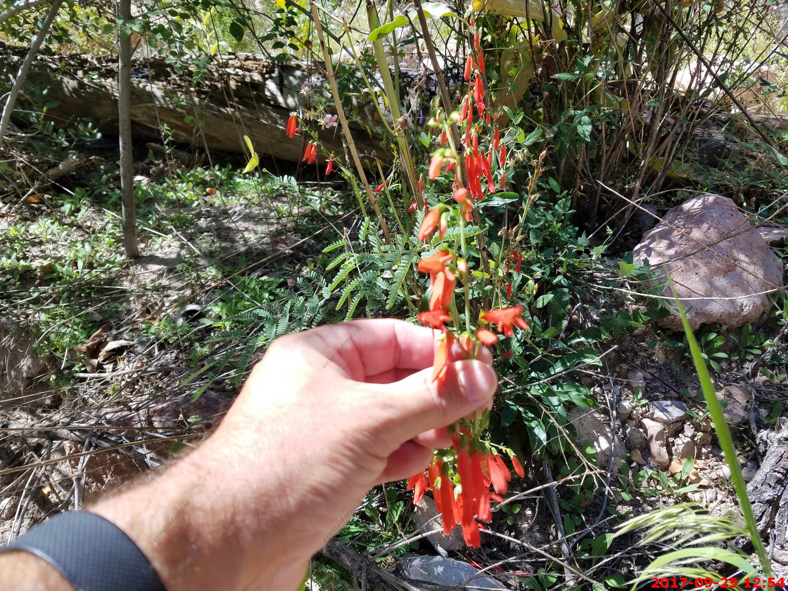
Hummingbird on (we are guessing) The long (up to 2.5 inches) tubular red flowers of epilobium canum, a shrub like plant with woody lower stems, are large and pretty, consisting of eight tepals, all curved outwards at the tips, and 8 stamens which project forwards by about the length of the tube. The plant branches readily and each stem bears many small green leaves, so the overall appearance is of a dense bush, which may have hundreds of flowers during optimum growing conditions. The blooming season is relatively late, from midsummer into fall. The long narrow flowers attract hummingbirds.
Acorn woodpecker - The breeding habitat is forested areas with oaks in the hills of coastal areas and foothills of California and the southwestern United States south to Colombia
Gila woodpecker - Very hard to tell if it's a male or female.
Even at 6,000 feet a reminder of the desert.
Very scenic
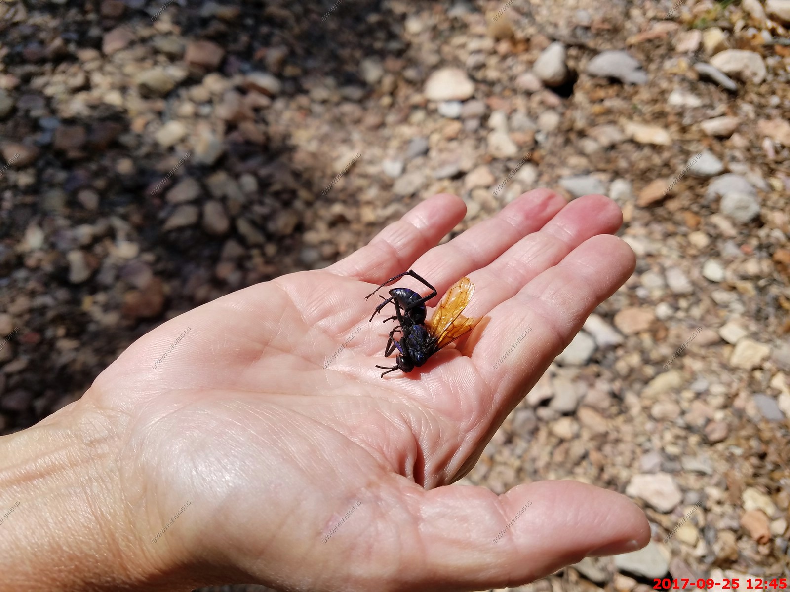
Looks a bit nasty. Probably a dead A tarantula hawk which is a spider wasp.
Toxicodendron rydbergii - The western poison ivy is a species of Toxicodendron in the cashew family.
They had some bad floods here a few years ago. The picnic tables are a bit short.
A selfie. At arm's length. But you have to be alert as this is cougar country.
Excellent area to hike.
Packed parking area
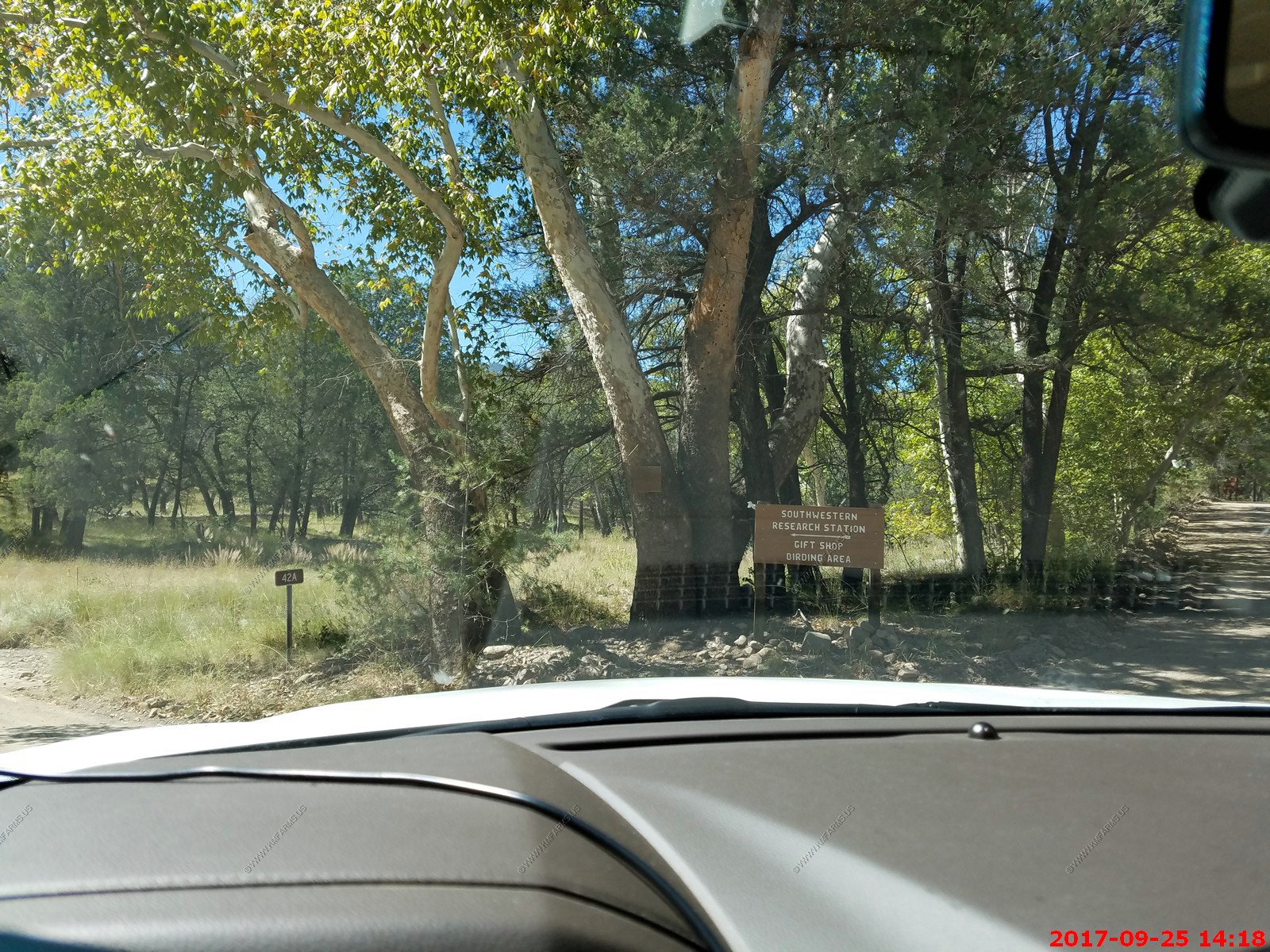
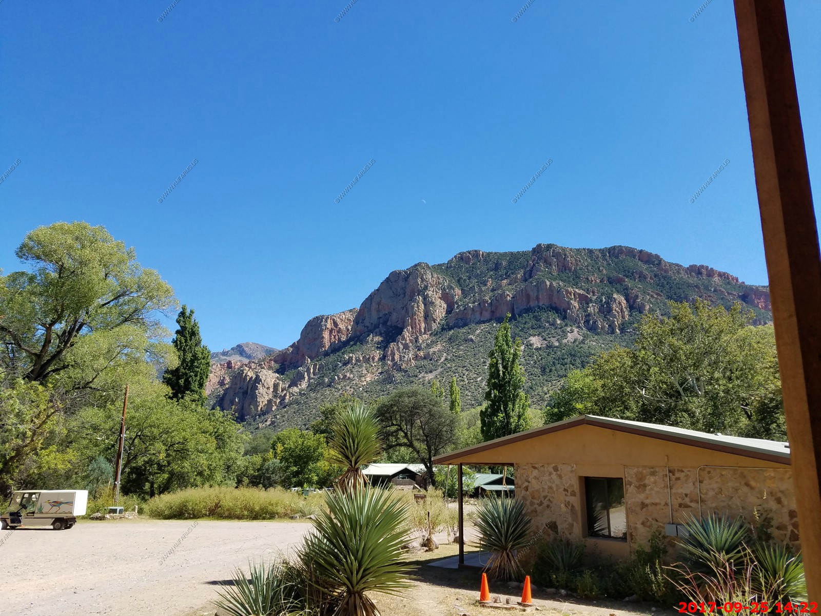
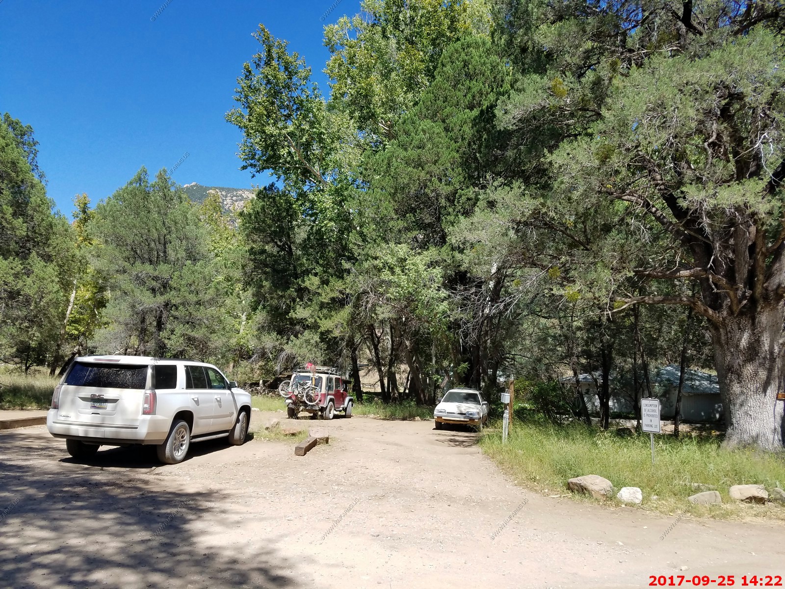
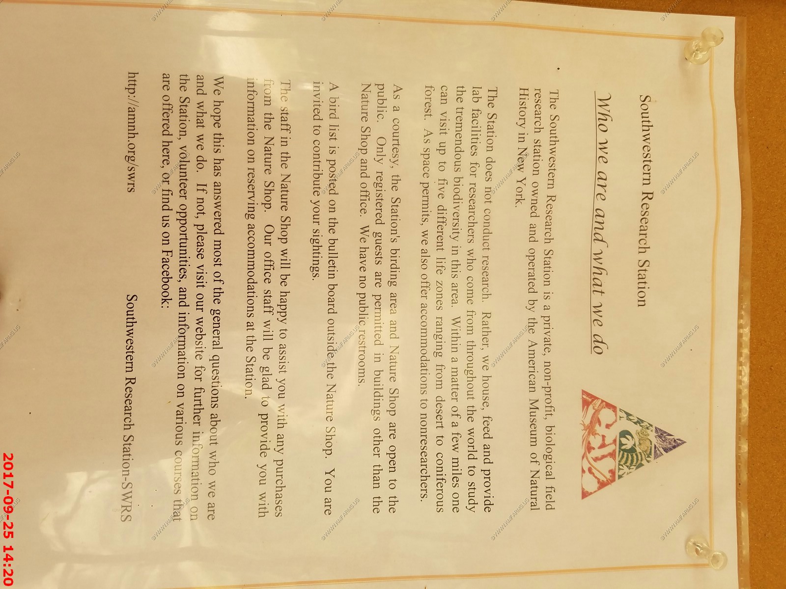
We had a quick stop at the Southwestern Research Station This facility is a Biological Field Station operated year round under the direction of the Science Department at the American Museum of Natural History (New York, NY). Since 1955, it has served biologists, geologists, and anthropologists interested in studying the diverse environments and biotas of the Chiricahua Mountains in southeastern Arizona.
They have excellent programs and we plan on spending time here when we relocate to Tucson
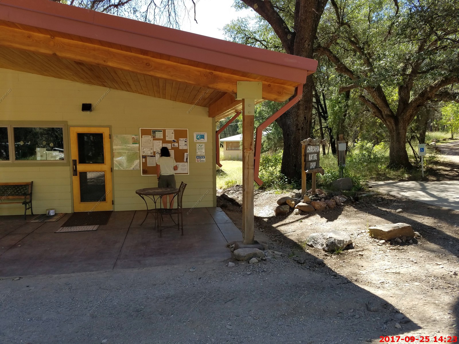
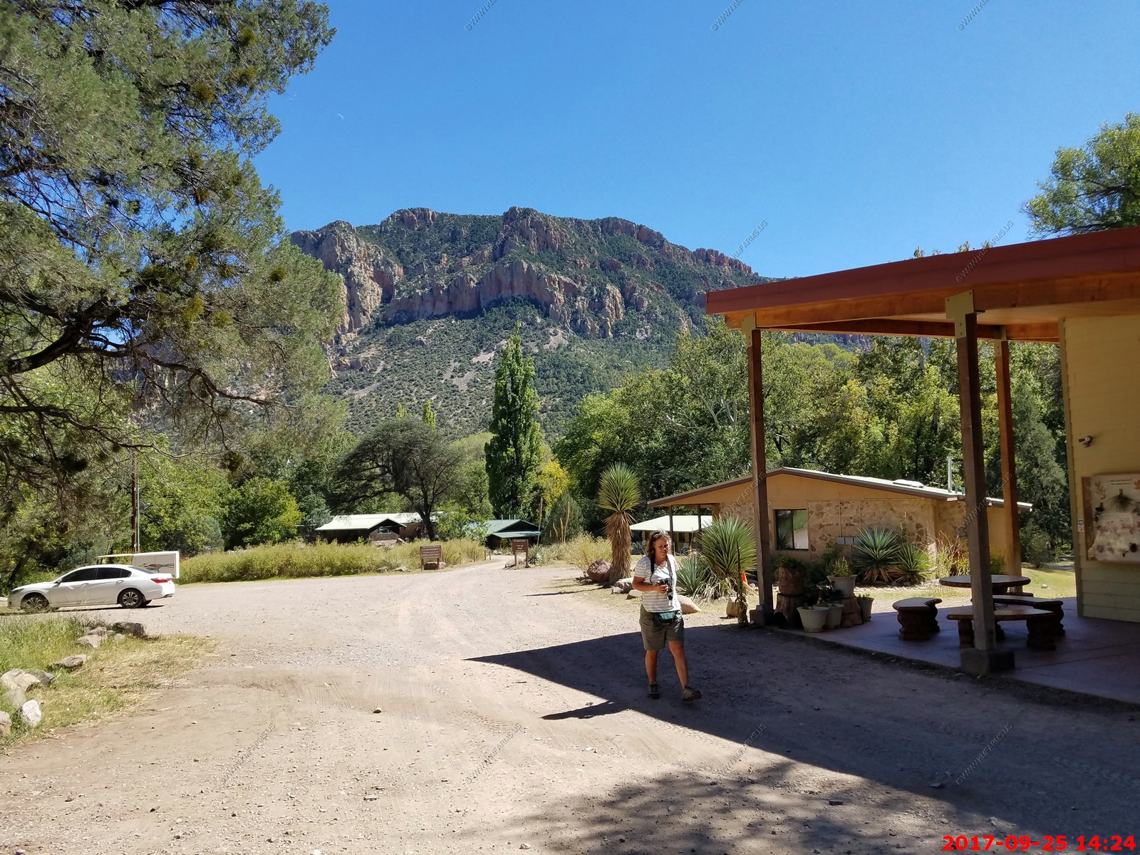
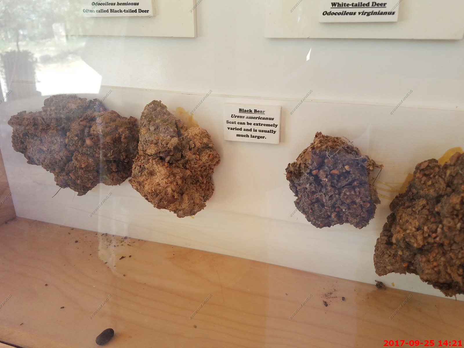
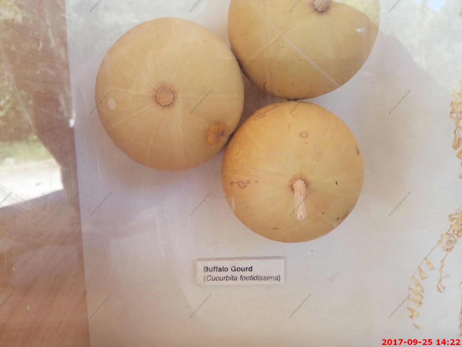
Various displays at the station
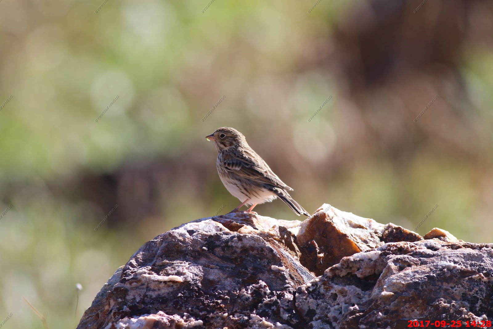
A large sparrow, the Vesper Sparrow inhabits grasslands and fields across much of the north-central United States and Canada. As its name suggests, it often sings in the evening twilight, though it sings actively in early morning as well.
Very scenic along Forest Road 42
Looking across 75 miles to the Pinaleno Mountains with the Large Binocular Telescope Observatory on top of Mt. Graham (El. 10,724 ft.)
A classic species of the open country of the Great Plains and the West, Swainson's Hawks soar on narrow wings or perch on fence posts and irrigation spouts. These elegant gray, white, and brown hawks hunt rodents in flight, wings held in a shallow V, or even run after insects on the ground. In fall, they take off for Argentine wintering grounds one of the longest migrations of any American raptor forming flocks of hundreds or thousands as they travel.
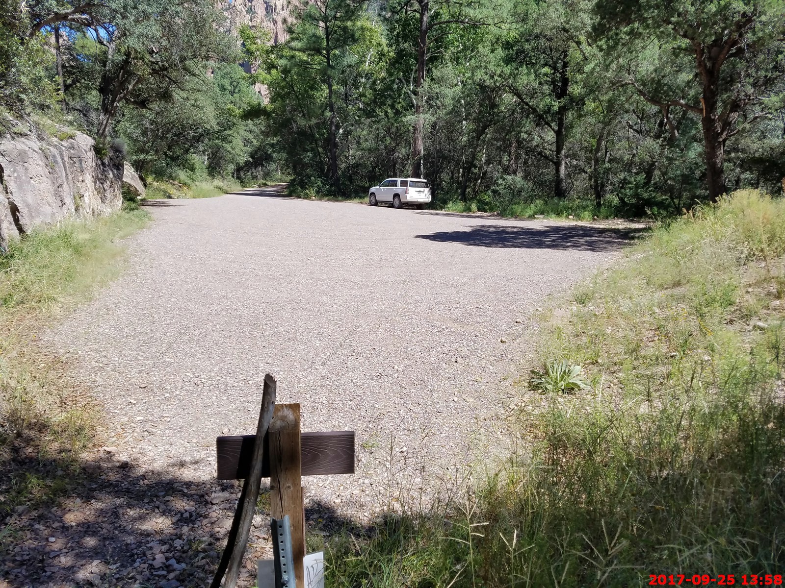
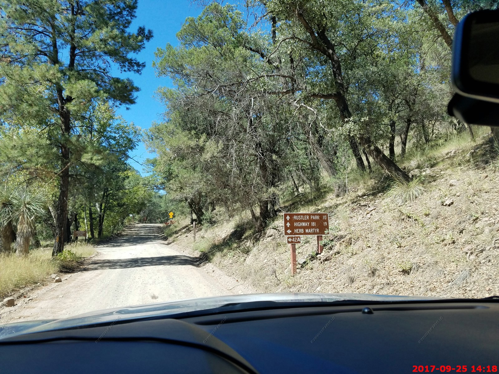
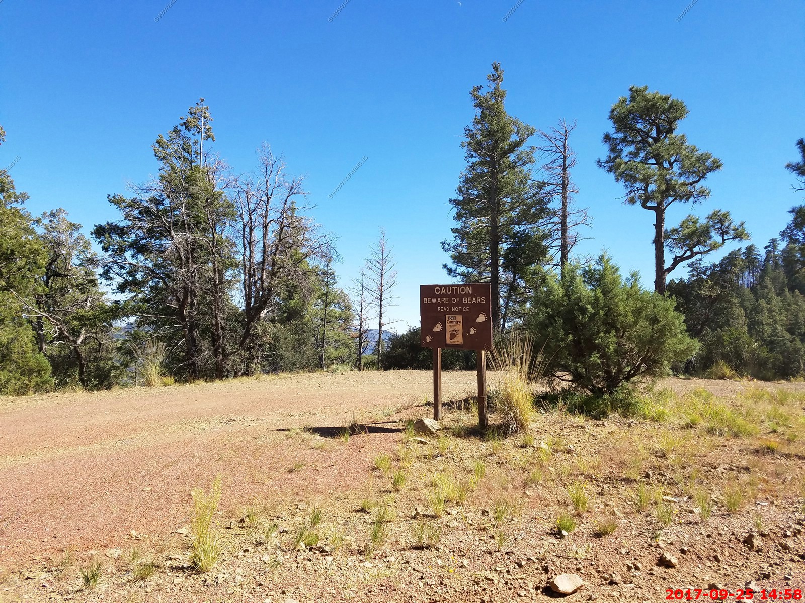
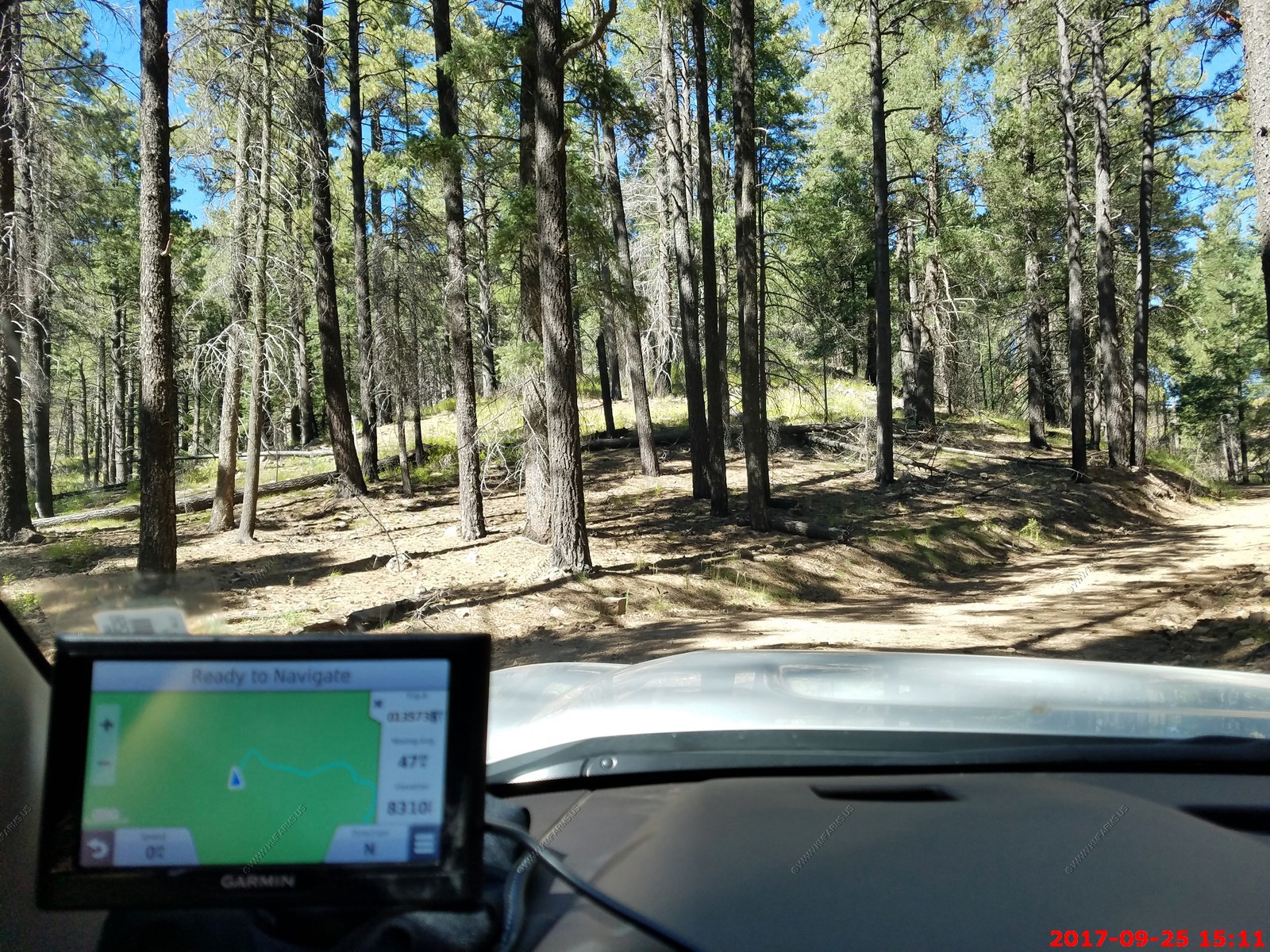
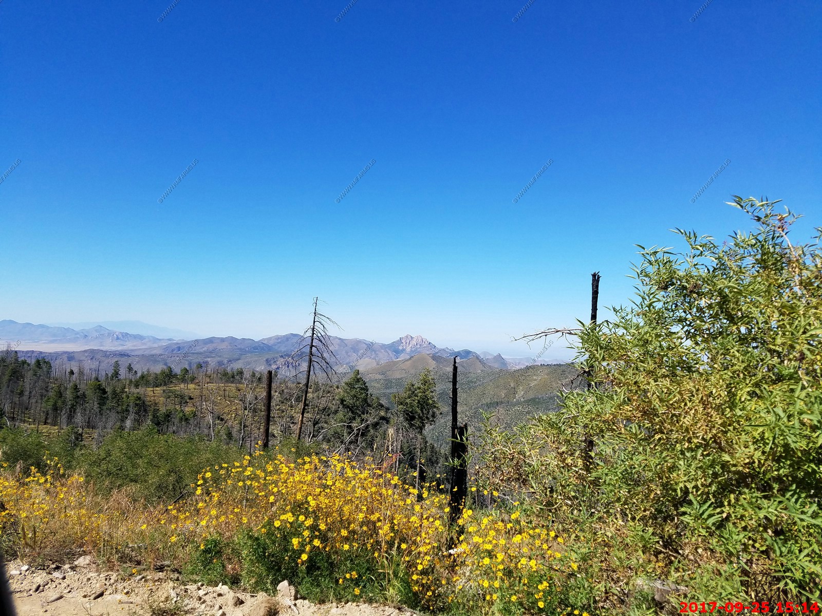
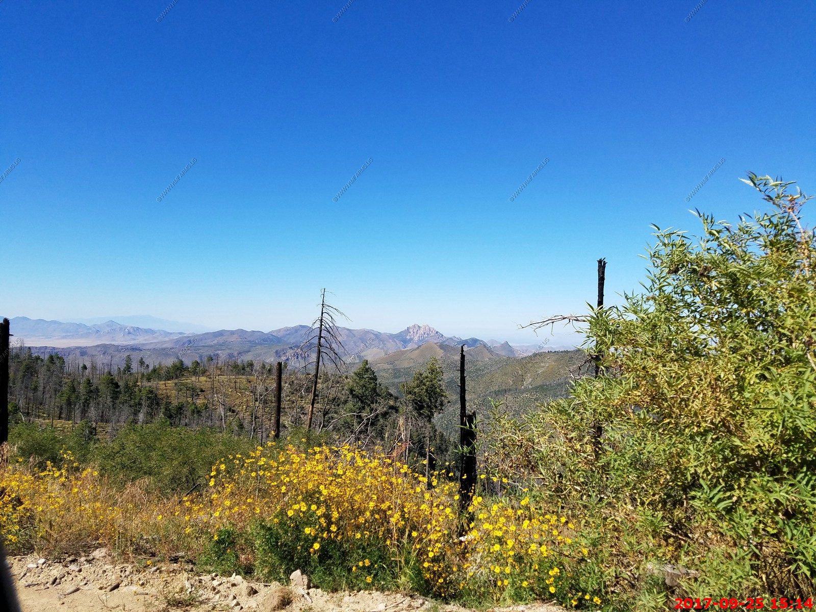
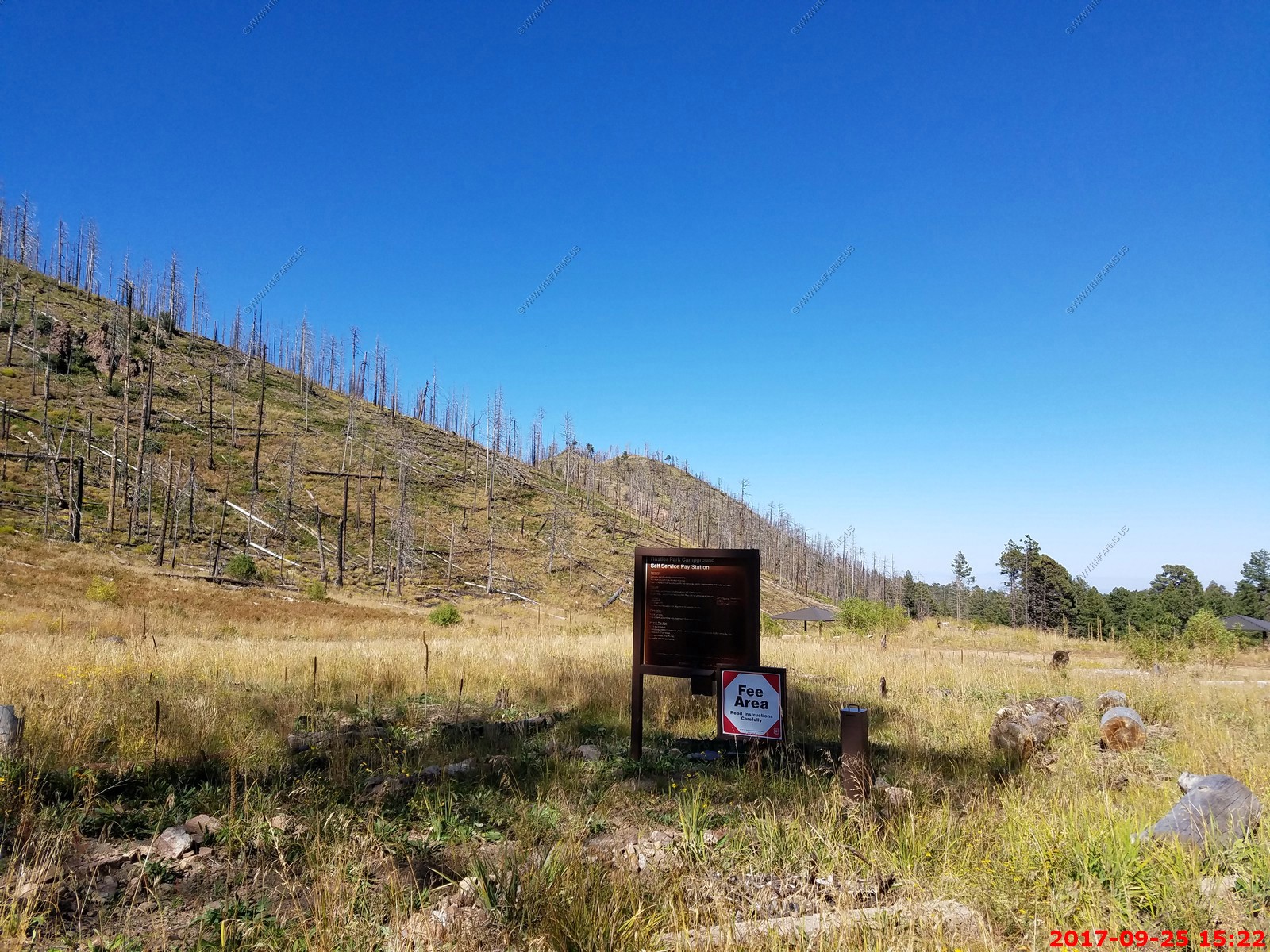
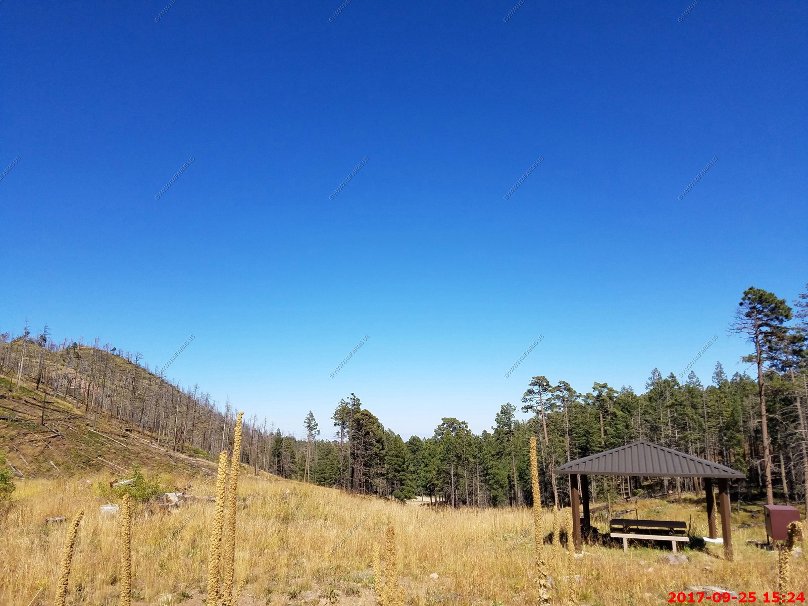
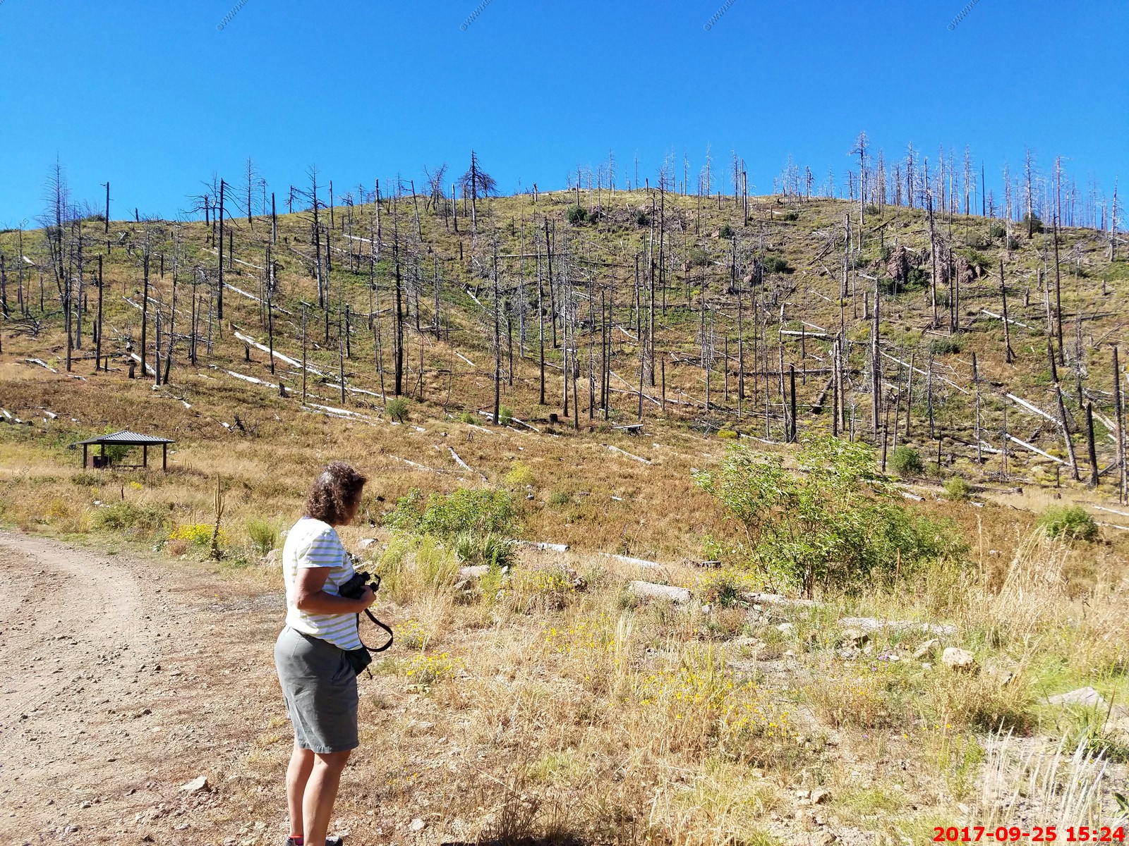
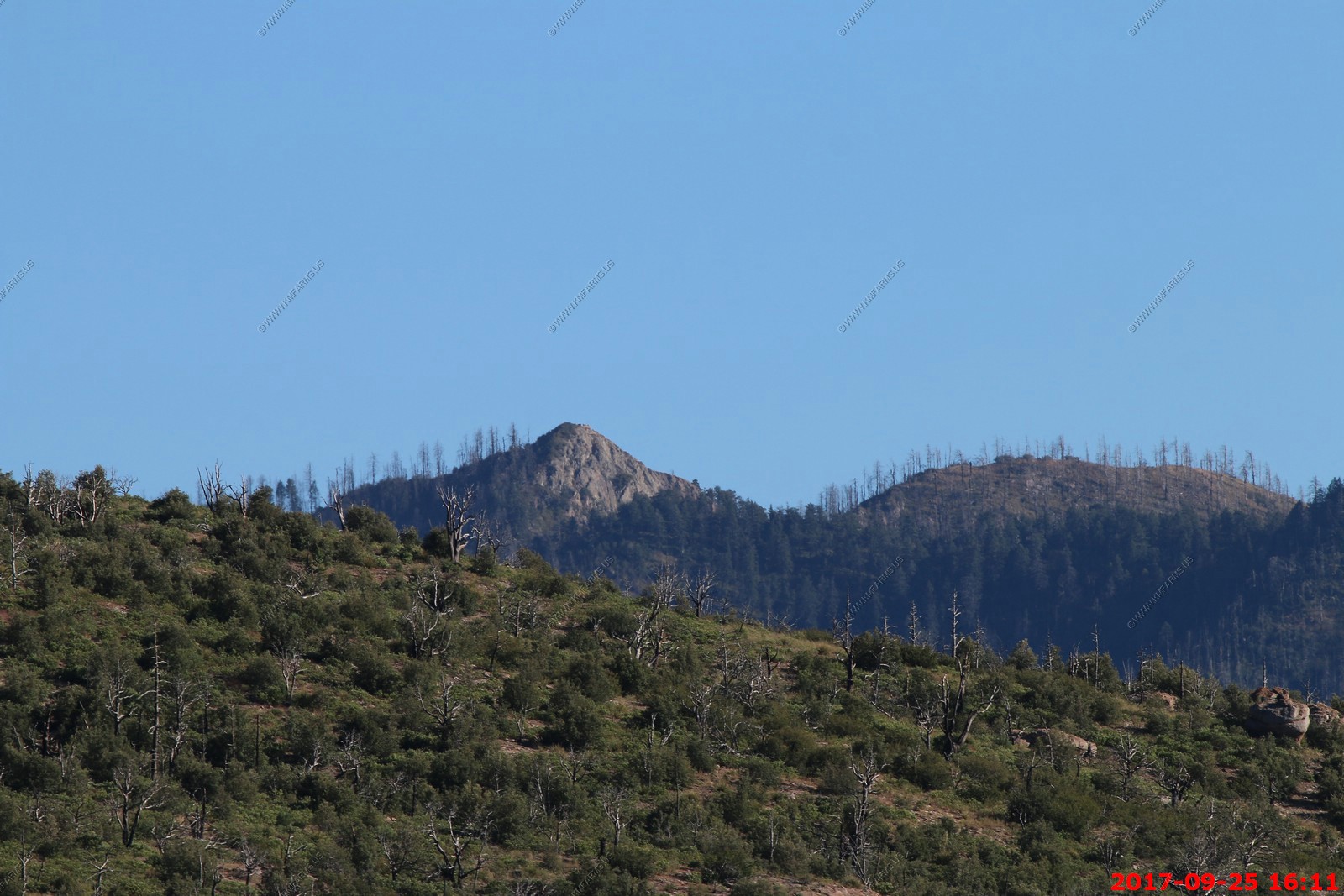
We drove the 6 miles up to Rustler Park campground area. It was sad to see that the area had considerable fire damage a few years ago. This area is all above 8,500 feet and very dark at night.

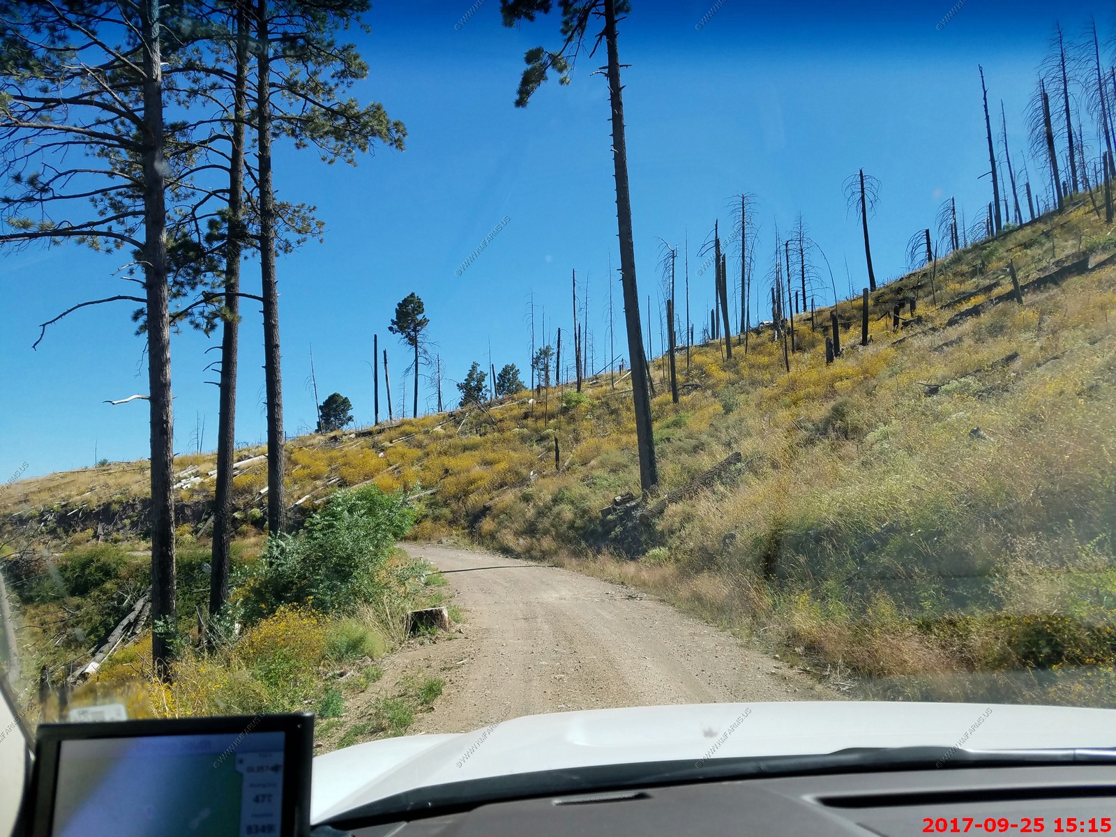
Getting very dusty
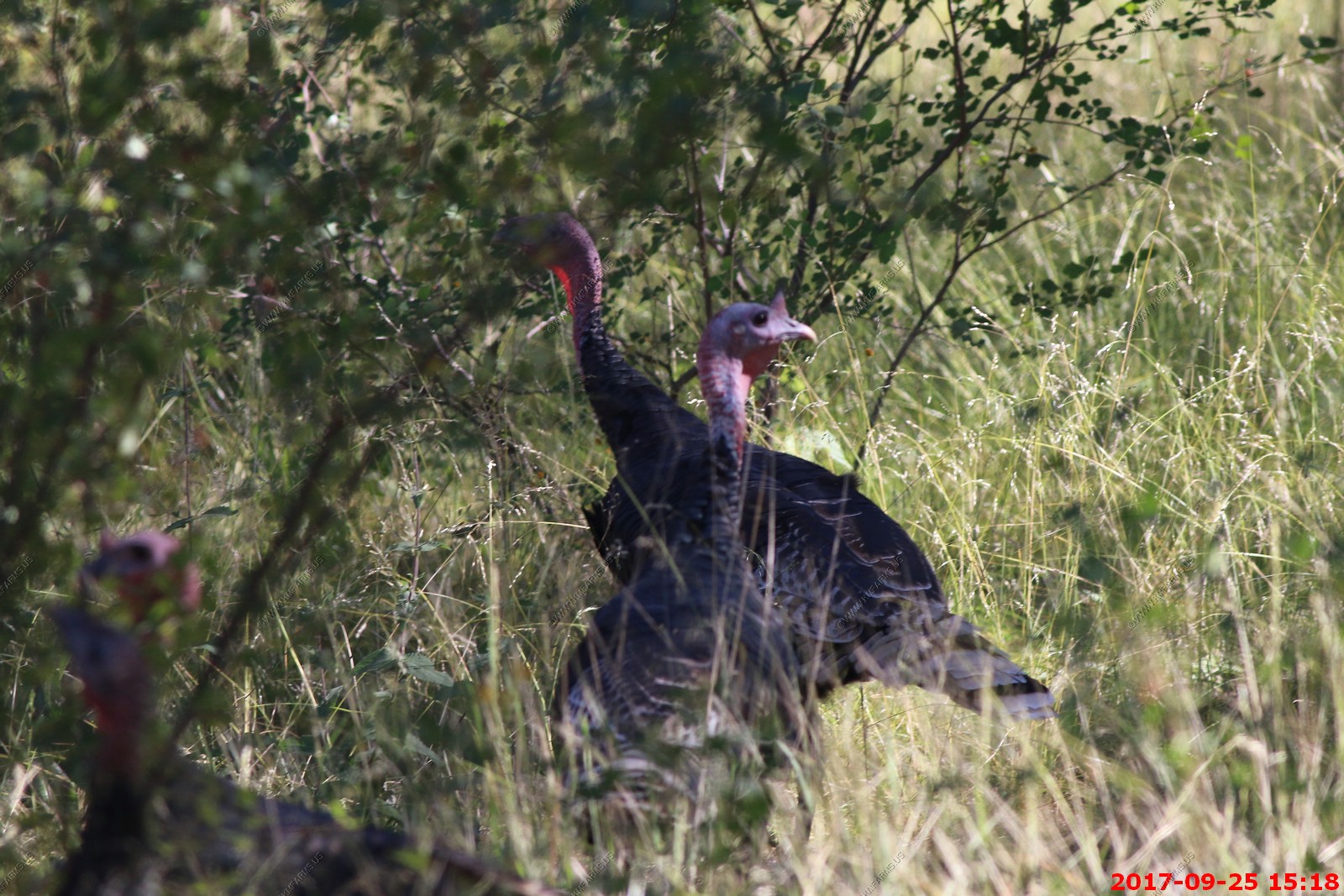
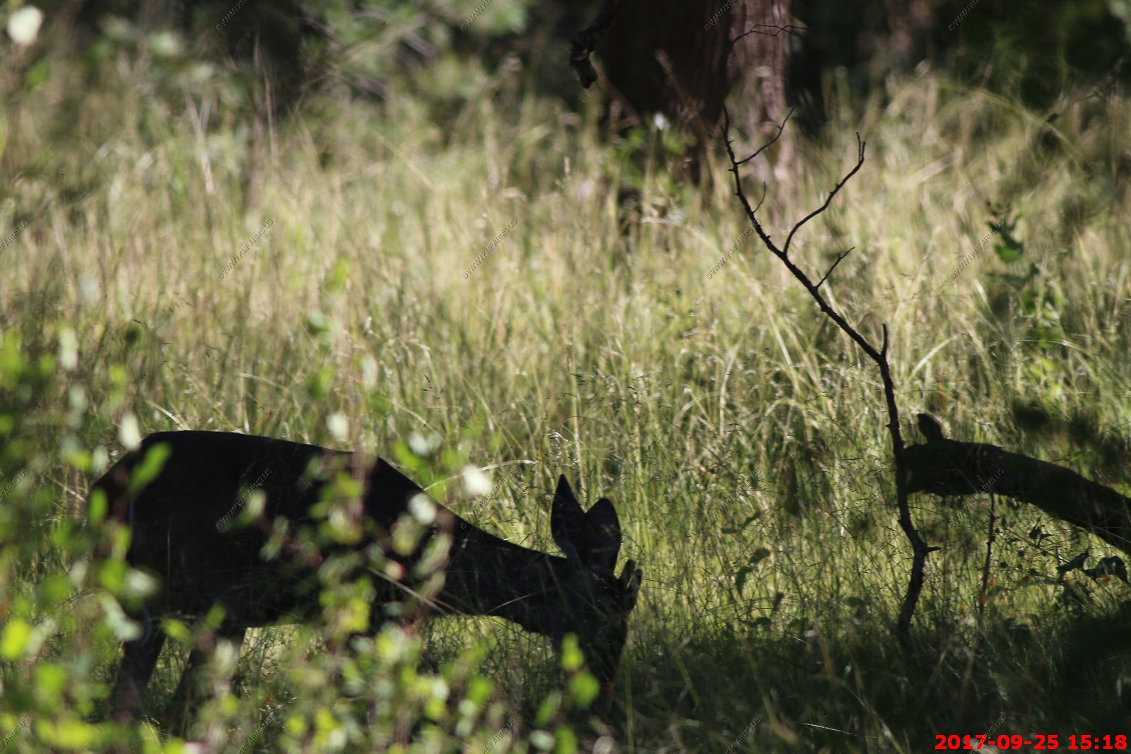
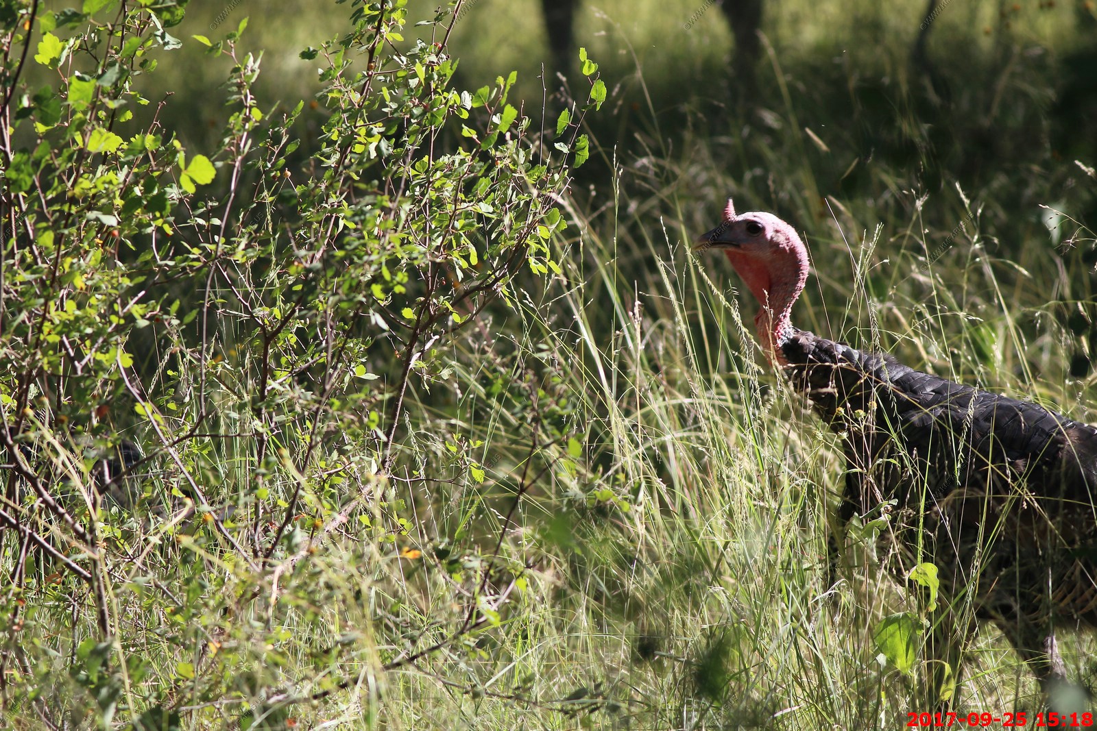
A number of turkeys and deer along FR-42 on the west side of the Chiricahua Mountains
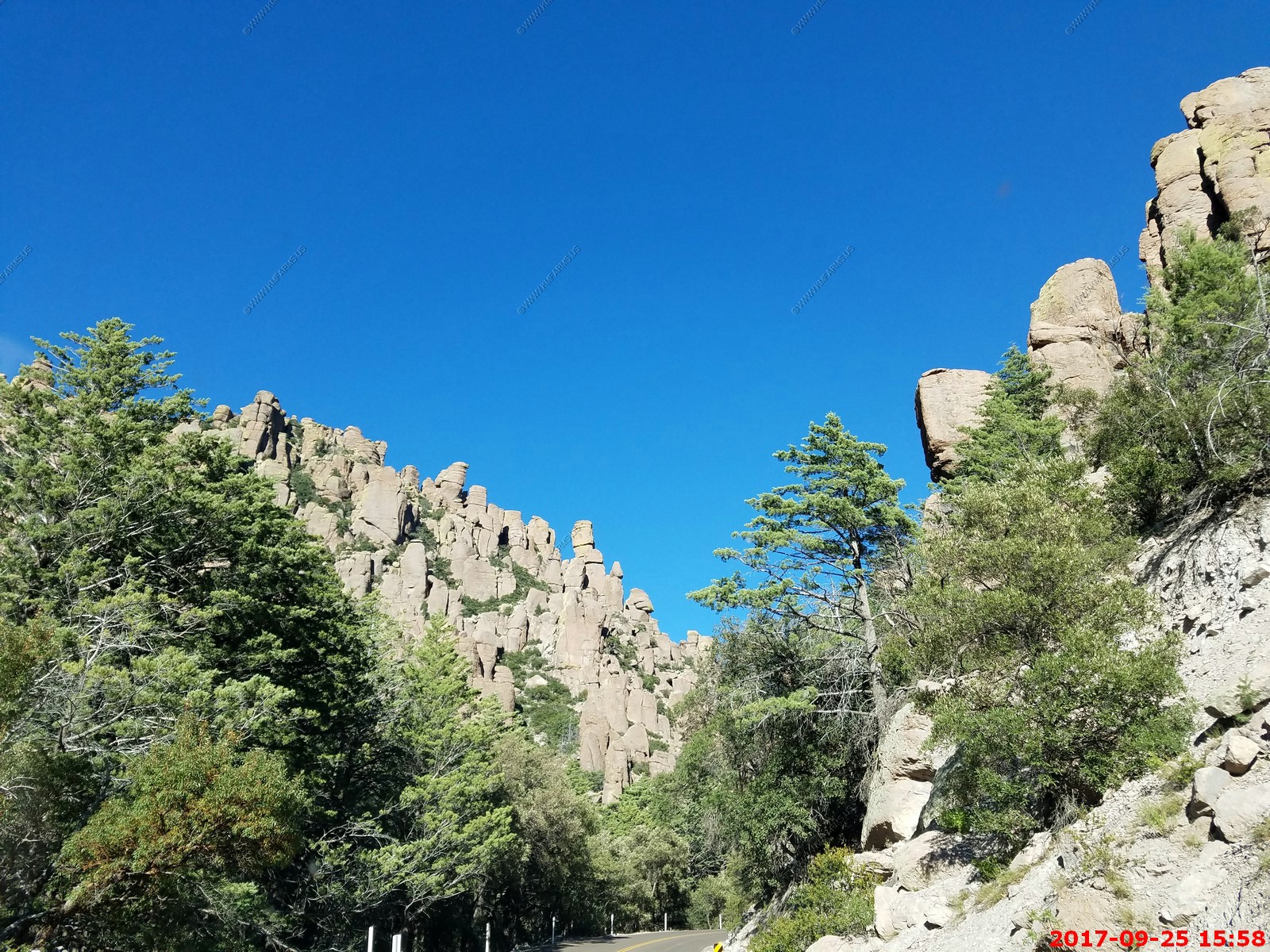
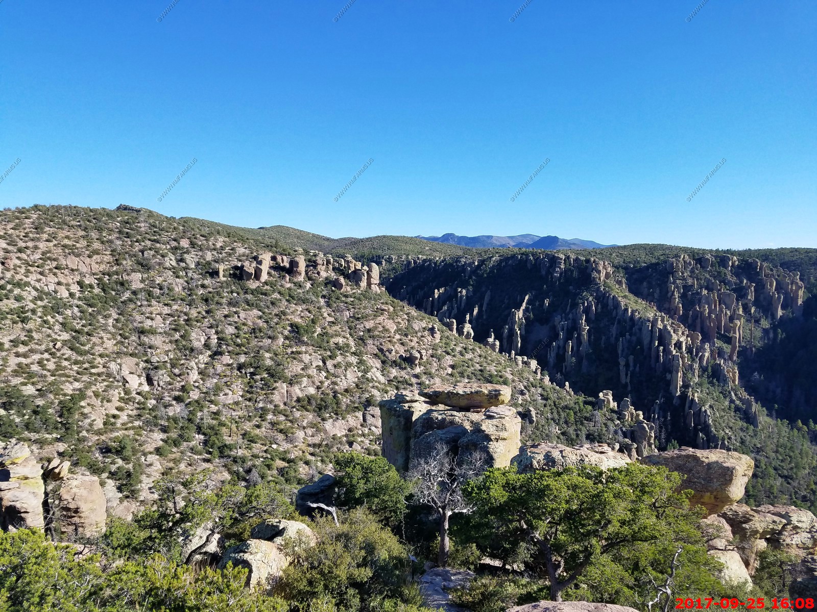
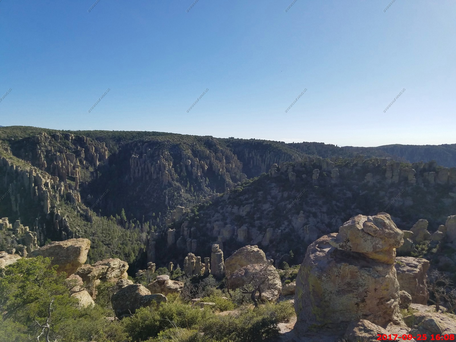
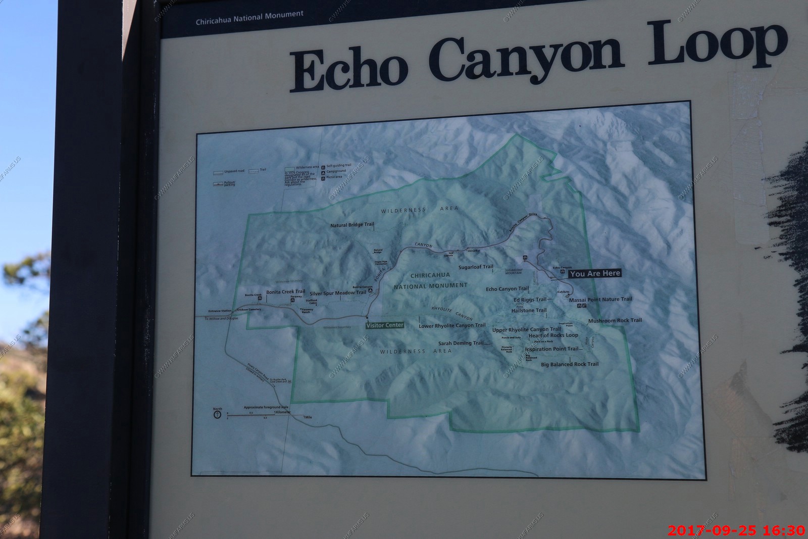
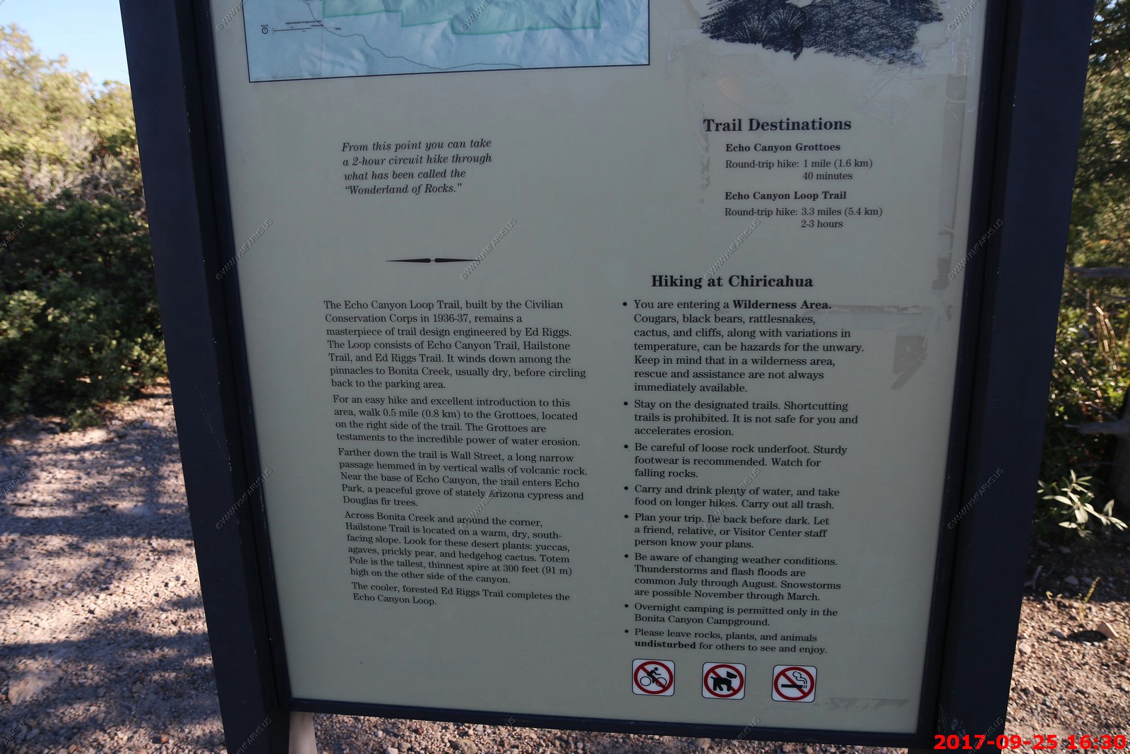
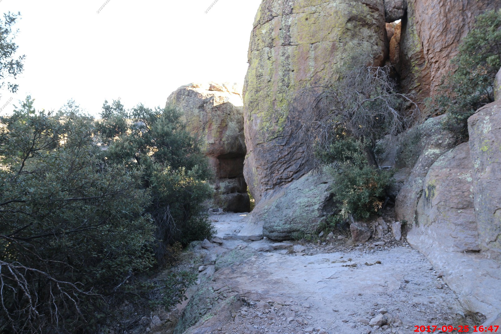
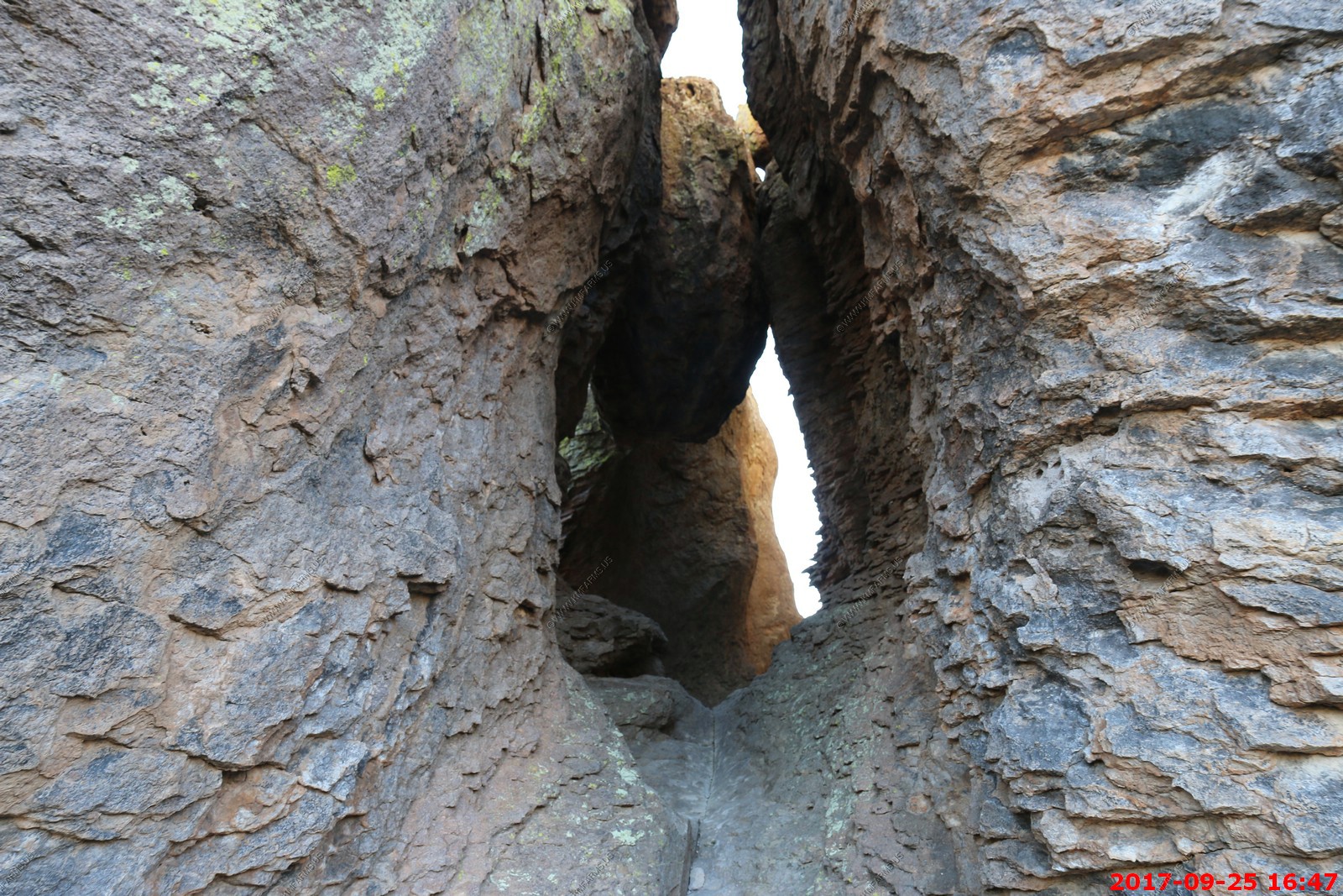
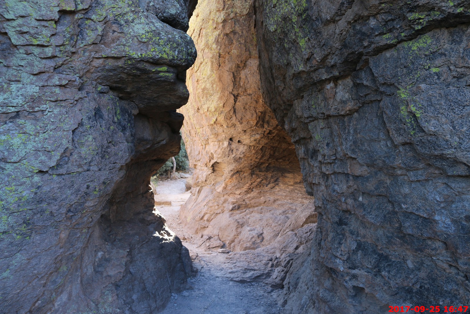
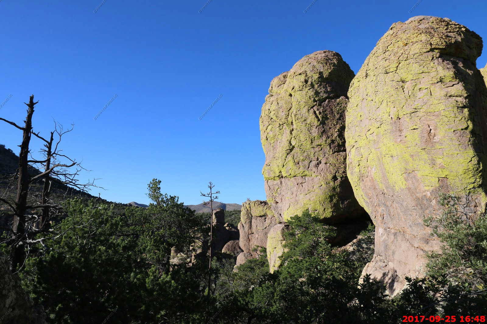
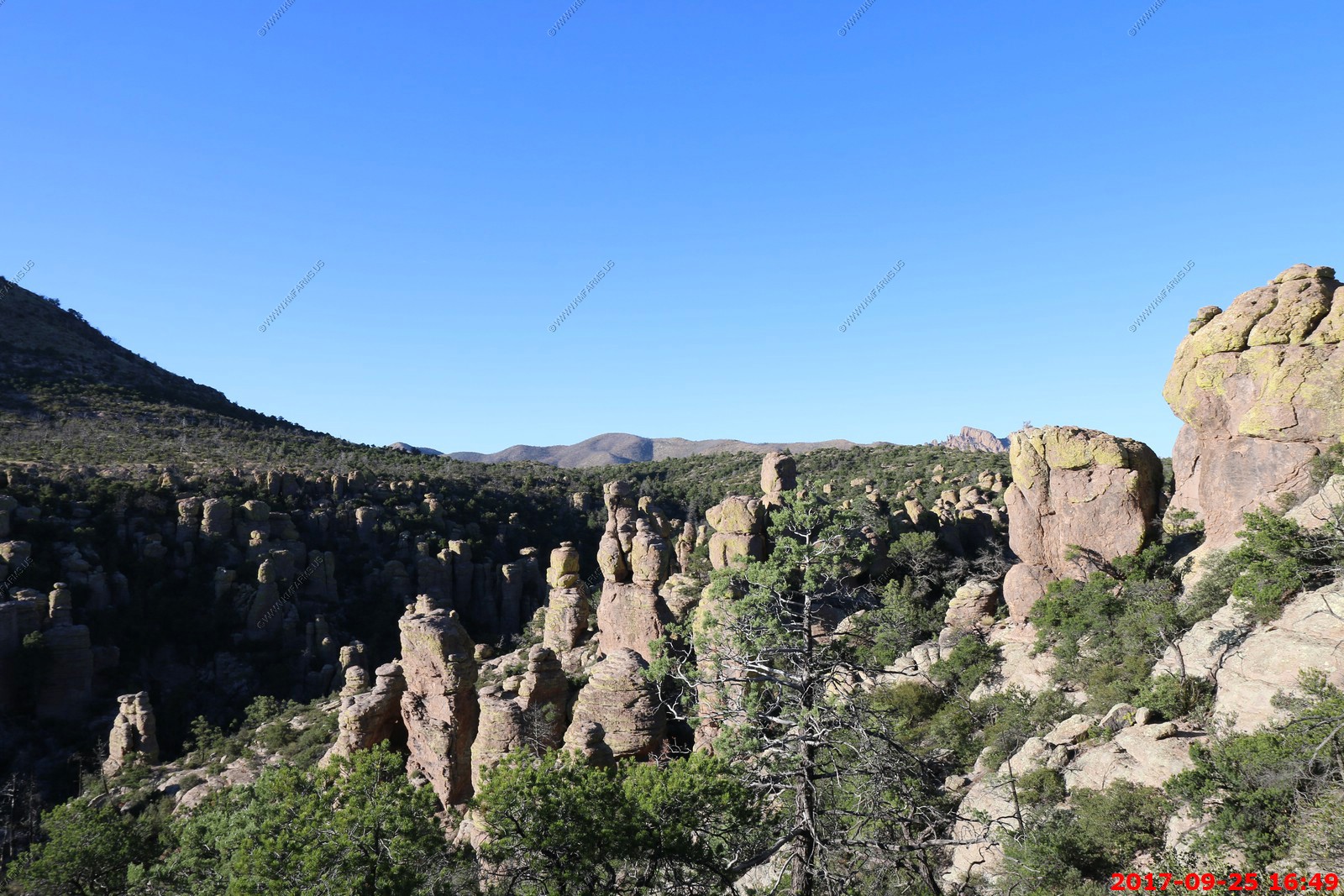
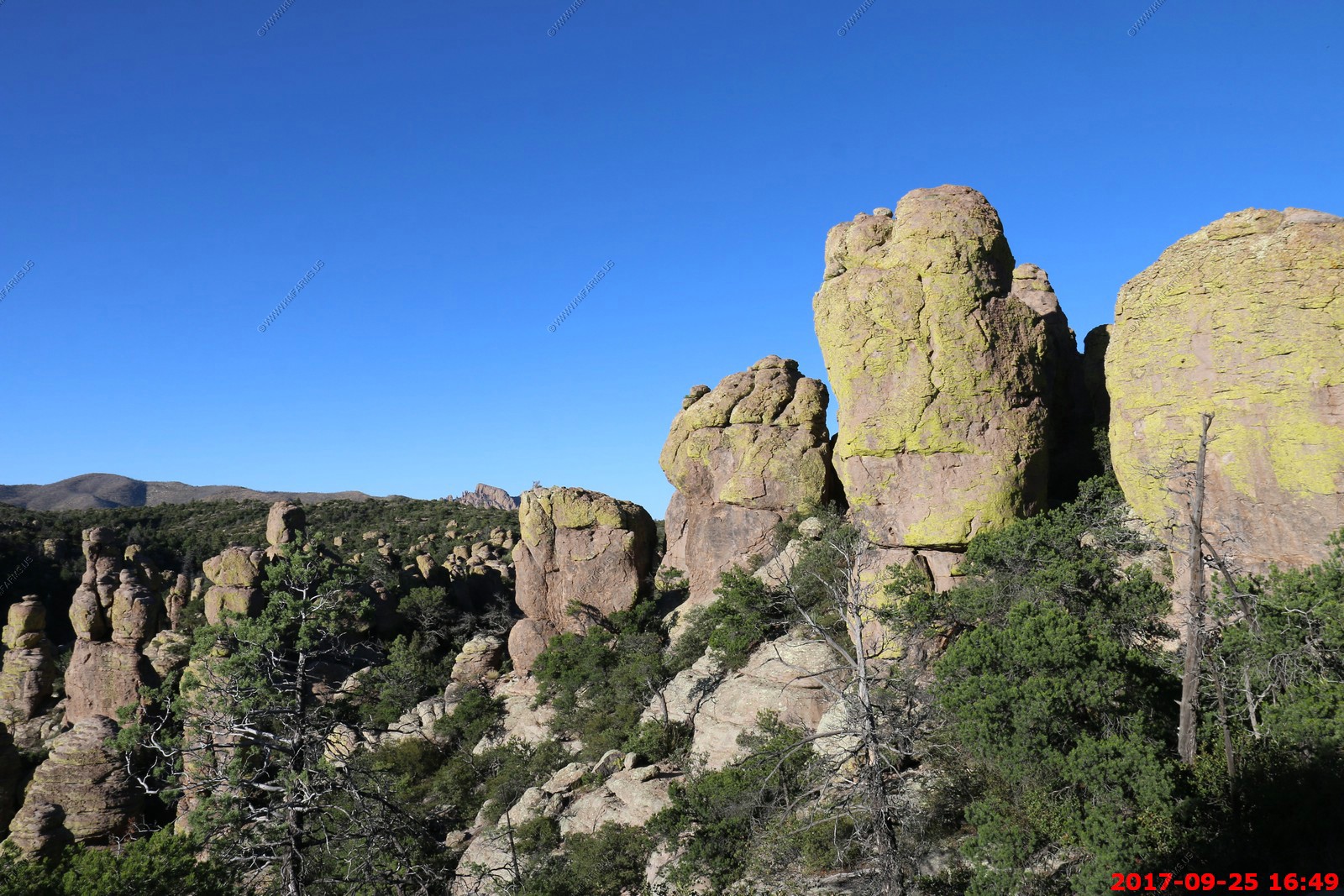
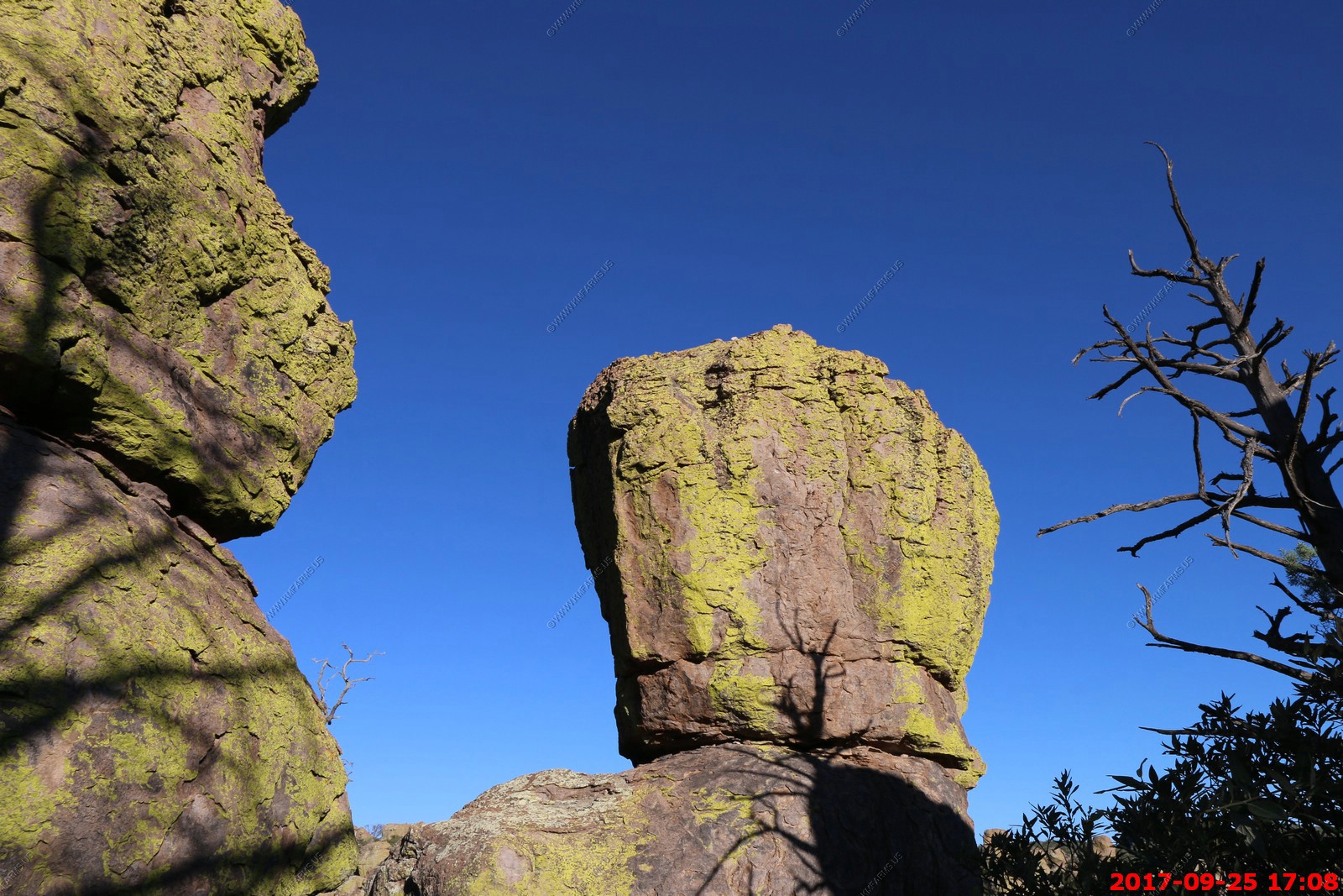
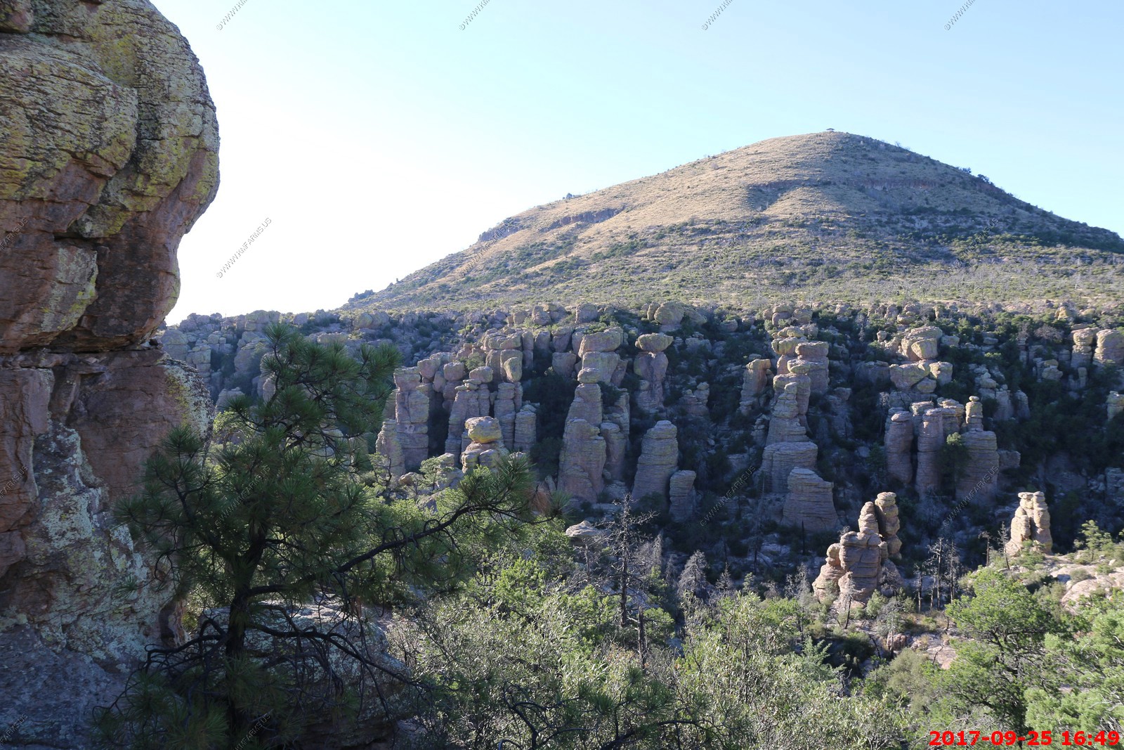
Chiricahua National Monument
The Apaches called this place 'The Land of Standing-Up Rocks', a fitting name for the canyons of extraordinary rock towers. Early pioneers in the late 1800s sensed the unique beauty and singularity of the rock formations in the area. They were instrumental in persuading Congress to protect this 'Wonderland of Rocks', so much so that in 1924 the Chiricahua National Monument was created.
We were last here in 2001 and we enjoyed our visit.
The 8-mile paved scenic drive and 17-miles of day-use hiking trails provide opportunities to discover the beauty, natural sounds, and inhabitants of this 11,985 acre site
This is a very low use park. Around 60,000 visitors per year which is good
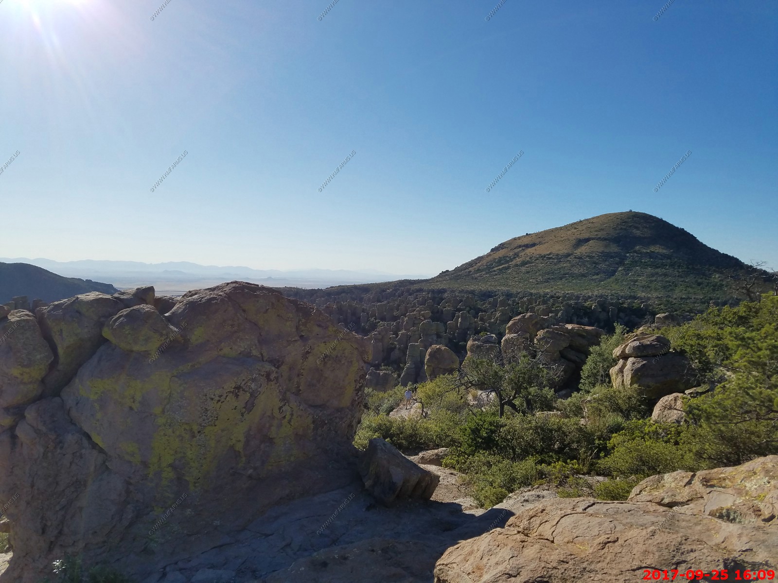
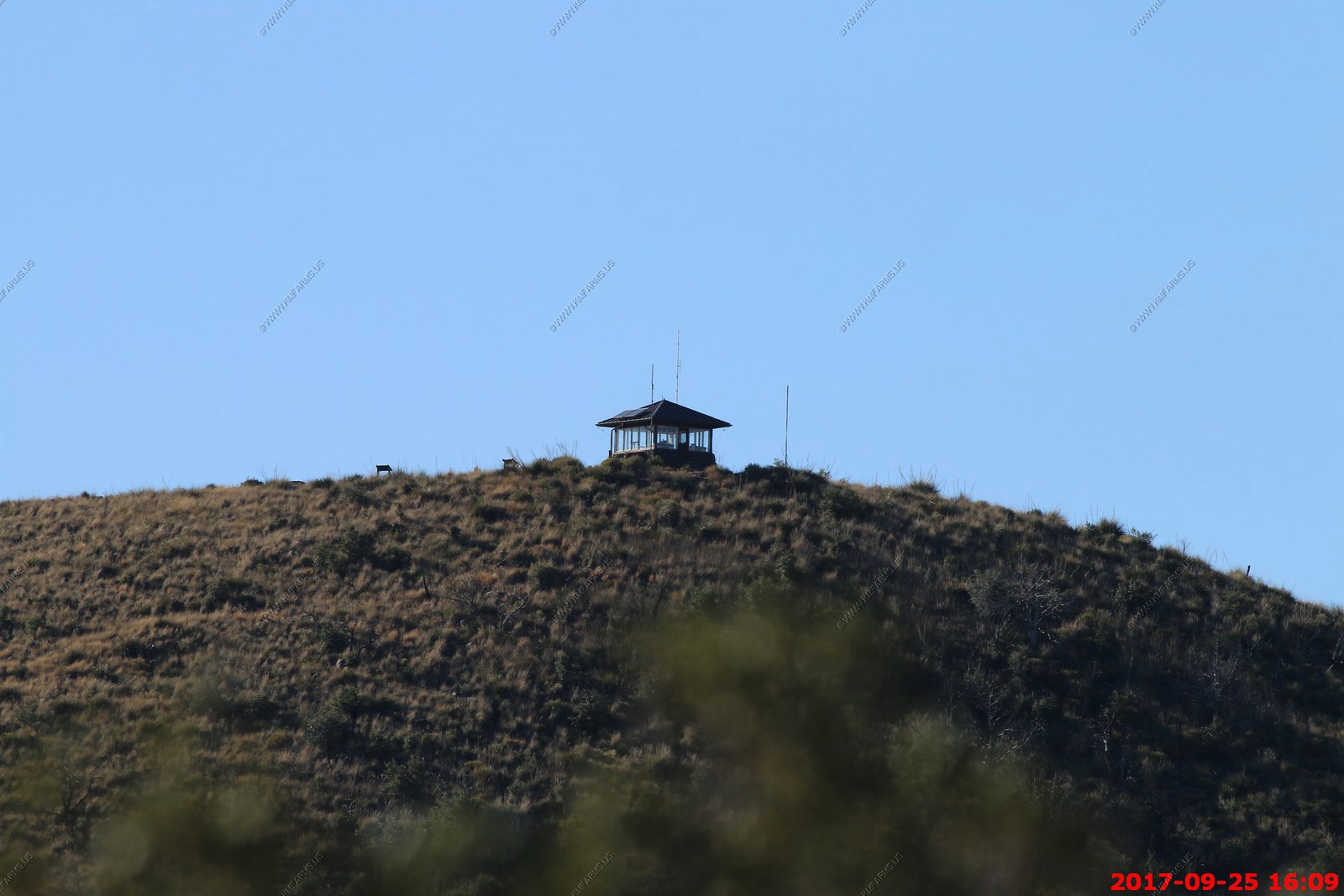
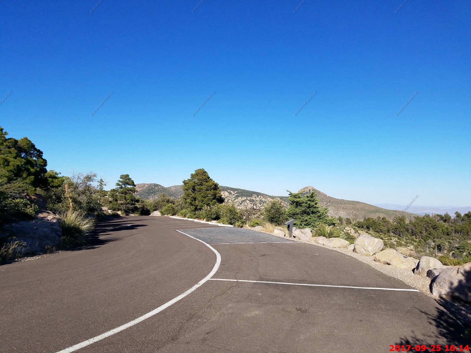
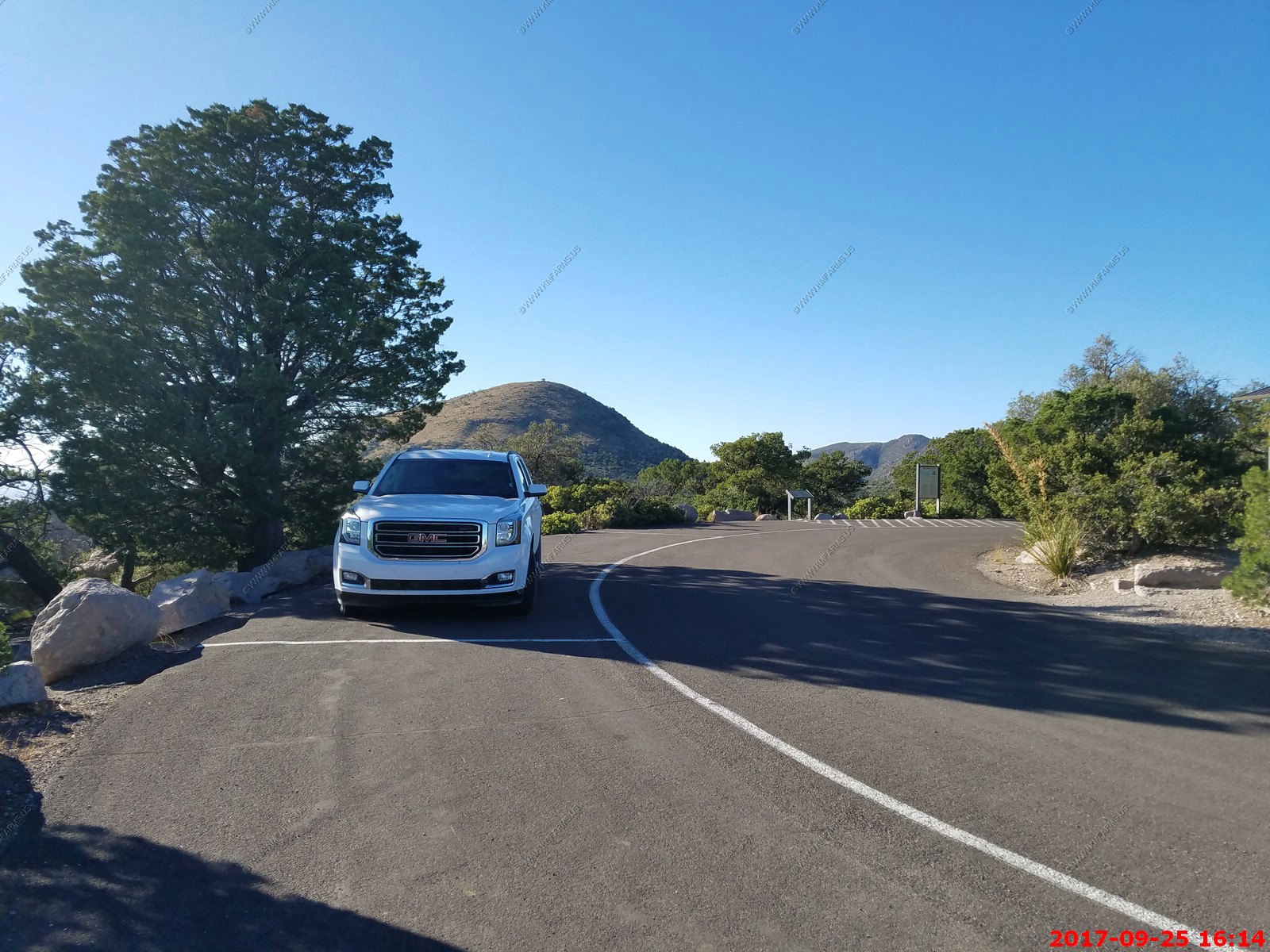
We drove up to the end of the paved rood at Massai Point (El. 6,870 Ft.)
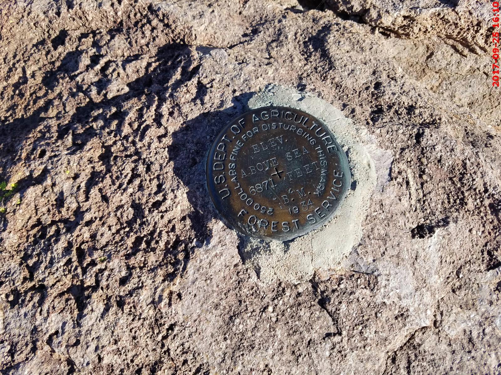
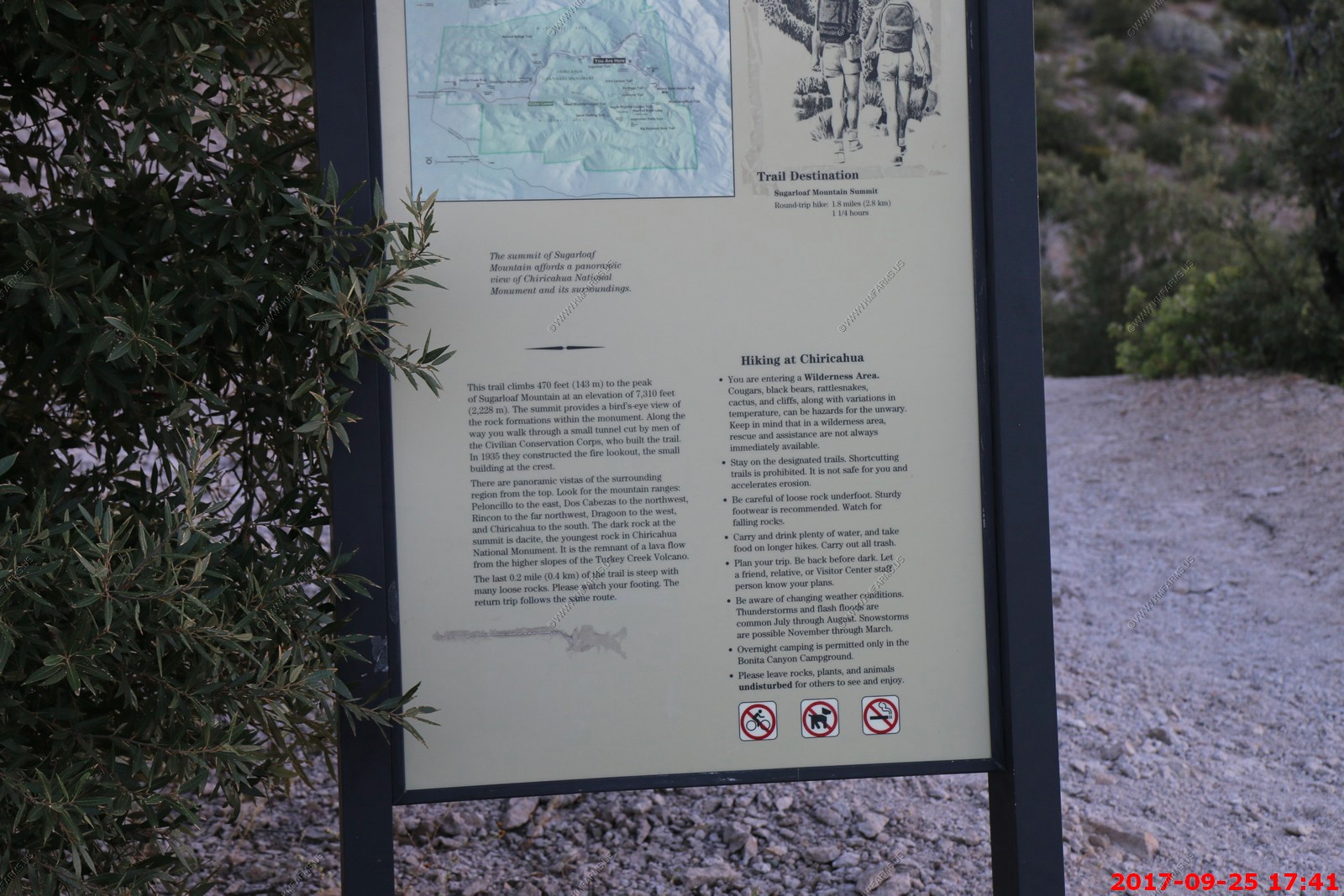
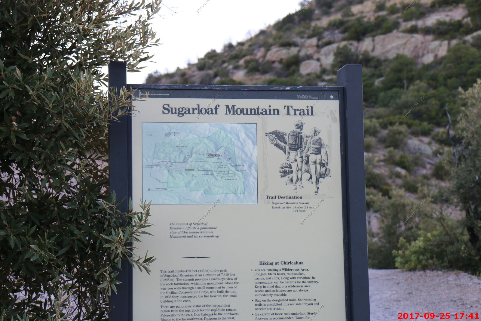
If we had more time we would have hiked up to the Sugarloaf Mountain (El. 7,310 ft.) fire tower.
Looking south to where we just were at Rustler Park campground area.
As usual we had the park to ourselves
A bird of the Mexican mountains, the Mexican Jay lives in the oak woodlands of western Texas, New Mexico, and Arizona. It lives in social groups that may include multiple breeding pairs, and group members may feed young at multiple nests within the group territory.
Genetic studies have shown that parentage within a Mexican Jay group is complicated, with most nests containing young sired by different males. Most of the extra-pair young were fathered by males within the group that did not help in nest building and did not appear to be paired.
In winter, Mexican Jay groups are often followed by Northern Flickers. The flickers pay attention to Mexican Jay alarm calls and are protected from predators by the vigilance of the jays.
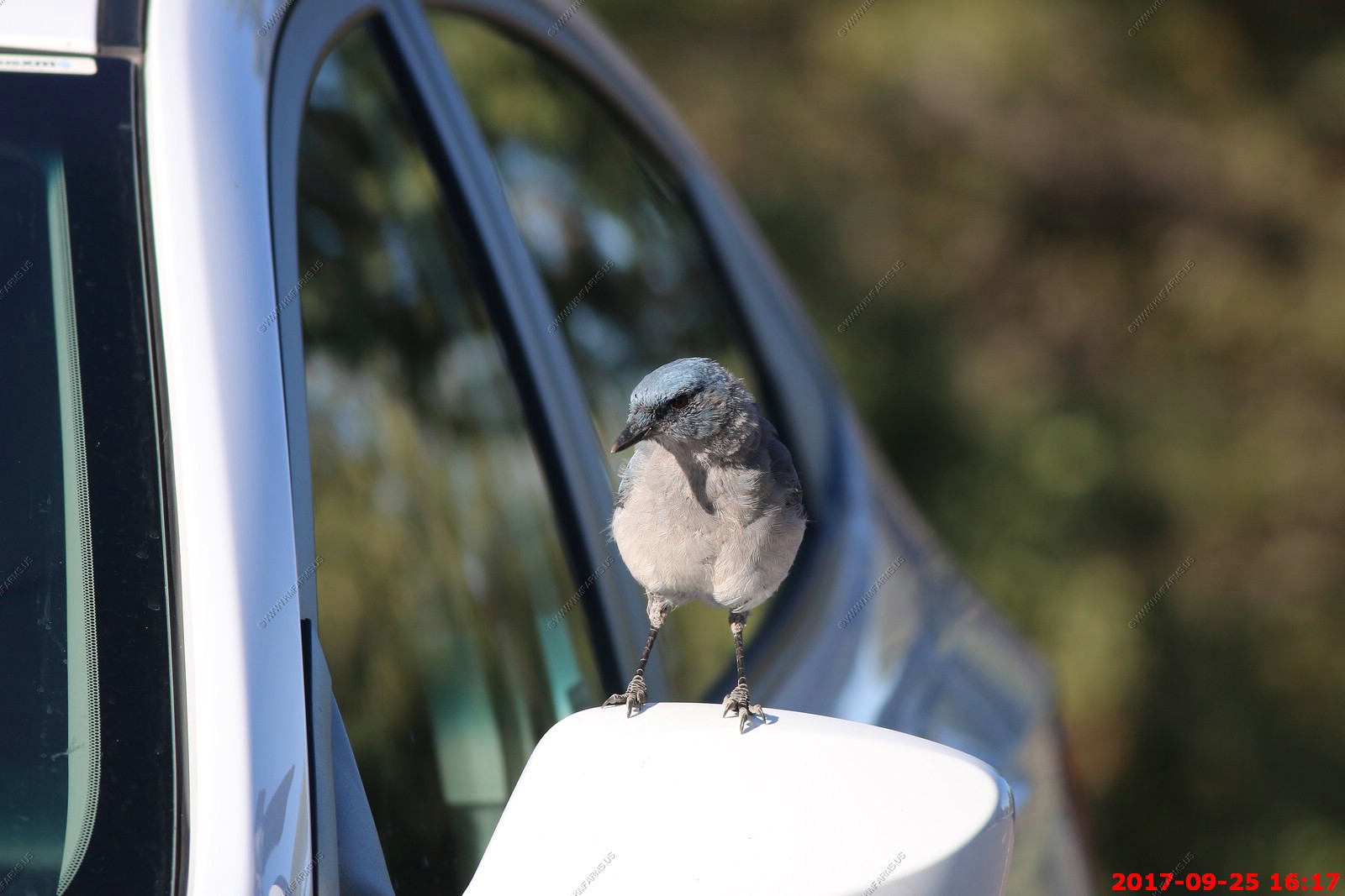
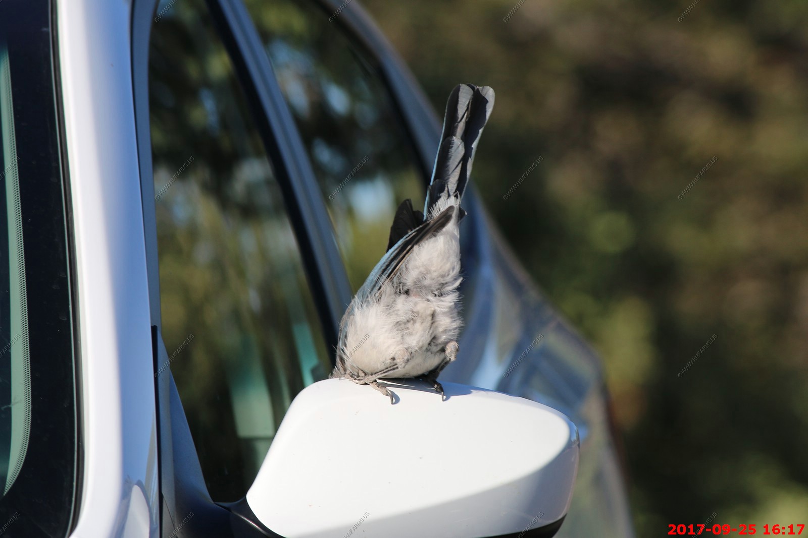
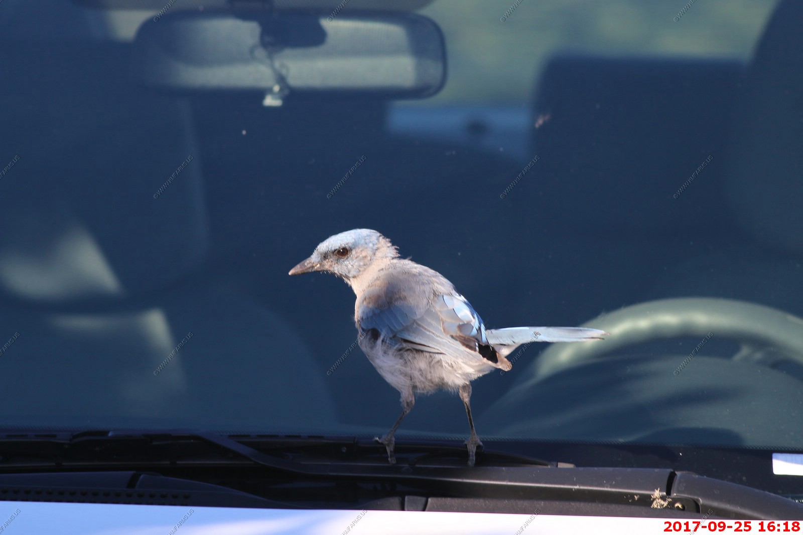
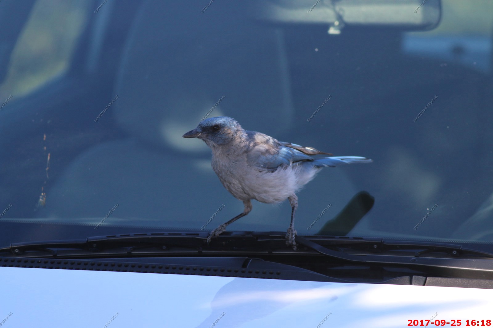
The Jay was having fun with the mirror and windshield wiper. You could hear him pecking on the car 200 feet away
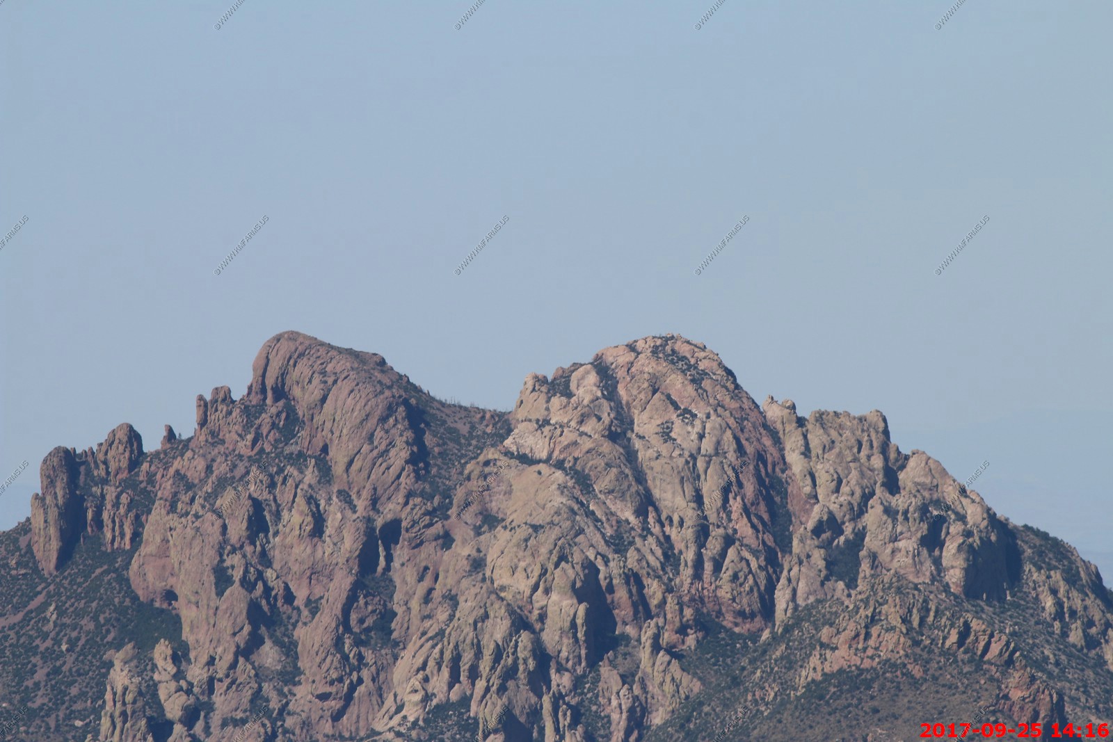
Cochise Head Mountain, often simply called Cochise Head, is a rocky mountain top of which shape resembles the profile of Apache chief Cochise (interestingly, no photographs of Cochise exist for comparison). It must not be politically correct to point this out as in the 16 years since we were last here, it now is hard to find this view listed on any park publications. Oh well, I am sure the NPS will be grinding off the Indian looking mountain soon.
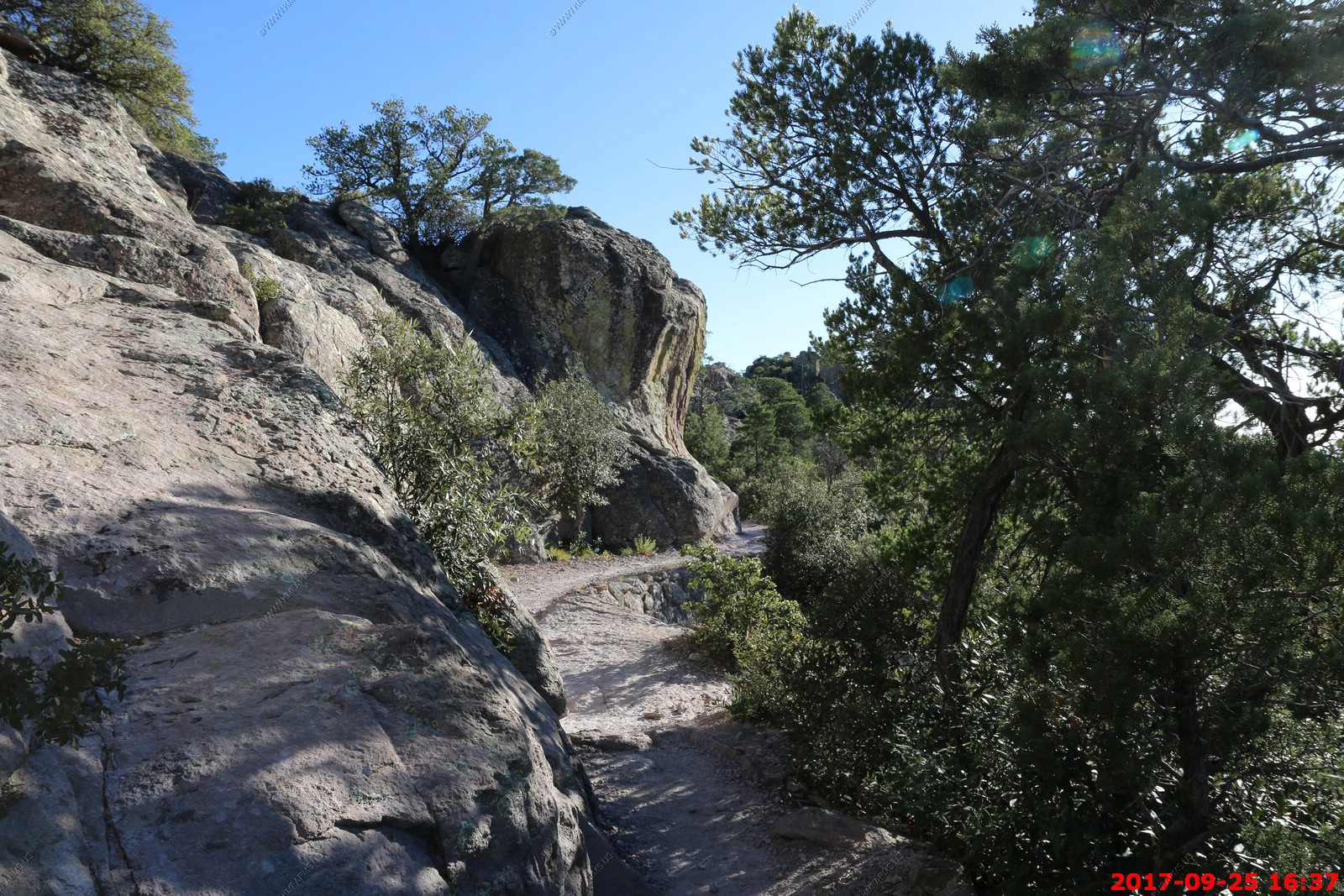
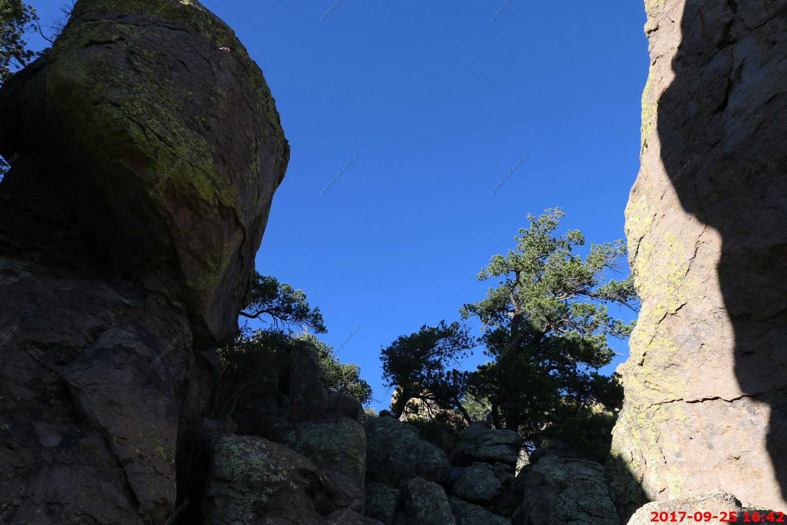
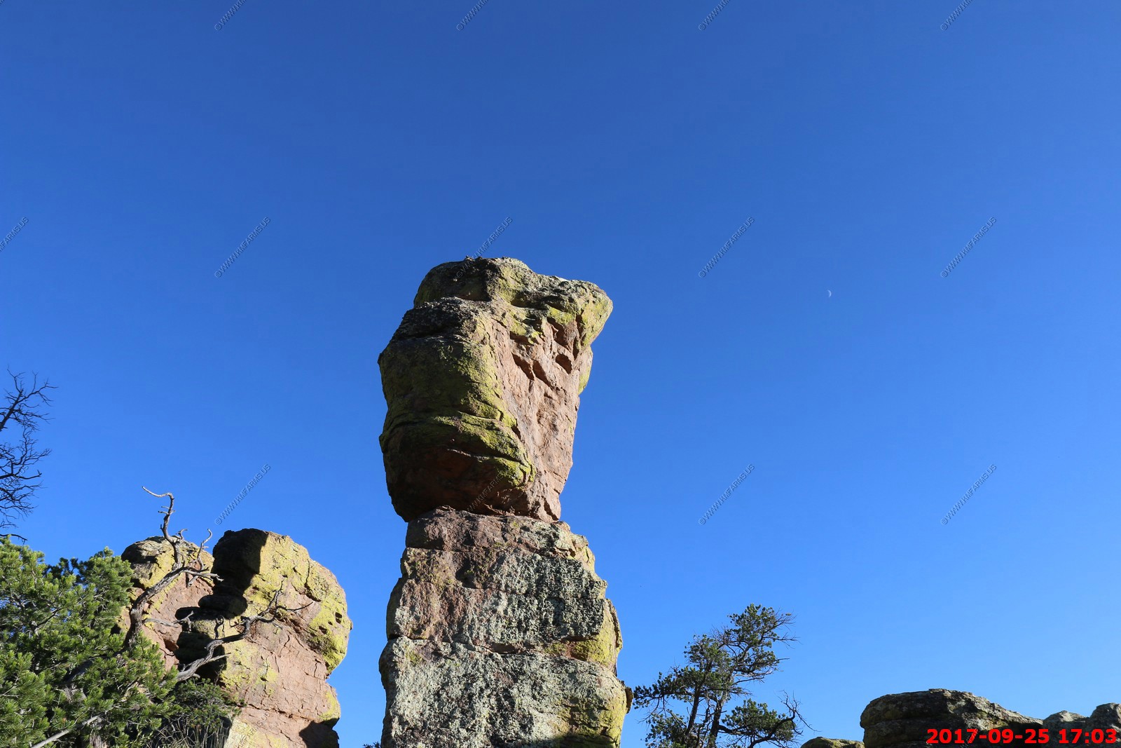
It was getting late and we wanted to do a quick hike. So we parked at Echo Canyon (El. 6,780 ft.) and walked a half mile or so down Echo Canyon Trail into the rocks. This was the same hike we did in 2001. This takes you into the hoodoos.

Looking across at Sugarloaf Mountain (El. 7,310 ft.) fire tower.
Fighting for parking again
Sugarloaf Mountain Trailhead - Talks about a small tunnel. Not enough time.
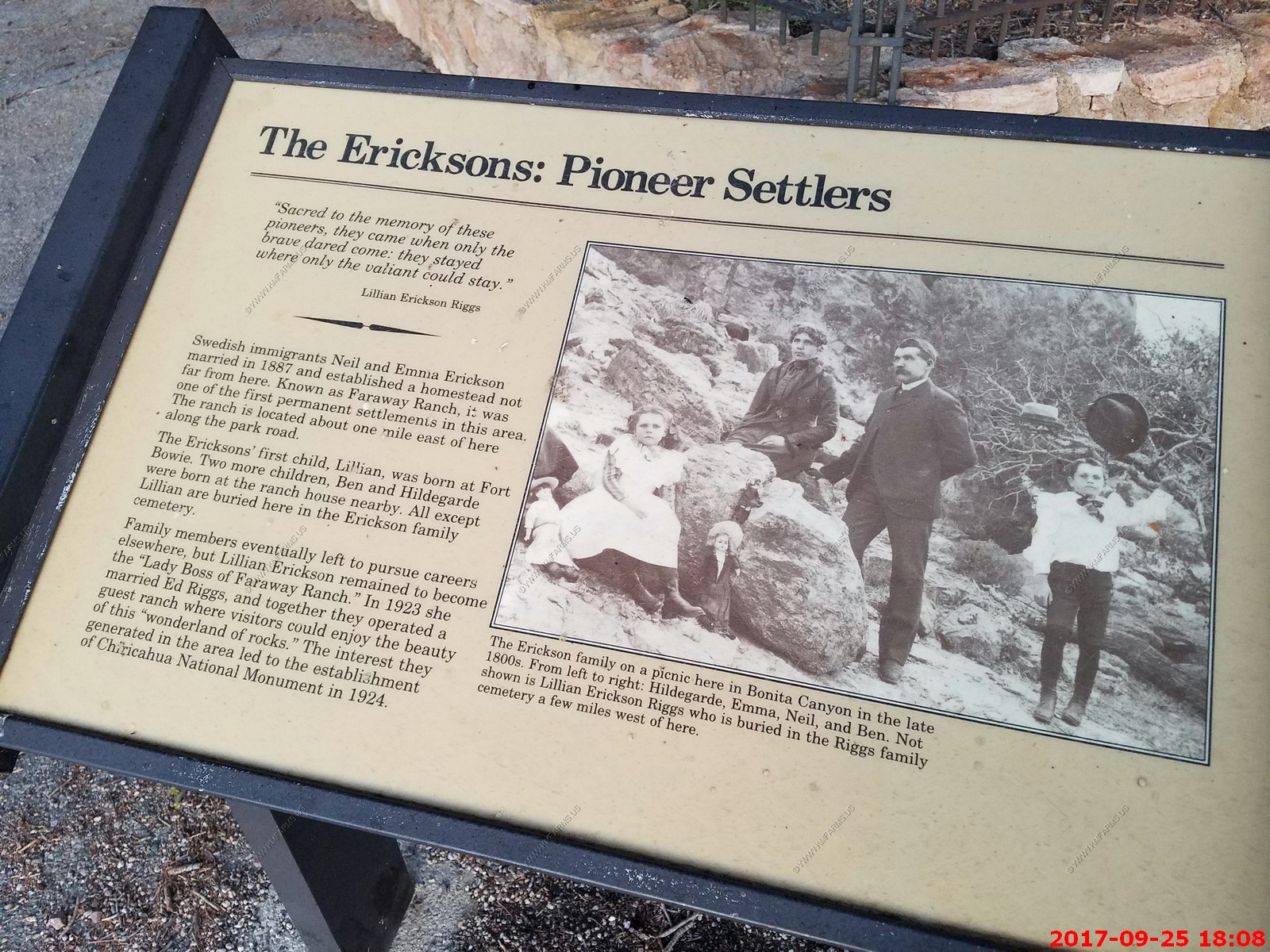
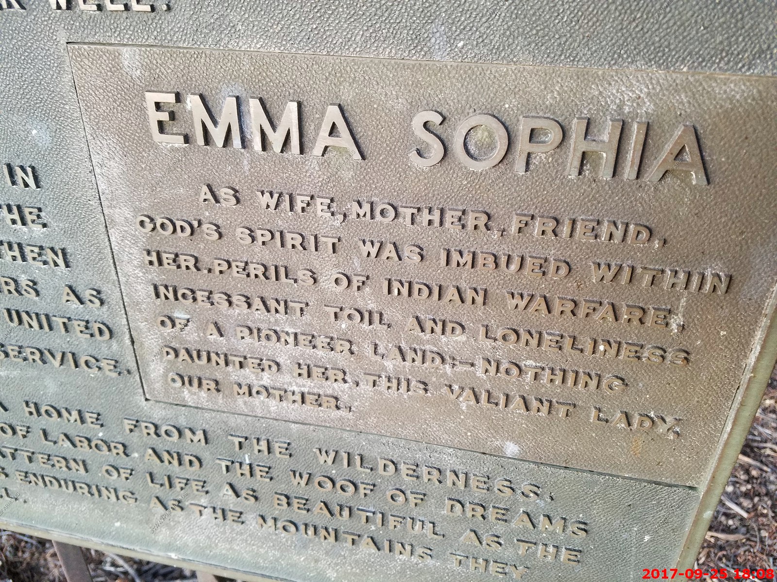
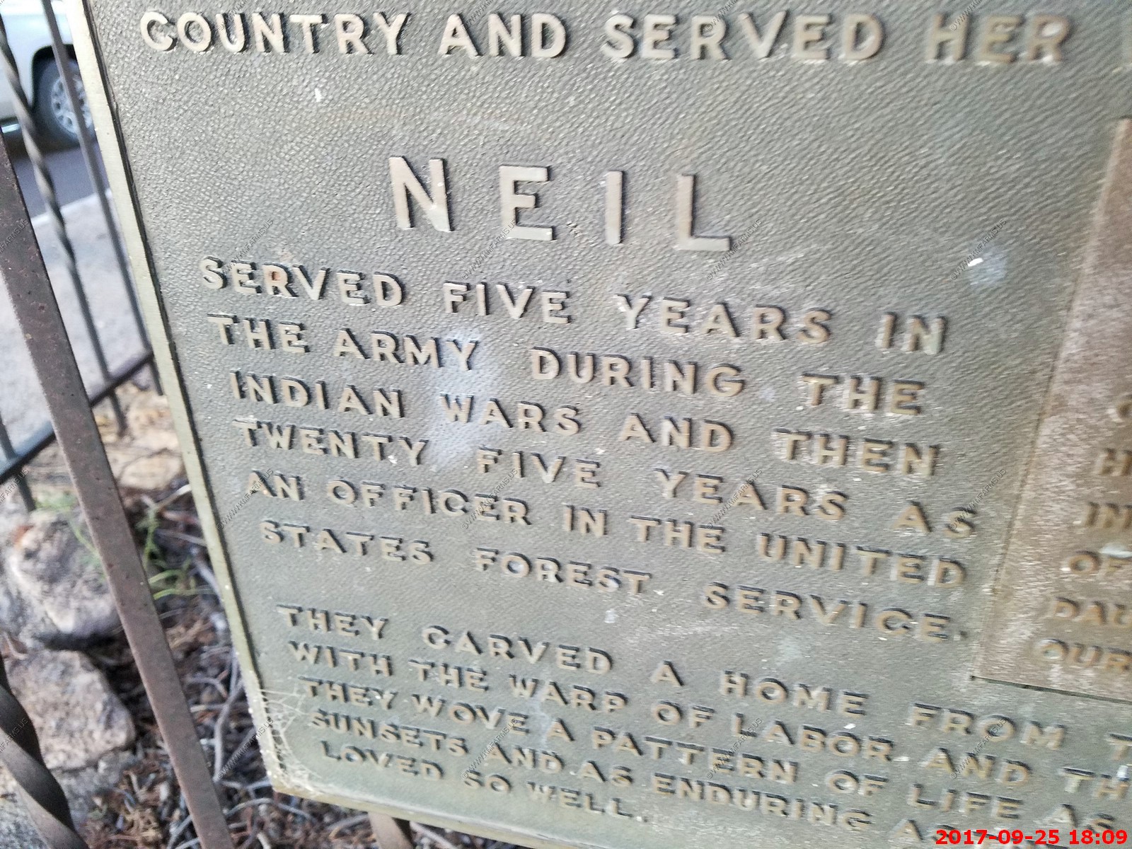
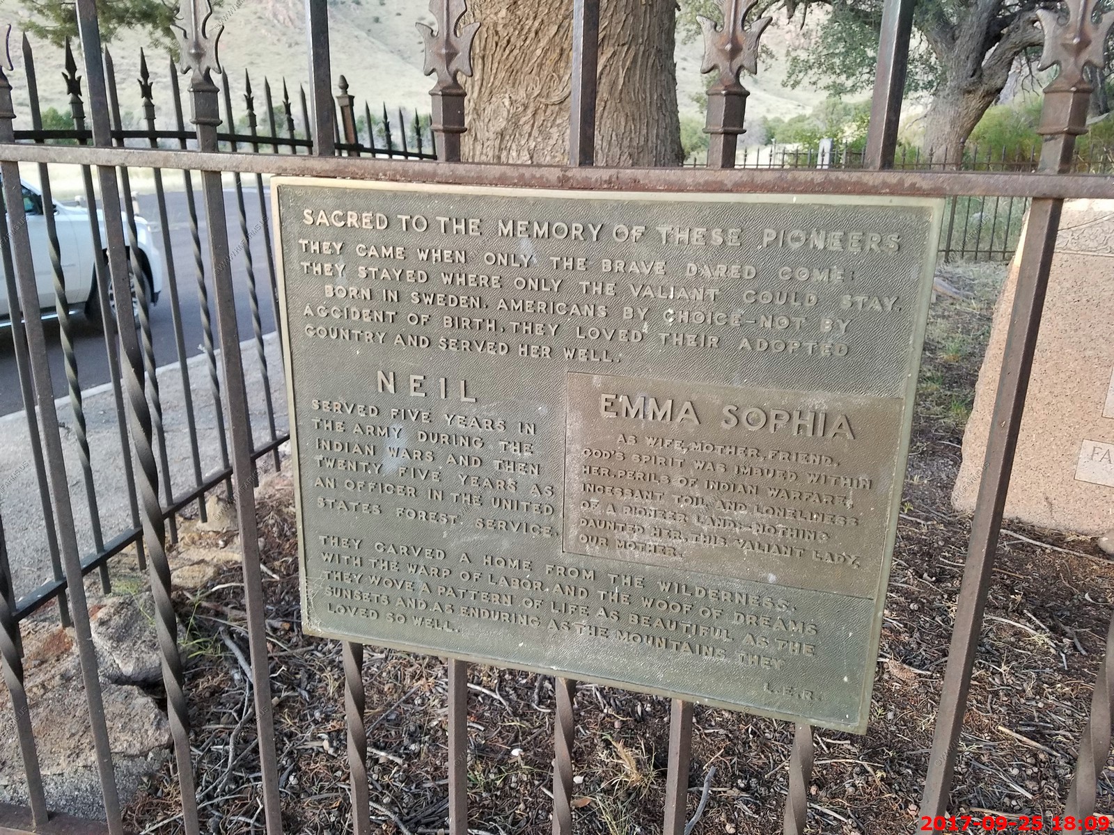
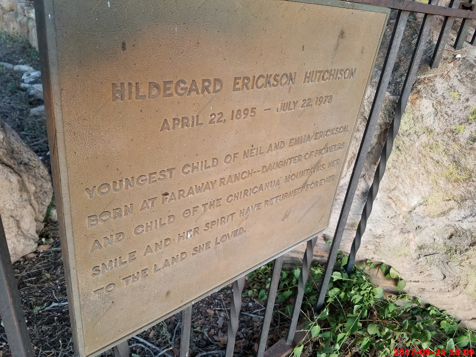
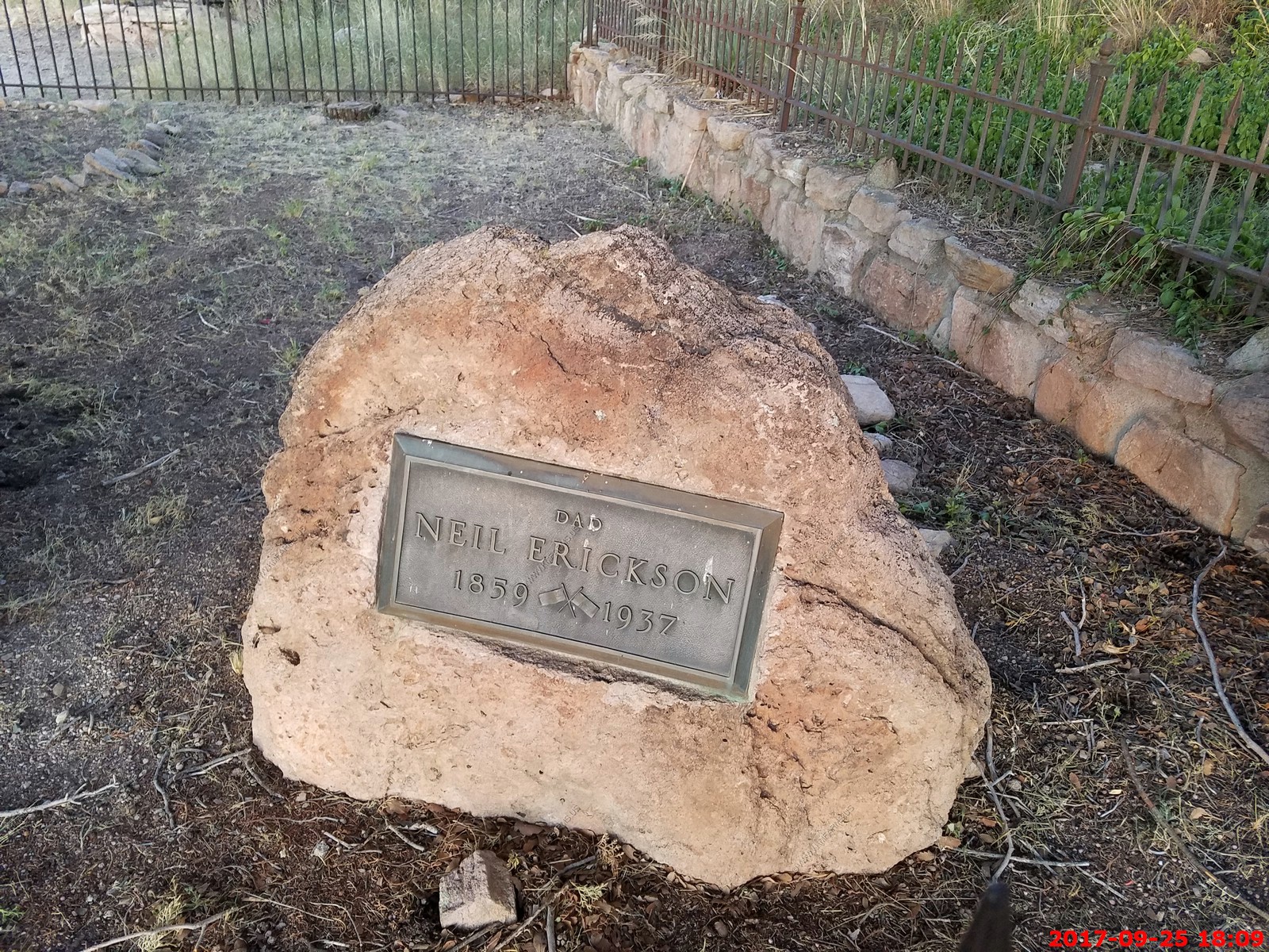
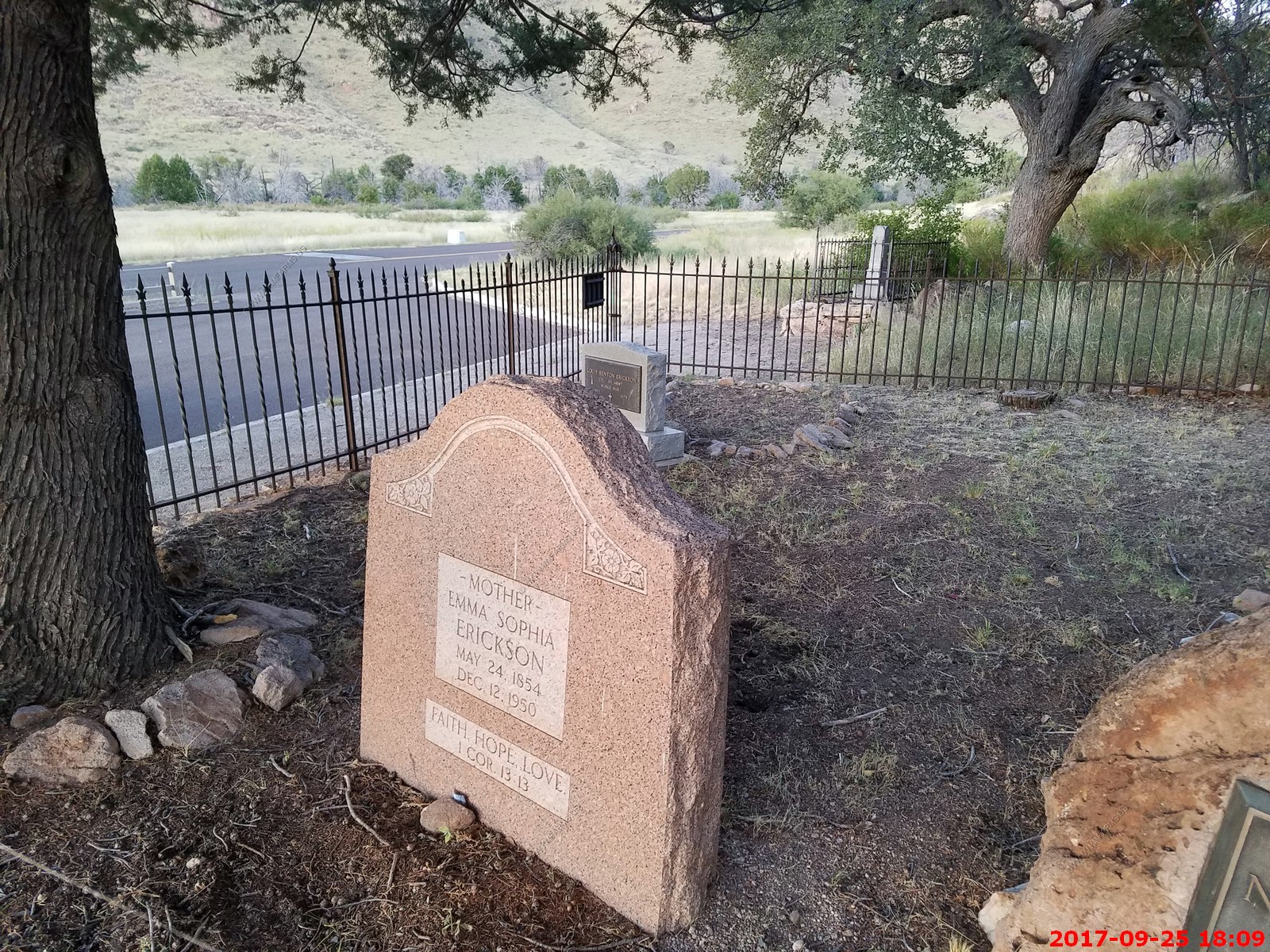
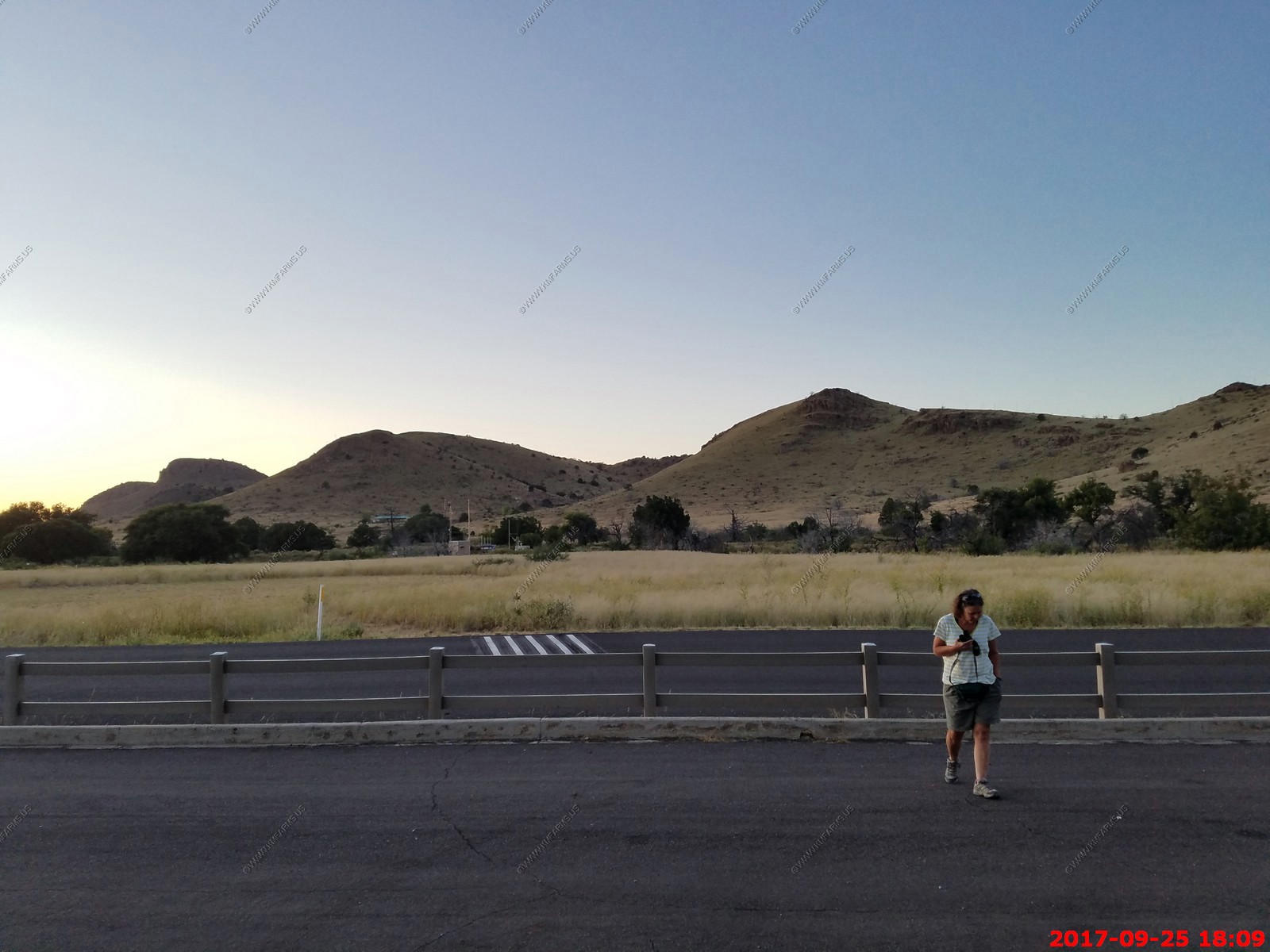
We explored the Erickson Cemetery by the park entrance
Mary looking for critters
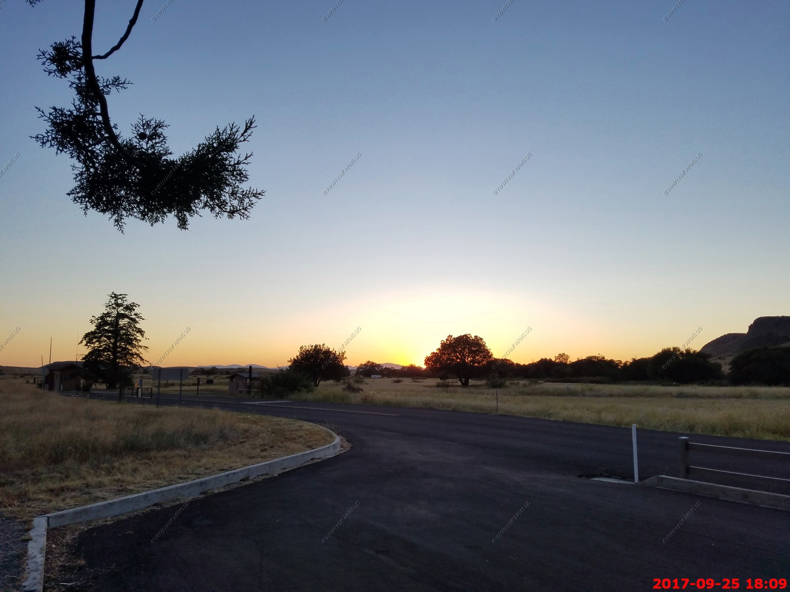
Sunset at the park entrance (El. 5,124 ft.)
So, we had to drive the 35 miles up to Wilcox to get back on to I-10. This is one of my favorite roads AZ-186. NOTHING is along this road. Just wide open country with a bunch of owl's hunting along the road. We had a car that was 12 miles or so behind us and it felt too close.
I think of this road all the time when I am stuck in traffic HELL daily back in the terrible state of Maryland.
We were hungry so we stopped at Big Tex BBQ along the UP RR tracks in Wilcox. It was good we both got brisket and the dining room was an old railcar. We would stop here again. Sad that no trains went by while we were here.

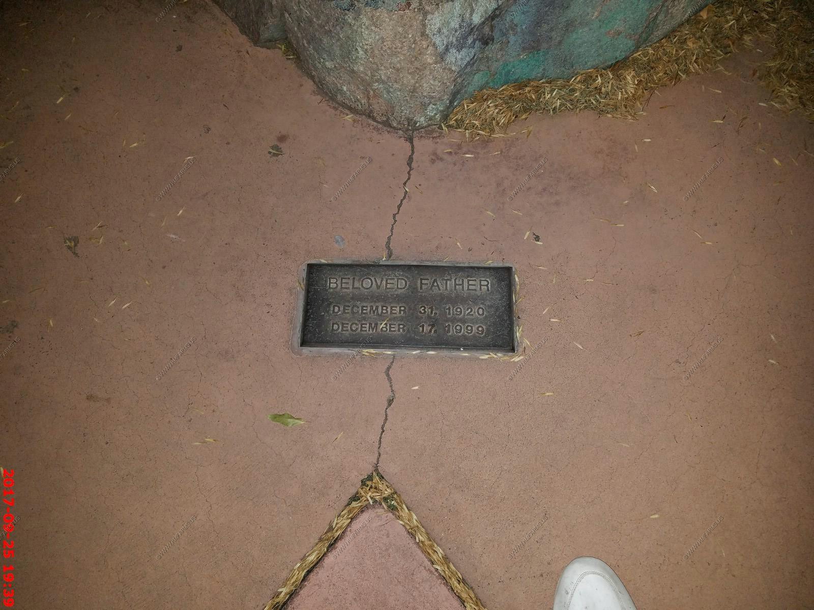
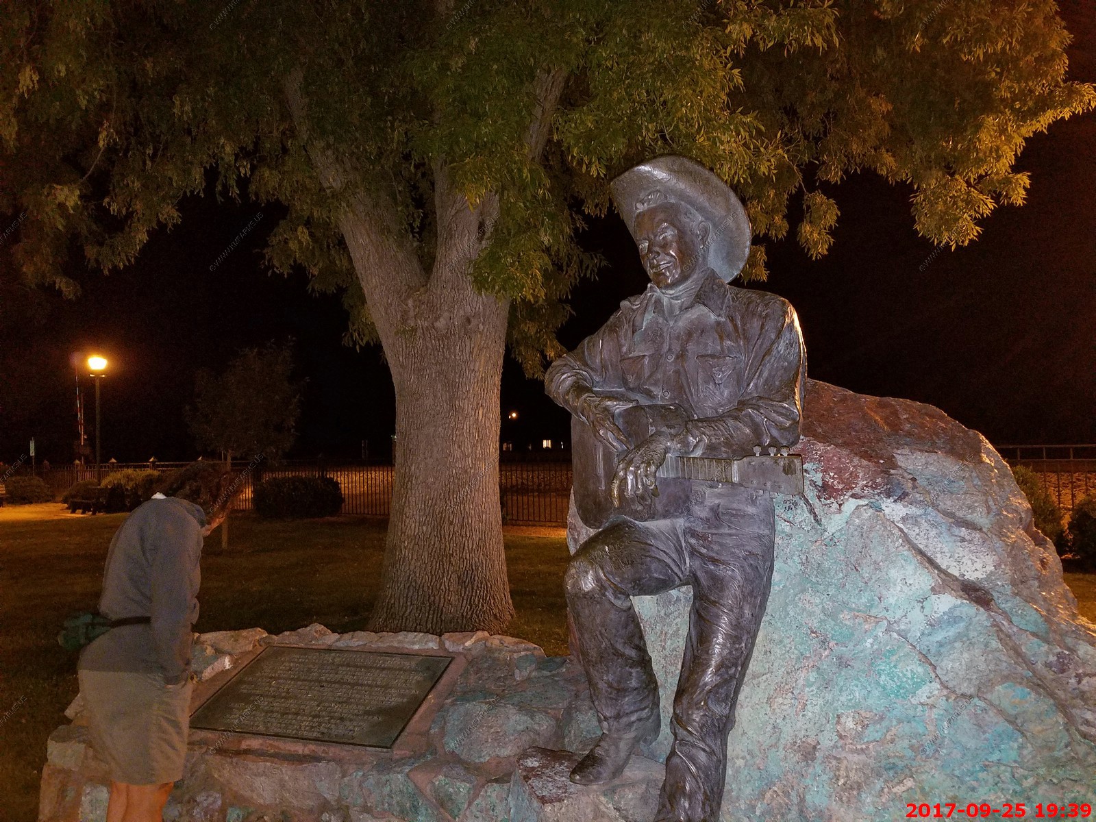
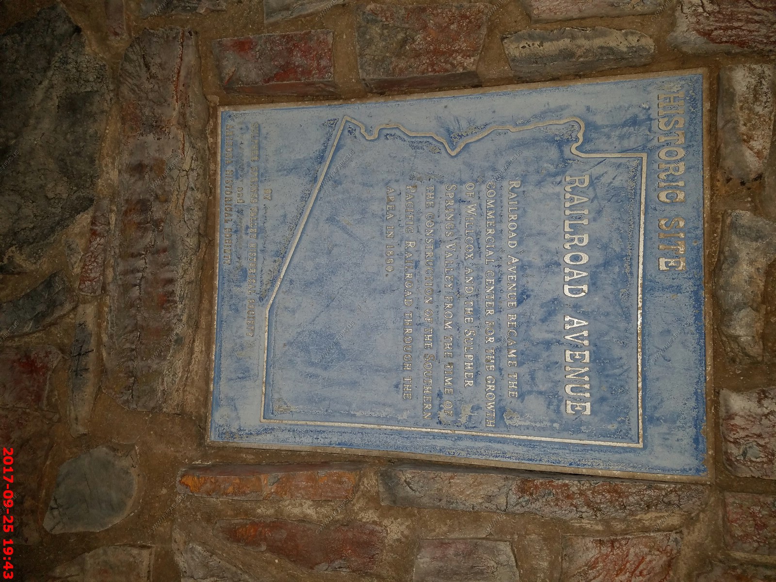
Wilcox, Arizona has a Historic Railroad Avenue Park which had a monuments in it for various people.
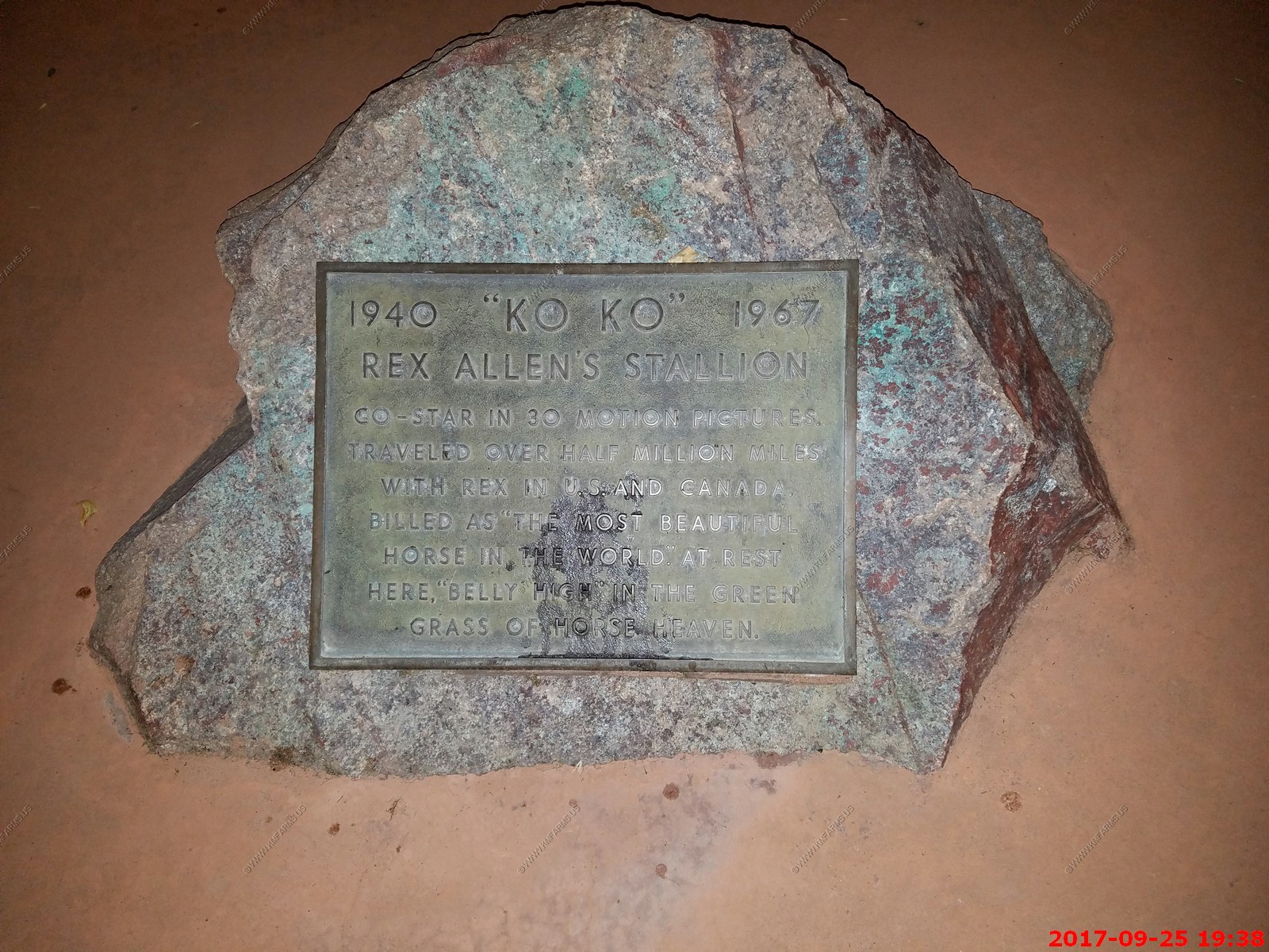
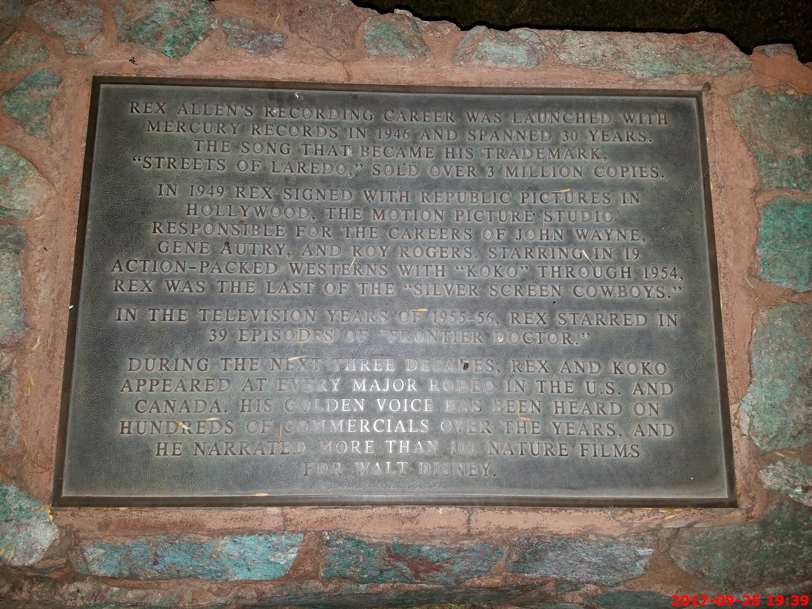
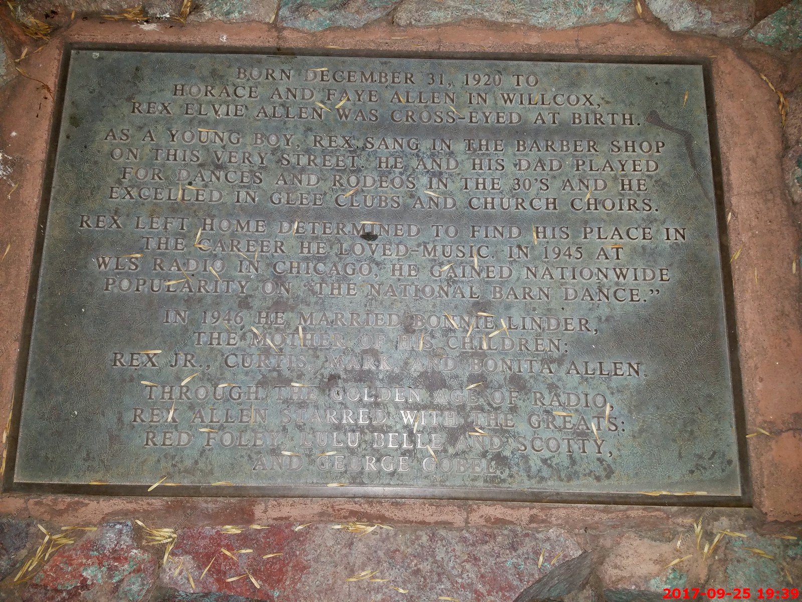
Rex Elvie Allen (December 31, 1920 - December 17, 1999) was an American film and television actor, singer and songwriter, known as "the Arizona Cowboy" and as the narrator of many Disney nature and Western productions. For his contributions to the film industry, Allen received a motion pictures star on the Hollywood Walk of Fame in 1975, located at 6821 Hollywood Boulevard.
For his contribution to the motion picture industry, Allen was given a star on the Hollywood Walk of Fame at 6821 Hollywood Boulevard.
In 1983, he was inducted into the Western Performers Hall of Fame at the National Cowboy and Western Heritage Museum in Oklahoma City, Oklahoma.
In 1989, his life story was told in the book Rex Allen: My Life, Sunrise to Sunset - The Arizona Cowboy, written by Paula Simpson-Witt and Snuff Garrett.
The Rex Allen Arizona Cowboy Museum and Wilcox Cowboy Hall of Fame in Wilcox, Arizona features an Allen's collection of memorabilia, including photos, movie posters, cowboy outfits, records and musical instruments. Across the street from the museum is a bronze statue of Allen and his stallion.
Tuesday SEP 26th
At home day. We never left the property.
Another nice day. Pool area with the go-pro taking images all day & night

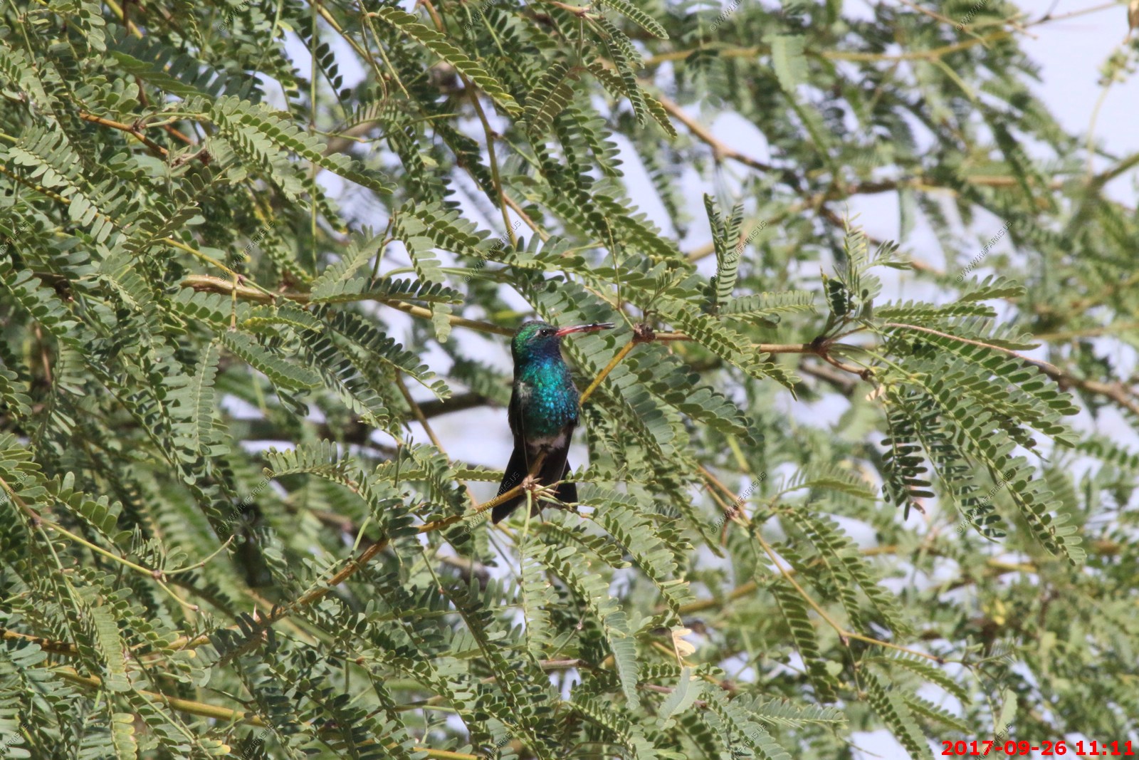
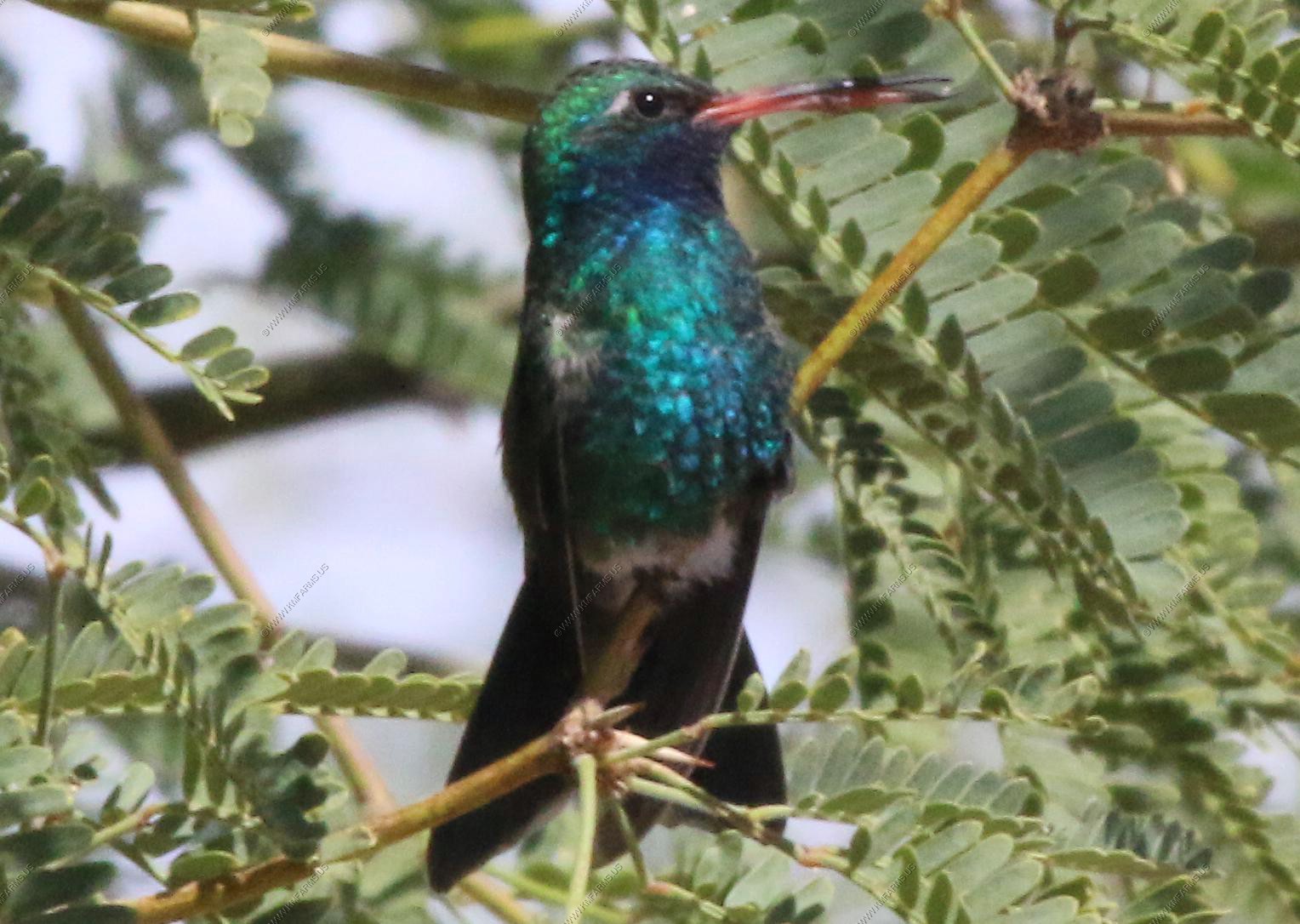
Mary watching what we think are Blue-Throated Hummingbird - Maybe the female on right

A strikingly colorful bird, the Broad-billed Hummingbird reaches the northern limit of its range in southeastern Arizona. Broad-billed Hummingbirds that nest in Arizona are migratory; populations in Mexico are resident year-round in their breeding range. Hard to photograph as it was windy and the branches were moving.
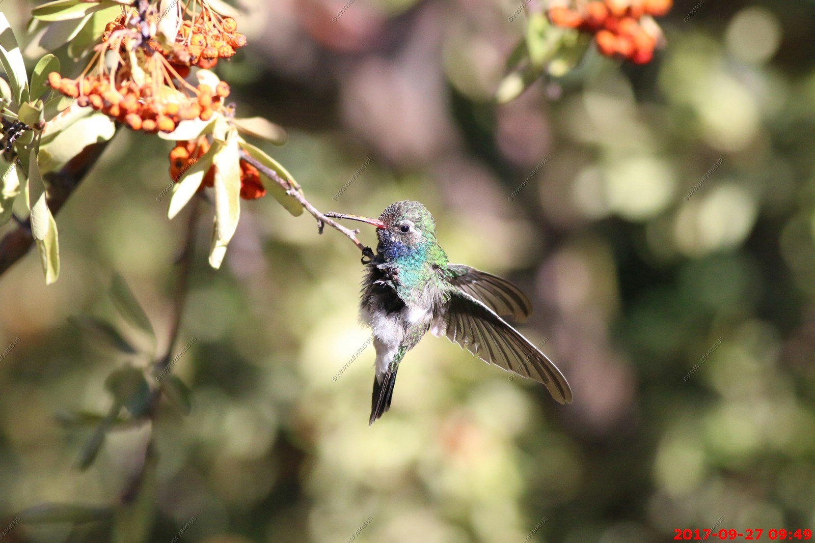
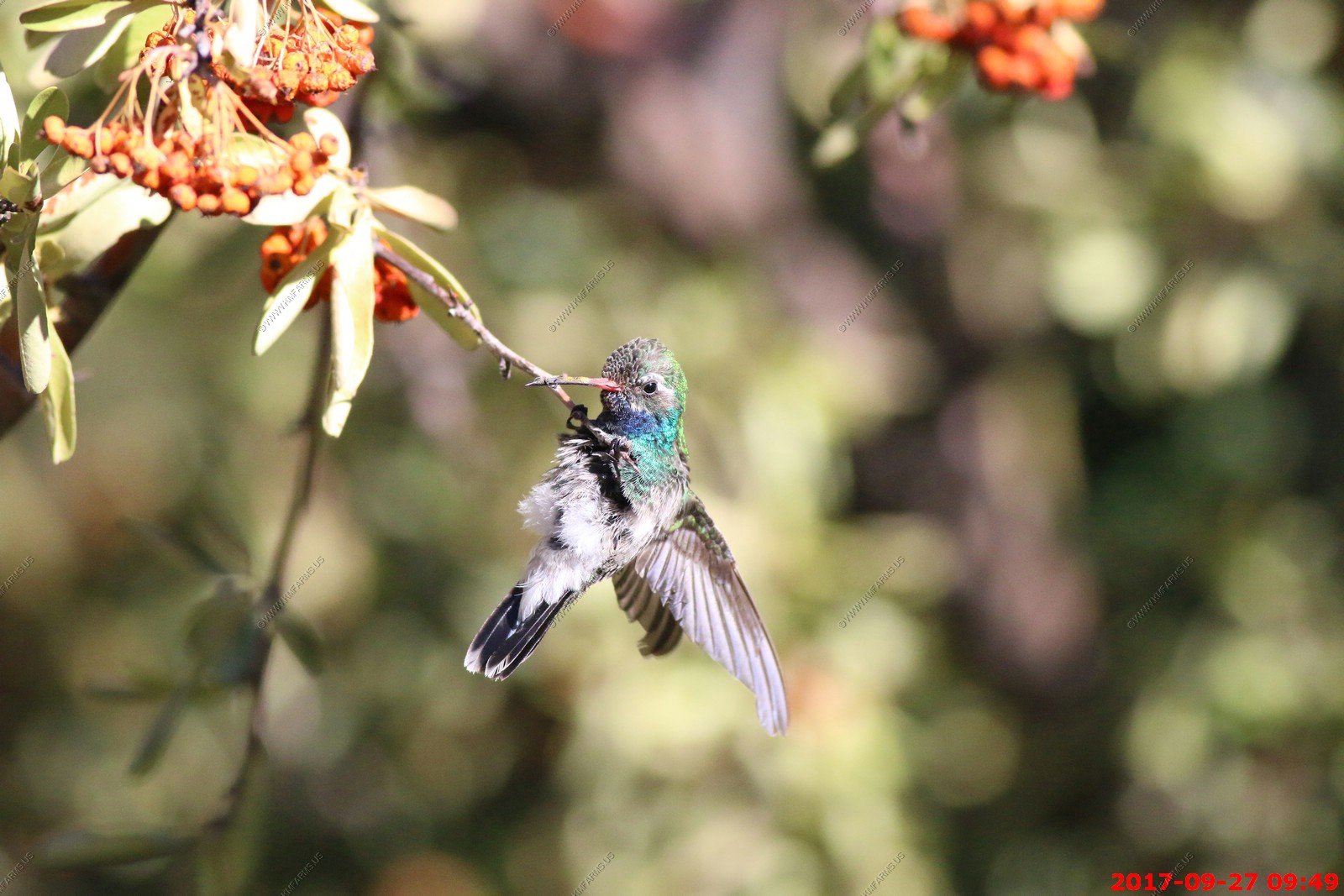
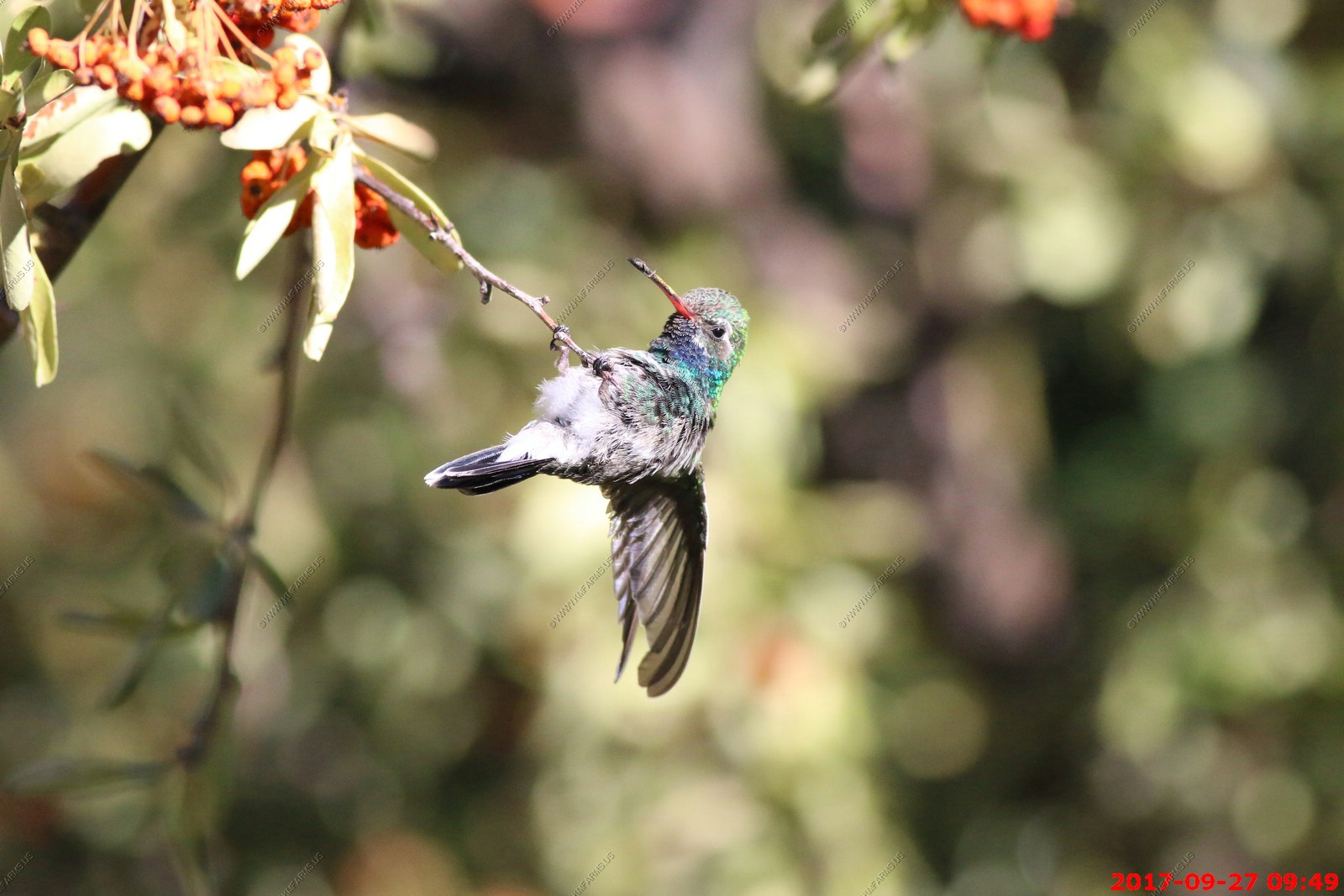
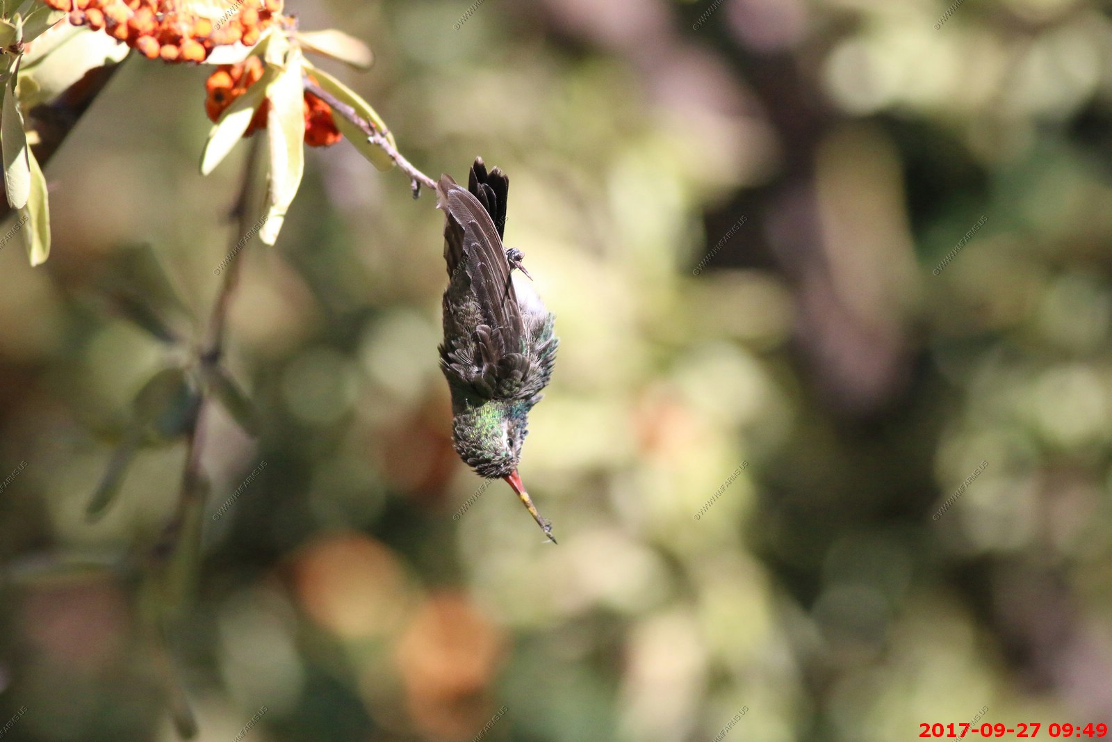
Wednesday SEP 27th
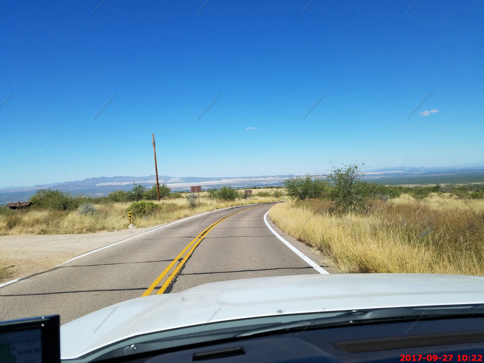
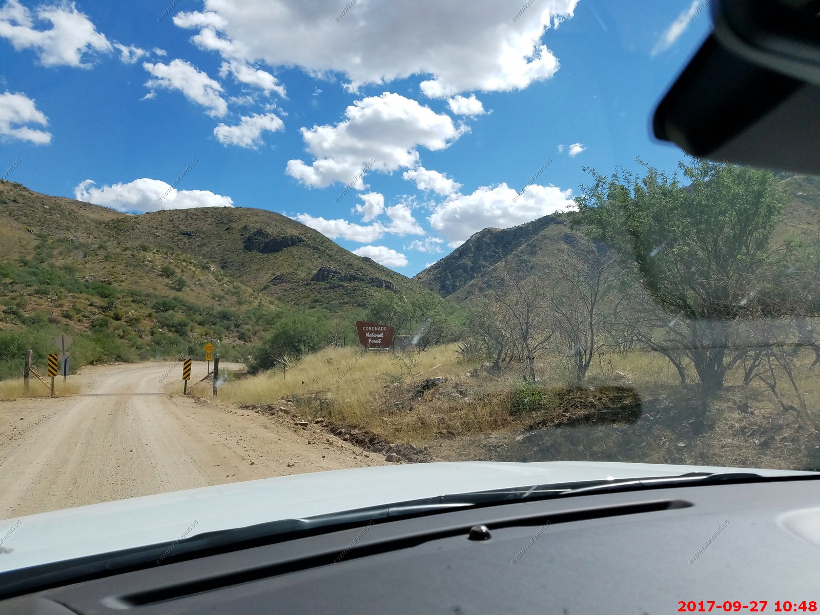
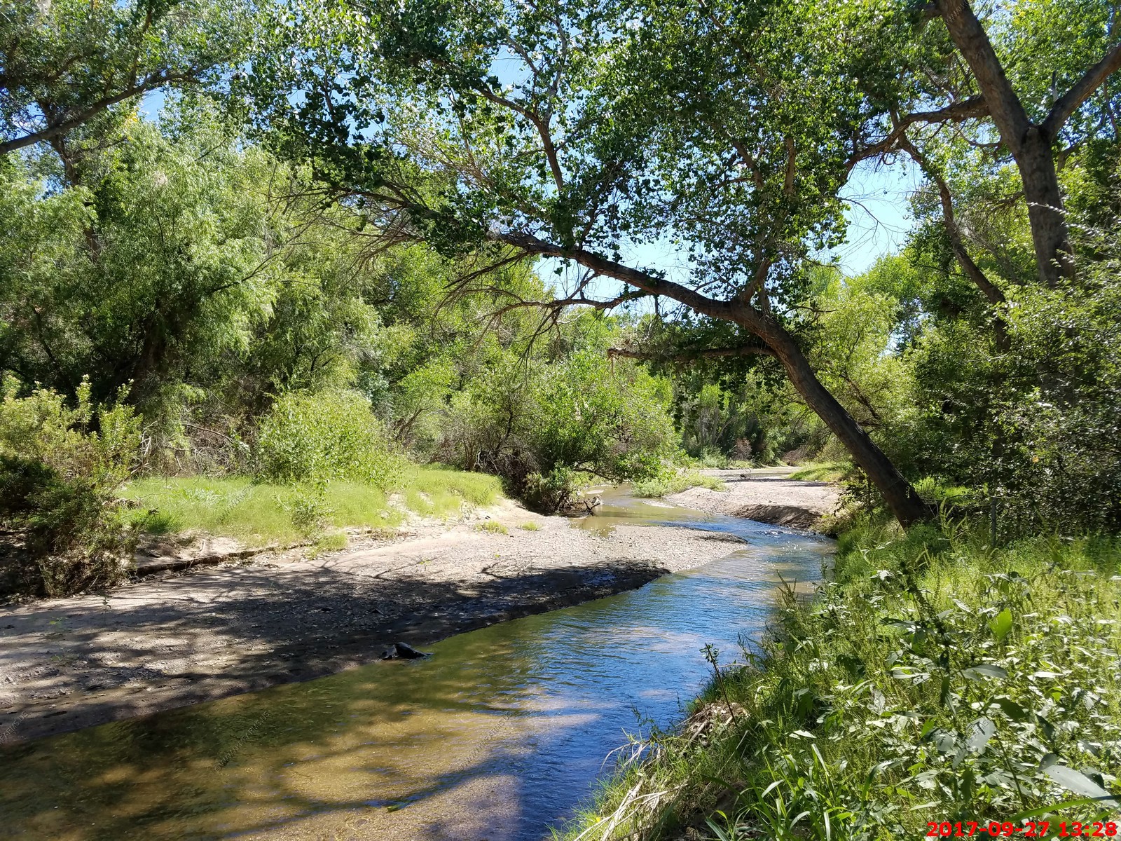
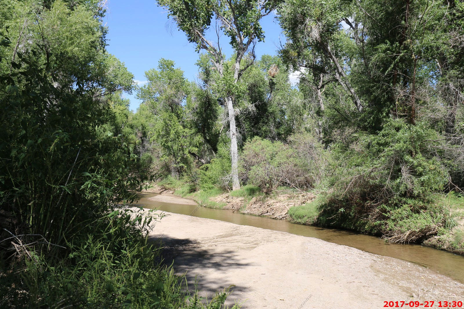
Today we were exploring south of Tucson all the way to Nogales and to be back mid-afternoon to enjoy the pool.
Heading south to Madera Canyon looking at Elephant Head rock formation.

Madera Canyon (English: "Lumber Gorge") is a canyon in the northwestern face of the Santa Rita Mountains, twenty-five miles southeast of Tucson, Arizona. As part of the Coronado National Forest, Madera Canyon has campsites, picnic areas, and miles of hiking trails. The canyon is also used as a resting place for migrating birds, and it is thus known as a premier birdwatching area.
Like the Chiricahua Mountains this area has an amazing variety of birds and other animals. In fact the country's only known jaguar "El Jefe," or "The Boss" lives in this area.
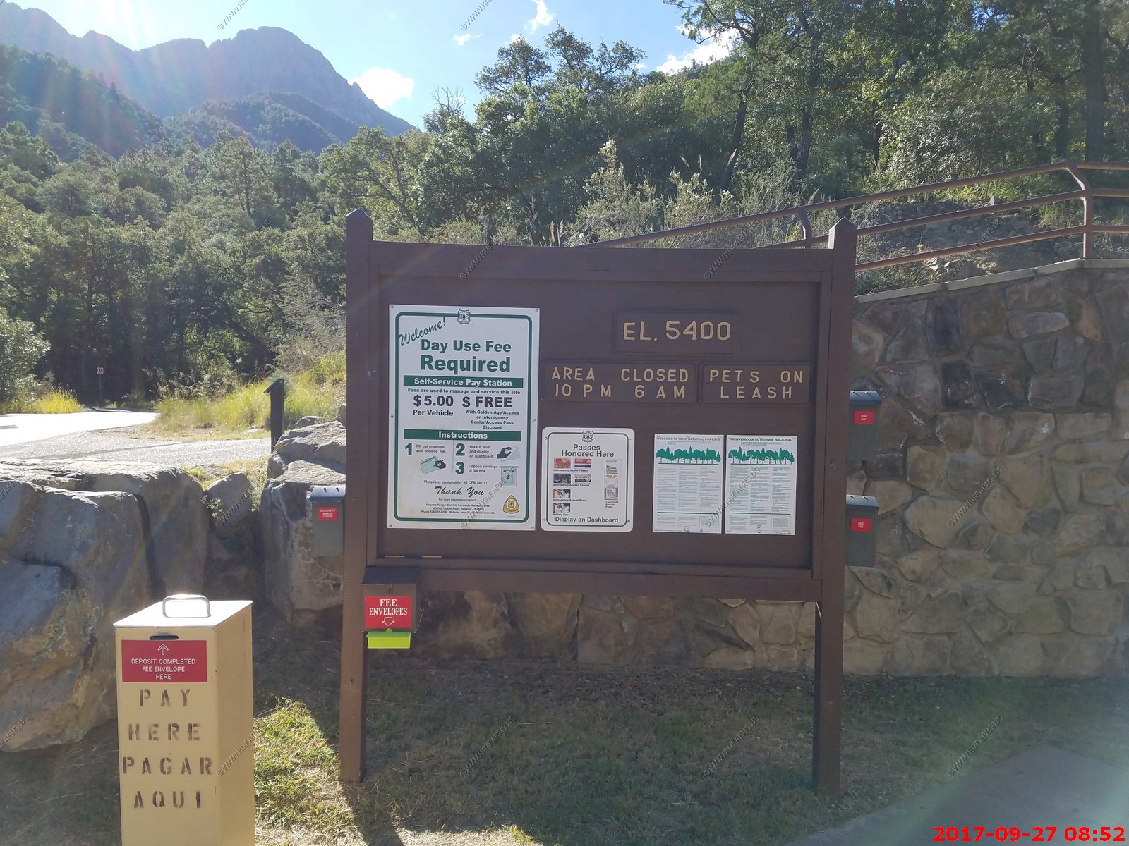
We drove to the end of Madera Canyon to the Mt. Wrightson Picnic Area.
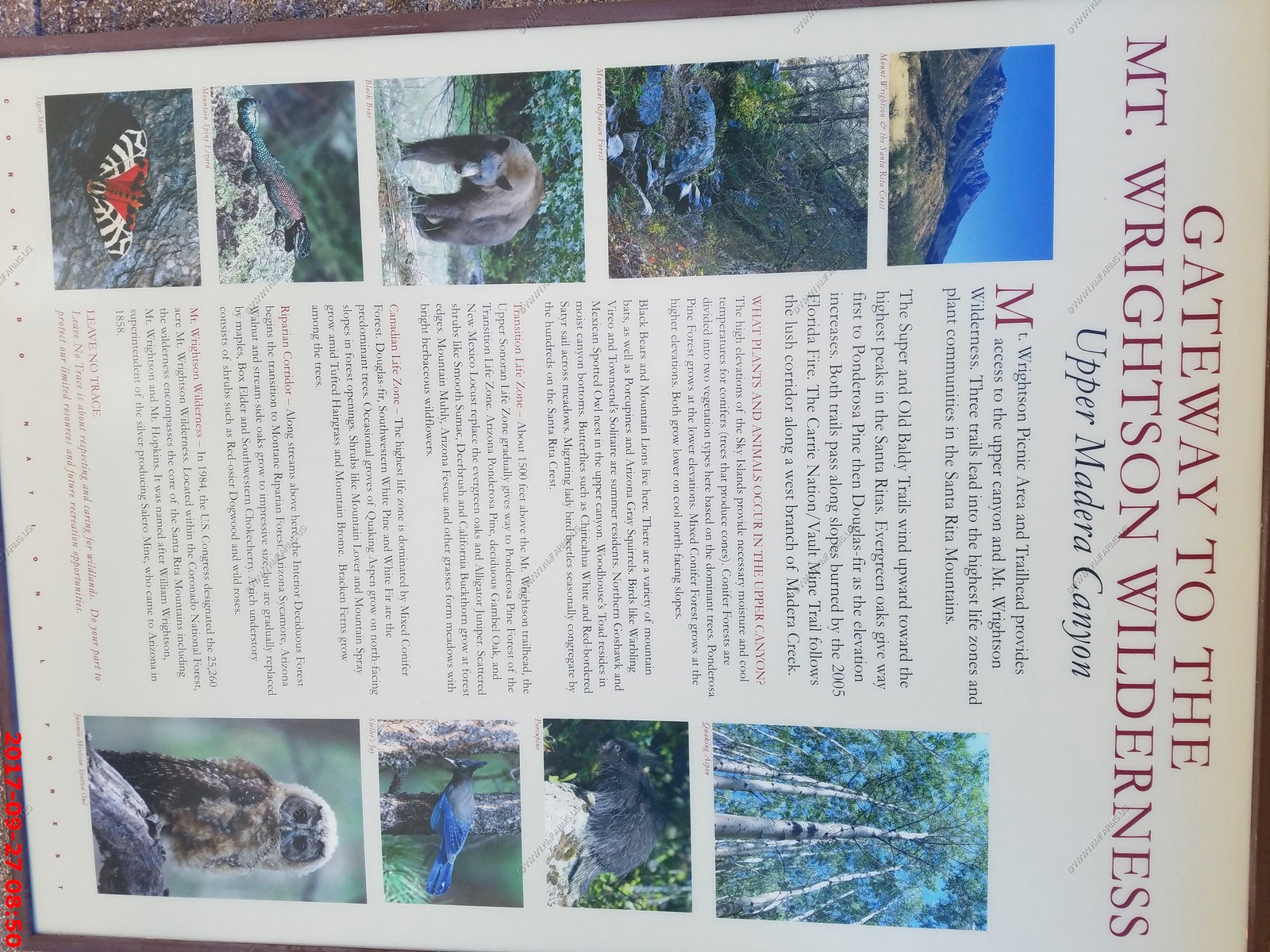
Looking up towards Mount Wrightson which is a (El. 9,456 Ft.) peak in the Santa Rita Mountains within the Coronado National Forest, in southern Arizona
We were exploring vs. hiking today and this area is less than an hour from where we are looking to relocate to so we headed back down the canyon. We stopped at The Santa Rita Gift Shop where they have an excellent setup to watch various birds.
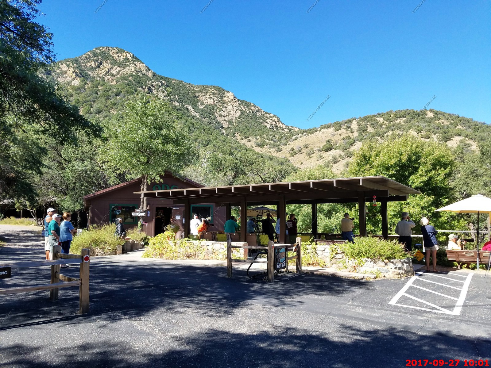
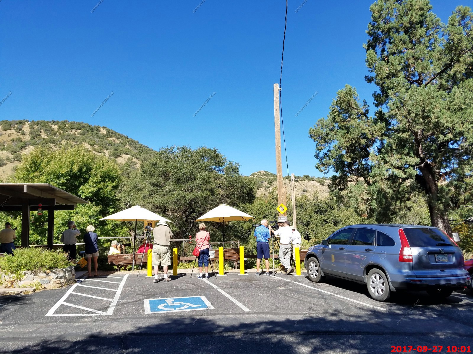
I took well over 200 photos of birds here. Only kept the best


This one must have been immature and he really stuck around for a long time.
A Mexican species of the pine-oak mountain woodlands, the Arizona Woodpecker barely makes its way into the United States and is found only in parts of Arizona and New Mexico
Tarantula hawk on the hummingbird feeder. Adult tarantula hawks are nectarivorous. They are not very aggressive, in that they are hesitant to sting, but the sting is extraordinarily painful.
My uncle, Dale asked if I could shoot some photos where I made the wings freeze. Easy with the Canon camera
Cool small hummer
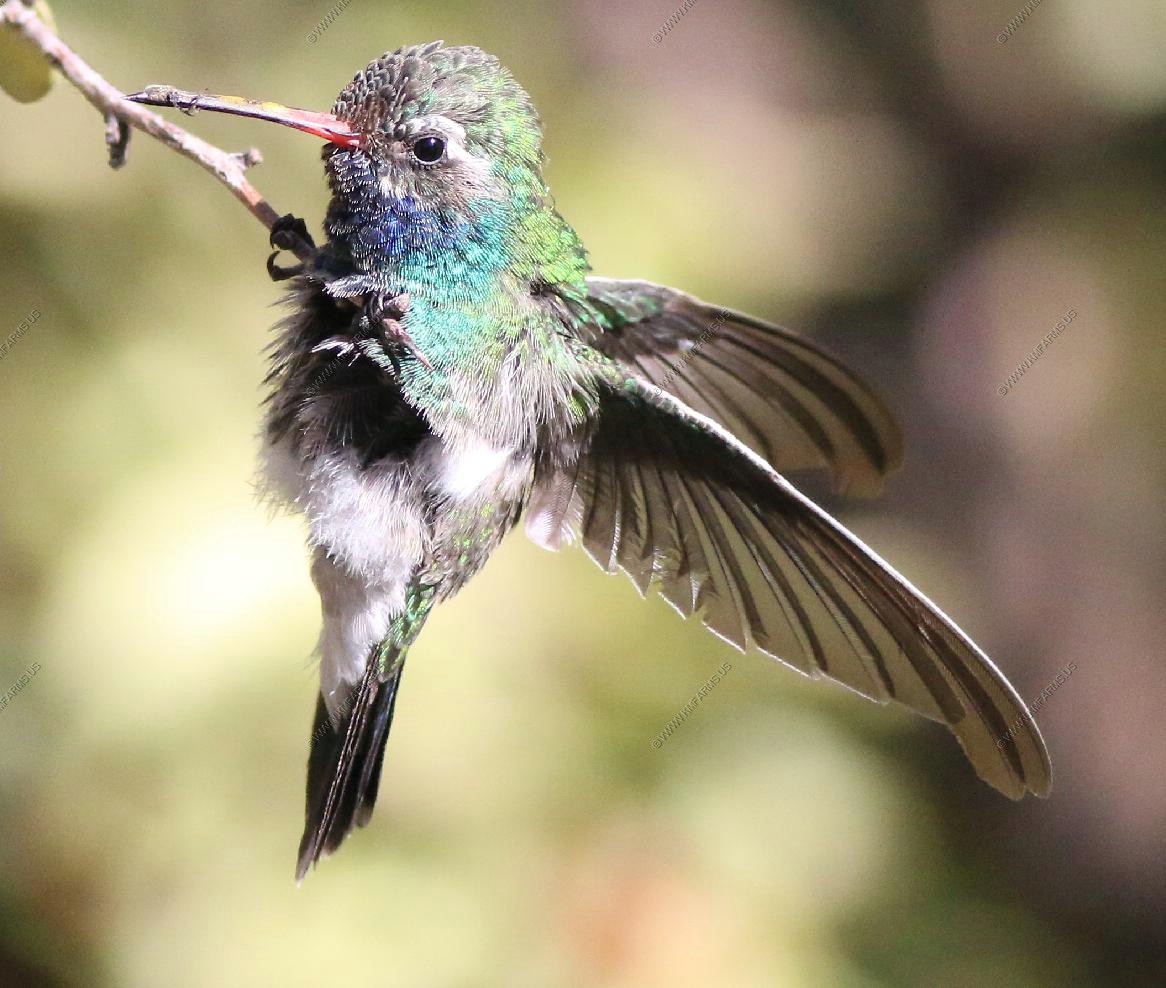
This hummer was slowly falling backwards on the branch and then was hanging upside down.

Probably the best photo that I have ever taken of a humming bird was at this location.
Acorn woodpecker
Leaving Madera Canyon and looking across Green Valley at the Twin Buttes Mine & Sierrita copper mine mess. It's why Green Valley will never be on the relocation list.
Now looking across Tucson at the Santa Catalina Mountains. Madera Canyon is really not that far away.
At the intersection of Madera Canyon Rd. & E. White House Canyon Rd. Many Horse Lubber grasshoppers were crossing the roads. Taeniopoda eques is locally known as Mexican General. That's because of his bold aposematic coloration, over 3 in length and stately movements.
In some years in October, when the lubbers cross the roads to Madera Canyon and Mount Hopkins by the hundreds they look like an army on the march.


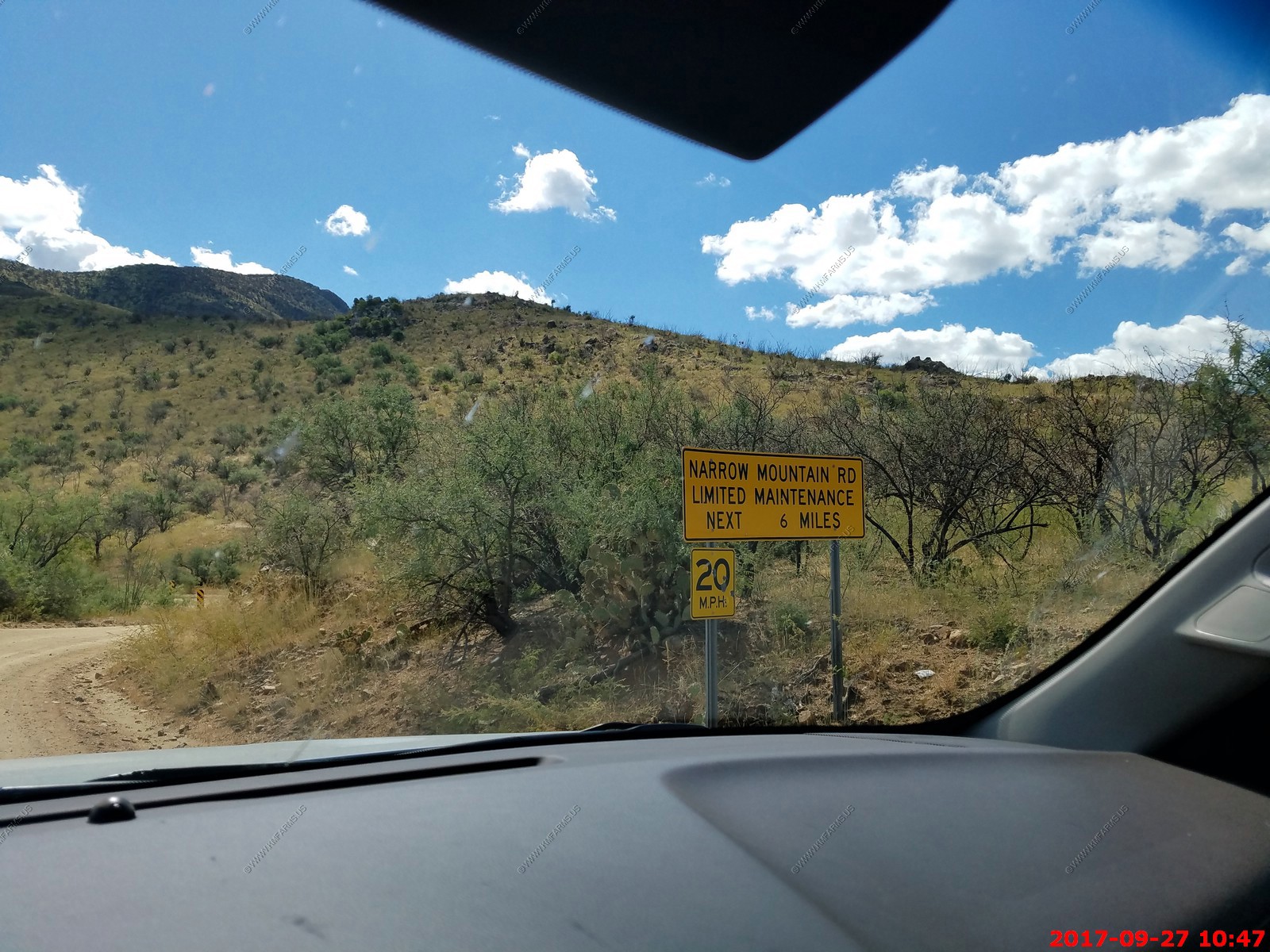
We headed east on Box Canyon Road. Now back into National Forest.
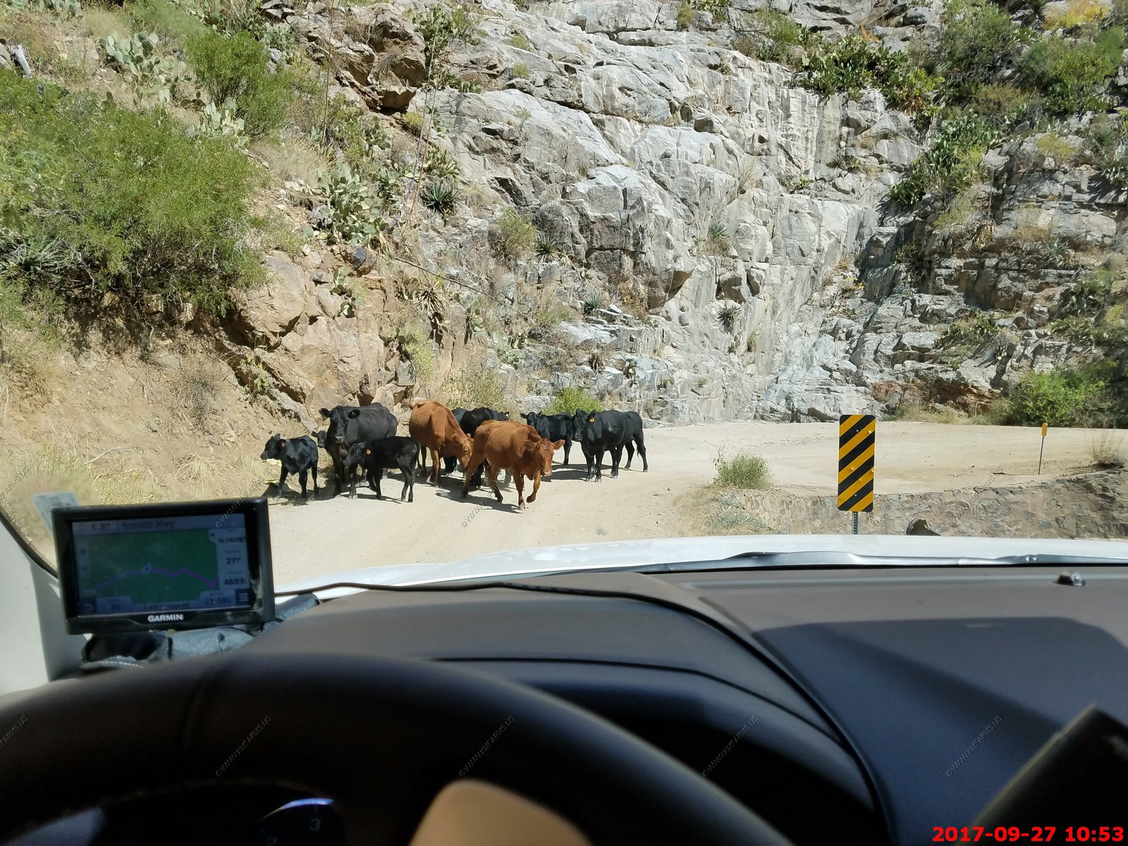
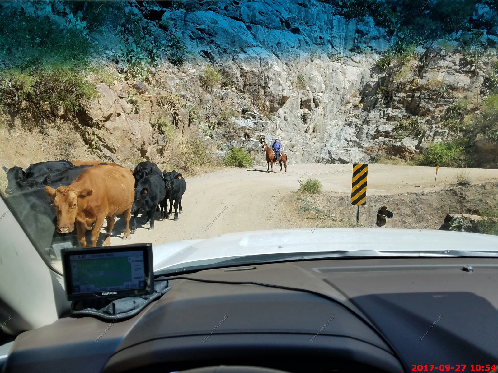
Up near the top of the canyon we encountered cows on the road
Now heading south on AZ-83 to Sonoita. Looking at the east side of Mt Wrightson (El. 9,456 ft.) its the highest point in the Santa Rita Mountains.
This is America's only known wild Jaguar - The Santa Rita Mountains are the home range of "El Jefe," an adult male jaguar first identified in 2011. This has raised conservation concerns about proposed open pit copper mining.
We drove down thru Patagonia then Patagonia Lake State Park (not impressed at all) Then we cut across the northern end of Nogales. We tried to stay off I-19 but because of the US Border Patrol inspection facility on I-19 the side roads force you back on I-19.
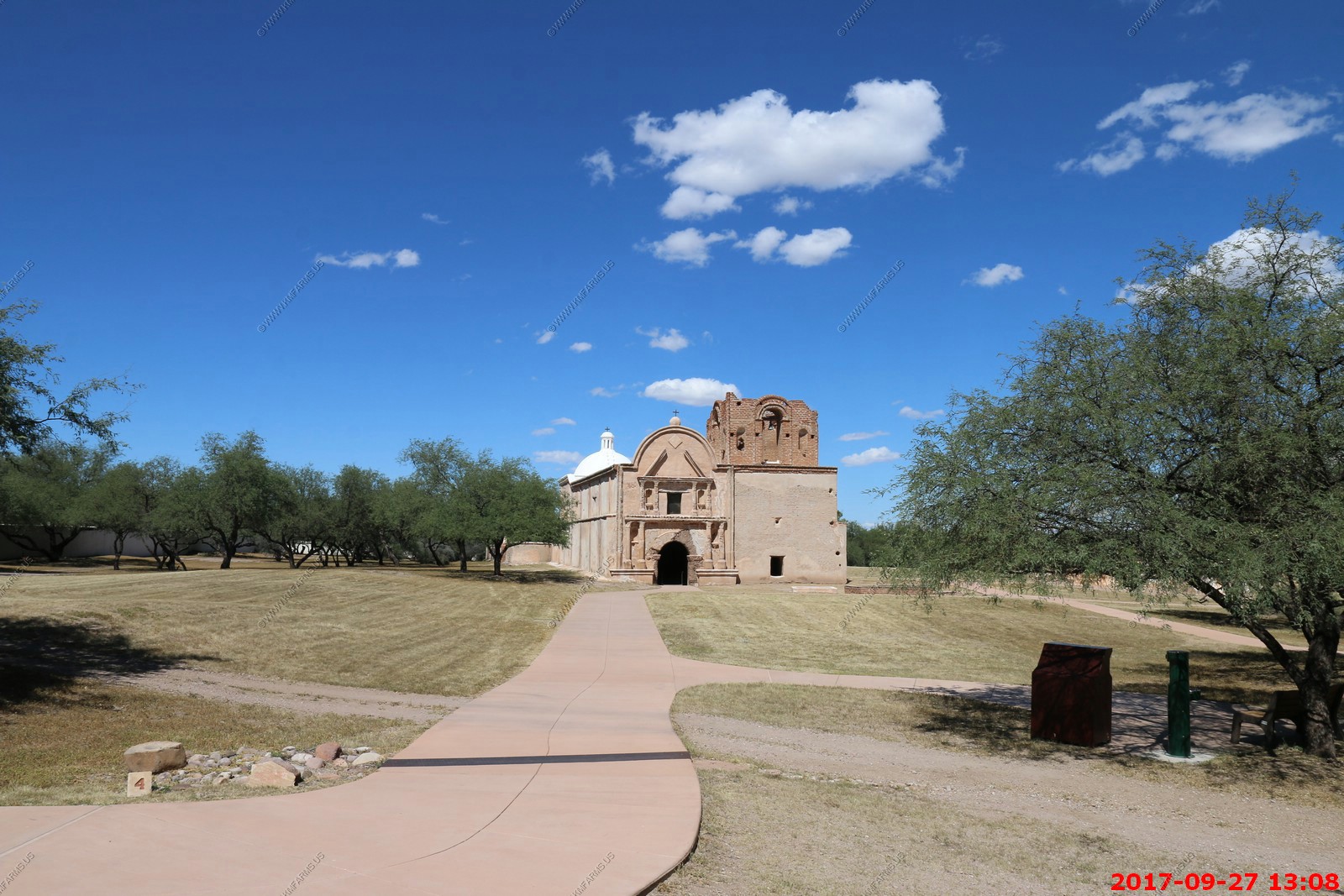
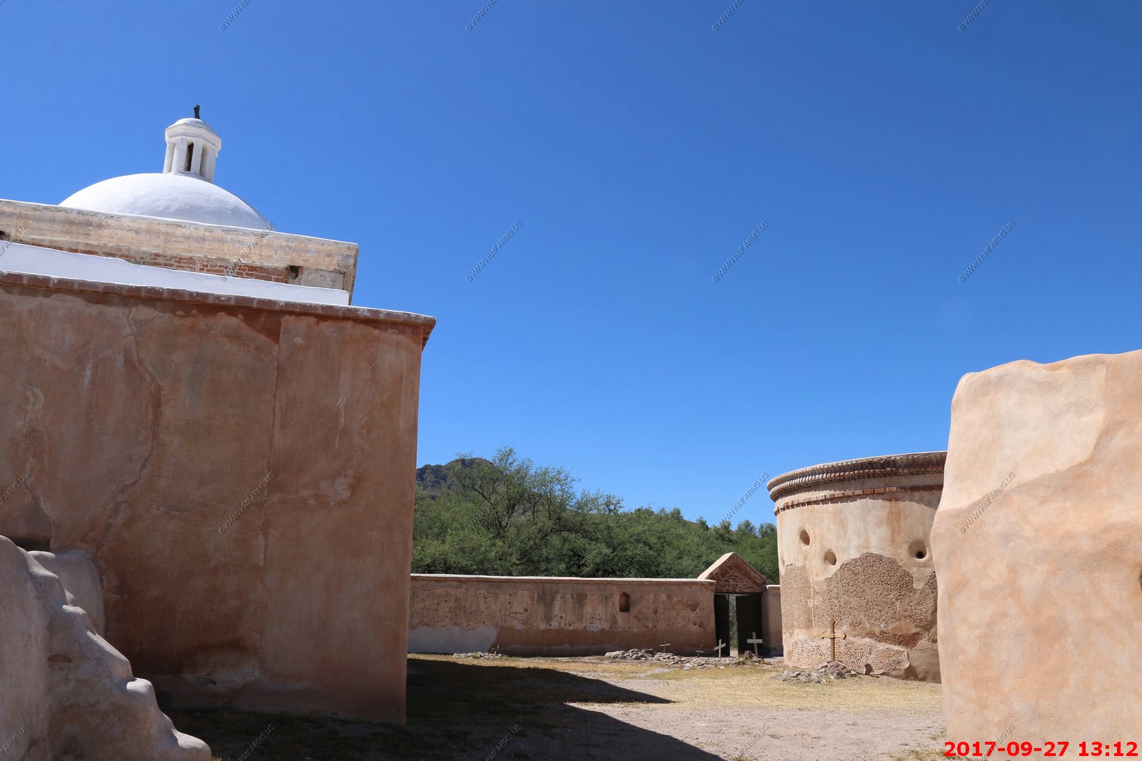
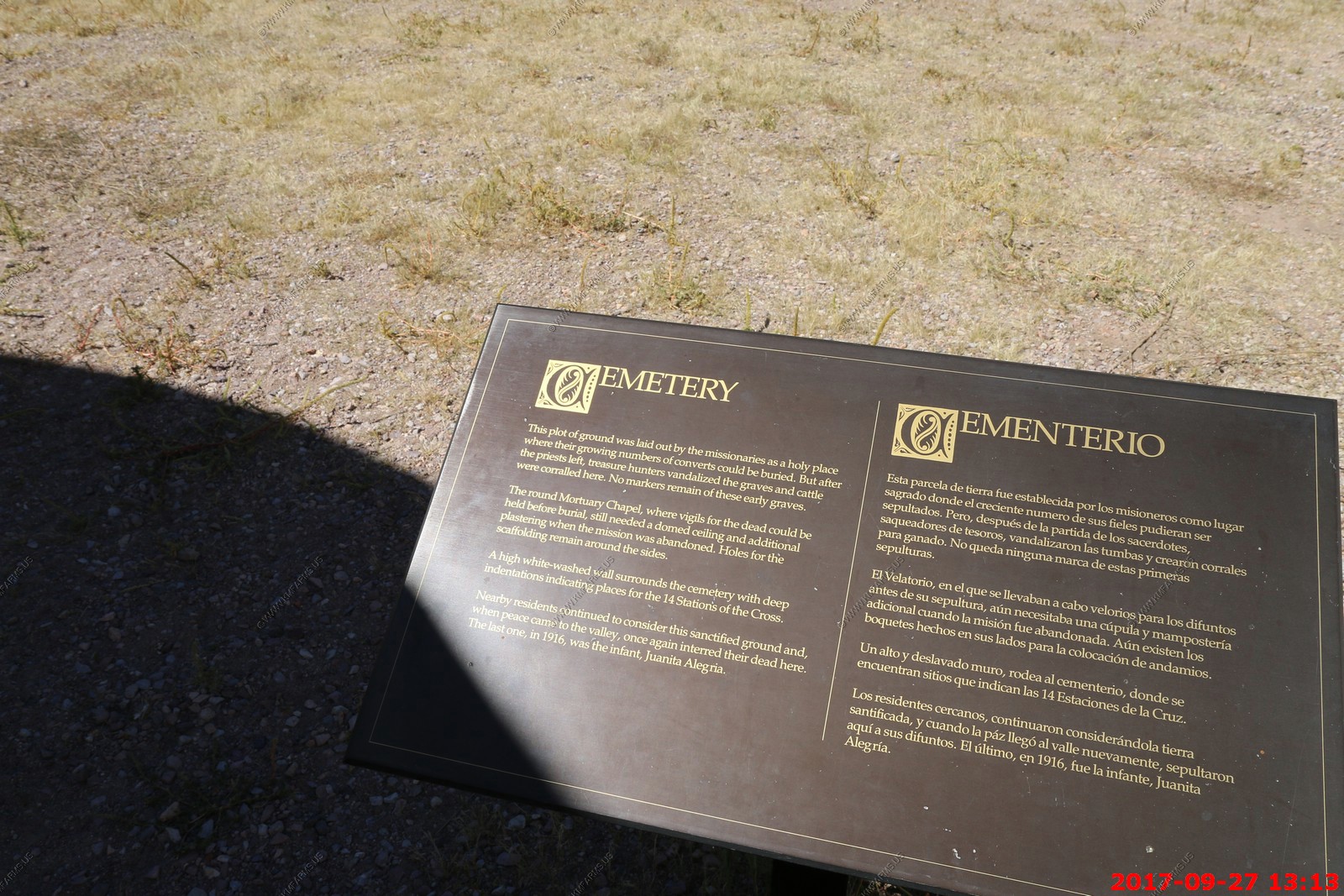
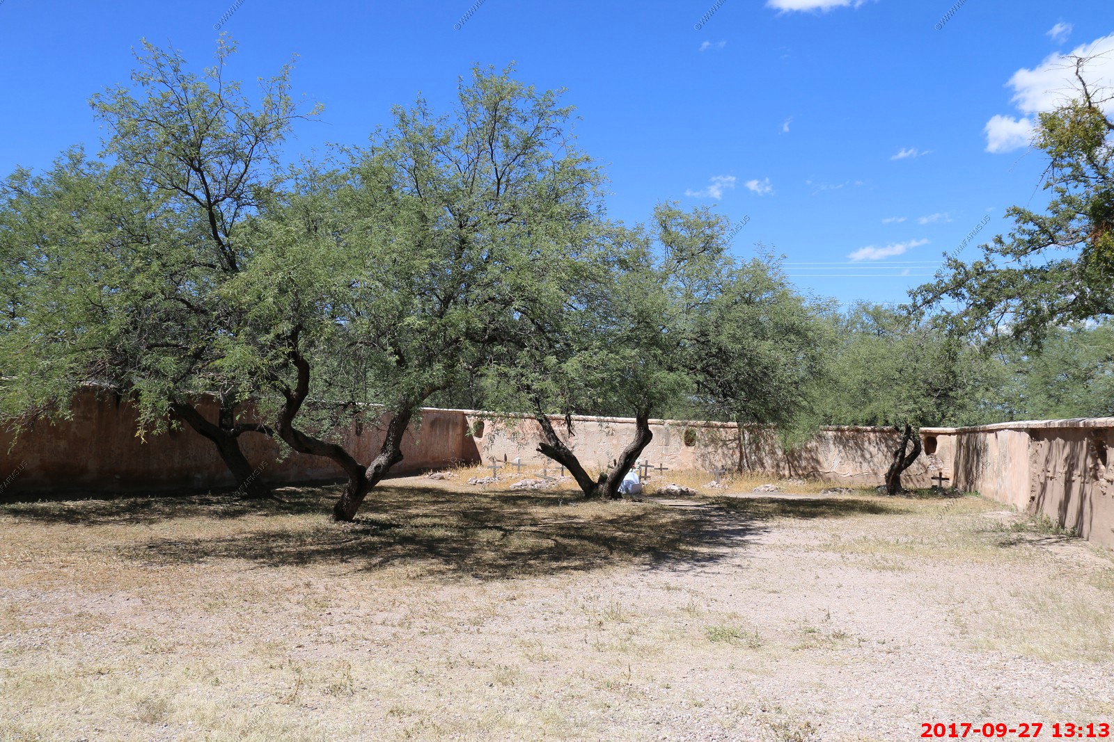
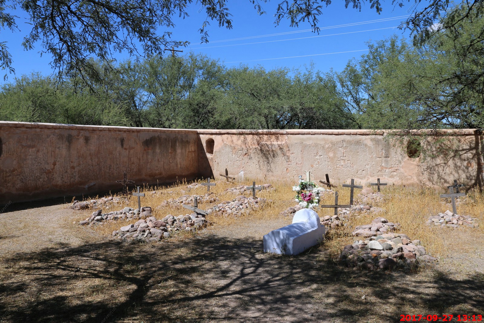
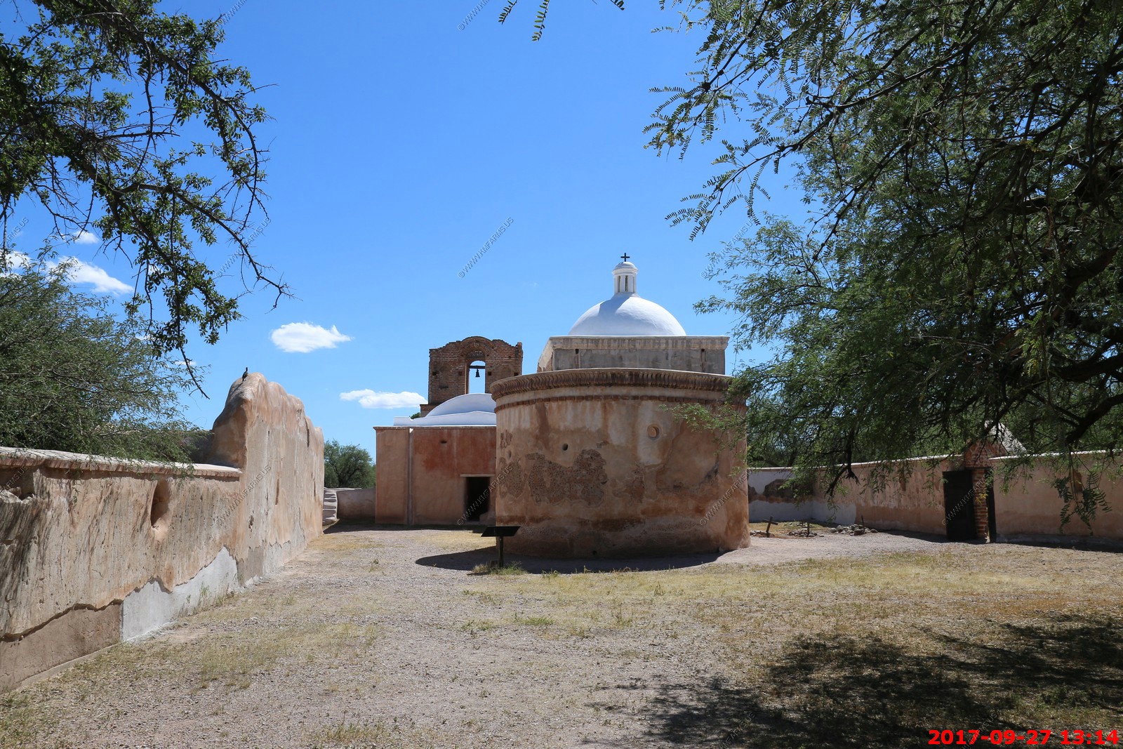
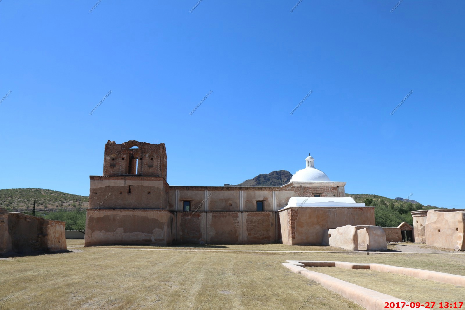
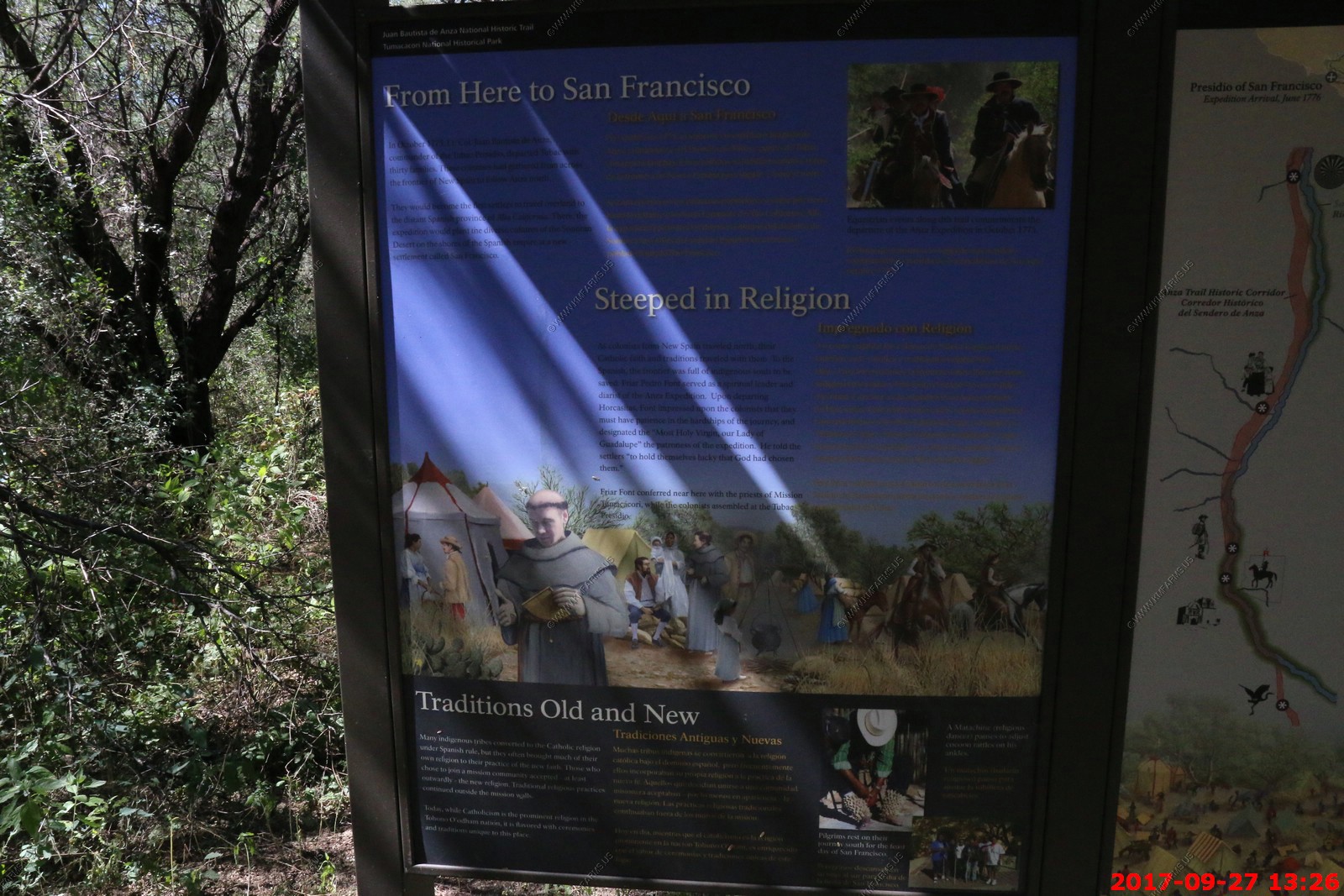
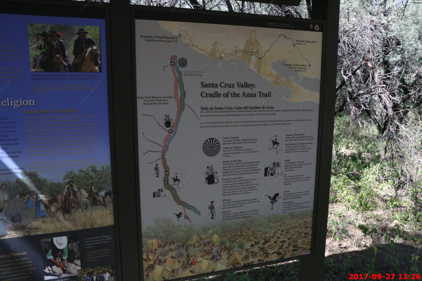
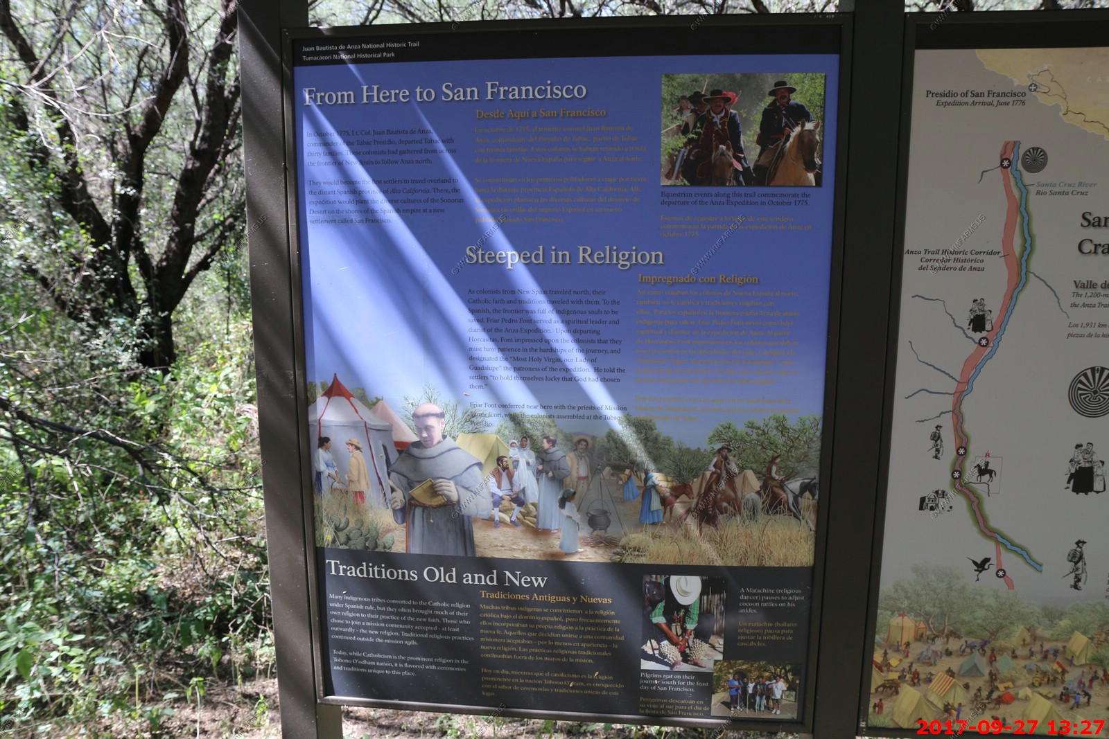
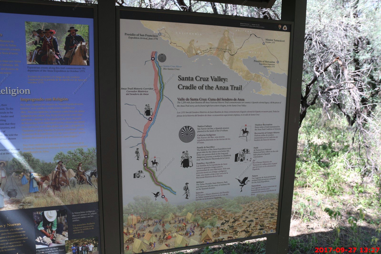
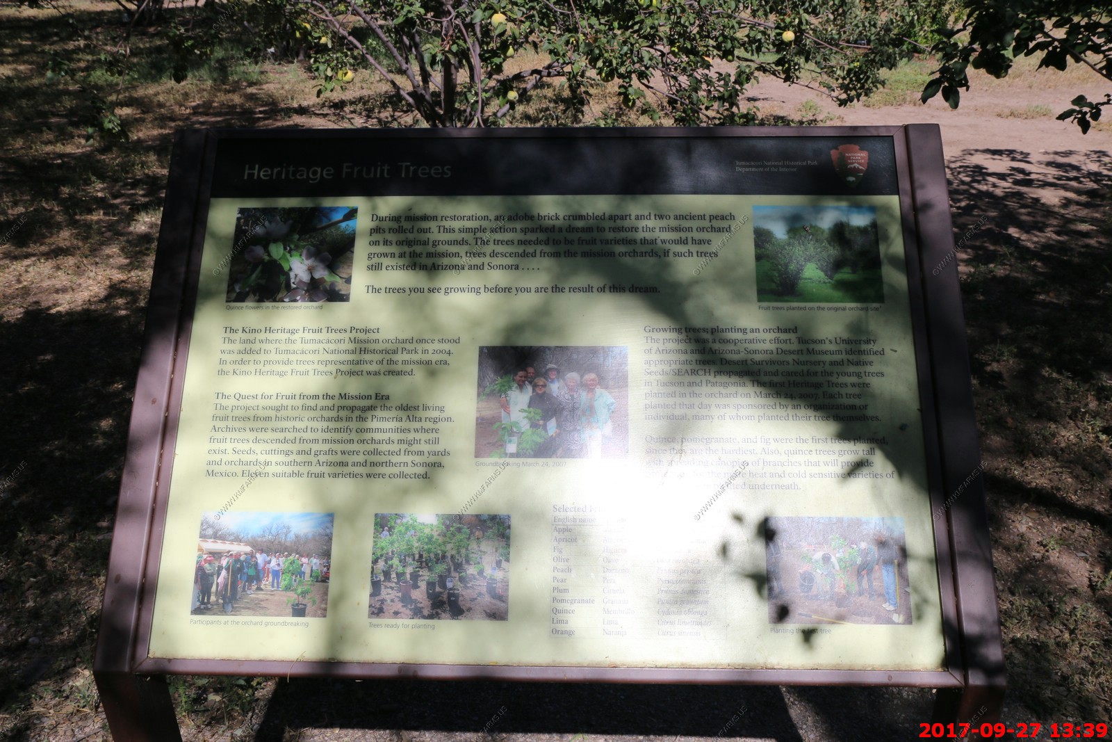
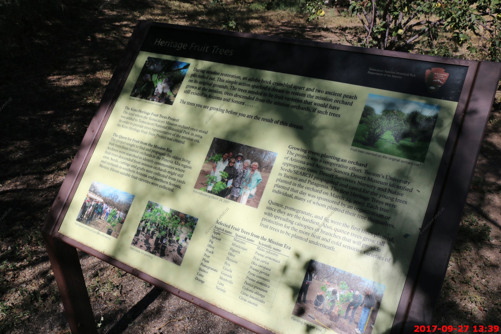
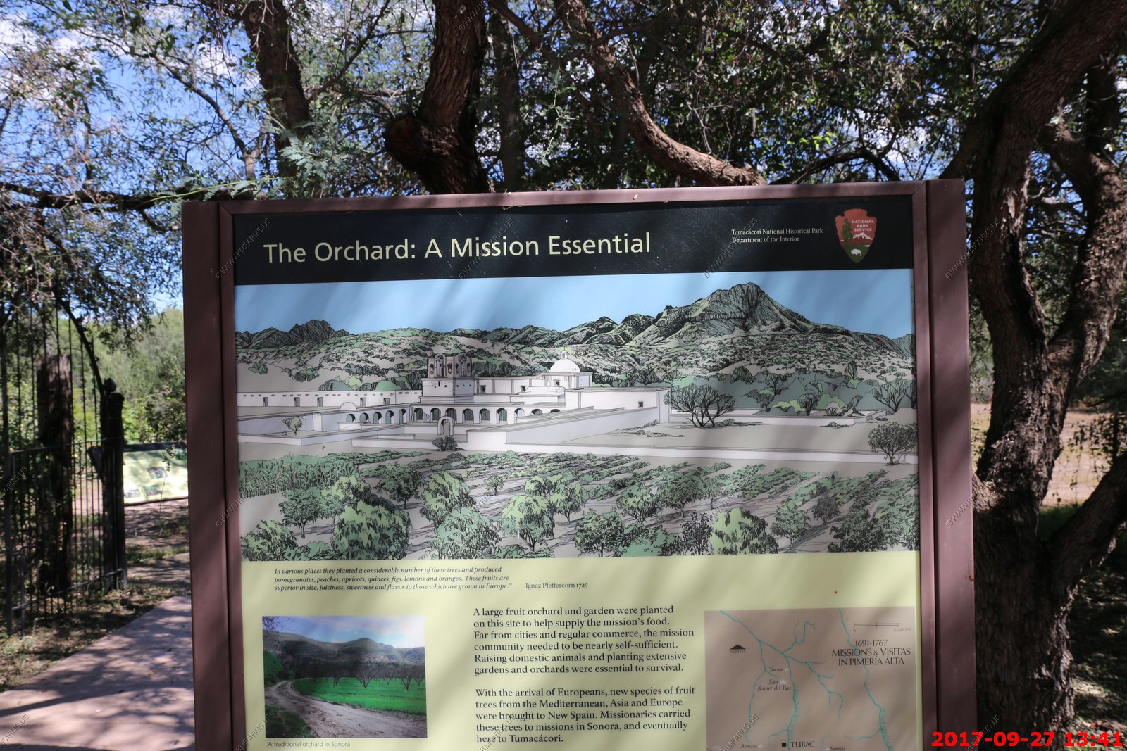
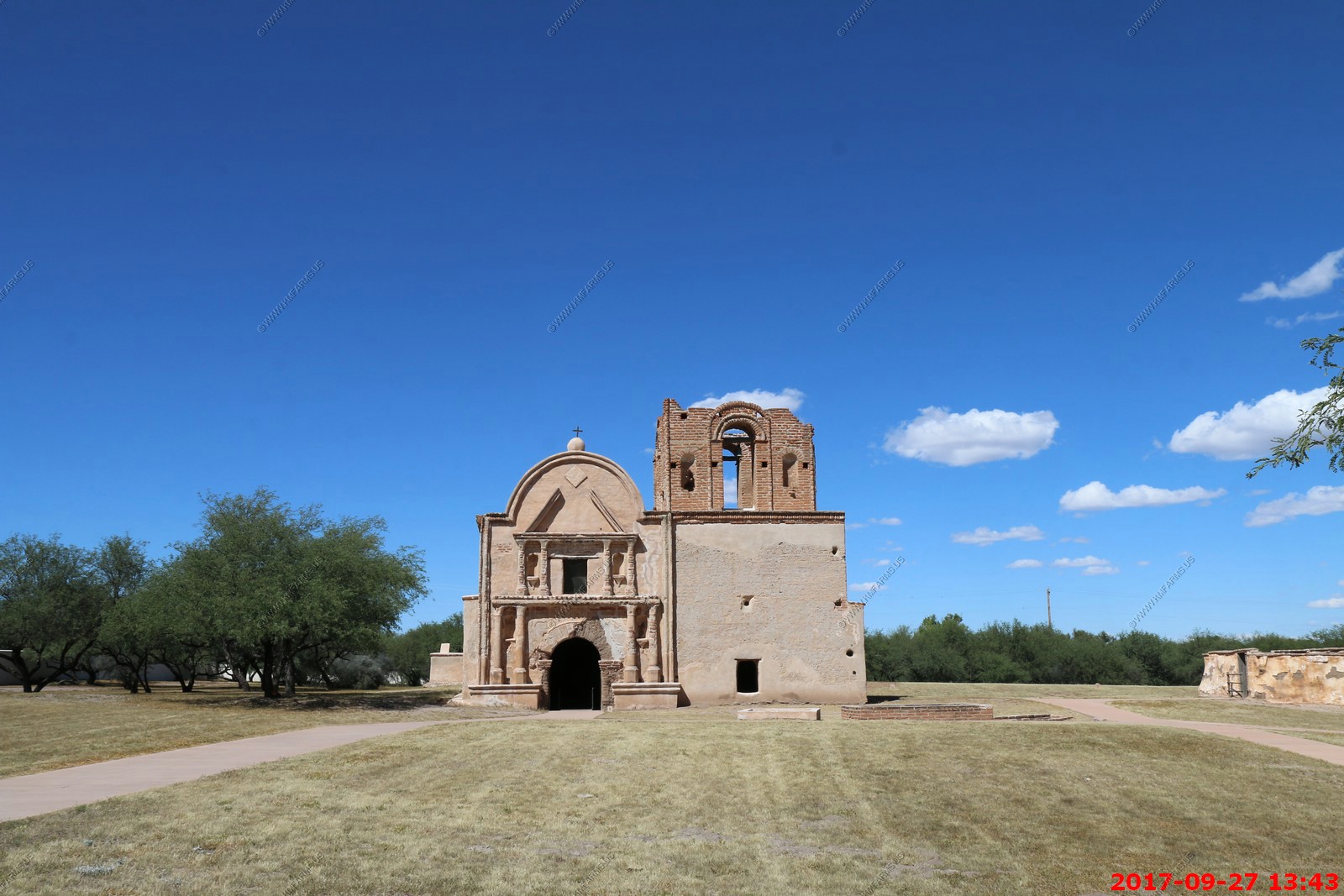
Our next stop was Tumacacori National Historical Park Mary got in free because she was over 65. This is a very interesting place and was on our plans to visit if my uncle Dale did not chicken out from visiting us. Its a easy walk.
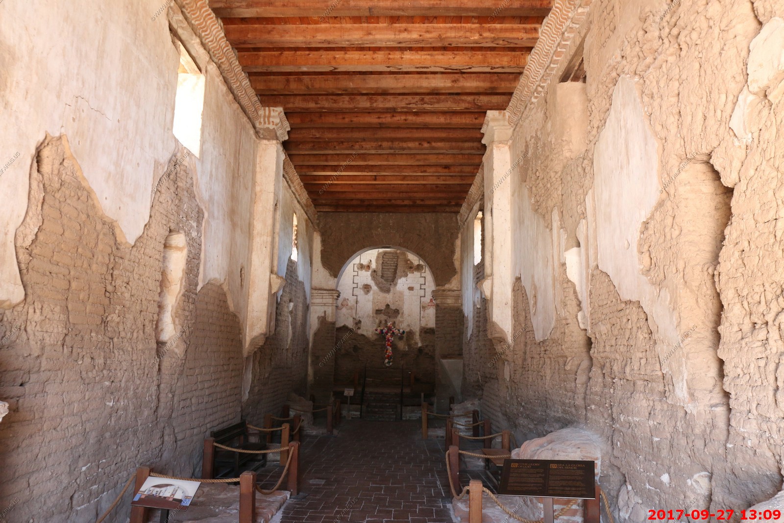
Tumacacori National Historical Park is located in the upper Santa Cruz River Valley in Santa Cruz County, southern Arizona. The park consists of 360 acres in three separate units. The park protects the ruins of three Spanish mission communities, two of which are National Historic Landmark sites.
The first Spanish Colonial Jesuit missions in the locale were established in 1691, Mission San Cayetano de Tumacacori (at Tumacacori) and Mission Los Santos Angeles de Guevavi, are the two oldest missions in southern Arizona. The Franciscan church of Mission San Jose de Tumacacori, across the river from and replacing Mission San Cayetano de Tumacacori, was built in the 1750s. The third mission was established in 1756, Mission San Cayetano de Calabazas.
Restoration and stabilization efforts began in 1908 when the site was declared Tumacacori National Monument by President Theodore Roosevelt. In 1990 it became part of the new Tumacacori National Historical Park
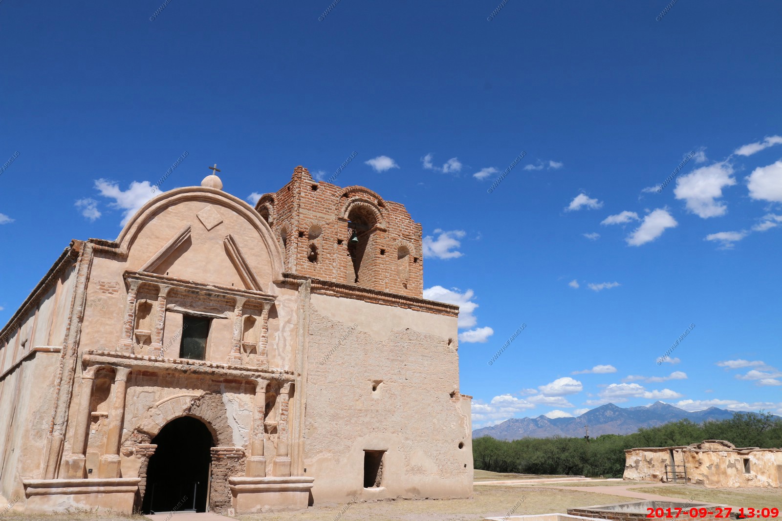
The mission with Mt Wrightson (El. 9,456 ft.) its the highest point in the Santa Rita Mountains off to the east. Squaw Peak is in this view. Its the 16th highest peak in the Santa Rita Mountains at a El. 5,784 feet. The location is at 31.586148N -110.837998W
Very narrow
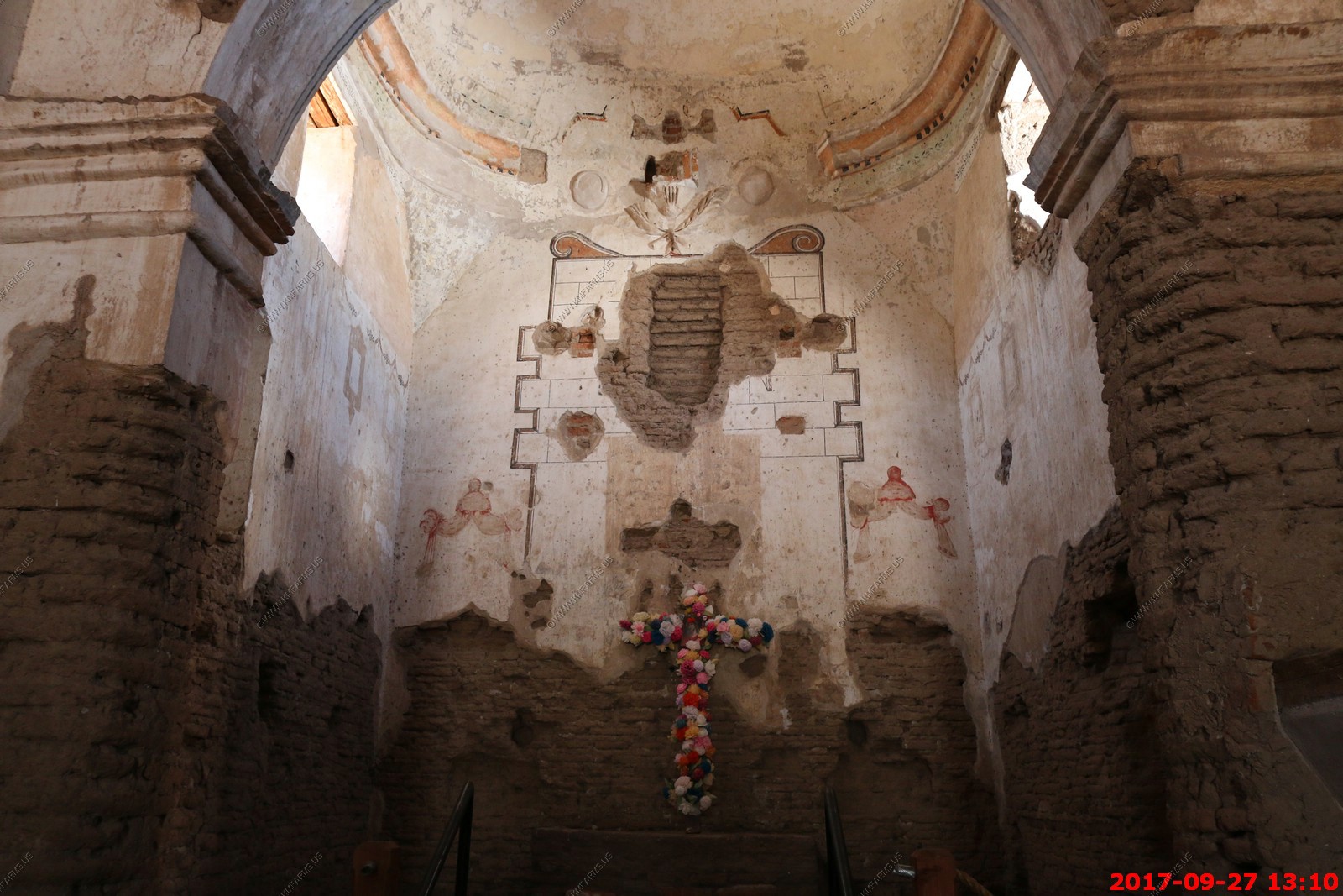
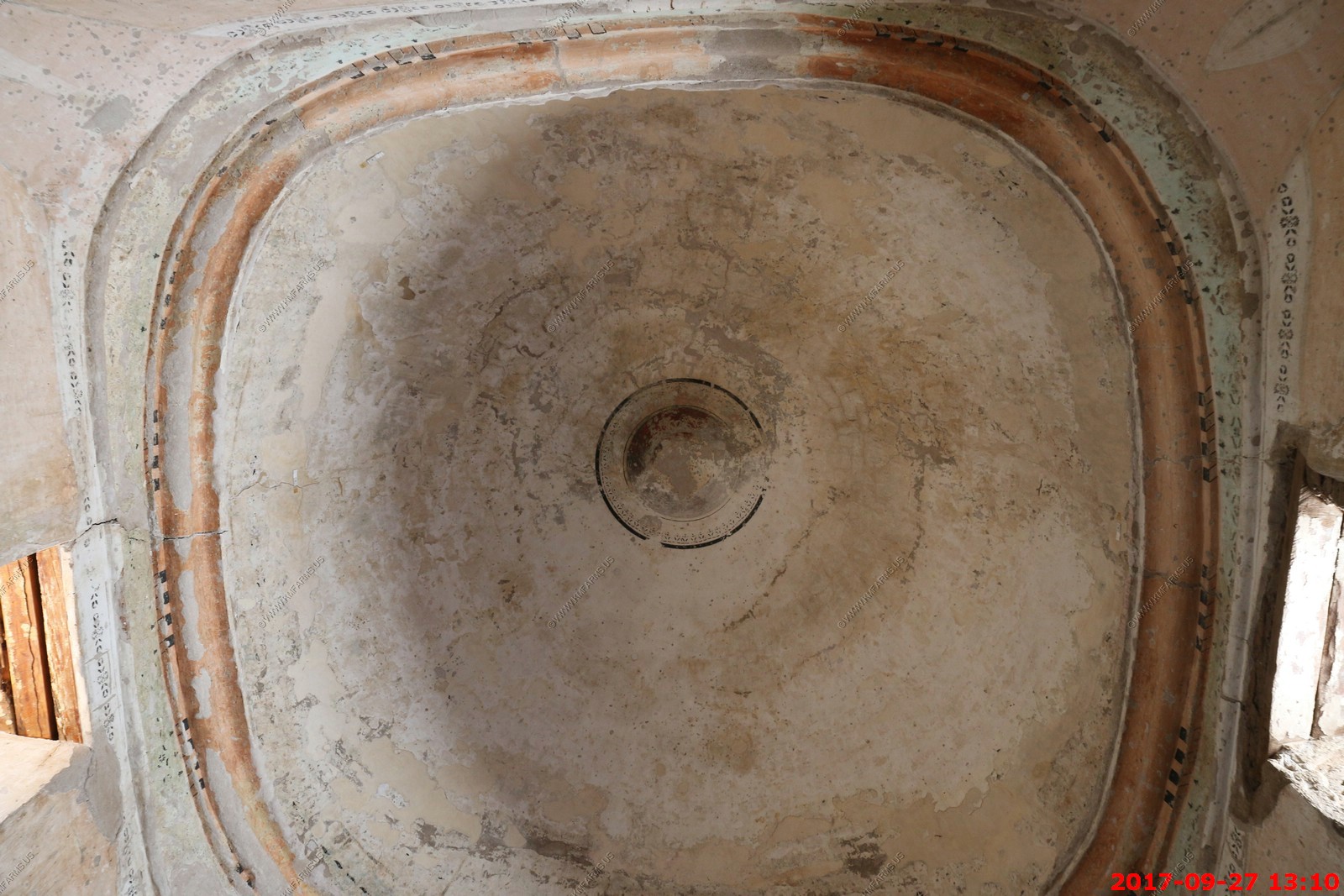
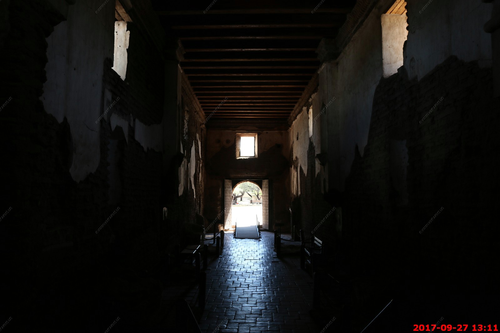

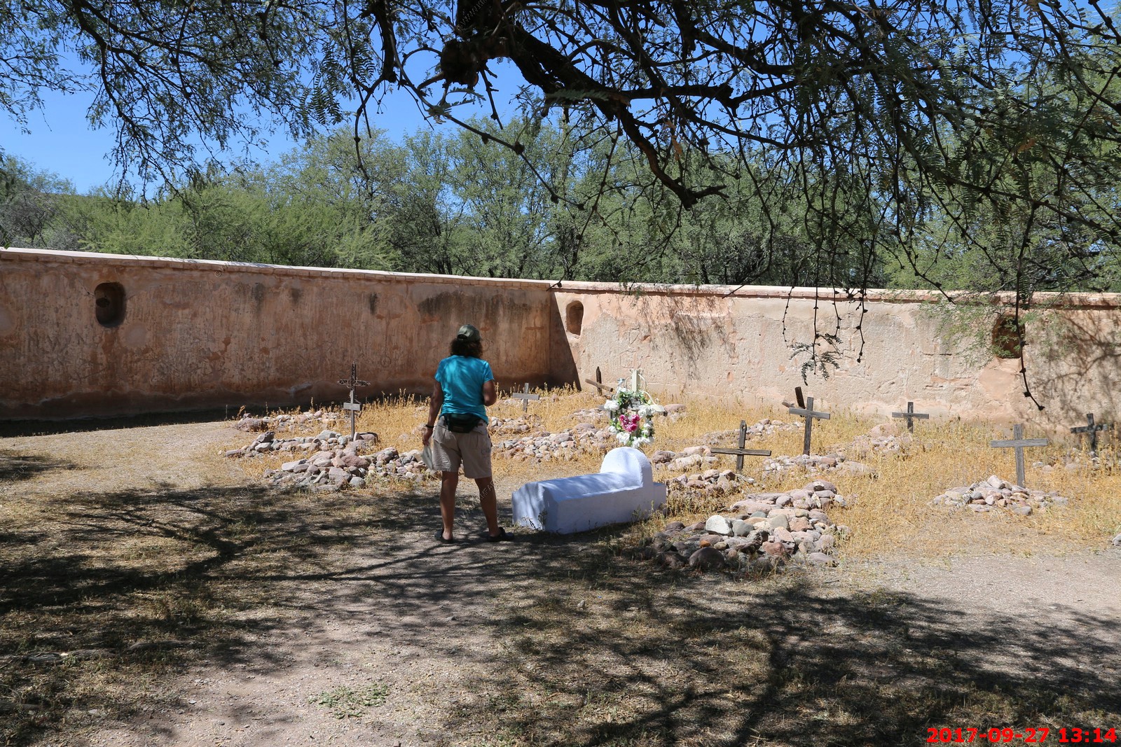
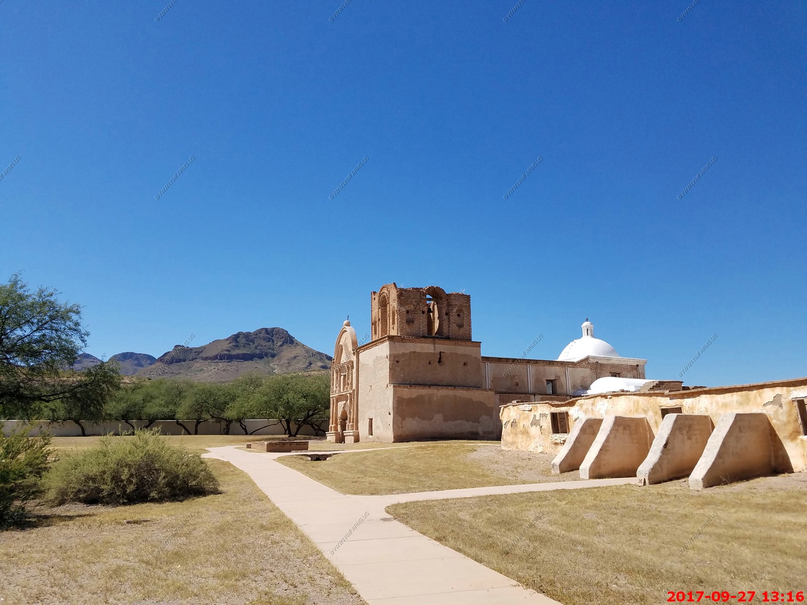
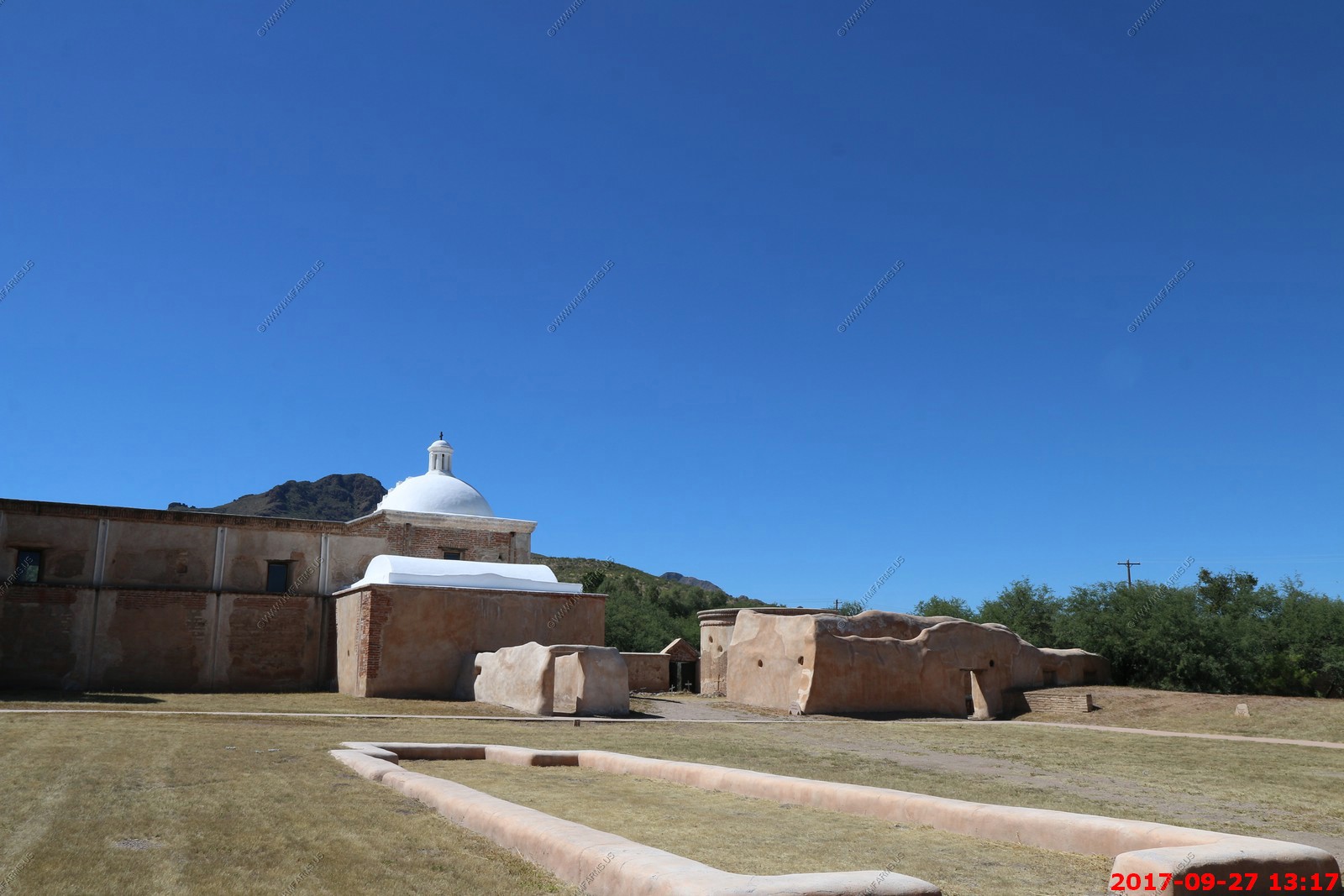
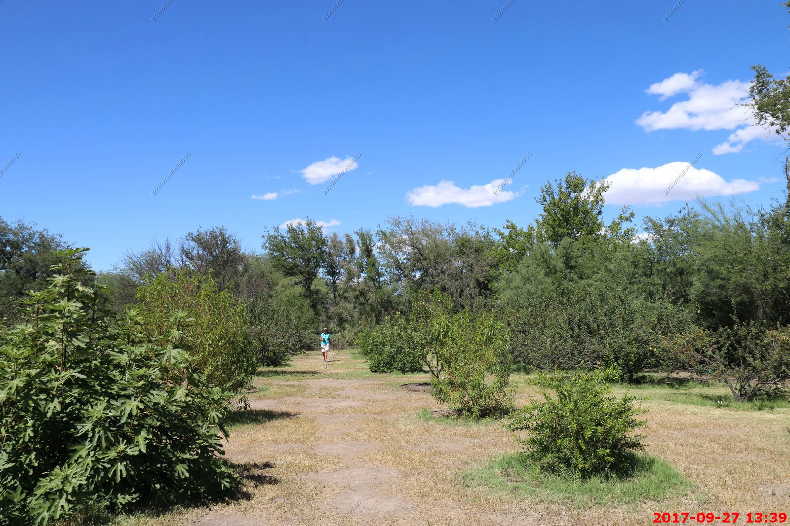
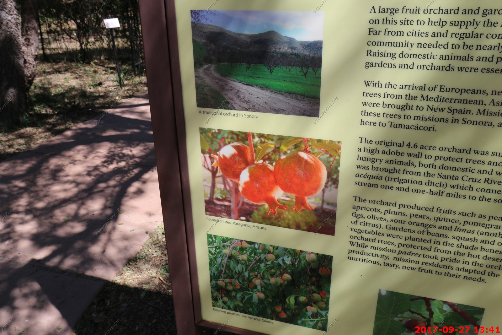
Various views of the grounds around Tumacacori
We walked back to the Santa Cruz River. Very green here due to the water.
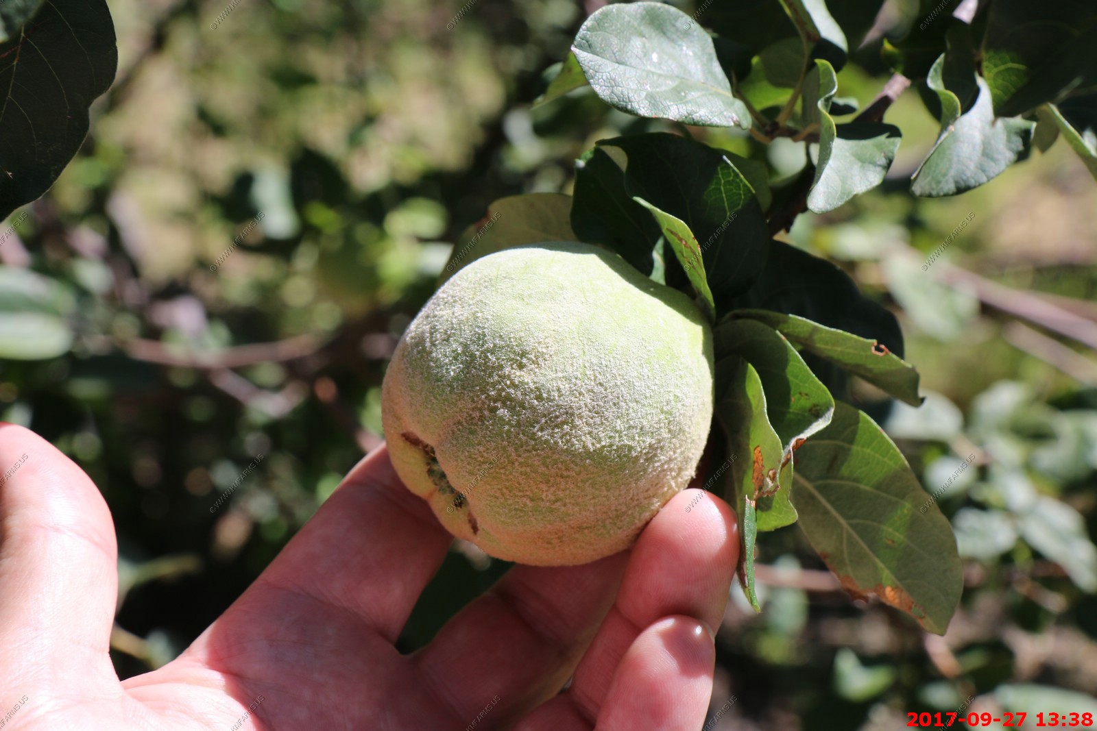
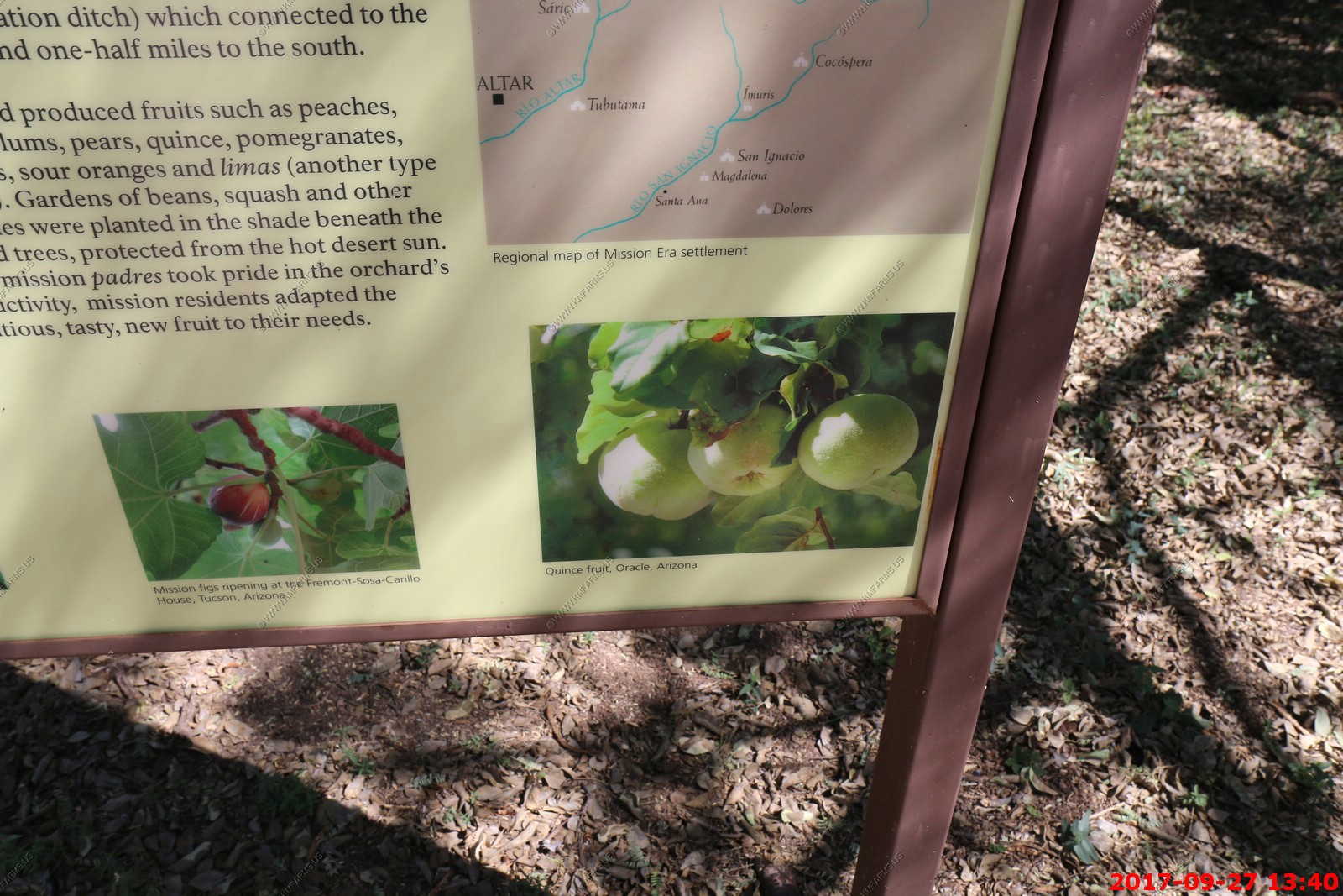
Quince fruit (we had these growing in our yard and I did not know what it was)
The quince (kwns Cydonia oblonga) is the sole member of the genus Cydonia in the family Rosaceae (which also contains apples and pears, among other fruits). It is a deciduous tree that bears a pome fruit, similar in appearance to a pear, and bright golden-yellow when mature. Throughout history the cooked fruit has been used as food, but the tree is also grown for its attractive pale pink blossoms and other ornamental qualities.
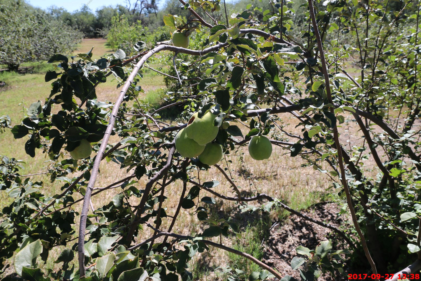
Various views of the grounds around Tumacacori
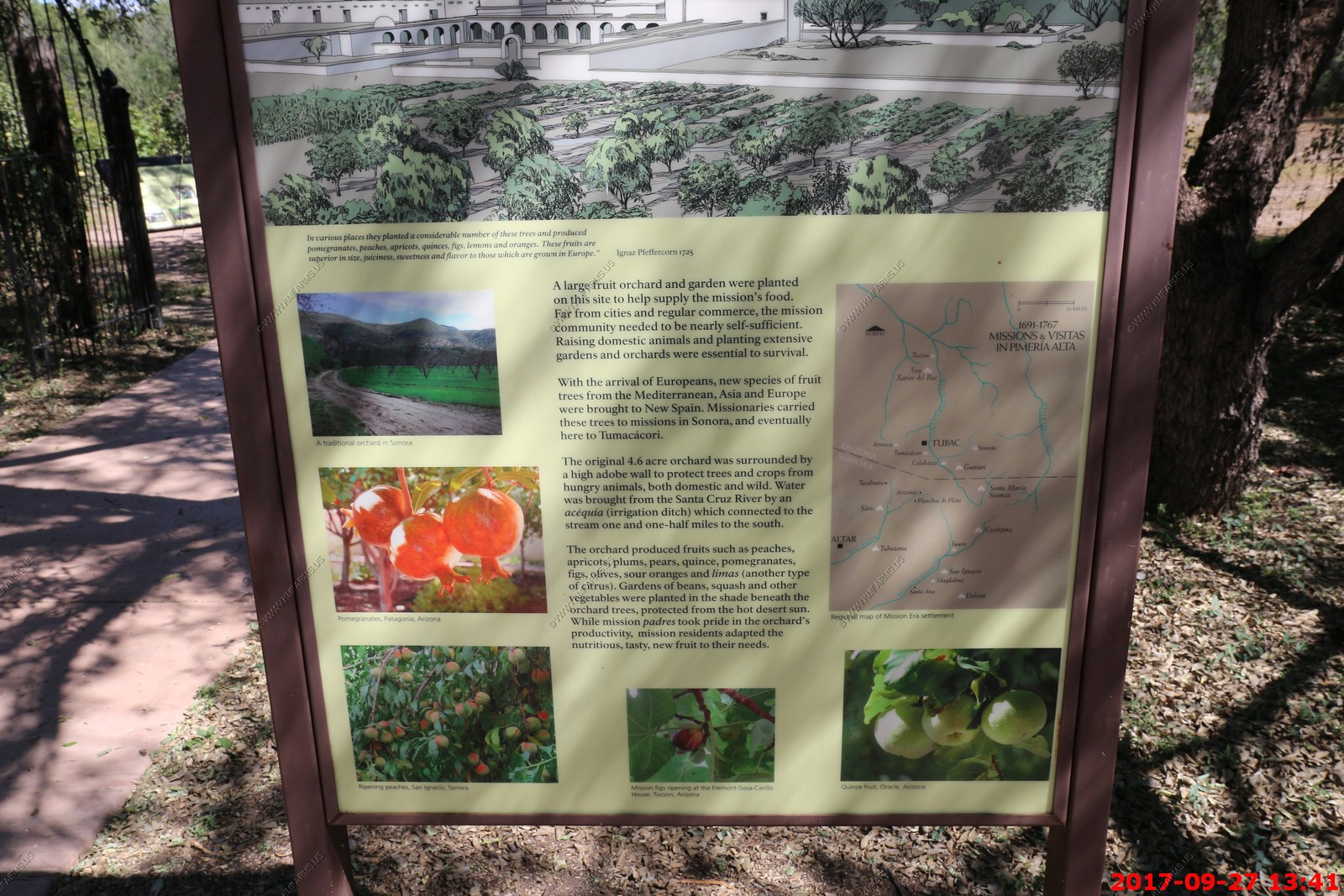
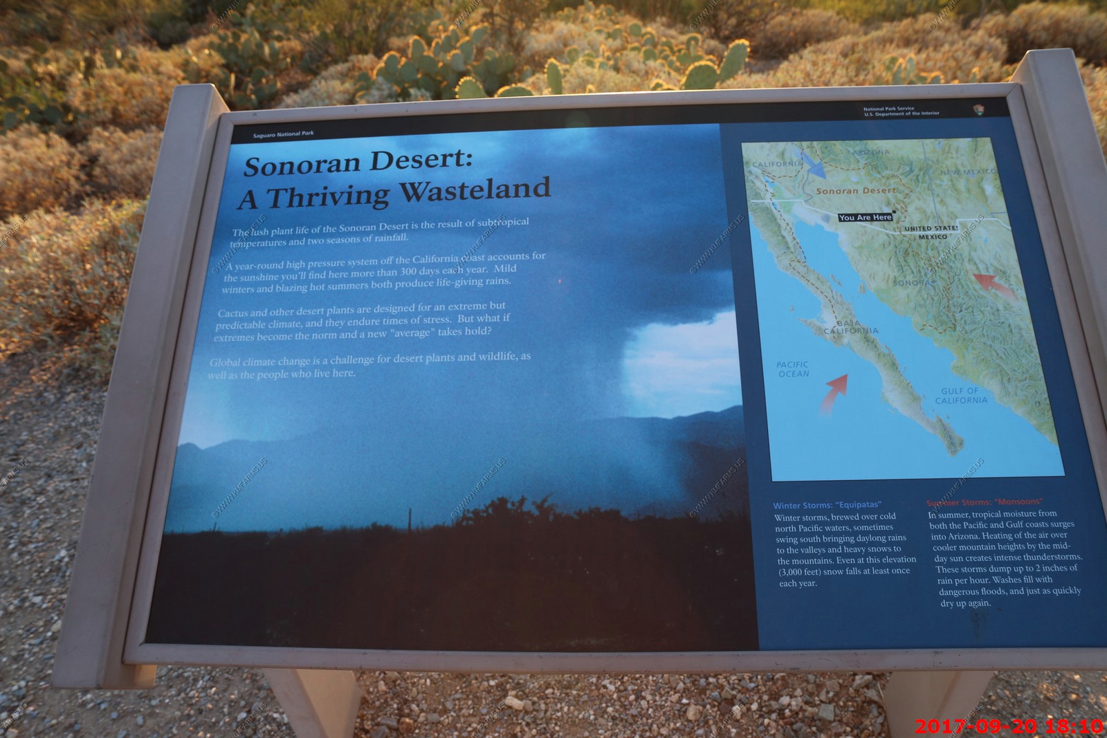
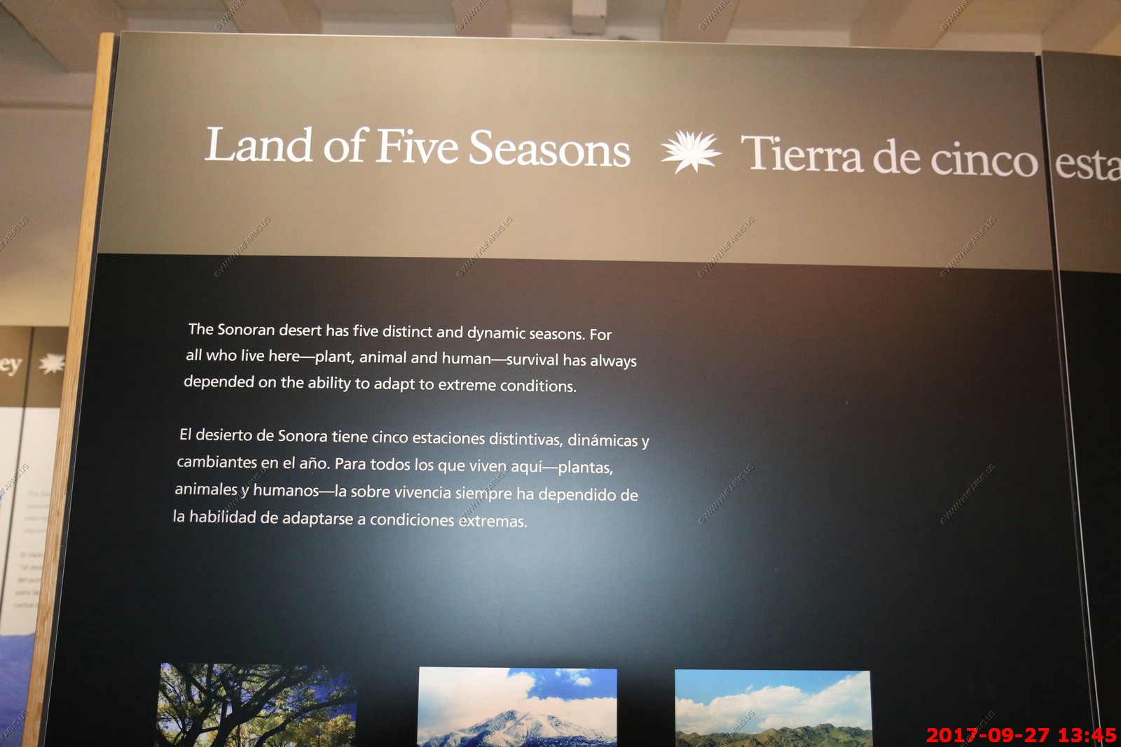
Interesting - FIVE SEASONS in this part of Arizona - autumn, winter, spring, dry early summer and wet late summer (Monsoon)

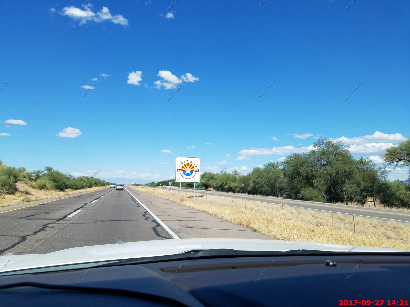
I-19 in AZ has the distances in KM. Stupid as they are changing it back. - I-19 is unique among US Interstates, because signed distances are given in meters (hundreds or thousands as distance-to-exit indications) or kilometers (as distance-to-destination indications), and not miles. However, the speed limit signs give speeds in miles per hour. According to the Arizona Department of Transportation (ADOT), metric signs were originally placed because of the push toward the metric system in the United States at the time of the original construction of the highway
Signs celebrating Arizona's centennial in 2012
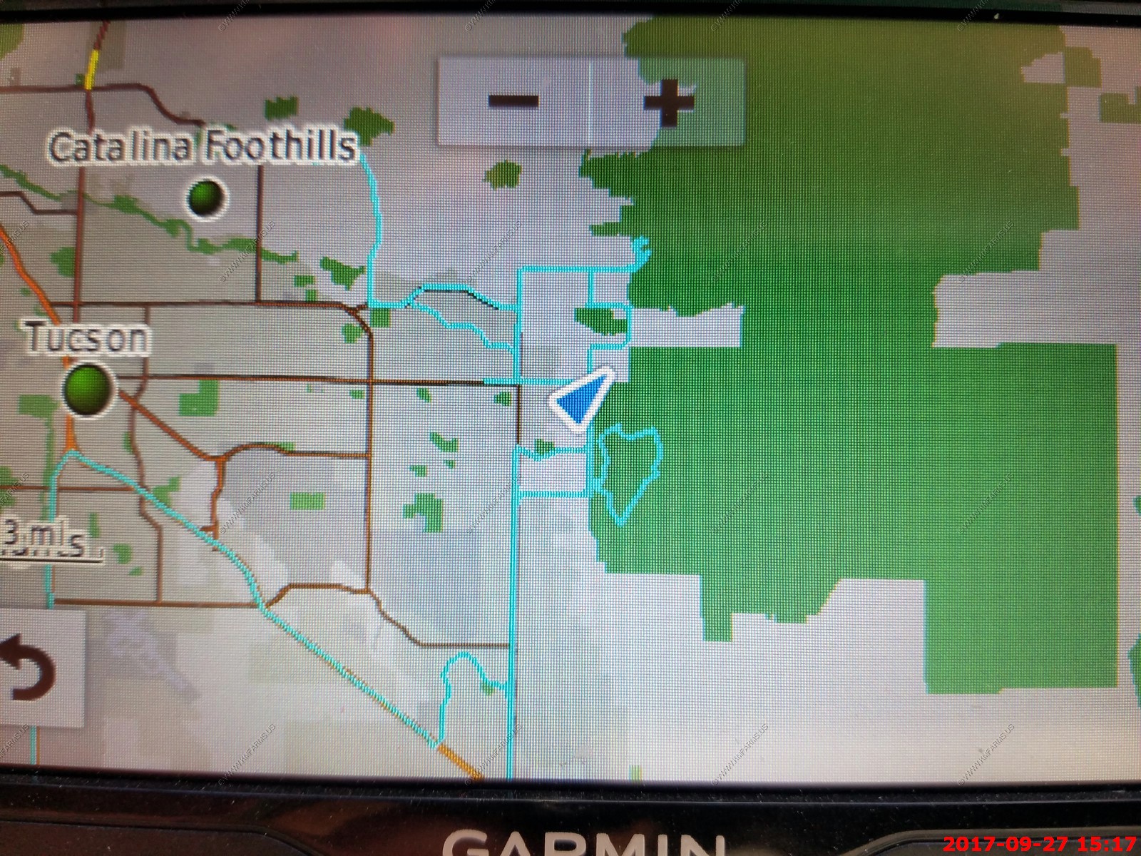
Screenshot of my Garmin GPS track-log showing where we have been exploring
Un-packing back at the house

Critter of the night - Scorpion & under UV light
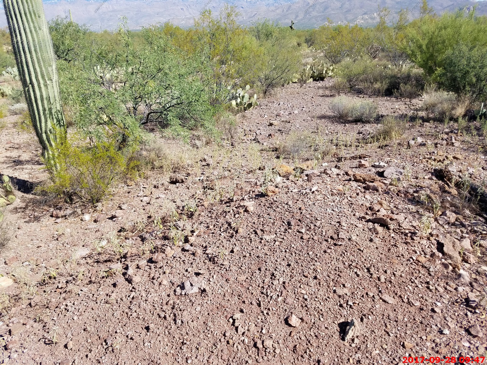
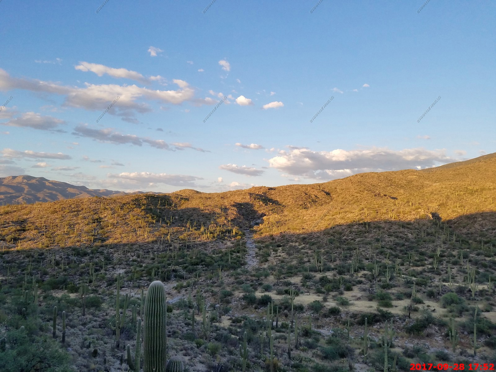
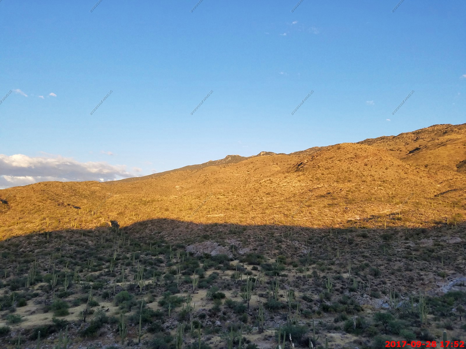
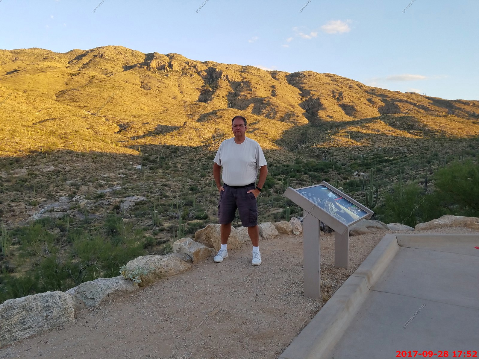
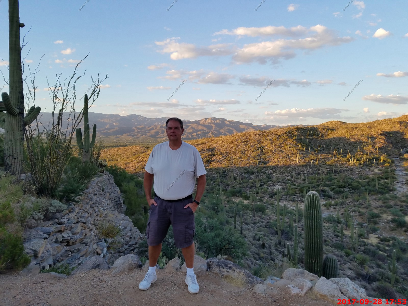
Thursday SEP 28th
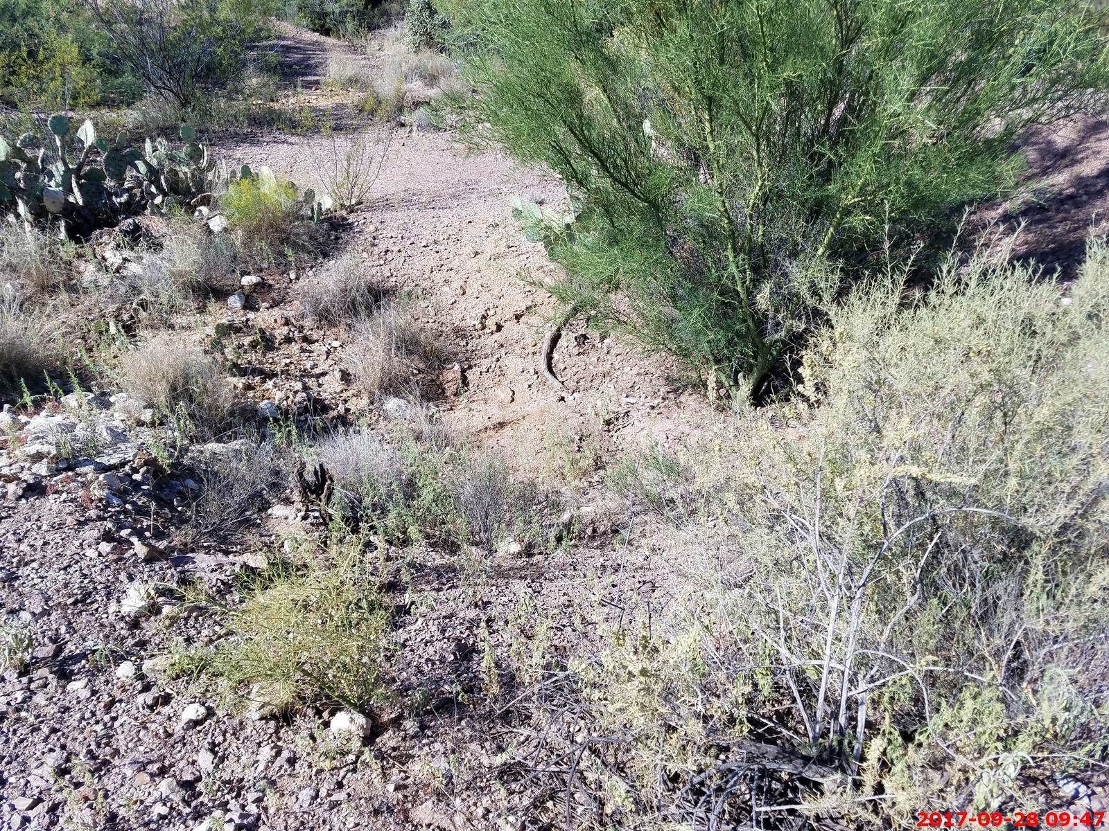
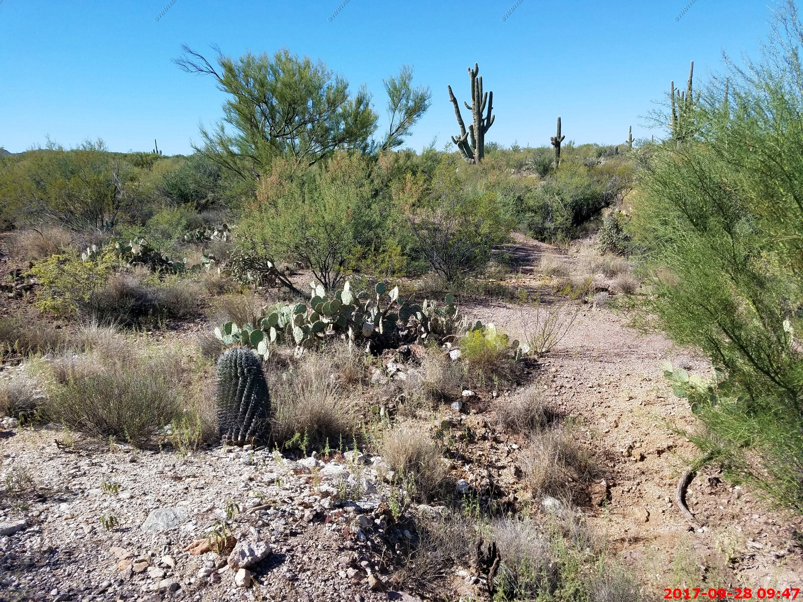
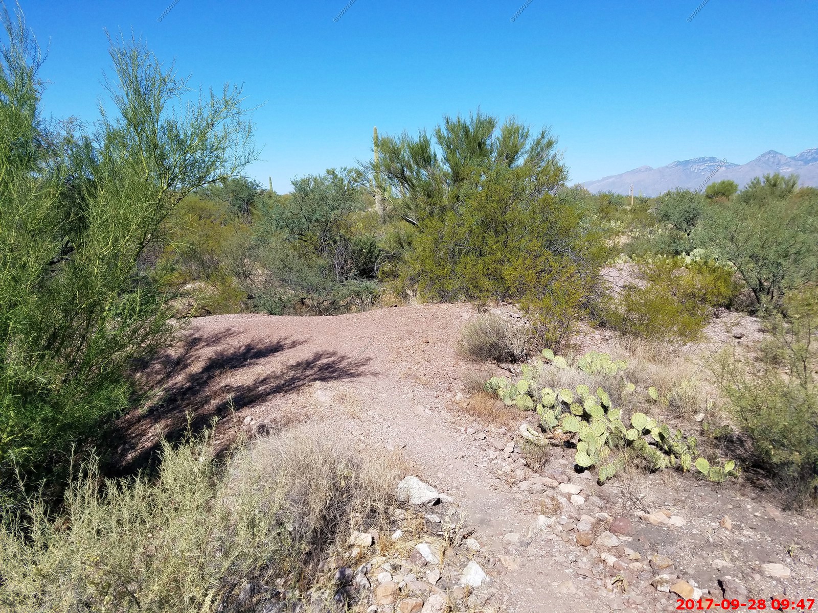
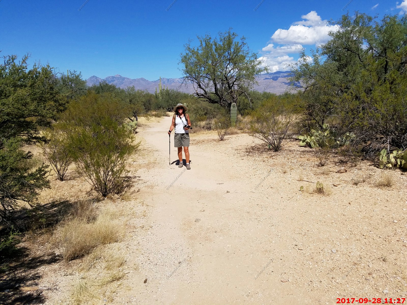
Around the house day as its sadly our last full day. We went on a nice 4 mile hike at Saguaro National Park East where Mary had some issues with the heat. It was only around 90 so that's sad.
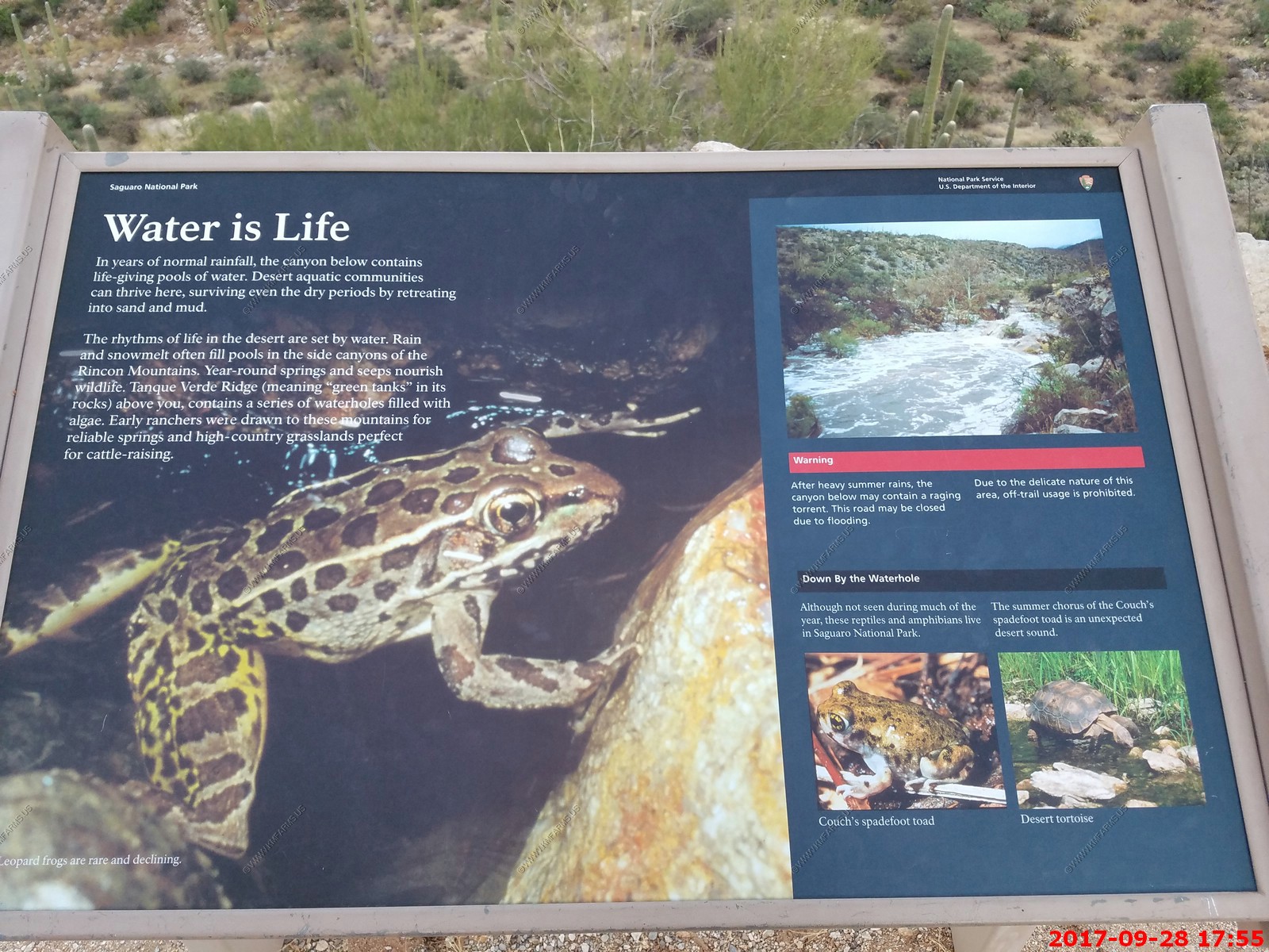
Sign about the bats at the visitor center
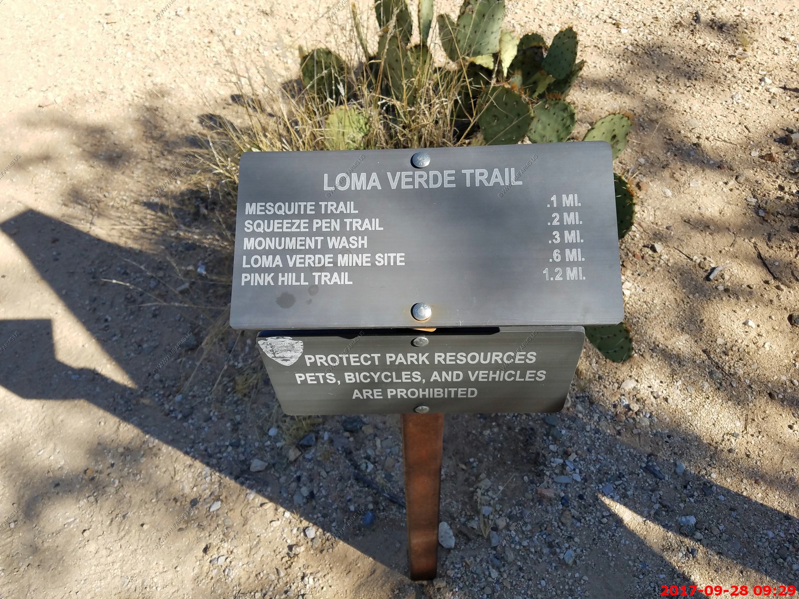
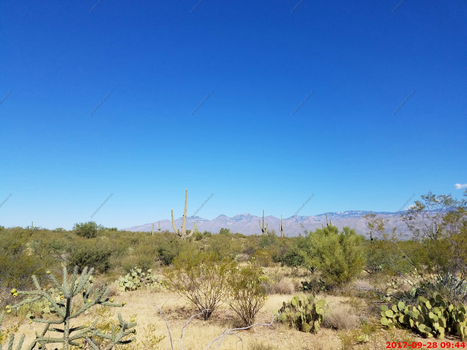
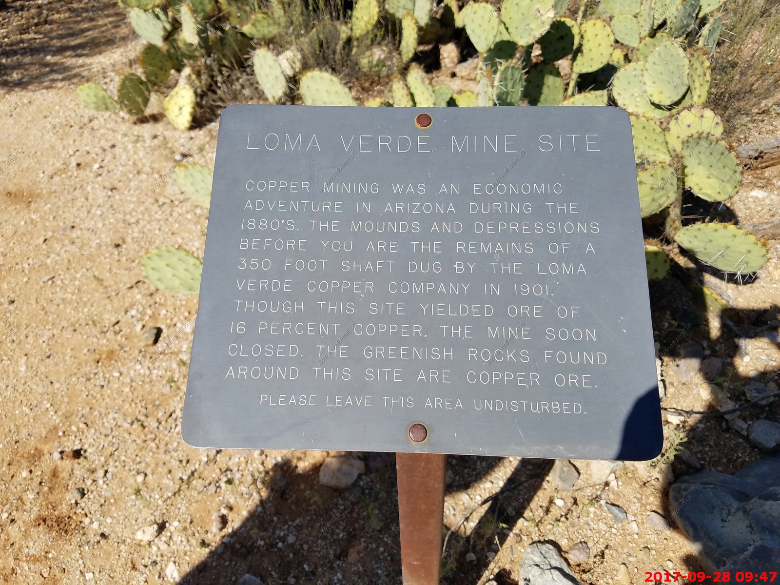
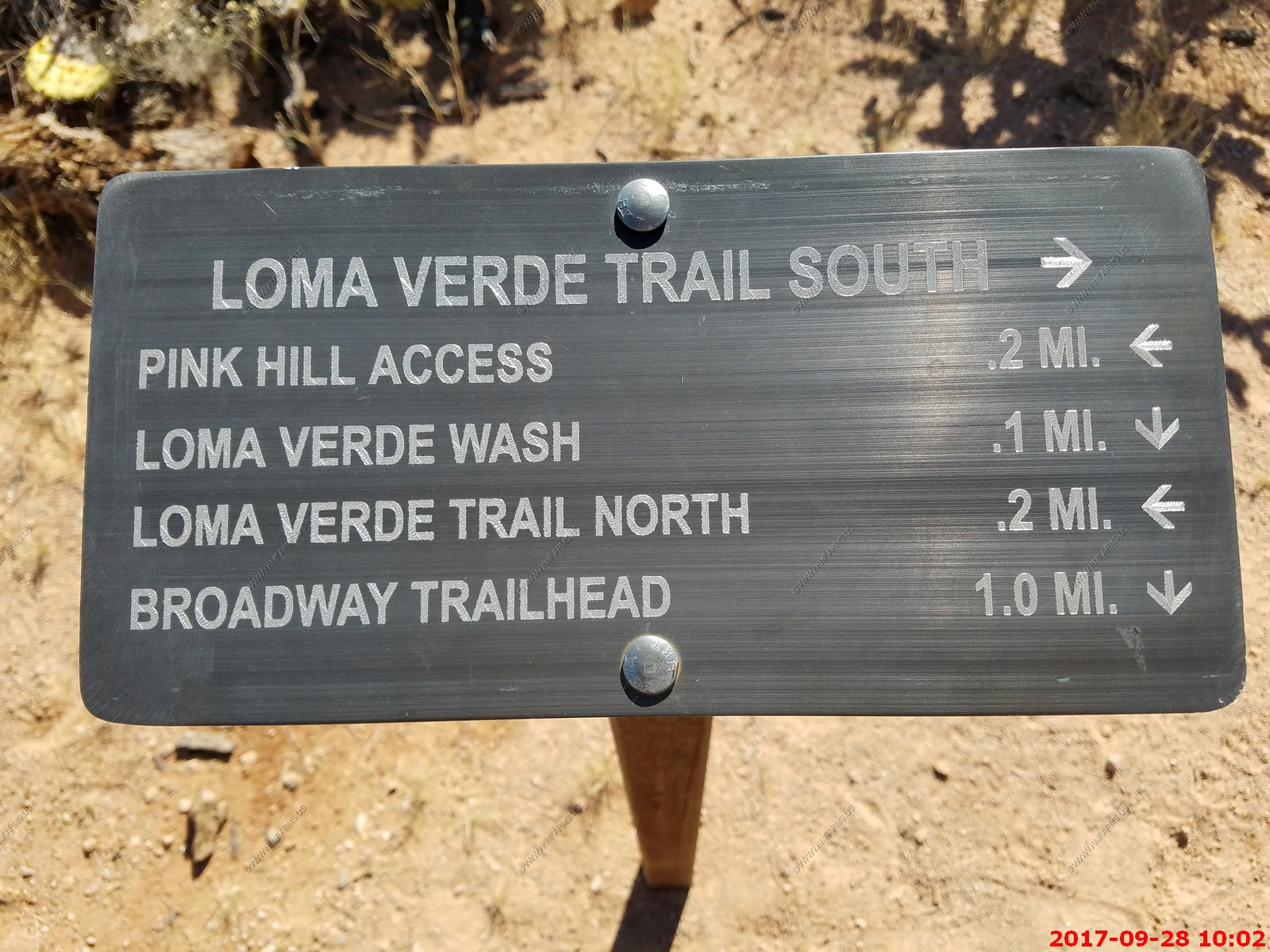
We parked at the Loma Verde Trailhead. This hike covered a number of other trails but was an easy 4 mile hike on a cool day.
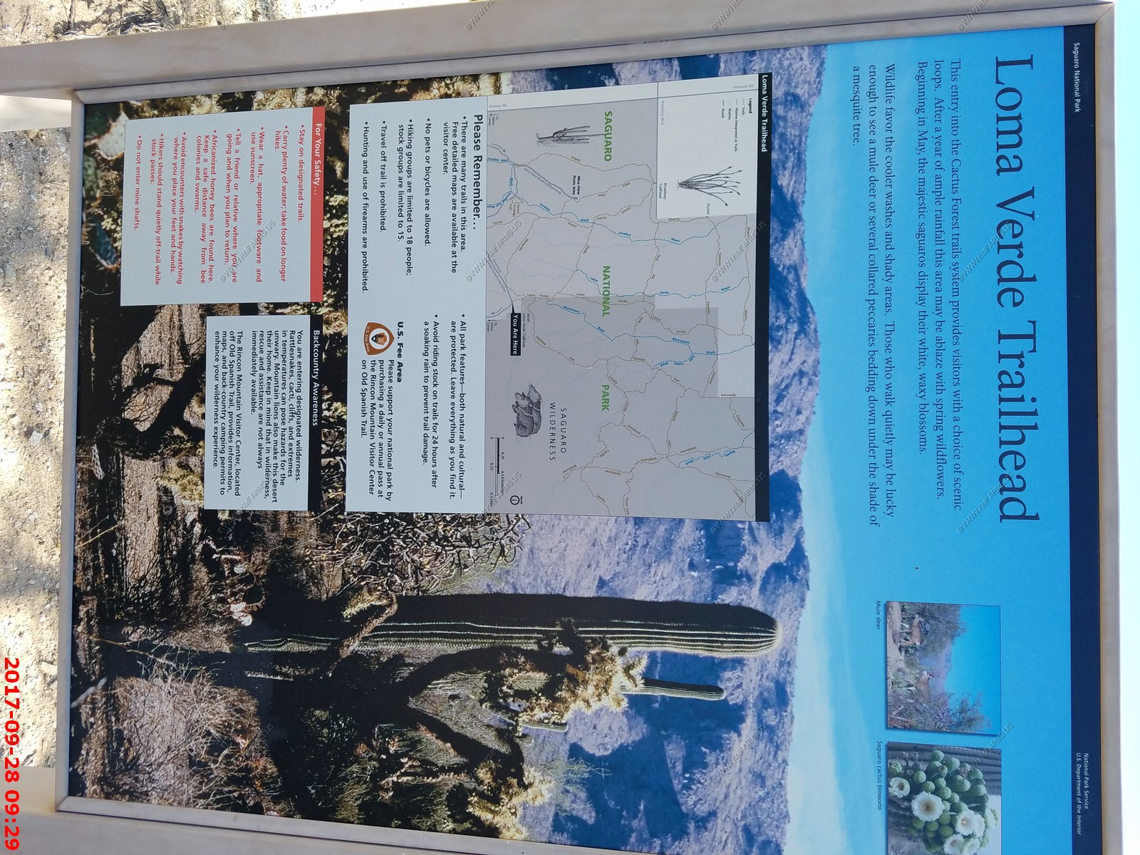
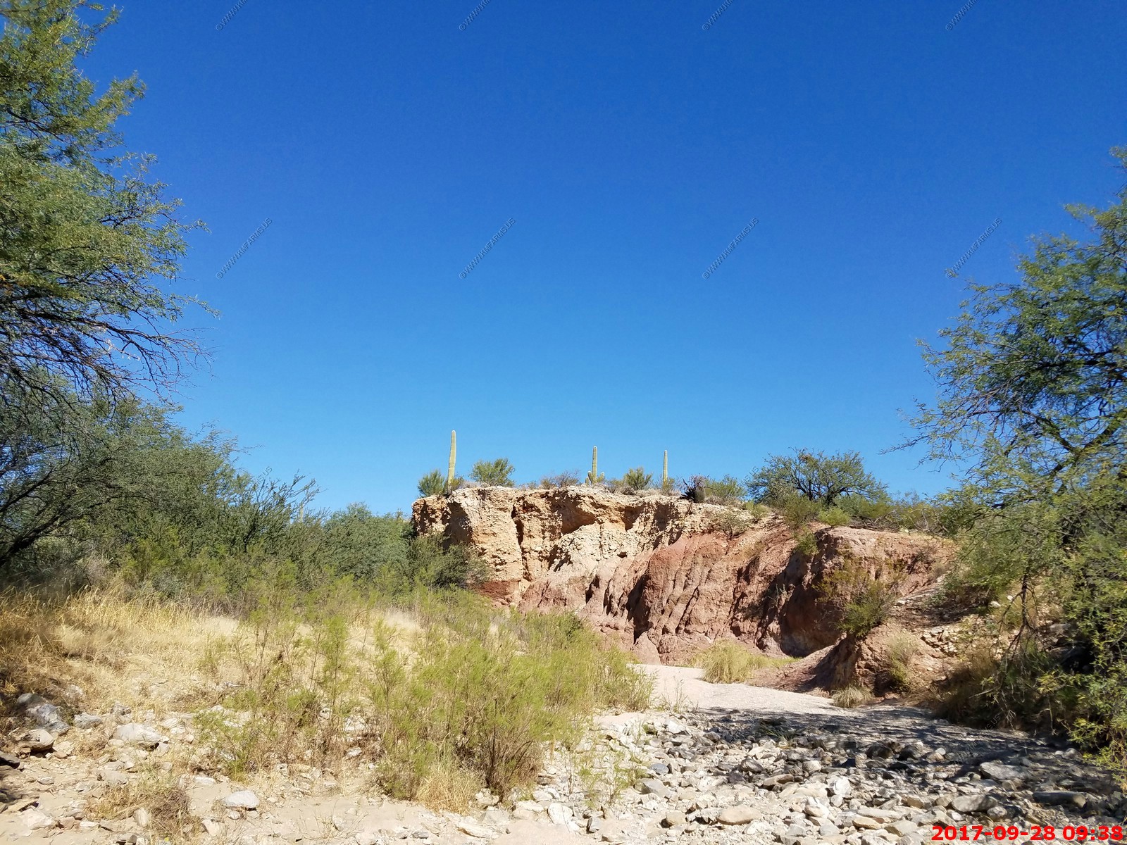
We stopped at the Loma Verde Copper Mine Site
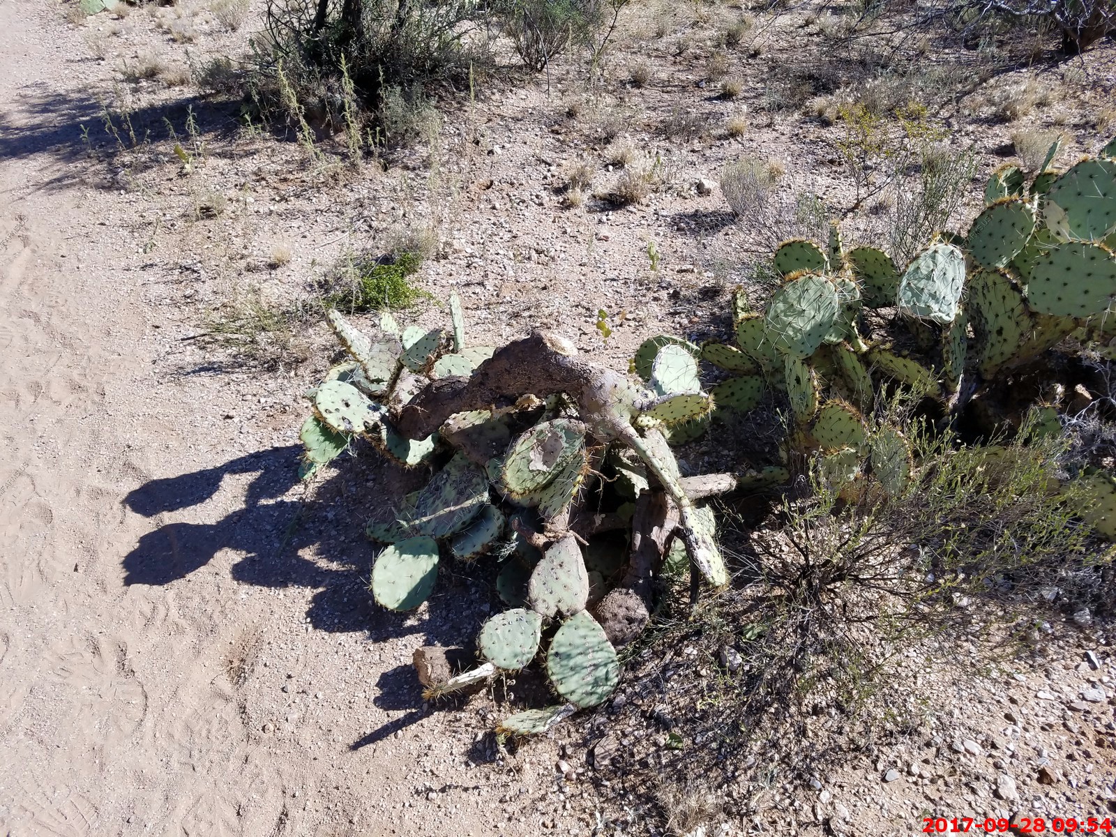
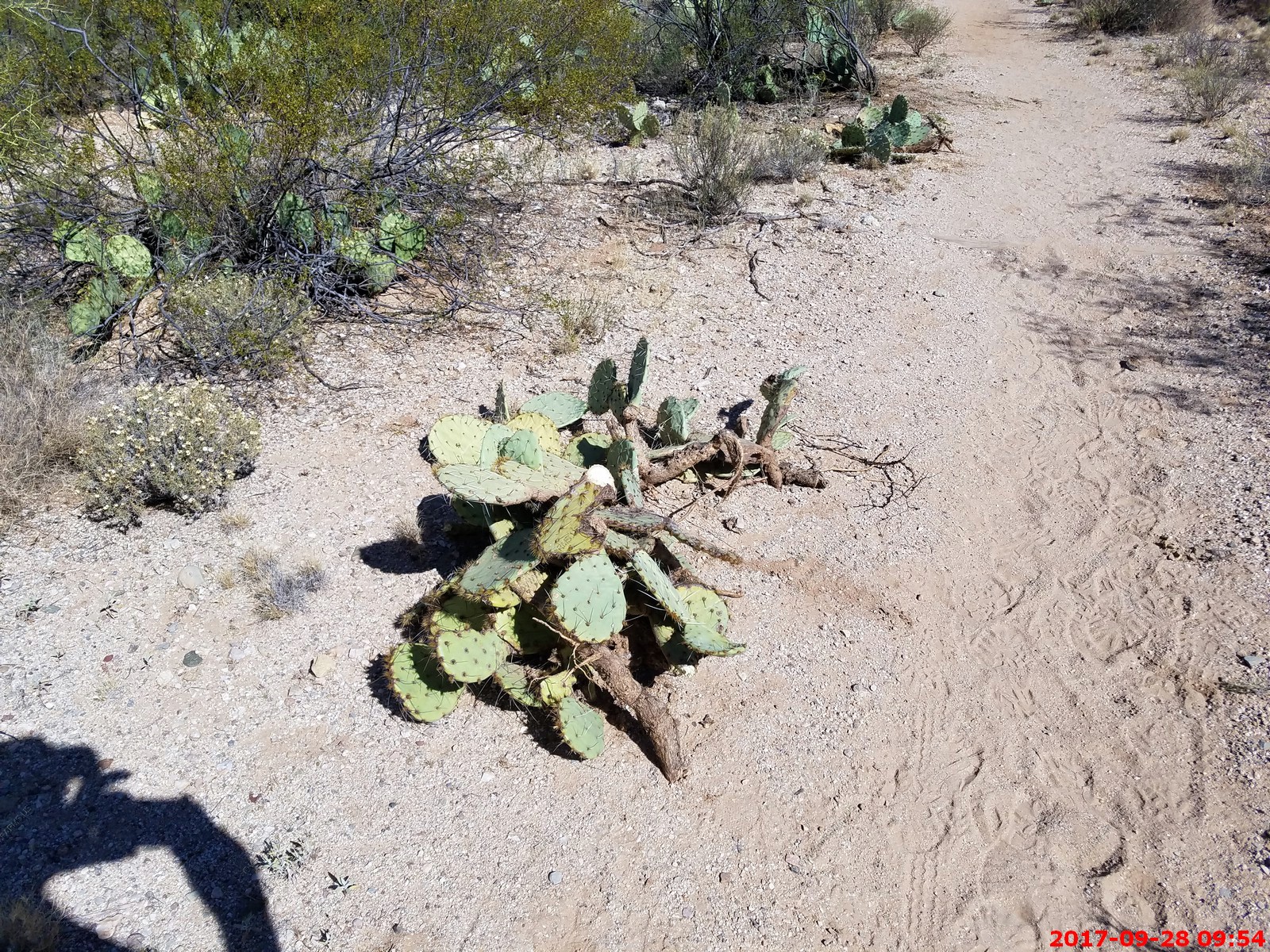
They were doing trail maintenance and cutting back and tossing the prickly pear cacti to be picked up. Not good. They are makings sure that the cacti don't grow near the trail. as stupid people could get a thorn in them if they are texting. It's the desert and you got to watch out. Idiots!
Mary running out of water as she did not bring enough. Oh well as I did for me.

Next trail junction

The west end of the Santa Catalina Mountains near the downtown part of Tucson
This is a horse trail. Major erosion issues
Mary getting slower
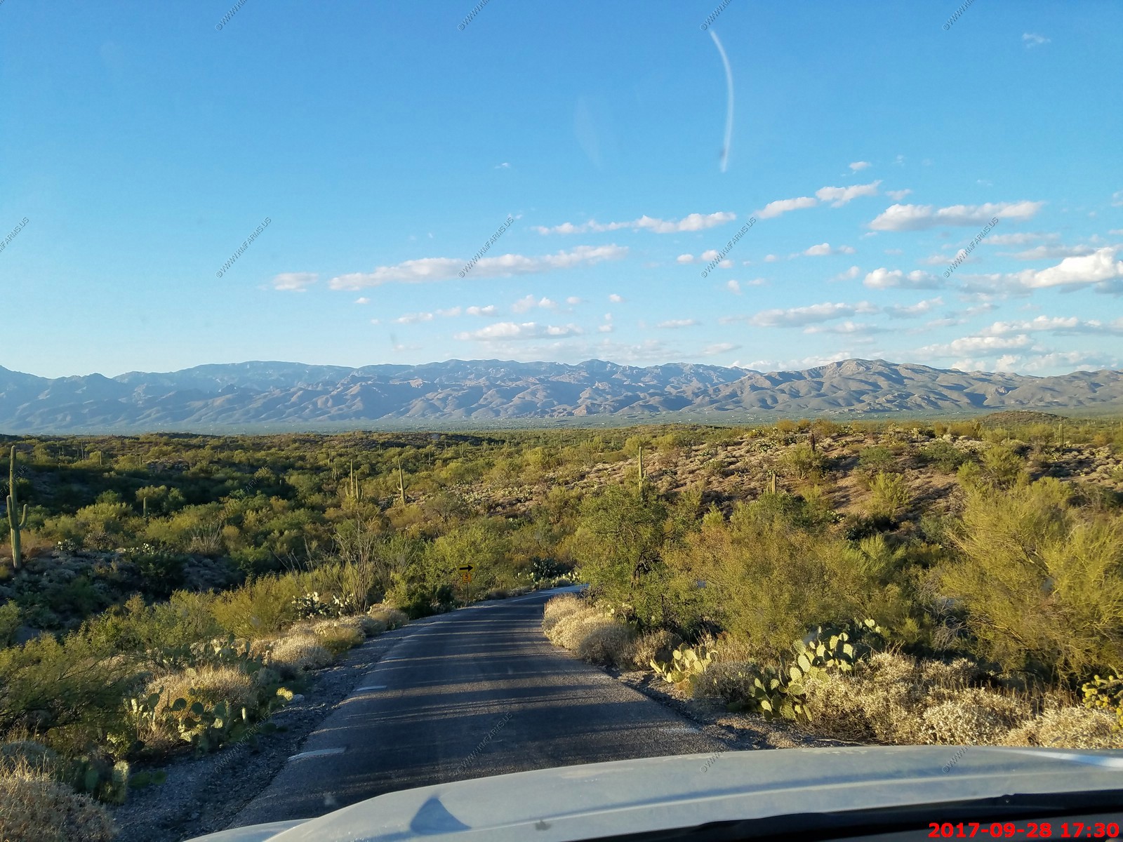
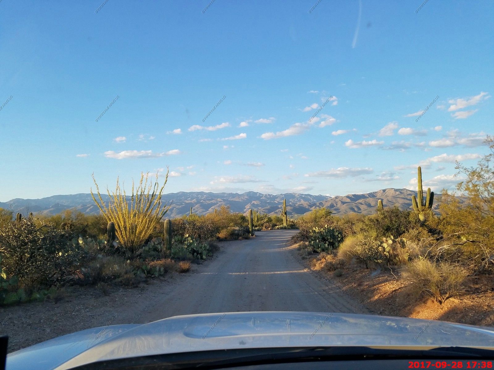
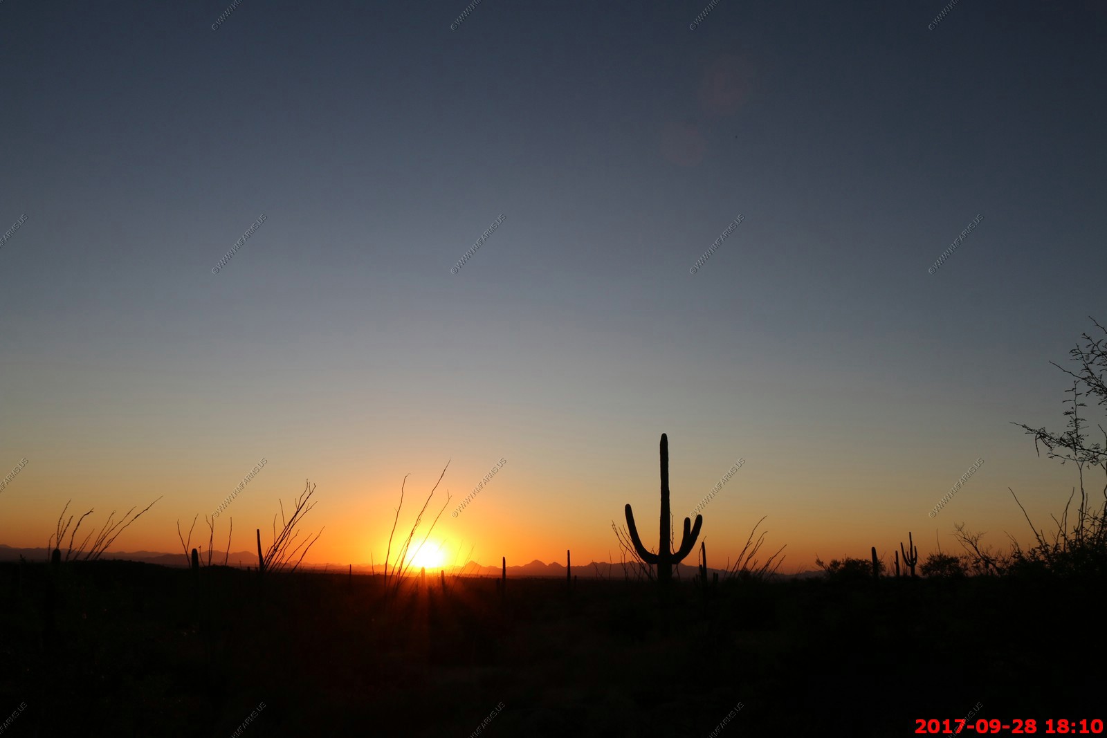
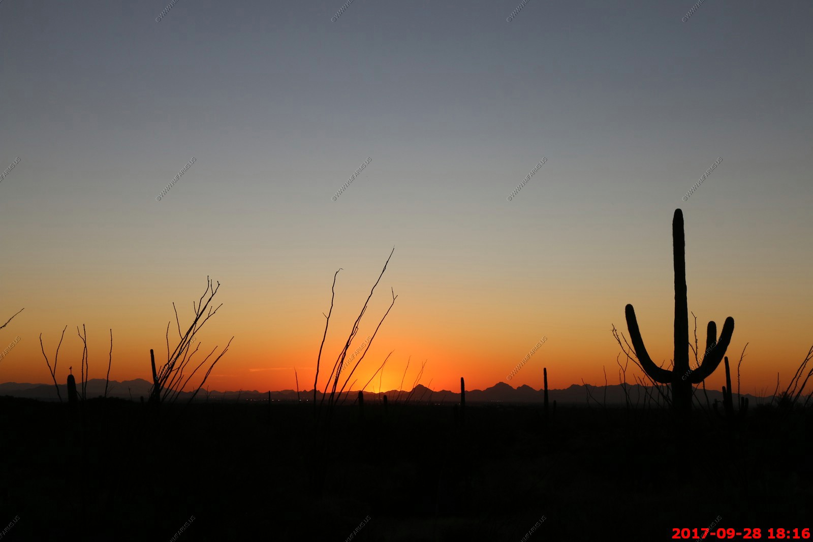
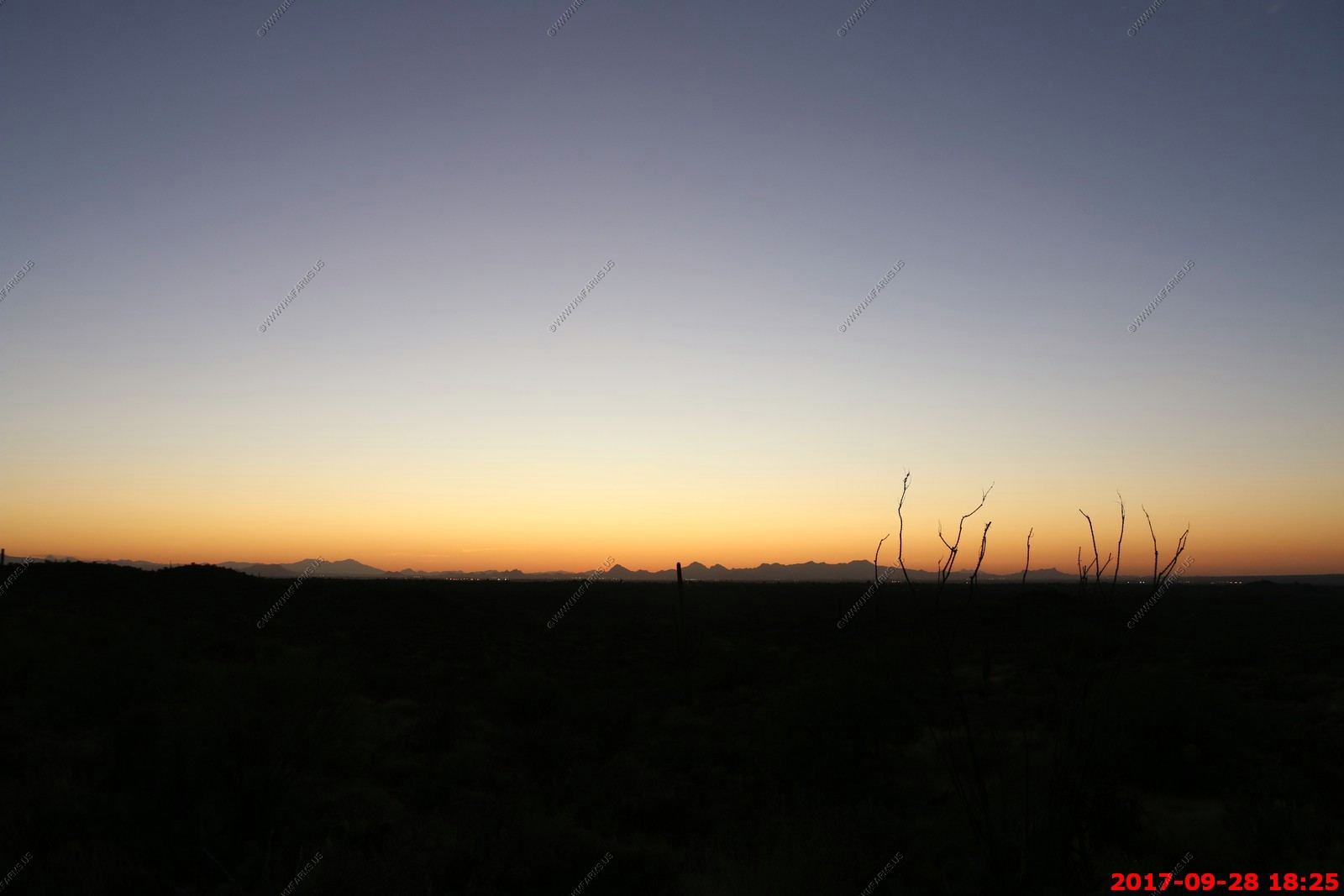
Back to Saguaro National Park East to watch the sunset
On Saguaro loop drive. This is the last evening amazing weather.
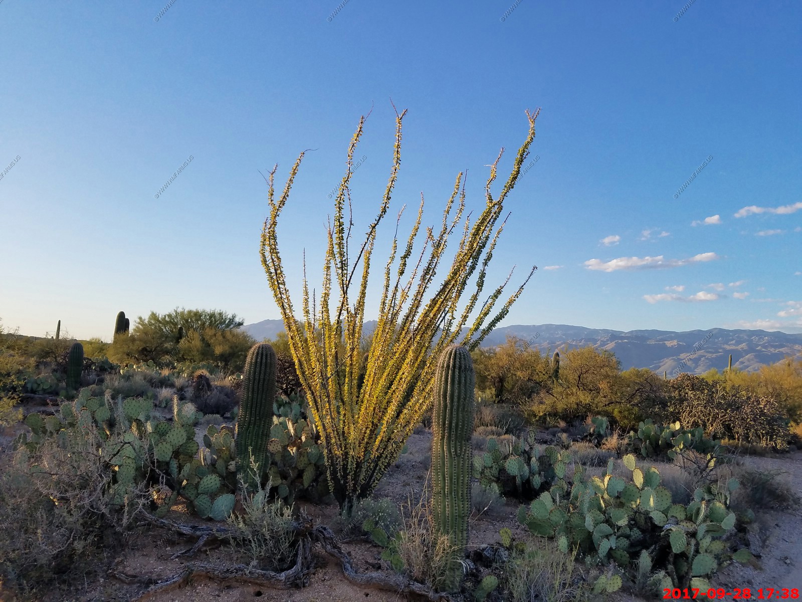
Ocotillo with leaves on it

Ken never smiles as he is not retired and lives in the terrible cold north east.
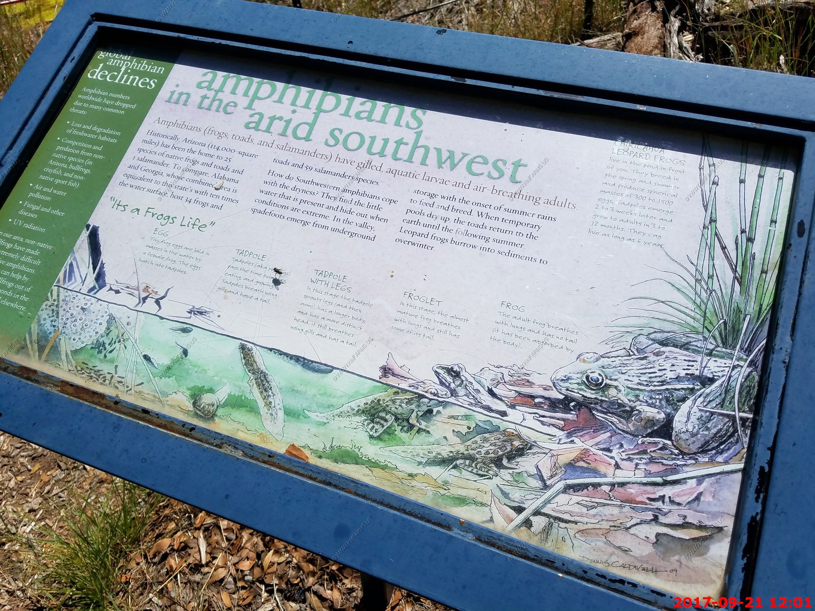
Frogs when it rains
Last sunset
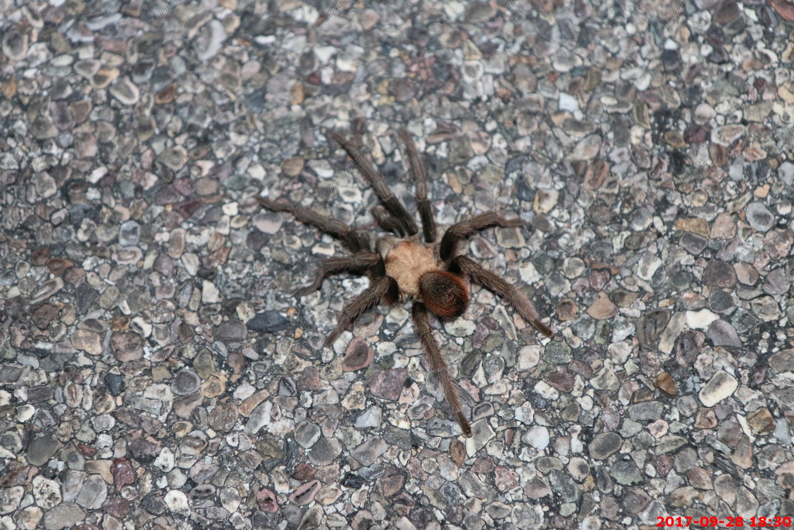
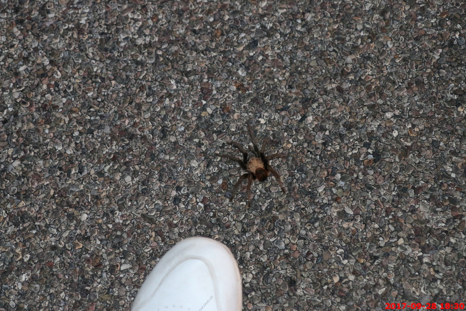
Small Tarantula out enjoying the sunset too
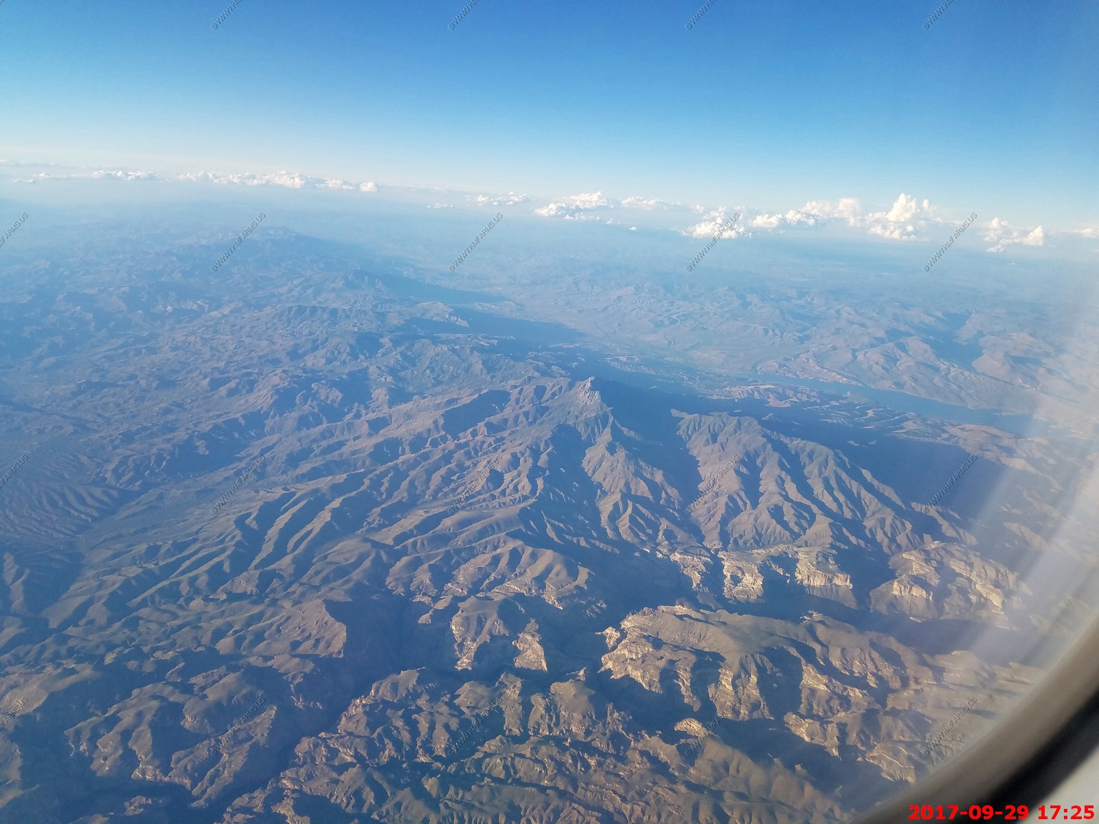
Friday SEP 29th
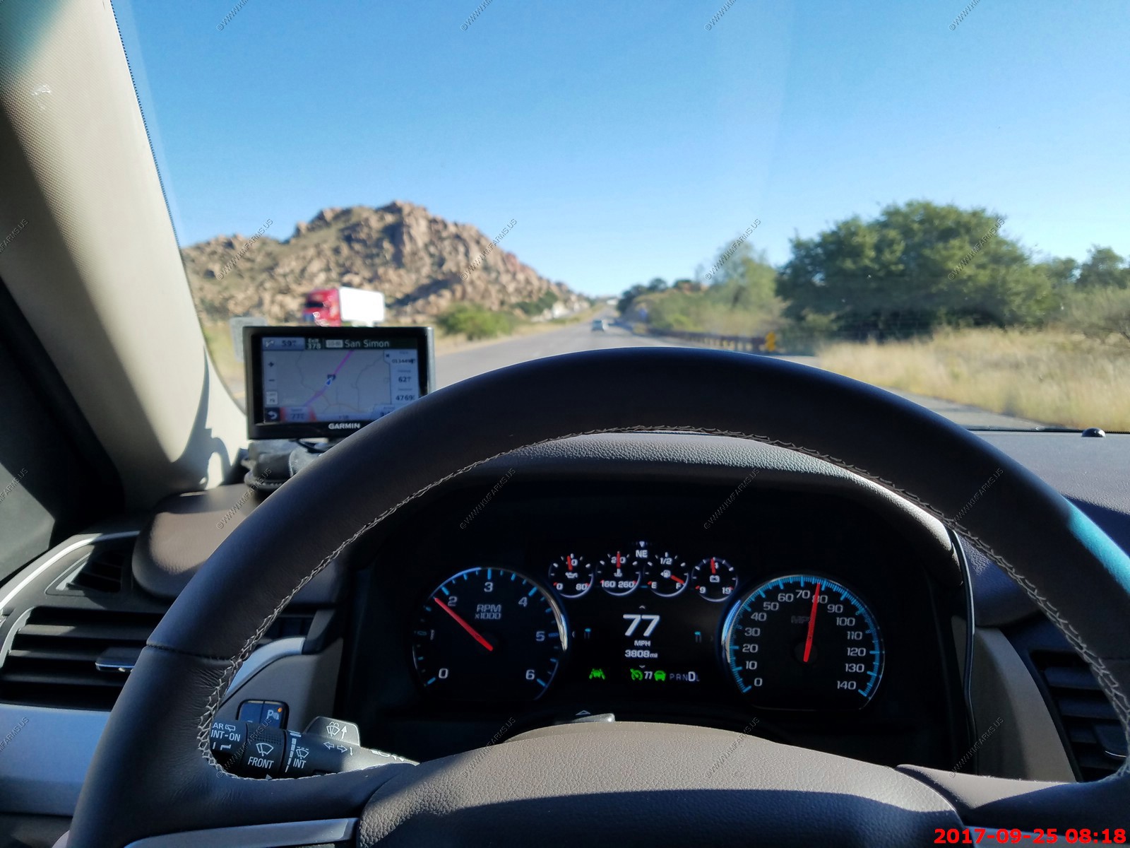
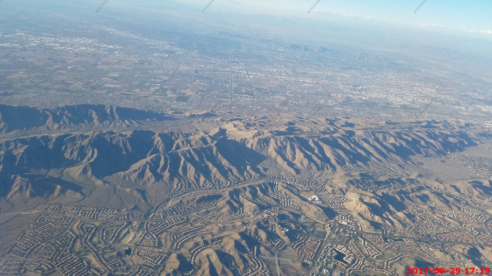
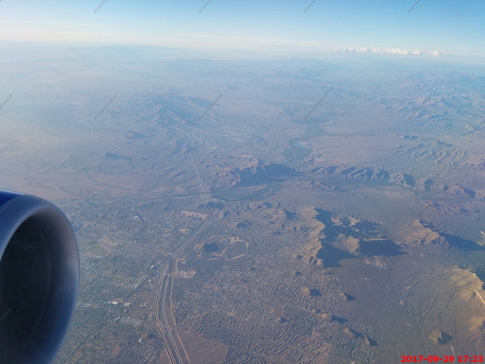
Pack out day. Easy drive back to Phoenix to return the car and fly out at 5:05 PM and that gets back to wonderful Baltimore at 12:40 am.
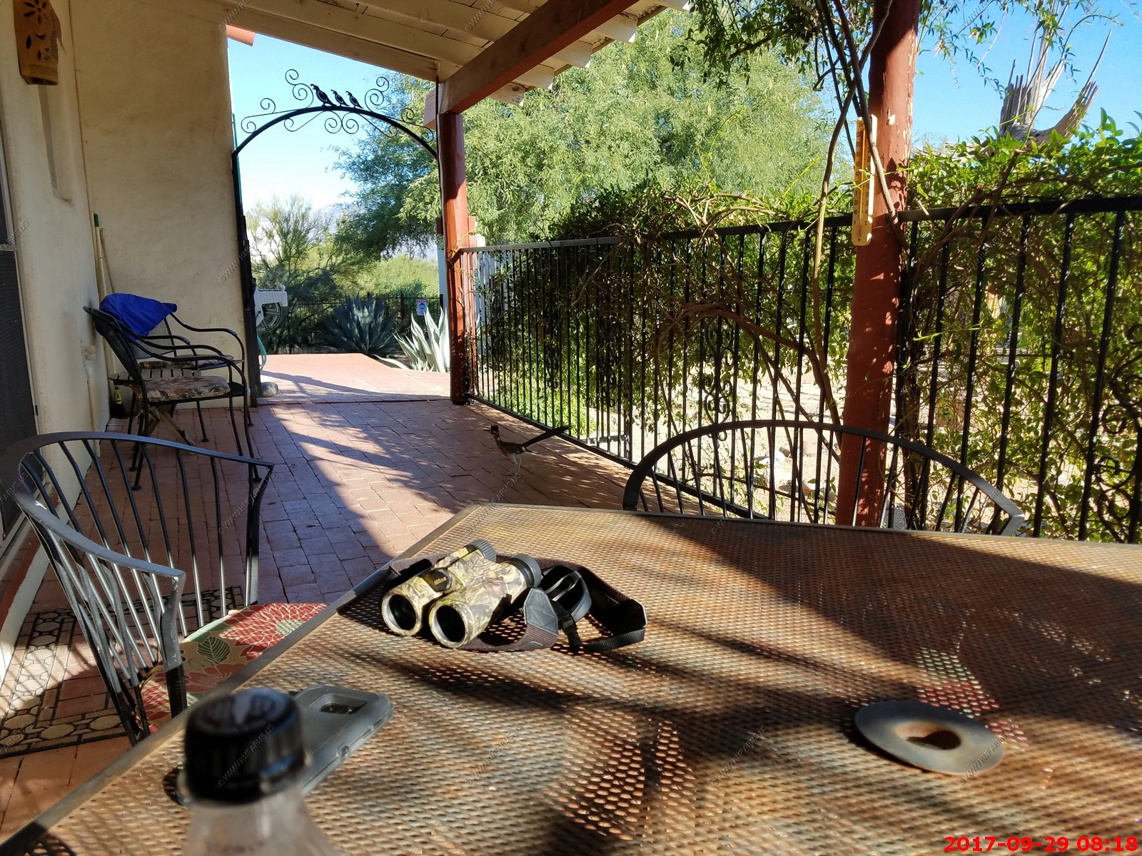
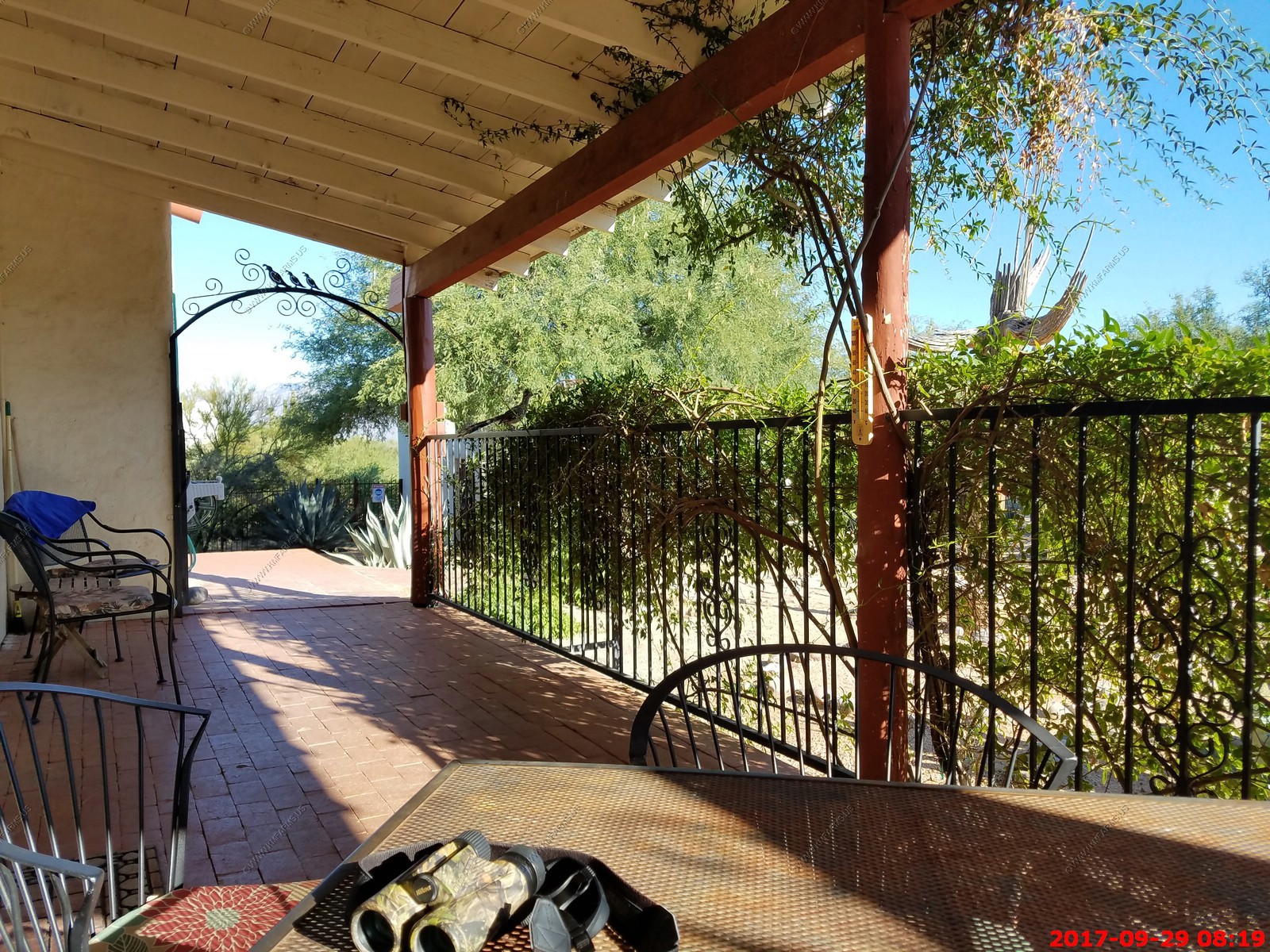
Roadrunner on our patio walkway & fence. - A bird born to run, the Greater Roadrunner can outrace a human, kill a rattlesnake, and thrive in the harsh landscapes of the Desert Southwest. Roadrunners reach two feet from sturdy bill to white tail tip, with a bushy blue-black crest and mottled plumage that blends well with dusty shrubs. As they run, they hold their lean frames nearly parallel to the ground and rudder with their long tails. They have recently extended their range eastward into Missouri and Louisiana.
Departing Phoenix. Looking North at South Mountain Park. When I lived in Phoenix in 1984 hardly anything was developed to the south of this Mt. Range. Sad.
McDowell Mountains, Fountain Hills and the Verde River
Four Peaks with part of Roosevelt Lake off to the east (right)