Last Update: 26-AUG-2017
December 2017 - PART 2 - Guadeloupe, Antigua, San Juan Puerto Rico back to Ft. Lauderdale
All photos were taken with a Samsung Galaxy S7 or a Canon EOS-70D 20.2mp camera or a Go Pro Hero4 Silver
For a detailed description of the Canon EOS-70D 20.2mp camera setup I am using, visit my Camera Page
Part 1 -------------------------------------
DEC 07 T Cruise - Fly to Ft. Lauderdale
DEC 08 F Cruise - Ft. Lauderdale
DEC 09 S Cruise - Half Moon Cay, Bahamas
DEC 10 S Cruise - At sea
DEC 11 M Cruise - At sea
DEC 12 T Cruise - St. Thomas, USVI
DEC 13 W Cruise - St. Kitts
DEC 14 T Cruise - St. Lucia
DEC 15 F Cruise - Barbados
DEC 16 S Cruise - Grenada
Part 2 -------------------------------------
DEC 17 S Cruise - Guadeloupe
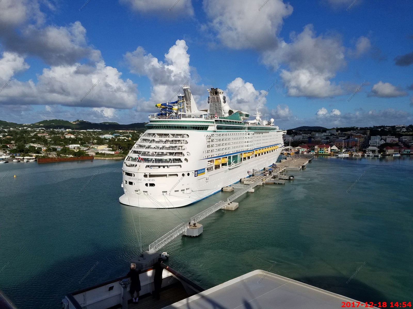
DEC 18 M Cruise - Antigua
DEC 19 T Cruise - San Juan Puerto Rico
DEC 20 W Cruise - At sea
DEC 21 T Cruise - At sea
DEC 22 F Cruise - Ft. Lauderdale - FLY HOME
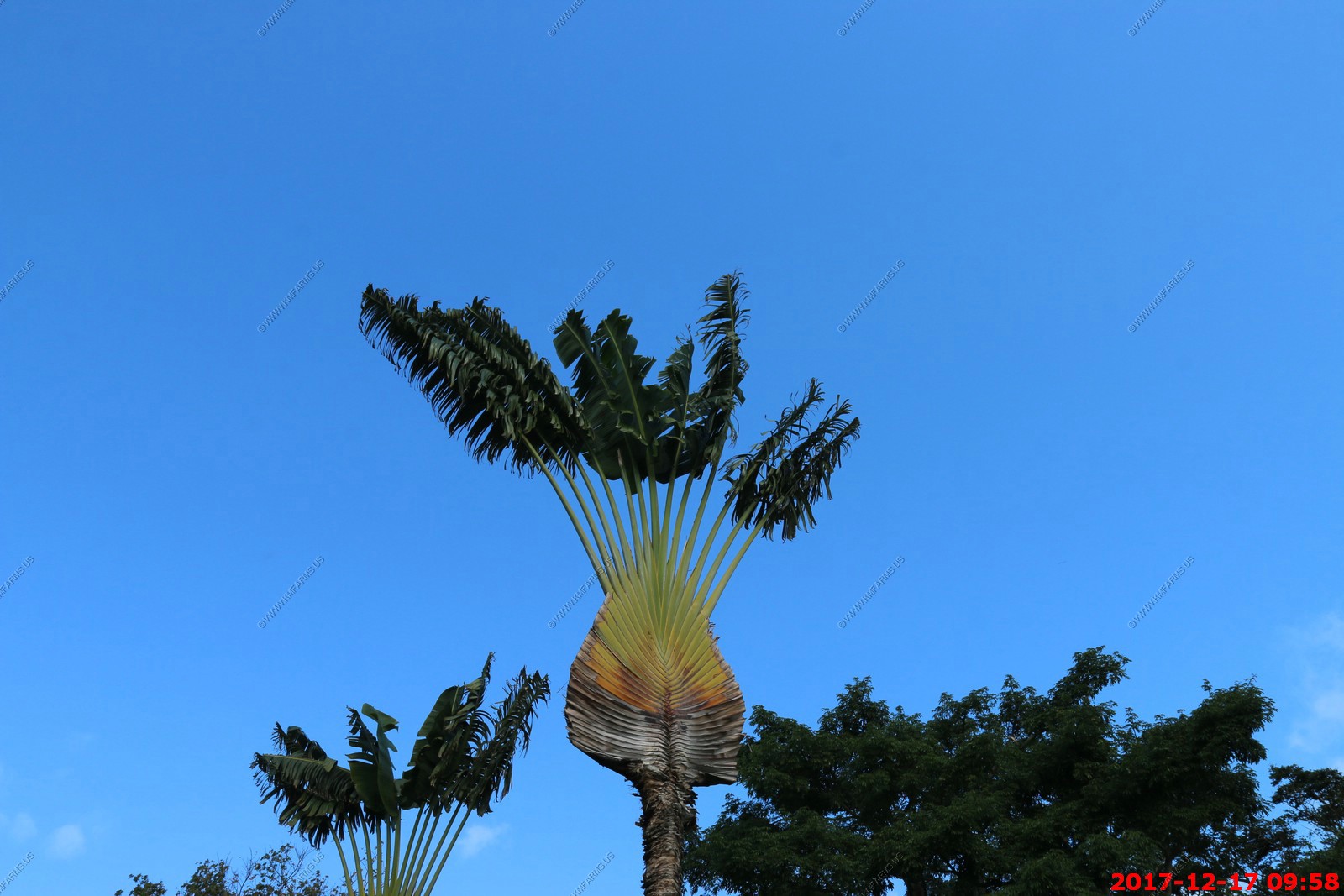
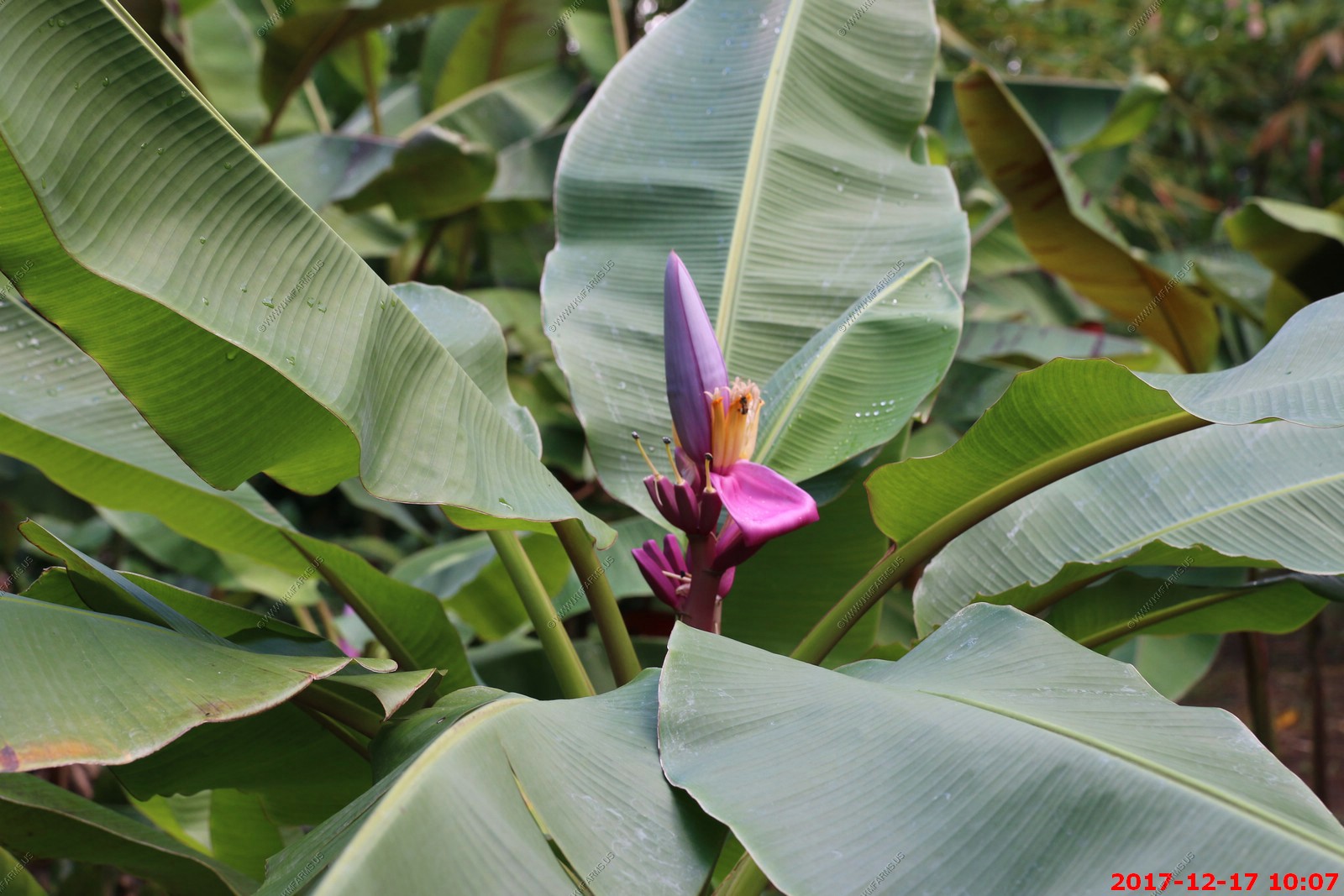
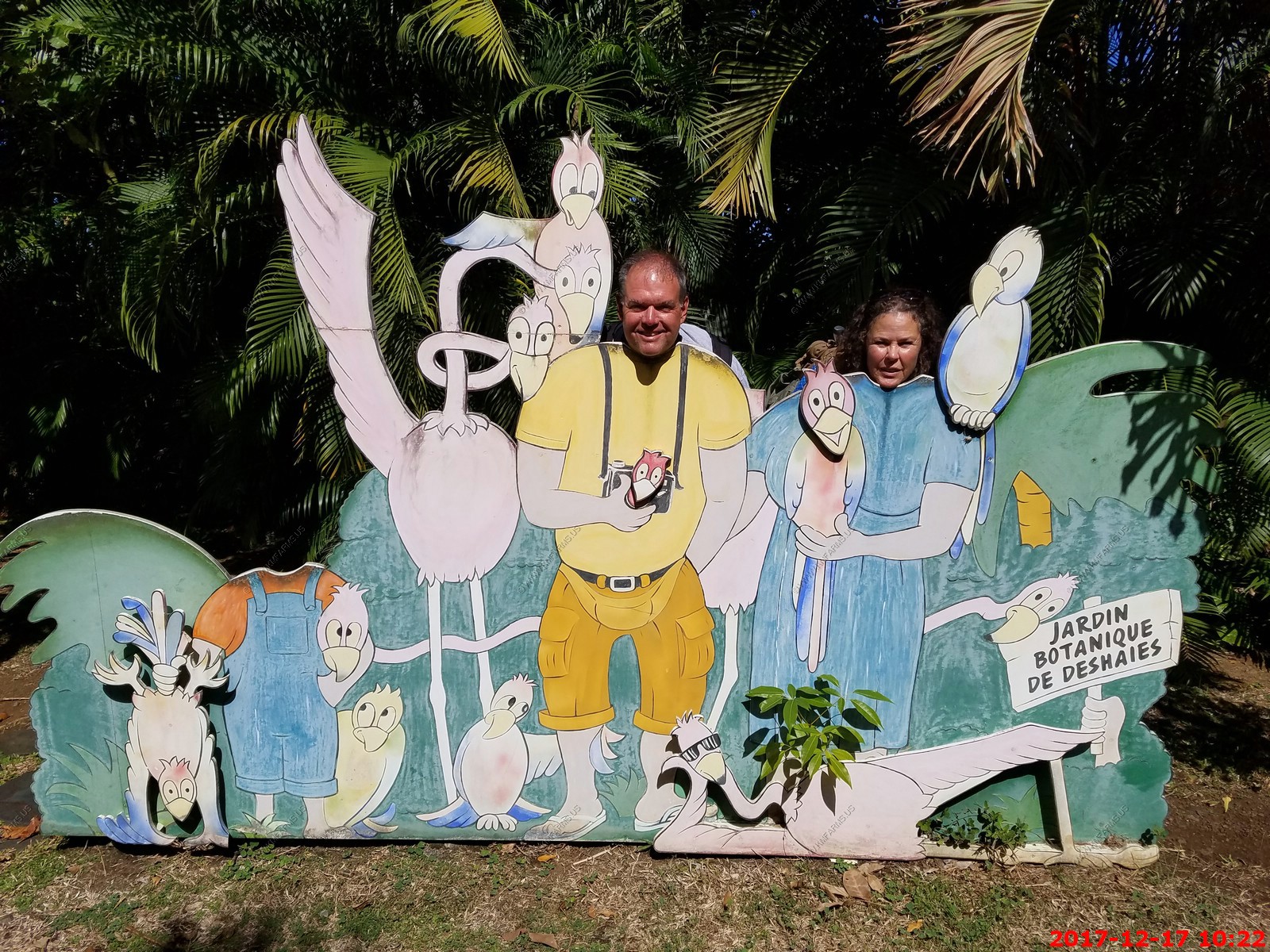
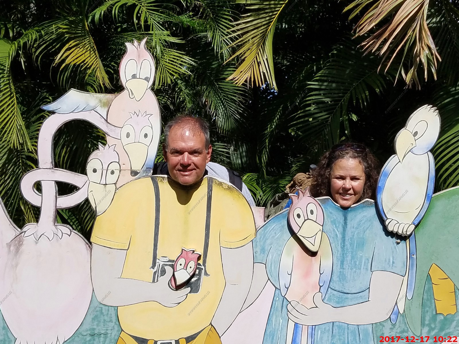
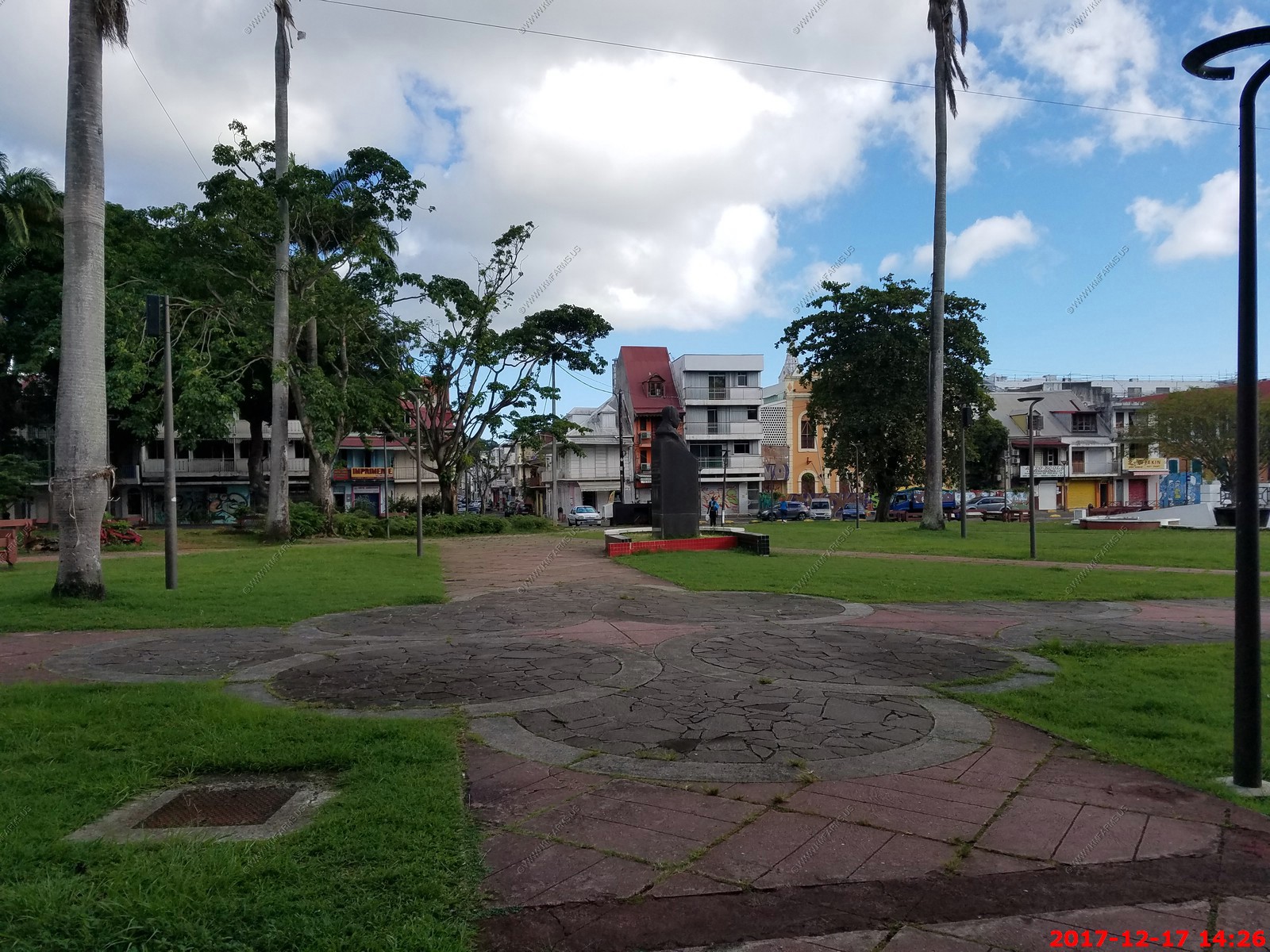
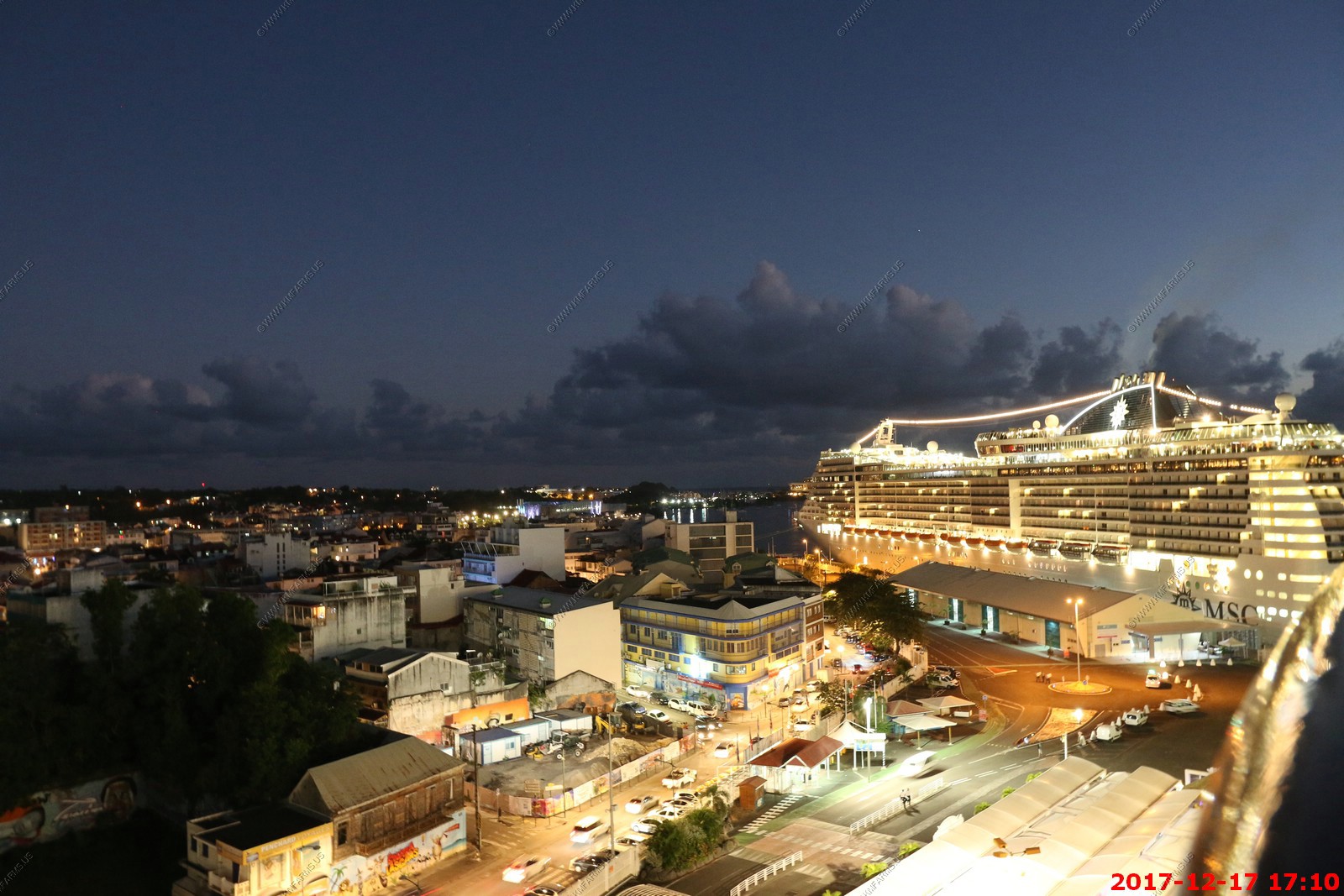
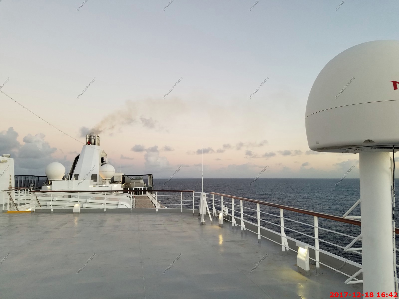
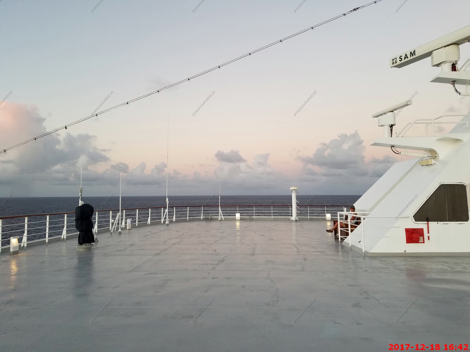
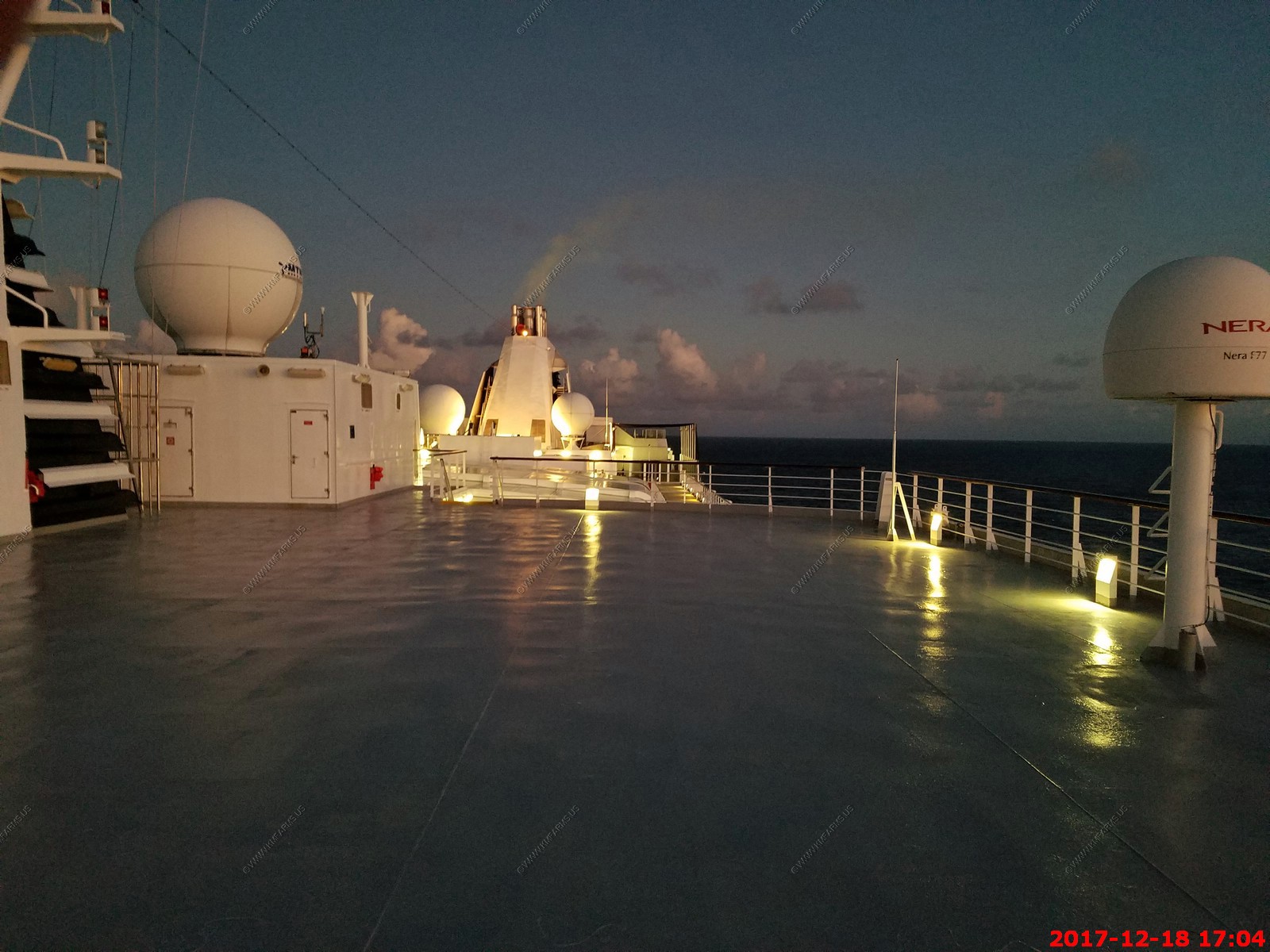
Sunday - DEC 17 2017 -- Guadeloupe
HAL Guide to When & Where - Sunday - DEC 17 2017 - Ship Activities
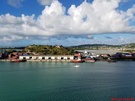
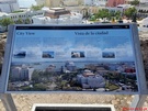
Port Guide - Pointe-A-Pitre, Guadeloupe
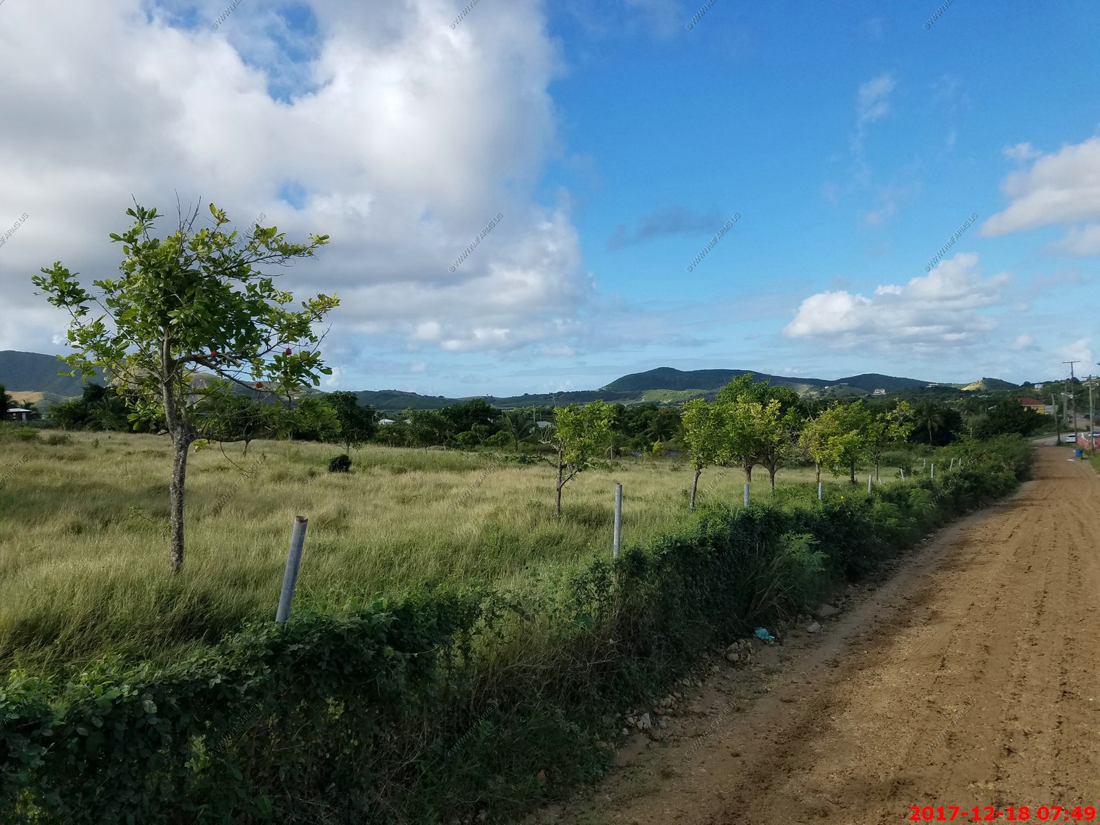
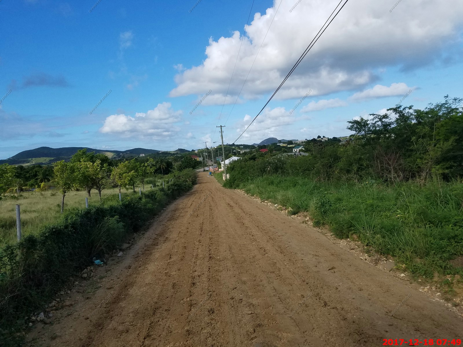
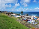
Pointe-a-Pitre does not impress us since it is industrial. It felt like we arrived in Baltimore and got on a bus to go to a "golden sand beach". Driving the perimeter of
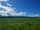
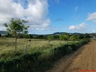
Basse-Terre on the N1, Guadeloupe's main highway, is an exercise in gaining and losing elevation. Flat stretches along the coastline, emerald green with sugar cane and
large-leafed banana plants, ascend into velvety, verdant hillsides thick with vine-wrapped trees before descending again to the coast. Towns are tidy: one- and two-story
concrete houses, with verandas and peaked roofs to repel rain, nestled among vivid, fragrant flowering bougainvillea.
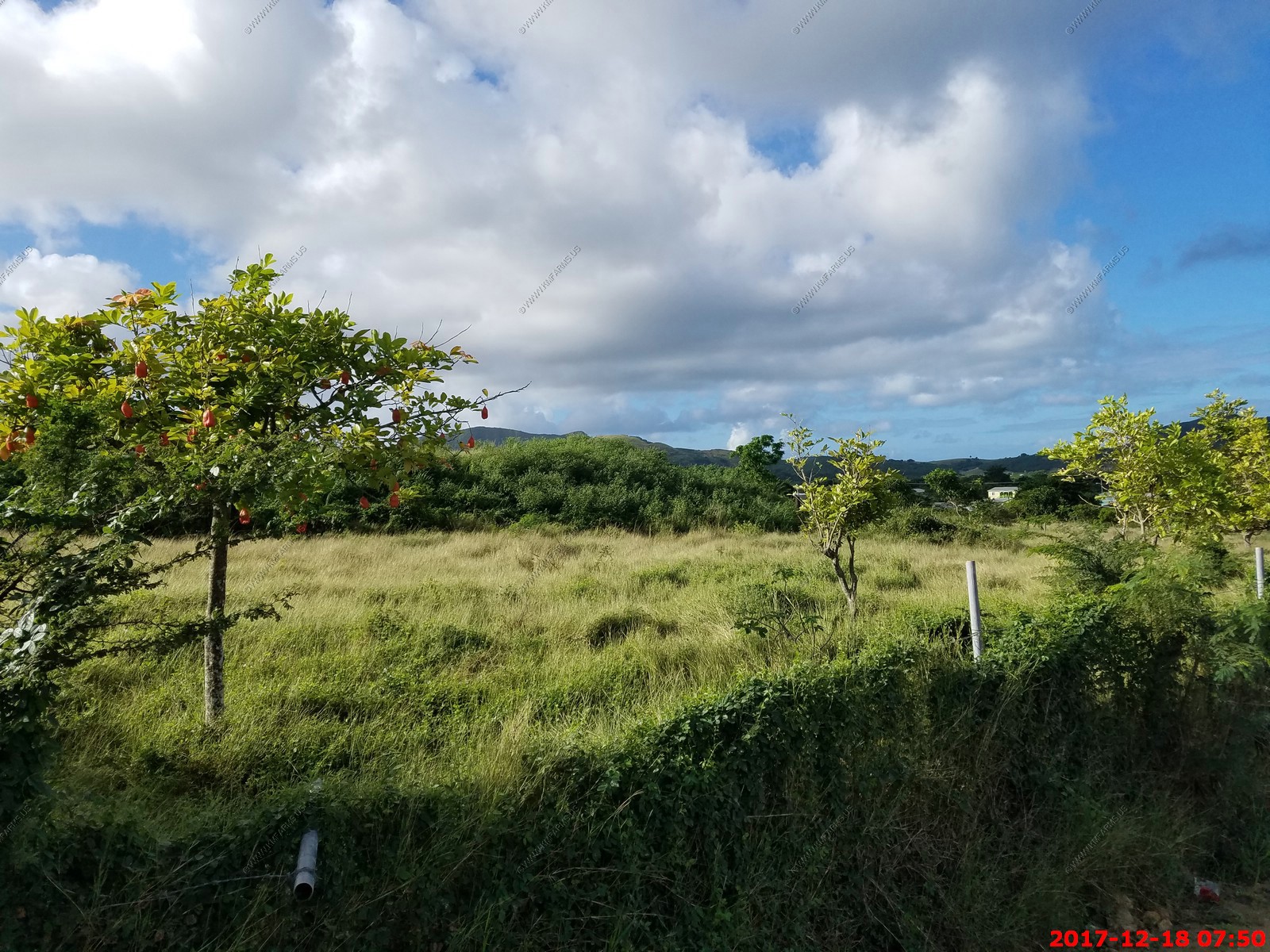
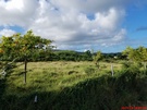
Basse-Terre's interior purple mountains are nearly always visible. Their peaks, many over 4,000 feet, are within the 43,000-acre Guadeloupe National Park, a UNESCO Biosphere
Reserve and the seventh-largest French national park. Park visitors hike on 185 miles of trails up the volcano and other mountains, through tropical rain forests and mangrove
habitats, and to waterfalls.
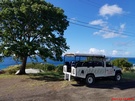
Because it was a Sunday and being a French Island it's not the most stable & reliable we chose to go on a ship sponsored tour.
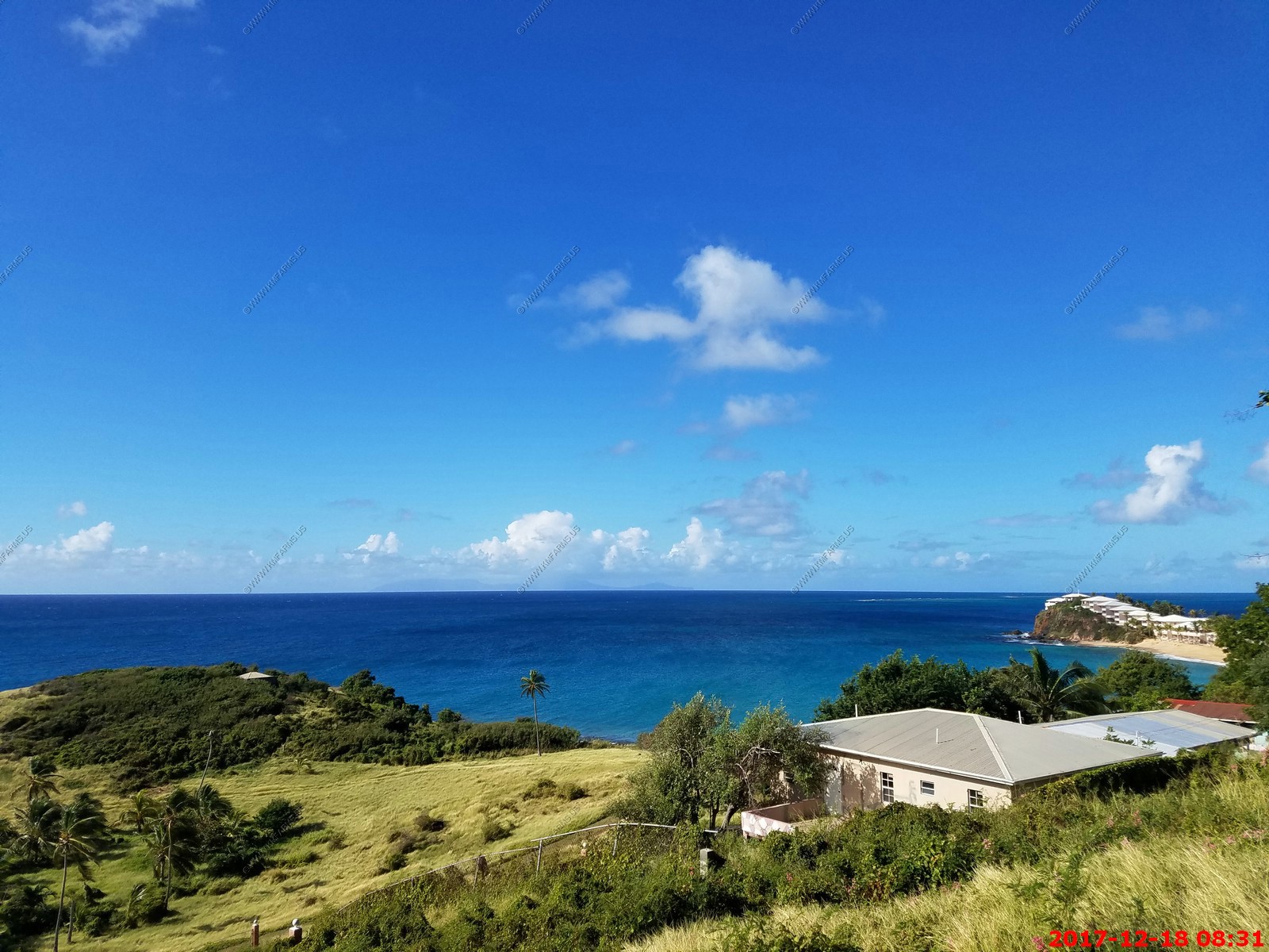
Botanic Garden & Deshaies Beach - 4.25 Hours
Drive approx. 45 minutes to Deshaies, located on the northern coast of Basse Terre, know for its Botanic Garden. Visit the 17-acre garden of tropical flora and birds in local
aviary, as well as variety of butterflies and insects. Next, visit Grande Anse beach. Relax and taste some local specialties - accras (spicy fish fritters) or a hand-churned
coconut sorbet. Notes: wear your swimsuit under your clothing; bring a towel, sunscreen and hat.
Like the tour we took in Grenada this was good. And we were out longer than 4.25 hours.
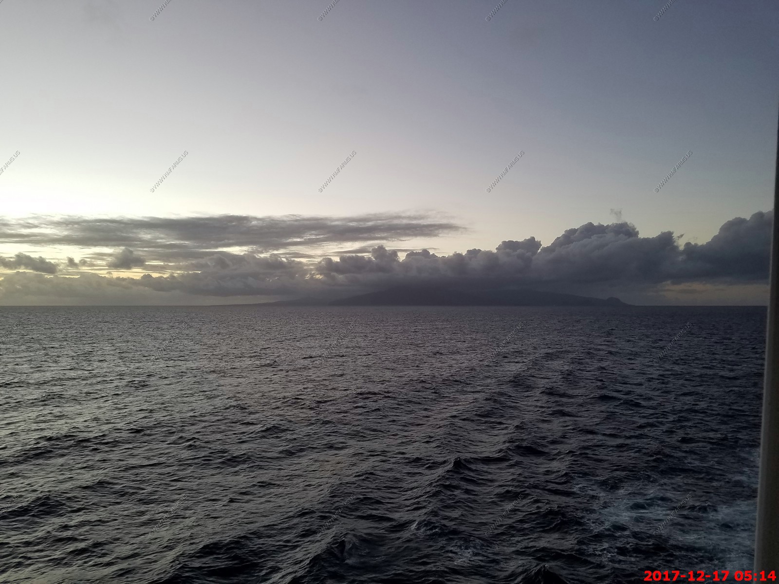
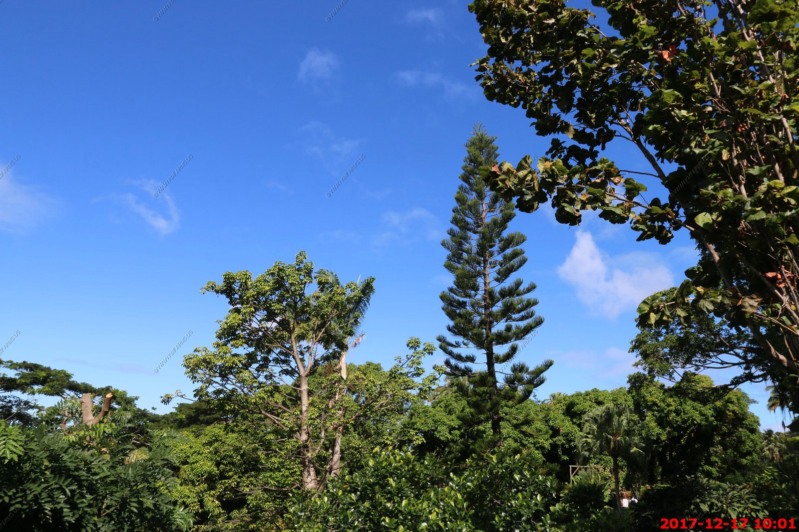
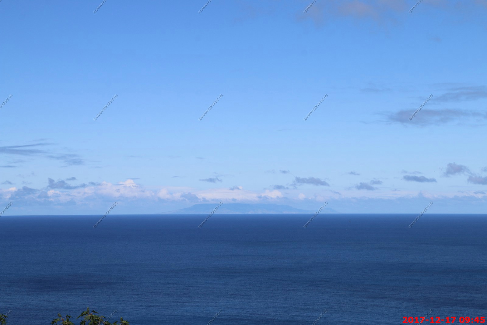
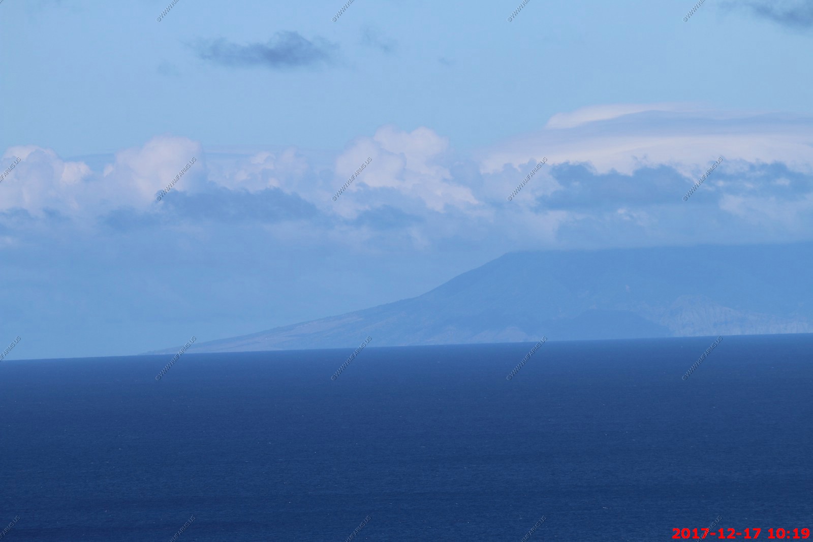
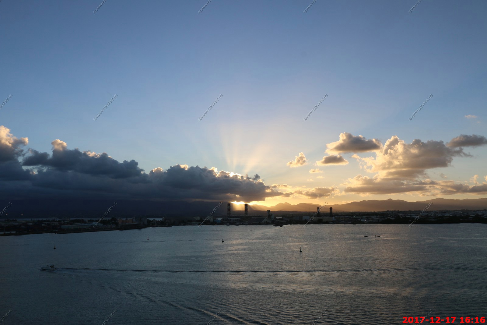
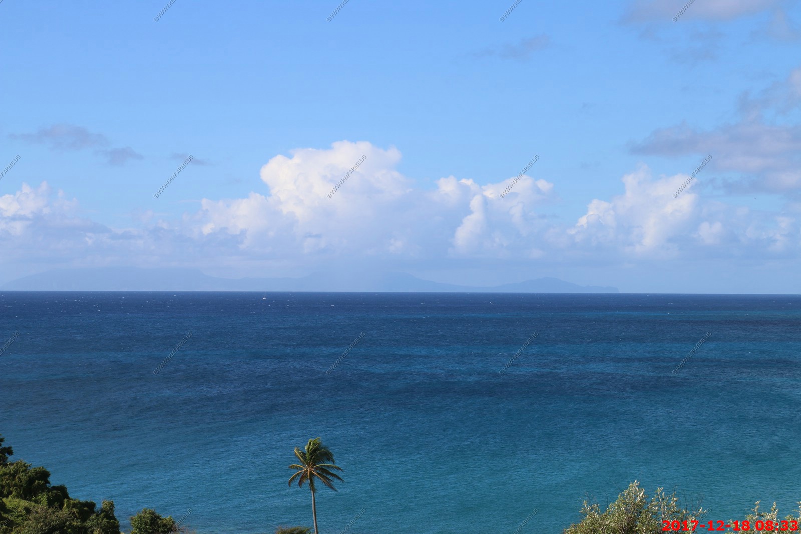
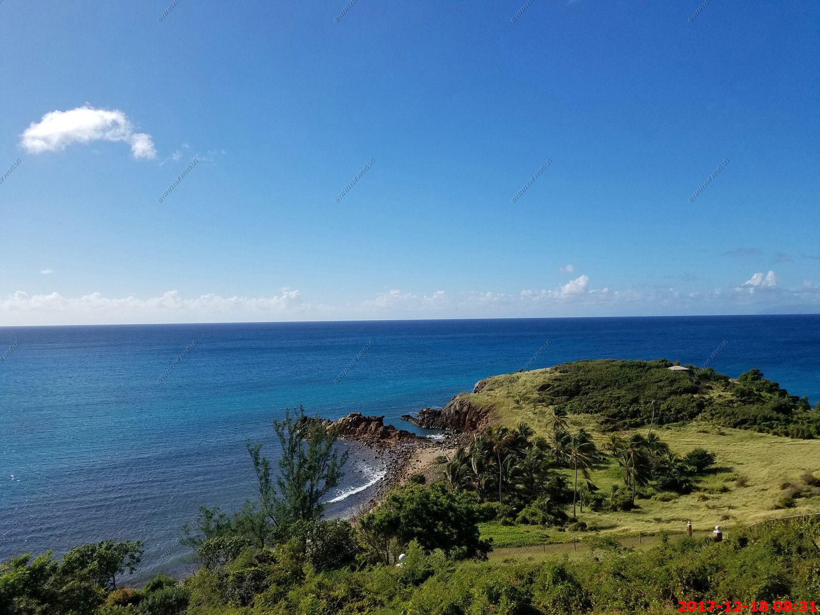
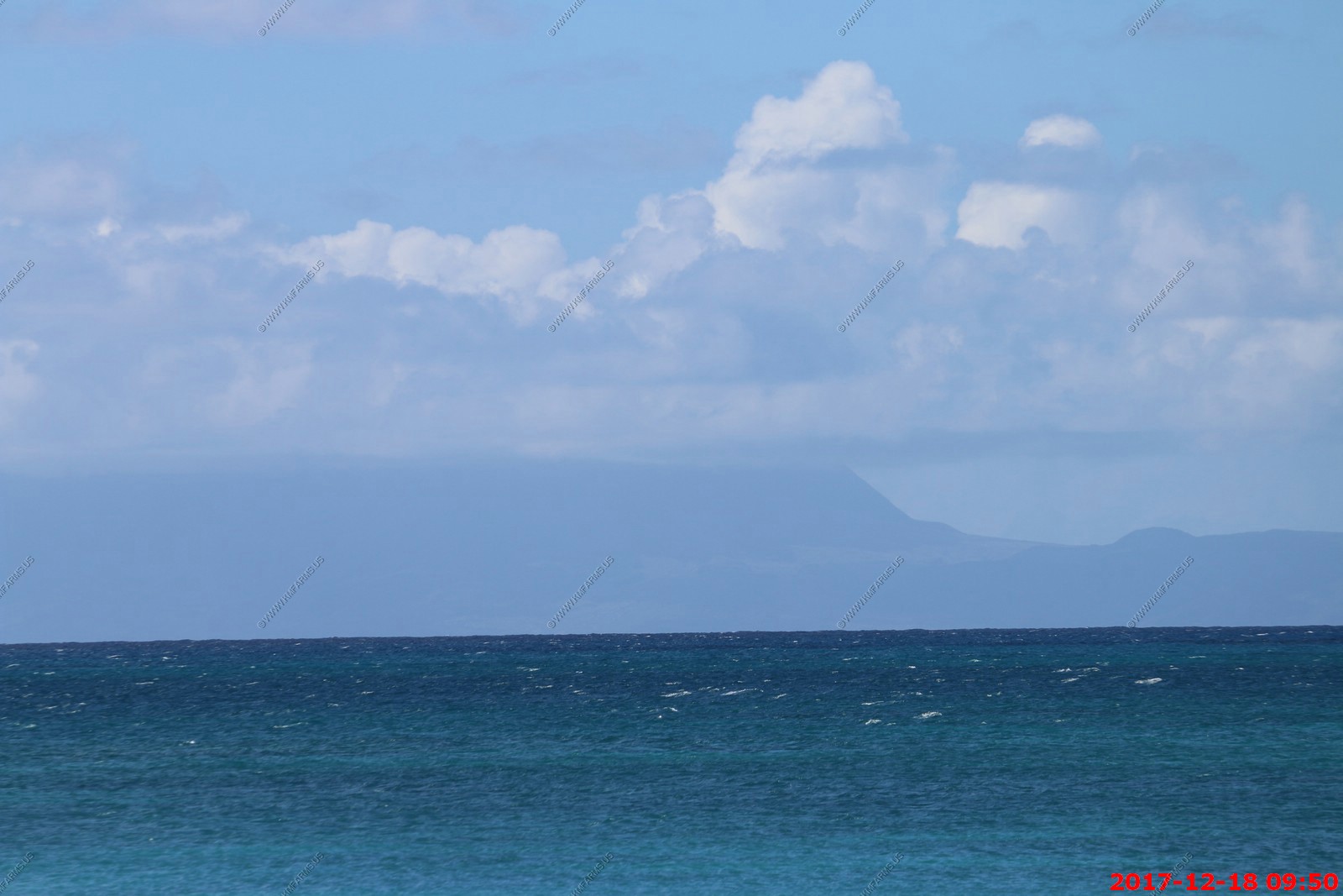
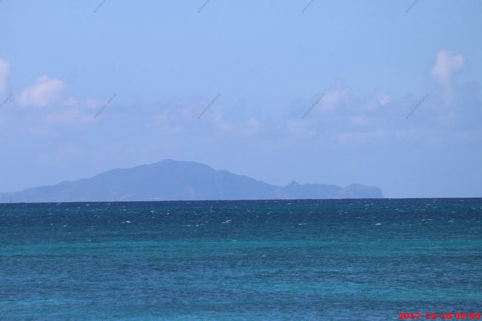
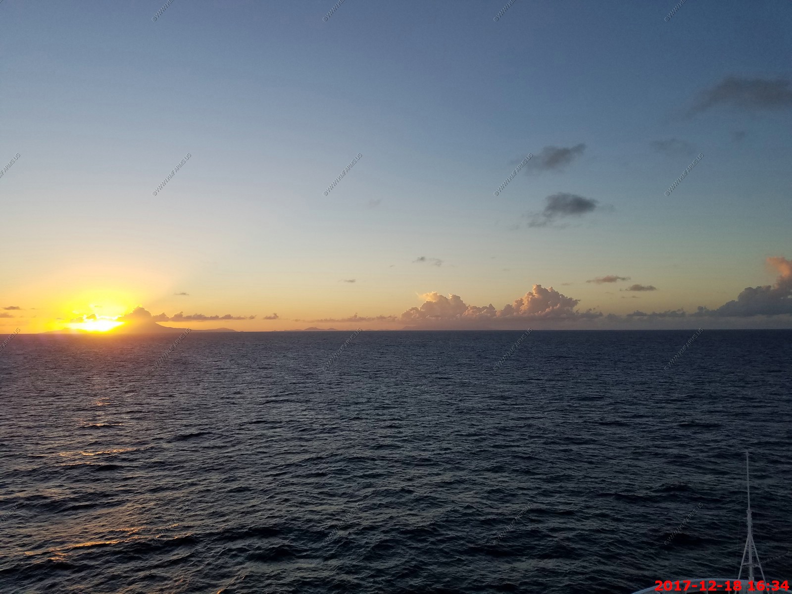
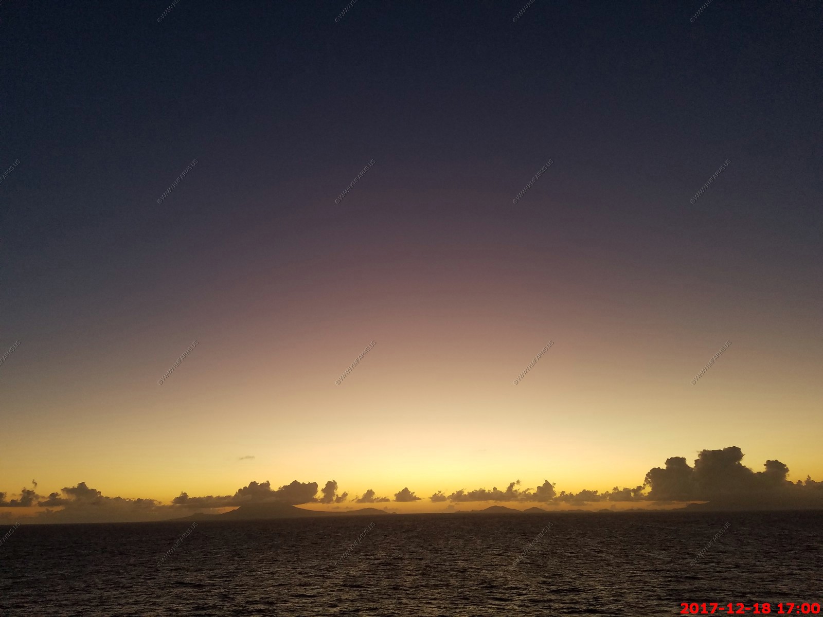
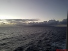
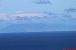
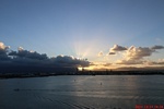
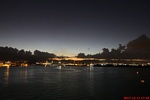
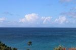
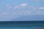
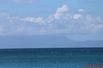
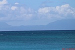
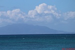
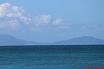
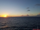
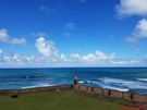
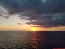
Sunrise. This is probably the Island of Marie Galante Island which is located south of Guadeloupe and north of Dominica.
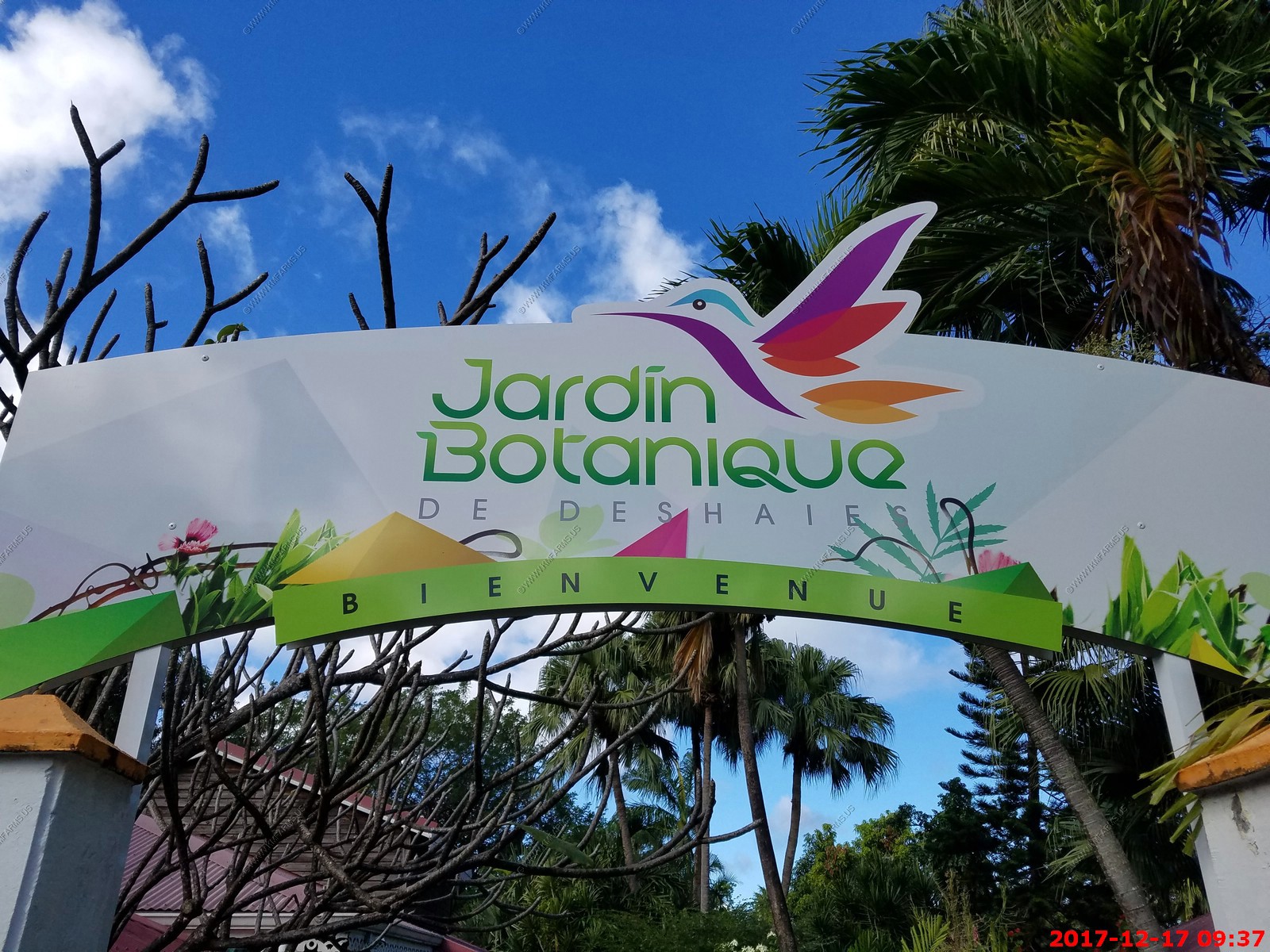
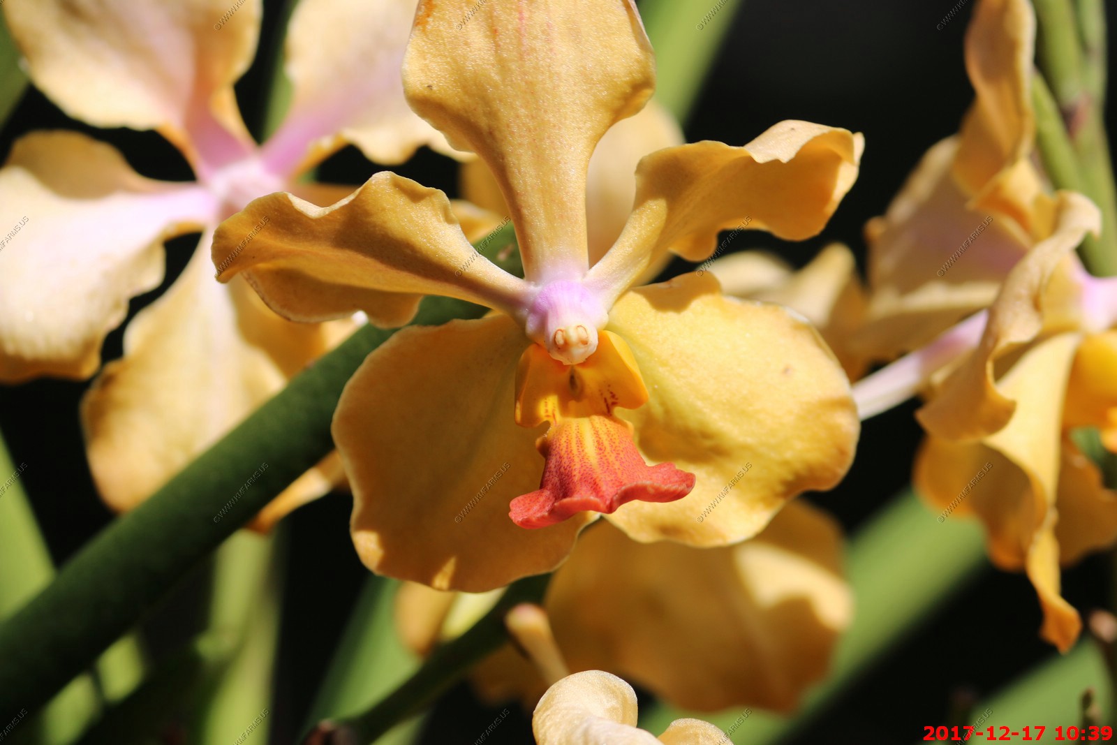
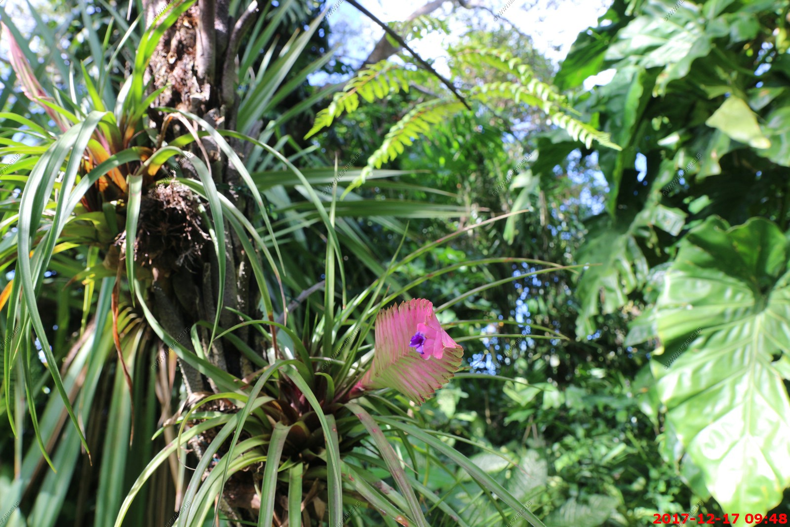
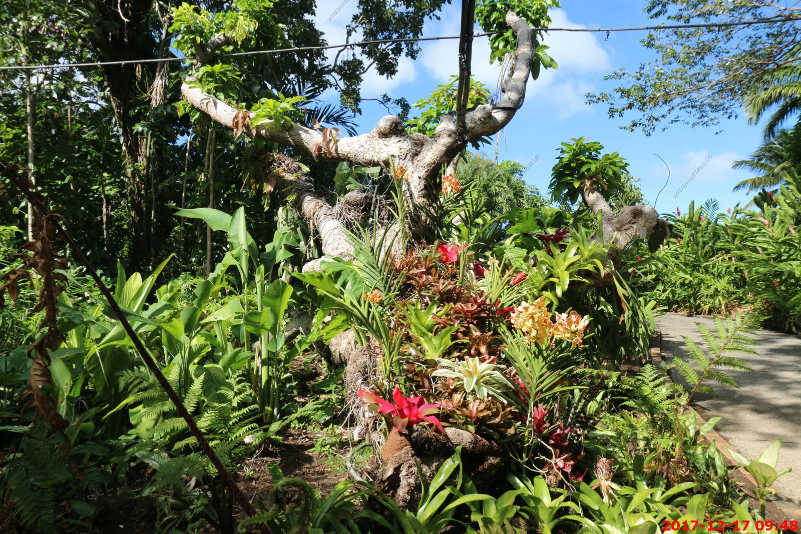
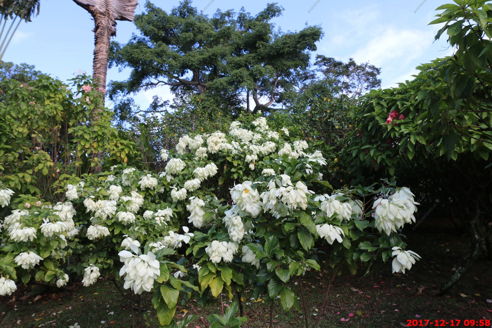
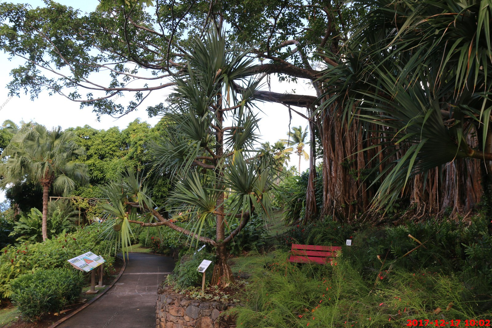
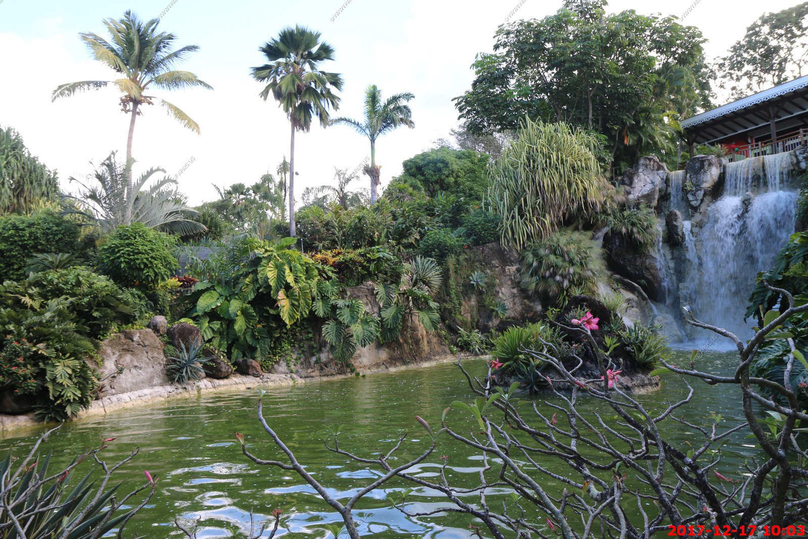
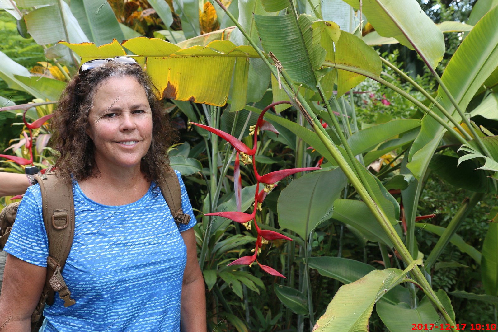
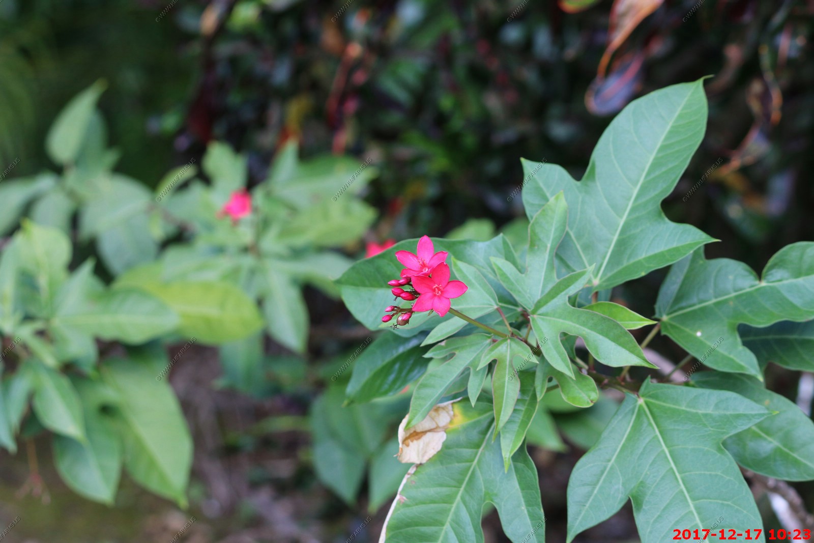
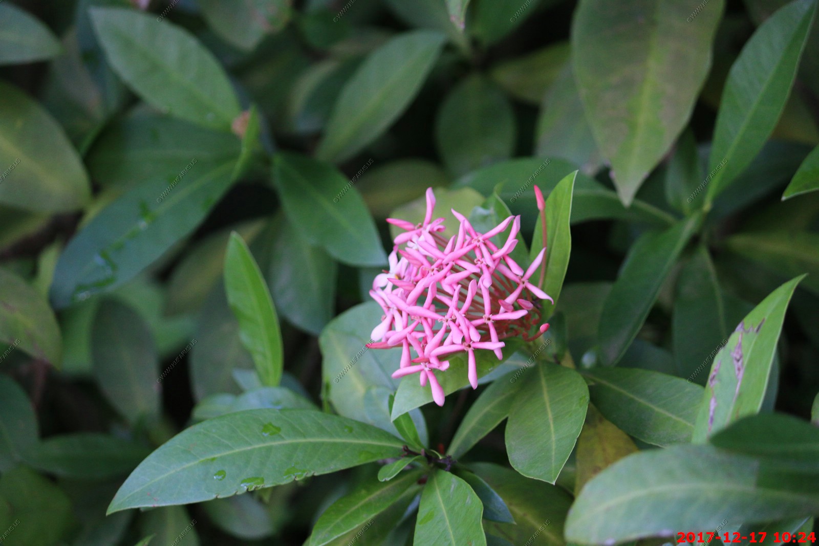
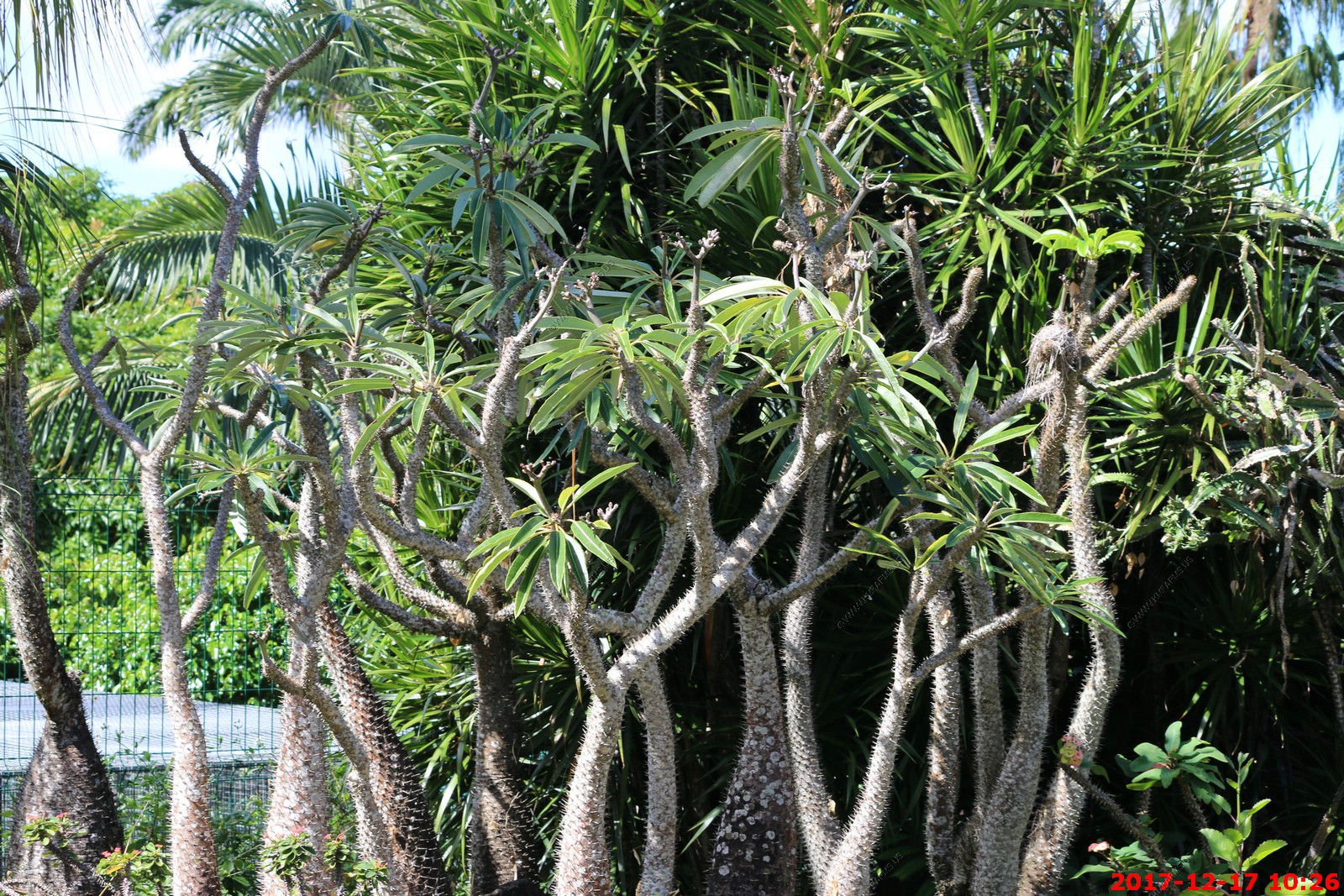
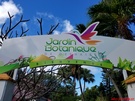
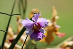
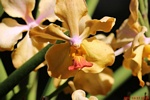
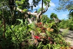
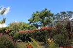
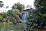
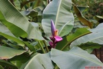
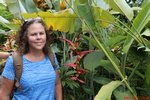
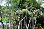
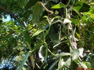
We toured the Jardin Botanique, 25 miles from Vieux-Habitants in the beachfront town of Deshaies.(16.299N-61.798W) It is a restful haven with paths that meander through groves of baobab,
jacaranda, bougainvillea and many other trees and flowers, as well as a parrot aviary and a water lily pond. There is a snack bar and the Restaurant Panoramique, where we had
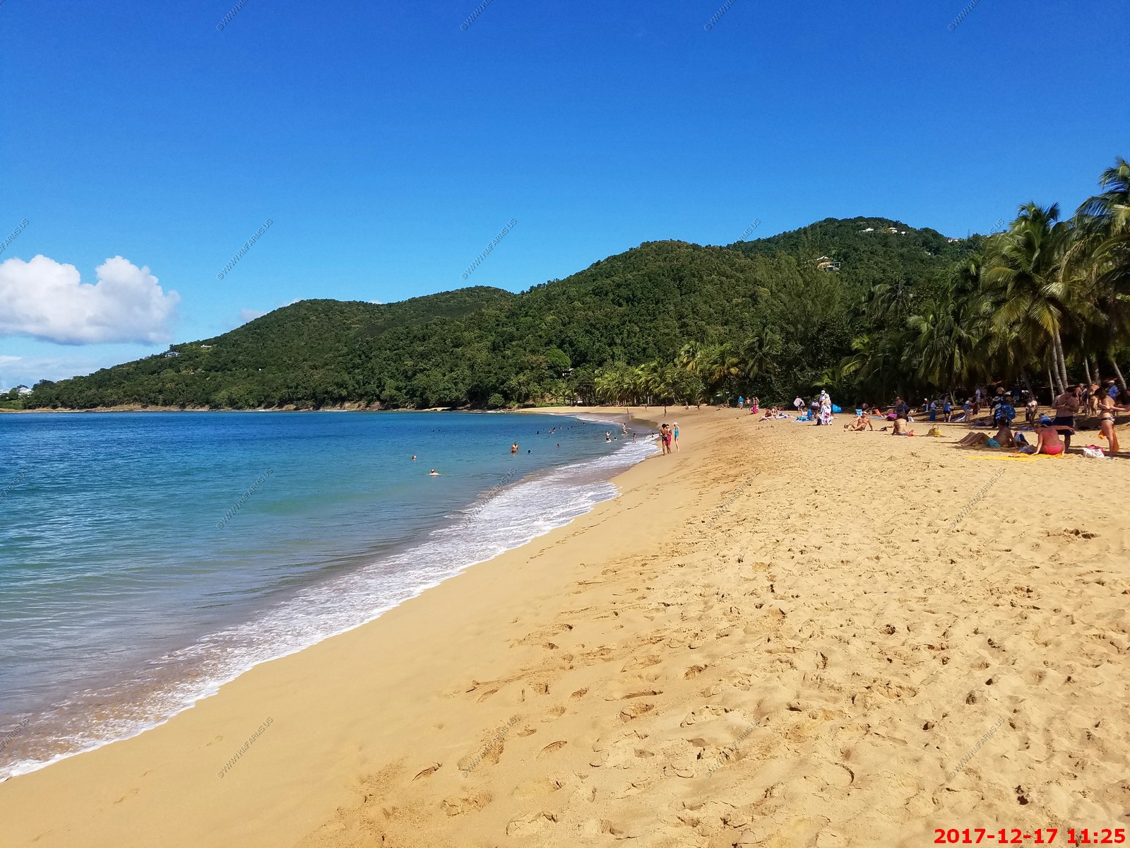
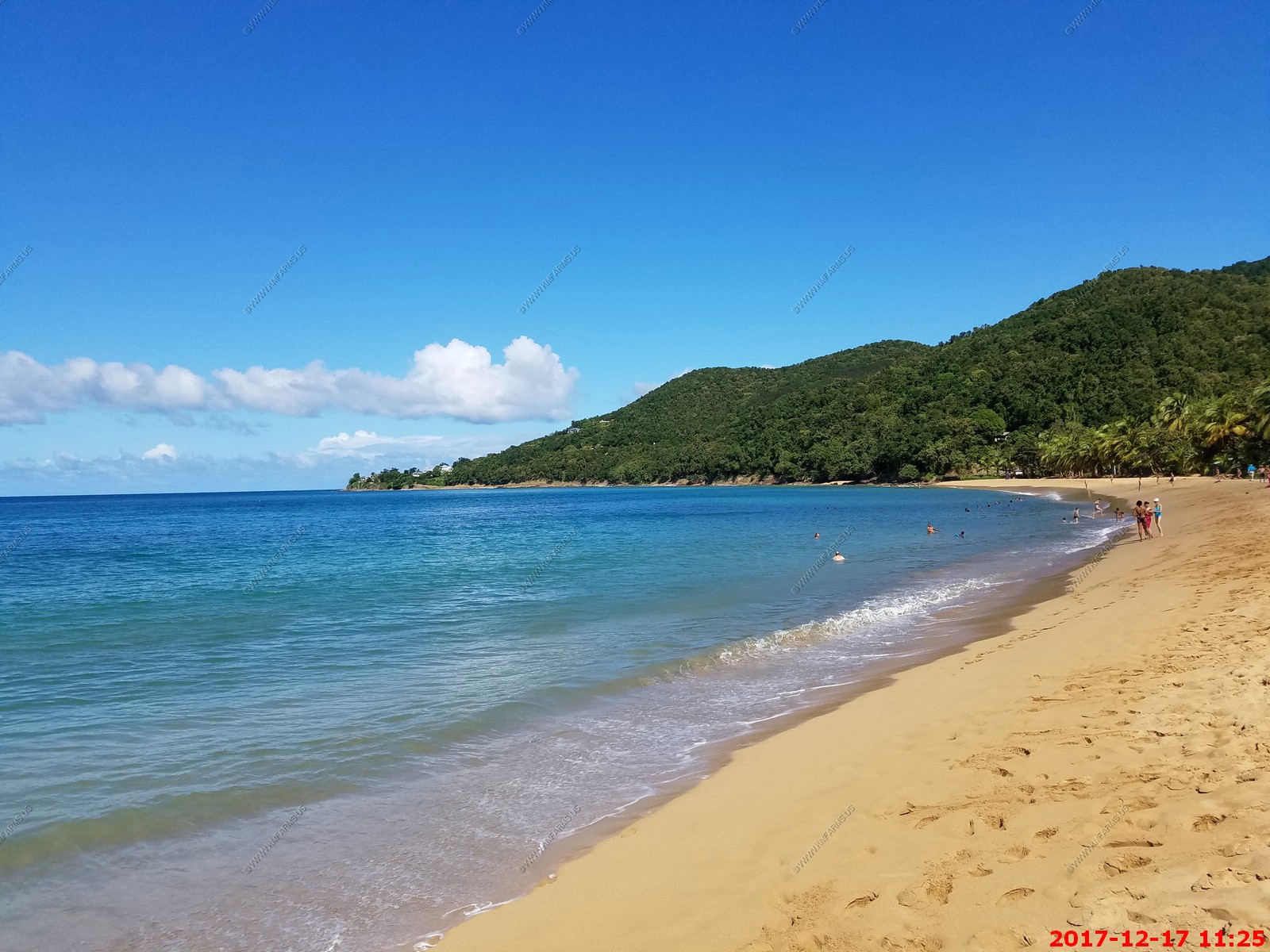
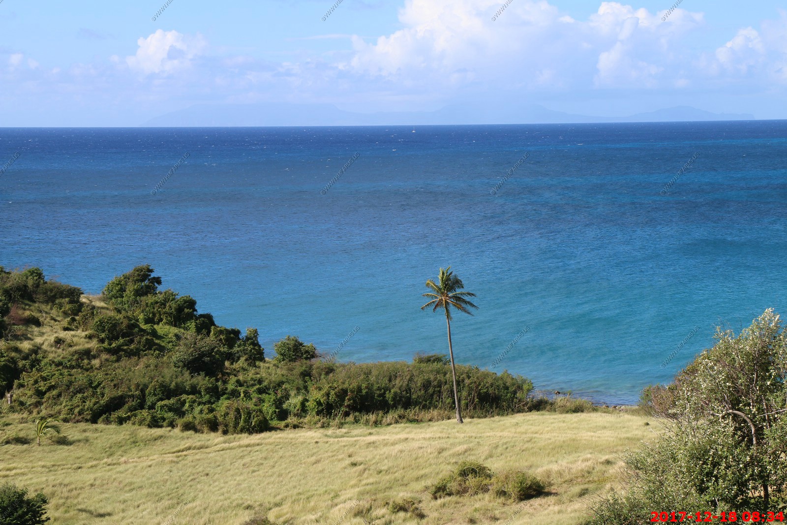
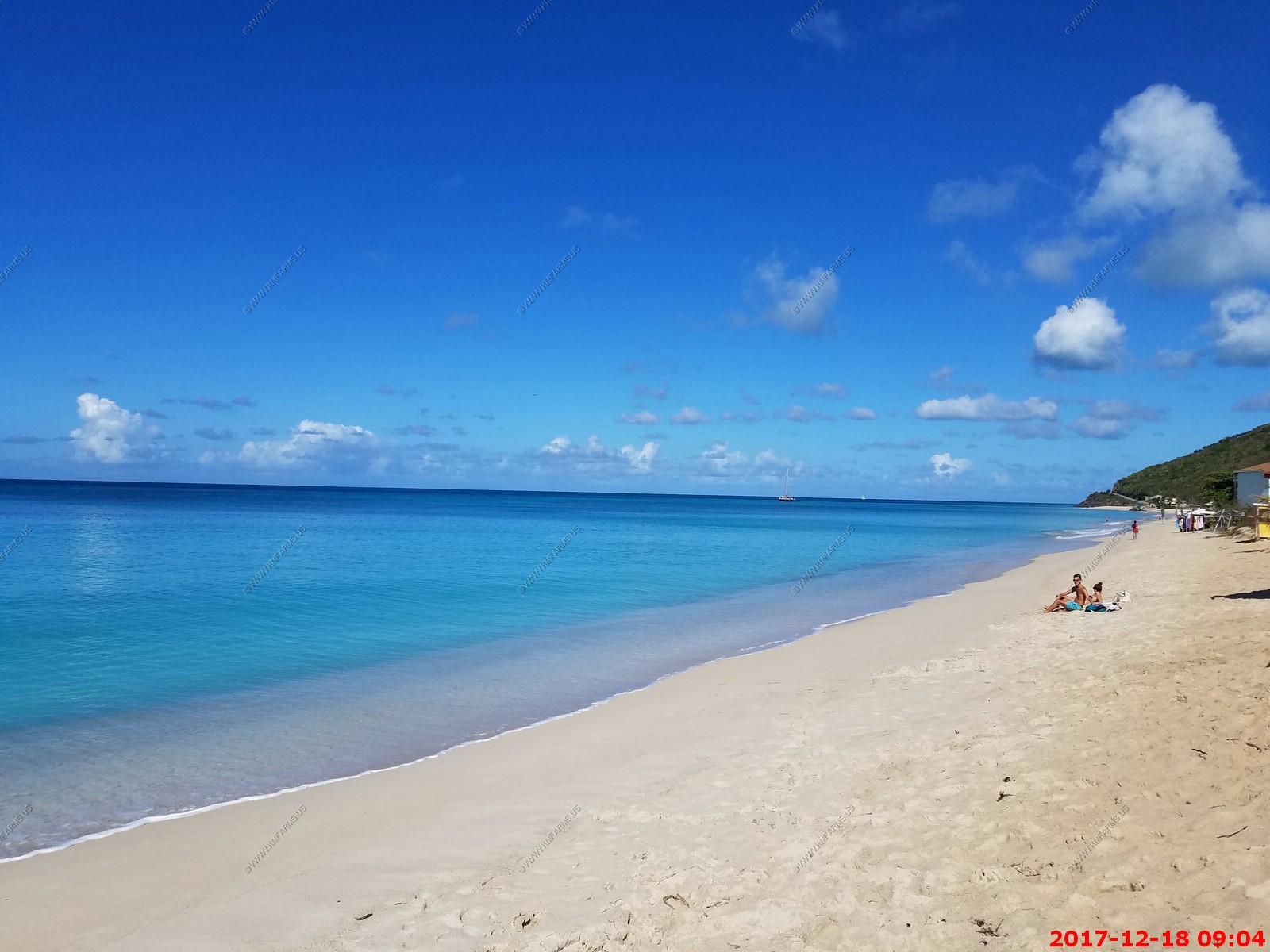
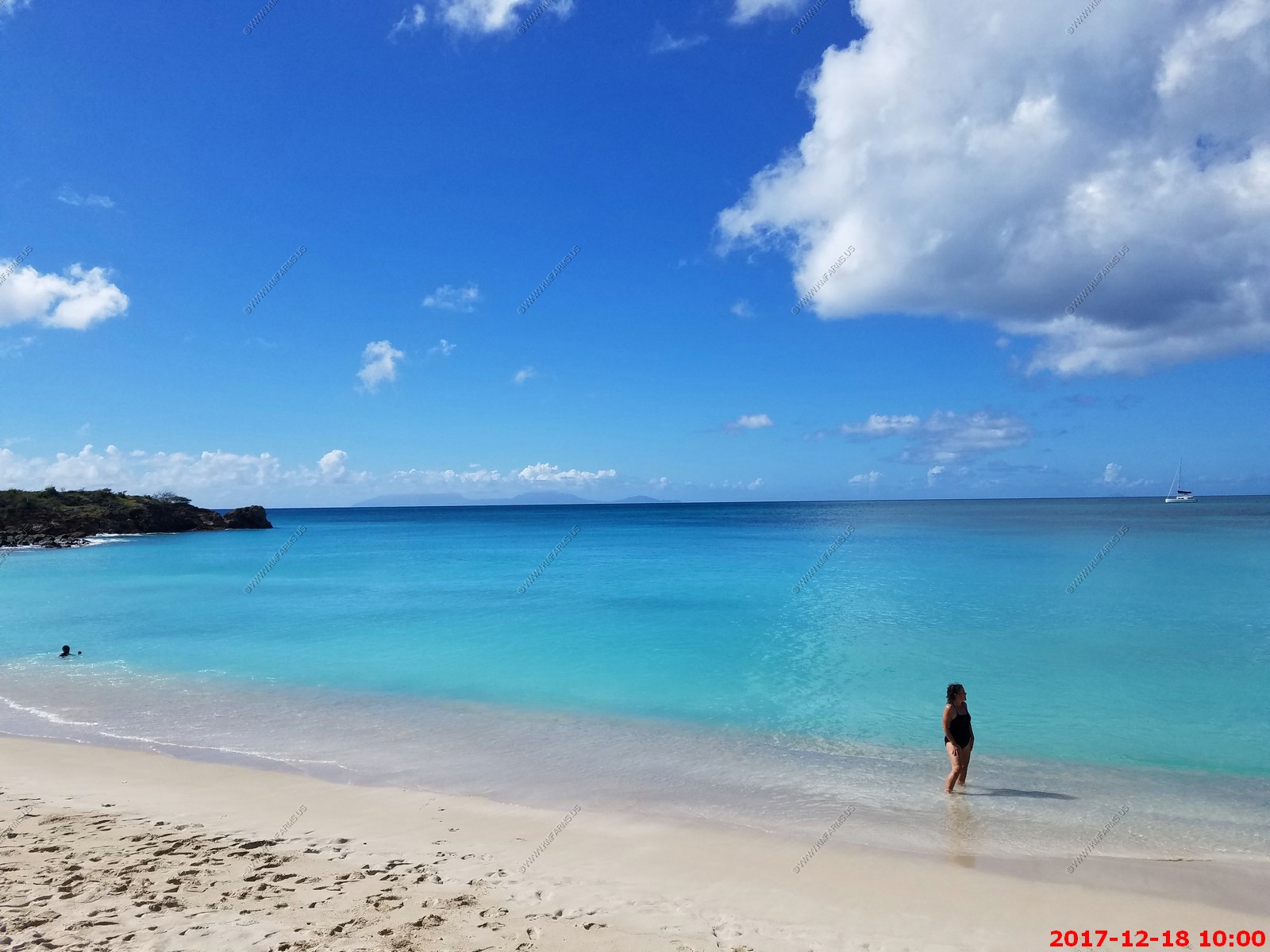
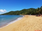
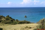
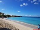
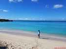
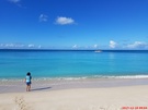
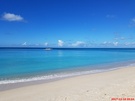
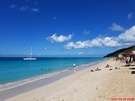
rum punch and fish appetizers. Next we went to Grand Anse beach, which was pretty and I went swimming. Grande Anse, the beautiful big beach just above Deshaies. This is widely
considered the most beautiful beach on the western island - it is gorgeous! Huge shady beach, lots of palm trees, and it is clear enough to see Montserrat big and bright on
the horizon.
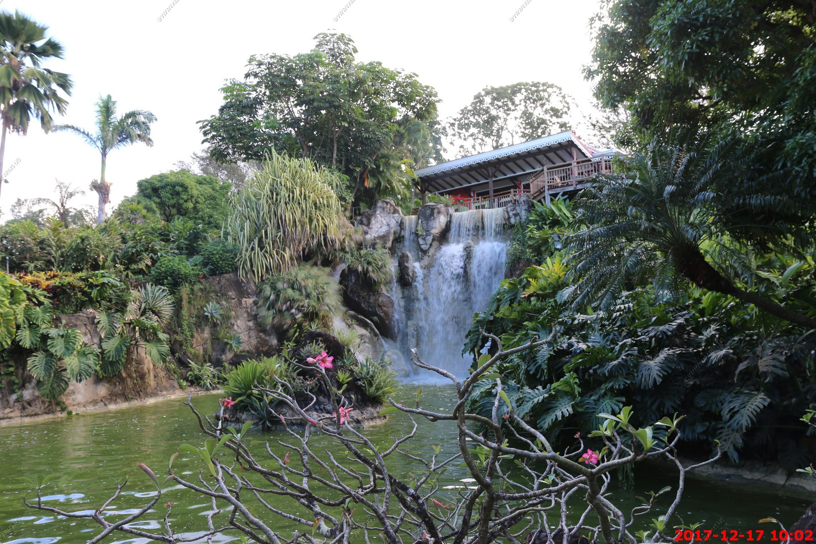
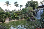
A Spectacular Botanical Garden and Wildlife Park Open to the public since the 1st April 2001, the Botanical Gardens at Deshaies are a recent creation. This park, whose youth
is imperceptible, has very quickly imposed itself as the place to be for nature enthusiasts and lovers of tropical plants. Situated on the windward coast of Basse-Terre, 100m
in altitude up above the town of Deshaies, the garden stretches out over 5 hectares of sloping mountainside. Its favorable location guarantees beautiful views over the coast
and an unrivalled vantage-point overlooking the bay of Deshaies. The site was already home to a nursery created by Guy Blandin, a plant-lover who brought rare and unknown
plant species from his travels around the world back to Guadeloupe. Many of them unfortunately disappeared when Cyclone Hugo hit and severely damaged the island in 1989
Jardin Botanique Map & guide
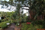
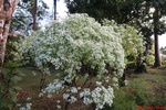
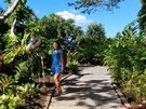
As with all of these gardens we visit we always feel rushed. We wanted to have more time to sit and see what shows up
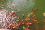
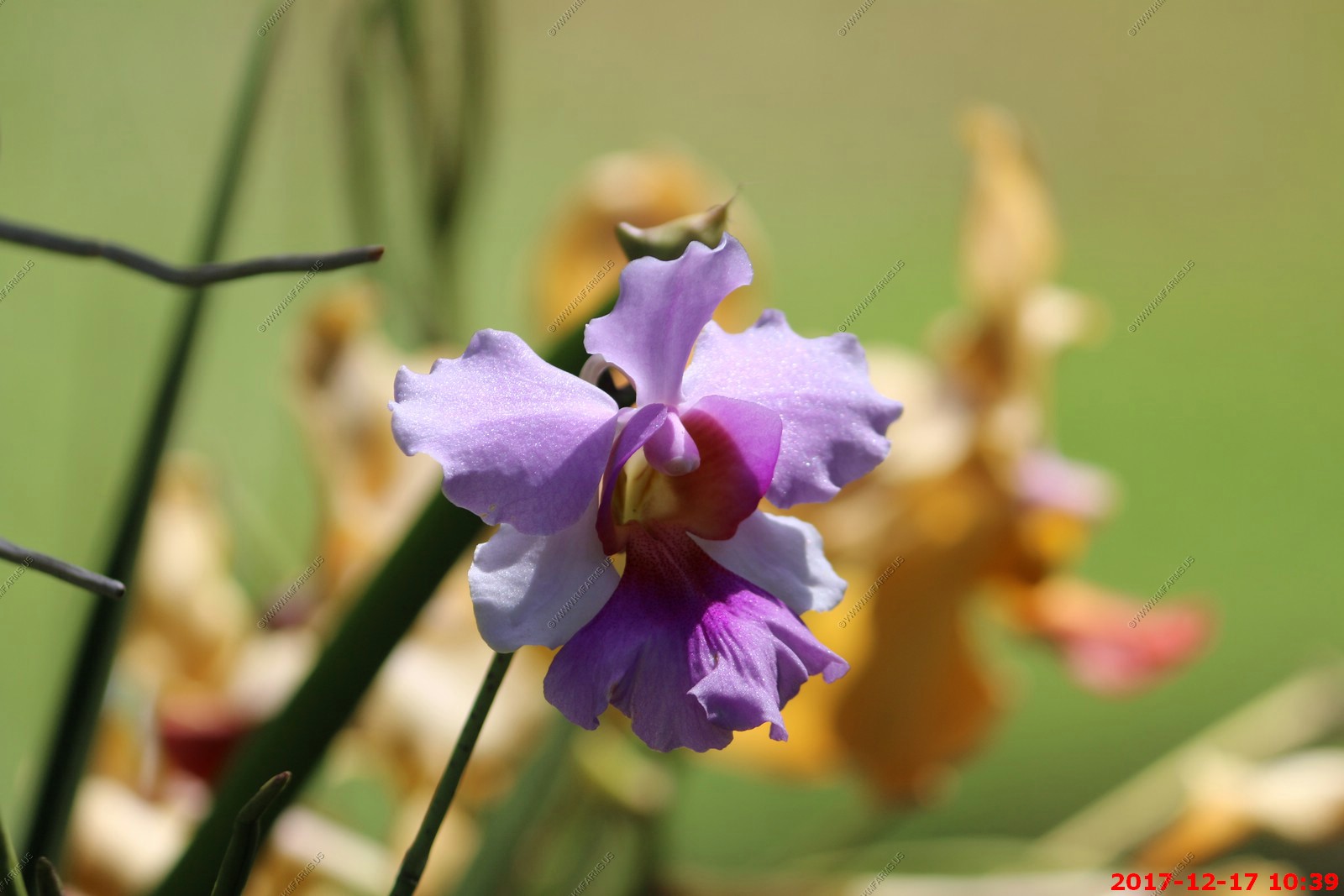
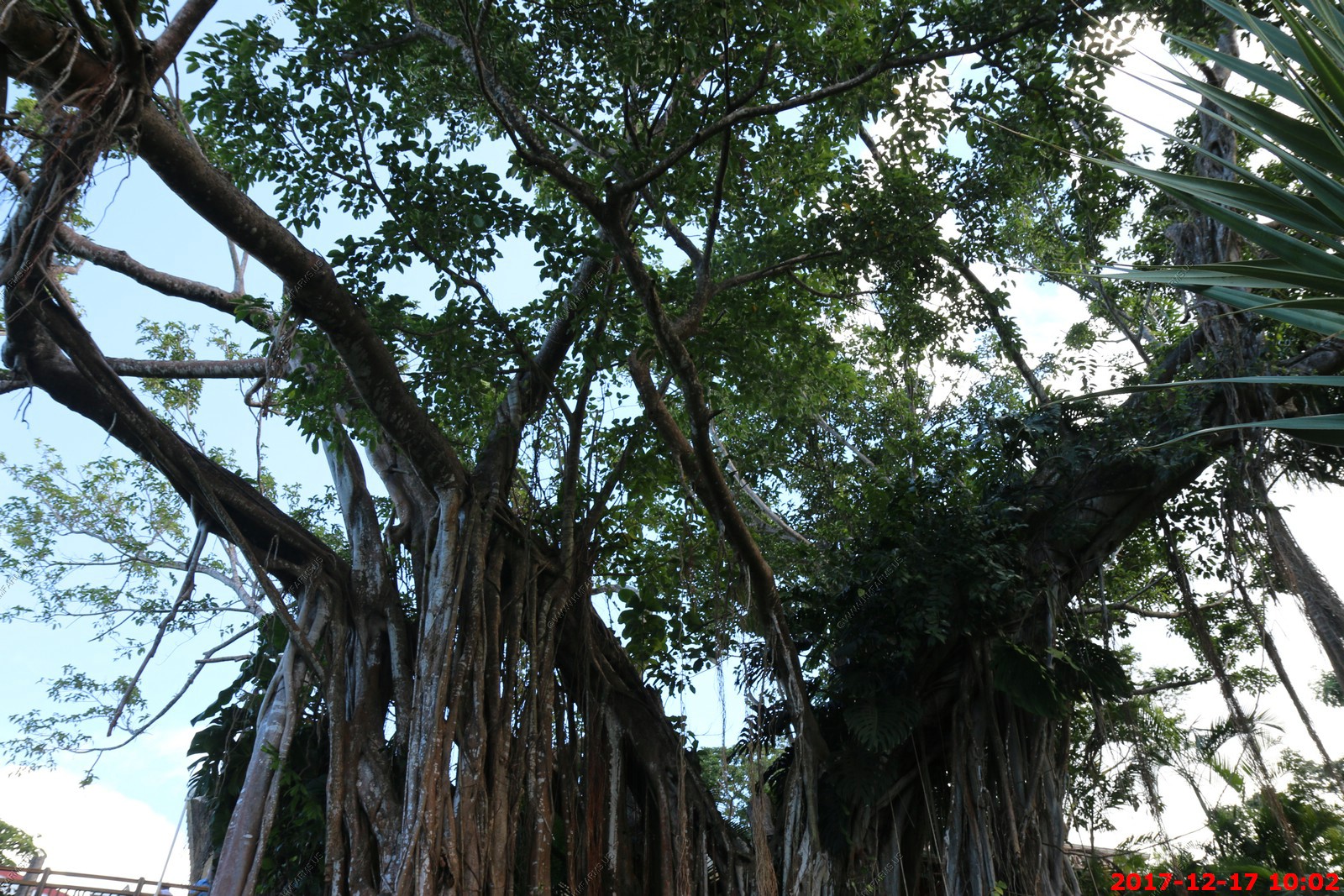
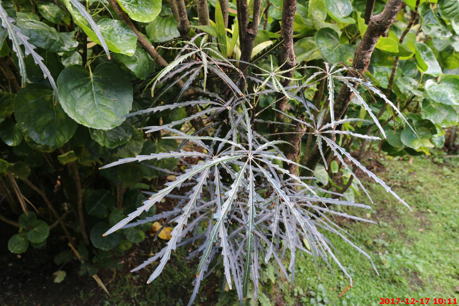
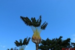
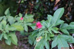
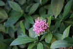
Various views around the gardens

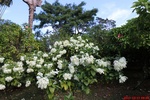
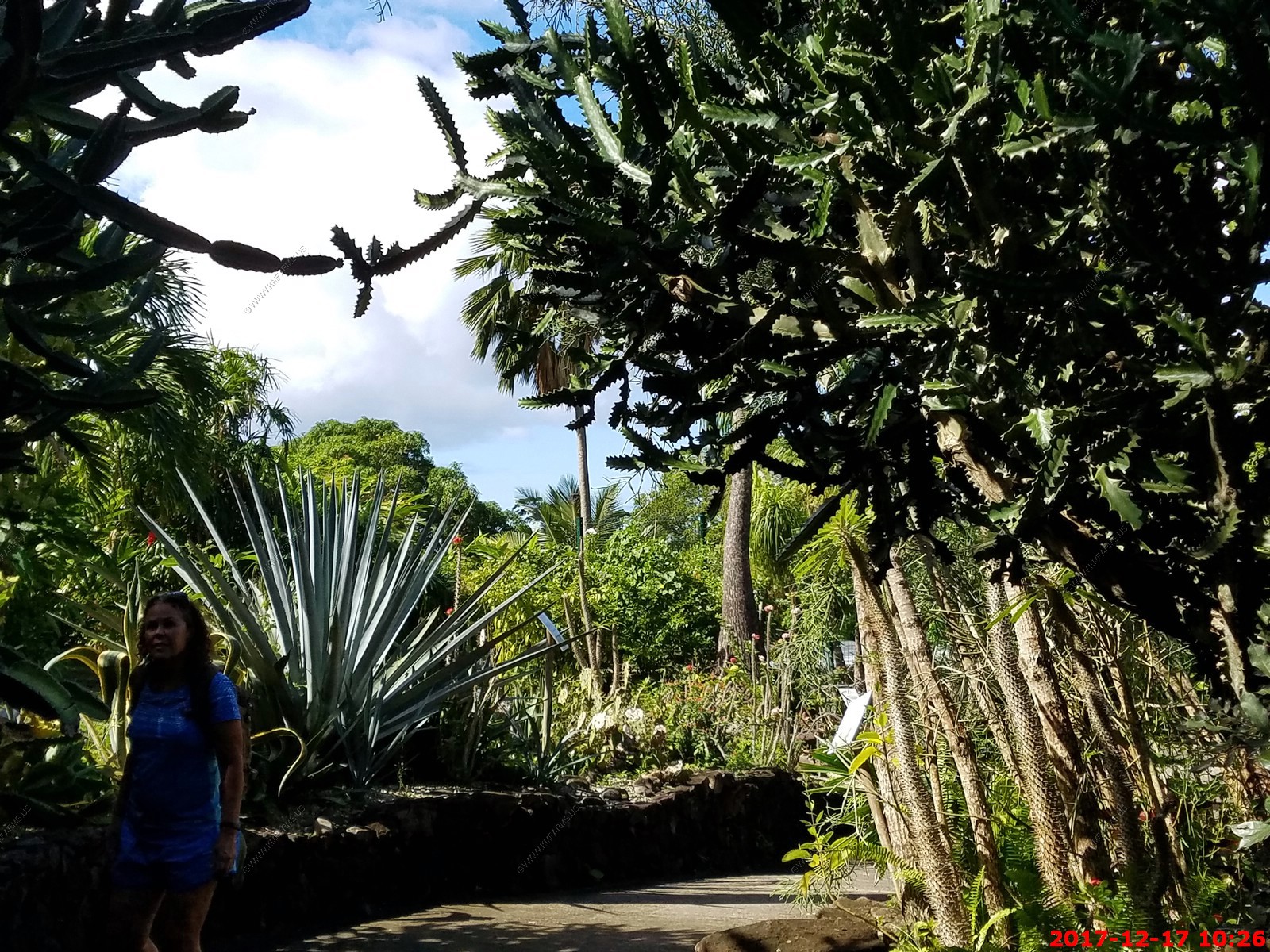
At Jardin Botanique, you follow a well-marked path that takes you through the garden. The entry fee is expensive, but you are in France! The garden is extremely well
maintained and plant material is labeled with scientific names as well as common names (in French). There is a tropical section, a cactus section, an herbal/medicinal plant
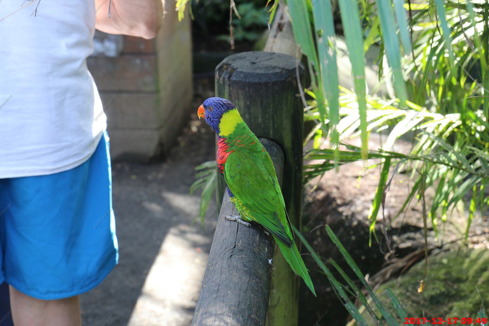
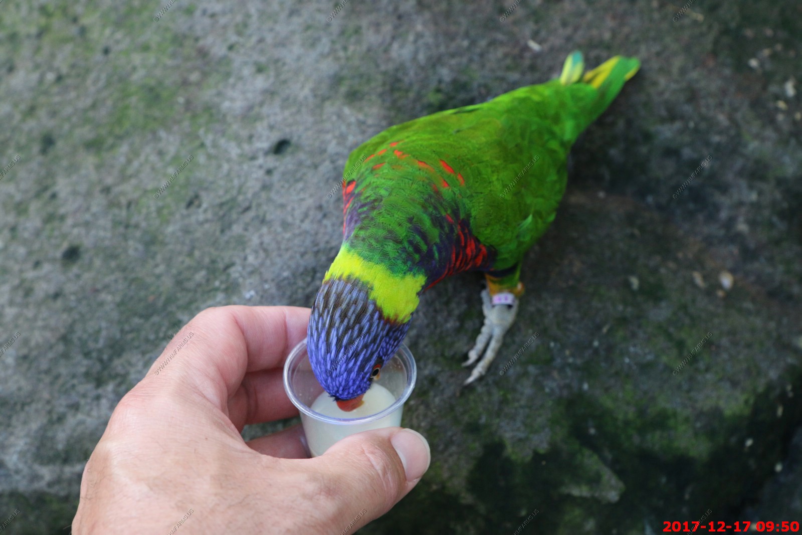
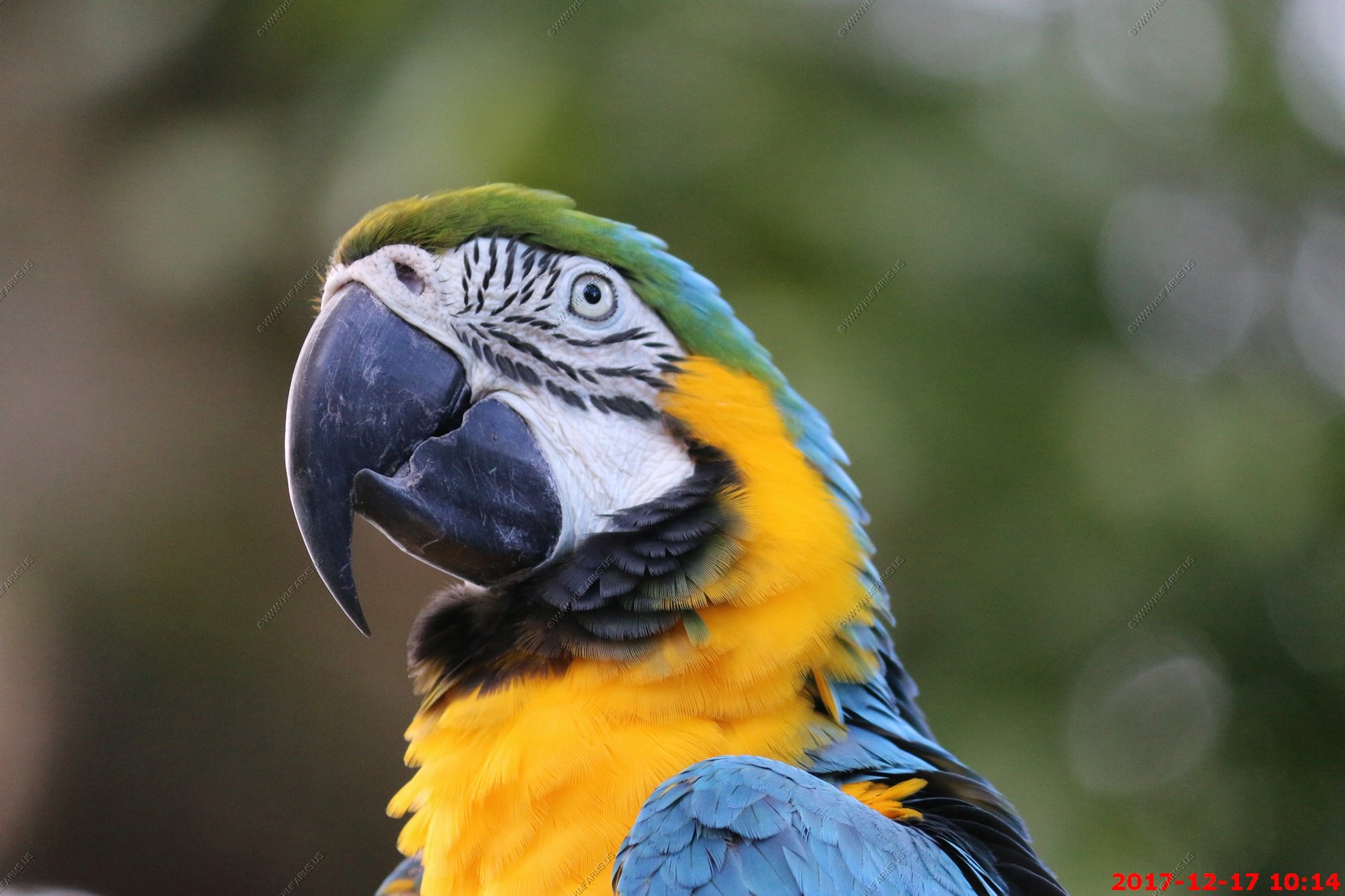
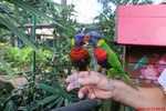
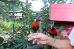
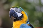
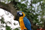
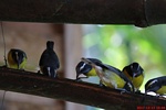
section, to name a few. You will also find a couple aviaries along the way. One is accessible to the public. As you enter the double door entry, you are immediately welcomed
by rainbow lorikeets. These birds are free flying and you can purchase a nectar type drink in small cups. The birds are quick to perch on your hand and drink from the cup.
It's great fun for young and old! The view of the bay from the herbal/medicinal plant section is beautiful.

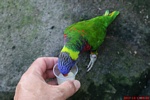
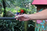
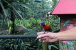
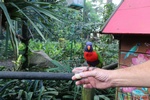
This may be bad. A fight could break out on my arm
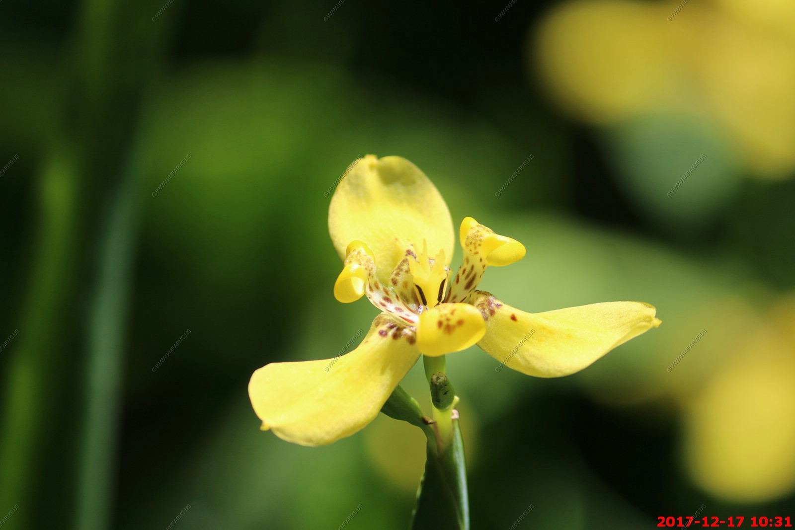
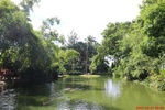
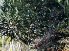
Various views of the gardens


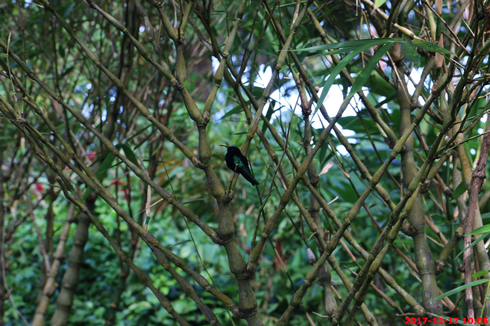
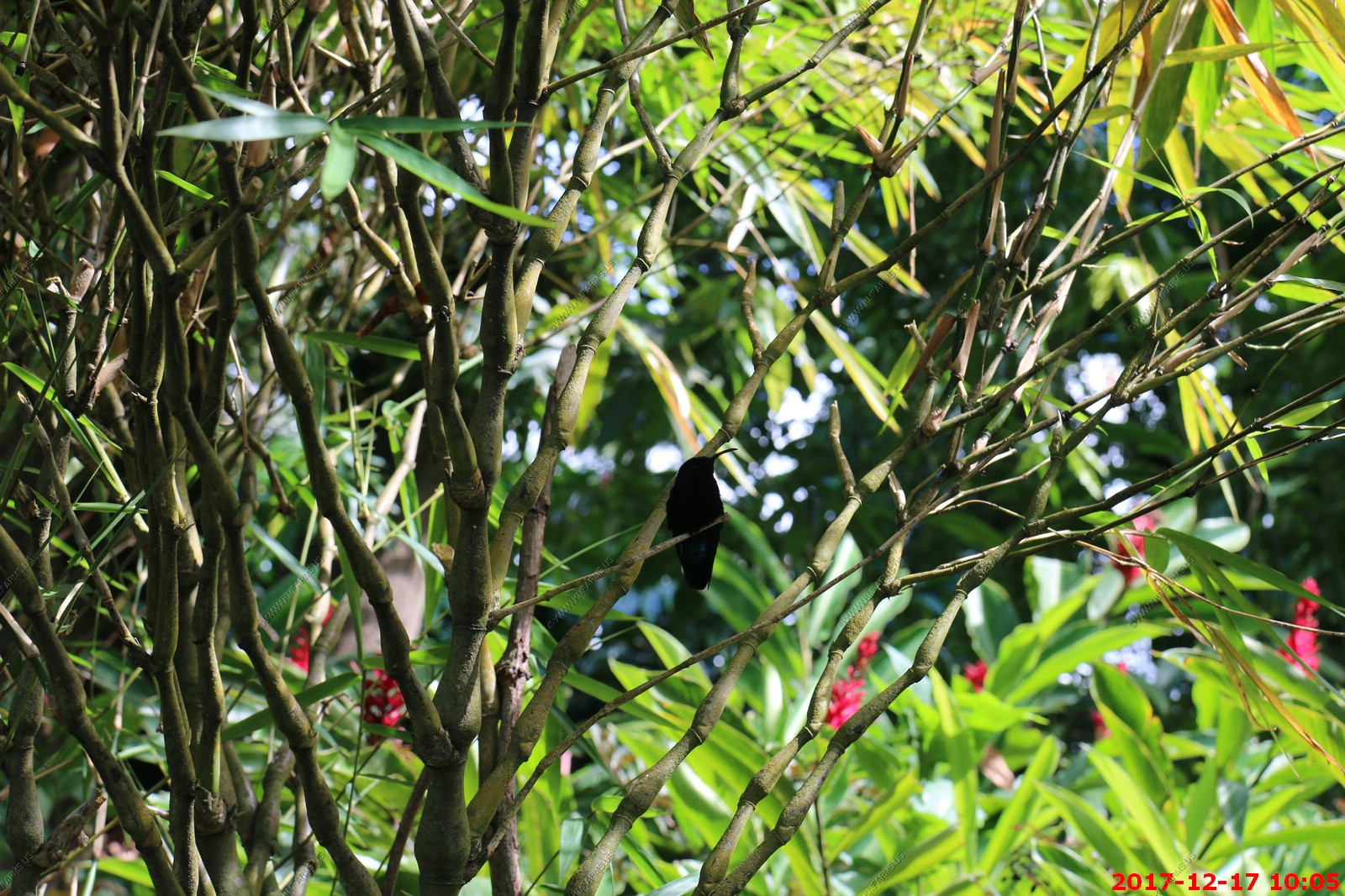
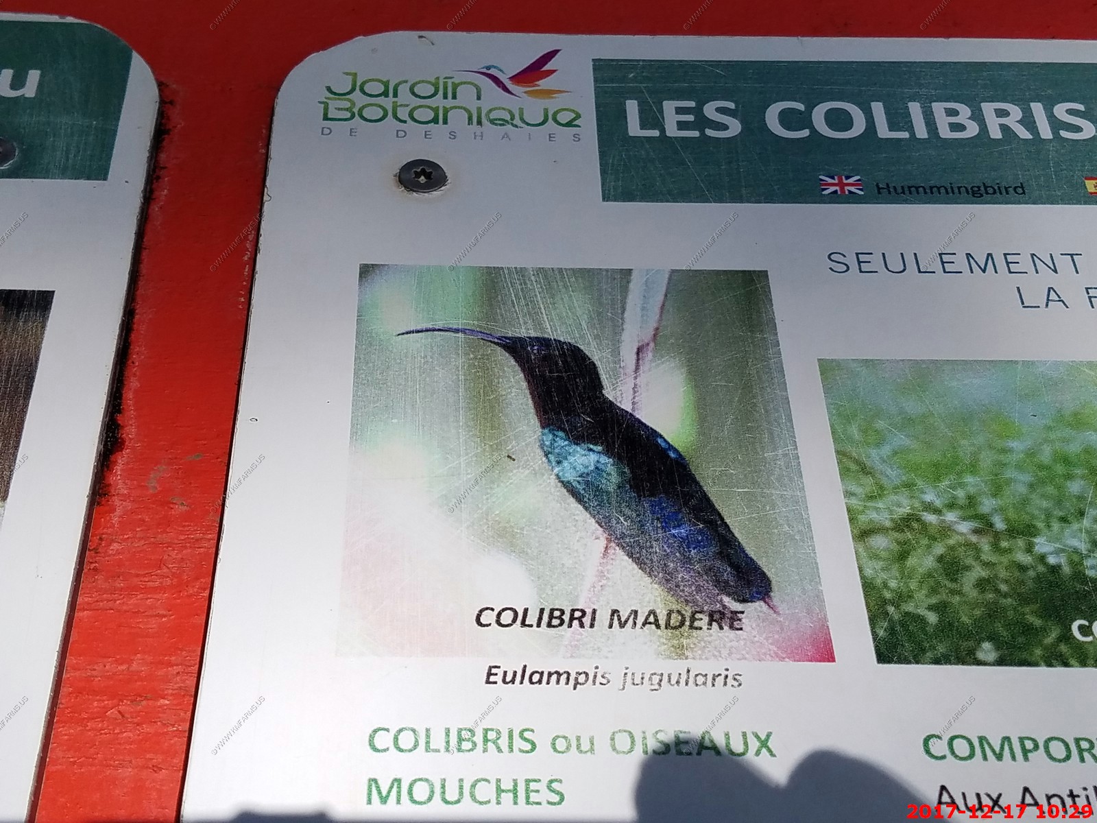
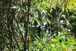
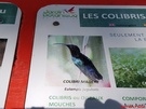
The Madeira Hummingbird is found on most Lesser Antilles islands, and the species is endemic to this area - Eulampis jugularis Hummingbird

Various views of the gardens

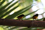
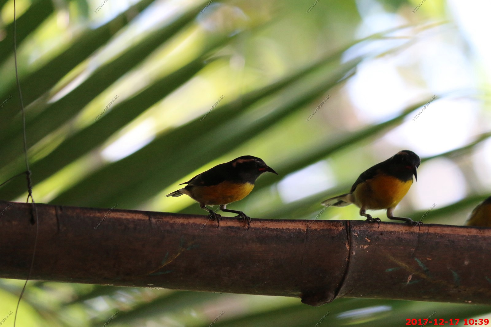
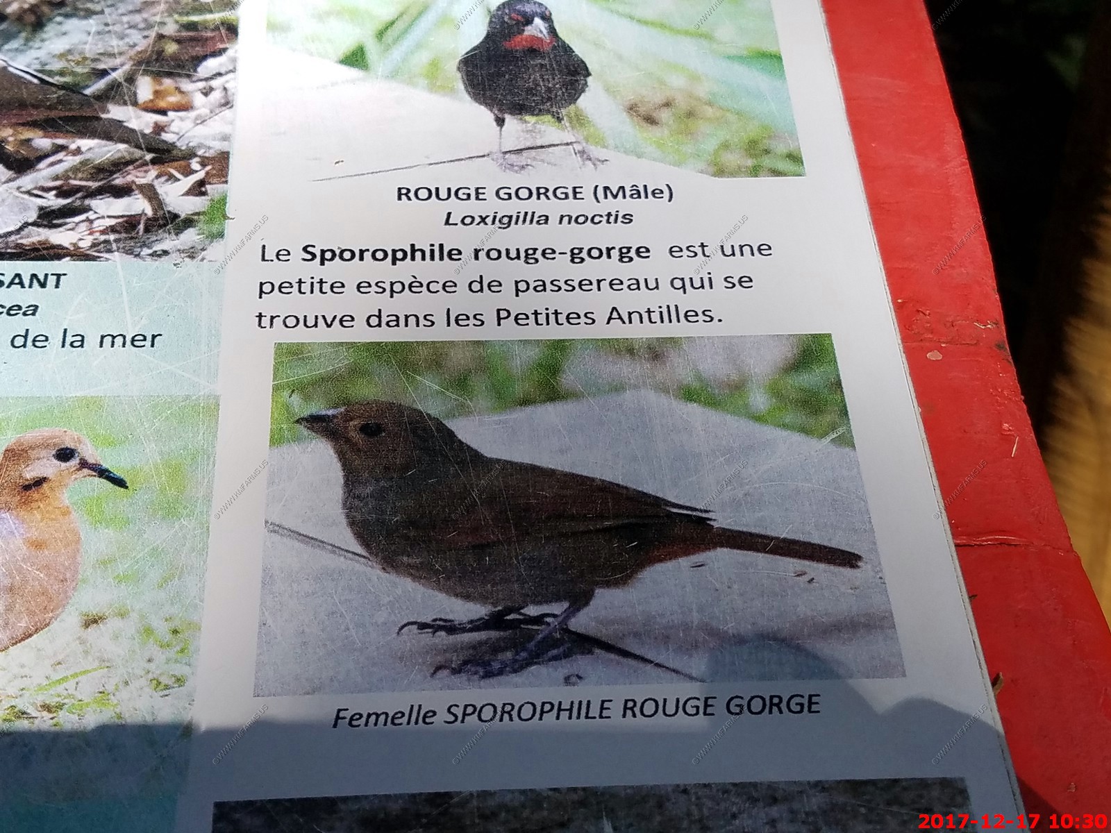
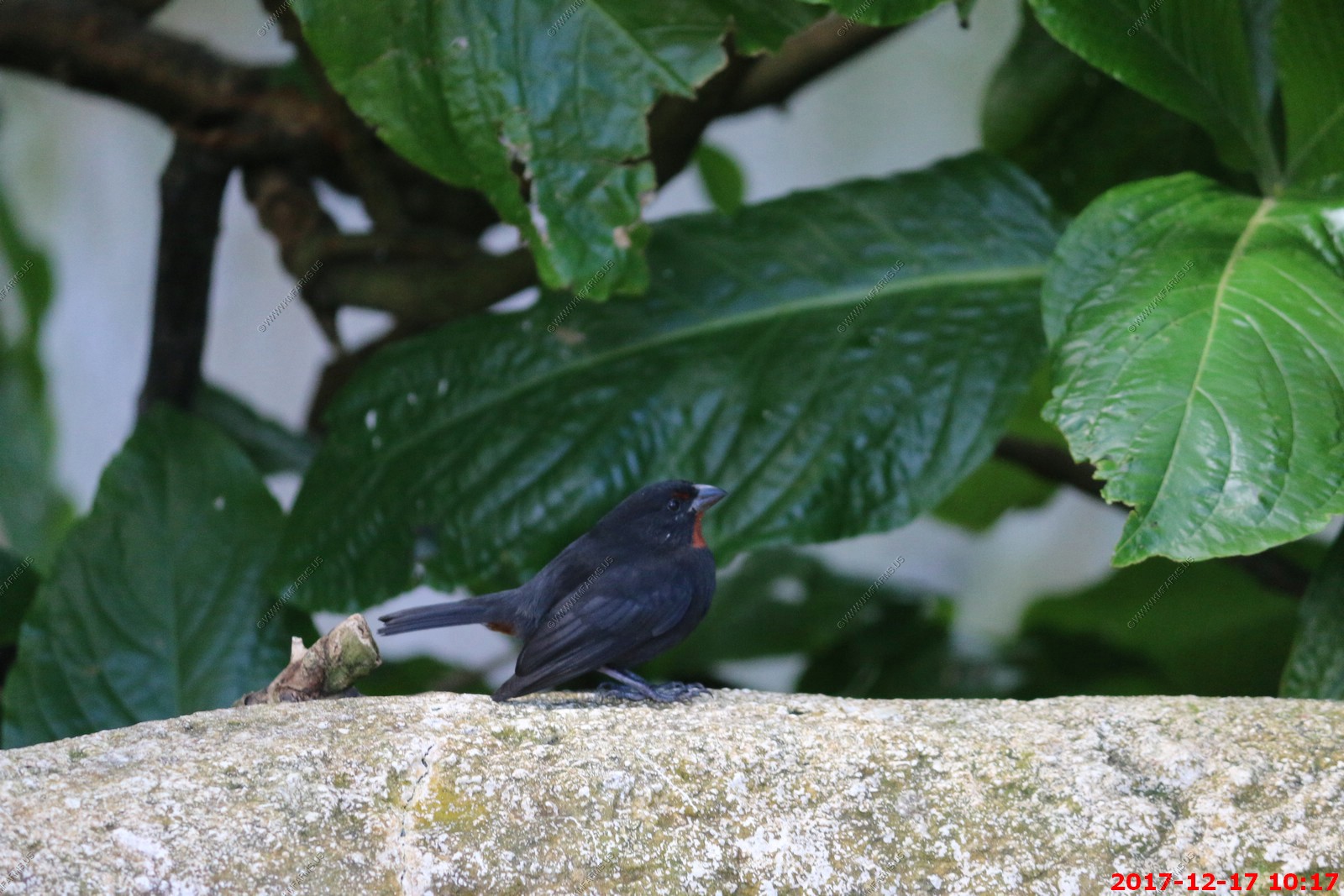
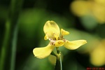
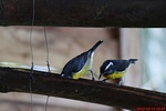
Found only on the Lesser Antillean chain of islands in the Caribbean, the Lesser Antillean bullfinch (Loxigilla noctis) is a stout finch with a very thick, short bill that
is adapted to take the husks off seeds. The Lesser Antillean bullfinch displays marked sexual dimorphism, the male being primarily identified by a diagnostic reddish-brown
throat and chin, which sits in stark contrast to the otherwise predominantly black plumage. There is also an inconspicuous red spot above the lores (the space between the
eye and the bill).
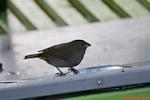
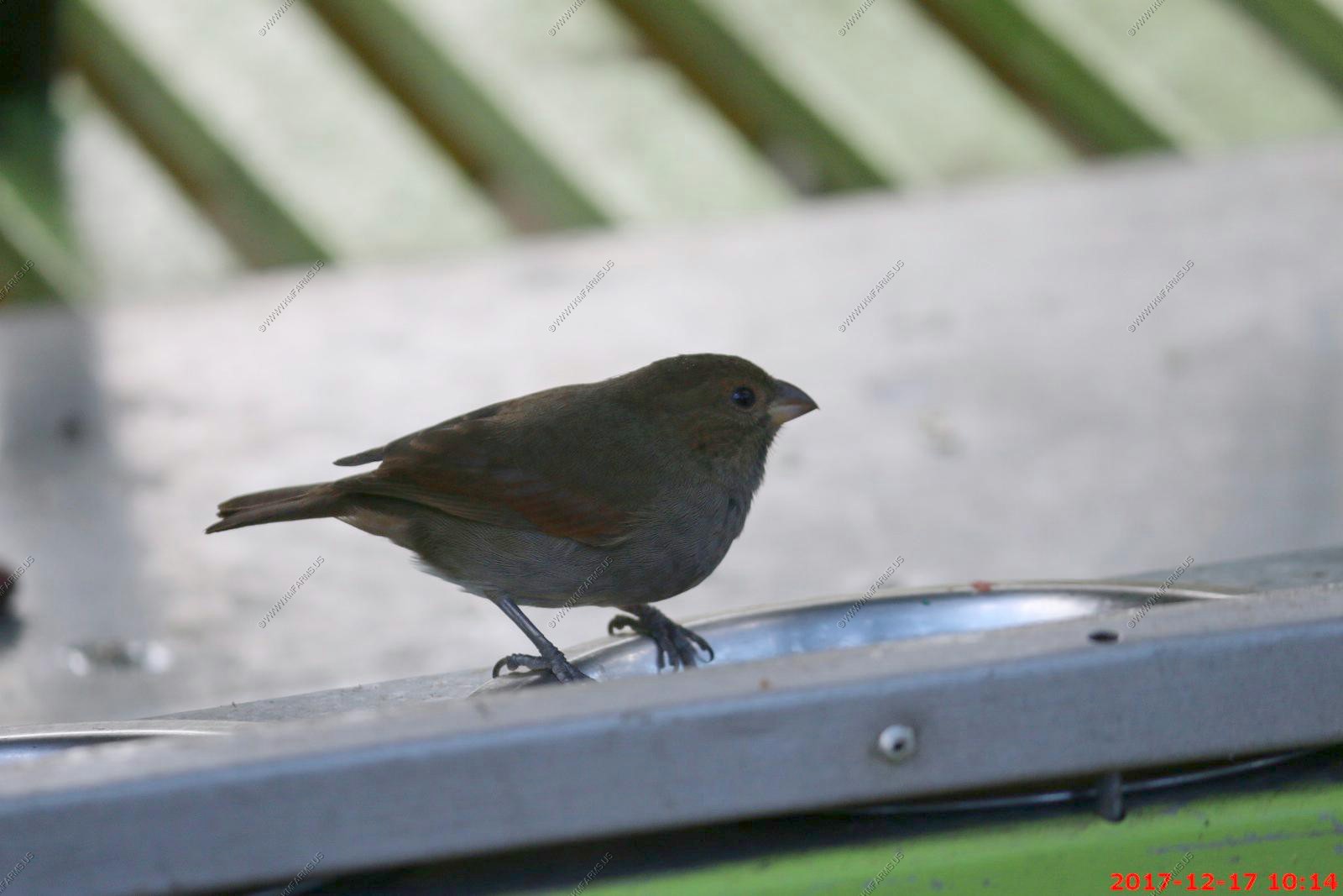
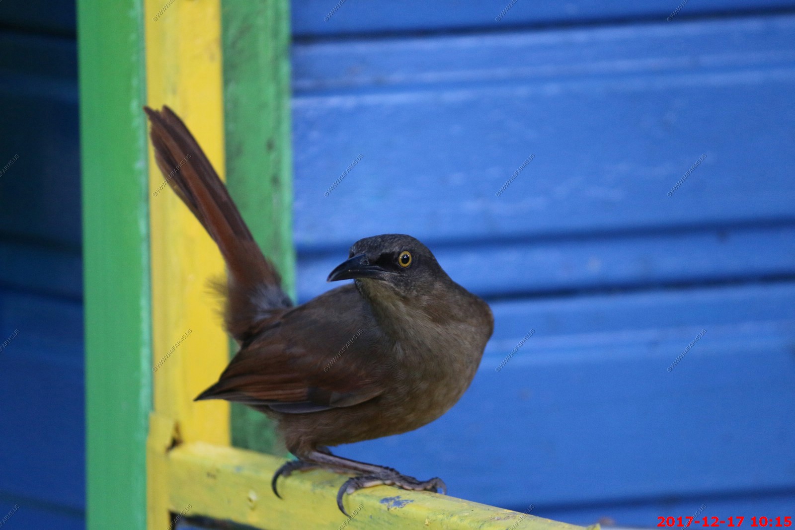
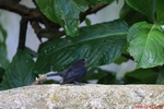
Unknown bird
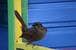
Rouge Gorge (male) loxigilla noctis
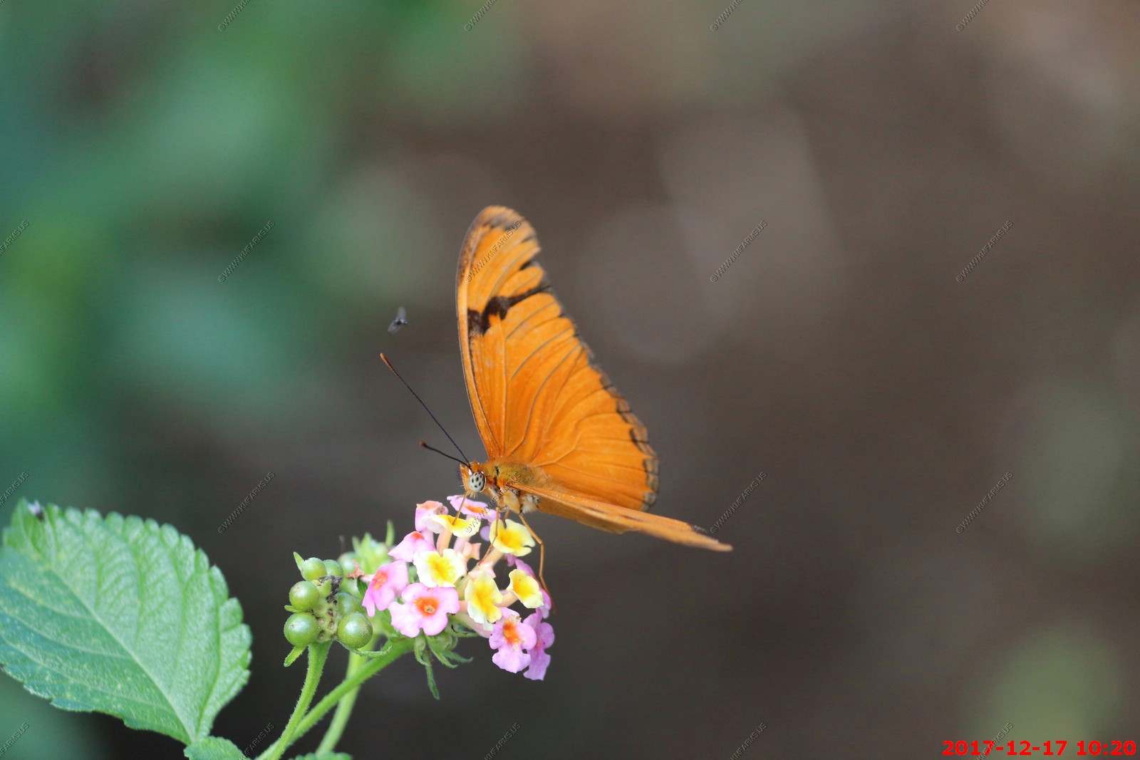
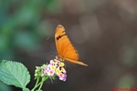
Remember, No One Ever Suspects The Butterfly
Oh the fun
Various views of the gardens
calabash tree fruit - Crescentia cujete, commonly known as the Calabash Tree, is species of flowering plant that is native to Central and South America. It is the national
tree of St. Lucia. - The fruit, called Jicara, Bule, Tecomate, Guaje, Morro or Huacal in Mexico, is used to make small vessels for serving or drinking.

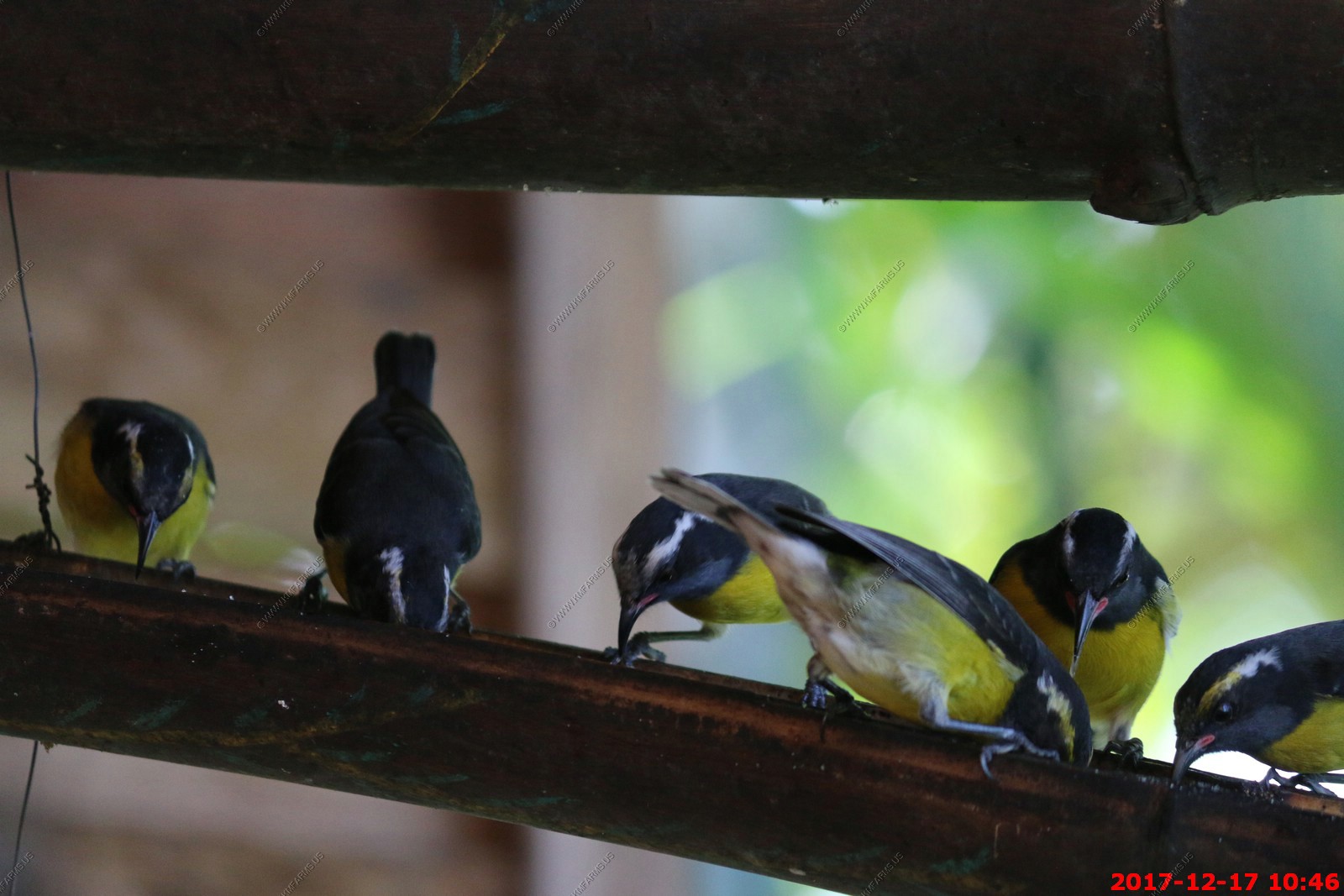
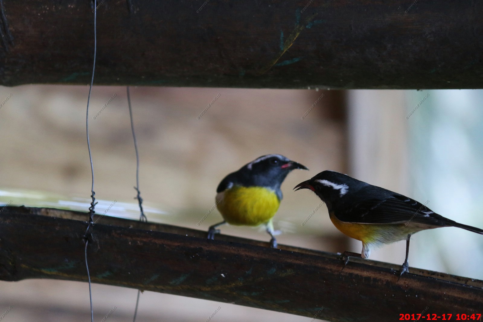
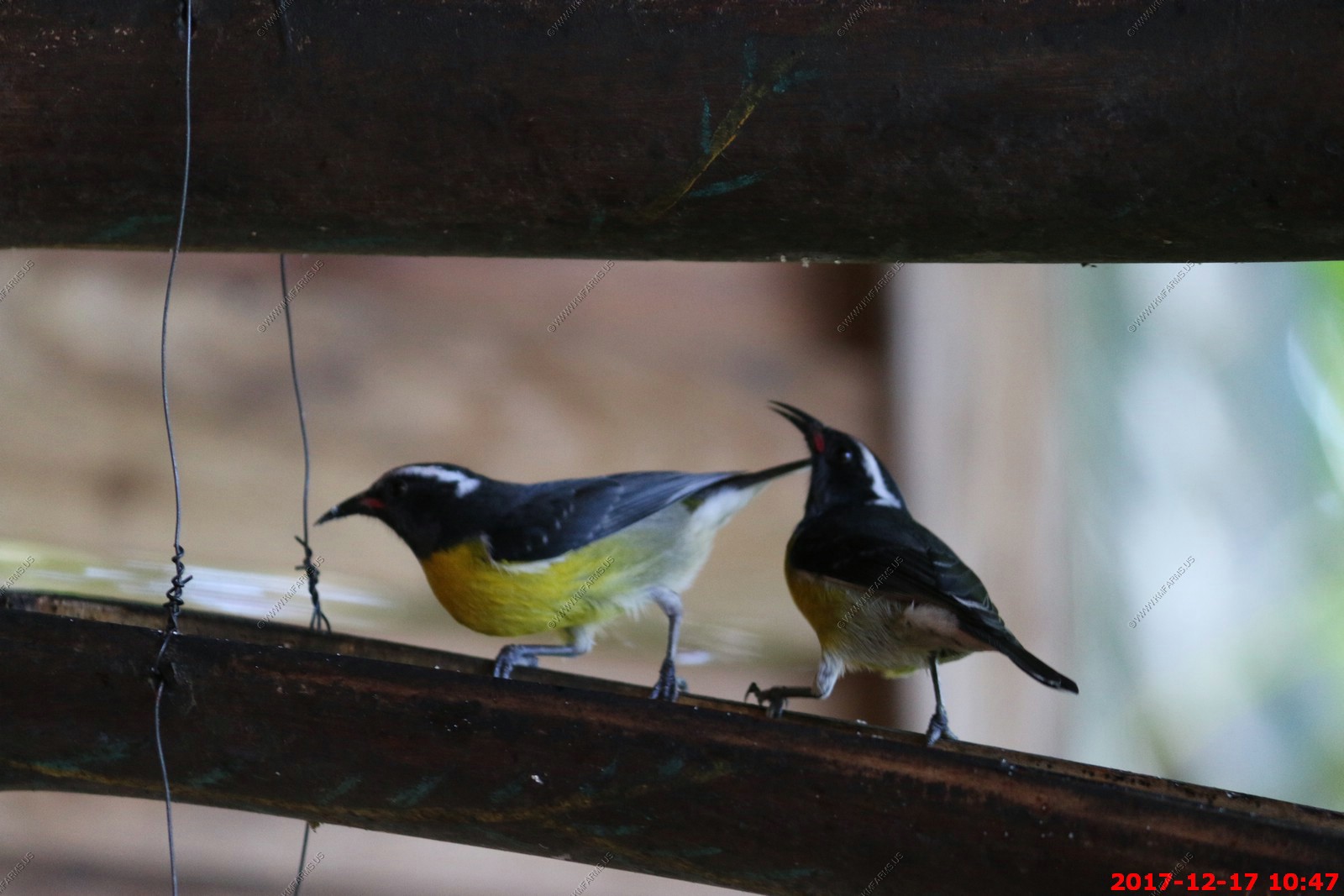
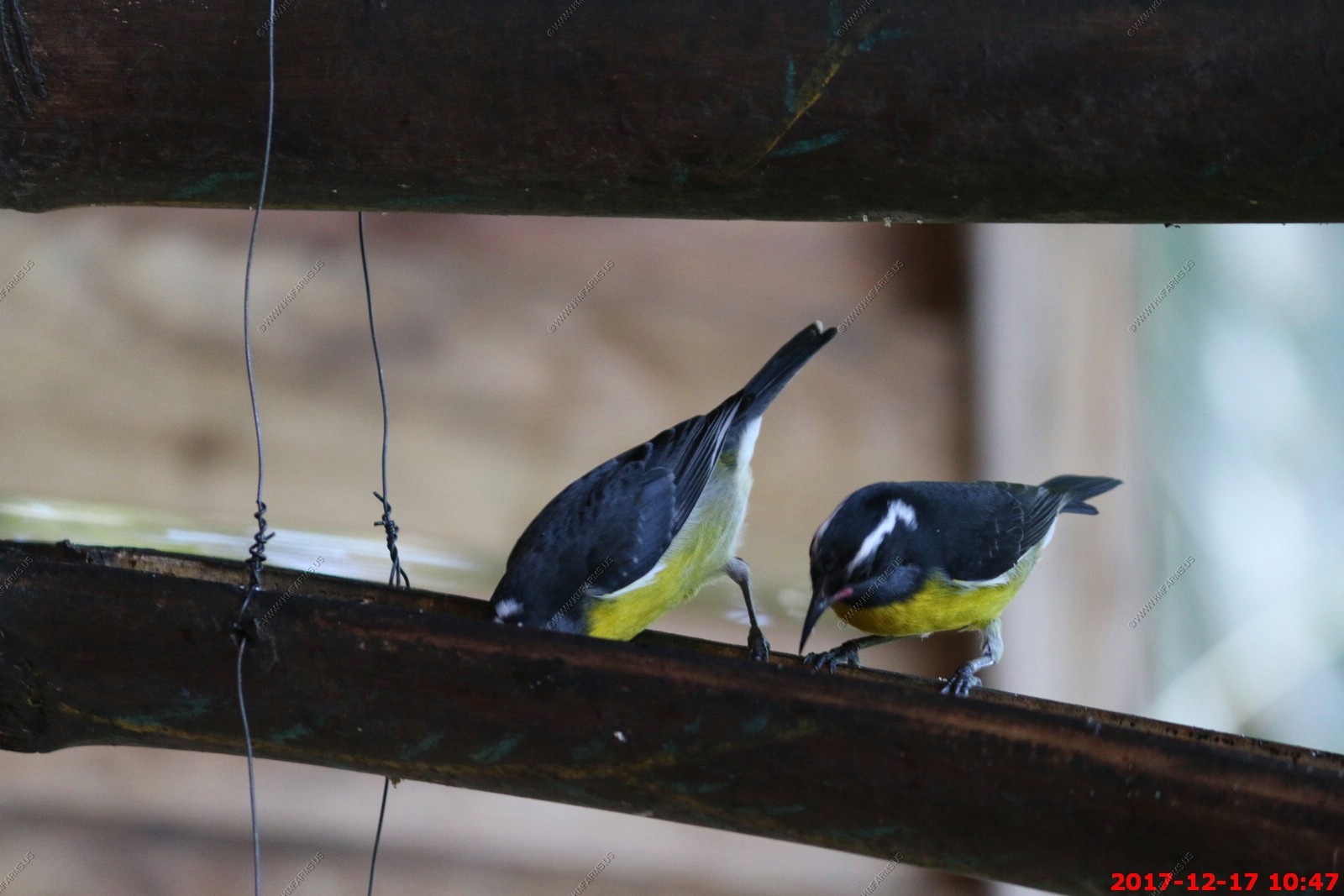
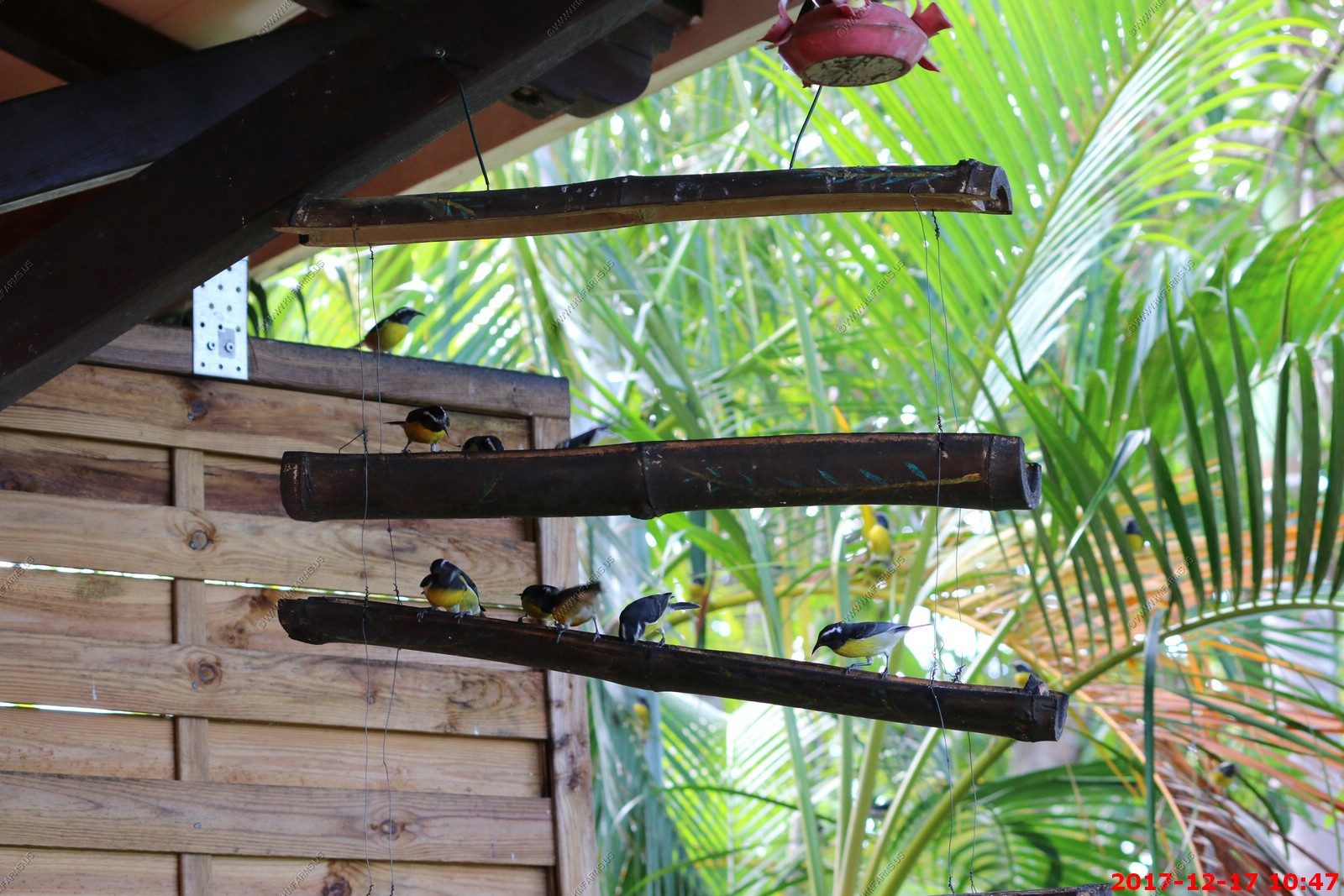
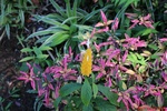
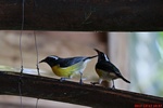
The bananaquit has a slender, curved bill, adapted to taking nectar from flowers. It sometimes pierces flowers from the side, taking the nectar without pollinating the plant.
It also feeds on sweet juices by puncturing fruit with its beak, and will eat small insects on occasion. While feeding, the bananaquit must always perch as it cannot hover
like a hummingbird.
The bananaquit is known for its ability to adjust remarkably to human environments. It often visits gardens and may become very tame. Its nickname, the sugar bird, comes
from its affinity for bowls or bird feeders stocked with granular sugar, a common method of attracting these birds. The bananaquit builds a spherical lined nest with a
side entrance hole, laying up to three eggs, which are incubated solely by the female. It may also build its nest in human-made objects, such as lampshades and garden
trellises. The birds breed all year regardless of season and build new nests throughout the year.


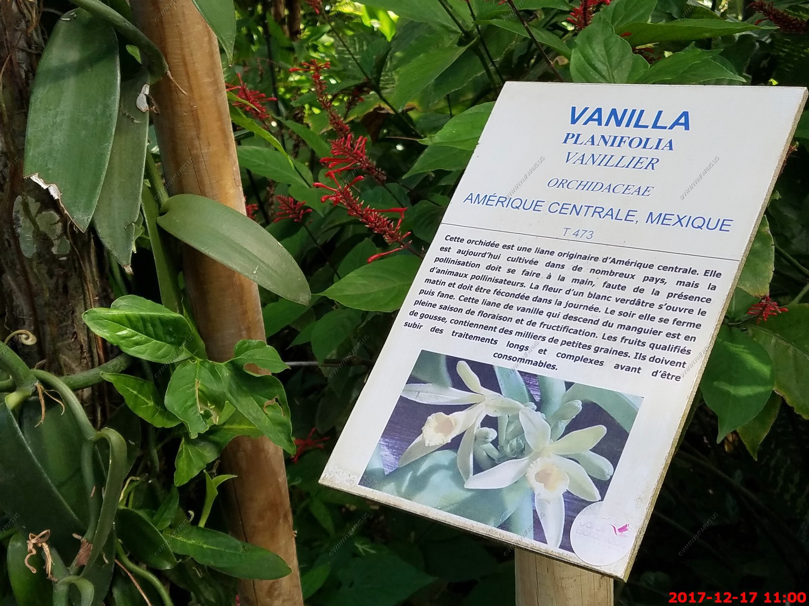
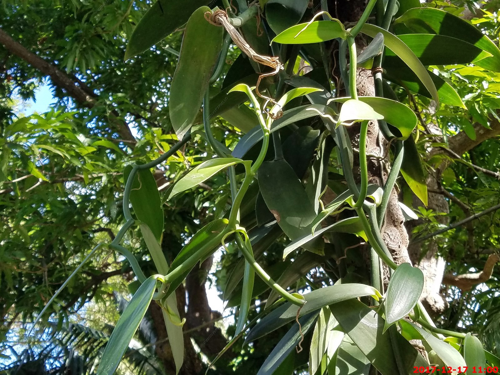
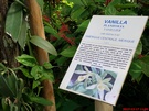
Vanilla (in French)
Hamburgers... Yes, I want to flush one

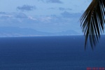
Here at Jardin Botanique we had one of the best views we have had of Montserrat located appx. 35 miles away.
Montserrat is an overseas territory of the United Kingdom. Its Georgian-era capital city of Plymouth was destroyed and two-thirds of the island's population forced to flee
abroad owing to an eruption of the long time dormant Soufriere Hills volcano that began on July 18, 1995
Too bad as the clouds are hiding the smoking volcano
400mm view

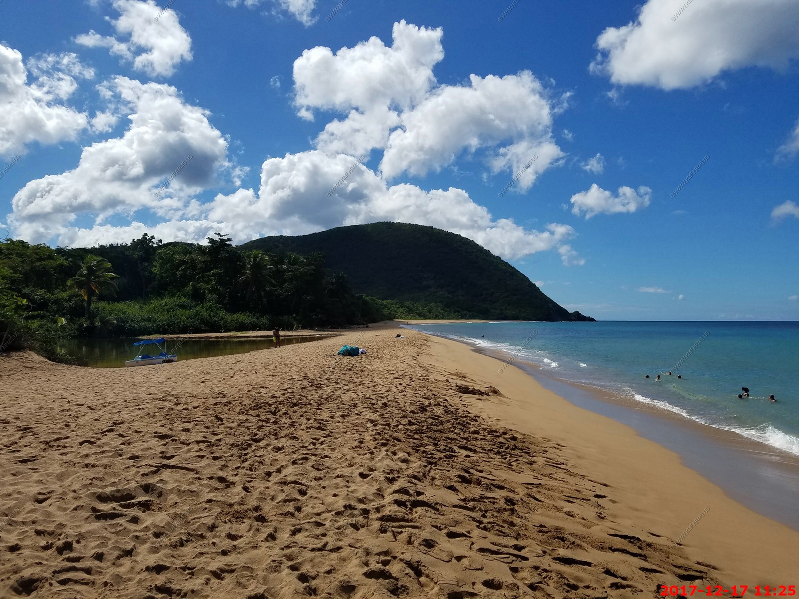
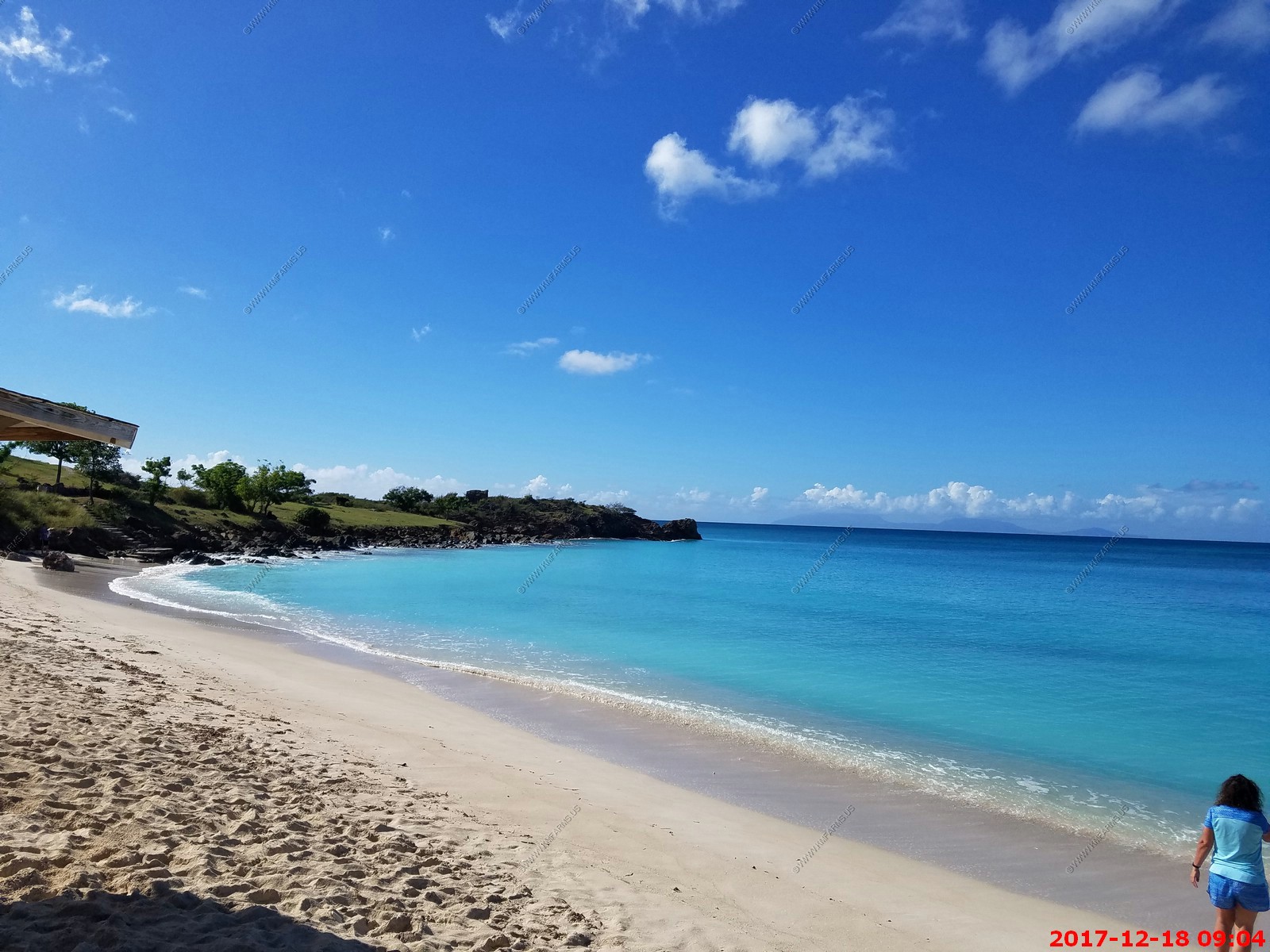
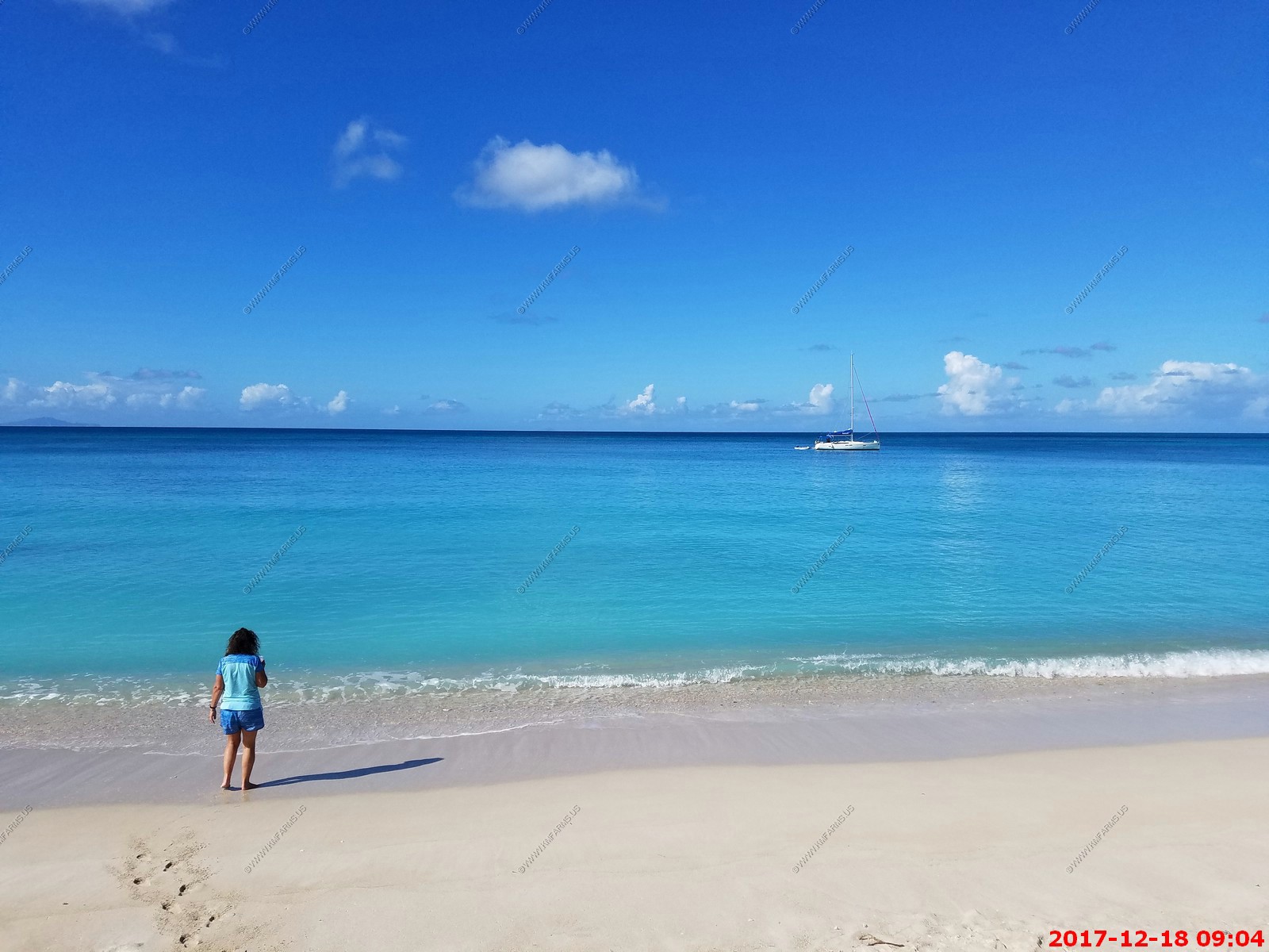
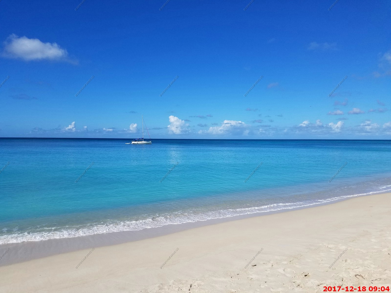
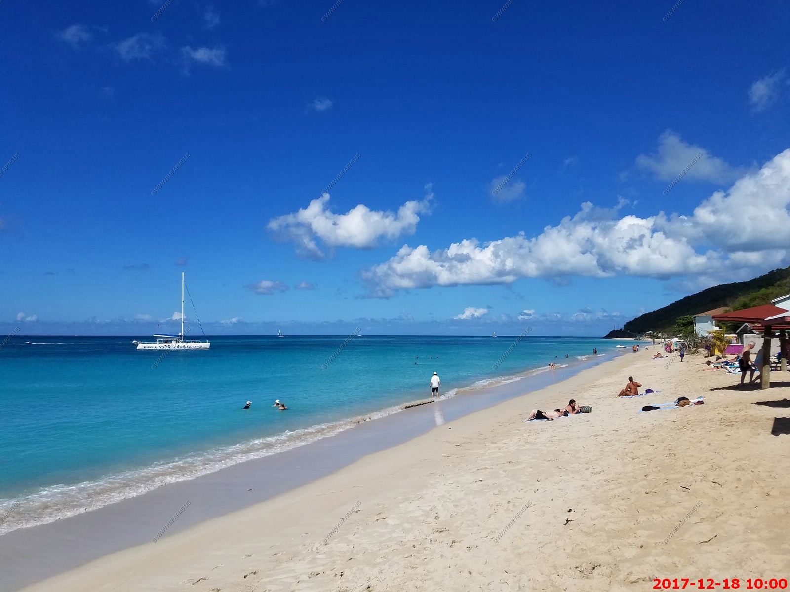
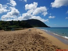
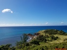
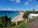
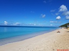
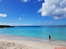
Our next stop was Plage de Grande Anse beach which was a few miles north of the Jardin Botanique de Deshaies located at (16.322N,-61.787W)
The island fluctuates hugely - you can come across beaches with either black, brown, golden or white sand depending on where you are and what the local
geology is like. "Death In Paradise" is filmed all over the island but its base is one of the island's loveliest spots, Deshaies, on Basse Terre.
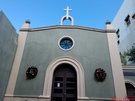
It's a tiny town - with a handful of bars and restaurants, a few shops for essentials, and a couple of cute beaches mainly inhabited by kids and fishermen. The church is
taken over for six months of the year to double up as "Death In Paradise's" police station, and the crew try not to upset too many locals by keeping their presence low-key.

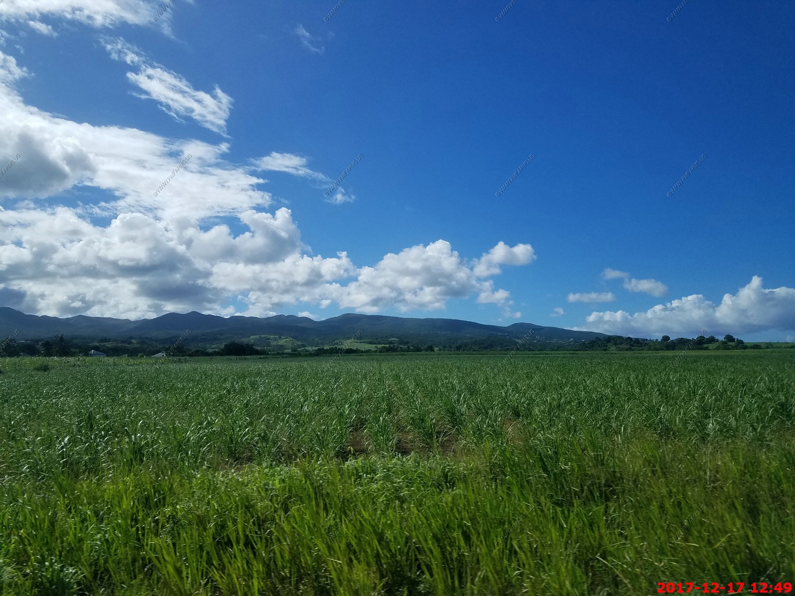
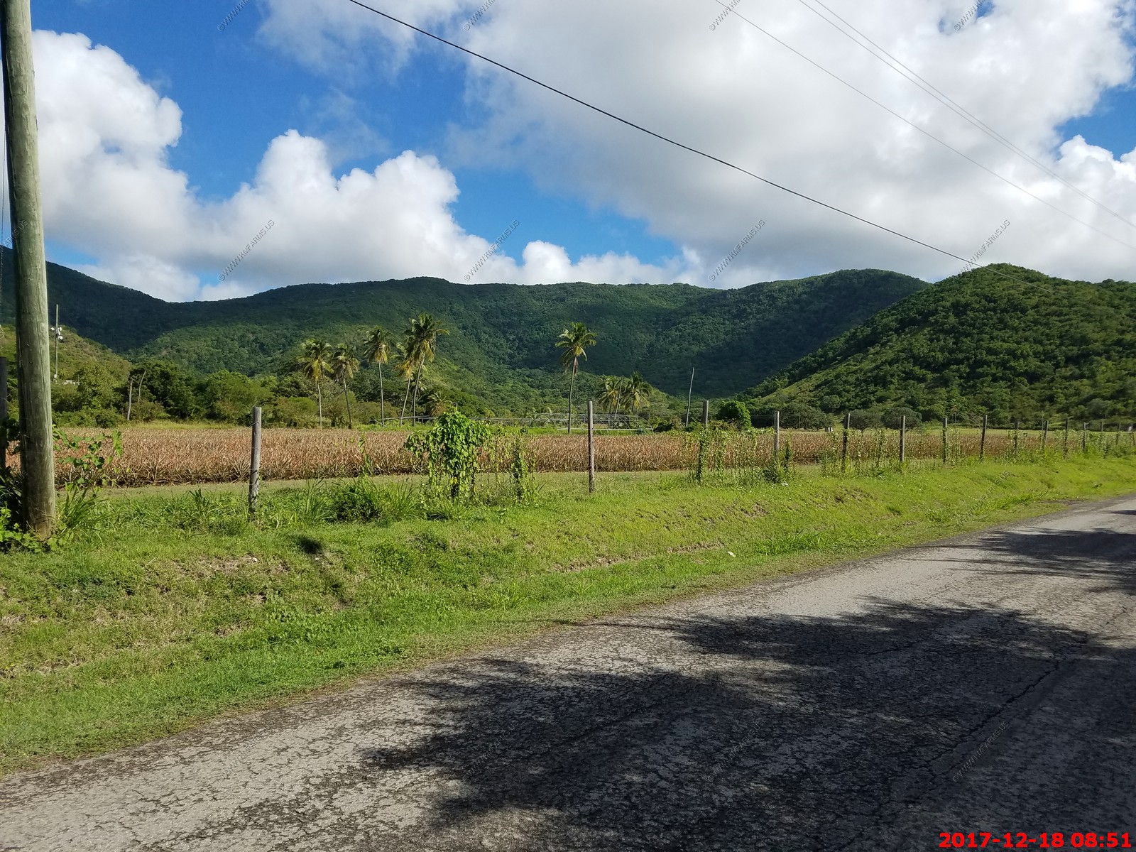
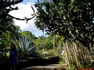
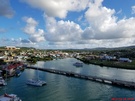
The ride back to Pointe-a-Pitre. Lots of sugar cane with the Guadeloupe National Park as the back drop.
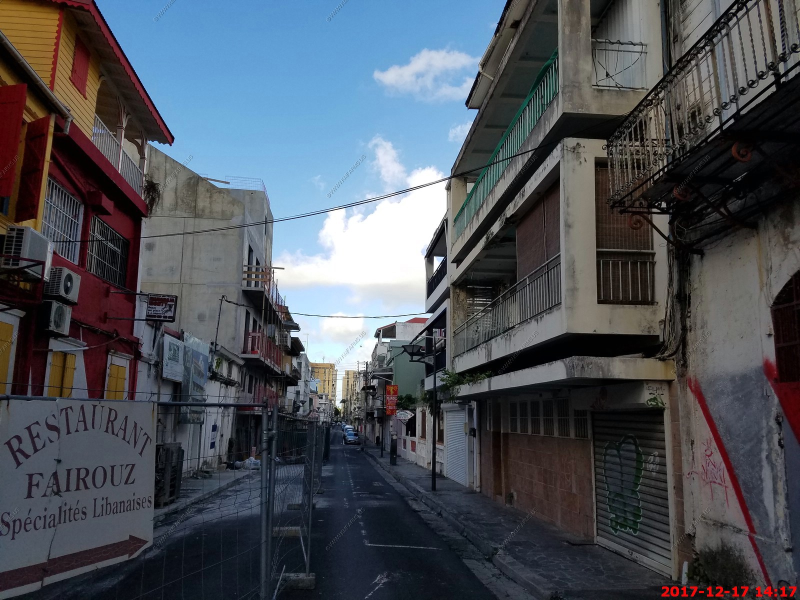
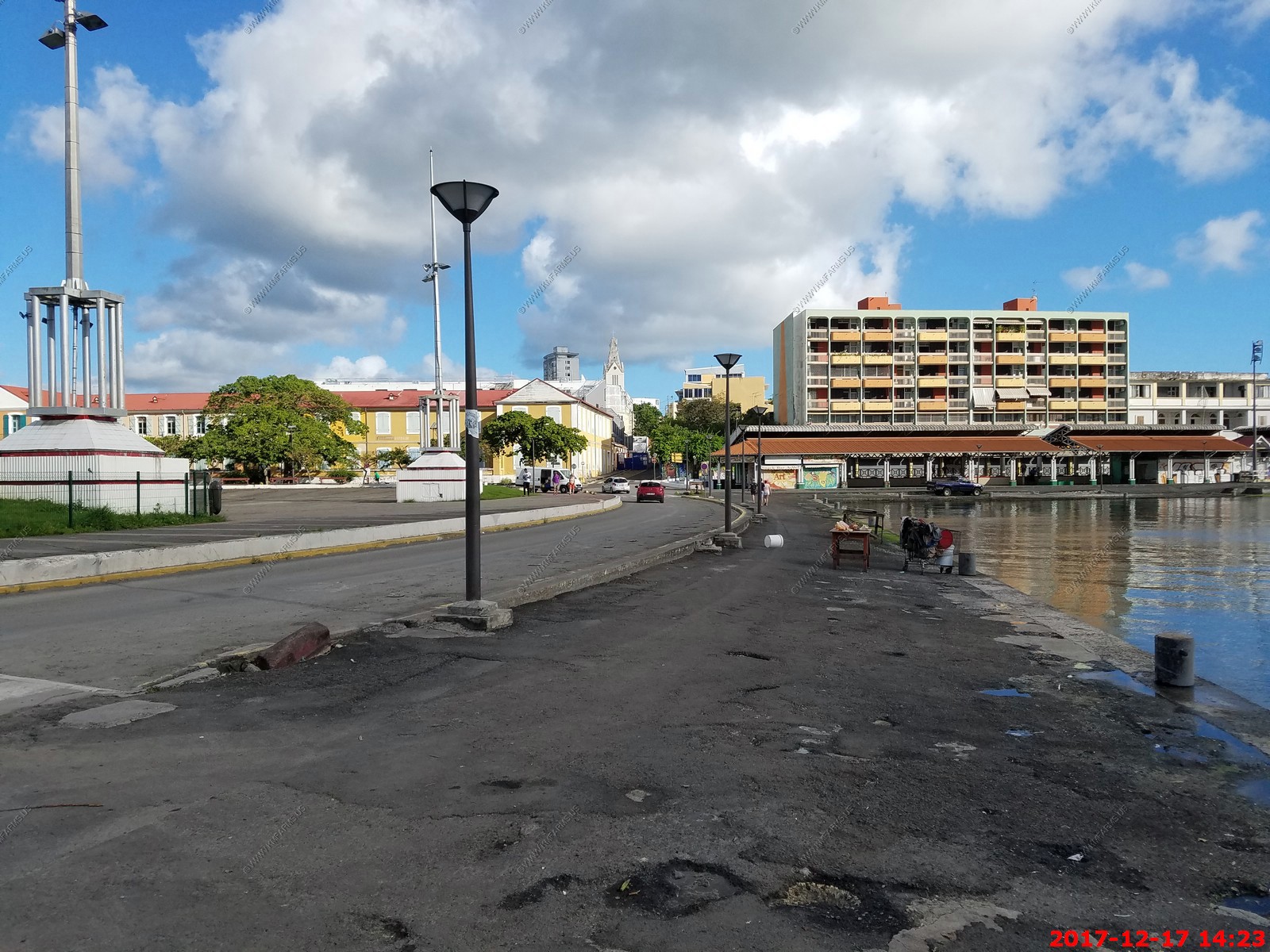
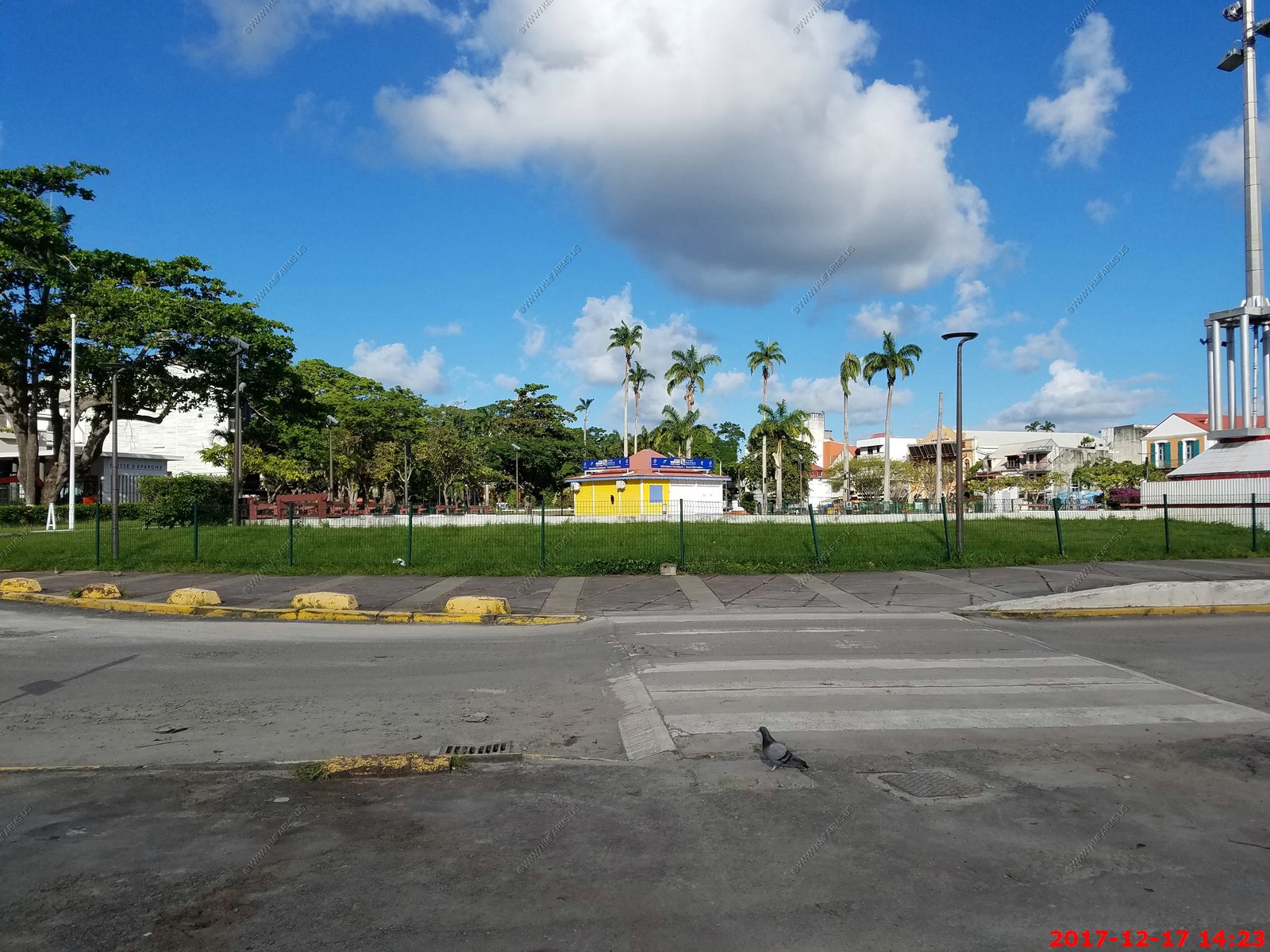
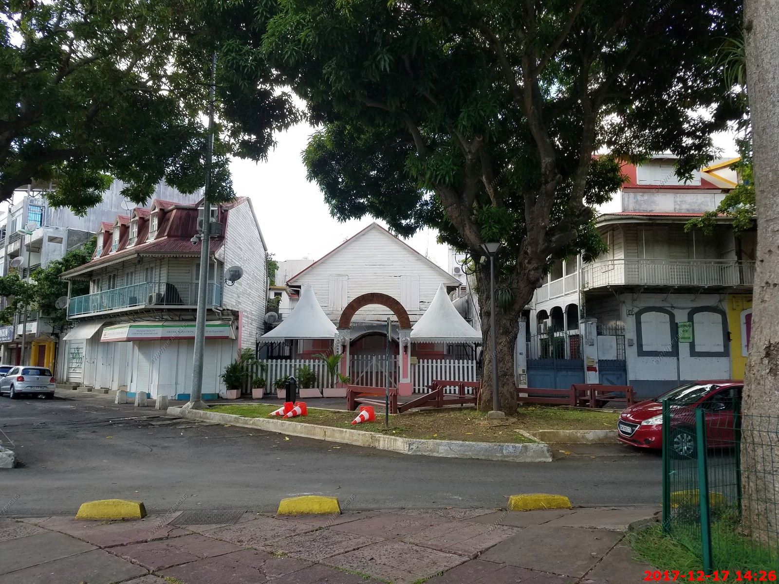
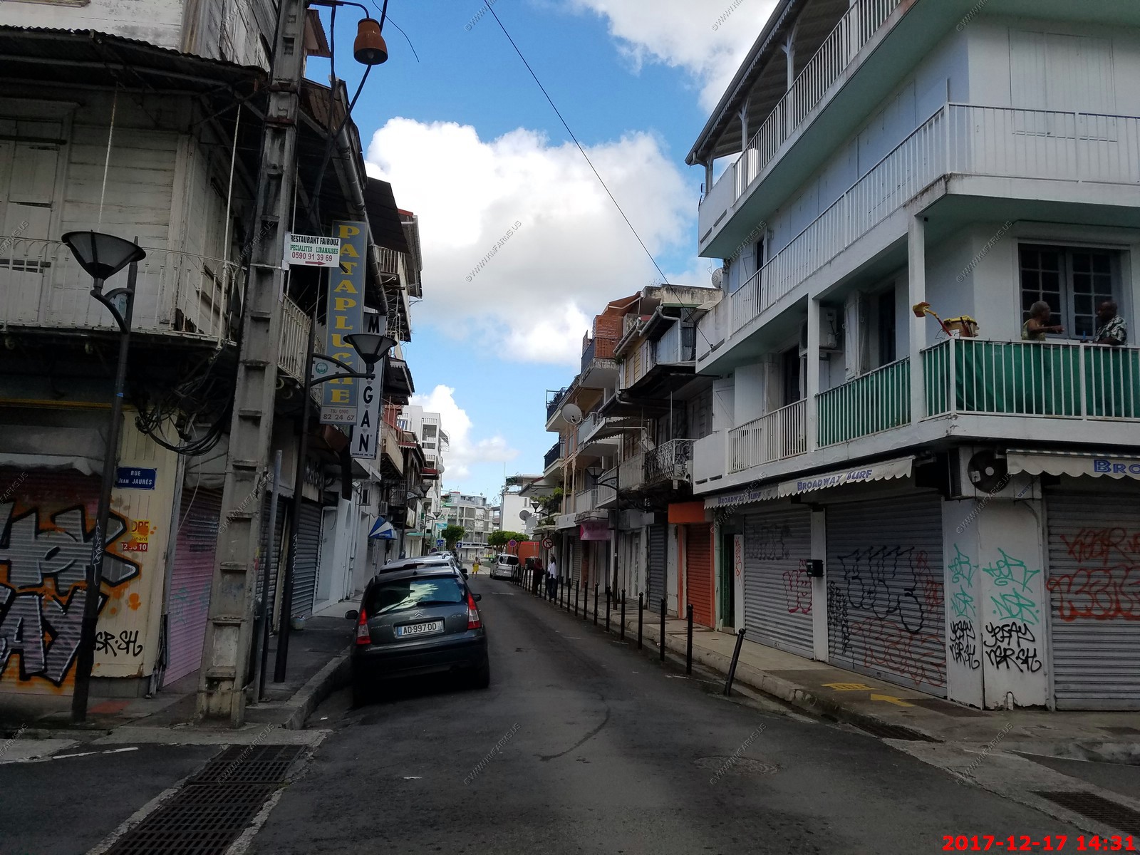
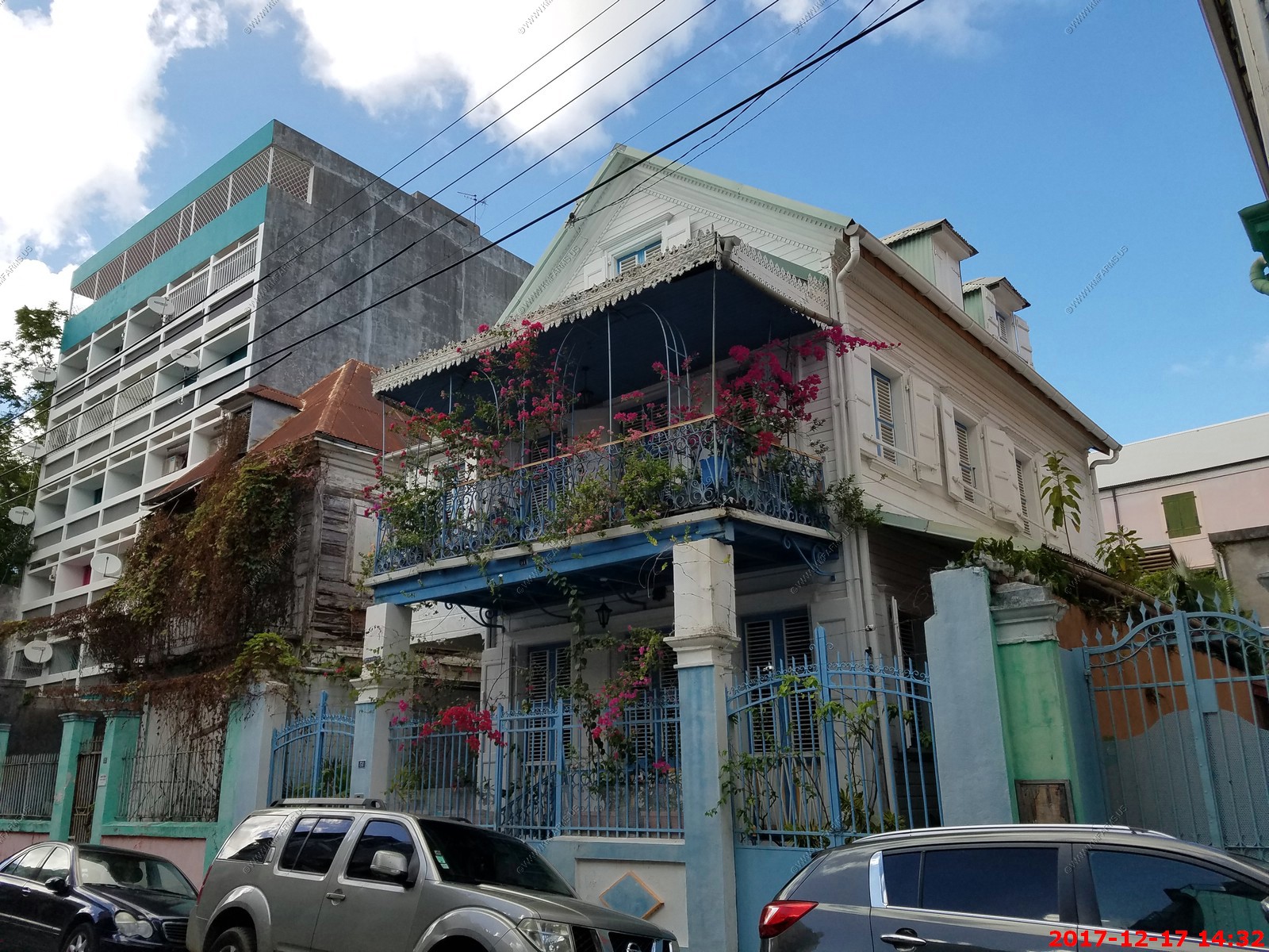
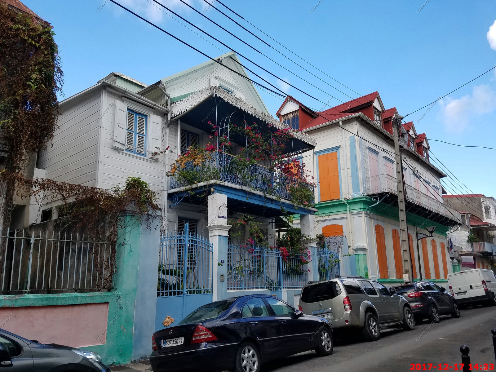
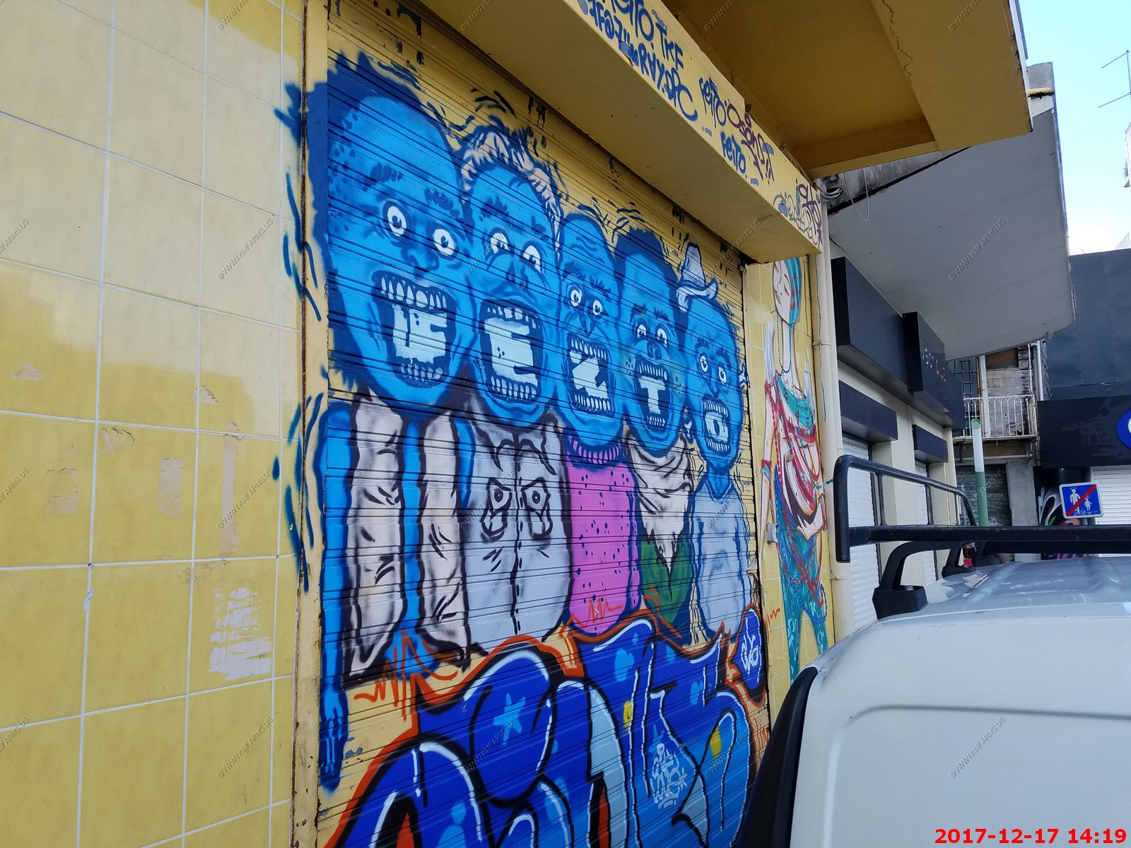
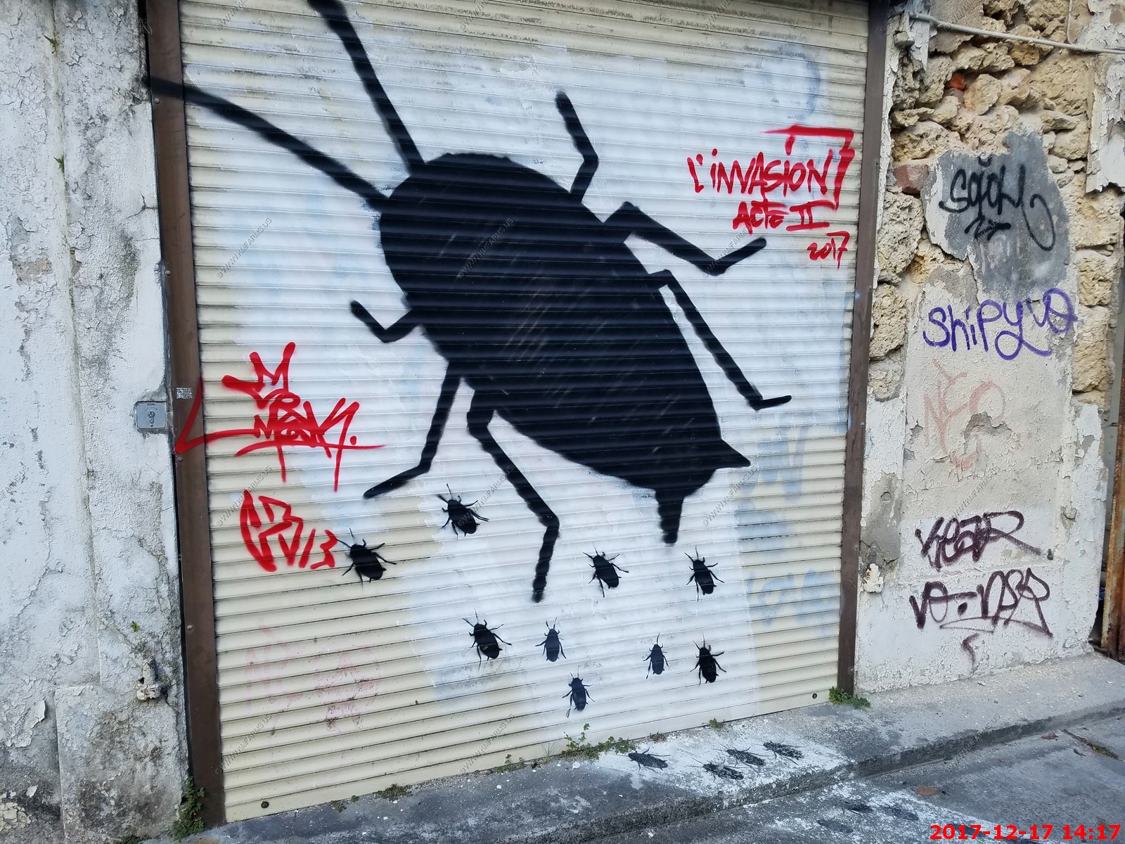
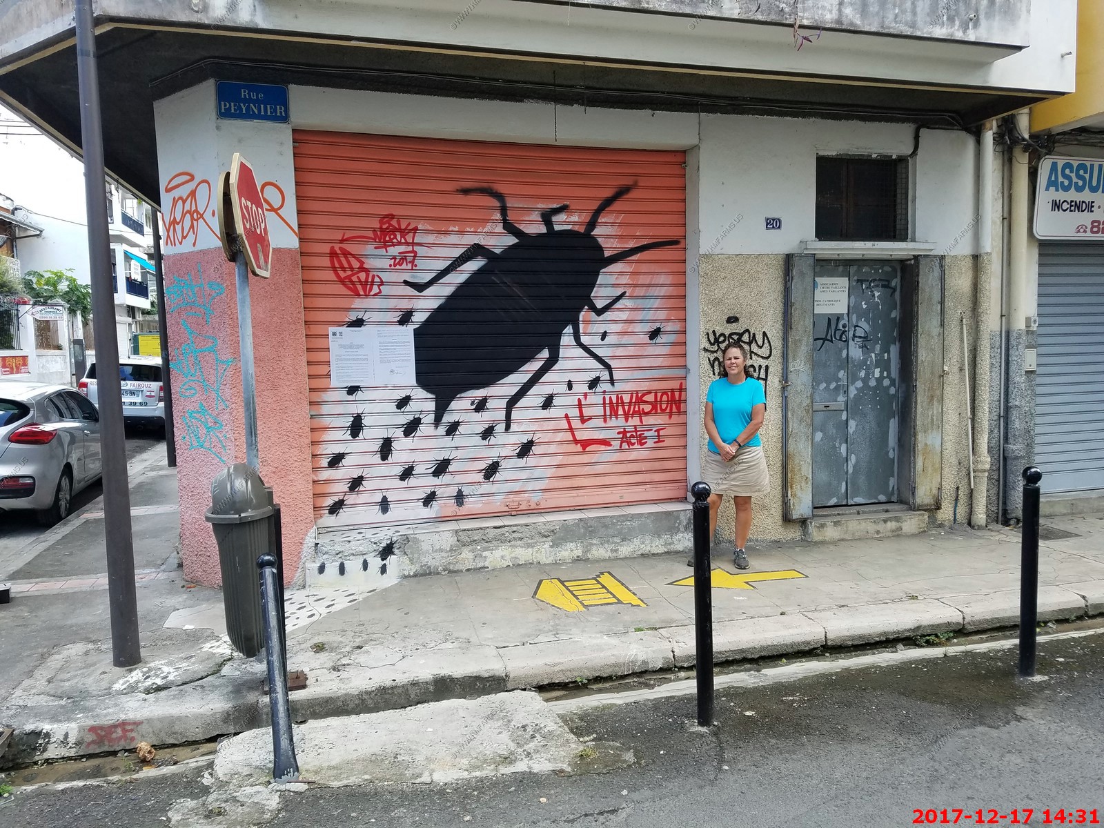
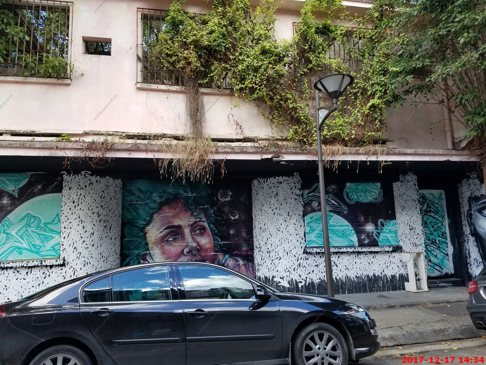
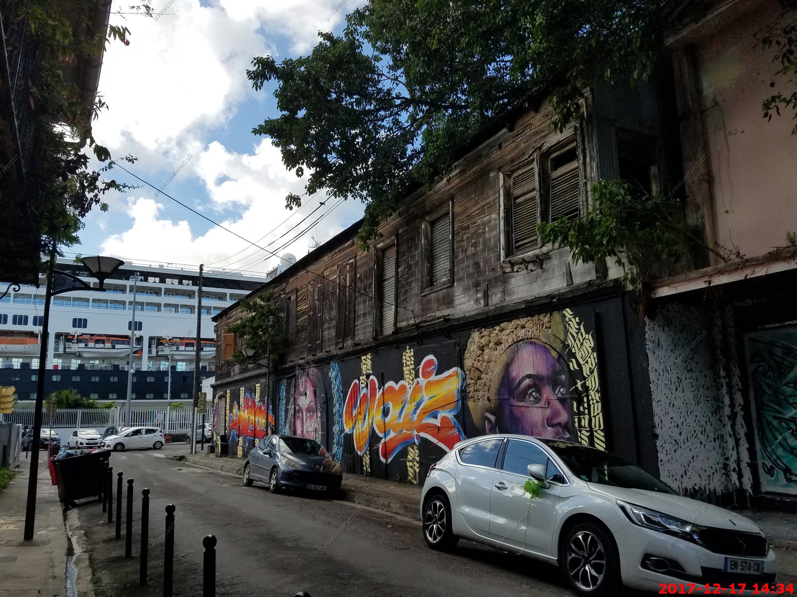
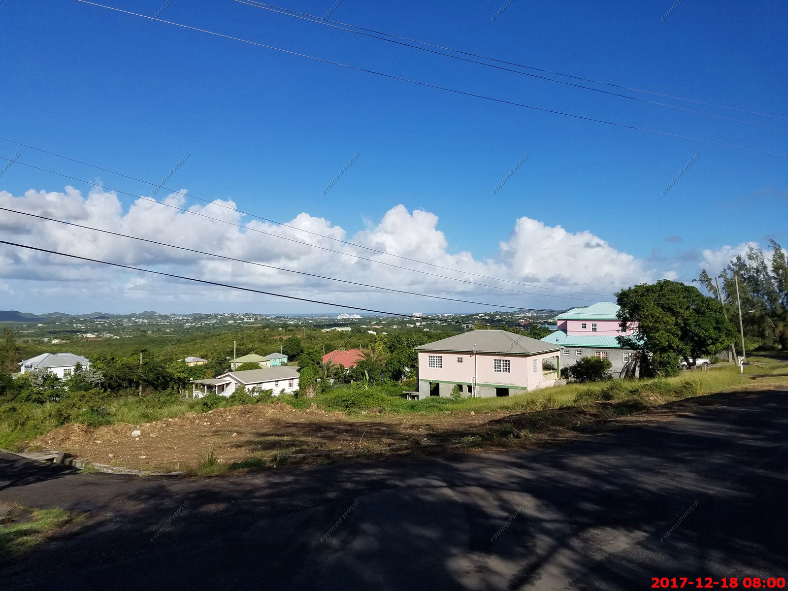
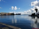
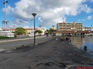
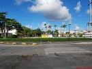
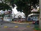
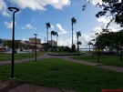
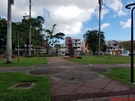
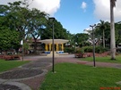
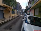
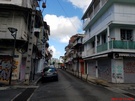
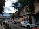
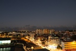
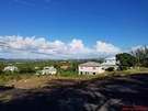
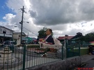
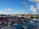
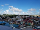
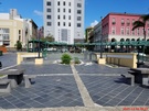
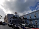
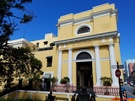
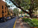
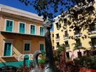
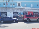
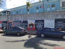
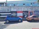
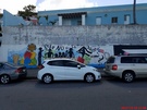
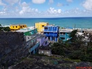
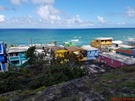
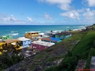
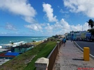
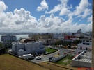
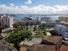
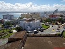
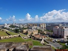
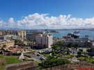
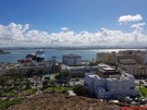
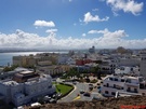
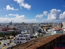
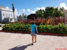
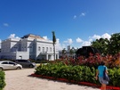
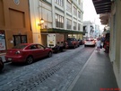
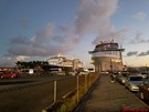
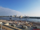
We got back to the ship and had time to walk around Pointe-a-Pitre. Looks like Baltimore.
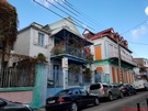
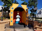
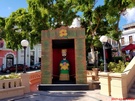
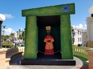
Various views

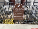
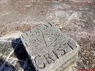
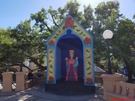
Political ?
Not sure what these meant. They had it in a number of places
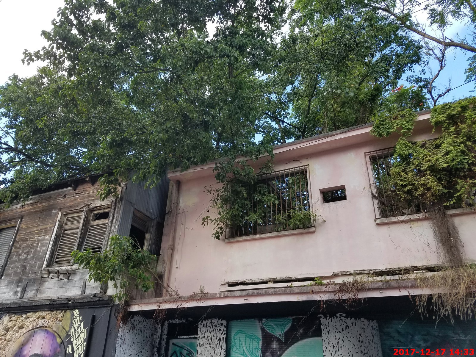
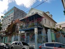
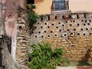
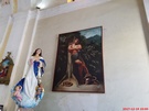
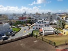
Old buildings where everything grows if not controlled

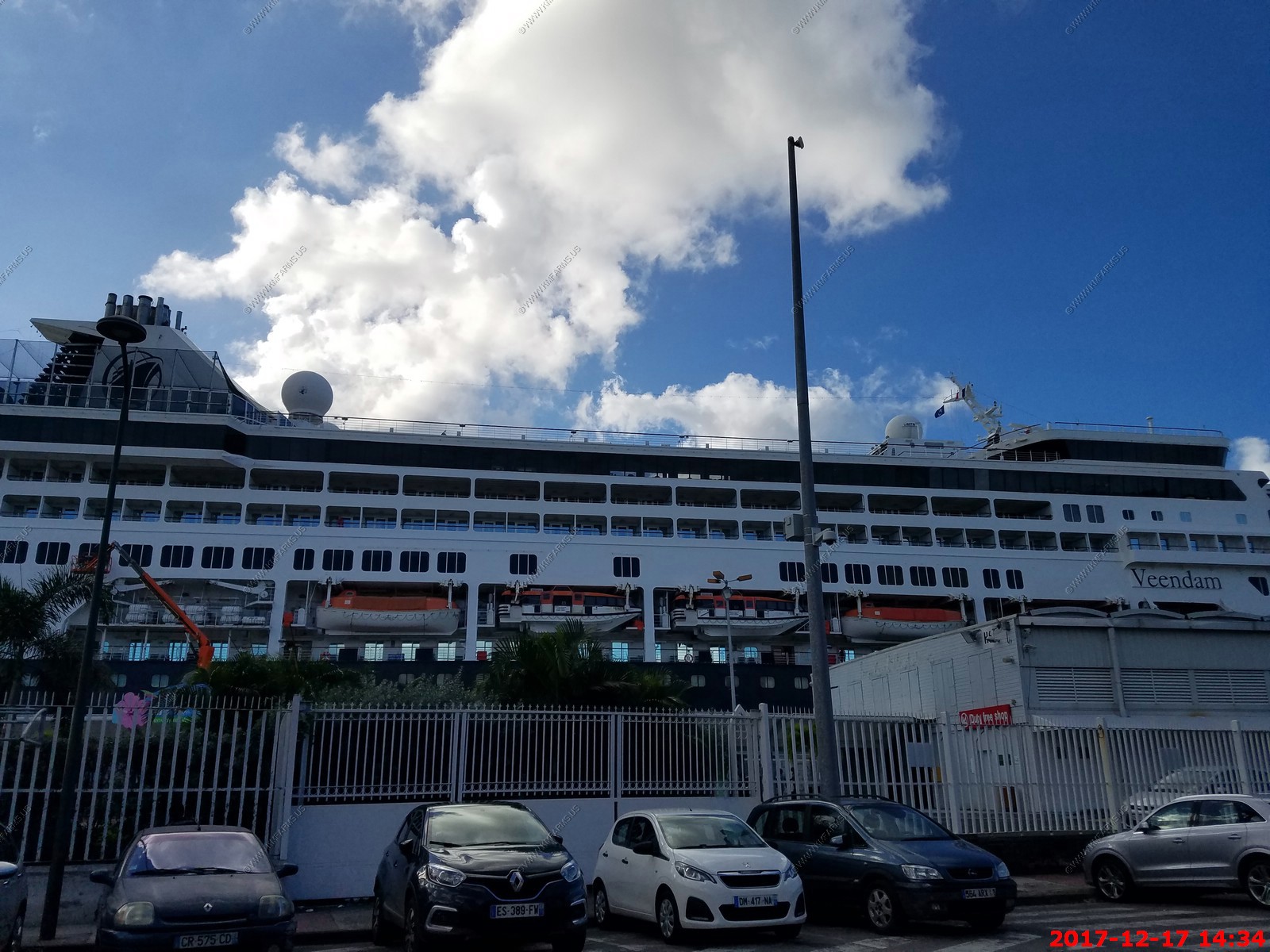
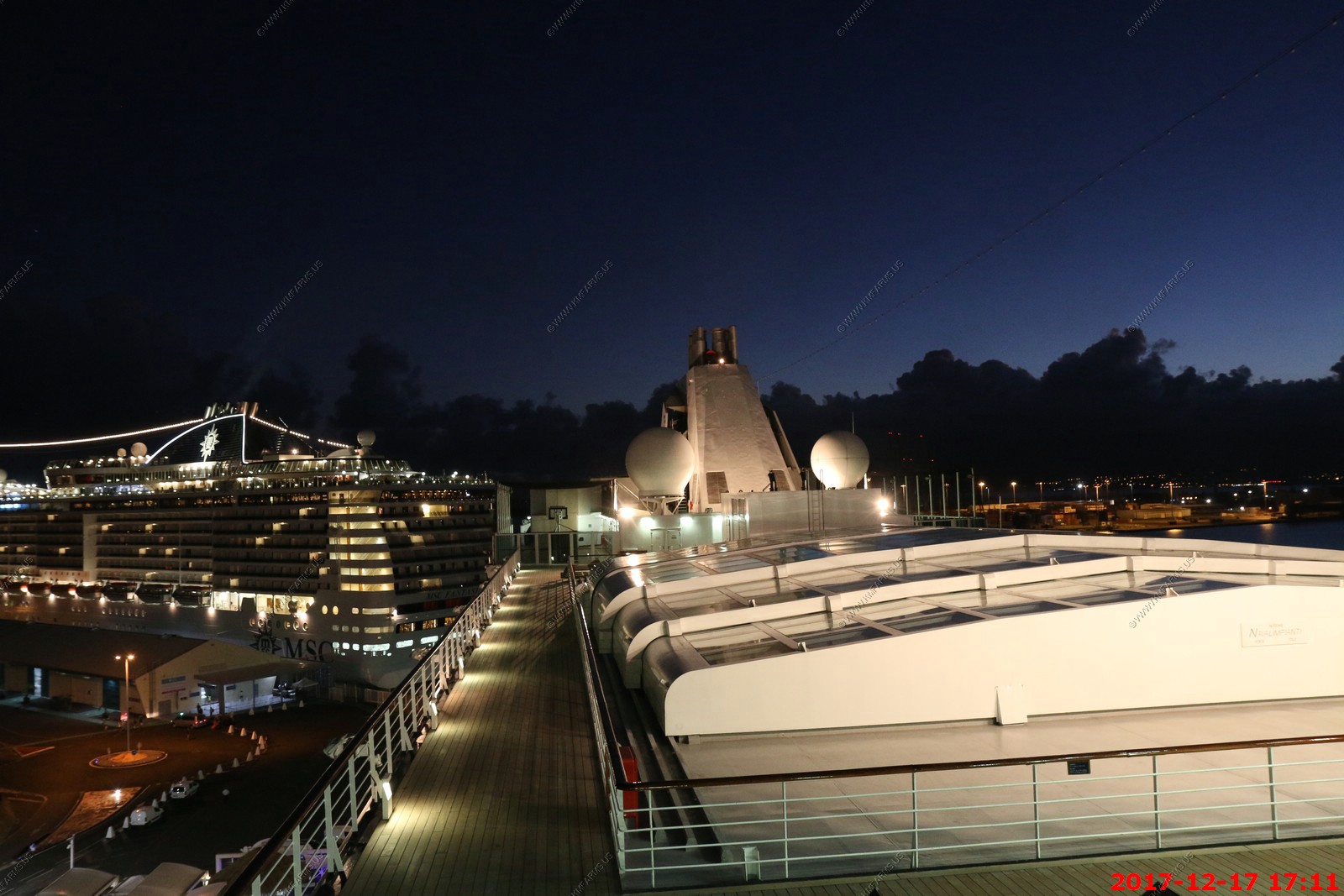
Back to the ship
Late lunch. We are pizza line #1

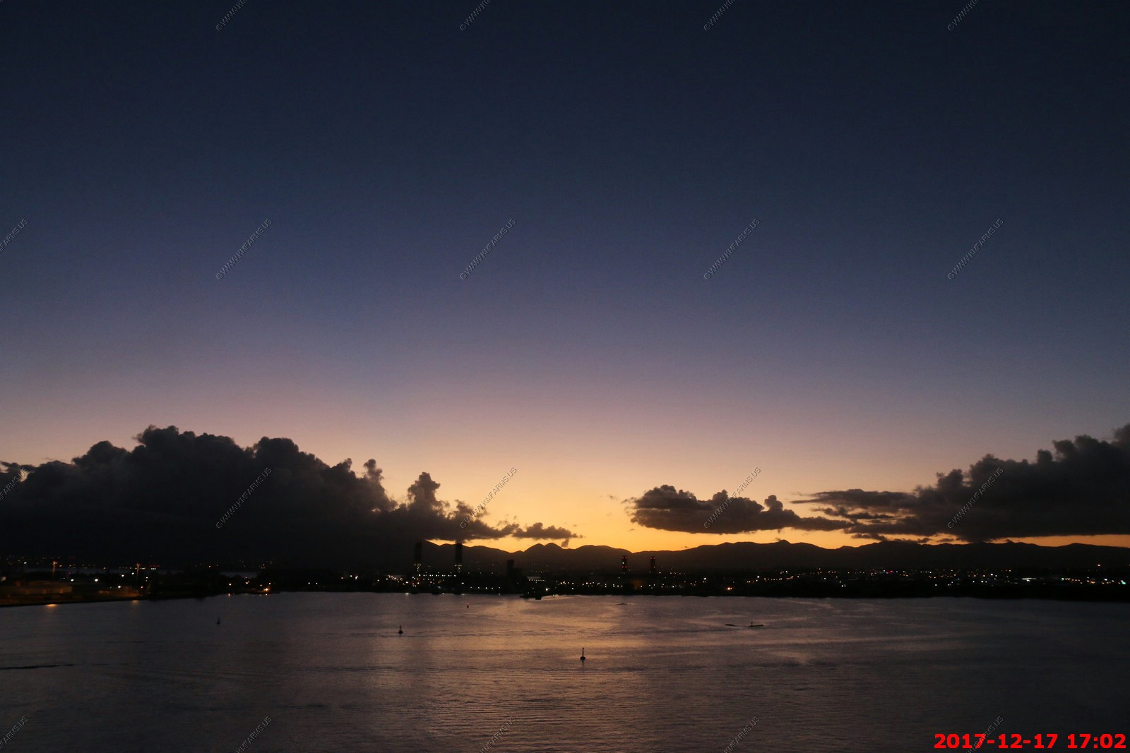
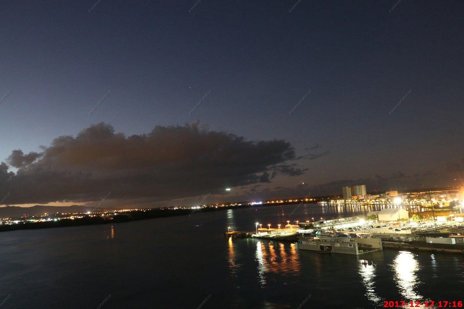
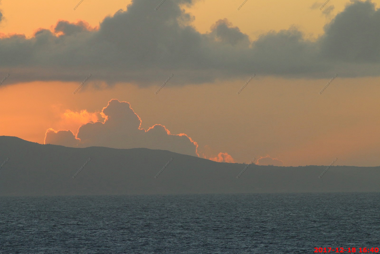
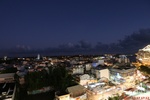
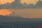
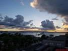
Sunset time over the Guadeloupe National Park

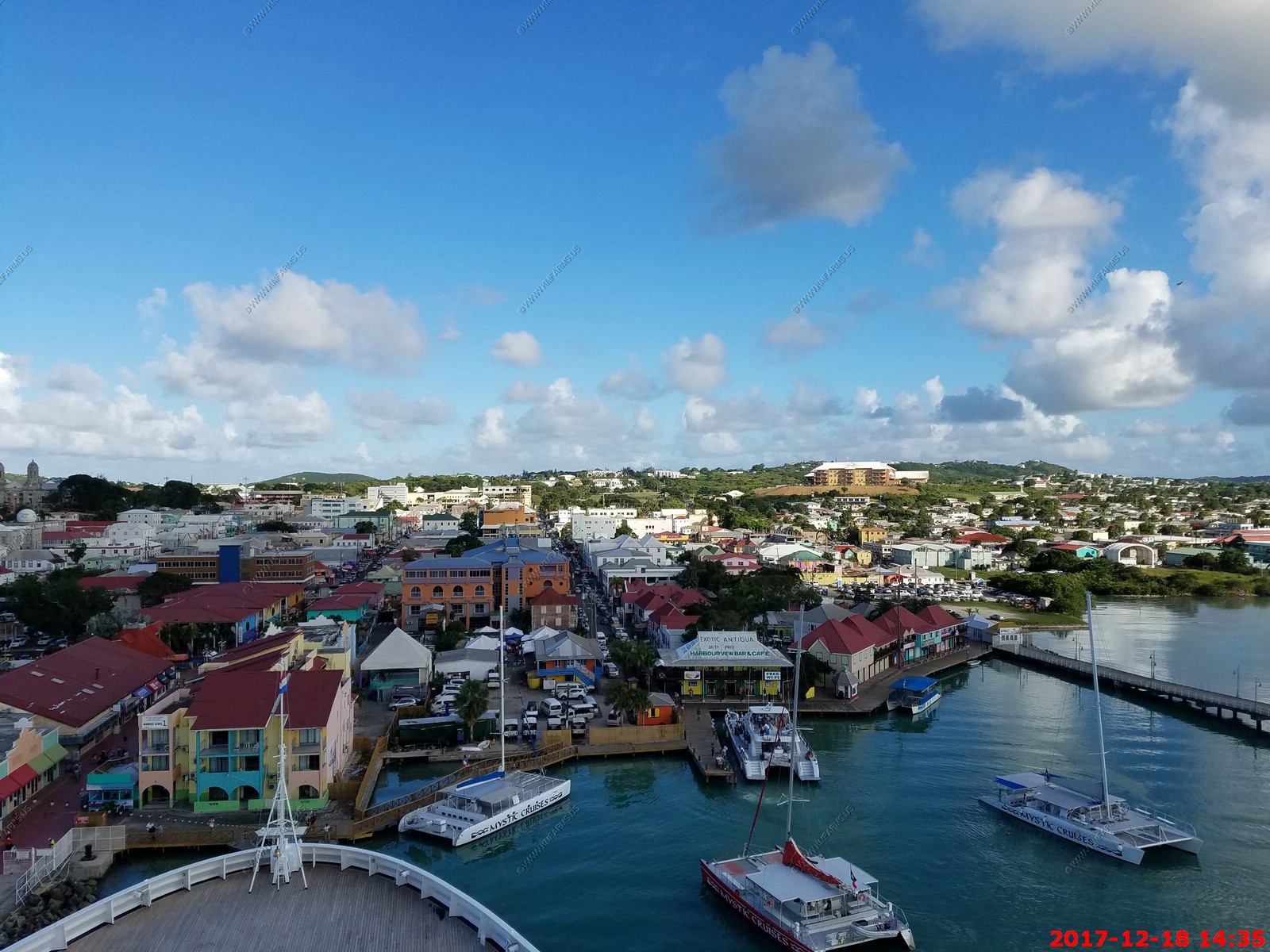
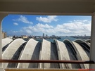
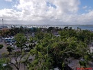
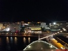
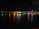
City views over Pointe-a-Pitre


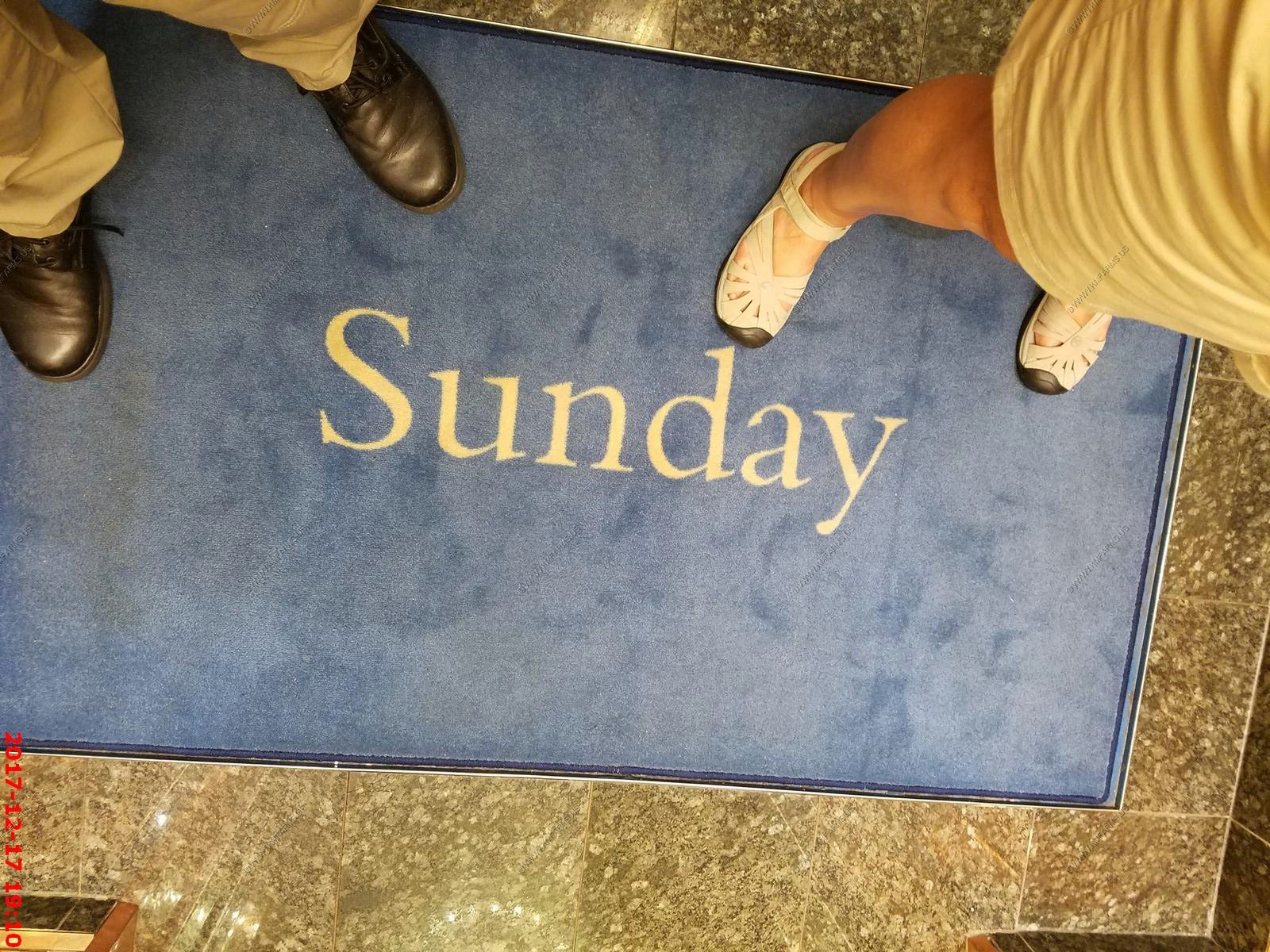
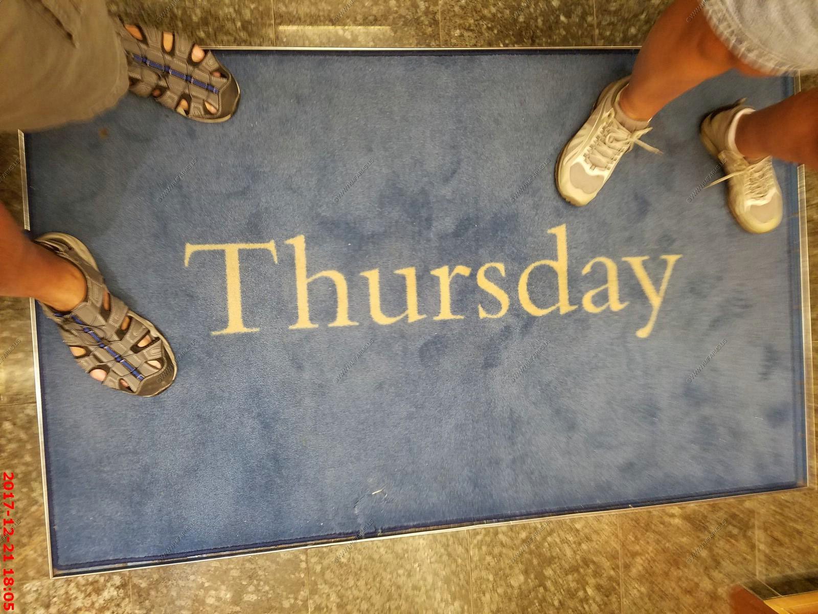
We rode the elevator to know what day it was


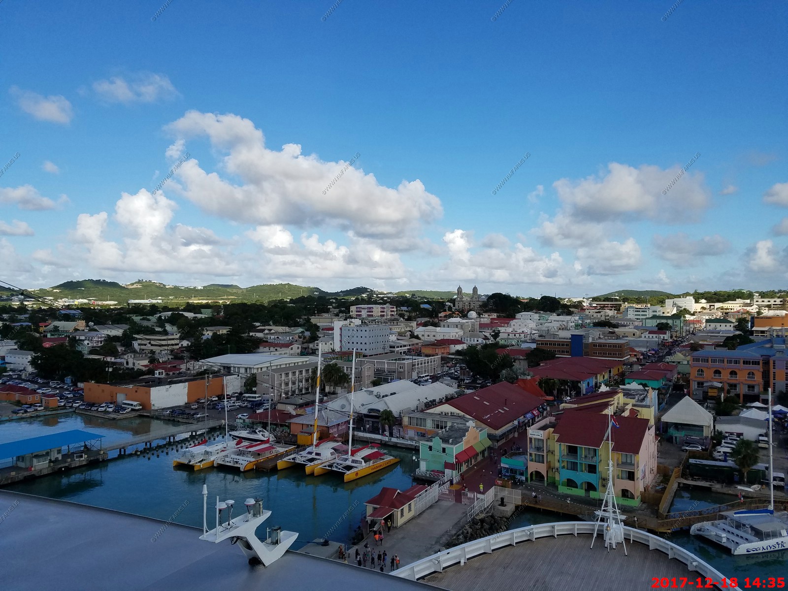
Monday - DEC 18 2017 -- Antigua
HAL Guide to When & Where - Monday - DEC 18 2017 - Ship Activities
Port Guide - St. Johns Antigua
Like the other islands we have been here a number of times. The media was reporting that this island had major damage from the two hurricanes but we saw little damage.
This is a funny place as they renamed the highest point on the island Mount obama. It's 1,319 feet (402m) above sea level so it's not impressive just like obama.
A one-hour climb will take you to the top of this highest point on Antigua, from which you can glimpse the neighboring islands of Montserrat and Saint Kitts.
It was formerly known as Boggy Peak but was renamed in honor of obama in August 2009. We asked the guide and it sounded like they realized the mistake and its back to the
real name.
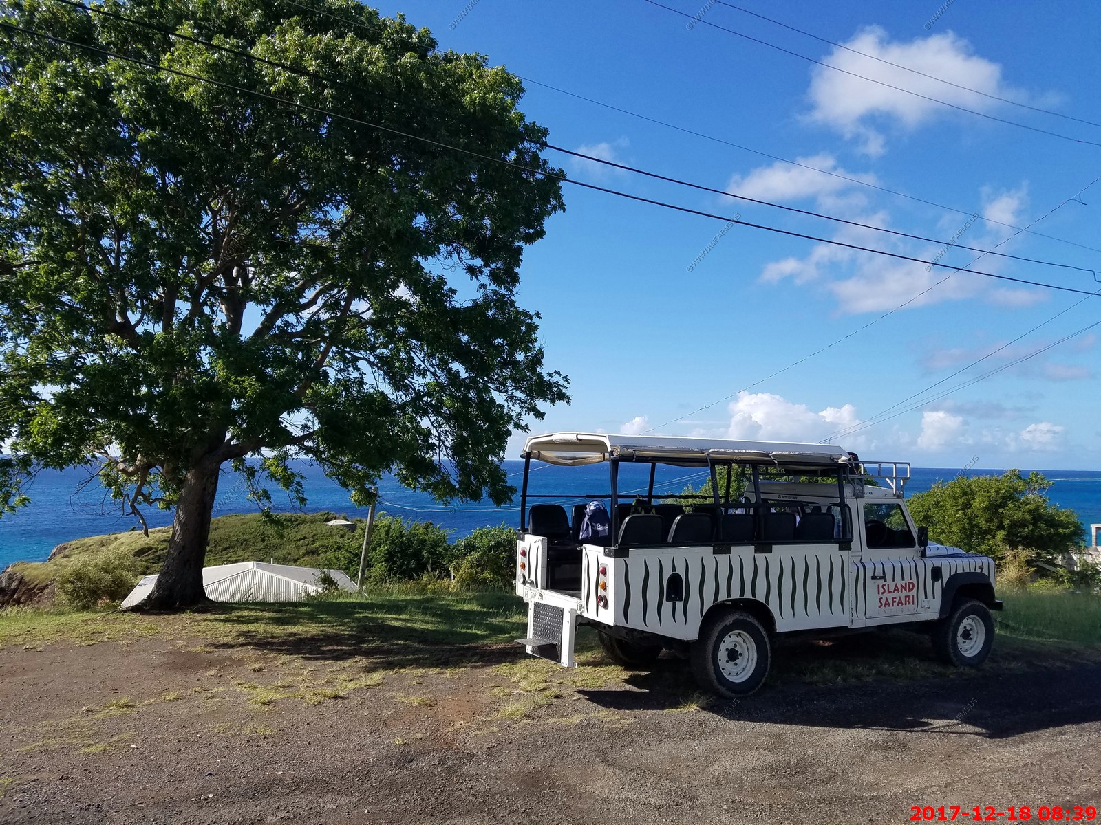
We decided to do the ship sponsored shore excursion:
Island Safari 4x4 adventure - 3.5 hours Adult $69.95
Description: Drive through picturesque villages, then it's "Off Road Time" (A JOKE) to see the remains of an 18th century English dam and the south west coast. Stop for photos
at the historical Old Road Village followed by a stop or swim in one of the beaches. Minimum age 4. Minimum height 2 feet. Ride may be bumpy. Wear swimsuit under clothing; bring a towel, sunscreen
and hat. Not suitable for pregnant women or for guests with back or neck problems.
This was the 4x4 road we went on. A joke. I would not hesitate to take my Prius on this road. Also the "dirt" part was very short.

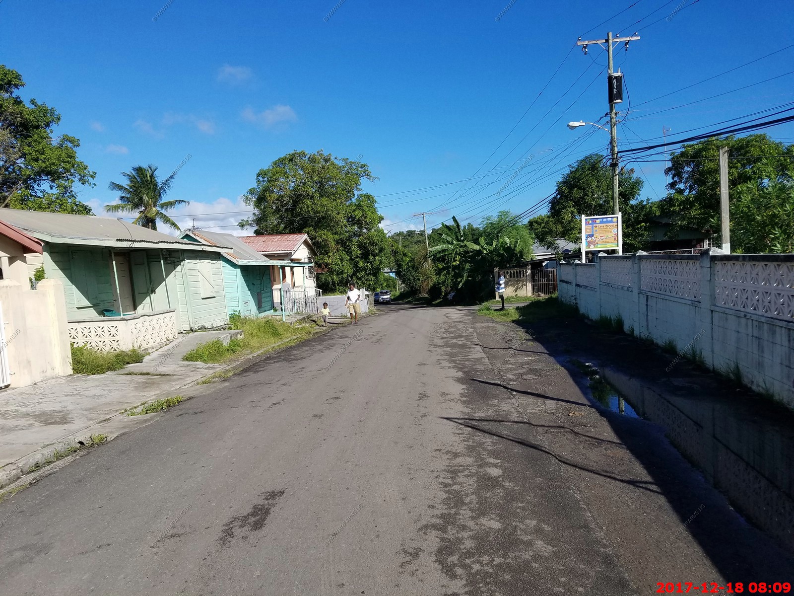
Various views. Still no storm damage


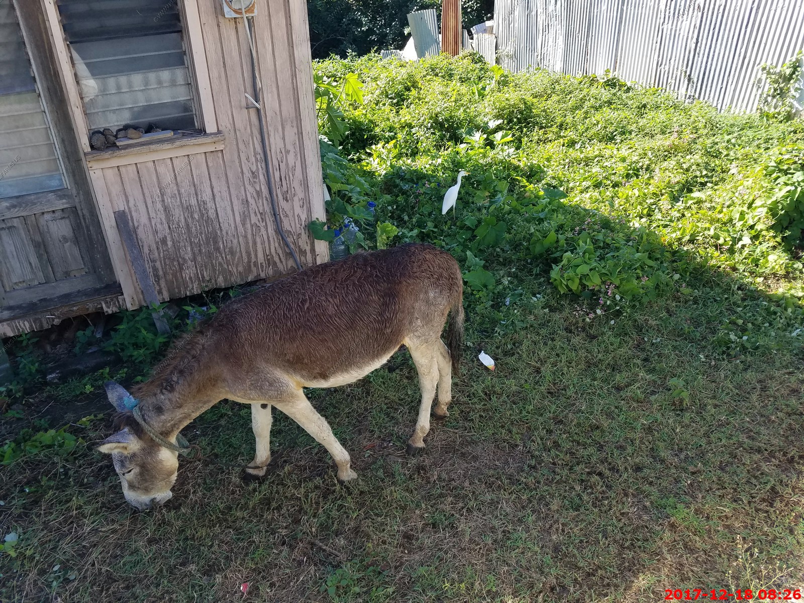
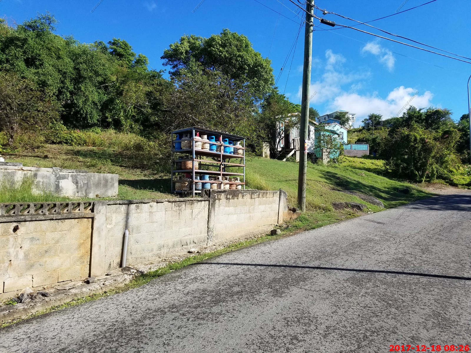
Road donkey

Interesting way to store propane
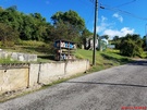
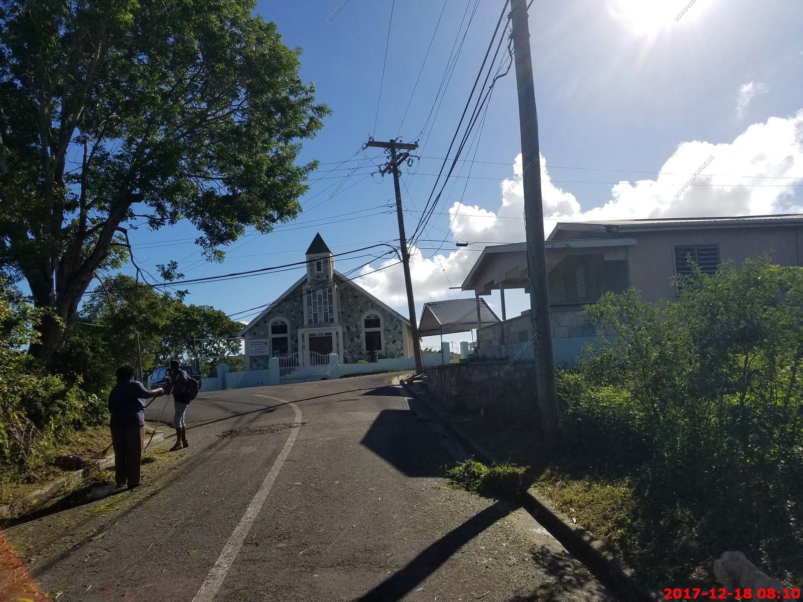
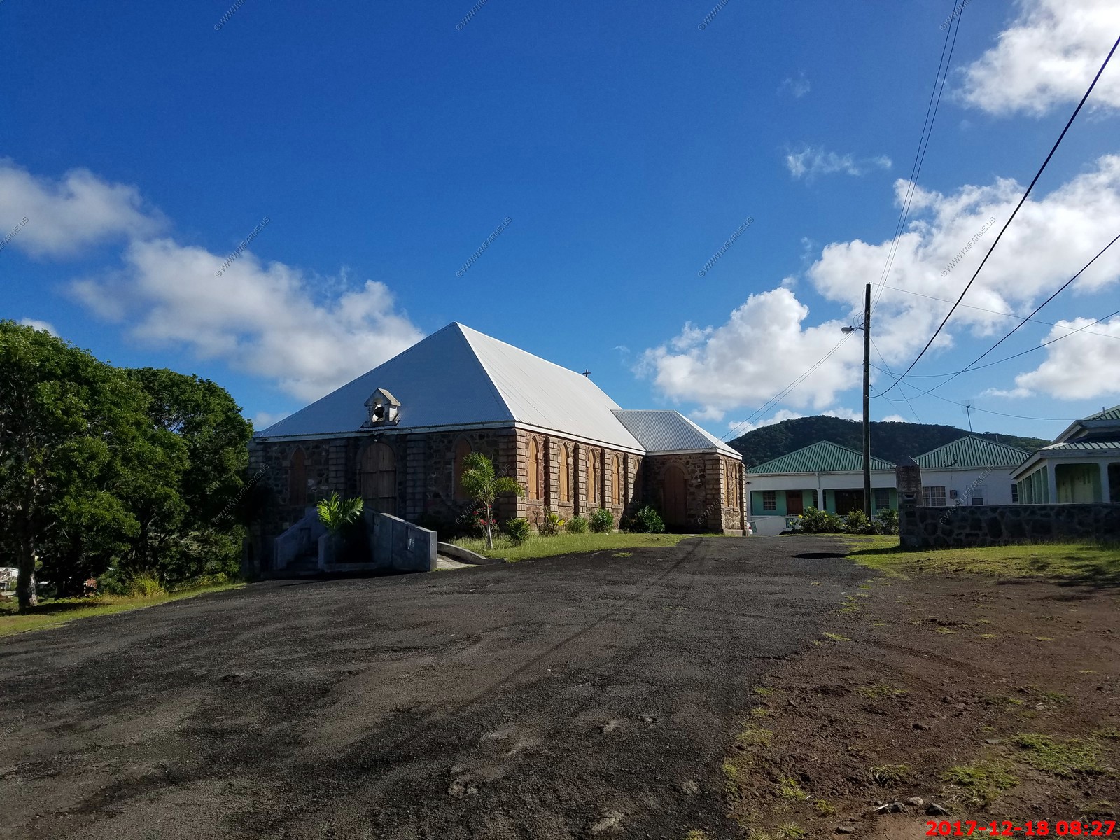
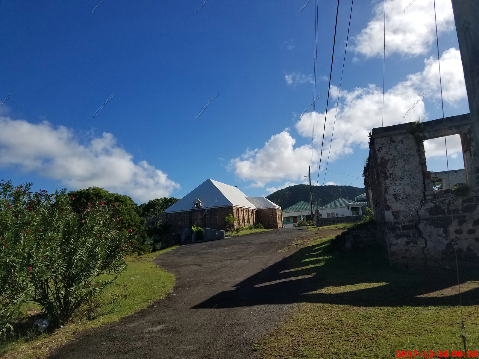
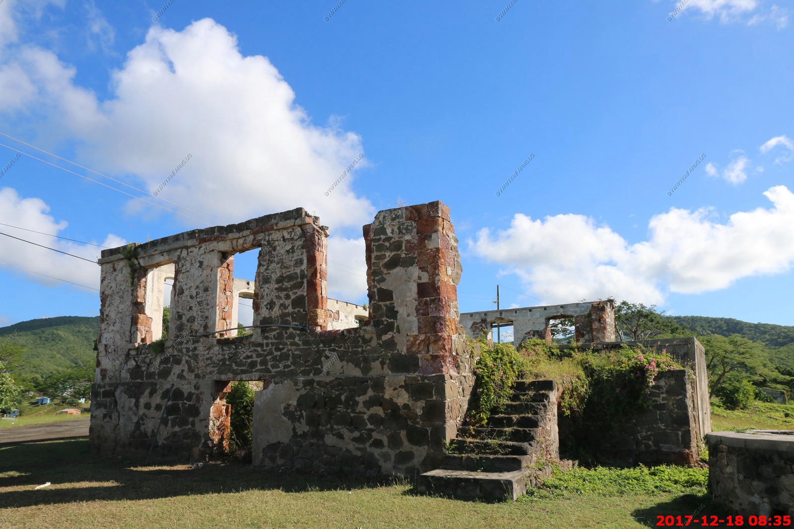
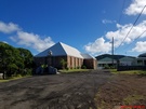
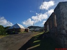
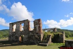
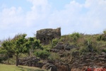
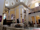
We stopped at the church site in the Old Road village (located at 17.014N -61.837W) We got out of the vehicle and had some time to look around.
The Old Road Church


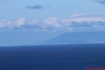
You could see Montserrat (British Overseas Territory) where the active volcano is.
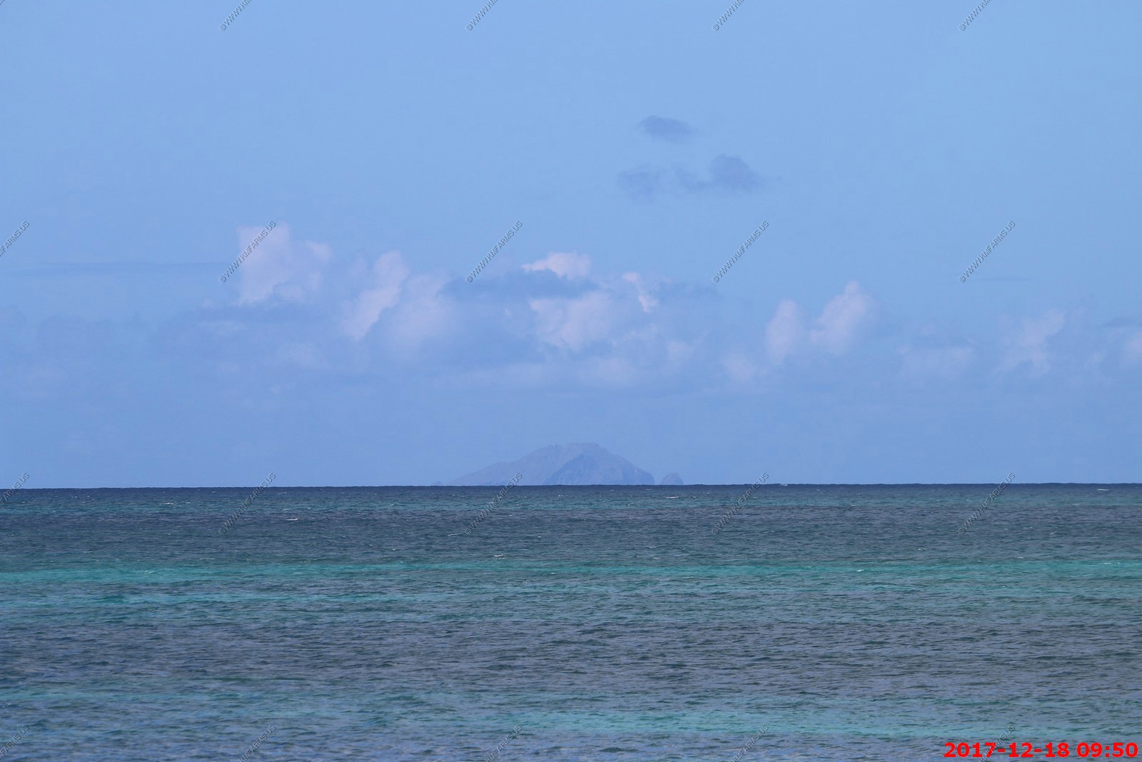
Was not sure if I was looking at Nevis or Redonda Island. We will see this small island later today when we are heading to Puerto Rico
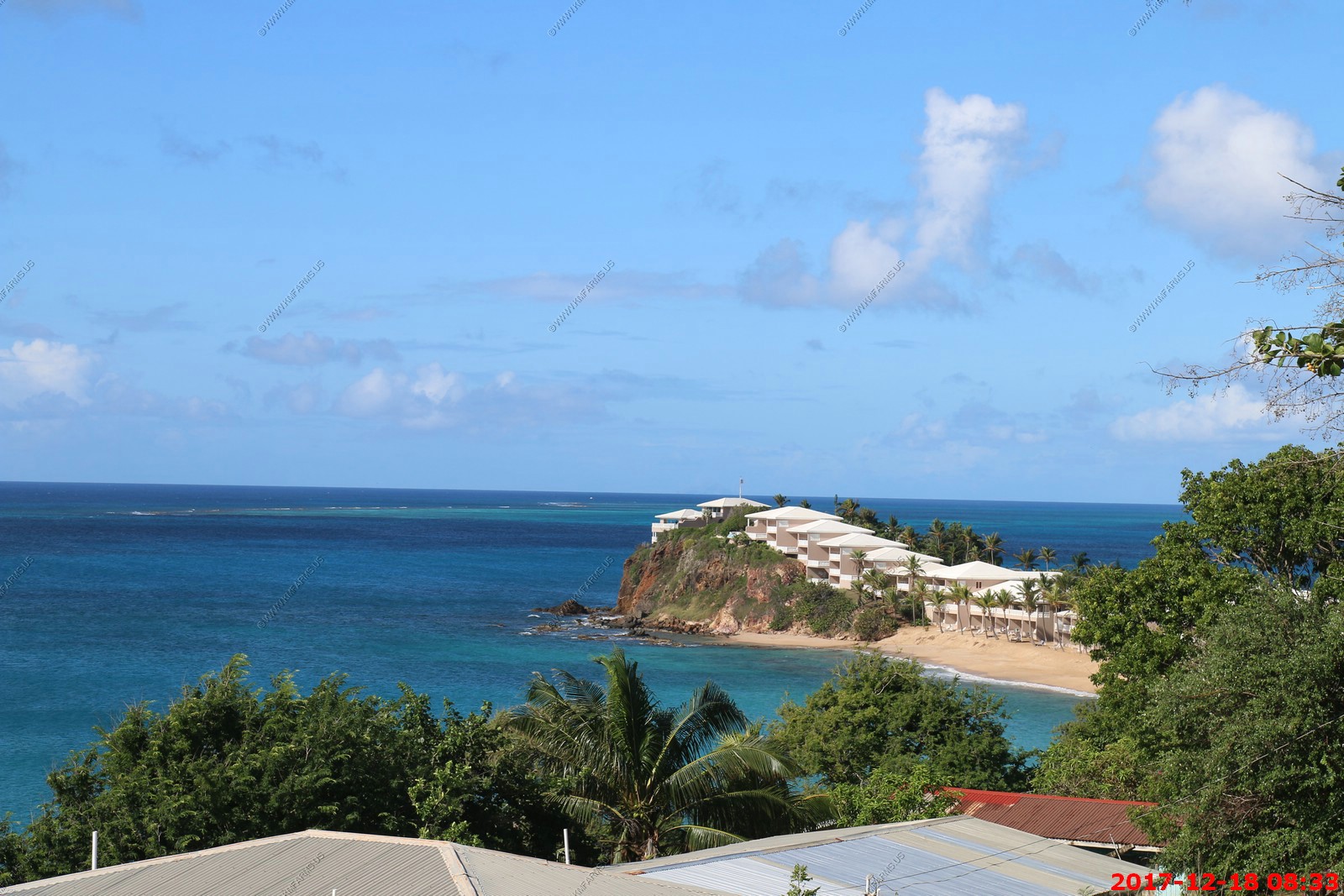
Curtain Bluff Resort - Five-star luxury, a perfect place for a wedding or a romantic getaway.

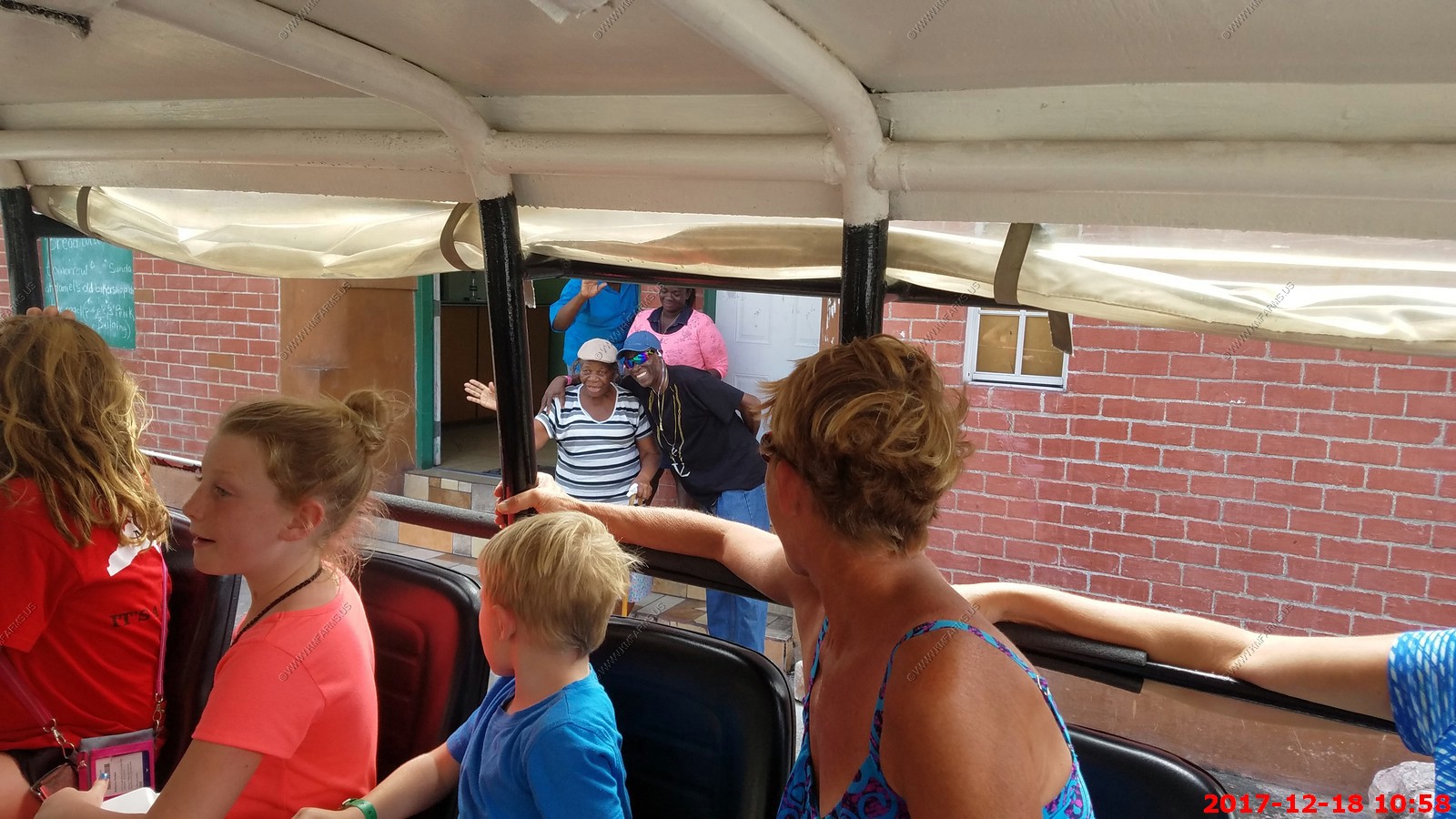
The 4x4's that we were riding in
Pineapple's being grown along the road

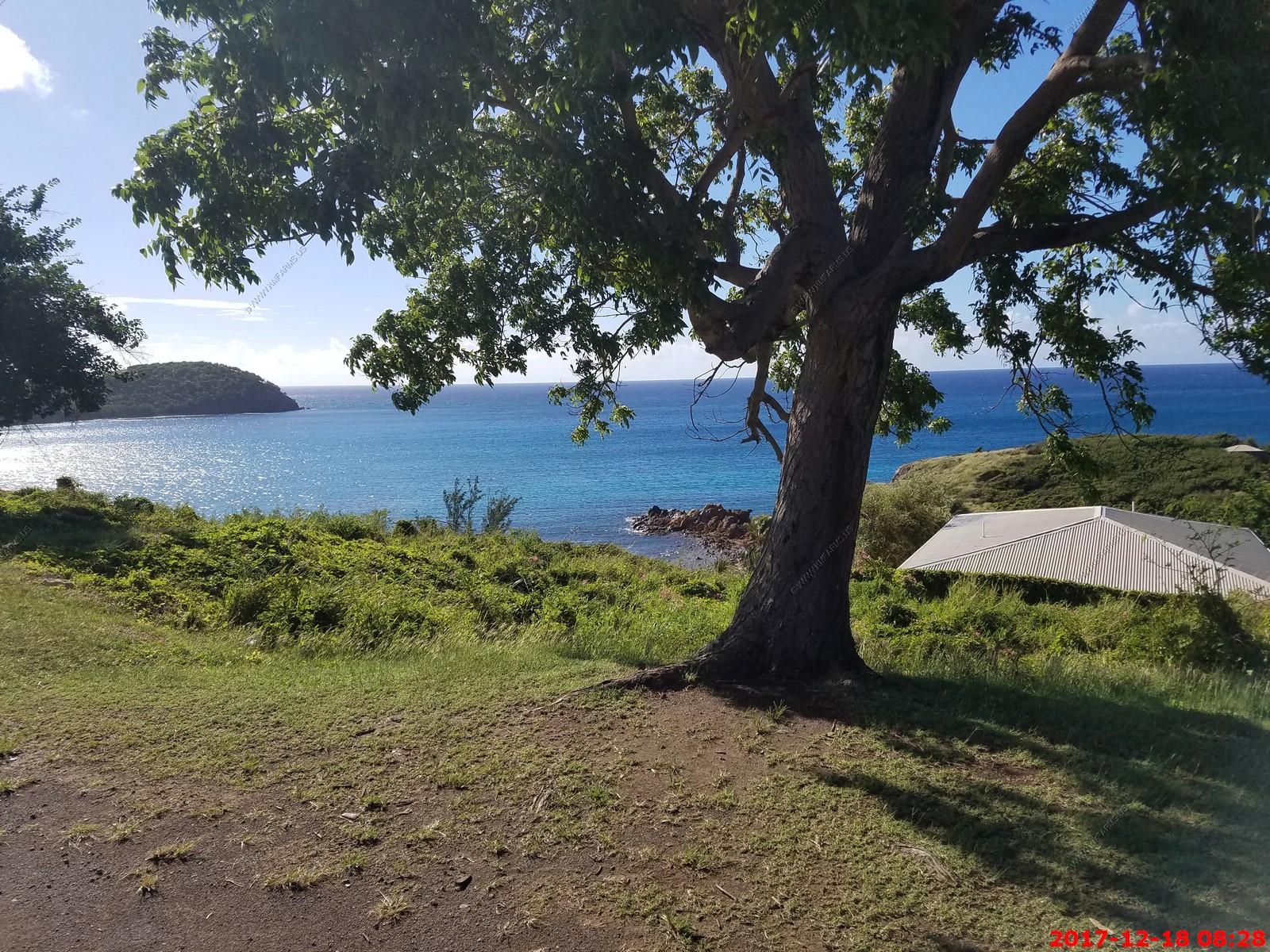
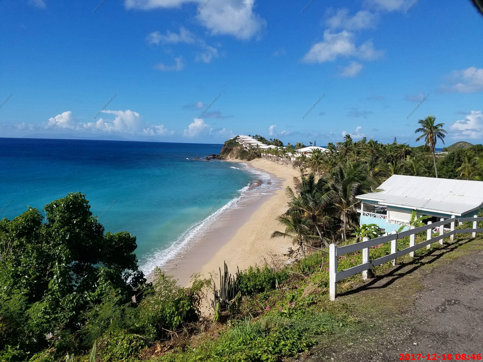
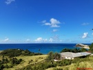
The 4 X4 part of this tour could have been skipped, but it was fun since the weather was great. Stopped at a beautiful beach and I went snorkeling. The clarity was very poor so I gave up. The swim was wonderful however.
We stopped for an hour or so to swim at Turners Bar & Beach (located at 17.028N-61.889W).
I was amazed at how calm the water was here. This is the Caribbean and the wave height was probably 3 inches or less
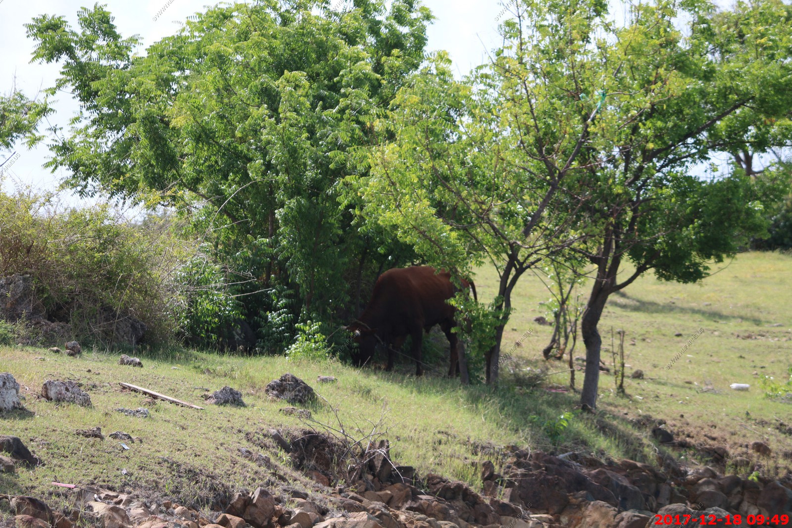
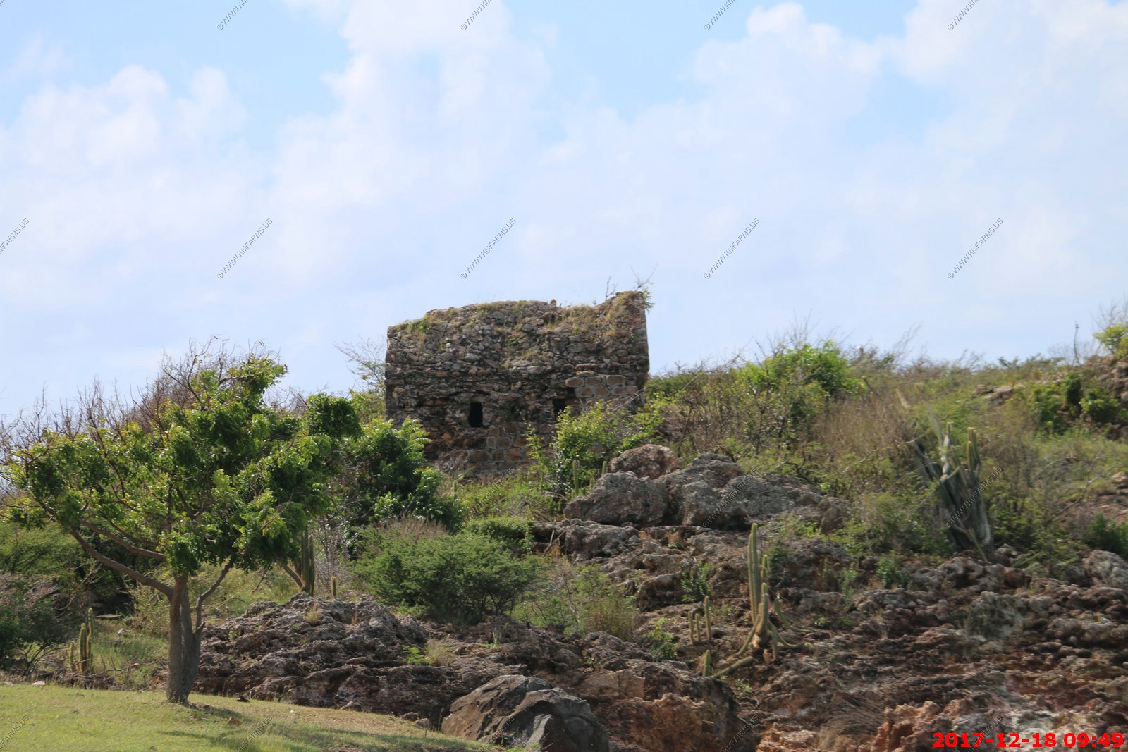
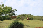
Mary walked up the steps near the rocks and saw ruins and cows.

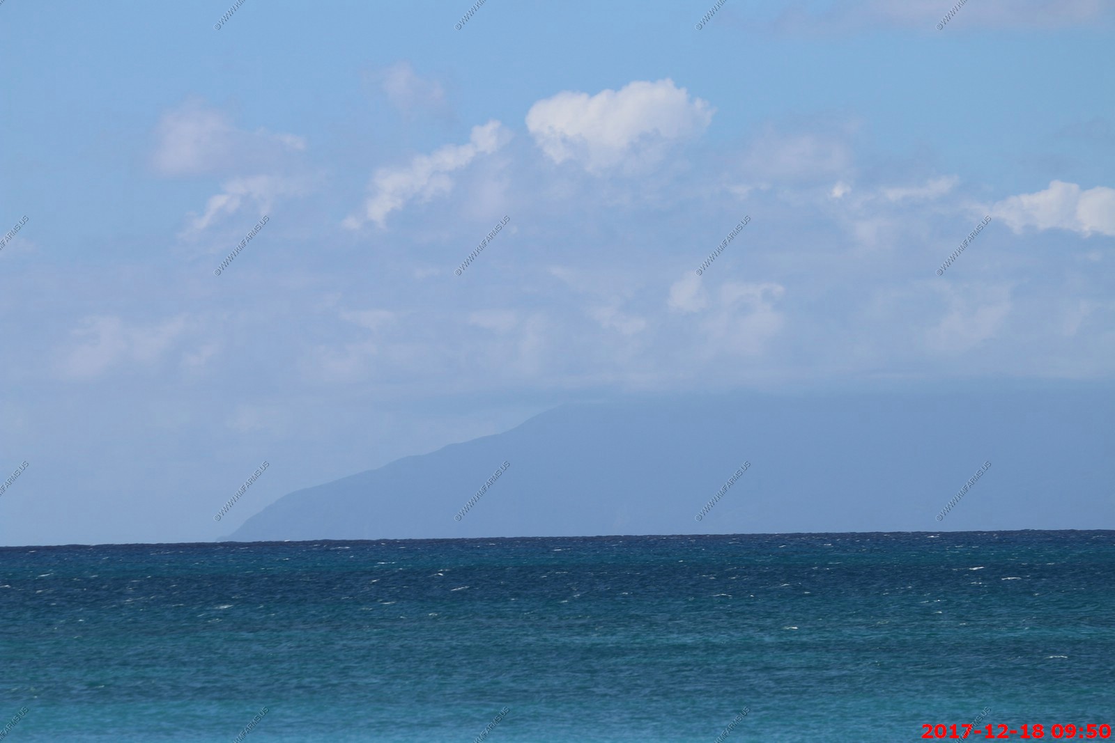
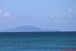
I put the 400mm lens to give Montserrat a better look. No volcano could be seen
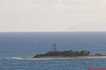
Redonda Island (Antigua and Barbuda)
The "Kingdom of Redonda" is a slightly humorous name for the tiny uninhabited island of Redonda, which is situated between the islands of Nevis and Montserrat, within the inner
arc of the Leeward Islands chain, in the West Indies. The island is now part of the country of Antigua and Barbuda.
This small island may, arguably and briefly, actually have existed as an independent kingdom, the title to which is still to this day contested in a half-serious fashion.
The "Kingdom" is also associated with a number of supposed aristocratic members, whose titles are given out freely by whomever is currently the "King".
According to a story told many years later by his son, who was a fantasy fiction writer, in 1865 Matthew Dowdy Shiell, from the nearby island of Montserrat, proclaimed himself
to be the rightful, and supposedly legal, "King" of the island of Redonda. This story may be partly or entirely fictional.
The small (approx. 1 square mile) island of Redonda, is essentially one very large rock. It is the remnant of an ancient volcanic core, and the land rises extremely steeply from
sea level, mostly as sheer cliffs. Although to Columbus the island appeared to be round when viewed from the side, it is in reality long and narrow. Redonda is uninhabited,
except by wildlife and a flock of feral goats, who manage to survive on the poor grazing on top of the island.
For 35 US dollars you can join King Robert navy and help him defend the island from evil invaders. It's up to you if you want to give the guy $35 for the honor of deterring
imaginary threats. You must provide your own boat.
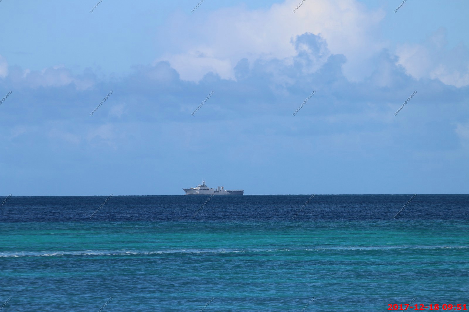
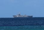
So as we are sitting on the beach by Turners bar I took these photos of this ship.
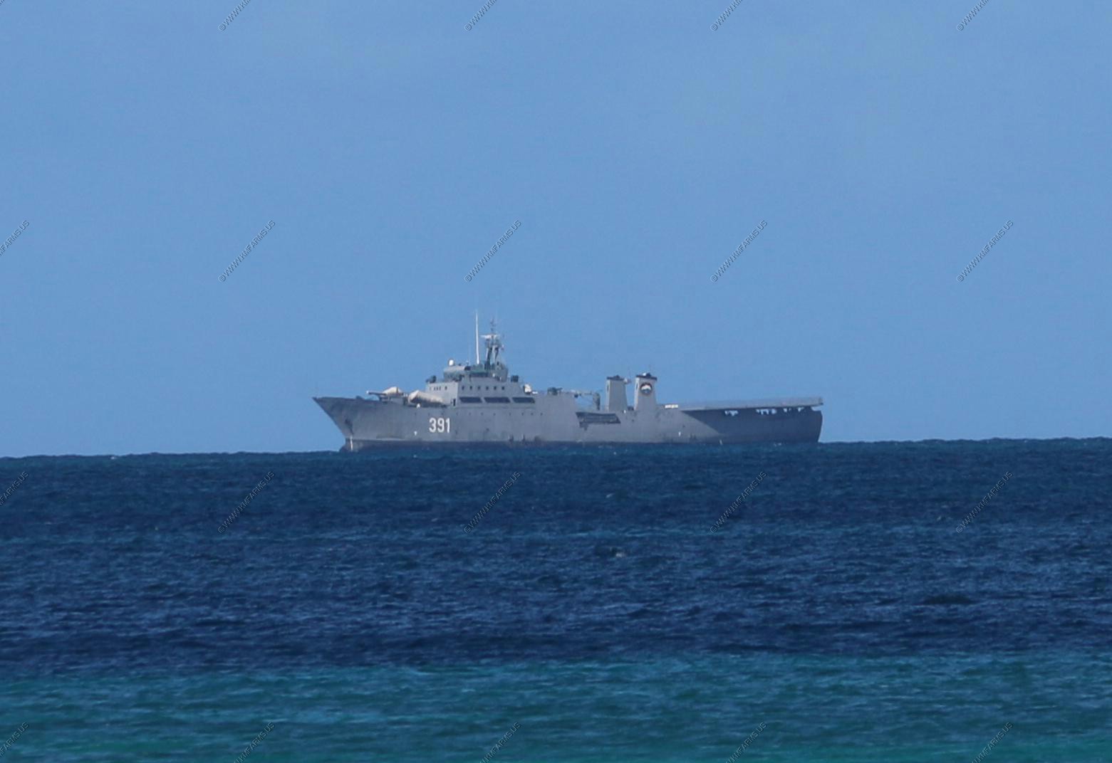
As I research, it looks like its "Marina de Guerra Revolucionaria's '391'" A Cuban warship. Very strange ? Why is it here ? On the web not much infor except for "Fishing trawler gone patrol boat"
The Rio Damuji class are the largest warships in the Cuban Navy built from old Spanish fishing trawlers. Built between 1975 and 1979, they are variously classed as frigates,
corvettes, or offshore patrol vessels. The ships' armament consists of Styx missile launchers, 25mm guns, and the turret of a ZSU-57-2. Modifications of the design were delivered
to Spain and Egypt.
So back to Mary and the wonderful beach
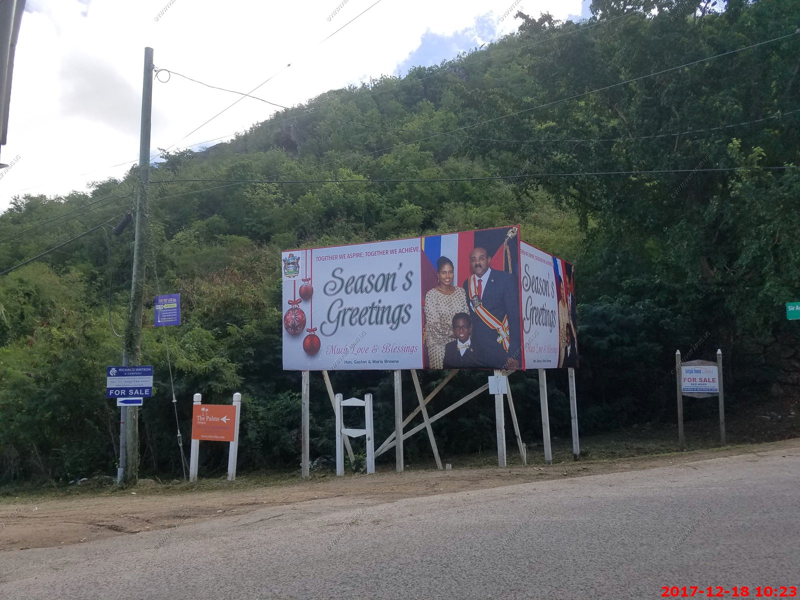
Seasons Greetings from the current Prime Minister of Antigua and Barbuda, in office since 2014.
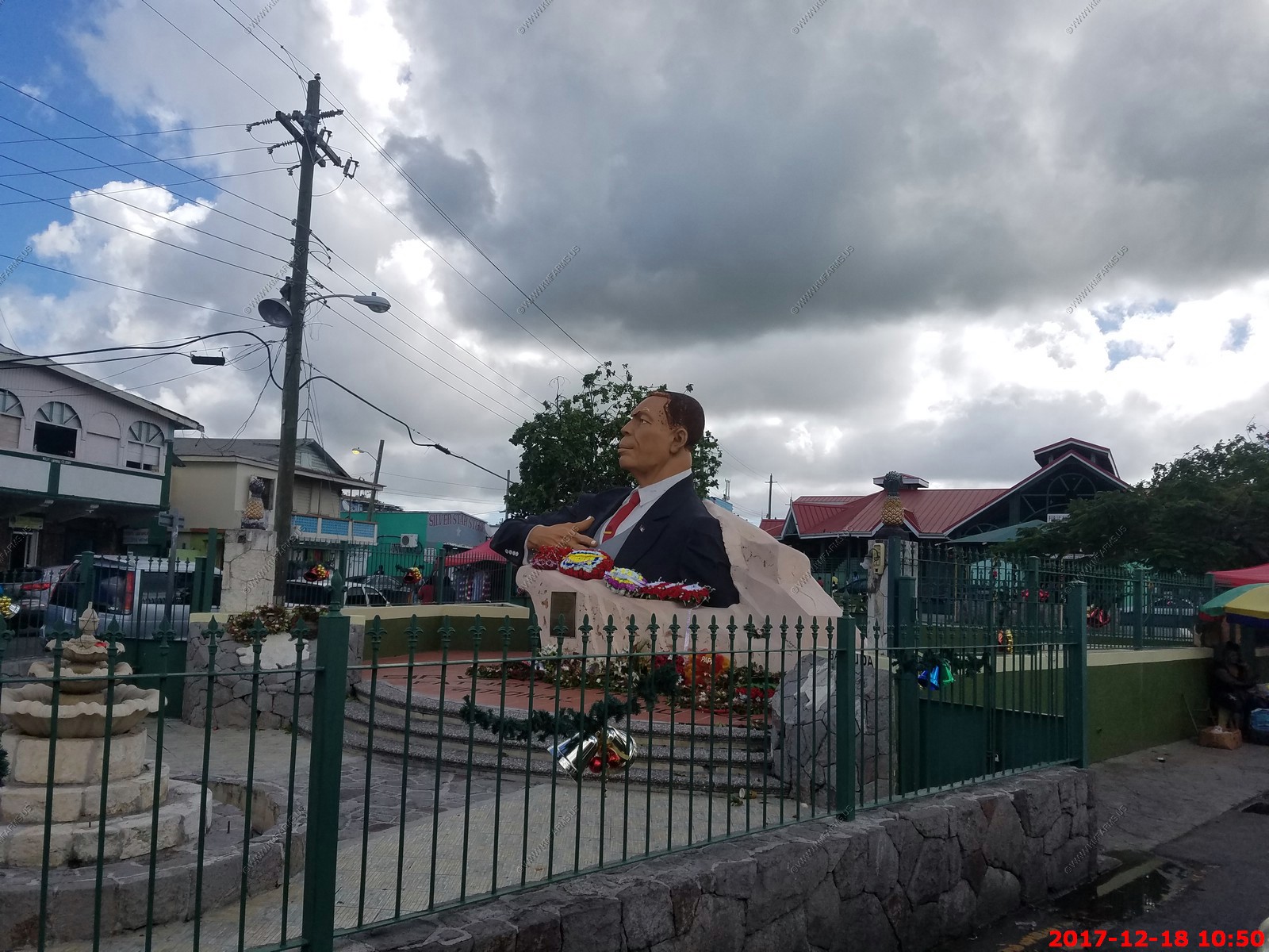
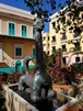
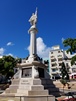
Statue of Sir Vere Cornwall Bird (Saint Johns) - First Prime Minister and national hero of Antigua and Barbuda
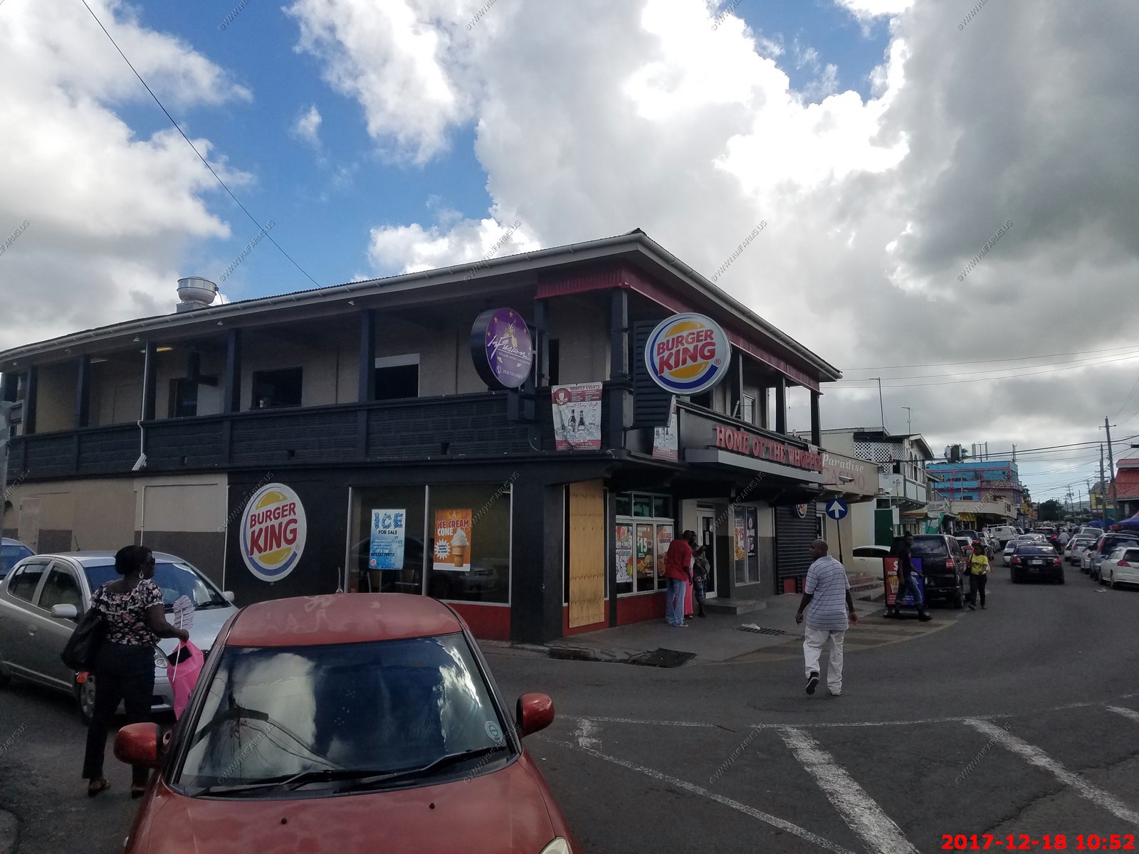
Sorry to see that they had crappy US fast food here
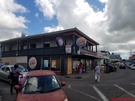
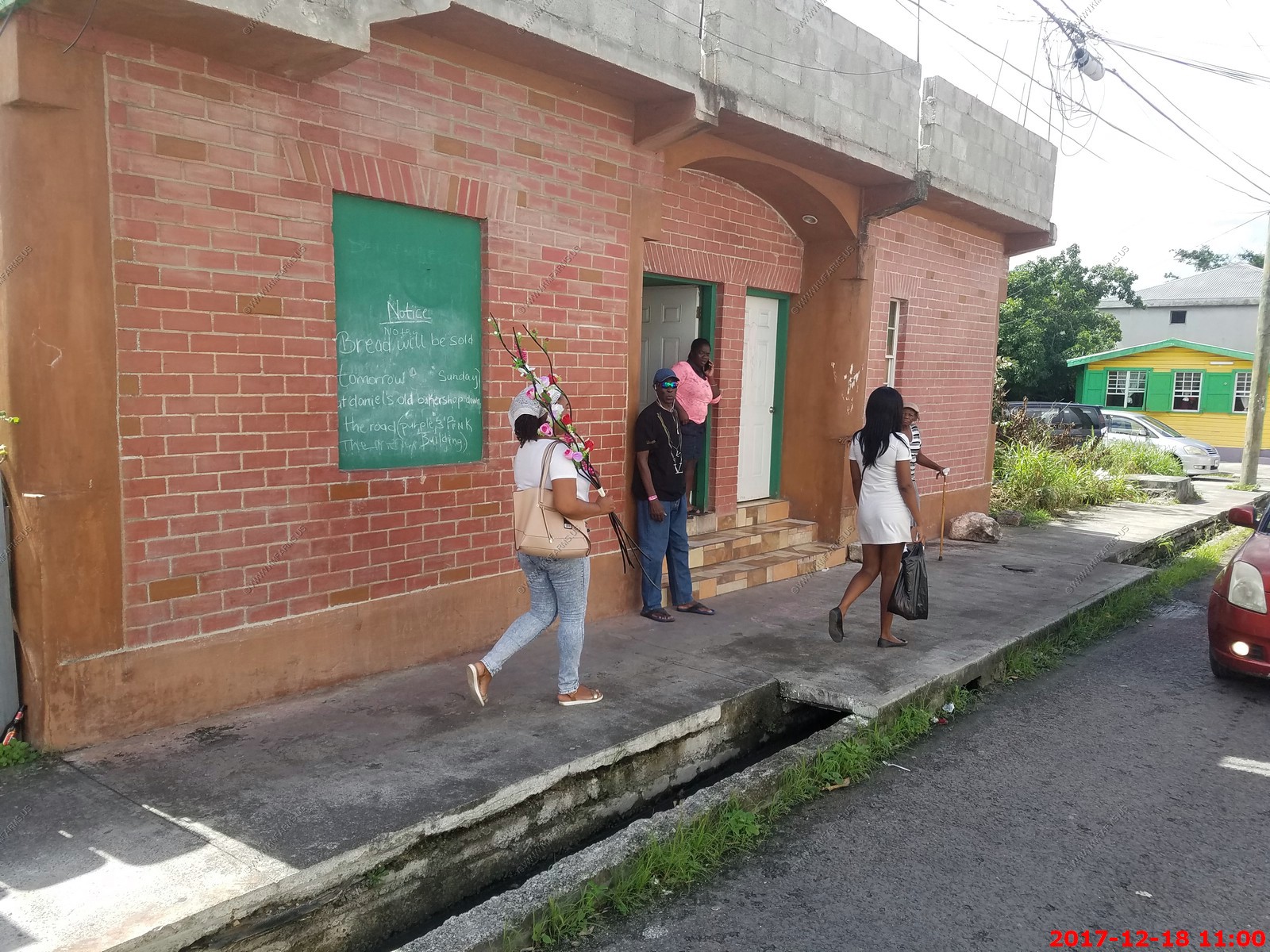
This lady was dancing and friendly as we drove by. I guess bread will be sold tomorrow.

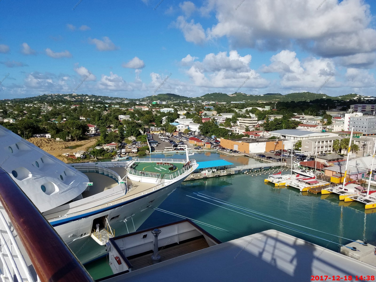
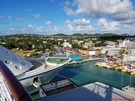
Terrible traffic was in the port area. We had seen enough so when we got back on the ship we did not go back out into the town.
Port views
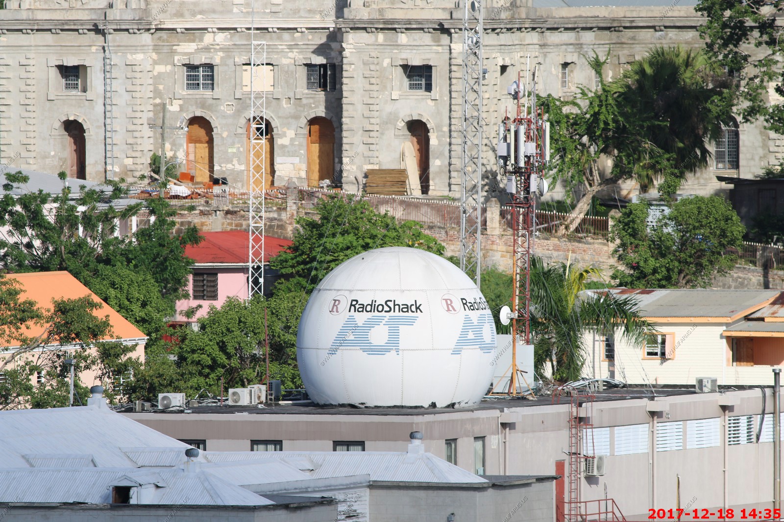
Radio shack ??
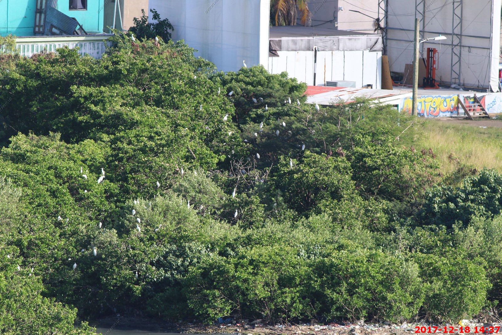
Great Egret rookery ?
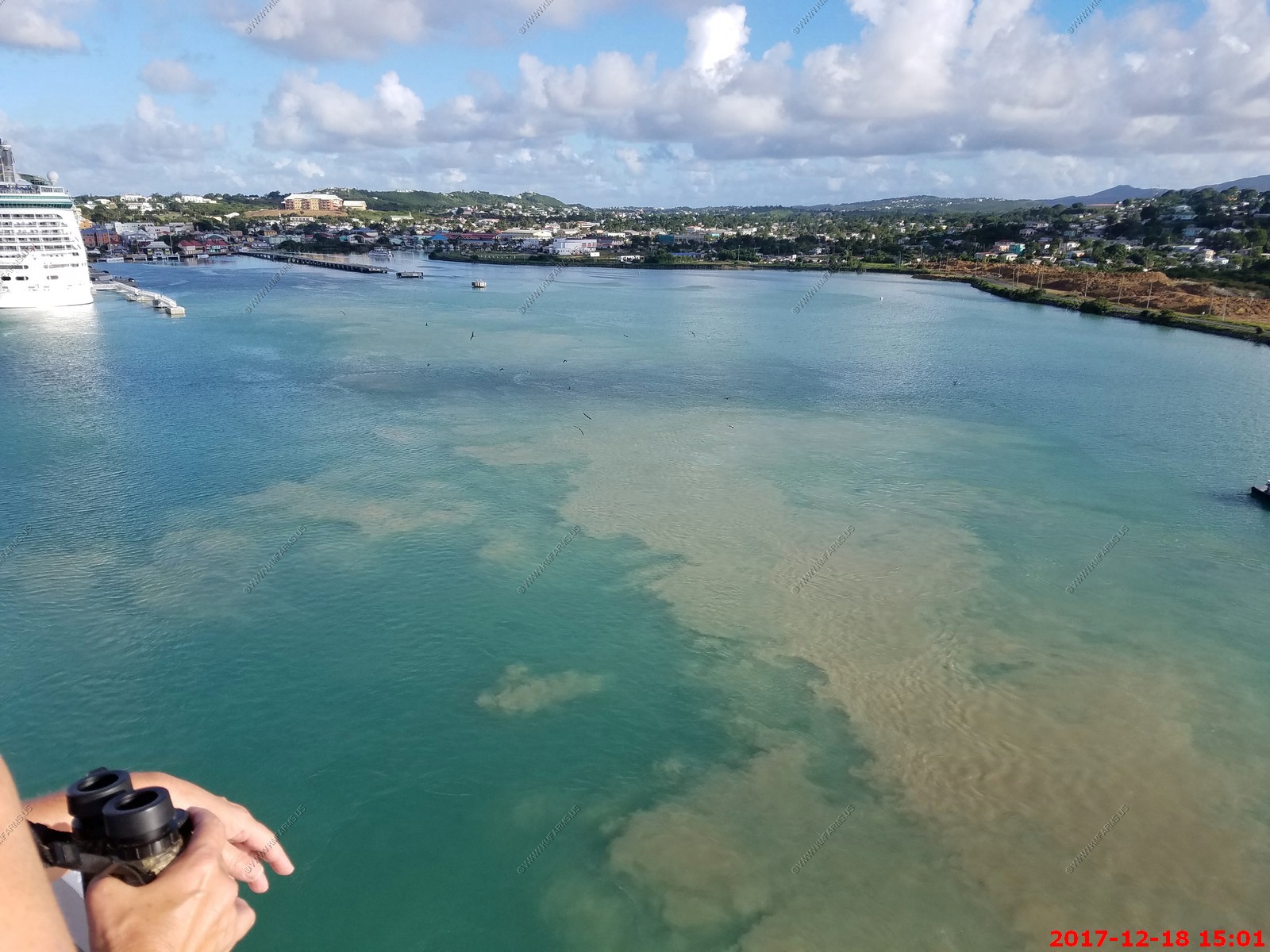
Departing and kicking up sediment
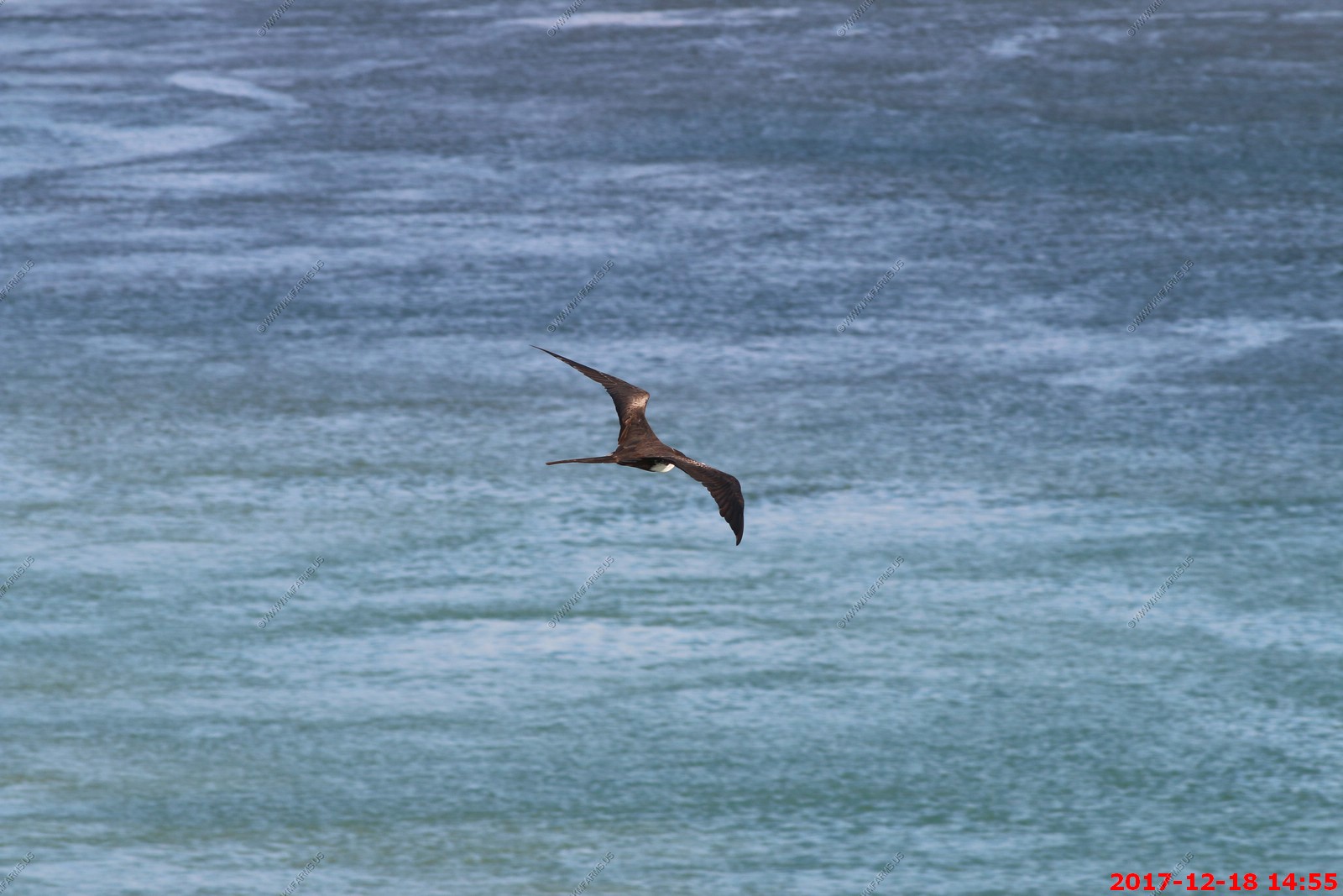
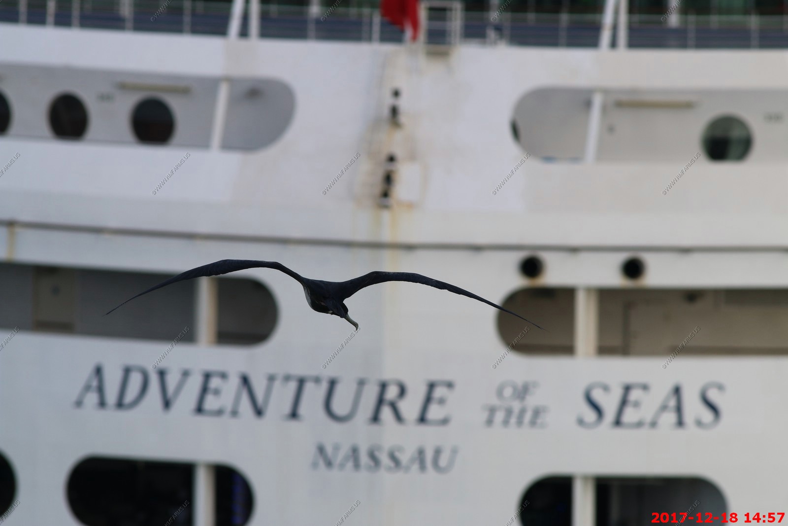
This is a great place to watch the Magnificent Frigate bird

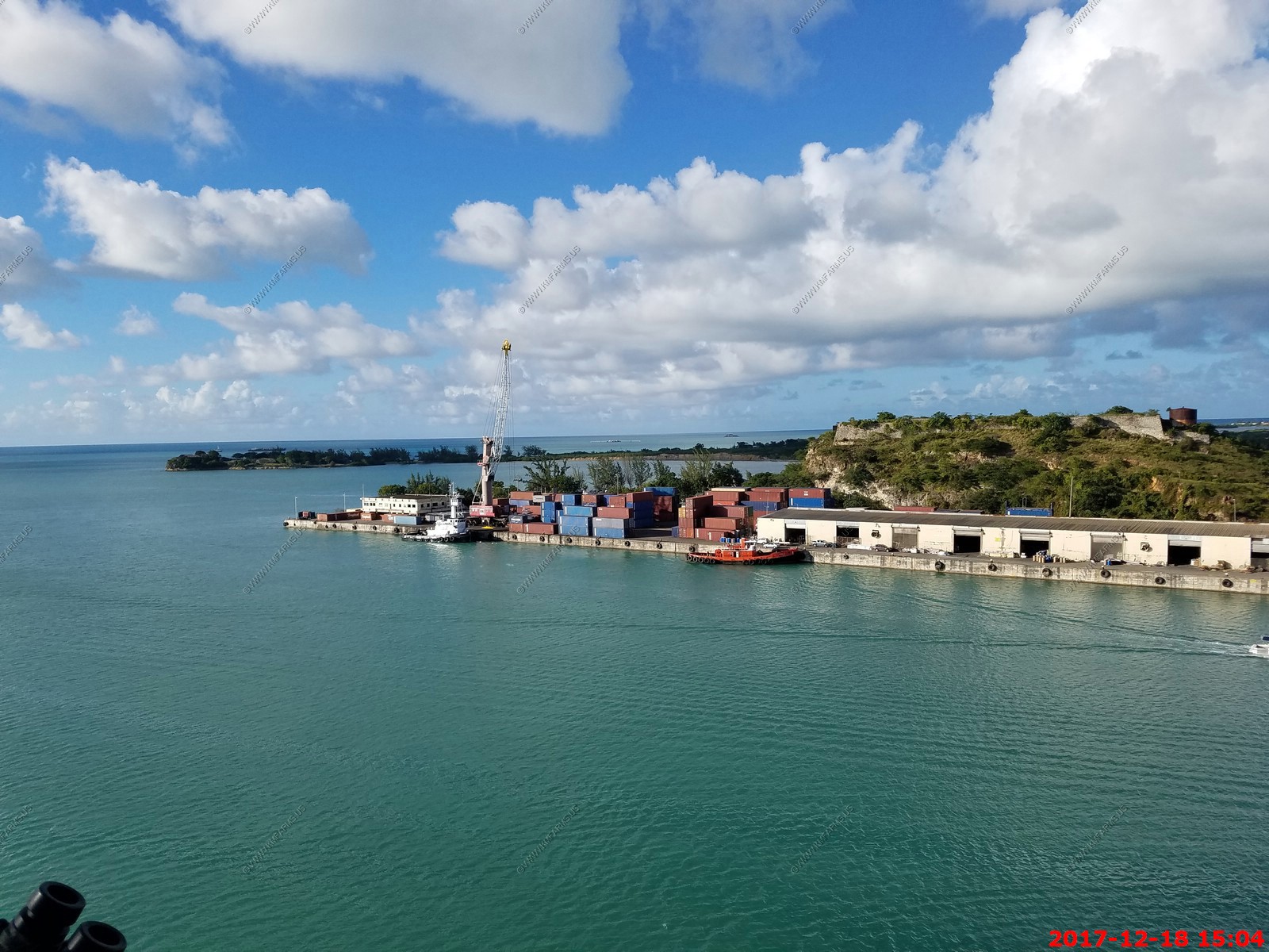
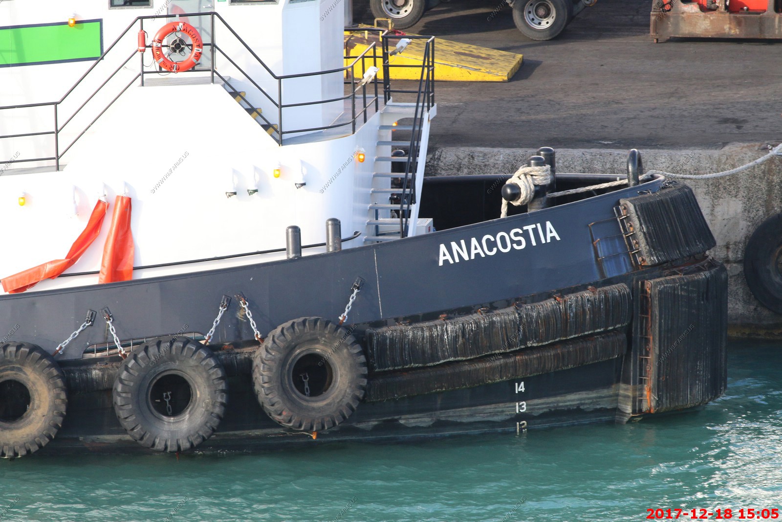
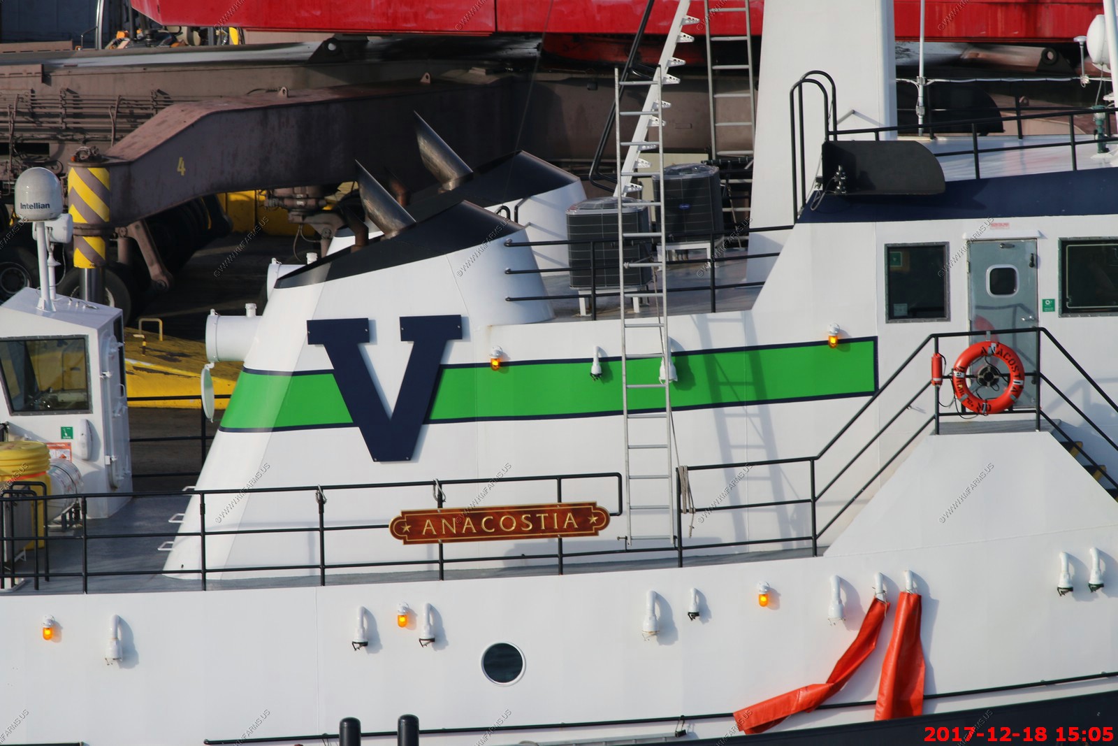
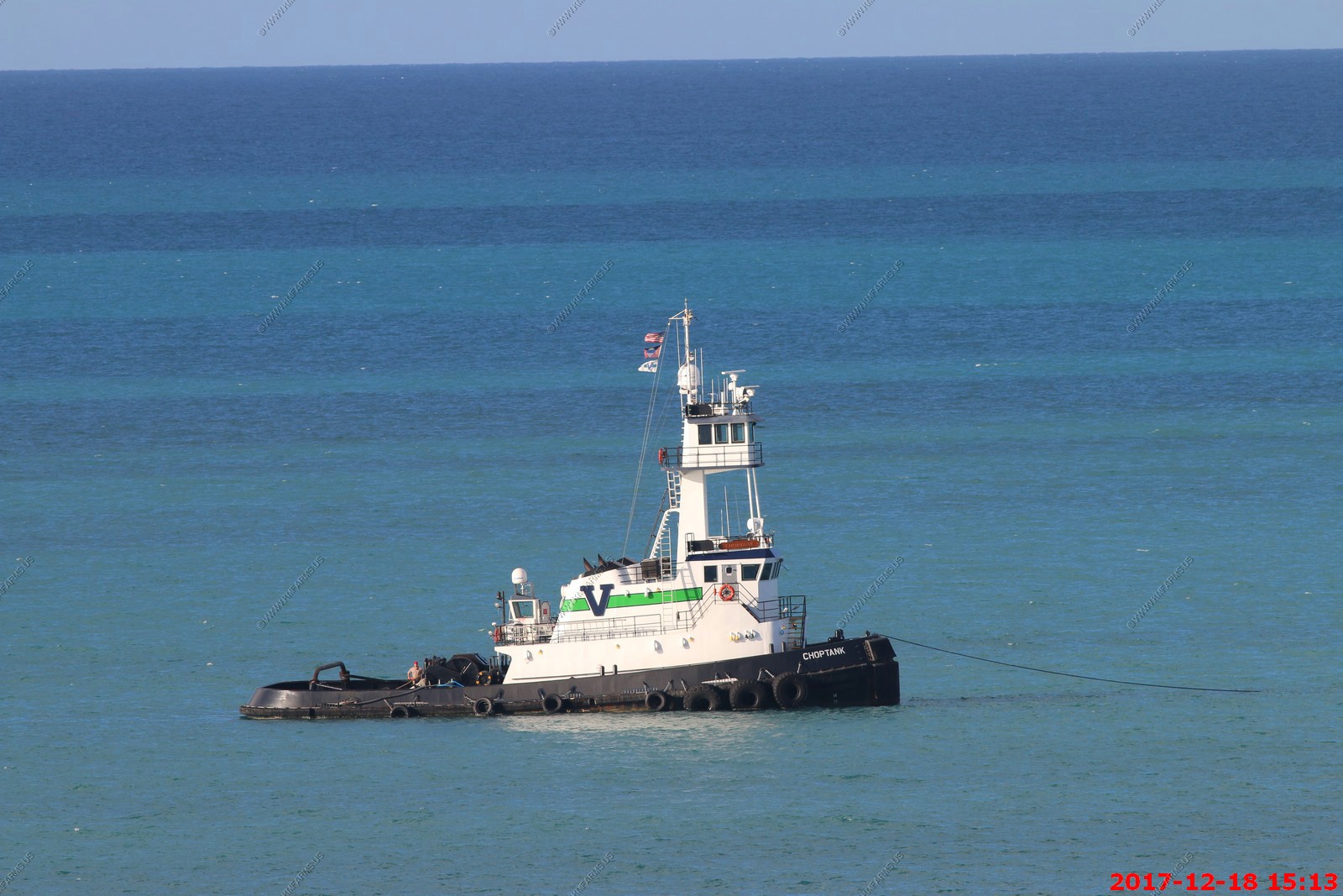
Departing views of the old fort and container facility on Rat Island

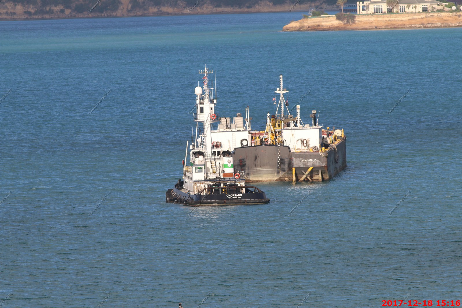
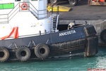
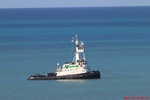
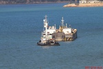
This was interesting. A number of tugs from the Baltimore area. Contracted out for storm recovery efforts we assume
This looks a bit exposed
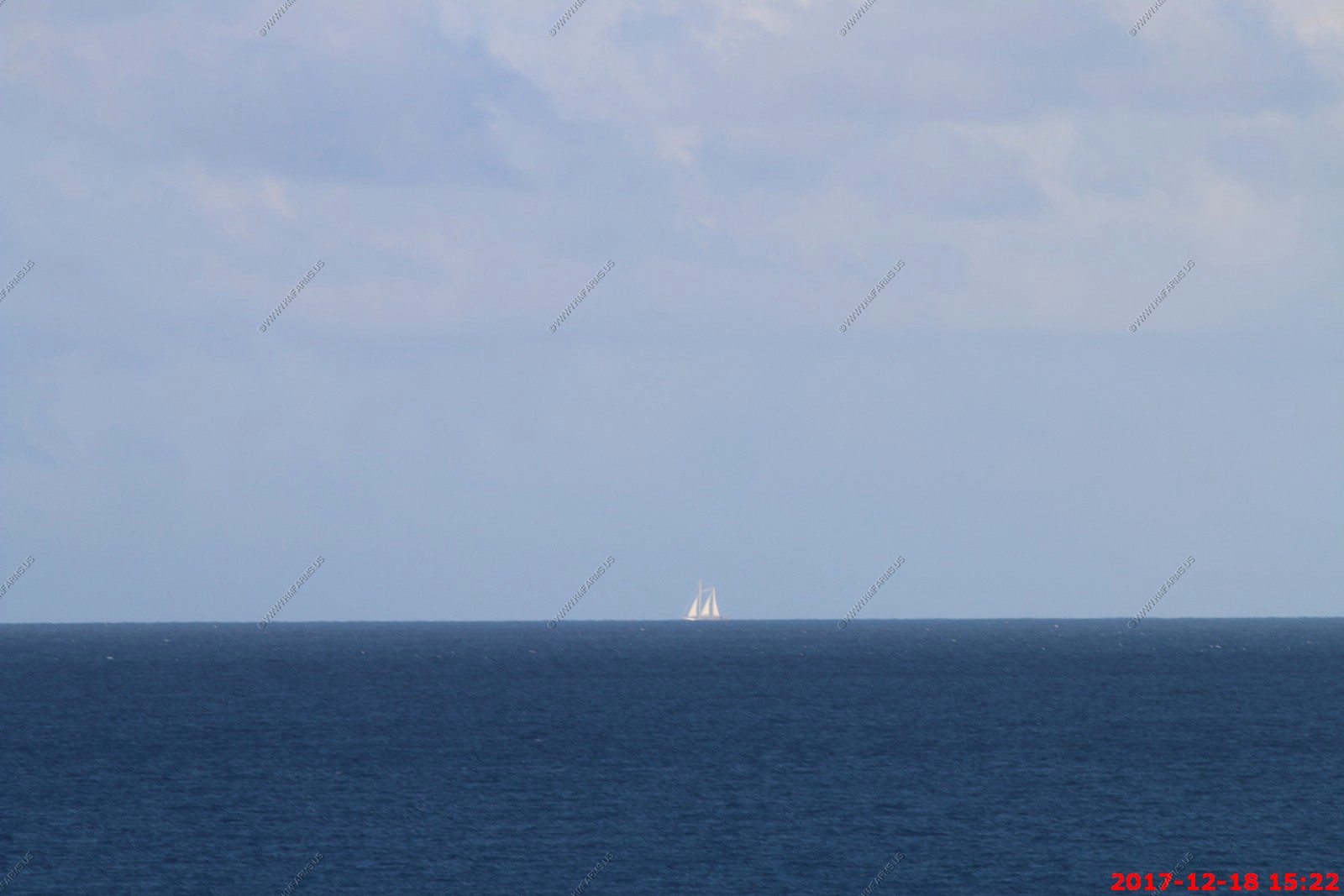
400mm lens shot of a sailboat.
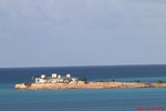
Sandy Island with Montserrat in the background
Soot from the ship exhaust time again. Not good as a couple of cruises ago Mary got free dry-cleaning for a damaged dress

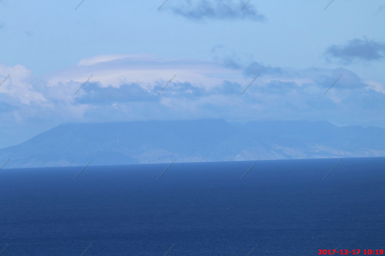
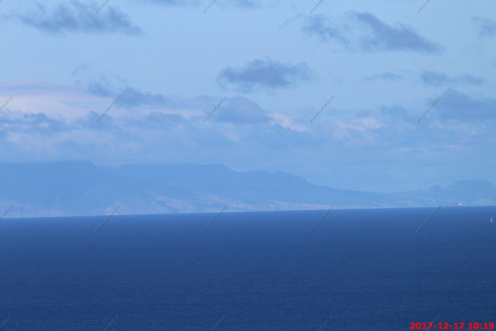
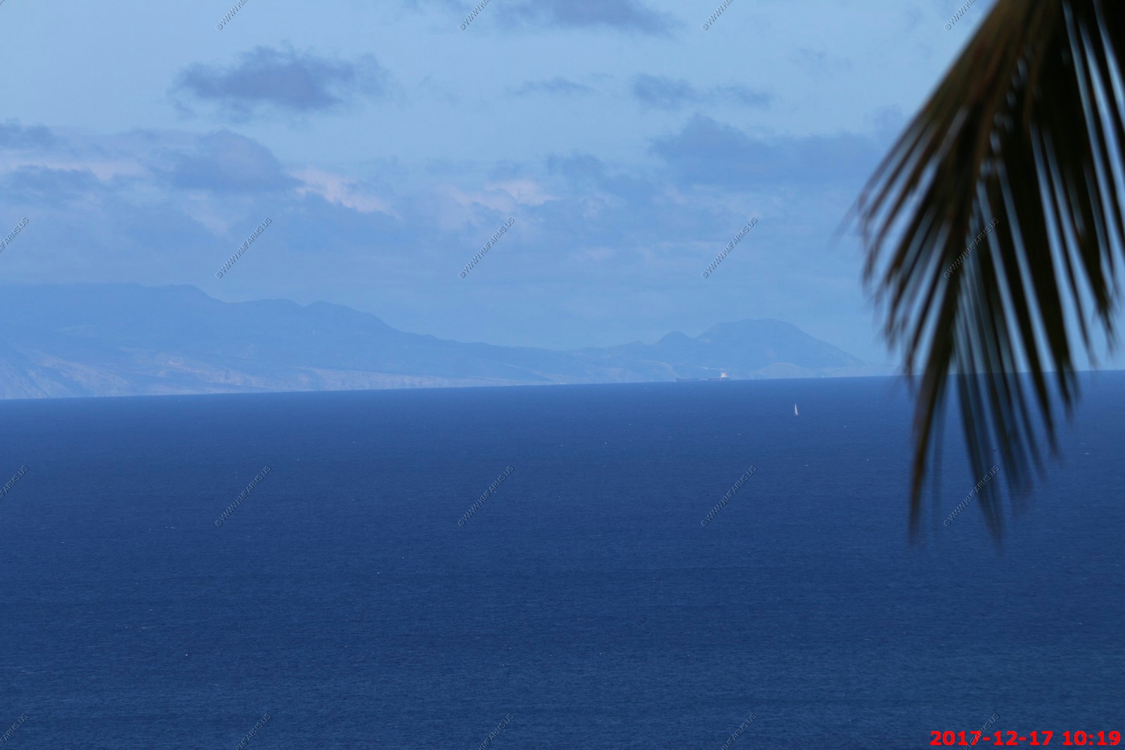
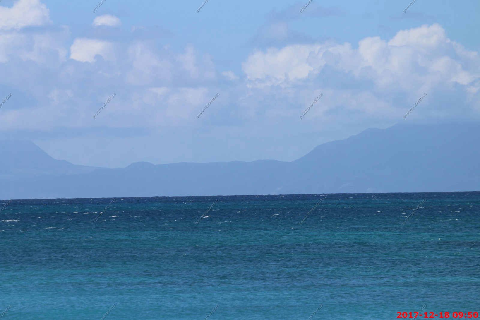
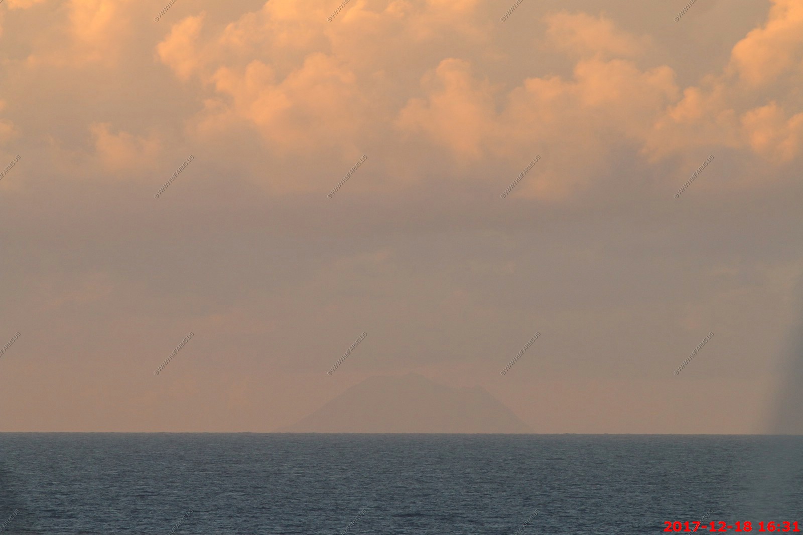
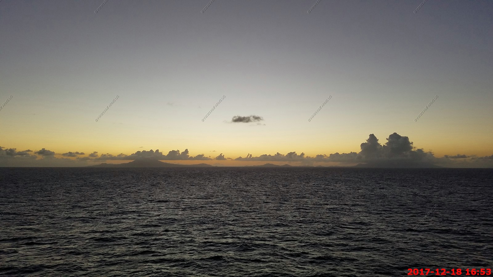
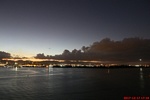
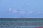
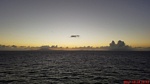
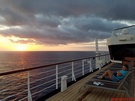
Sunset time. This is a hard area to figure out exactly what you are looking at. We were east of Saint Kitts and Nevis and had Redonda Island (Antigua and Barbuda) to look at.
Redonda Island (Antigua and Barbuda)

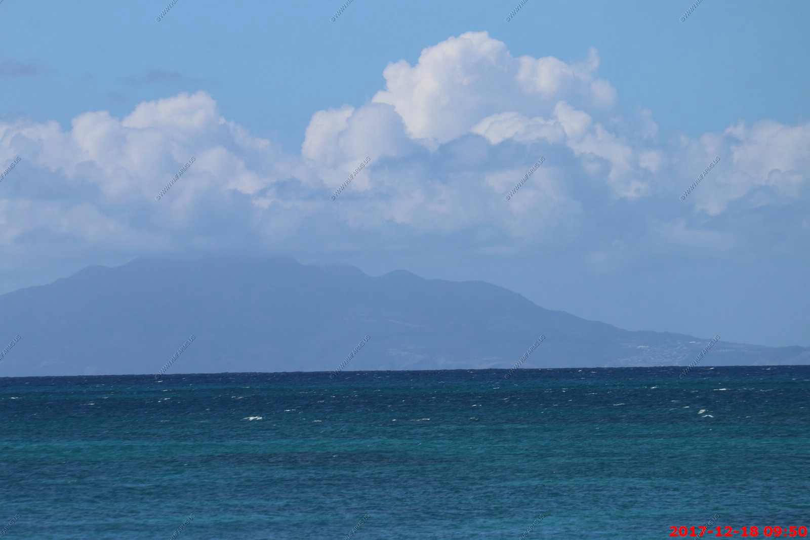
Sunset over Nevis
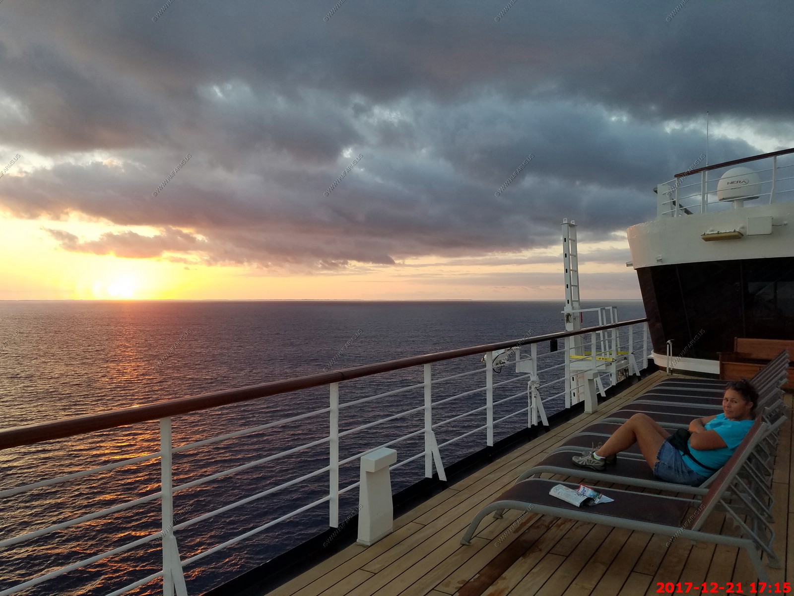
Mary looking cute in her DIA hat watching the sunset and trying to stay out of the wind

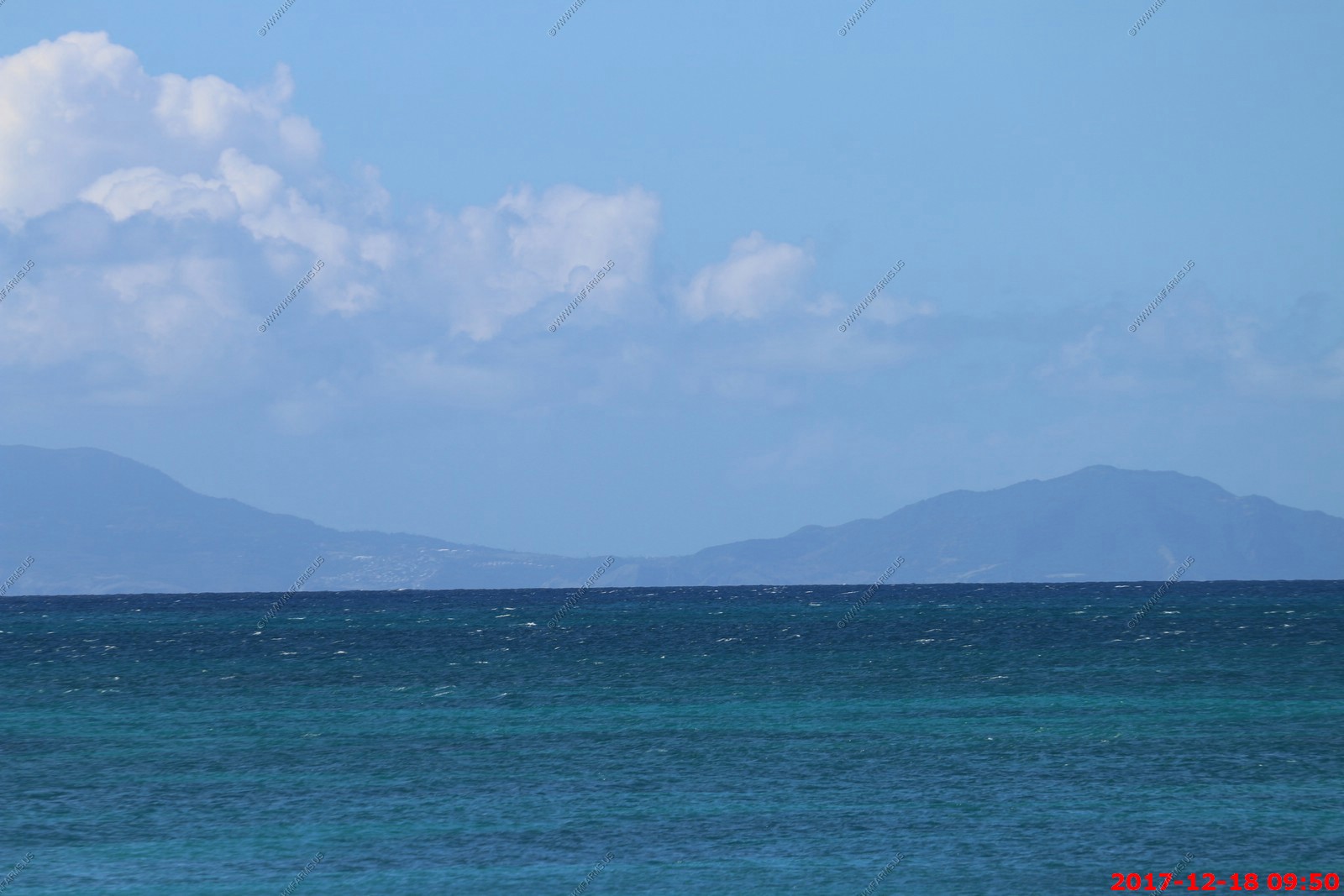
Nevis on the left and Saint Kitts on the right
Again why we go on the Holland America cruises. The sunset crowds
A bit later
A coin in the front of the ship

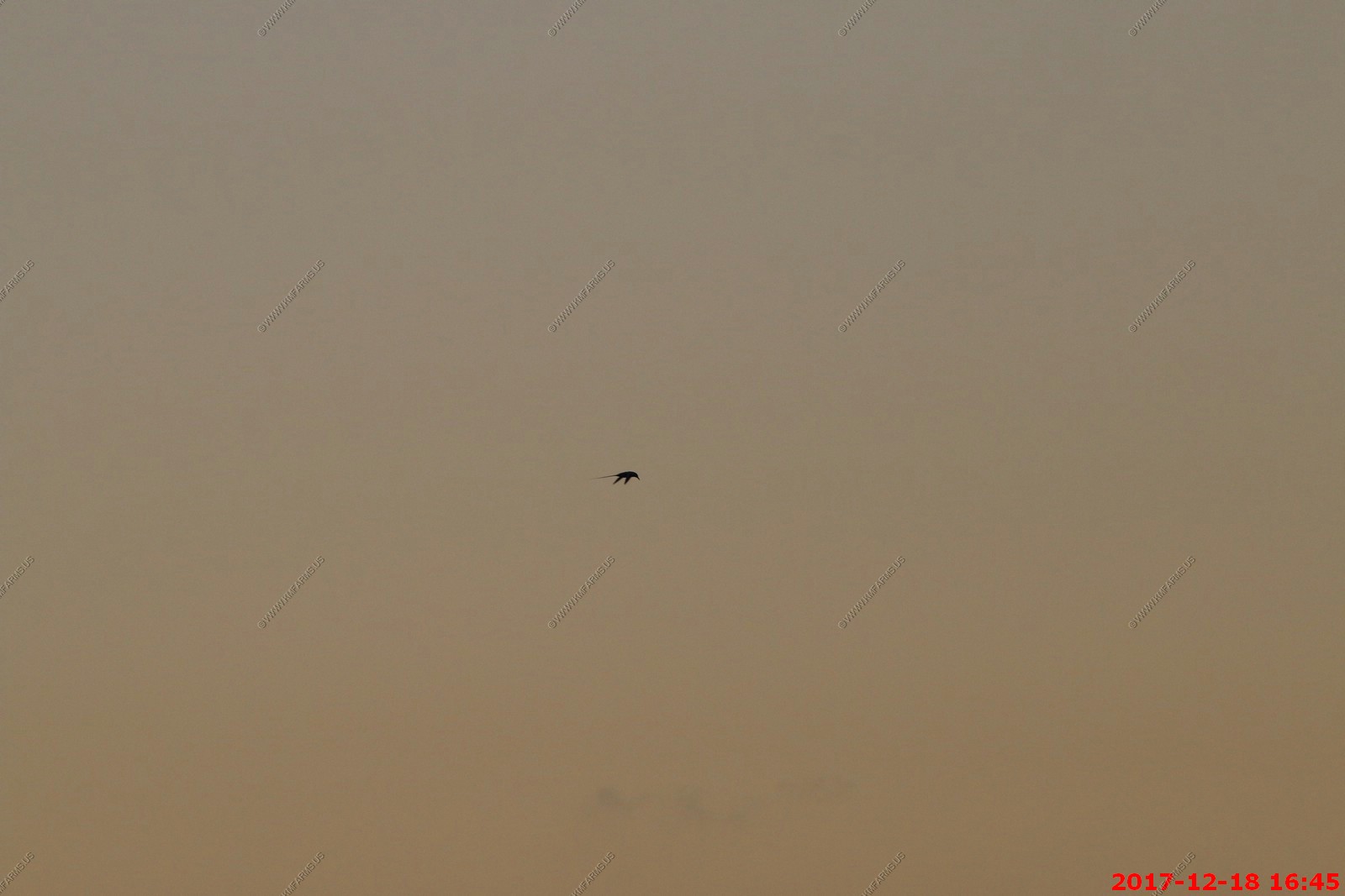
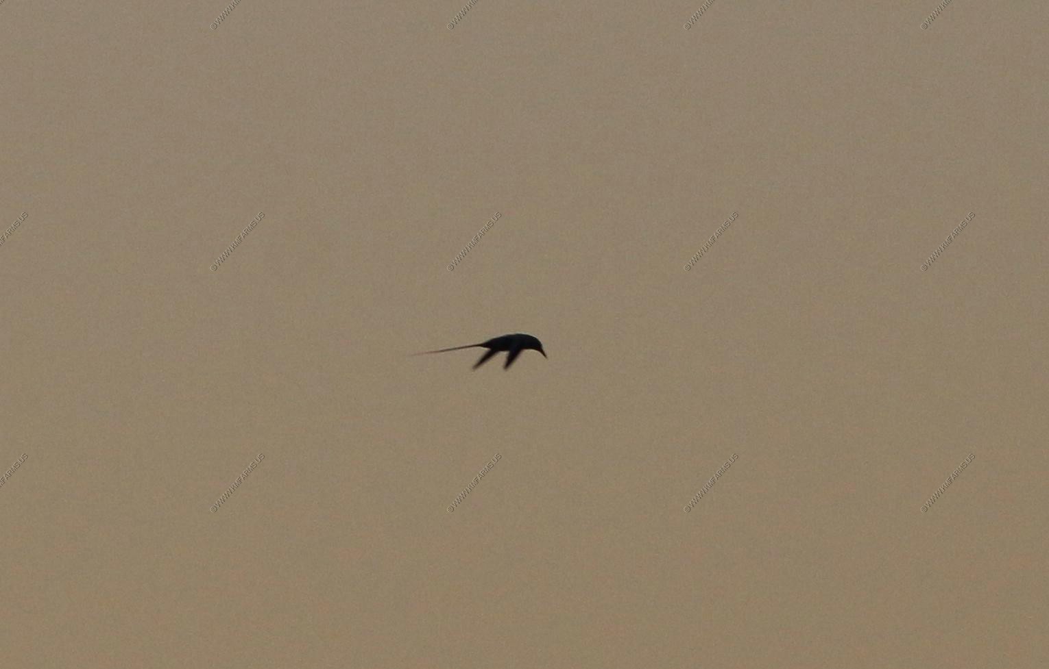
I know this is a tropicbird but we were far away and light is poor at sunset so guessing white-tailed due to distribution. The White-tailed Tropicbird is the smallest of the
three species of tropicbird. It resembles the other species in its mostly-white plumage, vaguely tern-like shape, and long, tapered tail. White-tailed is unique in having a
yellow bill, large black patches on the greater wing coverts and primaries, and a largely white tail (this last feature is shared by Red-billed Tropicbird, Phaethon aethereus).
White-tailed occurs throughout the tropical oceans, in the Neotropics particularly in the Caribbean and off northeastern Brazil. It breeds on small, remote islands on cliffs
and occasionally in trees. While feeding is largely offshore, this species is more apt to forage near the coast than other tropicbirds. It takes small fish, squid, and
crustaceans, generally by plunge-diving. Flying-fish, however, may be taken in mid-air during leaps. Outside of the breeding season, individuals may disperse some distance,
sometimes as far as 1000 km.
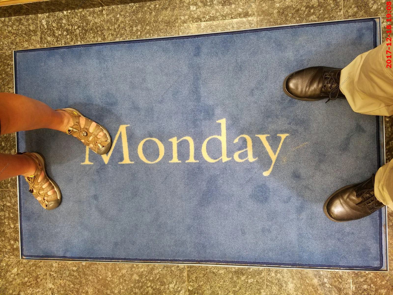
Its Monday !

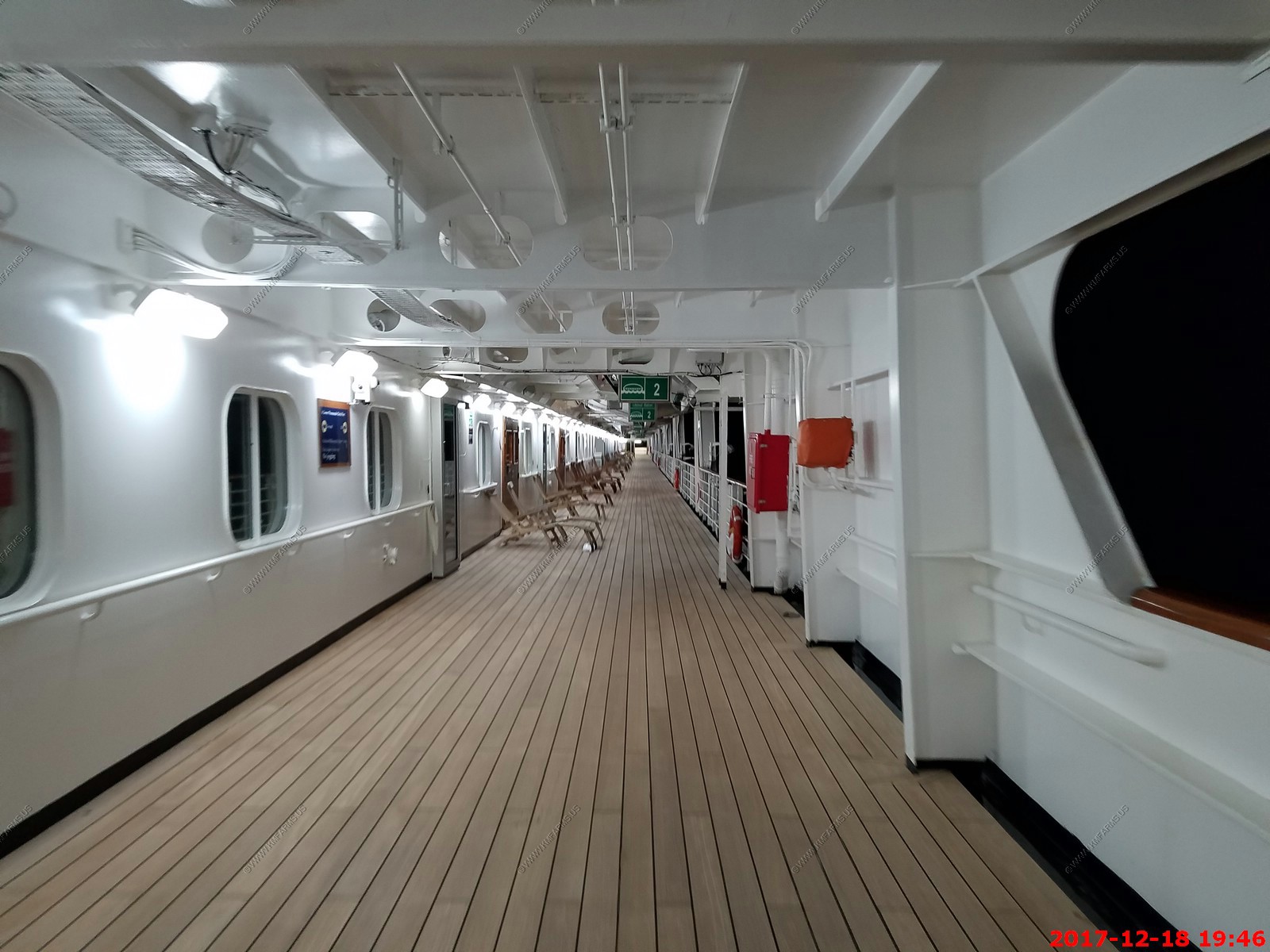
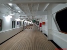
Walking the promenade deck. Oh the crowds at 7:45 pm
This was funny. These people are hungry

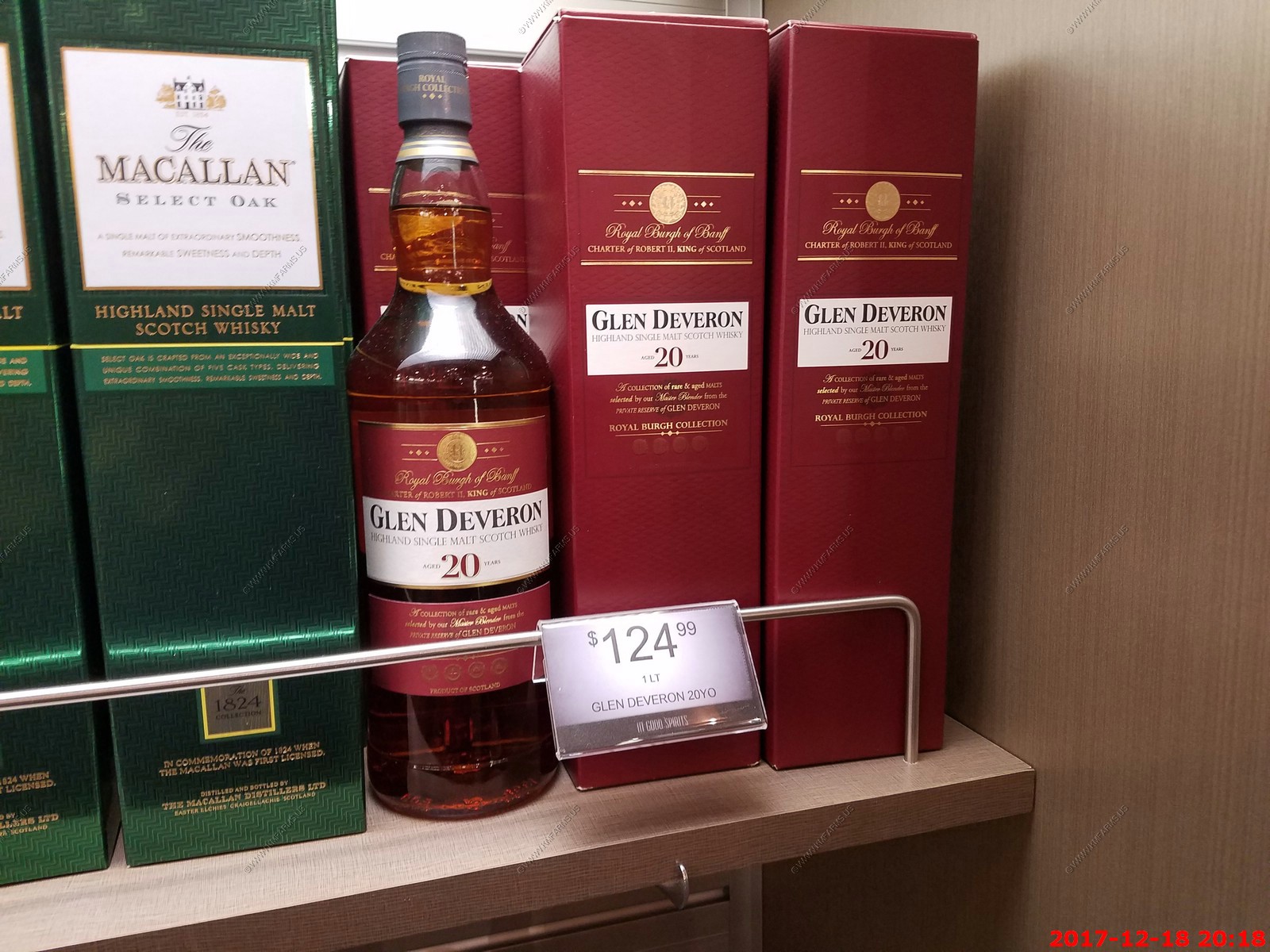
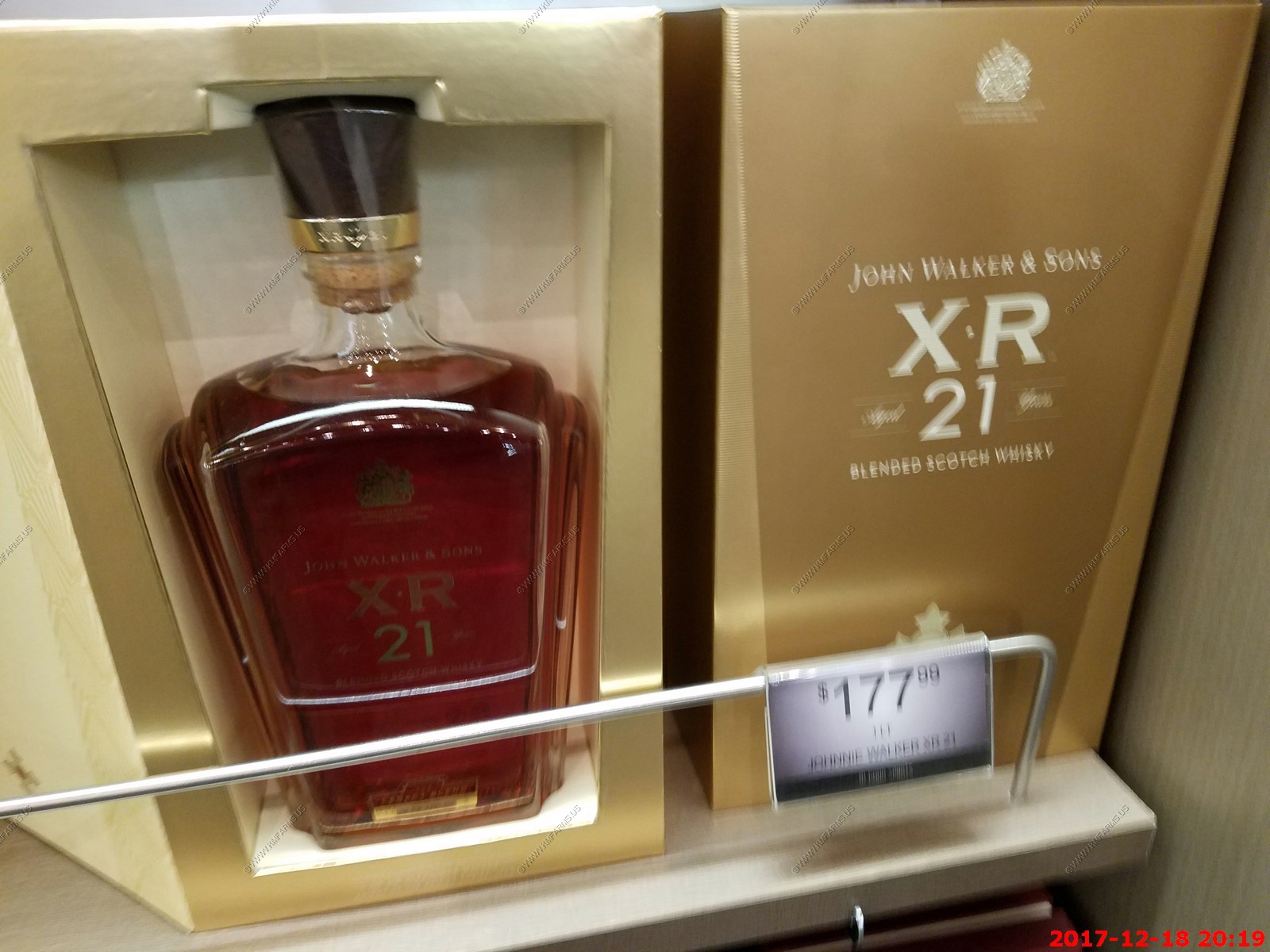
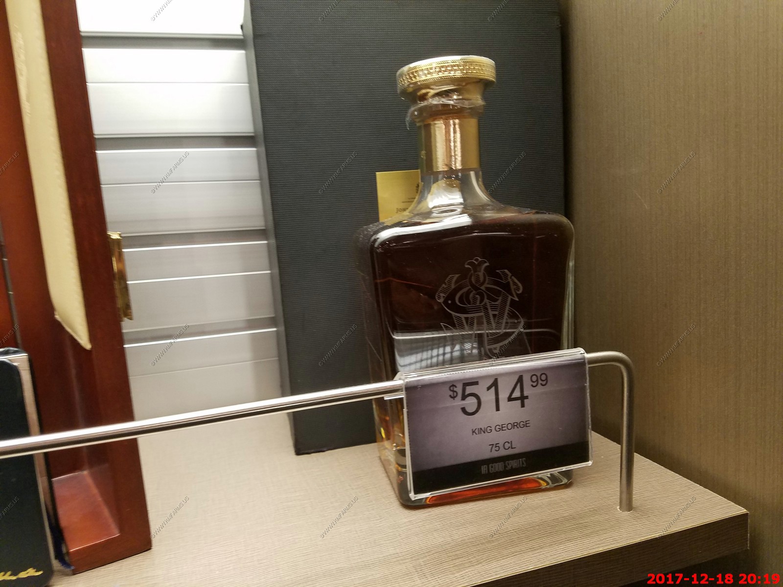
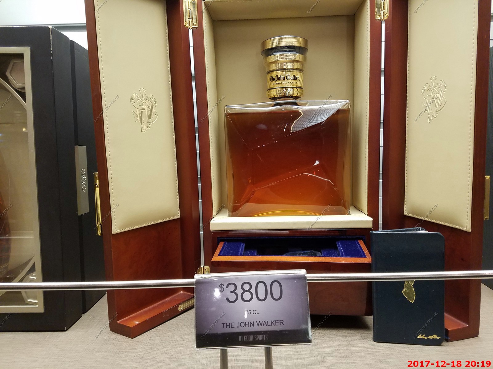
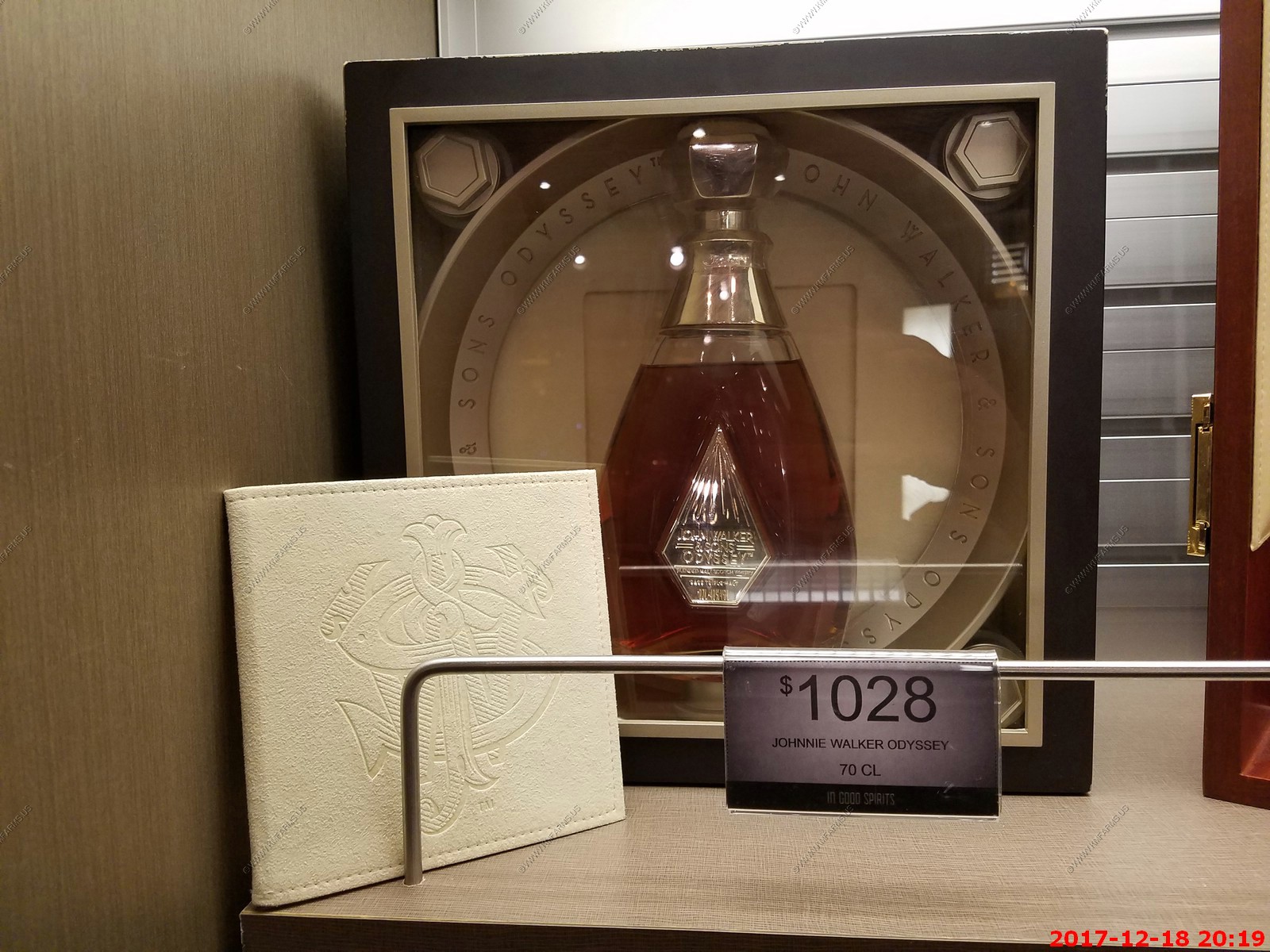
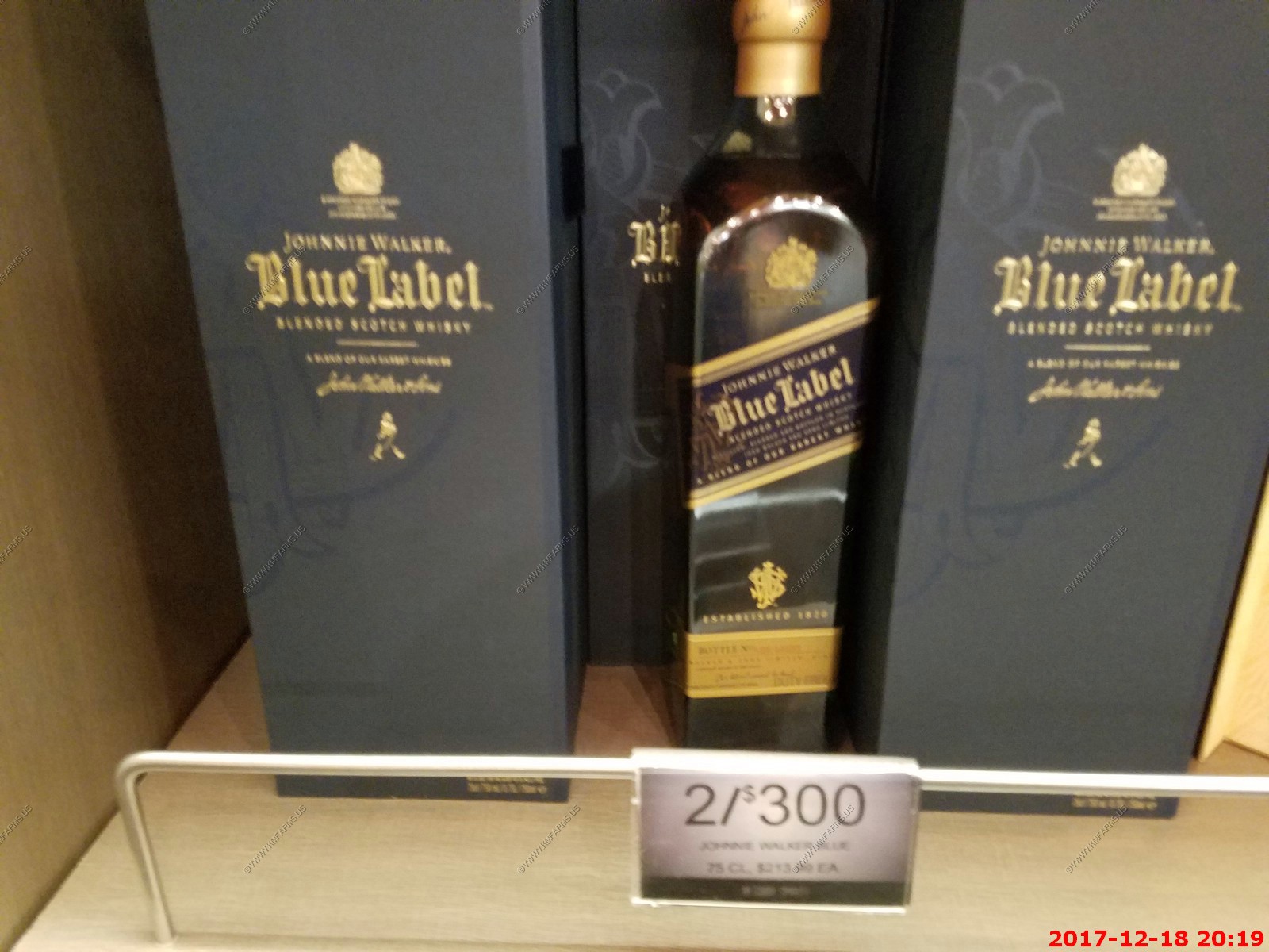
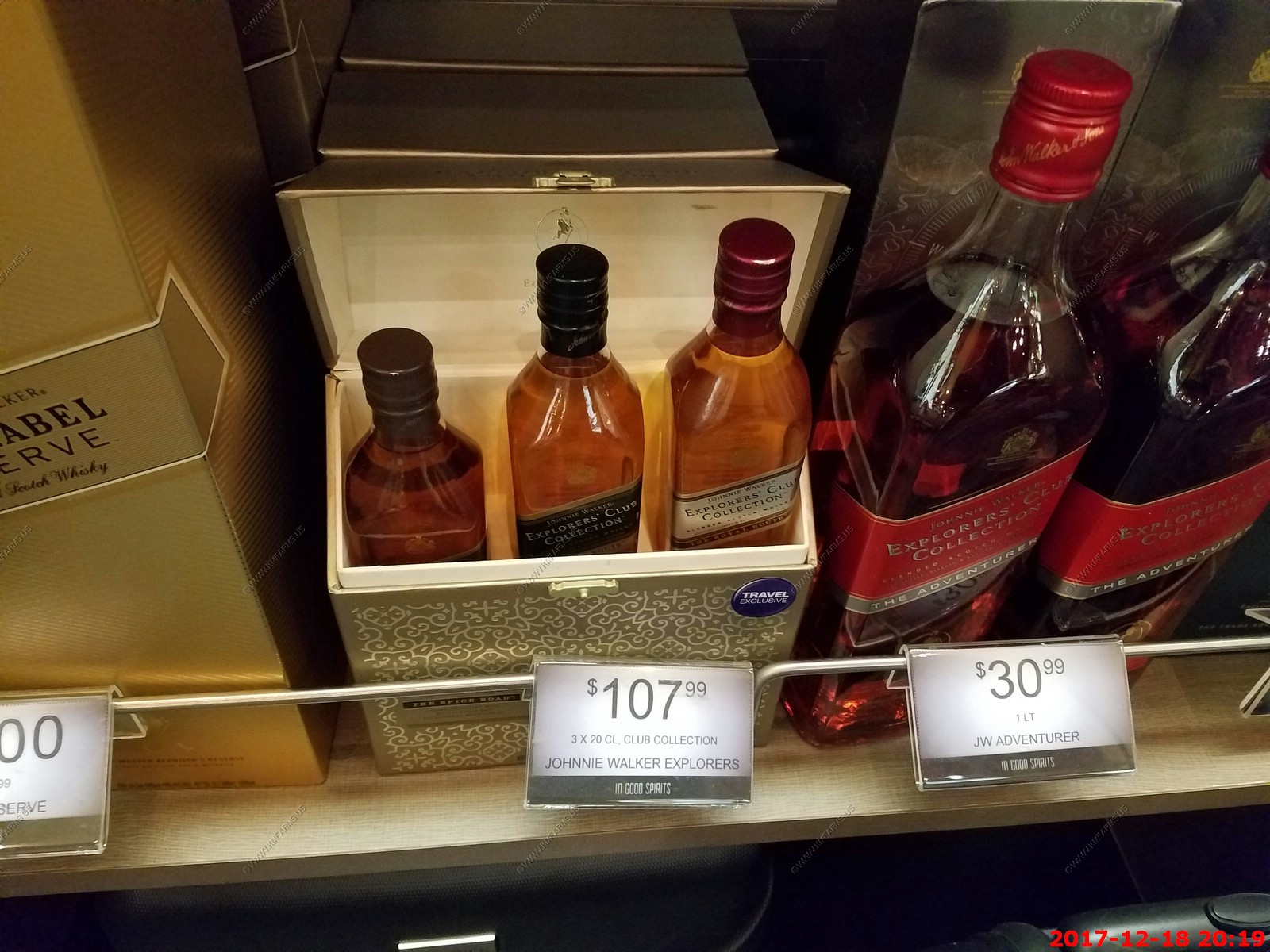
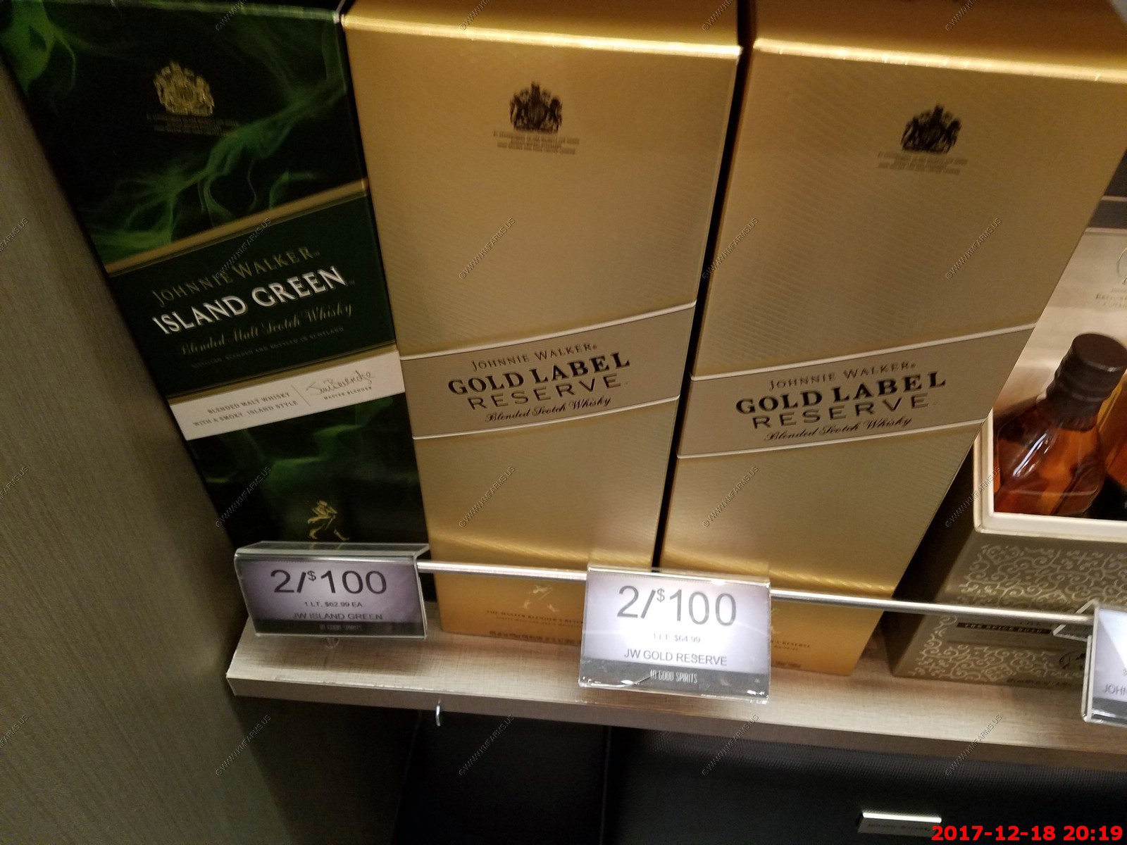
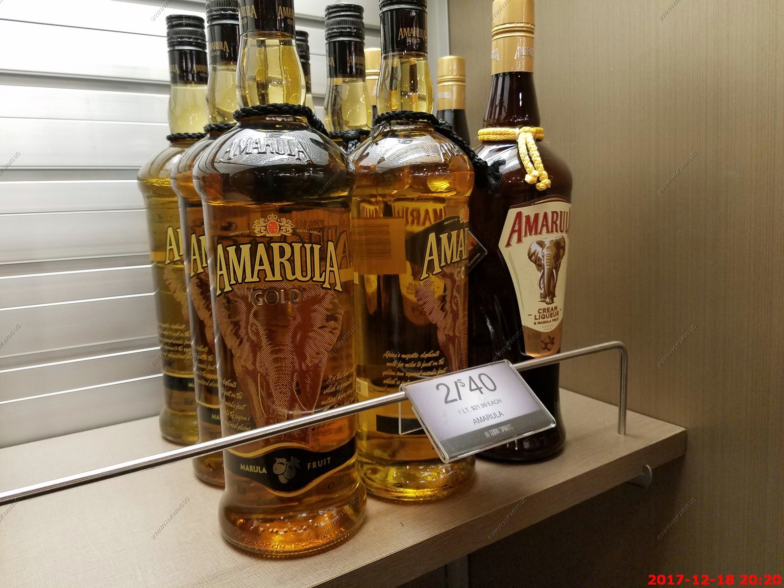
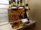
Various expensive booze that they sell on the ship. We had to buy some as we had problems spending our ship credit.


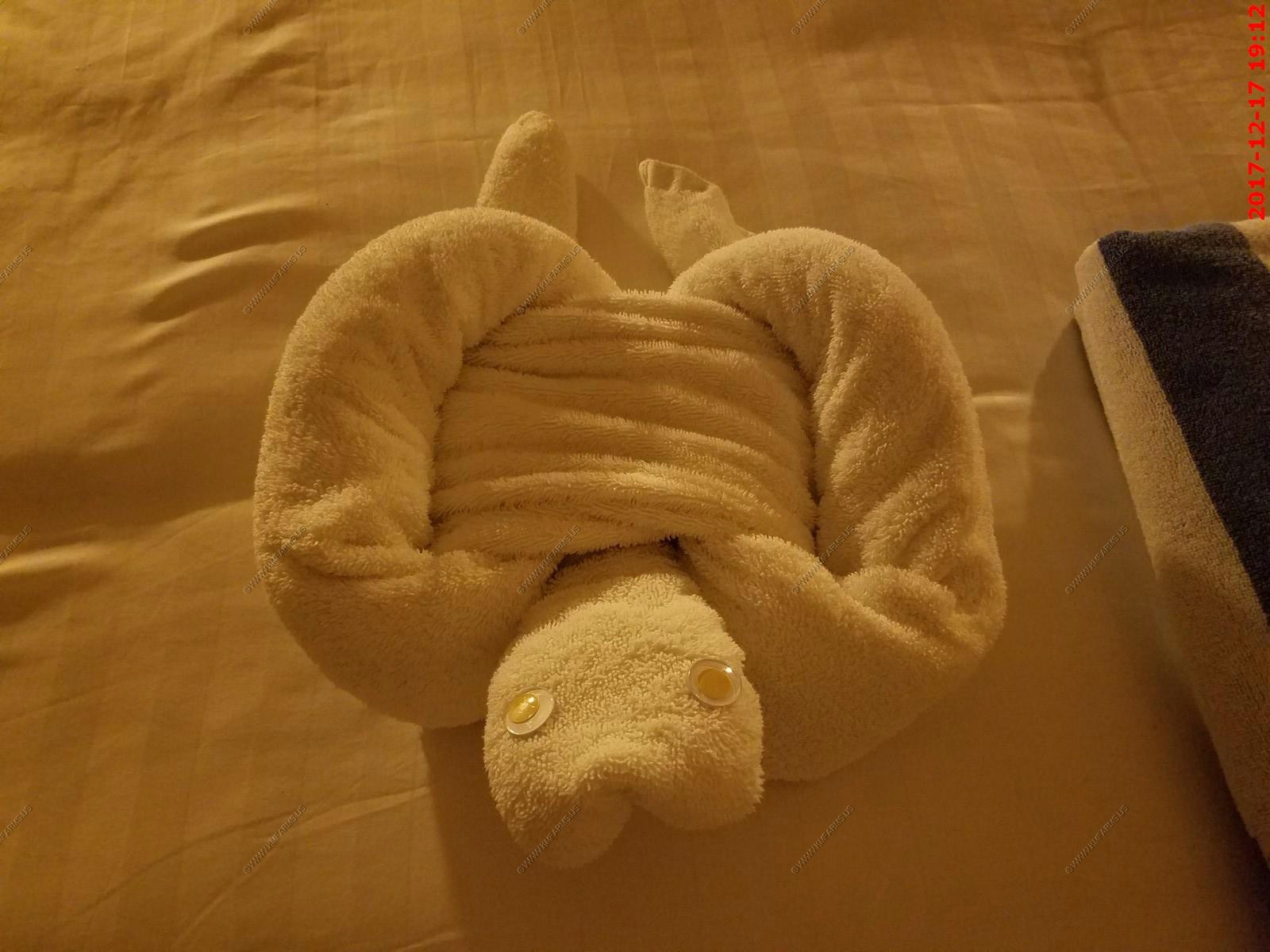
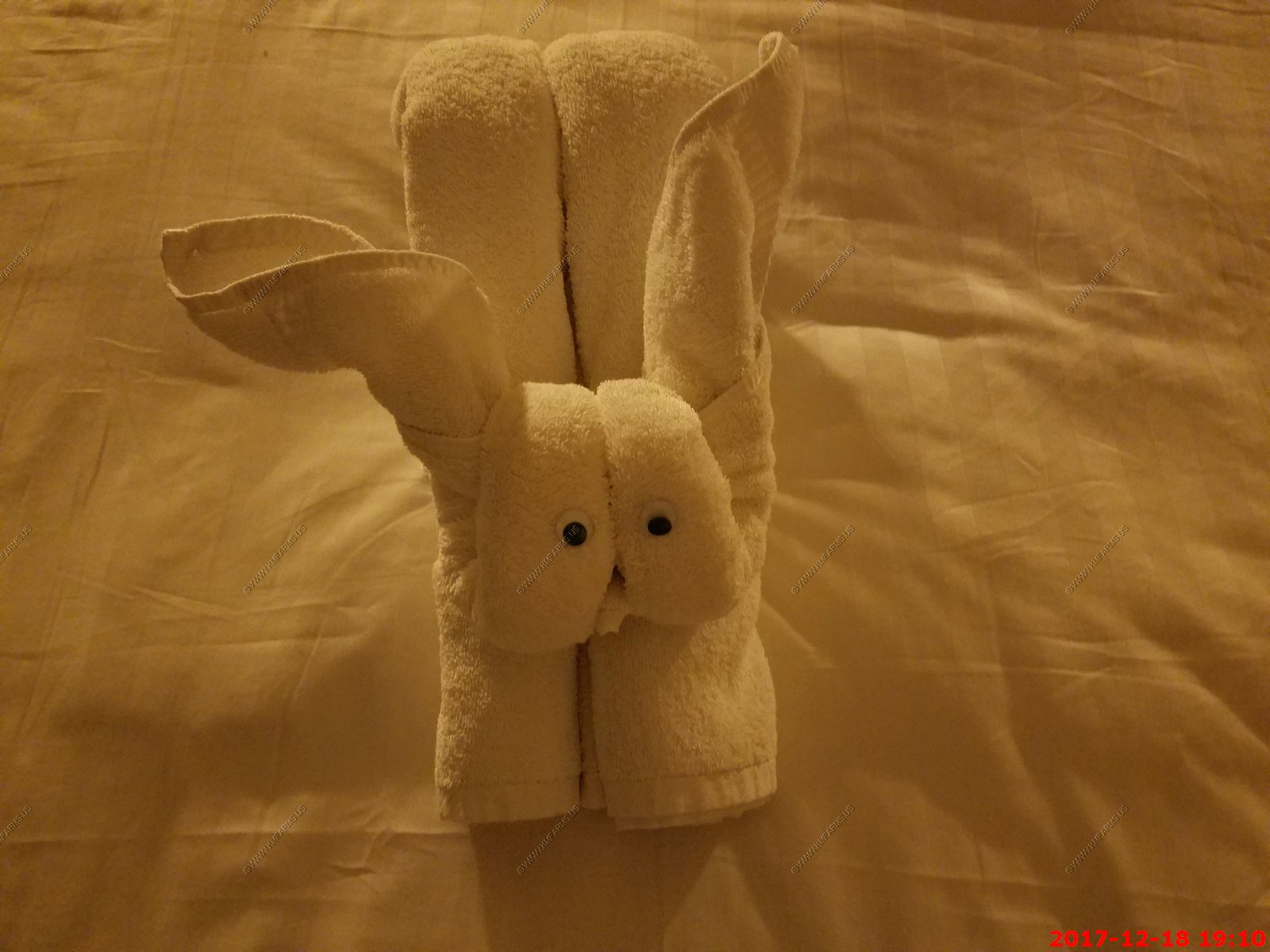
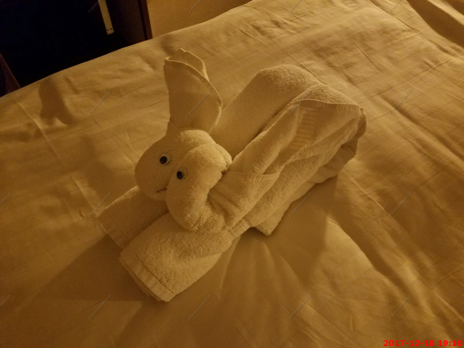
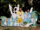
Tonight's critter - Rabbit ?


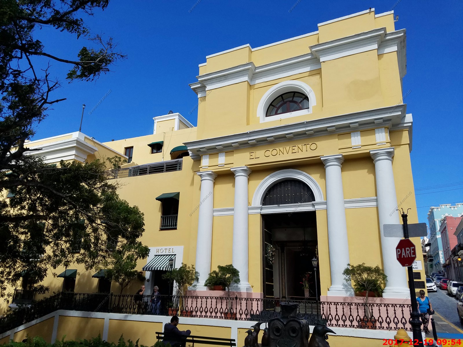
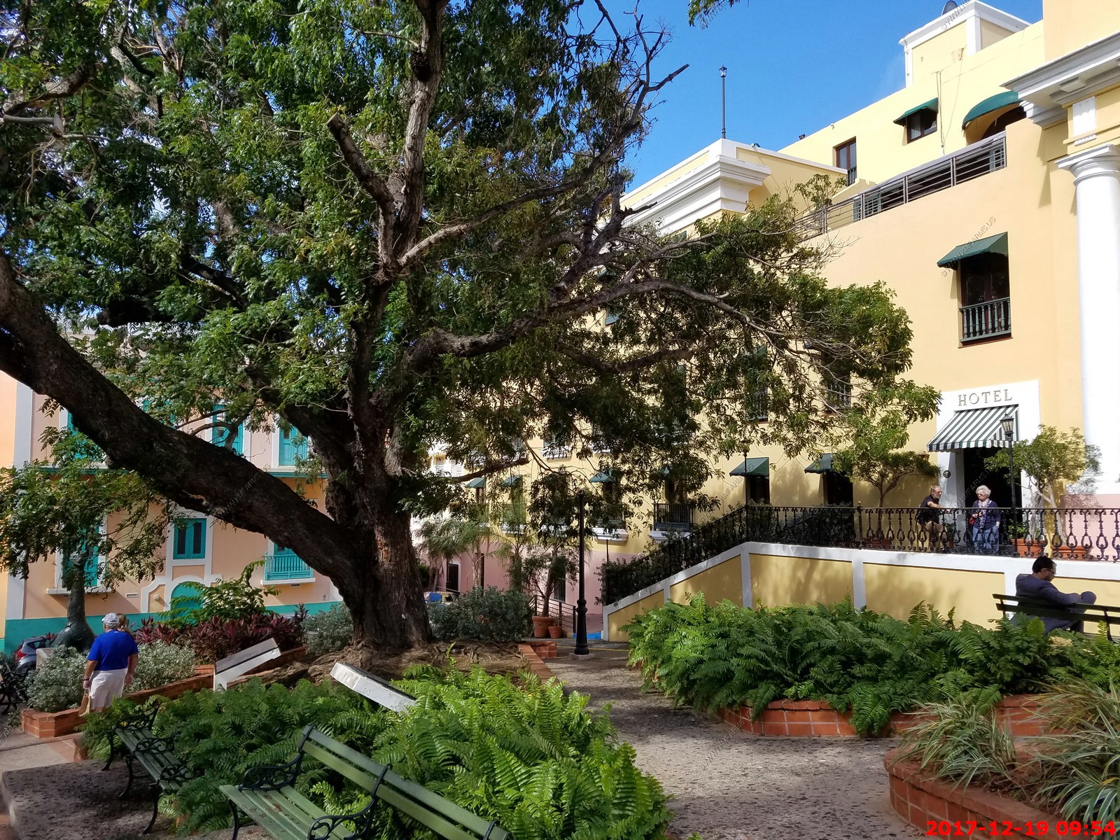
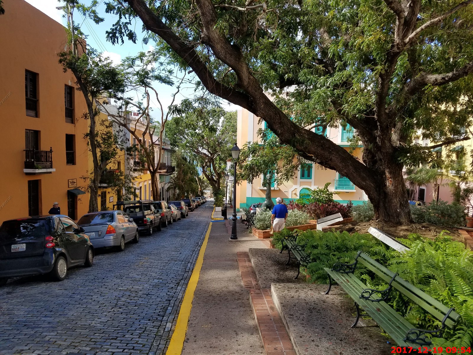
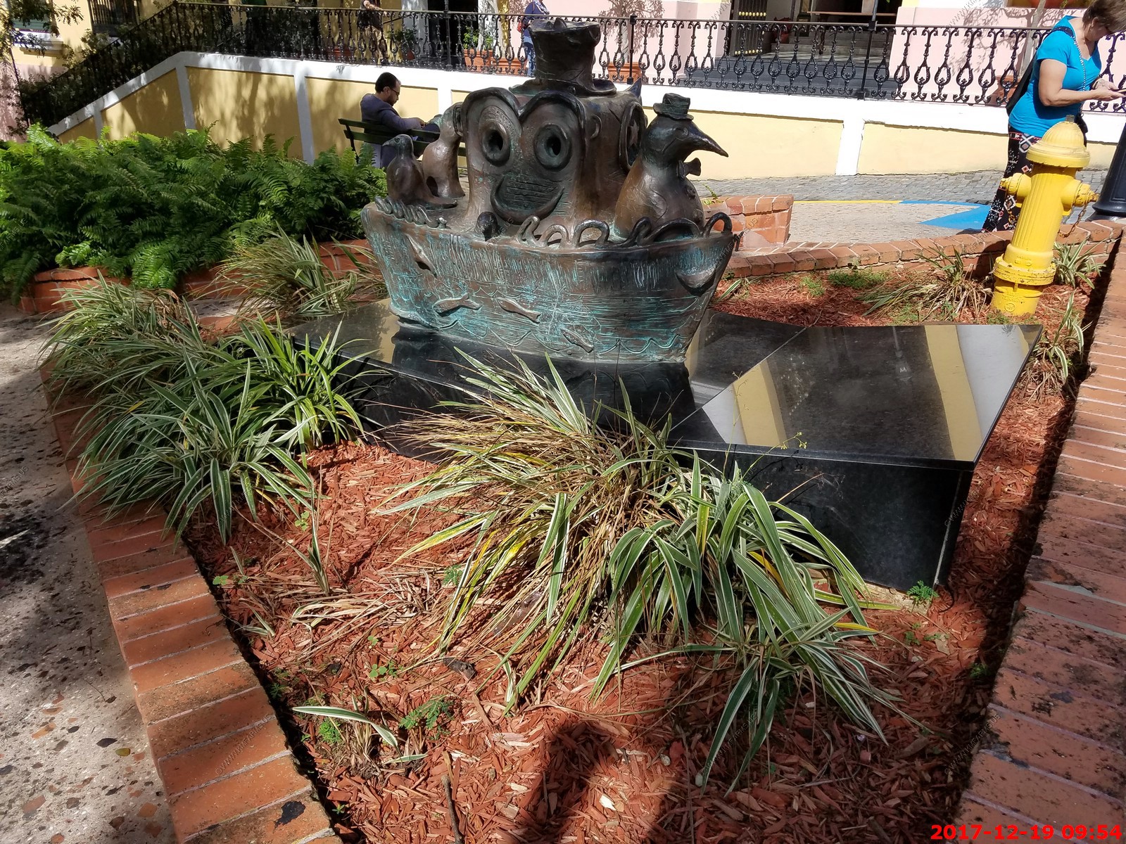
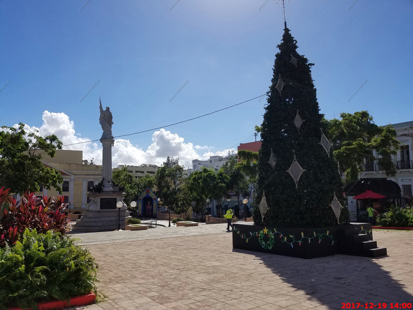
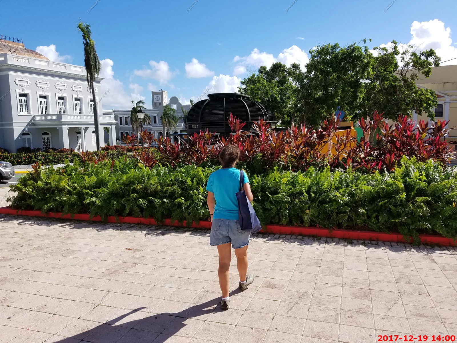
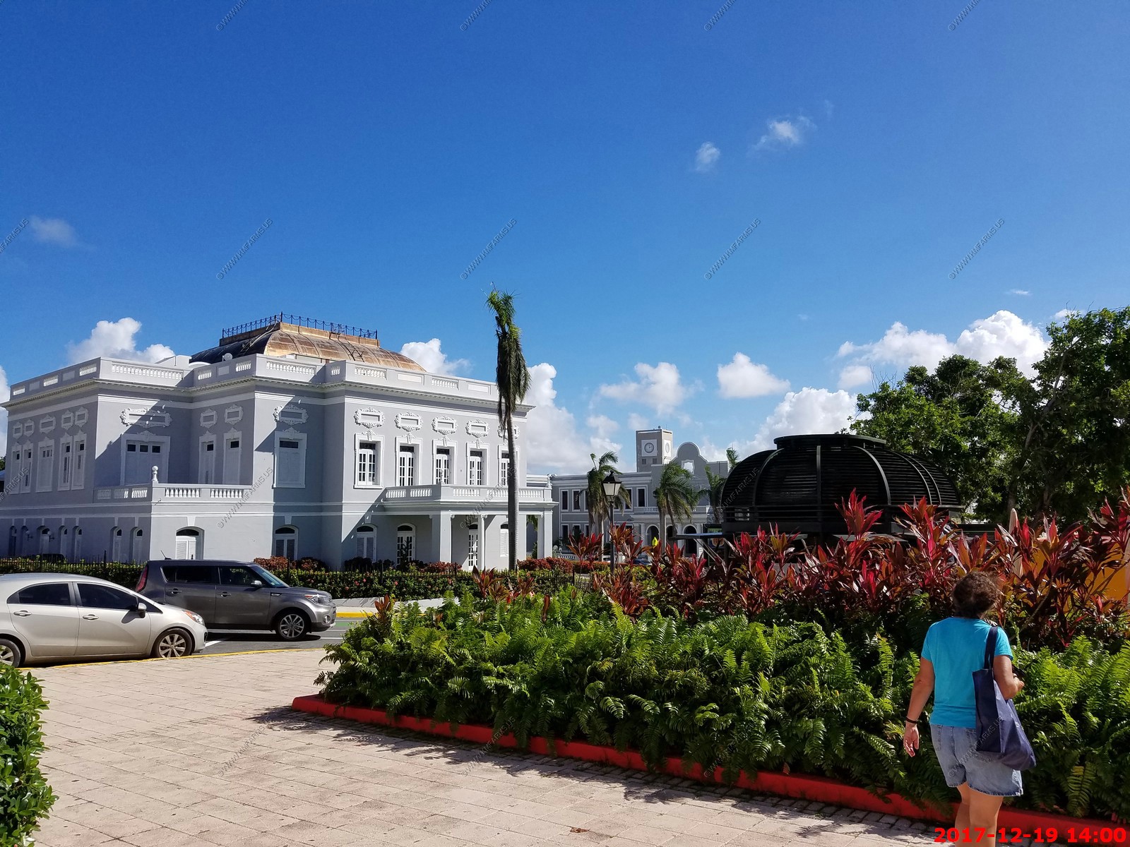
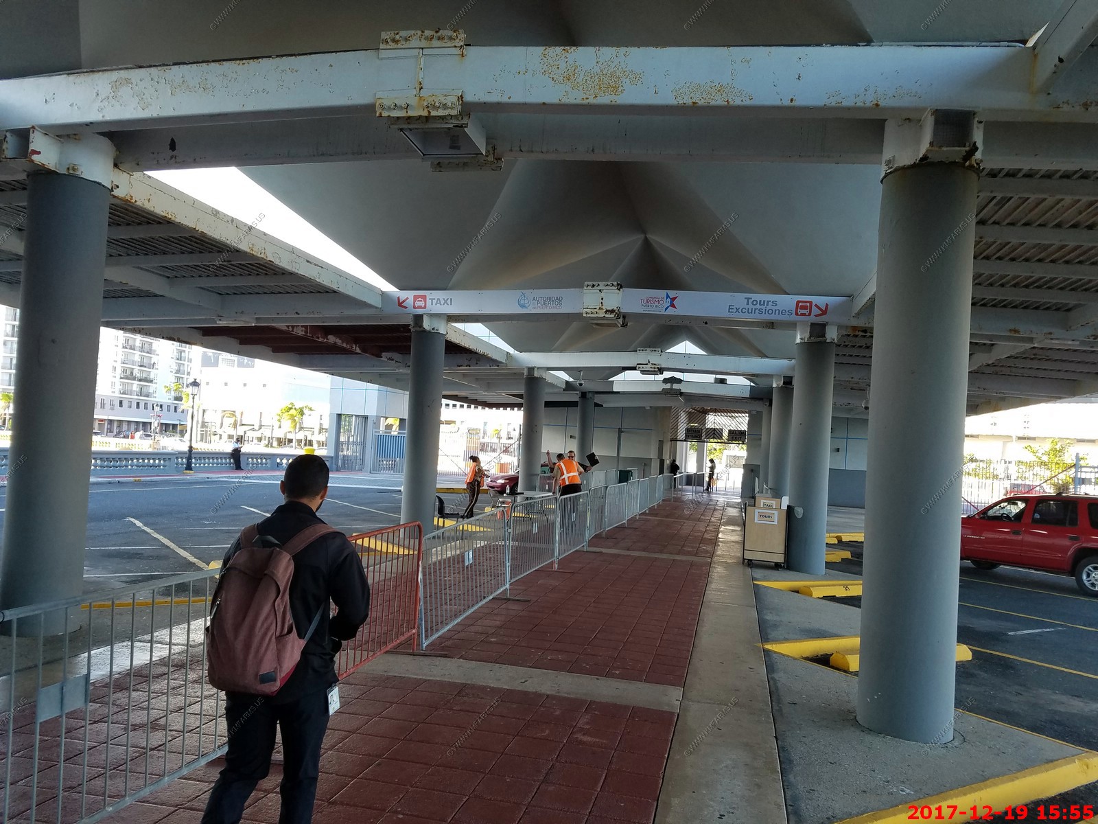
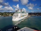
Tuesday - DEC 19 2017 -- San Juan Puerto Rico
HAL Guide to When & Where - Tuesday - DEC 19 2017 - Ship Activities
Port Guide - San Juan, Puerto Rico
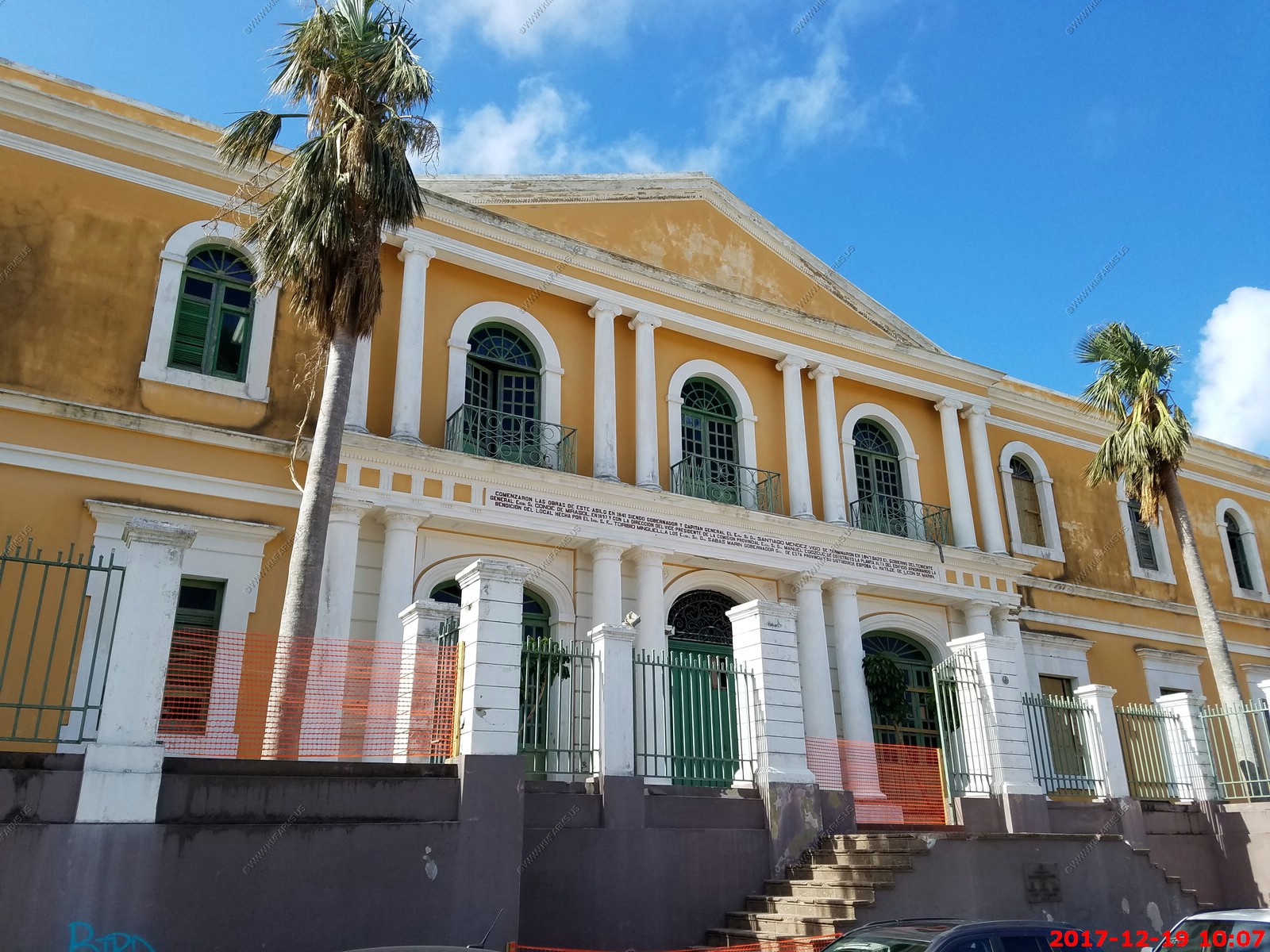
We have been here many times and we have never been impressed but perhaps we are getting older or the fact that it was much less crowded as we actually liked our visit. Like the
other so called damaged islands, we visited we did not see hardly any damage in the San Juan area. Talked to some people working at the stores and they said it was crazy for a few
days after the storm but quickly got back to normal. I assume that inland they had (are having) major issues but I think Puerto Rico had major issues BEFORE the storm.
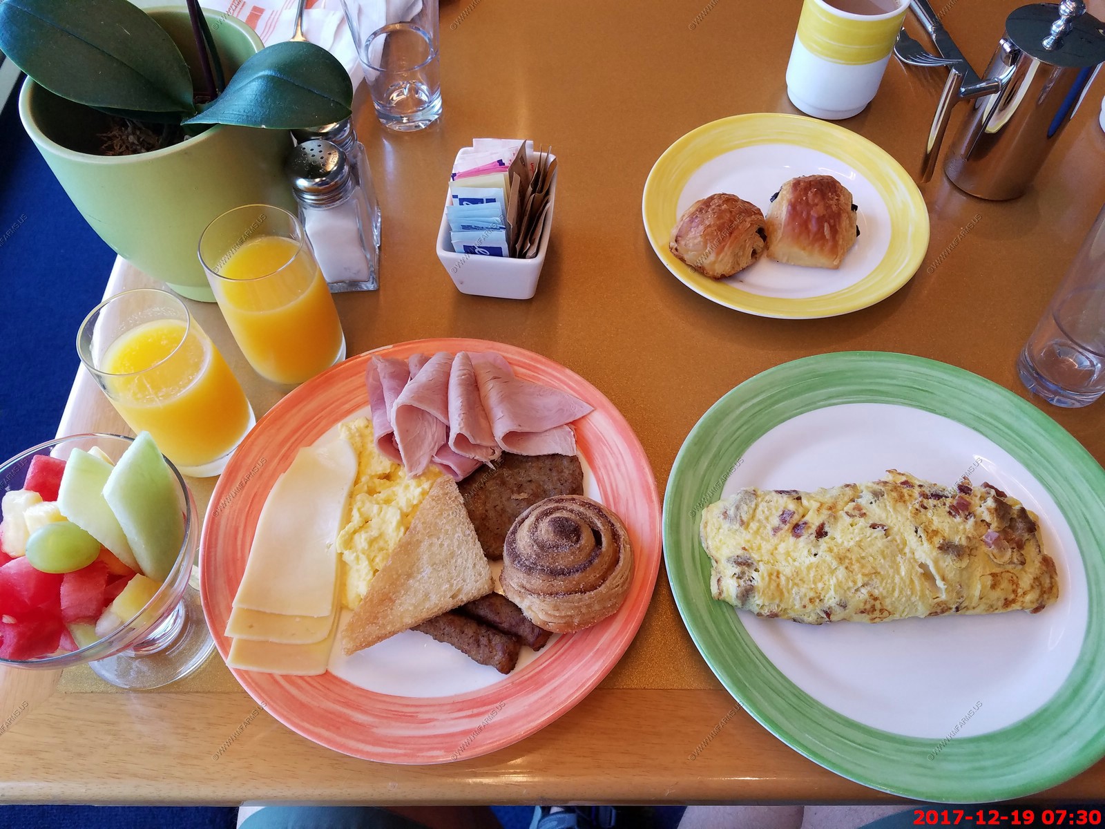
We had to start our day with a cruise ship breakfast

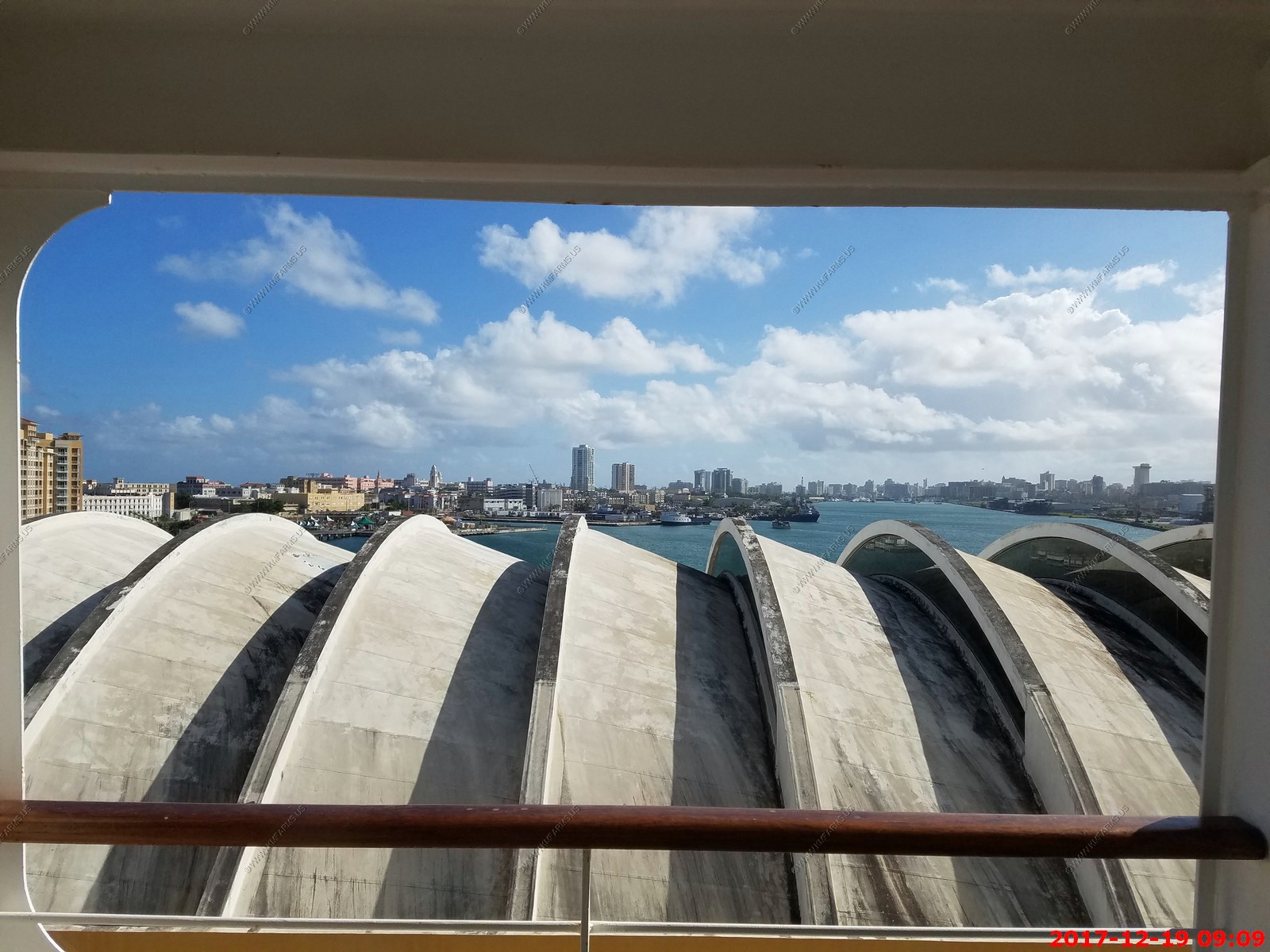
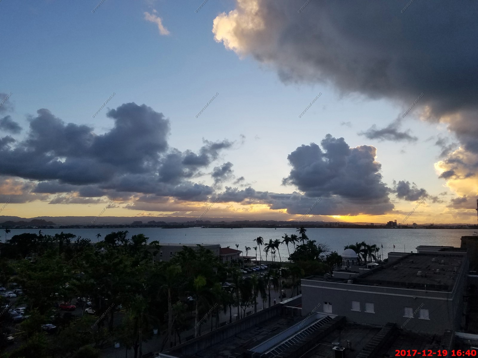
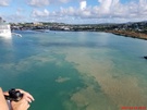
Our cabin view
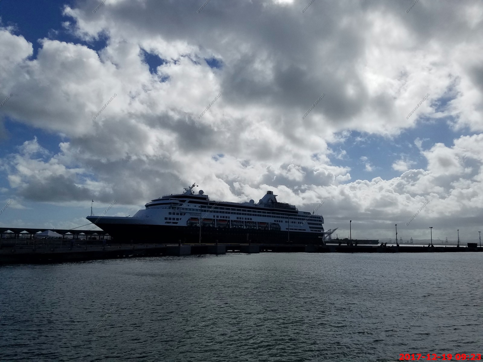
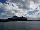
Only ship right now
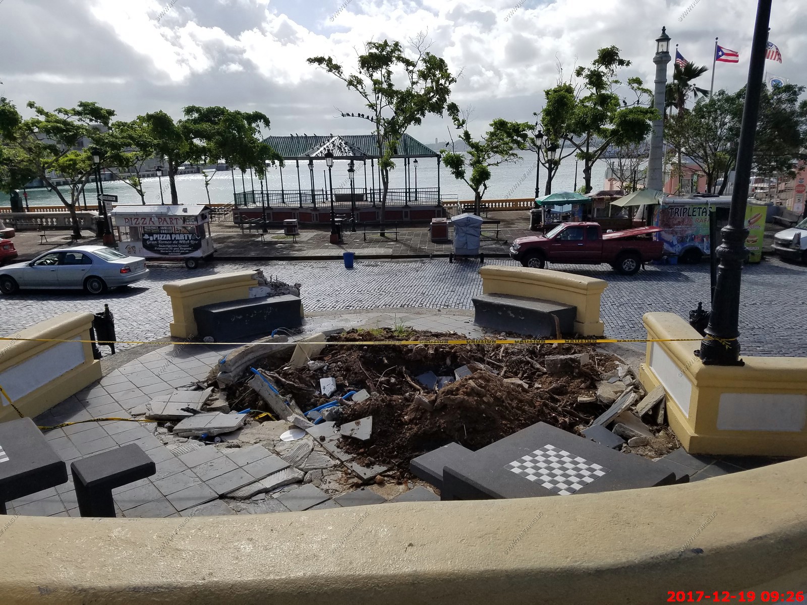
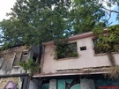
Storm damage - A tree must have fell over
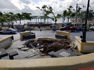
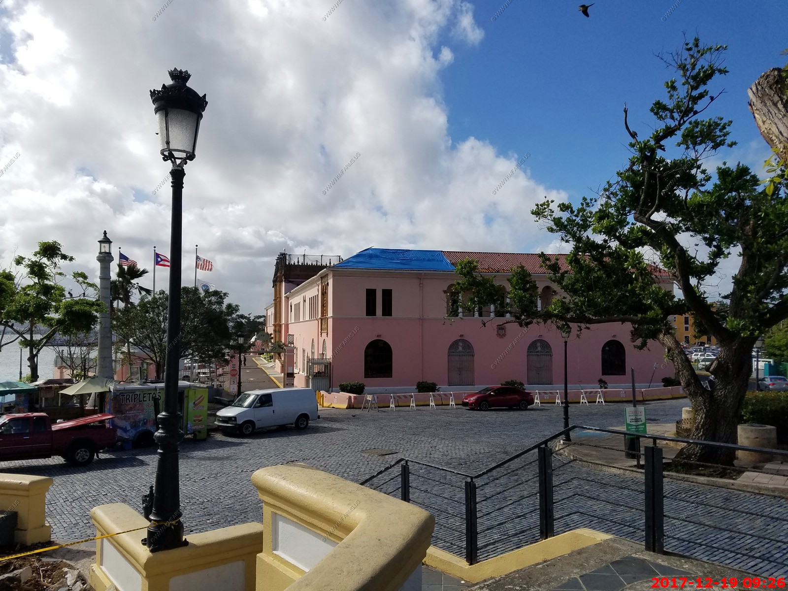
Blue tarp

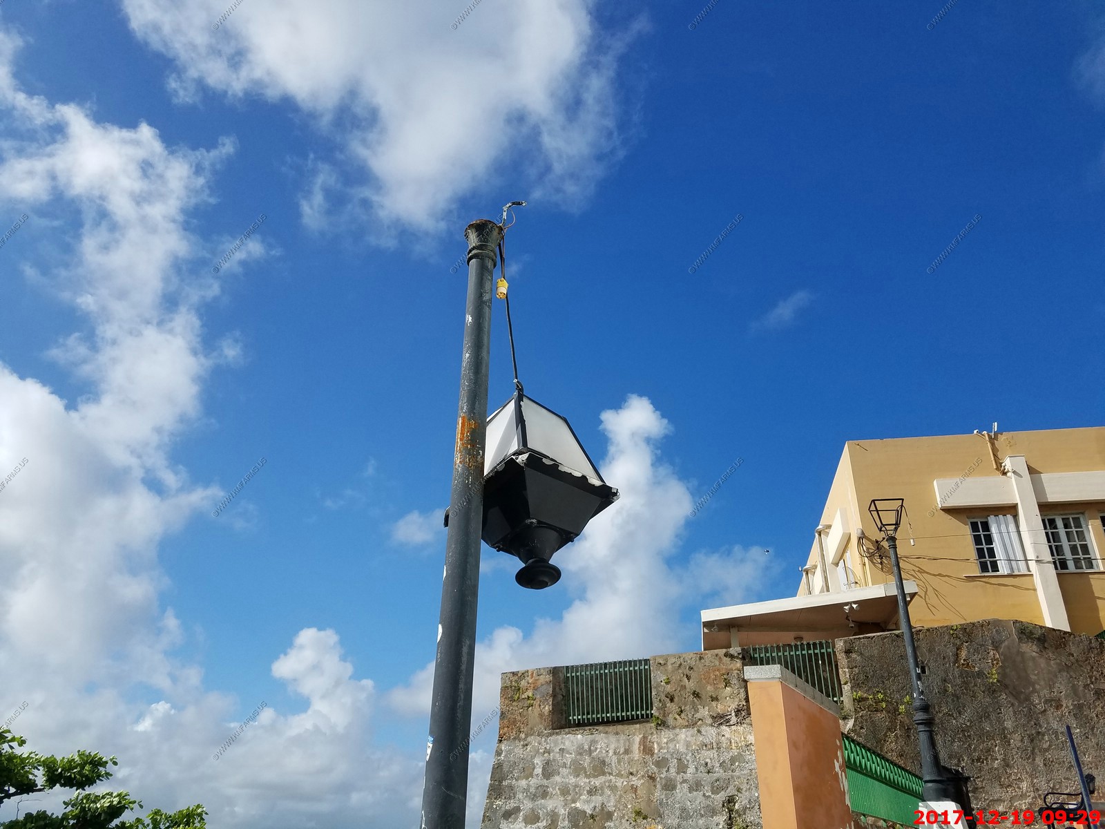
A broken lamp. These were all over the place.
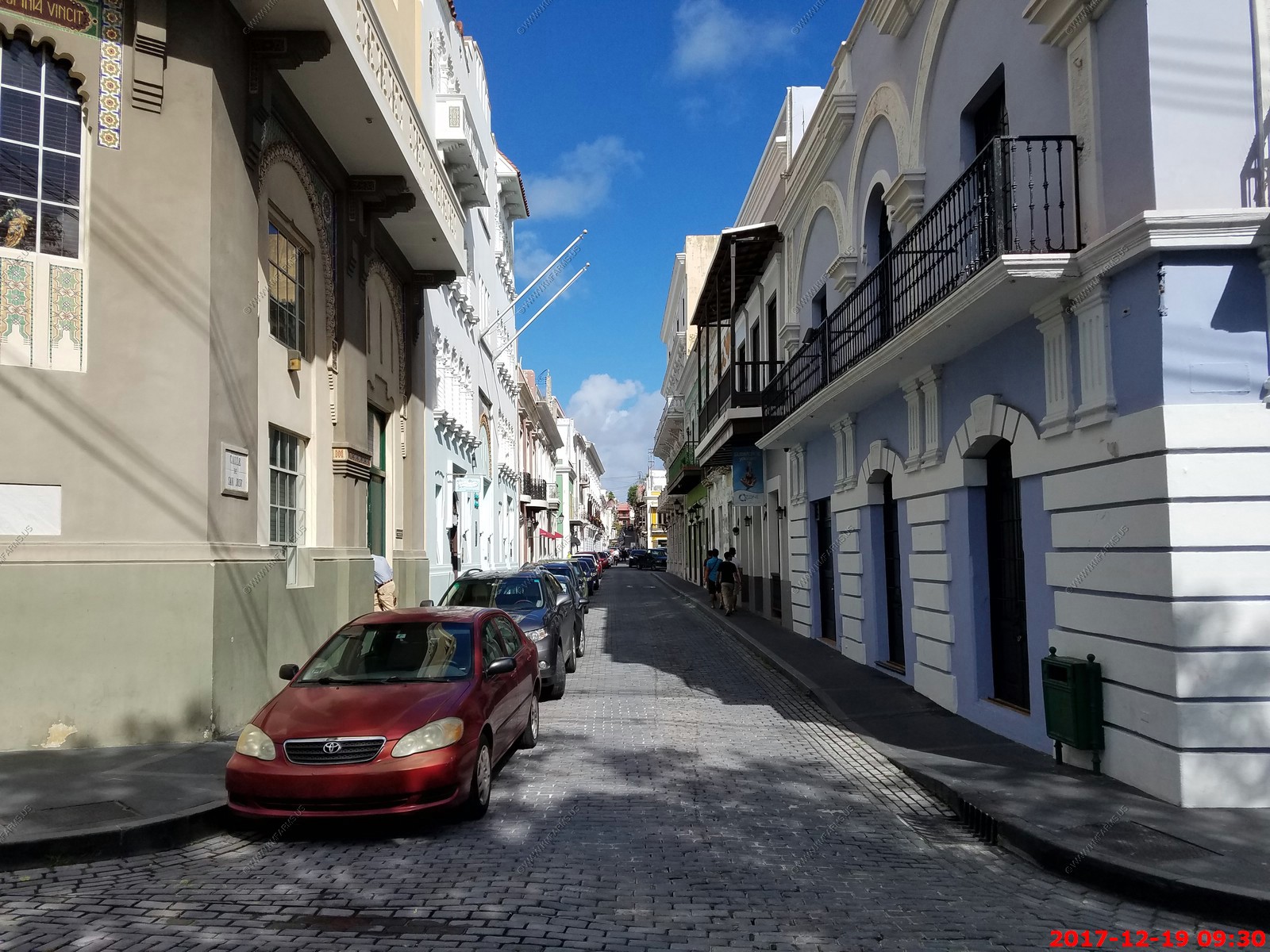
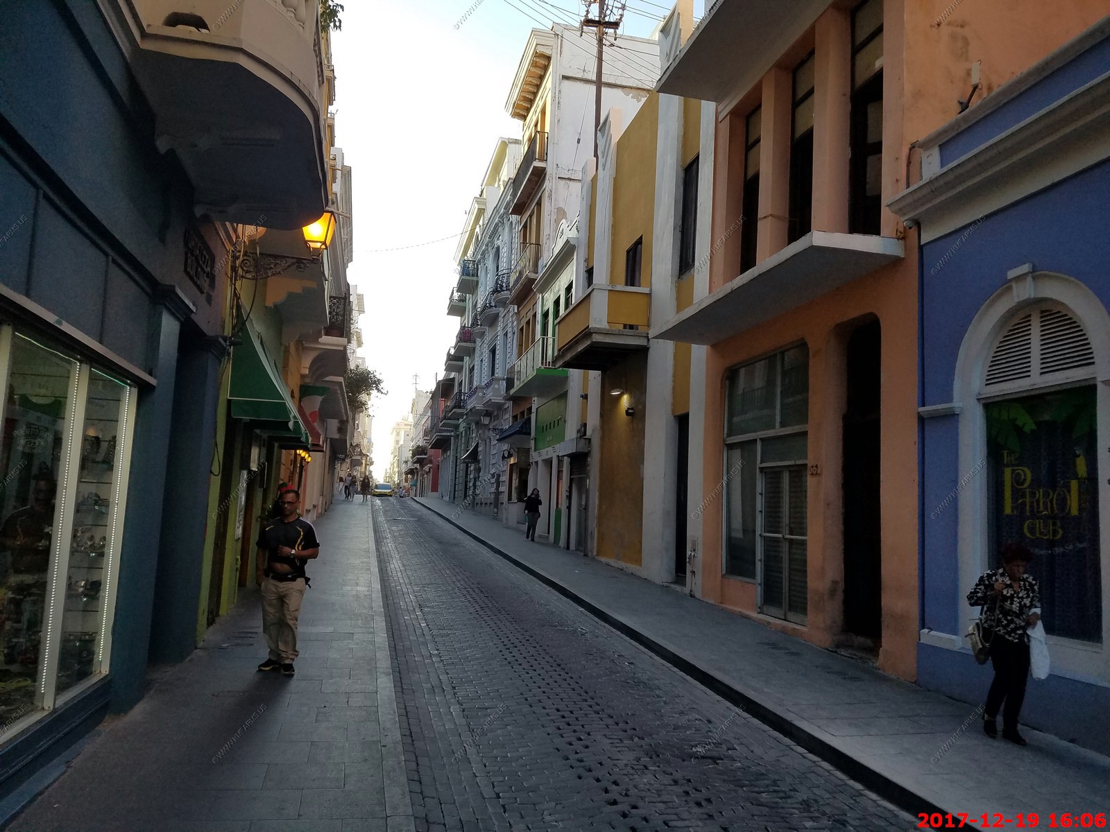
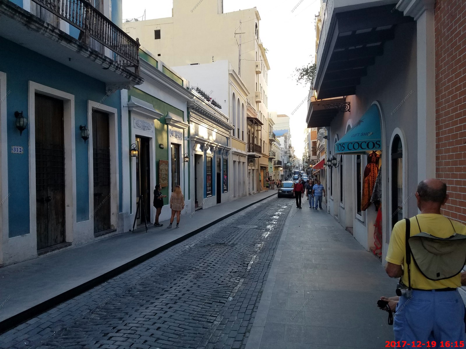
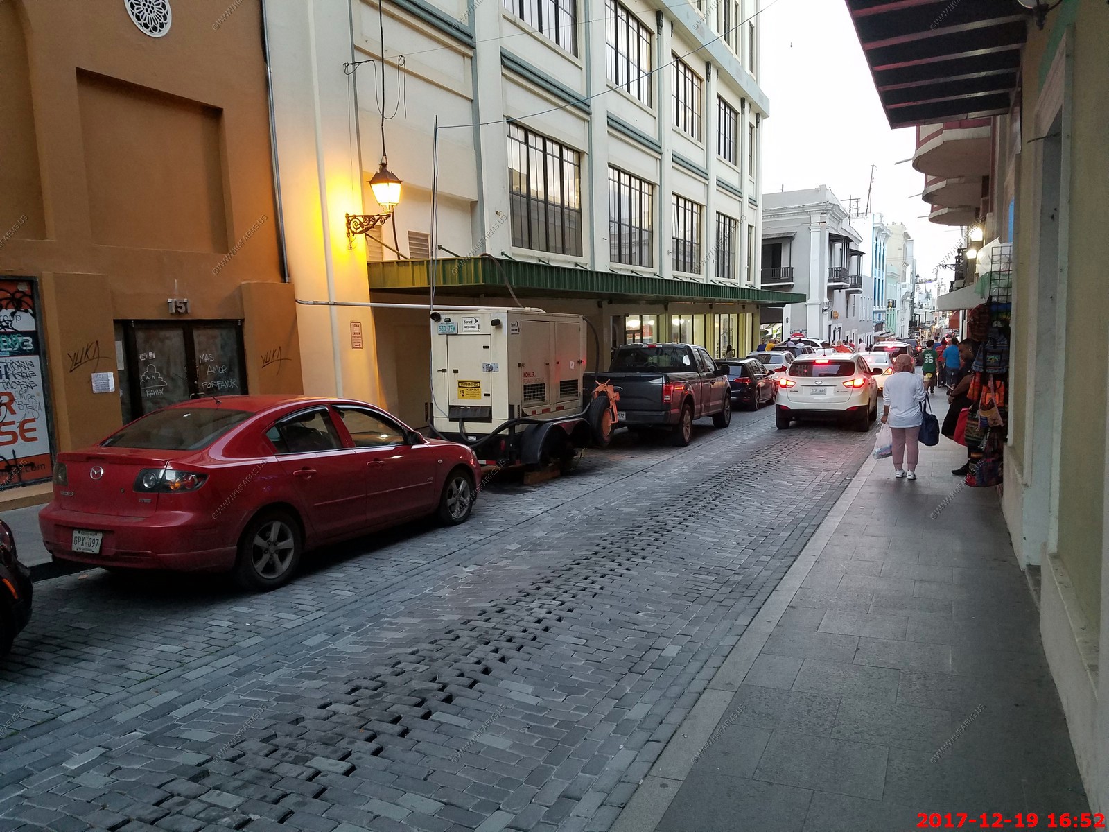
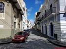
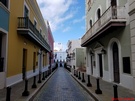
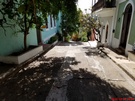
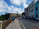
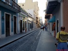
Narrow streets
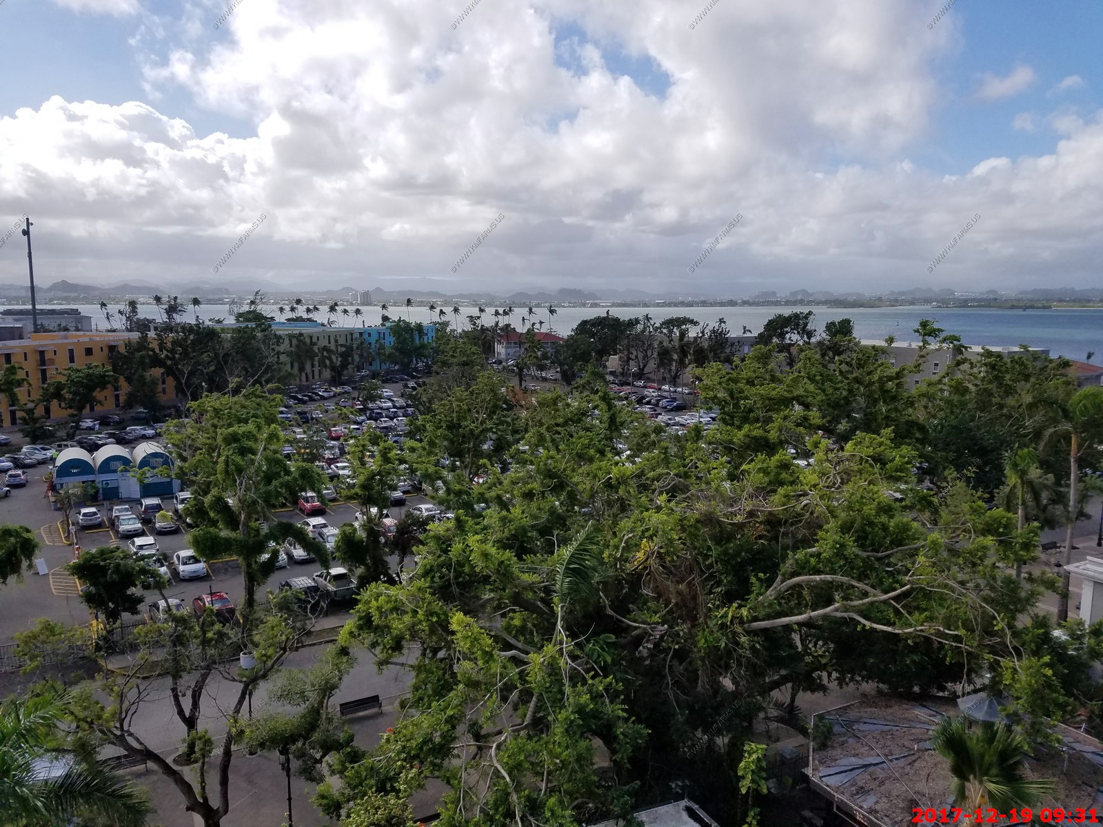
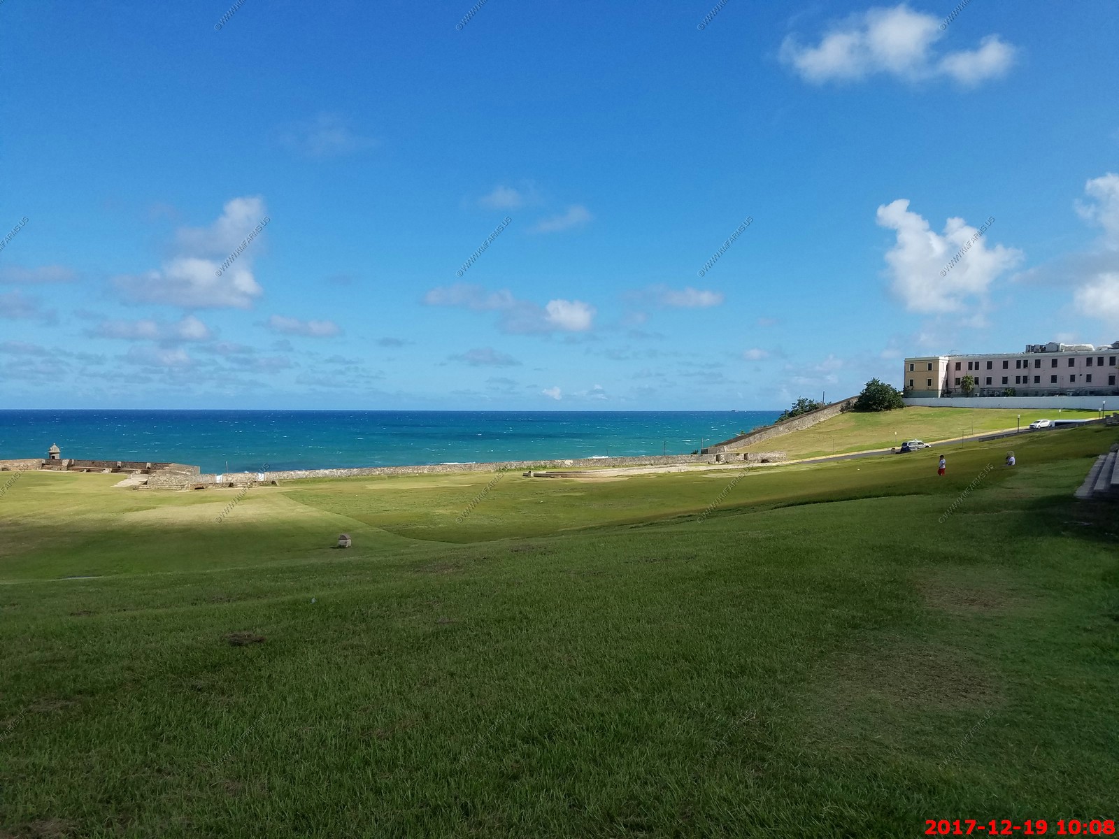
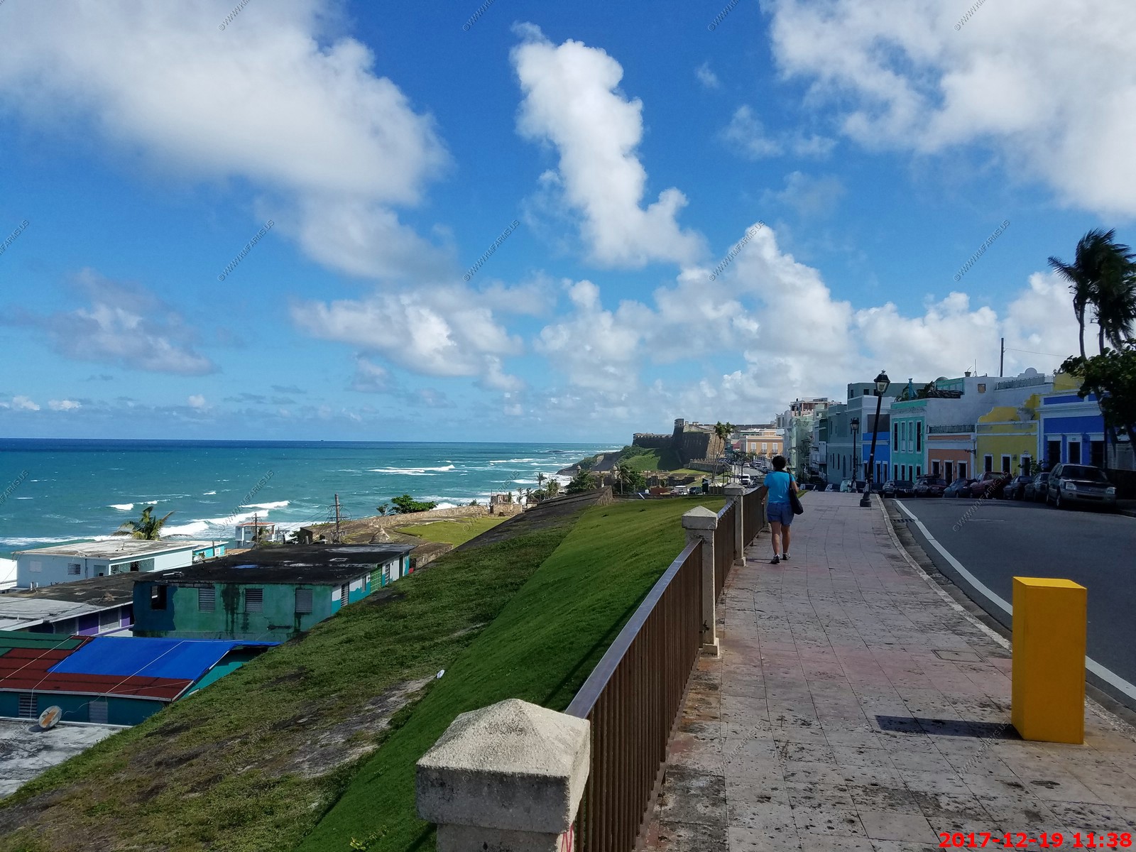
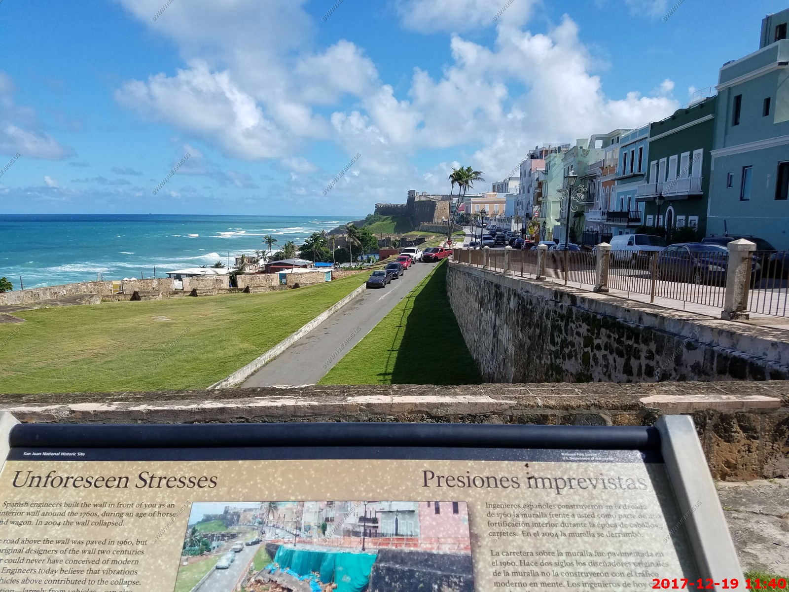
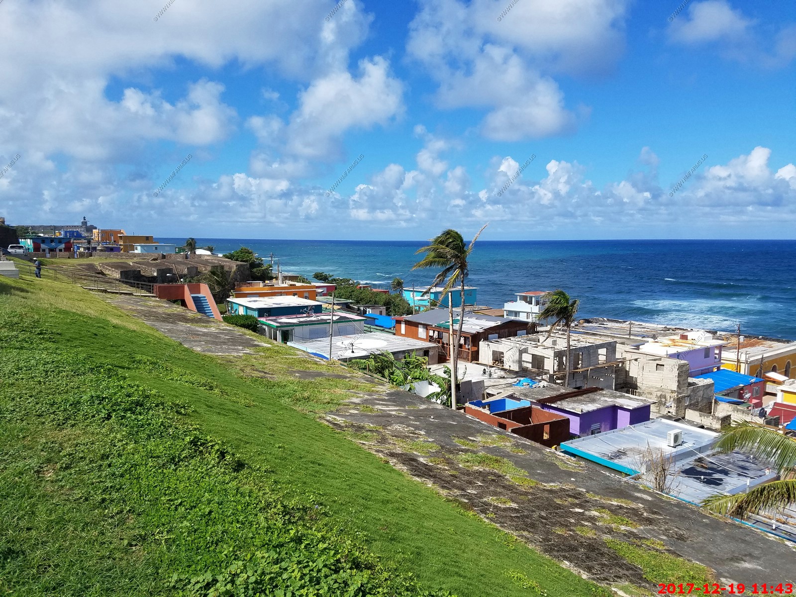
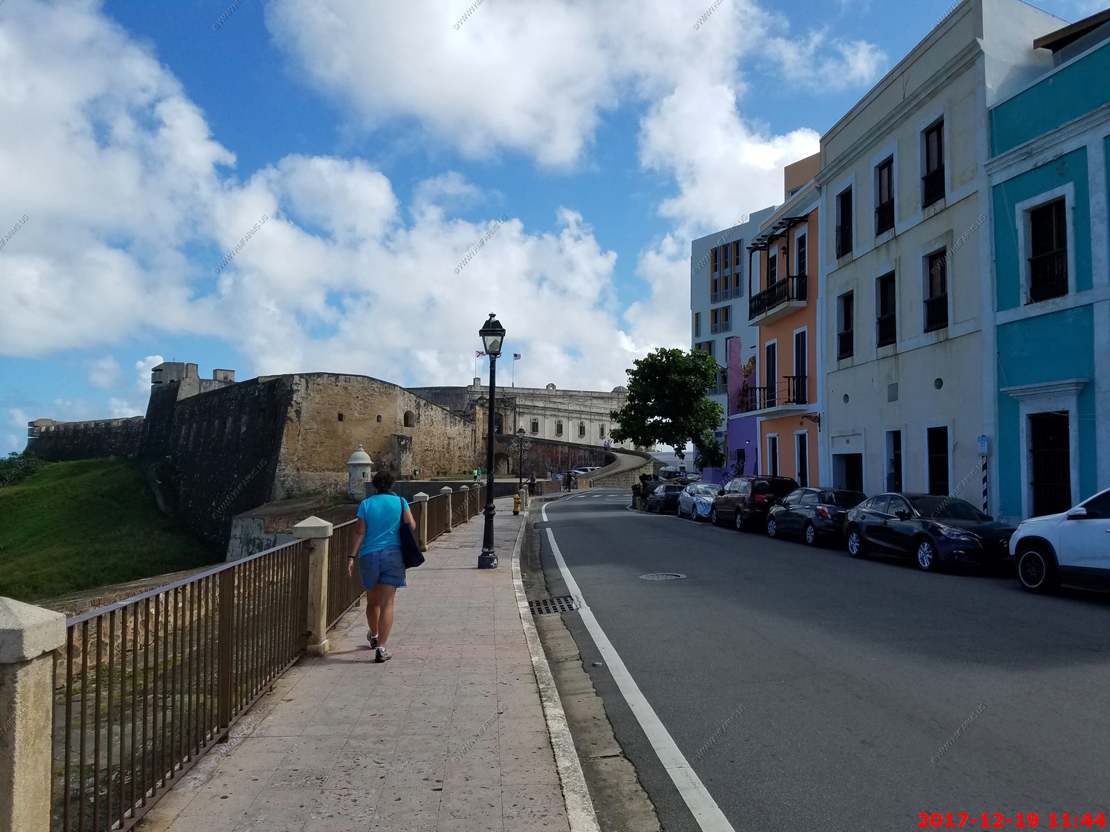
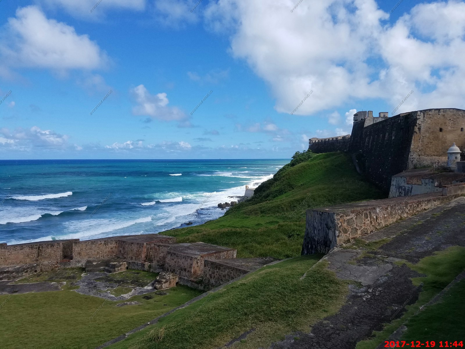
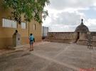
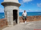
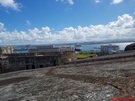
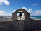
Where the fort starts.
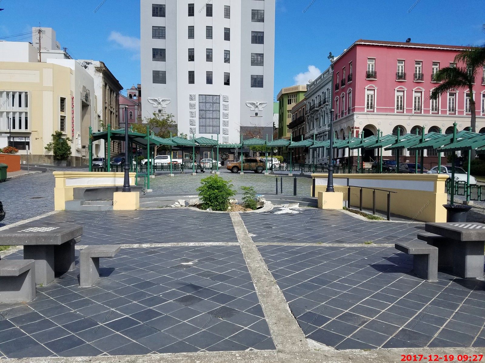
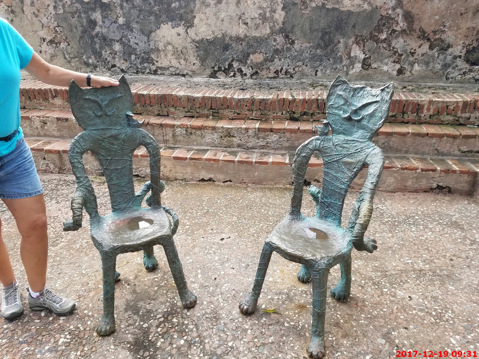
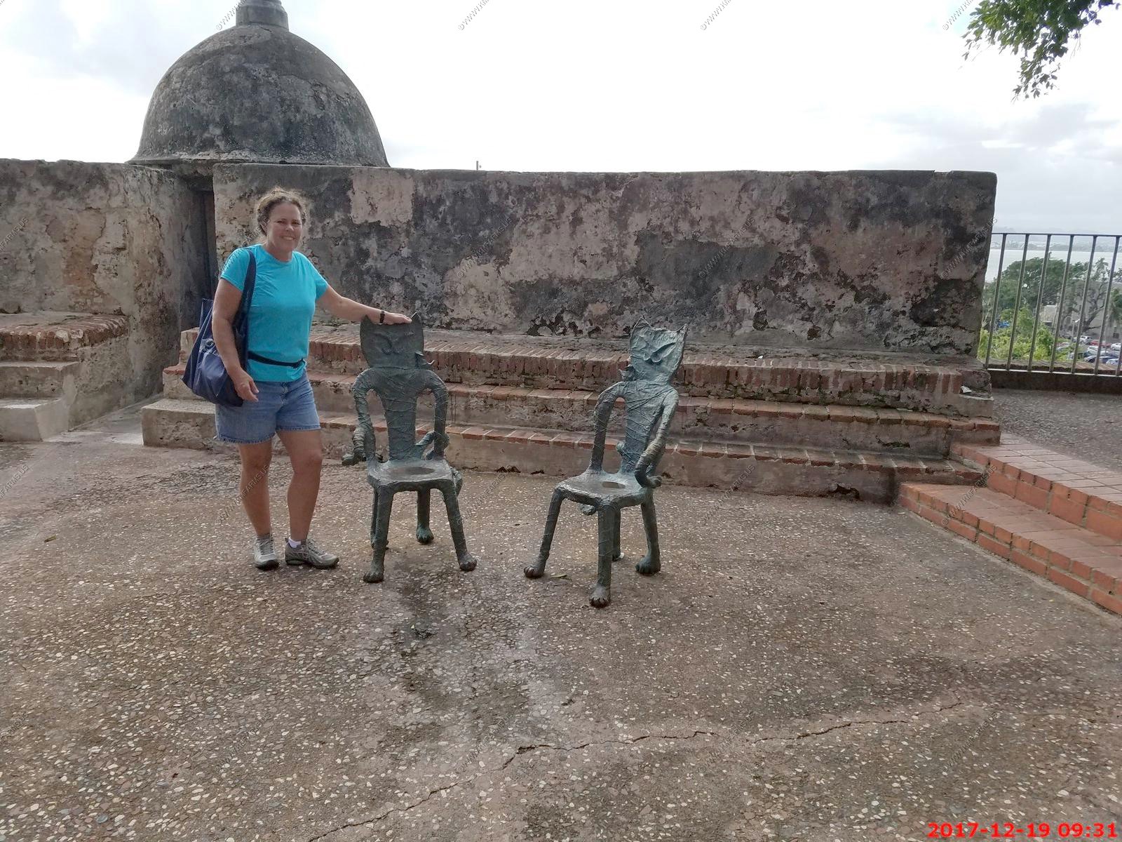
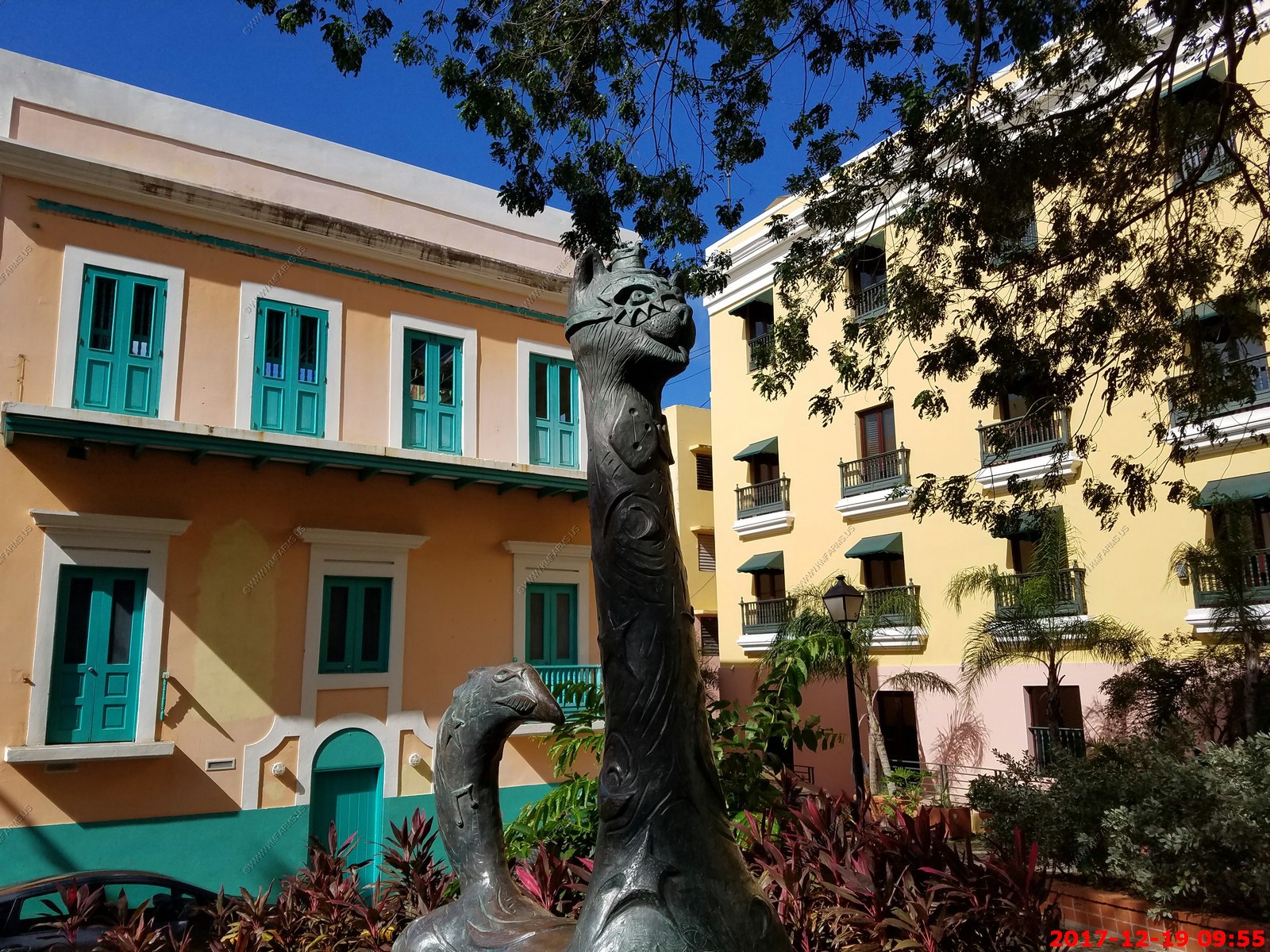
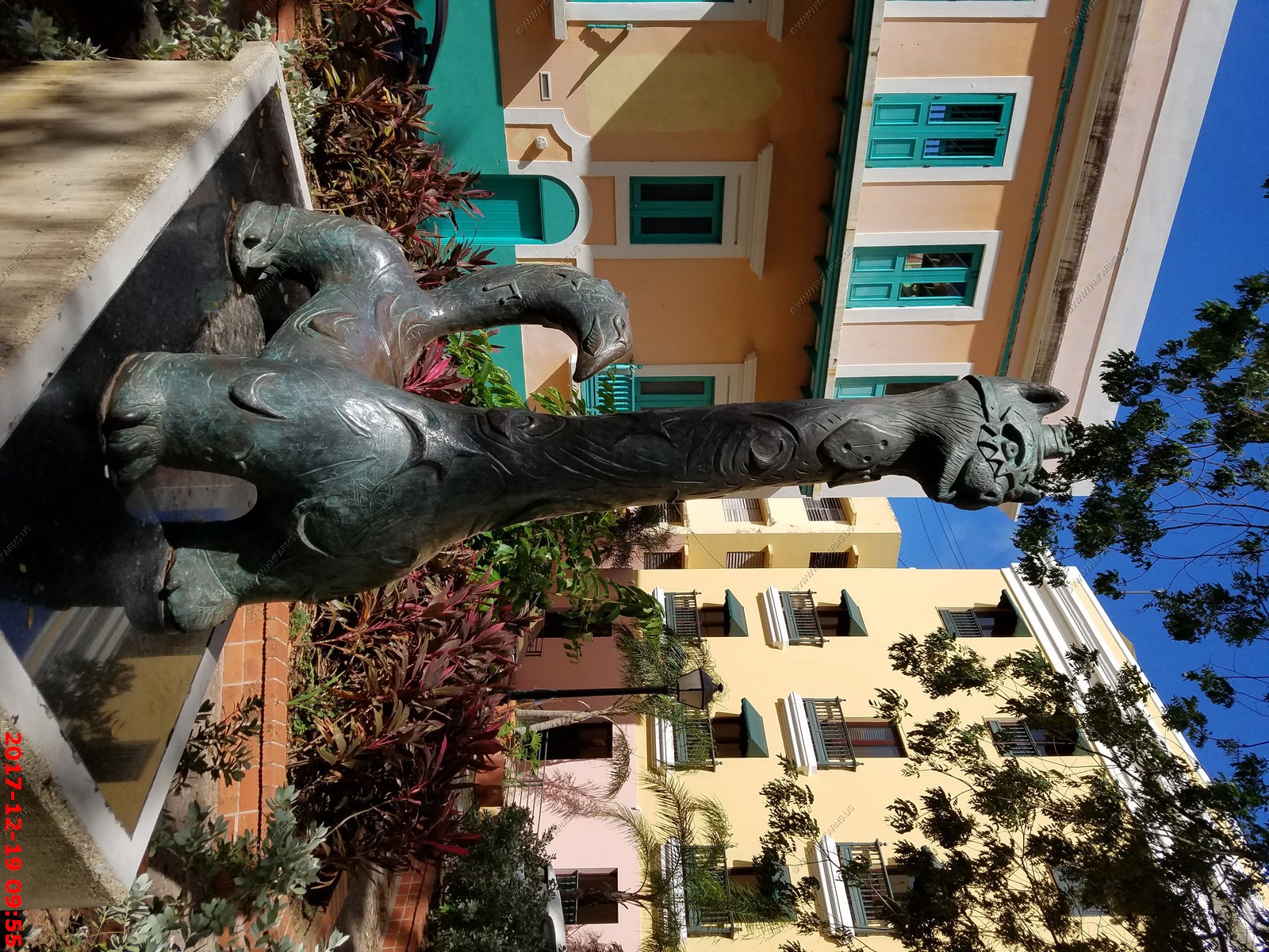
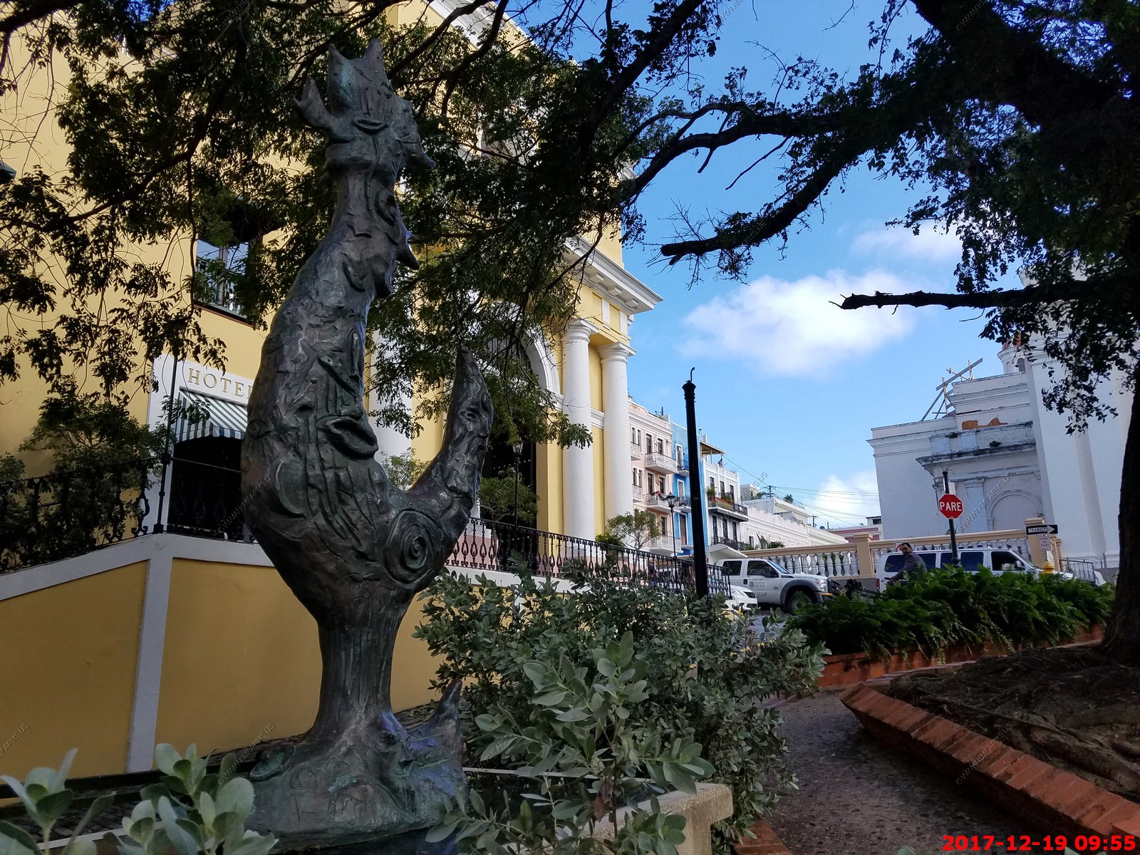
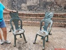
Very cool cat chairs. We would have taken them but they were cast and probably weighed 200+ lbs each. I assume they did mot move during the hurricane

Some tree damage
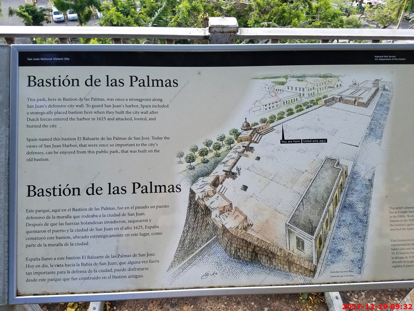
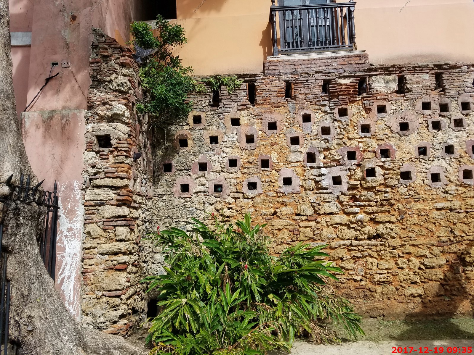
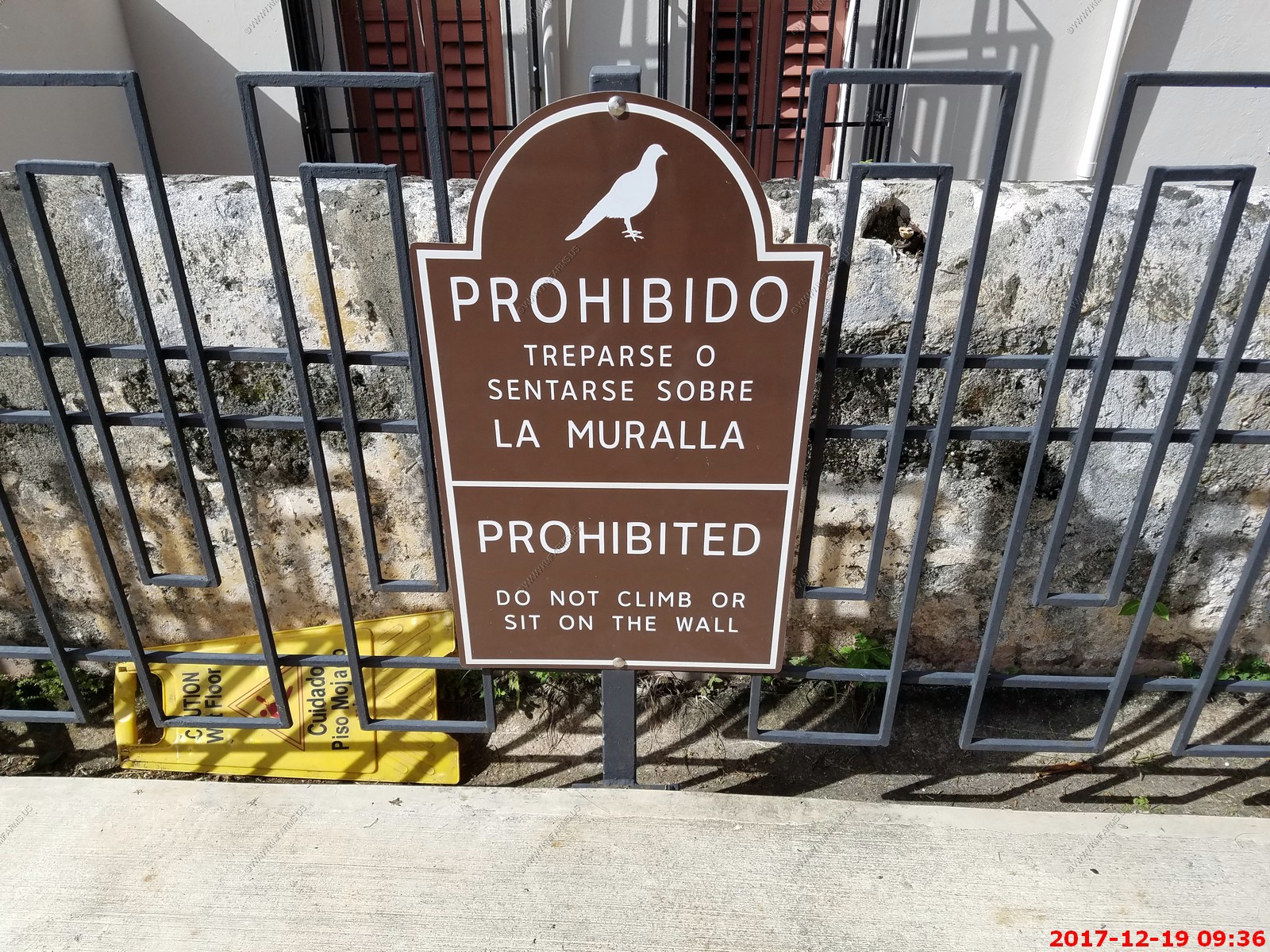
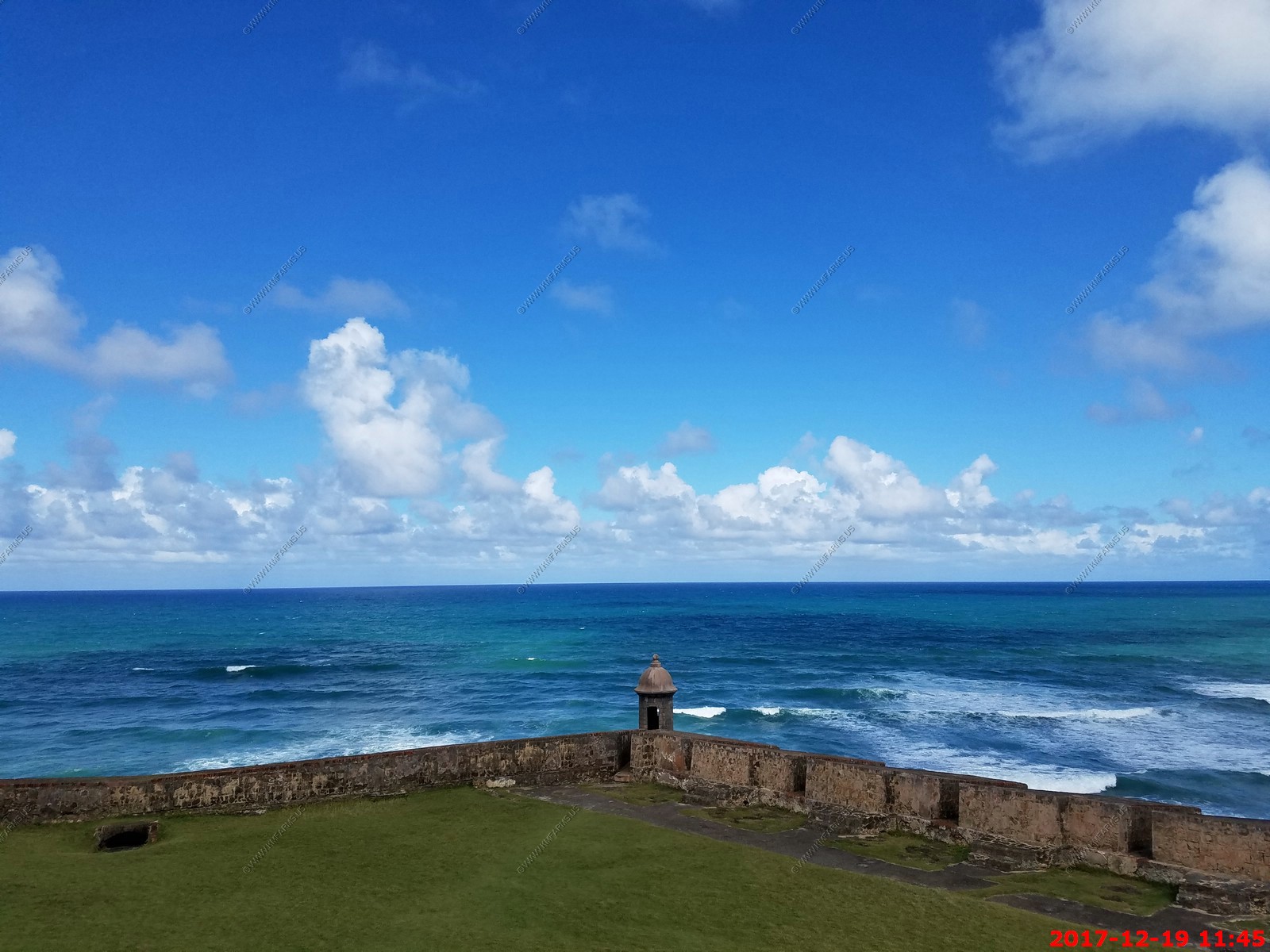
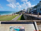
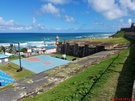
The Bastion de las Palmas - Part of Old San Juan and home to 100's of pigeons
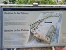


The pigeons lived in the wall that you can sit or climb on
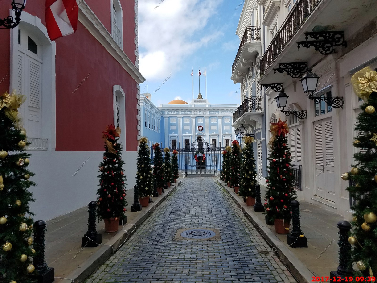
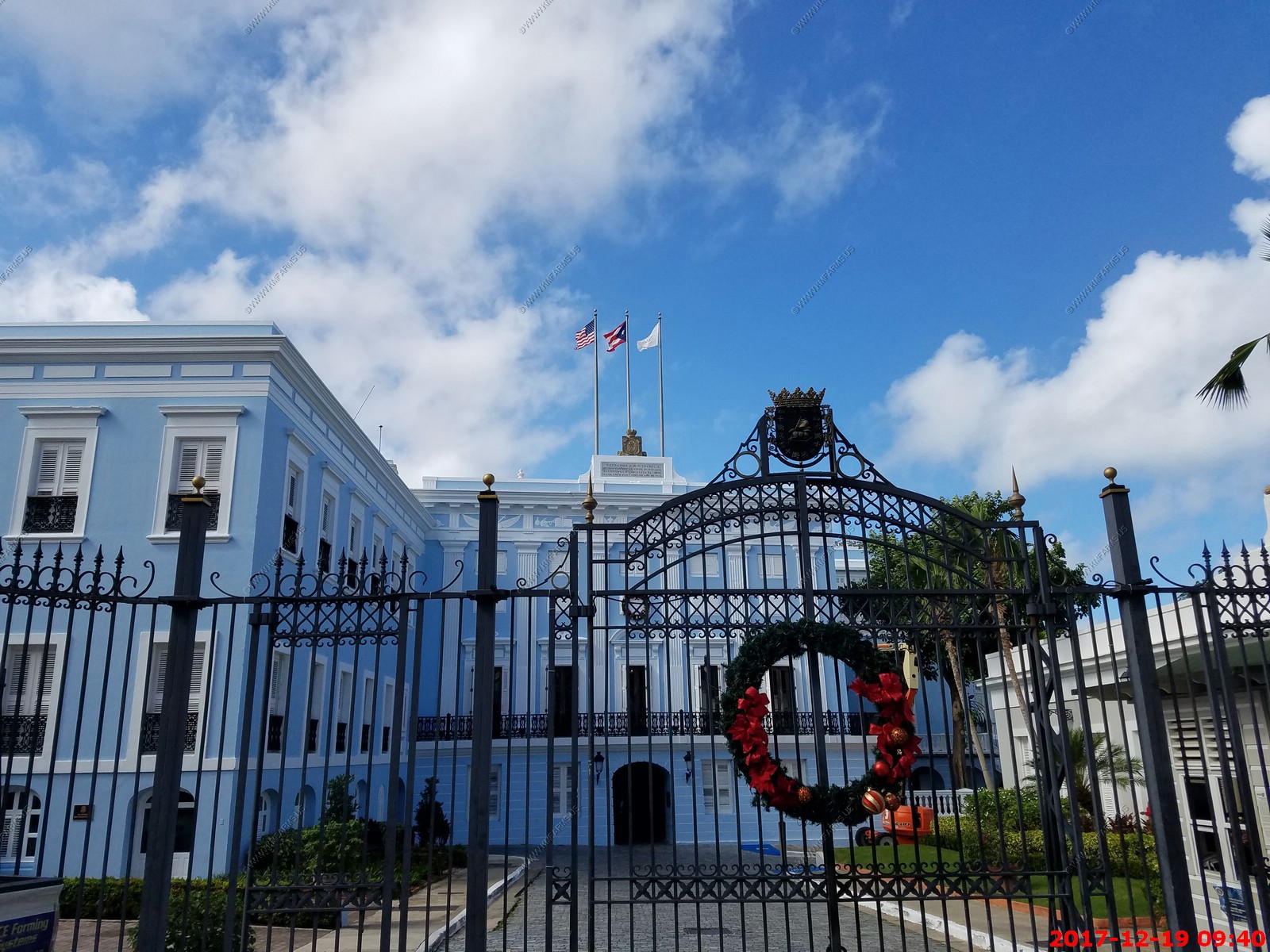
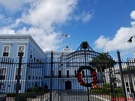
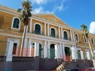
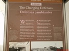
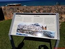
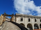
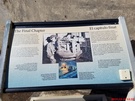
La Fortaleza (The Fortress) is the current official residence of the Governor of Puerto Rico. It was built between 1533 and 1540 to defend the harbor of San Juan. The structure
is also known as Palacio de Santa Catalina (Santa Catalina's Palace). It is the oldest executive mansion in continuous use in the New World. It was listed by UNESCO in 1983 as
part of the World Heritage Site "La Fortaleza and San Juan National Historic Site".
During the 1640 reconstruction, the chapel of Santa Catalina, which originally existed outside the walls, was demolished and was integrated to the walls of the structure,
resulting in the alternate name Santa Catalina's Palace.
La Fortaleza was the first defensive fortification built for the city of San Juan, and the first of a series of military structures built to protect the city which included the
Fort San Felipe del Morro and the Fort San Cristobal. The construction was authorized by Charles V, Holy Roman Emperor as a defense against attacks from Island Caribs and the
European powers of the time. Initially, the structure consisted of four walls enclosing an interior patio with a circular tower known as the Homage Tower. From the top of the
tower, the governor, following military tradition, would take oaths of fidelity at critical moments to the King and Queen of Spain. Later, a second tower named the Austral Tower
was constructed.
At present, the complex consists of a few attached buildings with formal living quarters in the second floor, and private quarters in the third. It overlooks the high city walls
that front the bay, and within the north perimeter of the house are sheltered gardens and a swimming pool.
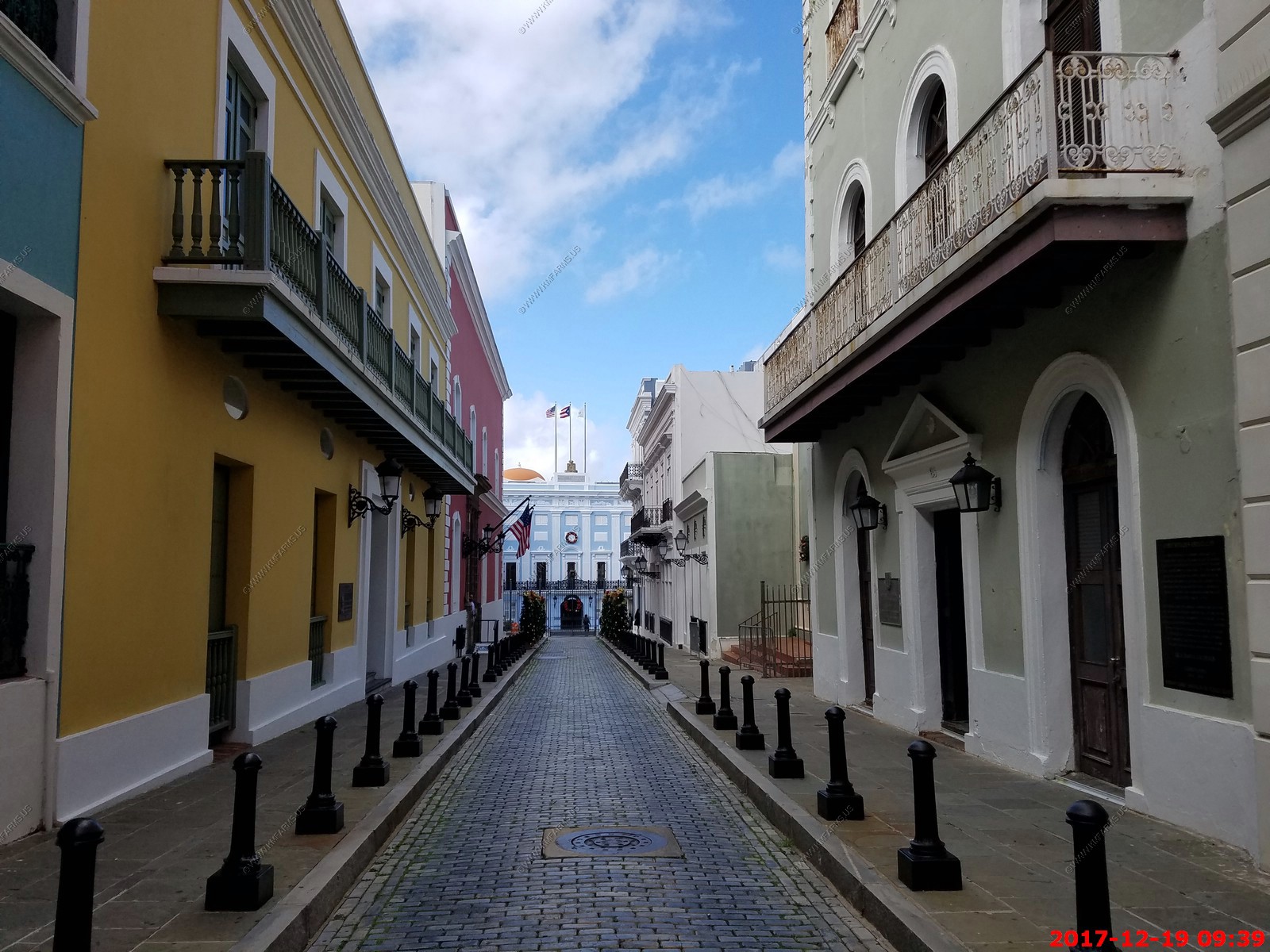
Looking down the street and some building near the residence
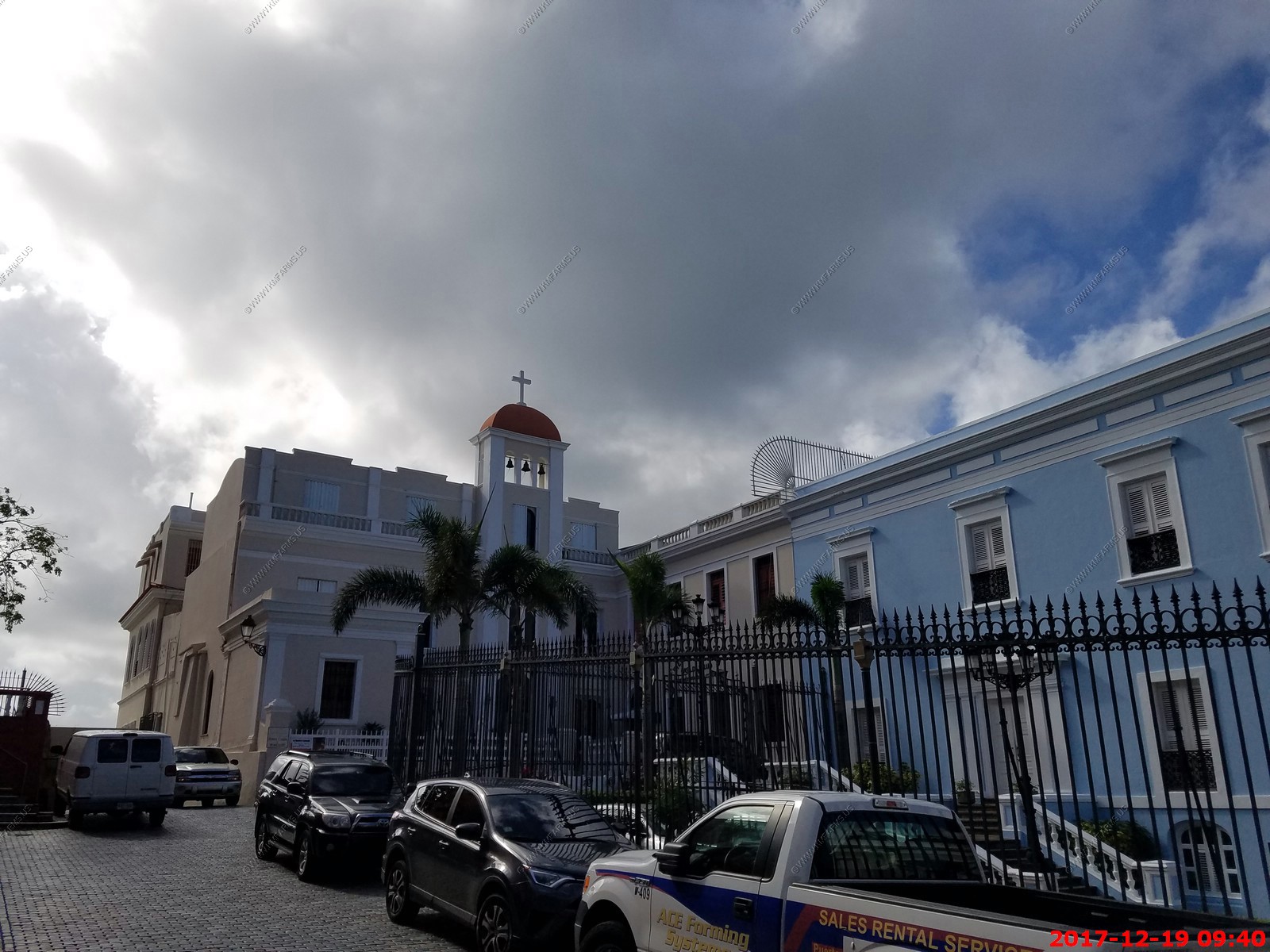
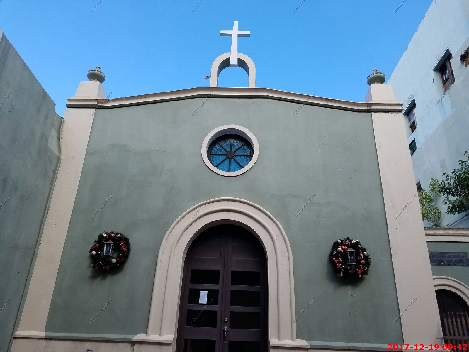
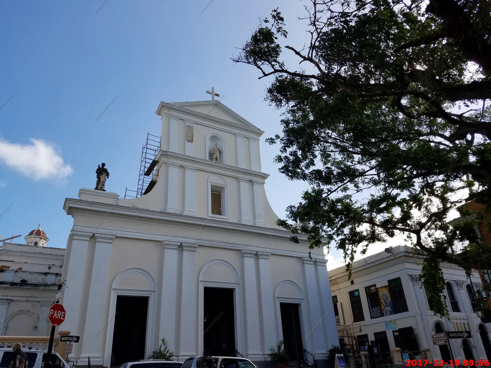
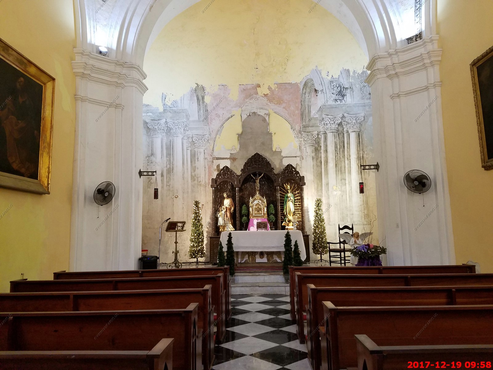
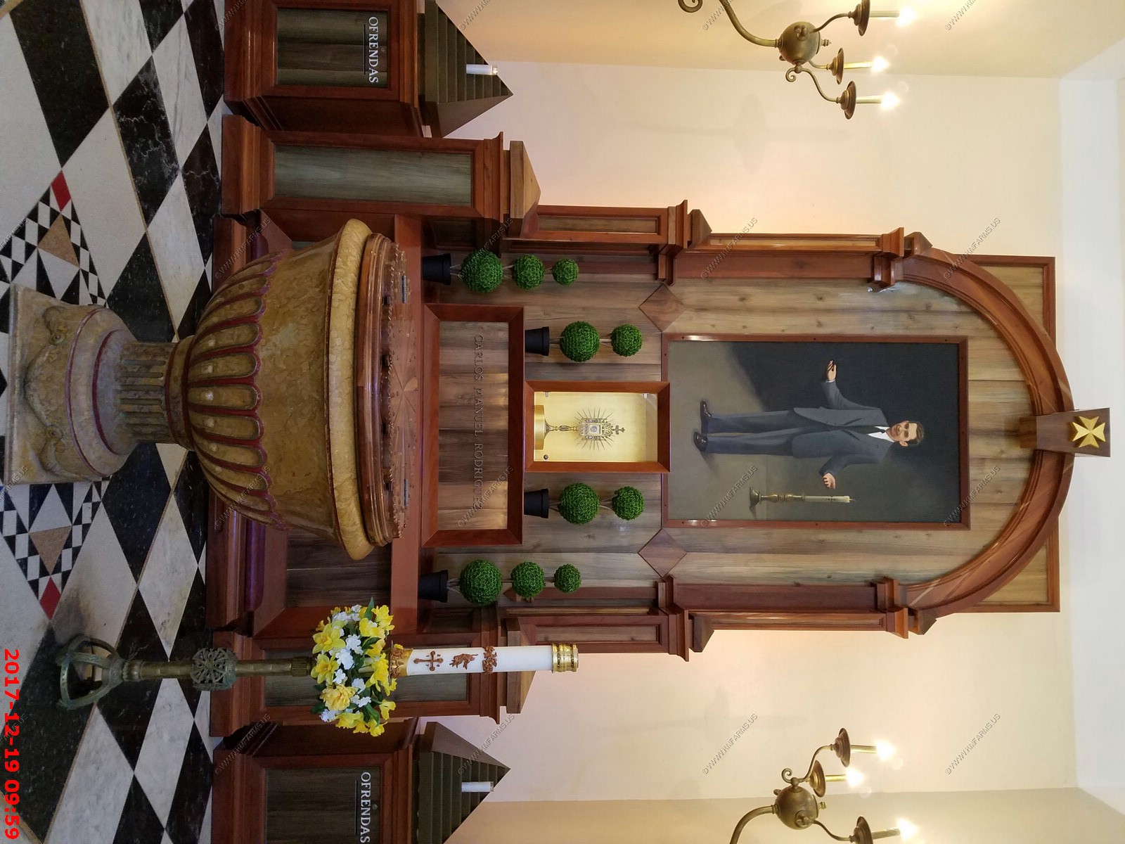
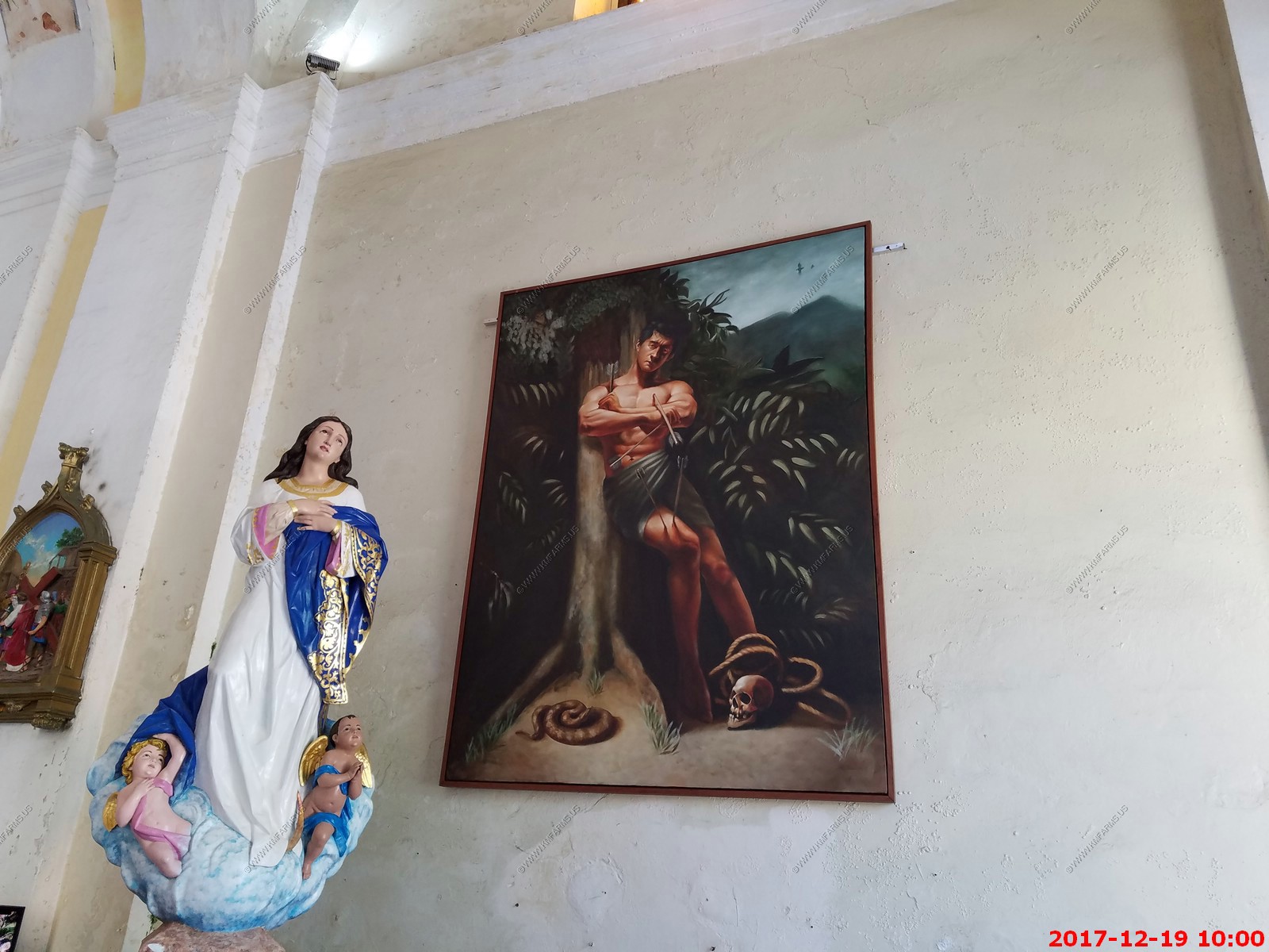
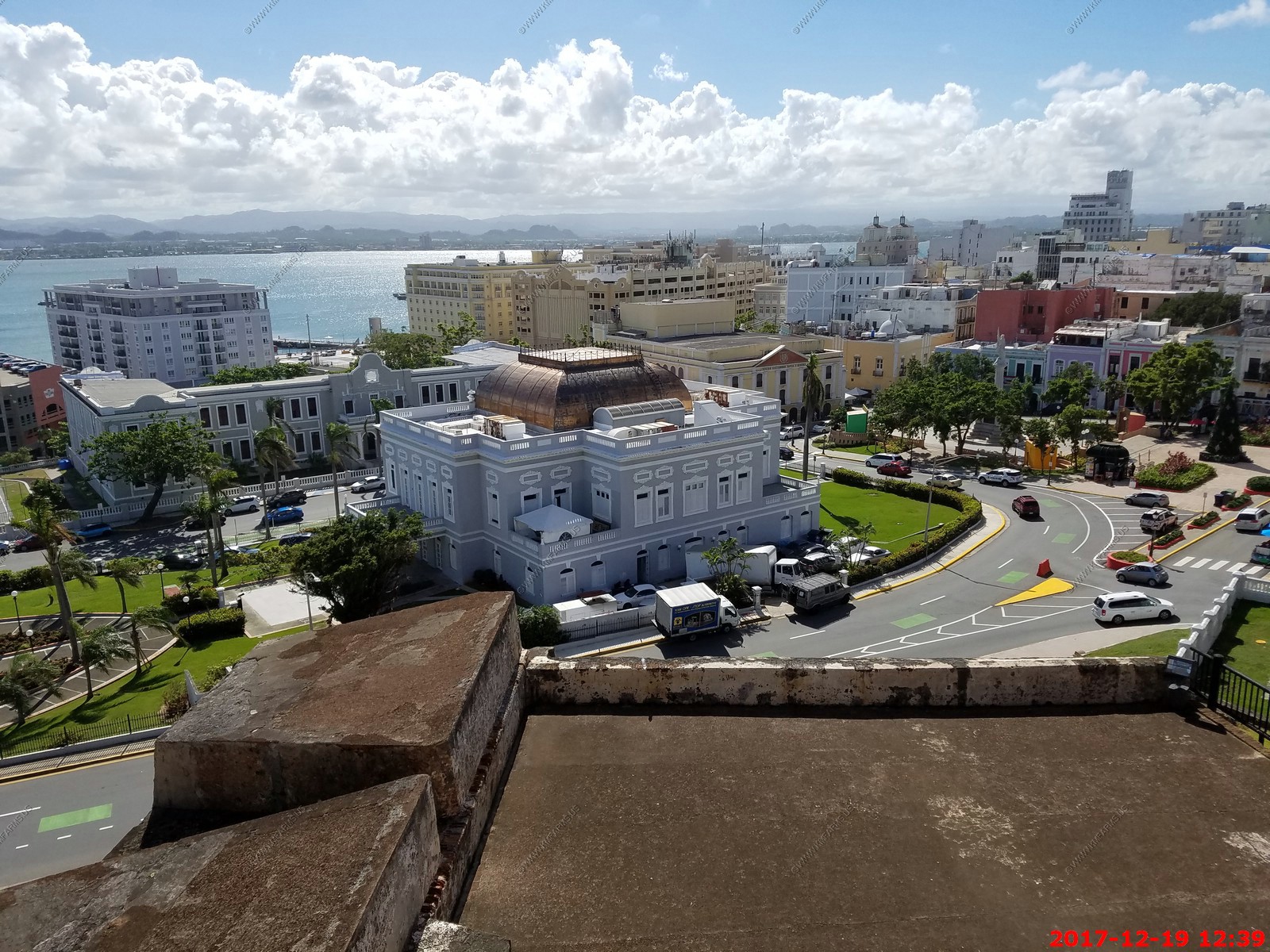
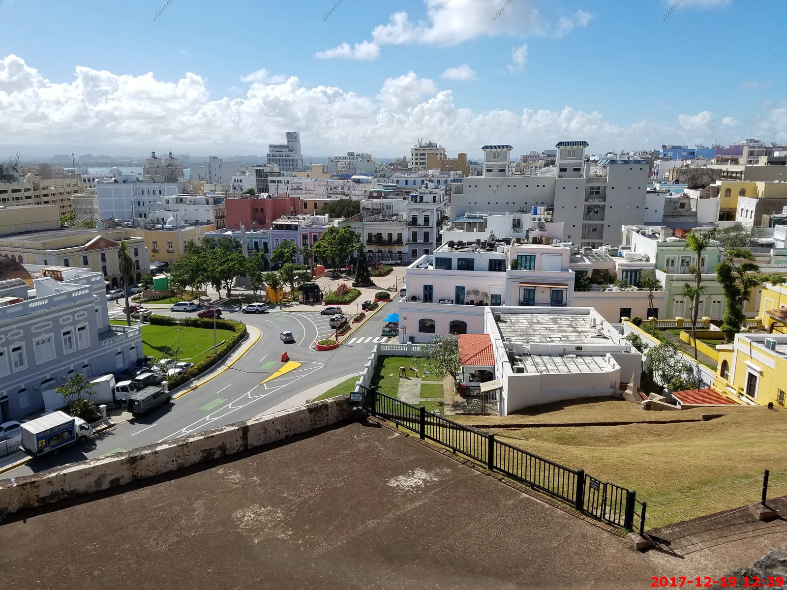
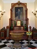
Plaza de la Cathedral


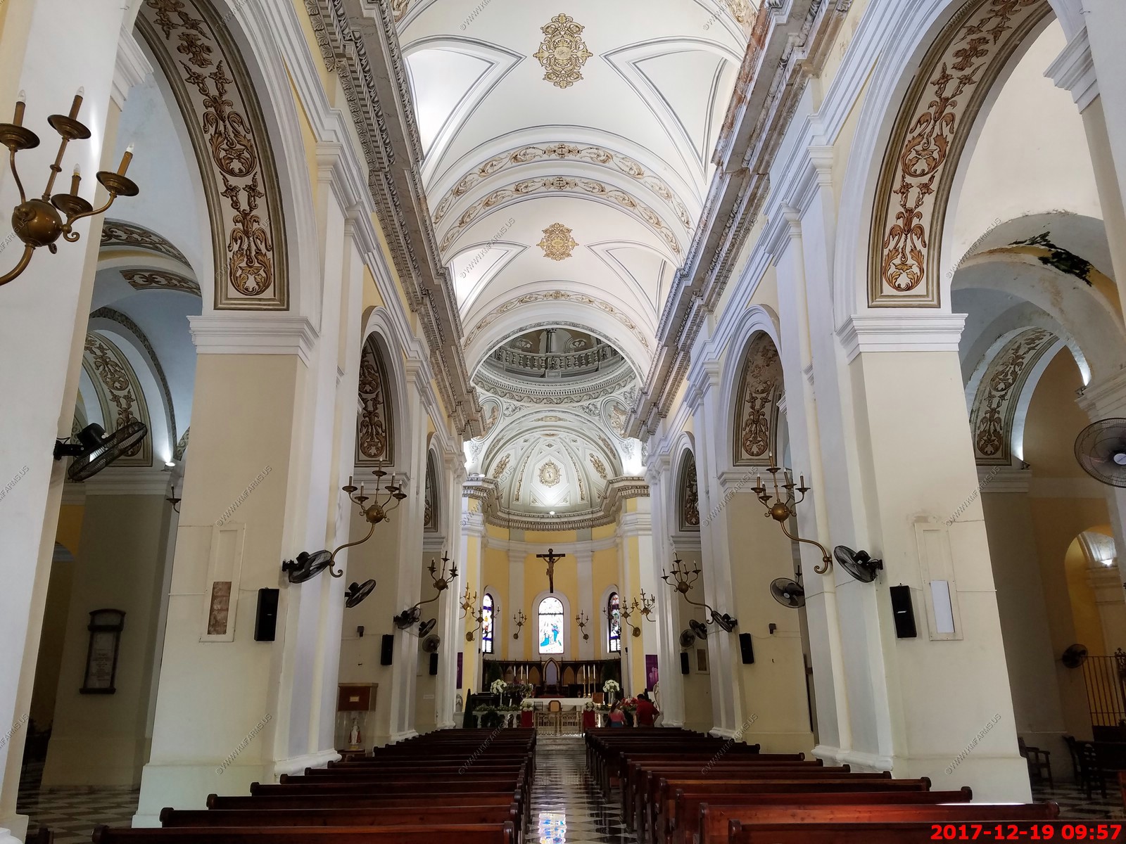
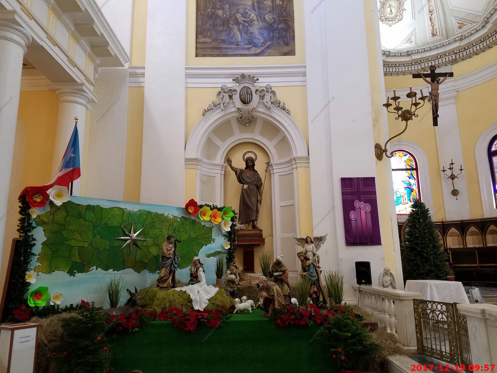
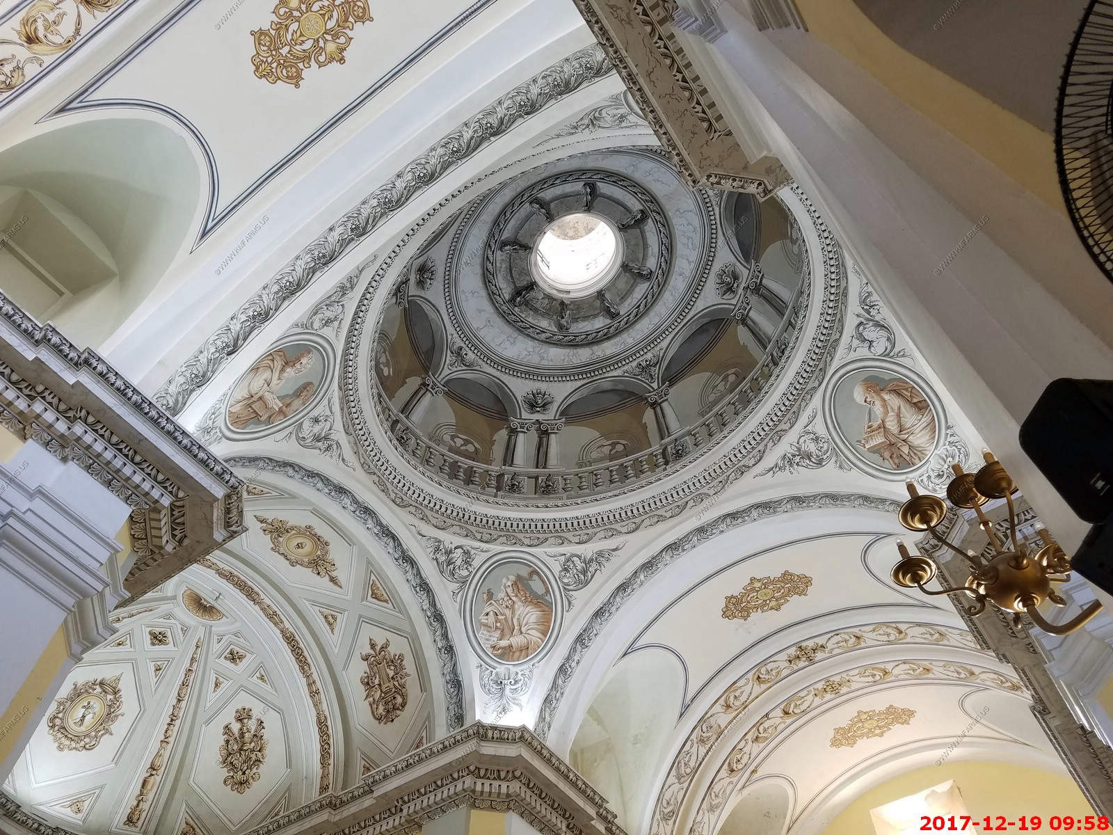
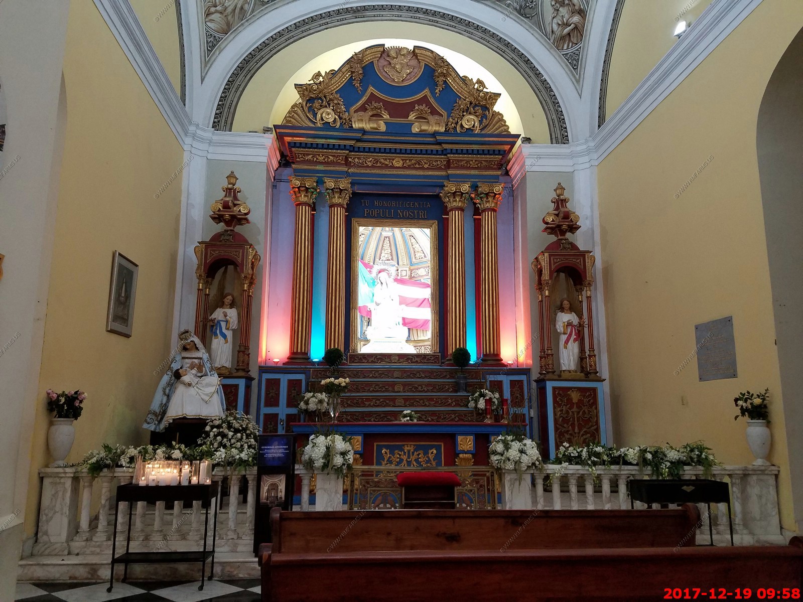
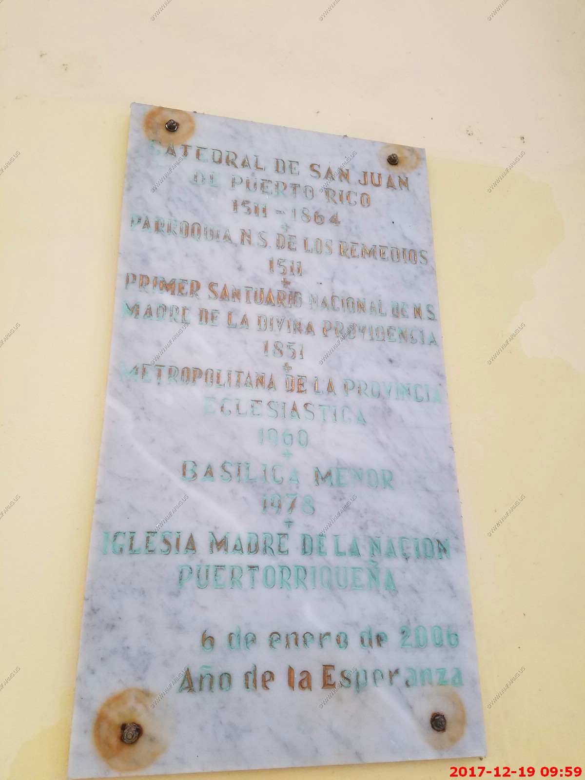
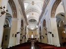
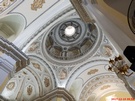
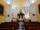
San Juan Cathedral is An Historic Treasure Trove
Situated in Cristo Street in San Juan, the San Juan Cathedral is a fascinating architectural wonder of great religious importance to people in the area. Also known as Catedral
de San Juan Bautista, the church stands before the Plazuela de Las Monjas. This attraction in Puerto Rico is both religiously and historically interesting.
Alonso Manso, a bishop in San Juan, was responsible for the construction of the San Juan Cathedral in 1521. Thus it is one of the city's oldest structures. The church was built
with wooden walls and a thatch roof. A hurricane caused extensive damage to the building in October of 1526. Much of what you see today began its construction in 1540. Lack of
funds as well as a variety of disasters meant that progress on the church was slow. Over time it grew into a Gothic styled stone structure. In 1598 the British Navy, under the
direction of the Earl of Cumberland raided the cathedral of San Juan, removing all valuable objects. Disaster struck again in 1615 when another hurricane completely removed the
roof.
Extensive restorations of the San Juan Cathedral took place during 1917 although the facade was actually added in the 1800s. Despite the passing of time and the many difficulties
faced by the church, it has retained its medieval feel. This is particularly evident in the vaulted tower of the cathedral. It is believed by many to be Puerto Rico's greatest
religious site.


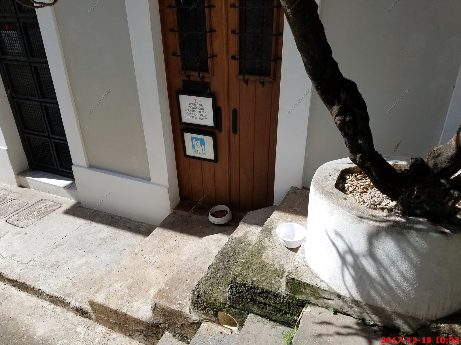
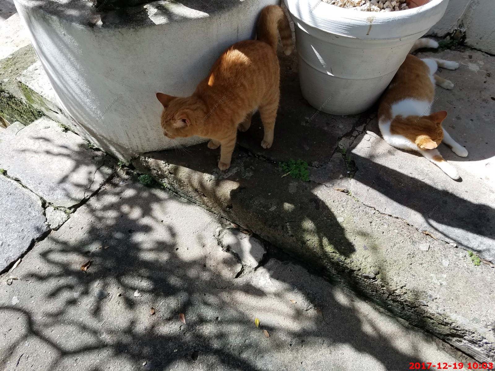
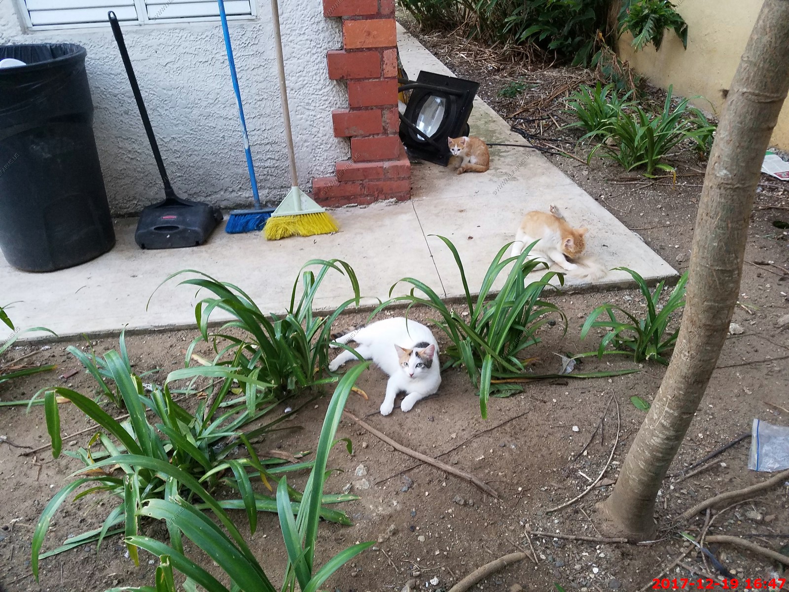
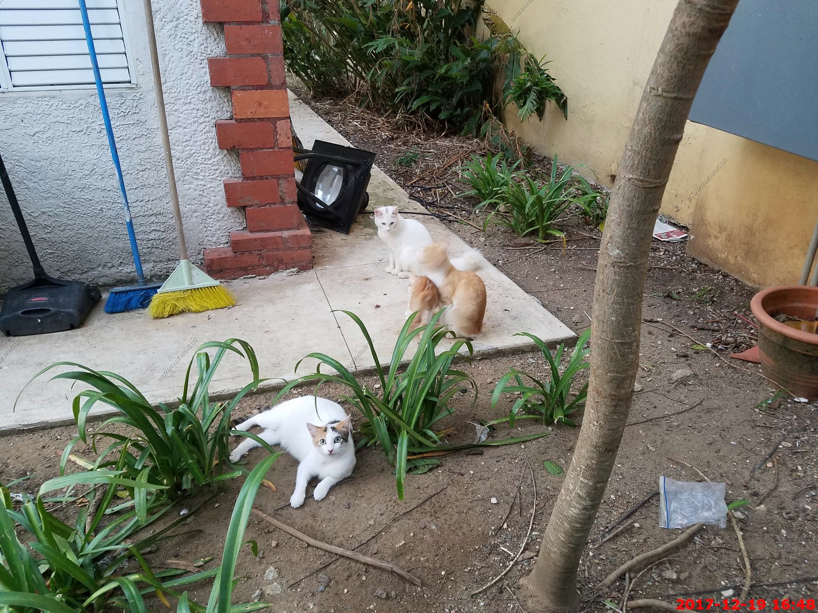
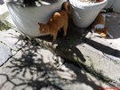
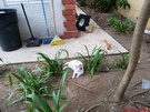
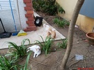
City cats
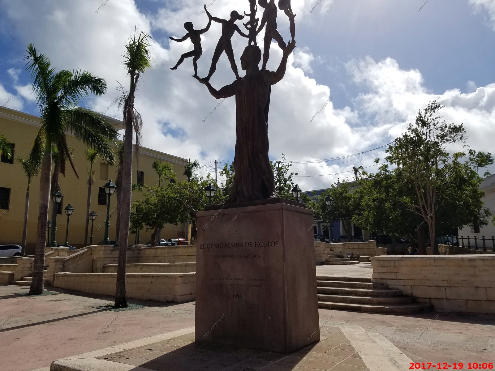
Eugenio Maria de Hostos, in full Eugenio Maria de Hostos y Bonilla, (born January 11, 1839, near Mayaguez, Puerto Rico - died August 11, 1903, Santo Domingo, Dominican Republic),
educator and writer who was an early advocate of self-government for the island of Puerto Rico.
Hostos was educated in Spain and became active in republican politics as a university student there. He left Spain when that country's new constitution (1869) refused to grant
autonomy to Puerto Rico. He went to the United States, where he became editor of the Cuban independence journal La Revolucion in 1870. He subsequently traveled widely throughout
South America and taught in Chile. He returned to the United States in 1898 and participated actively in the Cuban independence movement, but his hopes for Puerto Rican
self-government after the Spanish-American War (1898) were disappointed when the U.S. government rejected his proposal for autonomy and instead established its rule over the
island as a territory. Hostos returned to the Dominican Republic, where he remained until his death.
More storm damage oh my
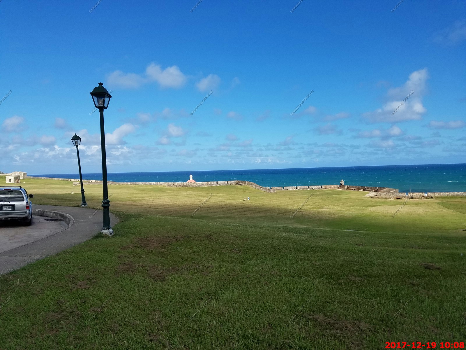
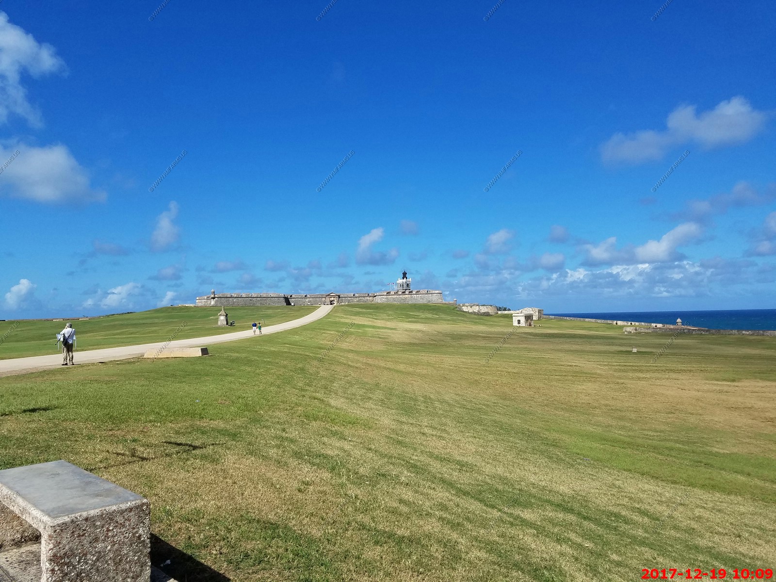
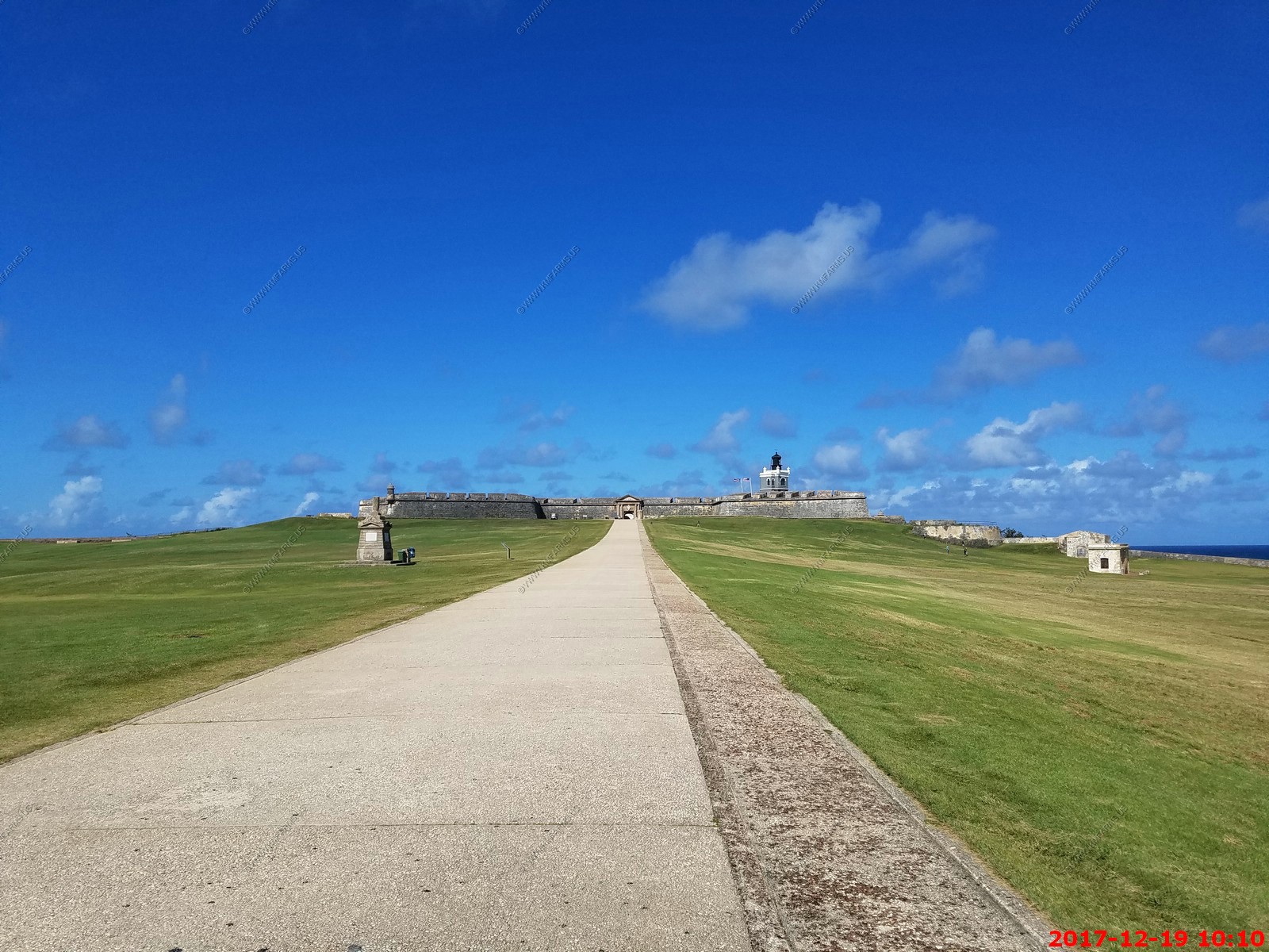
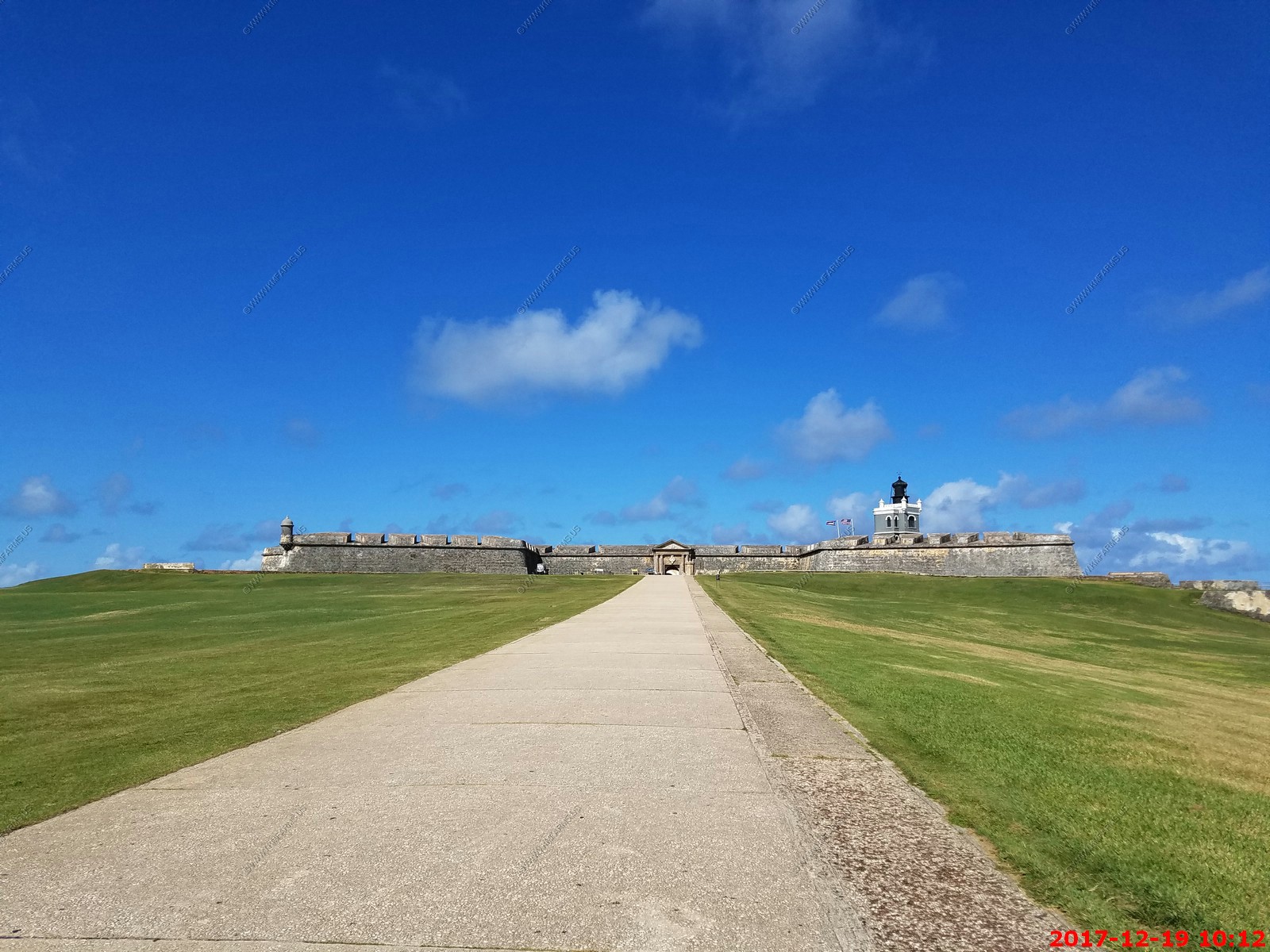
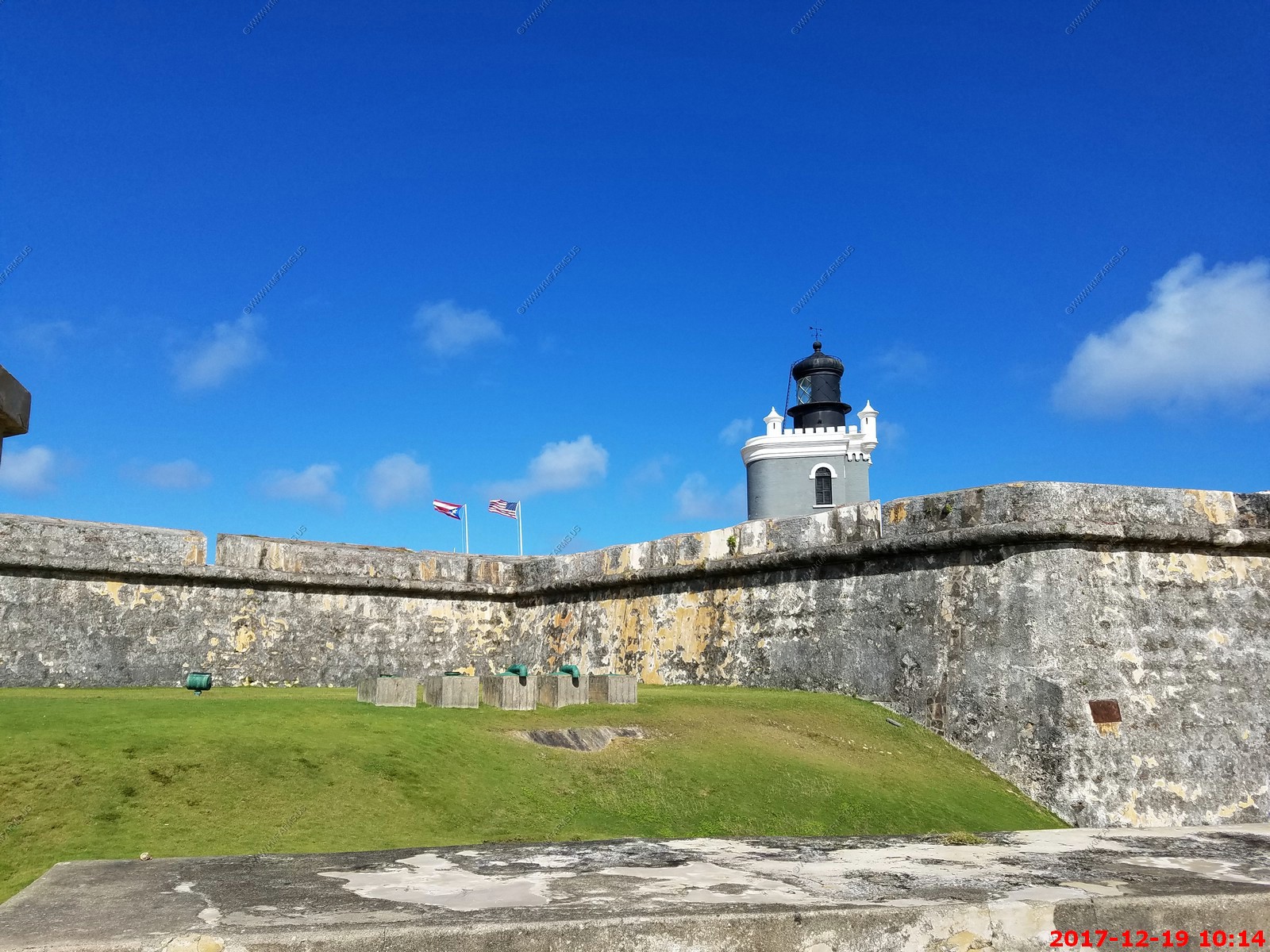
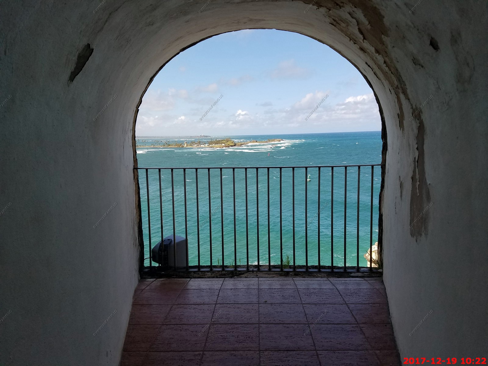
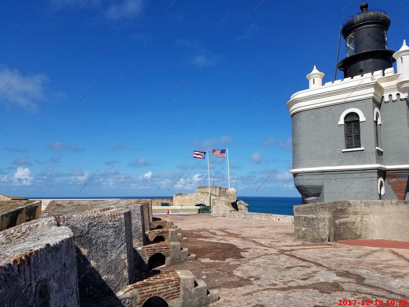
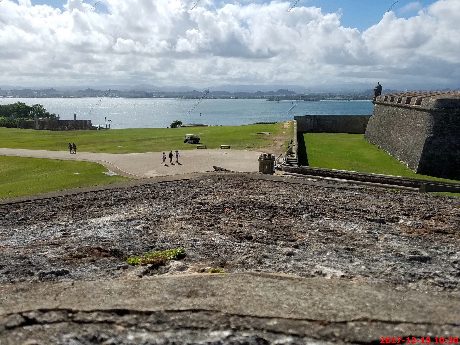
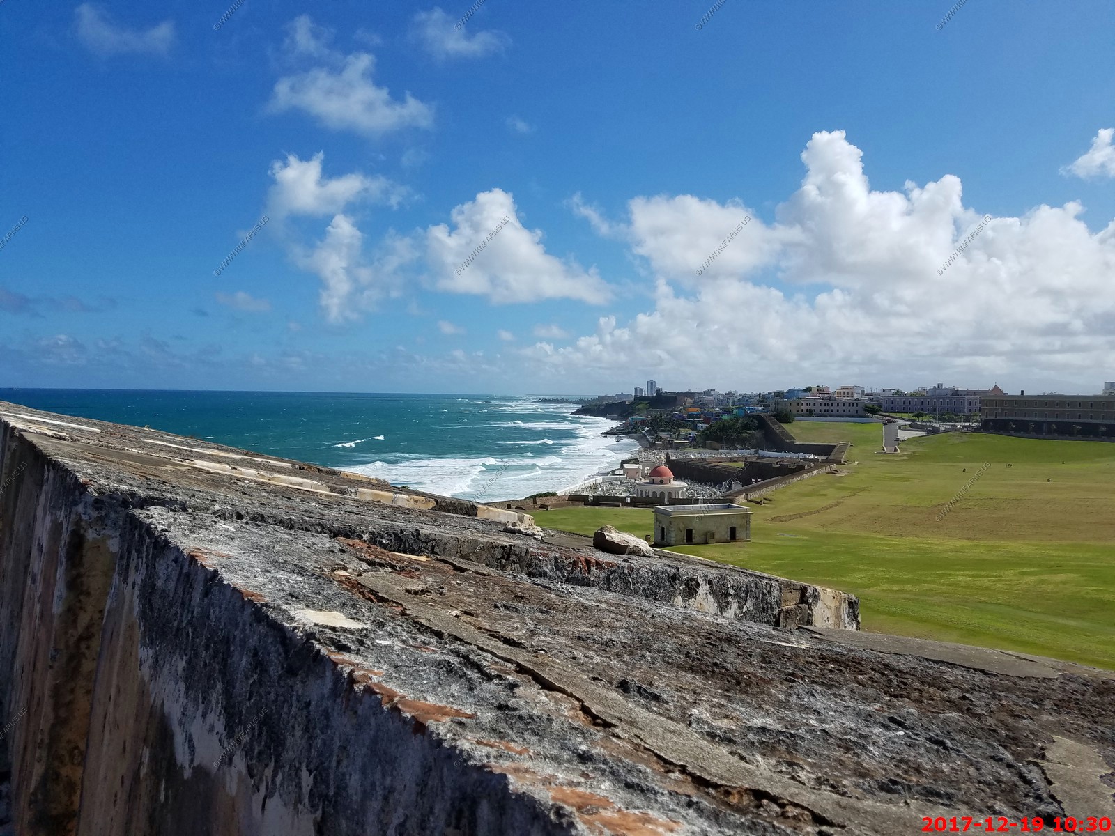
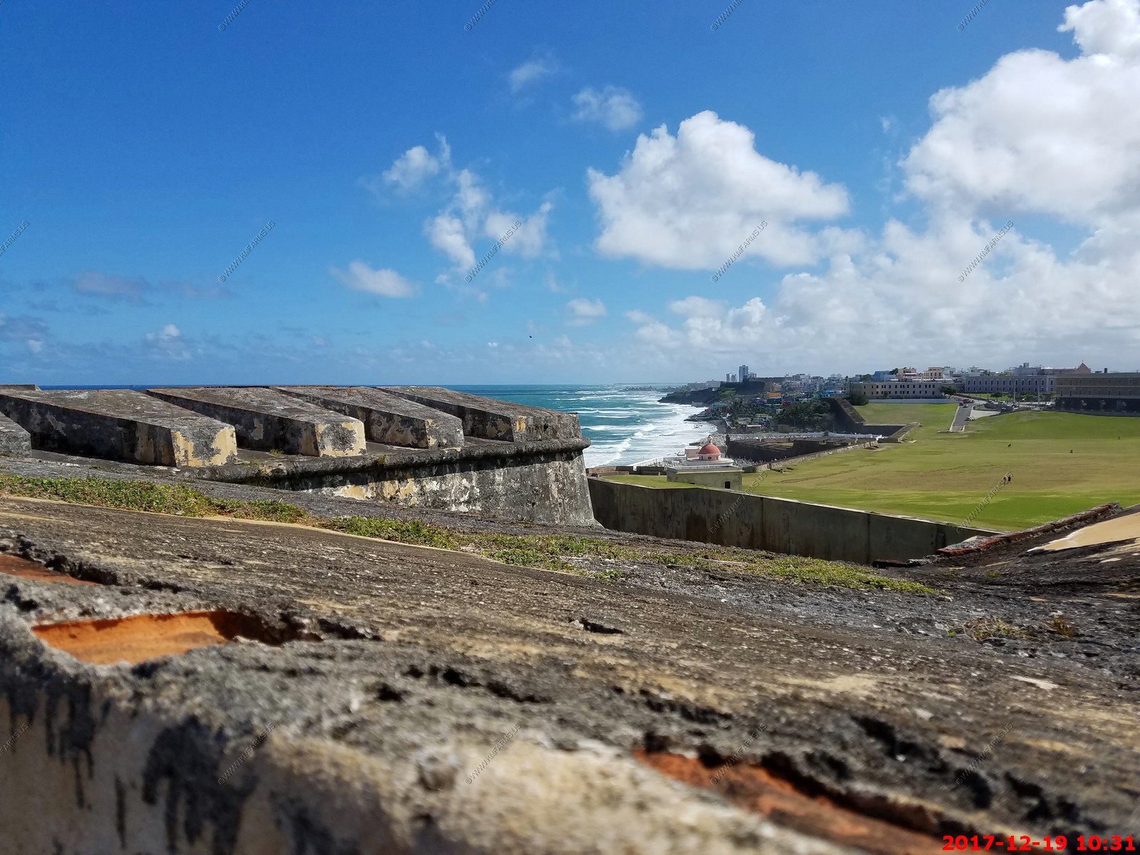
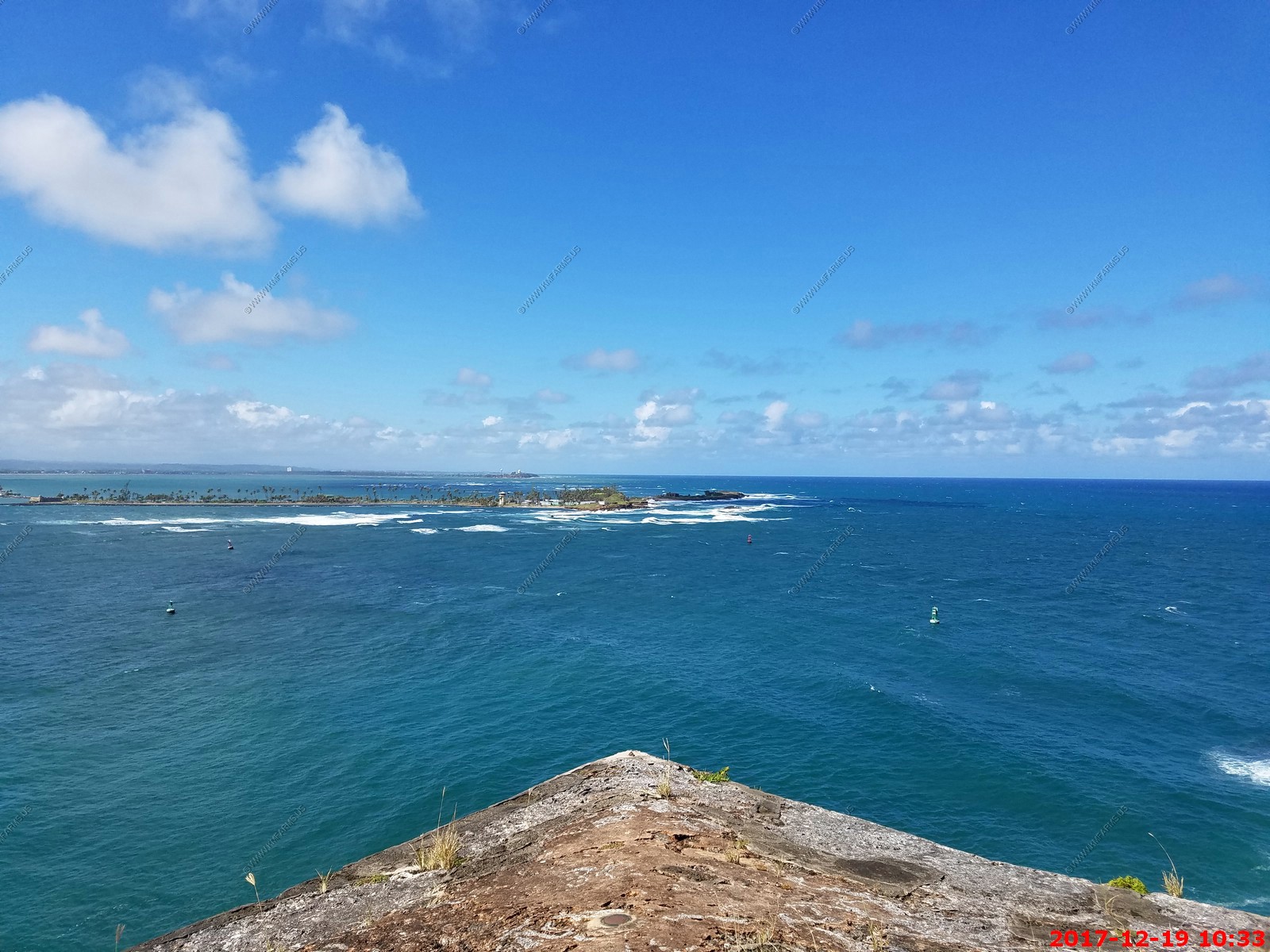
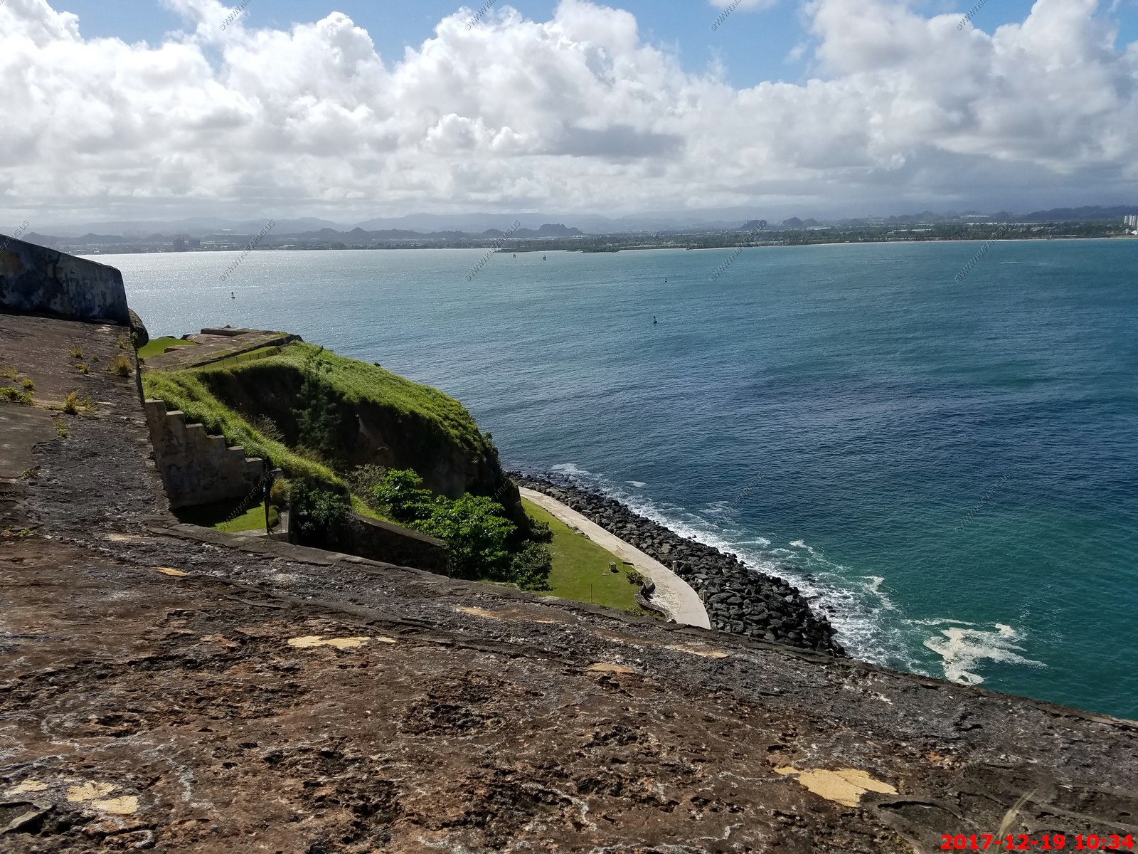
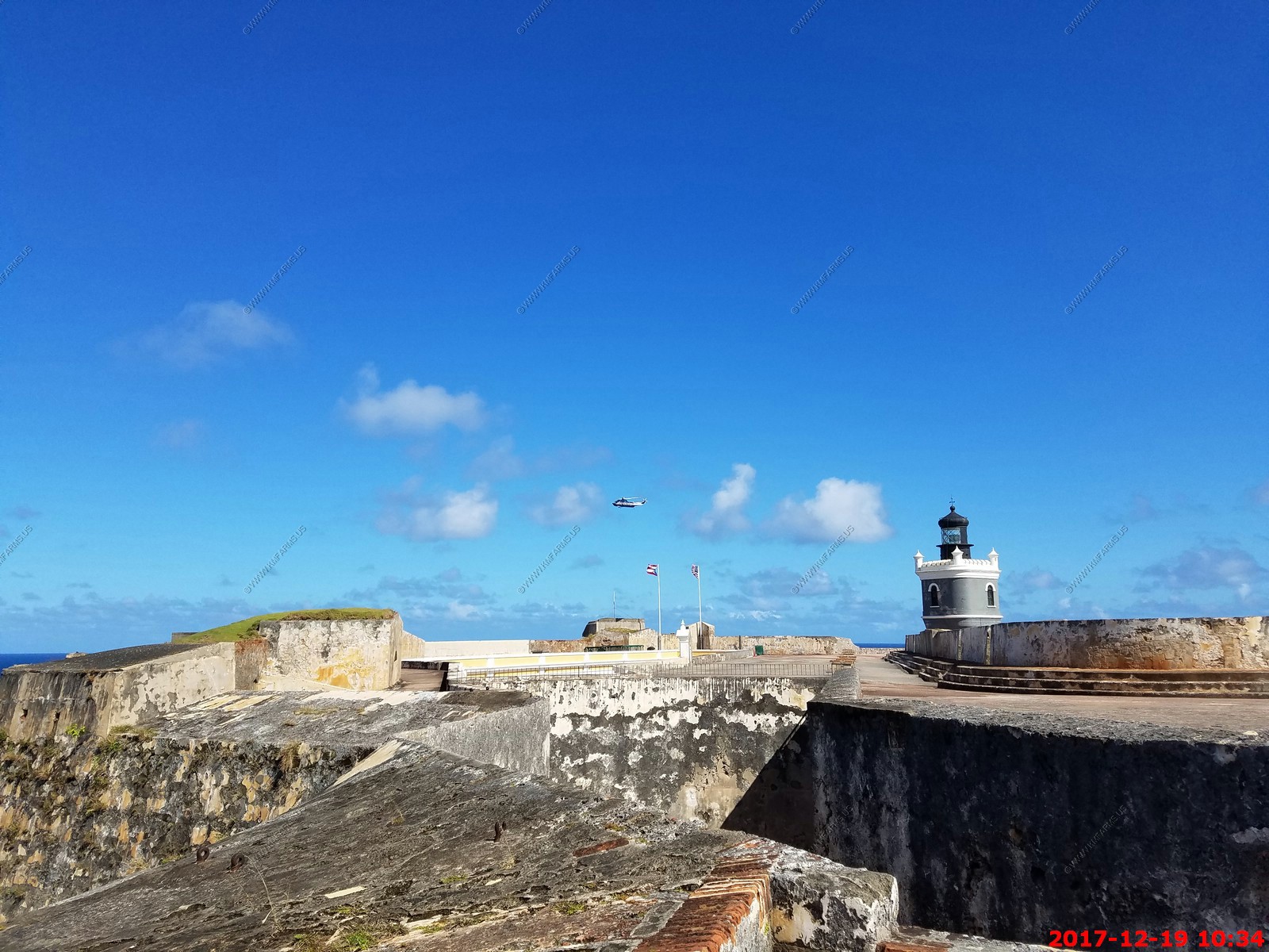
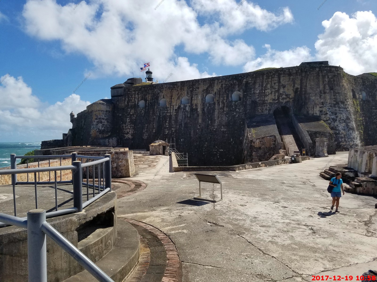
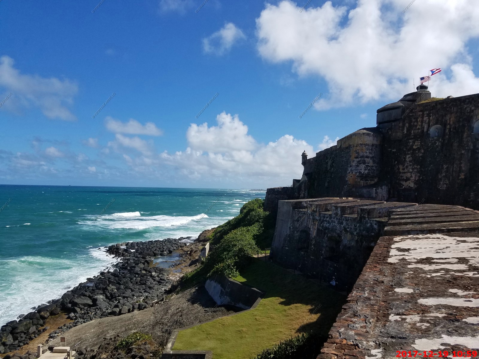
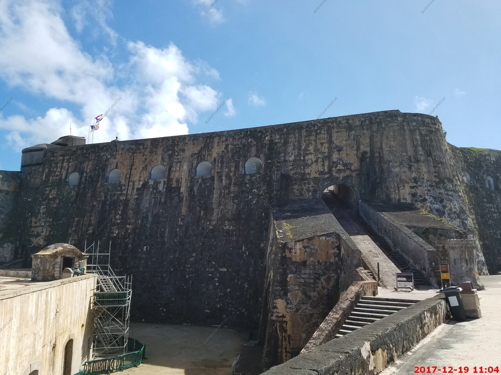
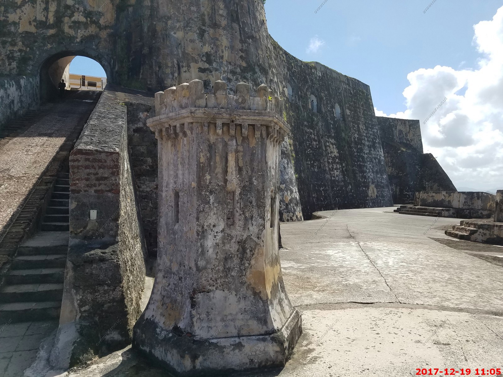
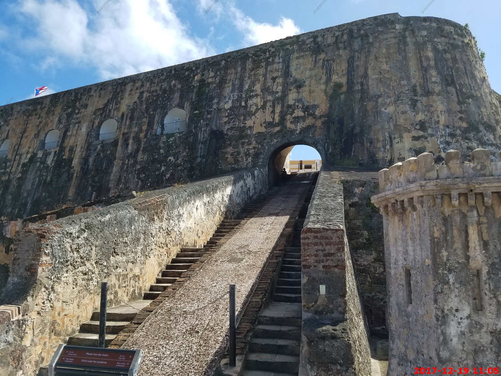
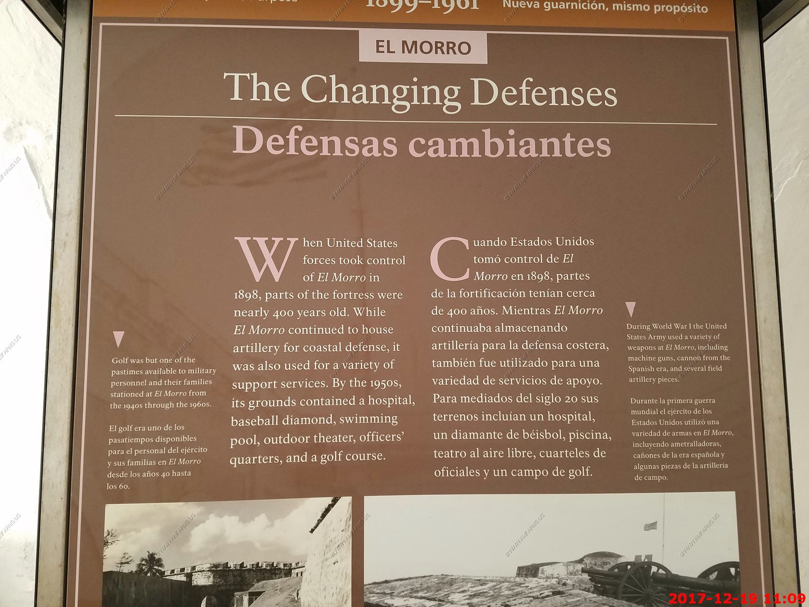
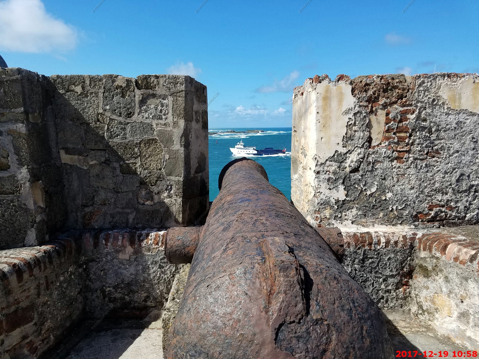
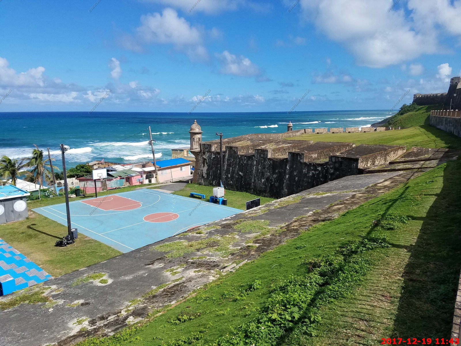
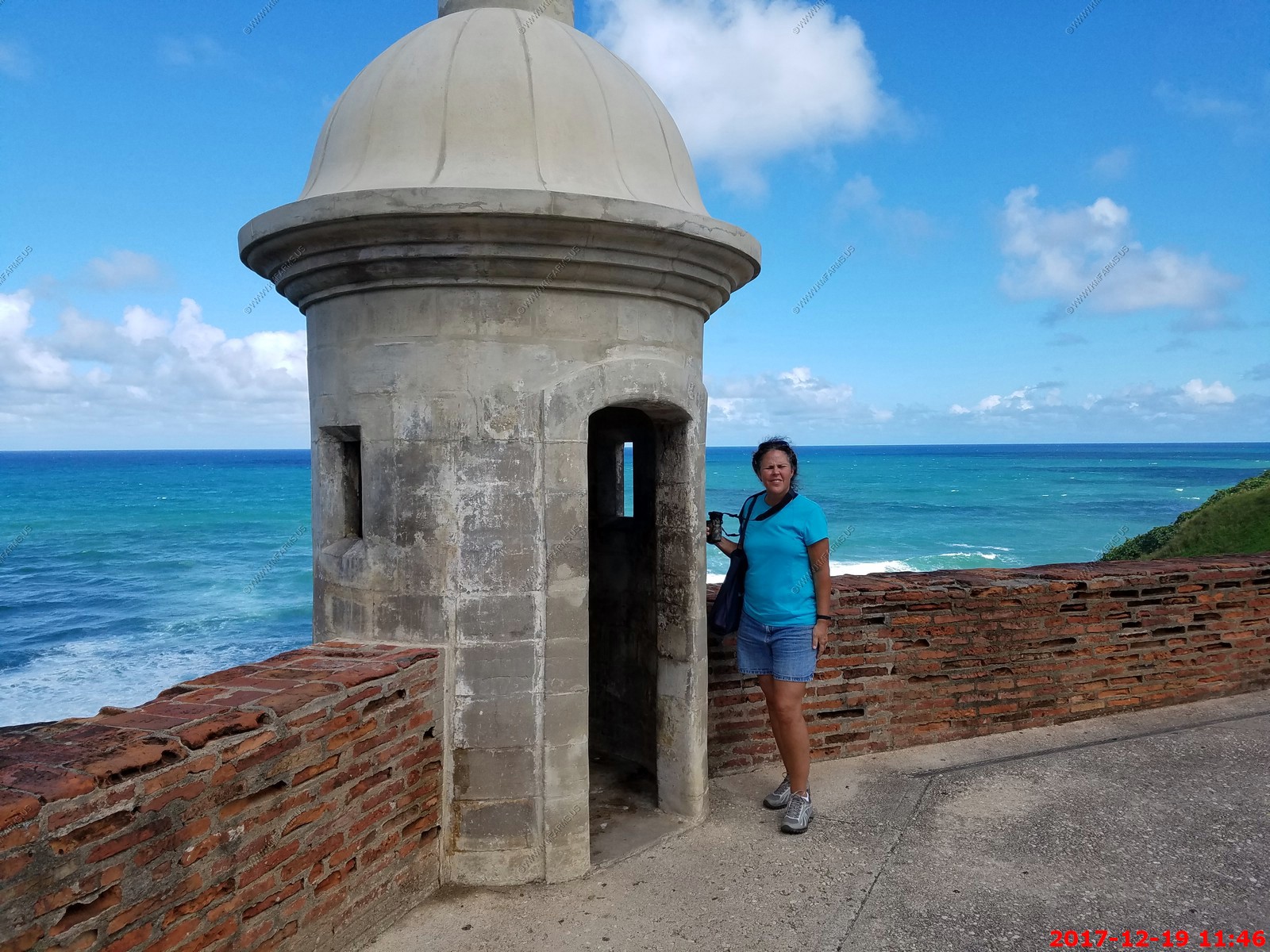
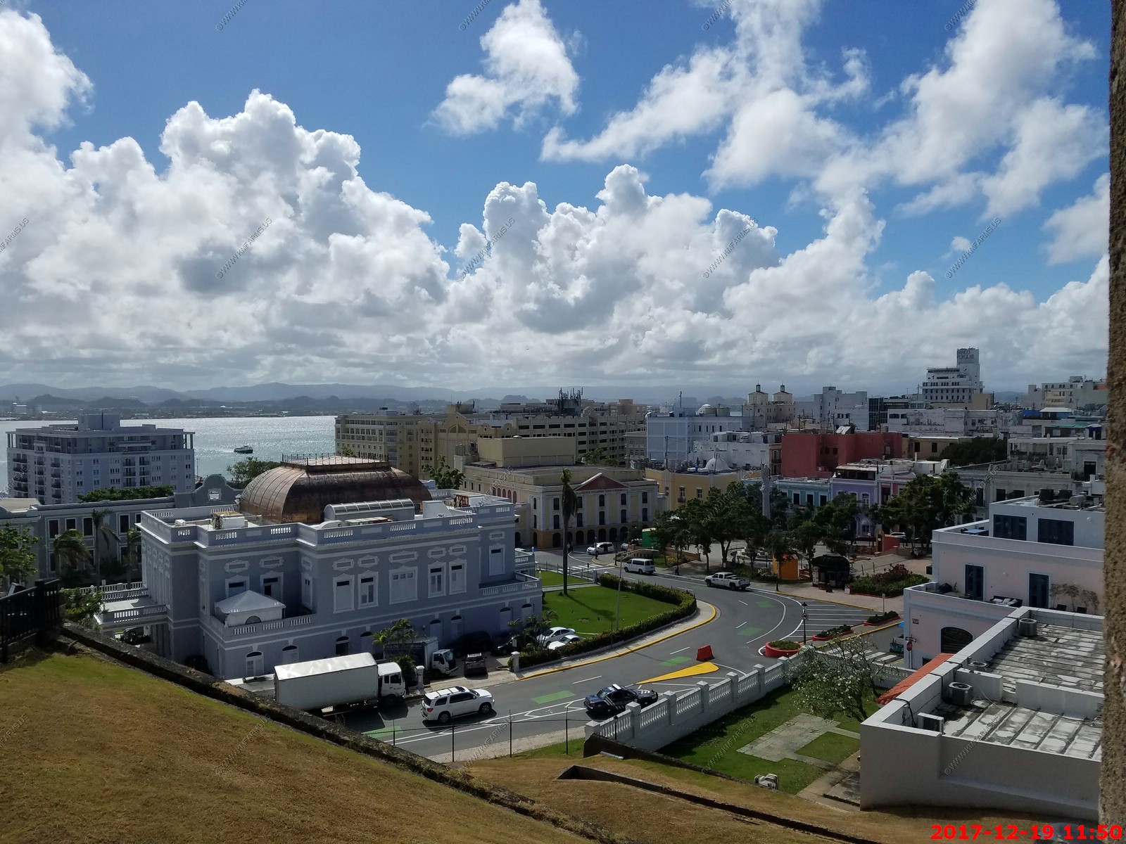
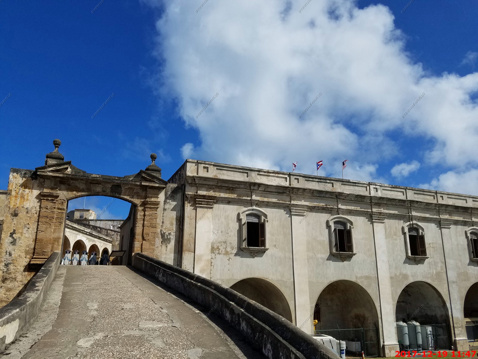
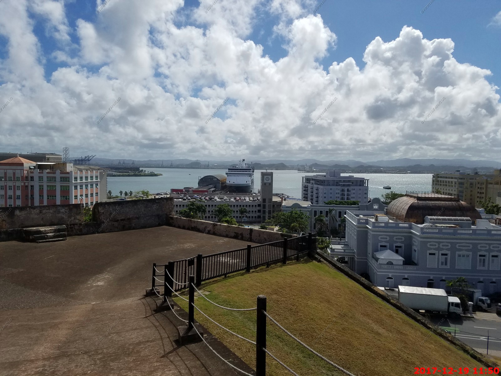
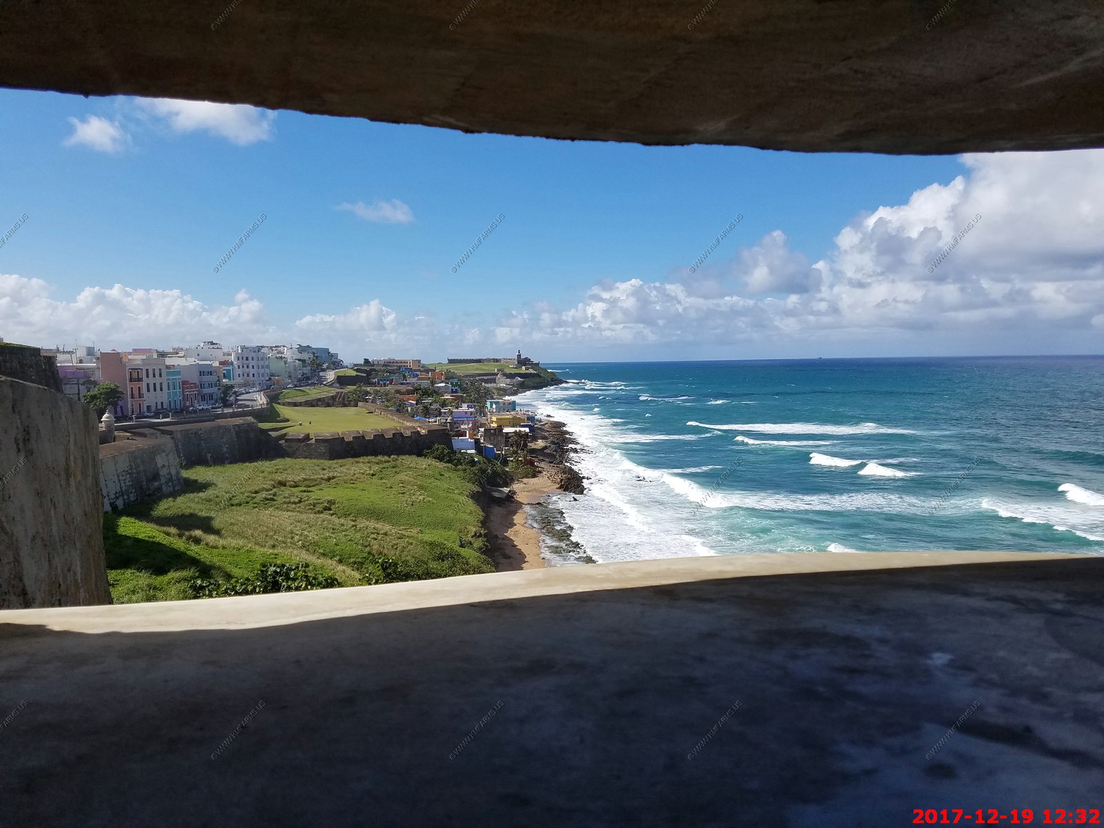
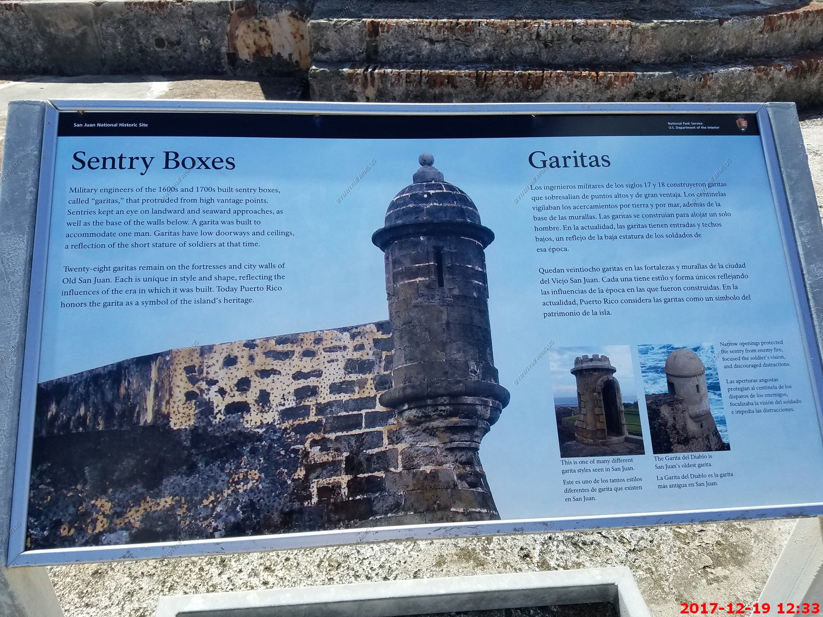
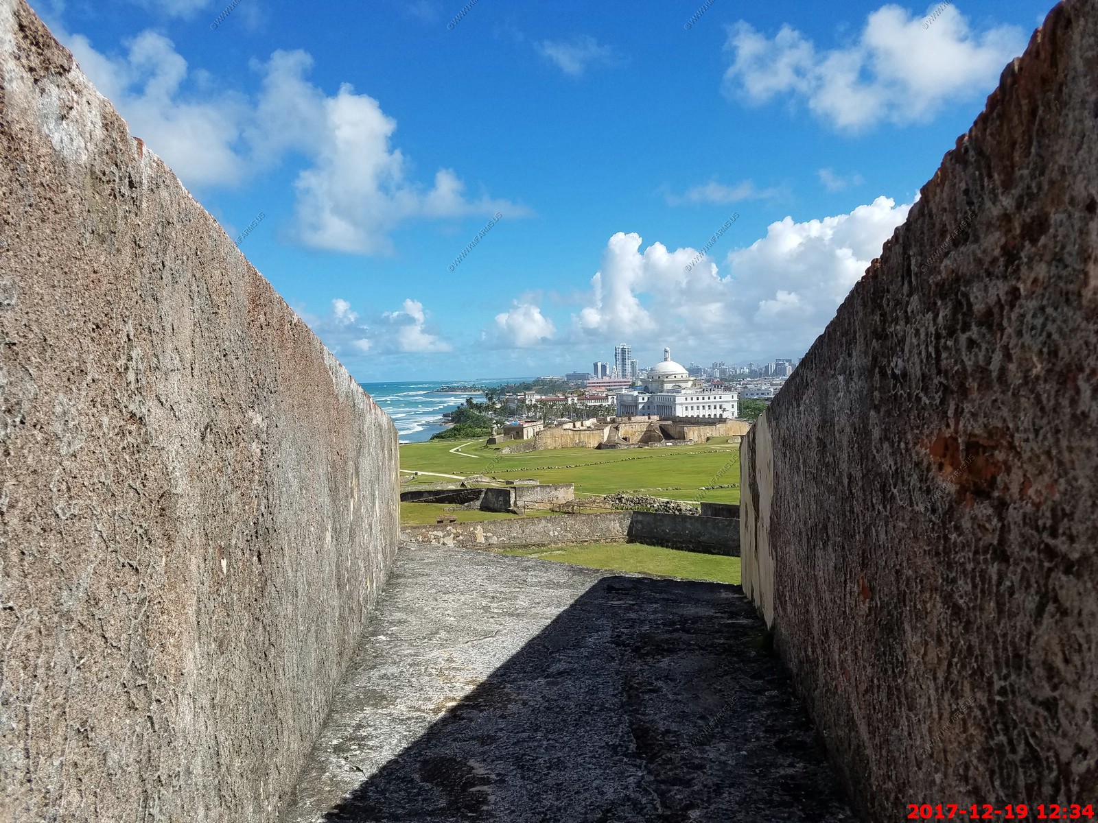
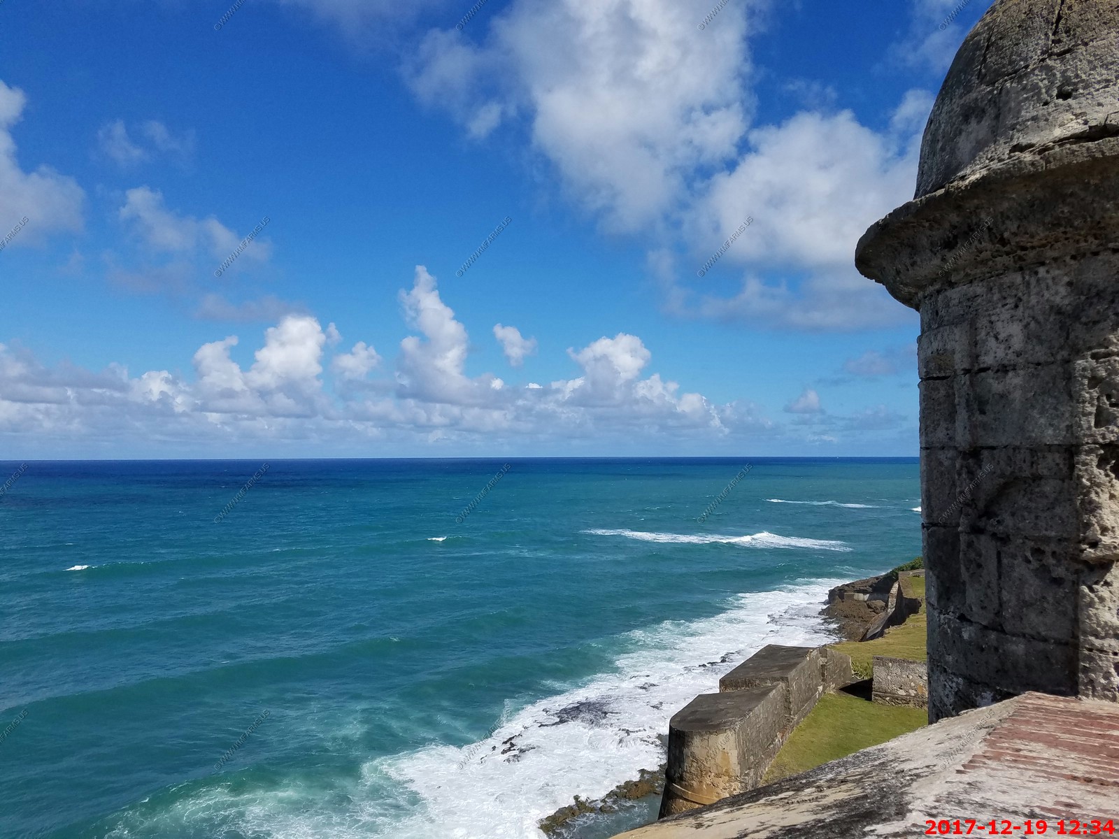
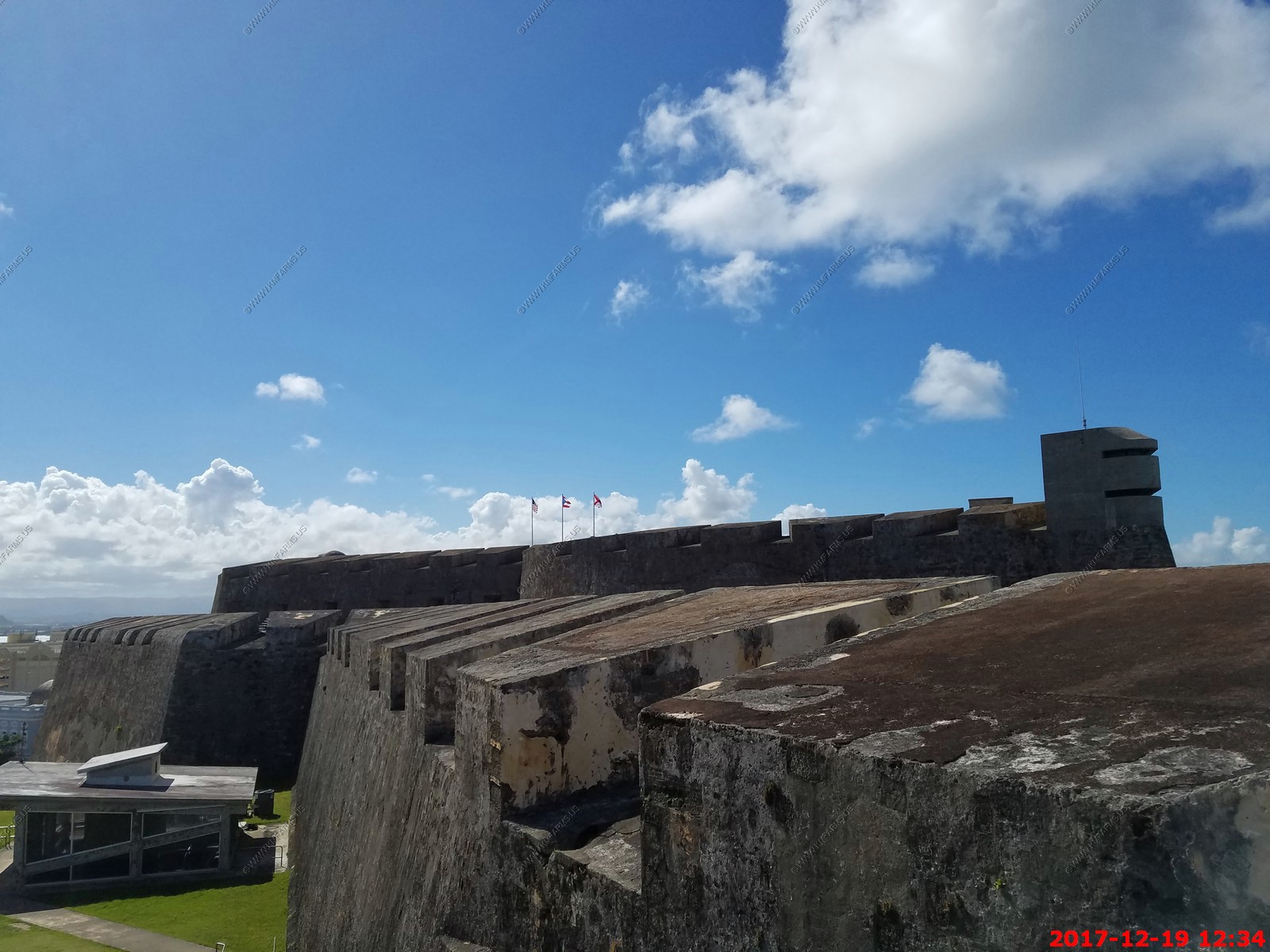
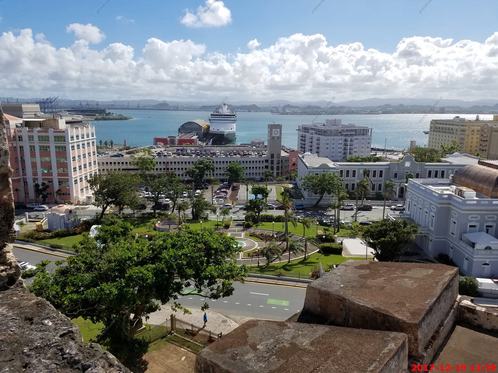
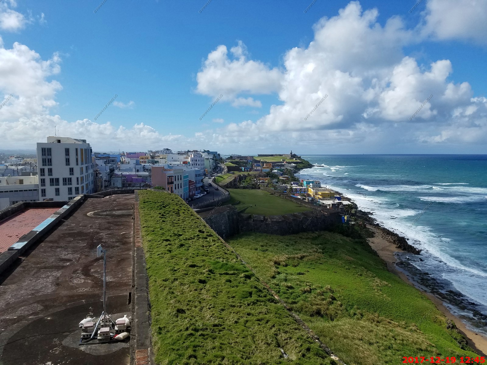
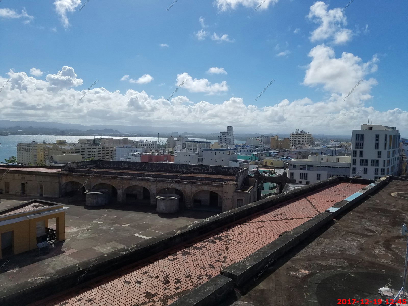
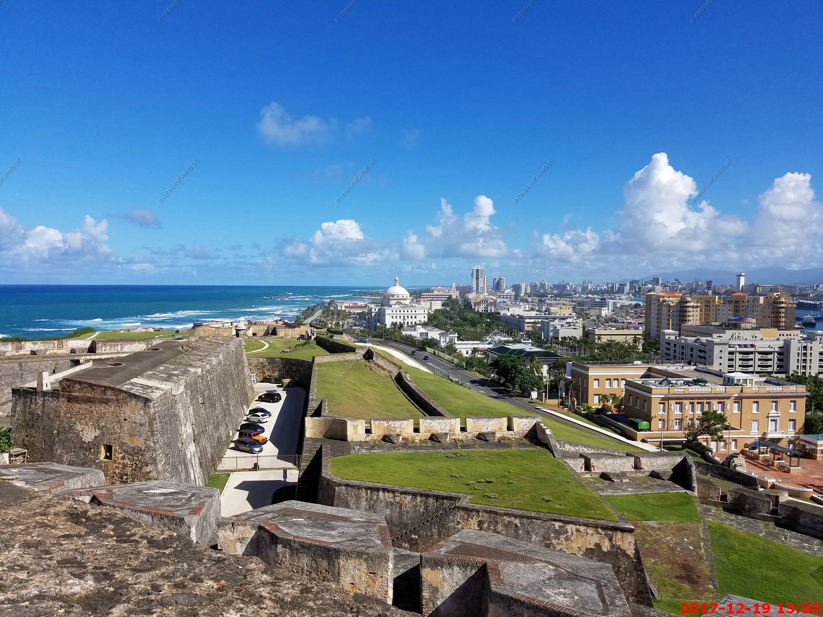
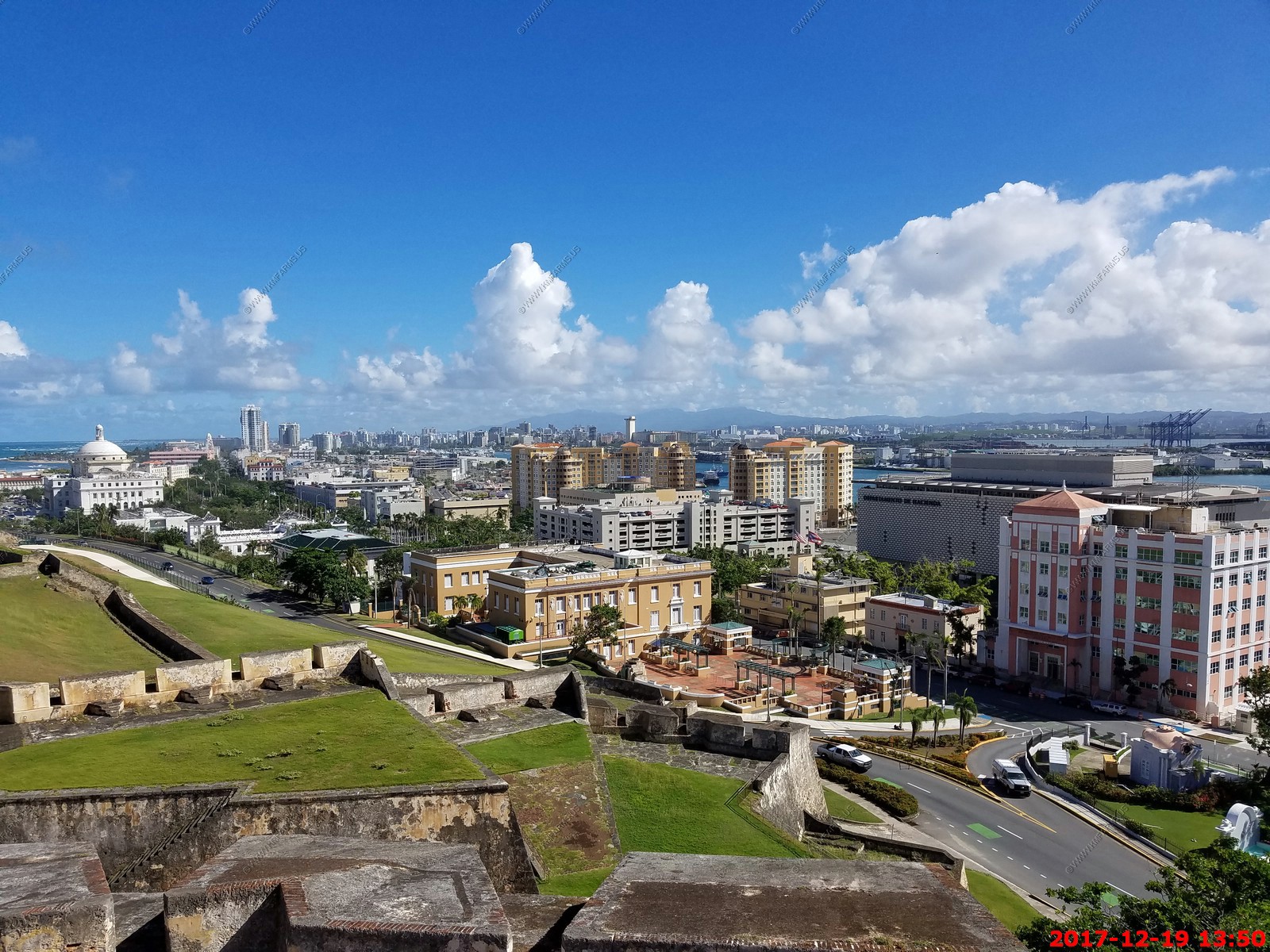
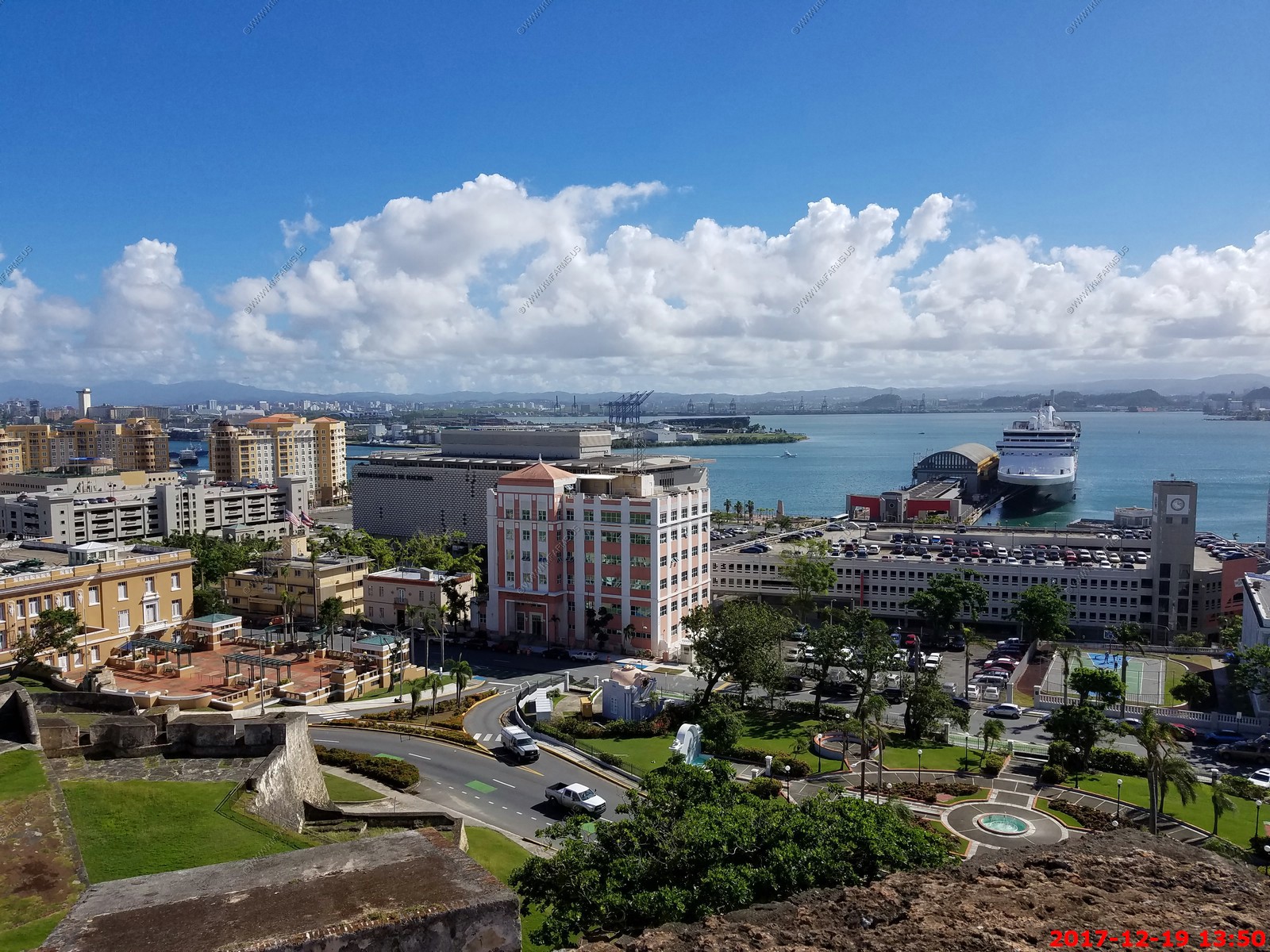
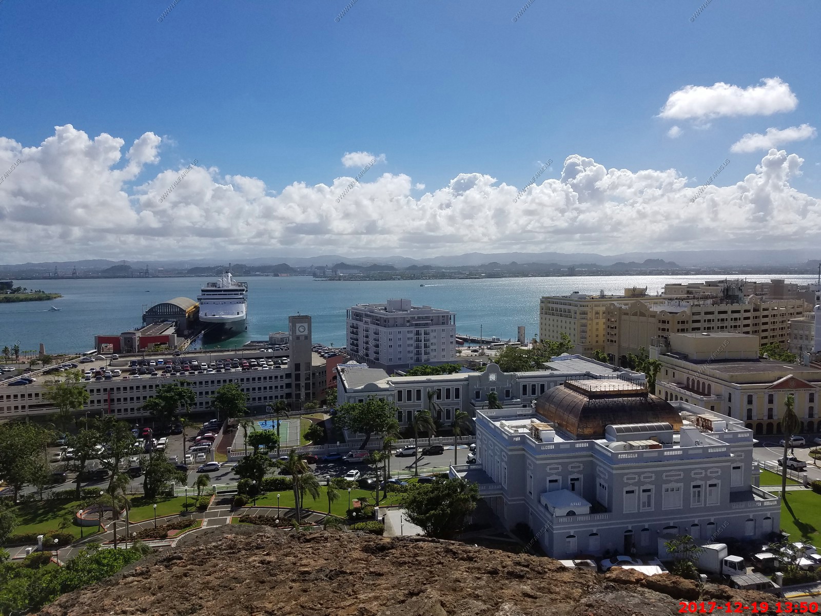
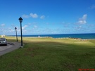
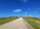
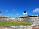
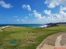
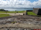
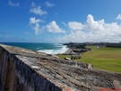
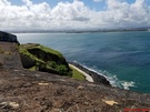
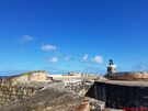
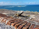
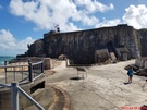
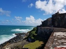
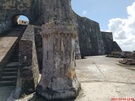
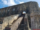
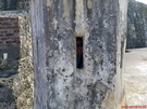
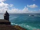
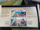
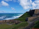
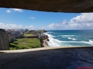
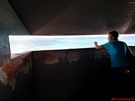
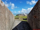
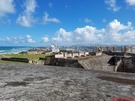
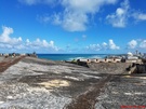
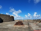
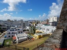
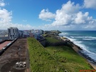
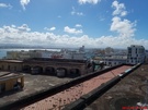
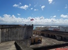
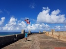
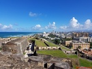
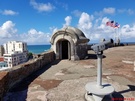
El Morro Fort
El Morro Fort, or officially Castillo de San Felipe del Morro, stands guard at the entrance to San Juan harbor as a reminder of a by-gone era when invading countries would
attempt sea attacks to take this prized city and harbor.
This beautiful 6-level fort was named in honor of Spain's King Philip II. The Fort wasn't initially built as the huge structure that you see today. It has gone through many
enlargements and modifications, from the time it was first constructed by Spain through the time that it was occupied by the US Army.
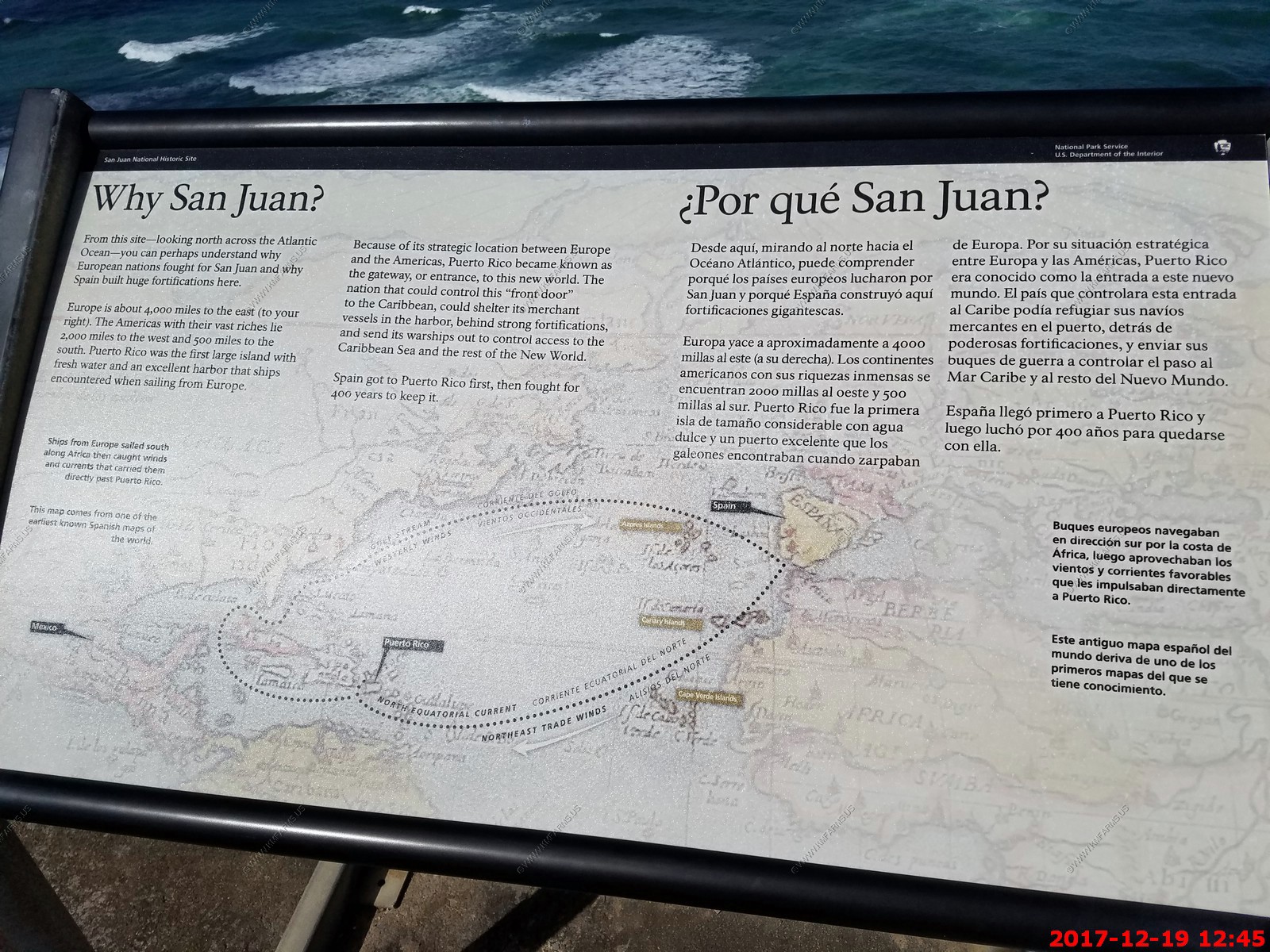
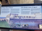
Fortaleza - The San Juan harbor is naturally deep and safe, and Puerto Rico is in a strategic location, so it seemed that everyone wanted to call San Juan their own. After
Spain claimed the island and started colonizing it, many pirates and privateers tried to invade to get the island and some of Spain's riches! So Spain always had to fight
to keep claim to the island.
After the original fort Fortaleza (now the Governor's mansion) was deemed to be inadequate protection for the harbor, it was decided that a fort was needed in a better location.
So they built a small structure at the north-west tip of Old San Juan, at the entrance to the harbor, on the current site of El Morro. Built between 1539-1540, it was a small
fort that held a few men and only 4 cannons.

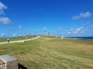
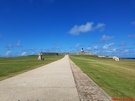
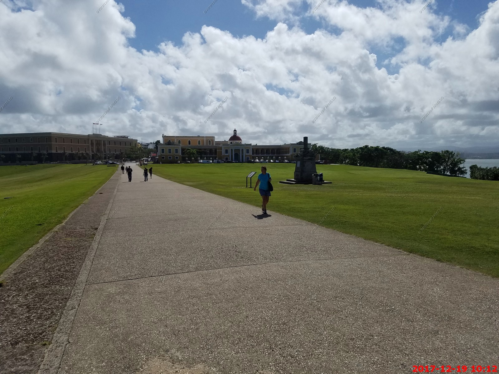
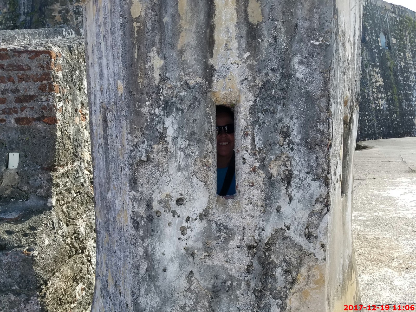
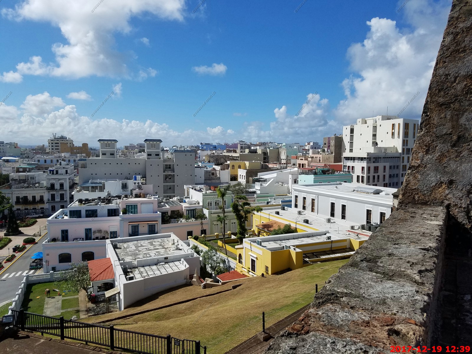
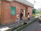
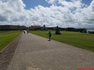
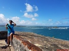
Nice long walk tends to thin the crowds
Mary going slow. She used her old age pass to get us in
This was the view from the men's room

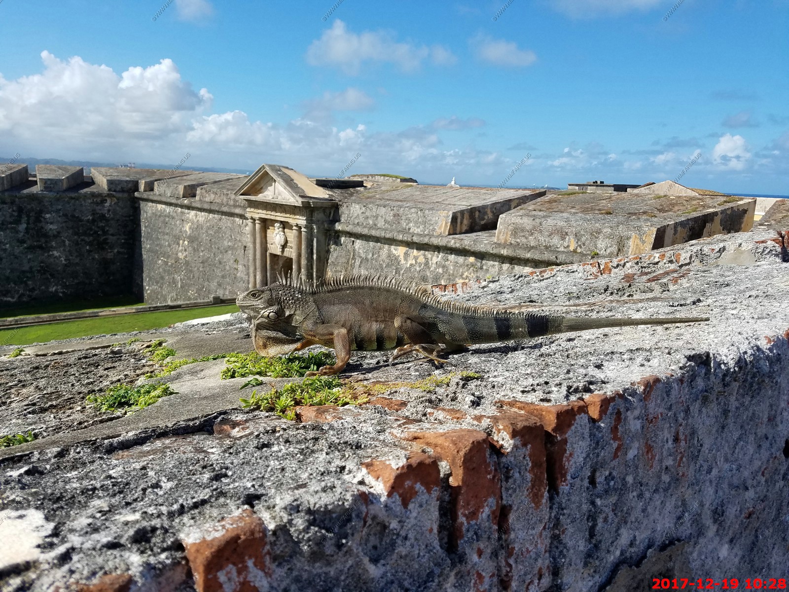
green iguana up on the front wall
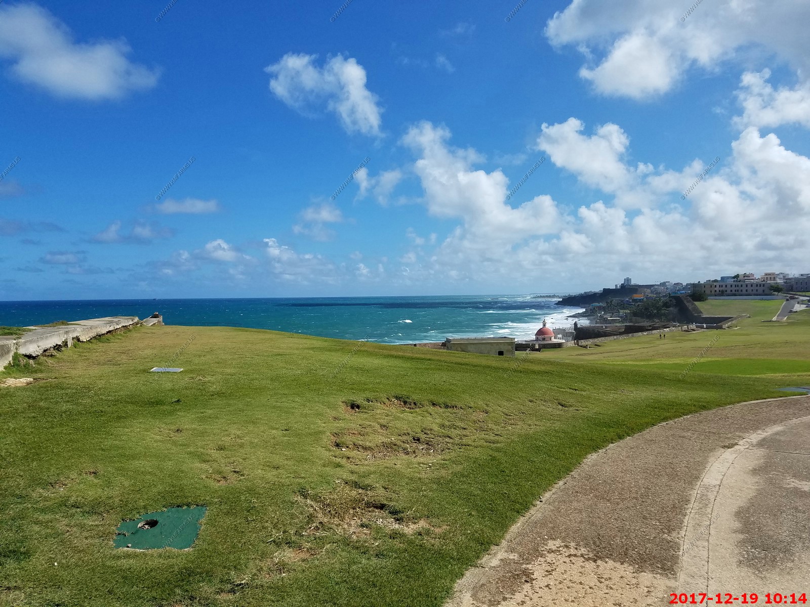
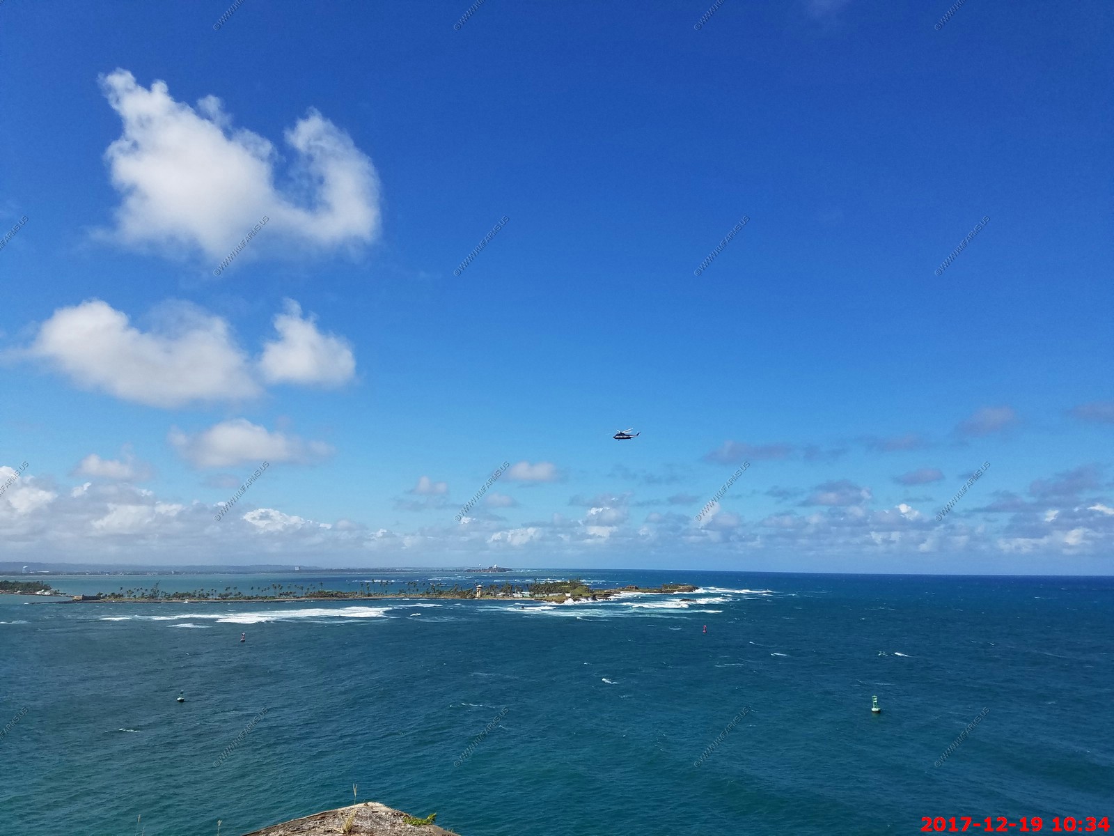
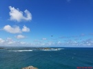
Various views on a beautiful 85 degree day


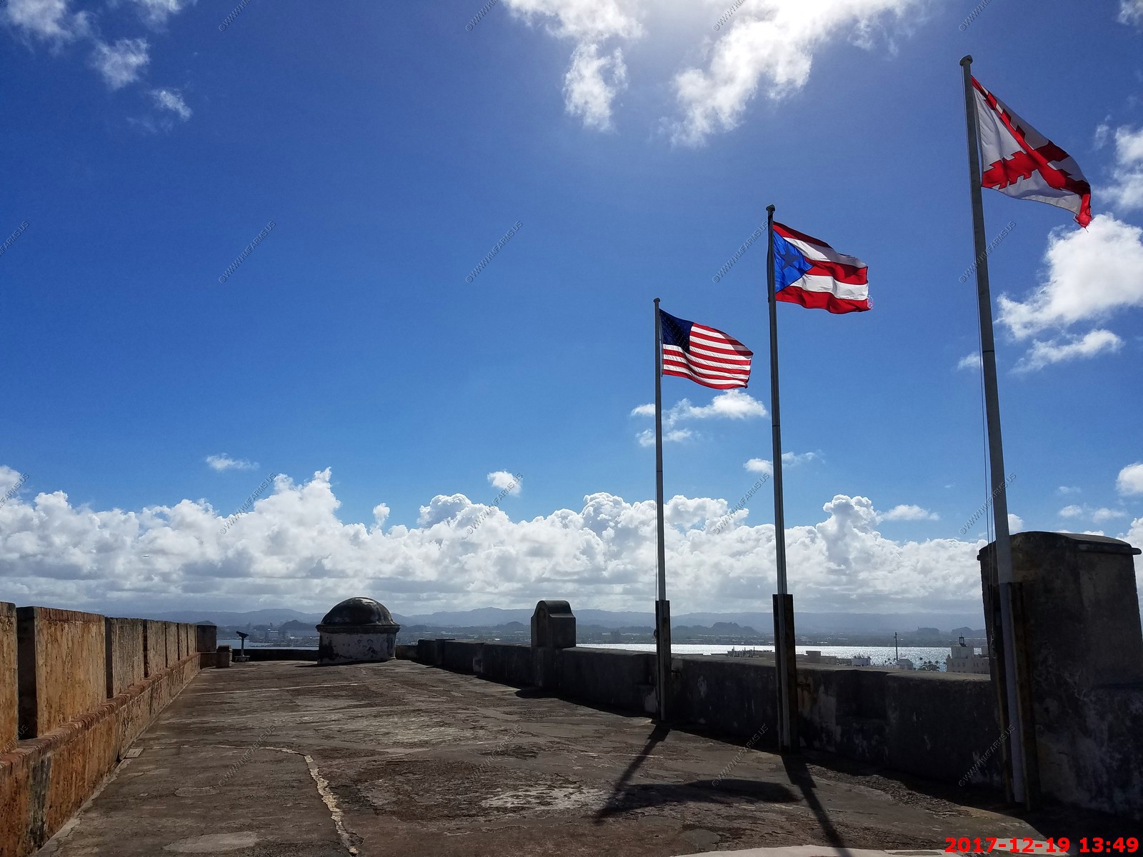
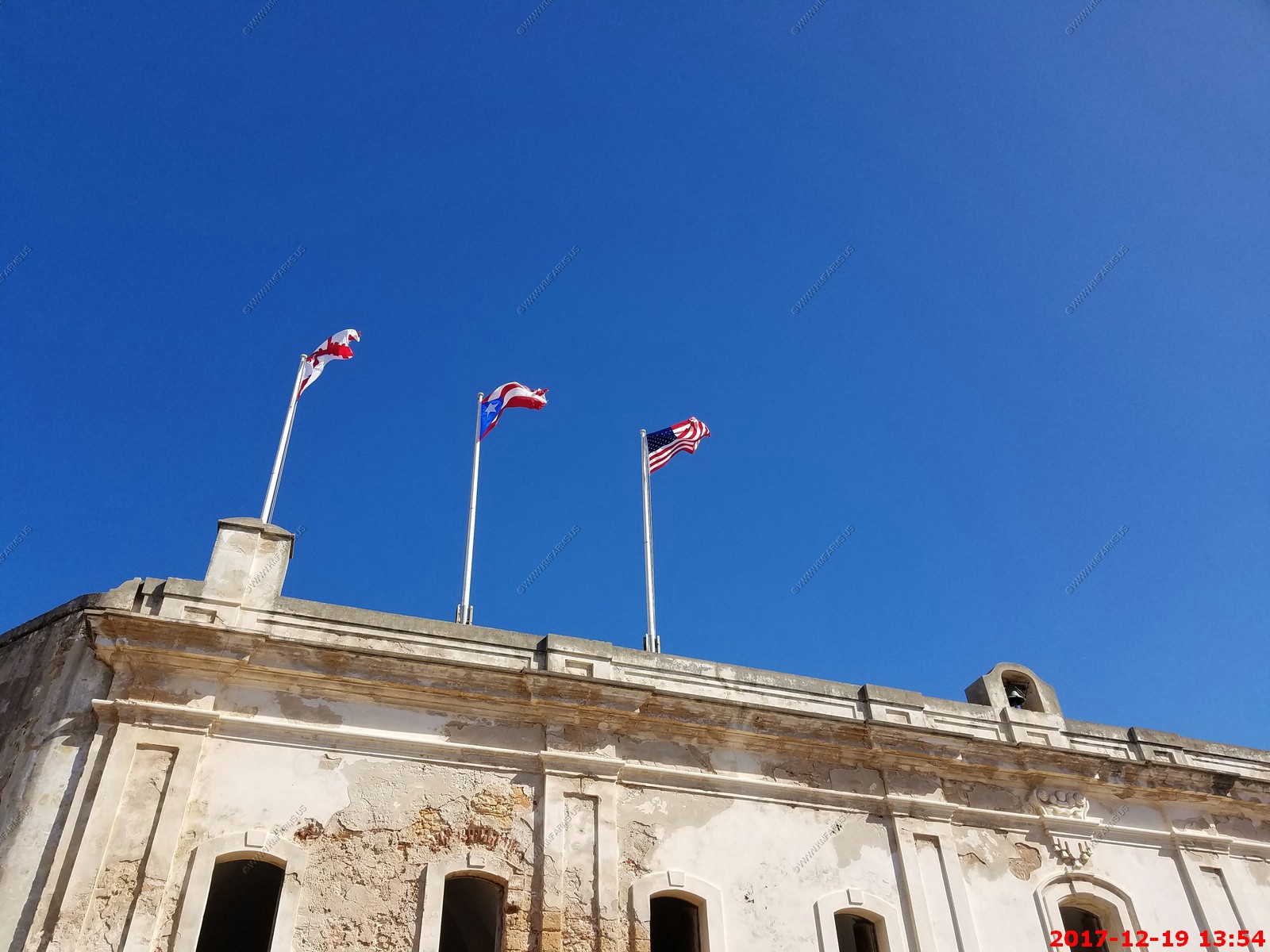
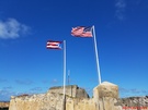
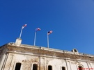
The US flag should be higher
The green iguana (Iguana iguana), also known as the American iguana, is a large, arboreal, mostly herbivorous species of lizard of the genus Iguana. It is native to Central,
South America, and the Caribbean. Usually, this animal is simply called the iguana. The green iguana ranges over a large geographic area, from southern Brazil and Paraguay as
far north as Mexico and the Caribbean Islands. They have been introduced from South America to Puerto Rico and are very common throughout the island, where they are
colloquially known as "Gallina de palo" and considered an invasive species.
It's lights out for iguanas in Puerto Rico, as the island's government announced plans to kill as many as possible of the reptiles and export their meat in hopes of eradicating
an imported species that has long vexed residents and entertained tourists.
The Secretary of Natural Resources says the island has roughly 4 million iguanas, which is a little more than the population of the U.S. Caribbean territory itself.
The iguanas- which can grow as large as six feet long and weigh up to eight pounds -invaded the island years ago and now take shelter on peoples patios, porches and by their
pools. The lizards have even caused flight delays at San Juan's international airport where they sun on the runway.
Ken was feeding it part of his orange
Various views. We had the place to ourselves.


Too bad I could not fire it as I could have got me a ship

Strange sign as we could not tell if kites were still allowed
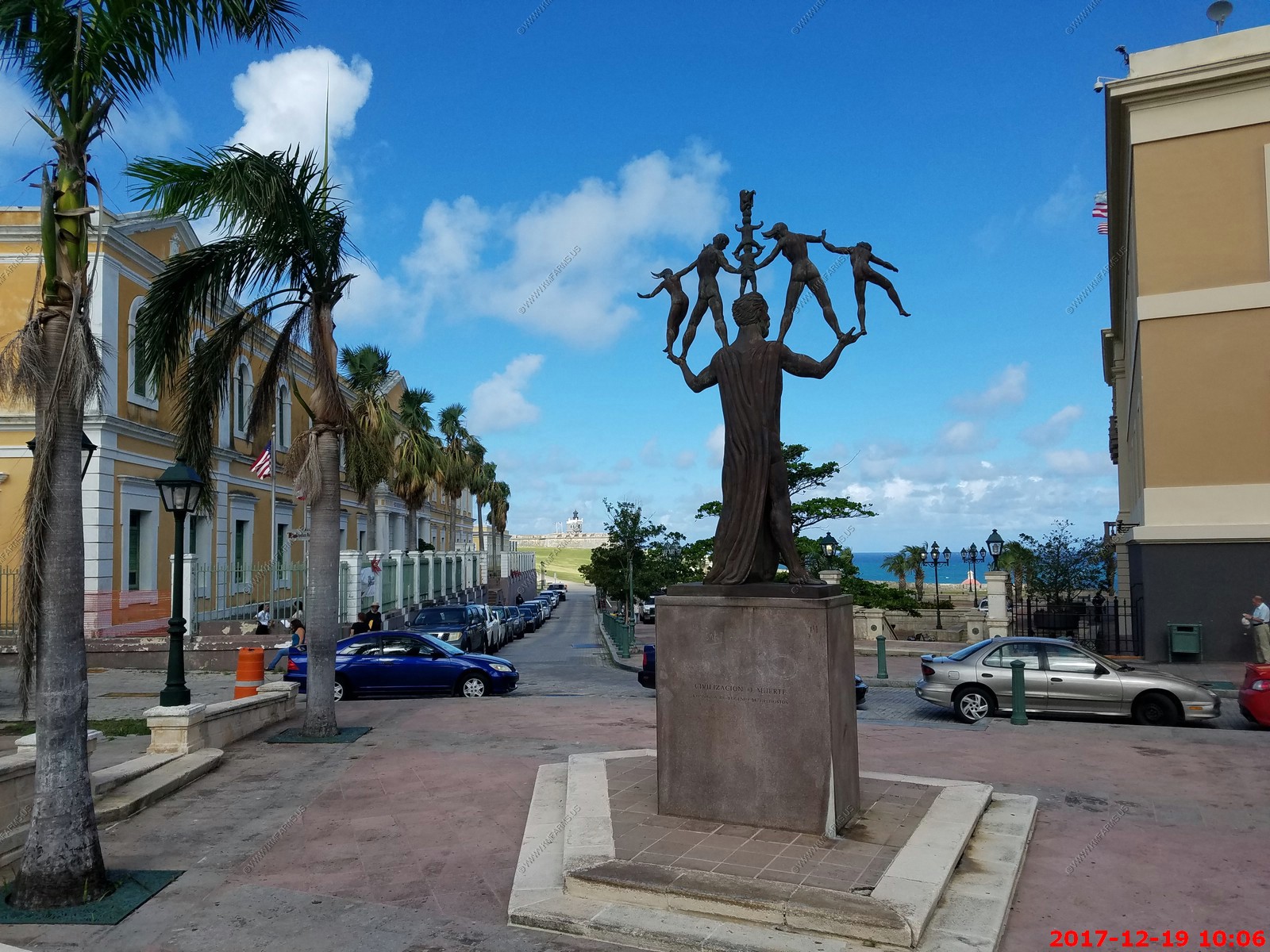
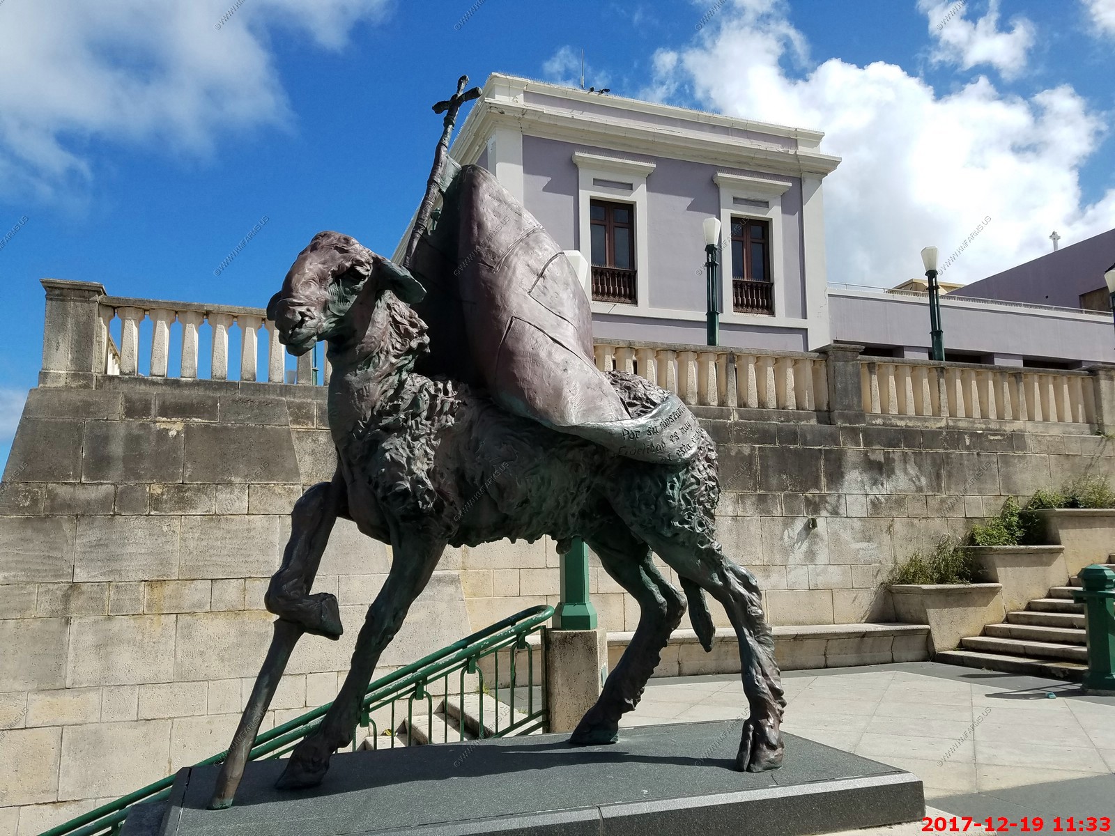
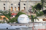
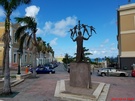
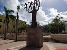
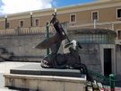
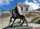
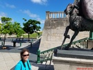
Ken had to go and see his battle sheep statues at El Totem en la Plaza del Quinto Centenario. Representing Puerto Rico's 500-year History
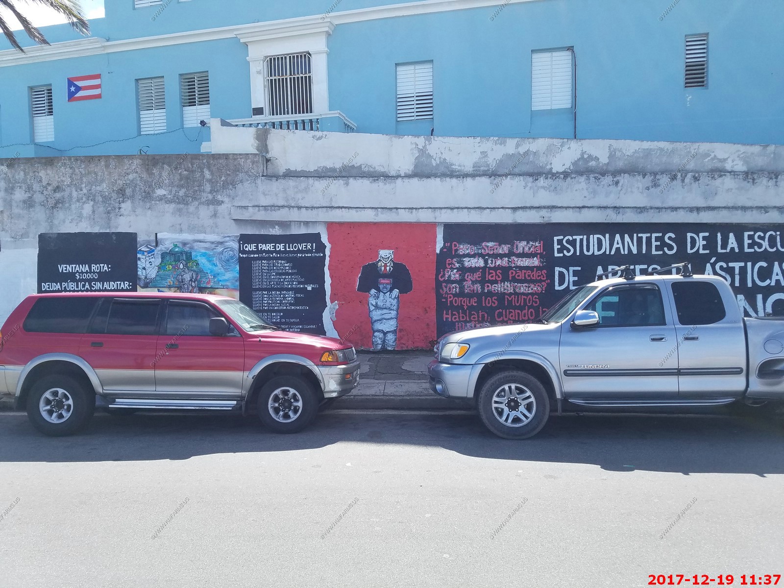
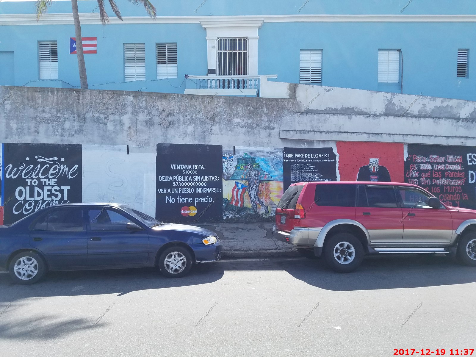
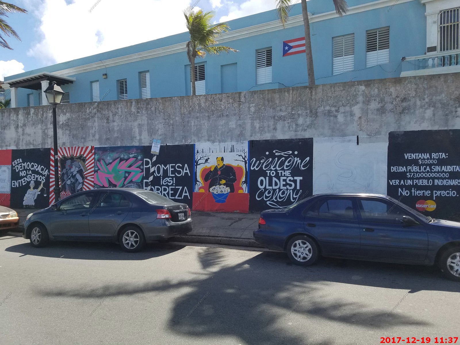
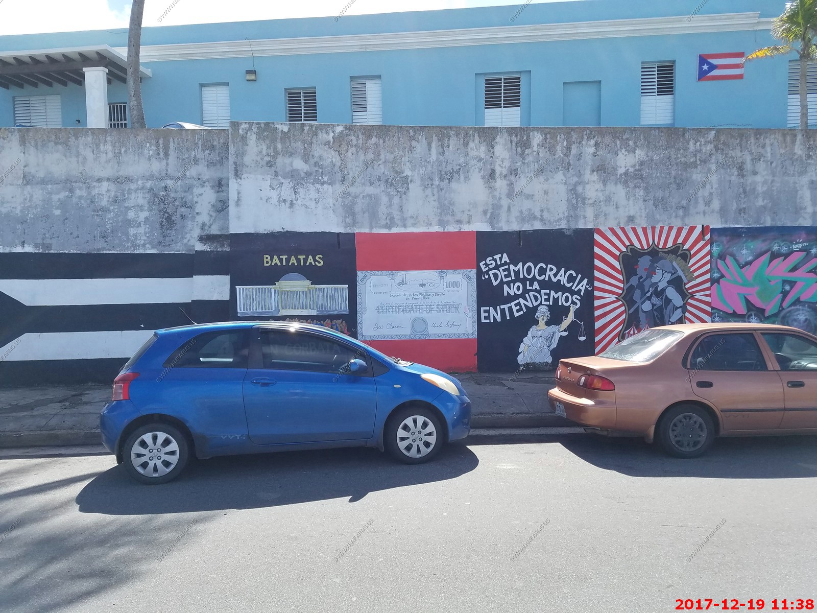
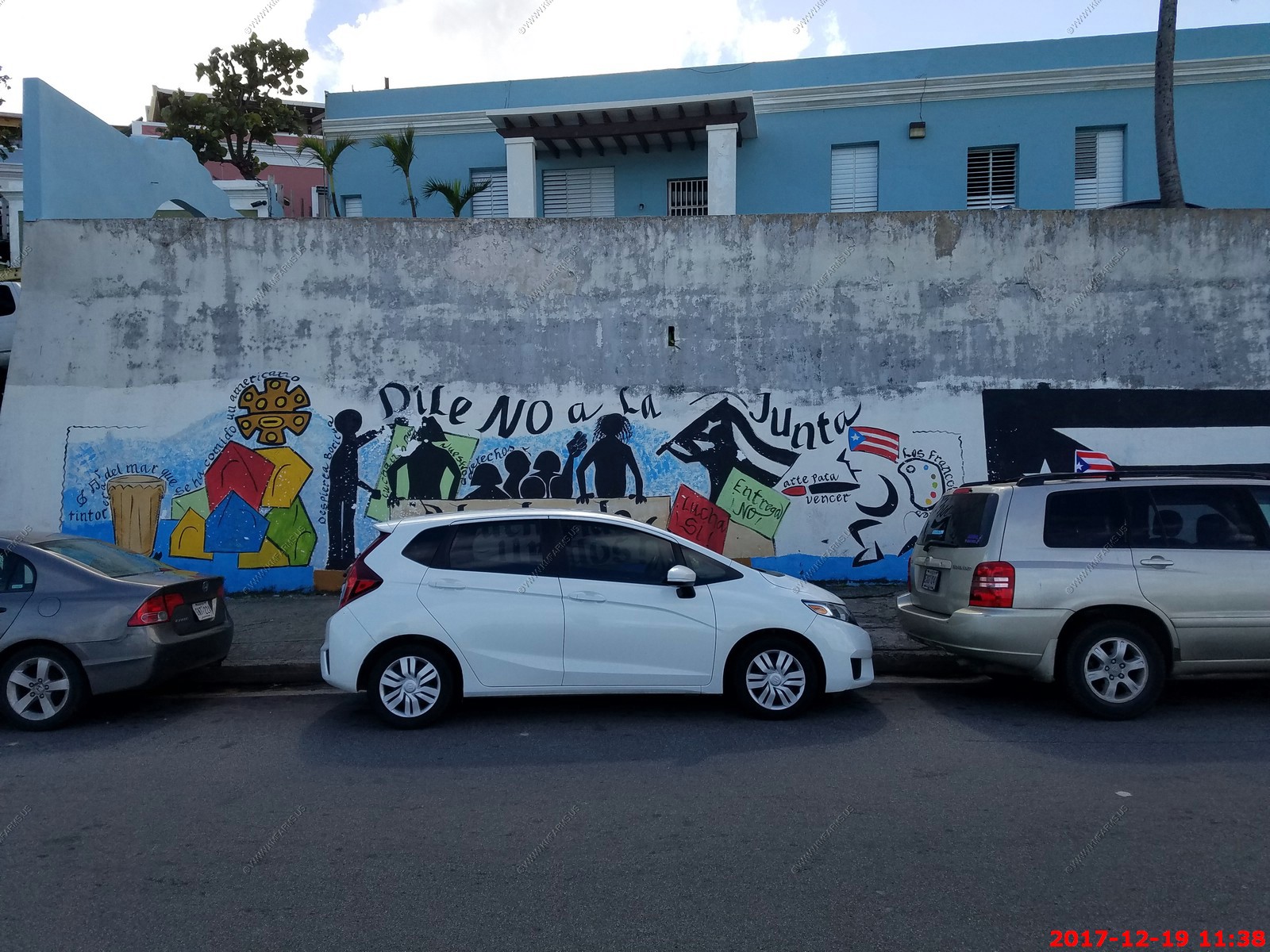
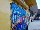
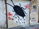
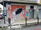
Interesting political paintings along Calle Norzagaray
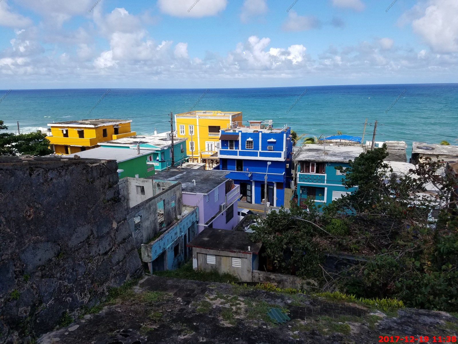
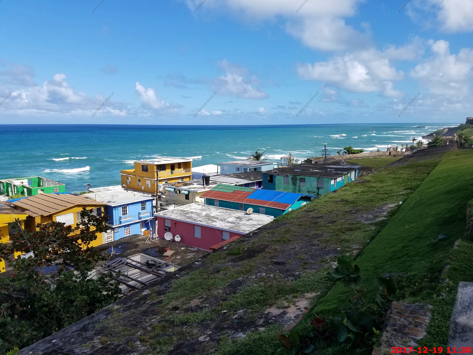
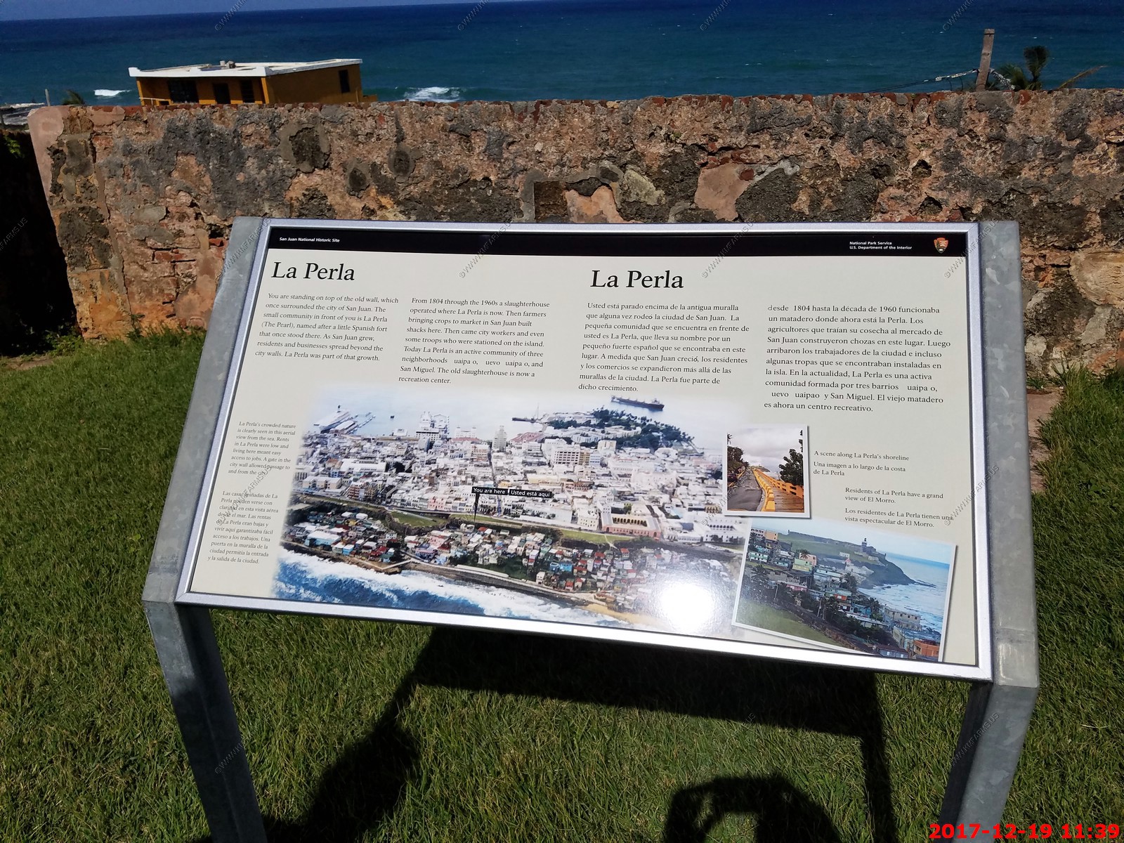
Looking down on one of the worst parts of San Juan - Barrio La Perla (BAHR-ree-o lah PER-lah), neighborhood, NE P.R., N Old San Juan, on steep slope facing the Atlantic Ocean.
Inner-city neighborhood made famous by Oscar Lewis's "La vida." Originally a squatter community. In spite of high unemployment and illegal drug trafficking, the community has
significantly improved its living standards.
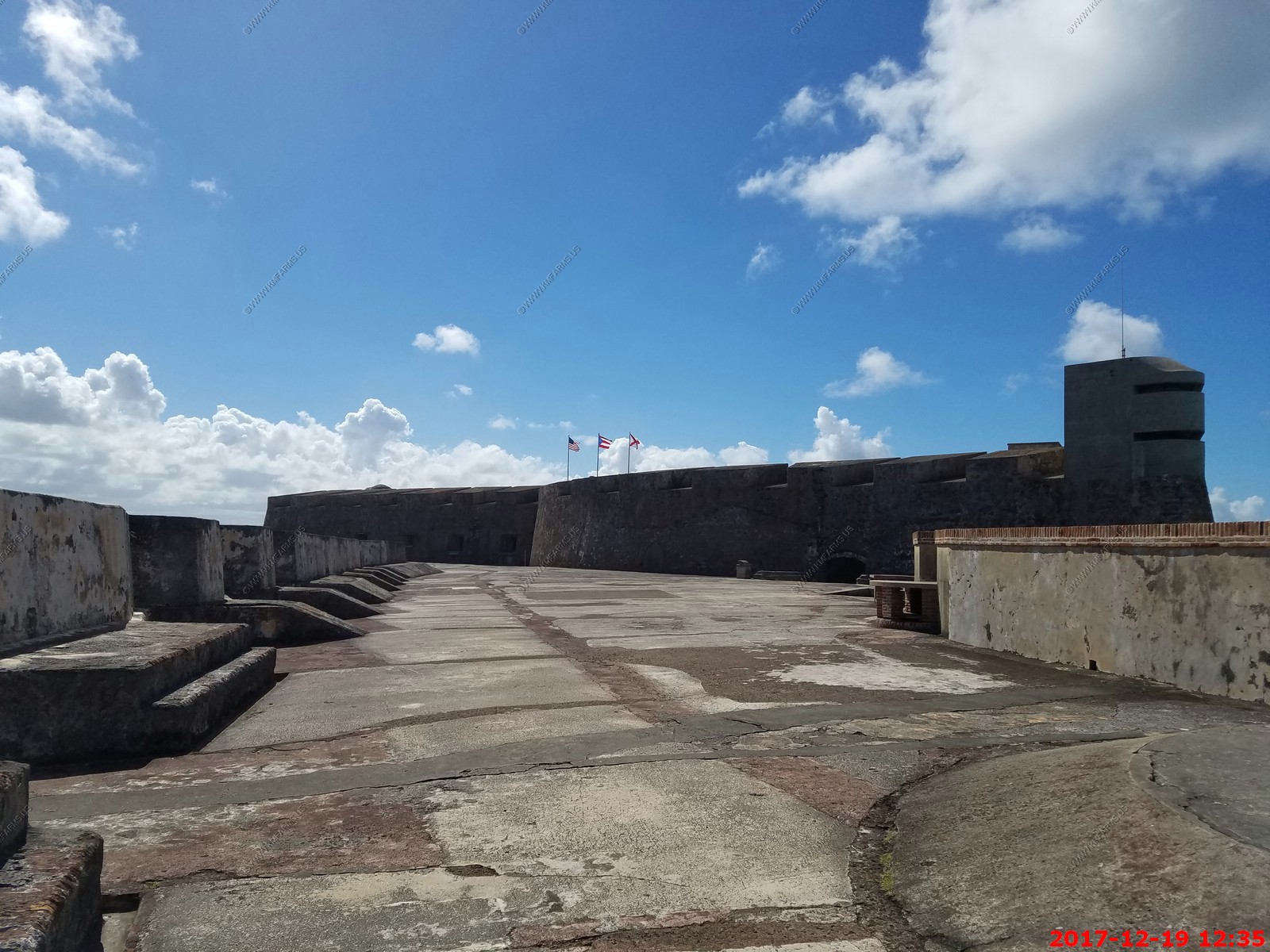
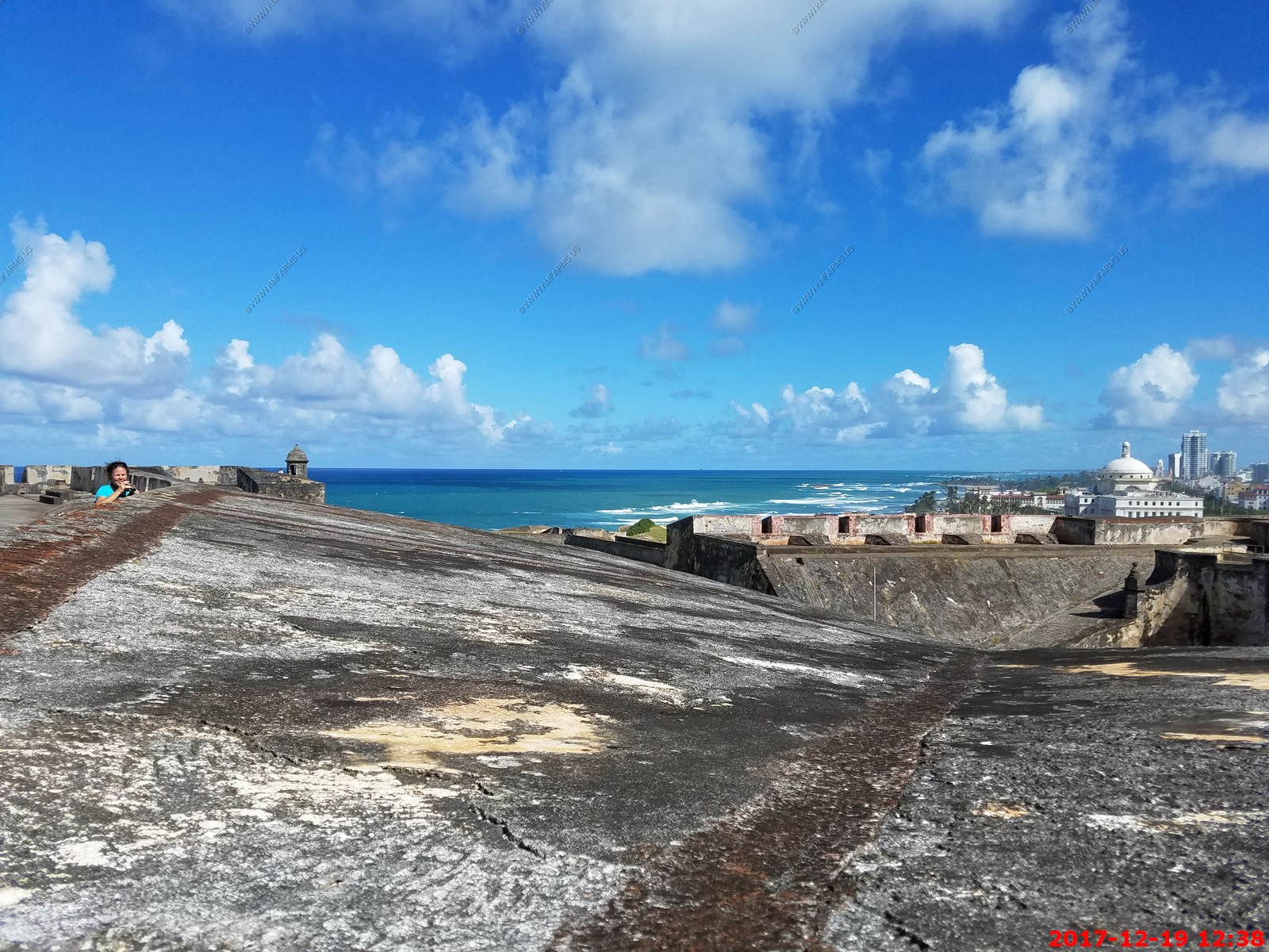
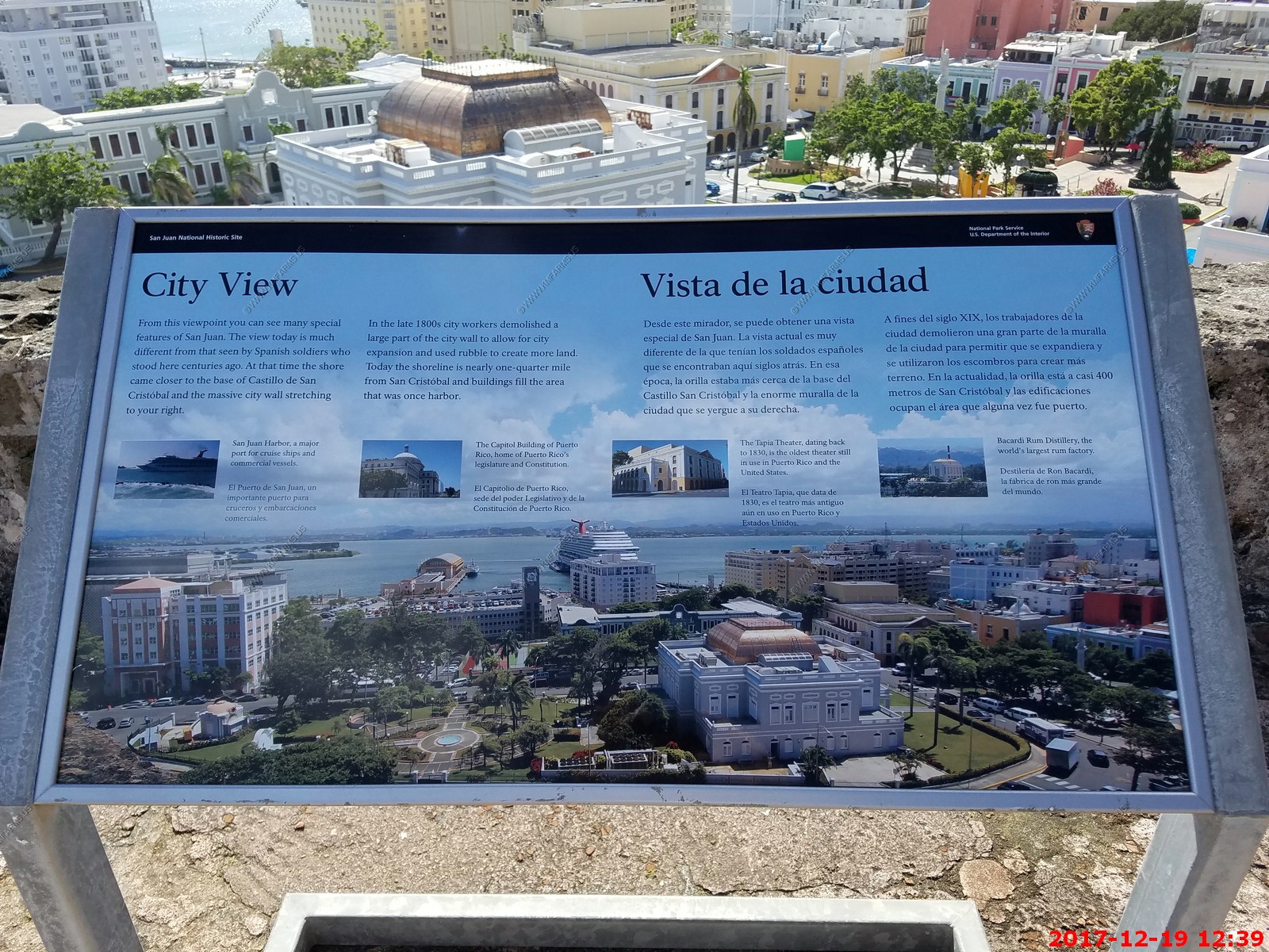
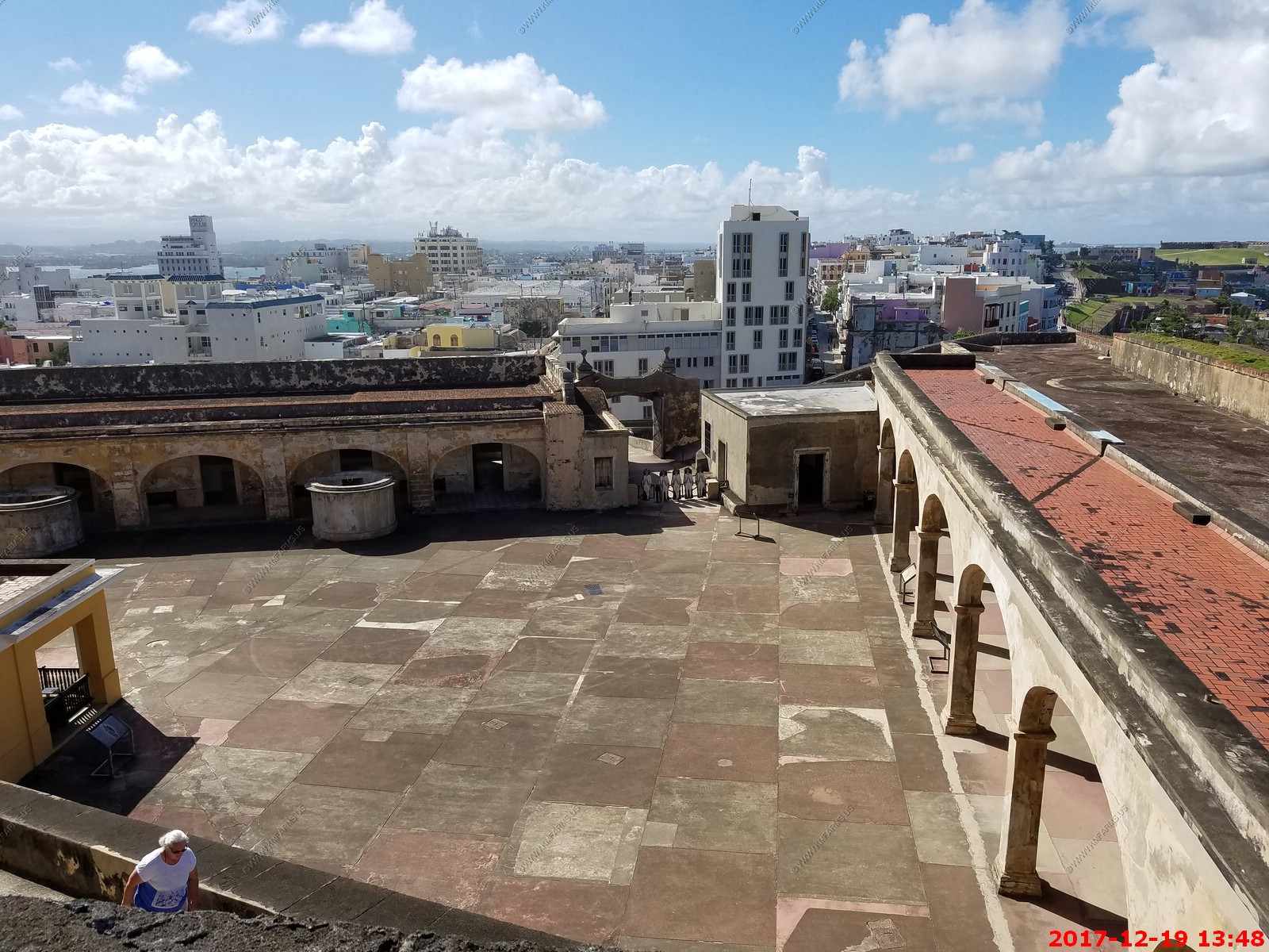
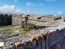
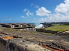
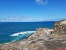
Castillo San Cristobal - also known as Fort San Cristobal, is a fort in San Juan, Puerto Rico. It was built by Spain to protect against land based attacks on the city of San Juan.
It is part of San Juan National Historic Site.
Castillo San Cristobal is the largest fortification built by the Spanish in the New World. When it was finished in 1783, it covered about 27 acres of land and basically wrapped
around the city of San Juan. Entry to the city was sealed by San Cristobal's double gates. After close to one hundred years of relative peace in the area, part of the
fortification (about a third) was demolished in 1897 to help ease the flow of traffic in and out of the walled city.
This fortress was built on a hill originally known as the Cerro de la Horca or the Cerro del Quemadero, which was changed to Cerro de San Cristobal in celebration of the Spanish
victories ejecting English and Dutch interlopers from the island of this name in the Lesser Antilles, then forming part of the insular territorial glacis of Puerto Rico.
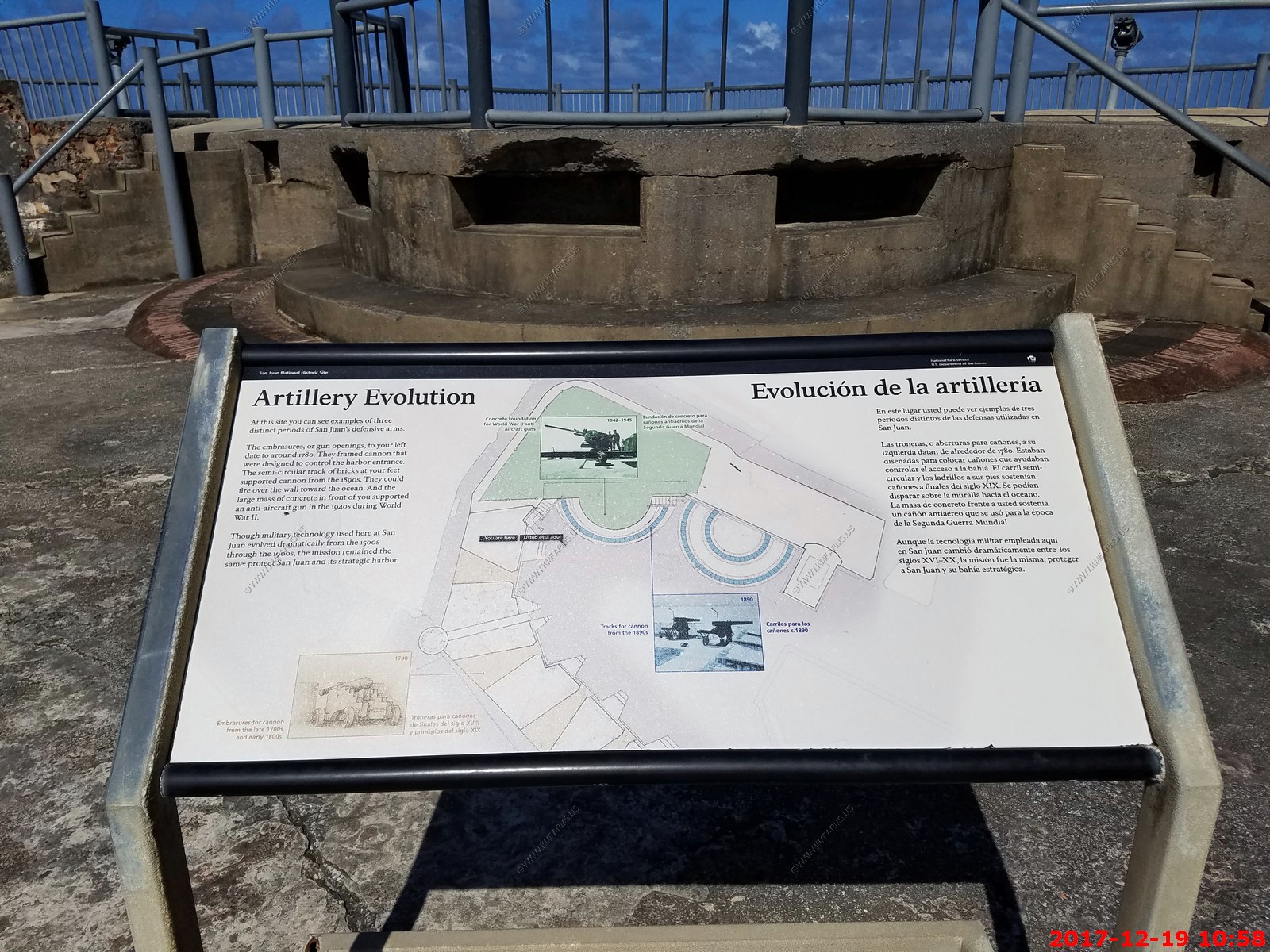
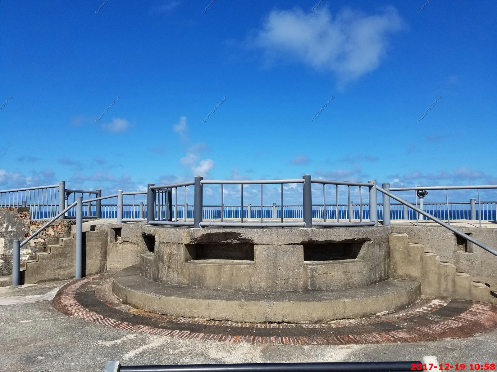
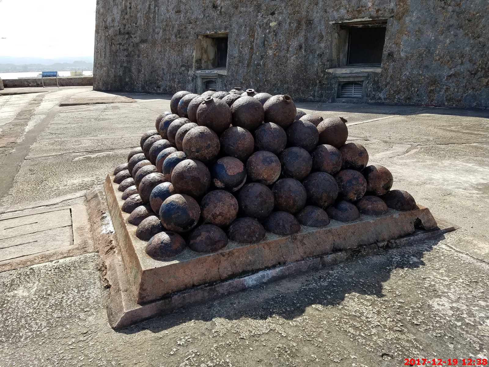
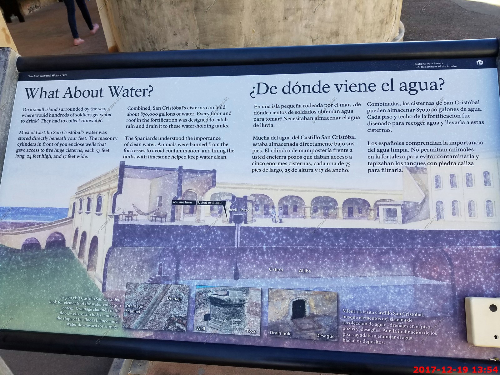
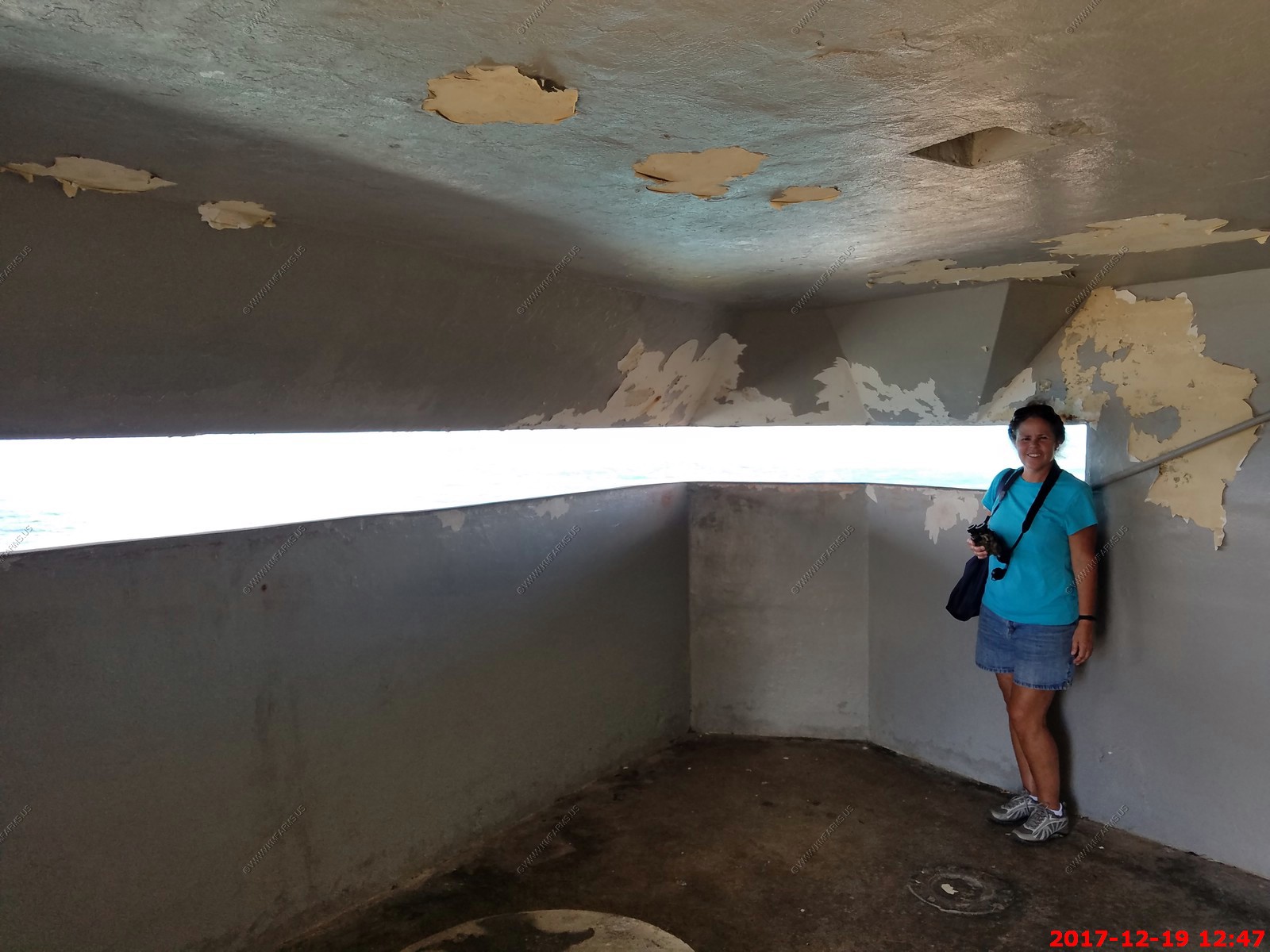
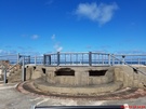
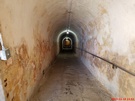
Castillo de San Cristobal (Fort San Cristobal) also contains cisterns that were used for the transport of water during the ages of the Spanish Colony. They are extremely
large (30ft tall, 60ft wide and 100ft long) and were used as bomb shelters during World War II. They could be used for a future war again with some refurbishments.
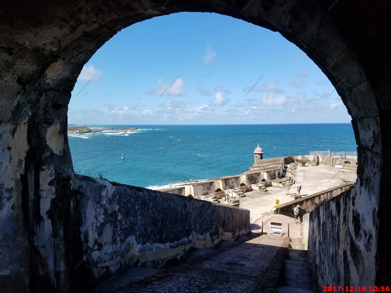
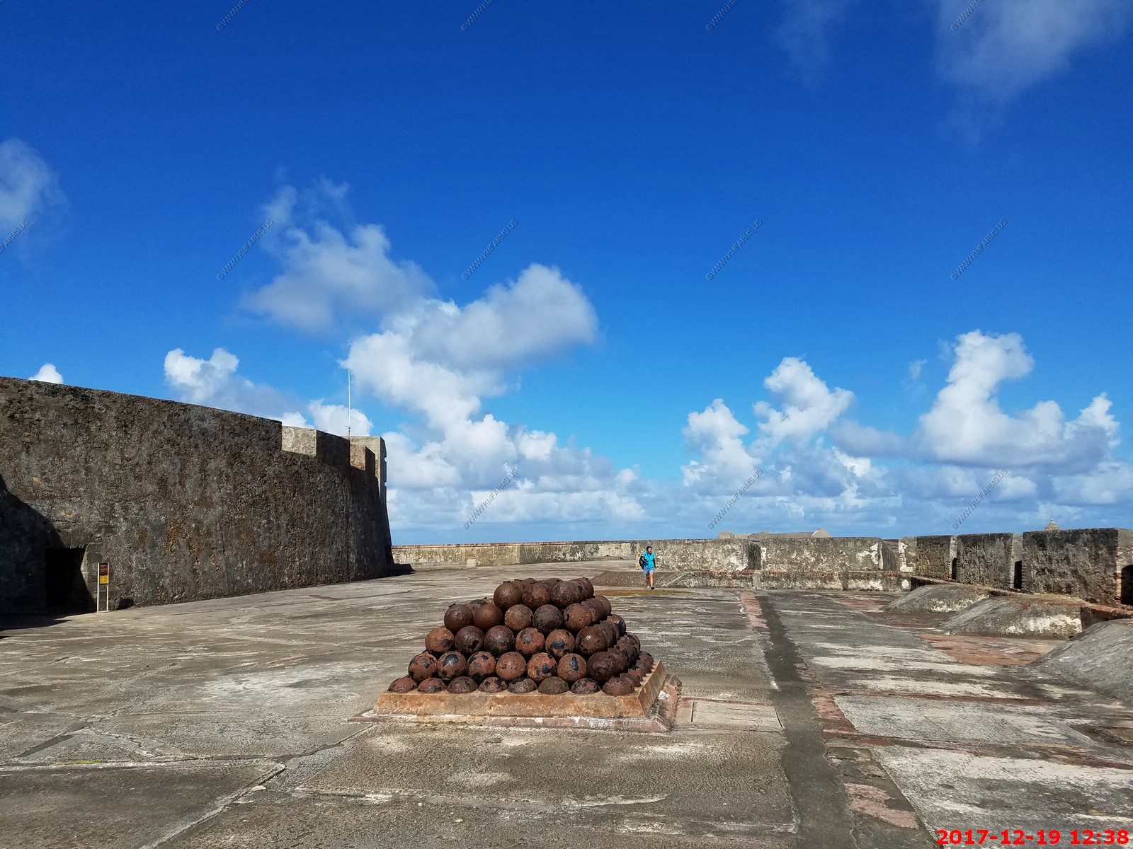
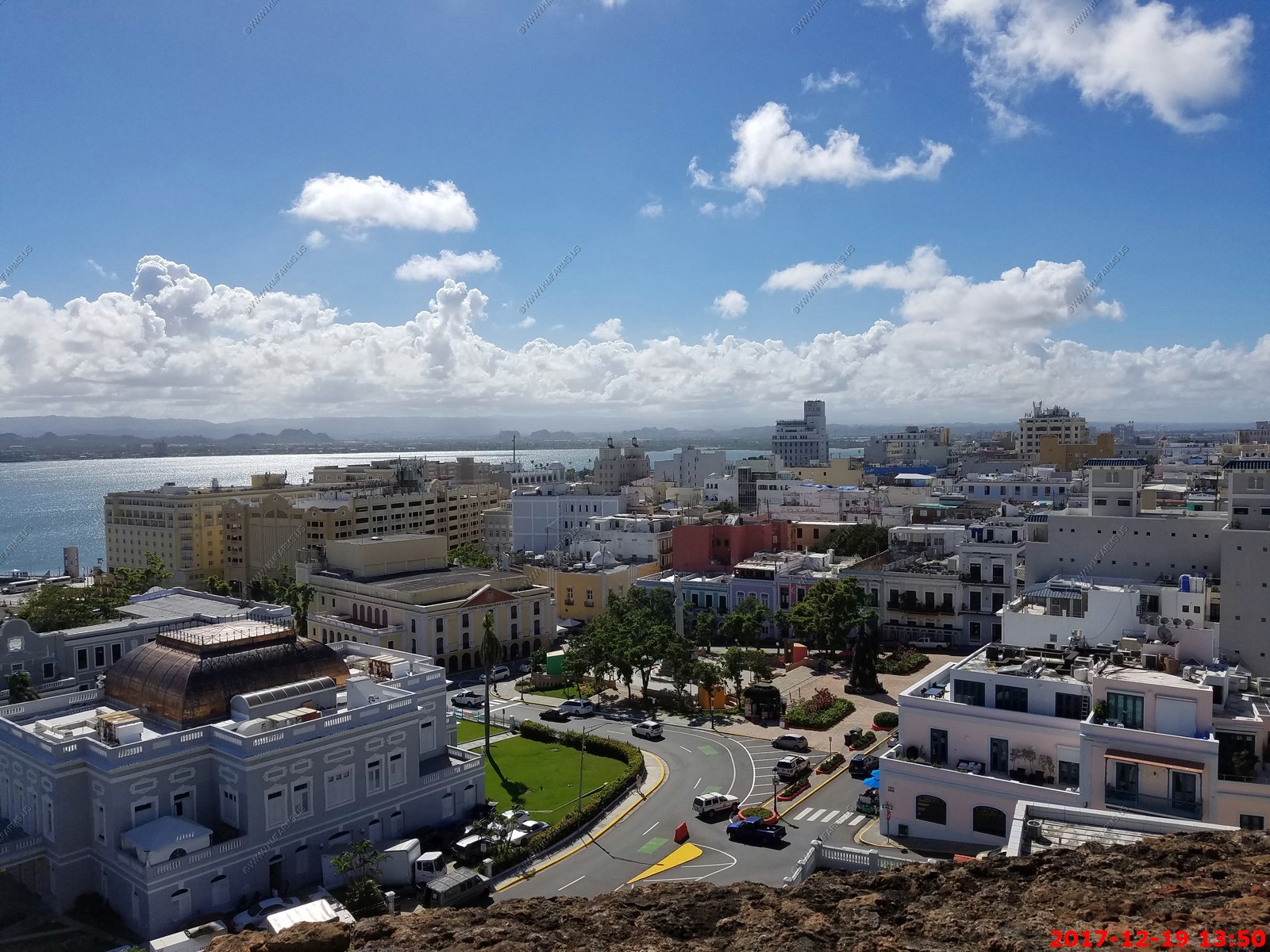
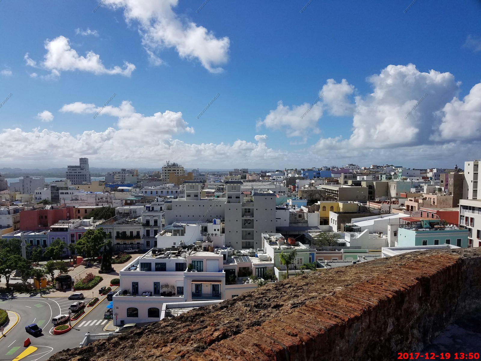
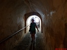
Amazing how few people were here. Last time this place was packed. I took many photos as I don't think we will ever be here again with so few people.
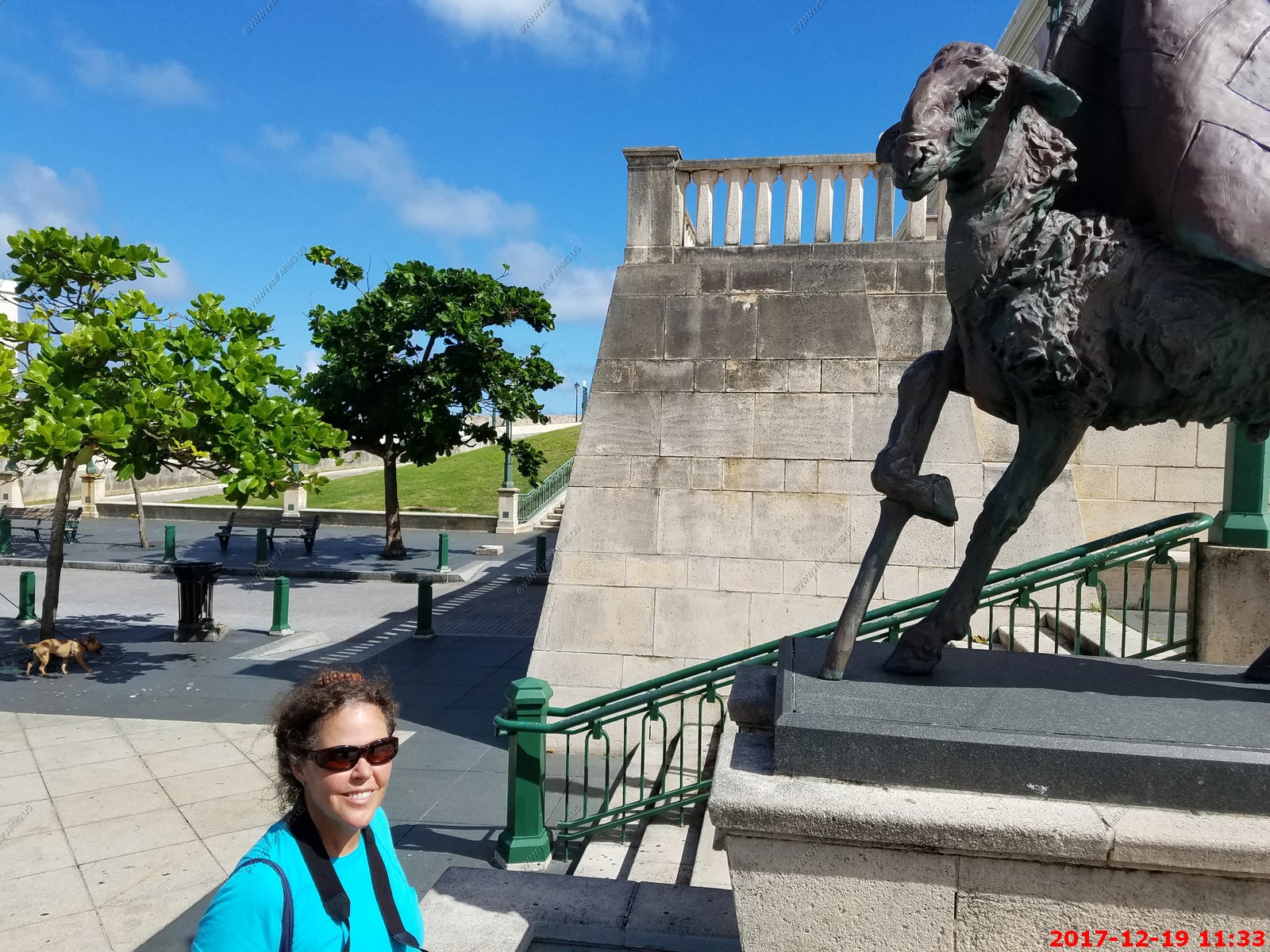
Ken & Mary at one of the most photographed spots in San Juan

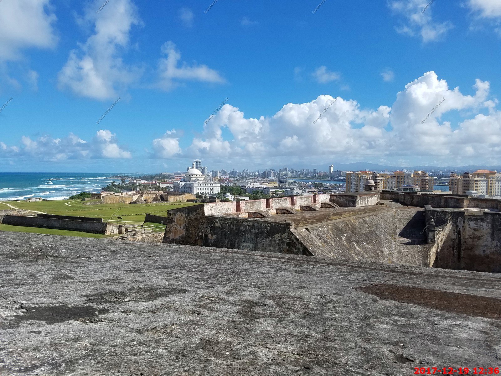
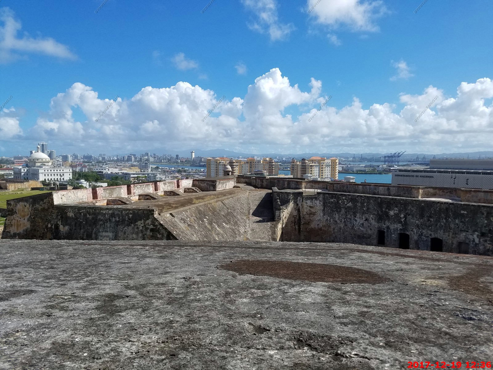
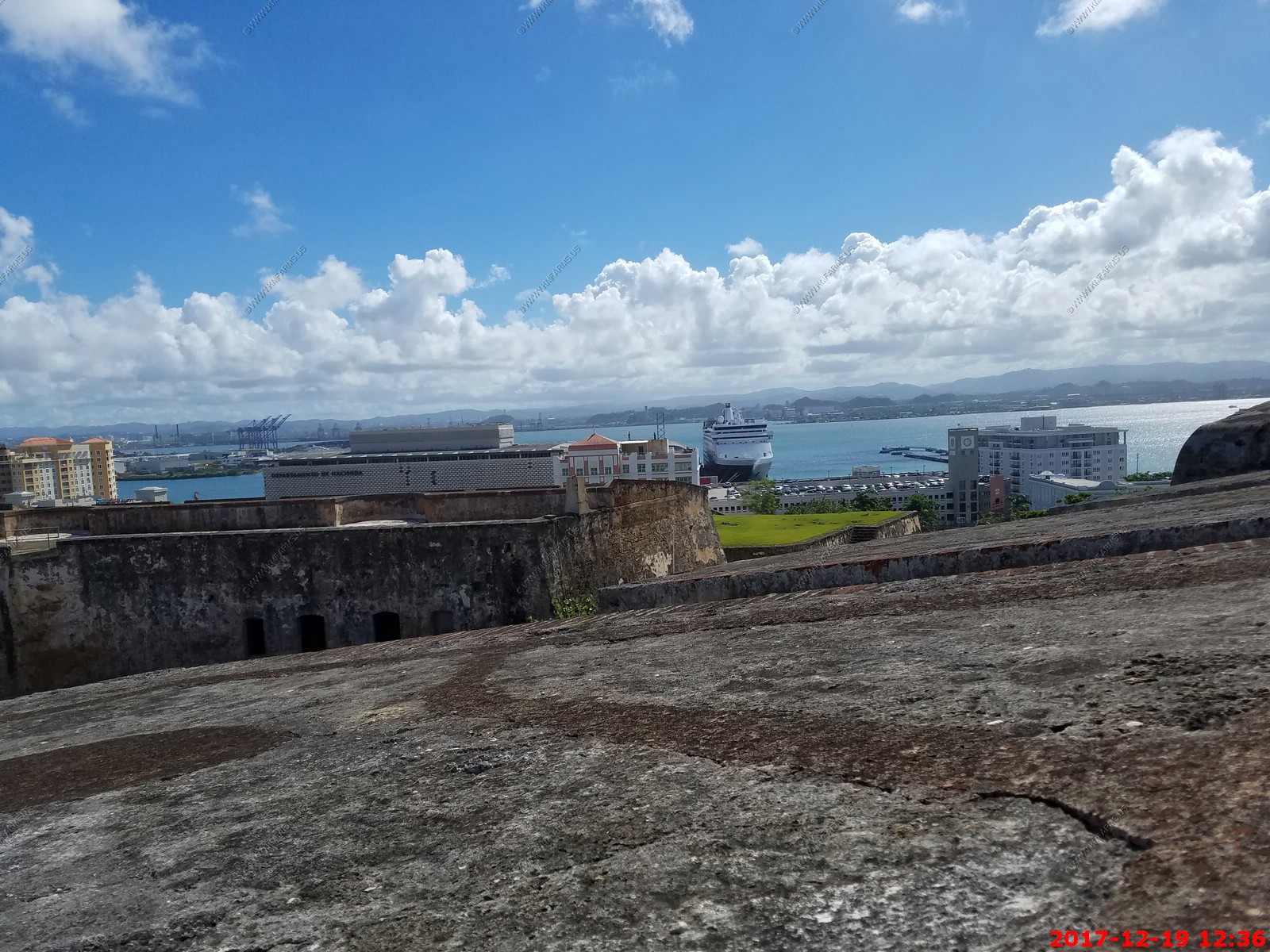
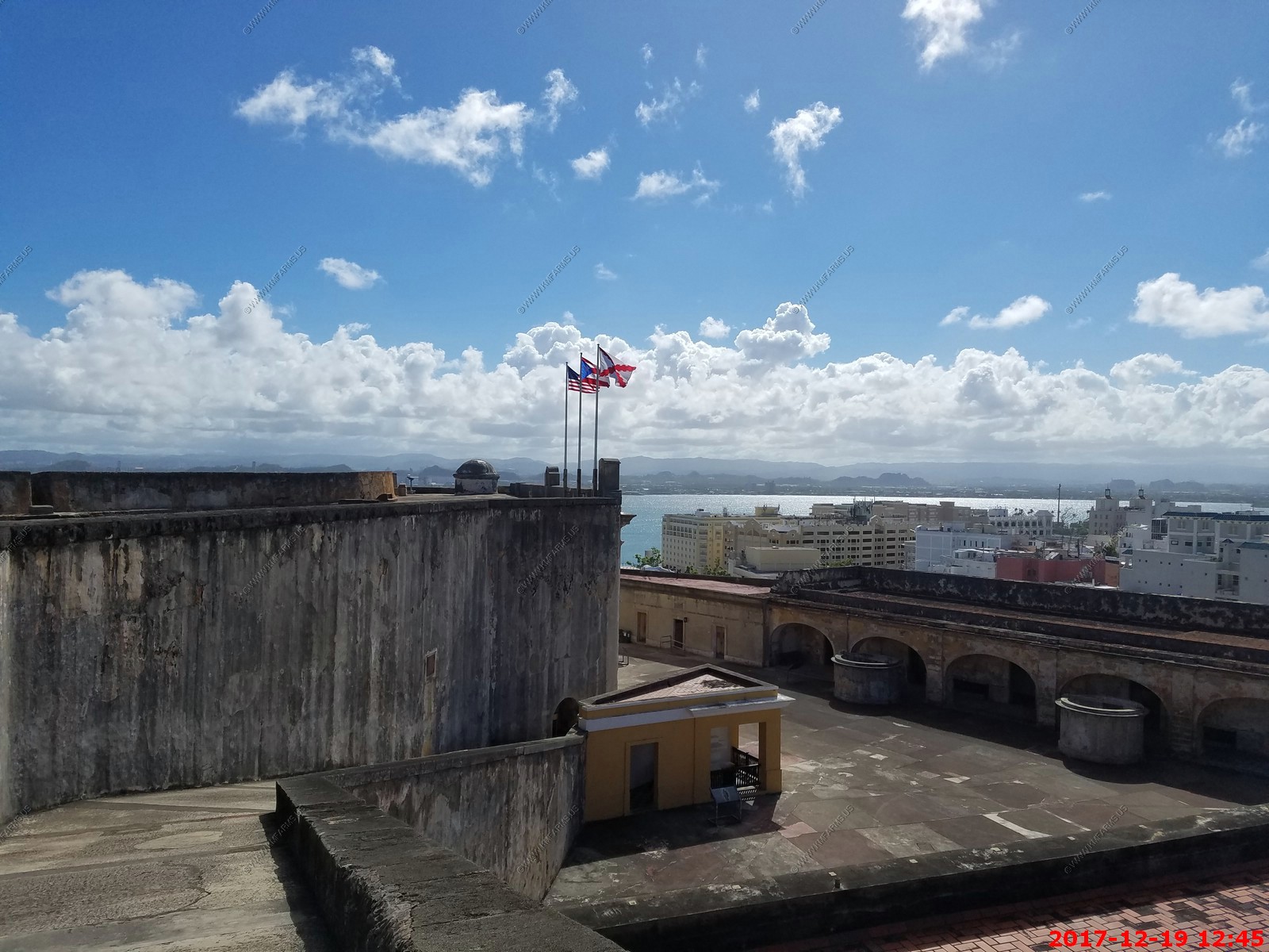
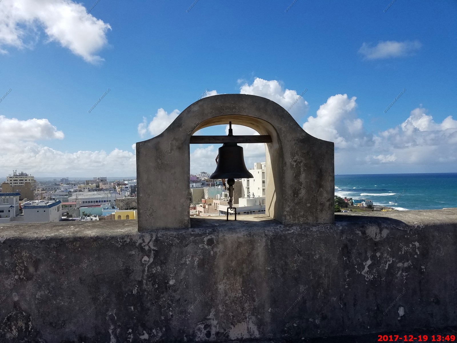
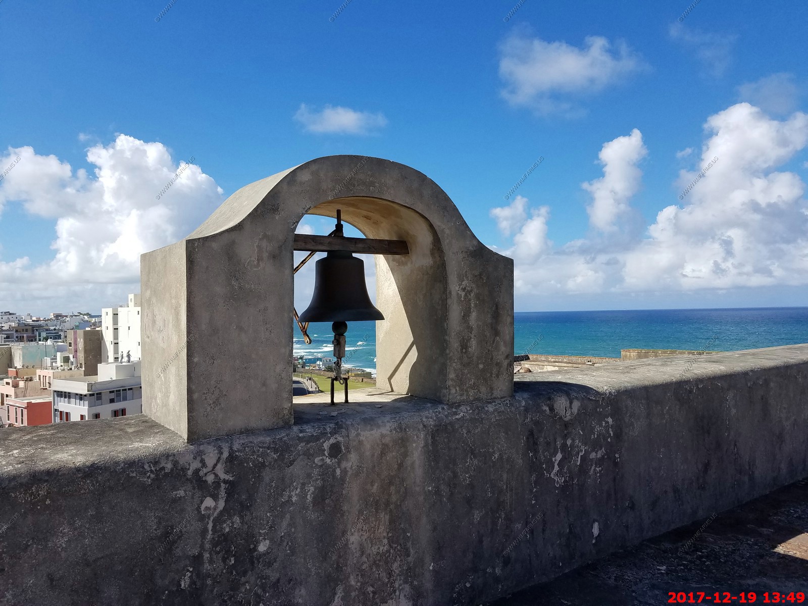
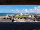
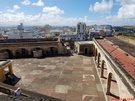
Various views of Castillo San Cristobal
Looking back at our ship

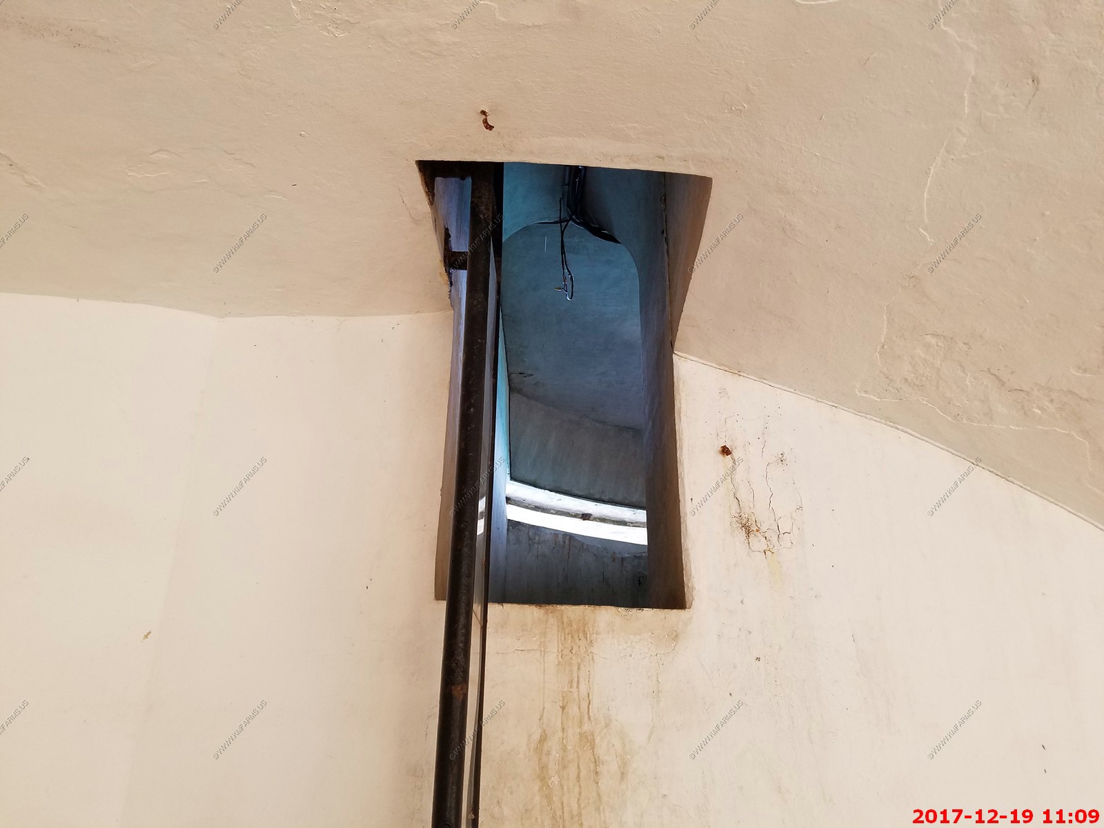
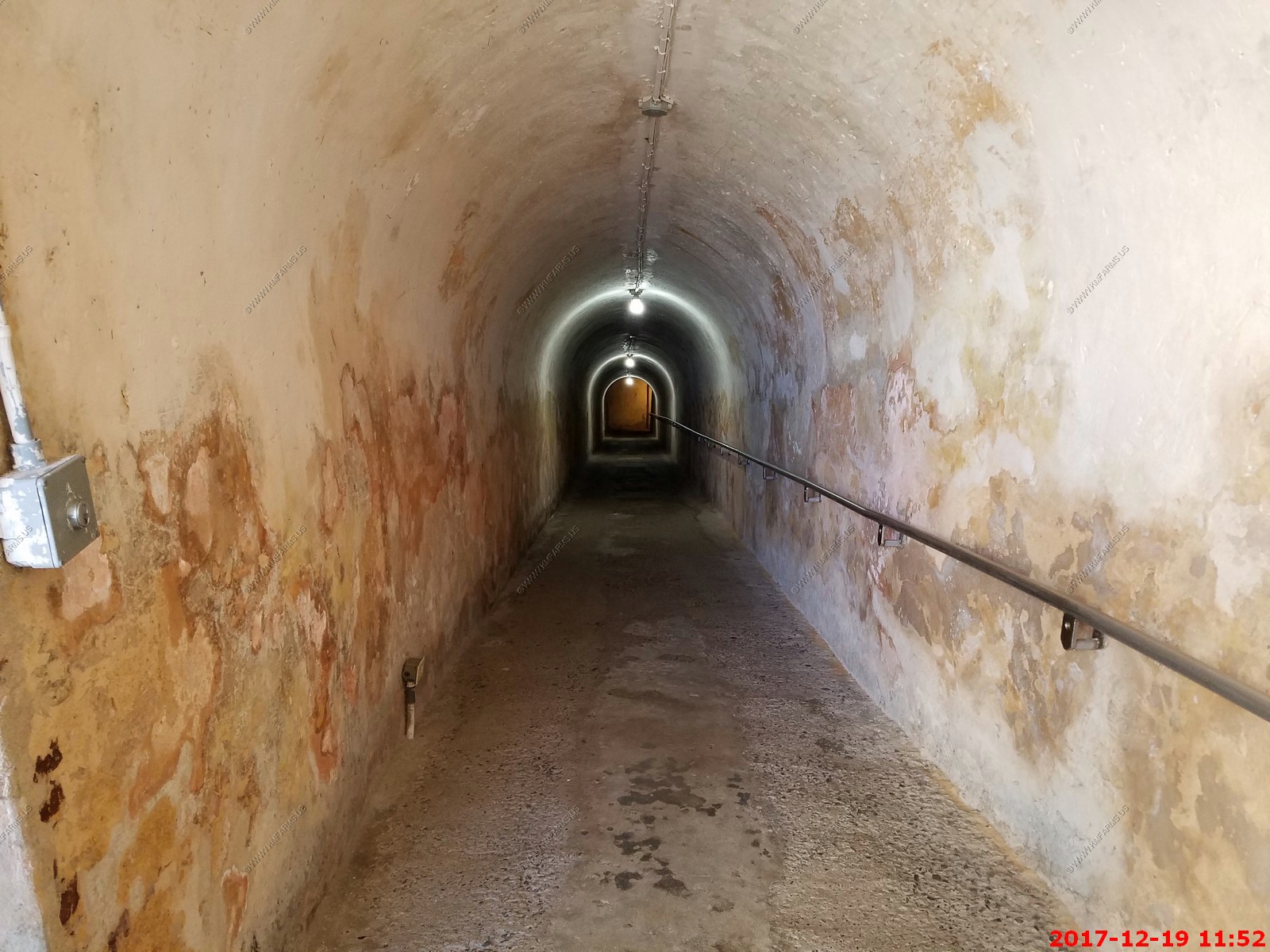
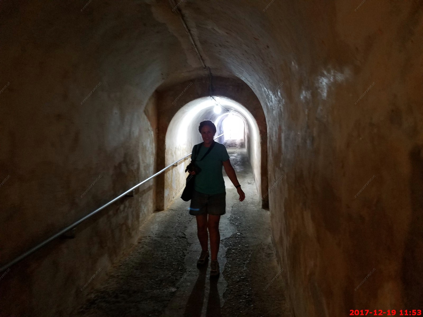
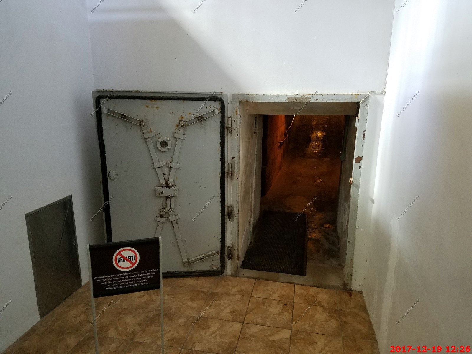
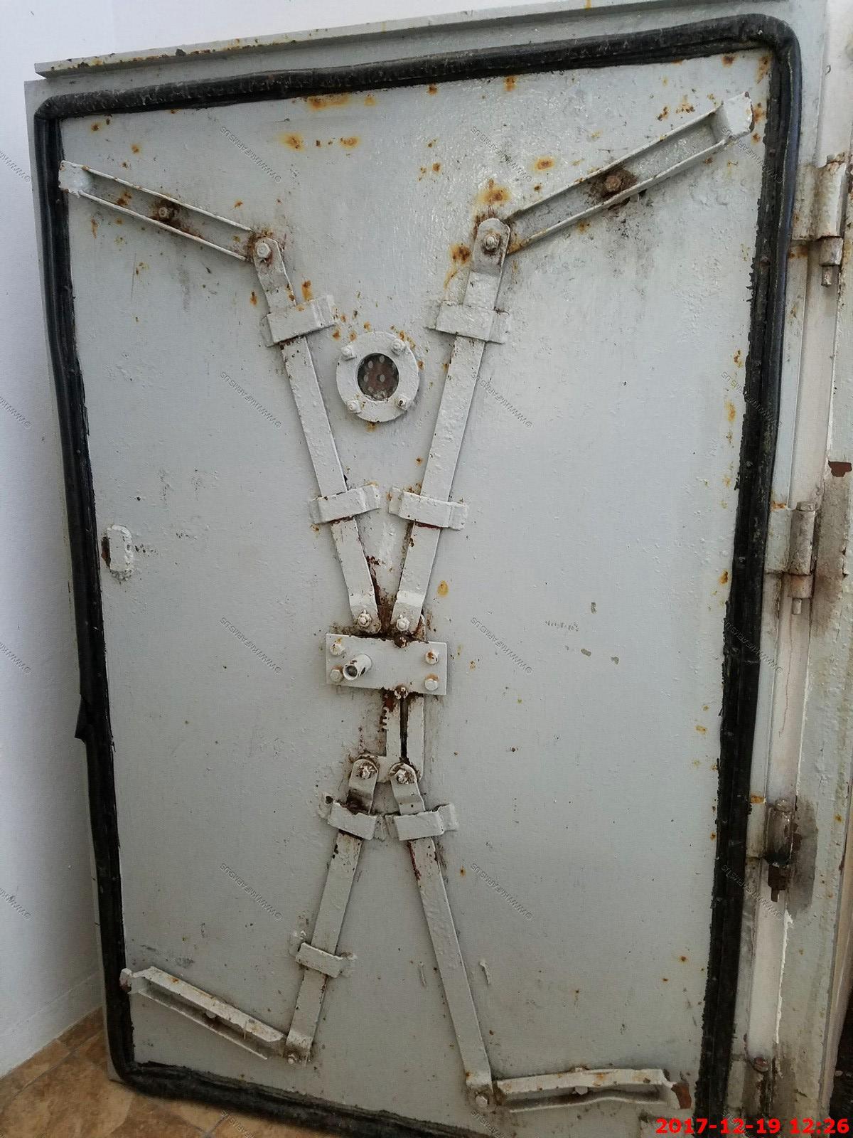
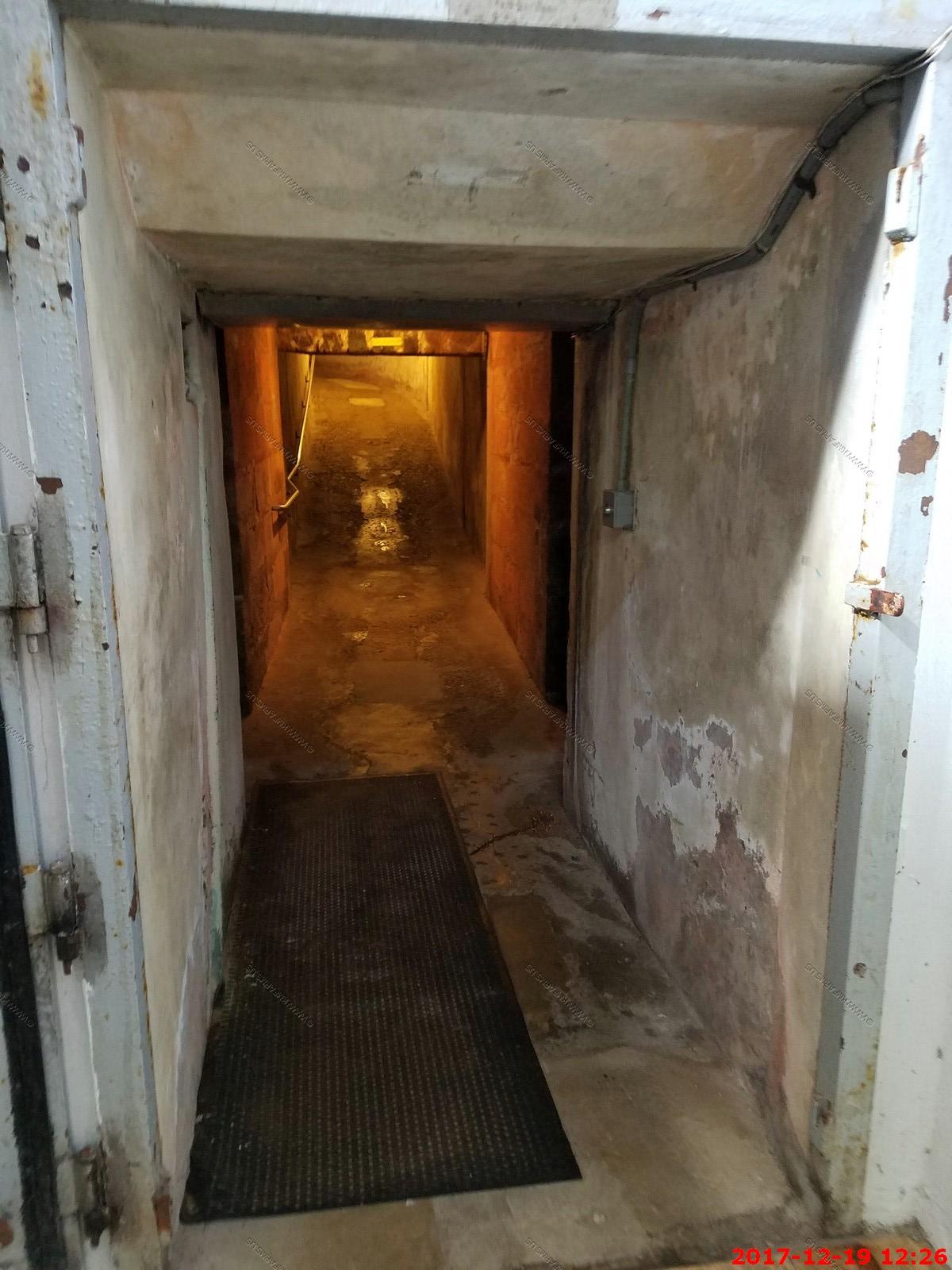
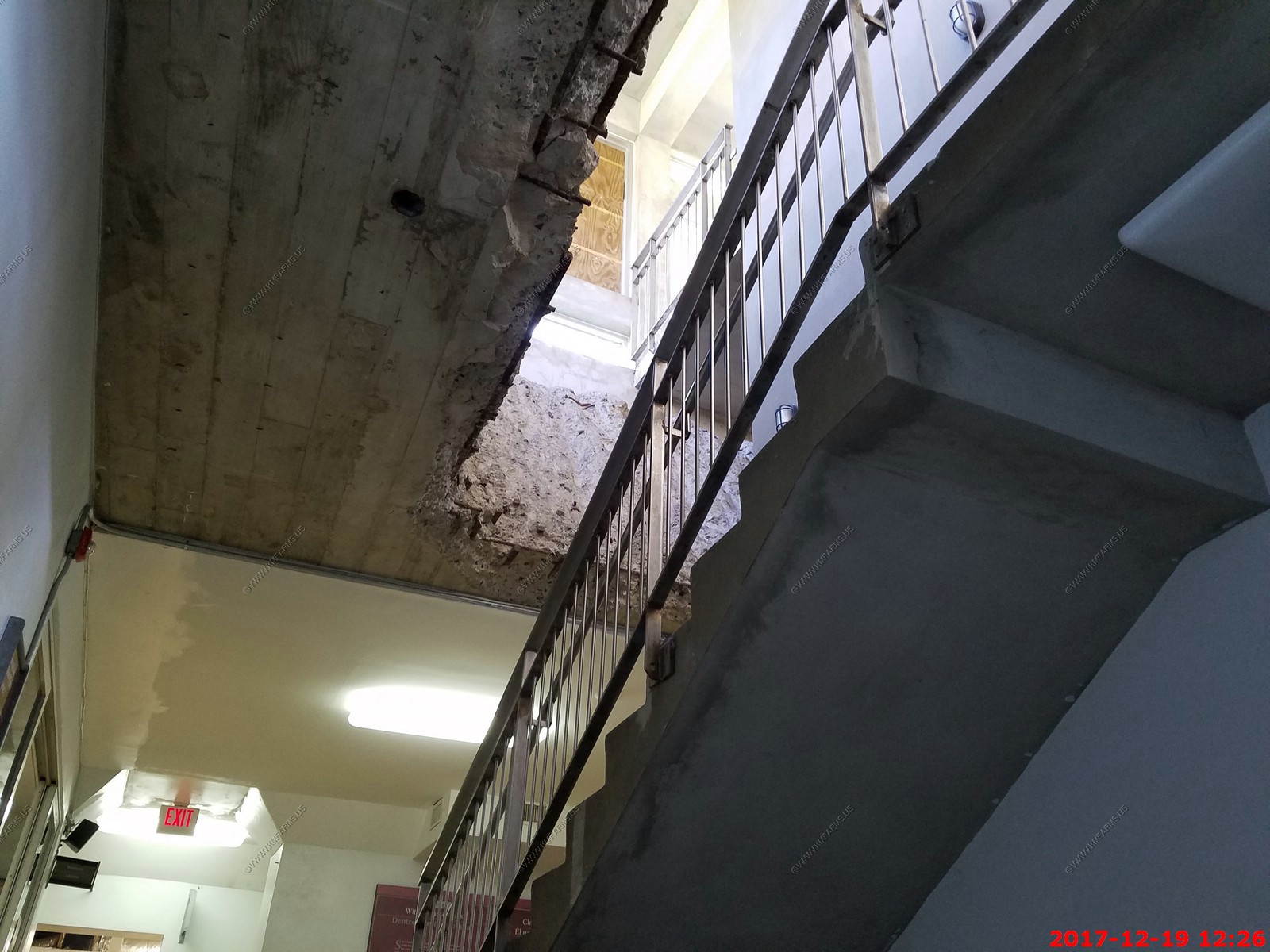
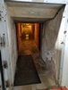
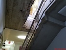
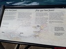
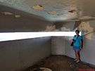
Impressive underground facilities with some recent lower level of protection blastdoors.
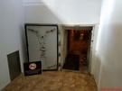

Too bad they cut thru the 4+ feet of concrete to add elevators.
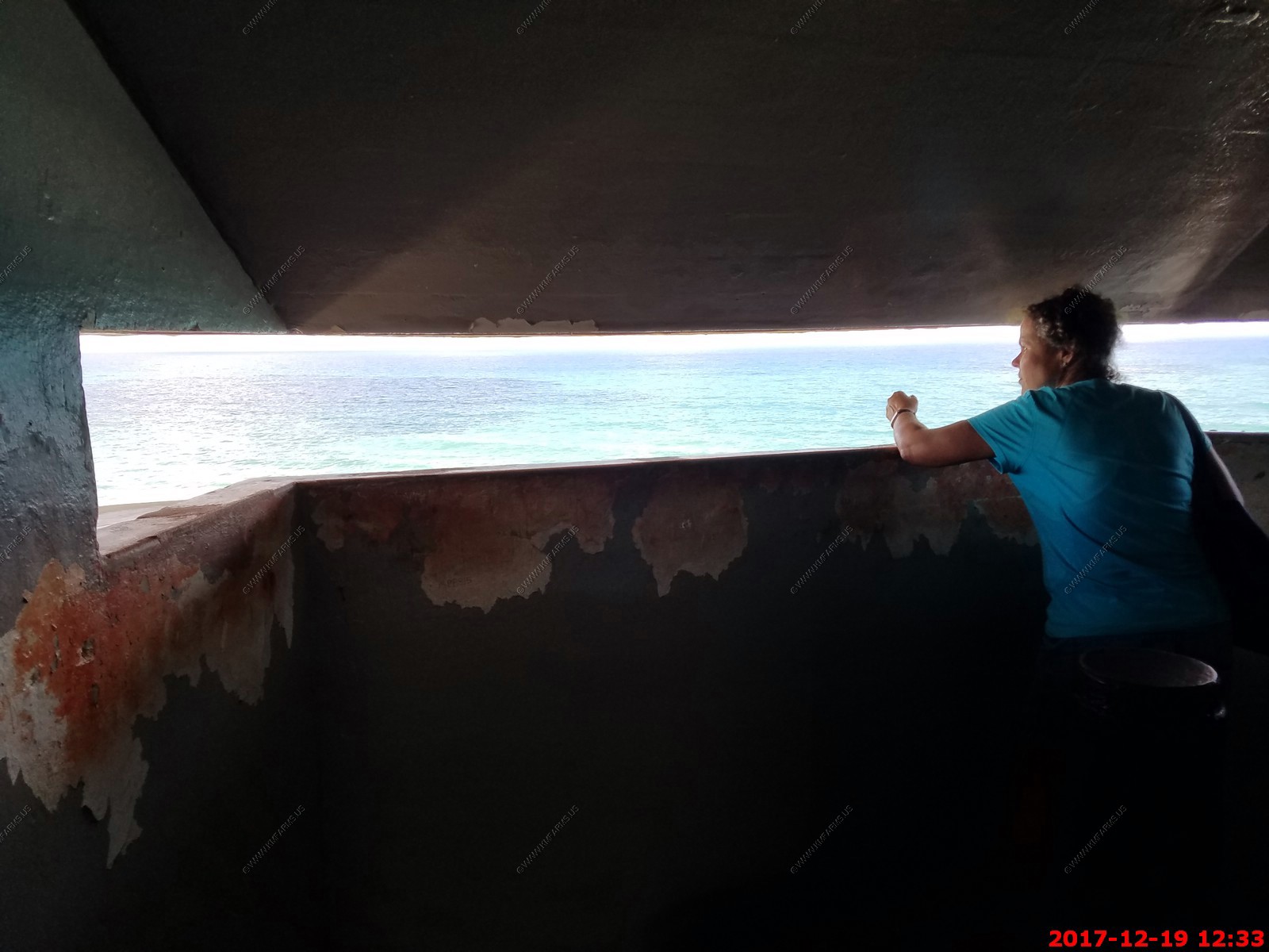
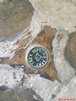
Mary looking for a German sub in the WW2 watch tower
Various views of Castillo San Cristobal & San Juan


MOVIE - 76 meg Helicopters going past the fort
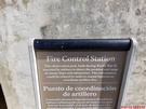


Another WW2 addition
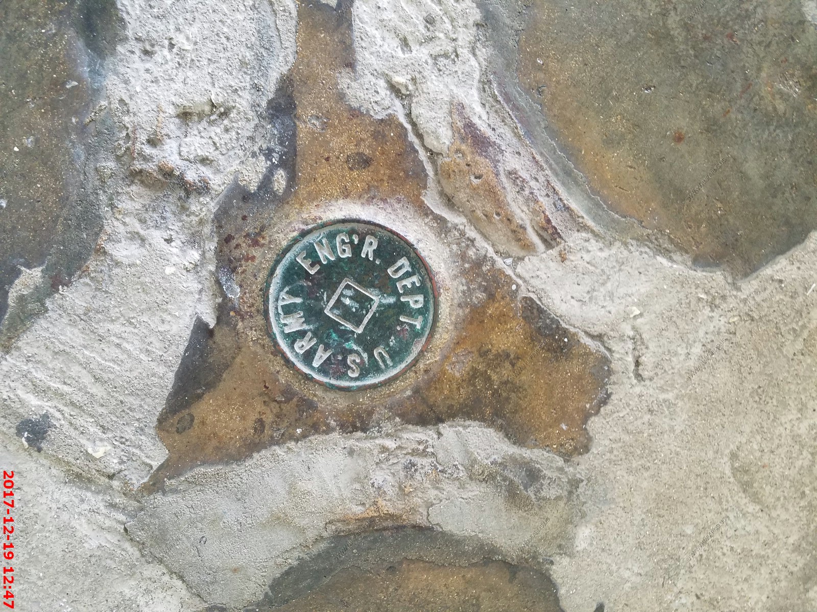
US Army Engineering Department marker
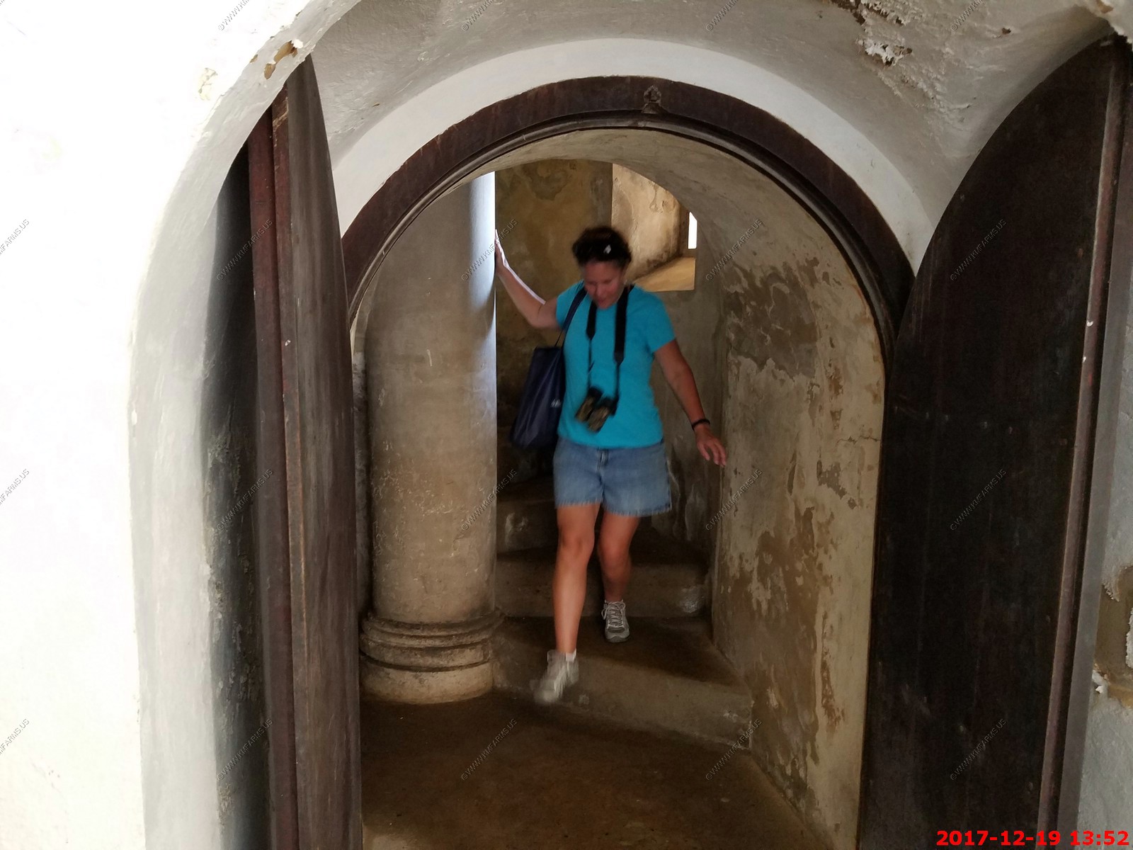
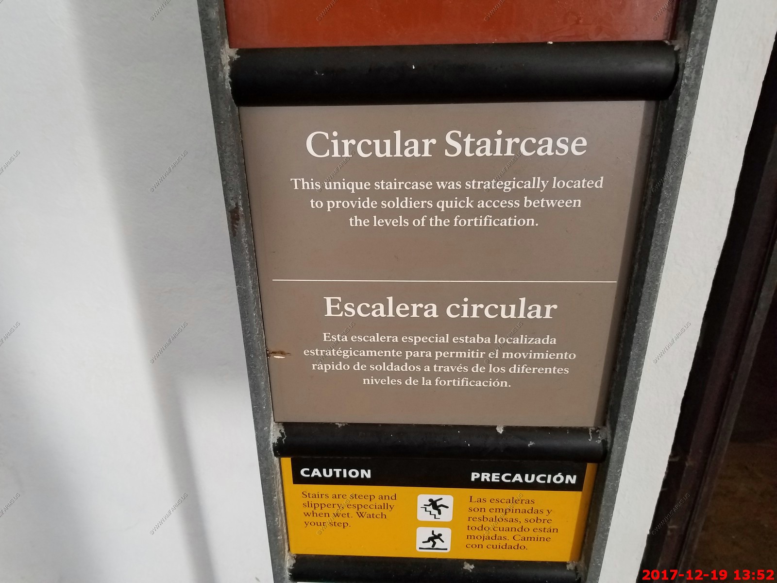
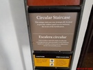
Mary falling down the circular stairs

The walk back to the ship from Castillo San Cristobal is quick as its all downhill but crosses a couple over very busy streets.
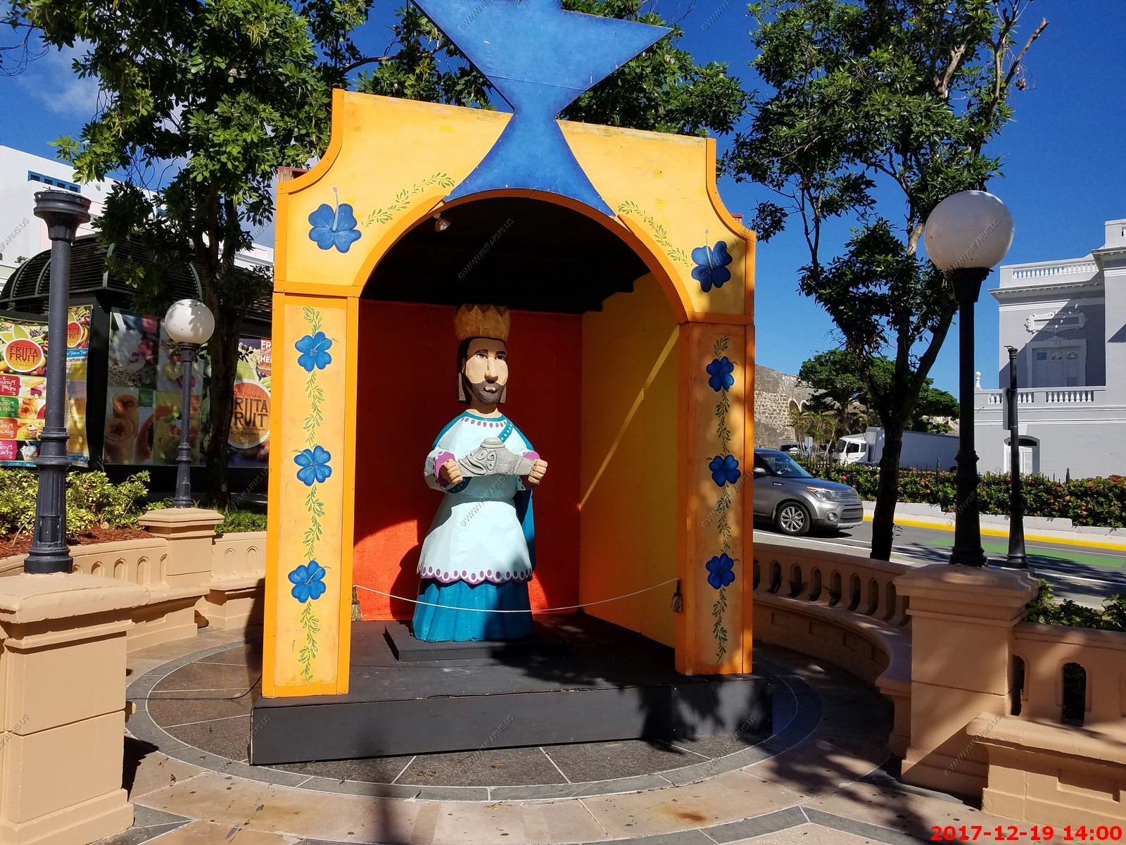
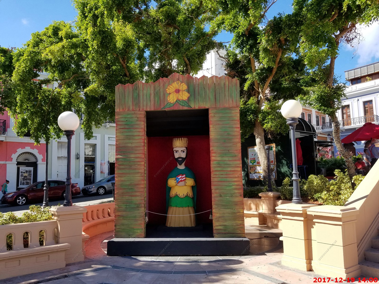
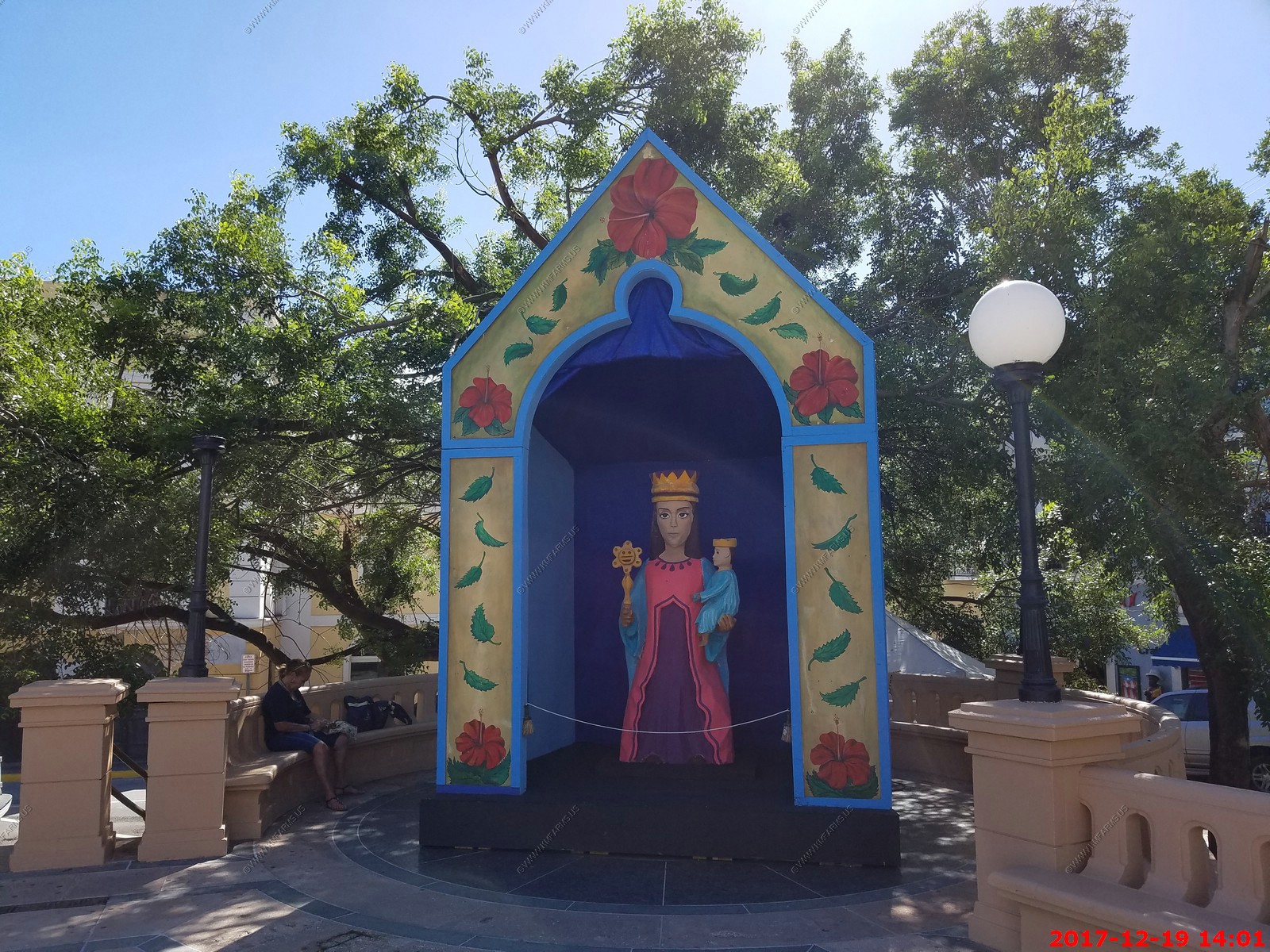
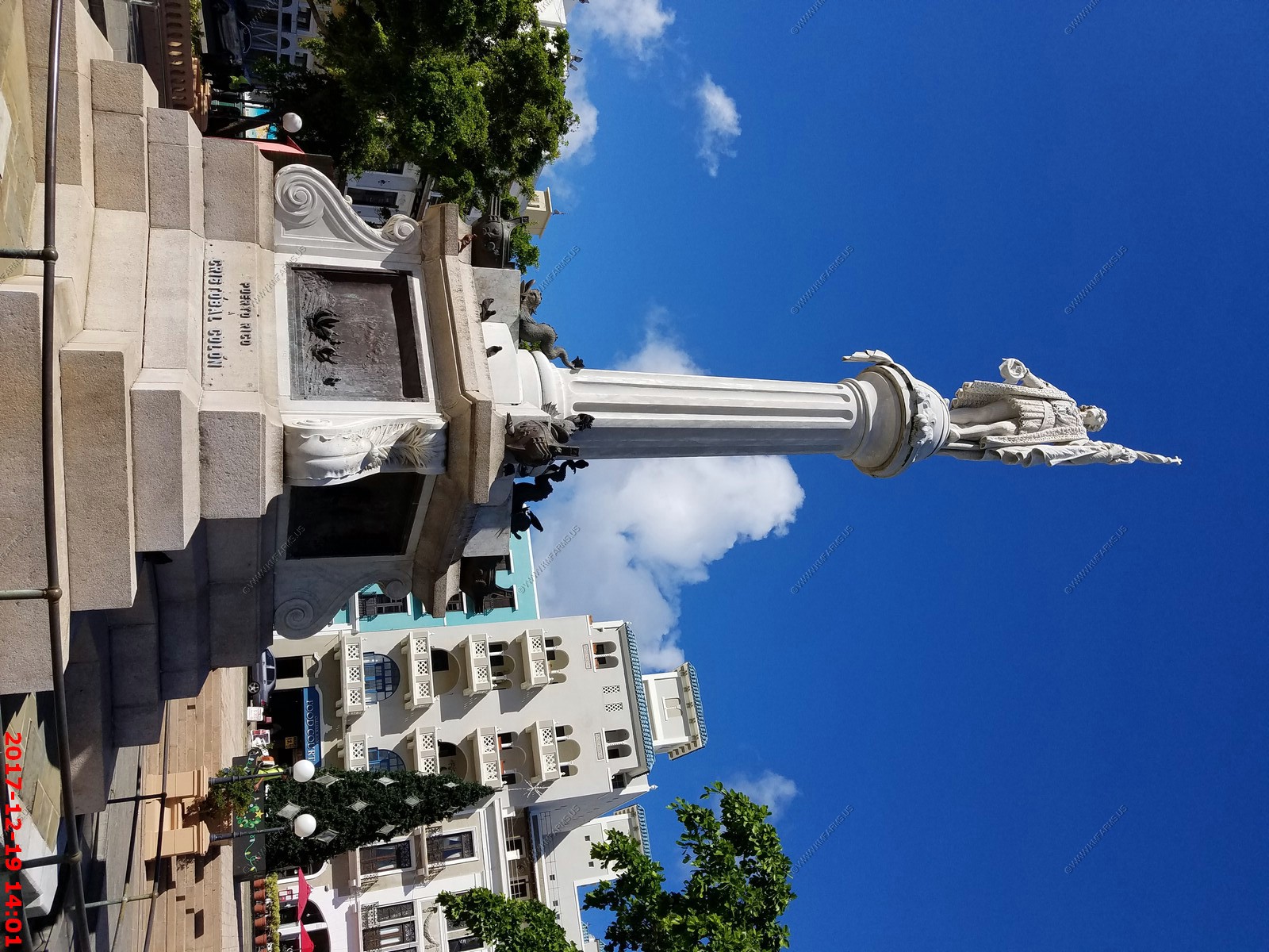
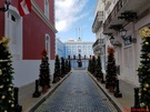
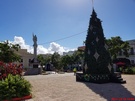
In Plaza de Colon they had interesting Christmas decorations. A few more years we will live where its GREEN in December. Christmas is much better when its warm !
Back on the ship. Ken discovers where they hide the potato chips and starts a strategic stockpile. I am thinking that they are handmade as they are very good. Not sure
why they put them in cookie bags but I go with it.
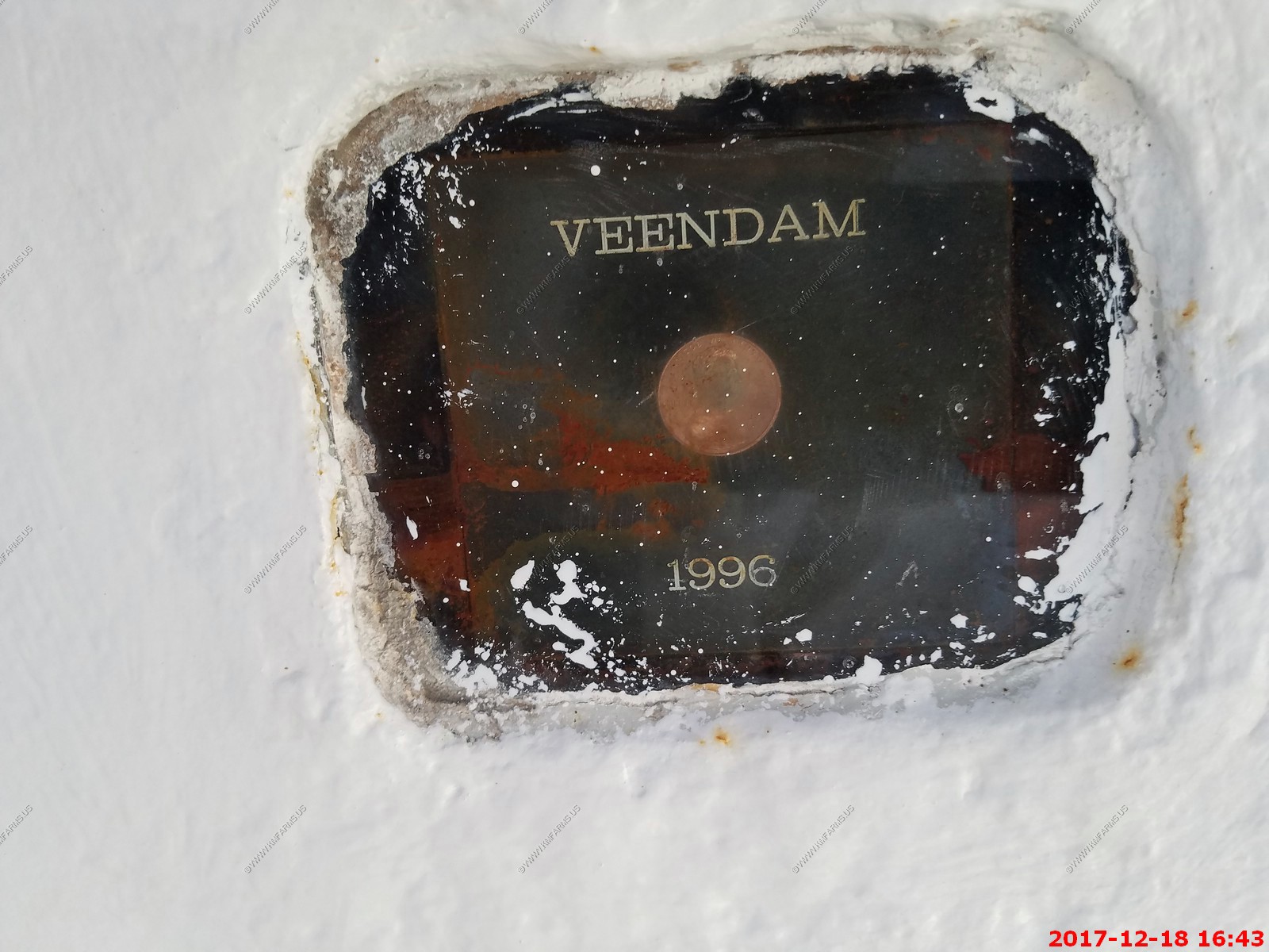
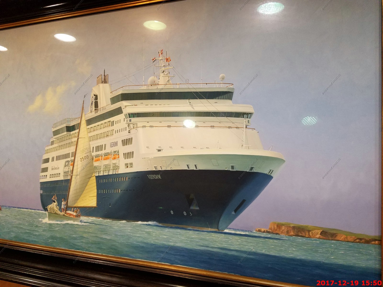
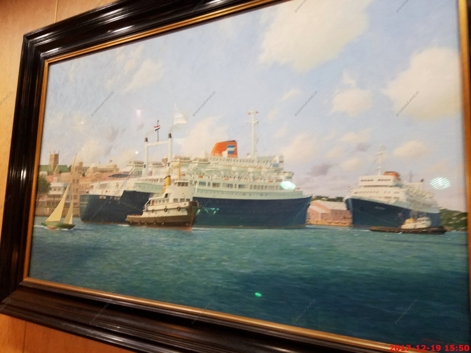
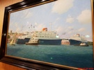
A painting of the ship that we are on. The Veendam (1996 - ?). Looks like they are trying to run over the sailboat.

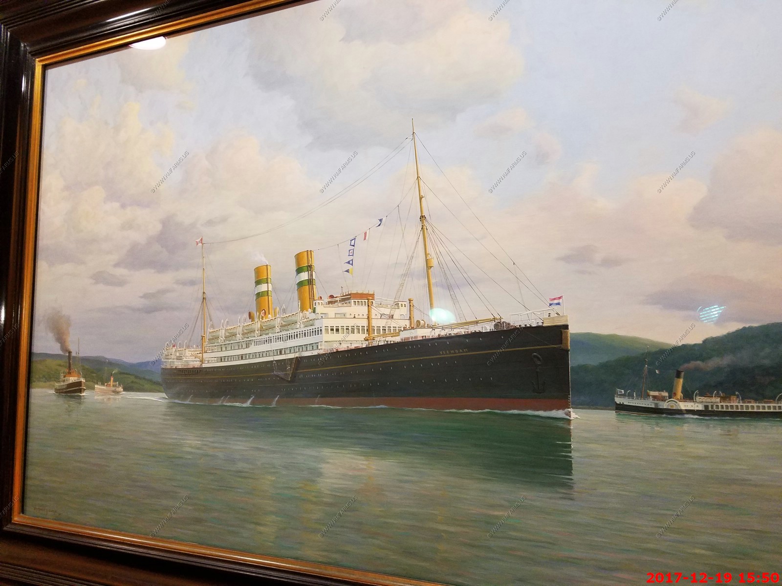
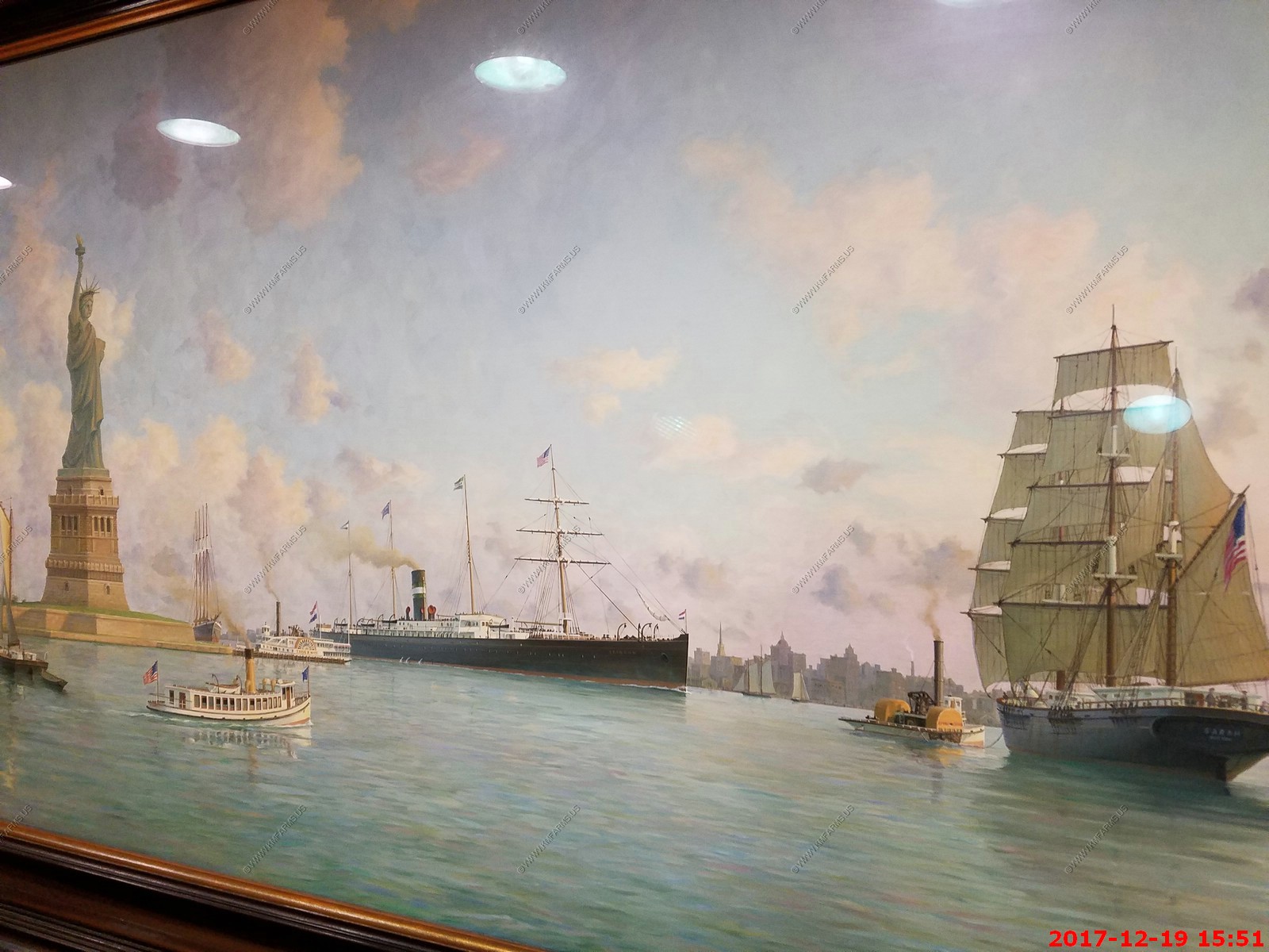
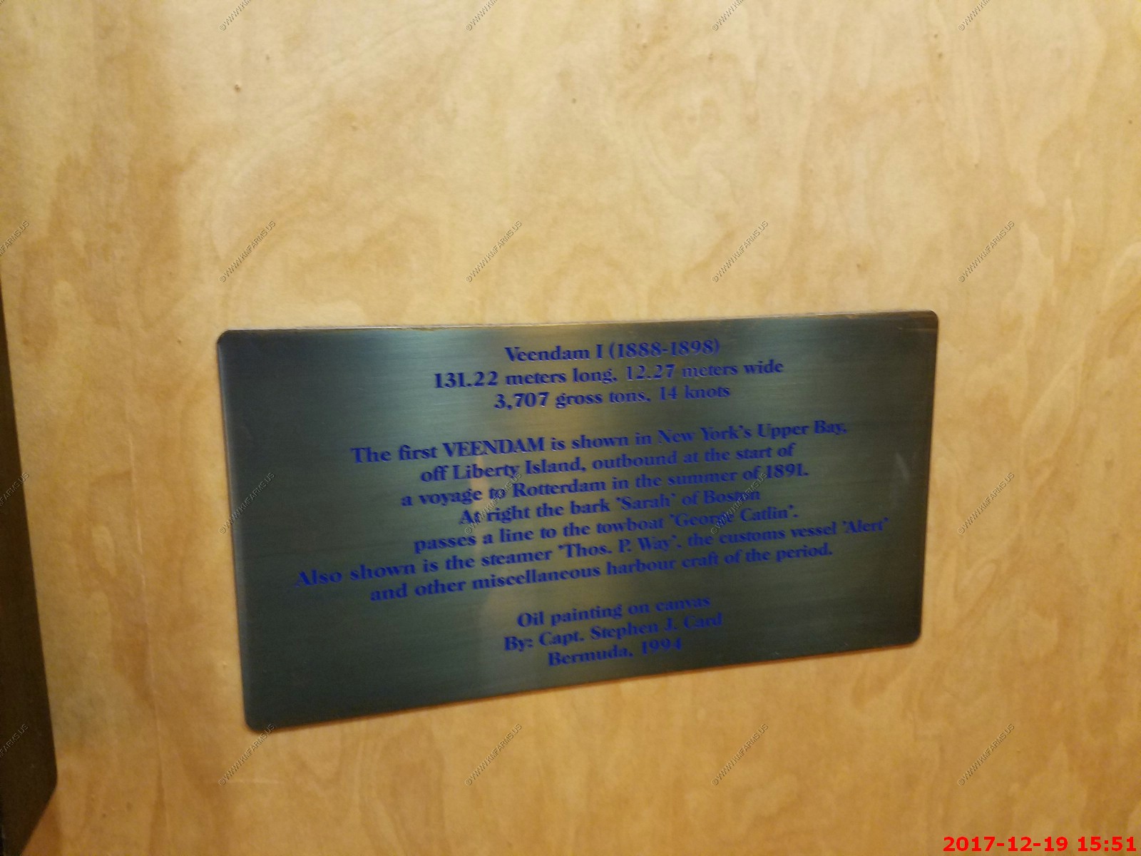
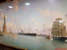
The previous Veendam's... Wonder what happened to them ?

Security at San Juan was a joke and really pissed me off. It was a "Make work" setup. First you had this idiot that would wand you. But, it would go off anywhere
you had metal but they did nothing. Then you went to an x-ray metal & detector which they were looking for booze and nothing else. We went thru twice and it varied on what they
wanted in the x-ray. The belt was not working so the operator was reaching into the x-ray machine to pull your bags thru. So either it was not really working or they were
going to need a new X-ray guy in a few days as he was going to have issues with his right hand rather quickly.
Like all the ports we went to the security is a joke. It's driven by increasing revenue and nothing else. It was be so easy to get something on these cruise ships.
Here they are wanding someone
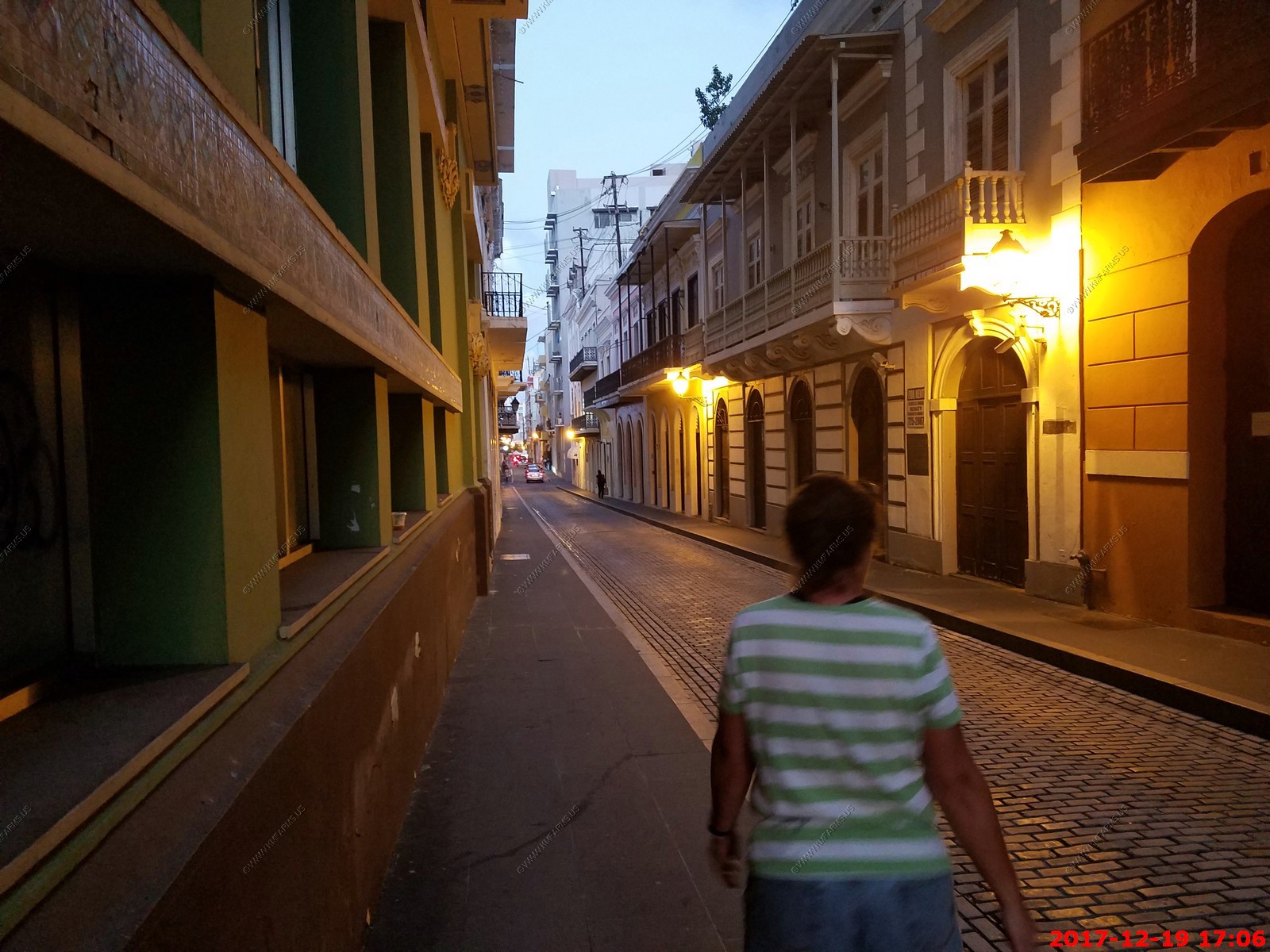
Since we were here so long we went back out for a walk before dinner to watch the sunset and explore the shopping areas
Narrow streets

Sunset
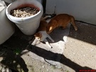
More cats
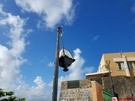
Running a generator that powers a cell site on the roof of the building
Starting to clear out. Time to get back to the ship.

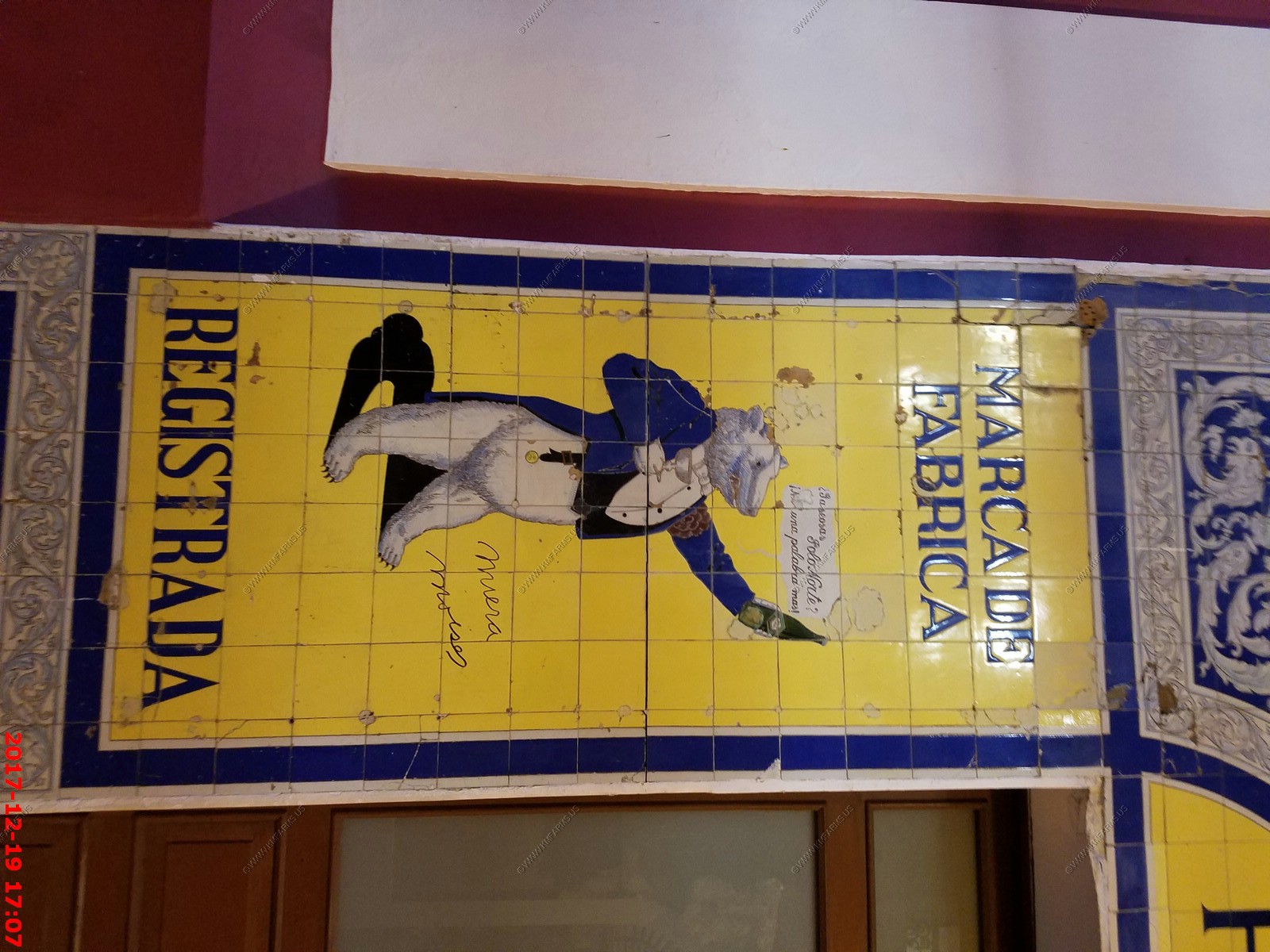
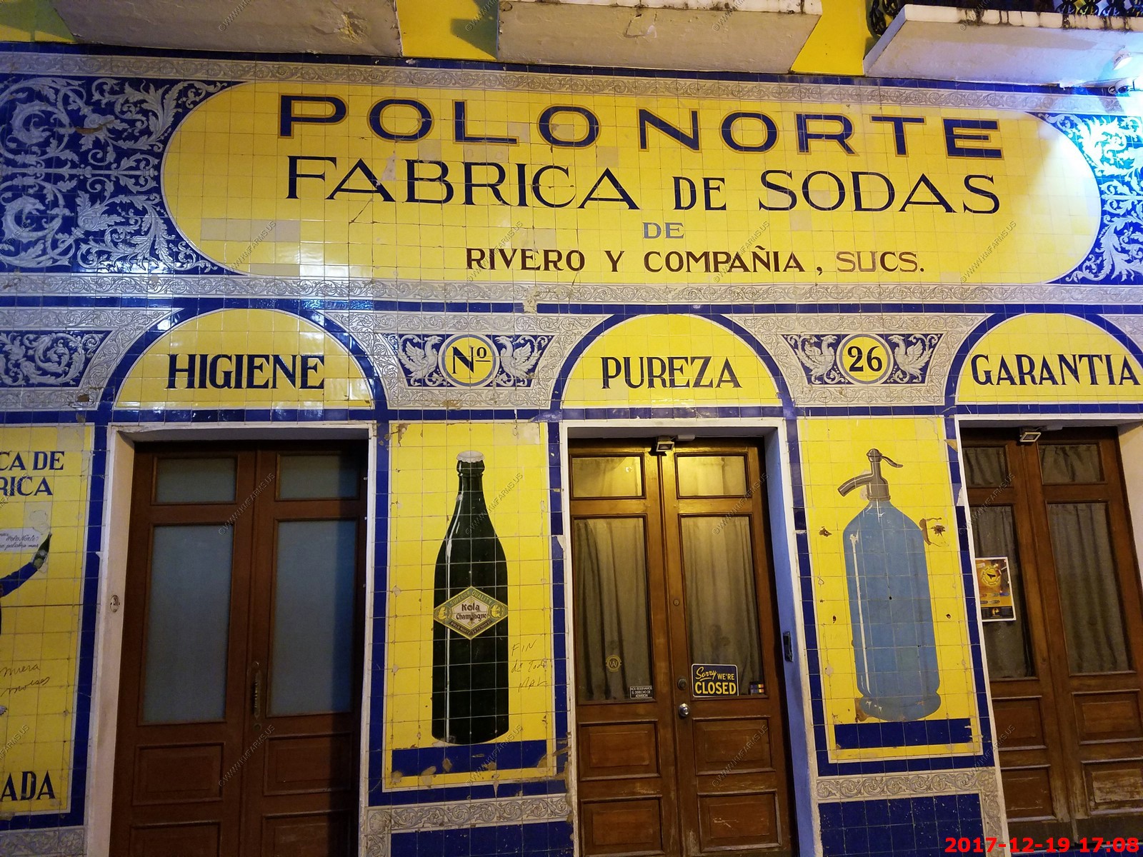
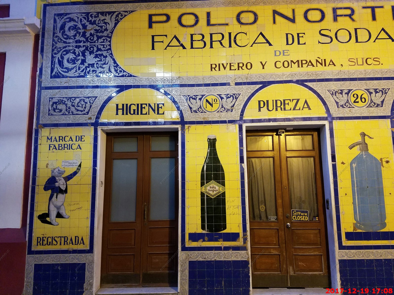
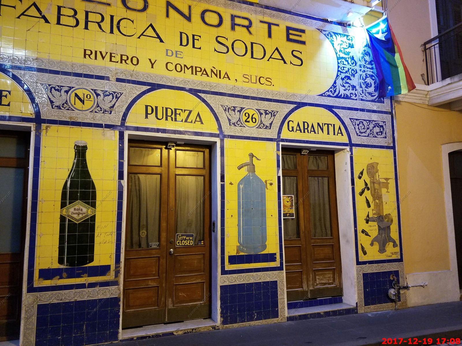
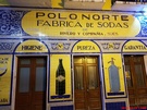
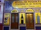
This building housed a soda factory founded by Angel Rivero Mendez in 1902. It is said that Kola Champagne was invented here or at least popularized on the island. The tiles
of the facade were acquired in Madrid. Rivero Mendez is the author of Chronicle of the Spanish-American War in Puerto Rico, as governor of Fort San Cristobal he fired the
first cannon shot of the war on the island.
At present, the El Pozo Norte, Whiskey & Sparkling Wine Lounge tavern operates there, where its specialty is whiskey and sparkling wine and where there is also an offer
of drinks, among which are drinks prepared with the traditional kola Champagne.

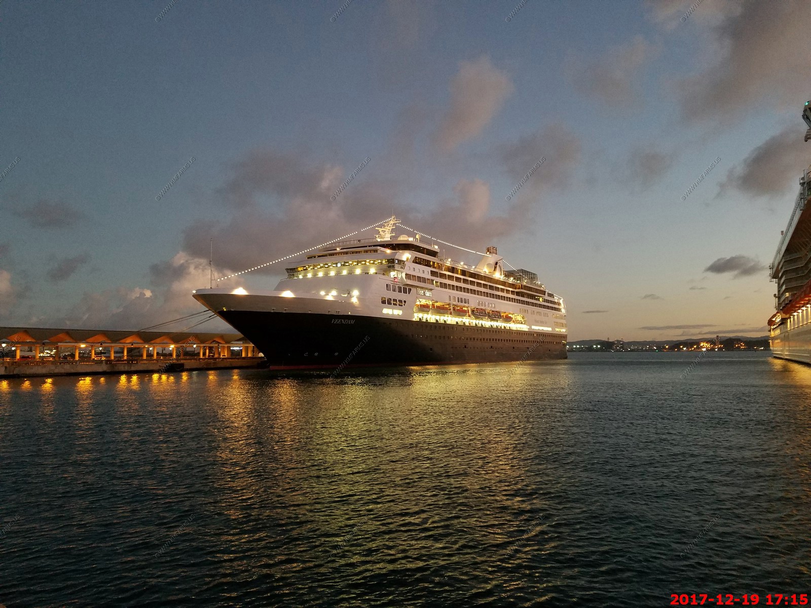
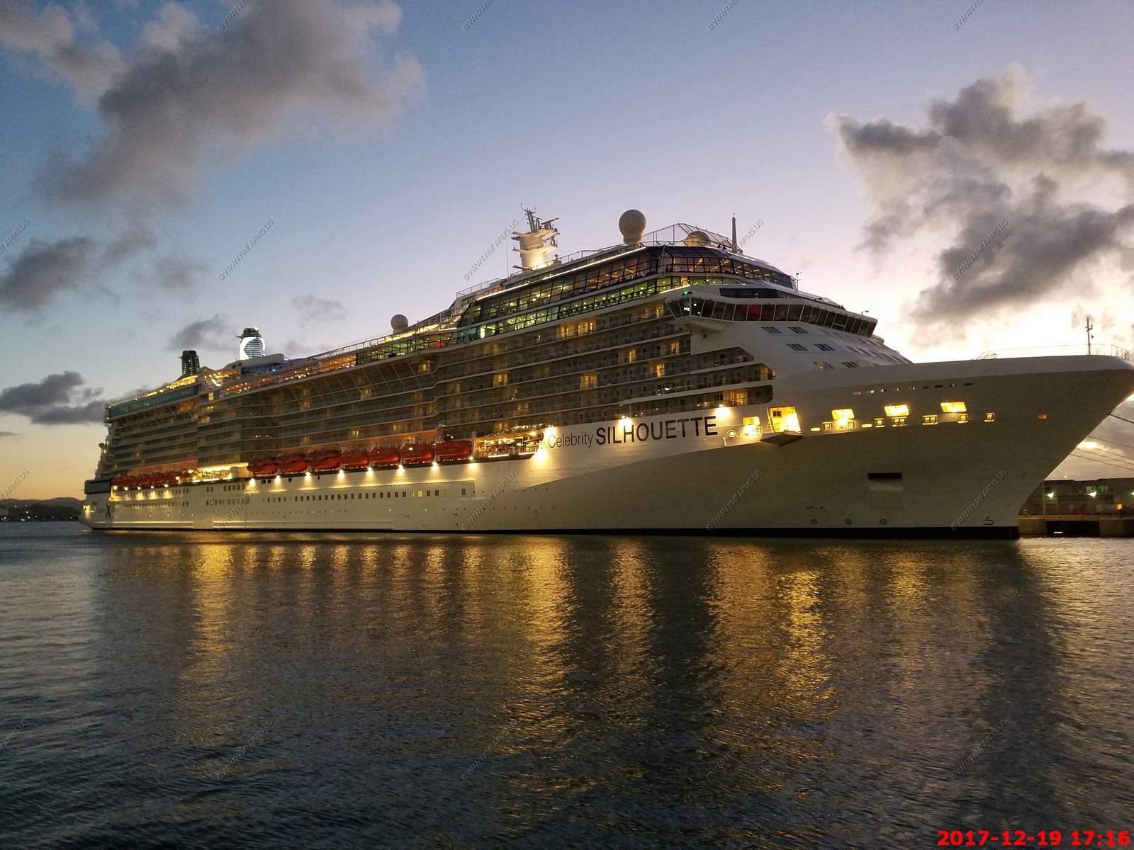
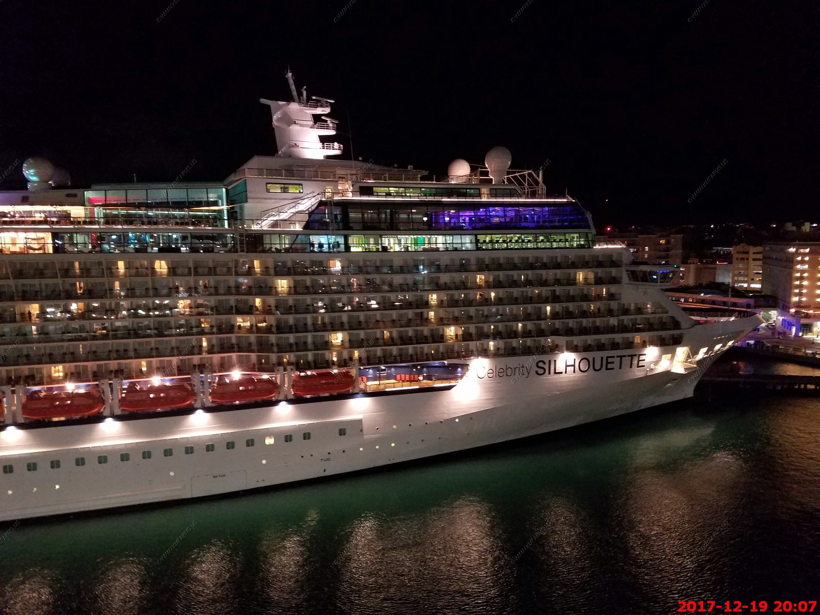
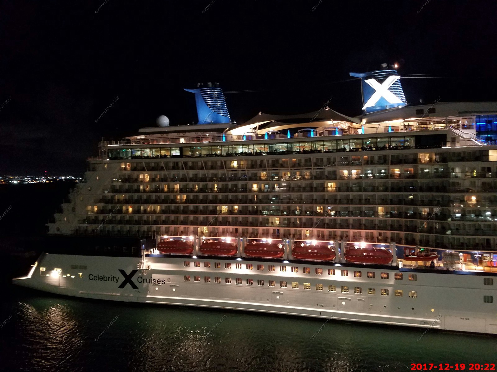
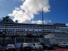
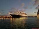
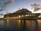
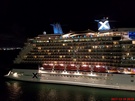
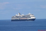
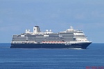
Another ship has arrived. Ours is the small one on the left
Veendam
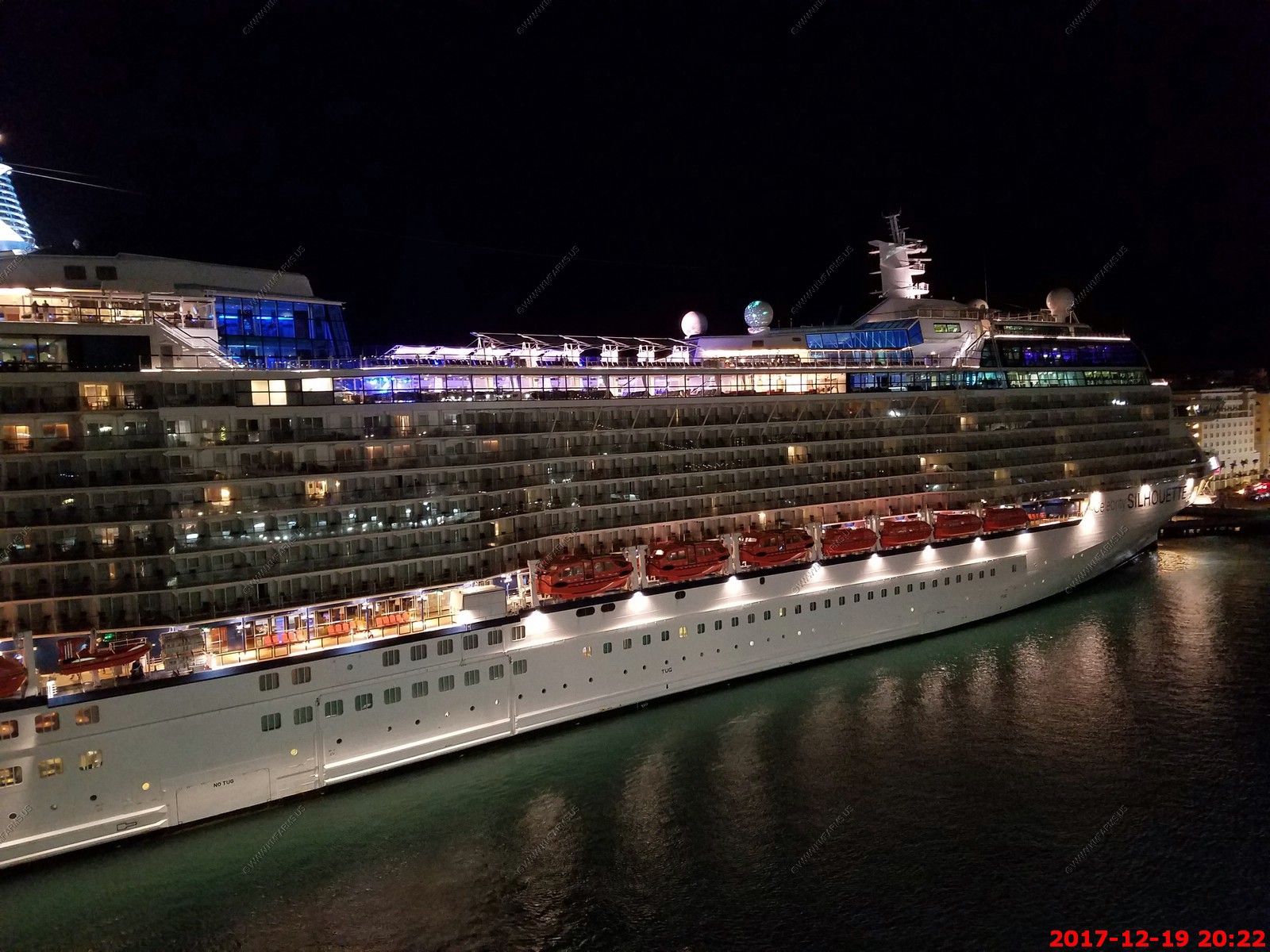
Celebrity Silhouette. They must have been very late. Makes no sense to come in after 6 (Timestamp on these photos are 1 hour behind)
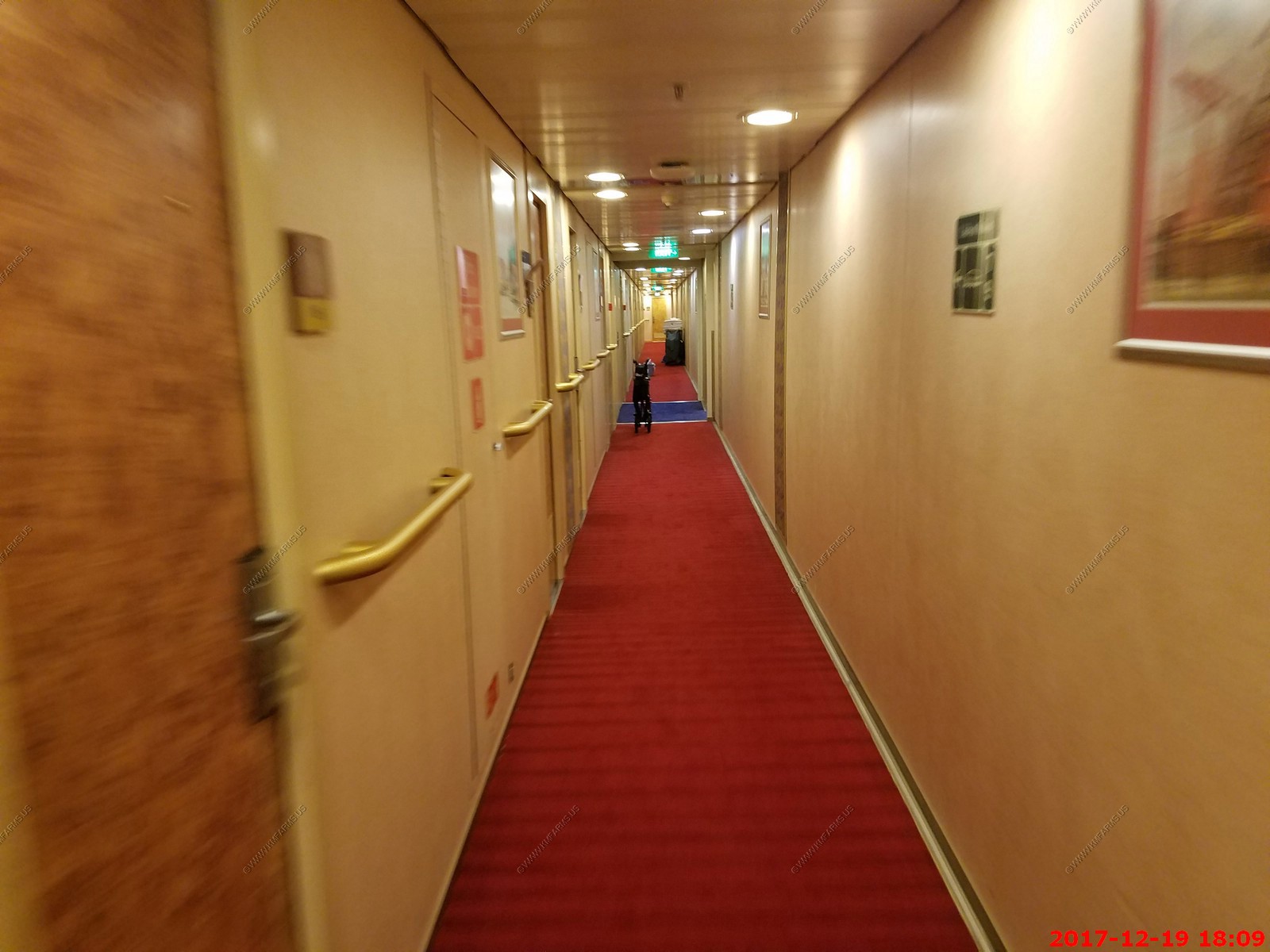
Back on the ship, a wheelchair looks like a dog to us in the hall. Also, they never push it against the wall so others can pass easily.

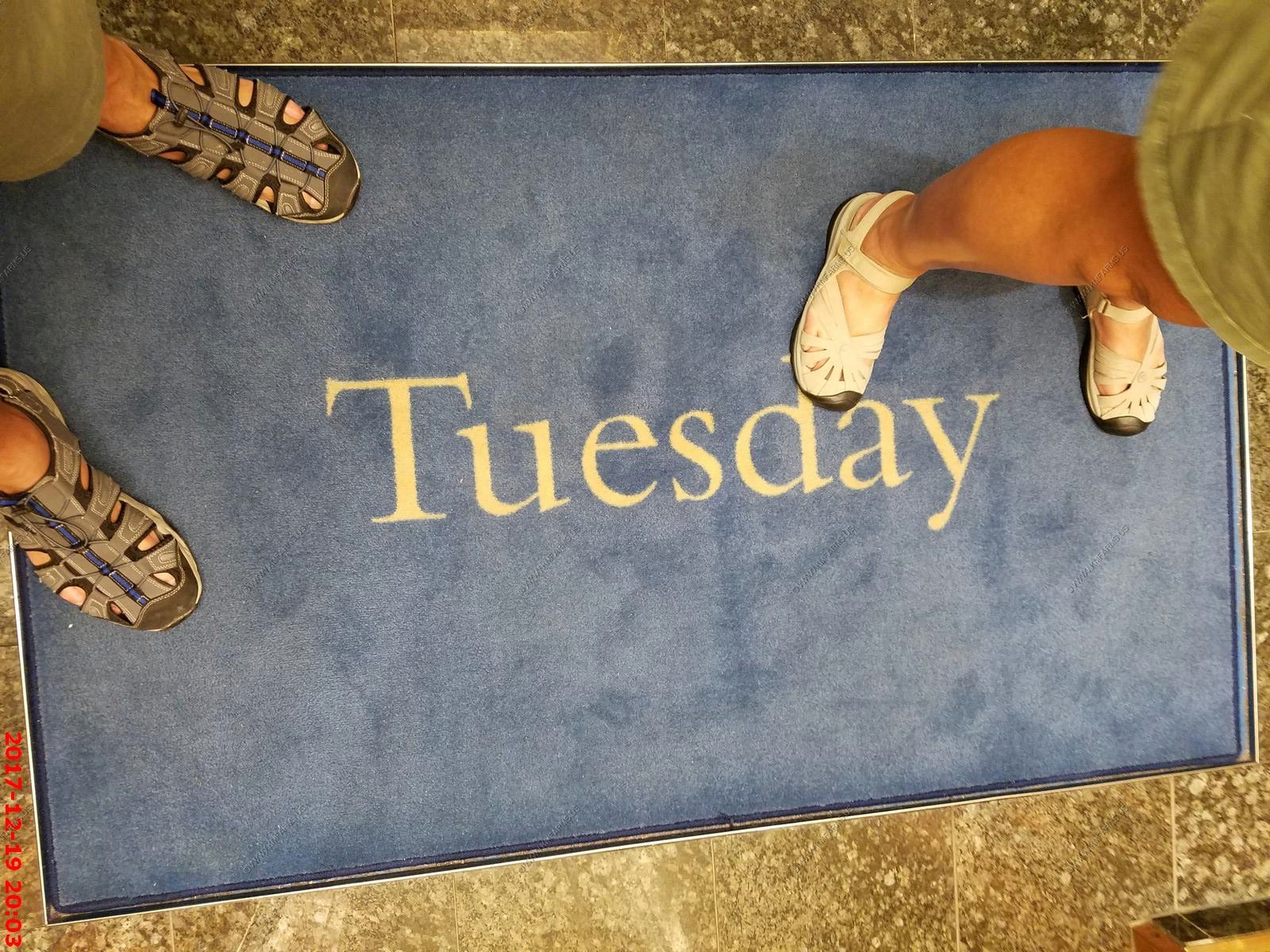
My god it's Tuesday

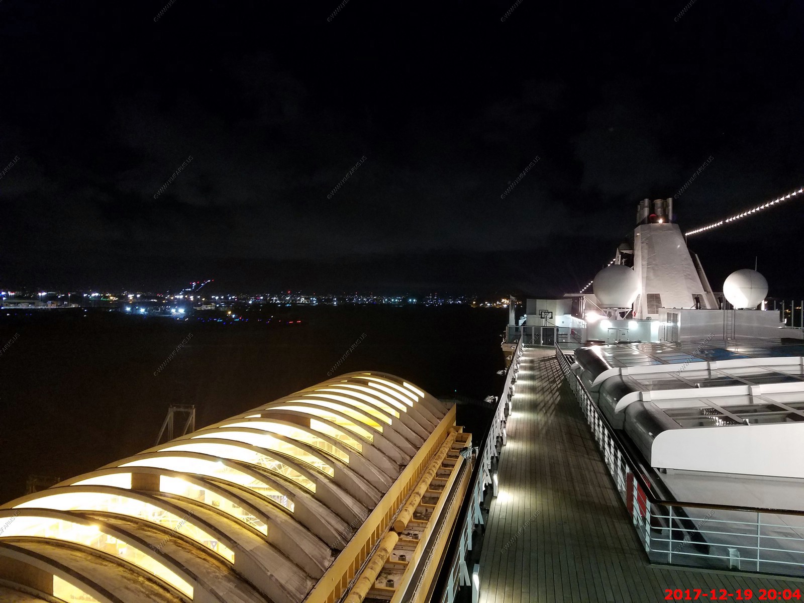
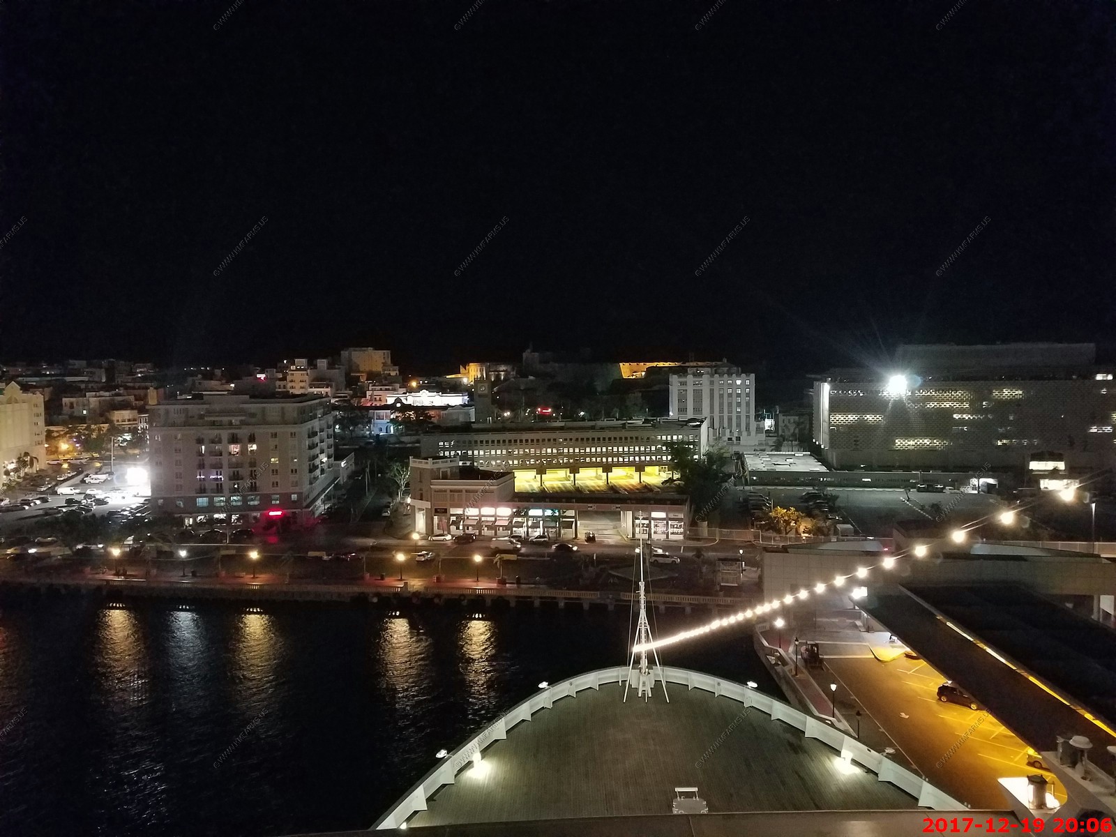
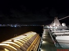
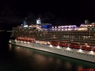
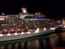
Various nighttime port views as well as of Celebrity Silhouette.
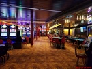
Busy casino
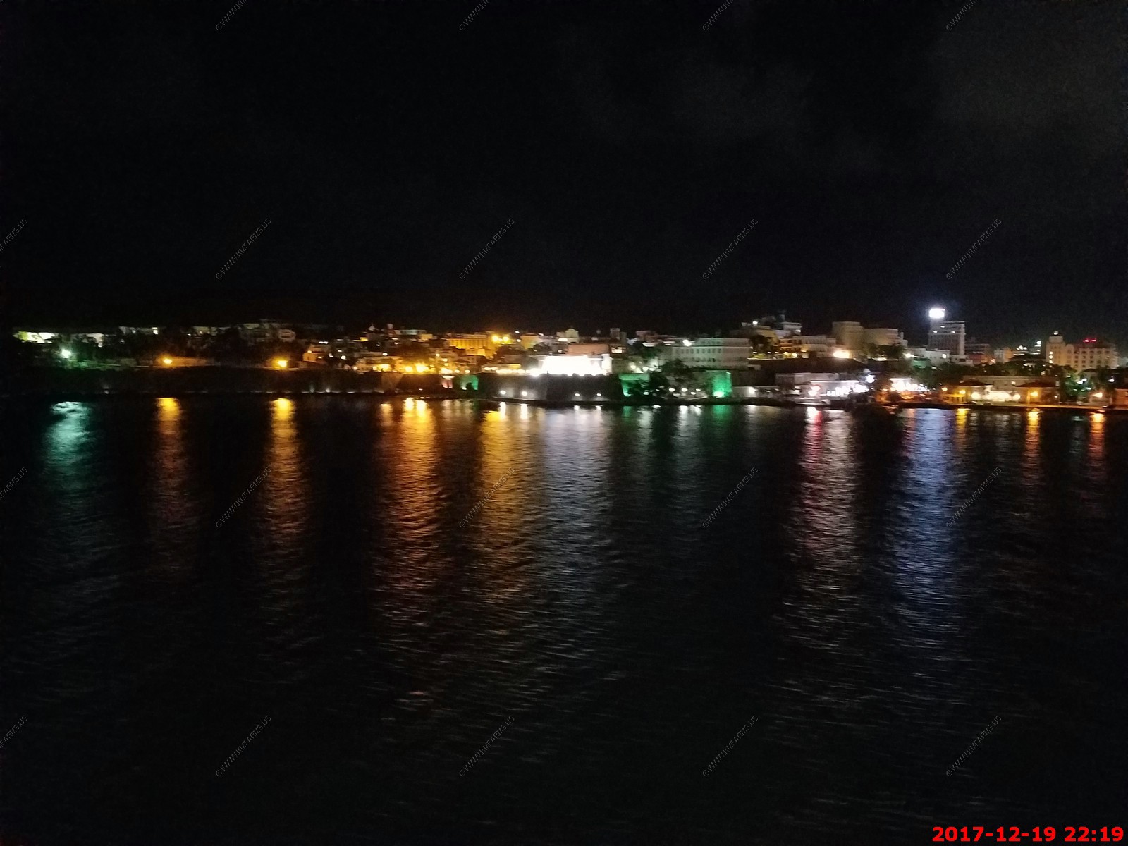
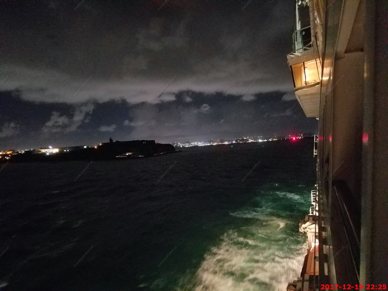
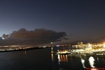
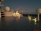
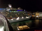
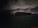
Departing San Juan after 11pm The lit up area is the governor's residence
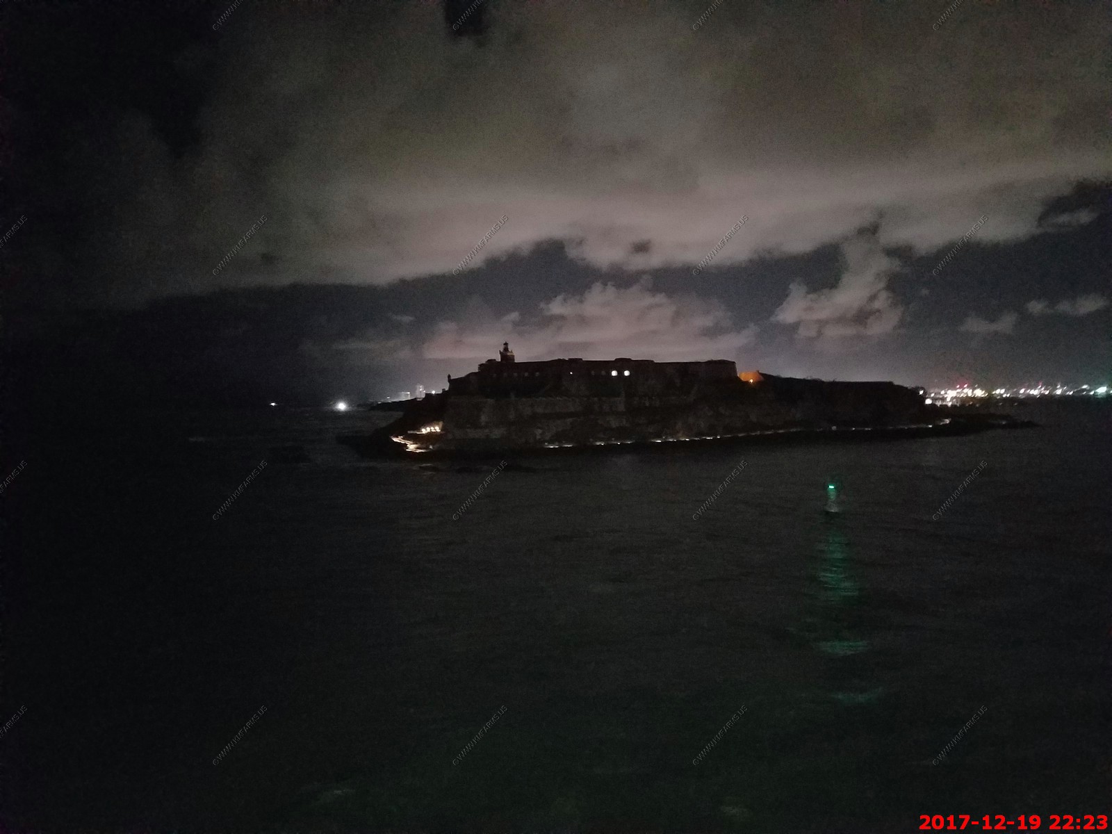
The fort at night
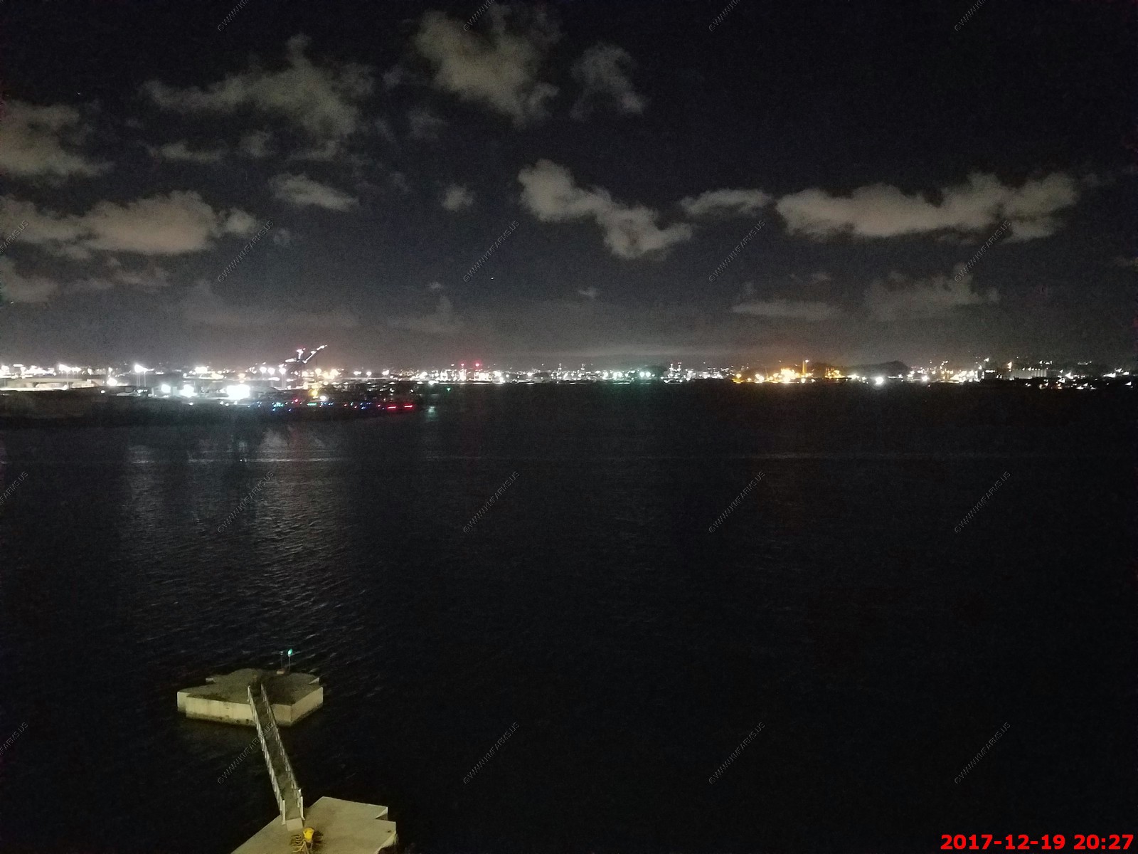
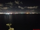
You can see the red channel light. These photos were from our balcony

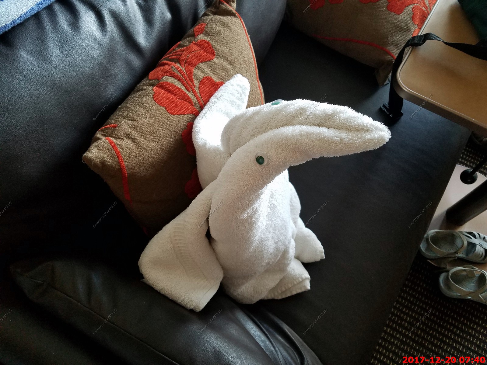
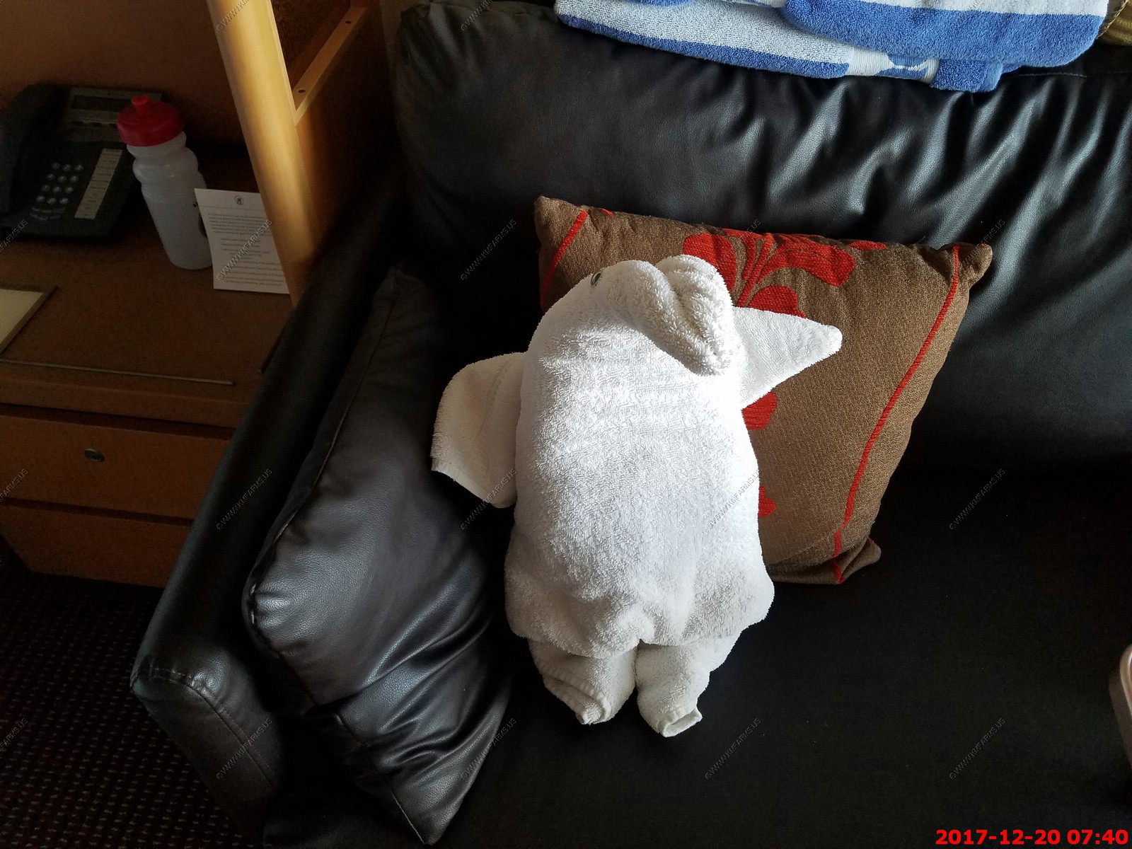
Tonight's critter - Penguin


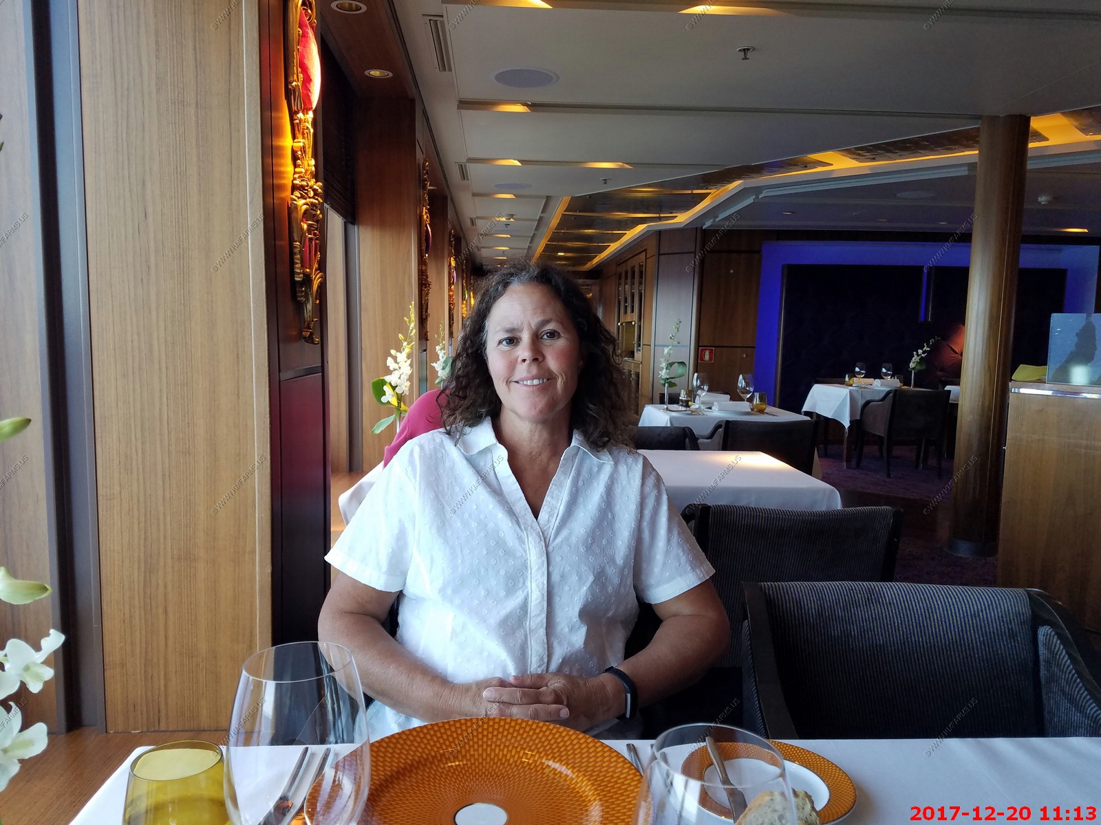
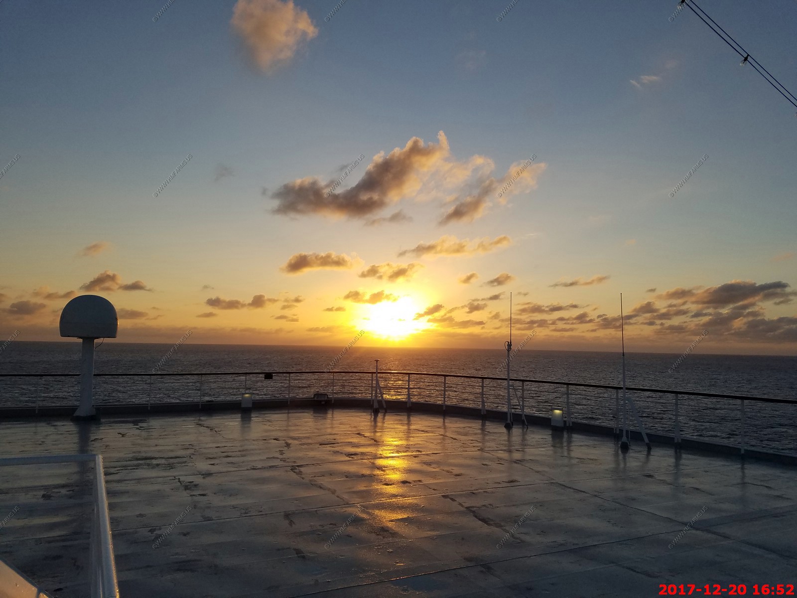
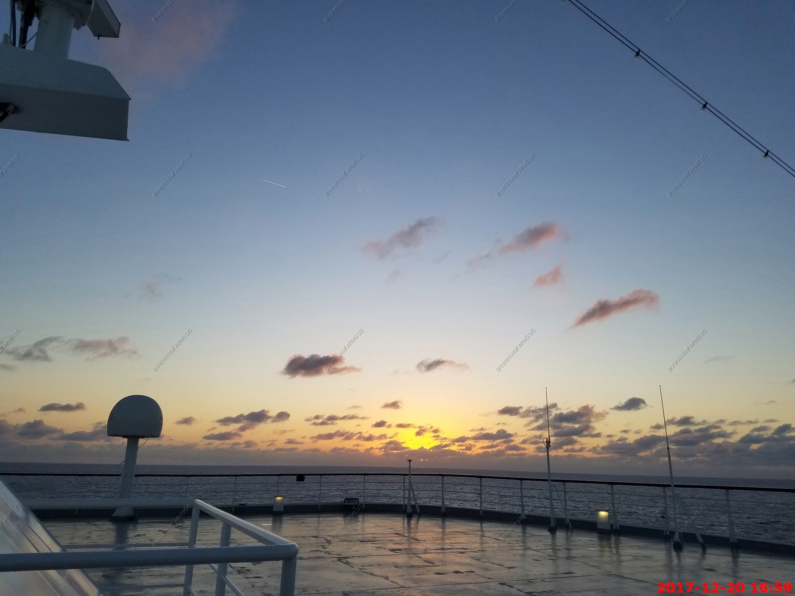
Wednesday - DEC 20 2017 -- At sea
HAL Guide to When & Where - Wednesday - DEC 20 2017 - Ship Activities
First of two at sea days. So its time to relax after 8 island days in a row.
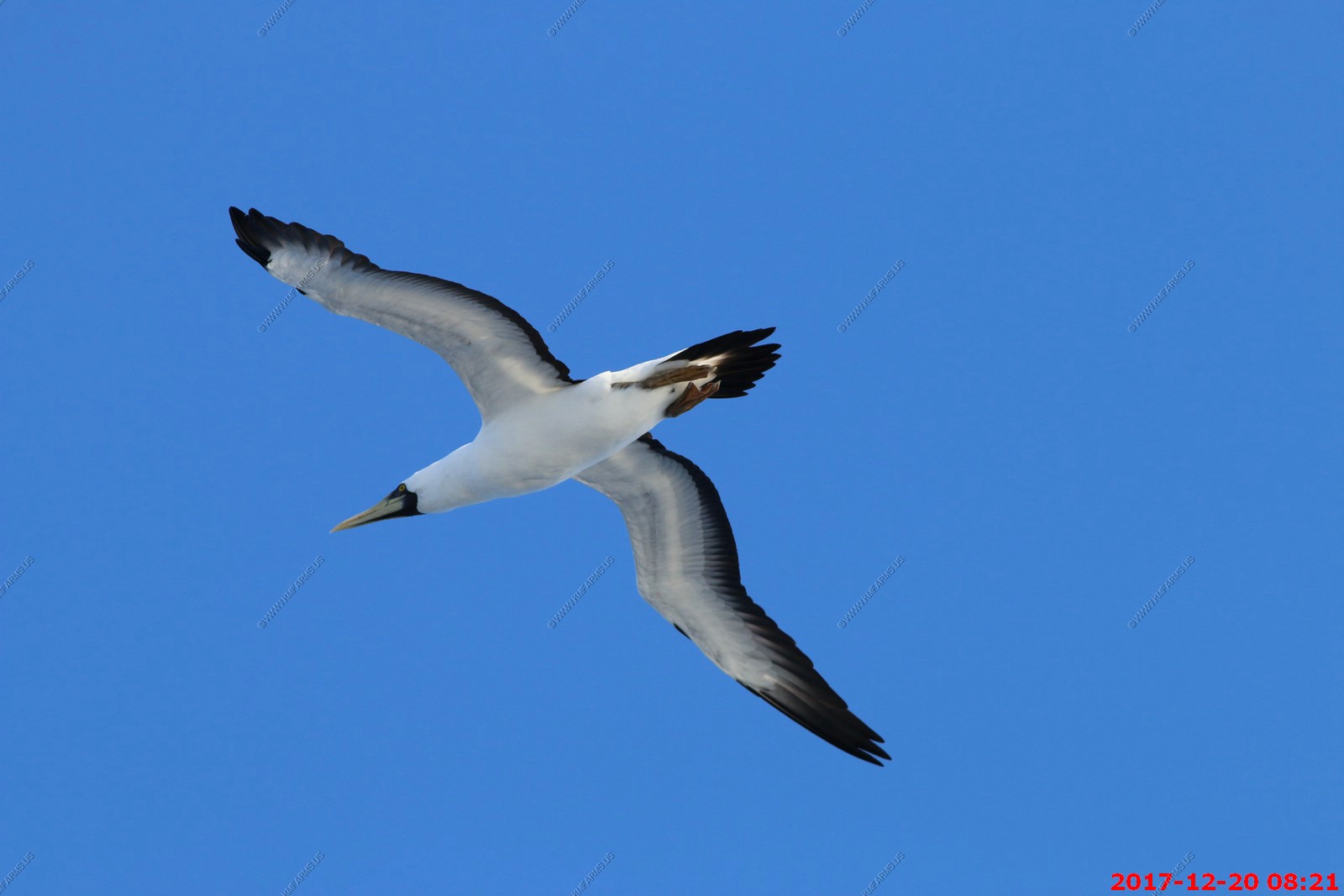
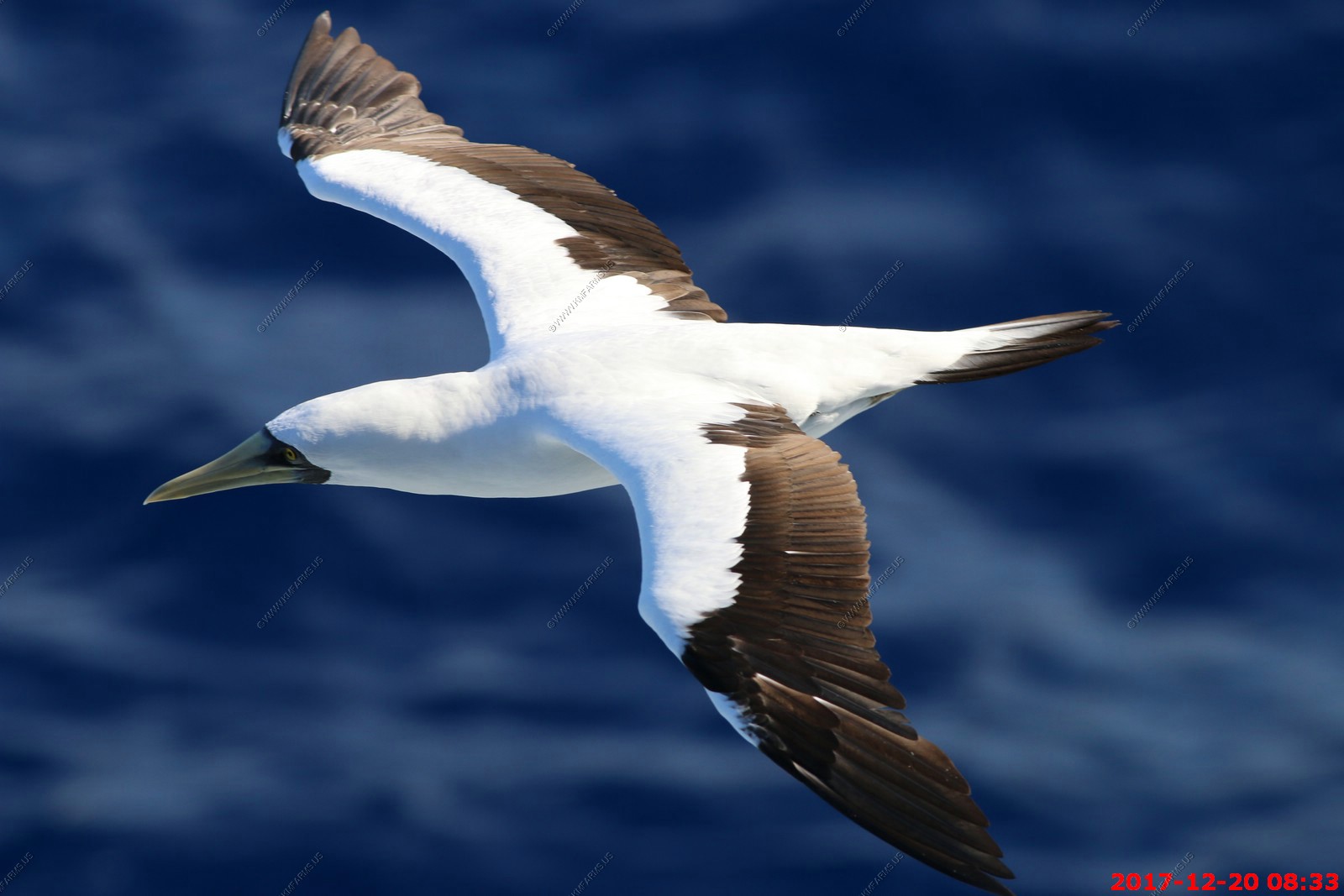
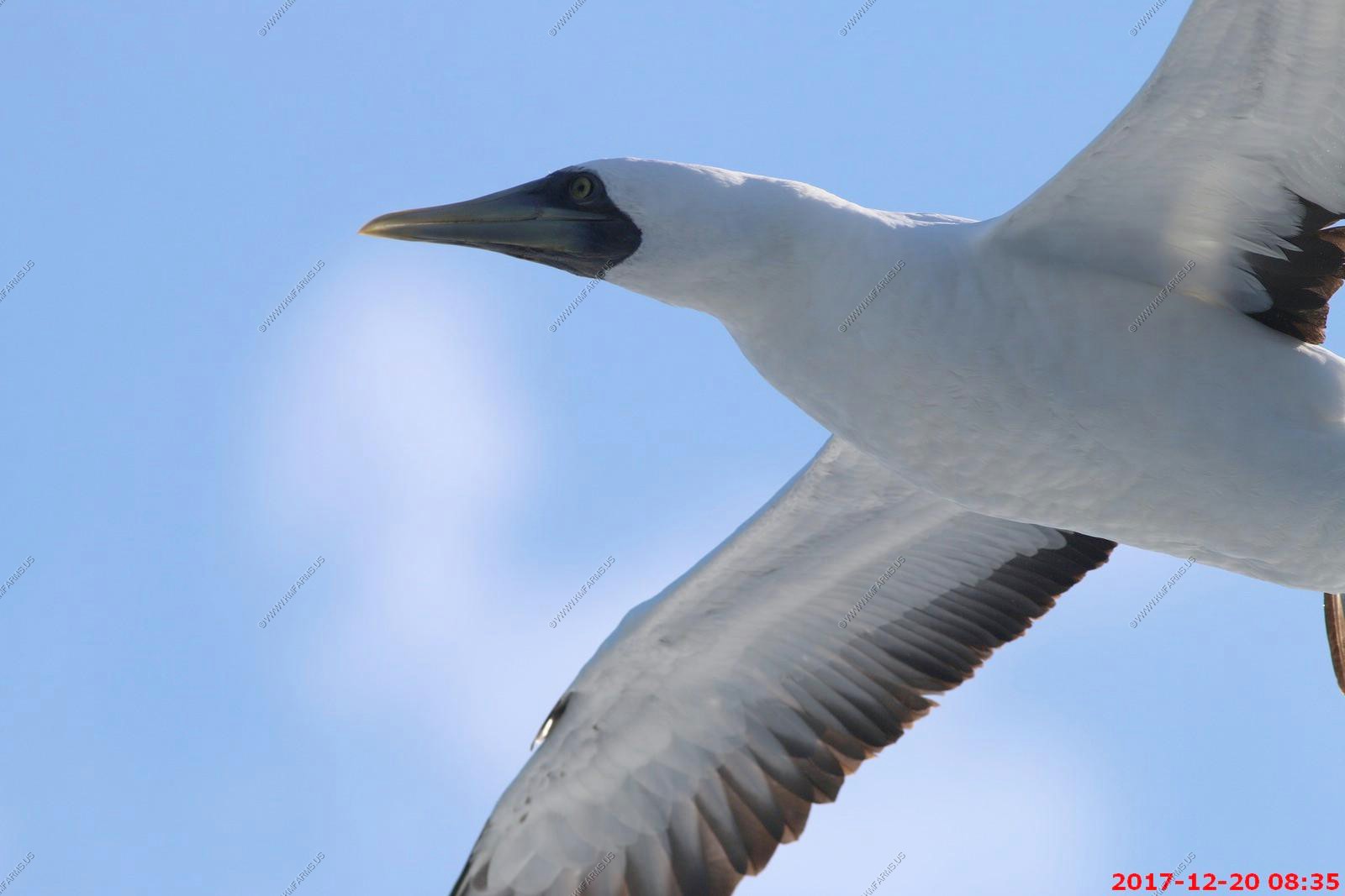
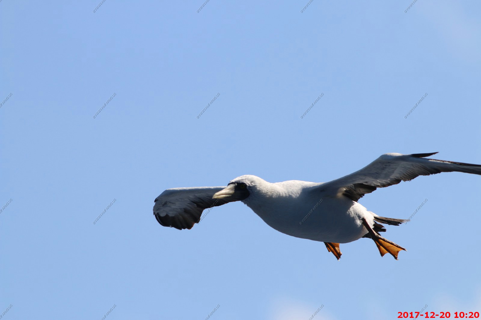
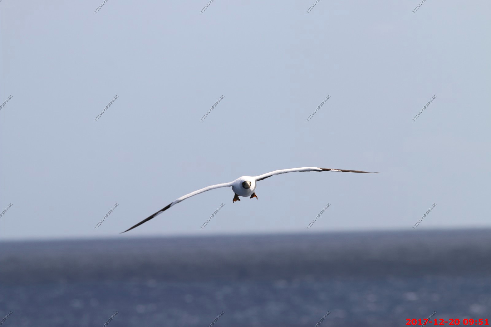
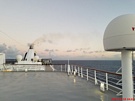
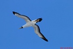
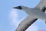
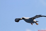
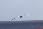
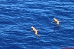
The next 2 days we are really never that far from land. First we would pass the Turks and Caicos Islands then The Bahamas. So, these sea birds would follow the ship.
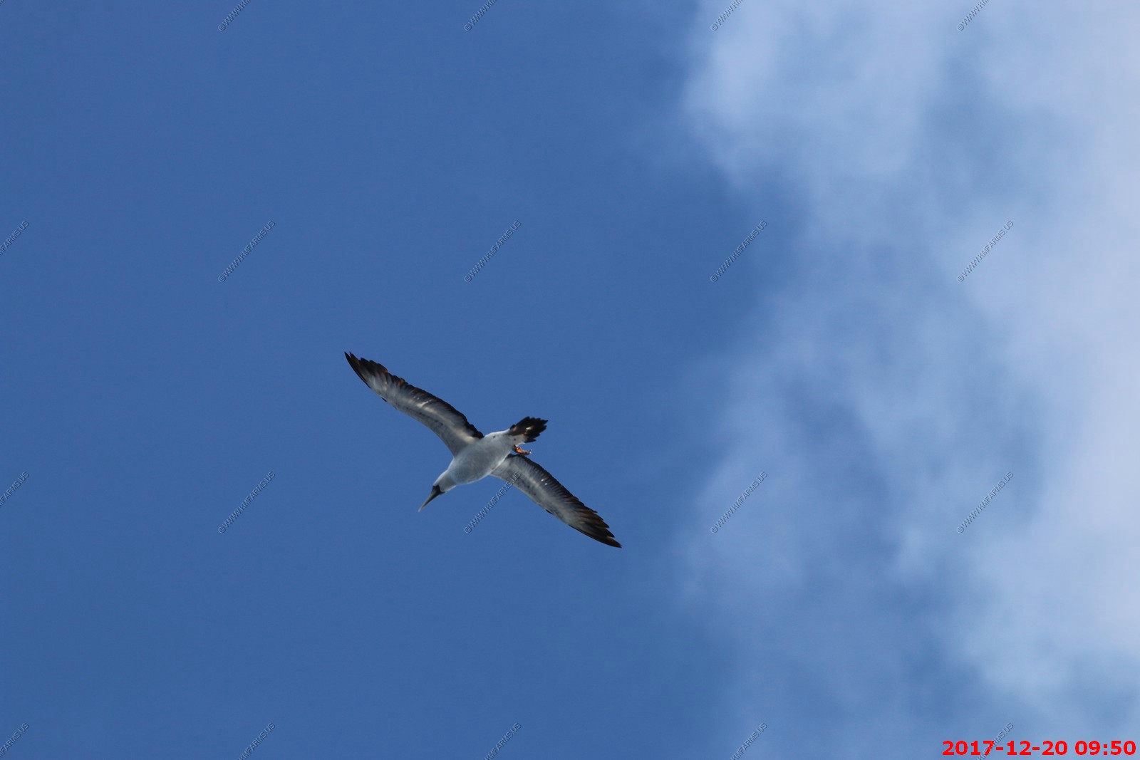
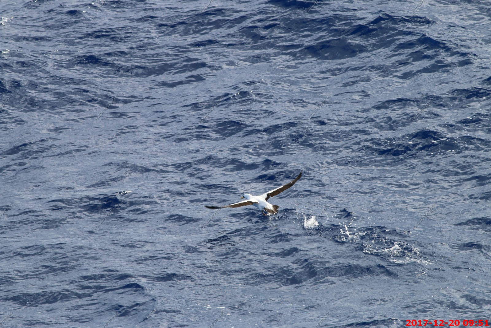
Masked Booby - Masked boobies are spectacular divers, plunging diagonally into the ocean at high speed. They mainly eat small fish, including flying fish. This is a fairly
sedentary bird, wintering at sea, but rarely seen far away from the breeding colonies. However, Caribbean birds occasionally wander north to warm southern Gulf Stream waters
off the eastern seaboard of the United States.
We took all these photos with the 400mm lens from our balcony. They were going after flying fish and are very hard to photograph due to the speed and how close they come to the ship.
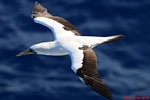
This one was coming right at me
And this one was missing a leg
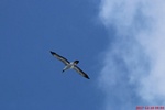
Fish went in a few feet in front of the bird
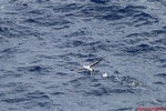
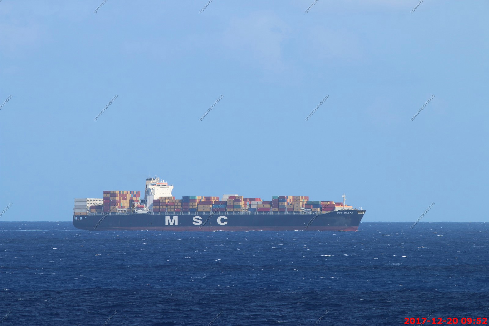
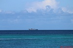
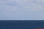
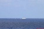
The one of the two ships we saw all day. It's a MSC Container ship heading Southeast

The second ship of the day
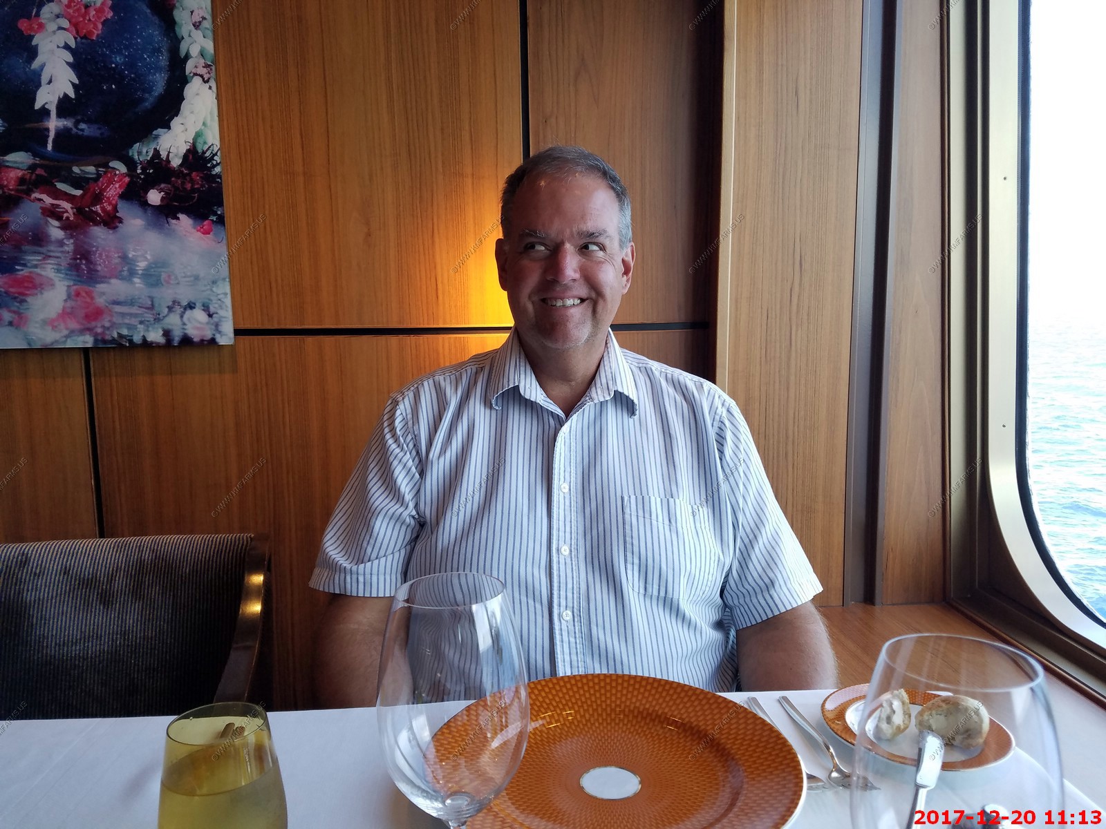
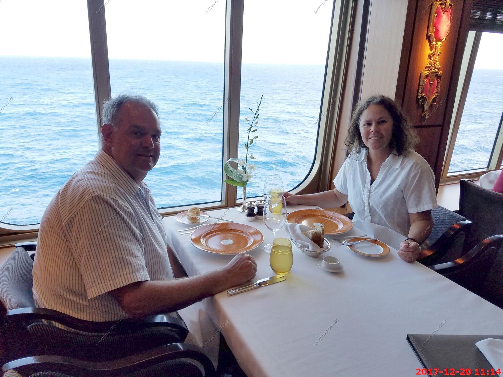
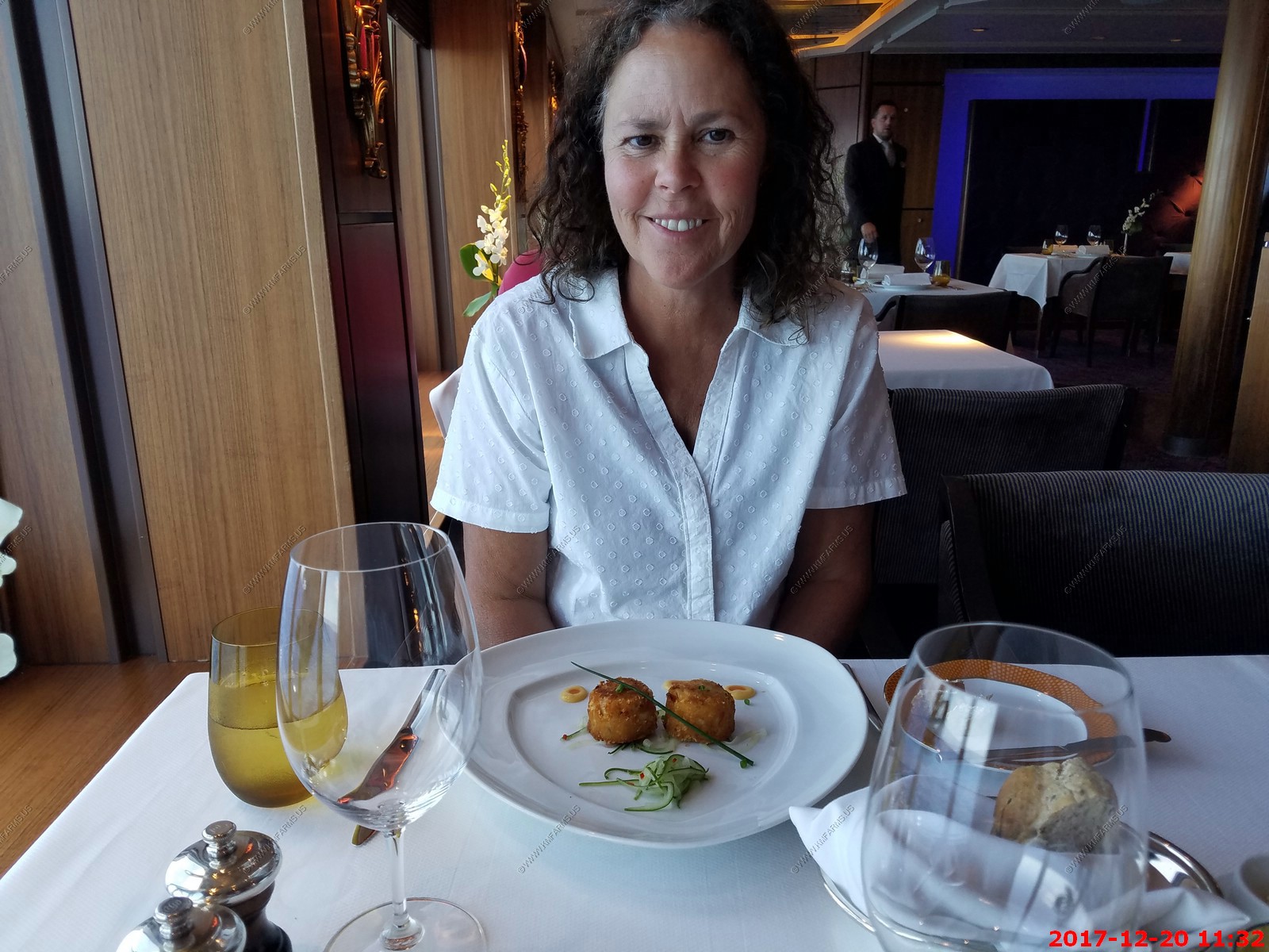
We were still trying to spend down our ship credit (It goes away if you don't use it) so we got out of our shorts and T-shirts and went to the pinnacle grill for lunch. It
was $10 each, which was a good deal. Like everything else on the ship the place has few other people.


Ken looking at the waiter as he is coming when Mary took the photo. Or I am becoming possessed as I am getting close to going back to work & winter

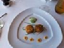
Waiting for our lunch
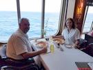
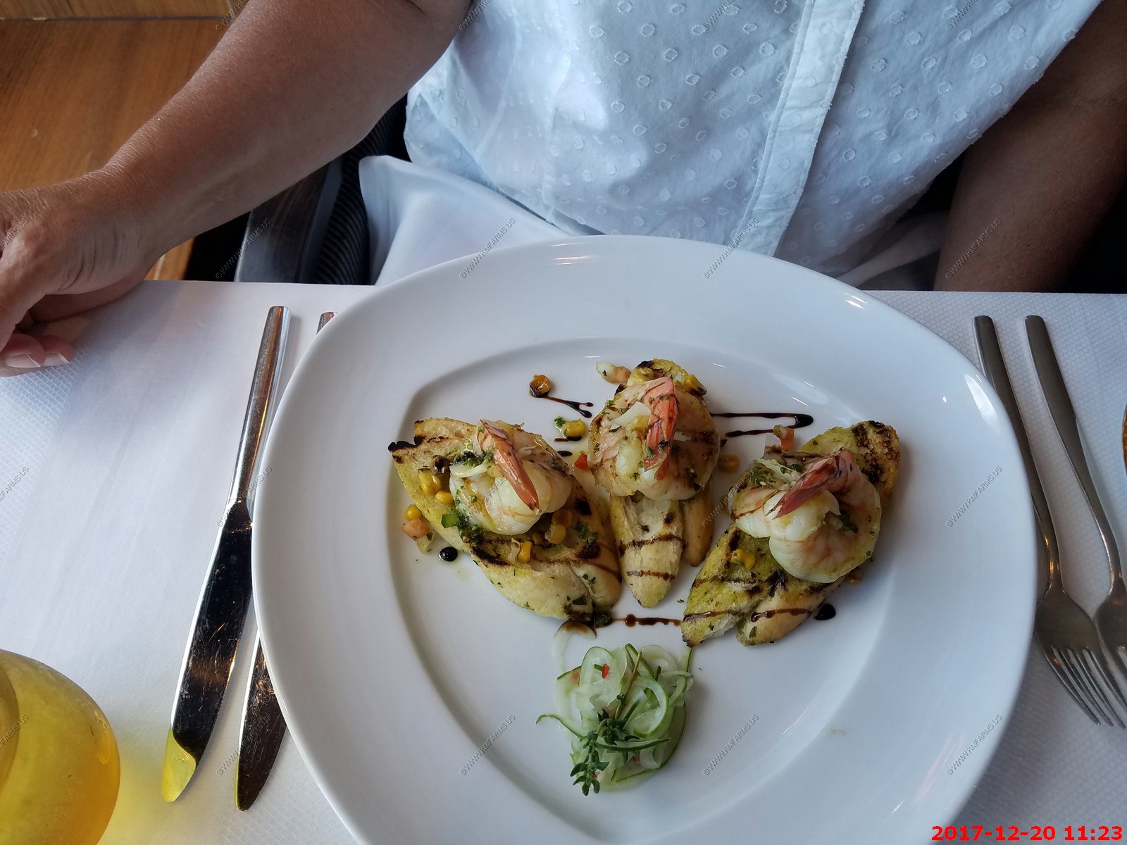
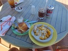
Very good. Shrimp on garlic bread
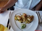
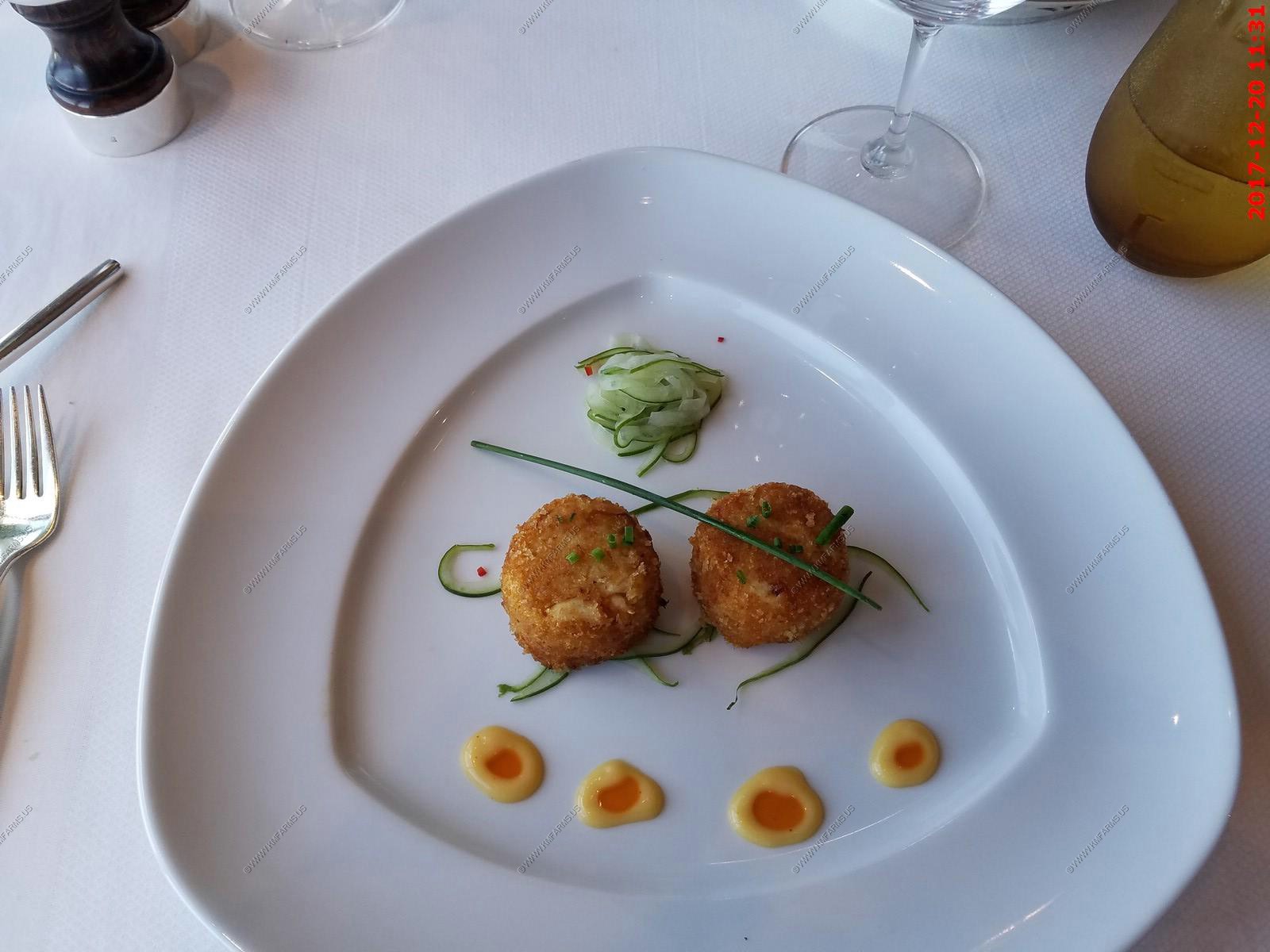
Crab cakes. Not as good a Friendly Farms back in Maryland.

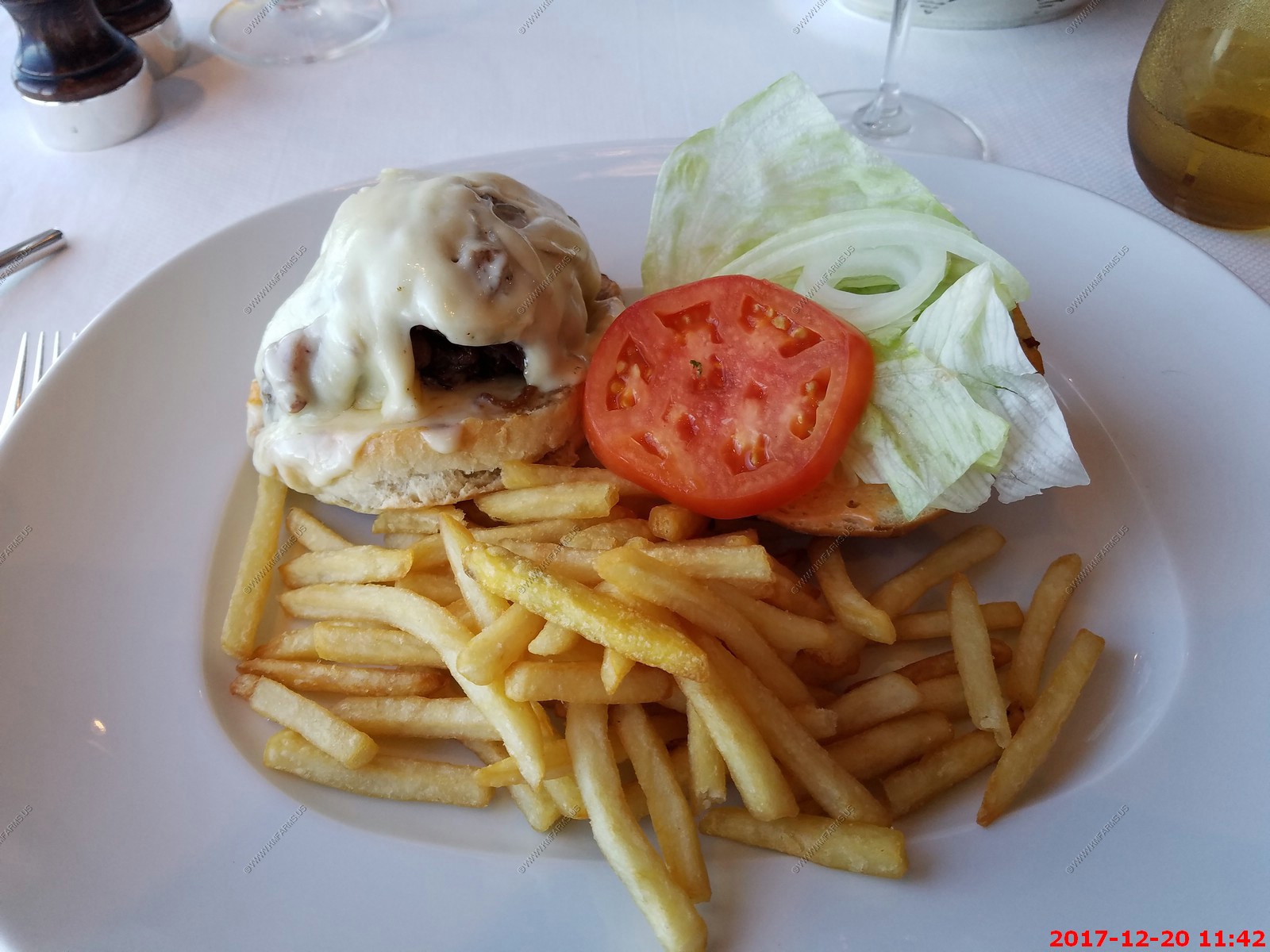
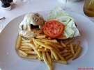
Fancy burger. Not as good a 5-guys
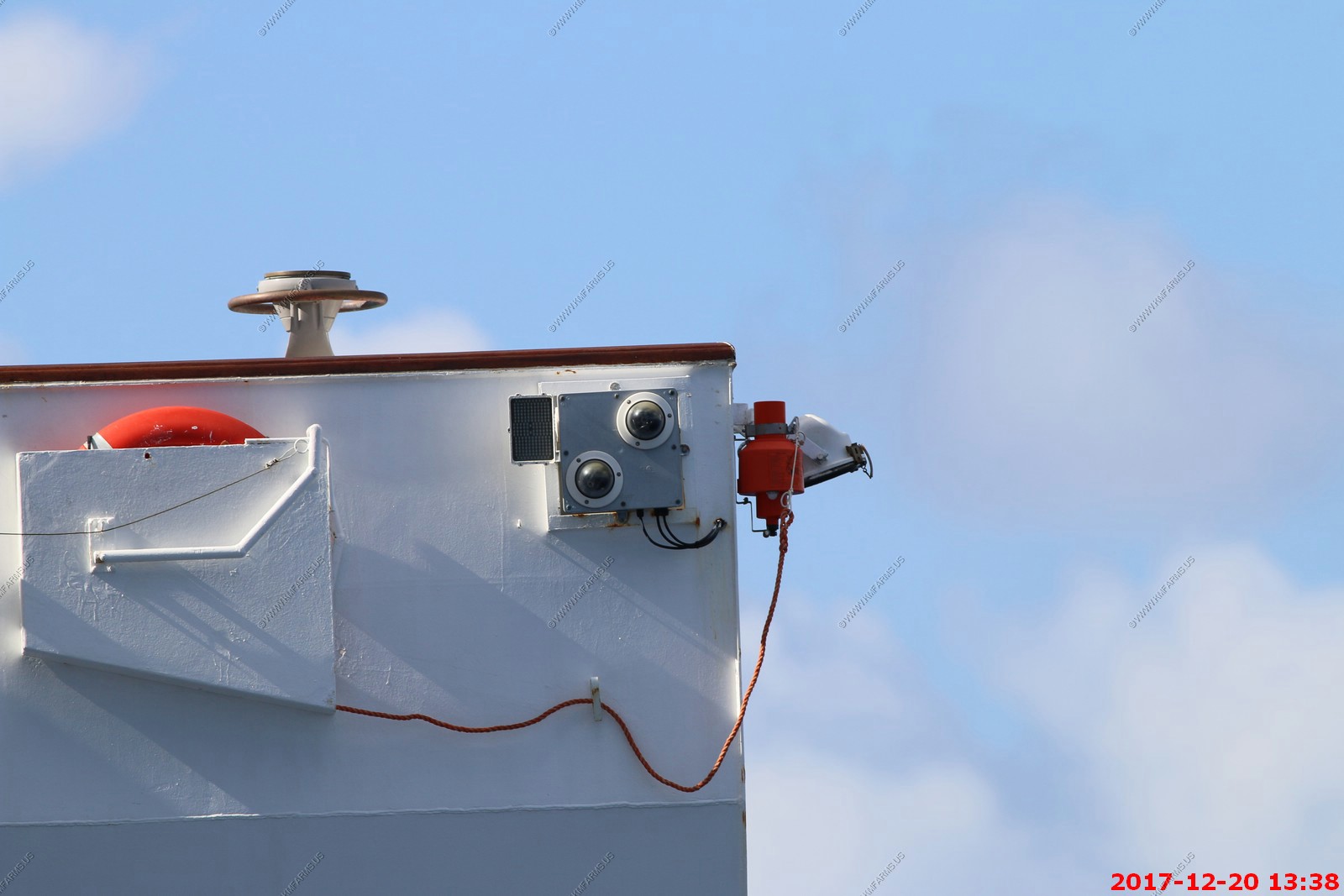
Cameras to watch if someone jumps off. The IR illuminator would not be effective.

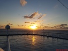
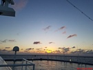
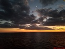
Sunset
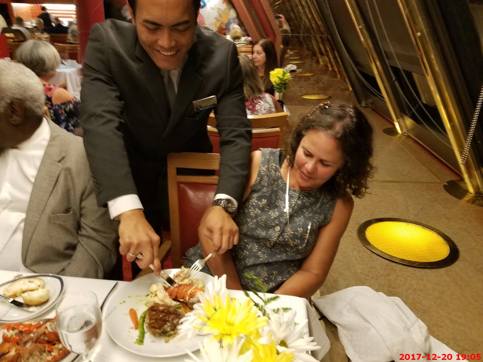
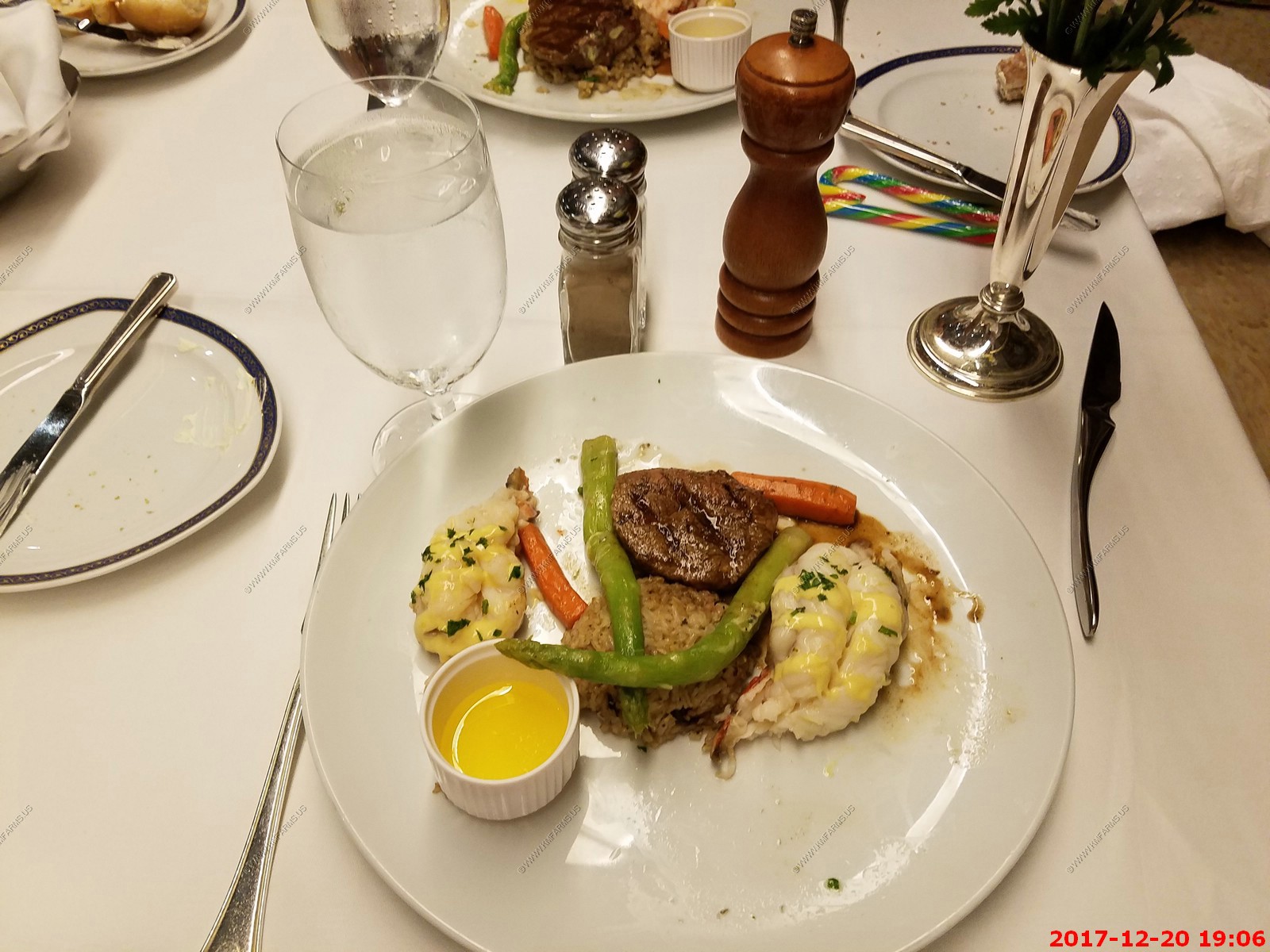
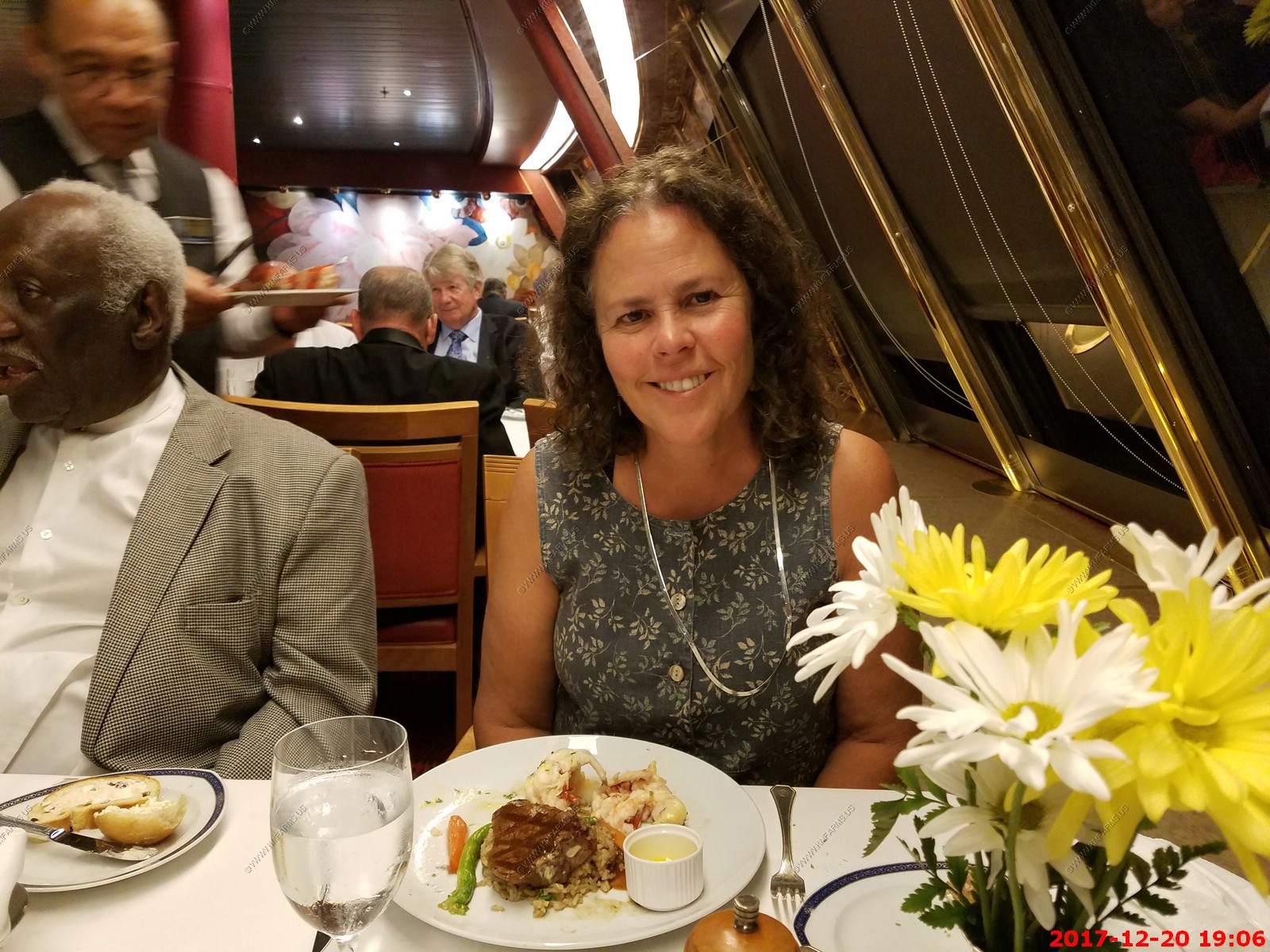
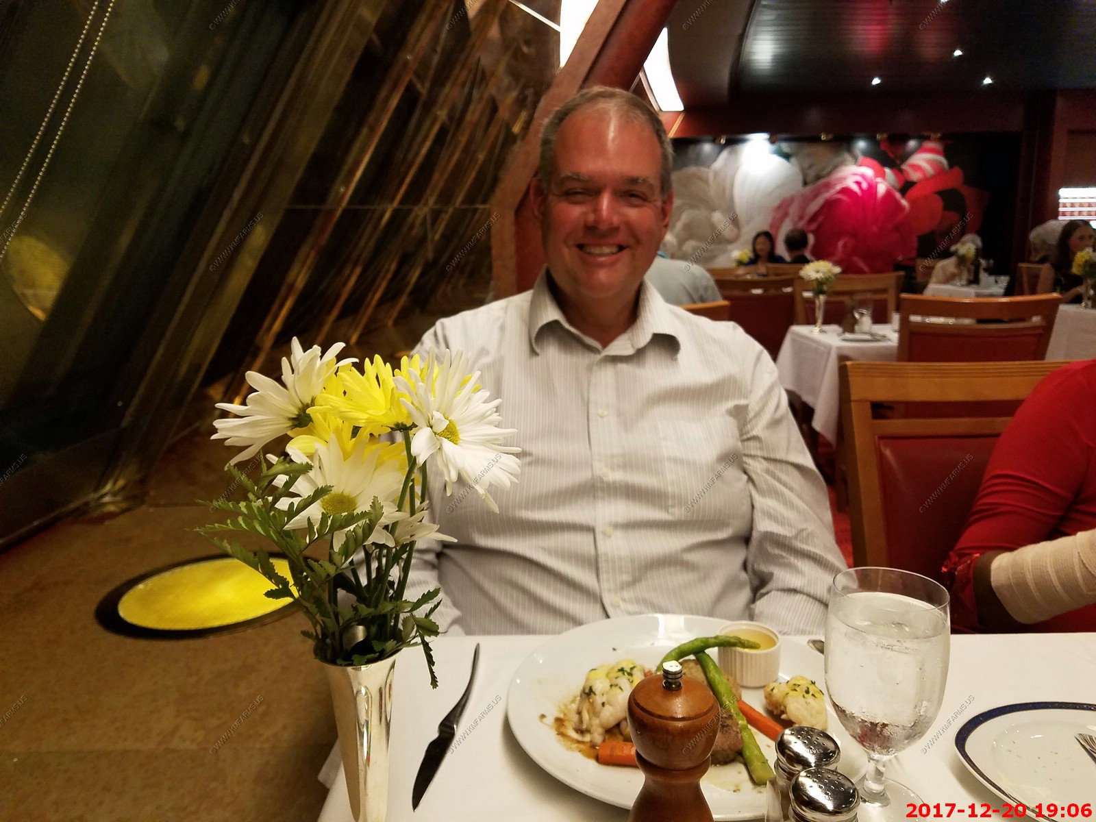
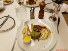
Lobster and filet mignon. We both had two tails. As usual very good. You never knew who you would be sitting with. Tonight it was with two well-traveled people from Las Vegas.


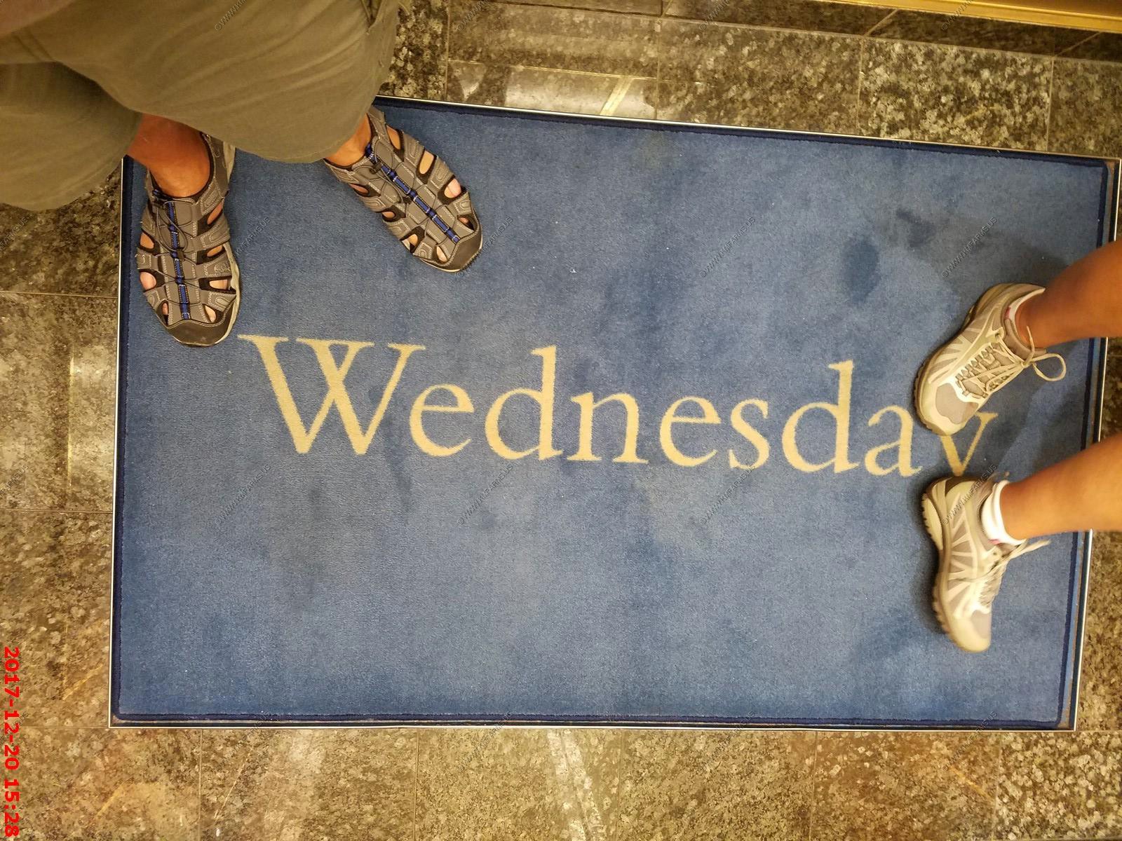
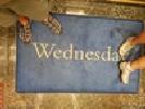
Its Wednesday
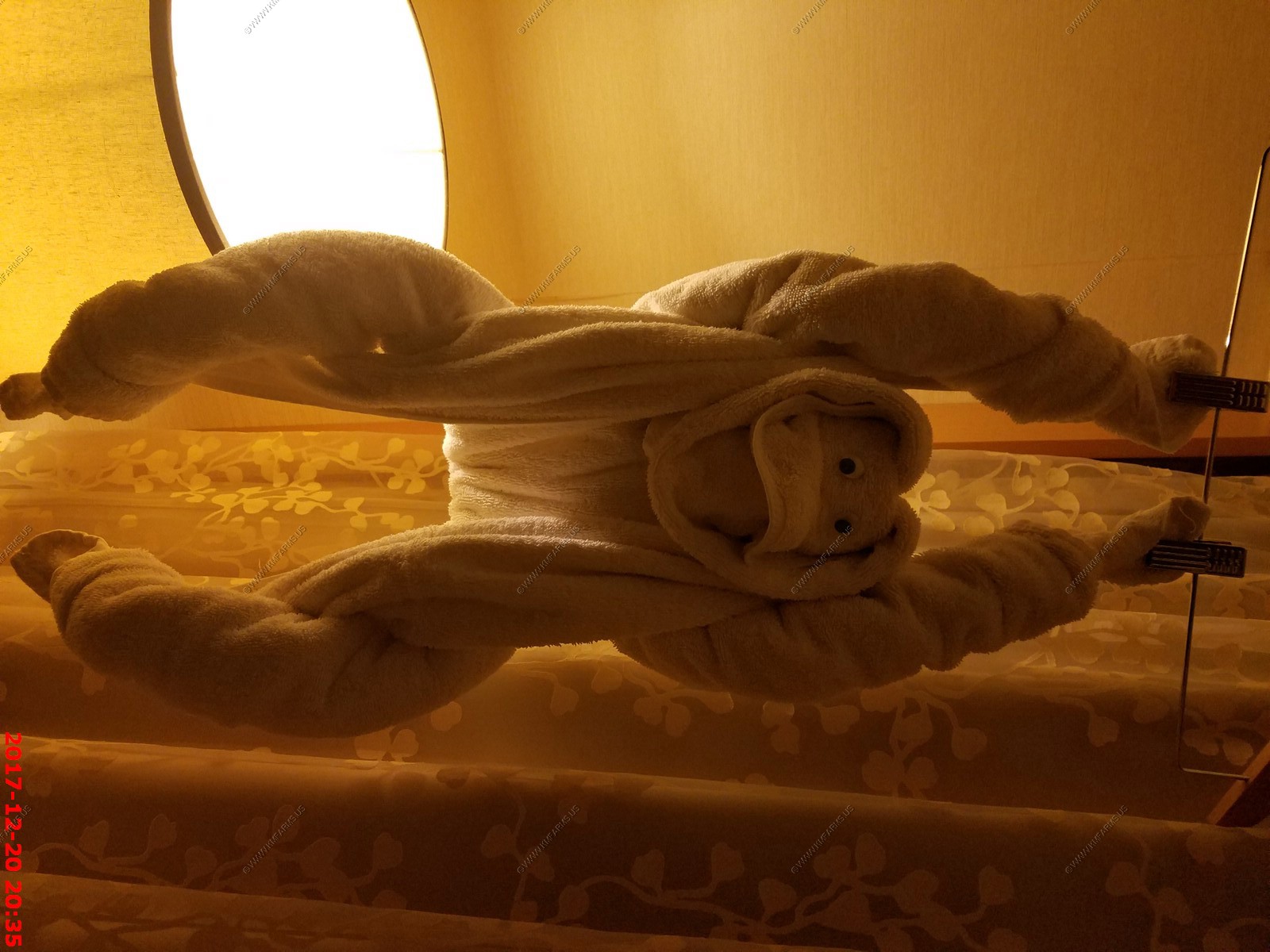
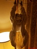
Tonight's critter - Monkey
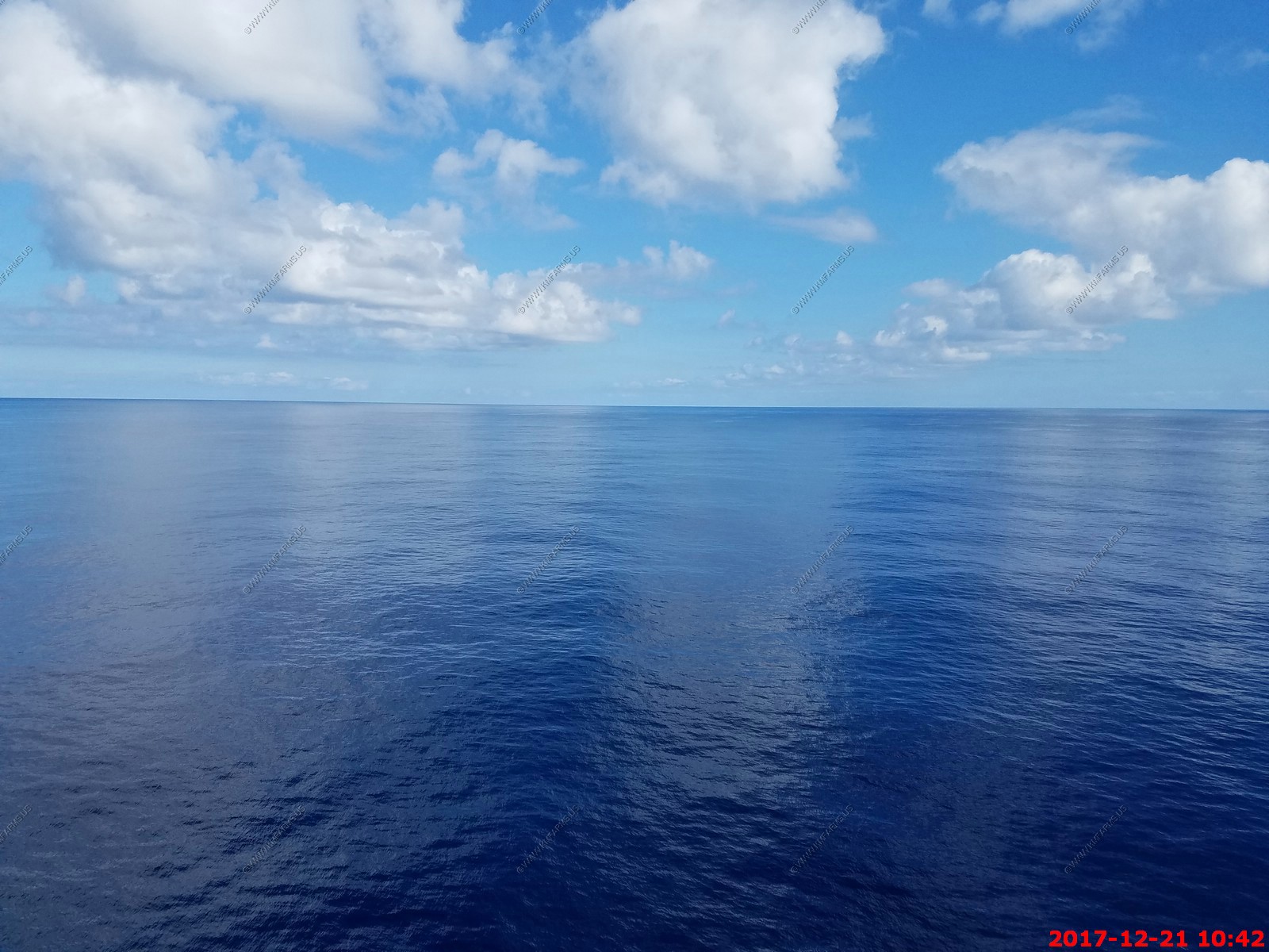
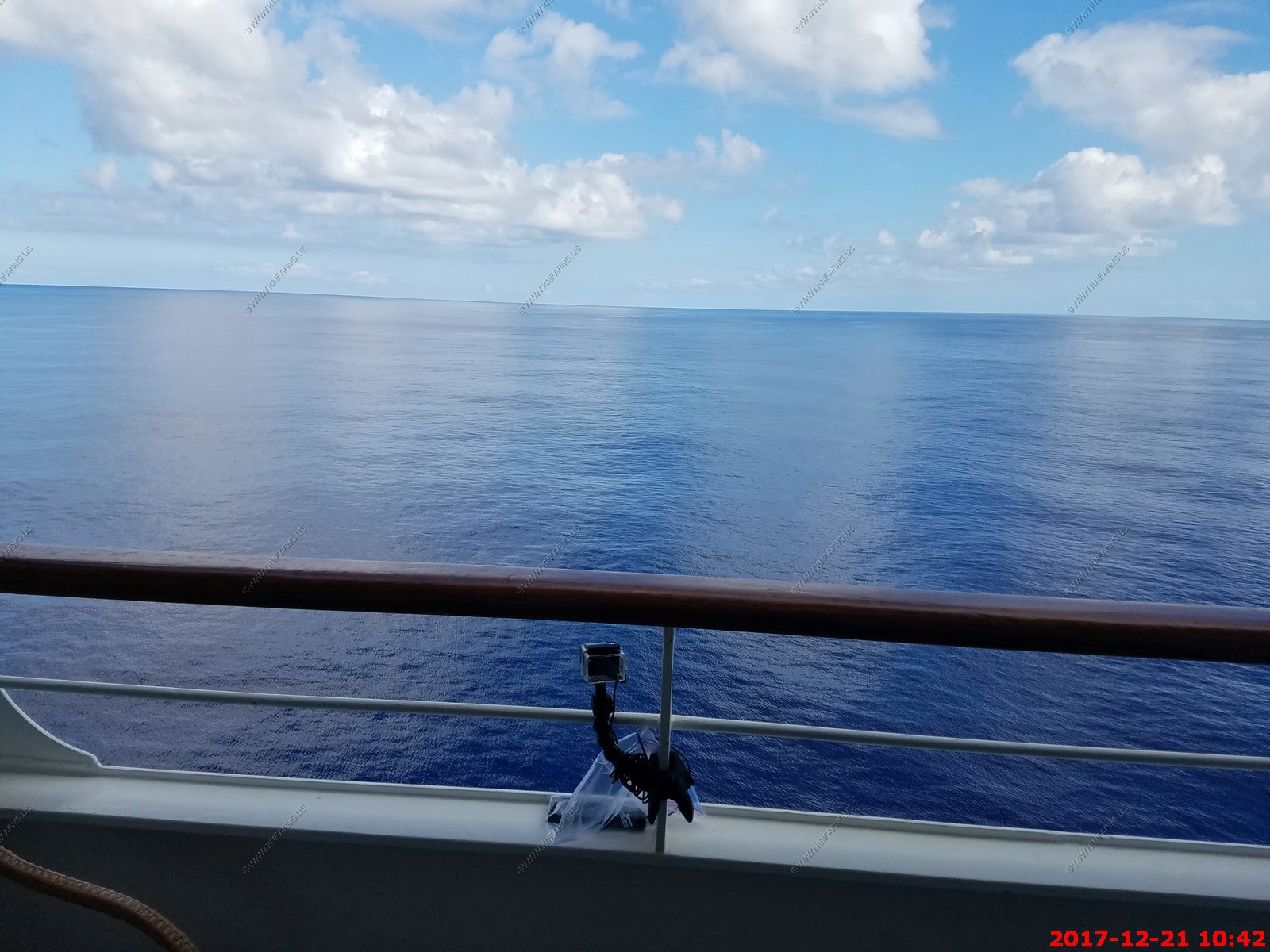
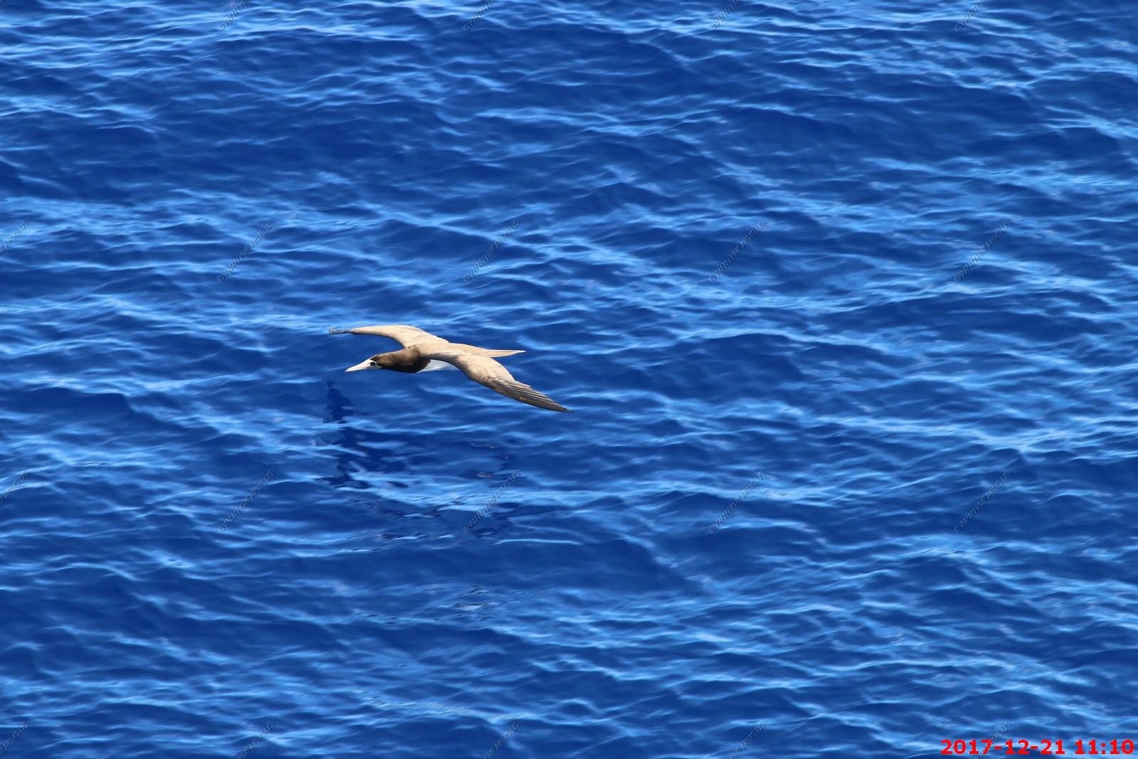
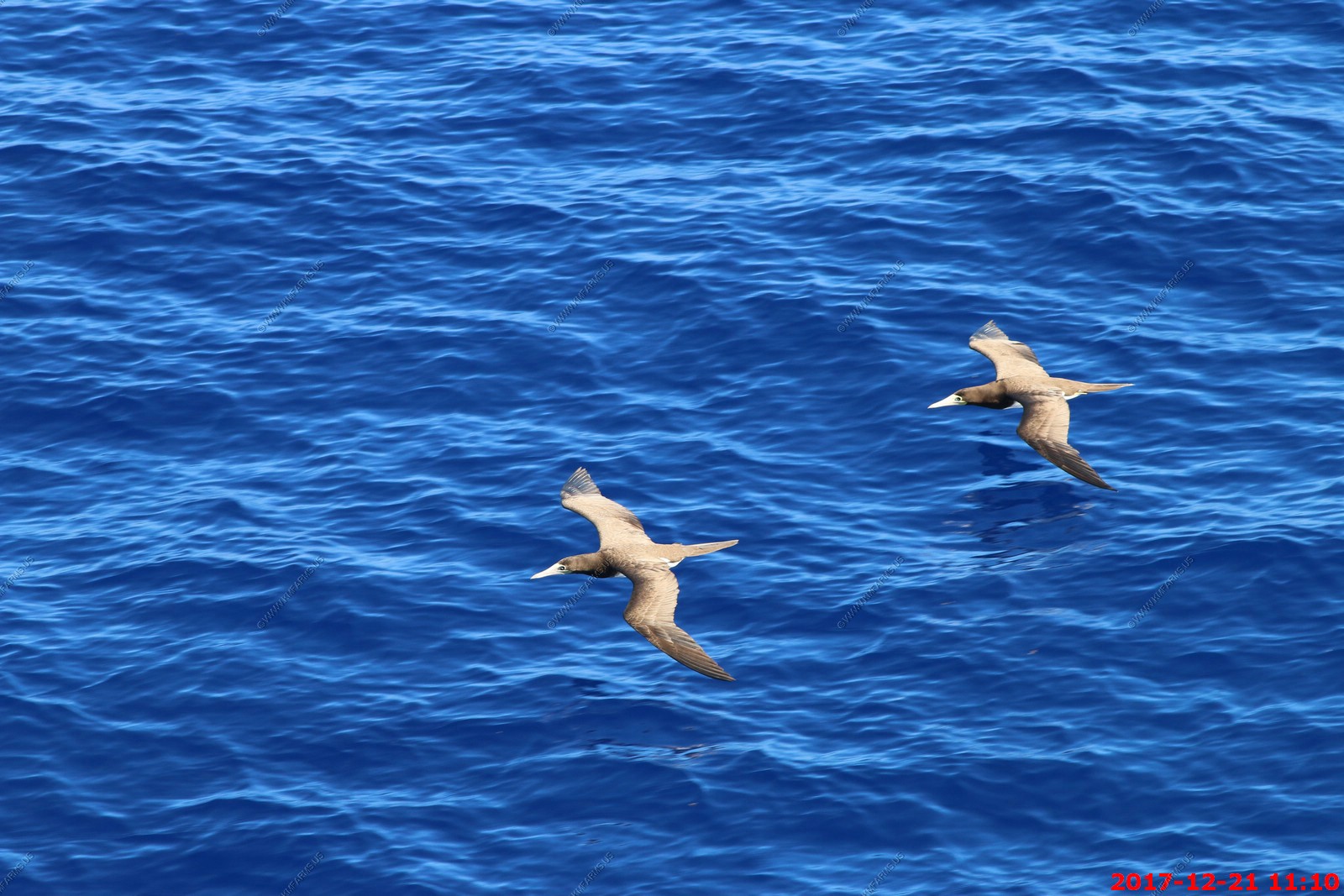
Thursday - DEC 21 2017 -- At sea
HAL Guide to When & Where - Thursday - DEC 21 2017 - Ship Activities
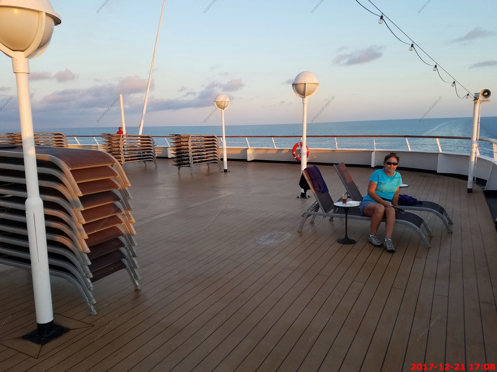
Second at sea day and our last day of the cruise. Its pack out day but we usually wait till after dinner.
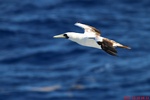
MOVIE - 98 meg Watching the Brown Booby's
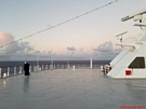
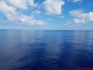
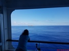
We started the day with the smoothest I think I have ever seen the water.
Had the go-pro running all day

Today's sea bird was the Brown booby - This species breeds on islands and coasts in the pantropical areas of the Atlantic and Pacific oceans. They frequent the breeding grounds
of the islands in the Gulf of Mexico and the Caribbean Sea. This bird nests in large colonies, laying two chalky blue eggs on the ground in a mound of broken shells and
vegetation. It winters at sea over a wider area.

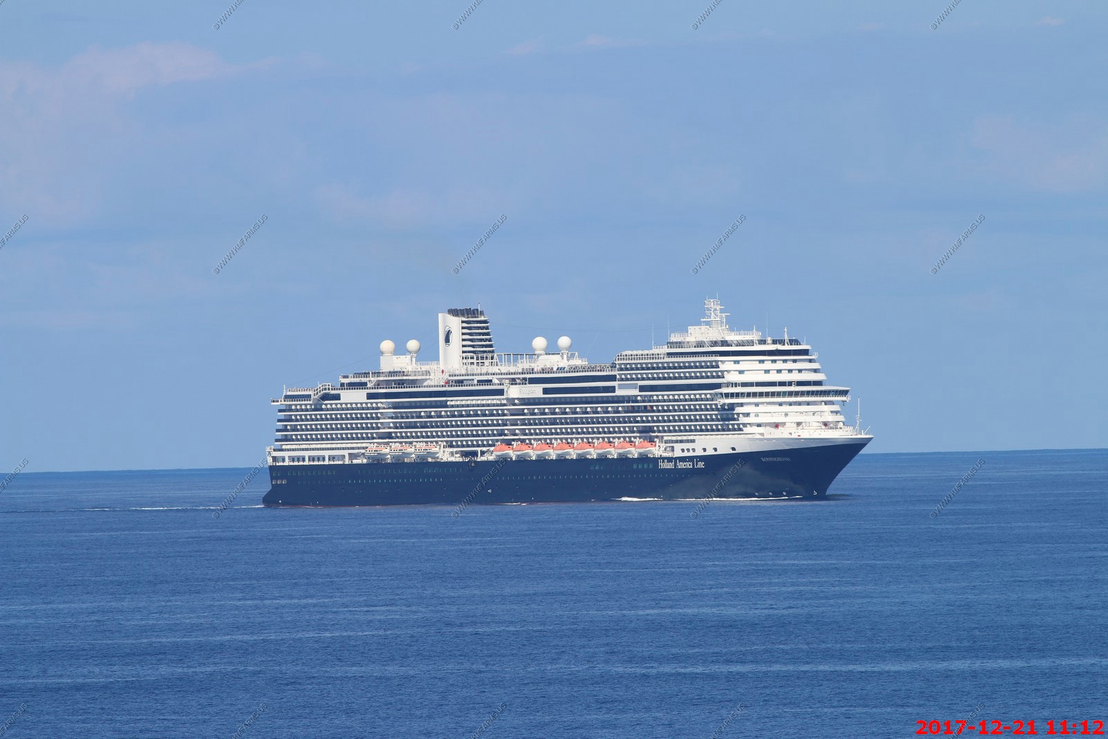
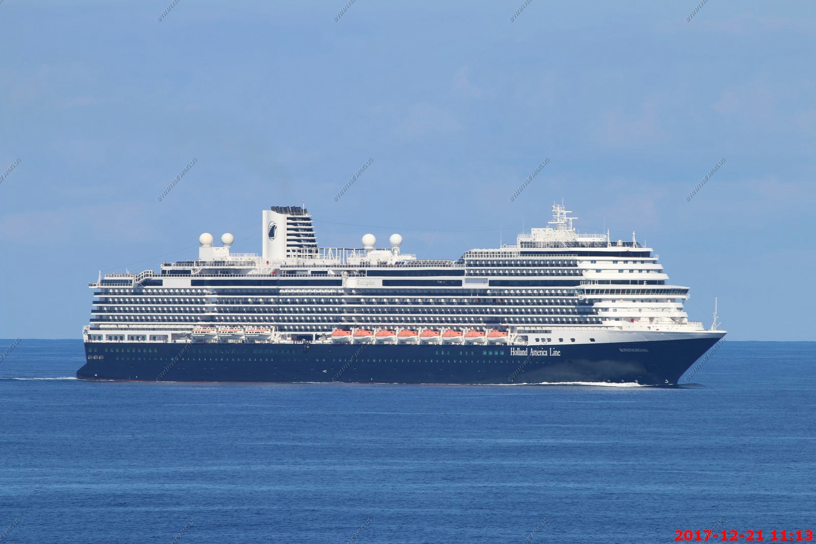
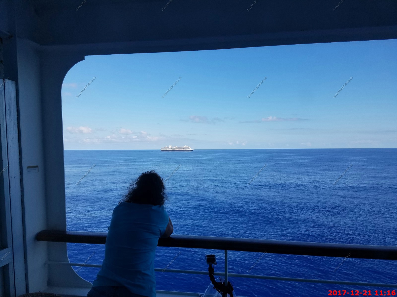
We passed Holland America's newest cruise ship the MS Koningsdam. It carries 2,650 passengers which is twice what we can carry.
Mary watching the MS Koningsdam passing from our balcony.
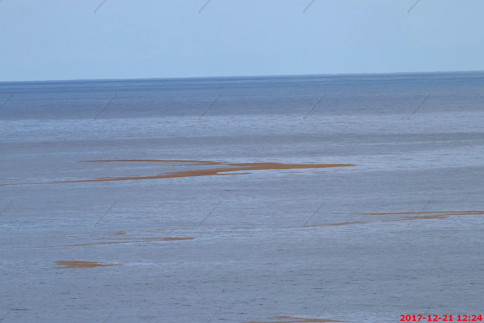
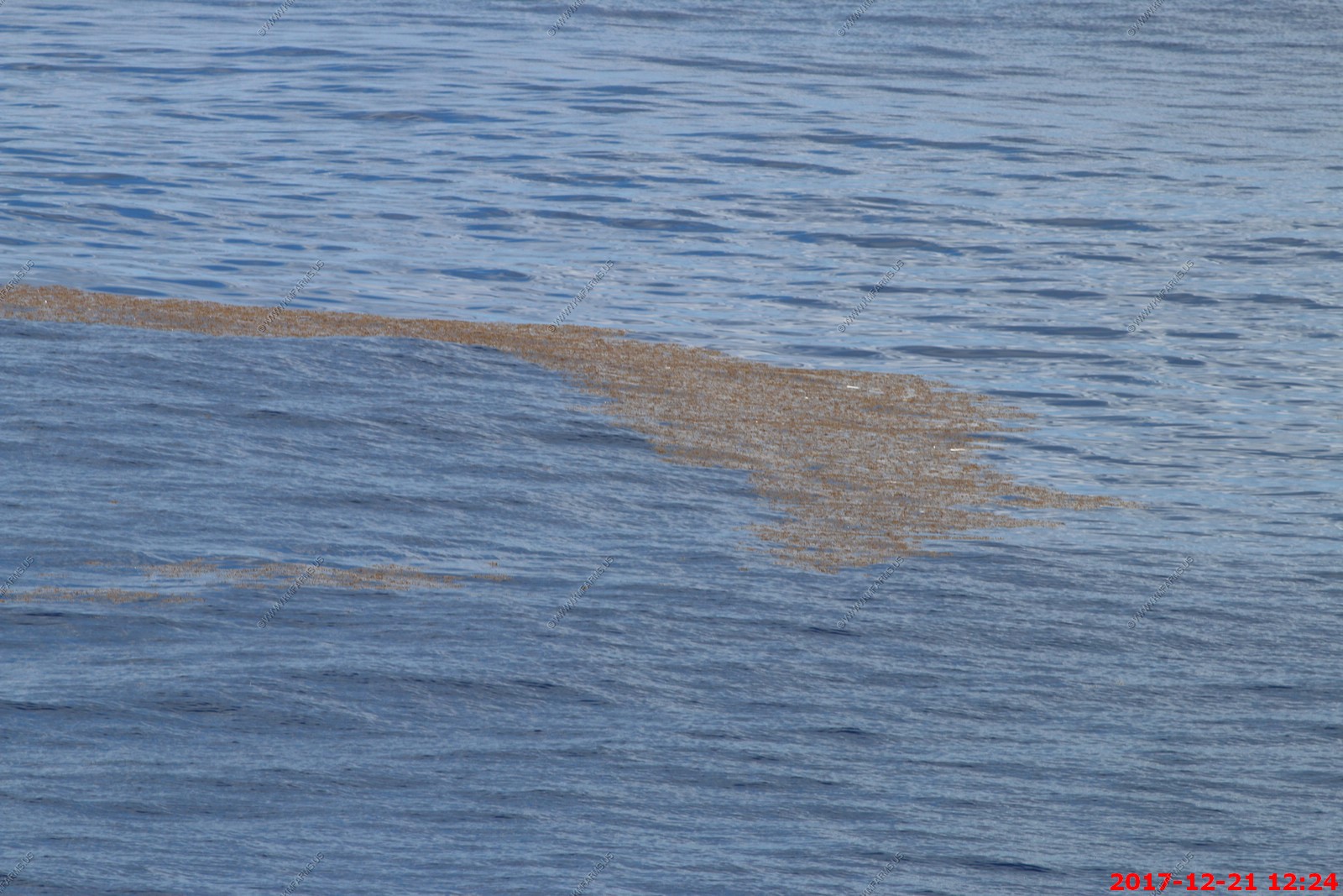
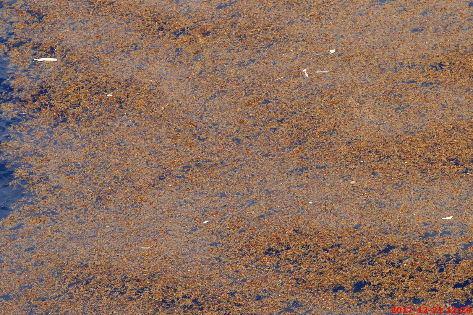
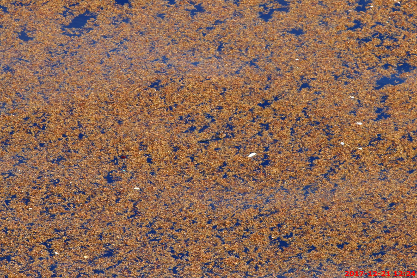
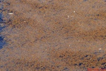
We were passing thru huge areas of vegetation called Sargassum. It named by the Portuguese sailors who first explored this area.
Sargassum is a genus of brown (class Phaeophyceae) macroalgae (seaweed) in the order Fucales. Numerous species are distributed throughout the temperate and tropical oceans
of the world, where they generally inhabit shallow water and coral reefs, and the genus is widely known for its planktonic (free-floating) species.
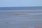
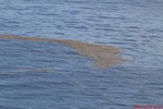
You hear all of this talk about trash in the ocean. We did see some plastic in the Sargassum.
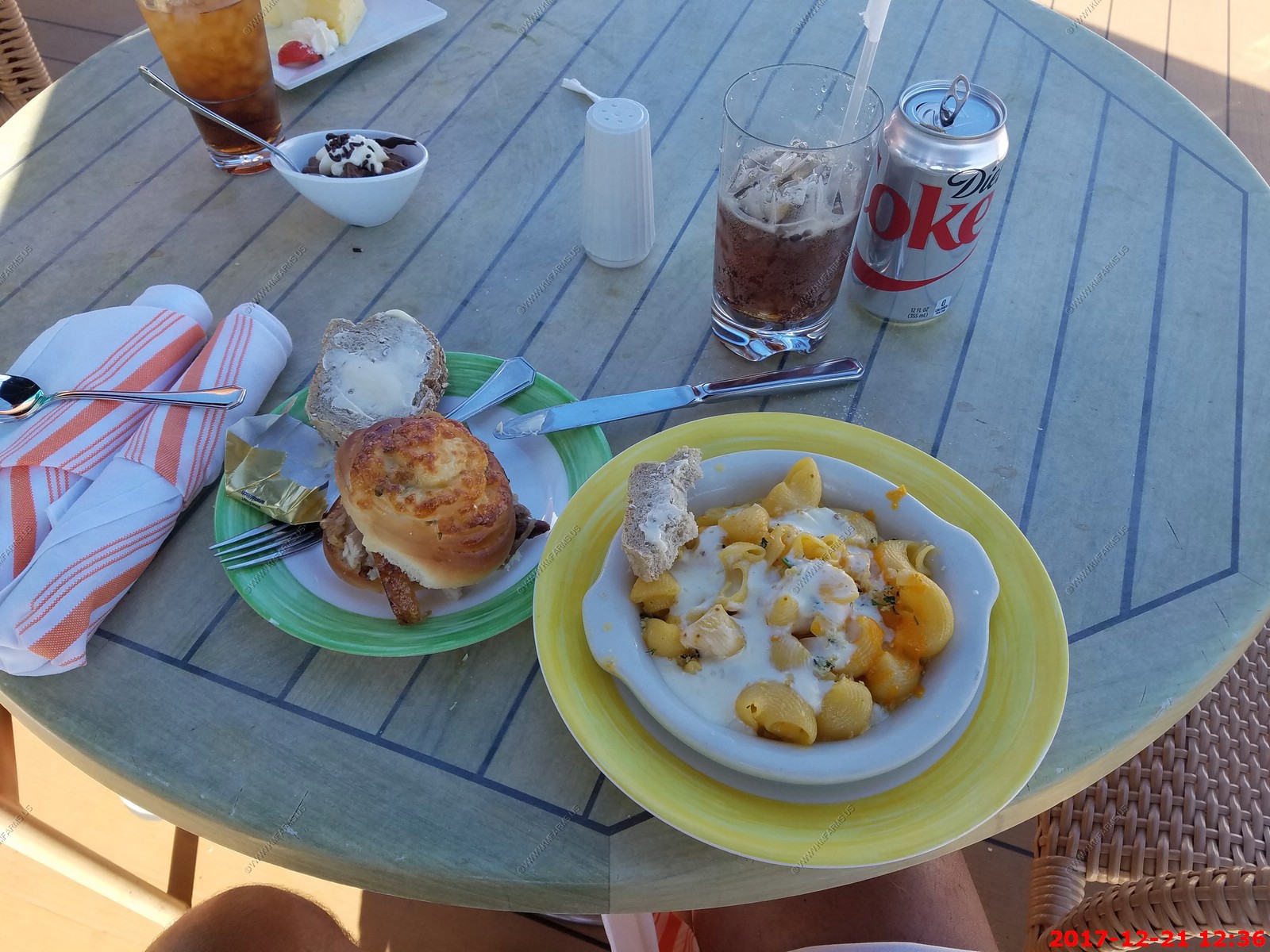
Lunch. Mac and cheese and some strange fat sandwich that I did not eat. Also, the ONLY bar item of the ENTIRE trip. A $2.59 diet coke. Mary was eating cheesecake.
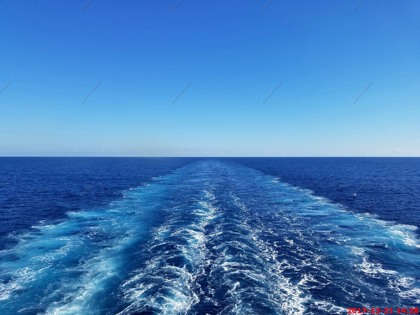
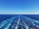
Nice wake
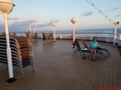
They were packing up the chairs. We refused to move by not moving. I hate how they do all this when people are still out.
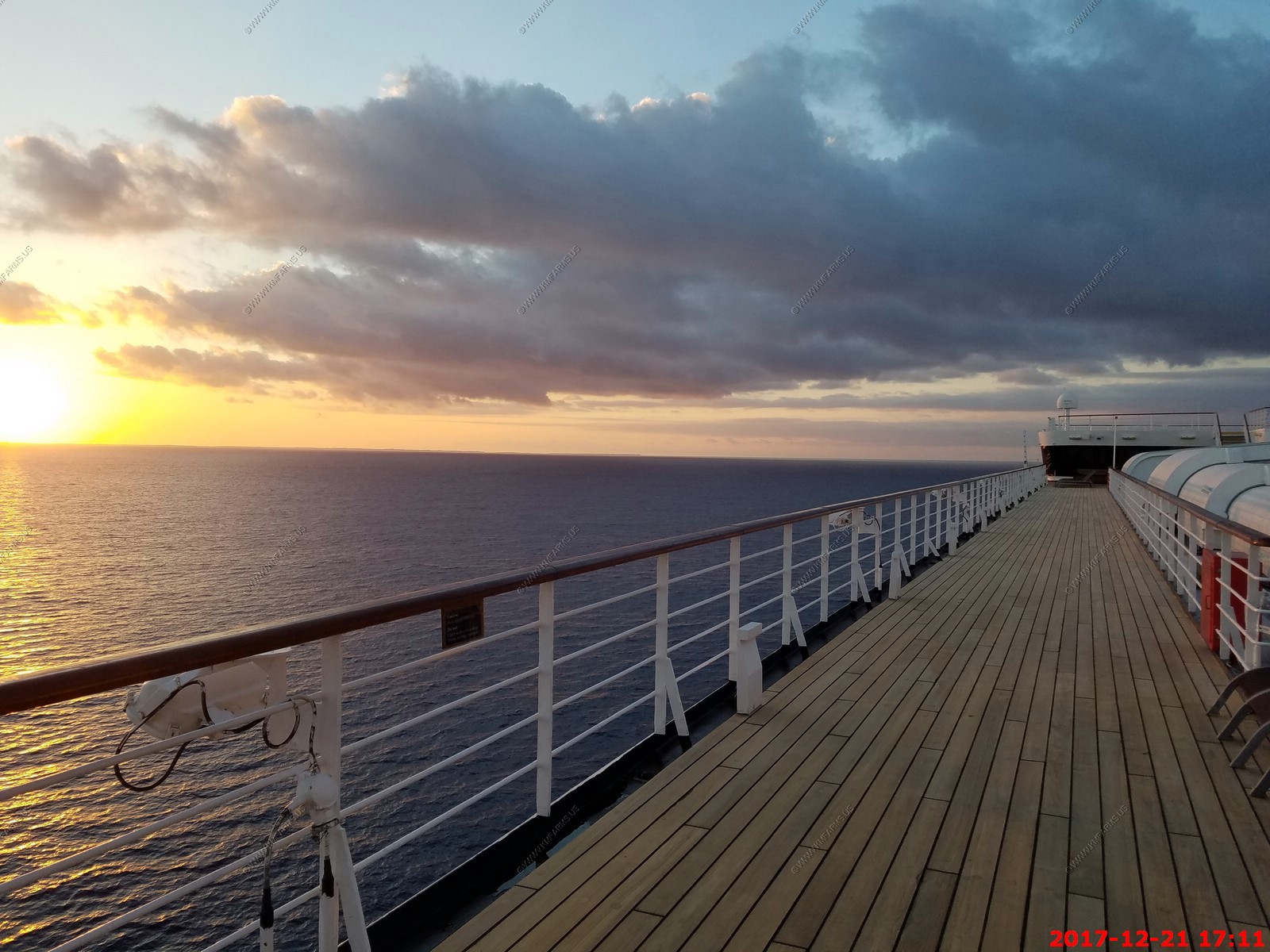
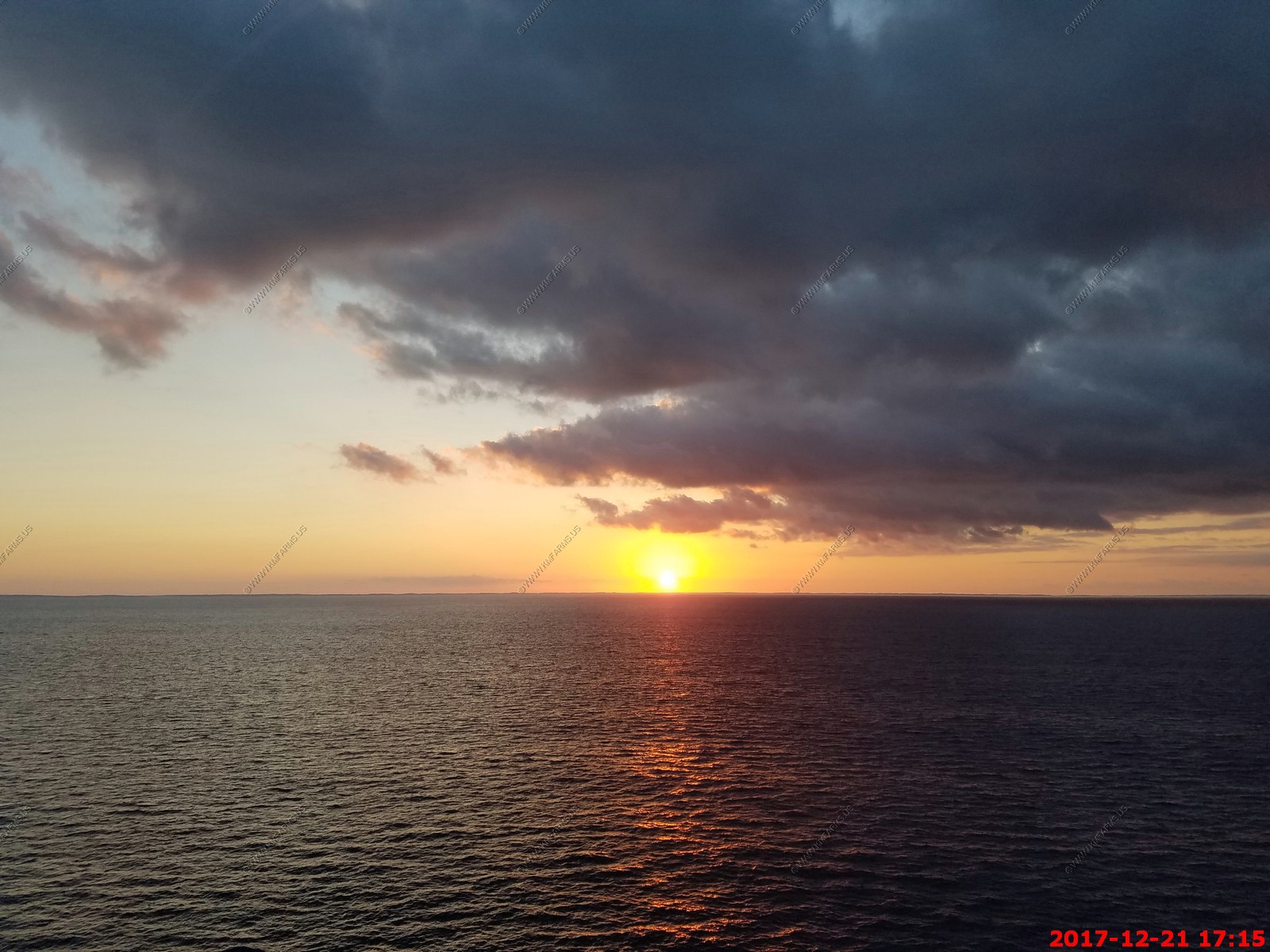
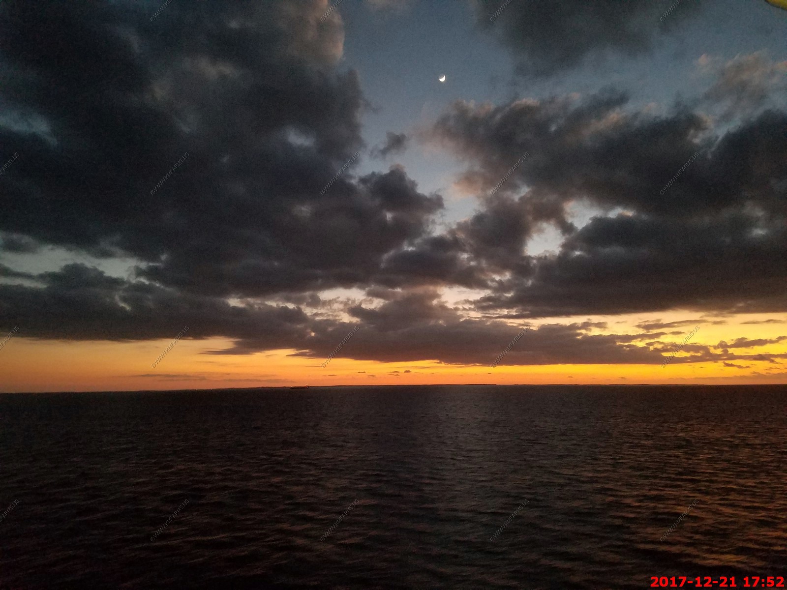
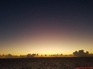
Sunset. You can see land as the Bahamas to the west.

Mary acting cold. Yup, its probably 75 or so
Thanks for reminding us

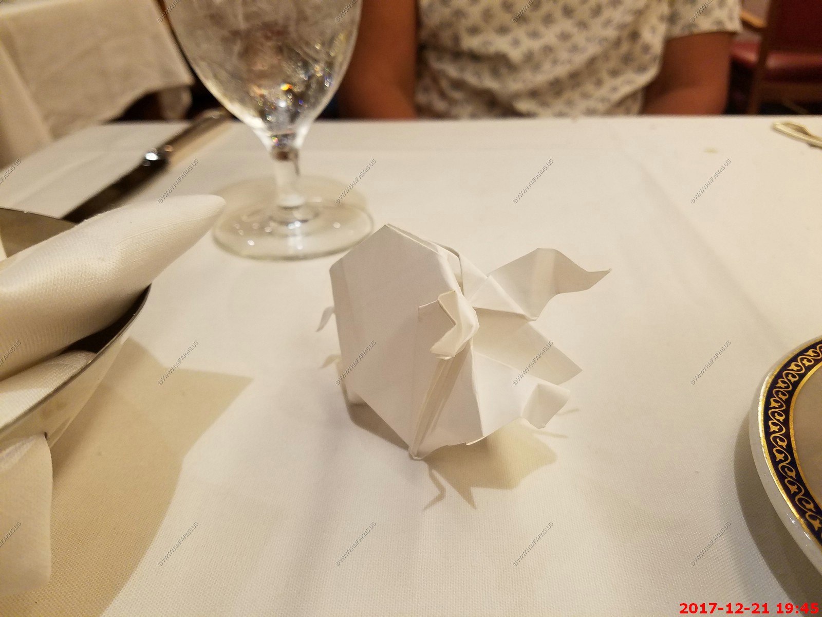
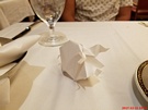
Mary finally got a paper origami pig. A young waiter made these for the women and this is the first time I got one.
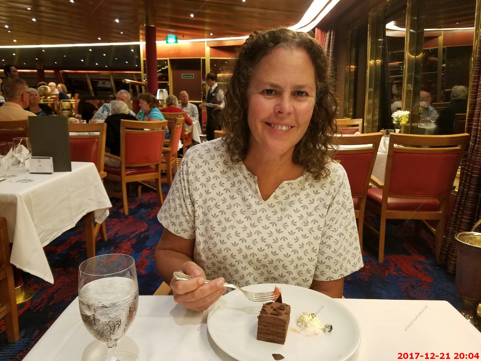
The final dessert for Mary

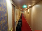
Luggage out for 11 pm pickup. Can't say at the airport that your luggage has been in your control as it has not been in your control.
We had no towel critter tonight. I guess they don't like us anymore.
Friday - DEC 22 2017 -- Ft. Lauderdale - FLY HOME
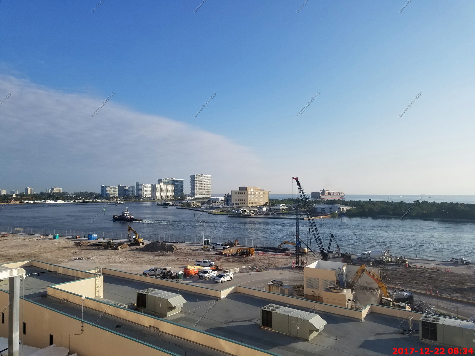
We took a later disembarkation time as we have no rush at all
A sunny and warm last day of vacation.
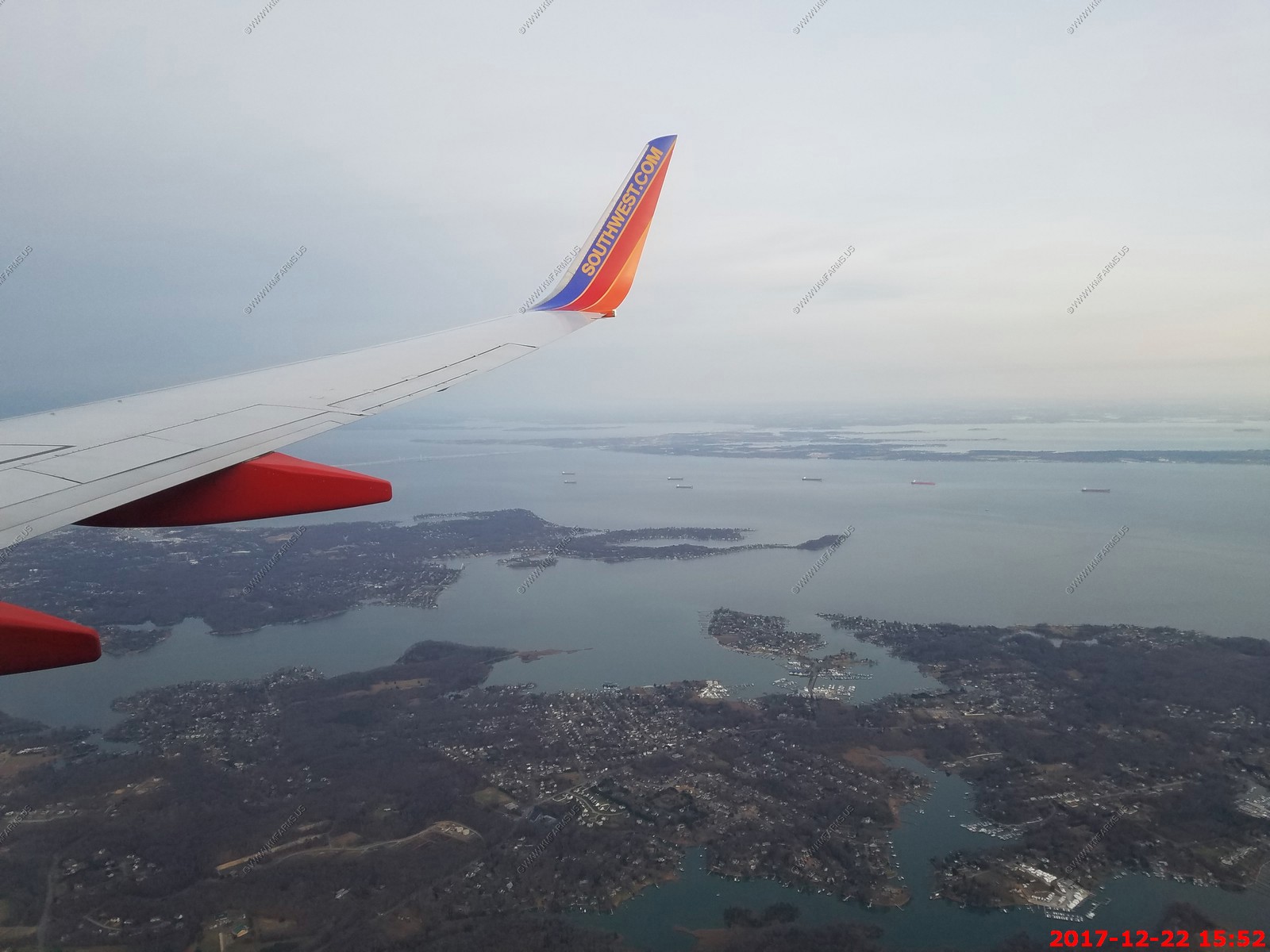
Back to the cold, stick trees and darkness. Just south of Annapolis

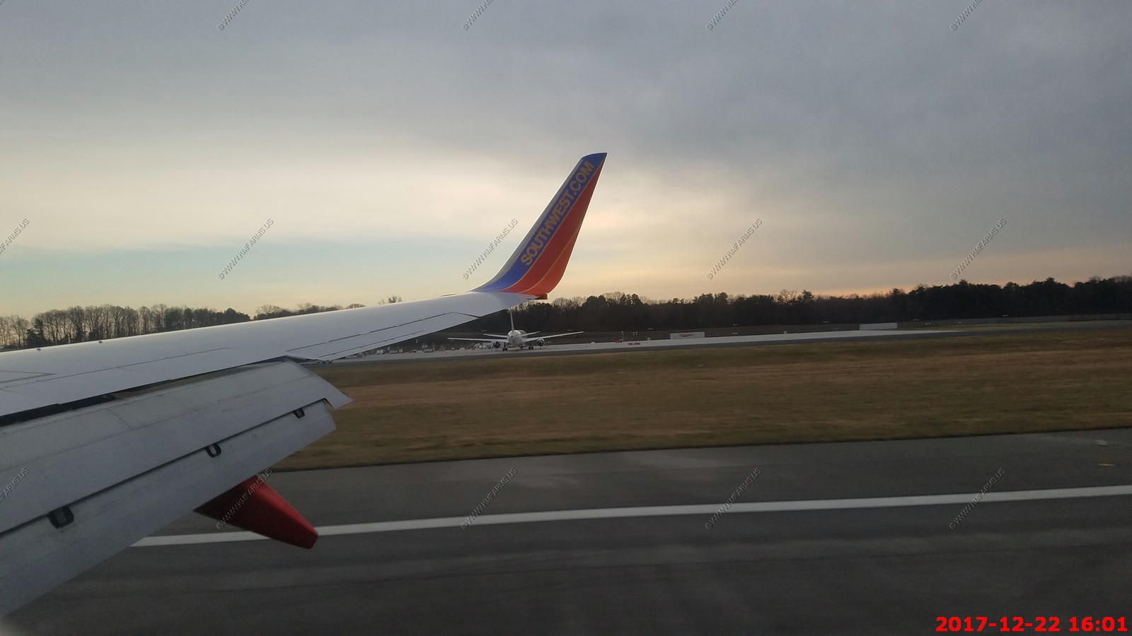
On the ground. Vacation over. But already planning another one for late March or Early April.

BACK TO PART 1 - Fort Lauderdale, Florida - Half Moon Cay, Bahamas - Two sea days - St. Thomas, USVI - St. Kits - St. Lucia - Barbados - Grenada
14 Night Southern Caribbean Cruise with Holland America - December 2017