Last Updated: 31-DEC-2021
DESCRIPTION
Looking back, this quick trip came at a bad time in my family. My father was battling Parkinson’s and prostate cancer but, he was at a stable point and had recently came home so I felt safe to go on this six day long trip. We returned on 27-APR and my dad passed away on 14-May so his situation changed rather quickly. Mary had retired at the end of March and my retirement was quickly coming in less than 12 weeks (mid-July) so it was another reason we went on such a short trip. Looking back, this was a good trip but lots of background stress.
We had stayed a few days in Death Valley back in 2008. My work trips out to the Las Vegas area as well as other vacations, I had been to the Death Valley area a number of times so this was not a new area to explore. One of the main goals of this trip, was to explore the Alabama Hills area as well as Whitney Portal. Because of the snow in the High Sierras, we could not visit the portal so that's on the list for the next time out this way.
We had fun, no issues and saw many new things. Flying Southwest from Baltimore to Las Vegas as always was very easy. We will do this again. If family / work issues were not occurring we would have added a few more days.
We did not utilize a pet sitter on this trip as I set up a number of web cameras in the house and was able to monitor the cats & property during this short trip.
LODGING
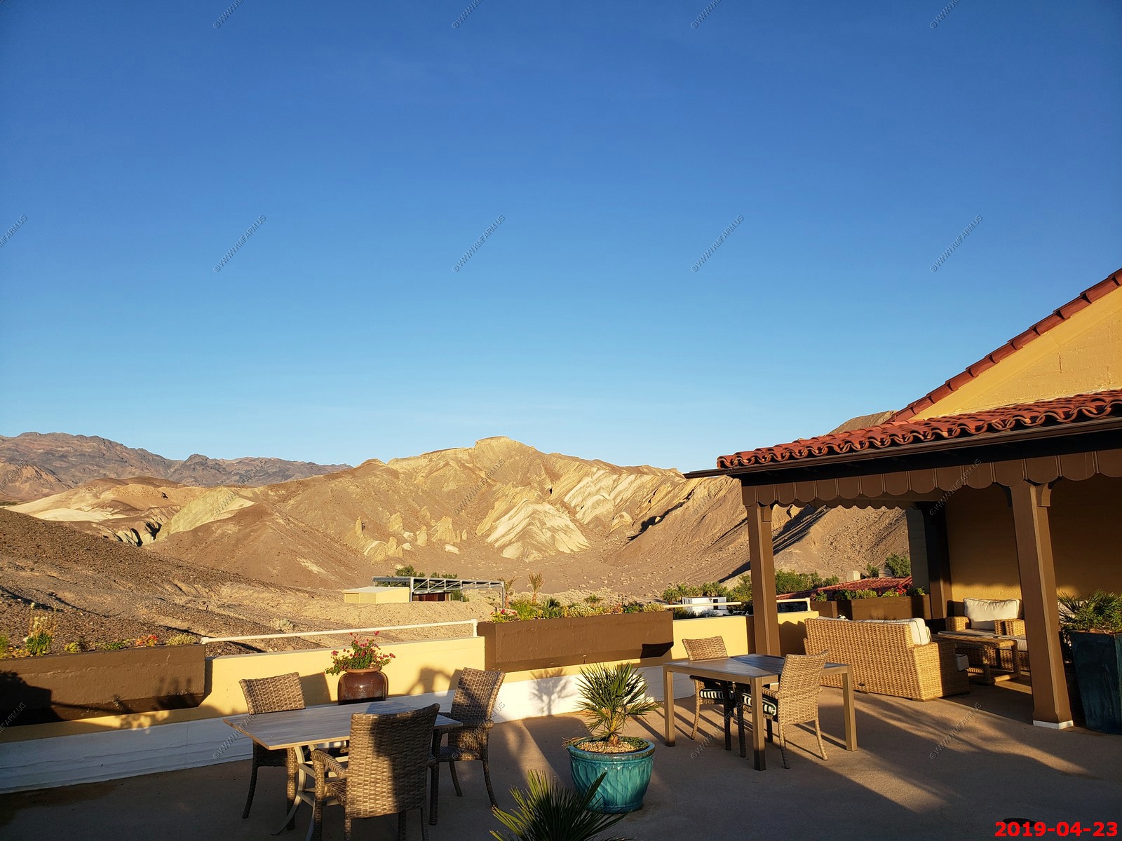
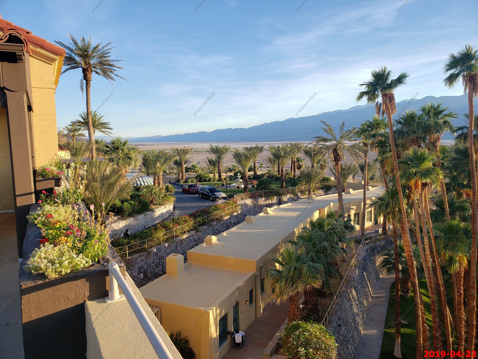
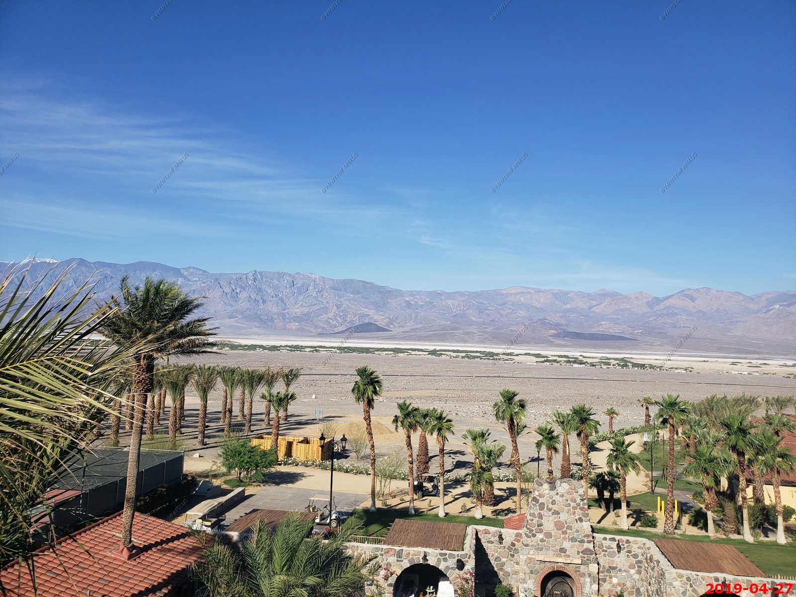
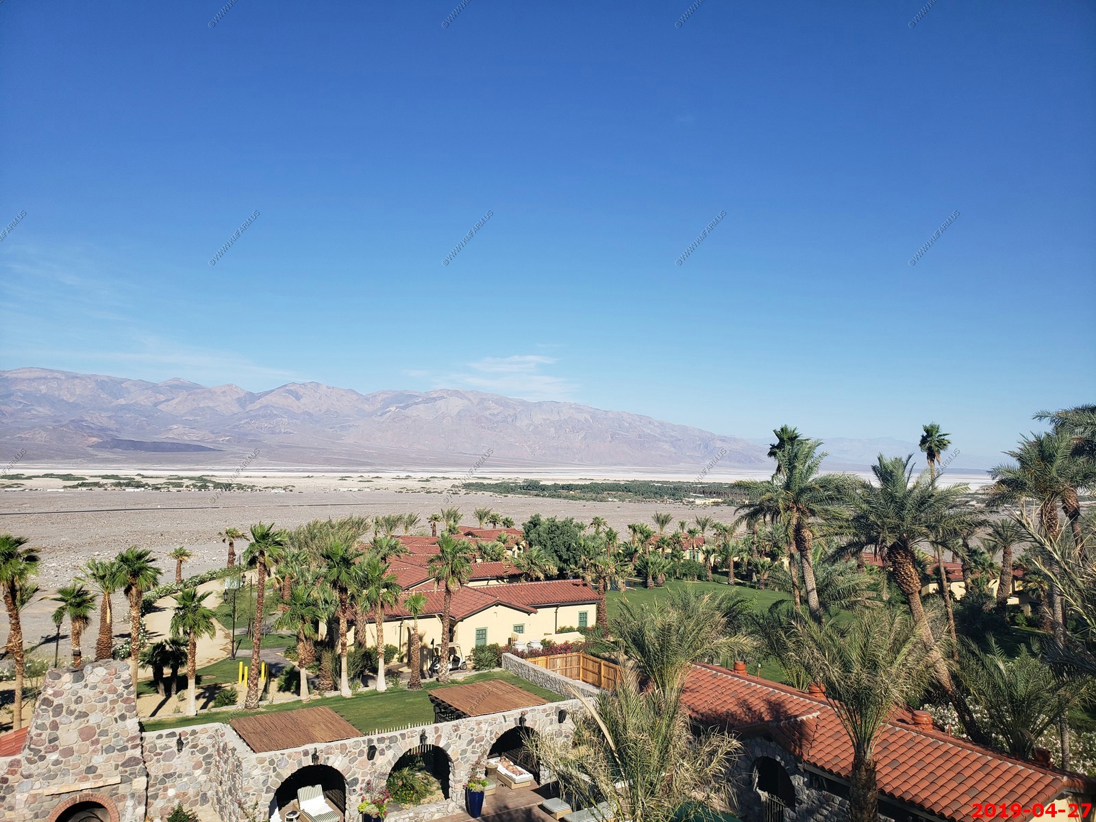
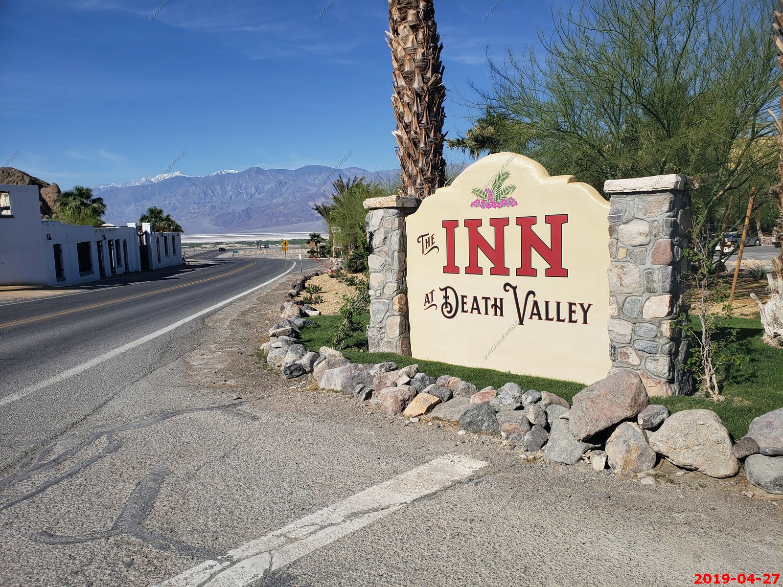
On this trip, the only place we stayed was Furnace Creek Inn. We arrived on Monday 22-APR and departed Saturday 27-APR for a total of 5 nights. The lodging total was a bit over $1,900.00 and was well worth it.
VEHICLE / RENTAL
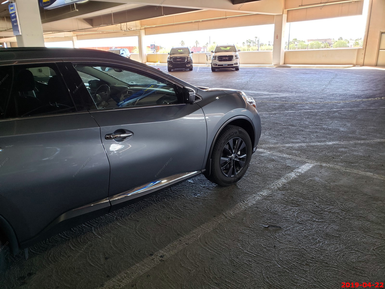
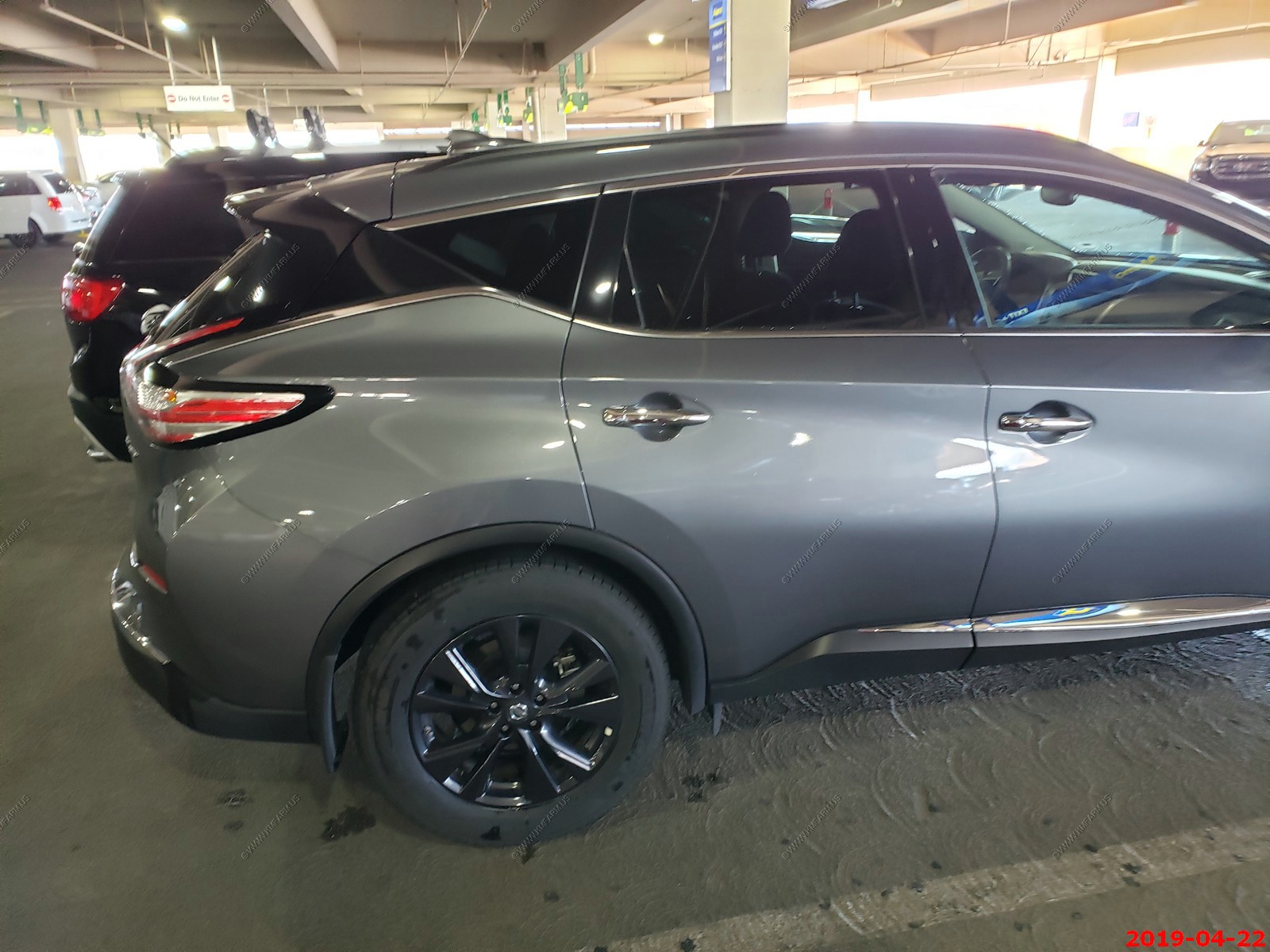
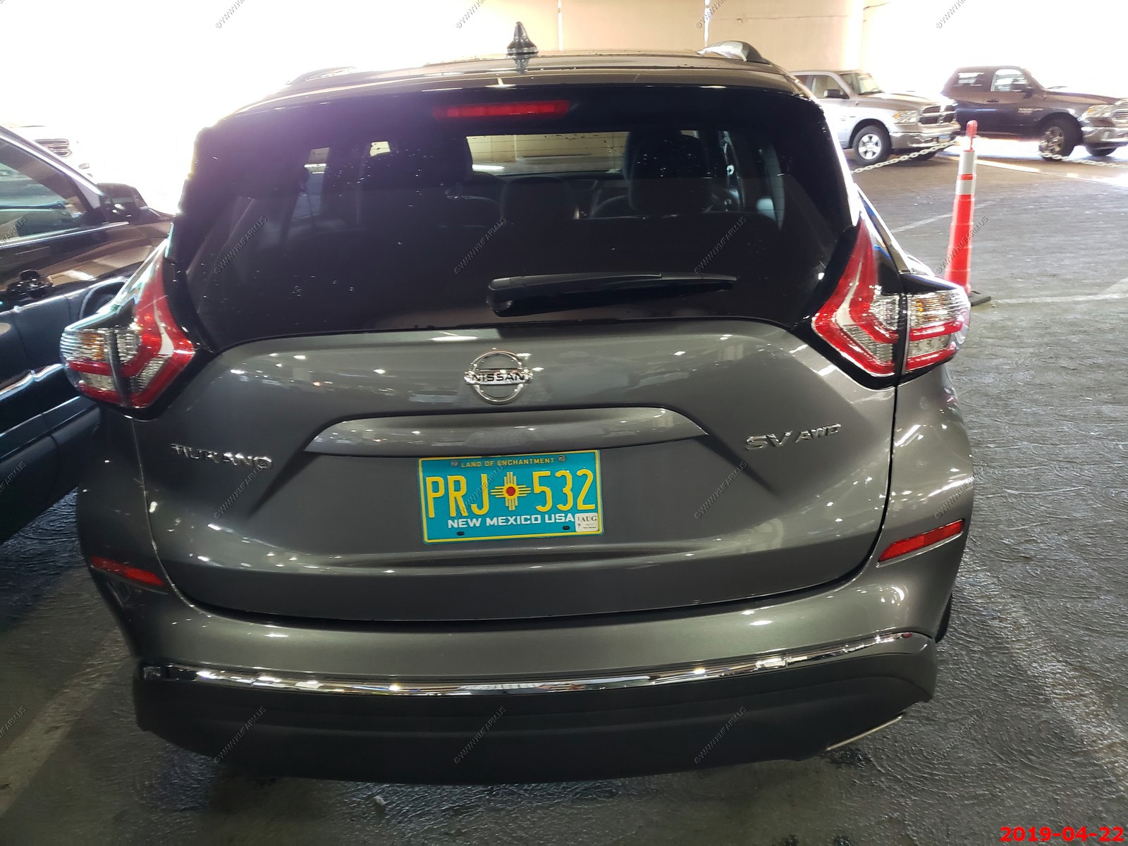
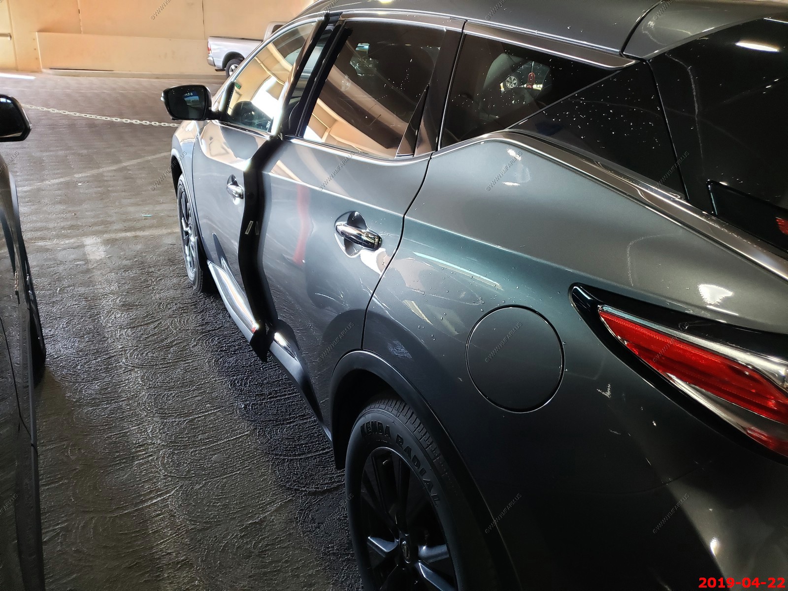
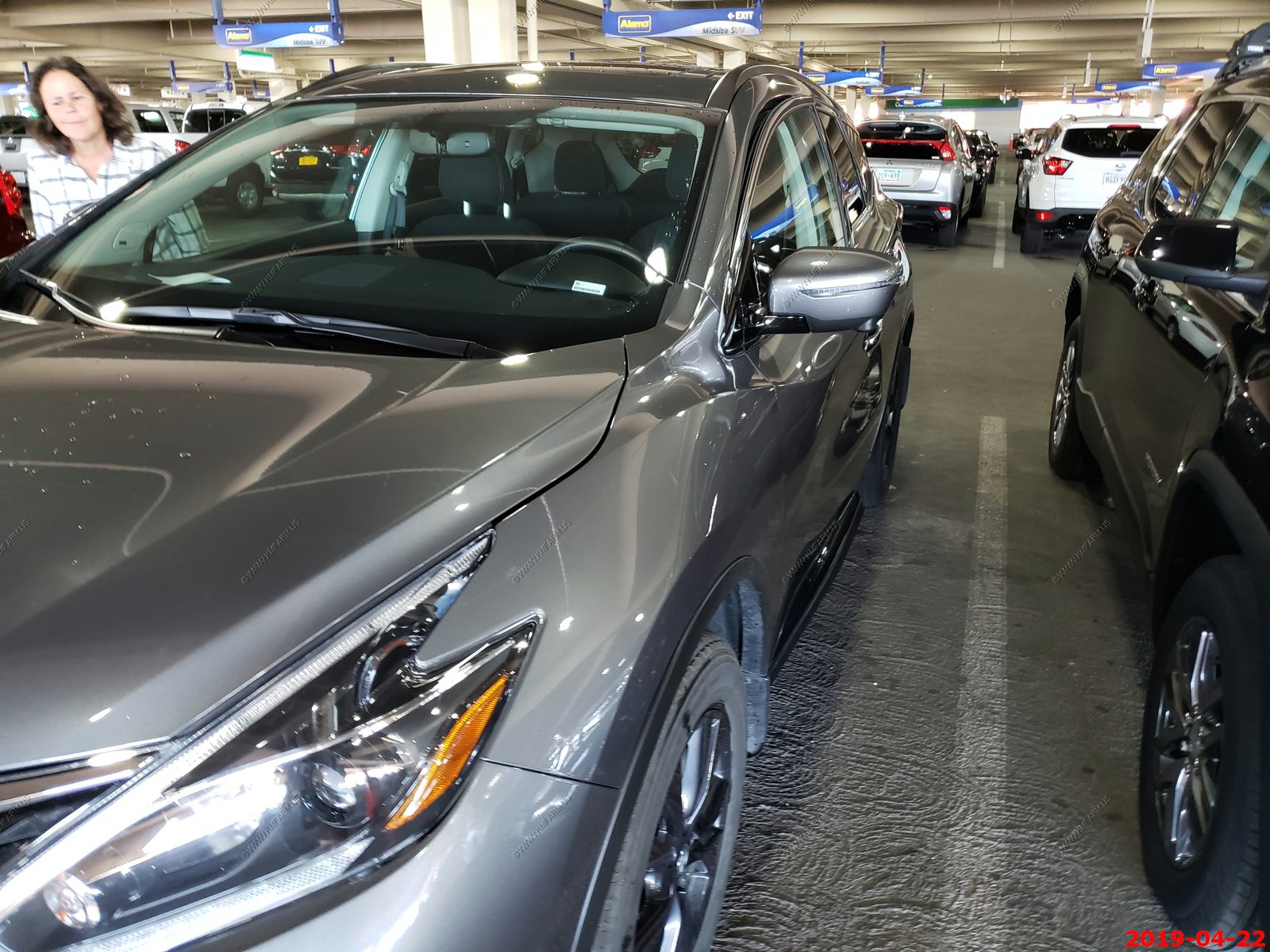
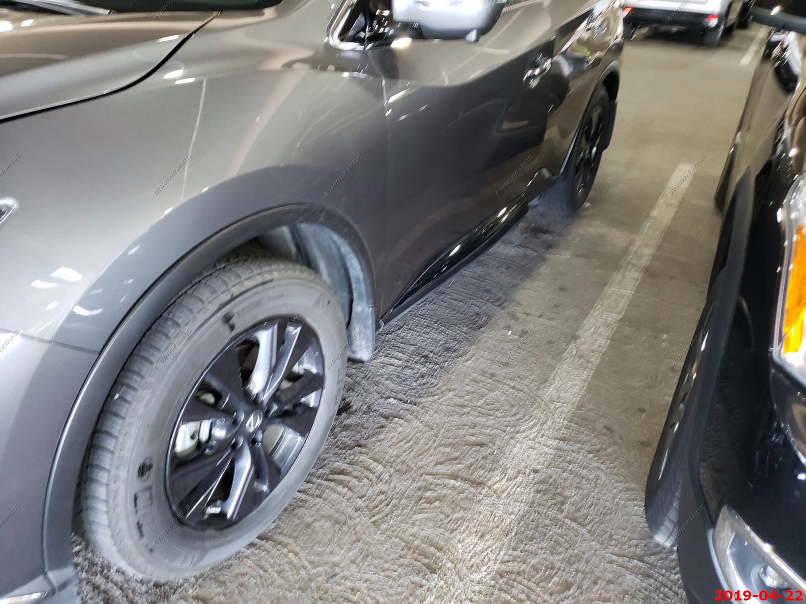
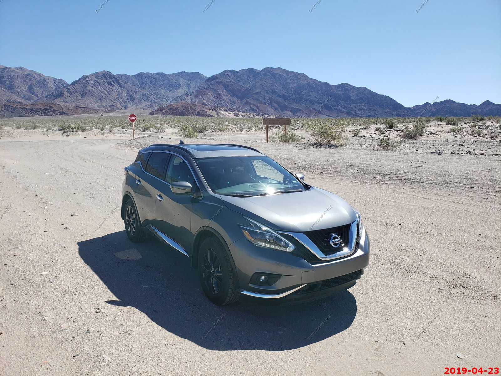
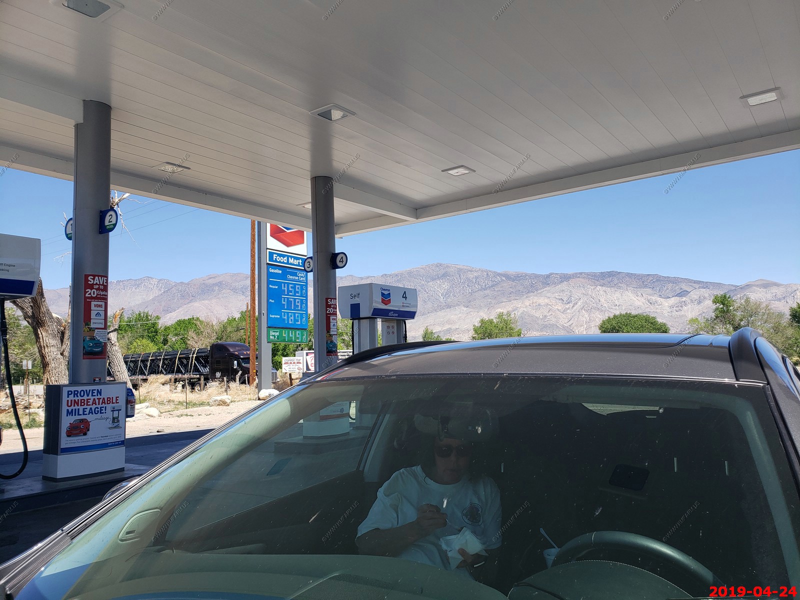
Went with Alamo and picked up a Nissan Murano. It was all wheel drive - Way too small but it did ok on some of the bad roads we drove on. One good thing about it that it had western license plates (New Mexico) as its safer. As with other trips, it's getting harder to get four wheel or all-wheel drive. Also, since it's a crossover / SUV, it comes with car tires on them. Someone had either blown the fuses out OR Alamo now disables the 12 volt outlets so I had to stop at AutoZone along Blue Diamond Road in Las Vegas to buy some fuses. Anymore, it seems that I have to fix almost every rental vehicle we get on these trips. We never had any other issues and I left my $3 fuse in the car when we returned it. We only put 760 miles on the vehicle which was very low considering some of our adventures.
SECURITY
Since we flew and most of the time was spent in the liberal state of California, I did not carry on this trip. Good to say we had no issues with critters or people which was good.
CAMERA EQUIPMENT
This trip page has appx. 700 photos
We had three cameras with us on this trip. (Ken - Samsung 9 Note with a 12-mp camera) (Mary - Samsung 9+ with the same 12-mp camera). We shot all videos with these phones.
For all telephoto shots, I was carrying a Canon Digital EOS-80D SLR 24.2-Megapixel with a Canon EF 100-400mm f/4.5-5.6L IS II USM Lens. This provided excellent capabilities although some of the photos were dark and not 100% focused. This is an ongoing problem with this camera and as of DEC-2021 I have yet to invest the time into solving this.
For astrophotography, I used a Canon EF-S 17-55mm f/2.8 IS USM Lens onto the EOS-80D with a RWII-C FreeWave Plus Wireless Remote Shutter Release. All of this was placed on a Benro TSL08CN00 Slim Carbon-Fiber Tripod (Low weight). It was easy to travel with this and again I had excellent results.
For a detailed description of the camera setup I am using, visit my Camera Page
CELL COVERAGE
We use ATT and the coverage around Furnace Creek was very good. No coverage in many remote places in Death Valley. Anymore, this is a good thing as I like being off the grid.
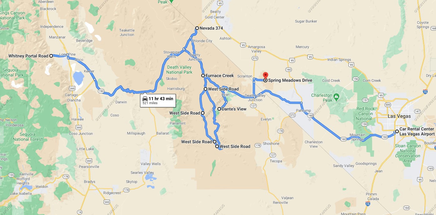
ROUTE
Note: The waypoint numbers are present to force the program to display the path traveled.
Applications / software I had on my android phone.
When I got home to process all of these photos I used:
SELECT PUBLICATIONS
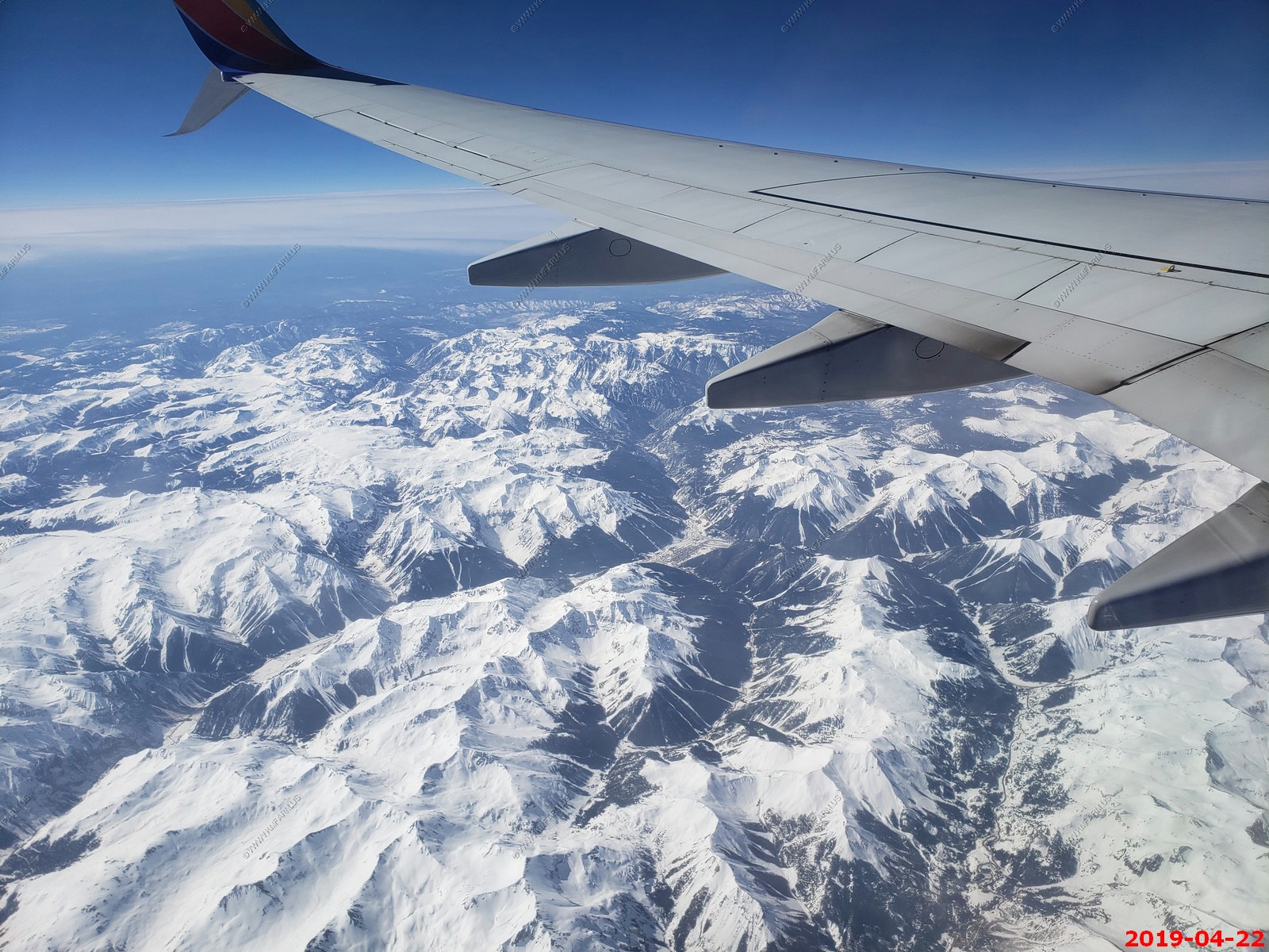
Monday April 22
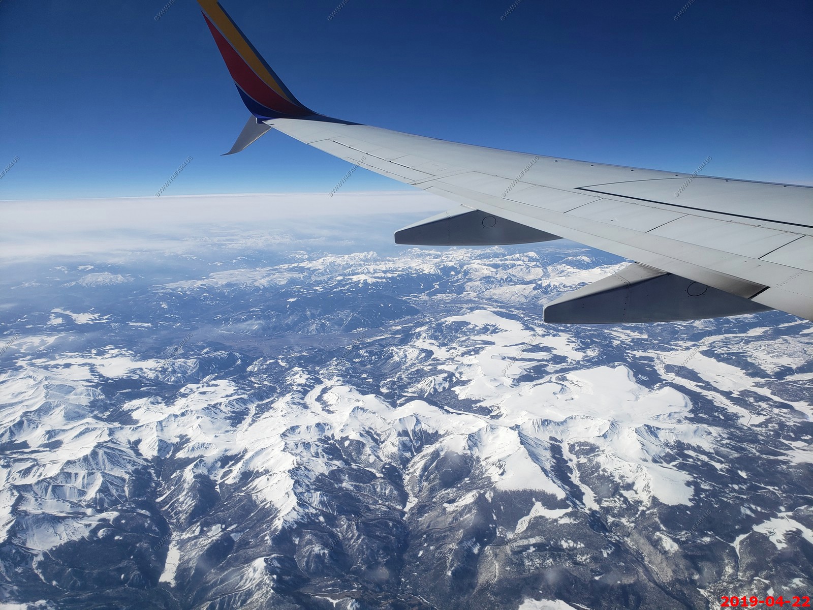
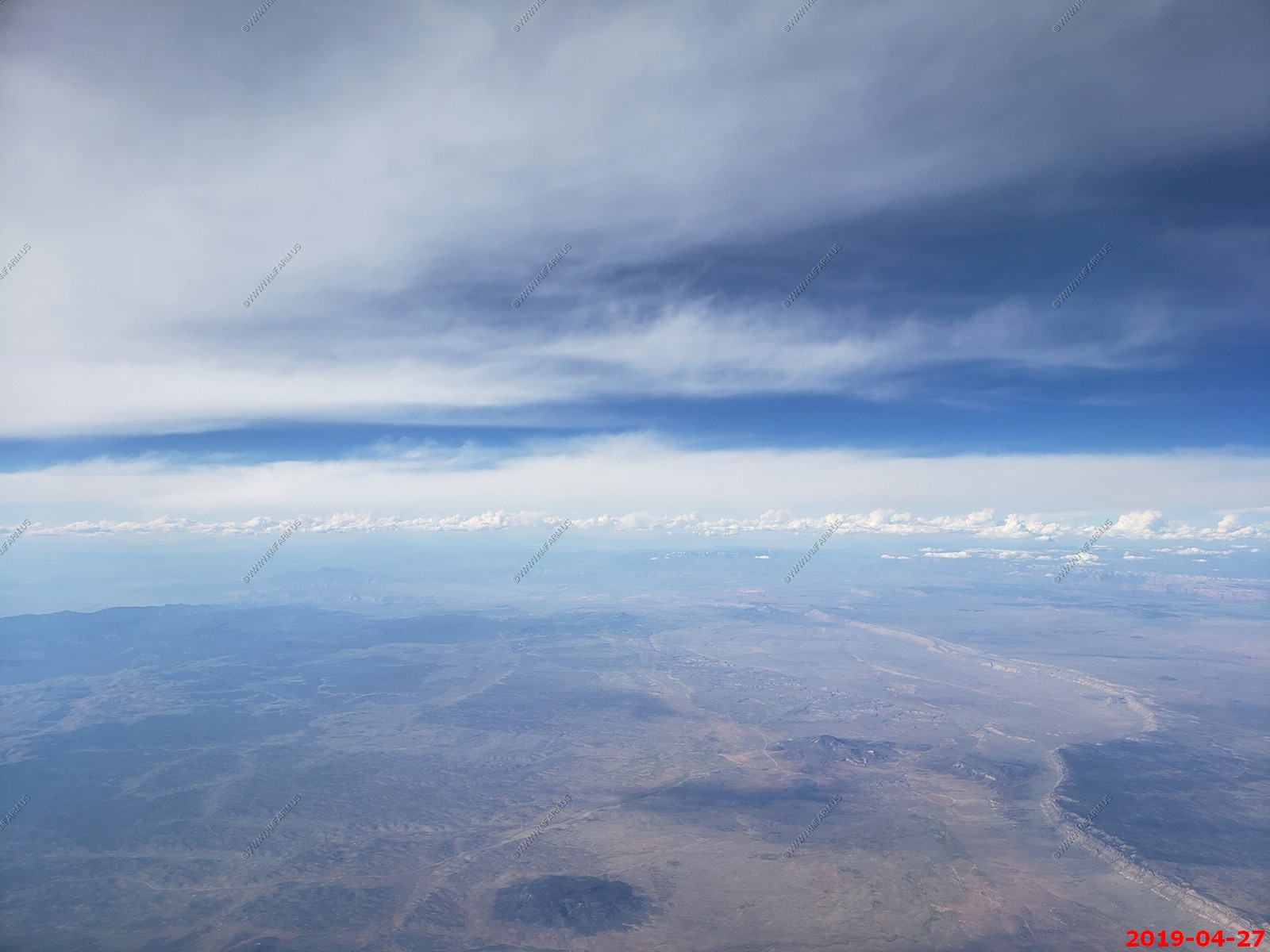
Non-Stop from BWI. Departed BWI at 6:45 but had a medical emergency at take off (person in front of us) and made a quick stop at Dulles Airport in Virgina. Was on the ground for 30 min or so. Interesting as the landing was heavy due to fuel load and they had to inspect the landing gear. As usual SWA handled this quickly and we were on our way to Las Vegas. We got into Las Vegas about an hour late but the day worked out.
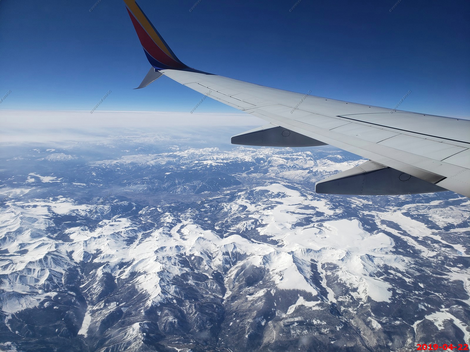
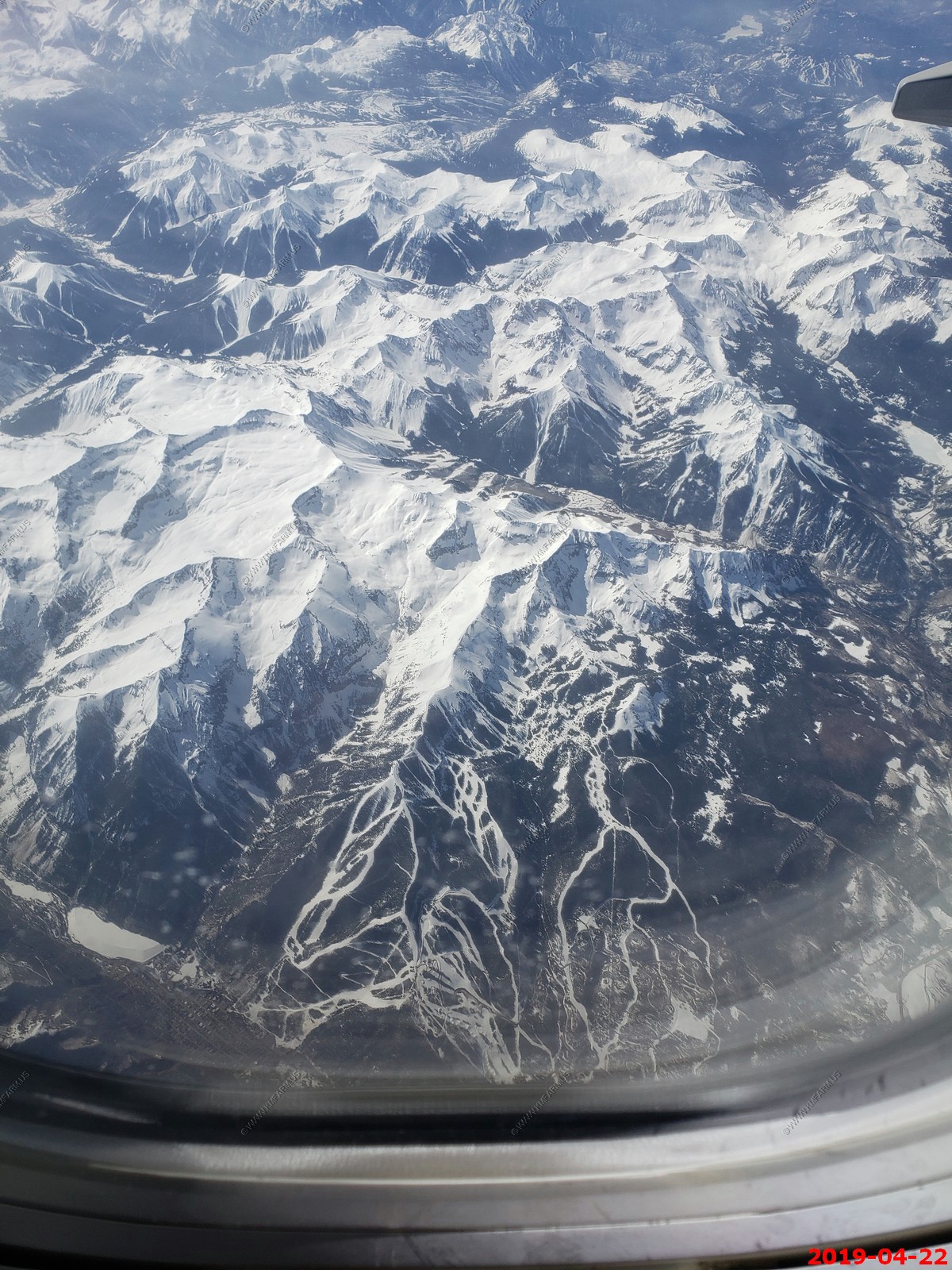
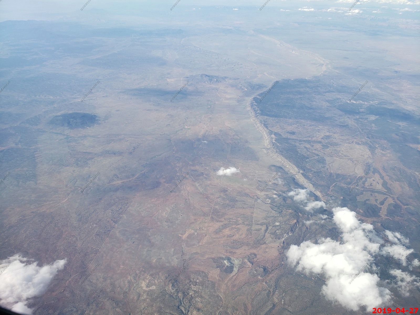
Outbound BWI to Las Vegas. Flying over the San Juan range in South West Colorado
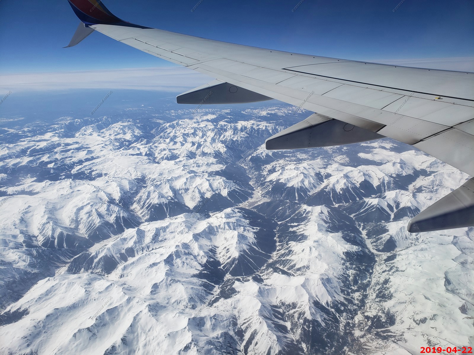
Looking down at Telluride Ski Resort
Ute Mountain (El. 9,998 ft) / Black Mountain, Colorado with Mesa Verde National Park to the left (east)
Comb Ridge - In 1880 Comb Ridge presented a major obstacle for the Mormon pioneers who were blazing a wagon road through the terribly rugged terrain between Escalante, Utah and the Four Corners area. When they reached the base of Comb Ridge, The pioneers traveled south down Comb Wash to the Jan Juan River.
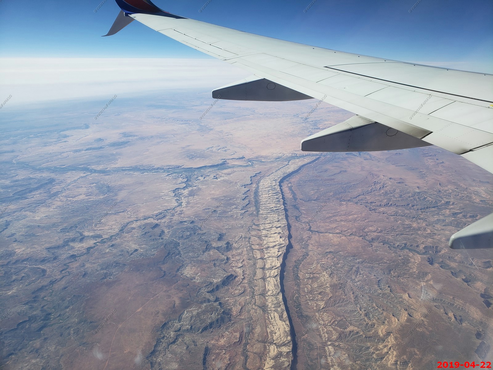
The San Juan River Canyon and the upper end of Monument Valley
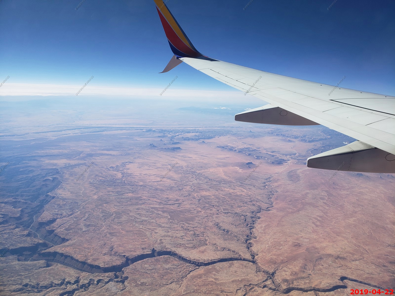
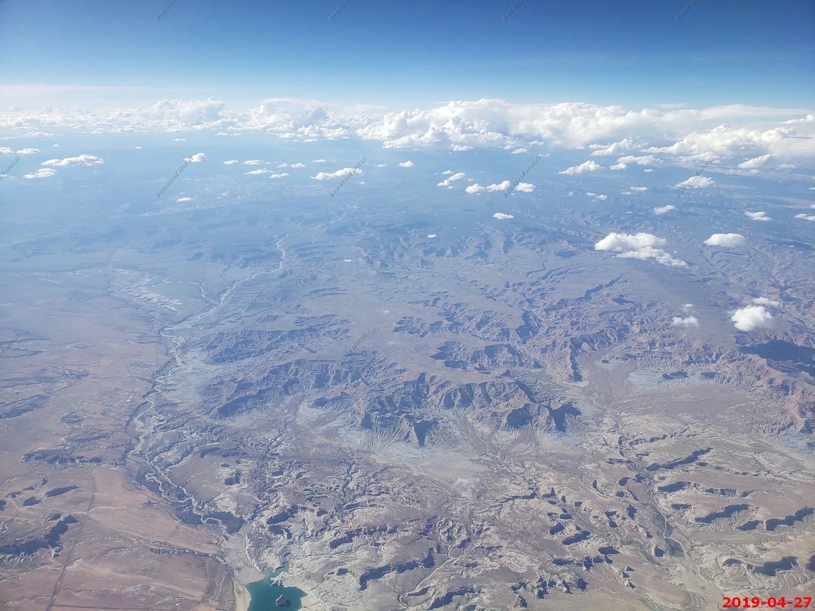
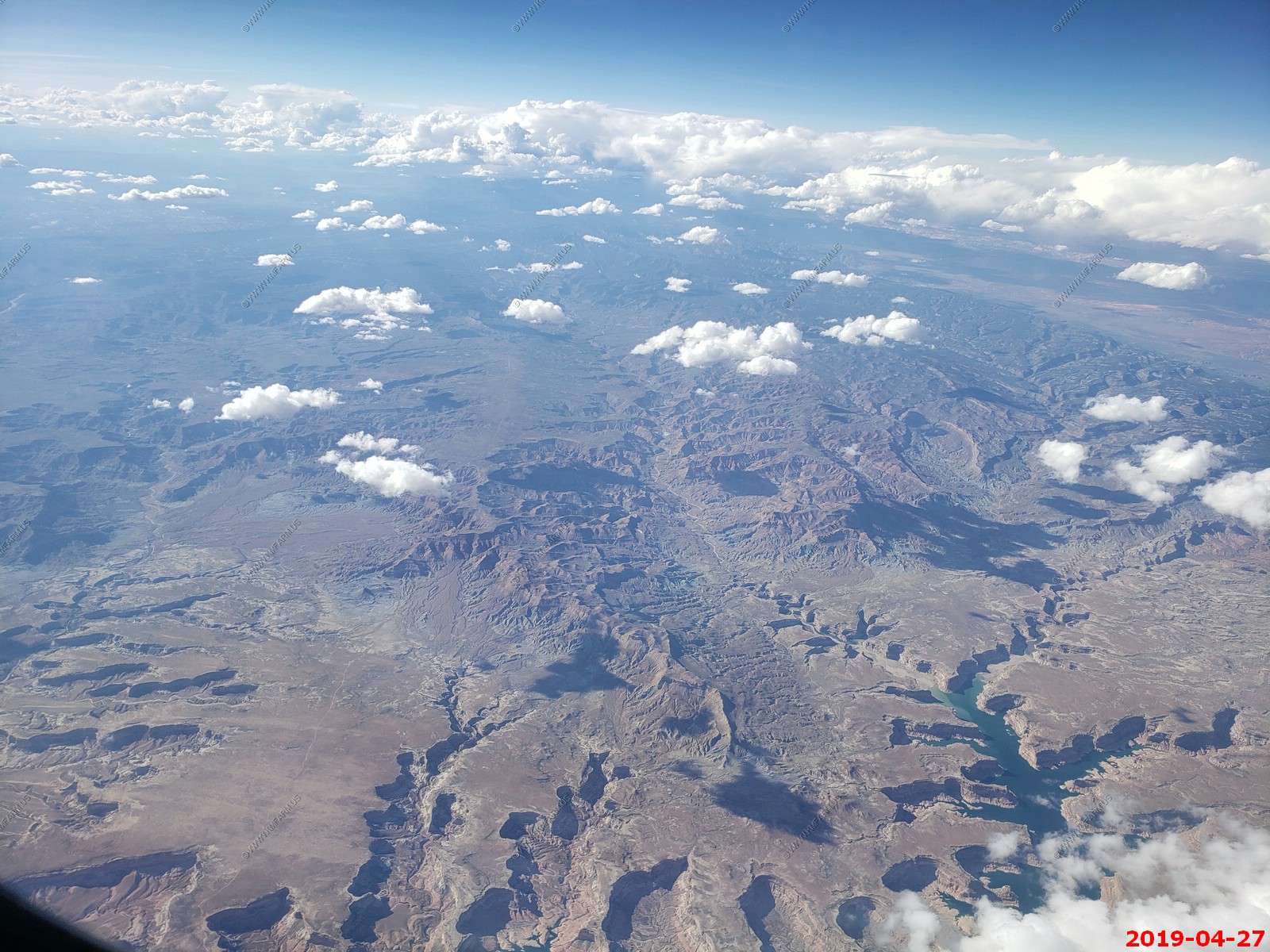
Looking south at Navajo Mountain on the Arizona / Utah line. (El. 10,387 ft.) Rainbow Bridge National Monument is between the mountain and Lake Powell.
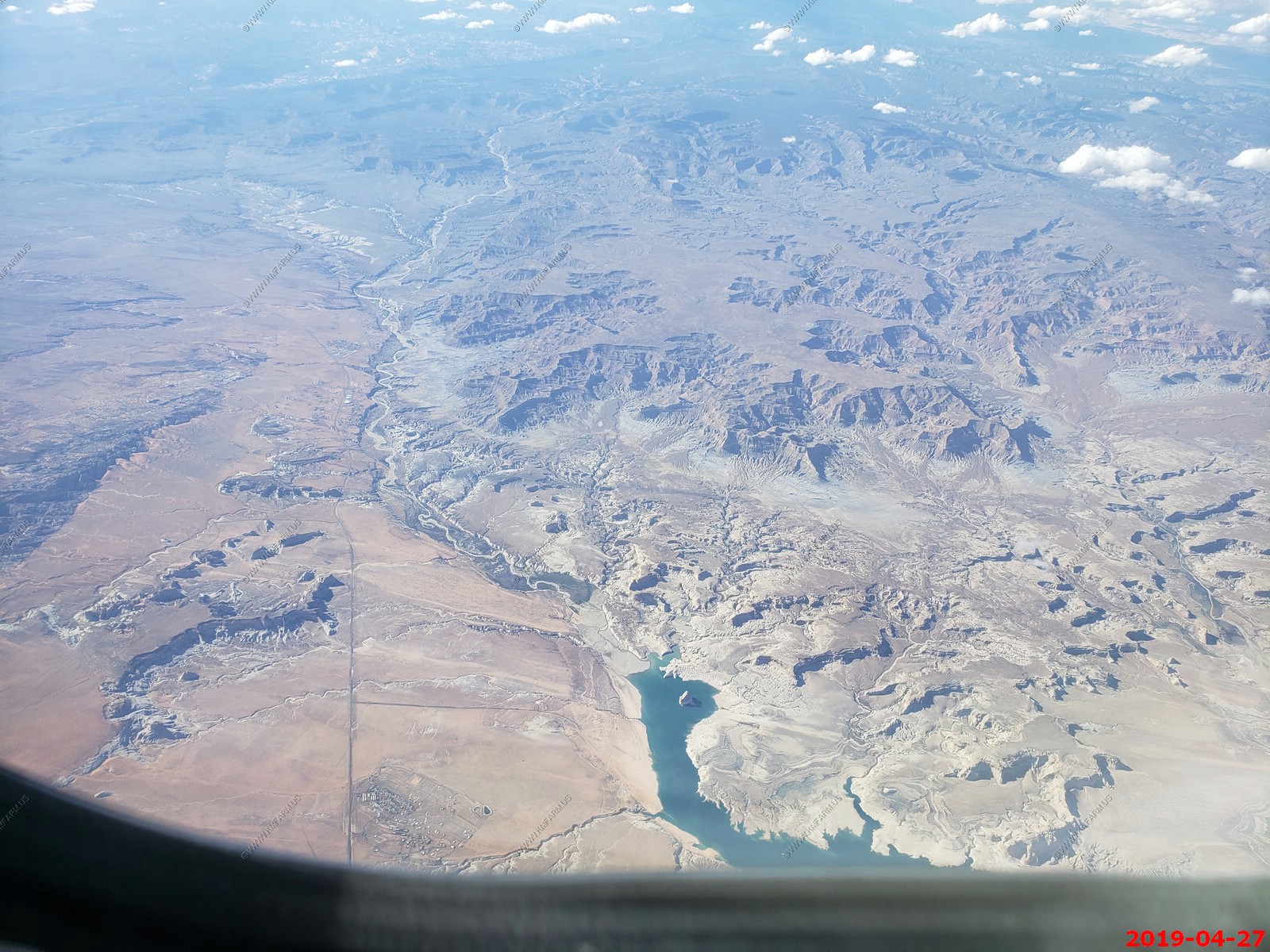
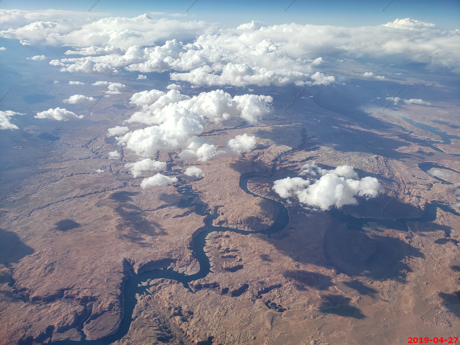
The lower end of Lake Powell, Page, AZ and Glen Canyon Dam near the center of the photo
Big Water, UT (bottom) to Page, AZ (Top left) along US-89
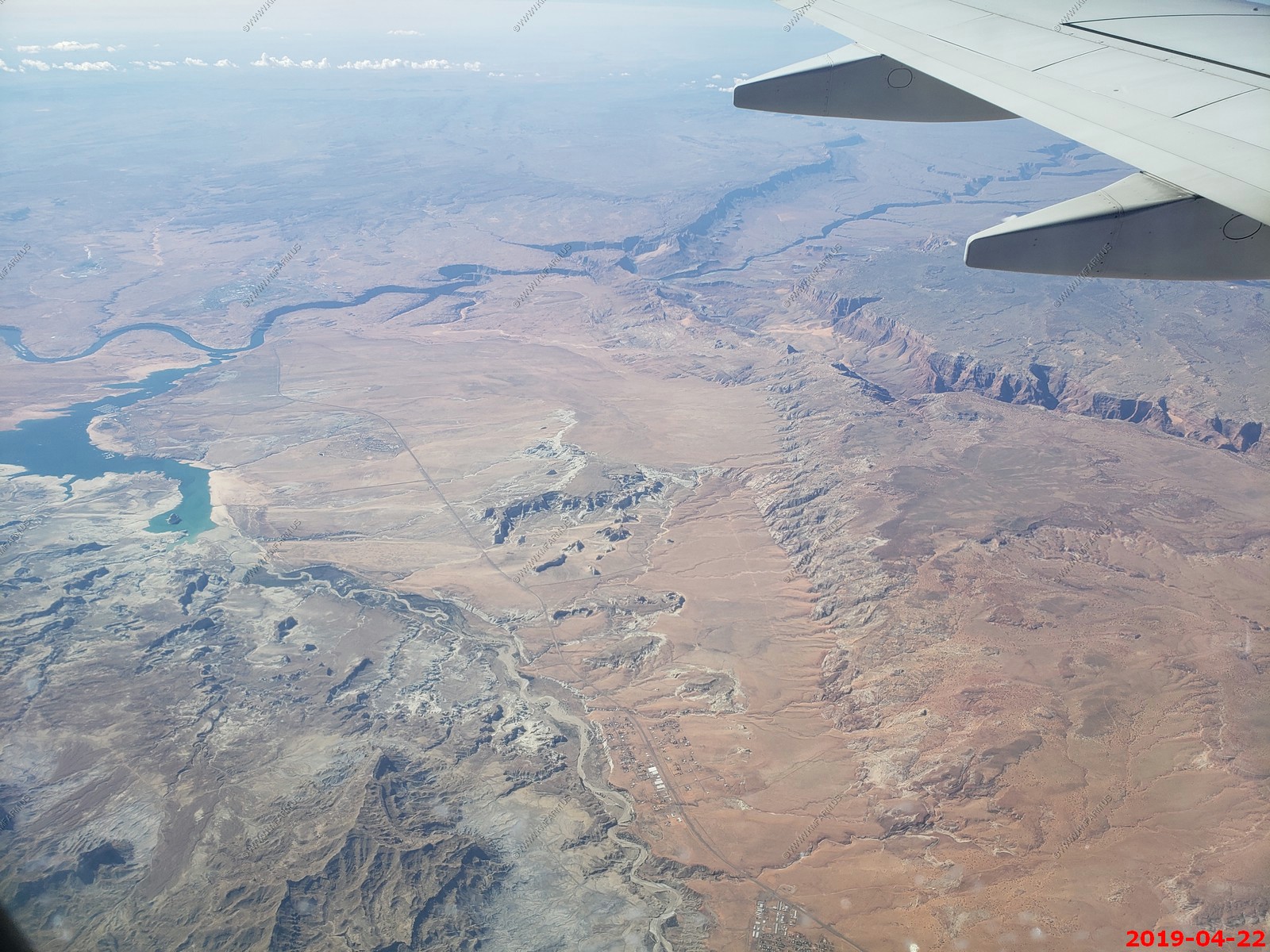
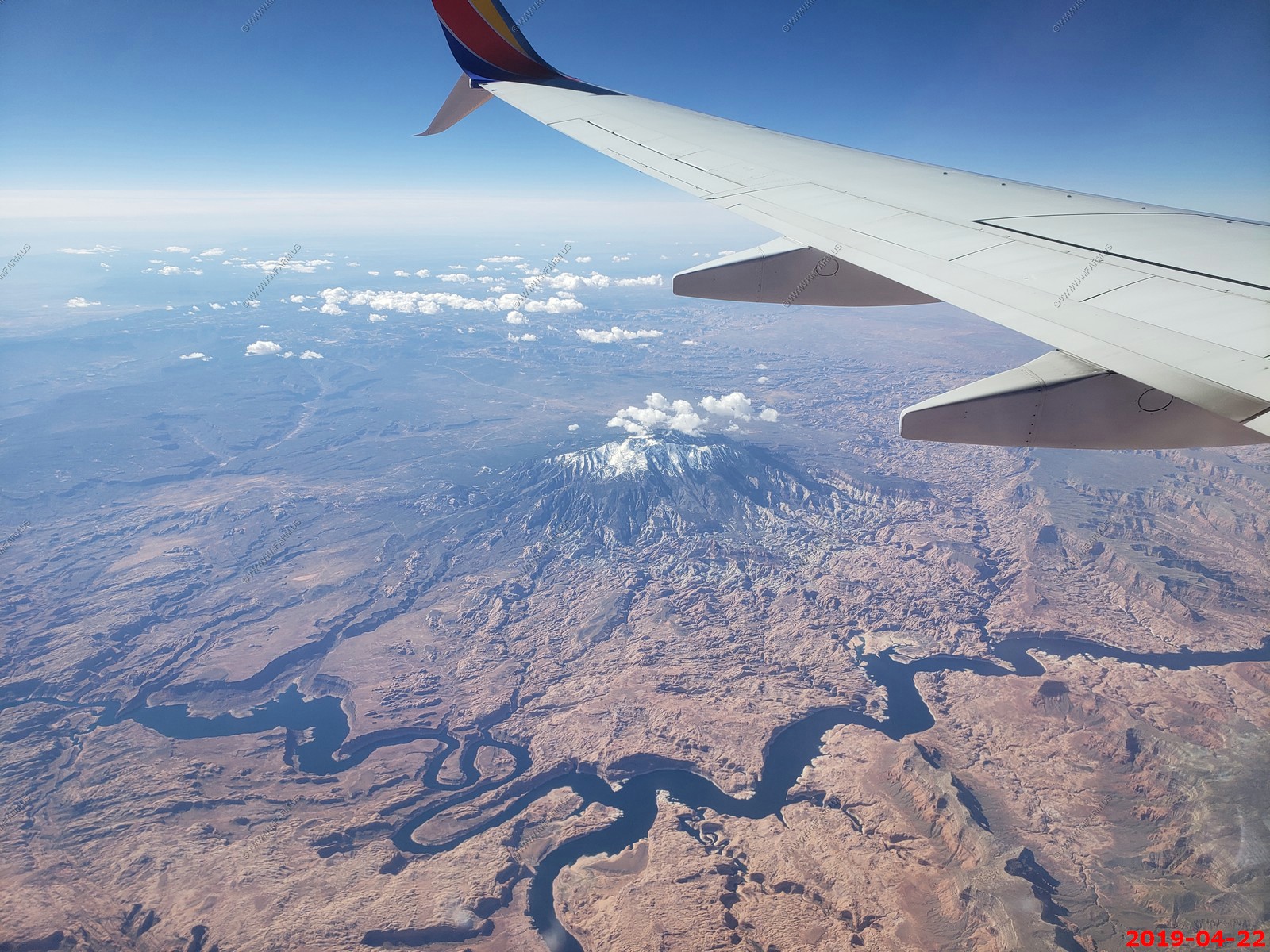
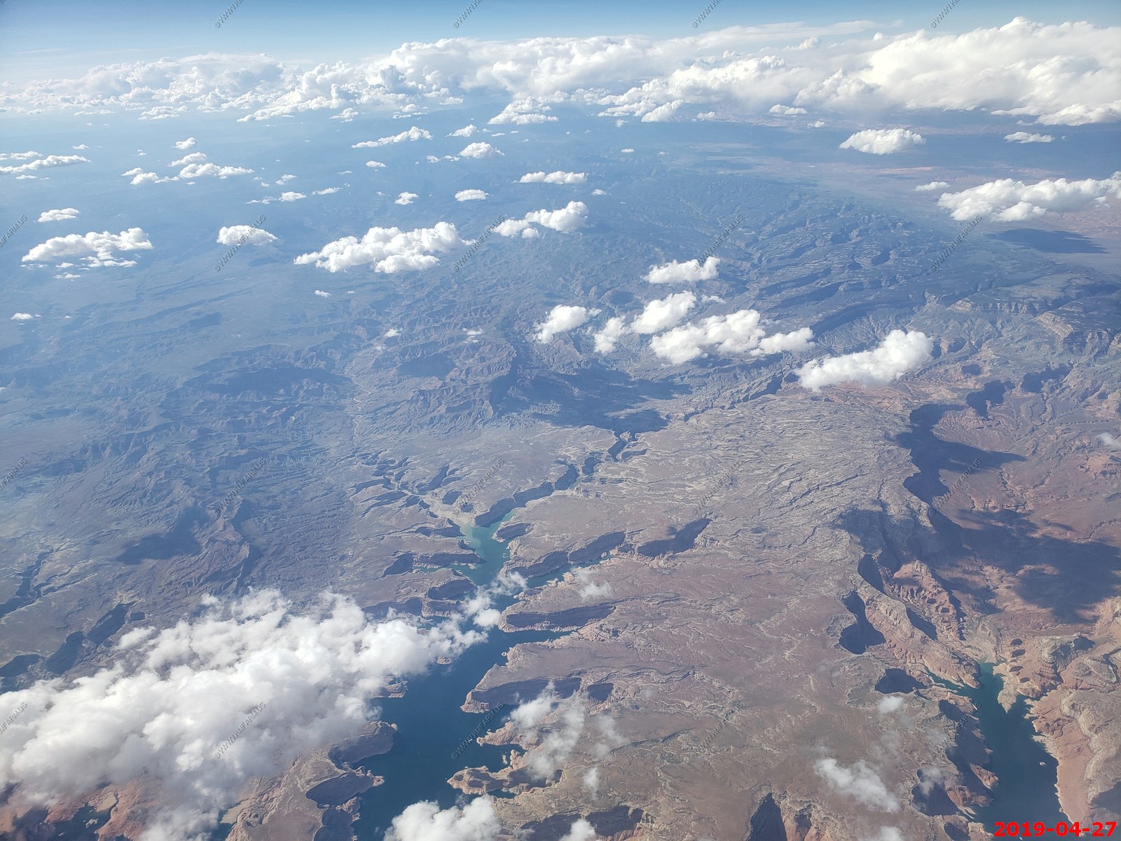
Lee Canyon & Marble Canyon, AZ along the Colorado, River. This is where most of the Grand Canyon raft trips start. Vermilion Cliffs on the right. Kaibab River canyon in the center.
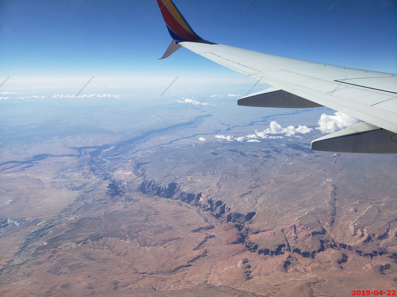
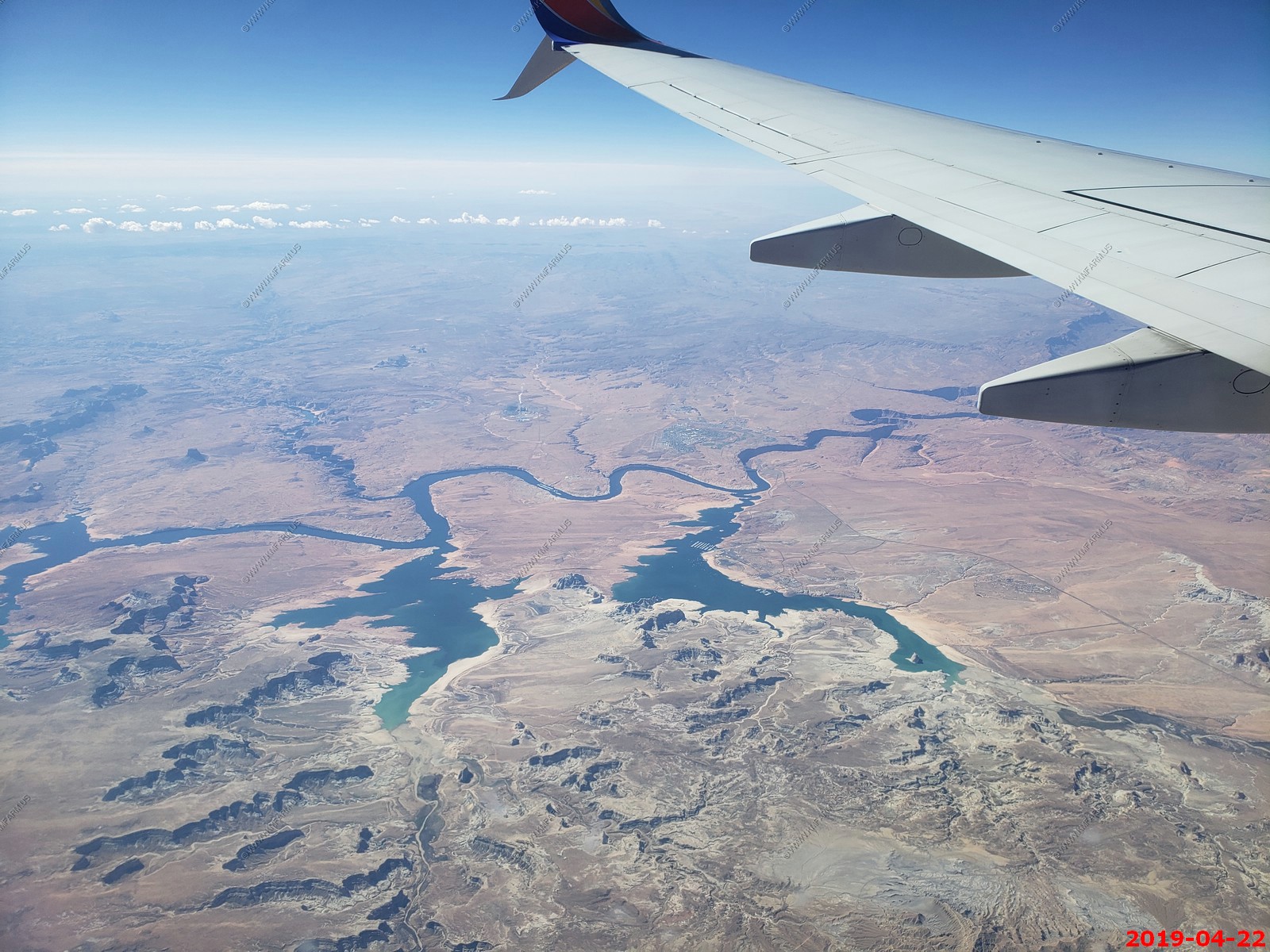
Looking down House Rock Rd, Marble Canyon, AZ To Vermilion Cliffs National Monument (on left under clouds)
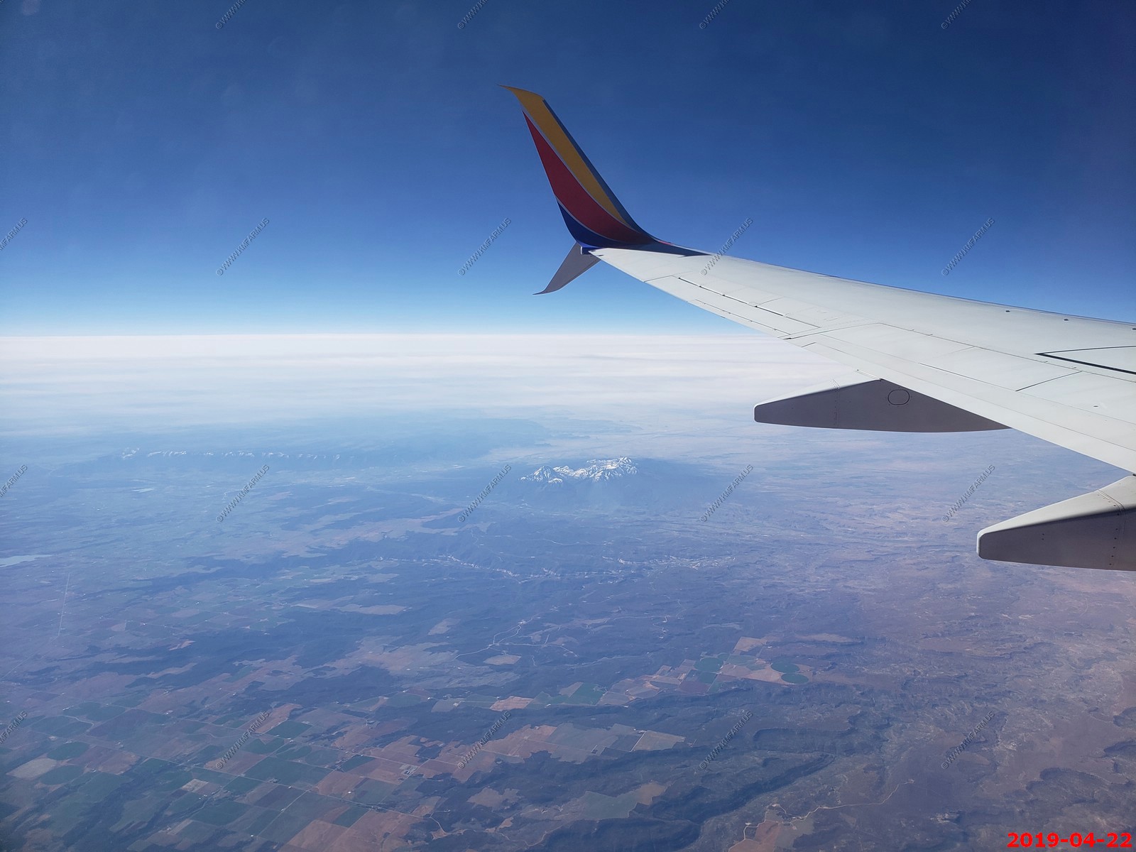
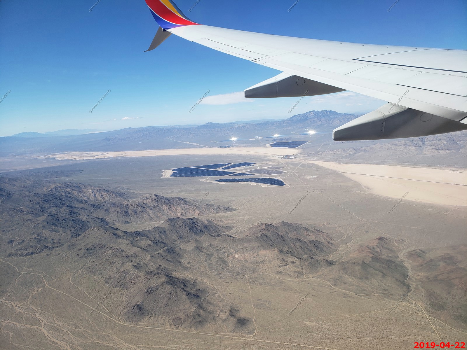
We approached Las vegas from the south. Looking at Primm, NV along I-15 and the three units of the Ivanpah Solar Electric Generating System reflecting back at us. This is the worlds largest solar generating station rated at a gross capacity of 392 megawatts. The panels are owned by First Solar Electric LLC.
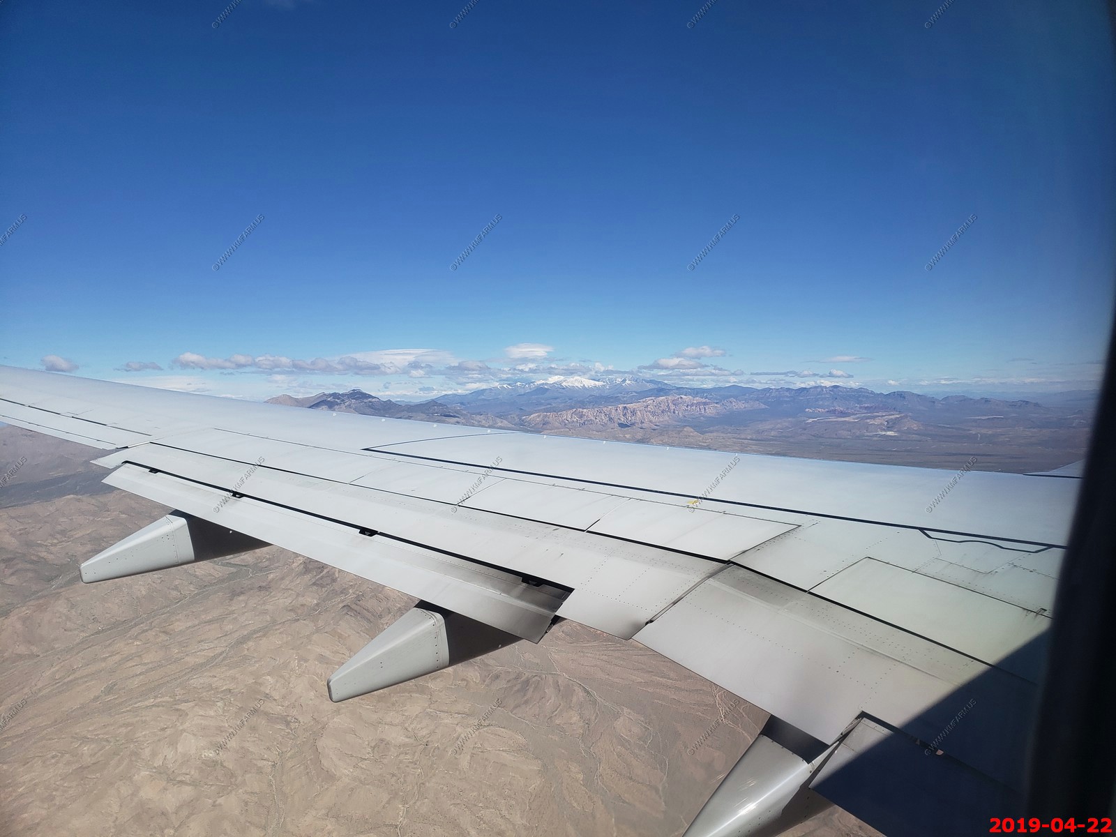
Looking over the wing at Mount Charleston (El. 11,916 ft.) Below that you can see some of Red Rock Canyon National Conservation Area
Went with Alamo and picked up a Nissan Murano. It was all wheel drive - Too small but it did ok on some of the bad roads we drove on. But, we were happy it had a western license plate (new Mexico) as its safer than have New York plates in the small towns of the west. I always take photos of it before we drive off the rental lot.

Its only 2 hours (117 miles) from Las Vegas to where we are staying in Death Valley.
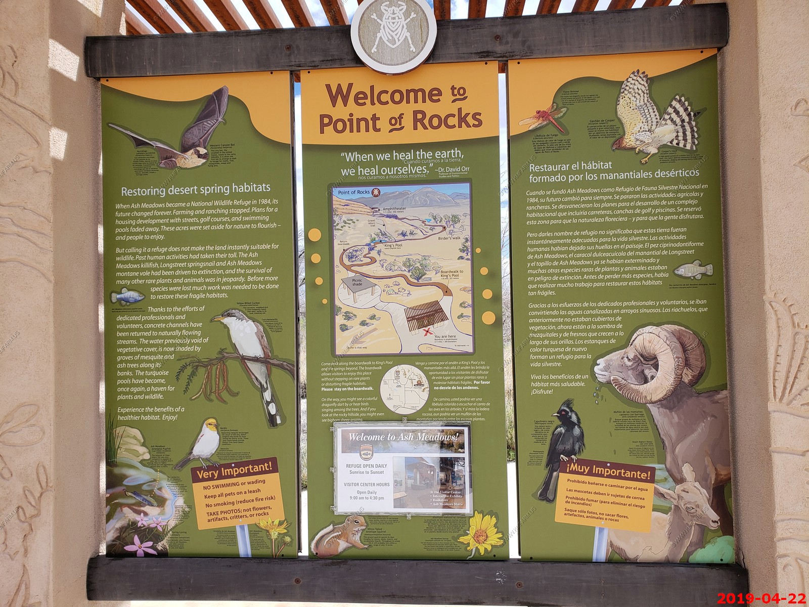
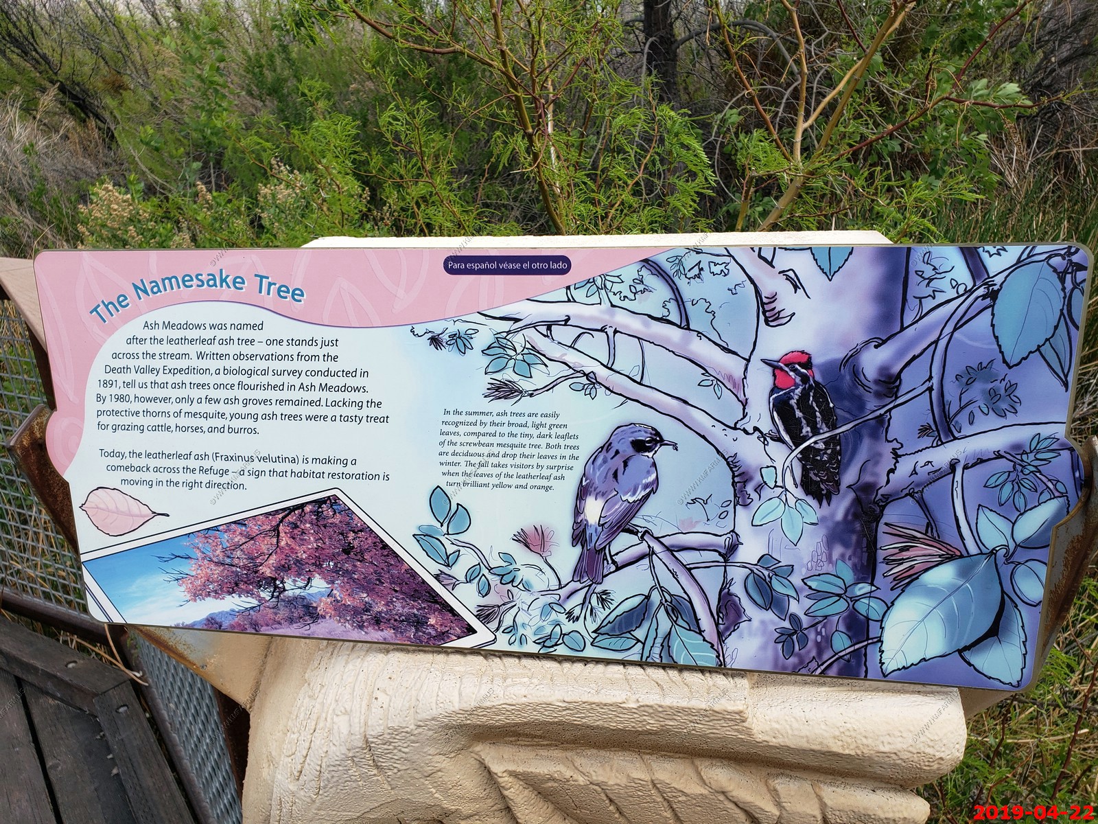
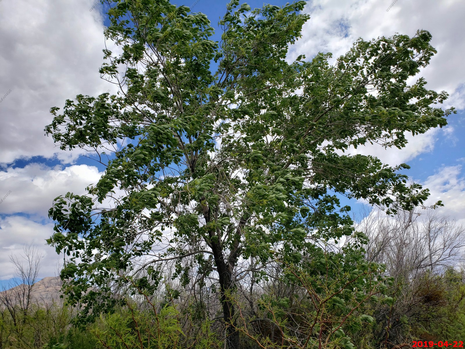
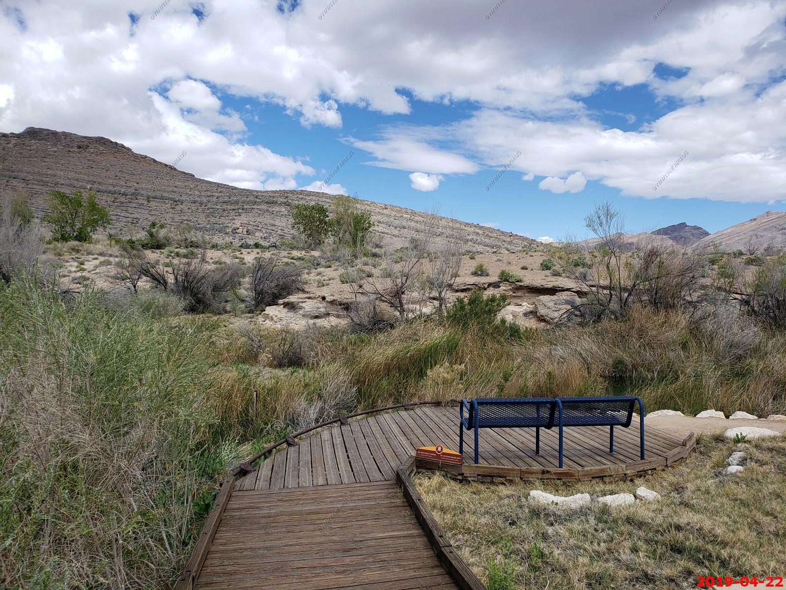
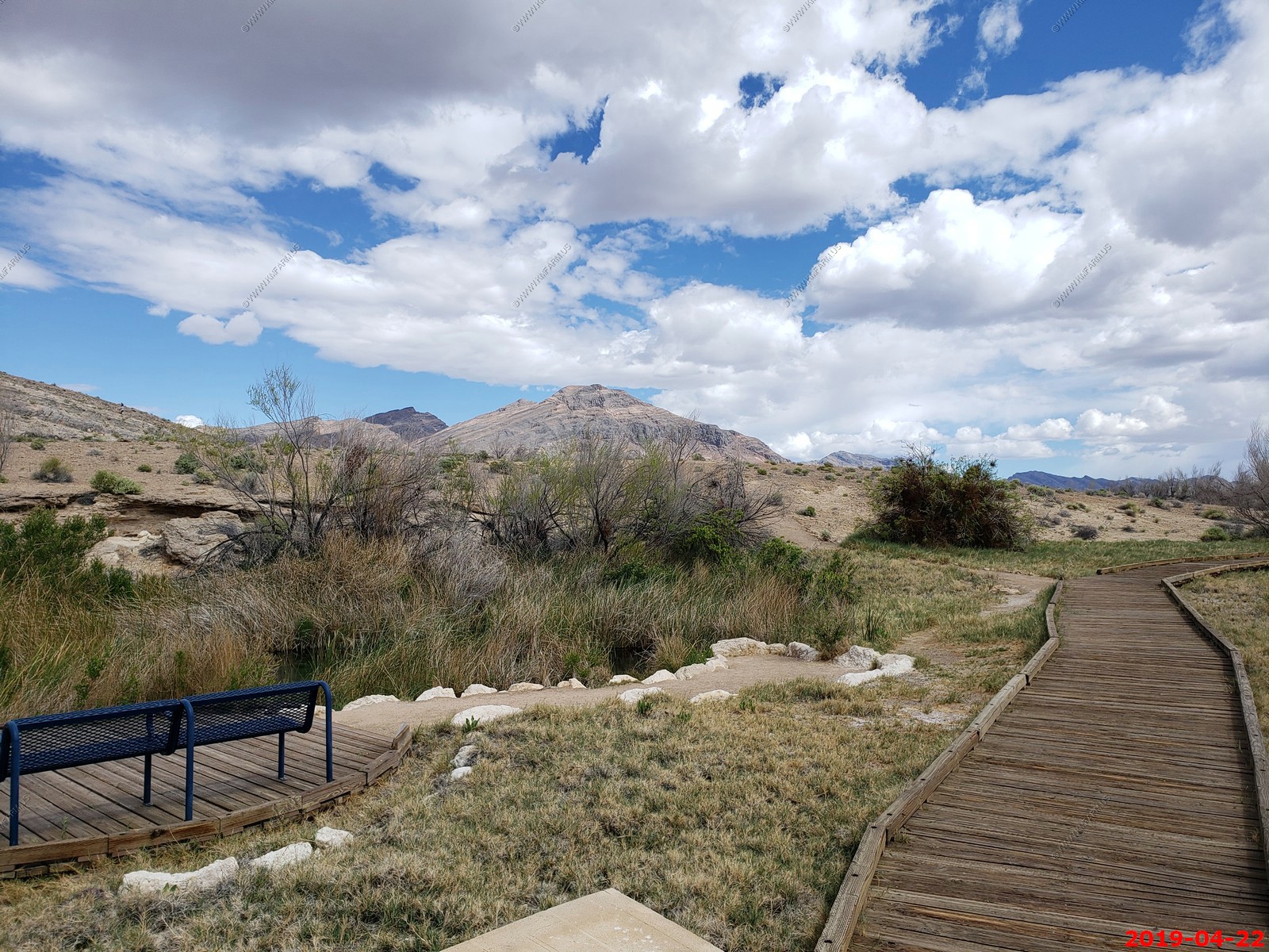
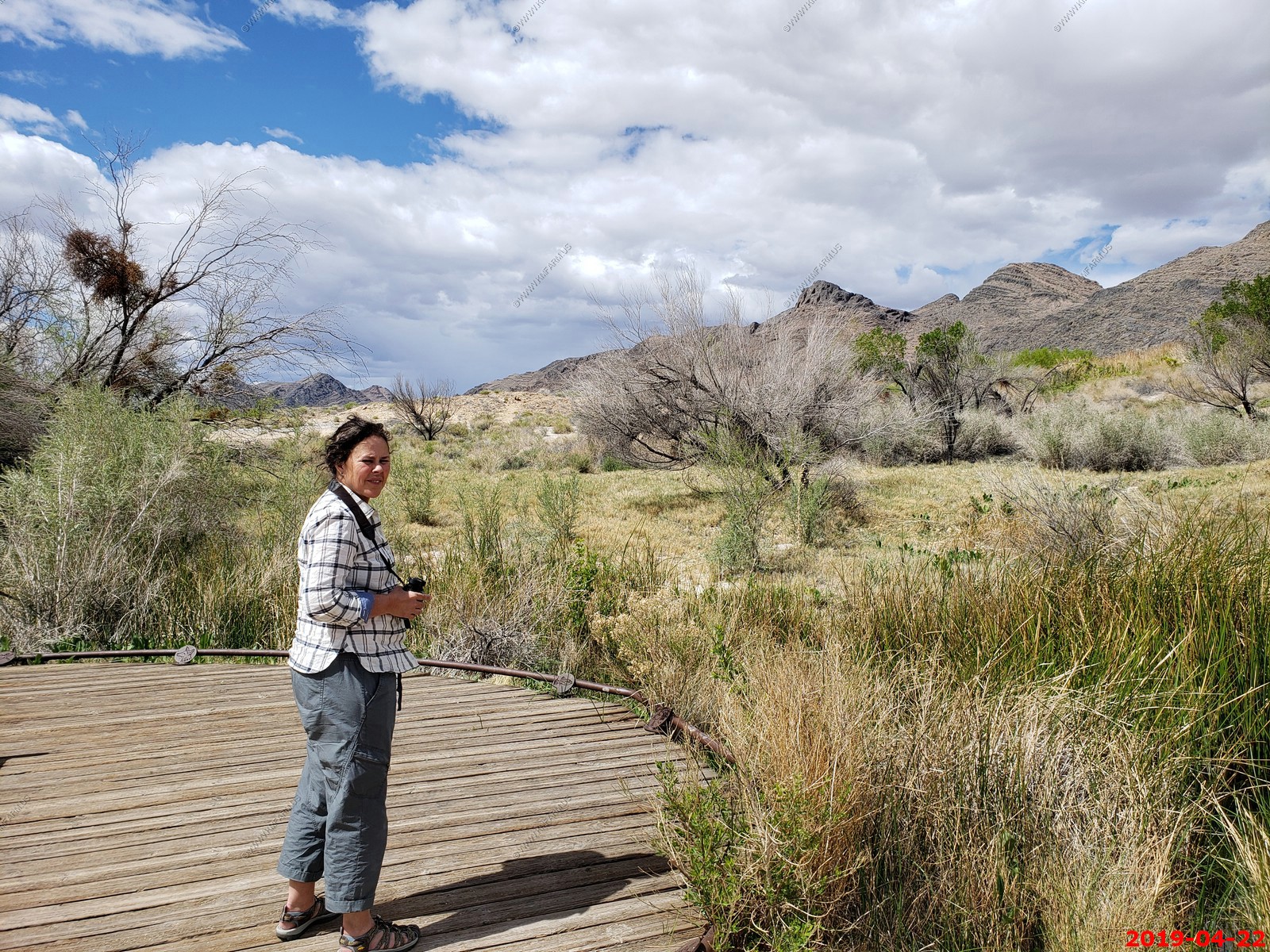
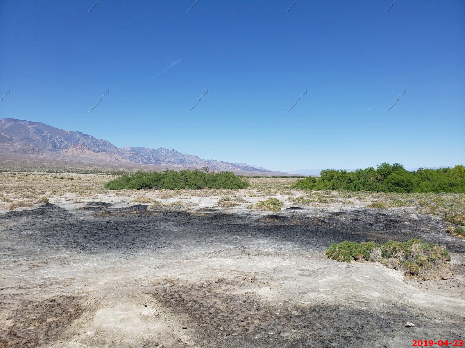
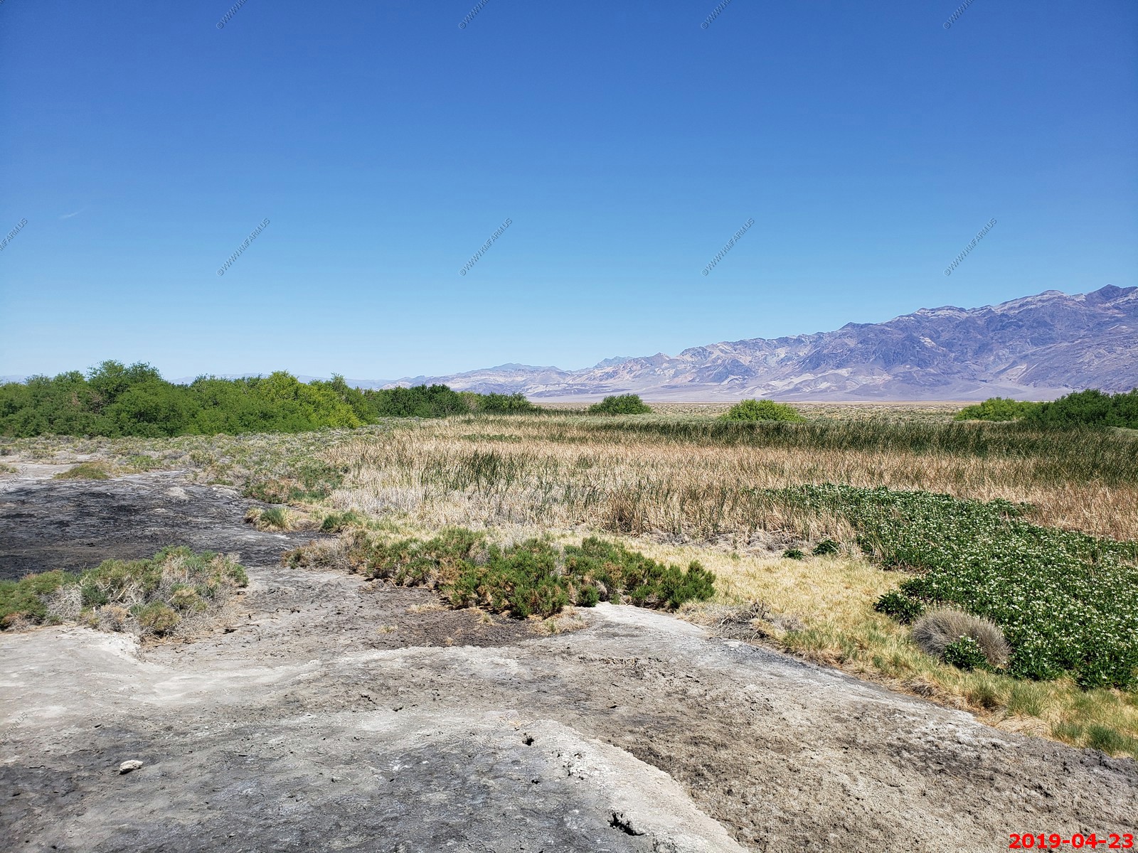
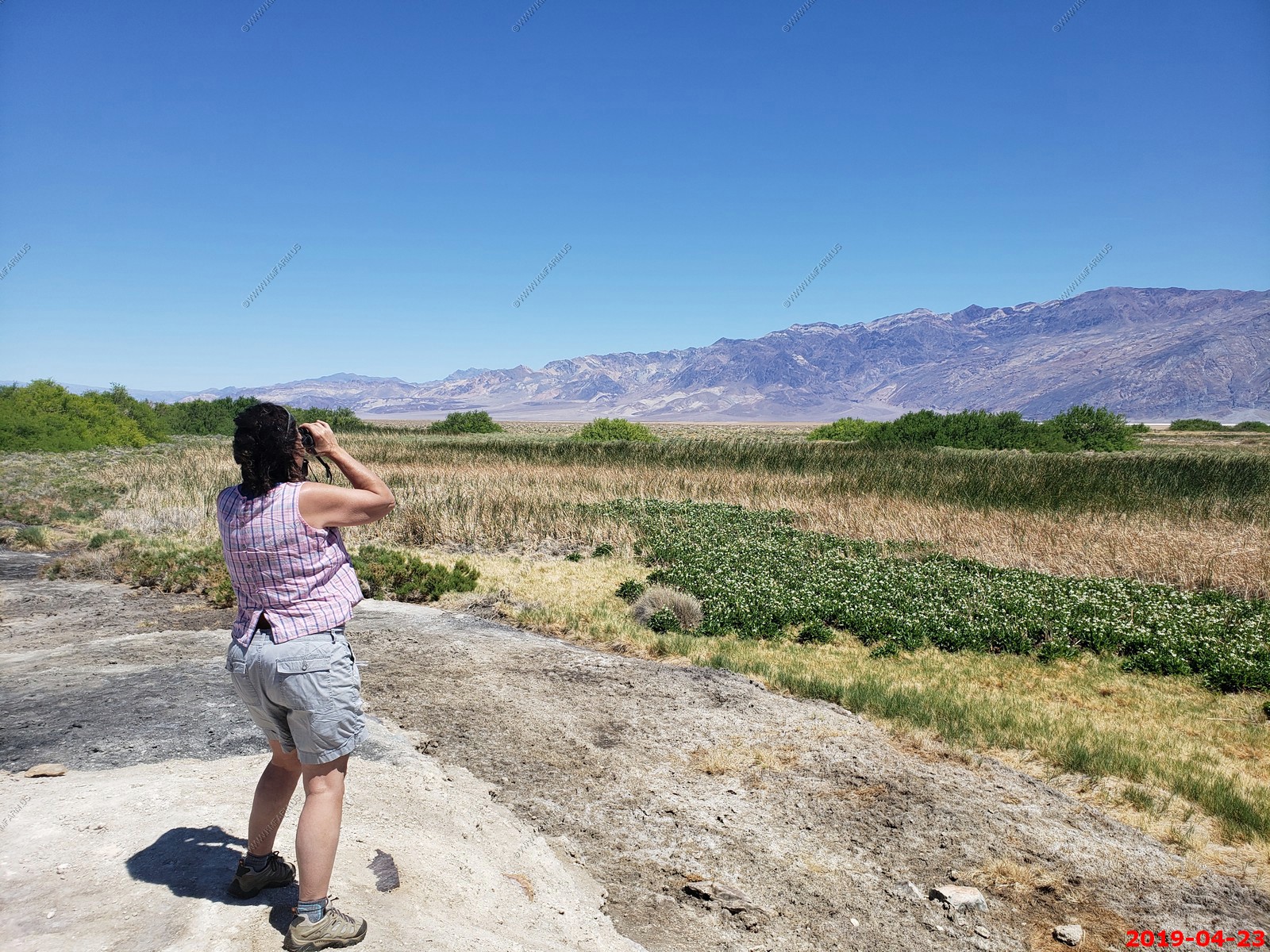
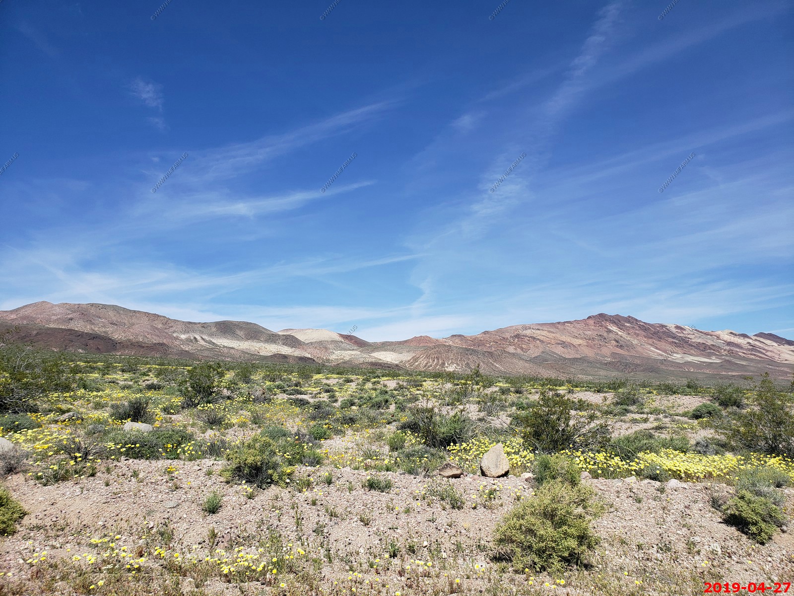
On the way to Death Valley, we pass thru Ash Meadows National Wildlife Refuge
We like the wildlife refuge and have been here before. They are restoring desert spring habitats, and farming, ranching and proposed housing developments have stopped. The leatherleaf ash is making a comeback.
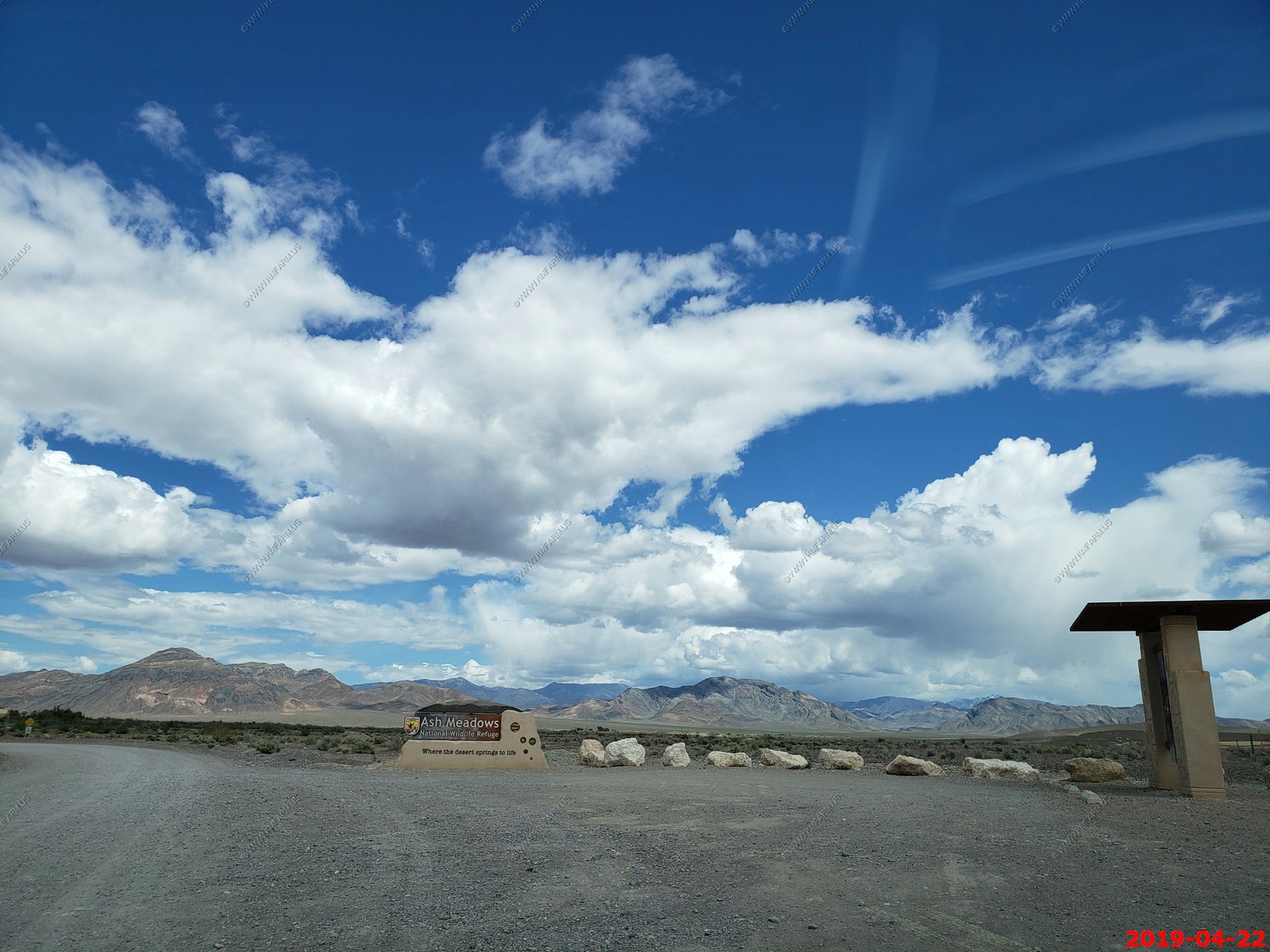
The refuge was created on June 18, 1984, to protect an extremely rare desert oasis in the Southwestern United States.
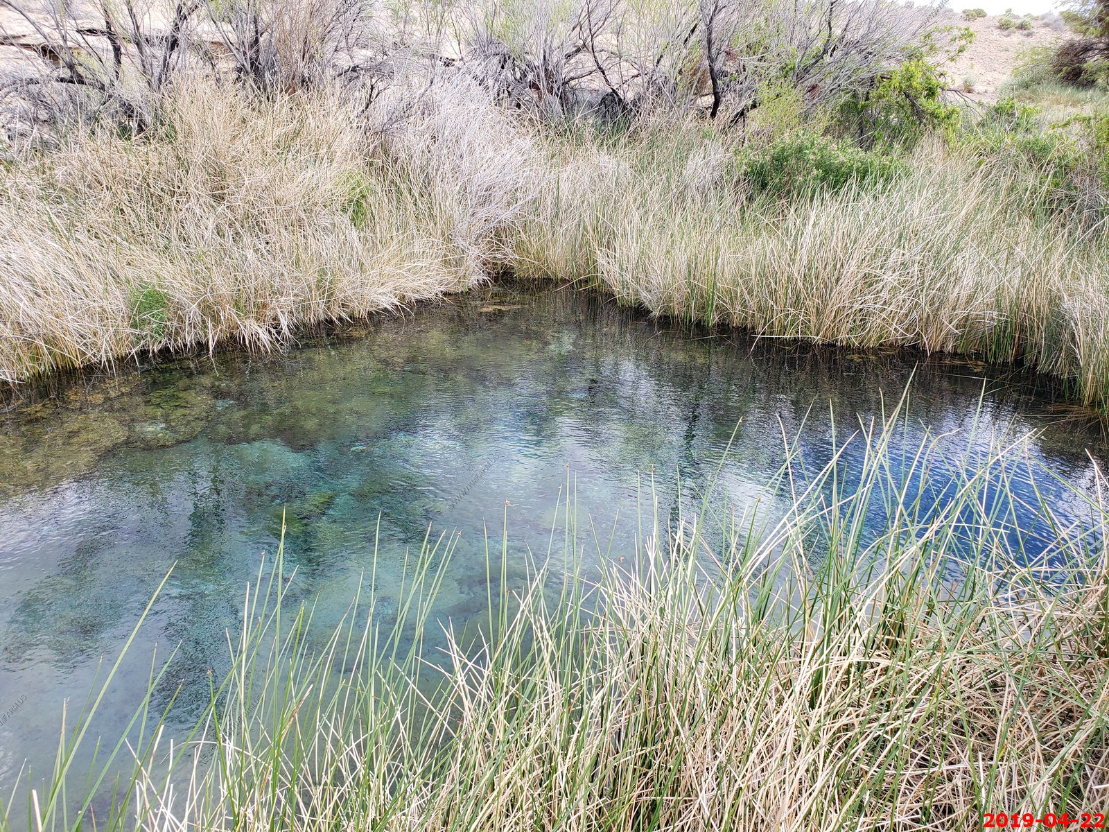
Point of Rocks - Ash Meadows provides a valuable and unprecedented example of desert oases habitats, that have become extremely uncommon in the southwestern deserts. The refuge is a major discharge point for a vast underground aquifer water system, reaching more than 100 mi to the northeast. Water-bearing strata come to the surface in more than thirty seeps and springs, providing a rich, complex variety of mesic habitats.
Virtually all of the water at Ash Meadows is fossil water, believed to have entered the ground water system tens of thousands of years ago
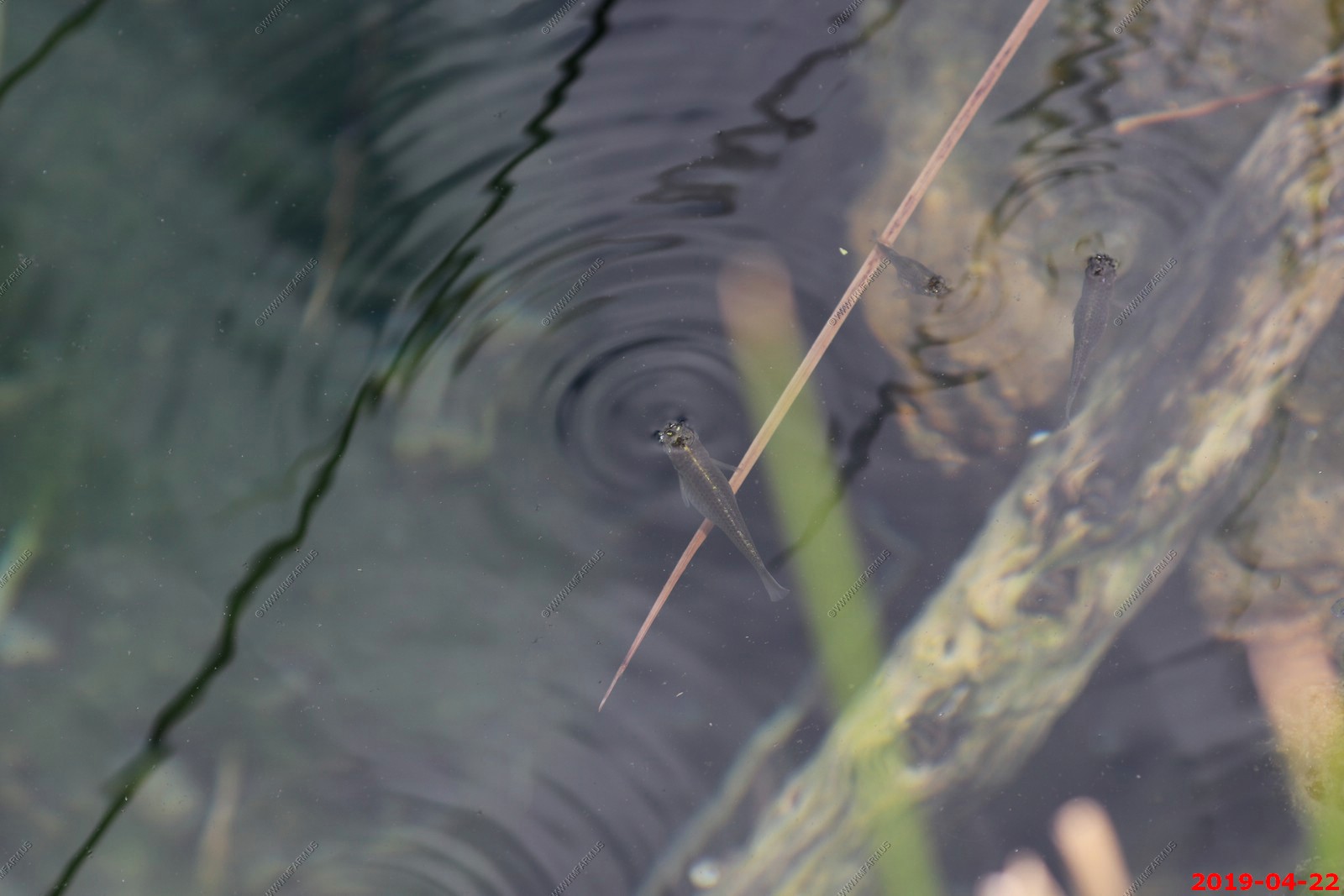
Pupfish
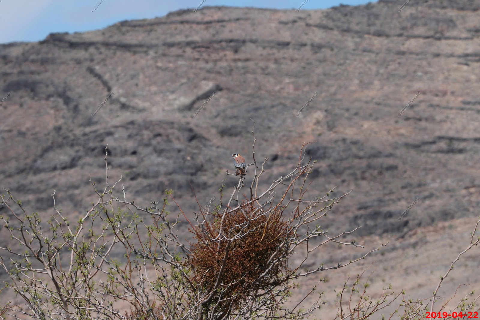
American Kestrel. Sitting on top of mistletoe in a mesquite tree.
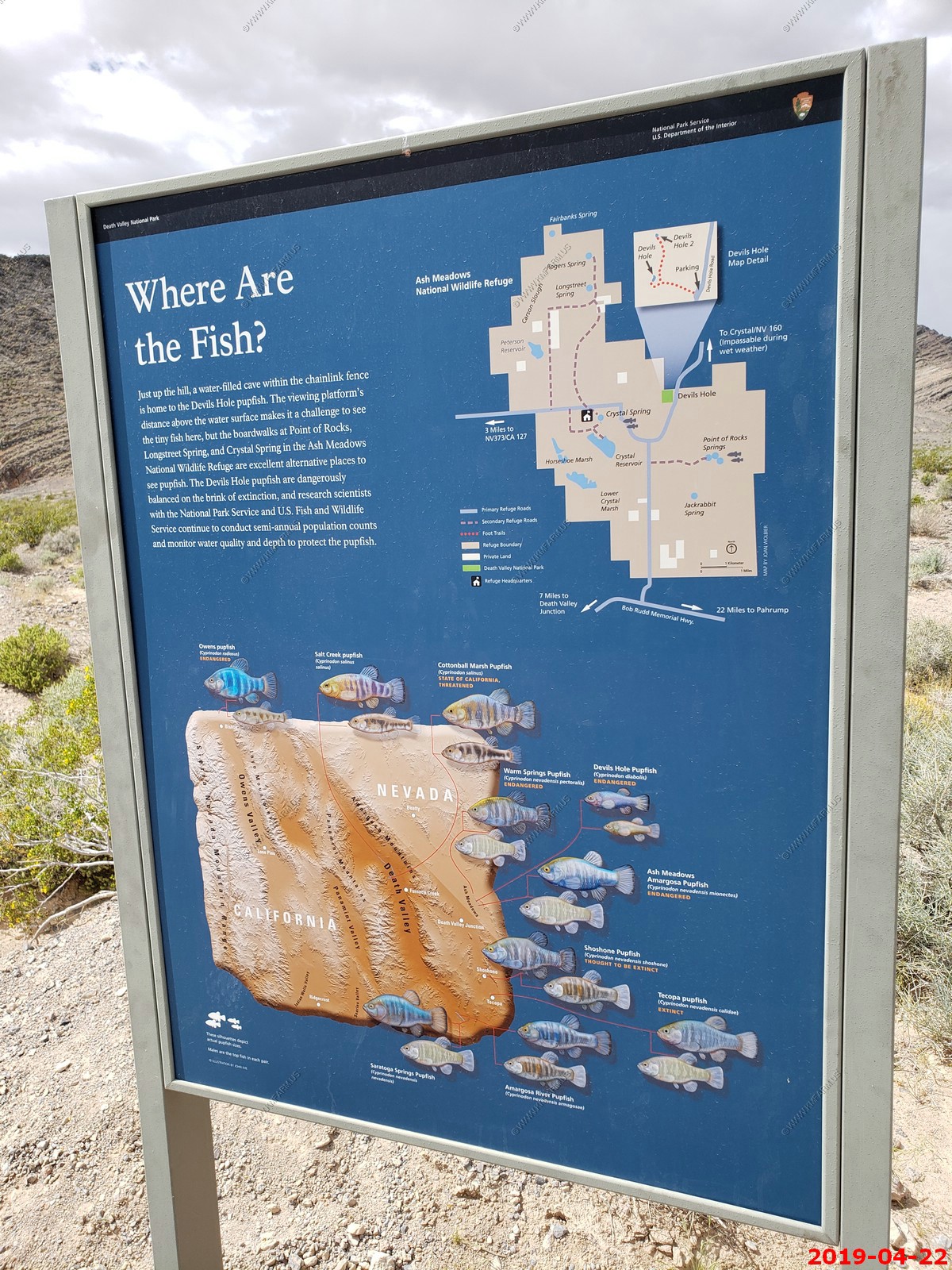
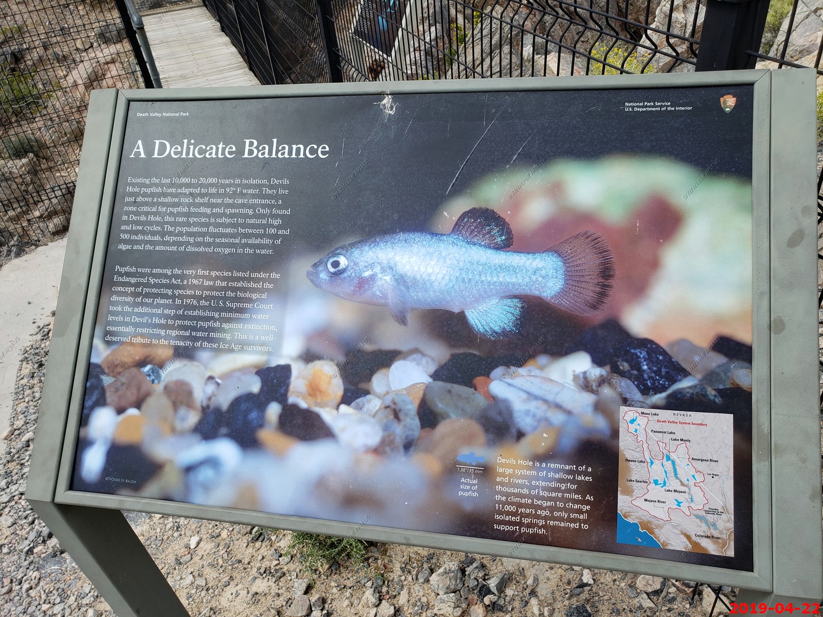
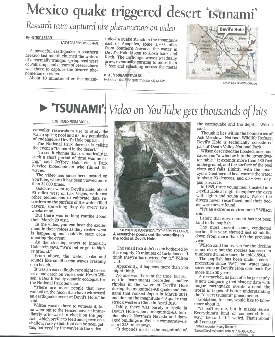
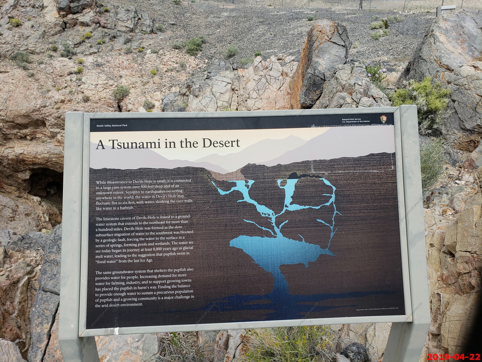
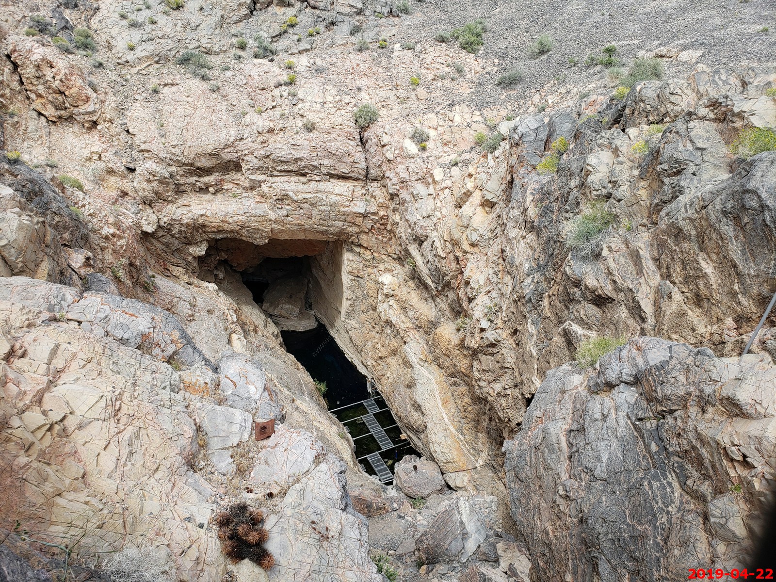
The Devils Hole pupfish is a critically endangered species of the family Cyprinodontidae found only in Devils Hole, a water-filled cavern in the US state of Nevada. It was first described as a species in 1930 and is most closely related to C. nevadensis and the Death Valley pupfish. We stopped here on the way to DVNP. It is within the Ash Meadows NWR but is actually part of DVNP. We did not see any fish and the cave is fenced so you can't get close to it.
Devils Hole is more than 430 ft. deep, though pupfish are only found in the upper 80 ft. The water is a constant temperature of 91F. Earthquakes far away will cause waves that kill the fish. The 2019 count is 136. The Devils Hole pupfish has been listed as endangered by the US federal government since 1967 and critically endangered by the International Union for Conservation of Nature since 2014.
I was impressed with the security they had here.
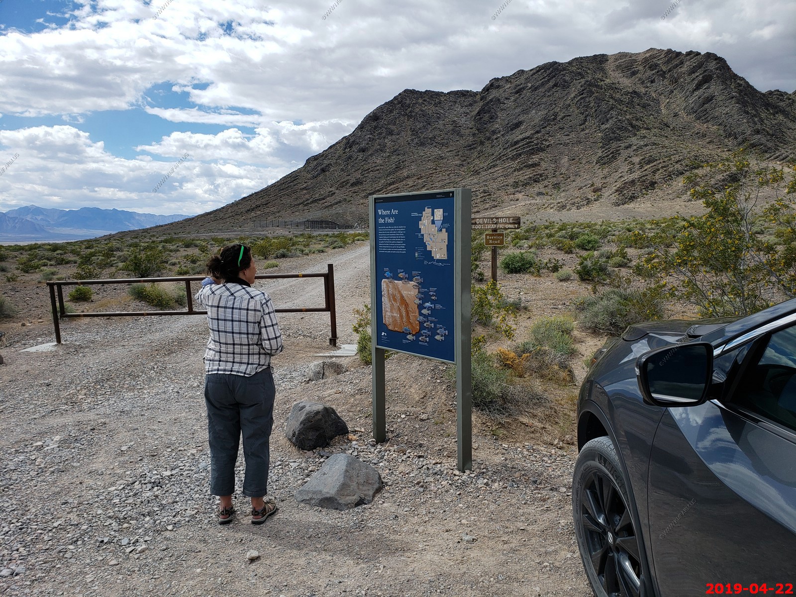
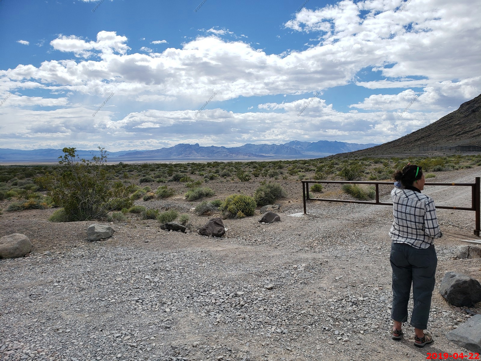
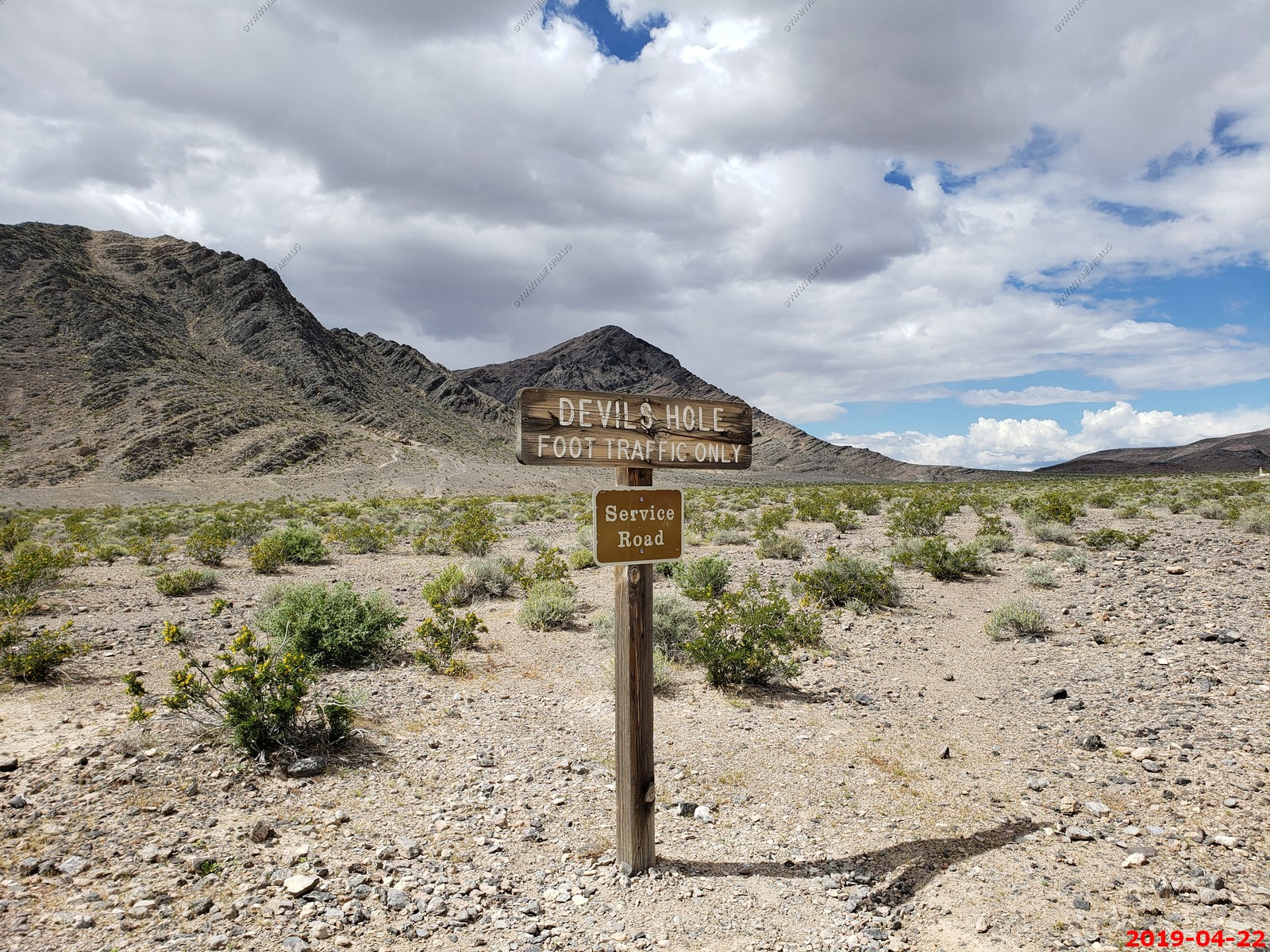
Looking west from the Devils Hole parking area which is located near (36.4254 -116.2923)
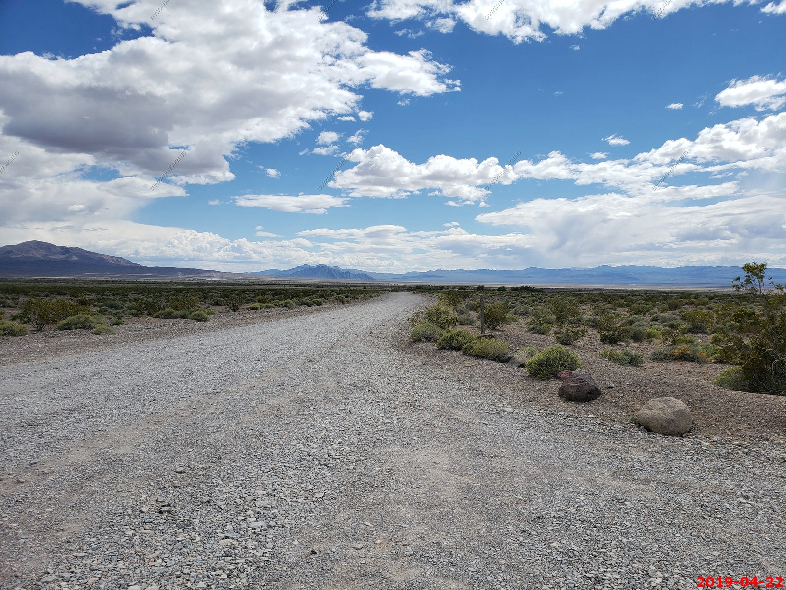
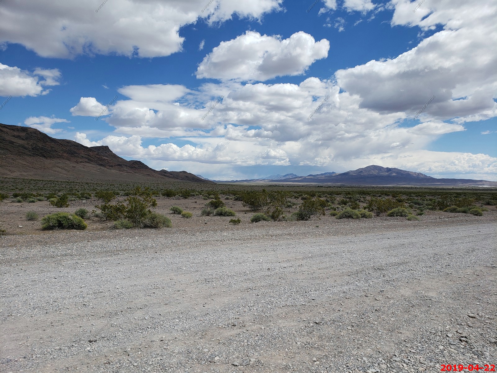
Looking south from the parking area
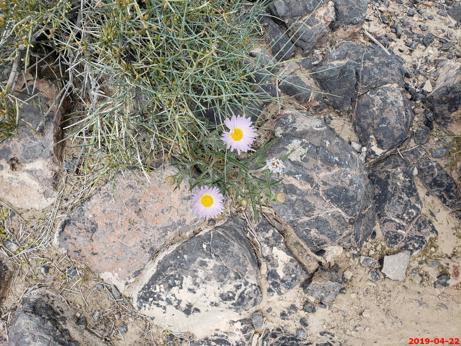
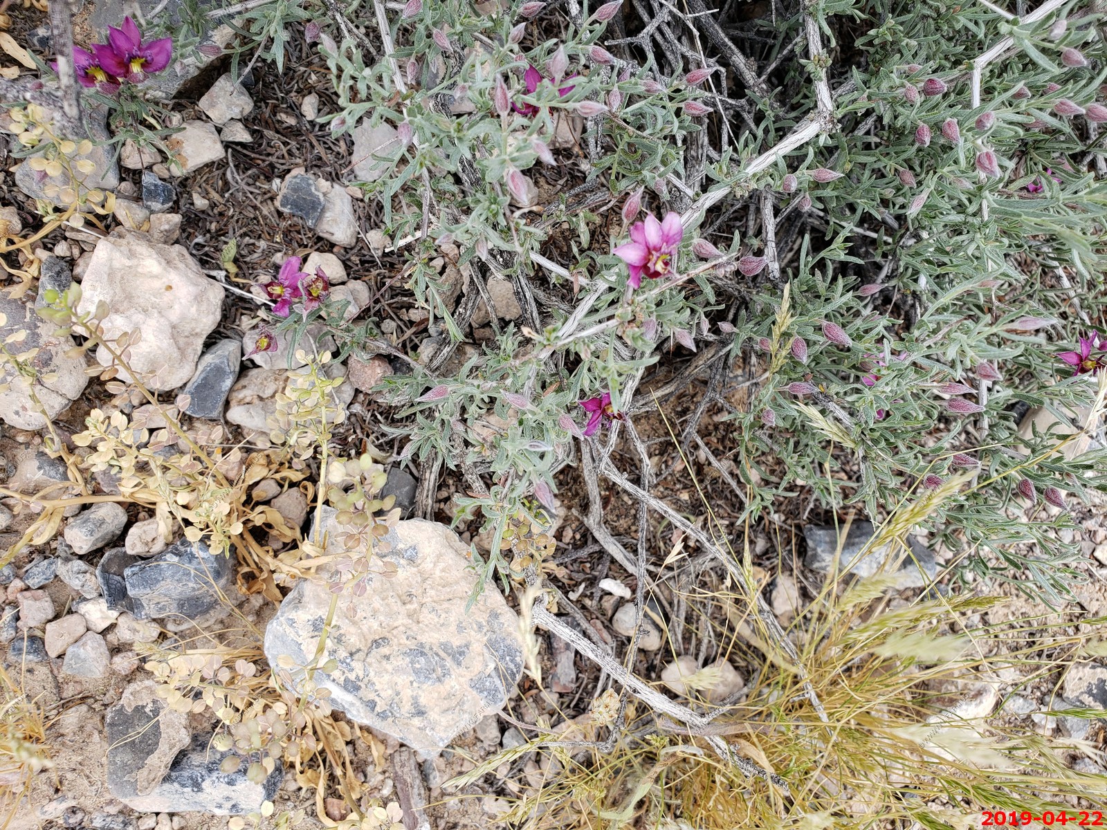
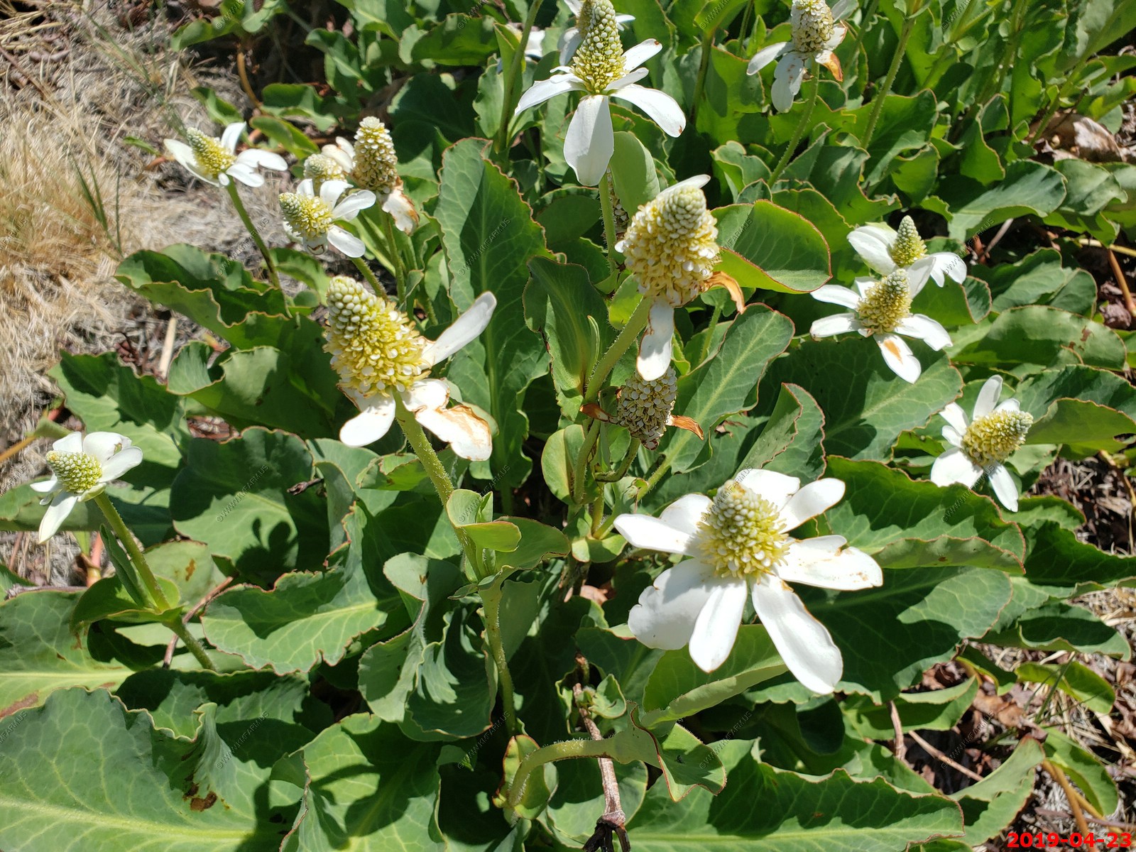
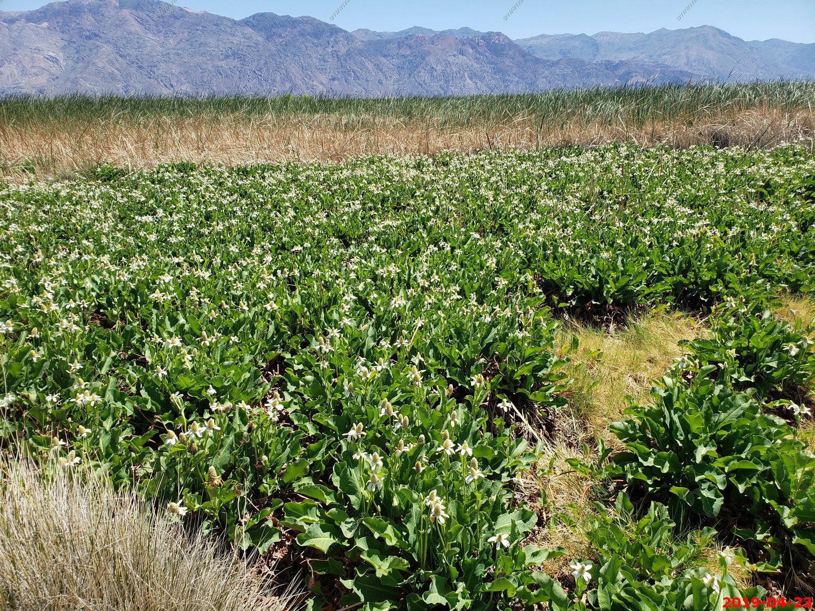
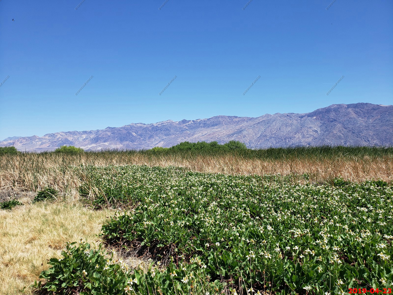
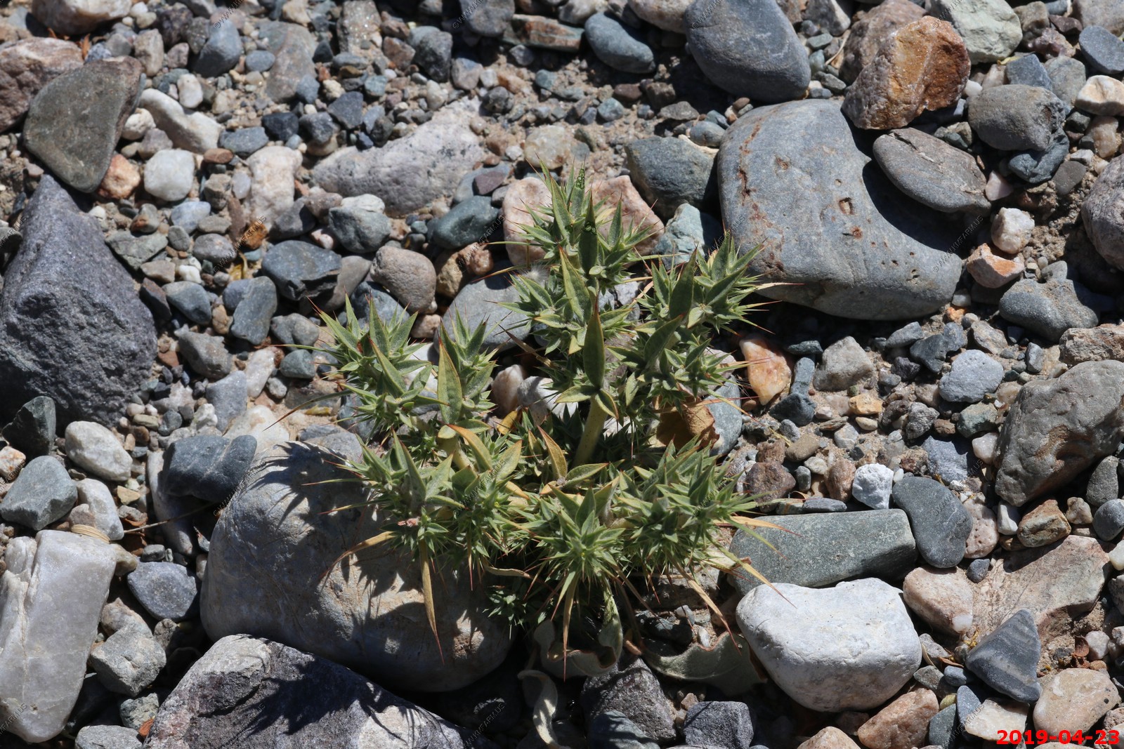
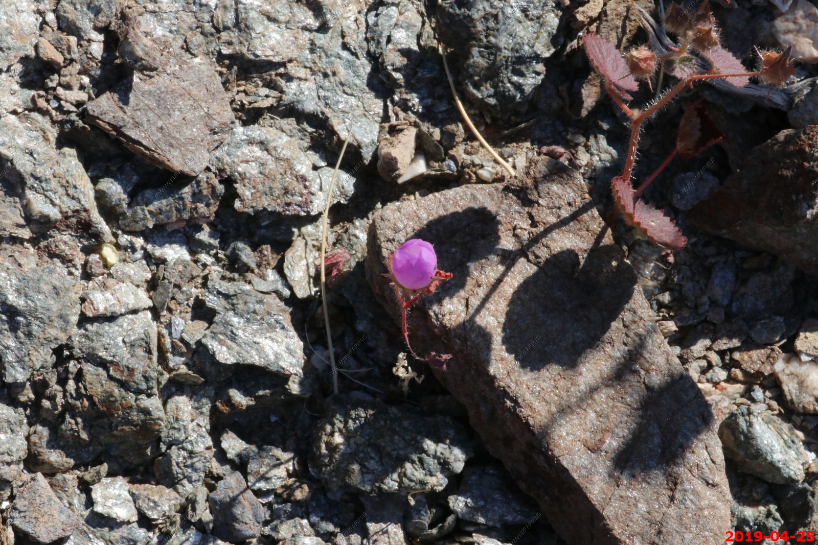
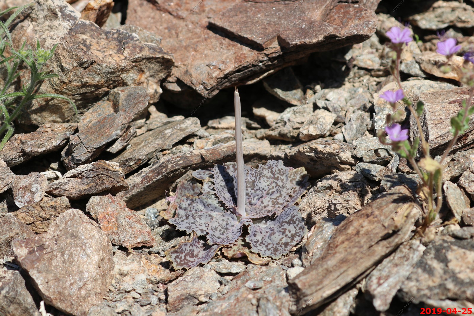
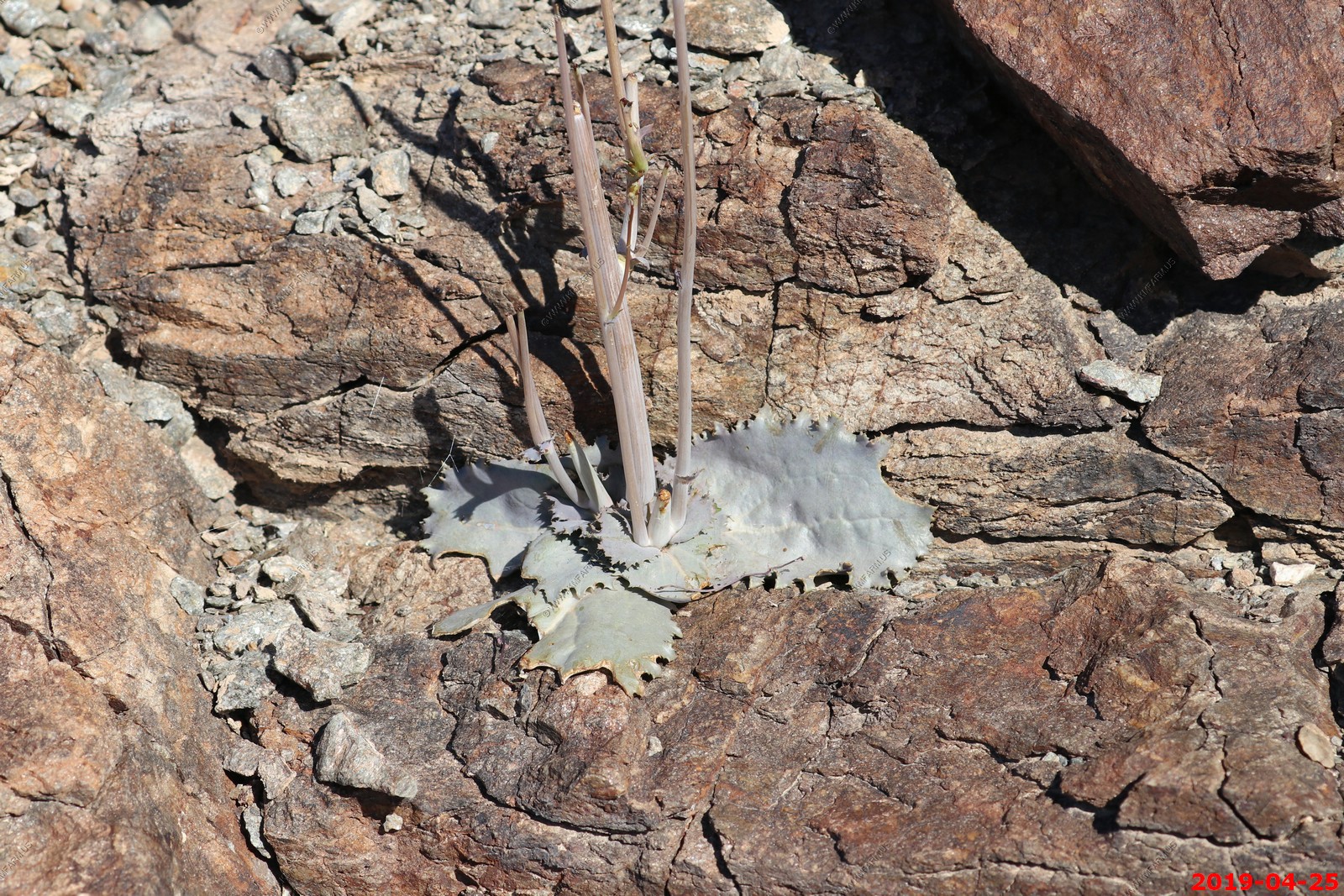
Flowers
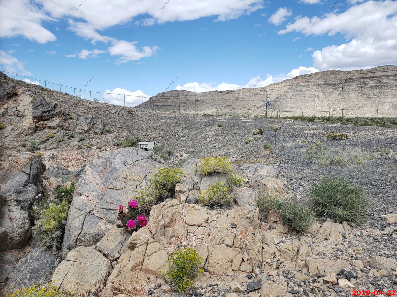
Beavertail cactus
Interesting article about how the water levels in these caves reacts to distant earthquakes
Looking down at the platforms built in Devils Hole
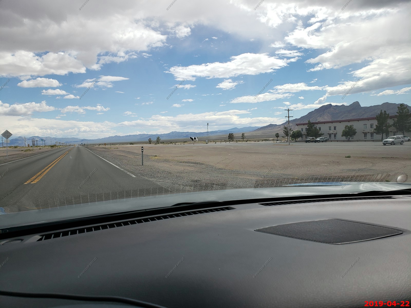
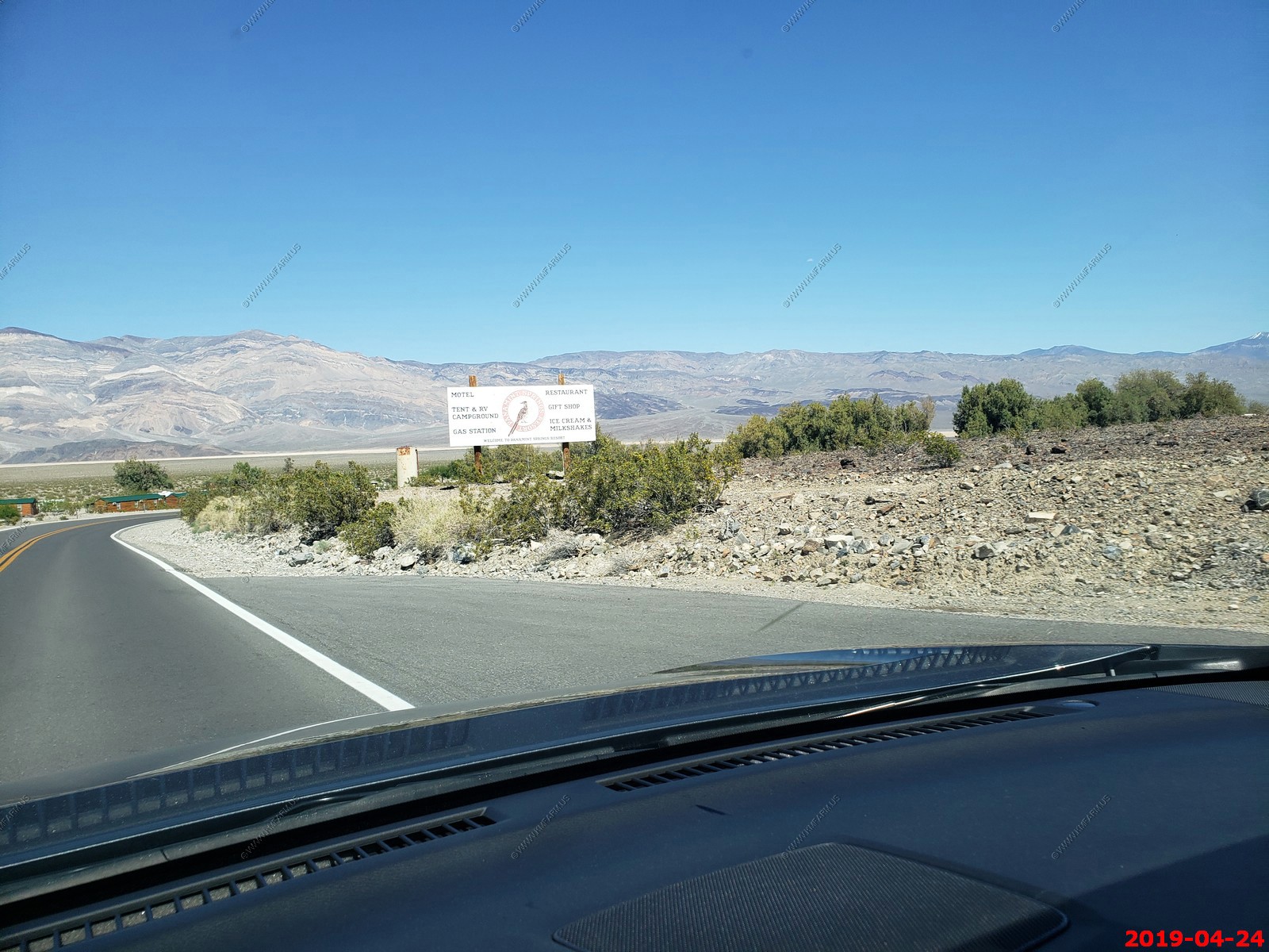
Big Bovine of The Desert located next to the Longstreet Inn Casino & RV Resort located along Highway 373, Amargosa Valley, NV. I have no idea why ?
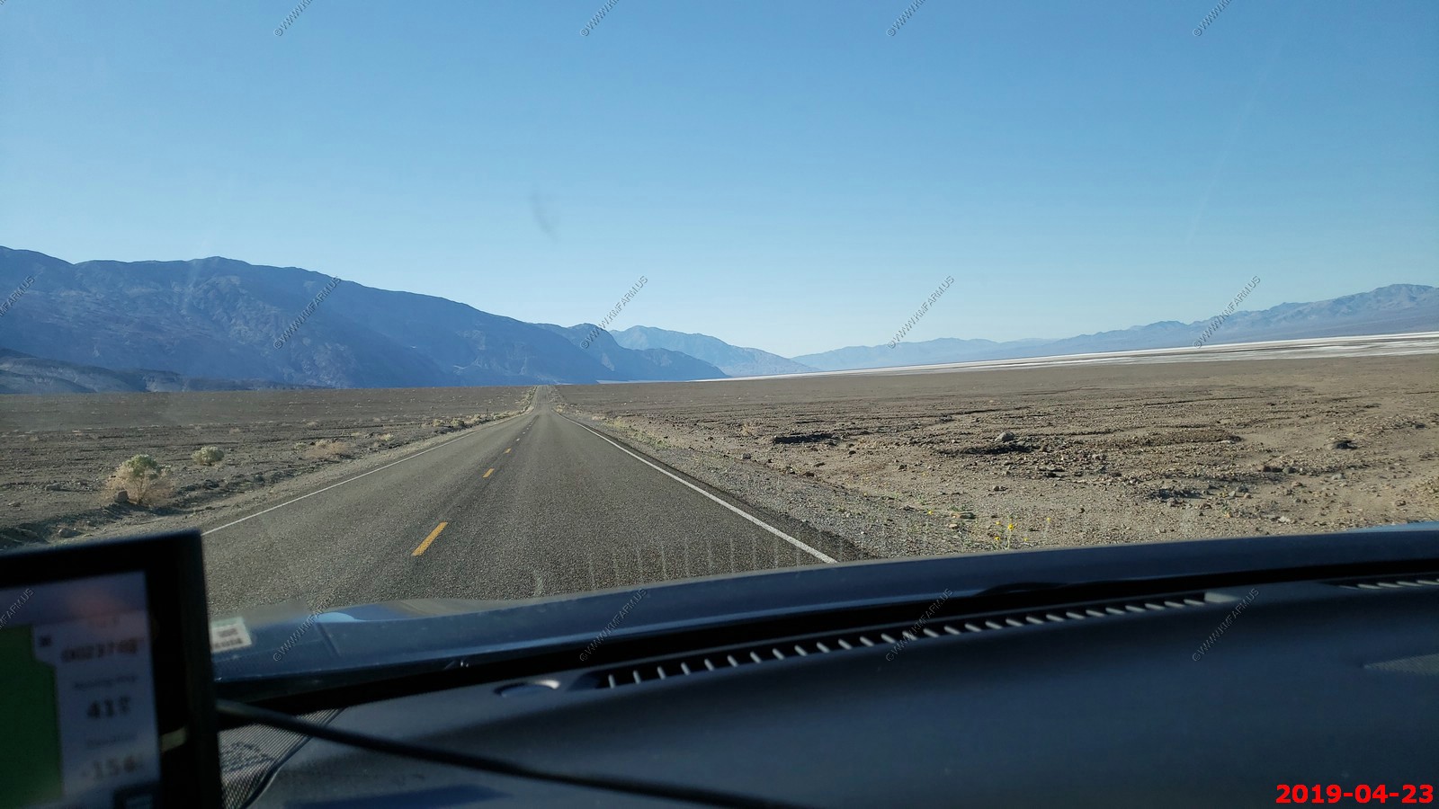
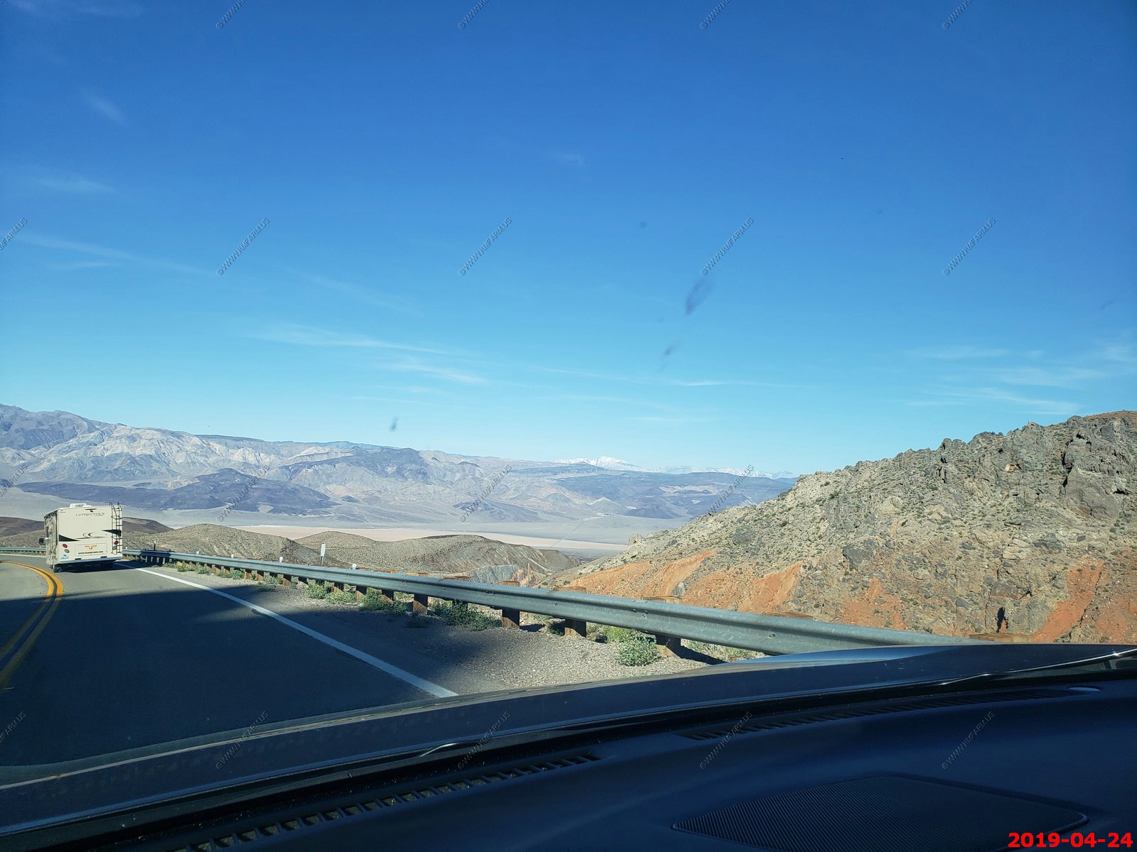
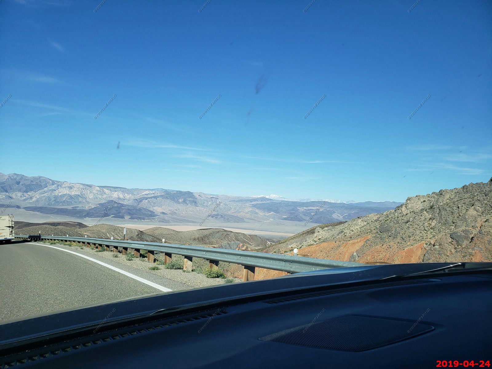
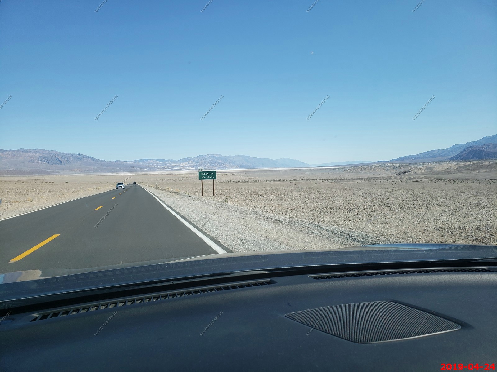
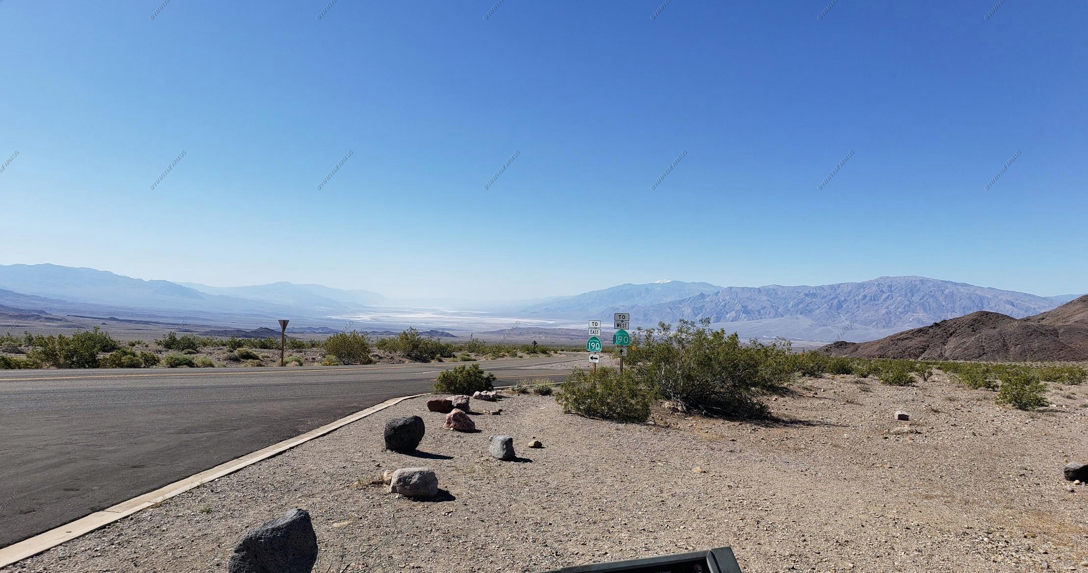
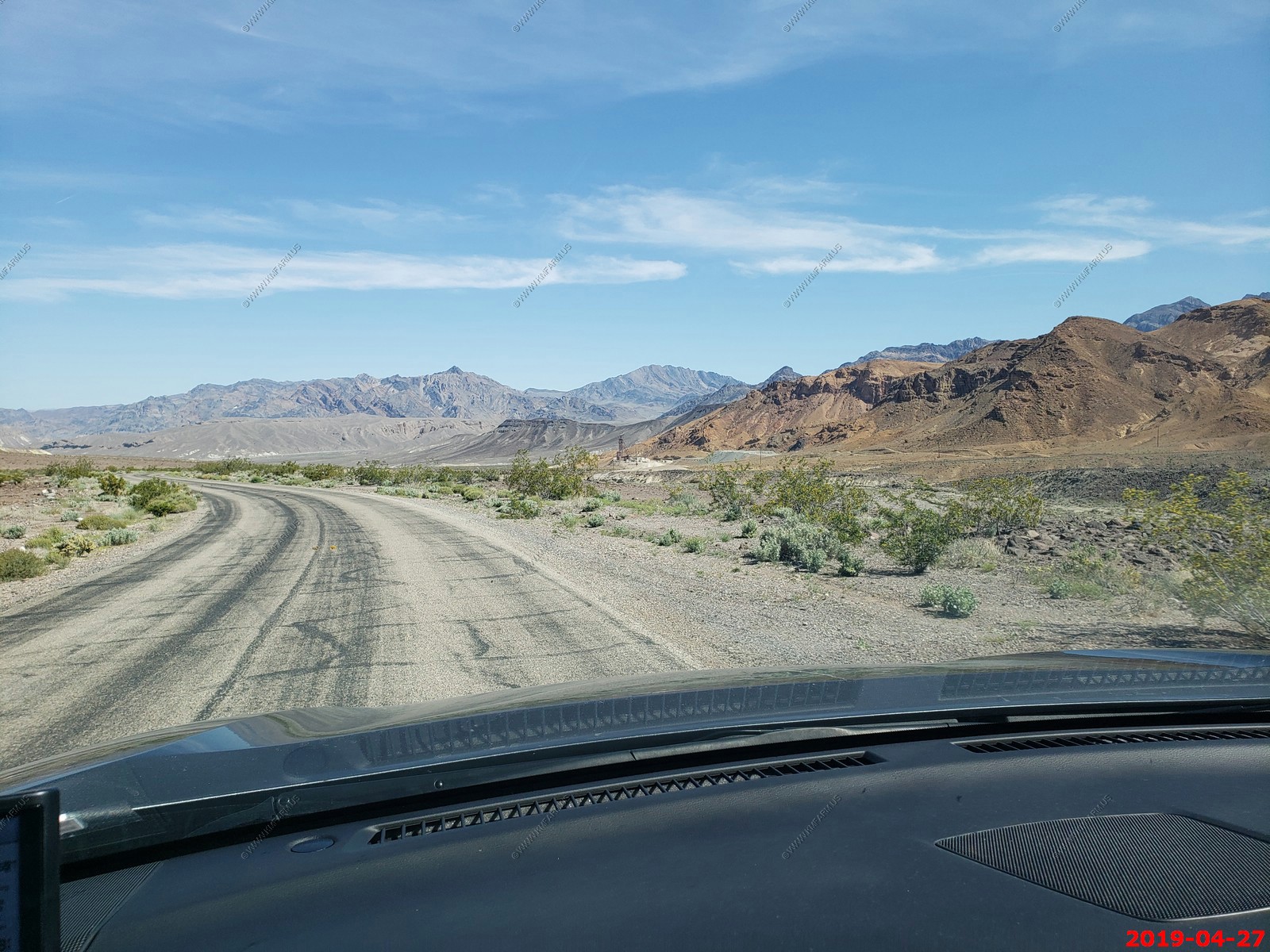
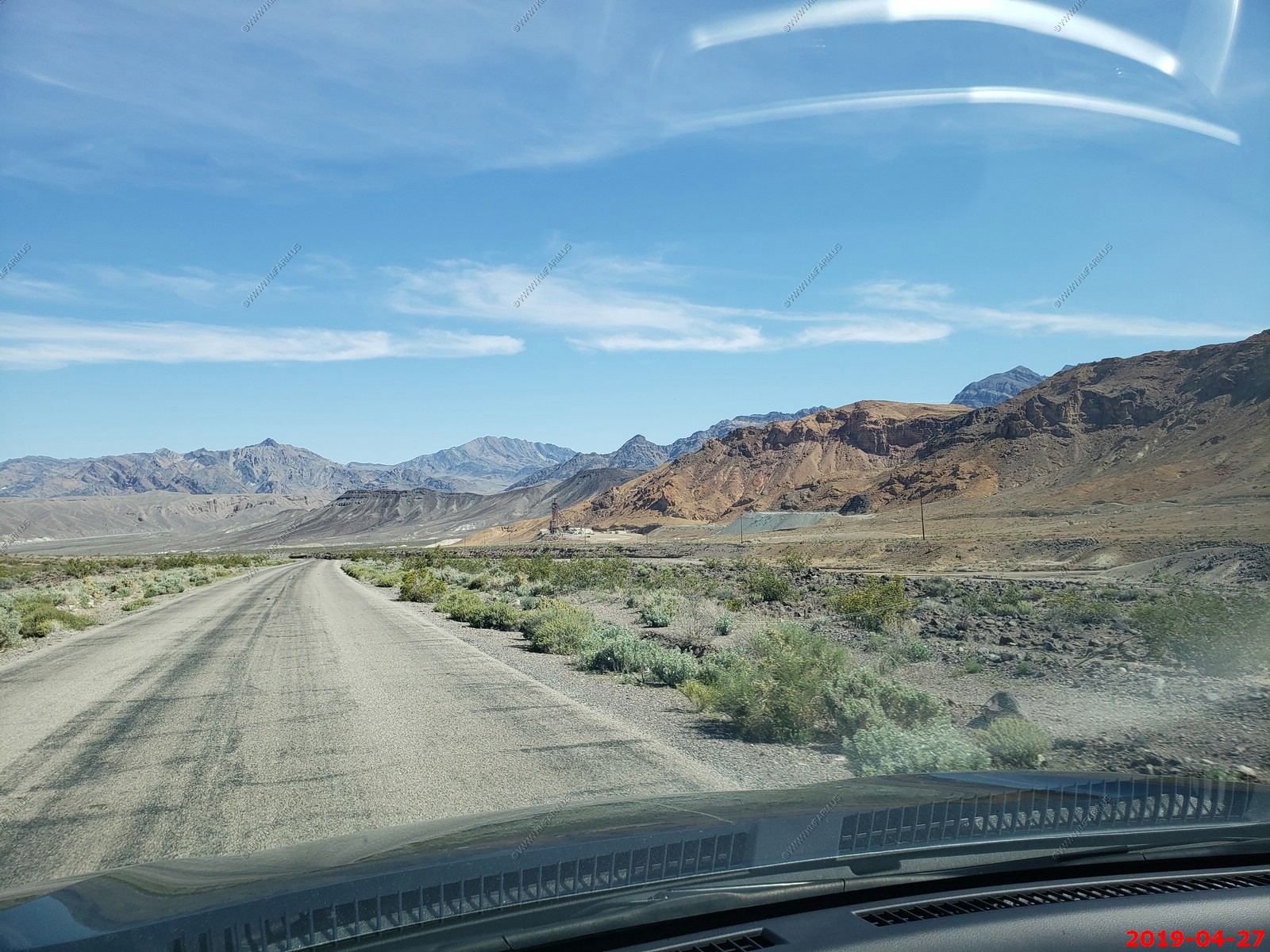
My kind of road, no cars, no development and wide open spaces and dust devils. It actually rained a bit as we were coming down the hill into Death Valley along CA-190.
Welcome to Death Valley National Park - Death Valley is the largest national park in the contiguous United States, and the hottest, driest and lowest of all the national parks in the United States.
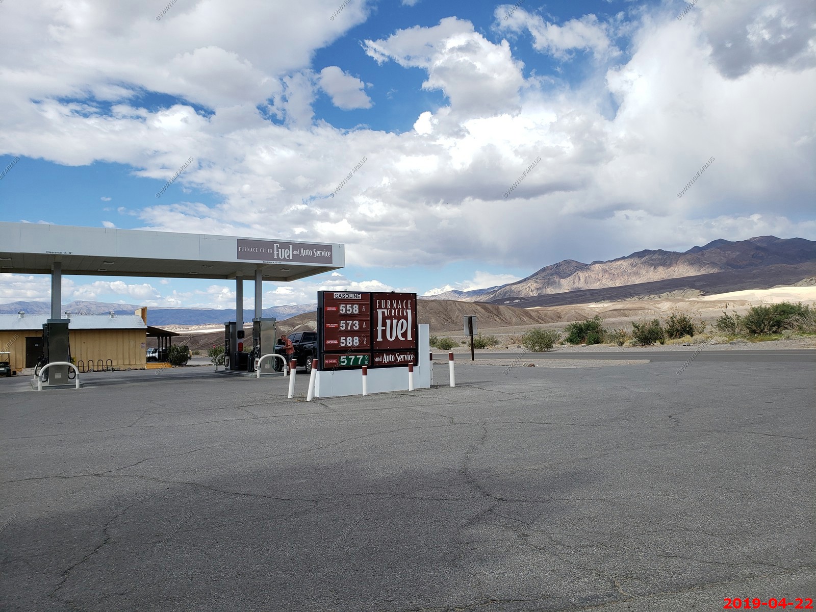
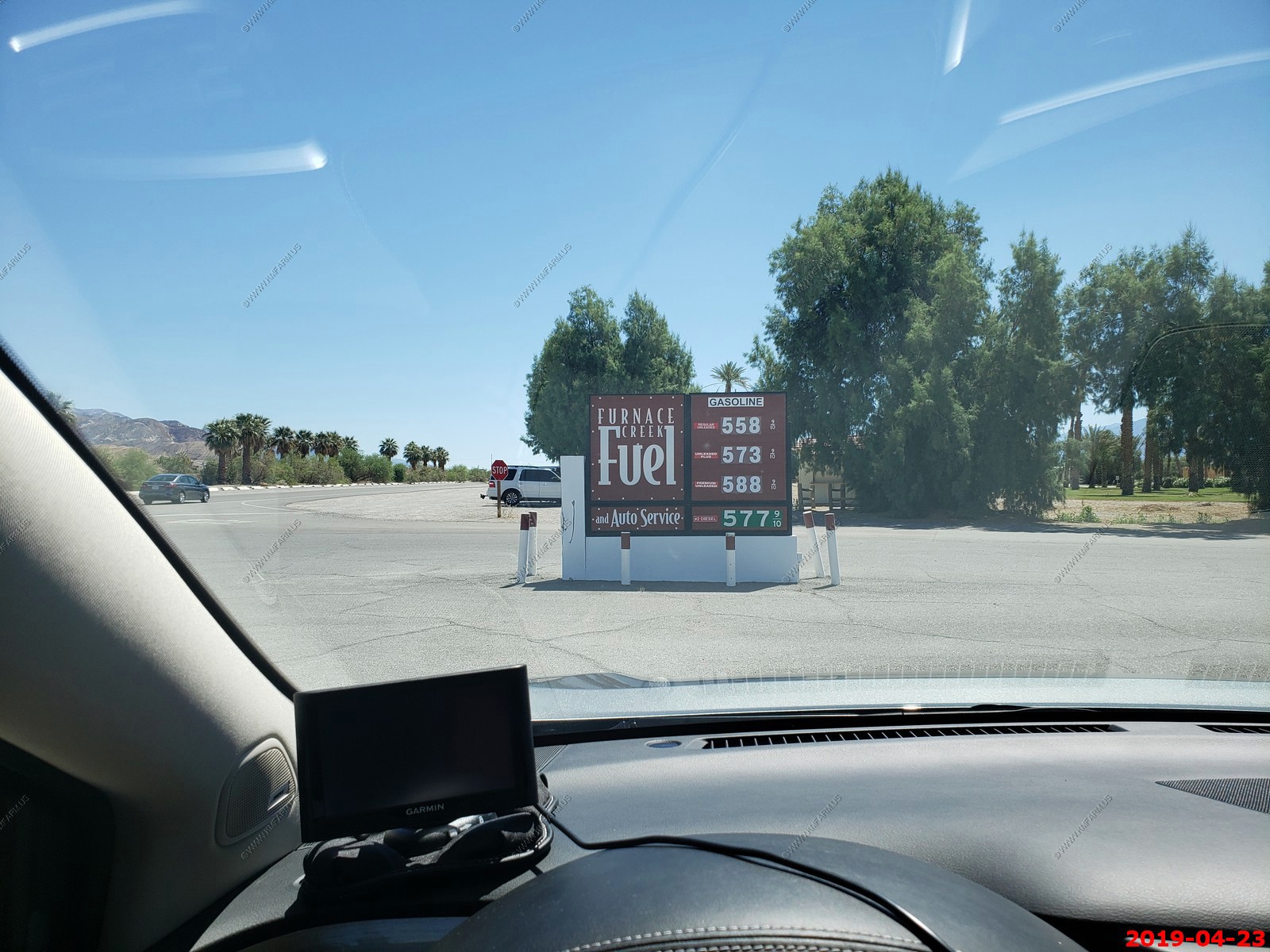
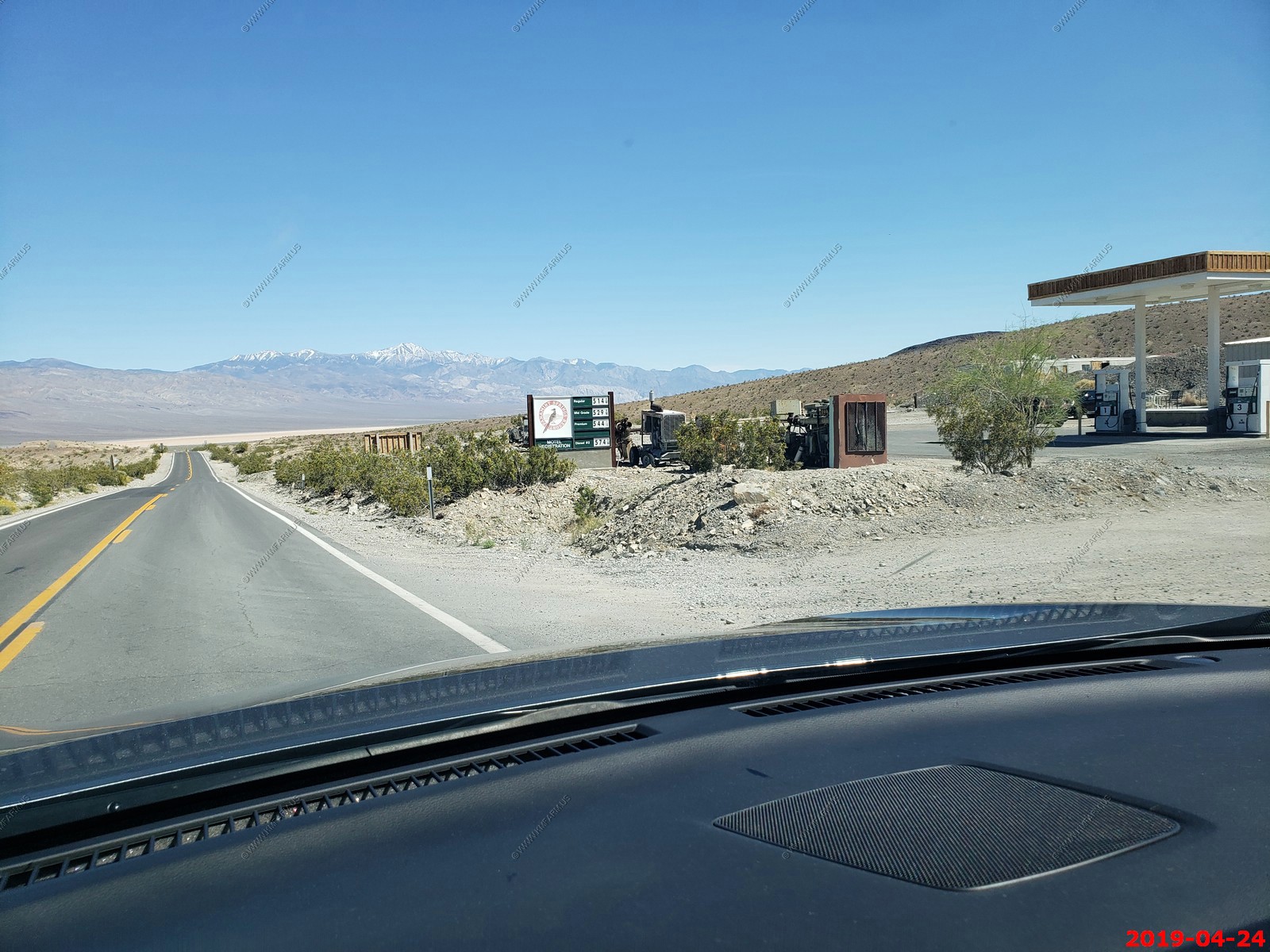
Furnace Creek DVNP fuel. I love the prices and we would get gas here every few days. It's a great deal considering where we are.
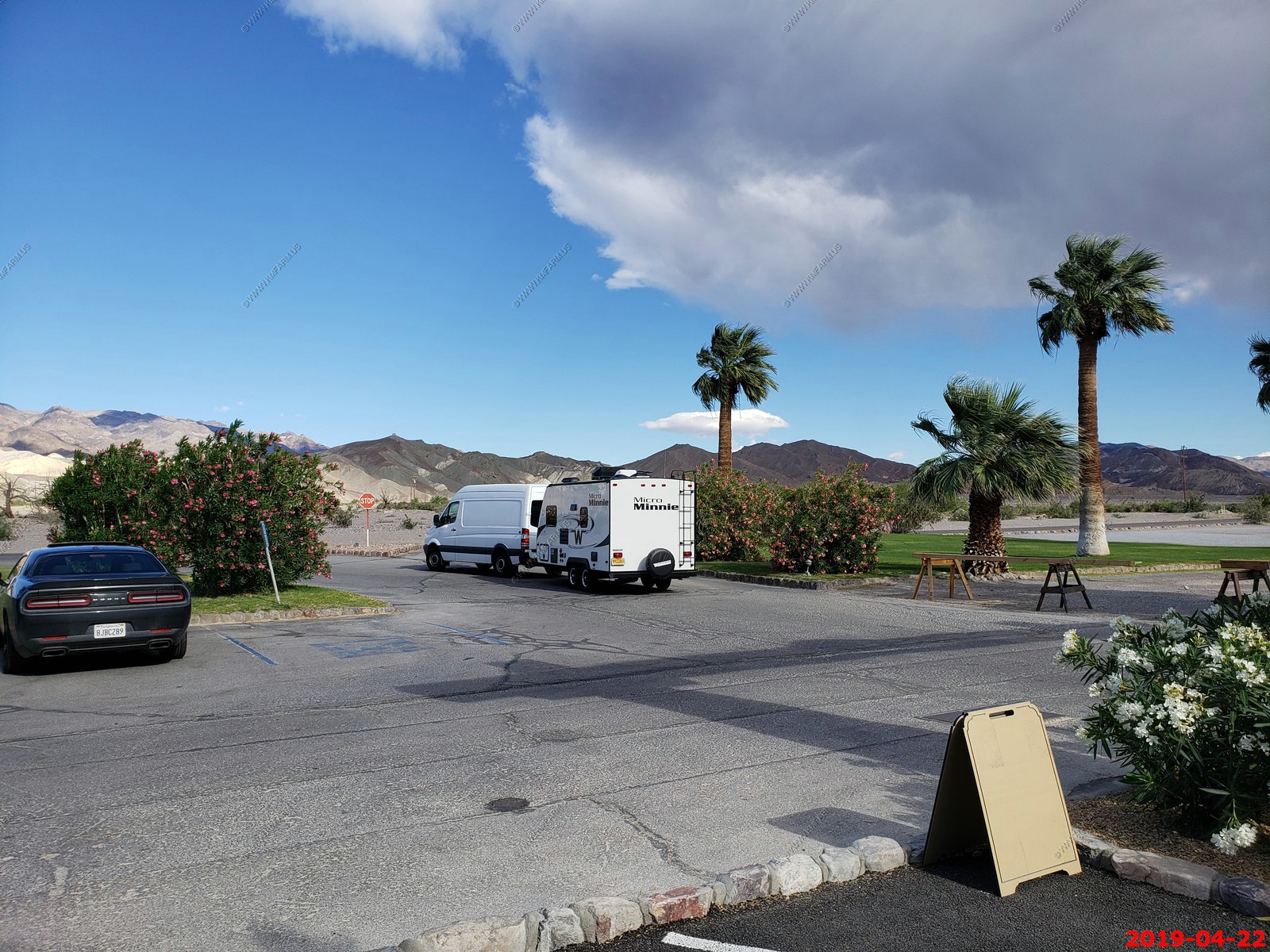
Cool setup (as of DEC-2021 when I am writing this up, we will probably get an RV of some type in 2022)
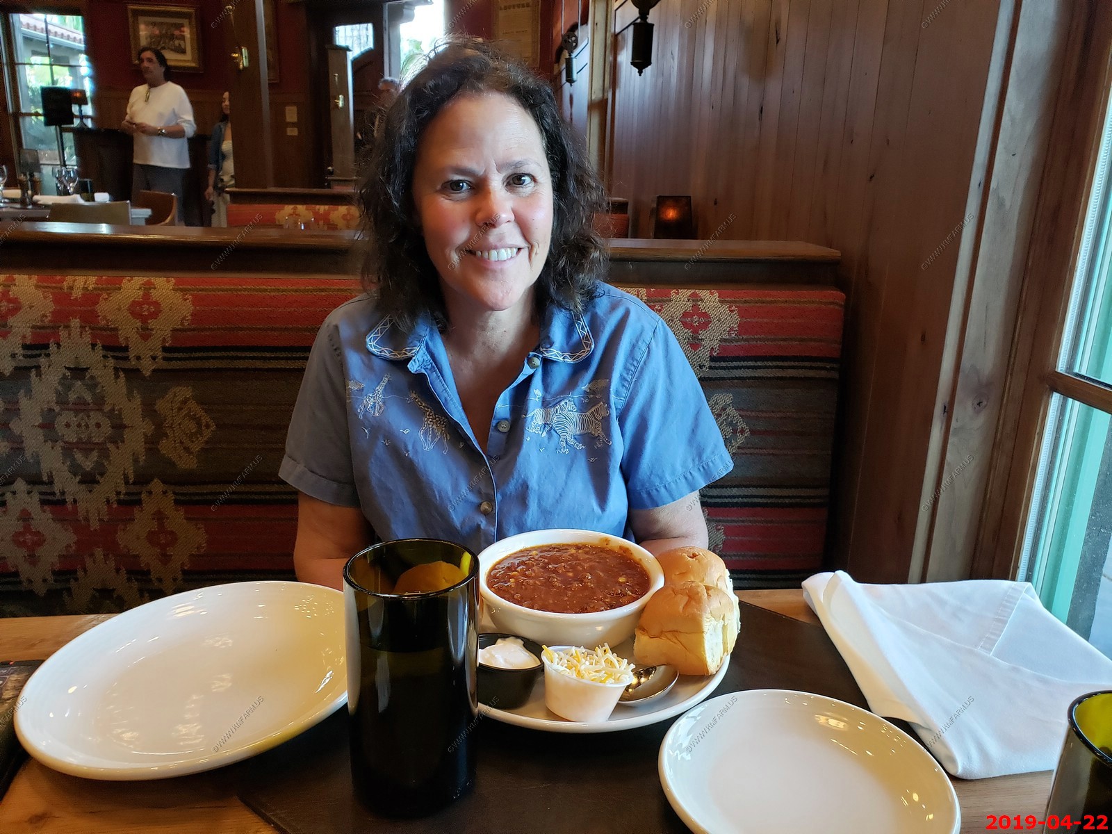
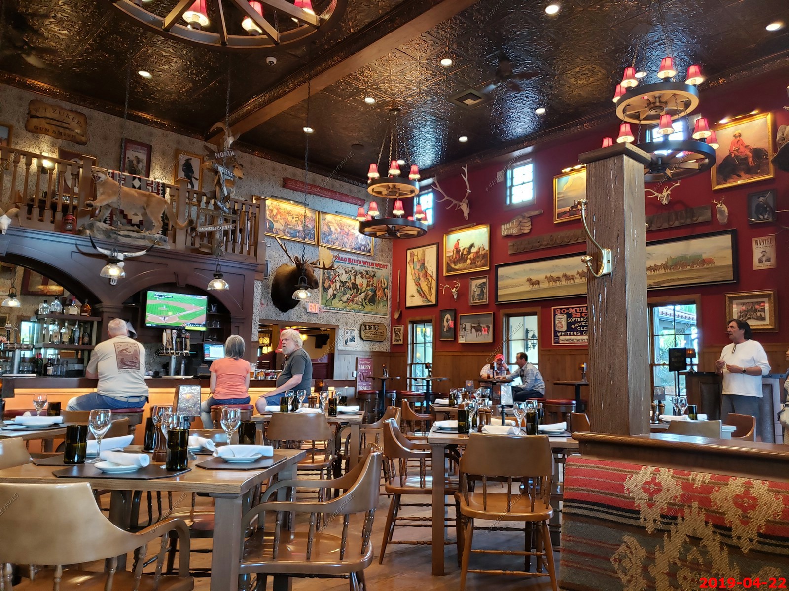
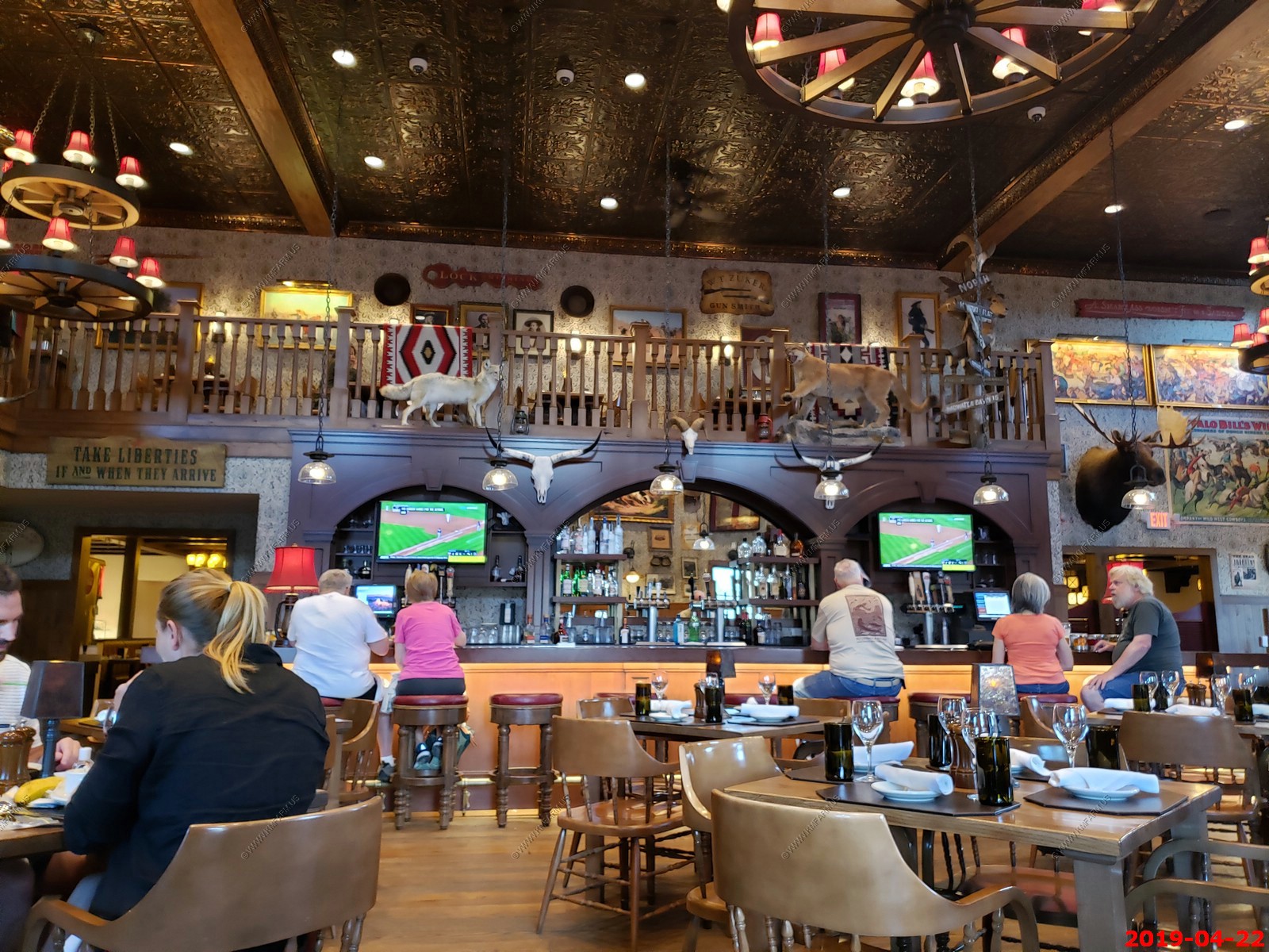
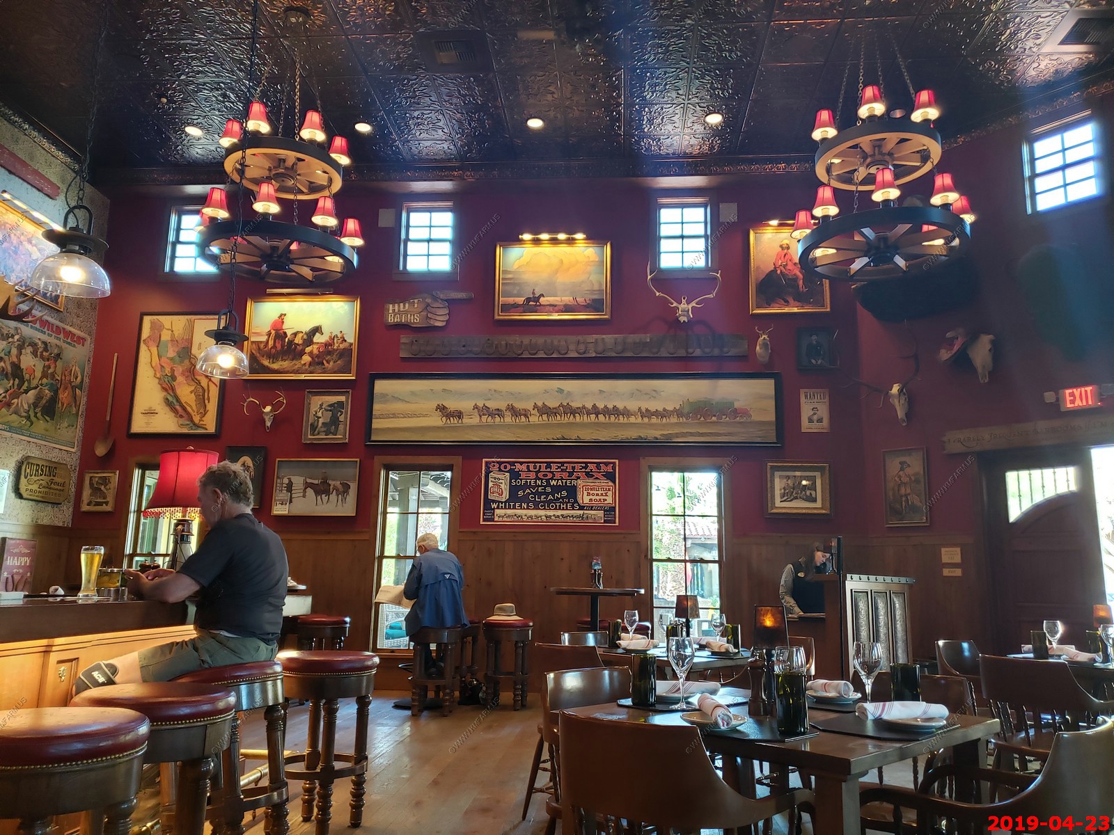
The Last Kind Words Saloon - The New Heartbeat of The Ranch at Death Valley.
One of the crown jewels of the 2018 revitalization efforts at the historic Ranch at Death Valley, The Last Kind Words Saloon brings the West of old to Death Valley. Featuring relics of the past such as movie posters, "Wanted!" fliers touting the misdeeds of outlaws, antique firearms, and taxidermied game animals, The Last Kind Words Saloon is a testimony to the days of a bygone era.
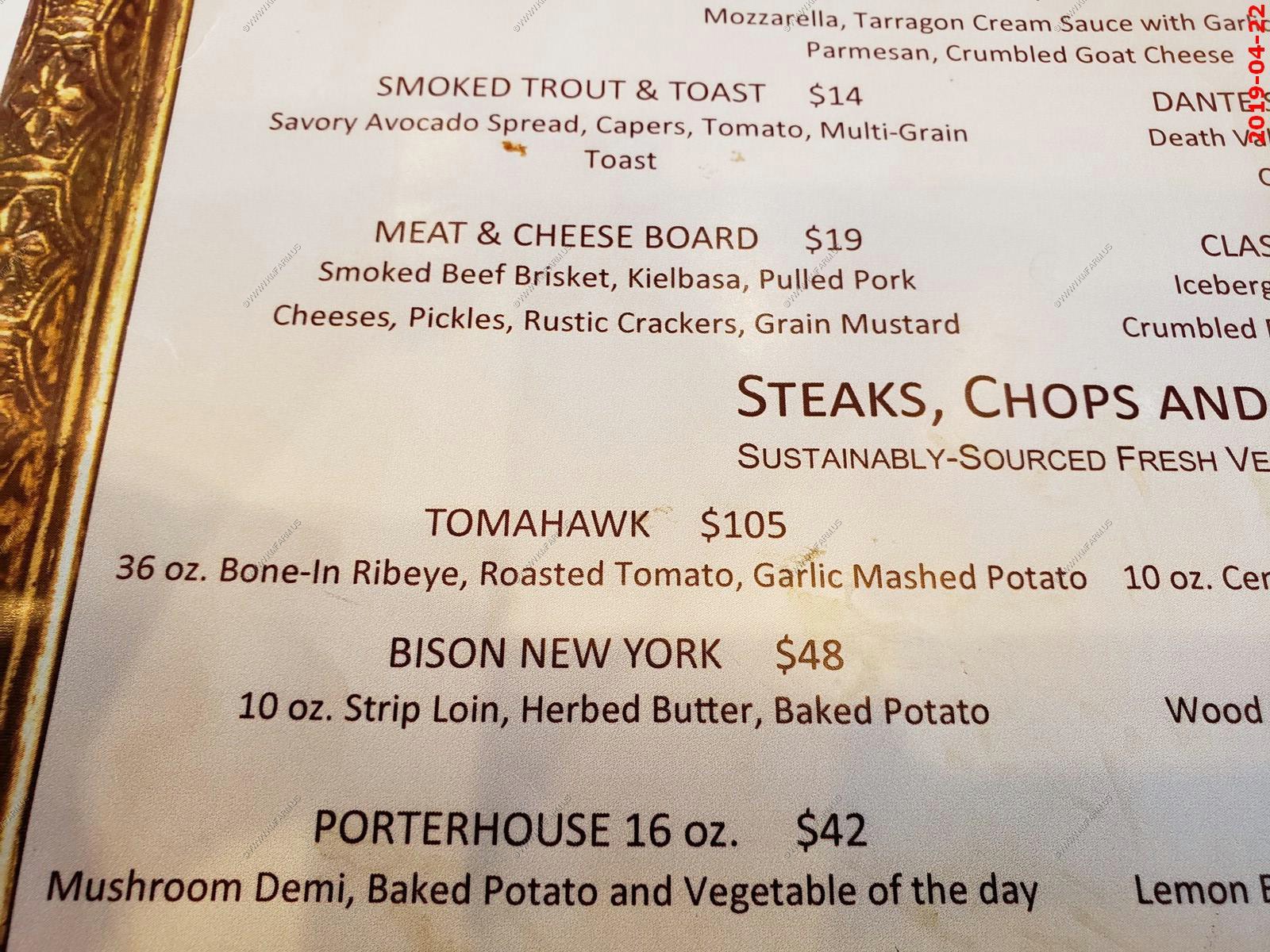
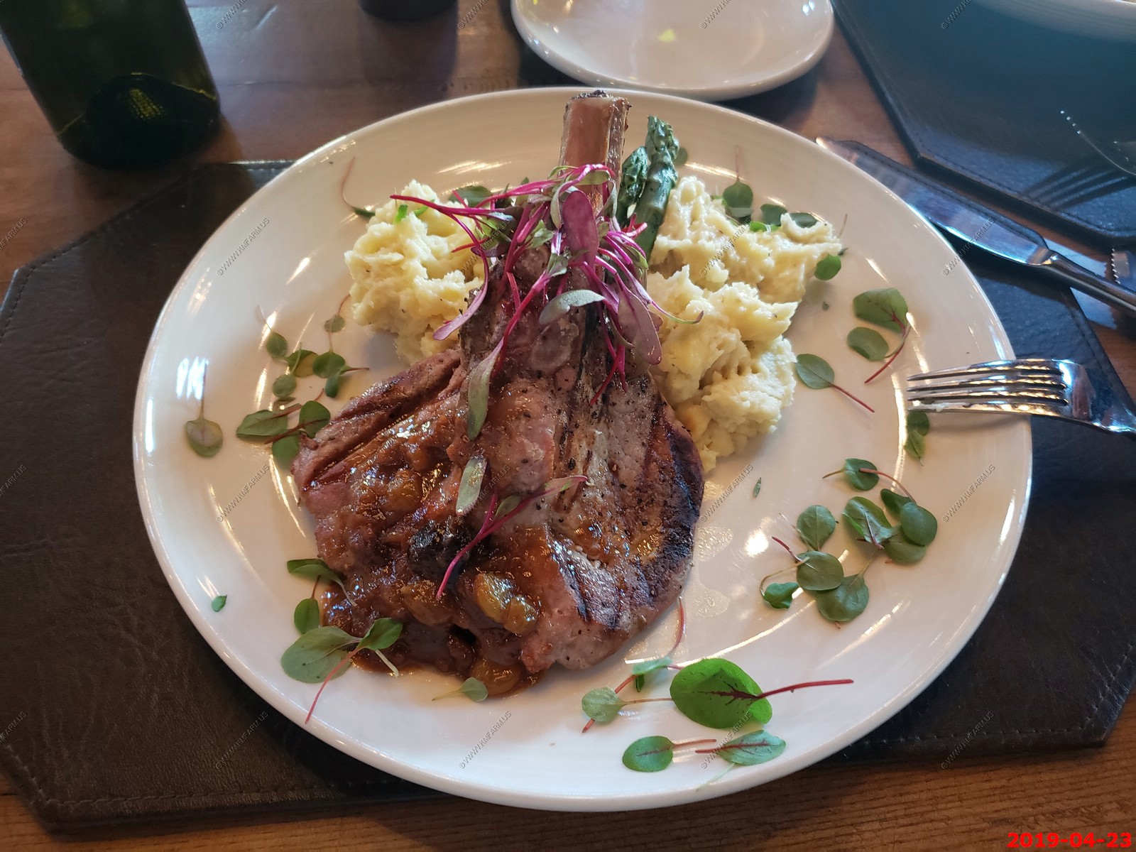
There are few choices for dining at Furnace Creek but we stopped here the first night. It has great atmosphere. Ken had ribs and I had cowboy chili.
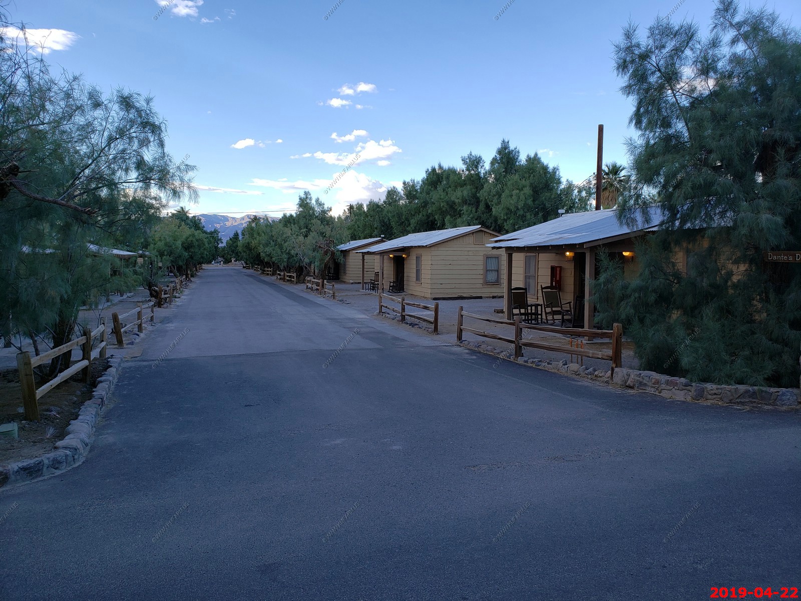
The last time we were both here was back in 2008 West Trip and we rented one of these cabins. Good to see they are still here.
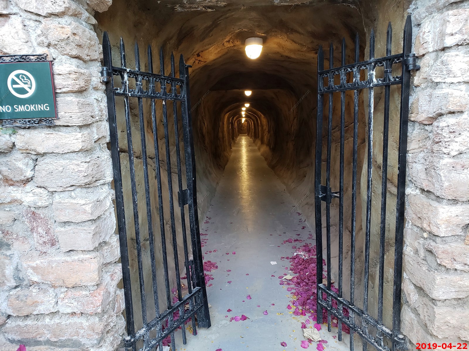
Furnace Creek had a number of tunnels that lead from the parking area and to other parts of the resort.
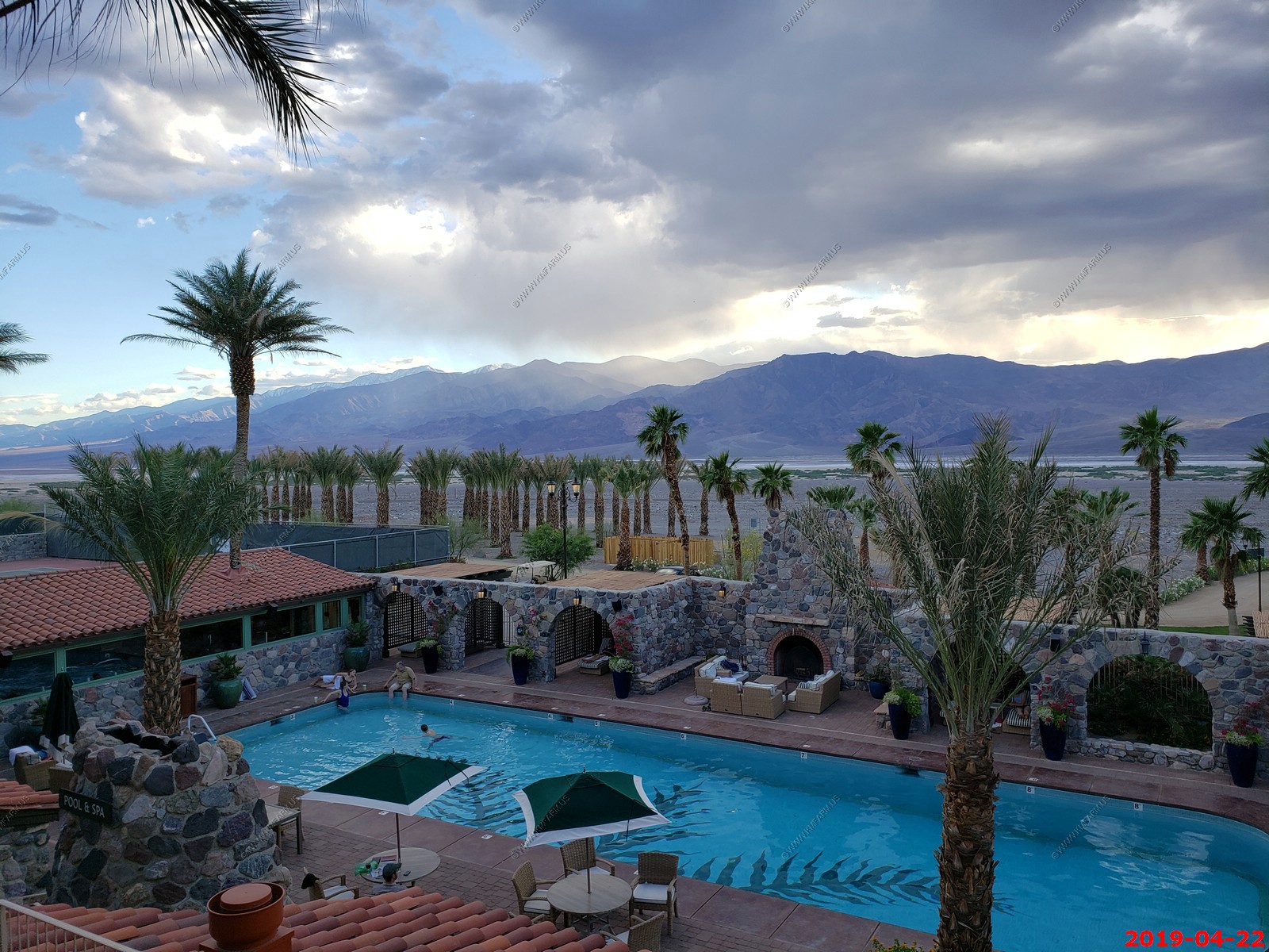
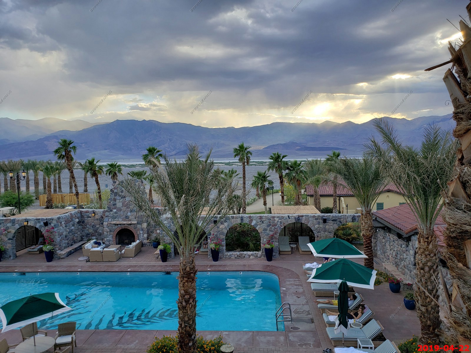
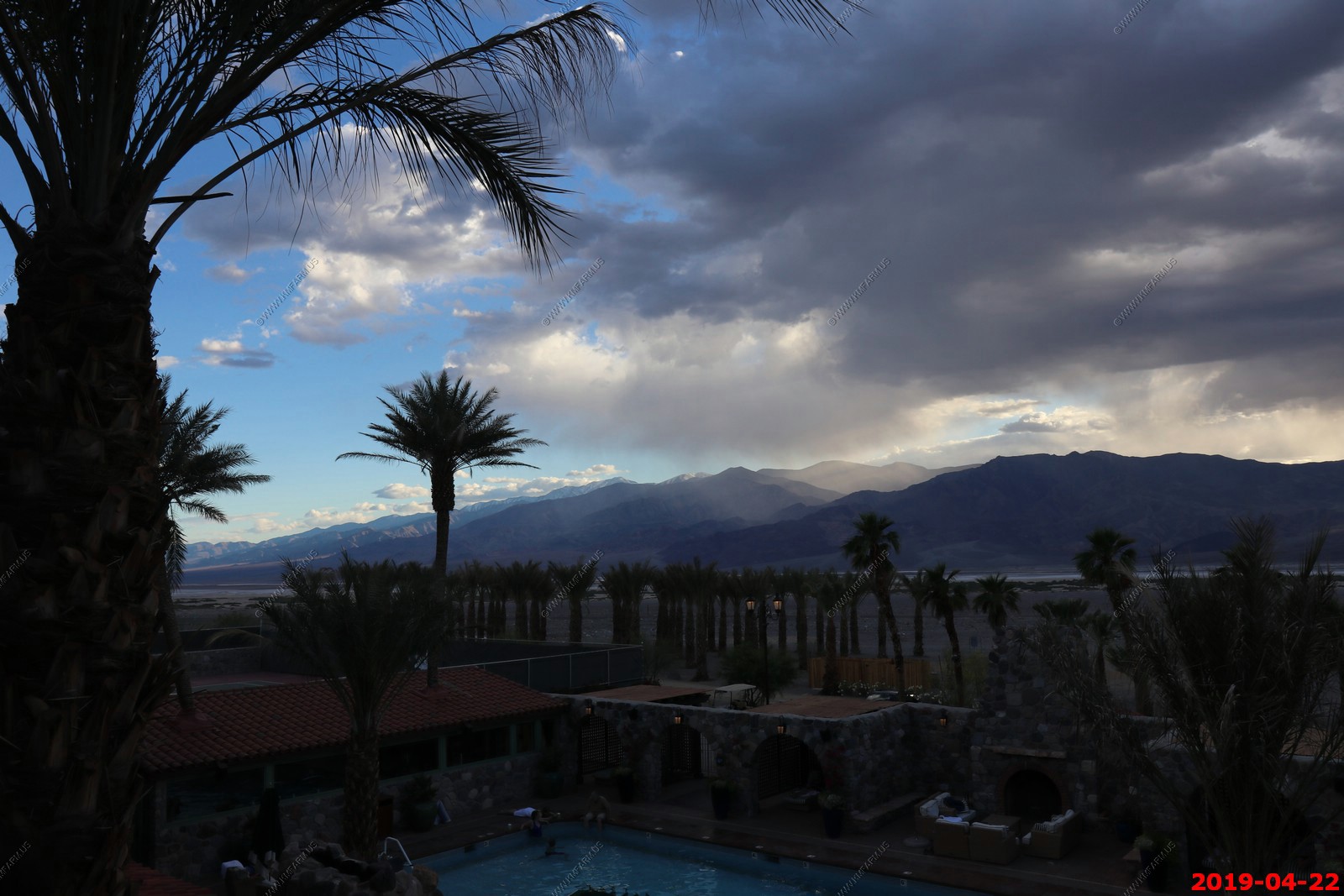
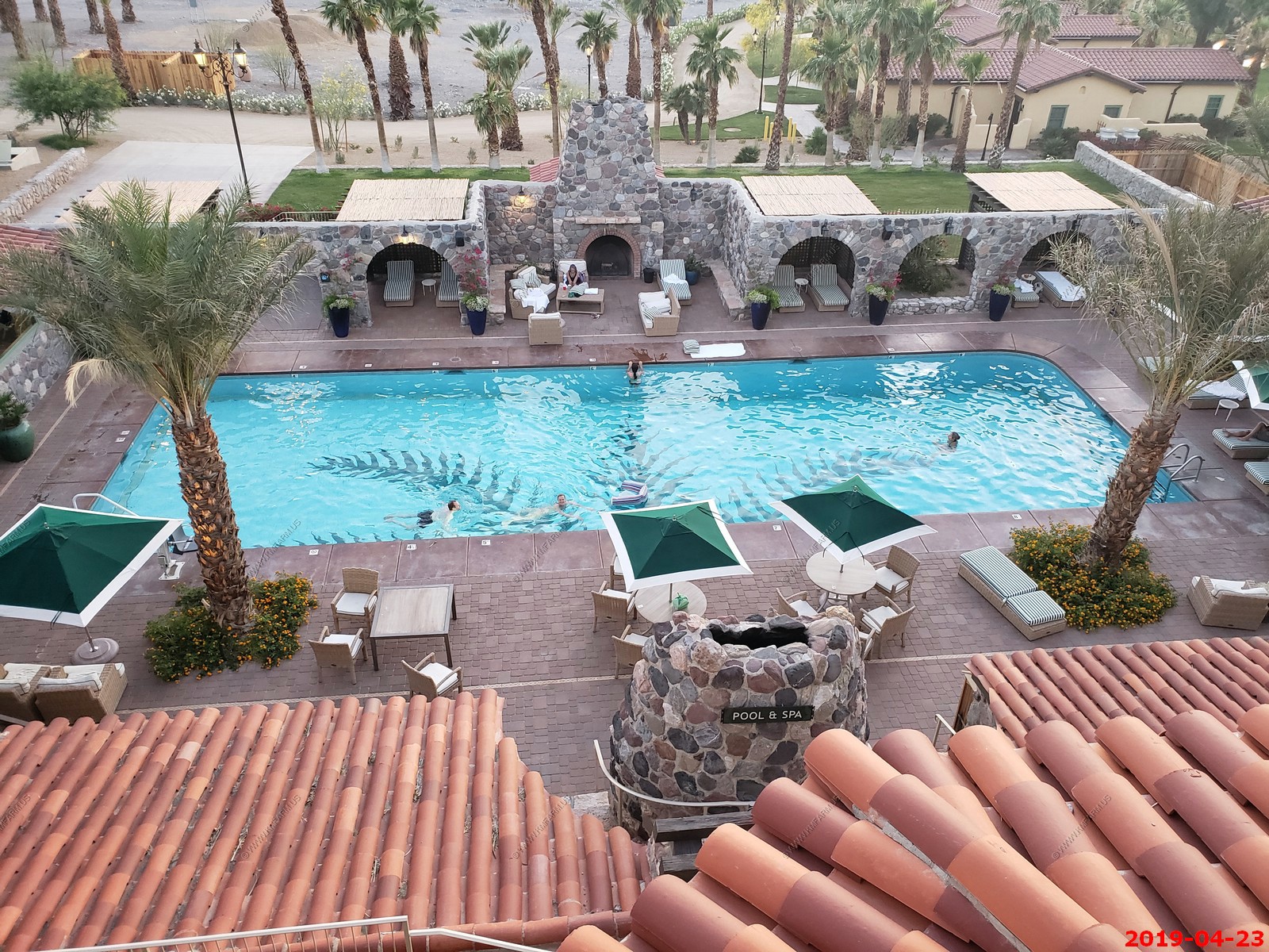
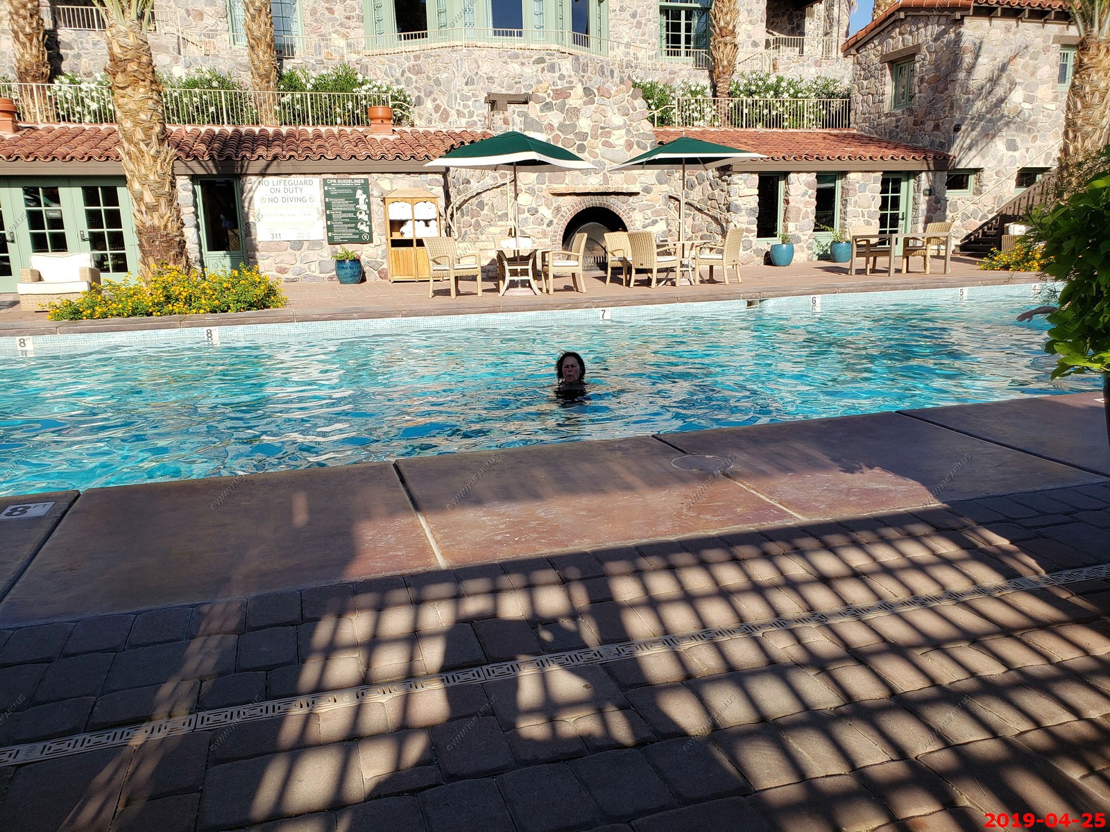
Amazing pool. Spring fed, 100 degrees here yet you can see snow on the 11,043 foot tall Telescope Peak which is the highest point with in Death Valley National Park. We would spend lots of time in this pool.
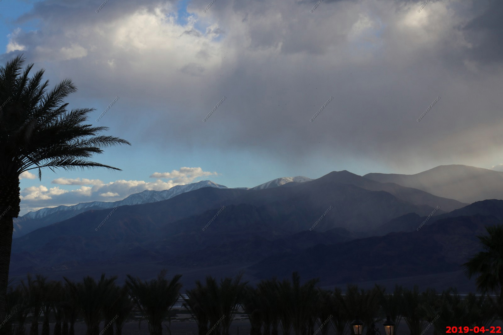
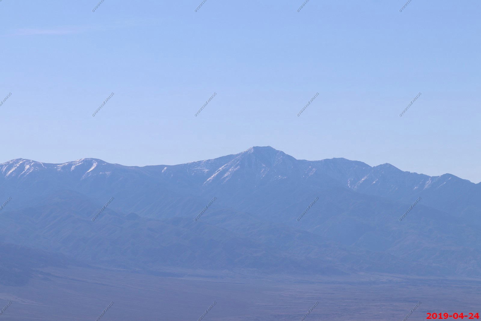
Telescope Peak - This is the first time we have been here where snow is on Telescope Peak or any other peak visible from the park. Beautiful!
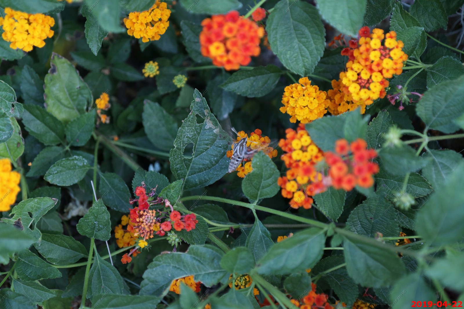
Hummingbird Moth
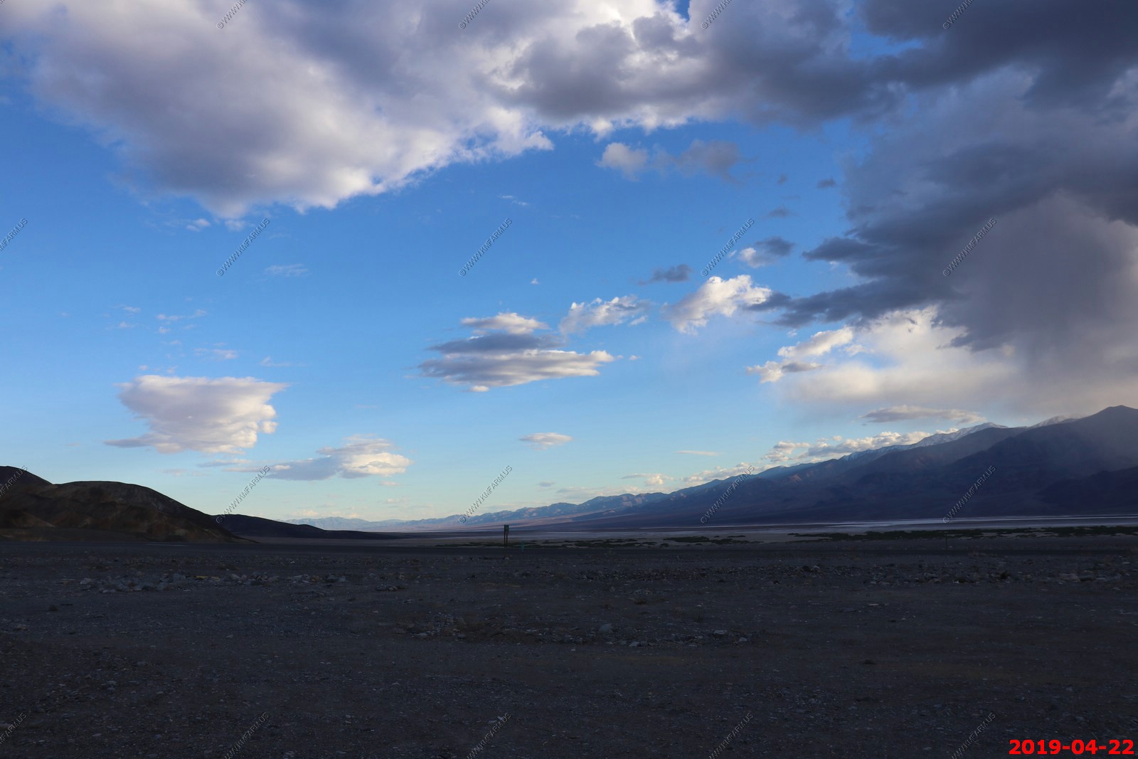
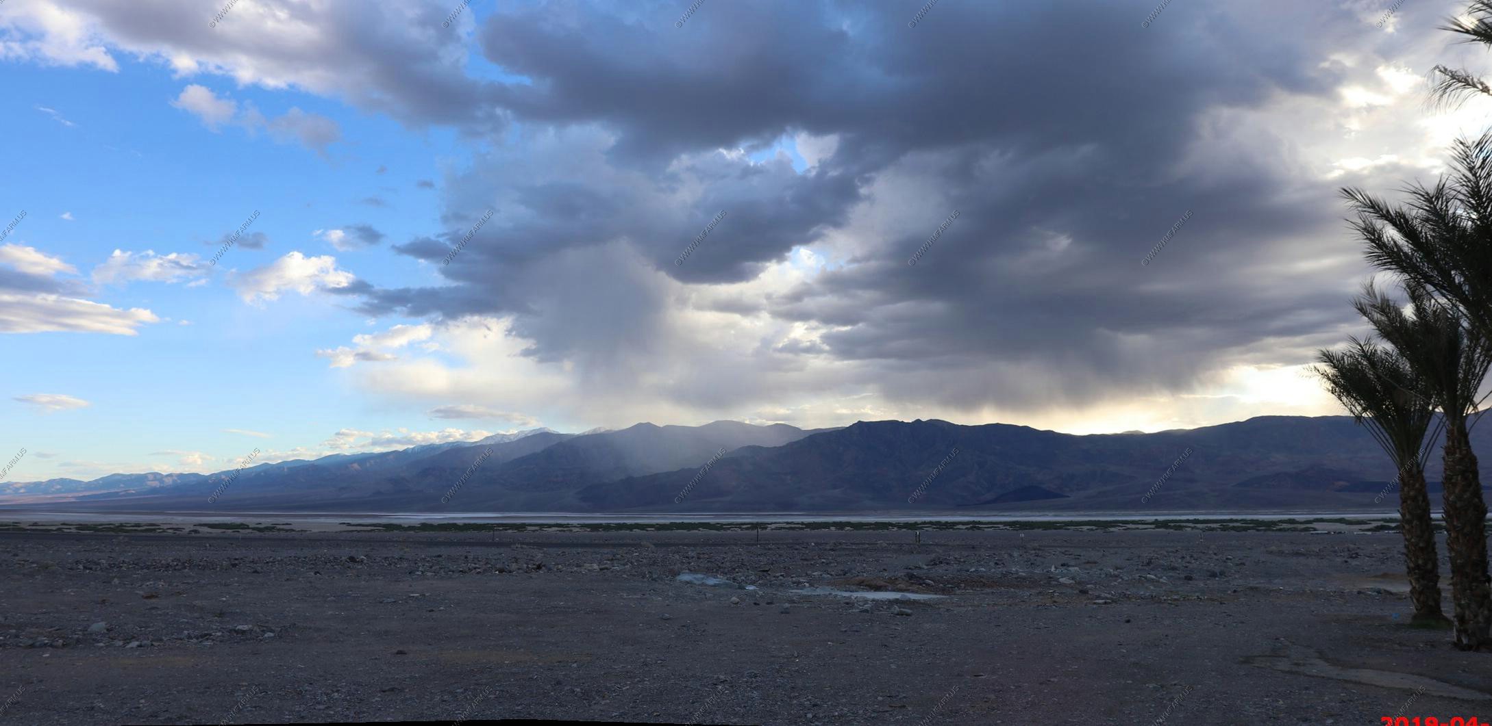
We walked down to CA-190 and Badwater Road to watch the sunset and to enjoy the incredible wide open views of Badwater Basin & Telescope peak and the Panamint Range.
The place is packed, Mary looking like she is waiting for dinner
Amazing pool open 24/7
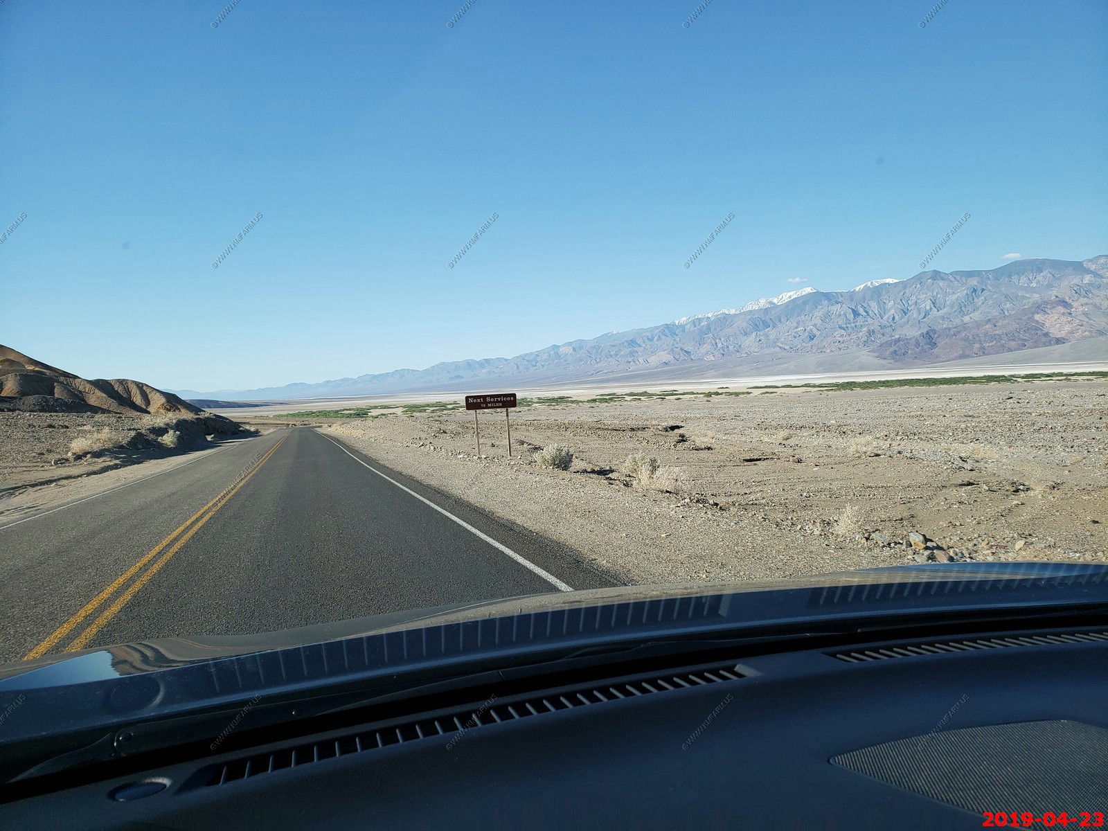
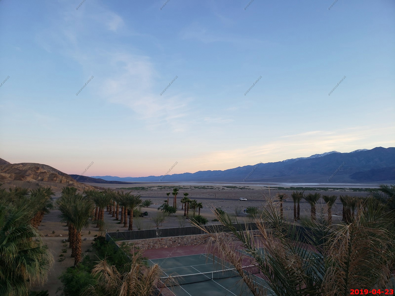
Tuesday April 23
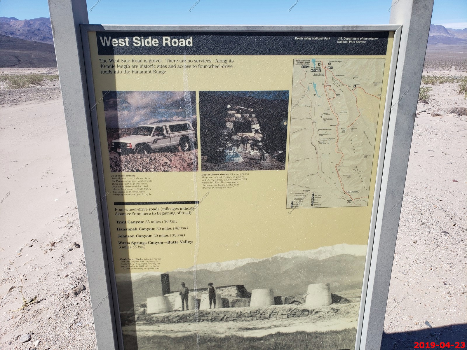
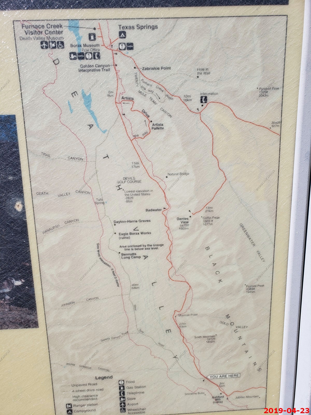
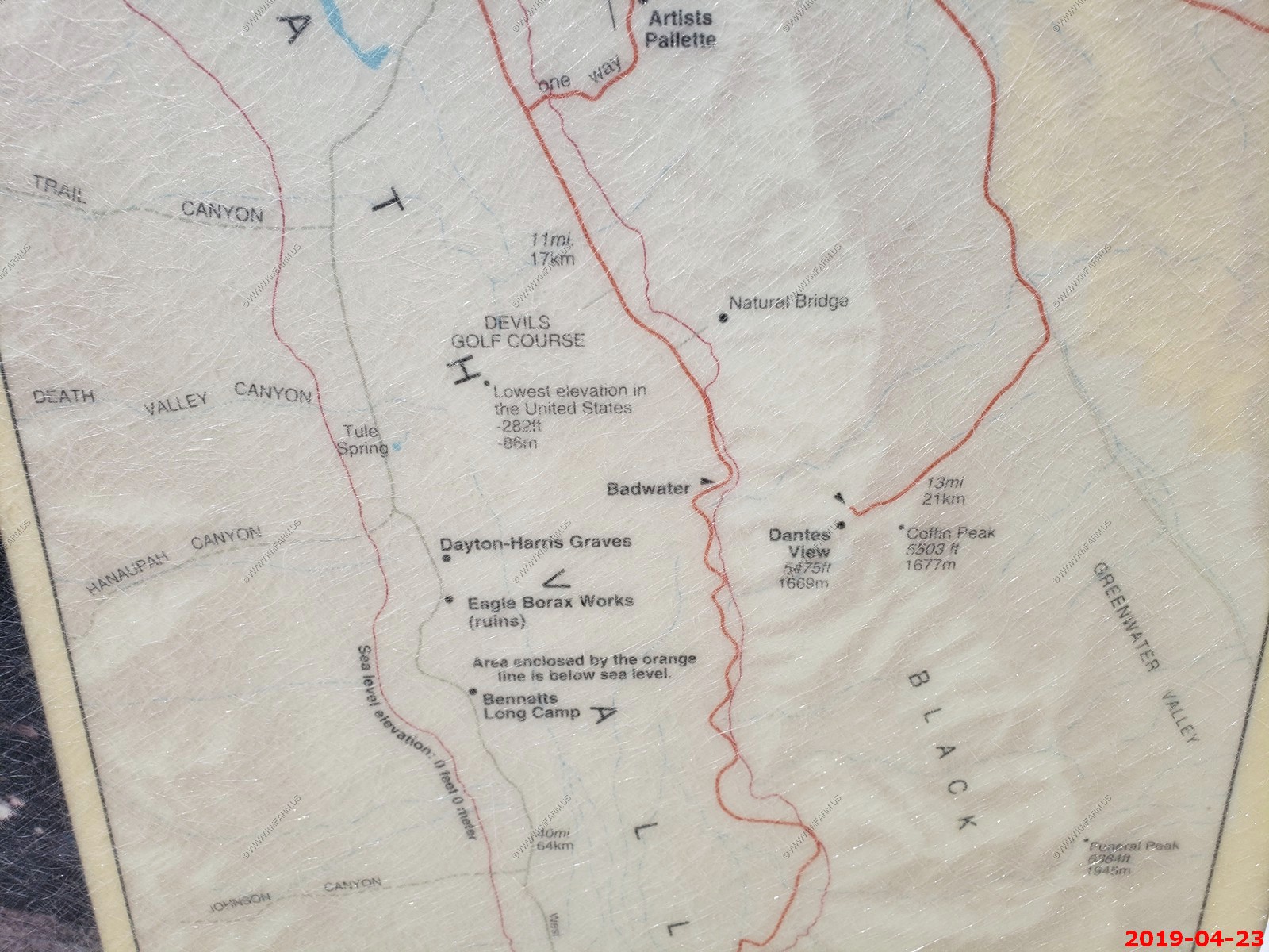
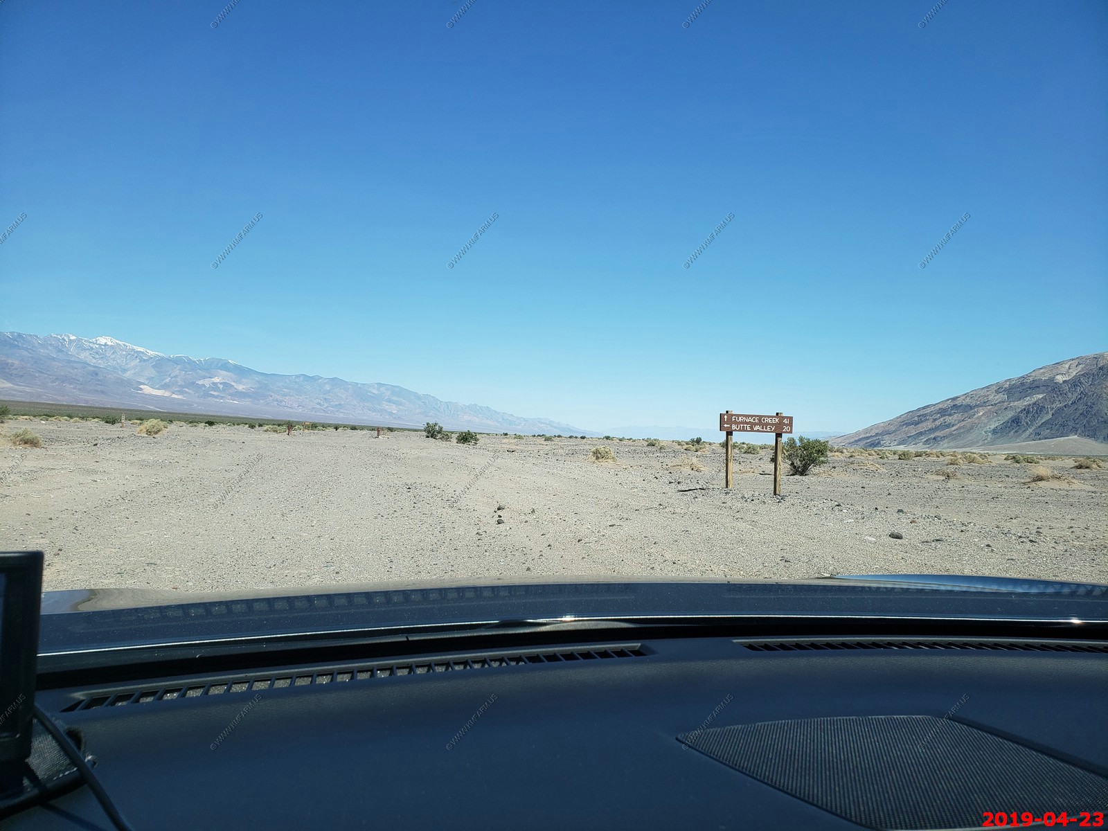
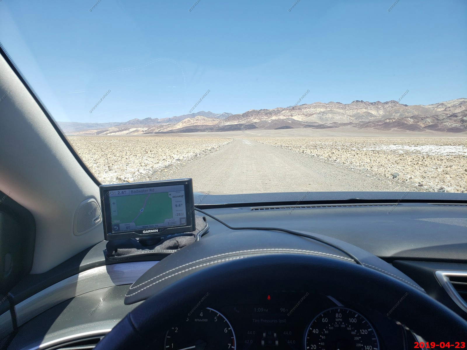
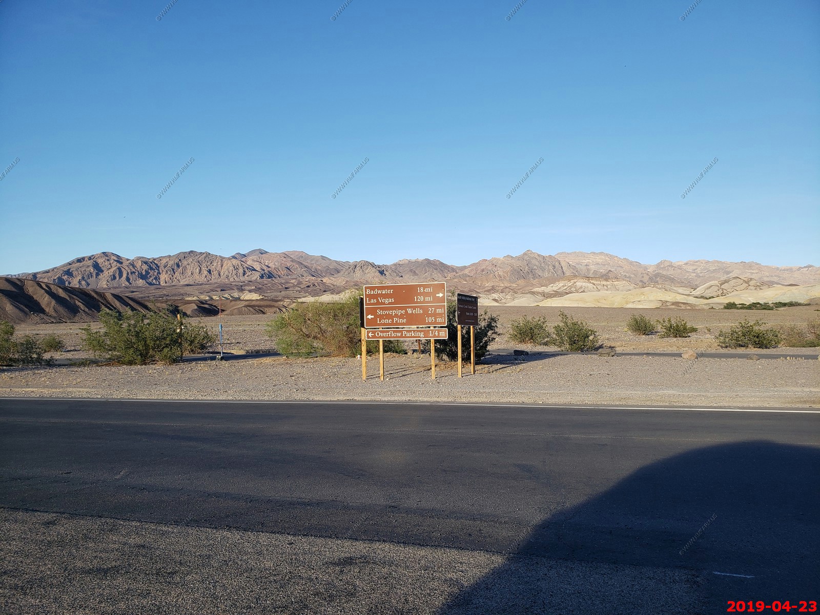
Todays adventure was to leave Furnace Creek and head to Badwater which was appx. 17 miles south of here. Then drive another 27 miles to where the West Side Road (A 40 mile dirt back country road) and head up the west side of Badwater Basin. So, a easy less than 100 mile day was planned.
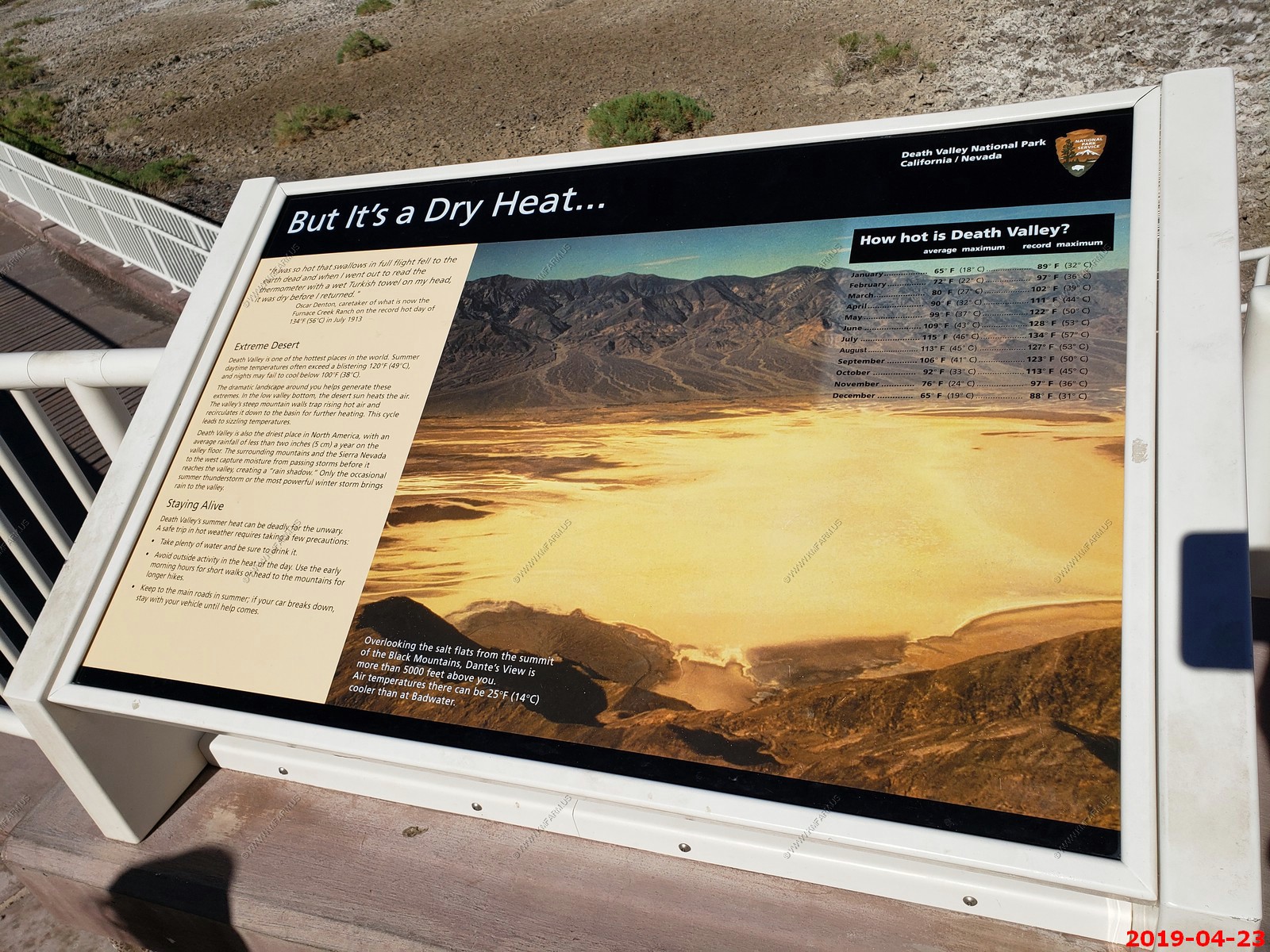
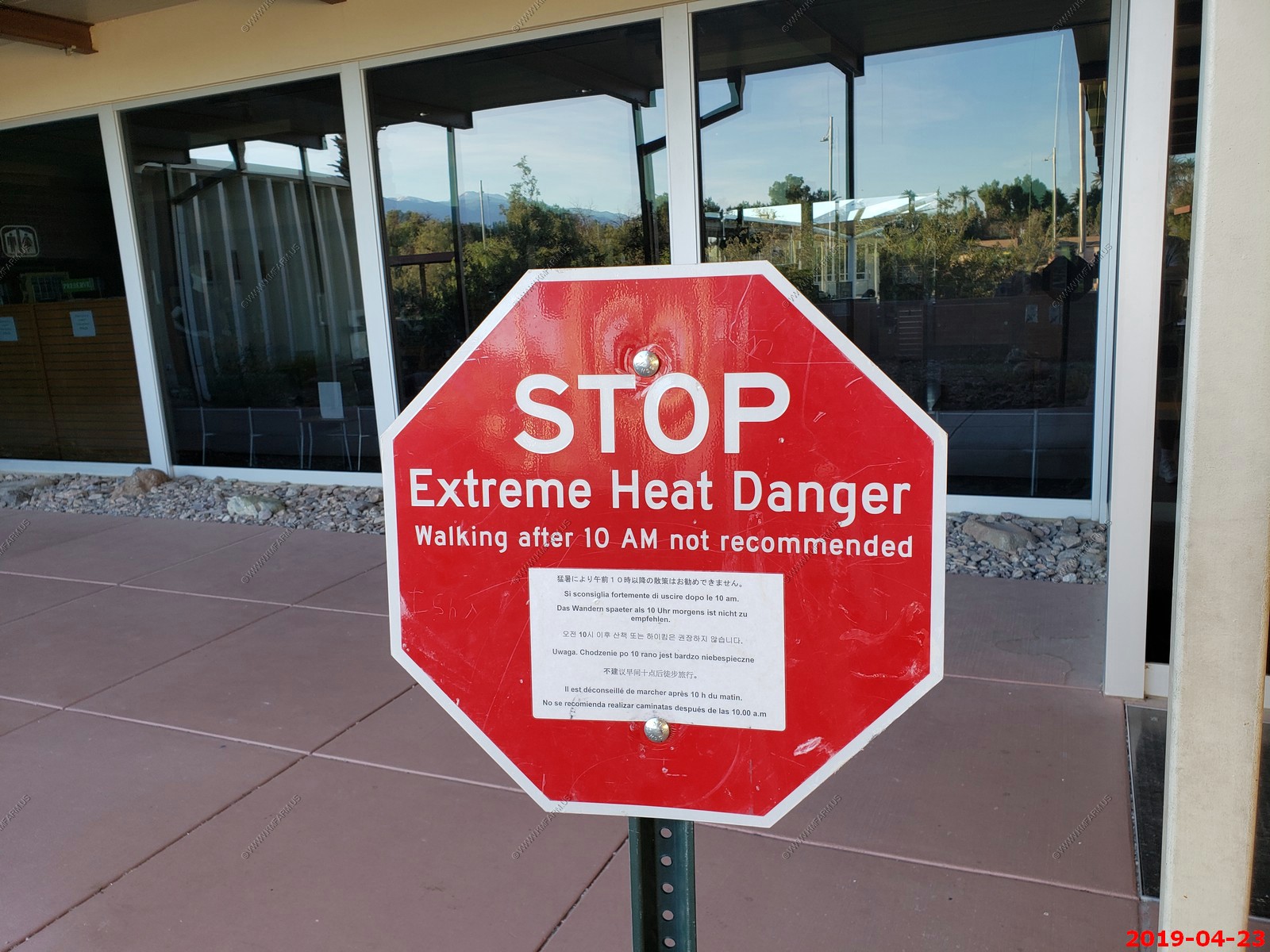
The weather was perfect as it would get up to a nice 115 and not a cloud was seen till sunset.
Nice. Next services 72 miles
Heading down to Badwater Basin. No traffic.
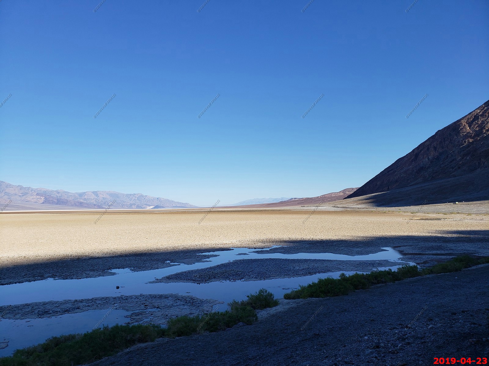
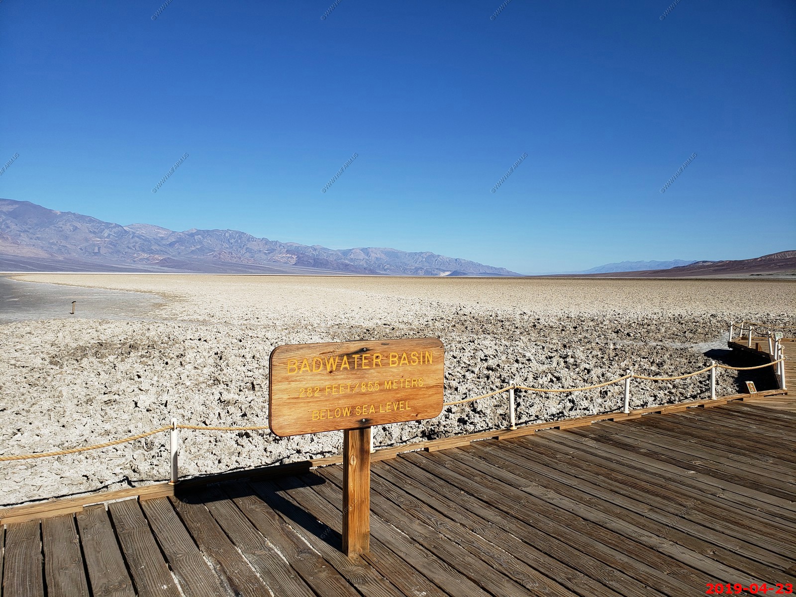
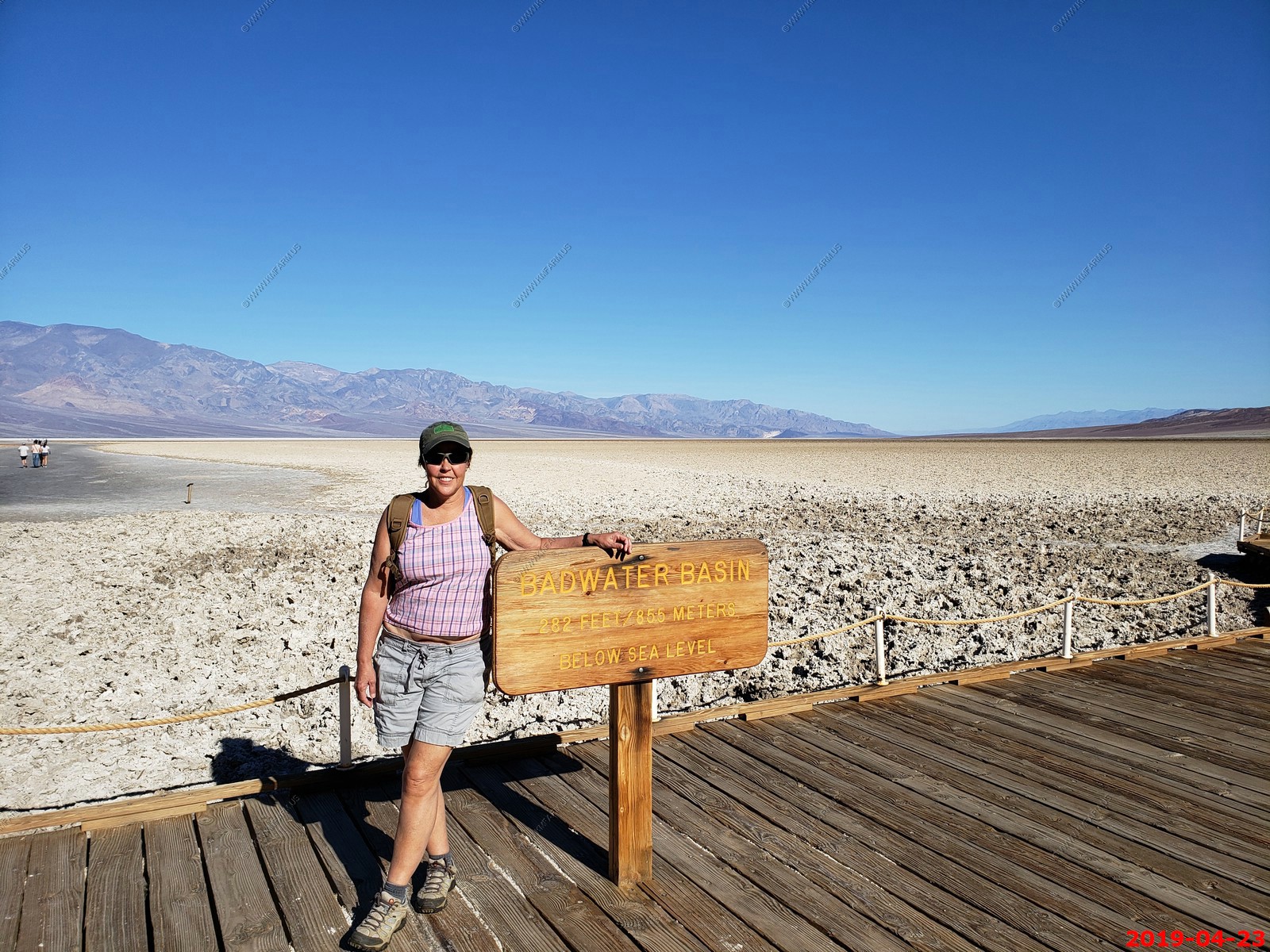
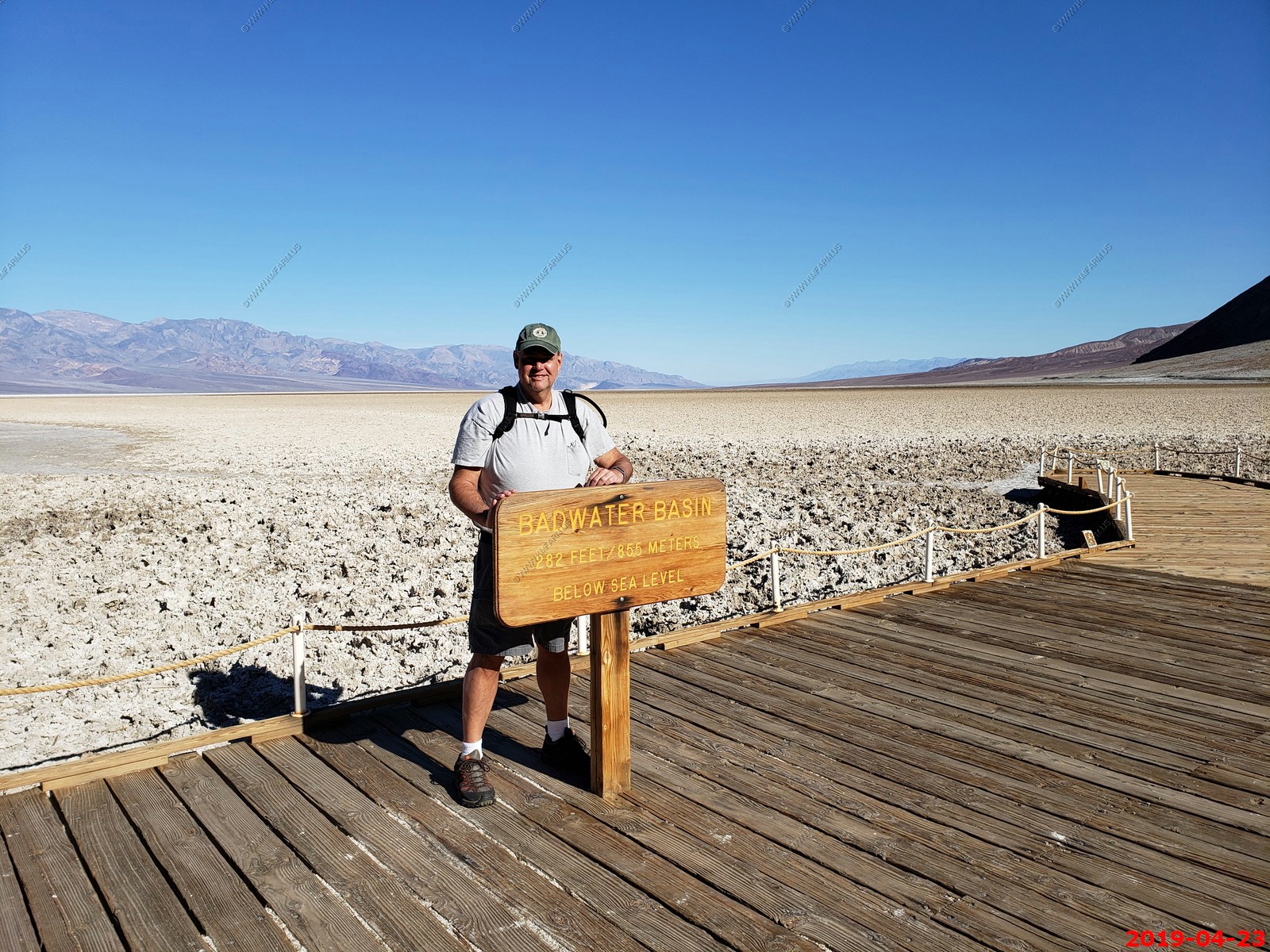
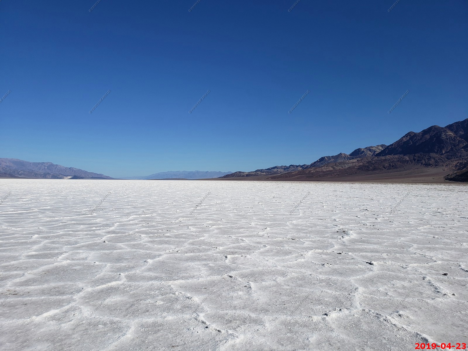
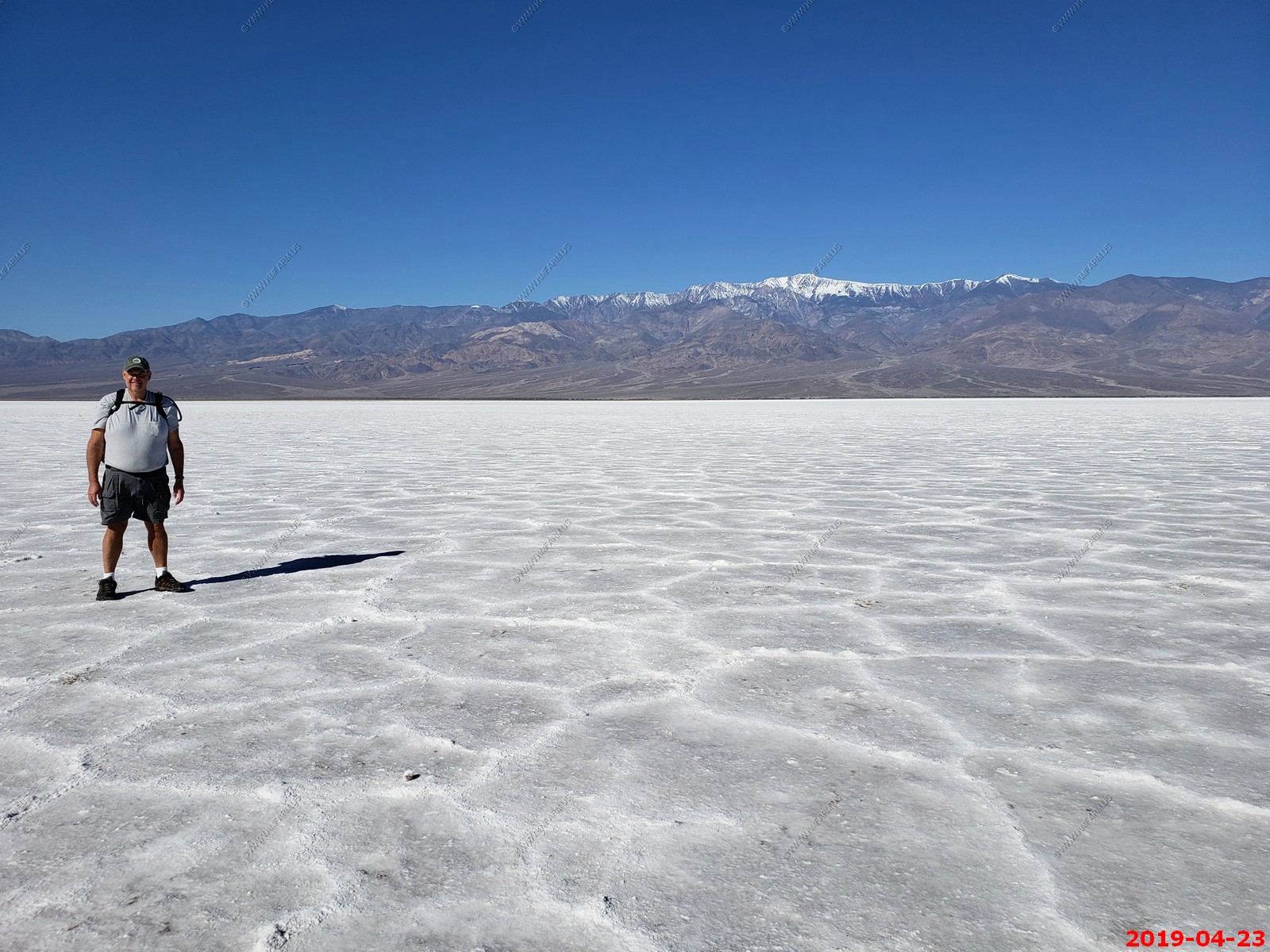
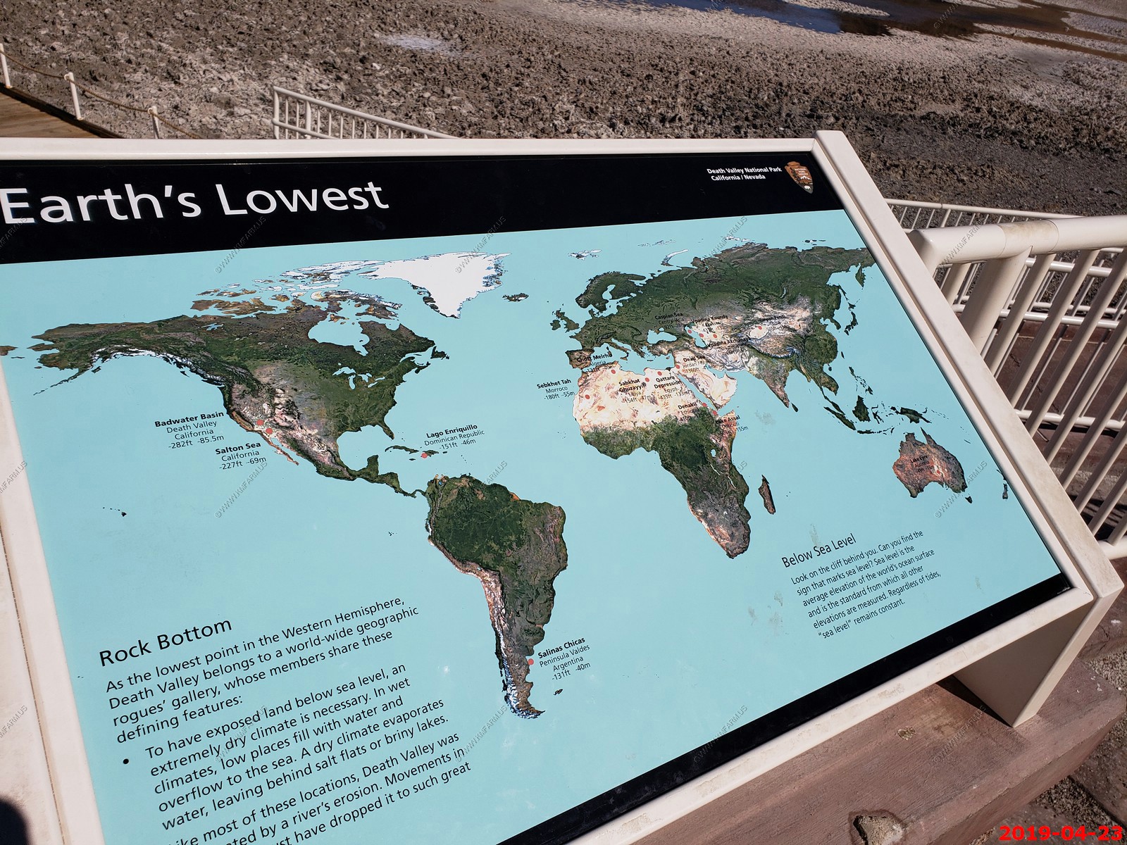
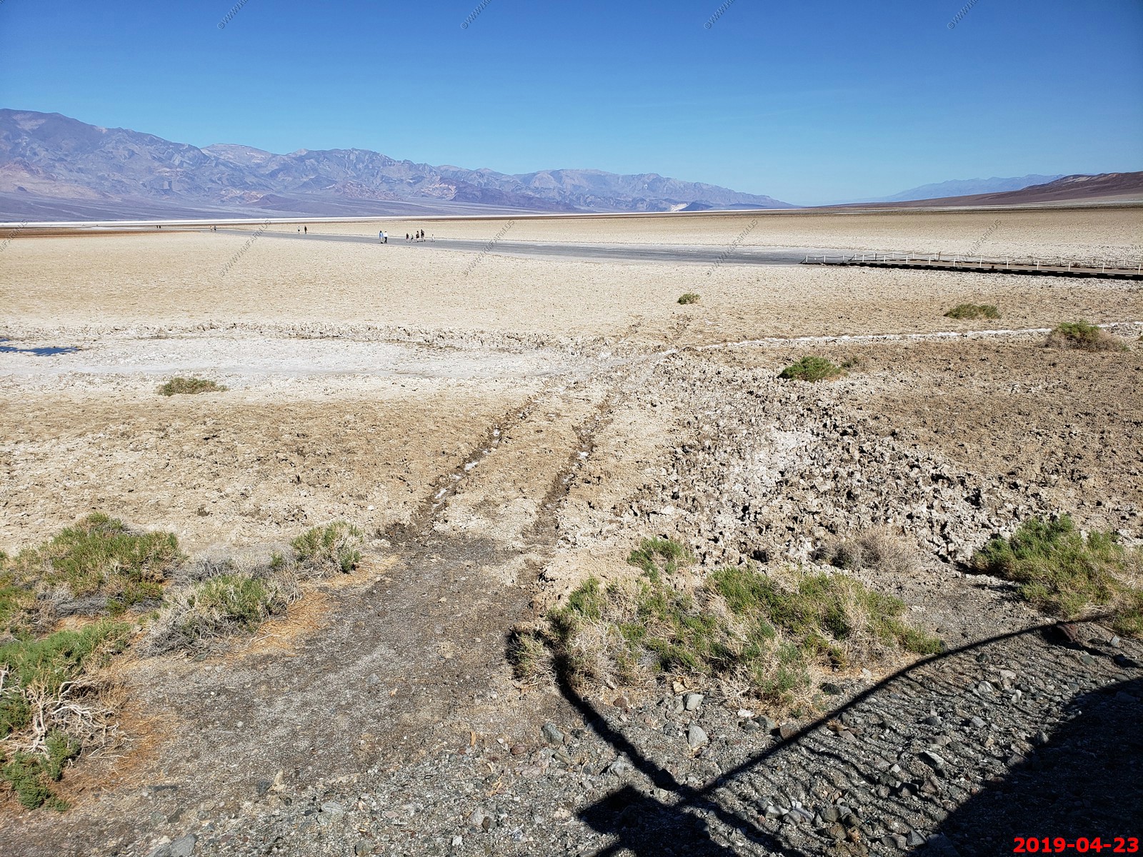
Badwater Basin is an endorheic basin in Death Valley National Park, Death Valley, Inyo County, California, noted as the lowest point in North America, with a depth of 282 ft (86 m) below sea level.
The site itself consists of a small spring-fed pool of "bad water" next to the road in a sink; the accumulated salts of the surrounding basin make it undrinkable, thus giving it the name. The pool does have animal and plant life, including pickleweed, aquatic insects, and the Badwater snail.
In a few days we would go and see Mount Whitney, the highest point in the contiguous 48 United States, is only 84.6 miles (136 km) to the northwest
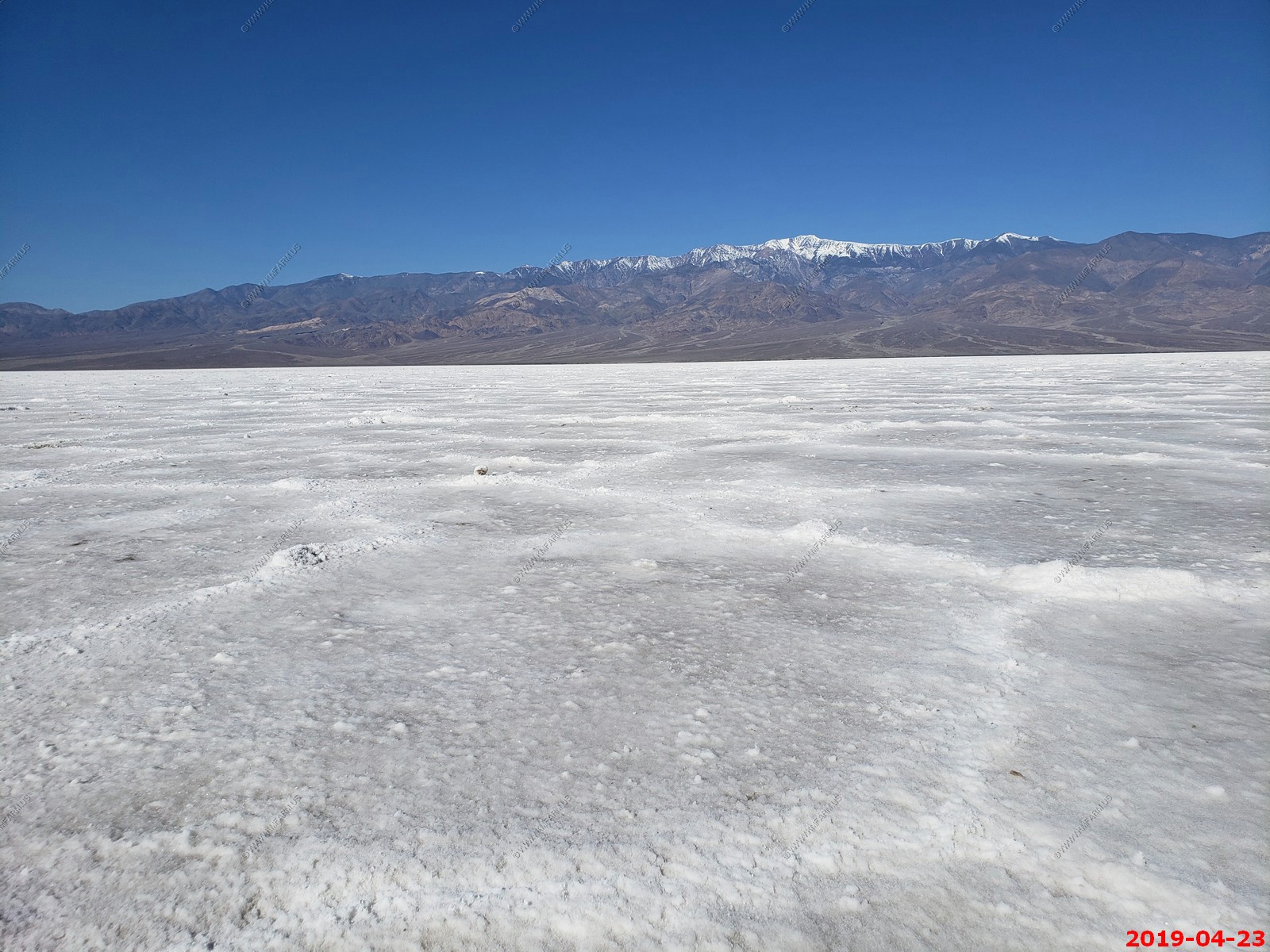
You can see snow on the 11,043 foot tall Telescope Peak which is 20 miles to the west in the Panamint Range. The vertical rise from Badwater (which is at -282 ft) to Telescope Peak is one of the greatest on the planet
Looking north and West
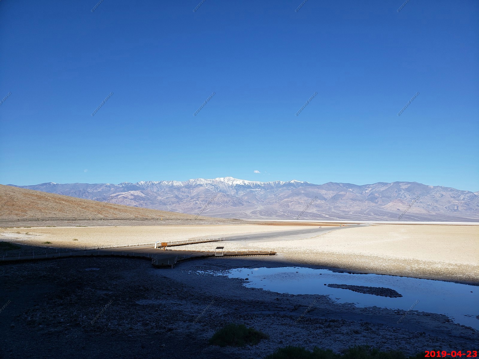
Looking east from the parking area and looking up on the side of a cliff they have a marker that shows the sea-level.
The pool is not the lowest point of the basin: the lowest point (which is only slightly lower) is several miles to the west and varies in position, depending on rainfall and evaporation patterns. The salt flats are hazardous to traverse (in many cases being only a thin white crust over mud), and so the sign marking the low point is at the pool instead.
Badwater Pool
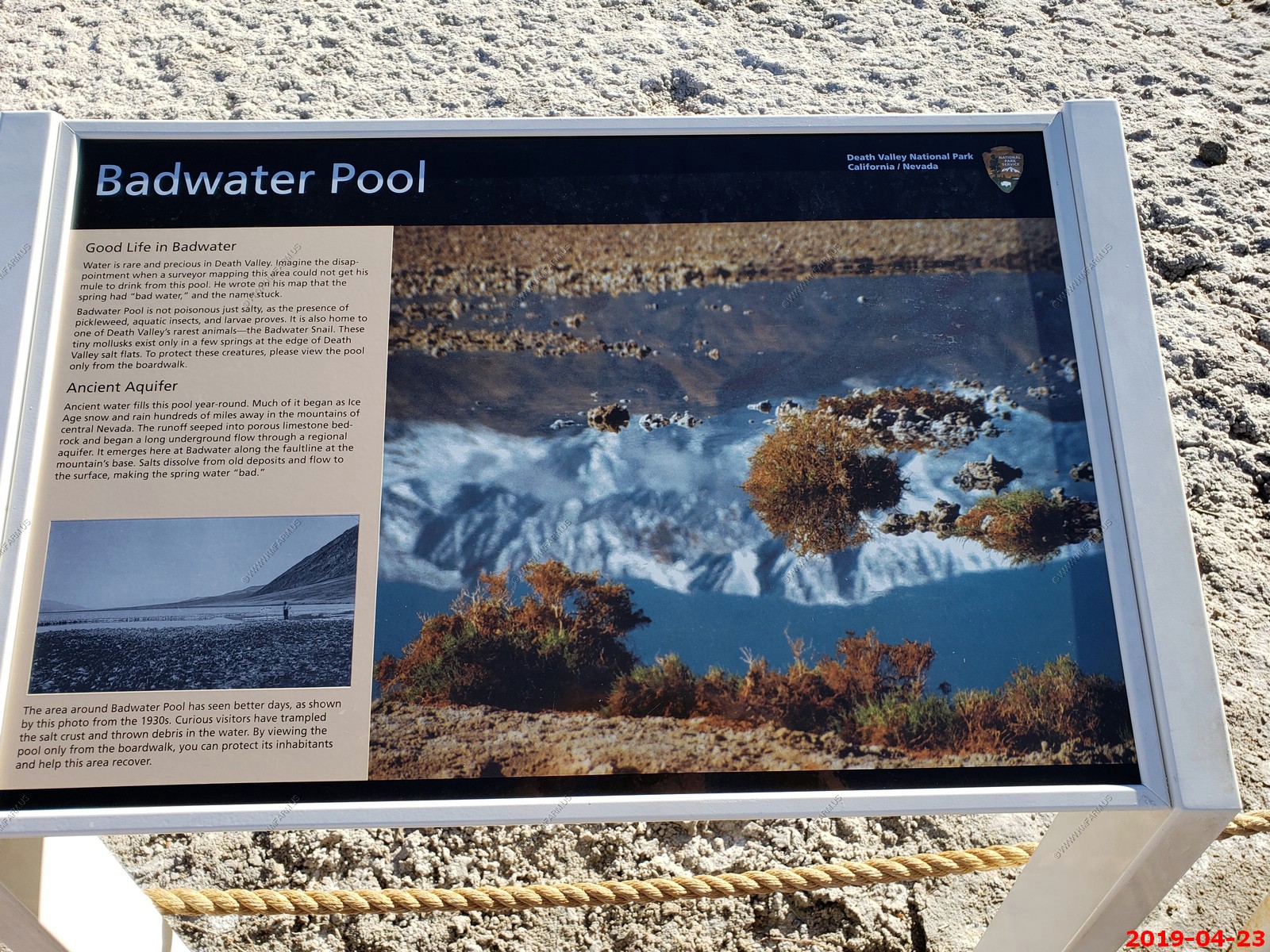
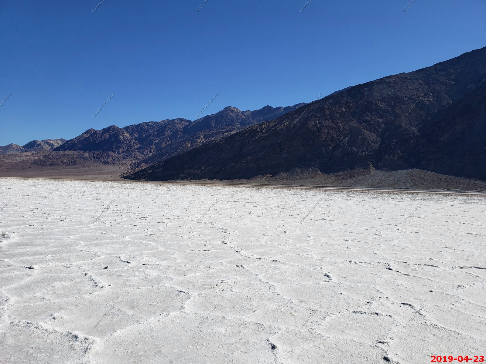
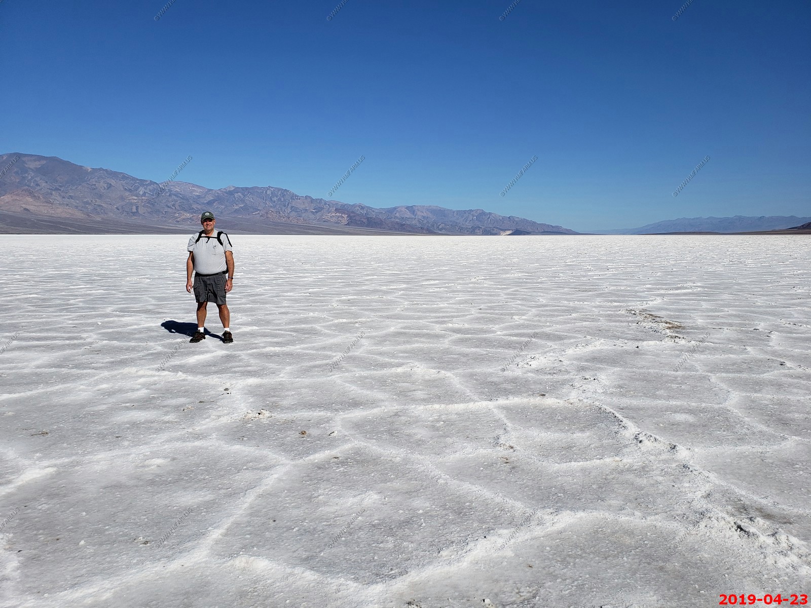
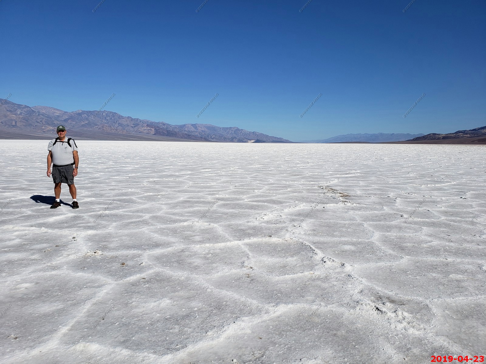
Adjacent to the pool, where water is not always present at the surface, repeated freeze-thaw and evaporation cycles gradually push the thin salt crust into hexagonal honeycomb shapes.
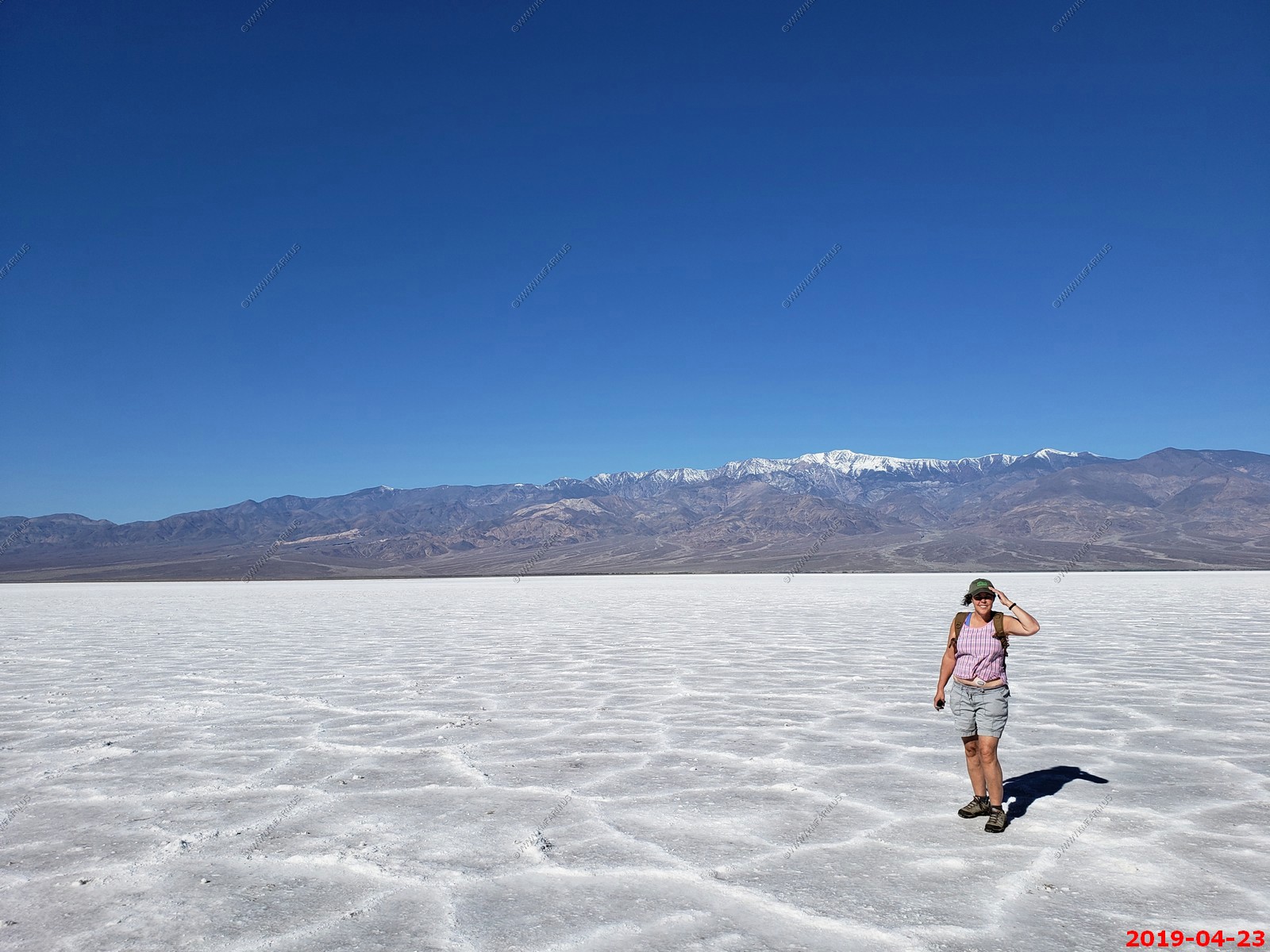
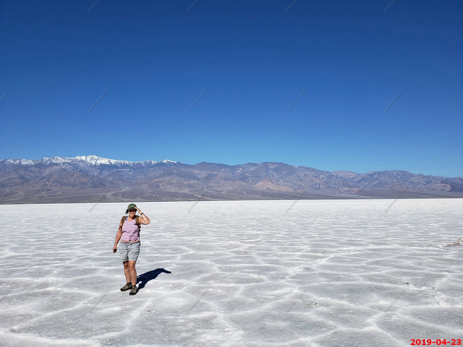
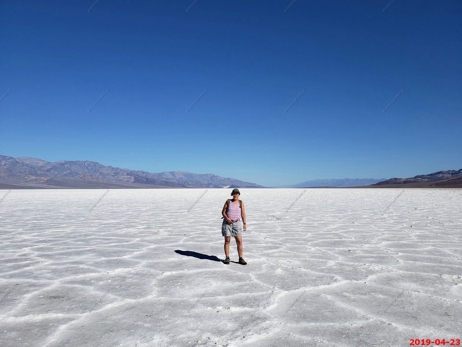
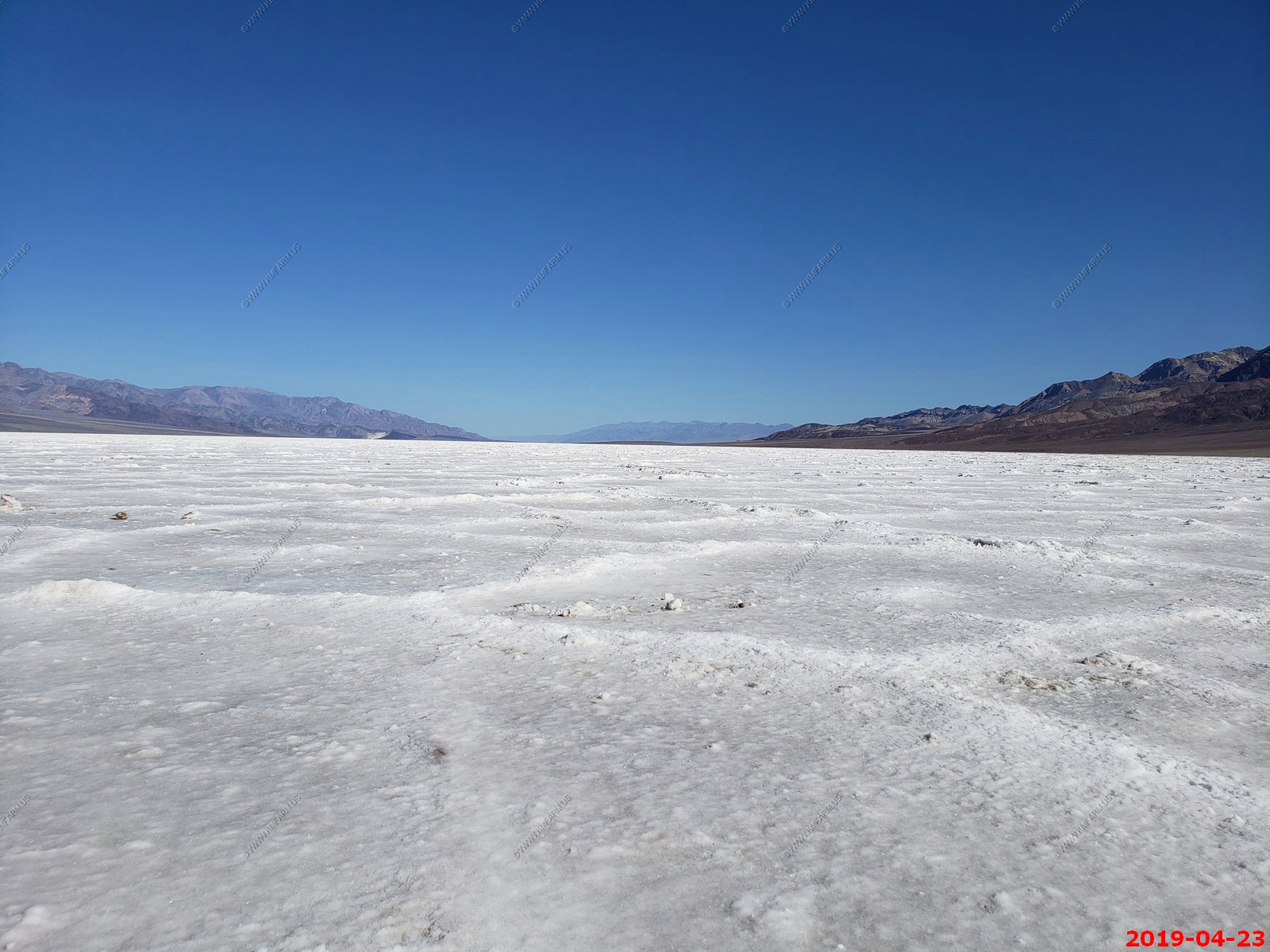
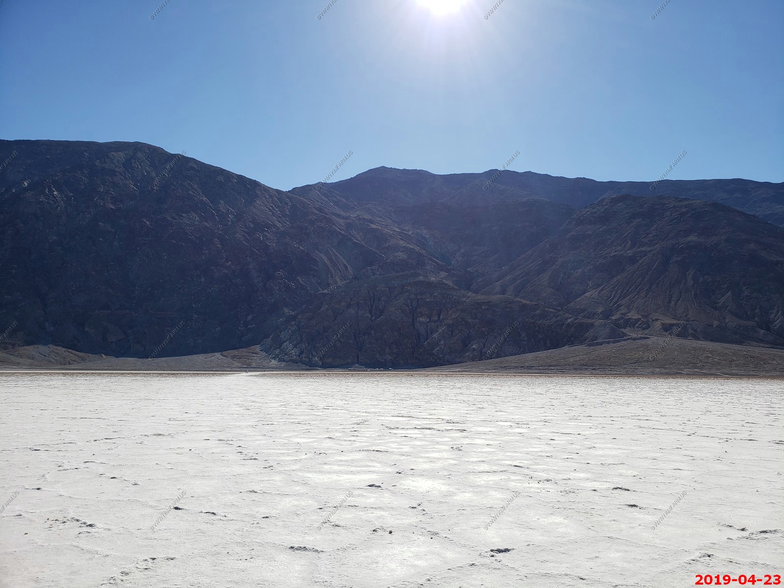
Time for a long hike on the salt flats. Our goal is to always go further than everyone else..
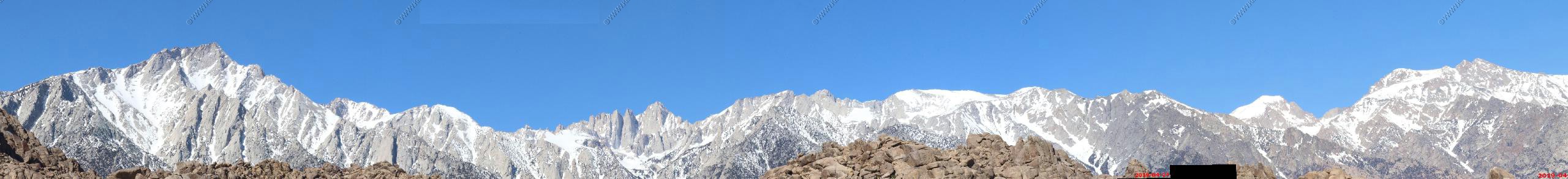
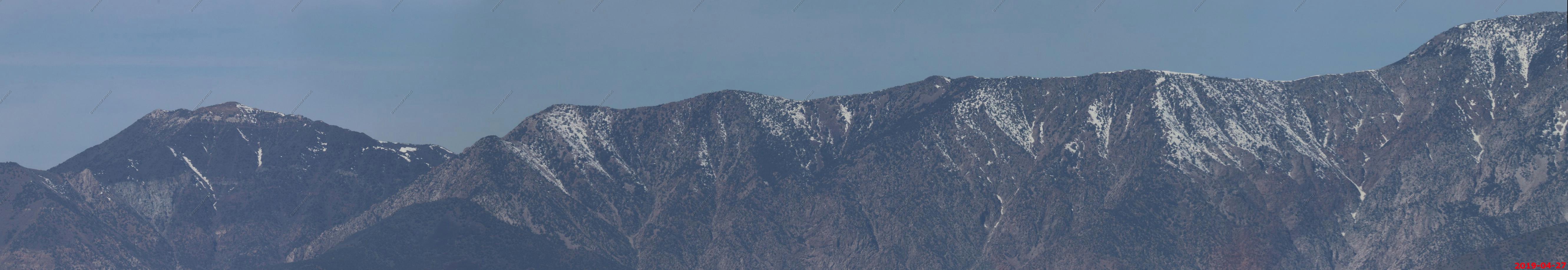
Three photos stitched together of the Panamint Range.
Panoramic (360 degree) photo. (Takes time to load as its 22meg)
Various views - Looking north & the road along the cliffs
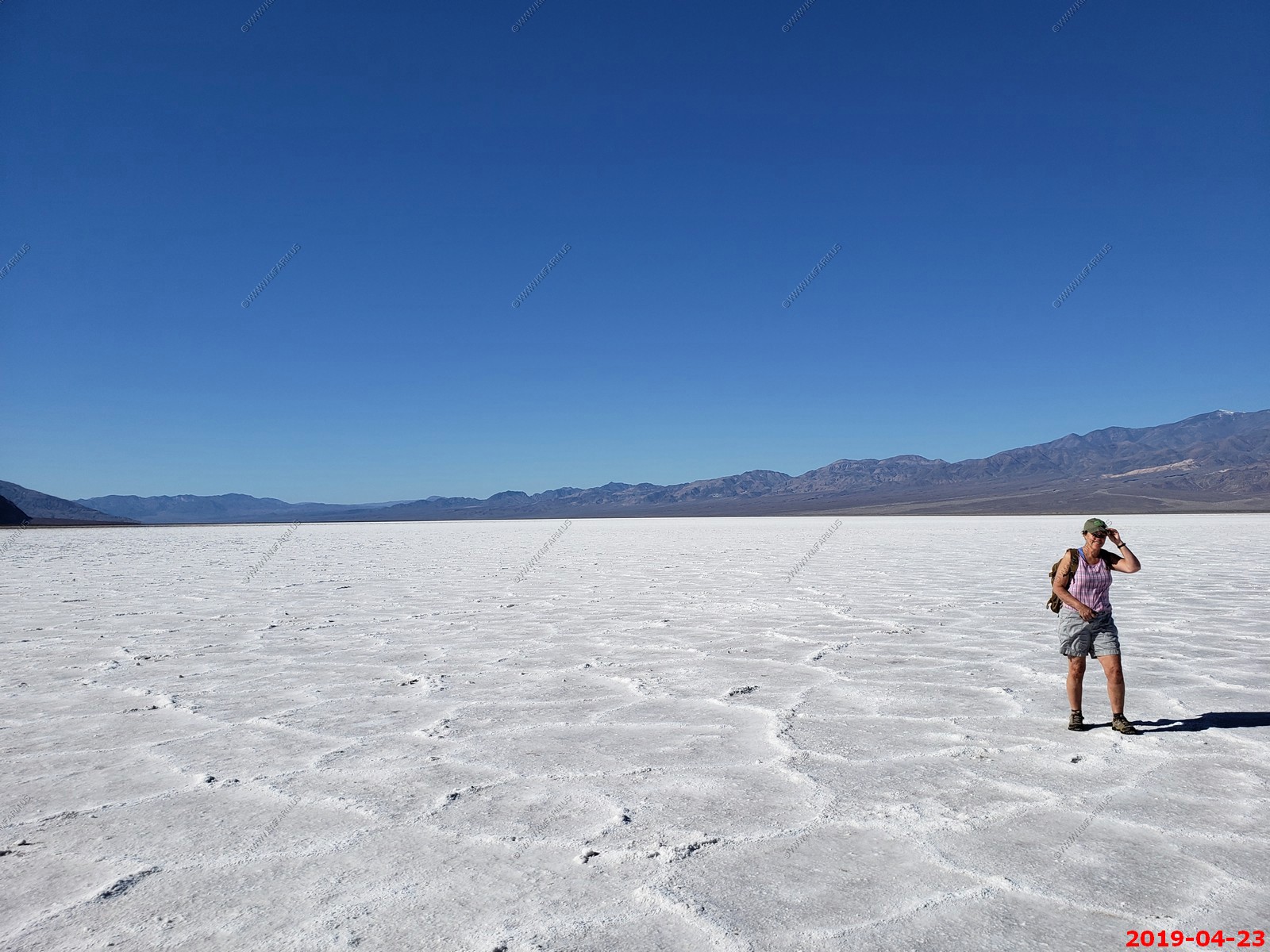
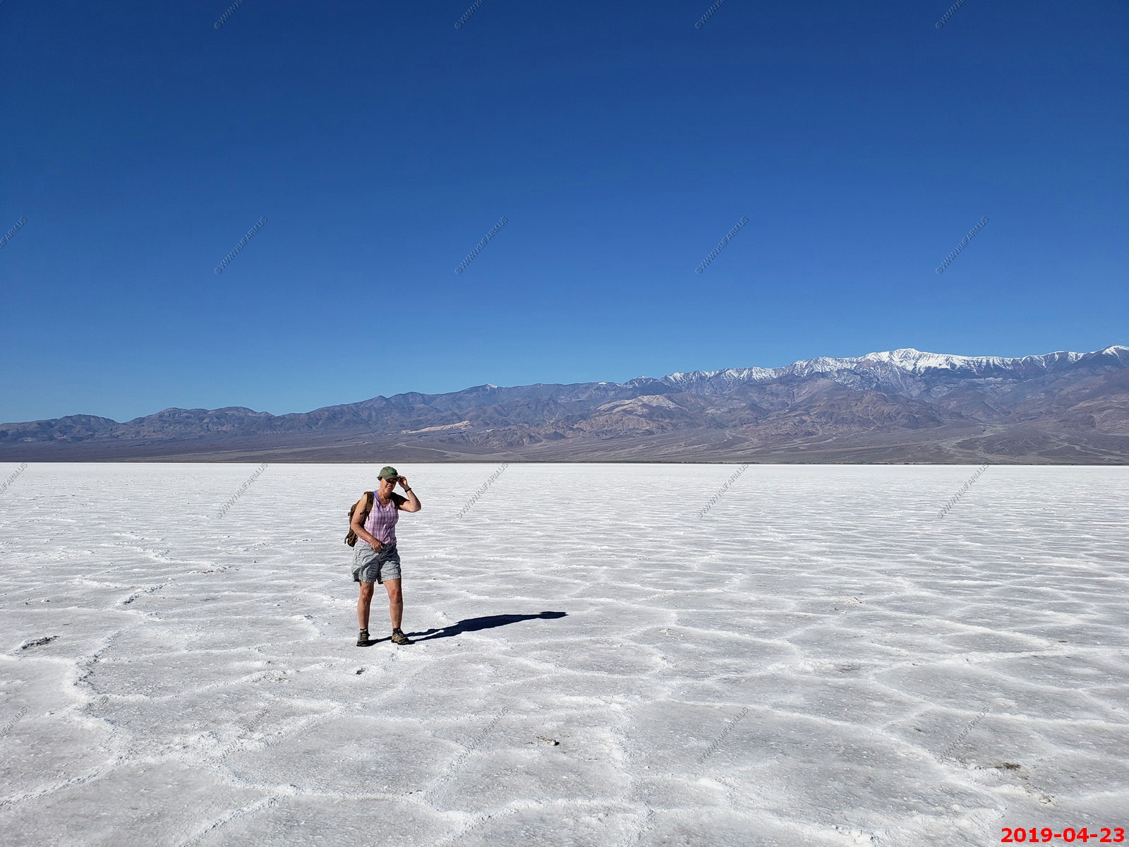
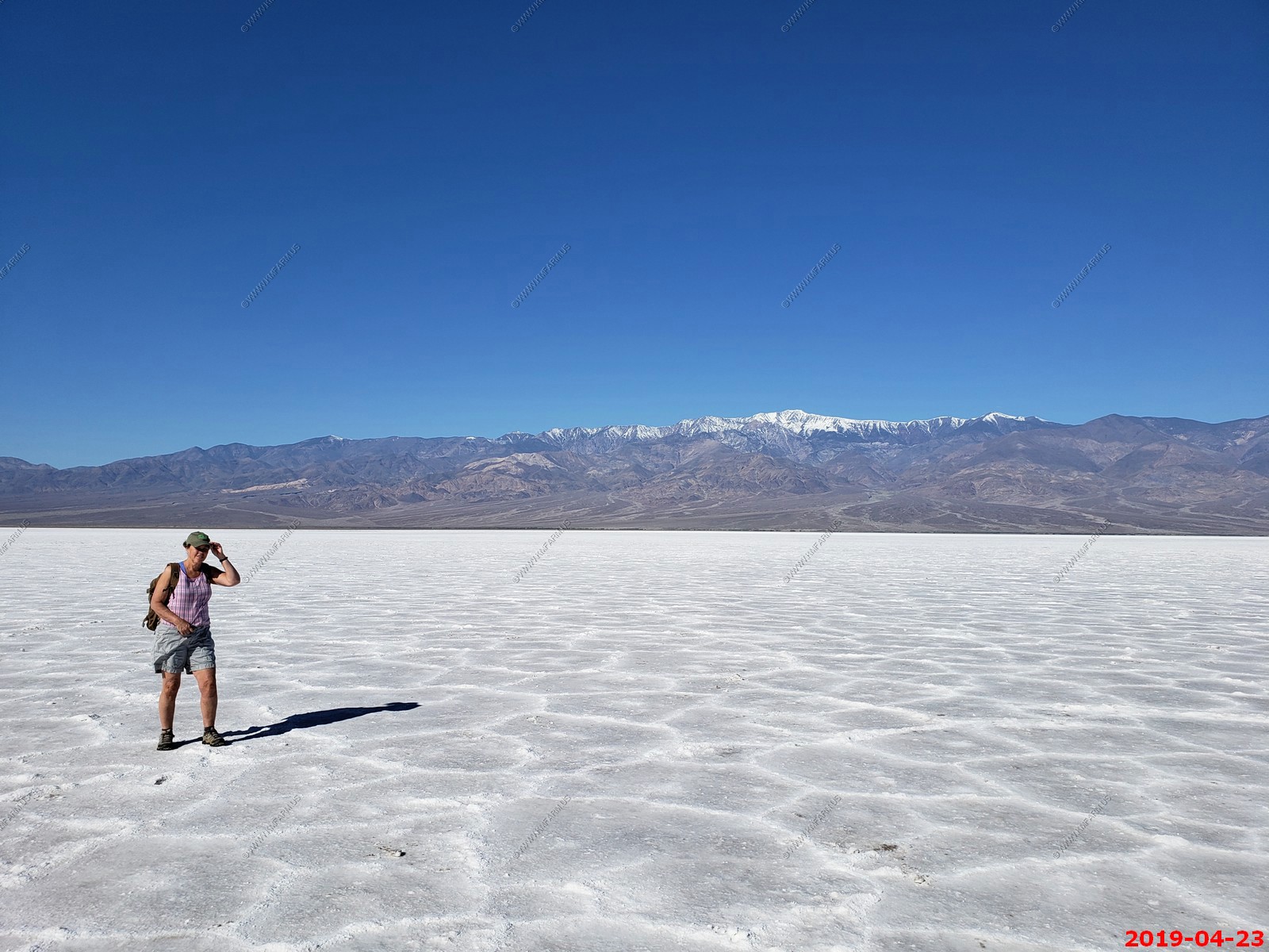
Various views of Mary holding her hat in the 20+ mph winds
Various views of Ken
Only 18 miles to go. Its appx 6.45 miles across to the West Valley Road.
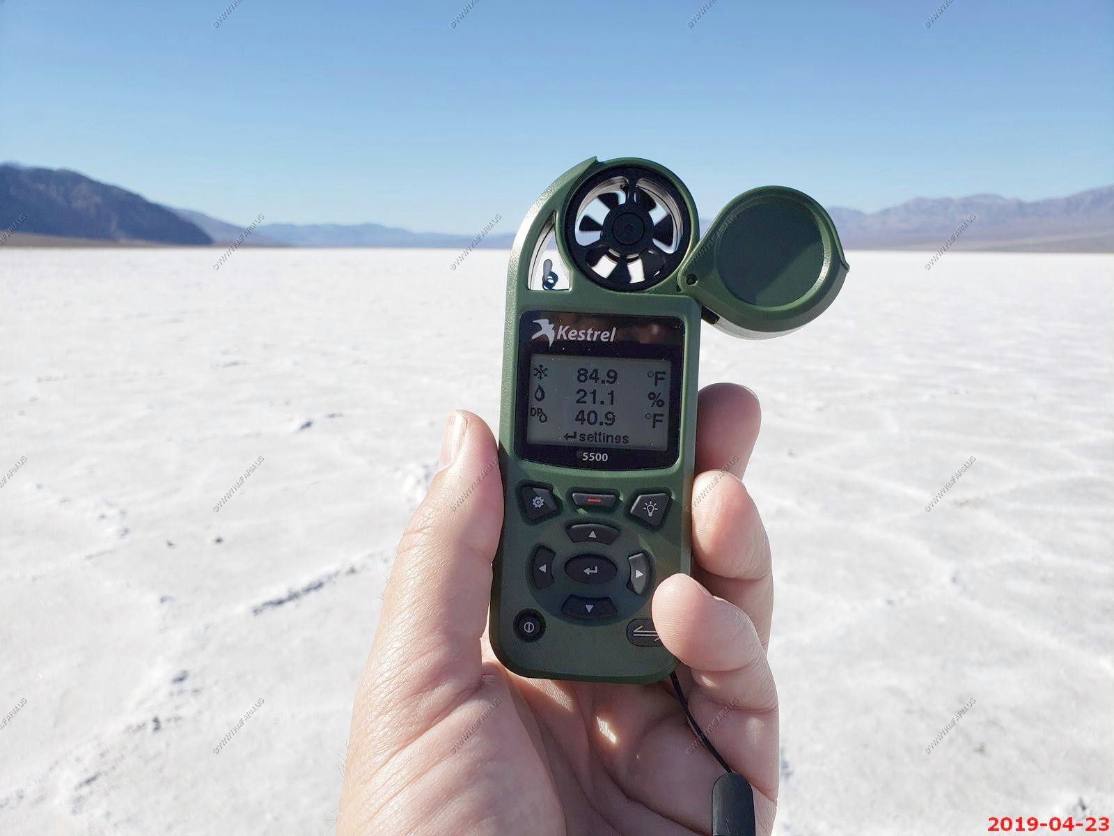
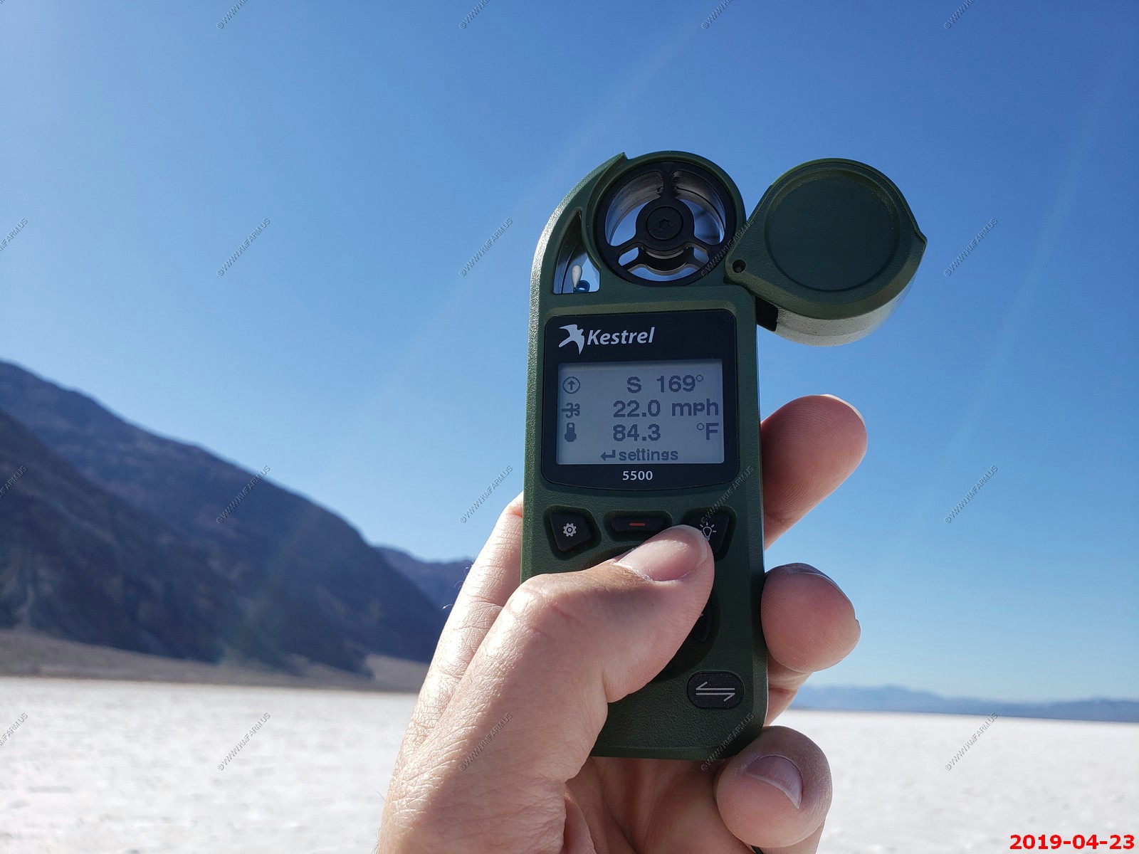
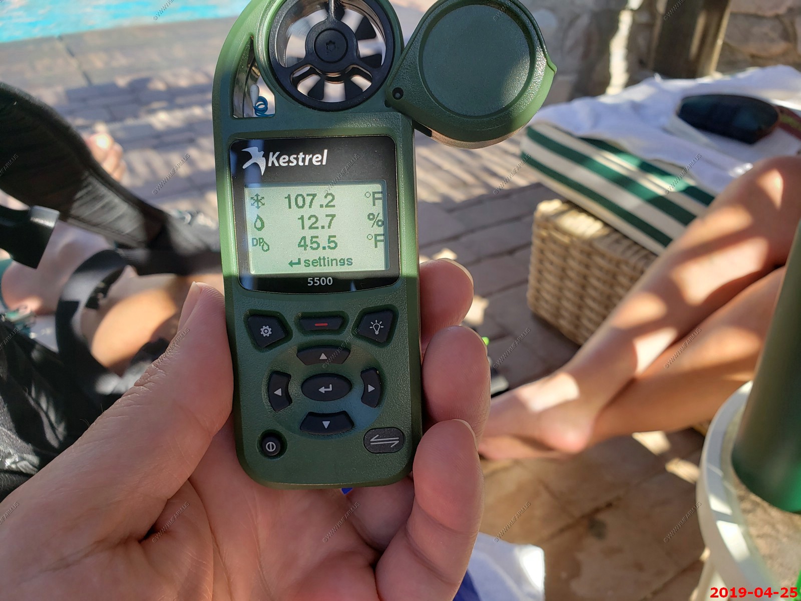
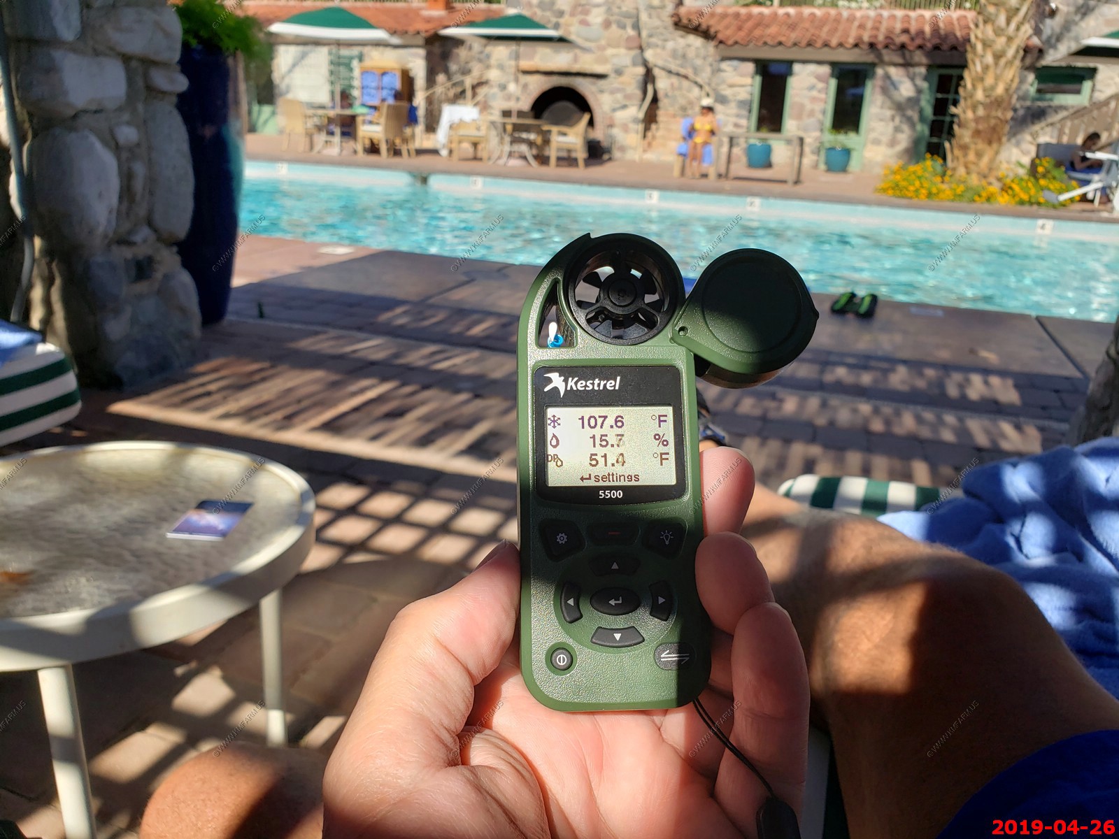
Messing with the new Kestrel-5500. Its 9:05 am, 84.9 degrees, 21.1% humidity, dew point is 40.9 degrees and 22 mph winds. Yes, we have a wind chill of 84.3
Looking back at the parking area appx. 2 miles away
No zoom - to 400mm zoom looking at the seal level sign 282 feet up on the hill.
100 mm
170 mm
400 mm
Back at the parking area looking at the other information signs.
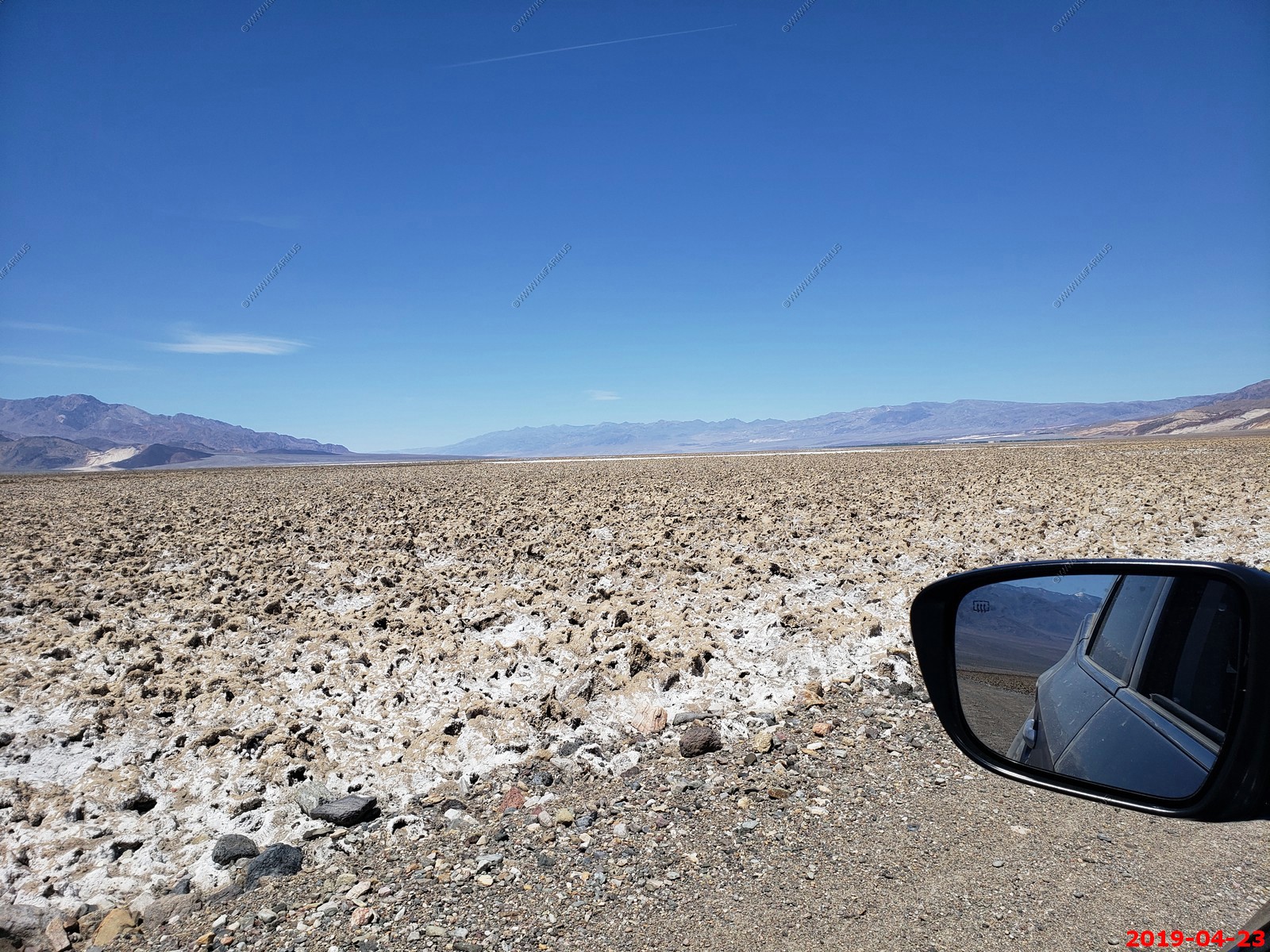
Here a idiot tried to drive out on the salt flat. Did not make it. I am sure that was expensive.
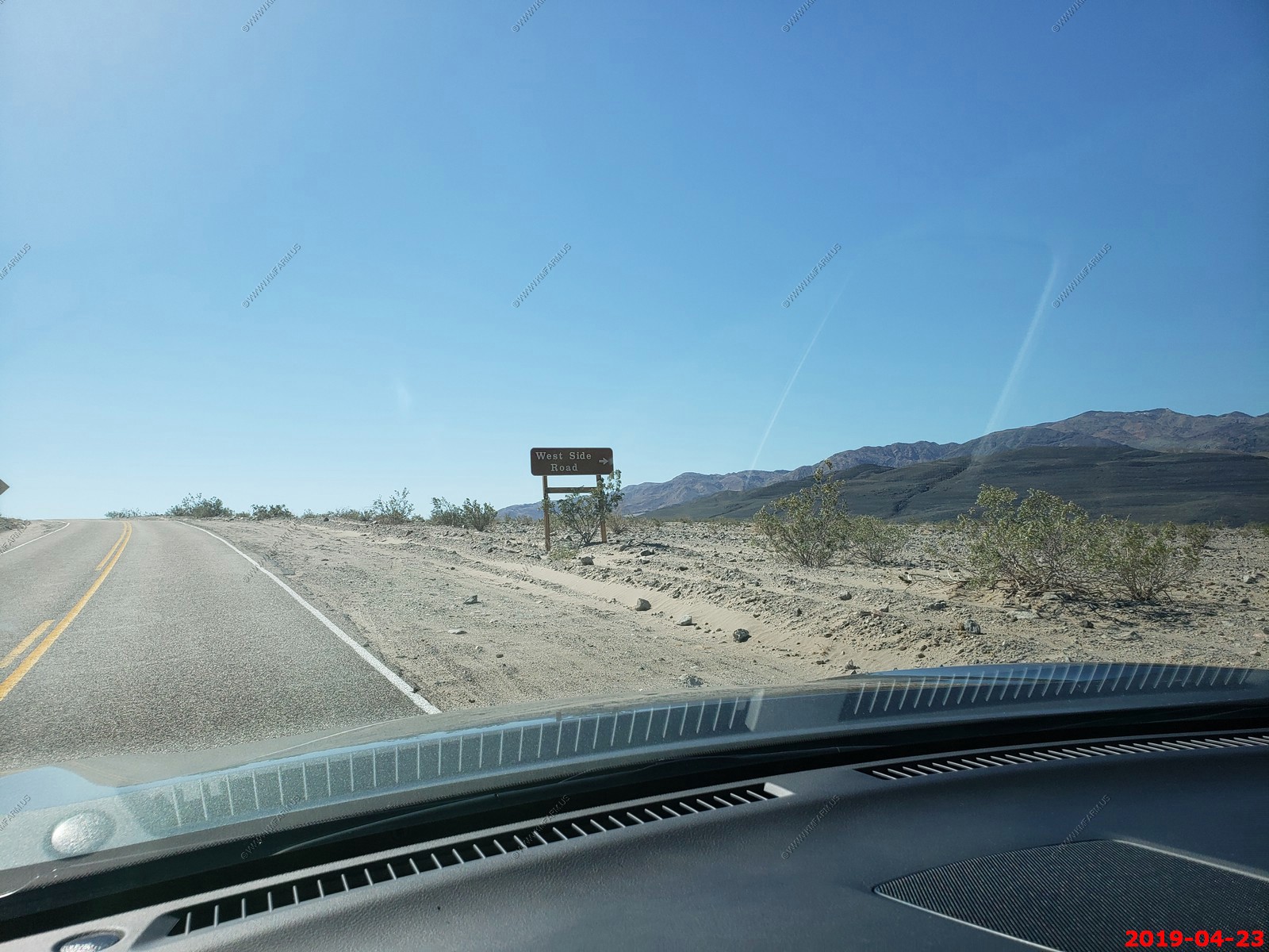
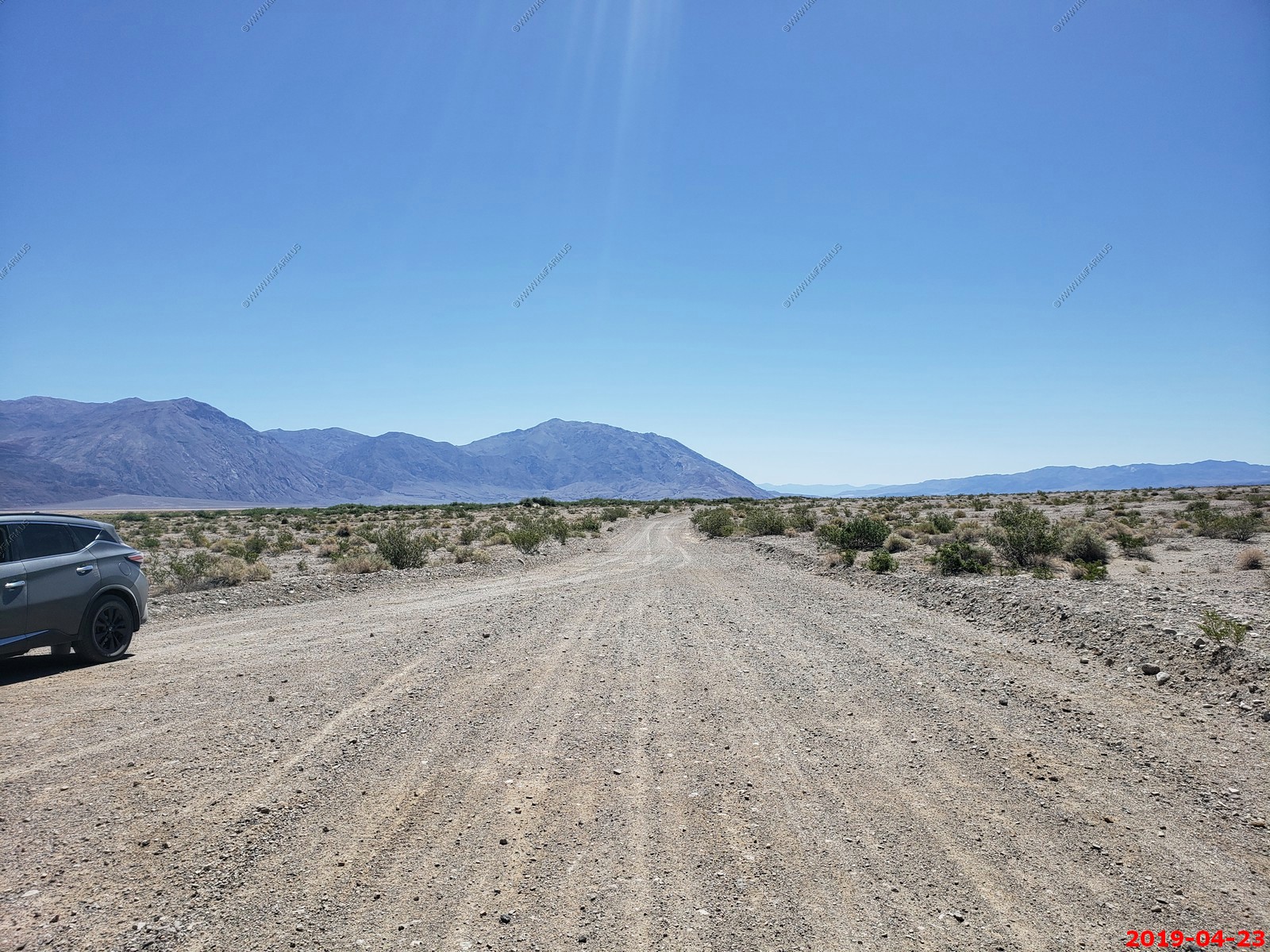
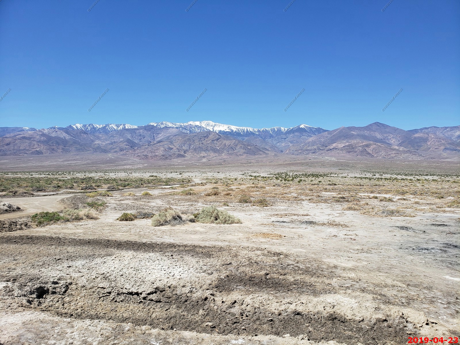
West Side Road runs parallel to Badwater Road, taking you through Badwater Basin on the other side of the valley. You can access the road in just two locations: the north end near Artists Drive, and the south end near the Ashford Mill Ruins. It's a 36 mile gravel road, and while a 4-wheel-drive vehicle is not necessary, the high clearance and thick tires of an off-road vehicle could be helpful.
I was concerned with the car tires on our rented SUV but we had no issues.
Well all clean and ready for adventure
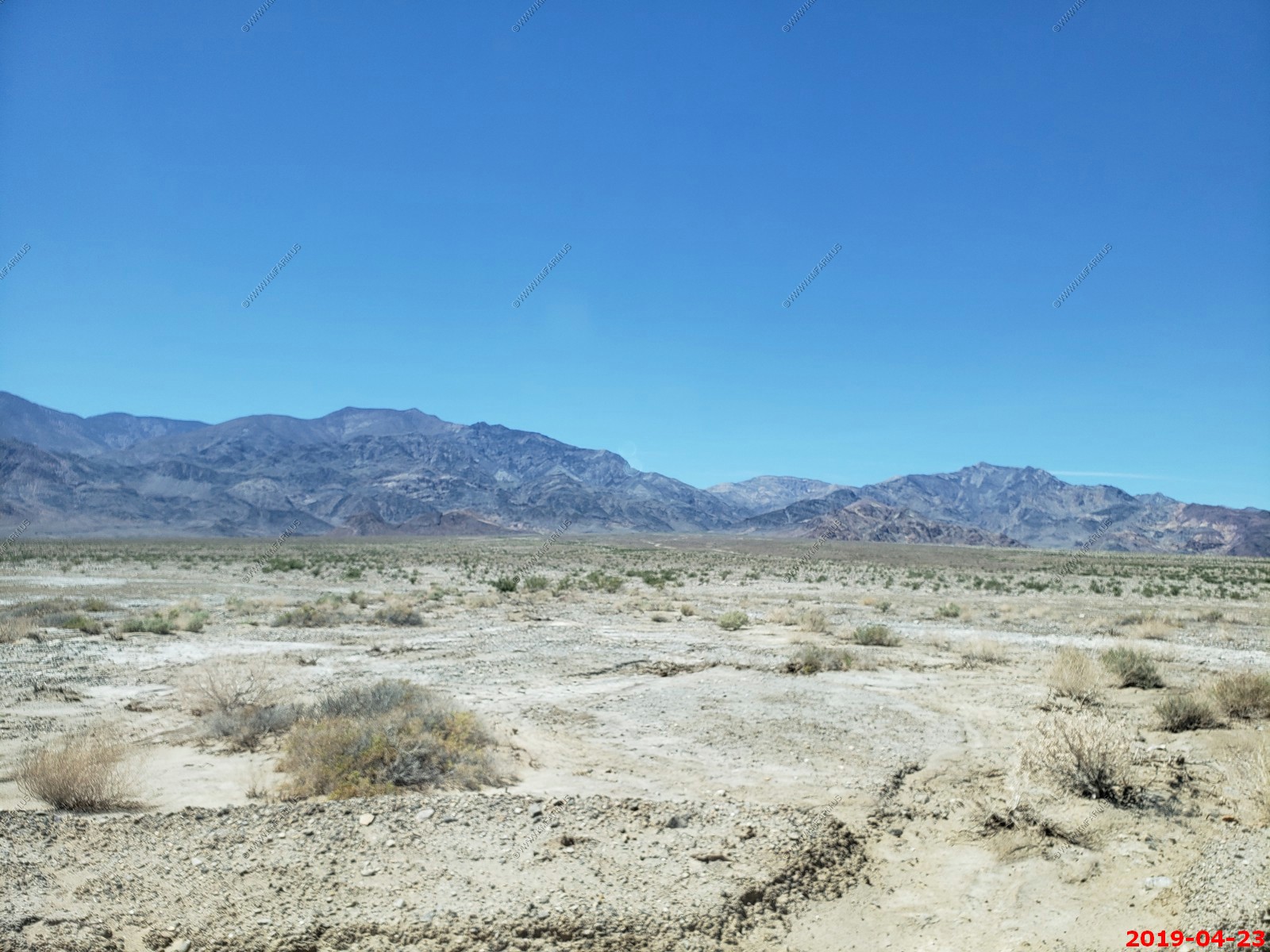
West side road on the left in front of the reddish hills and the paved Badwater road on the right
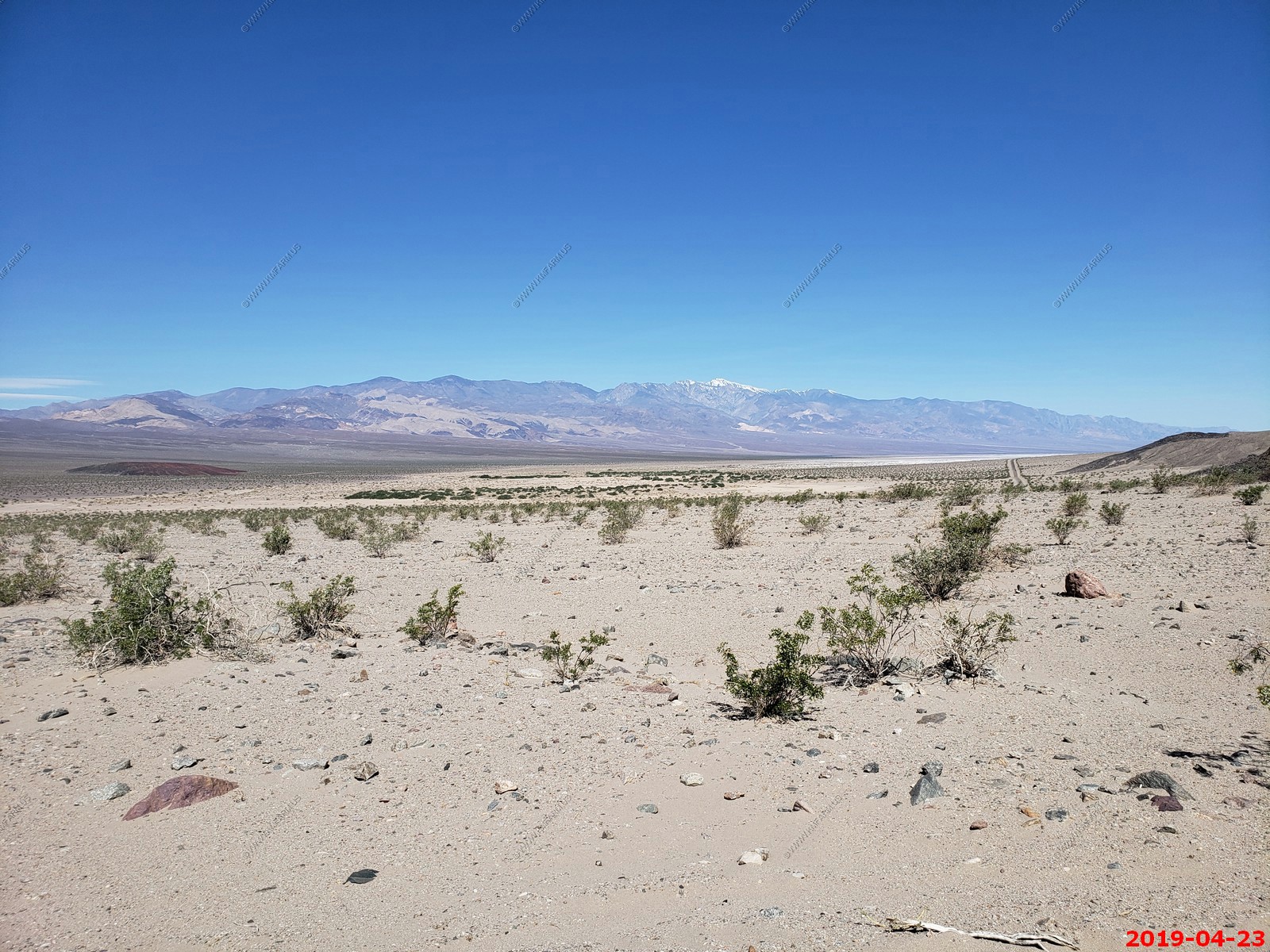
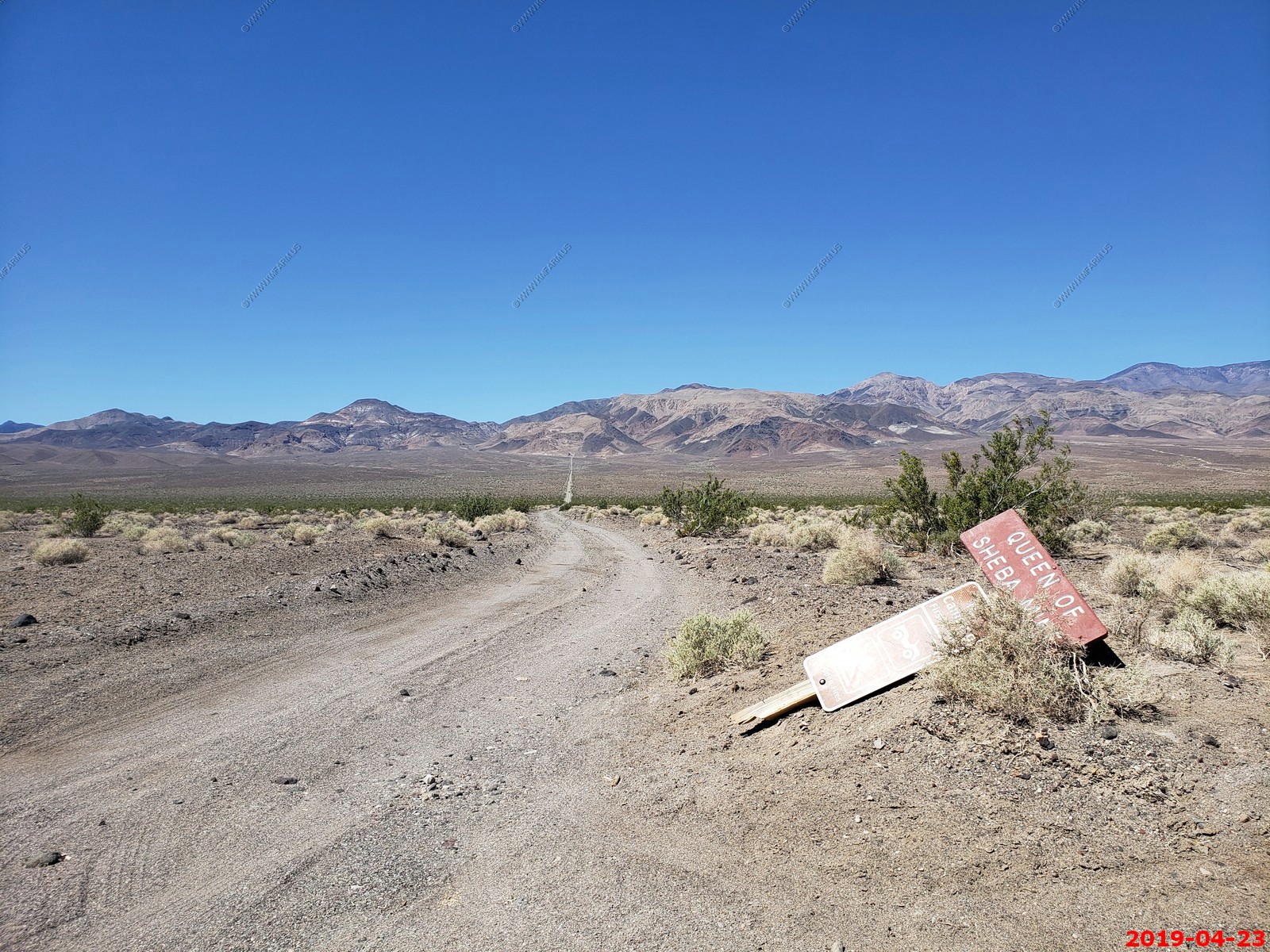
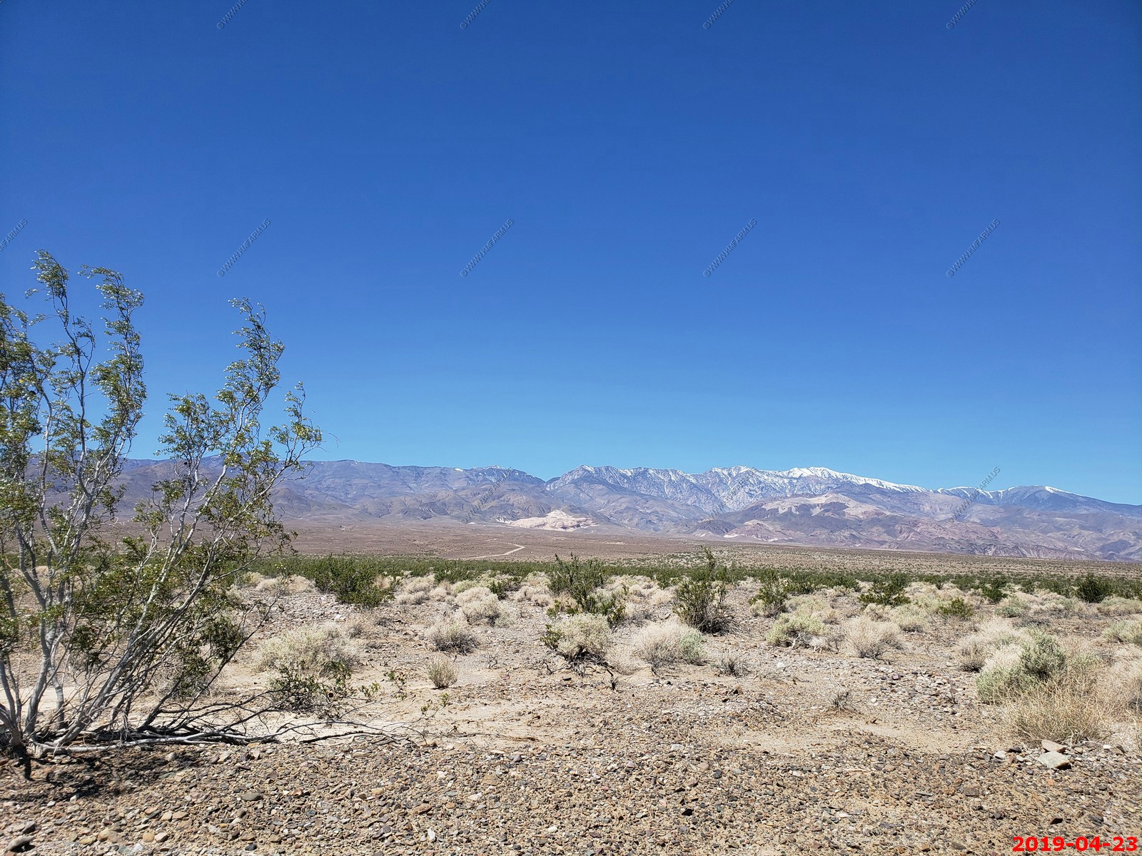
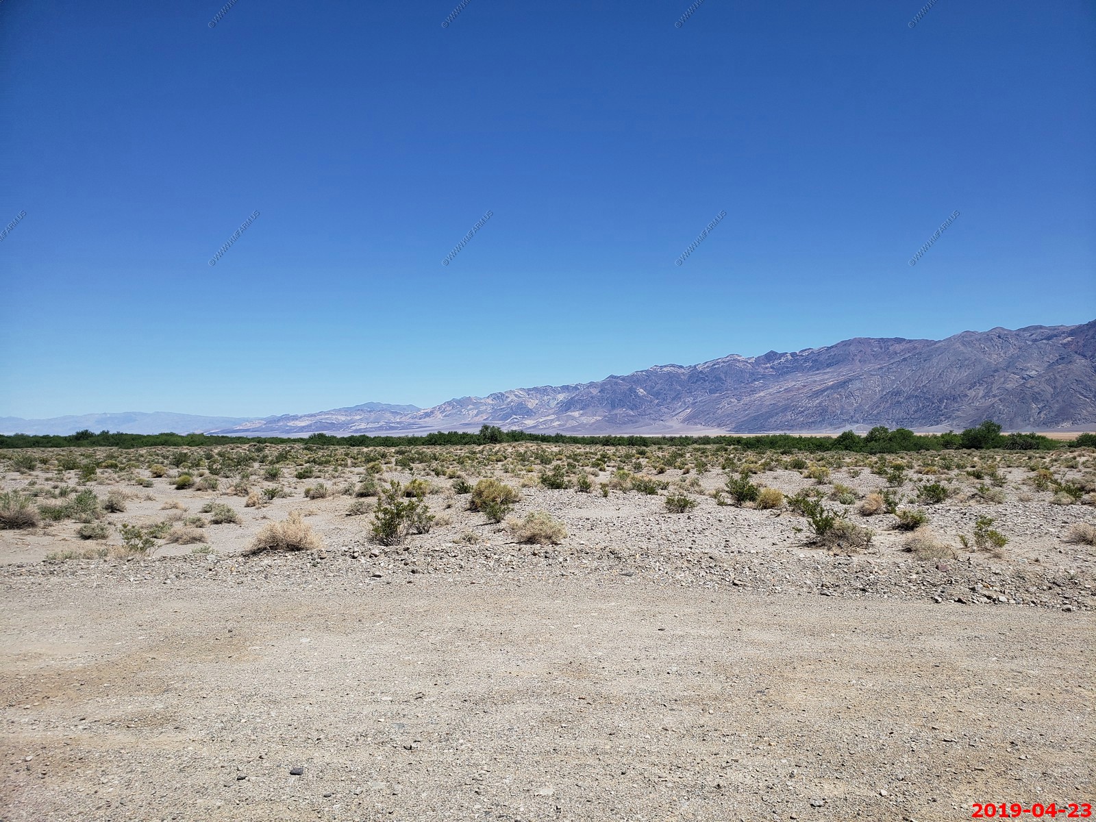
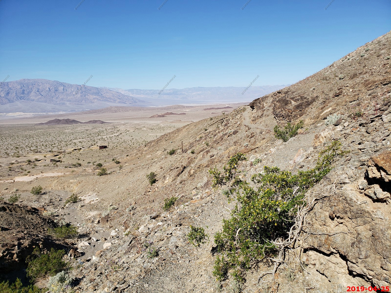
The road started out very rough. I debated turning back a number of times but we kept going. Butte Valley is across the Panamint Range. I bet this would be an adventure.
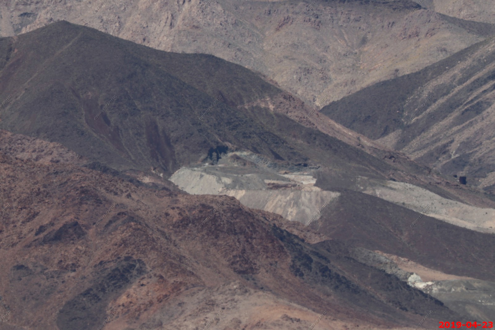
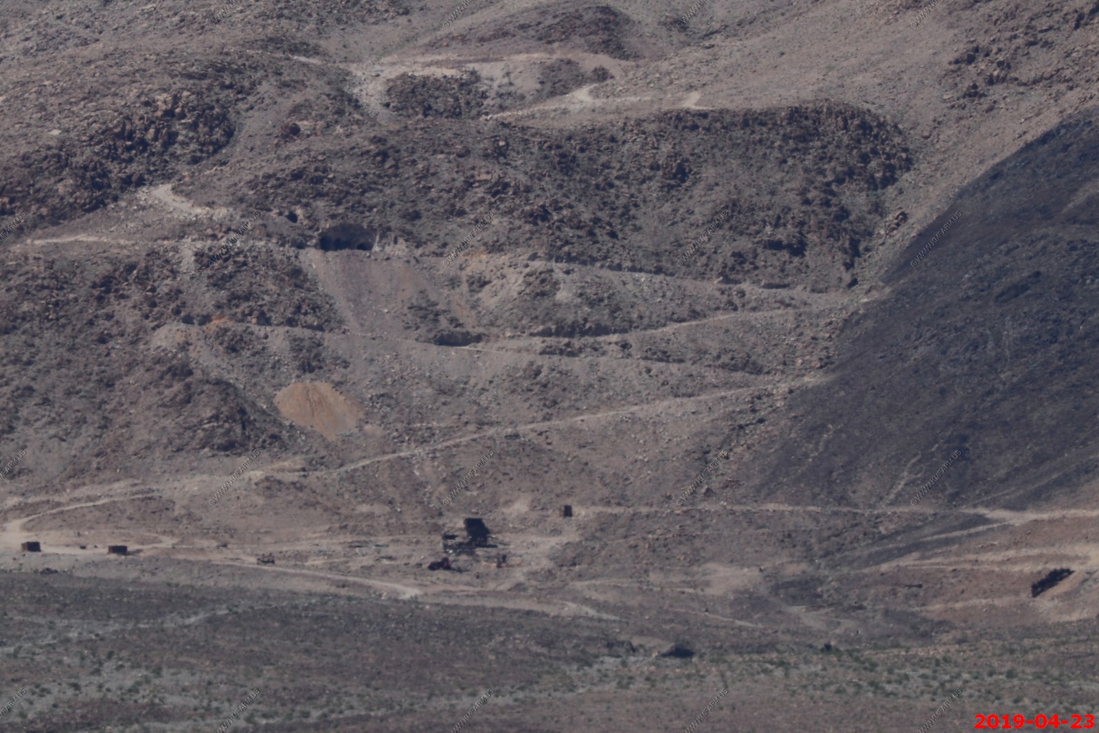
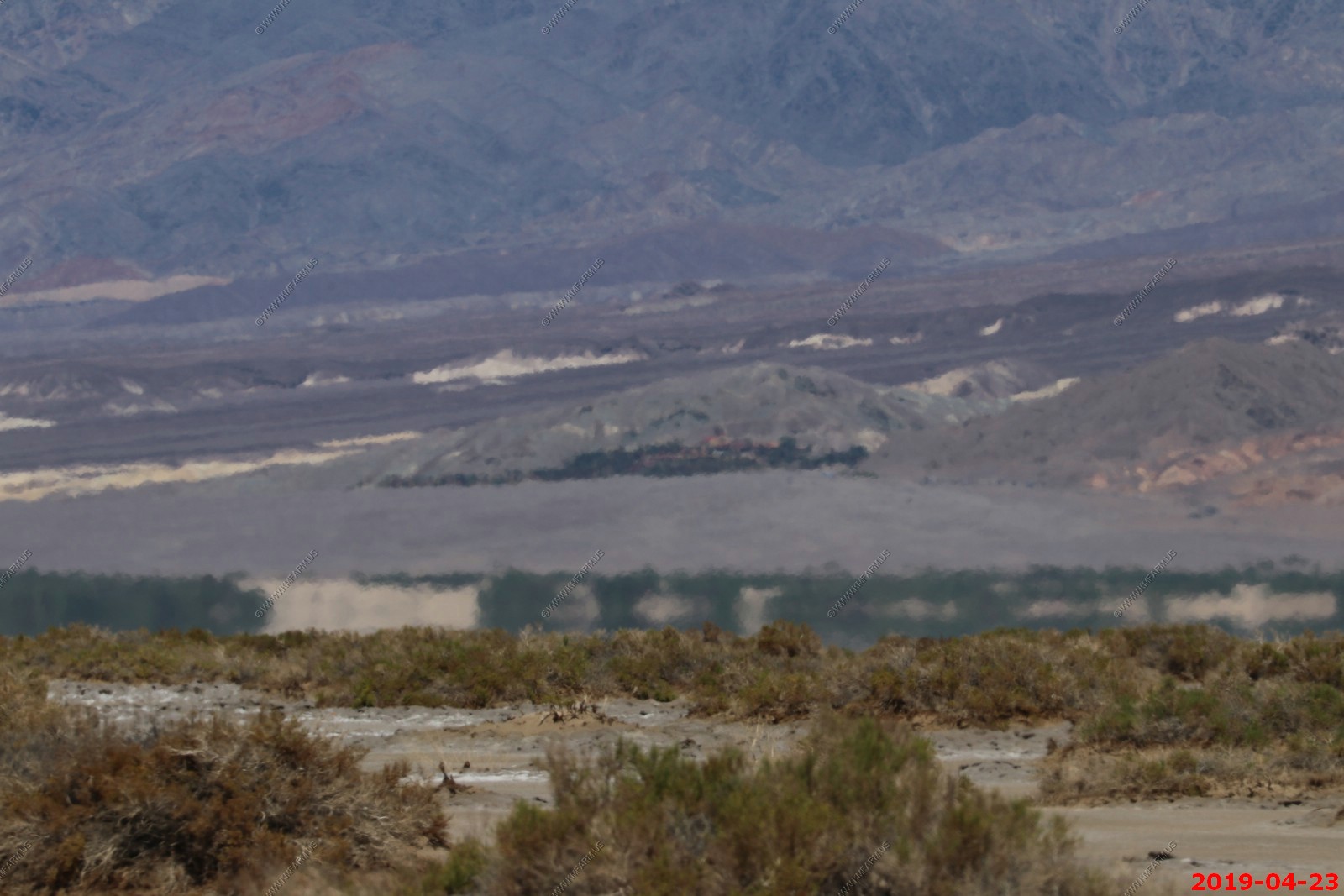
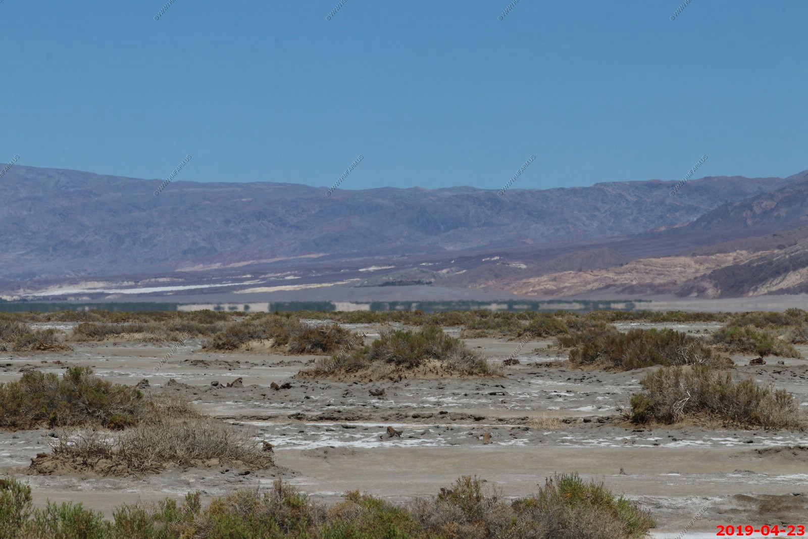
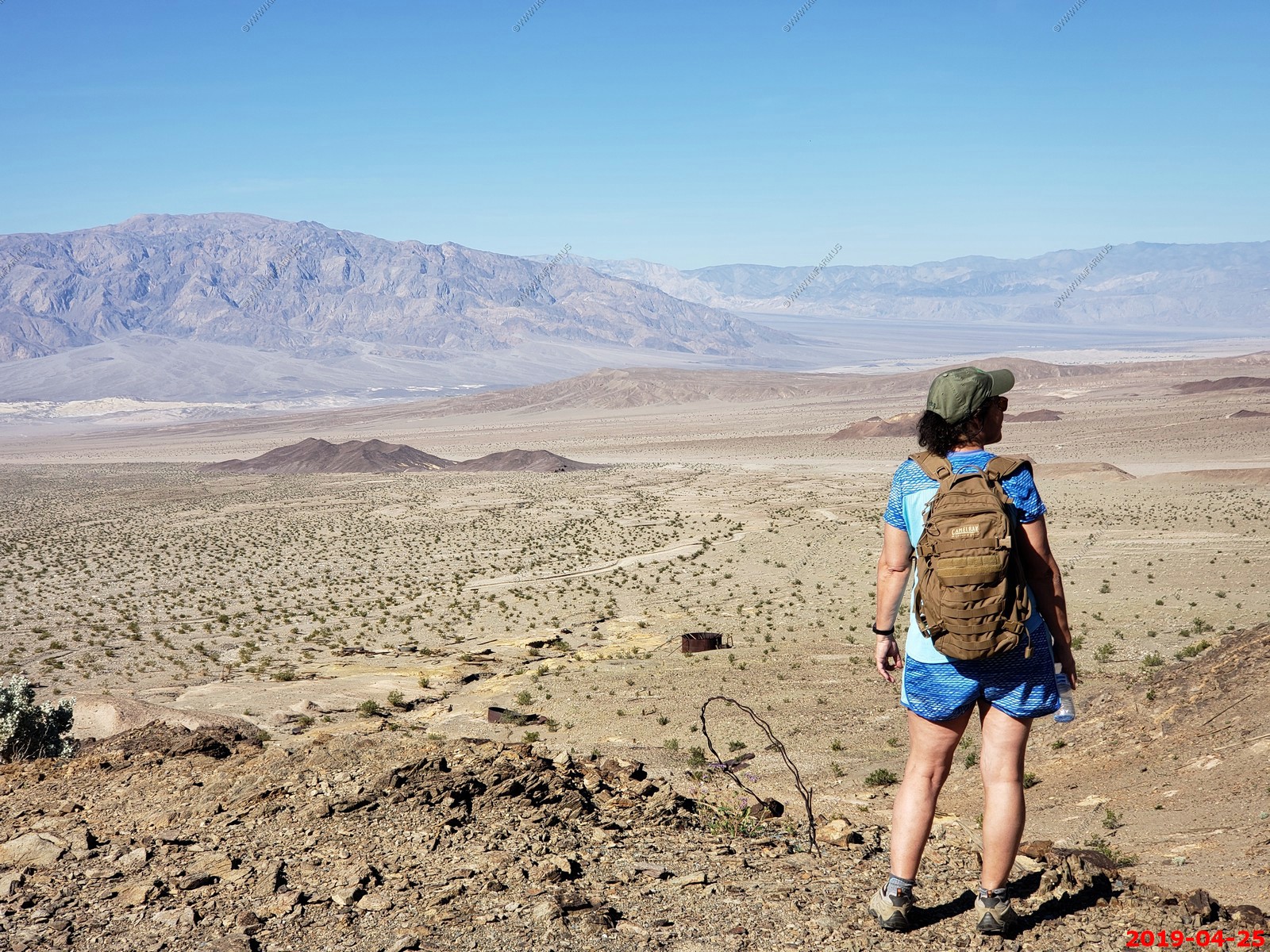
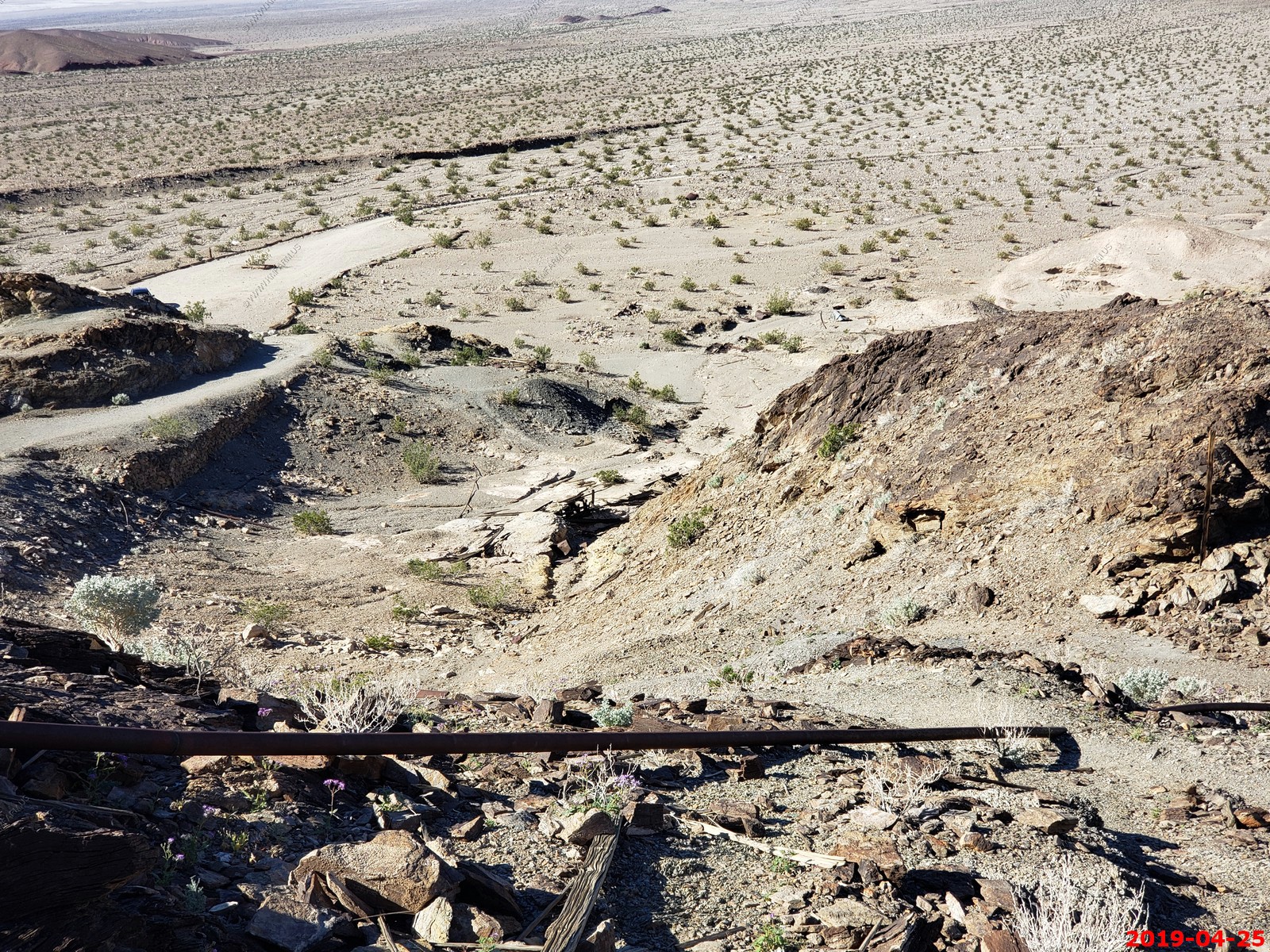
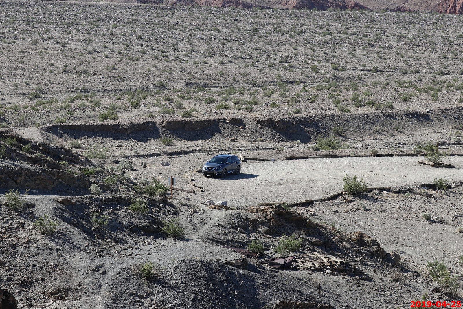
The heat made long distance photos difficult but the Queen of Sheba/Carbonate Lead Mines. The property is now idle, as operations ceased in mid-1949. Someday we will rent a jeep and explore these mines. These were appx. 8 miles west of the West Side Road.
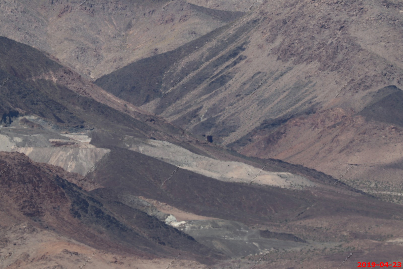
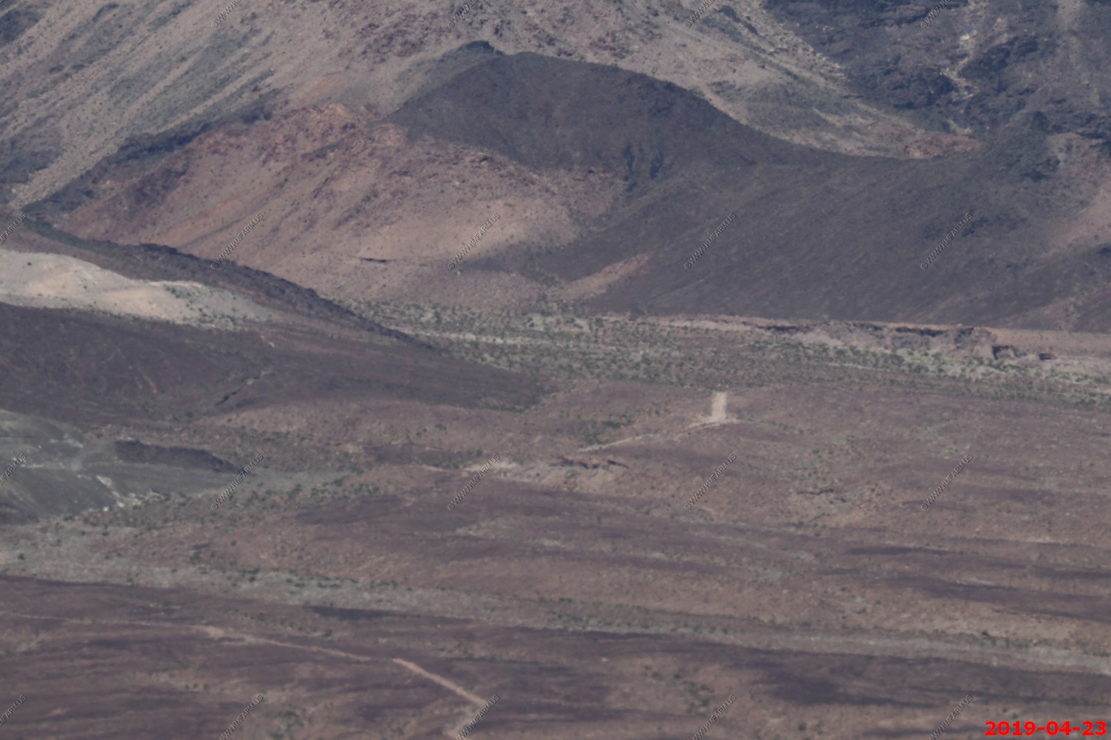
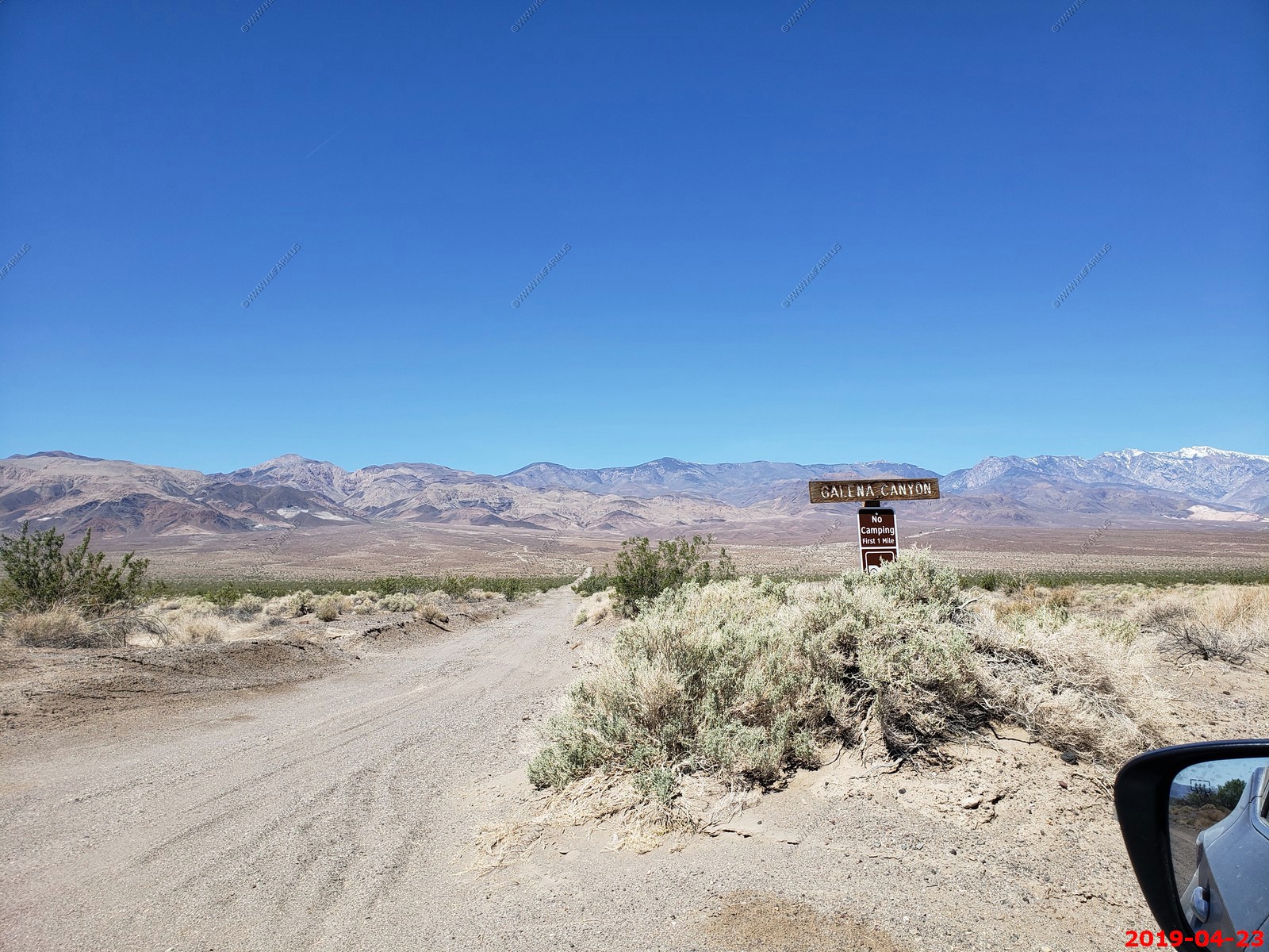
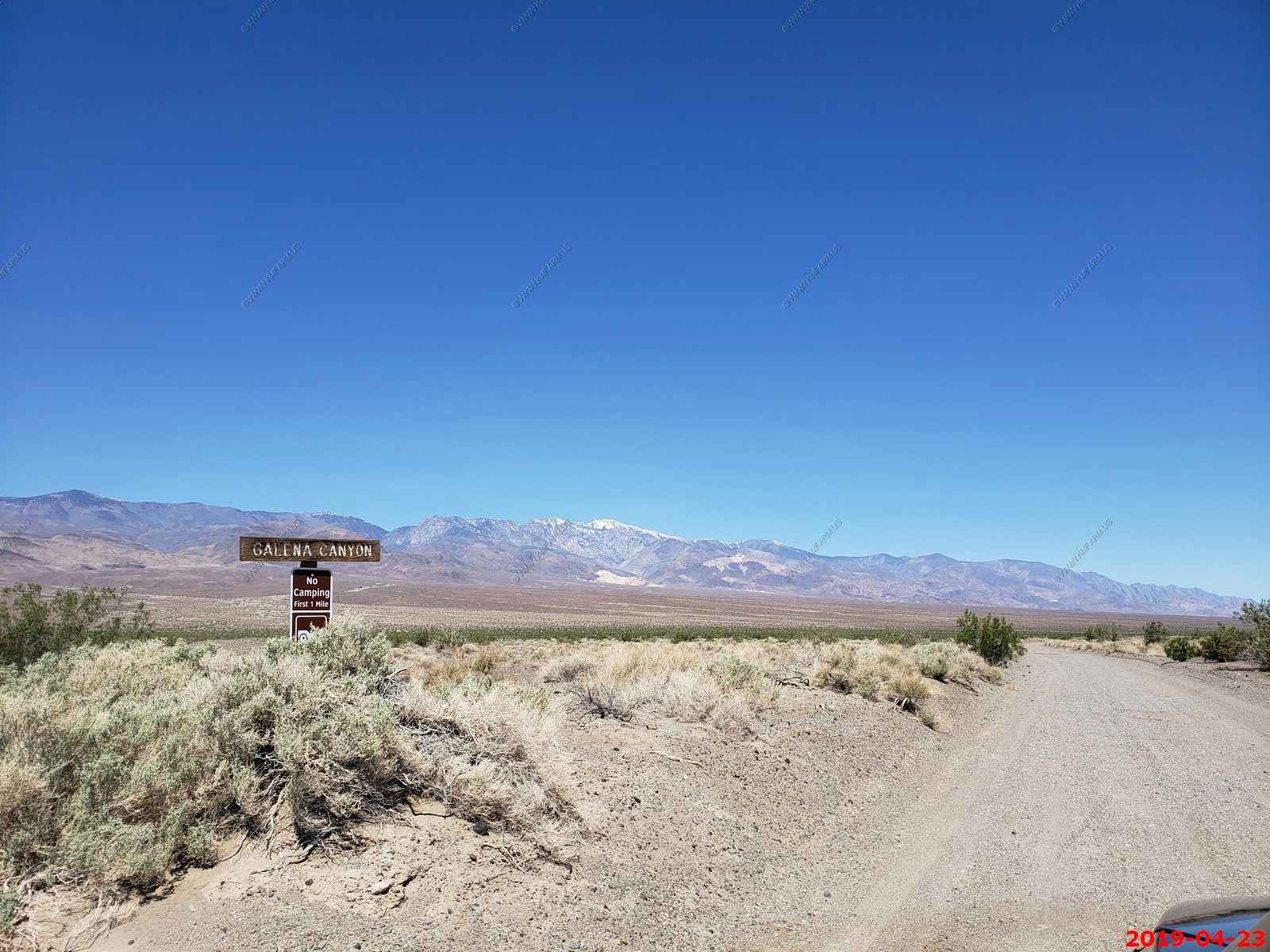
Galena Canyon
Looking west to Queen of Sheba/Carbonate Lead Mines
From the California Journal of Mines and Geology, Vol. 47, No. 1, Jan. 1957:
New Sutherland Divide Mining Company, Henry Grivi, secretary, 1017 Garfield Building, 403 W. 8th Street, Los Angeles, California, holds 9 unpatented claims, including the Carbonate and Queen of Sheba Mines.
The Queen of Sheba claims was originally worked by a 1000-foot audit and several crosscuts. Upon resumption of work by the New Sutherland Divide Mining Company in 1944, an examination was made which included extensive sampling. Reopening of the mine was done by three 100-foot crosscut audits with numerous drifts, and rises totaling 2500 feet were driven at 50-foot vertical intervals. The replacement-type orebody is in dolomite which strikes northeastward and dips steeply to the east. A large tonnage of ore assaying 7 percent lead and 5 to 10 ounces of silver per ton was available in the Queen of Sheba workings in 1948, but shipments of concentrates were small.
The Carbonate mine, worked by a series of adits to a vertical depth of 150 feet, was reopened in 1948 and concentrates from the ore assayed 35 to 40 percent lead. The orebodies here are replacement lenses in dolomite which trends north-northwestward and dips 35 degrees E. The ore mineral is principally lead carbonate associated with galena, silver, and gold.
A new flotation mill, erected in 1947-1948, was designed to treat 100 tons of ore per day. The original flow sheet showed a 10- by 20-inch jaw crusher, 5- by 7 1/2-foot Marcy ball mill, Bendelari jig, classifier, agitators, flotation cells, concentrating tables and a disc-type filter. Power is supplied by a 250-kw General Electric, diesel-powered generator. Water was pumped from a well in the floor of Death Valley for a distance of four miles against an 1150-foot hydraulic head.
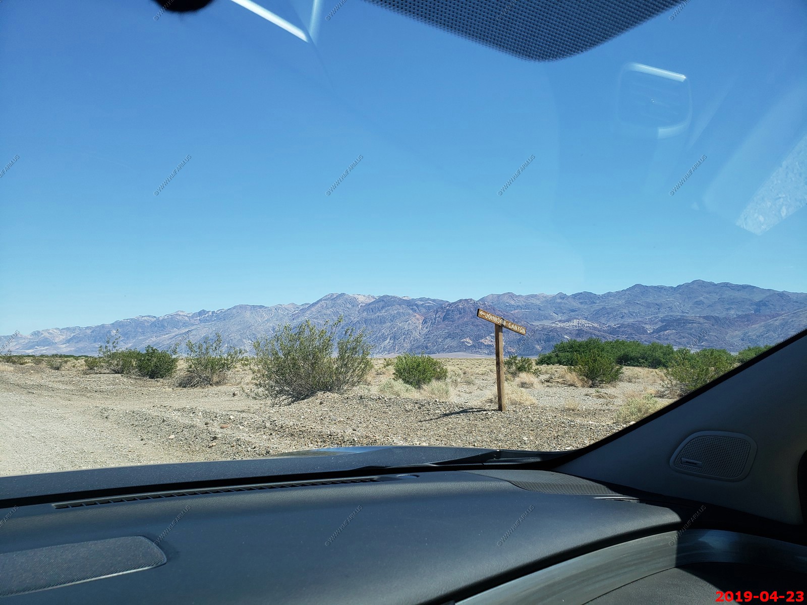
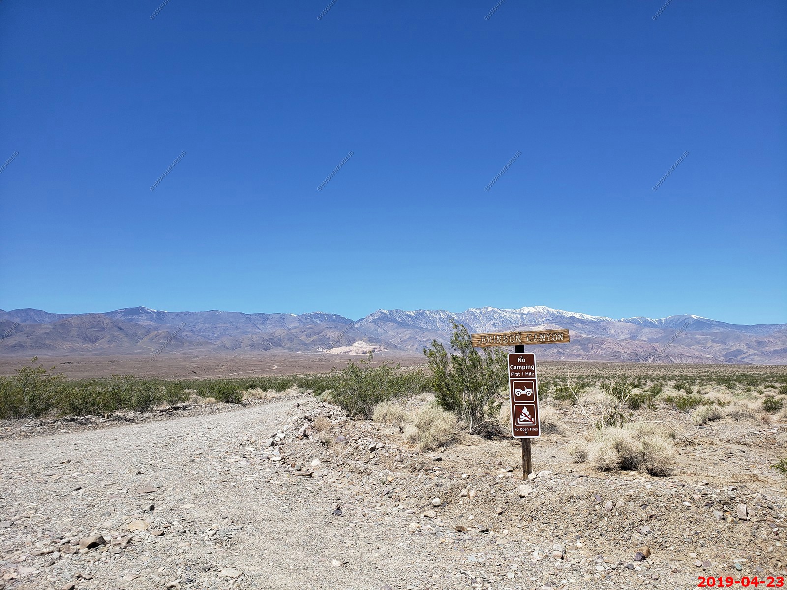
Another Canyon - Johnson Canyon
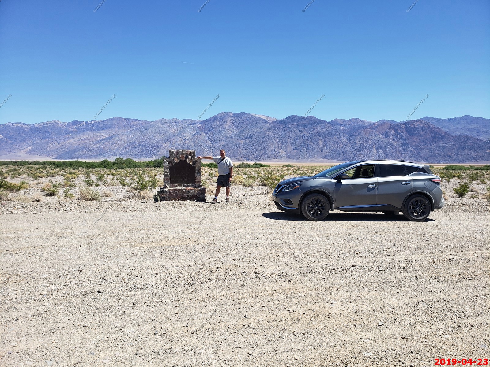
Bennetts Long Camp - Near this spot Bennett - Arcane contingent of Death Valley Forty - Niners, emigrants from Middle West, seeking short cut to California gold fields, were stranded for month and almost perished from starvation. Two young companions, William Lewis Manley and John Rogers, made heroic journey on foot to San Fernando, returning with supplies, and led party to the safety of San Francisquito Rancho near Newhall.
State Registered Landmark No. 444
Marker Placed by California Centennials Commission - Base Furnished by Death Valley 49ers Inc. - Dedicated December 3, 1949
Panoramic (360 degree) photo. (Takes time to load as its 40meg)
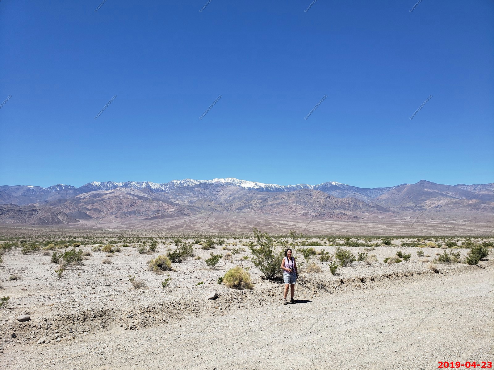
Looking south on West Side Road
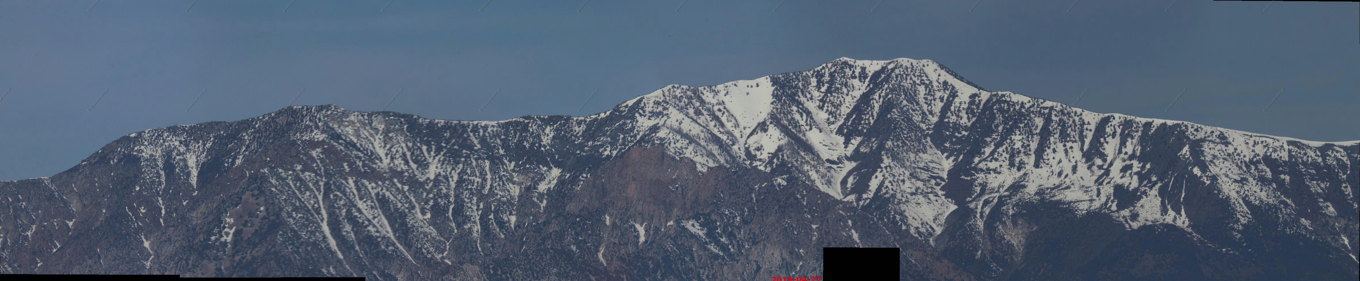
Five stitched photos looking west at the Panamint Range with snow-capped Telescope Peak, El. 11,049 feet
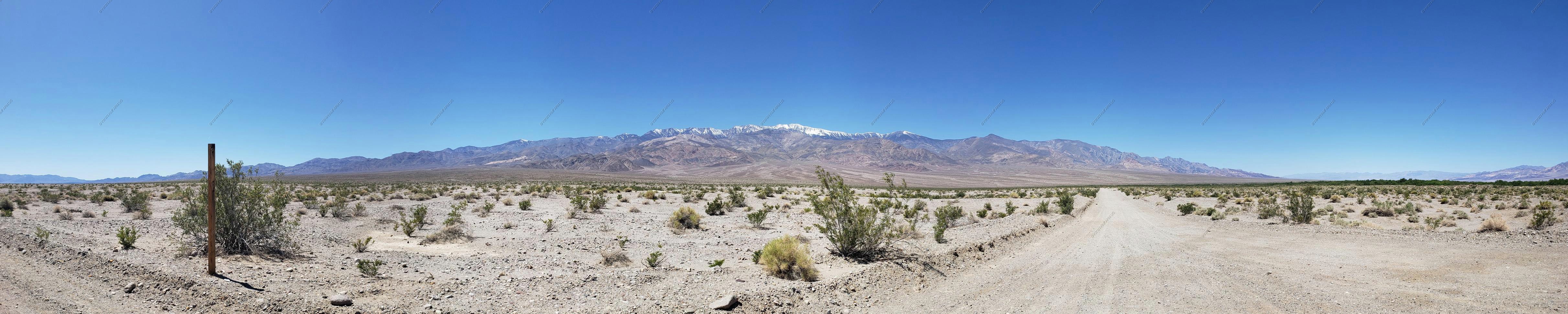
Looking NE back towards Furnace Creek
Mary with Telescope Peak in the background
21 miles to Furnace Creek and the Eagle Borax site turnoff
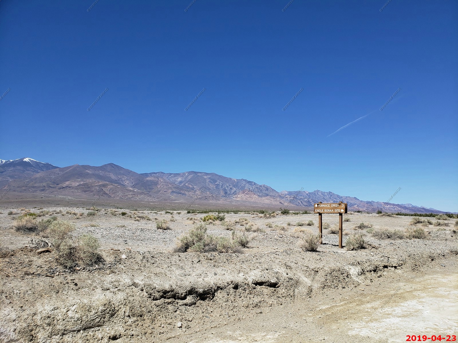
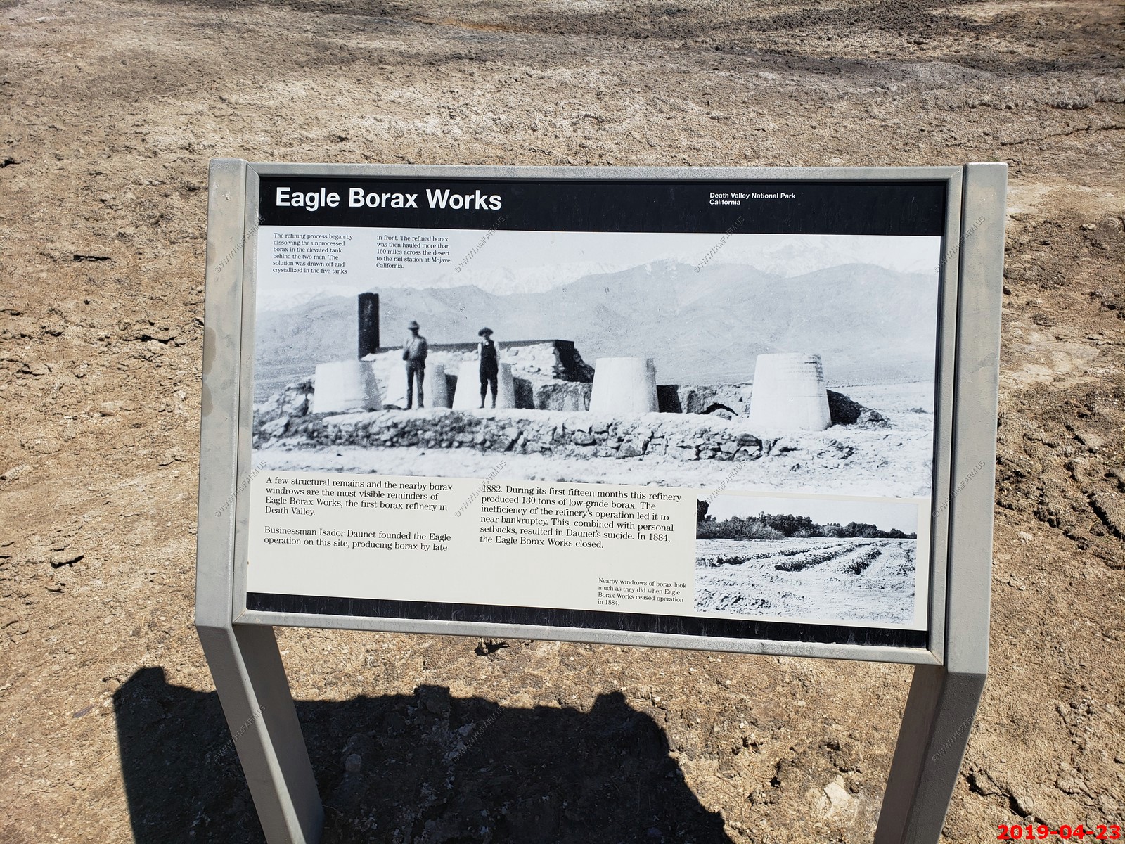
Eagle Borax Works - The Eagle Borax Works in Death Valley, California was established near Bennetts Well in 1882 by Isidore Daunet, J.M. McDonald, M. Harmon and C.C. Blanch to mine the borate deposits that Daunet discovered there in 1880. The partnership established the first borax works in the valley. Partly refined borax was hauled to Daggett, California through the Panamint Valley using 12-mule teams hauling two wagons. The extraction business operated until 1884 when problems mounted and Daunet took his own life. The property eventually passed to the U.S. Borax Company, which kept it as a mining reserve, then to Borax Consolidated, Ltd. in 1922. The property was sold to the Death Valley Hotel Company in 1956, and finally to the National Park Service.
Little remains of the structures but ruins. The works originally included a boiler, a tank for dissolved borax, and open tanks for crystallization of the borax. A stone building stood nearby to house the workers. The boiler fire box remains, along with an earth mound at the site of the building
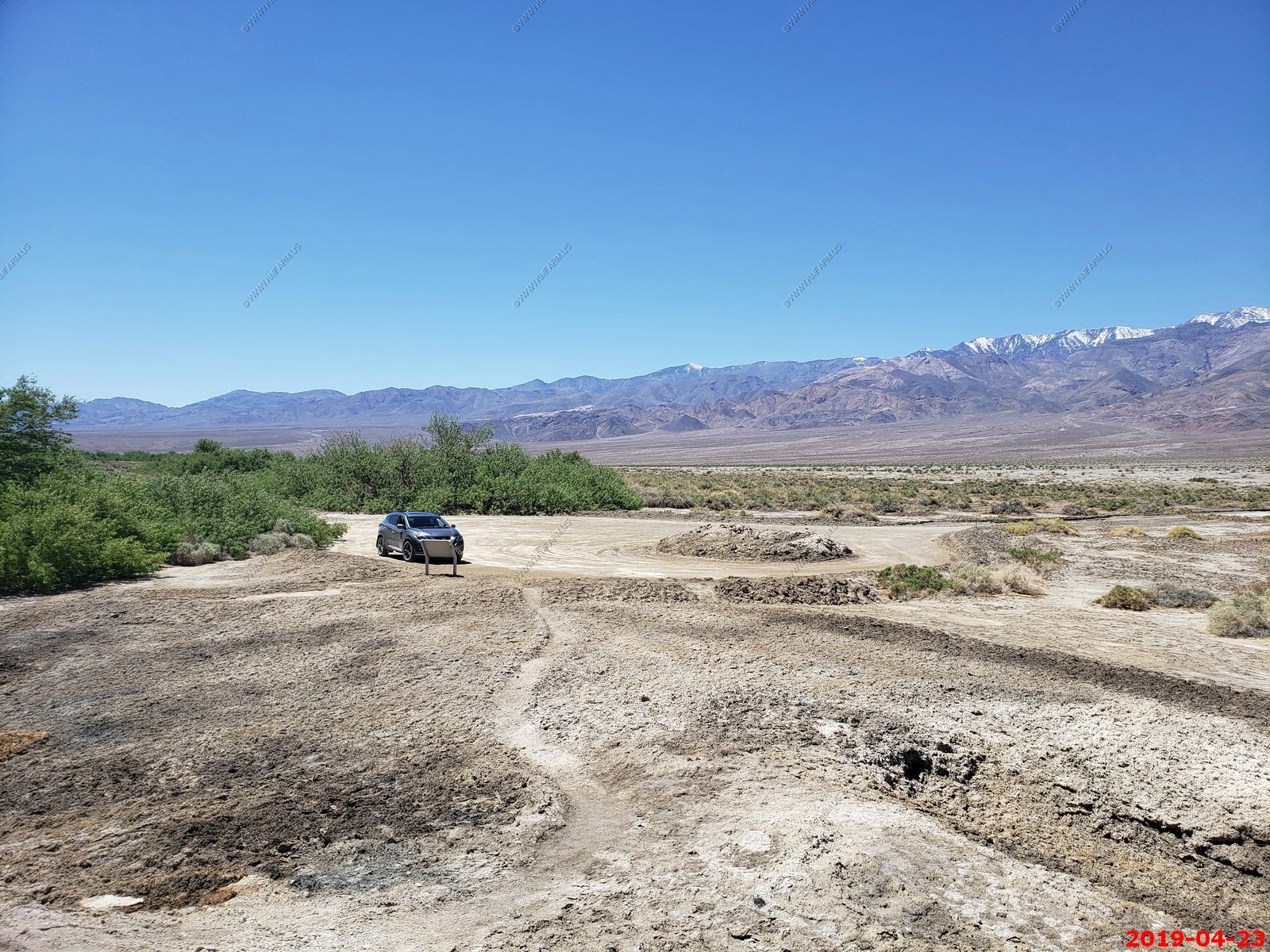
Water here


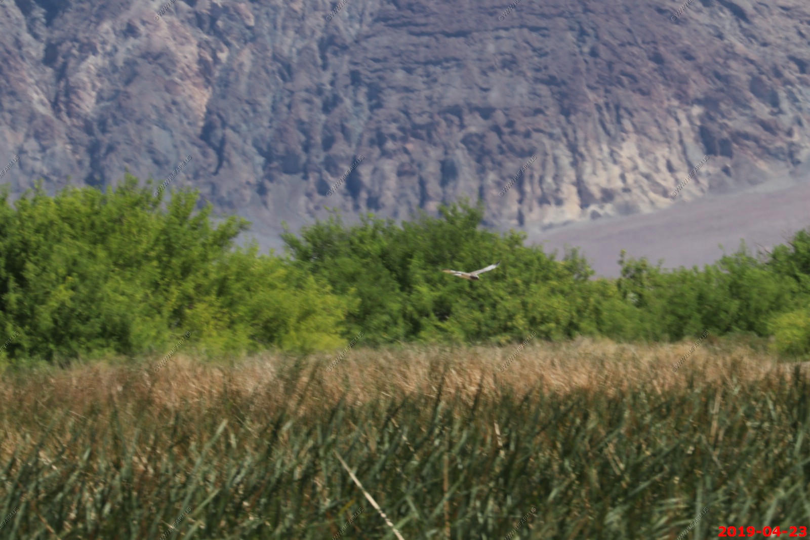
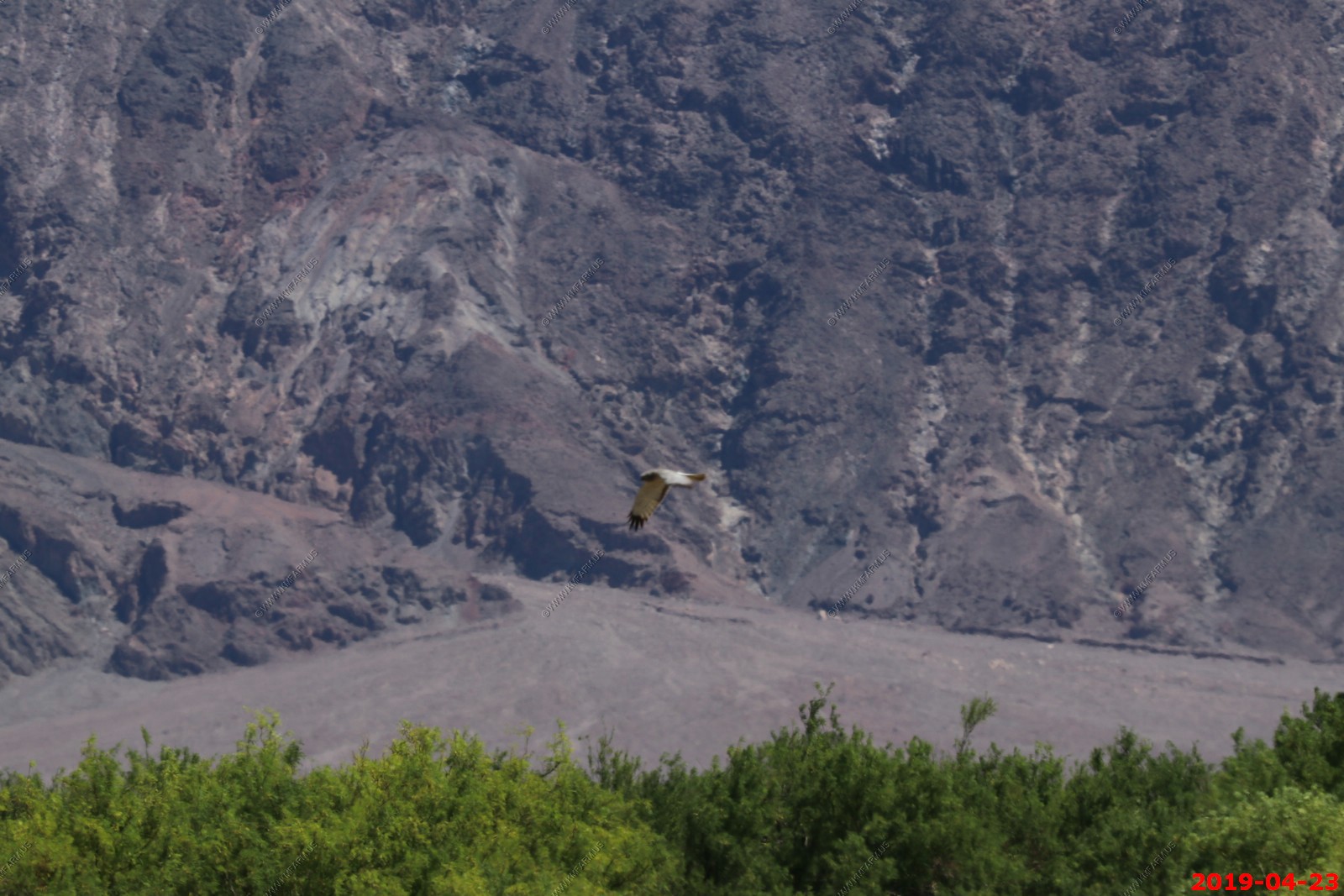
We think its a Northern shrike (blurry photos)

Panoramic (360 degree) photo. (Takes time to load as its 38meg)
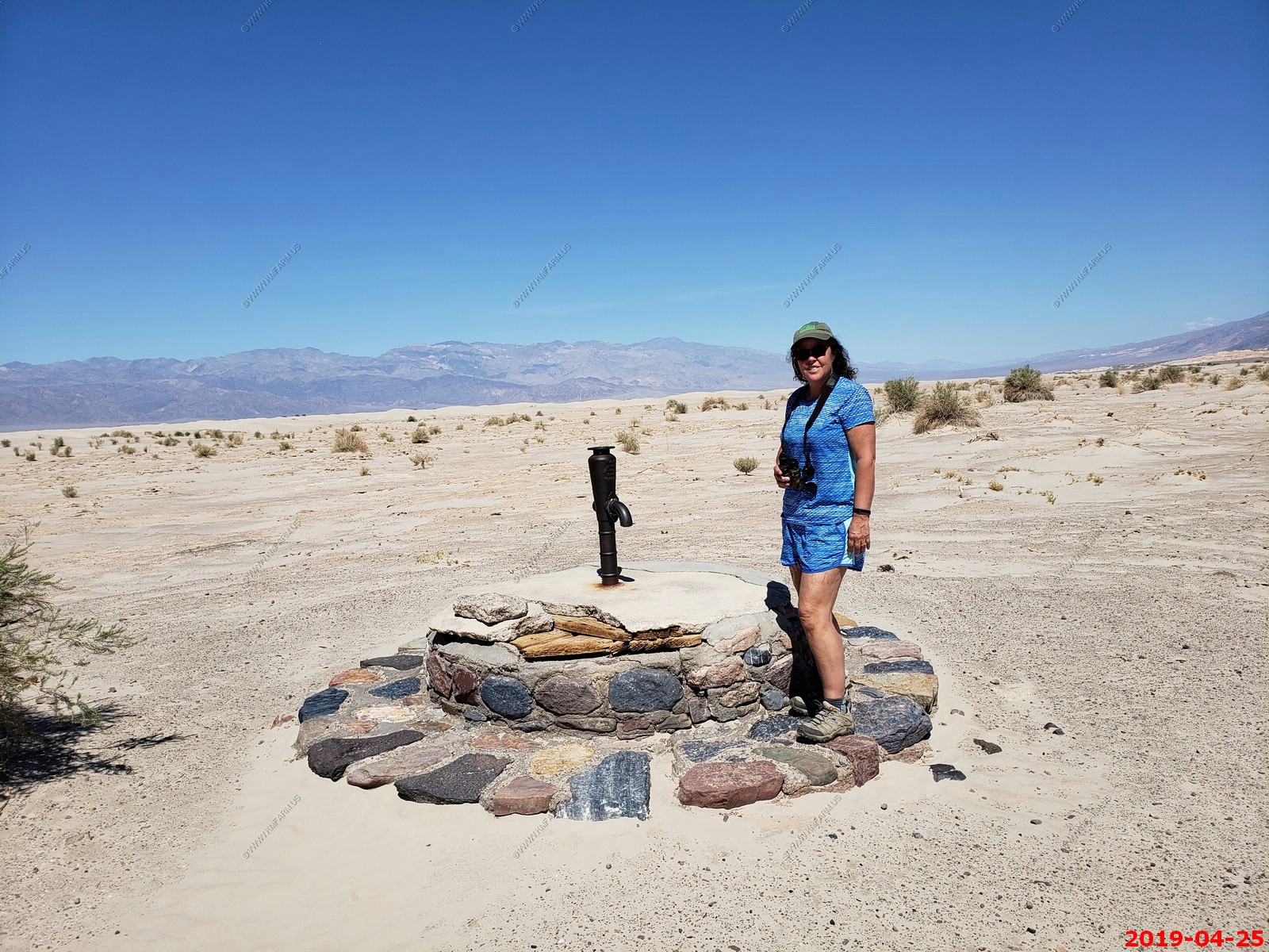
Up to the junction of Shorty's Well and Hanaupah Canyon road
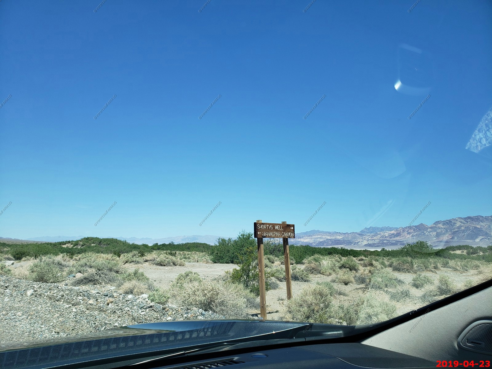
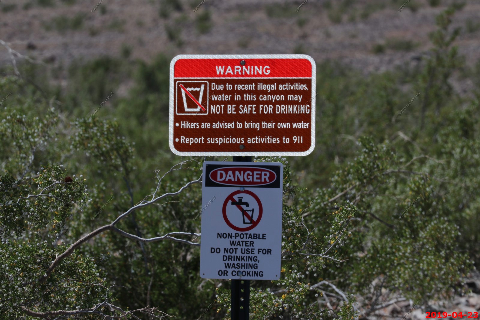
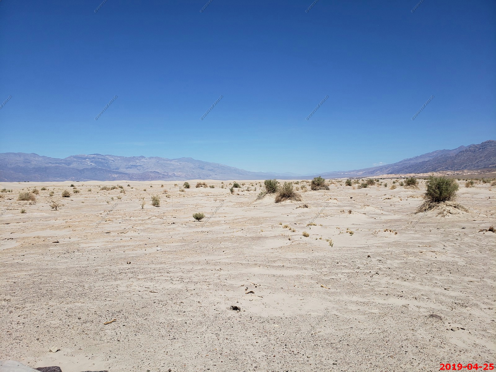
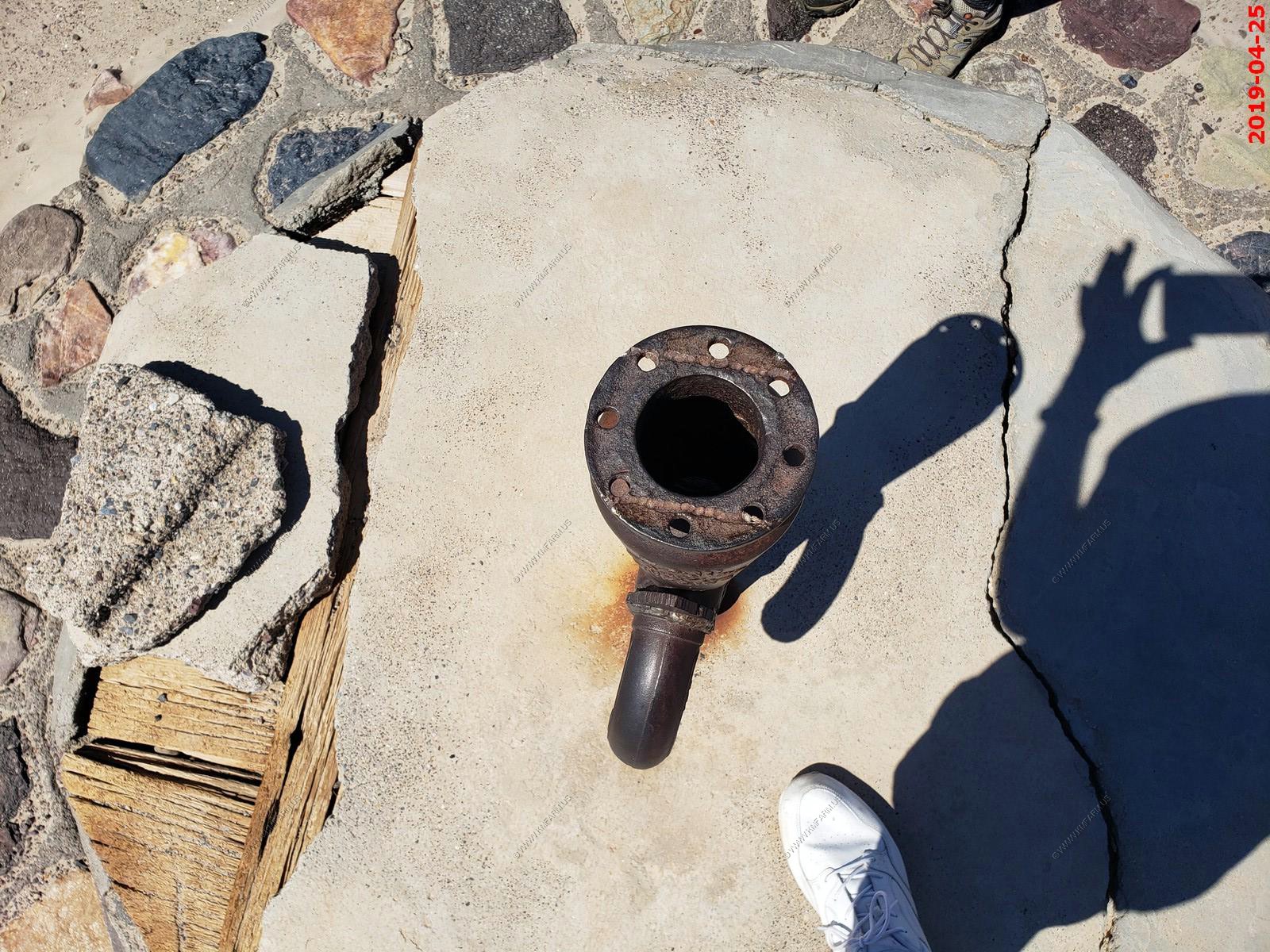
Not sure what they did to the well. We did not need any water which is a good thing.
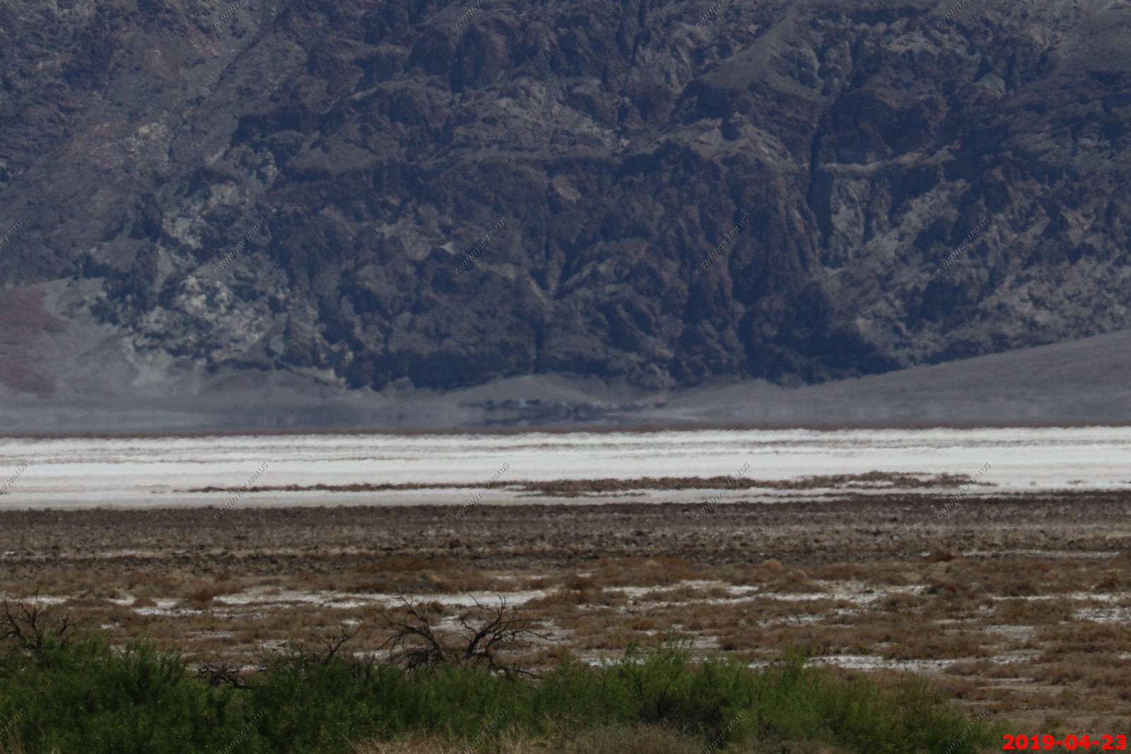
At this point we are directly across from Badwater parking area. Its appx 7 miles across here. You can see the vehicles at the base of the cliffs in the waves of the heat.
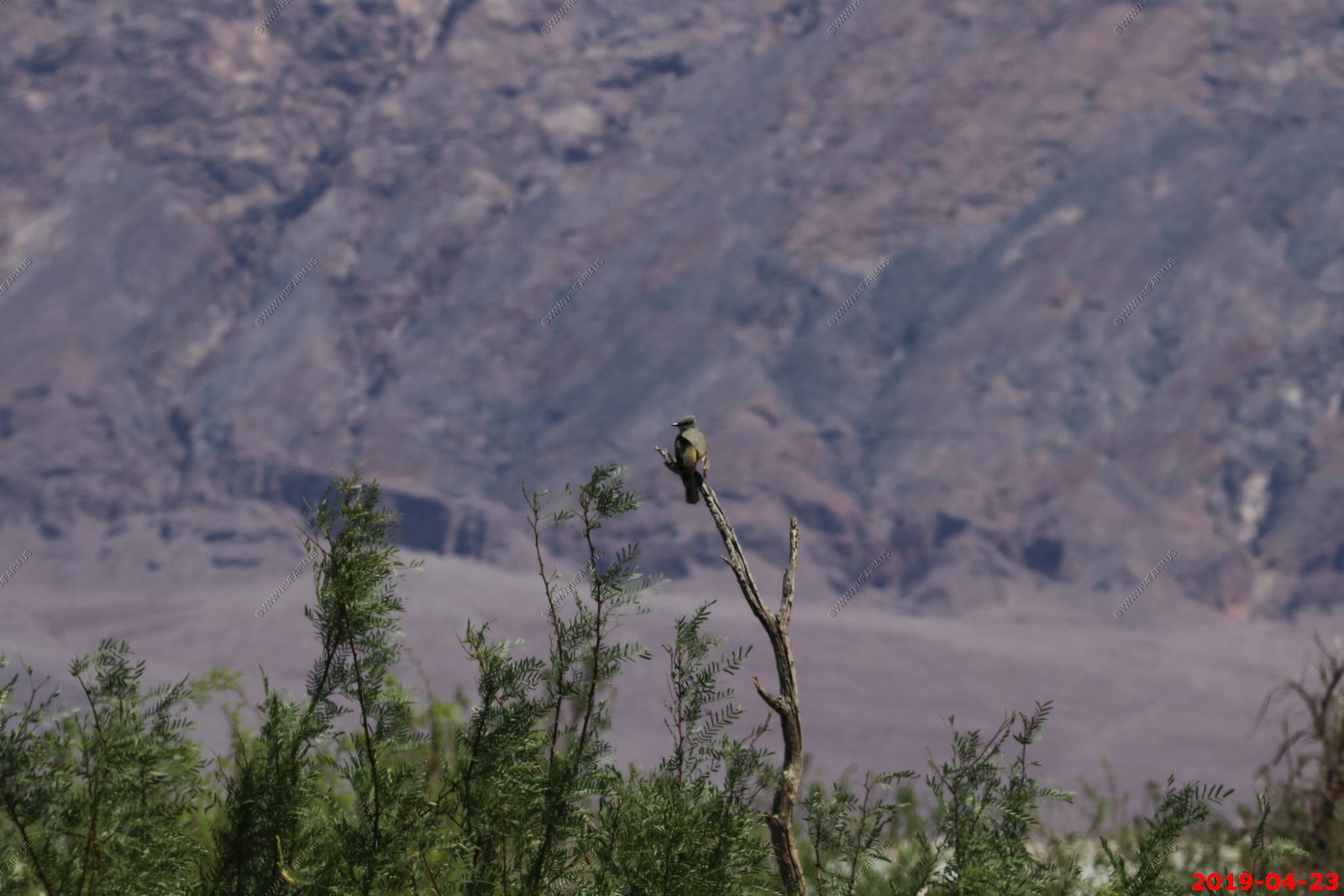
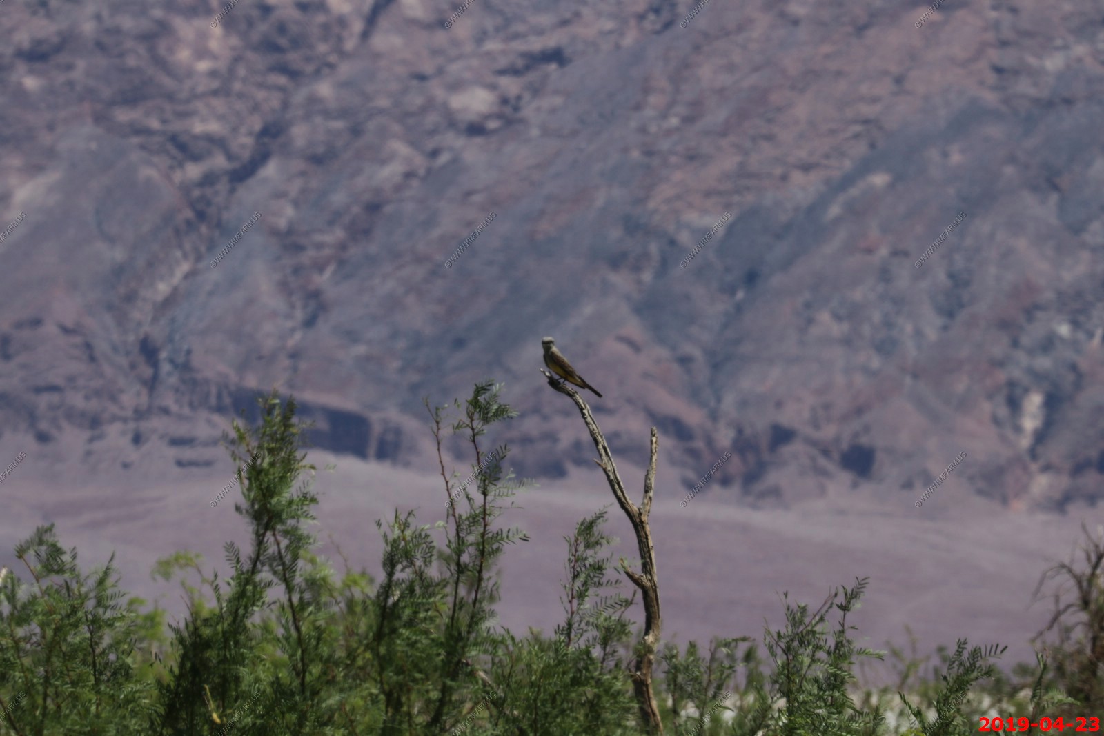
Unknown
Unknown bird
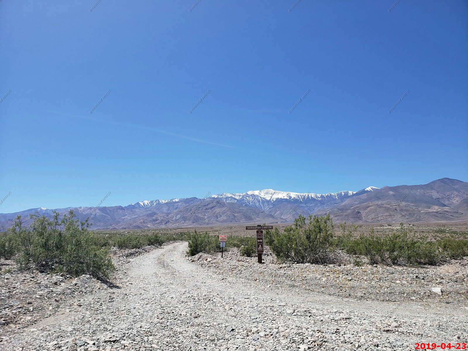
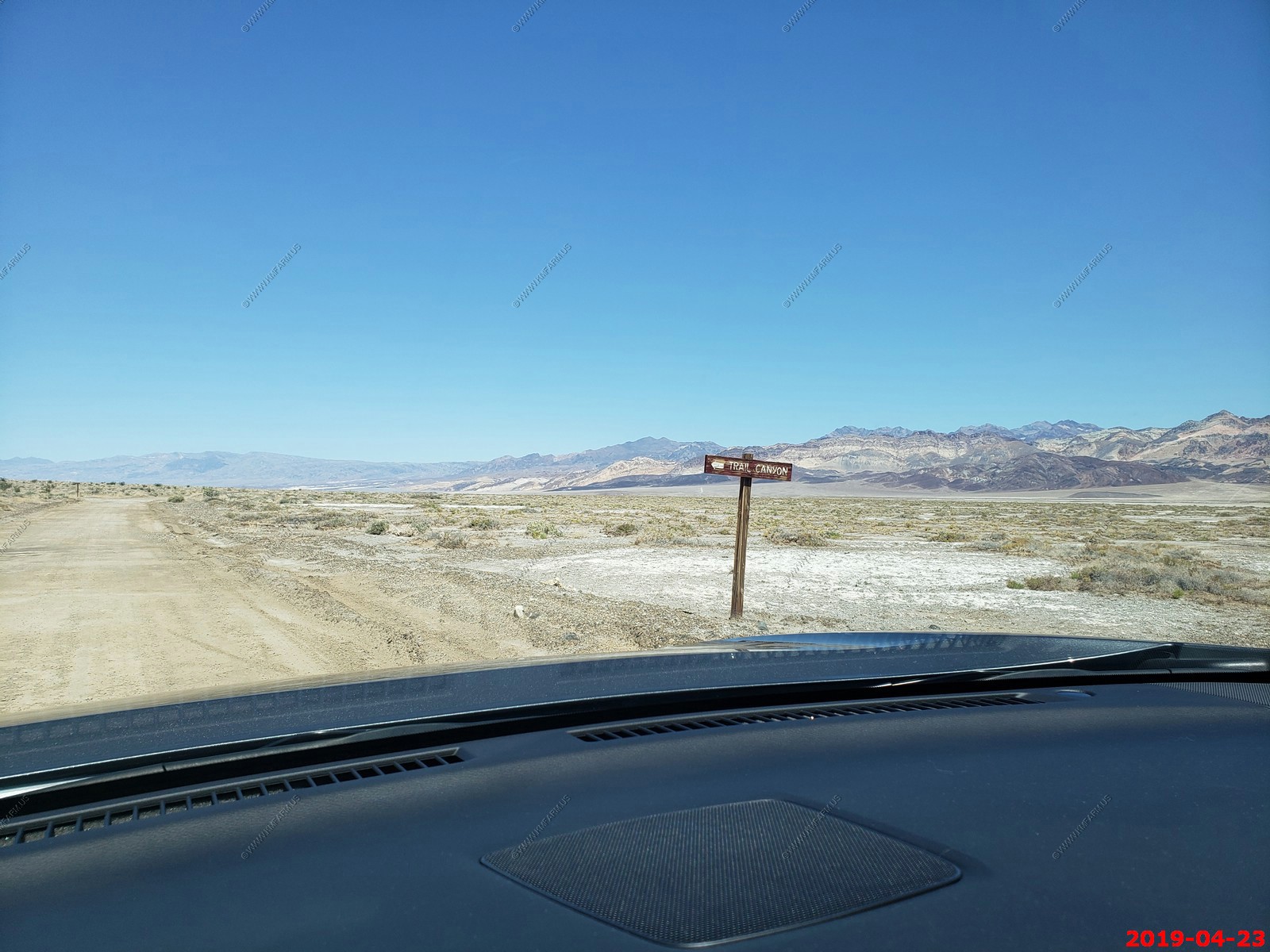
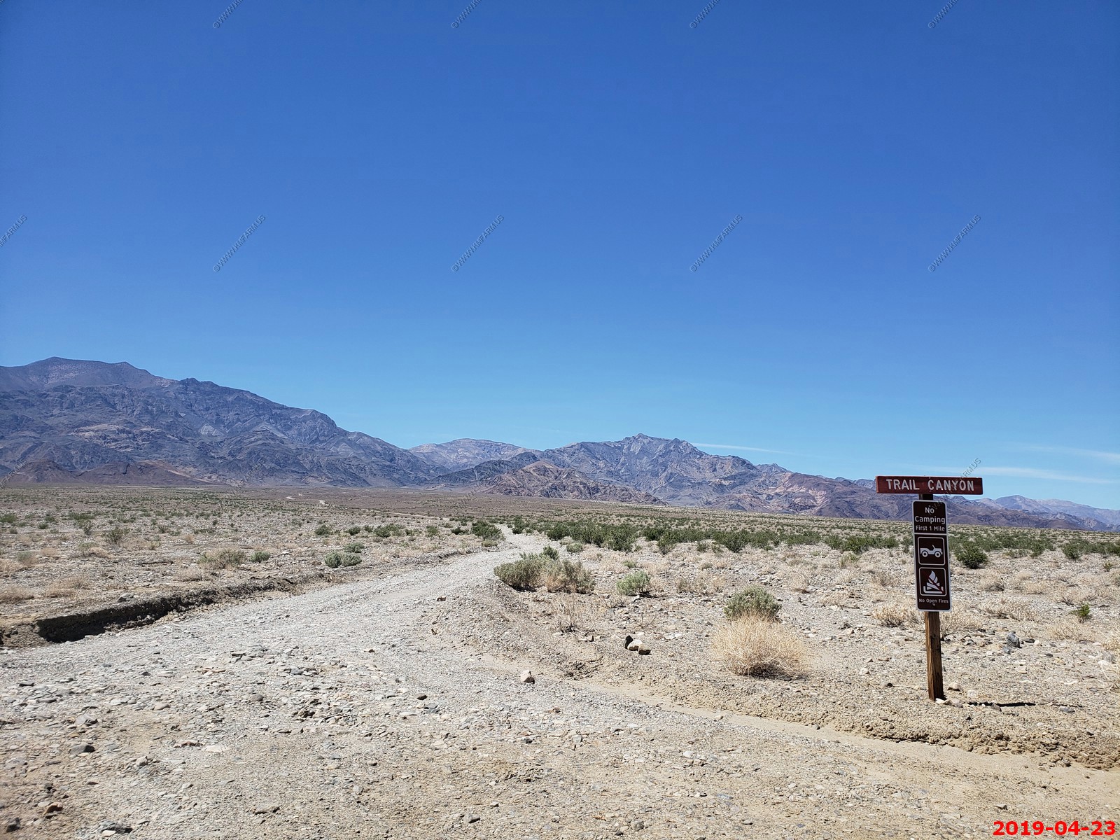
Up to Trail Canyon junction
Looking appx 12 miles to furnace Creek Inn
Crossing the salt flat and almost back to Badwater Road. Elevation -281
Oh baby time to fill up.
With Naval Air Weapons Station China Lake, North Range just to the west considerable military activity could be seen day & night. We are located in a restricted military airspace (R-2508)
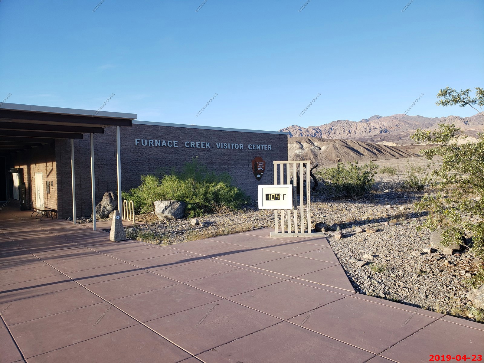
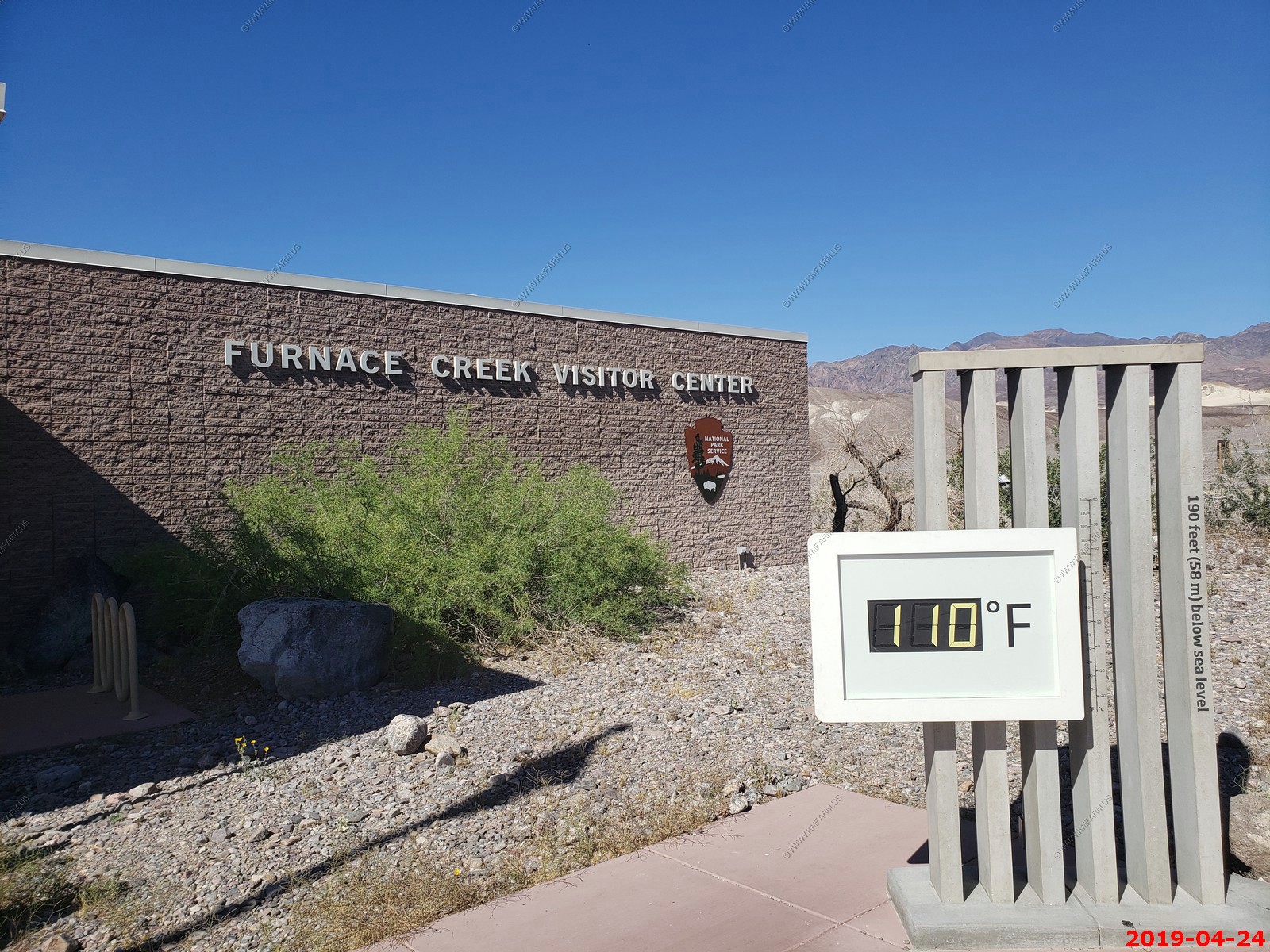
Nice, 114 degrees
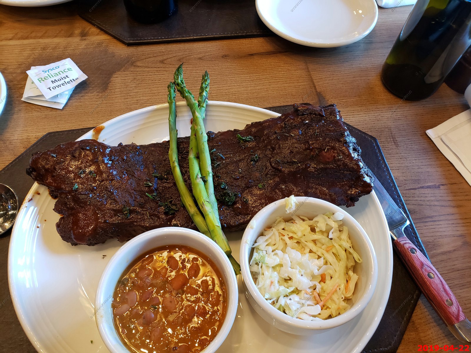
Again, dinner at The Last Kind Words Saloon & Steakhouse. Ken's was not that good tonight

These were very good but not that good for you. Also, they got better when left in a hot car.
Only 104 here. Jacket weather
Funny. Then why come here
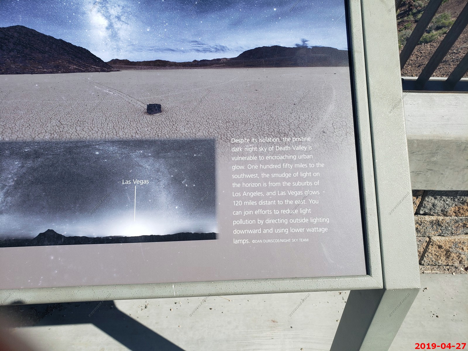
Yes, but you could see Last Vegas to the east (100 miles) and Los Angeles (Southland) to the South West (150+ miles) most nights. But more on that later.
Nice to be far away from most places
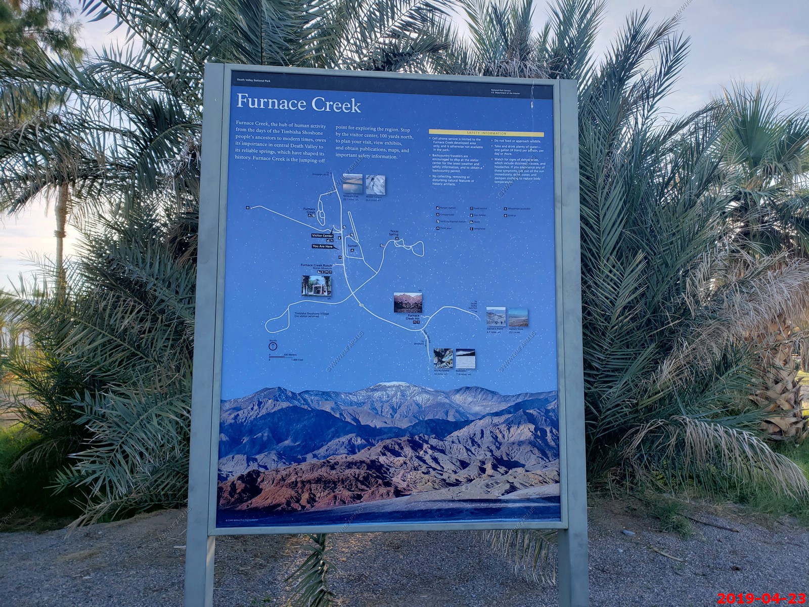
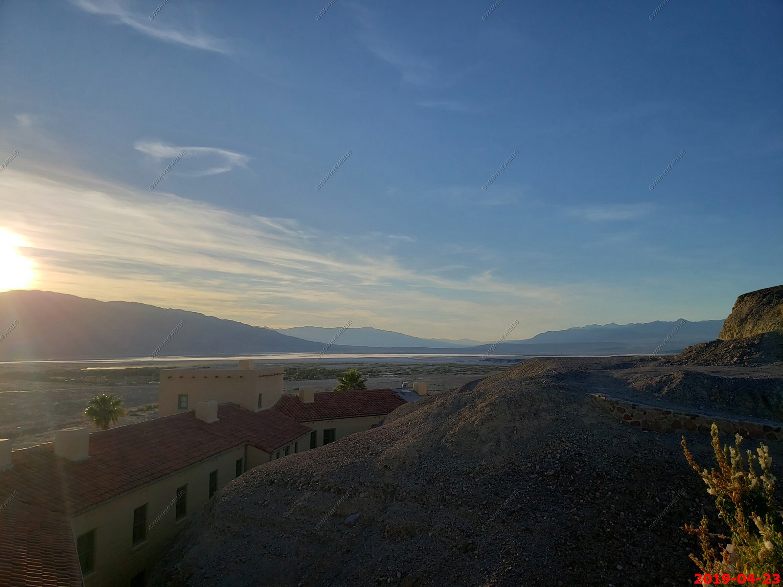
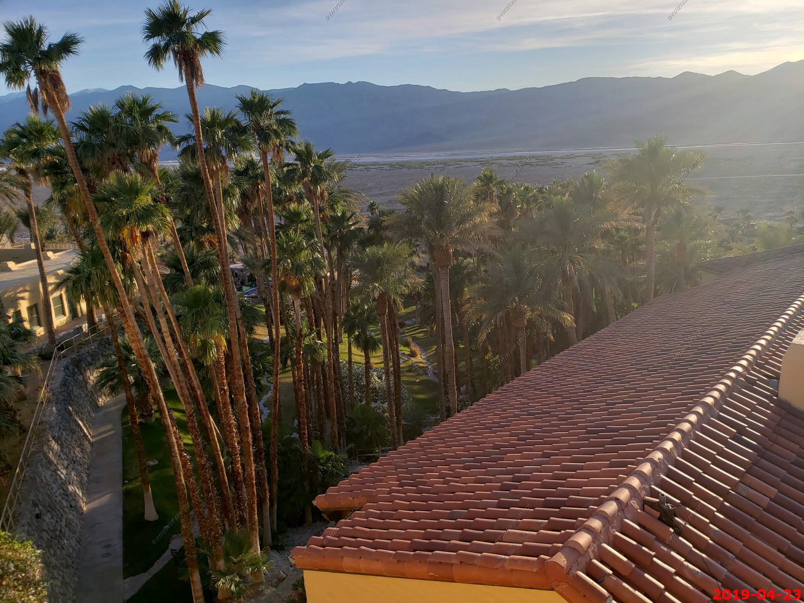
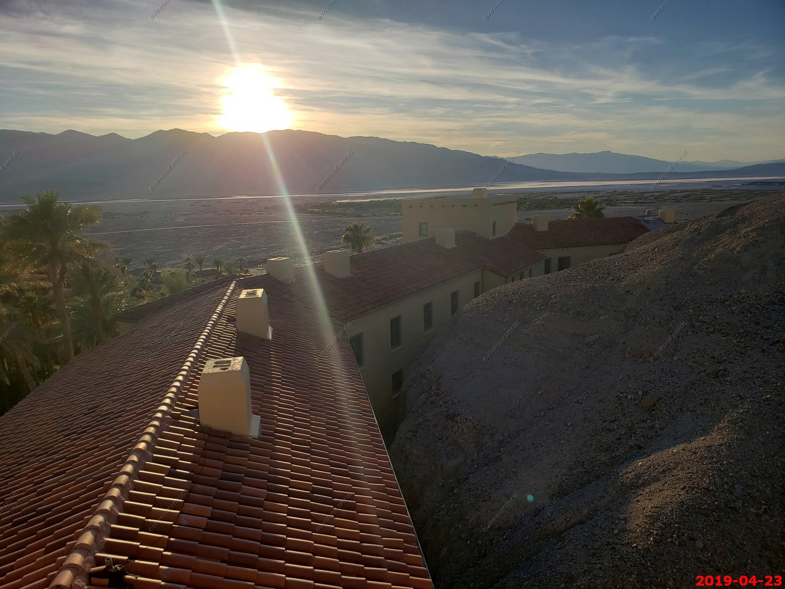
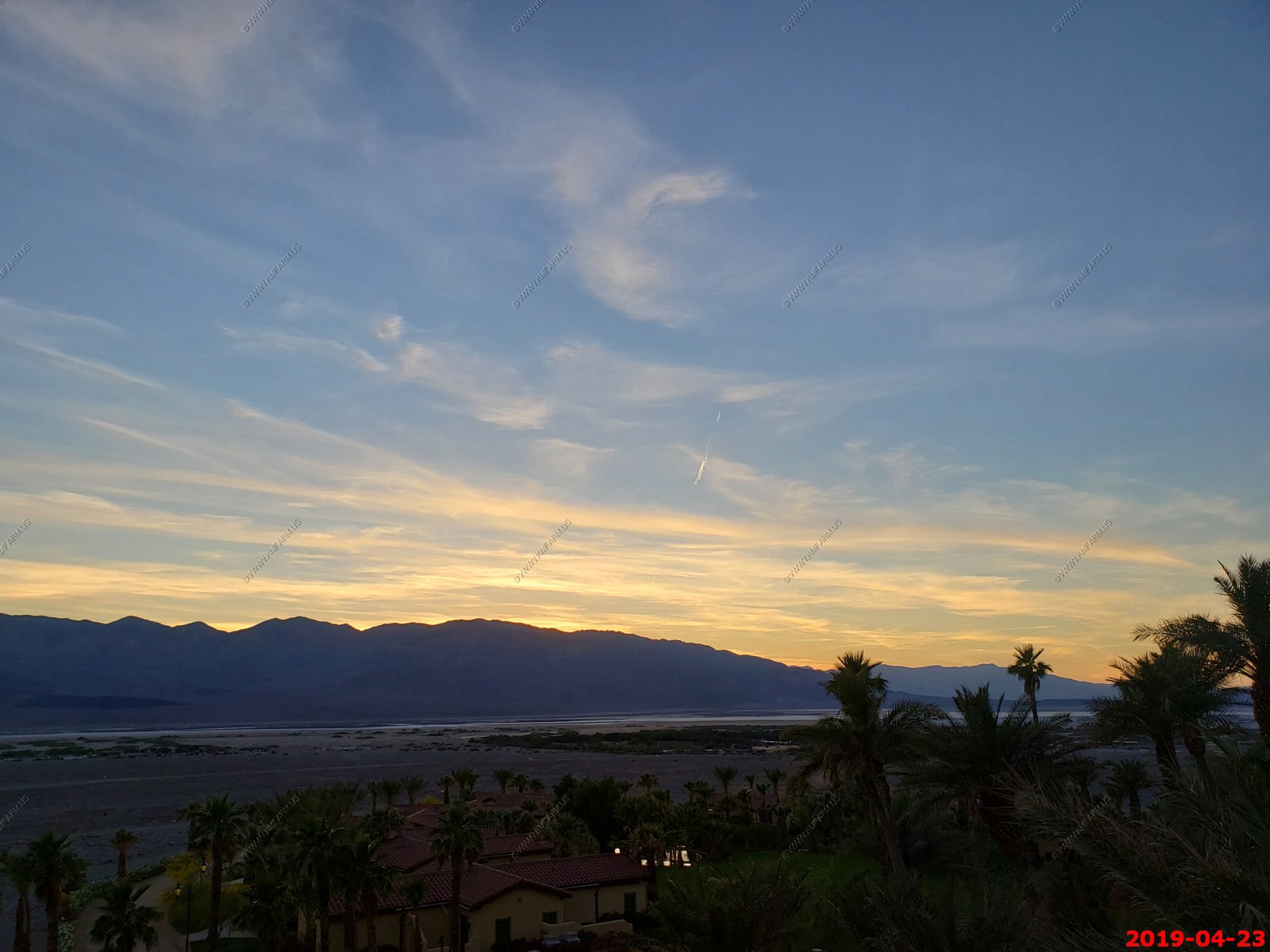
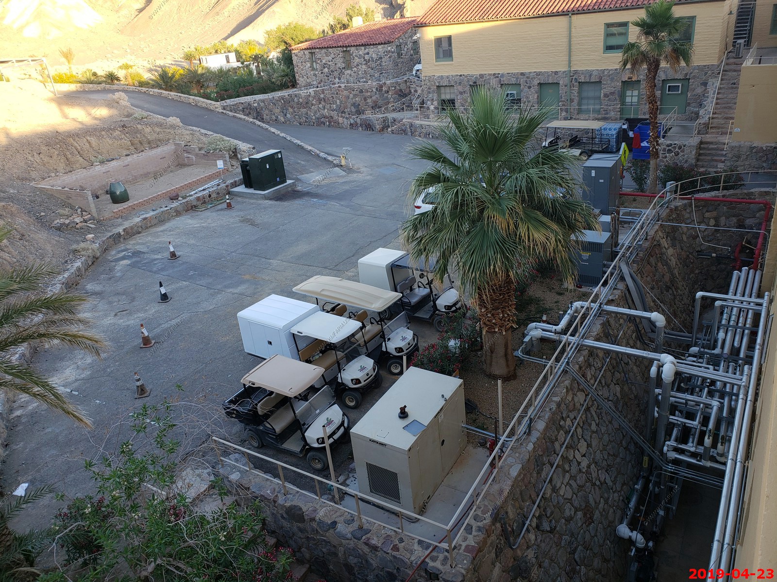
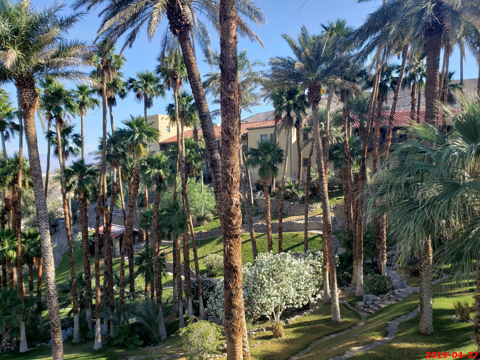
Furnace Creek locations. This can be considered the city of Death Valley.
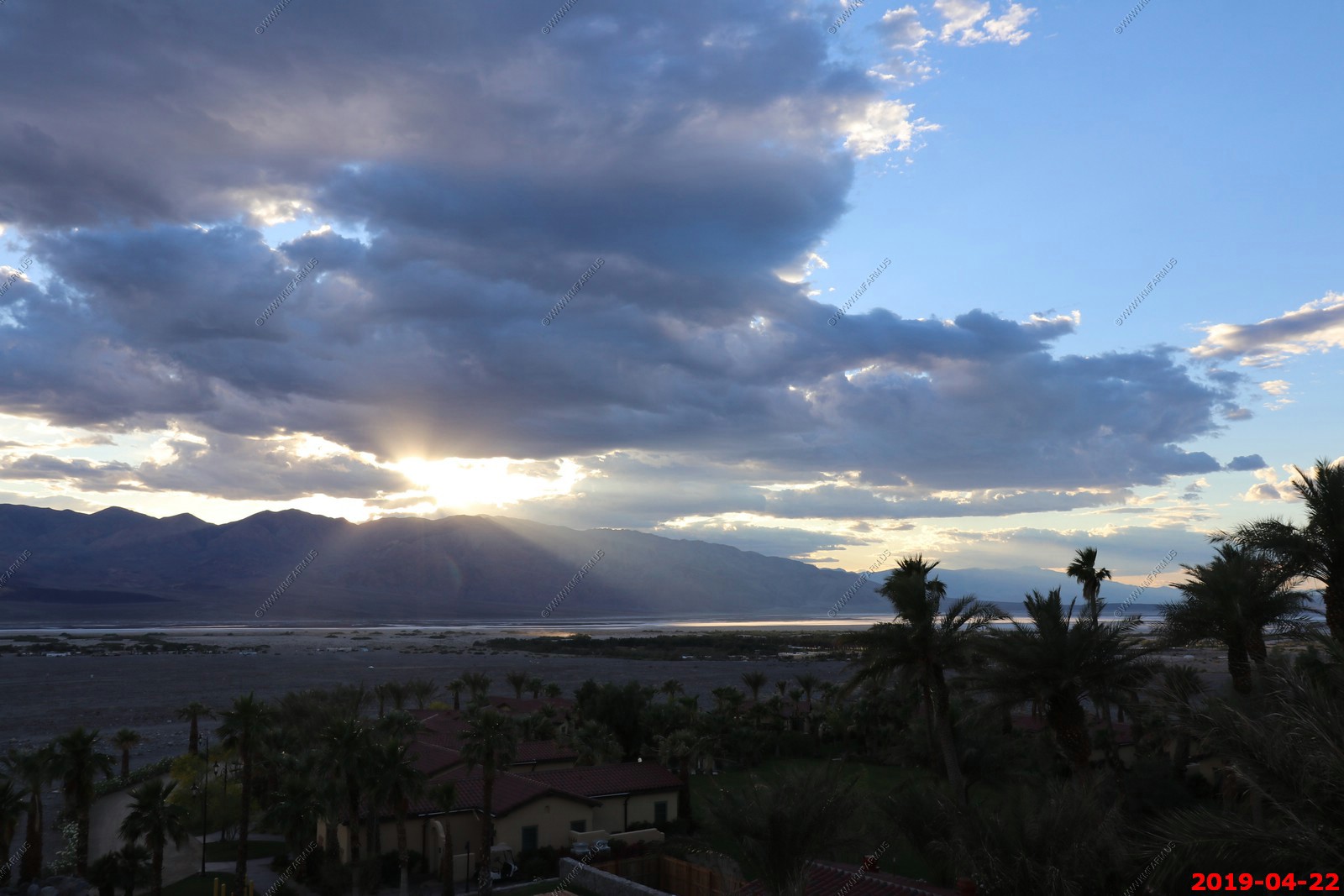
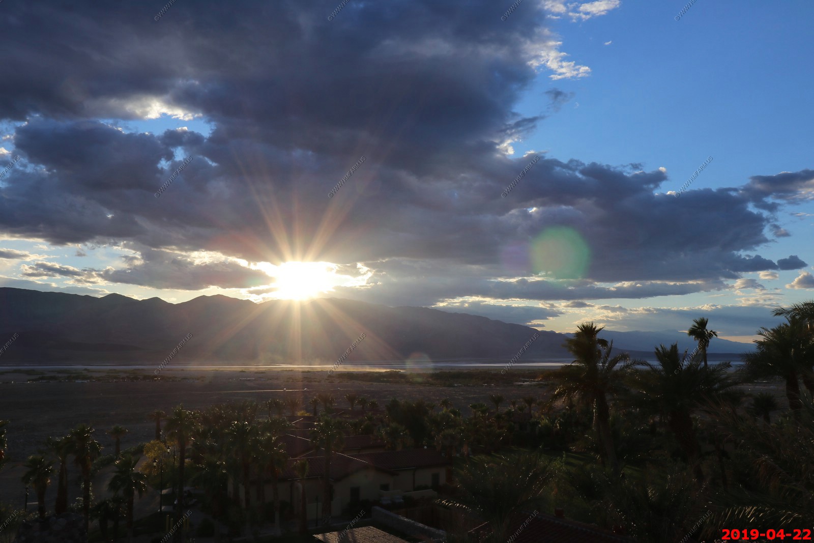
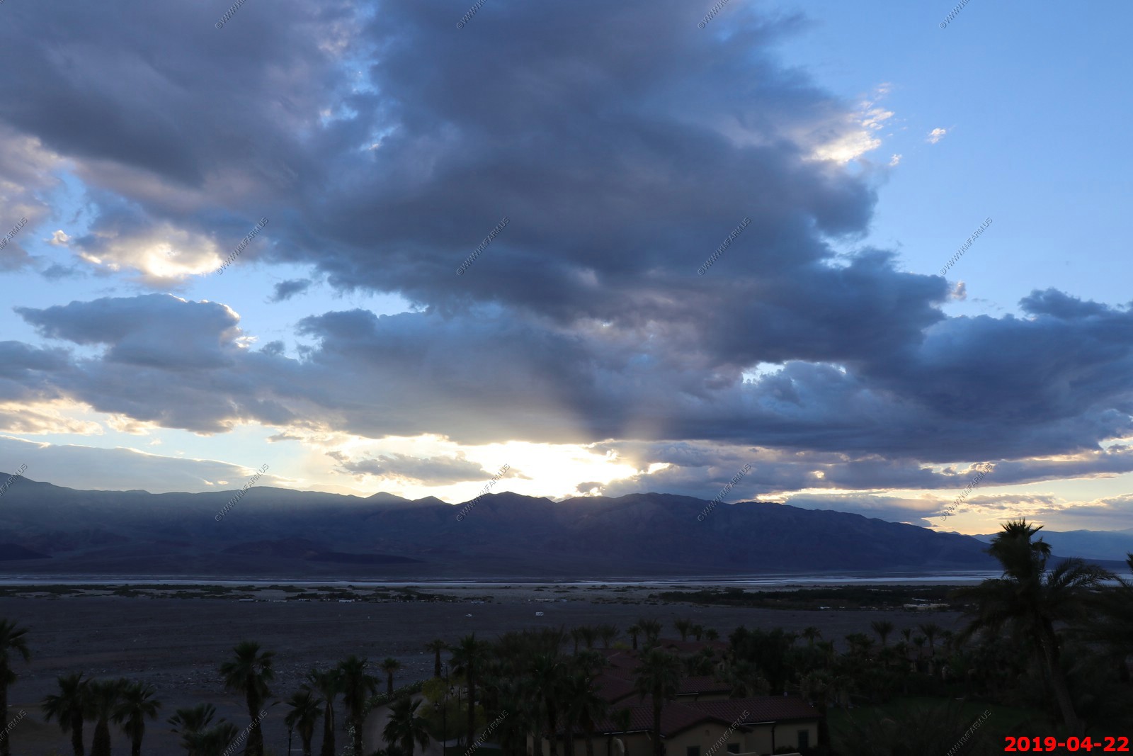
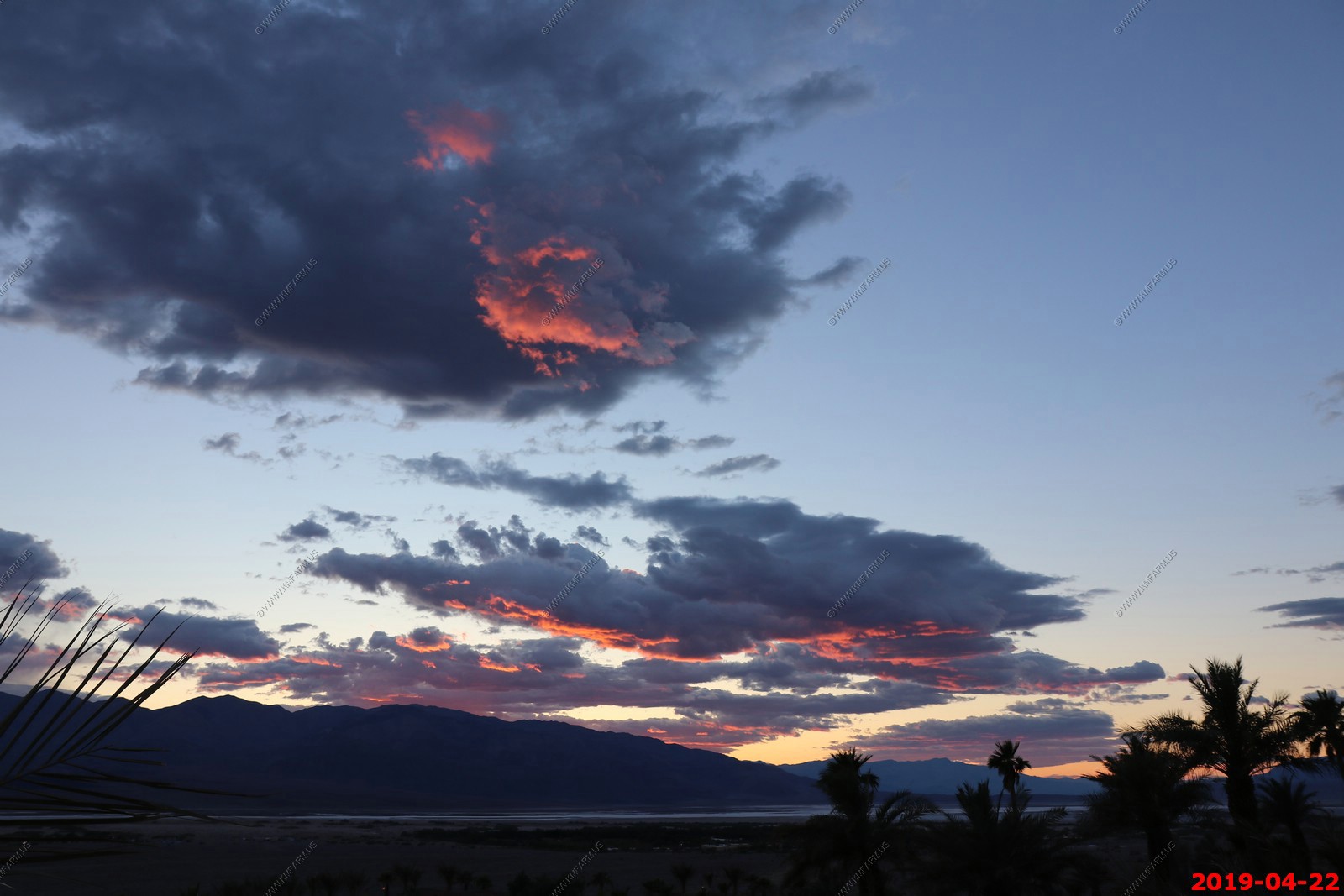
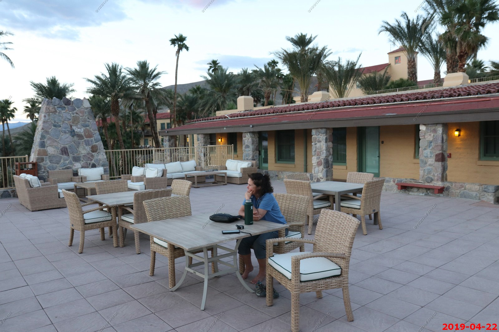
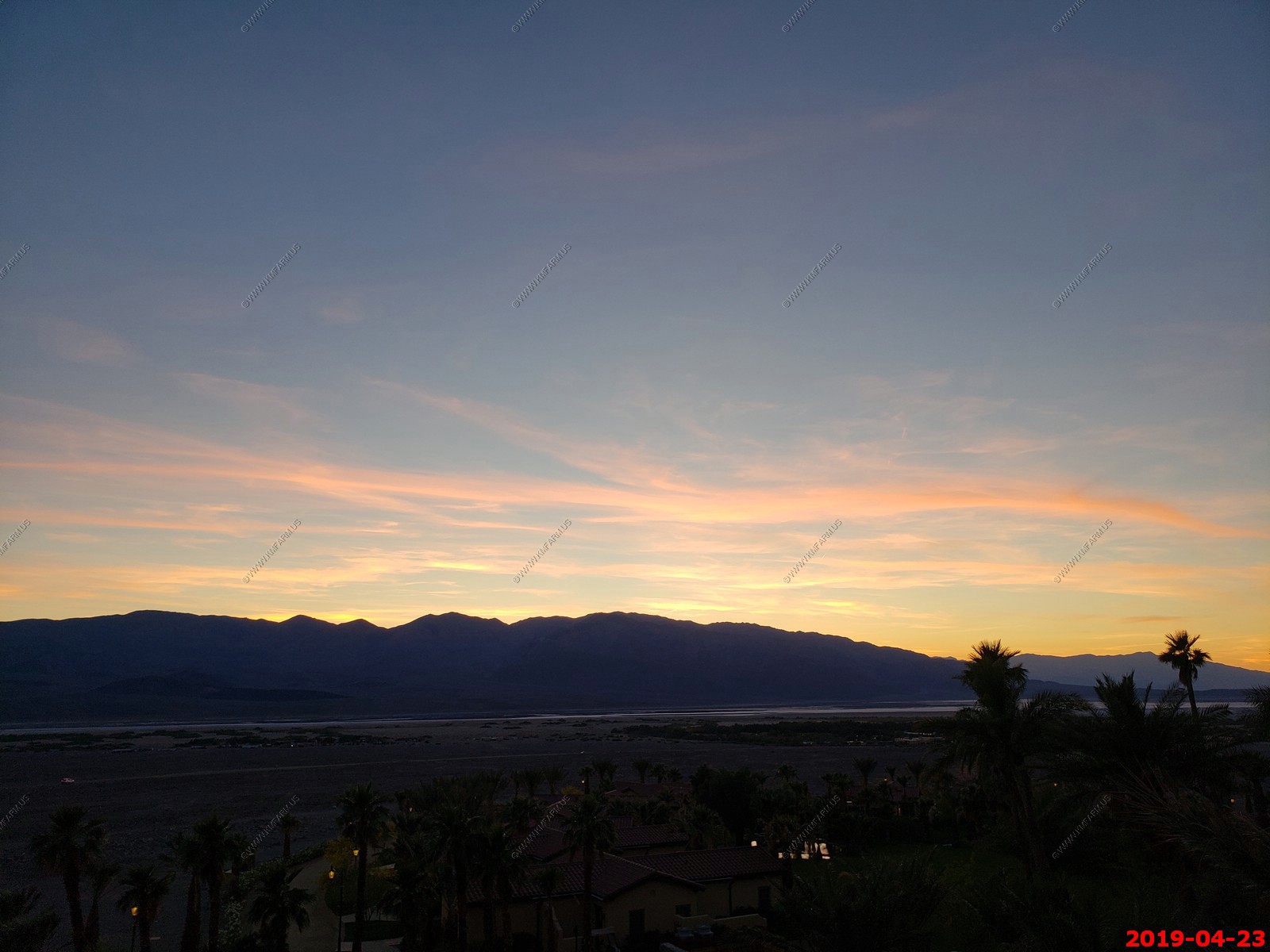
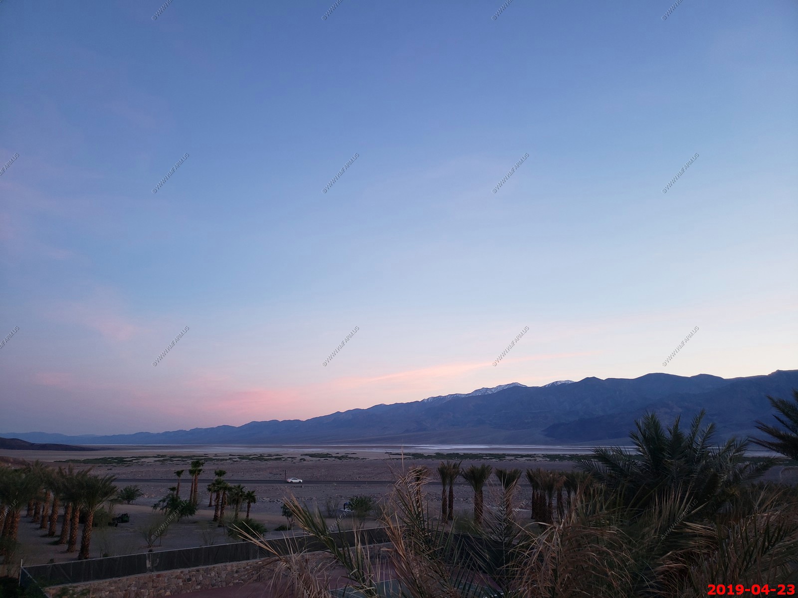
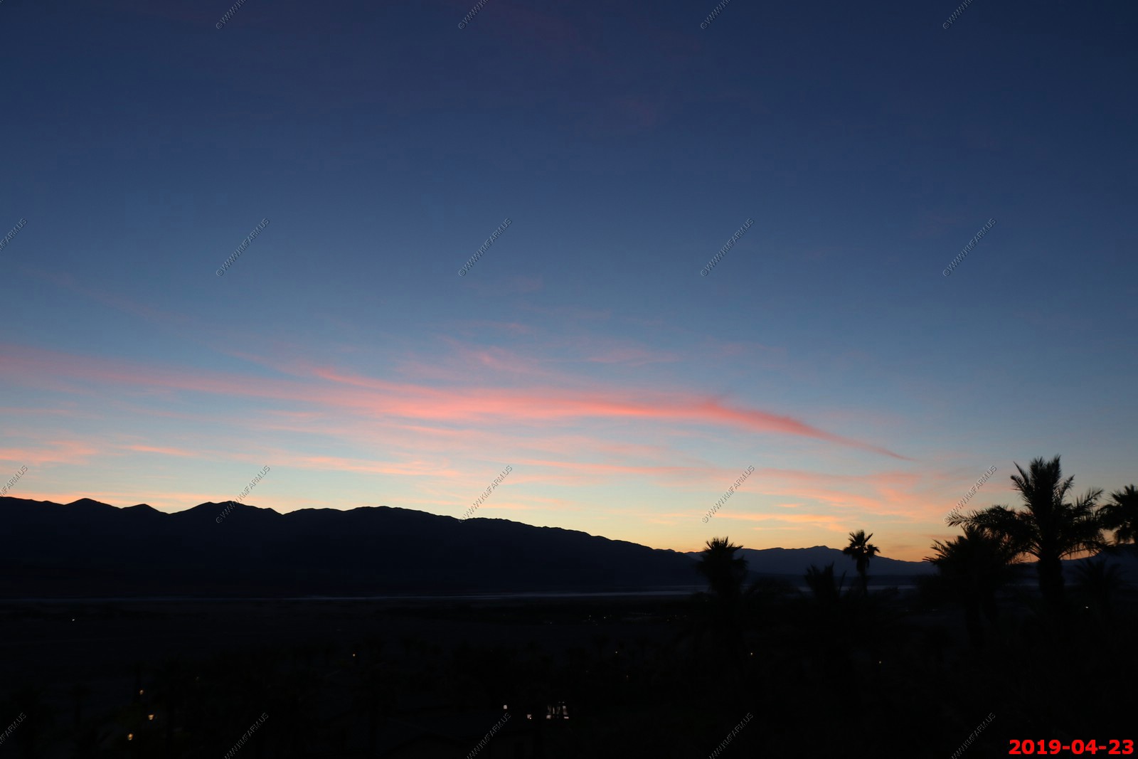
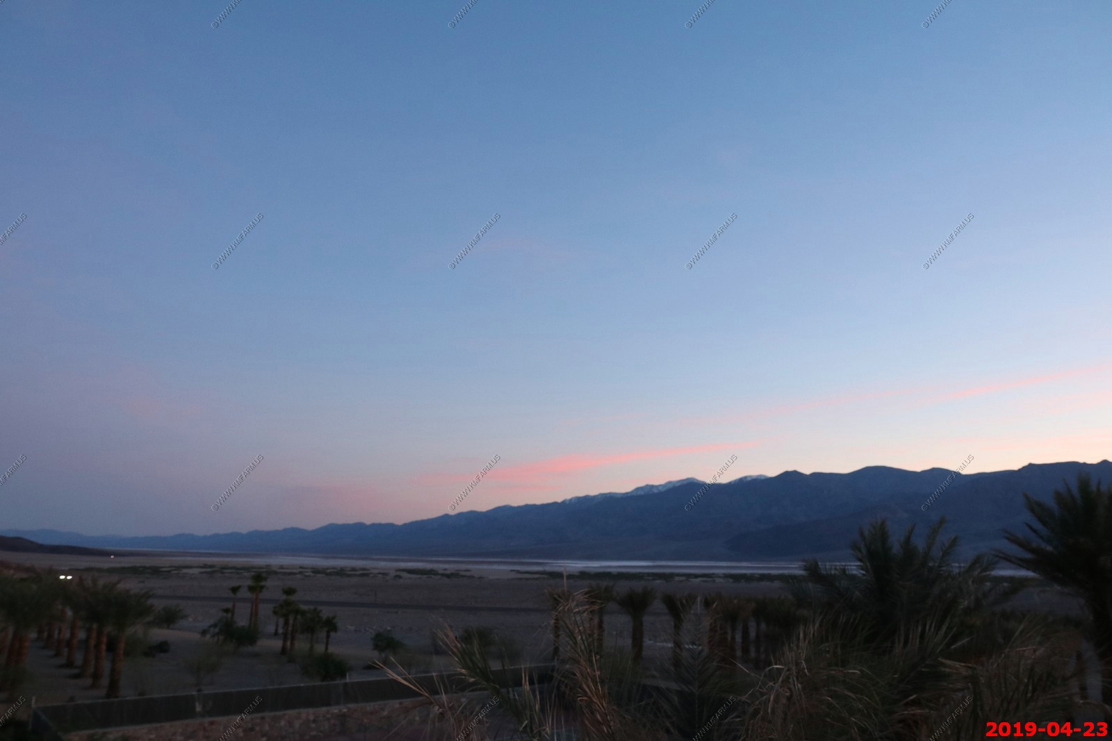
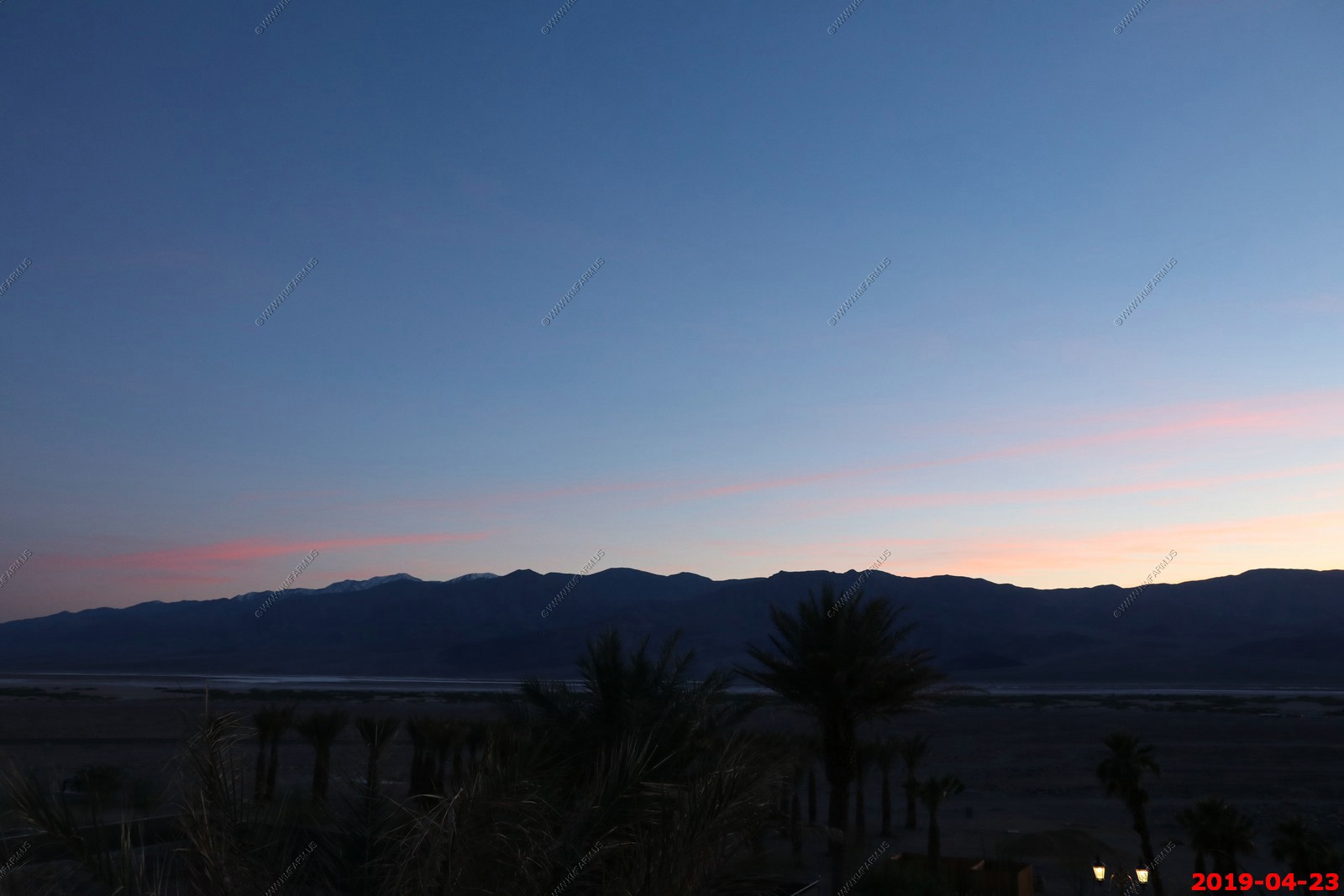
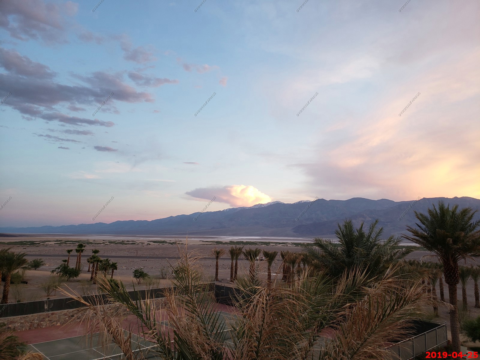
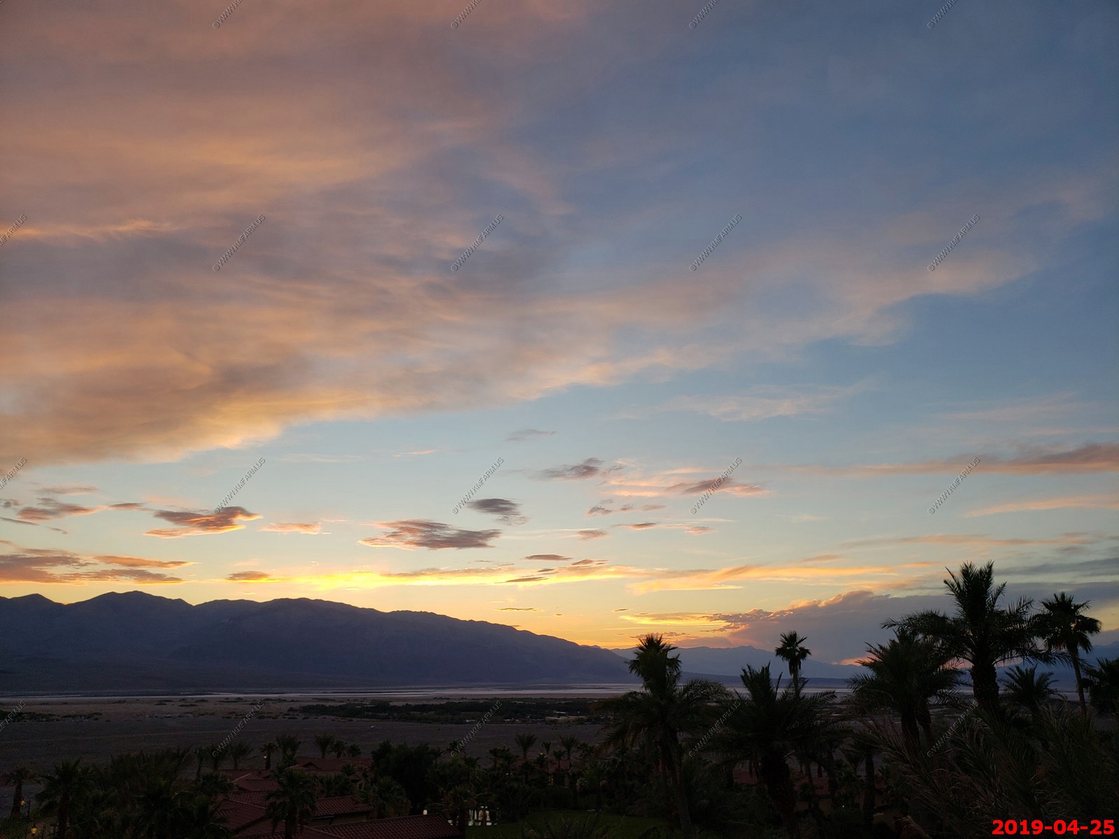
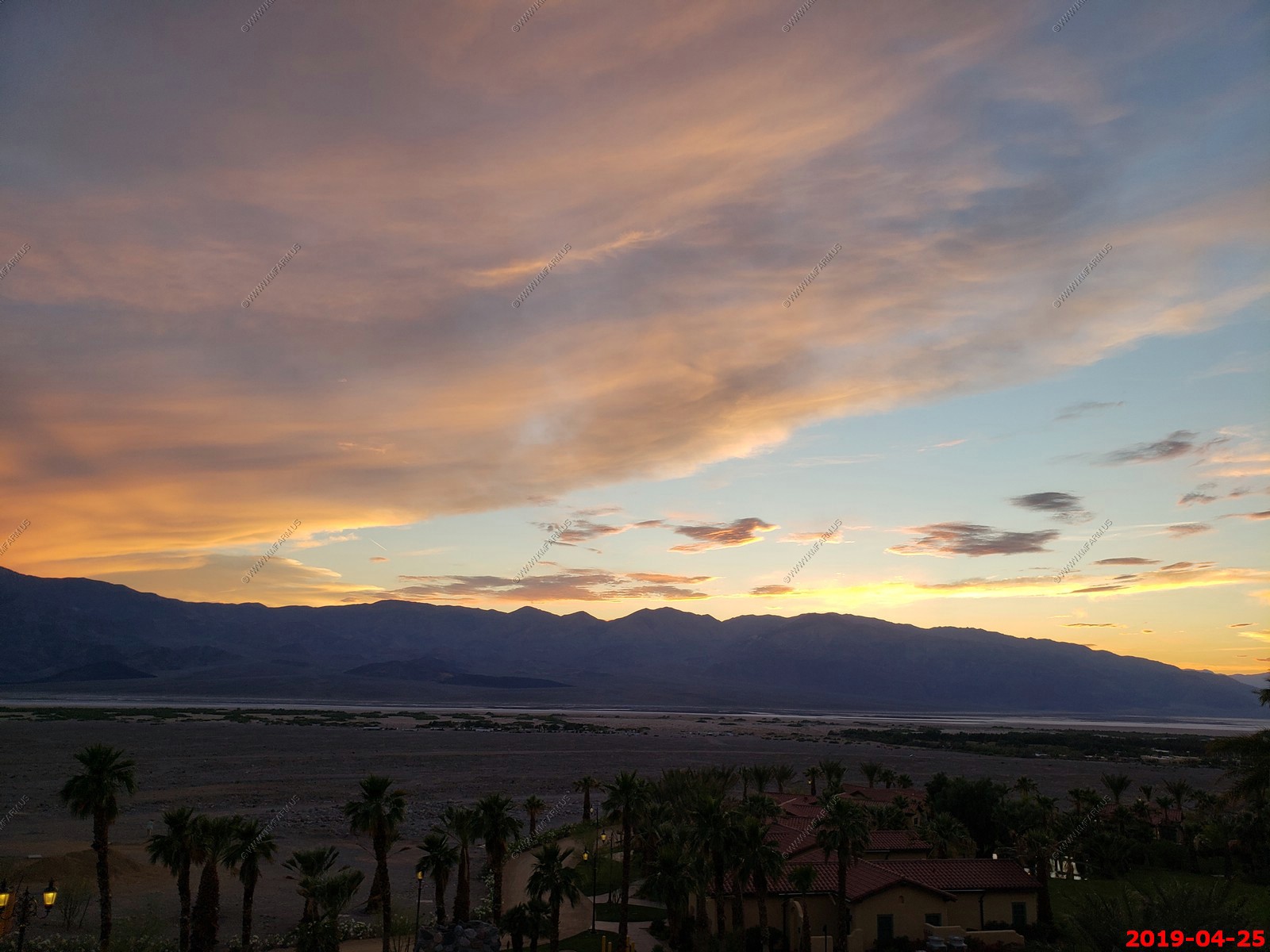
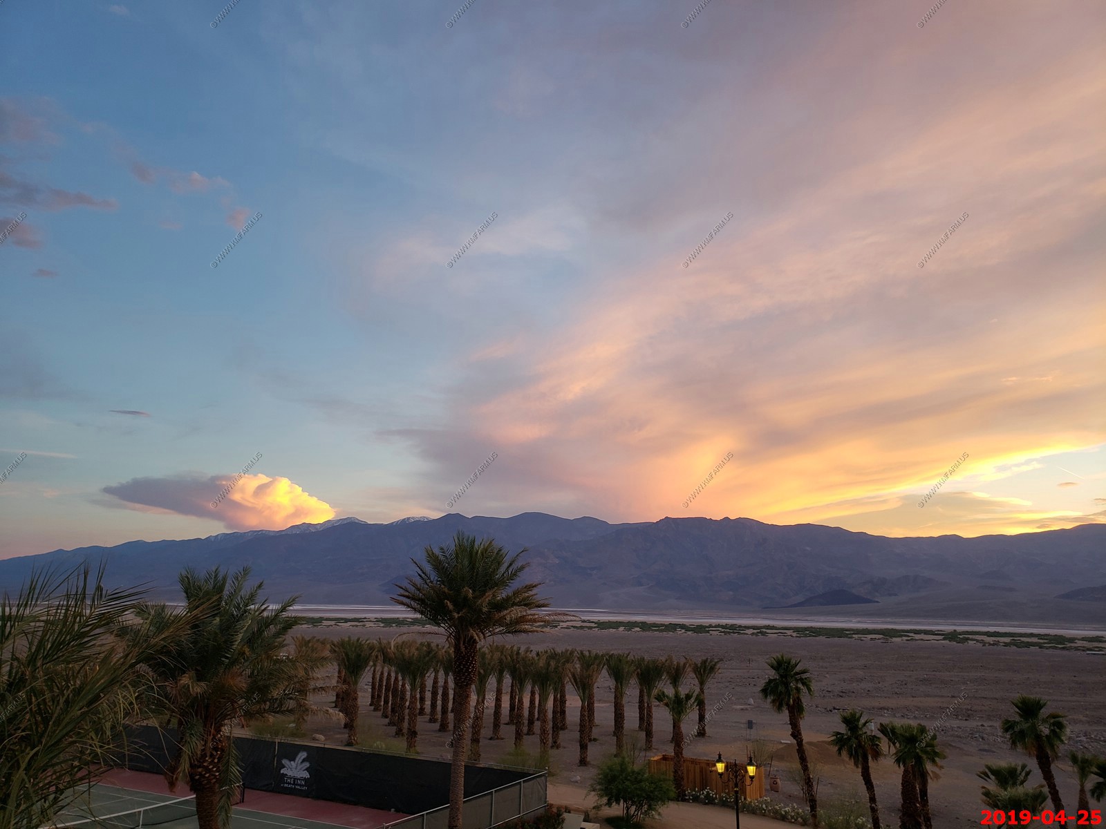
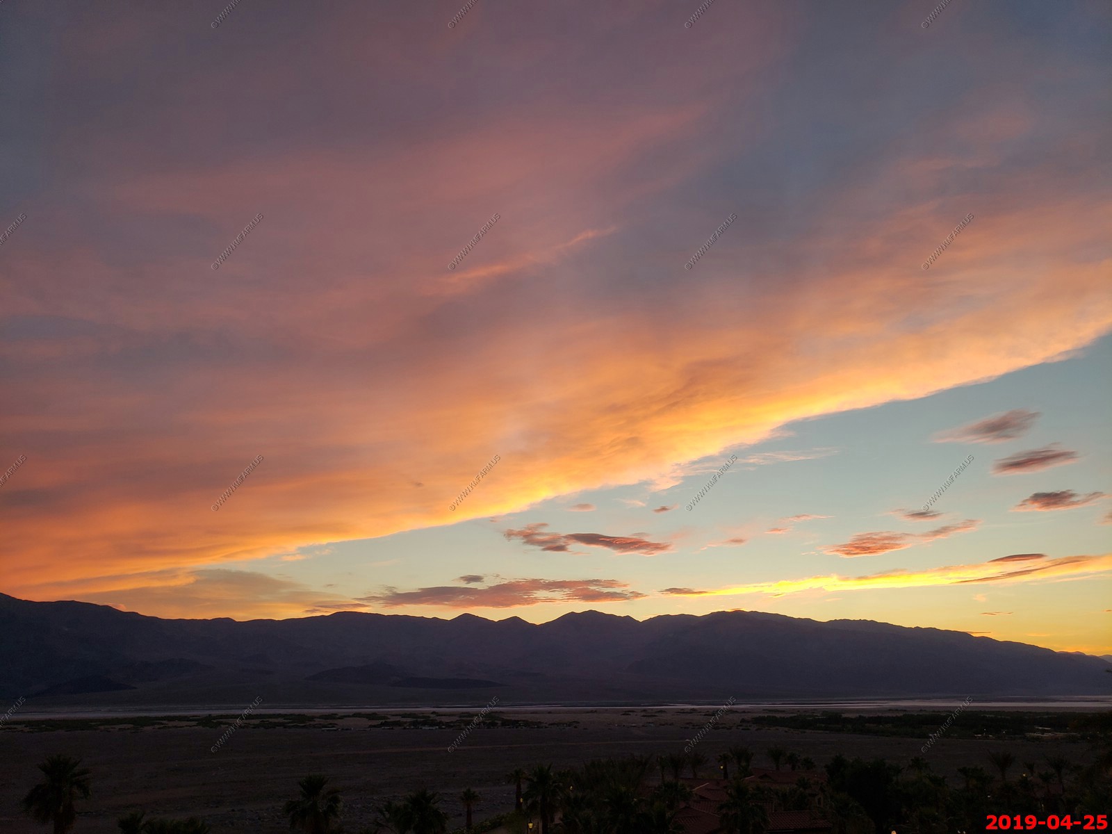
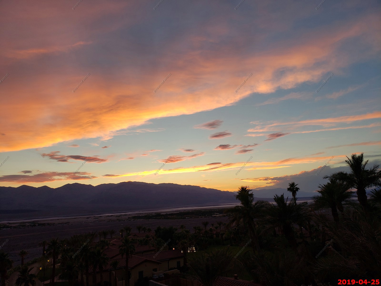
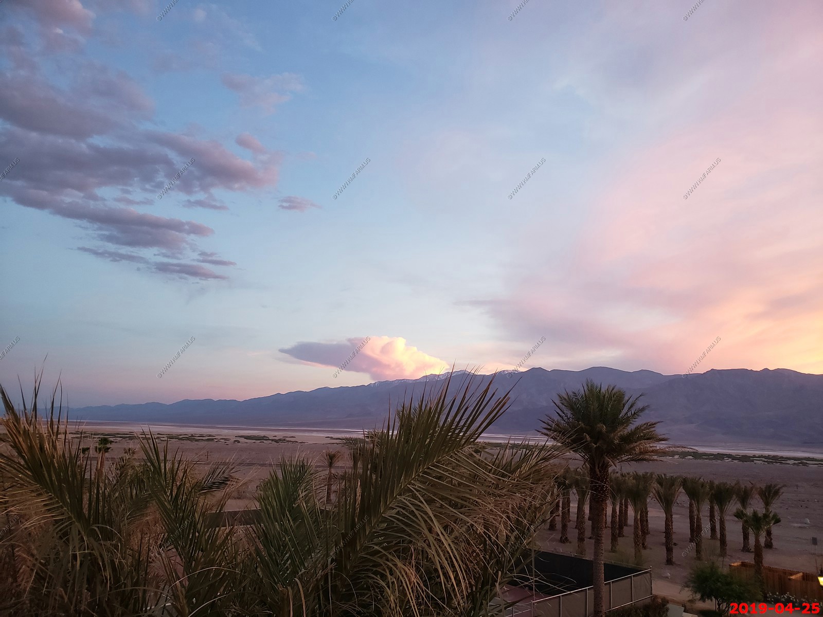
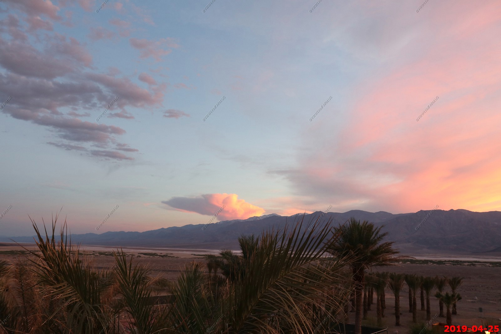
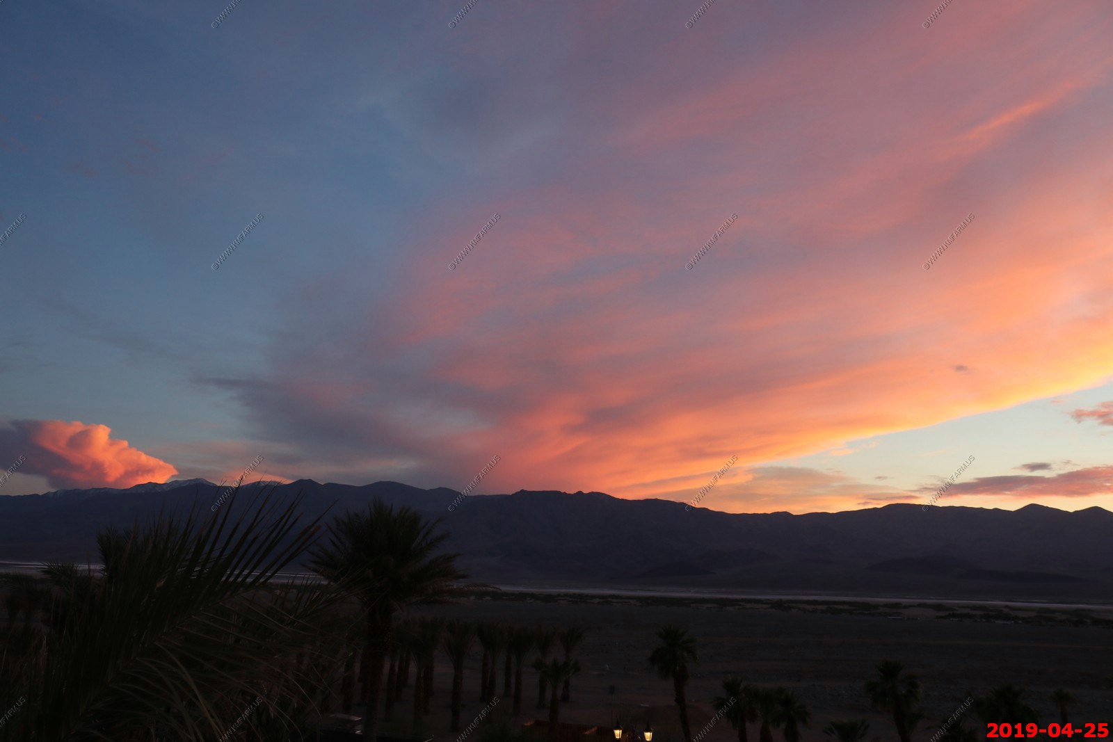
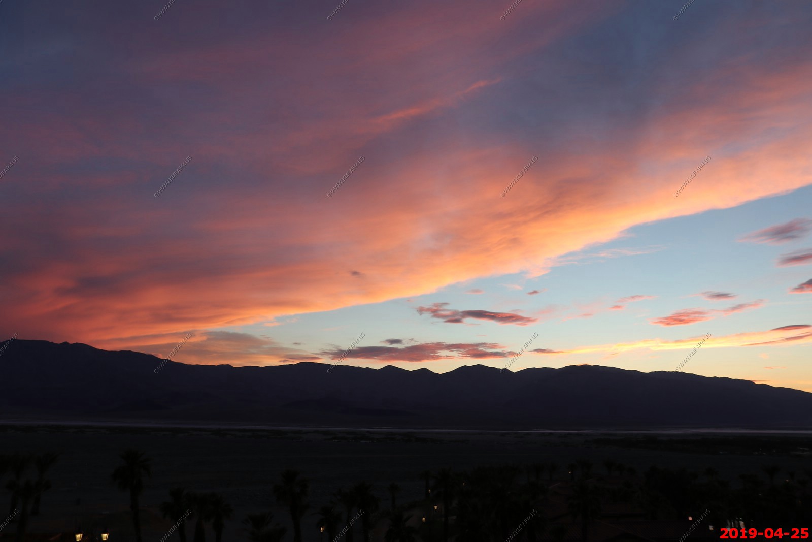
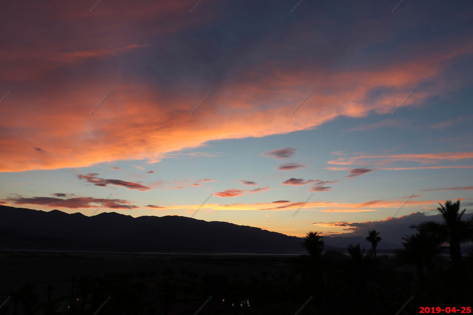
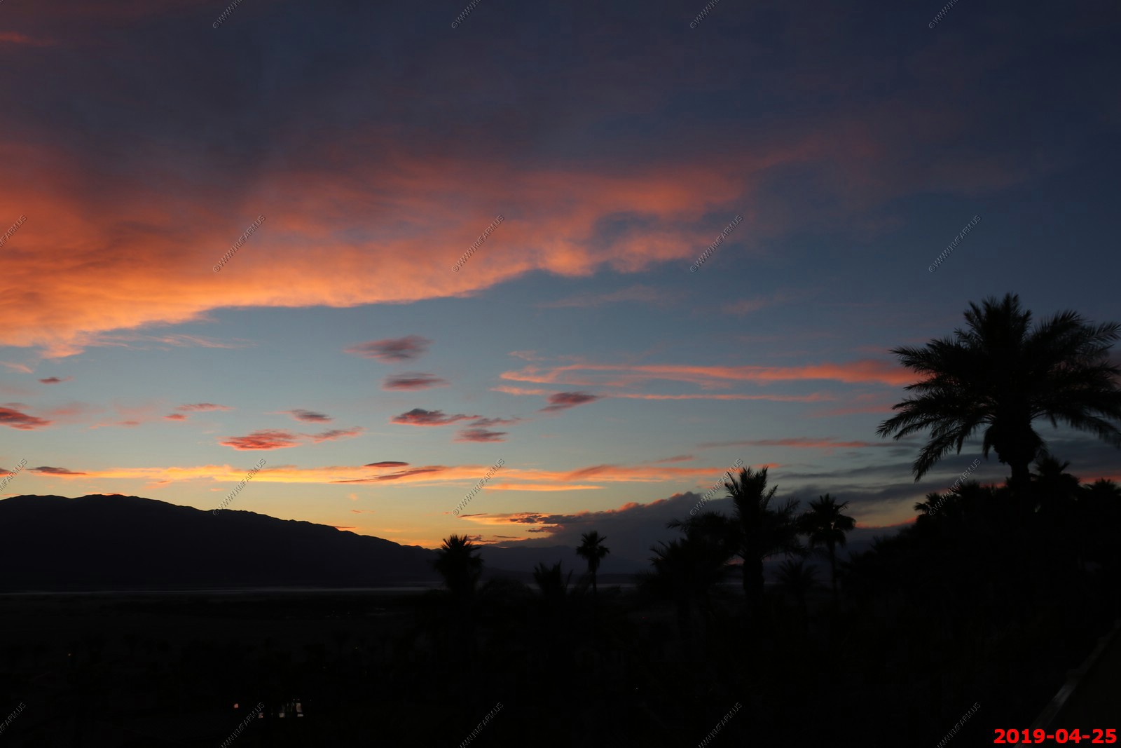
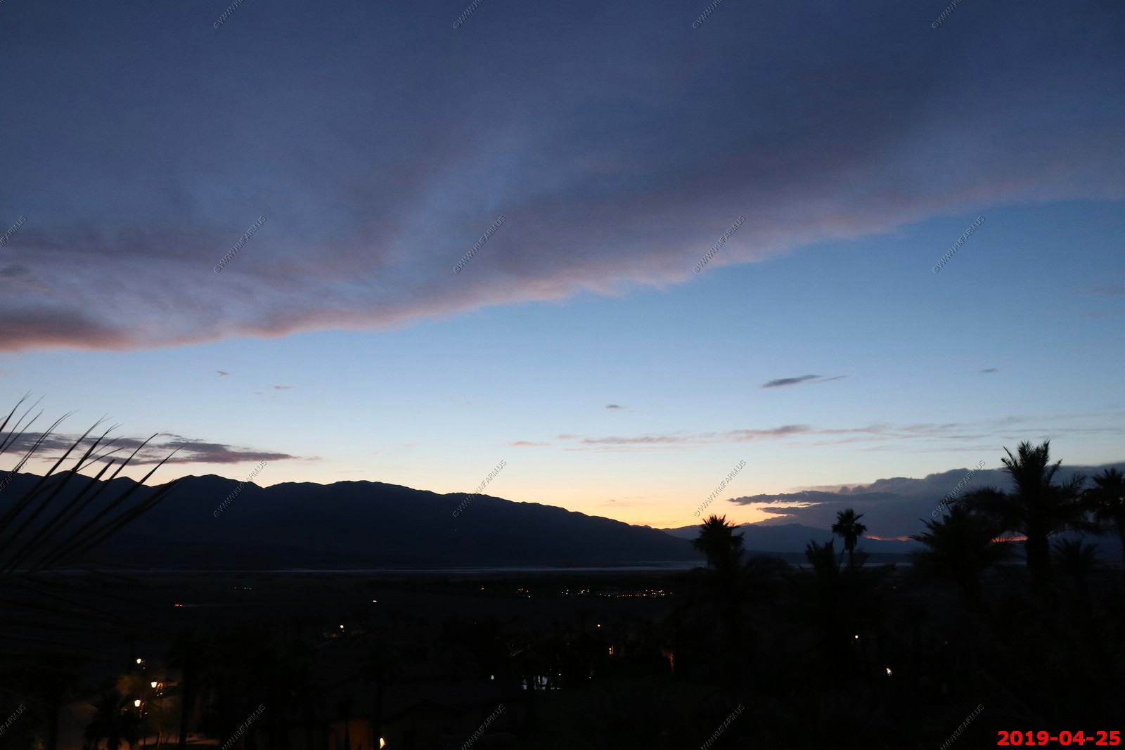
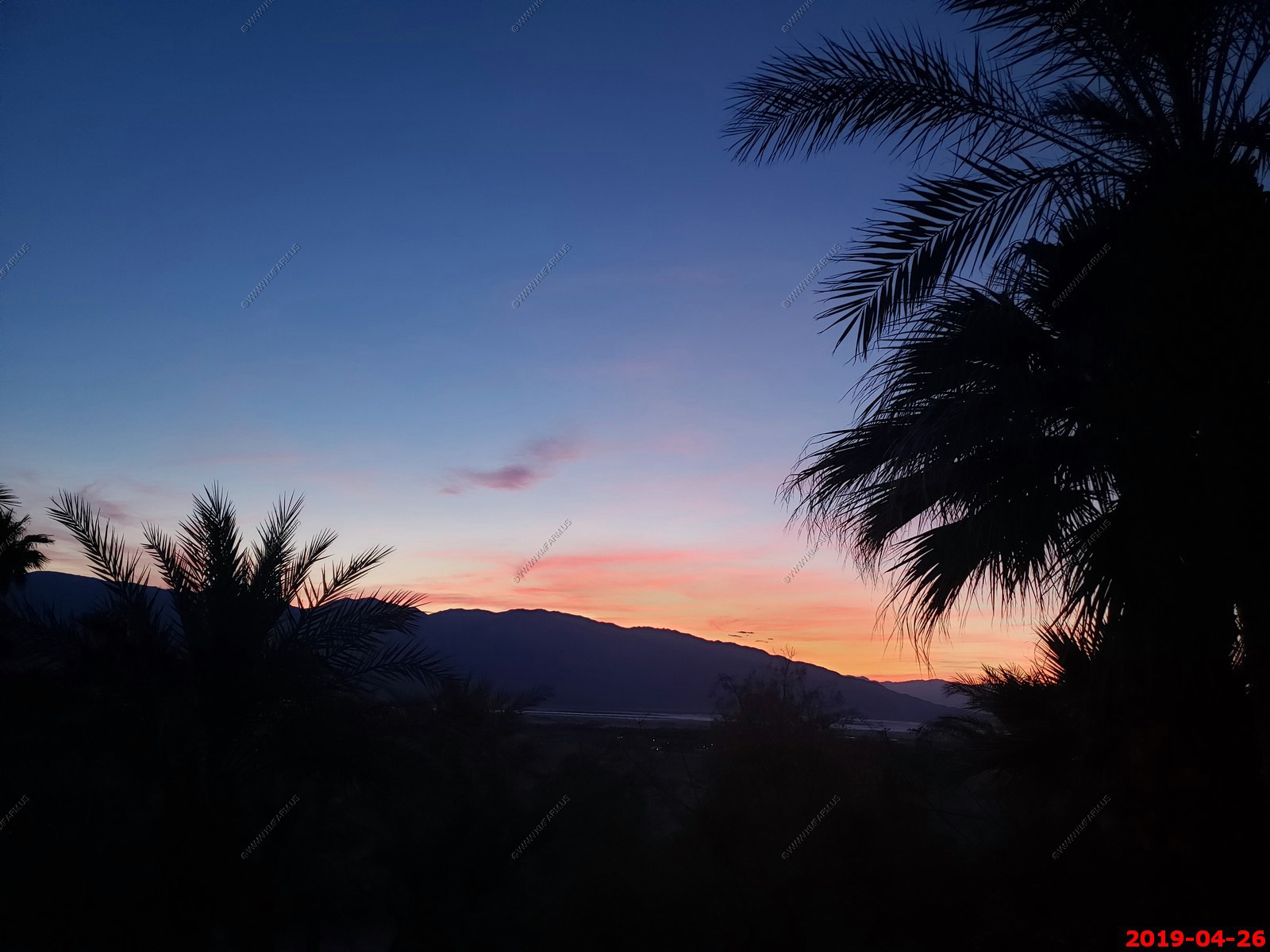
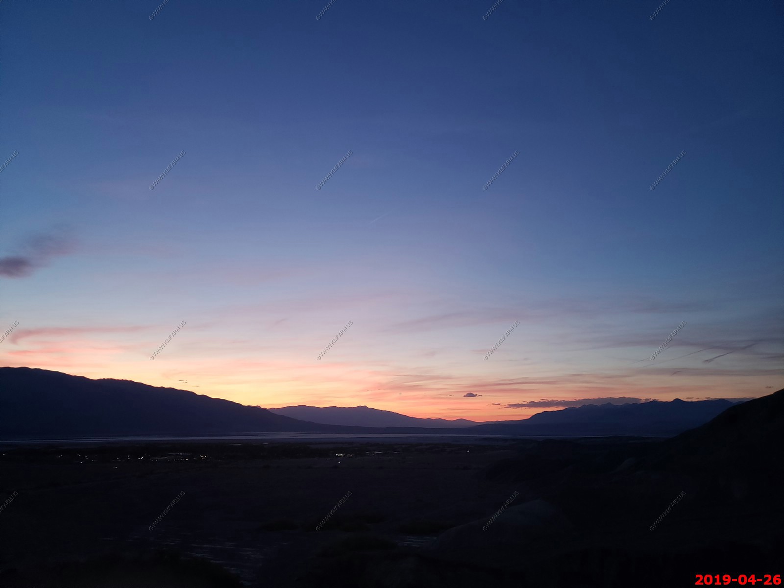
Upper deck - A great place to watch stars - Various views of sunset

Utility area and the A/C systems
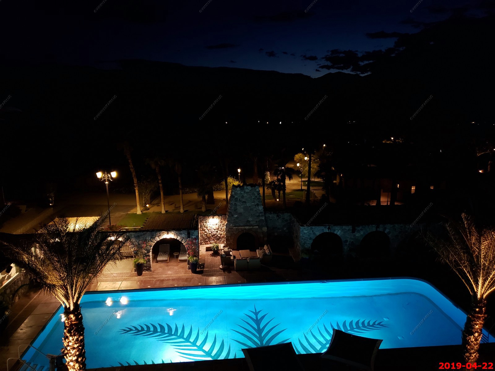
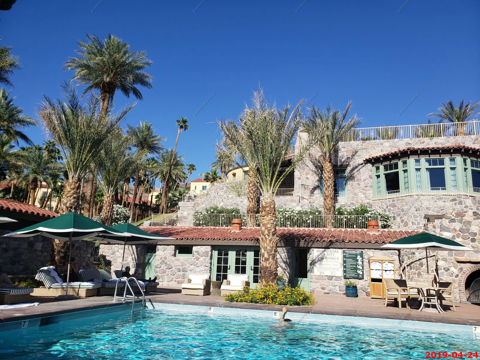
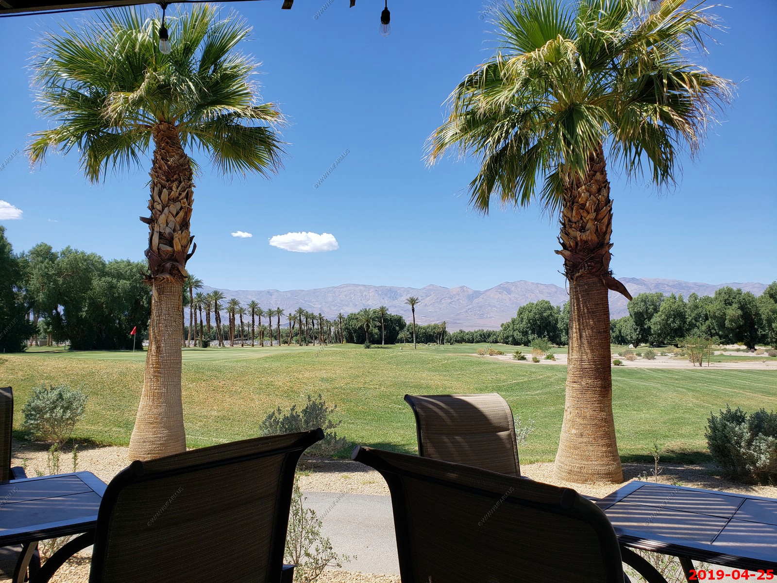
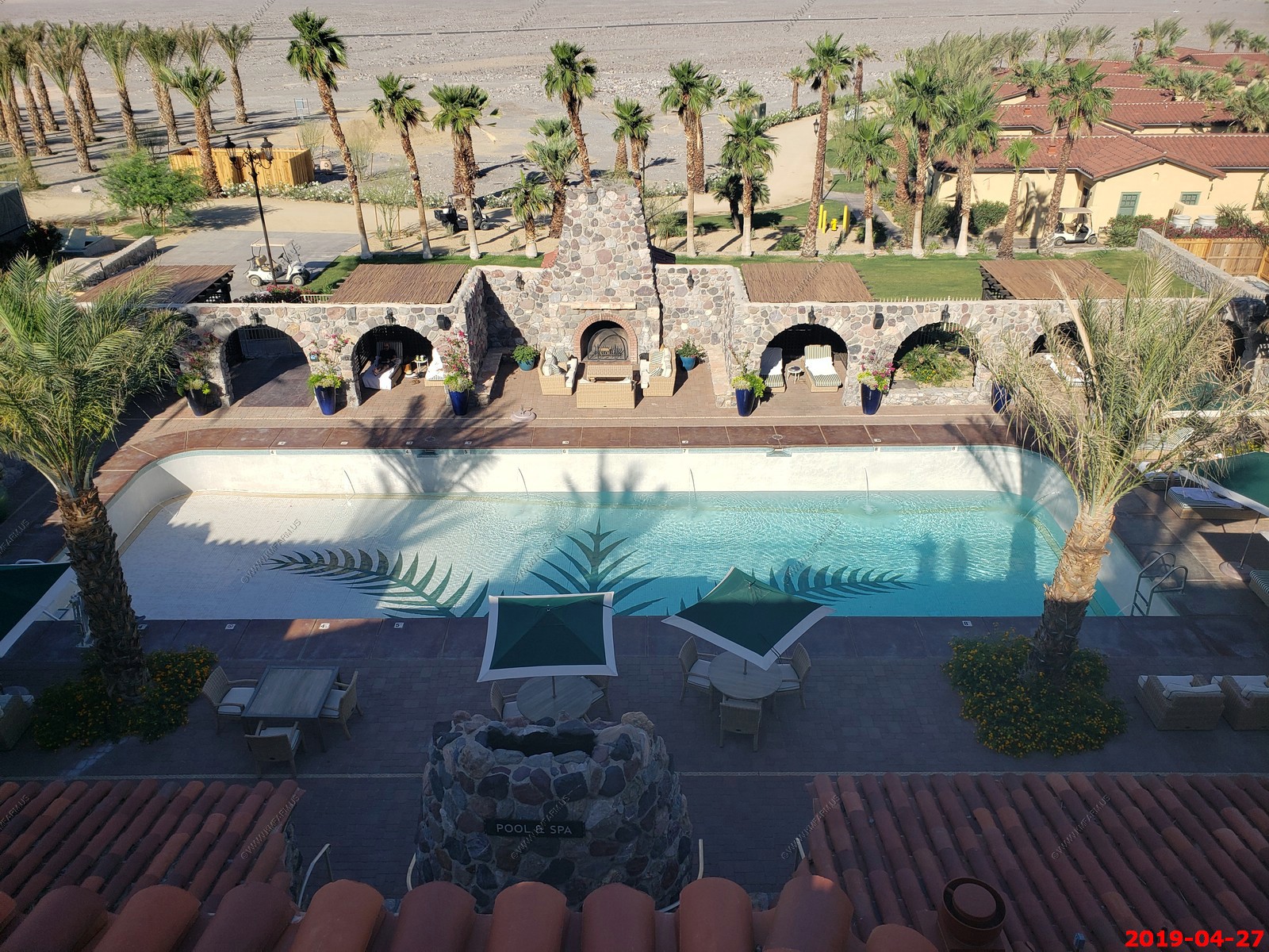
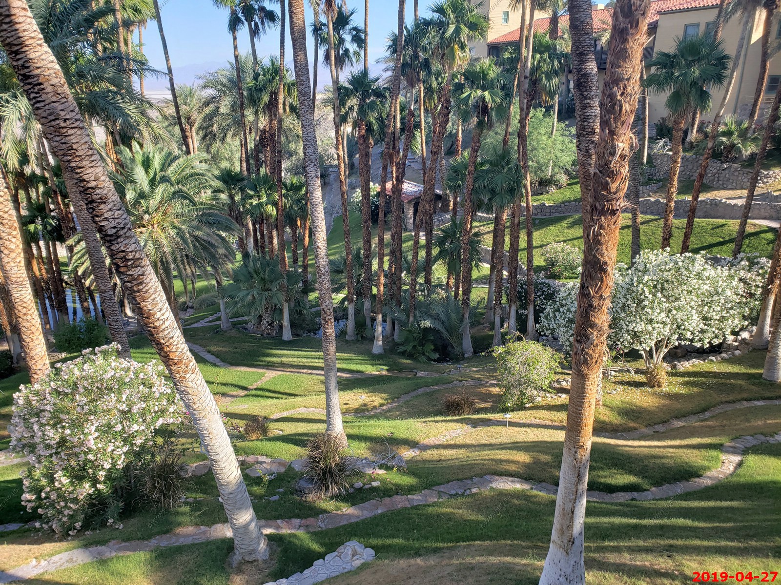
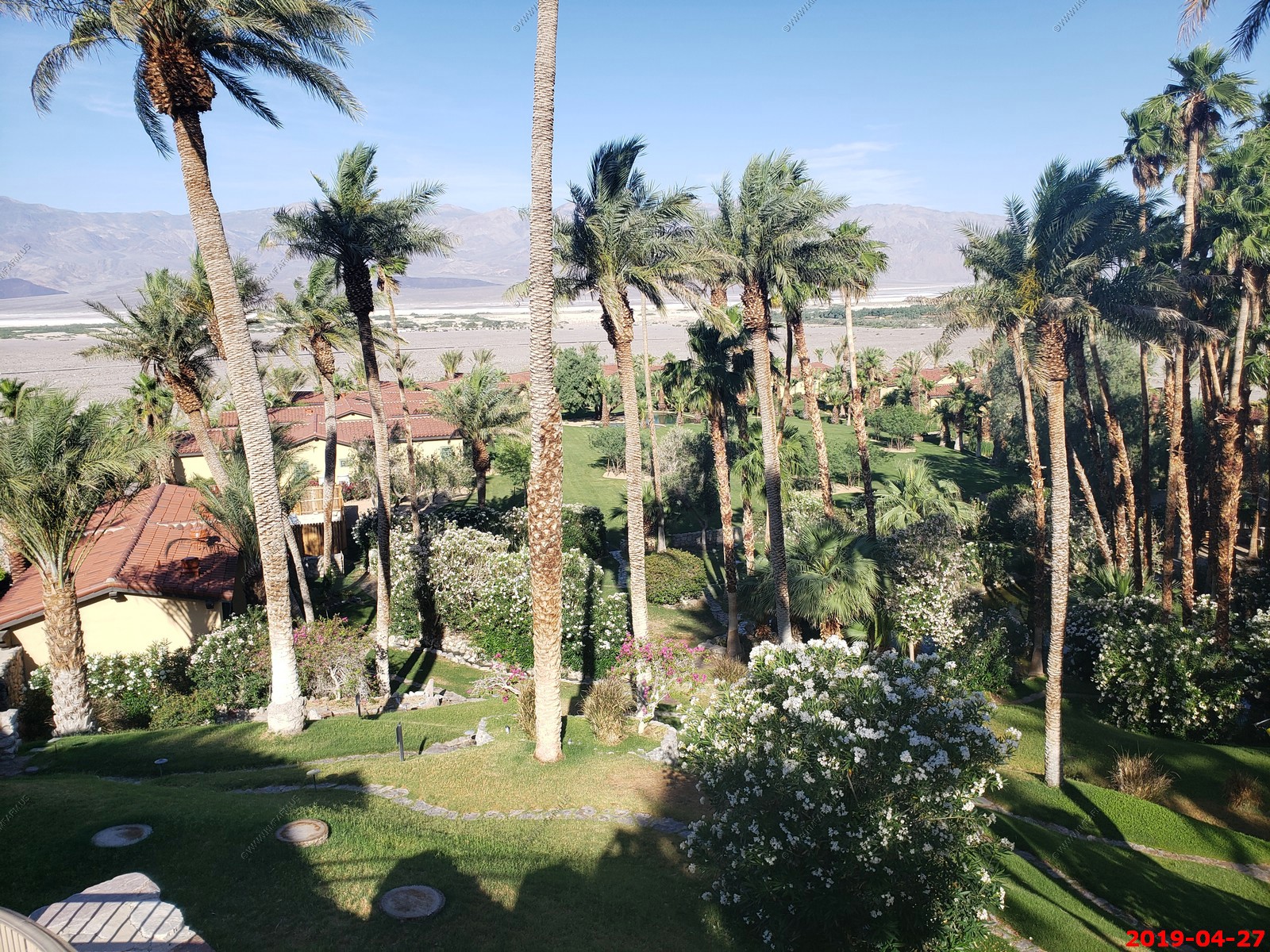
The lovely pool at the Inn at Death Valley
Sunset
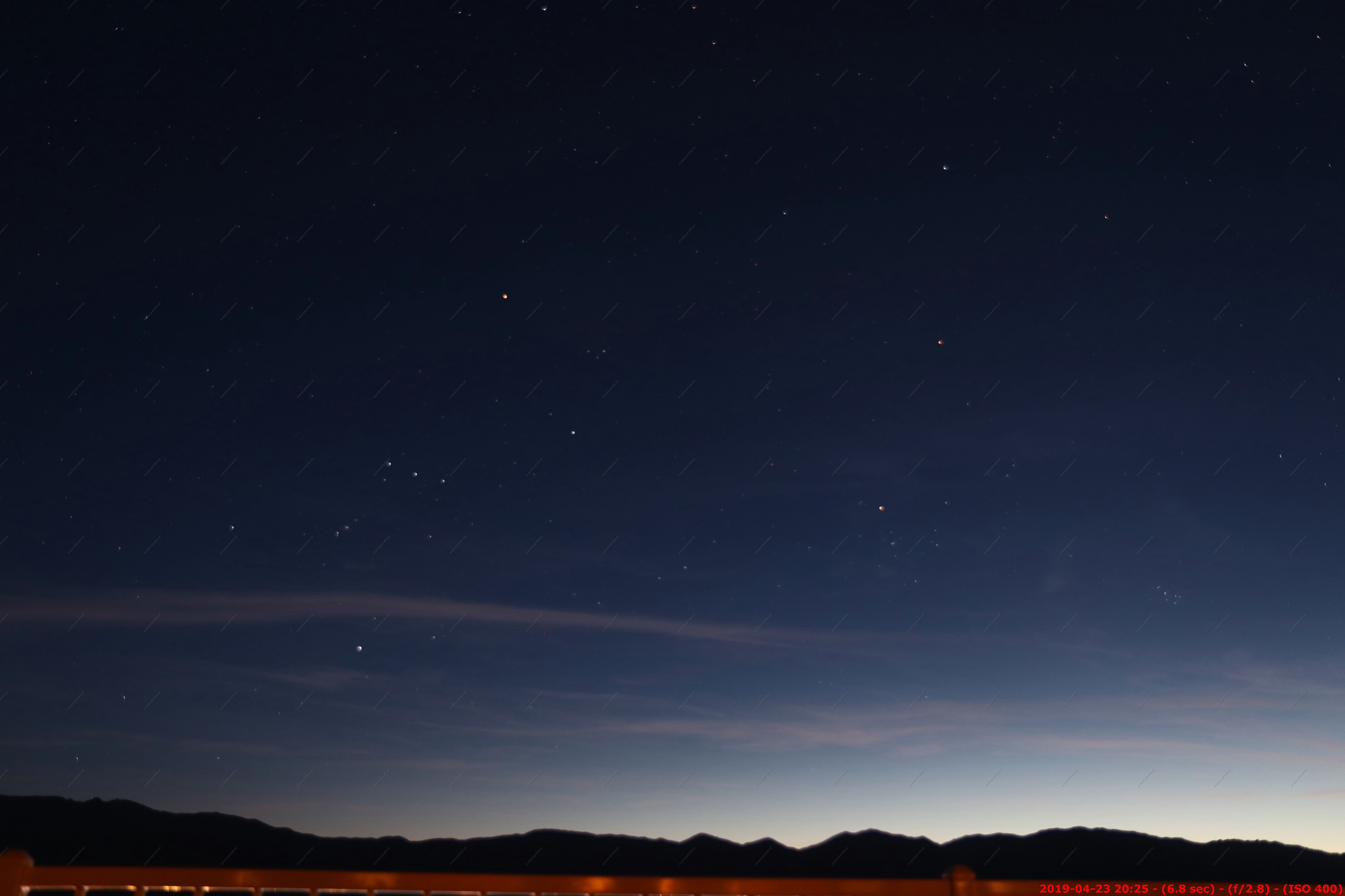
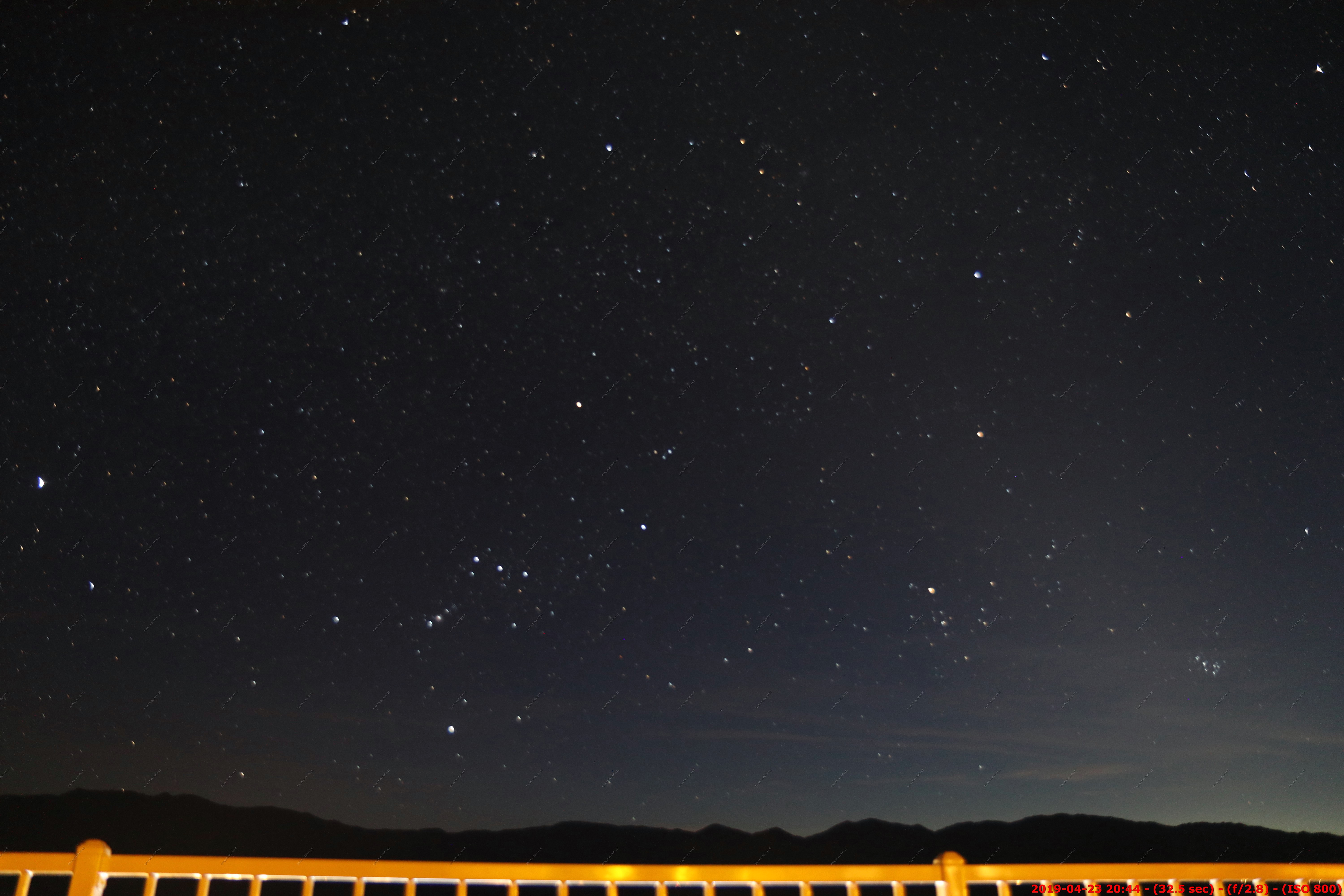
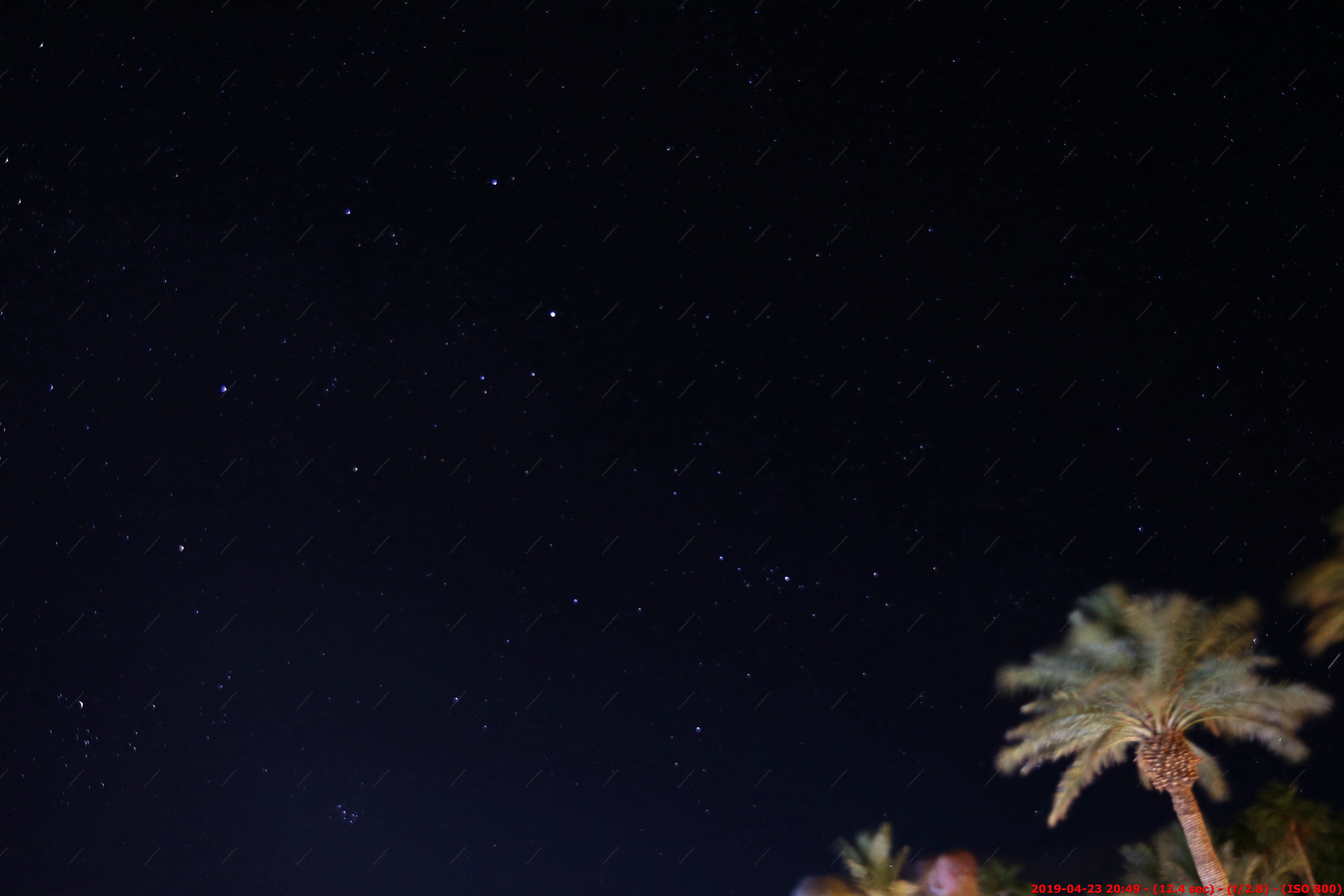
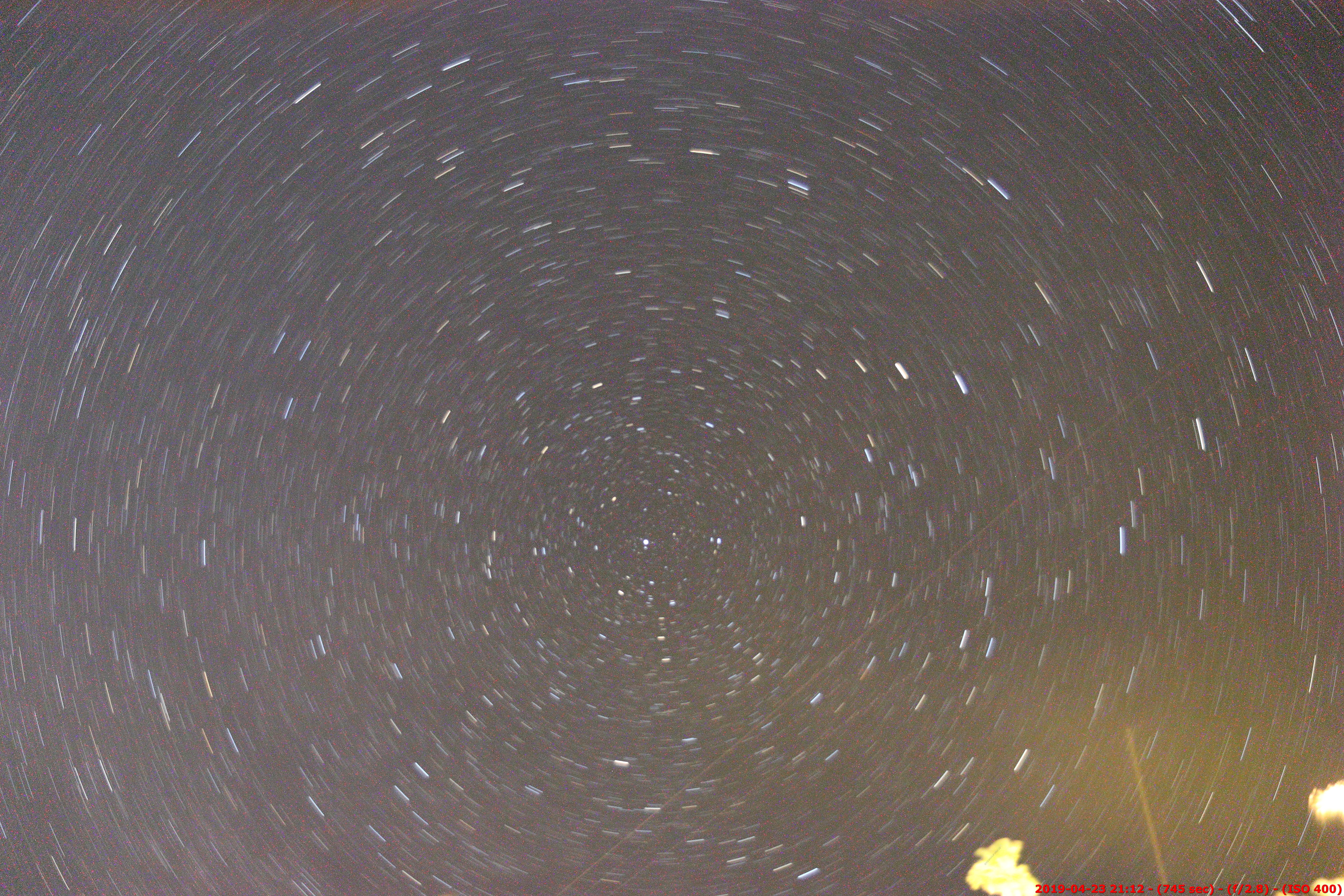
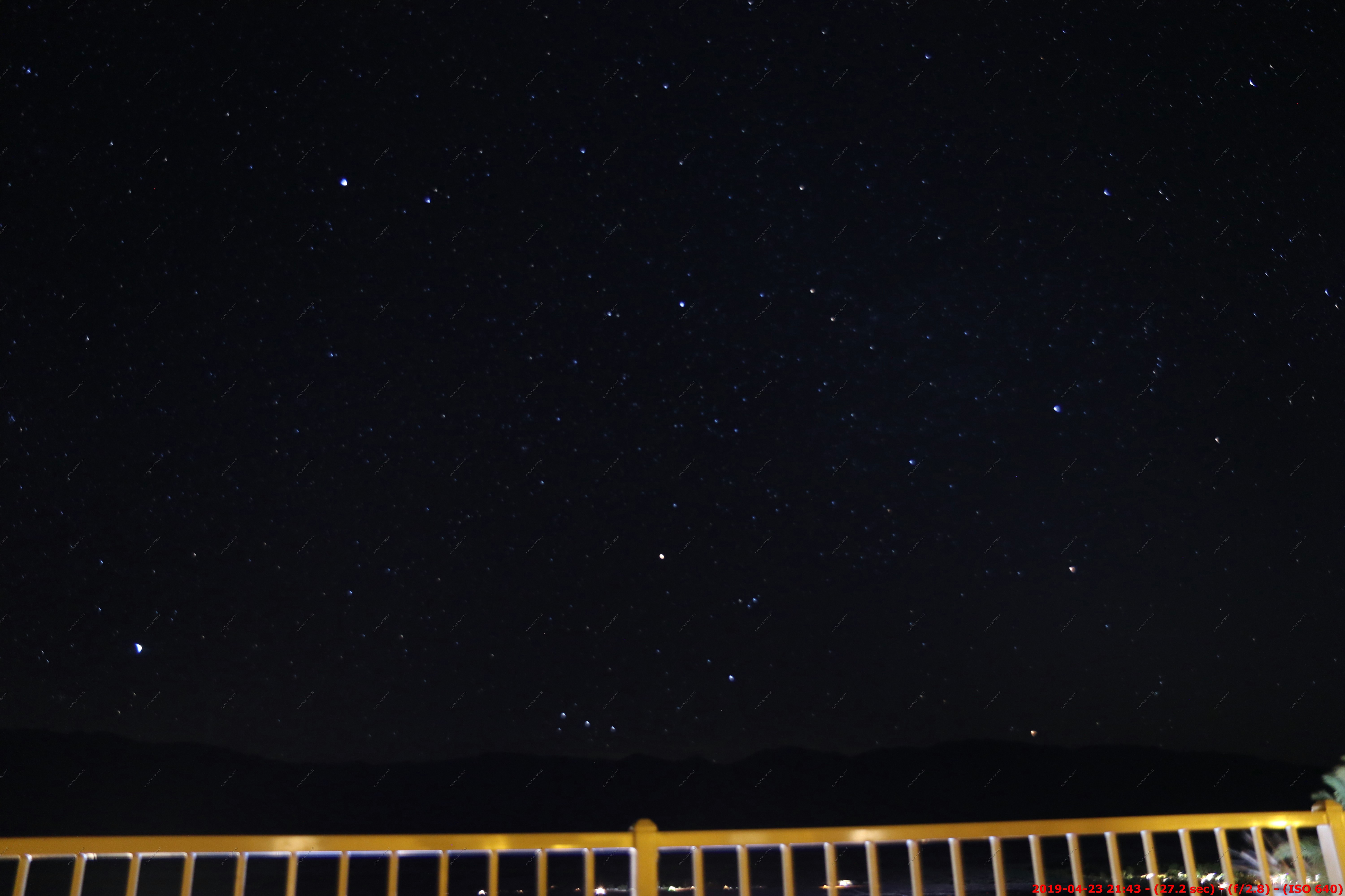
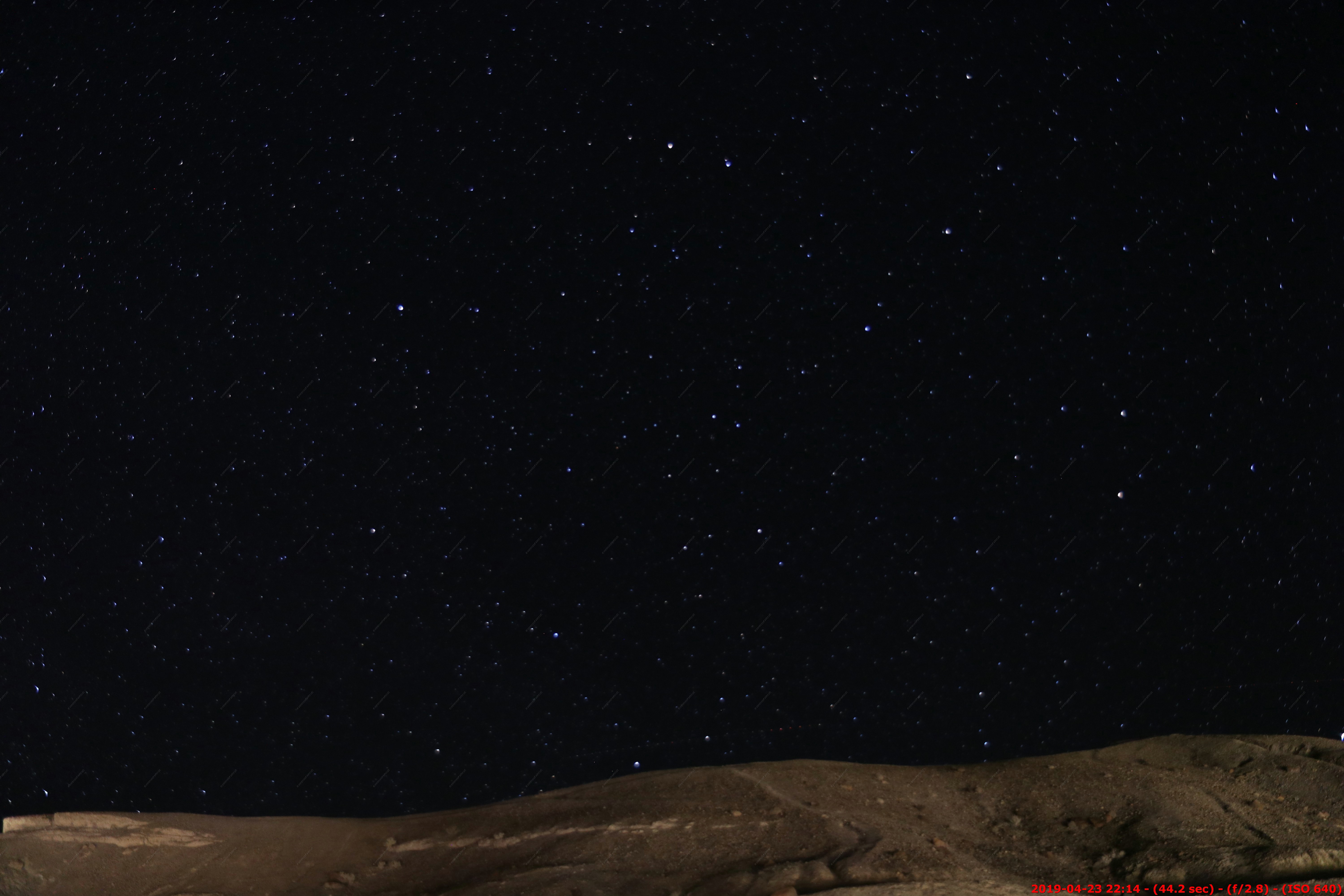
What happens on most of our trips, we are so tired by 9pm we don't go out and look at the stars. For this trip, I picked up a Benro SLIM Carbon Fiber Lightweight Travel Tripod Kit so, I could take Astrophotography with my Canon 80D. I continue to be amazed with this tripod as its stable and only weighs 2.2 lbs.
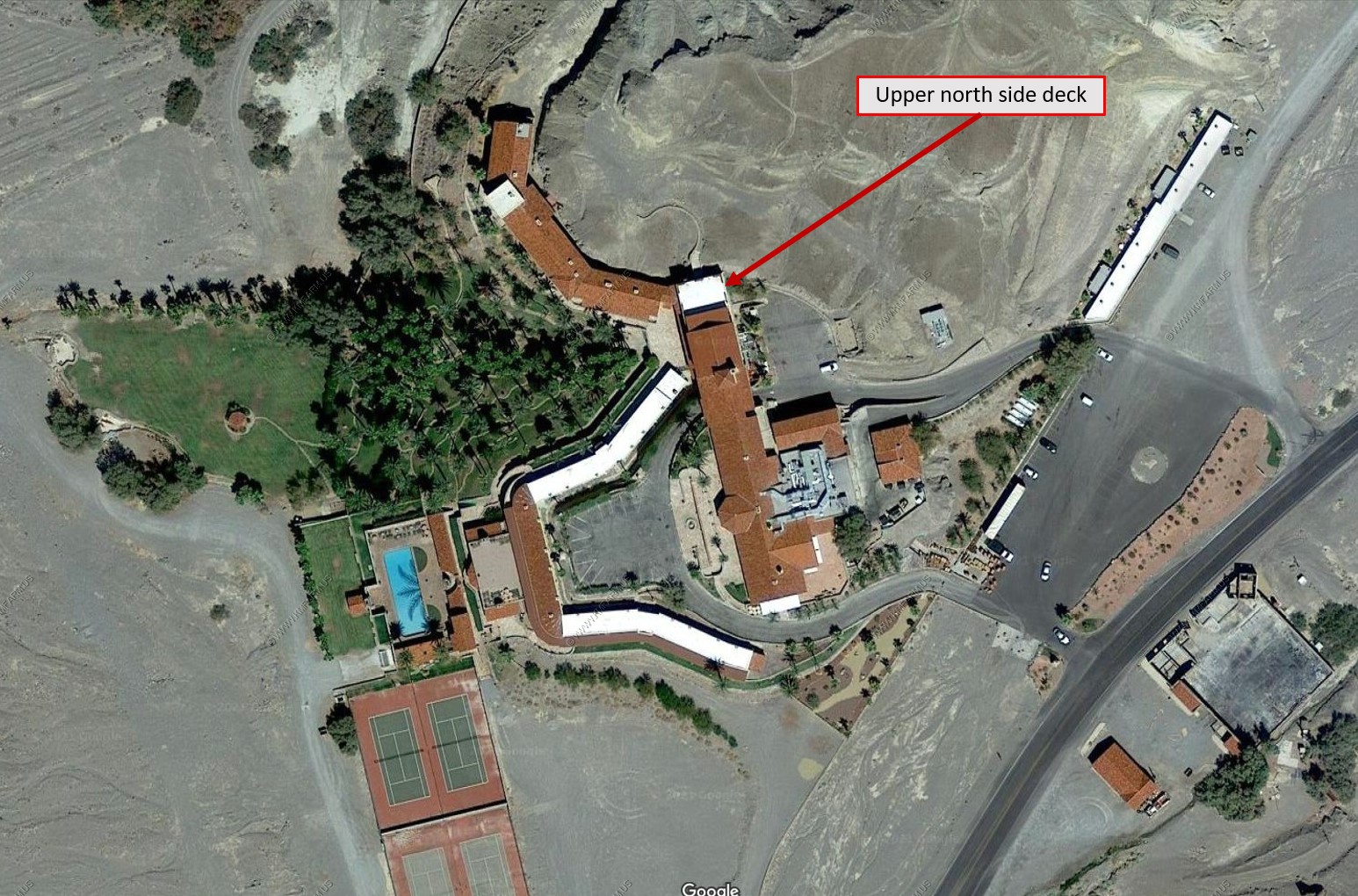
We did not realize till we were here a day, that this inn has a upper deck that faces north and is very dark. The photos below were taken from this deck.
Sunset was around 7:30 during the week we were here.
Looking west an hour past sunset. 6.8 second exposure and you can see the Orion constellation (three stars)
8:44 - looking west. 32 second exposure
8:49 Looking up to the north west. Very dark in this direction. You can see the 7 Sisters constellation ( Pleiades) at the bottom. Cool with the wind moving the palms.
A 12 min 41 second exposure with the north star in the center. Since the earth is turning the stars will blur.
Now over 2 hours past sunset. 64 second exposure looking east at the glow of Las Vegas. Not sure how this park is classified as a dark sky park at least at Furnace Creek.

9:43 - Looking NW with a 27 second exposure. Orion setting over the Panamint Range
10:14 - Looking north. Very dark. 44 second exposure. You are looking into central Nevada and the next city of any size in this direction is Boise, Idaho 500 miles away
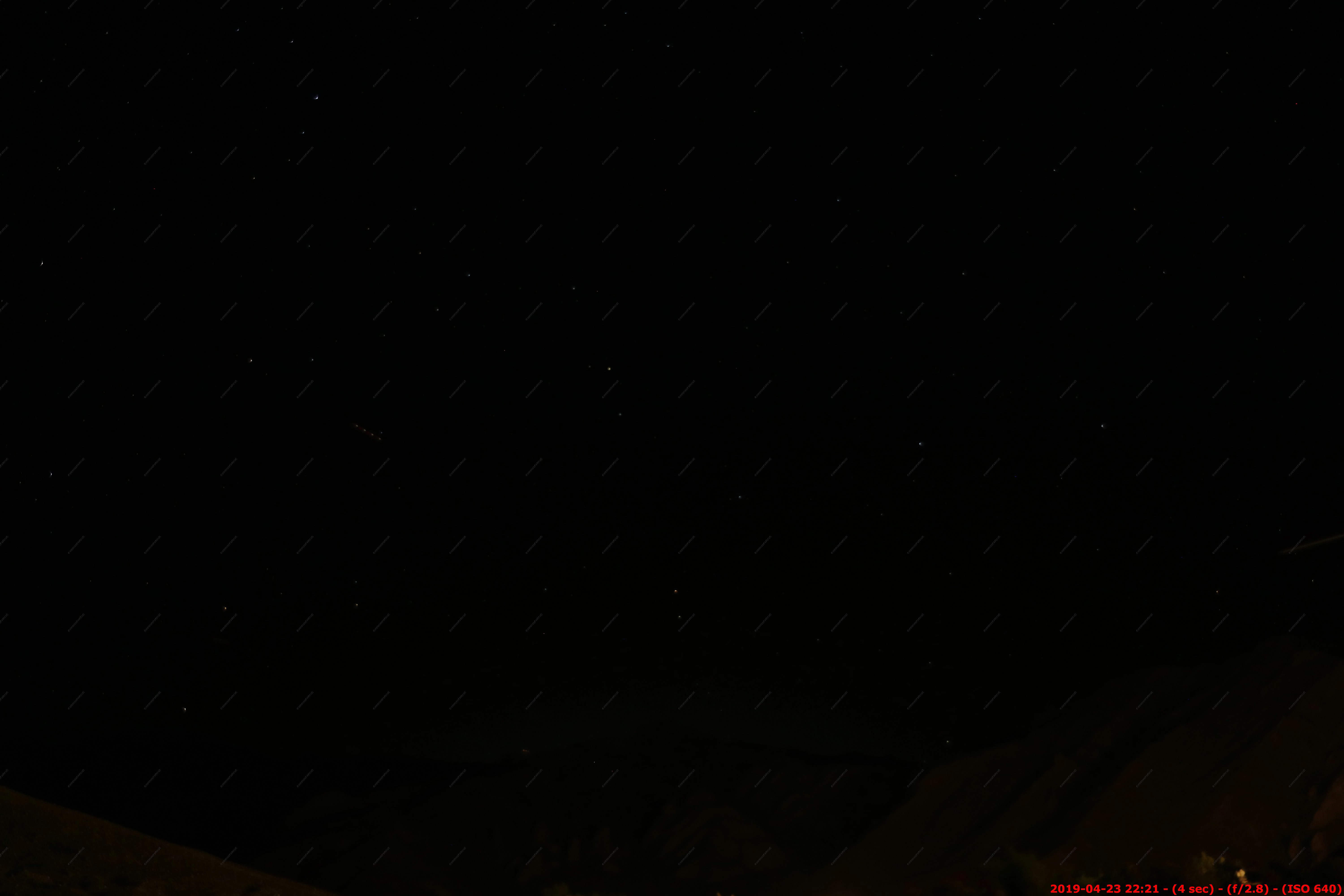
I could hear something flying over. Not sure what the strange light pattern is left of center ? 4 second exposure looking NE. Lots of restricted airspace around here.
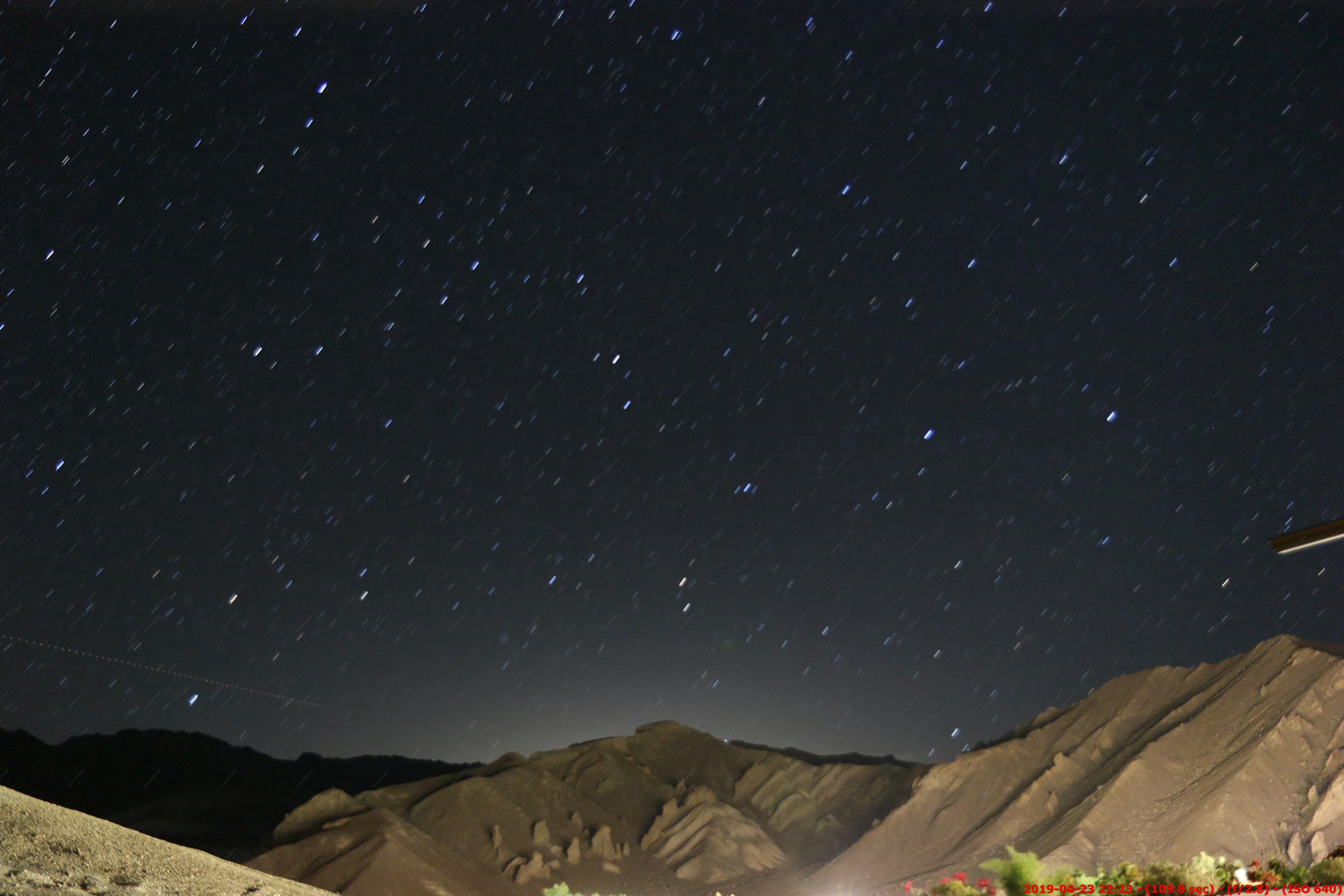
Now almost 3 hours past sunset. 109 second exposure looking east at the glow of Las Vegas.
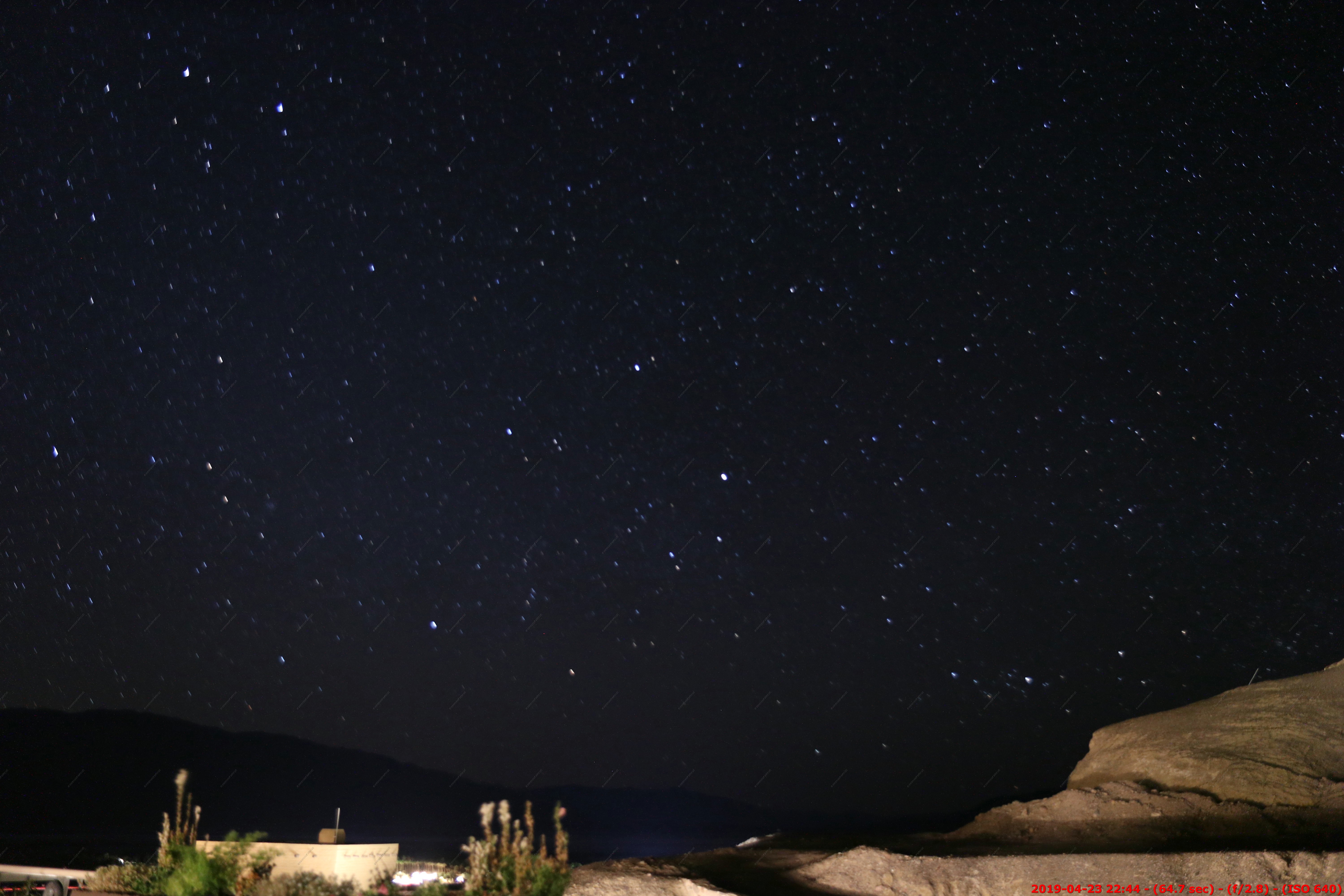
Looking NW at 10:44. 64 sec exposure. Perhaps some glow from Fresno, CA 160+ miles away ?
Wish I would have stayed up later but we were pooped.
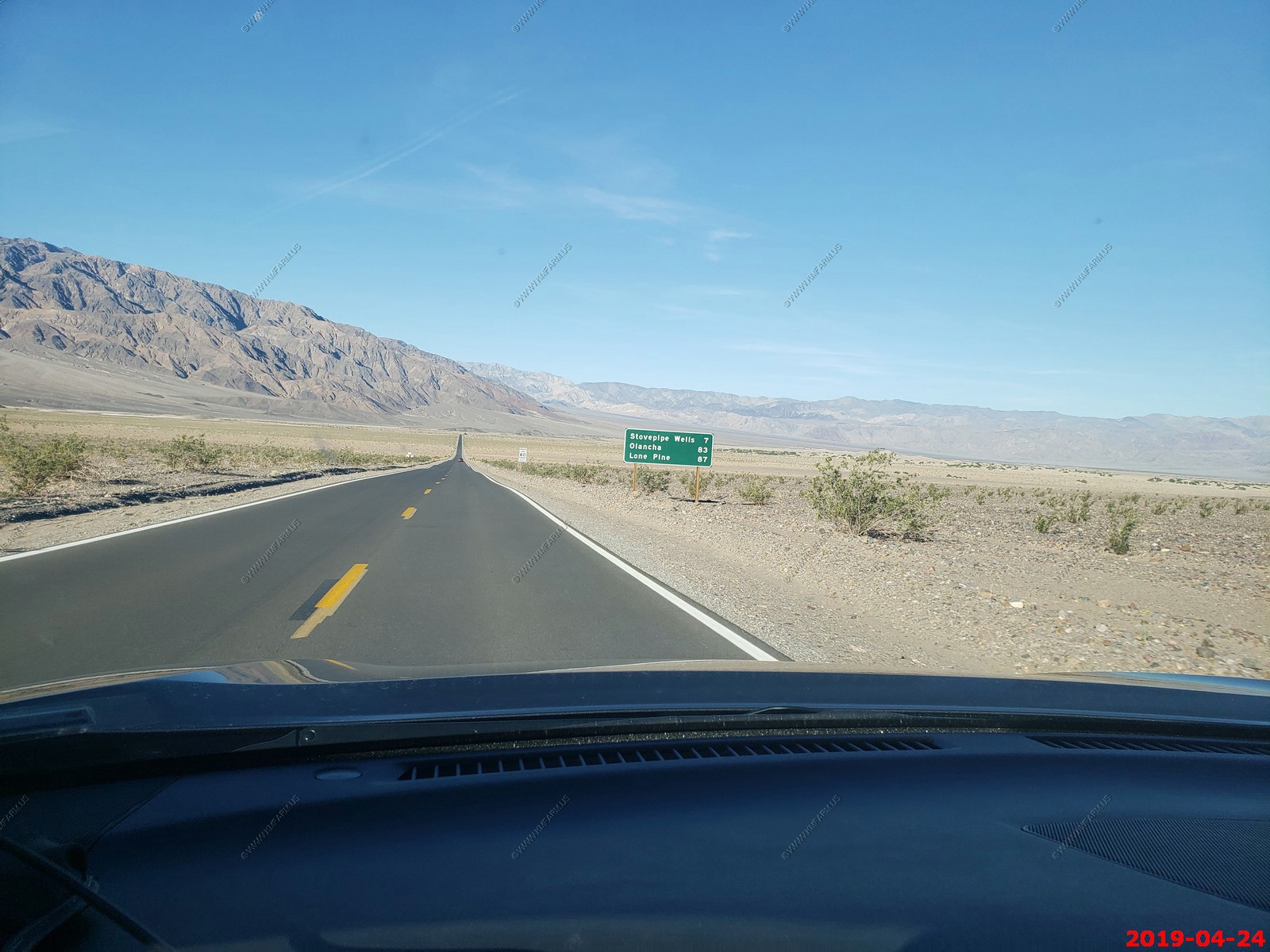
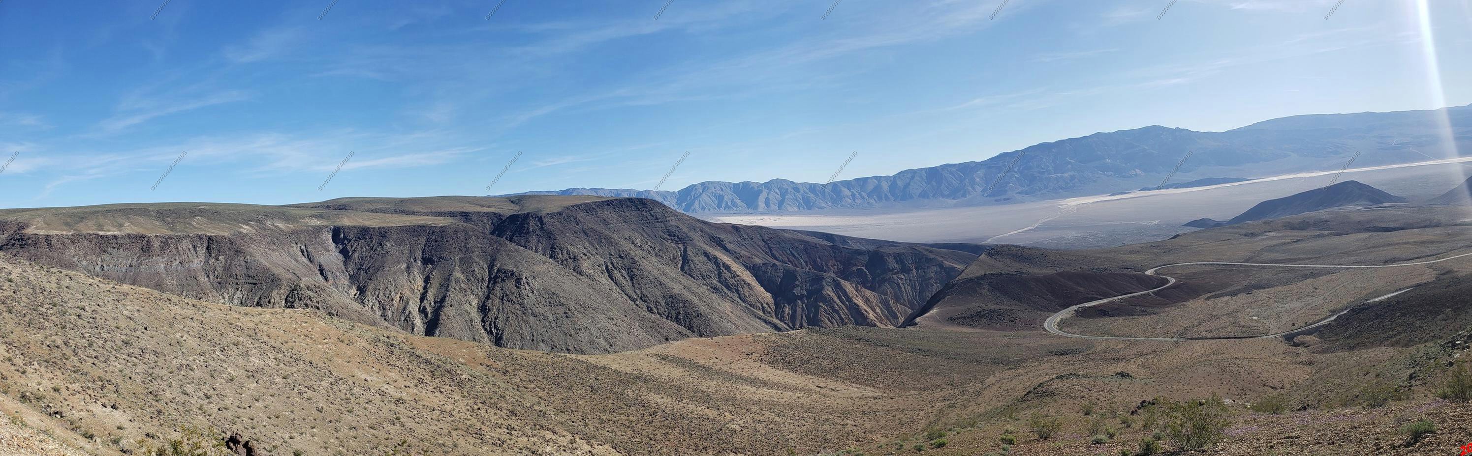
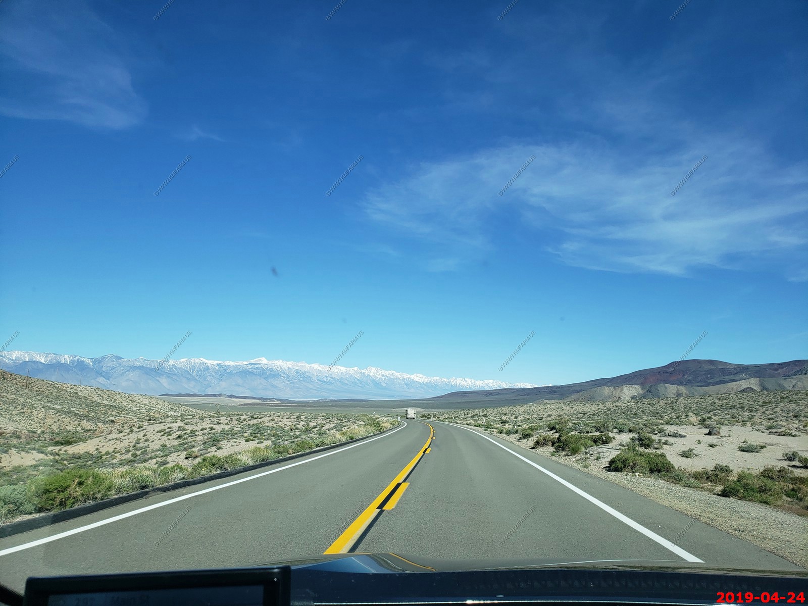
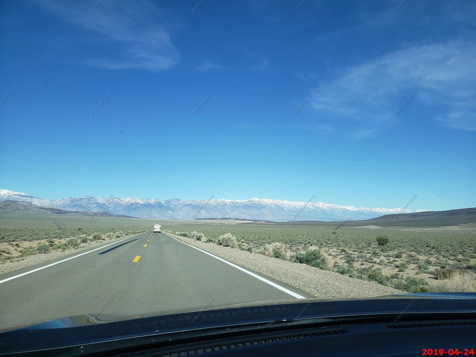
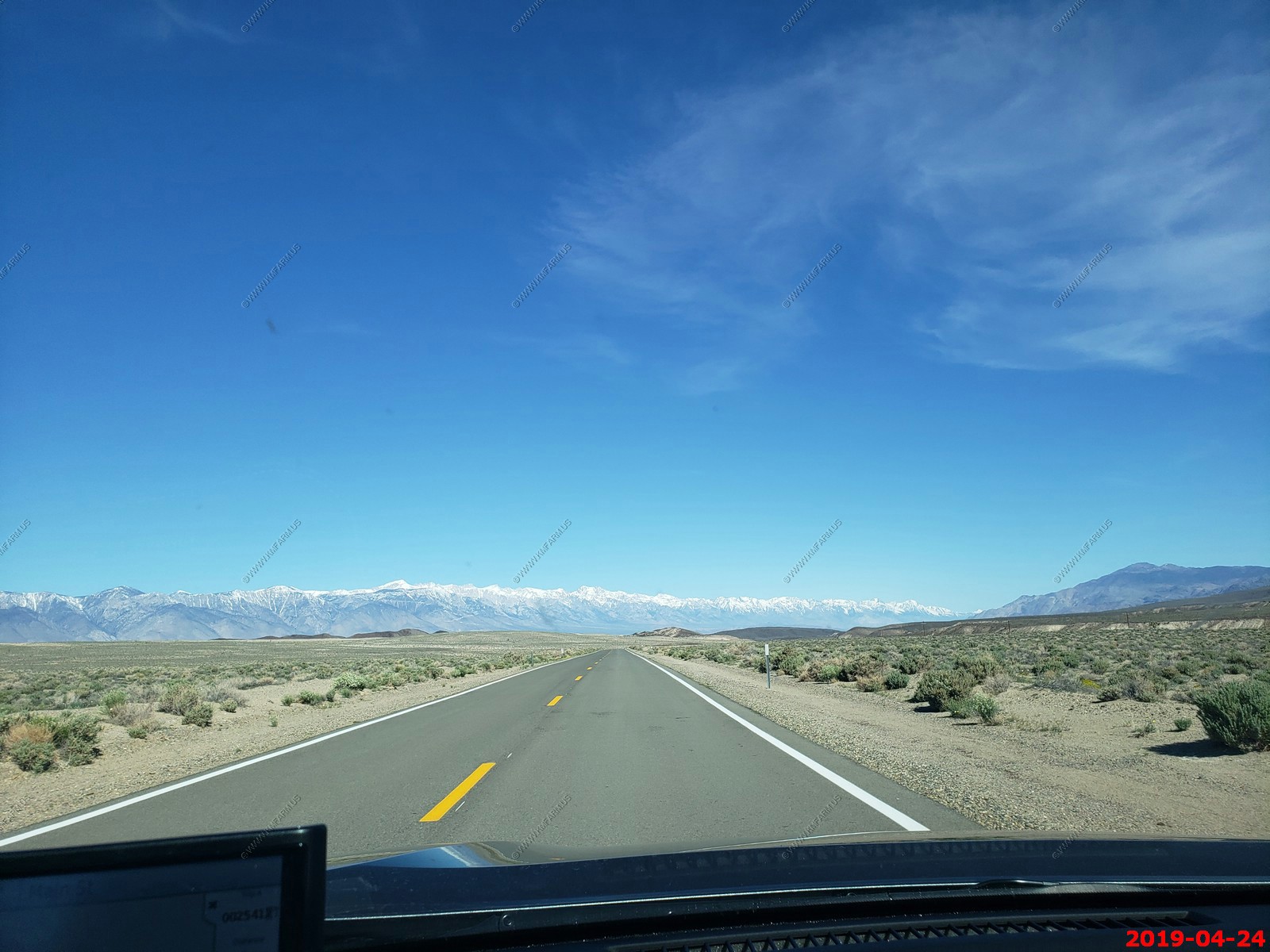
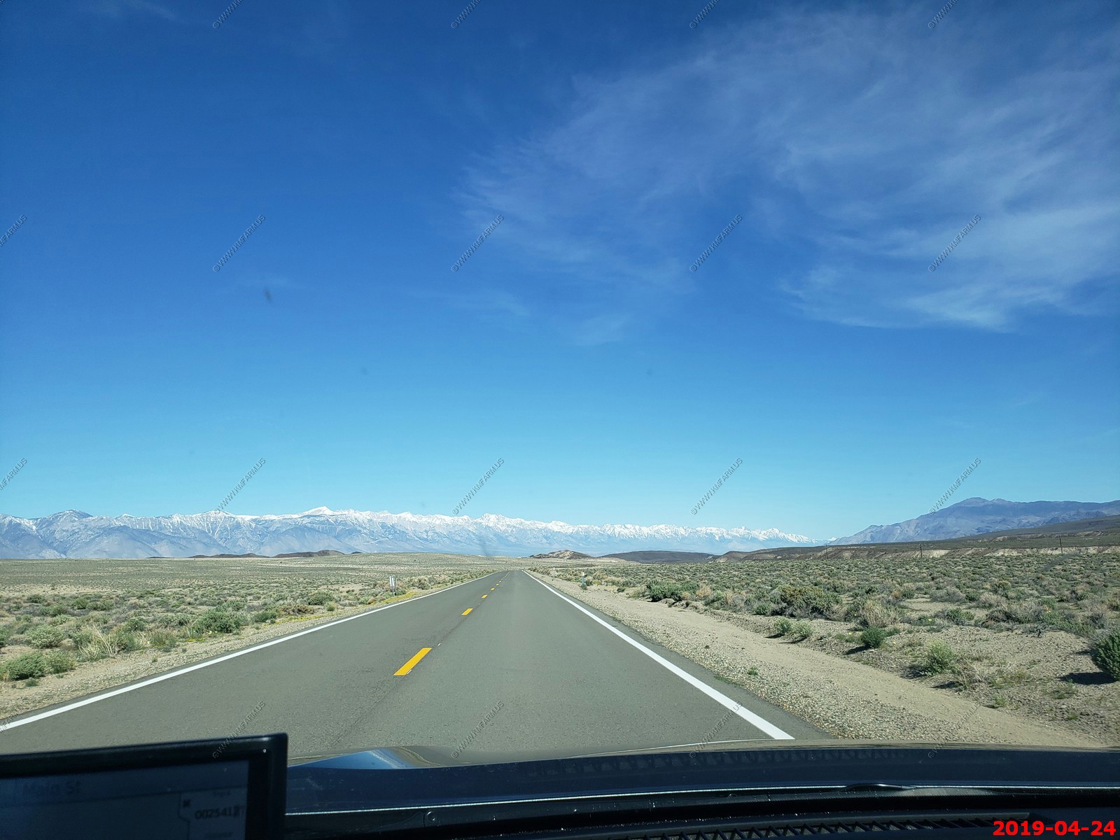
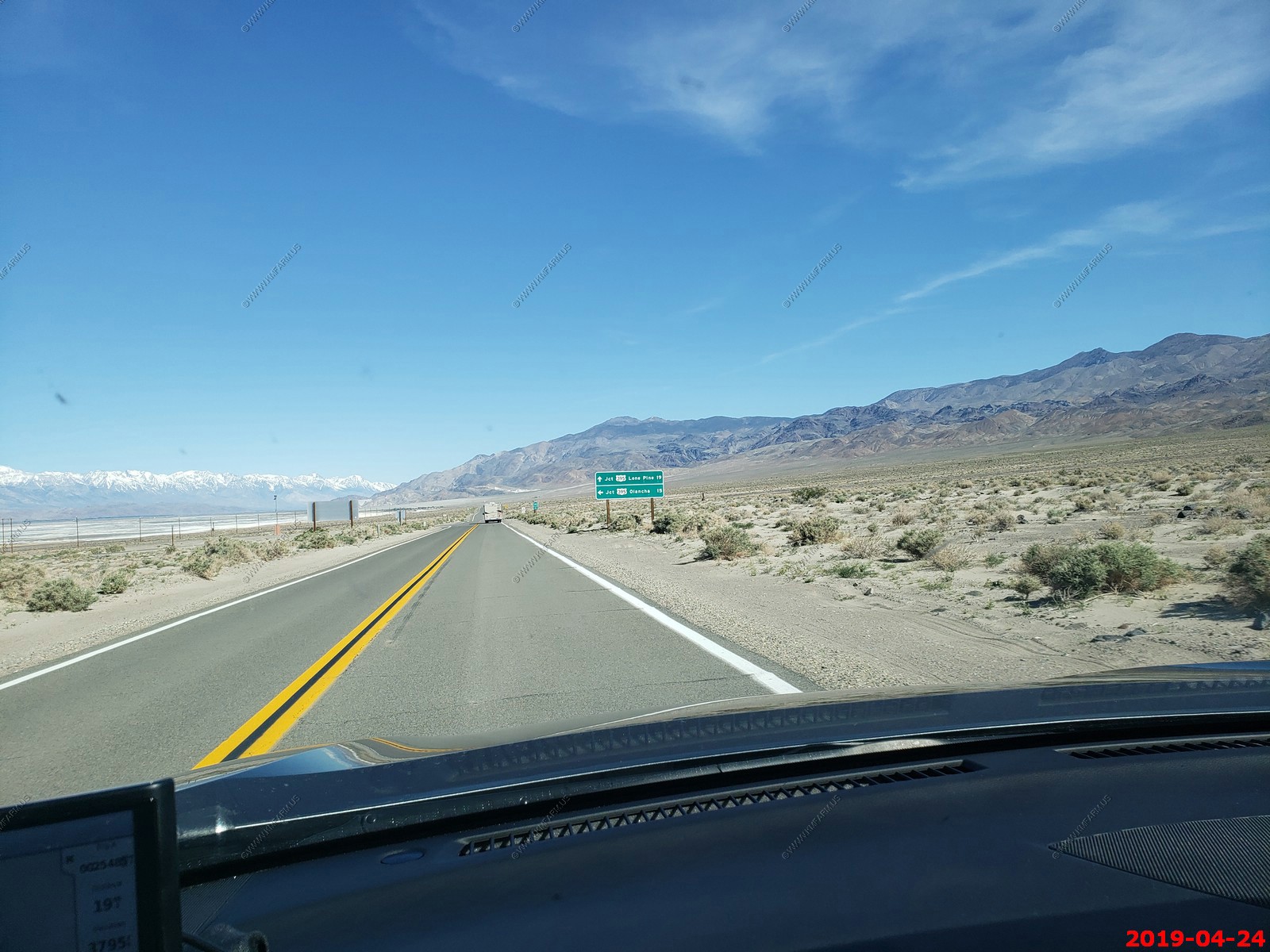
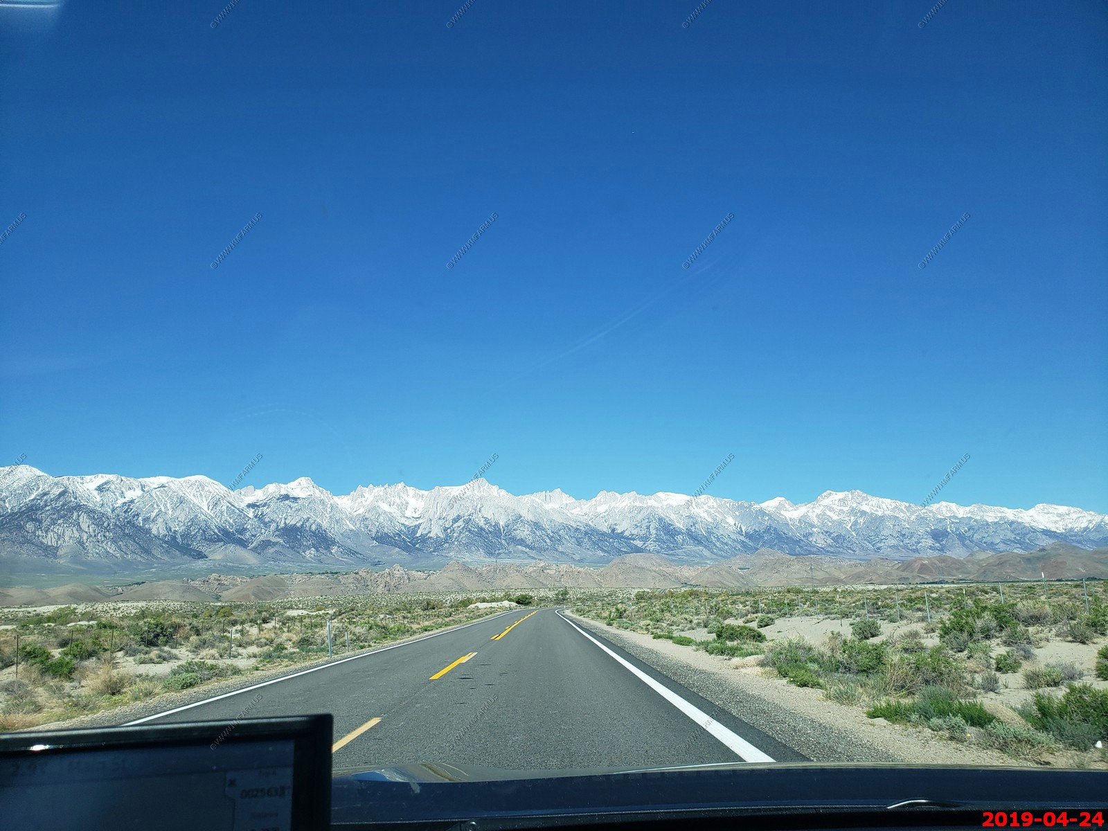
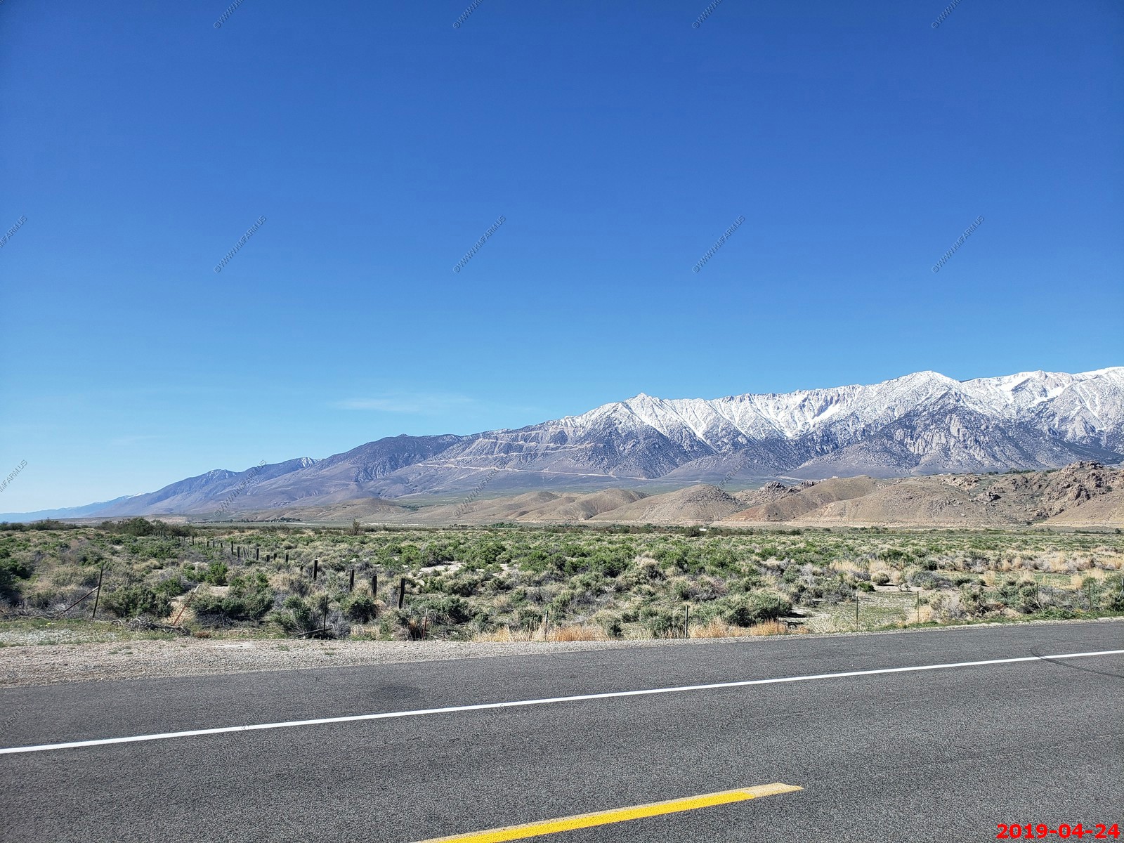
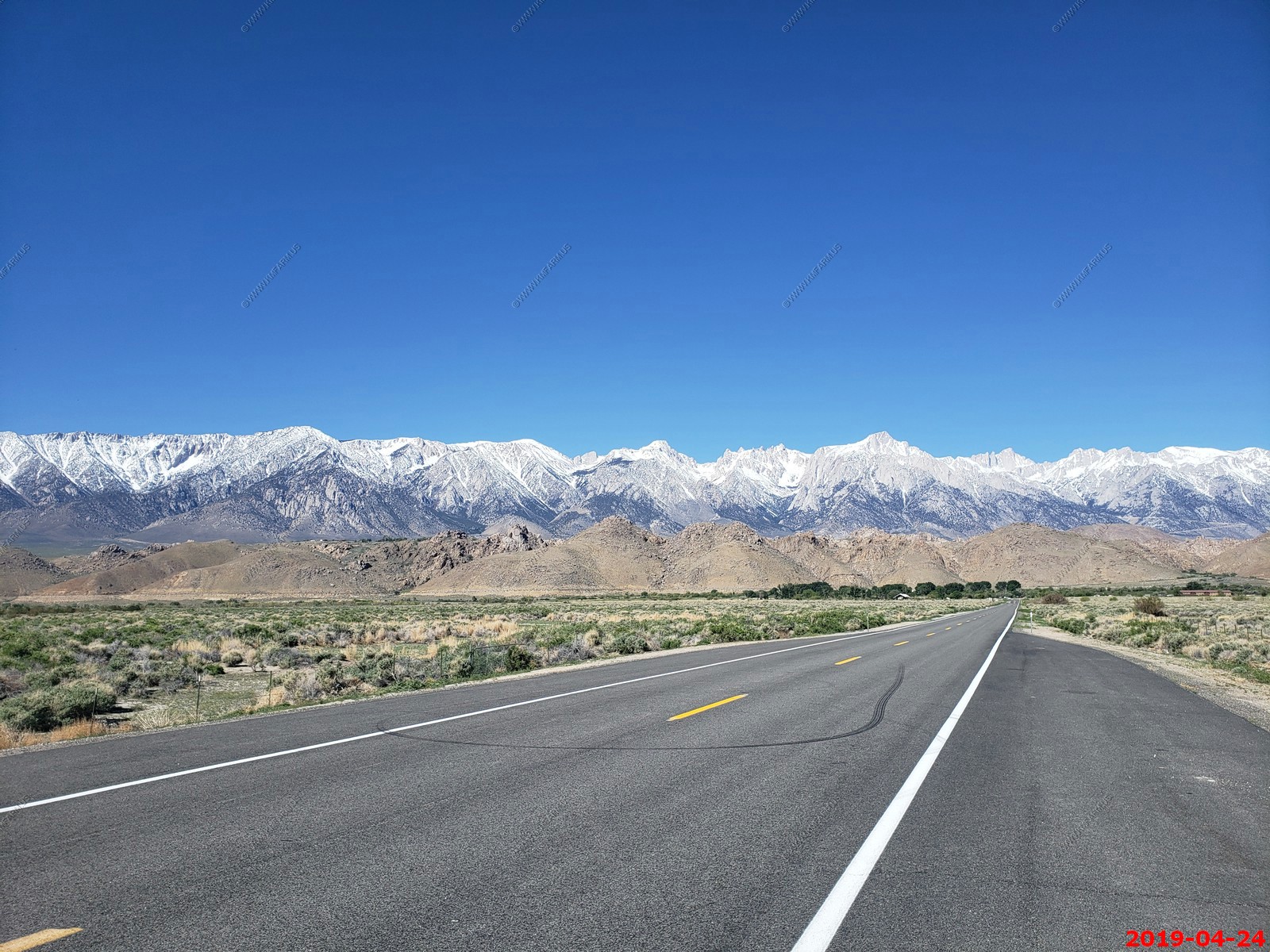
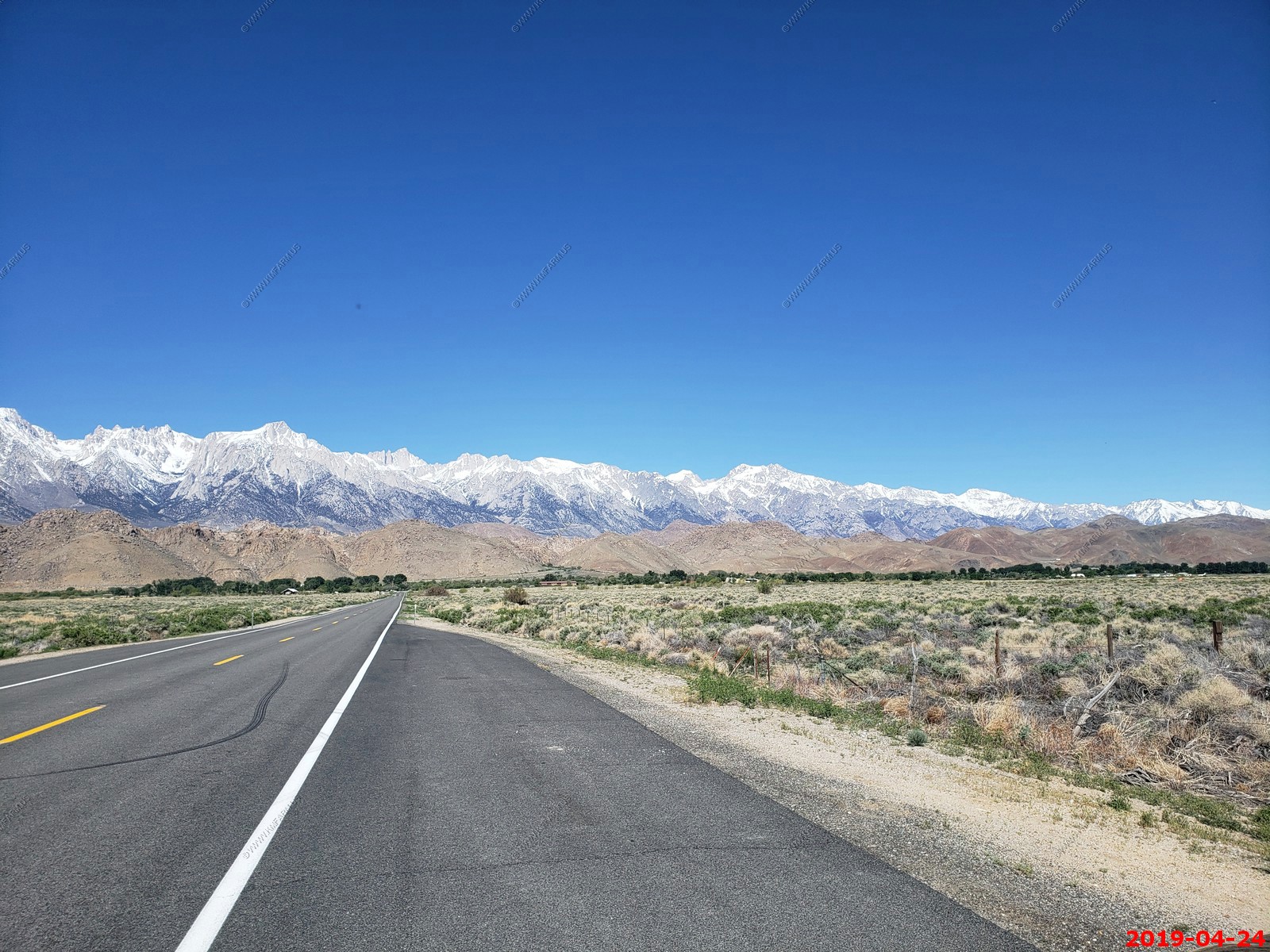
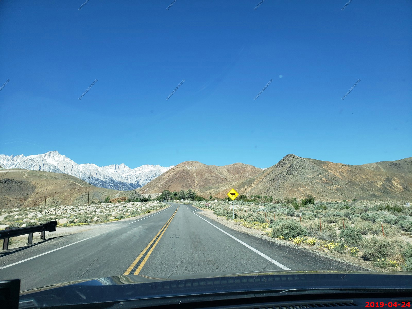
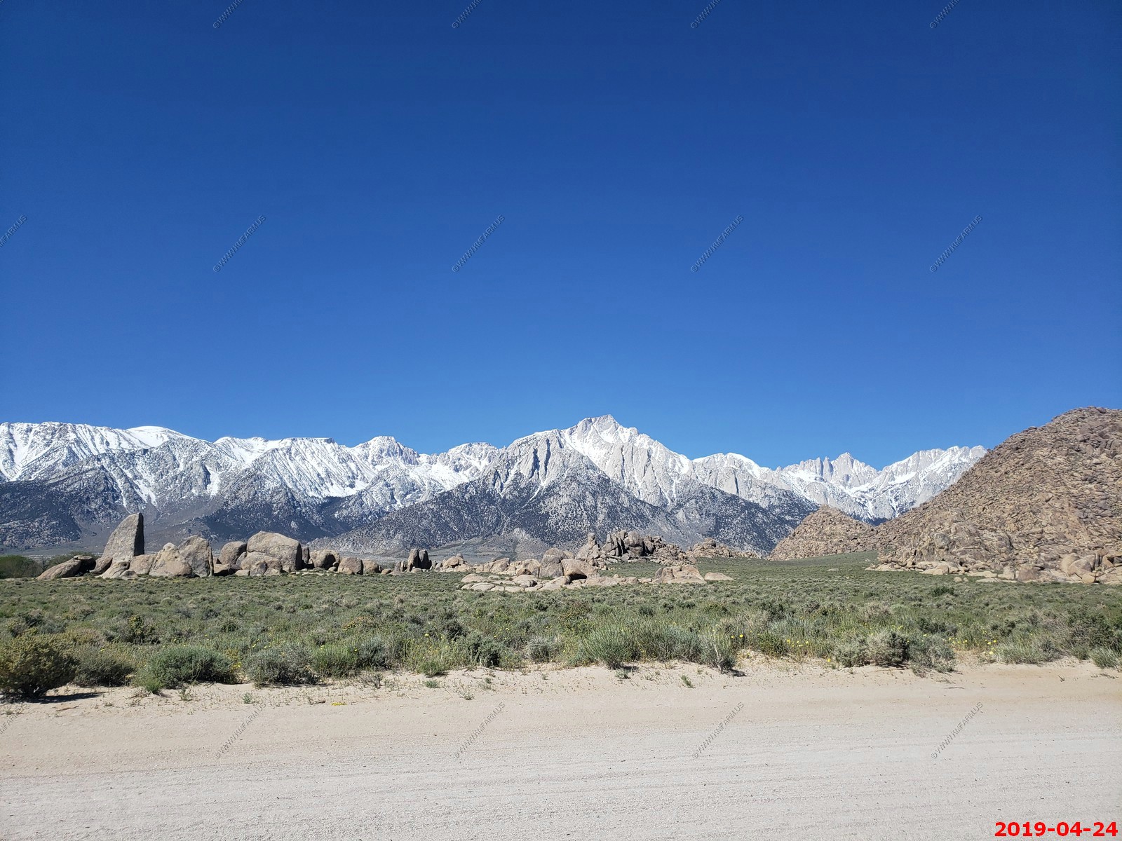
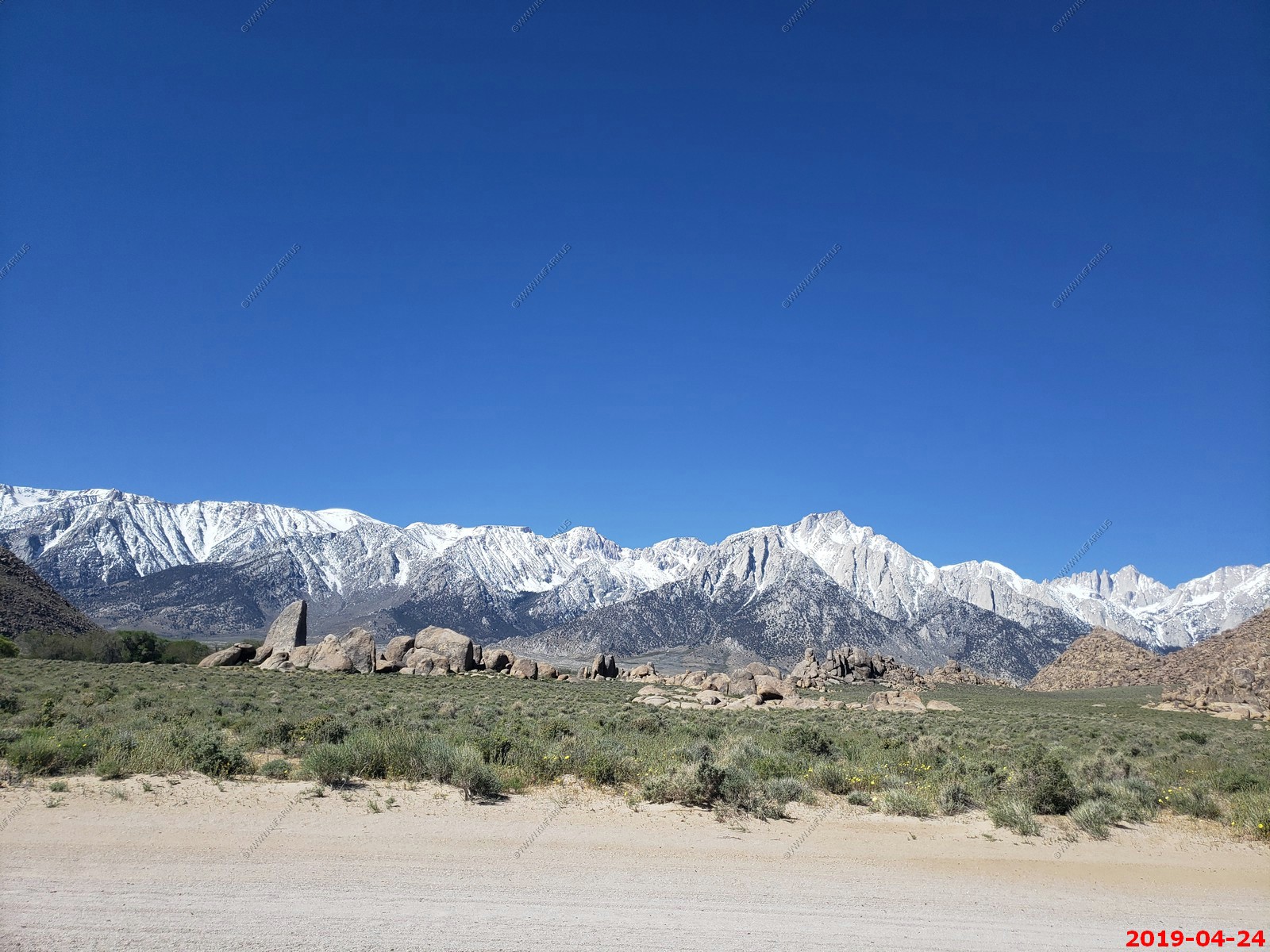
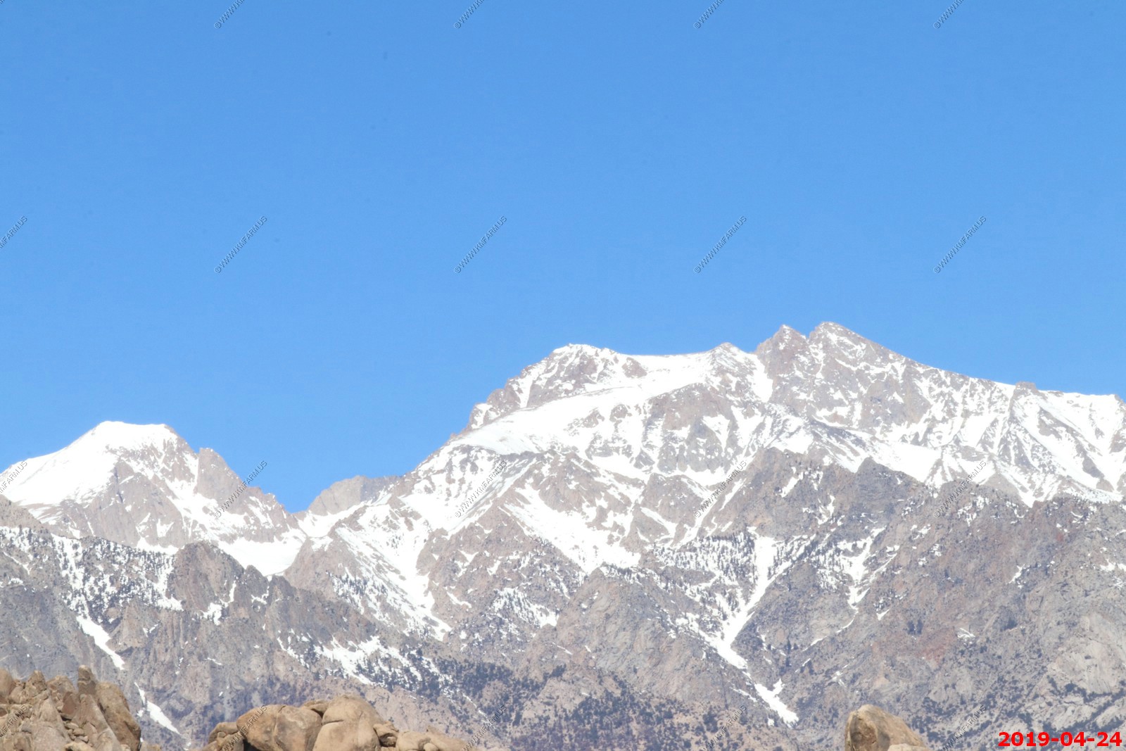
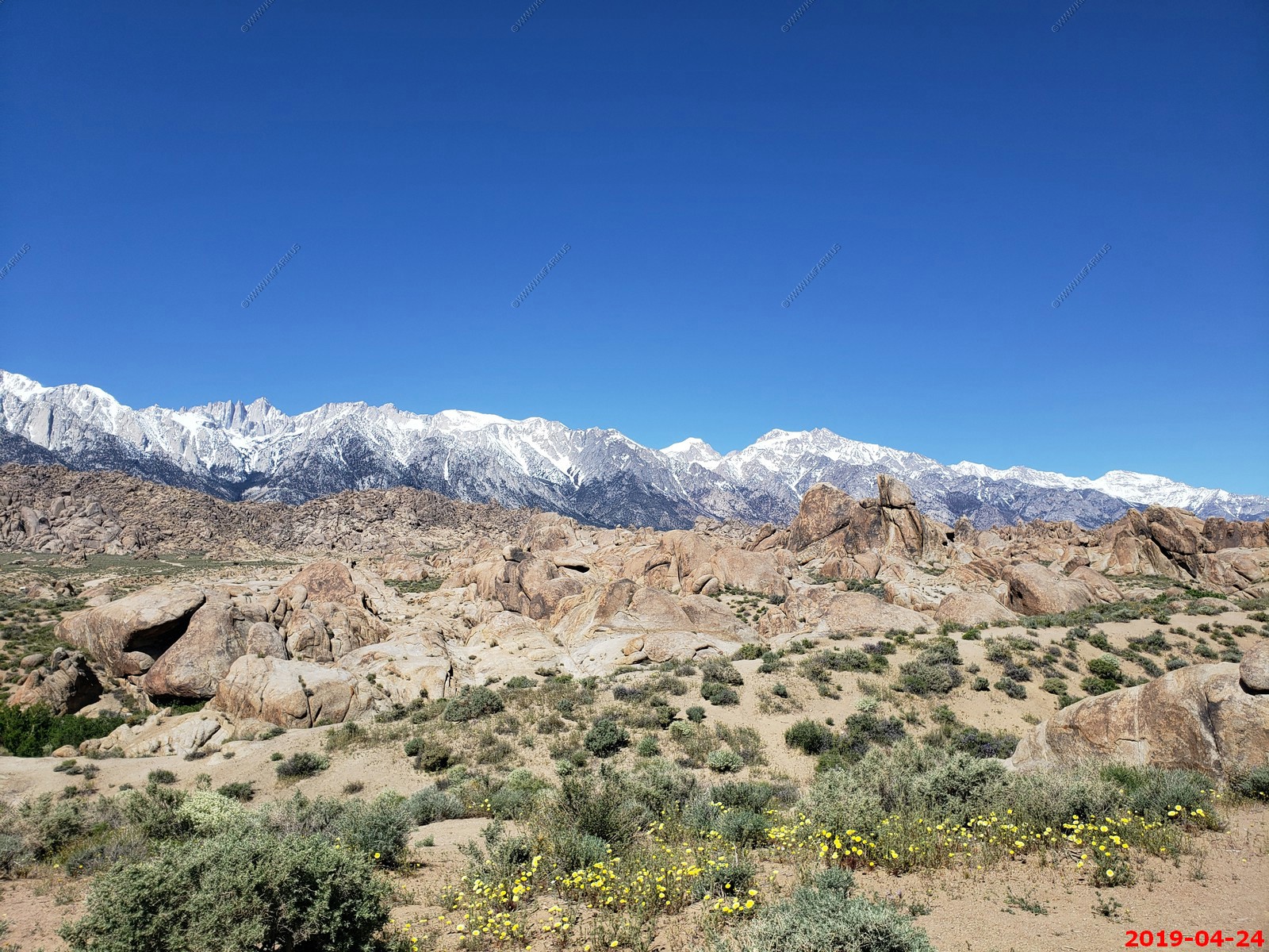
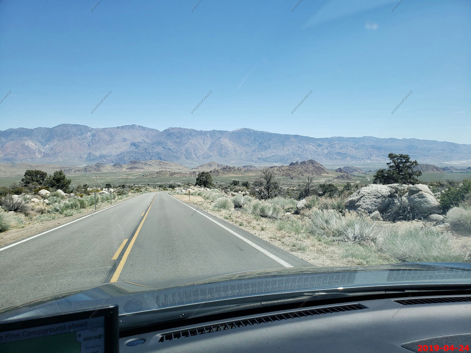
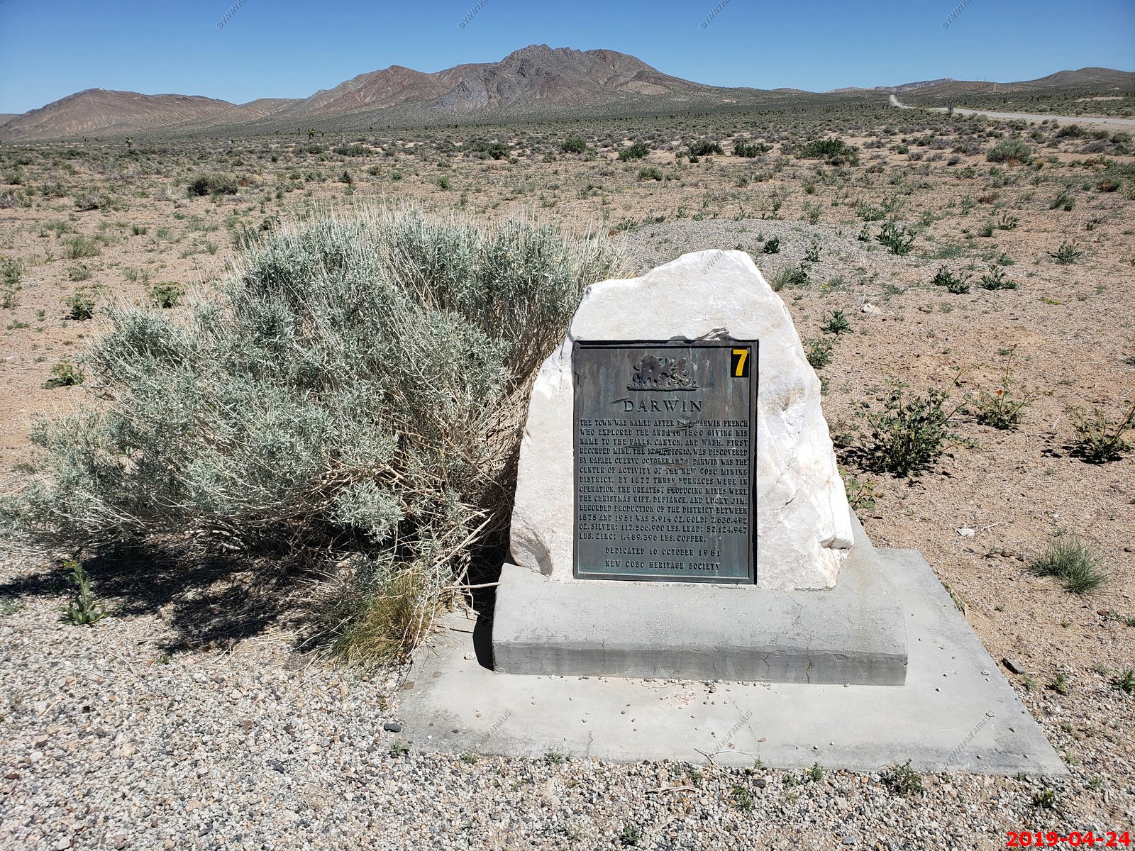
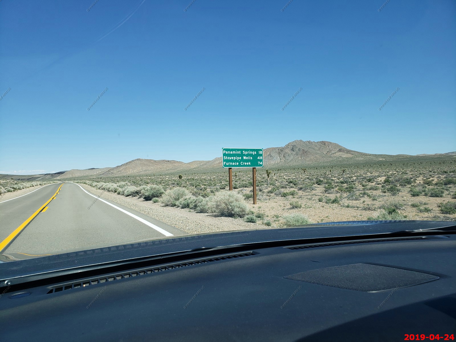
Wednesday April 24
This is the big ride day. The weather is forecast to be perfect and we are going to explore the area to the west and visit Alabama Hills, Loan Pine and see Mt. Whitney.
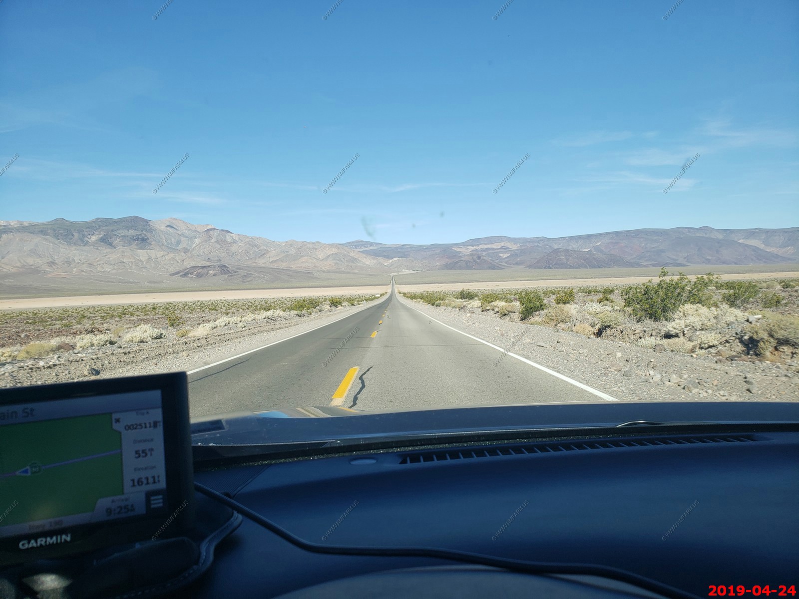
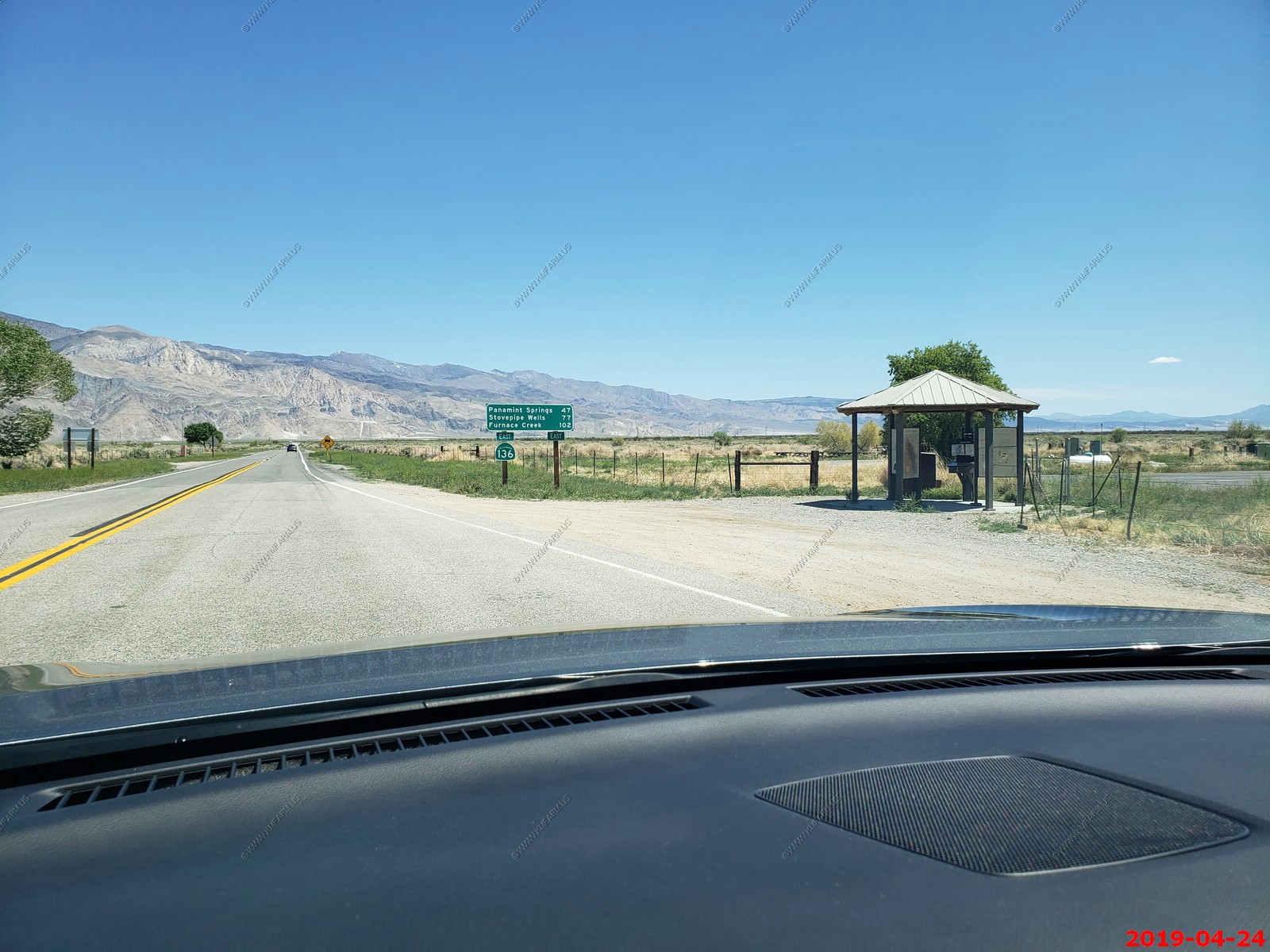
We really did not have far to go. Stovepipe Wells 7 miles, Olancha 83 miles and Lone Pine 87 miles. We were on CA190 just above Beatty Junction (still in the park) at this point.
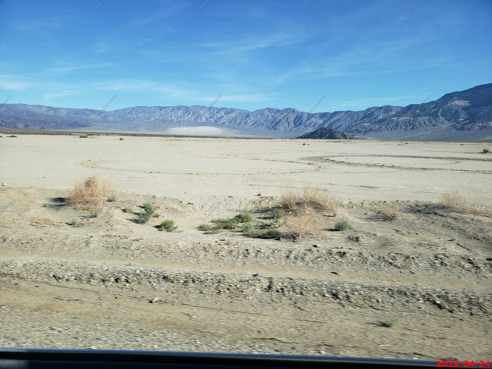
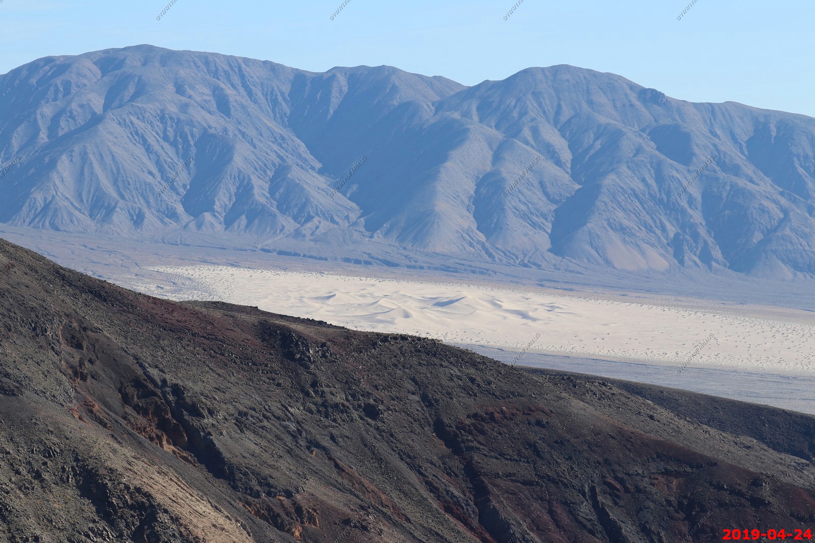
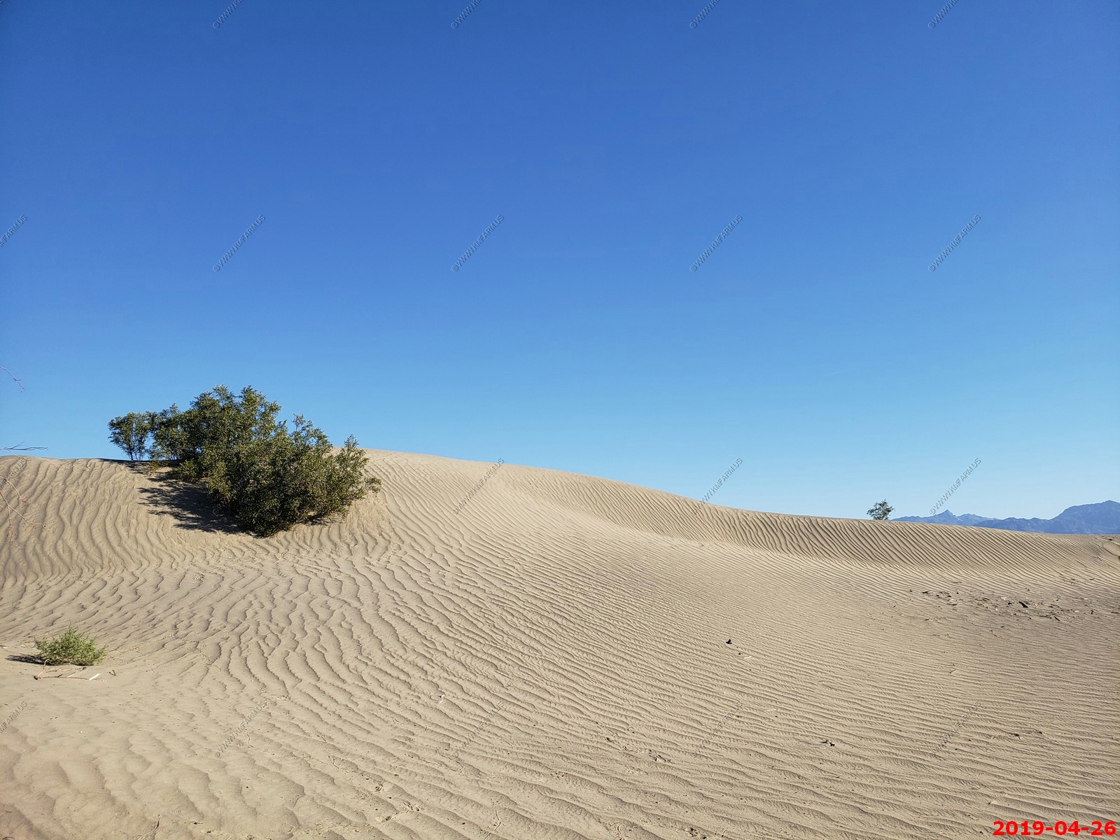
Mesquite Flat Sand Dunes (we would be back here in a few days)
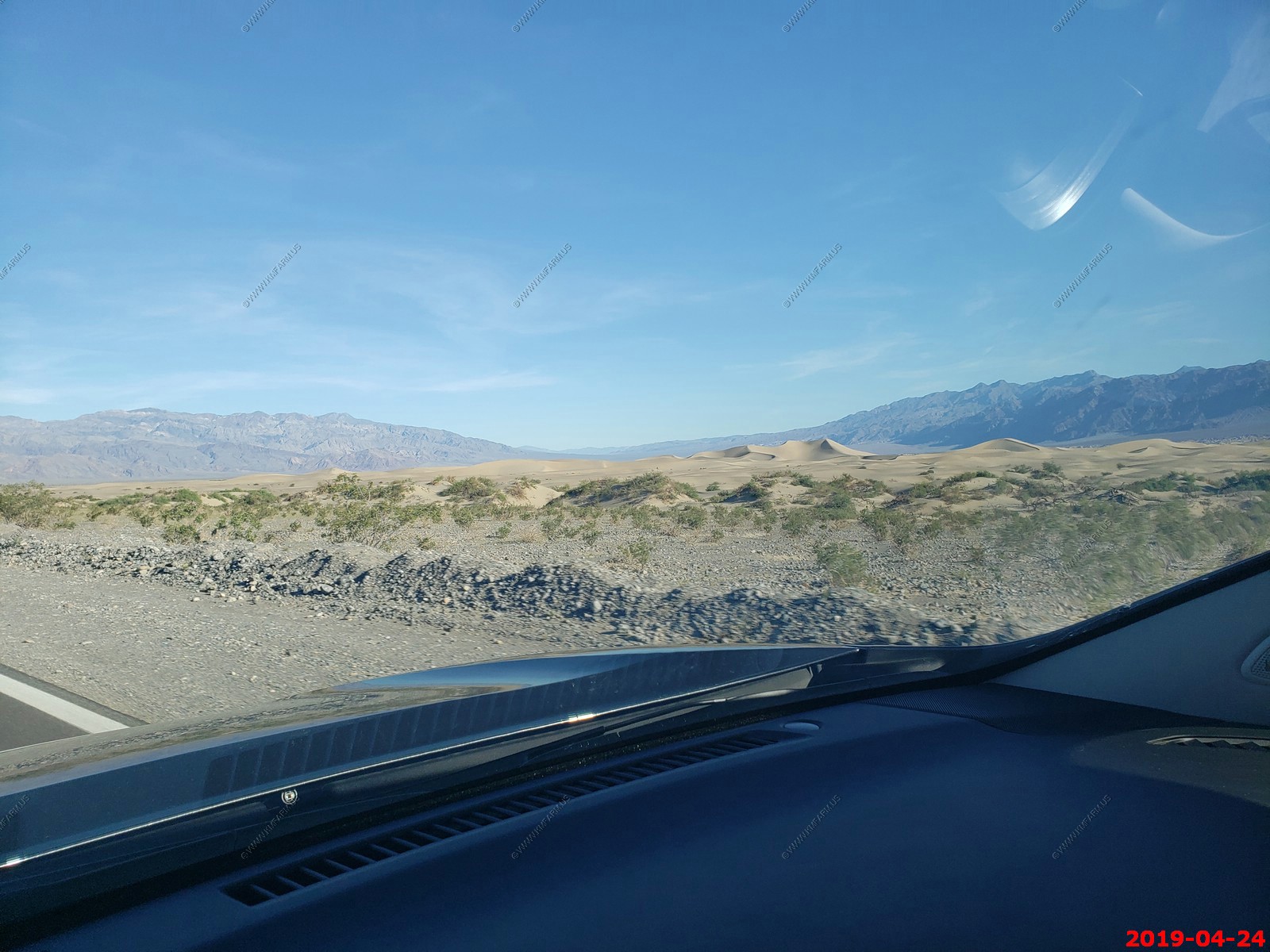
Amazing views along CA190 and NO TRAFFIC. I always get stuck behind the RV but in this case I can see more driving slow.

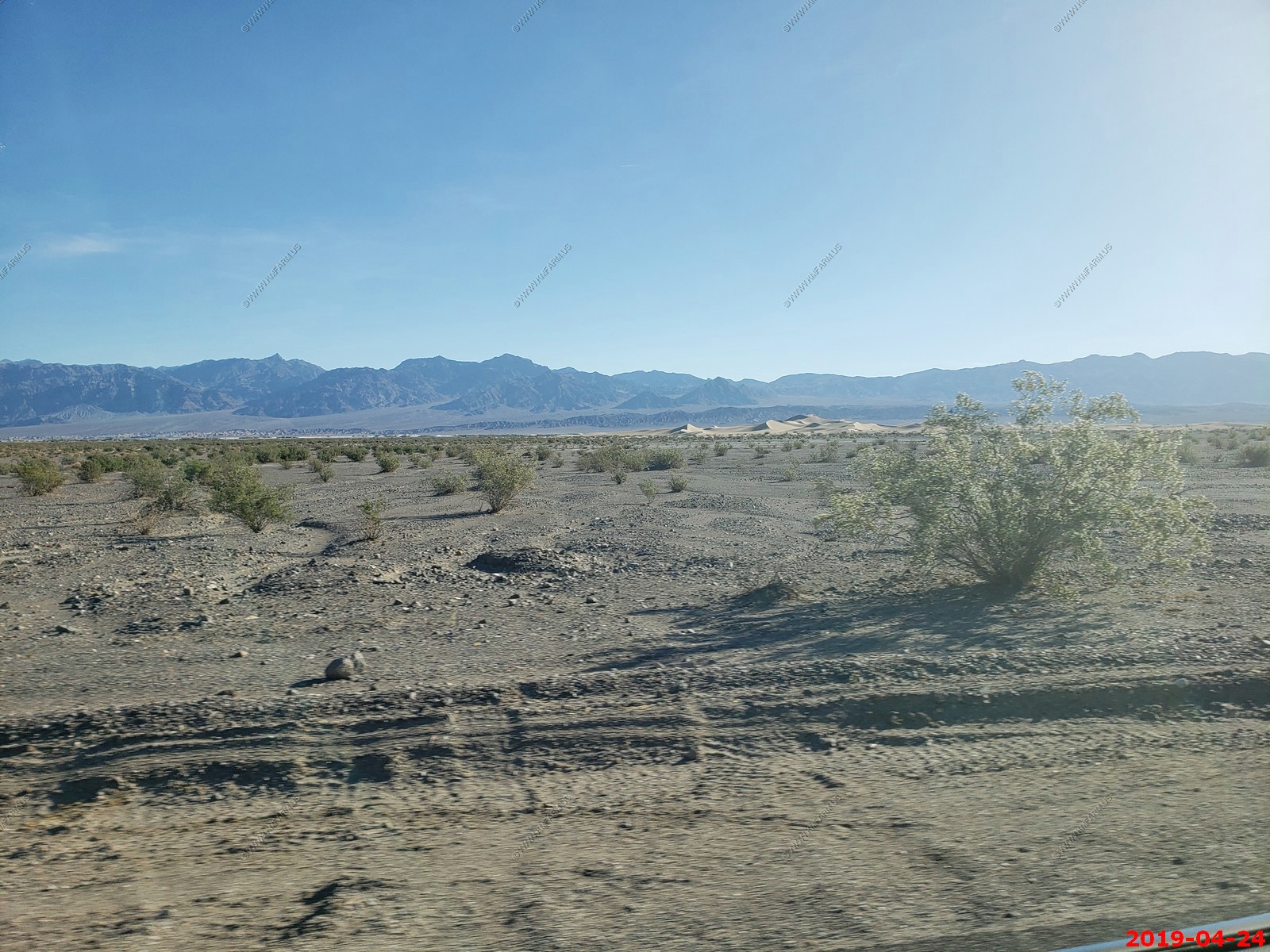
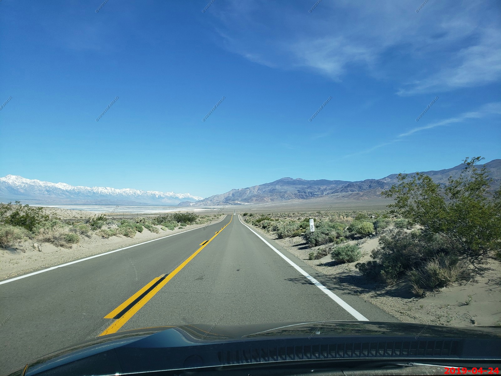
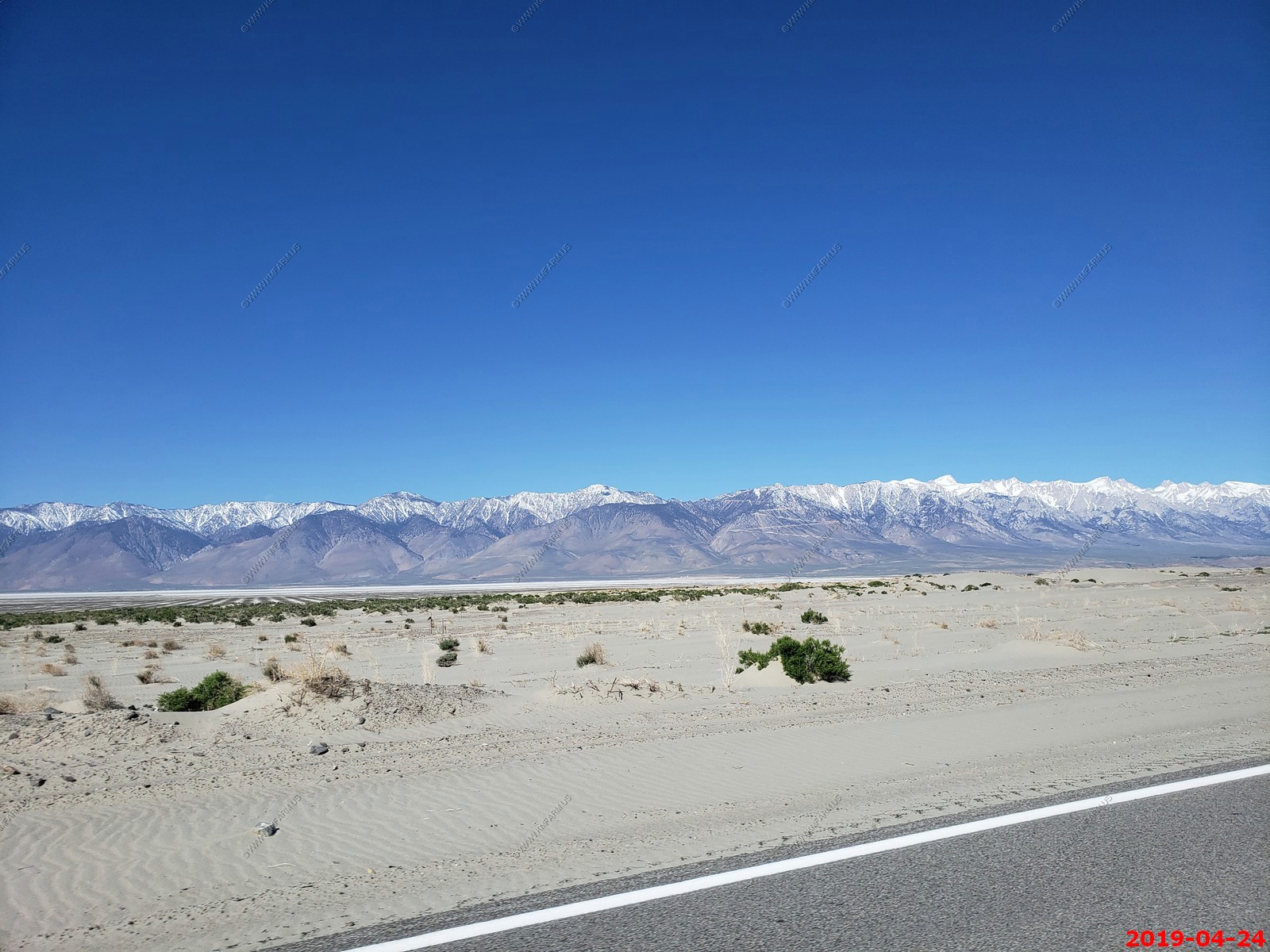
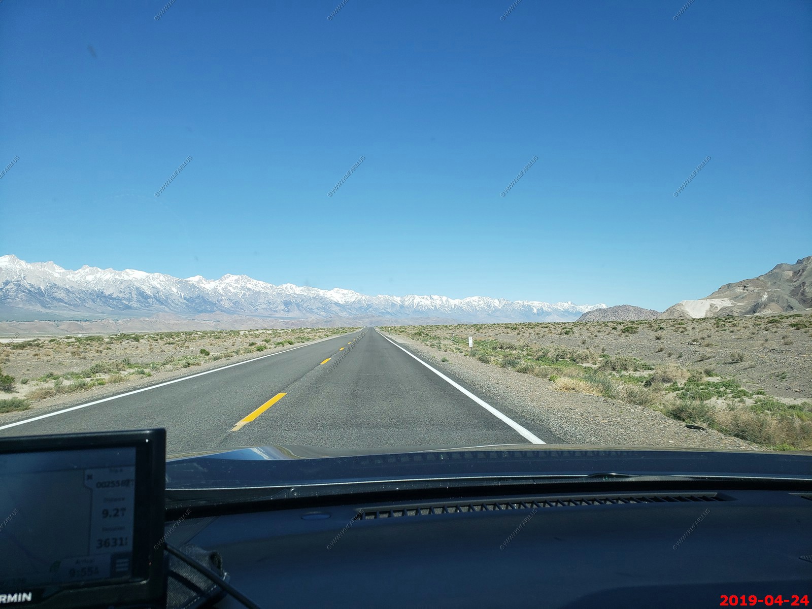
Our first look at the Sierra Nevada range going over the pass and down into Panamint Valley.
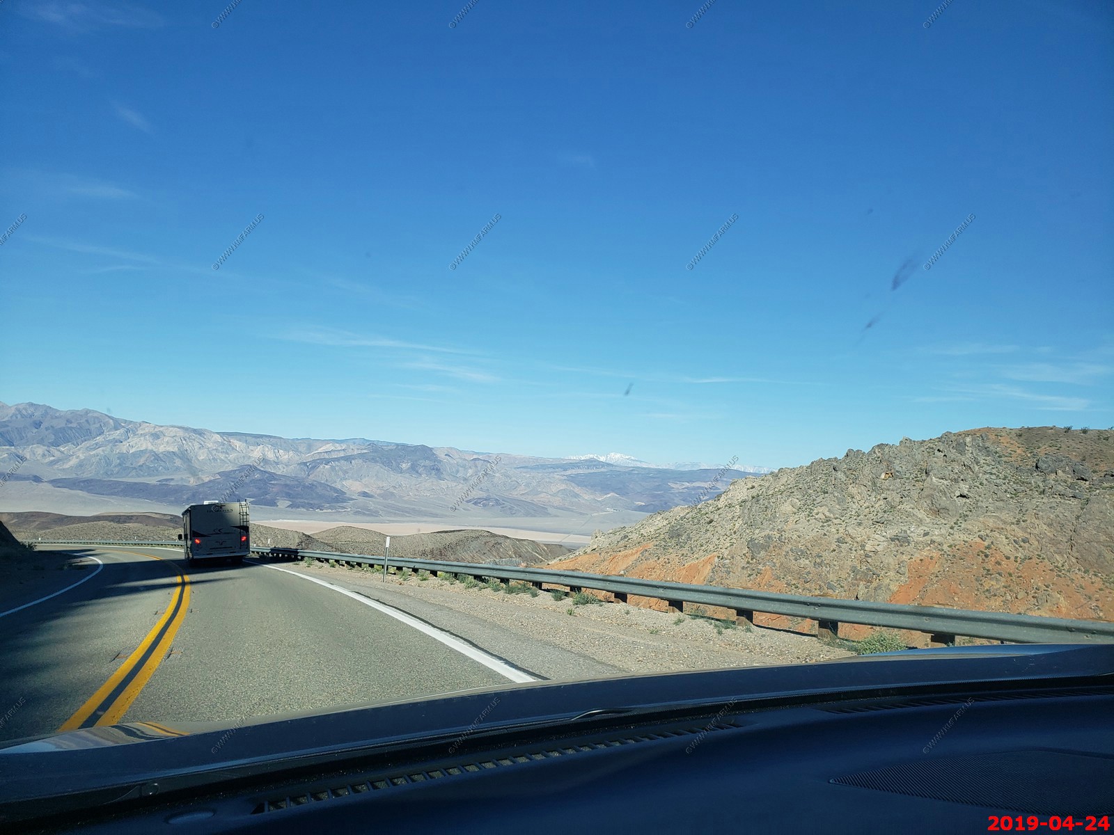
Crossing the Panamint Valley. We are at 1,600 feet here so much higher than death valley. The airspace over Panamint Valley is part of the U.S. military's vast R-2508 Special Use Airspace Complex. The Panamint Military Operating Area (MOA) covers the entire valley north to Hunter Mountain from 200 ft AGL (Above Ground Level) up to FL180 flight Level (flight level is approximately altitude above mean sea level in hundreds of feet), therefore, FL180 would be 18,000 feet) with an Air Traffic Control Assigned Airspace (ATCAA) located above the same area from FL180 up to FL600. The airspace is primarily used by military aircraft from Nellis AFB, Edwards AFB, NAWS China Lake, and NAS Lemoore for high and low altitude mission training. Military aircraft utilize radio communications on 291.6 MHz or 120.25 MHz while operating in the Panamint MOA; however, military aircraft throughout the R-2508 complex often use 315.9 MHz when conducting low altitude operations below 1500 ft above ground level.
Looking north at the Panamint Dunes. These are appx. 9 miles north of CA-190
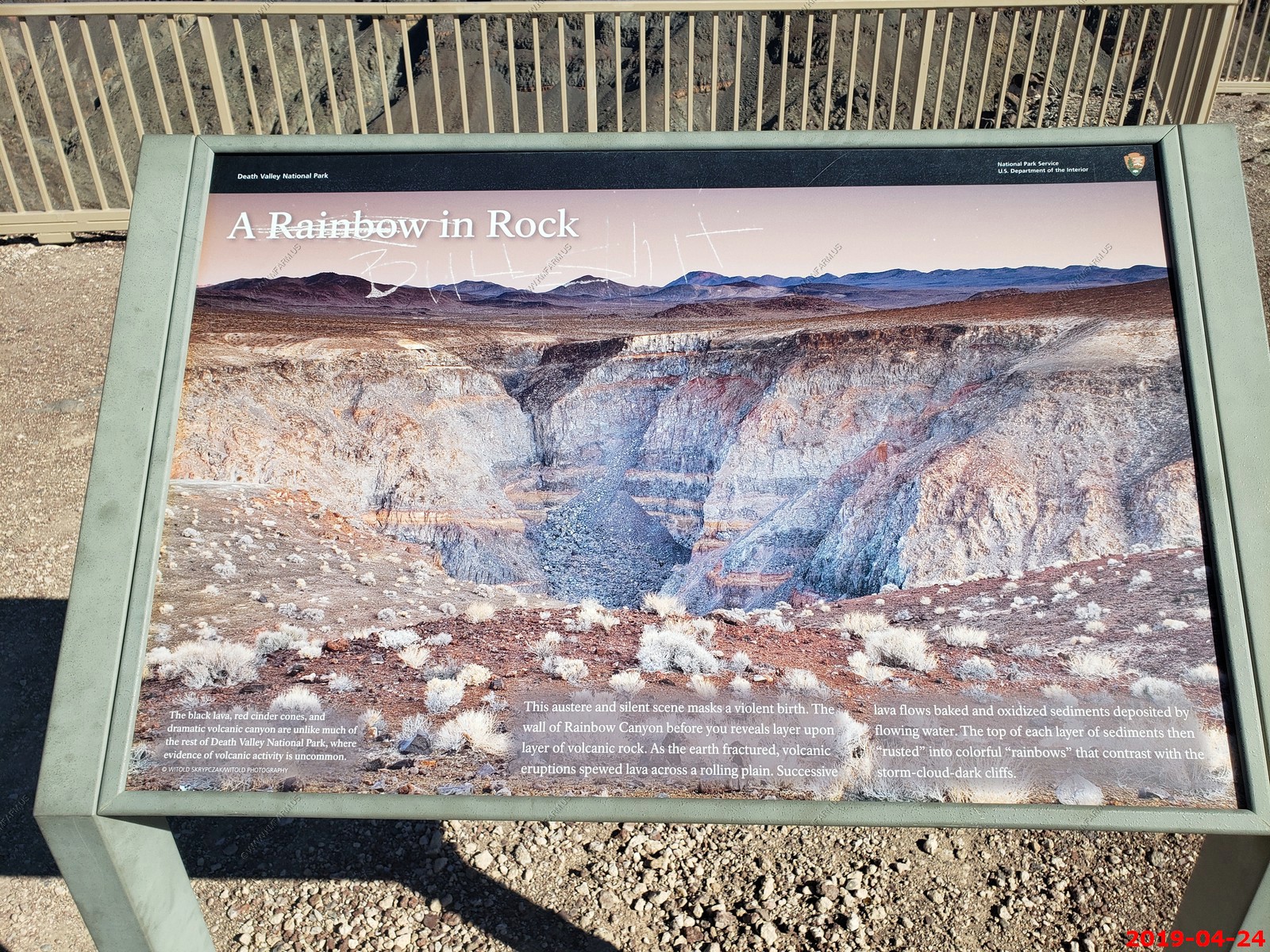
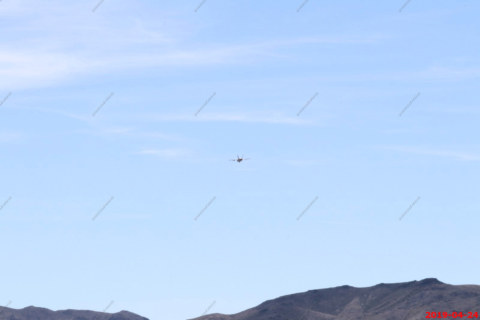
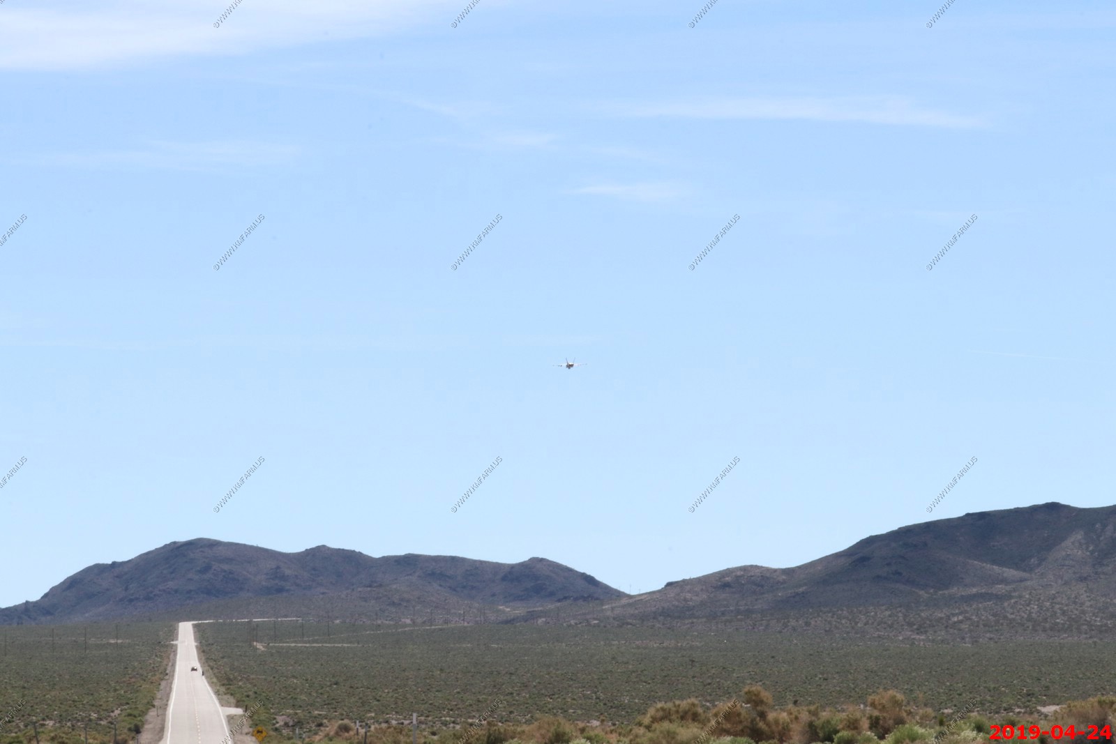
Rainbow Canyon (nicknamed Star Wars Canyon and Jedi Transition) - is a canyon inside Death Valley National Park in Inyo County, California, on the park's western border. It is approximately 130 miles (210 km) west of Las Vegas and 160 miles (260 km) north of Los Angeles. It is commonly used by the United States Air Force and Navy for fighter jet training and is frequented by photographers who, from the canyon rim, are able to photograph jets flying beneath them. The canyon rim can be accessed from Father Crowley Overlook off California State Route 190.
Rainbow Canyon is among the few places in the world (Mach Loop is another) where photographers can see combat aircraft flying below them. Military training flights have used the canyon since World War II. Planes travel through the canyon at 200 to 300 miles per hour and when flying as low as 200 feet above the canyon floor are still only several hundred feet below observers on the rim. Observers are close enough to the planes that they can see the pilots' facial expressions, who, aware of the audience, sometime give gestures or other signals.
Three photos stitched looking East at the north end of Panamint Valley with Panamint Dunes in the center.
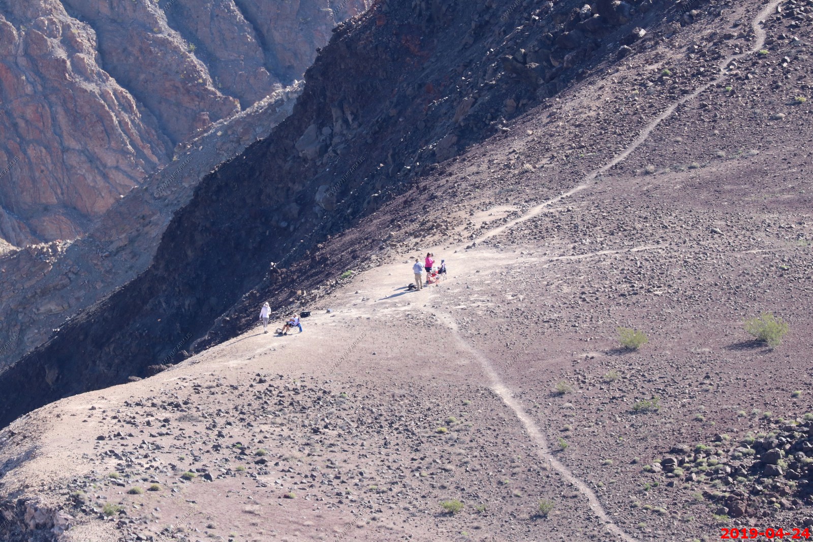
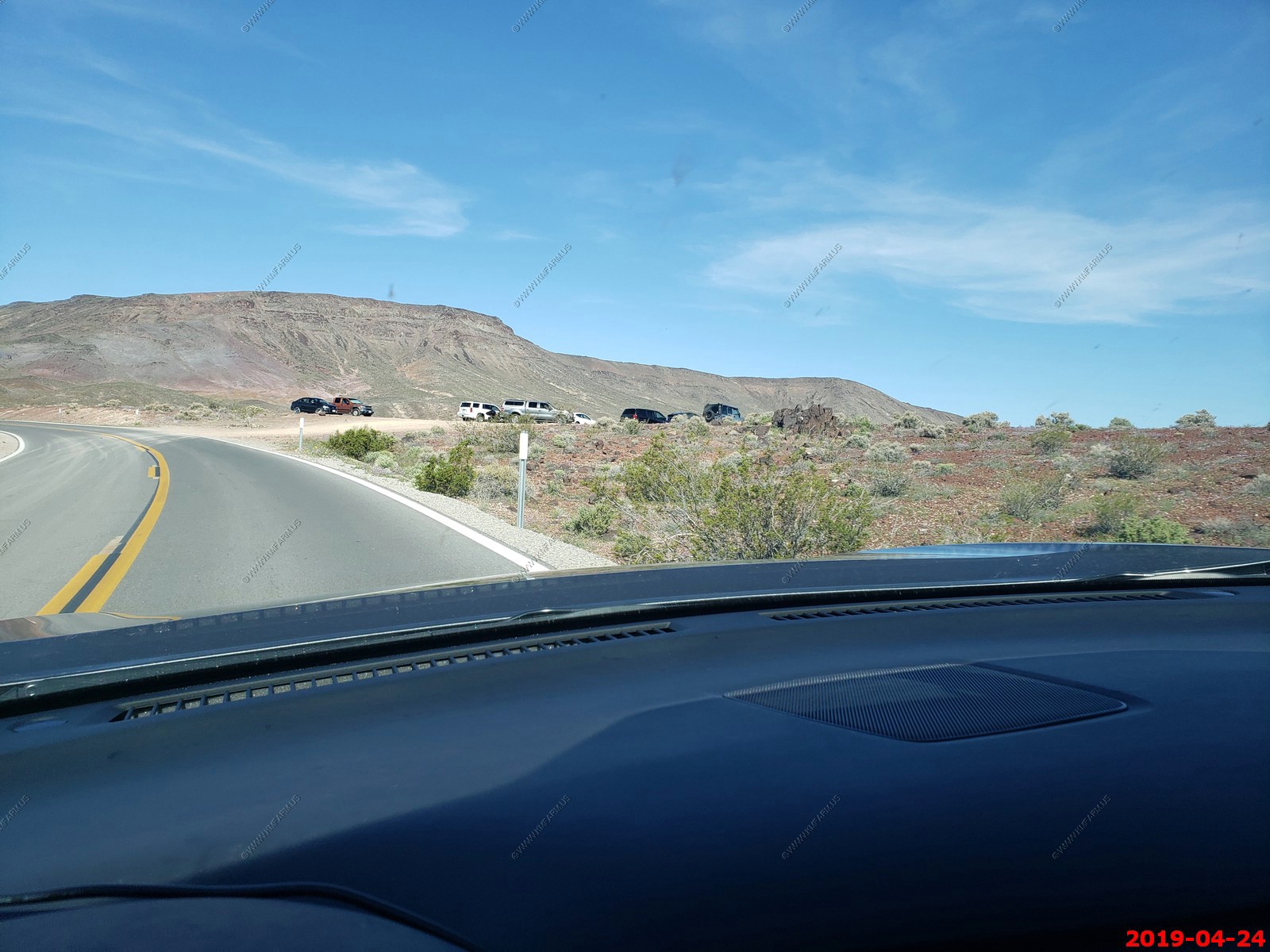
Looking down at people waiting for combat aircraft to fly by.
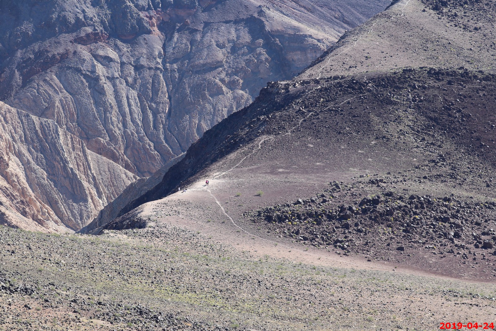
Where they parked. Trail on lower left
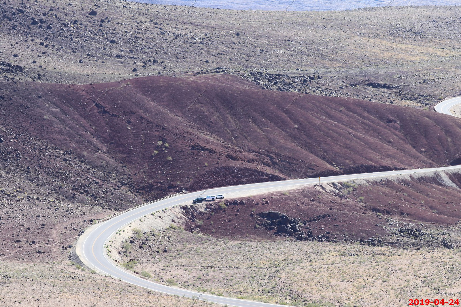
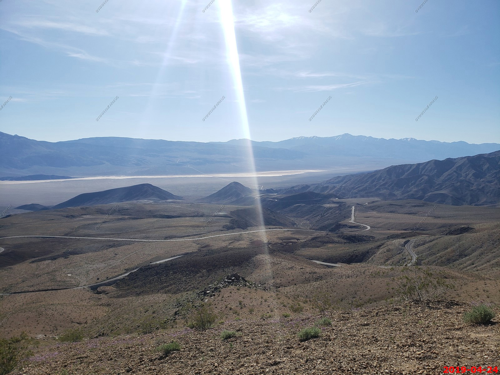
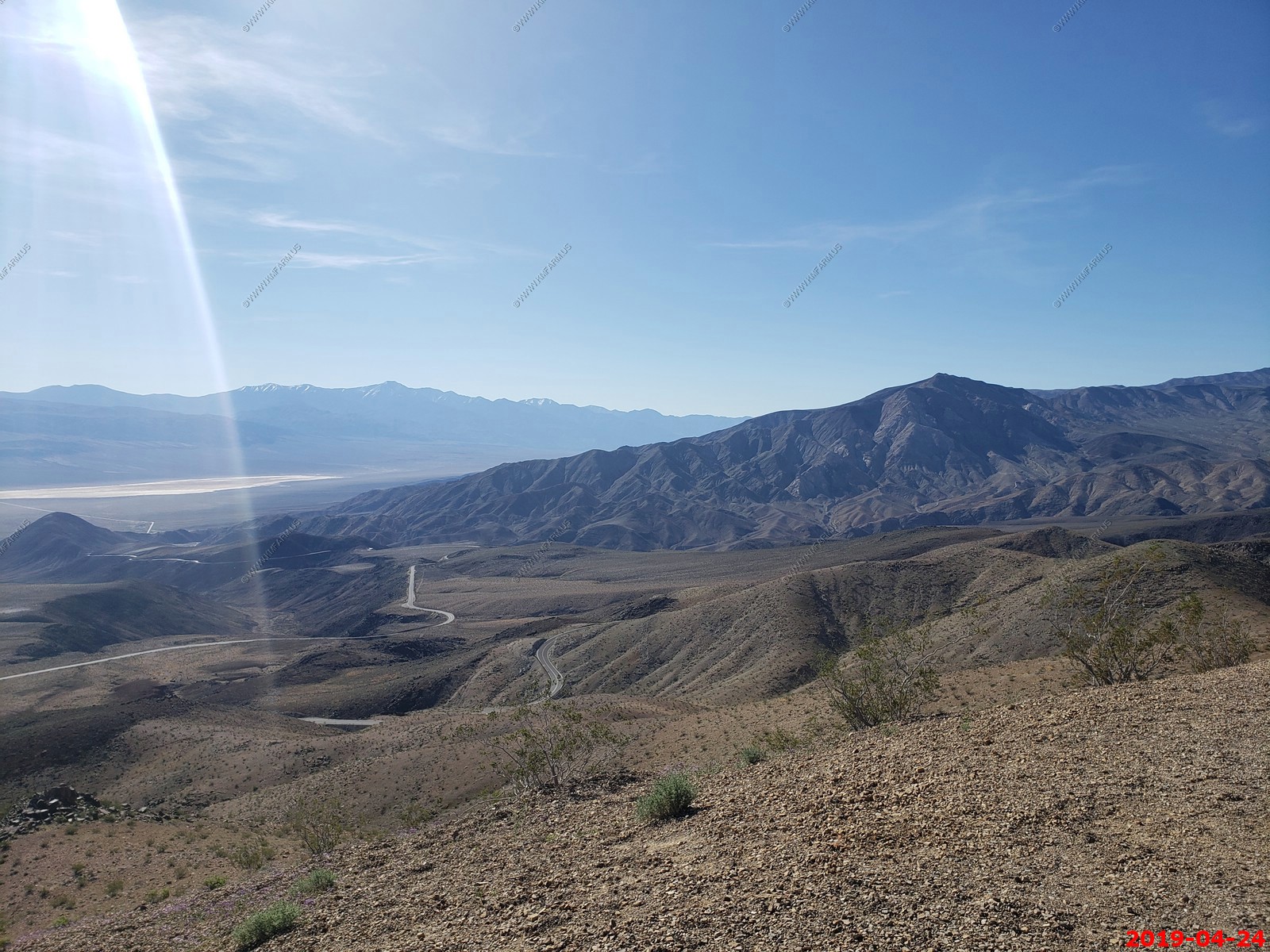
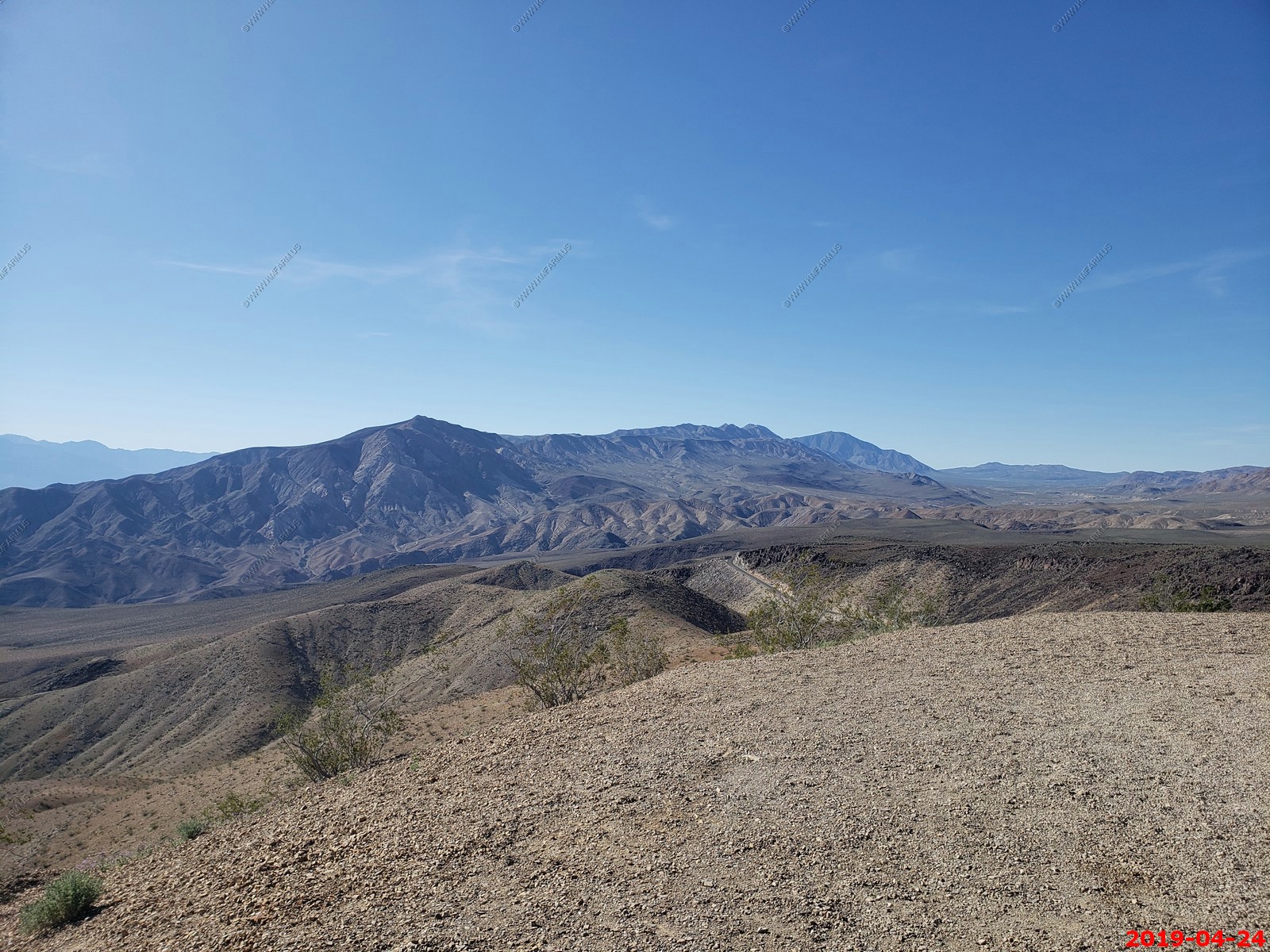
Views from Father Crowley Overlook
Looking back east at Telescope Peak (El. 11,043 ft) Death Valley (proper) is on the other side of this range
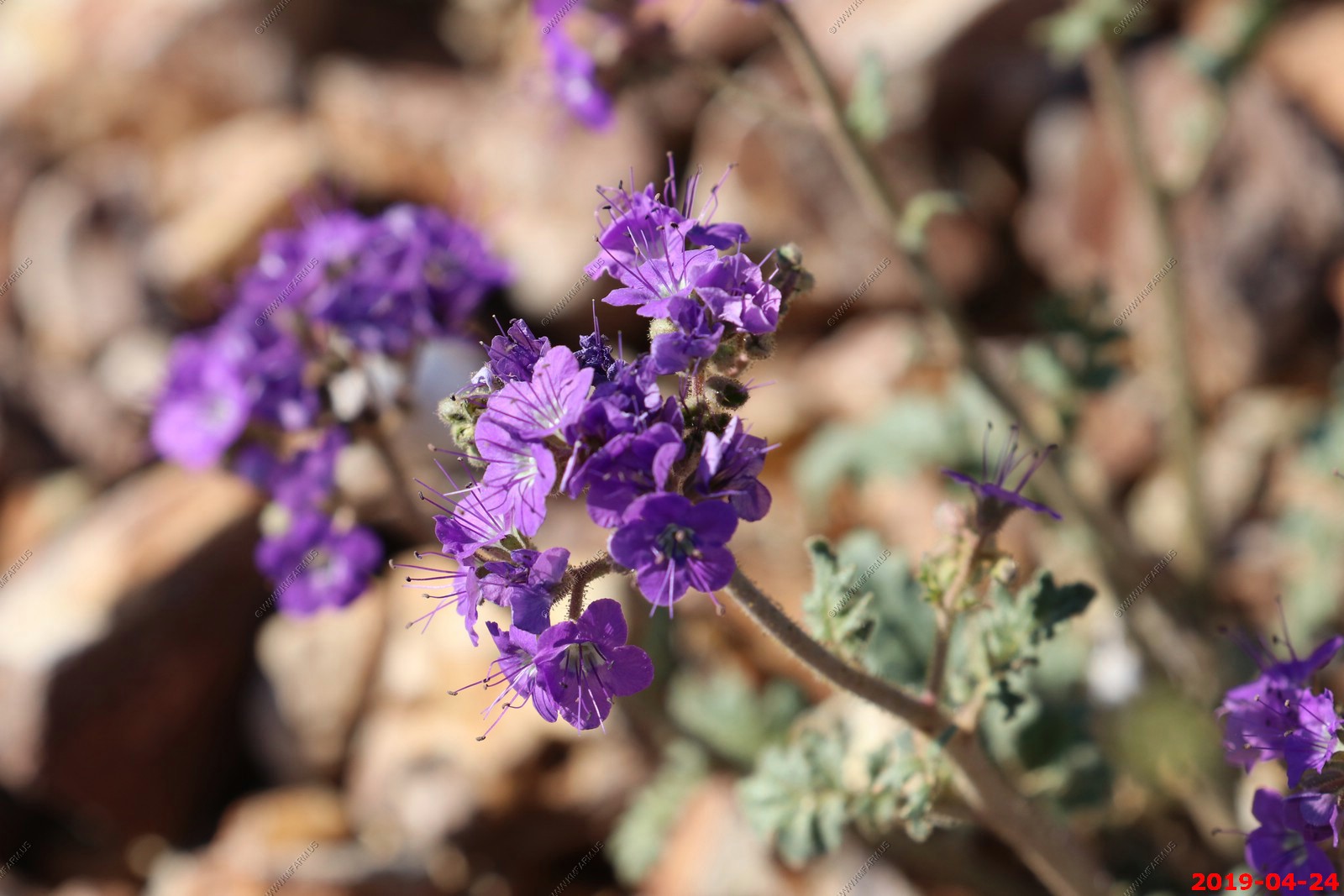
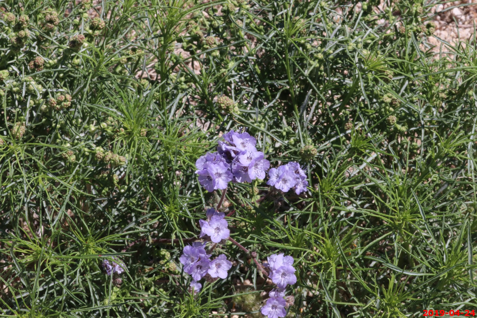
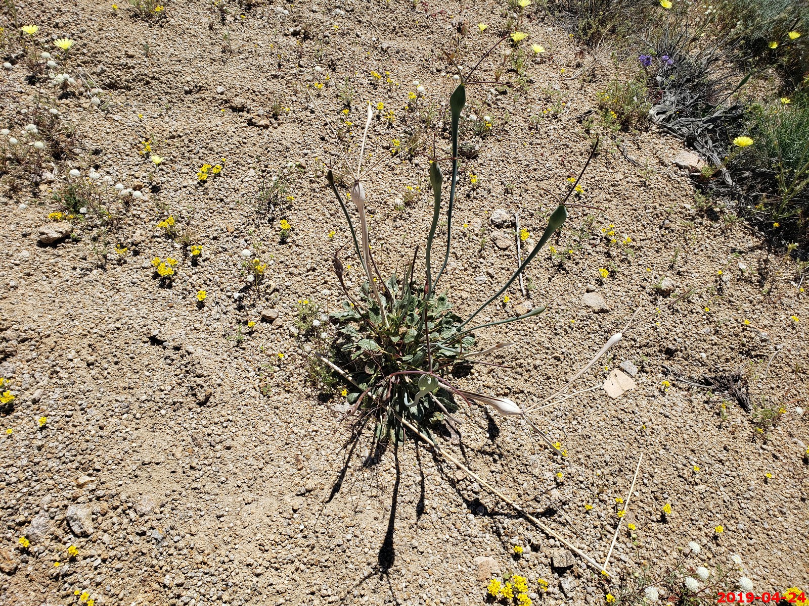
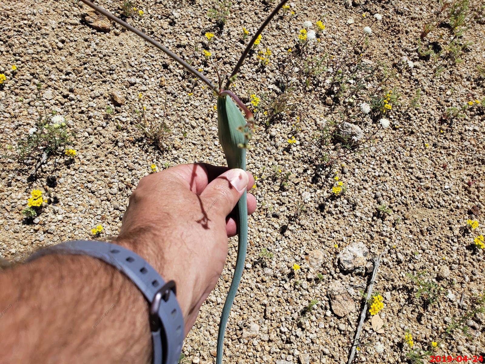
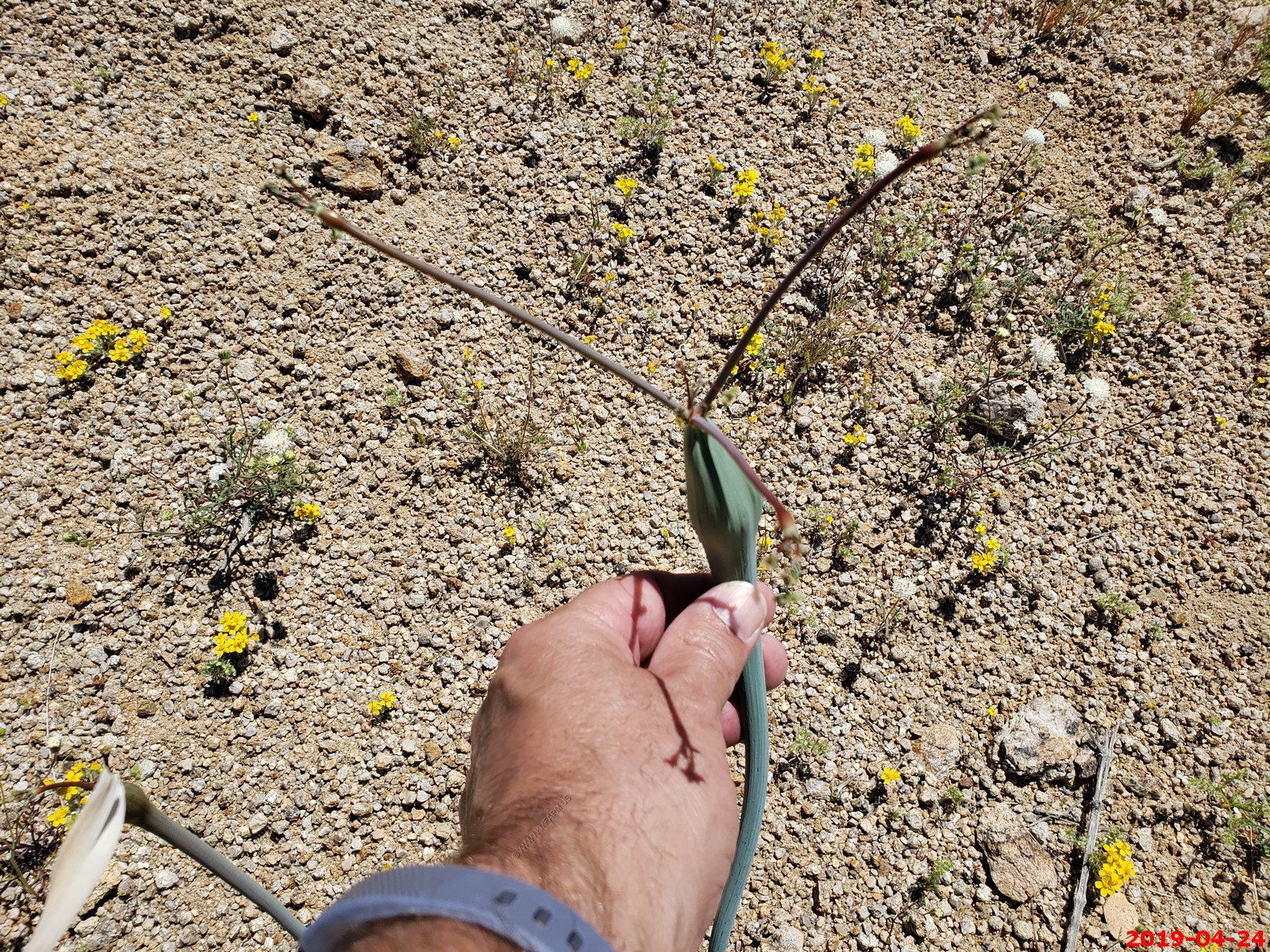
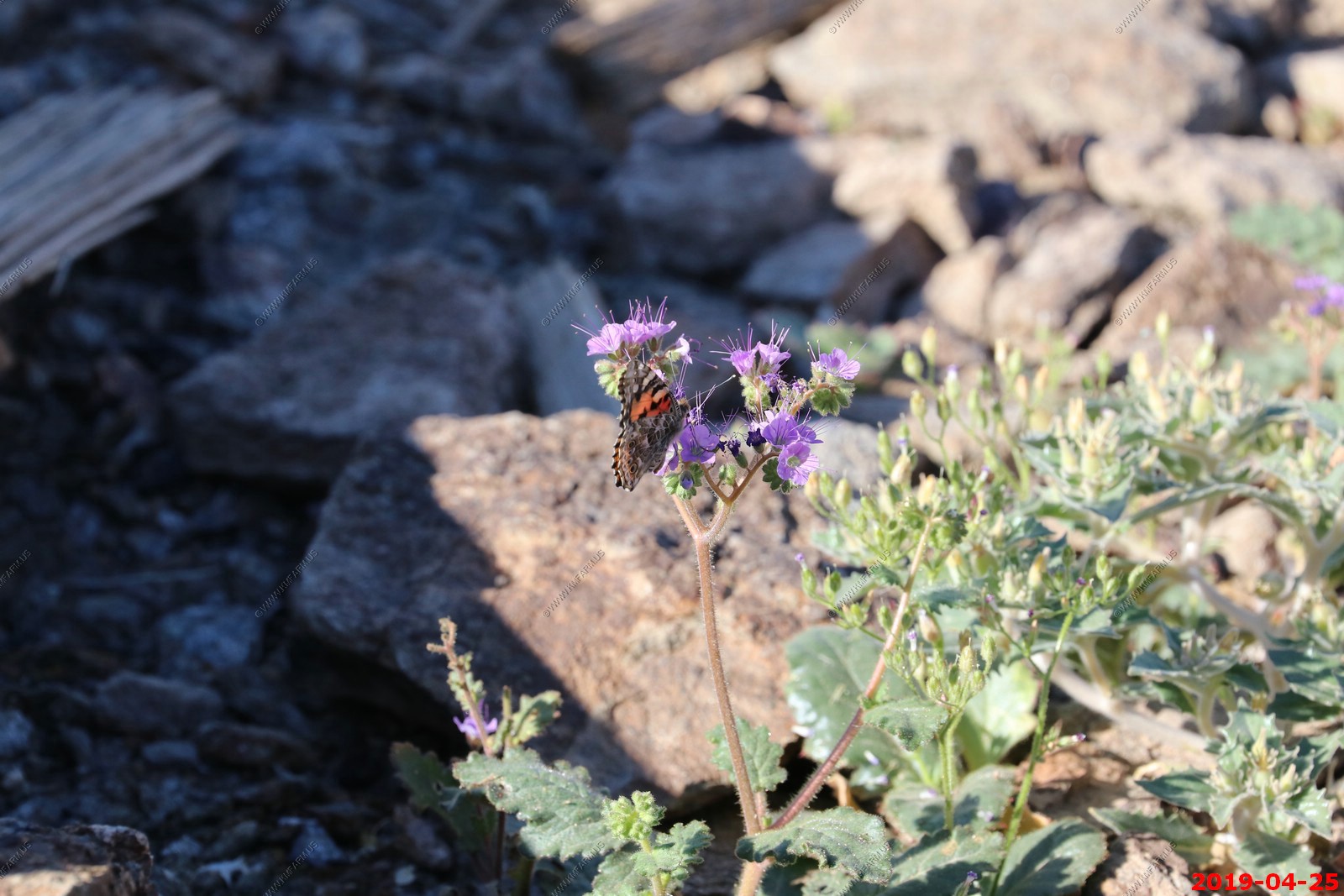
Notchleaf Phacelia (Phacelia crenulata) Death Valley, California - is an annual herb that is native to California. The foul-smelling plant can produce a skin rash similar to that produced by poison ivy. It's common names include notch-leaf scorpion-weed, notch-leaved phacelia, cleftleaf wildheliotrope, and heliotrope phacelia. It is native to the southwestern United States as far east as Colorado and New Mexico, and Baja California and Sonora in Mexico. It is coated in stiff, glandular hairs. The leaves are 2 to 12 centimeters long, the largest occurring around the base of the stem and those higher on the stem much smaller. They are generally oblong in shape with wavy or lobed edges. The inflorescence is a coiled cyme of several flowers. The flower has a bell-shaped purple or blue corolla up to a centimeter long. The corolla has a white tube and sometimes a white throat.

Looking east over CA190 to Panamint Springs, CA and Panamint Dunes.
CA190 crossing the lower part of Panamint Dunes.
CA190 heading up to Towne Pass in the Panamint Range
Panoramic (360 degree) photo. (Takes time to load as its 35meg)
Father Crowley Vista Point was a favorite stopping place for travelers, long before the creation of Death Valley National Park. One of those travelers was Father John J. Crowley, a catholic priest responsible for ministering to the people of Inyo County Parish in the 1930s.The Desert Padre, as he was known, would often stop here to admire the views on his way to or from visiting parishioners in Death Valley, and his home in Lone Pine, CA.
Plane watchers at Father Crowley Vista Point
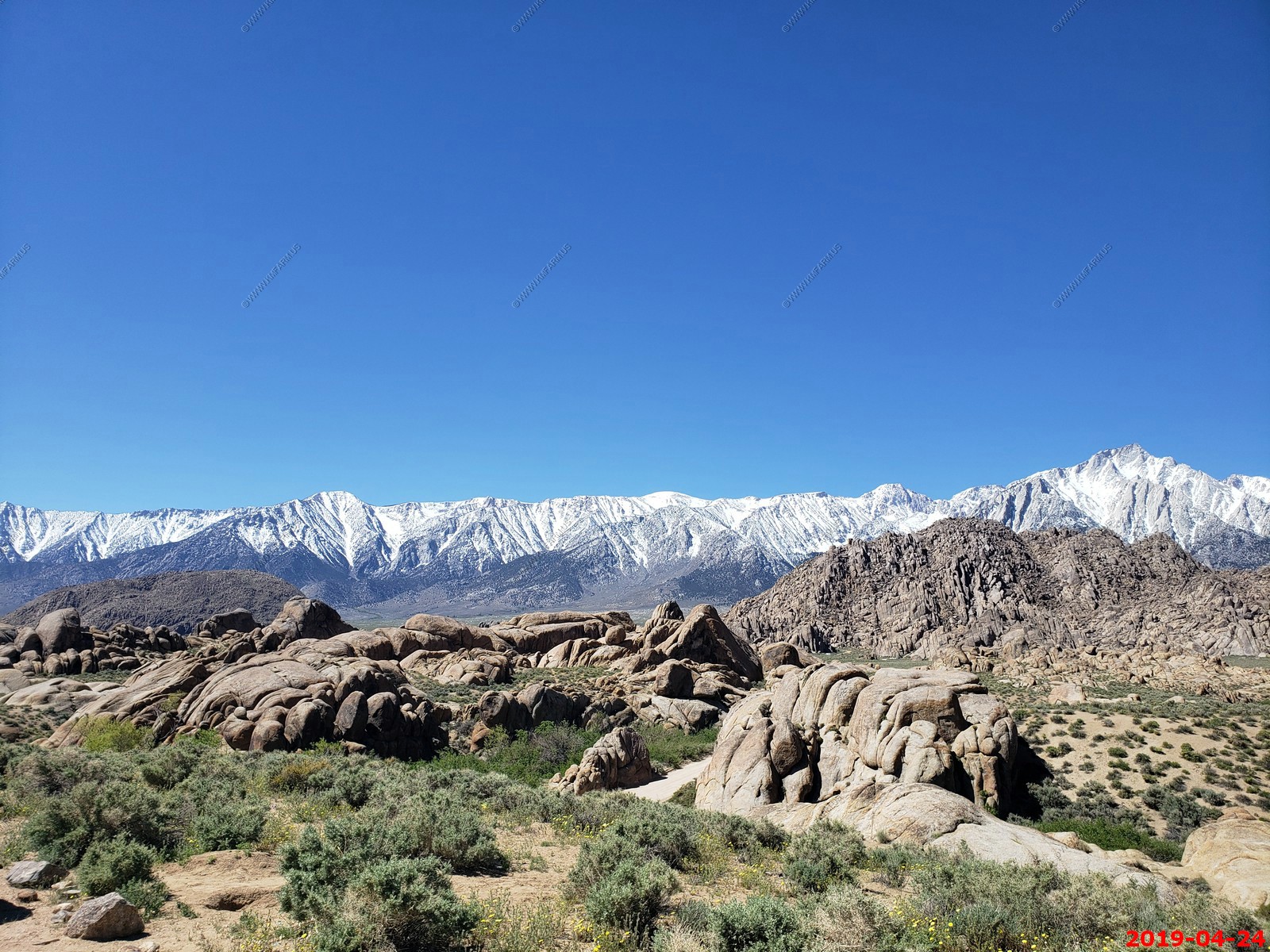
Another look at Sierra Nevada range
Starting to descend into Owens River Valley looking at the eastern slope of the Sierra Nevada
The Owens River flows through part of the Basin and Range Province of North America's Great Basin. The Owens Valley is a graben or rift valley, a section of land that has dropped down between two parallel faults, while the land on either side has risen. This has resulted in the flat floor and steep, towering walls of the present-day valley. With the Sierra Nevada on the west side and the Inyo Mountains and White Mountains on the east, with the highest peaks of either range rising to over 14,000 feet and the floor of the valley at a comparatively low 3,000 to 4,000 feet, the Owens River flows in one of the deepest valleys in the United States.
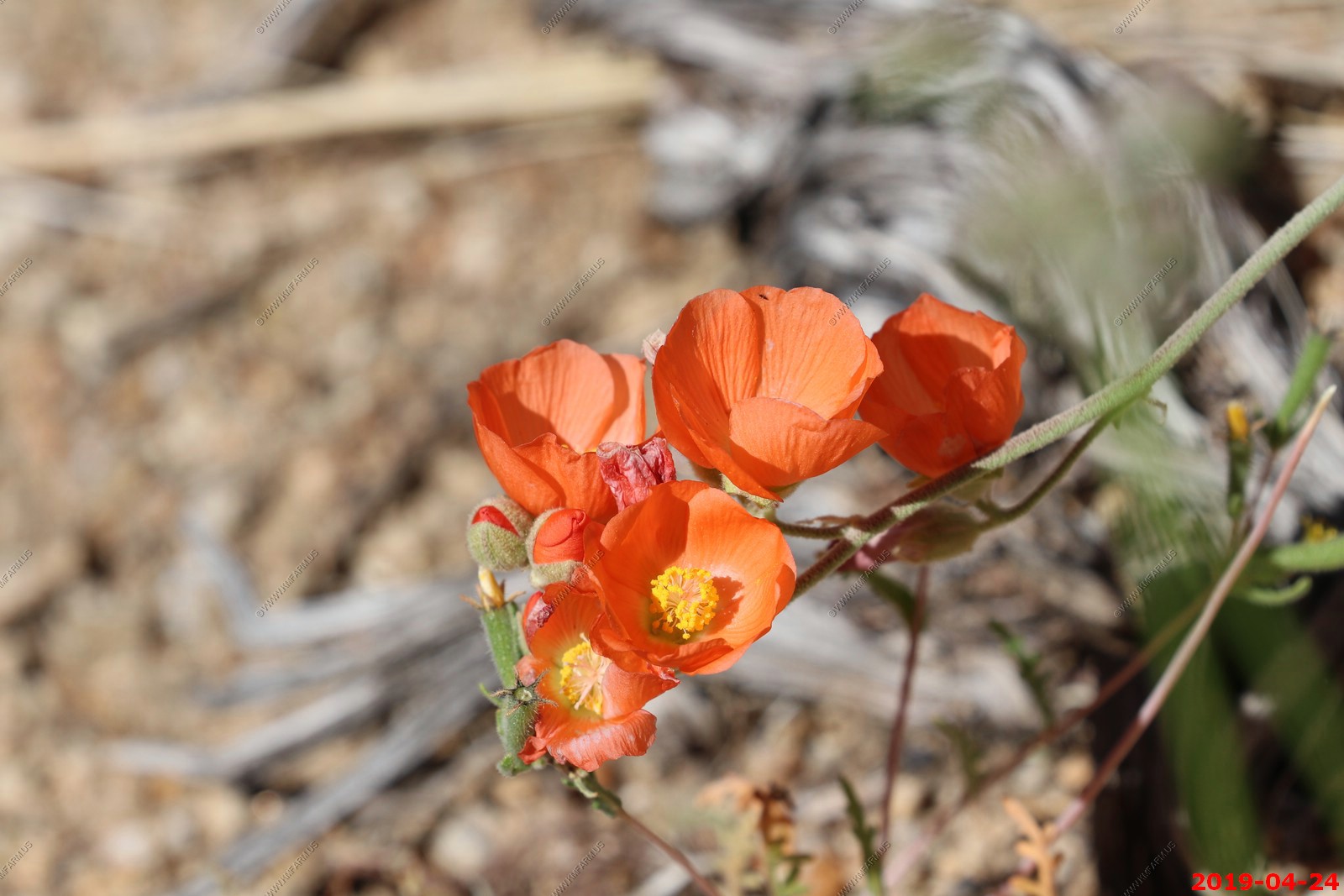
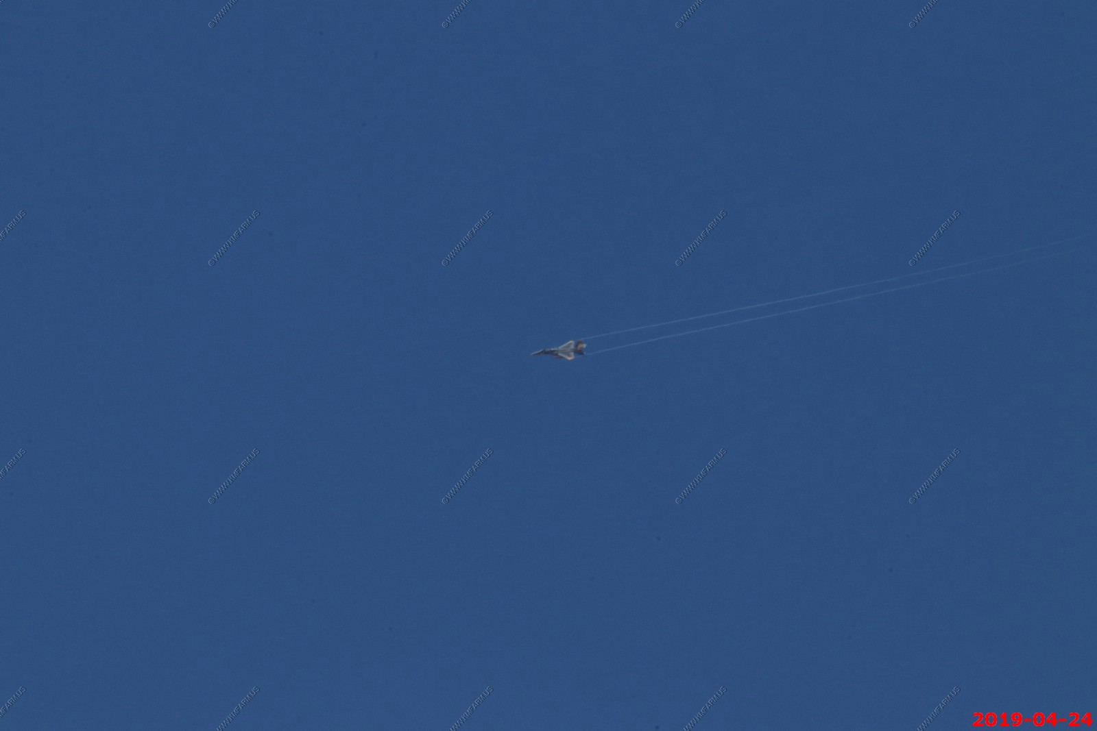
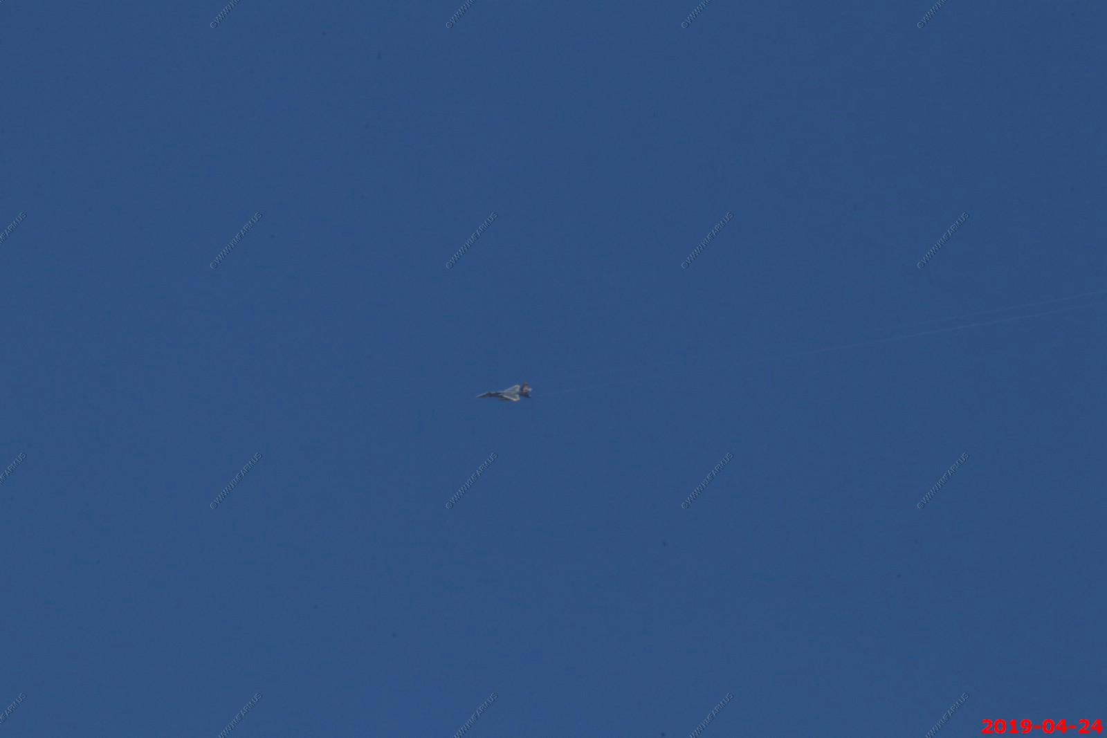
Fighter flying east along CA190
Getting lower and closer (This is an amazing area so lots of photos)
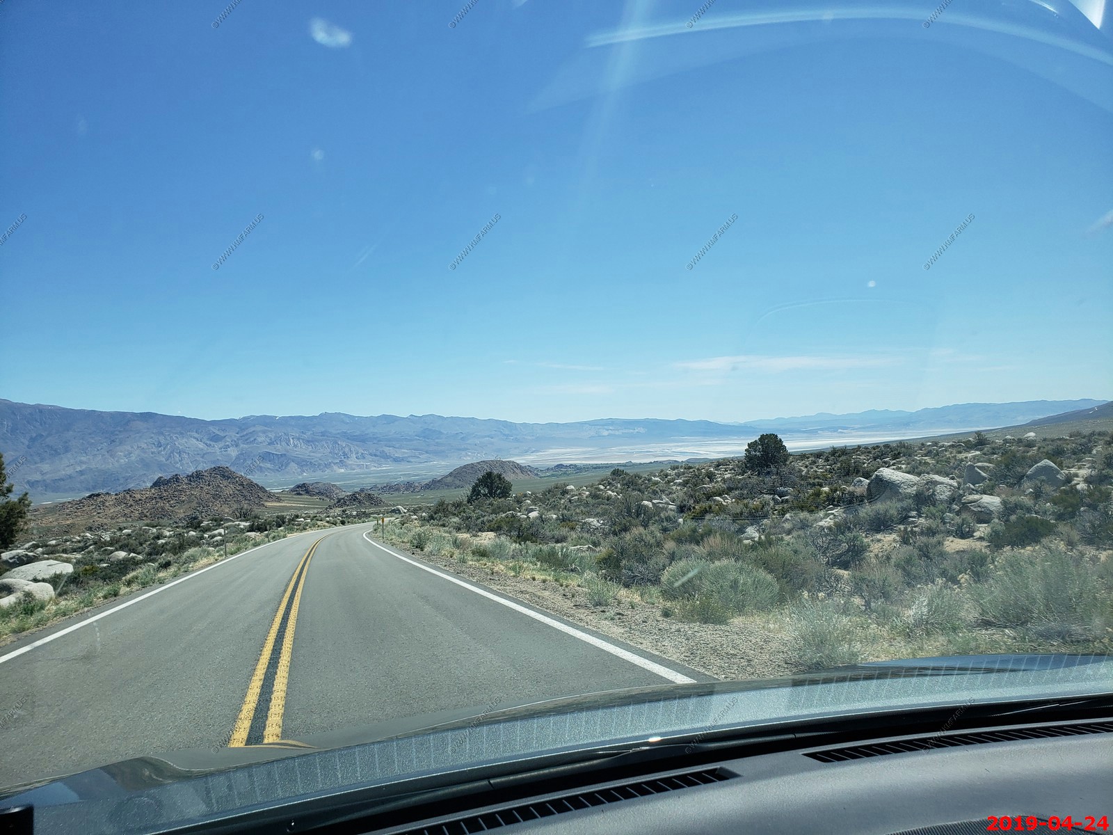
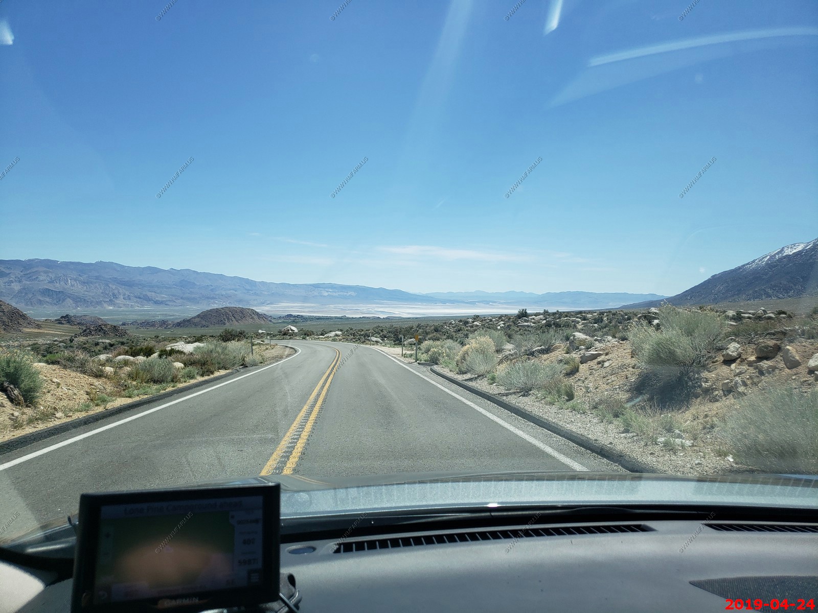
19 miles to Lone Pine and 15 miles to Olancha
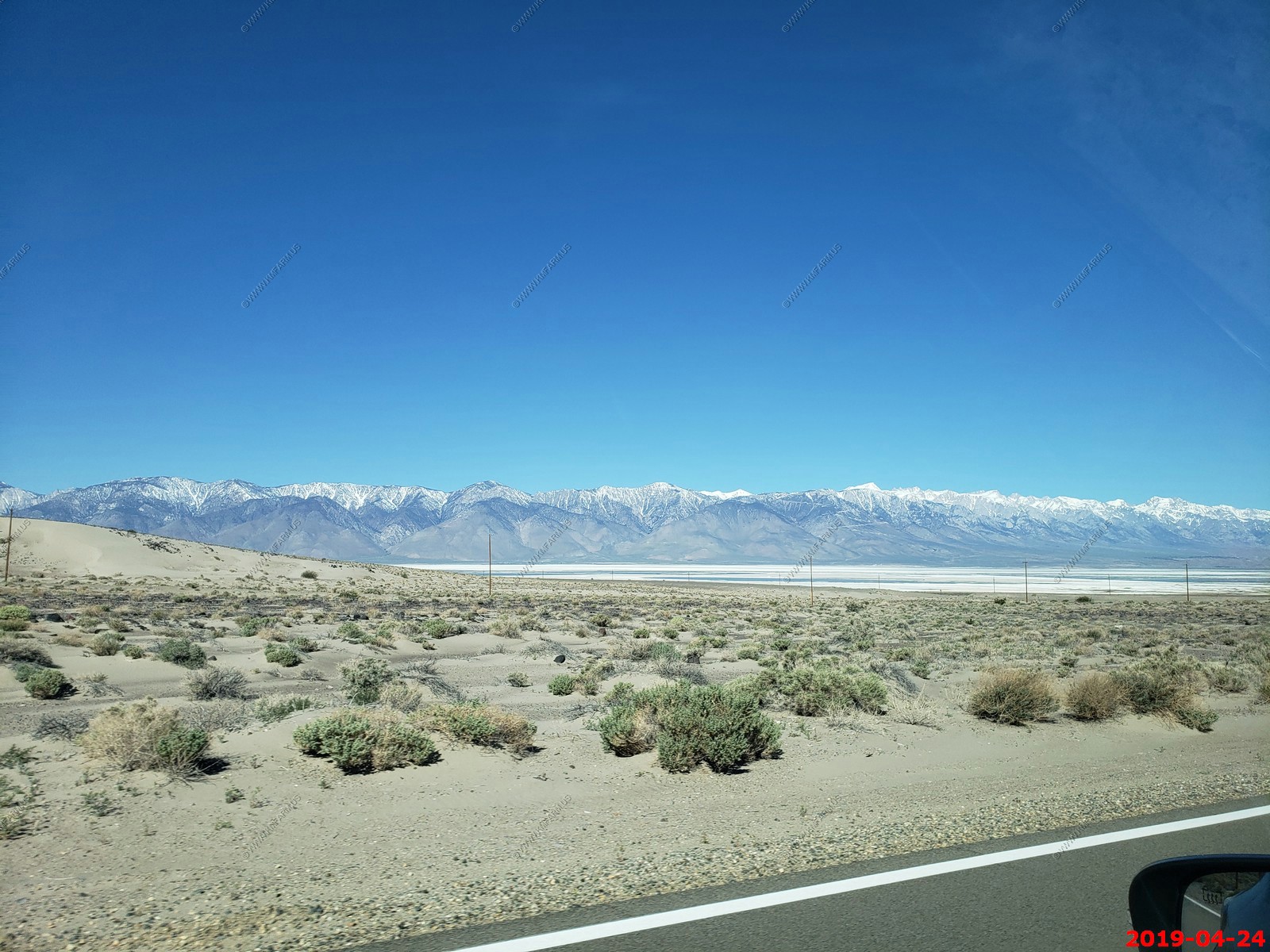
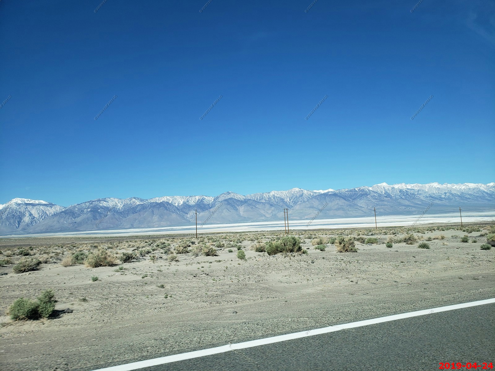
Owens Lake - The diversion of water and the subsequent desiccation of Owens Lake remains highly controversial (more on this later)
Alico, CA mines on right along CA190
Getting closer
Even Mary is taking photos
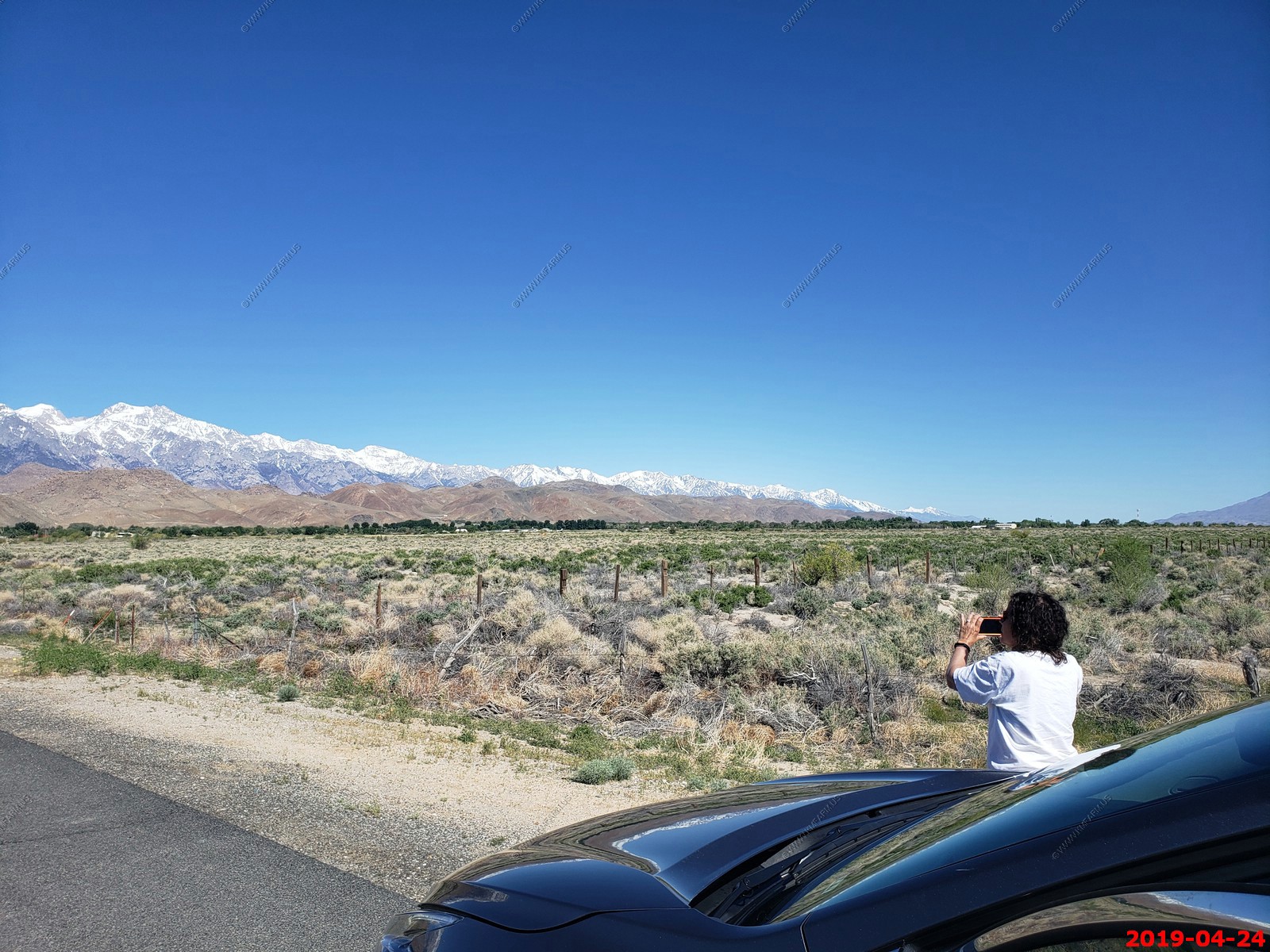
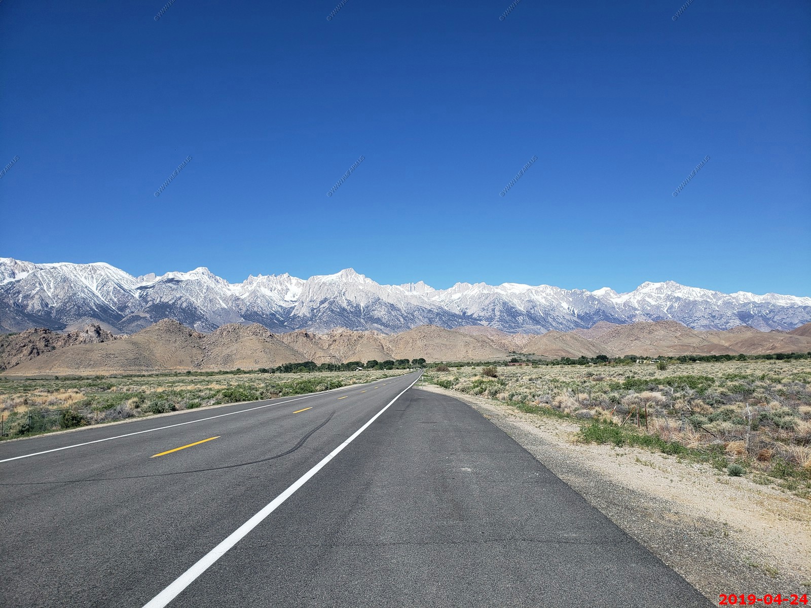
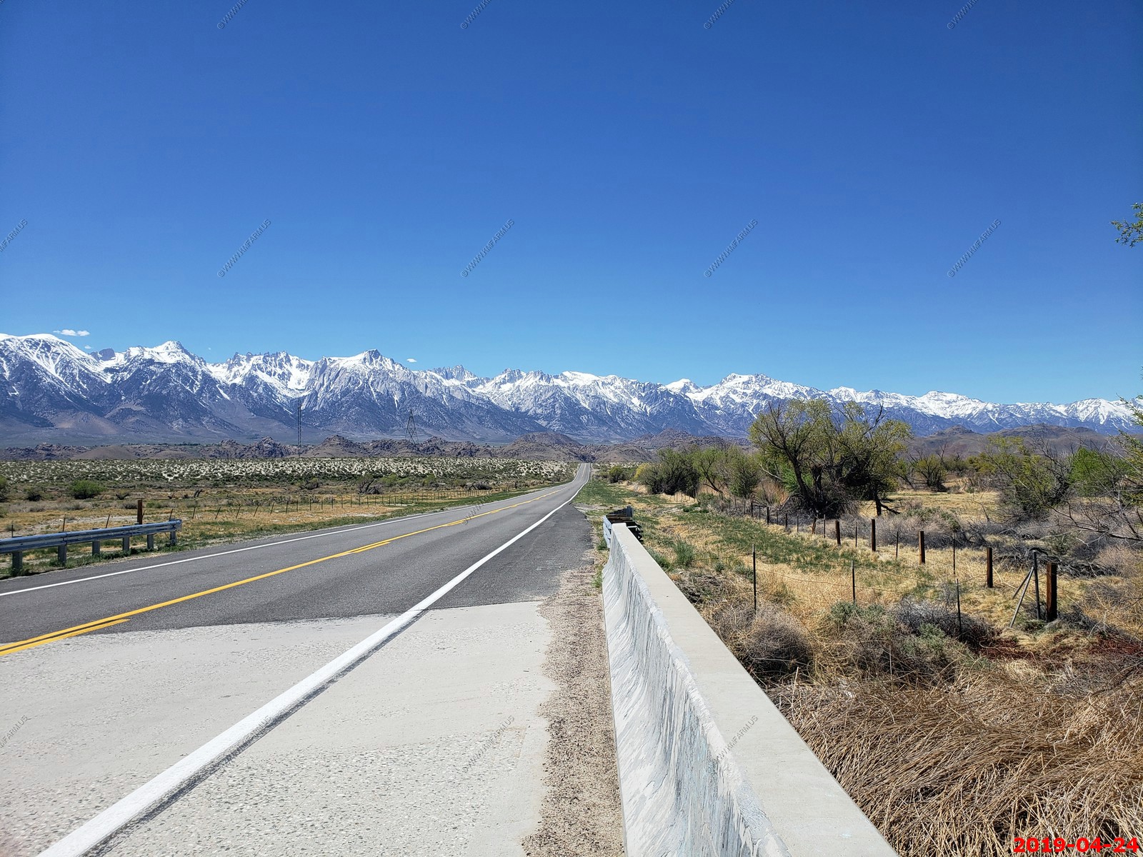
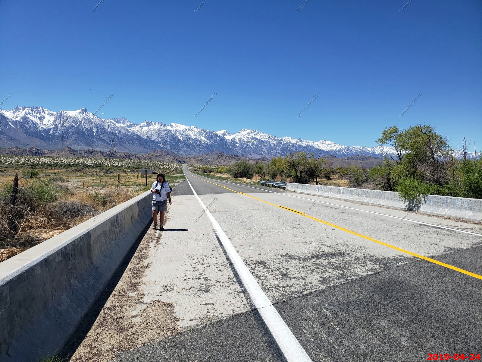
Down to 3,680 feet with 14,000+ mountains in front of us. Also, this is US395 which is one of my favorite roads in America. We spend a bunch of days exploring along
US395 back in 2008 and this is the link to that page West Trip Fall 2008
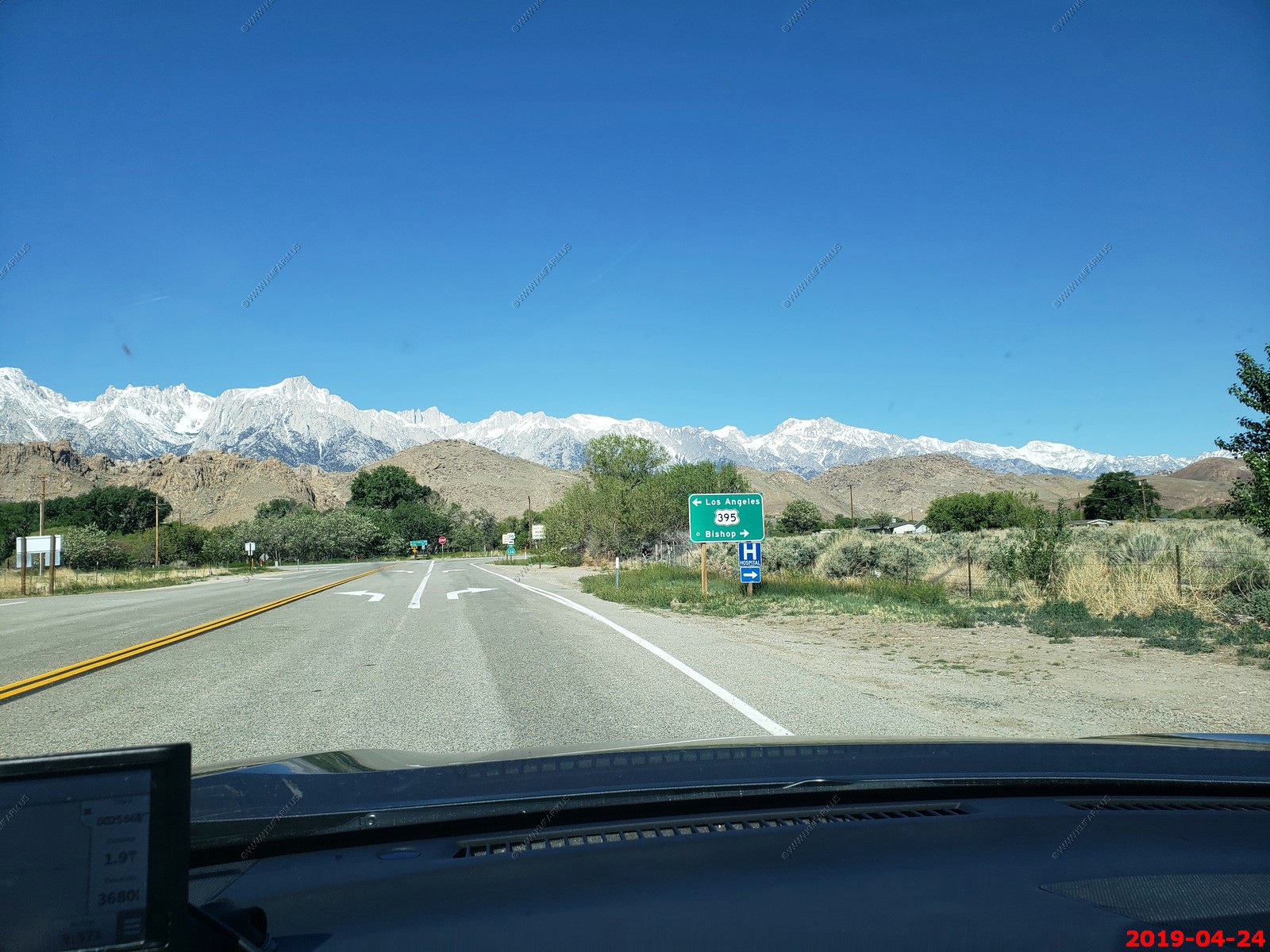
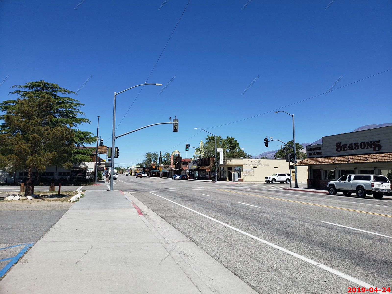
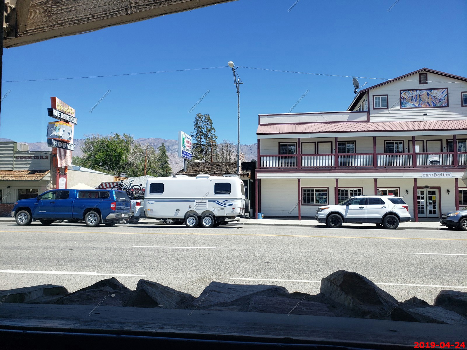
Driving thru Lone Pine, CA a very cool little town
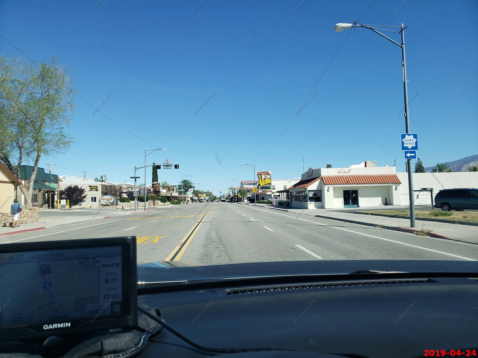
Now heading west on Whitney Portal Road
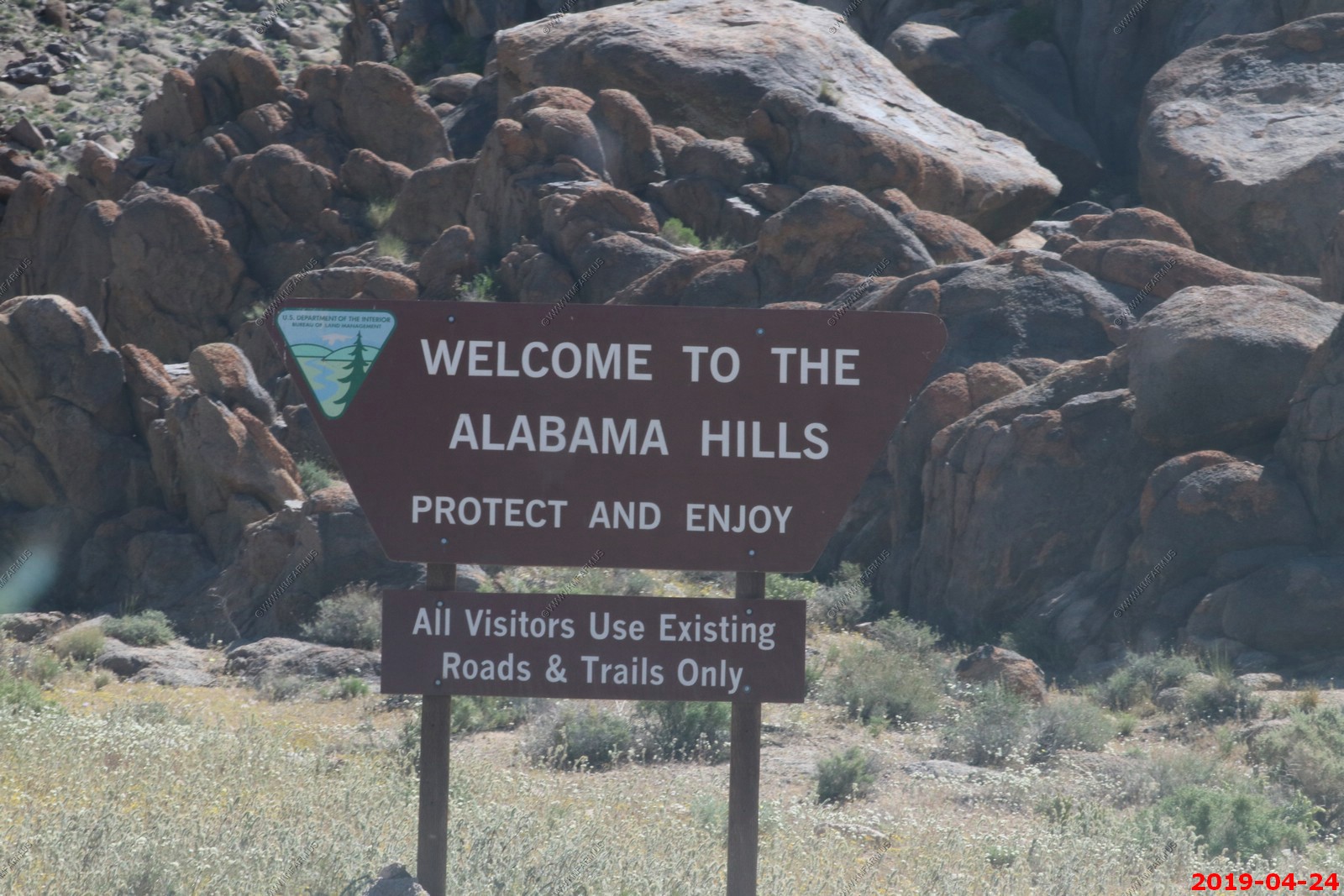
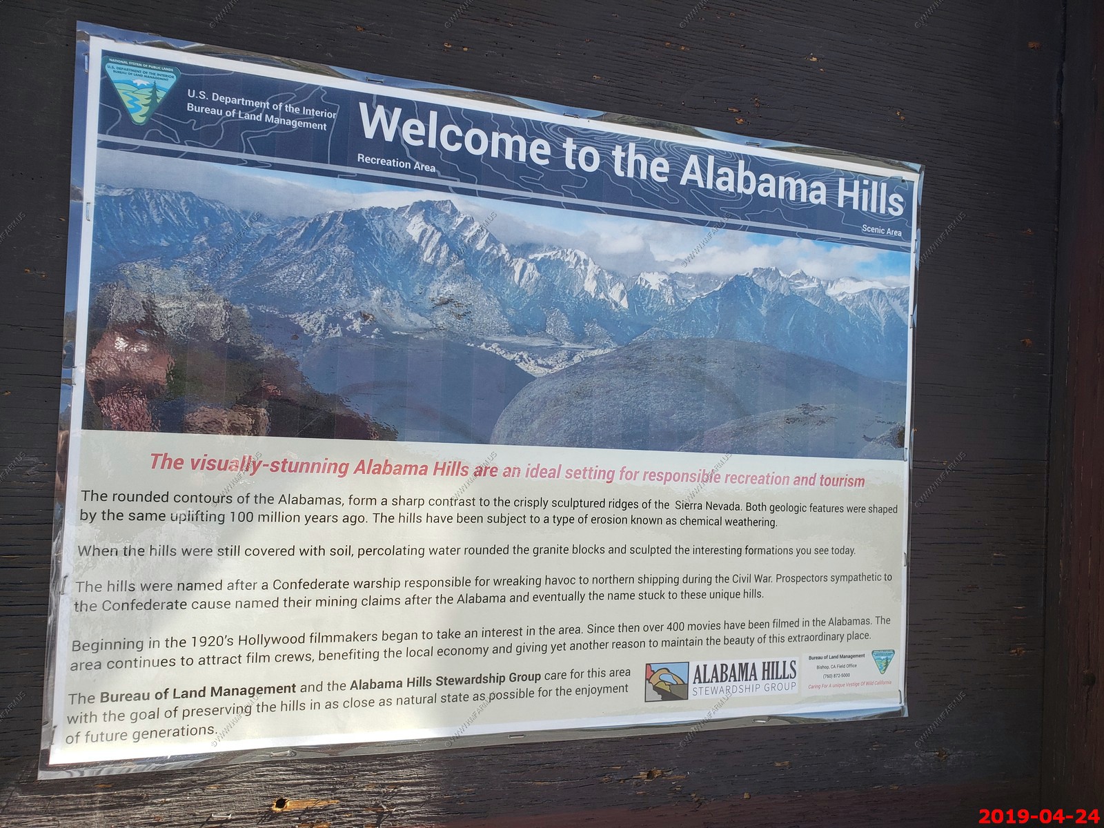
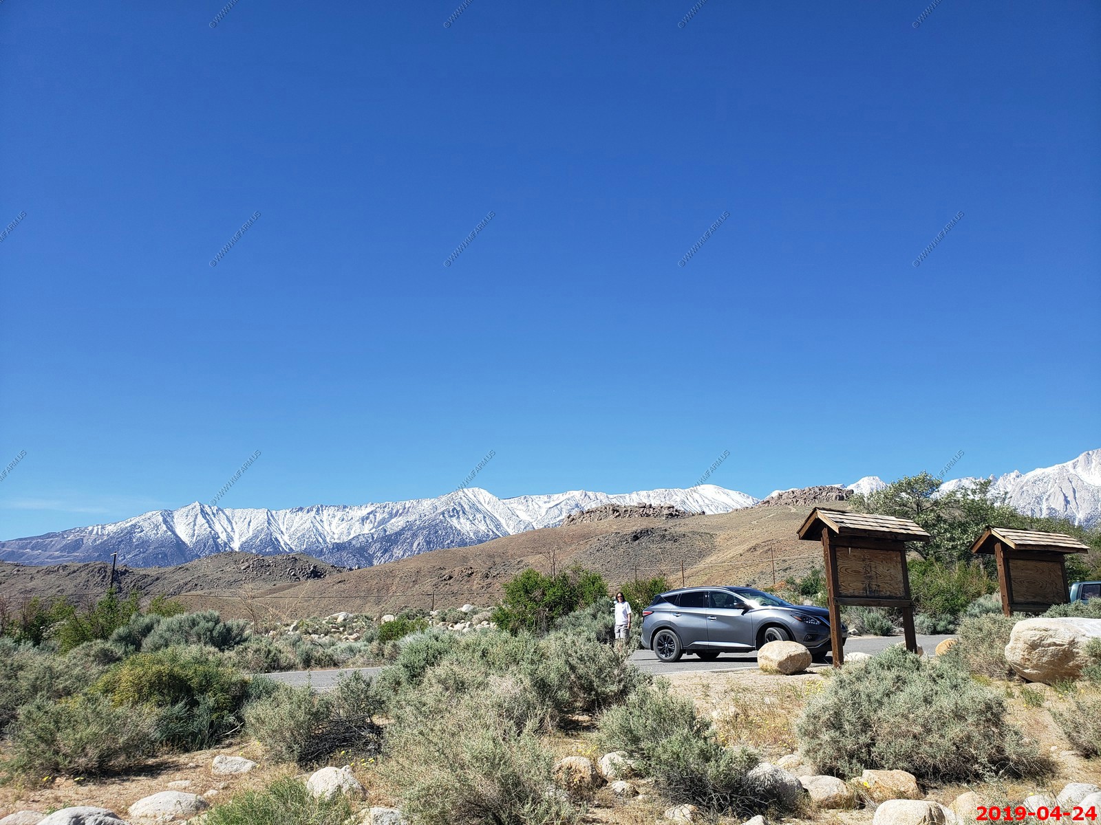
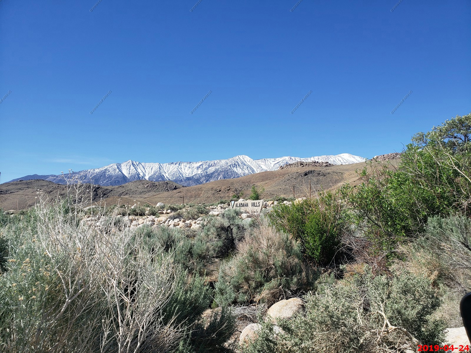
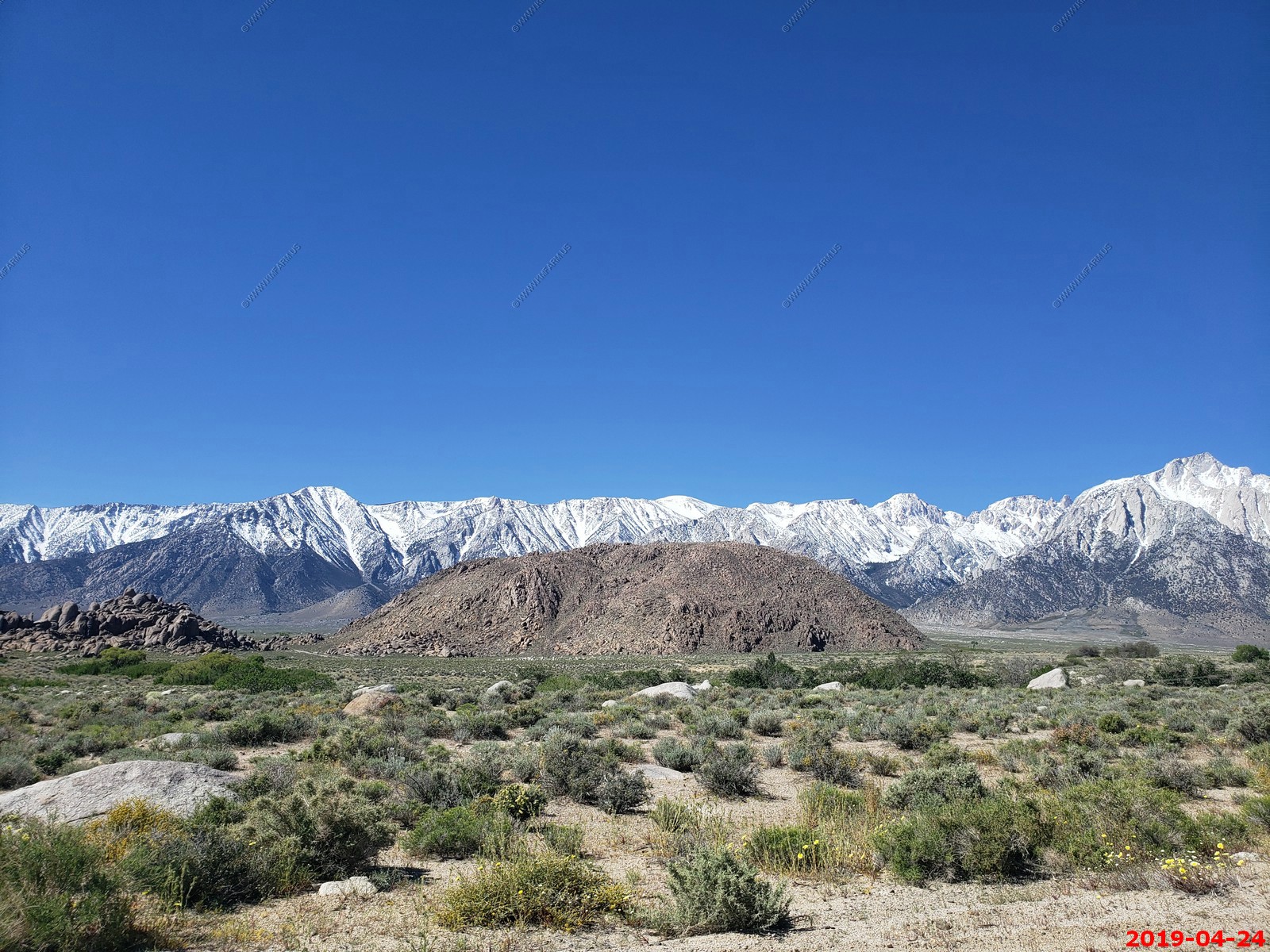
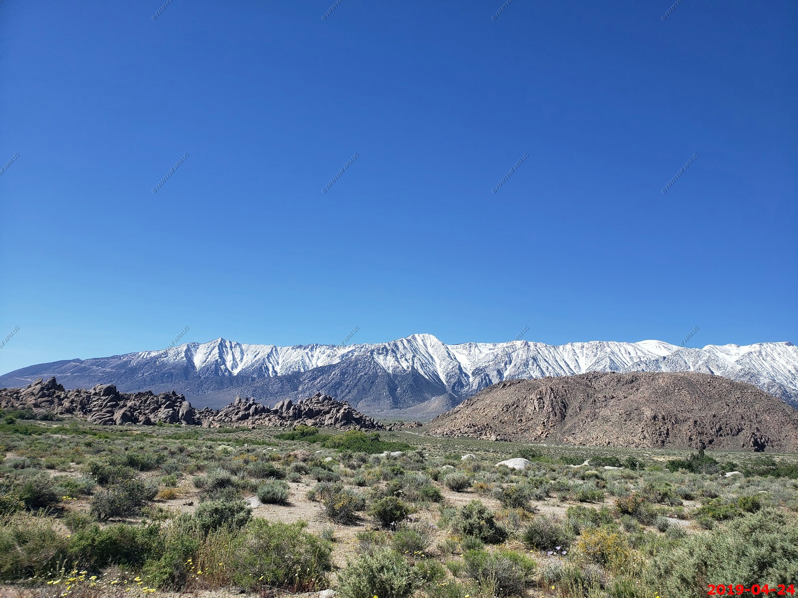
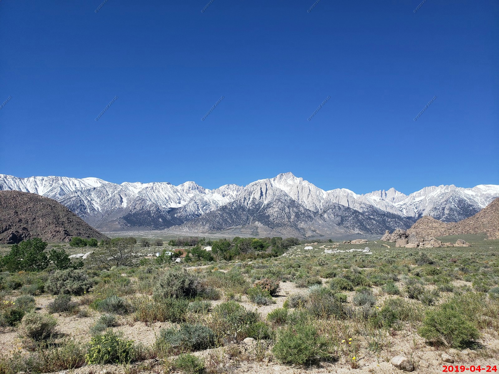
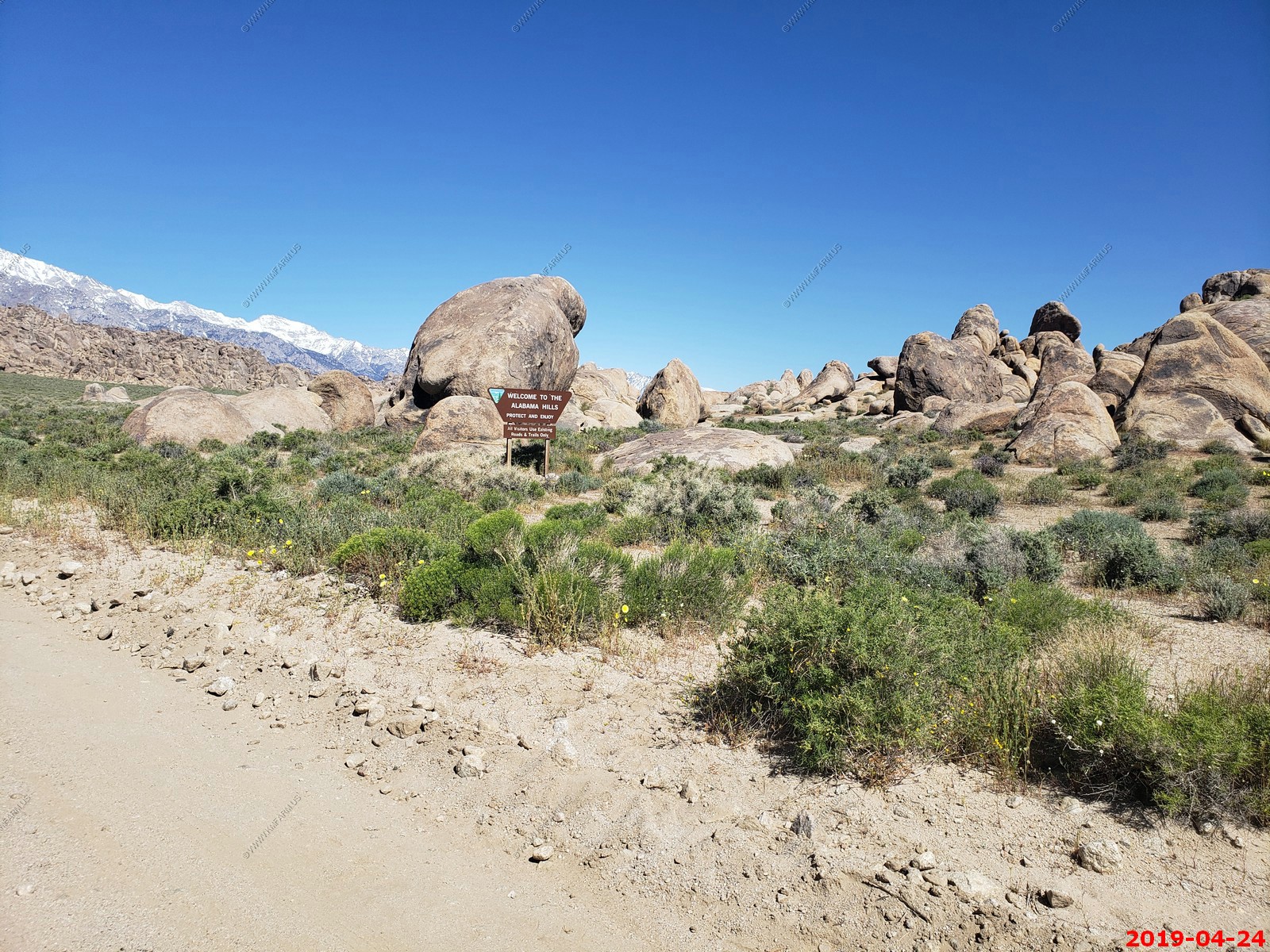
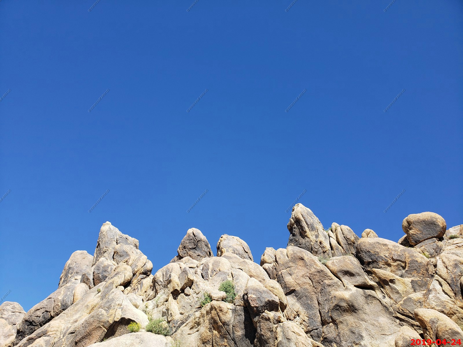
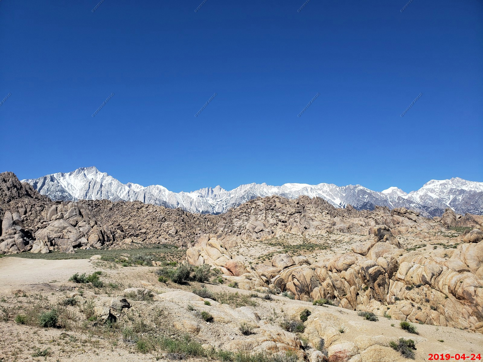
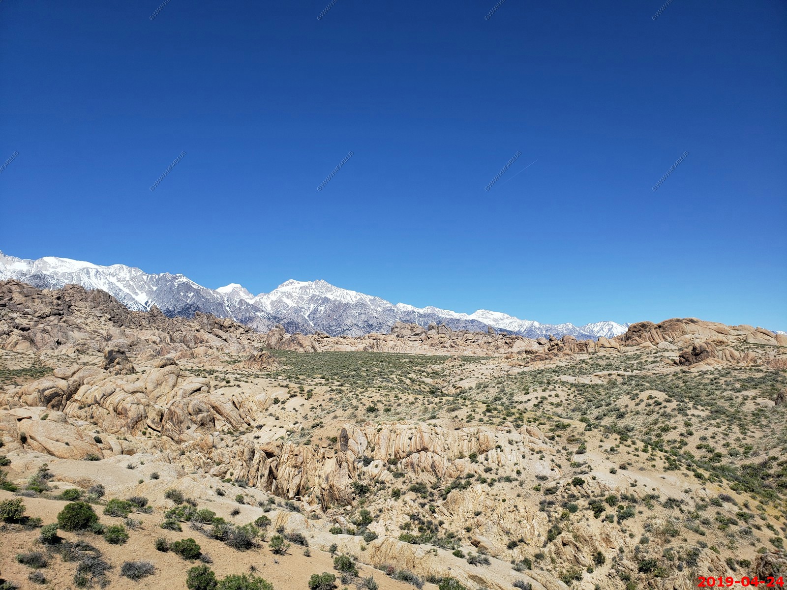
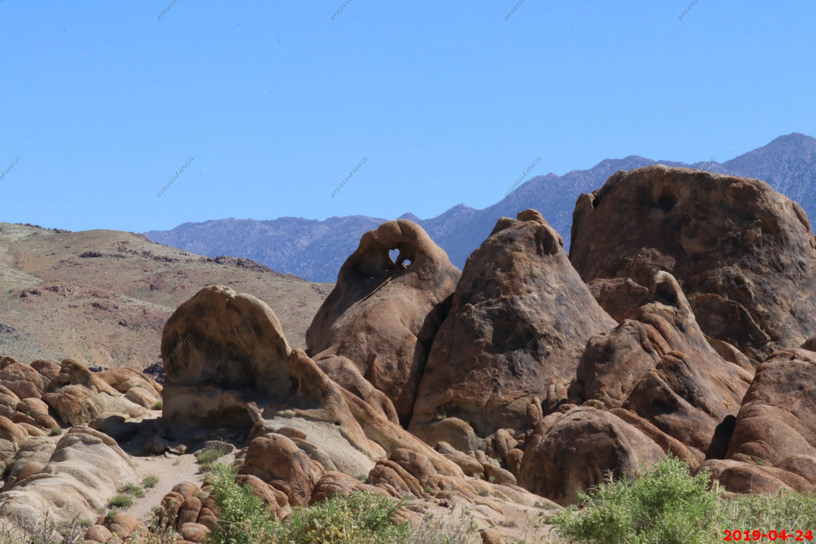
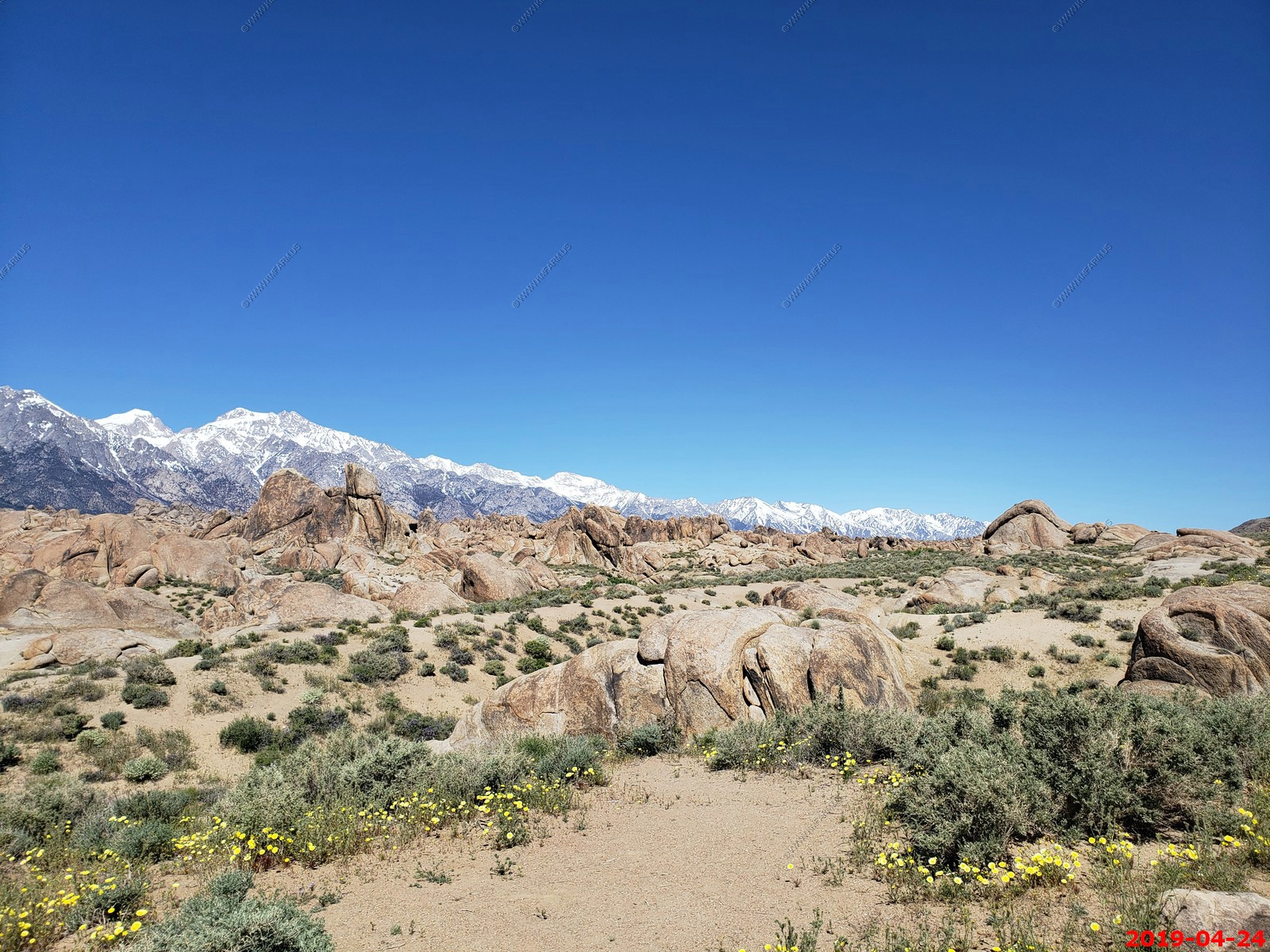
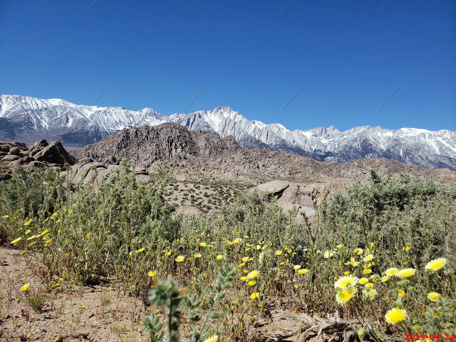
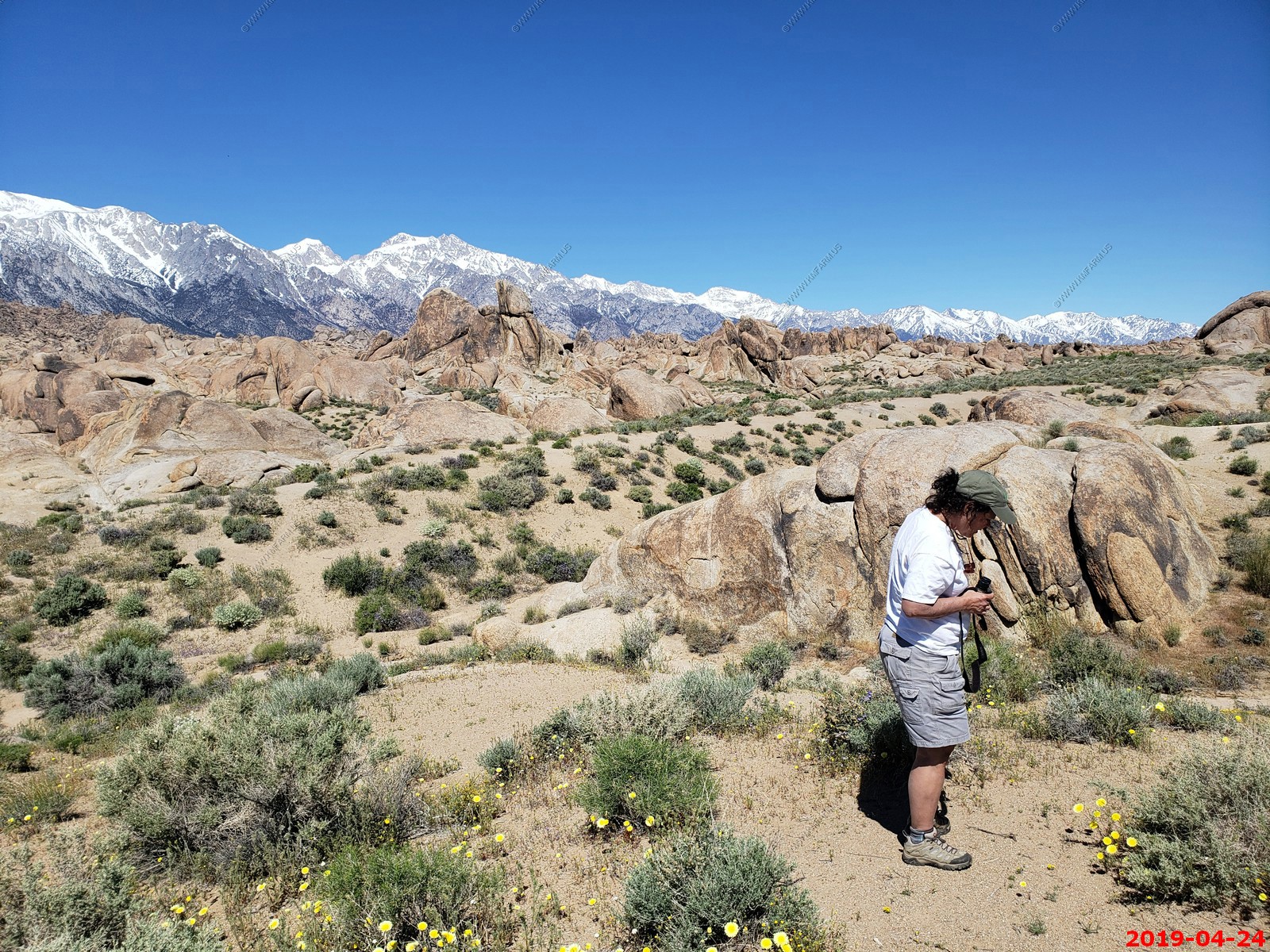
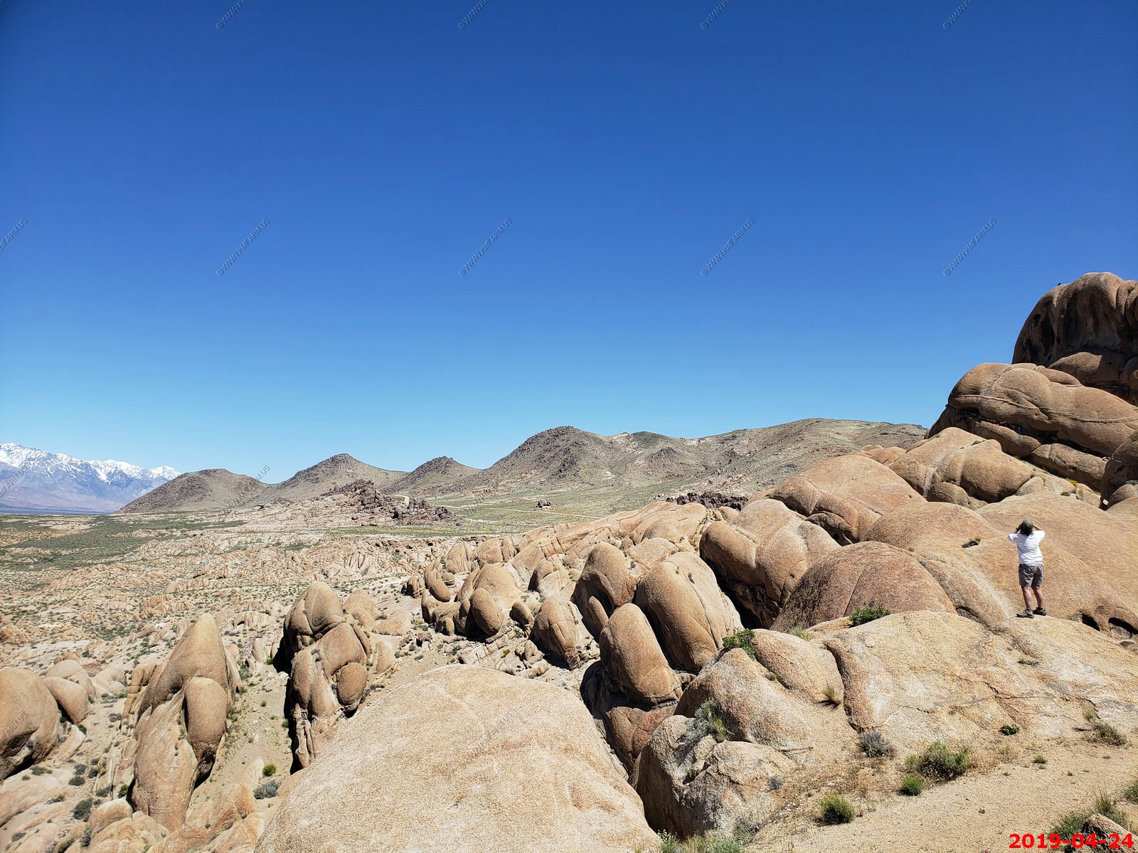
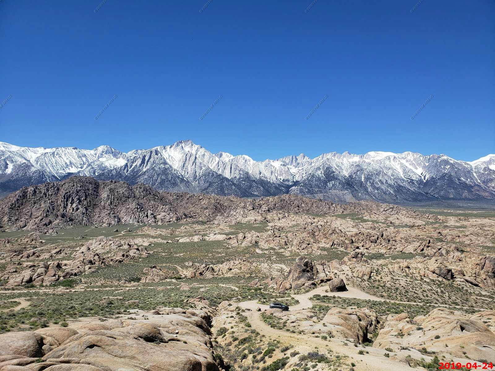
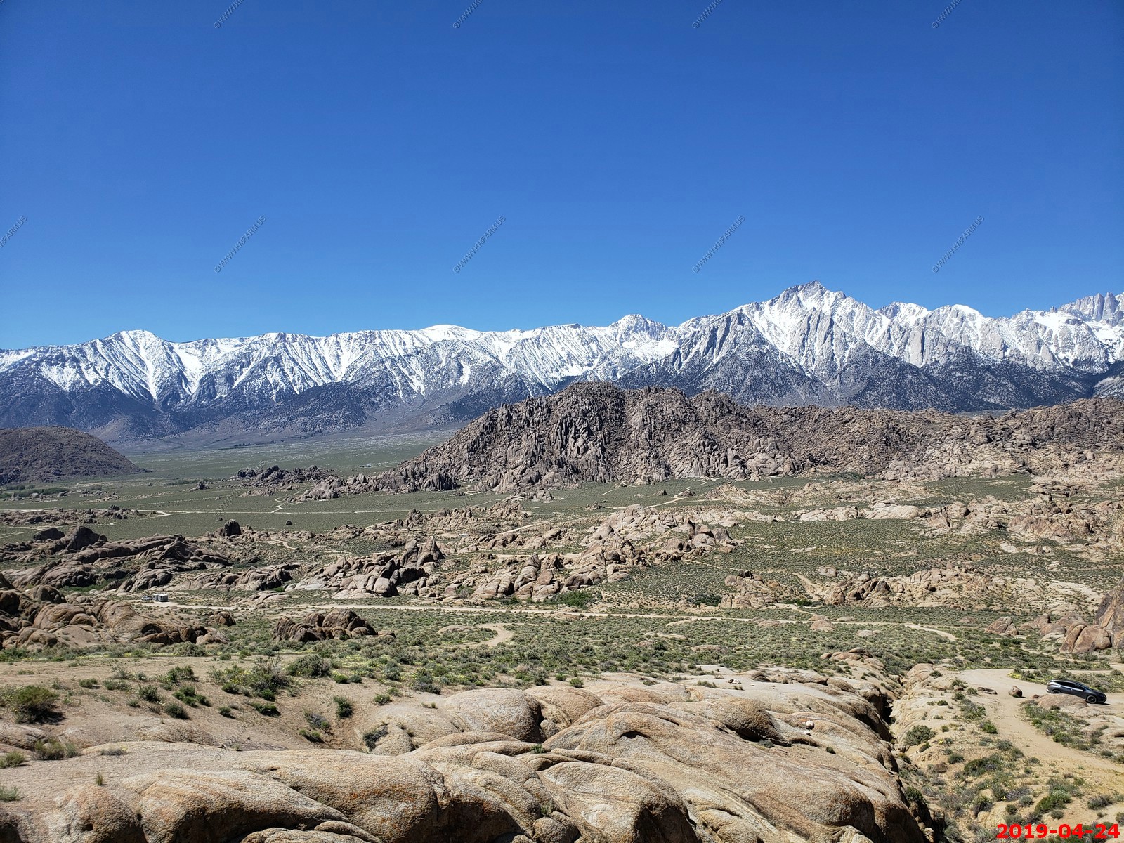
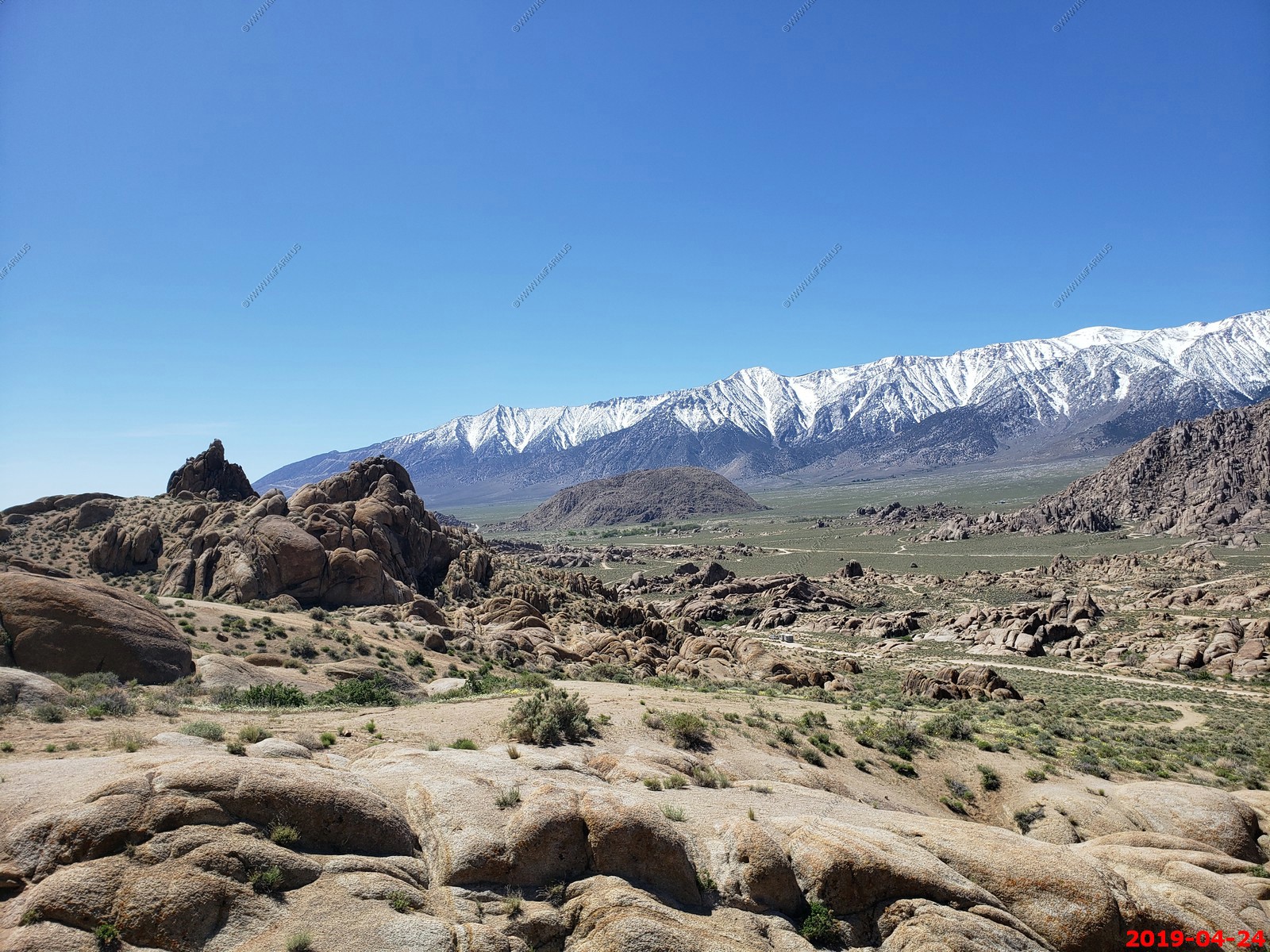
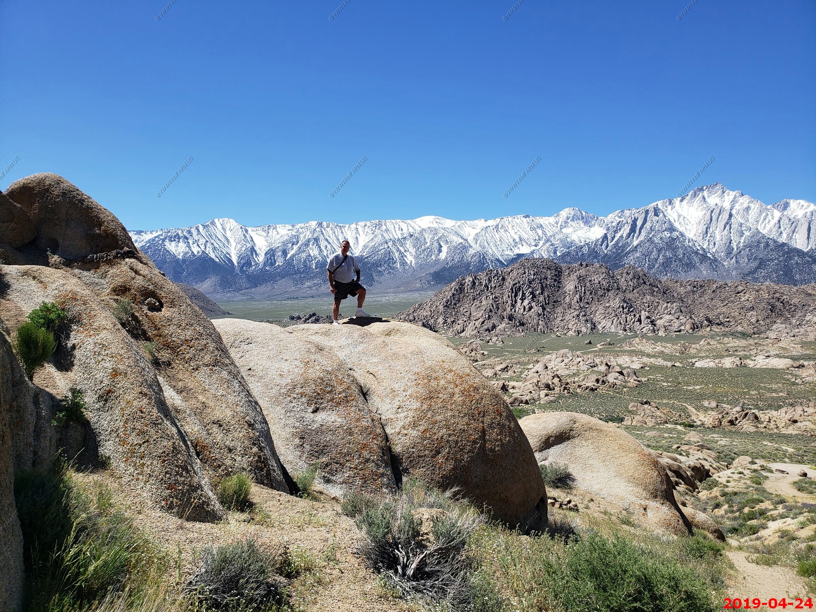
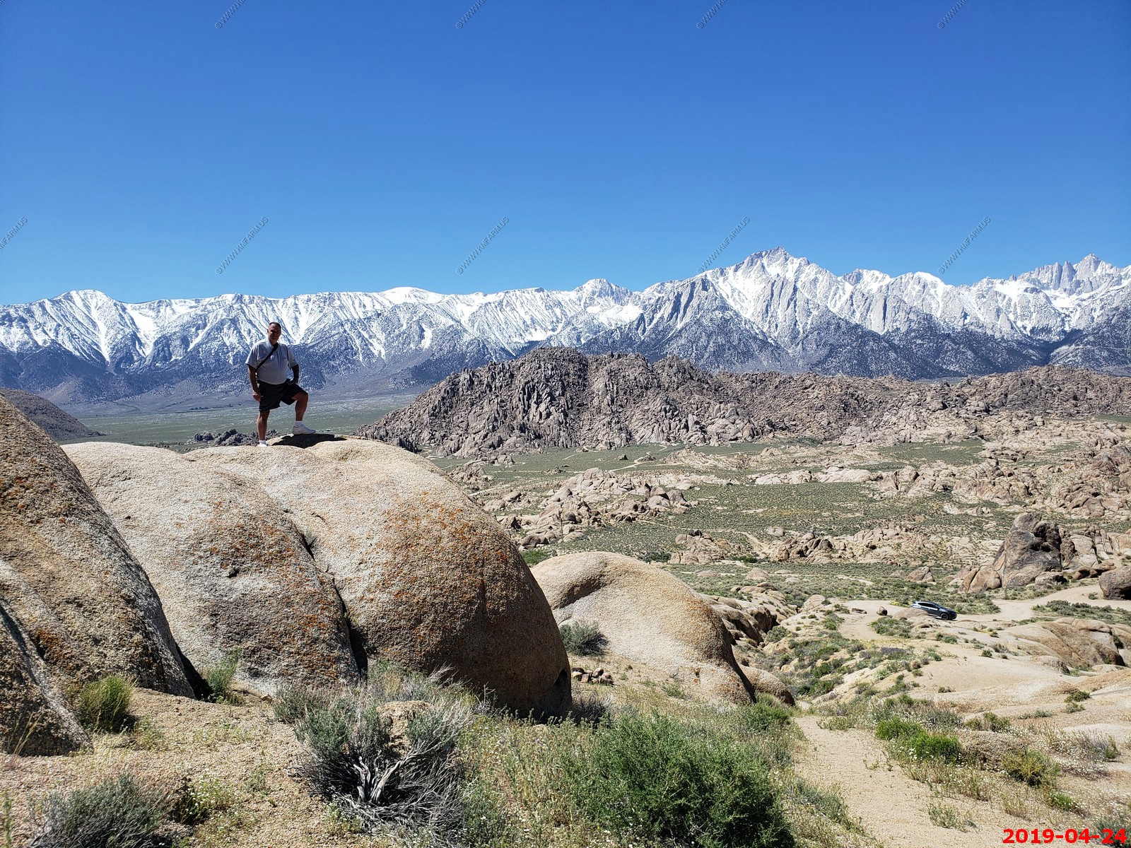
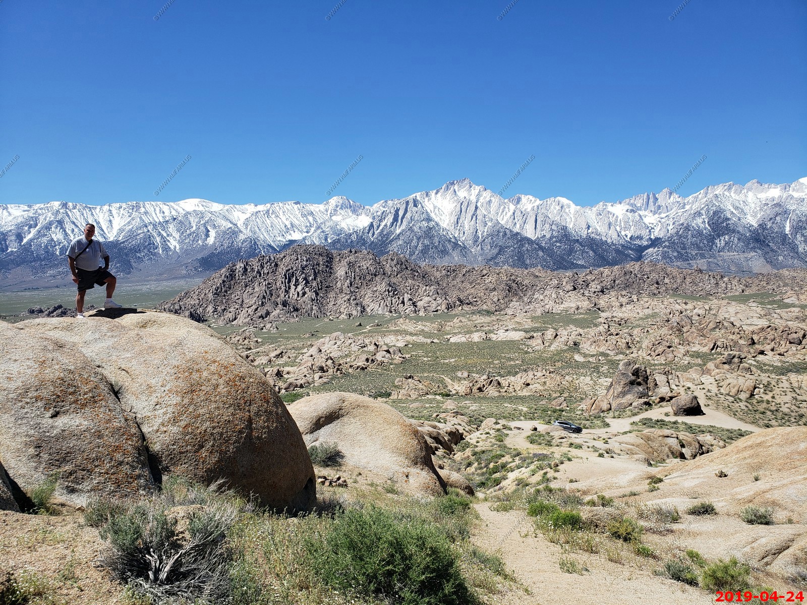
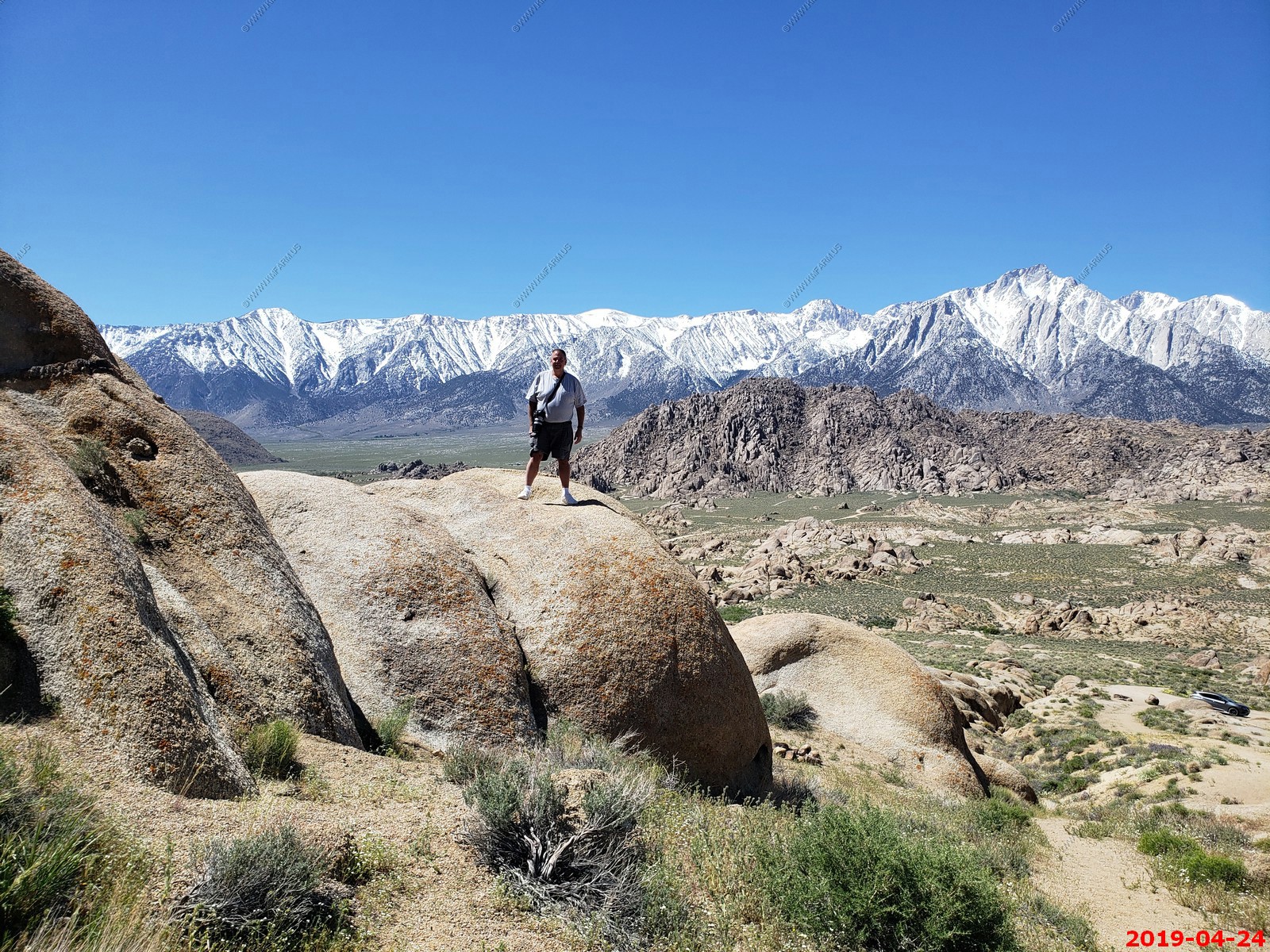
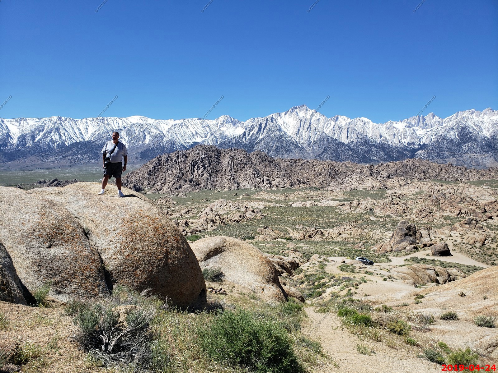
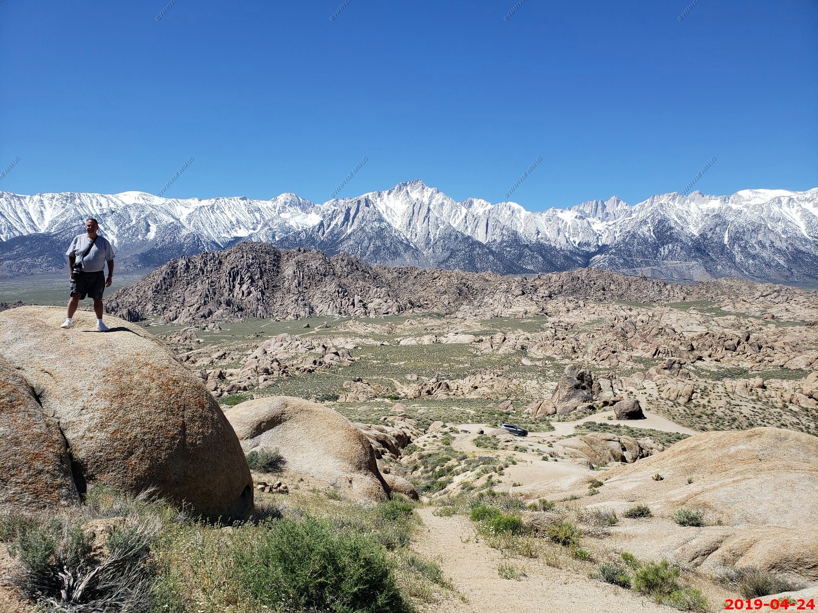
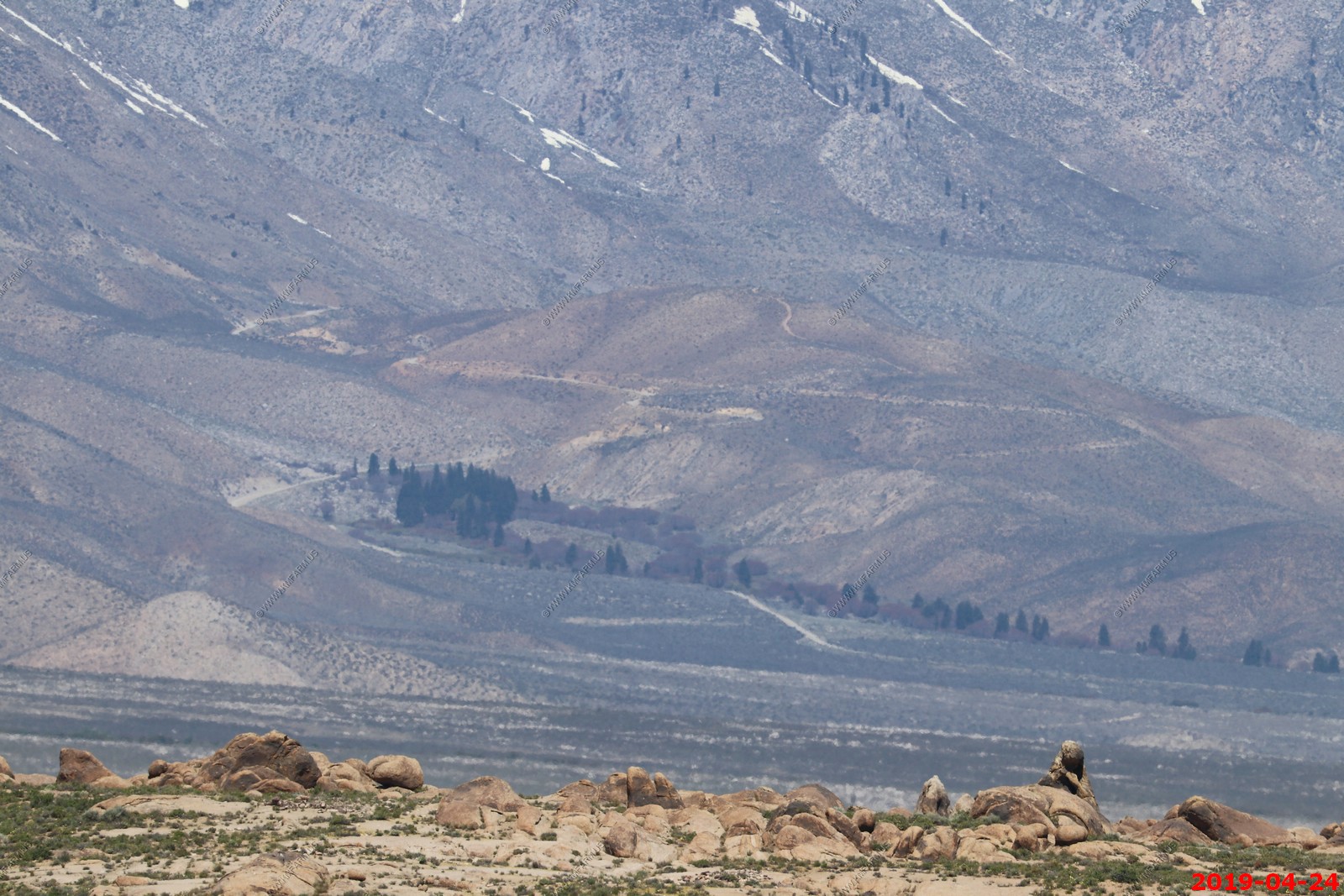
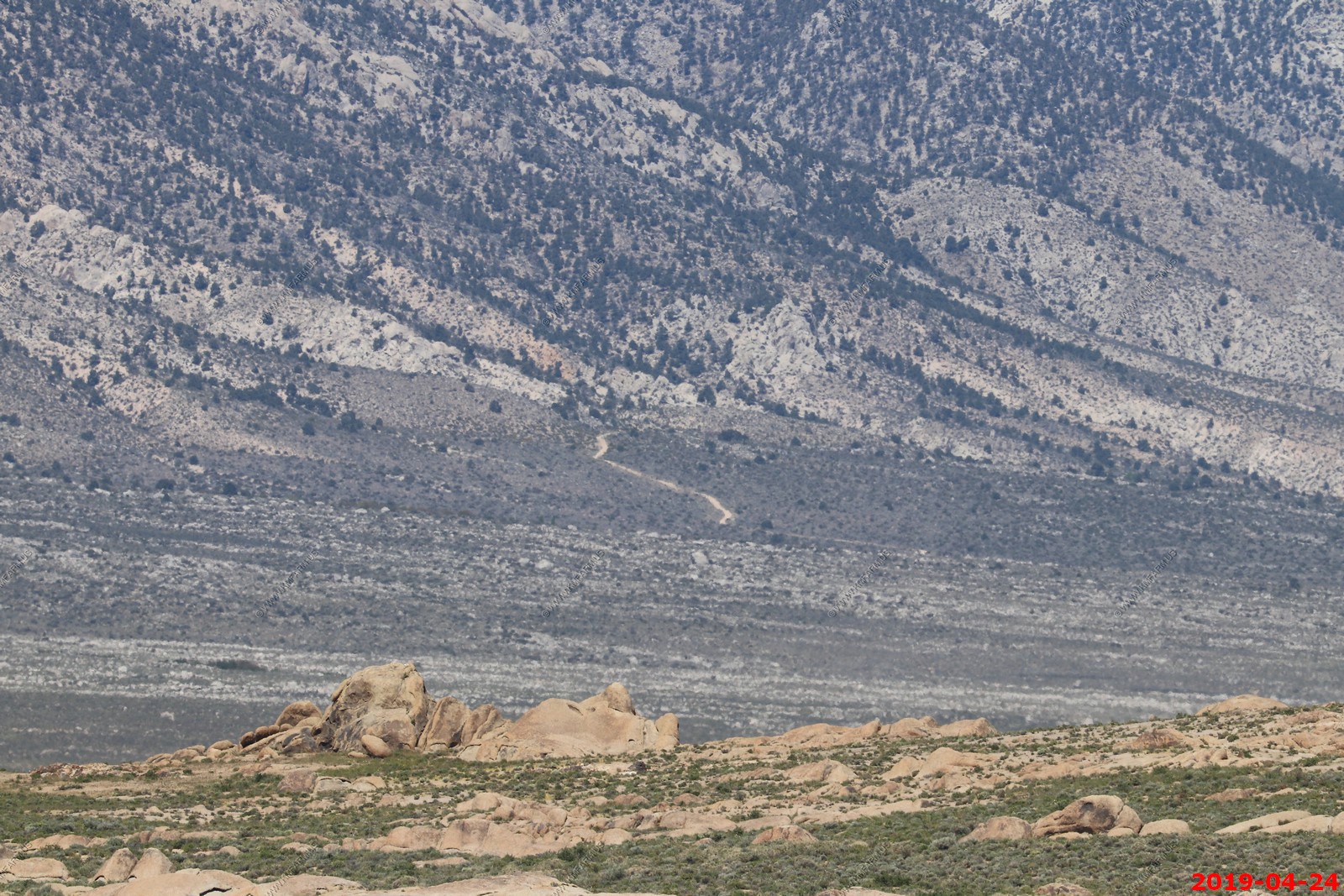
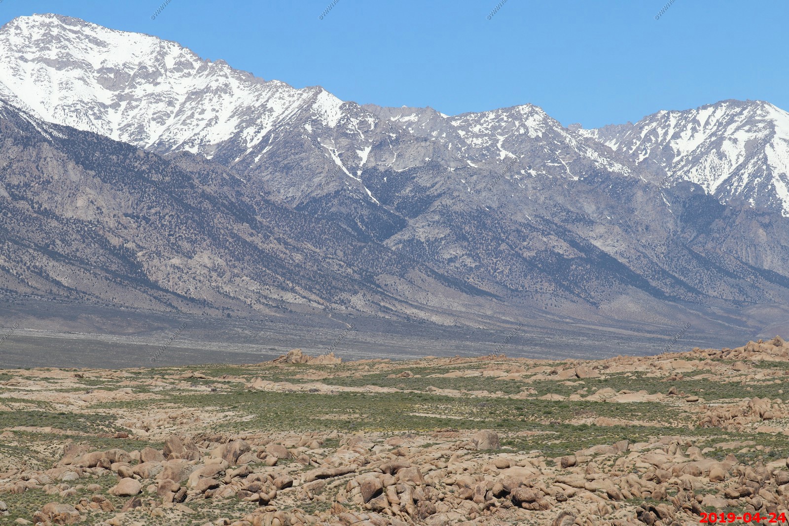
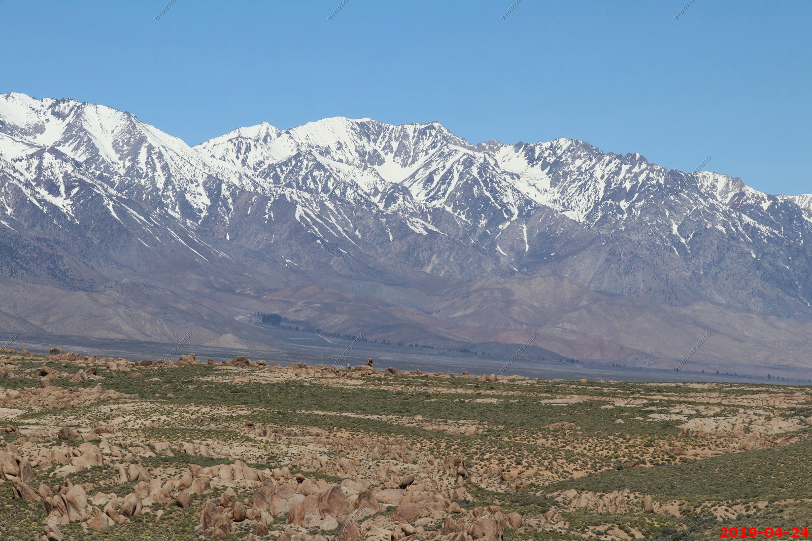
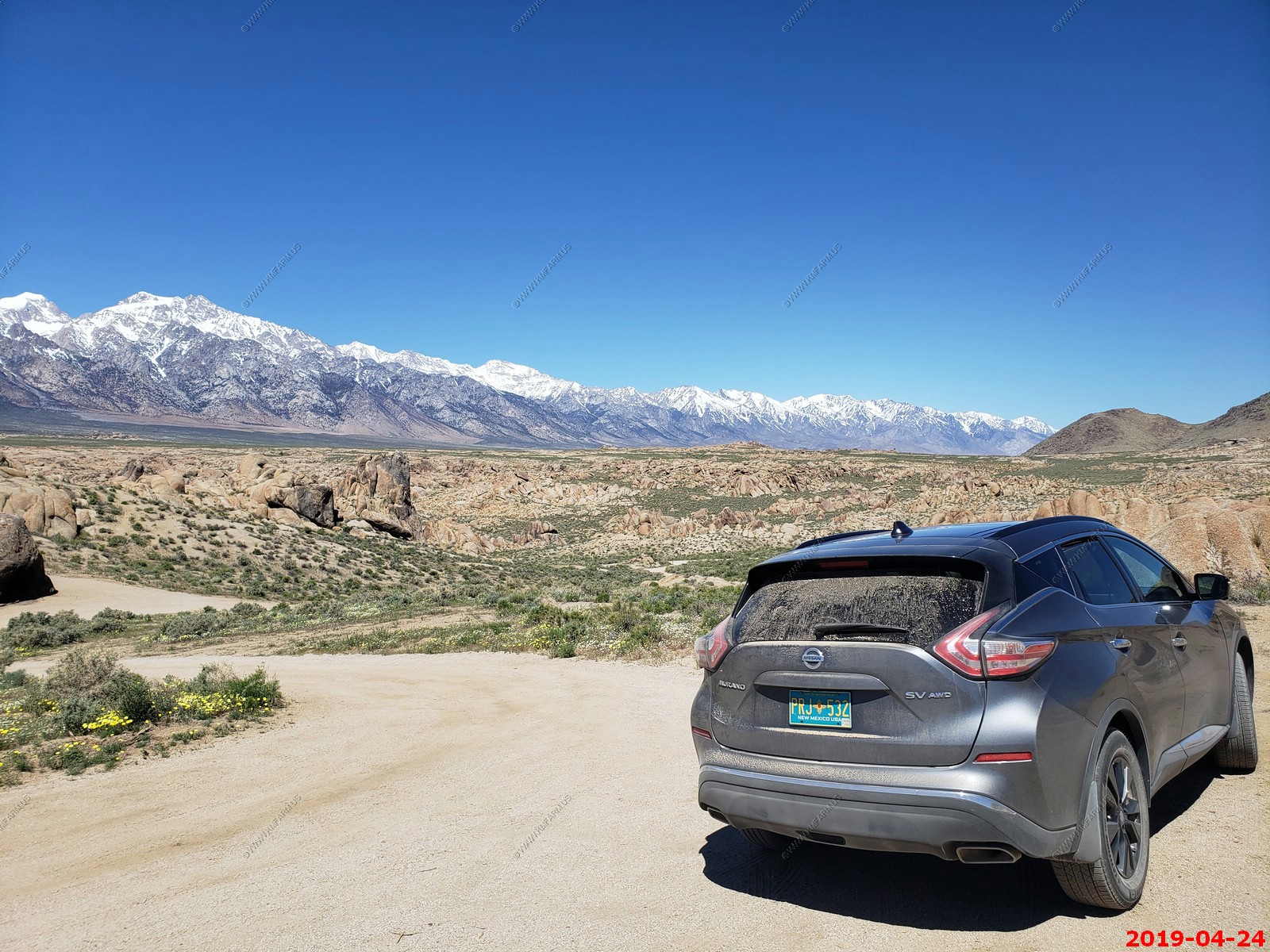
The Alabama Hills was a bucket list item for Ken. We drove several hours west from Death Vallet Furnace Creek.
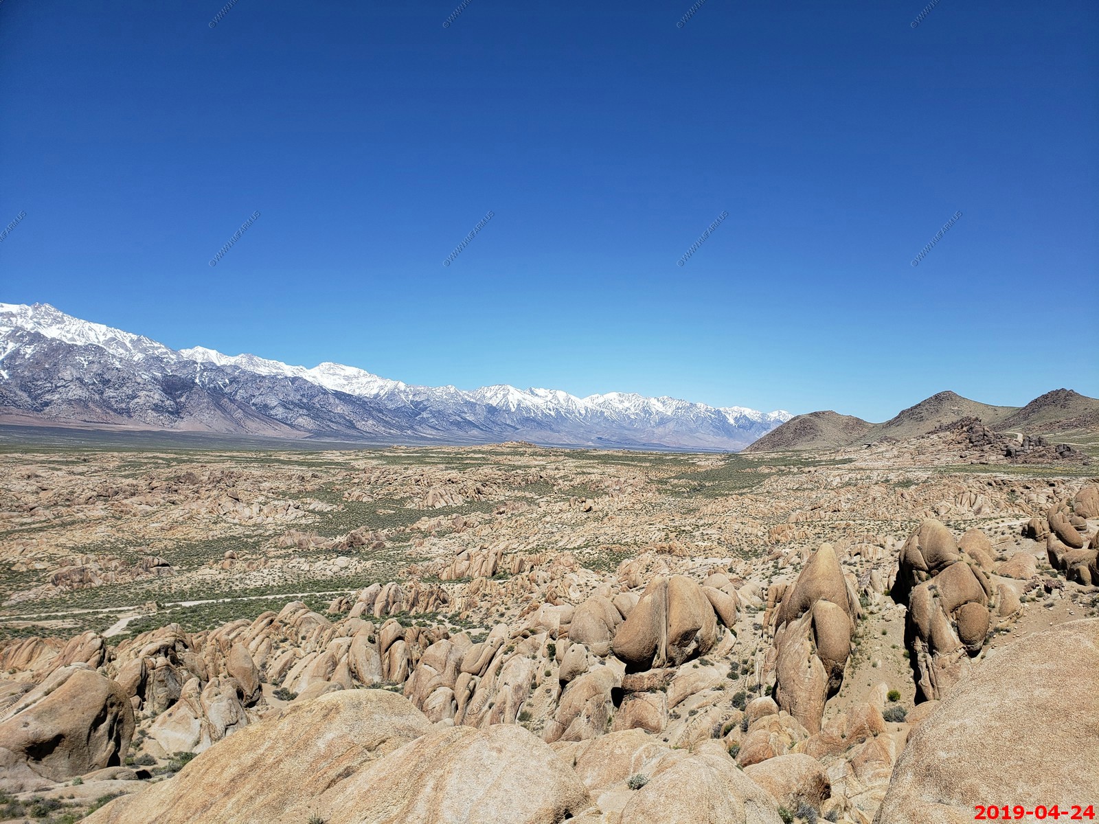
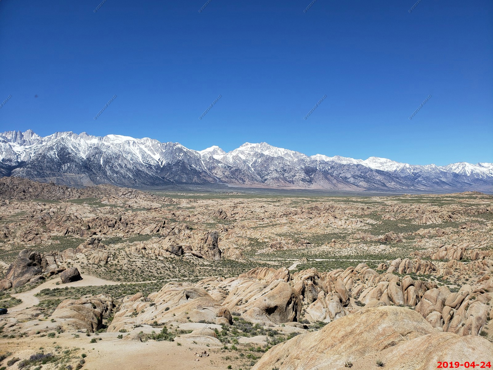
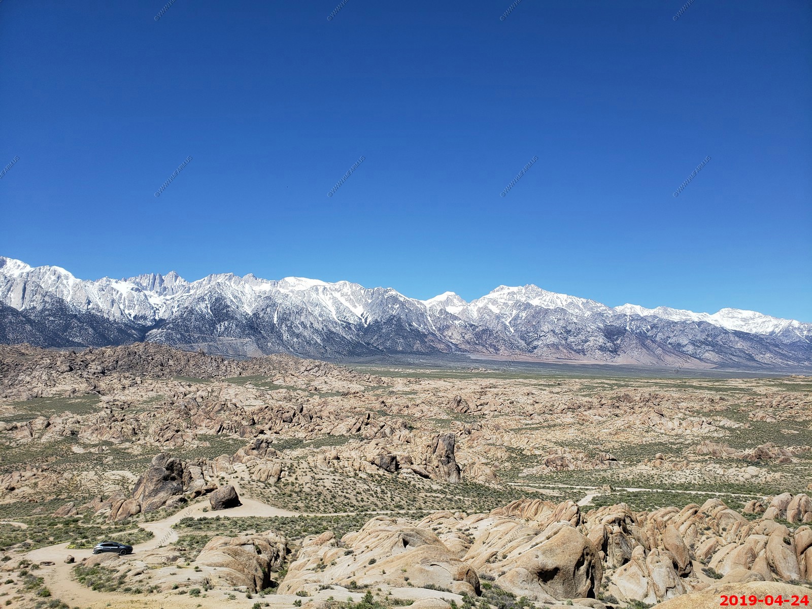
The Alabama Hills are a range of hills and rock formations near the eastern slope of the Sierra Nevada in the Owens Valley, west of Lone Pine in Inyo County, California. Though geographically separate from the Sierra Nevada, they are part of the same geological formation.
The Alabama Hills are a popular filming location for television and movie productions, especially Westerns set in an archetypical "rugged" environment. The first known movies to be filmed in the Alabama Hills are Water, Water Everywhere and Cupid, the Cowpuncher, both shot in 1919 and released in early 1920. These films are currently considered lost films. The oldest surviving film shot in the hills is The Round-Up (1920), starring Roscoe "Fatty" Arbuckle, which includes a cameo from his friend, Buster Keaton.
Since then, hundreds of movies have been filmed there, including Gunga Din, Tremors, Iron Man, The Walking Hills, Yellow Sky, Springfield Rifle, The Violent Men, Bad Day at Black Rock, the Budd Boetticher/Randolph Scott "Ranown" cycle, How the West Was Won, Joe Kidd, Saboteur, and Django Unchained. Many episodes of various television shows have also been shot there, e.g. The Gene Autry Show, The Lone Ranger, Bonanza, and Annie Oakley. Nearly every major Western actor of the 1930s, '40s, and '50s rode their horses amid these rocks: John Wayne, Gregory Peck, Gary Cooper, Gene Autry, Tom Mix, Randolph Scott, Robert Mitchum, William Boyd, Roy Rogers, and many others.
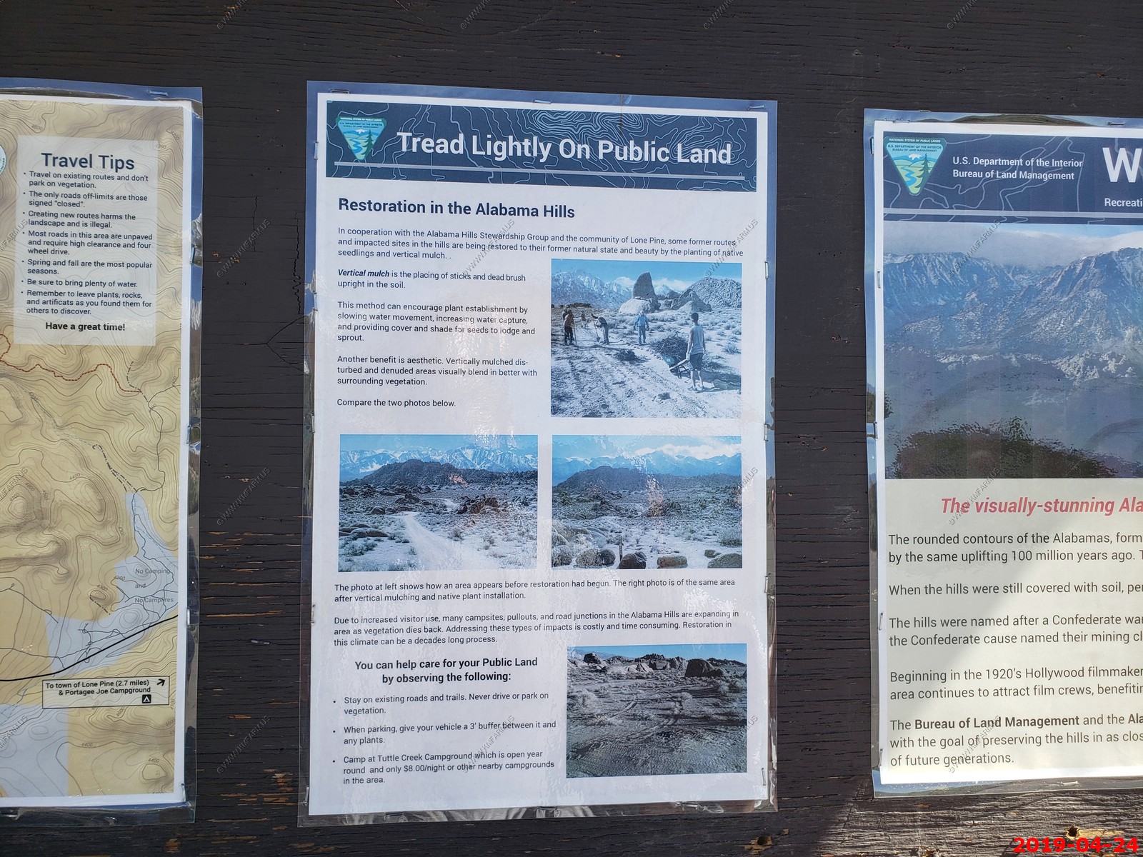
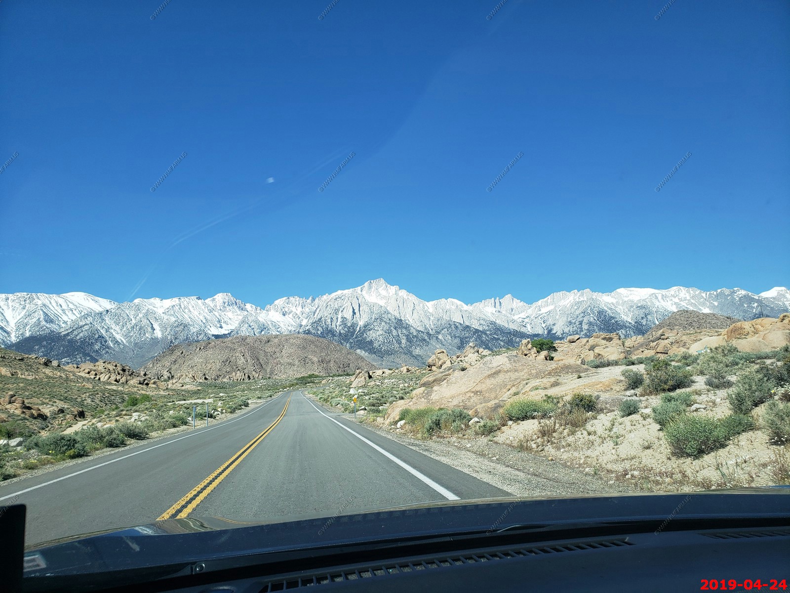
The rounded contours of the Alabama’s contrast with the sharp ridges of the Sierra Nevada to the west. Though this might suggest that they formed from a different orogeny, the Alabama’s are the same age as the Sierra Nevada. The difference in wear can be accounted for by different patterns of erosion.
Mount Whitney, the tallest mountain in the contiguous United States, towers several thousand feet above this low range, which itself is 1,500 feet (460 m) above the floor of Owens Valley. However, gravity surveys indicate that the Owens Valley is filled with about 10,000 feet (3,000 m) of sediment and that the Alabama’s are the tip of a very steep escarpment. This feature may have been created by many earthquakes similar to the 1872 Lone Pine earthquake which, in a single event, caused a vertical displacement of 15-20 feet.
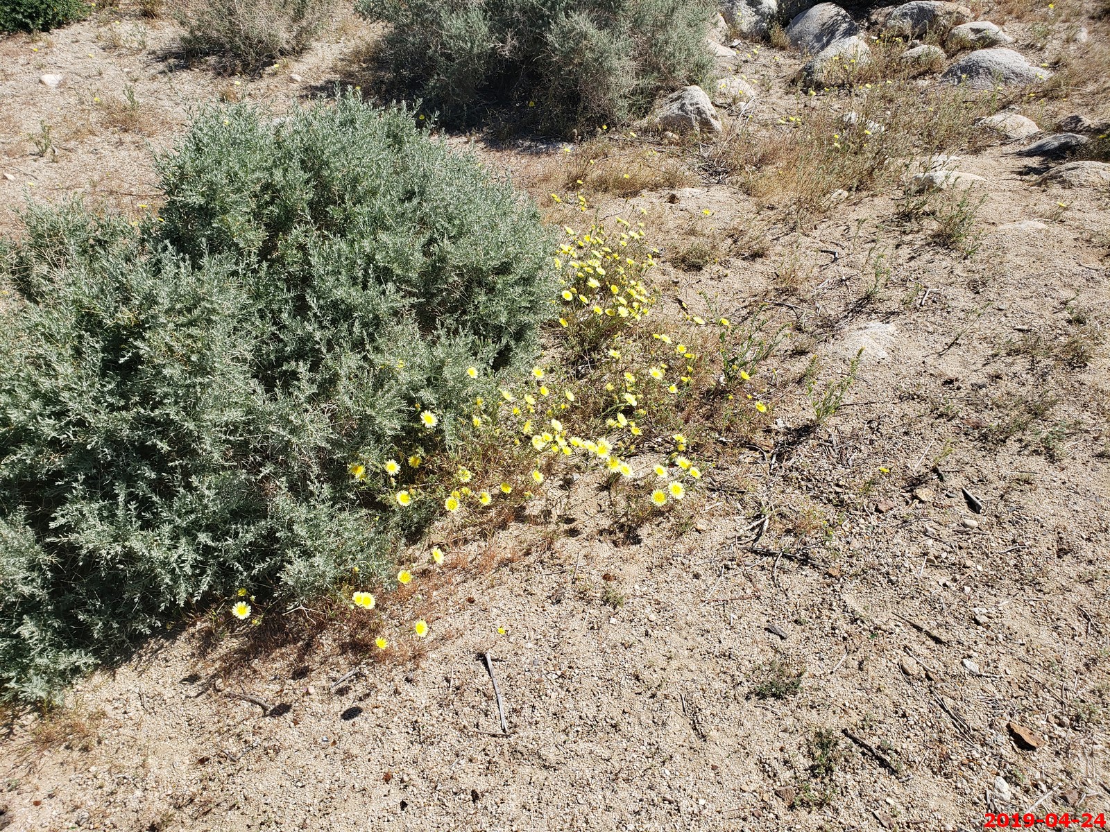
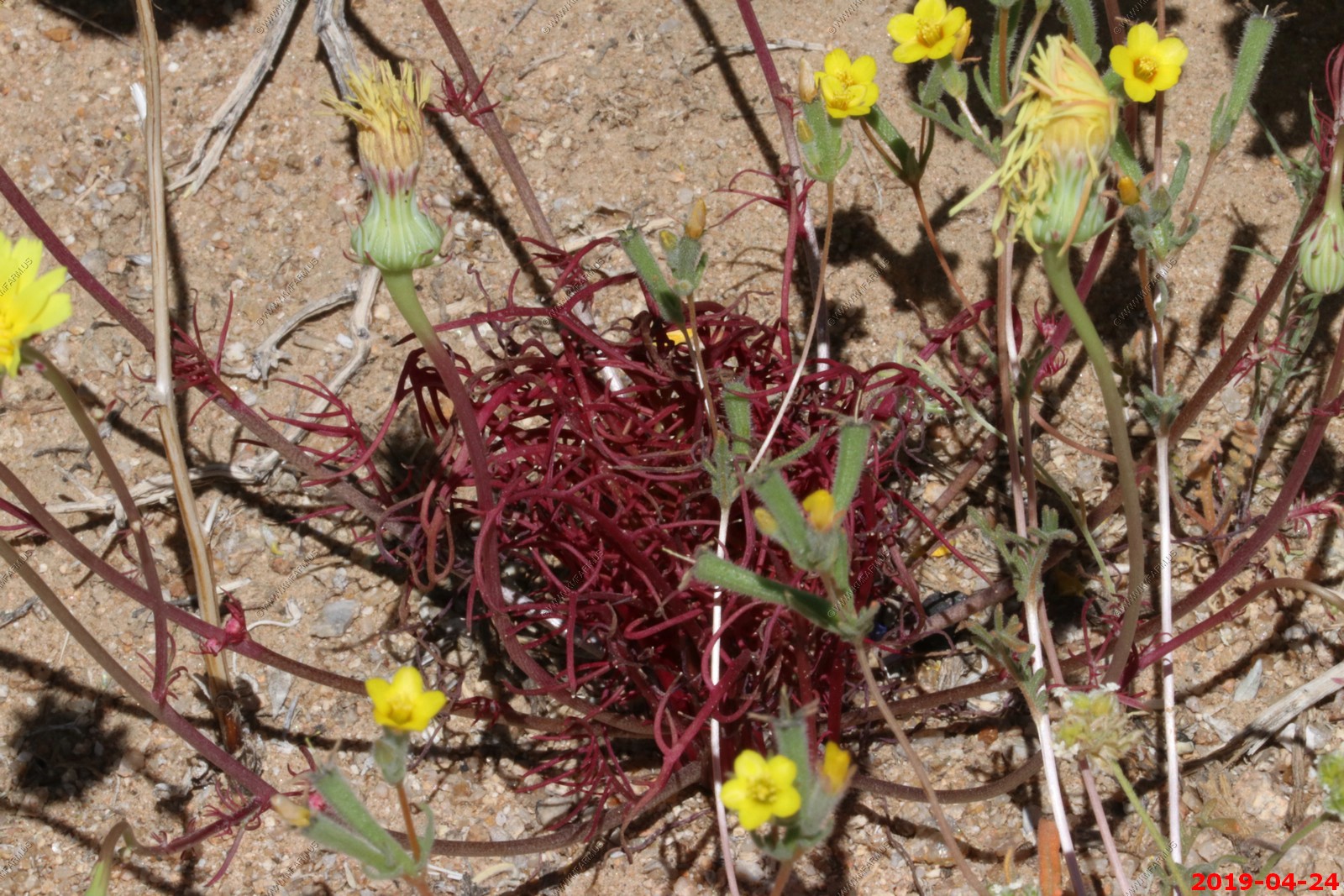
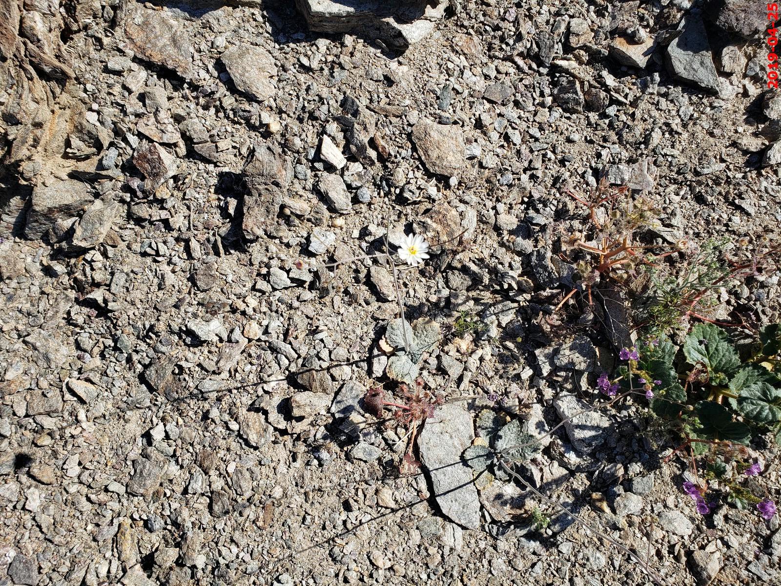
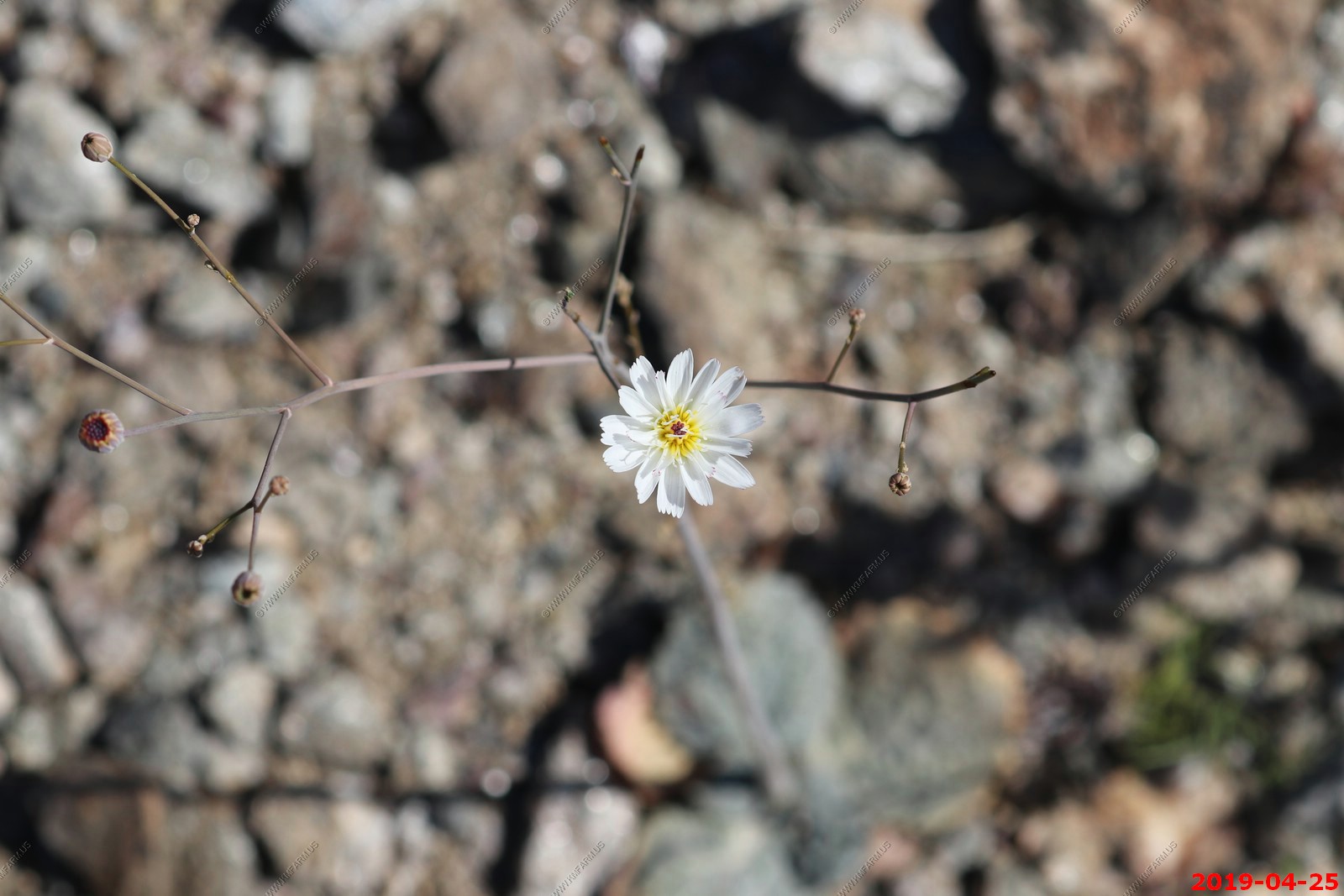
Desert Dandelion
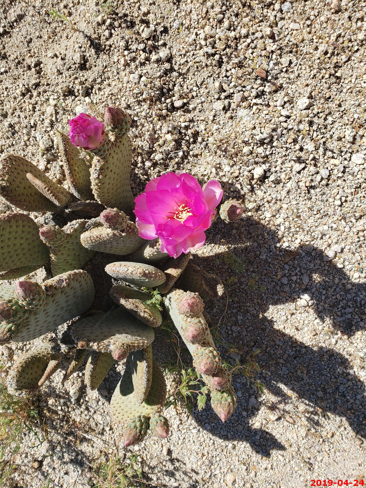
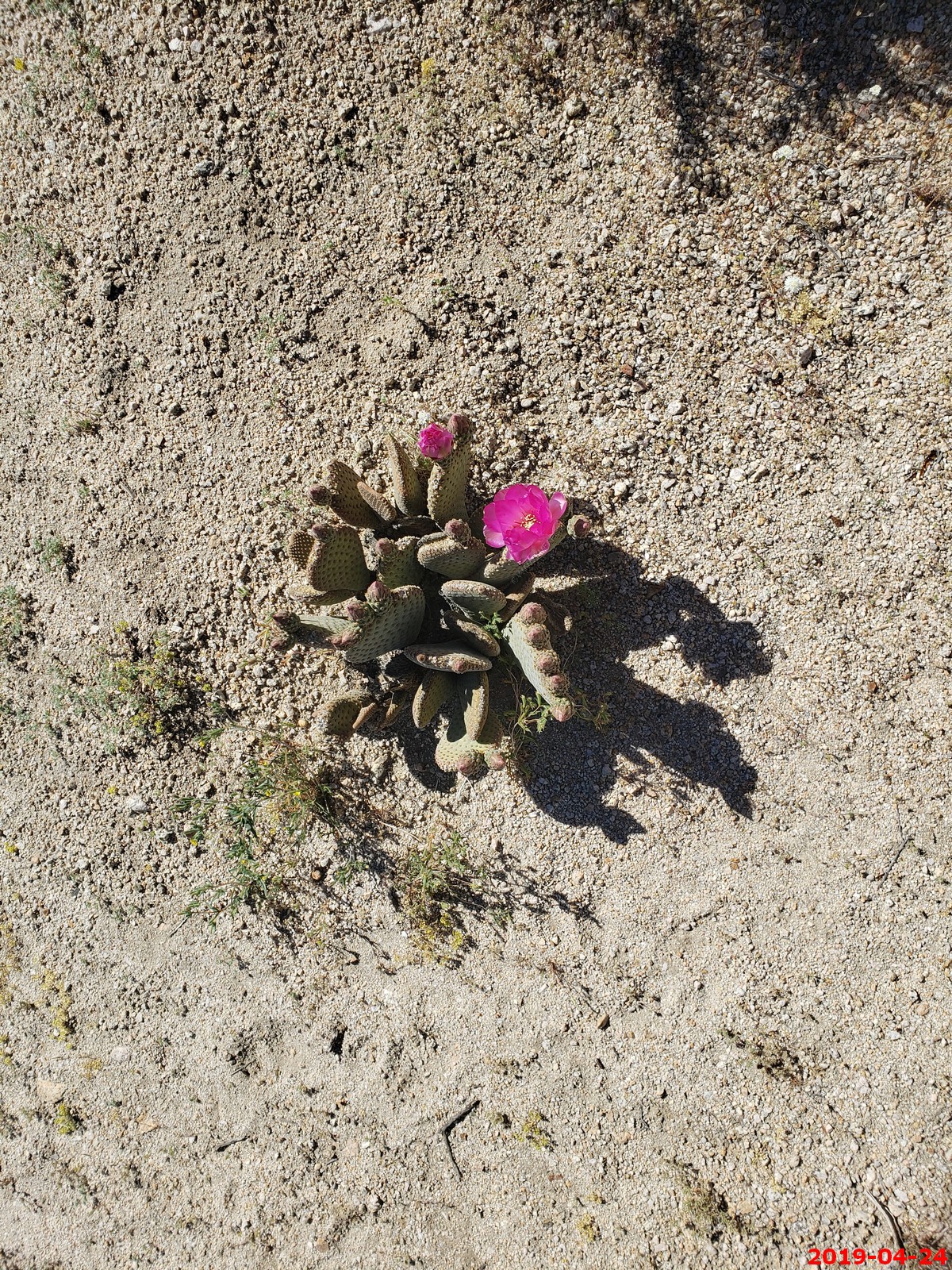
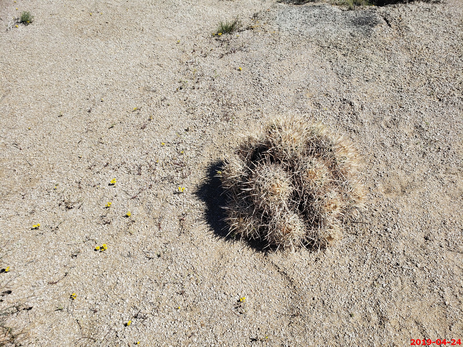
Beavertail Cactus in flower (Opuntia basilaris var. whitneyana), found only in Alabama Hills, near Lone Pine, Inyo County, California, USA
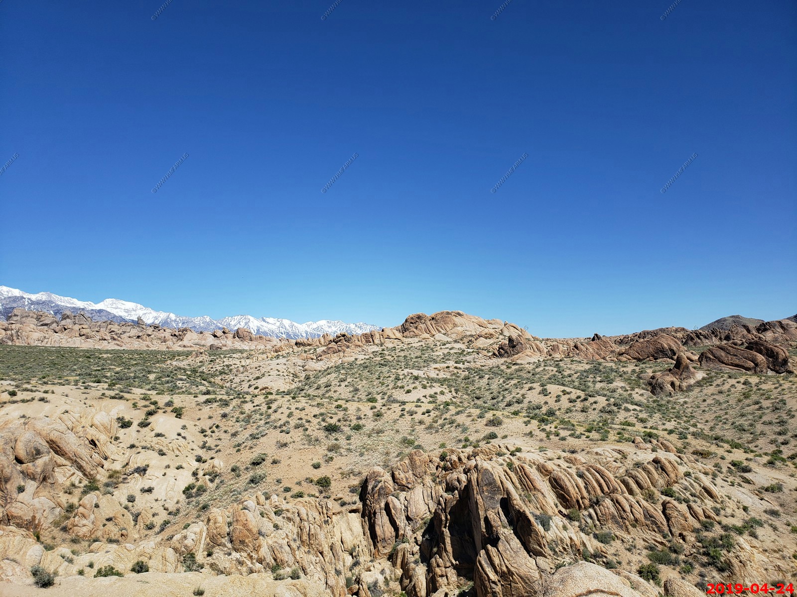
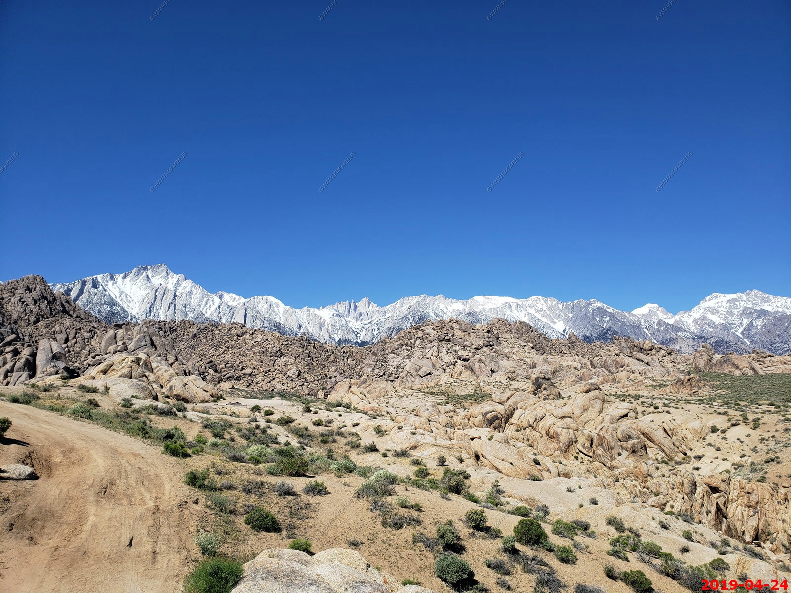
This was on Ken's bucket list as this was the third try to come here and this time the weather was exceptional.
Various views


Syntrichopappus fremontii, Fremont gold
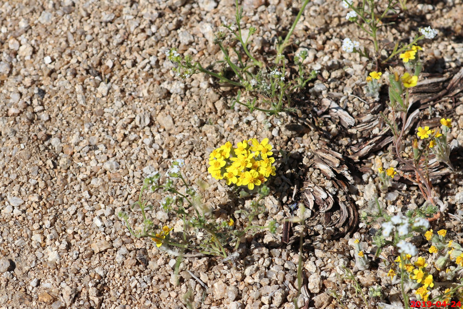
Sphaeralcea ambigua, apricot mallow
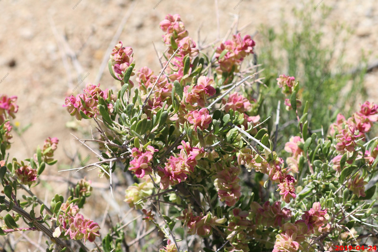
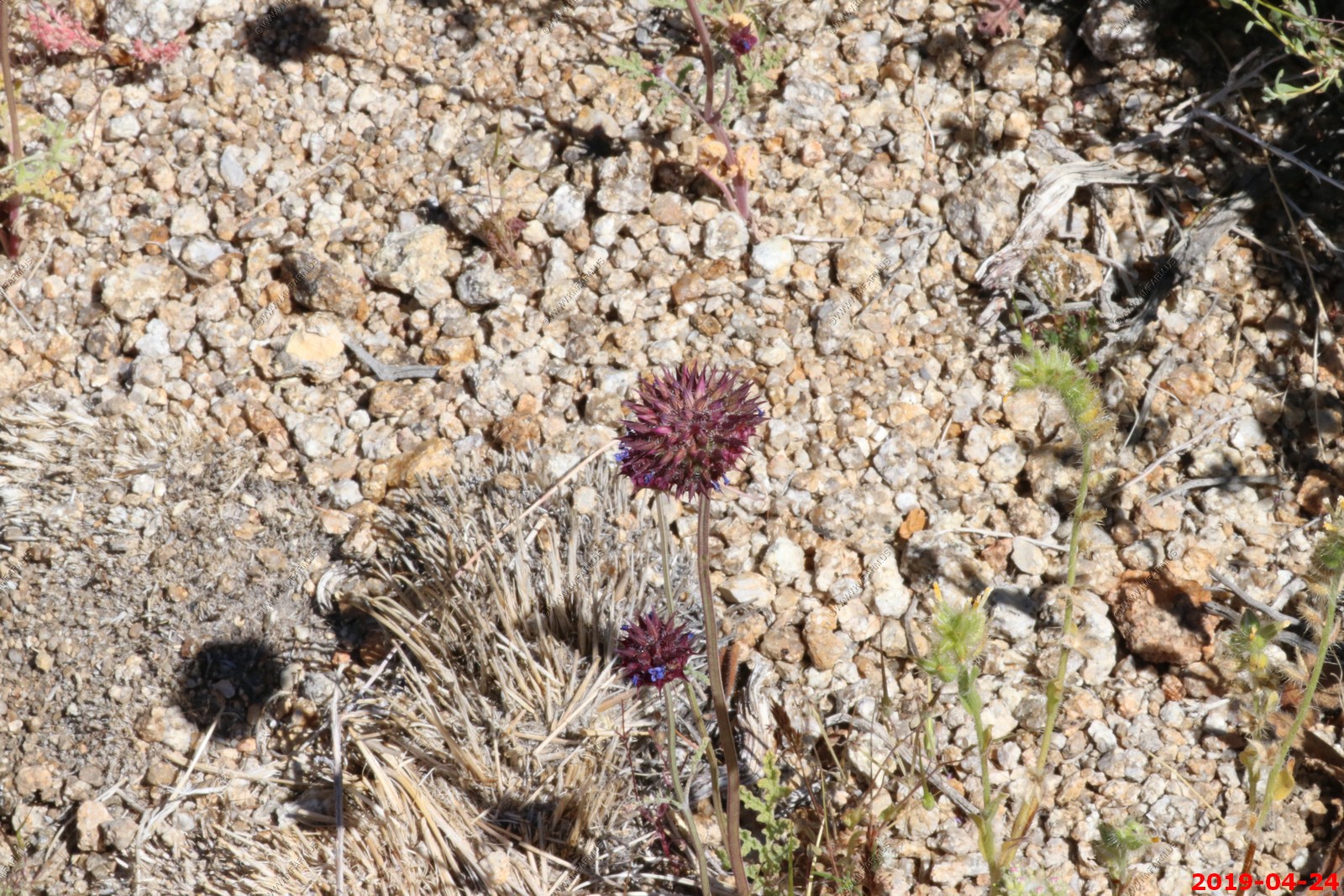
Unknown plants
Military flights over Alabama Hills (same plane moving along)
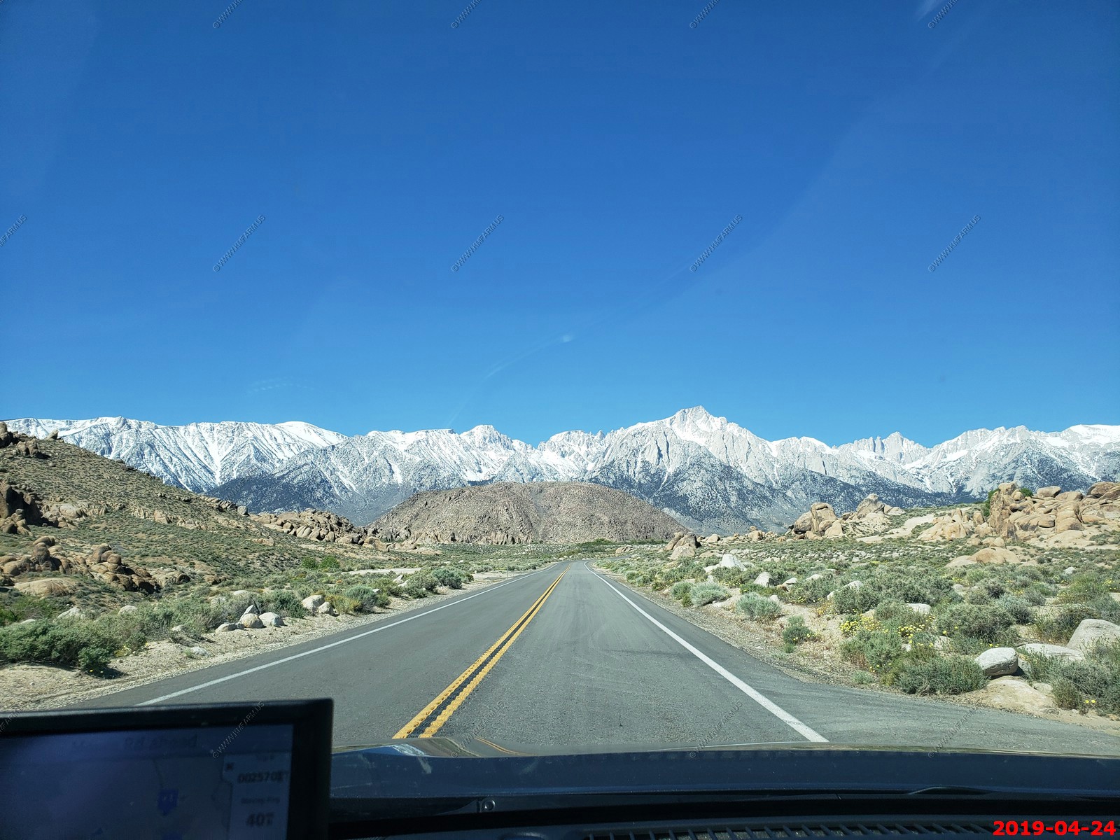
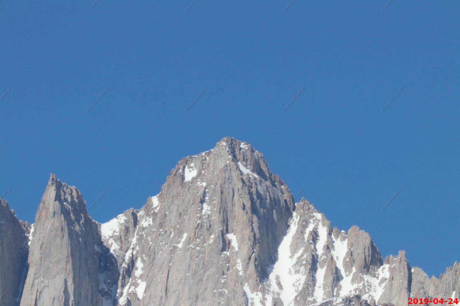
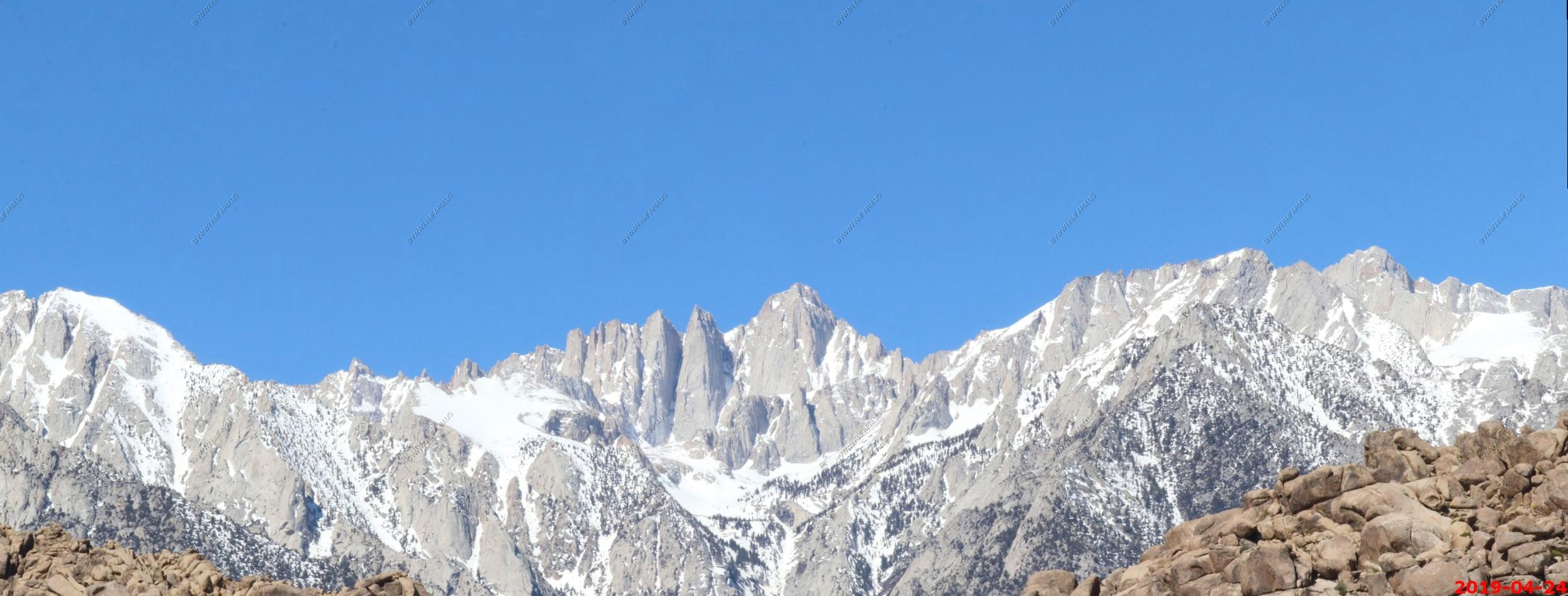
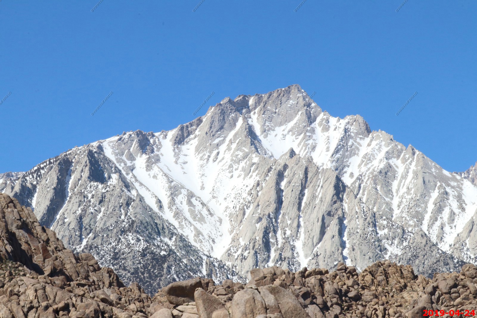
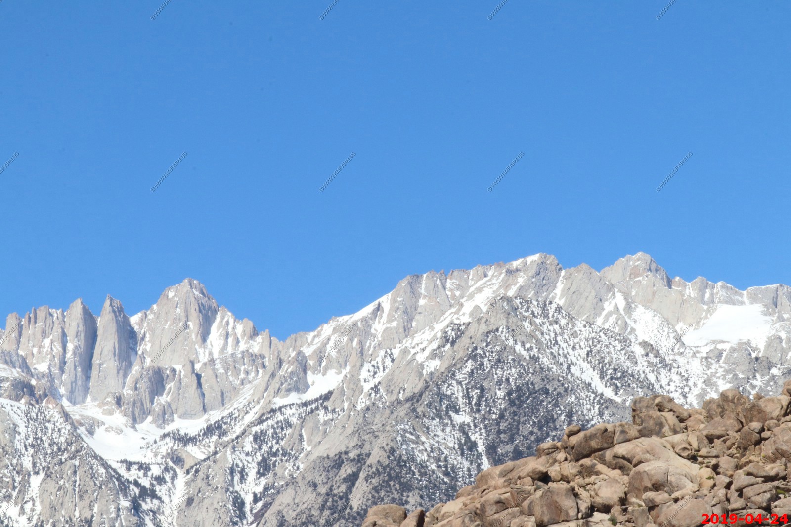
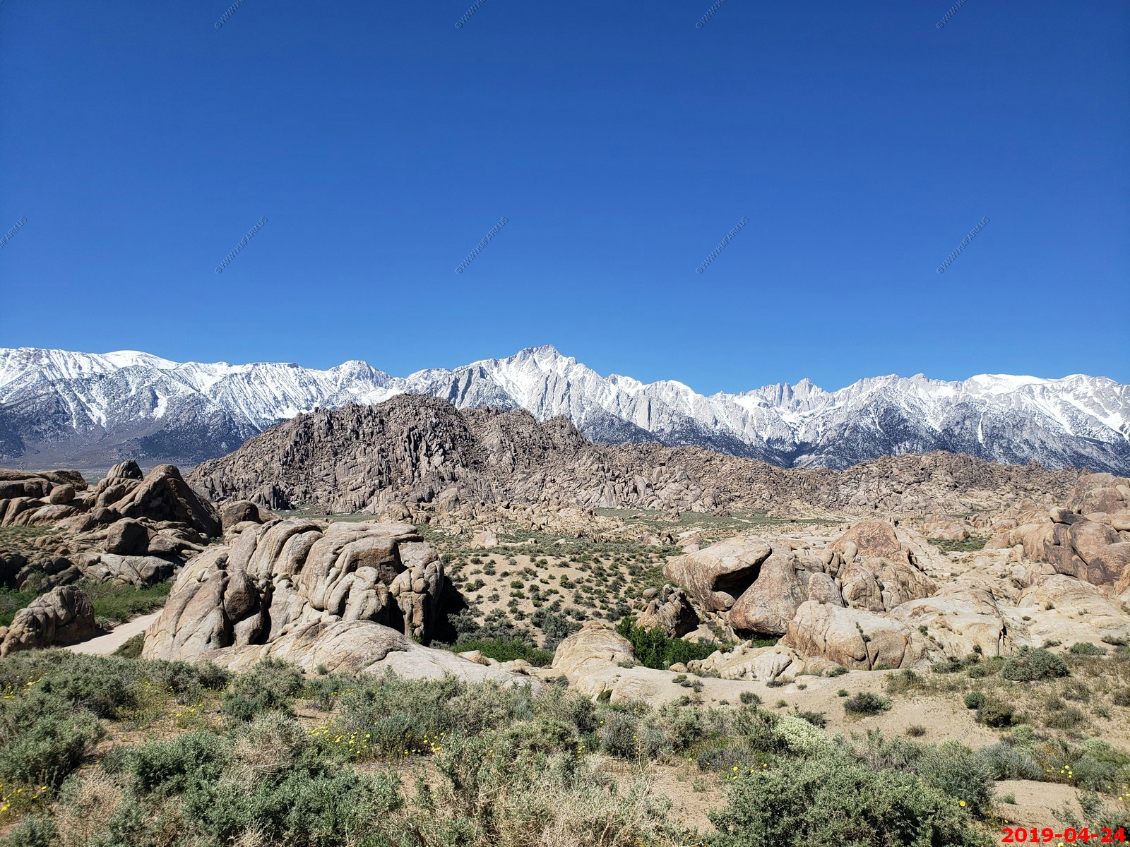
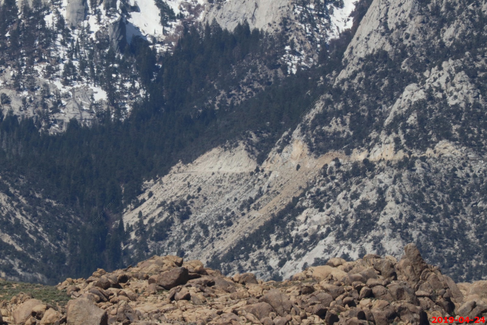
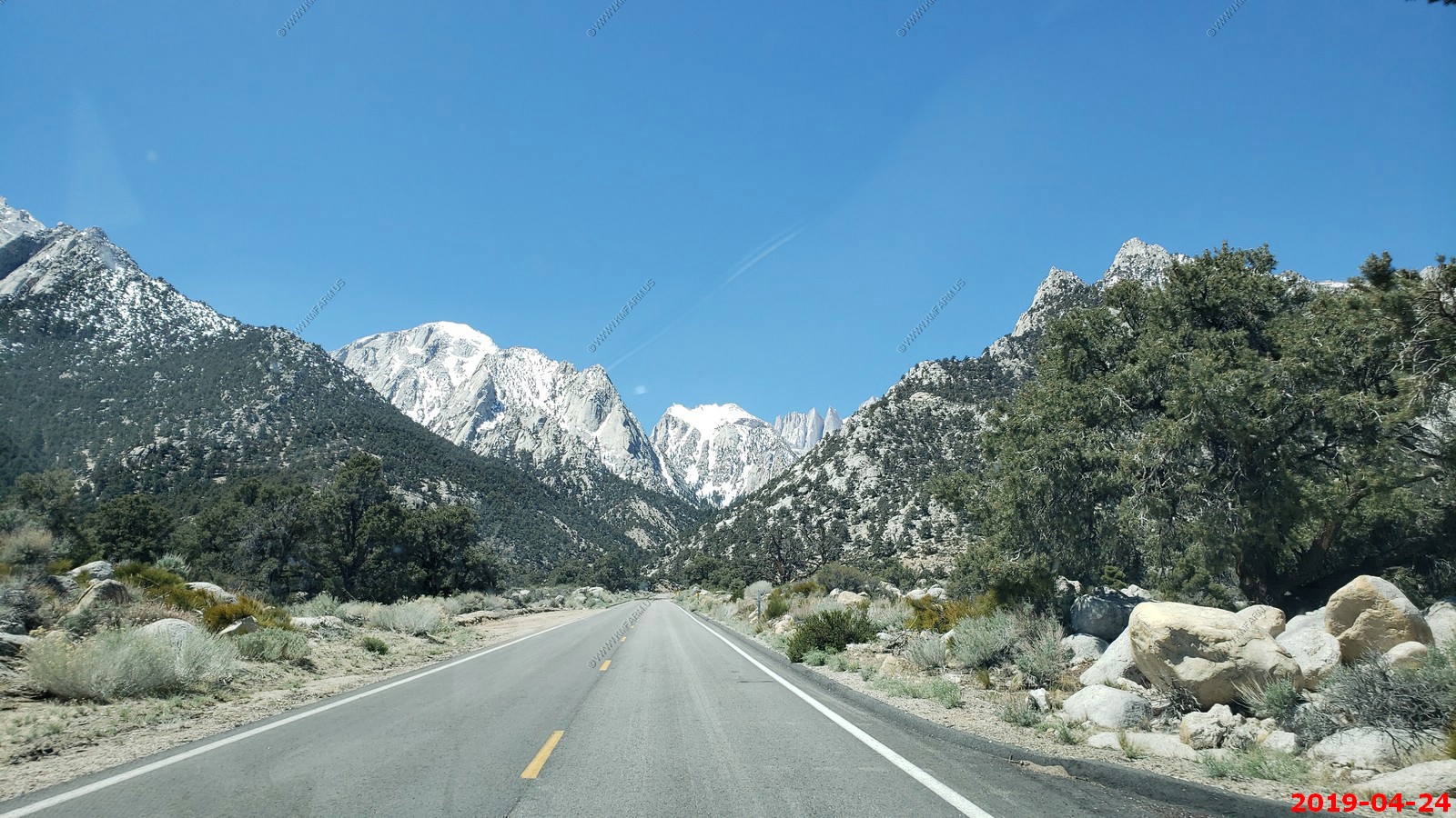
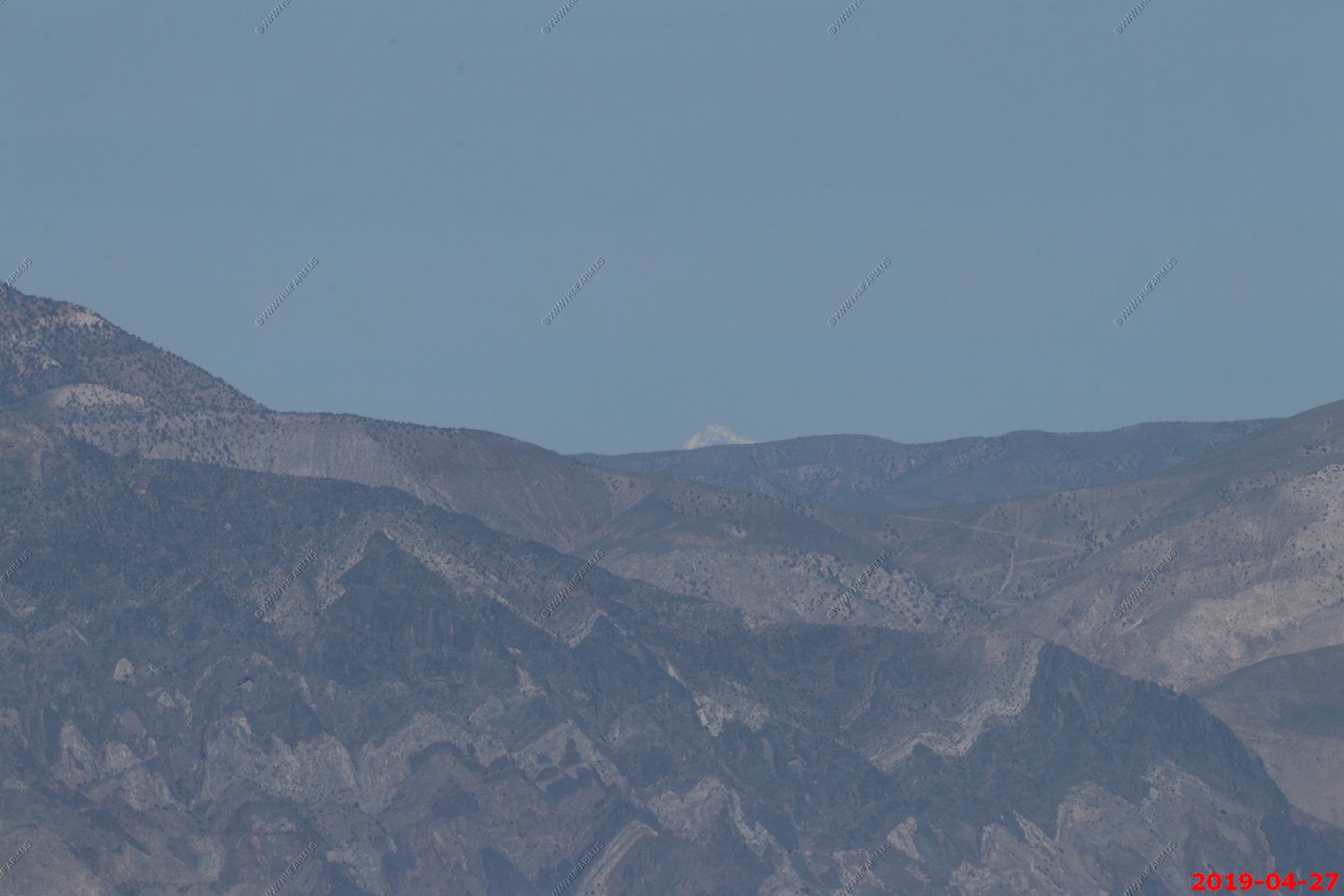
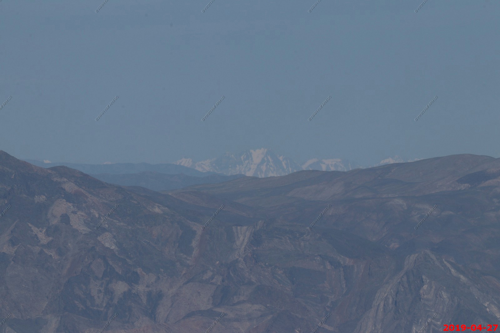
Mt. Whitney - is the tallest mountain in the contiguous United States and the Sierra Nevada, with an elevation of 14,505 feet (4,421 m) We are only 84.6 miles away from North America's lowest point in Death Valley. From where we are standing the peak is appx. 10 miles away.
Two photos processed with Mt. Whitney in the center
Eight photos below processed into one photo.
The eight photos above. As I process these, I am NOT impressed with the clarity. Again my Canon EOS-80D continues to disappoint
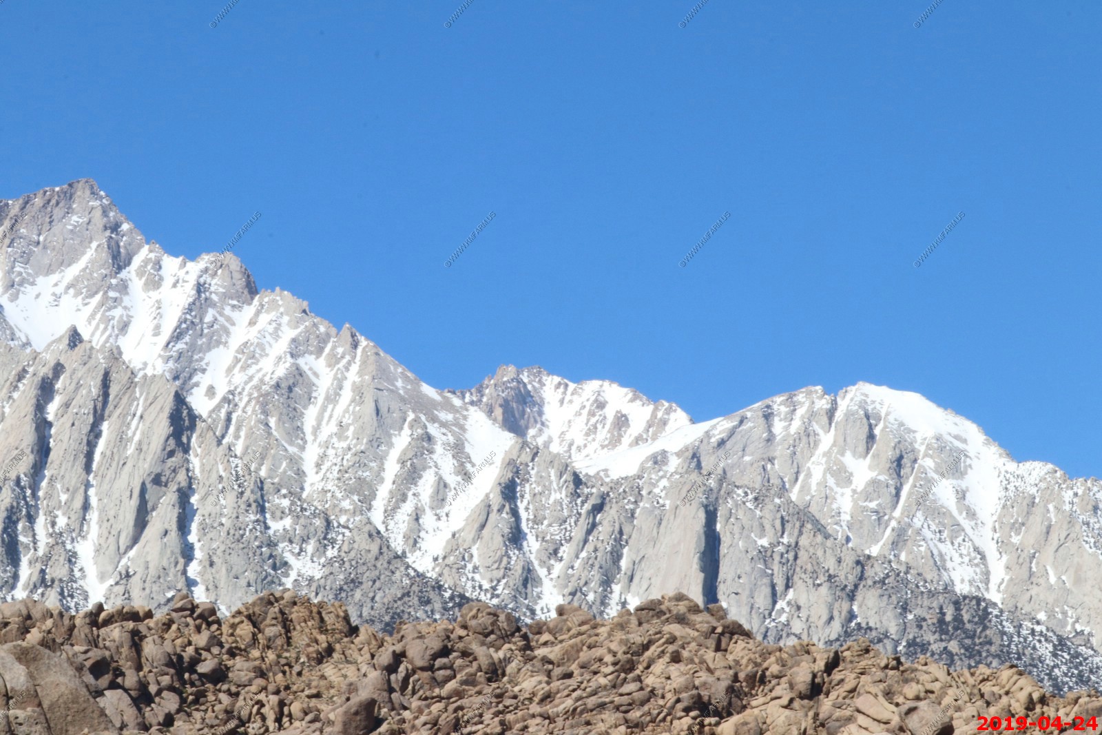
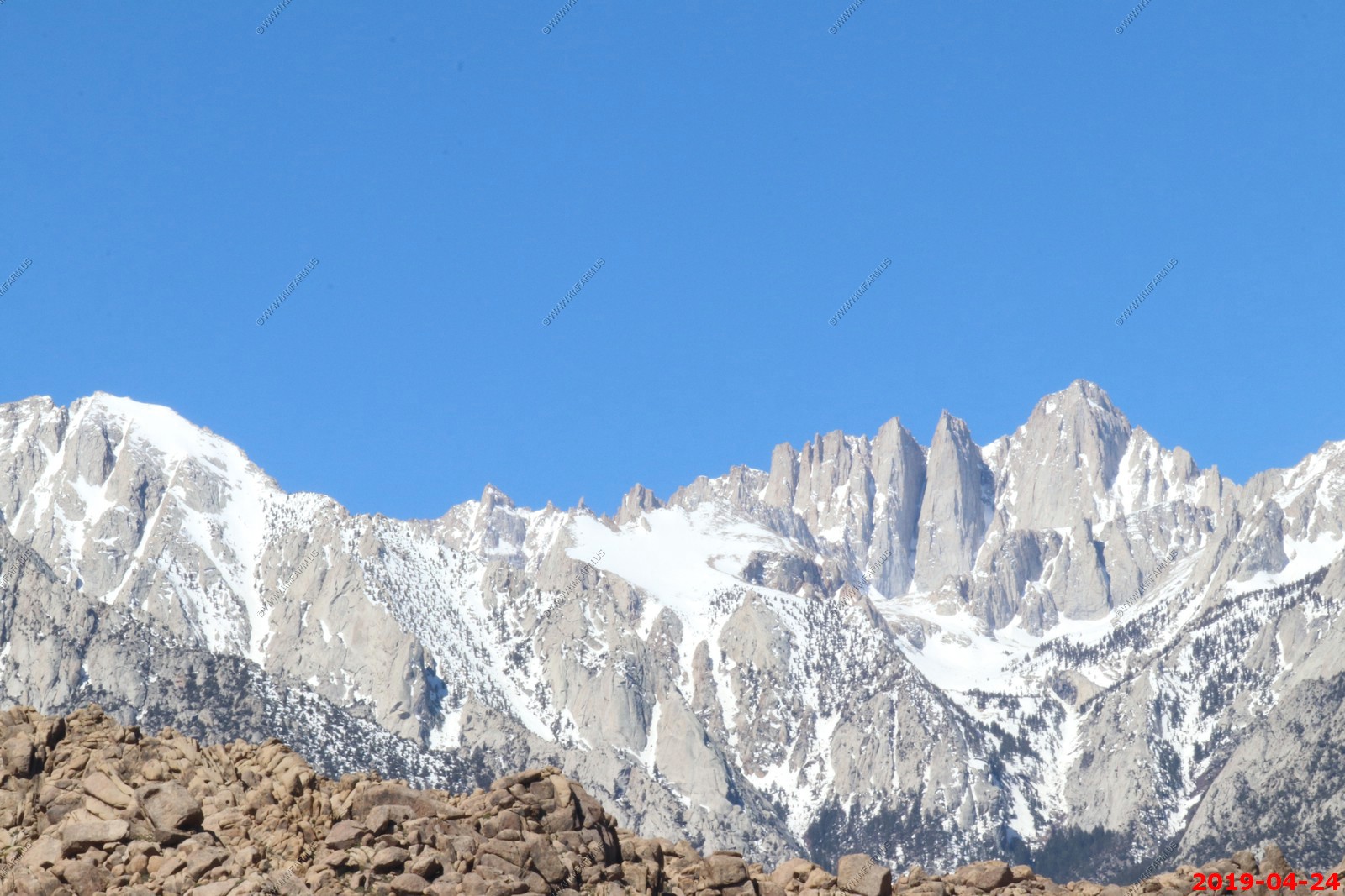
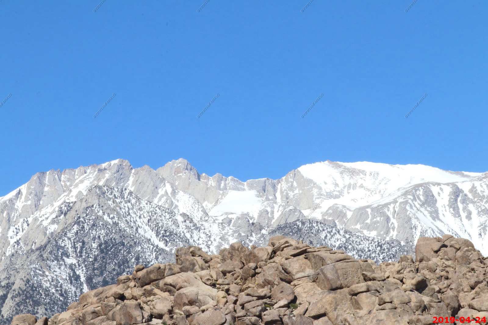
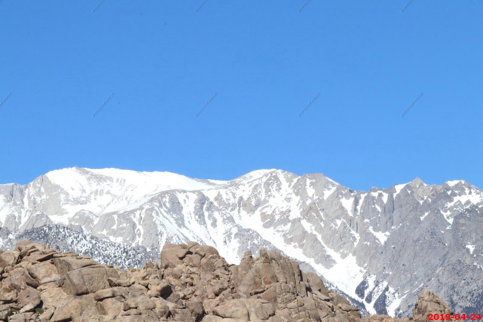
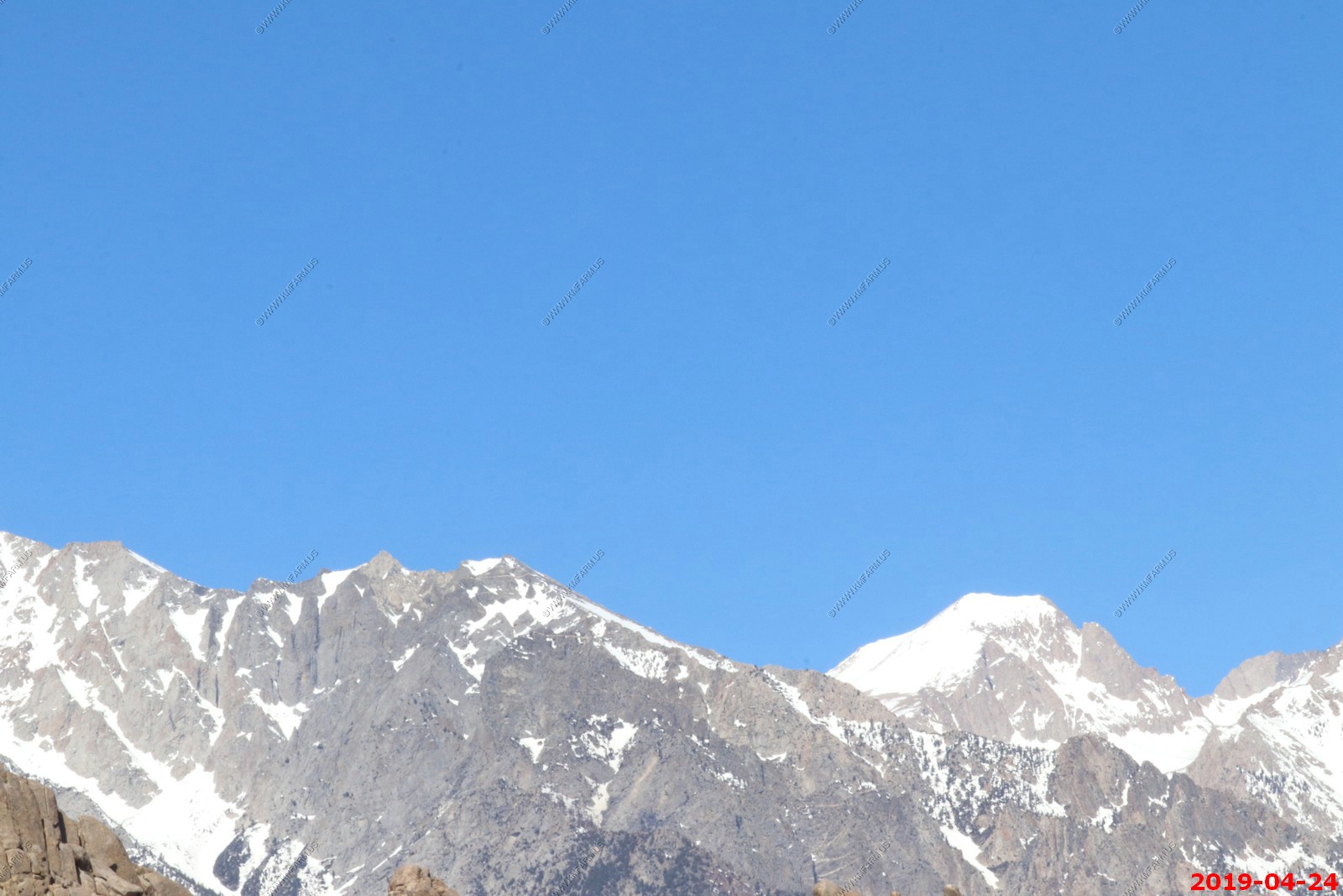
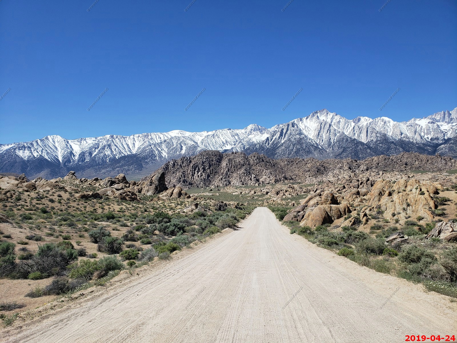
Various views of Alabama Hills


Desert dandelion and Desert Mary
The closed due to snow Whitney Portal Road. We will be back.
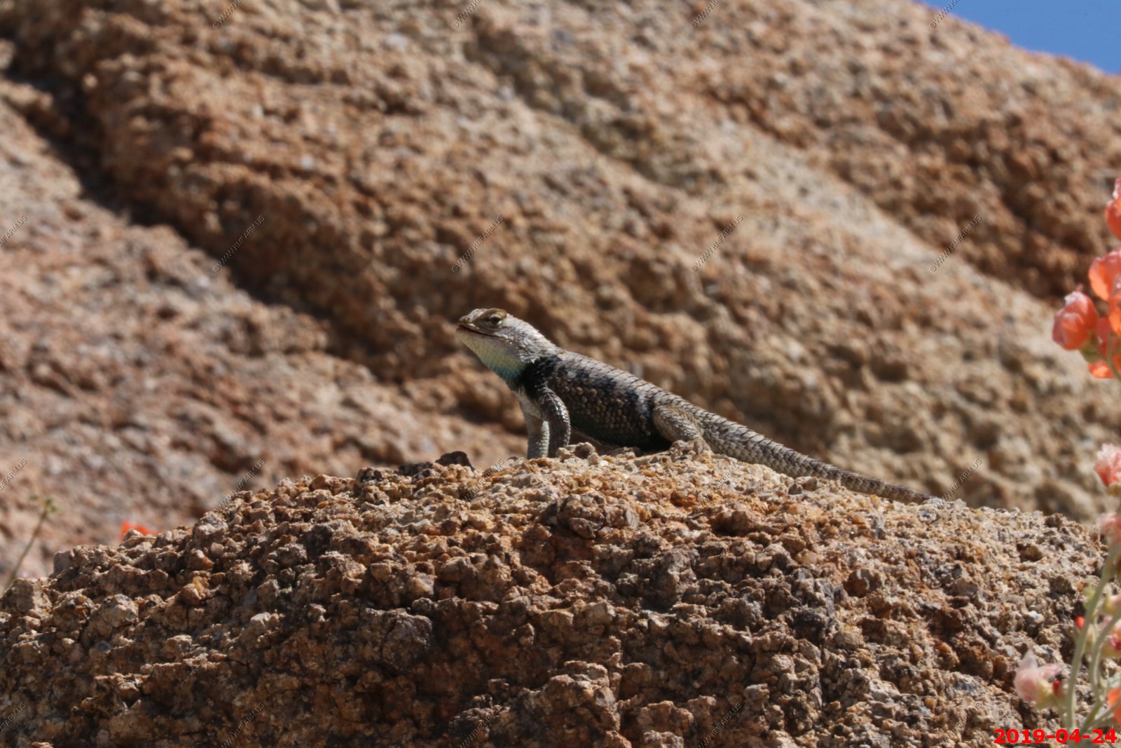
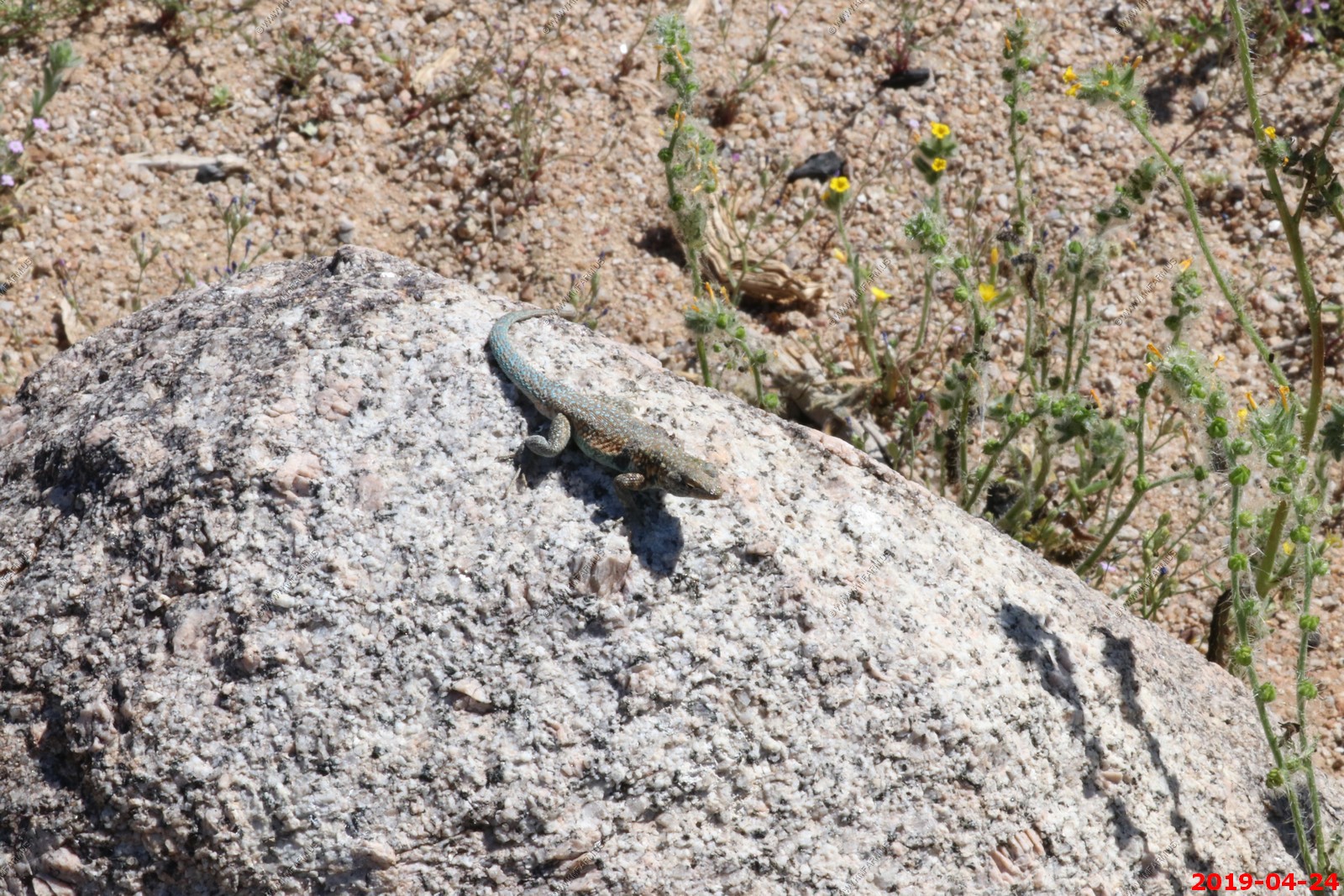
Warm lizard
Nice to have the place to ourselves
Desert Trumpet - (Eriogonum inflatum) This unique perennial flower has stout, bluish green stems that form inflated, hollow, bulbs at the node. The stems above this inflated node have a forked branching pattern characteristic of the buckwheat family. These stems are capped with a tiny yellow flower cluster that blooms in the spring, from March to July. These are very common on gravely washes and flats below 6,000 feet.
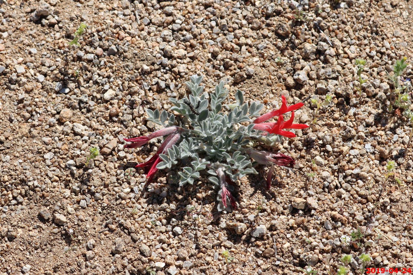
Astragalus coccineus - is a species of milkvetch known by the common name scarlet locoweed or scarlet milkvetch. It is native to the deserts, scrub, and chaparral of the Southwestern United States in Arizona, California, and Nevada, and in northwestern Mexico. Not sure about the insect at 11:00 position
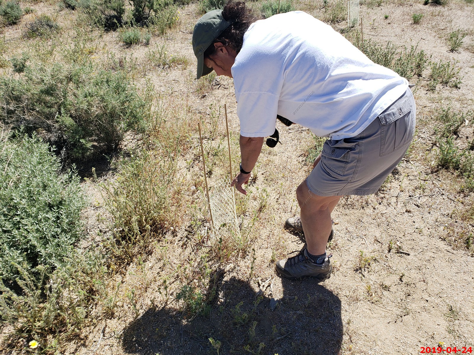
We hiked up into the boulders
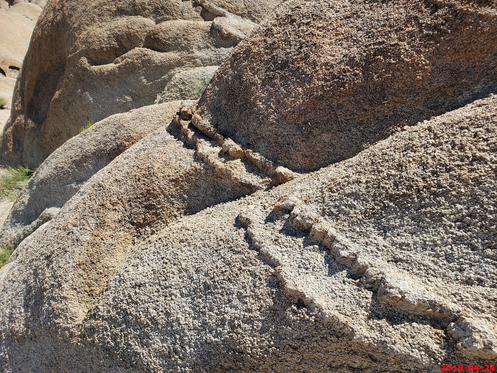
Interesting Layer
Ken with the Sierra Nevada to the west (Duplicates not removed)
wonder where these roads go.
Mary with the Sierra Nevada to the west (Duplicates not removed)
Panoramic (360 degree) photo. (Takes time to load as its 33meg)
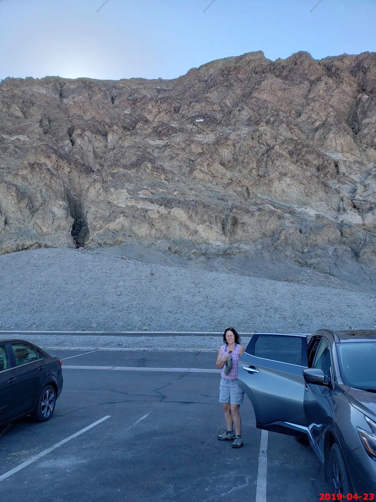
Our wonderful rental car. It made it.
Entering active bear area. We did not see any
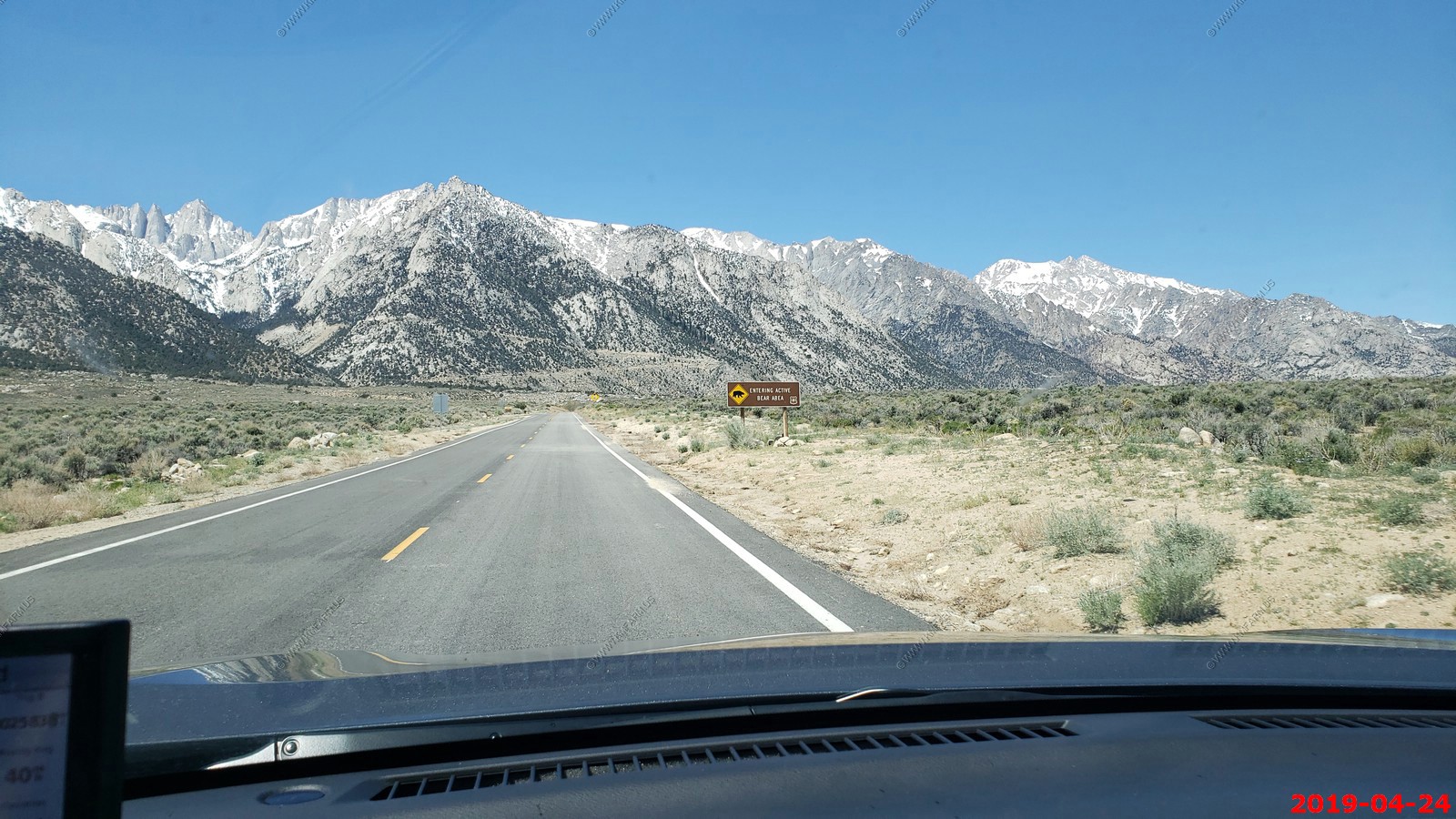
Heading up Whitney Portal road. (Mt. Whitney is right of the white line)
Looking NE towards the White Mountain Range where the highest point in Nevada is located. Boundary Peak El. 13,147 feet. This is looking across almost 90 miles of wide open space.
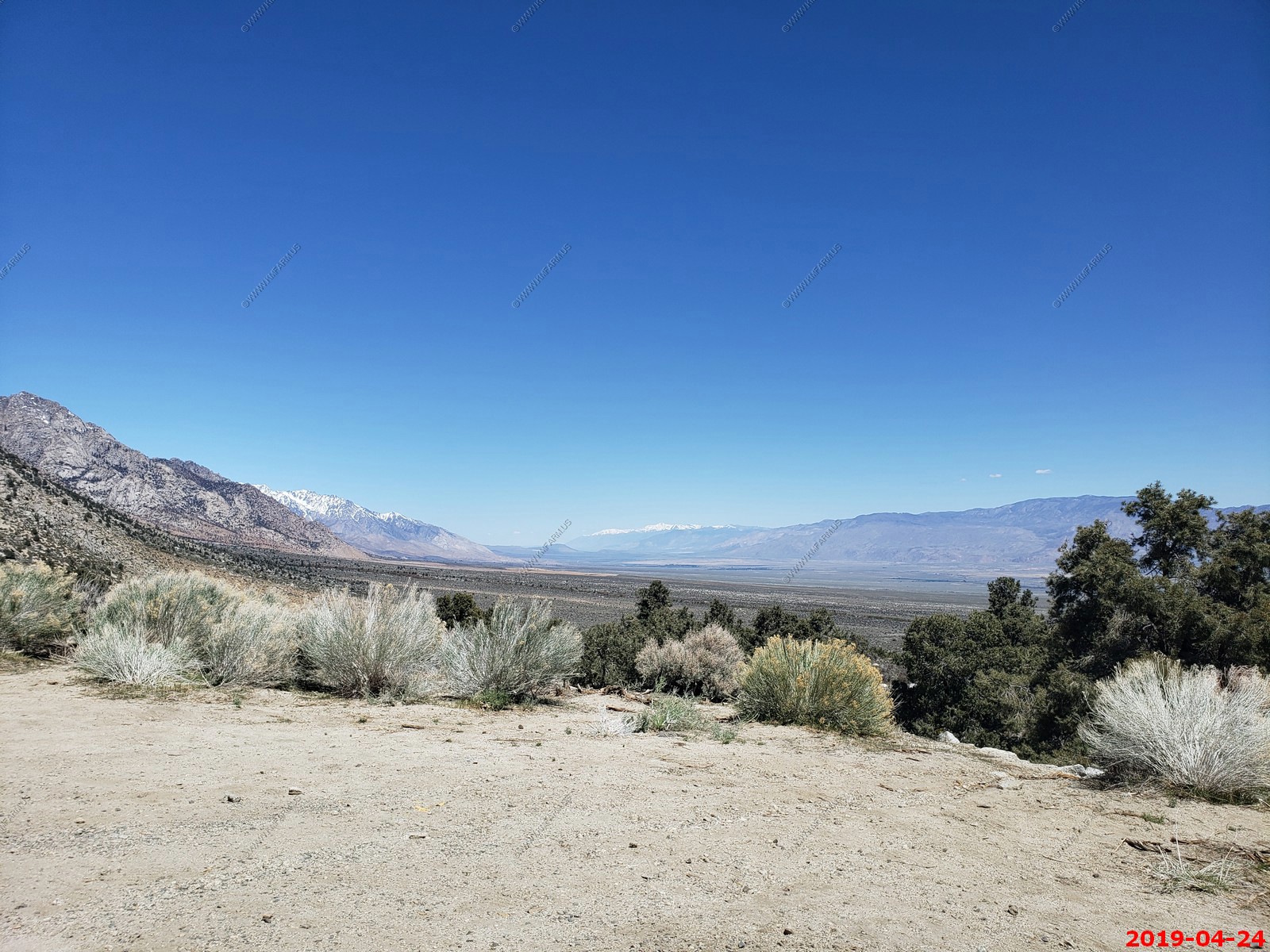
Since we could not go to the end of the road due to snow we headed back east and down the Whitney Portal Road.
Looking down on Alabama Hills
Further down. Now you can see Owens Dry Lake off to the SE. Under 6,000 feet now.
Lone Pine - is a census designated place in Inyo County, California, United States. Lone Pine is located 16 miles south-southeast of Independence, at an elevation of 3,727 feet. The population was 2,035 at the 2010 census, up from 1,655 at the 2000 census. The town is located in the Owens Valley, near the Alabama Hills.
We enjoyed this small western town.
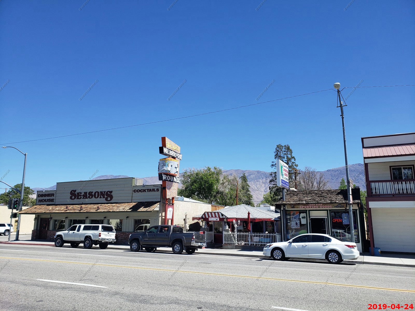
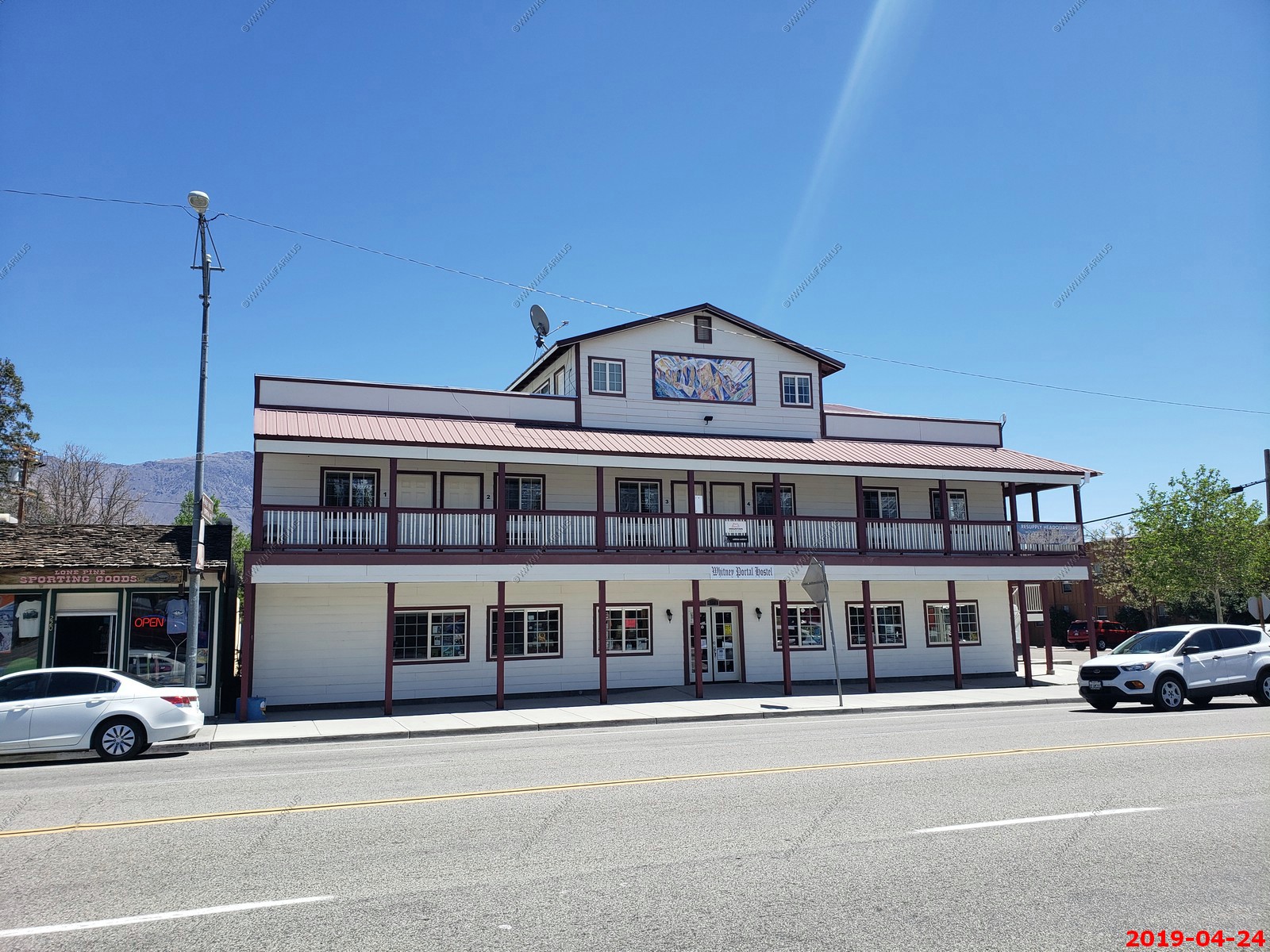
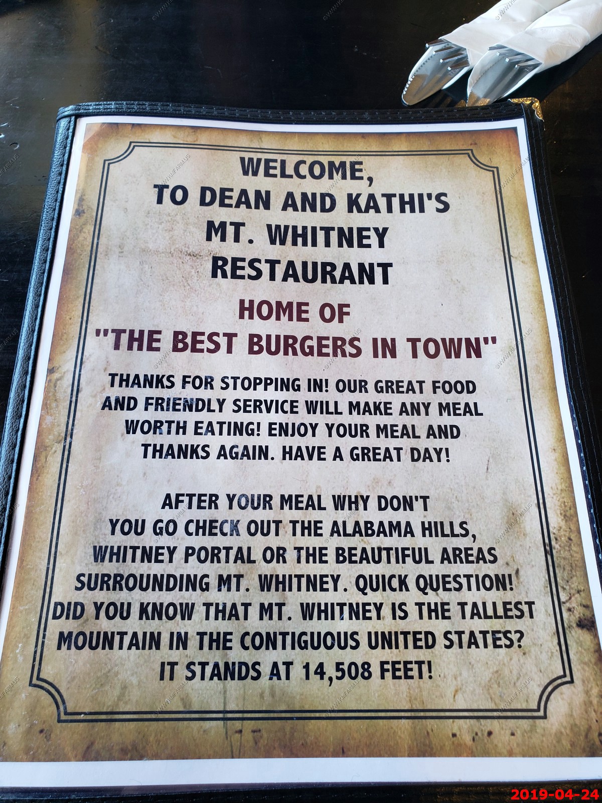
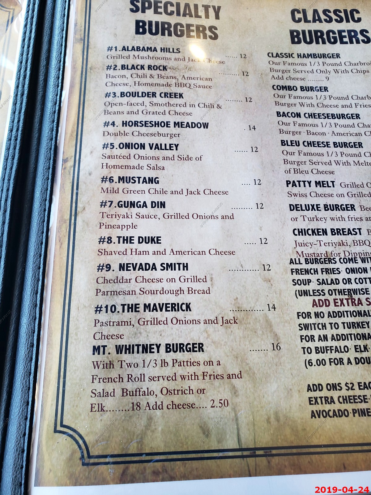
We went to the Mt. Whitney Restaurant to get a burger. It was very good, and folks were friendly.
Interesting 2 axel trailer. Made by escape. I just looked at these and too bad they don't have a dry bath.
Loving the high prices....
Really not that far back to Death Valley (Furnace Creek)
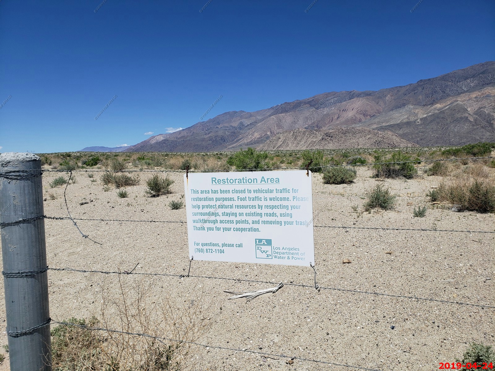
Sad that LA Water Department owns this land.
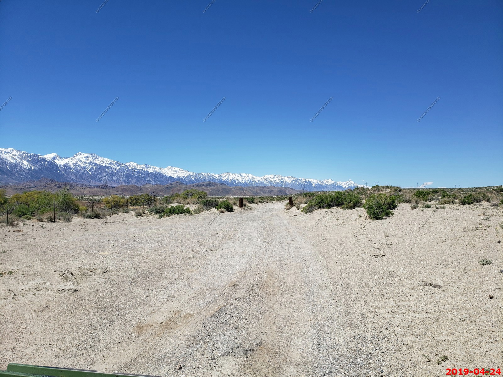
So this is the river that LA took. Really not even a river by east coast standards. Excellent book on how LA stole all this from the locals Cadillac Desert: The American West and Its Disappearing Water
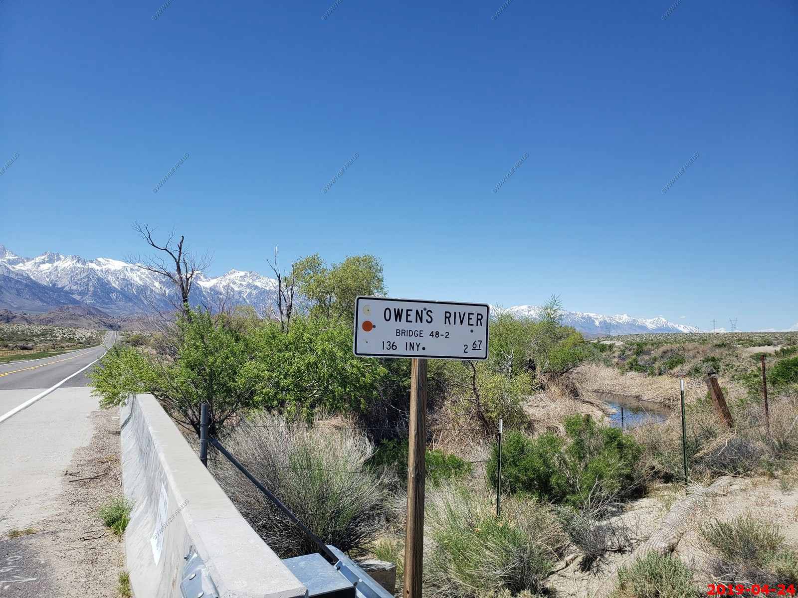
Owens River - Wow not that impressive but every drop goes to Los Angeles.
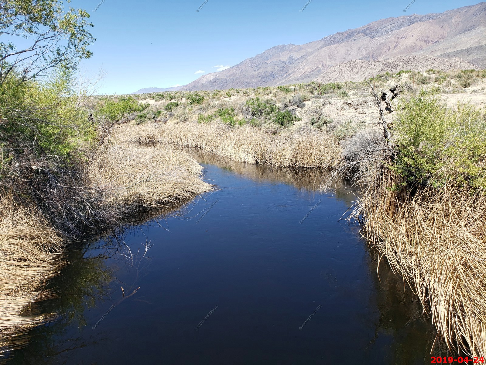
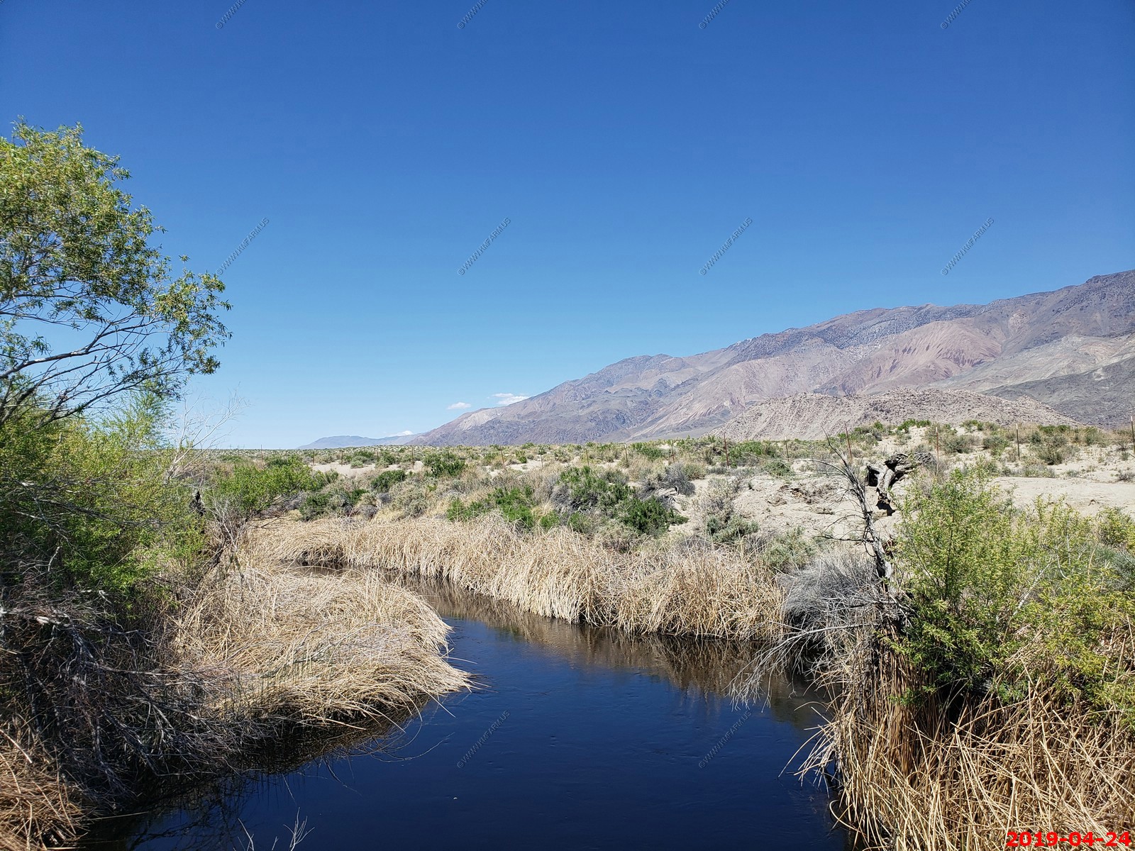
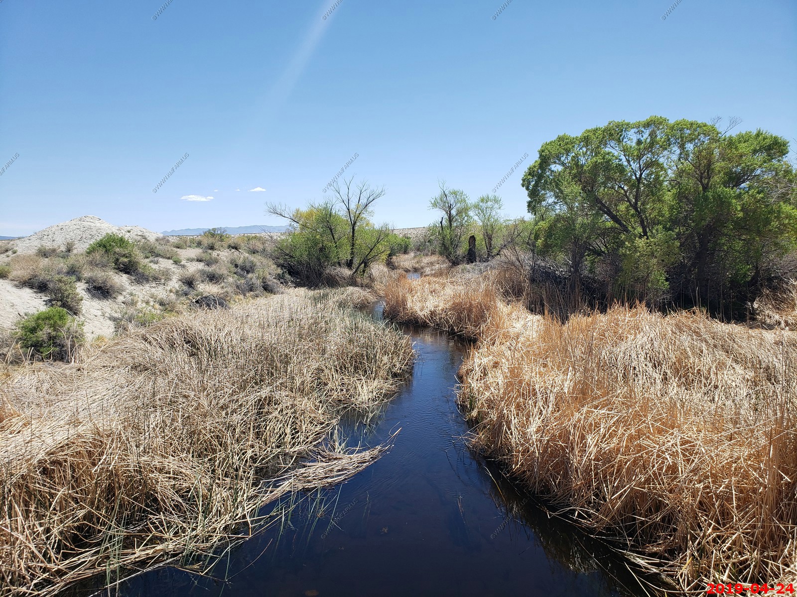
Mary looks like she is working as she is looking at the stream & wetlands
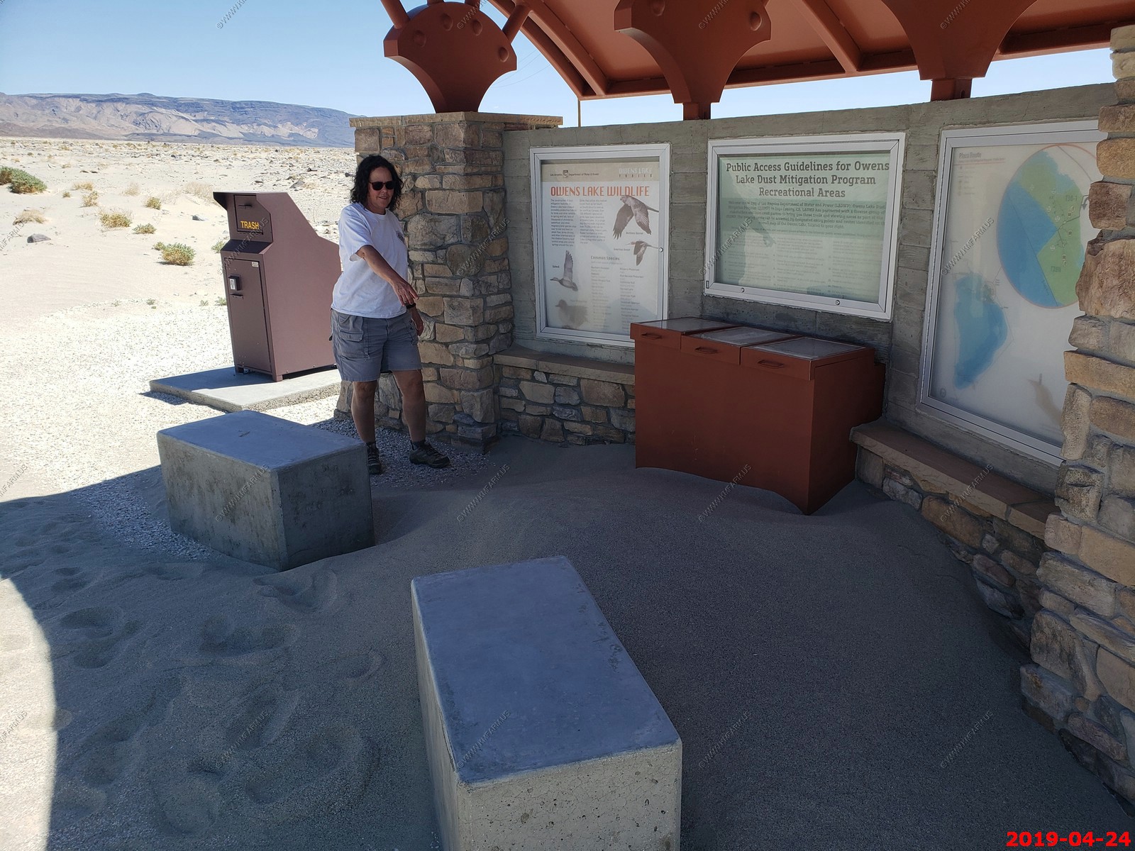
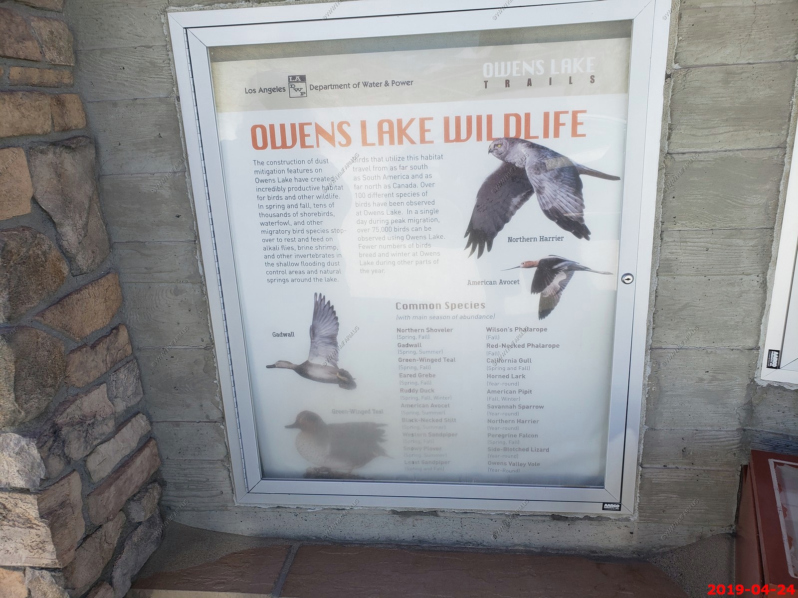
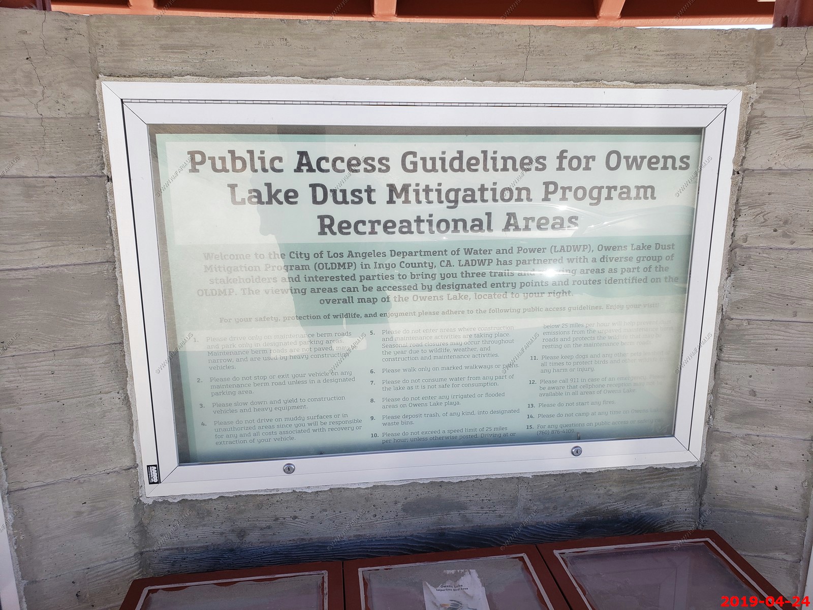
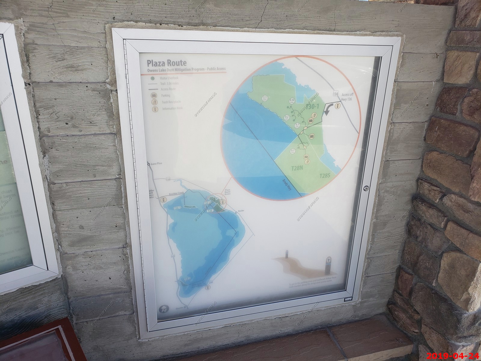
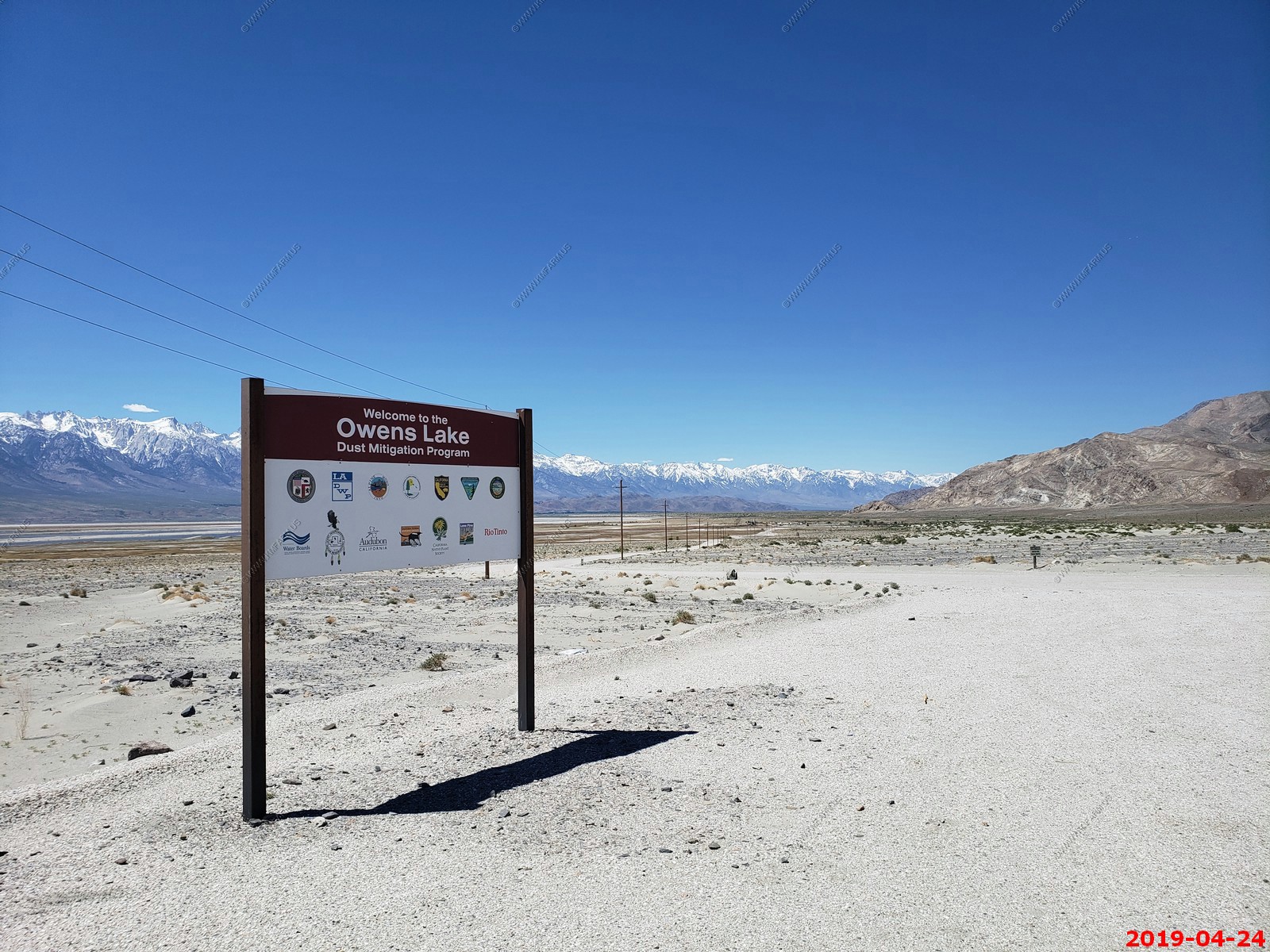
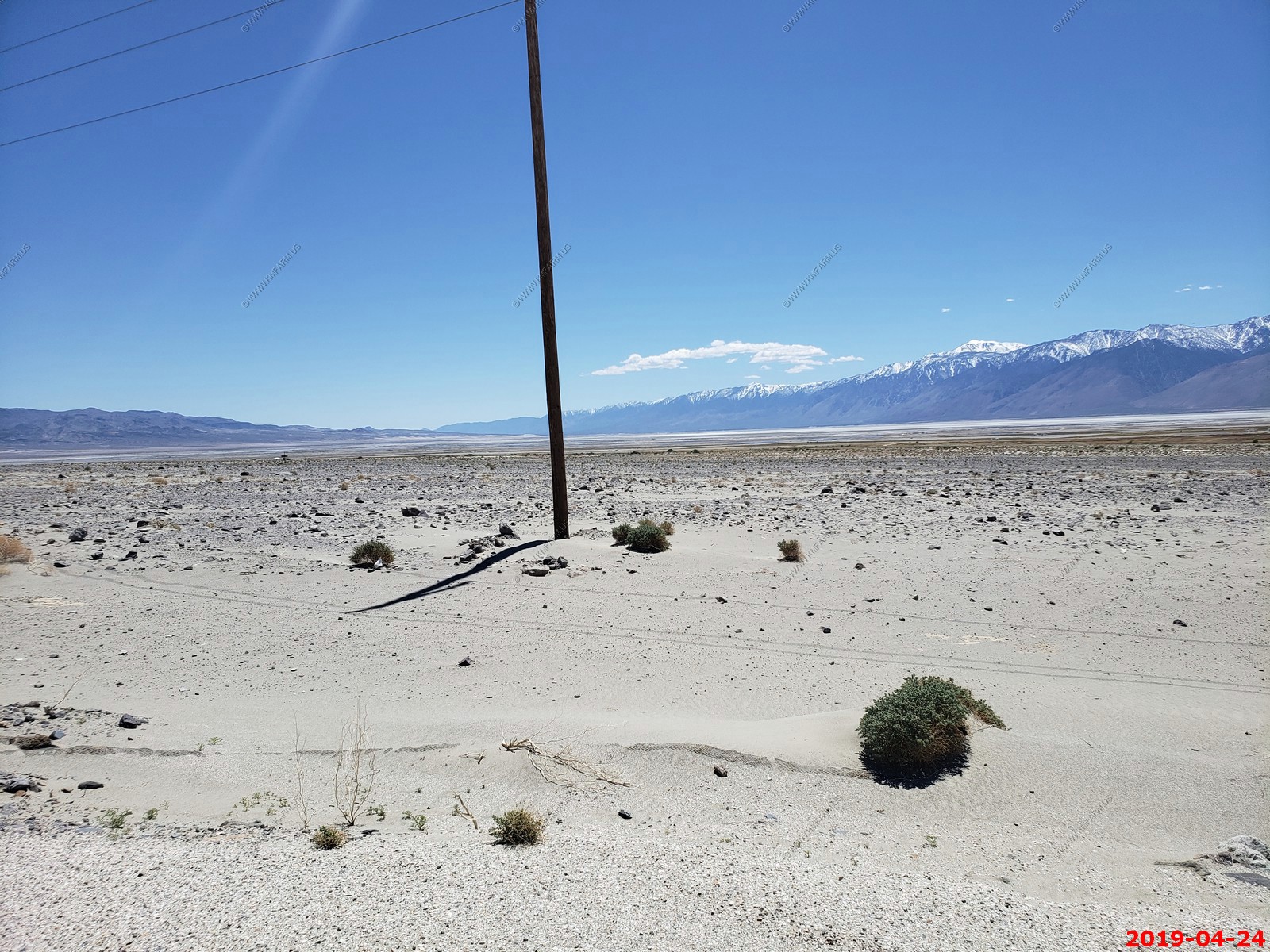
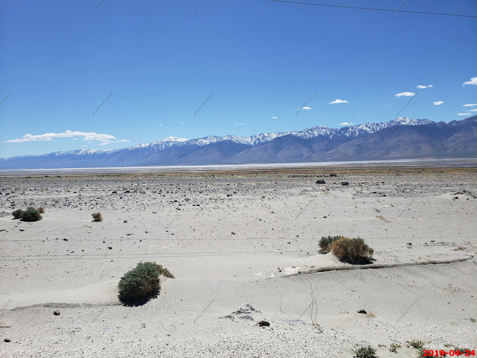
Owens Lake is a mostly dry lake in the Owens Valley on the eastern side of the Sierra Nevada in Inyo County, California. It is about 5 miles south of Lone Pine, California. Unlike most dry lakes in the Basin and Range Province that have been dry for thousands of years, Owens held significant water until 1913, when much of the Owens River was diverted into the Los Angeles Aqueduct, causing Owens Lake to desiccate by 1926. Today, some of the flow of the river has been restored, and the lake now contains some water. Nevertheless, as of 2013, it is the largest single source of dust pollution in the United States. Water was first diverted from the Owens River to the City of Los Angeles in 1913, and by 1926 Owens Lake was dry.
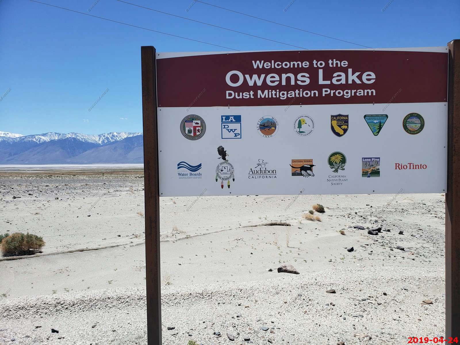
Mary pointing at the dust that they are mitigating. This sure looks like windblown sand but it contains toxic chemicals.
Funny. More of that "mitigated" dust
Looking south over the missing lake
The 74 mile drive back to Death Valley
Panamint Springs Resort - Wonderful gas prices.
Panamint Dunes - Small dune field at the north end of Panamint Valley.

Yup, turn off the car A/C. Funny.
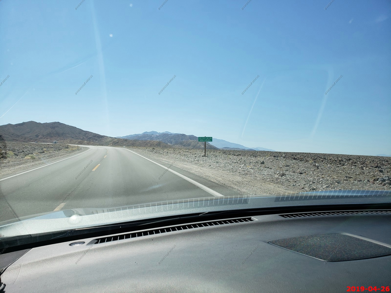
Back to sea level
Love these temps.
The lovely pool at the Inn at Death Valley
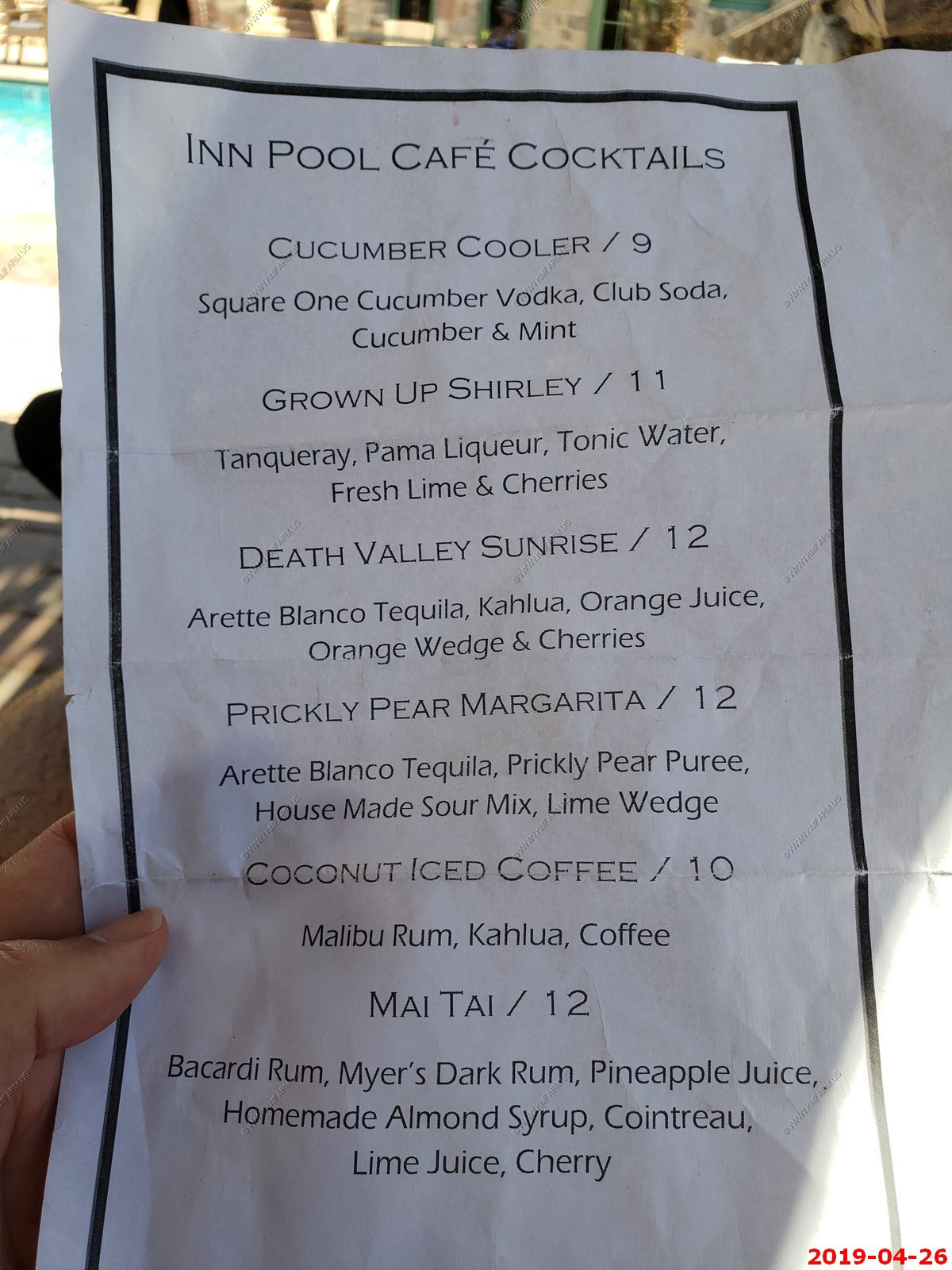
The drink list
All dressed up and good eats.


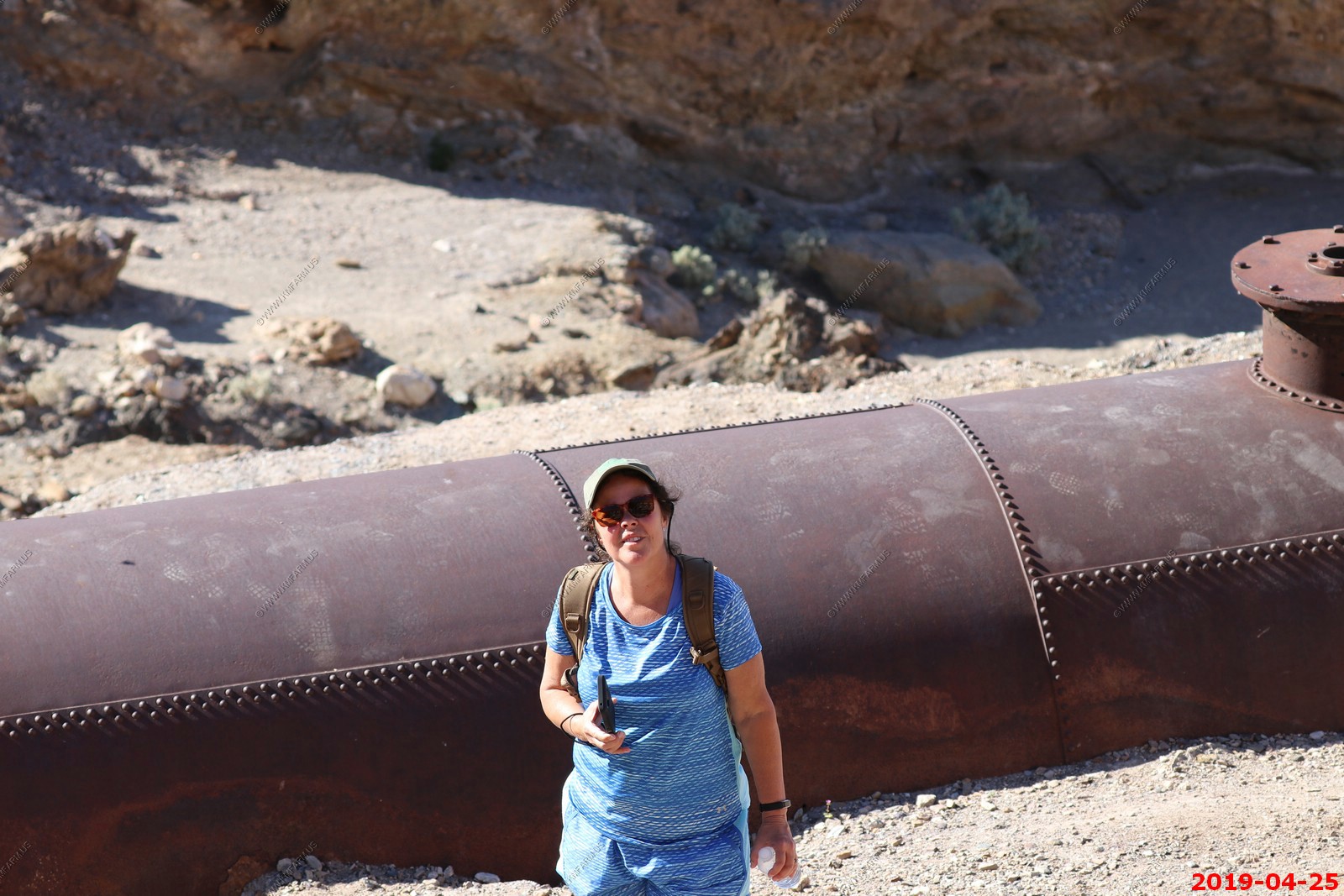
Thursday April 25
Today was a stay closer day. Going to explore the Keane Wonder Mine, Old Stovepipe Wells, Salt Creek Interpretive Trail, then eat lunch at the golf course and spend some serious time in the pool.
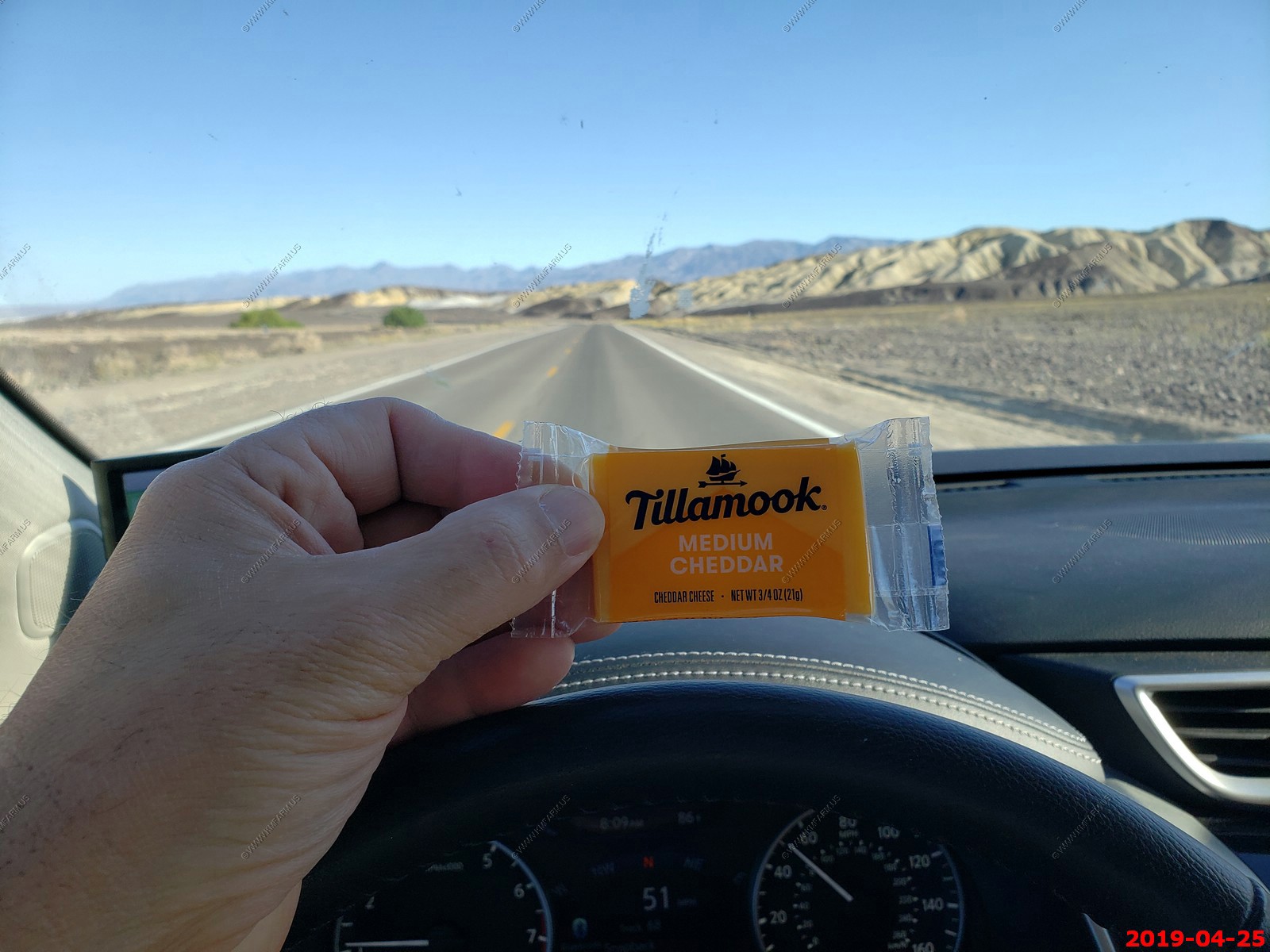
This was probably the best deal in the Furnace Creek store. Like 55 cents each
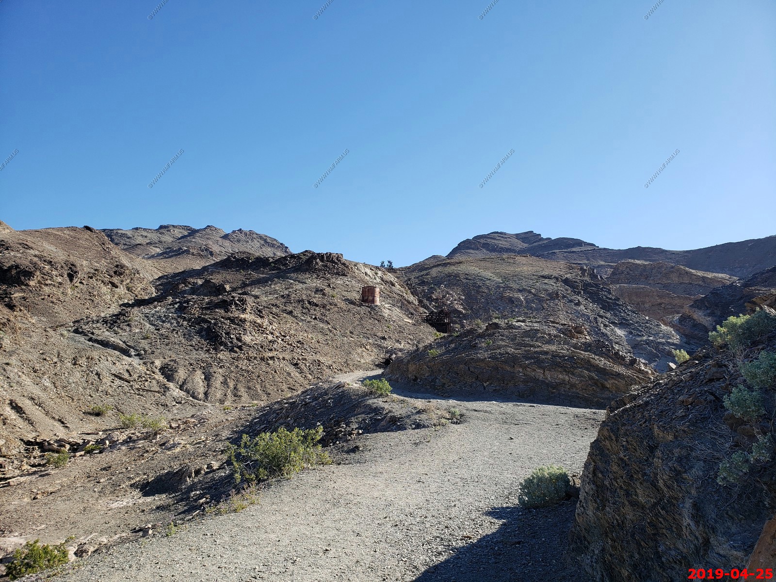
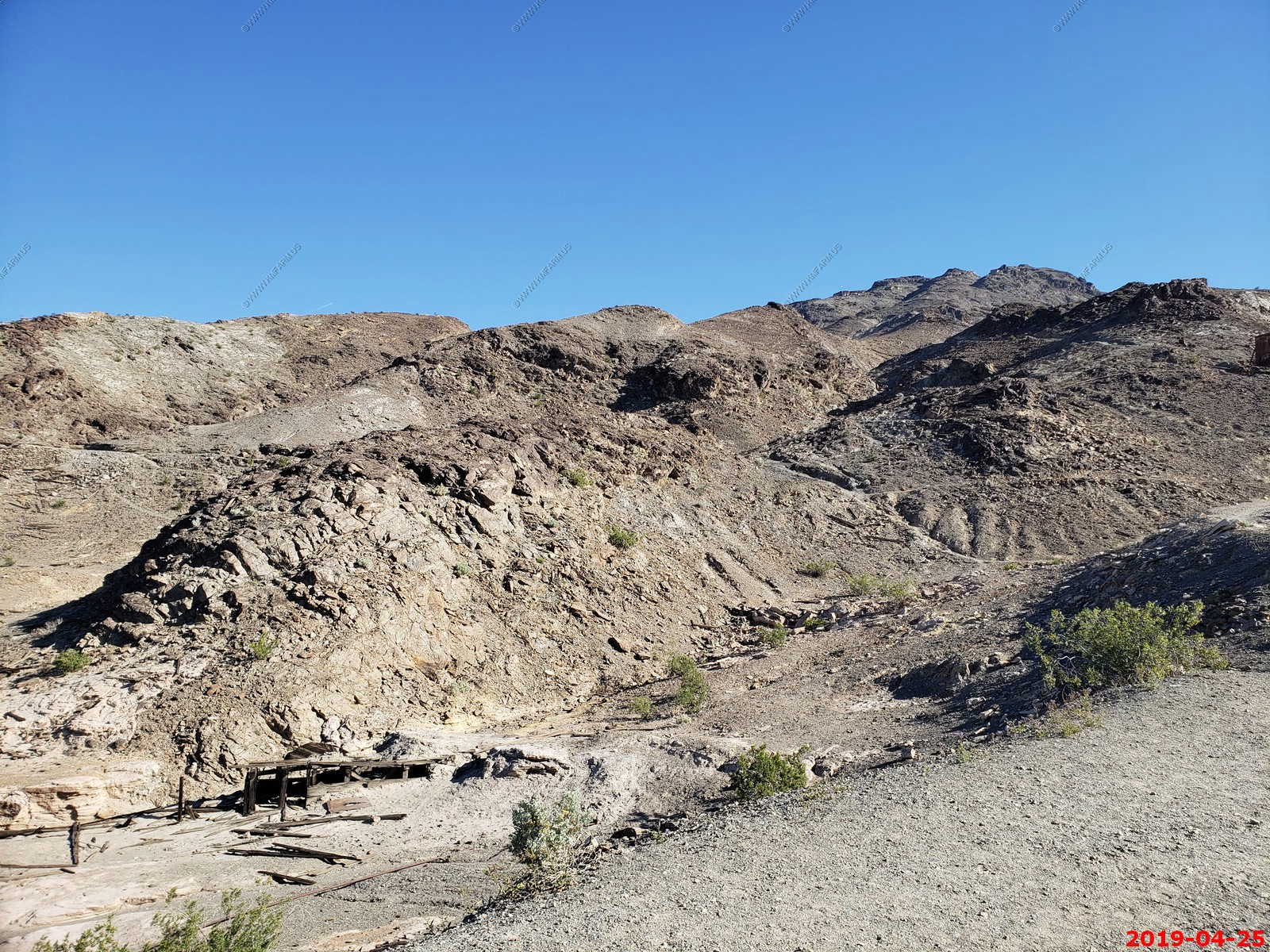
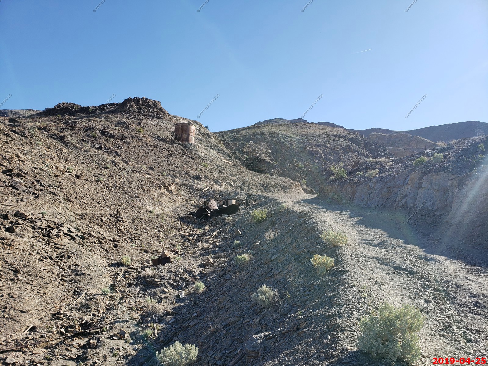
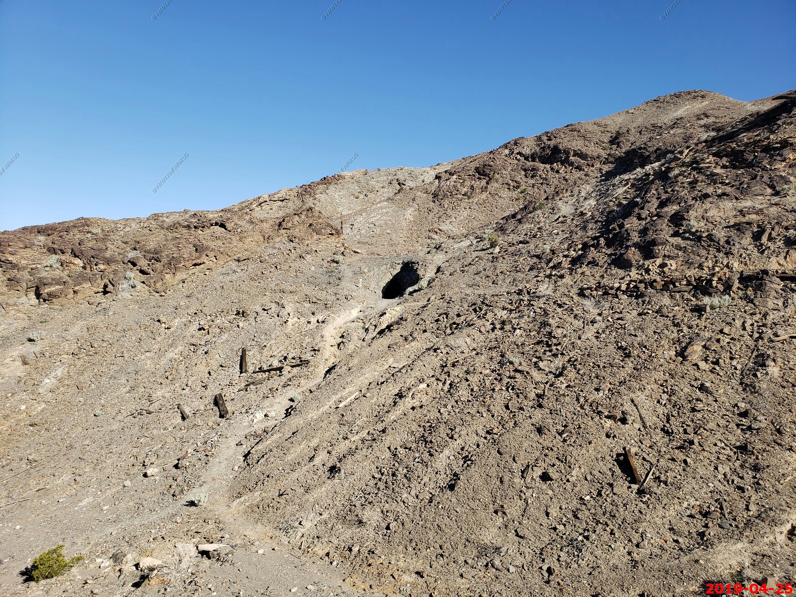
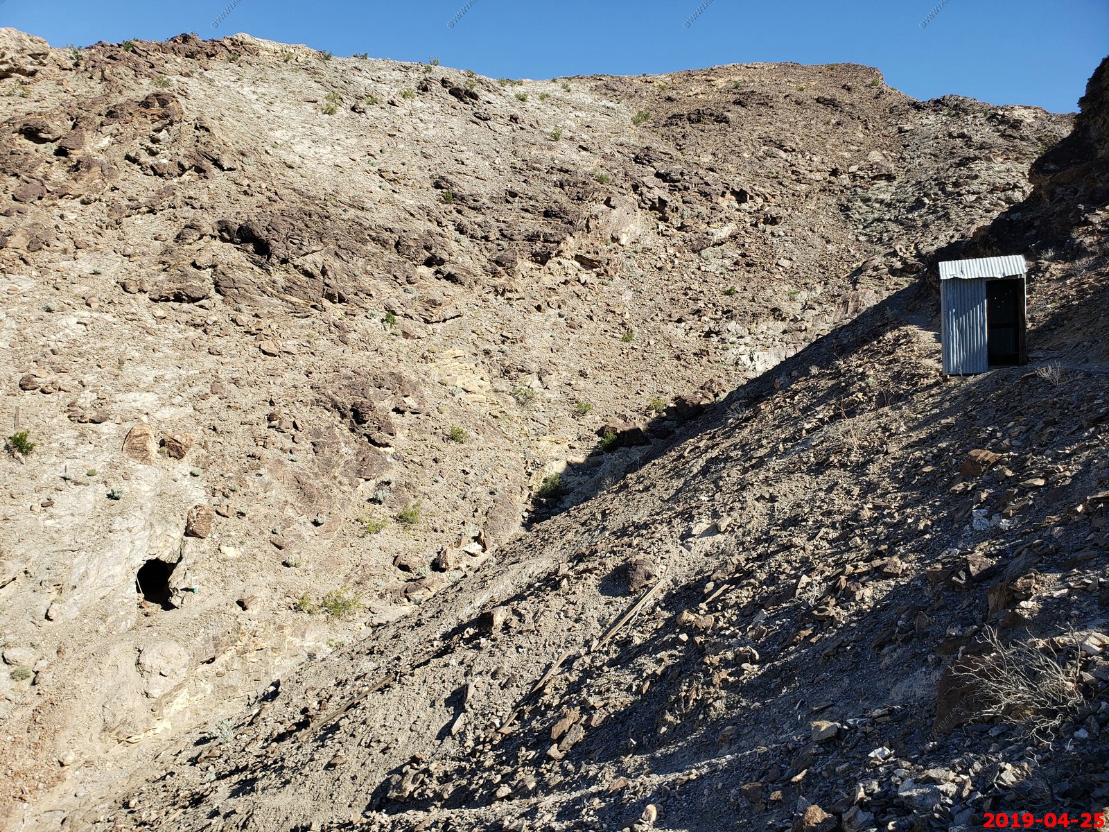
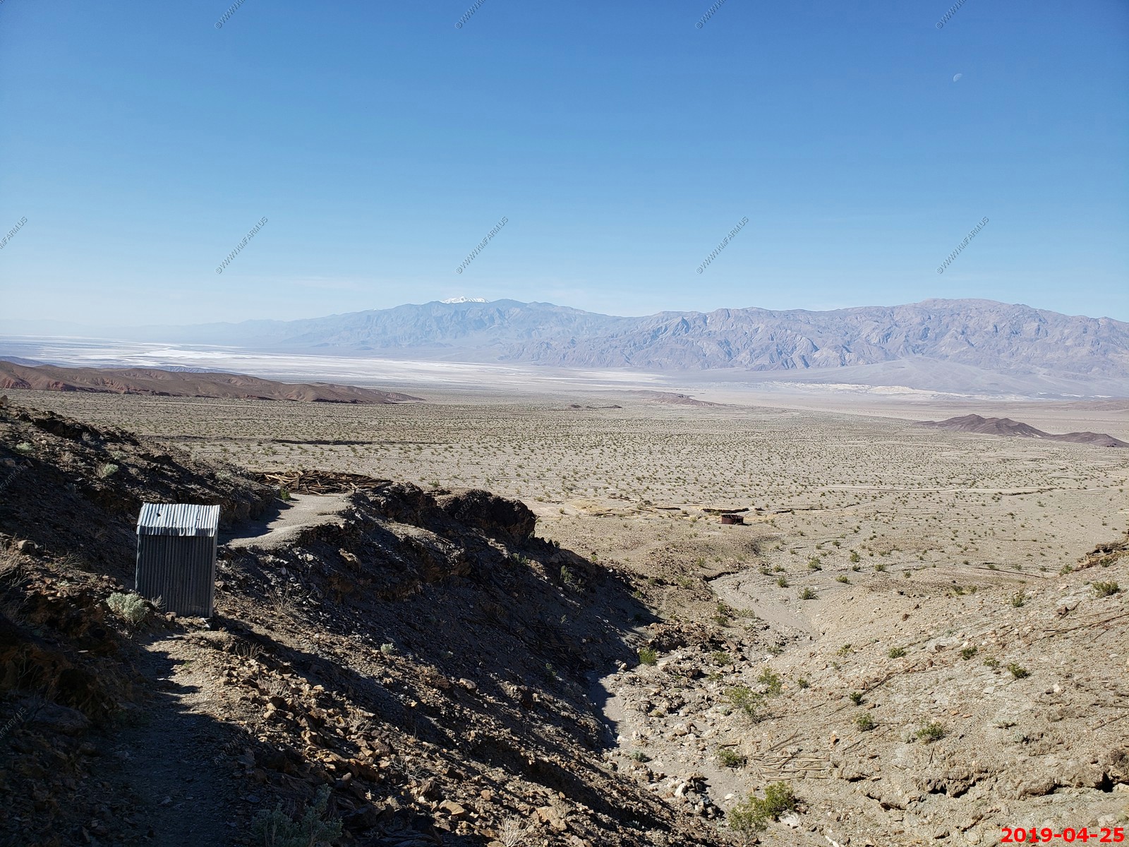
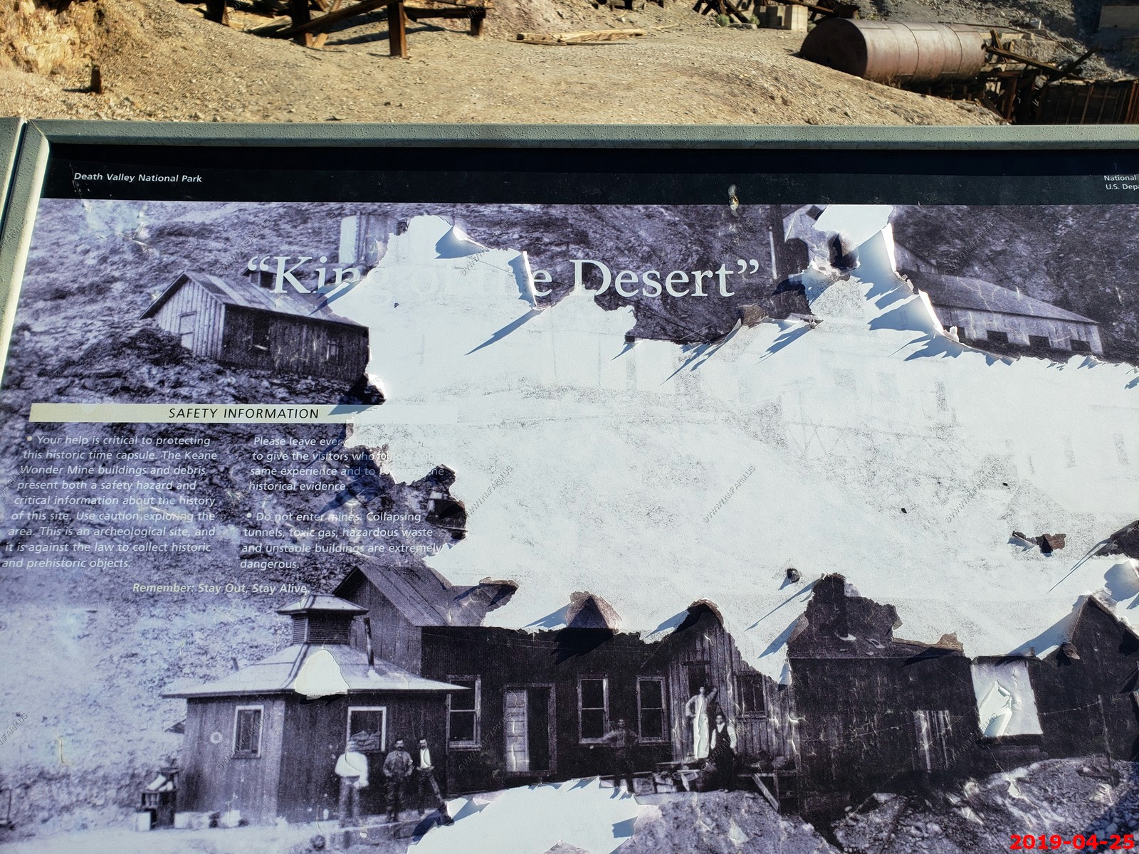
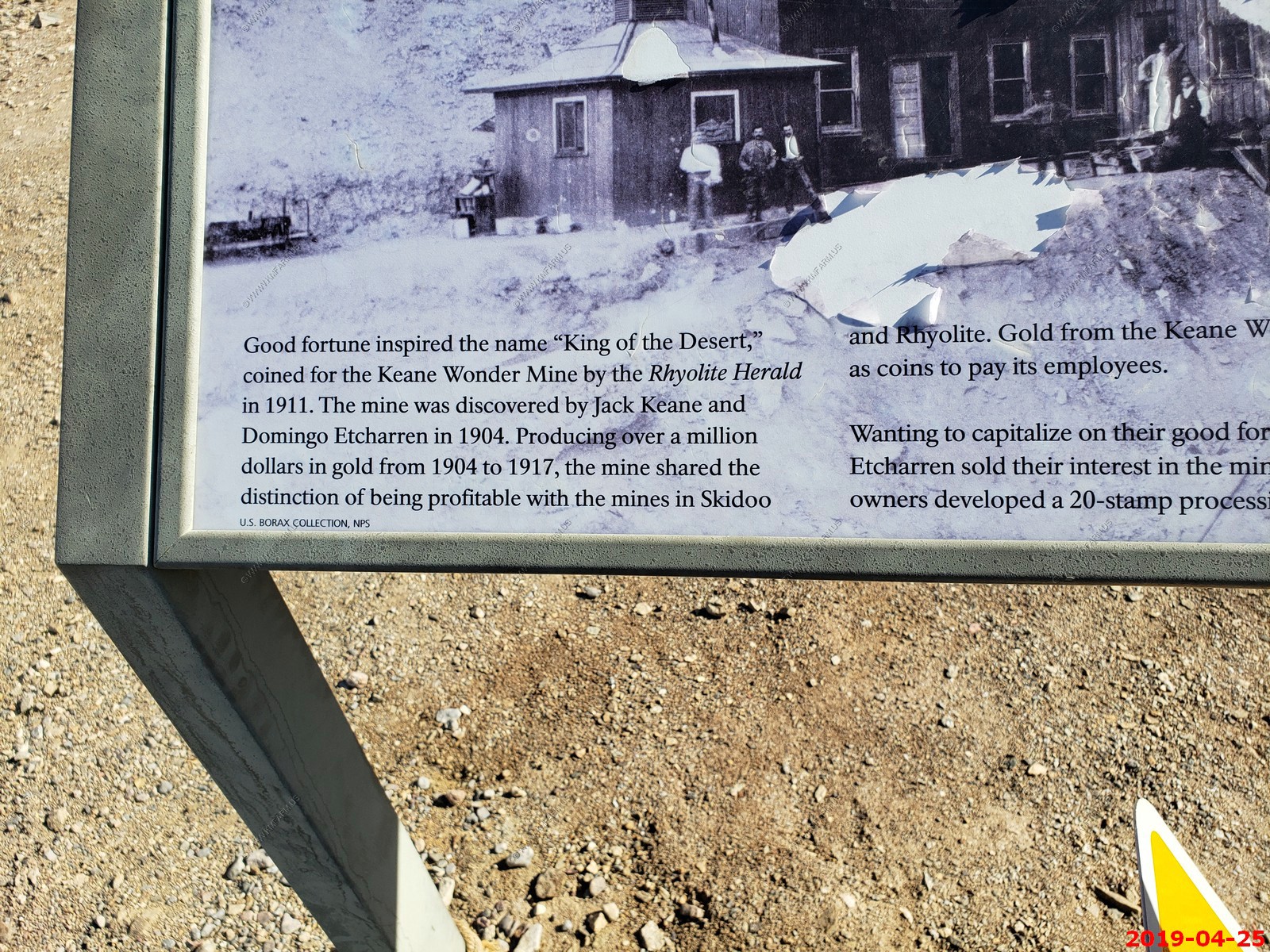
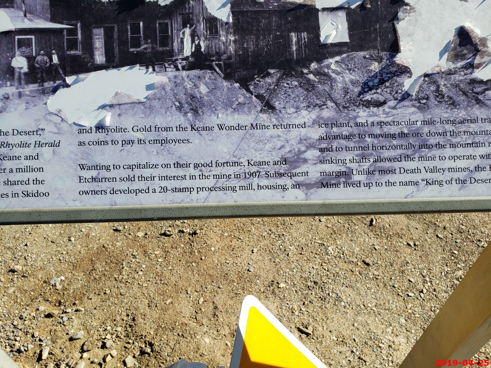
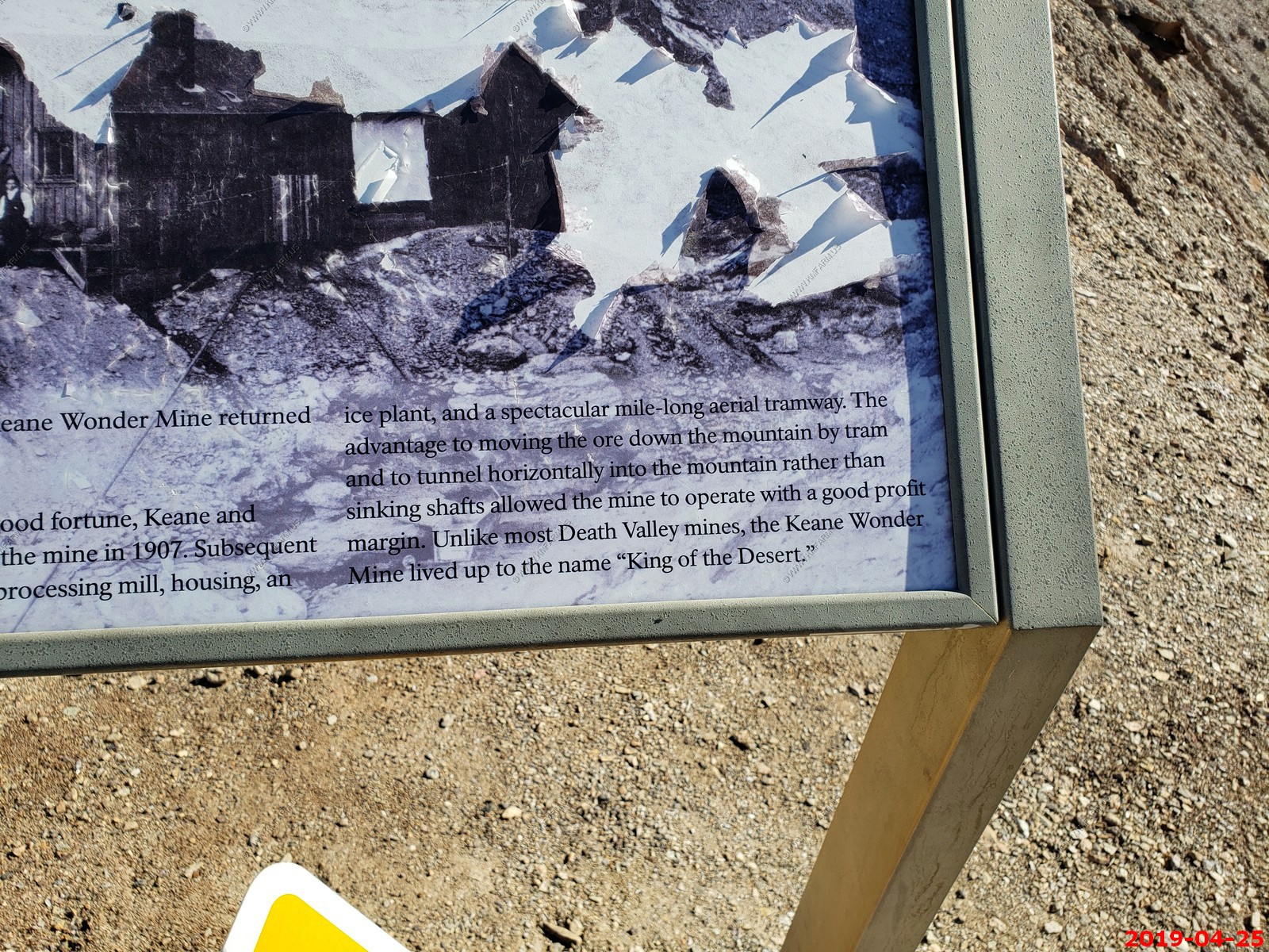
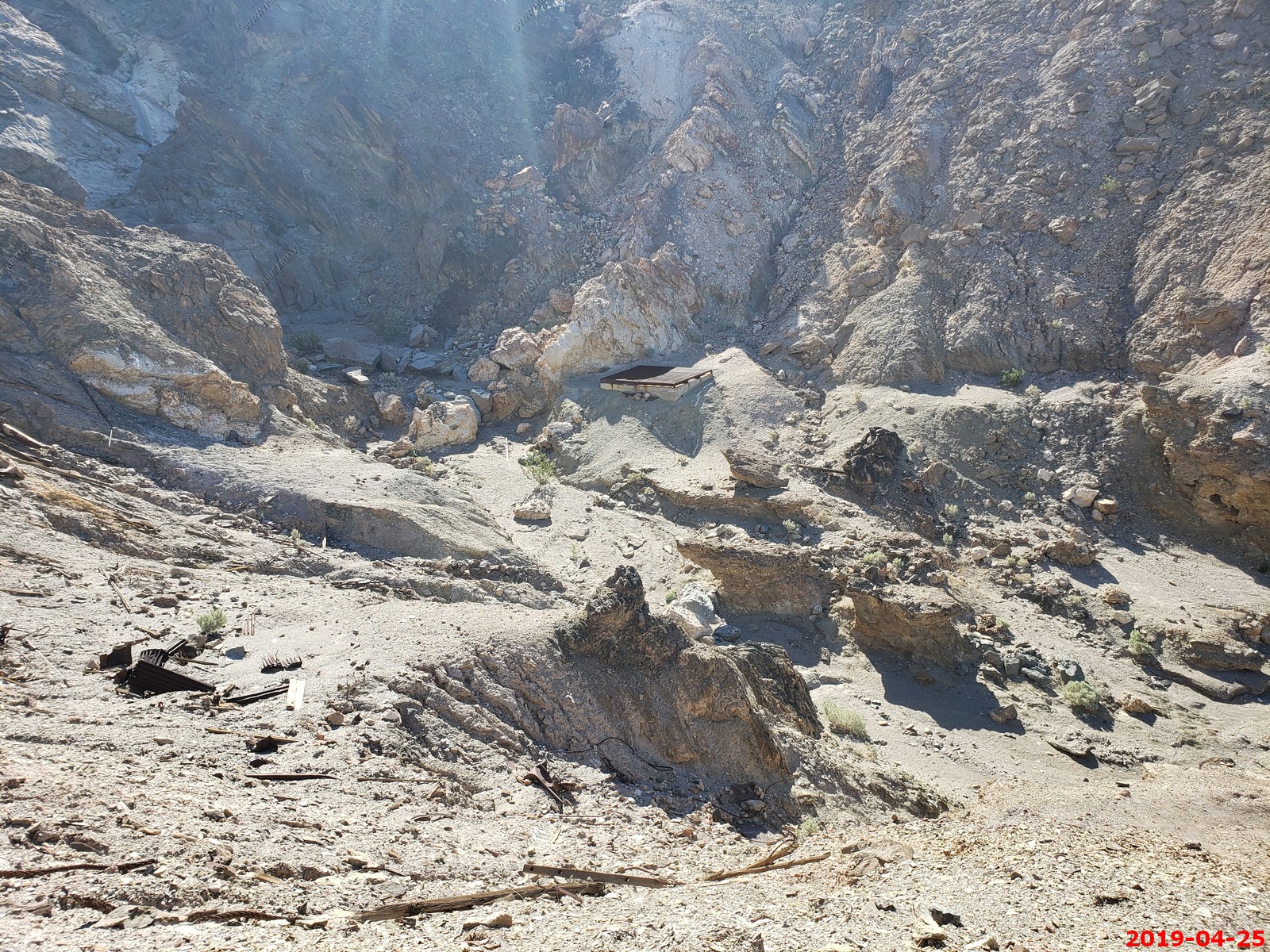
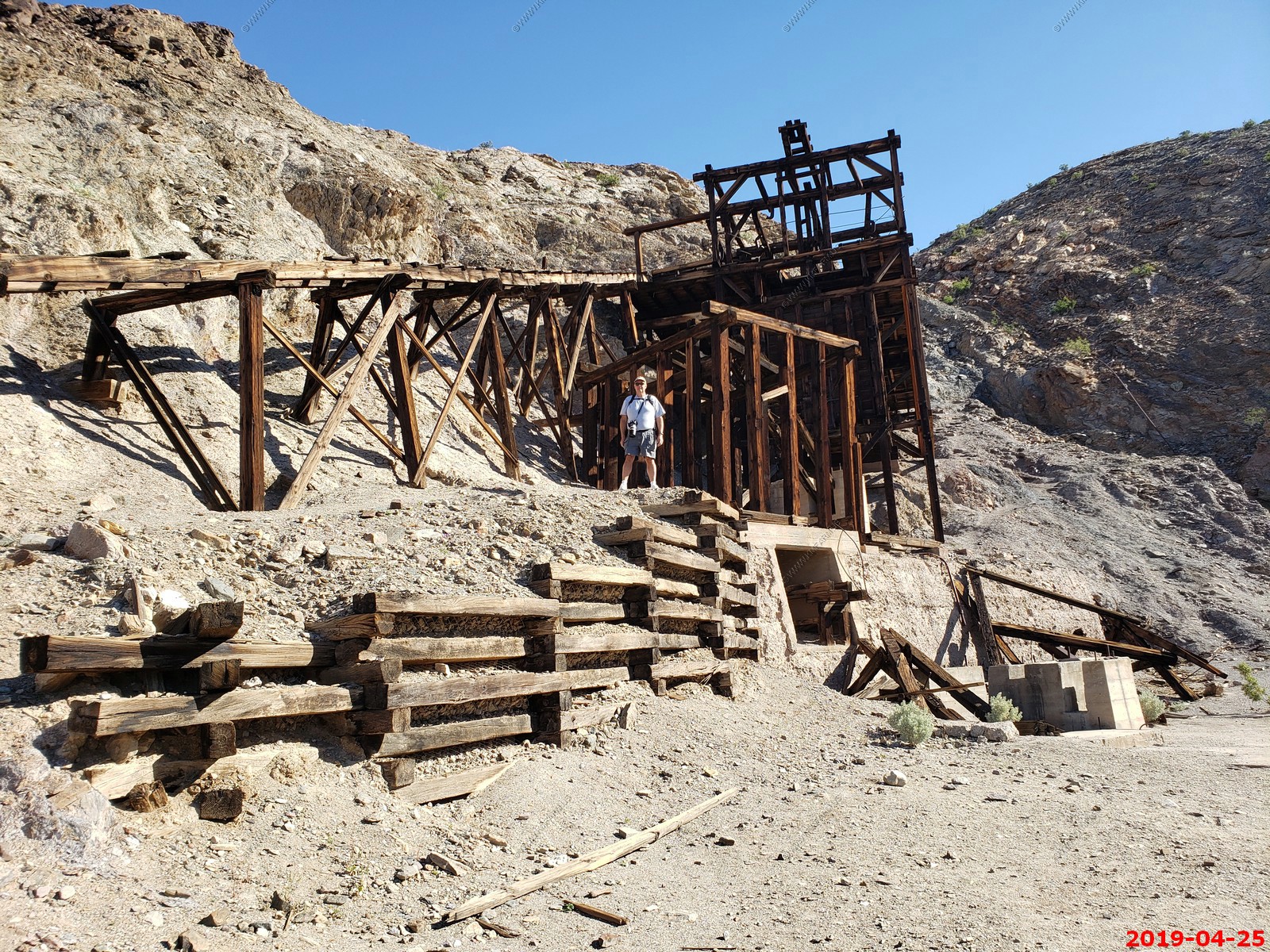
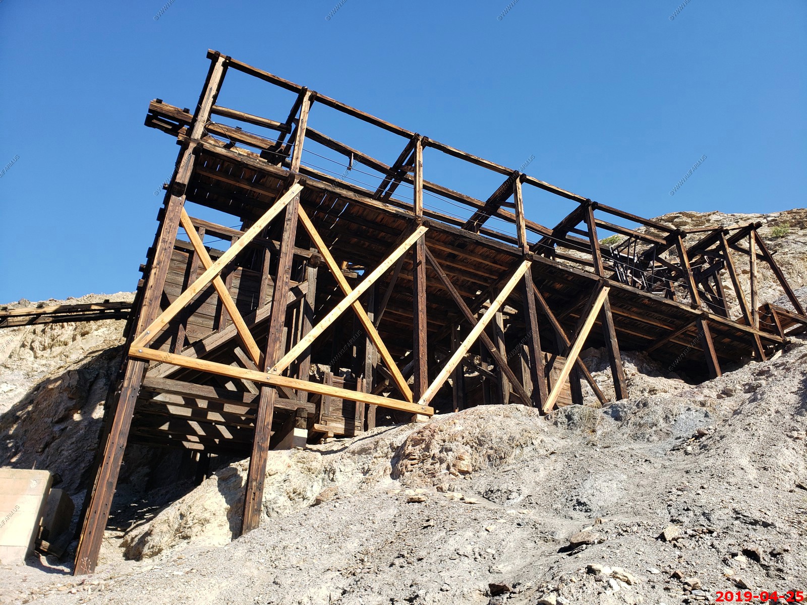
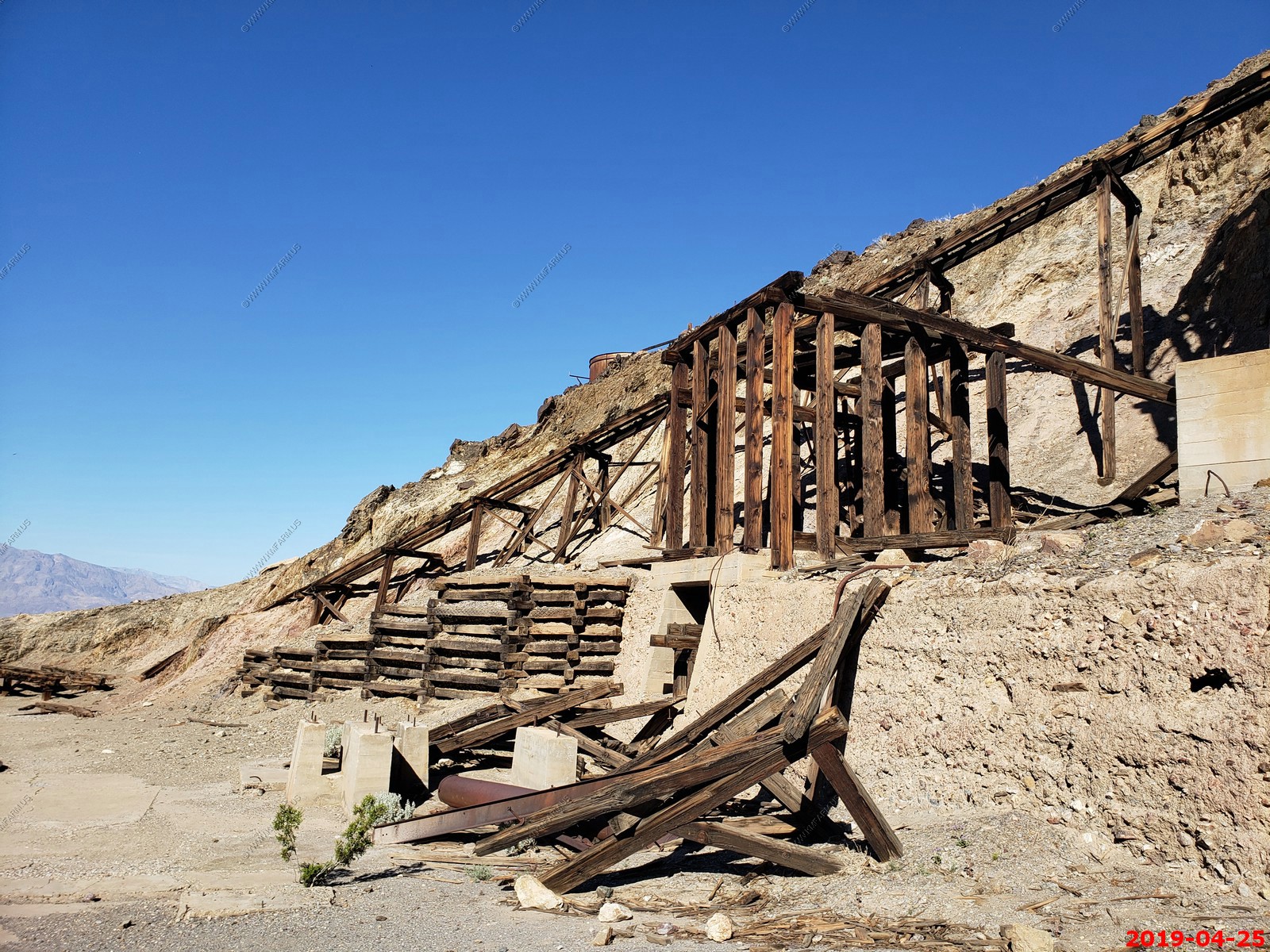
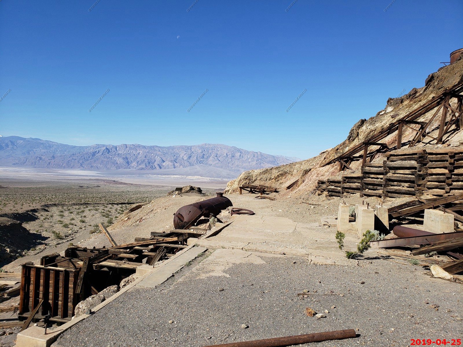
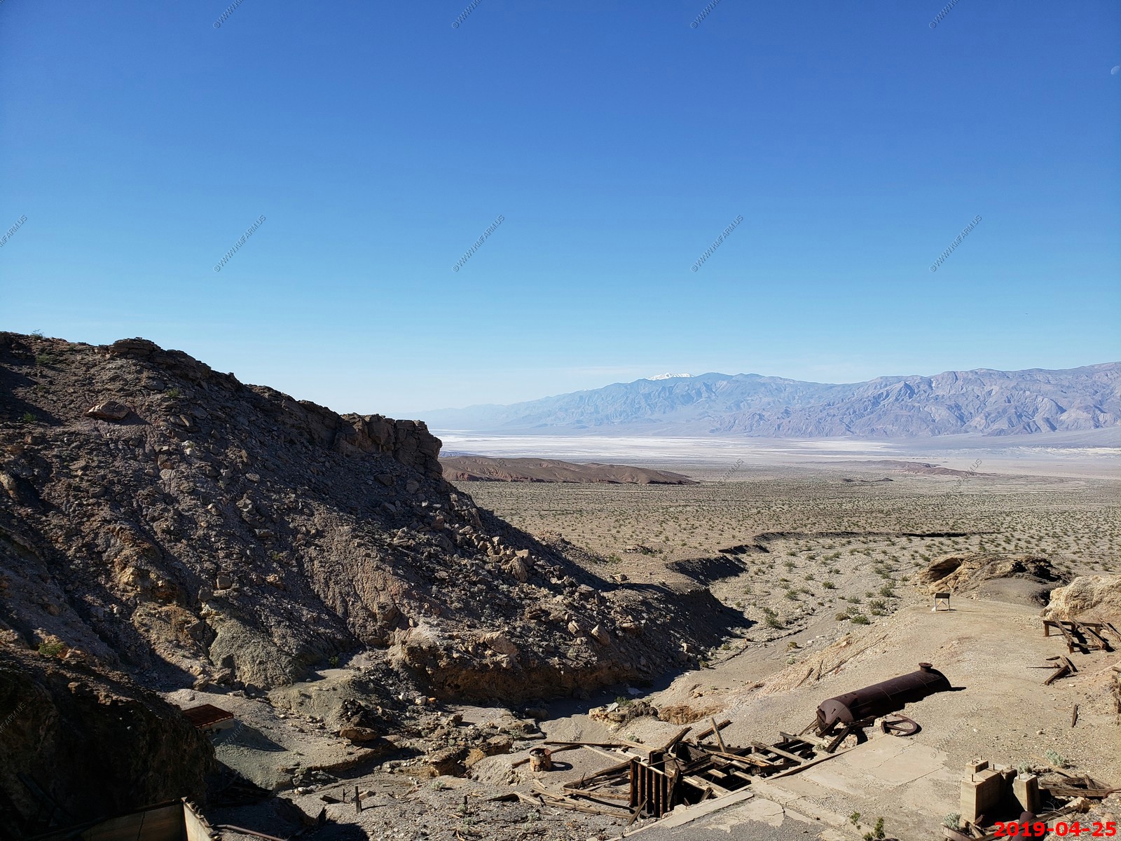
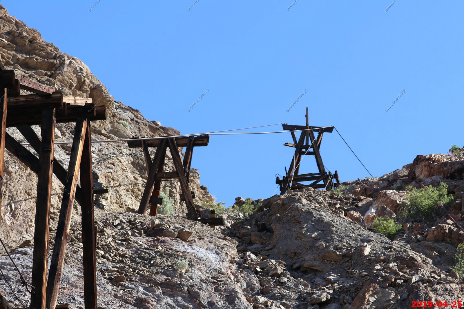
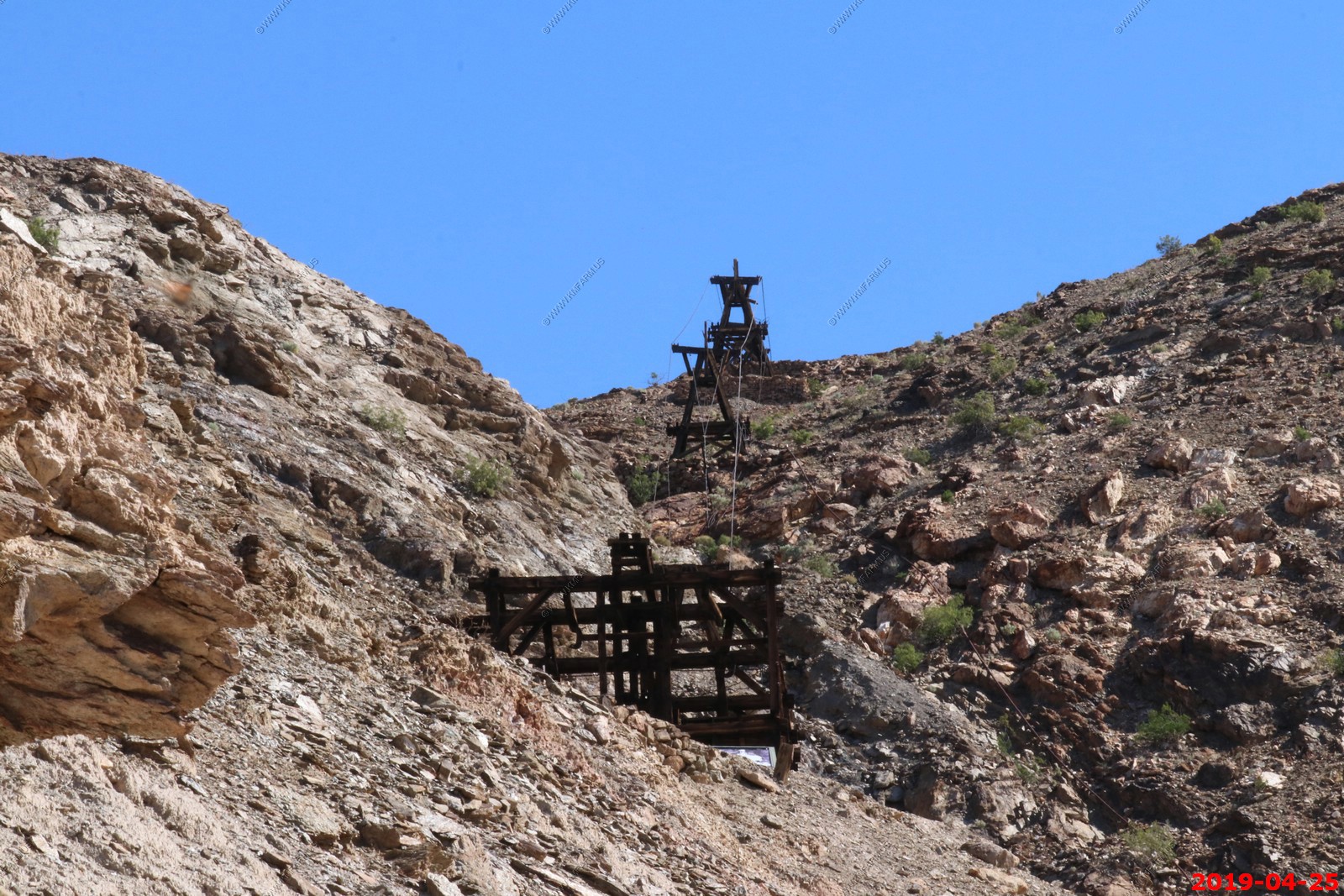
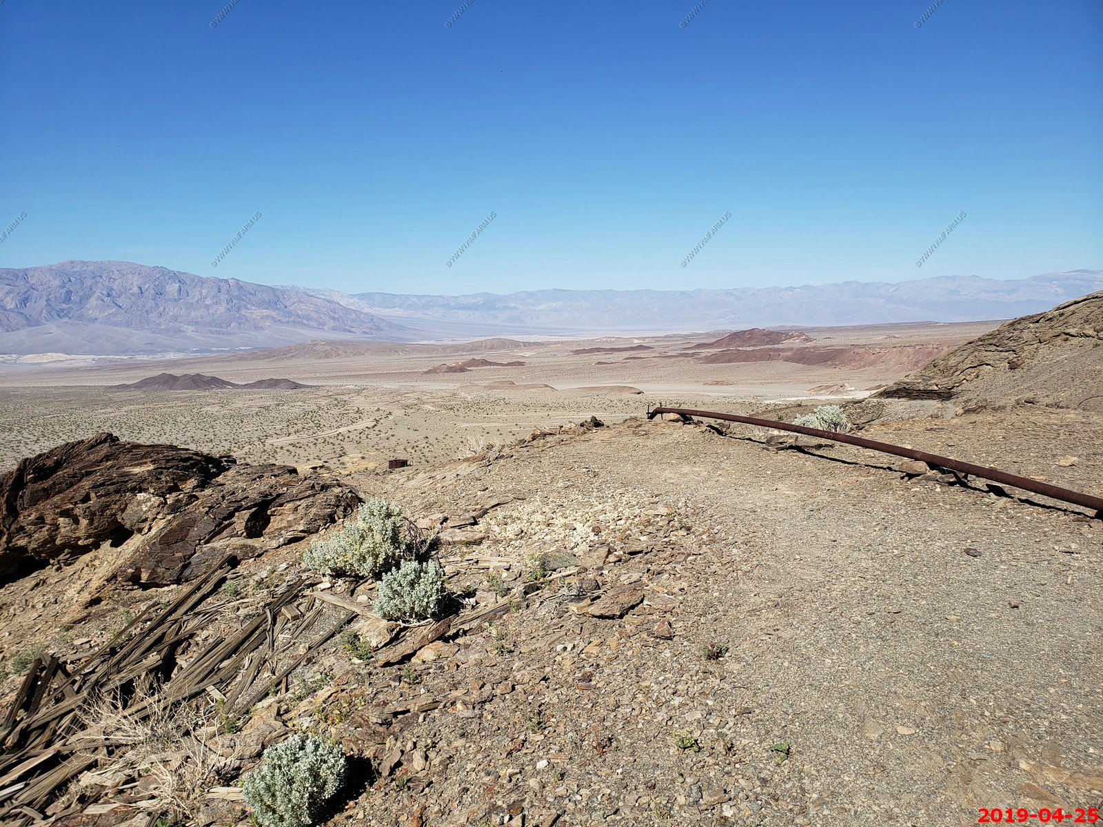
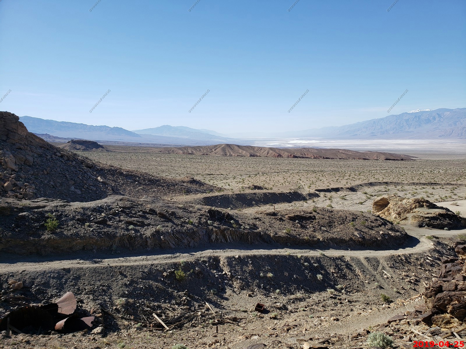
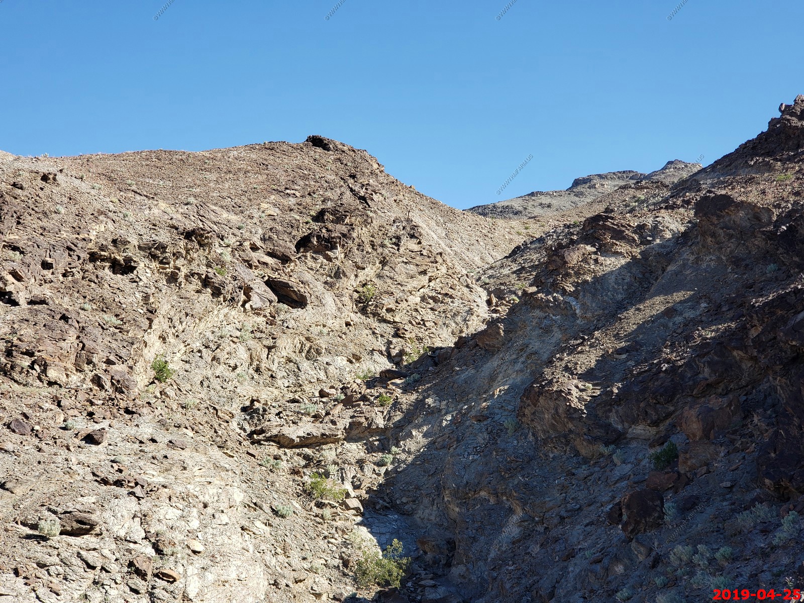
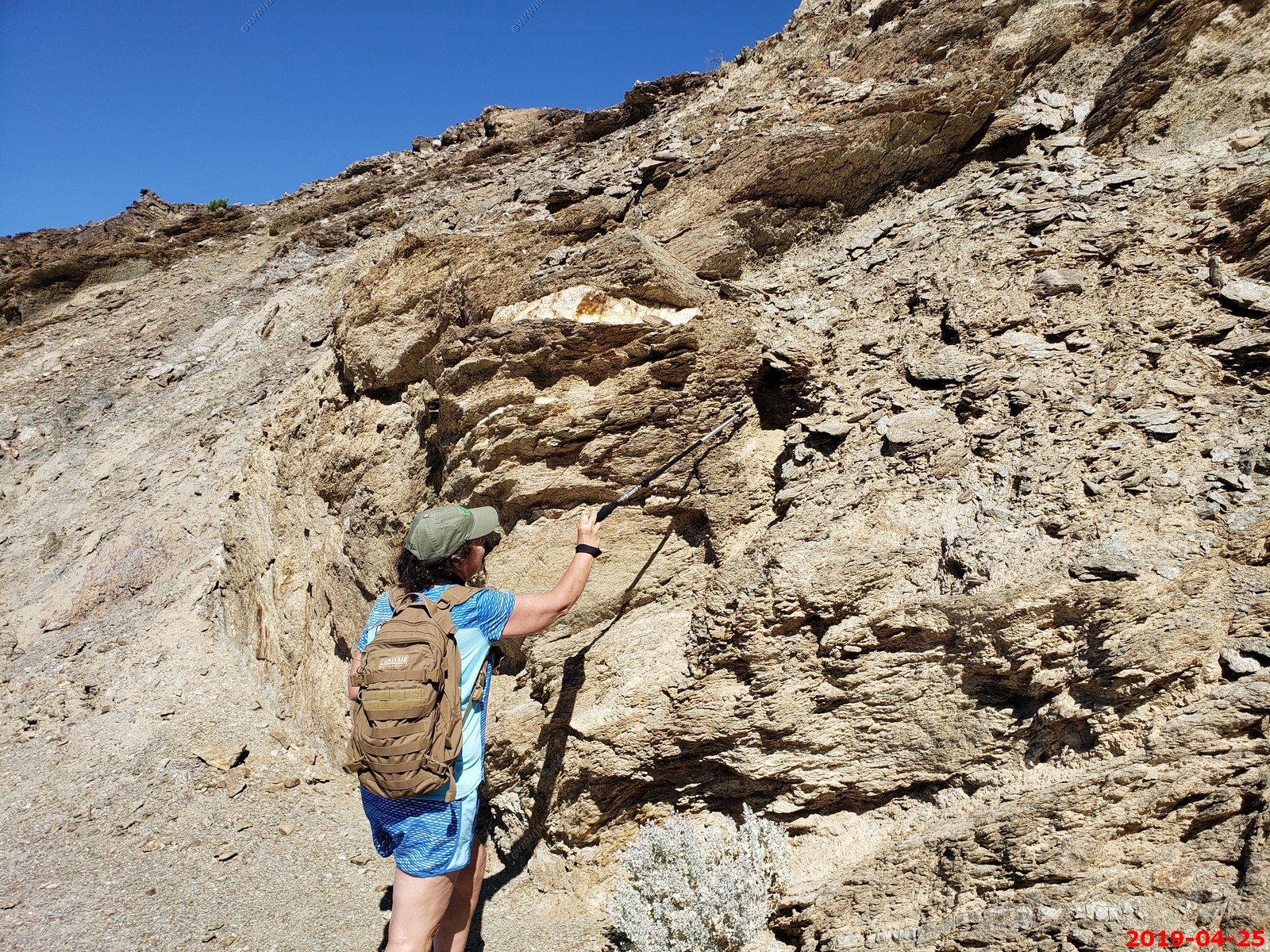
Keane Wonder Mine Death Valley became a place of legend for people traveling westward, for its extremes and its potential as a place to strike it rich. The modern history of the park is still visible when you visit today due to its status as a protected landscape. There are over 18,000 mining features, including structures such as the aerial tramway towers and terminals at the Keane Wonder Mine. These impressive pieces of our past inspire us to imagine one of many similar stories that took place across not only Death Valley, but much of the west.
Claims were staked in December of 1903, and by 1907 the Keane Wonder Mine was in full operation. The ore buckets you can still observe along the mile-long aerial tramway would have transported 70 tons of gold ore a day during peak production. The extreme environmental conditions that are present in the park today were a factor in the lives of the workers at the mine. Summer temperatures that limit our daytime activities caused equipment to overheat. Reduced spring output made water less abundant and limited production.
By 1912, the value of the Keane Wonder Mine ebbed with a lack of raw material to continue mining profitably, and by 1942 the last attempt to continue operations came to a close. From 2008 to 2017, the area was closed for structural stabilization, mine mitigation and soil sampling. The preserved structures at Keane Wonder inspire us to imagine the miners who walked these same trails in search of a different value in the landscape.
Visiting the park today, we can treasure the unique and varied ecosystems, a rich and diverse human cultural history, and the extremes that continue to push all of us towards different types of exploration and wonder. Though the structures now sit in silence, we can hike up the steep mile-long trail, climbing 1,500 feet in the Funeral Mountains. We can now hike to these silent structures up the steep trail a mile long, with a 1,500 foot elevation gain, in the Funeral Mountains.
In this silence, we can imagine the engineering and ingenuity of those involved with the mine, and reflect on a legacy of Death Valley’s past.
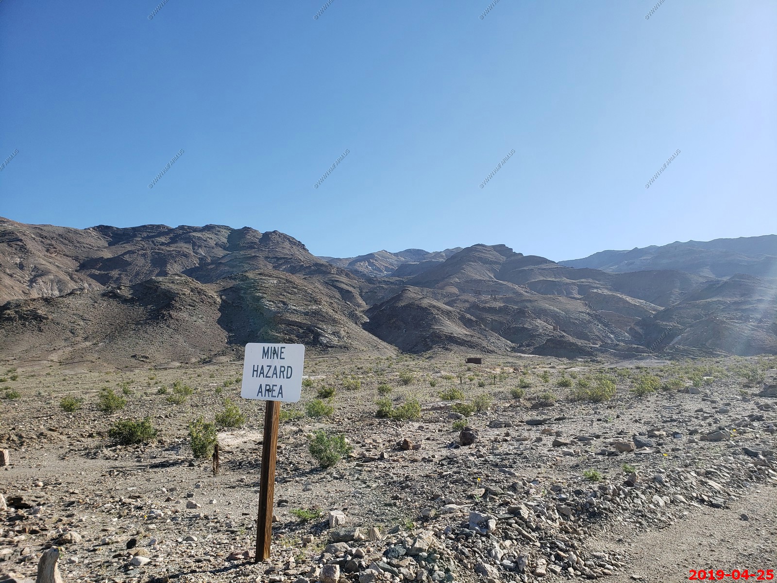
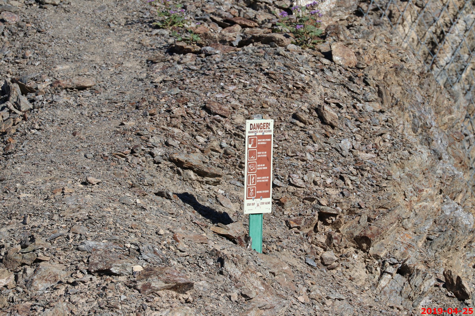
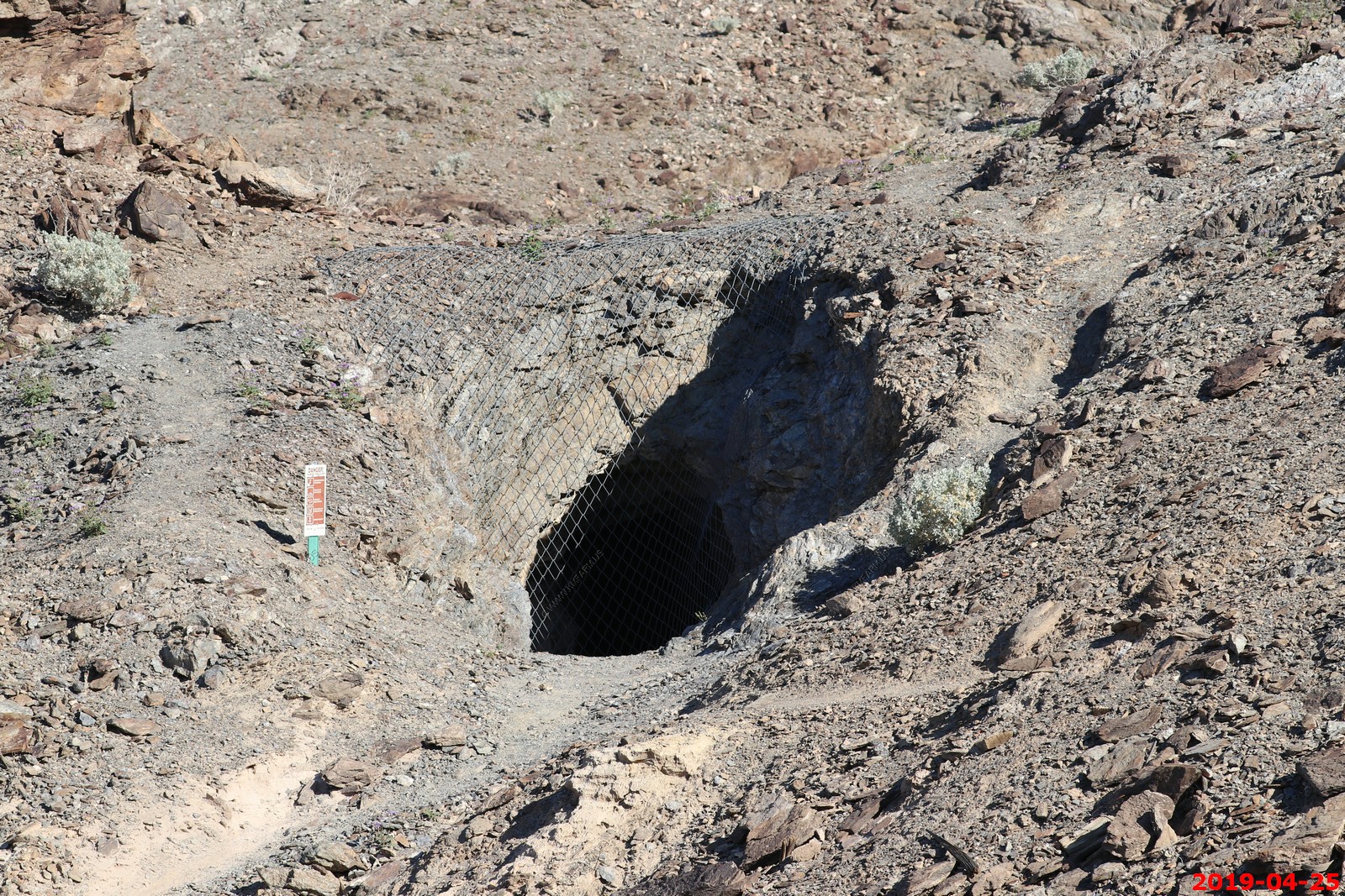
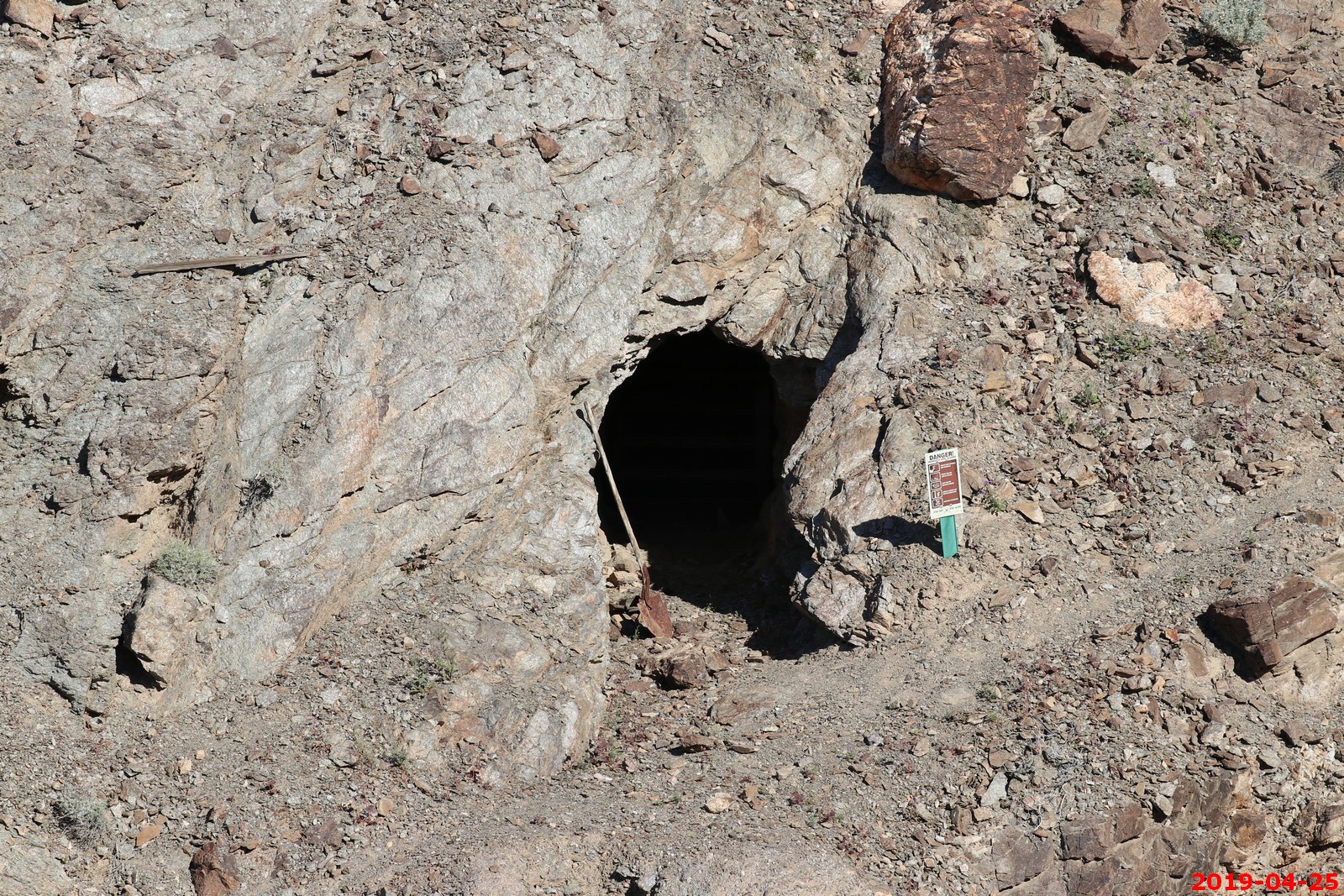
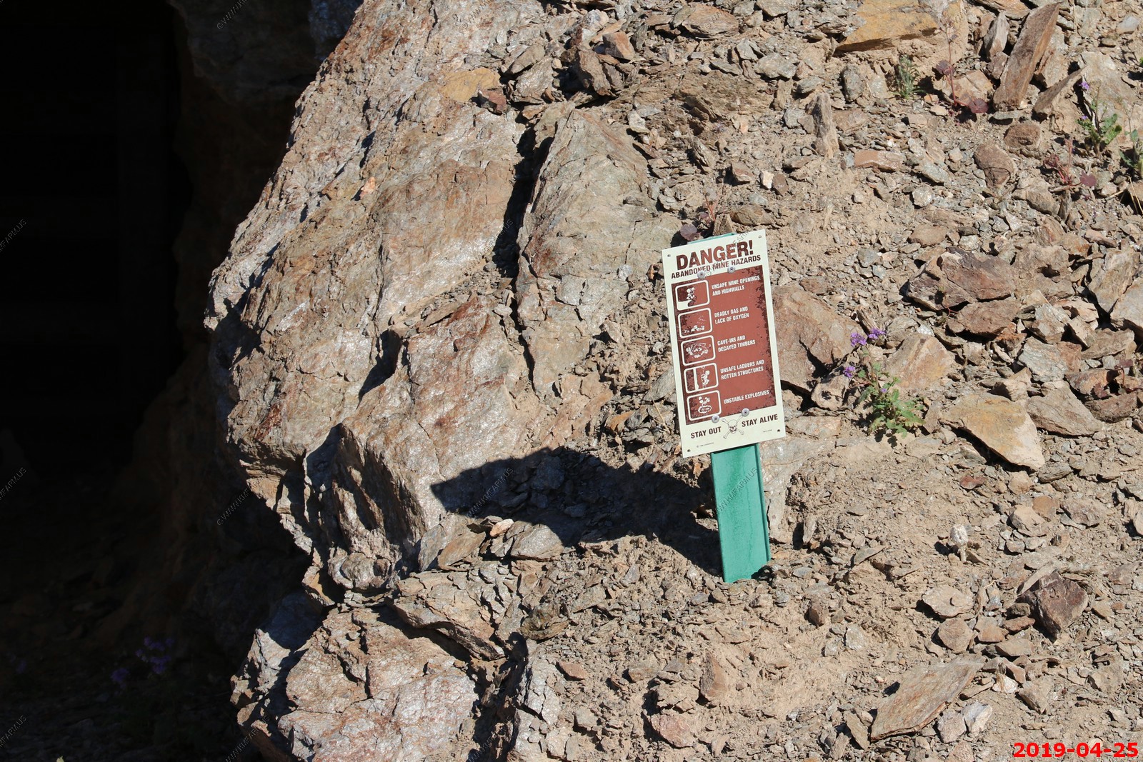
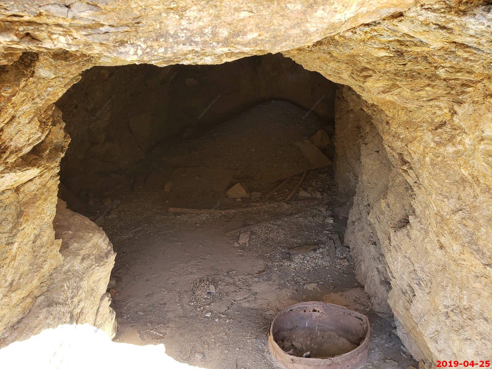
Very sad that they try to reclaim these mines - Over 50 mine openings have been covered. If you happen upon an open mine, stay out for safety reasons. They actually closed this area in 2008 because of concern of the contents of the mill tailings. Idiots ! But, as of 2019 it was open.
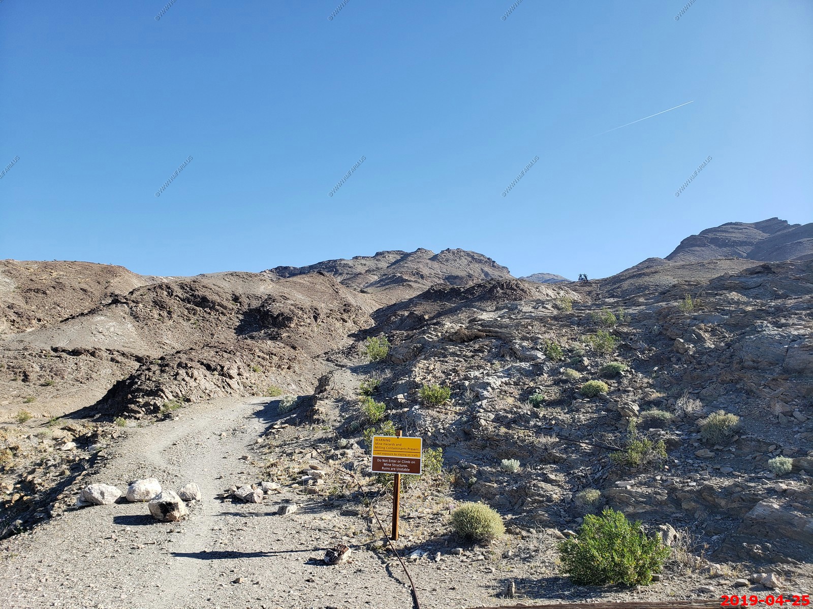
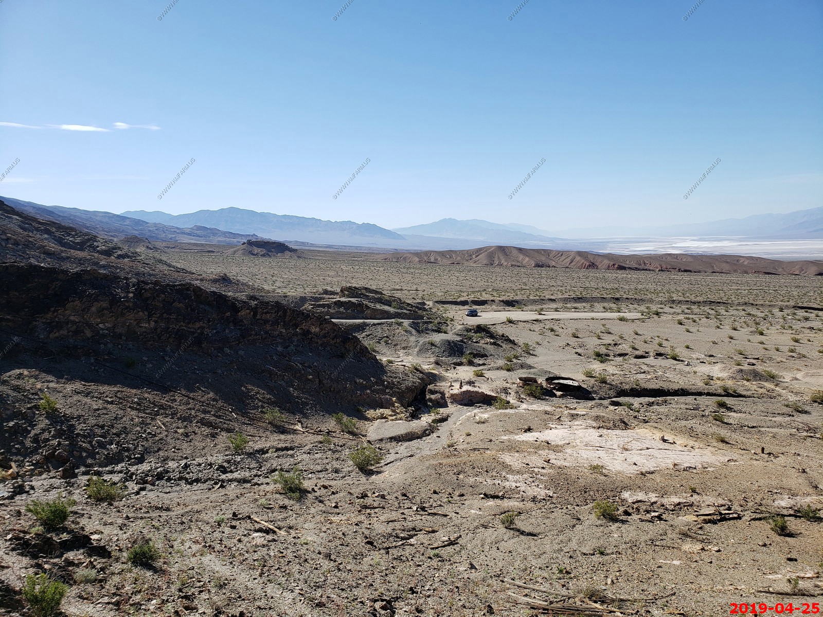
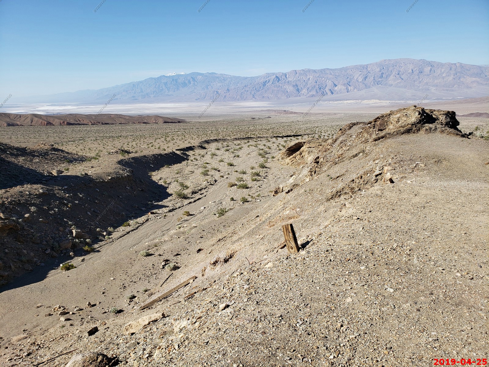
How to get there: Drive the Beatty Cutoff 5.7 miles north from Highway 190 to the marked road for Keane Wonder Mine. Drive 2.8 miles to the parking area. The road is typically in pretty rough shape and will require a high clearance vehicle with thick tires.
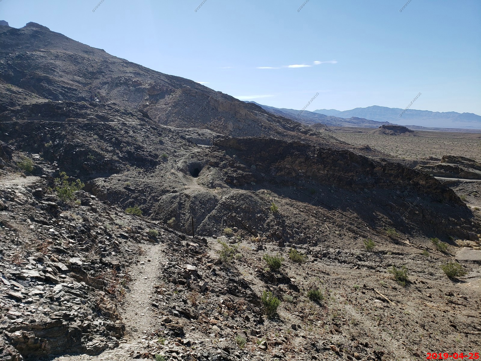
No really. And the trail up to the mine
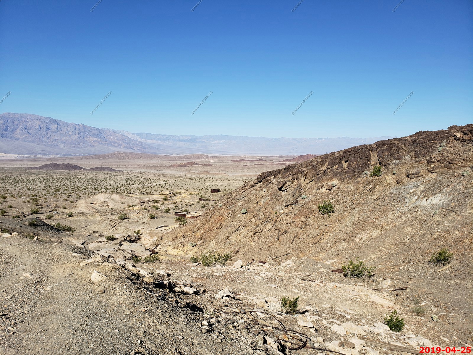
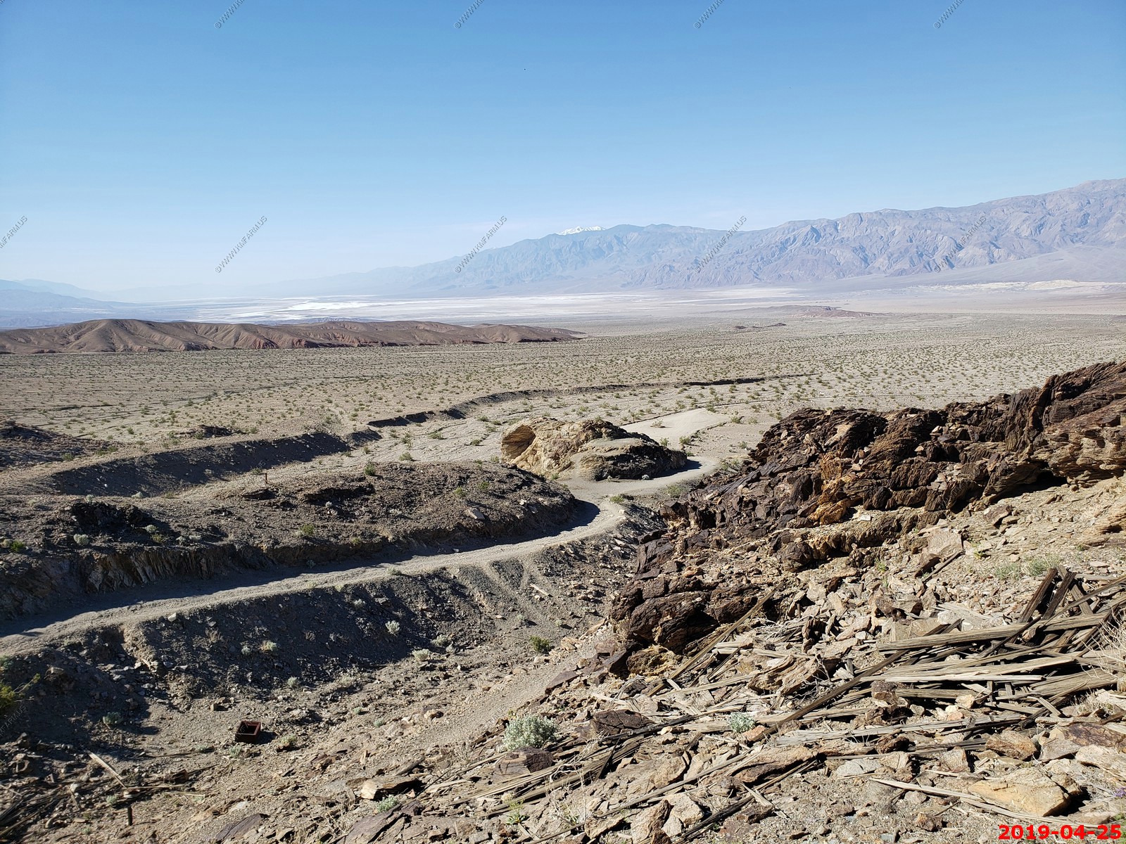
Six photos combined of the view west from the Keane Wonder Mine parking area
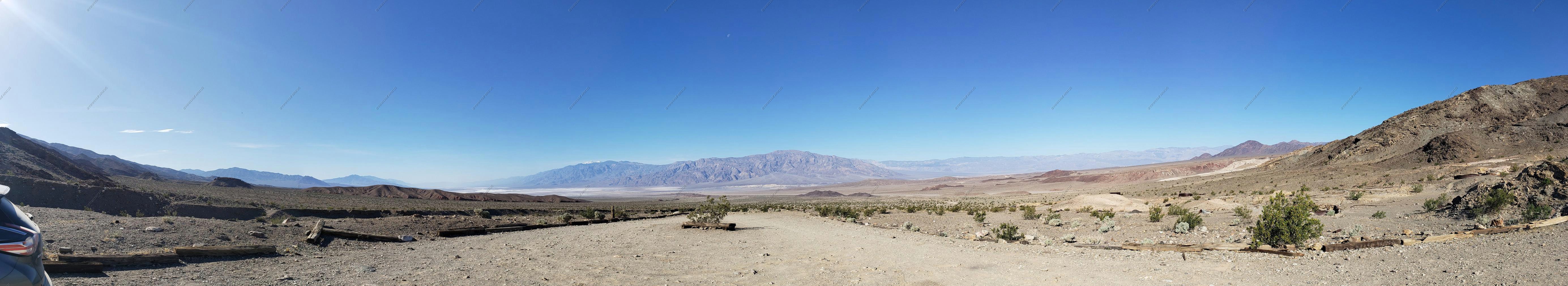
Panoramic (360 degree) photo. (Takes time to load as its 33meg)
Not sure where this is as it almost looks developed.
I think this is Stovepipe wells 14 miles away
Telescope Peak from Keane Wonder Mine
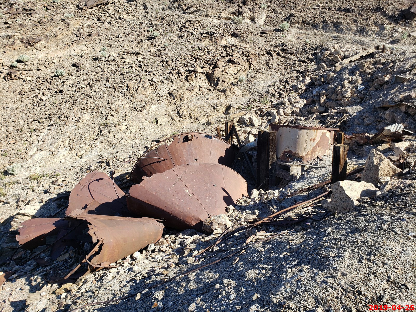
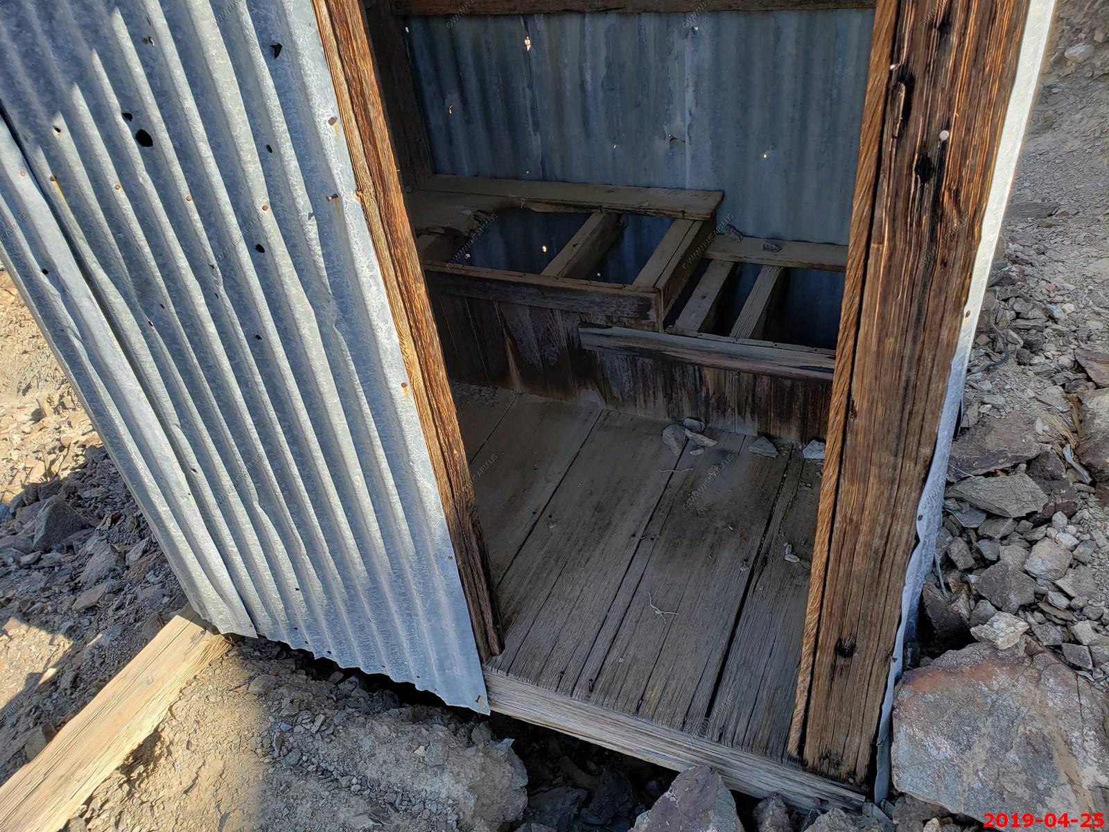
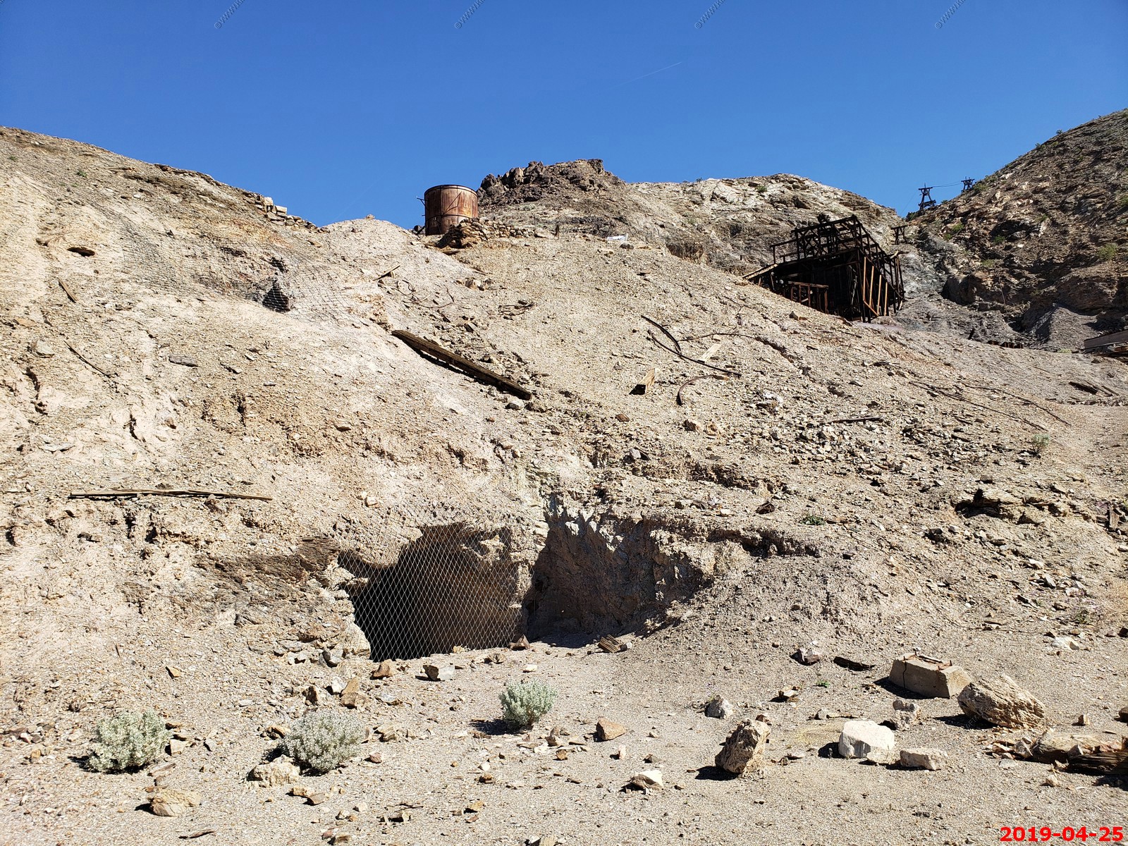
Keane Wonder Mine various views.
I think we need a new sign
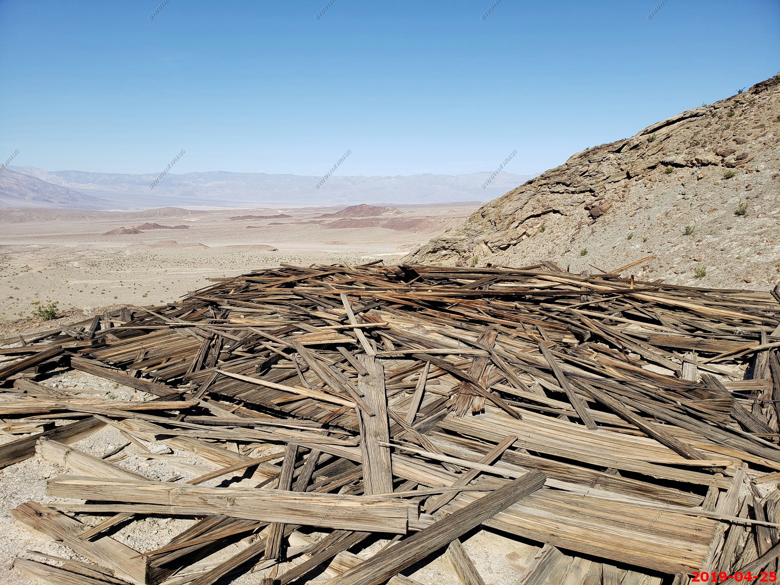
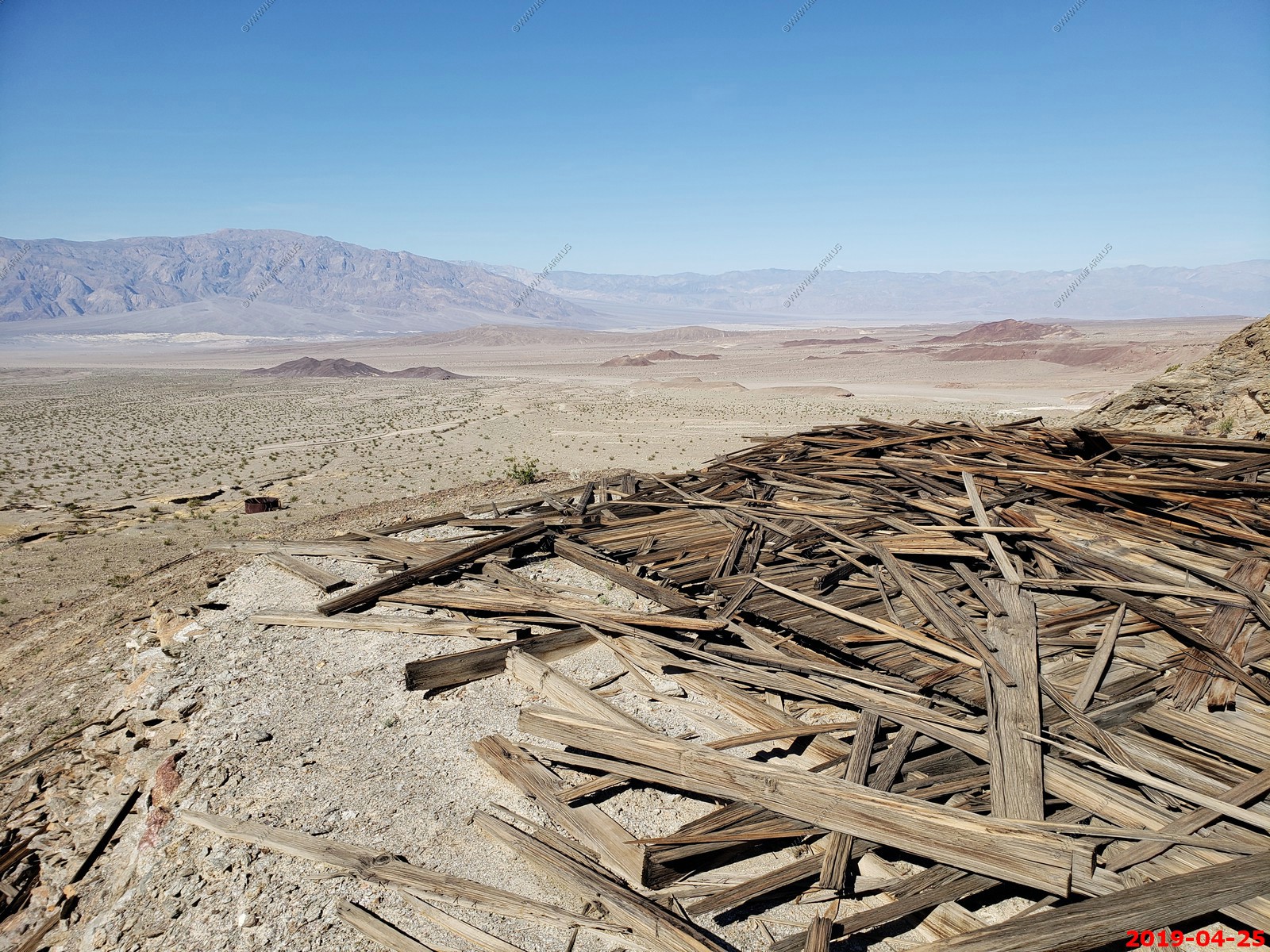
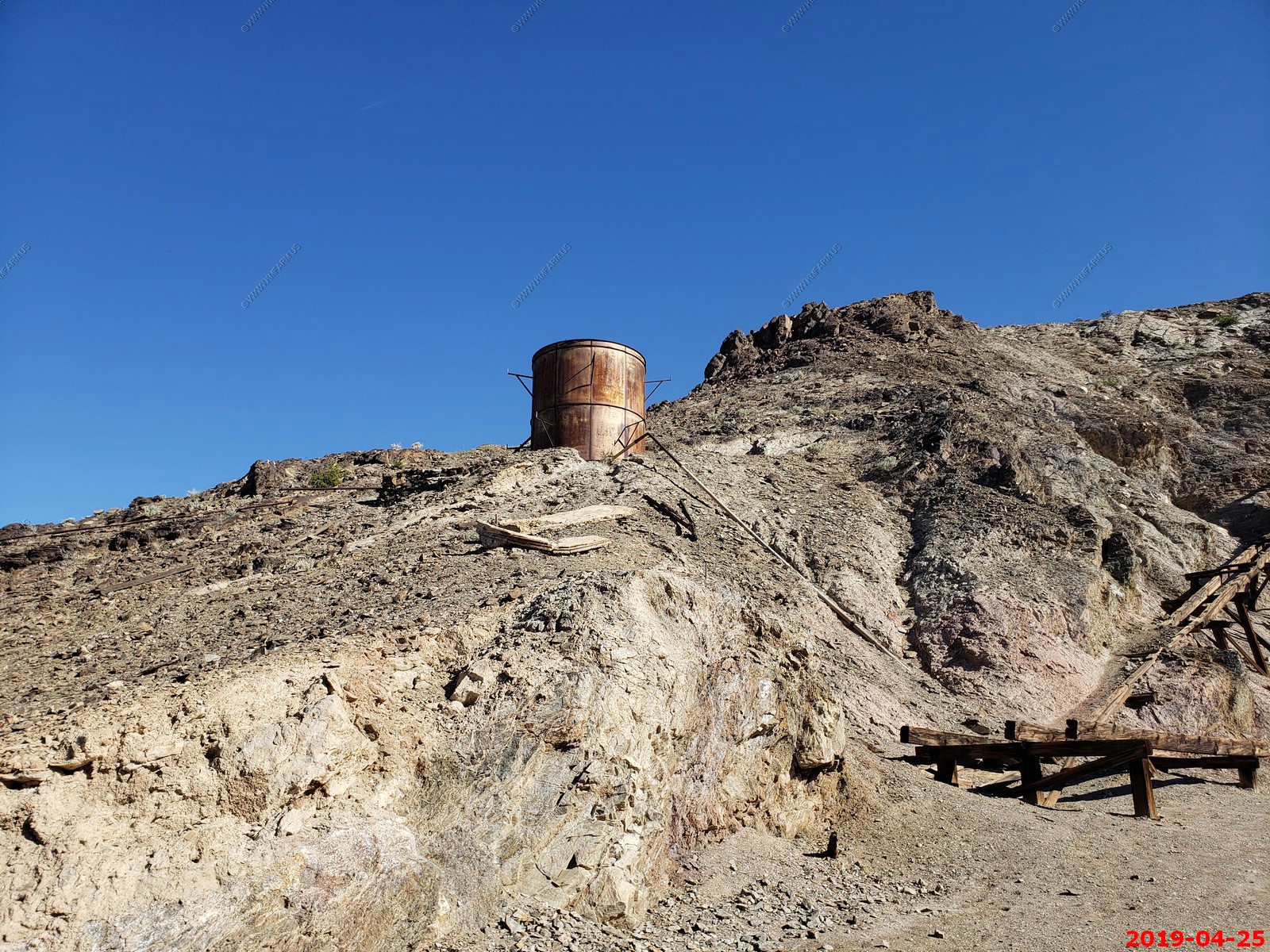
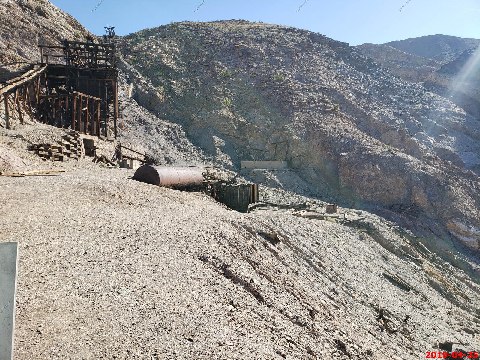
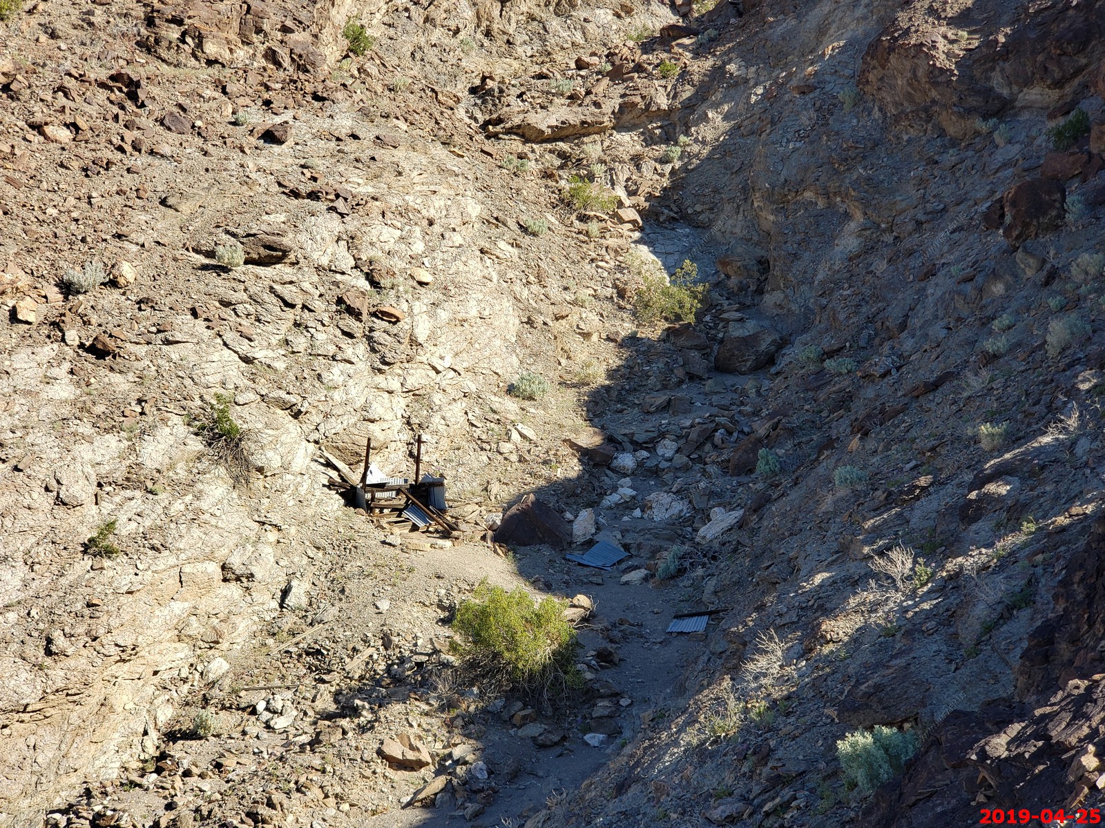
The Keane Wonder Mill and tramway area - various views
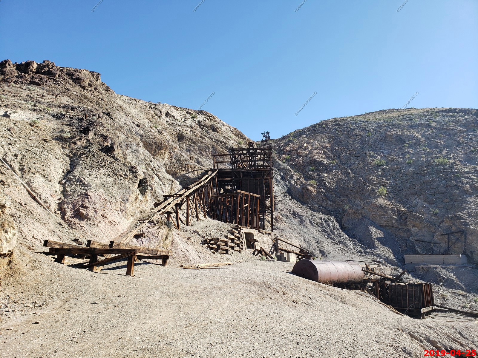
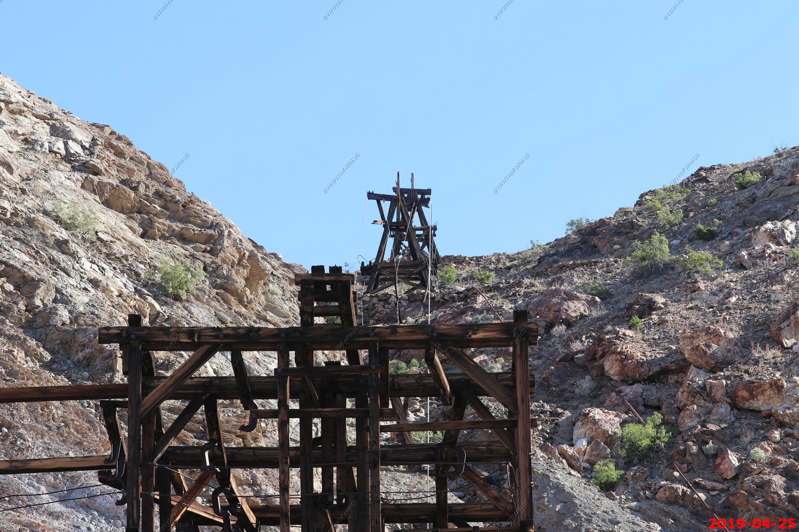
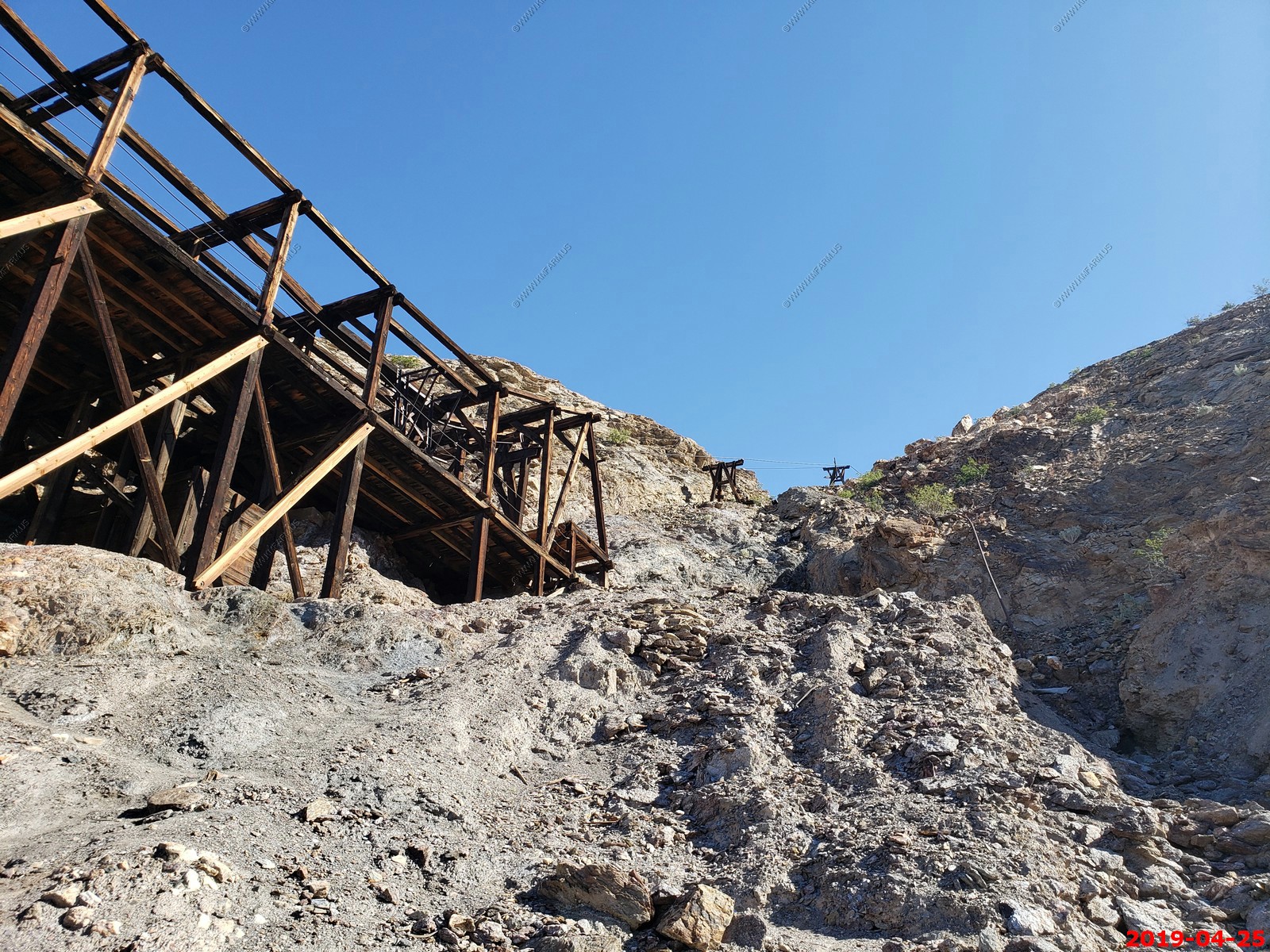
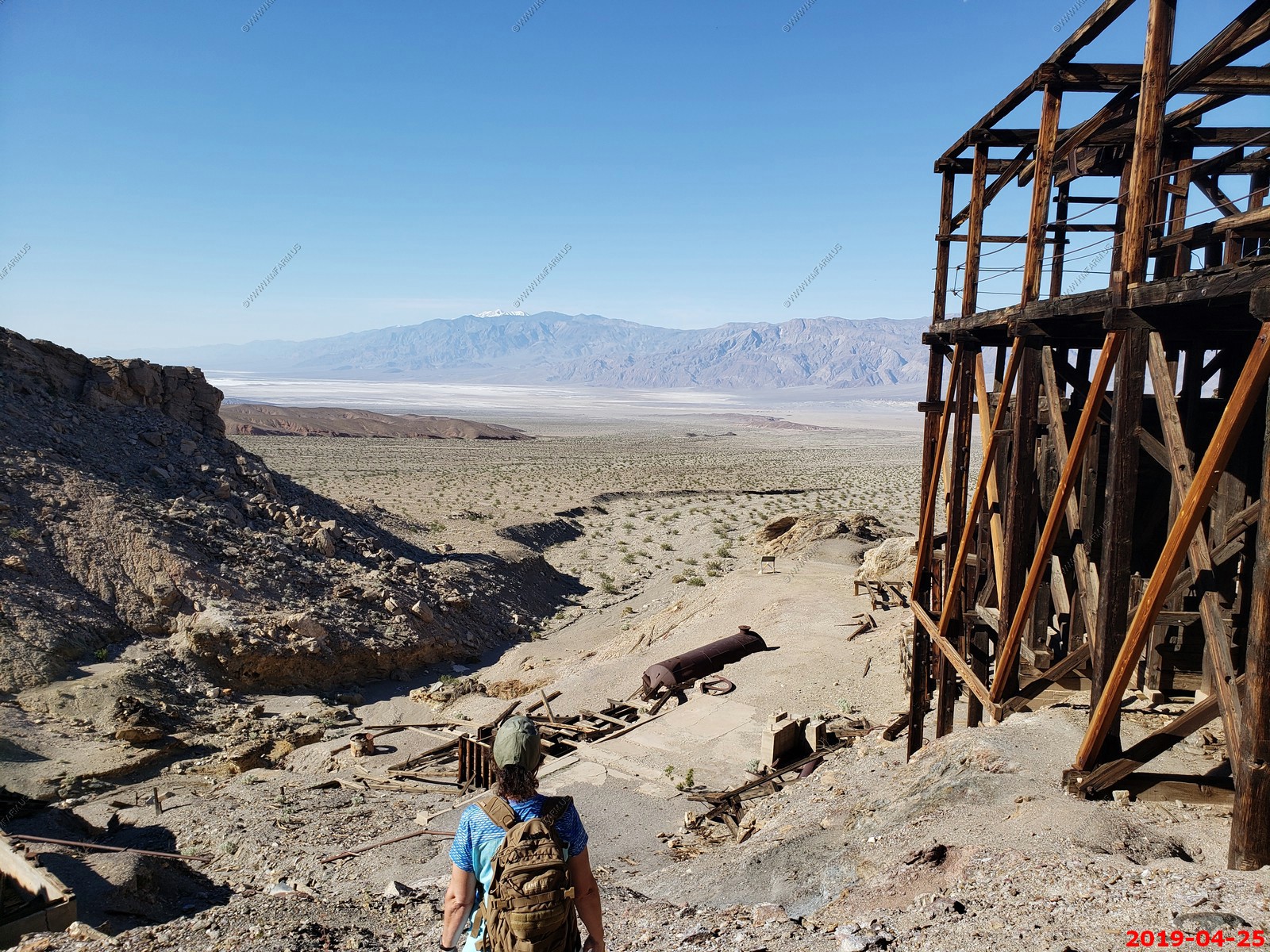
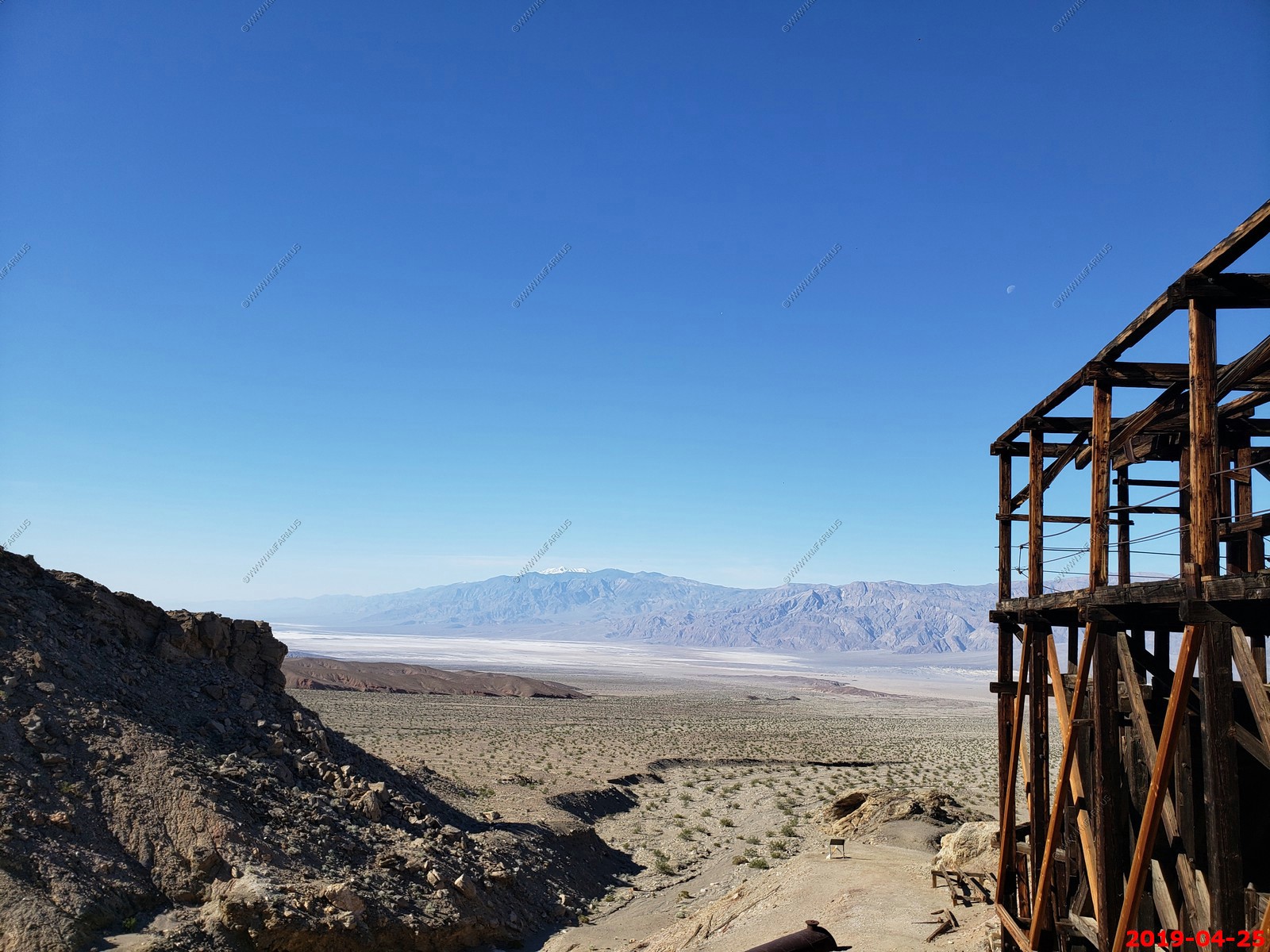
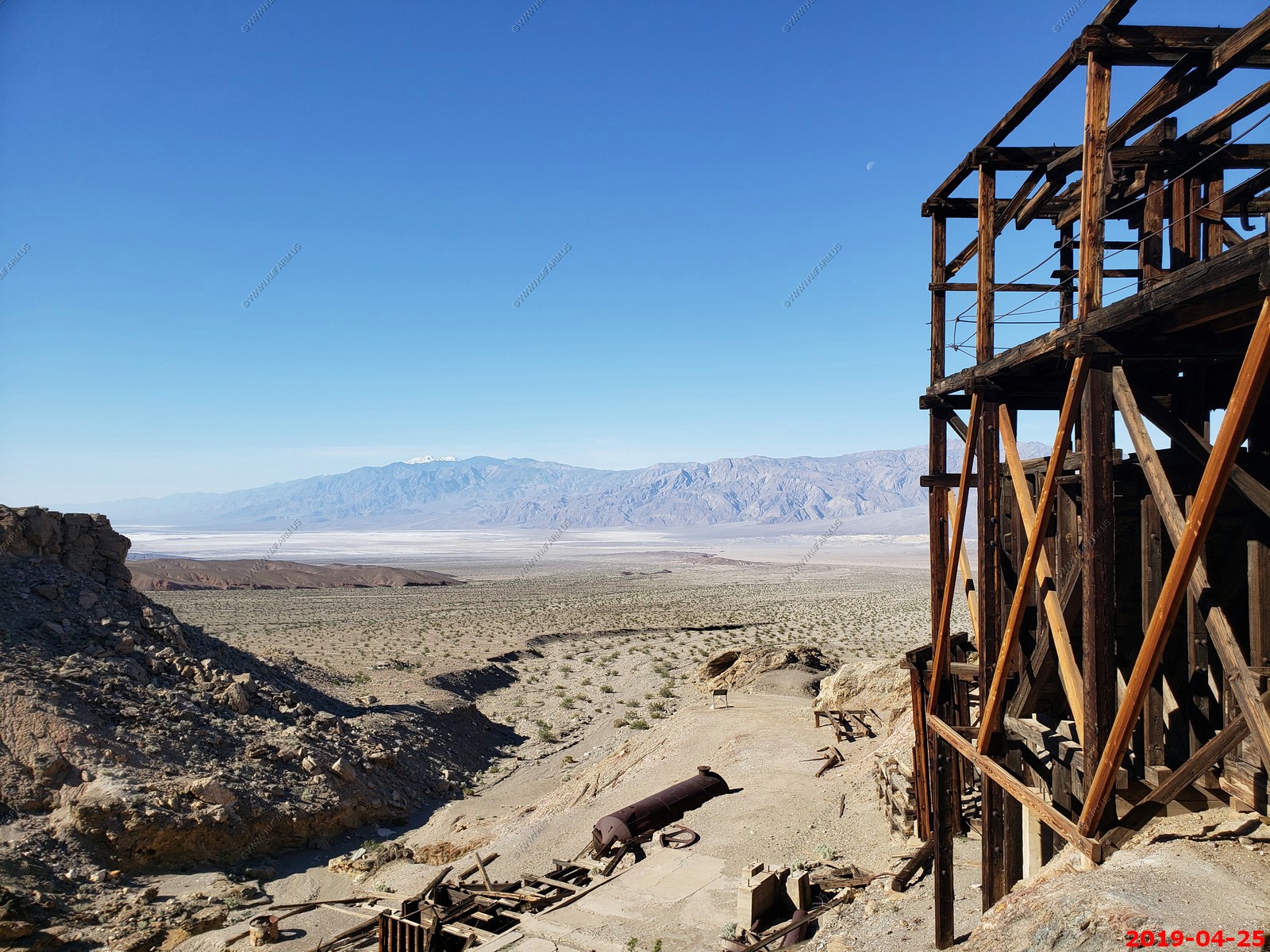
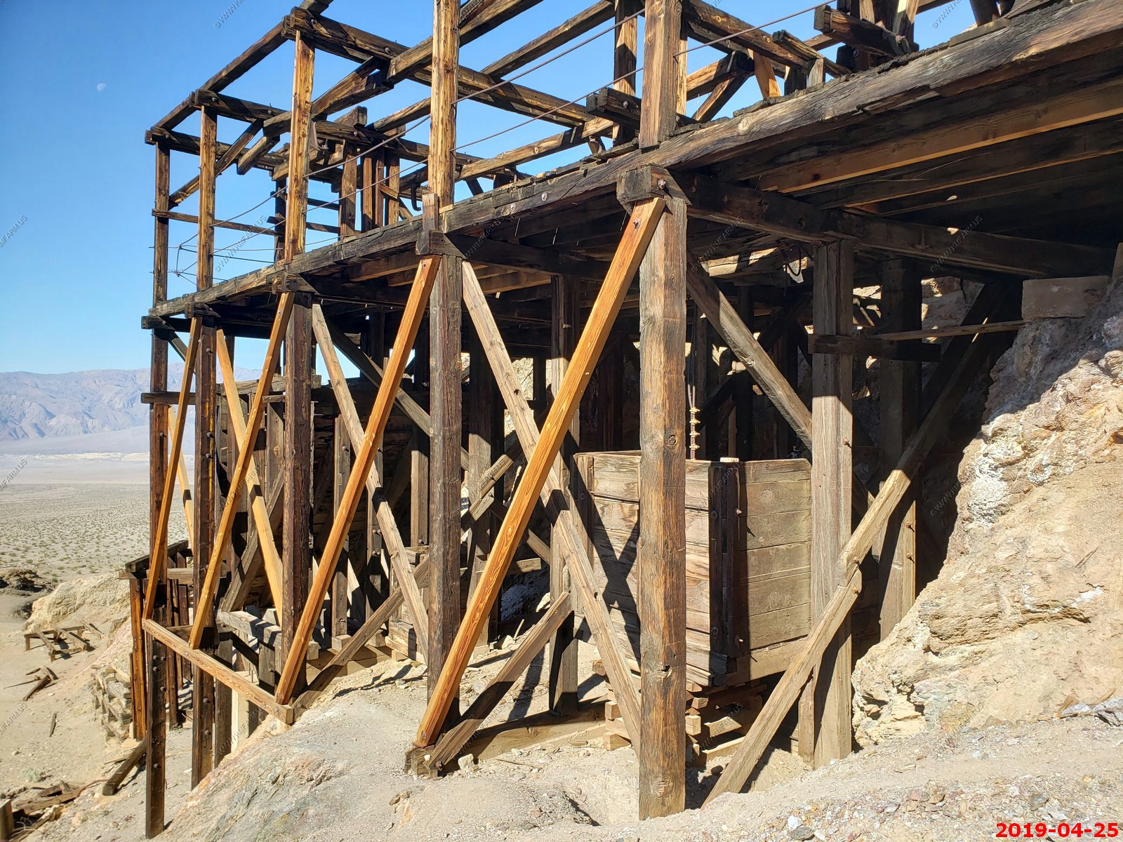
Remains of the tramway that climbs 1,500 feet in the Funeral Mountains
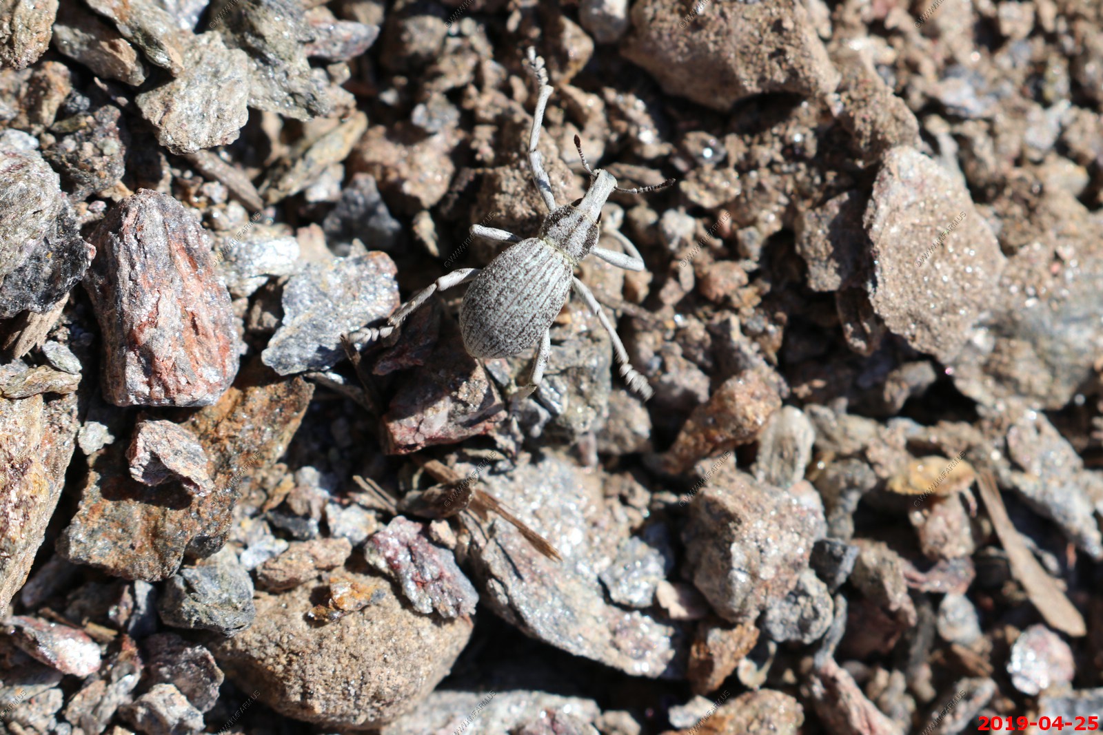
Interesting insect. Looks to be a weevil of some type.
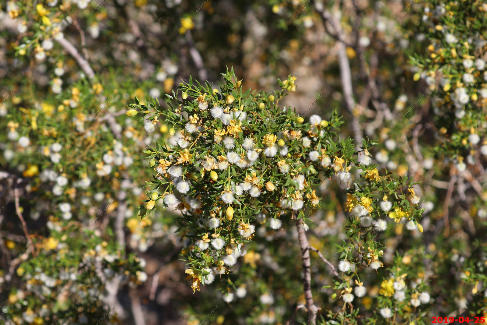
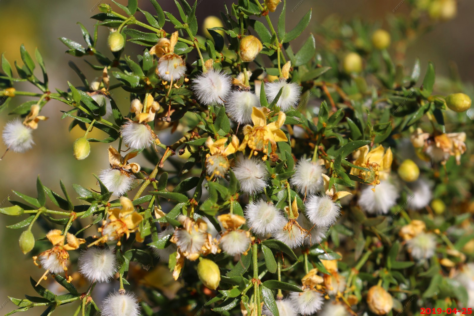
Creosote Bush
The Keane Wonder Mill - various views & plants
Very cool. Not sure what it is
Just us here today
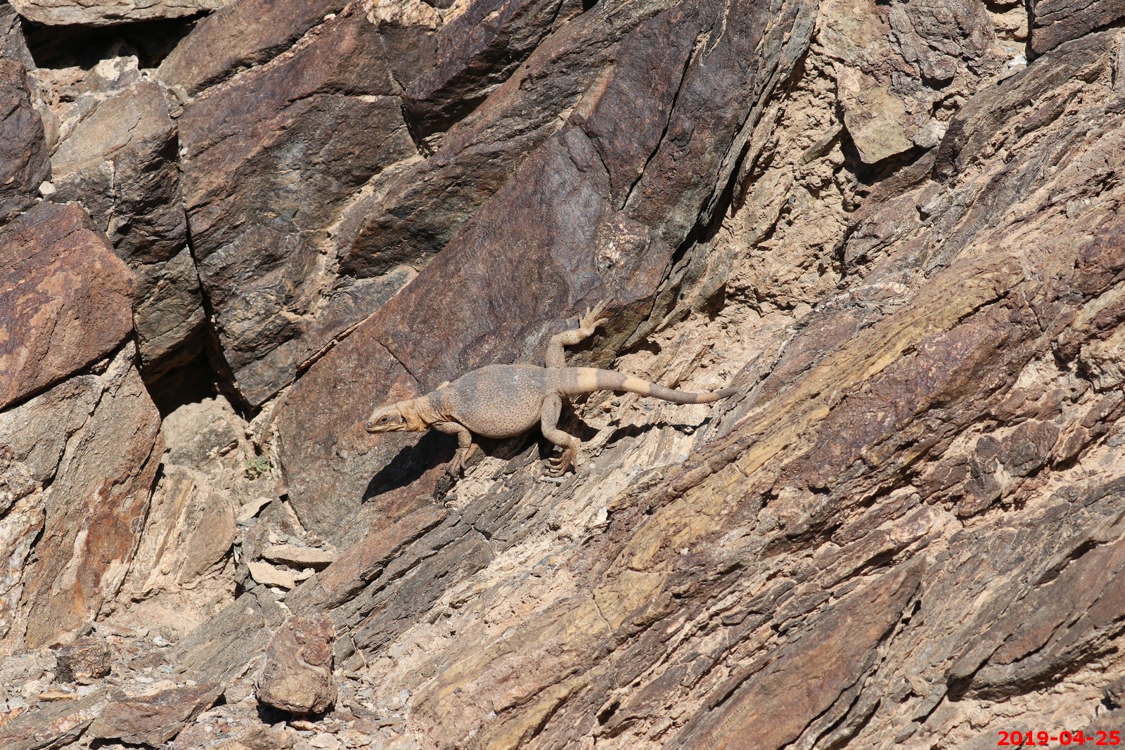
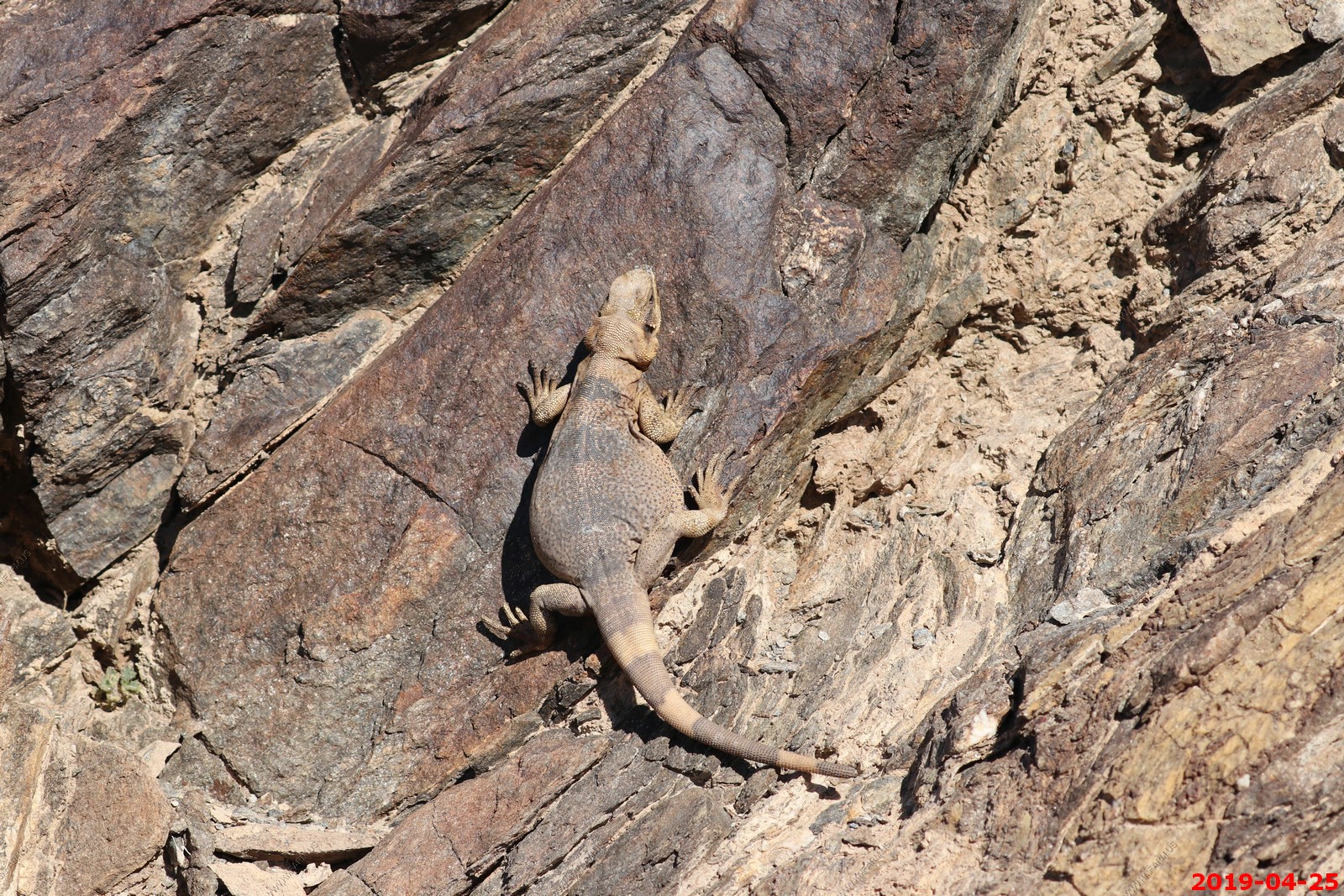
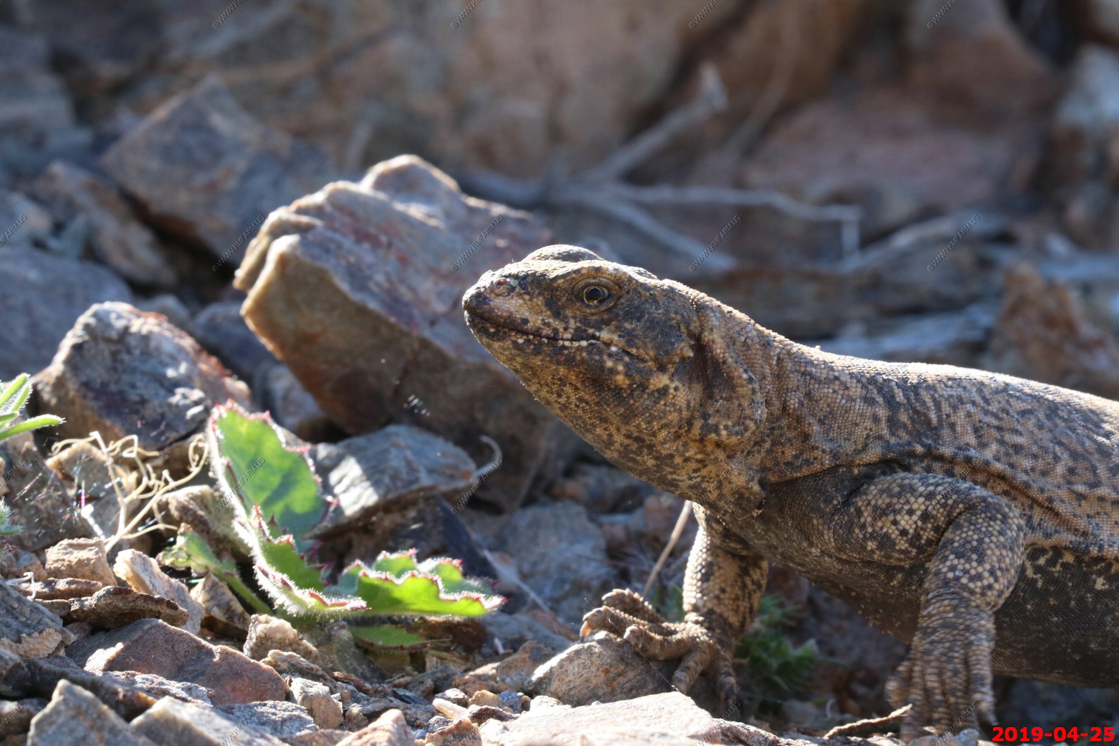
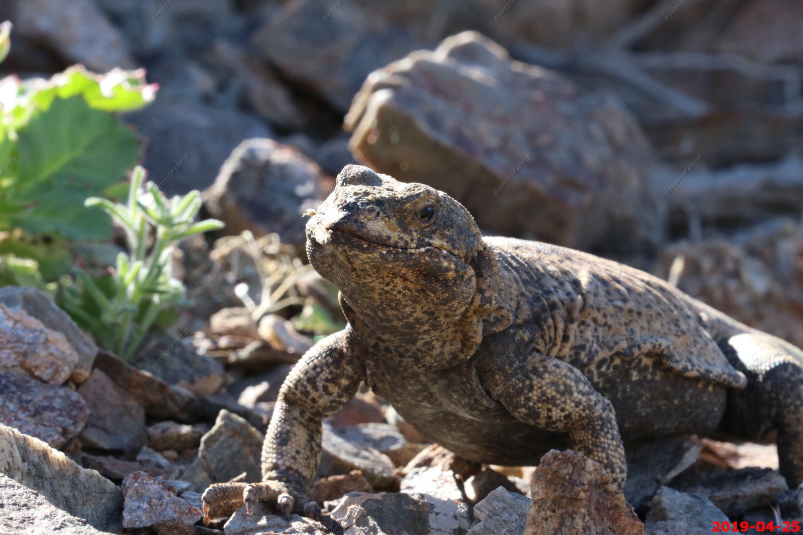
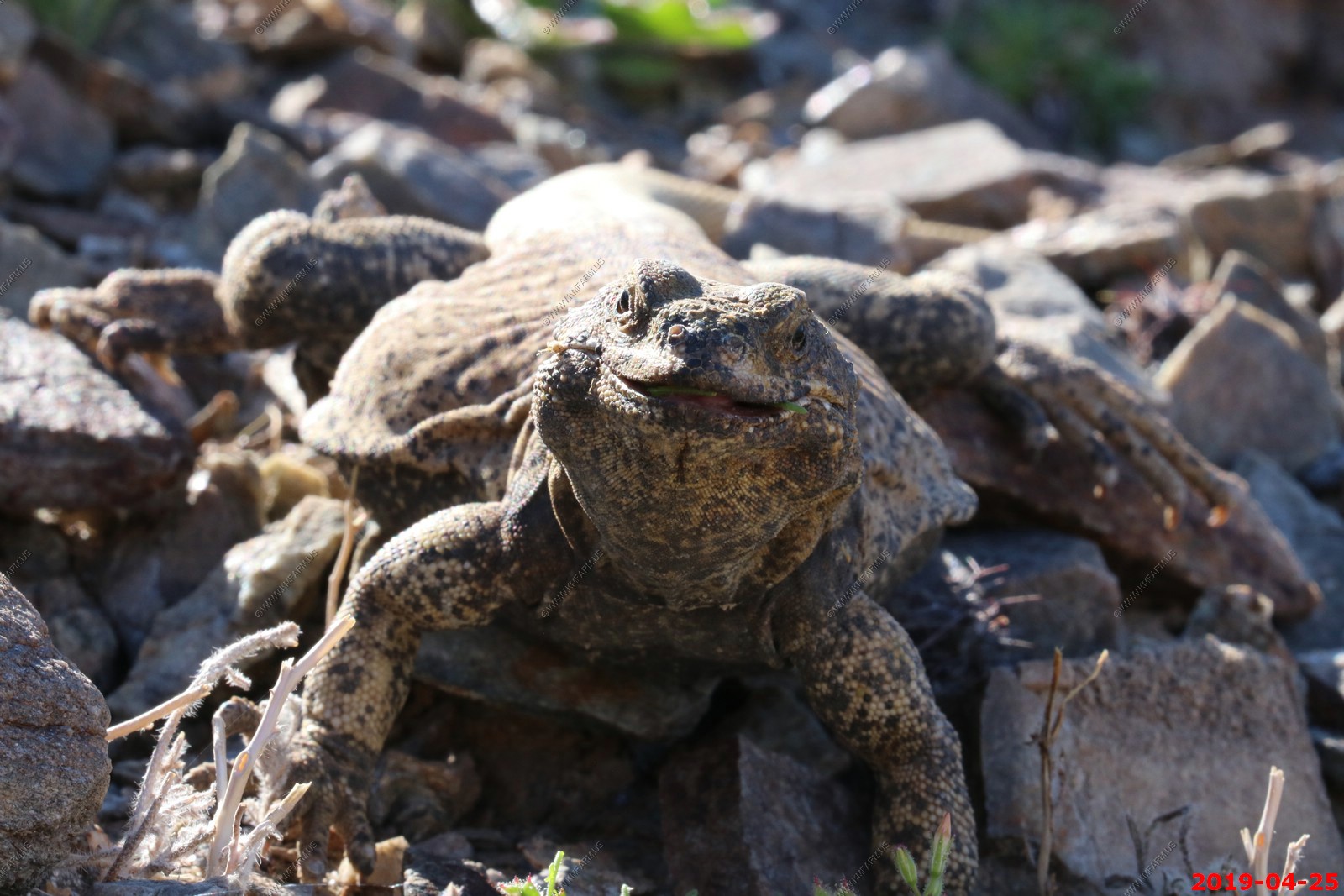
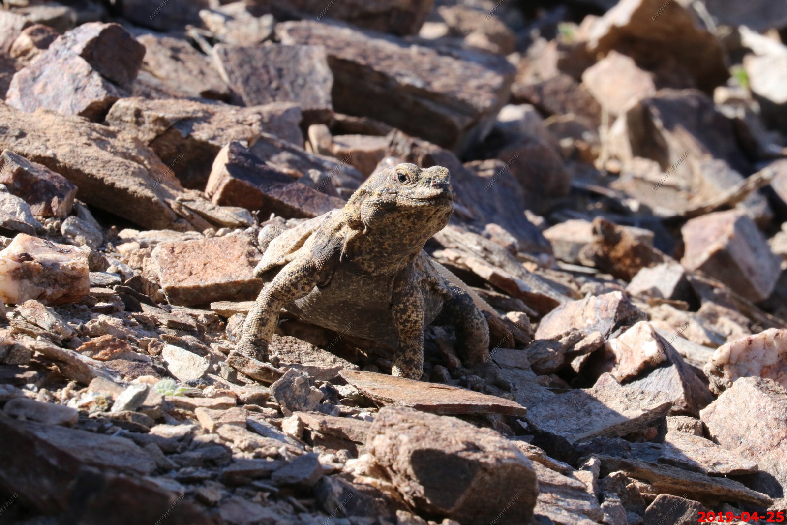
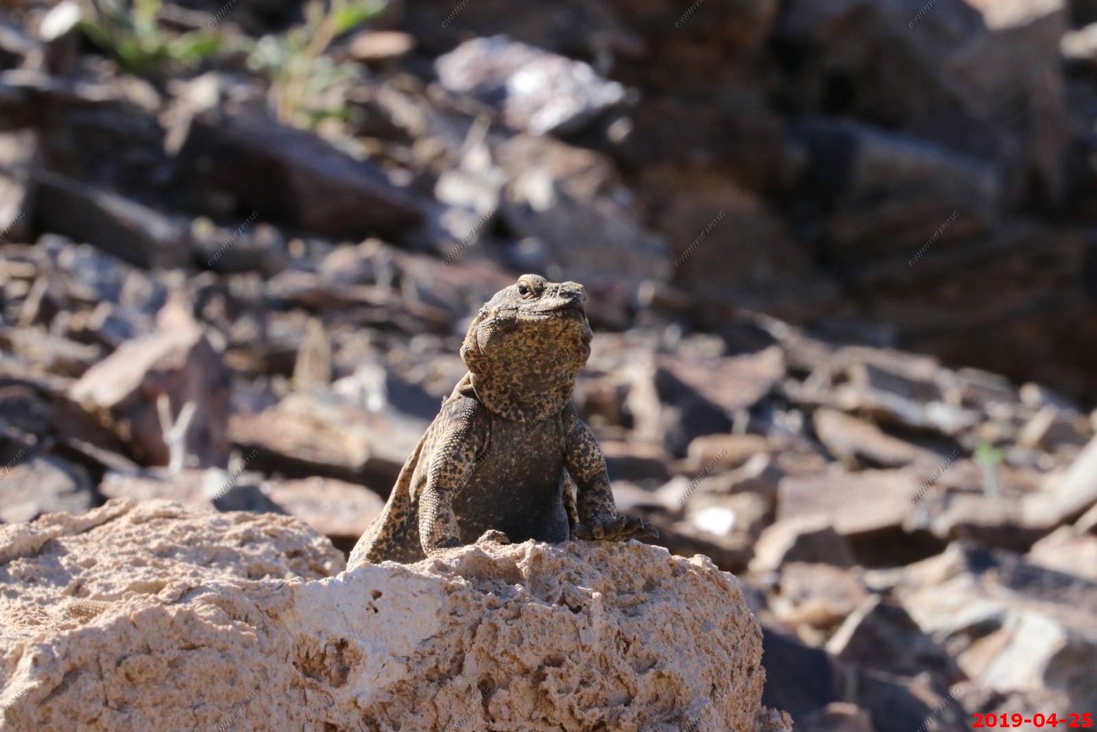
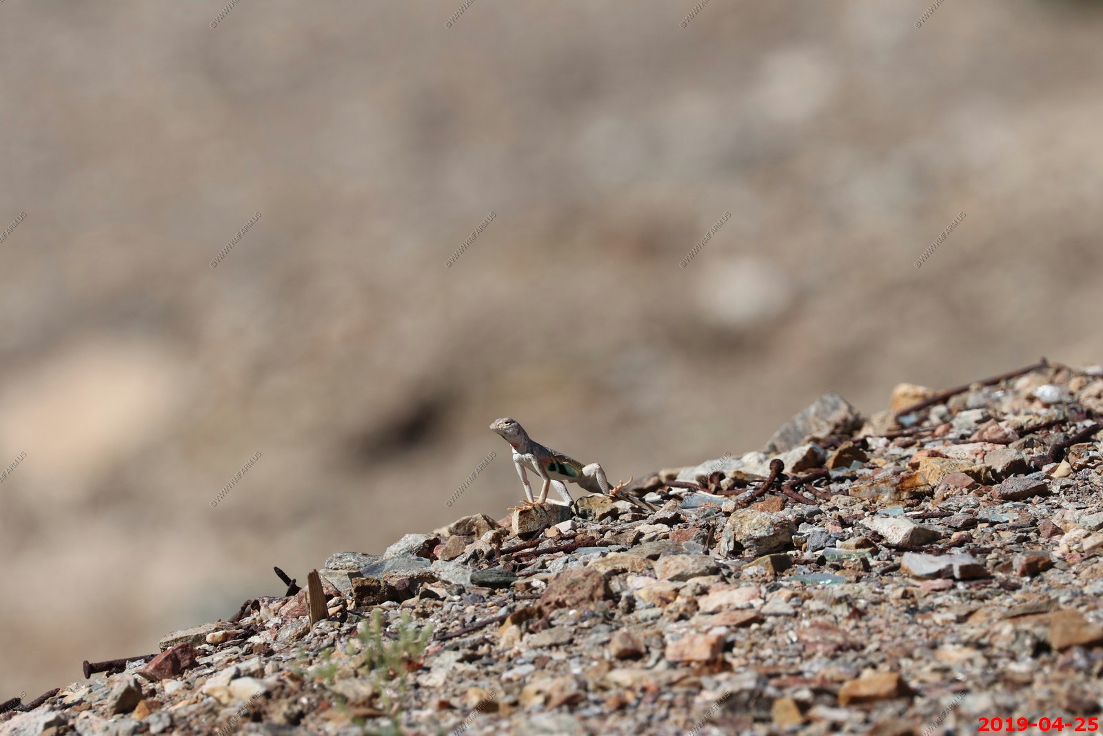
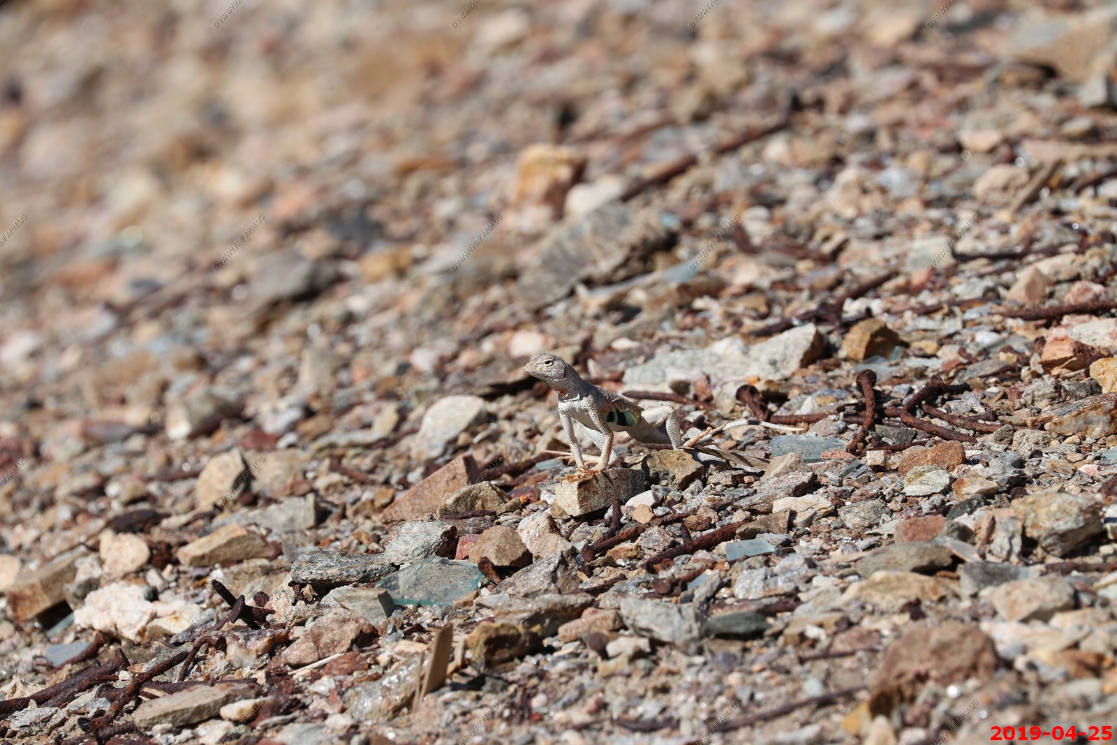
Chuckwallas are large lizards found primarily in arid regions of the southwestern United States and northern Mexico. Some are found on coastal islands. The six species of chuckwallas are all placed within the genus Sauromalus; they are part of the iguanid family, Iguanidae. When the chuckwalla senses danger, it scurries between rocks and lodges itself tightly in crevices by inflating itself. ... There is only one species of chuckwalla that inhabits the Southwestern deserts: the common chuckwalla (Sauromalus ater).
These were very cool and did not seem to be that afraid of you
Not sure what she was looking at
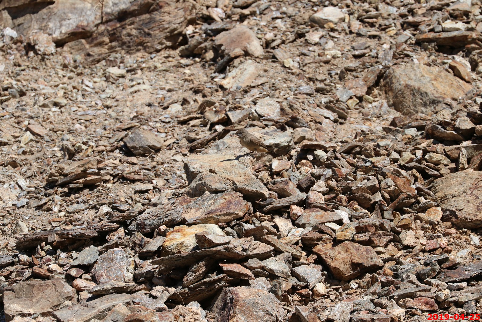
Friendly bird
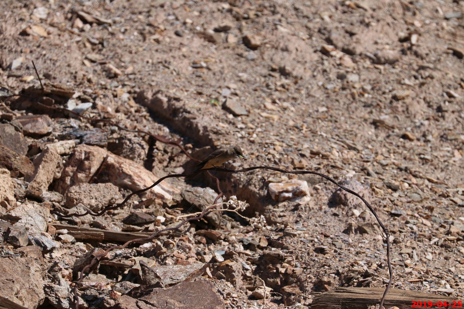
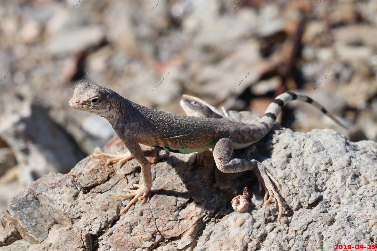
Unknown lizard
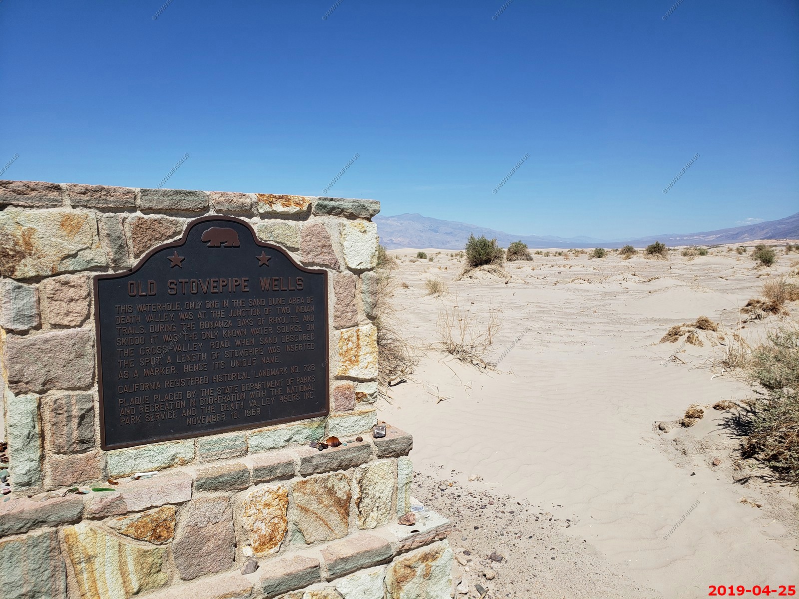
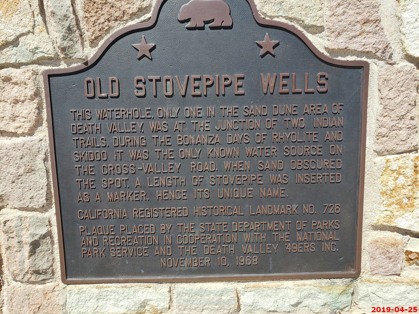
Old Stovepipe Wells - During the late 19th and early 20th centuries, Old Stovepipe Well was an important watering hole for Death Valley miners and prospectors. It is named for the length of stovepipe that was driven into the well, marking the site from shifting sands. Later, a small town was located here.
In 1926, "Bob" Eichbaum planned on making the site a winter resort. Because of difficulties in building a graded road to the area, he located the resort (the first in the Valley) several miles to the east (modern Stovepipe Wells).
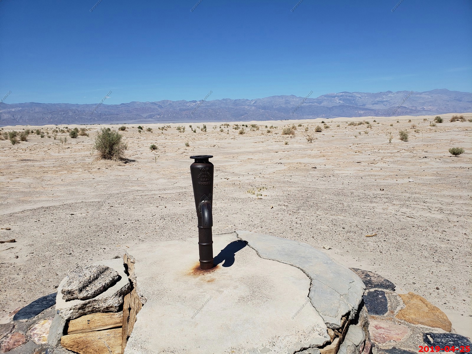
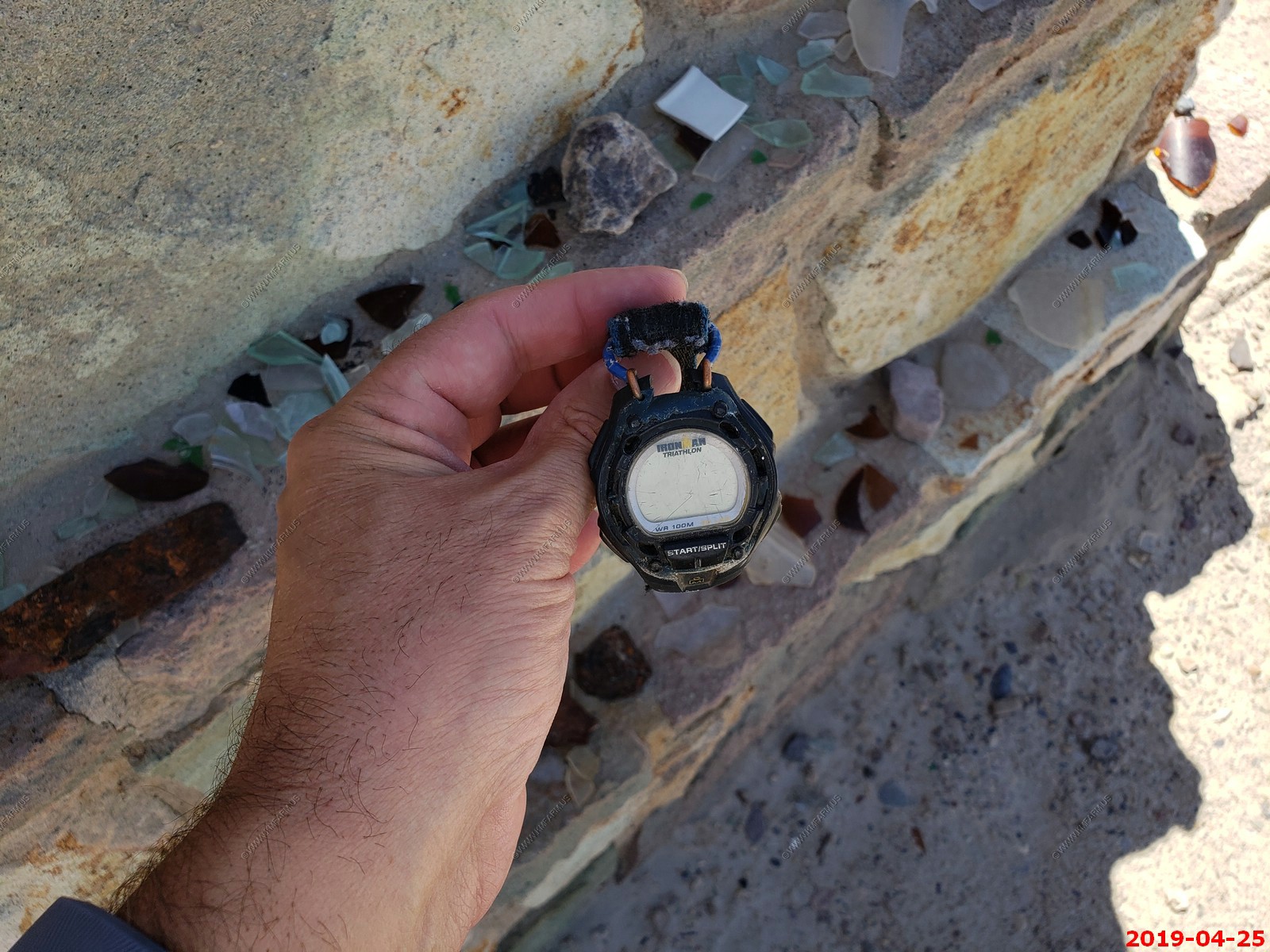
Found a free watch at the well.
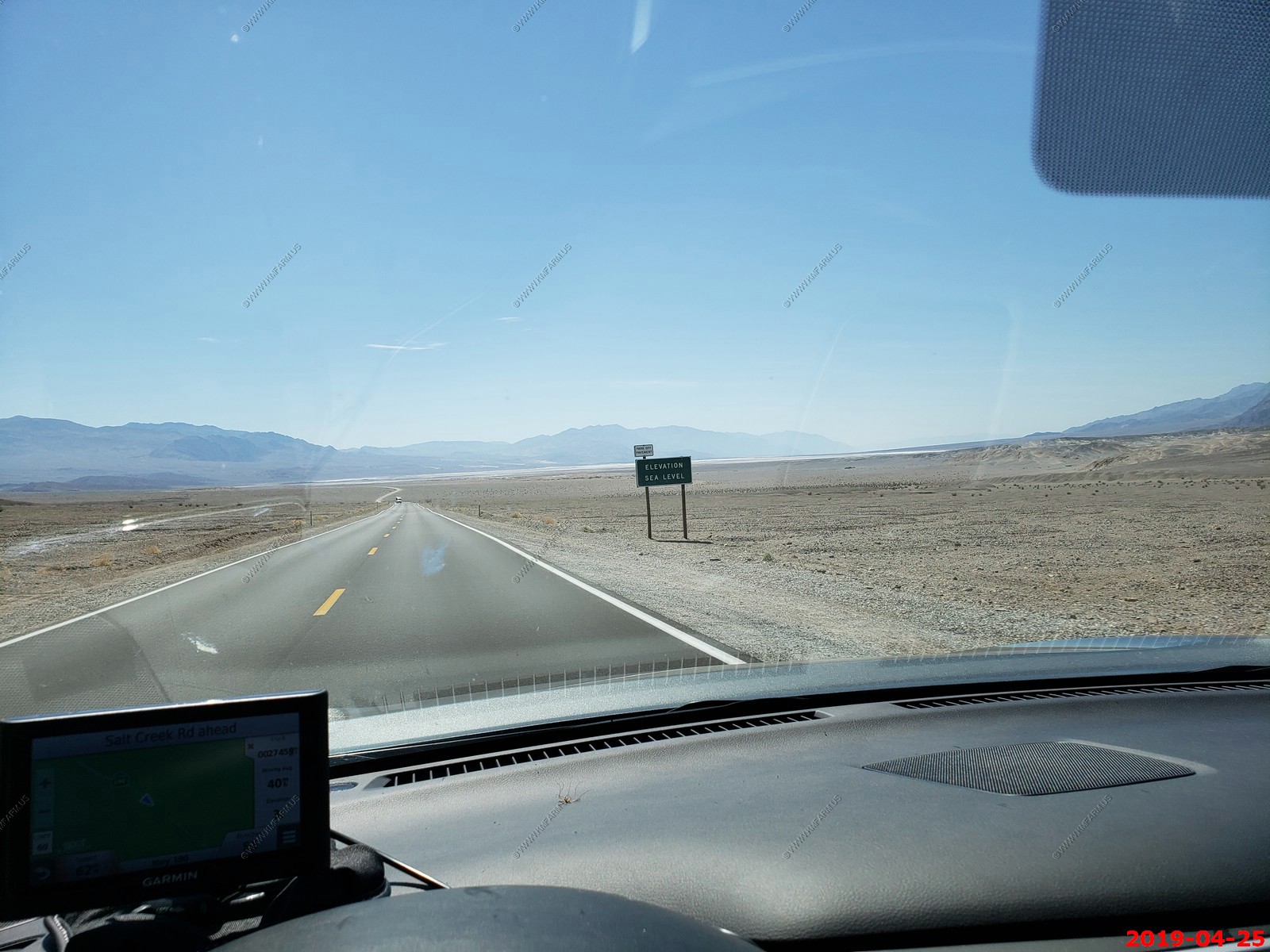
Driving back and going below sea level again
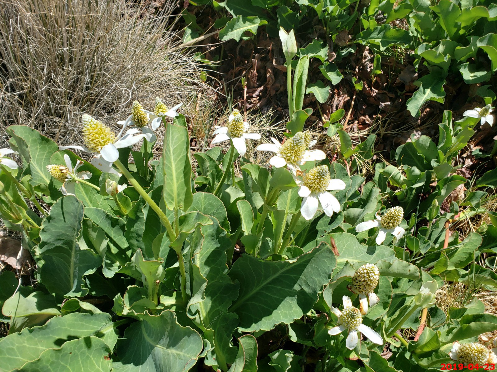
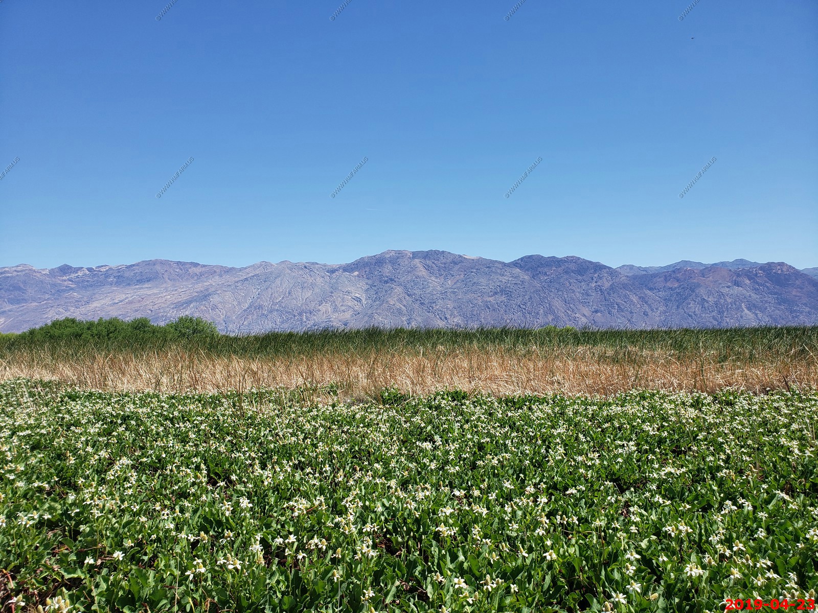
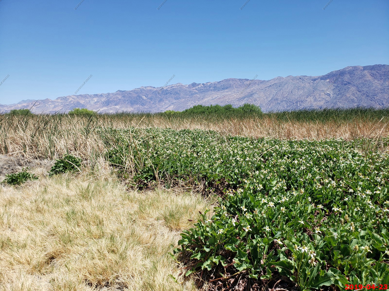
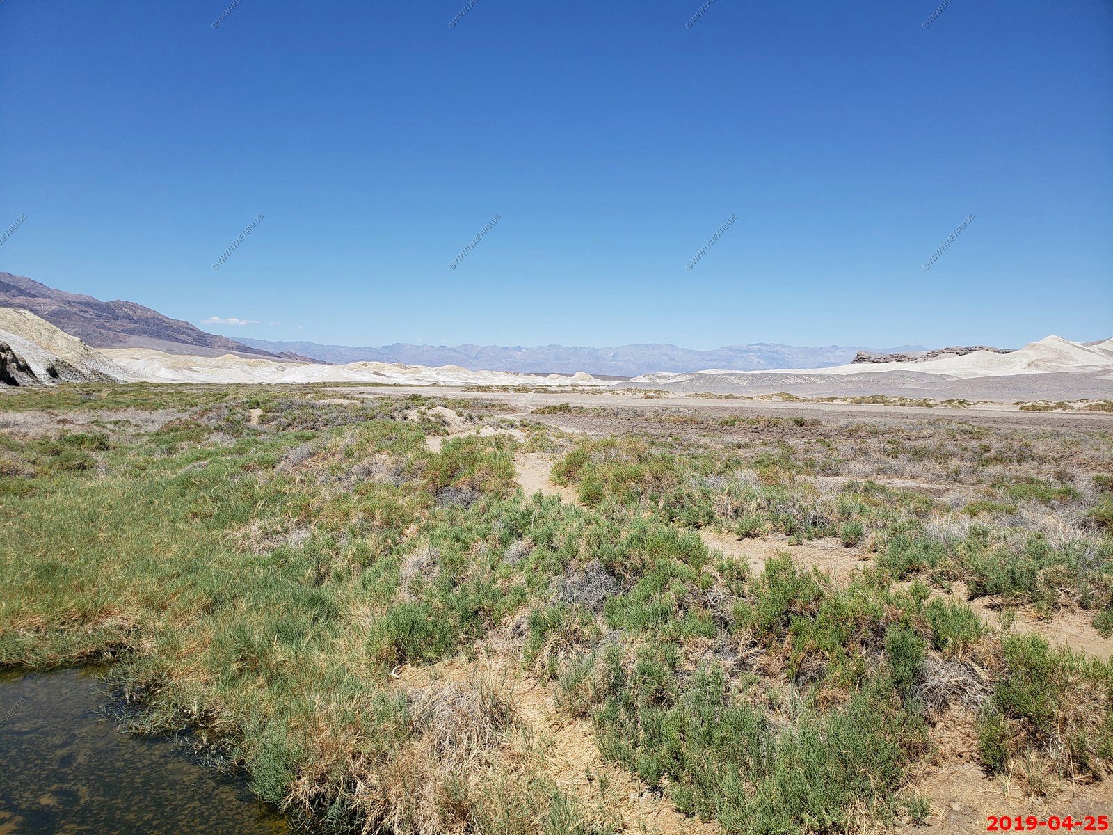
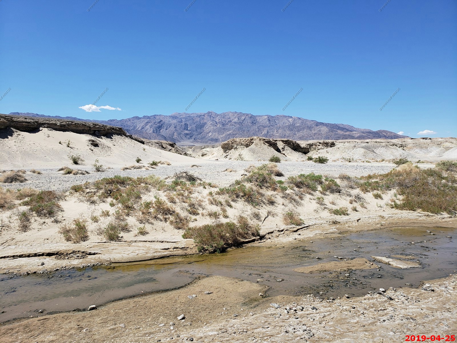
Salt Creek Interpretive Trail - Much of Salt Creek is usually dry at the surface and covered by a bright layer of salt which was created by many flooding and subsequent evaporation of water that periodically flows at the surface. Over time the small amount of solutes in the water accumulate to form this linear salt pan. Another part of salt creek runs with brackish water year-round. It is here that the last survivor of Lake Manly resides; the Death Valley pupfish.
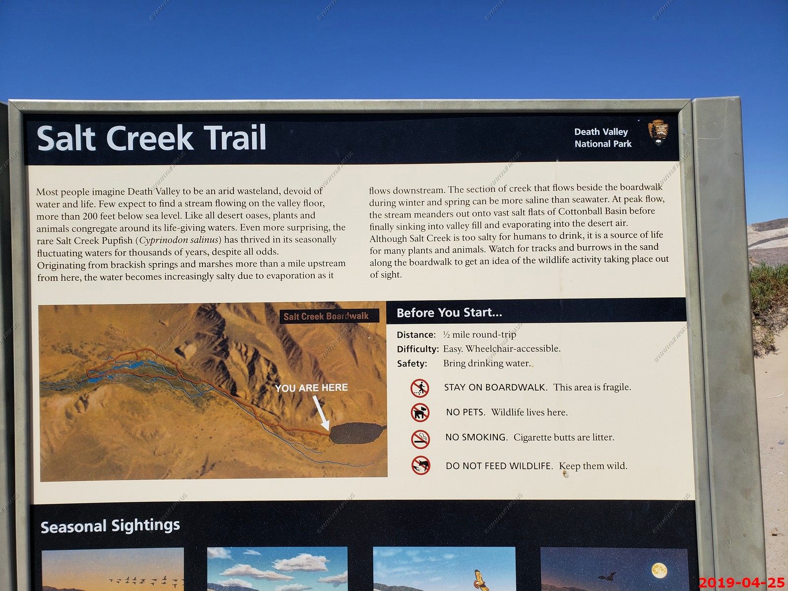
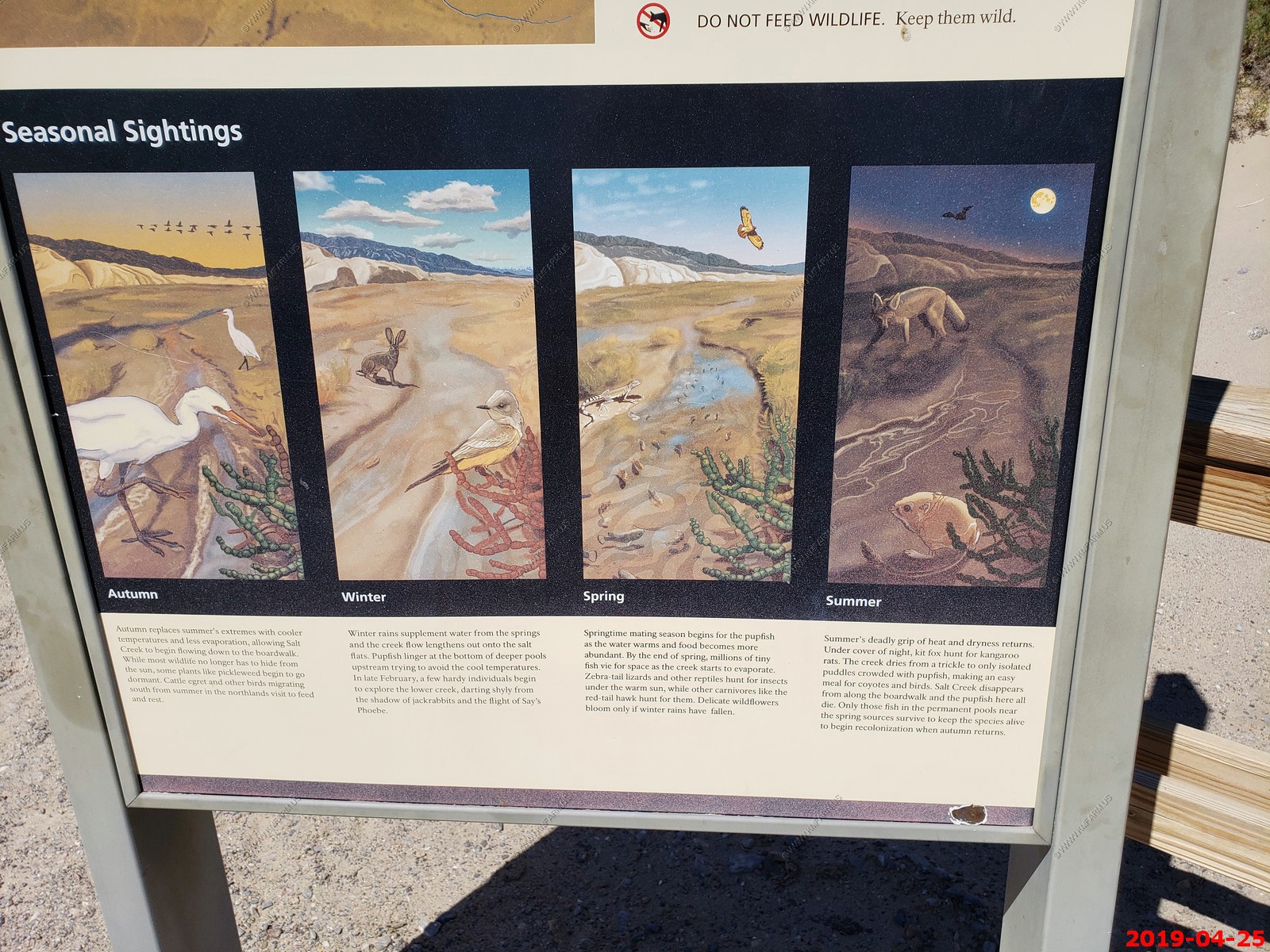
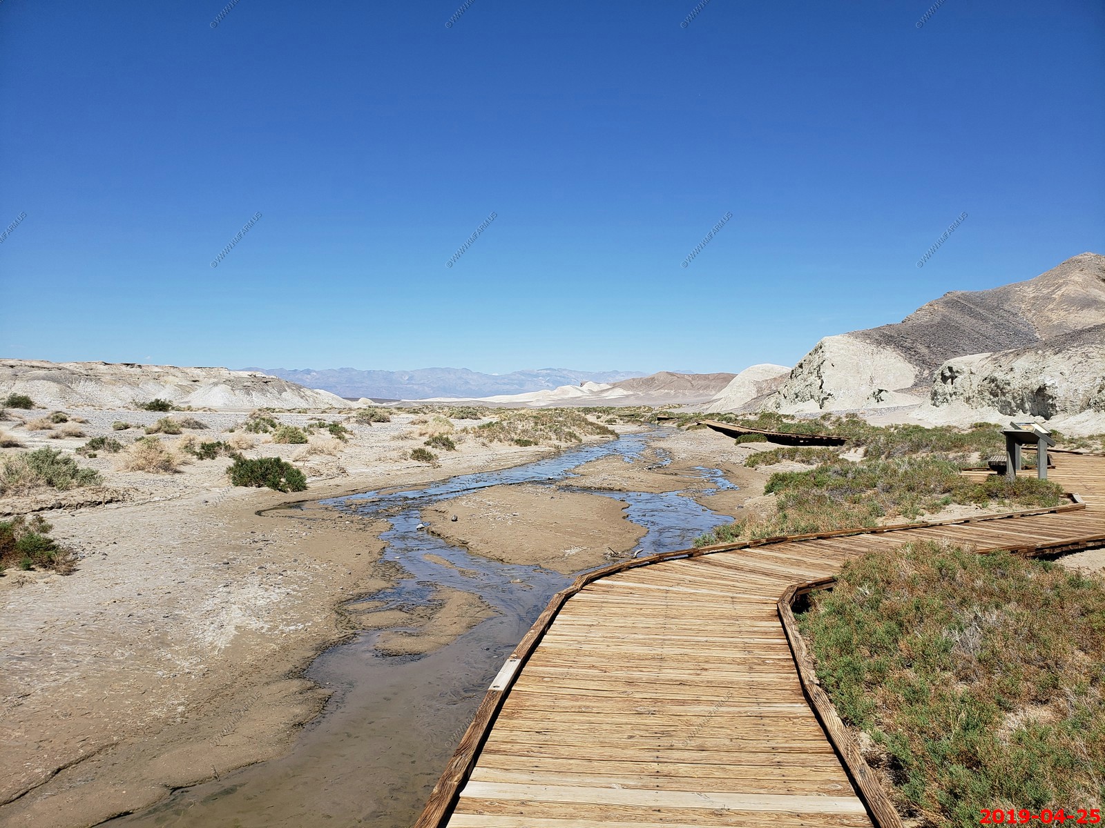
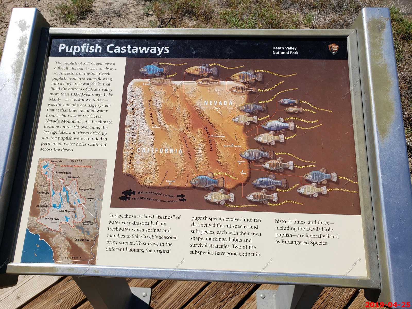
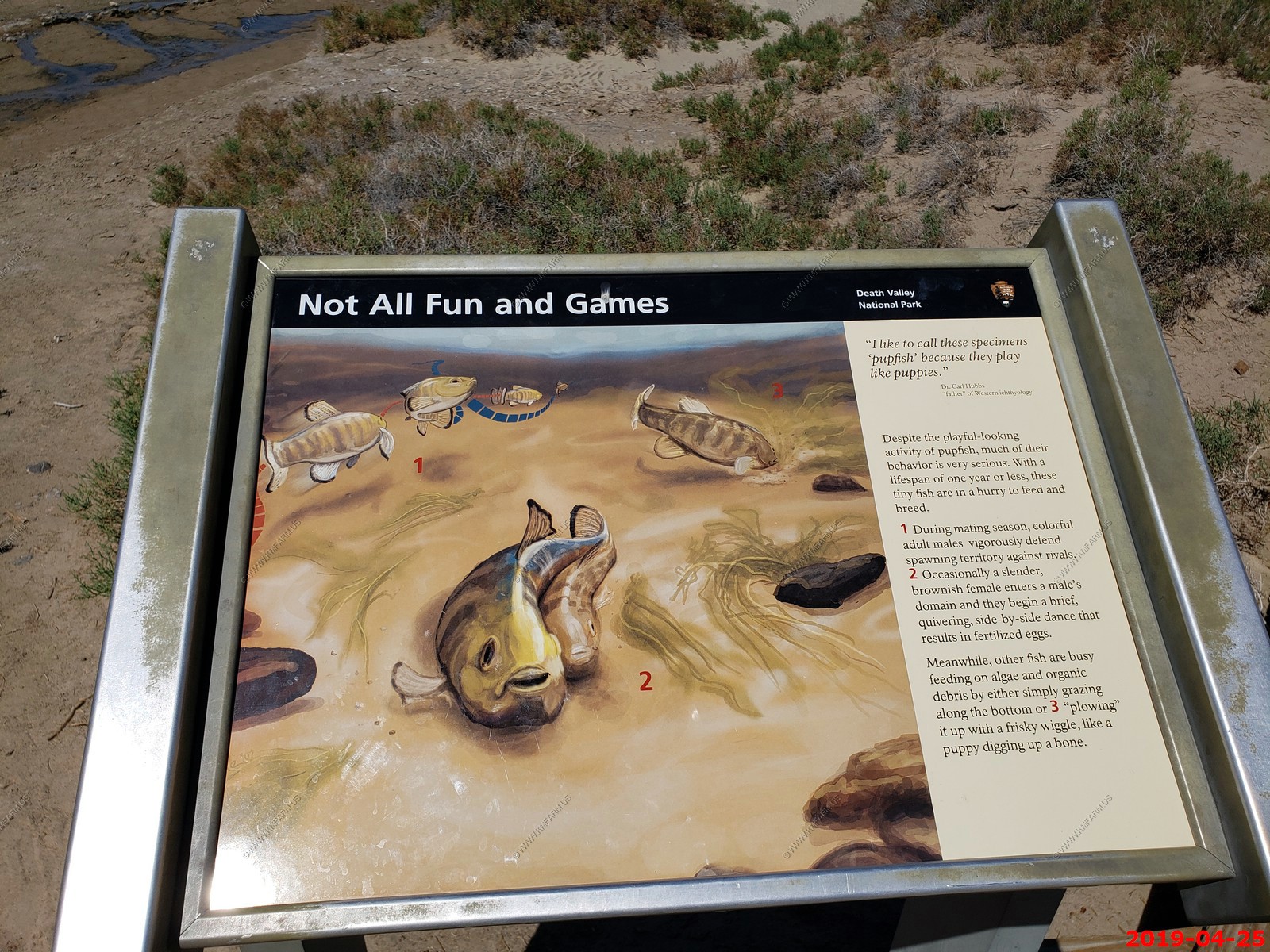
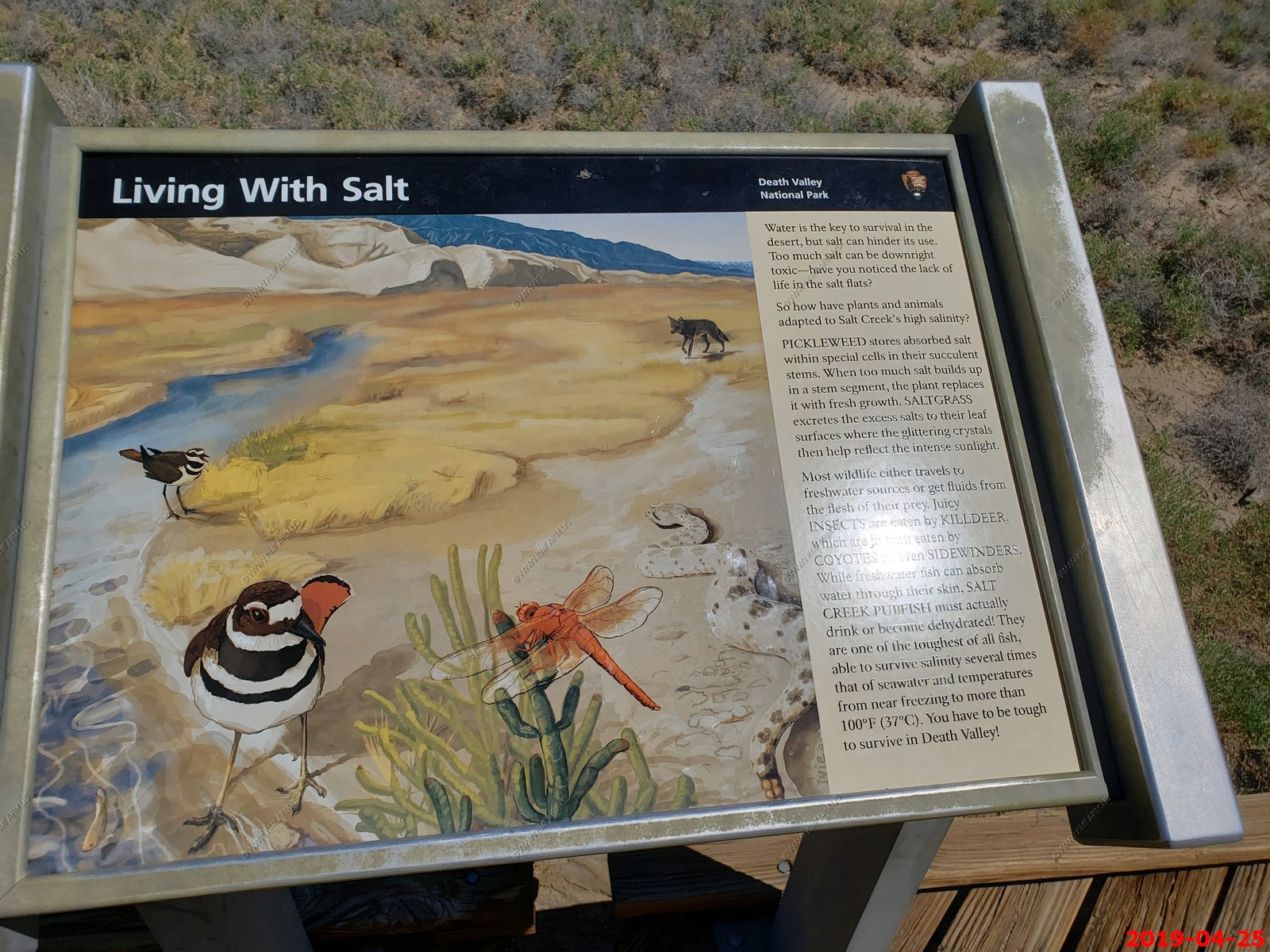
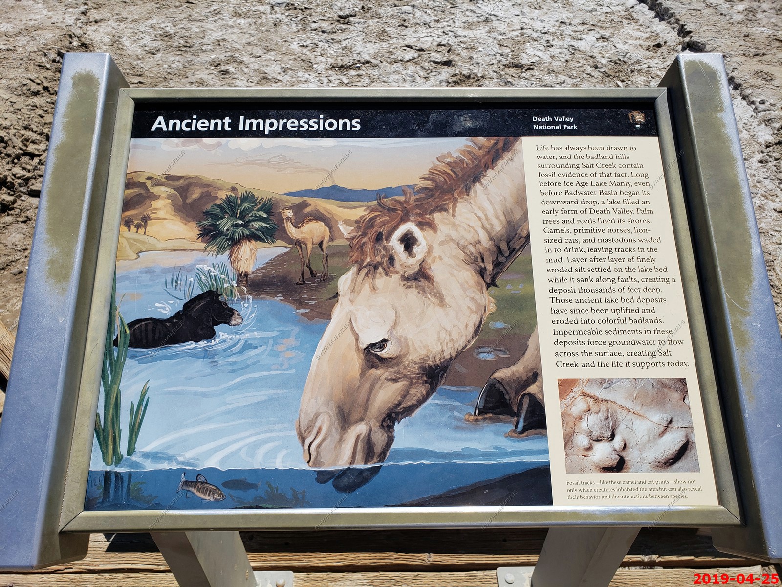
The Death Valley pupfish - The Death Valley pupfish is endemic to two small, isolated locations and currently classified as endangered. The males, often appearing in larger sizes compared to females, turn bright blue during mating season, April through October. The pupfish can withstand harsh conditions that would kill other fish: water that is 4 times more saline than the ocean, hot water up to 116F, and cold water down to 32F.
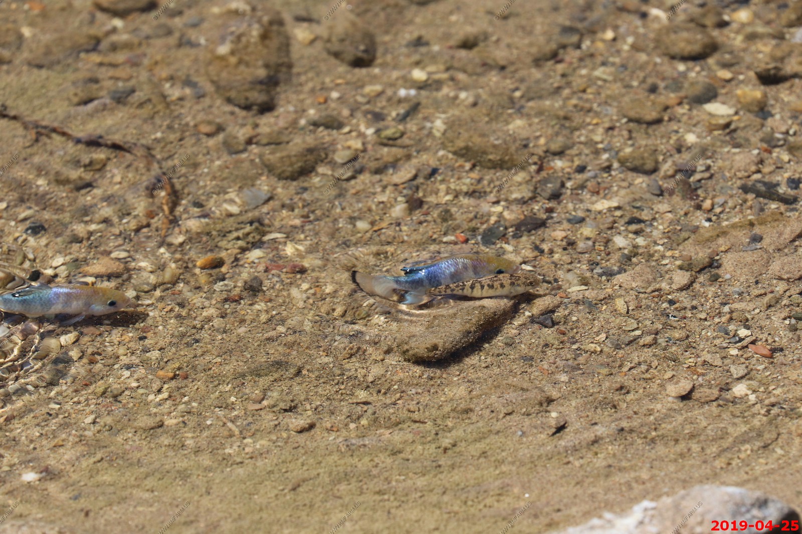
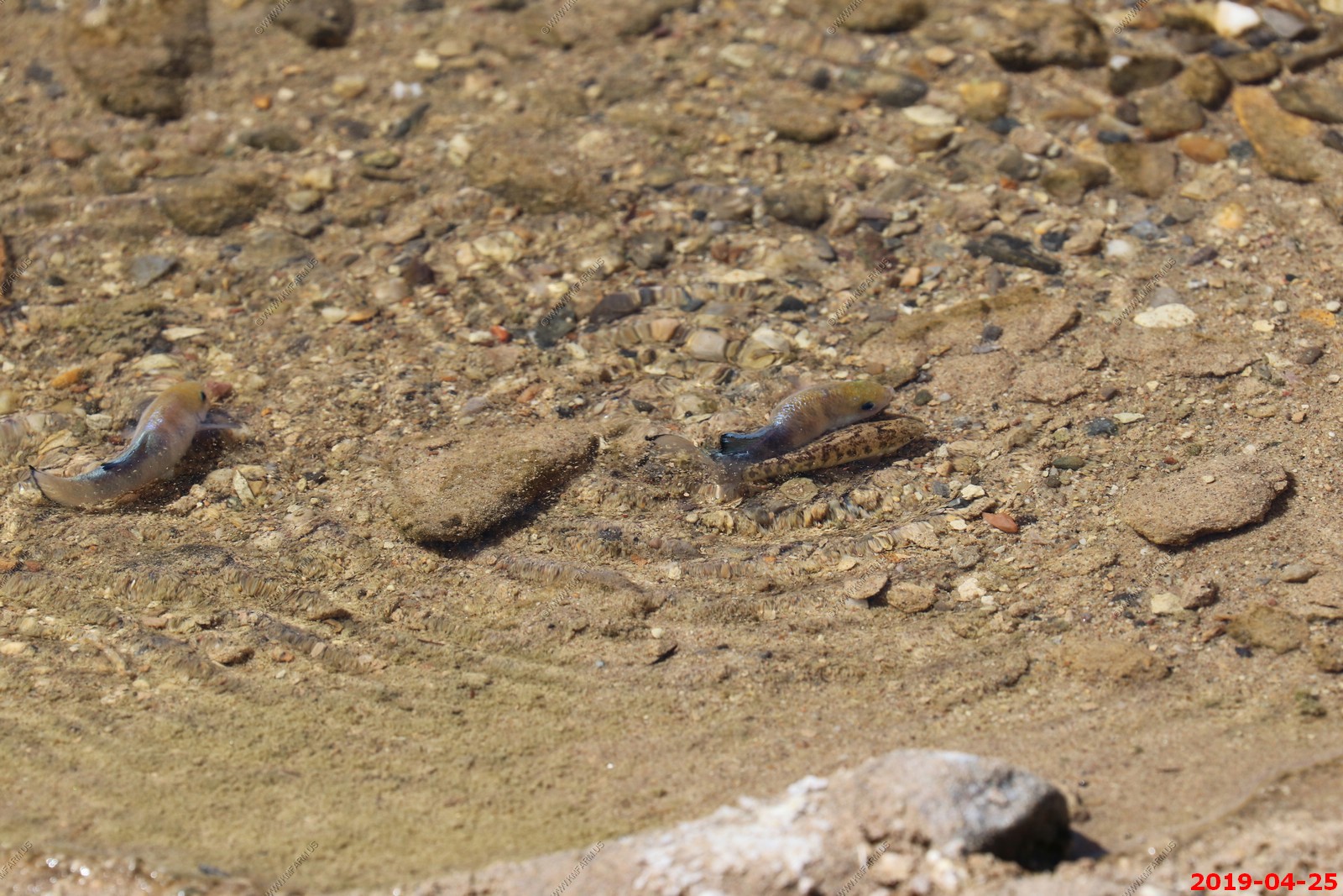
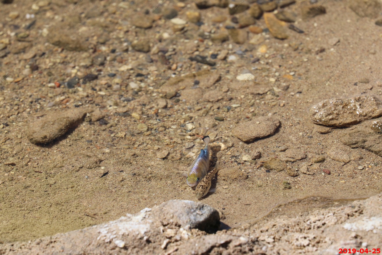
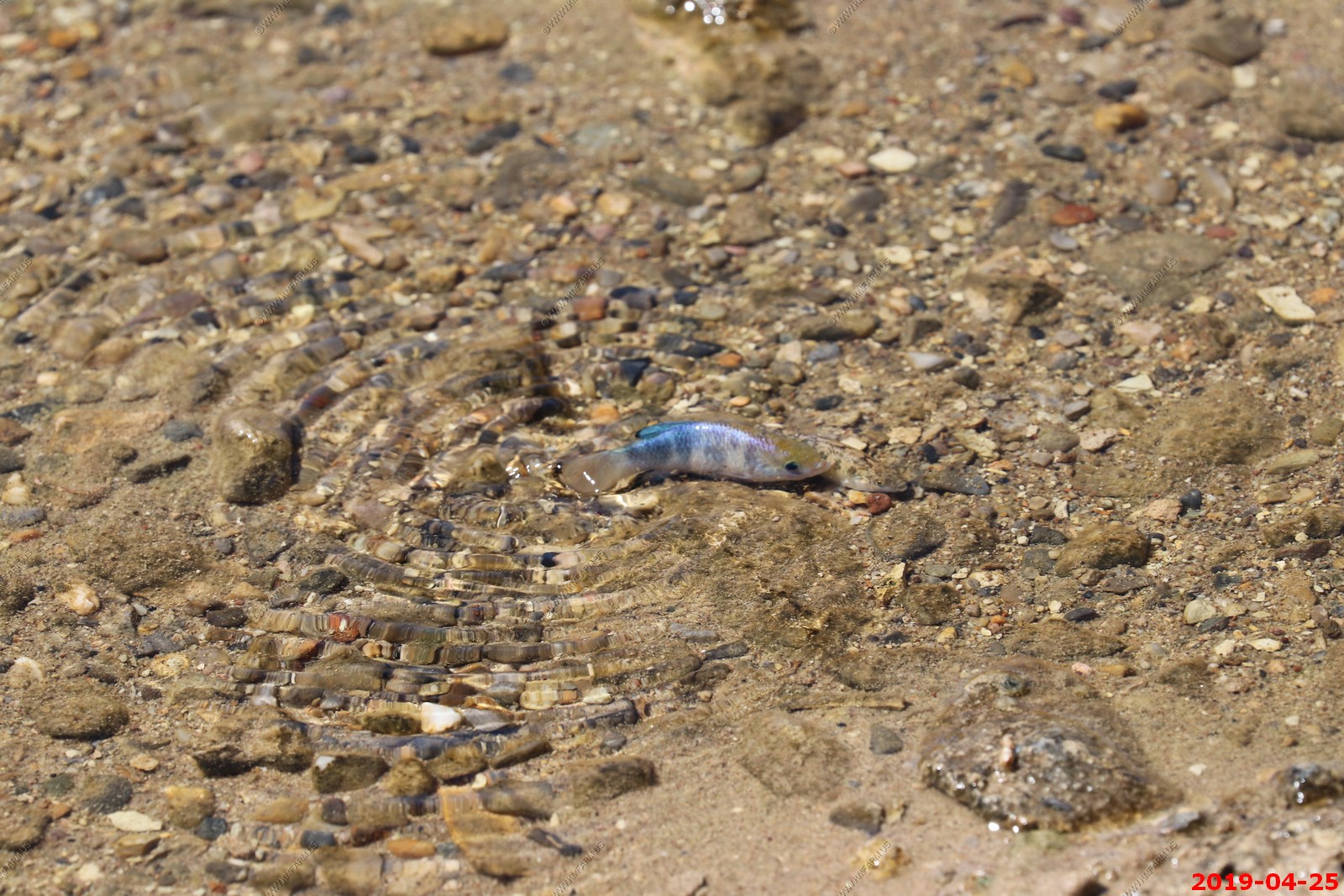
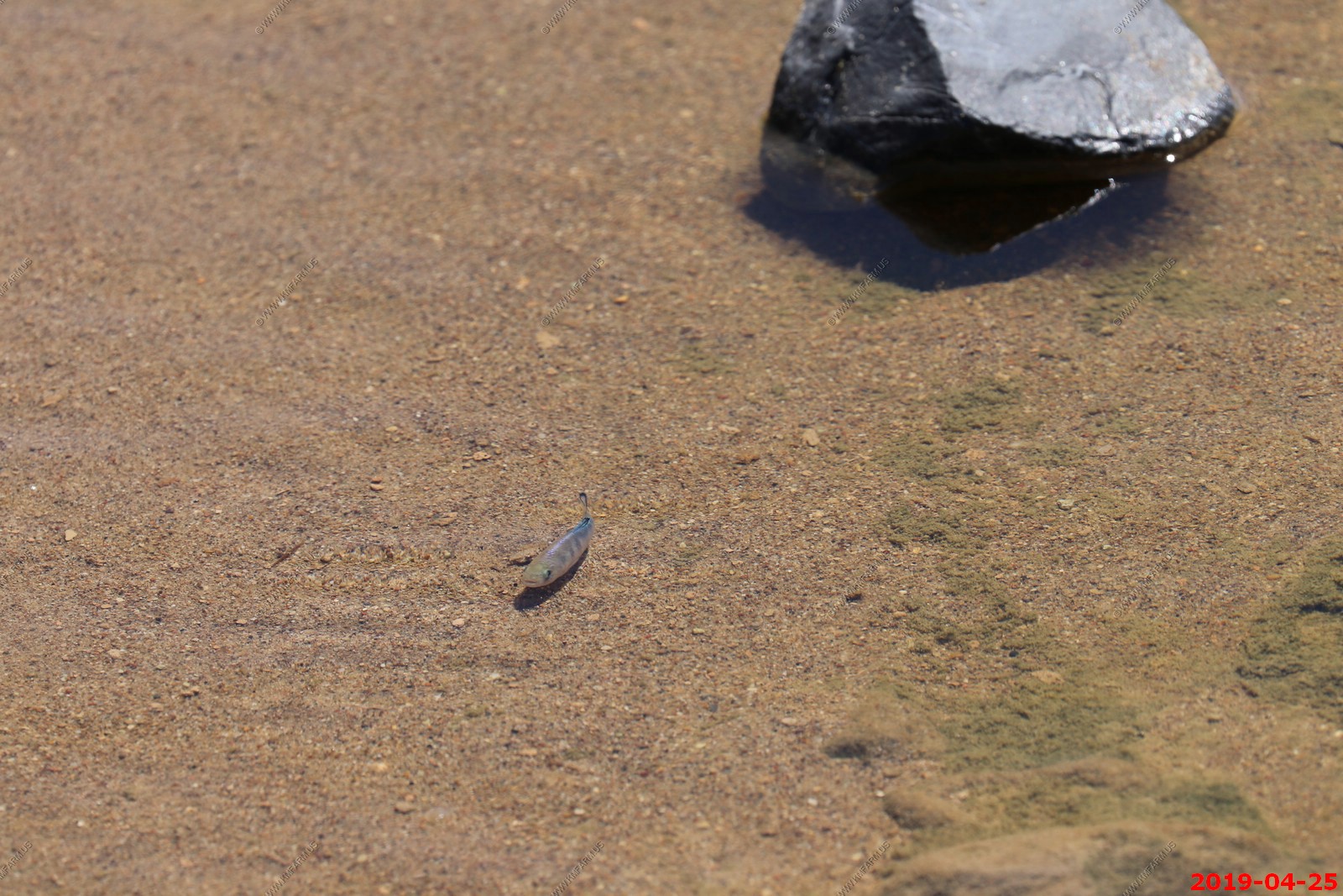
Salt Creek Interpretive Trail is a cool place to explore. Been here a number of times and this was te first time I saw the fish
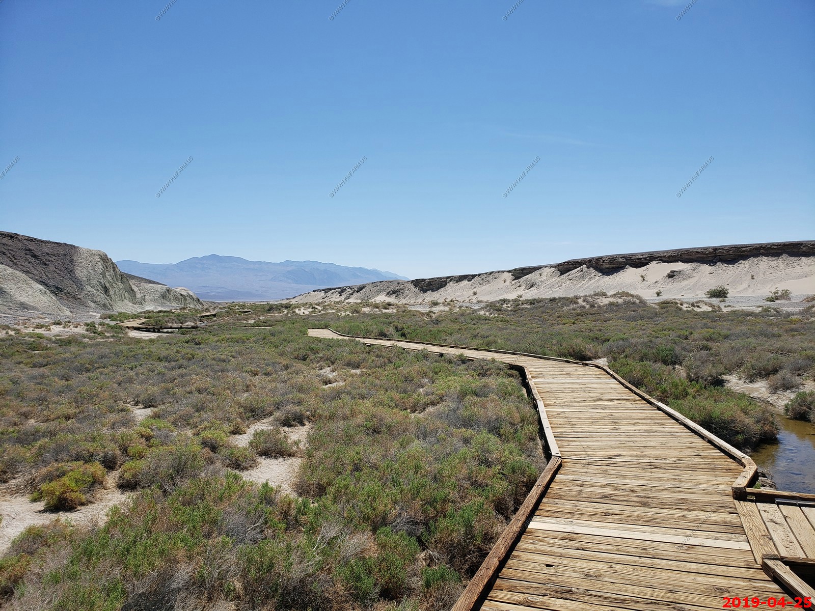
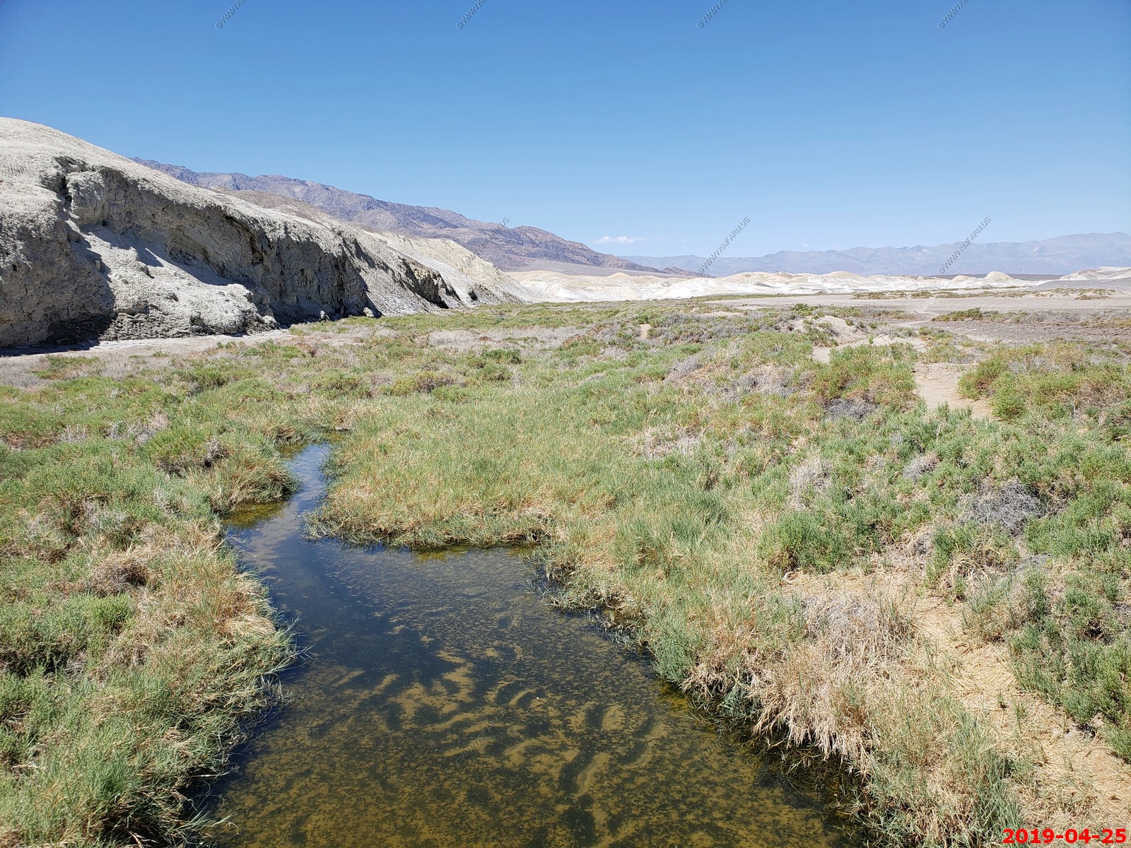
Good to see the NPS has excellent maintenance
Good bit of water considering where we are
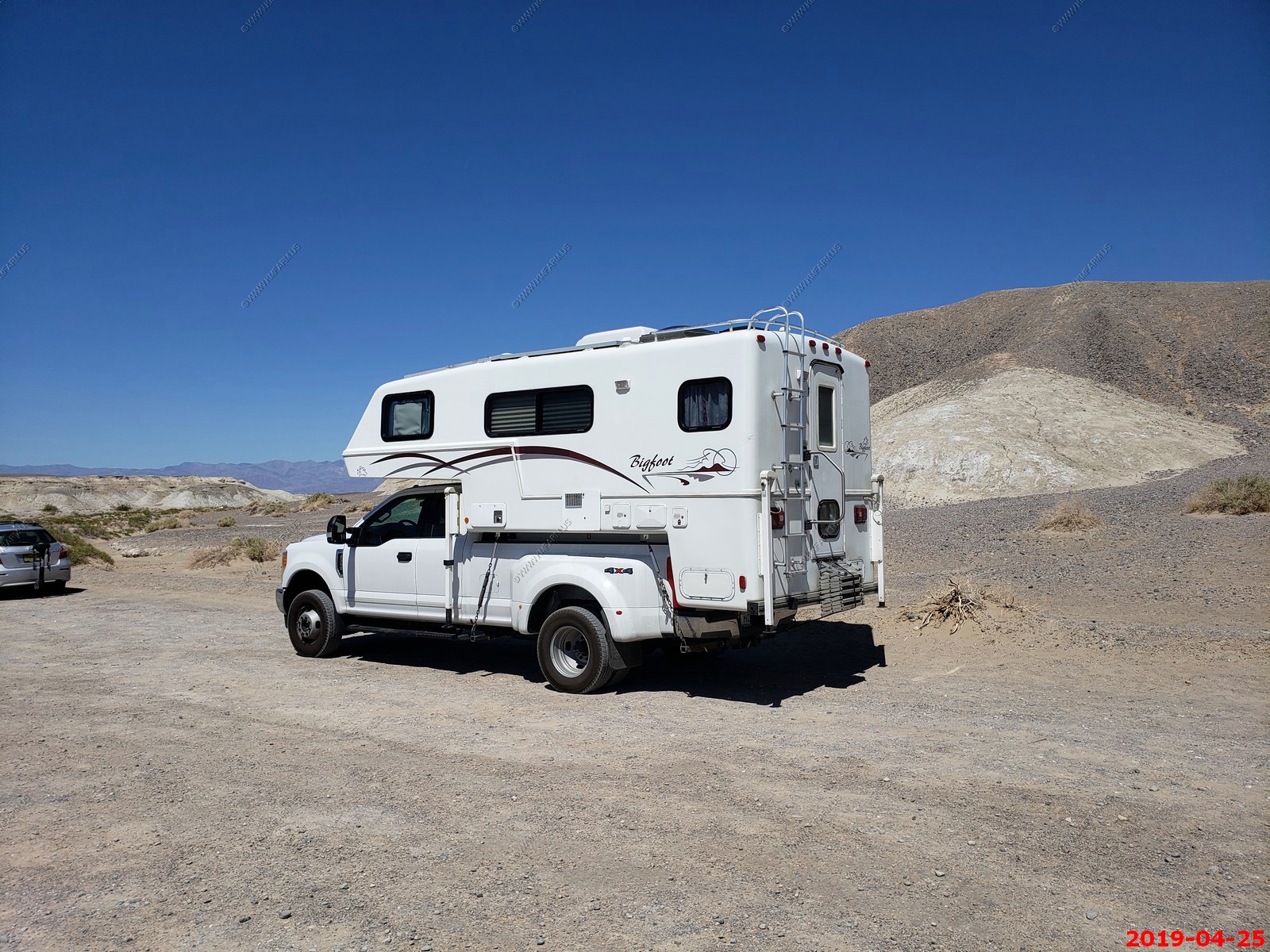
In my 2021 RV research these slide-ins keep looking attractive. Parked at Salt Creek Trail
Looking back at The Keane Wonder Mill (center) makes you realize what the tram went over. Amazing (7 miles away)
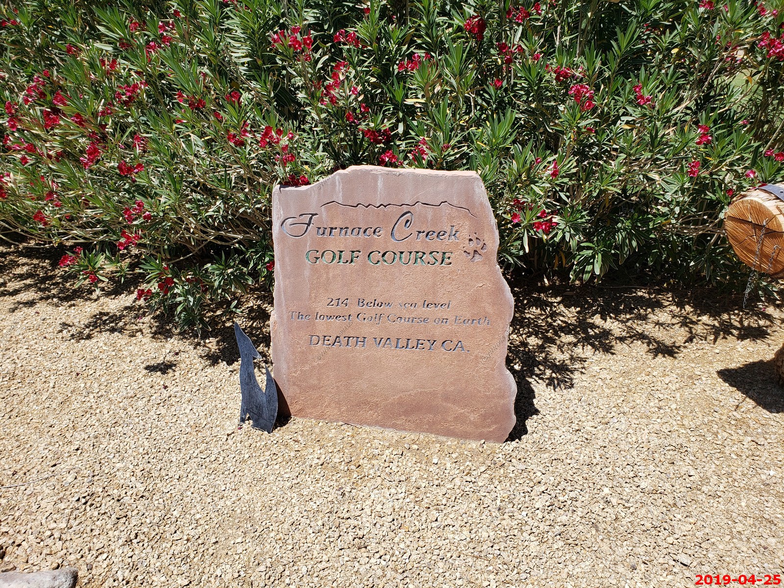
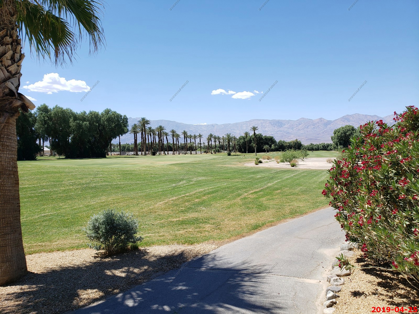
19th hole at the Furnace Creek Golf course at Death Valley
Located adjacent to The Furnace Creek Golf Course at Death Valley clubhouse, the 19th hole is a casual open-air venue that offers a variety of food options and looks out to the golf course. Known for its great hamburgers, the restaurant also has a full bar. It is the lowest golf course on earth at 215 feet below sea level.
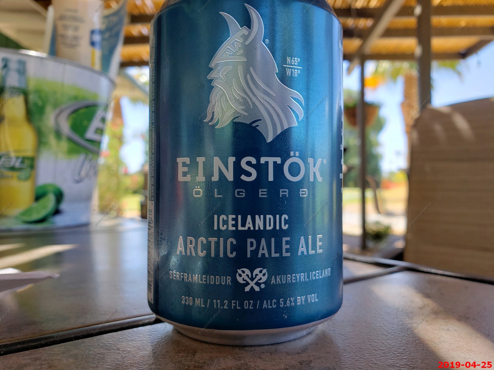
this was a very good but expensive beer.
Another great April afternoon at the pool
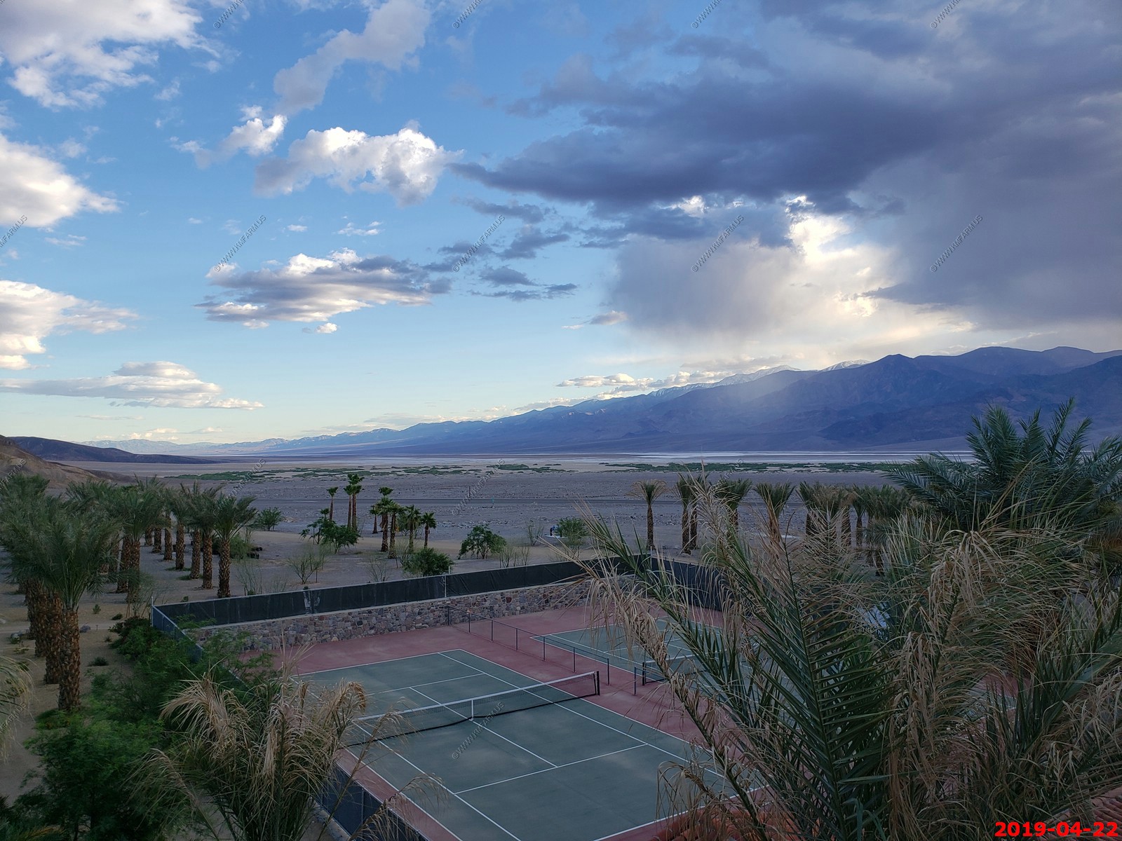
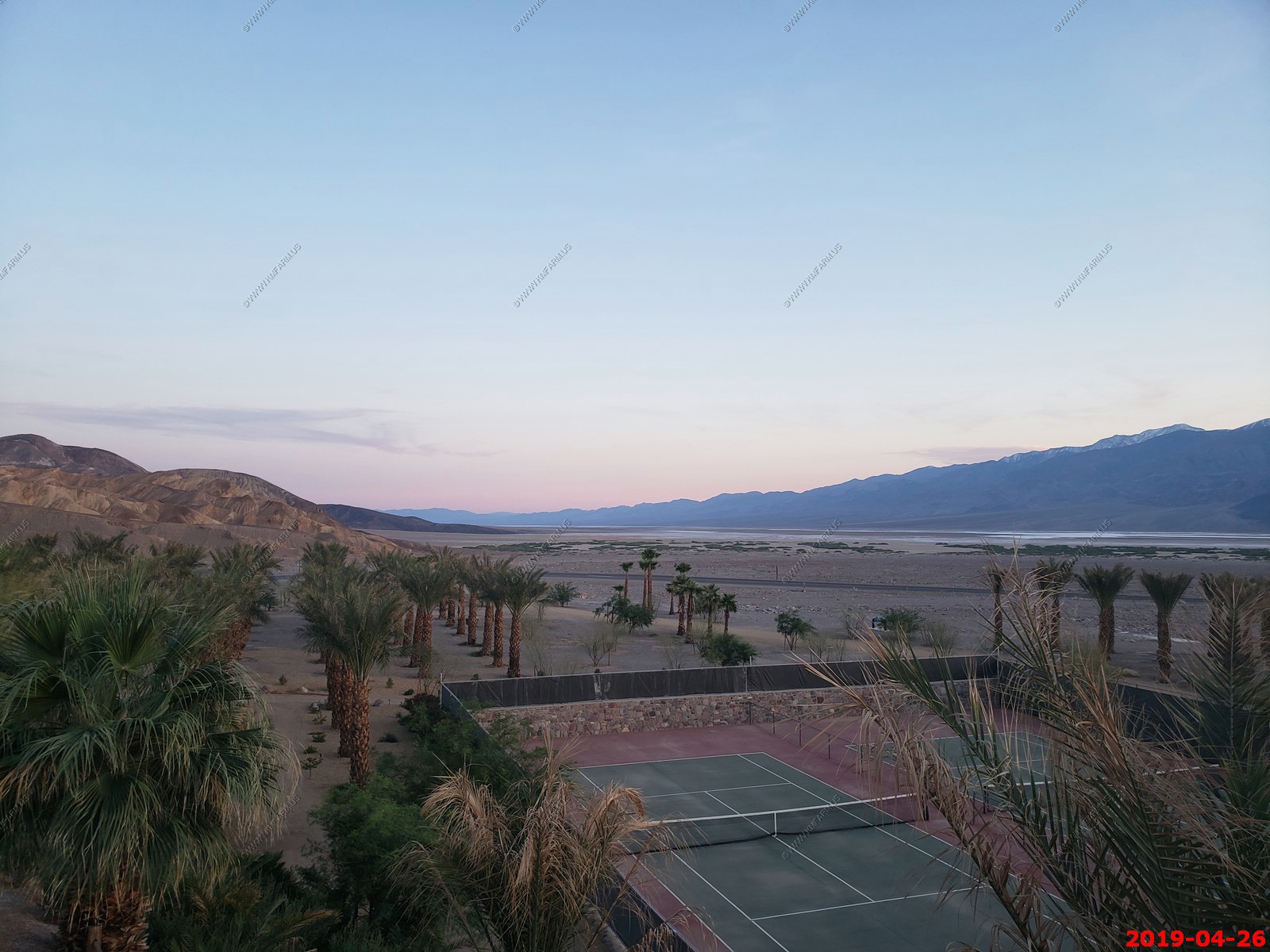
Sun setting over tennis the courts at Furnace Creek Inn
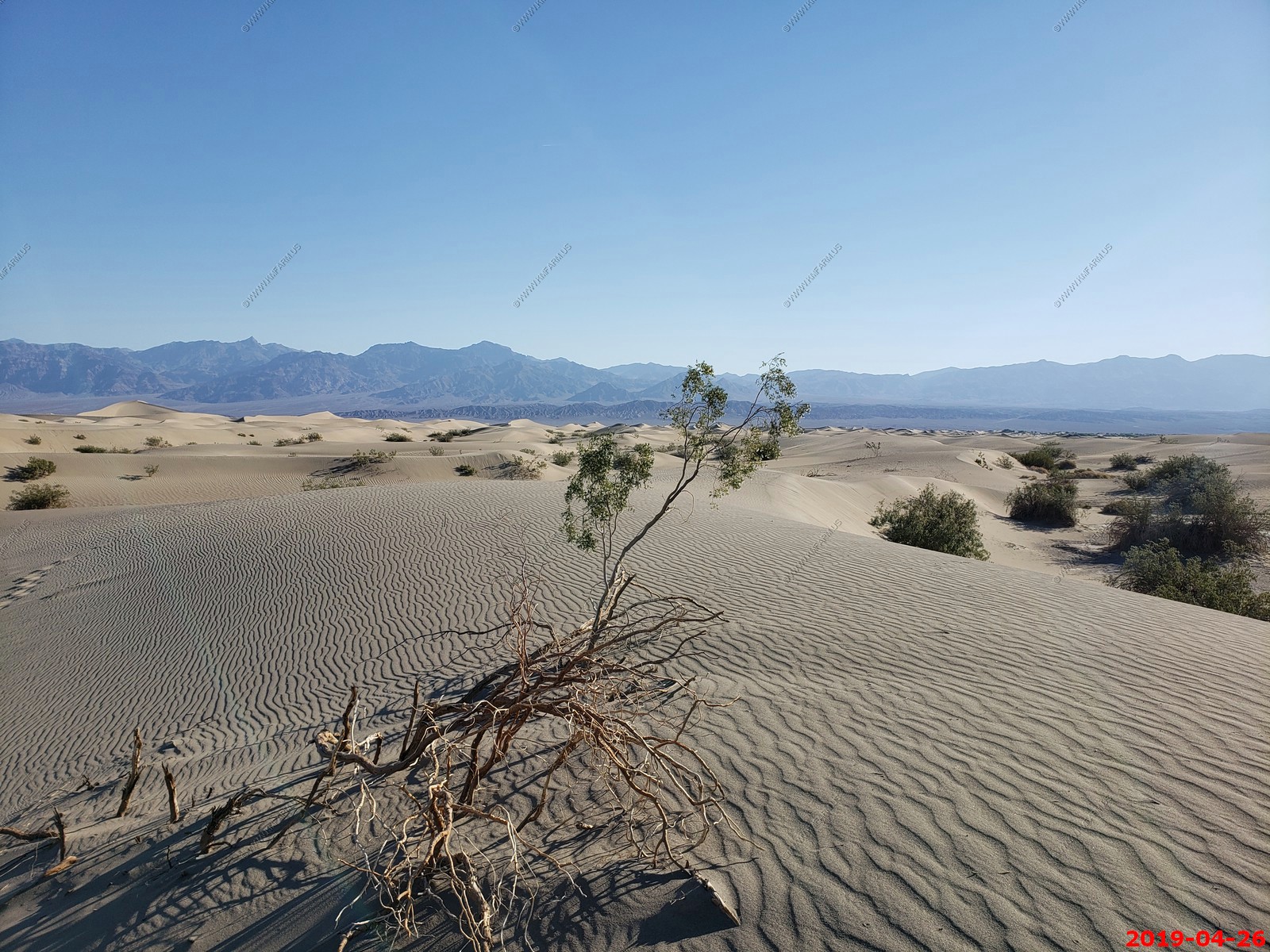
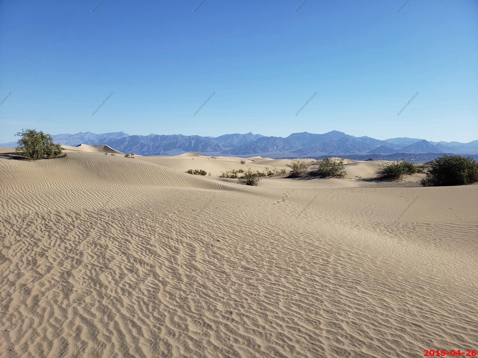
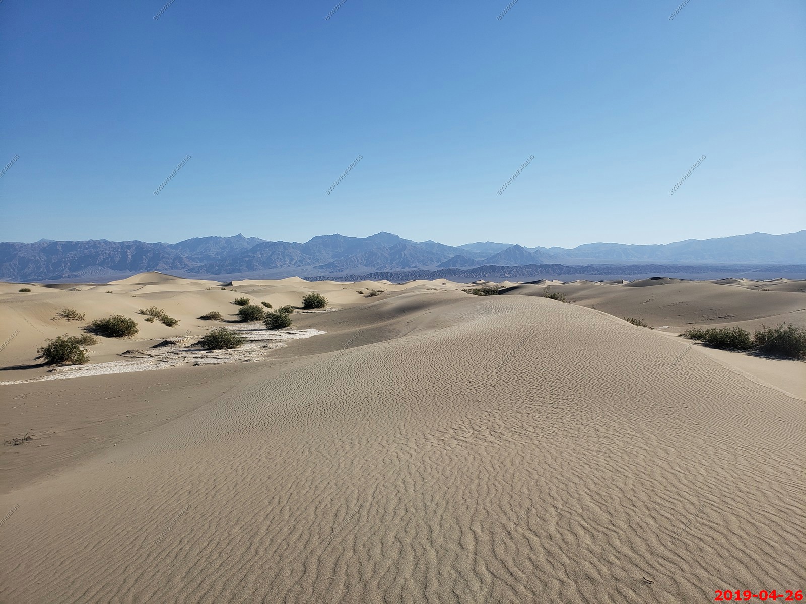
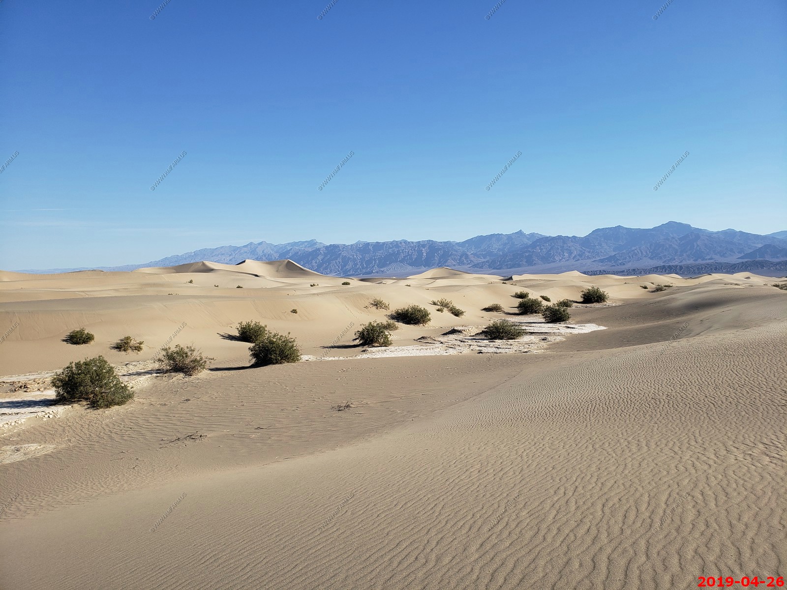
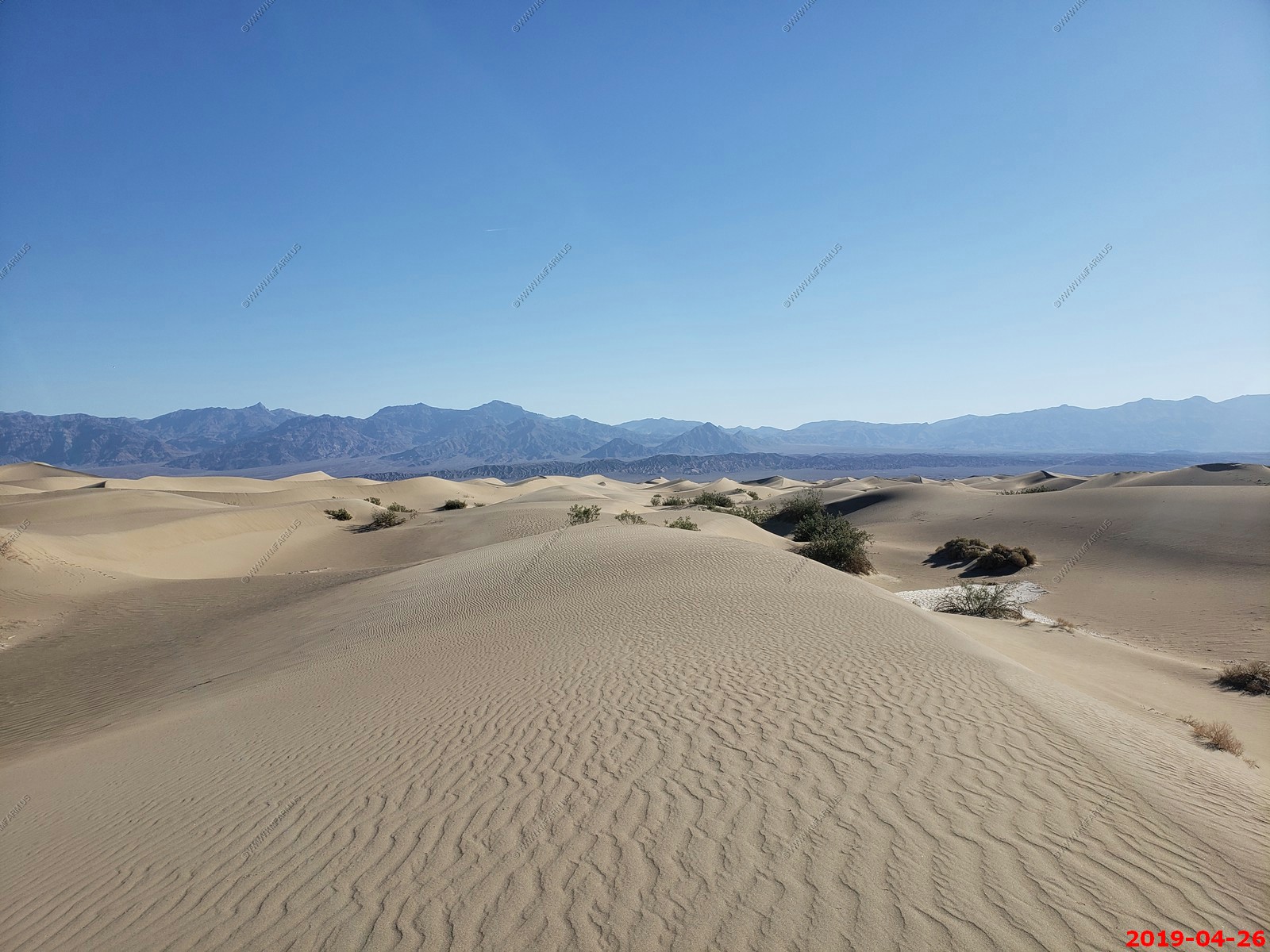
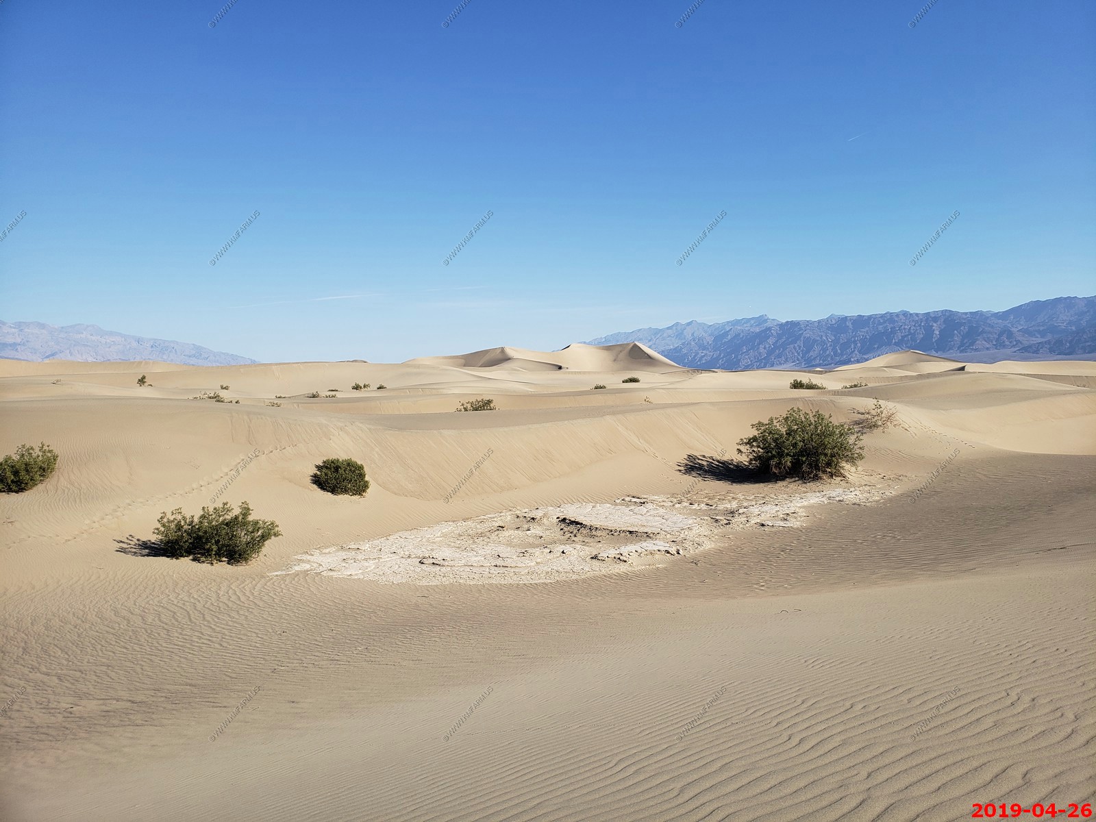
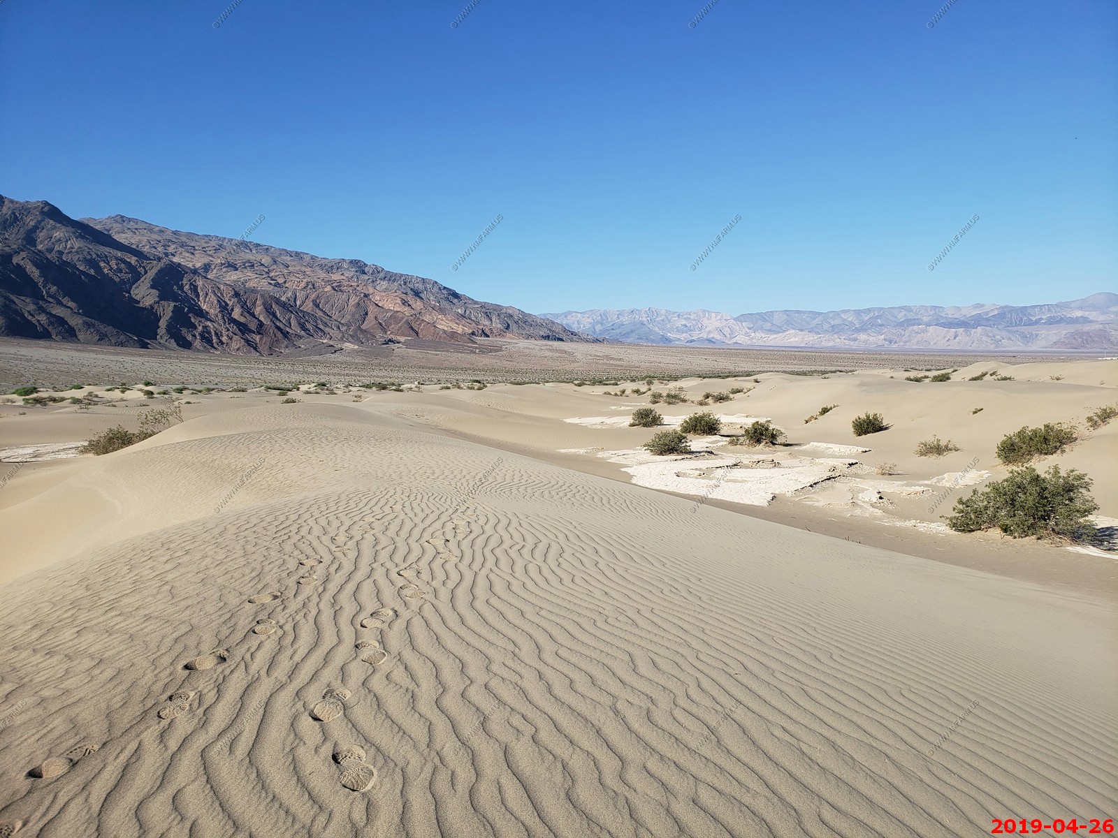
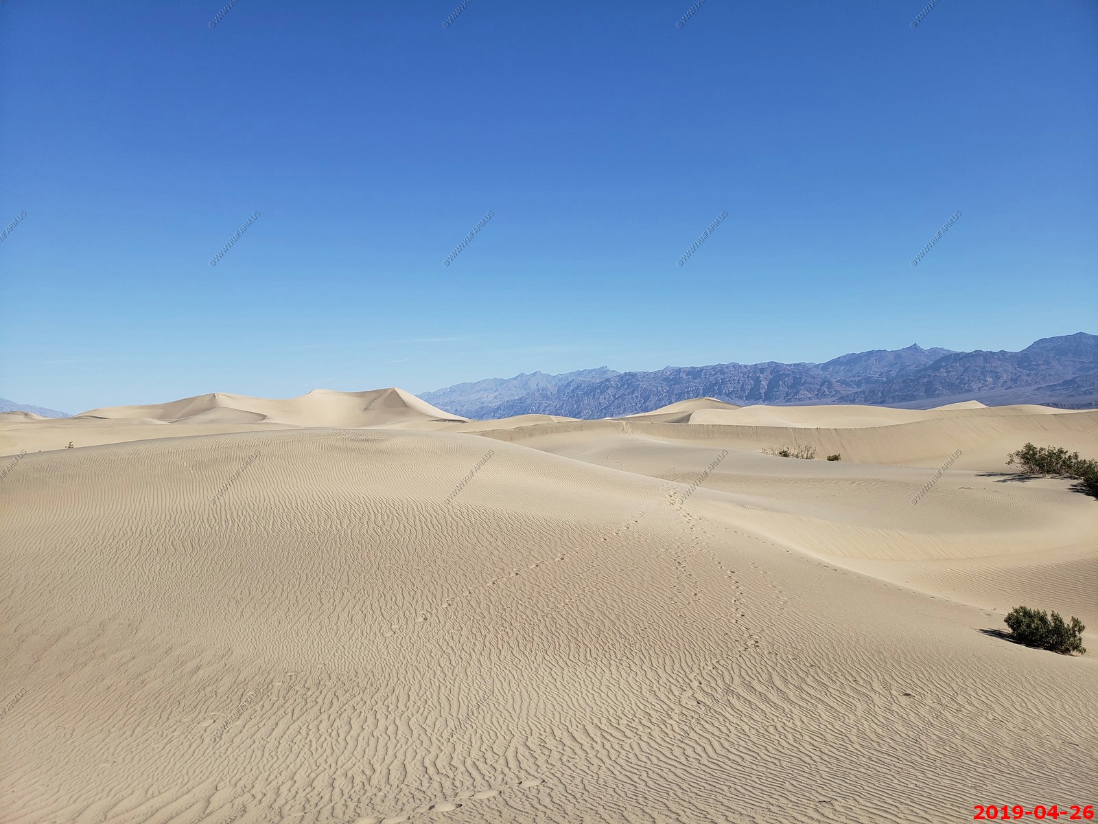
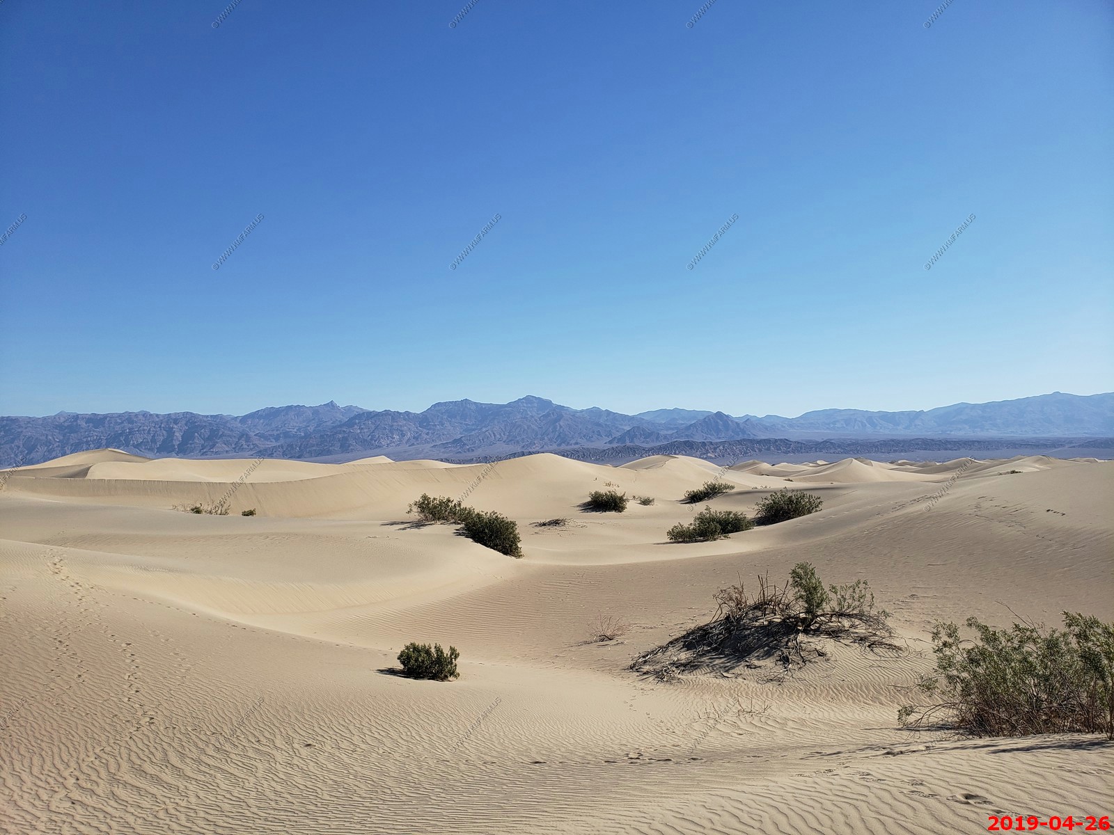
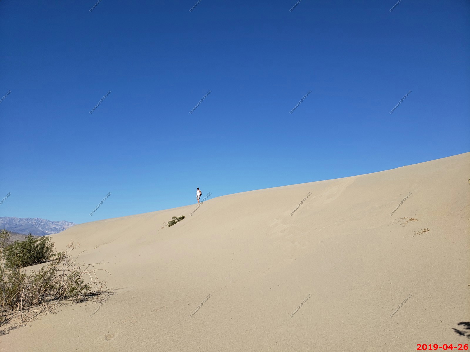
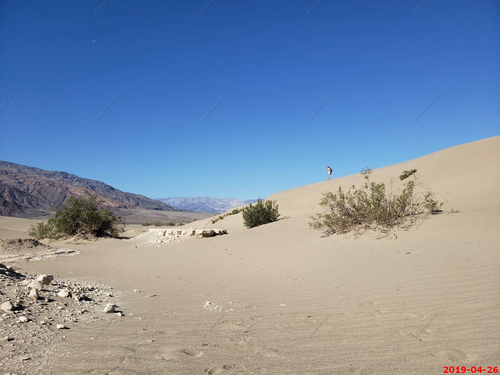
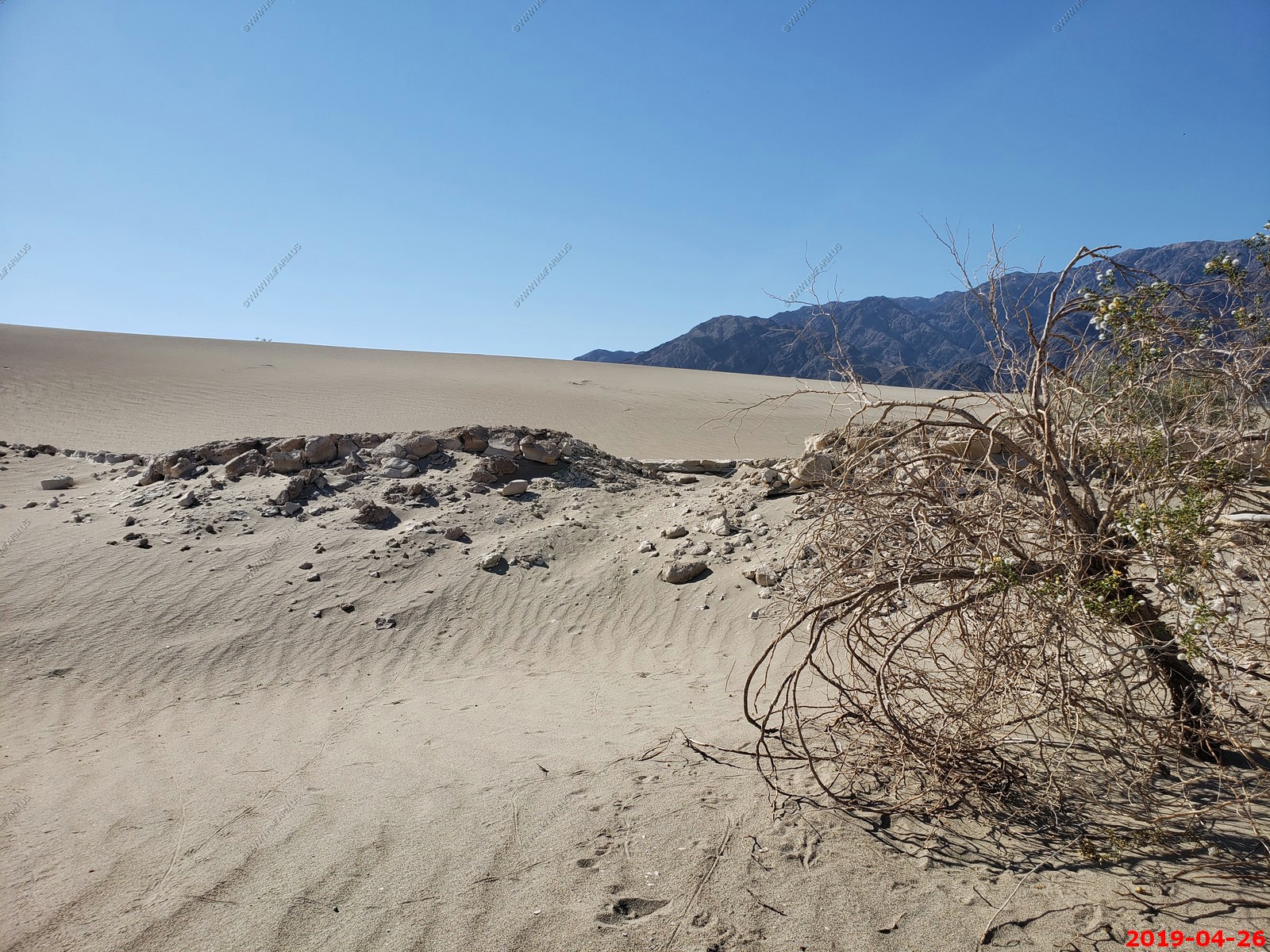
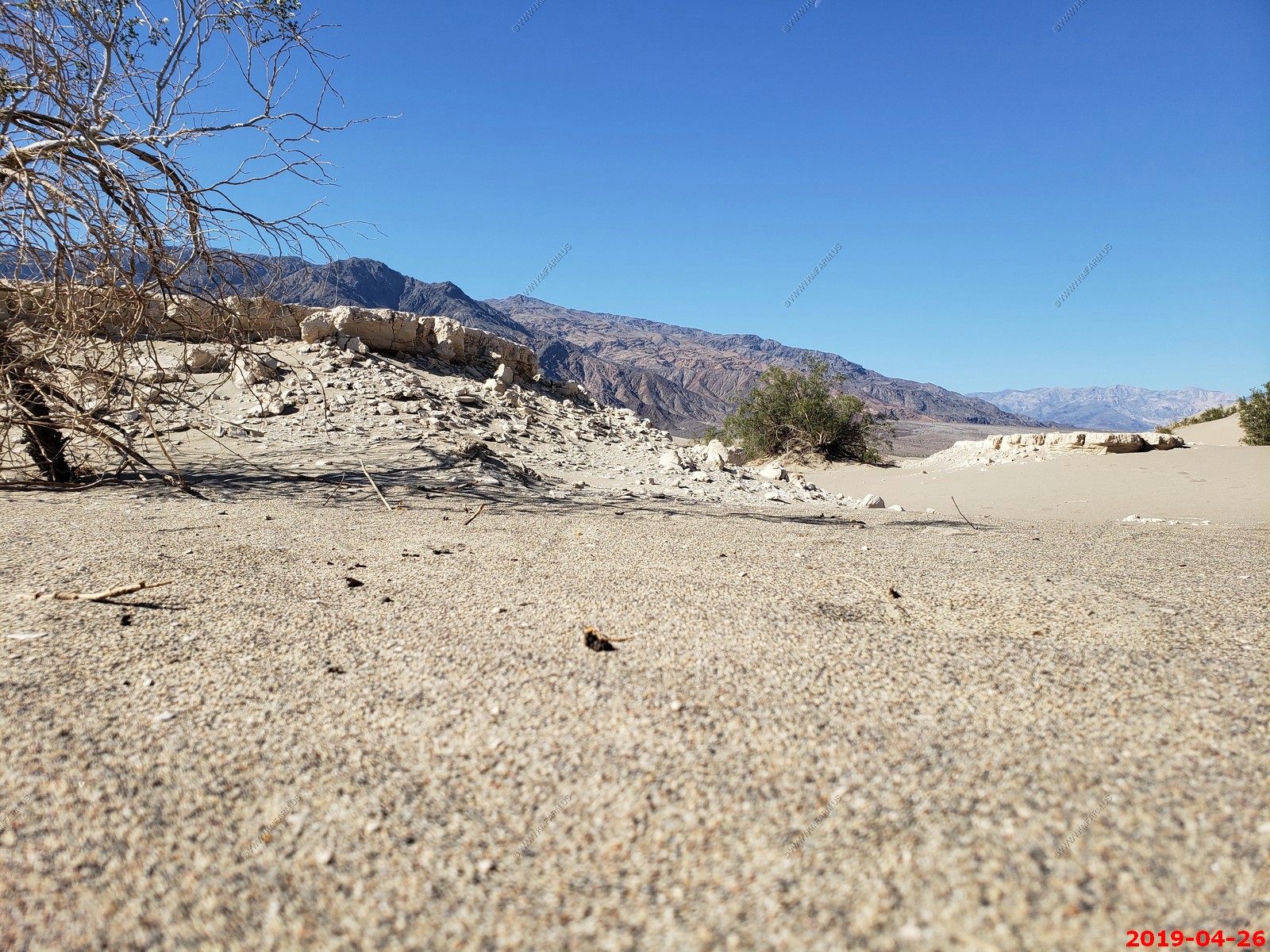
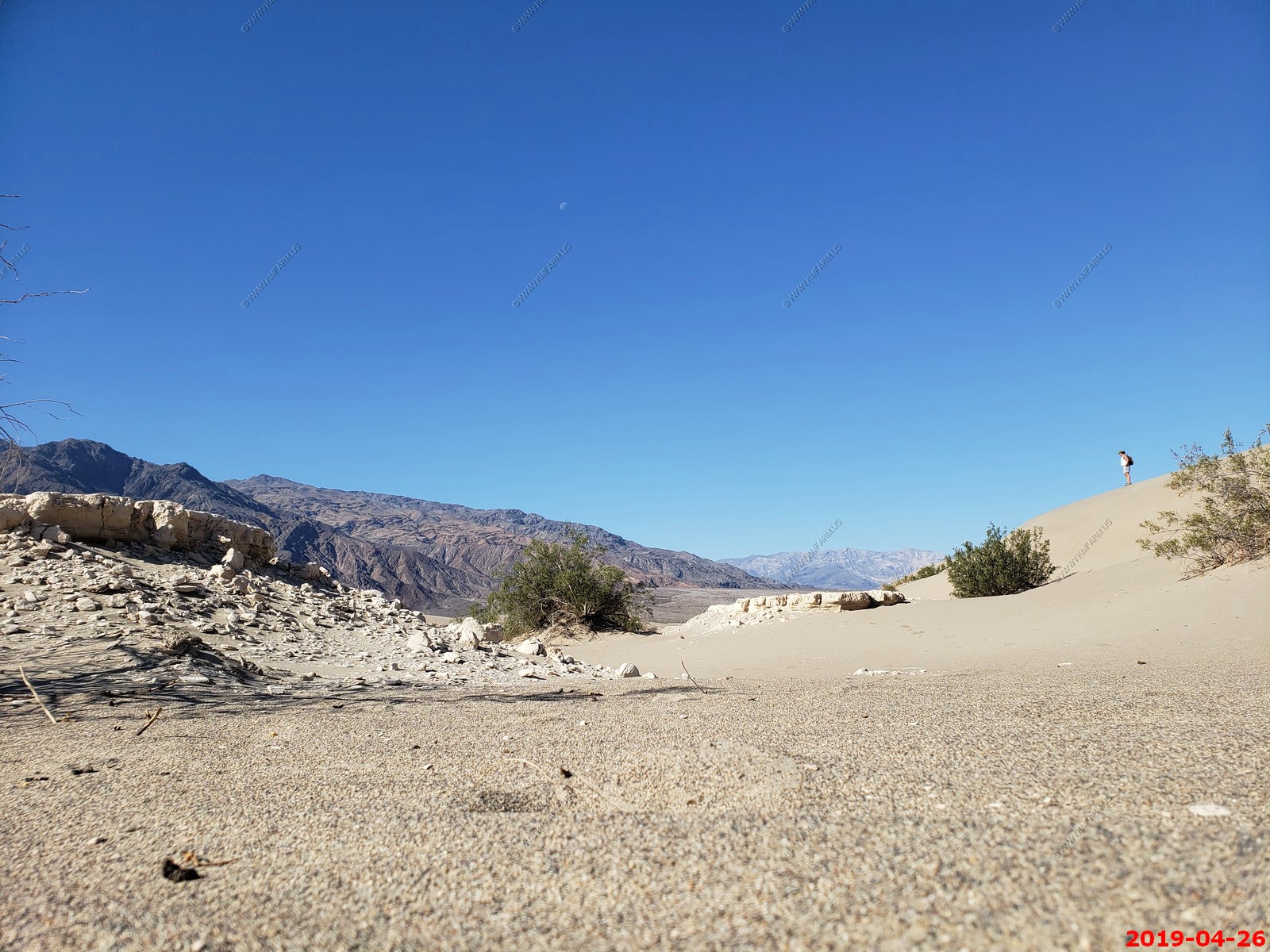
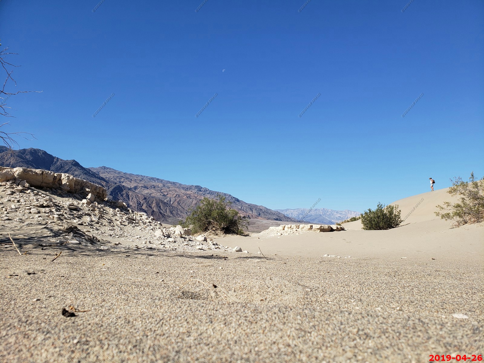
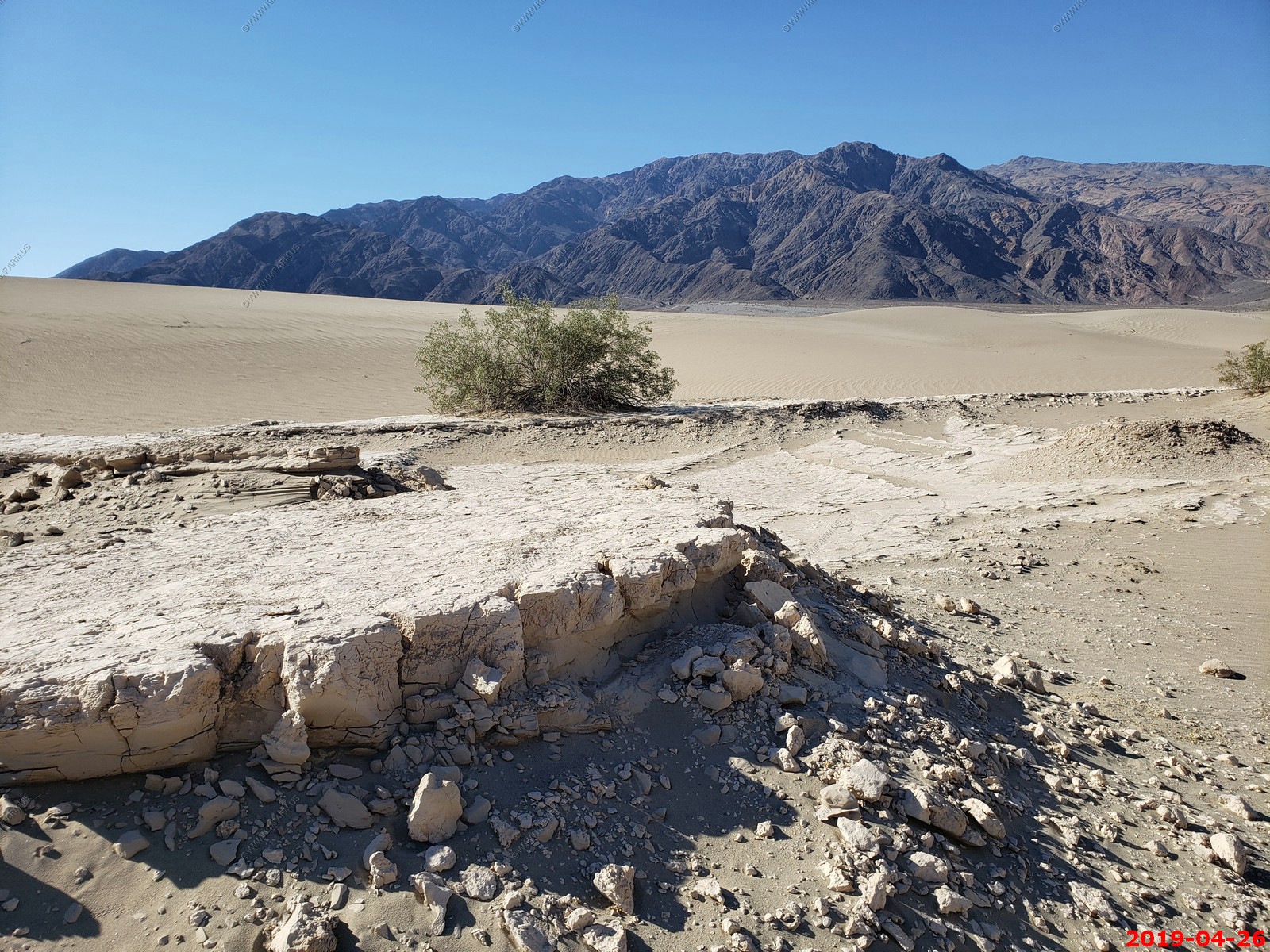
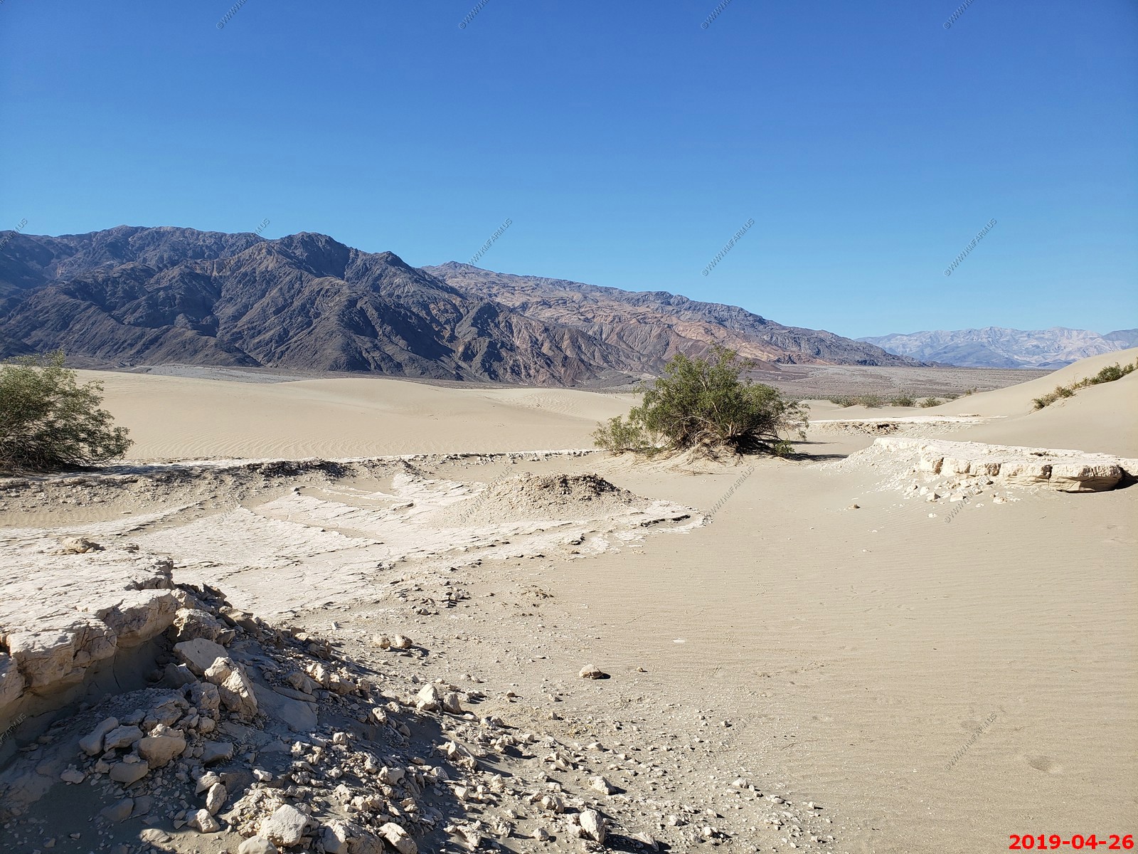
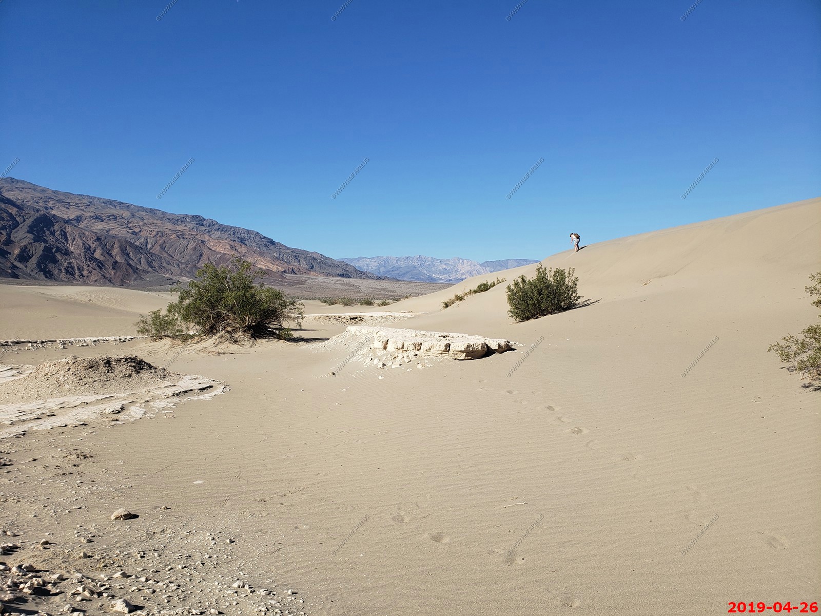
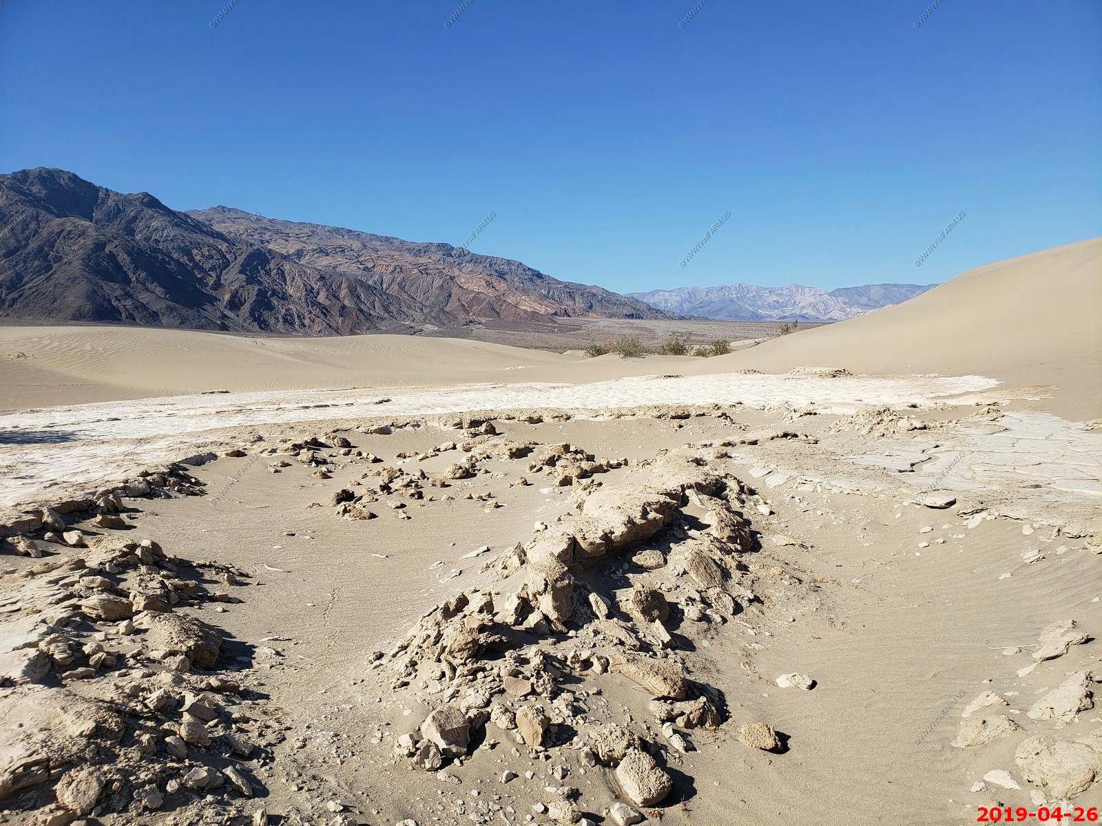
Friday April 26
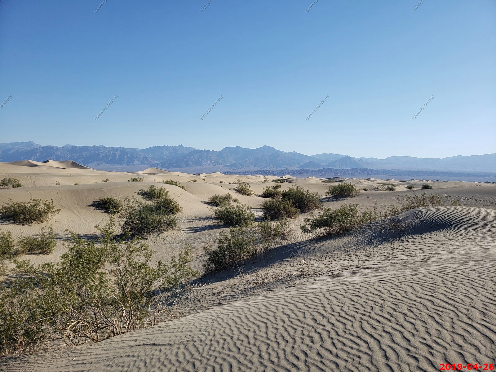
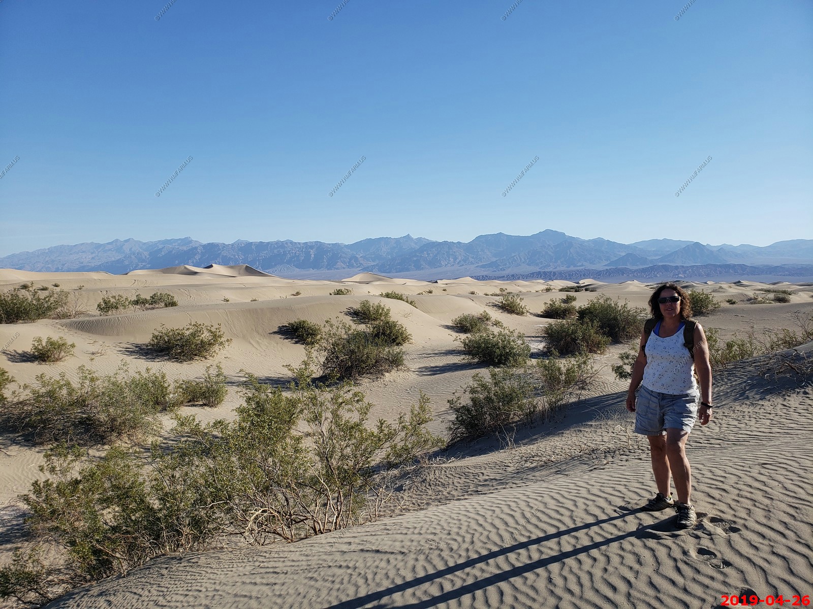
Our last full day. Today we are going to explore Mesquite Sand Dunes appx. 28 miles to the north. These large sand dunes have been used to film desert scenes for several movies including Star Wars. Then spend the rest of the day at the pool and have a nice dinner.
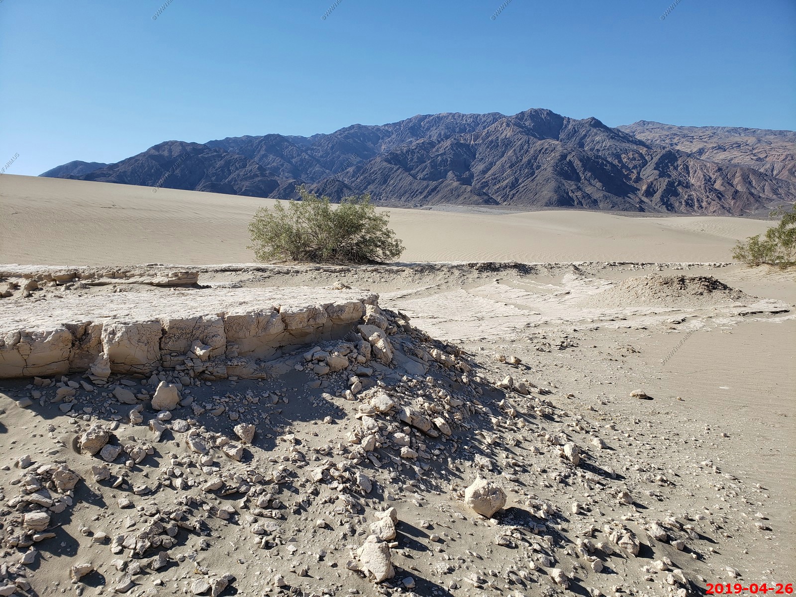
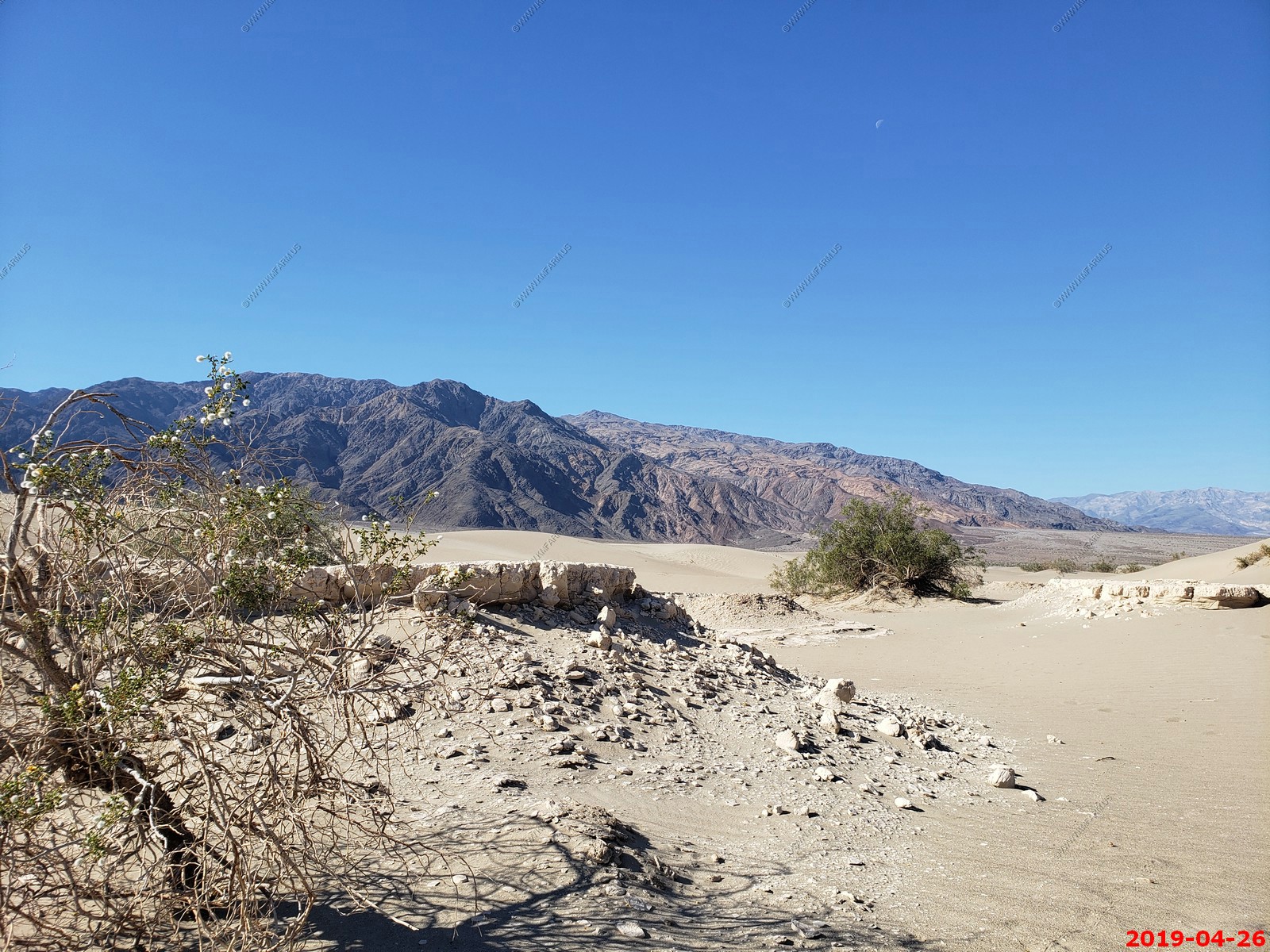
The Mesquite Flat Sand Dunes are at the northern end of the valley floor and are nearly surrounded by mountains on all sides. Due to their easy access from the road and the overall proximity of Death Valley to Hollywood, these dunes have been used to film sand dune scenes for several movies including films in the Star Wars series. The largest dune is called Star Dune and is relatively stable and stationary because it is at a point where the various winds that shape the dunes converge. The depth of the sand at its crest is 130–140 feet but this is small compared to other dunes in the area that have sand depths of up to 600–700 feet deep.
The primary source of the dune sands is probably the Cottonwood Mountains which lie to the north and northwest. The tiny grains of quartz and feldspar that form the sinuous sculptures that make up this dune field began as much larger pieces of solid rock.
In between many of the dunes are stands of creosote bush and some mesquite on the sand and on dried mud, which used to cover this part of the valley before the dunes intruded (mesquite was the dominant plant here before the sand dunes but creosote does much better in the sand dune conditions).
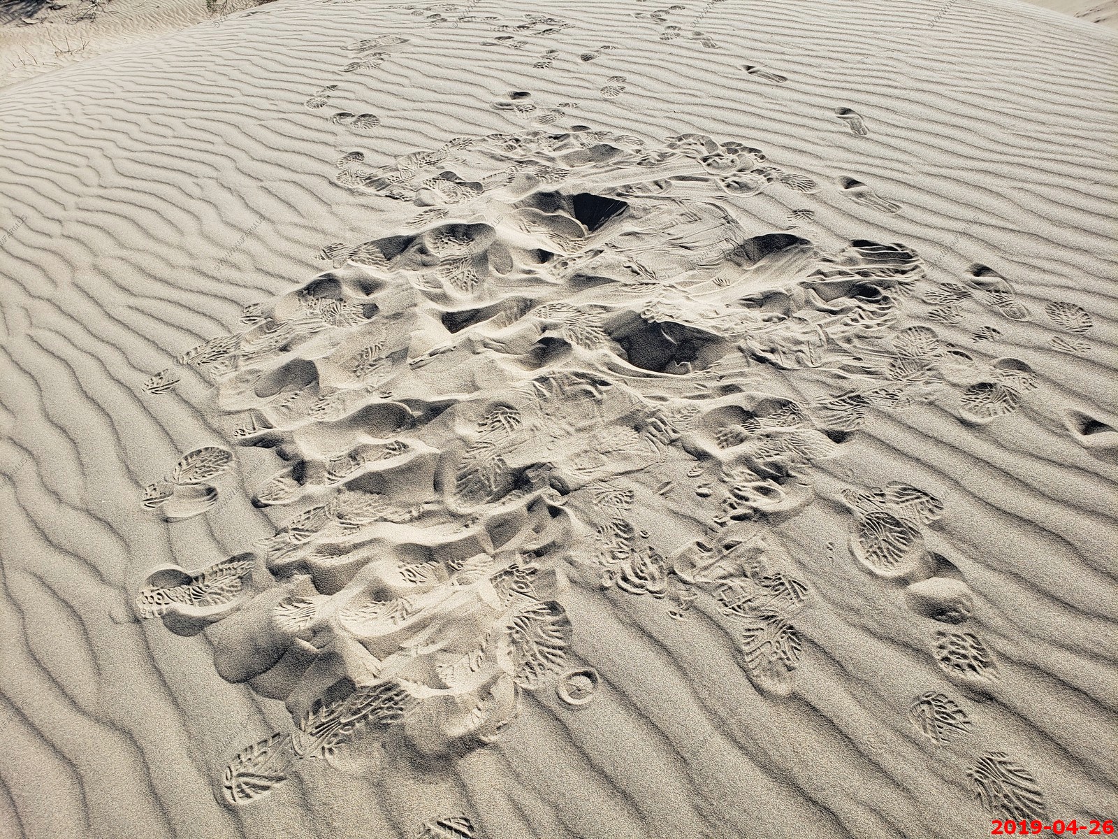
Various views. A cool place but not easy to navigate. We came here early for the shadows and lower temps.
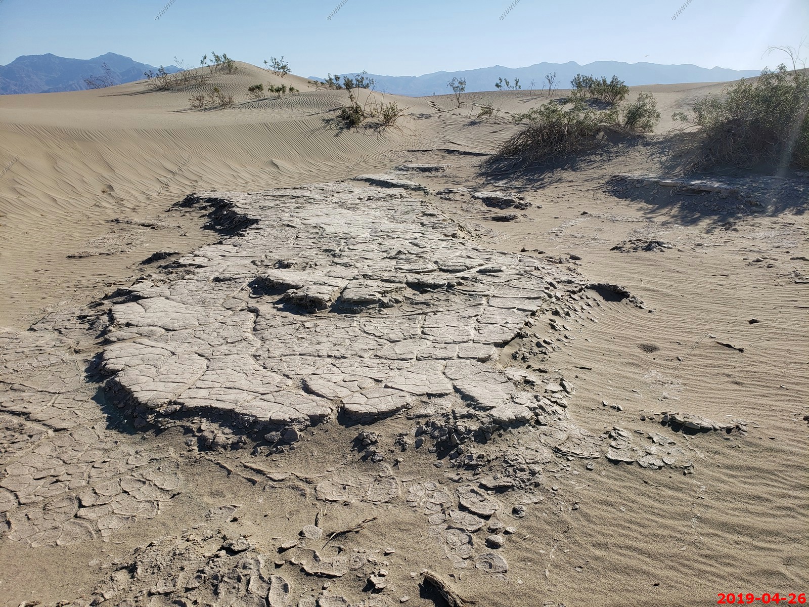
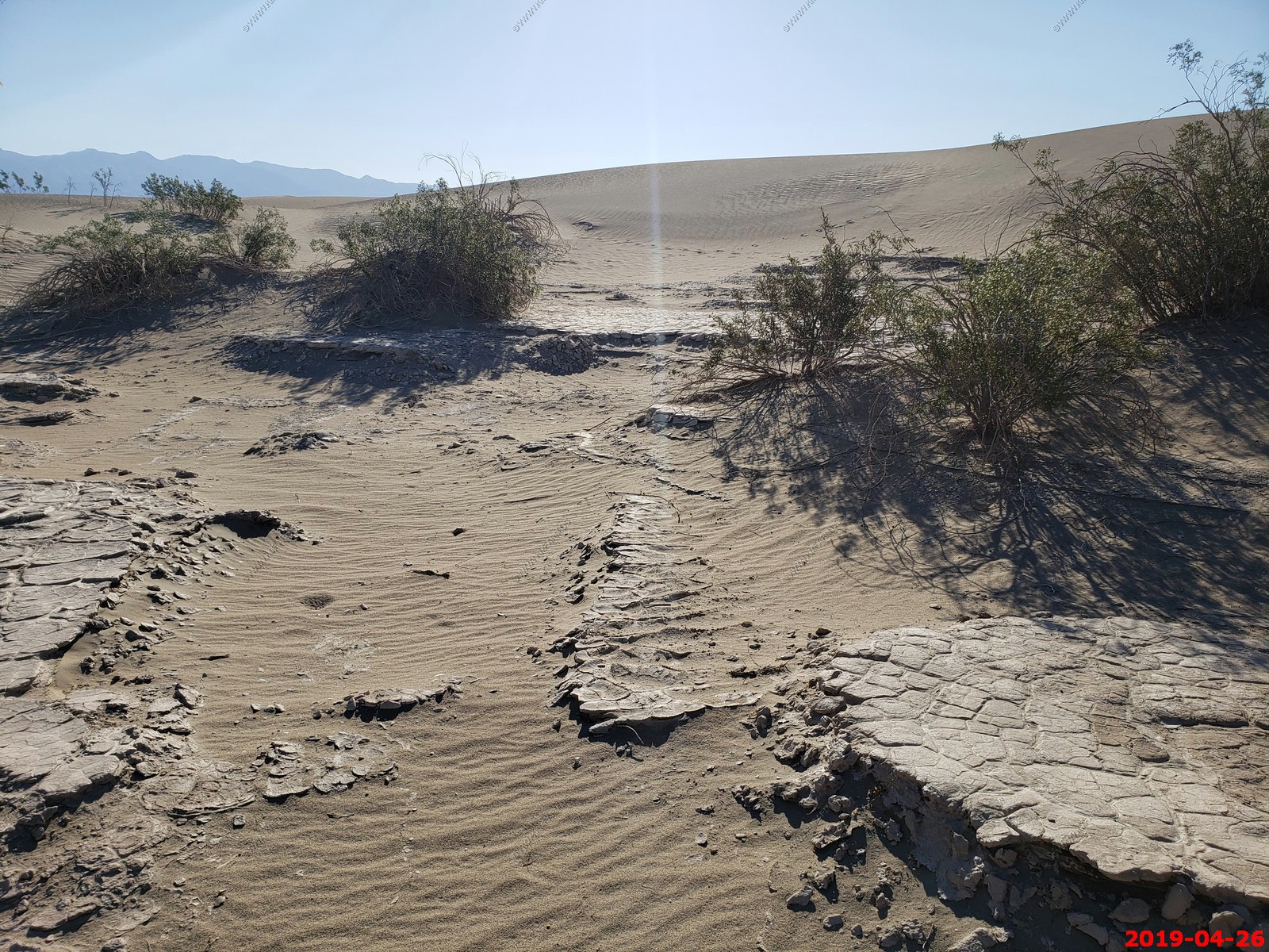
Devil's Cornfield The Devil's Cornfield derives its name from a species of arrow weed (Pluchea sericea) whose former roots have been exposed as the ground subsided around them. Abundant ground water just below the surface keeps the arroweed thriving here in the midst of extraordinarily harsh conditions.
Not that exciting
Panoramic (360 degree) photo. (Takes time to load as its 33meg)
We drove up to Hells Gate, Death Valley National Park. Looking 3,000 feet down to Badwater Basin. This is along Daylight Pass Road.
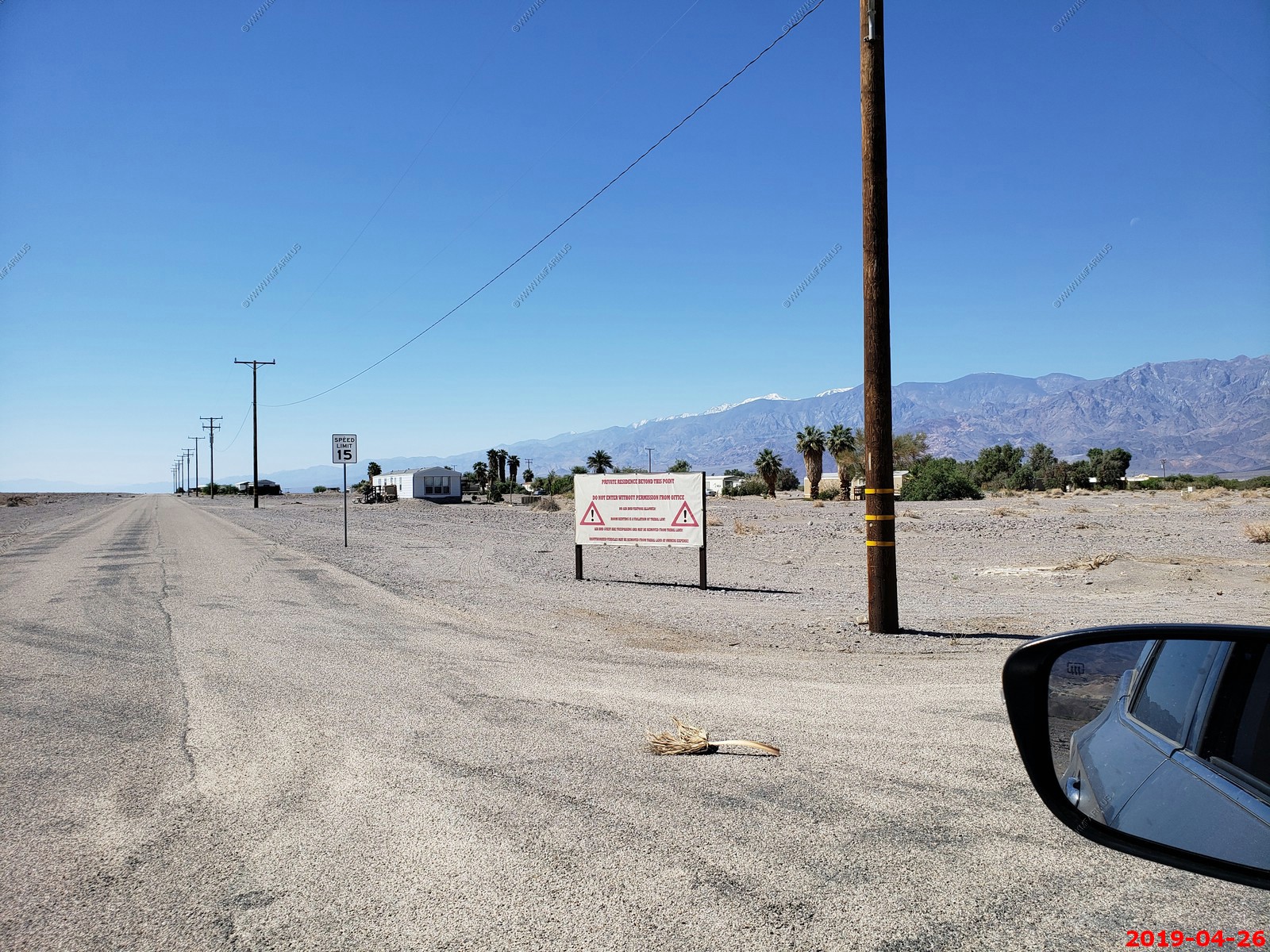
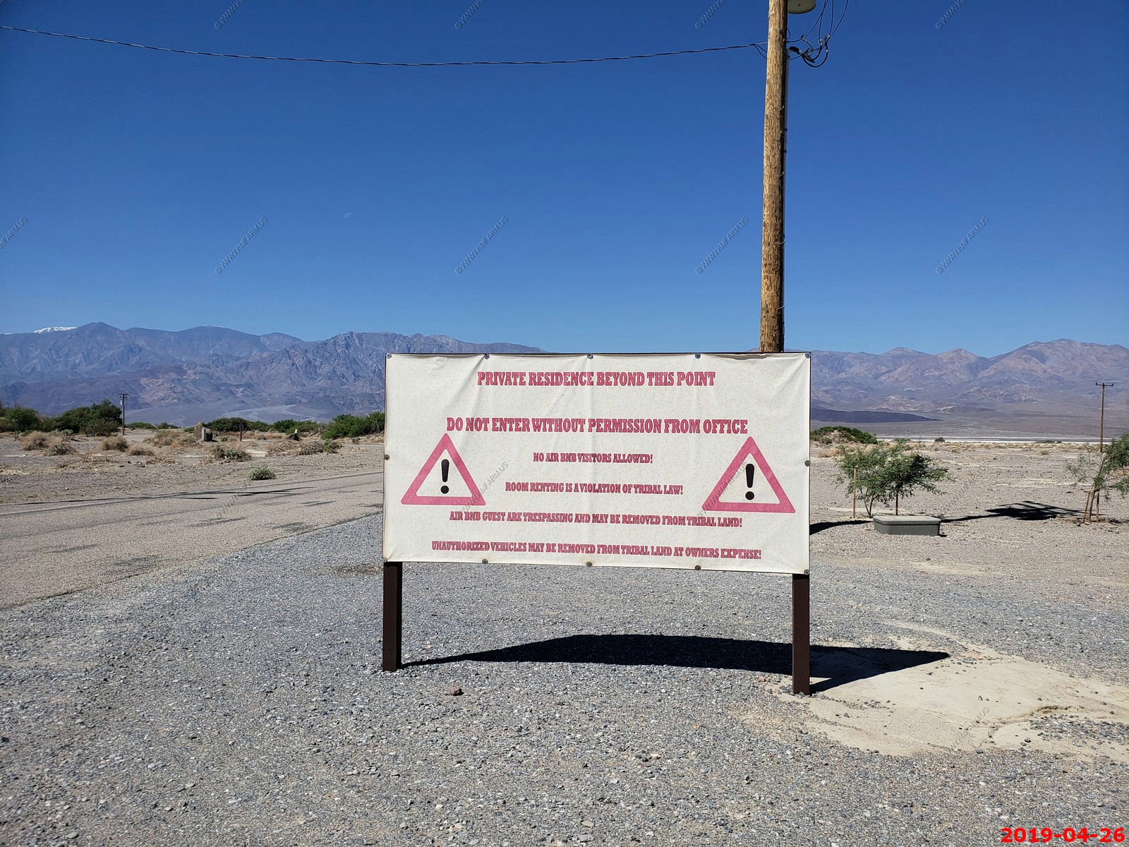
Took a ride to check out the Timbisha Shoshone Village An area of appx. 40 acres. Not allowed to access so we did not. Looks like they have issues with rentals. Funny.
The The Oasis At Death Valley is actually above sea level. This is a good thing.
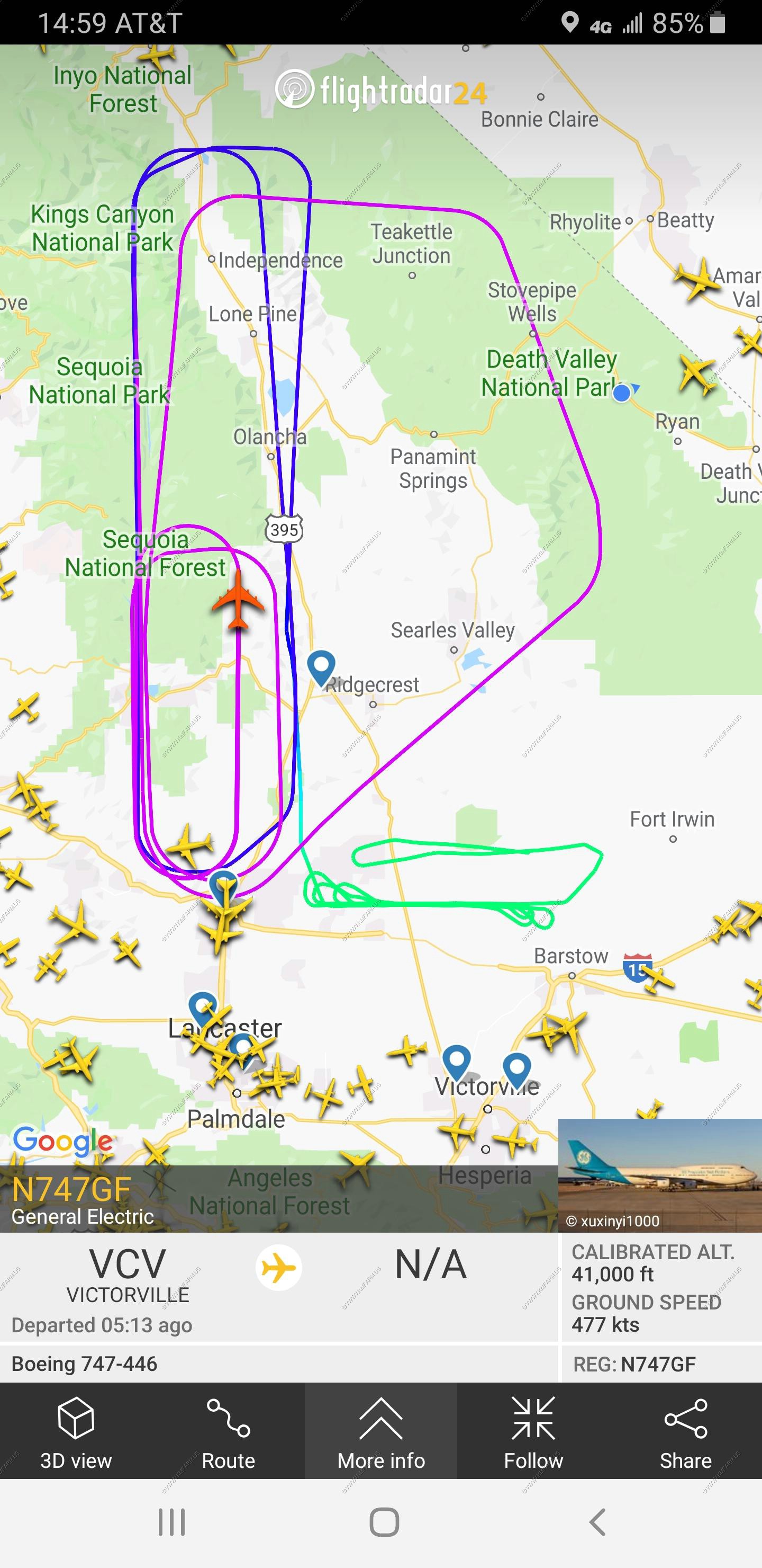
We are in a restricted military airspace (R-2508) so every day you would see something different. This must have been a engine test platform.
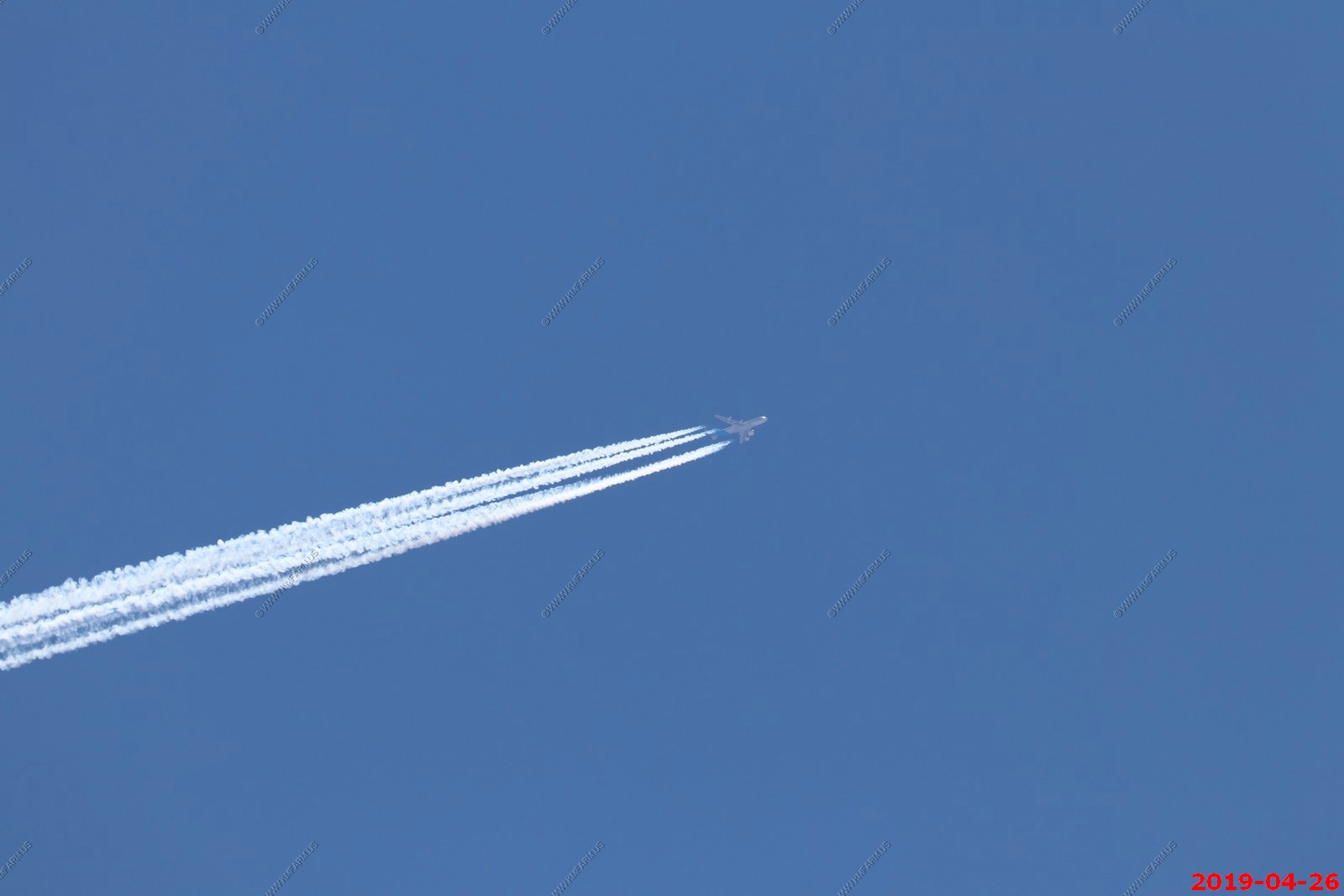
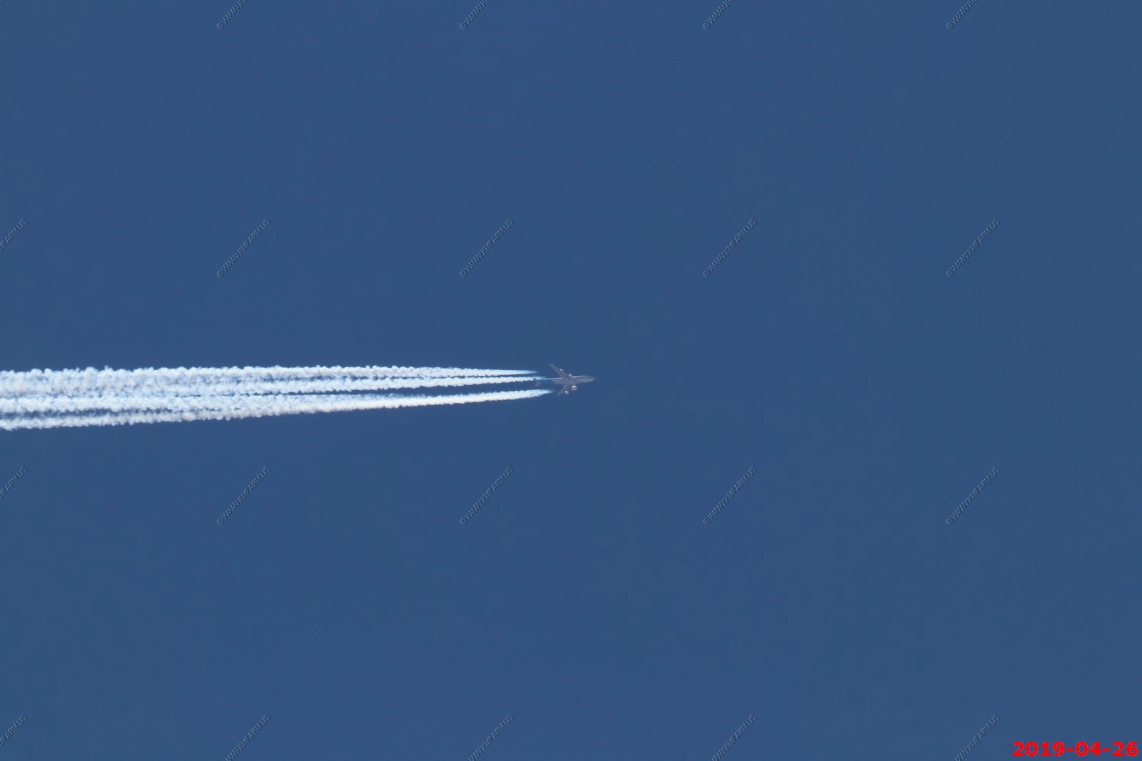
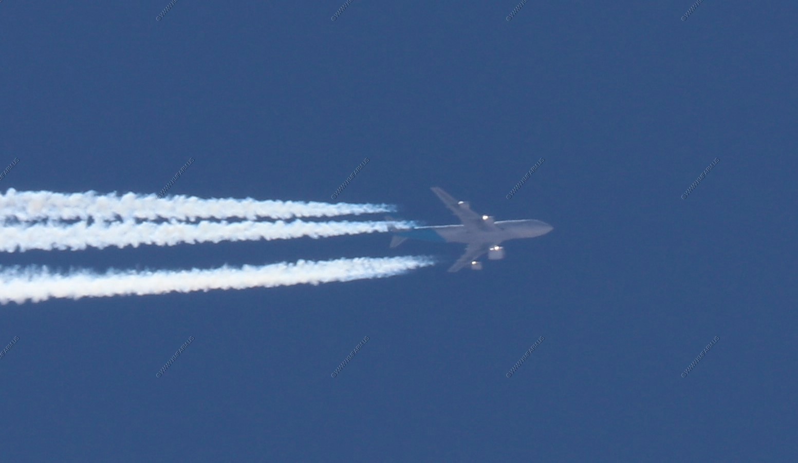
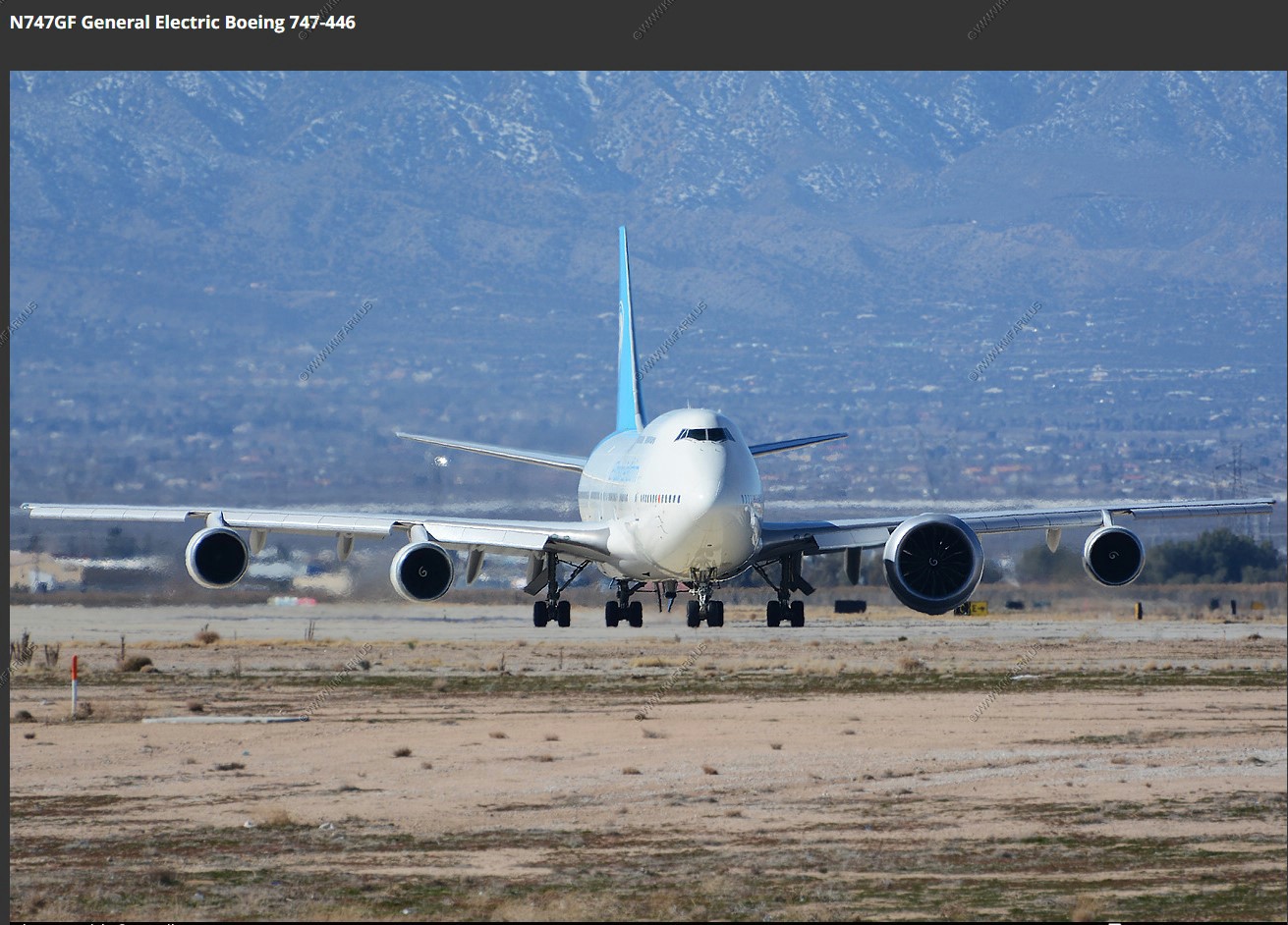
We were the blue dot and the photos above were when it went over the park.
As I type this up in DEC-21, its 36 out. I wish I was next to a pool at 107 with 15.7% humidity
The drinks available by the pool. We both had a Prickly Pear Margarita which was very good.
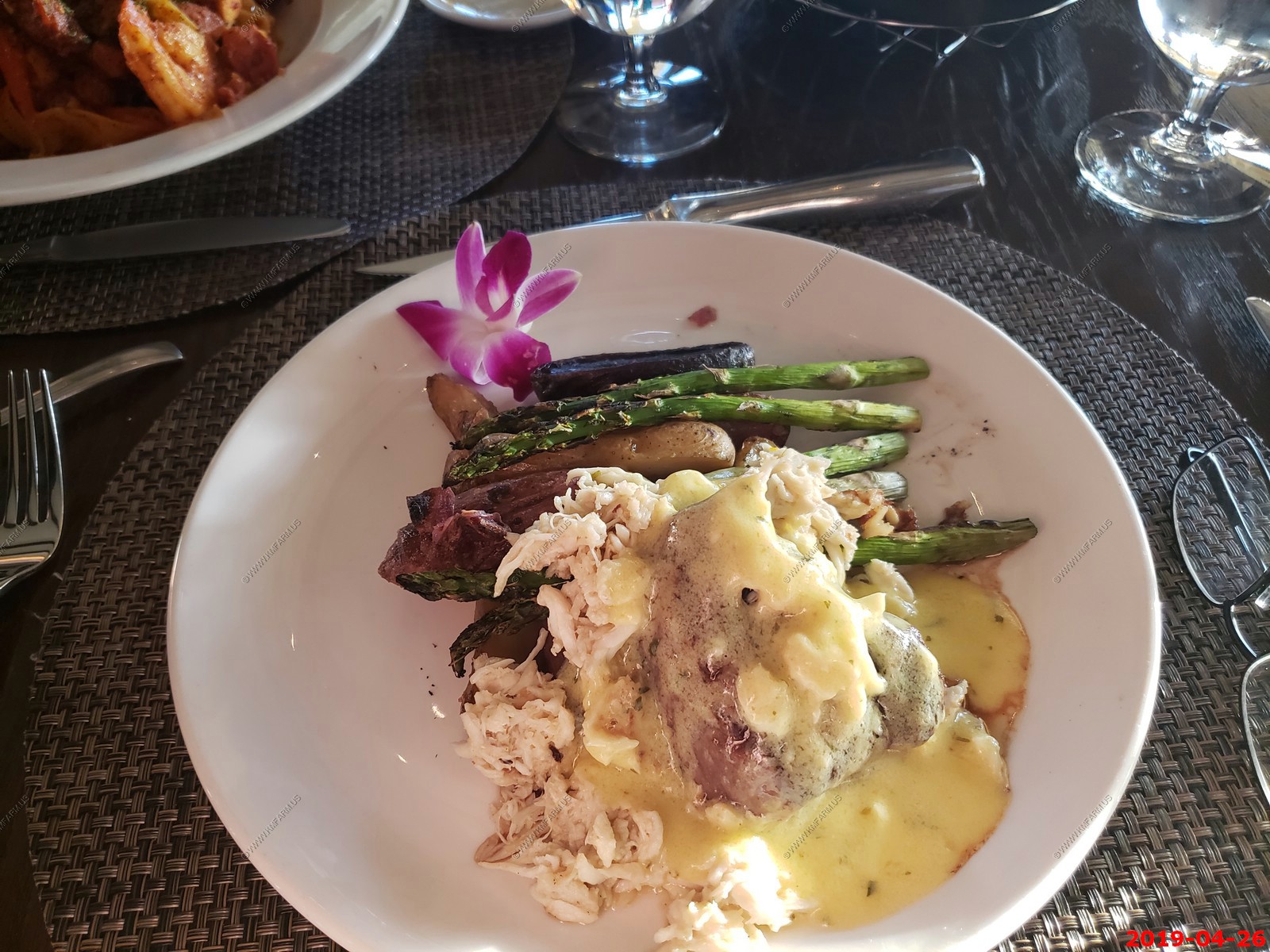
our last dinner - expensive but due to remoteness. they also had very good bread

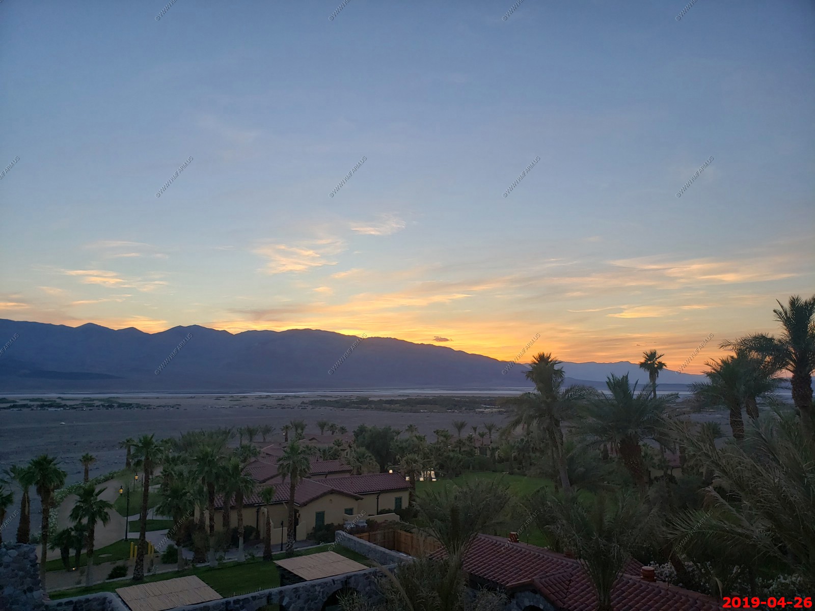
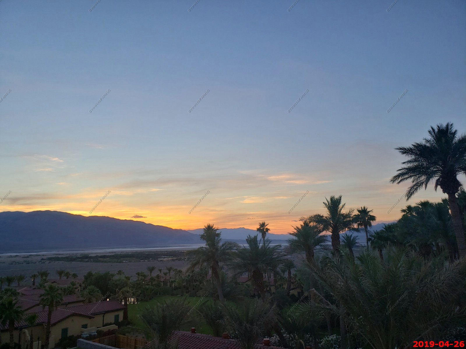
Last sunset
Saturday April 27
Our last day. We check out and since our flight out of Las Vegas is late will explore and stop at Dante's View on the way back to Vegas.
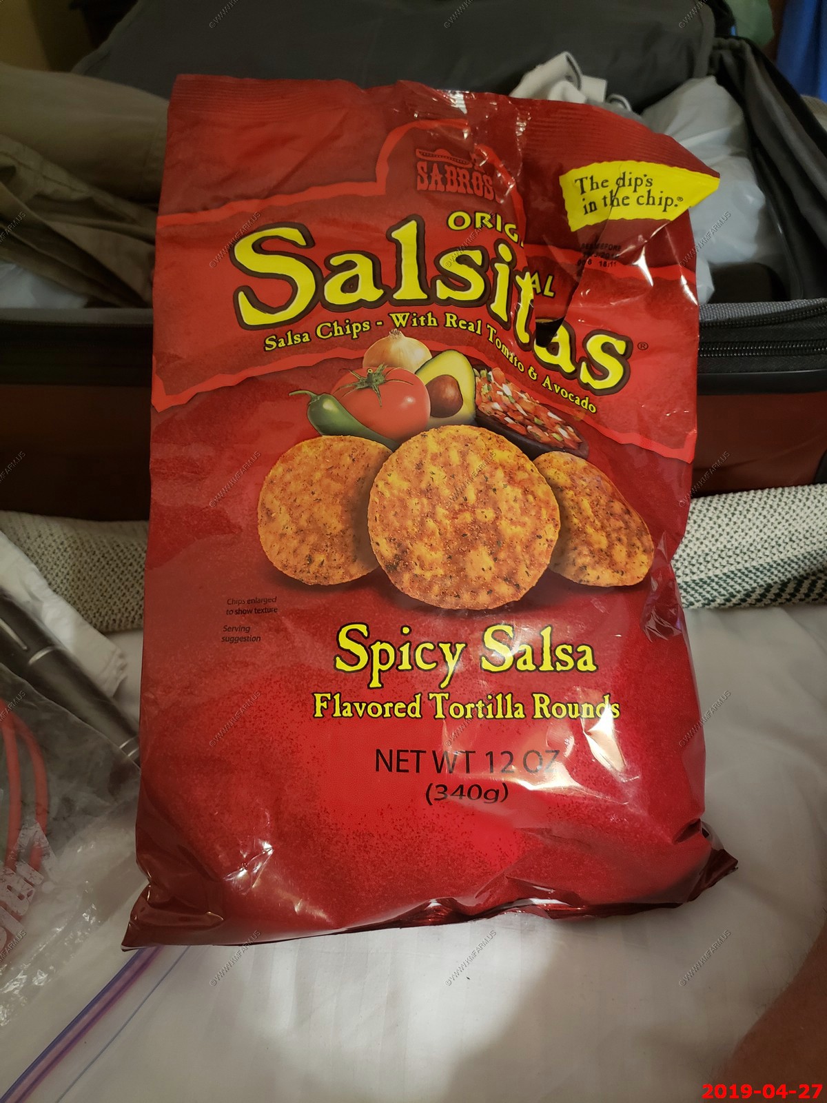
El Sabroso Salsitas Chips. Very good and as of 2021 I can buy these at my local store.
I will miss this pool. (they were replacing the water this morning and Mary was mad as she wanted to swim before we left today)
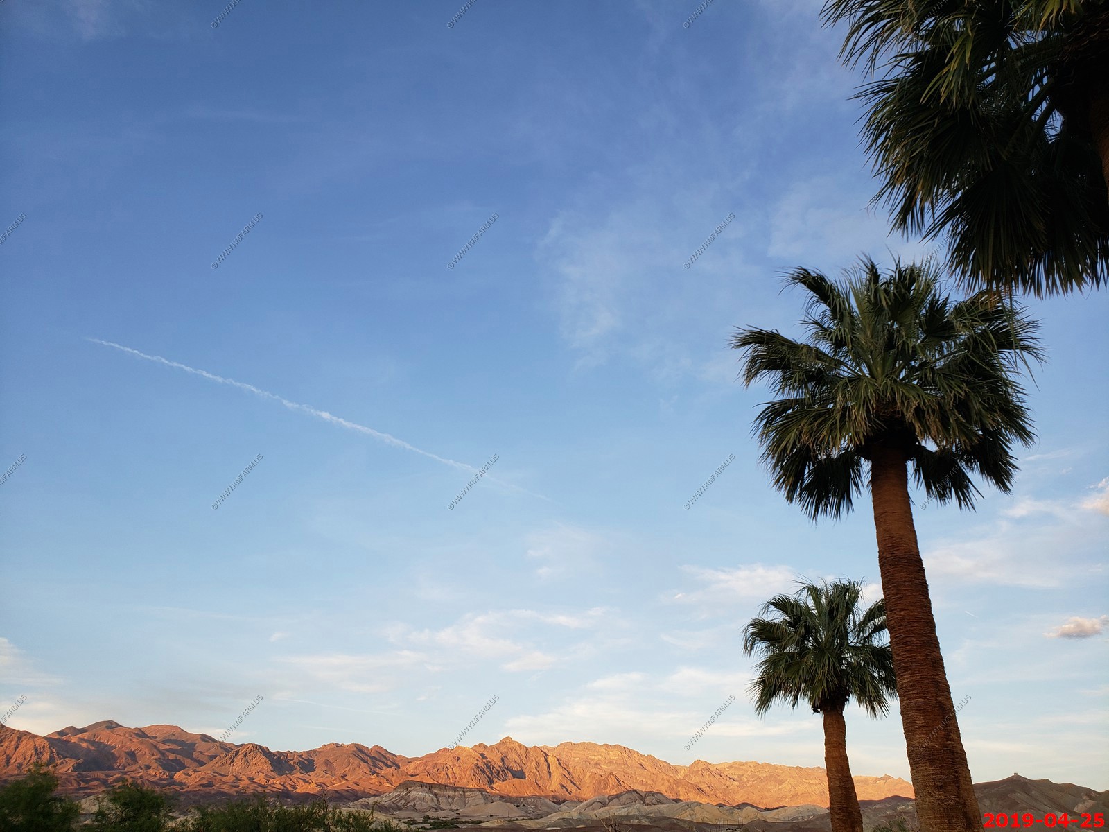
Last views from The Oasis At Death Valley. Less snow than when we arrived.
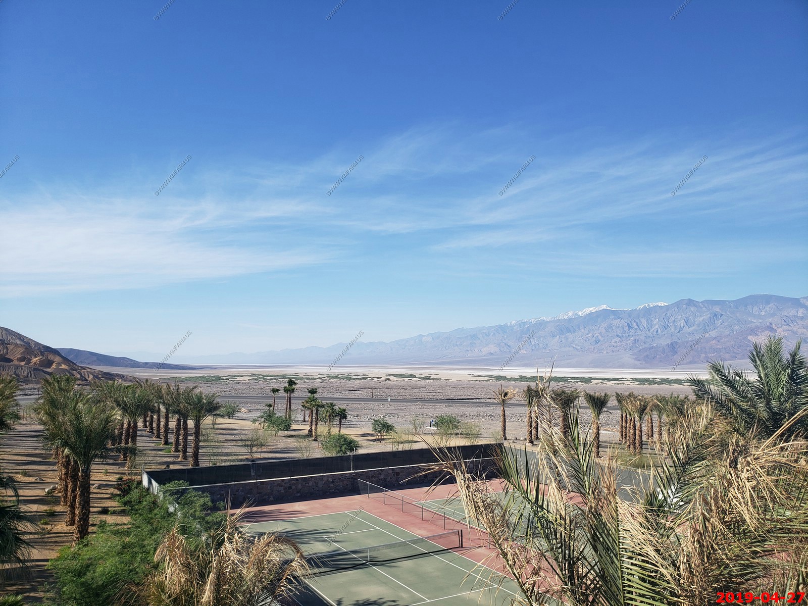
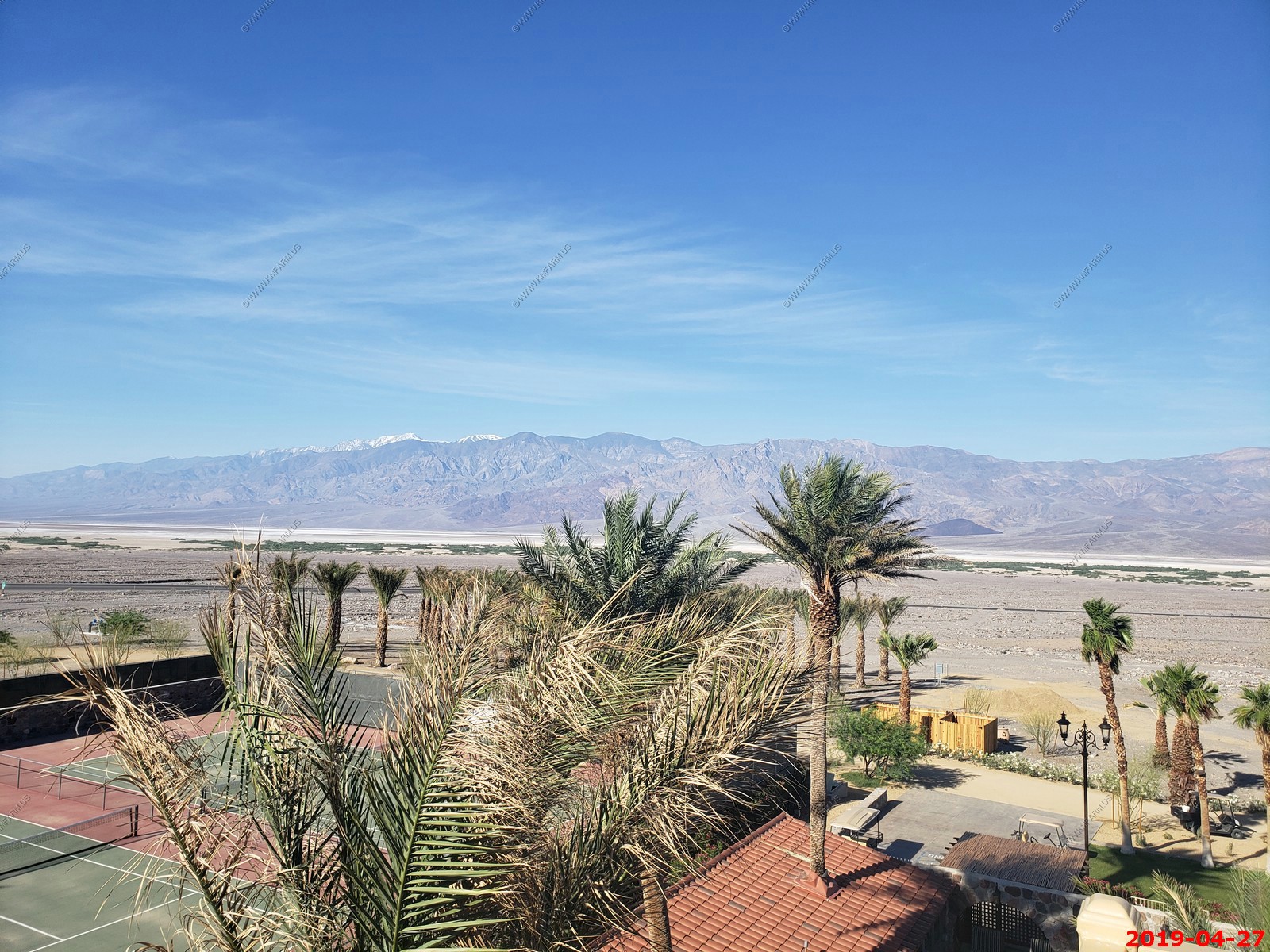
The Oasis At Death Valley grounds. All spring fed
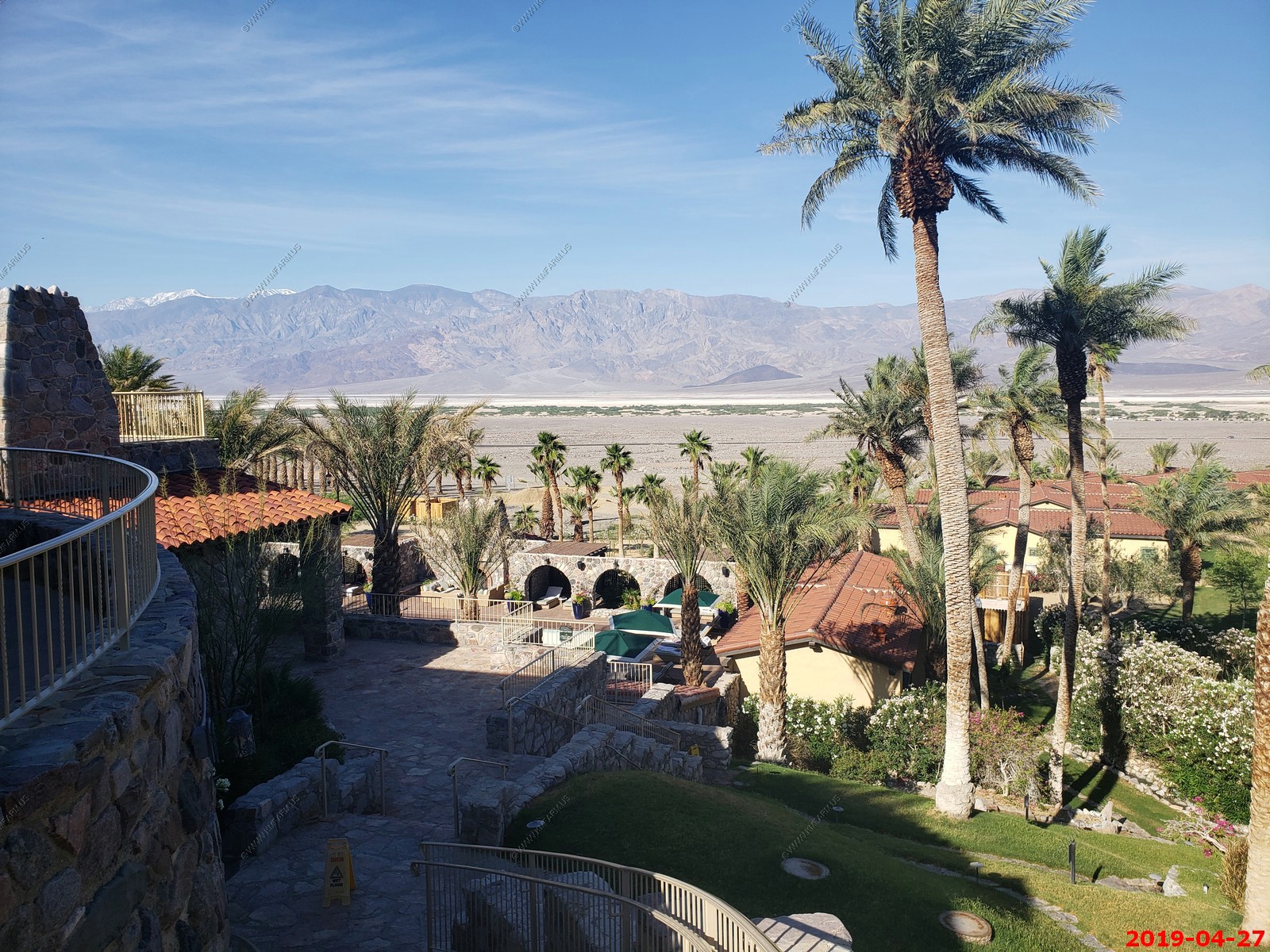
Old sign - The historic Inn at Death Valley was built in 1927 by the Pacific Coast Borax Company as a means to save their newly built Death Valley Railroad. Now its The Oasis At Death Valley. The white building on the left is historic.
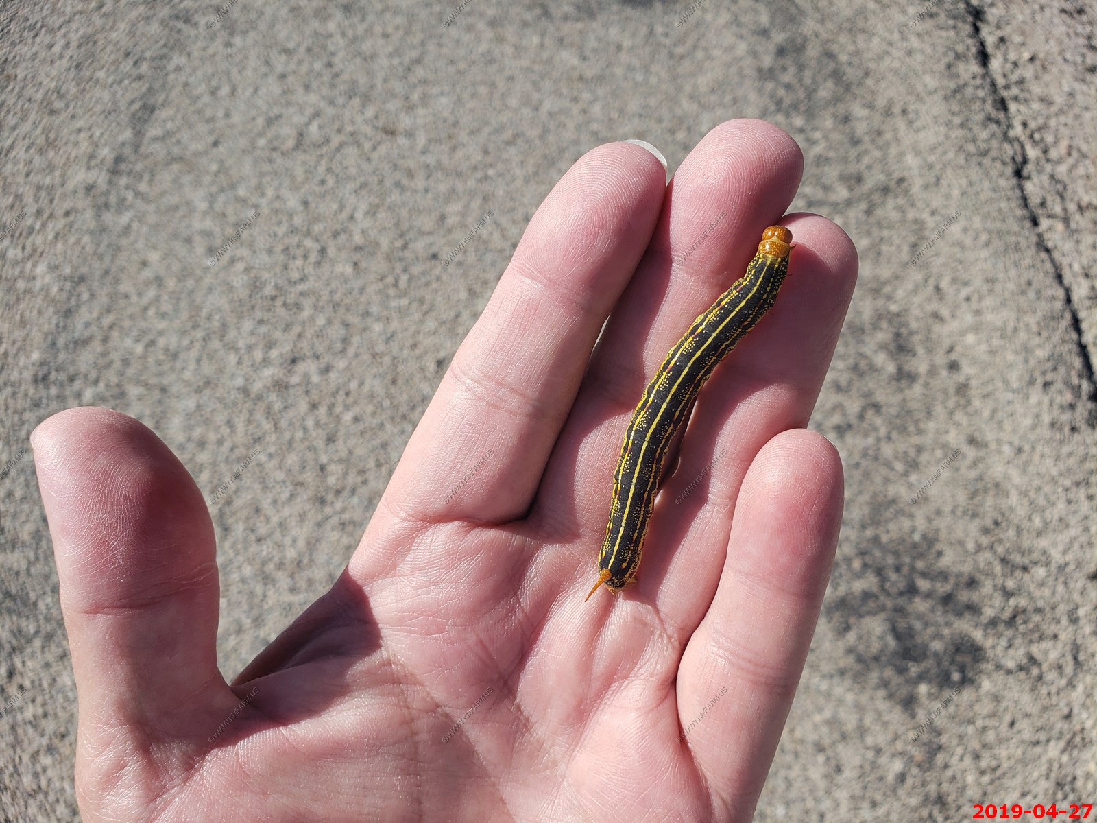
On the way up to Dante's View many sphinx moth caterpillars were crossing the road. They can vary dramatically in patterns and color, but all are characterized by a "horn" at the end of their abdomens. The adult sphinx moths are large. White lined sphinx moth caterpillar. I tried to avoid running them over.
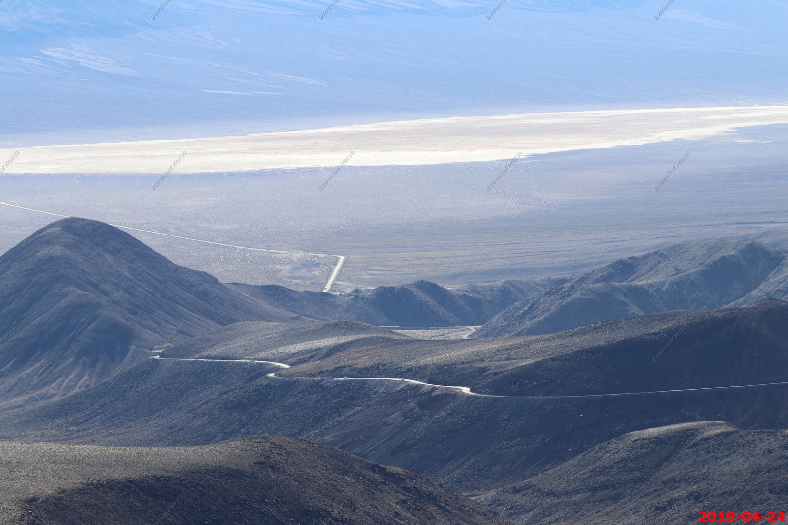
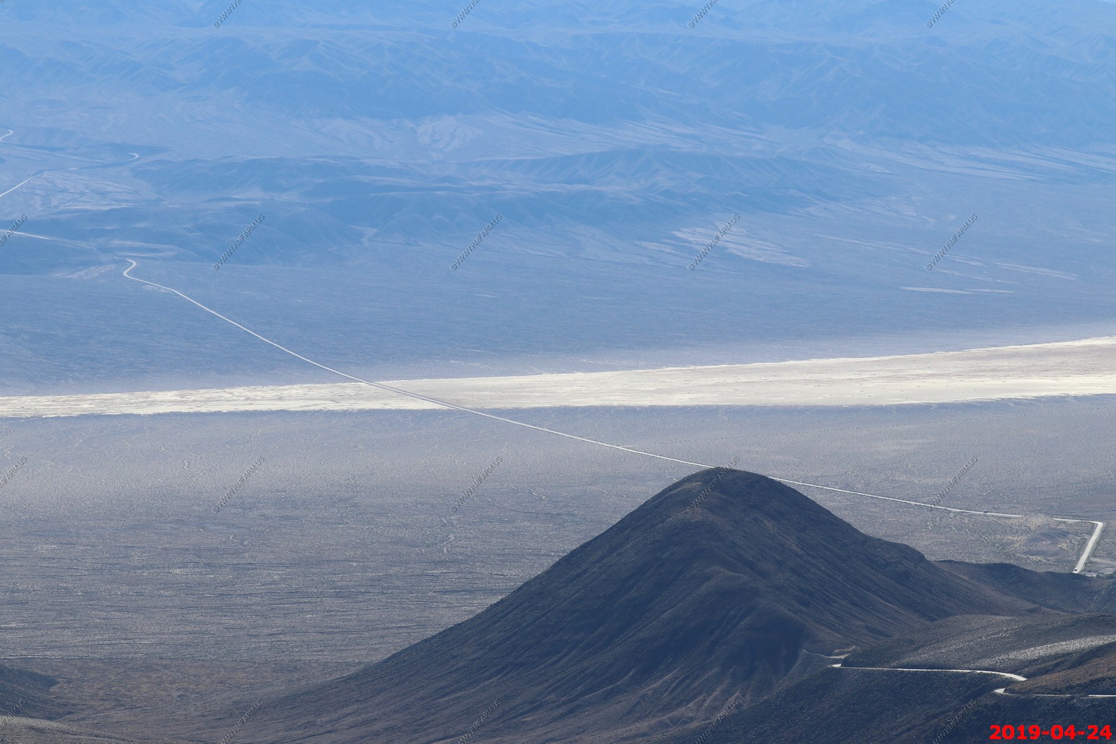
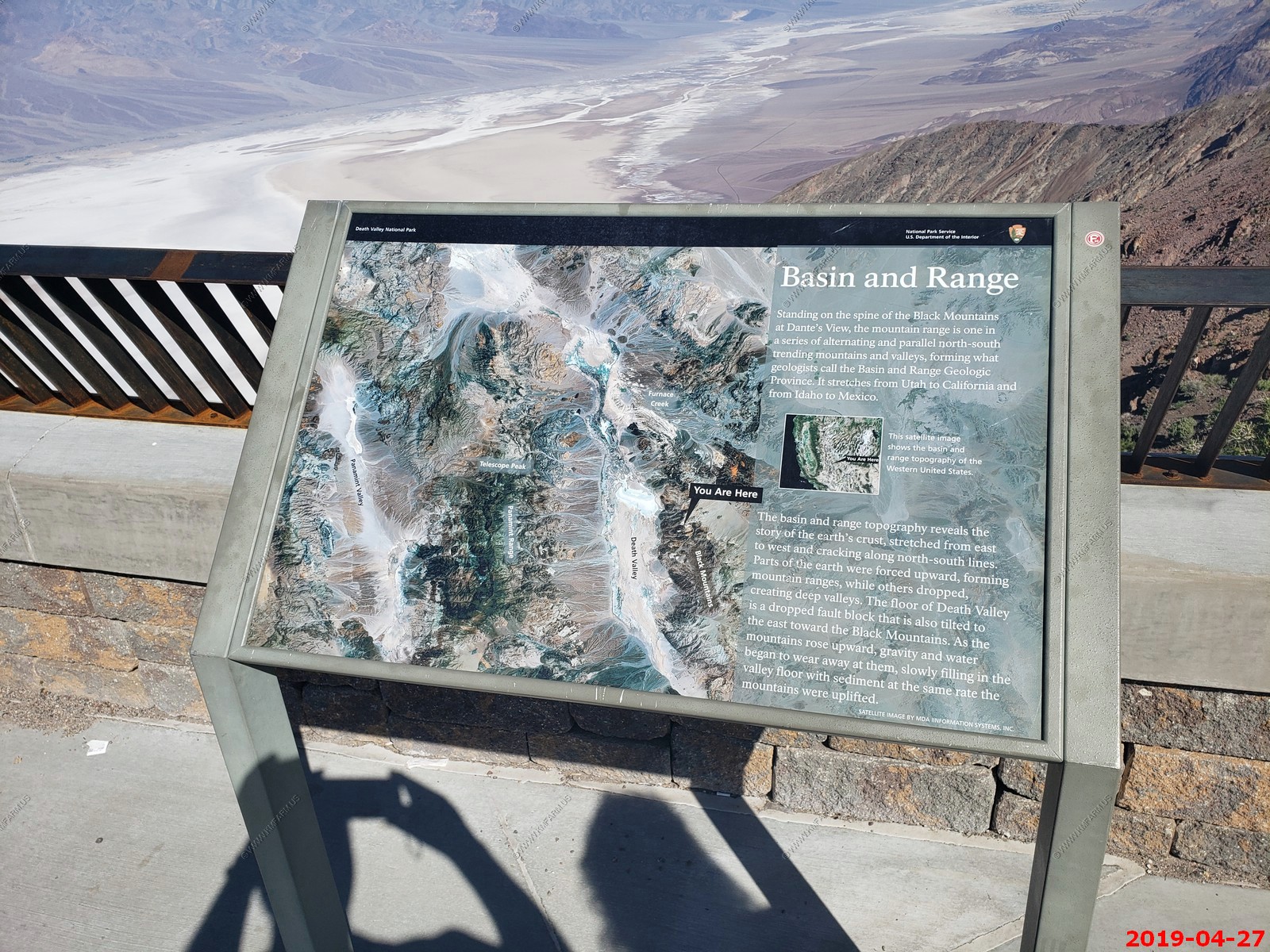
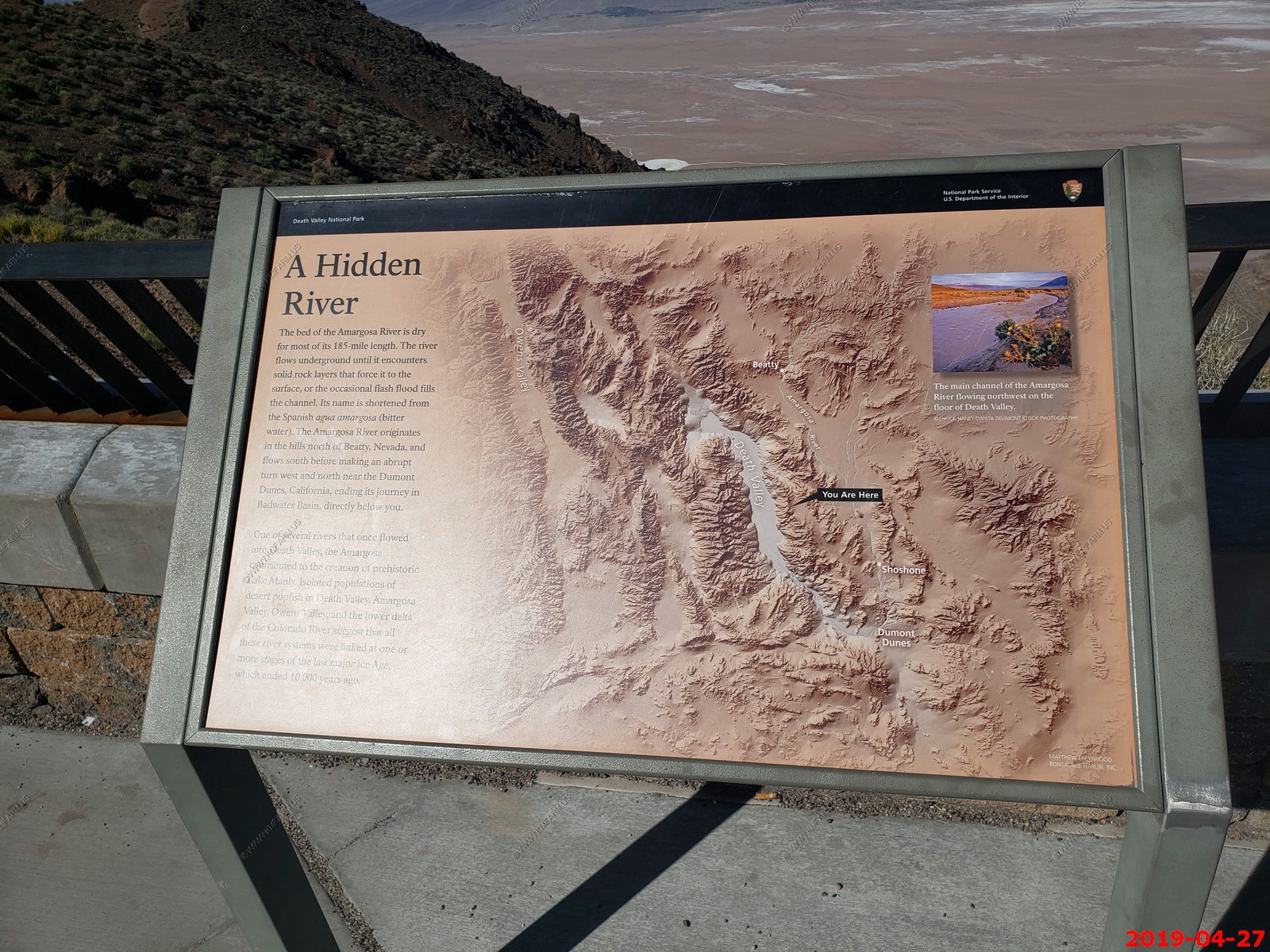
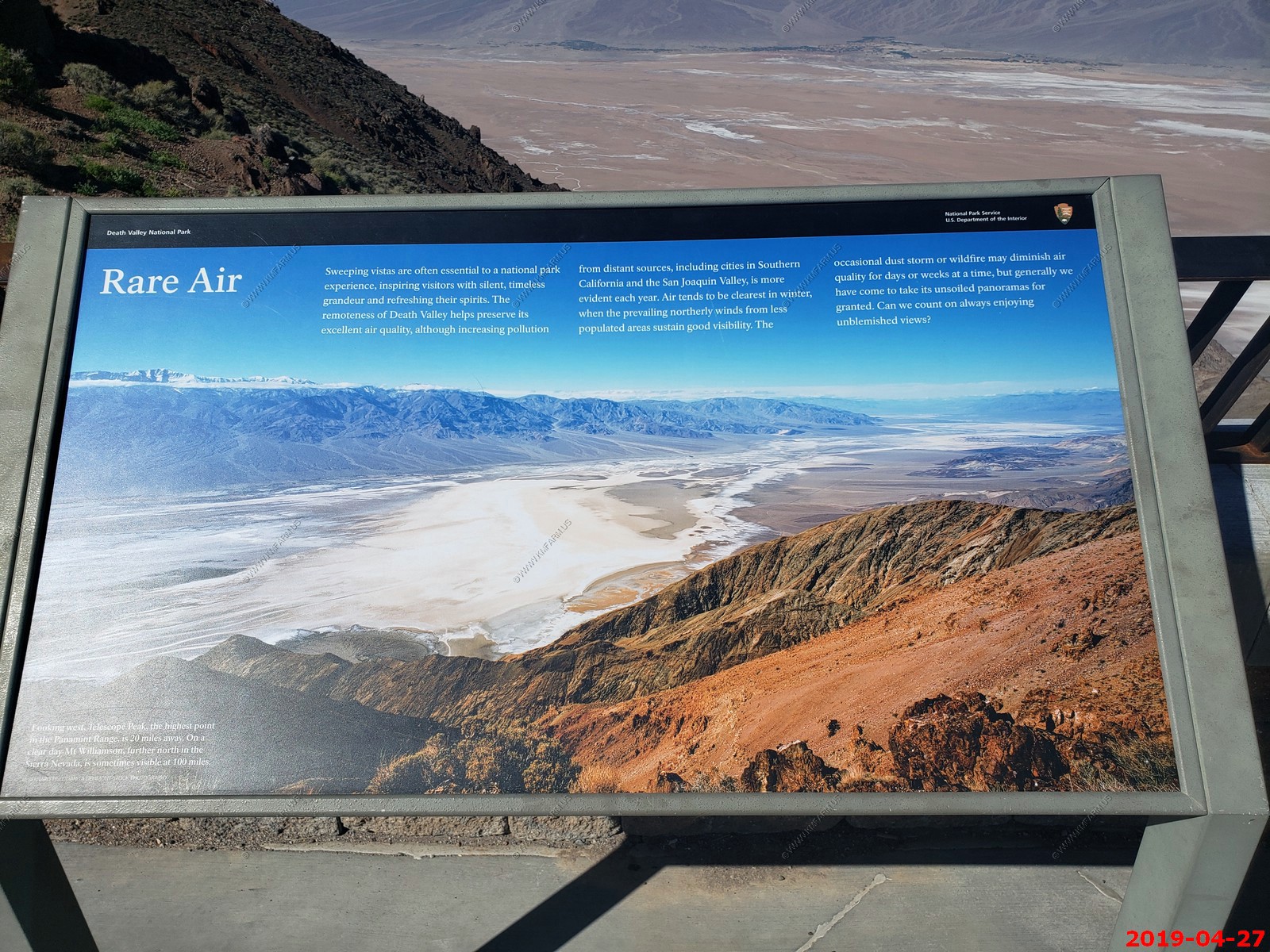
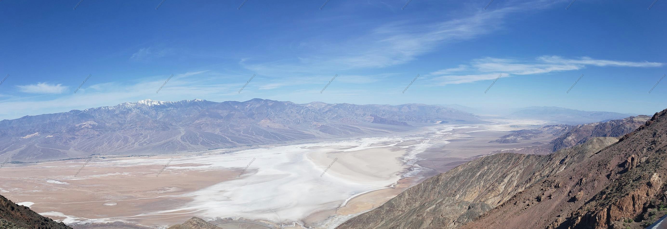
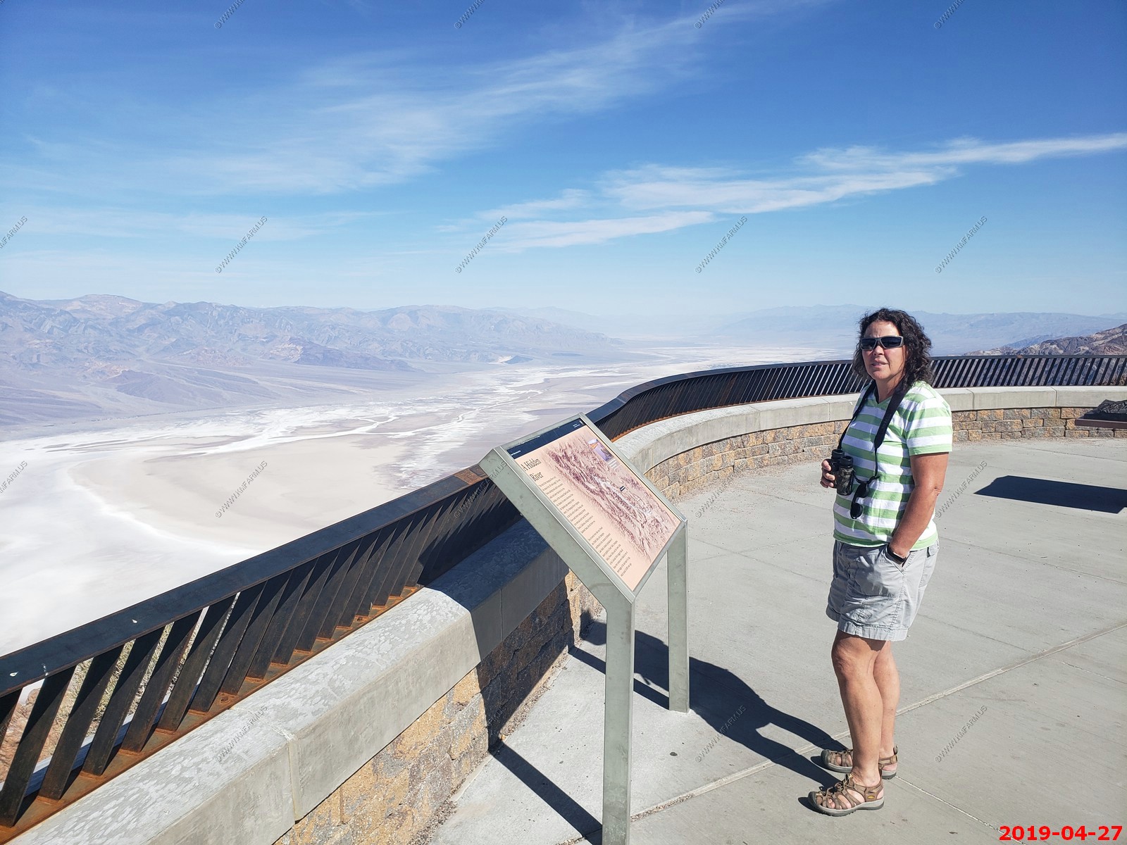
Dante's View
Elevation 5,475 feet above sea level. 5,755 feet above Badwater Spring.- This ridge line in the Black Mountains (a spur of the Amargosa Range) separates Death Valley on the west from Greenwater Valley to the east. From here one can see the lowest point in the United States almost directly below.
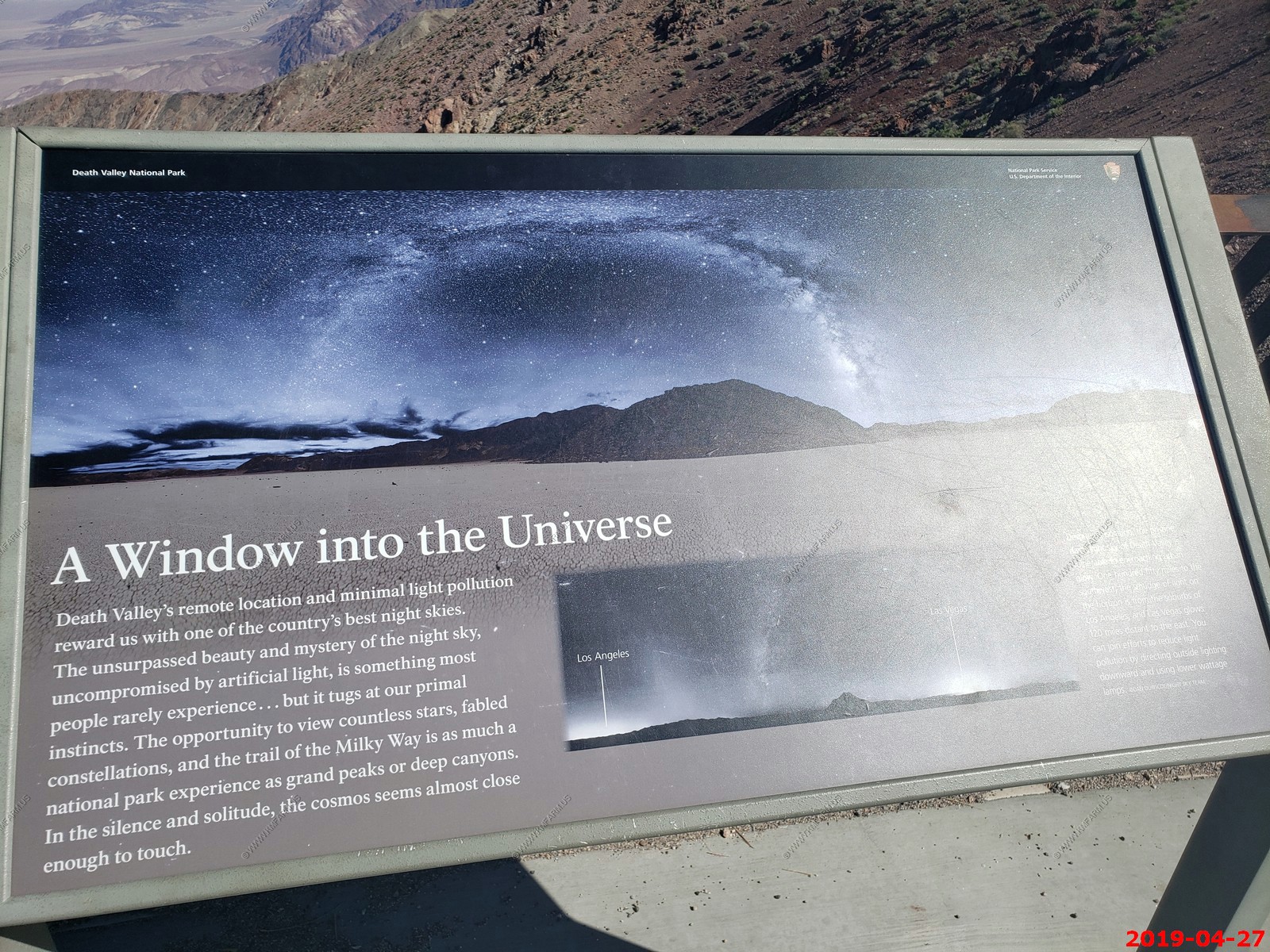
Information
Looking south
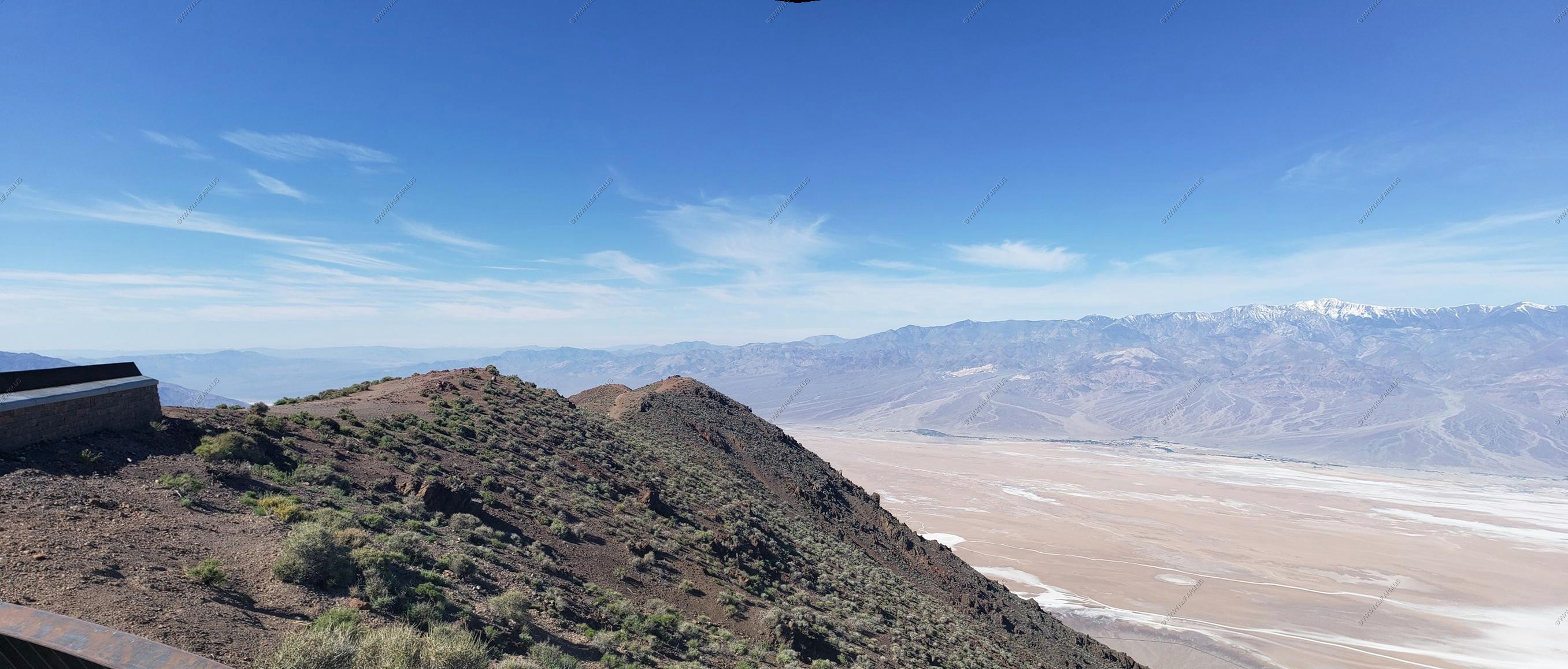
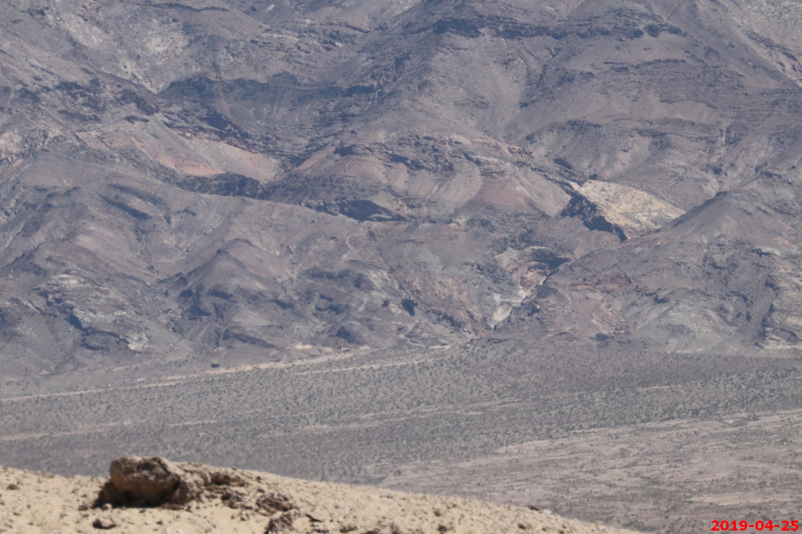
Four photos combined looking west & North West of the basin, Panamint Range, snow capped 11,049 ft Telescope Peak.
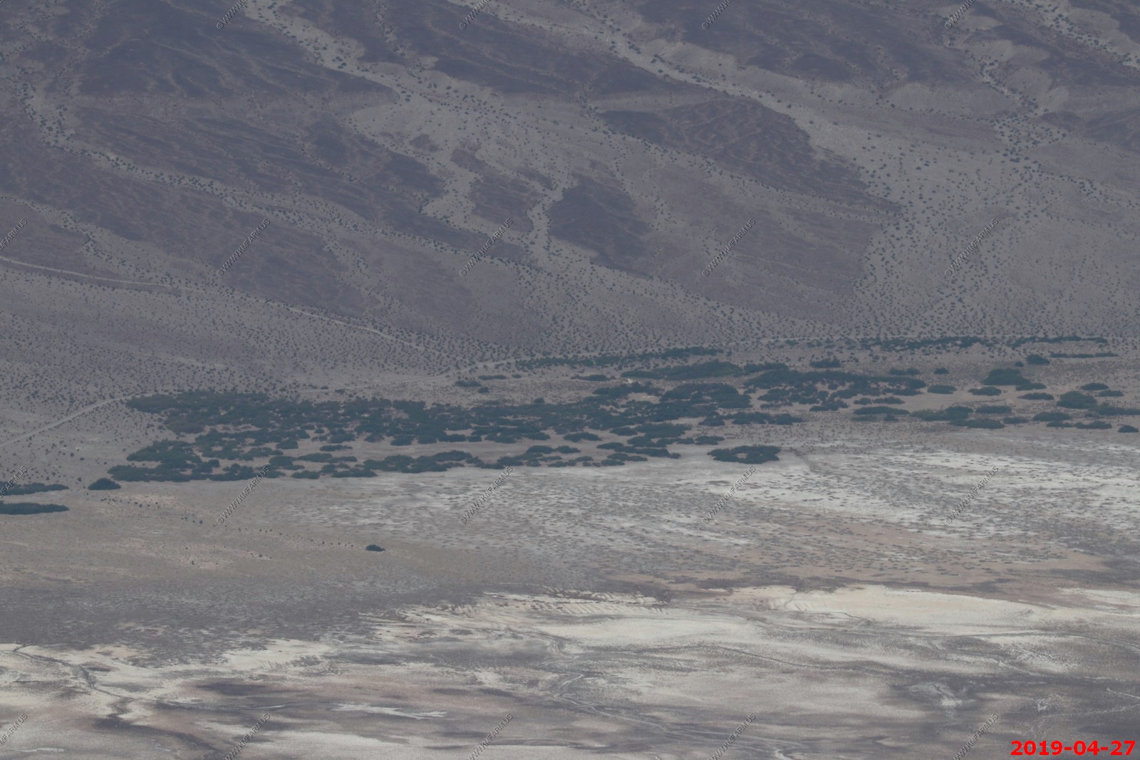
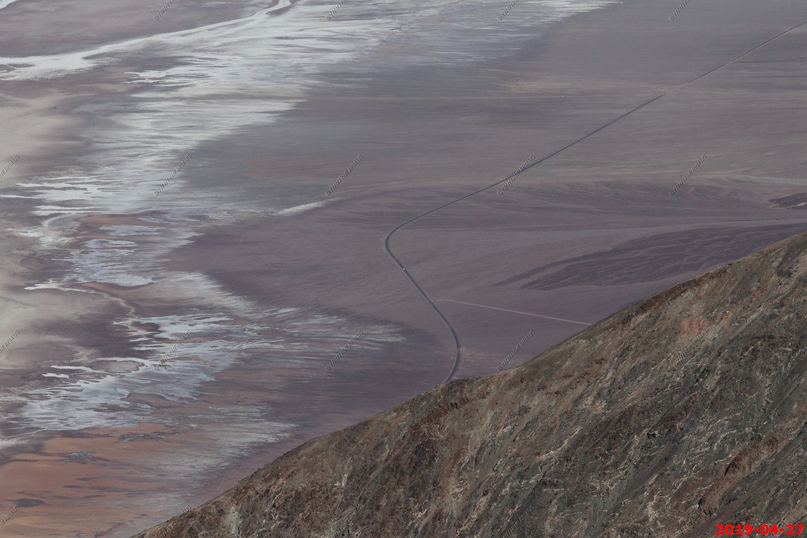
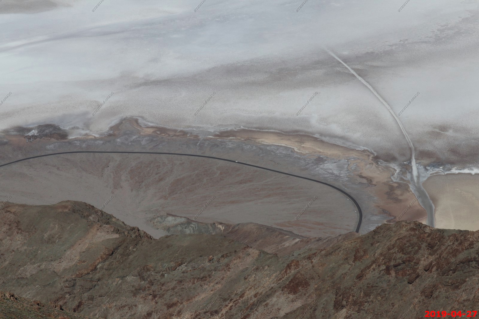
Looking 8.6 miles across Badwater Basin at the intersection of West Side Road & Hanaupah Canyon road. In the vegetation is the location of Shorty's Well. We were just here a few days ago
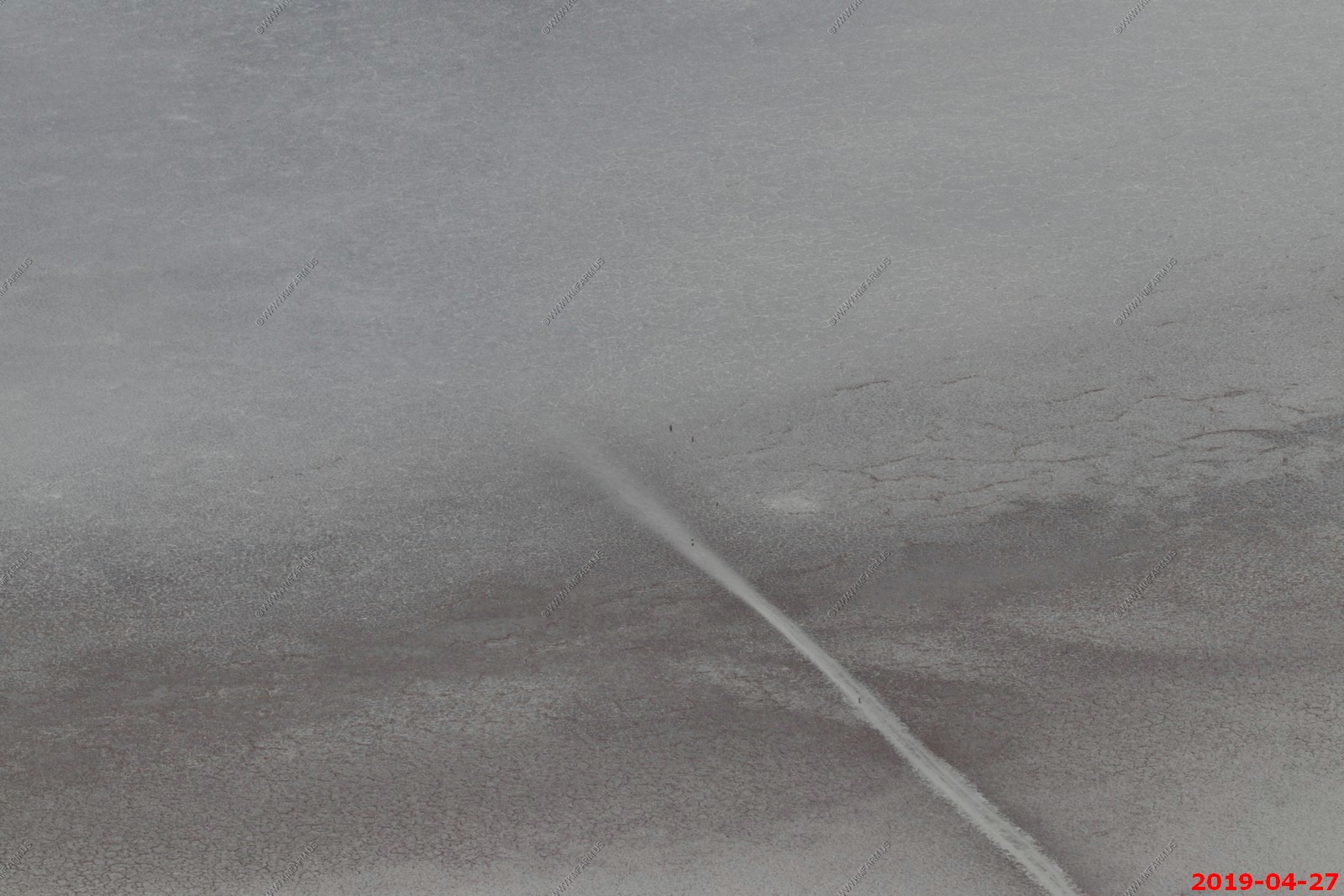
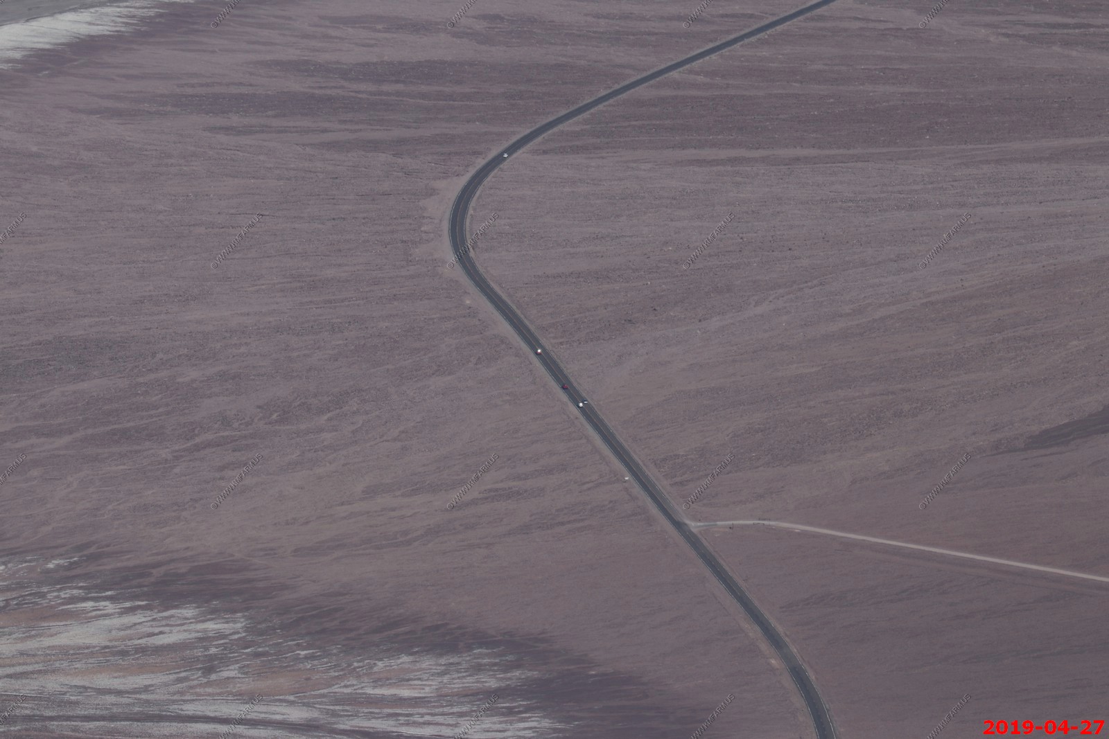
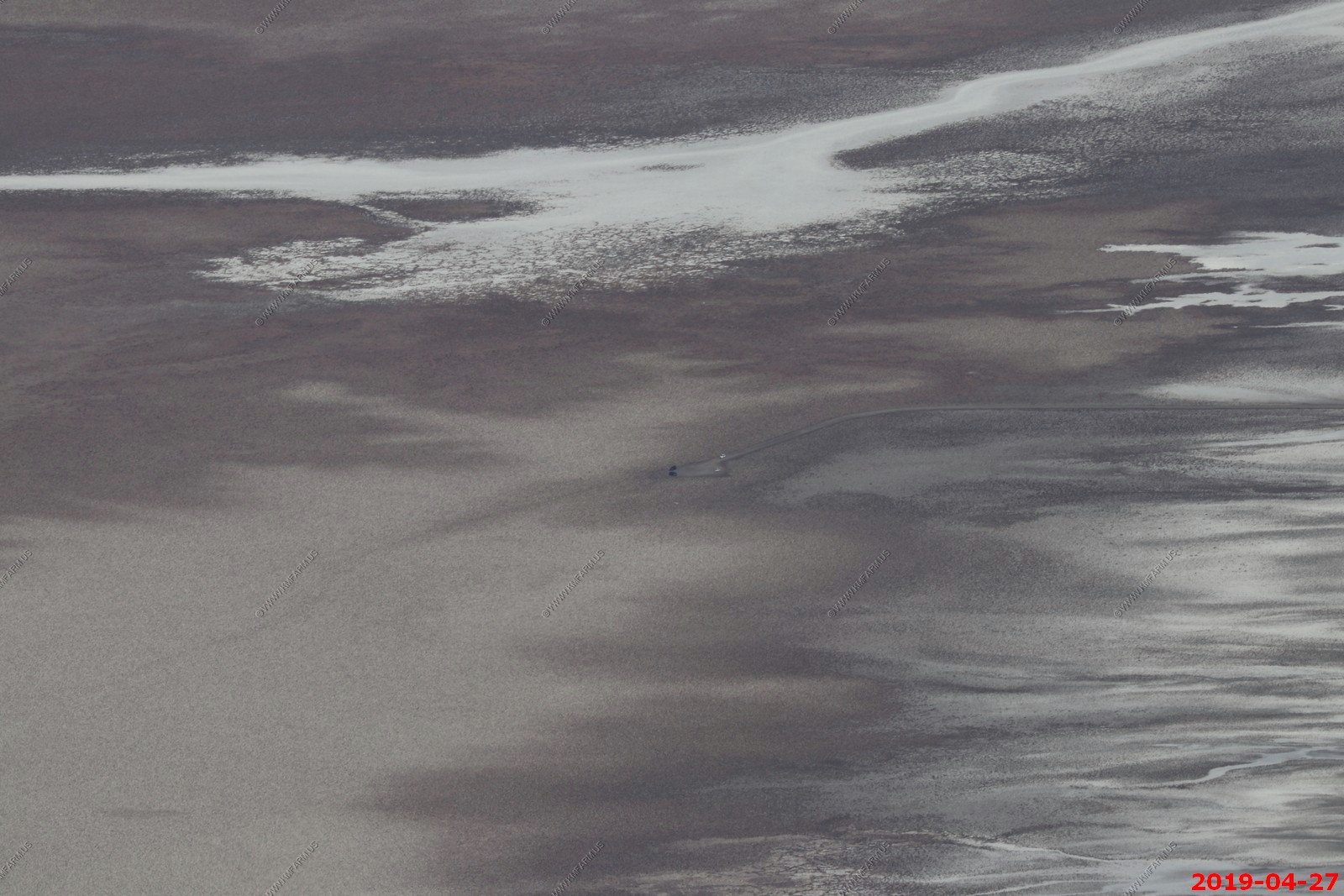
So, looking down from 5,755 feet above Badwater Spring, You can see people walking out onto the salt flats. You can't see the parking area due to the angle of the cliffs below.

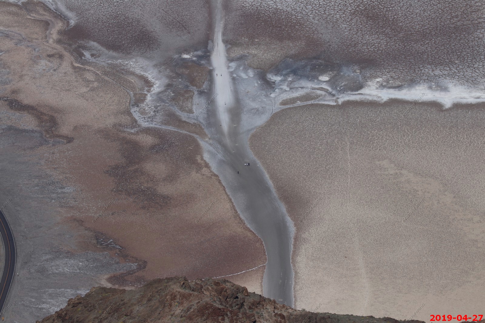
Intersection of Badwater & Natural Bridge Road. Appx. 5.5 miles away. You can see traffic on Badwater road.
Interesting mineral deposits. Almost impossible to access
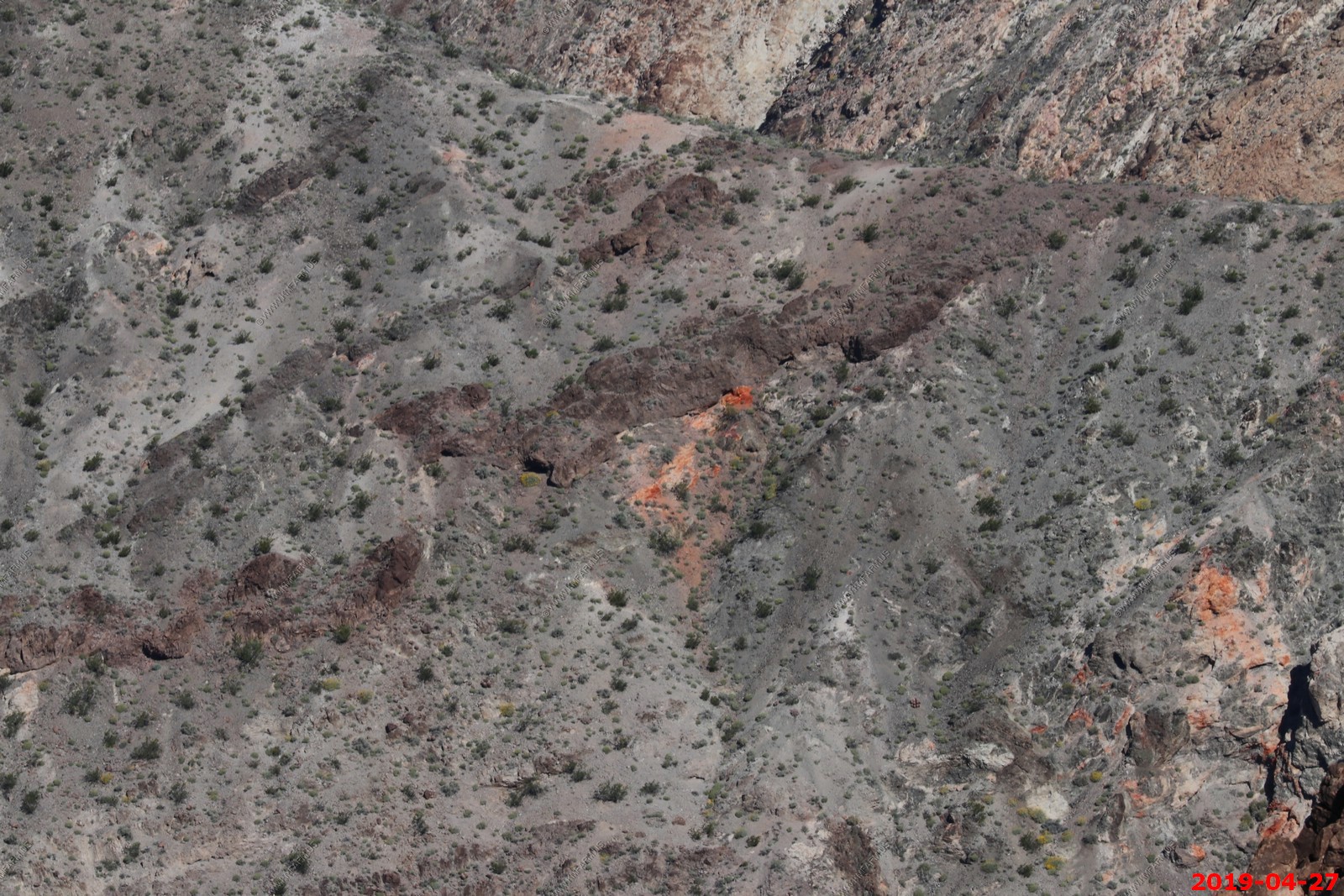
Looking south at various salt deposits

Looking 7.5 miles north to the Devil's Golf Course parking area.
Vehicle on Badwater road driving around the Alluvial Fan on the east side of Badwater Basin
Mary enjoying the view and cooler temps
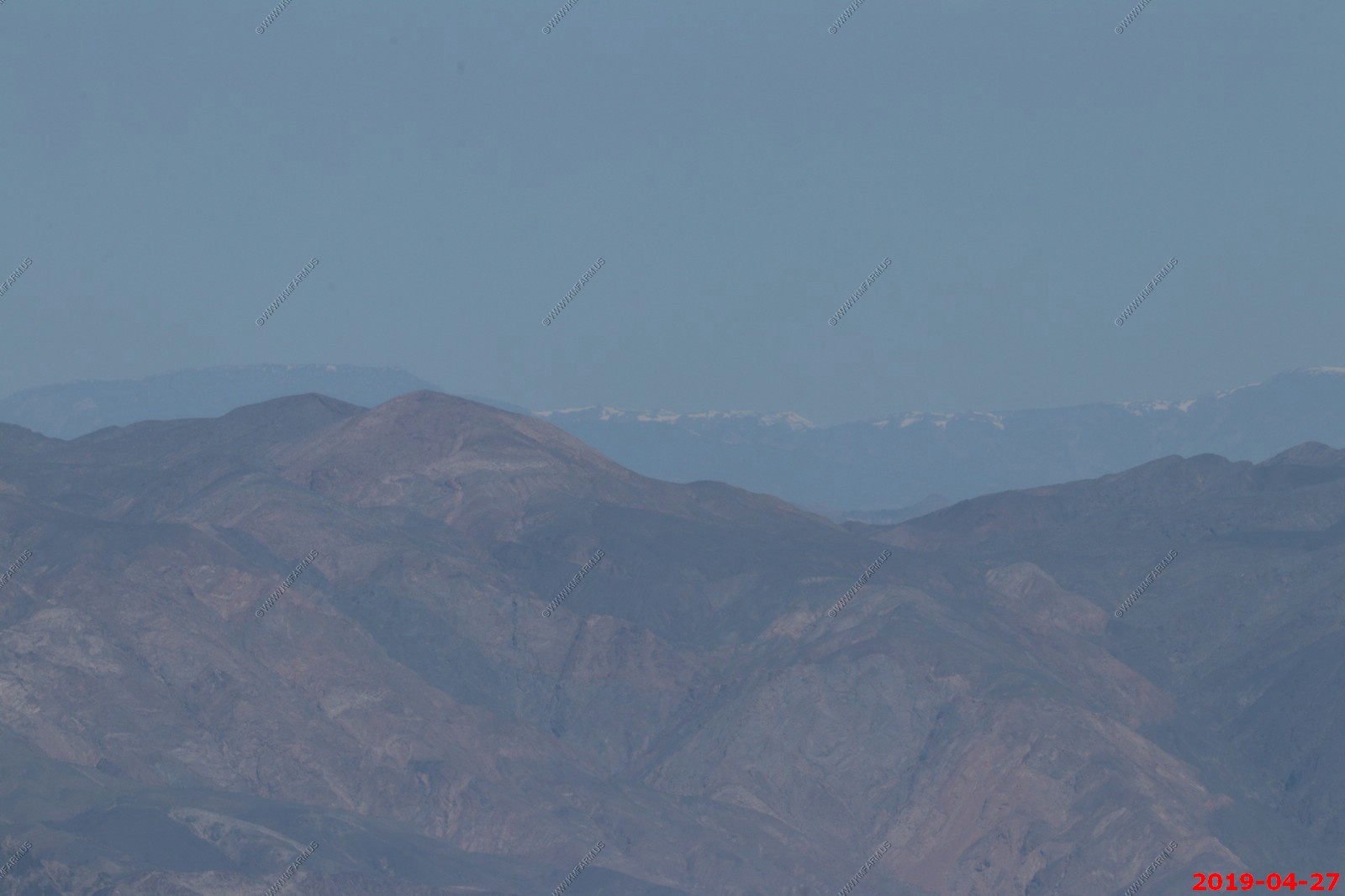
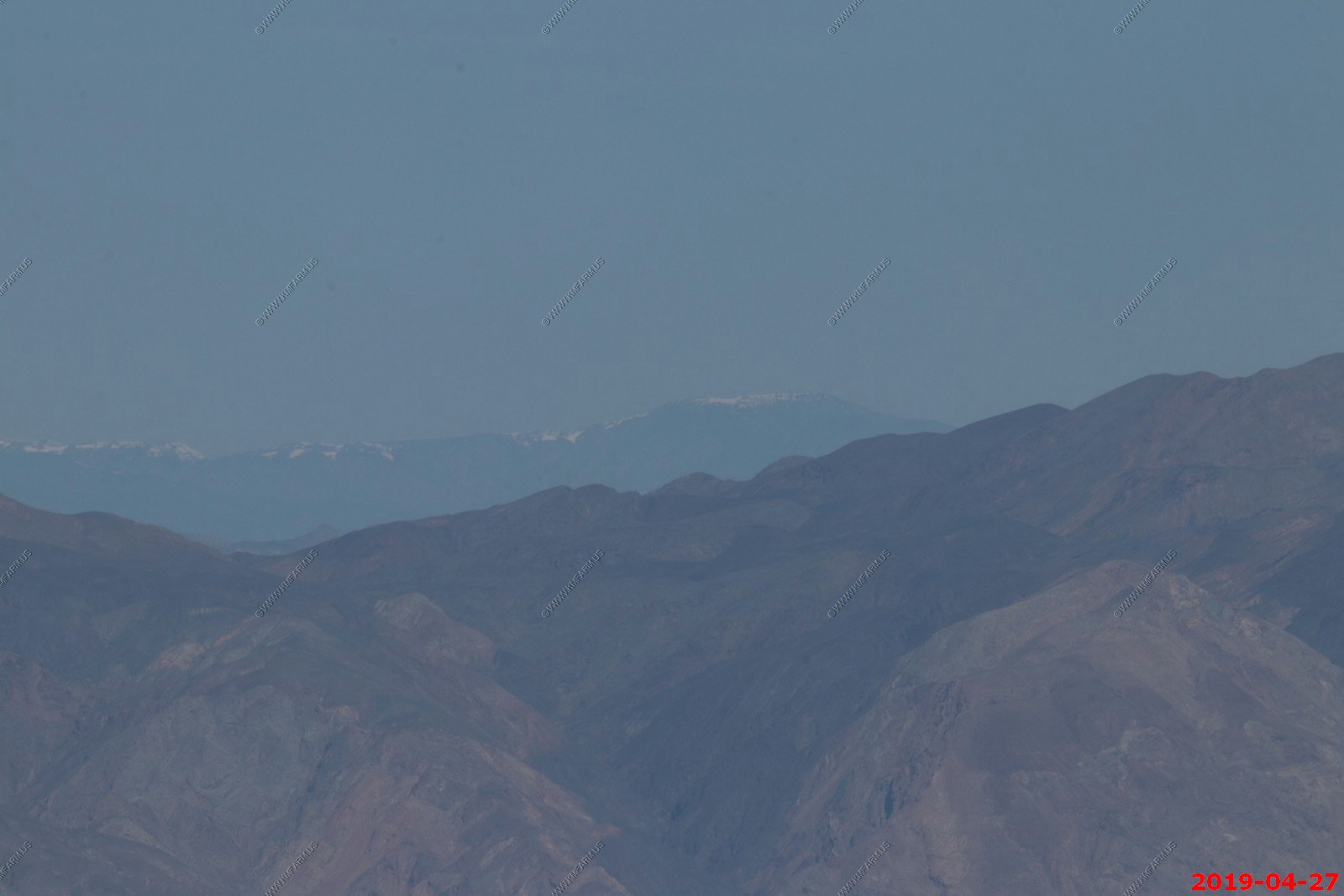
So on one of the signs it states that you can see the Sierra Nevada Range 100+ miles away.
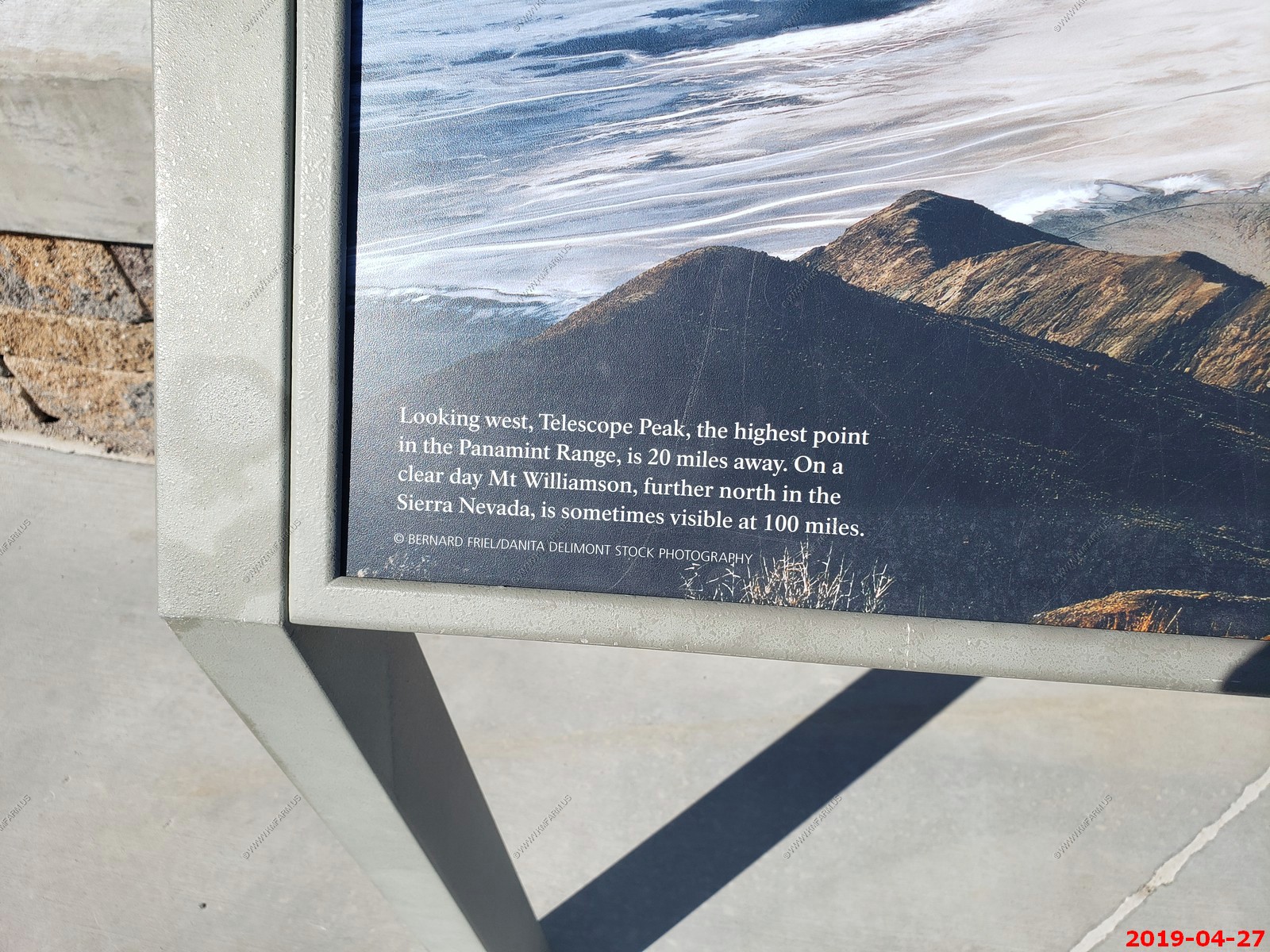
Running a viewshed program on this location, I see a number of peaks in the Sierra Nevada Range visible. Also, it shows that Boundary Peak Nevada which is 145 miles away is visible to the north.
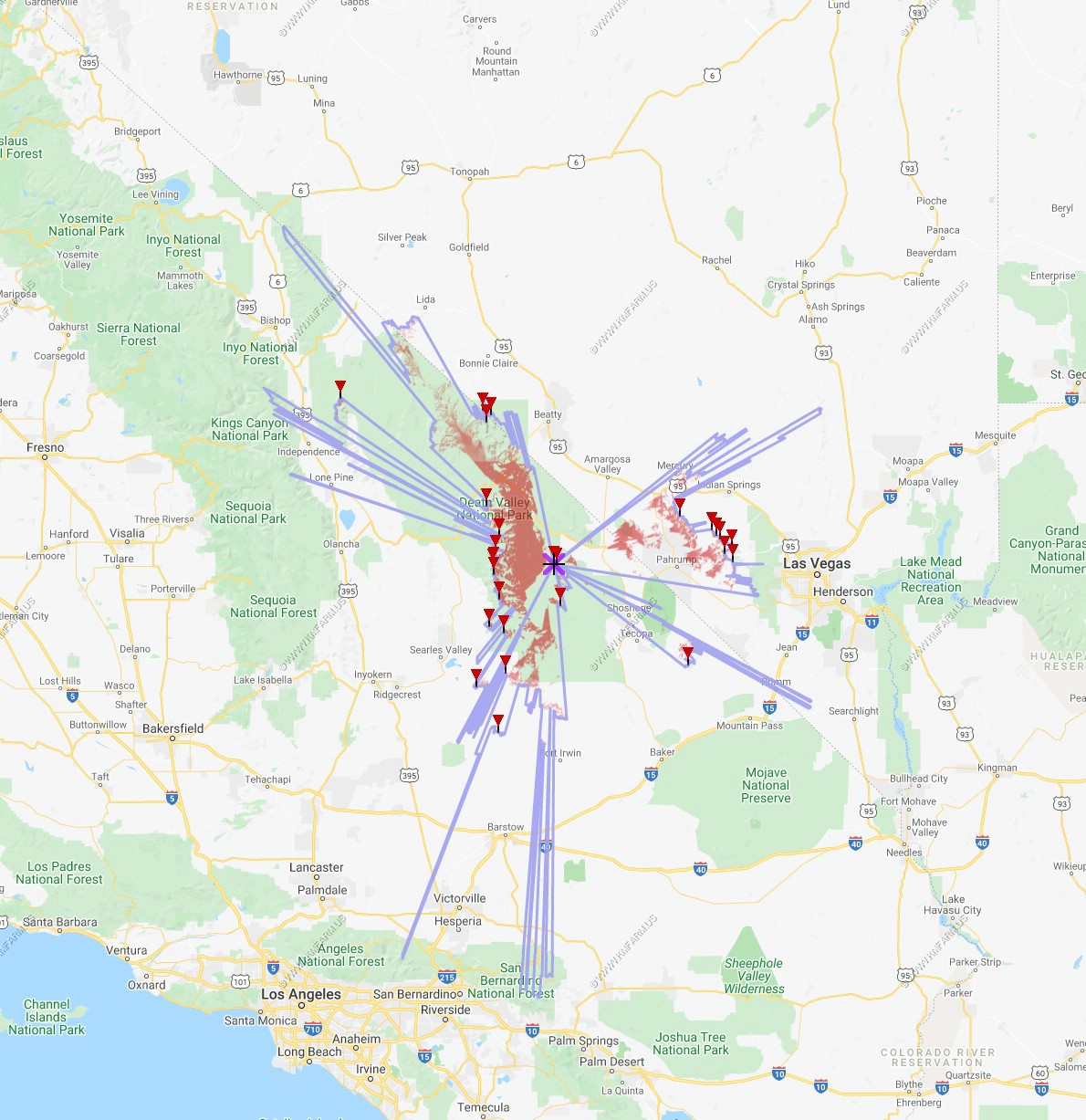
Various west & north unknown peak views all exceeding 100 miles.
Panamint Range
Five 400mm combined photos of the southern Panamint Range
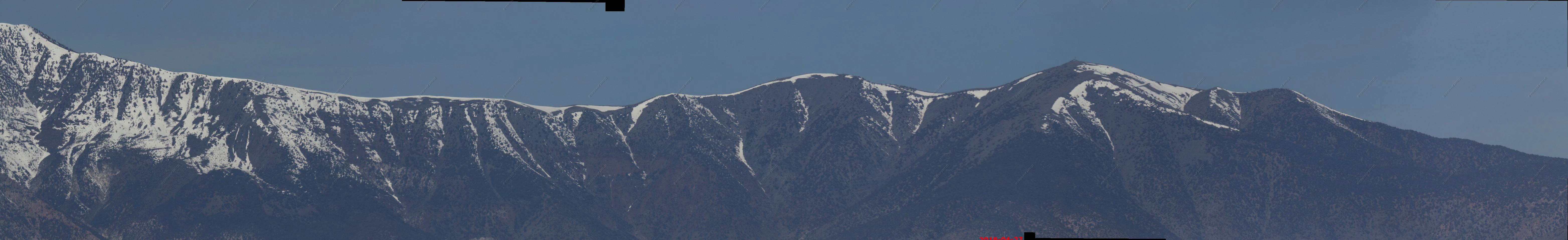
Four 400mm combined photos of the central Panamint Range. Snow-capped 11,049 ft Telescope Peak in center.
Six 400mm combined photos of the northern Panamint Range. You can see the Rogers Peak Radio Relay Site (El. 9,960+) right center of photo. Rogers Peak, has been used for relaying wireless communications since 1959. Today it is the only non-wilderness high point in the park. It has two towers, three support buildings, solar panels, propane tanks, and an administrative-use-only road to the site. Southern California Edison, Caltrans and other state agencies, Inyo County agencies, Federal Bureau of Investigation, Bureau of Land Management, and NPS use the mountain for communications.
The U.S. Navy proposes to build a 28-foot diameter radome with a total height of not more than 60 feet. The equipment inside will support safety, communications, and tracking in the R-2508 military airspace, which includes the park.
AT&T Wireless proposes to build a cellular tower on Rogers Peak, which would likely add areas of cellular service. This part of the EA drew the most emotional public comments. Some people objected to any increase in cellular coverage, expressing a desire to keep the wilderness free of cellular service or to have the park be a place to “get off the grid.” Other people strongly supported the potential increase in coverage area, citing shorter response times in case of emergencies.
The Finding of No Significant Impact, signed on April 1, is the first step in approving modifications and new construction on the site. The NPS outlined specific stipulations which will be carried forward into construction and right-of-way permits, which have not yet been issued. Construction is not expected to start before the summer of 2020.
I don't agree with this as I could easily see the glow of Las Vegas to the east and Los Angeles to the south. Yes, the air is very clear but there are better places.
Looking east 60 miles away you could see the snow-capped Charleston Peak is 11,918 ft above sea level. Las Vegas is located east of this area.
Mary watching out for bee's
Driving back down to the low desert along Dante's View road. Wild flowers blooming.
Semi-active, historic mining area. Center of photo is the Inyo Mine. They mined borax in this area.
We did not see any.
I have actually evaluated Pahrump, Nevada as a retirement destination. Not far from Vegas and lots to do in the area. Its a wild small town.
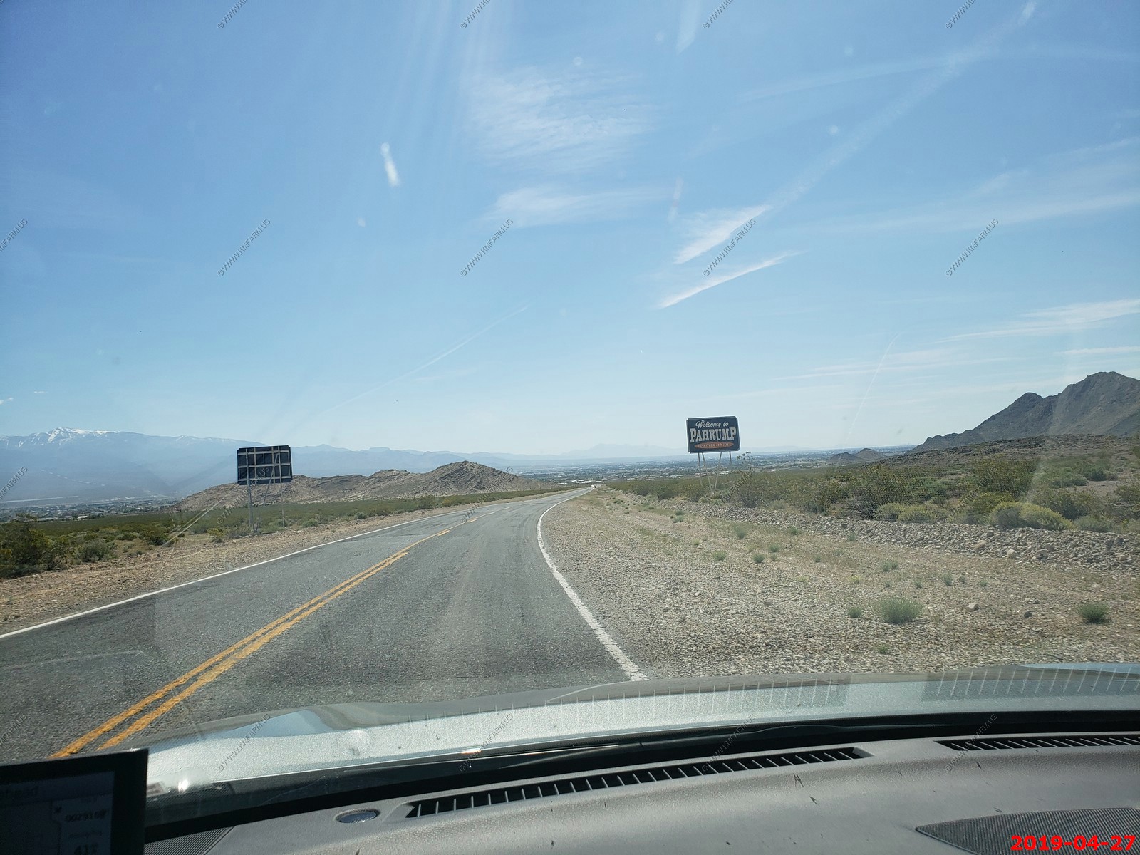
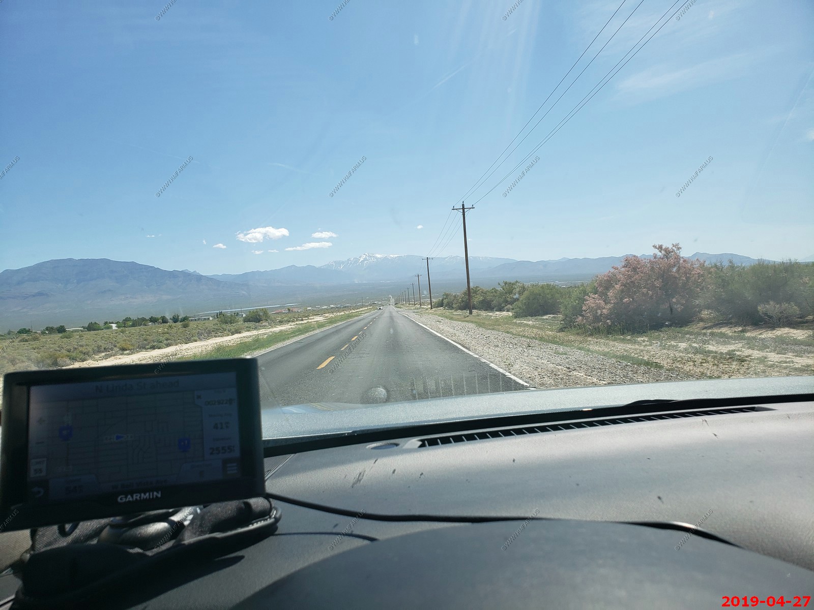
Driving east on Bell Vista Ave approaching Pahrump, Nevada. Snow-capped Charleston Peak is 11,918 ft above sea level. It is the second highest mountain of the Spring Mountain National Recreation Area. It is the eighth highest peak in Nevada, and is a secret escape from the Las Vegas metro area. Temperatures on the mountain are usually 25-30 degrees cooler than that of Las Vegas.
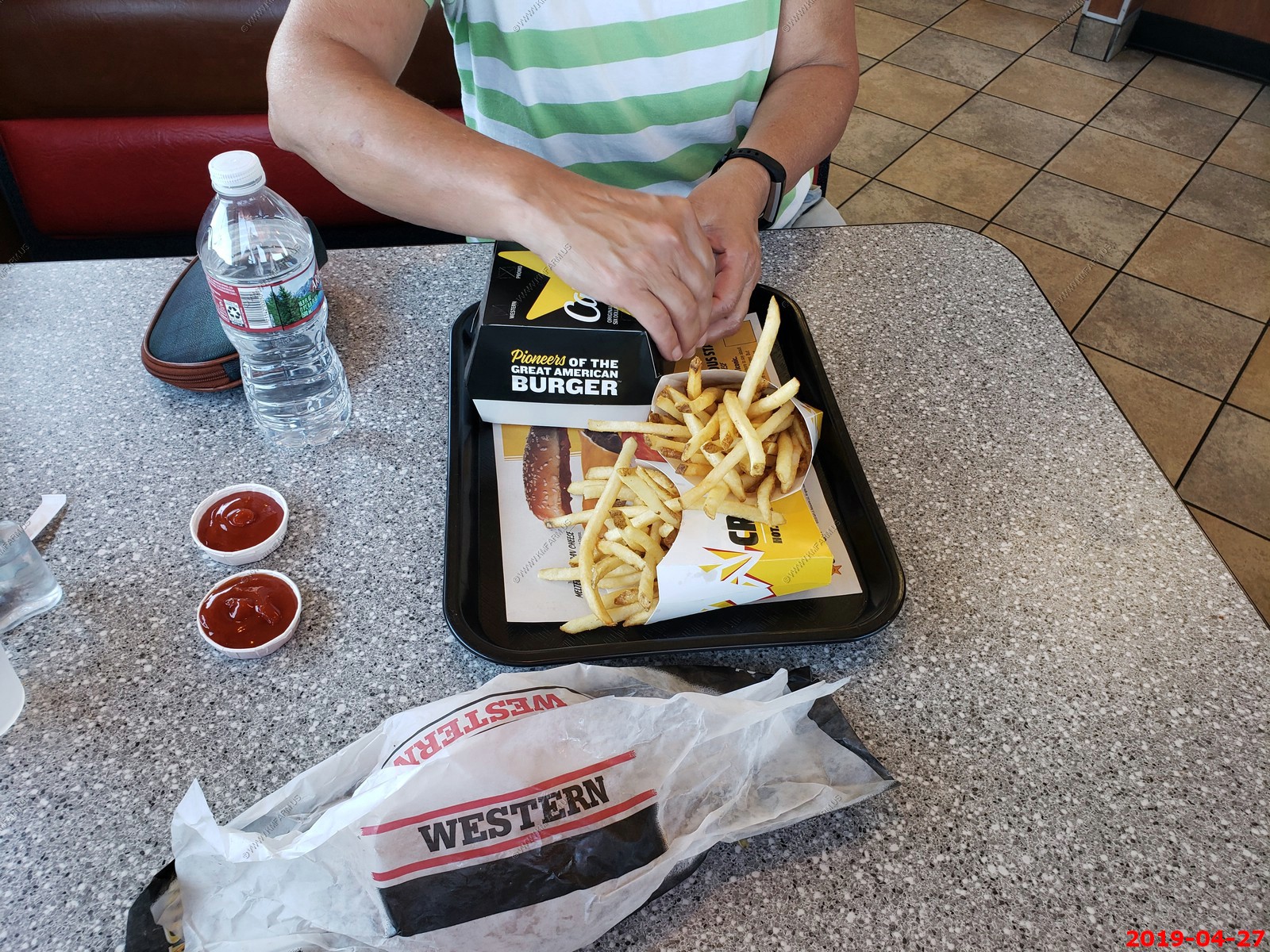
Back in Metro-Las Vegas. As always, we stop at one of Ken's favorite restaurants which are In & Out burger or Carl Jr's. Very good as usual and they had a plaque for the founder.

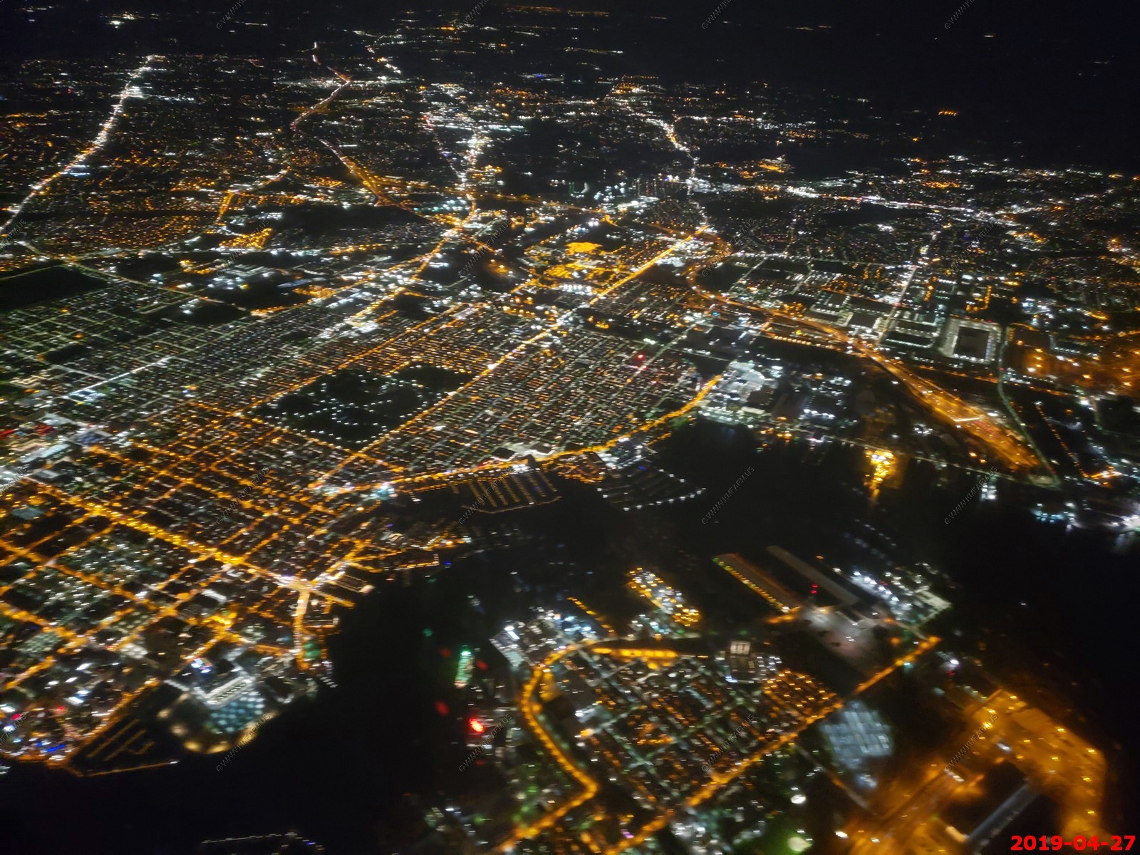
Depressing time. Non-stop flight back to wonderful Baltimore, MD.
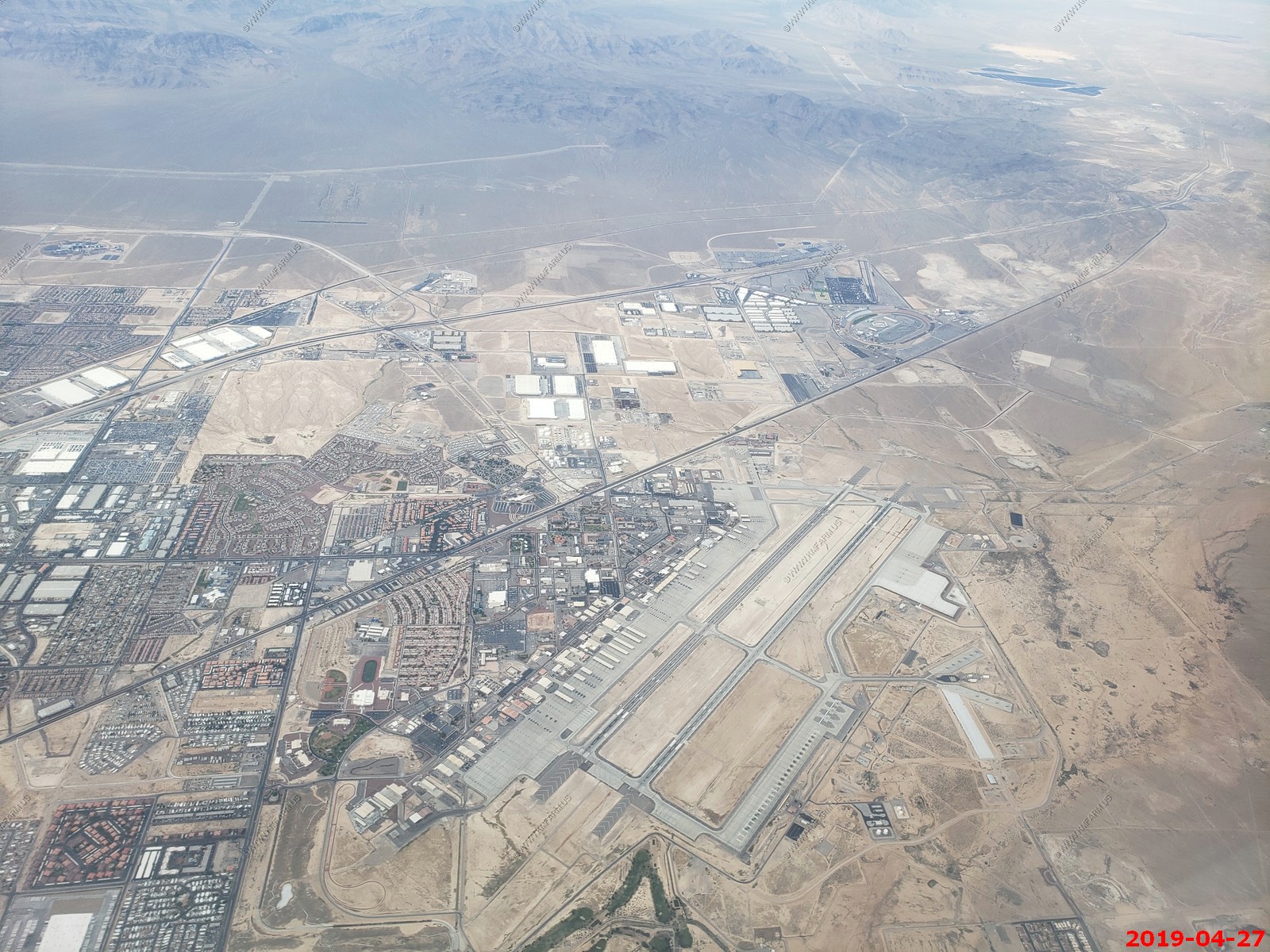
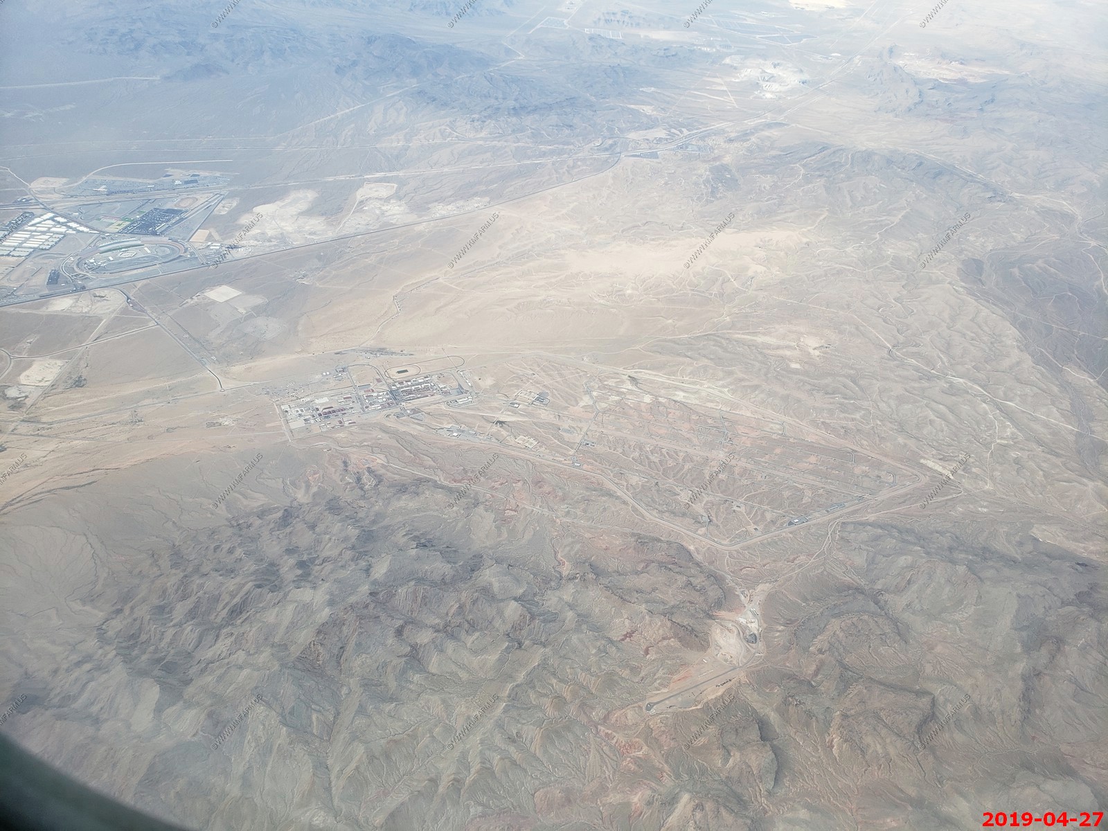
Looking down at Nellis Air Force Base and Las Vegas Motor Speedway. I-15 & North Las Vegas Boulevard are the roads crossing the photo.

Nellis Air Force Base Munitions Storage Area (MSA) - used to be a so-called Q-Site, one of the 6 National Stockpile Sites where the US kept nuclear weapons. It's not a Q-site anymore and there's no nukes here; they're all at KUMSC in Albuquerque.
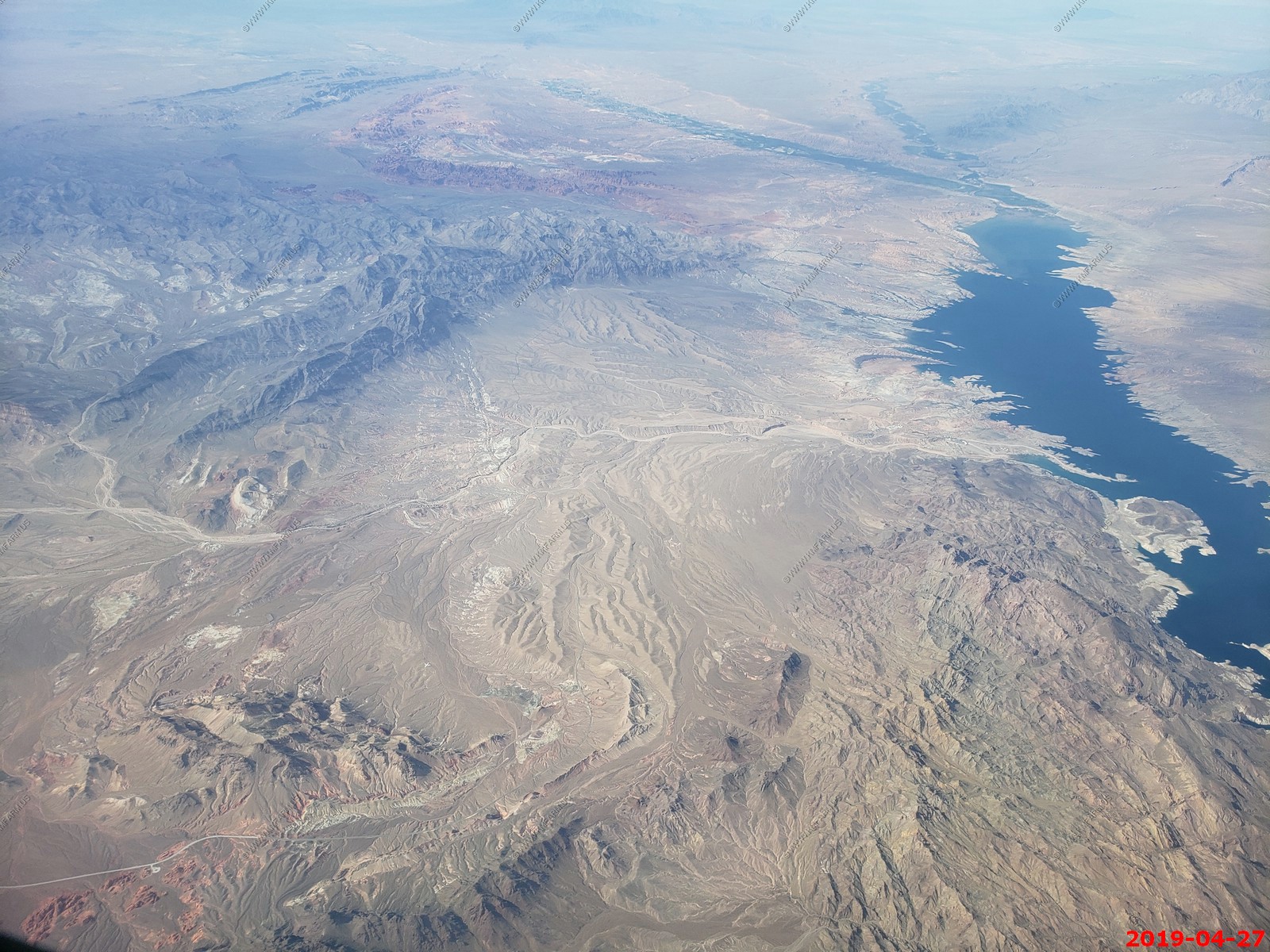
East Longwell Ridge & West Longwell Ridge with Valley of Fire State Park to the north. The water is Lake Mead Overton Arm. Moapa, Nevada is at the top of the photo.
Someday, I want to explore this remote area. Gold Butte Townsite (center of photo). It's now all part of the Gold Butte National Monument.
Now over Arizona Strip Country, looking down on Grand Wash Cliffs Wilderness. The Grand Gulch Mine is located lower left center.
Not good, clouds. Poverty Knoll lower center. Hurricane cliffs going north to St. George, UT center. Hard to see, but snow capped Pine Valley Mountains with the highest point Signal Peak (10,365 ft)
One of my favorite places. Mount Trumball, AZ. Very remote with the Uinkaret Volcanic Field under the clouds.
Lake Powell View Estates, Arizona. The water is Wahweap Bay, Lake Powell and you can see Lone Rock.
Mary and I have explored this area via rugged Smokey Mountain Road.
Smokey Mountain left & Fiftymile Mountain right. All of this is in the Grand Staircase-Escalante National Monument.
Fiftymile Mountain (which is appx. 33 miles long)

Escalante Arm of Lake Powell - The Escalante River is a major tributary to the Colorado River. The upper reaches on this arm are some of the remotest places on Lake Powell as it is quite far from any marinas.
In the lower left, the Hole-in-the-Rock where Mormon pioneers travelling to southern Utah in 1880 spent six weeks here digging and blasting a route down from the mesa. This was so they could cross the Colorado River.
Sunset time over central Colorado
Yuck, downtown Baltimore harbor area. I hope we don't get shot.