Last Updated: 10-FEB-2020
Itinerary
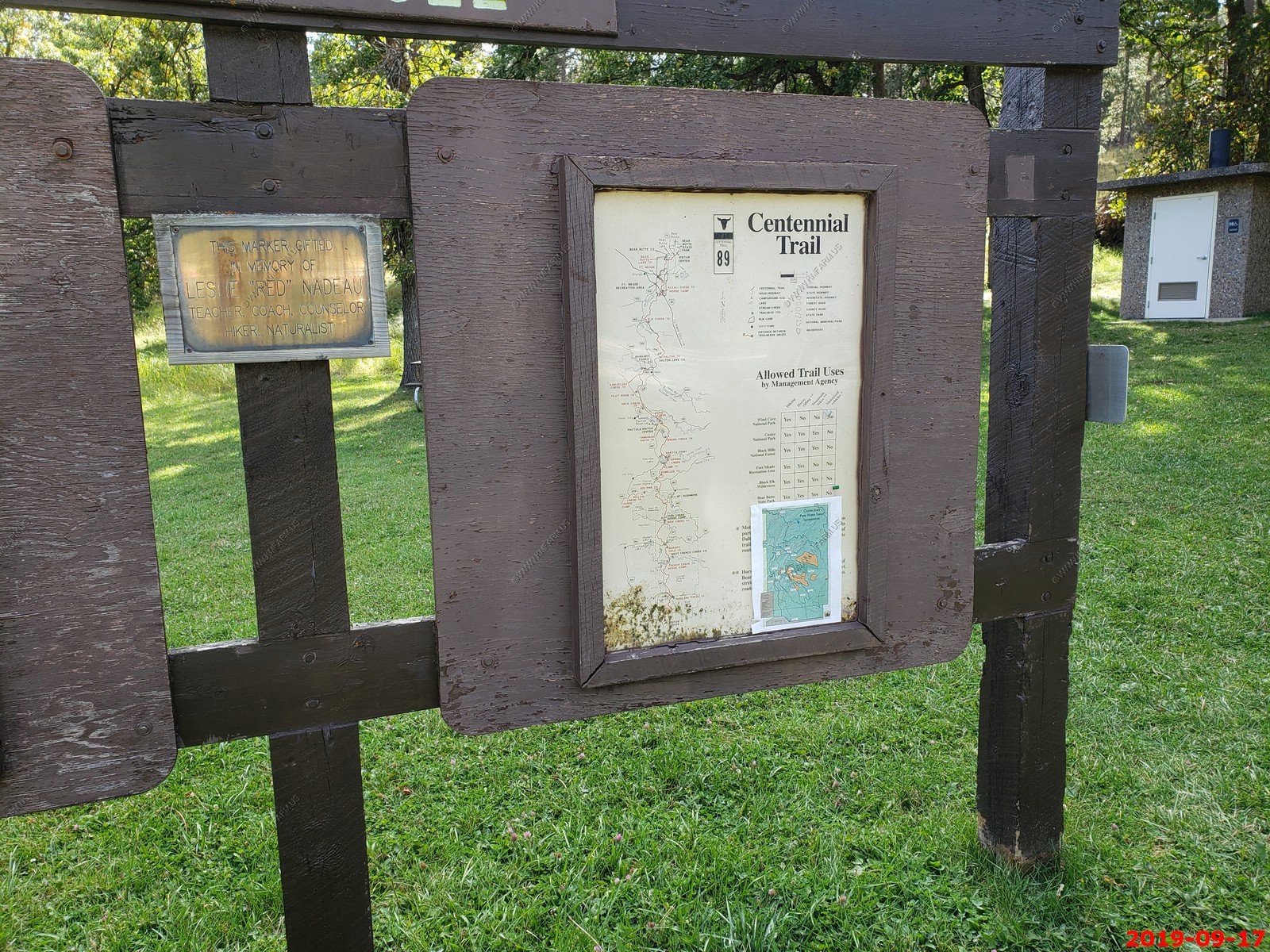
Day 08 - SEP 17, 2019 - TUE - Full day exploring Black Hills area - Stay Double D cabins south of Custer, SD (Hot Springs, SD / Custer State Park)
Day 09 - SEP 18, 2019 - WED - Drive 239 miles to Theodore Roosevelt National Park, ND - Stay Americinn by Wyndham Medora, ND
Day 10 - SEP 19, 2019 - THU - Drive 140 miles (Round Trip) to North Unit - Theodore Roosevelt National Park, ND - Stay Americinn by Wyndham Medora, ND
Day 11 - SEP 20, 2019 - FRI - Drive 441 miles from Medora, ND to Walker, MN - Stay Country Inn - Walker, MN
Day 12 - SEP 21, 2019 - SAT - Drive 484 miles from Walker, MN to Newberry, MI - Stay at Americas Best Value Inn Tahquamenon Country, Newberry, MI
Day 13 - SEP 22, 2019 - SUN - Drive 631 miles from Newberry, MI to New Kensington, PA - Stay at SpringHill Suites by Marriott Pittsburgh Mills, PA
Day 14 - SEP 23, 2019 - MON - Drive 243 miles from New Kensington, PA to Home
Day 15 - SEP 24, 2019 - TUE - Return rental SUV - Un-packing
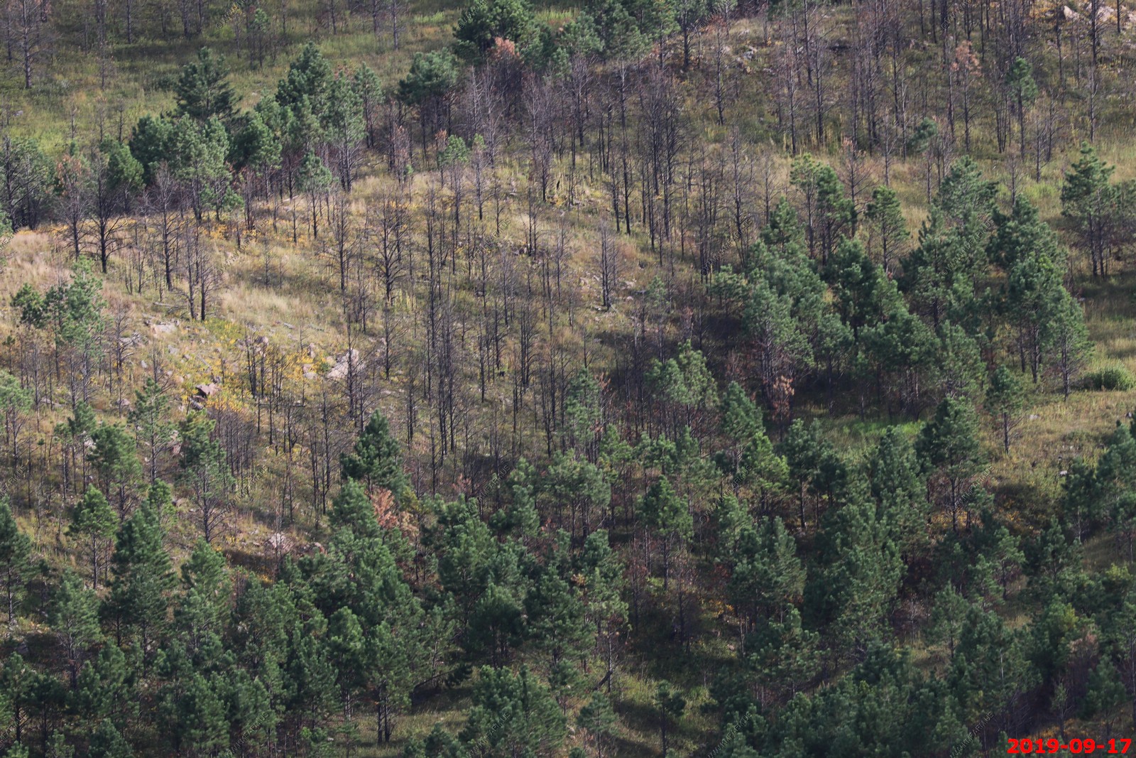
Our last full day staying at Double D Bed and Breakfast Cabins - Today we were going to give Hot Springs, SD another look and go for a couple of hikes in Custer State Park.
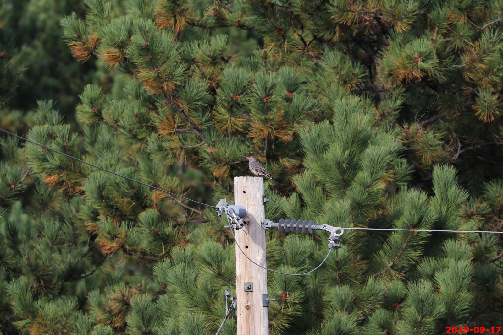
A flicker looking bird on the pole across from Double D Bed and Breakfast.
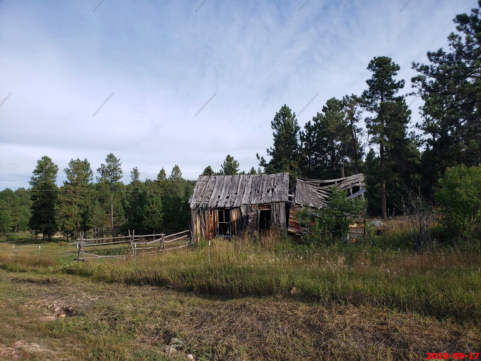
Old building at the end of Jack Pine Road just down from the Double D Bed and Breakfast.
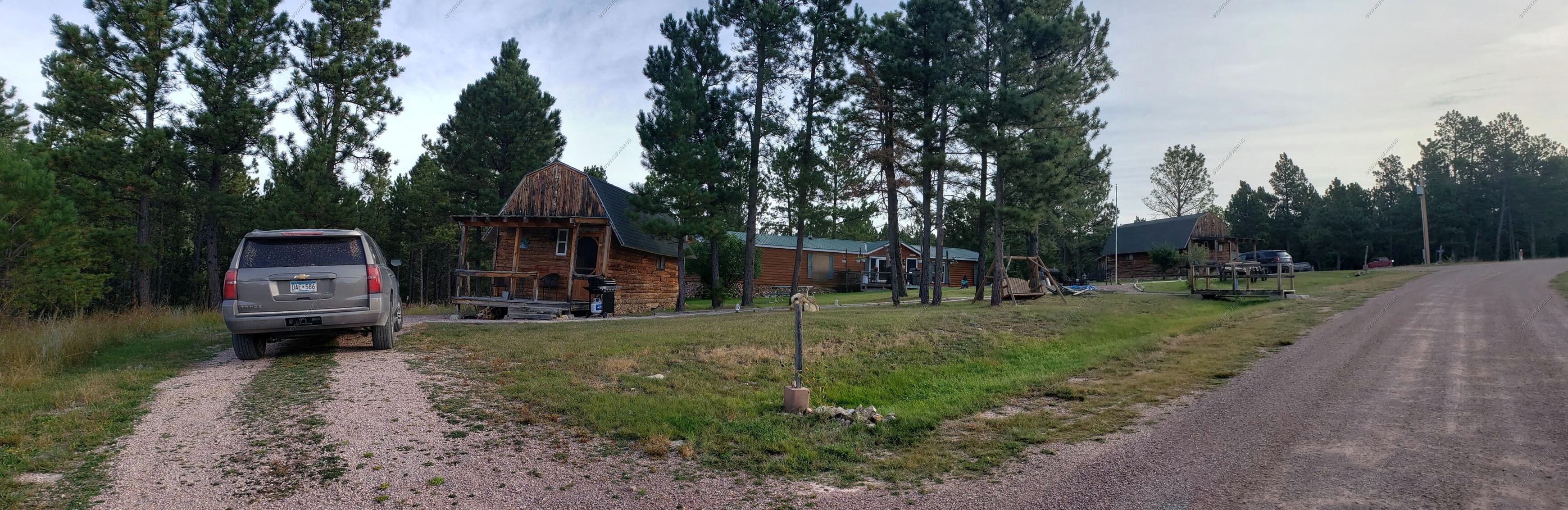
Our cabin & Jack Pine Road
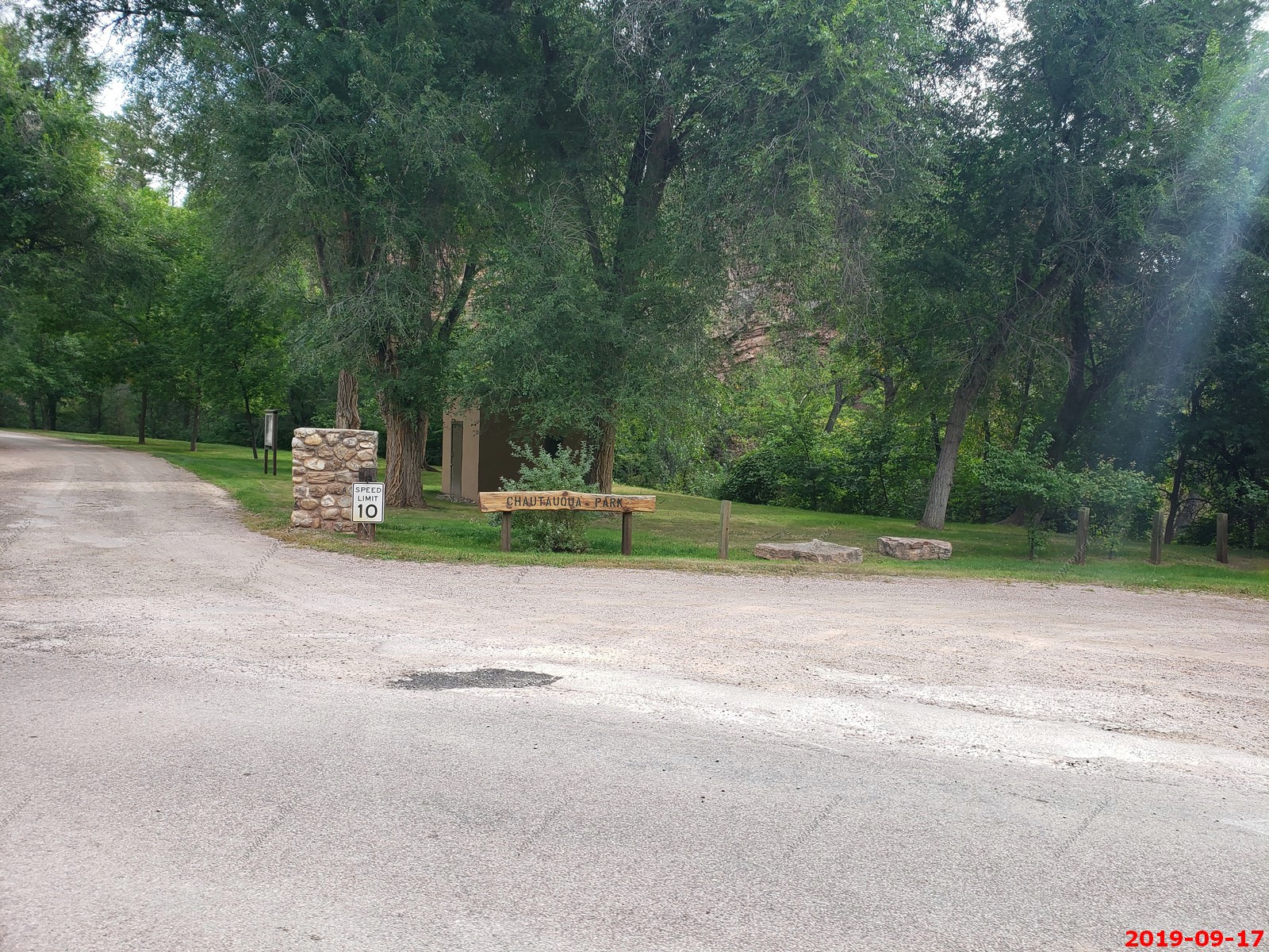
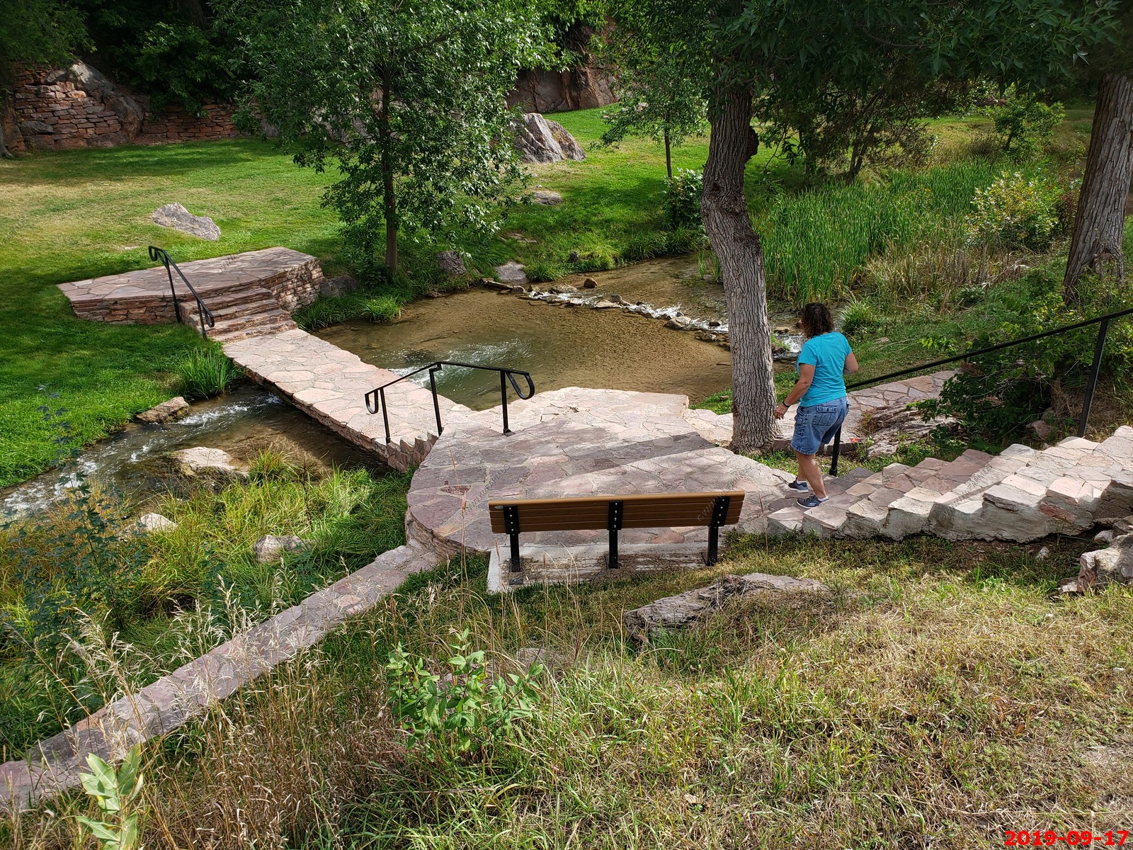
We rode around Hot Springs, South Dakota looking for the "natural" hot springs and ended up at Chautauqua Park north of town. We had the small park to ourselves.
I have been interested in the Hot Springs, South Dakota area as a possible relocation town after I sell the farm and move to a easier to maintain property. The hot springs area is considered the Banana Belt of South Dakota as the weather can be considerably warmer than Rapid City which is only an hour (57 miles) to the north. This area is only 5 hrs. (330 miles) to Denver so you are not that far from good medical facilities. Probably the biggest drawback is the wonderful Pine Ridge Reservation not far away to the east so some of the issues could possibly be seen in Hot Springs.
We bought some bacon & cheddar bread ($5.50) from Heaven Scent Bakery in Hot Springs (Strange as searching for it now it comes up as "Daily Bread Bakery and Cafe"). This stuff was awful. They need to learn how to make cheese bread. Oh well, not going in that place again.
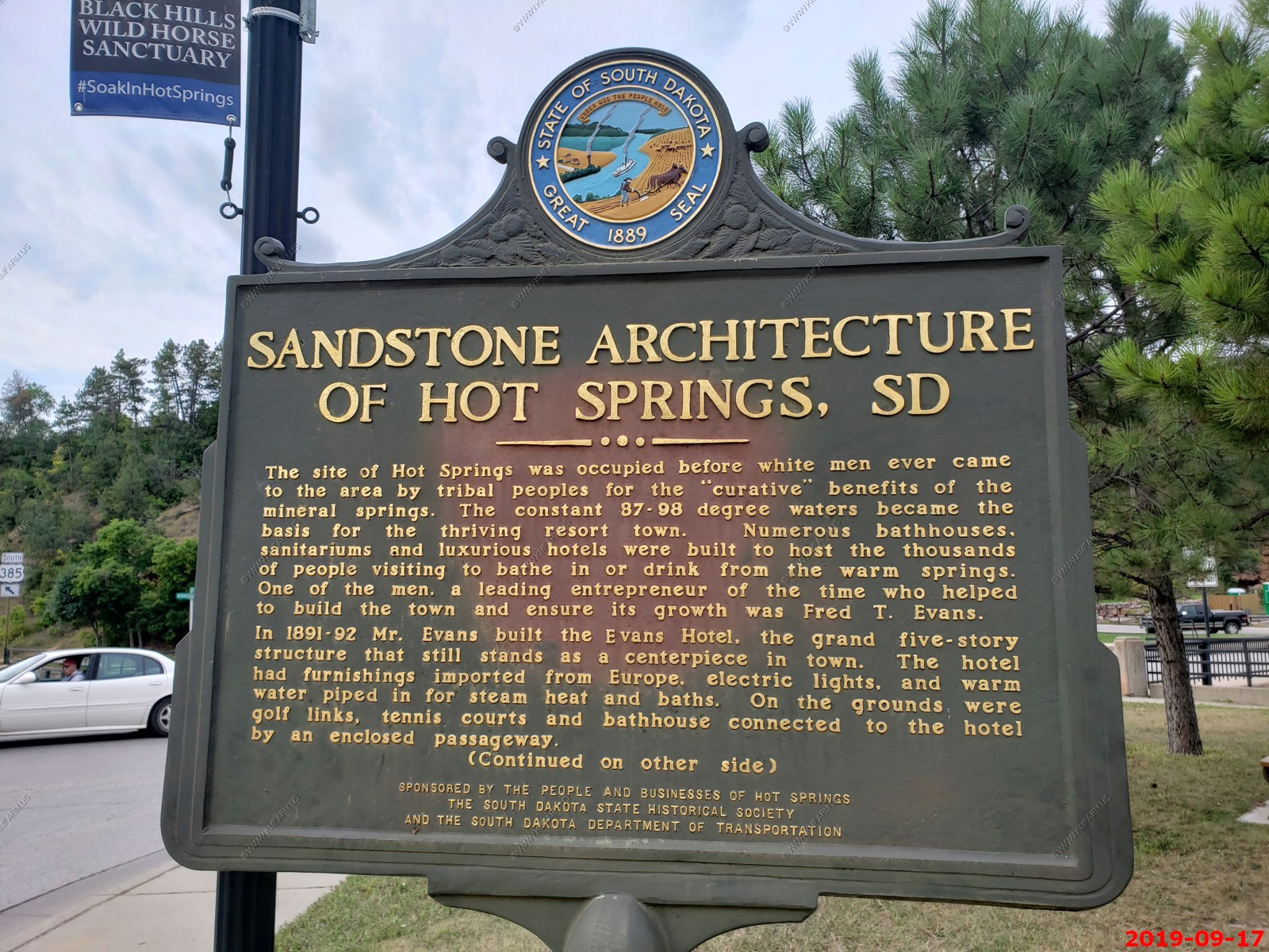
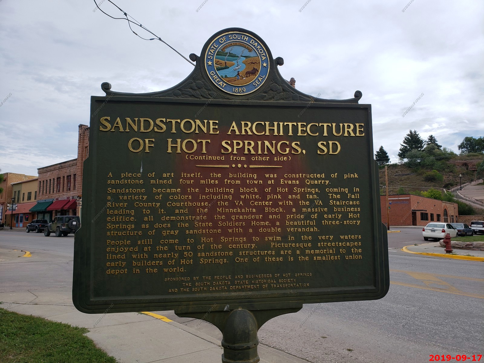
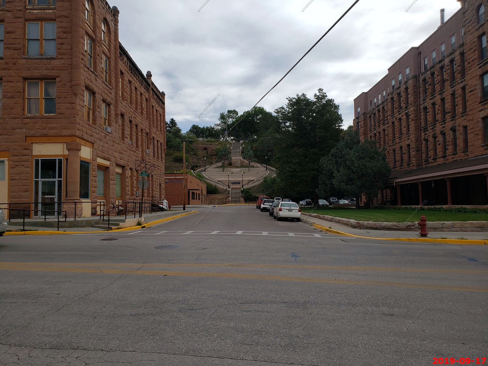
Sandstone Architecture of Hot Springs, SD.
Looking down National Ave at the steps that lead to the Black Hills Treatment V.A, Hospital.
The old train station that is now the Hot Springs Chamber Seasonal Visitor Center located in the historic Union Depot train station built in 1891. We spent well over a hour talking to the the woman at the information desk. She was very interesting to talk to as we told her our (More Ken than Mary) relocation interest in the area.
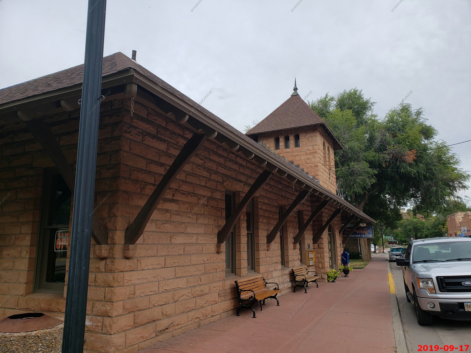
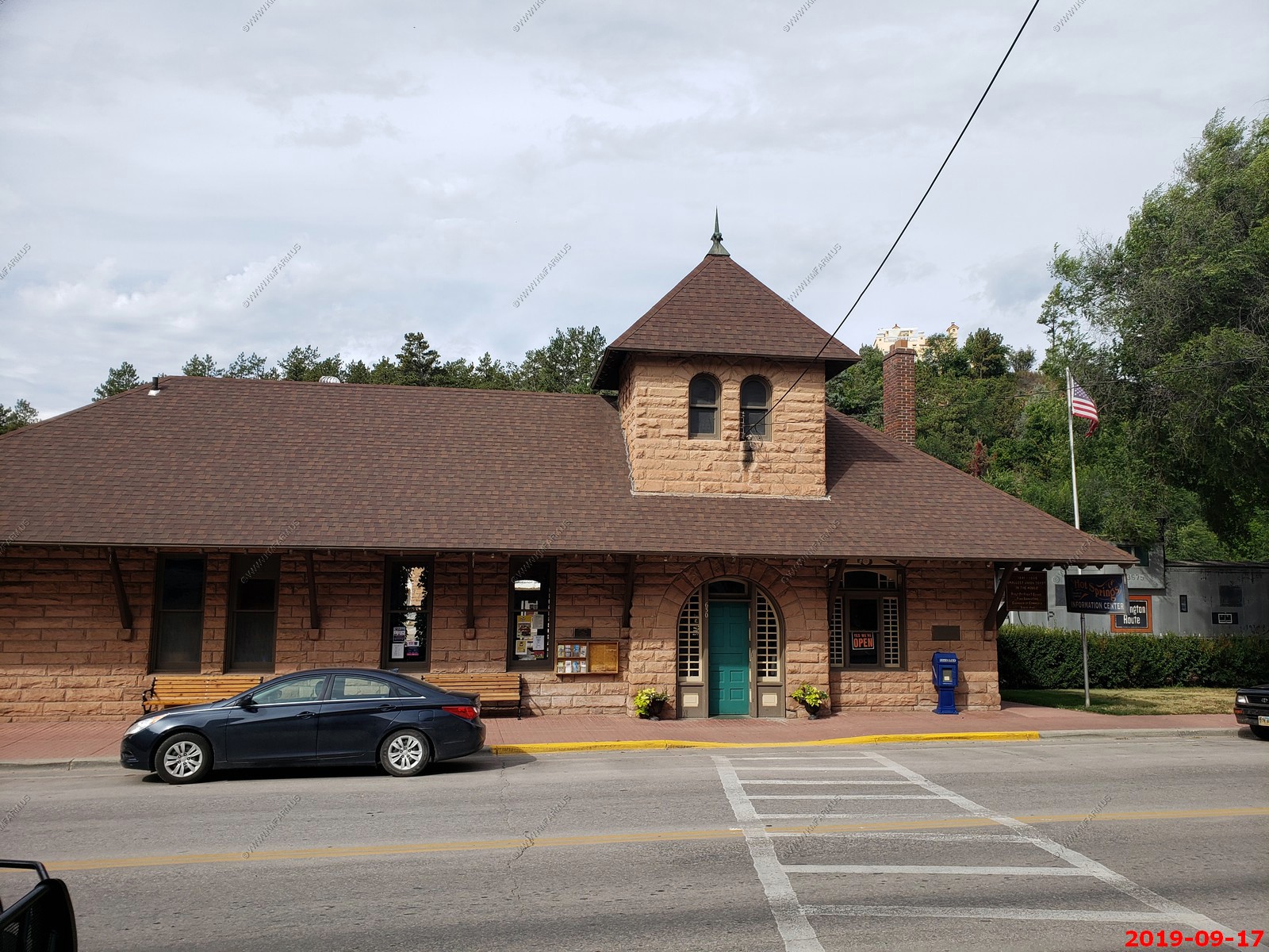
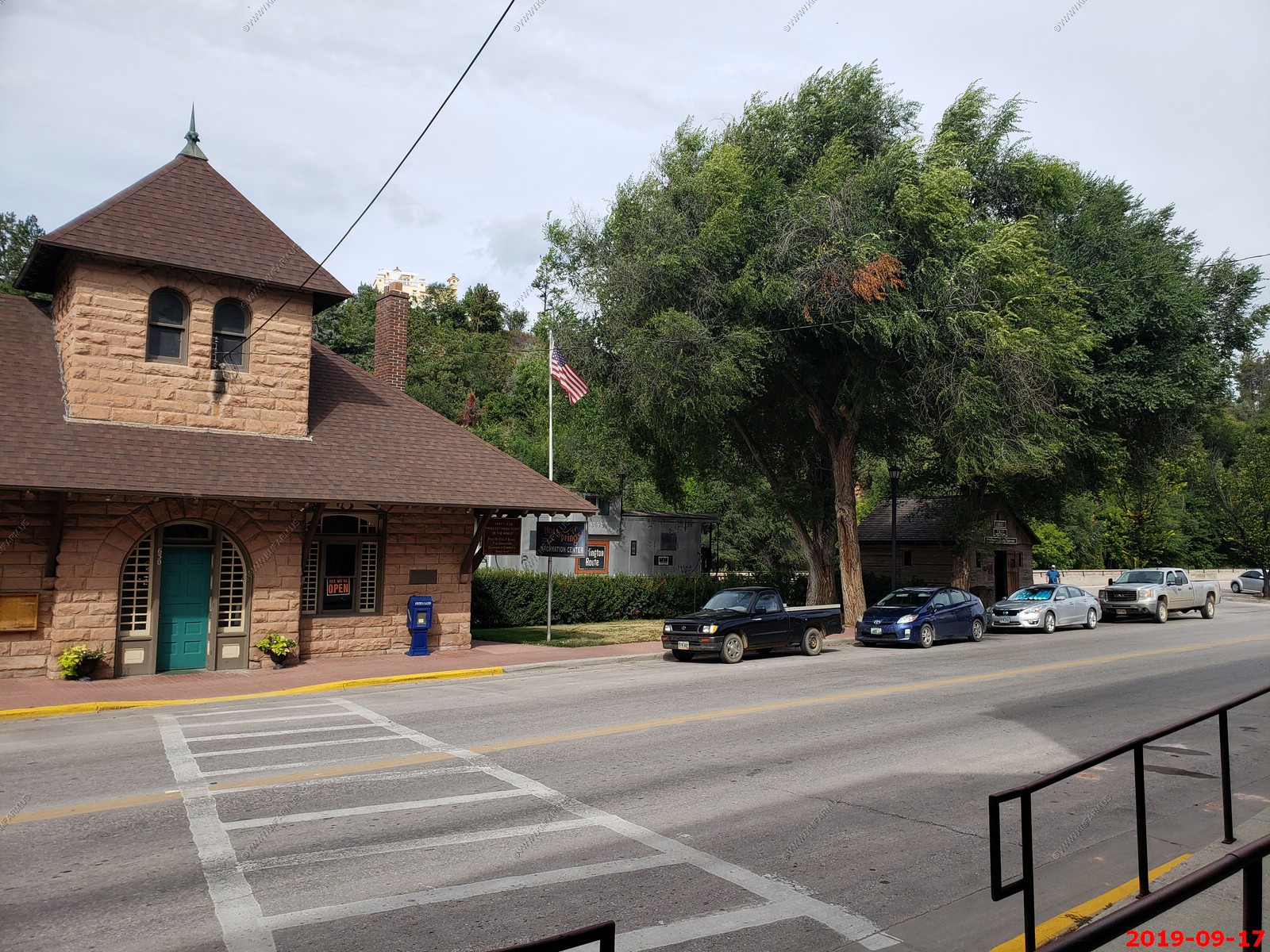
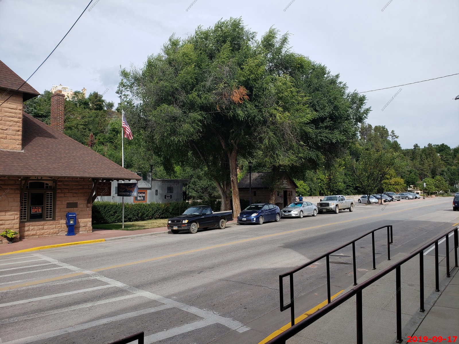
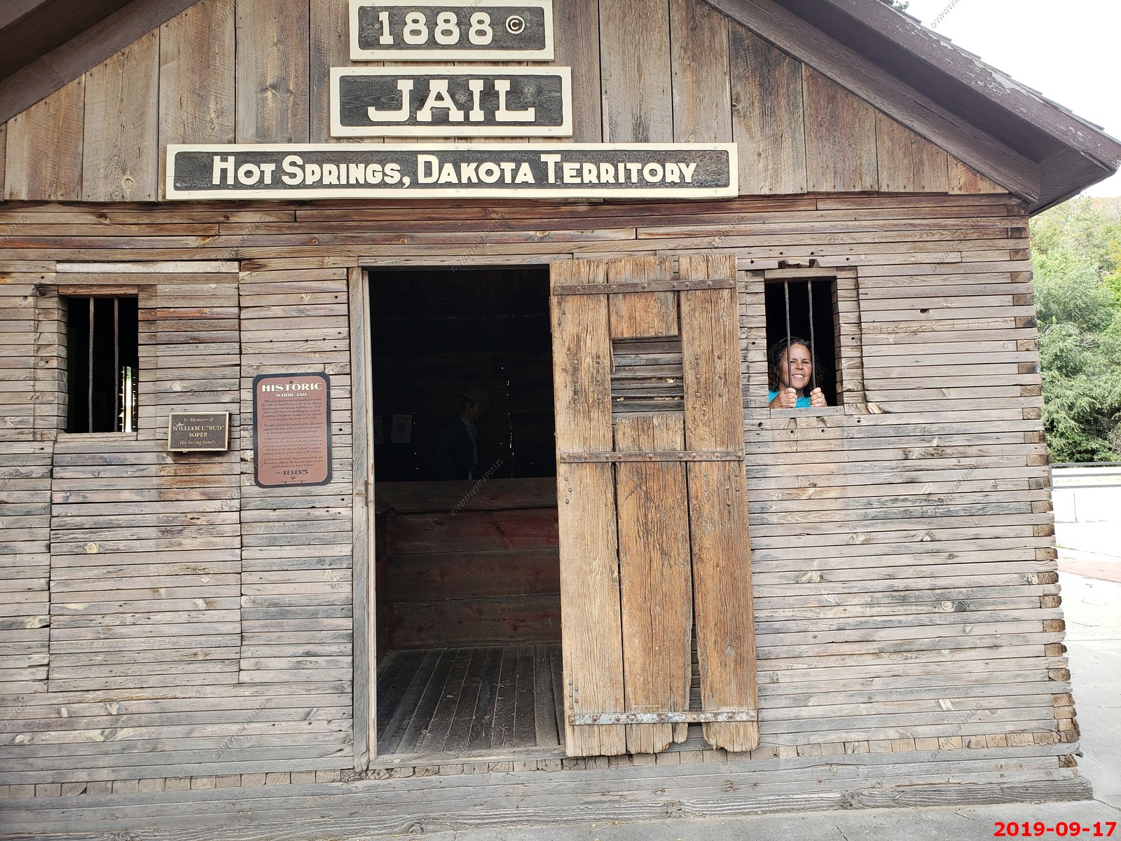
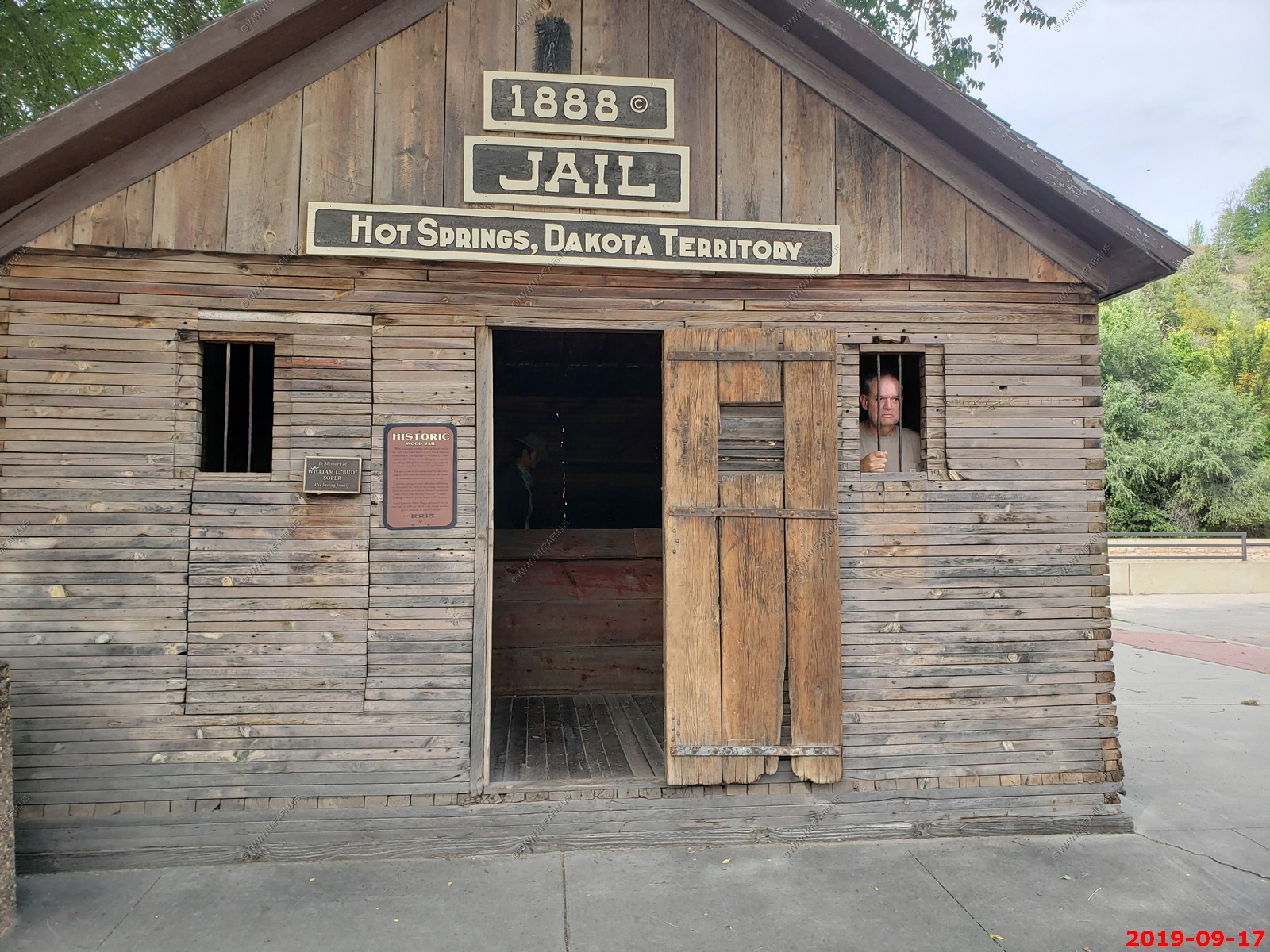
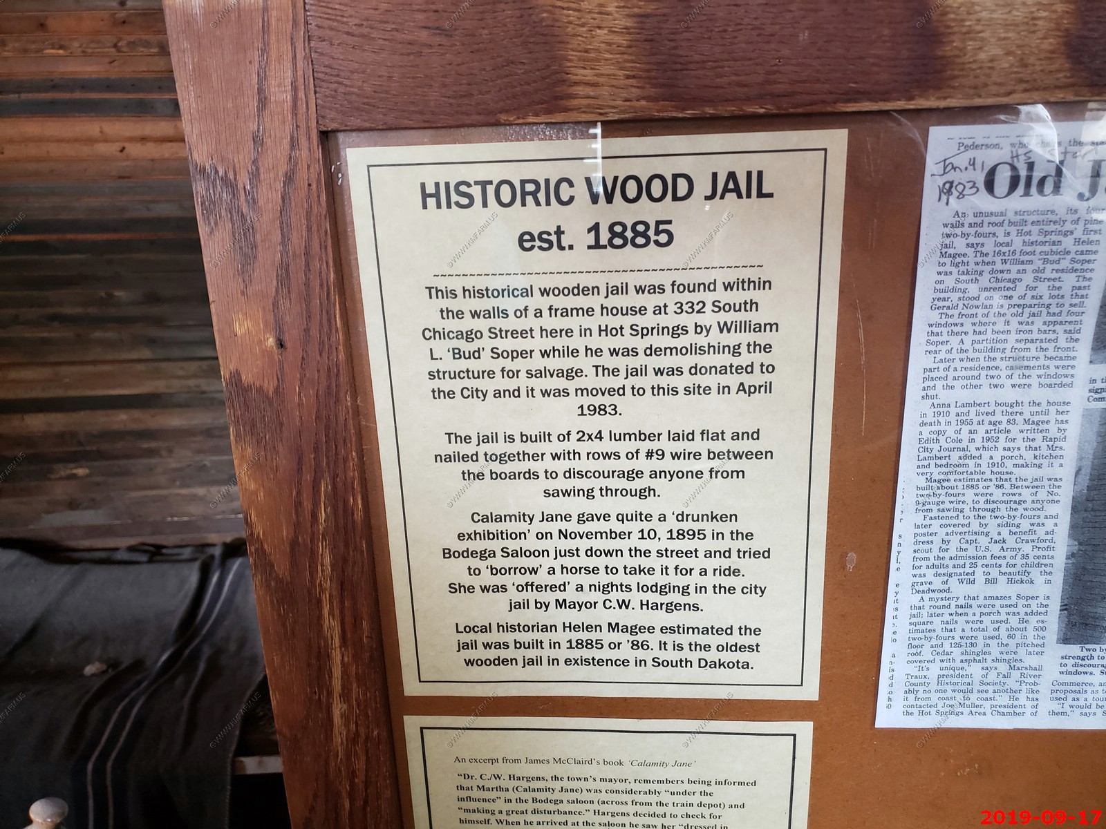
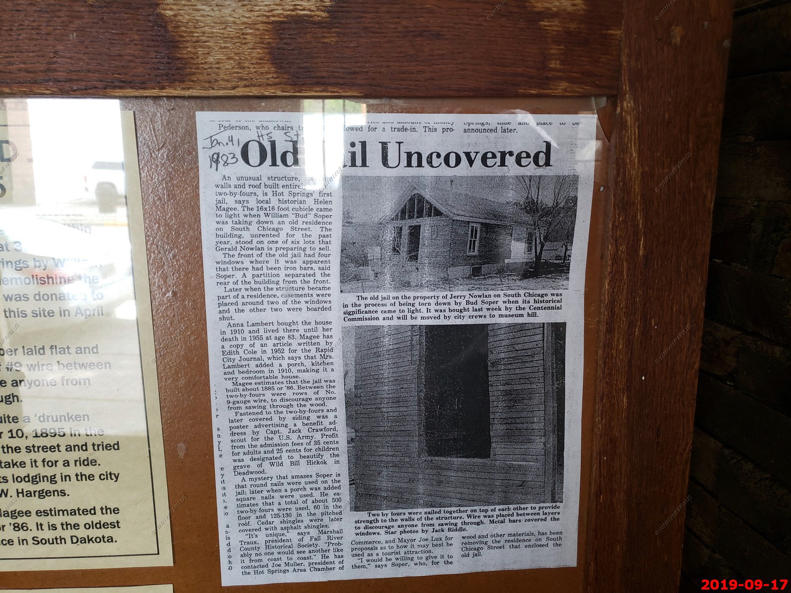
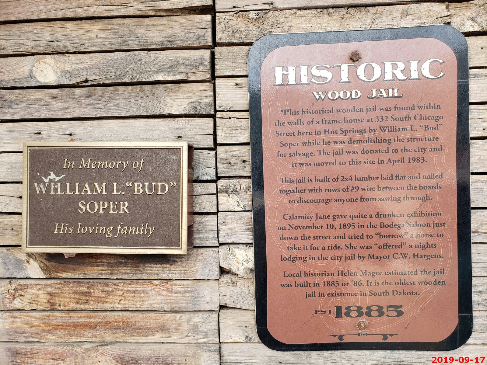
Beside the depot building a caboose and a small historic jailhouse from the Dakota Territory (1888) are on display. The historic depot and the block of buildings on the opposite side of River Street are constructed of locally-quarried pink sandstone that has a distinctive look.
Mary & Ken in jail.
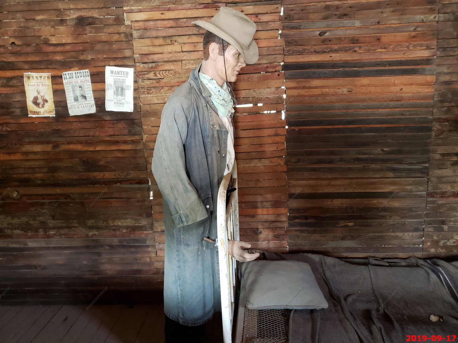
Lots of local information inside the jail.

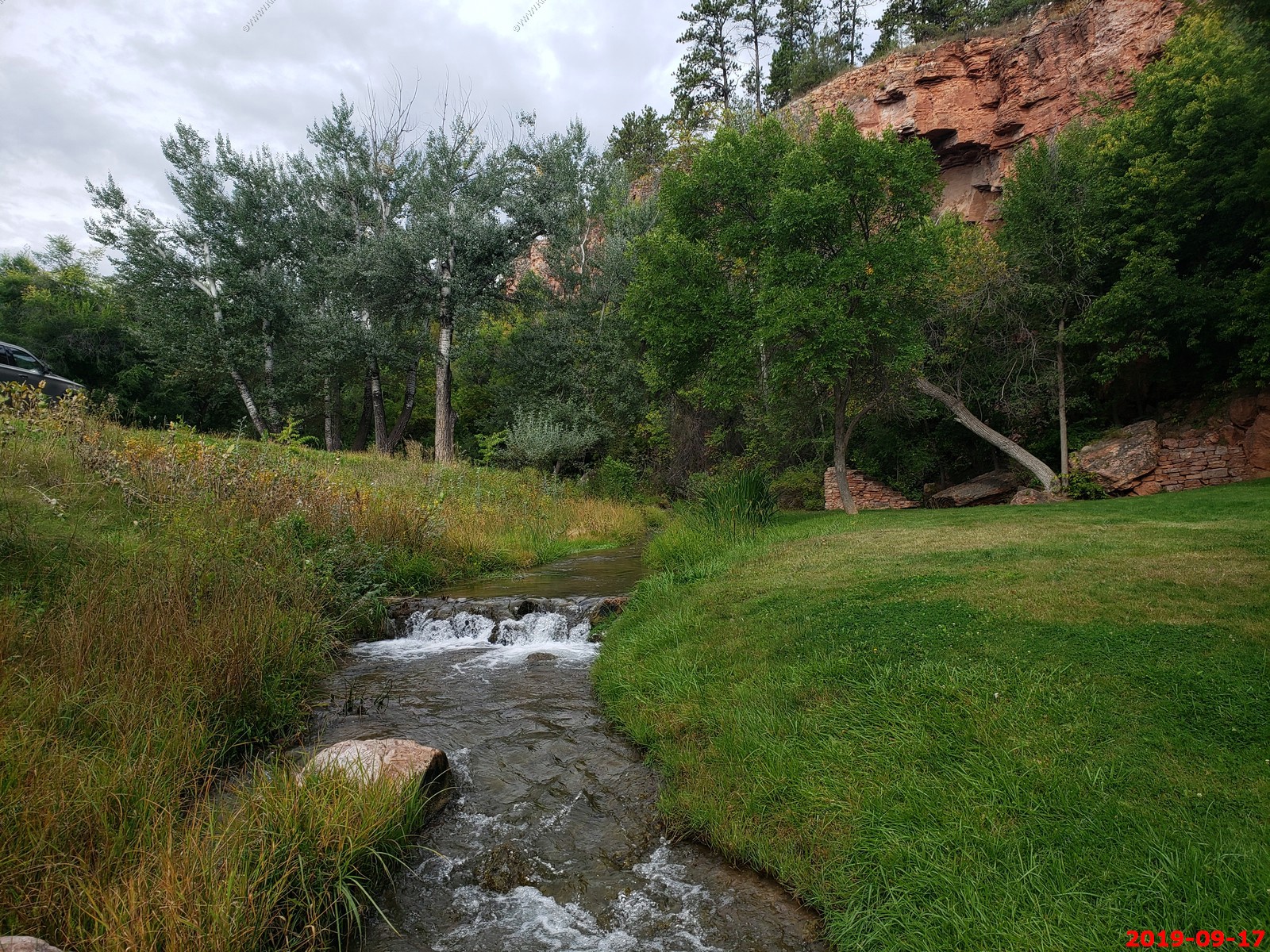
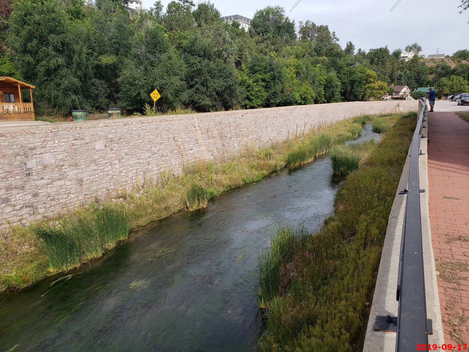
Fall River running thru Hot Springs, SD.
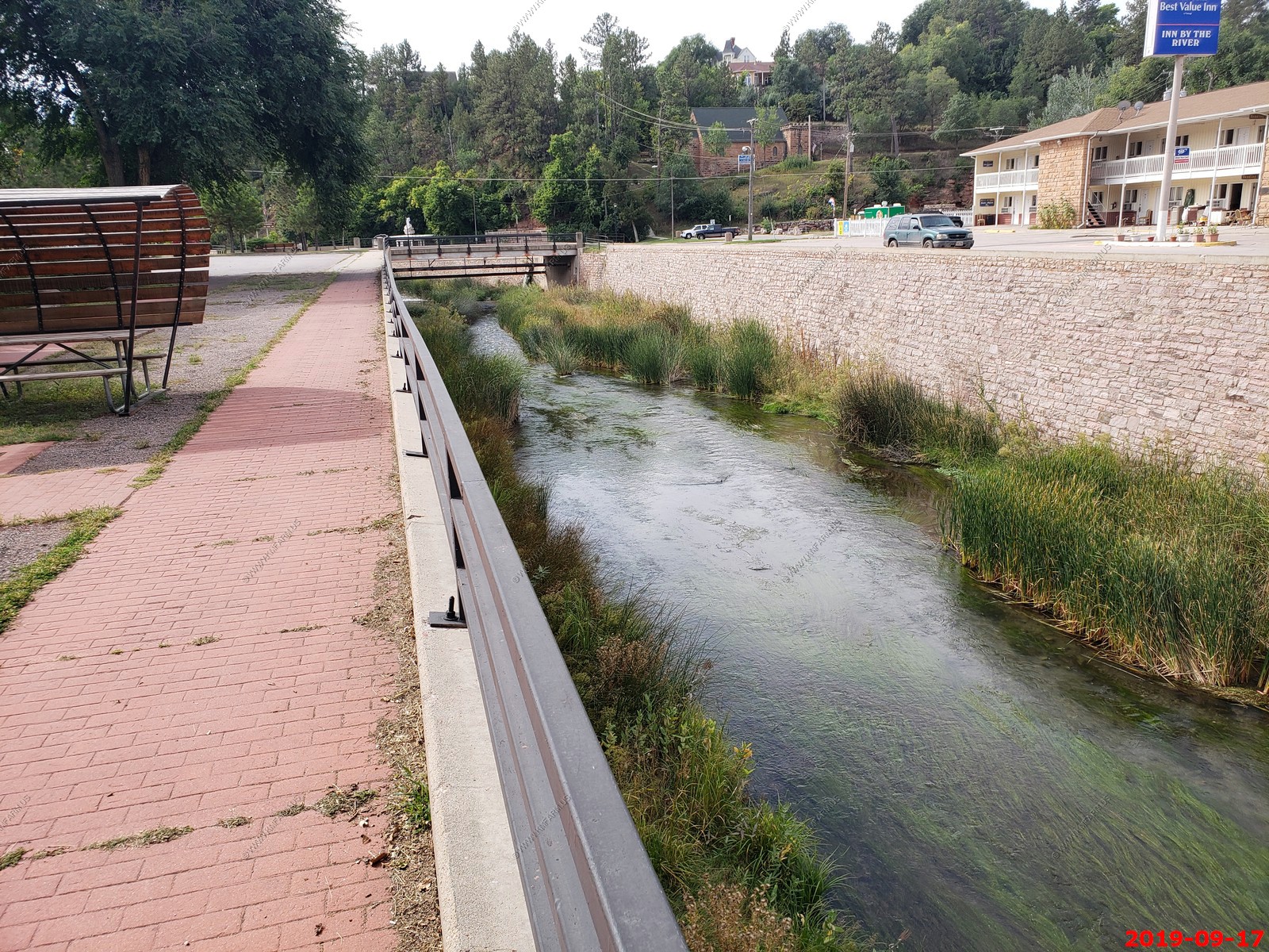
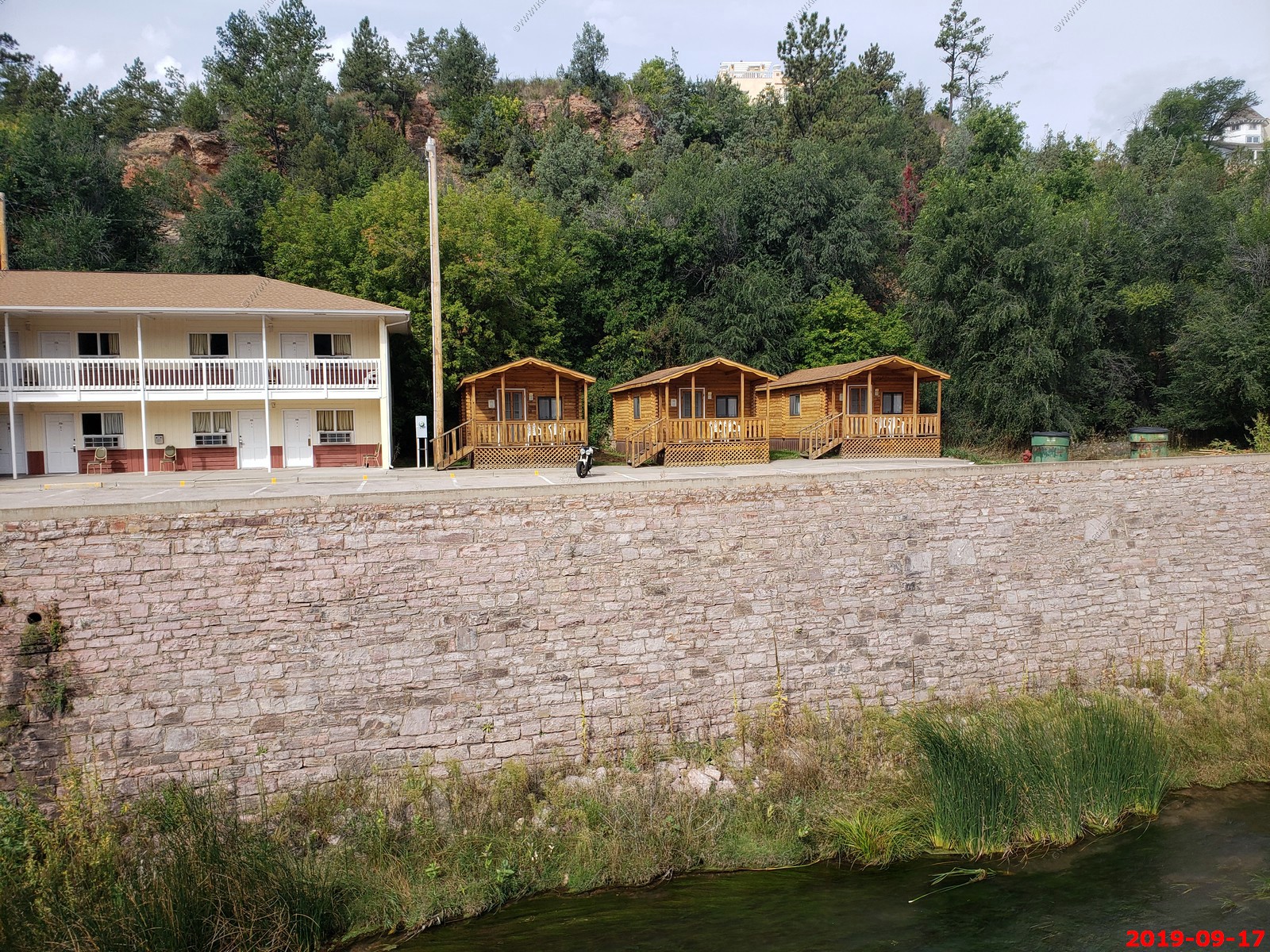
Rental Cabins at Americas Best Value Inn by the River Hot Springs.
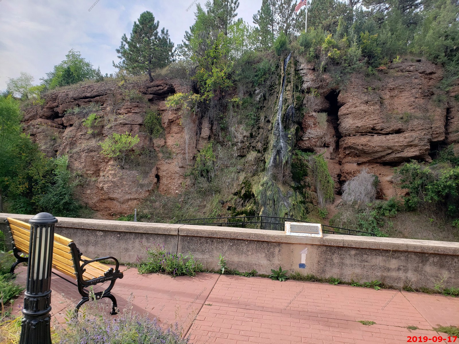
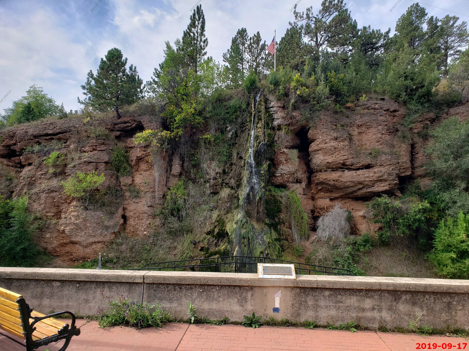
Hot Springs Waterfall.
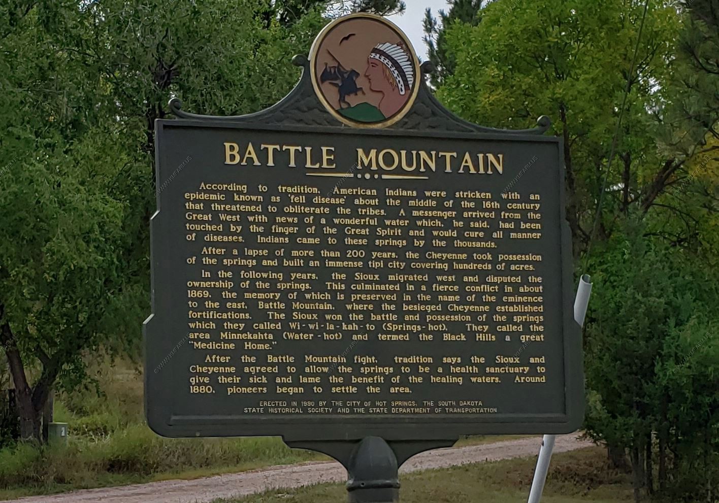
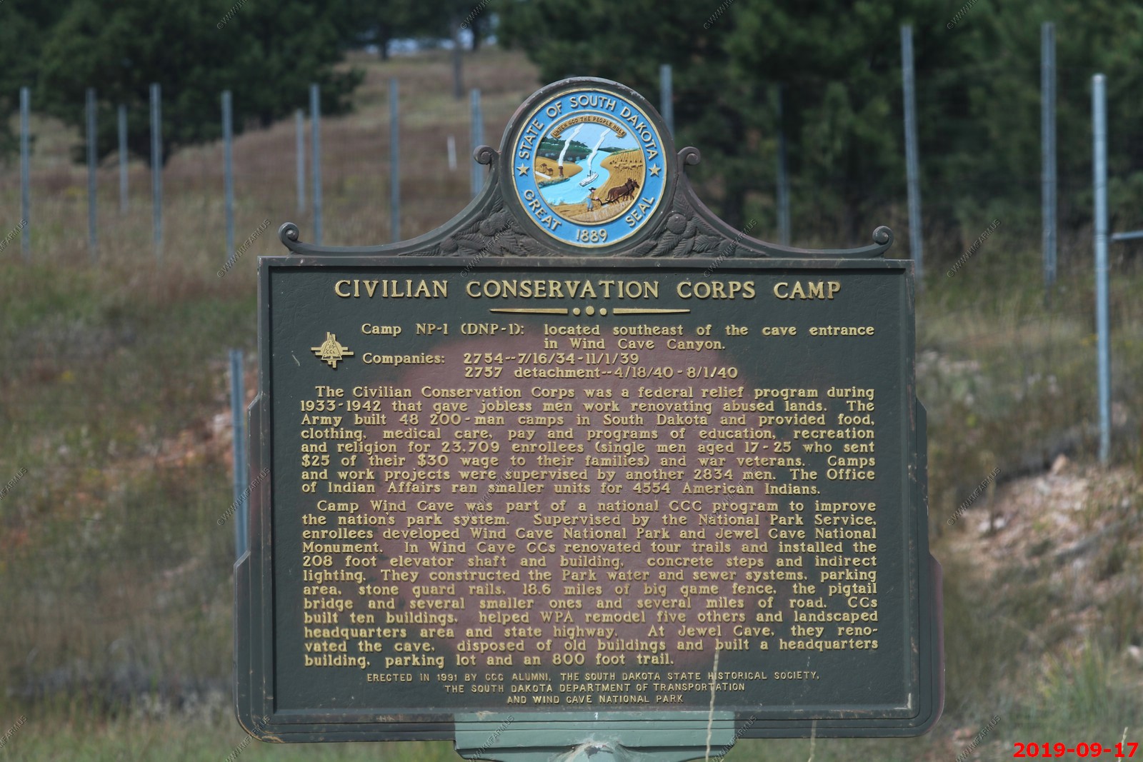
Two Info signs just north of town. One about Battle Mountain and the other was about Civilian Conservation Corps Camp.
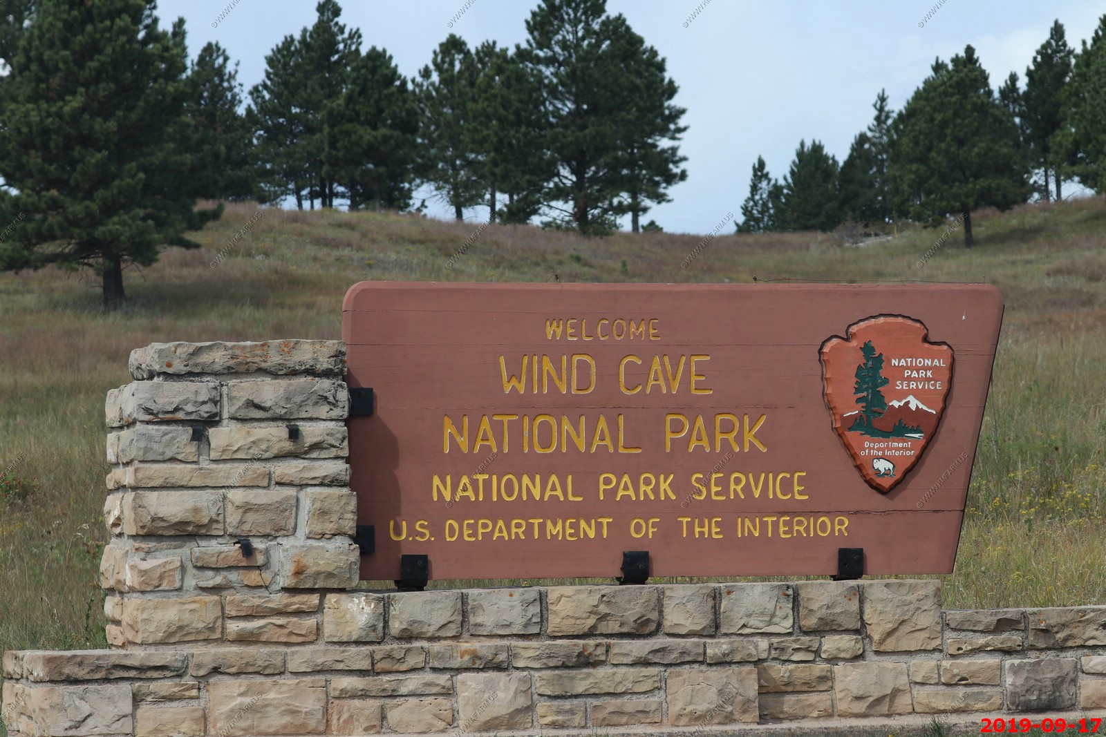
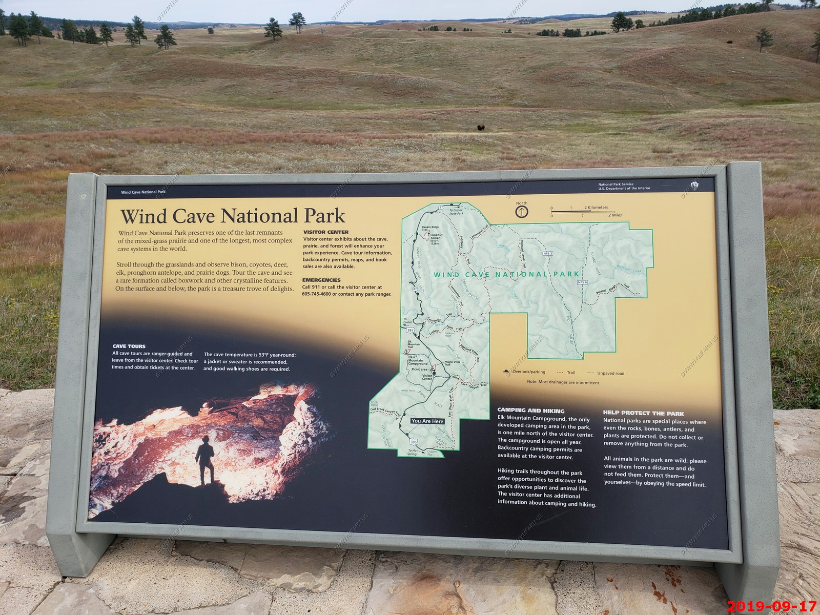
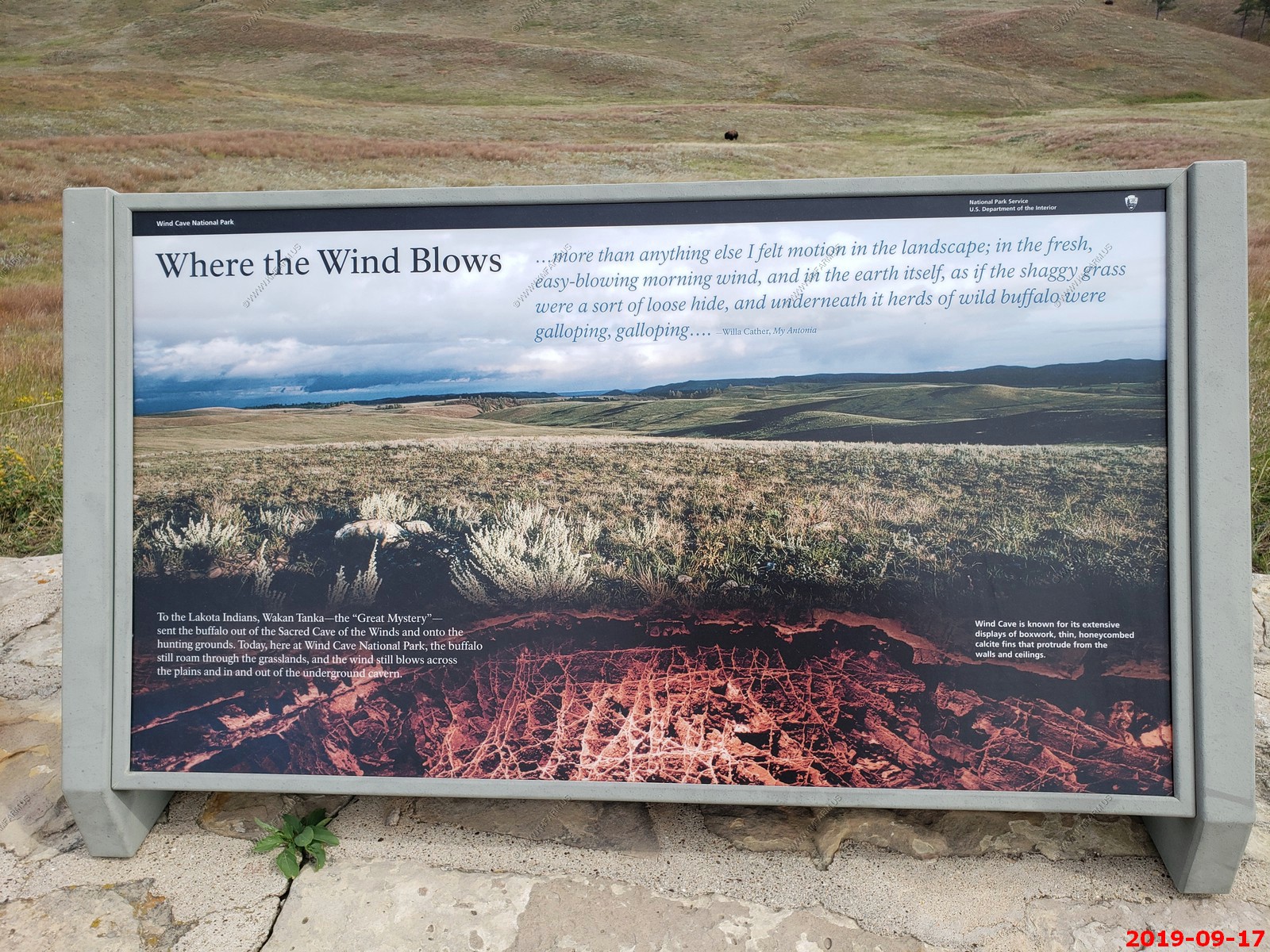
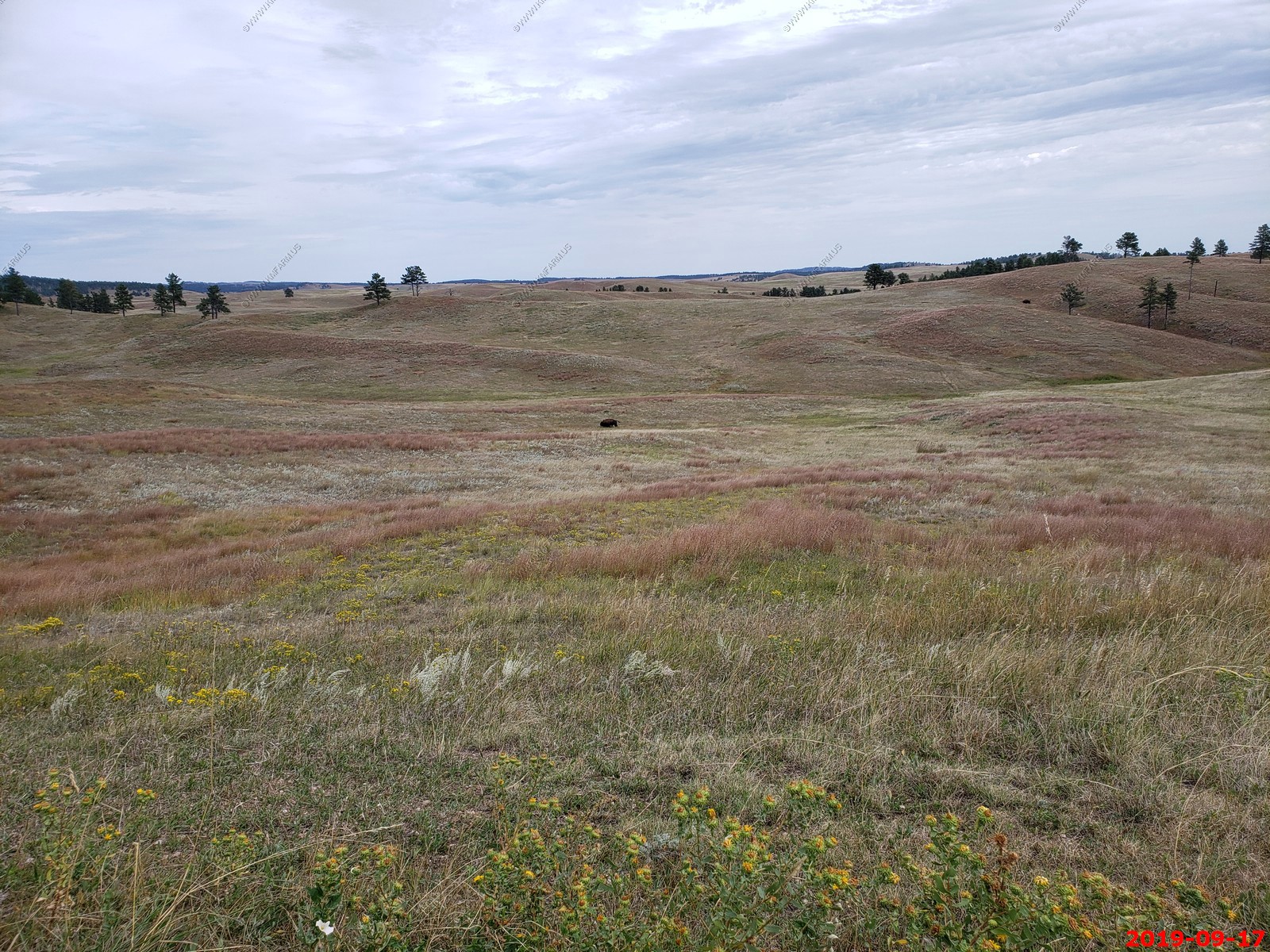
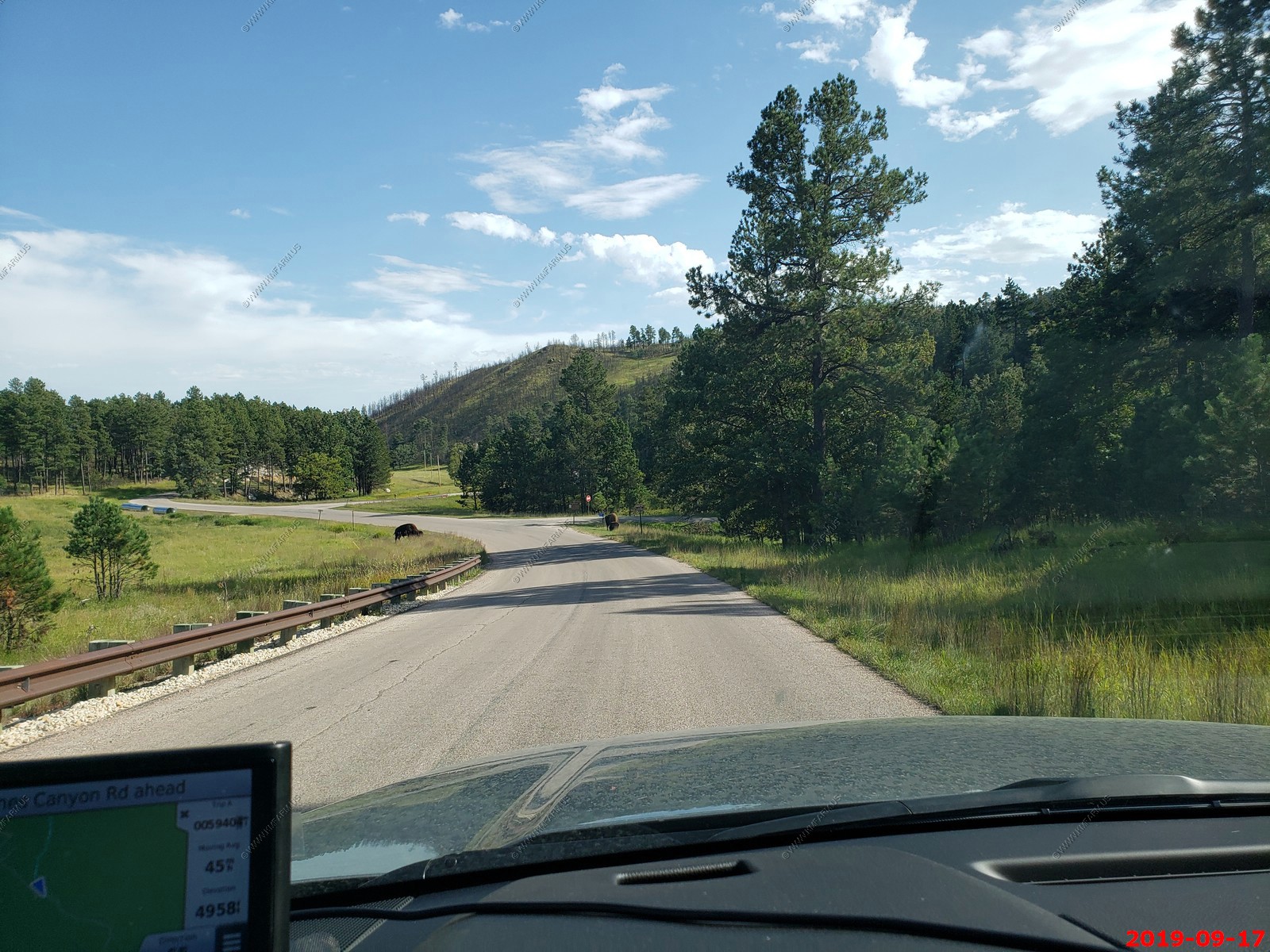
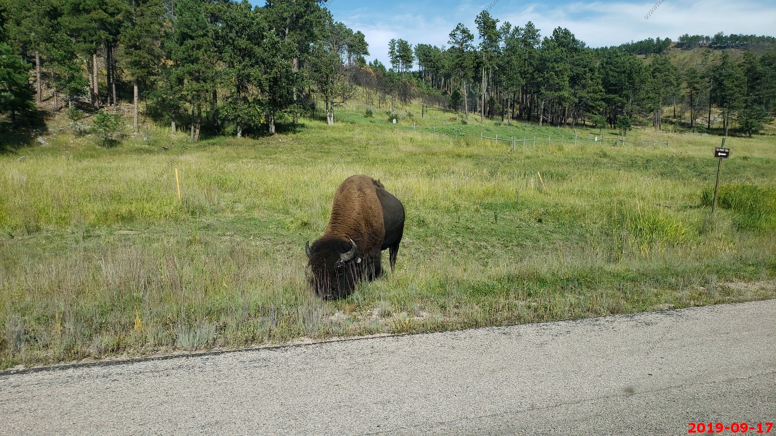
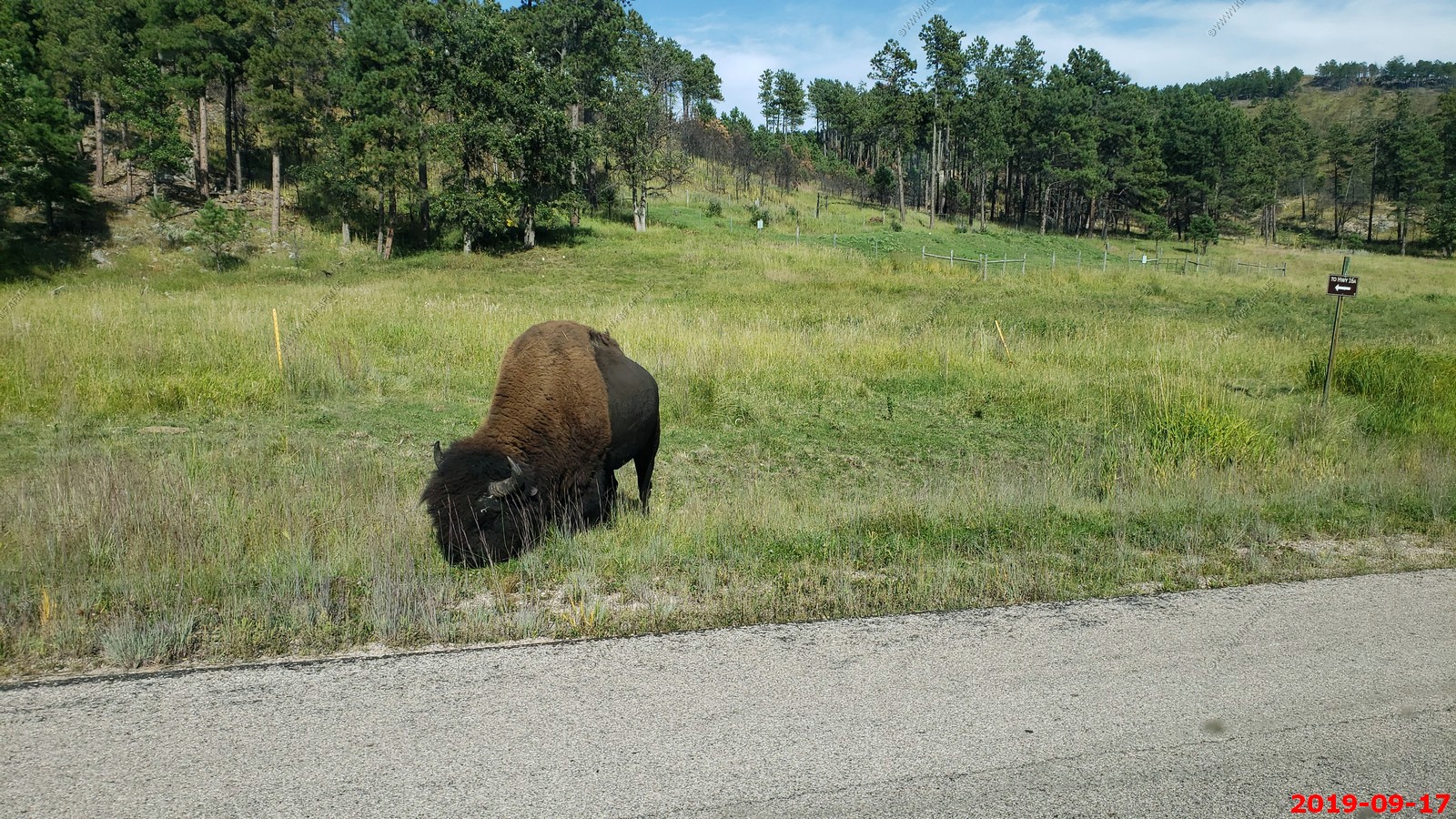
We drove back up thru Wind Cave National Park.
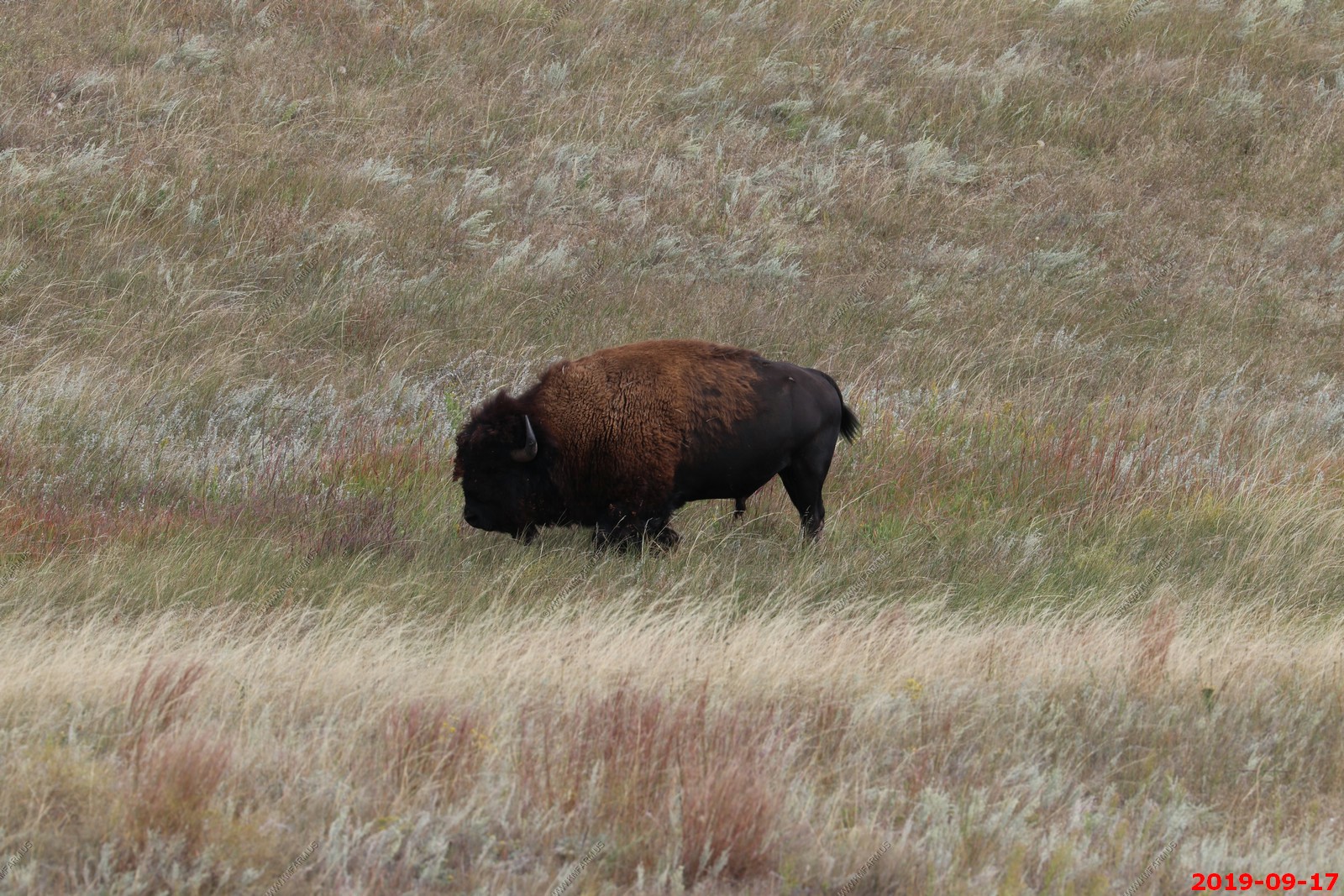
Buffalo
Same Buffalo with 400 canon lens.
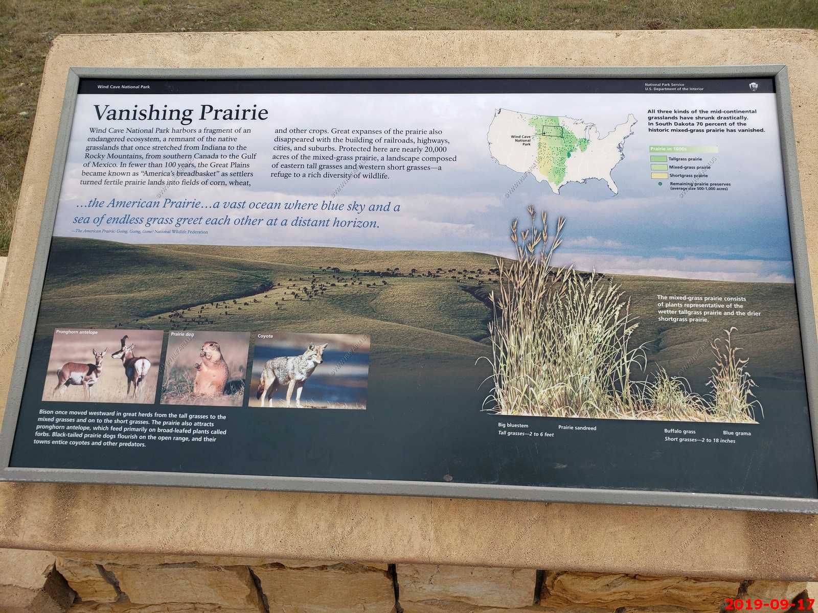
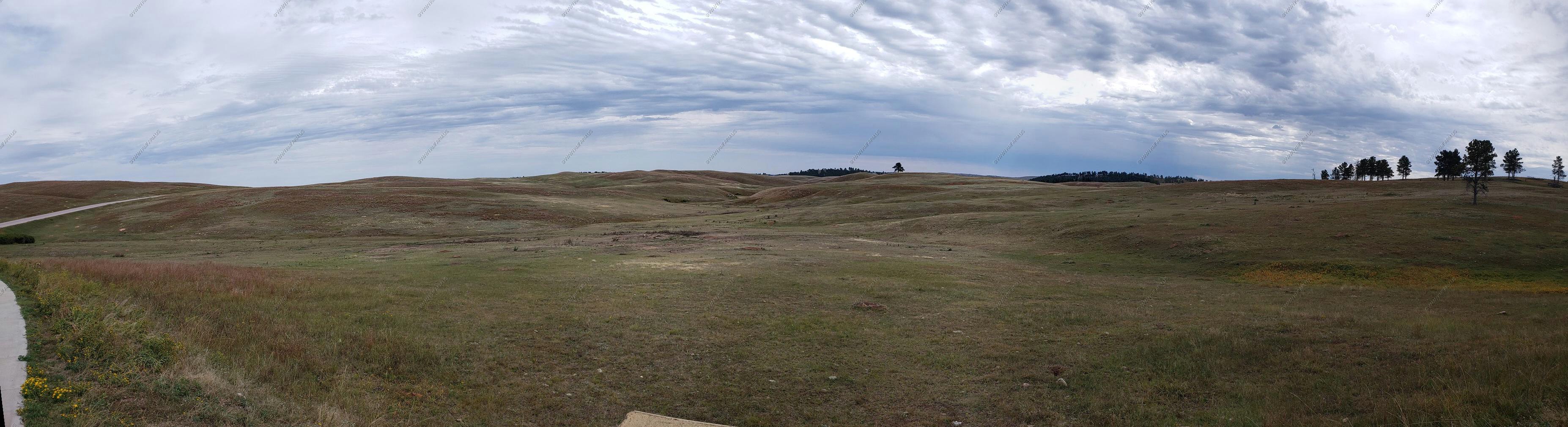
Vanishing Prairie. We were in this area a few nights ago listening to the Elk bugling.
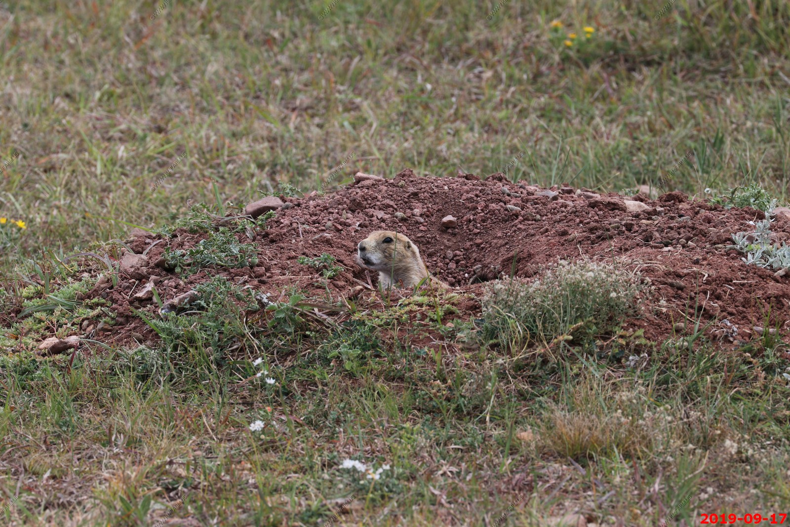
Prairie dogs were all over the place around here.
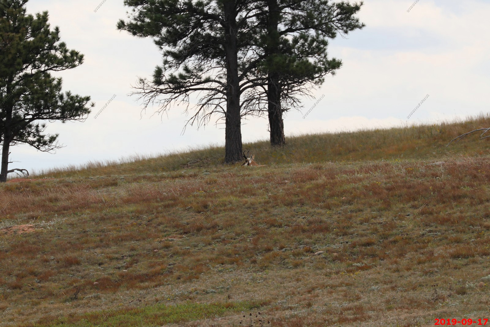
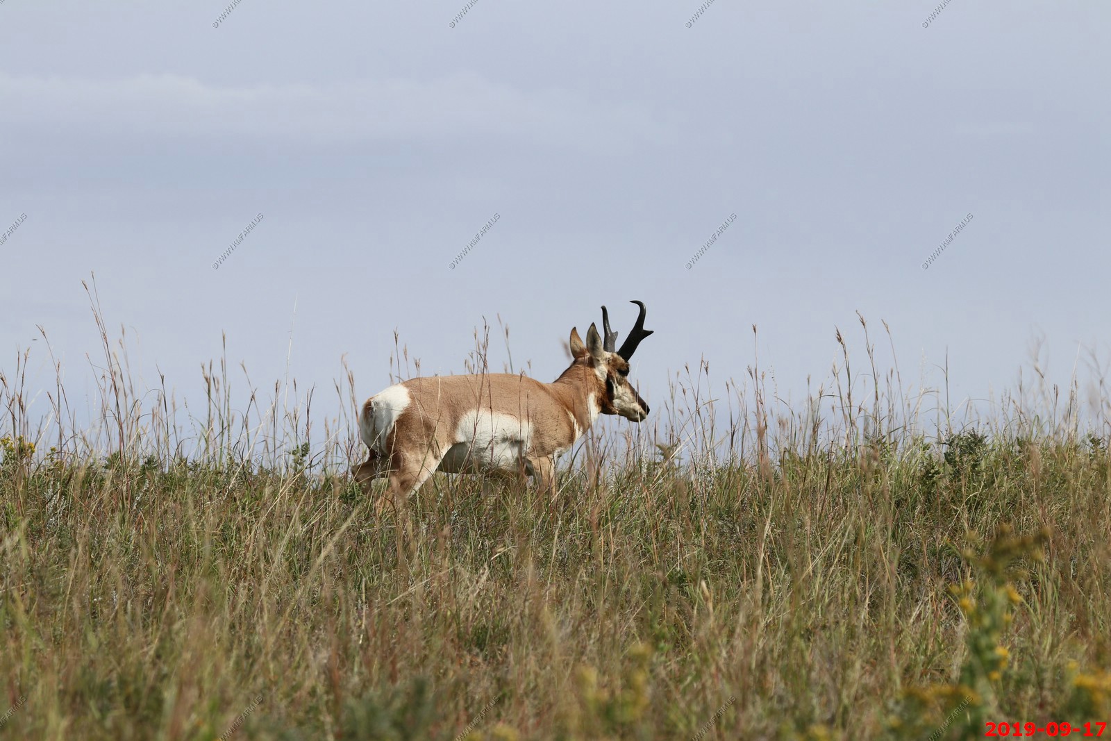
Pronghorn.
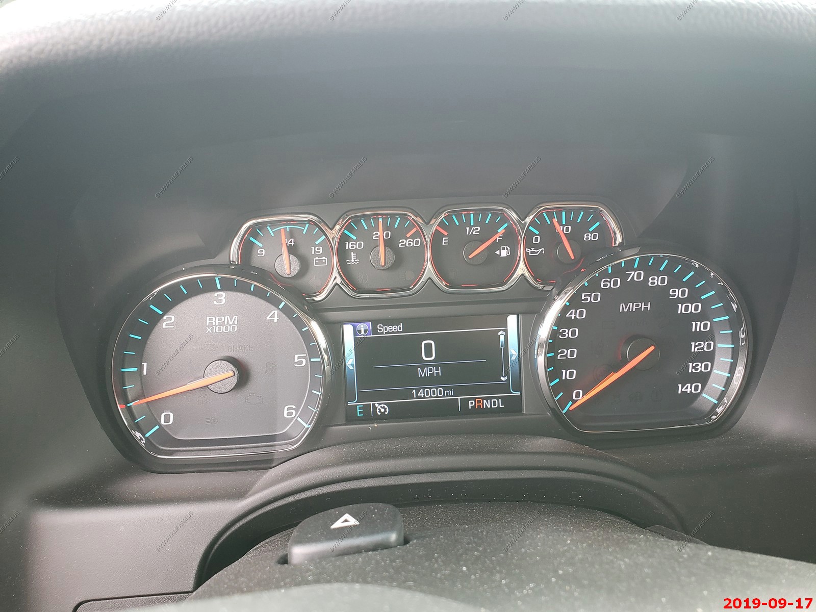
Cracked 14,000 miles in the rental vehicle. Poor thing.
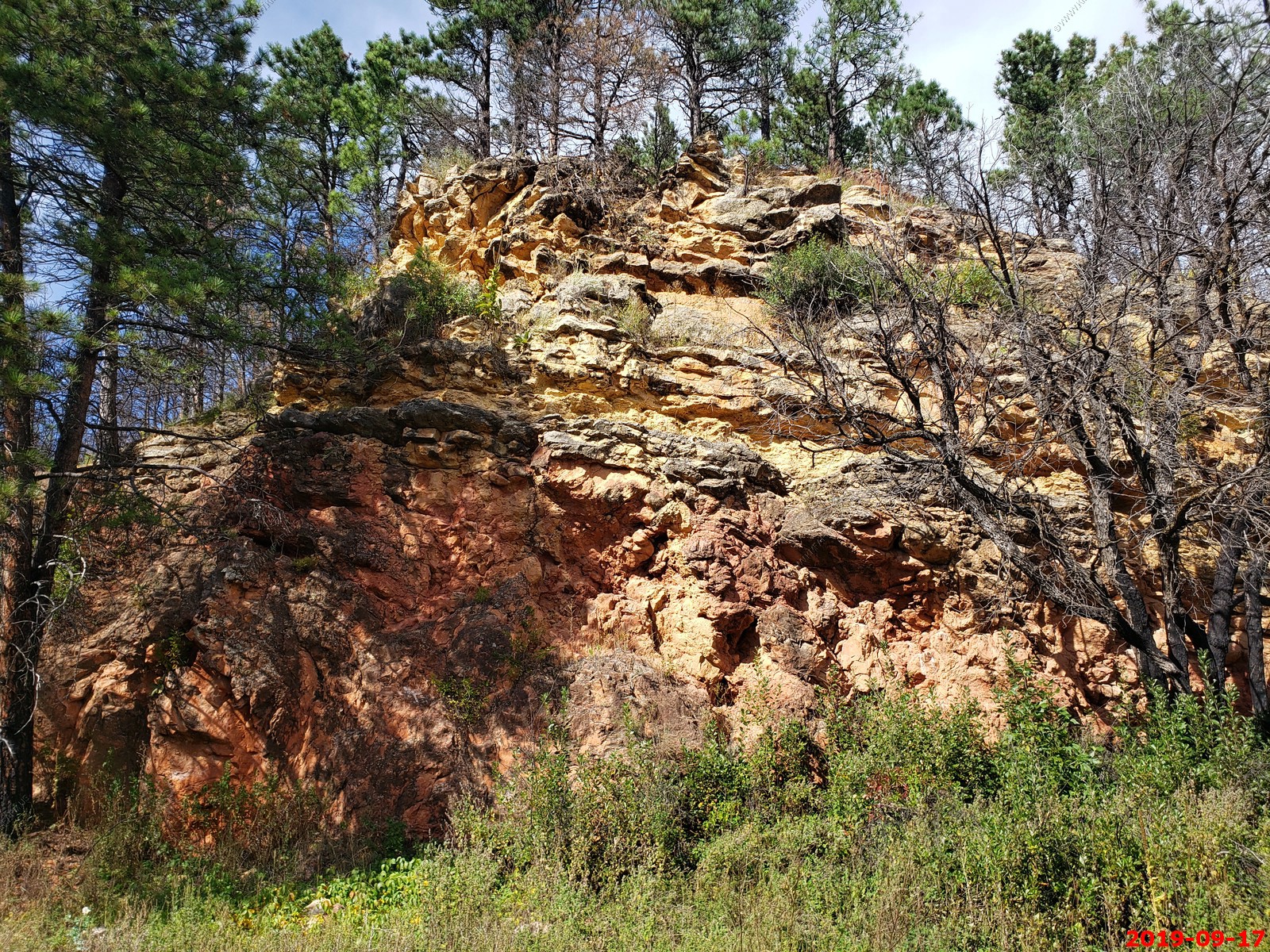
Exposing the past - geology information.
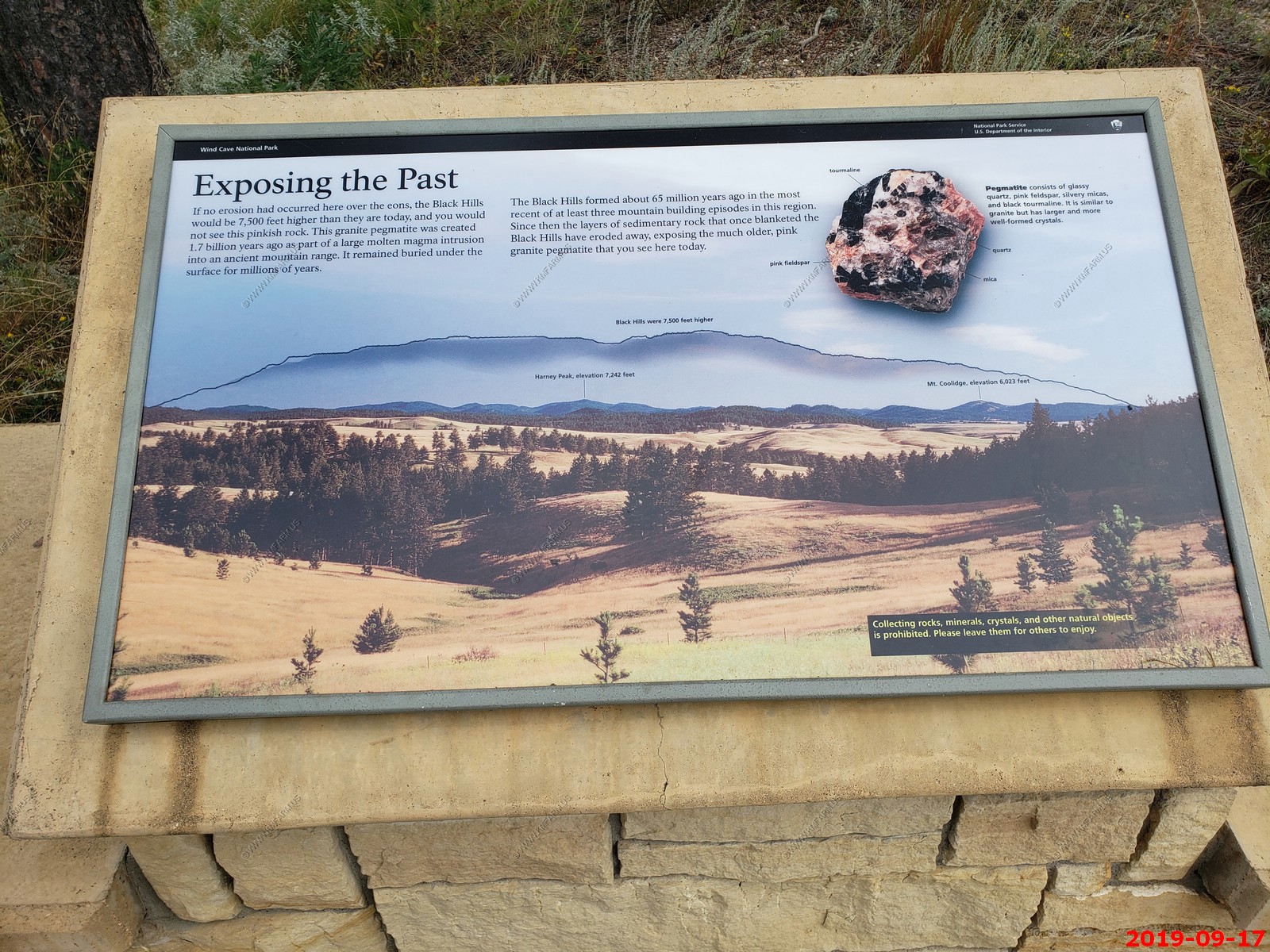
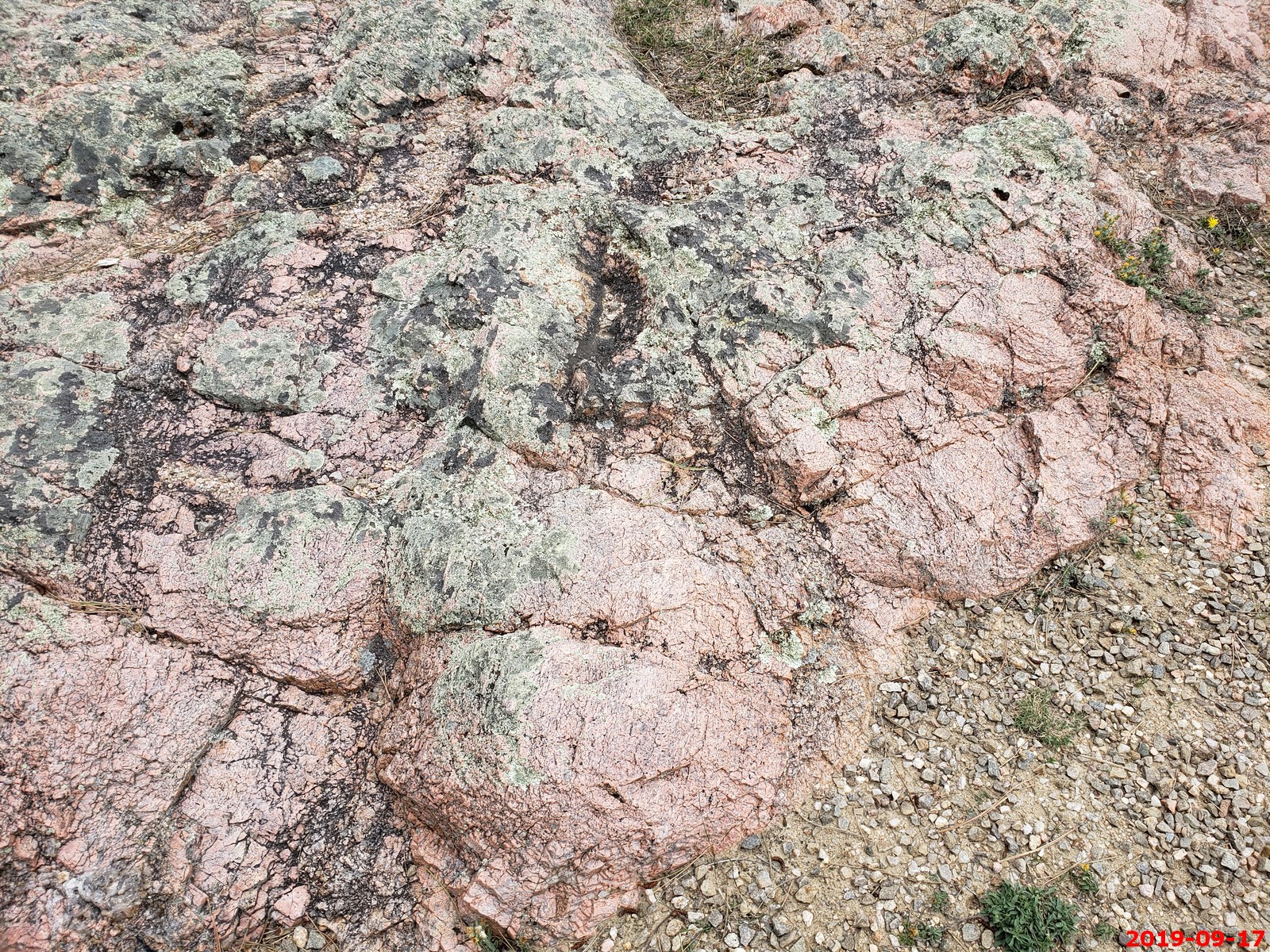
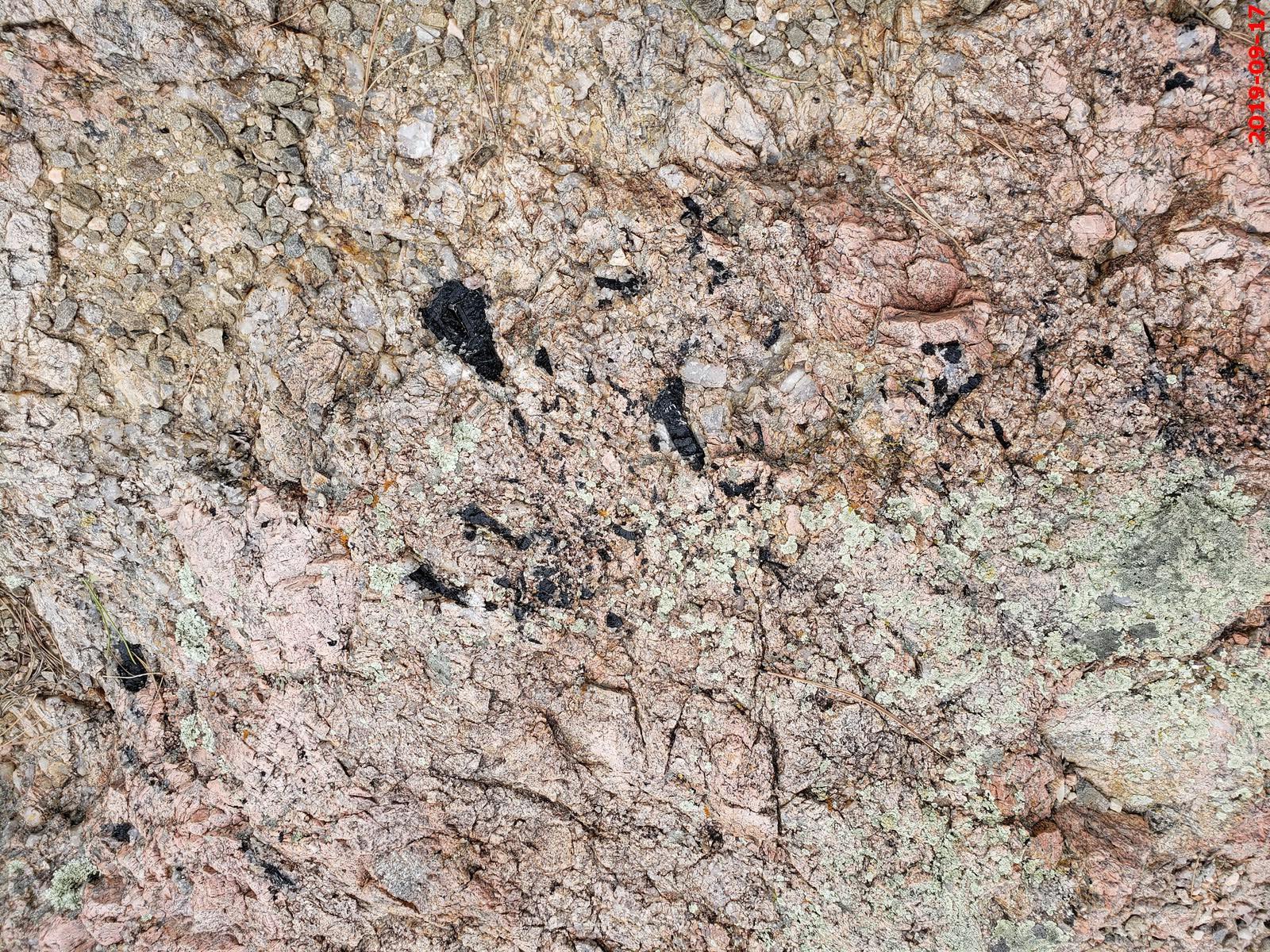
Pegmatite - Consists of glassy quartz, pink feldspar, silvery micas, and black tourmaline. It is similar to granite but has larger and more well-formed crystals.
You can see the black tourmaline.
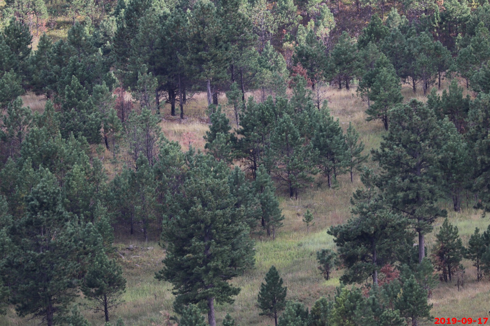
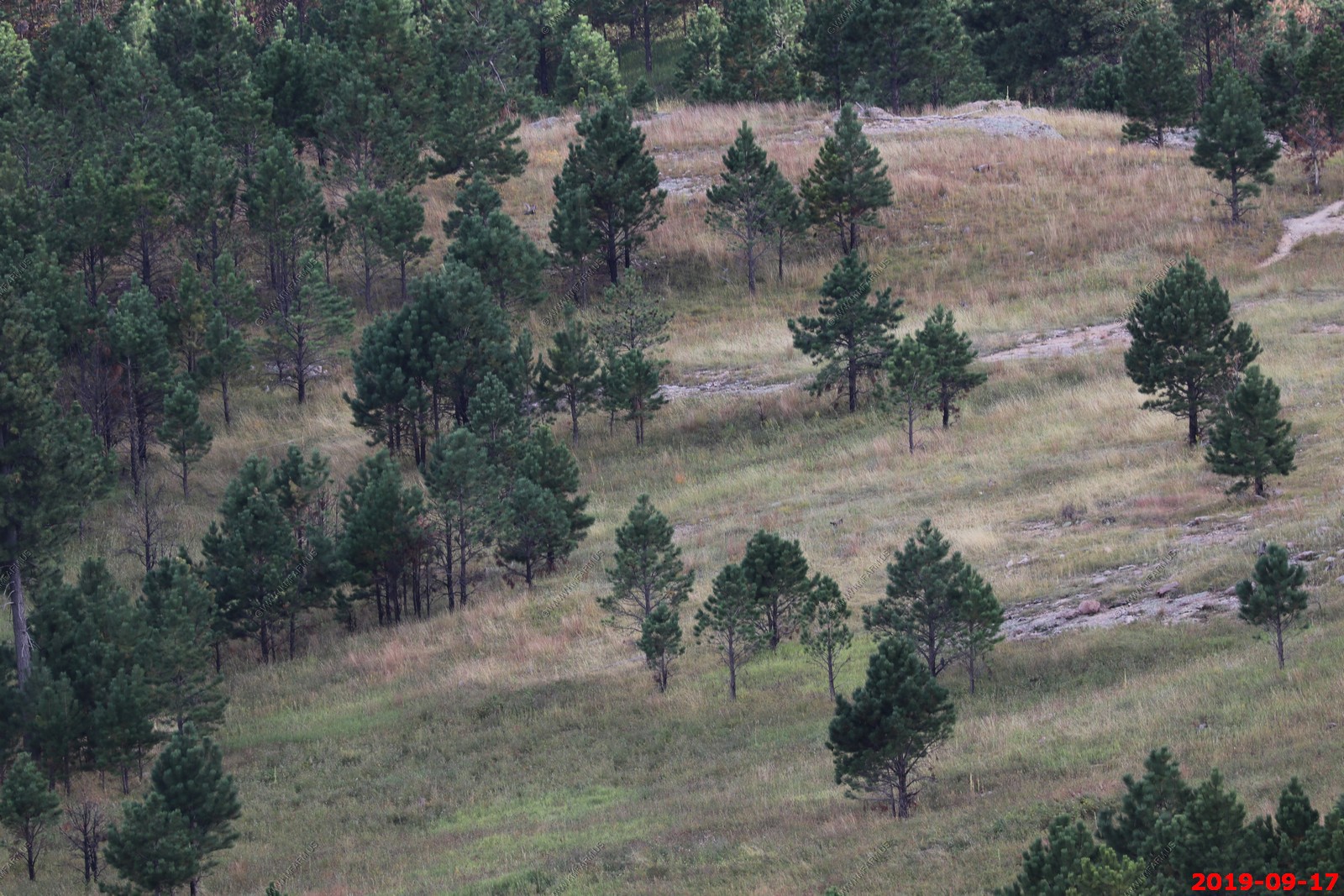
The entire herd of 9 photos stitched together. Some Prairie dogs in the photo too. This was near Rankin Ridge Trail spur road along SD-87.
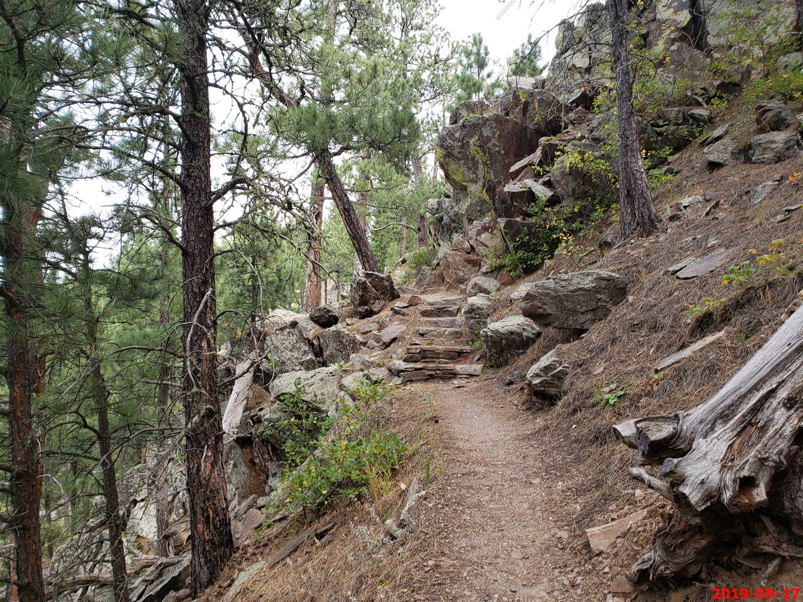
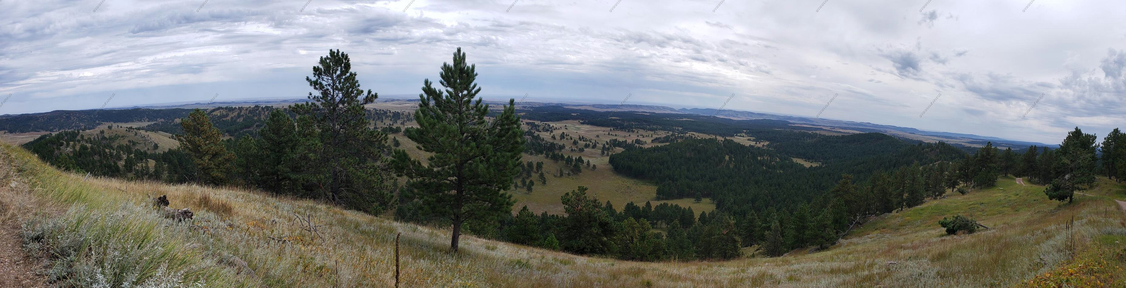
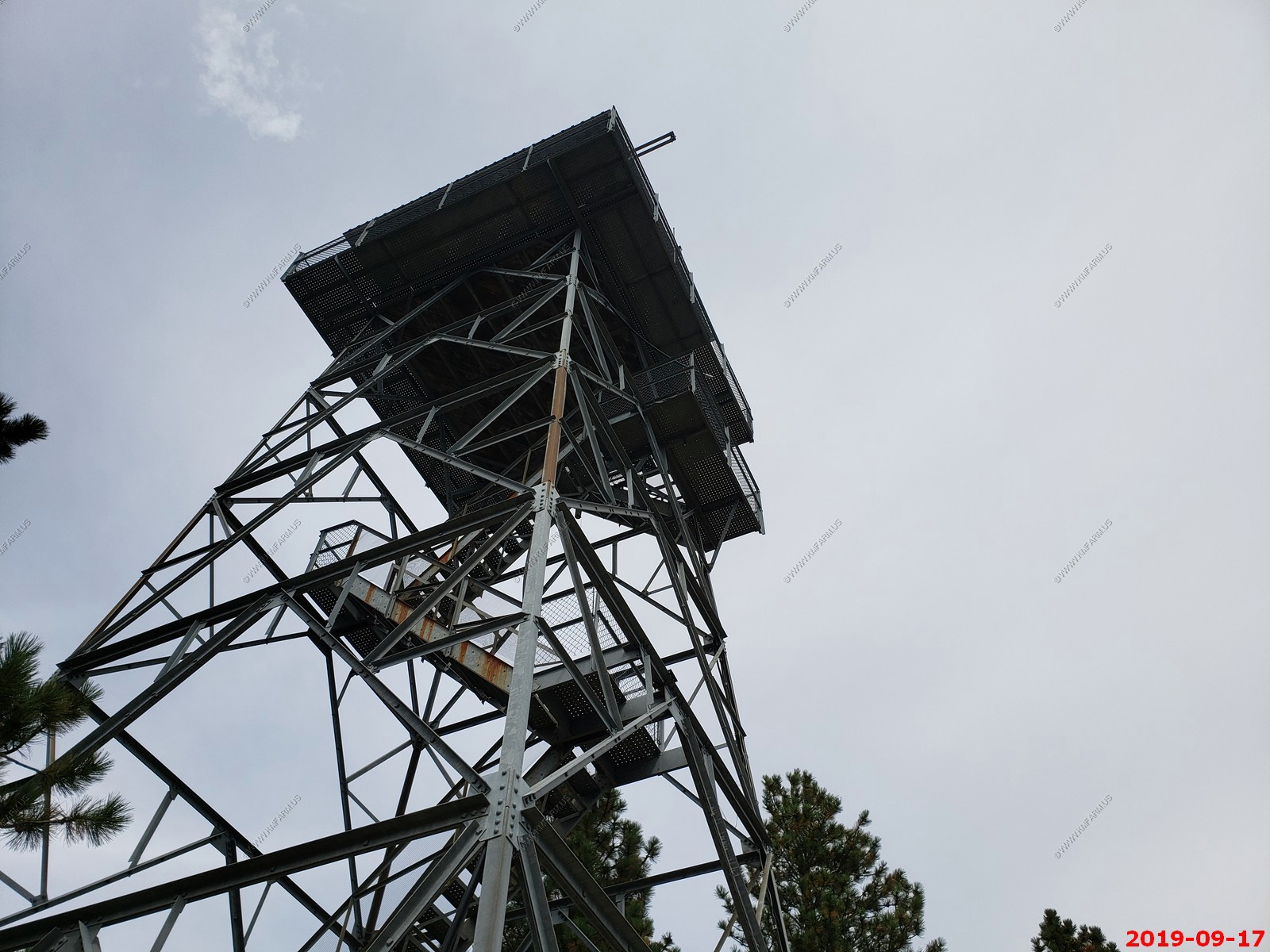
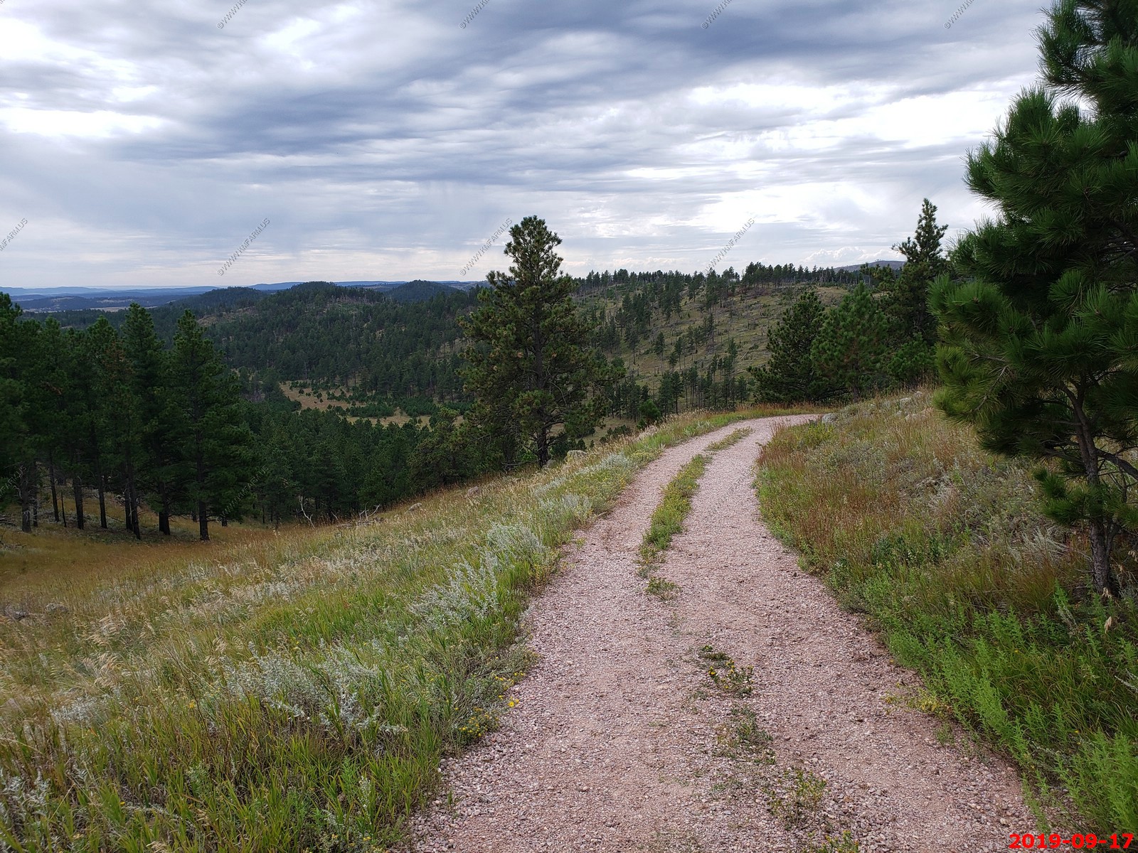
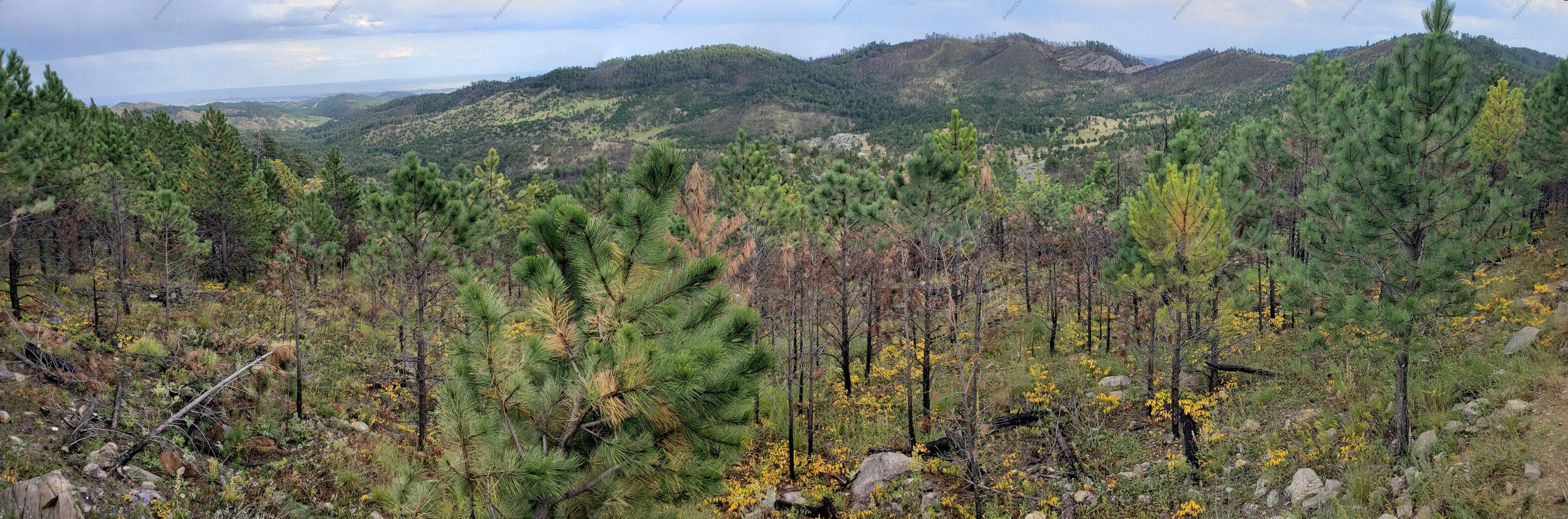
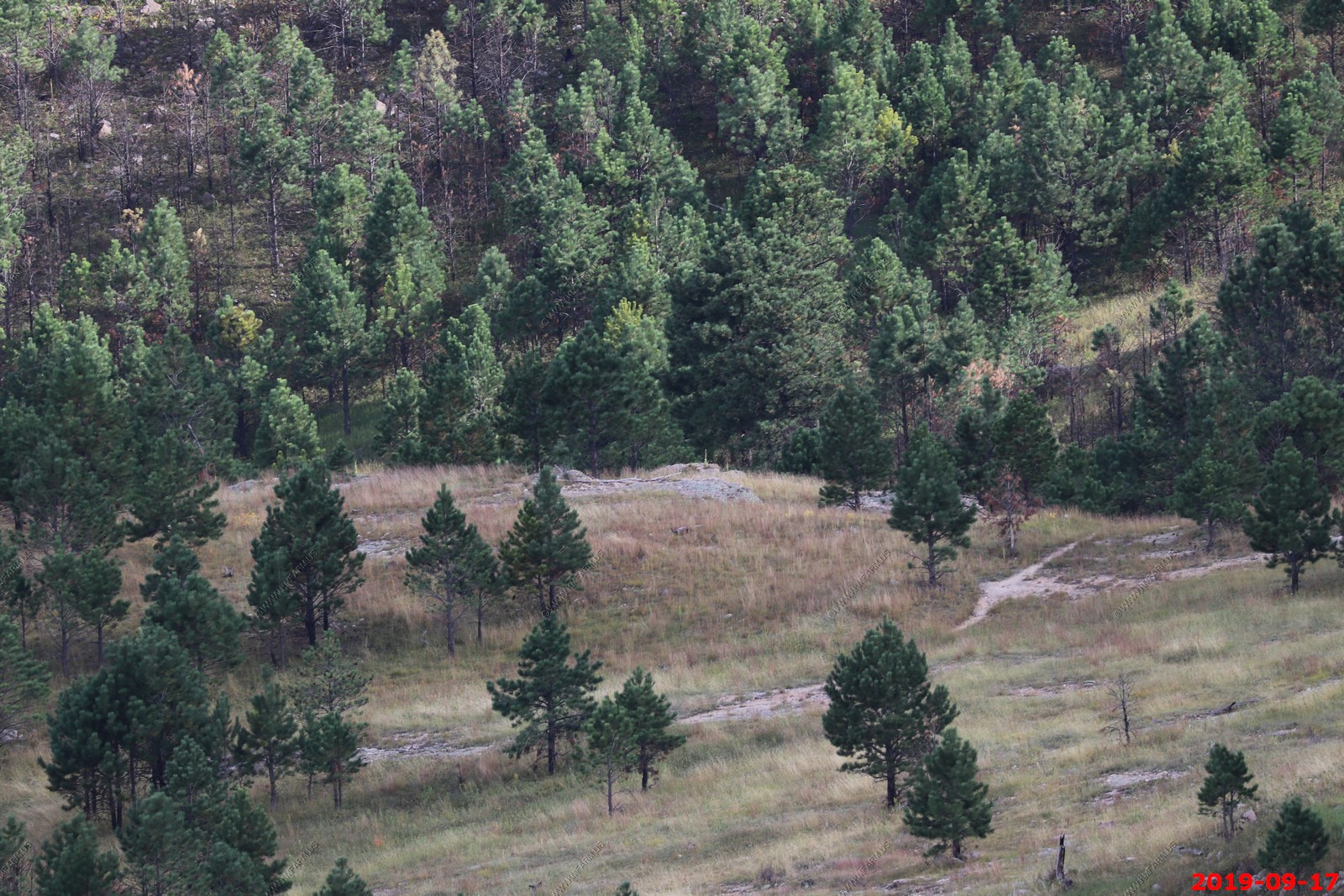
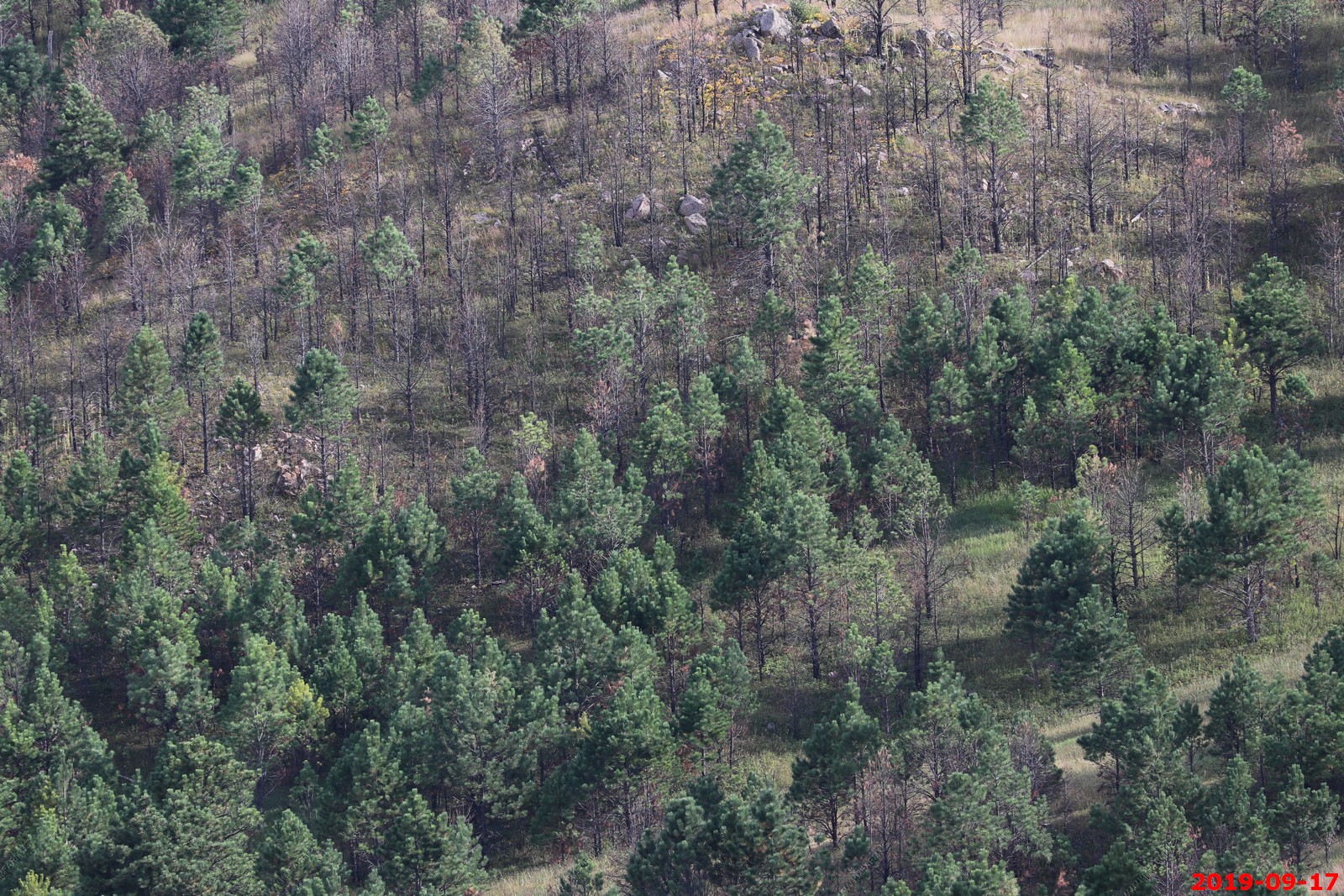
Rankin Ridge Trail - Nice hike up to the Rankin Ridge fire tower. (El. 5,013) We did the loop. Up the trail and back the road.
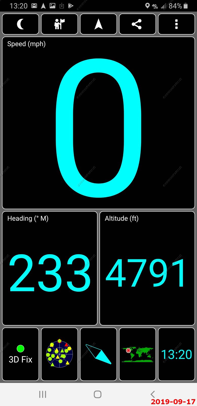
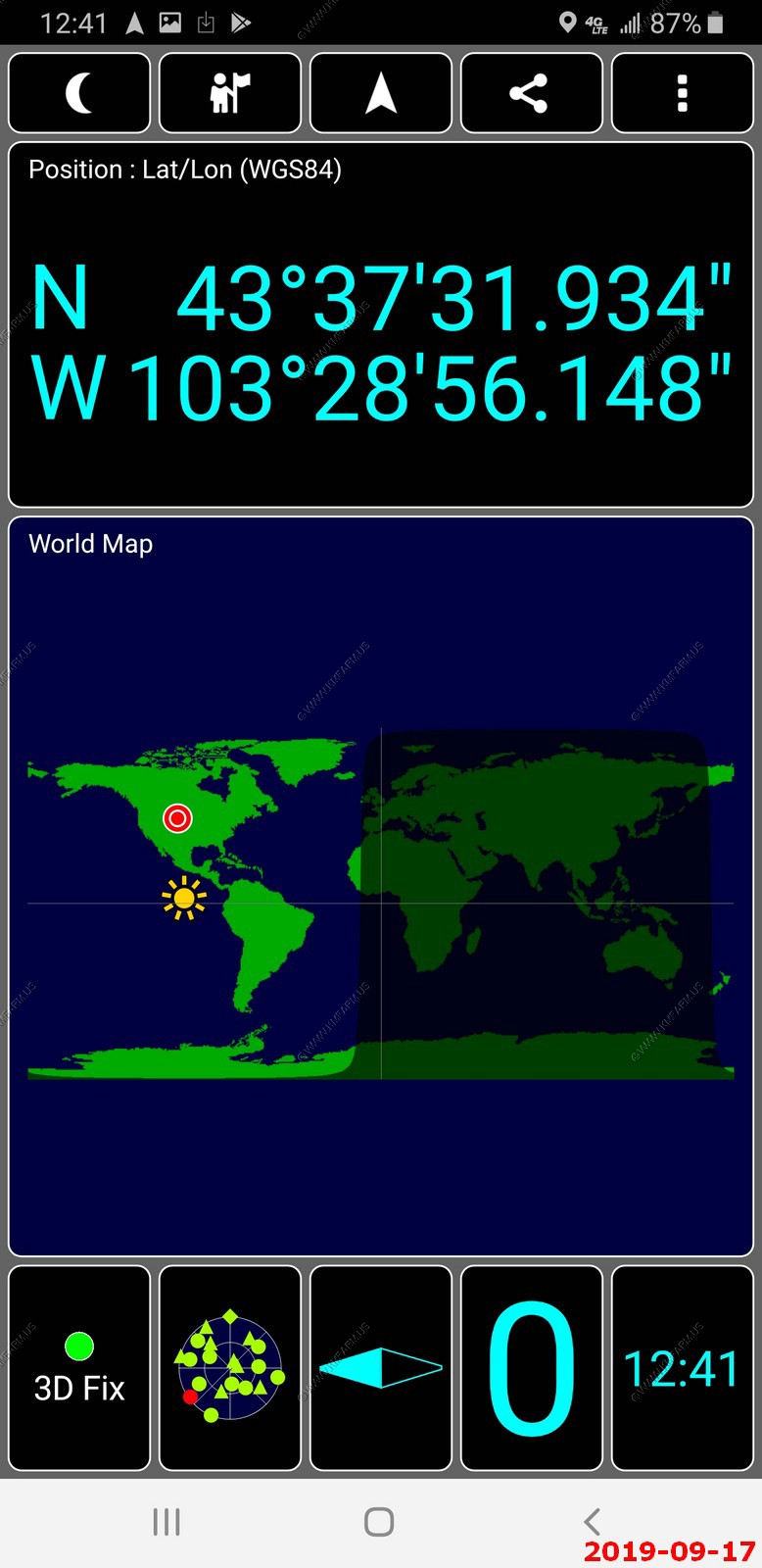
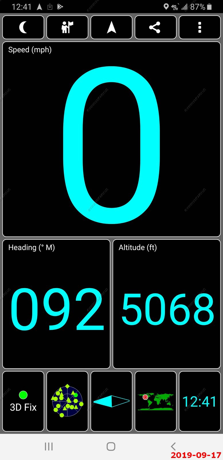
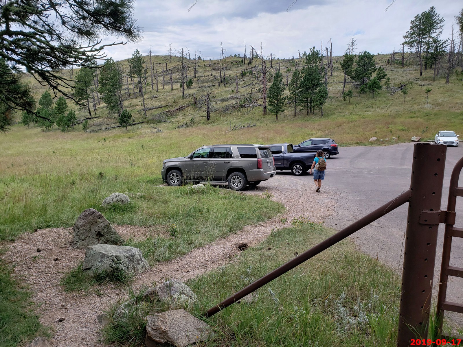
GPS data on the Rankin Ridge Parking area.
Cool trail.
Badlands were easy to see to the east.
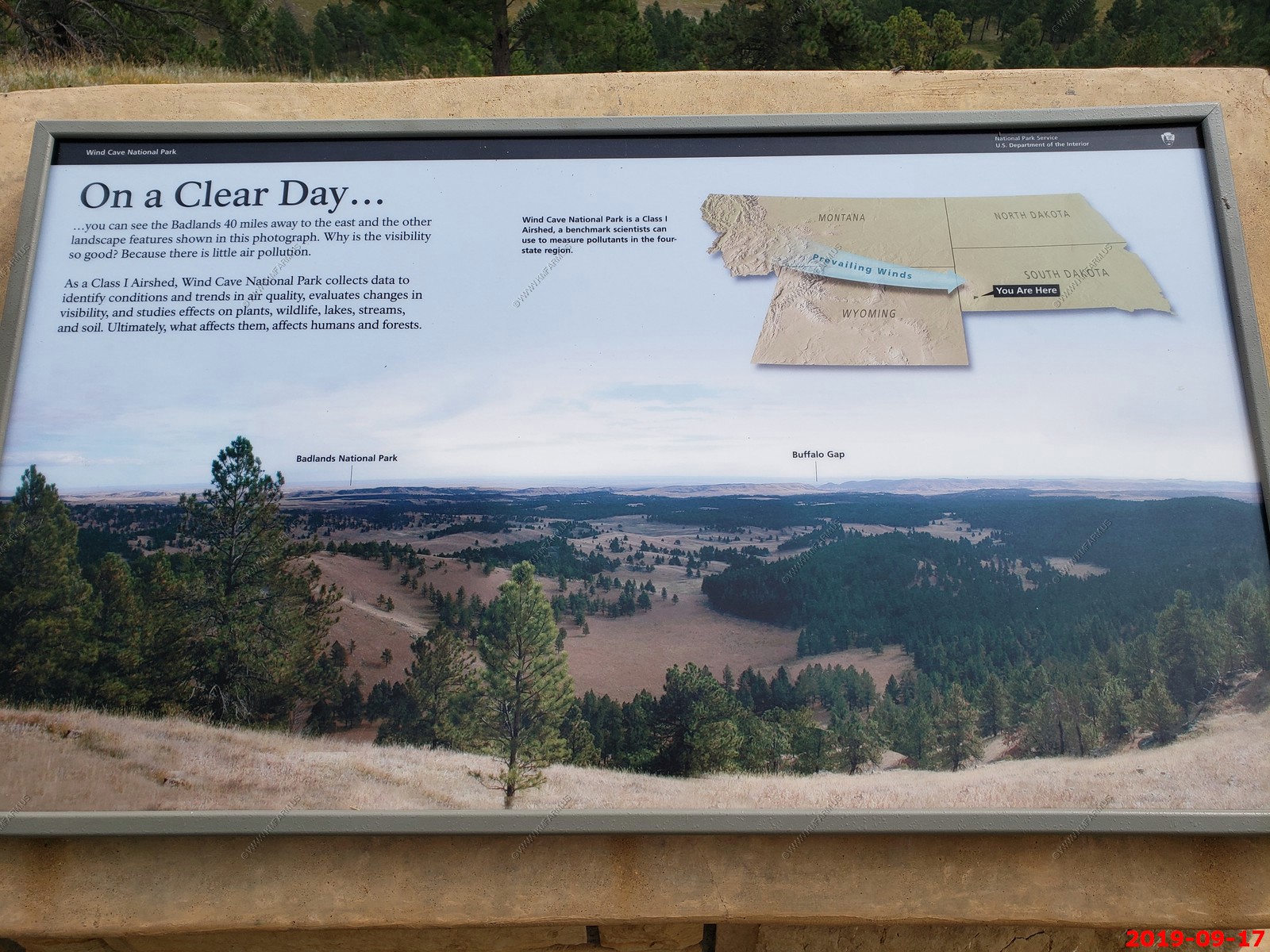
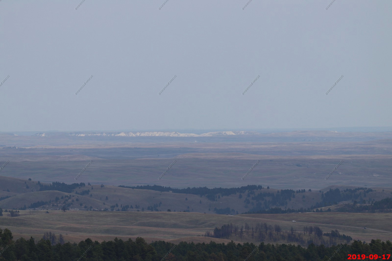
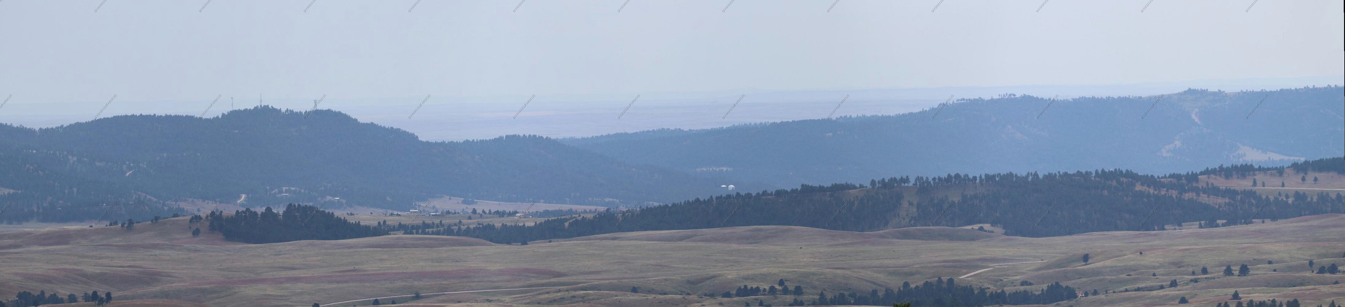
Four photos stitched looking NE to SE. Had no view to the west from this location due to trees.
The fire tower. It was gated but would have been easy to climb.
GPS data next to the fire tower.
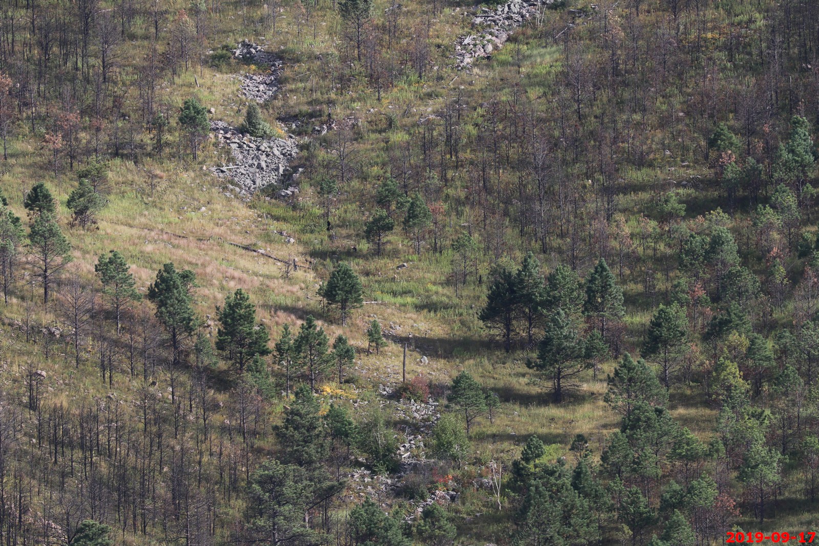
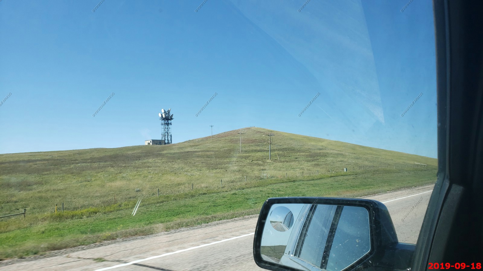
Looking south appx. 13 miles to Battle Mountain (antennas) - This is a 4,434 ft. hill east of Hot Springs. In ancient times, Battle Mountain was used by Native Americans for flint to create arrowheads. According to legend, the thermal springs of the Fall River valley became popular to Native Americans, ultimately leading to a battle in 1869 between the Cheyenne and Sioux tribes for control of the springs, hence the name "Battle Mountain". Battle Mountain is located in the Black Hills region called the Dakota Hogback which is a ridge composed of steep rock strata protruding from the surrounding area. The Dakota Hogback ridge was formed from Dakota Sandstone that was thrust upward by a granite intrusion, when the Black Hills were formed. It is interesting to note that the Dakota Sandstone Hogback spans an area from northeastern Wyoming to northwestern South Dakota as an elliptical dome that encircles the Black Hills.
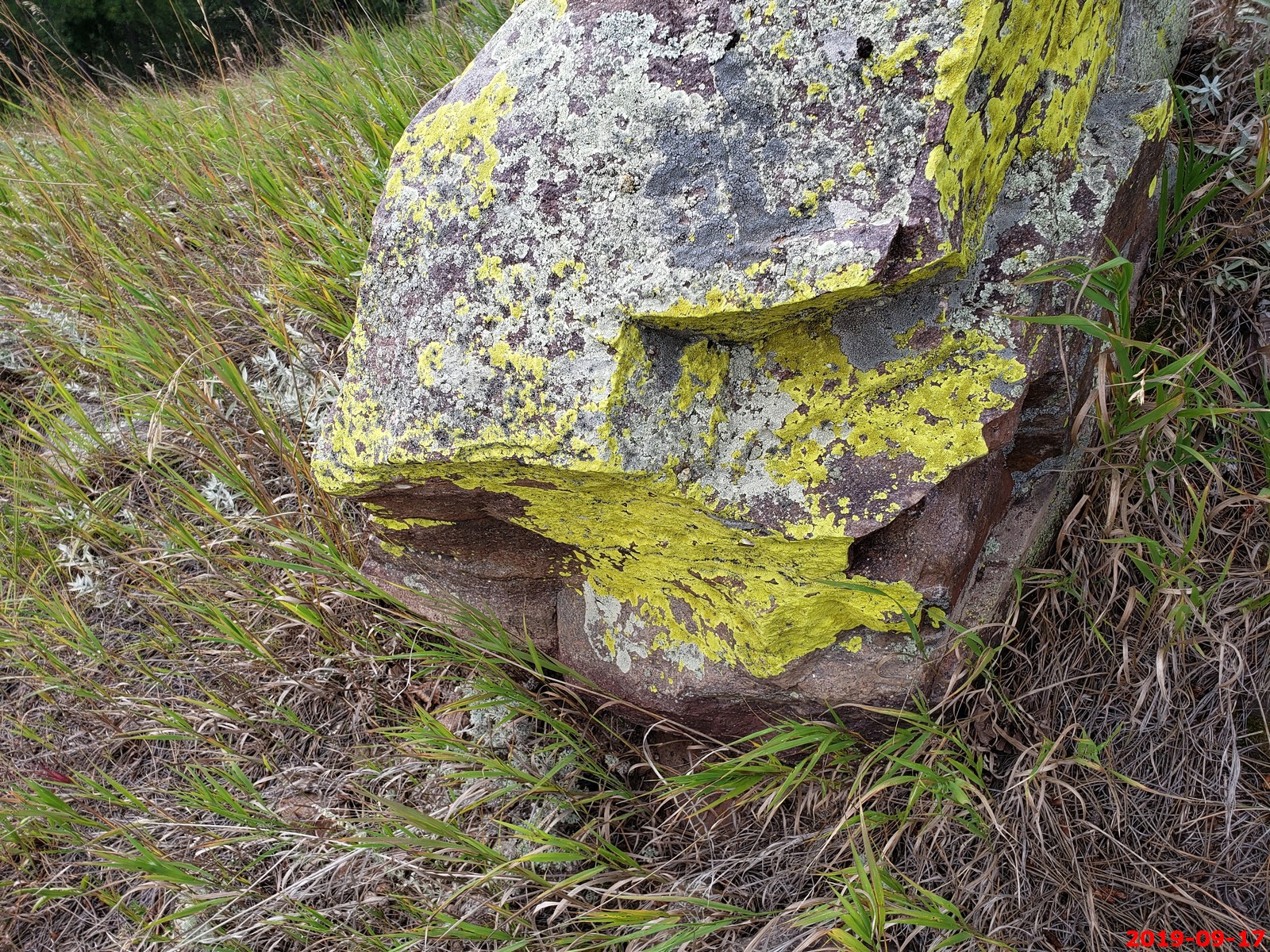
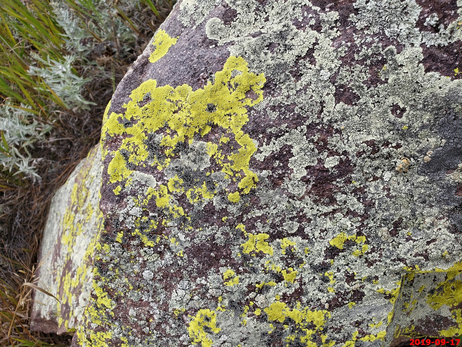
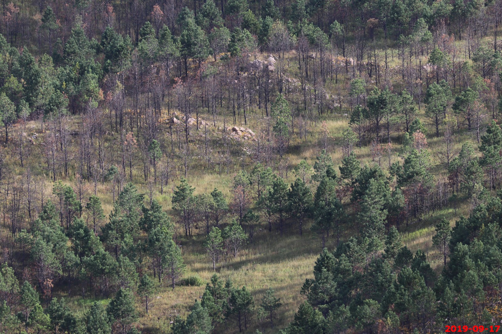
Along the road. The Lichens indicated excellent air quality here.

The road back.
Mary beat me back to the truck.
These were very good. Found in convenience stores in eastern South Dakota. You know it has to be good when MSG is the 3rd ingredient.

More Pronghorns.
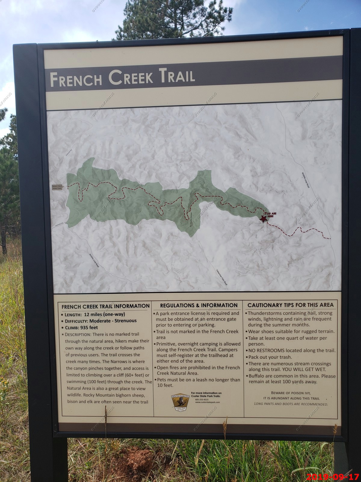
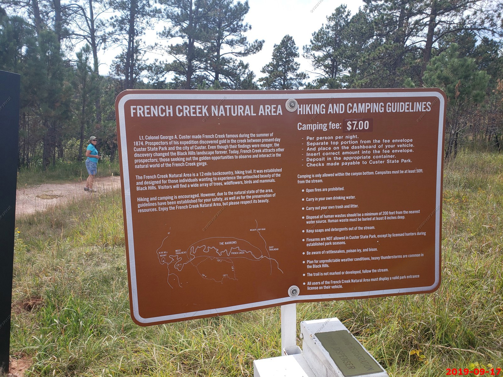
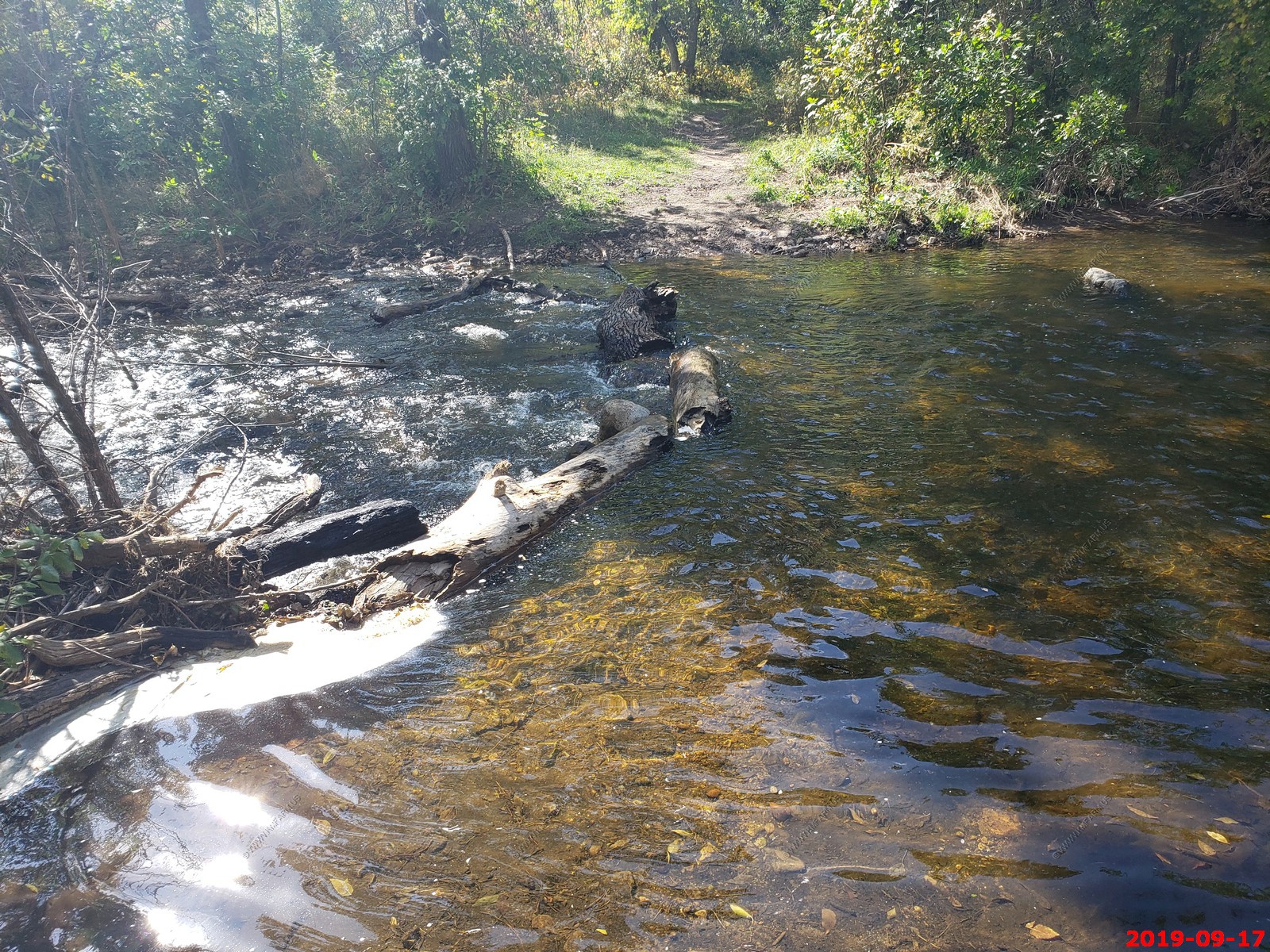
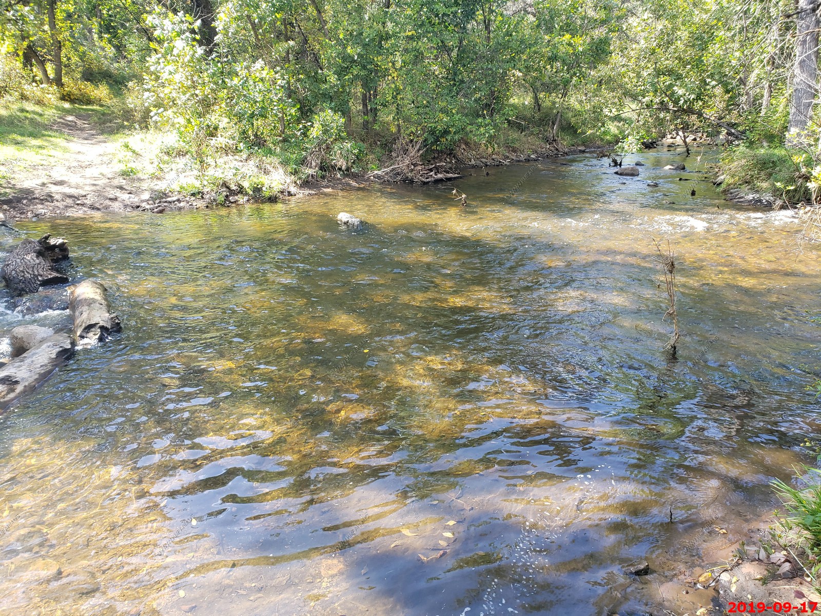
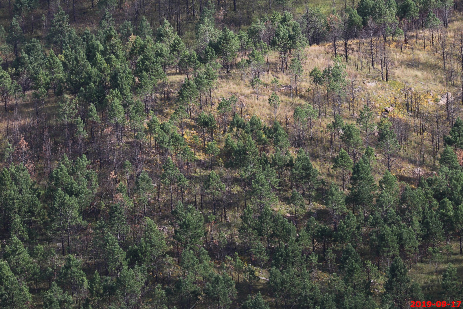
French Creek Trail - is a 3.4 mile lightly trafficked out and back trail located near Custer, South Dakota that features a river and is rated as moderate. The trail is primarily used for hiking, nature trips, bird watching, and horses and is best used from May until October.
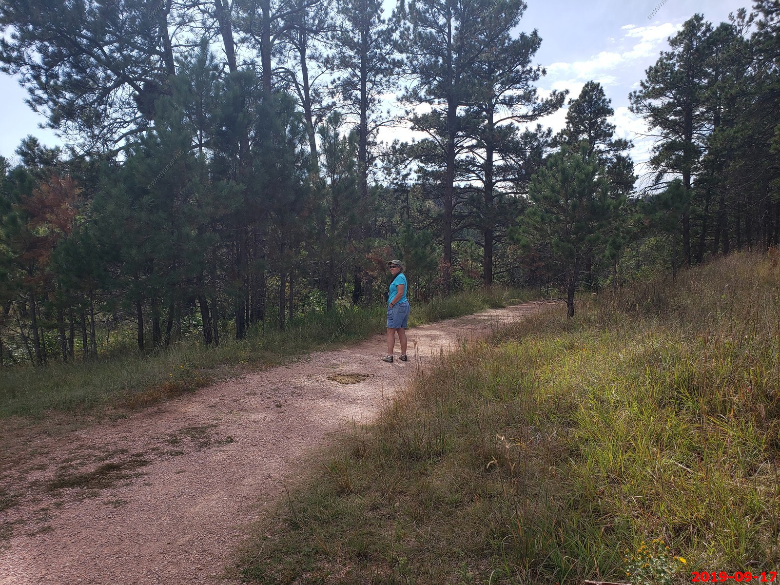
Only one other car here besides us.
Cliffs along the trail.
We walked till we encountered a rather deep trail crossing of French Creek and turned back.
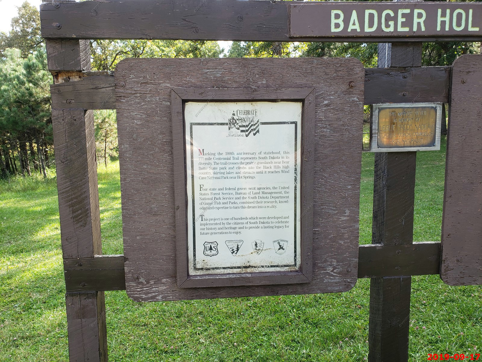
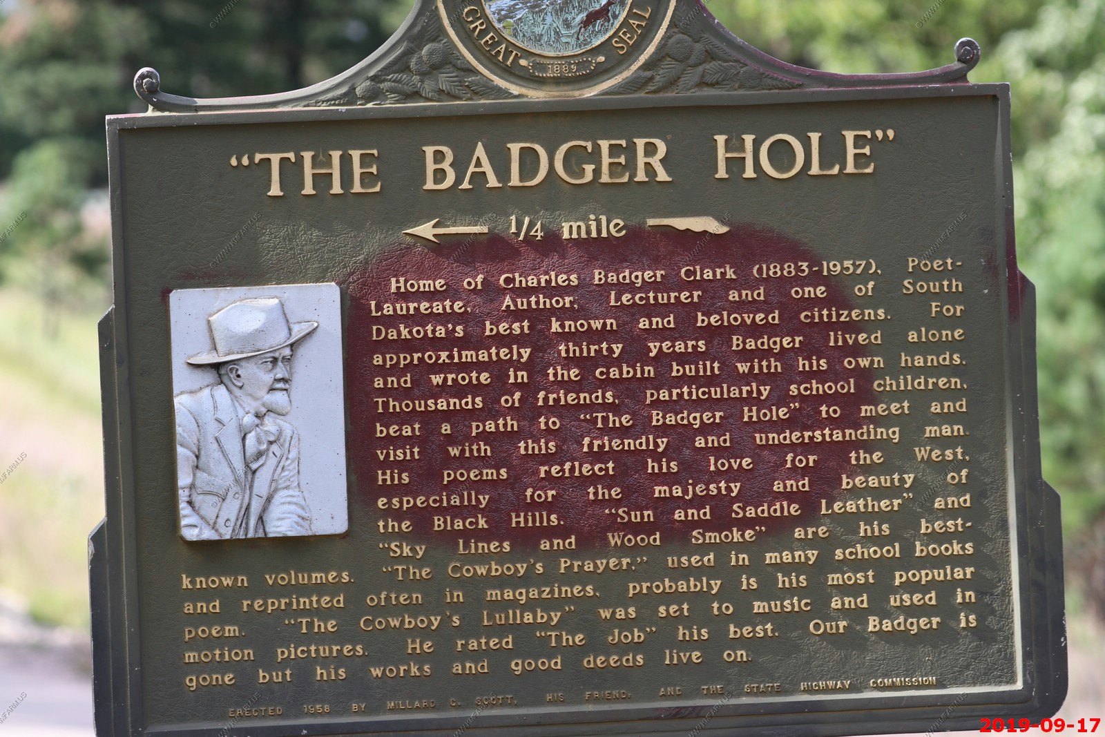
We went and checked out the Badger Hole Cabin area.
We spent some time waiting out a thunderstorm at Heddy Draw Overlook - Located along Highway 87. We had excellent views and a paved path led back to a covered log structure.
Various views looking for critters.
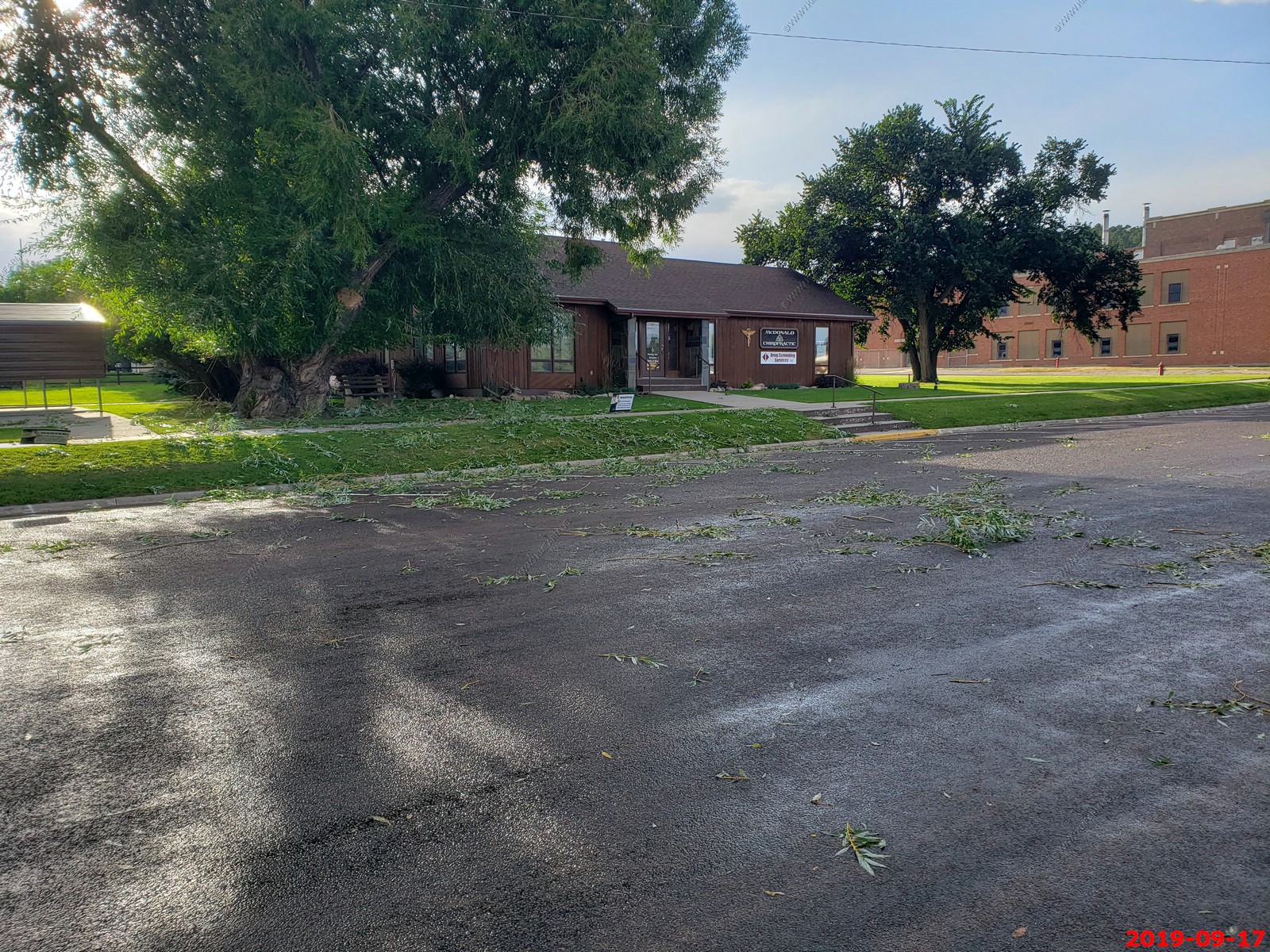
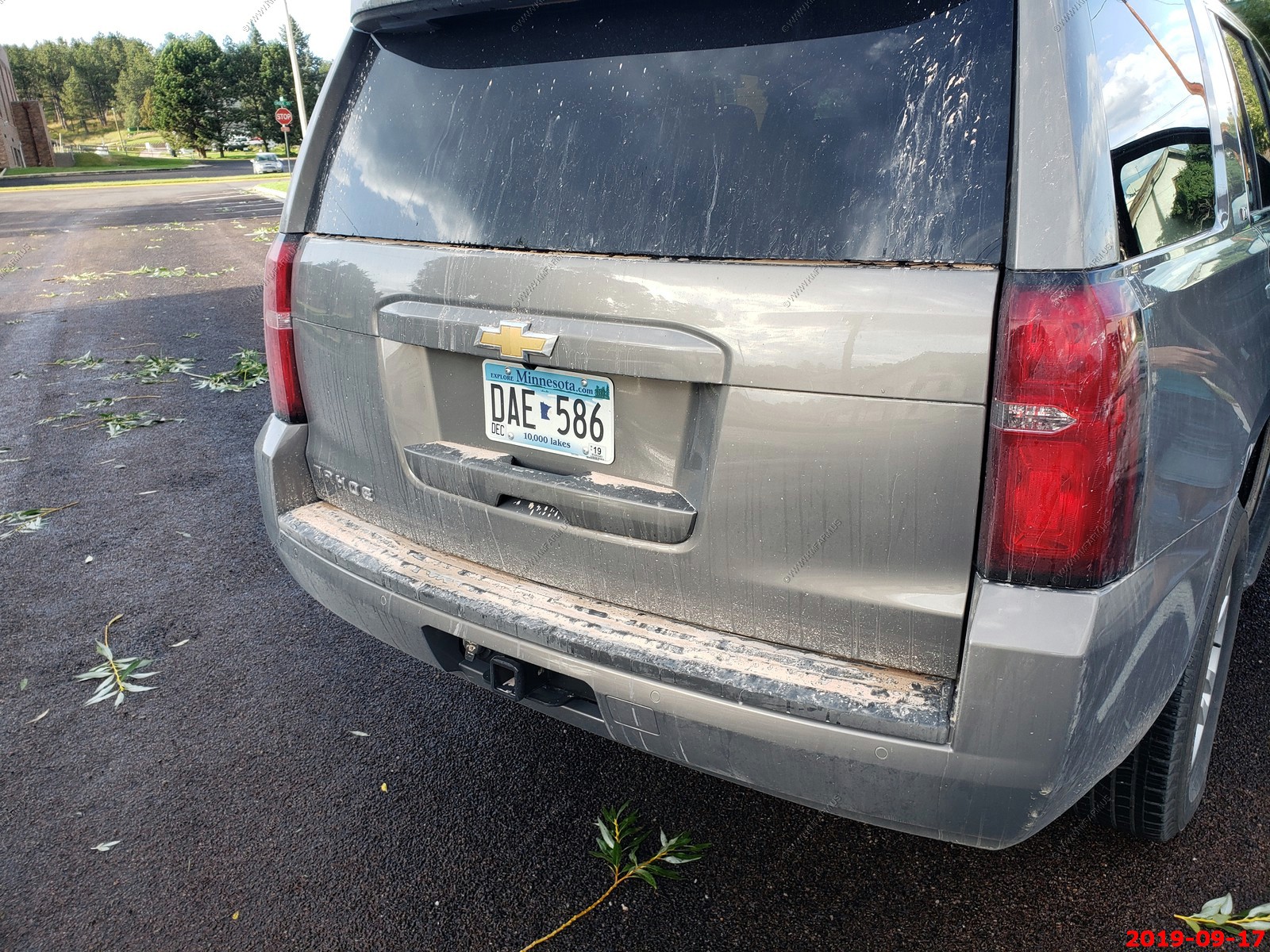
Custer had a rather windy storm and it did not wash off the car.
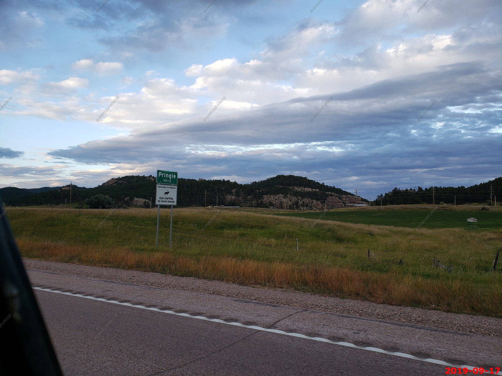
Bicycle Sculpture on Pringle, SD - A bit strange and looks like junk to us. Its on the George S. Mickelson Trail so I guess you could find parts for your bike here.

We passed thru Pringle, SD many times. Population 112. They claim to be the Elk Capital of South Dakota.
The B&B cat - BT (Borrowed Time).
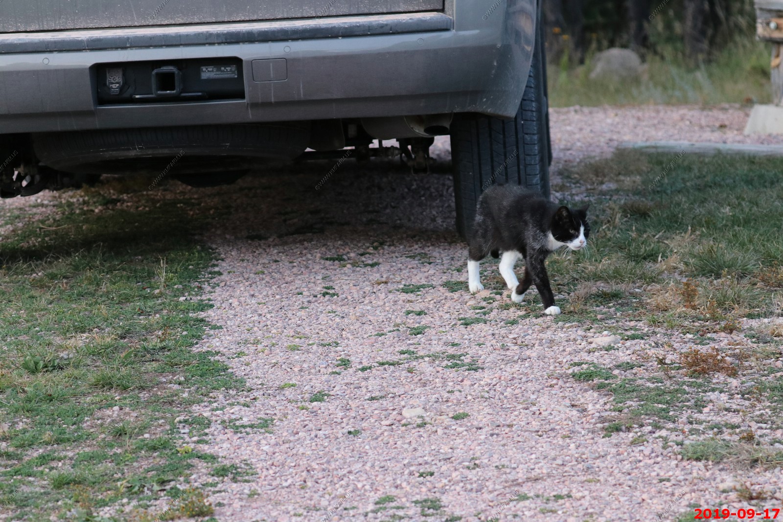
BT (Borrowed Time) following us up the road to watch the sunset.

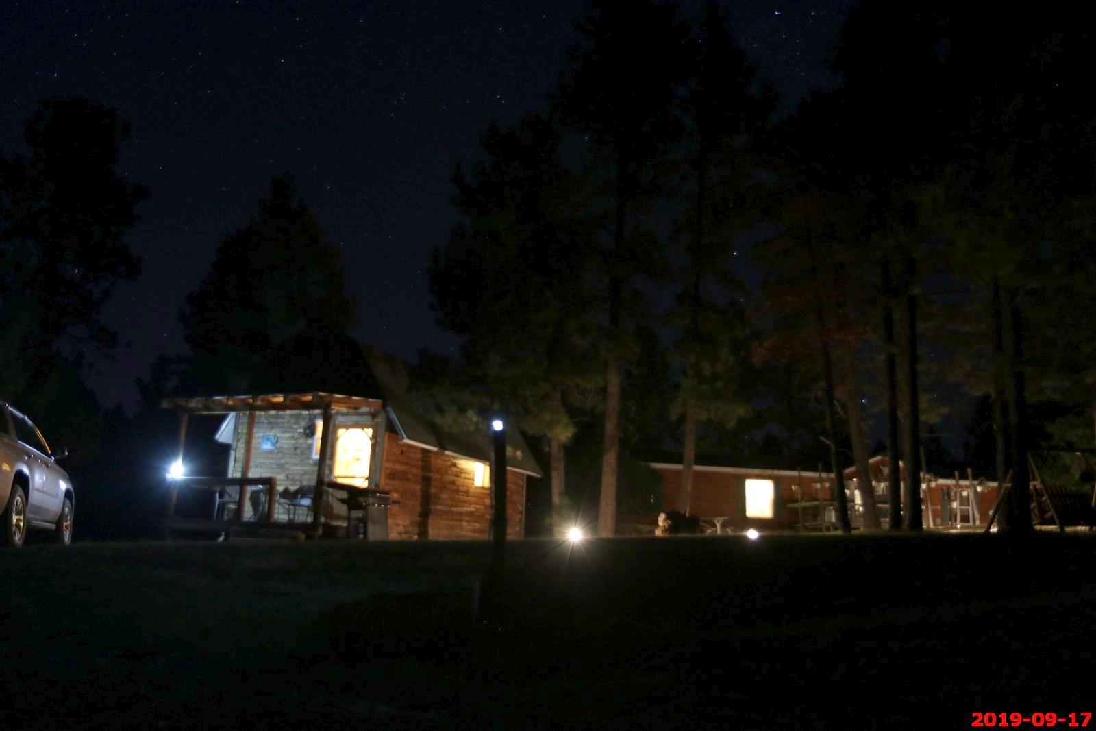
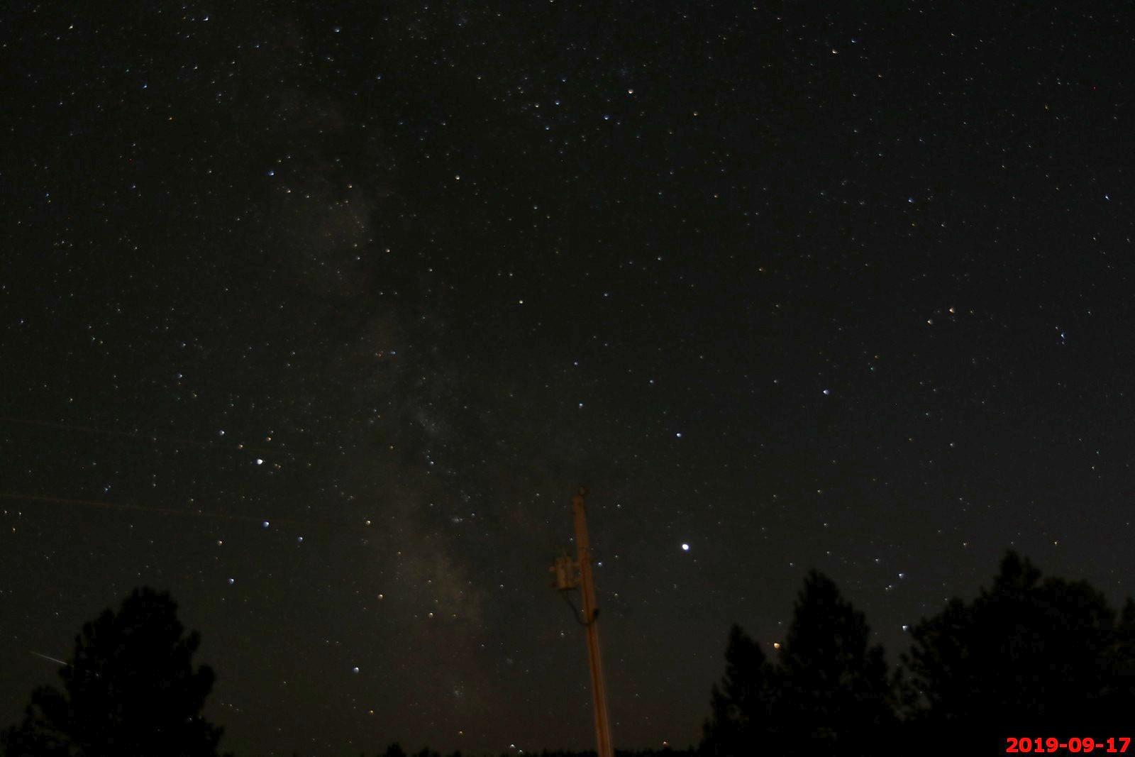
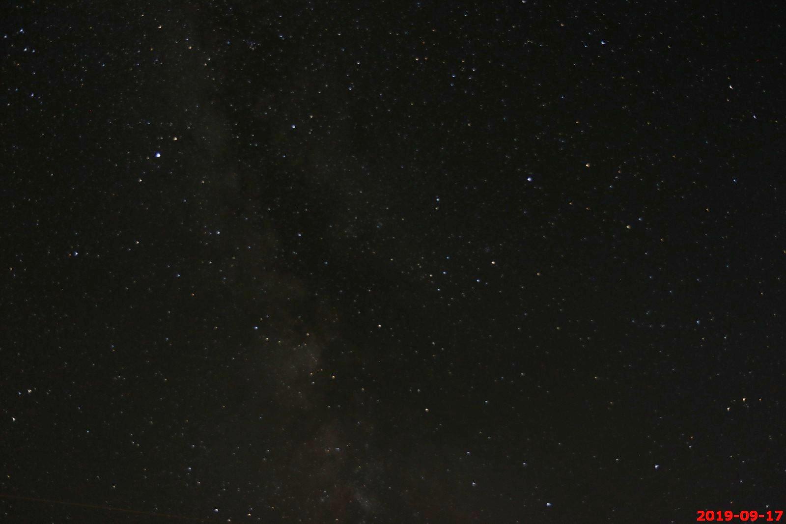
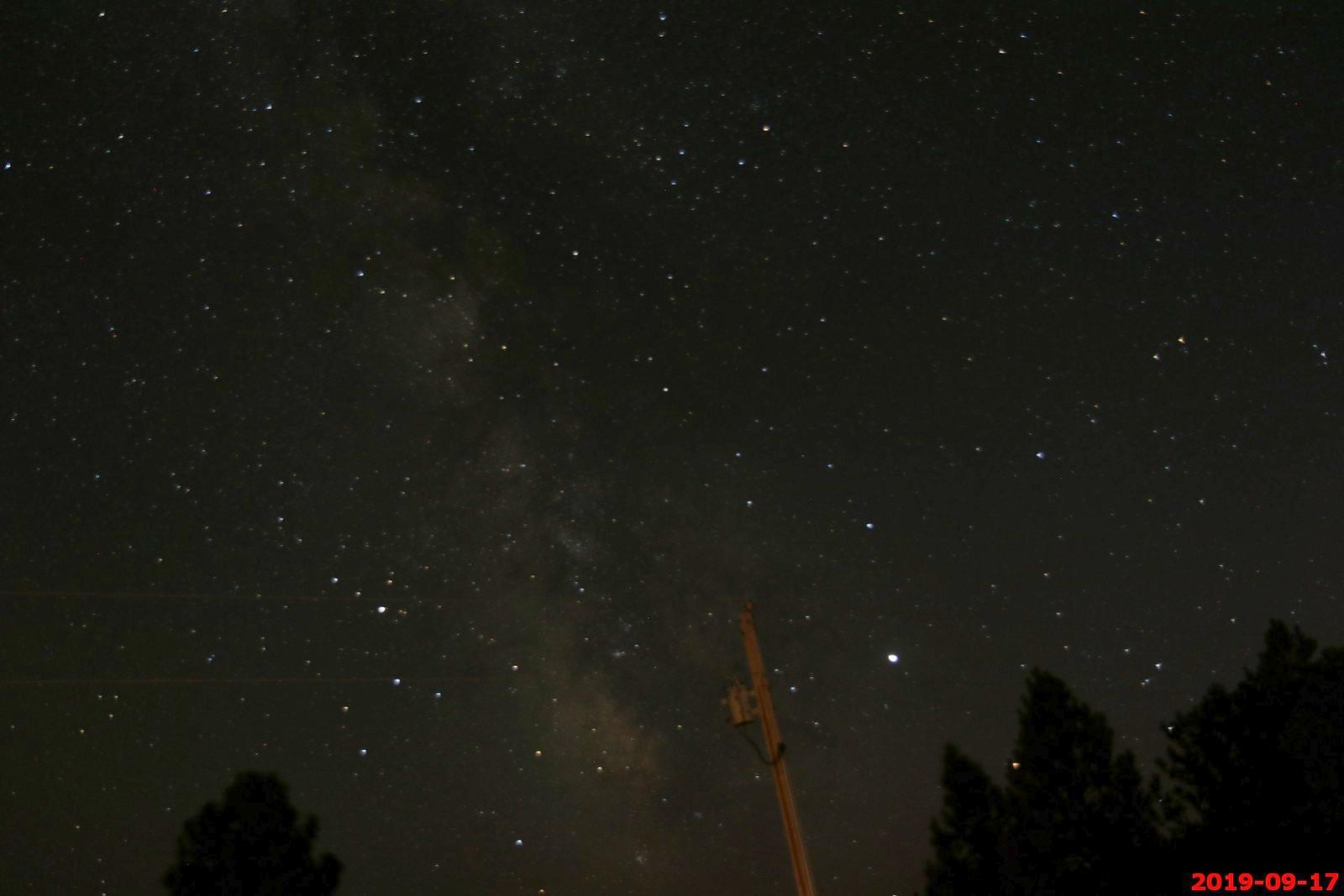
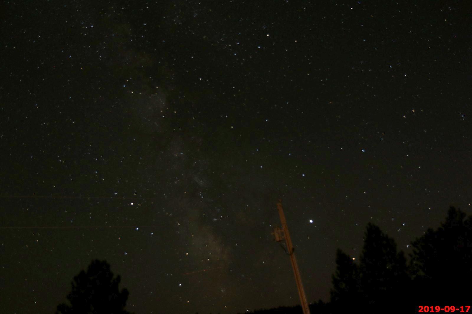
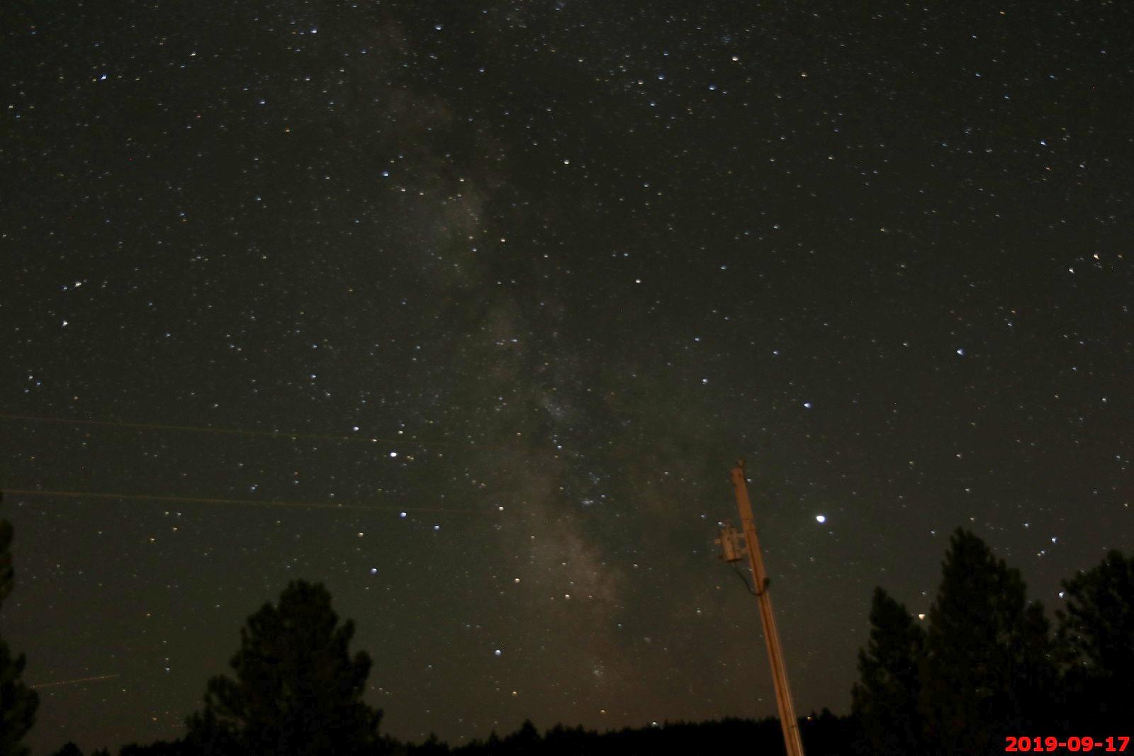
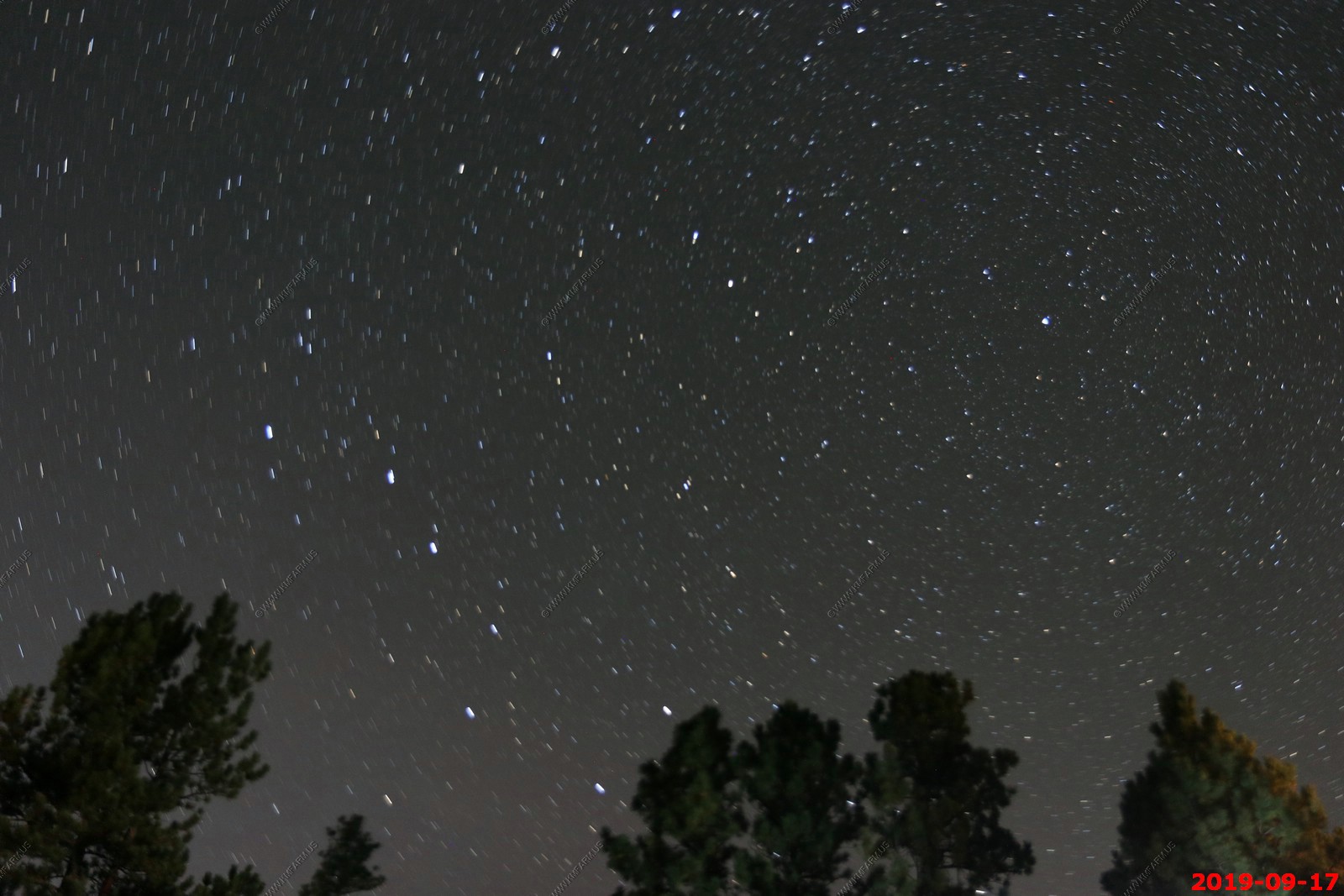
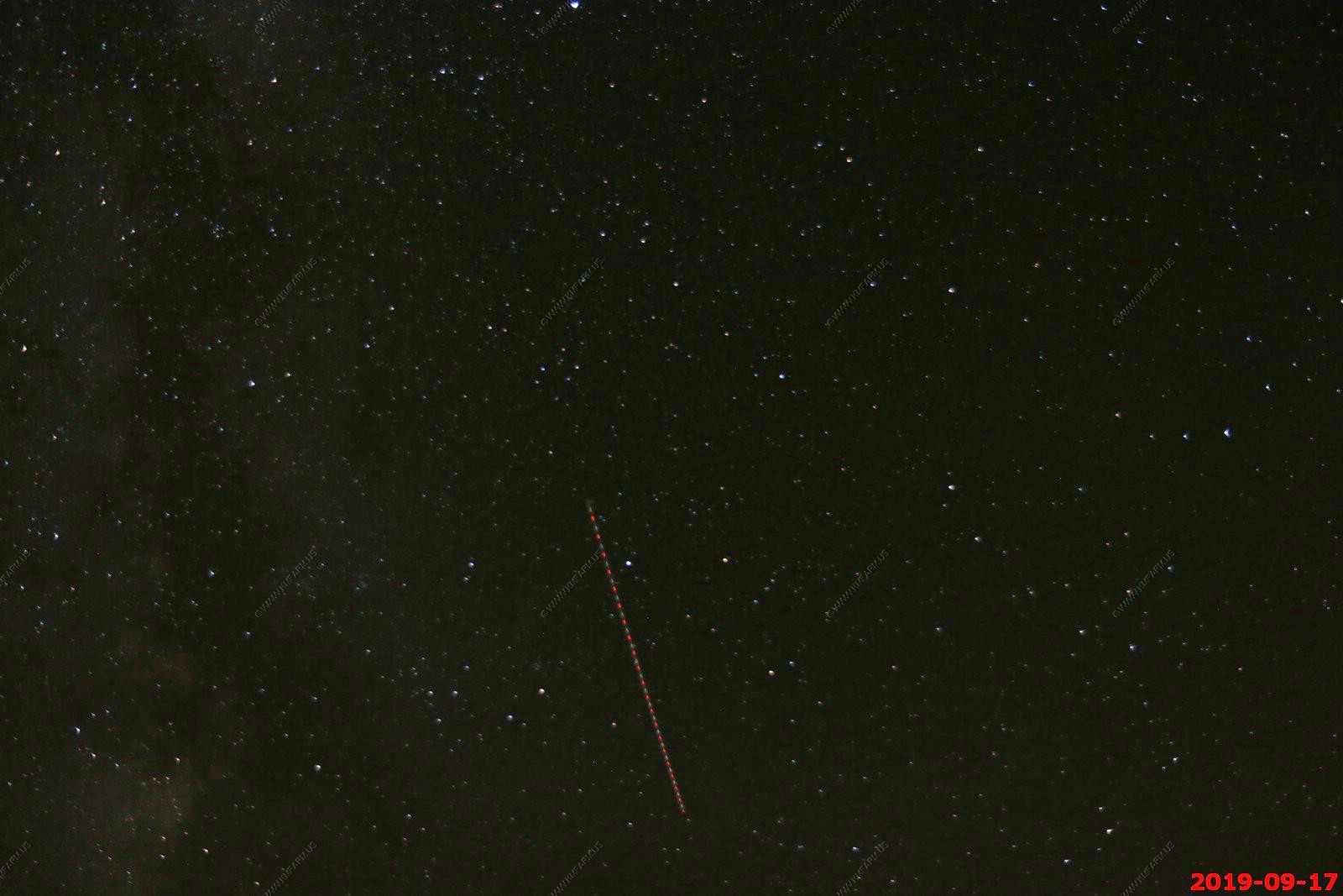
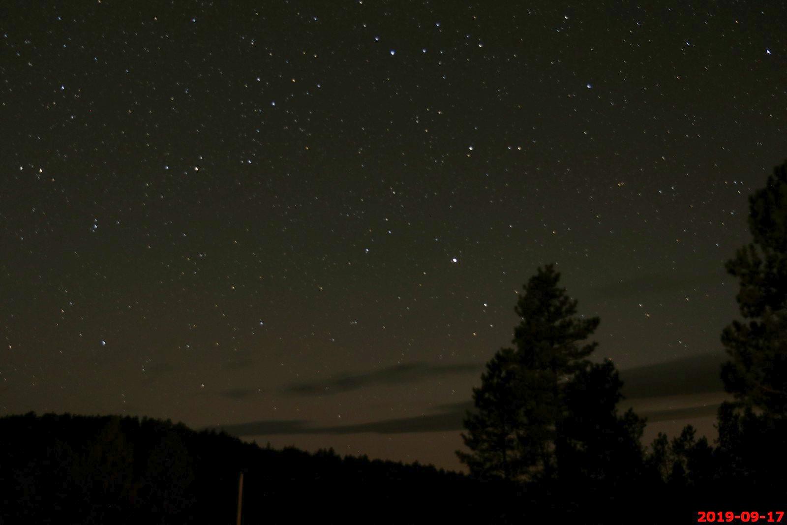
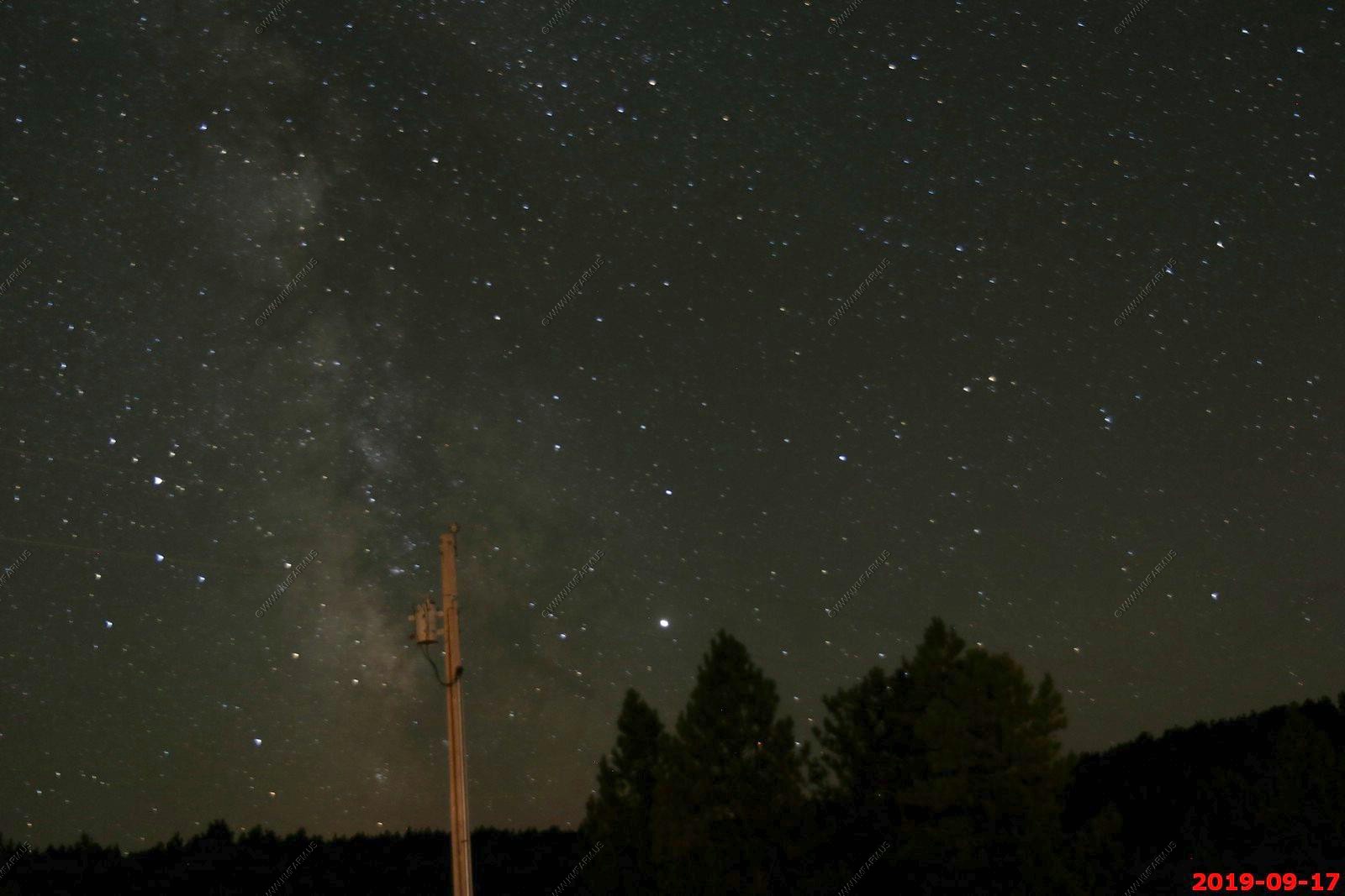
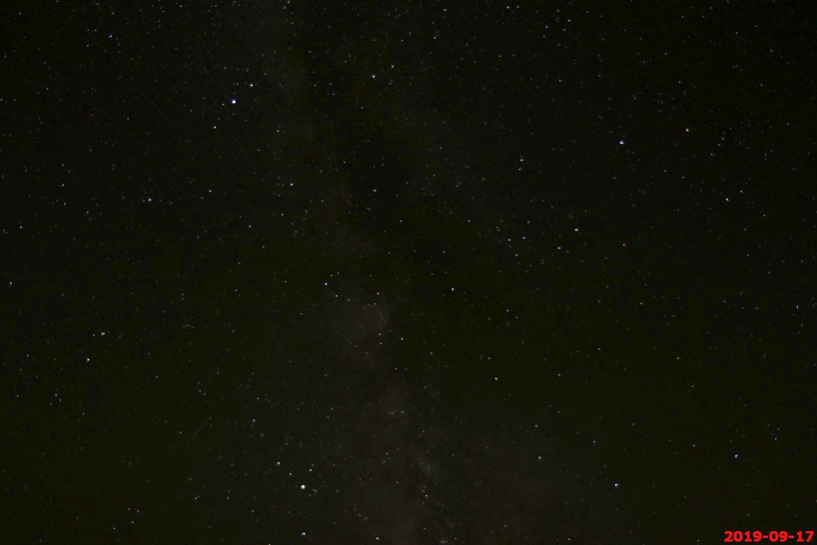
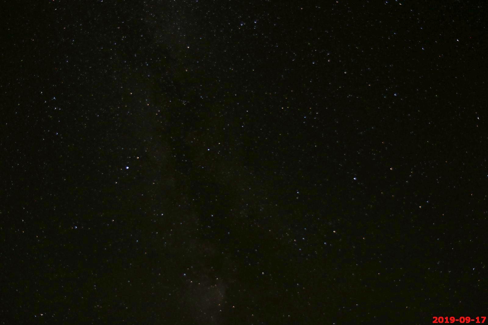
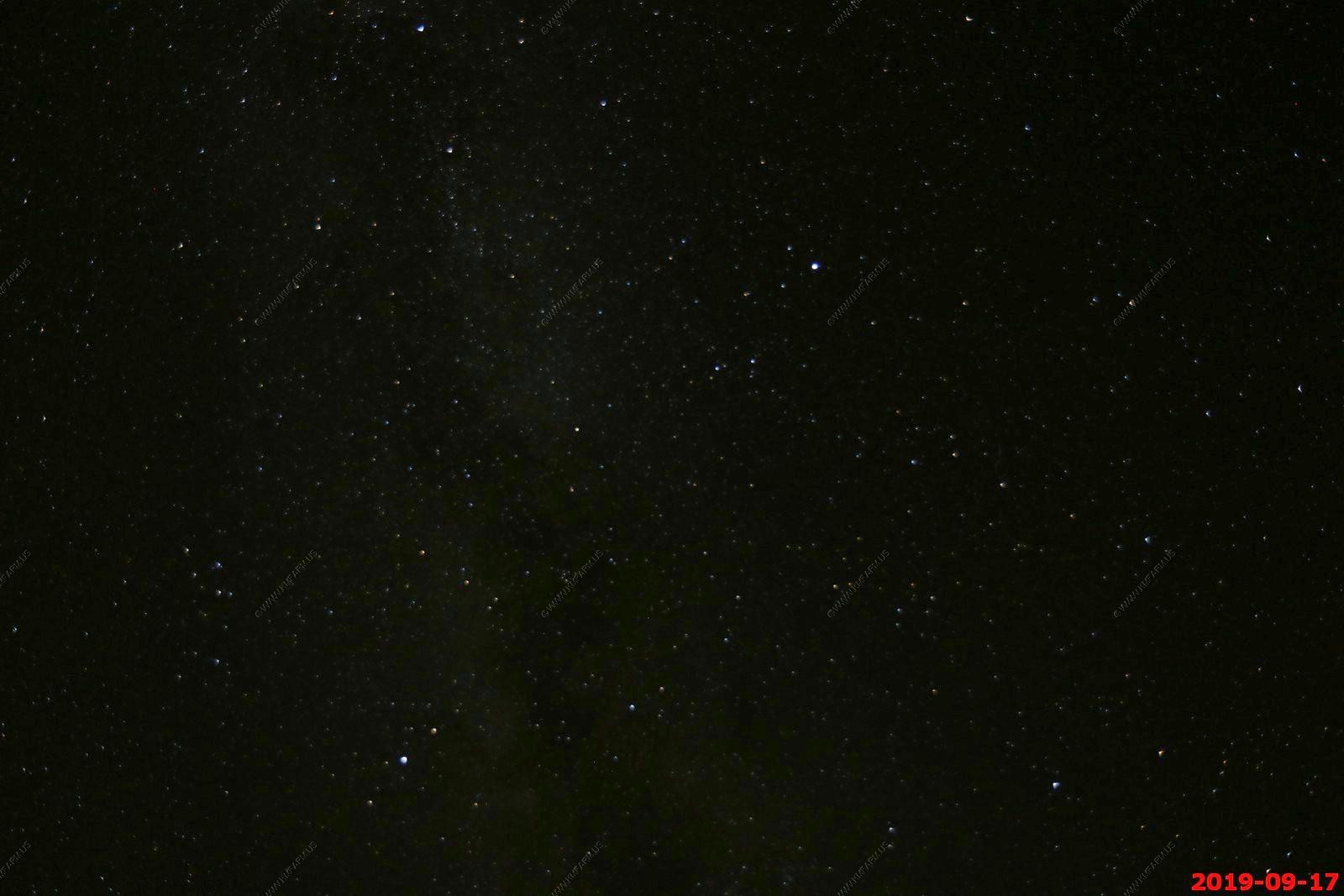
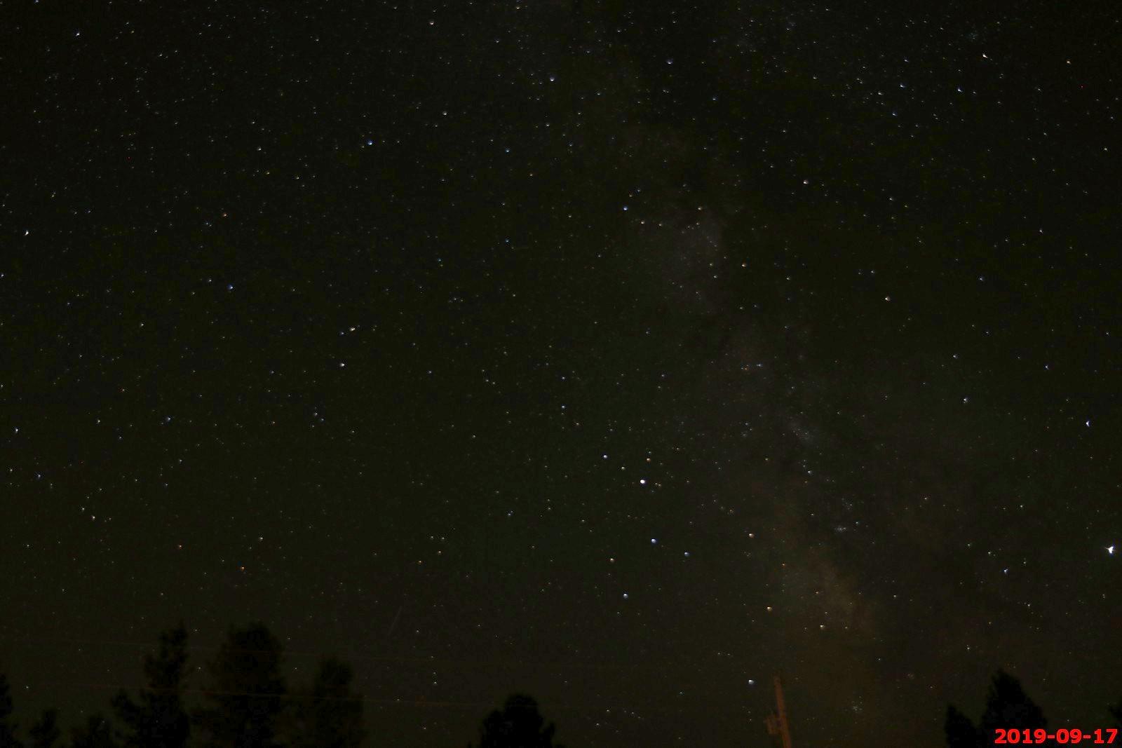
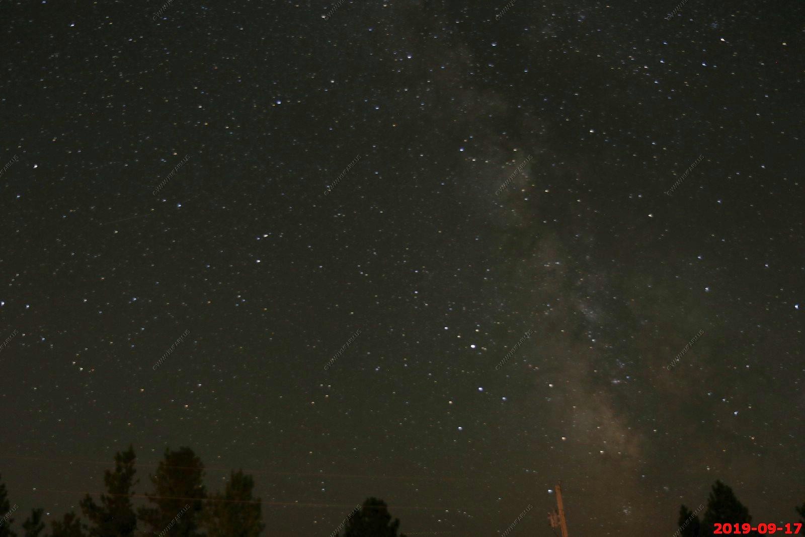
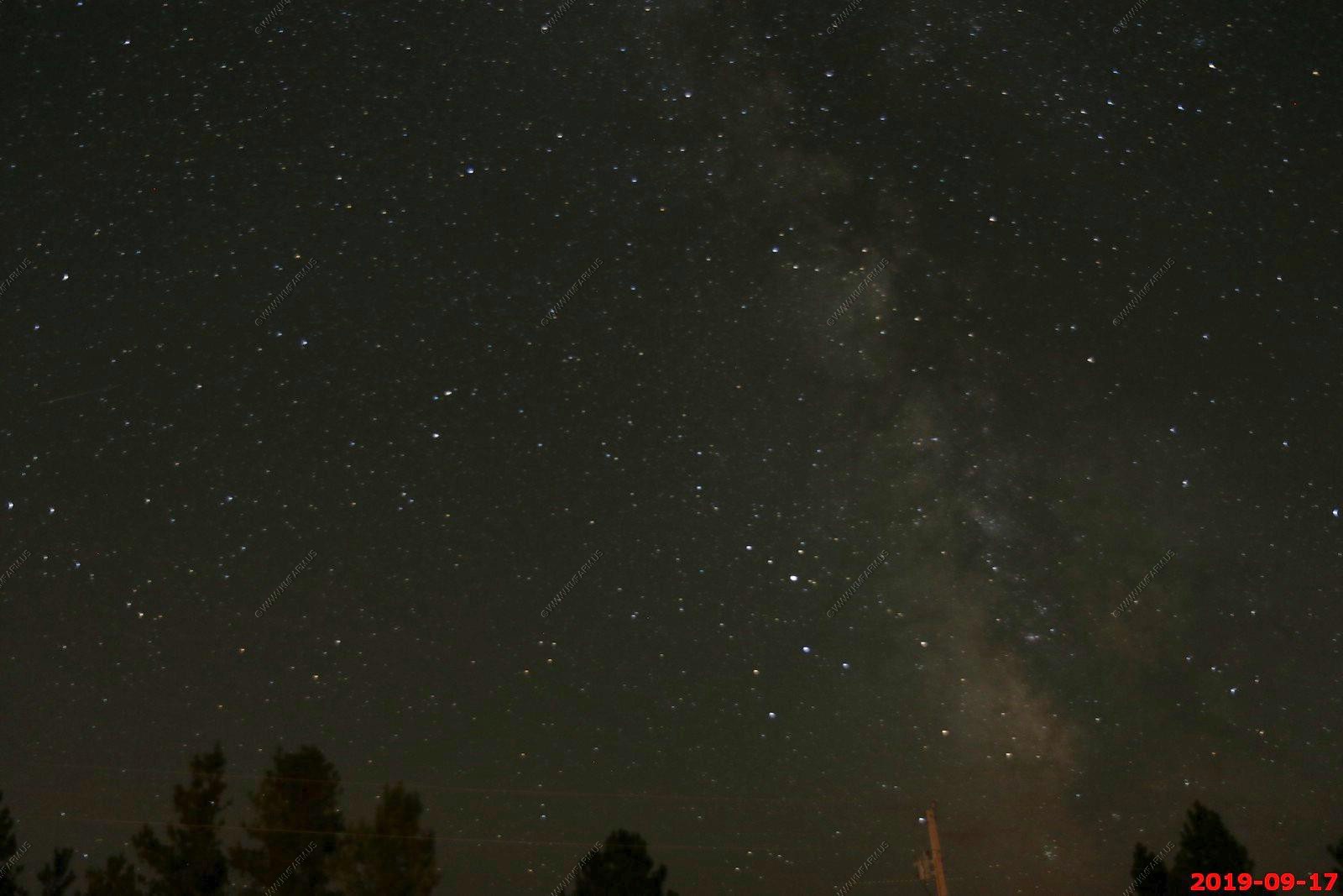
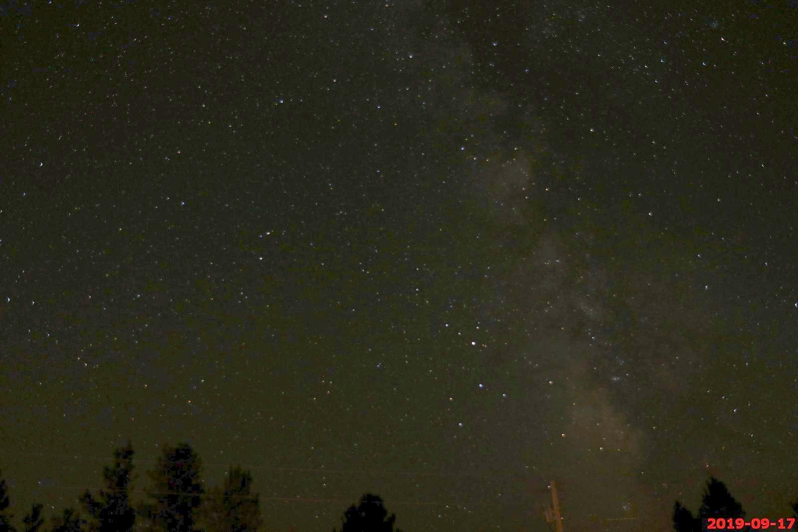
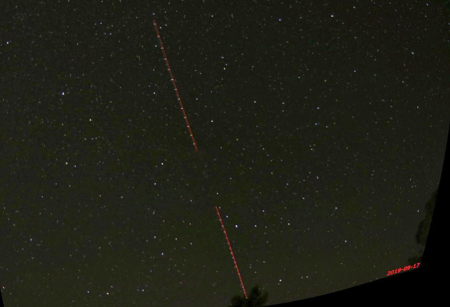
The Double D Bed and Breakfast location was excellent for astro-photography. The town of Hot springs really did not produce any noticeable light and it was 100's of miles of nothing but darkness looking west over Wyoming. The evening was great with temps in the mid 60's and you could occasionally hear coyotes howling off to the west.
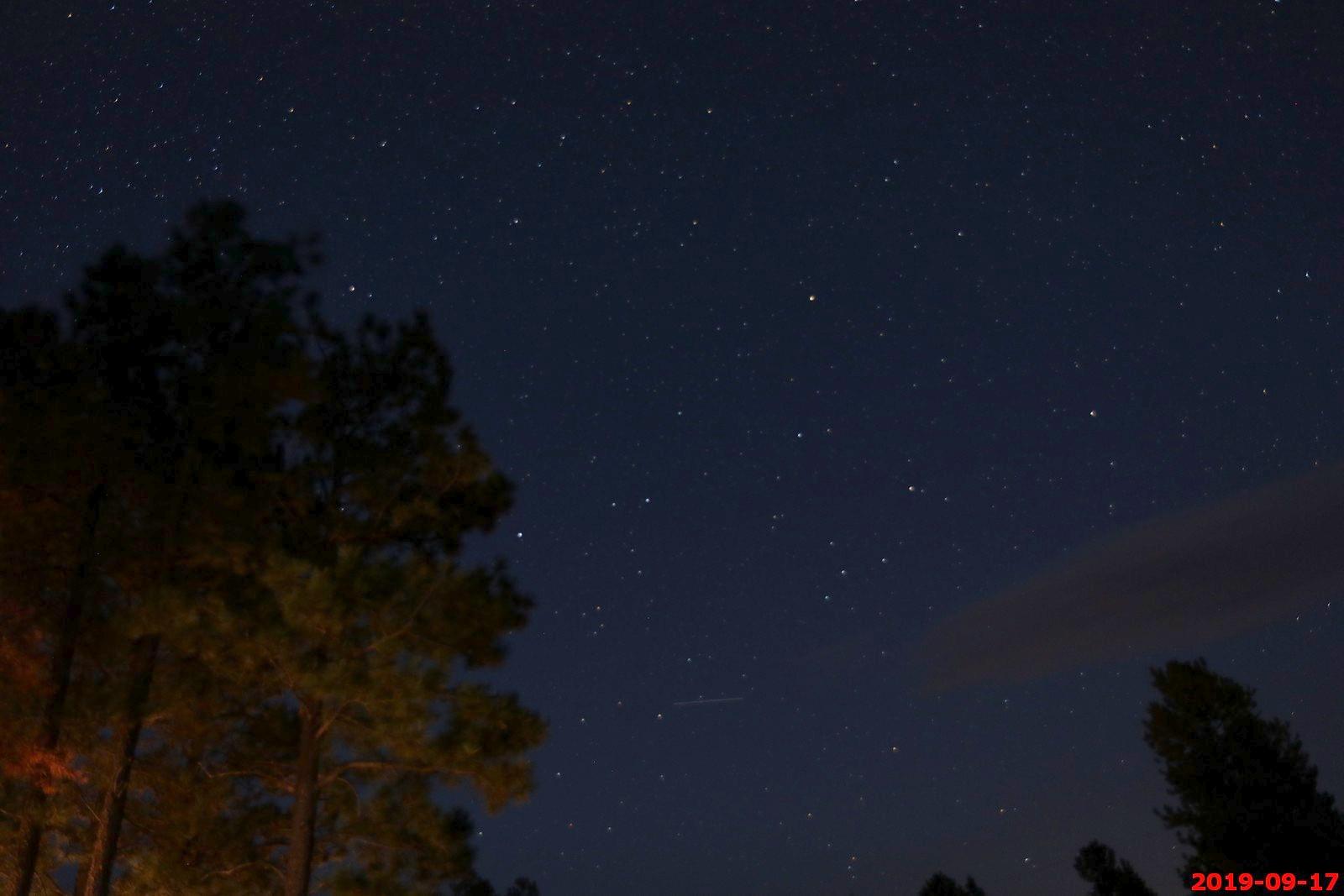
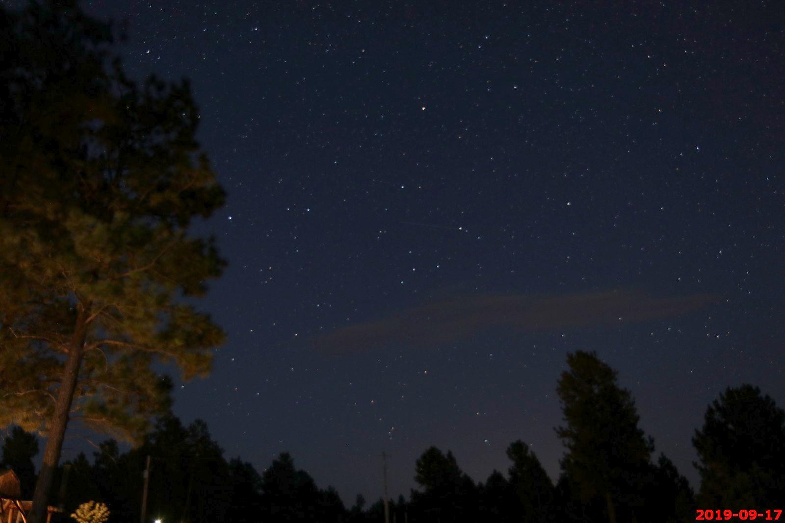
36 second exposure of the big dipper (on the left of the photo).
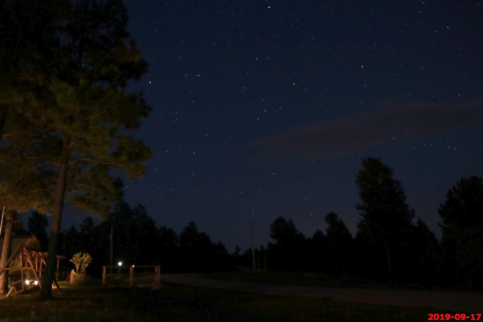
Looking back at our cabin.
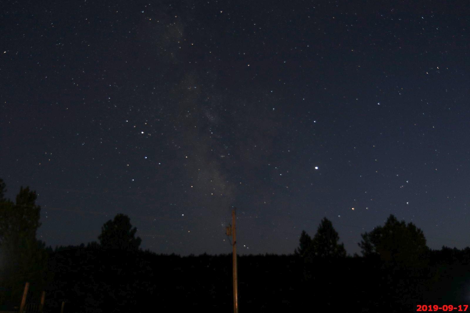
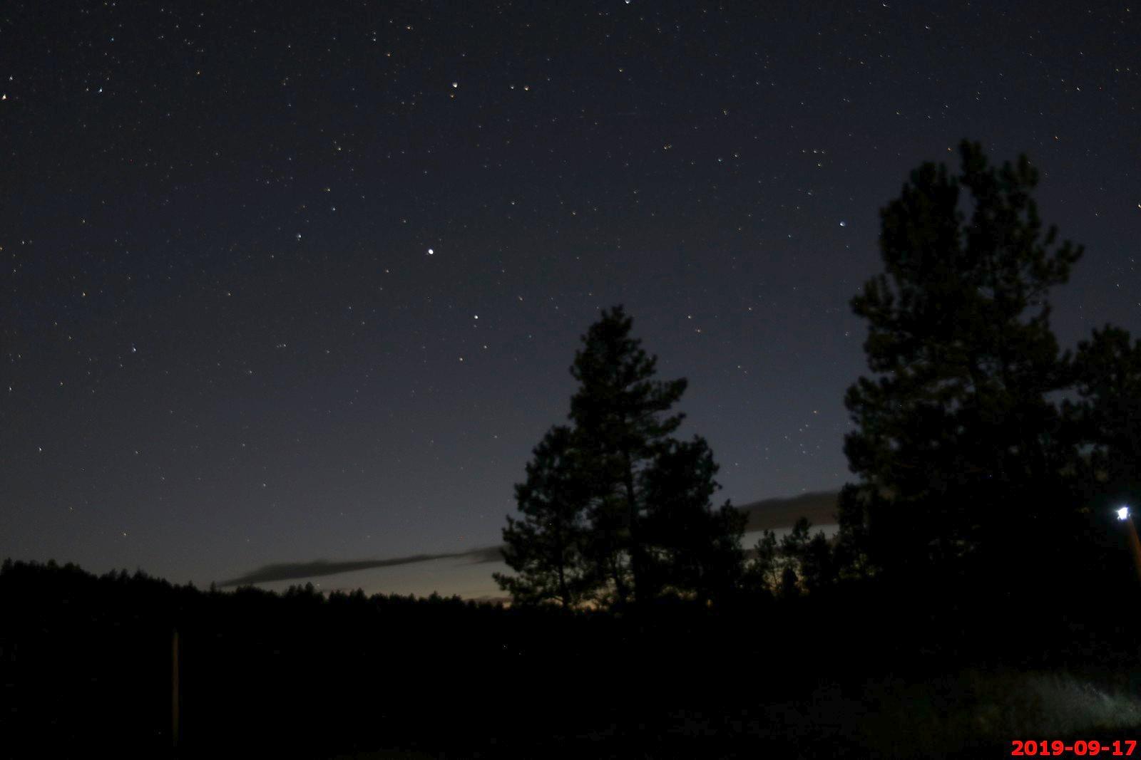
16 second exposure towards the west and 20:19. Sunset was at 19:01 Astronomical Twilight here was at 20:37.
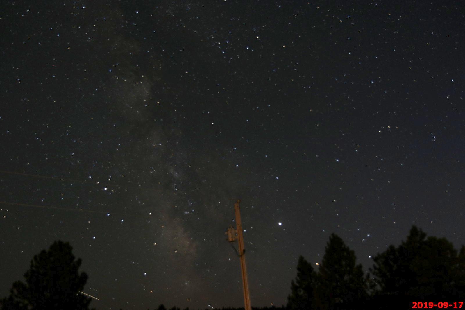
Misc. astro-photos.
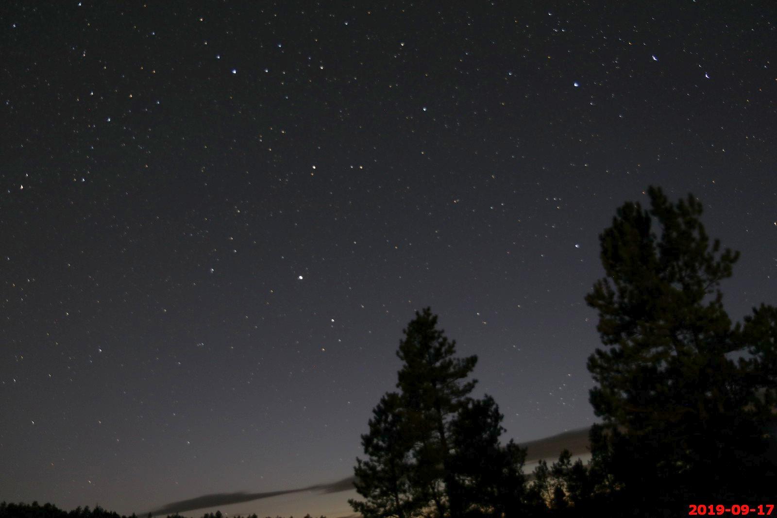
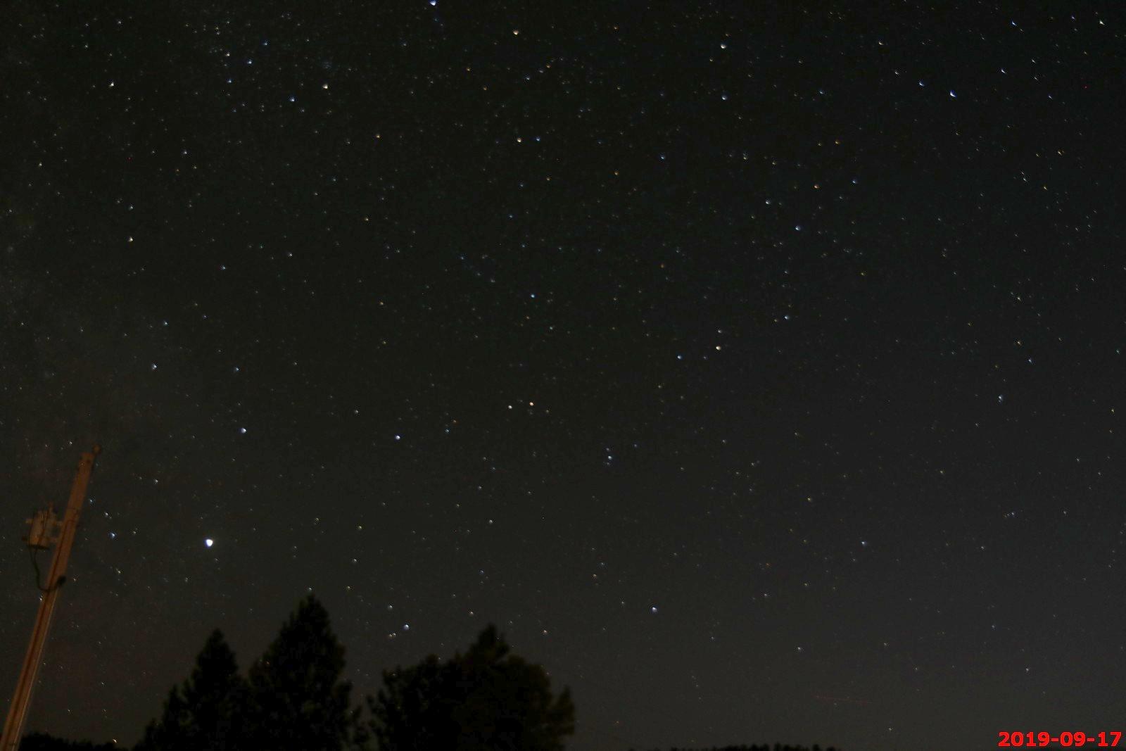
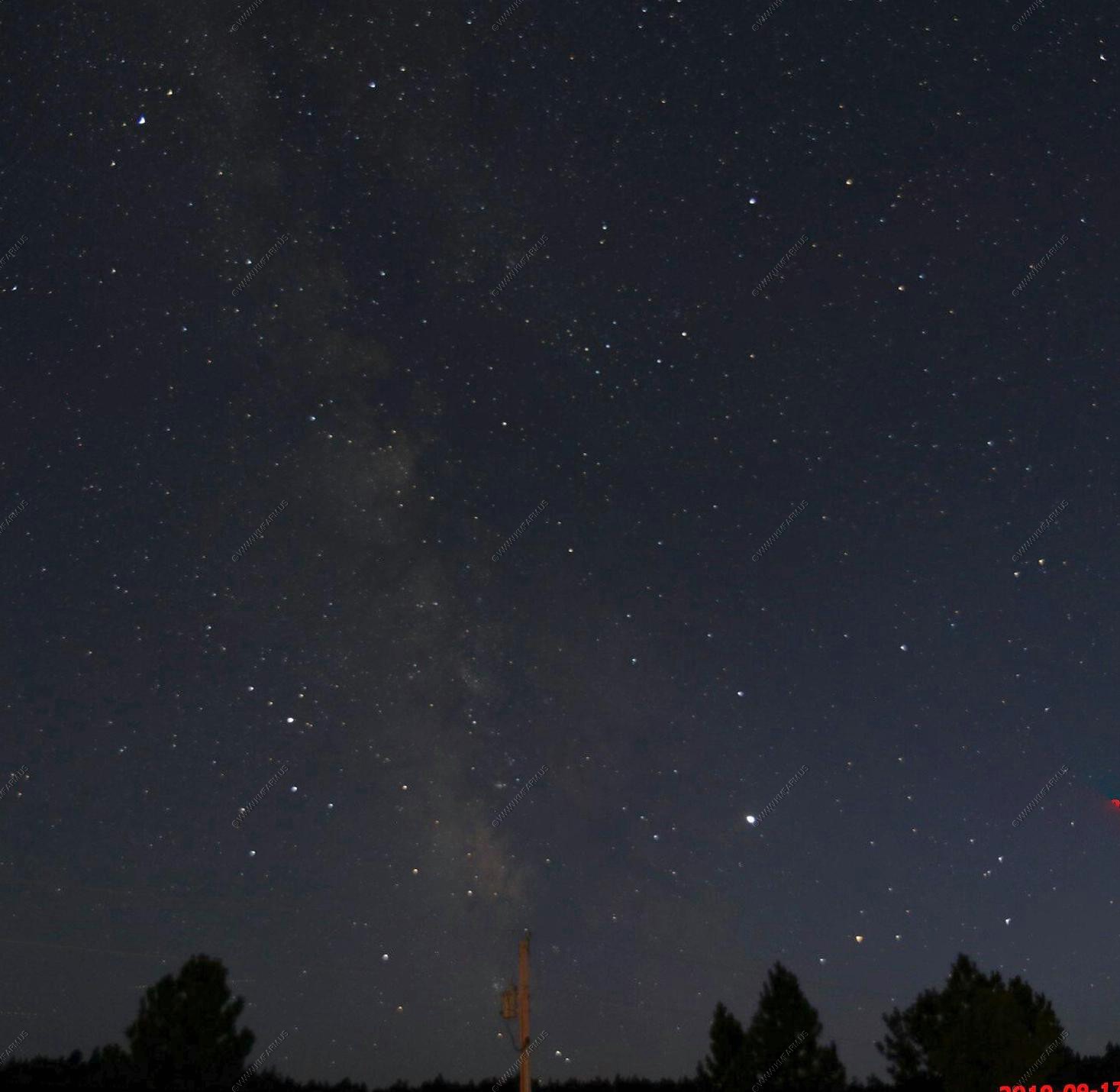
176 second exposure at 20:31.
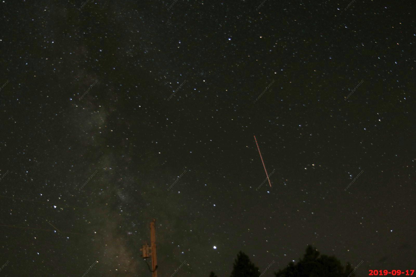

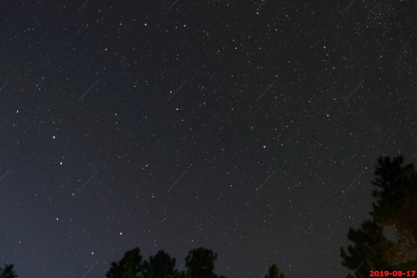
20:38 and you can still see the sunset - Astronomical Twilight here was at 20:37 - This never seems to be correct.
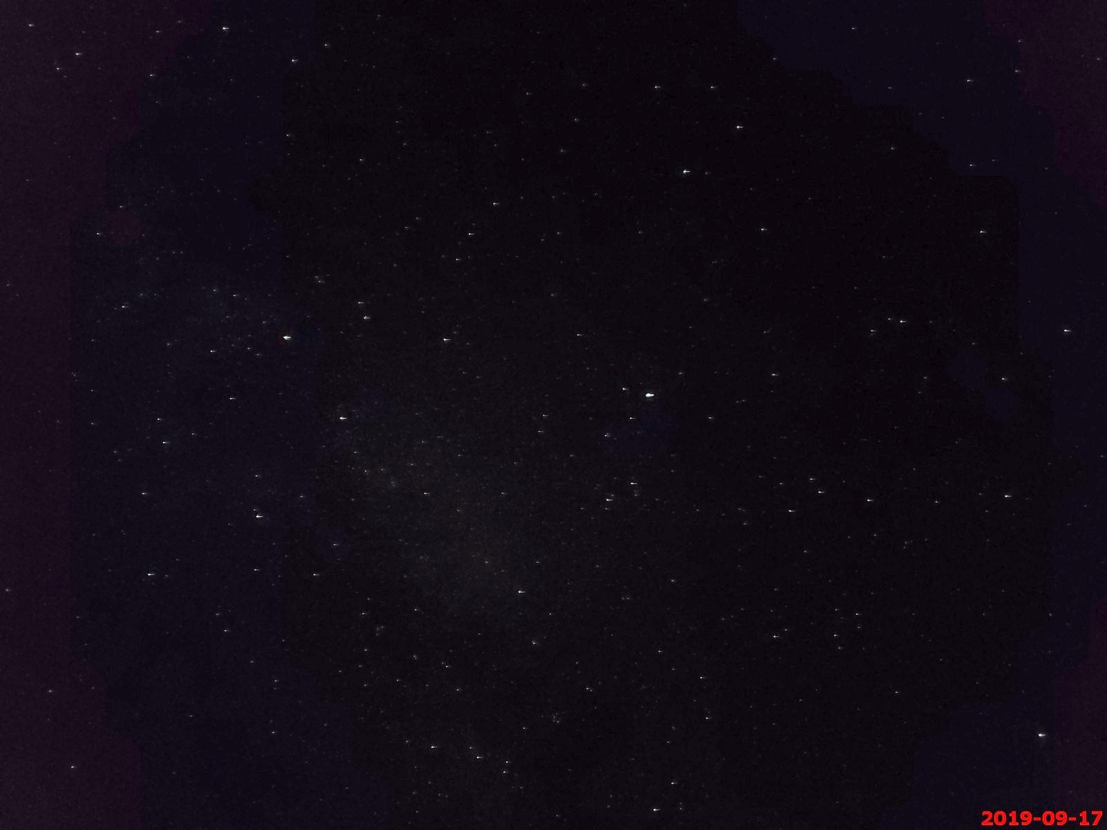
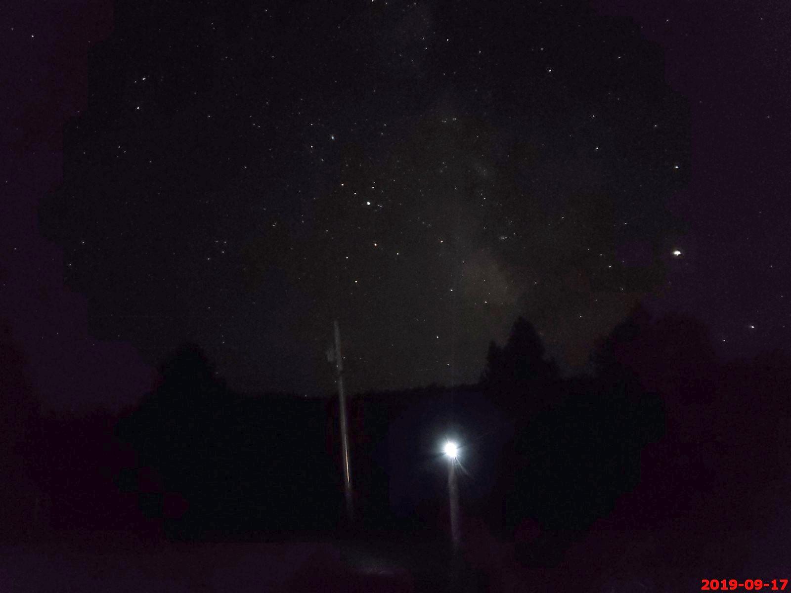
This was taken with my cell phone at 20:50 leaning on the bumper of the Tahoe. You can make out some of the Milky Way.
Plane going over at 20:52 (Two photos stitched).
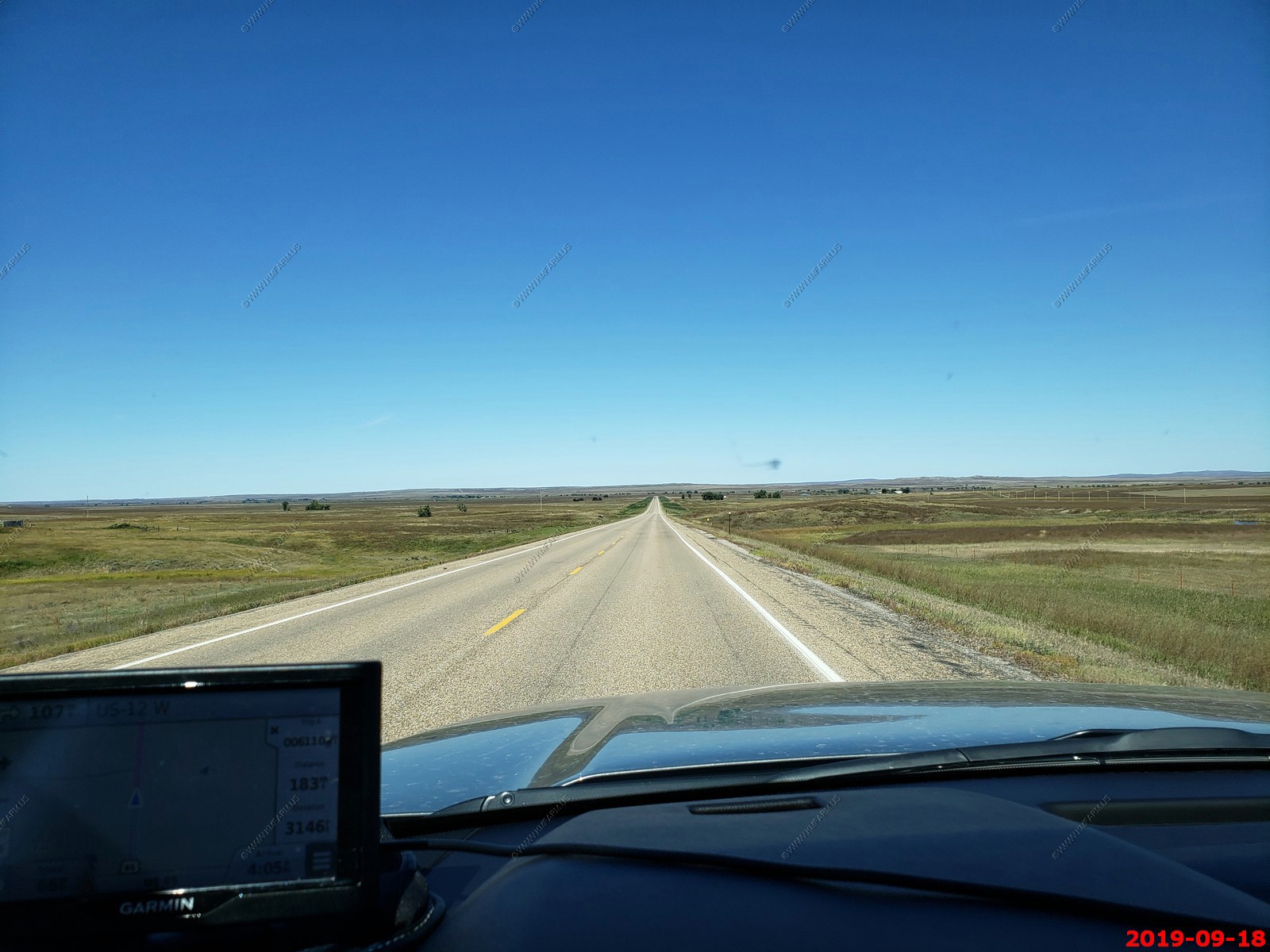
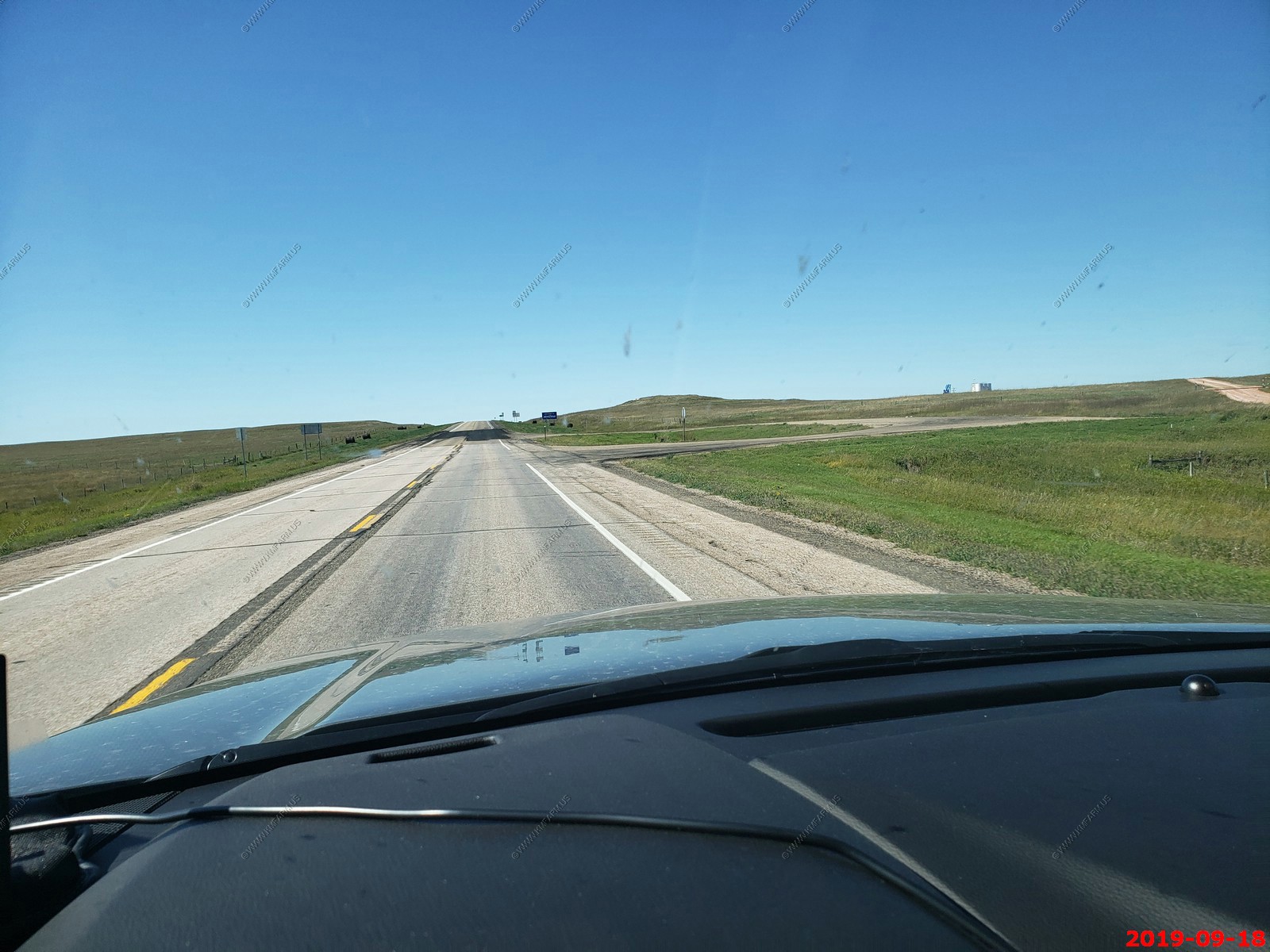
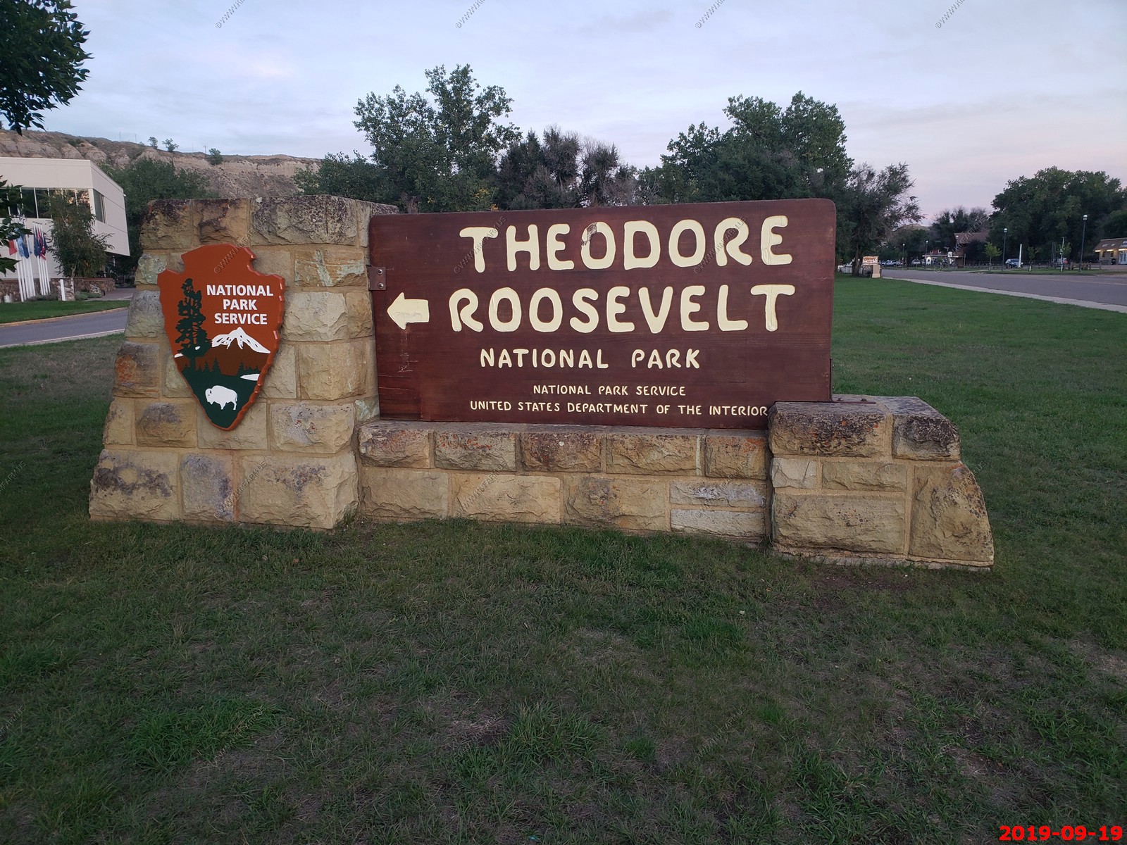
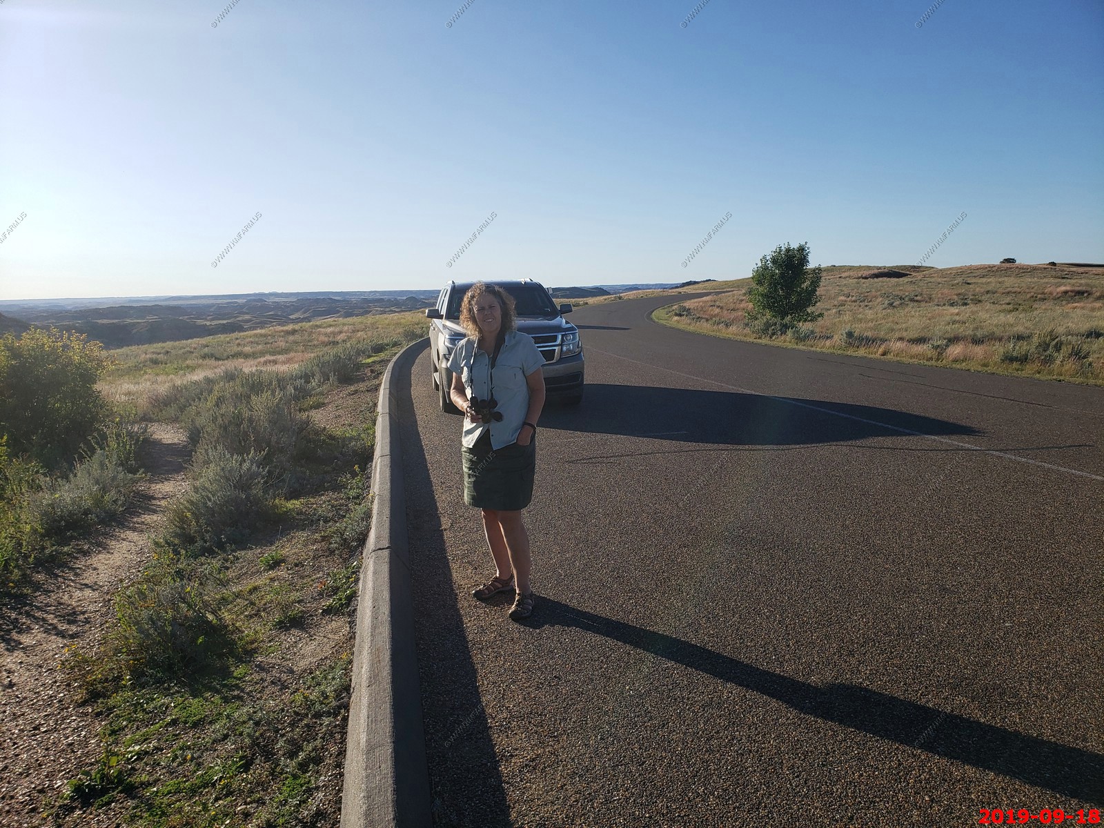
Today we say goodbye to South Dakota and we are driving (239 miles 4 hrs.) to Theodore Roosevelt National Park in North Dakota.
Americinn by Wyndham Medora 75 East River Road South, Medora, ND US (844) 581 4982
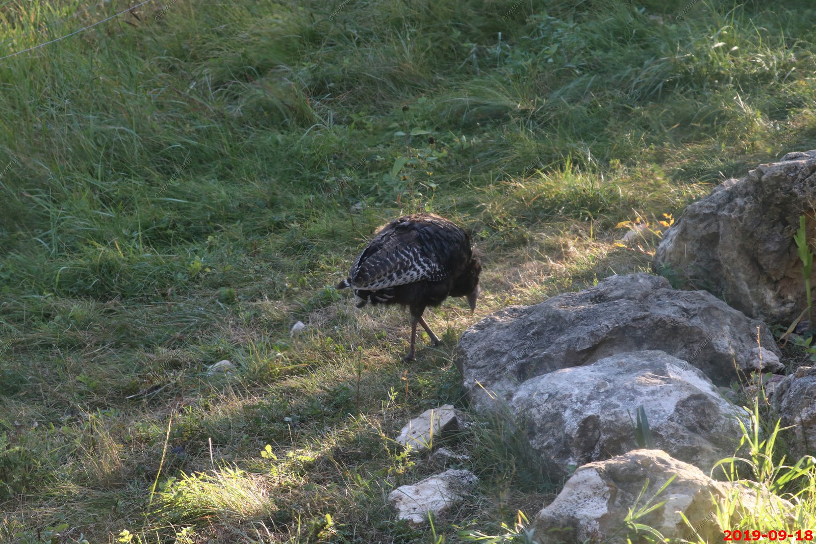
Last morning at Double D. Another turkey
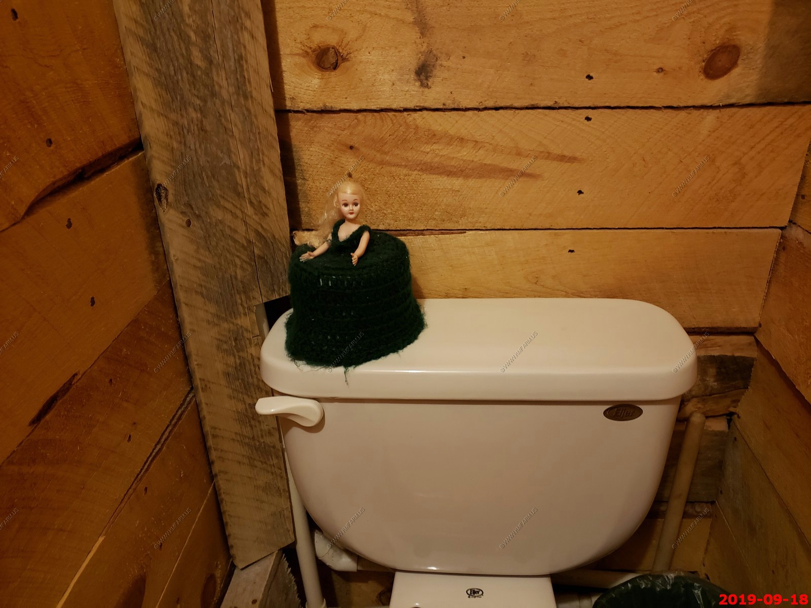
This doll would look at me every time I would pee in the toilet so I would give her something to look at !
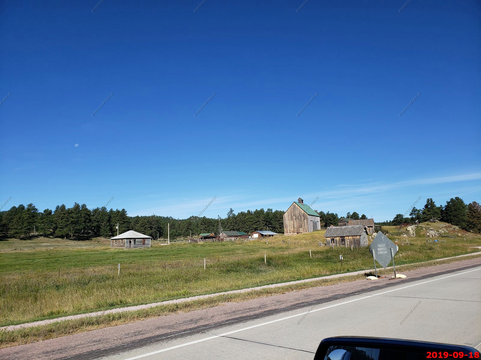
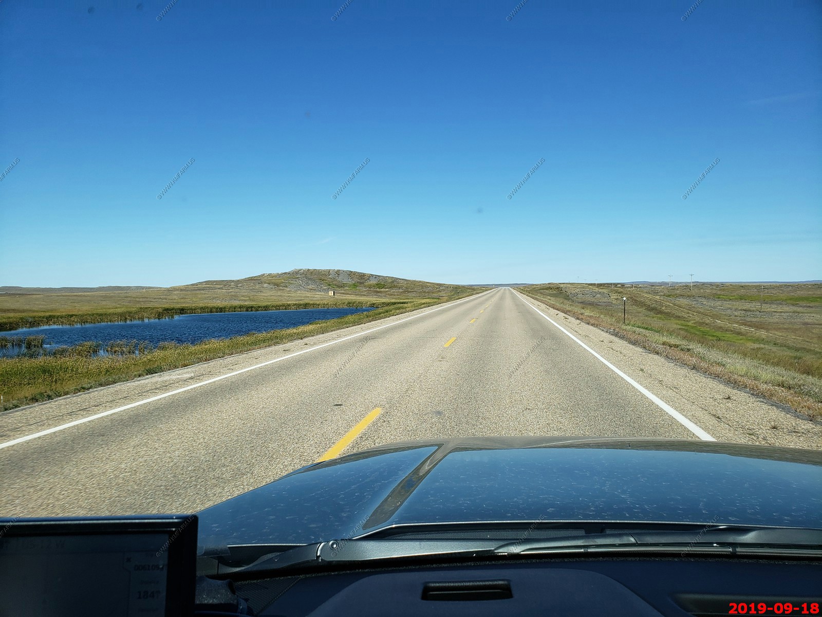
A very rustic looking farm along SD-89.
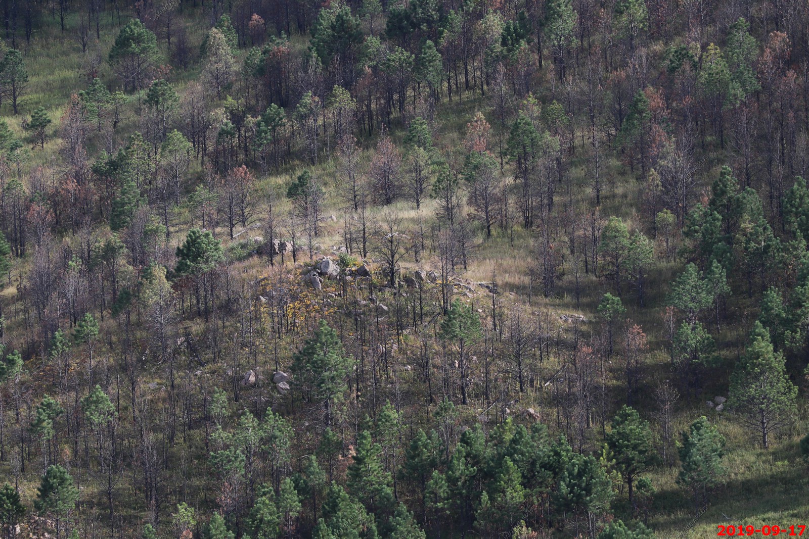
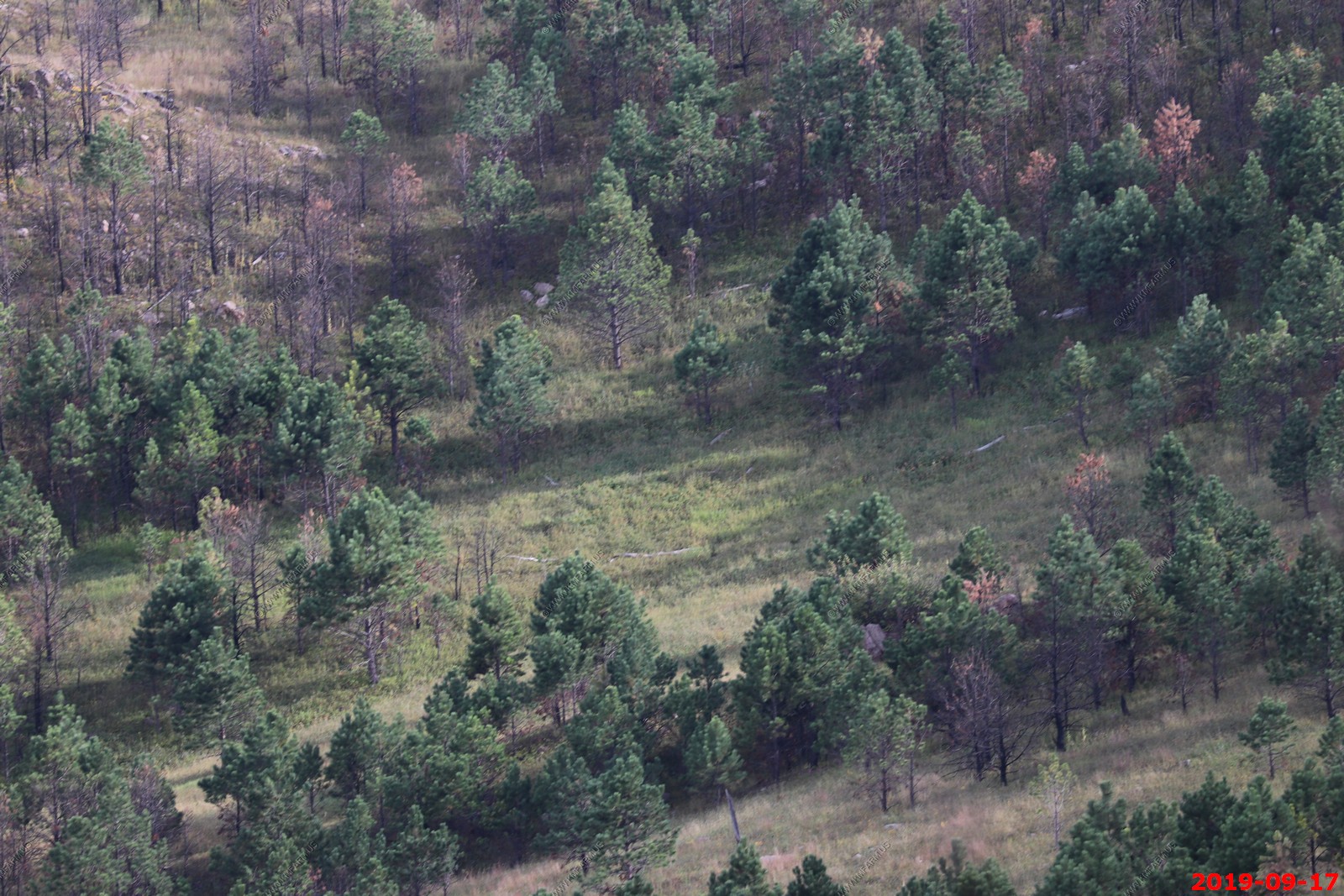
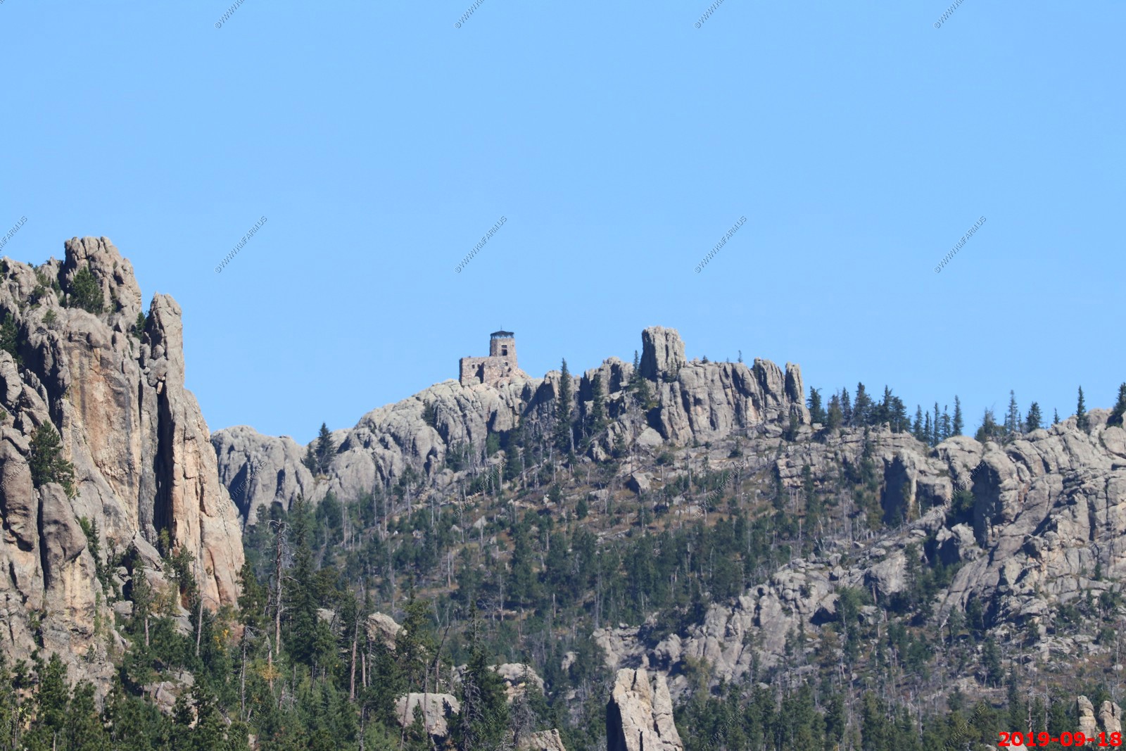
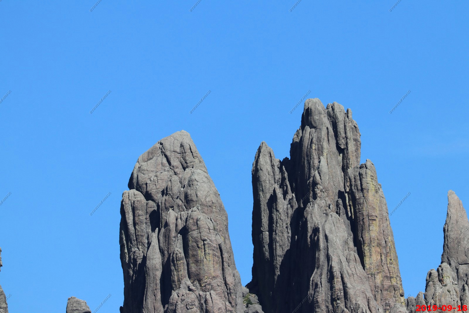
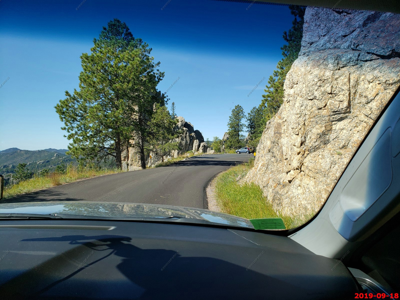
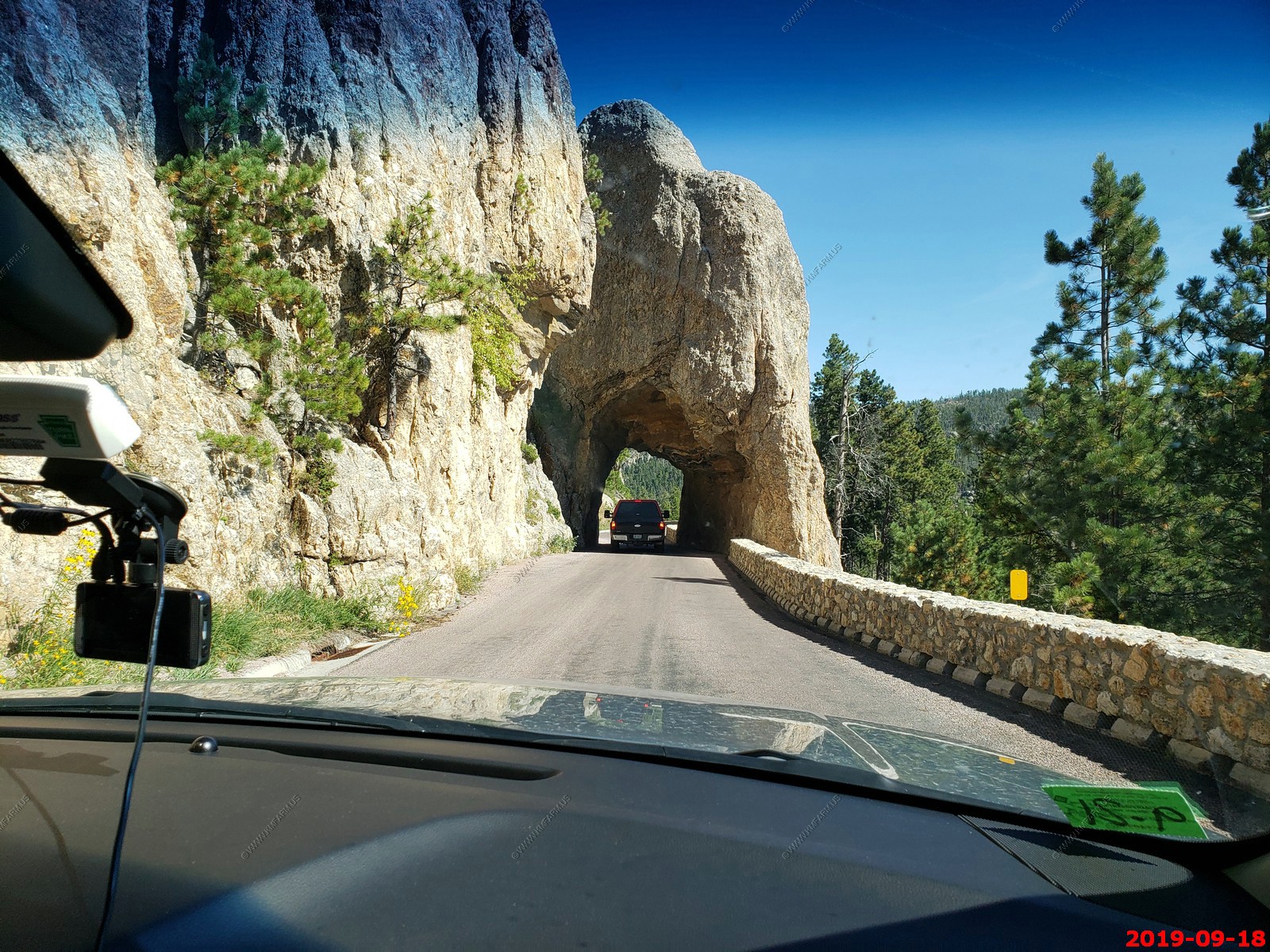
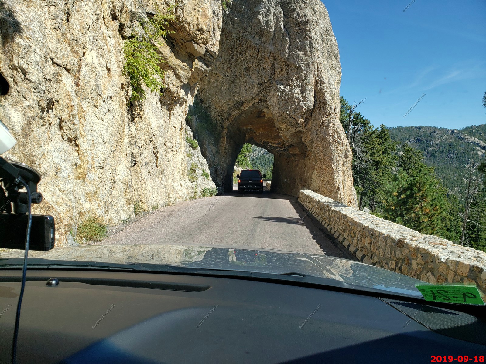
We took the Needles Highway (SD Hwy 87) - a National Scenic Byway north again. You can see Harney Peak in both the photos below.
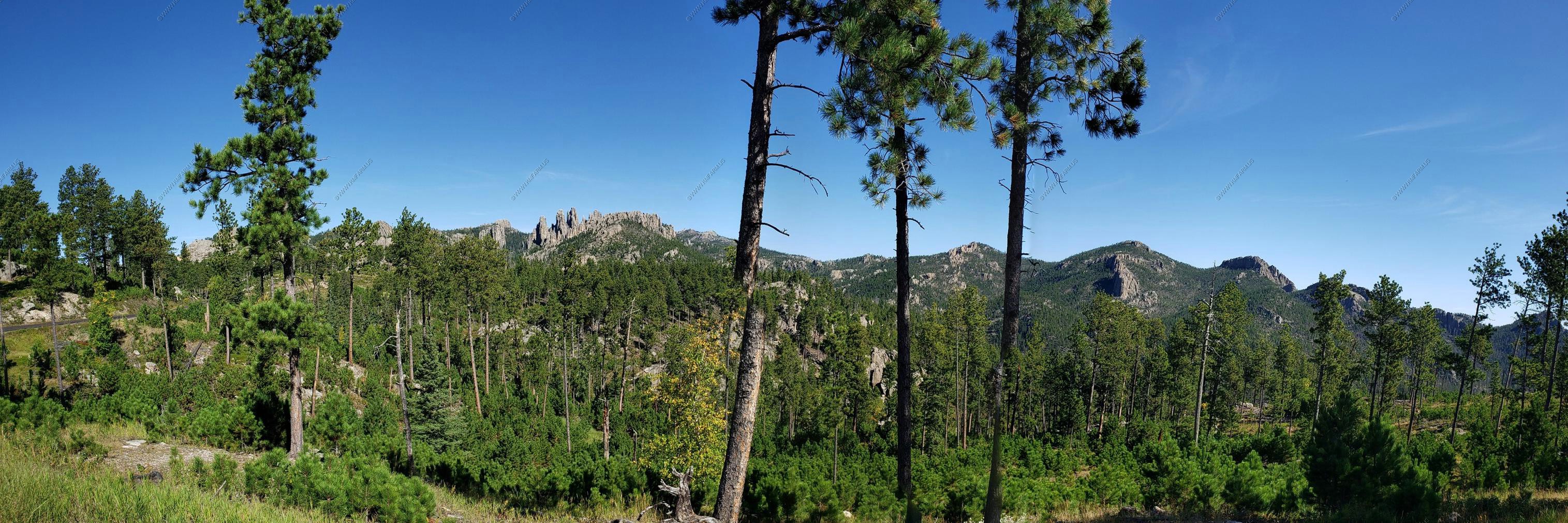
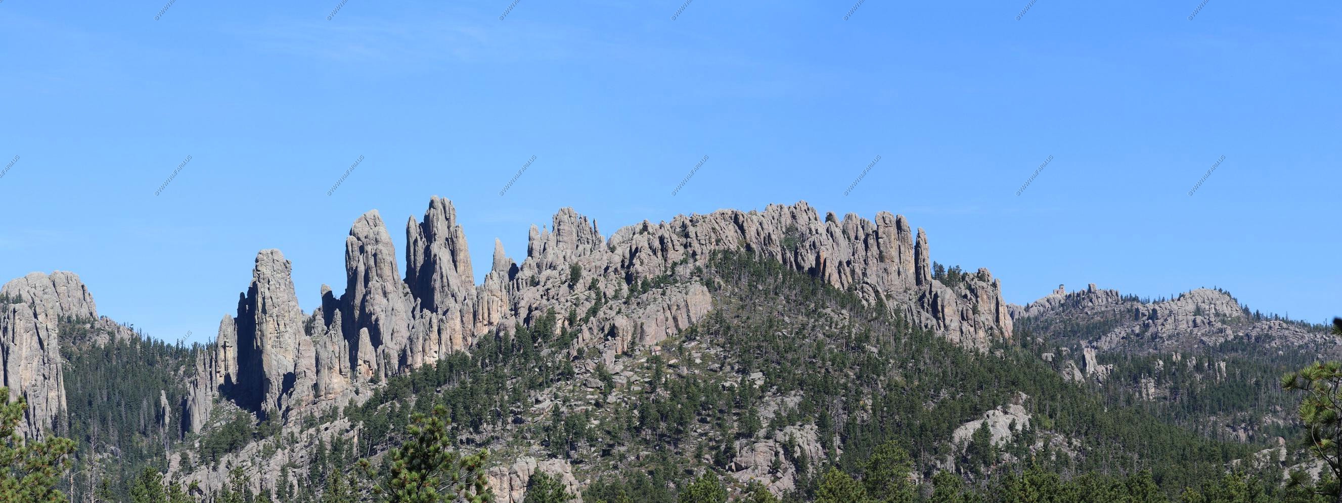
Harney Peak El.7,242 the highest peak in South Dakota - it has been described by the Board on Geographical Names as the highest summit in the United States east of t he Rocky Mountains. Though part of the North American Cordillera, it is generally considered to be geologically separate from the Rocky Mountains.
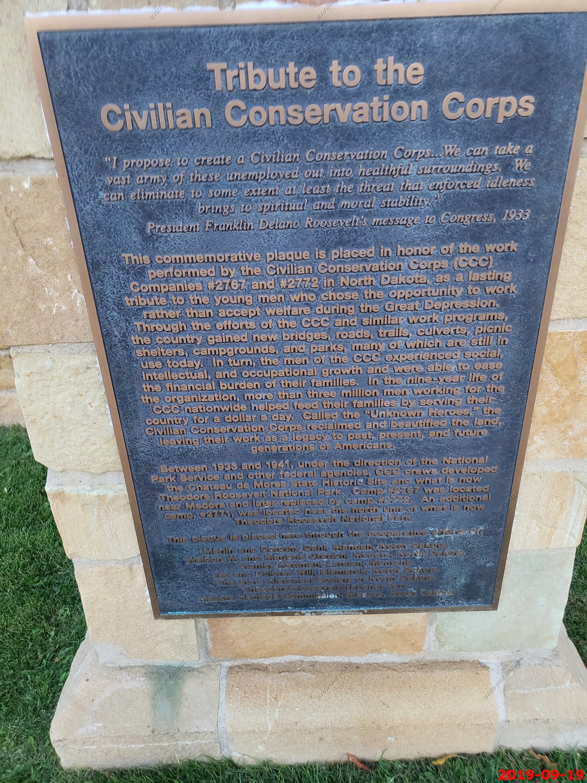
The federal Civilian Conservation Corps enlisted local men and completed construction of a stone fire tower in 1938, one of numerous projects in the state during the Great Depression. The Harney Peak fire tower was last staffed in 1967.
I don't see any climbers.
Some tight turns along Needles Highway.

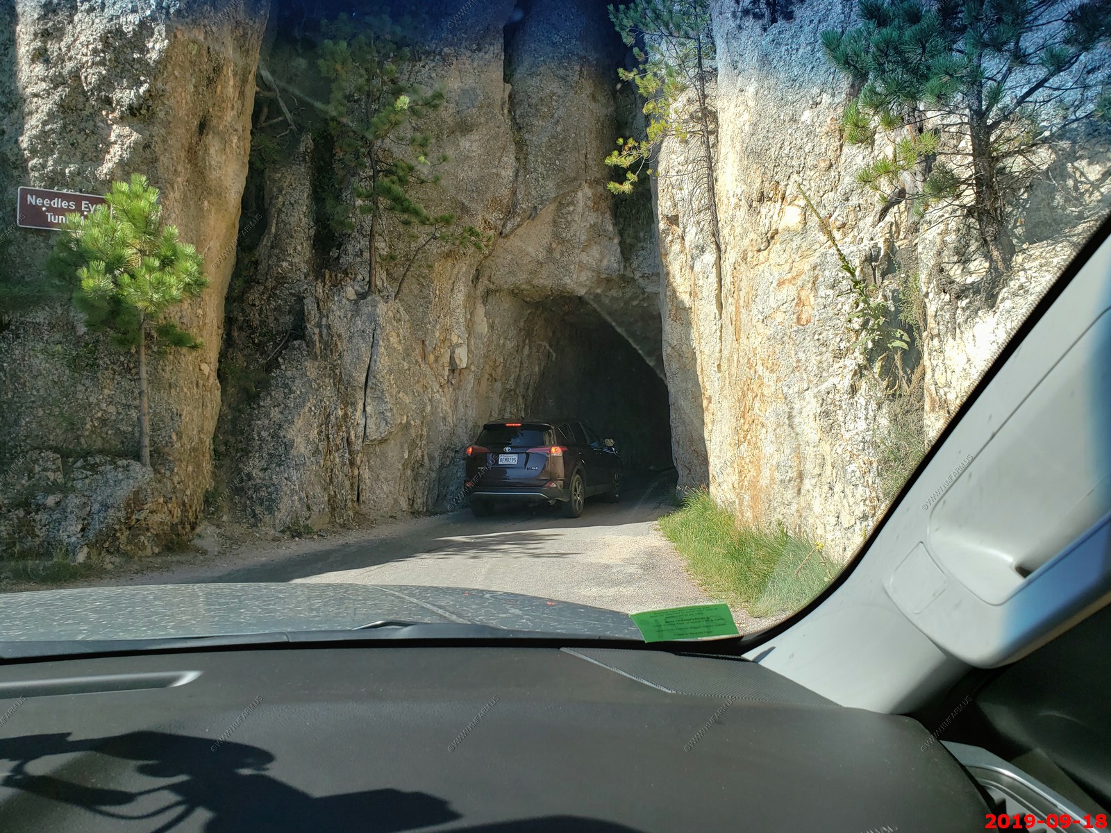
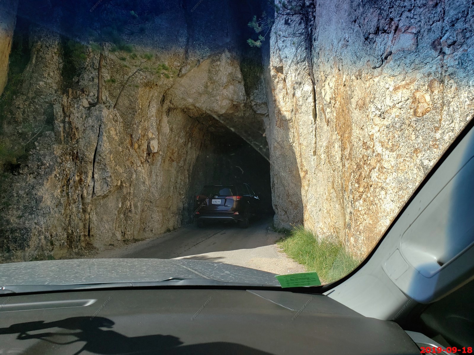
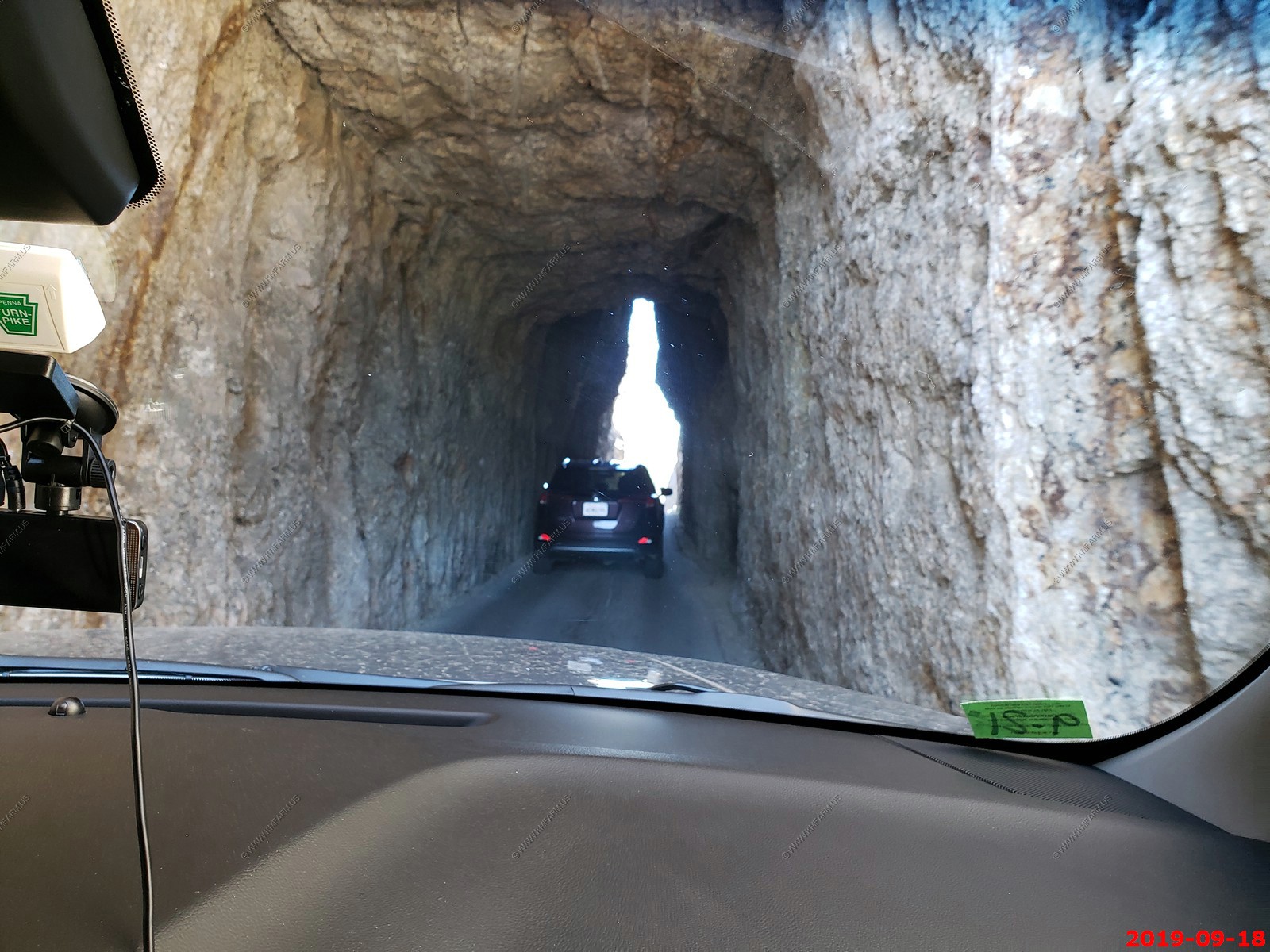
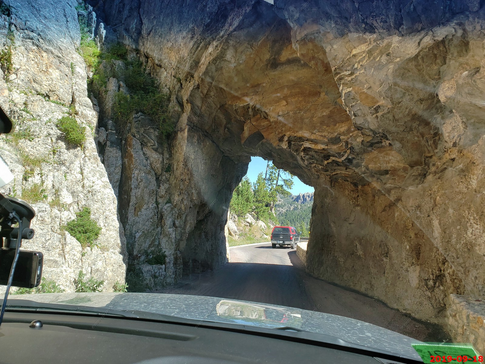
Approaching and going thru Needles Eye Tunnel.
Hood Tunnel.
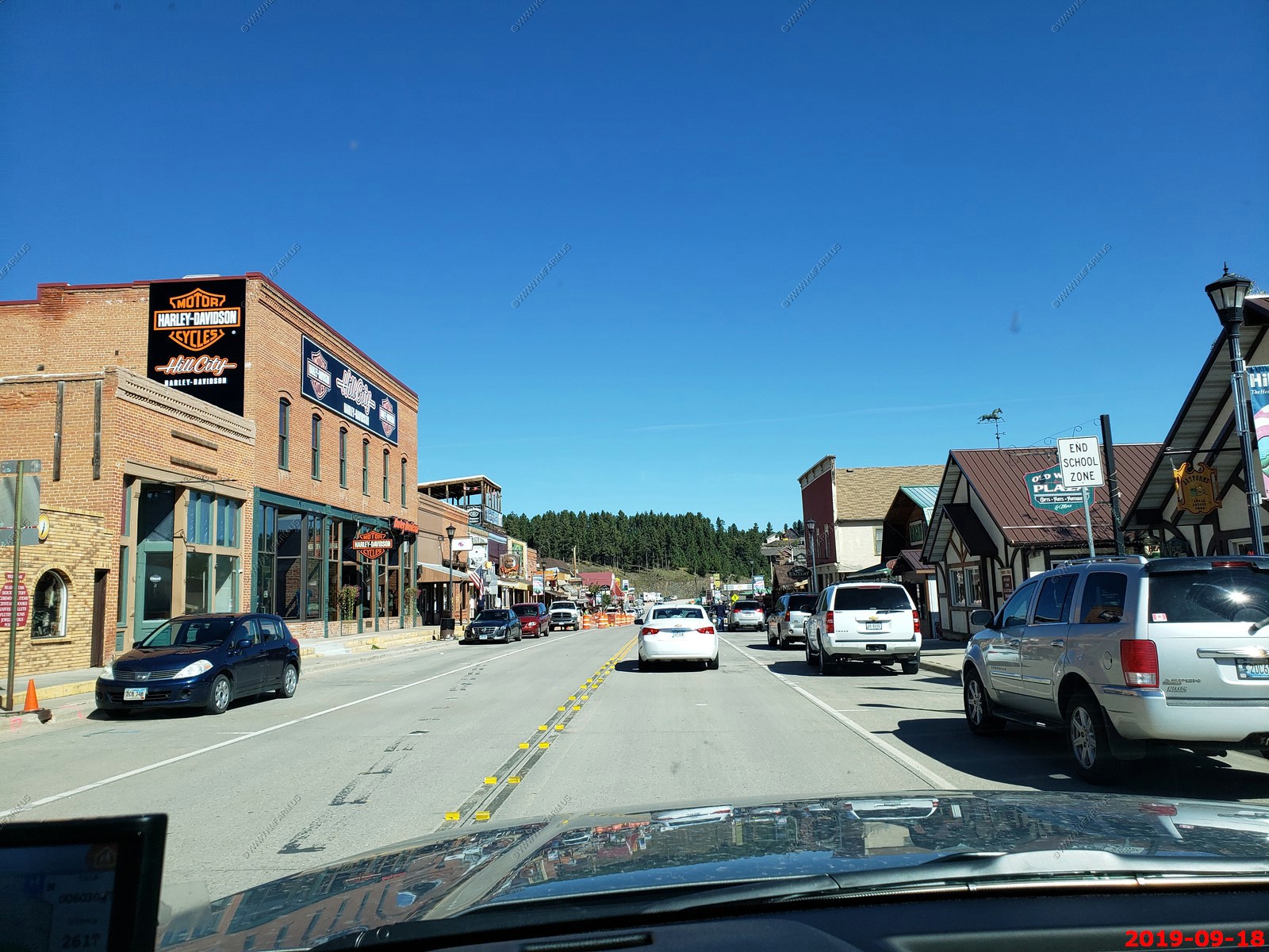
Riding thru Hill City. We stopped here a few days ago to eat at Alpine Inn and the wait was way too long. They only have a couple of things on the menu and its said that its very good. Next time.
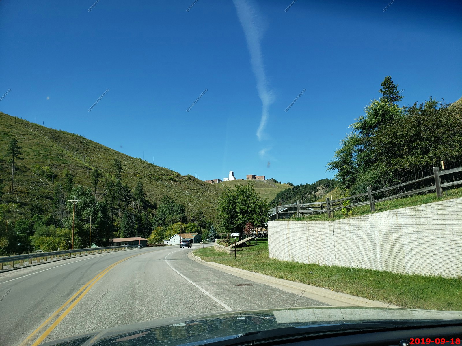
Approaching Lead / Deadwood. The hoist tower for the Sanford Underground Research Facility - SURF is located in the former Homestake Gold Mine and encompasses 223 acres on the surface and 7,700 acres underground. Homestake carved out more than 370 miles of underground shafts, drifts and ramps, and Sanford Lab currently maintains about 12 miles for science activities. At 4,888 feet deep, SURF is the deepest underground laboratory in the U.S.
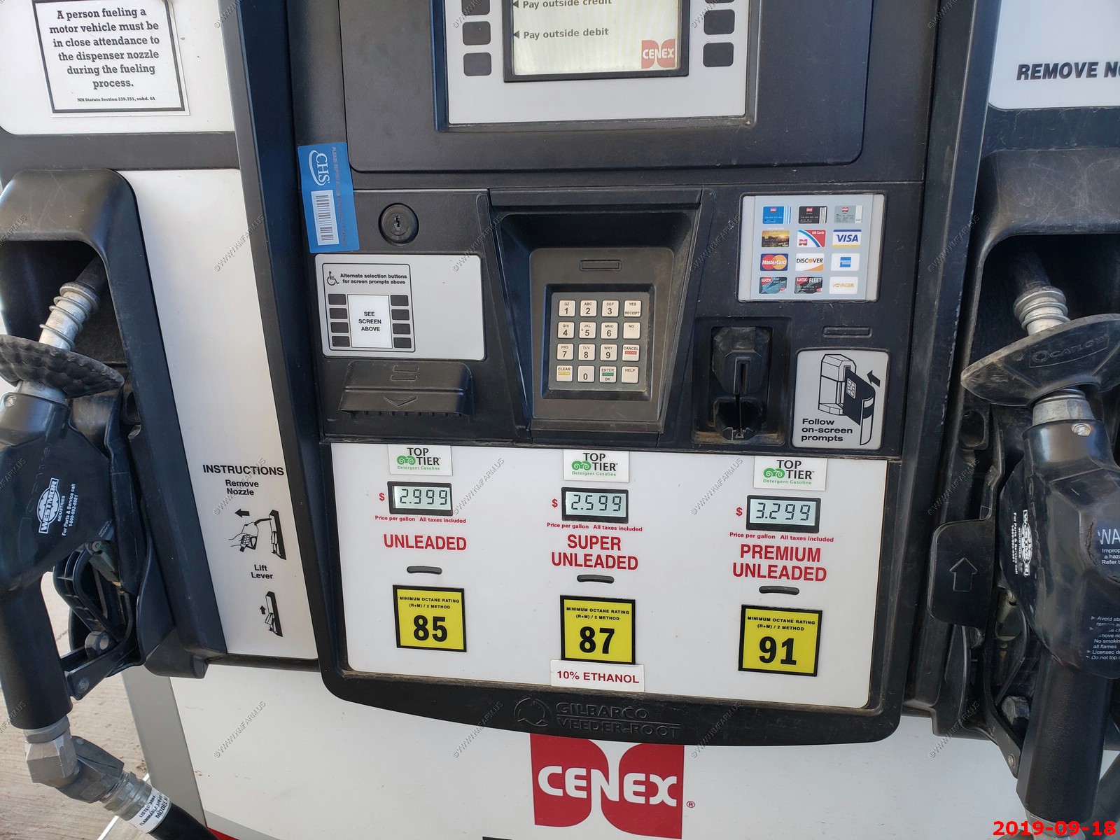
Strange gas here. Usually the higher you go (Elevation wise) the lower the octane. Here you can buy no ethanol gas with a lower octane for 40 cents more per gallon. I would run it when I could as I don't like Ethanol in my gas.
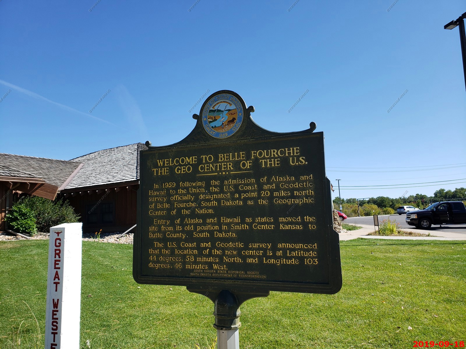
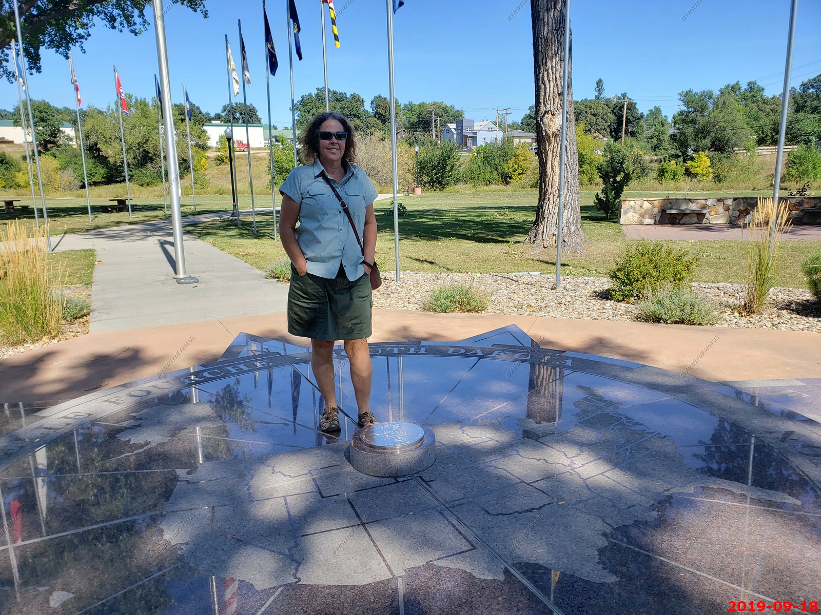
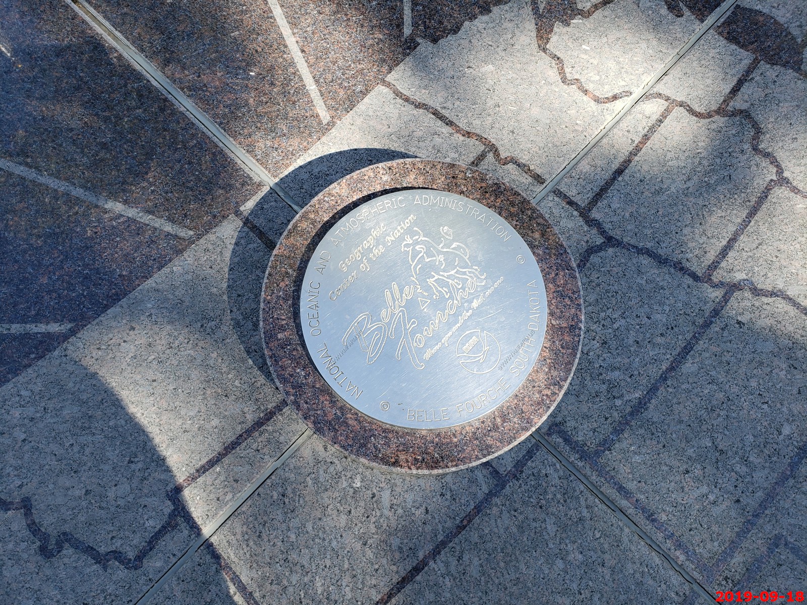
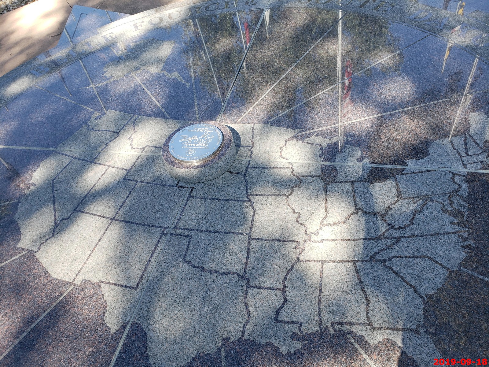
A quick stop in Belle Fourche, South Dakota.
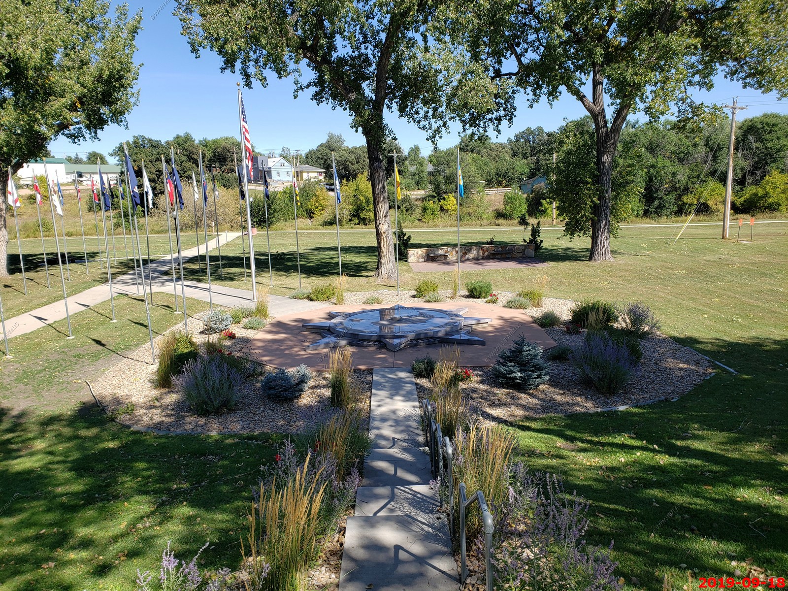
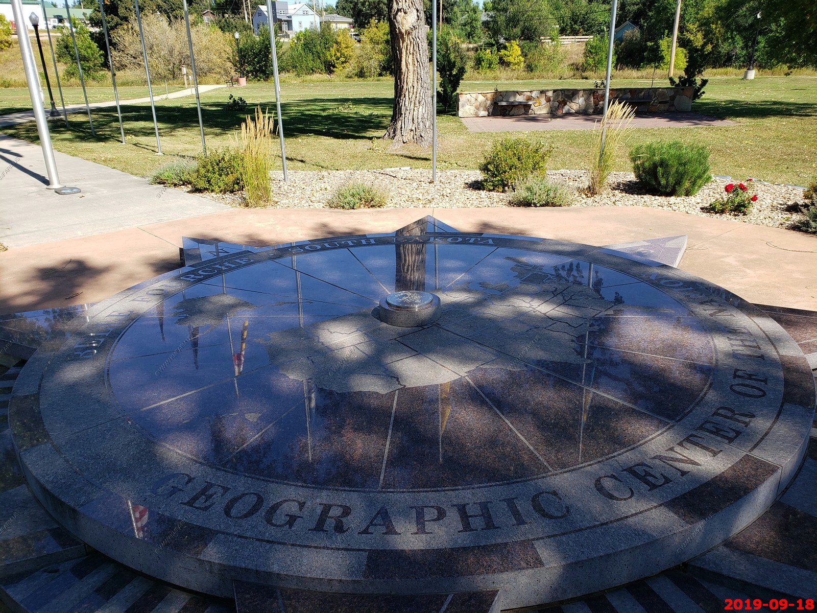
We stopped at the Geographic Center of the Nation Monument only to later find out that it WAS NOT the Geographic Center of the Nation Monument as its REALLY 20 miles north of Belle Fourche out in a field and that location would be bad for tourism I figure. In any case it was interesting and had clean bathrooms.
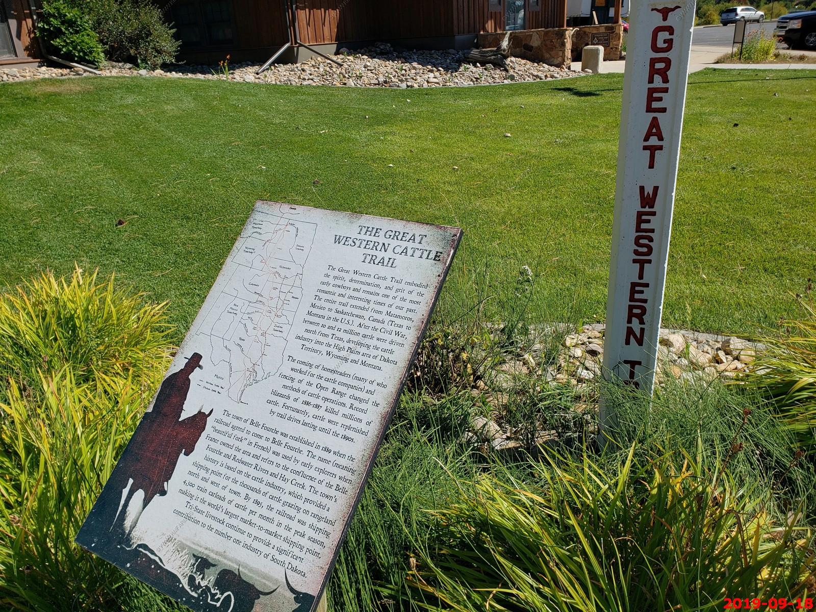
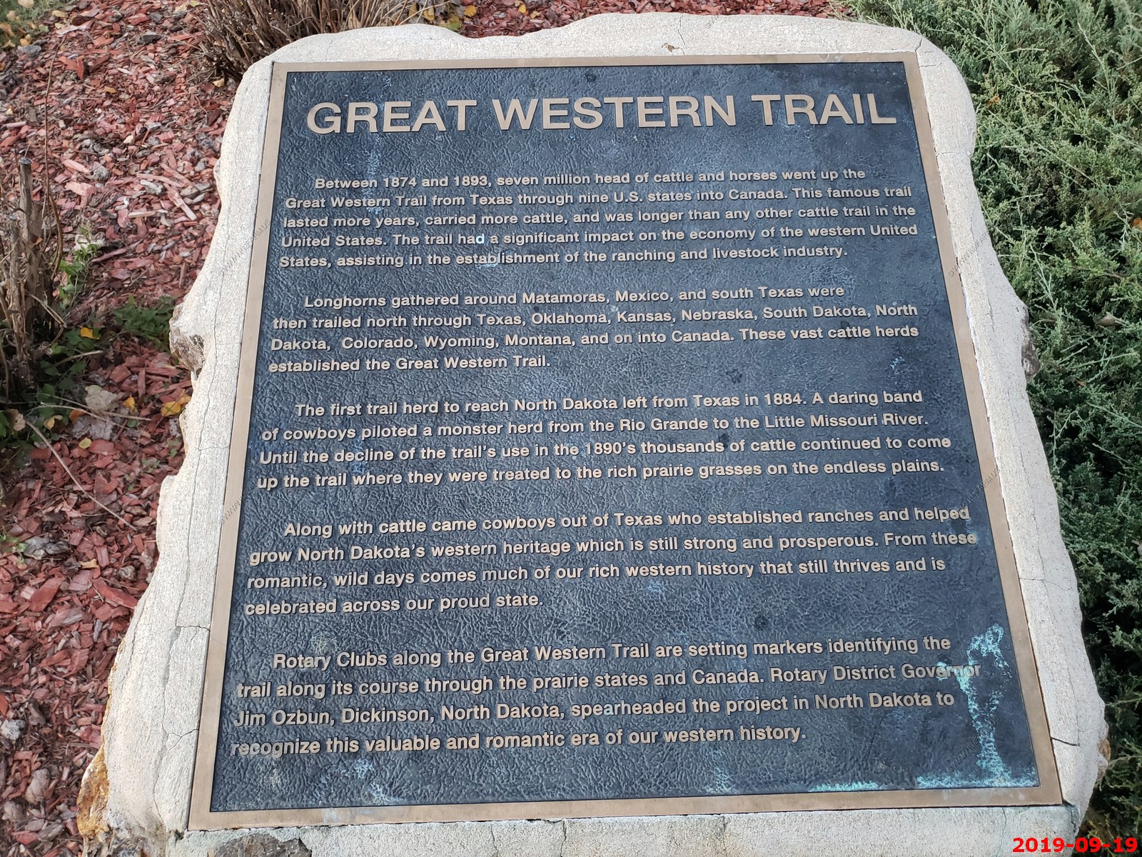
The Great Western Cattle Trail came thru here.
George Freeman Mortimer - Belle Fourche, SD - He worked hard for the Health and wellfare of his fellow citizens.

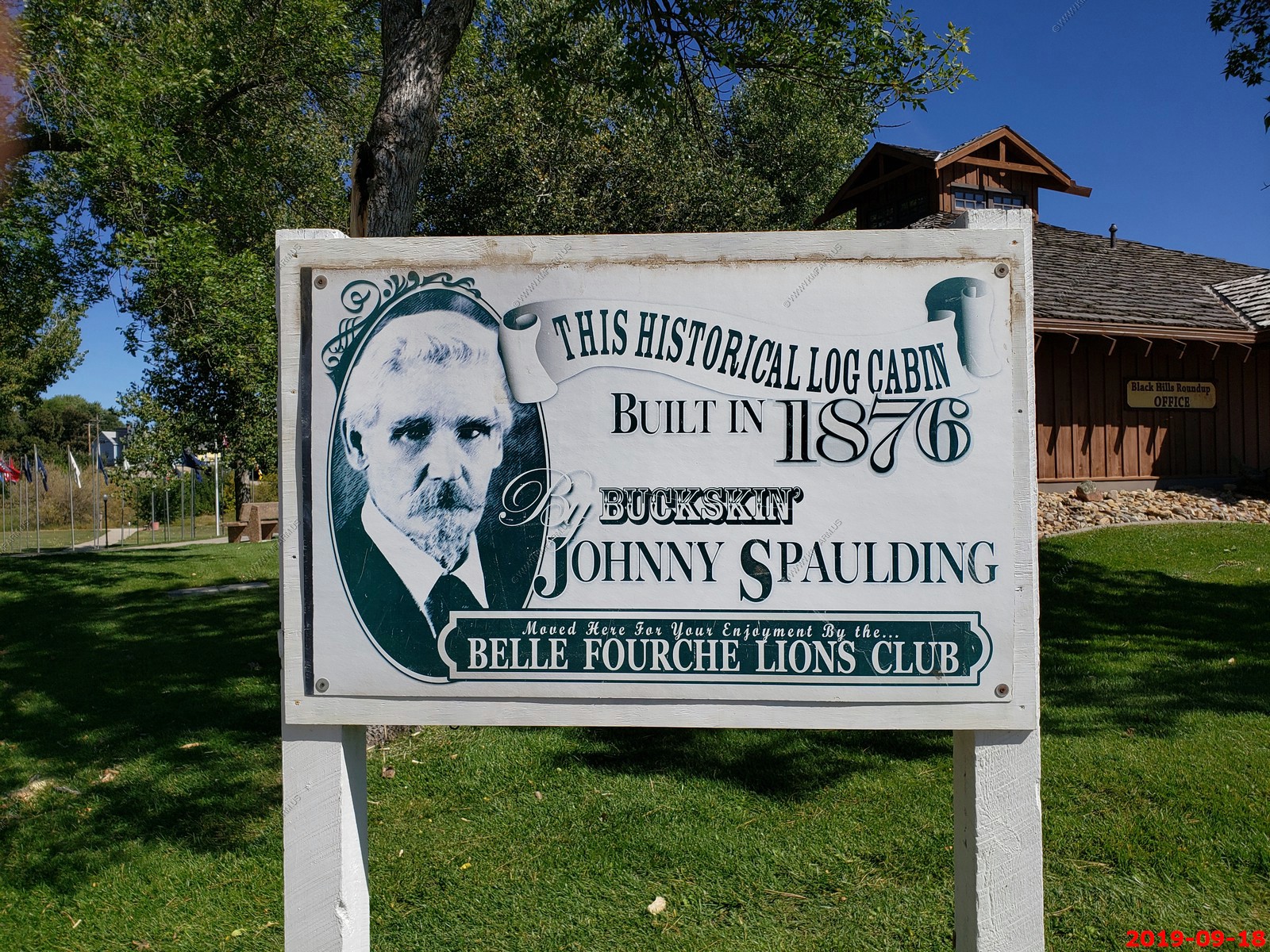
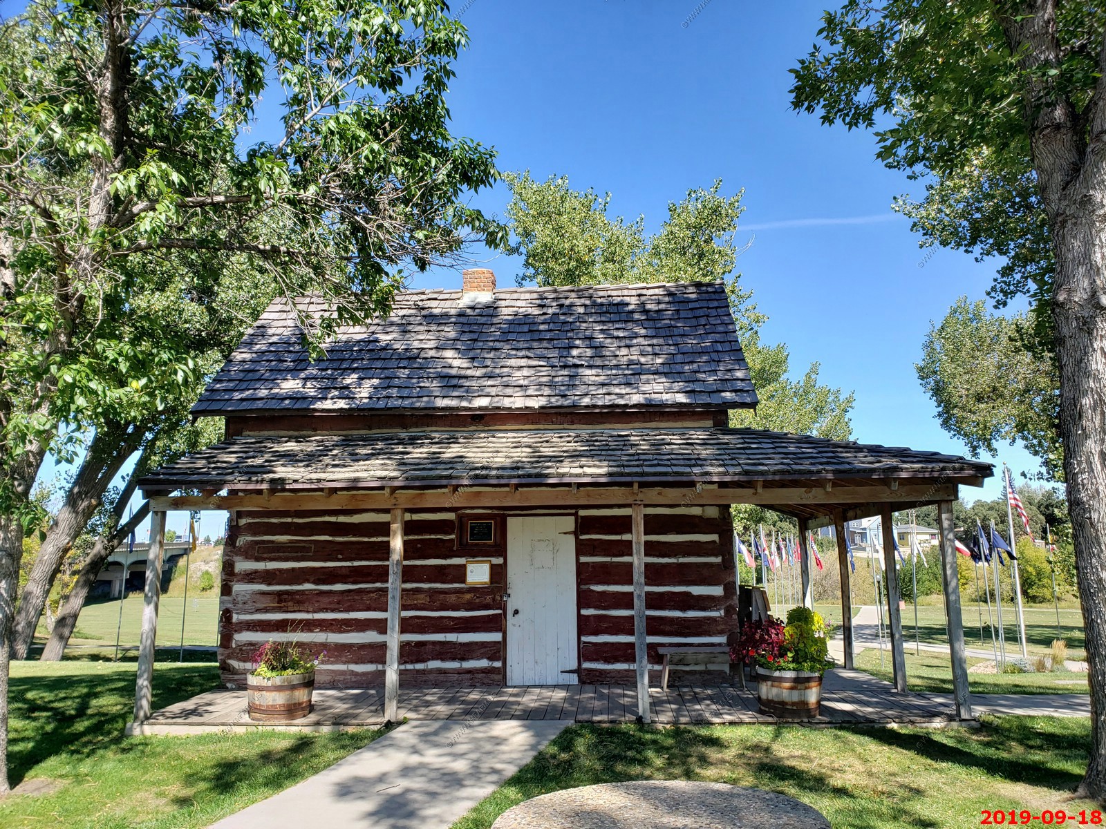
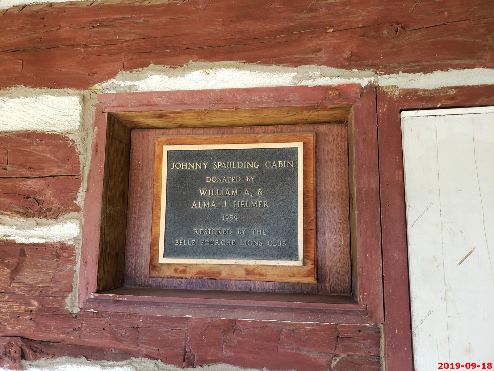
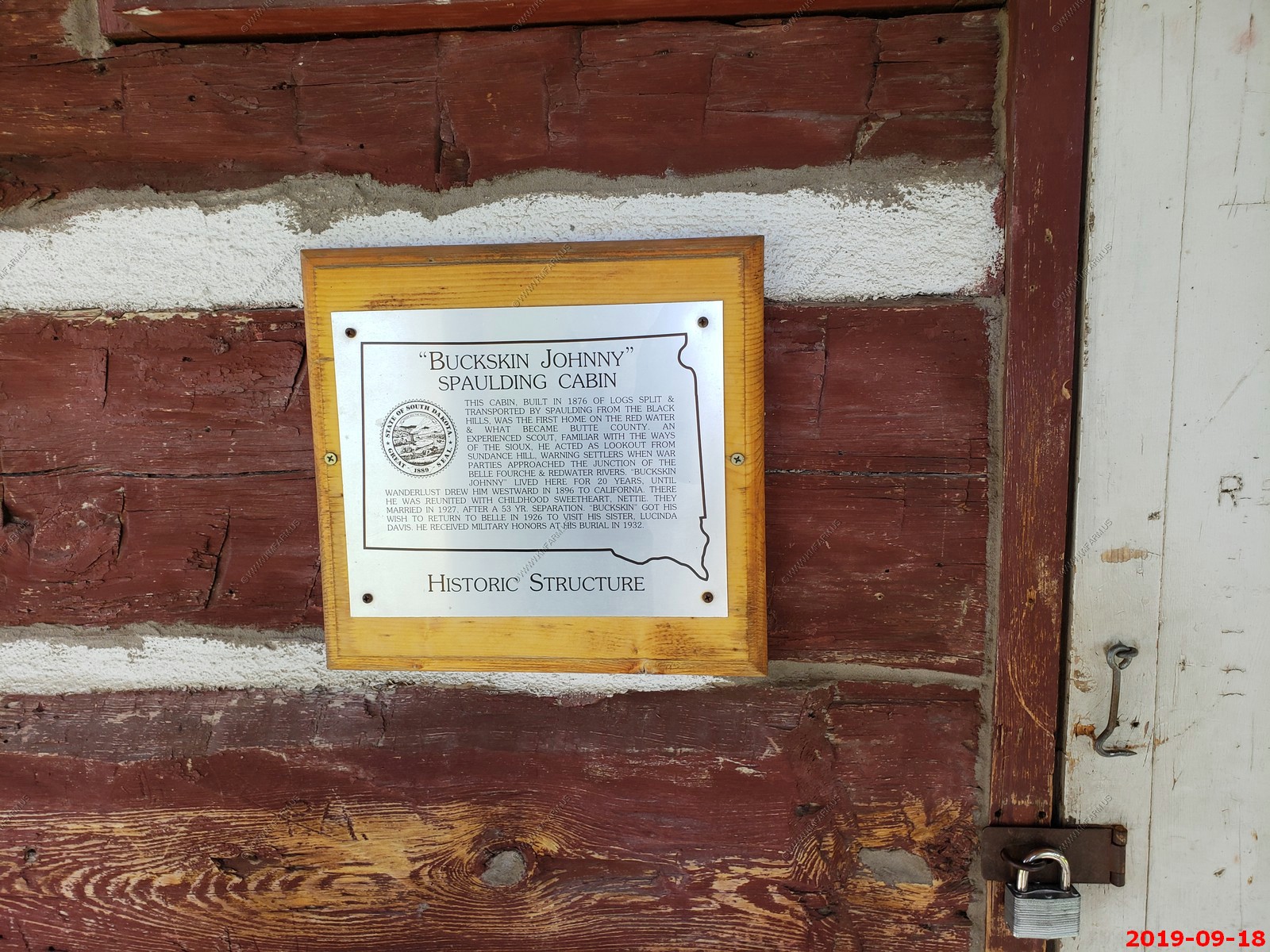
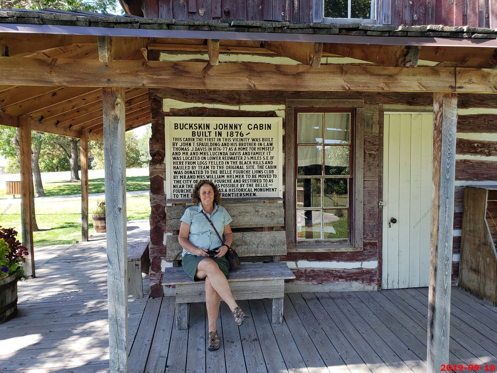
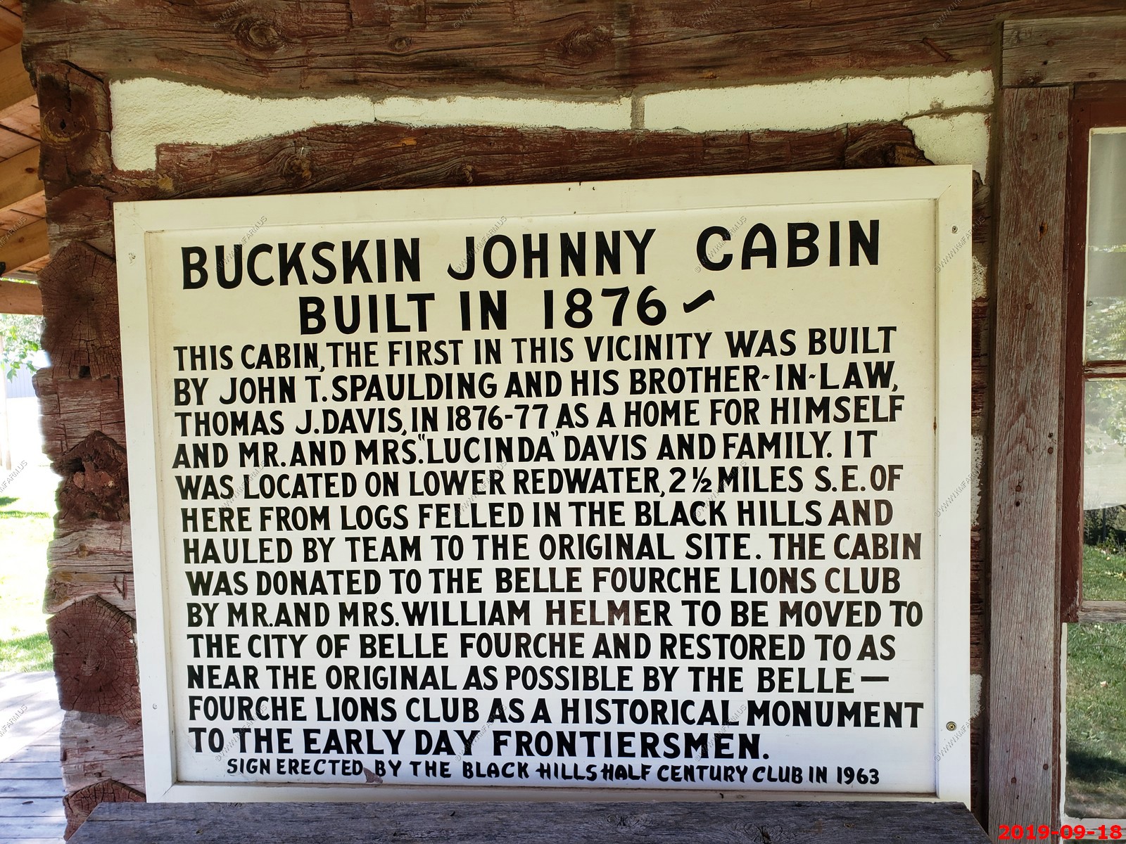
The Johnny Spaulding Cabin. We were wondering where it was. Interesting history.
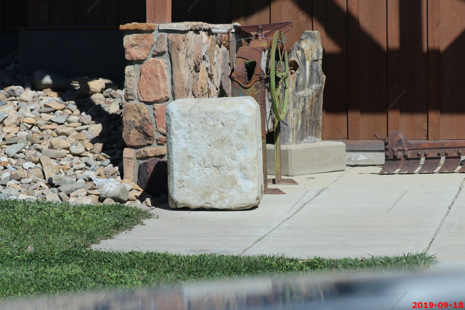
Out back to the fancy location marker that is really 20 miles north of here. I am a mapping / GIS expert and to build this in the wrong place really bothers me.
This is the ACTUAL CENTER - Not that fancy and its location is highly contested.

This rock game me an idea.. I have lots of rocks on my property and lots of equipment & time. I need to look in the old cemeteries around here for names & dates and start carving me some old "Historic" rocks... 100 years from now they will all be in some museum.
Heading up US-85 on the "CanAm Highway" You don't see much but amazing wide open spaces. Went thru the small towns of Redig, SD. Buffalo, SD. Ludlow, SD.
Old ATT long lines facility north of Ludlow, SD near (N 45.8586 W103.3809) Looks like its maintained and in good shape.
Welcome to North Dakota.
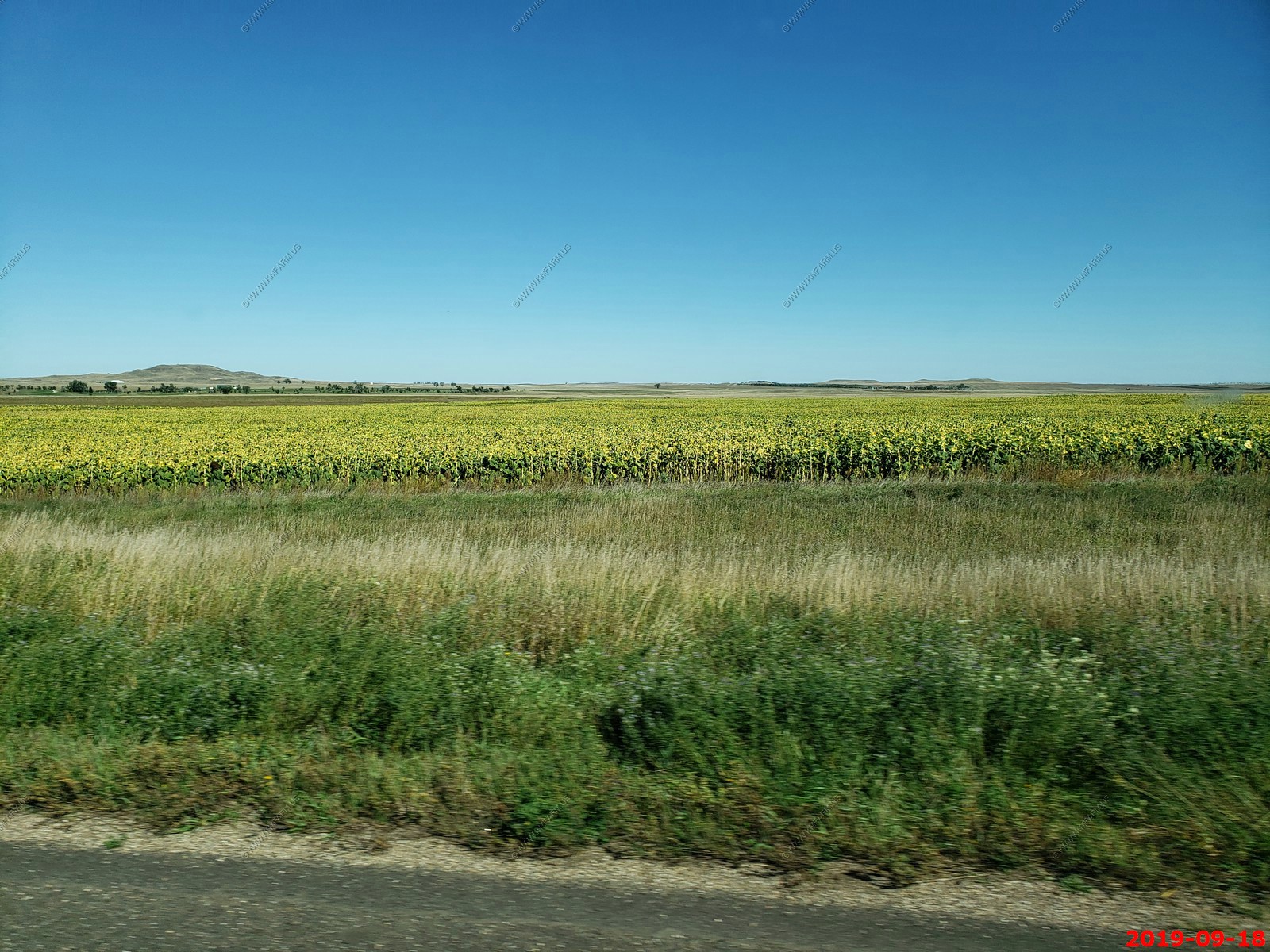
Lots of sunflowers.
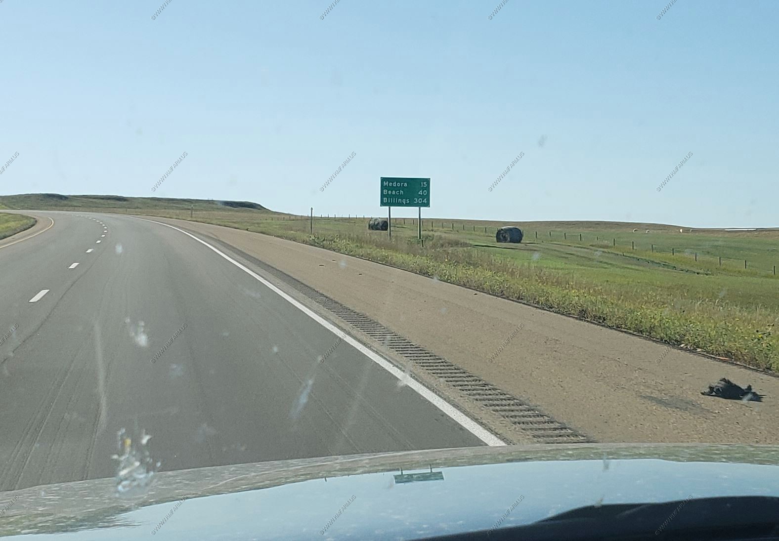
Now on Interstate 94 - Medora, ND (15 miles) - Beach, ND (40 Miles) - Billings, MT (304 miles).
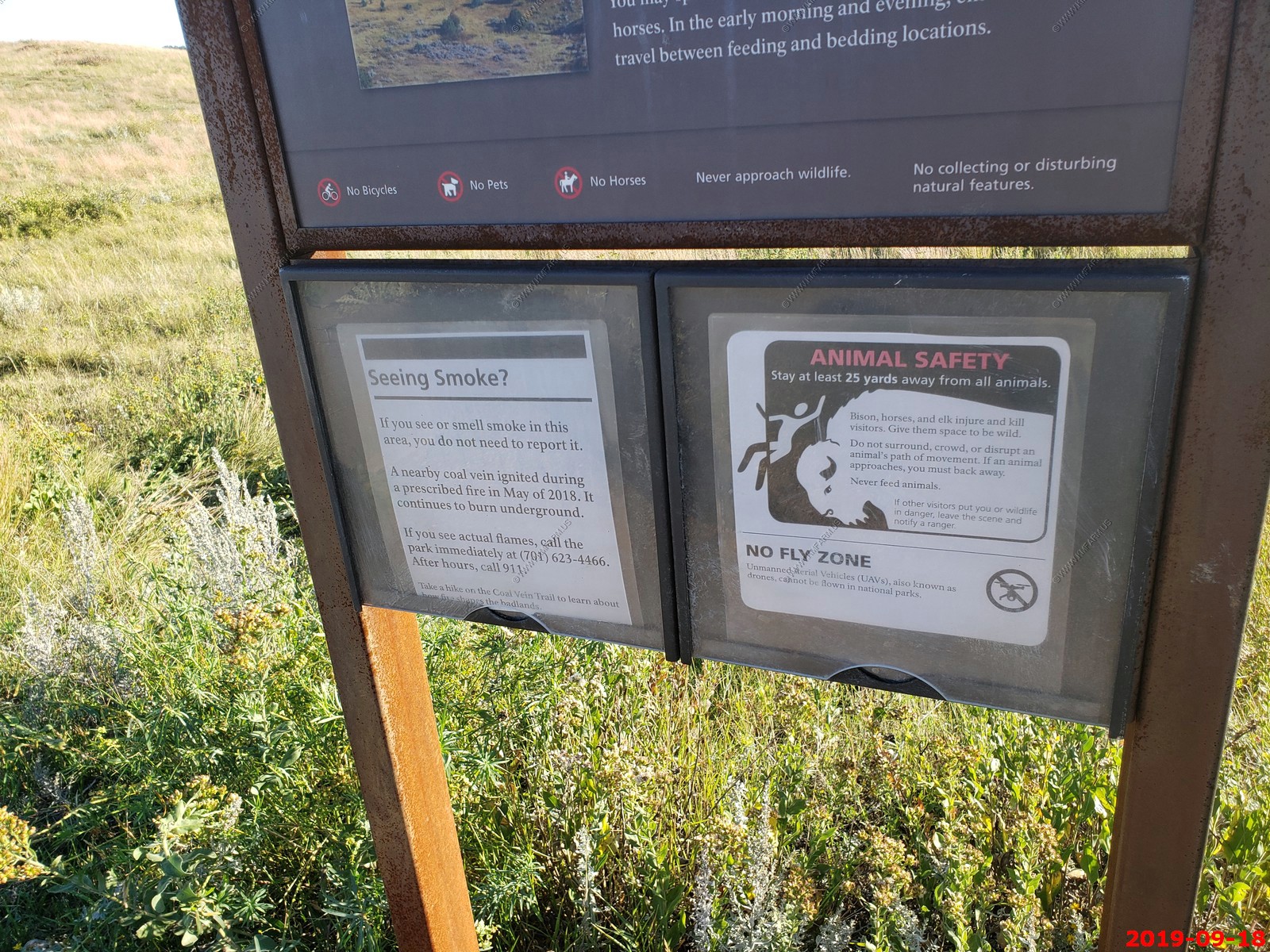
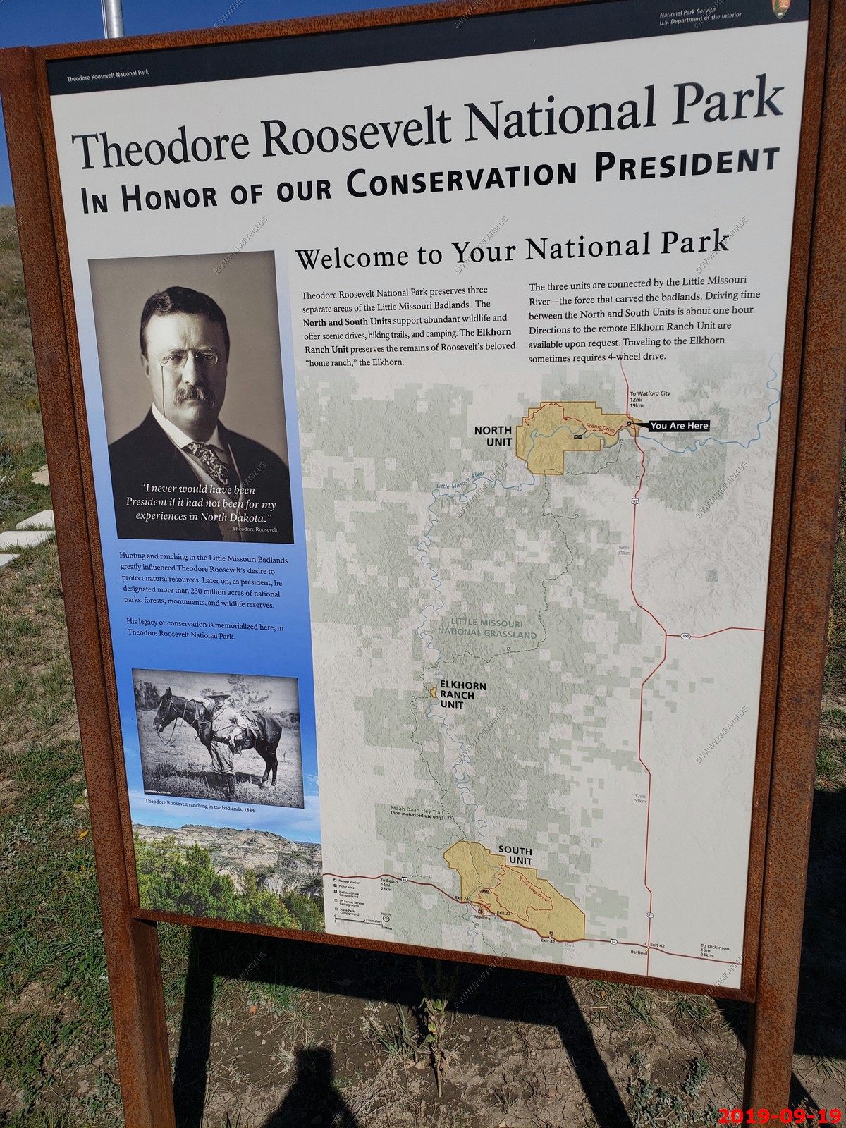
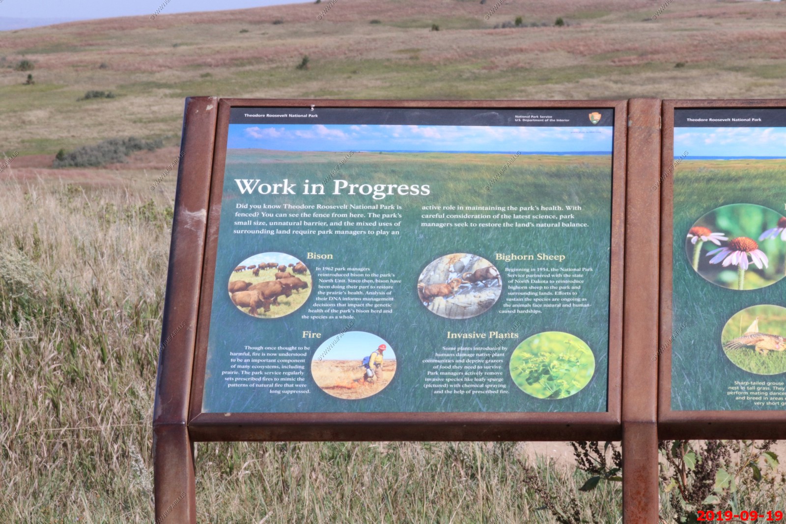
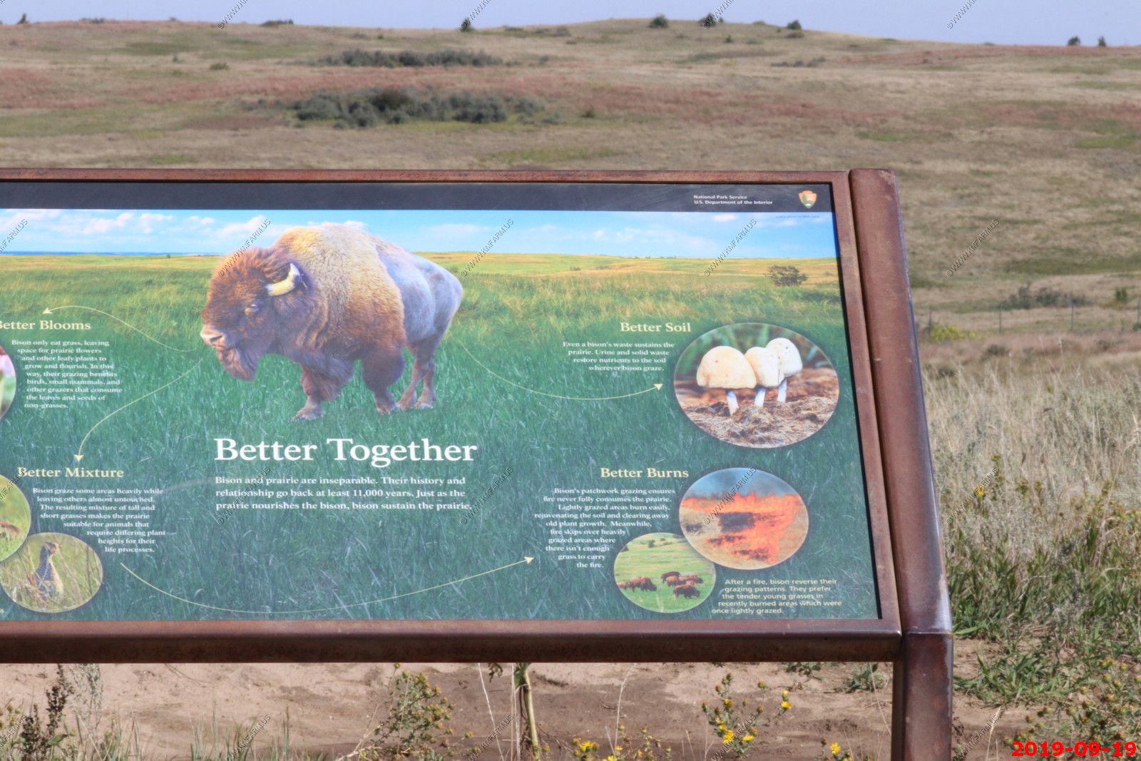
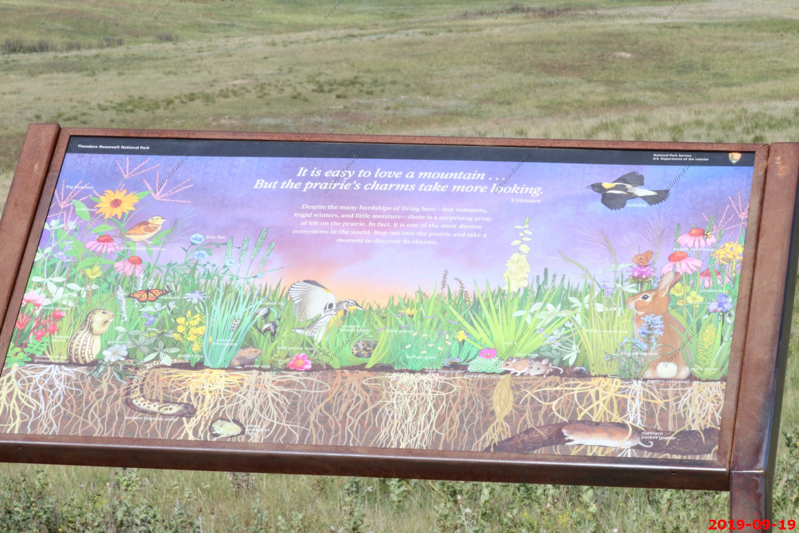
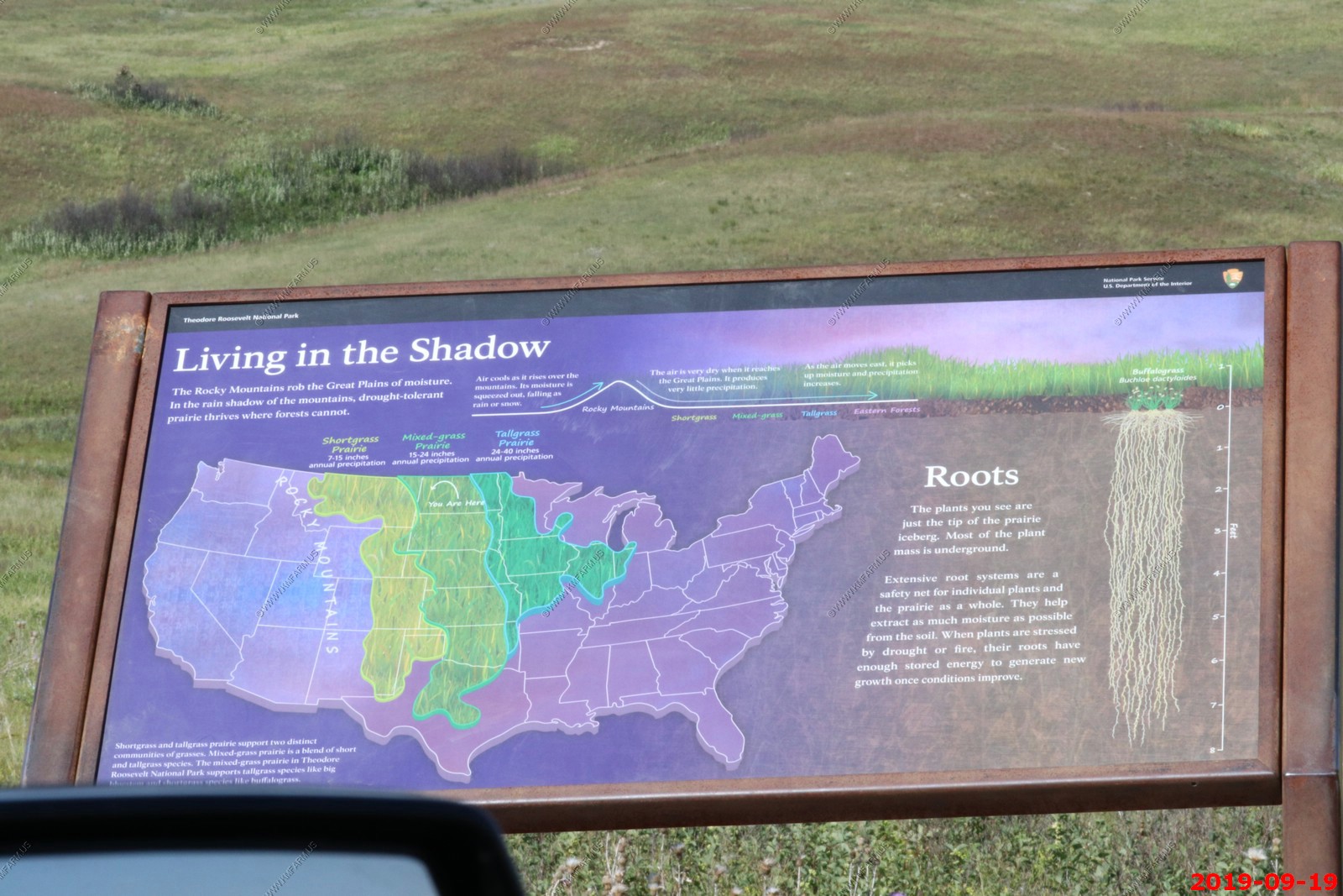
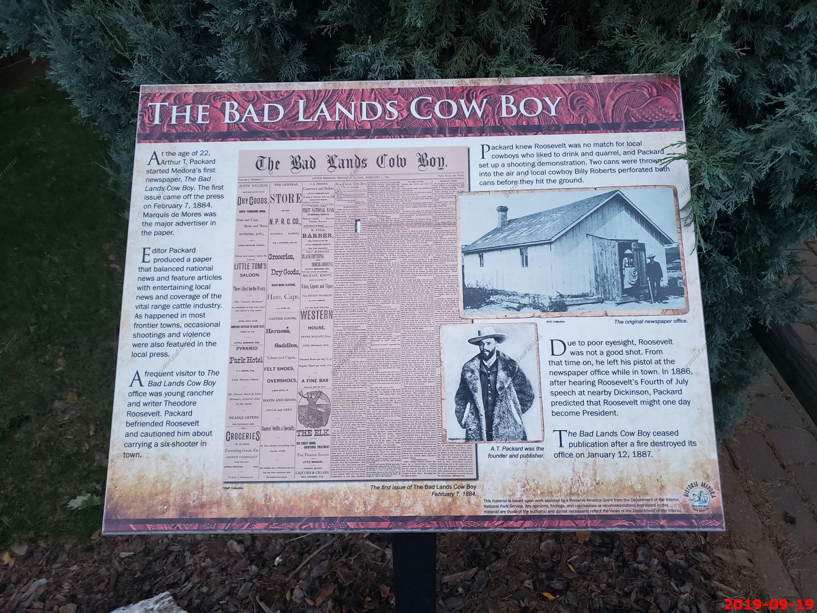
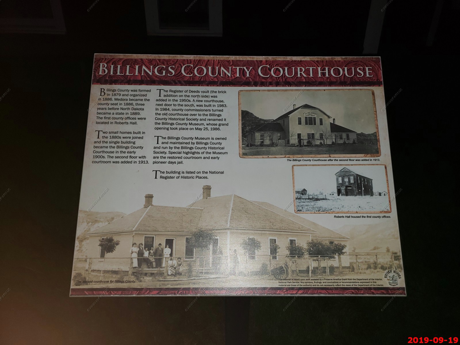
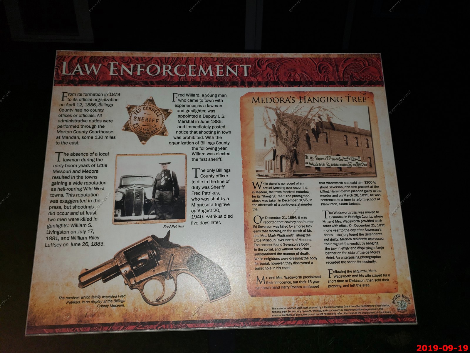
Select publications (I put both south & north unit together).
South Unit of Theodore Roosevelt National Park - national park comprising three geographically separated areas of badlands in western North Dakota. The park was named for U.S. President Theodore Roosevelt. The park covers 70,446 acres (110.072 sq. mi) of land in three sections: the North Unit, the South Unit, and the Elkhorn Ranch Unit.
The park's larger South Unit lies alongside Interstate 94 near Medora, North Dakota. The smaller North Unit is situated about 80 mi north of the South Unit, on U.S. Route 85, just south of Watford City, North Dakota. Roosevelt's Elkhorn Ranch is located between the North and South units, approximately 20 mi west of US 85 and Fairfield, North Dakota. The Little Missouri River flows through all three units of the park. The Maah Daah Hey Trail connects all three units.
The park received 749,389 recreational visitors in 2018. It is the only American national park named directly after a single person.
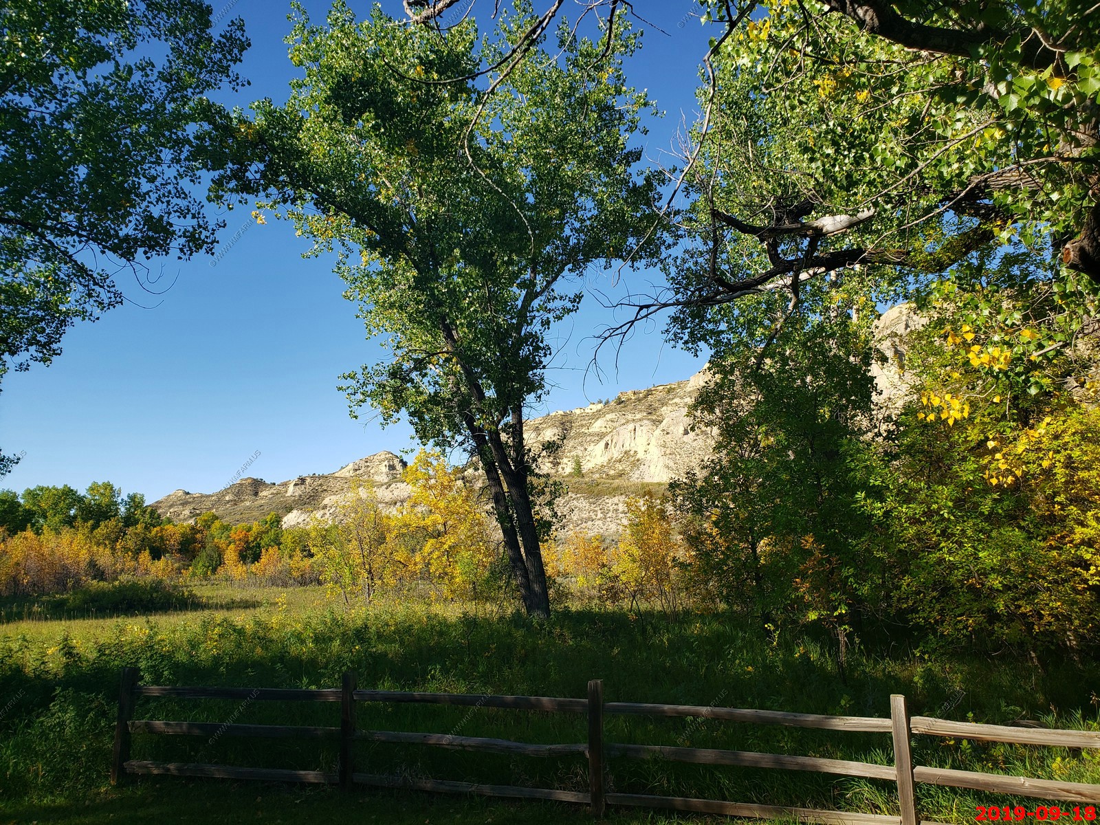
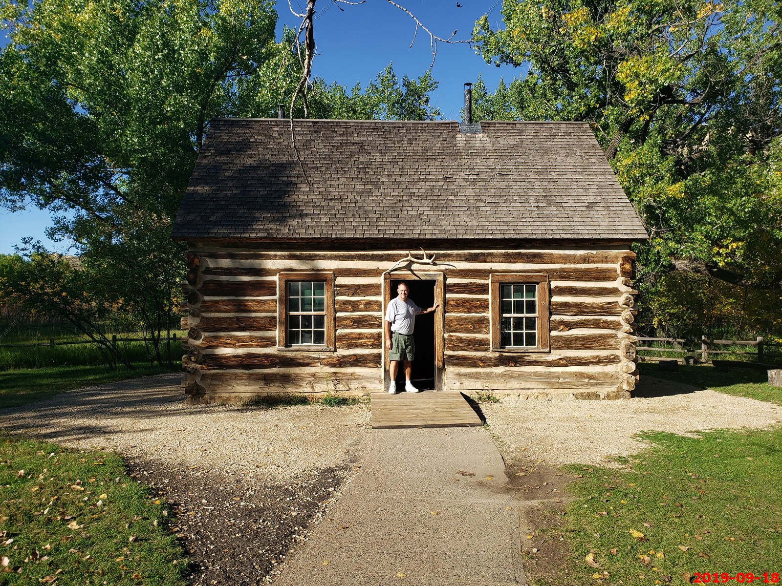
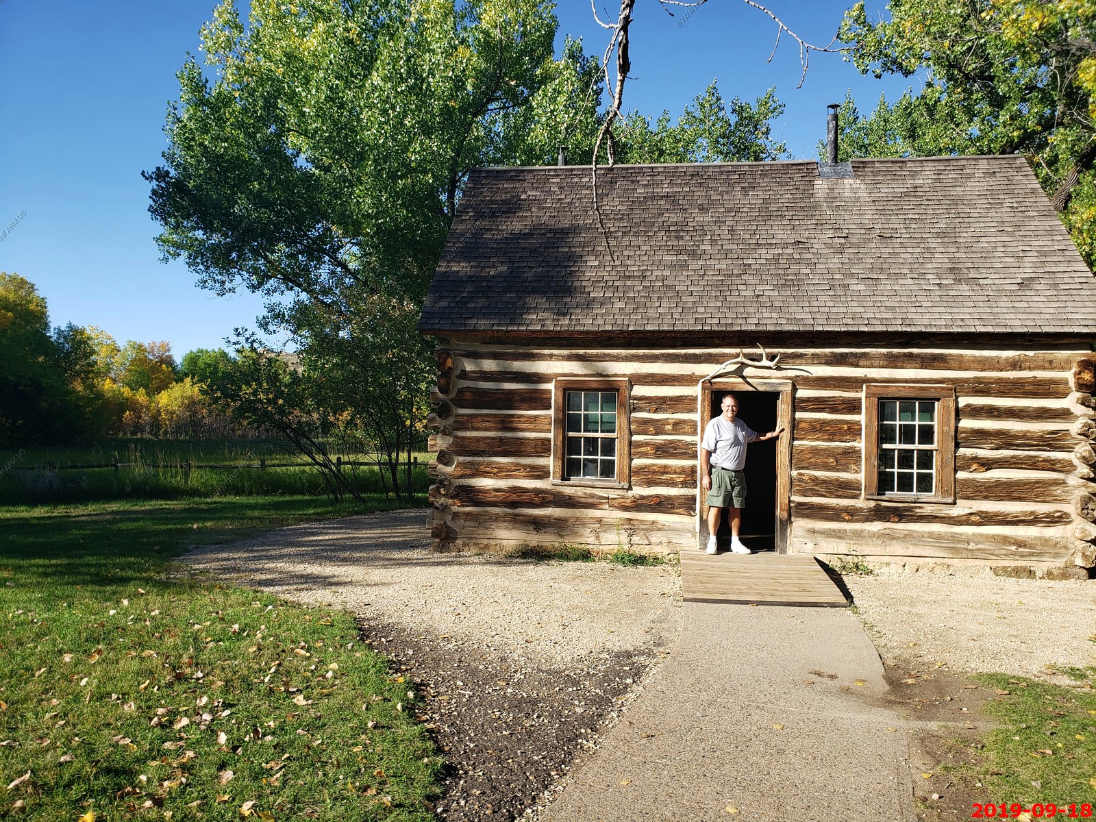
We checked out Theodore Roosevelt's Maltese Cross Cabin.
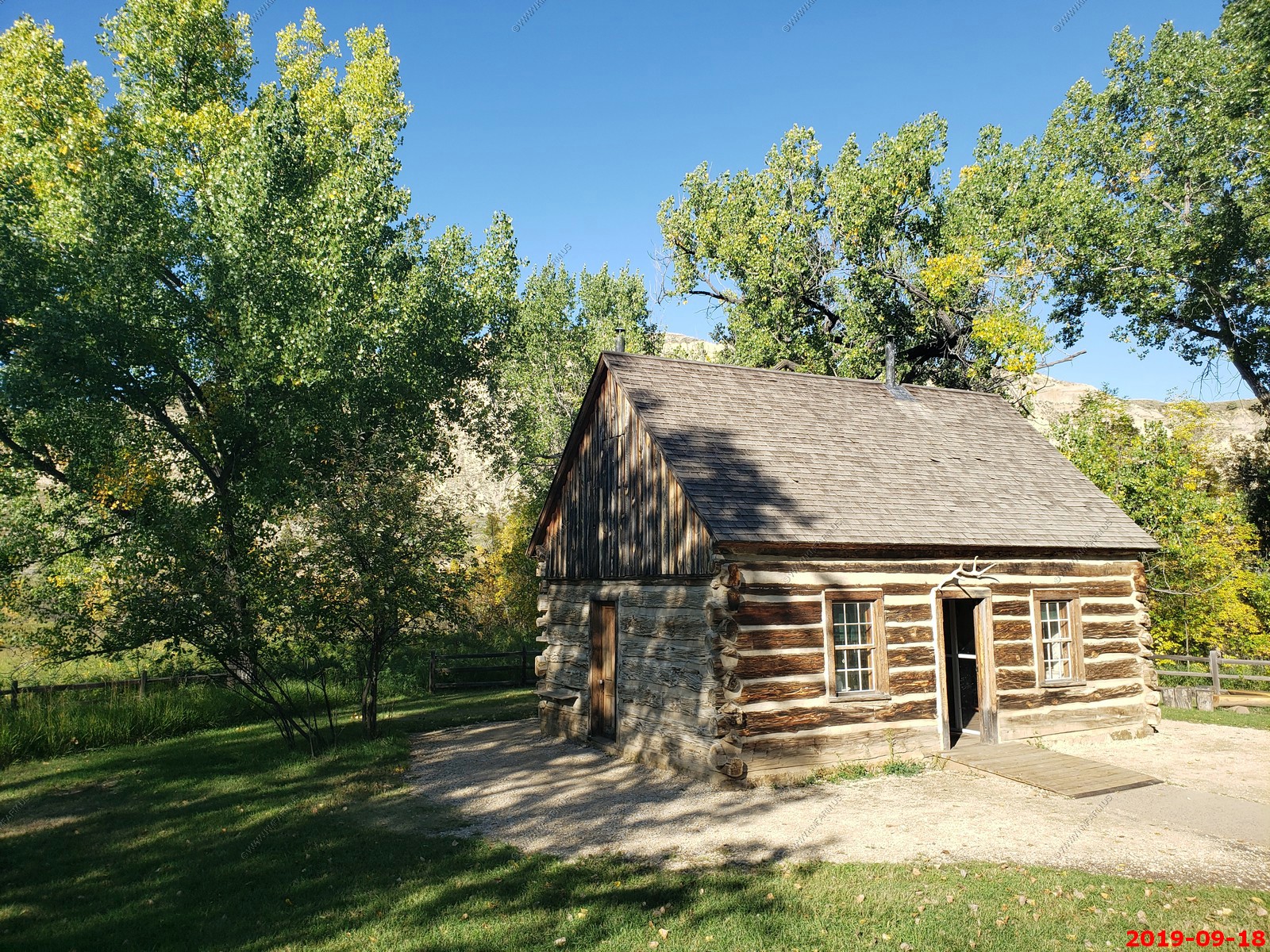
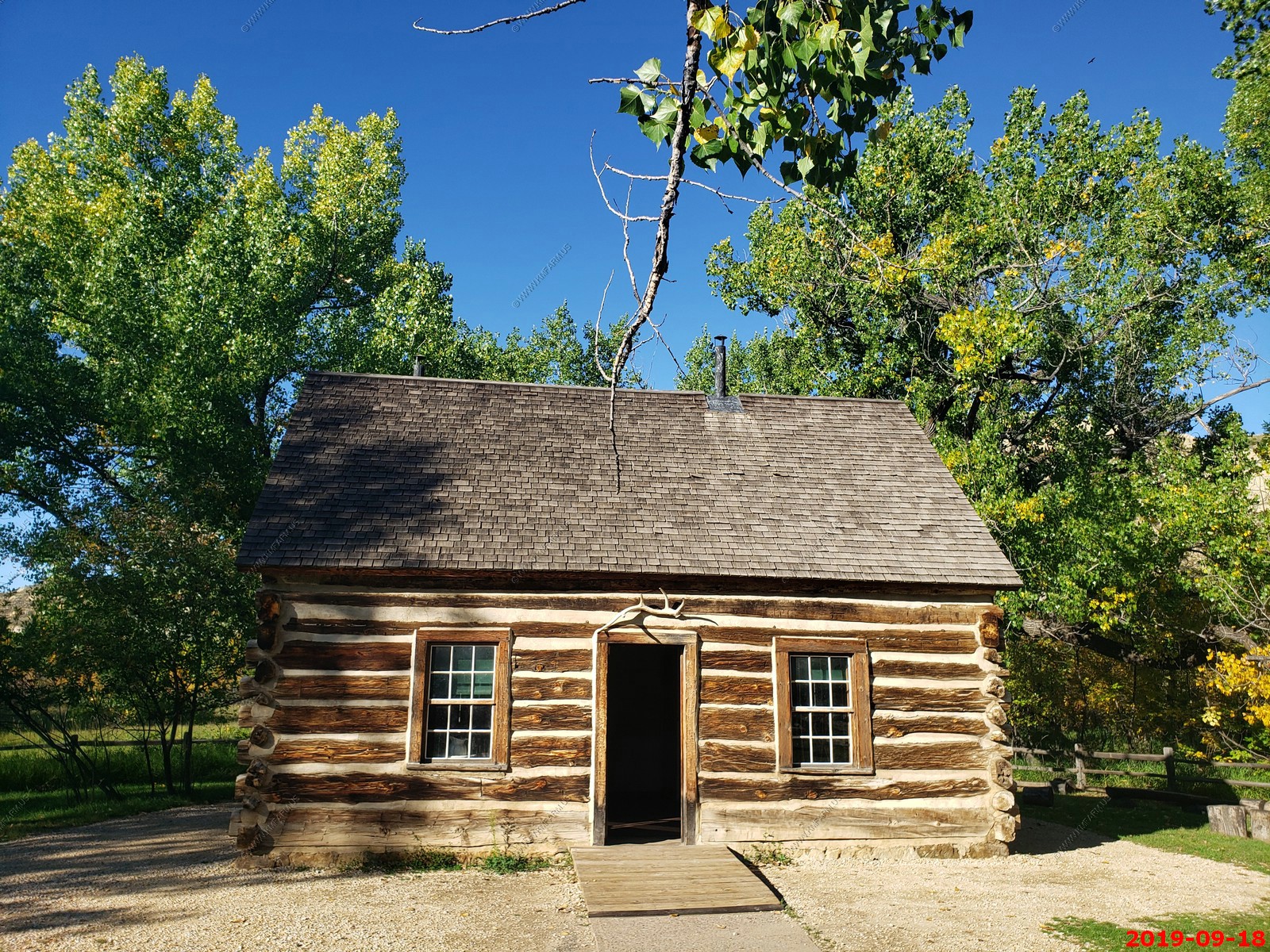
I could live here but only in the summer.

Info in the visitor center.
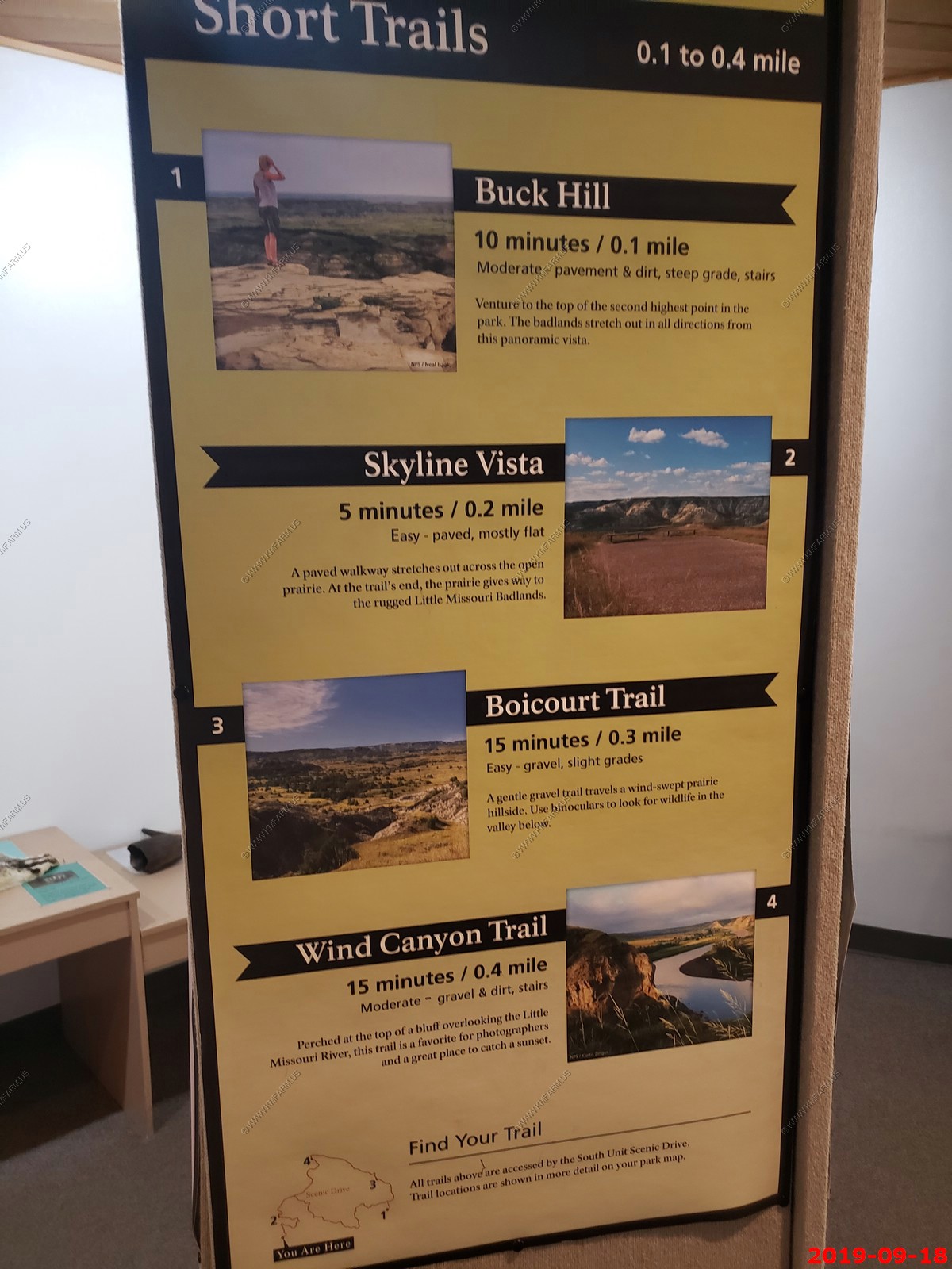
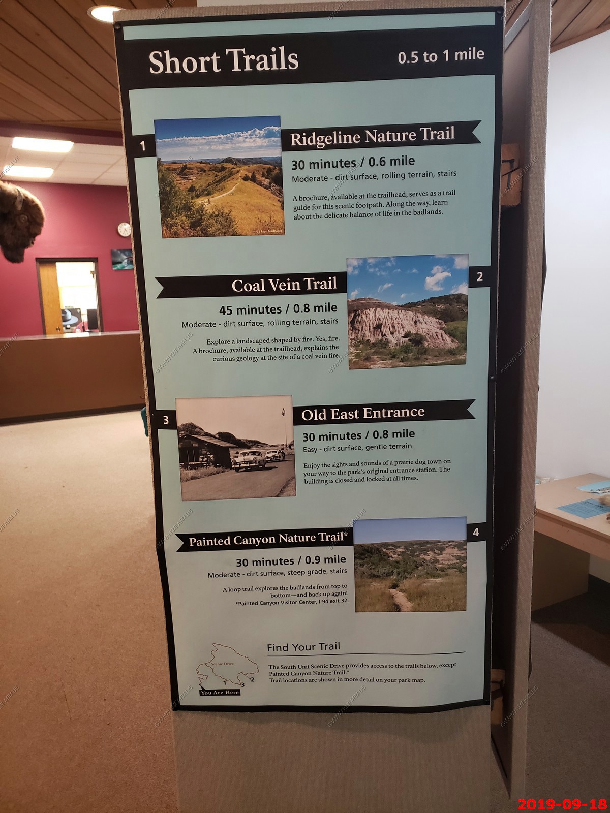
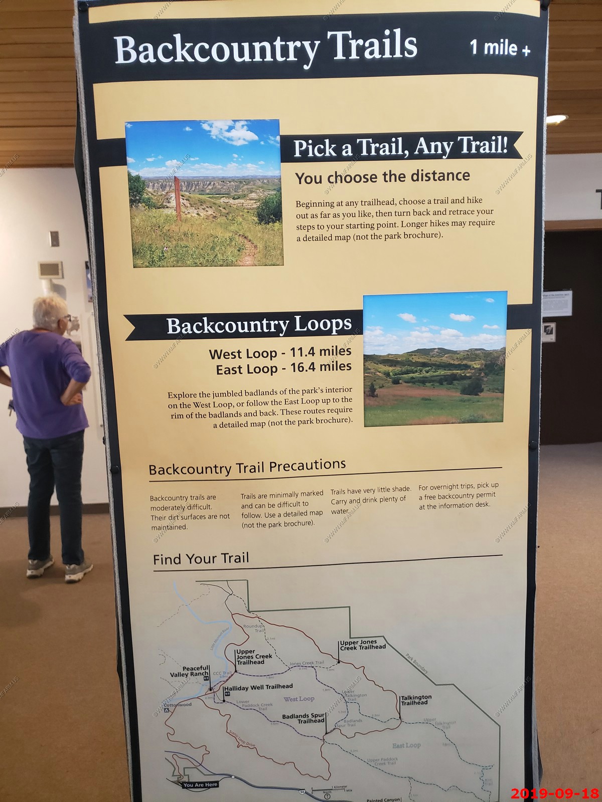
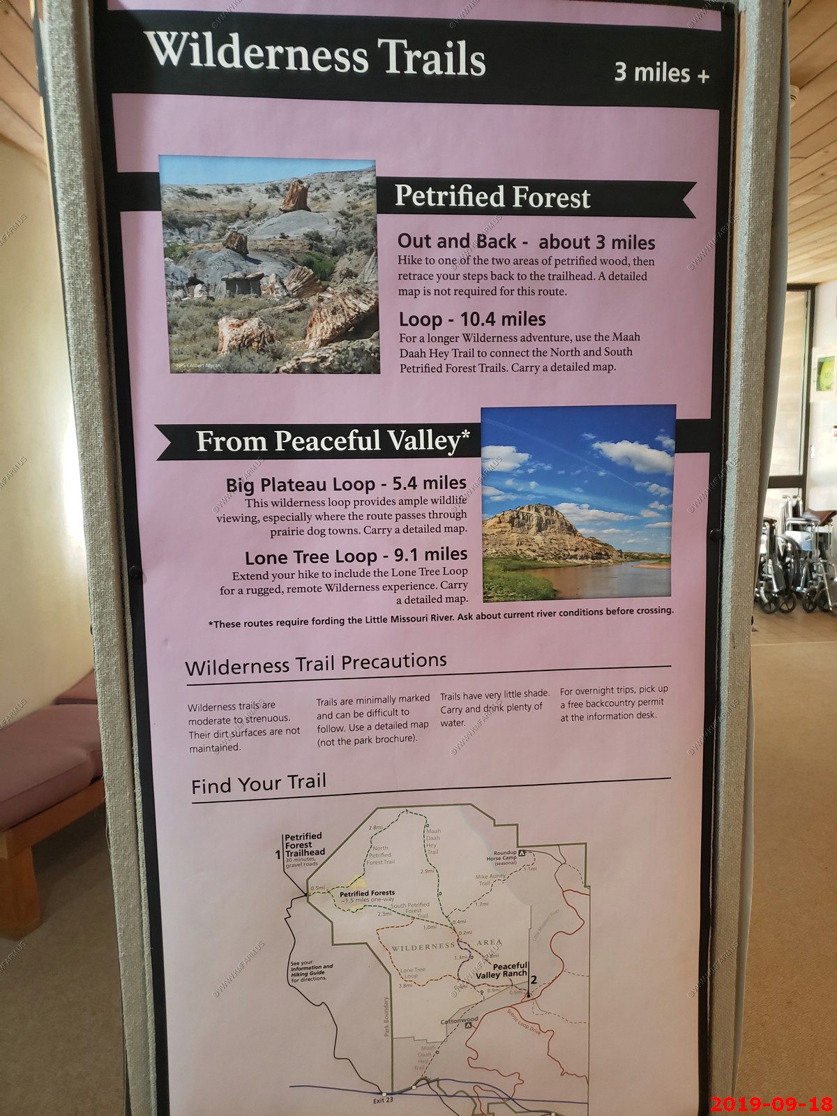
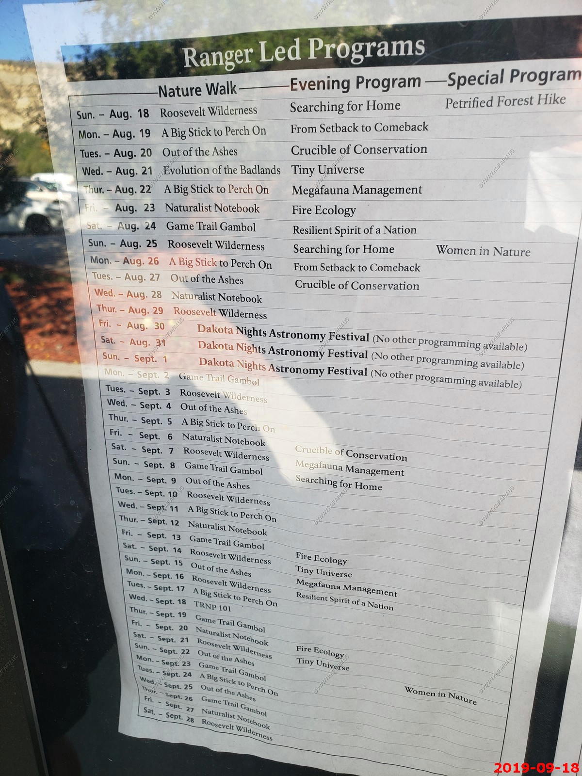
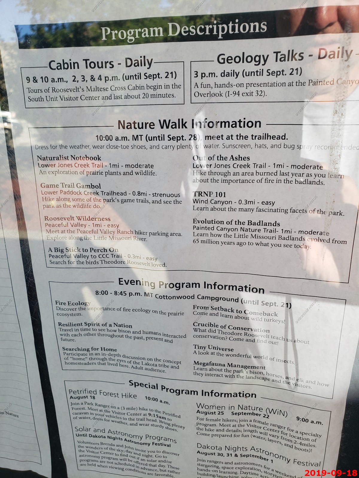
Ranger programs.
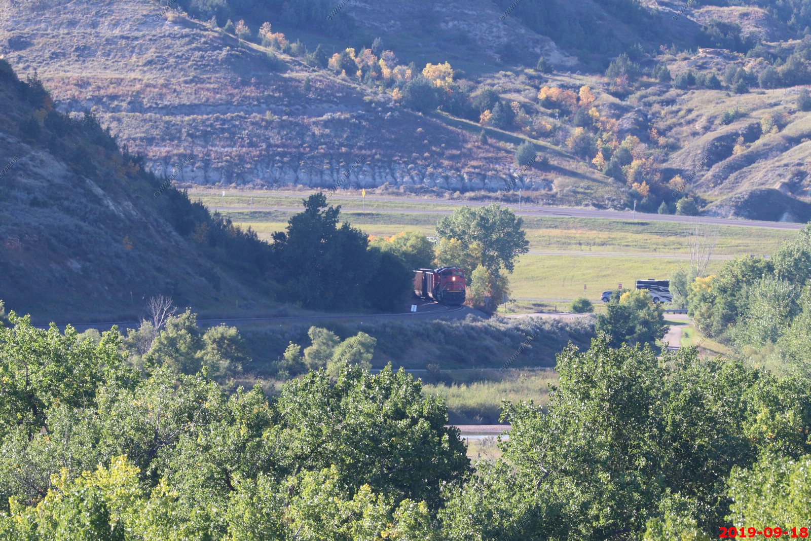
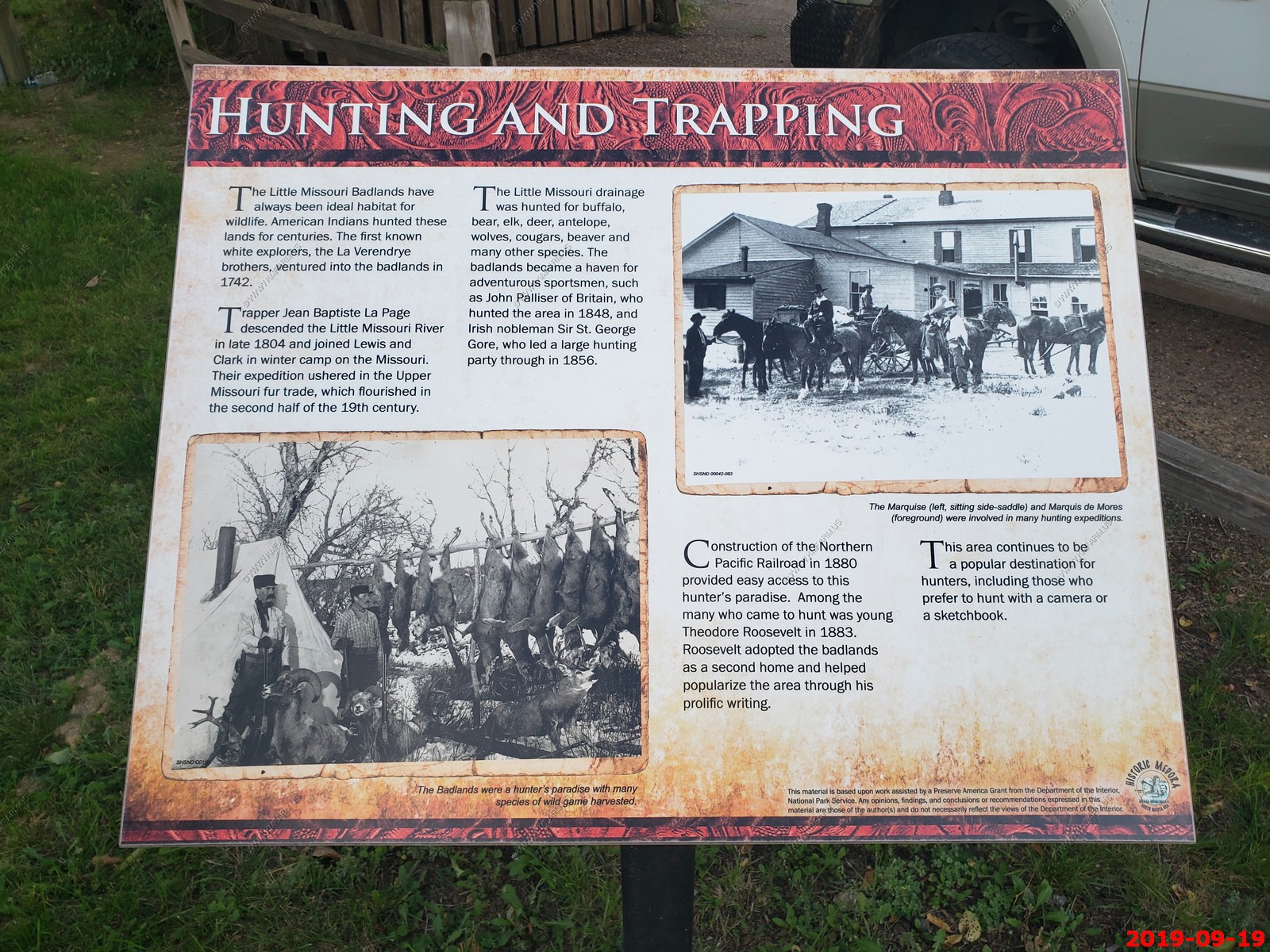
Medora, North Dakota is known for train watching. Trains Magazine rates this area as one of the top 10 places to watch trains - In North America there are few places more wide-open and beautiful than the Badlands of North Dakota. Halfway between Medora and Belfield, just south of Interstate 94, BNSF's Dickinson Subdivision twists through tall sedimentary rock formations dating back millions of years. The landscape is littered with petrified tree stumps and sprinkled with oil wells. Lace up your hiking boots and bring a four-wheel-drive vehicle for an all-access pass to these expansive surroundings, but watch out for rattlesnakes! It did not disappoint !
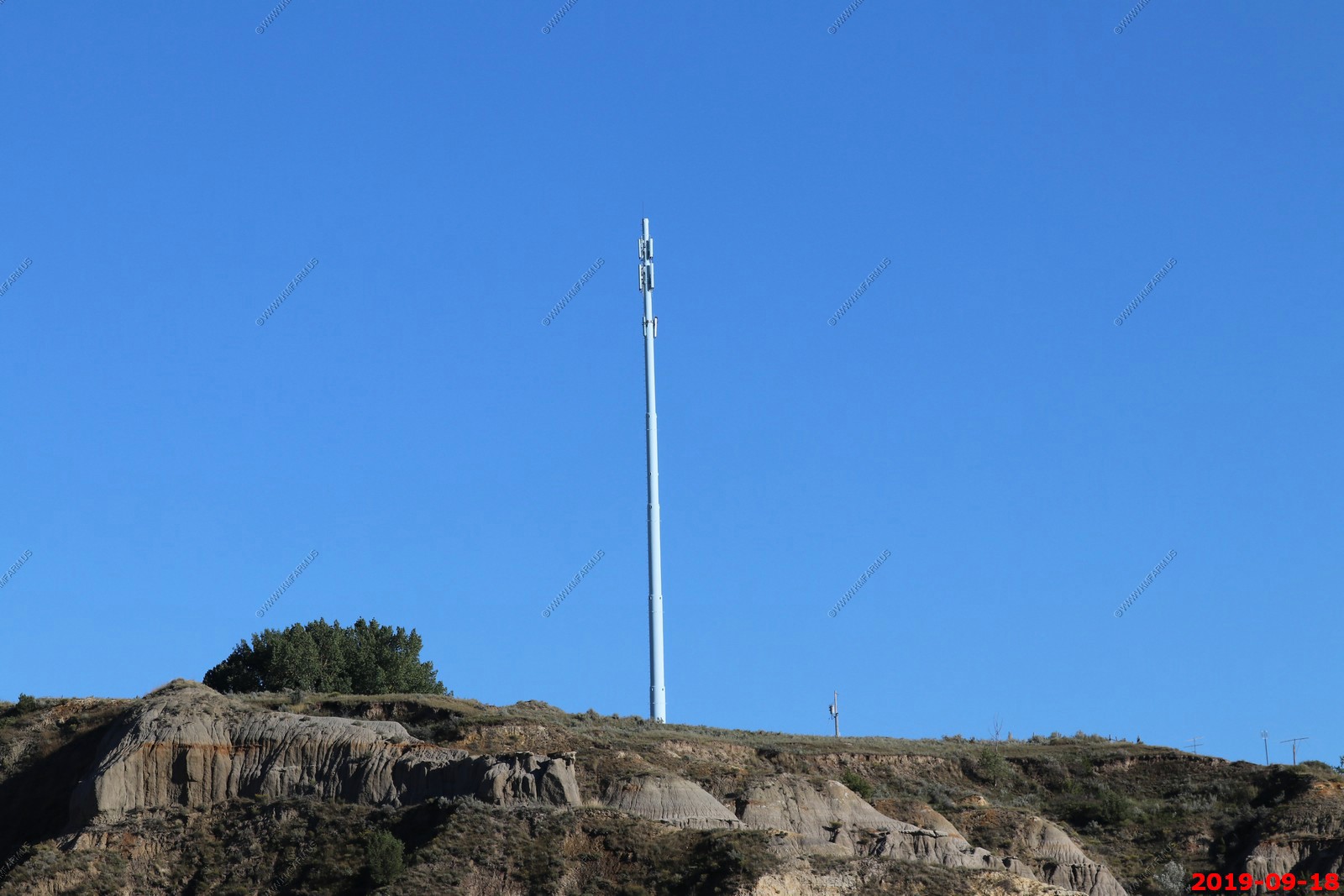
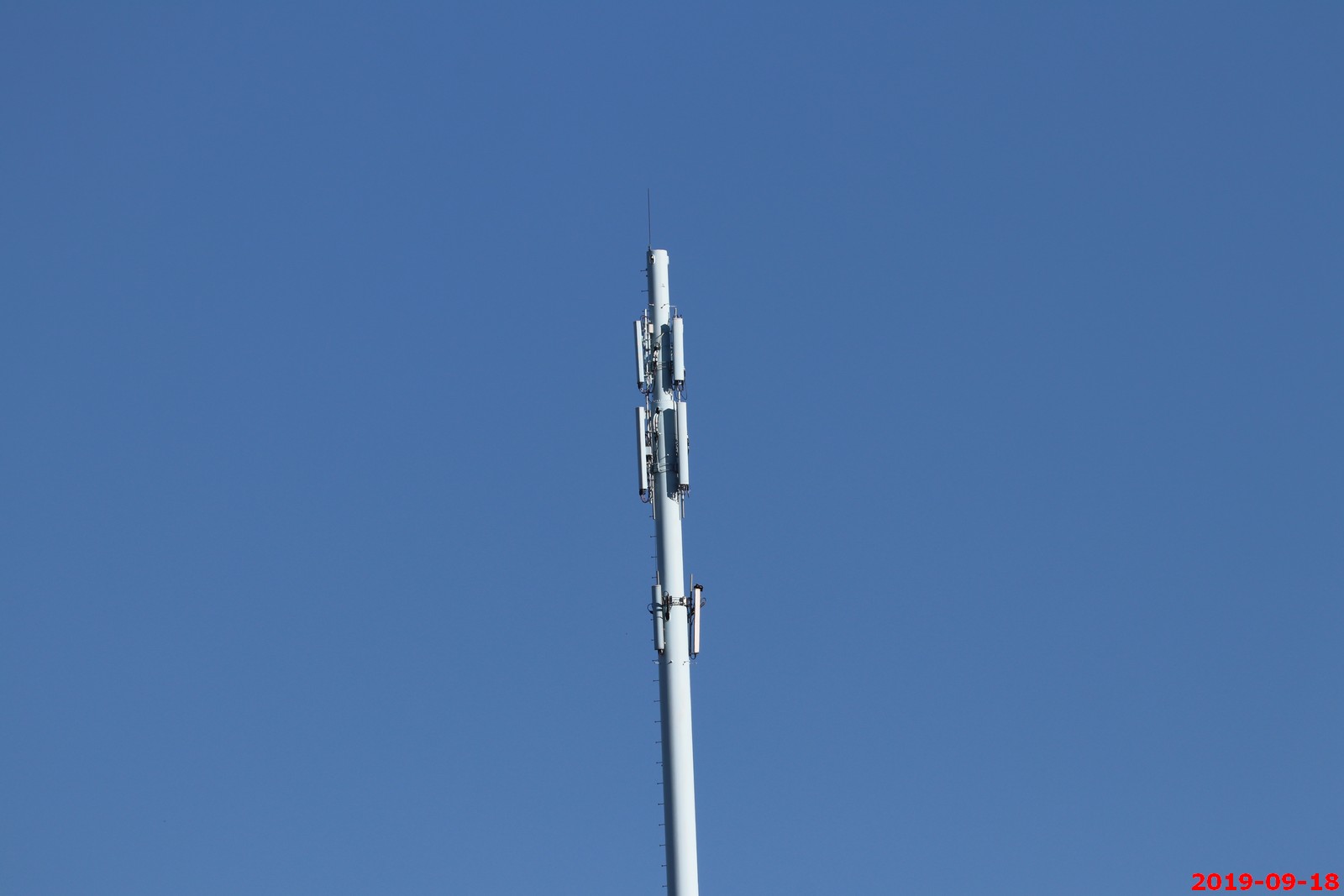
This area had great cell service and this was probably the reason. Was on a hill right above town (directional rectangular panel type of antenna).
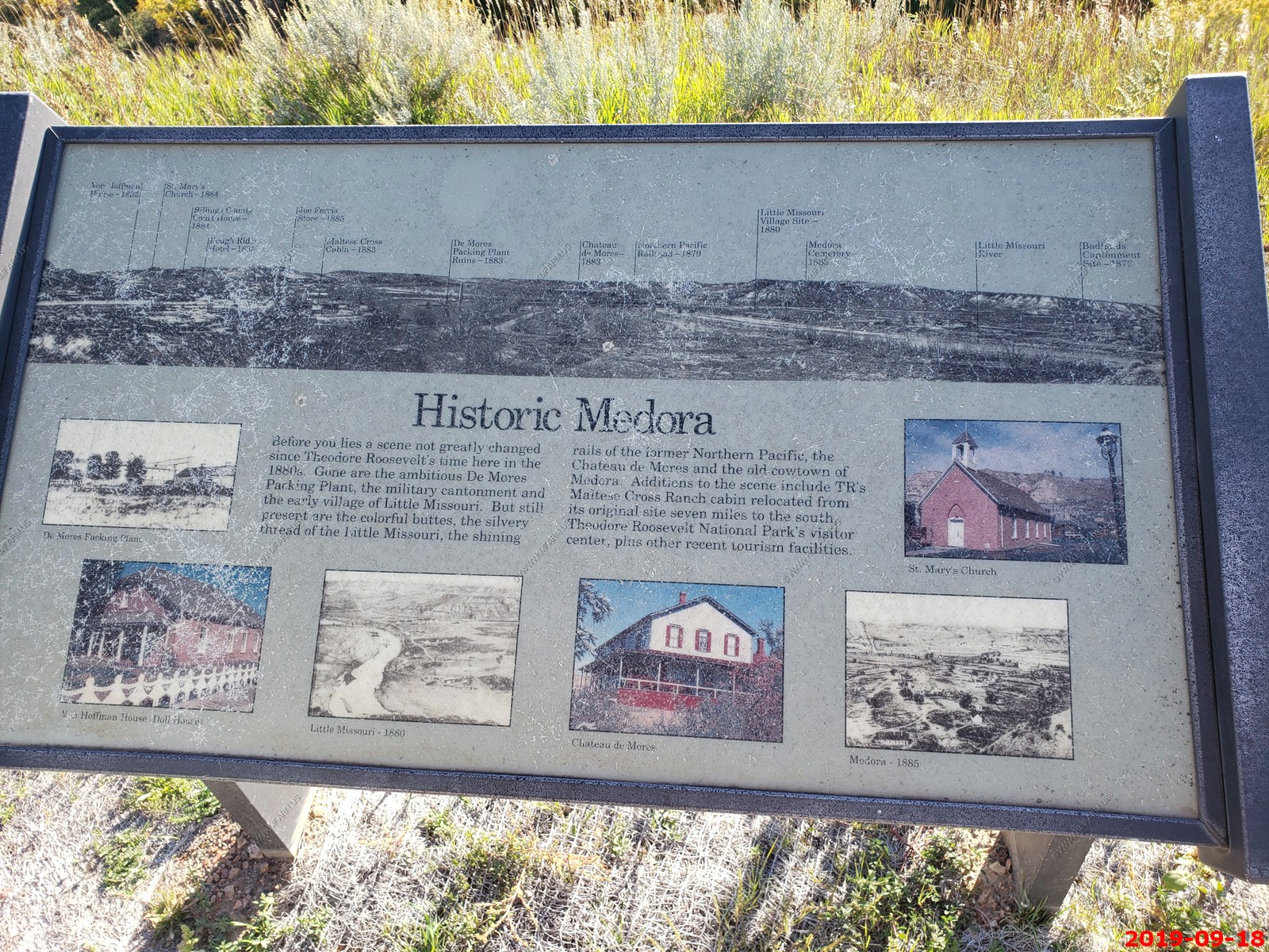
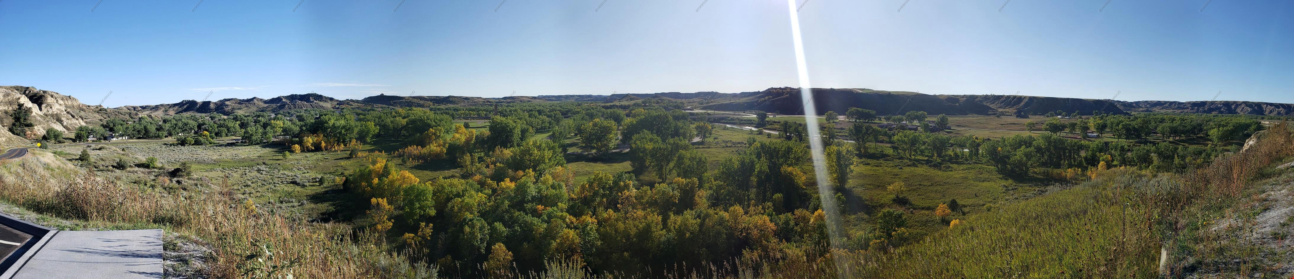
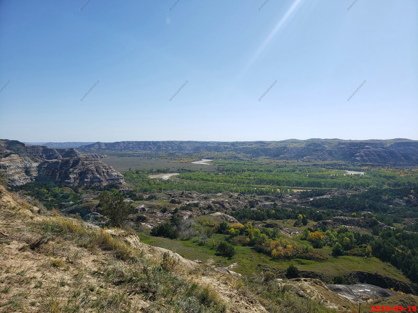
Looking back at Medora, ND. (El. 2,267) From Skyline Vista - Cool little town and I could see spending some time here in the future (In summer) (5 photos of the valley stitched together)
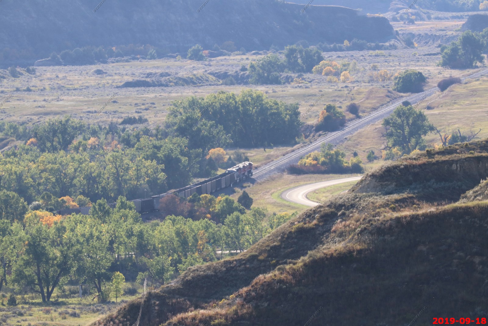
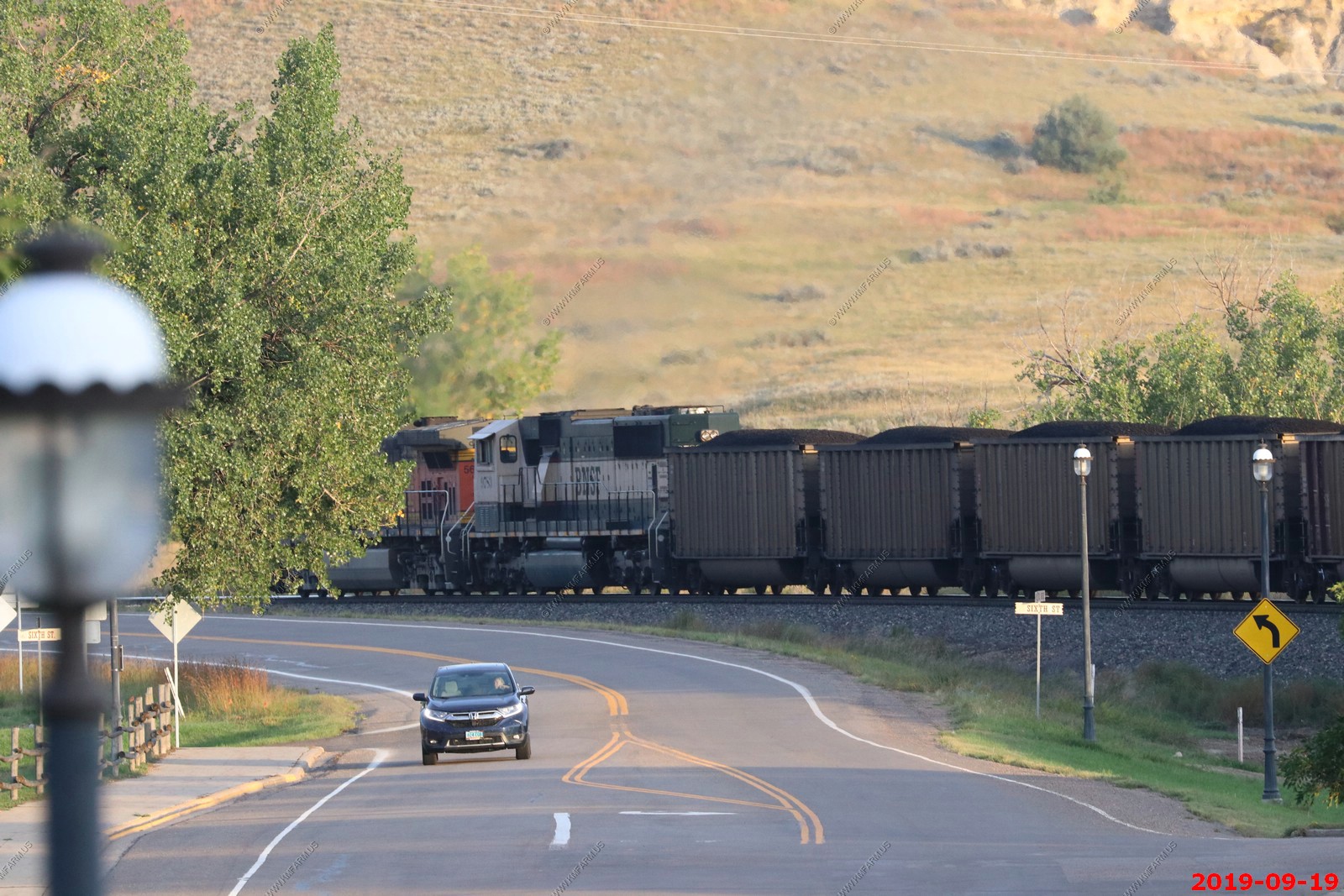
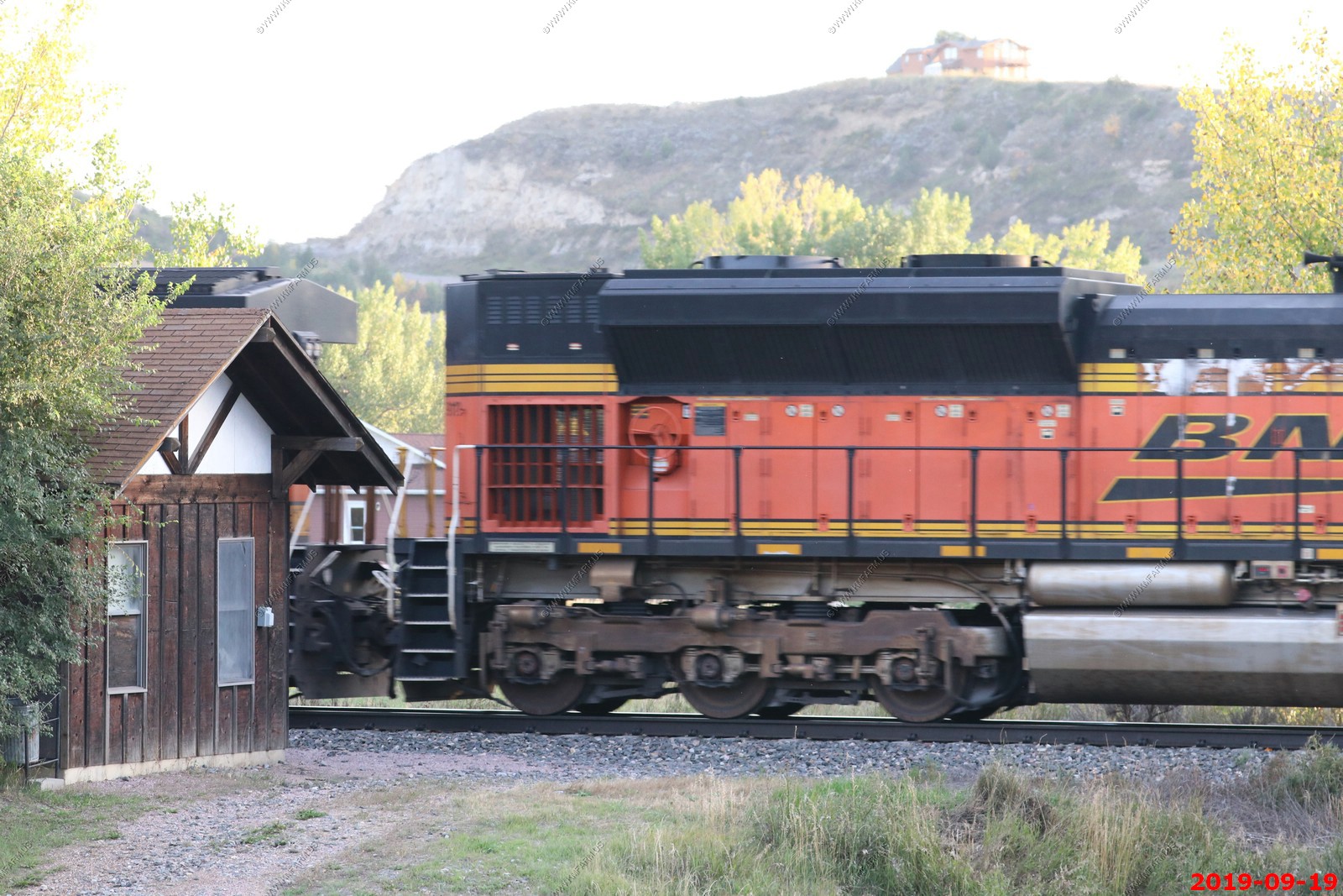
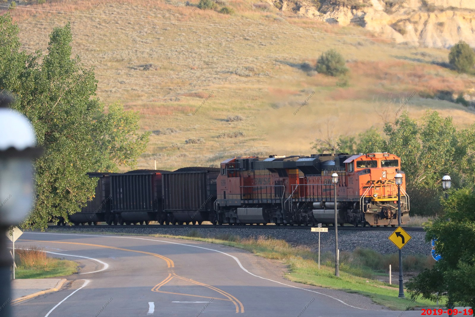
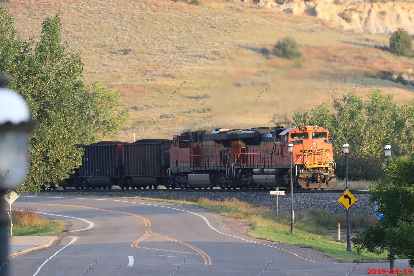
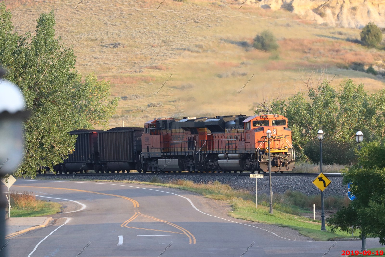
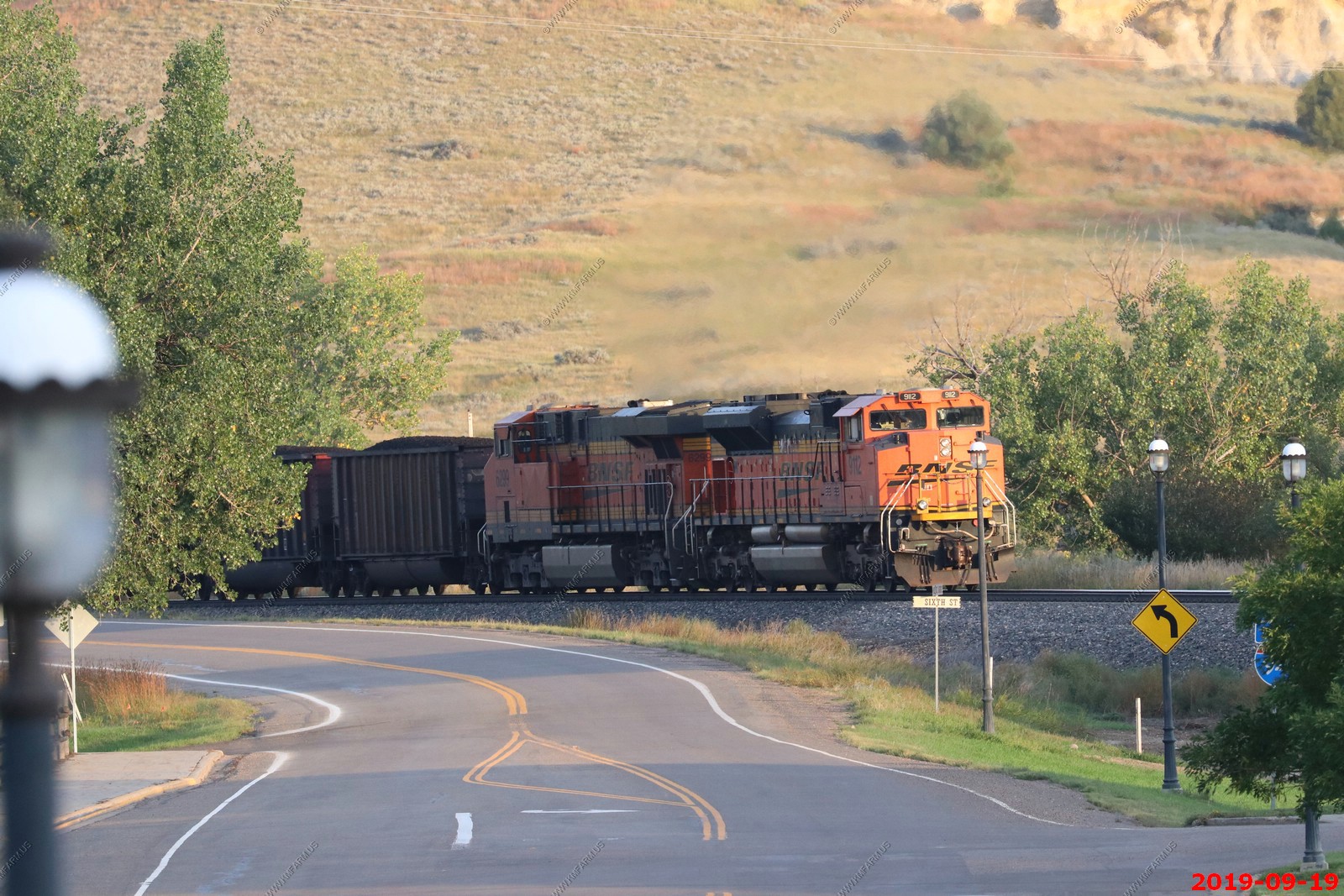
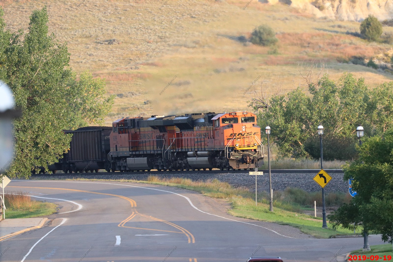
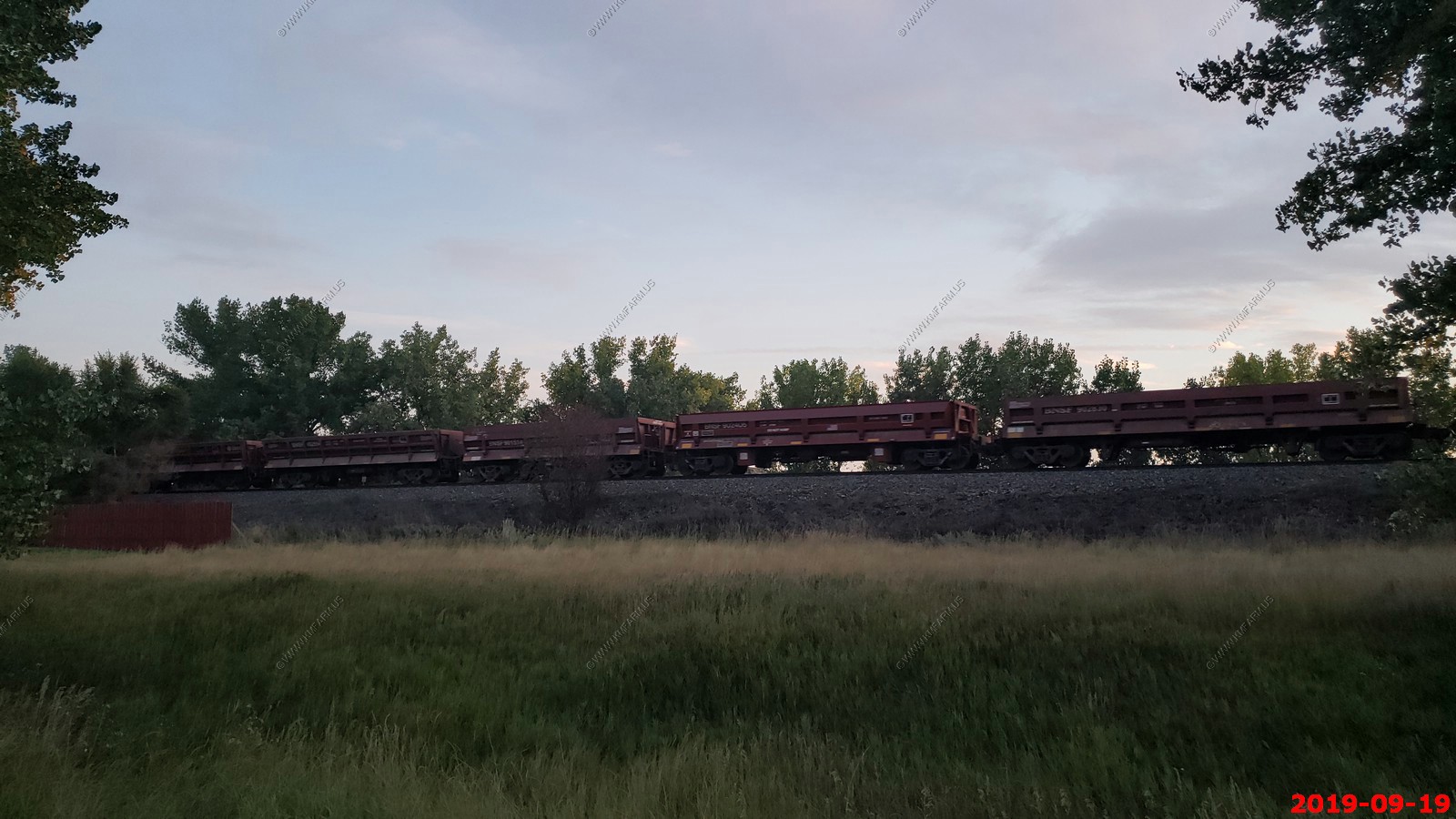
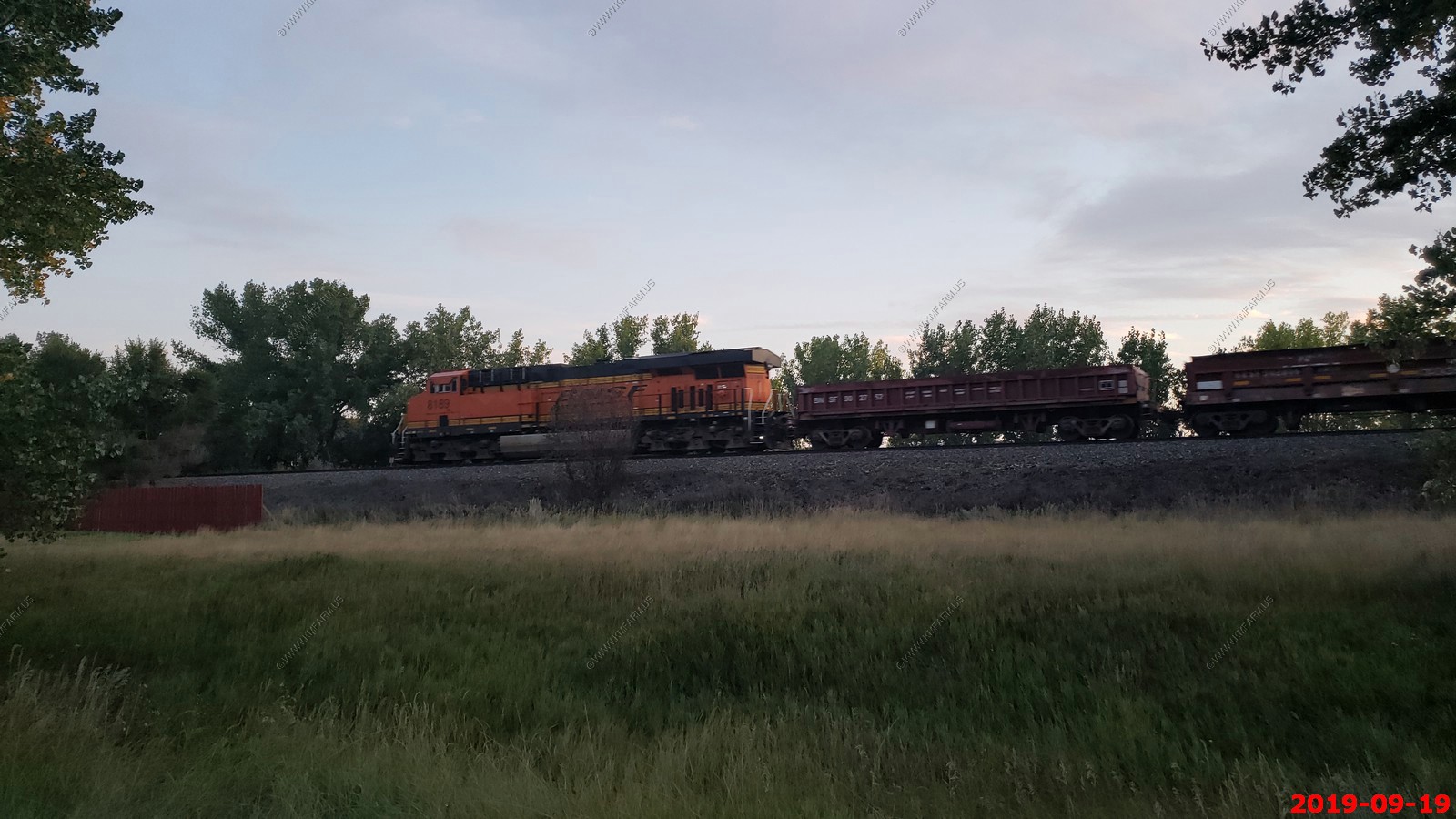
BNSF Westbound just leaving Medora, ND.
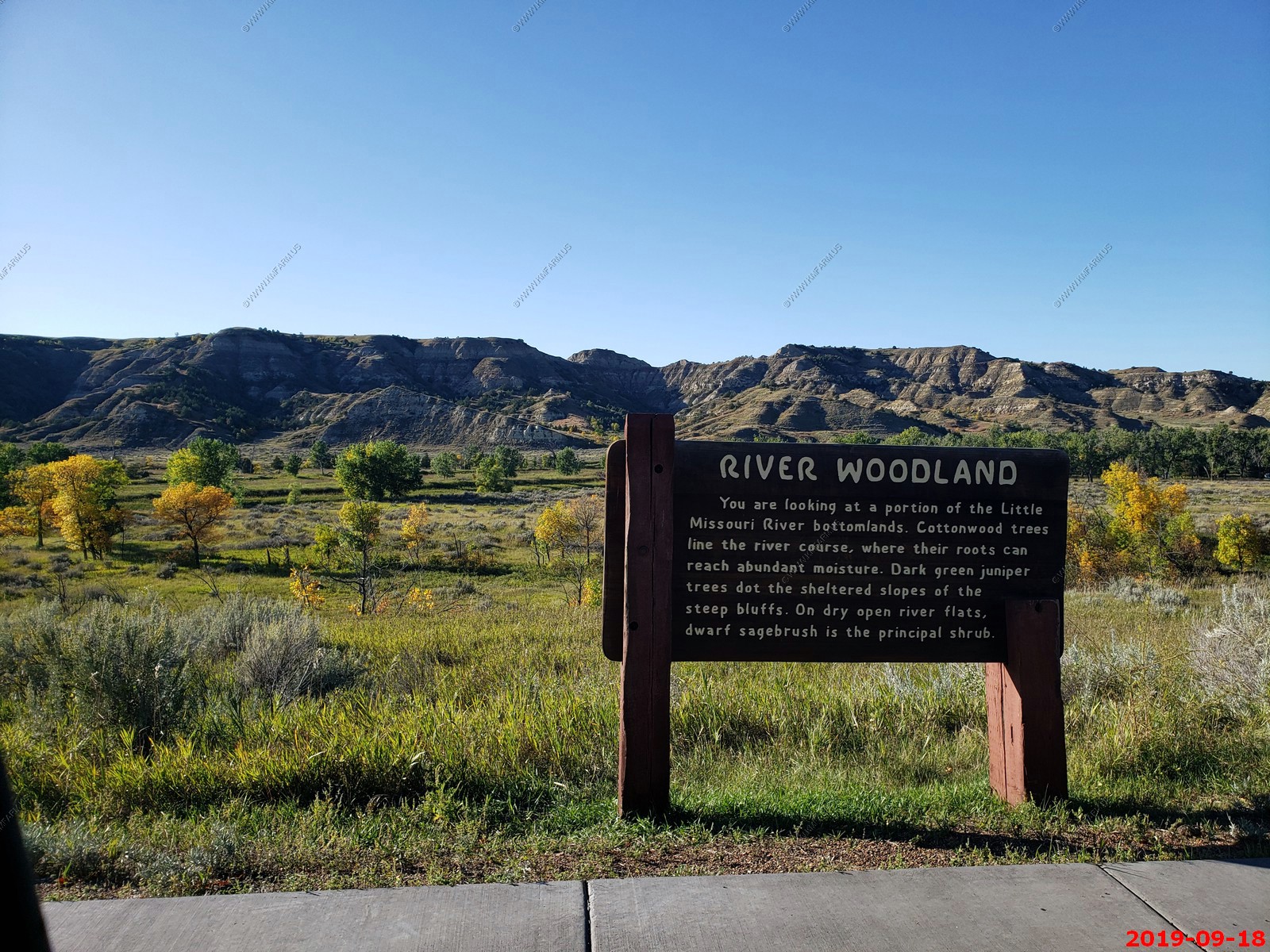
We took the Scenic Loop Drive - Stopped at River Woodland vista.
Various Views.
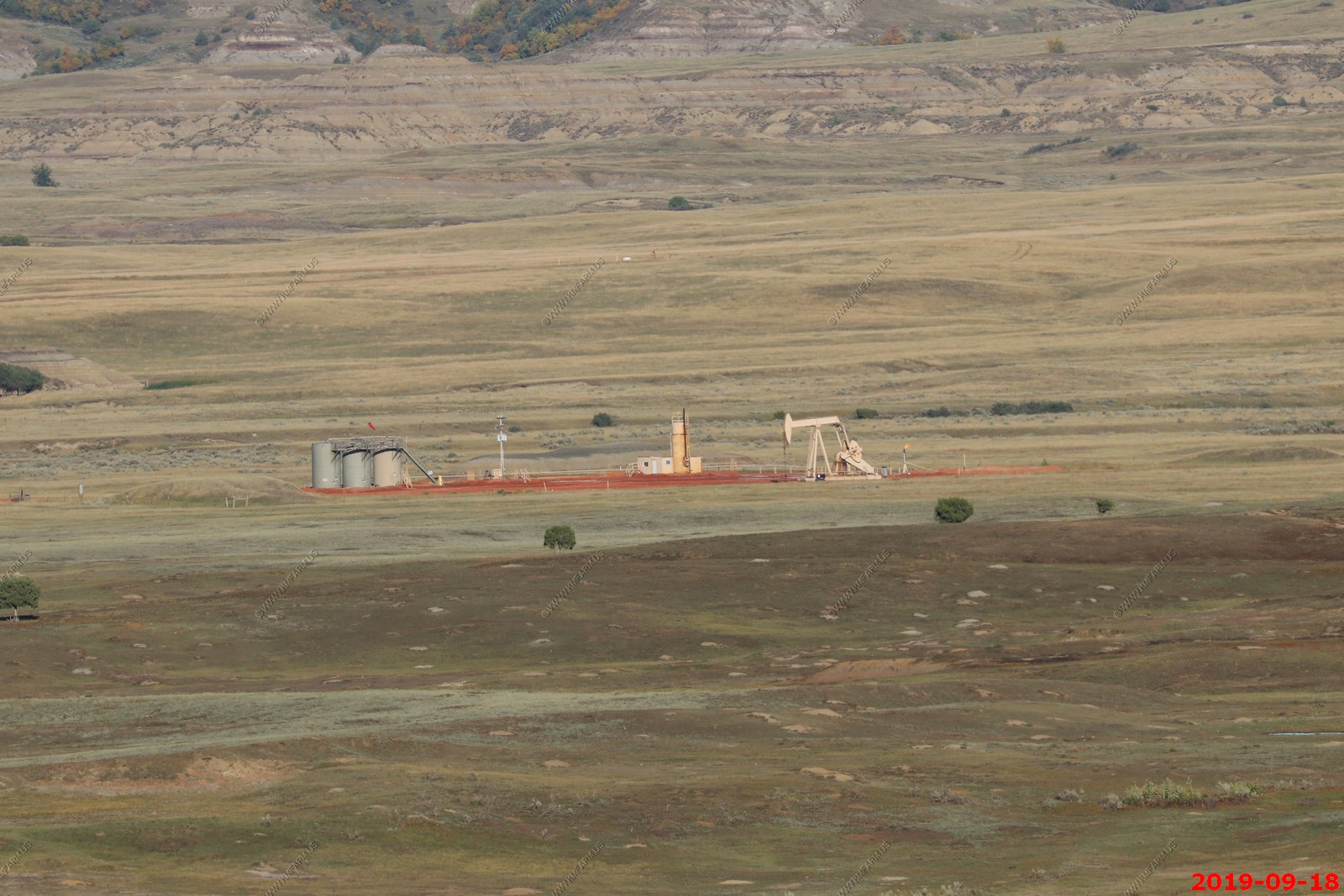
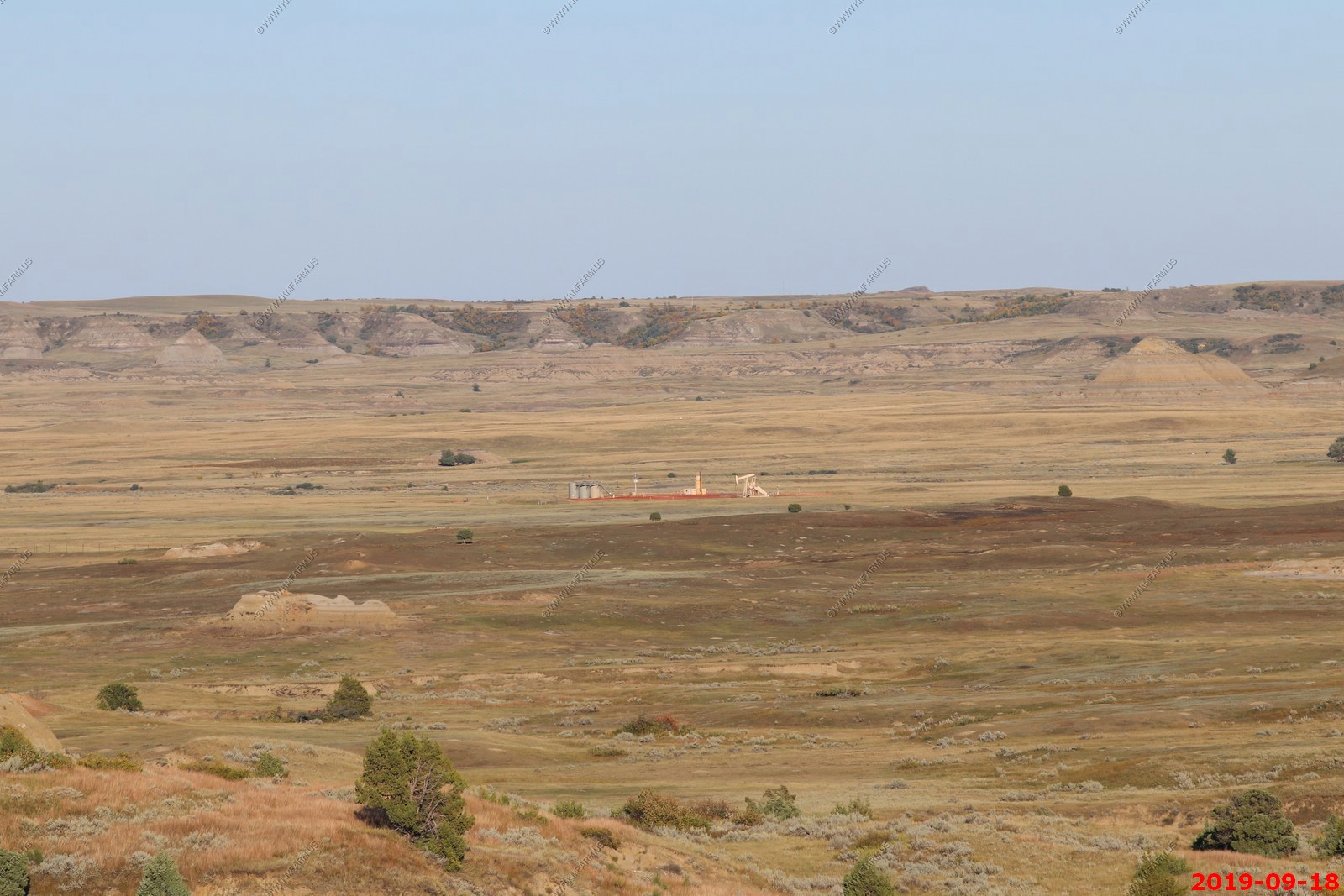
Good to see. Regardless of the park status we need energy extraction. I probably burned 300 gallons of gas on this trip. The green types don't seem to understand you need fuel to come to places like this. This extraction site was next to the park.
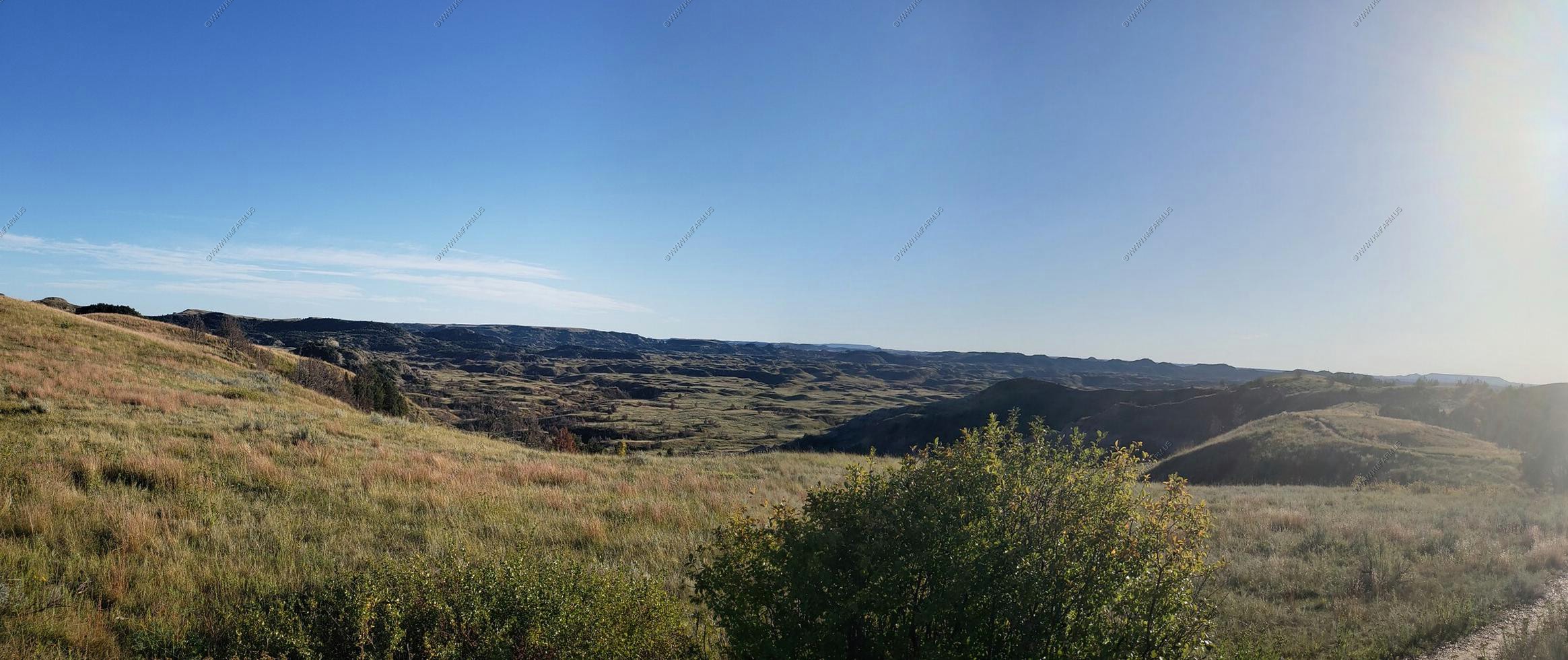
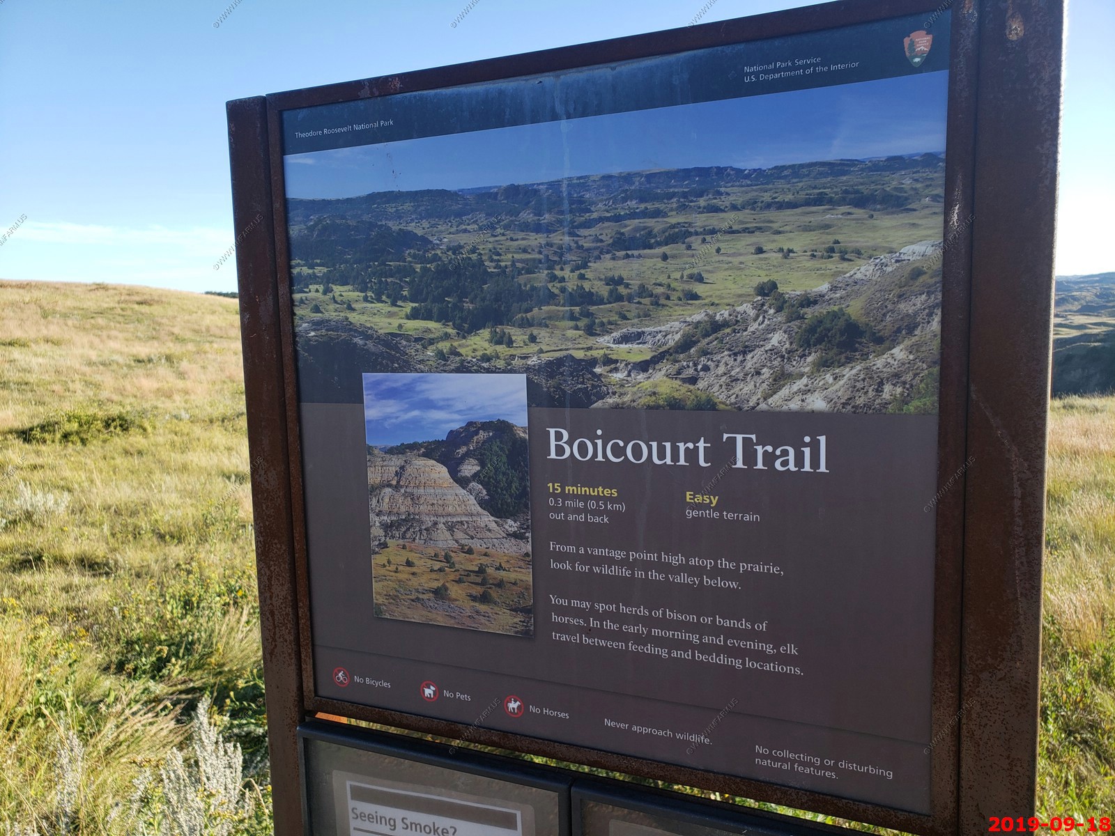
Quick hike on the Boicourt Trail.
The place was packed.
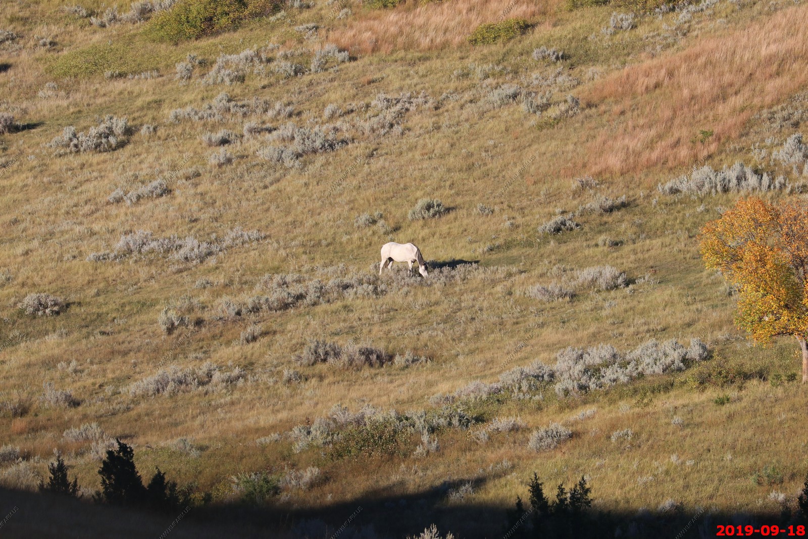
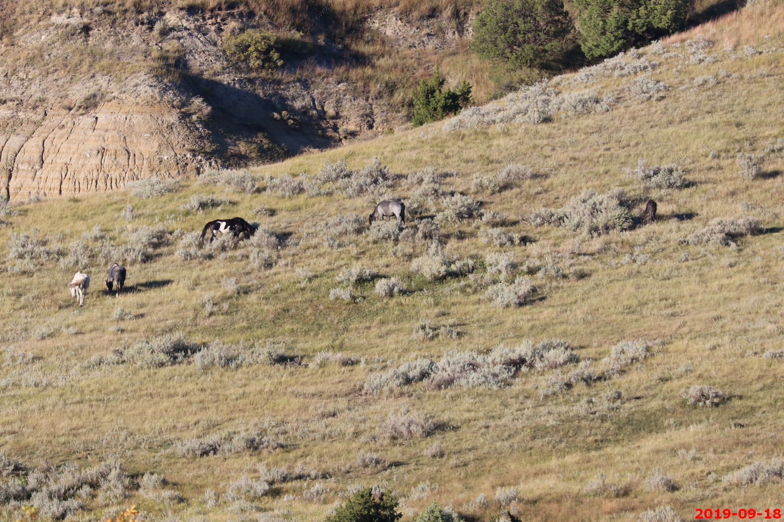
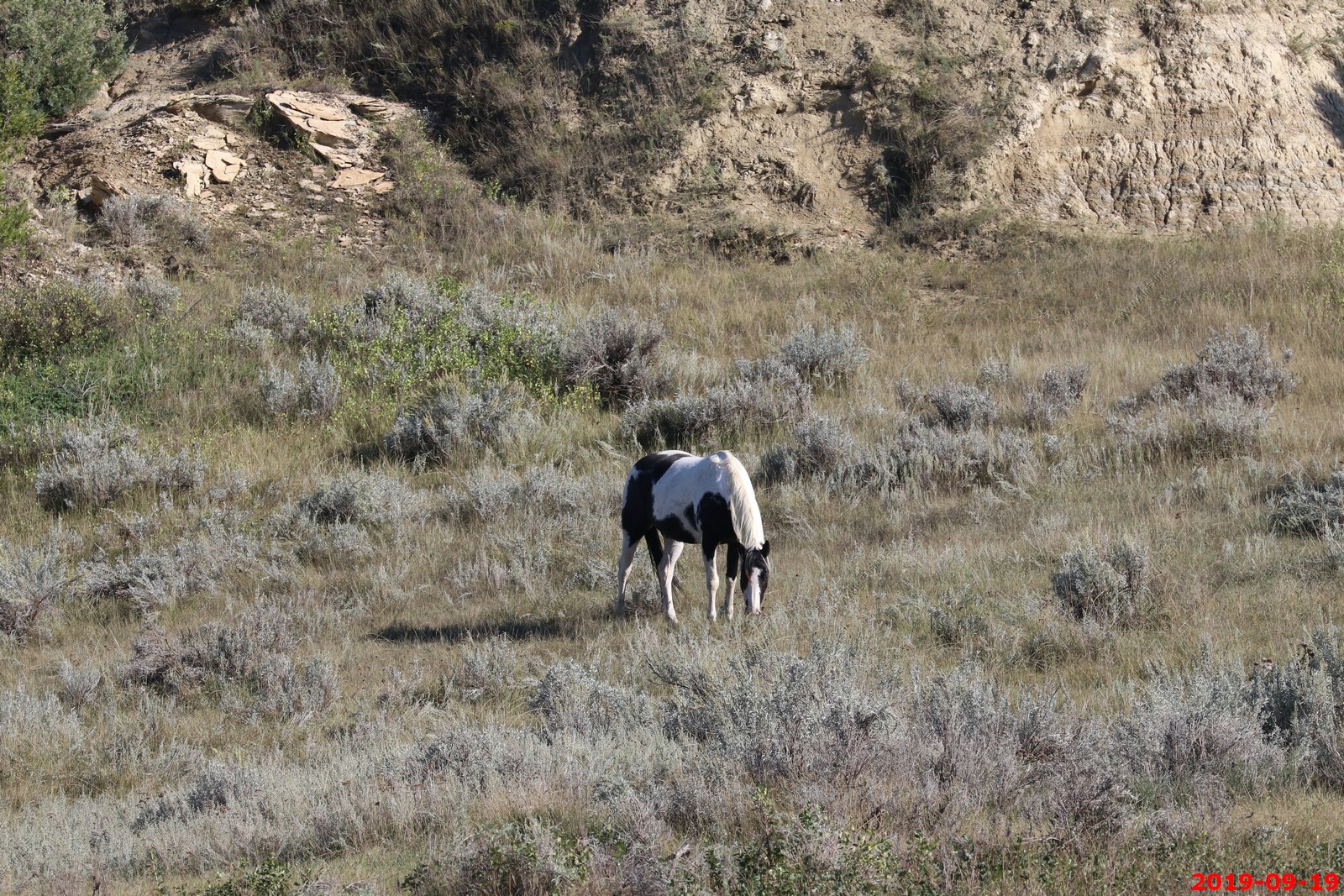
Wild Horses.
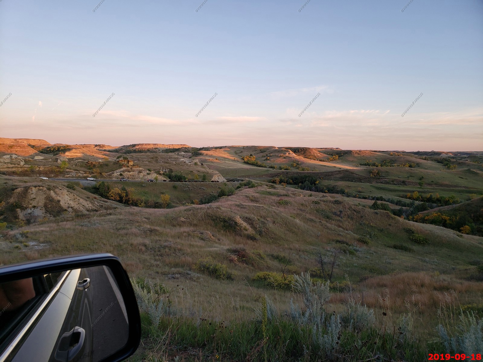
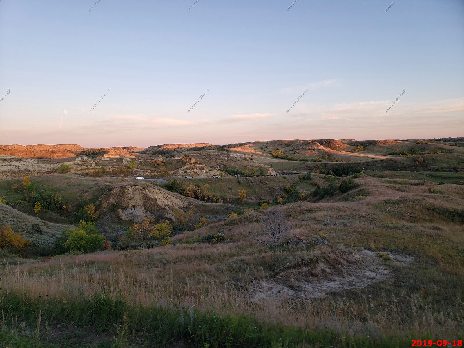
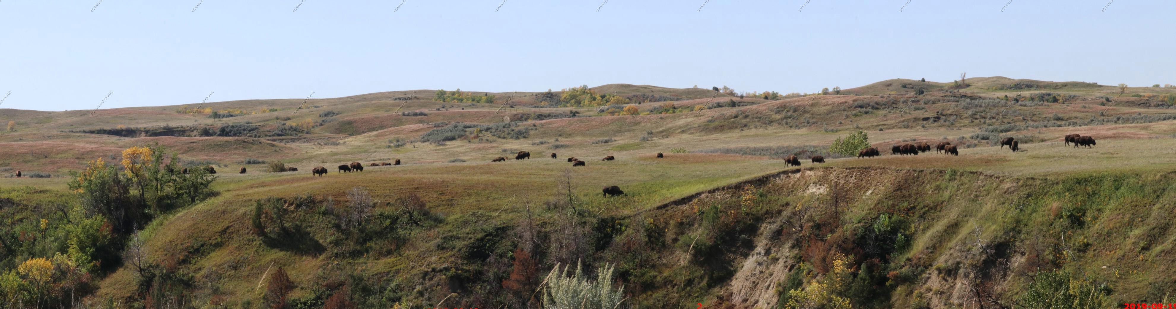
Back thru an area with a buffalo herd.
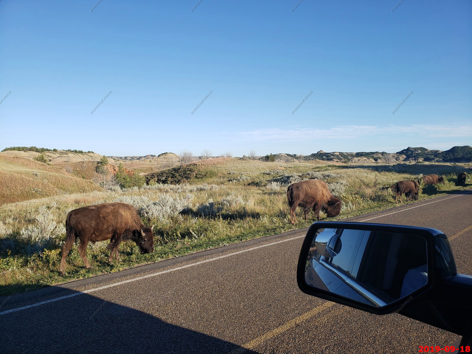
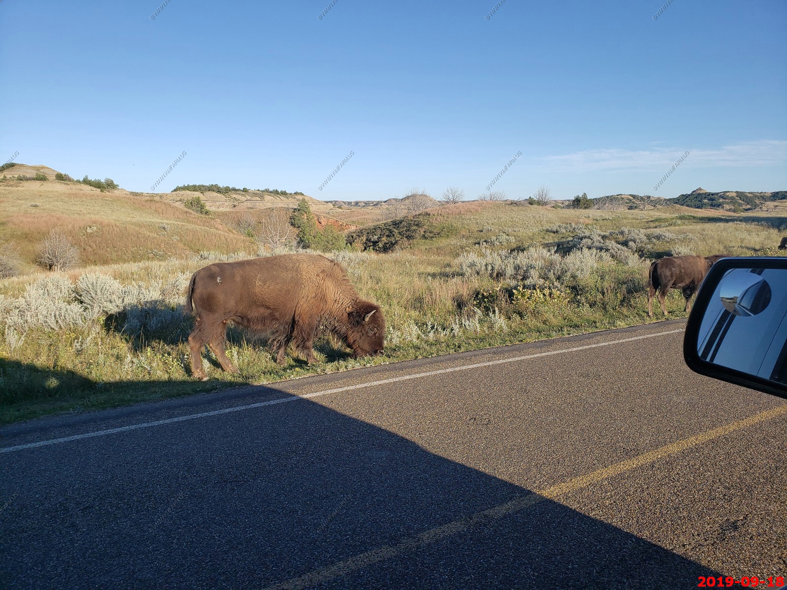
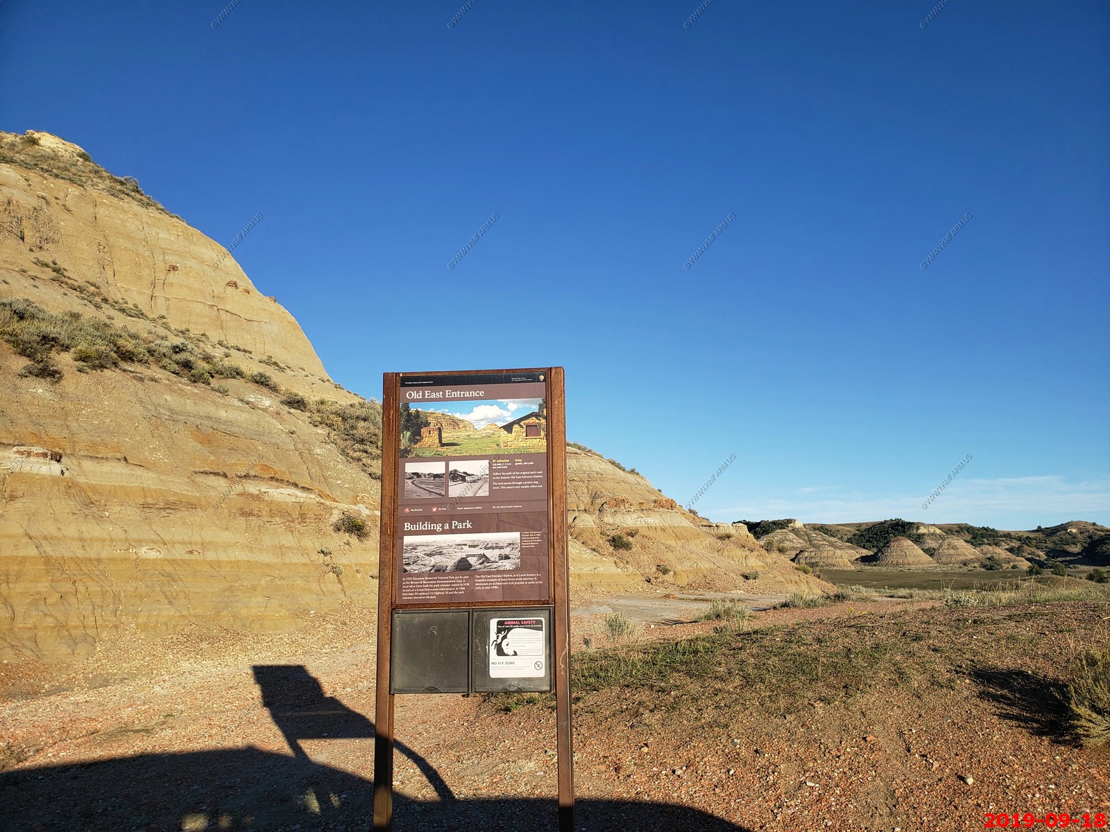
View near old east entrance.
Backup due to the buffalo walking down the road.
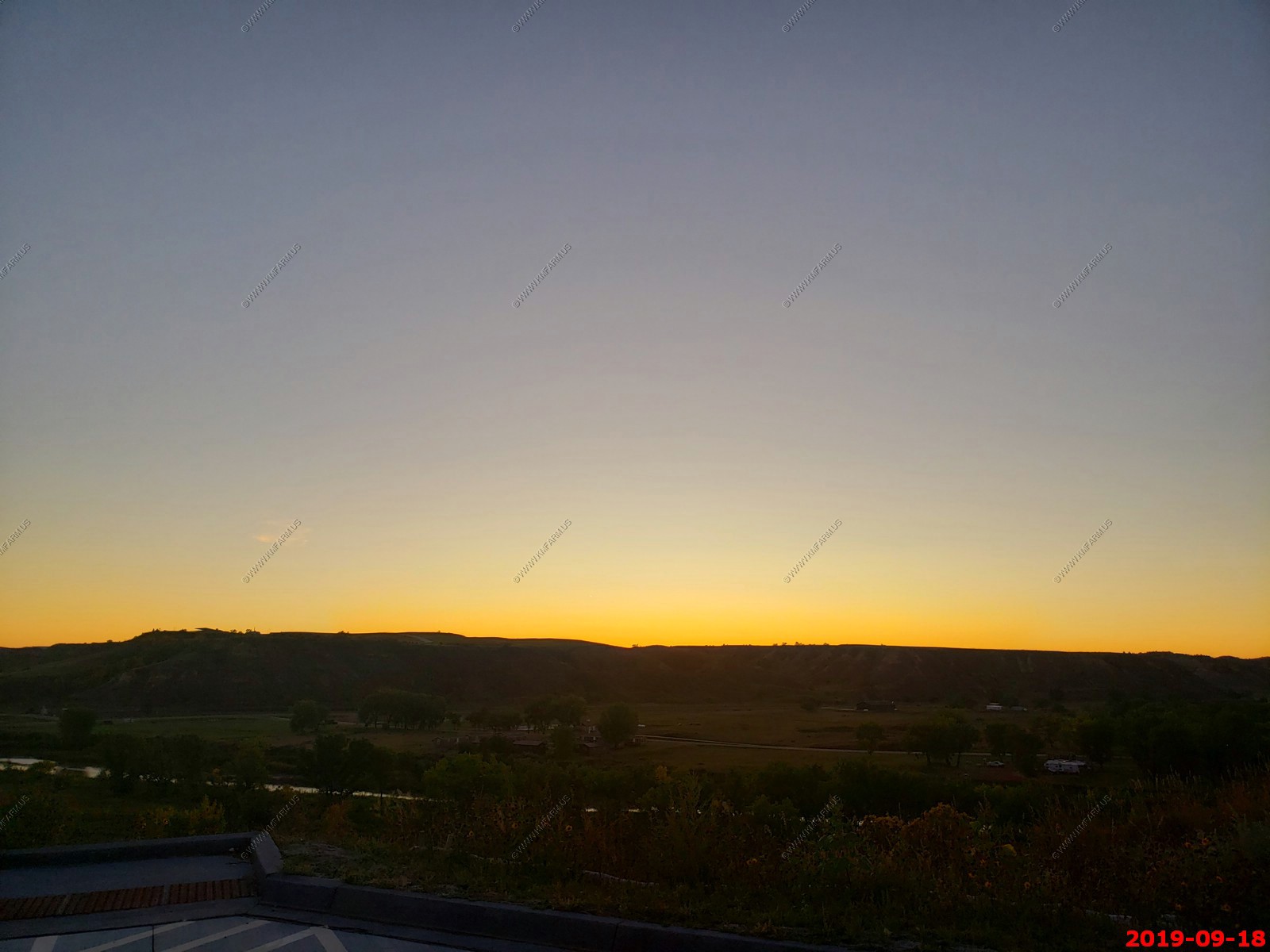
Not a bad sunset.
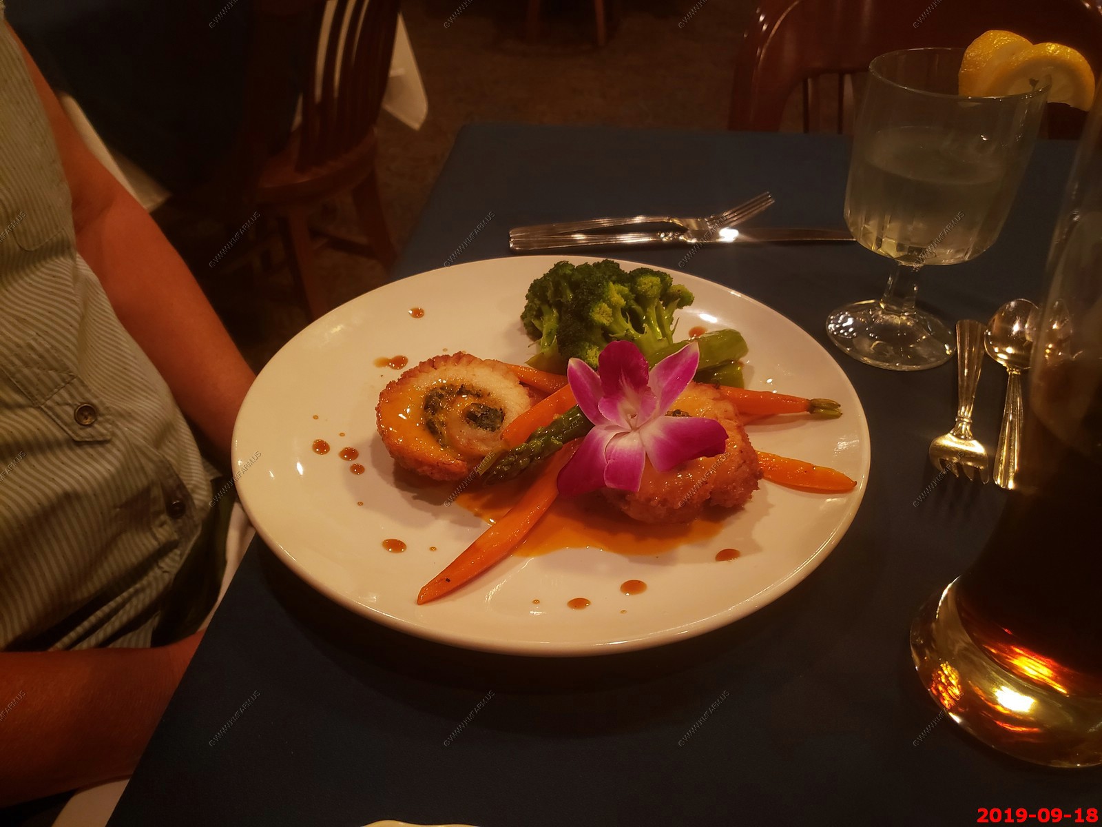
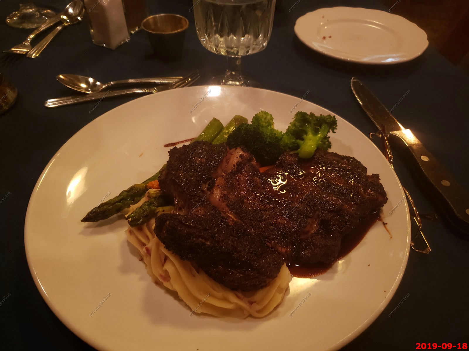
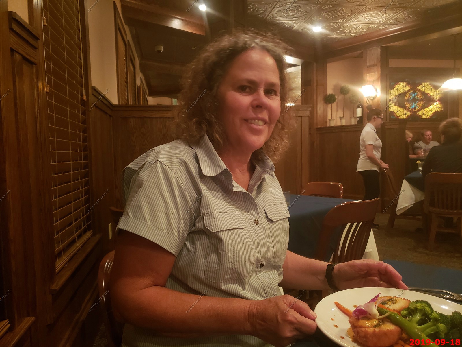
Dinner at Theodore's Dining Room - Mary had Fish and Ken had a steak. It was very good and at $106 was the most expensive meal of the vacation. Would definitely go back.
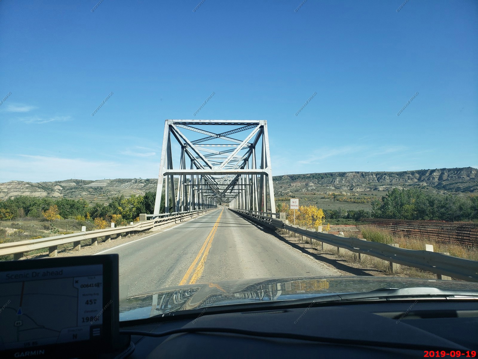
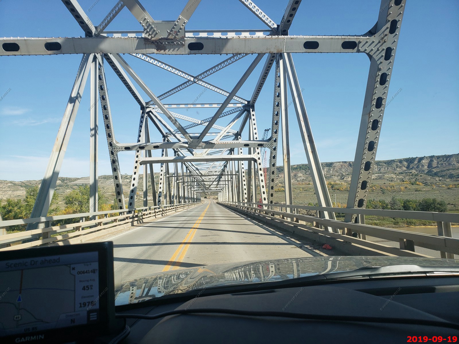
Heading the 80 miles north to the Theodore Roosevelt National Park - North Unit and we were crossing more wide open country.
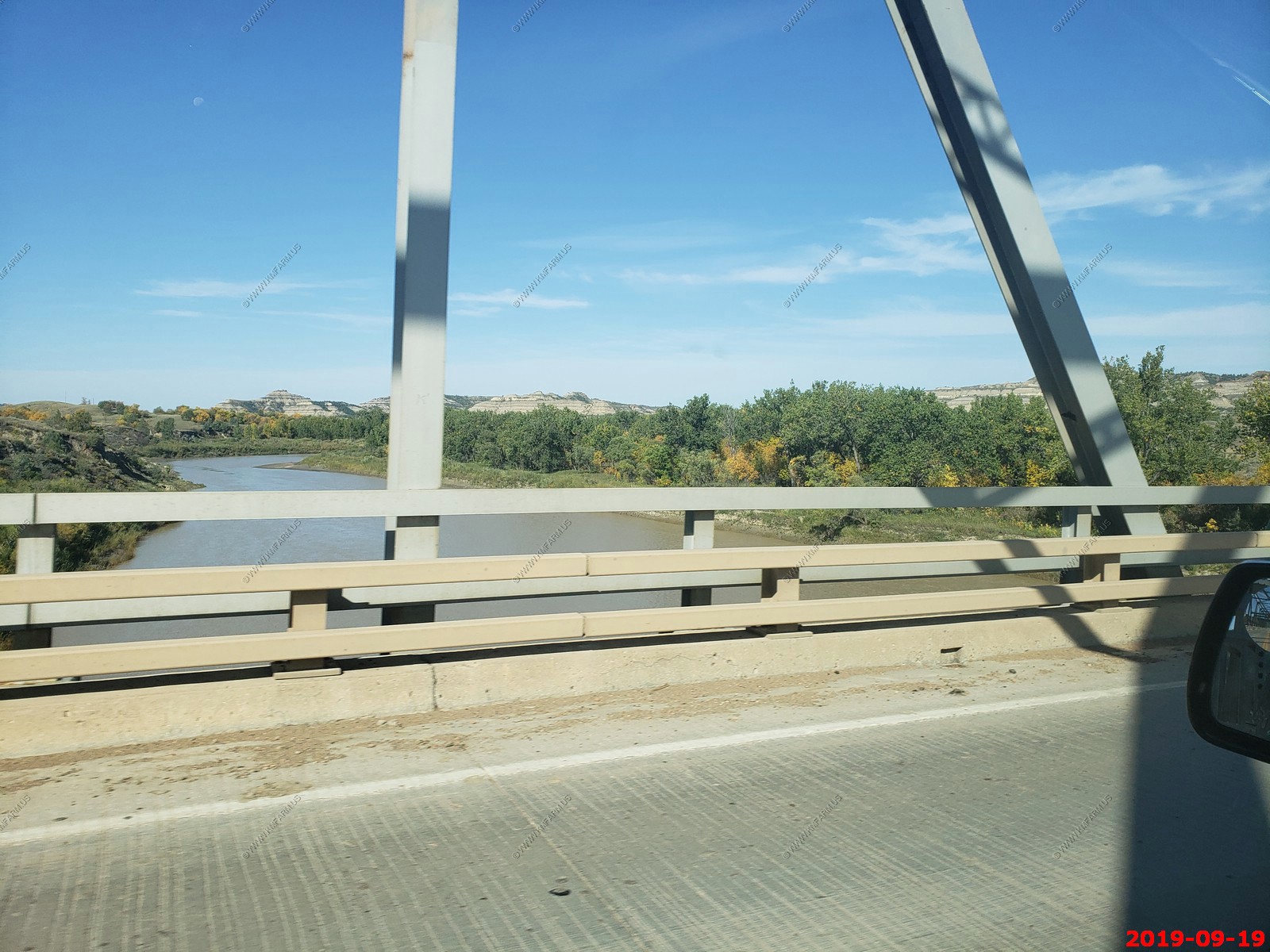
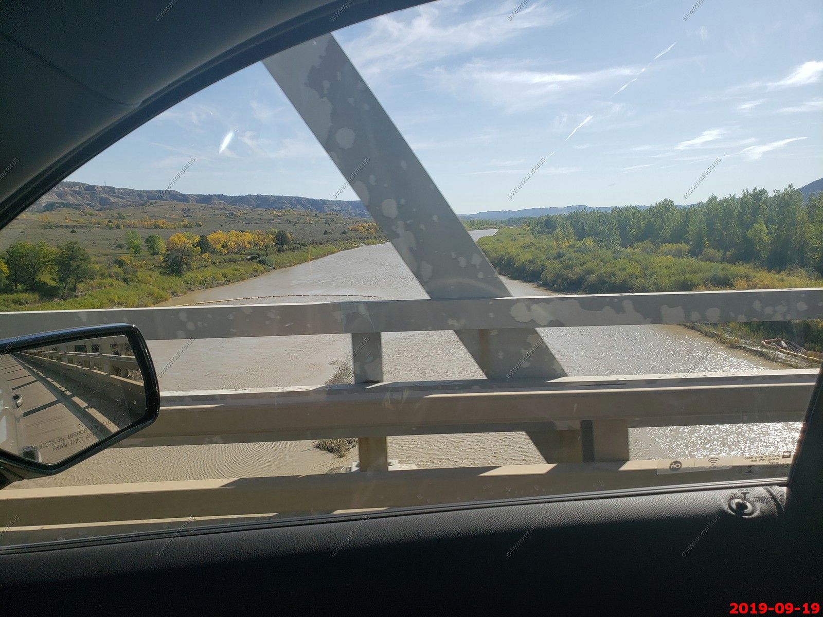
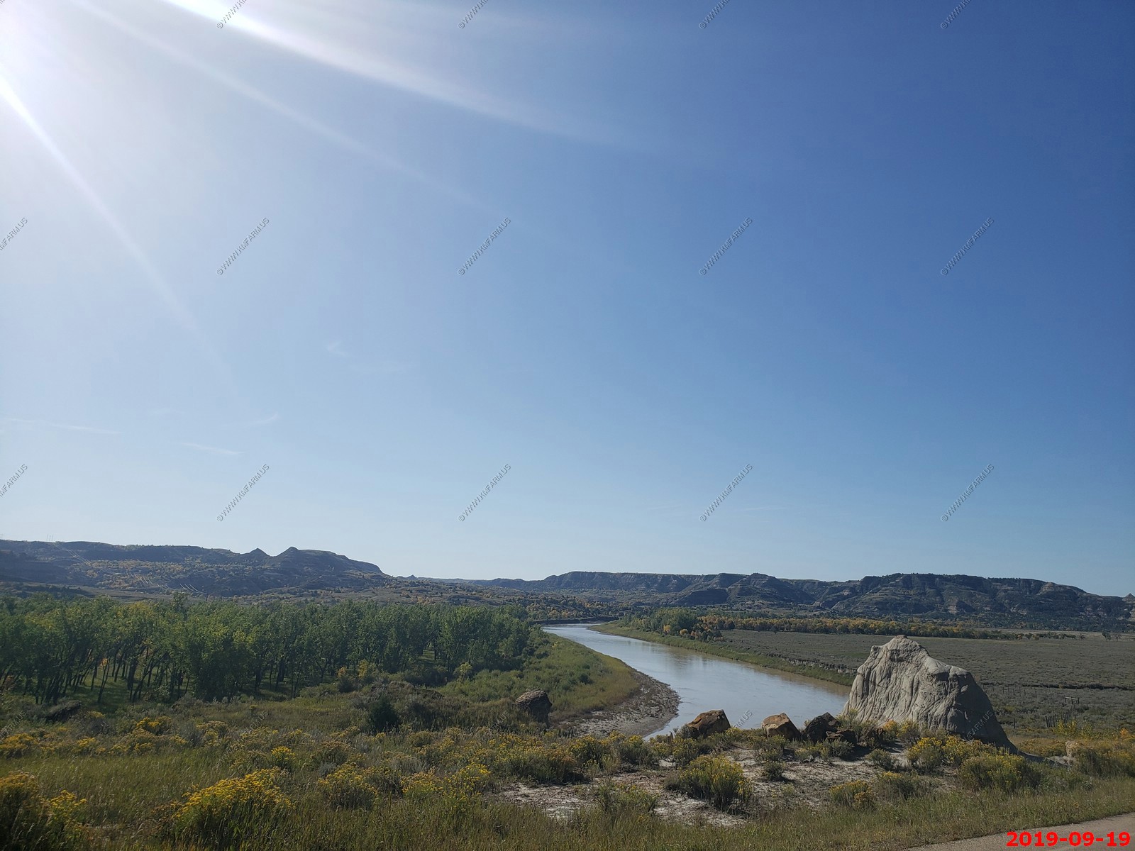
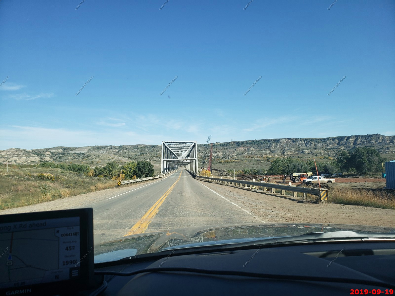
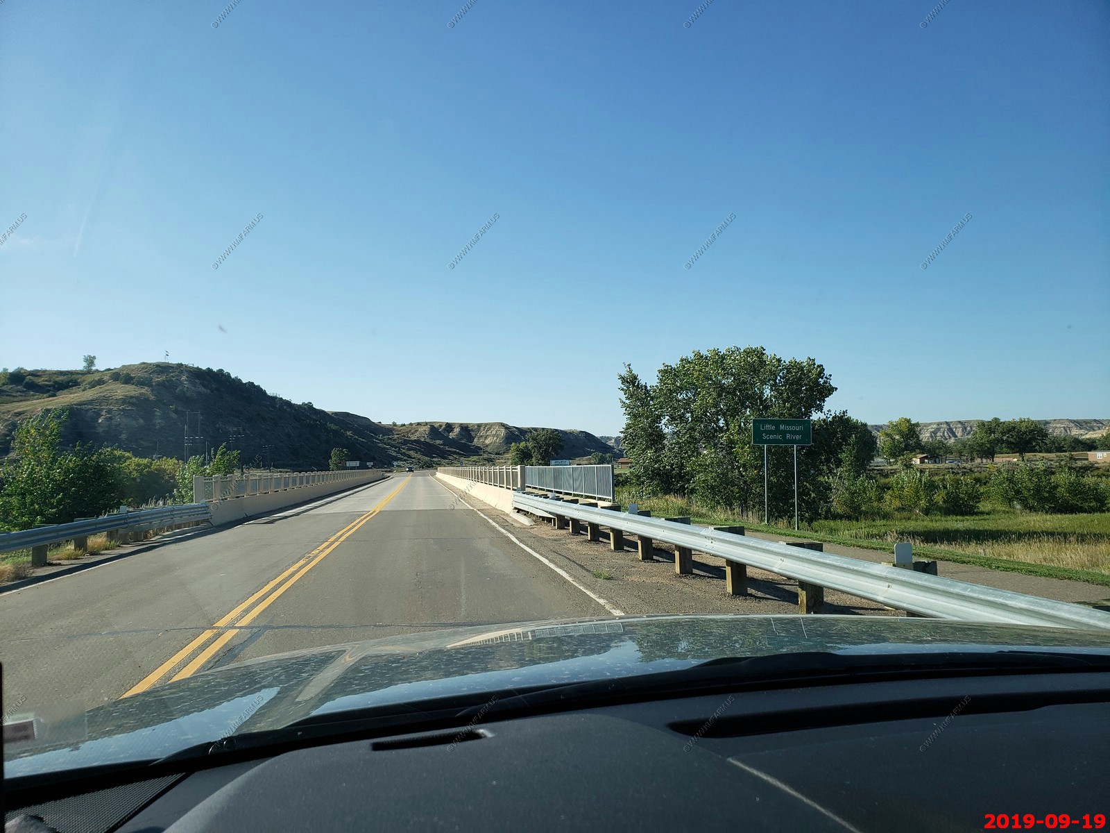
Crossing the The Little Missouri River on US-85 the CanAm Highway.
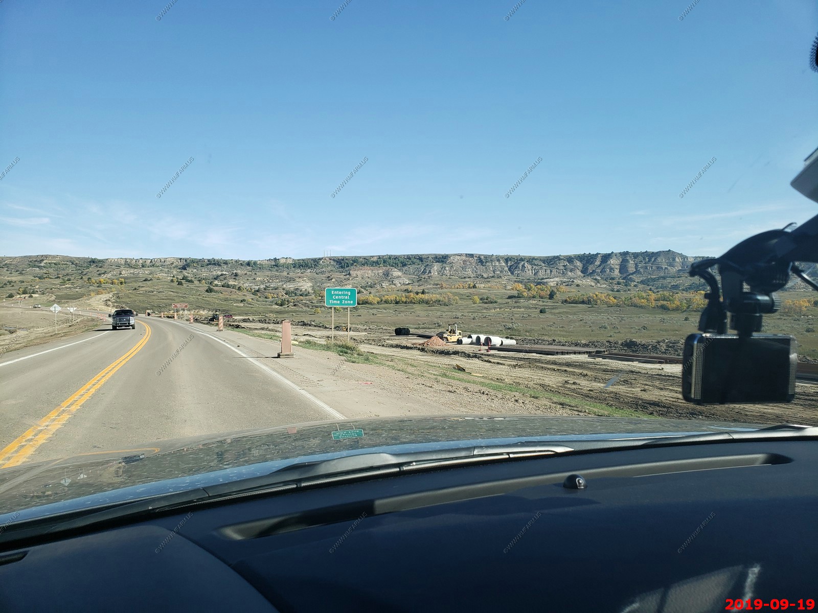
Crossing back to the Central Time Zone. We were so confused and this makes the photos taken with the cell phone get out of sequence.
Its interesting at the entrance to the north unit we are only 125 miles (2 hrs.) from the US / Canadian border.
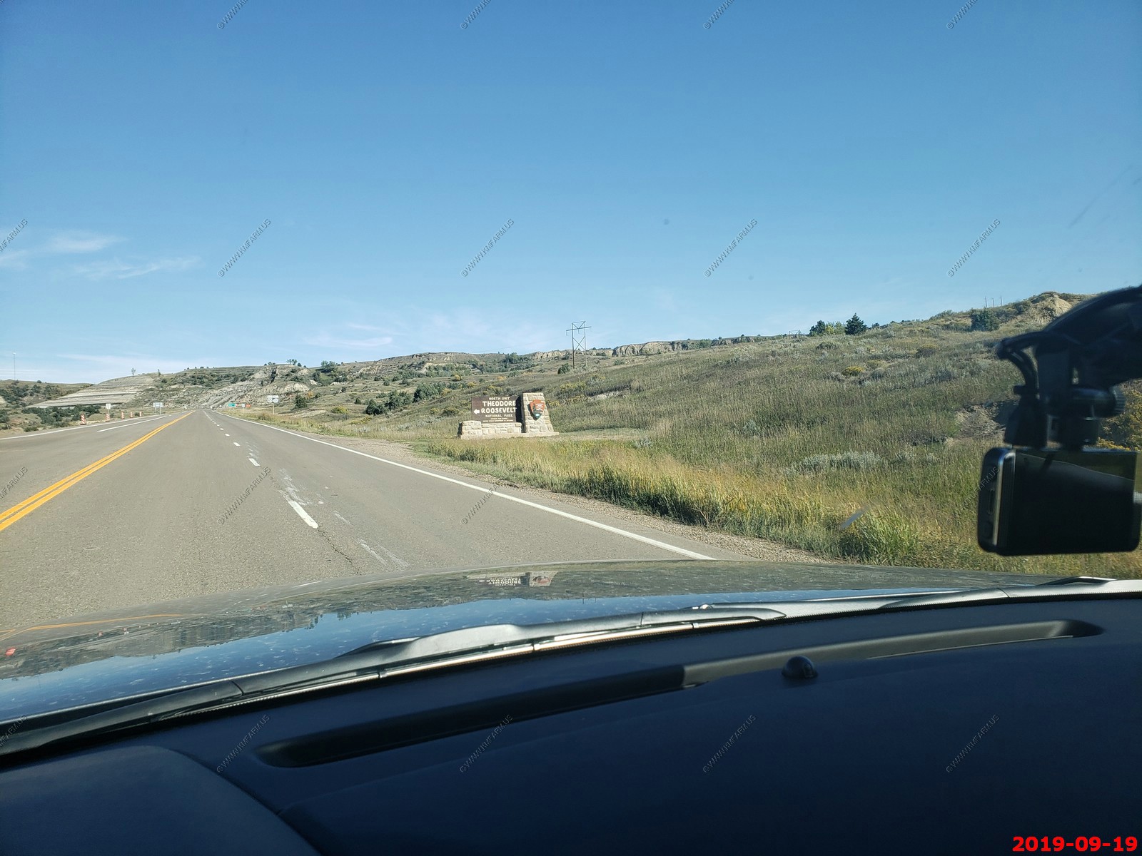
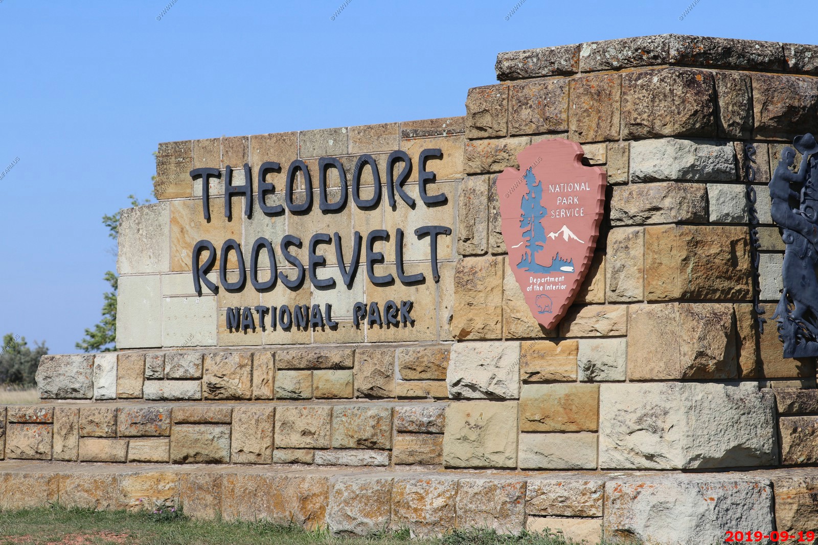
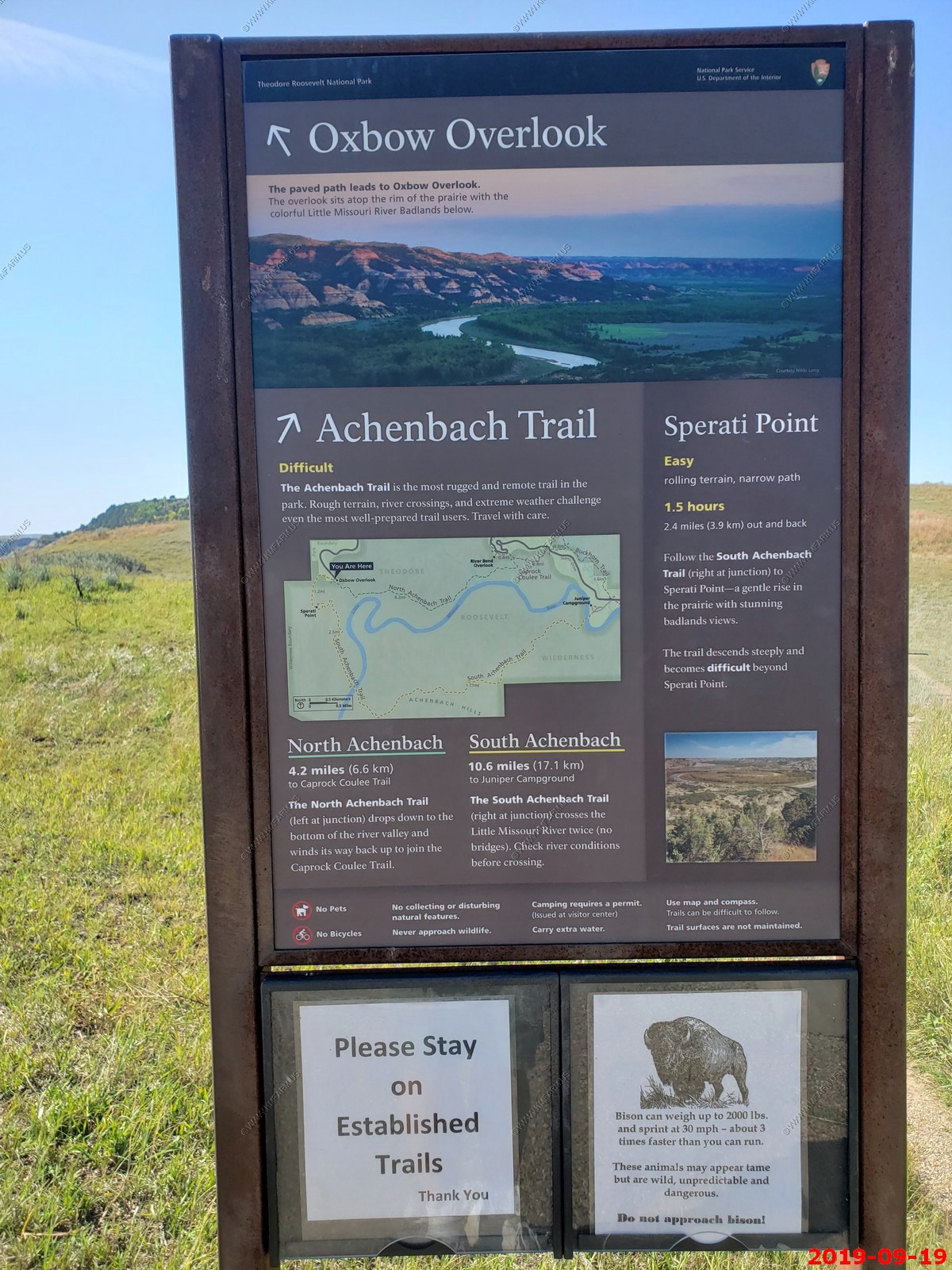
Theodore Roosevelt National Park - North Unit - The North Unit is a bit off the beaten-path alongside ND Highway 85. Its ruggedness and beauty, and the solitude you'll find in this less-visited unit of the park are well worth the 50 mile drive from Interstate 94.
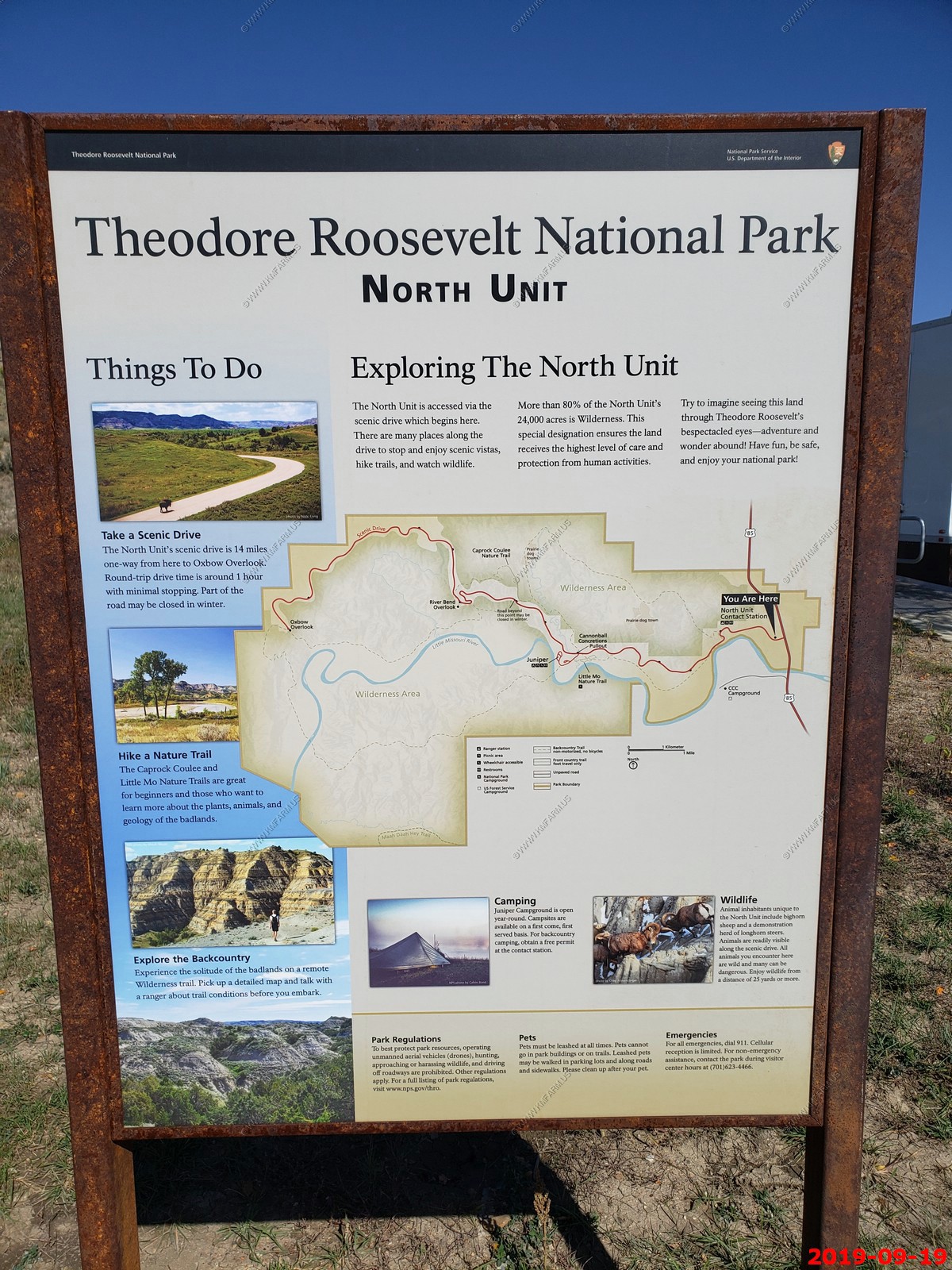
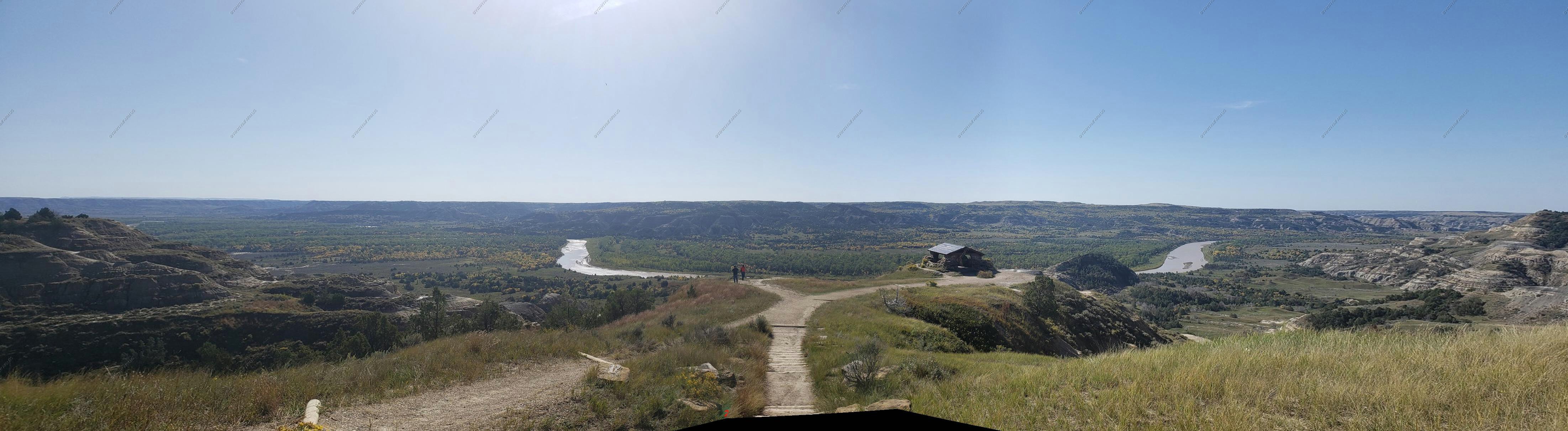
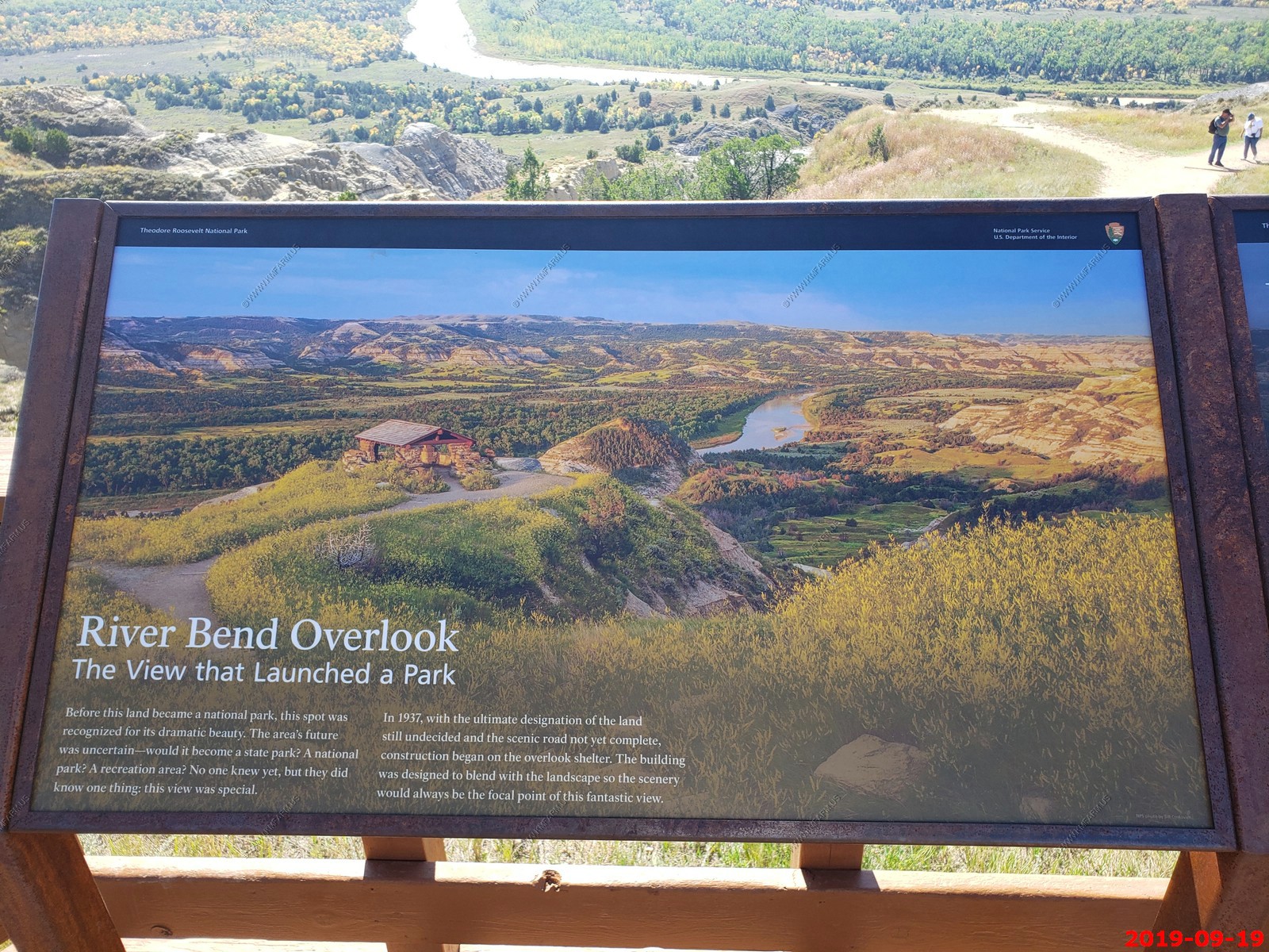
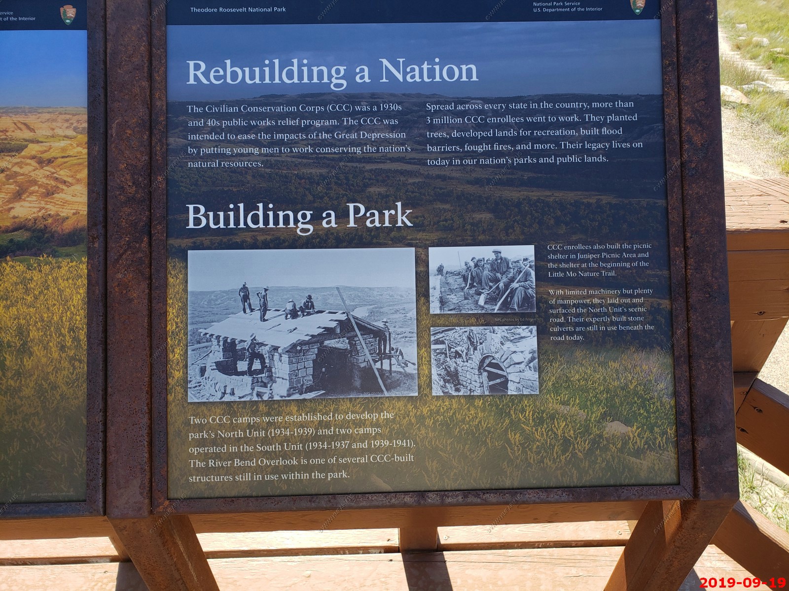
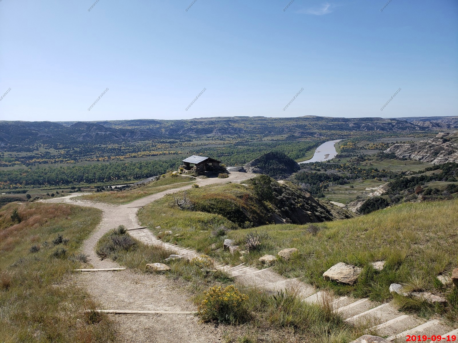
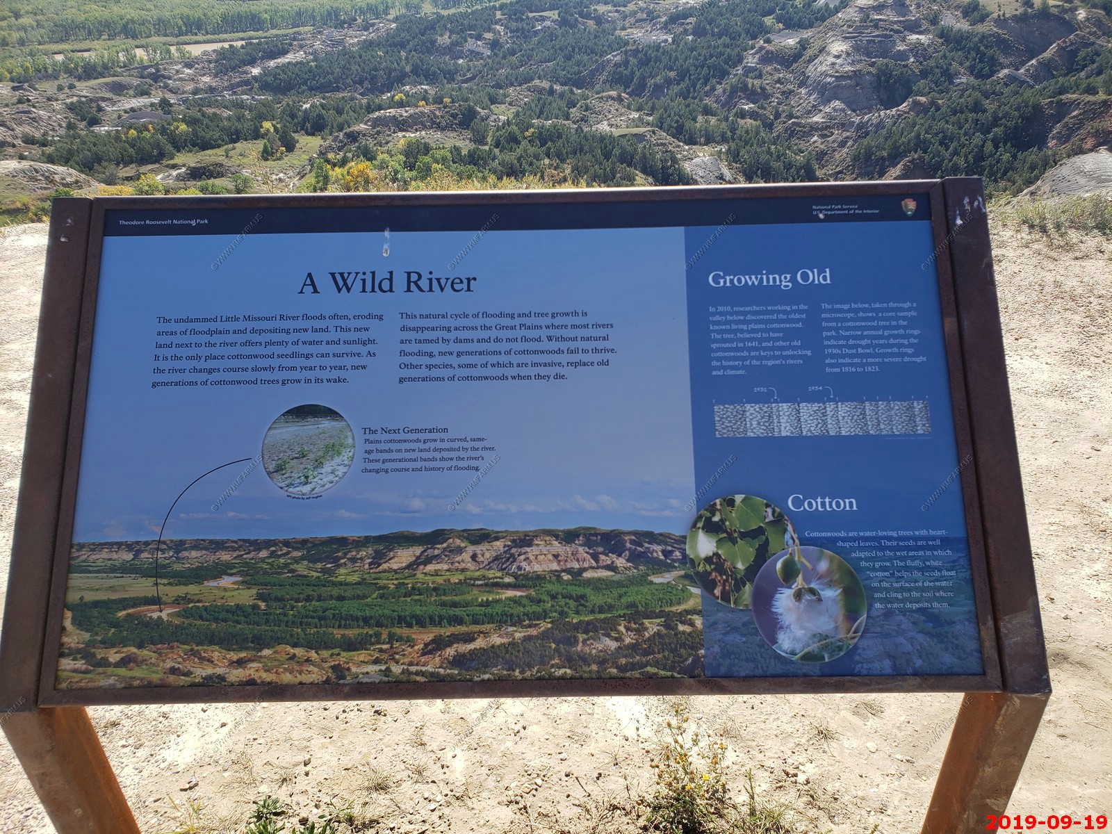
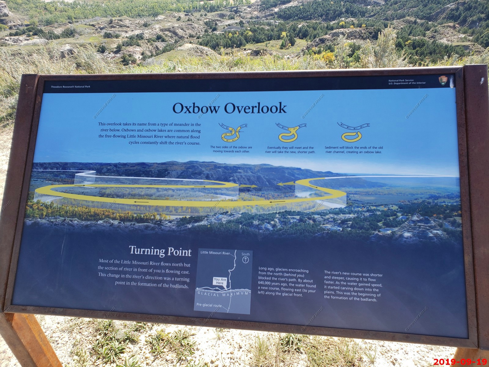
We drove the 14 Mile Scenic Drive (28 miles roundtrip). The first half of the road traces the bottom of the badlands. Midway through, it crawls up out of the canyon to the North Unit's most iconic view, River Bend Overlook. From there, it's an easy drive along the rim of the badlands to Oxbow Overlook at the road's end. The road is almost entirely paved with only one stretch of gravel and is open to motor vehicles (including RVs) and cyclists.
The Visitor Contact Station was a temporary facility but they had restrooms.
Little Missouri River.
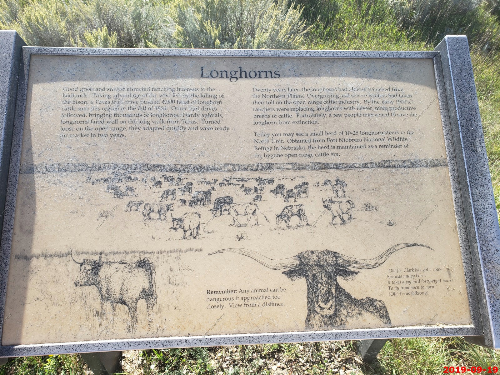
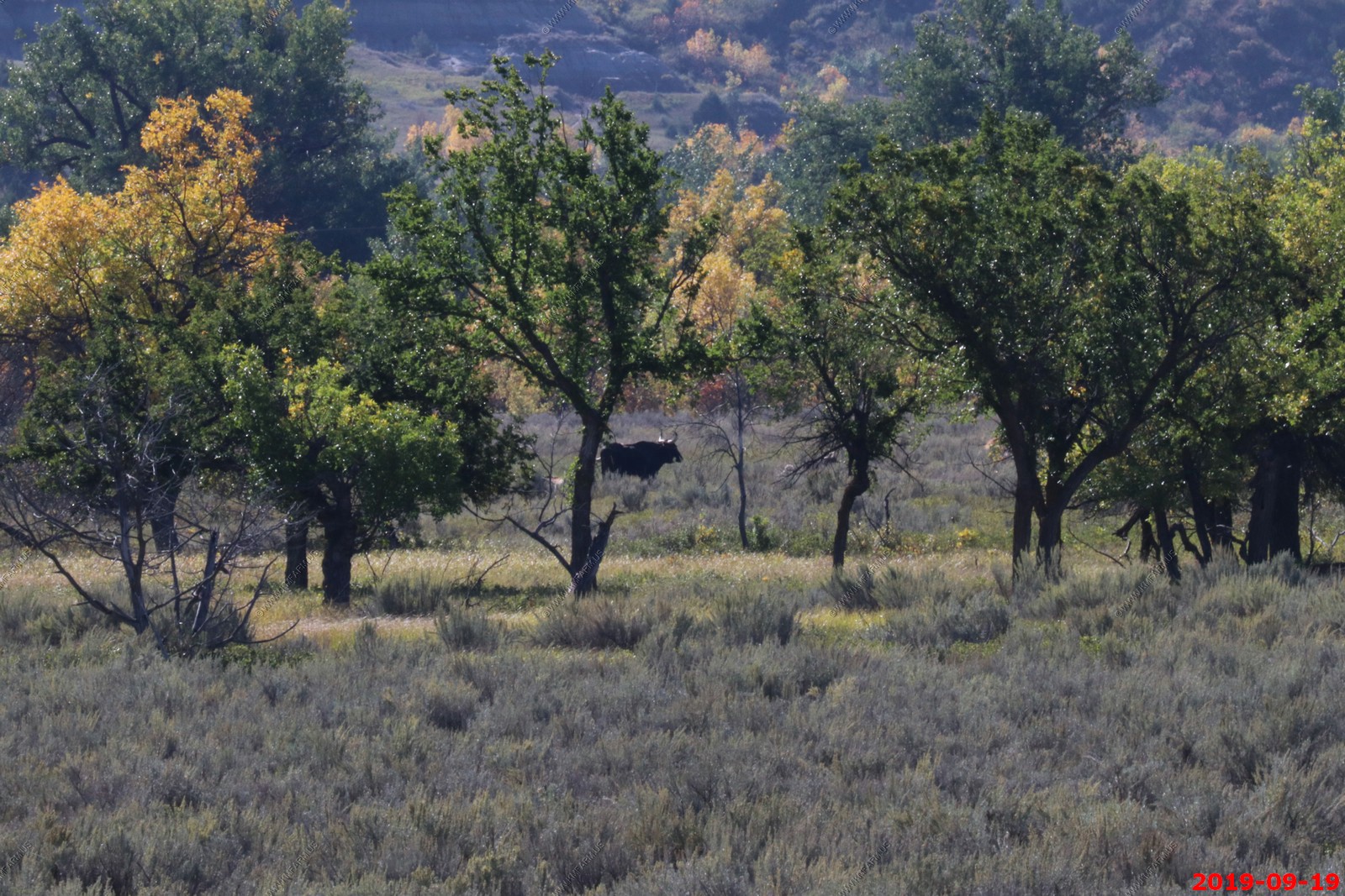
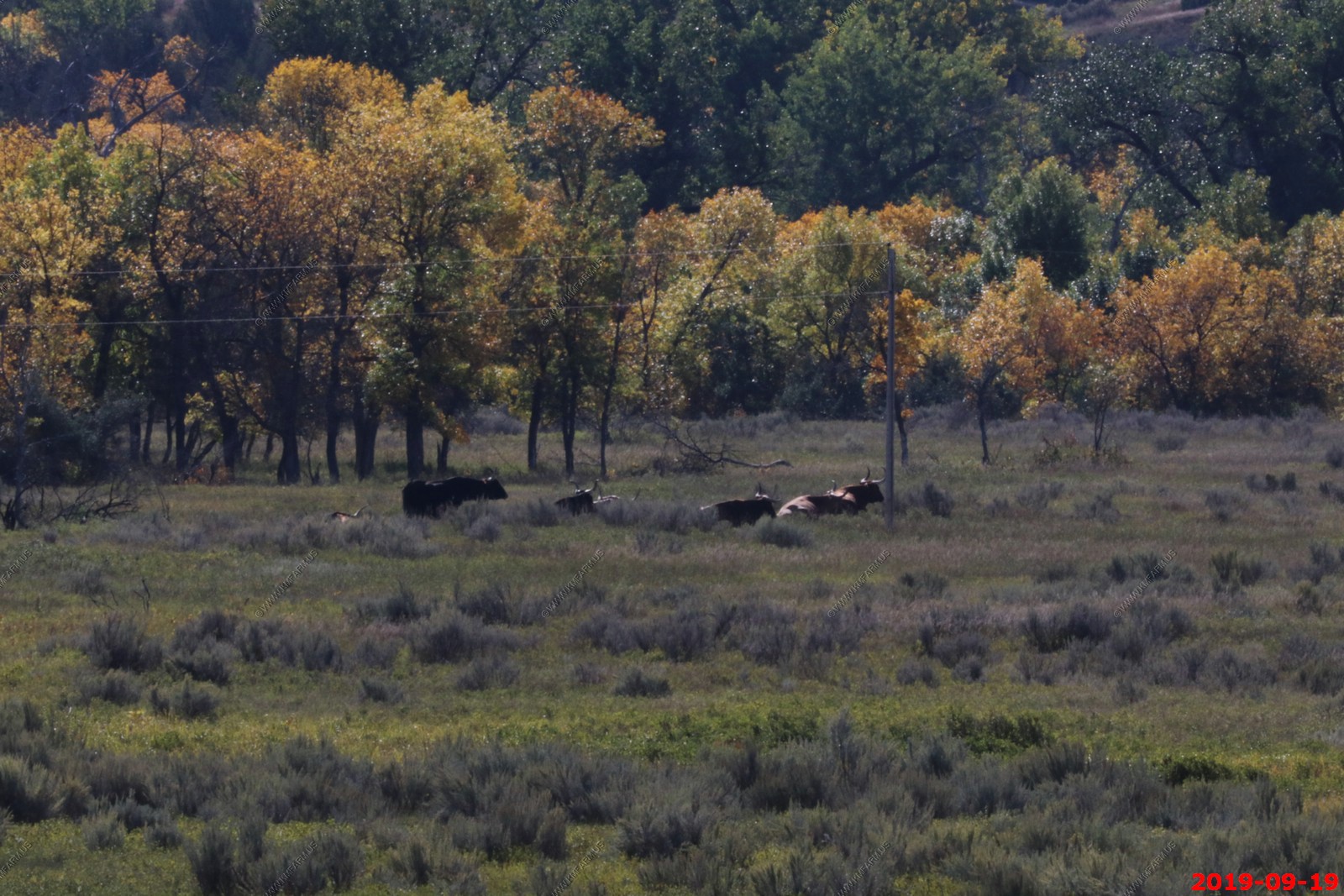
Longhorns. Not close to the road but we saw them.
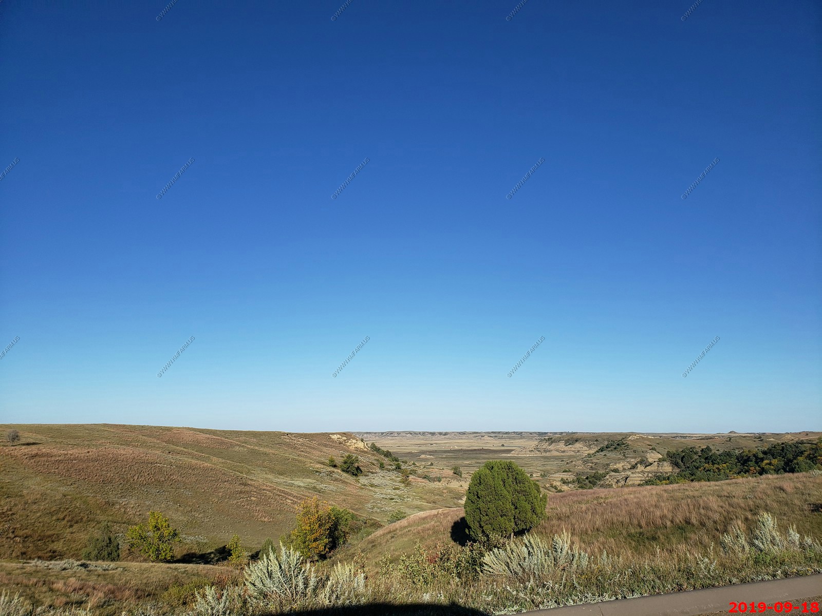
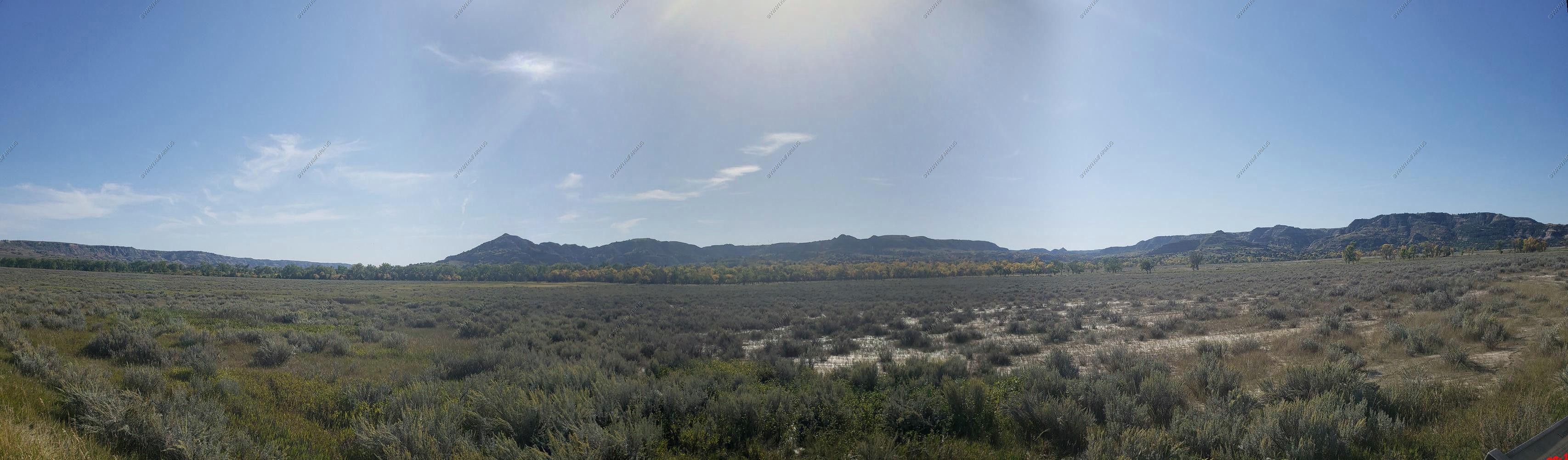
Wide open spaces in the Little Missouri River bottom.
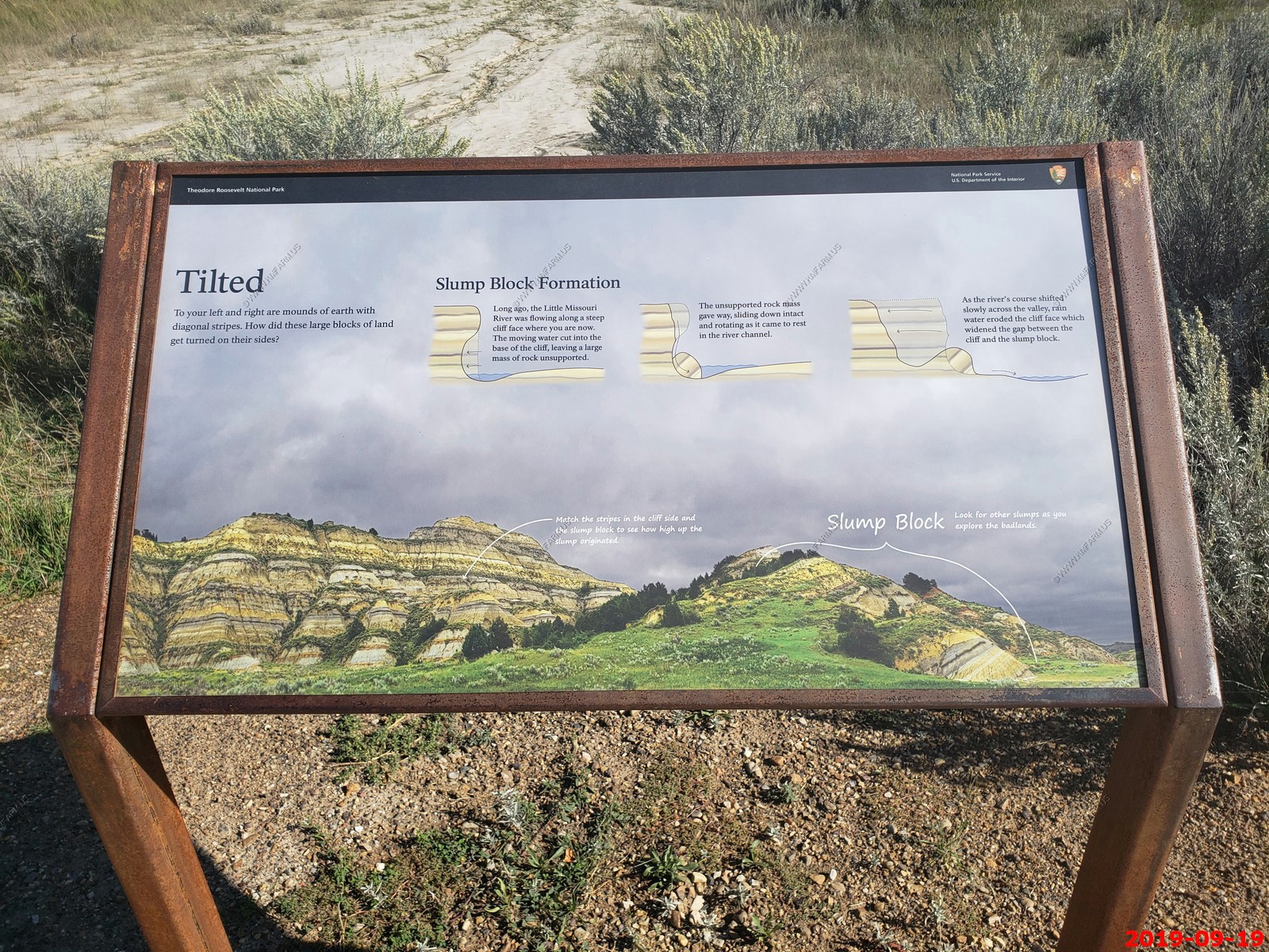
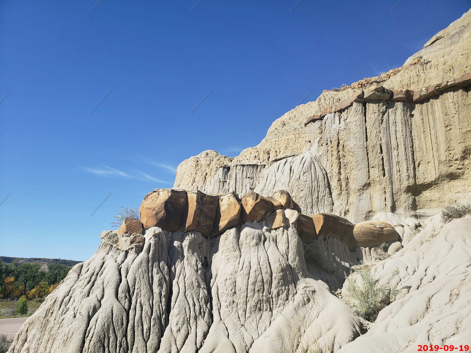
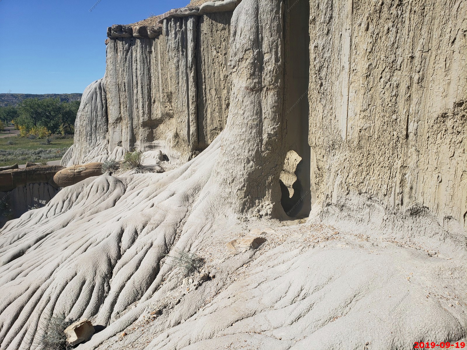
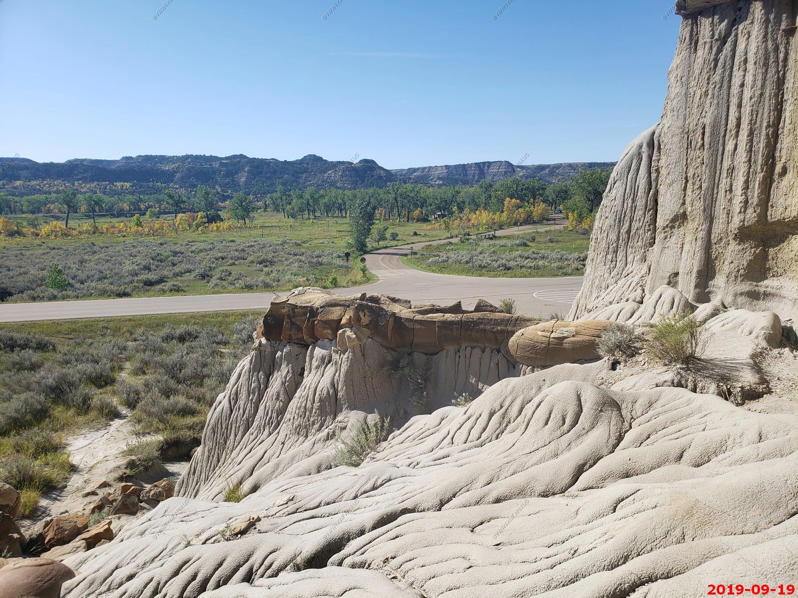
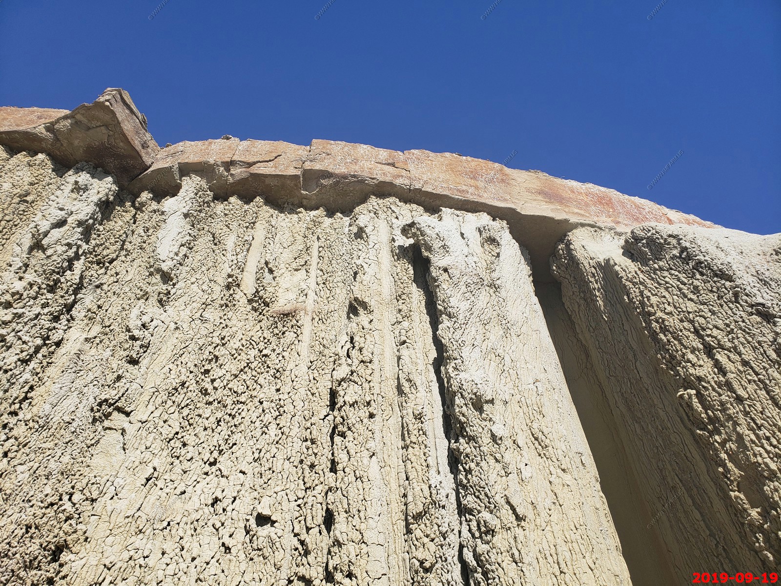
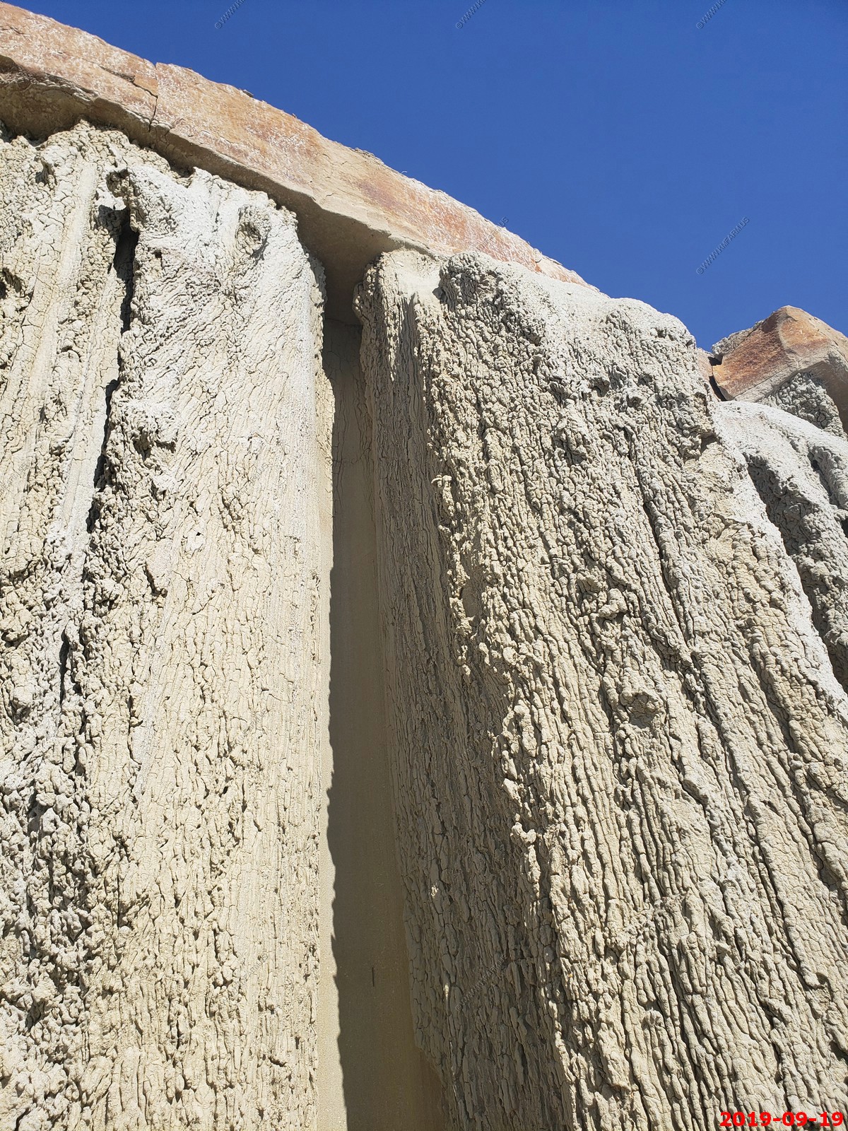
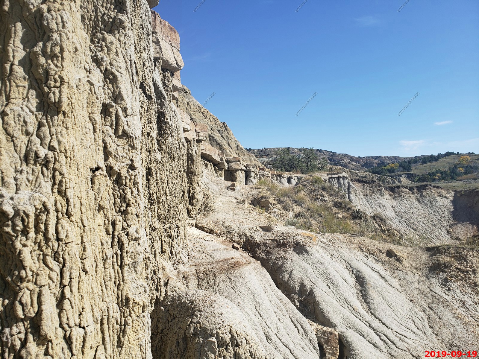
Tilted geology.
Got the place to ourselves.

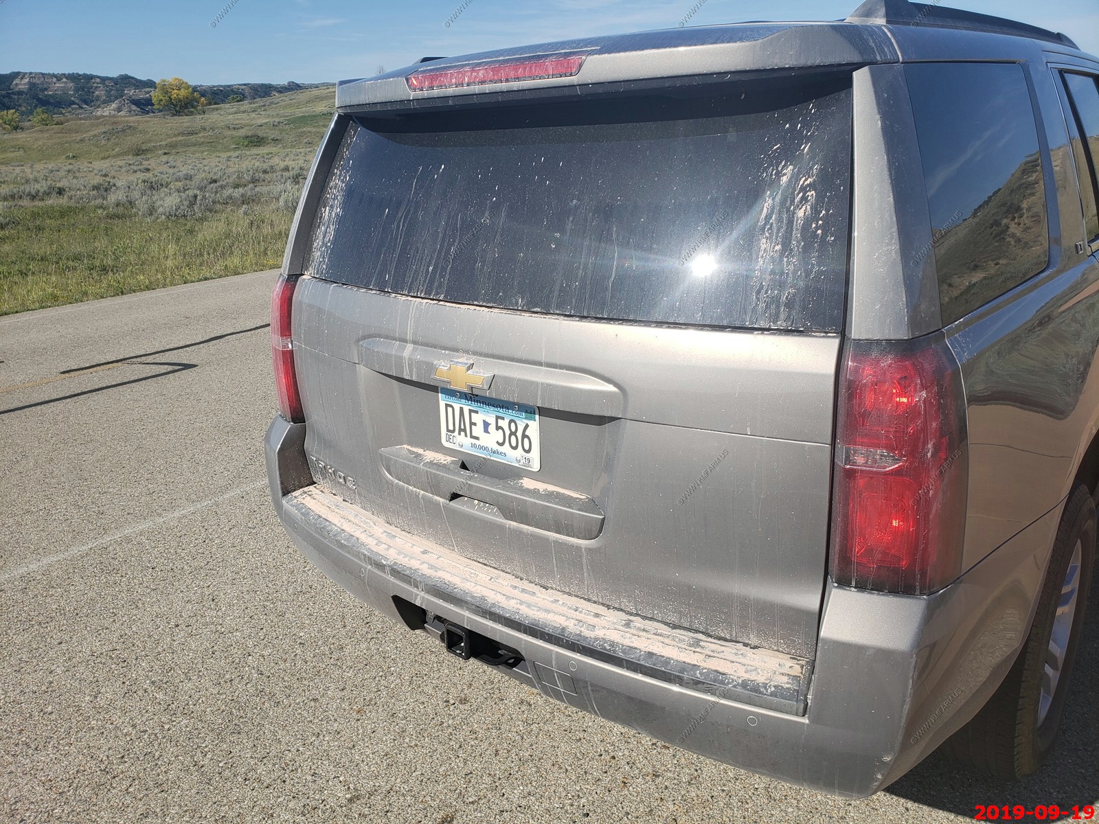
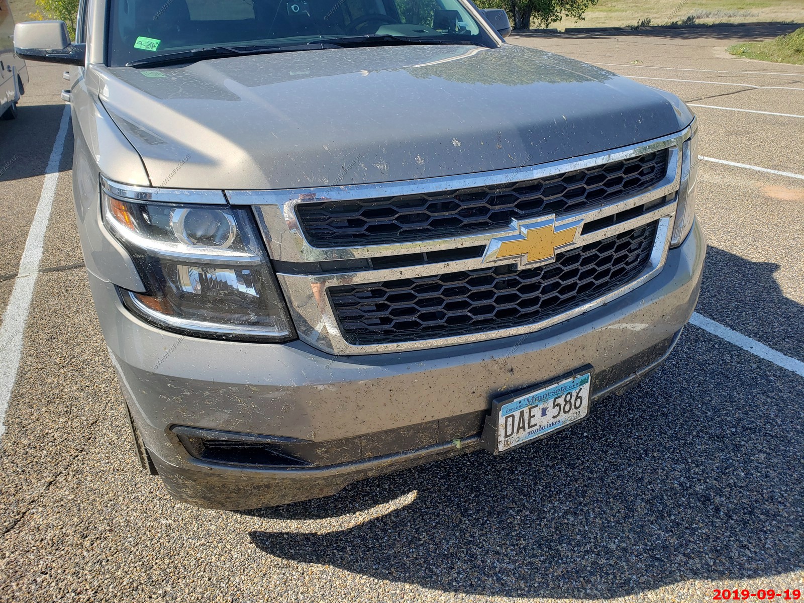
Dirty Rental Car
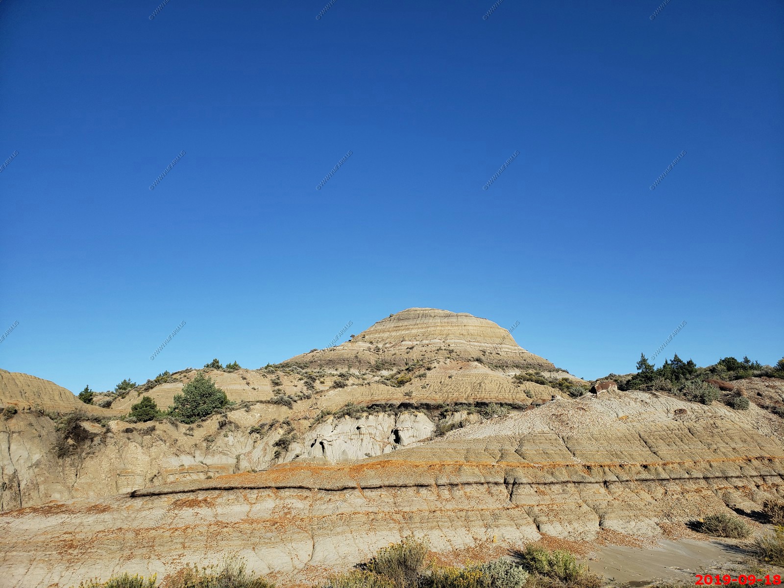
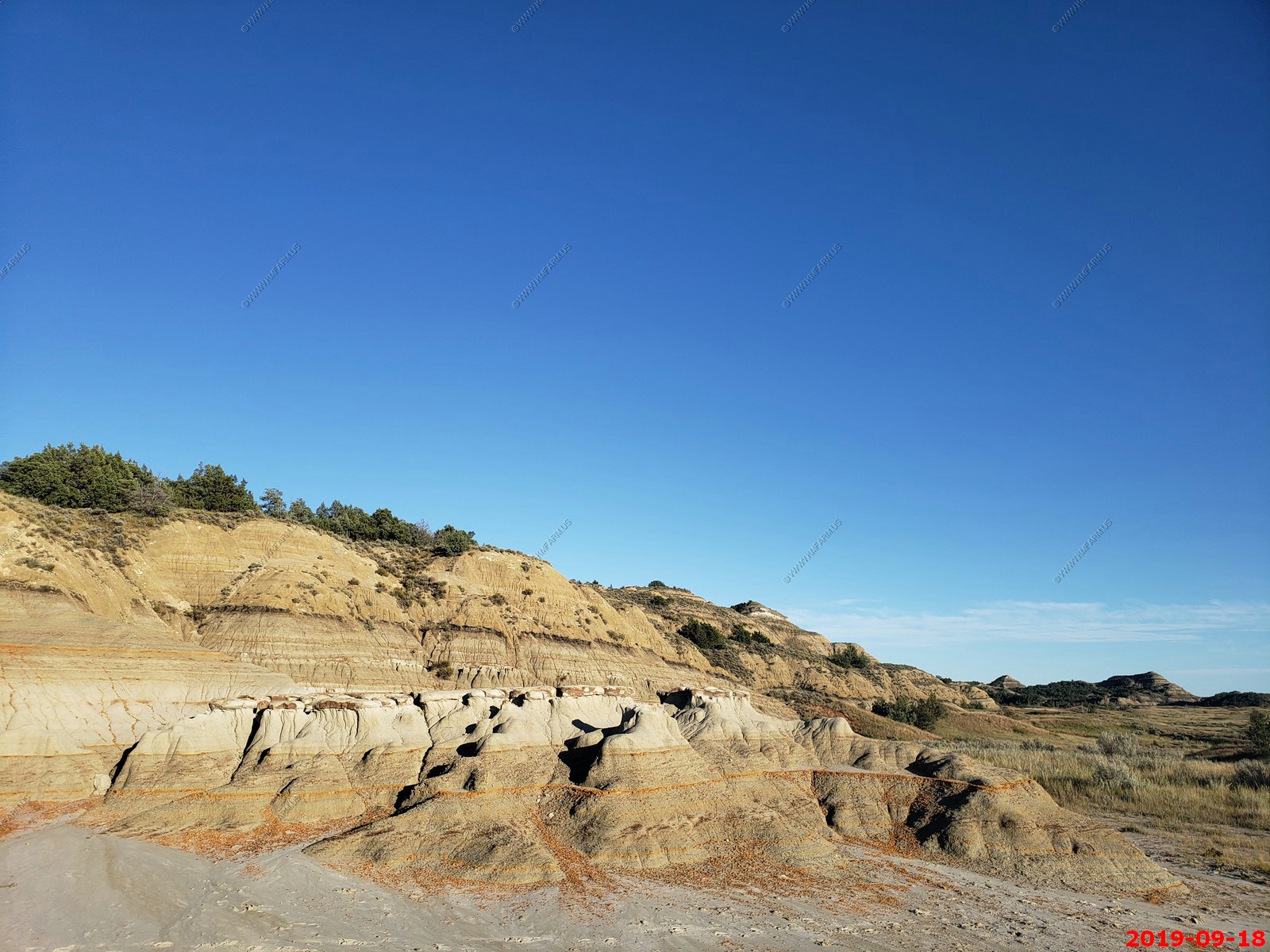
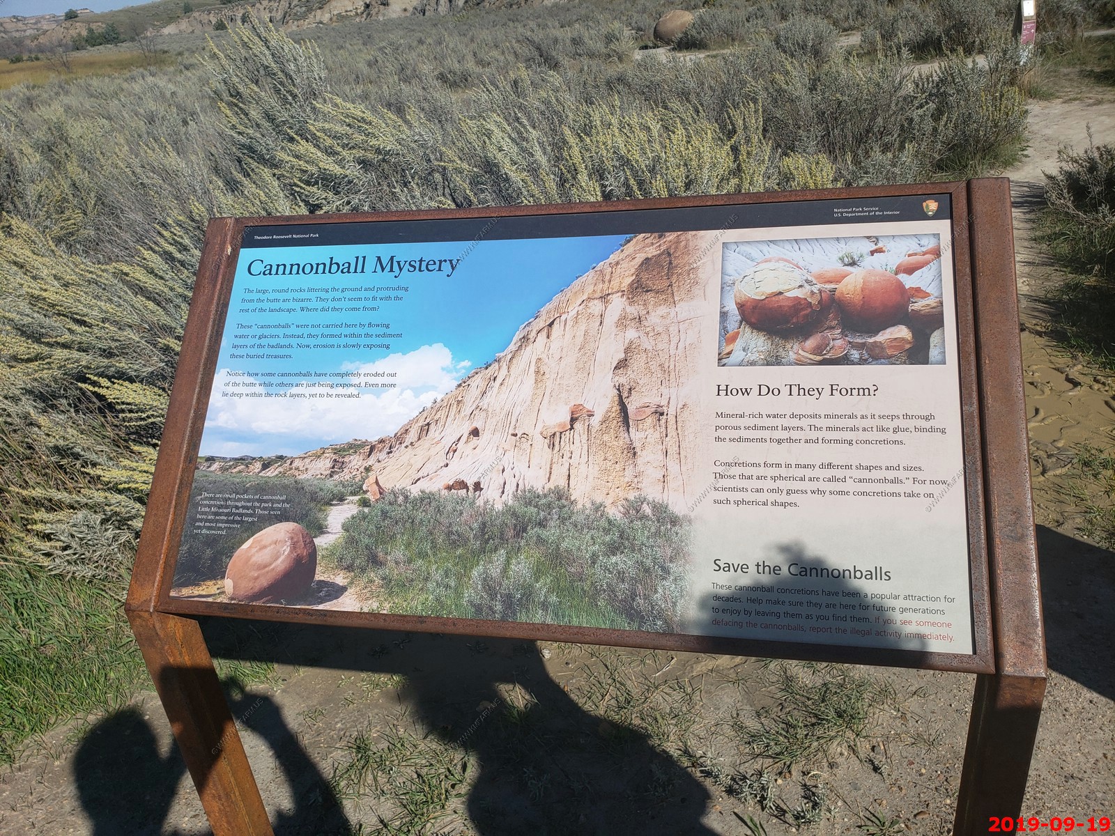
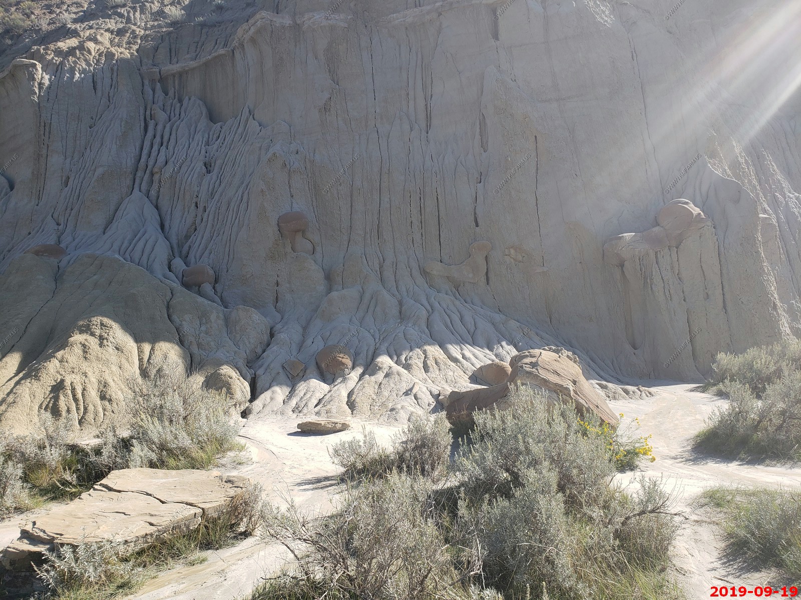
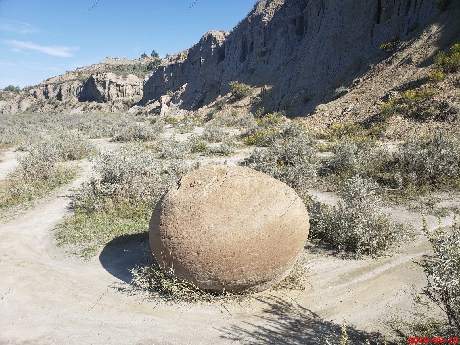
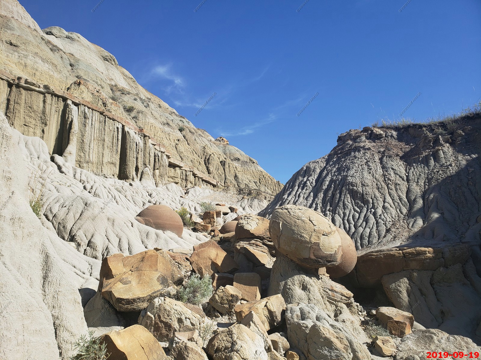
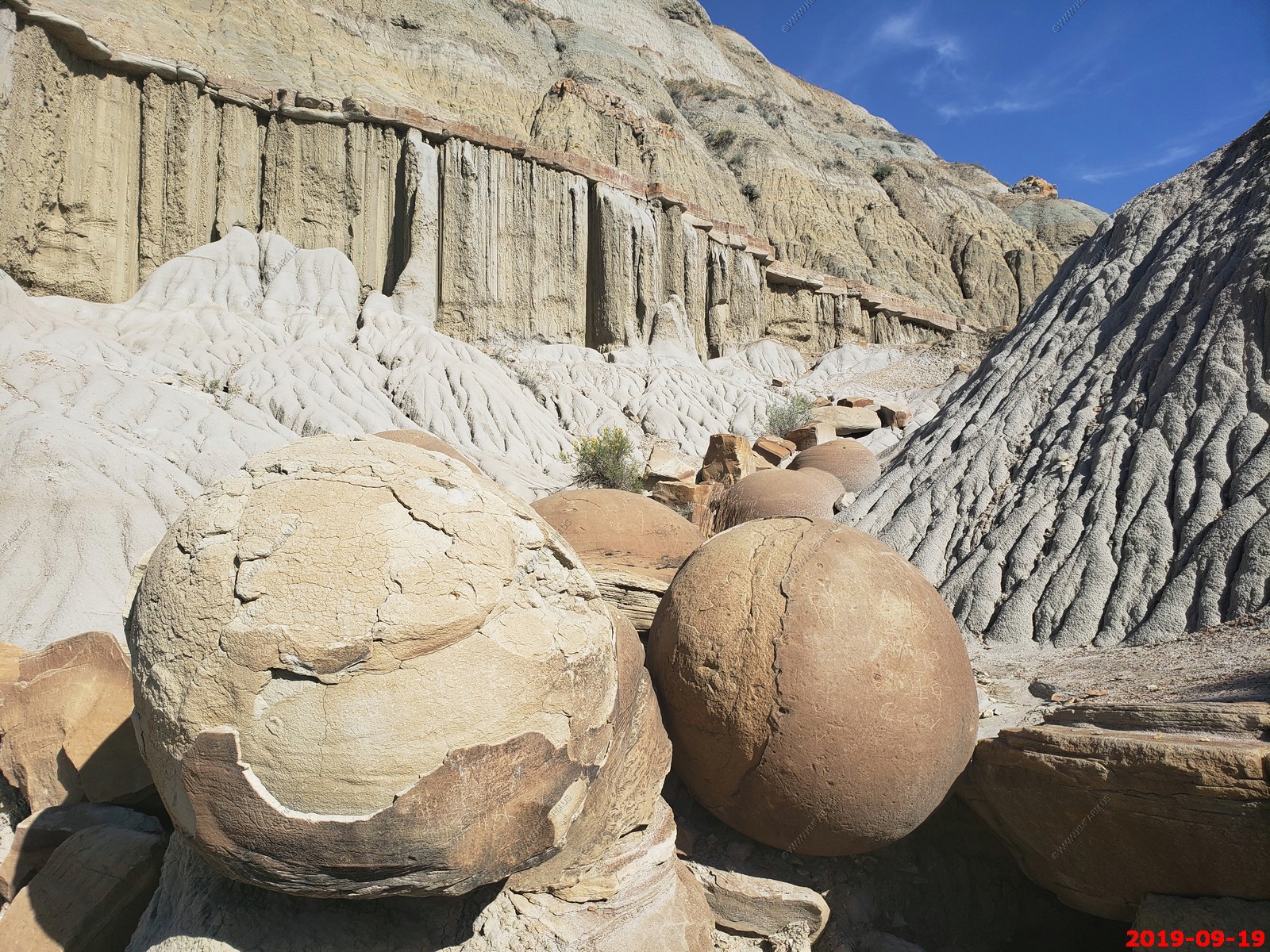
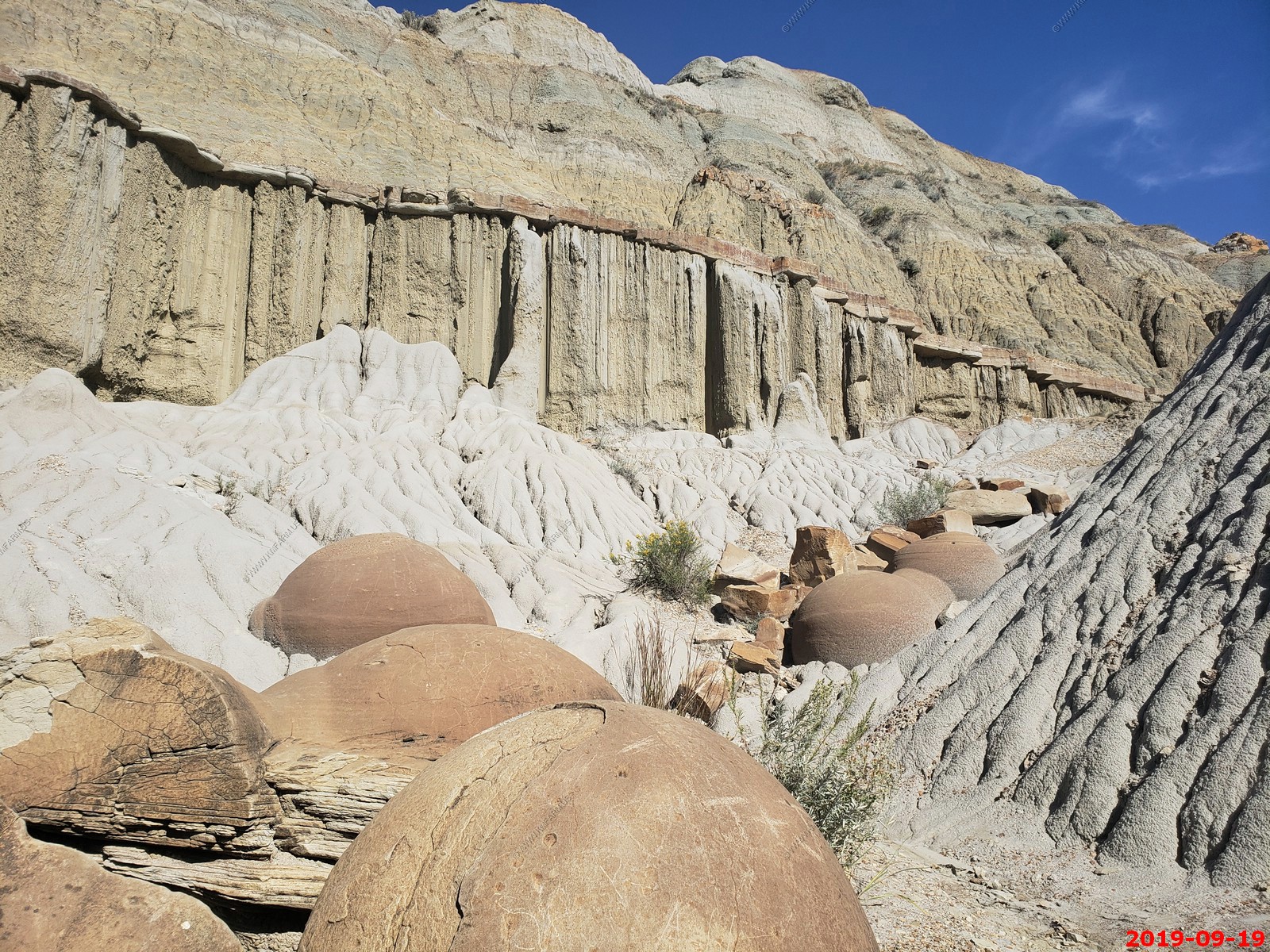
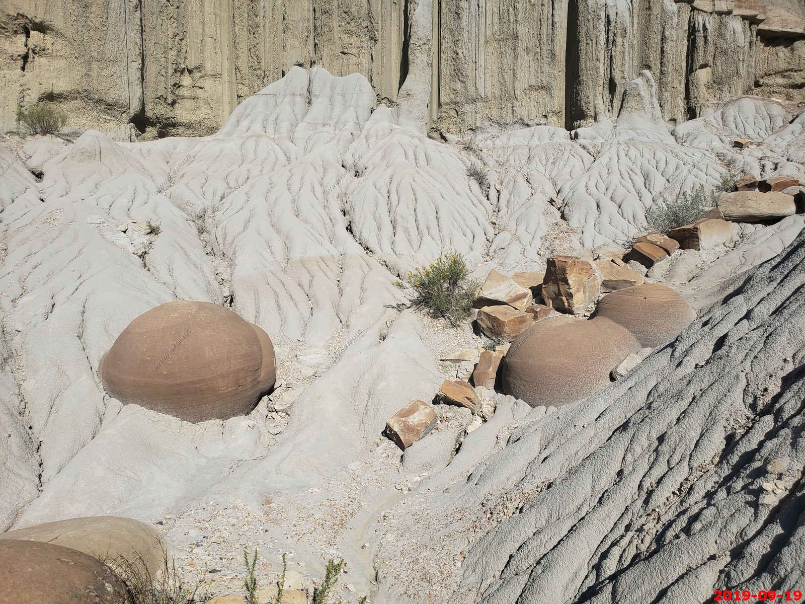
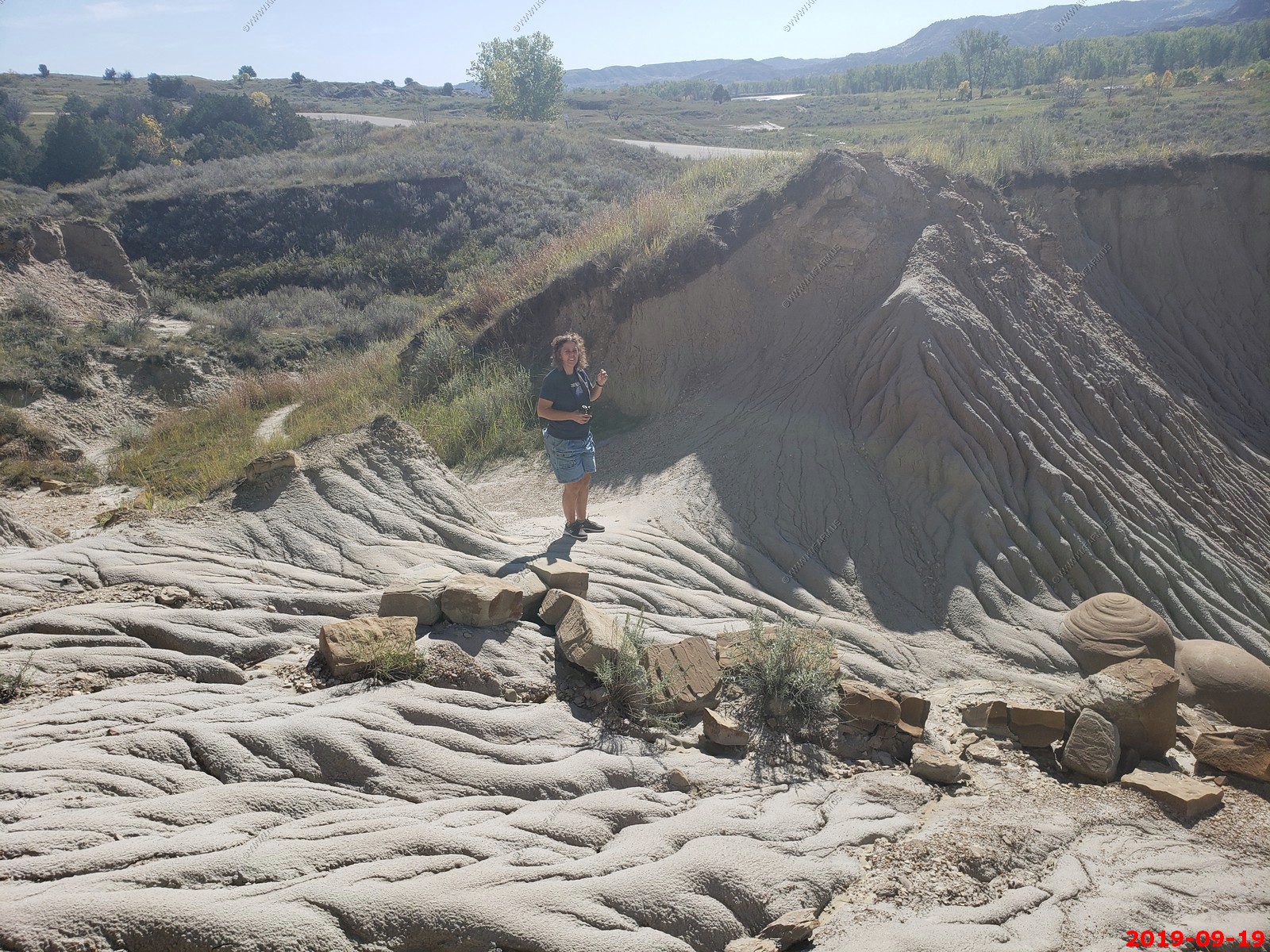
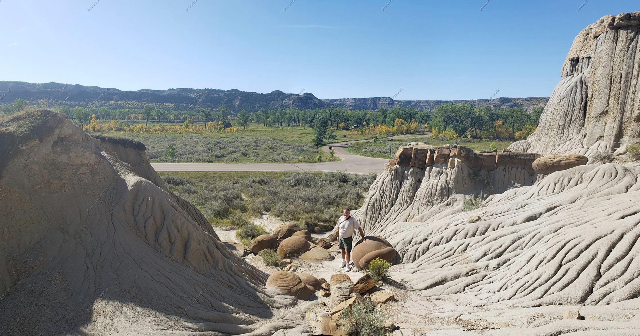
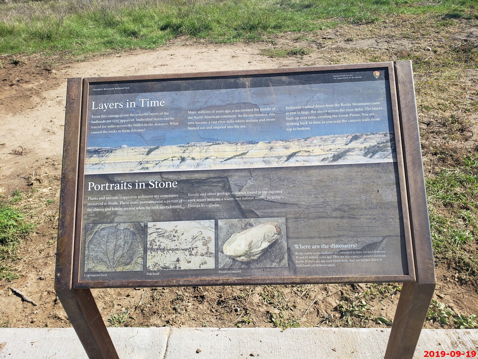
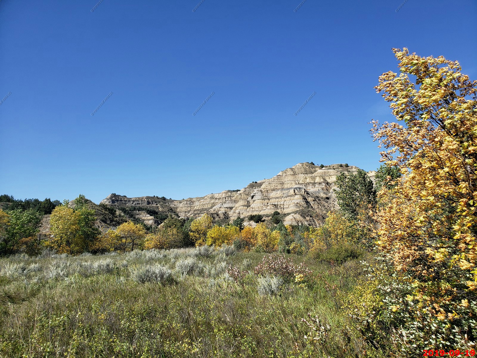
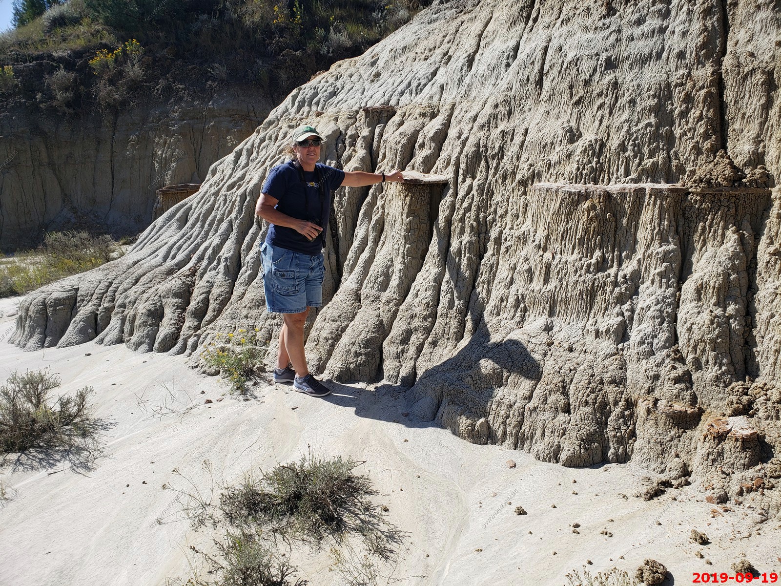
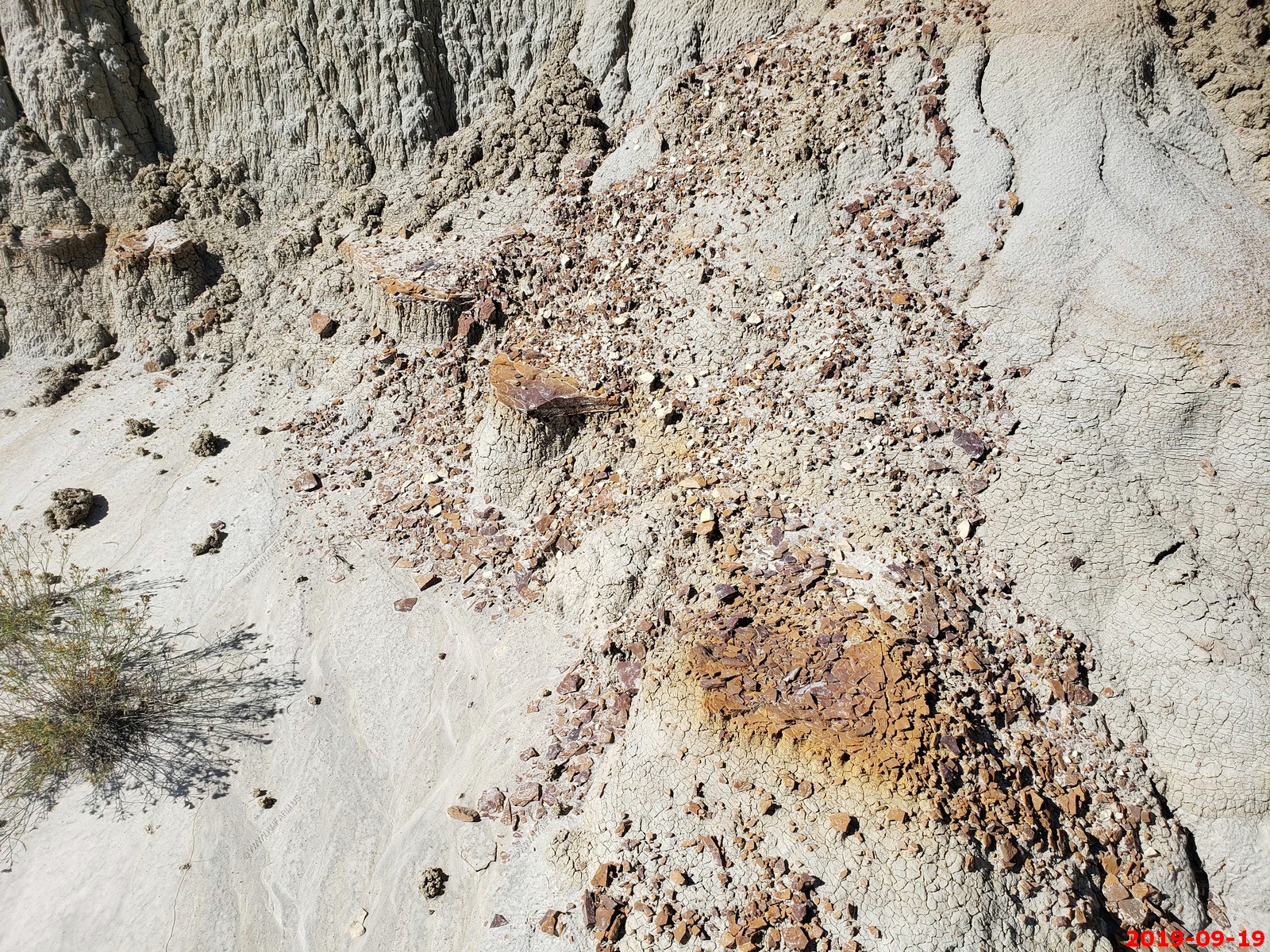
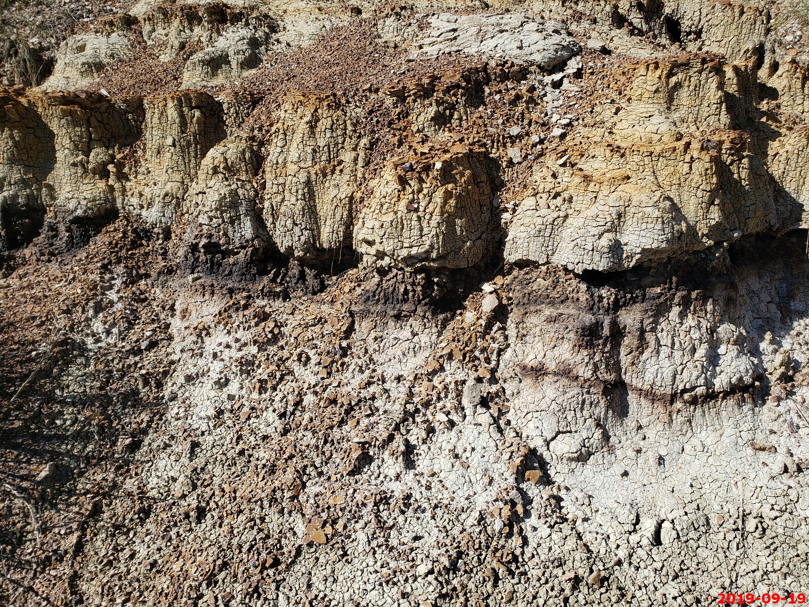
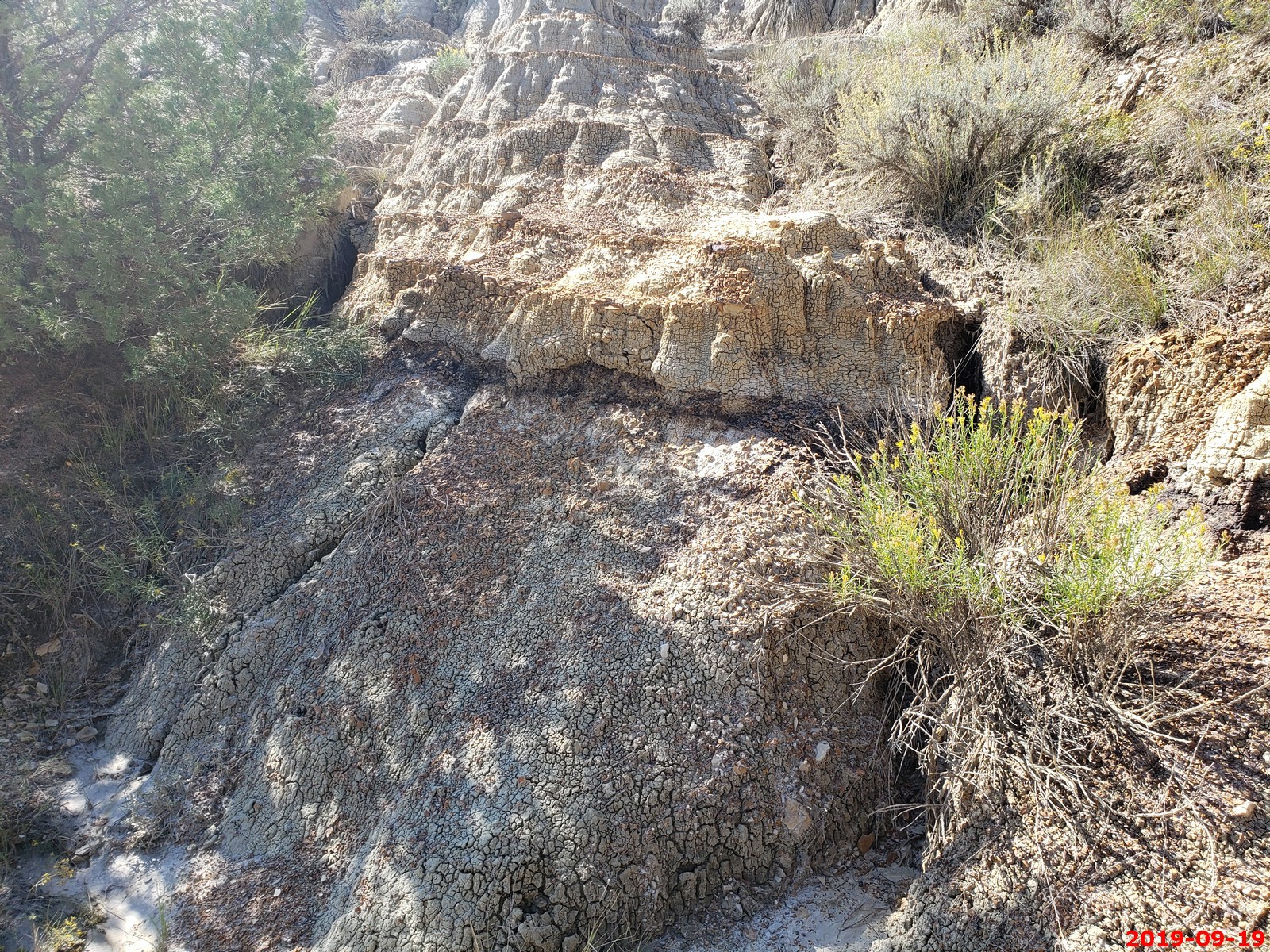
Cannonball concretions in the North Unit - This boulder is known as a "concretion". The concretions are formed within sedimentary rocks such as shale or sandstone. They form as minerals are deposited around a core. As the surrounding rocks erode, the "cannon balls" become exposed.
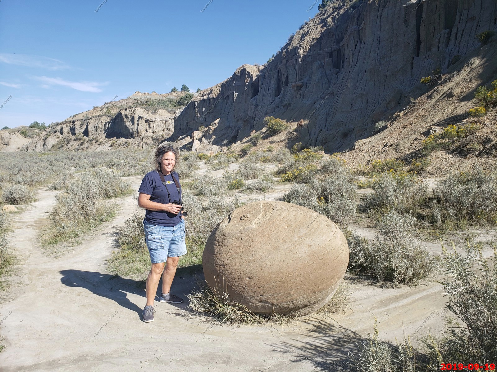
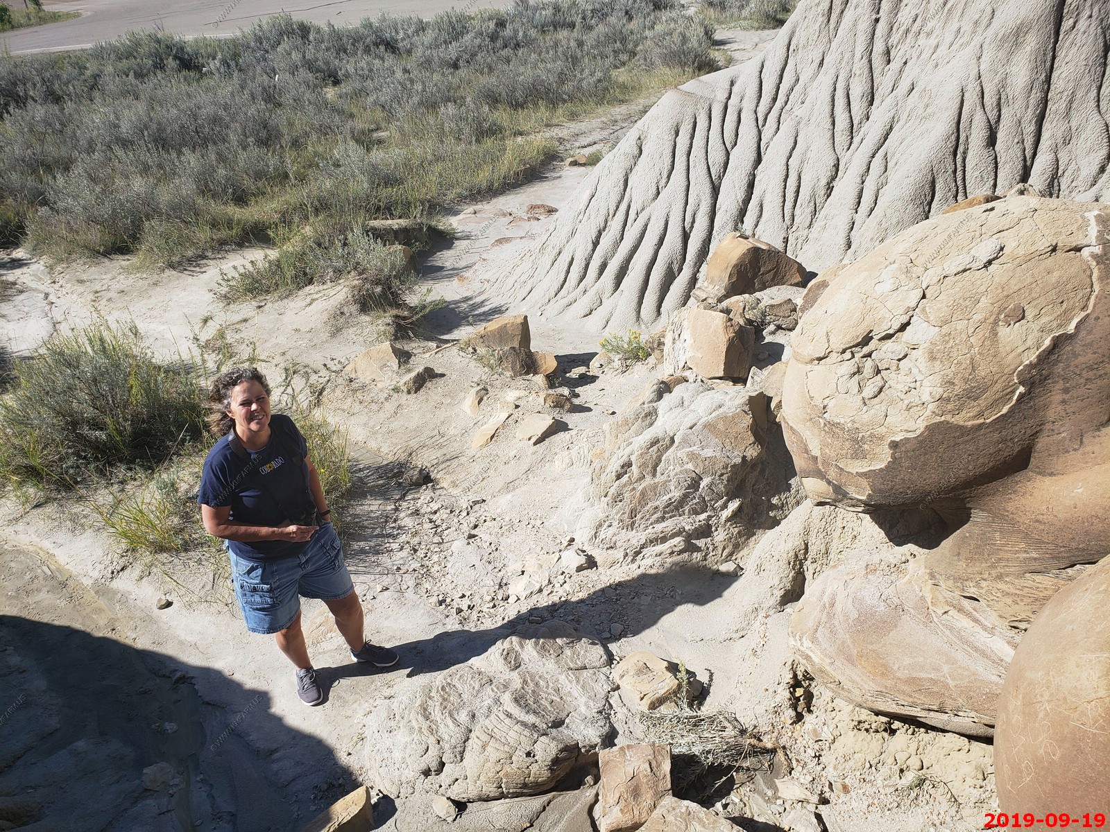
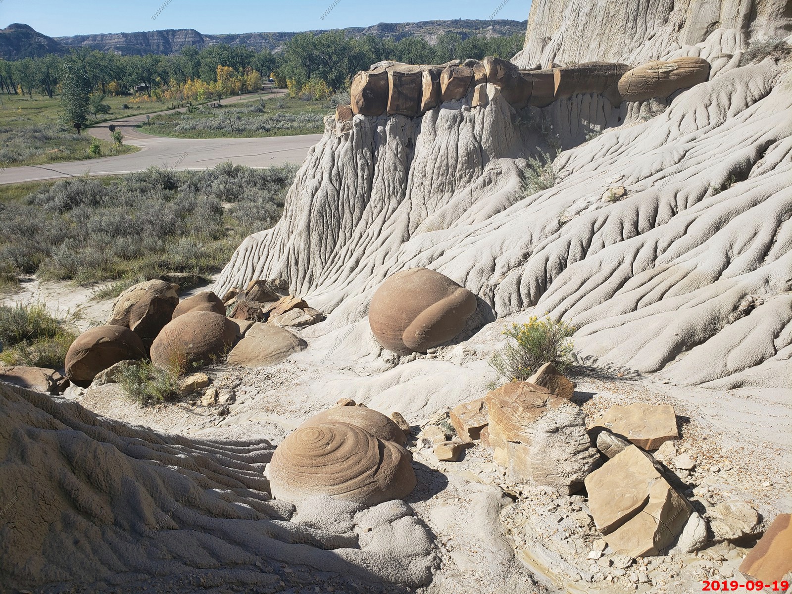
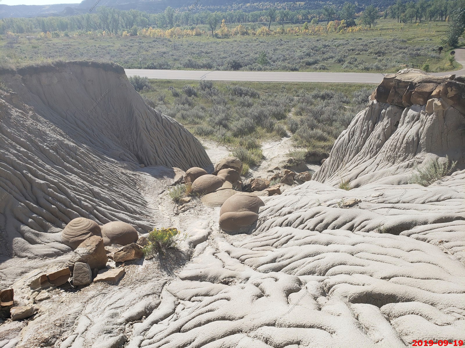
Ken hanging with the concretions.
Amazing blue sky.

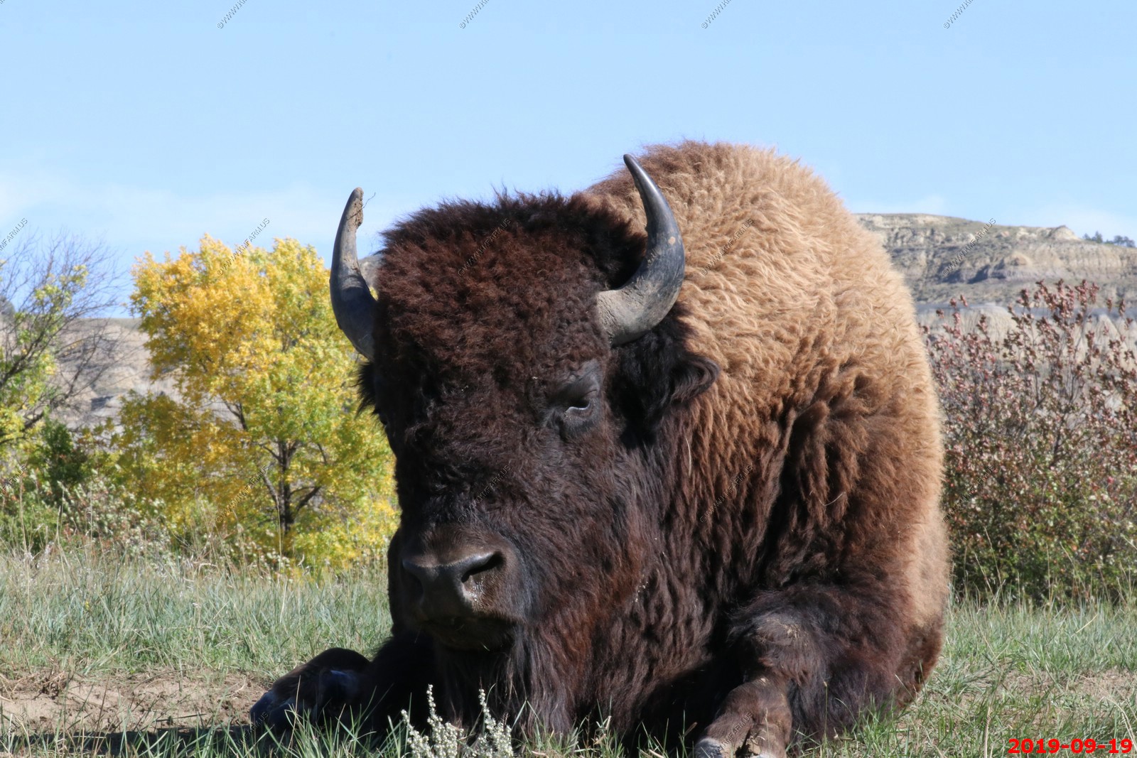
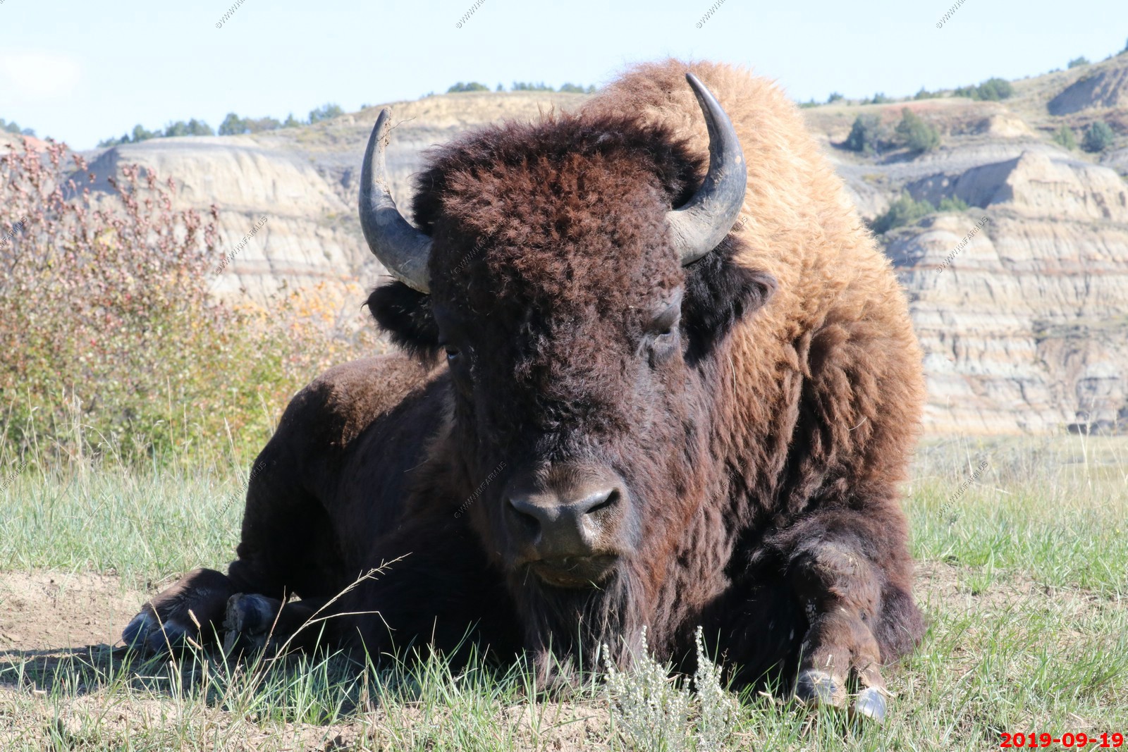
This was probably the best Buffalo photo of the trip.
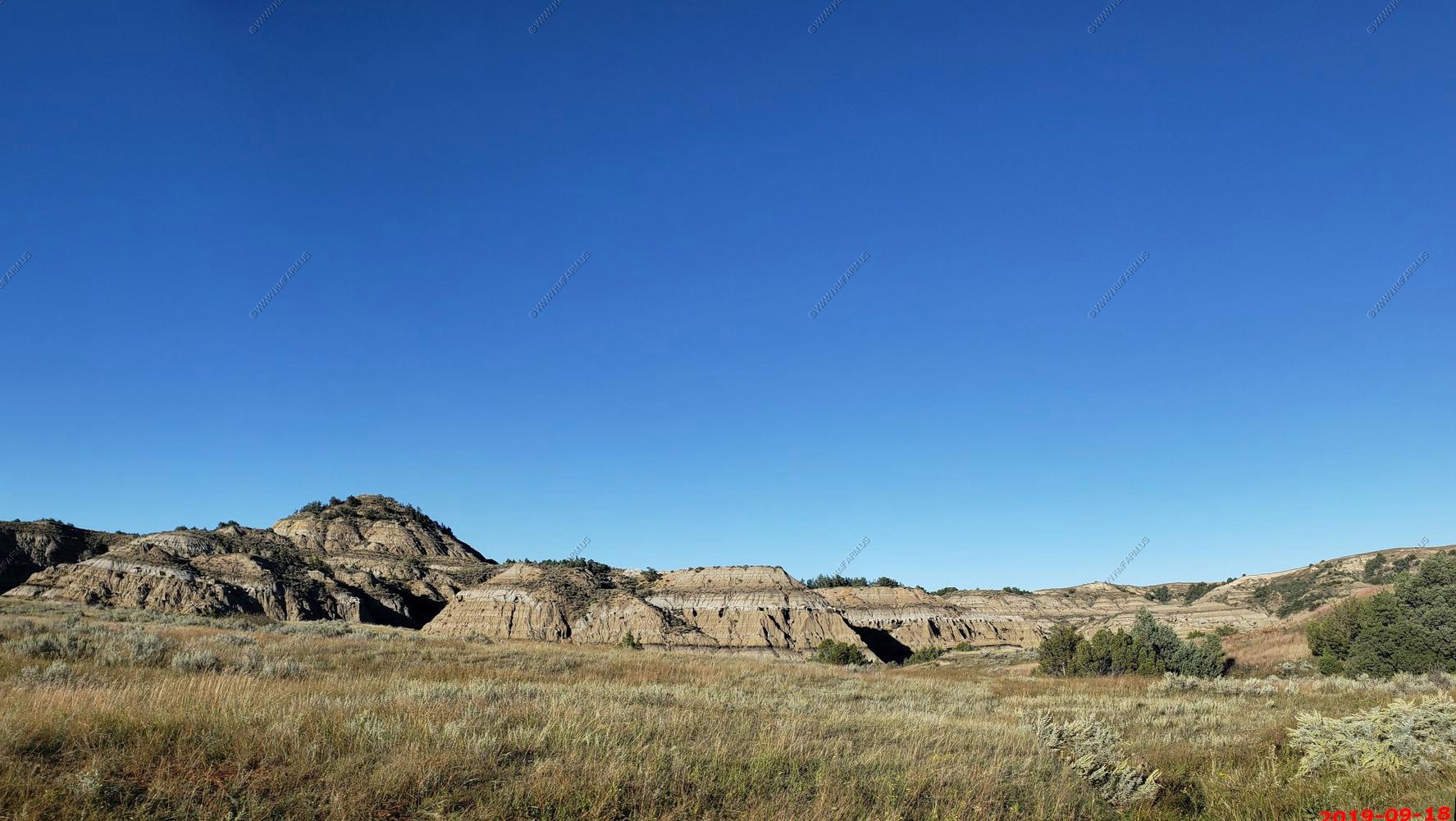
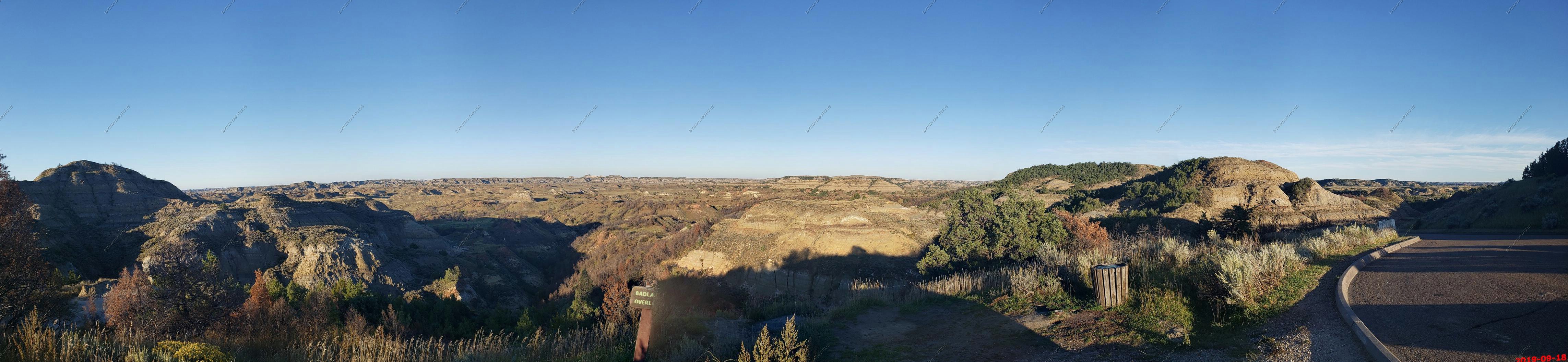
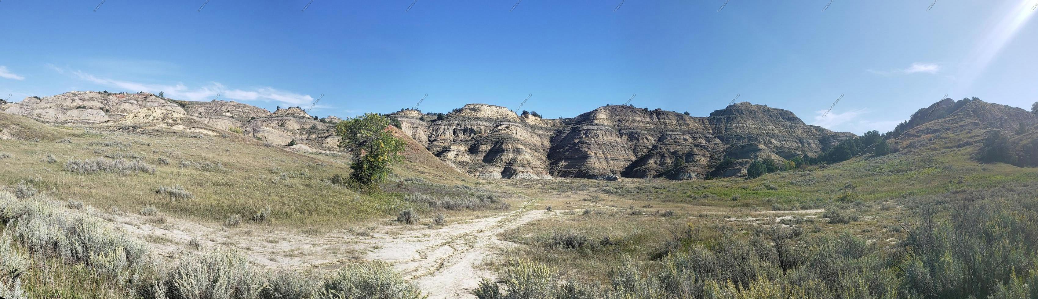
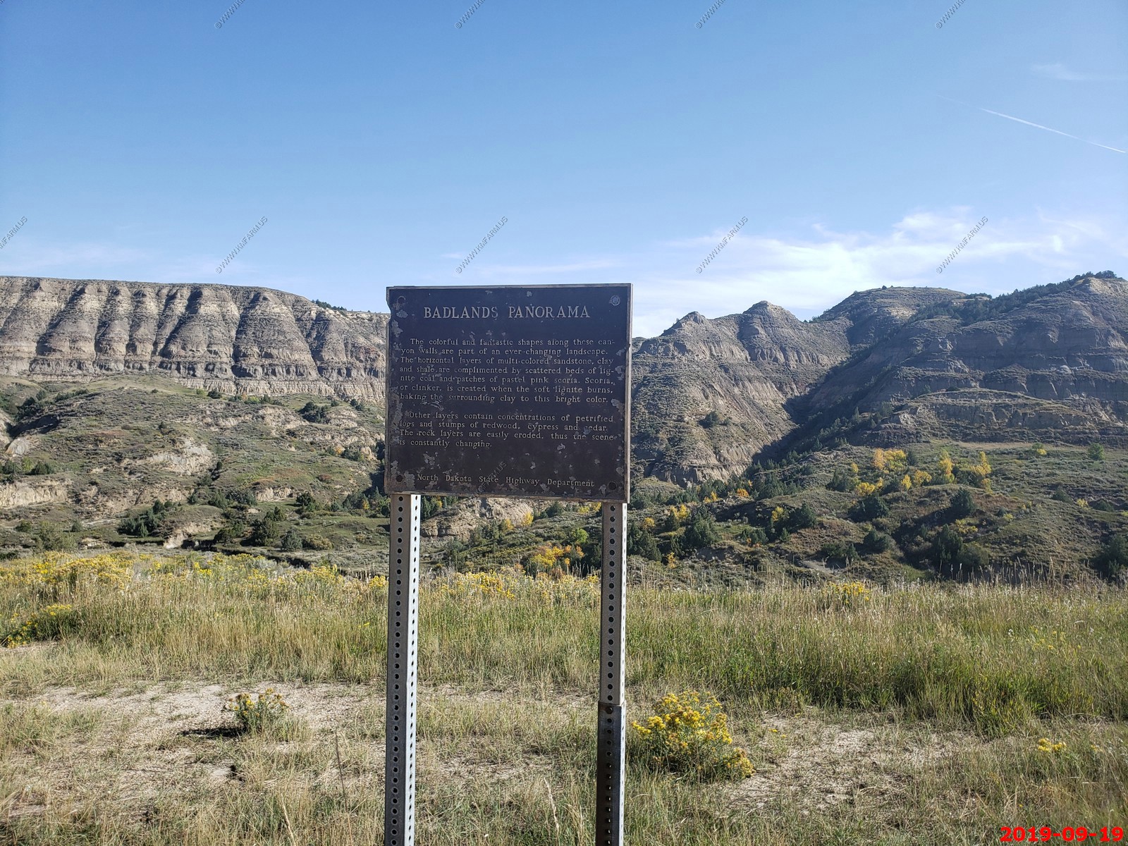
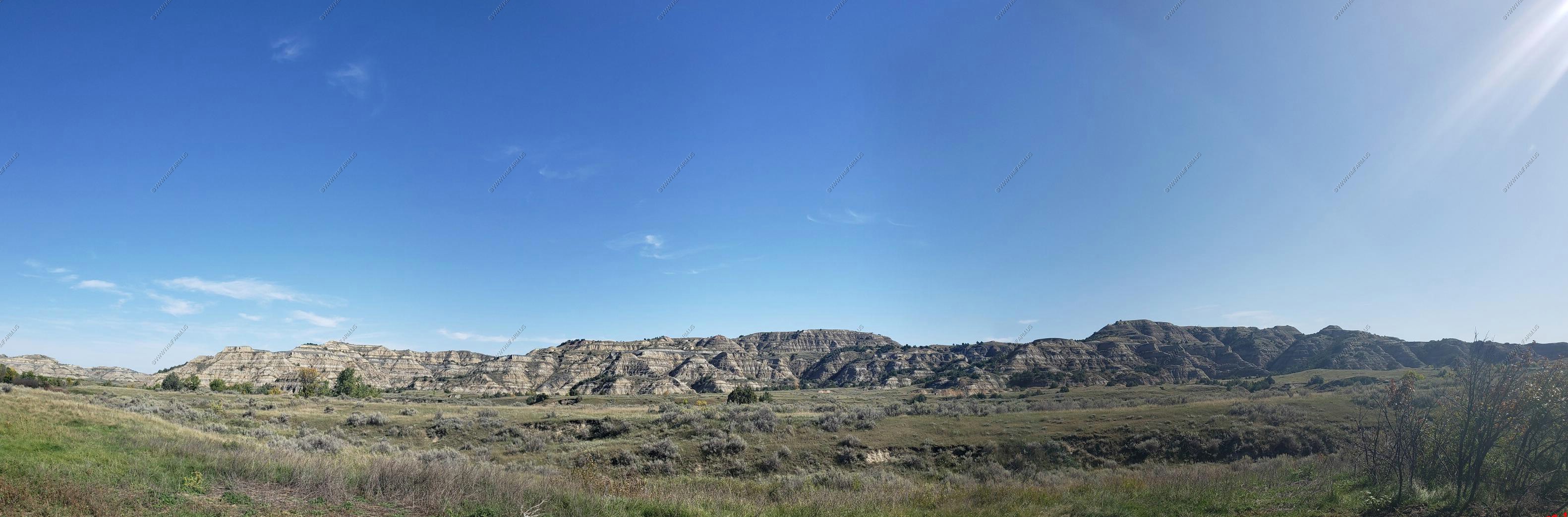
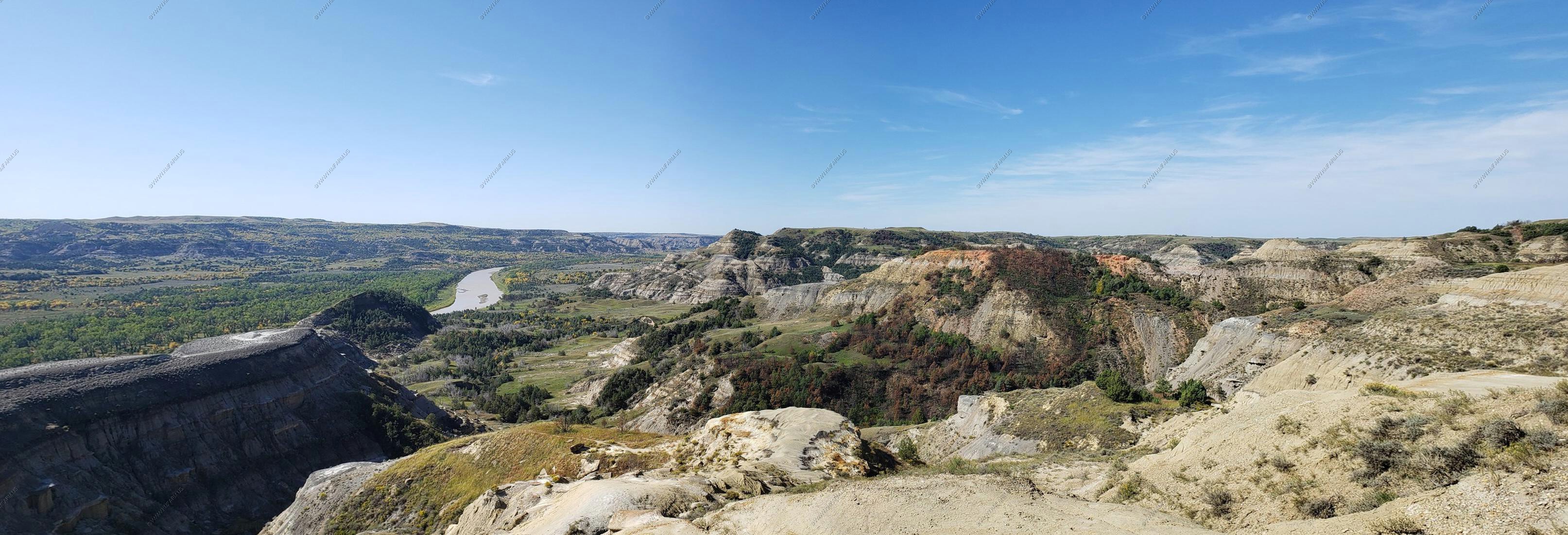
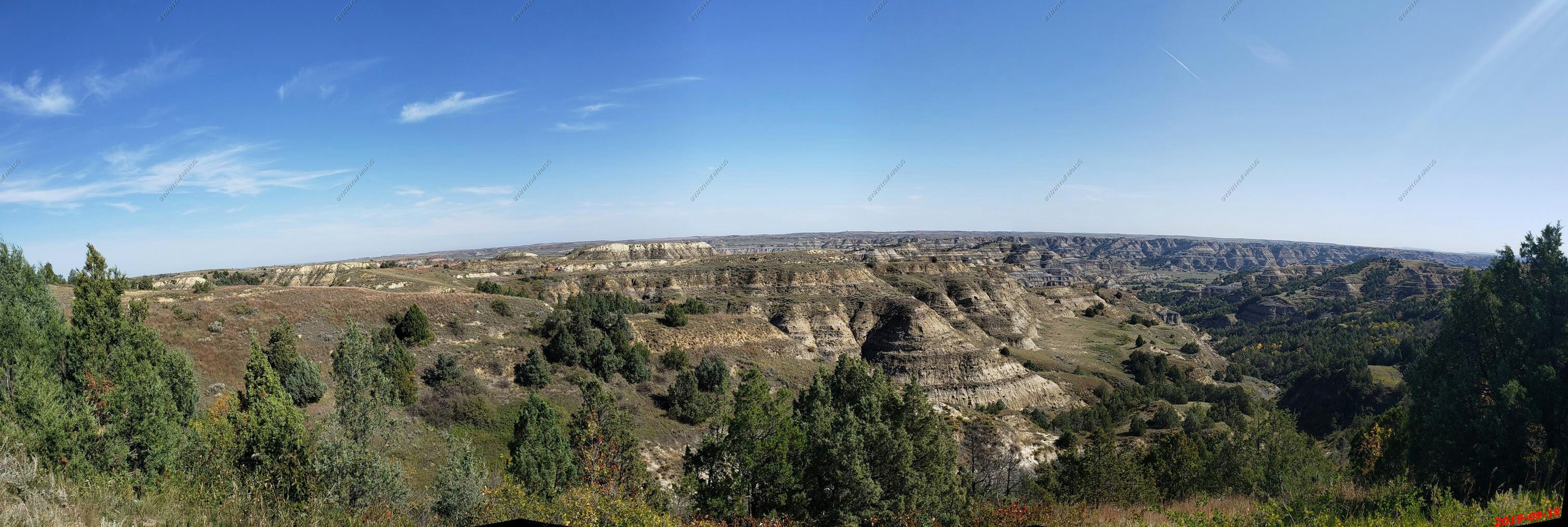
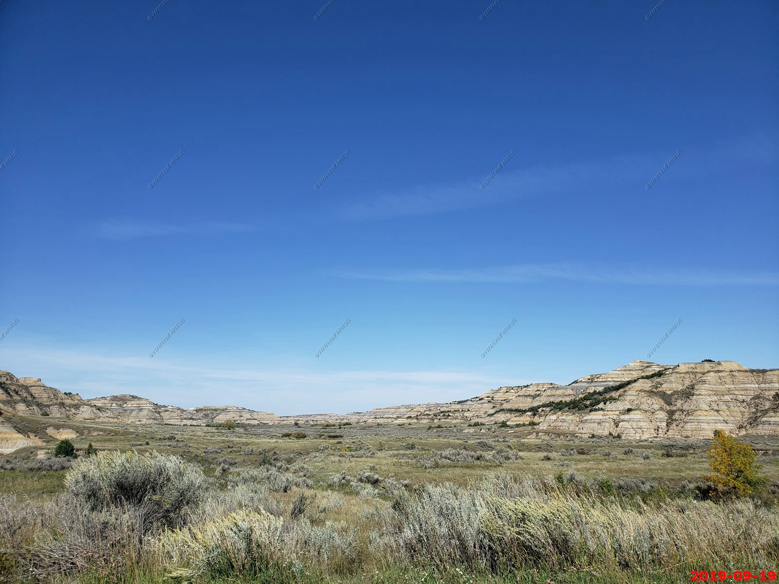
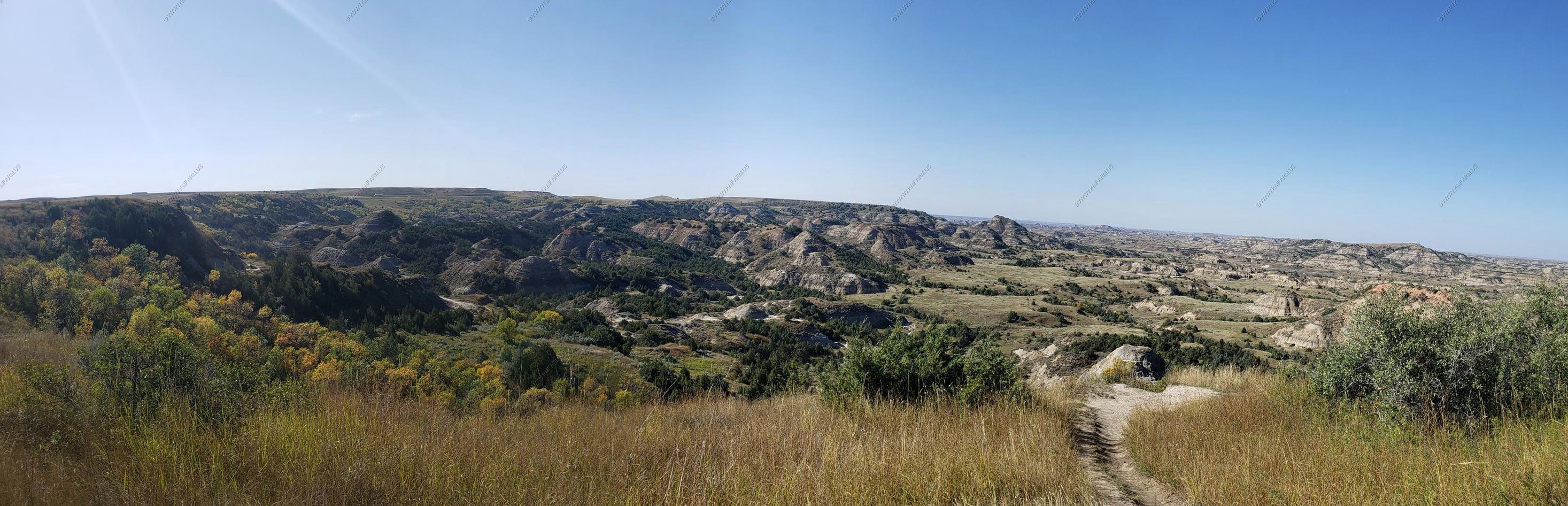
Badlands Panorama.
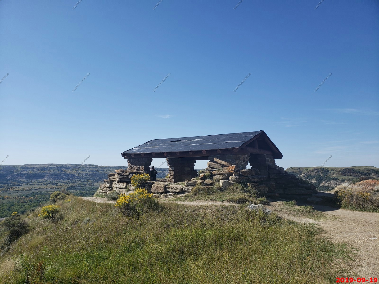
River Bend Overlook - Looking down at the Little Missouri River.
Various views and information signs.

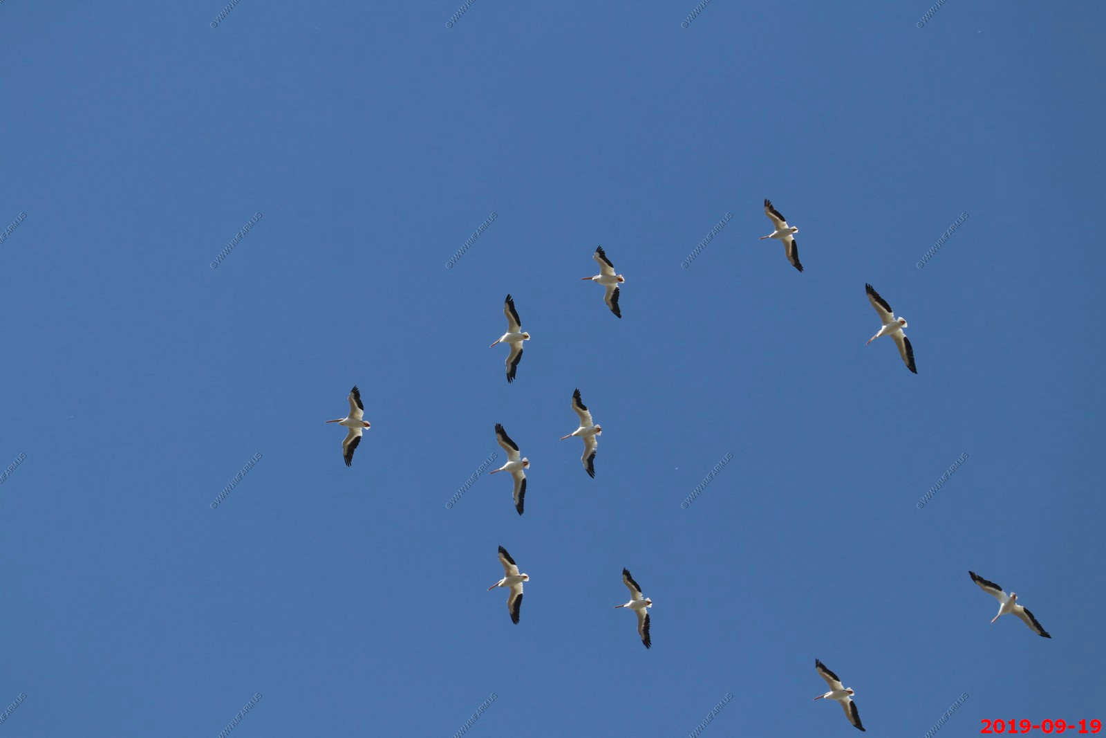
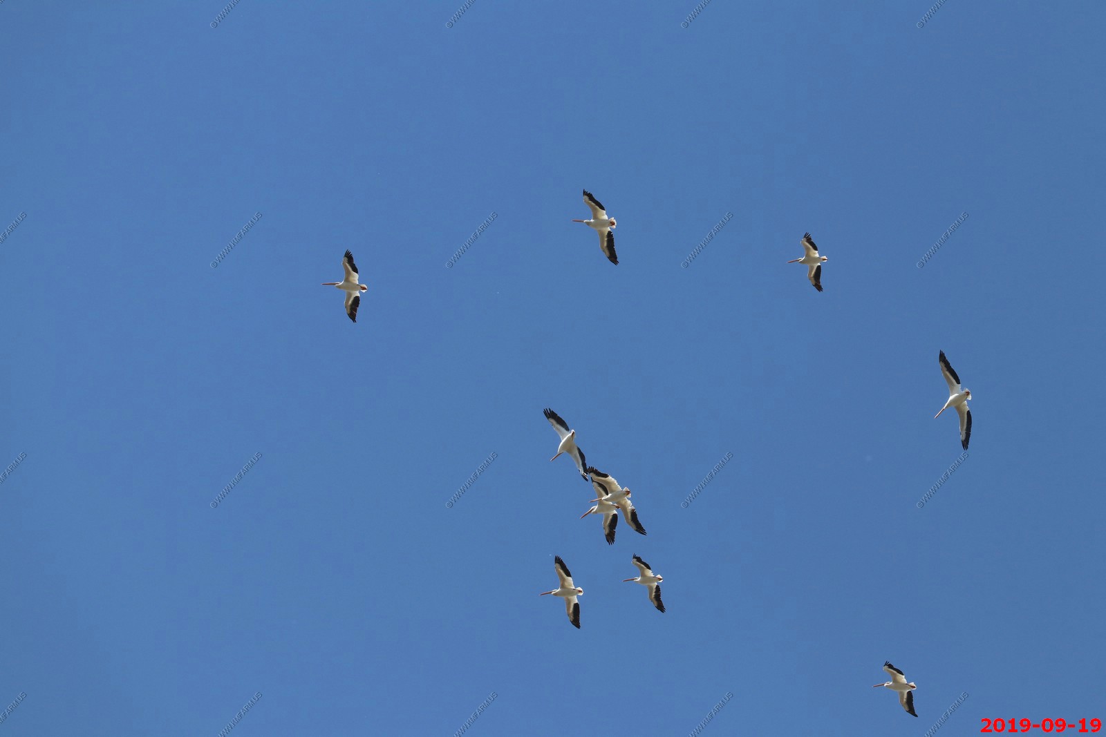
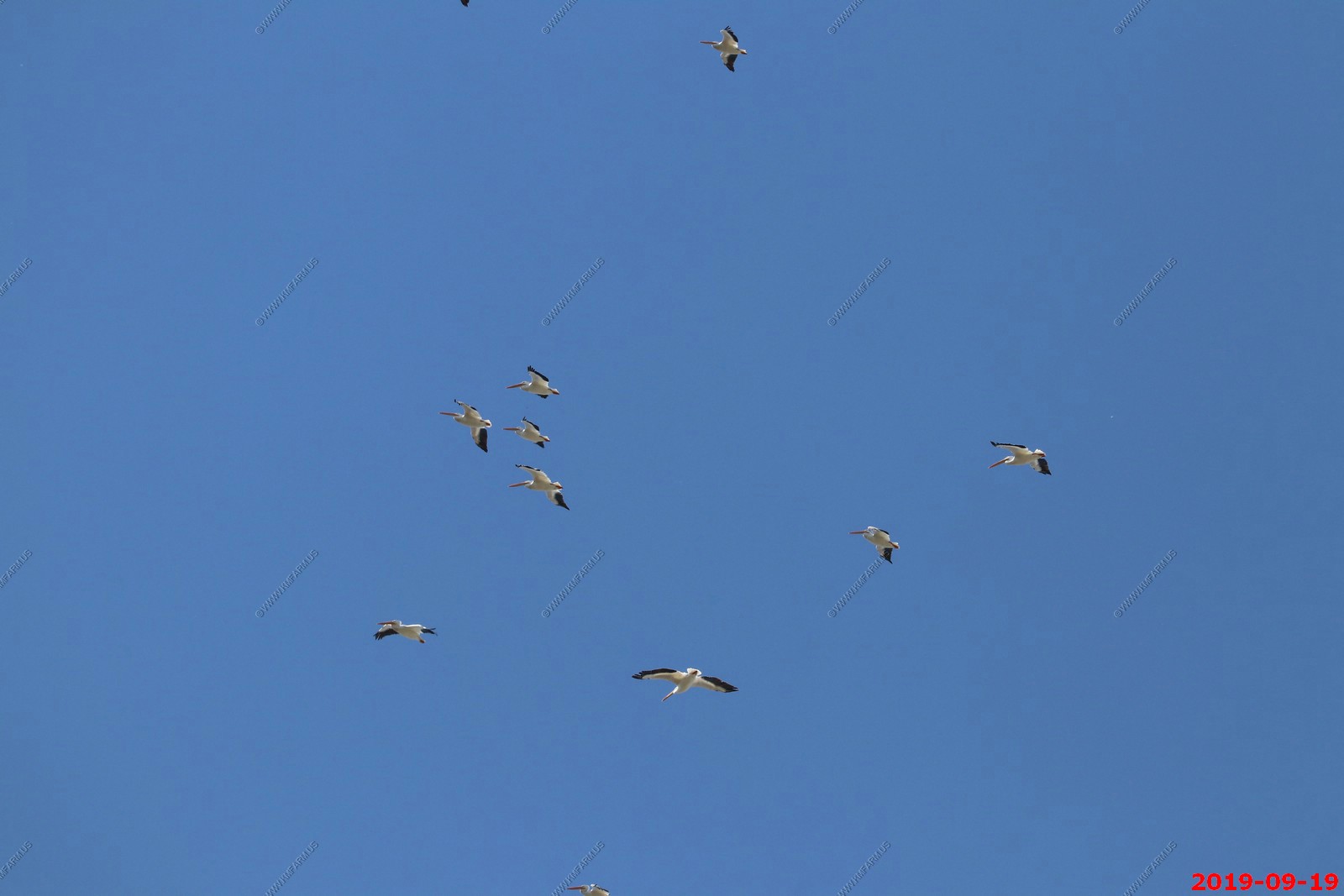
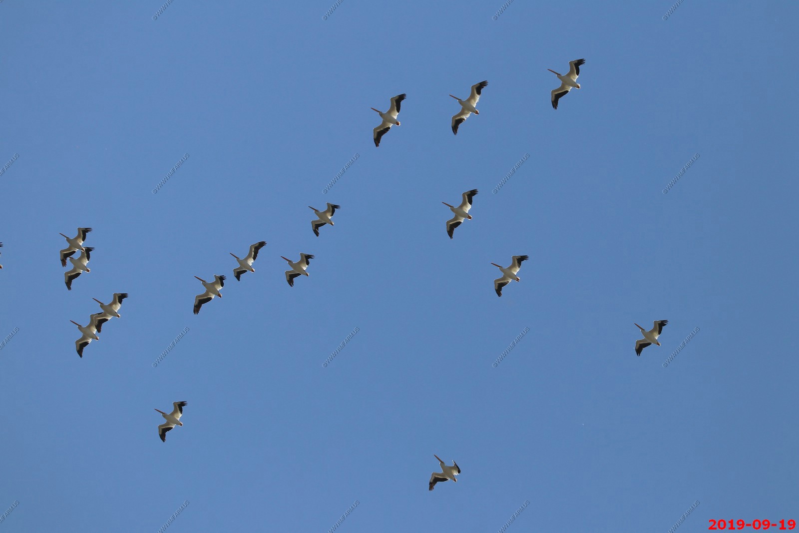
American White Pelicans in nonbreeding plumage. The American White Pelican occurs mainly in western and southern portions of North America, breeding inland in colonies on remote islands and wintering along warm southern coasts. (I wonder if I imaged Venus on the photos as I see a dot)
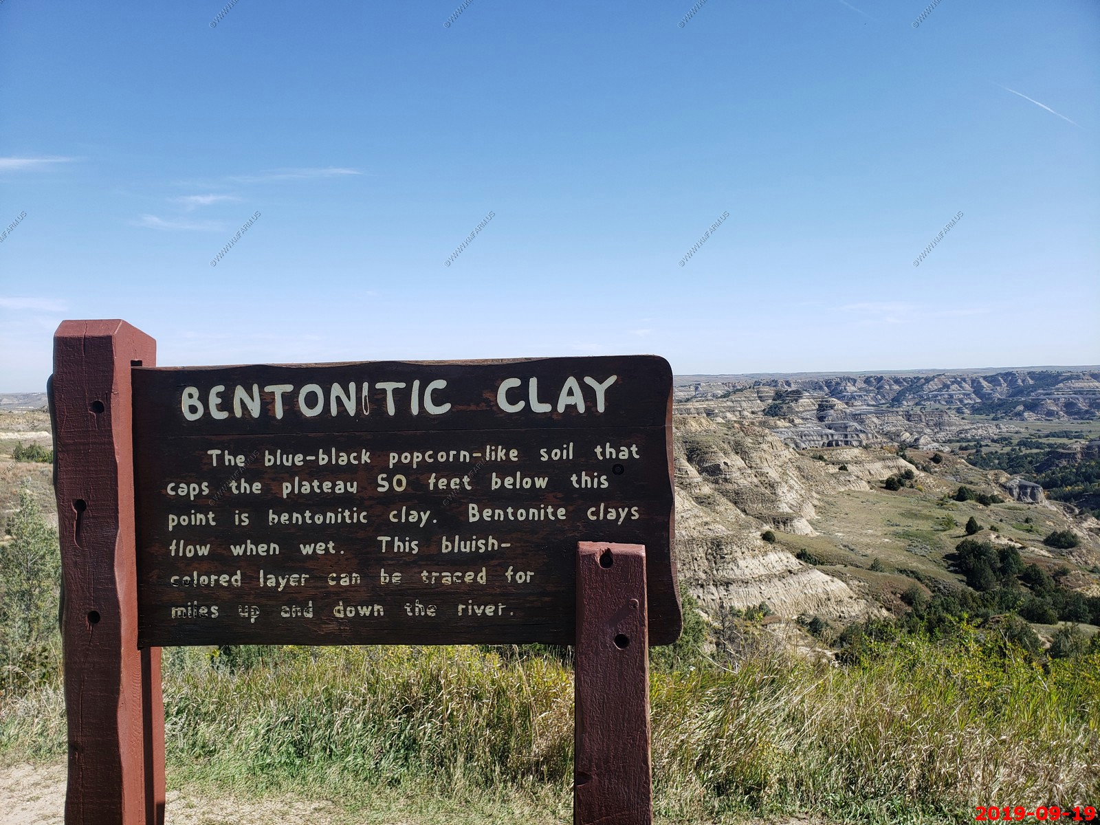
Bentonite Clay - It's fun to drive on this when its wet.
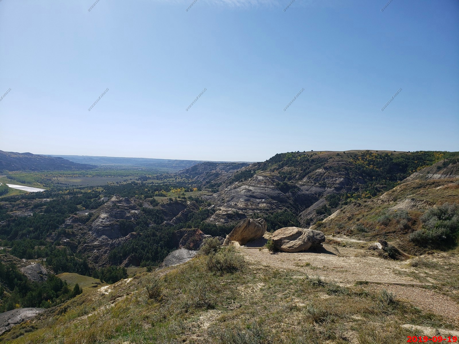
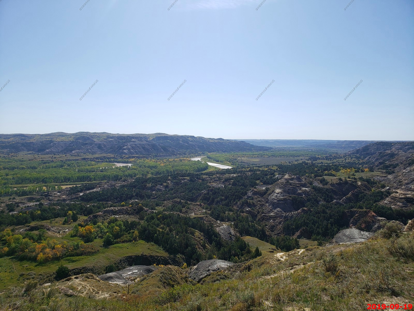
Oxbow Overlook.
Petrified wood - Light-colored pieces of petrified wood dot the hillsides. They are the fossilized remains of trees that grew here 55 million years ago. Parts of the trees were covered by sediment which prevented decay. Ground water slowly filled the cell spaces with minerals. The minerals hardened, preserving the trees as rocks. Much later in time, erosion exposed the petrified wood. The trees, likely cypress or magnolia, are further evidence of the area's swampy past.
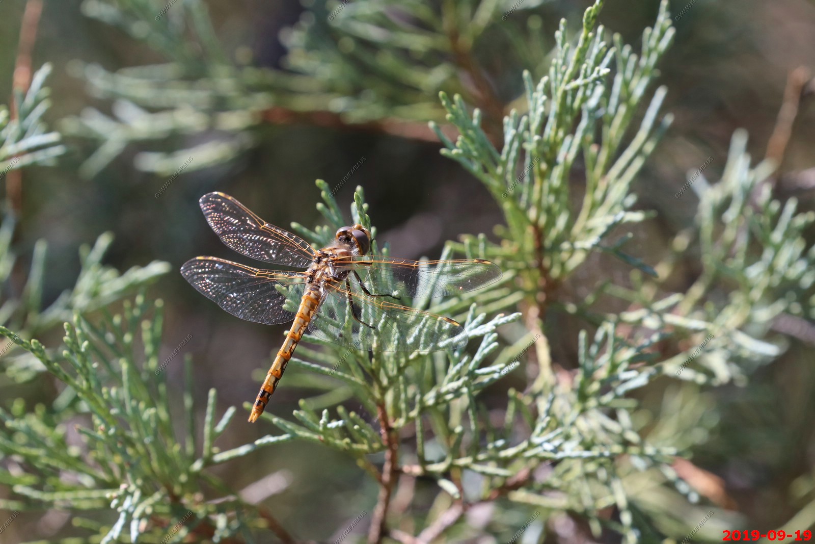
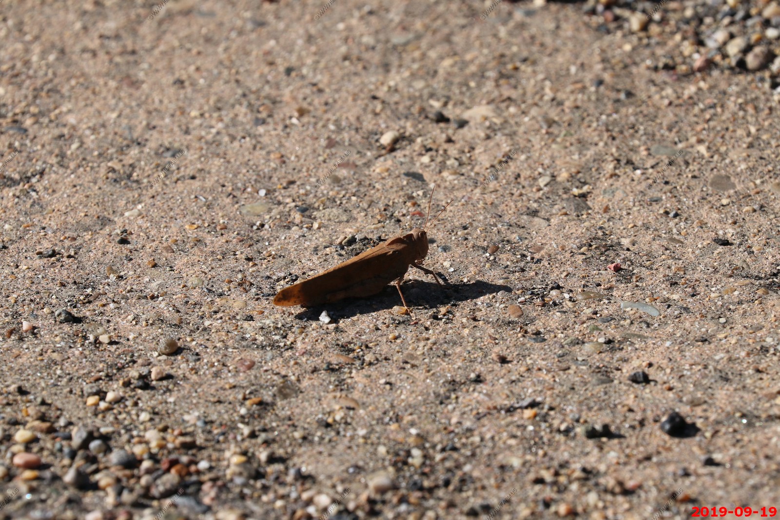
Our bug collection is growing.
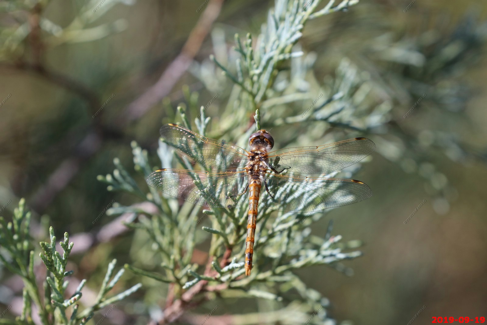
Dragonfly along the trail with the 400mm lens.
Funny story with this RV. I parked (Tahoe on left) and had to pee. So, I opened the passenger door on our Tahoe and went using the car / door for cover. I then looked thru the Tahoe and realized a woman was watching me from the RV while she was doing something in the sink / kitchen. I just smiled and went on the hike. Oh well. They need more restrooms and I blame the drug Farxiga which makes me pee all the time.

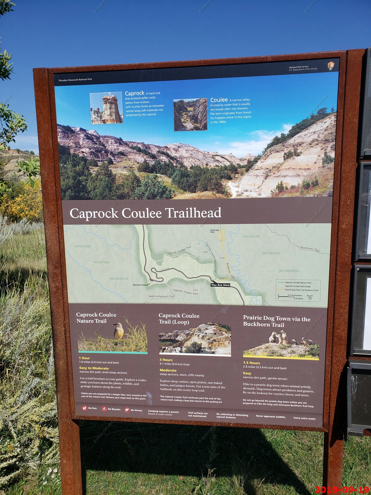
Caprock Coulee Trailhead - The Caprock Coulee Nature Trail is a 0.8 mile section of the Caprock Coulee Trail in the park's North Unit. The nature trail shows the natural and geologic variety of the badlands. It also provides a rare look at a densely wooded area of the park.
We did a couple of miles on the trail. It was gradual up-hill and interesting.
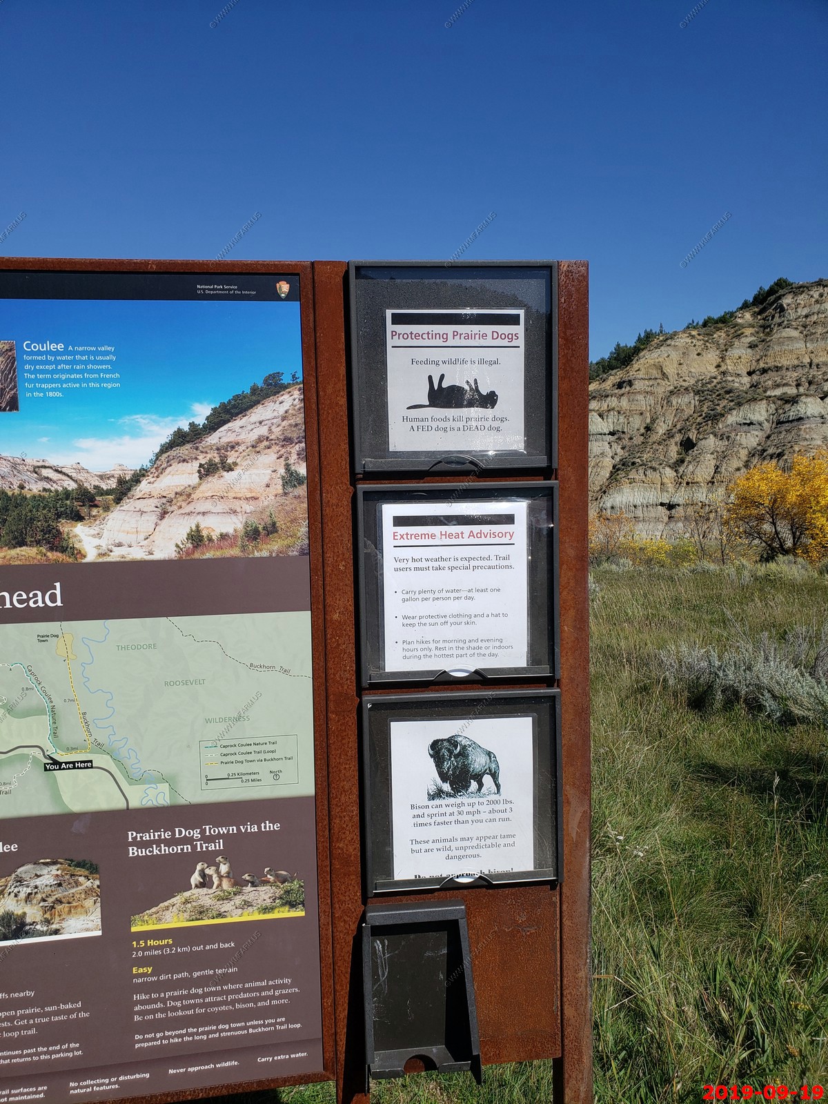
Funny... A fed dog is a dead dog.
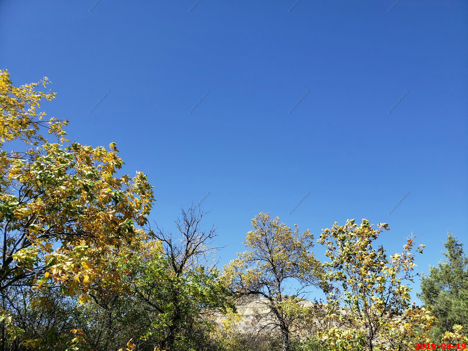
Blue sky and the leaves are changing.
Mary messing with trail stop 6 - Differential Erosion - The thin layers of rust-red rock on the butte in front of you are iron-impregnated sandstone. Because they are harder than the soft gray sediments that make of up the rest of the butte, they erode more slowly. Notice how these hard layers form shelves that protect soft sediments below. This type of erosion, called differential erosion, is the main shaping force of the badlands
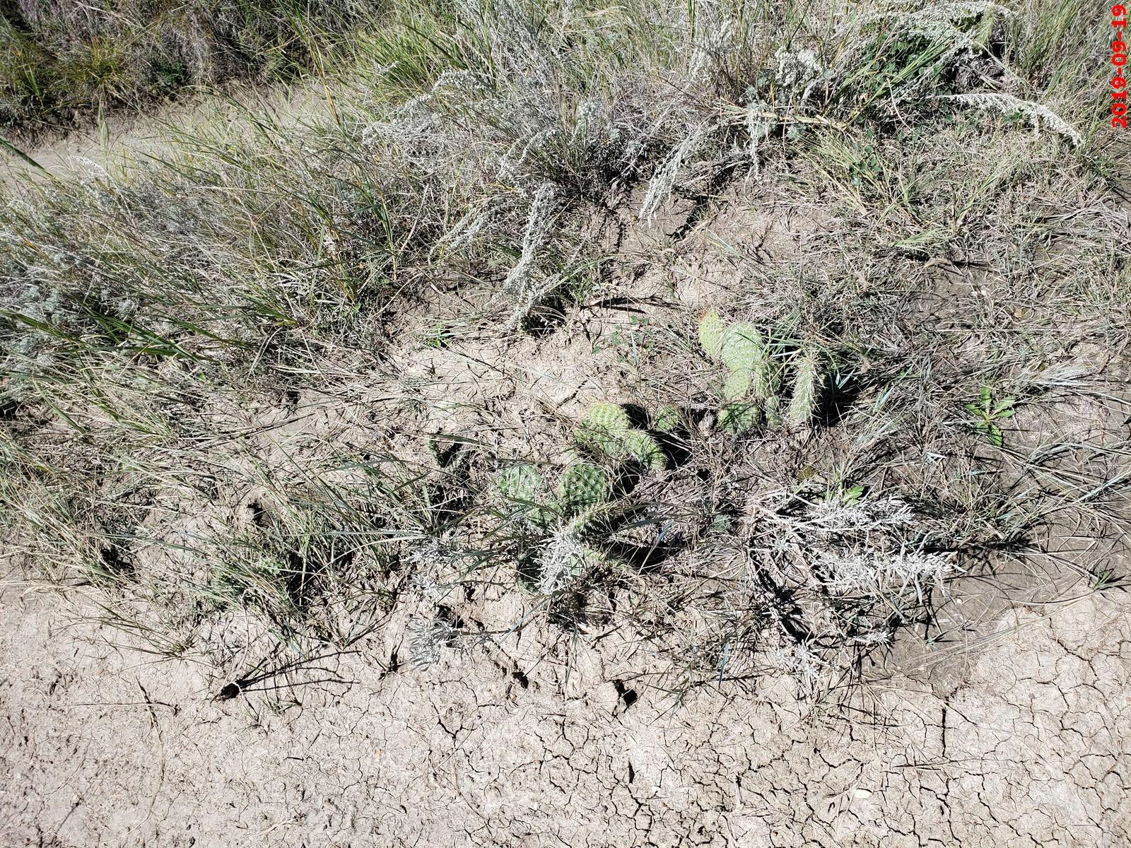
Prickly pear cacti.
Trail stop 8 - Lignite - On the slope to your left is a thin black seam of lignite coal. Coal forms when vegetation is buried and subjected to great heat and pressure. Coal seams and other fossils tell us this region was once a lush, thickly vegetated swamp.
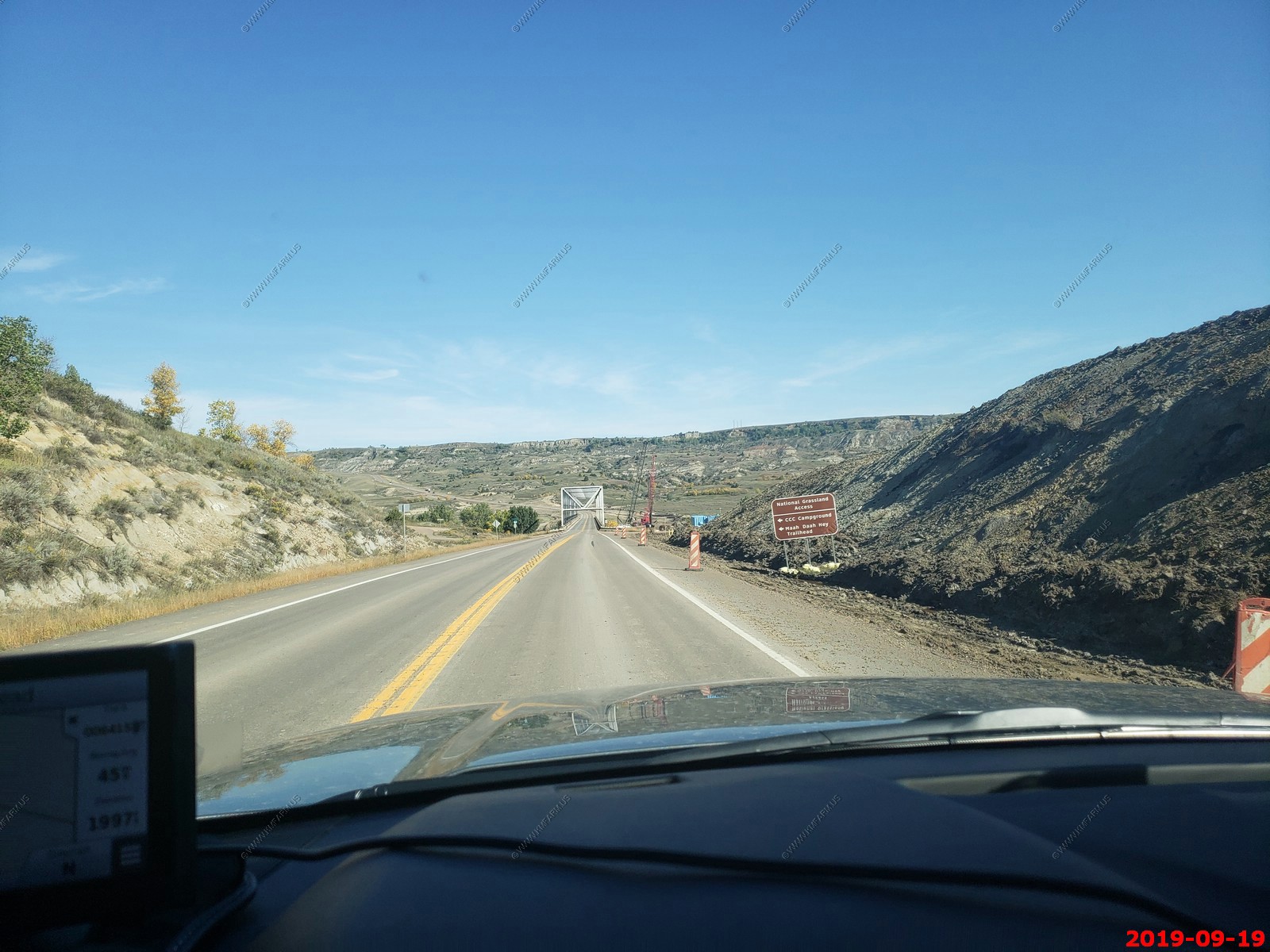
Heading back to Medora, ND - crossing the old Little Missouri River bridge which it looks like may be replaced soon.
We also left Central time and went back to Mountain time. Confusing.
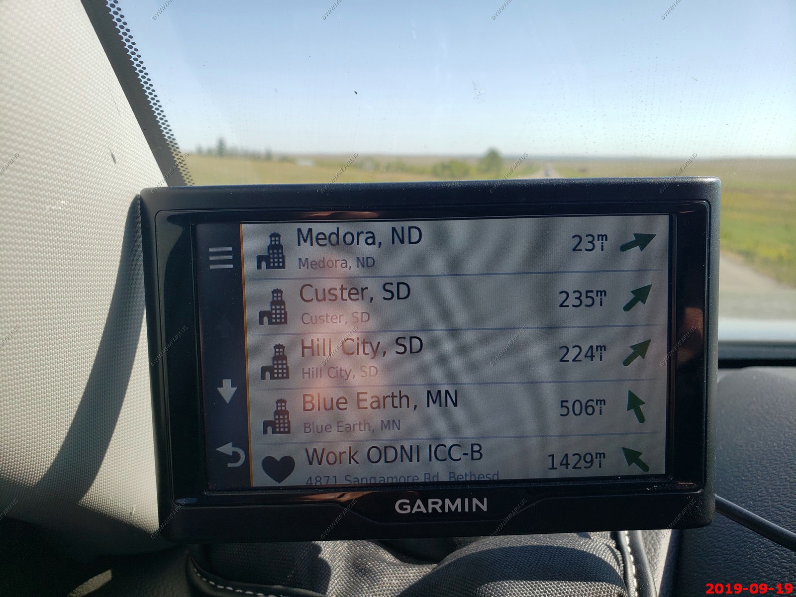
As we were driving back to Medora, I noticed on the Garmin "GPS WORK" was 1,429 miles away. Maryland... Still too close. Funny I had retired on this day 2 months ago. Life is good !
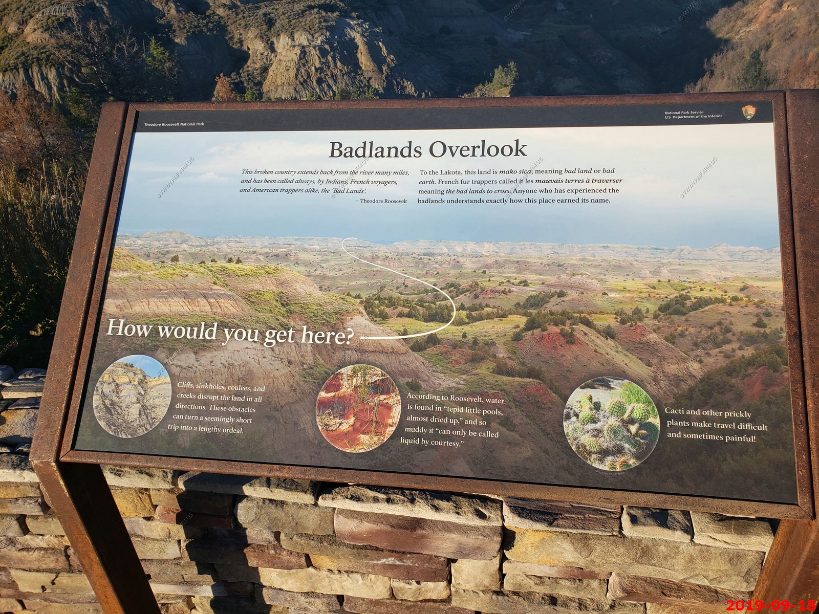
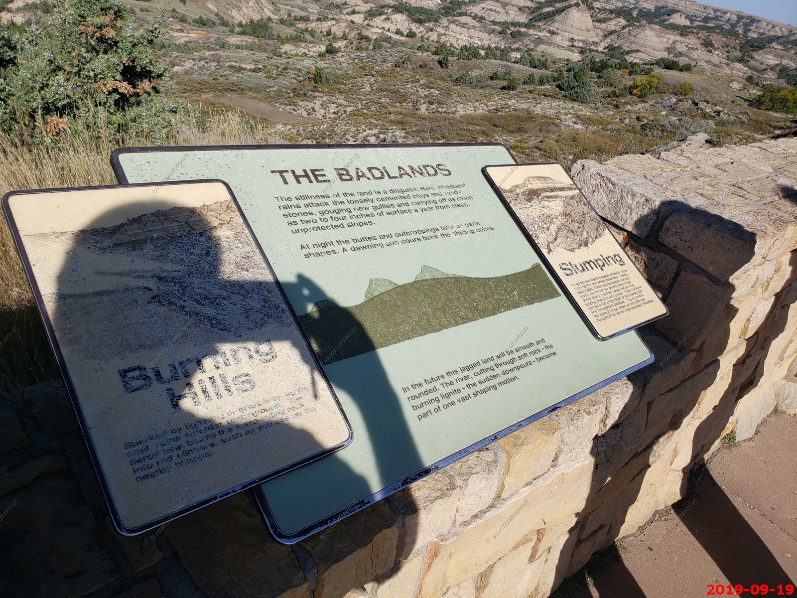
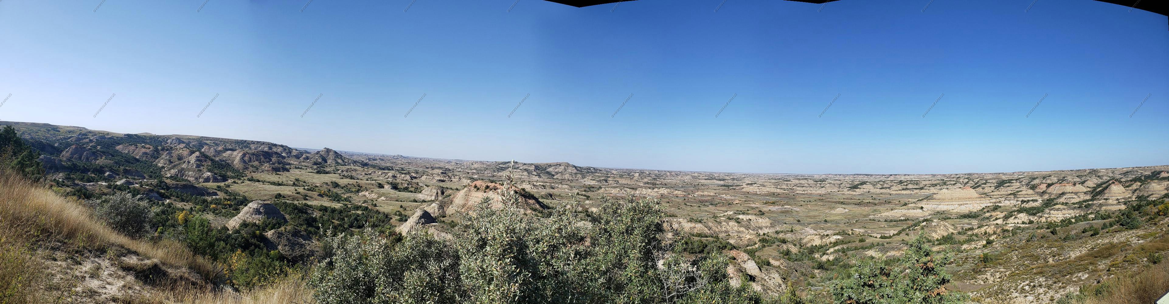
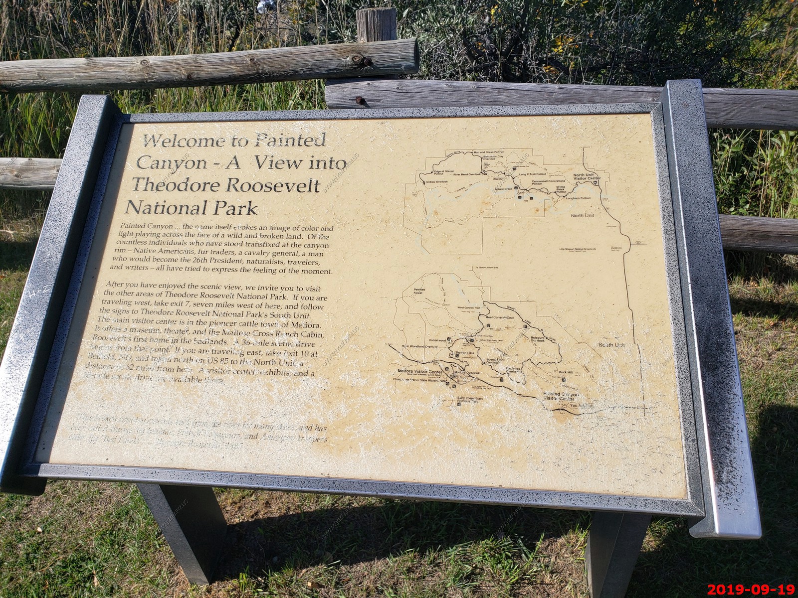
We stopped at the Painted Canyon Visitor Center along I-94 and listened to a geology talk.
View looking north (4 photos stitched together).
Oh no.. A locust swarm.
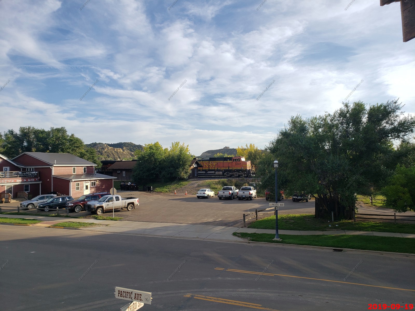
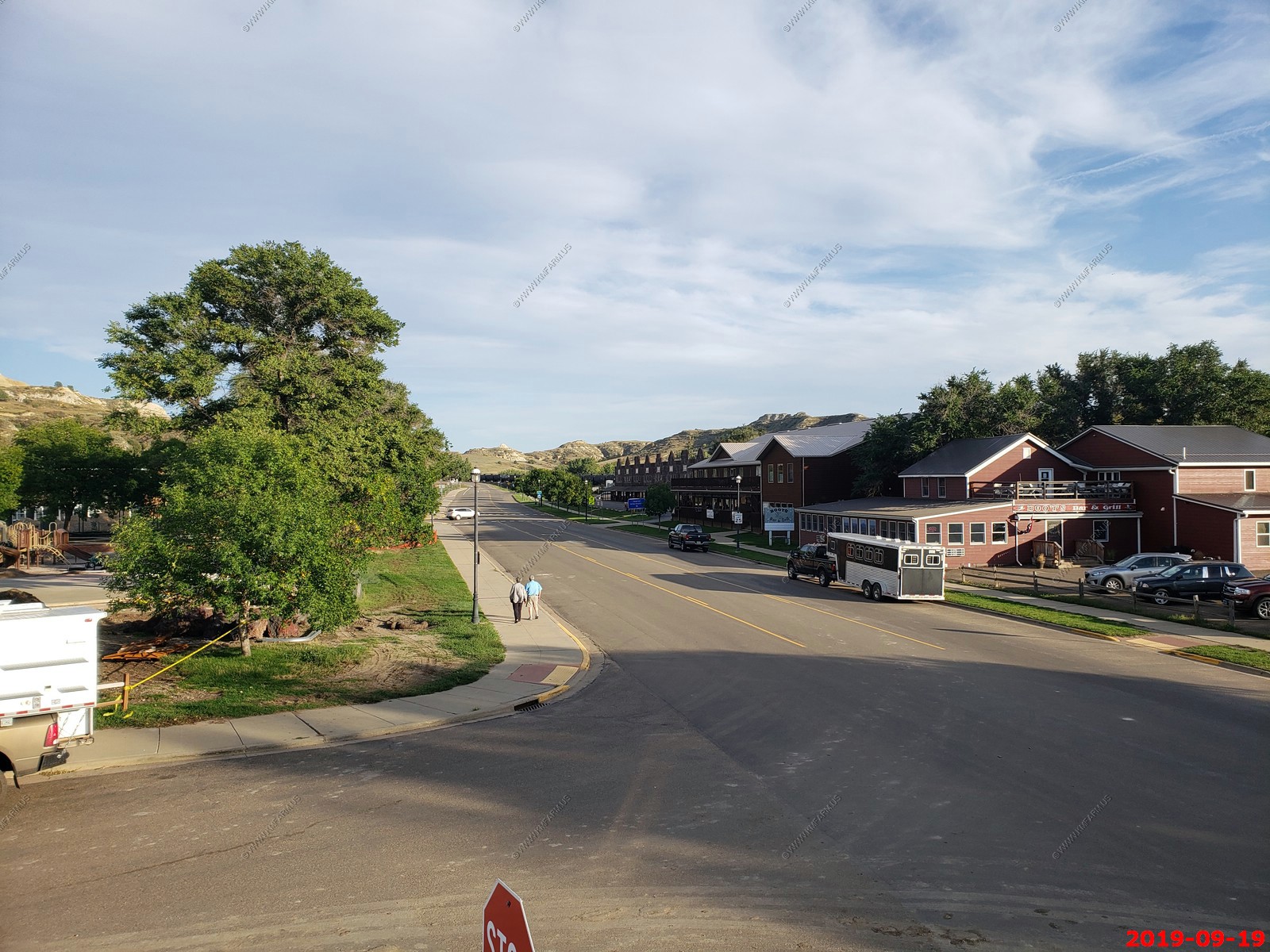
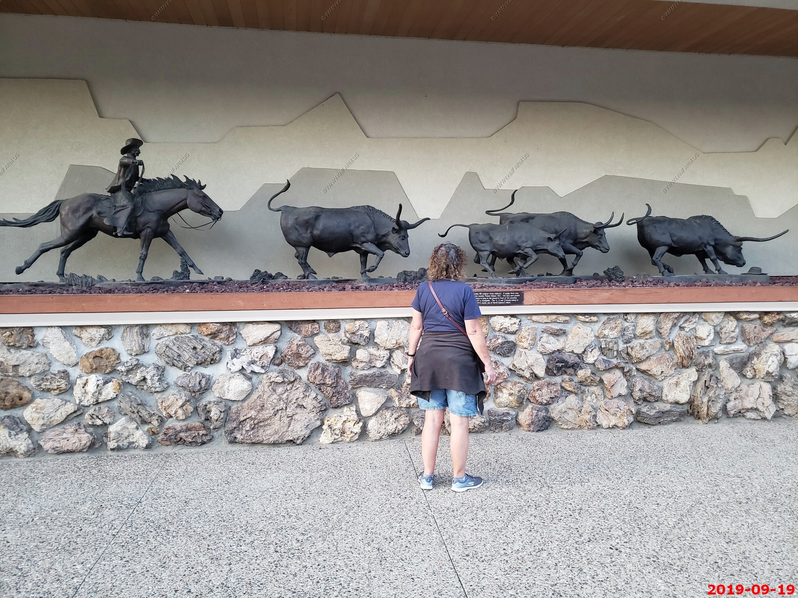
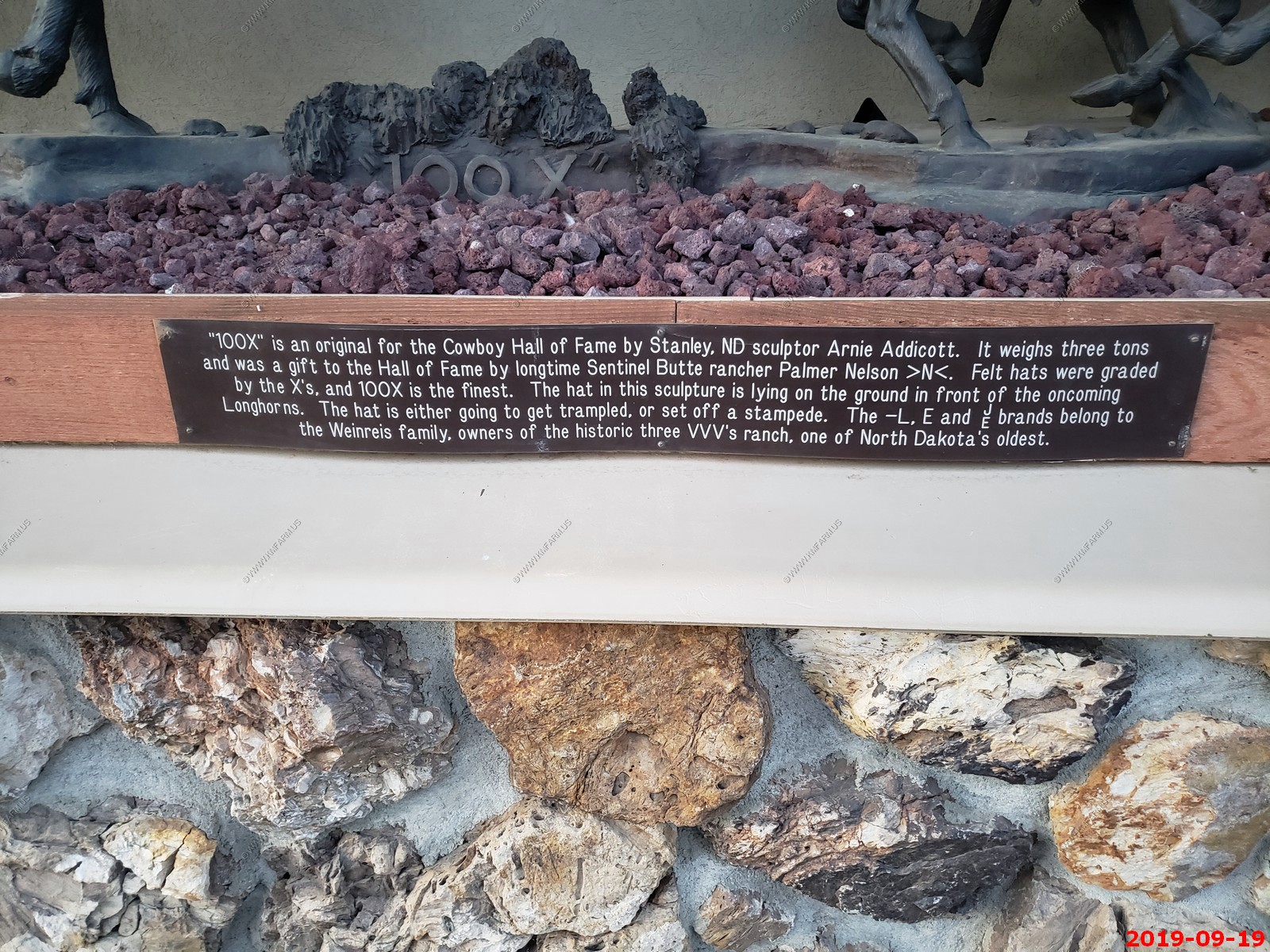
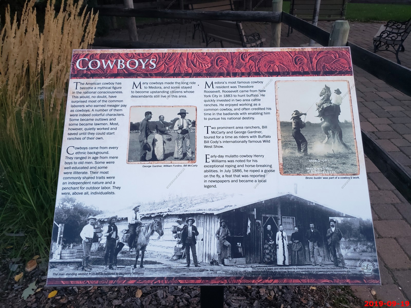
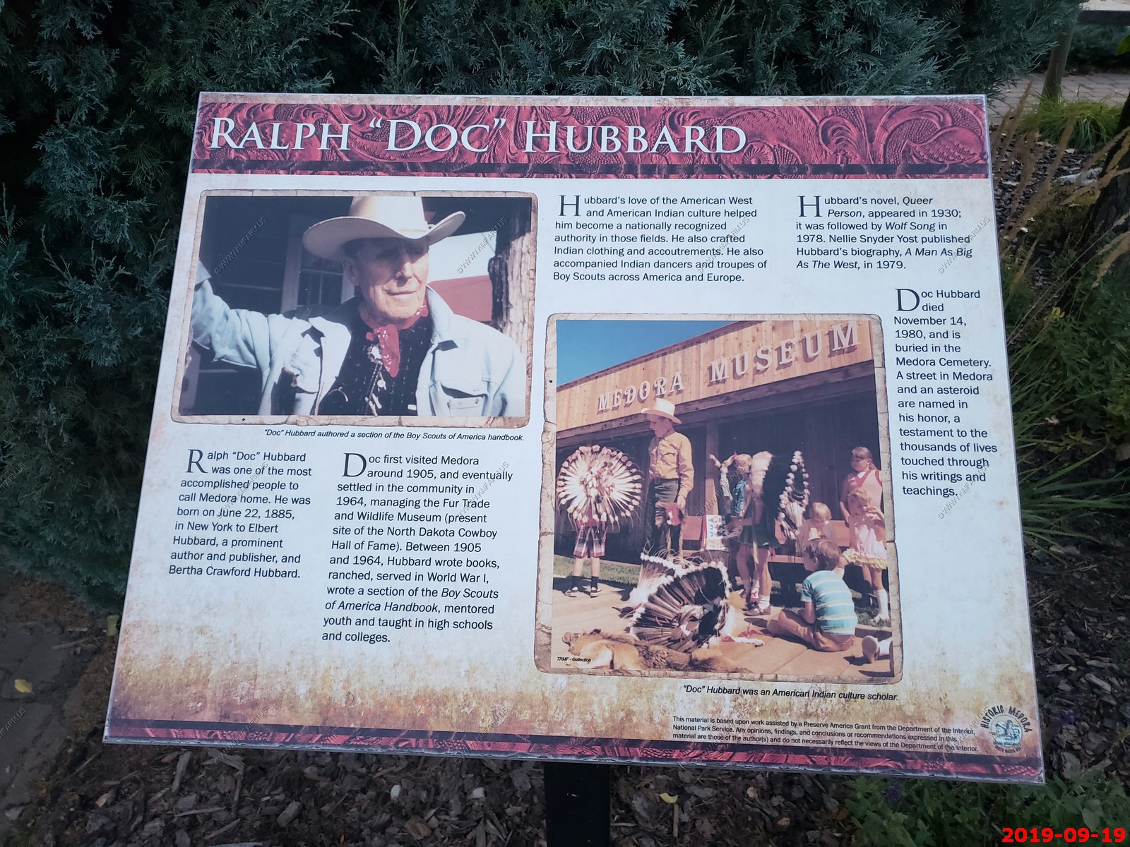
Back to Medora, North Dakota for our second night. Cool town.
The bridge over the Little Missouri Scenic River on Pacific Avenue (Medora, North Dakota)
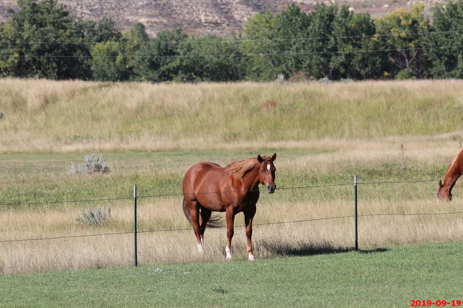
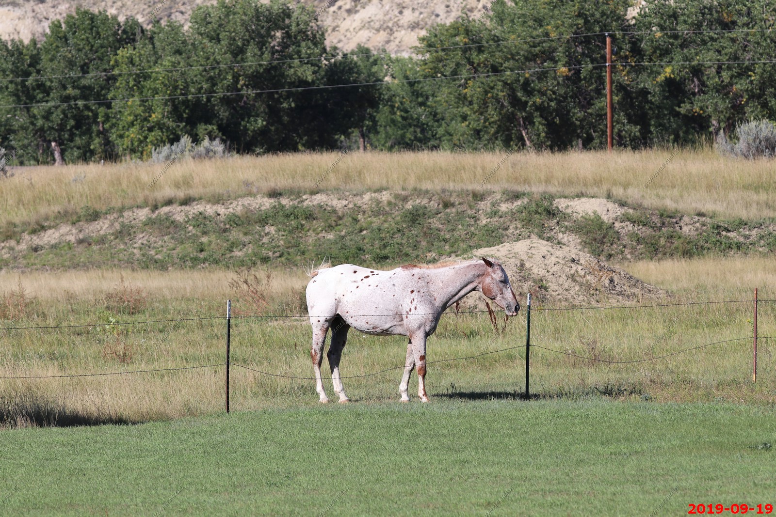
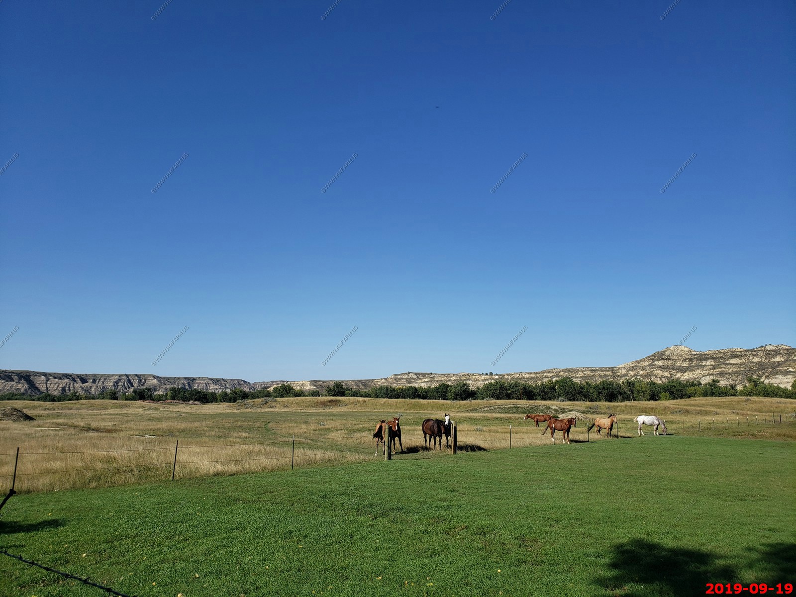
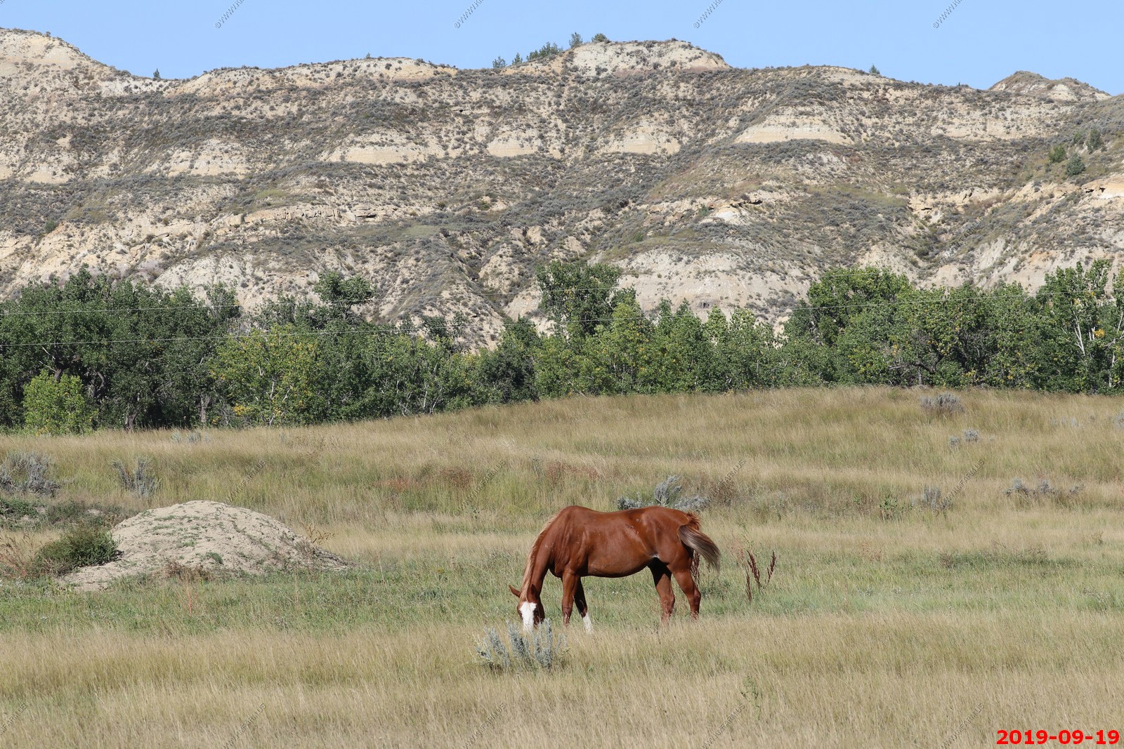
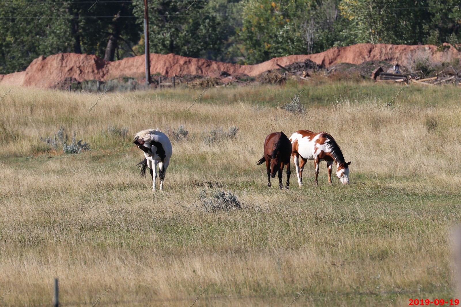
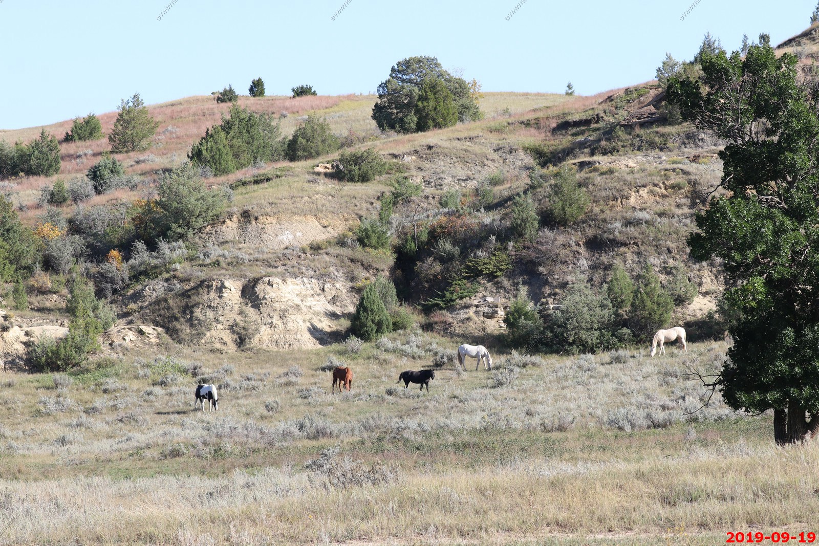
Watching horses in a field next to the Family Fun Center.
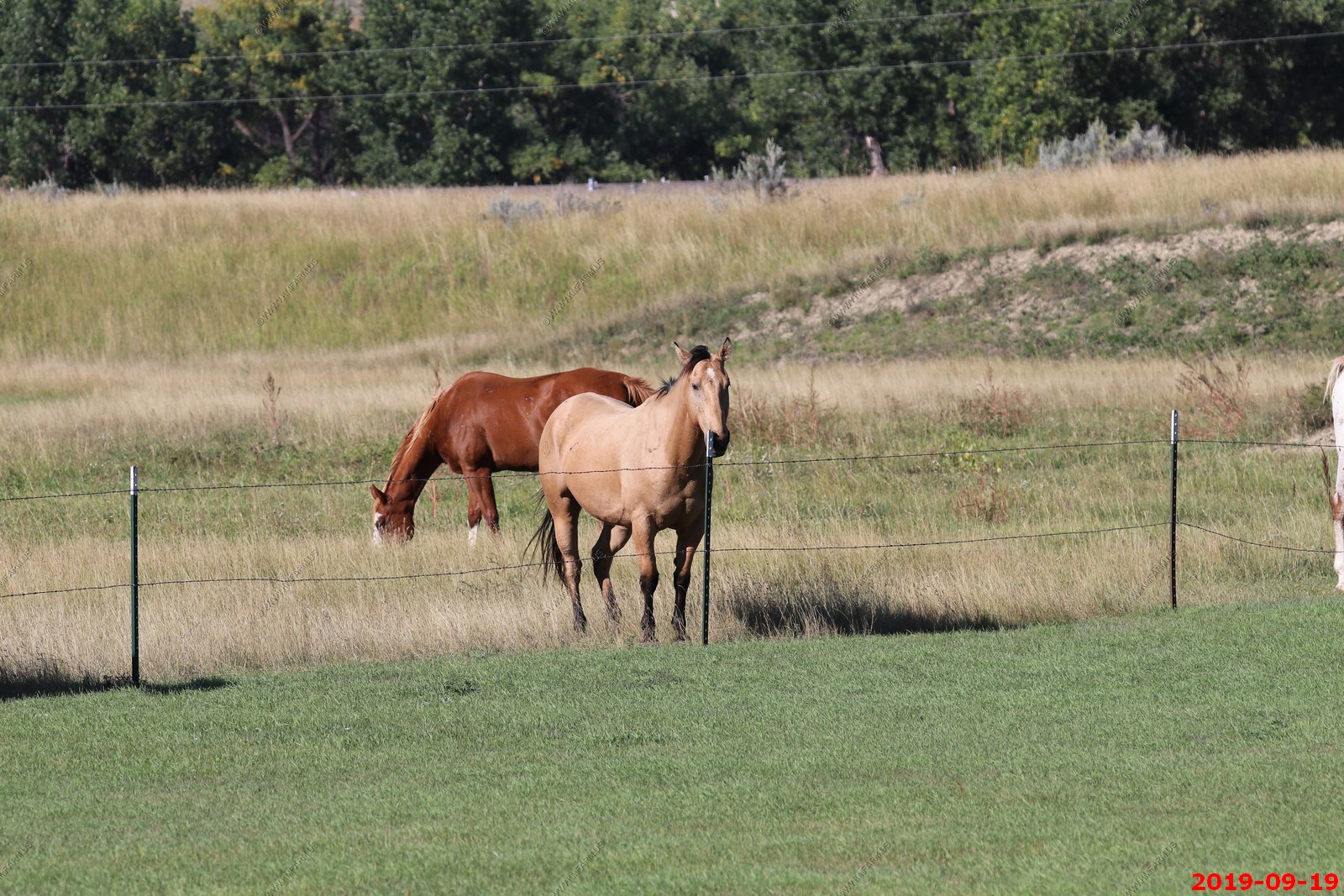
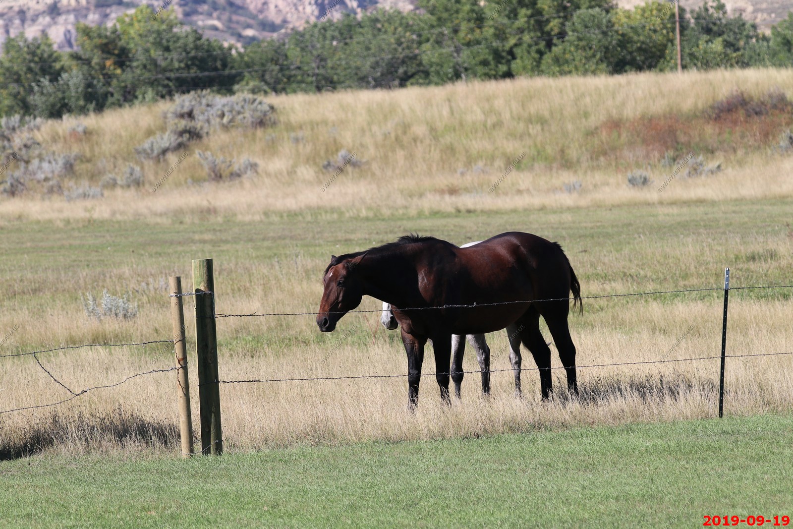
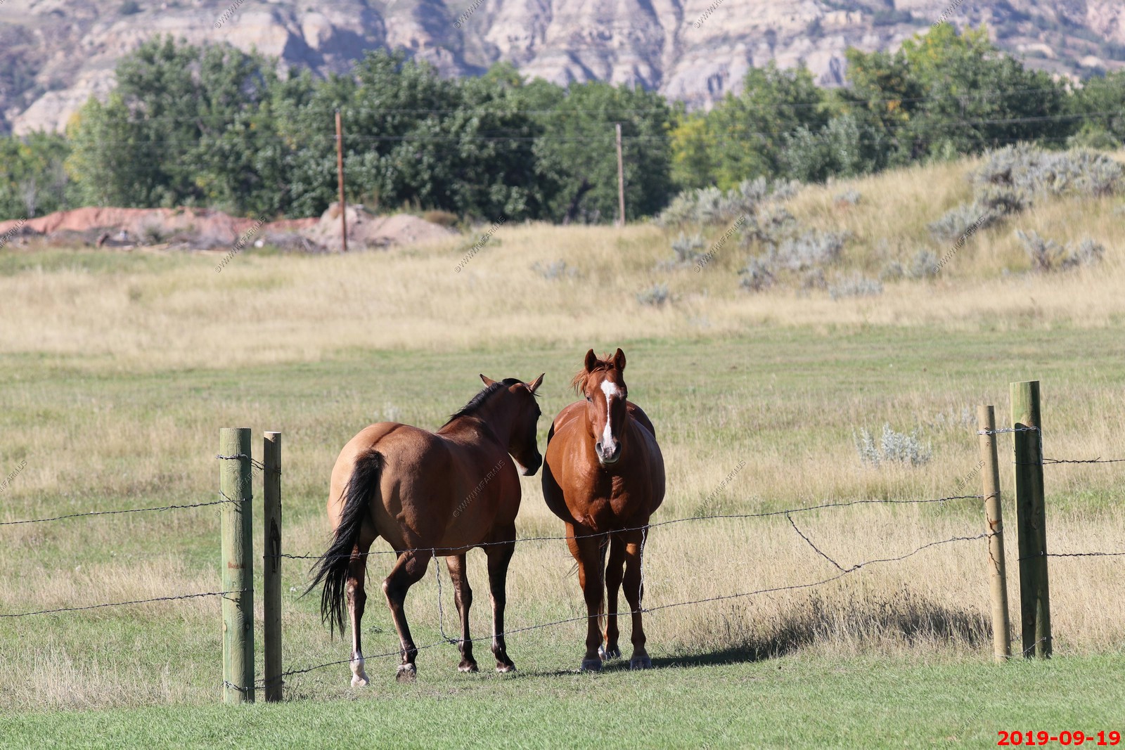
Looking north back to the badlands & more horses south of the road.

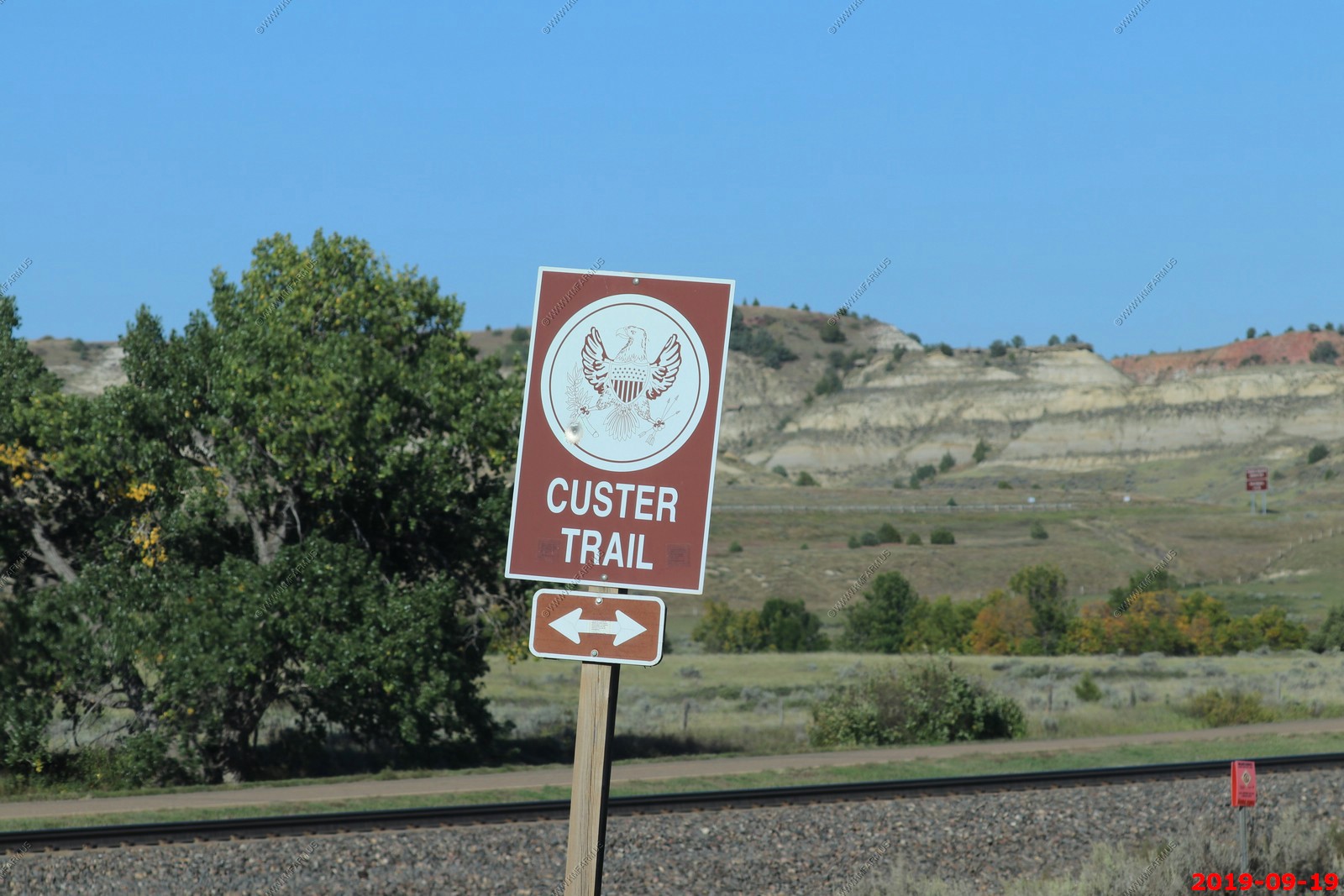
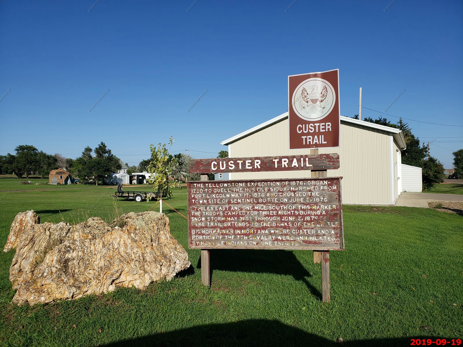
Will have to come back and explore this area. The Custer Trail.
We drove west out of Medora exploring along the BNSF tracks on old highway 10. This is looking east from West Street in Sentinel Butte, North Dakota. We were only 7 miles east of the North Dakota / Montana state line and looking back I should have collected Montana on this trip.
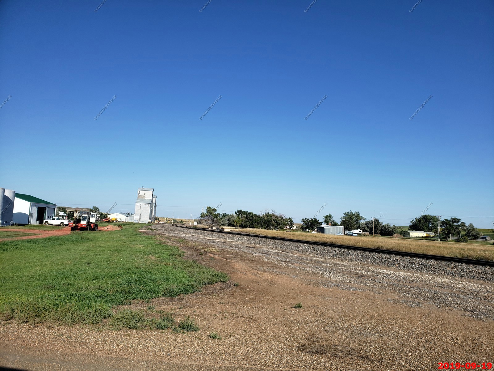
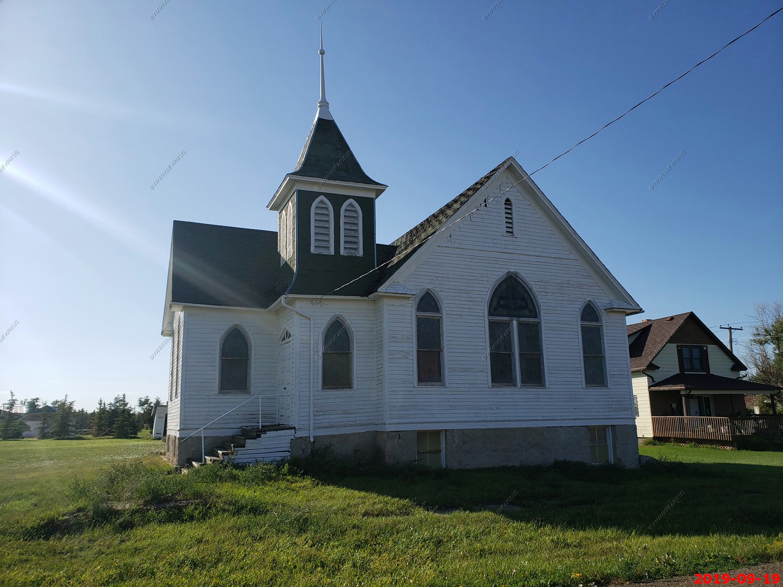
Old church along West Street in Sentinel Butte, North Dakota.
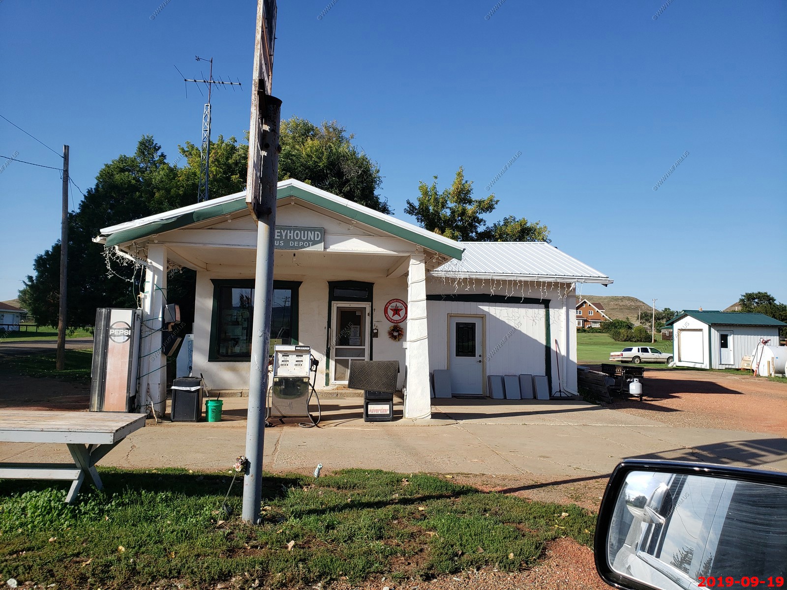
Olson's Service in Sentinel Butte, North Dakota.
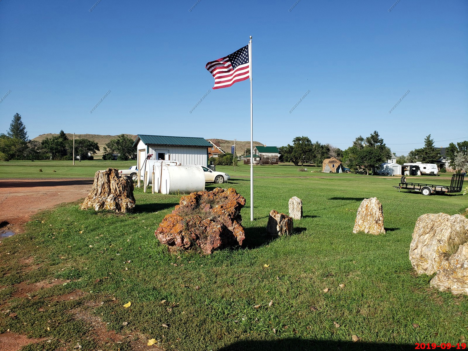
Next to the service station they had a bunch of petrified tree stumps in a small park. Custer was here and camped a month before he had a bad day on 25-JUN-1876.
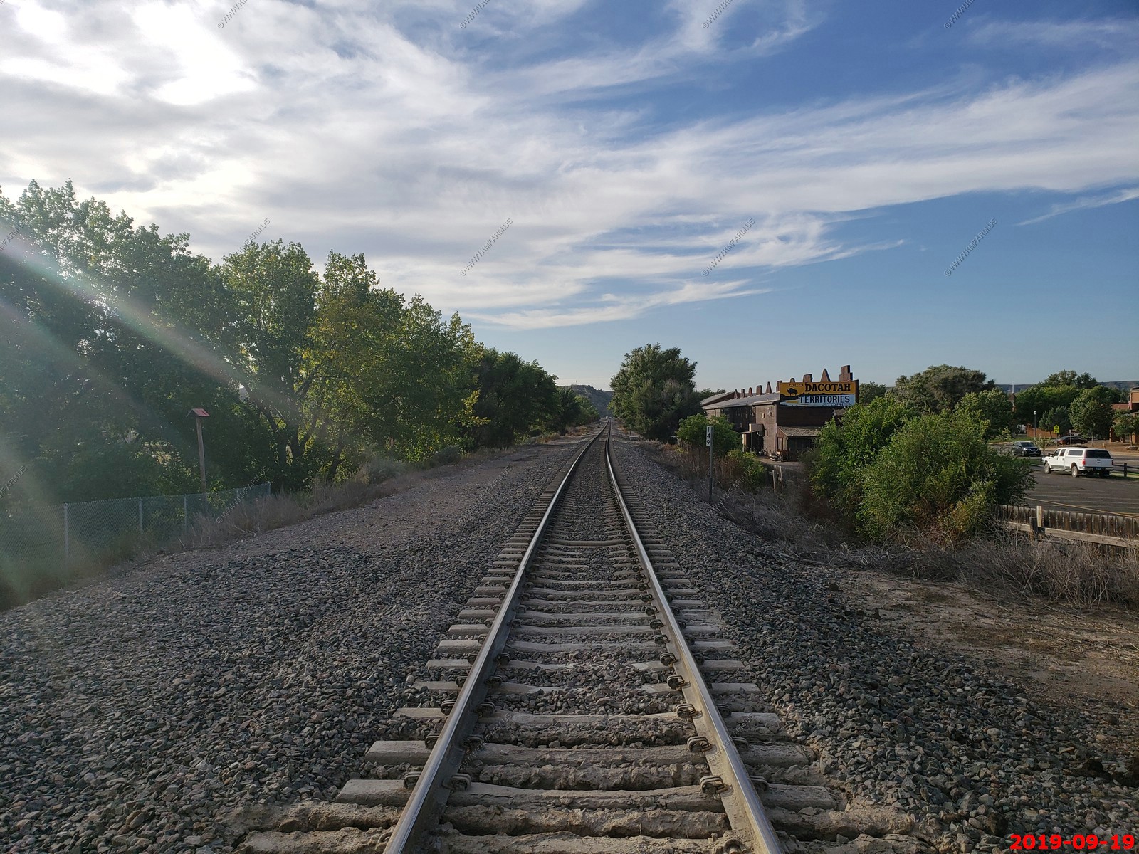
Looking west on the BNSF line in Medora, ND This was the East River Road crossing by our hotel - AmericInn by Wyndham.
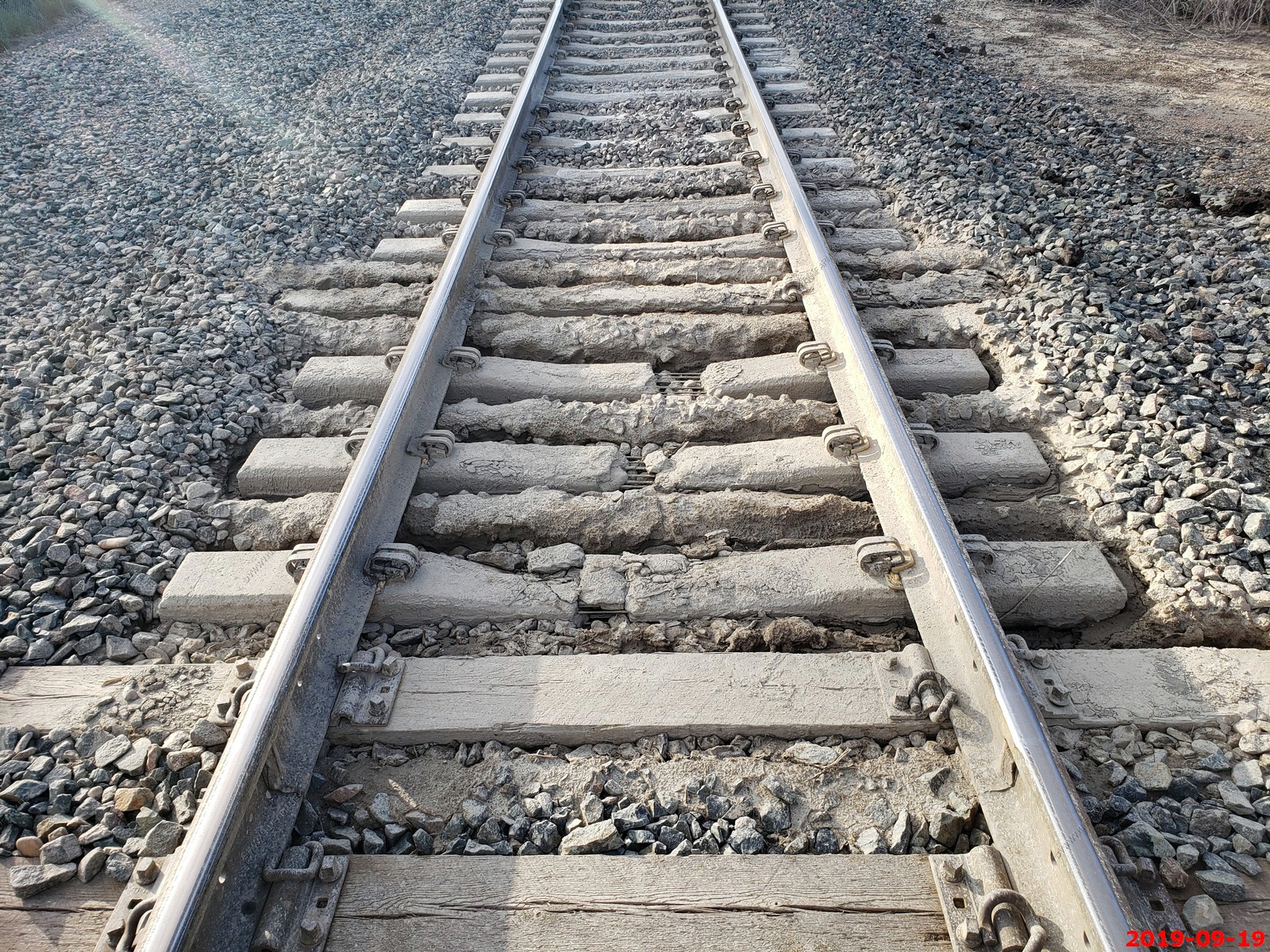
This is not good. Muddy and the cement ties are breaking.
We had dinner at - Little Missouri Saloon & Dining Room in Medora. Very good and we sat out on the 2nd floor deck where I could watch trains. We both had Reuben sandwiches and since we walked here from the hotel I had 2 large beers.
I was using the lens cap as a beer glass insect protection device.
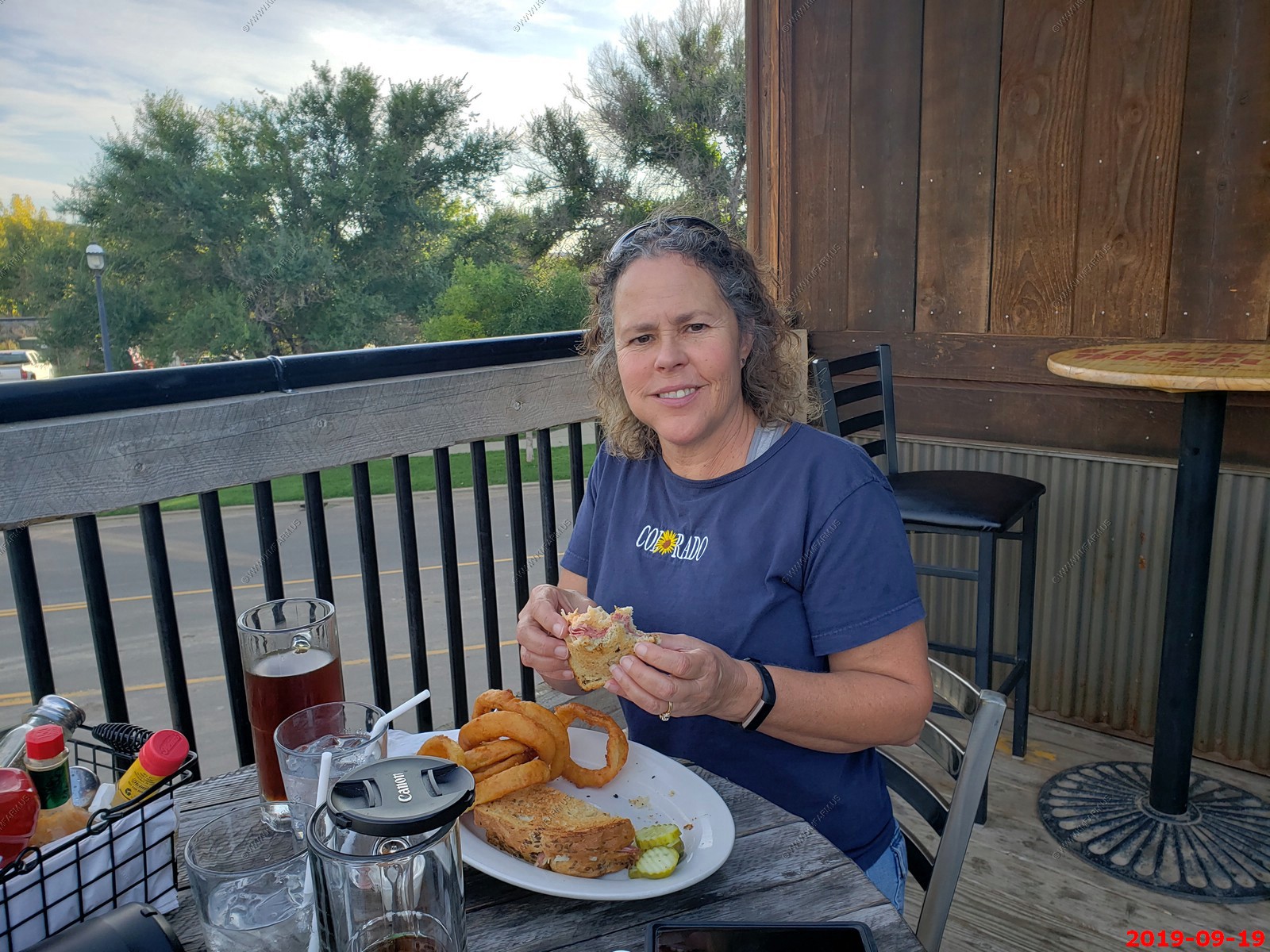
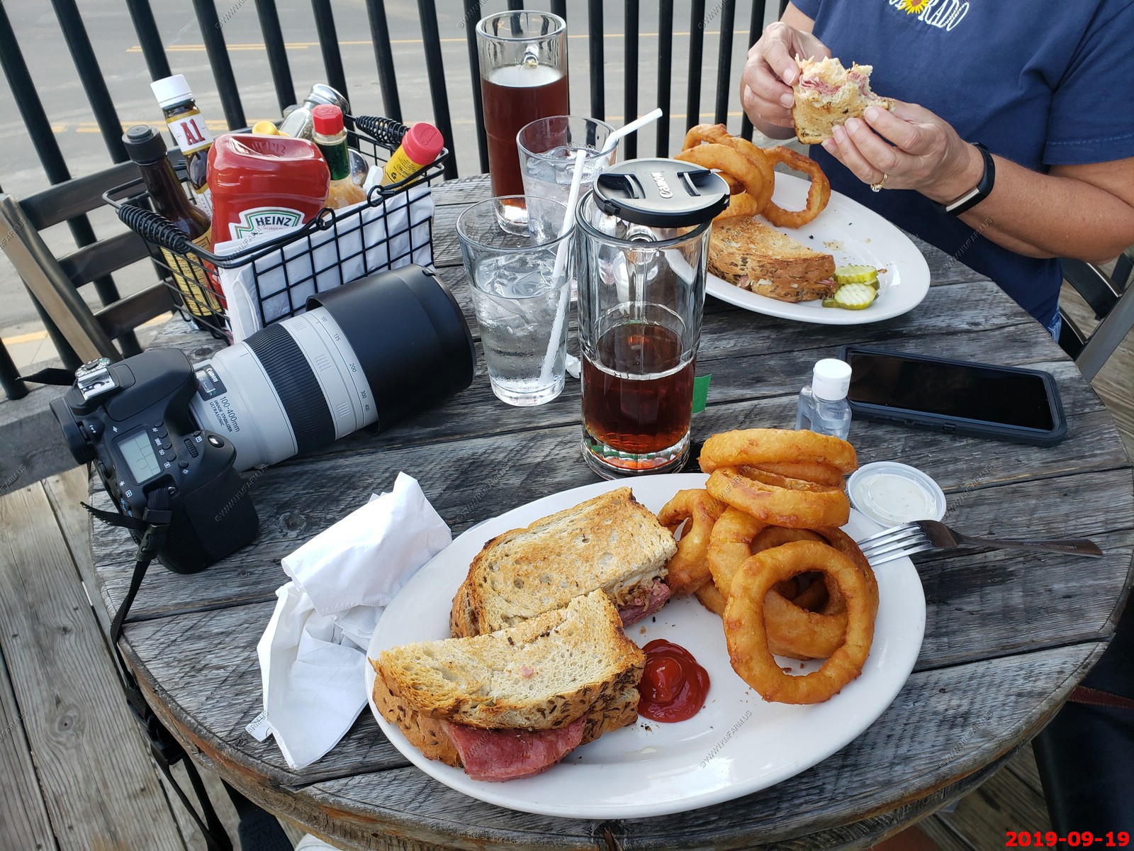
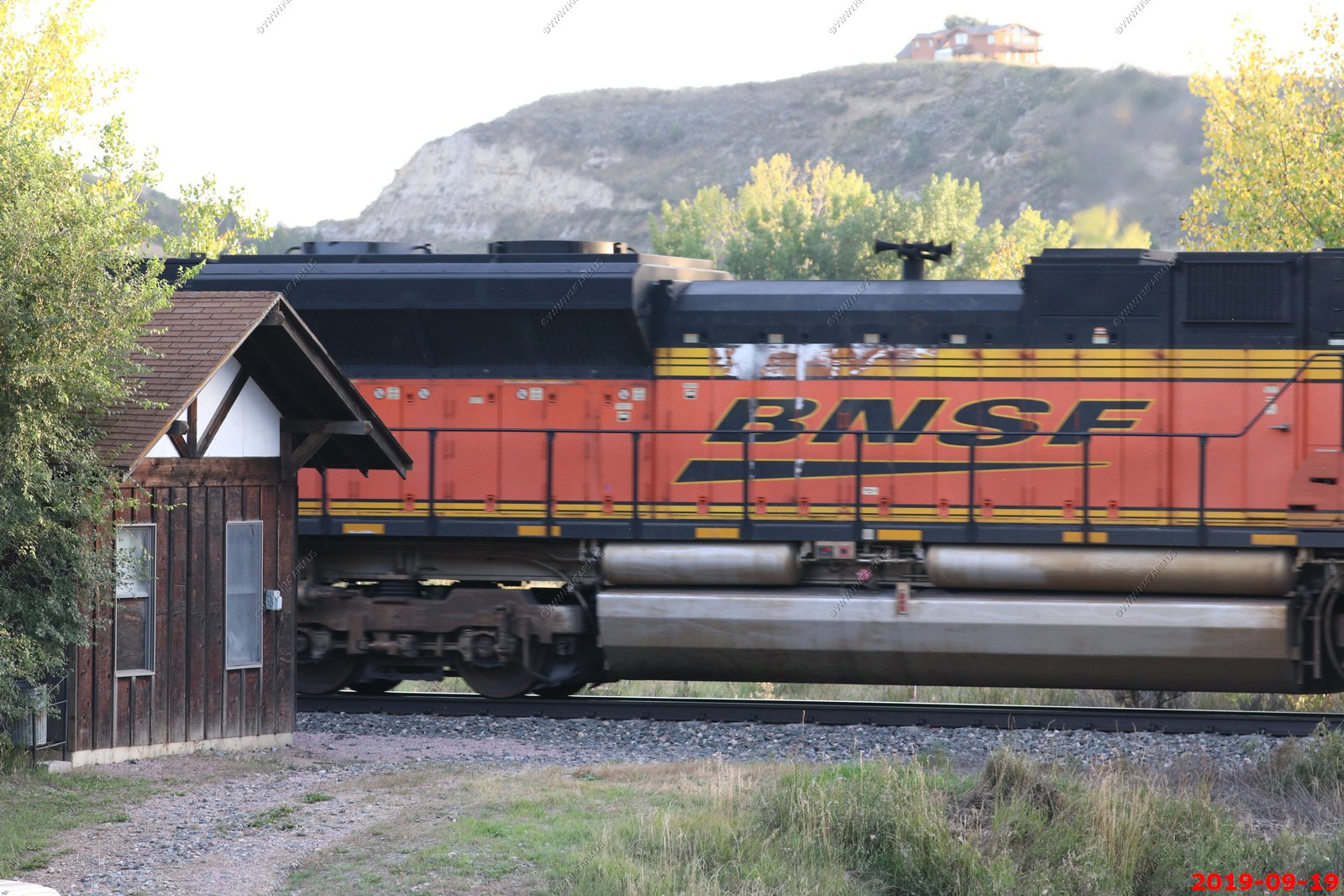
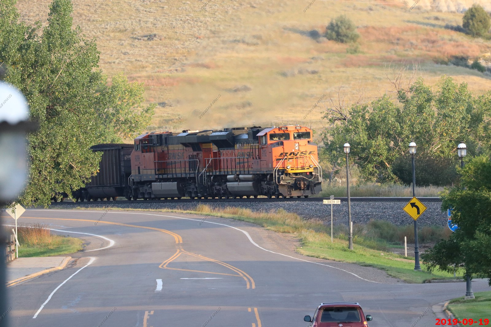
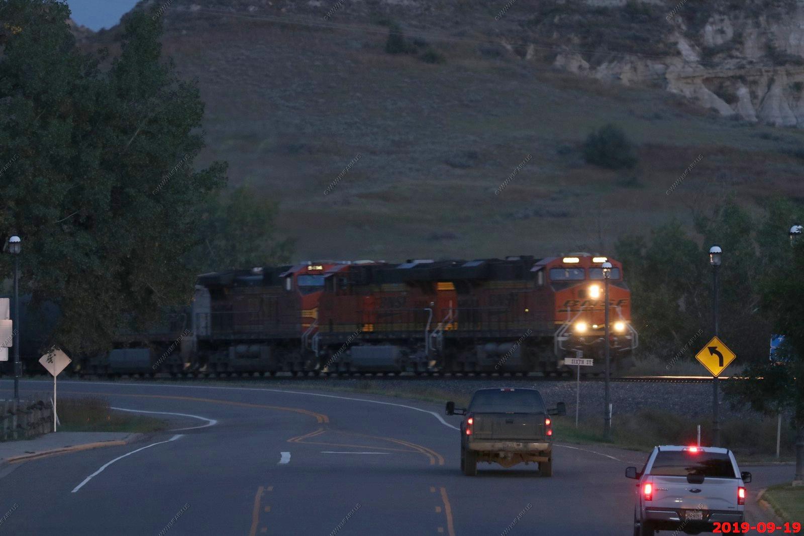
This was a great train watching spot. We would see a coal, freight or stack train appx every 20 minutes so we ate slow.
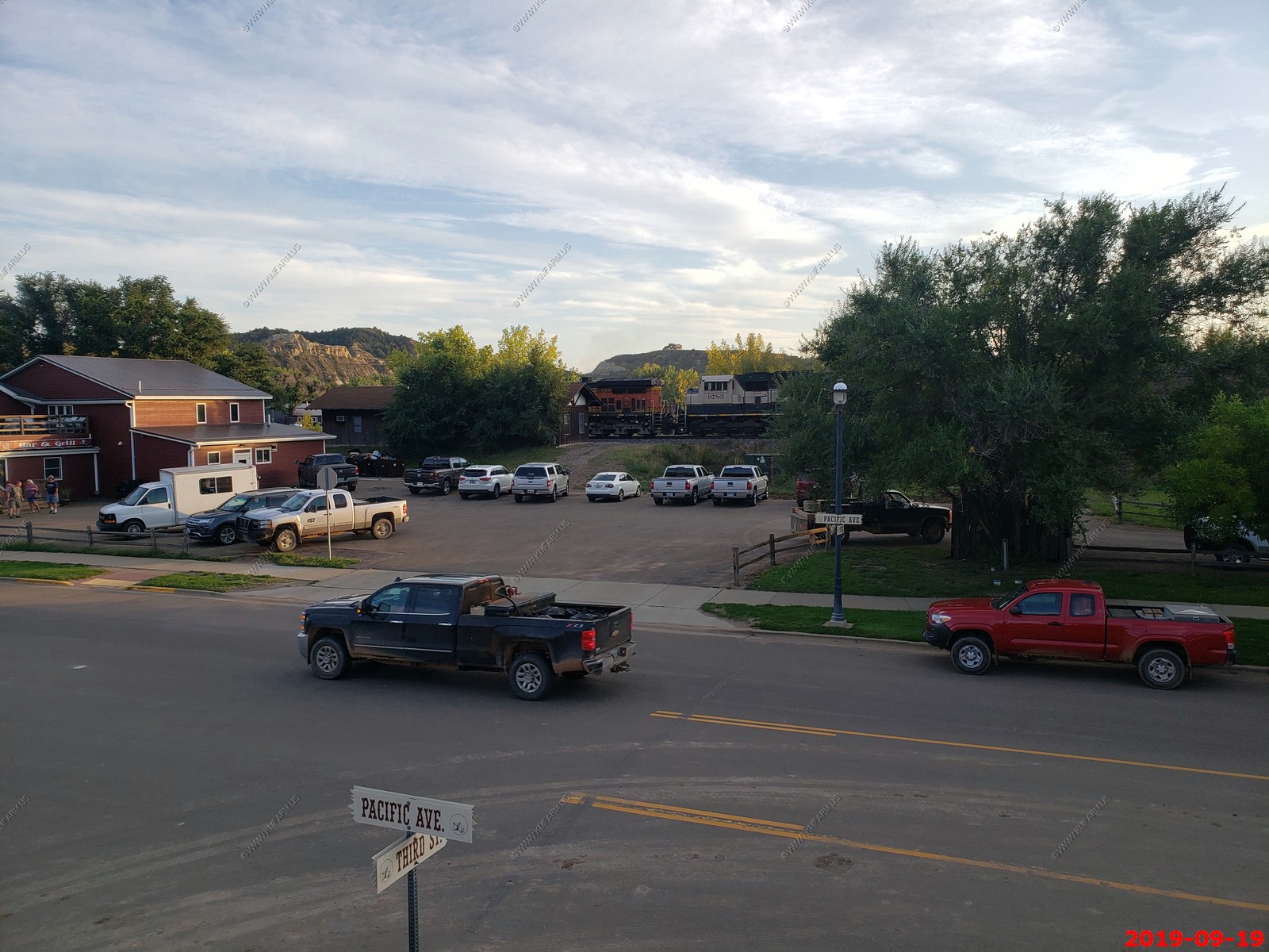
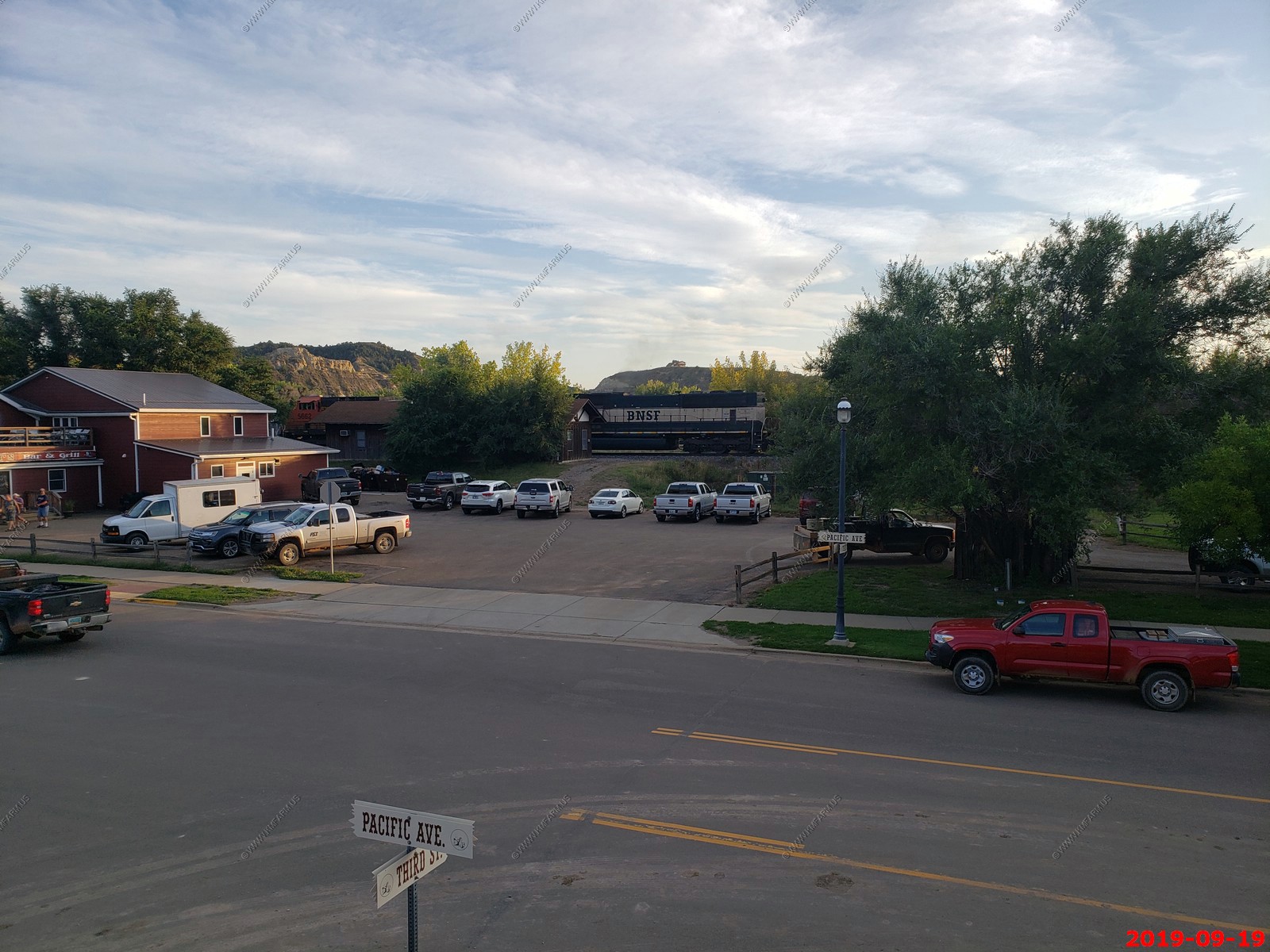
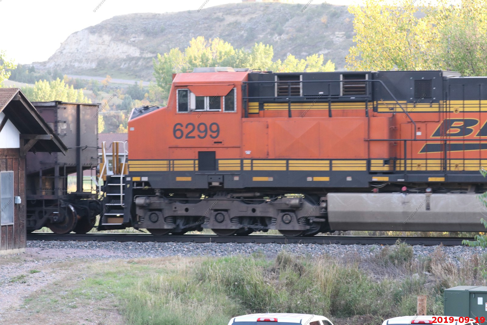
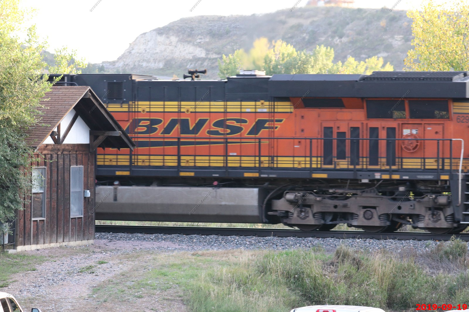
Eastbound BNSF coal train
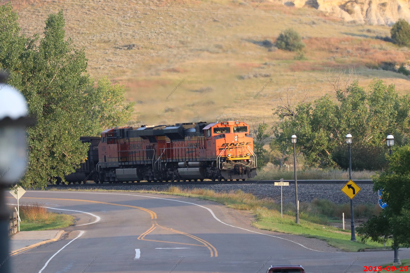
Looking at BNSF engine 6299, 9122 in a couple of photos. These were helpers at the end of the eastbound train. (did not remove duplicates)
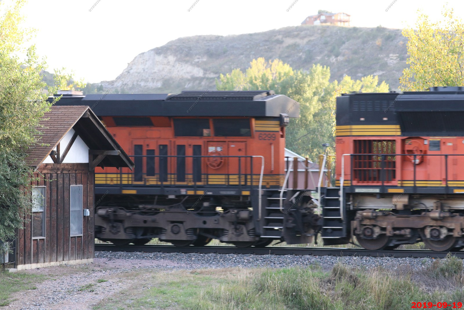
BNSF engin 6299, 9122 leaving town and going up the hill to the east. (did not remove duplicates)
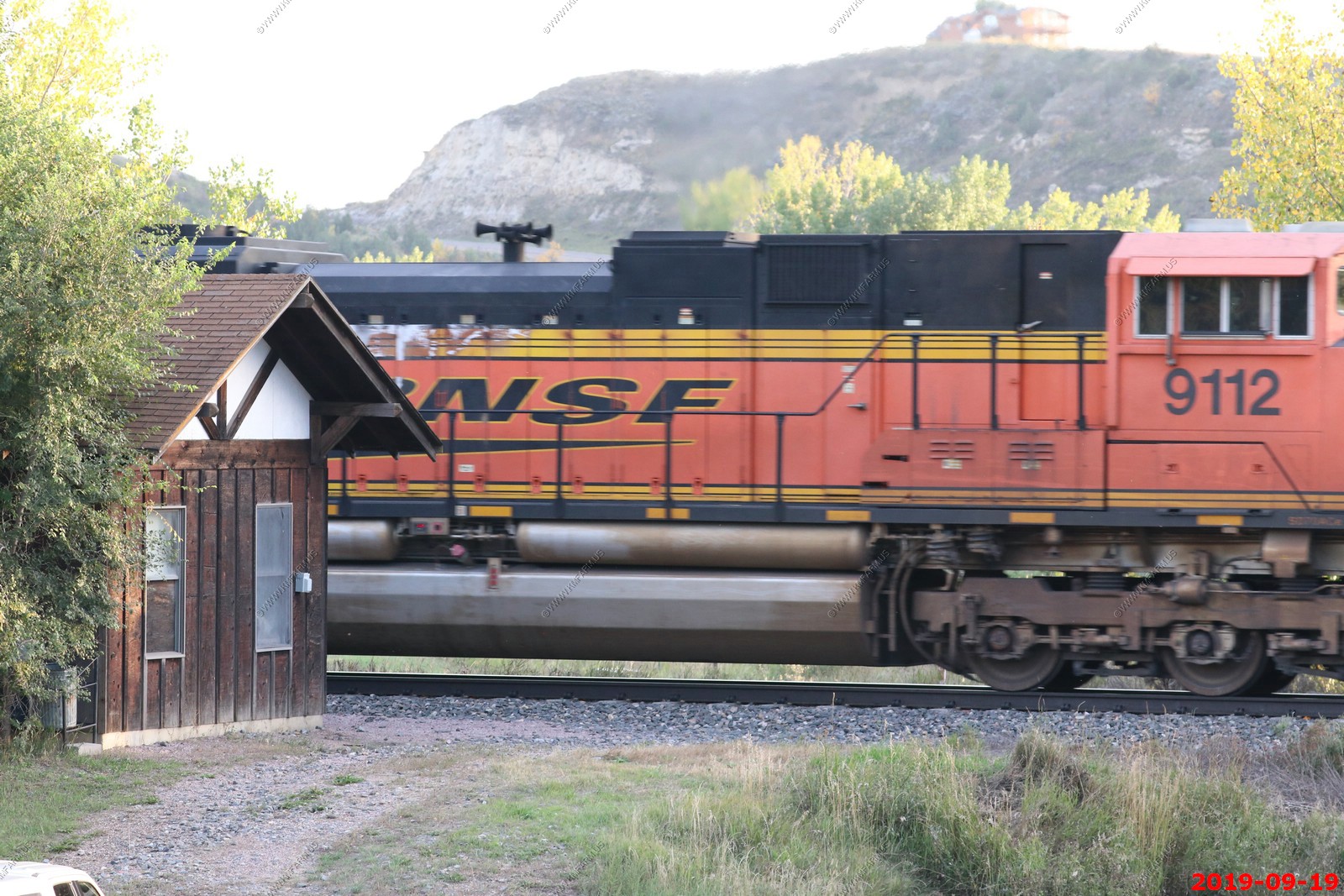
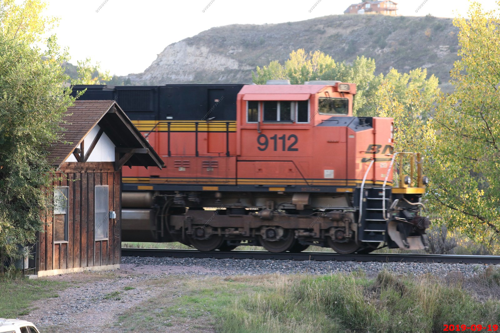
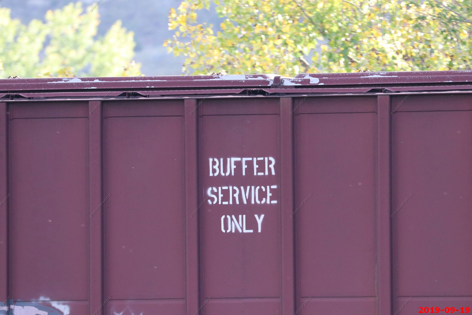
Probably my best shots of the trip (of a train) - Westbound oil unit train coming into town. BNSF 5041, 8091 and 8045 (did not remove duplicates)
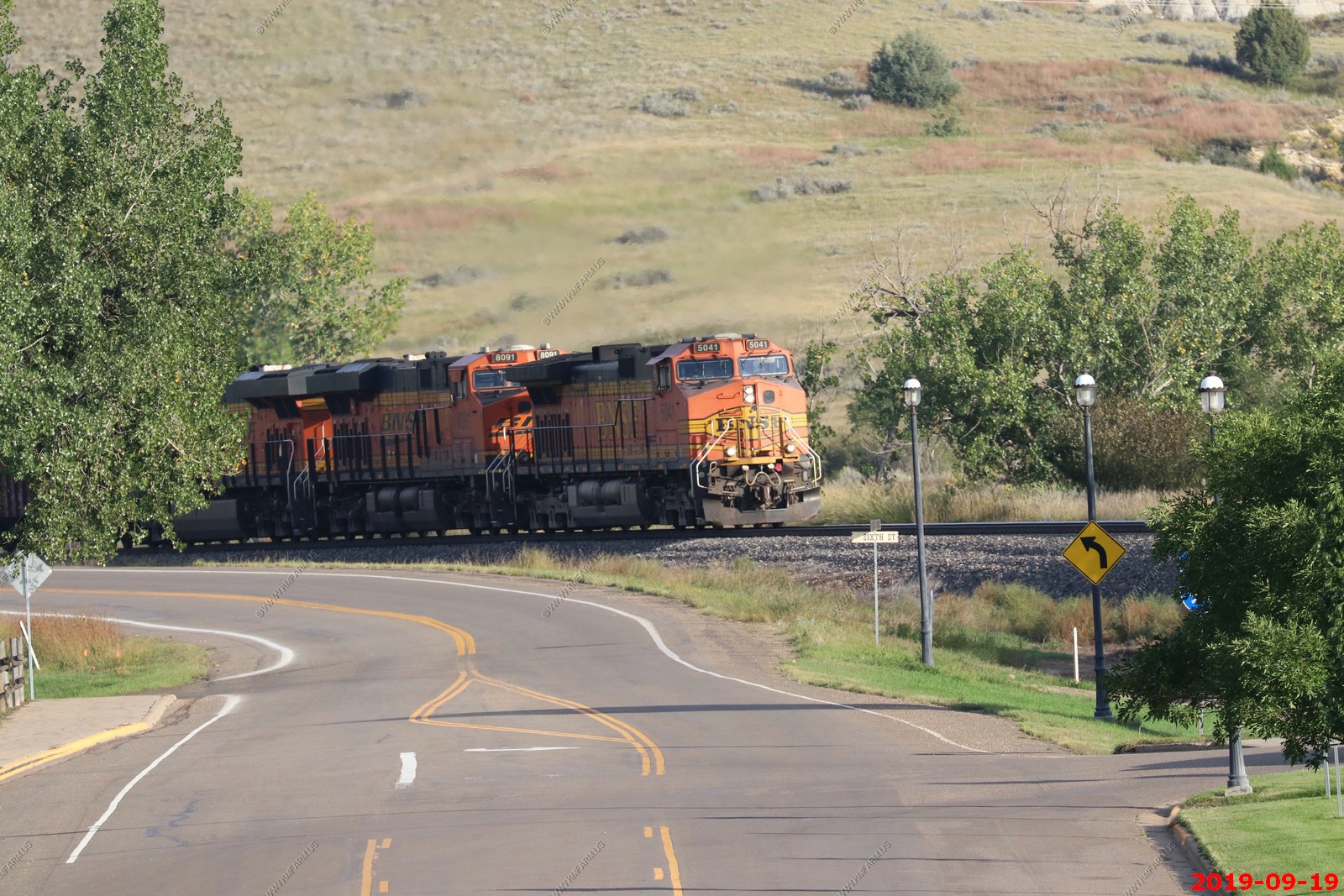
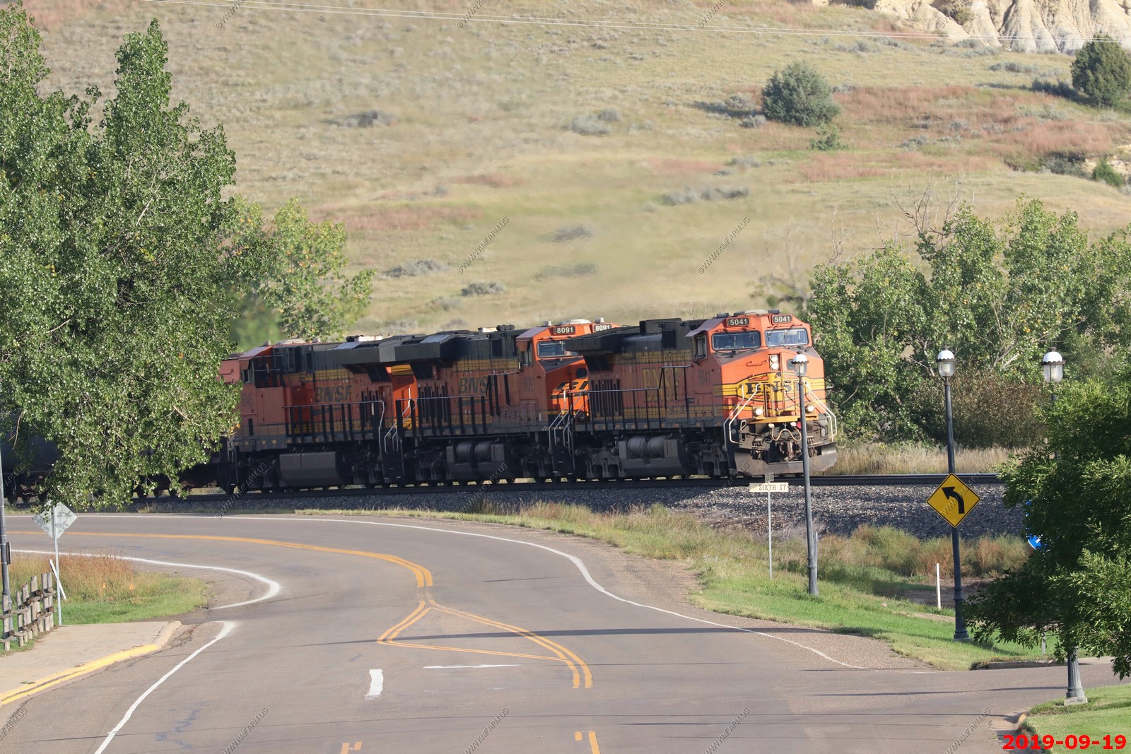
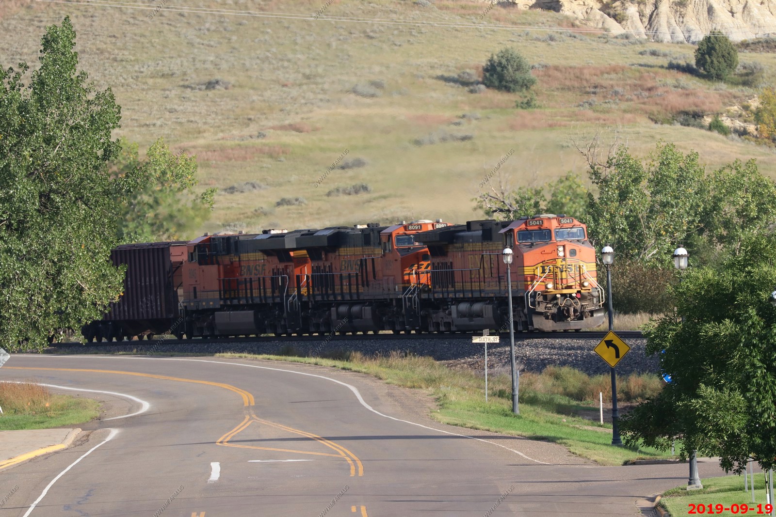
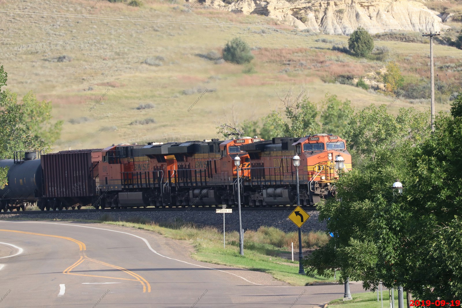
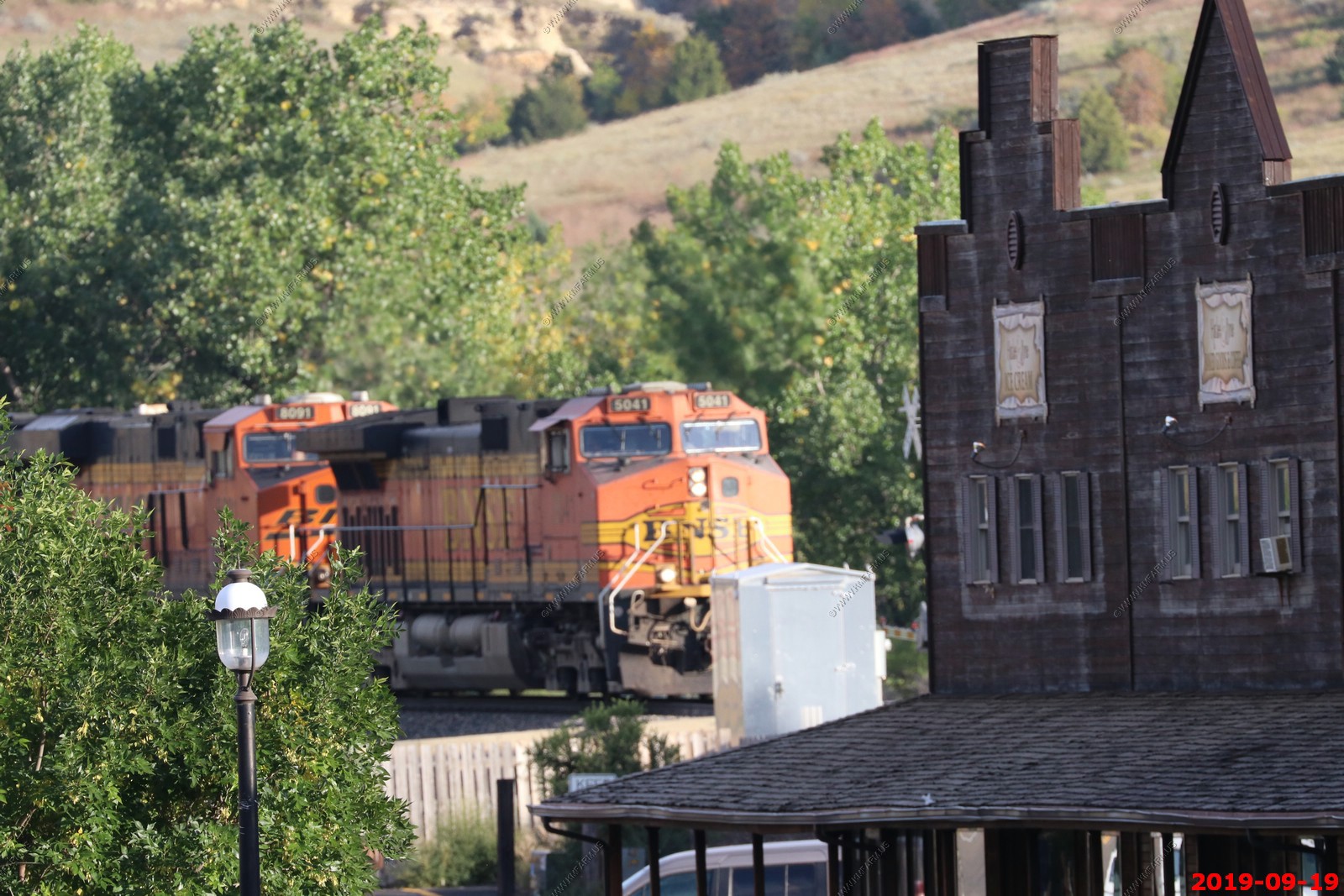
Between the engines and the tanker cars they had a single boxcar marked "Buffer Service Only".
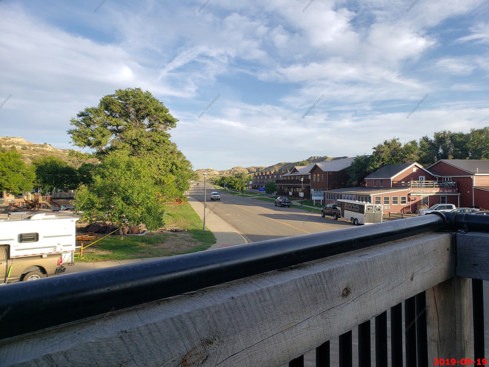
Medora from the deck of Little Missouri Saloon & Dining Room.
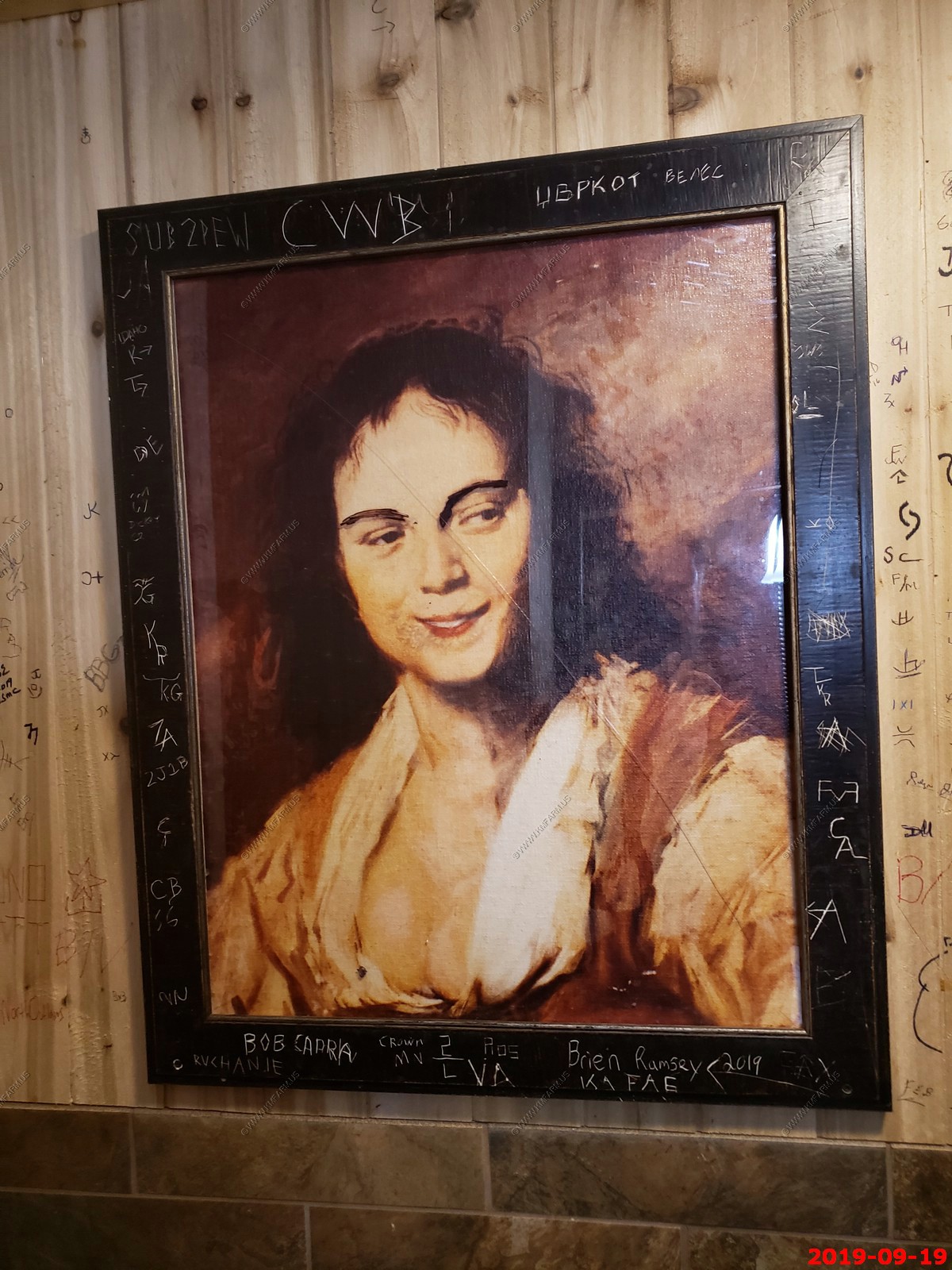
In the restroom at Little Missouri Saloon & Dining Room.
After dinner we walked around looking at all the historic markers.
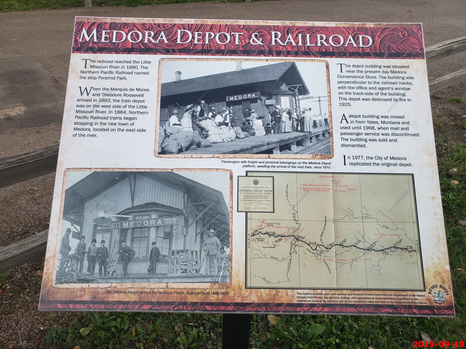
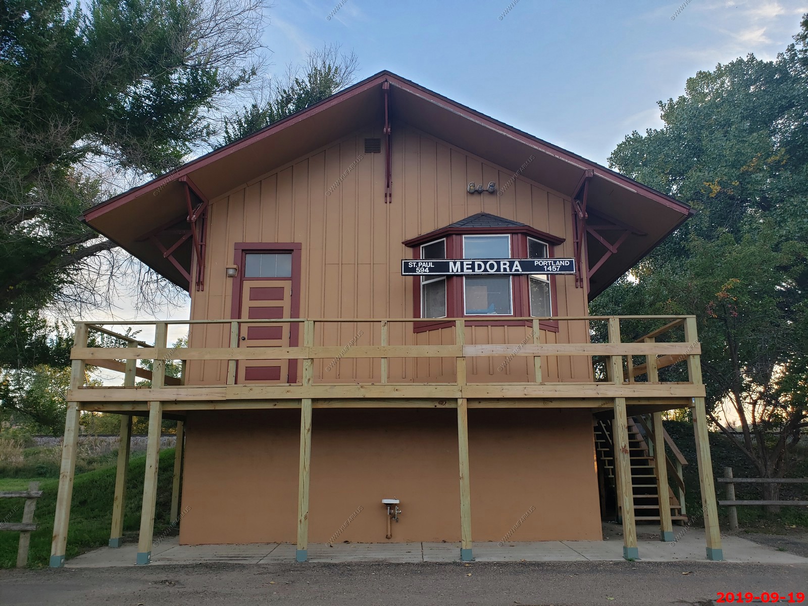
Small Medora, North Dakota train station (Not sure it is active) St. Paul, Minnesota is 594 miles east and Portland, Oregon is 1,457 miles west.
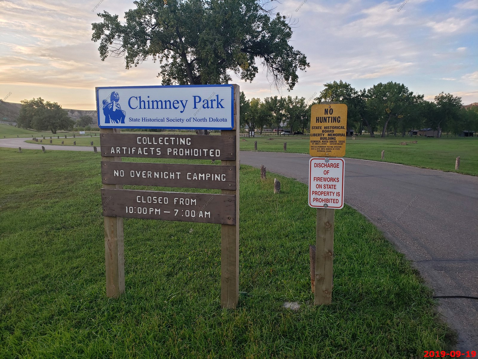
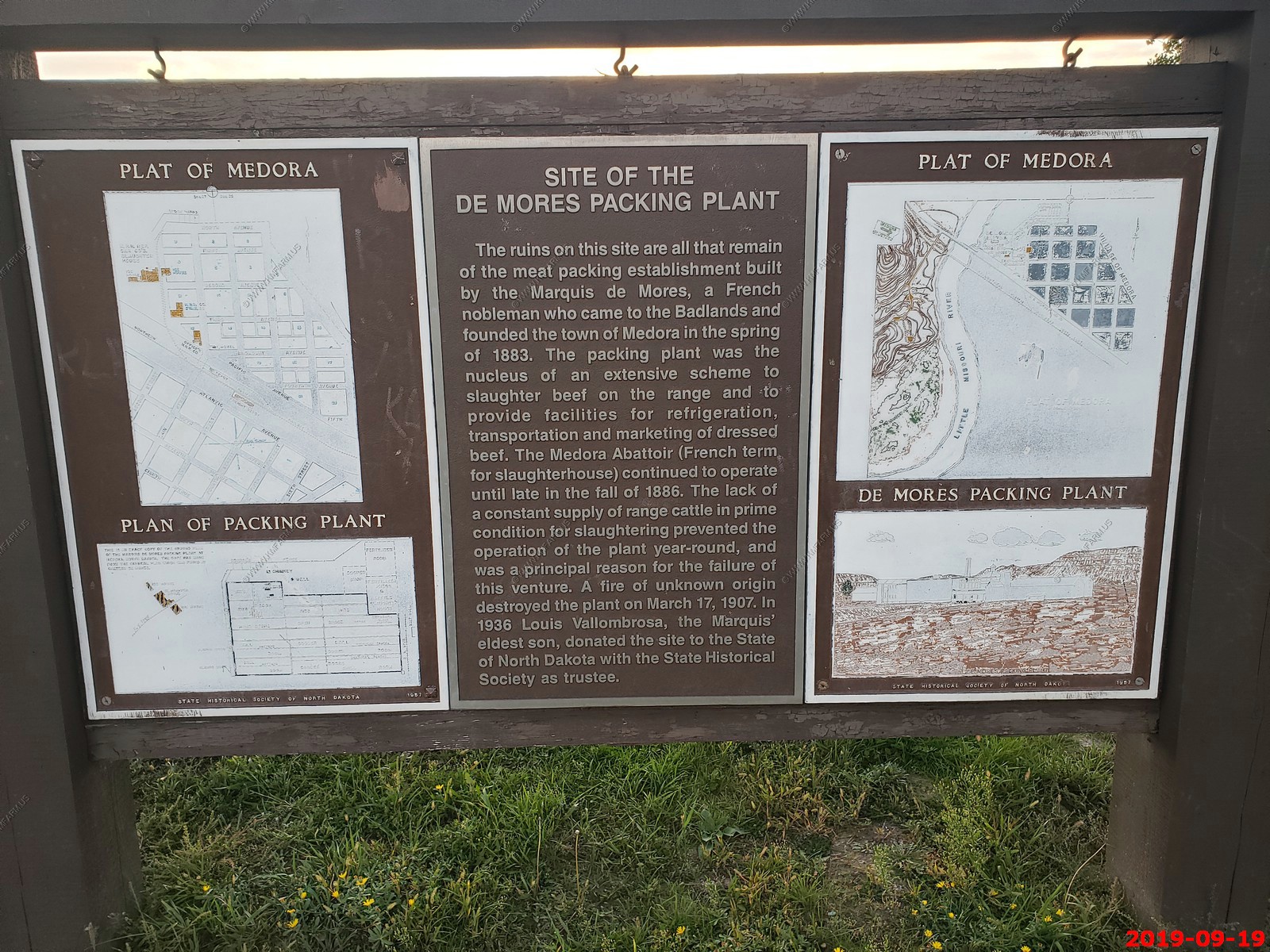
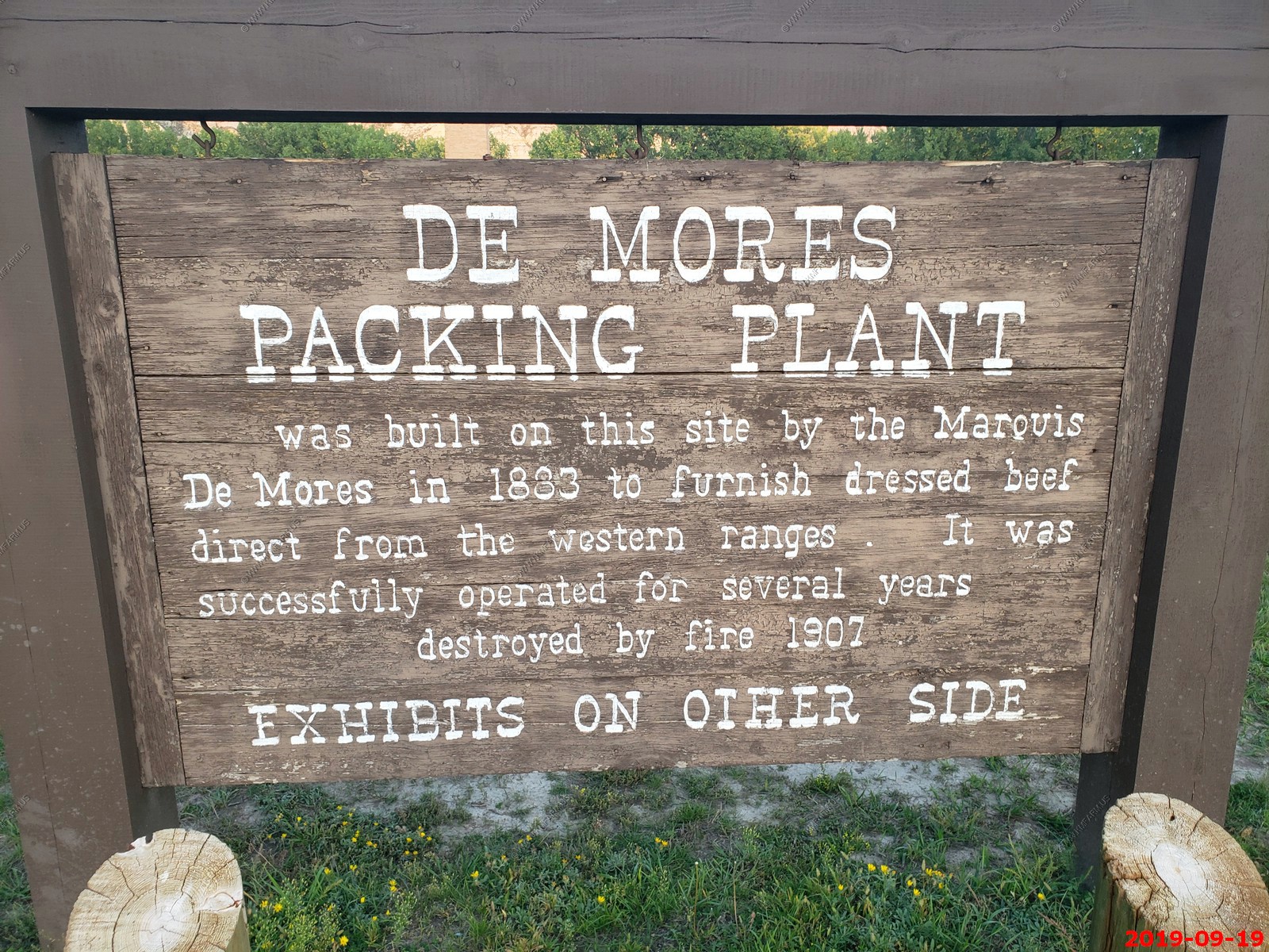
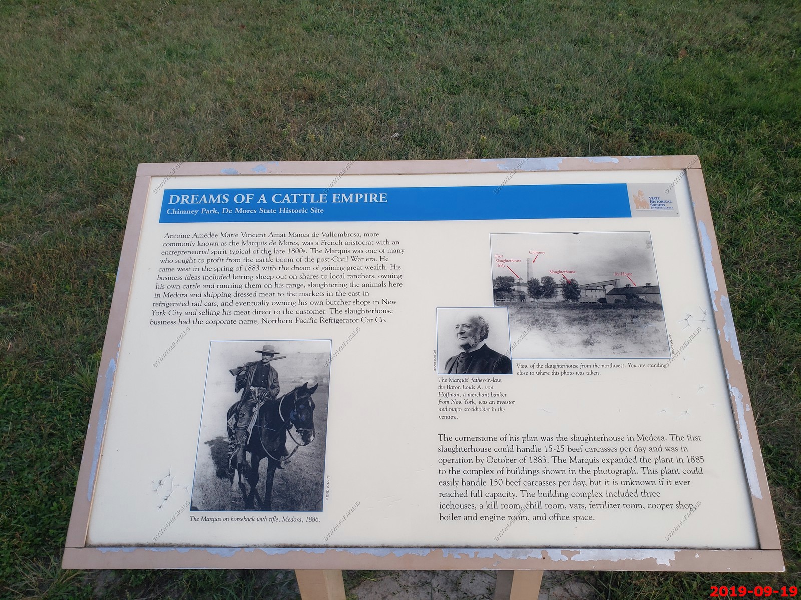
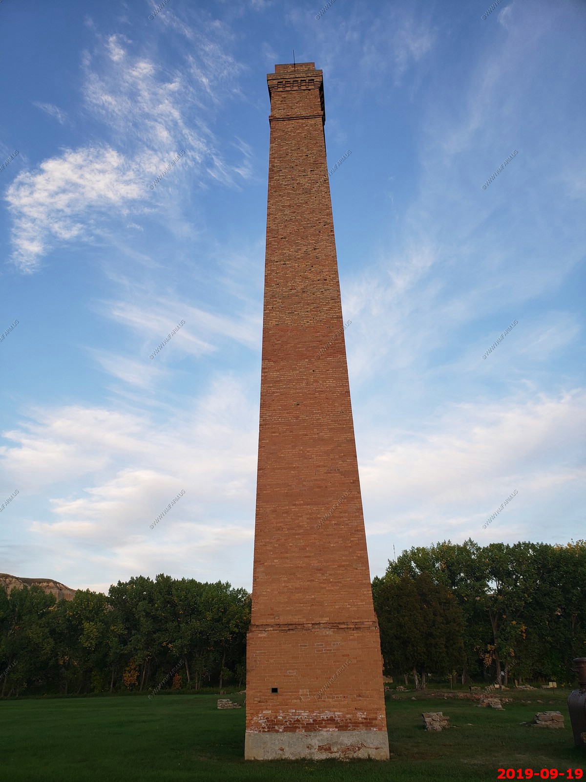
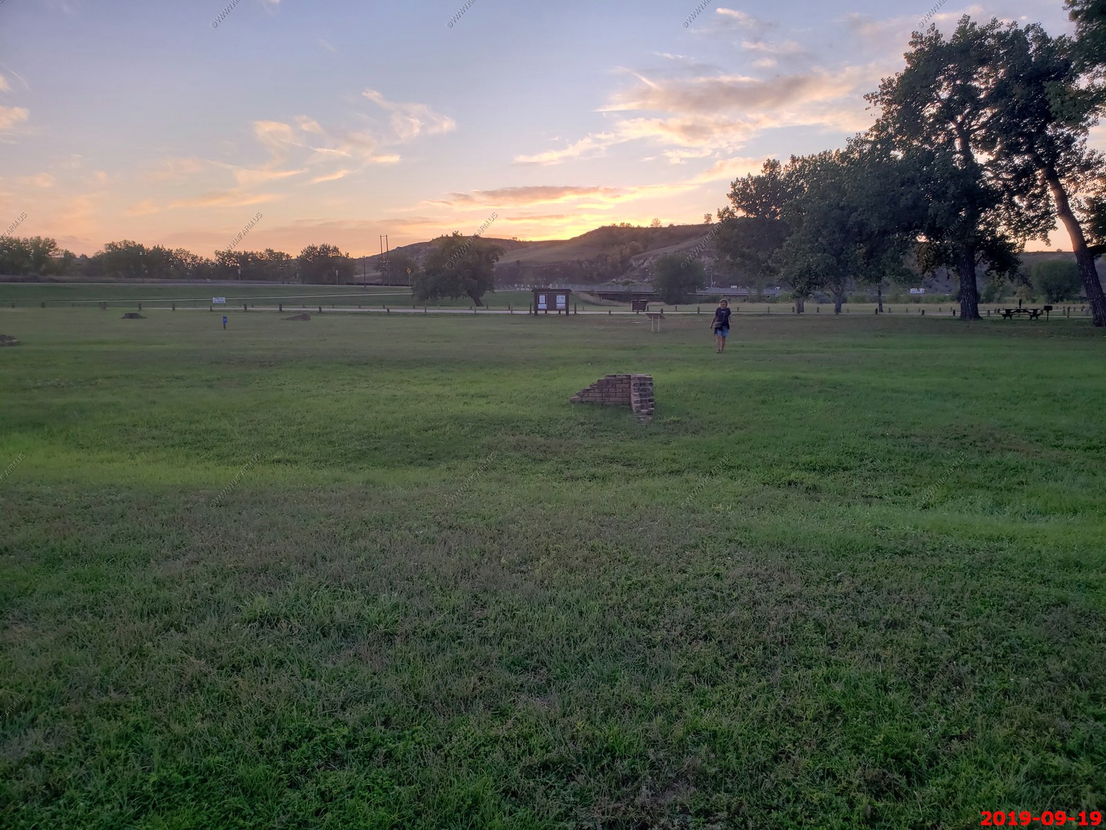
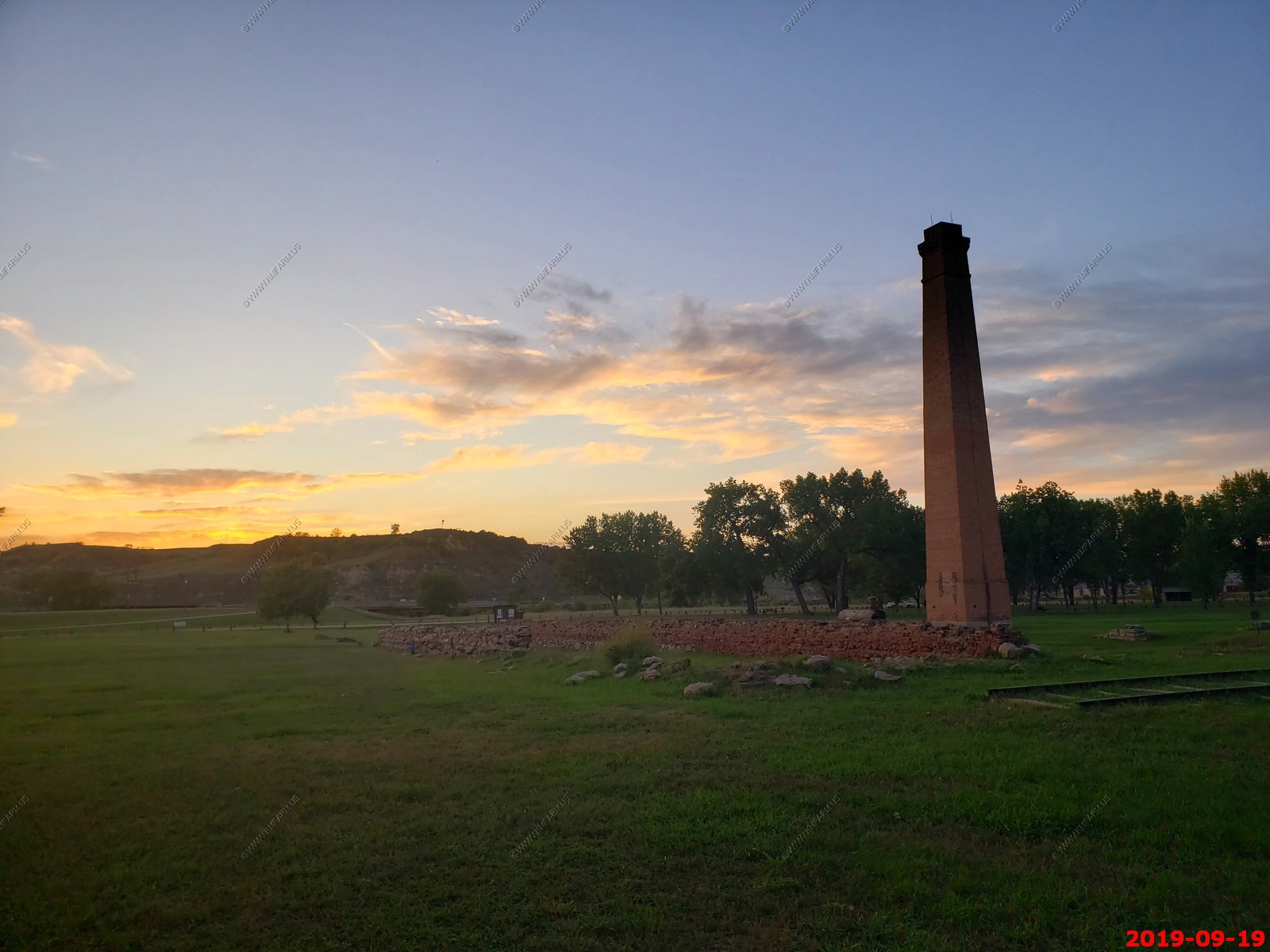
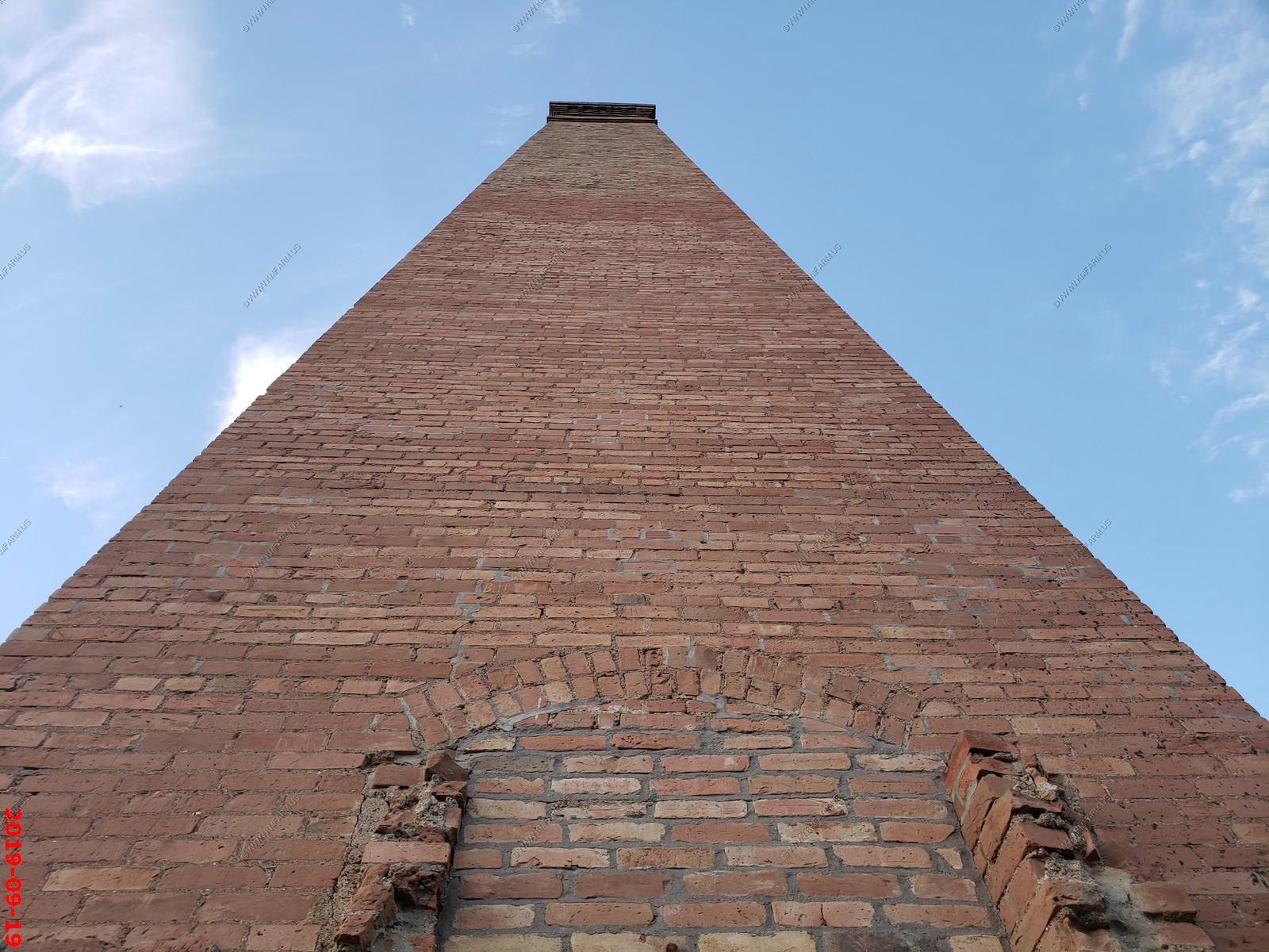
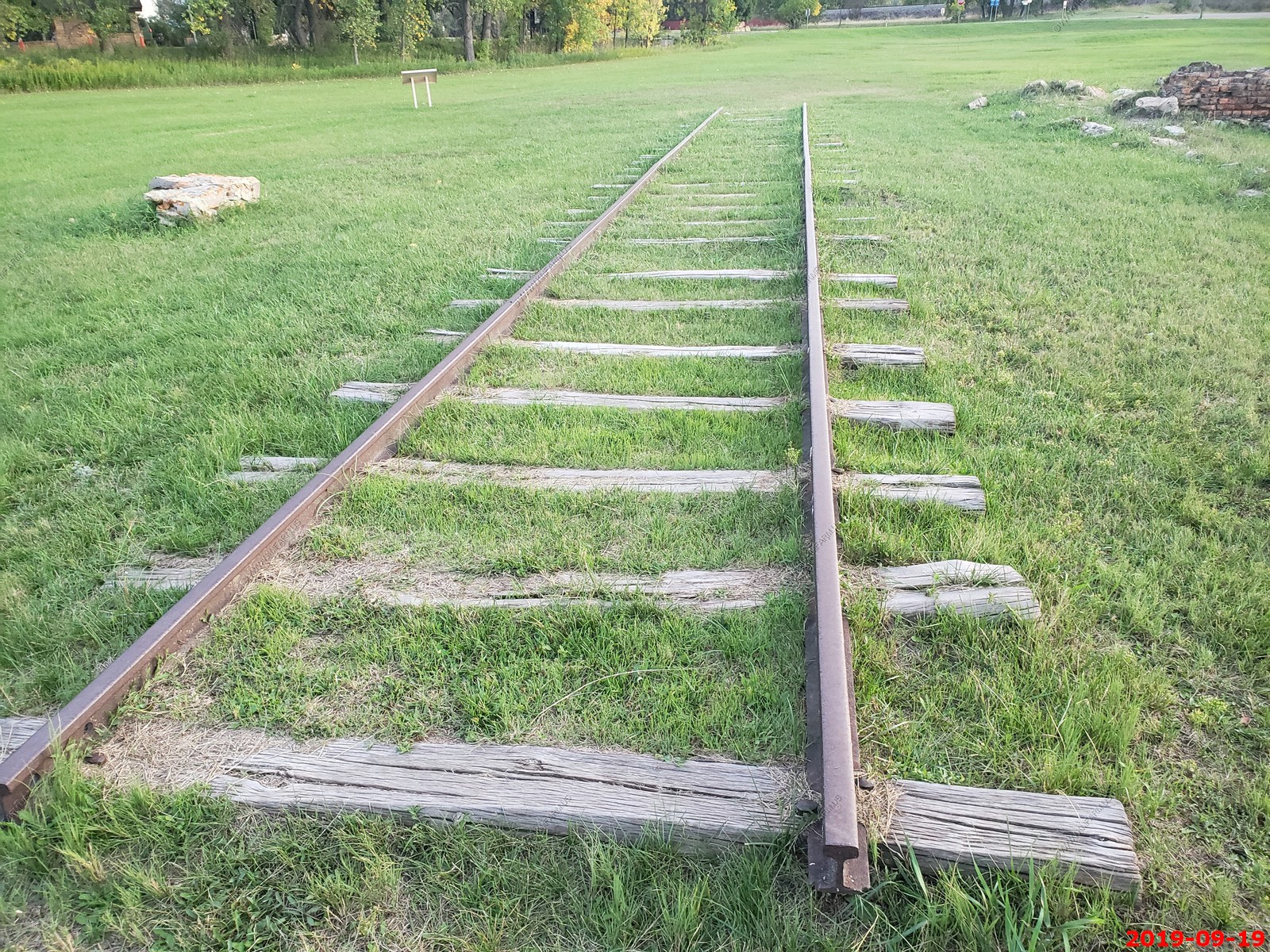
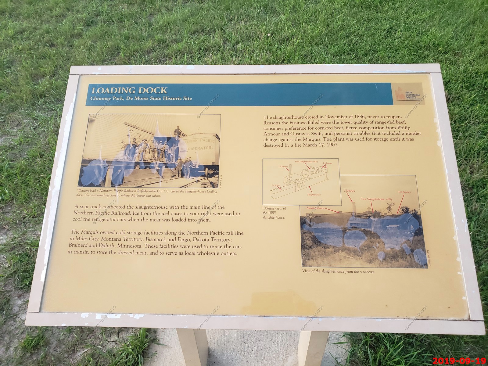
Chimney Park - this park area once contained the Marquis de Mores' meat packing plant that burned down in 1907 and is now the largest green space in Medora city limits
Situated on the west edge of Medora, the site once contained the plant, a slaughterhouse, three icehouses, several outbuildings, a railroad spur track, and a corral. The building burned in 1907, leaving the tall, native clay brick chimney standing. A picnic area is located next to the plant.
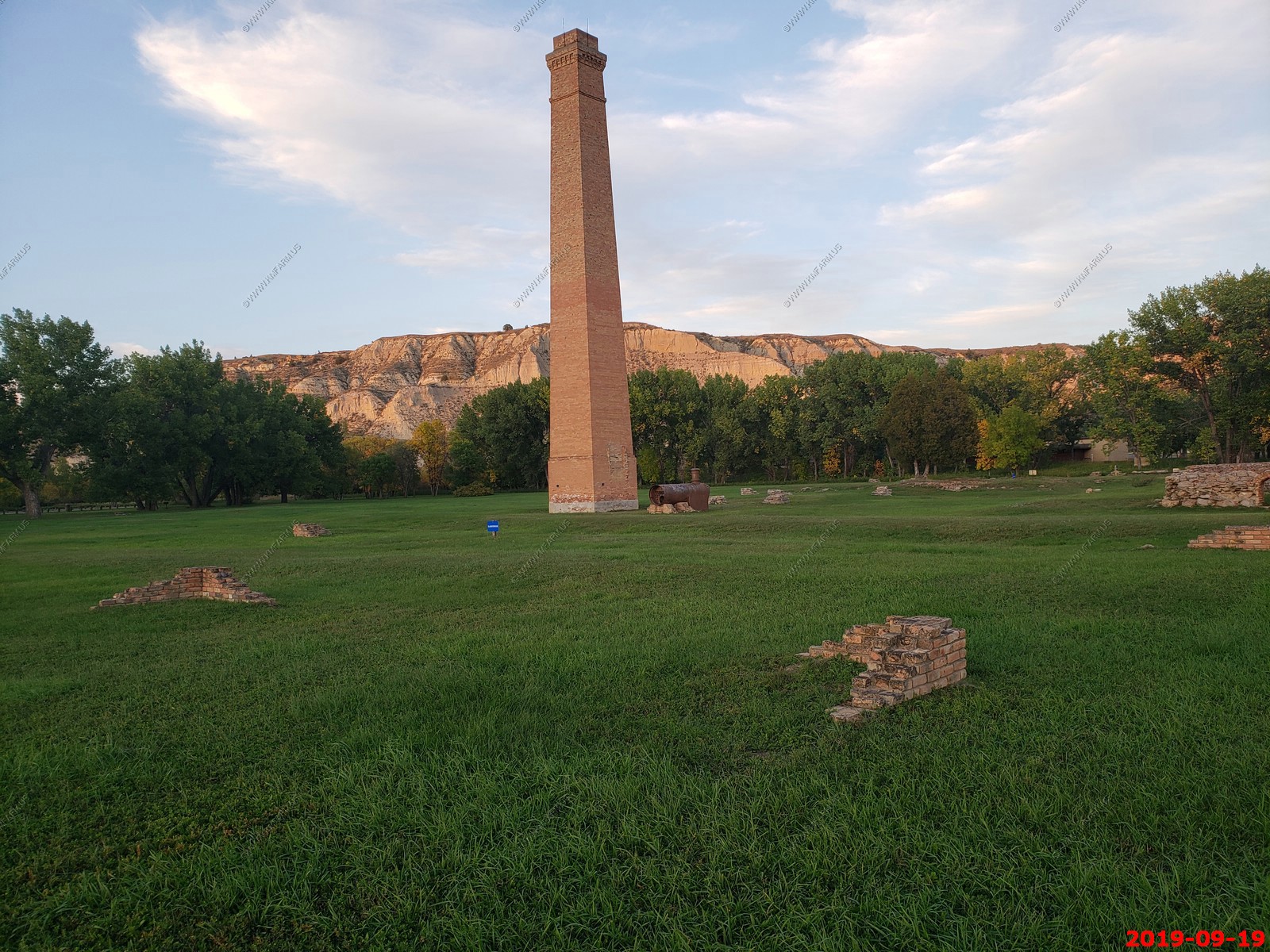
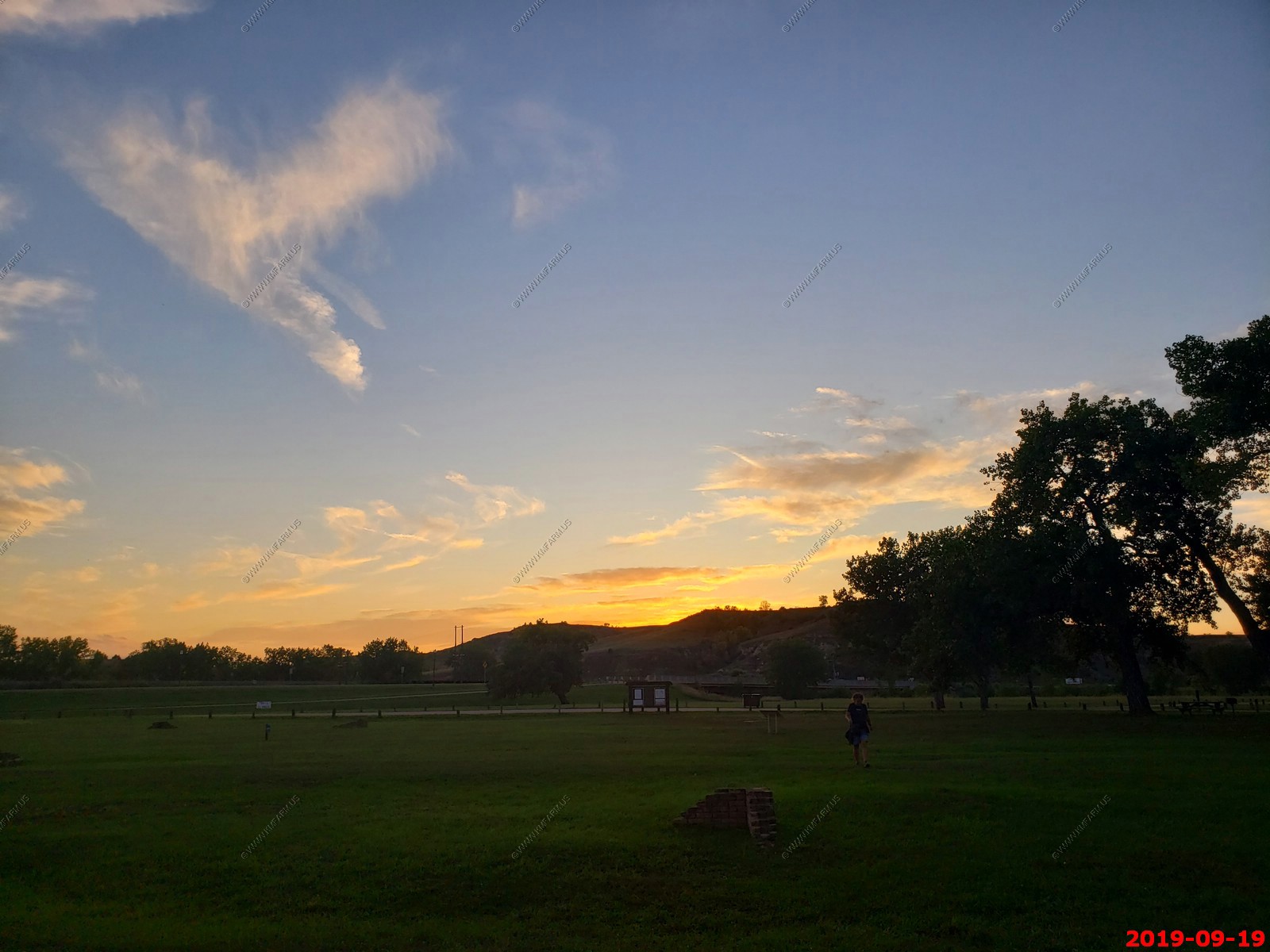
They had the corners of the buildings marked and it was a good place to watch the sunset.
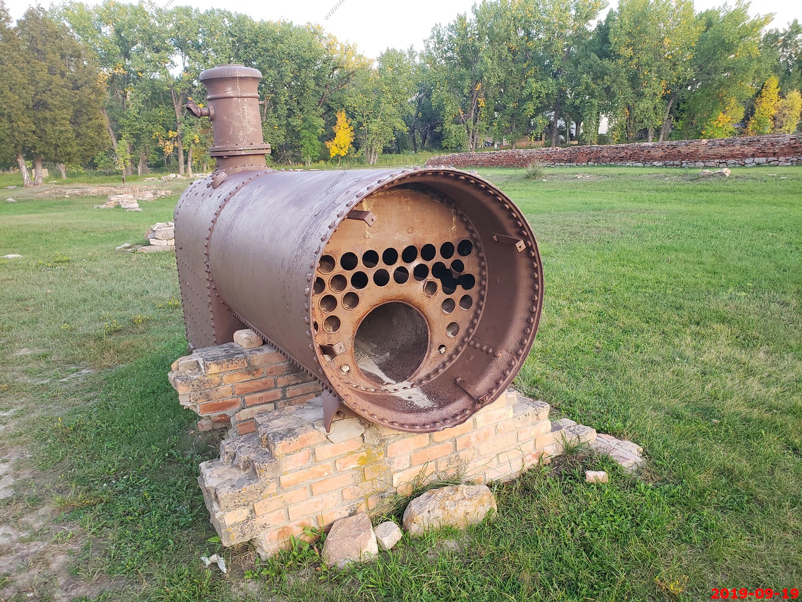
Old boiler.
Looking up the Chimney.
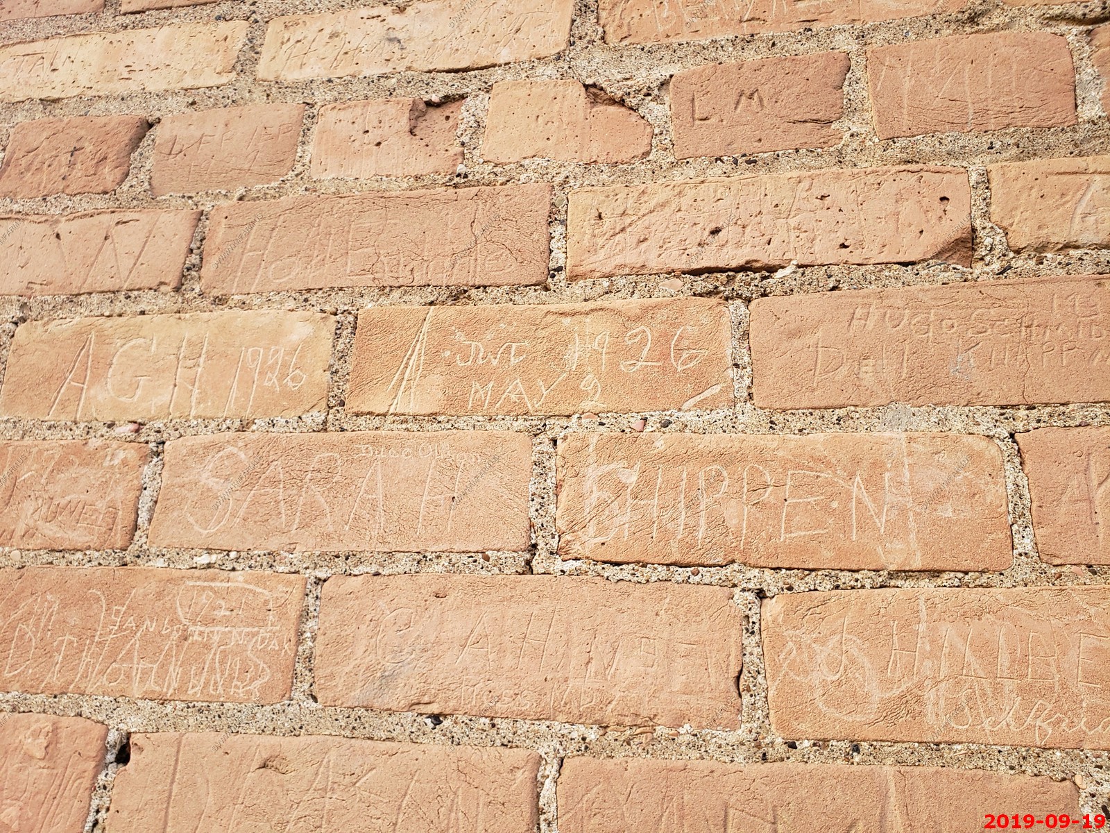
Lots of carvings in the bricks.
Tracks & more history.
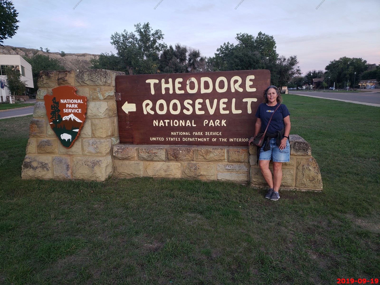
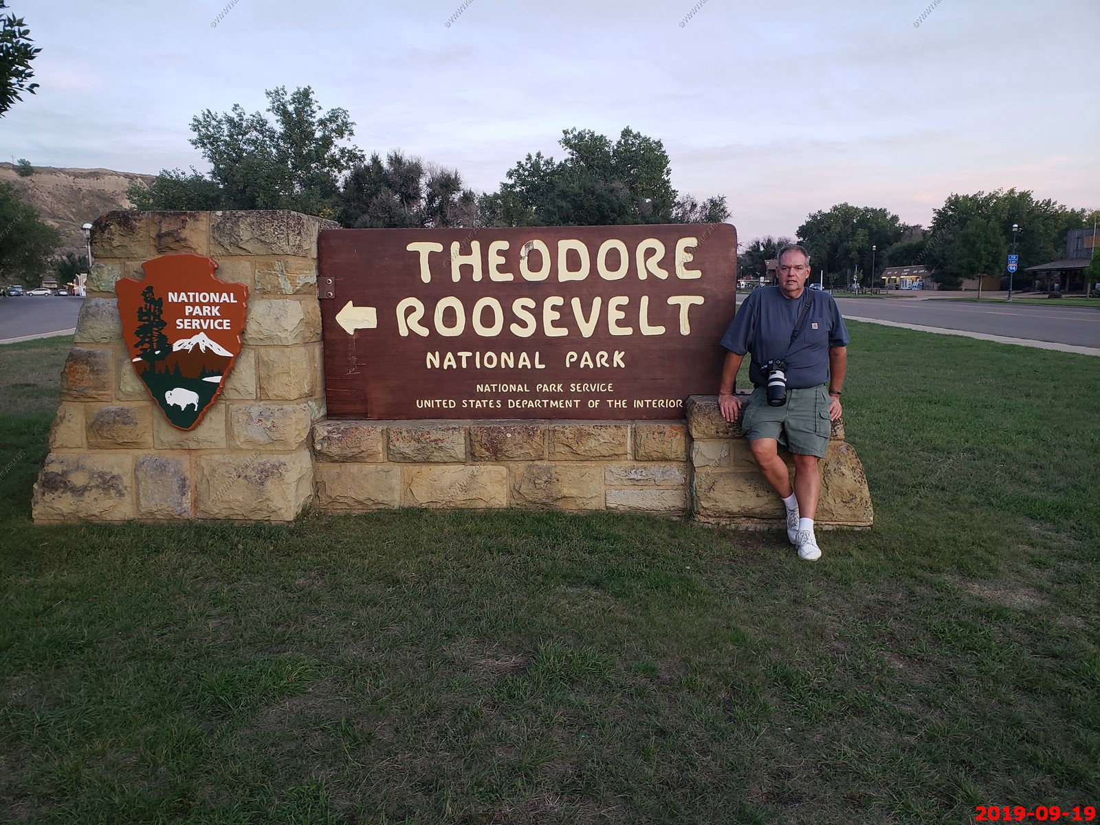
Mary & Ken posing by the sign. (Ken does not smile).
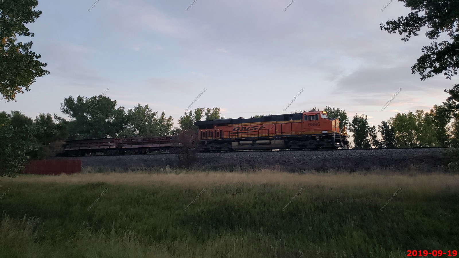
Another westbound train and its getting dark. BNSF 6896.
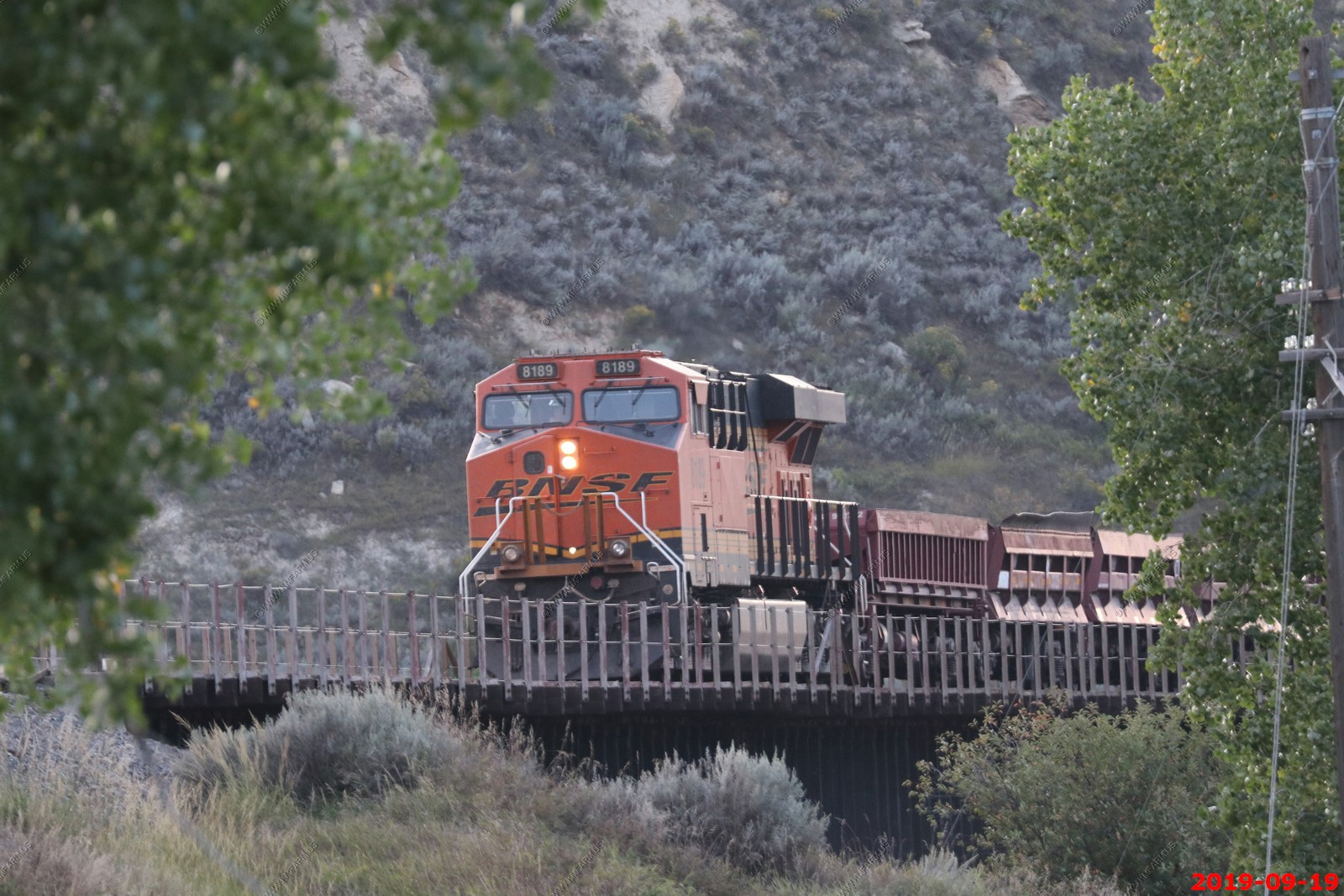
Not sure what this train was carrying. Short cars and perhaps only 20 of them. BNSF 8189 helper on the end.
BNSF 8189 helper on a Westbound going across the Little Missouri Scenic River RR bridge.
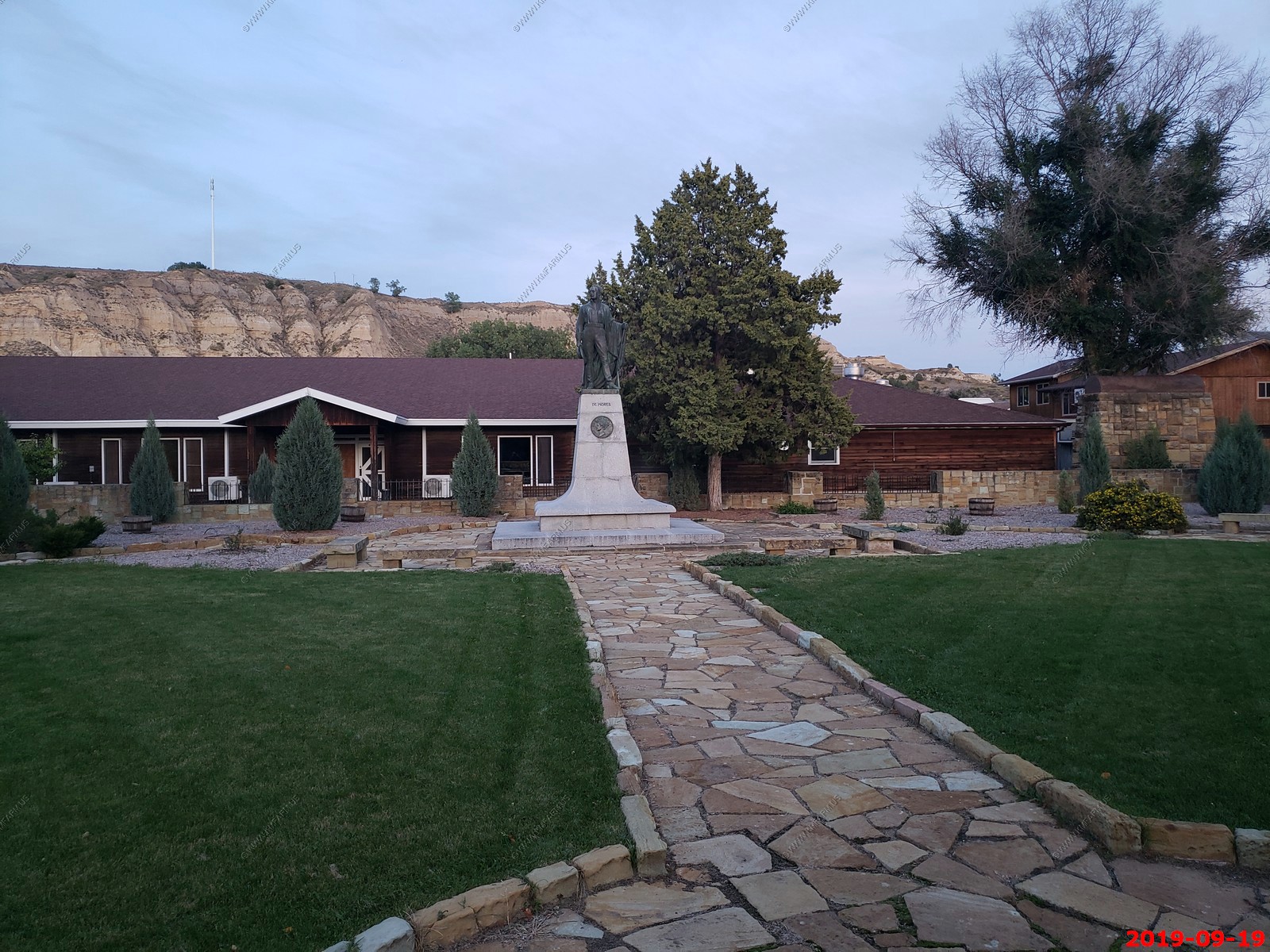
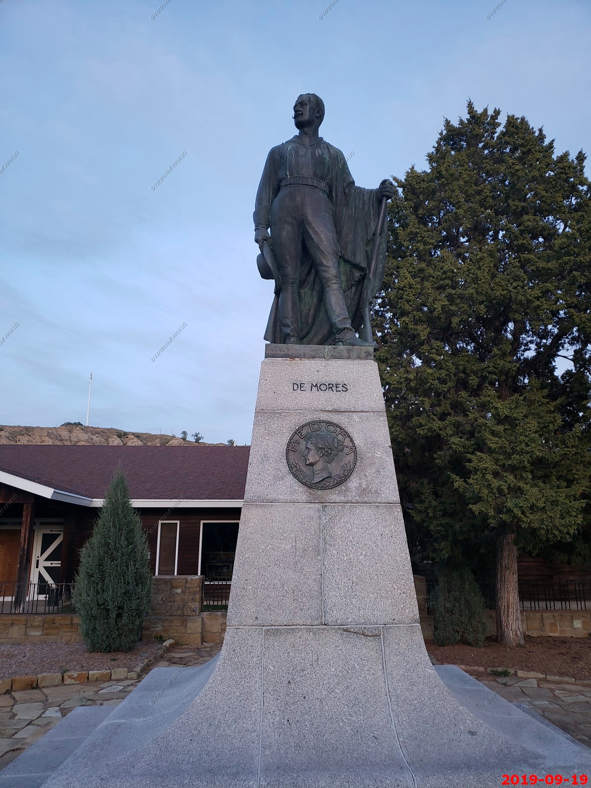
Great Western Cattle Trail - Famously, French nobleman Marquis De Mores, founded the town that is now Medora, N.D., in 1883. De Mores started a large meat packing plant in a year that recorded 300,000 cattle in the state. Future President Theodore Roosevelt, visiting the region to hunt buffalo, bought a cattle ranch in 1883.

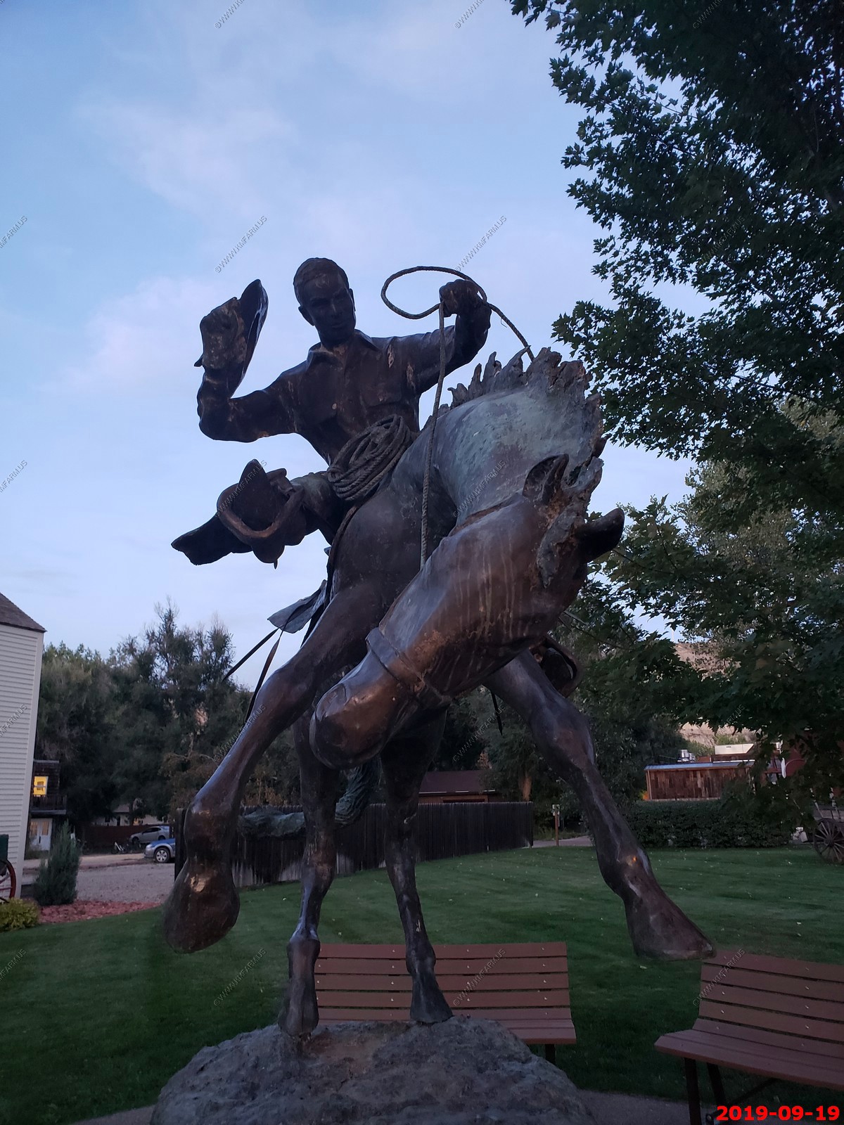
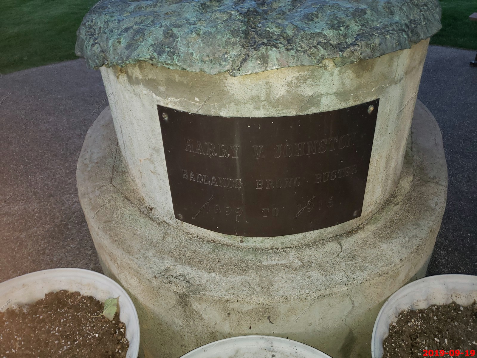
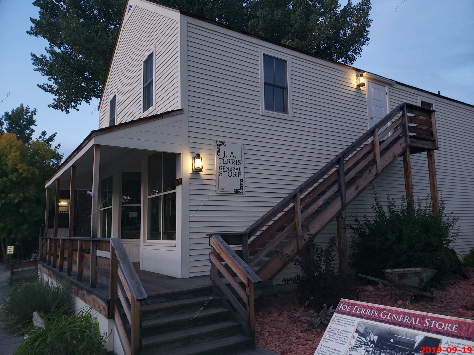
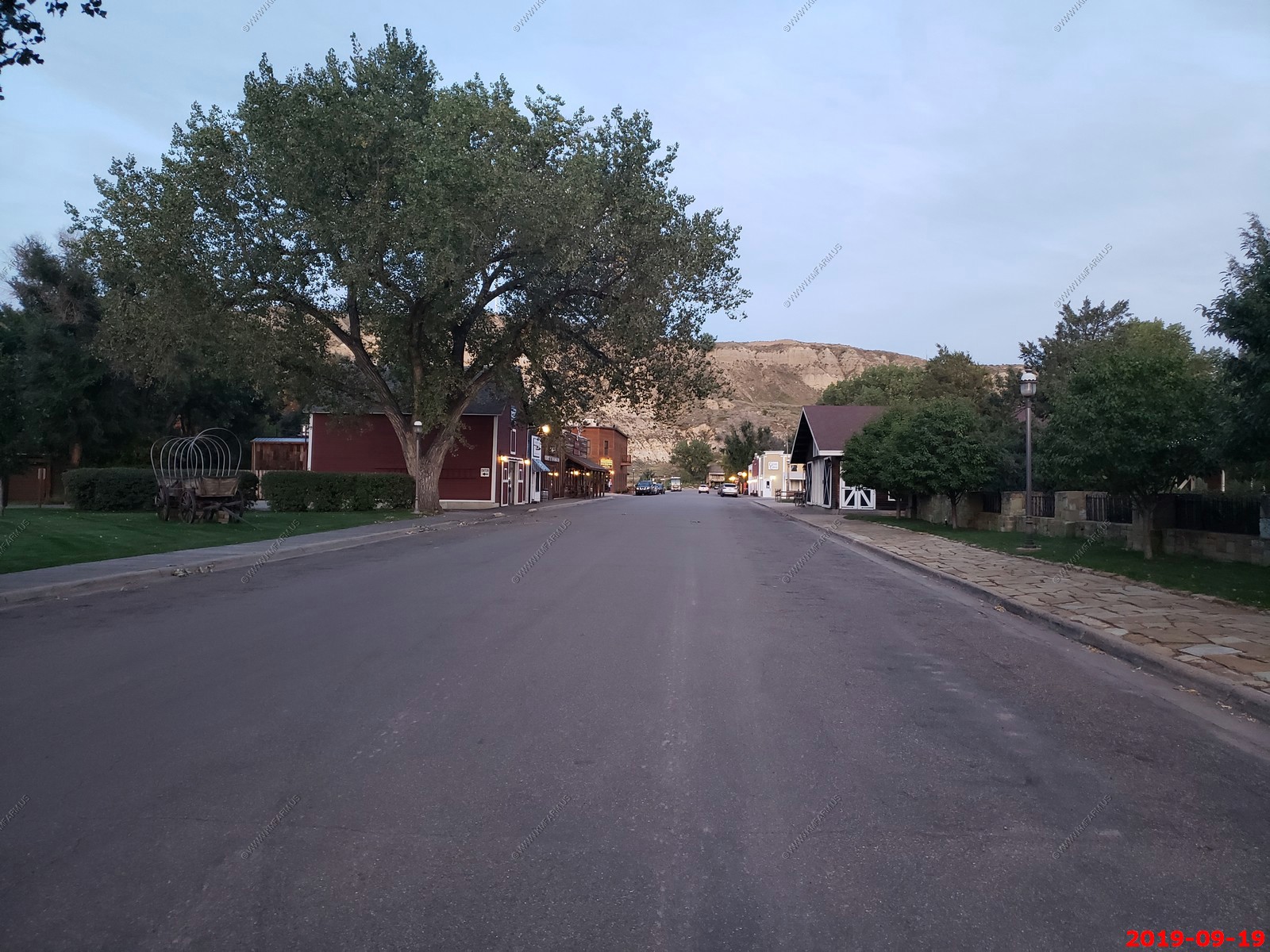
We walked around town looking at more historic markers. This ia a really cool small town of Medora, ND.

This place was packed.
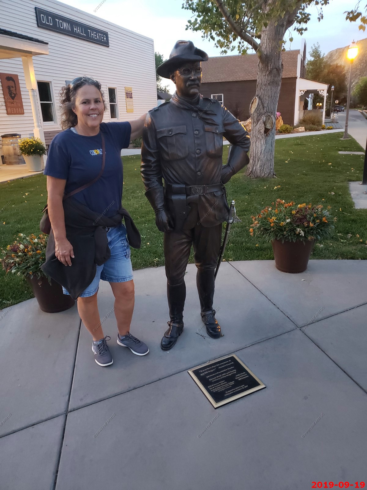
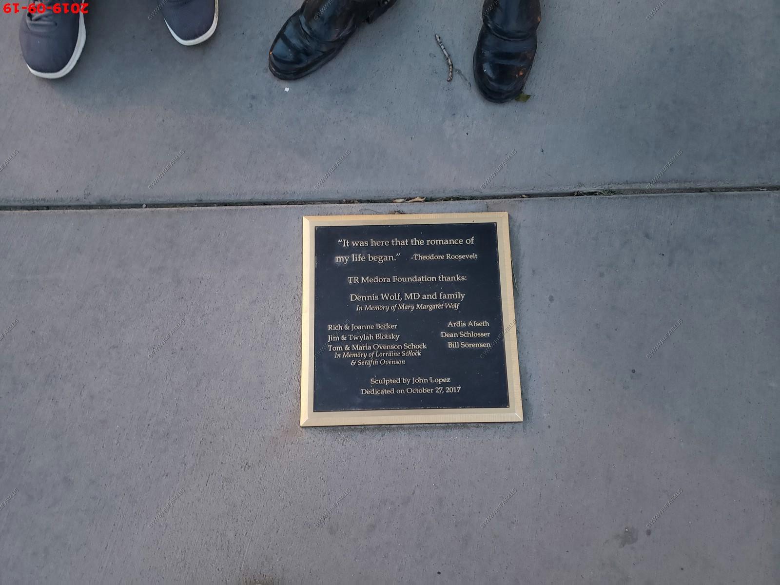
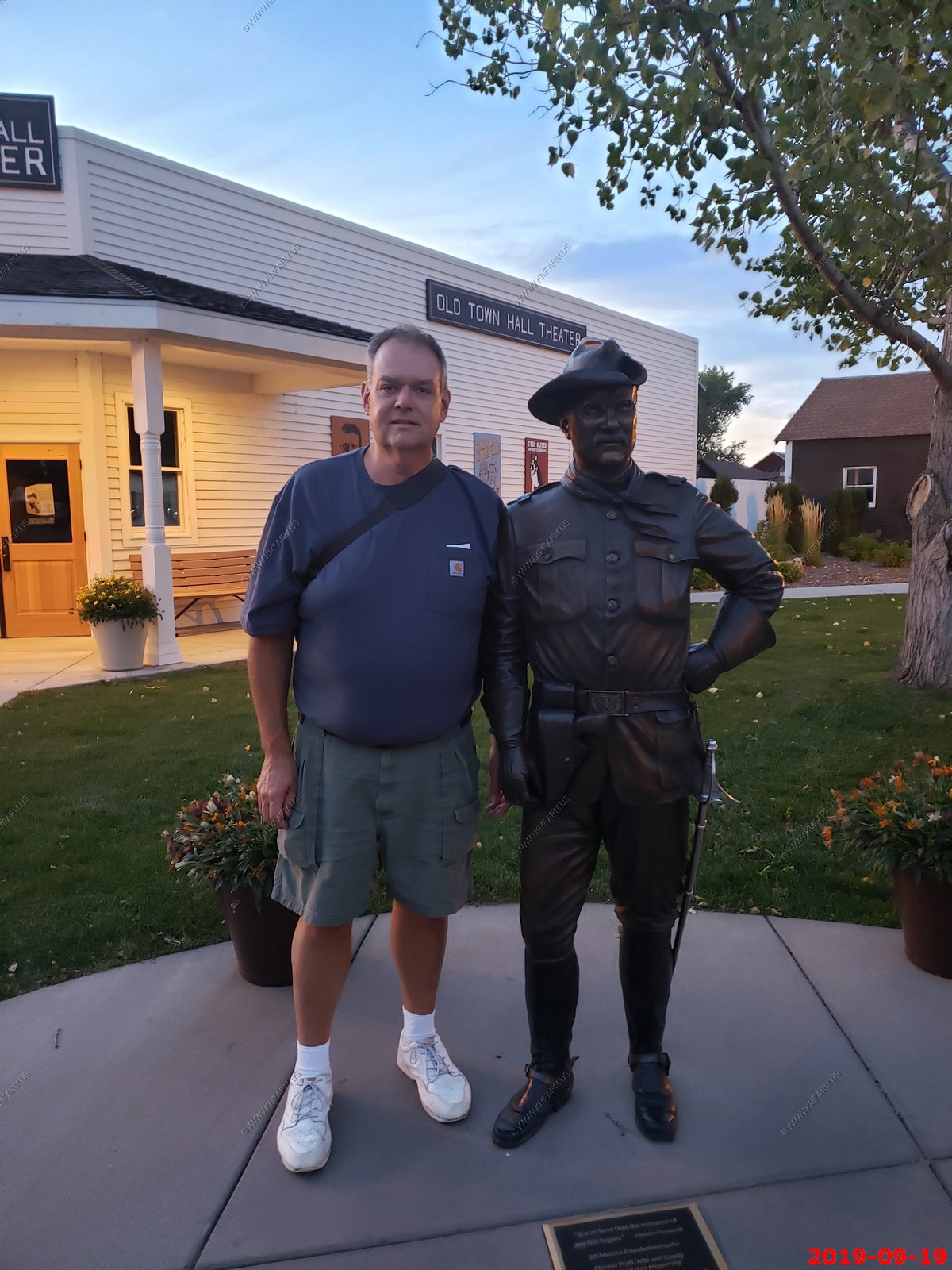
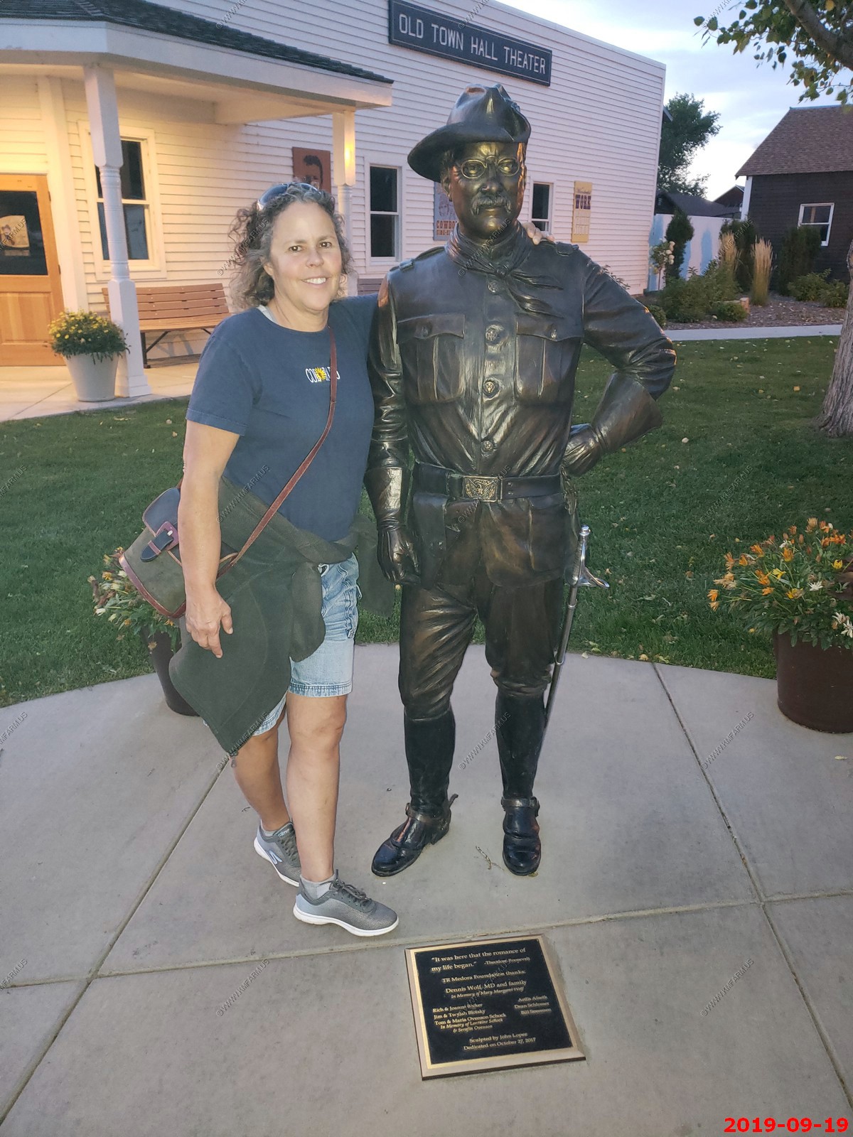
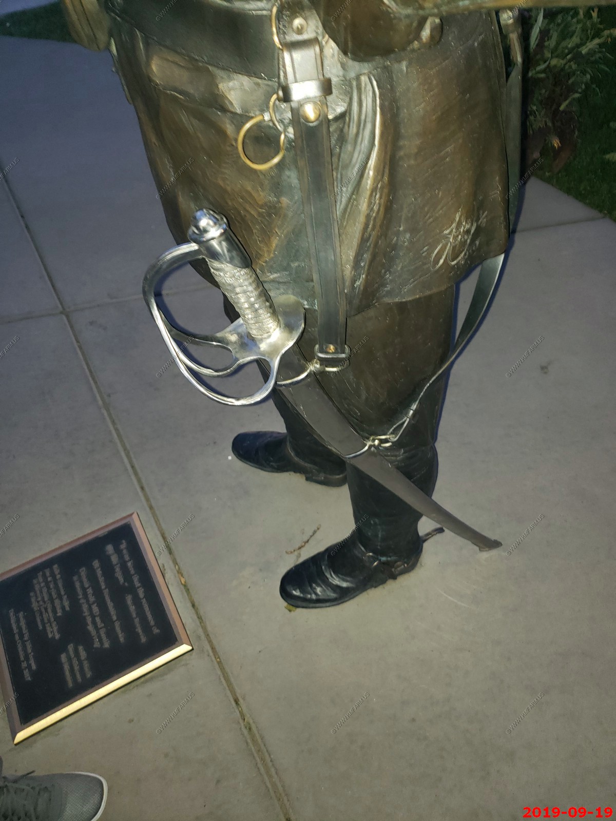
Mary and Ken with Theodore Roosevelt.
Another BNSF westbound. Now they were coming every 15 min or so.
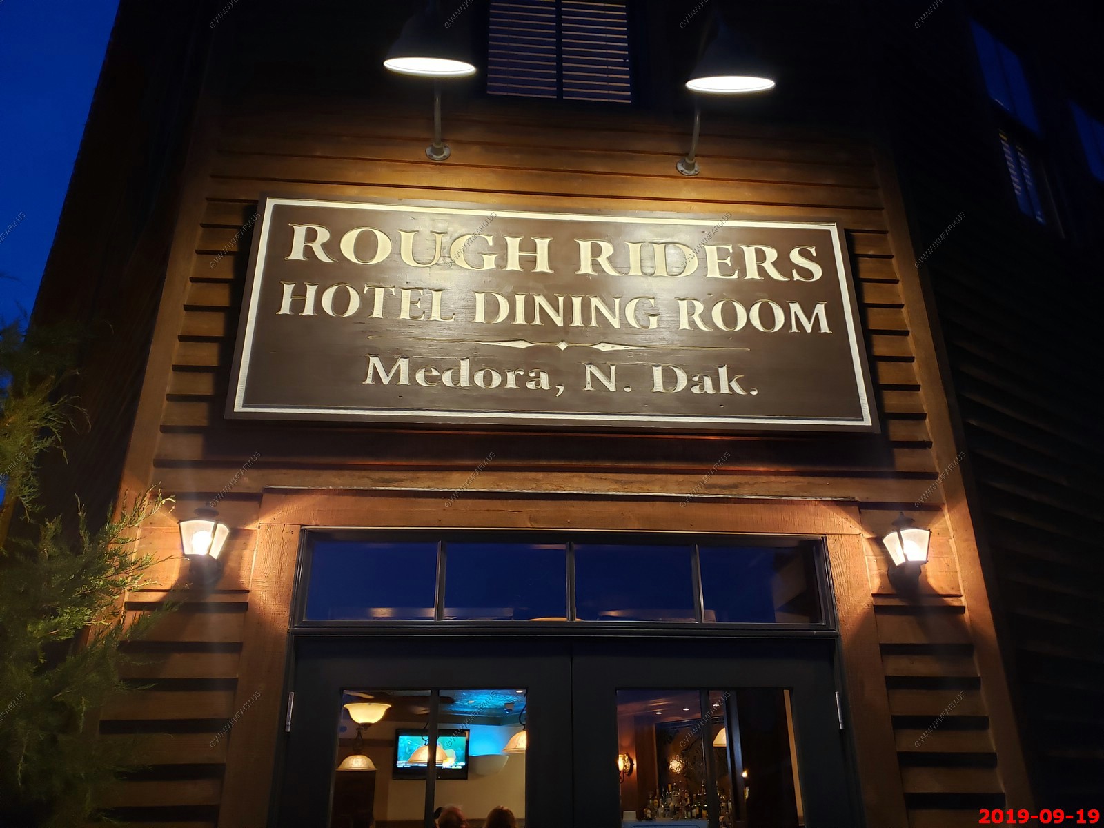
We ate here on the first night. Very good but expensive.
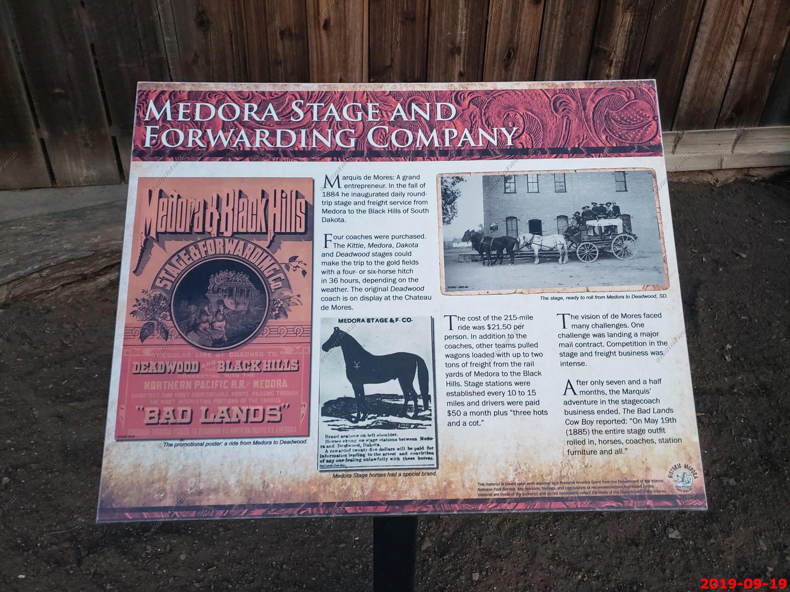
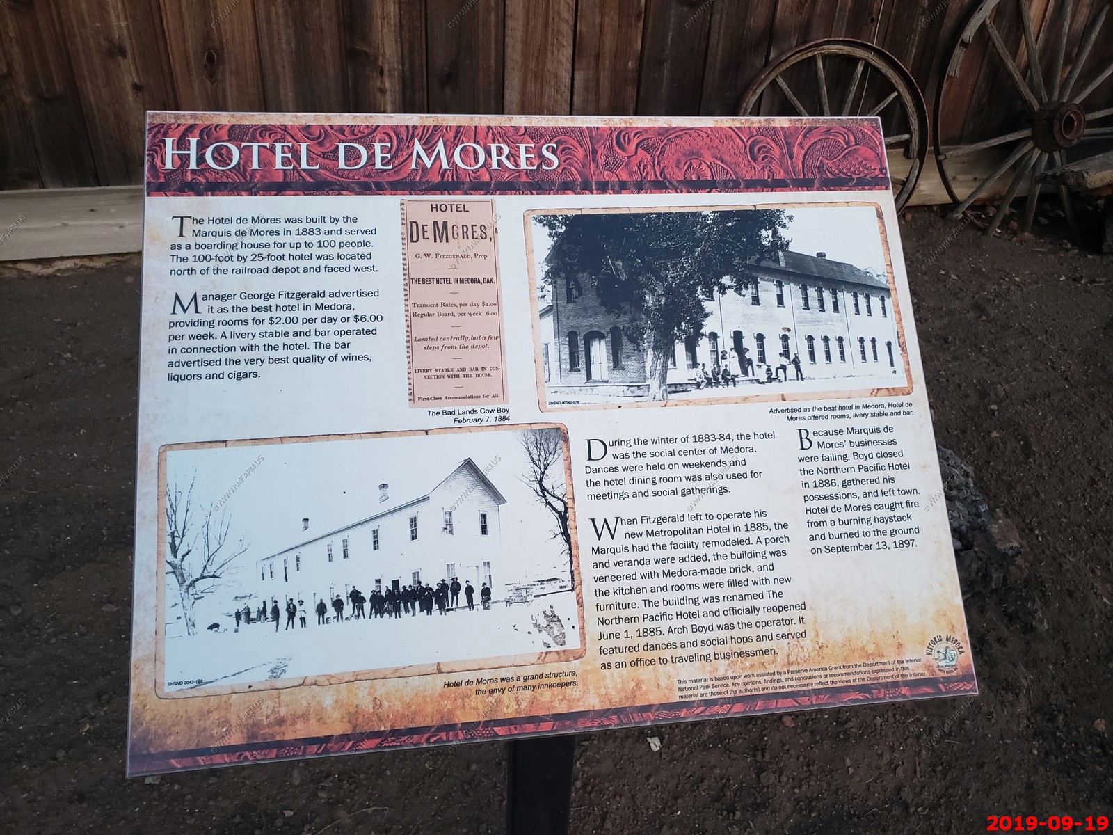
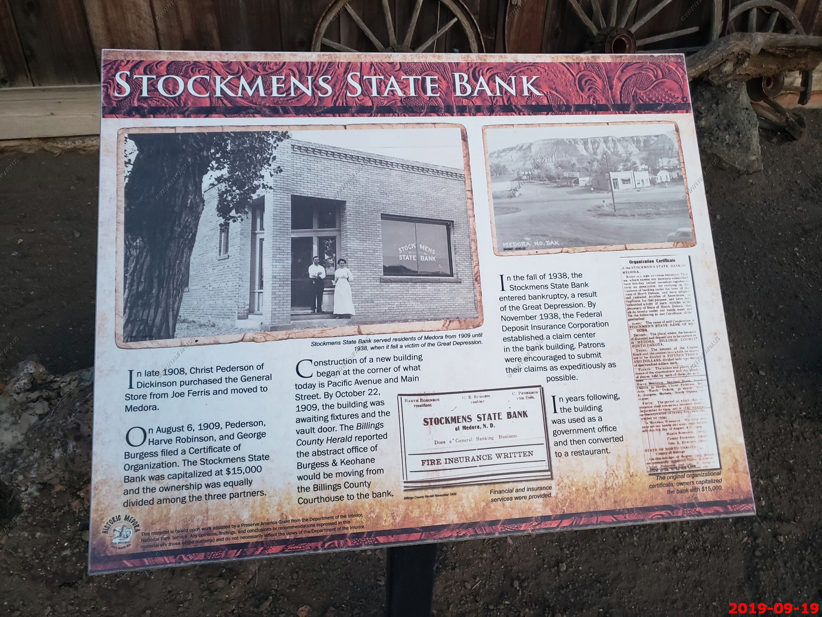
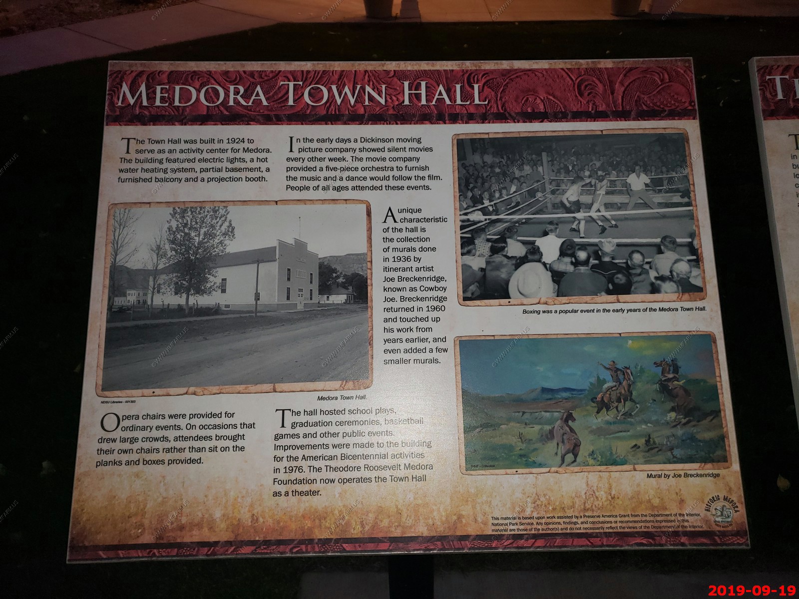
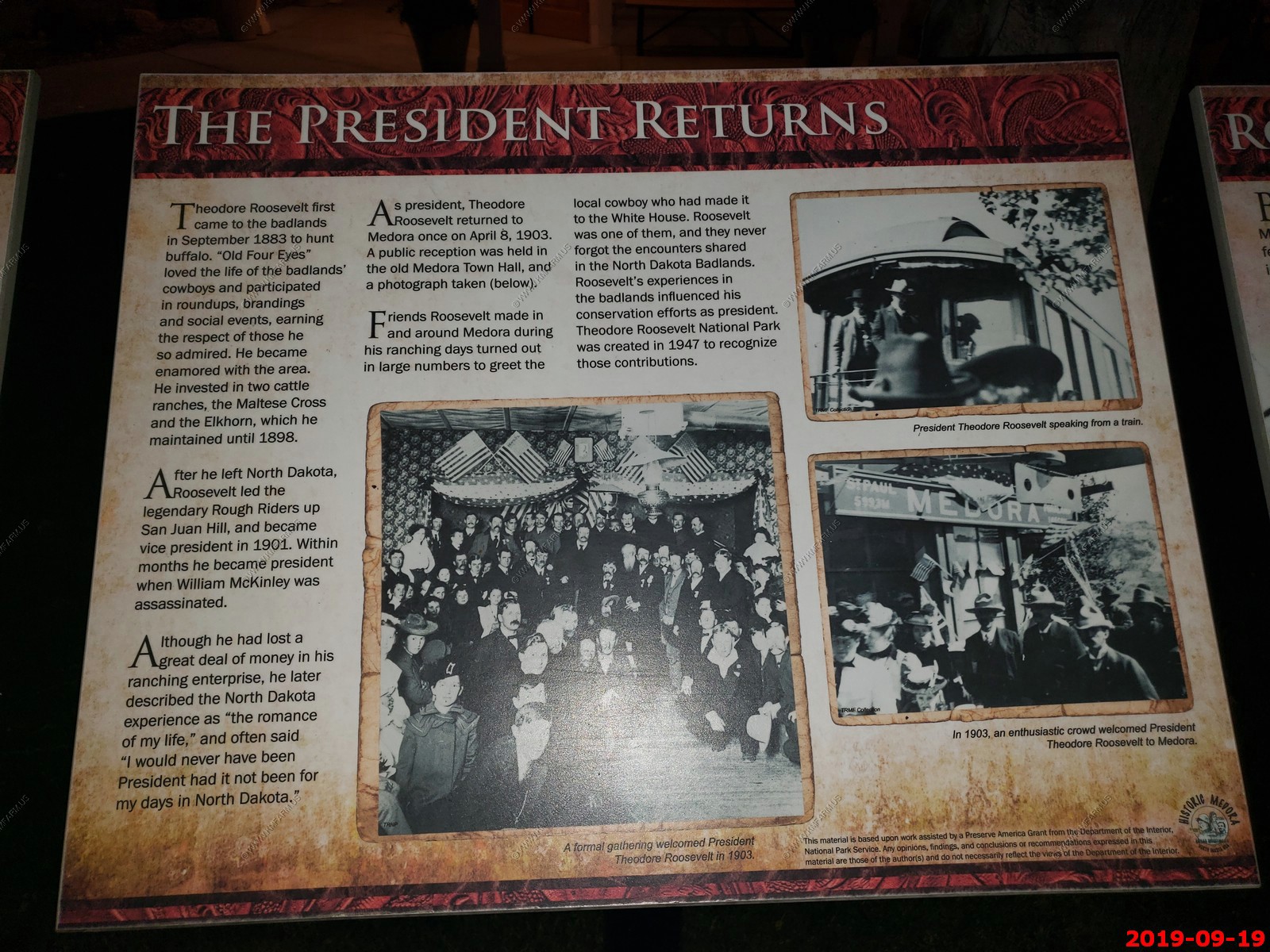
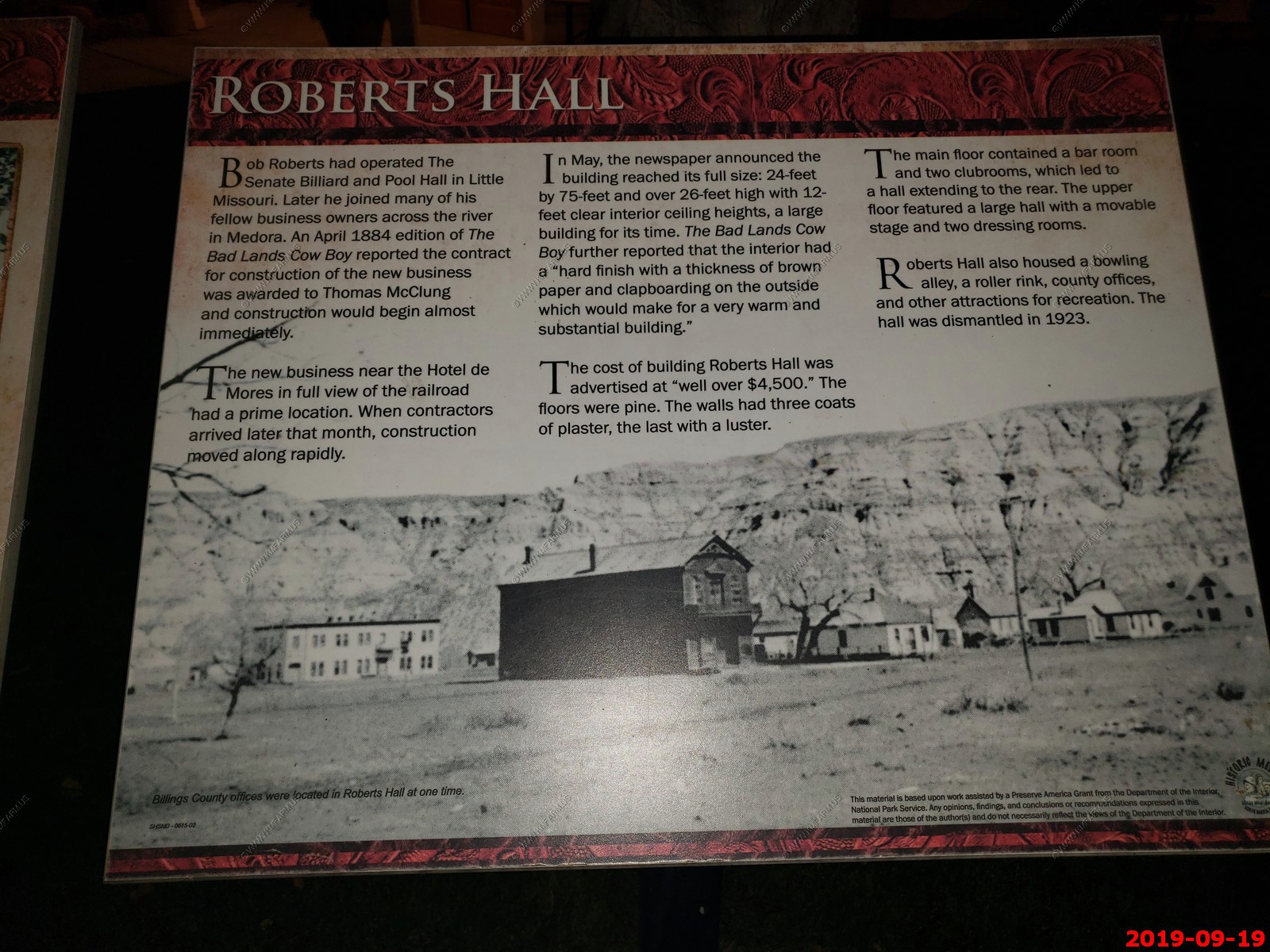
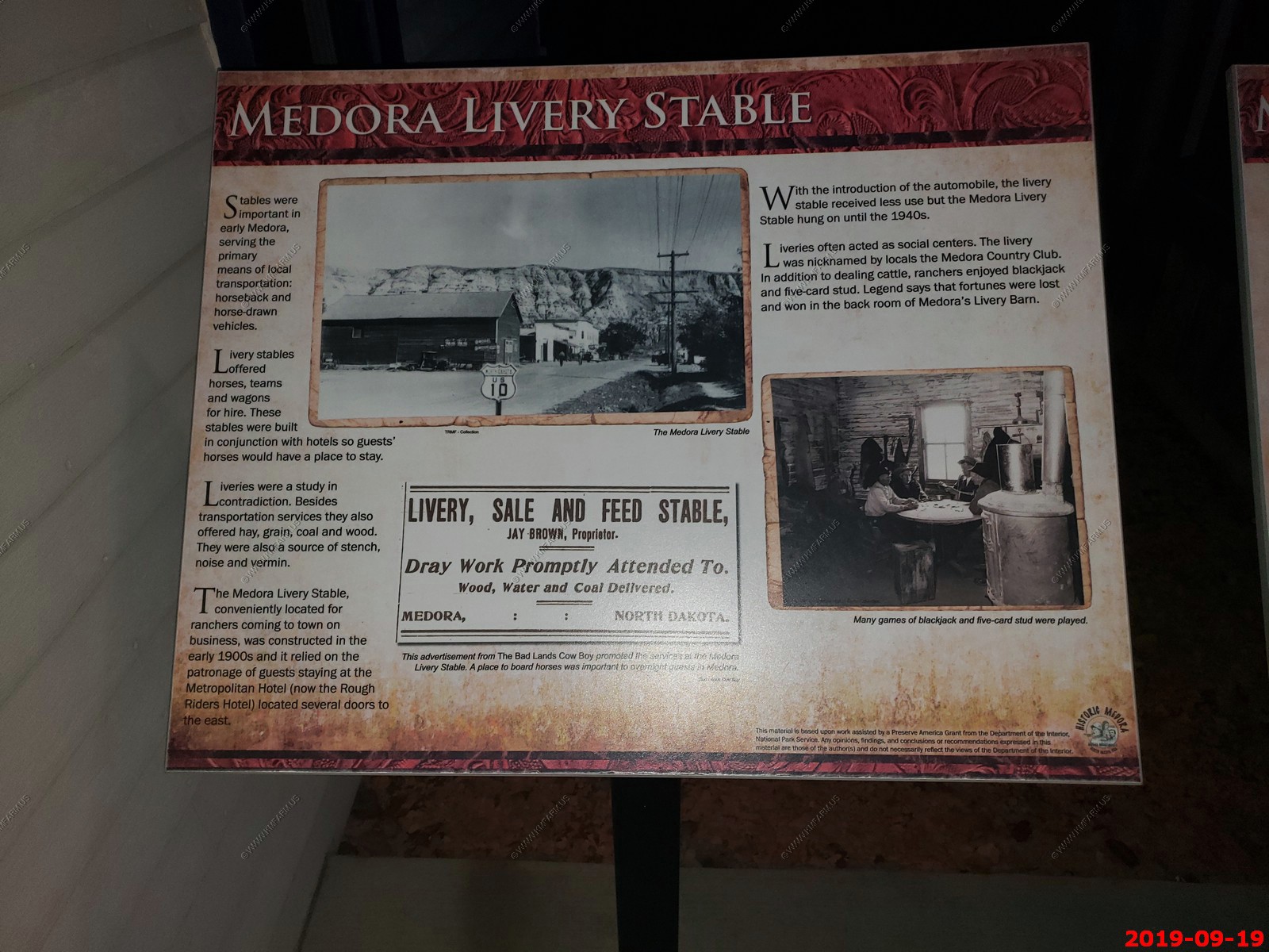
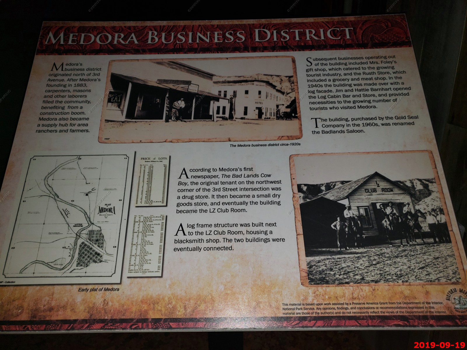
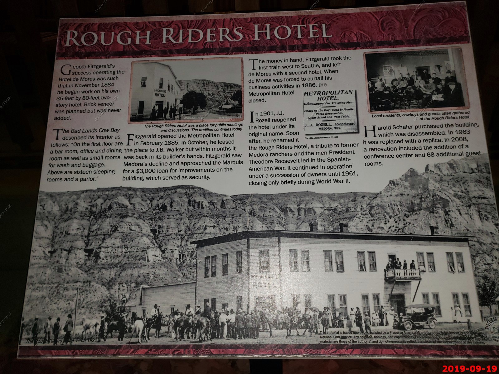
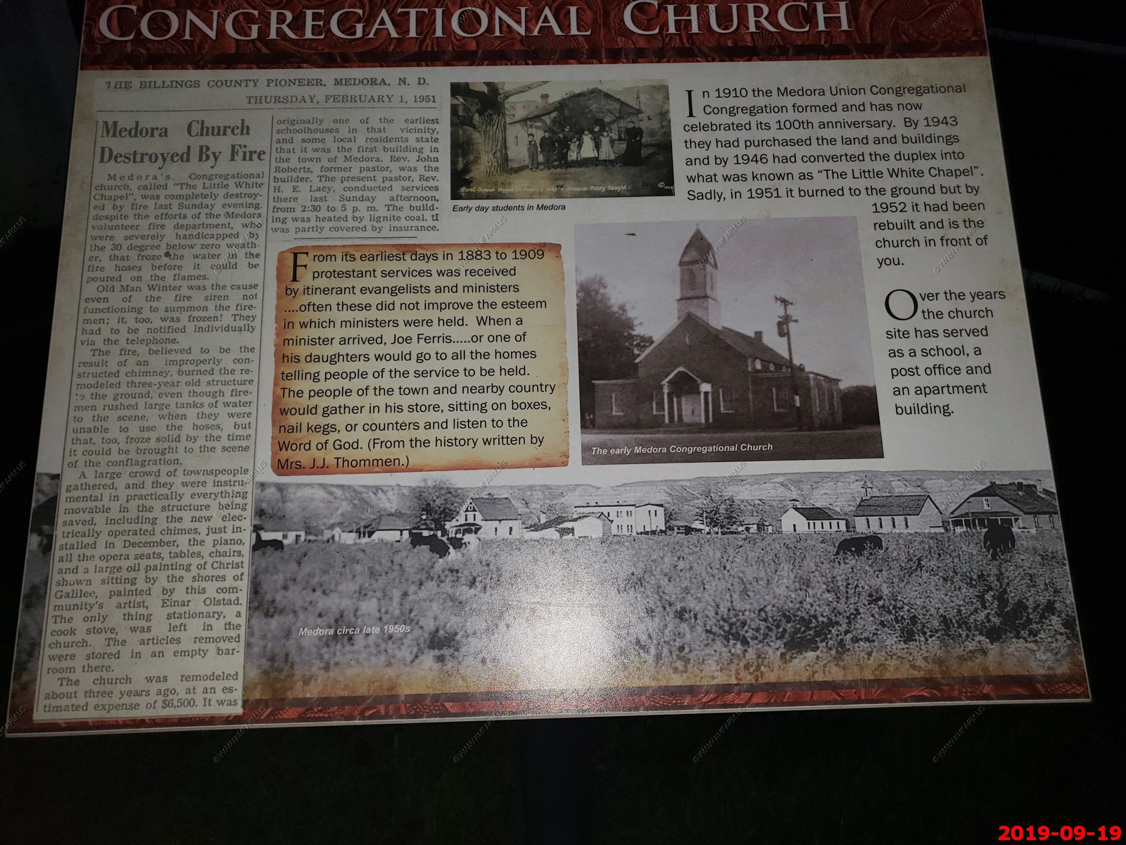
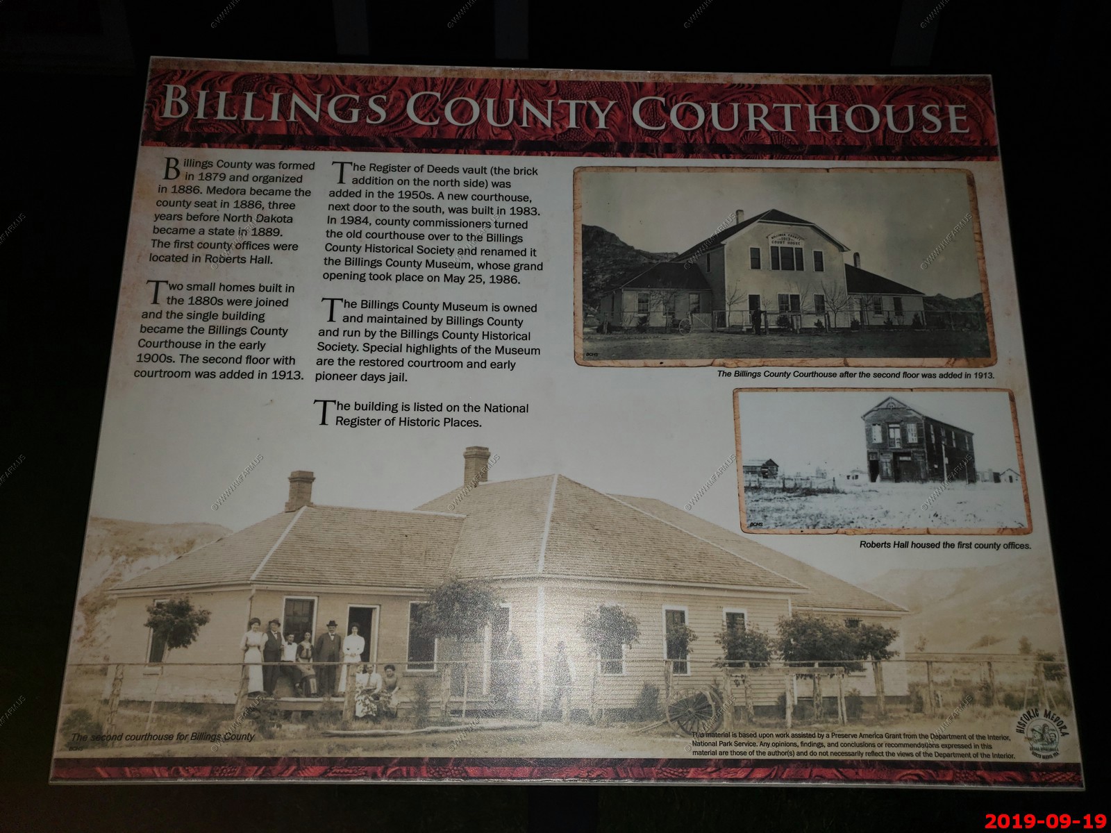
Even more - We walked looking at the various information in Medora.
It was sad to leave Medora. I will be back.
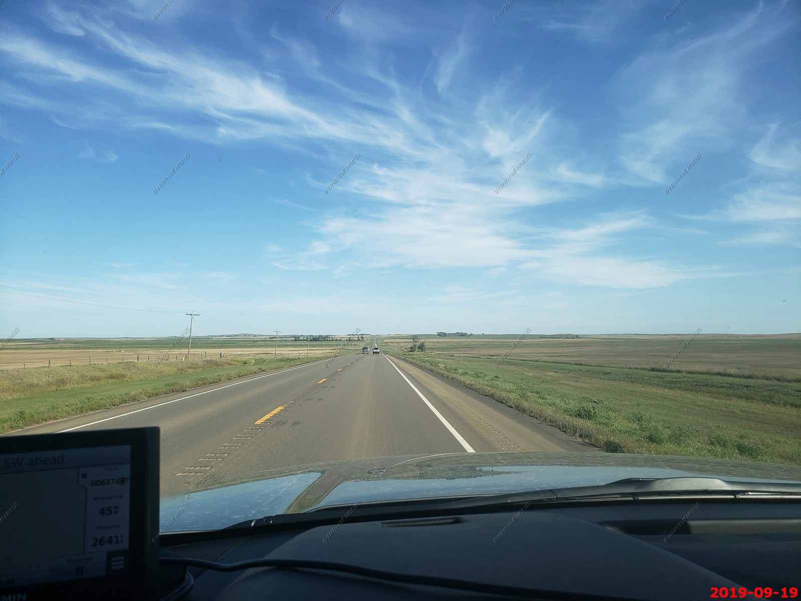
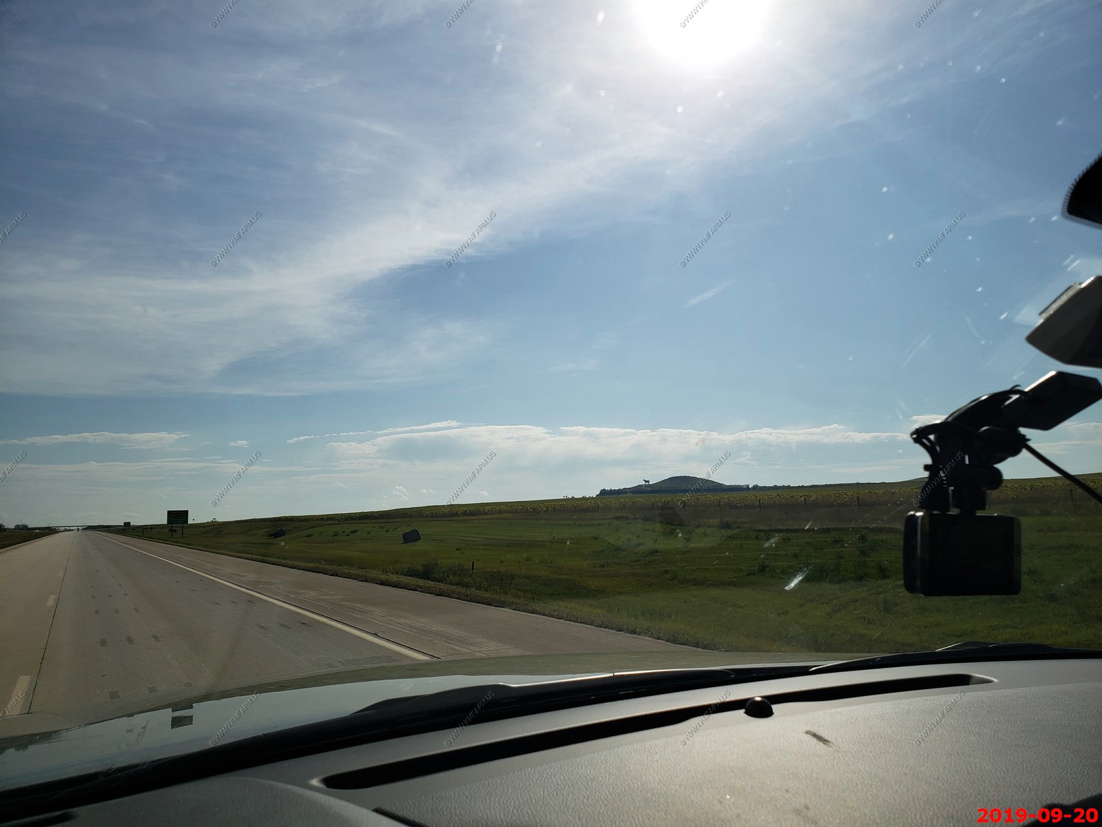
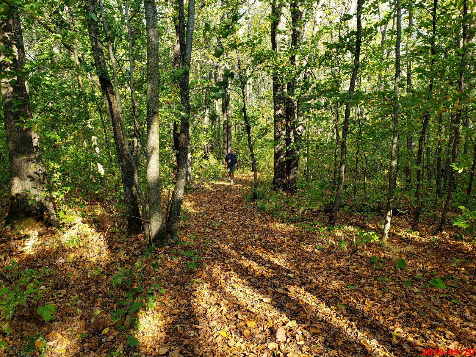
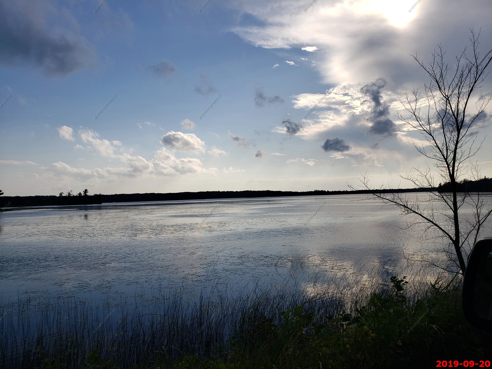
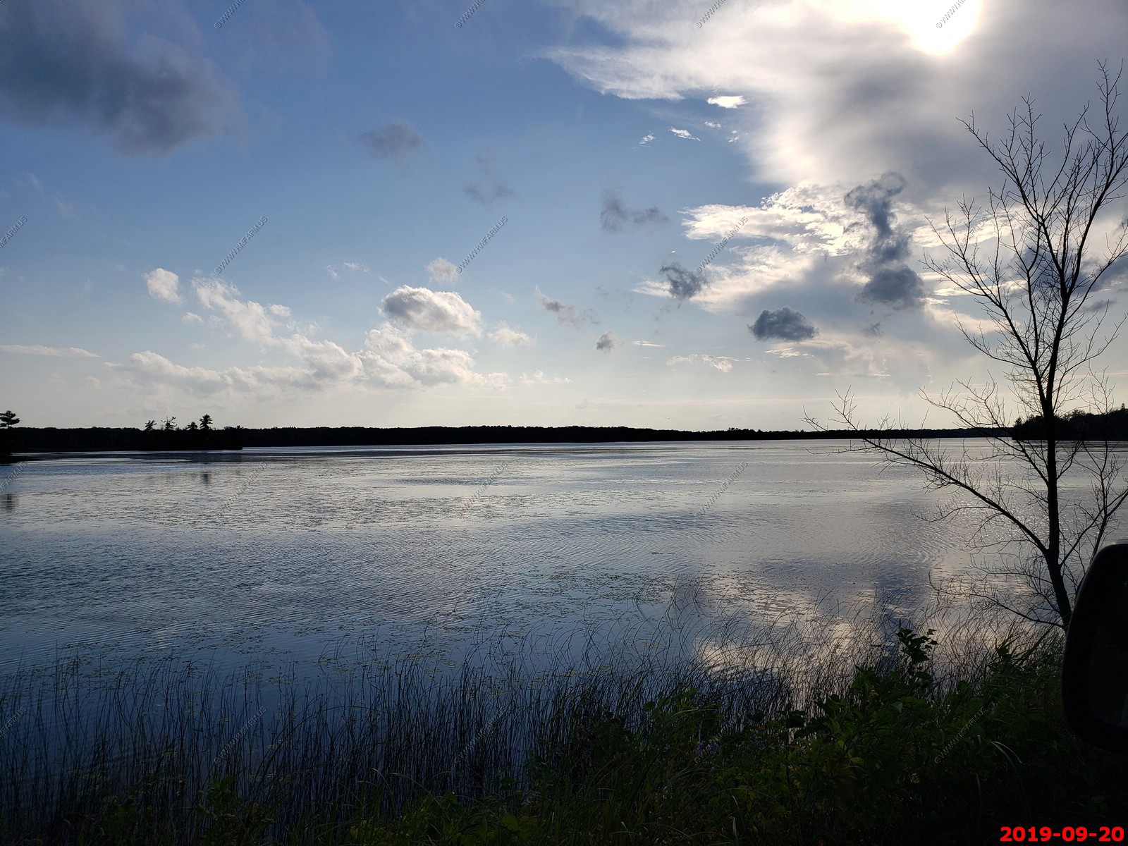
So, we really did not know where we would end up today. We had rain moving across North Dakota and that changed some of our plans. We ended up driving 441 miles and stayed in Walker, Minnesota but more on that.
This is what it looked like till we got back to the trees in western Minnesota
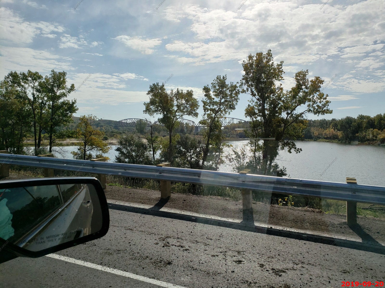
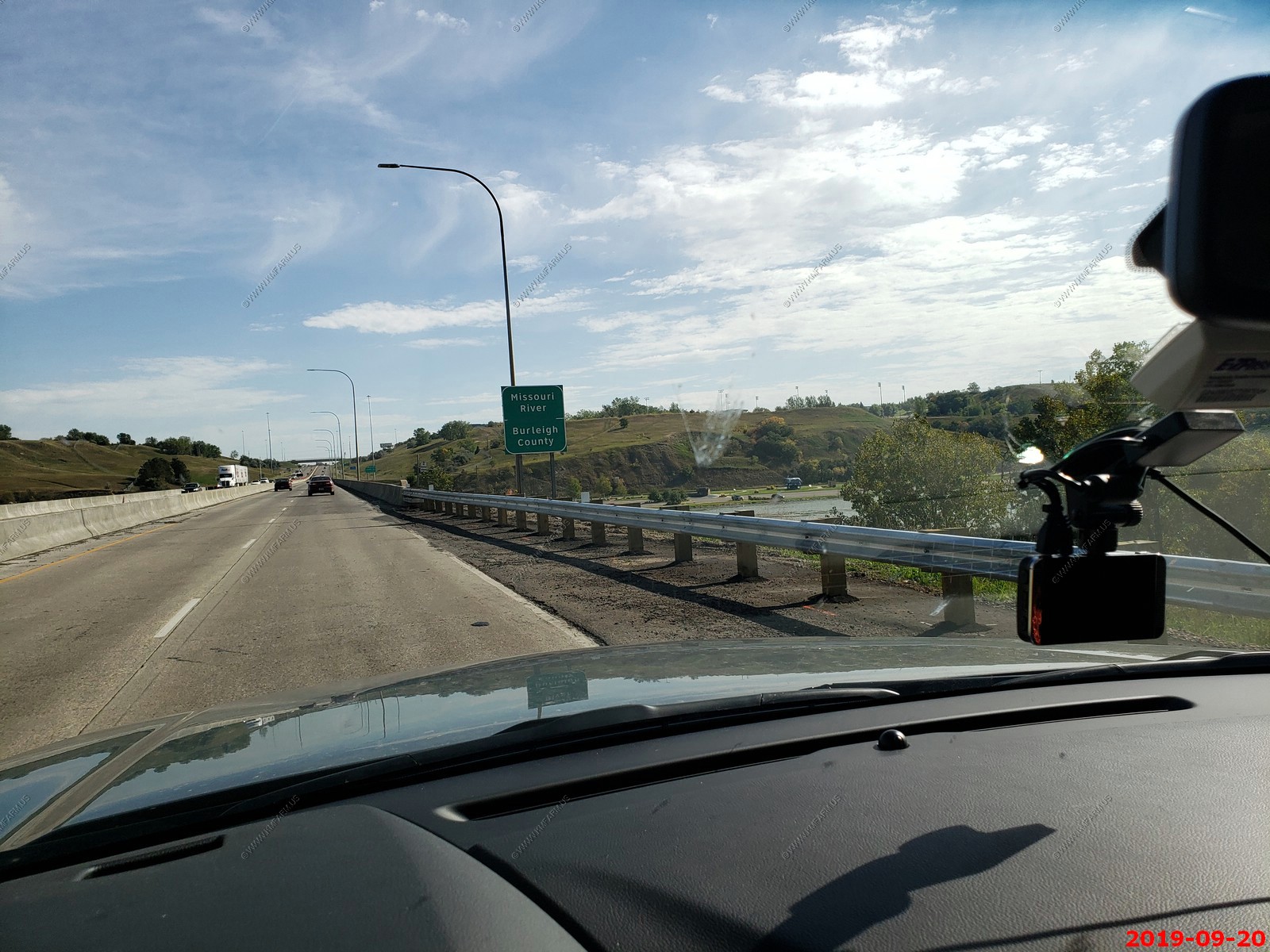
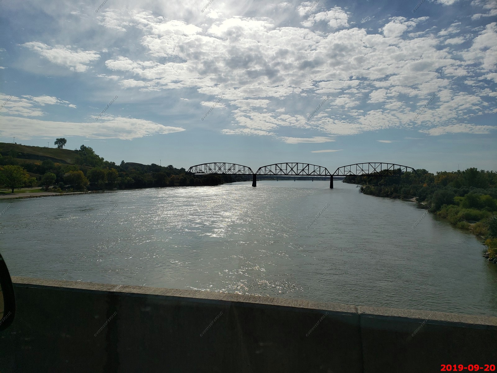
Crossing the Missouri River in Bismarck, North Dakota
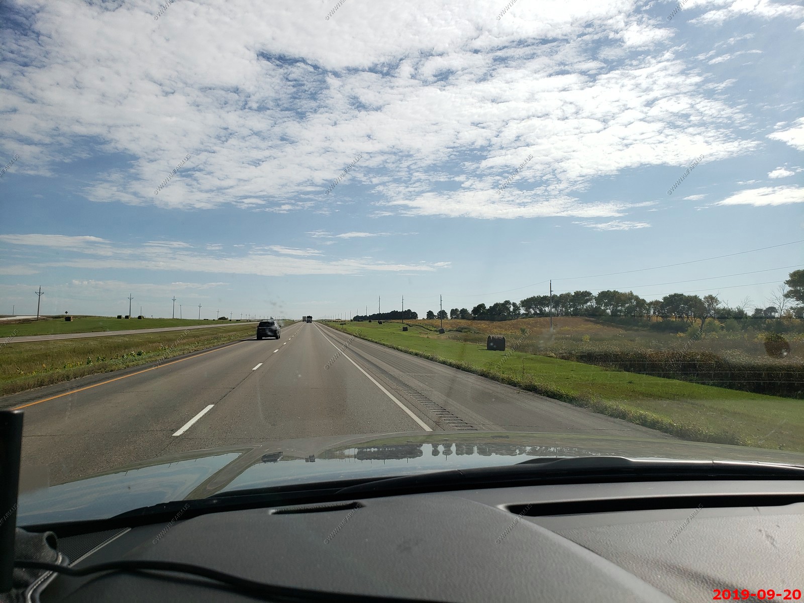
Interesting that they grow hay right along the roads and leave the round bales along the road. We saw this for 100's of miles along I-94.
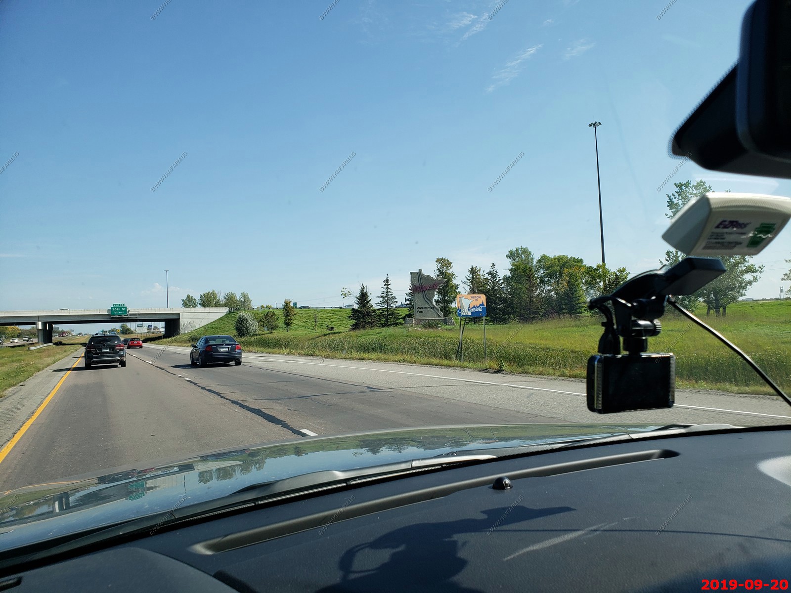
Welcome to Minnesota.
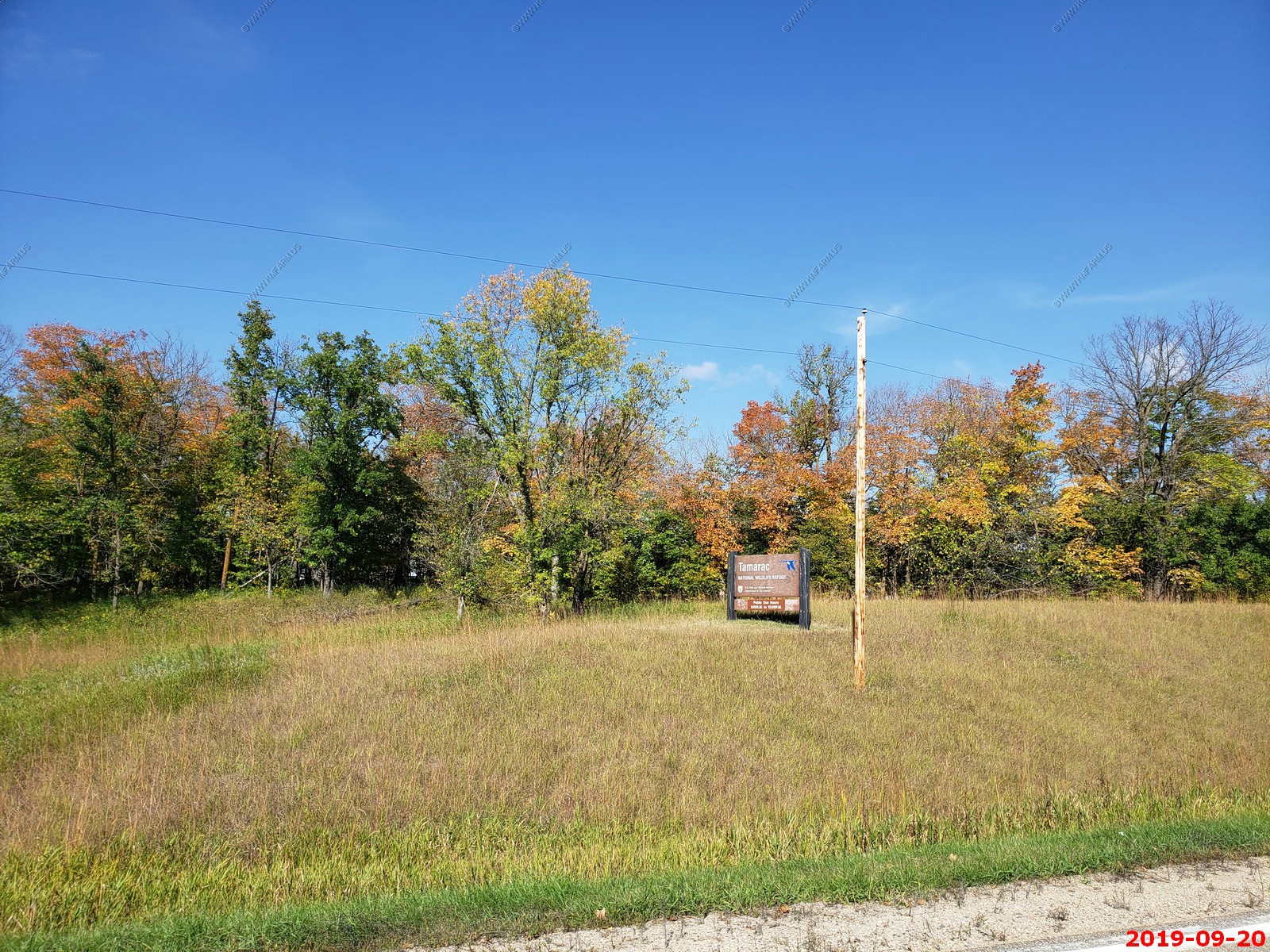
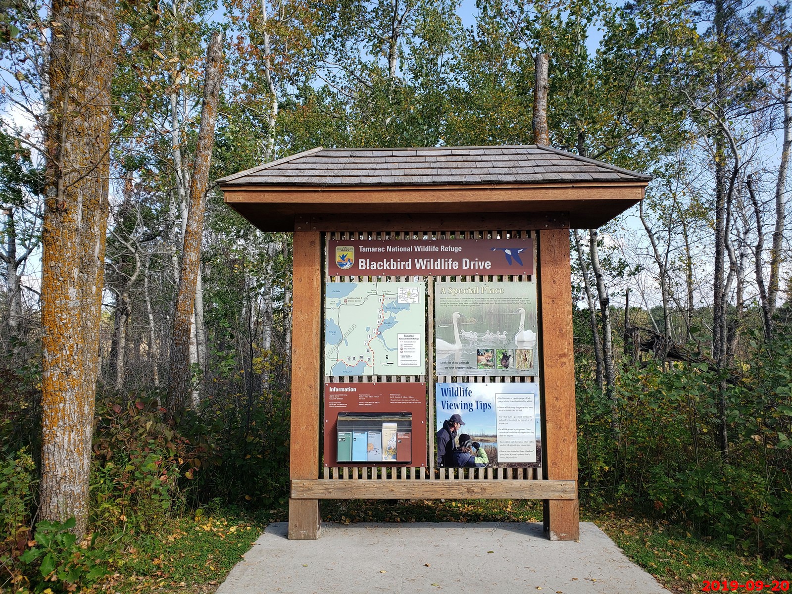
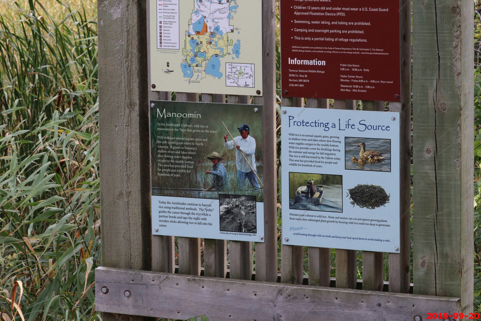
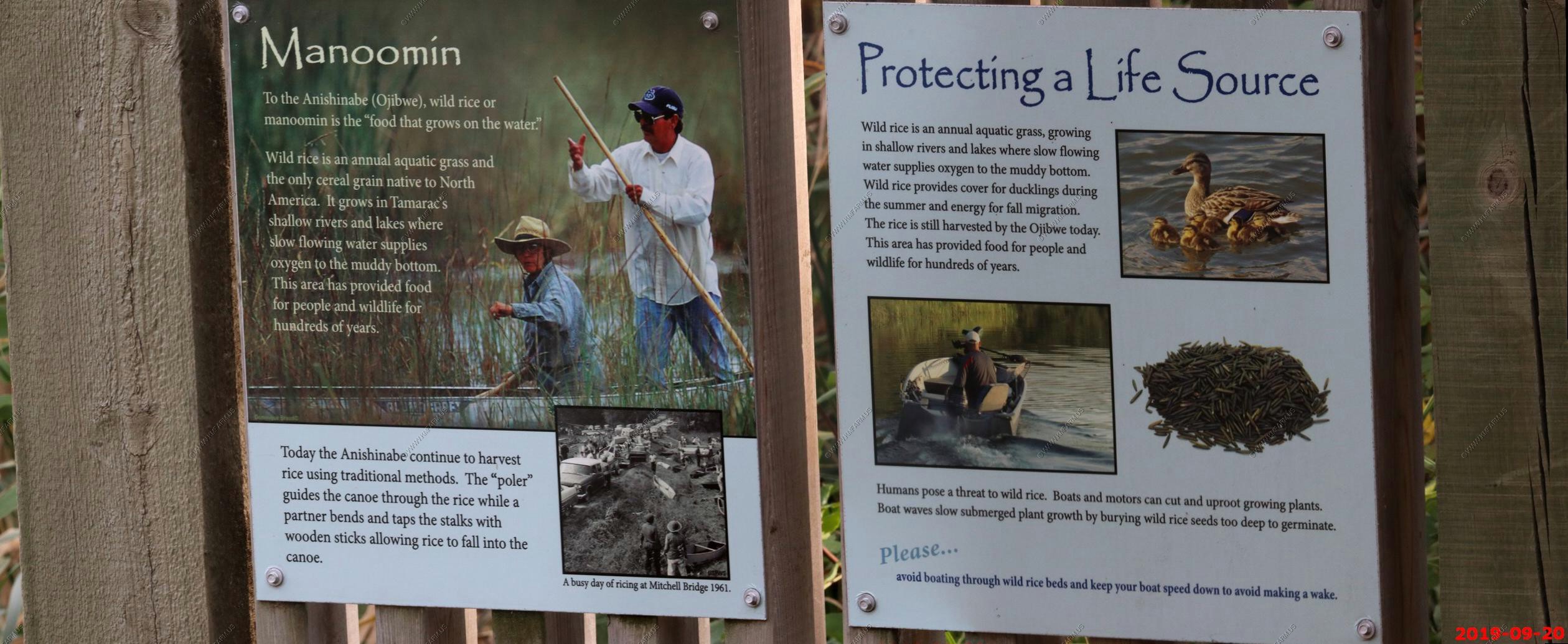
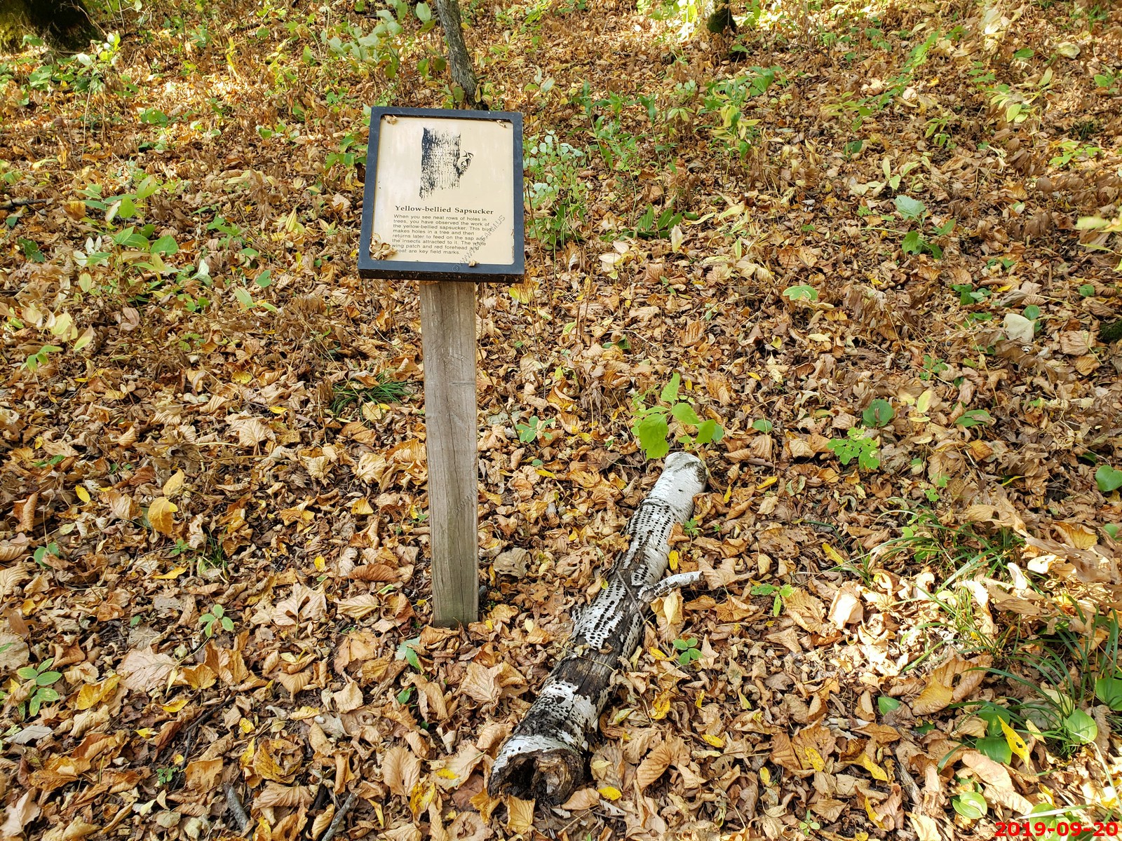
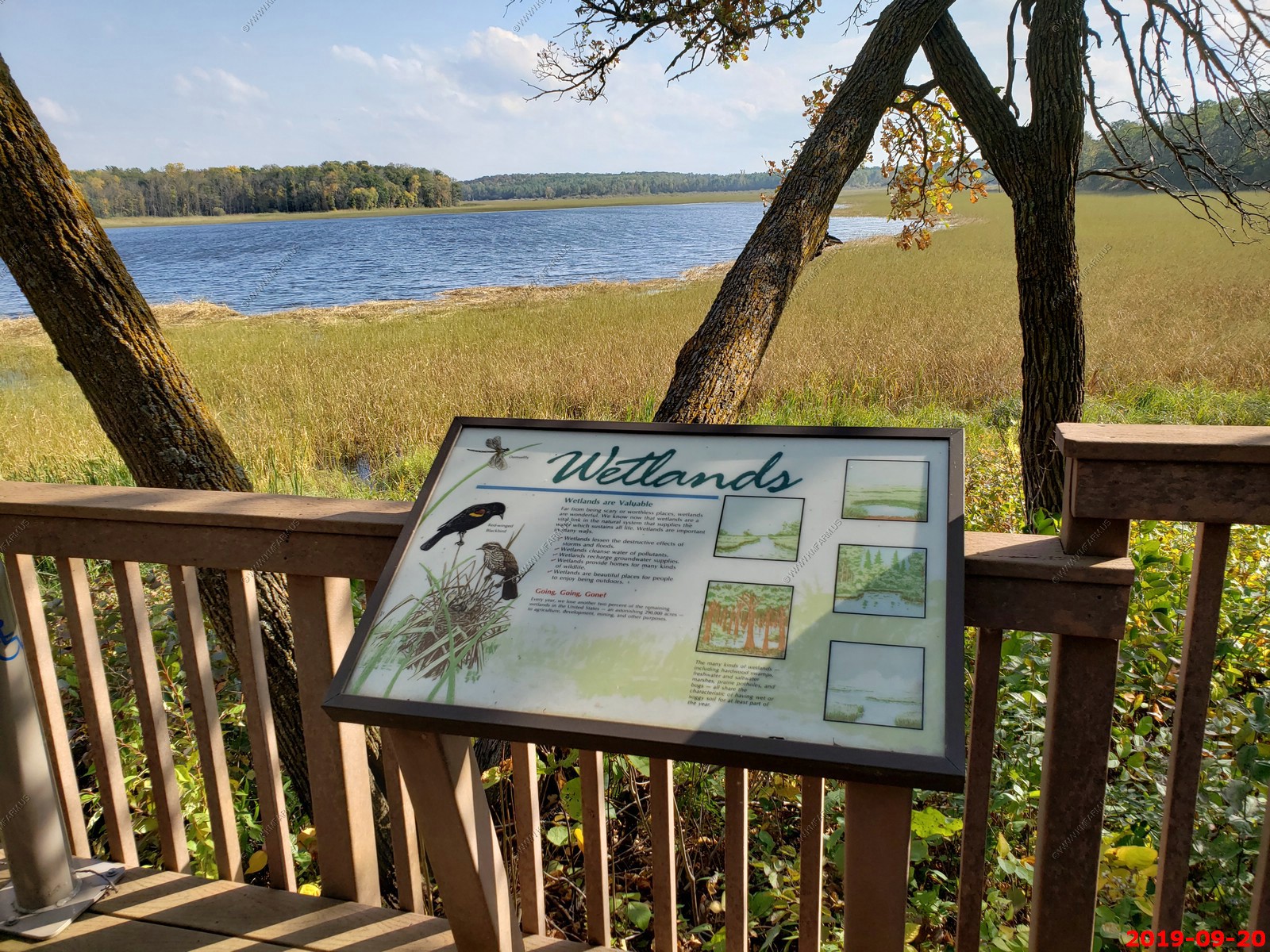
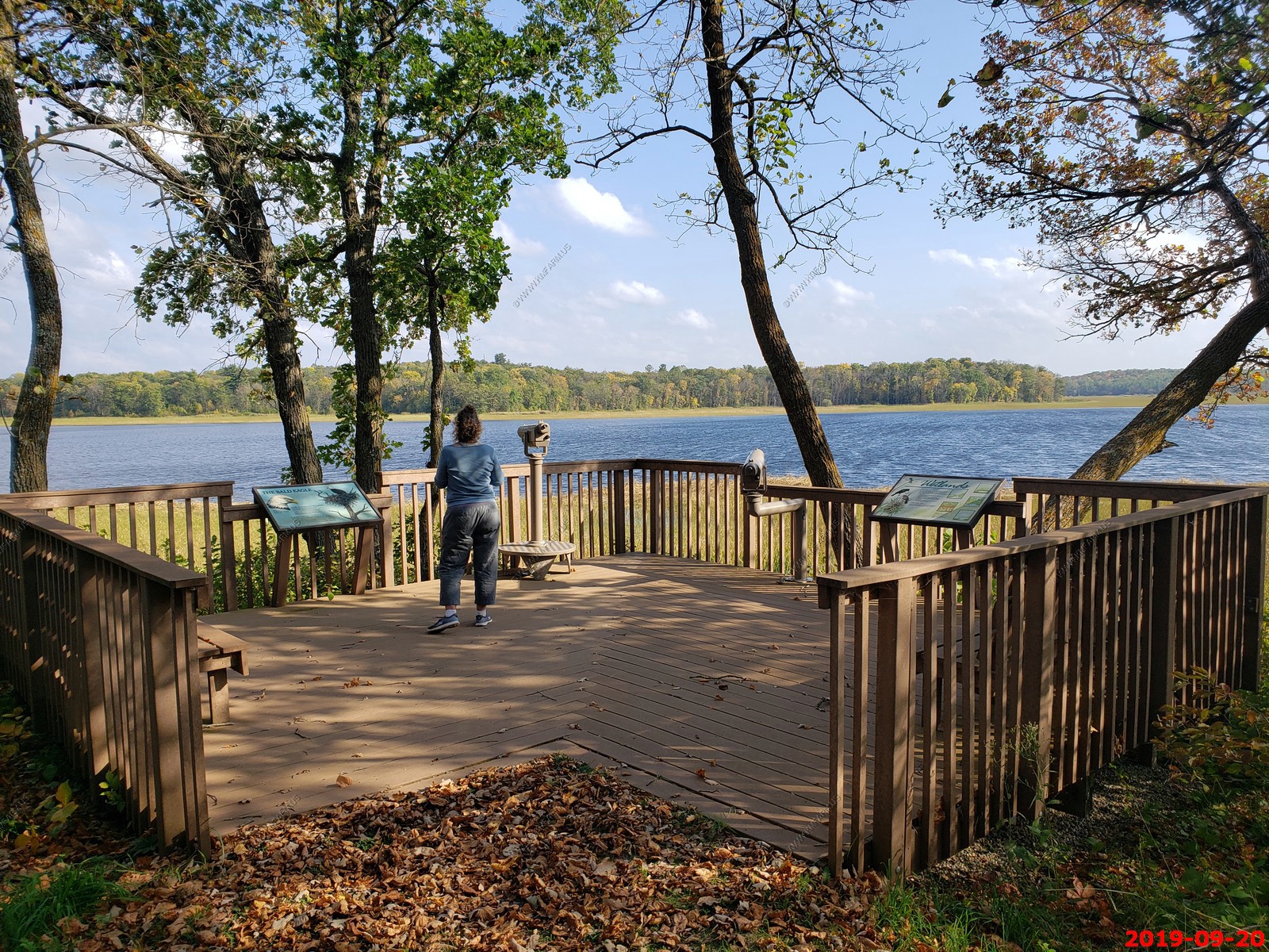
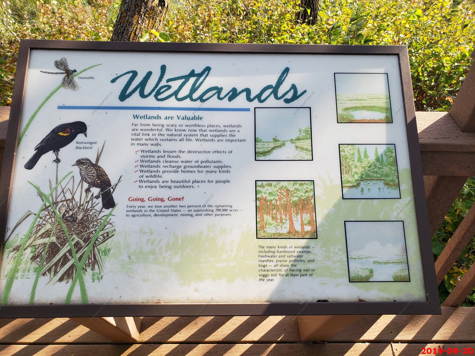
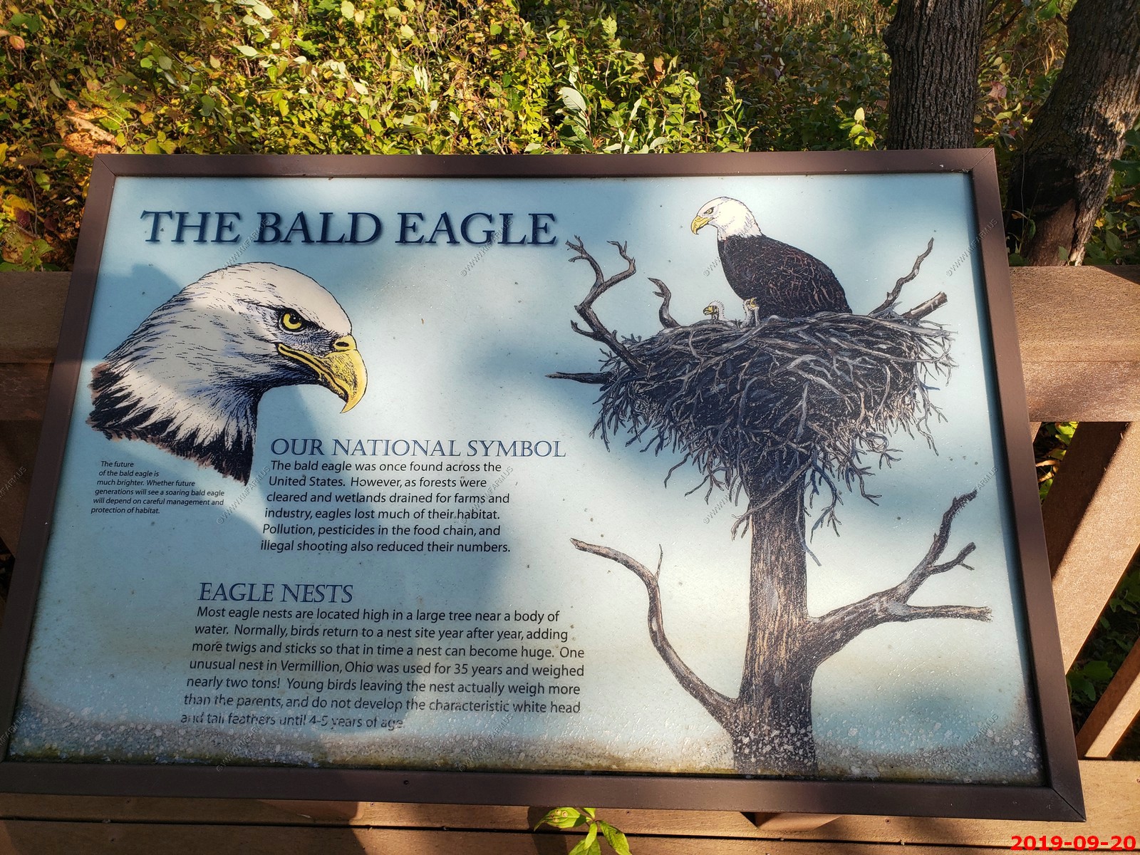
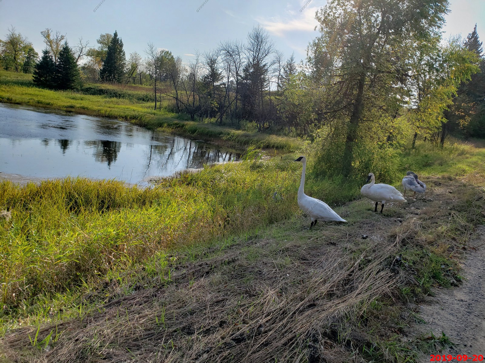
Tamarac National Wildlife Refuge hosts more than 258 species of birds and is a premier production site for trumpeter swans. It features nesting bald eagles, golden-winged warblers, otters, porcupine, wolves and more. A five-mile wildlife drive will take you on a journey along the edges of forests, marshes and meadows. We took this wildlife drive and saw a number of trumpeter swans and bald eagles.
The North Country Scenic Trail was in this area
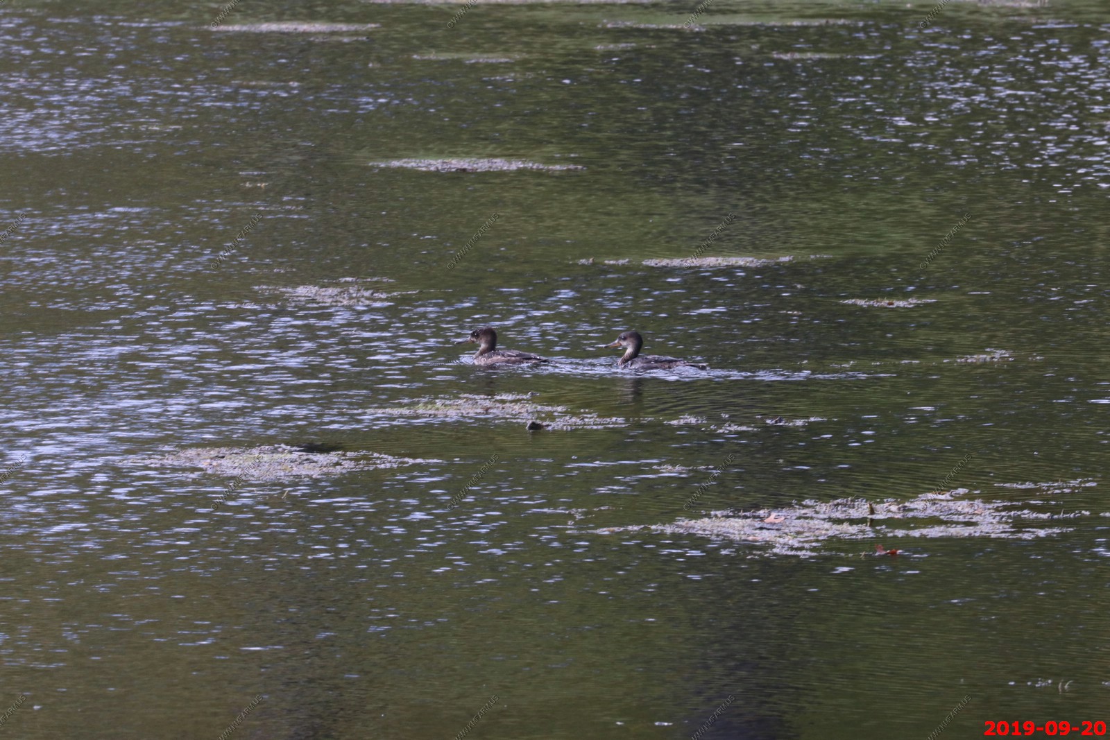
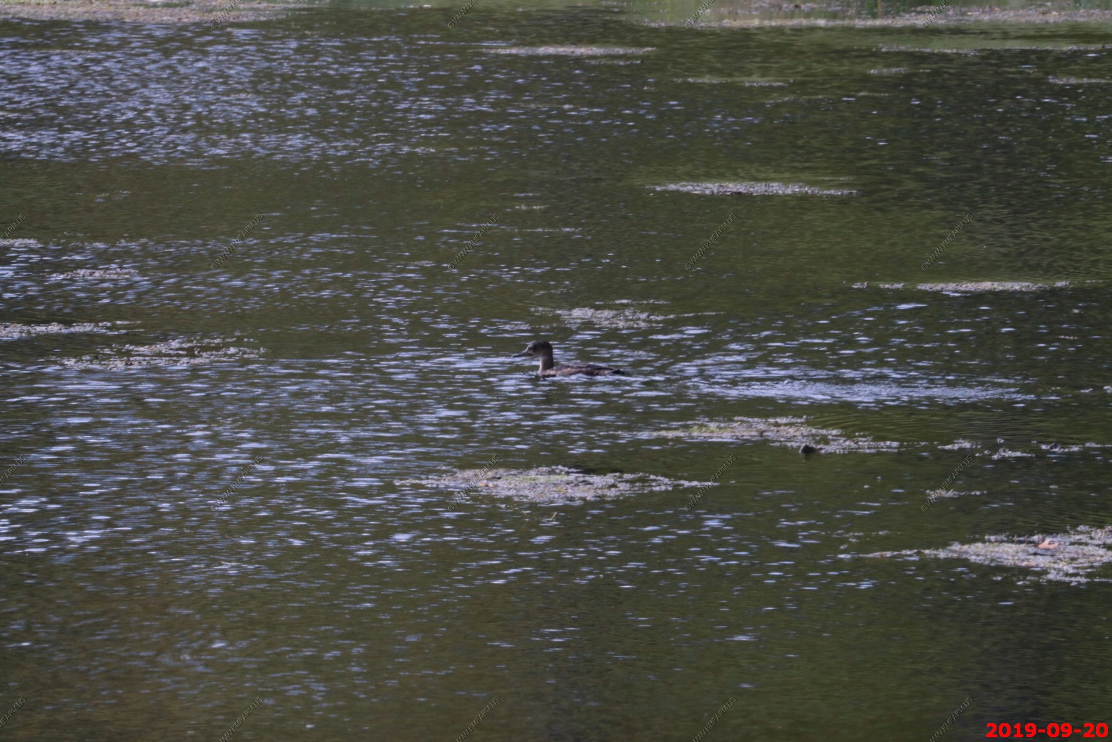
Red-necked Grebes are boldly plumaged water birds with pale cheeks and a dagger like yellow bill that contrasts with a sharp black crown often likened to a toreador's cap (sometimes raised into a short crest). In breeding plumage, the neck is a rich brick red, however this photo shows nonbreeding coloration. The species breeds on northerly lakes and winters mainly along ocean coastlines, usually singly but sometimes in small groups.
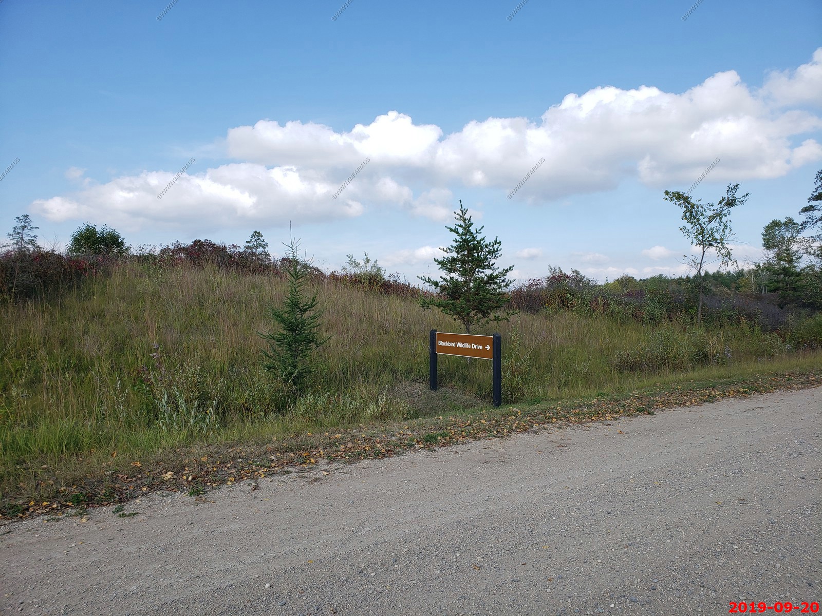
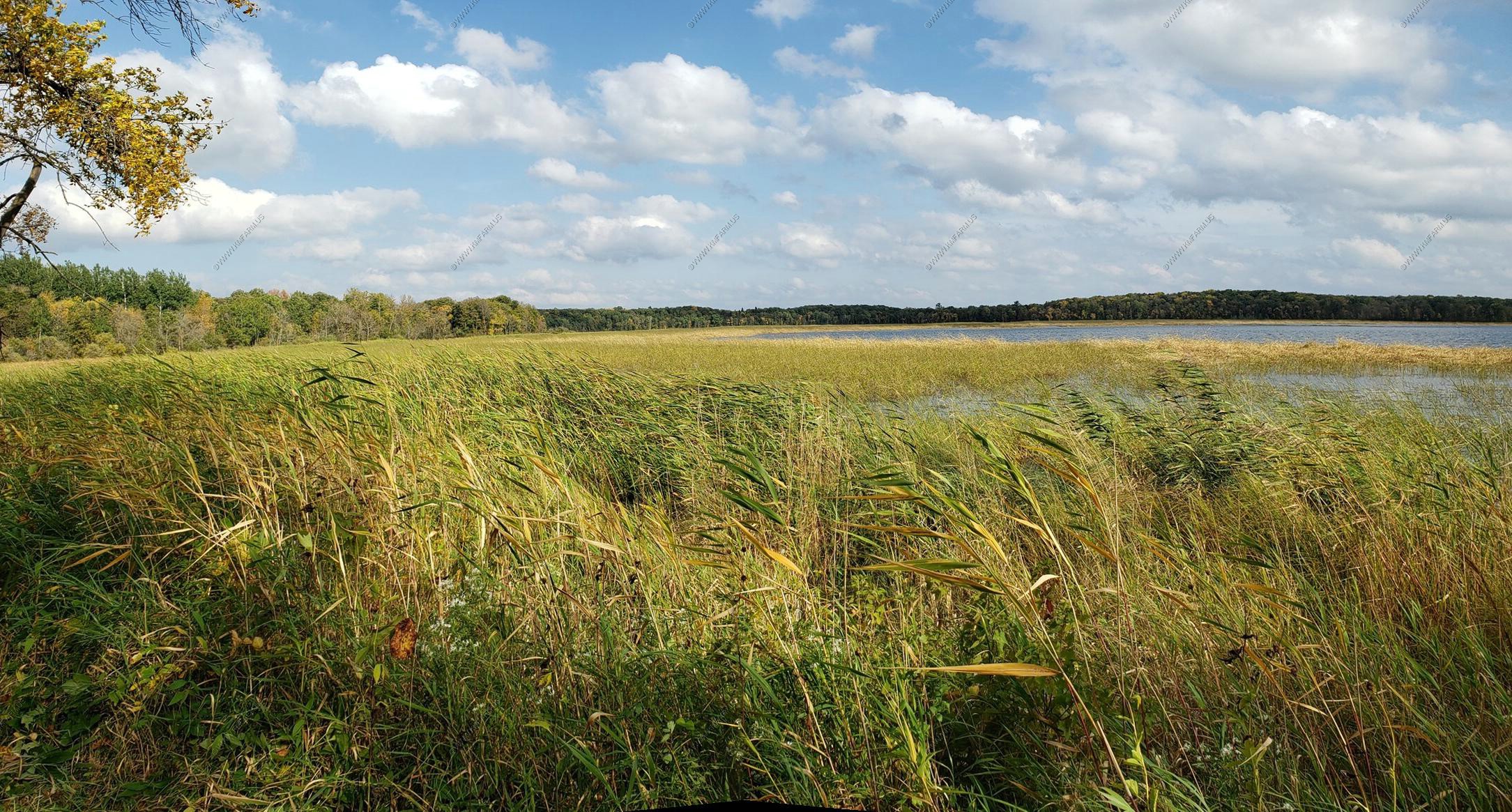
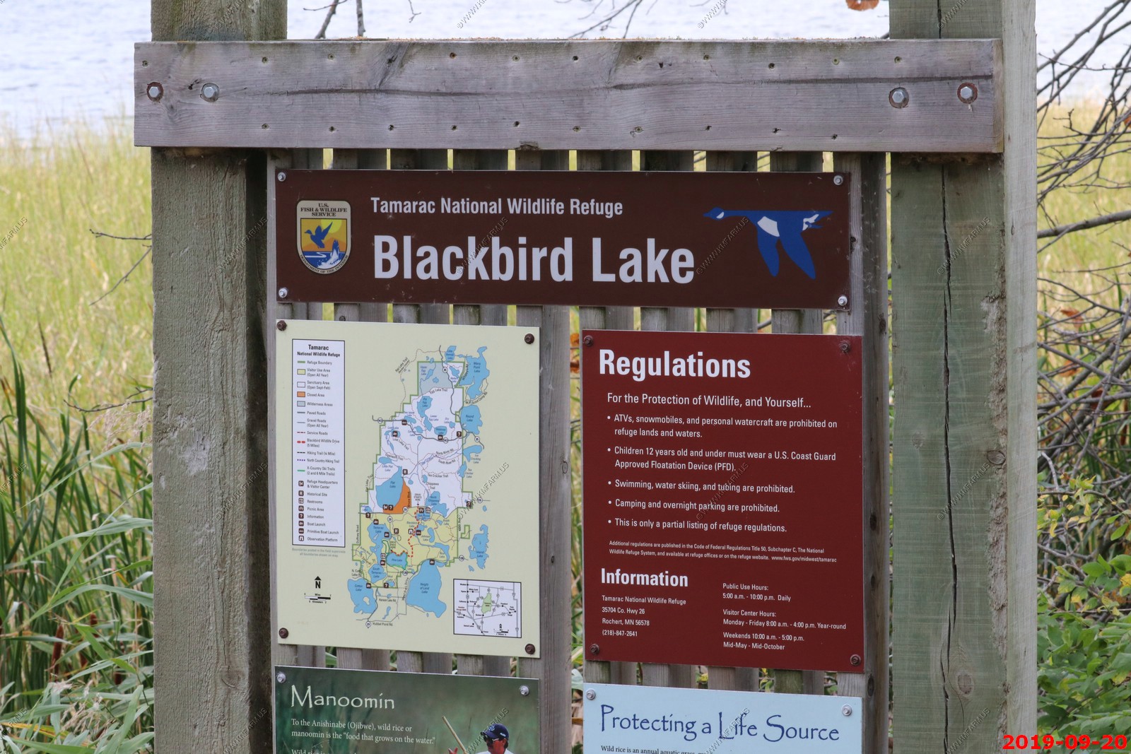
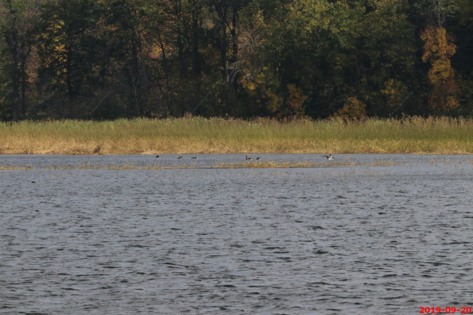
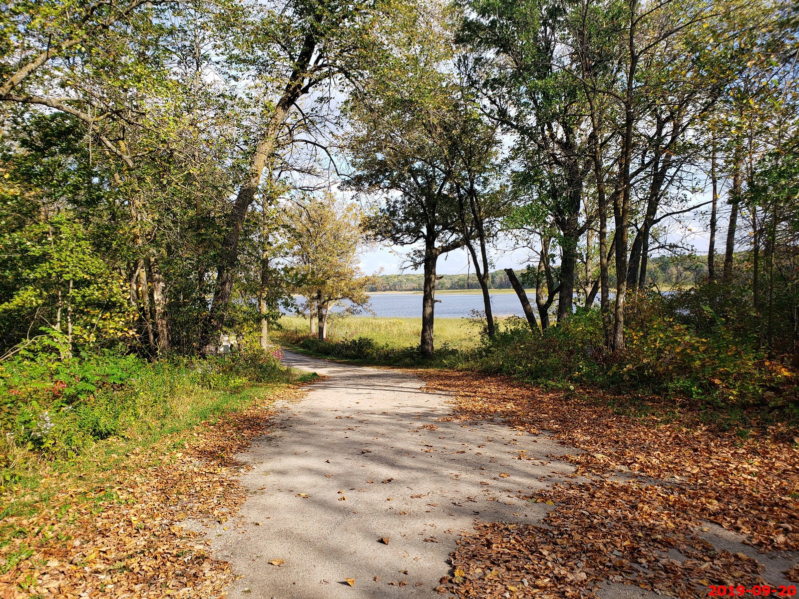
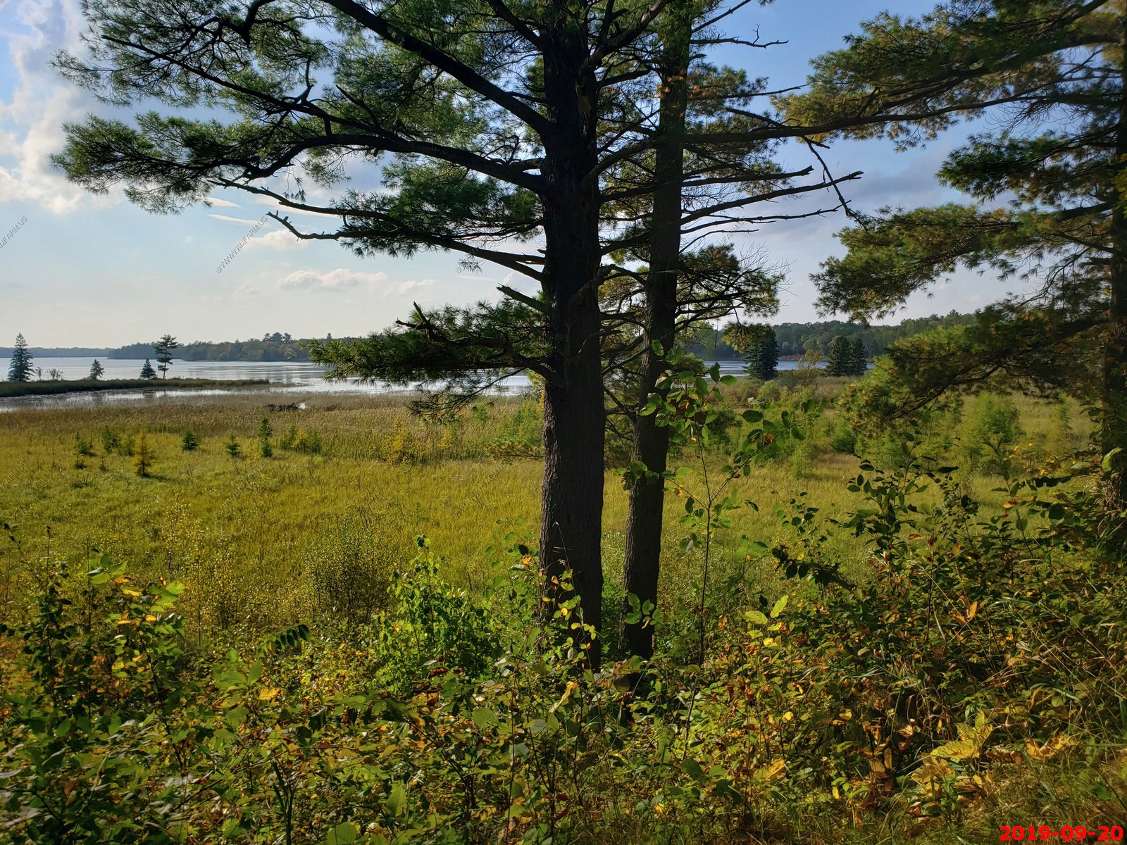
We drove on Blackbird Wildlife Drive - This five mile self-guided drive traverses through forests and lakes edges with spectacular views. There is an observation platform that overlooks Blackbird Lake. This is a narrow one way drive beginning on Highway 26 just a few miles east of the visitor center. The drive is open April 15- December 15 (road conditions permitting).
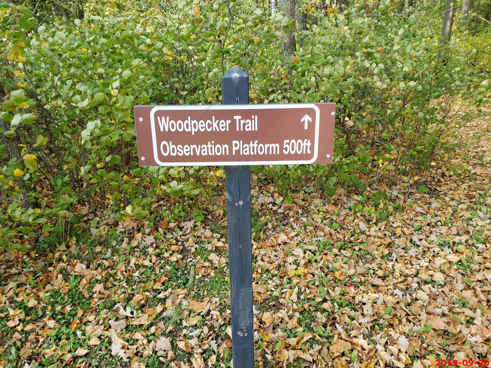
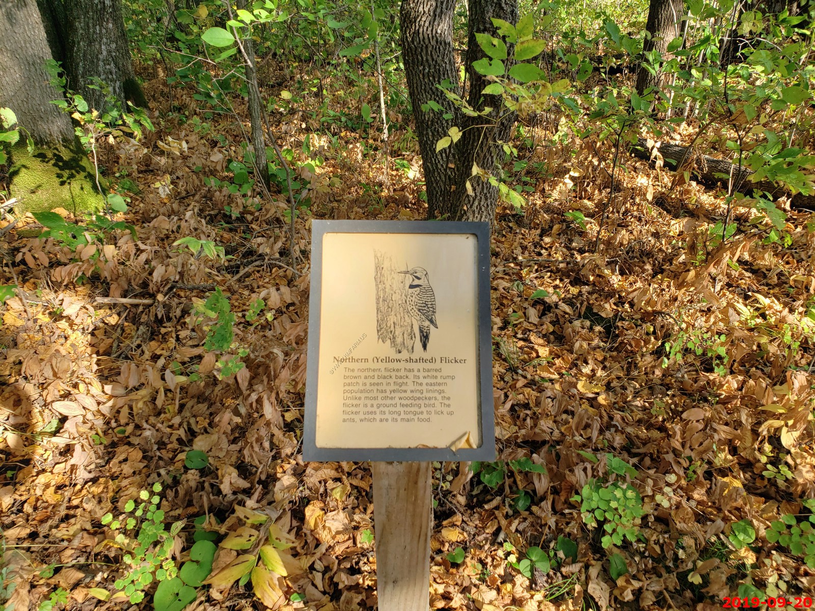
We walked out to the Woodpecker Trail Observation Platform.
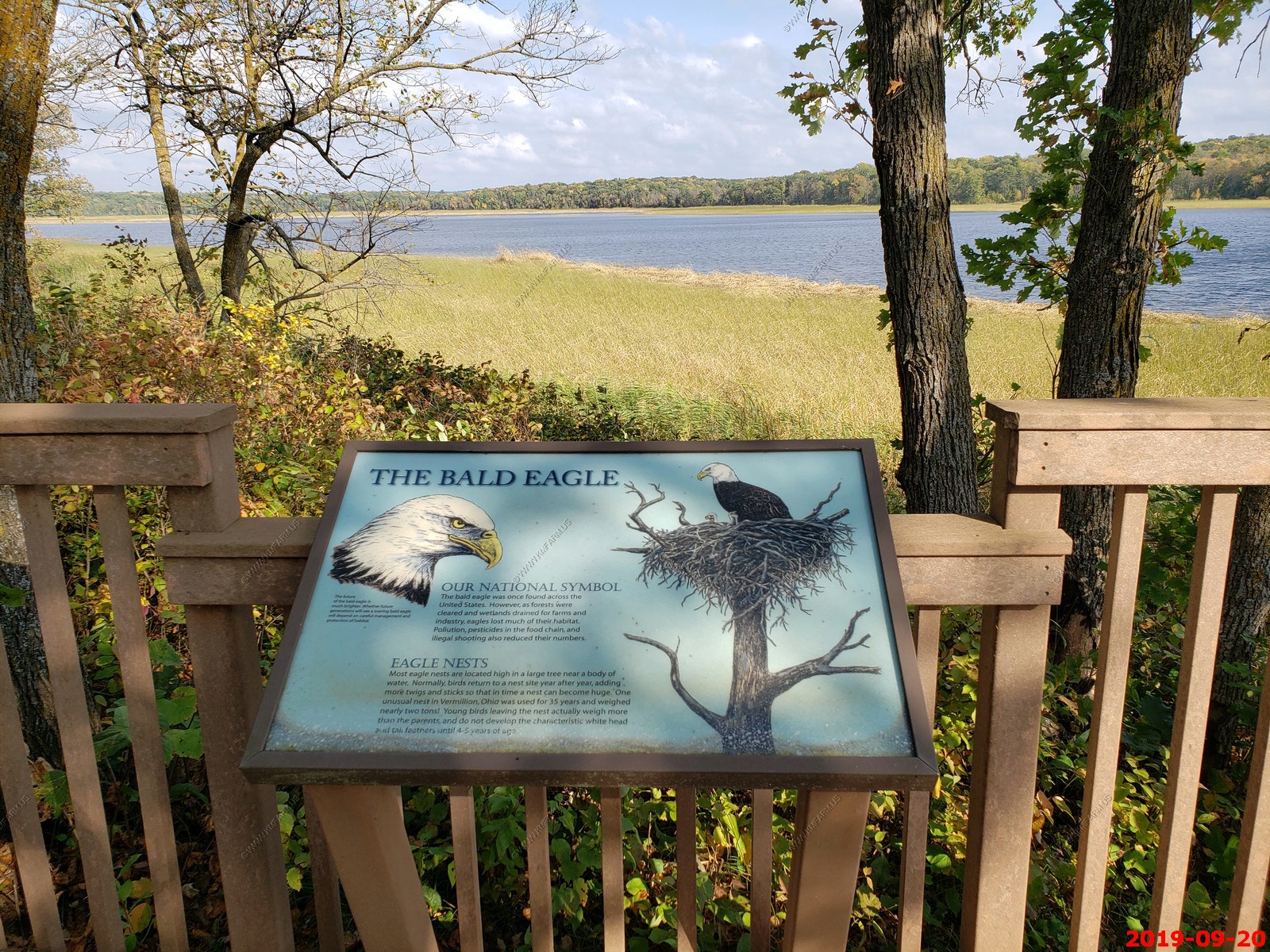
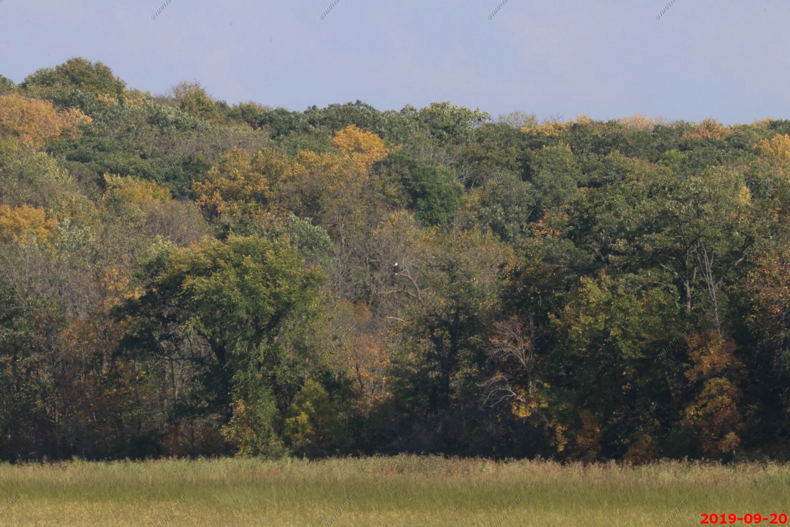
Bald Eagle in the trees.
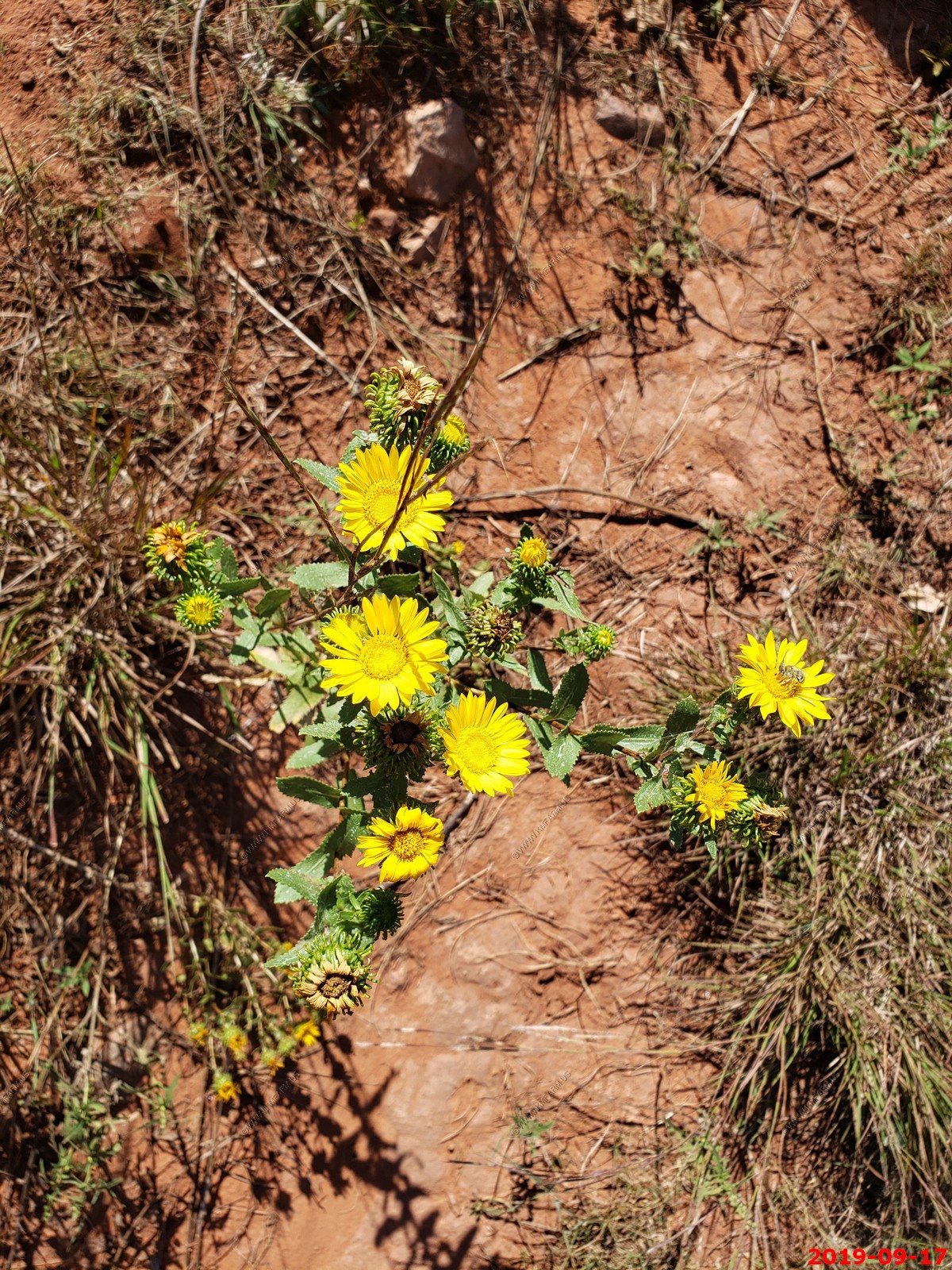
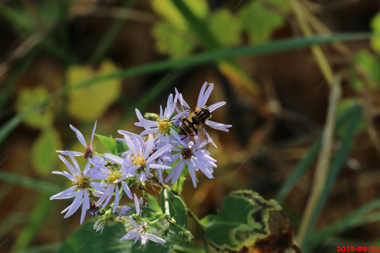
Aster with a insect. (bee of some type)
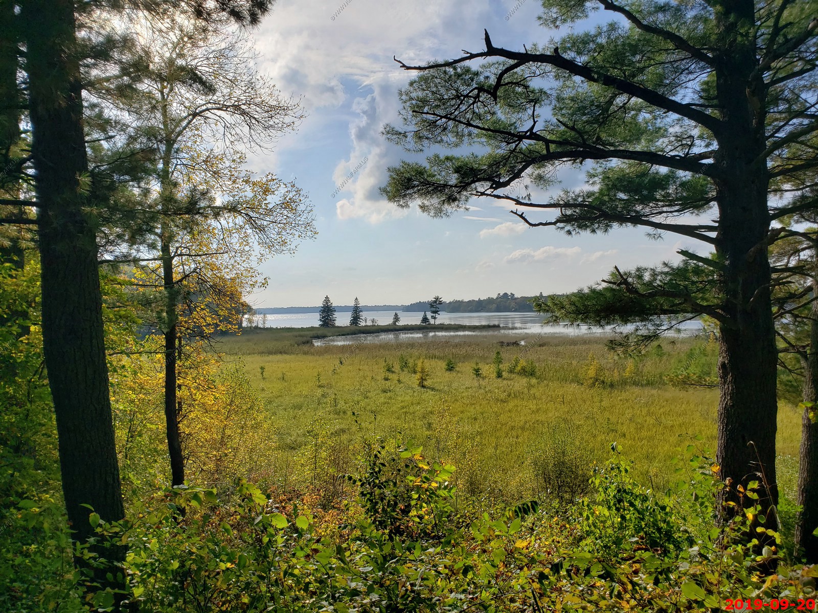
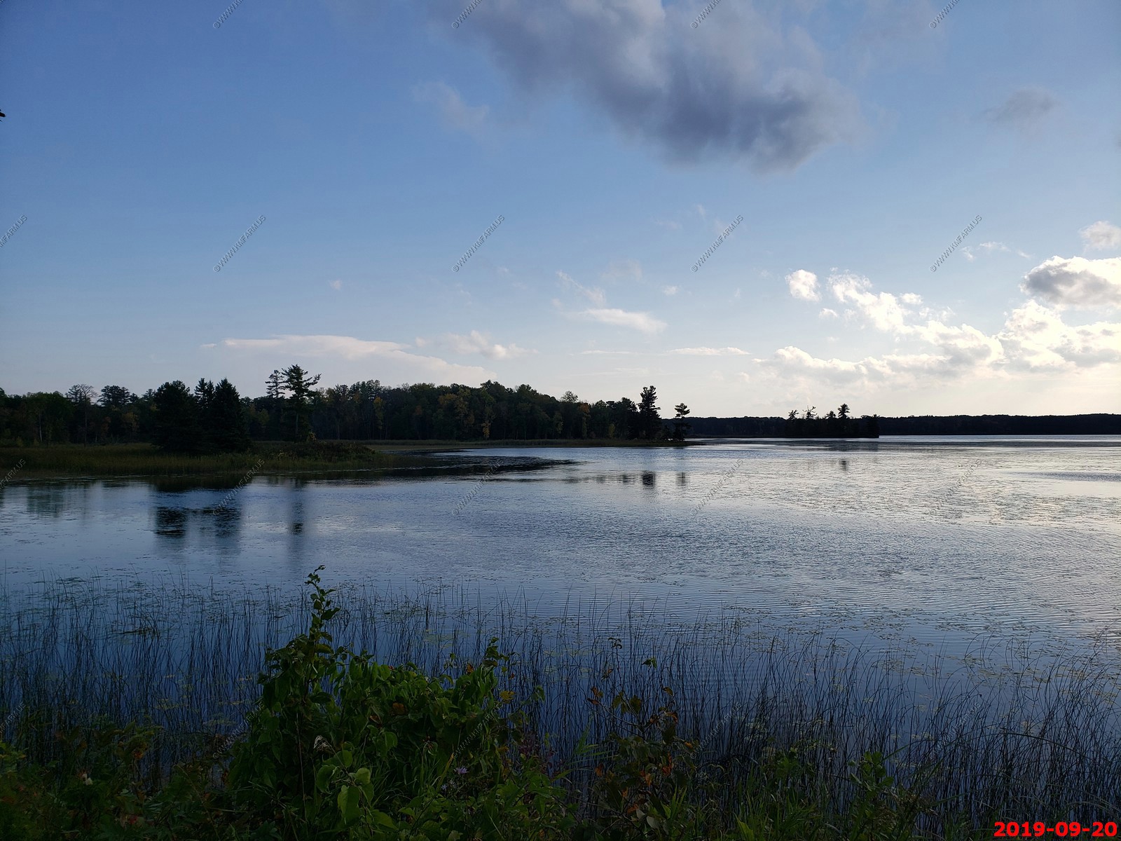
Various north country views
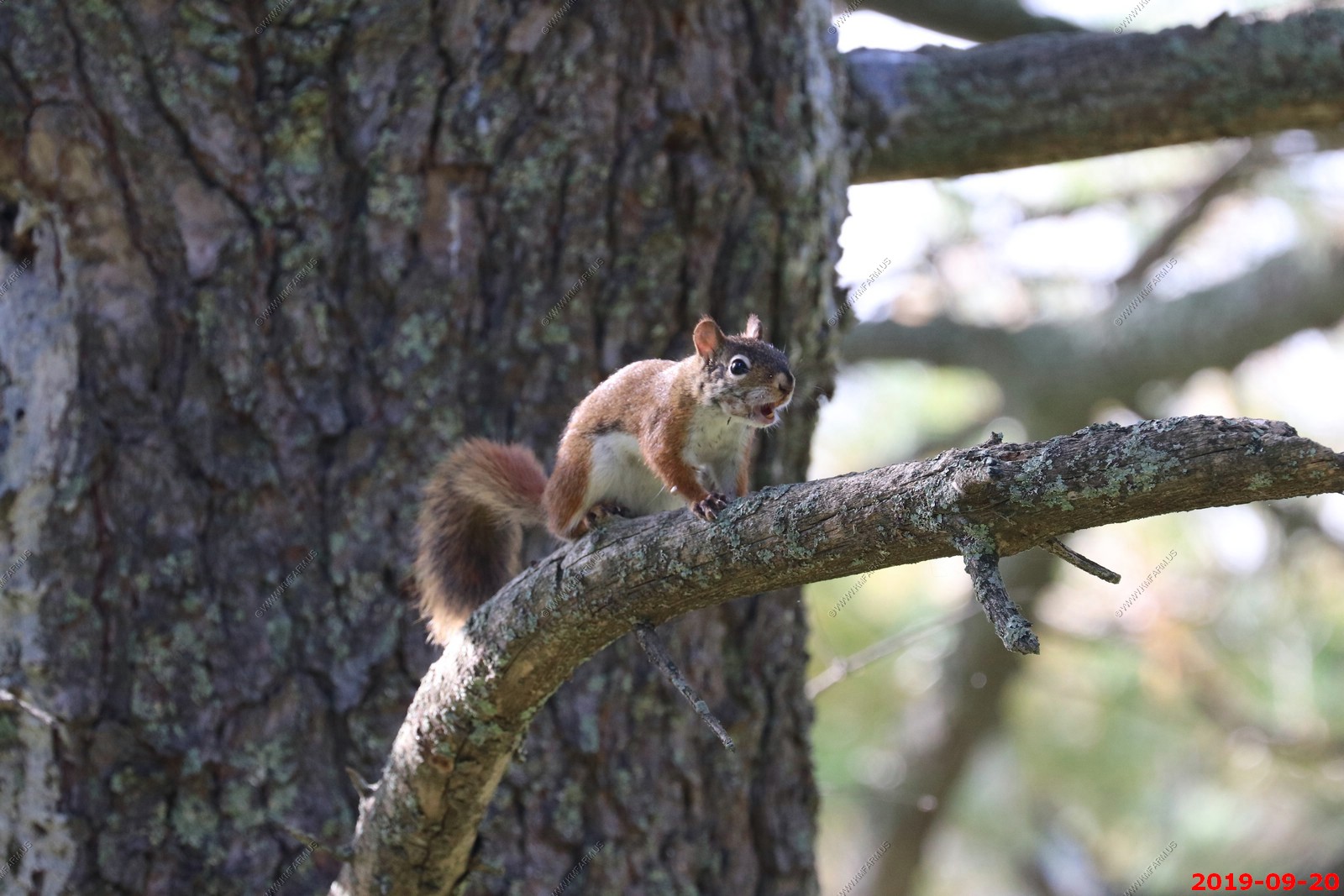
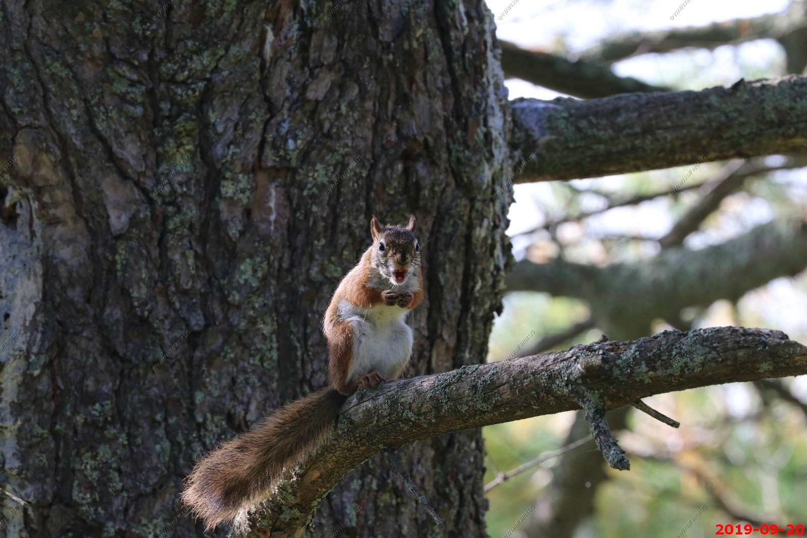
American red squirrel was very mad that we were playing a red squirrel call on the cell phone.
Various north country views
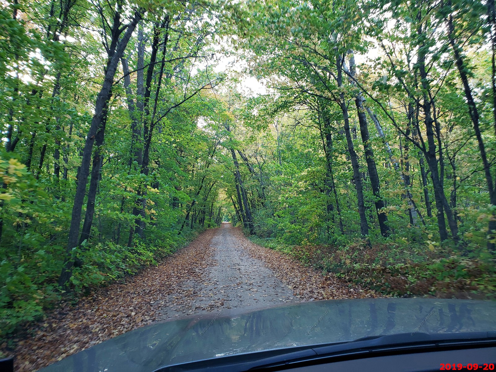
Driving the back roads.
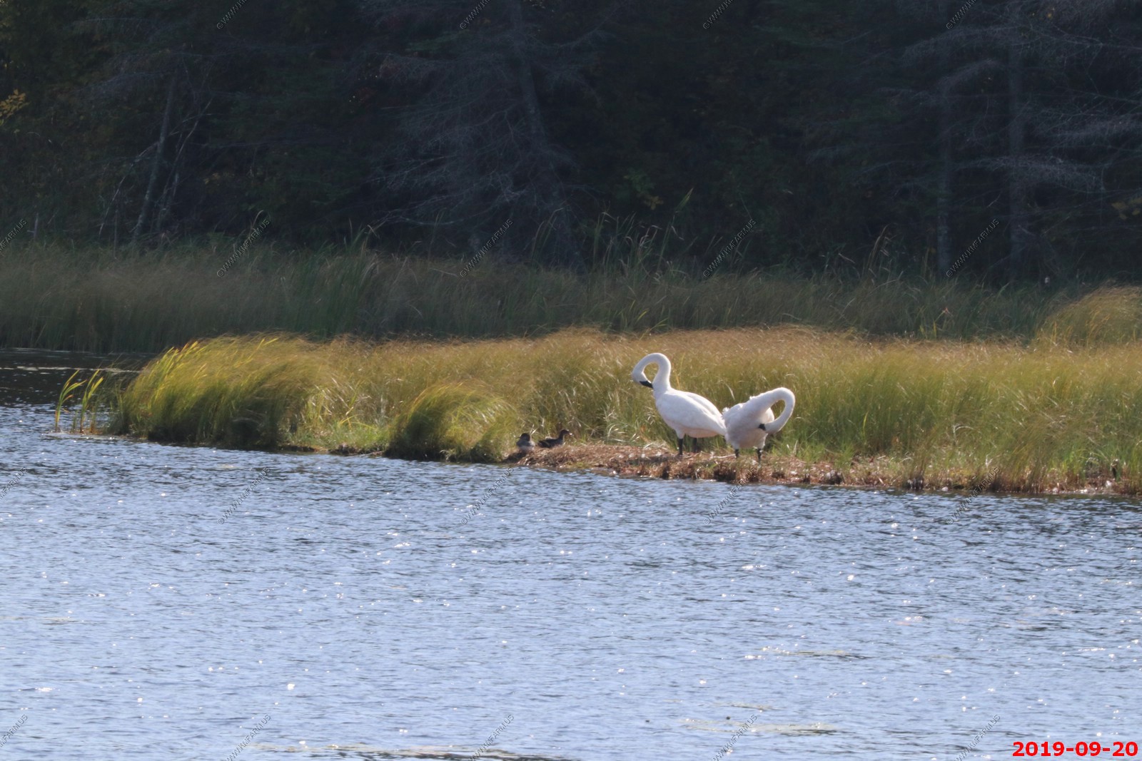
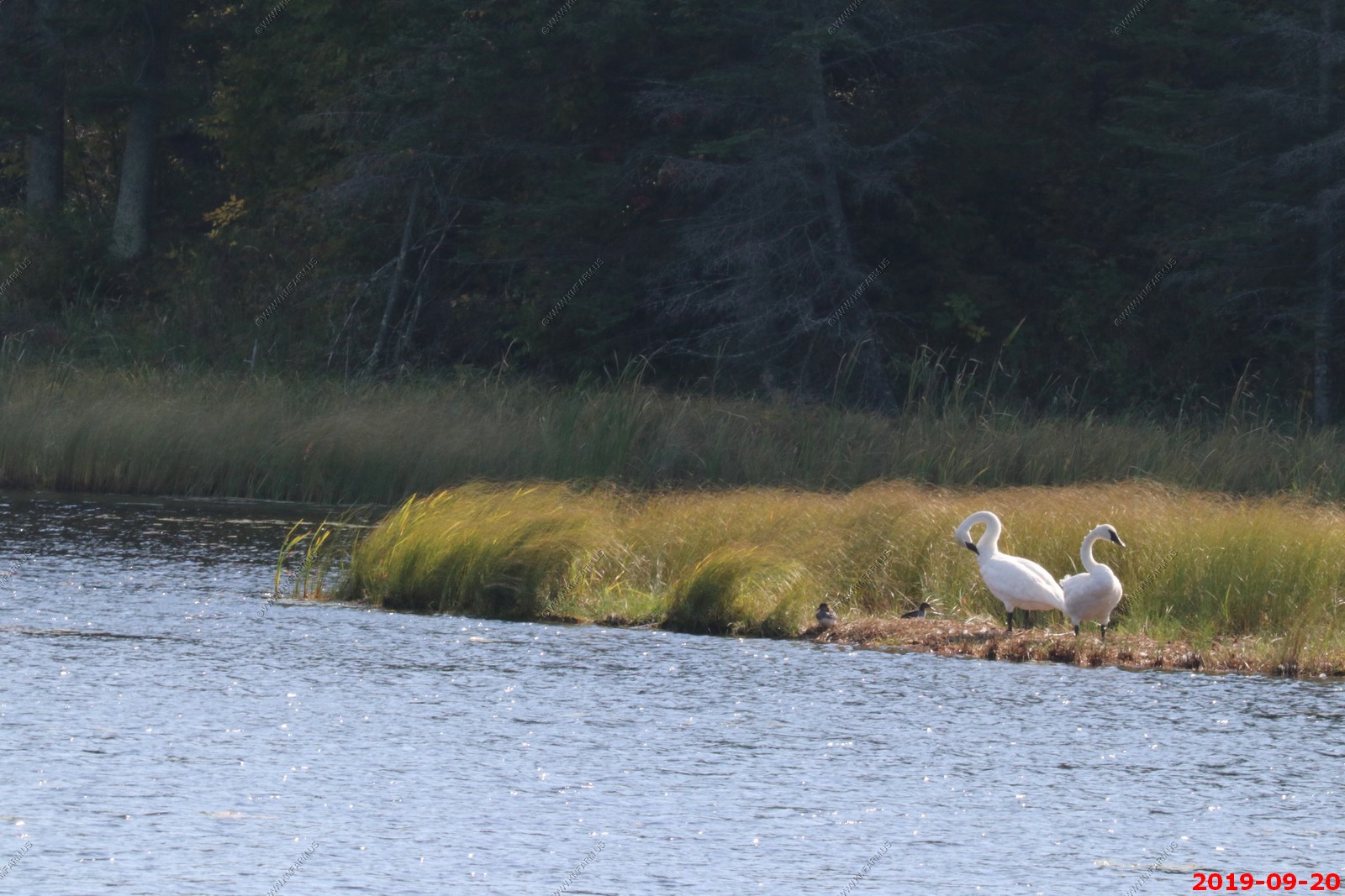
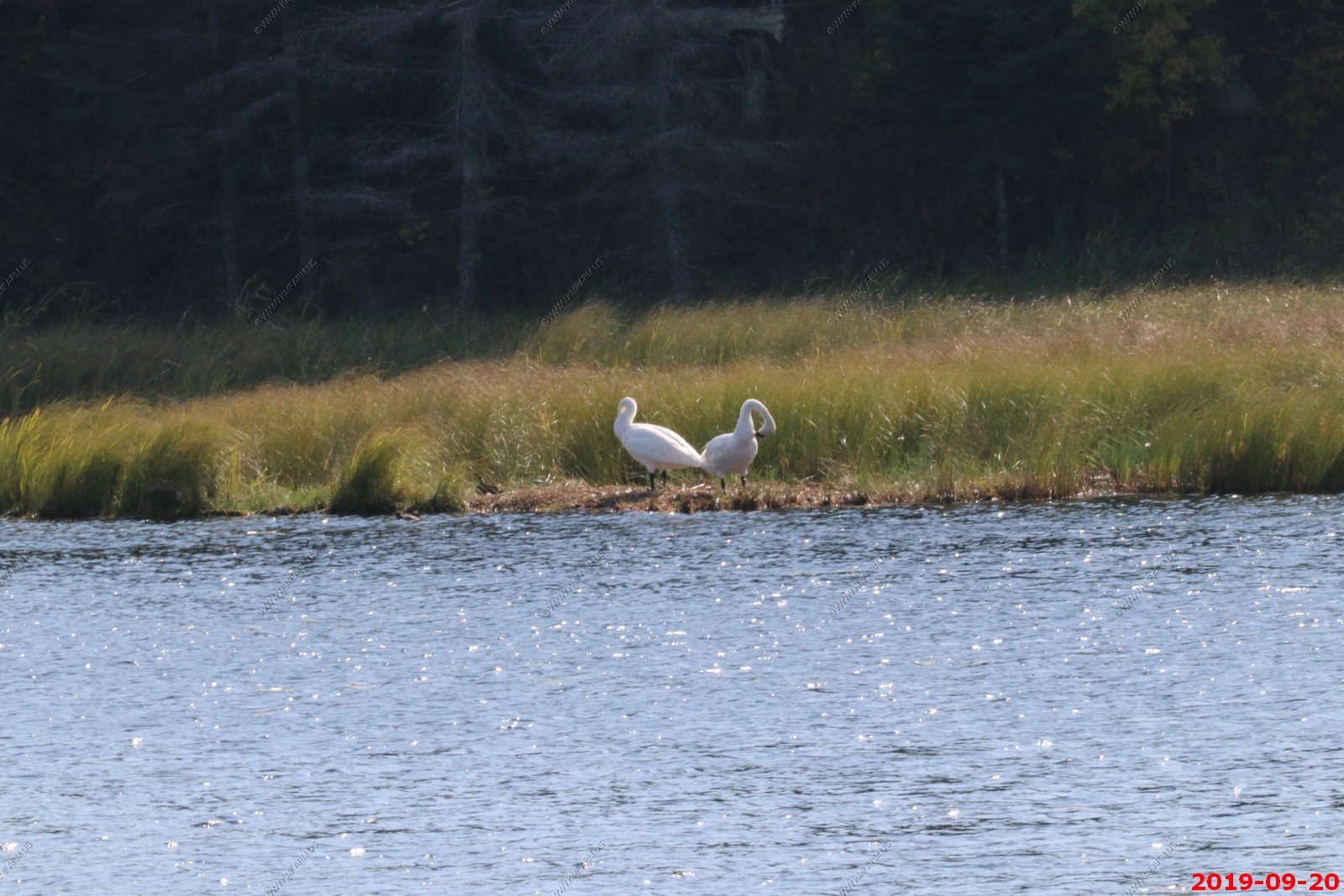
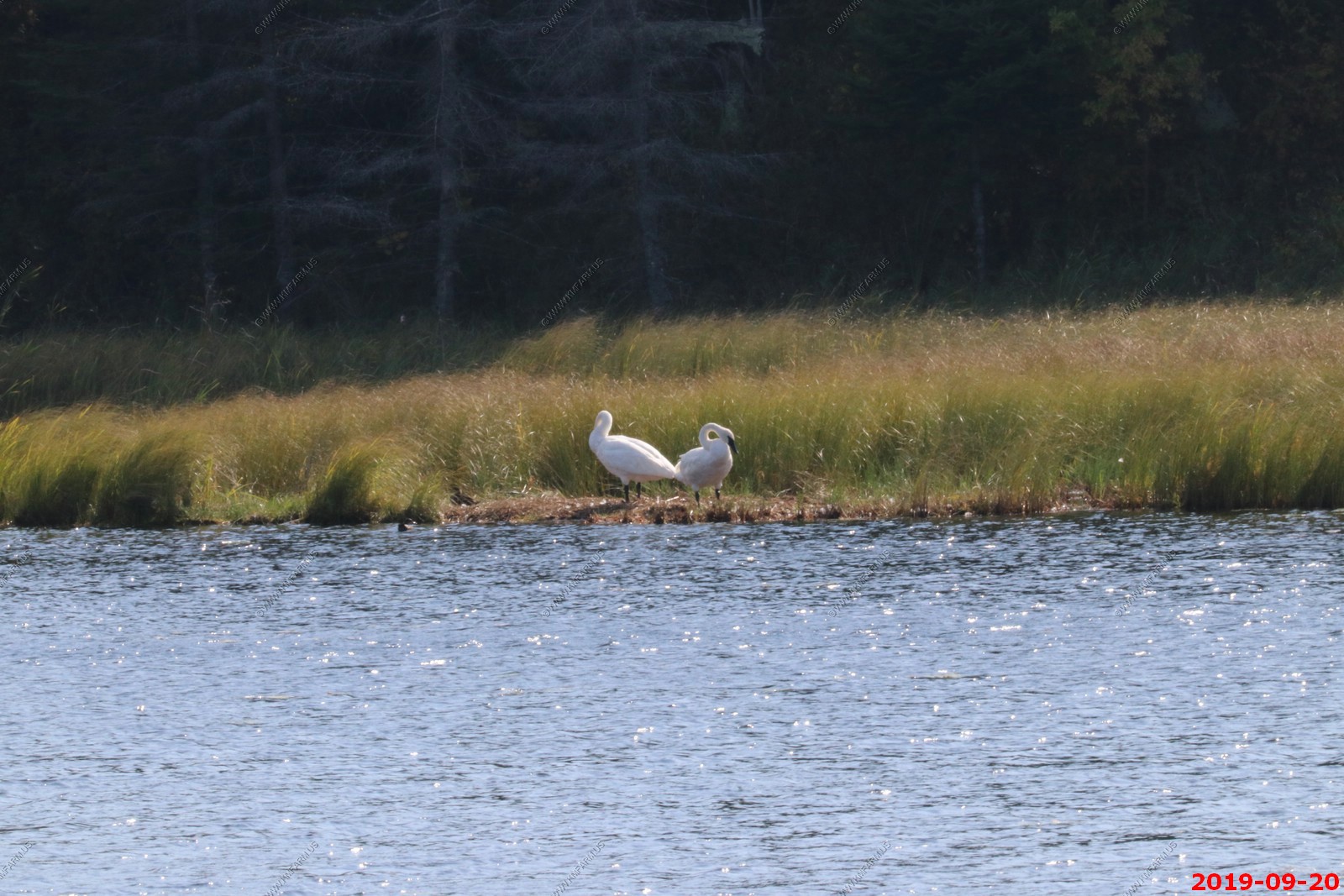
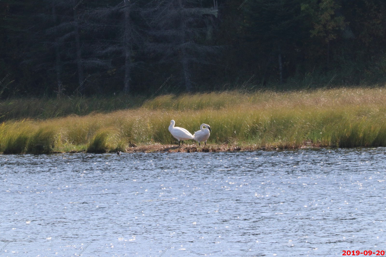
The trumpeter swan is a species of swan found in North America. The heaviest living bird native to North America, it is also the largest extant species of waterfowl with a wingspan that may exceed 10 ft.
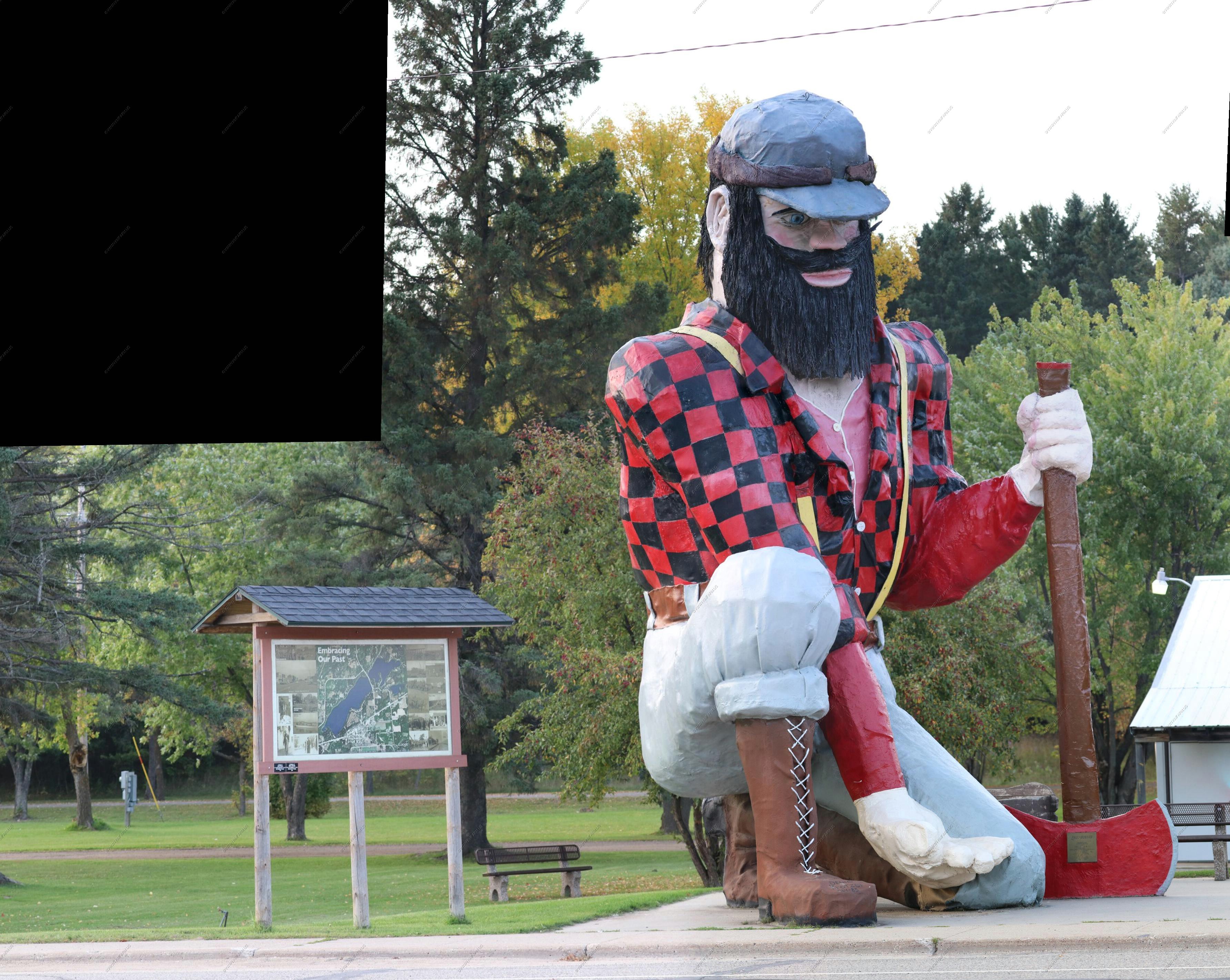
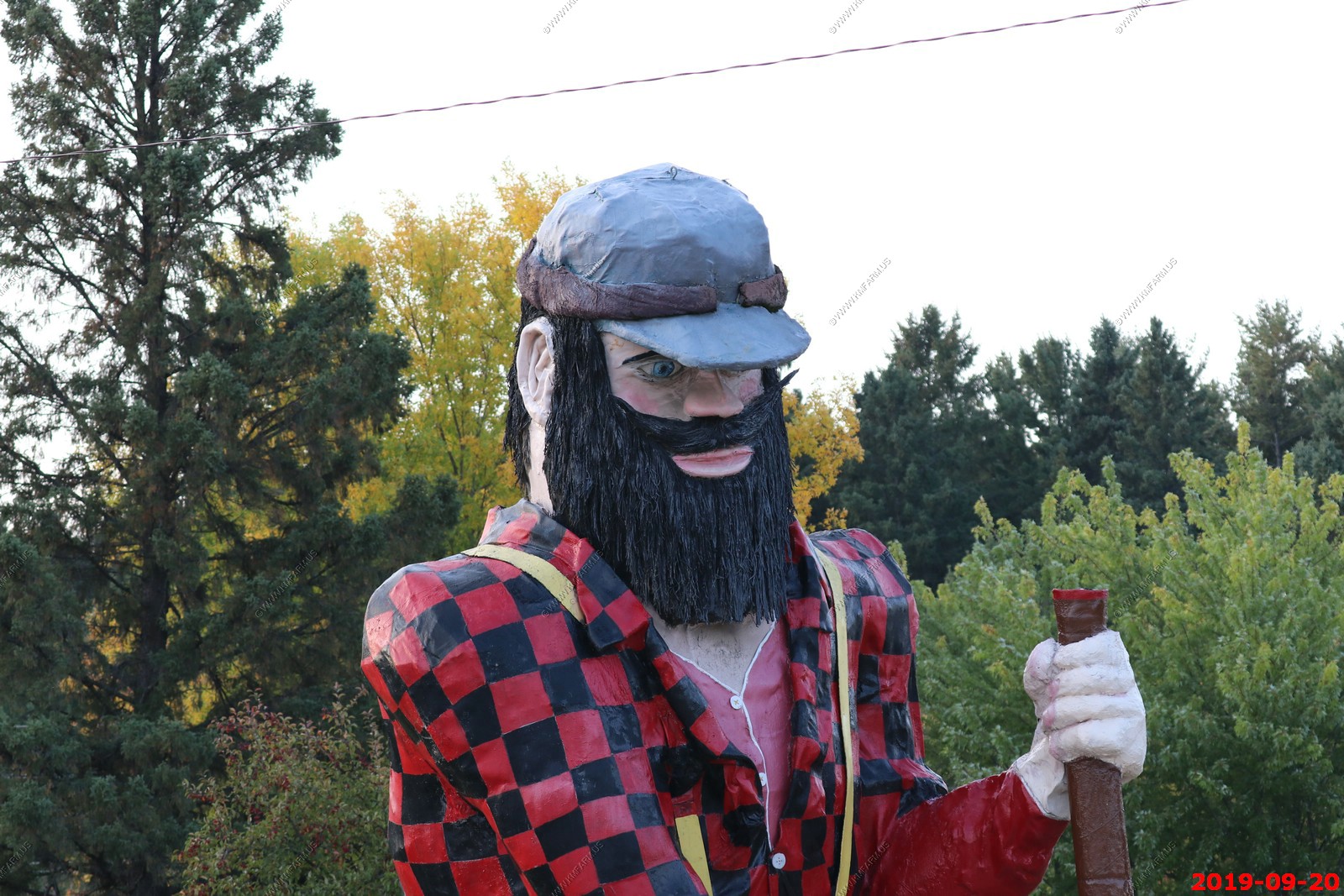
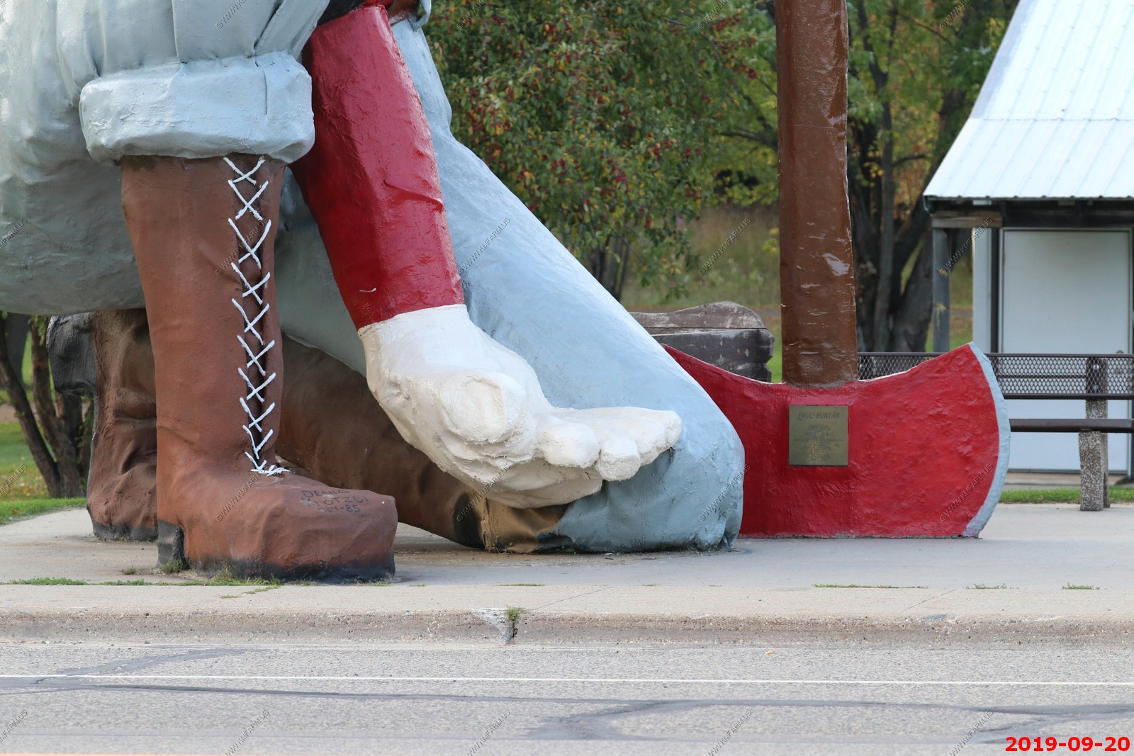
World's Largest Paul Bunyan - America's Northwood's are home to many towering Paul Bunyan statues. But only Akeley, Minnesota, has a Bunyan who has dropped to one knee, inviting visitors to perch in his mighty palm, a perfect place to sit for a souvenir snapshot.
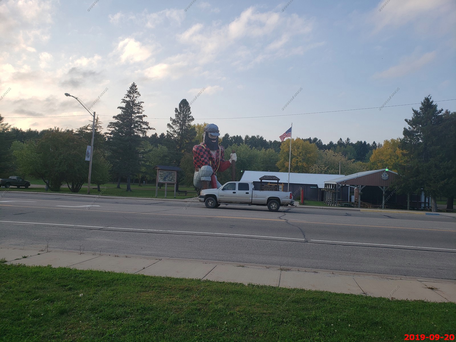
We decided it was not worth walking across the street so took a bunch of photos
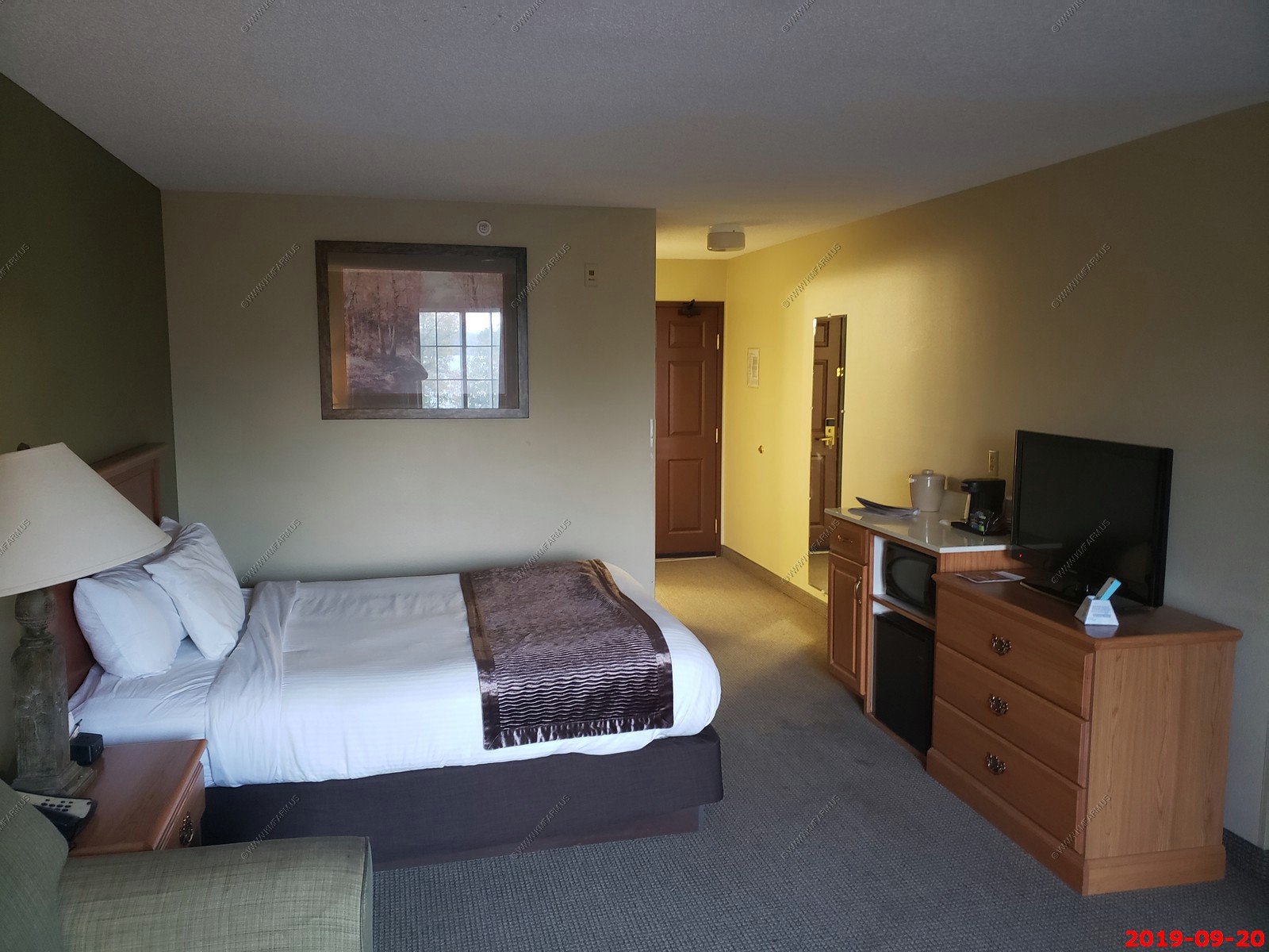
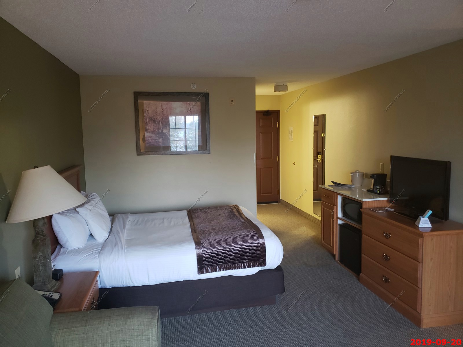
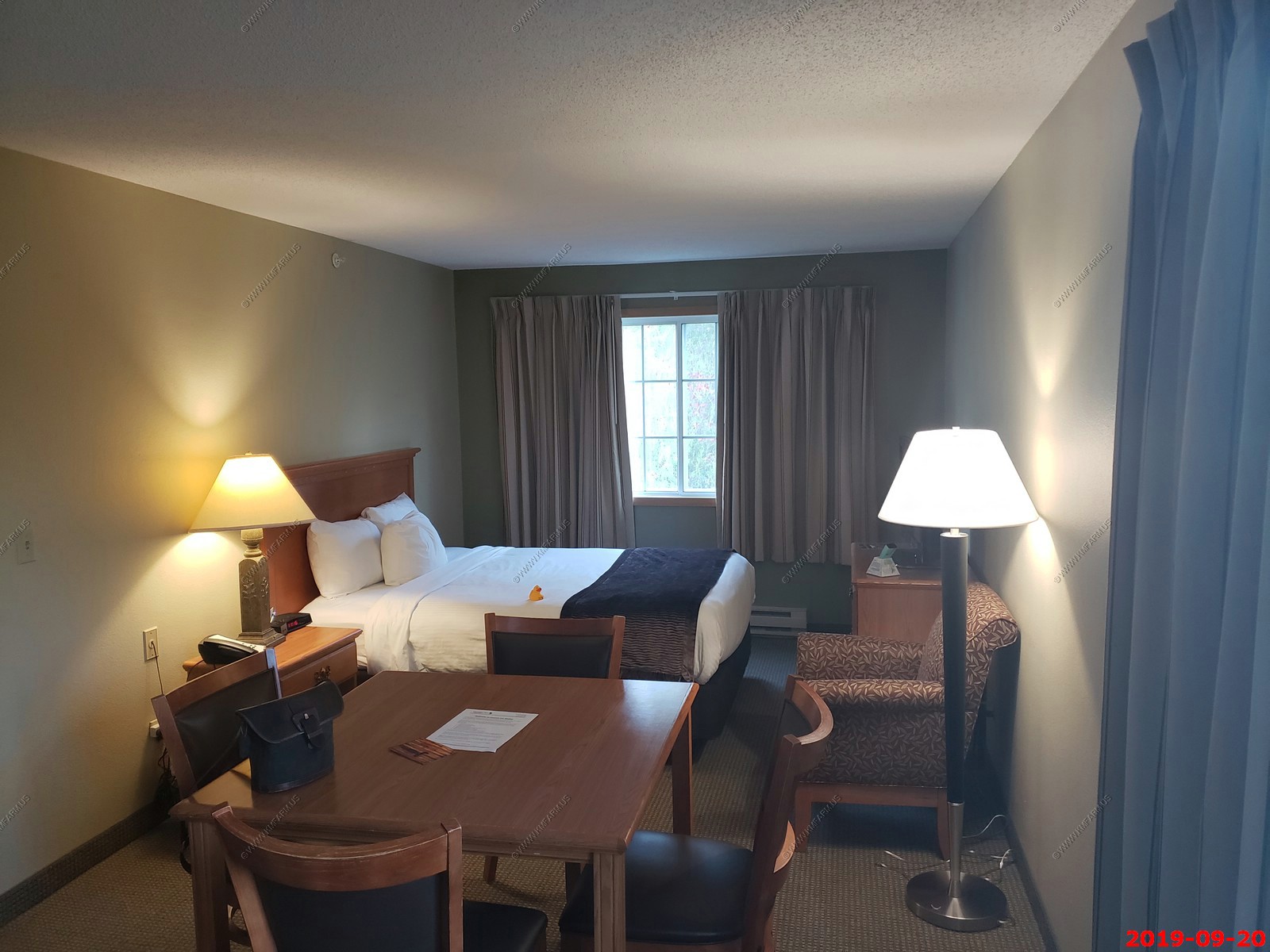
We stayed at Country Inn Walker We had a HUGE room and it was clean & quiet
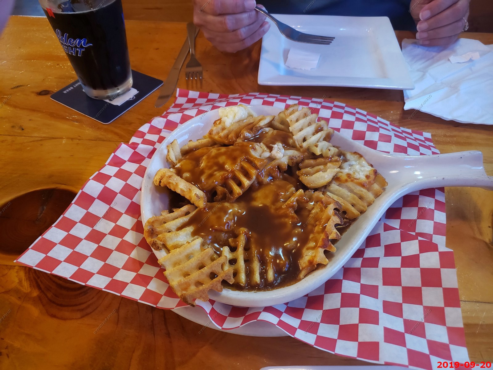
We ate at the Lucky Moose Bar & Grill which was very good. We had Poutine - thank you to our French Canadian friends for coming up with this amazing combo of waffle fries, white cheese curds and brown gravy. It was good but not very healthy.
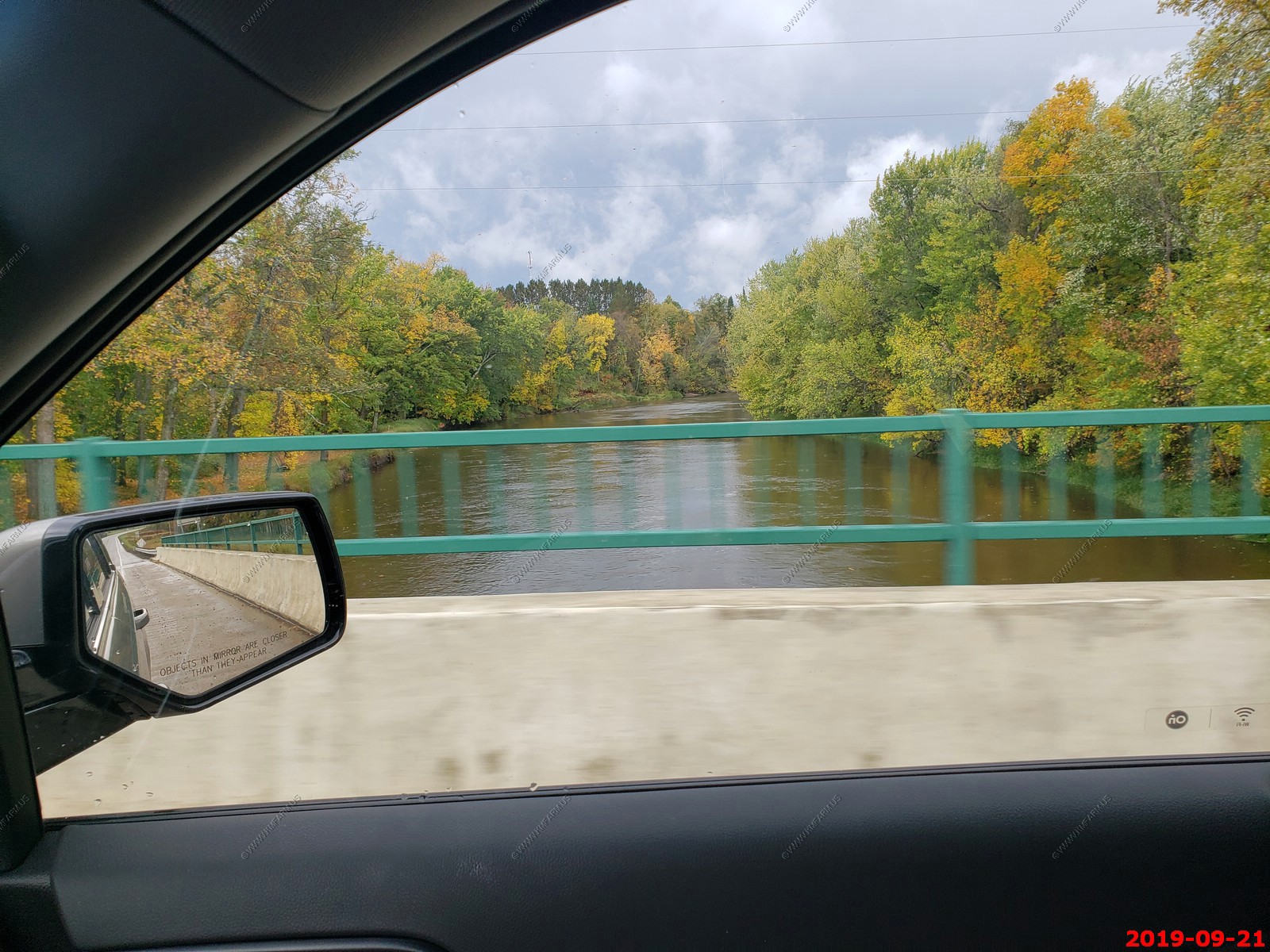
No interstate today. The front caught up to us so this was going to be a nasty weather day. We ended up driving from Walker, MN. to Newberry, MI. which was 482 miles. We had planned on making some stops along the way but we really just kept driving.
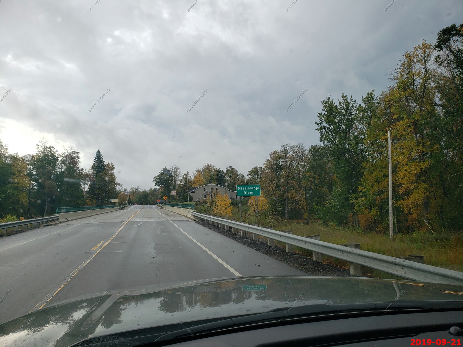
Crossing the Mississippi River near Jacobson, MN on MN-200 I measured with Google Earth and the Mississippi River is only 111 feet wide here. Very cool.
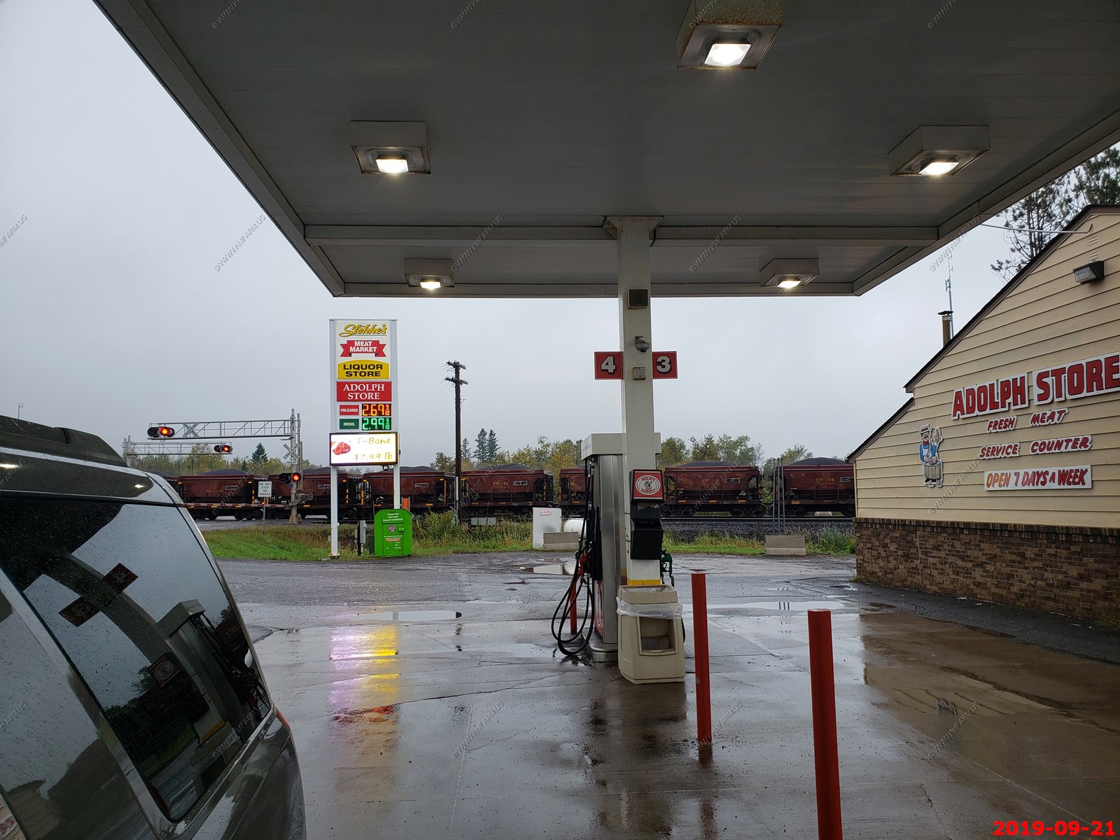
Getting gas at a meat market that sold gas ? and a taconite train went past when we were getting gas in Adolph, MN. Taconite is a low-grade iron ore.
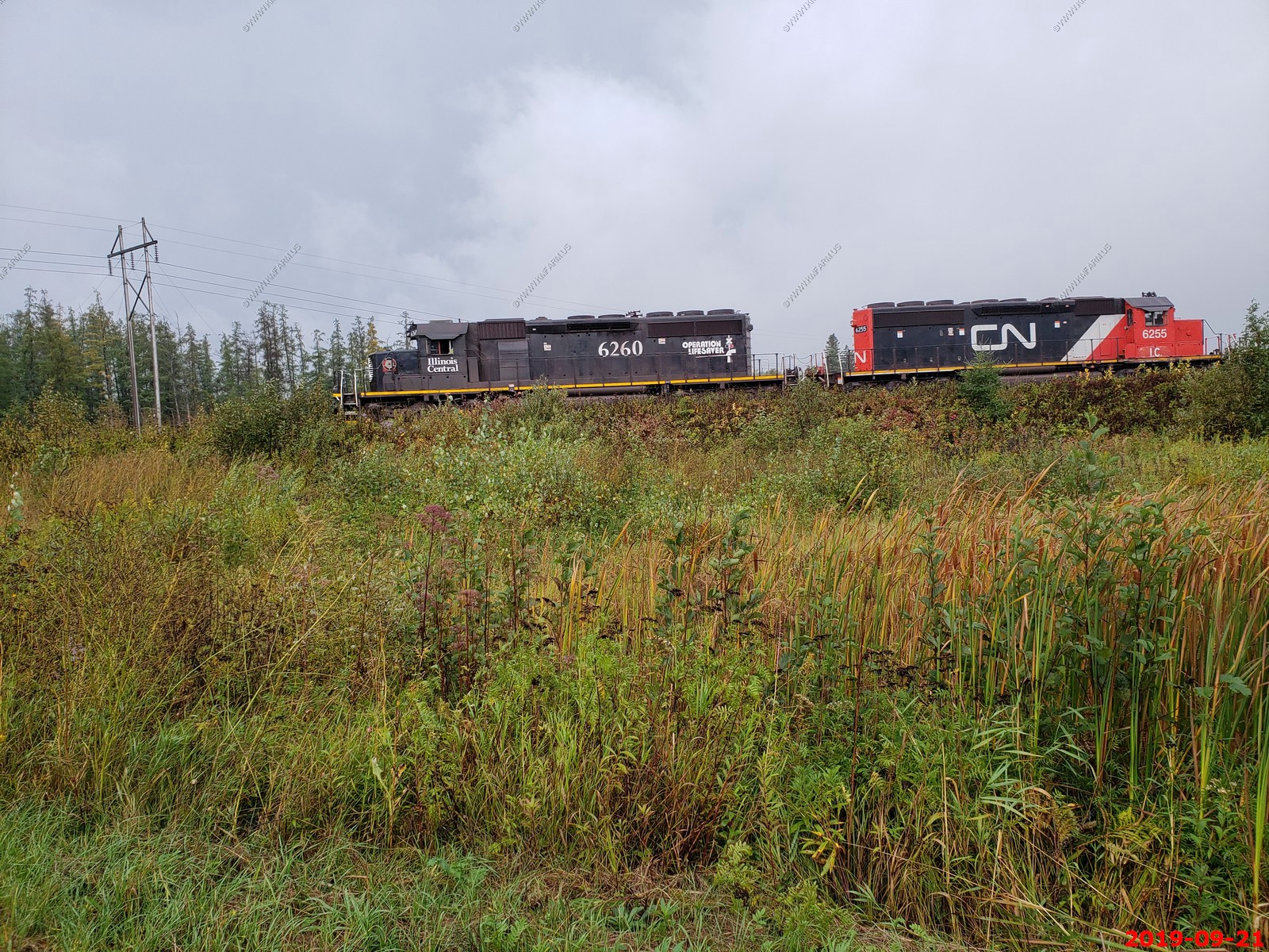
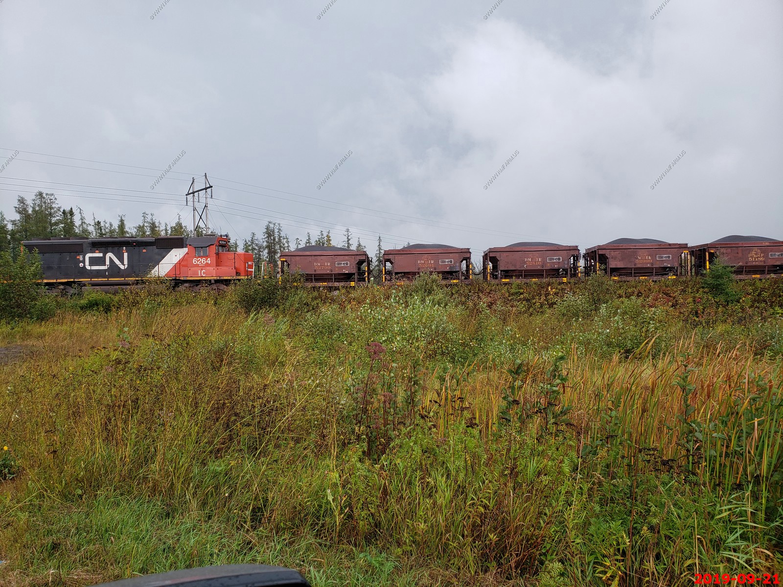
We caught up to the train. Interesting engines. Illinois Central 6260 and CN 6255 & CN 6264.
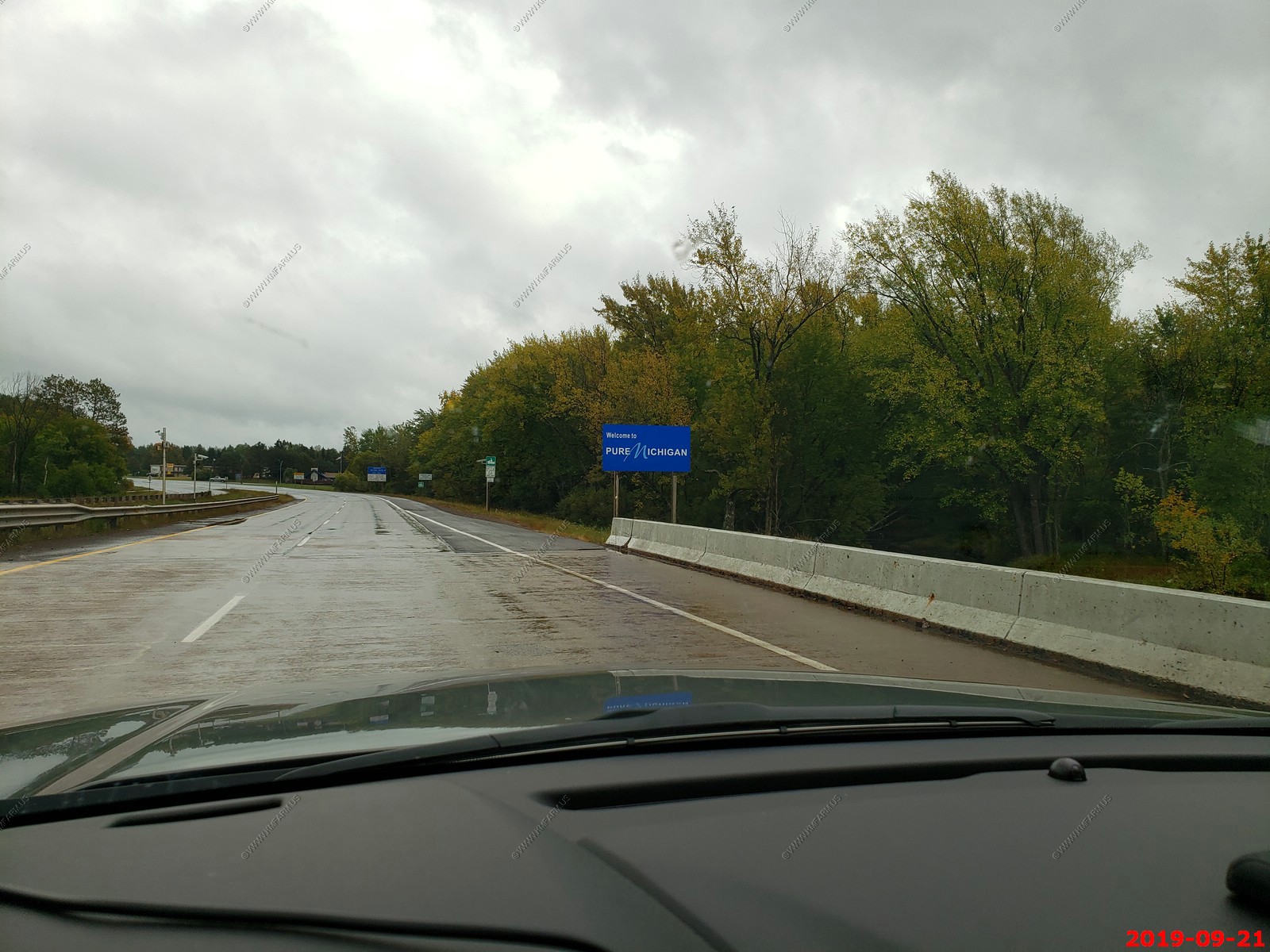
Going into Michigan from Wisconsin along US-2.
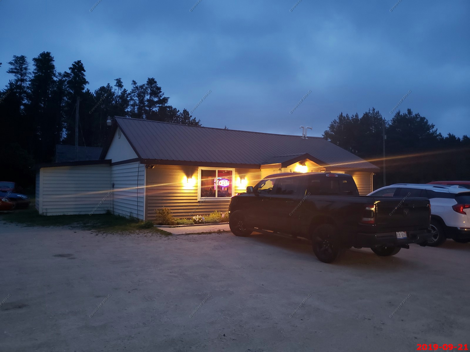
We stayed at another Americas Best Value Inn Tahquamenon Country 12956 M-28, Newberry, MI 49868 - This one was NOT as nice as the other ones and I would never stay here again. The breakfast was in a large conference room with no tables and just chairs in a row which was strange. But, we needed a place to stay and we lived so it was fine.
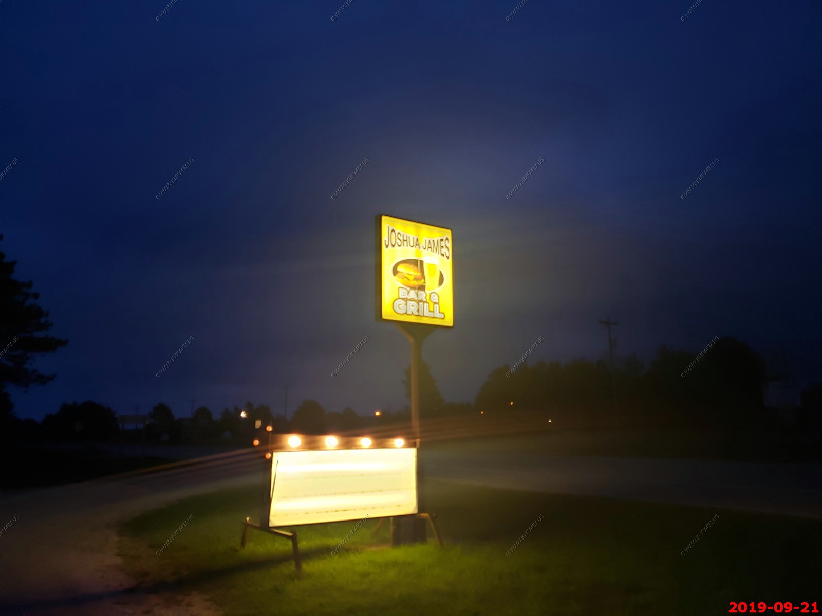
We walked to Joshua James Bar & Grill next to the hotel. It was NOT our type of place but, no smoking, friendly people and the food was good. They could tell we were not locals.
More rain. We had places to do some exploring but with the weather we decided to push thru to New Kensington, PA (North of Pittsburgh) as it was a easy 625 miles.
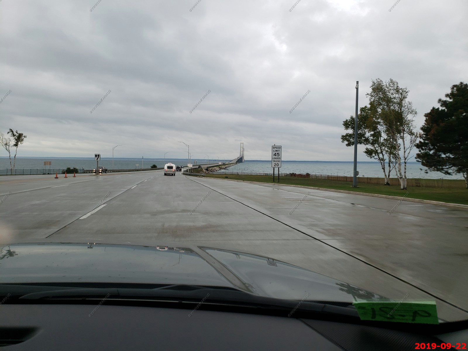
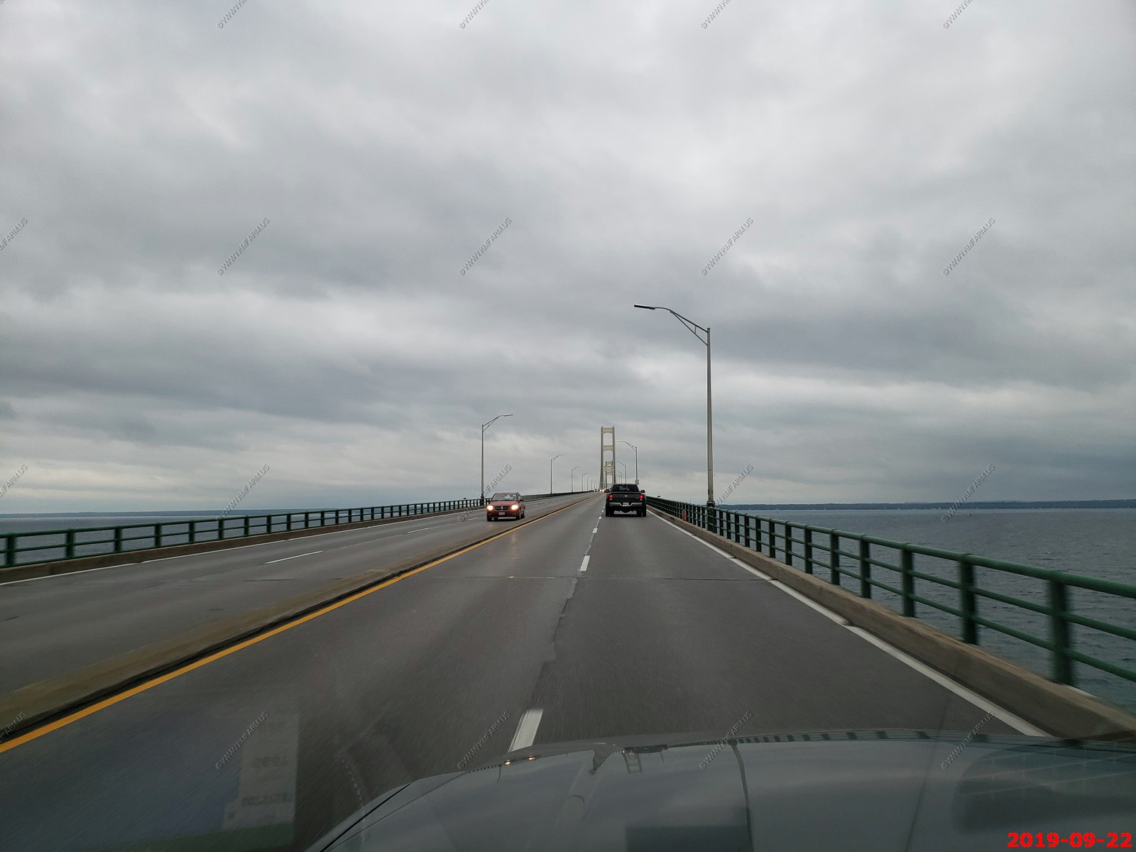
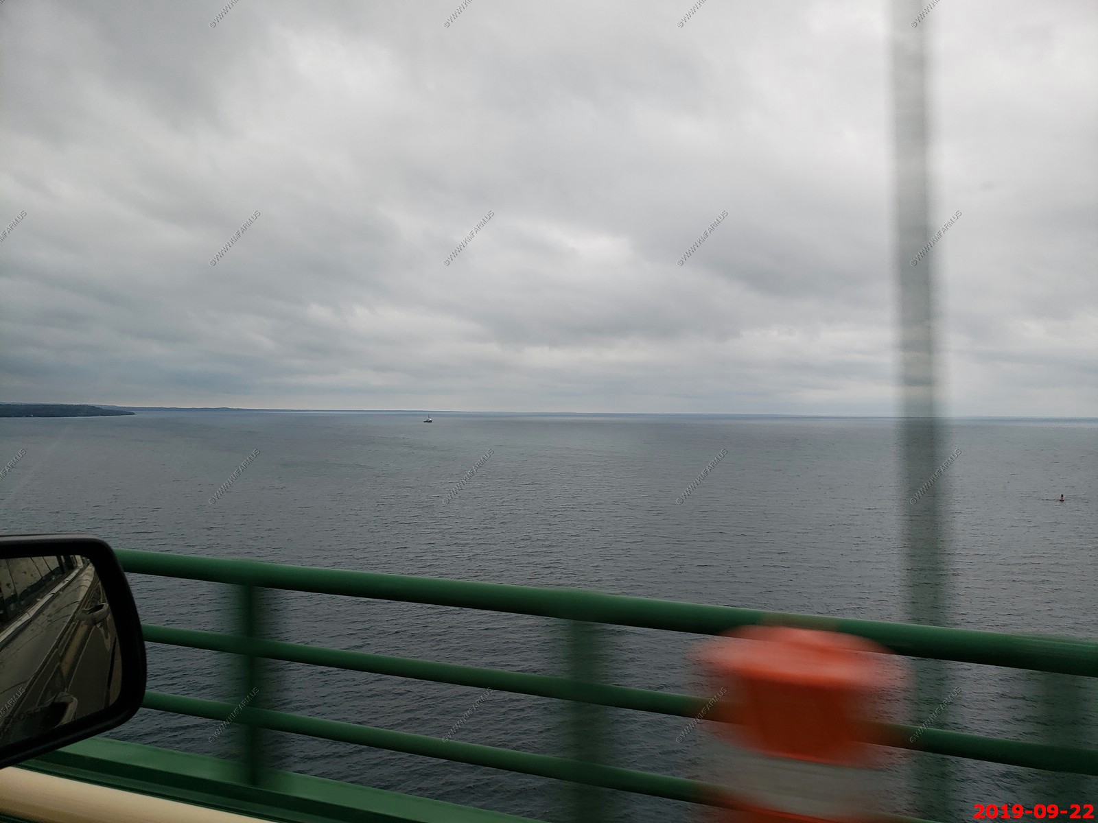
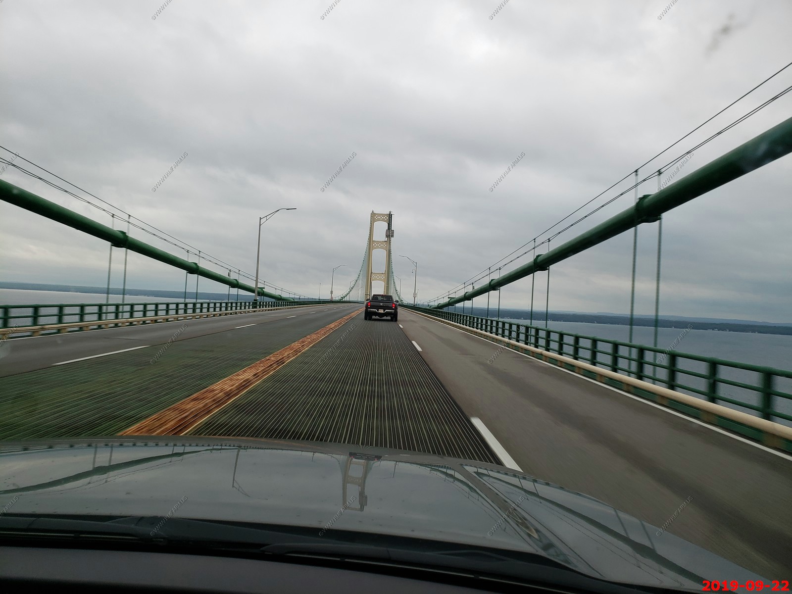
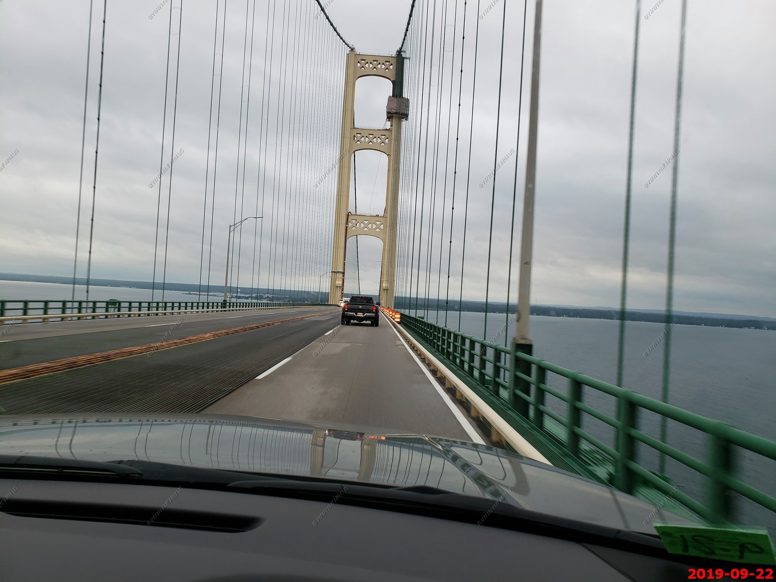
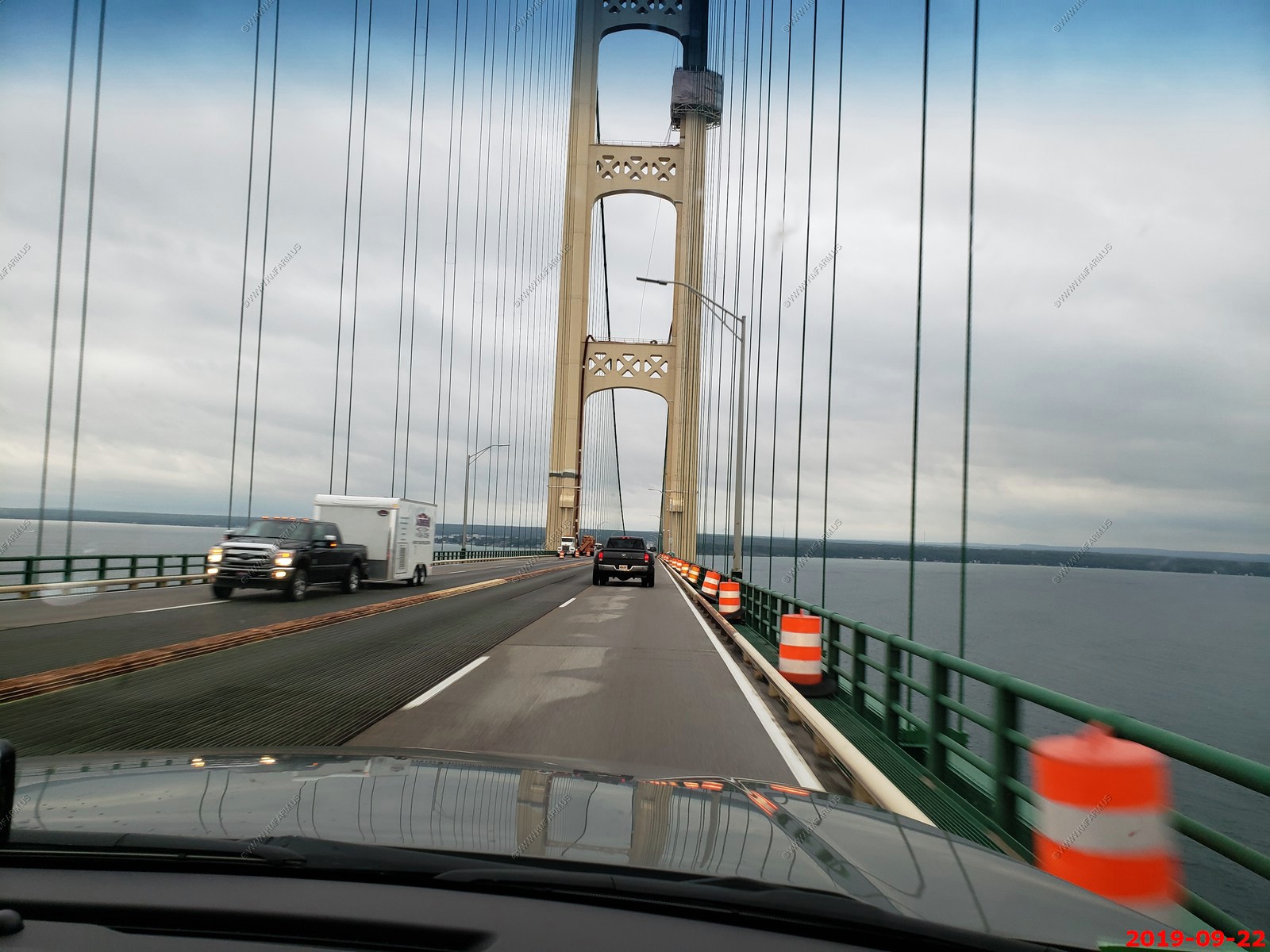
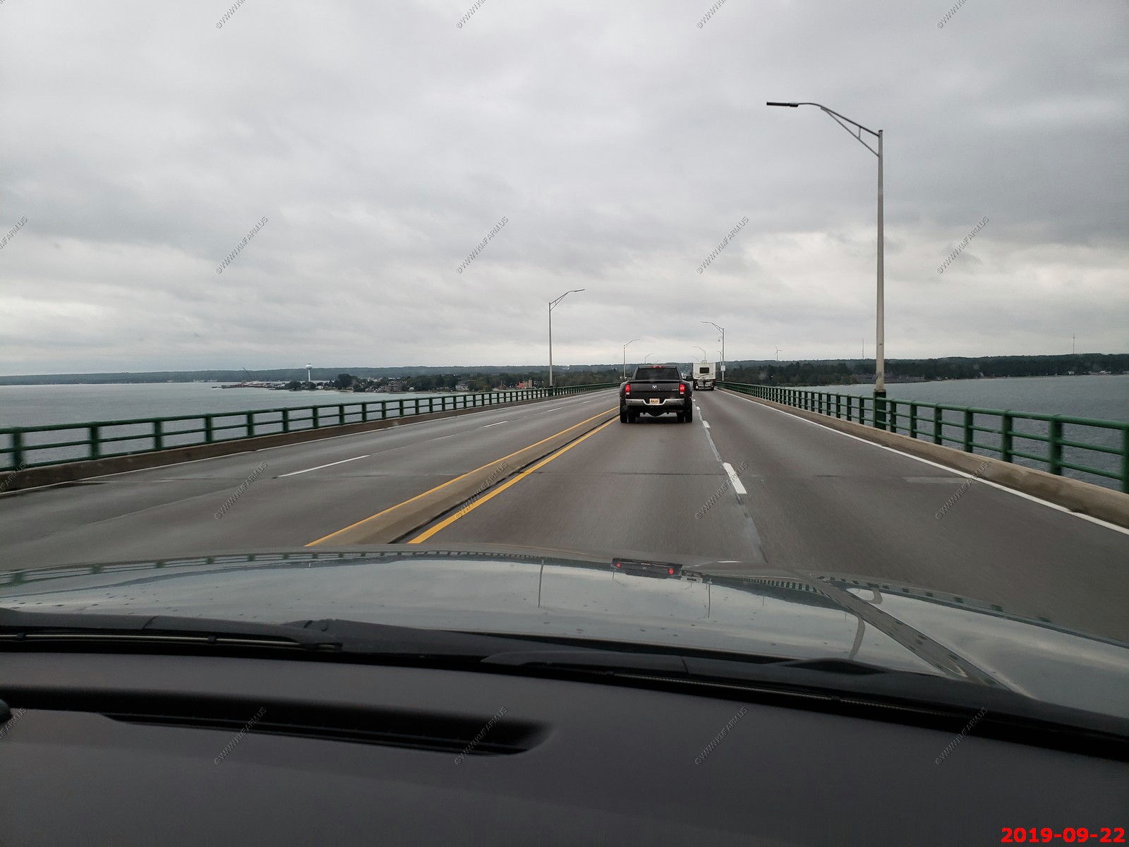
Approaching Mackinac Bridge on I-75 and various views on the bridge.
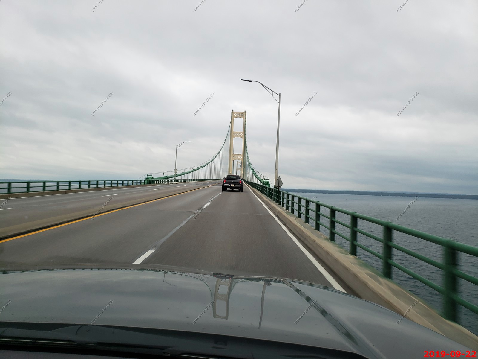
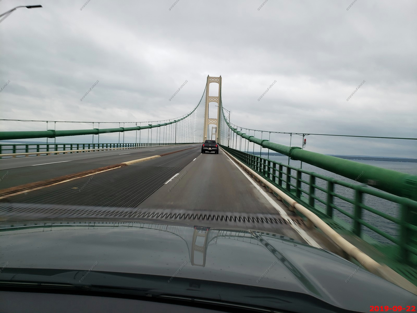
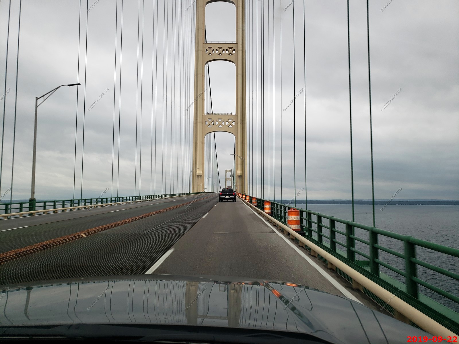
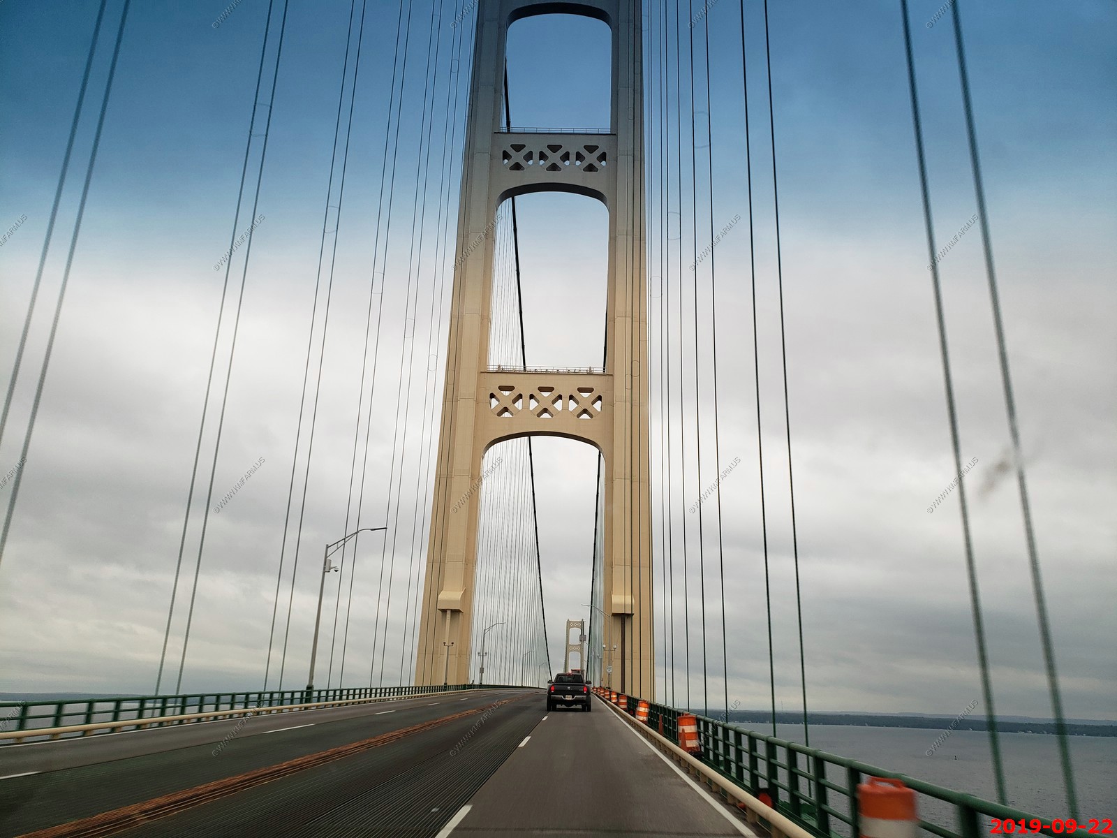
Looking west
Looks like we are going to make it.
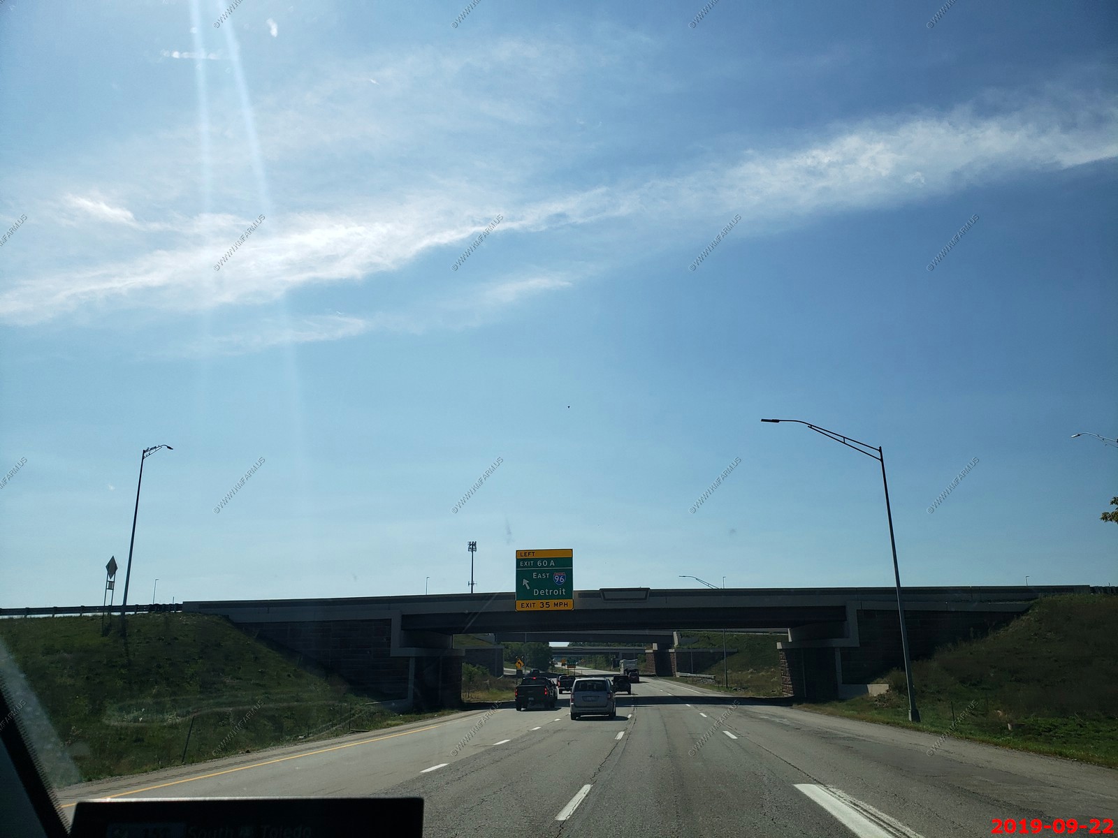
Back to the sunshine west of Detroit
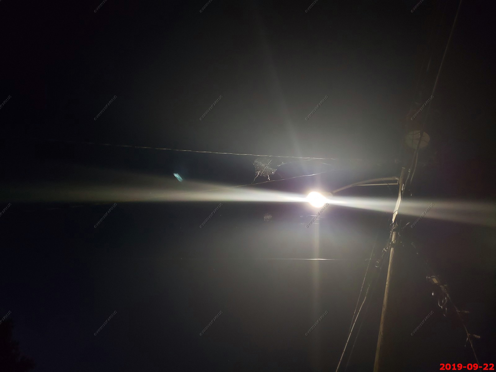
In New Kensington, PA - Large spider webs on the powerlines near the streetlight
We drove the 243 miles from New Kensington, PA to home. A easy 4 hour drive.
Back to - 14 days - South & North Dakota, Western Wyoming and home thru Central Minnesota, Northern Wisconsin & UP Michigan
Return to Ken and Mary's trips page