Last Updated: 29-NOV-2019
Tuesday October 22 - DAY 05
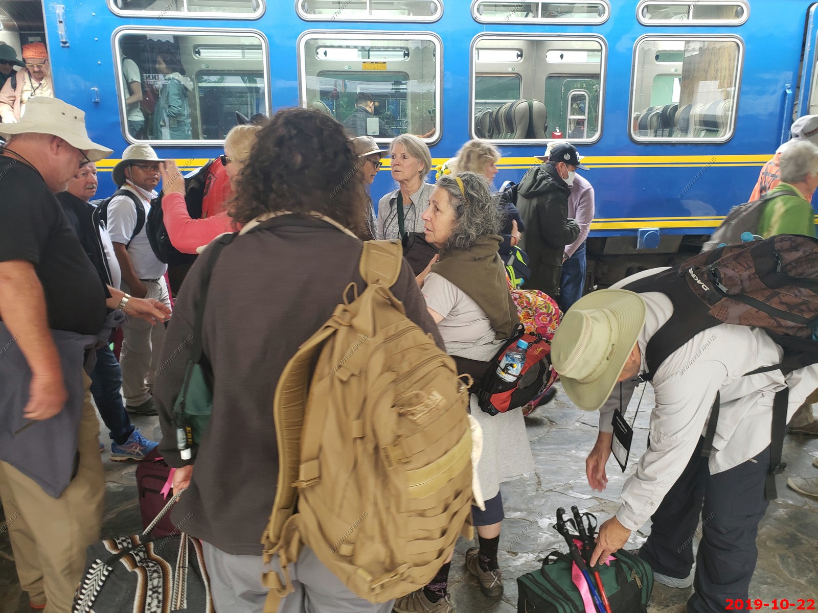
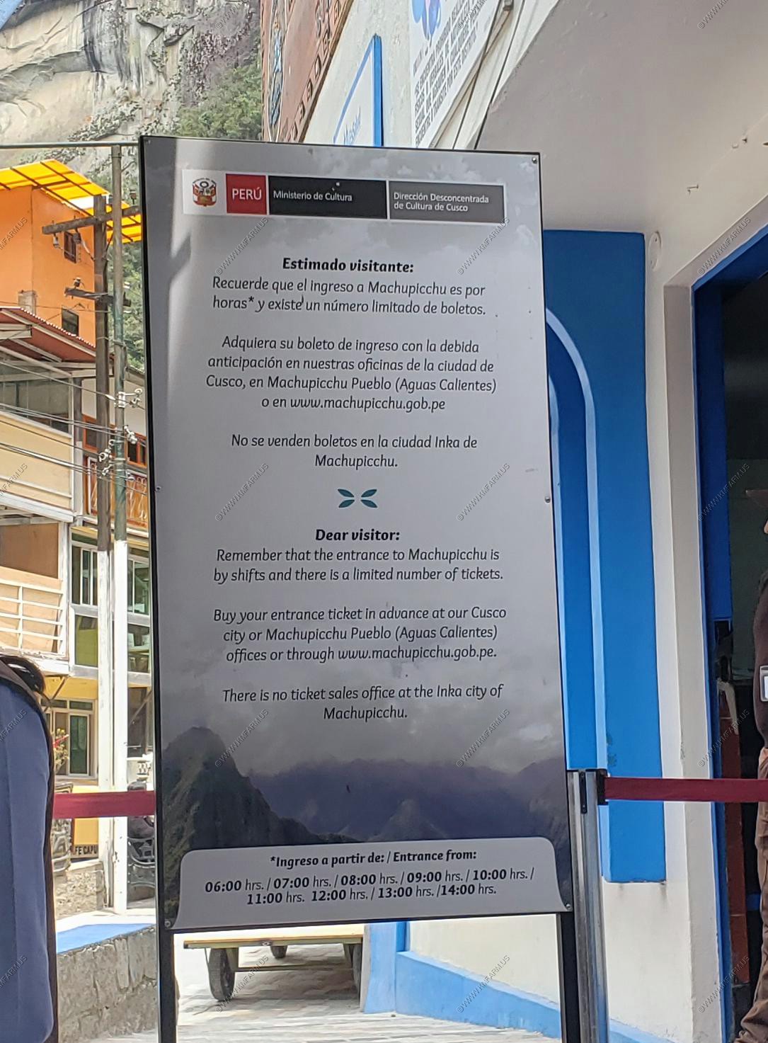
DAILY WRITE UP - Today was Machu Picchu day. We had a bit of a surprise when we were told Monday night that we could not take our luggage with us today and that our luggage had to stay on the bus. The reason is that we took a train to a small town near Machu Picchu called Machu Picchu Pueblo and they only allowed small bags. So we complained a bit because we weren't told about this and our guide (Marco) acquired a bag for us so we are now on a vacation from our vacation. It was understandable because 5,000 people a day come to Machu Picchu and the only way you can get here is by a 2 hour train ride or by walking. So we got on the train at about 9,400 feet and we went to the town that were in which is about 6,400 ft. We're in more of a Jungle now and there's more bugs but not like way down in the Amazon. We don't have to worry about mosquito borne diseases and stuff like that. Machu Picchu is 1,500 feet above the valley.
This was on Mary's bucket list, me I knew it was going to be very crowded and I was very concerned that they were going to try to rush us through it. But that was not the case since we were there for about 5 hours and ate lunch there at a park restaurant, which was very good.
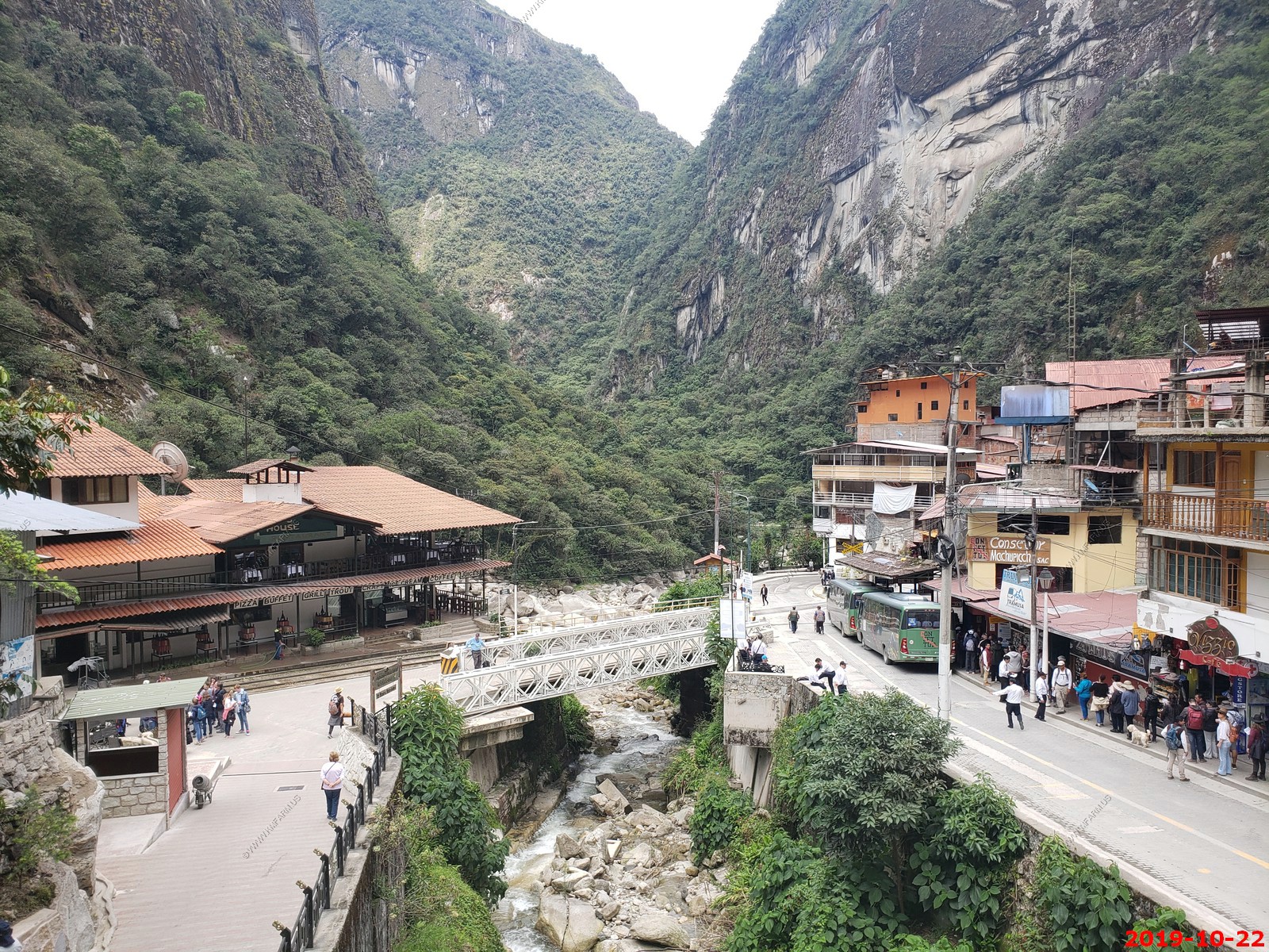
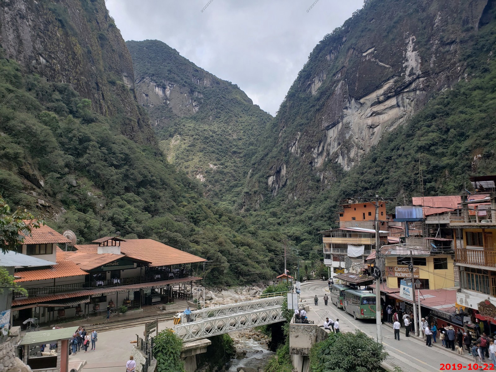
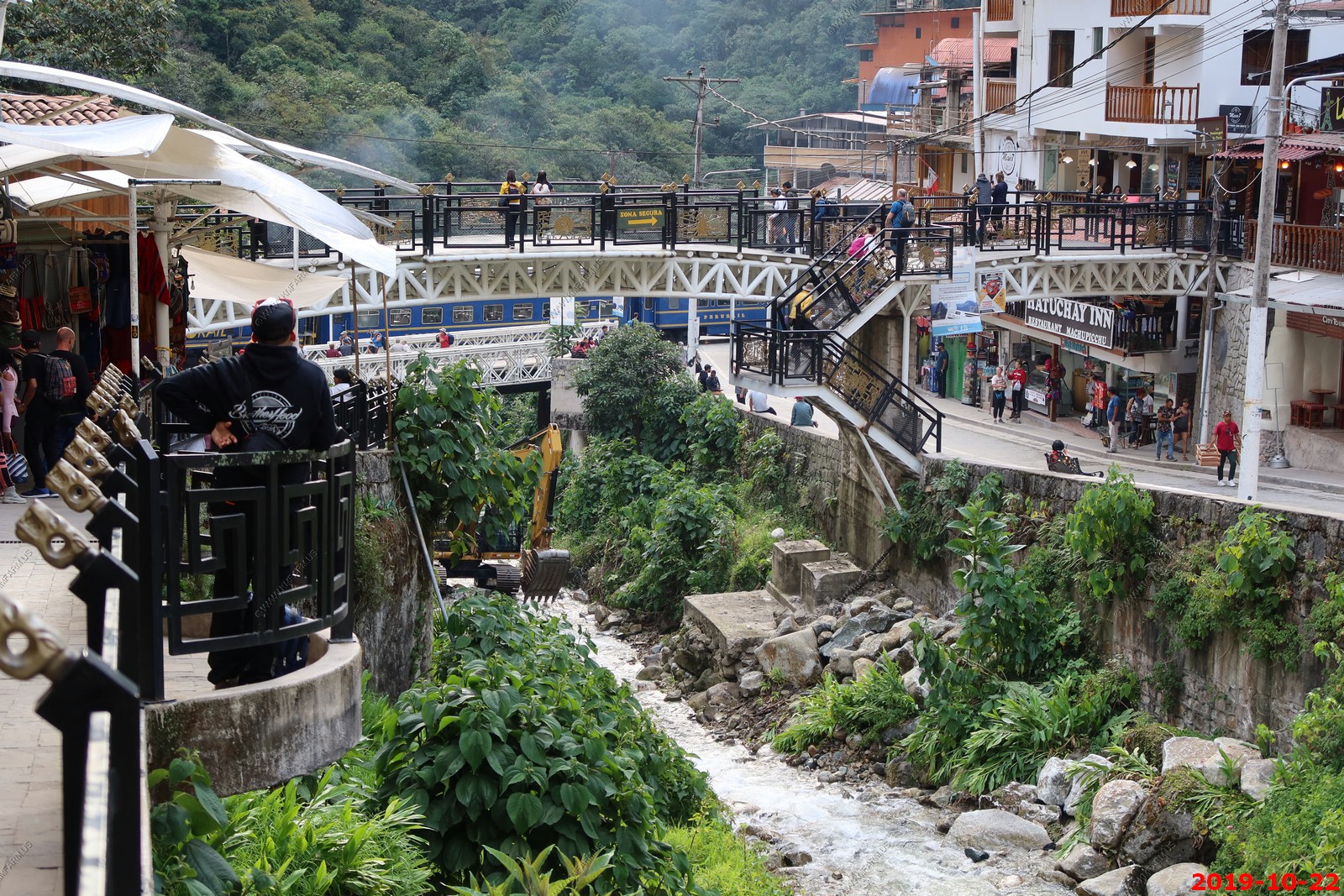
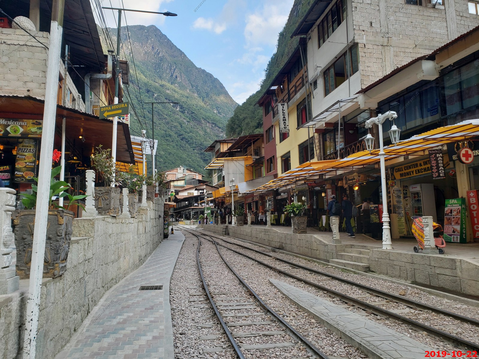
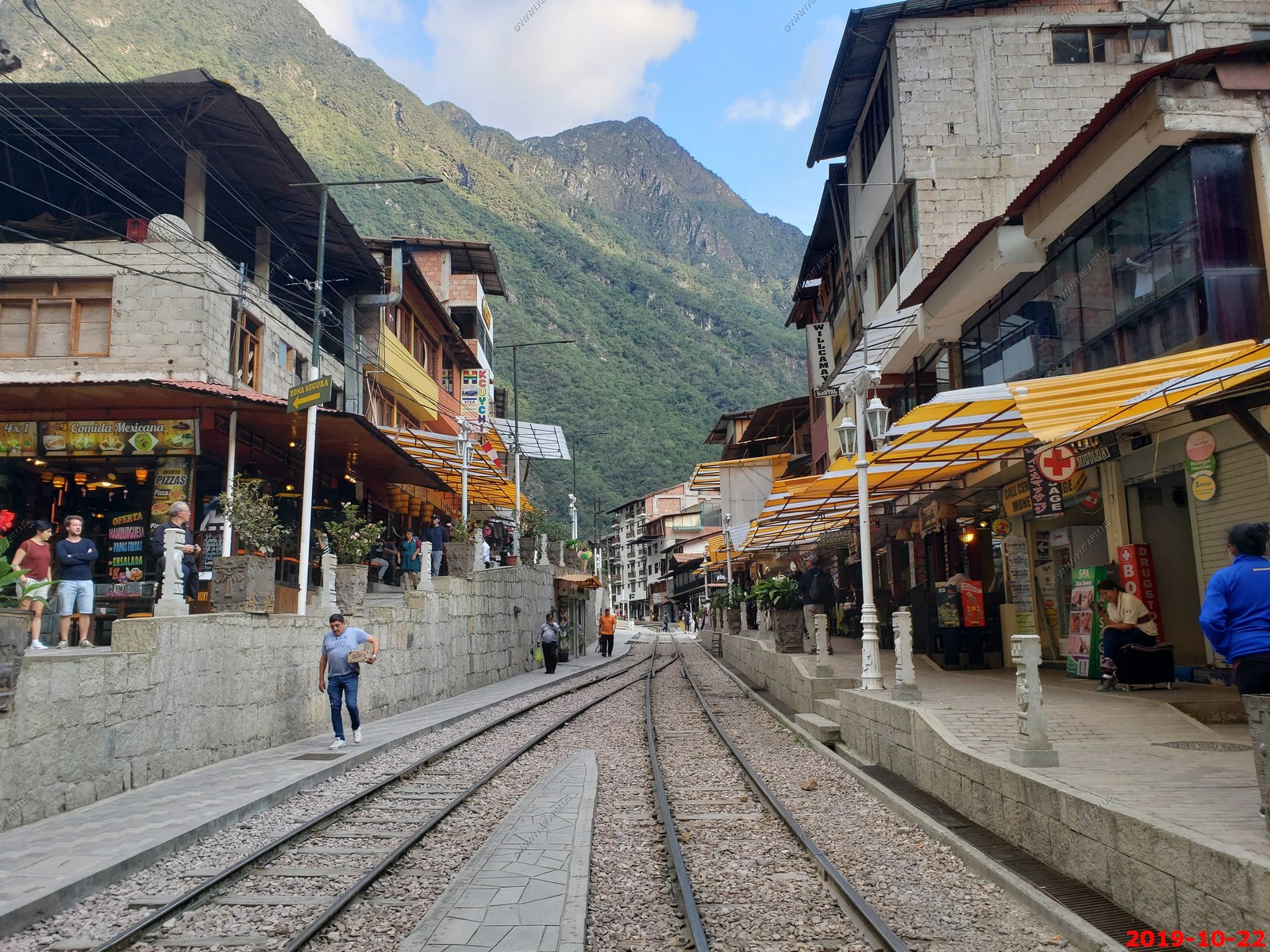
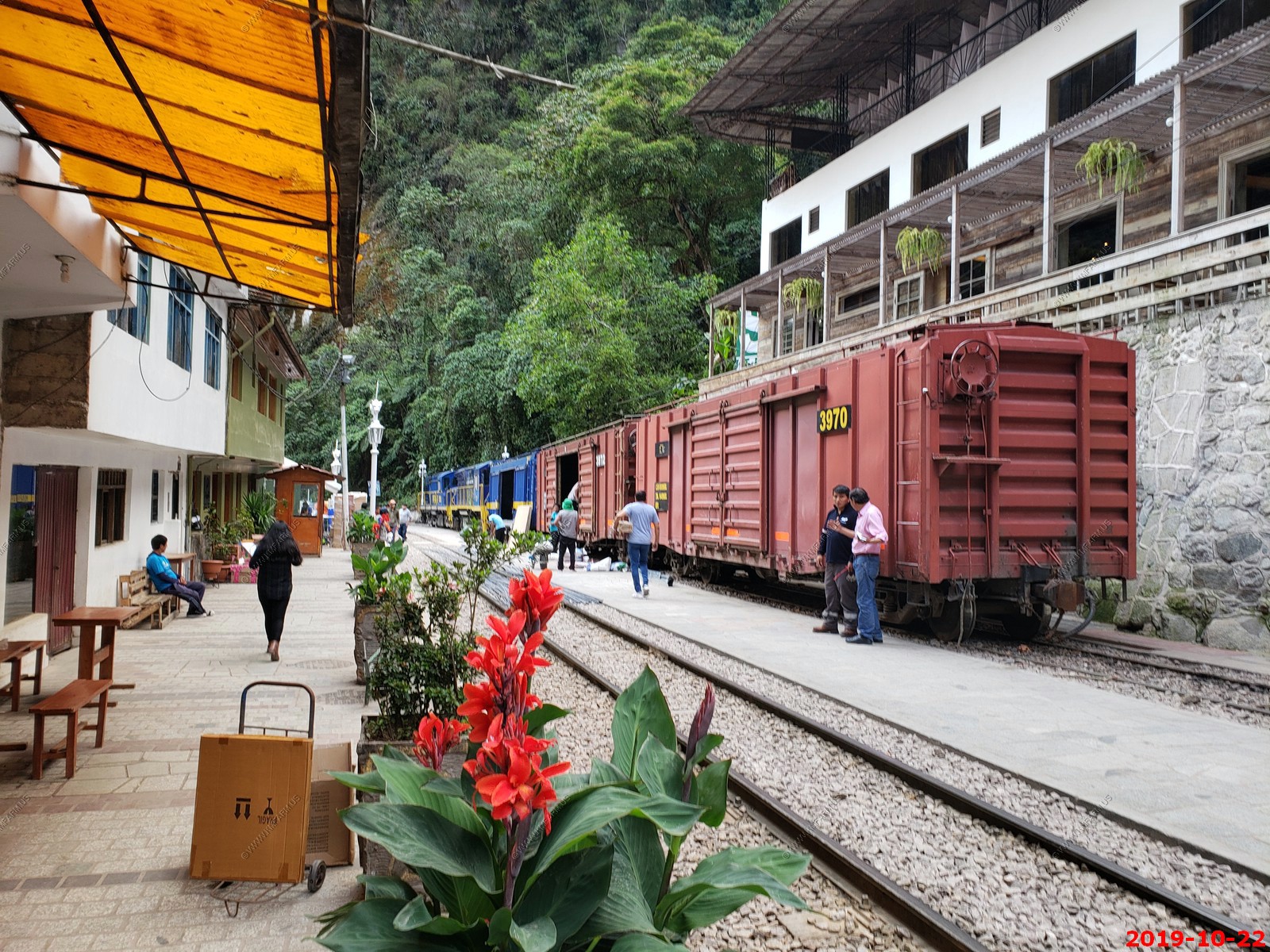
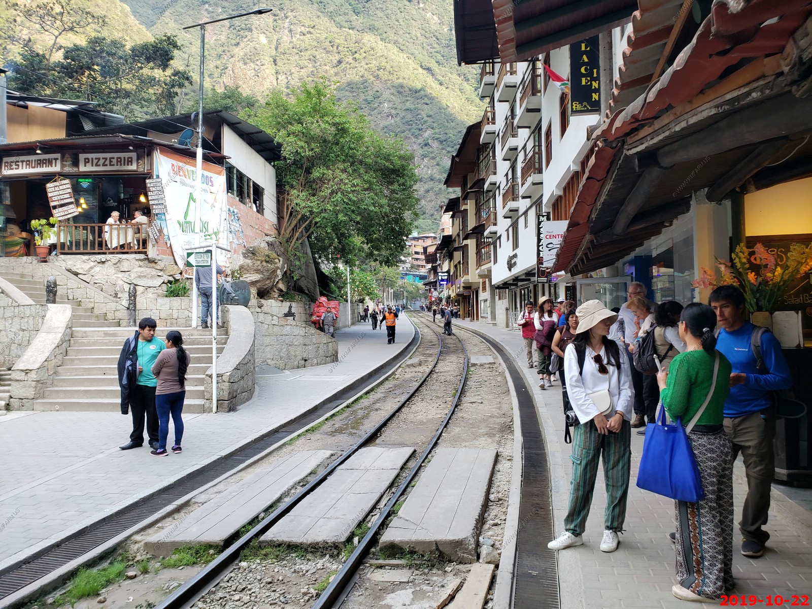
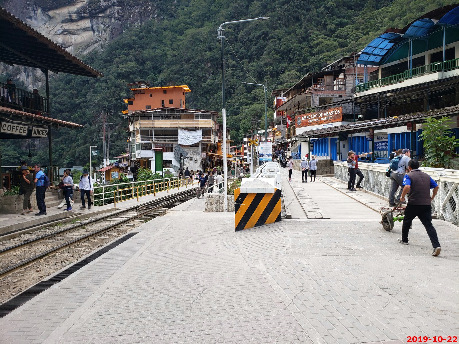
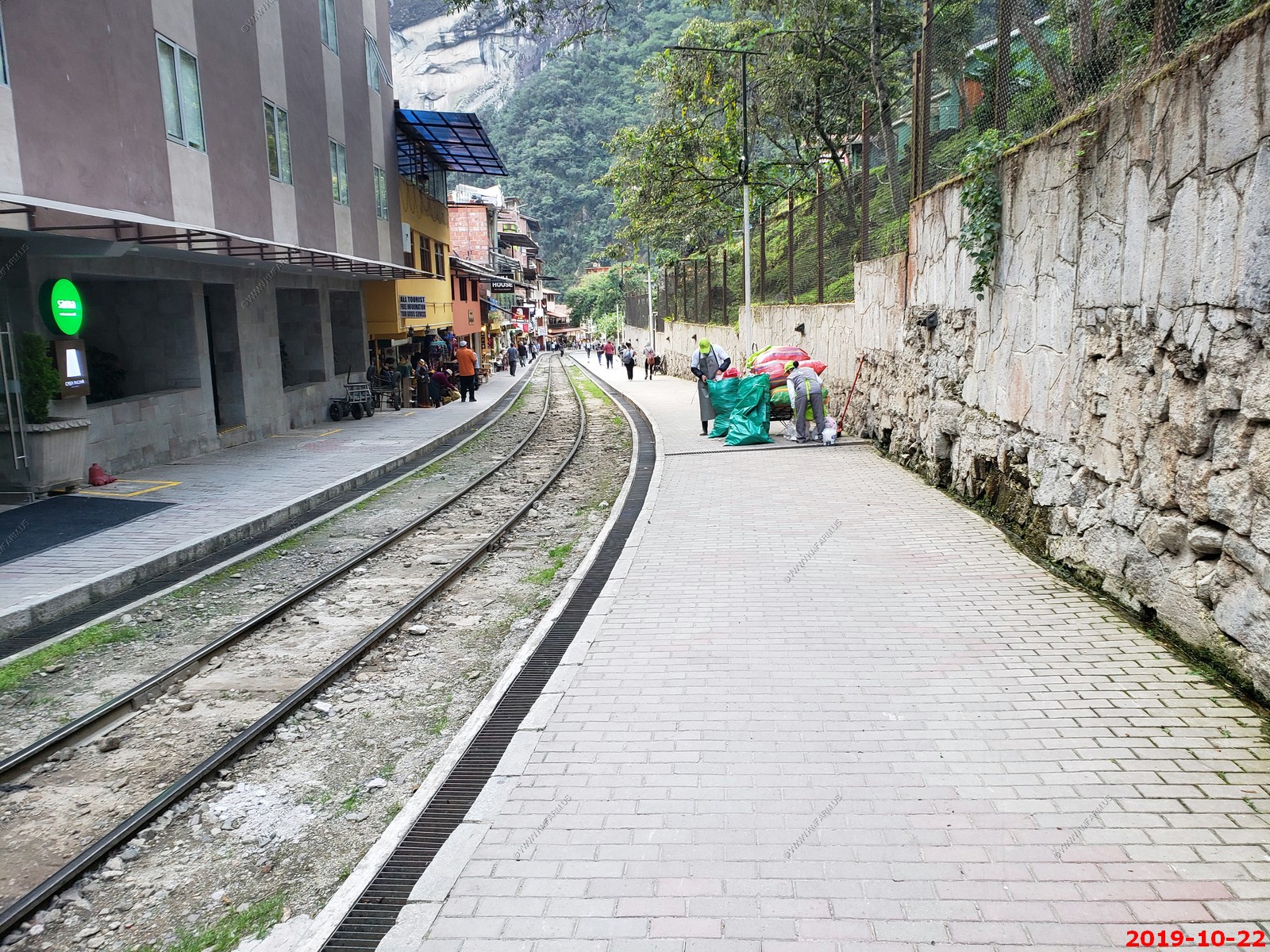
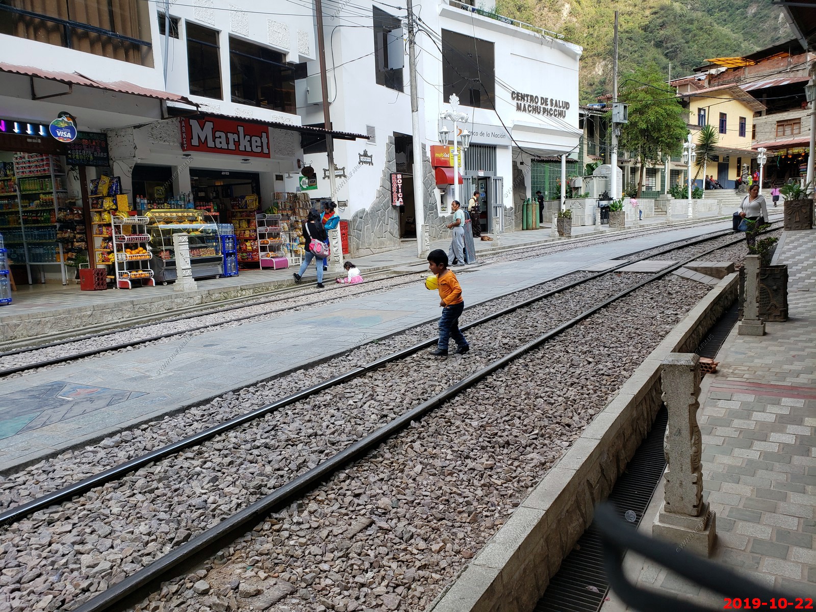
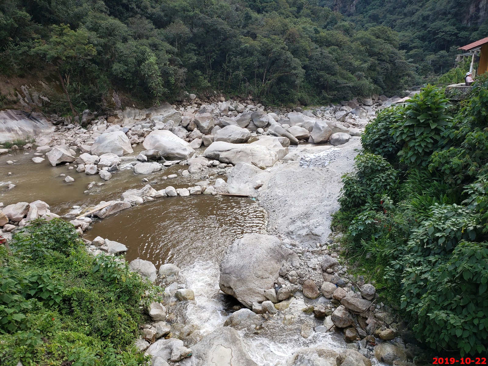
We then got back here to Machu Picchu Pueblo at about 4:30 and were able to walk around the town. The train comes right through the middle of the town and we had fun watching the trains go through. It's a Narrow Gauge Railroad and kids were playing on the railroad tracks and dogs running around. A tributary to the Amazon River flows through the town with boulders that are larger than a house so it's quite impressive.
We're staying at a nice hotel but it has no air conditioning but this town is very safe. There's many more Americans and Europeans here than the locals.
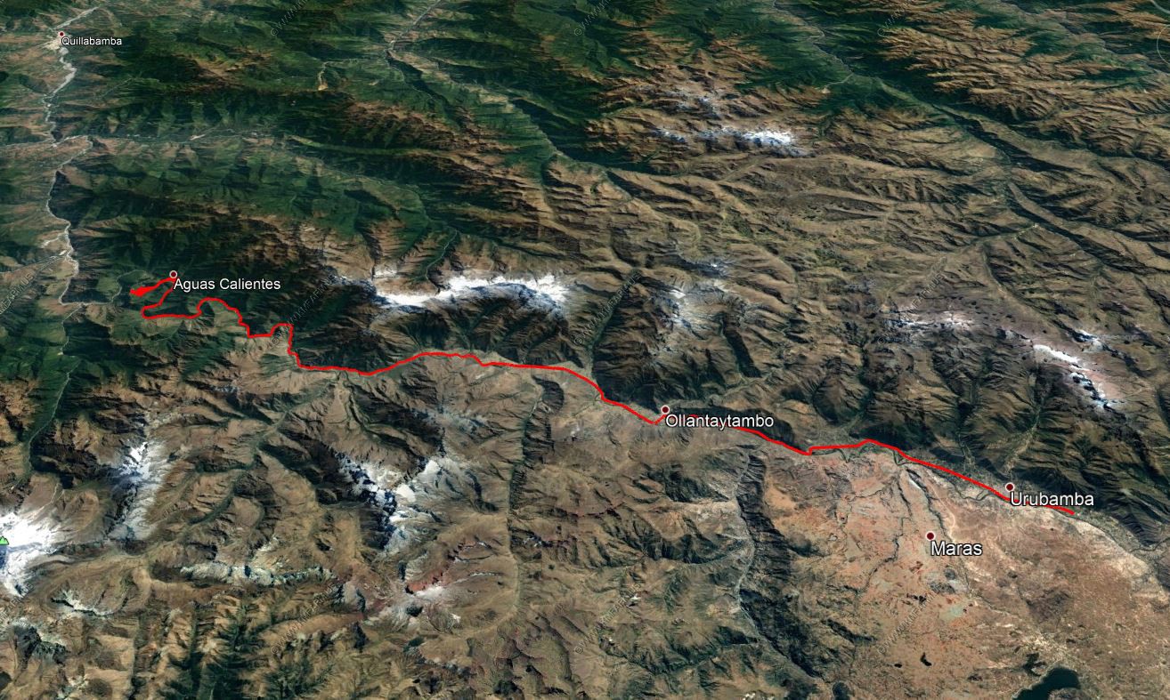
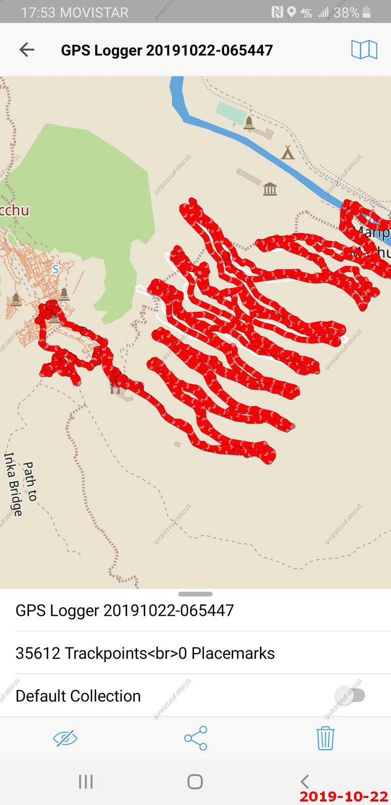
Using a GPS tracking software to see exactly where we traveled each day. Here it is overlaid onto Google Earth. We traveled from Yucay to Ollantaytambo then the train to Machu Picchu (Aguas Caliente).
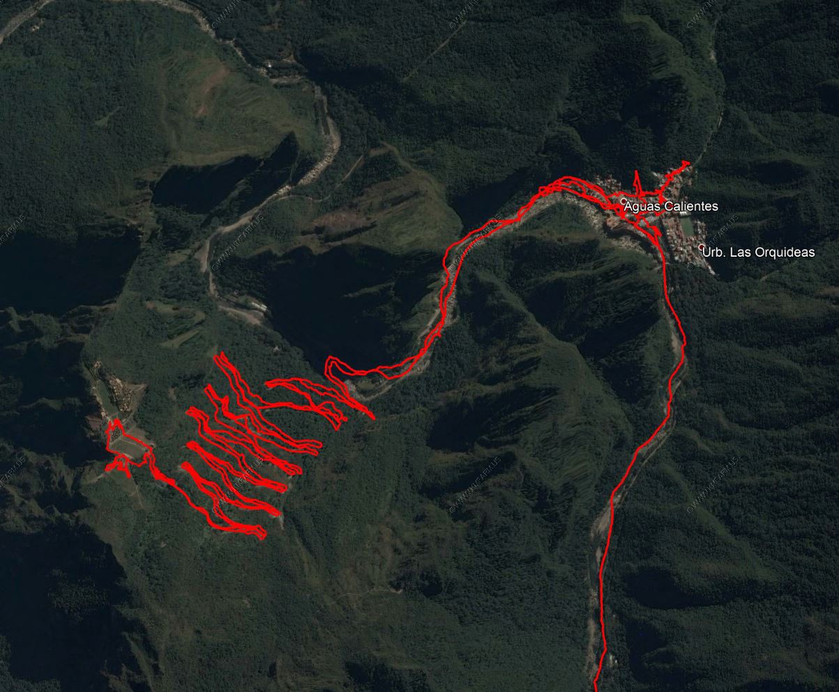
This was zoomed in from Machu Picchu (Aguas Caliente) to Machu Picchu and back. Lots of switchbacks.
ROAD SCHOLAR WRITEUP -- Train to Machu Picchu / Machu Picchu (Aguas Caliente)
Train to Machu Picchu
Machu Picchu (Aguas Caliente)
B,L
El Mapi Hotel
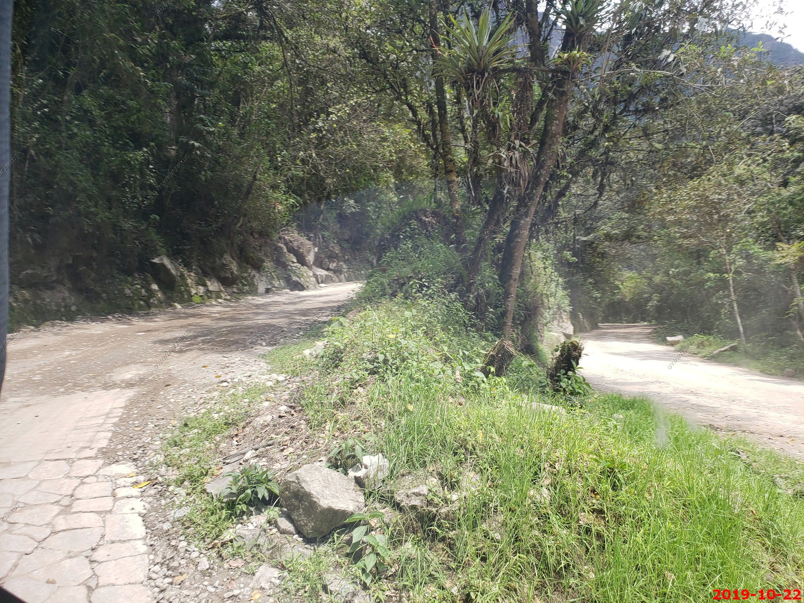
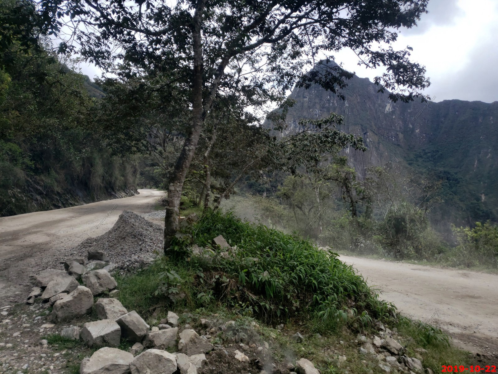
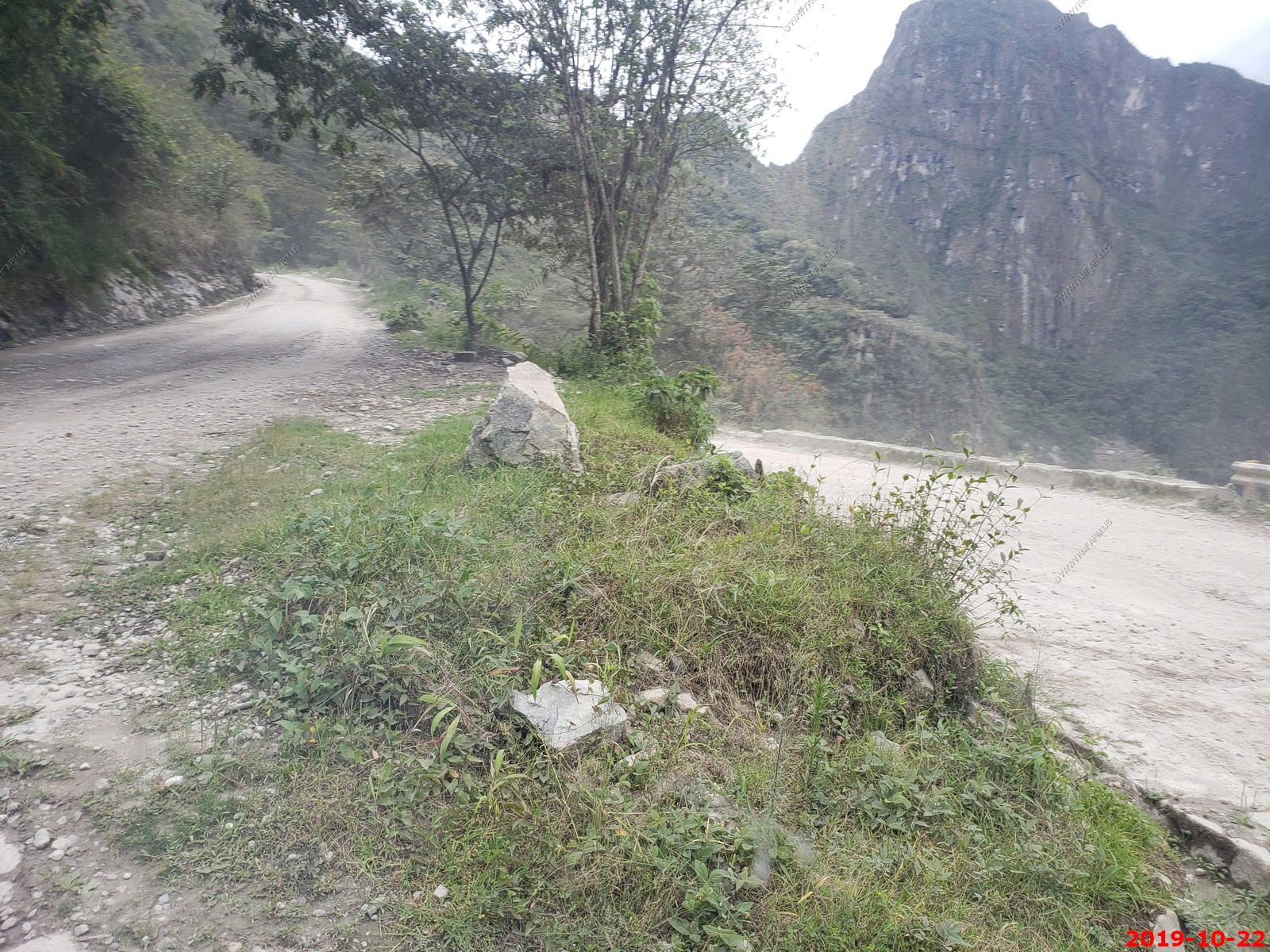
Activity note: Driving approx. 19 miles to train station; about one hour. Getting on/off train; ride is approx. 28 miles; about 1.5 hours. Use of public bus; short walk to bus stop; ride is approx. 5.5 miles each way to/from ruins; about 1/2 hour on dirt road. Walking approx. 2.5 miles total for the day; about three hours at Machu Picchu; rocky terrain with slopes, no handrails; maximum elevation of approx. 7,988 feet. Luggage will be transported via private vehicle; pack a day bag for the journey.
Breakfast: At the hotel.
Morning: Once checked out of the hotel, we will transfer by motor-coach to the train station for our railway ride to Aguas Calientes where we will check in to our hotel upon arrival. We will then complete our journey and enjoy a field trip at Machu Picchu, perhaps the most iconic site of the Inca World, and a great renowned UNESCO World Heritage Site. With our local expert, visit this ancient ceremonial city, explore the agricultural and urban sides of Machu Picchu, and learn about the history of the Incan abandonment of the city as well as its construction during Spanish conquest in the 16th century.
Lunch: At Sanctuary Lodge, enjoy a tasty buffet meal with coffee, tea, water; other beverages available for purchase.
Afternoon: We will board a shared shuttle from Machu Picchu and return to the hotel in Aguas Calientes. The remainder of the afternoon will be free for independent exploration.
Dinner: On your own to explore the regional cuisine in the center of Aguas Calientes, which has many eateries to choose from.
Evening: At leisure. Be sure to prepare for check-out and transfer in the morning.
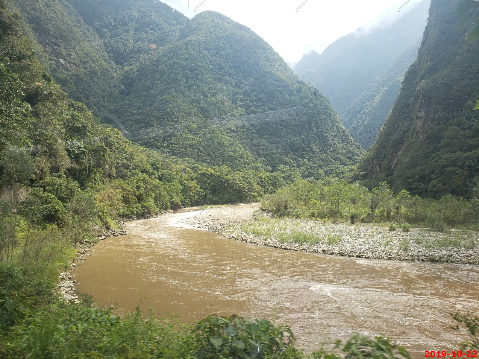
The train ride from Ollantaytambo to Aguas Calientes
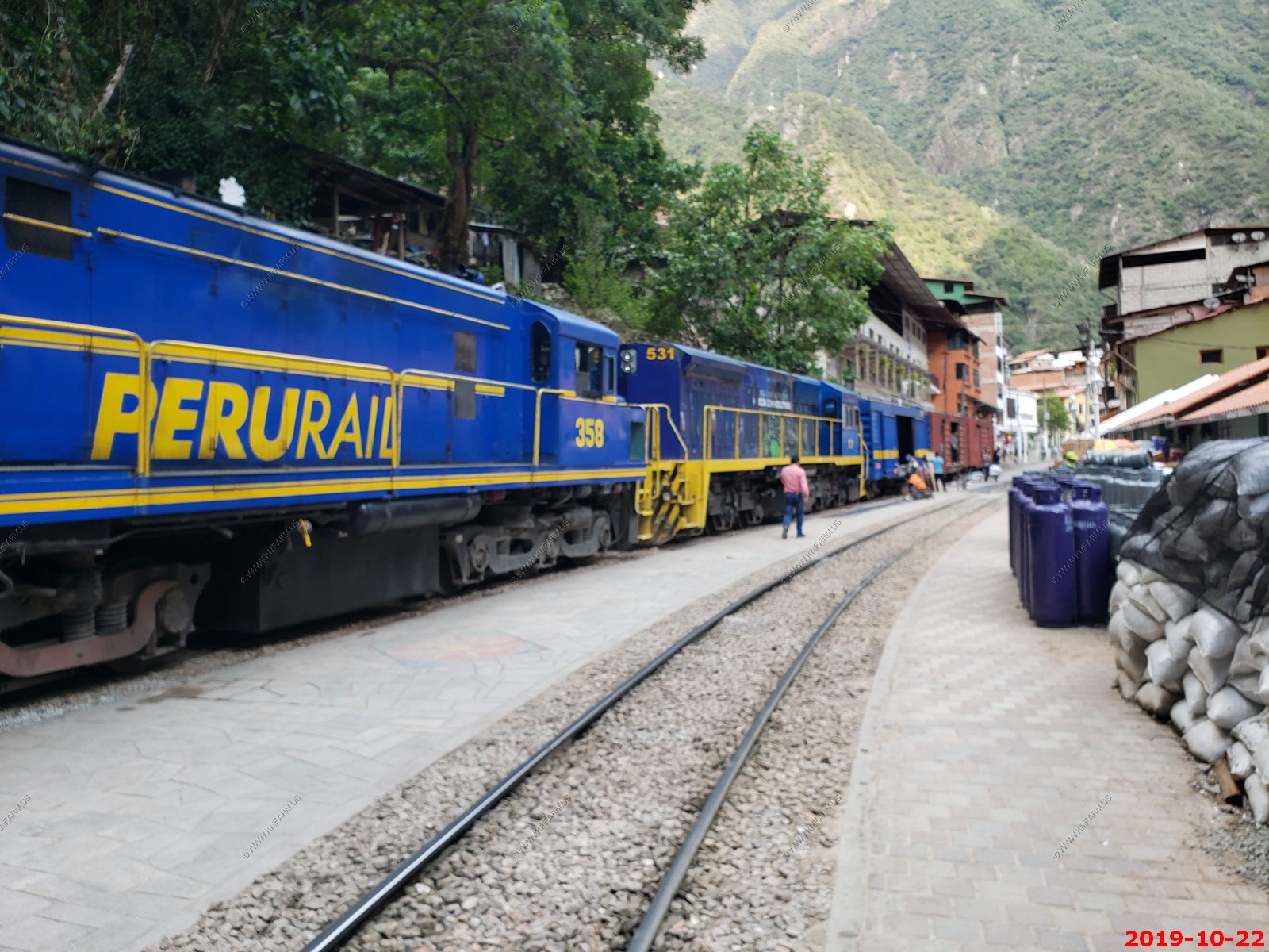
PeruRail
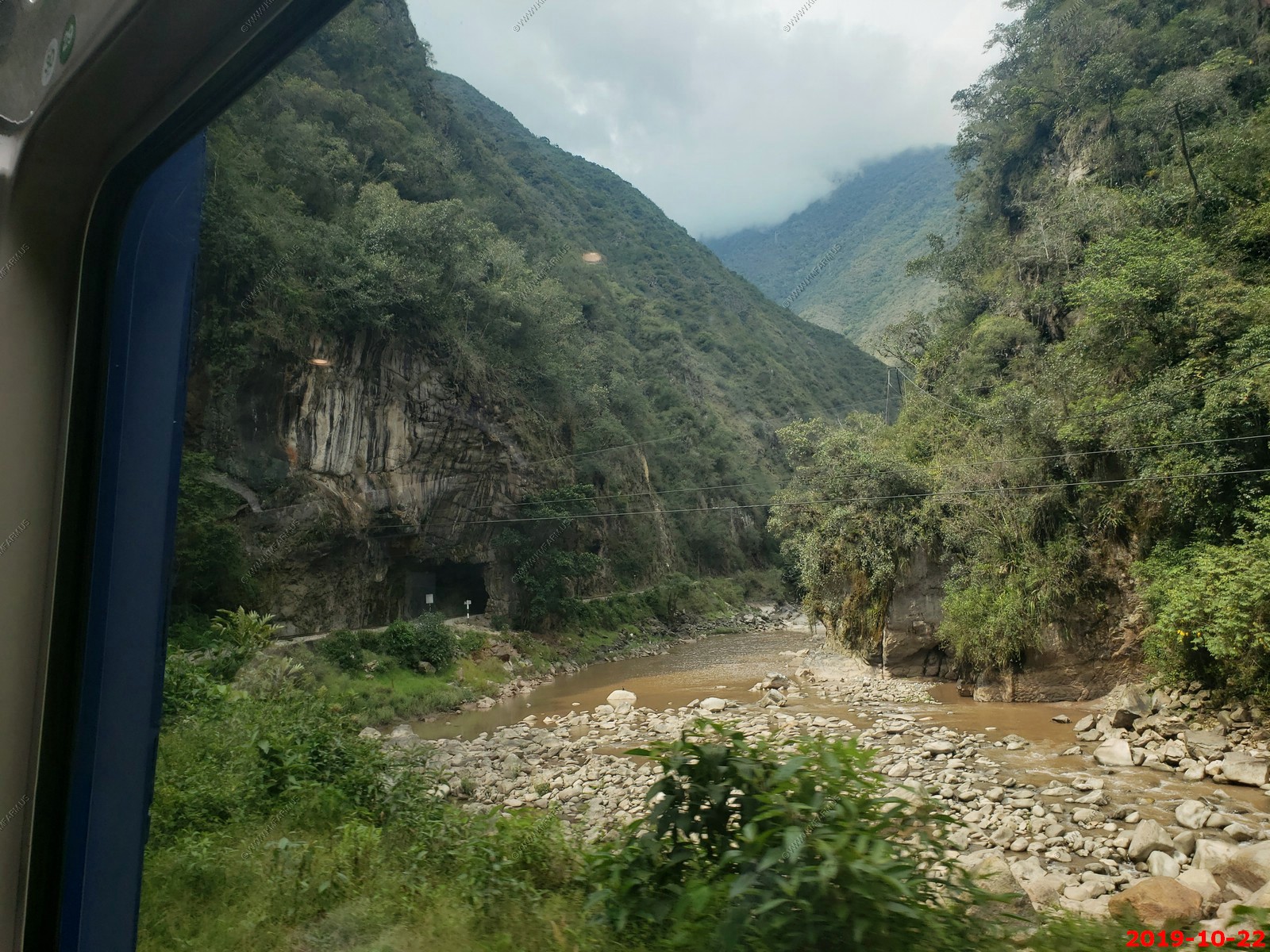
On the train Along the Urubamba River
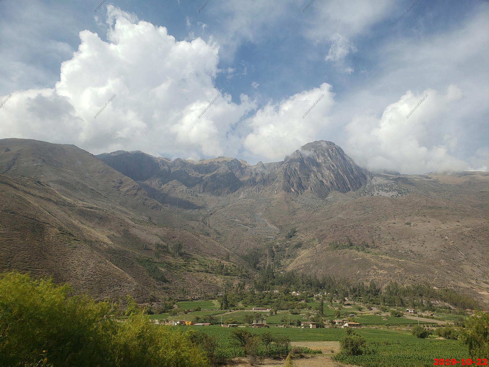
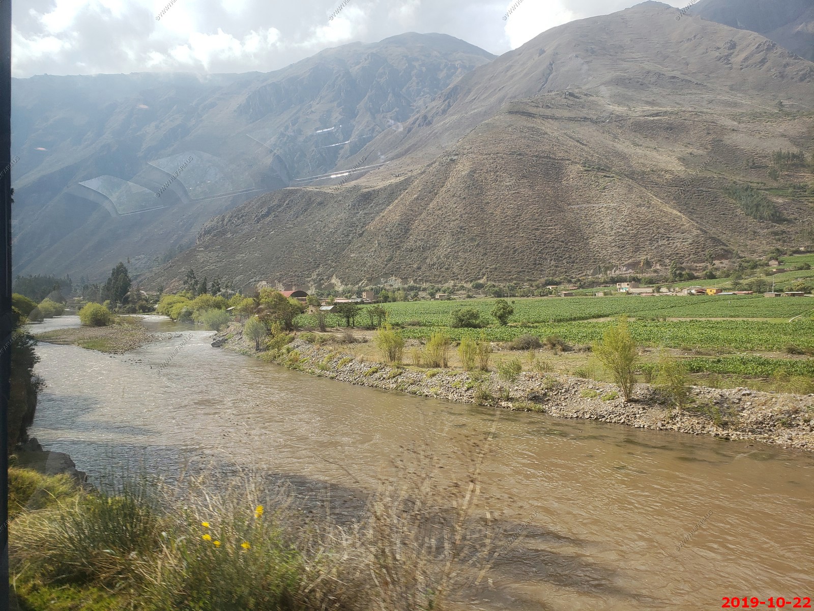
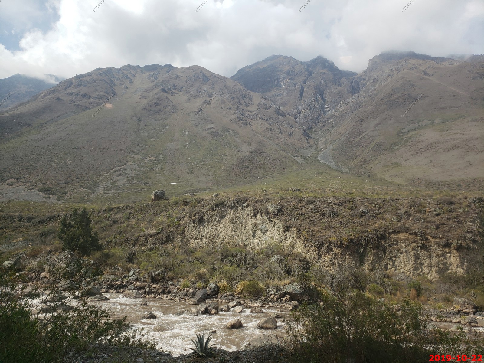
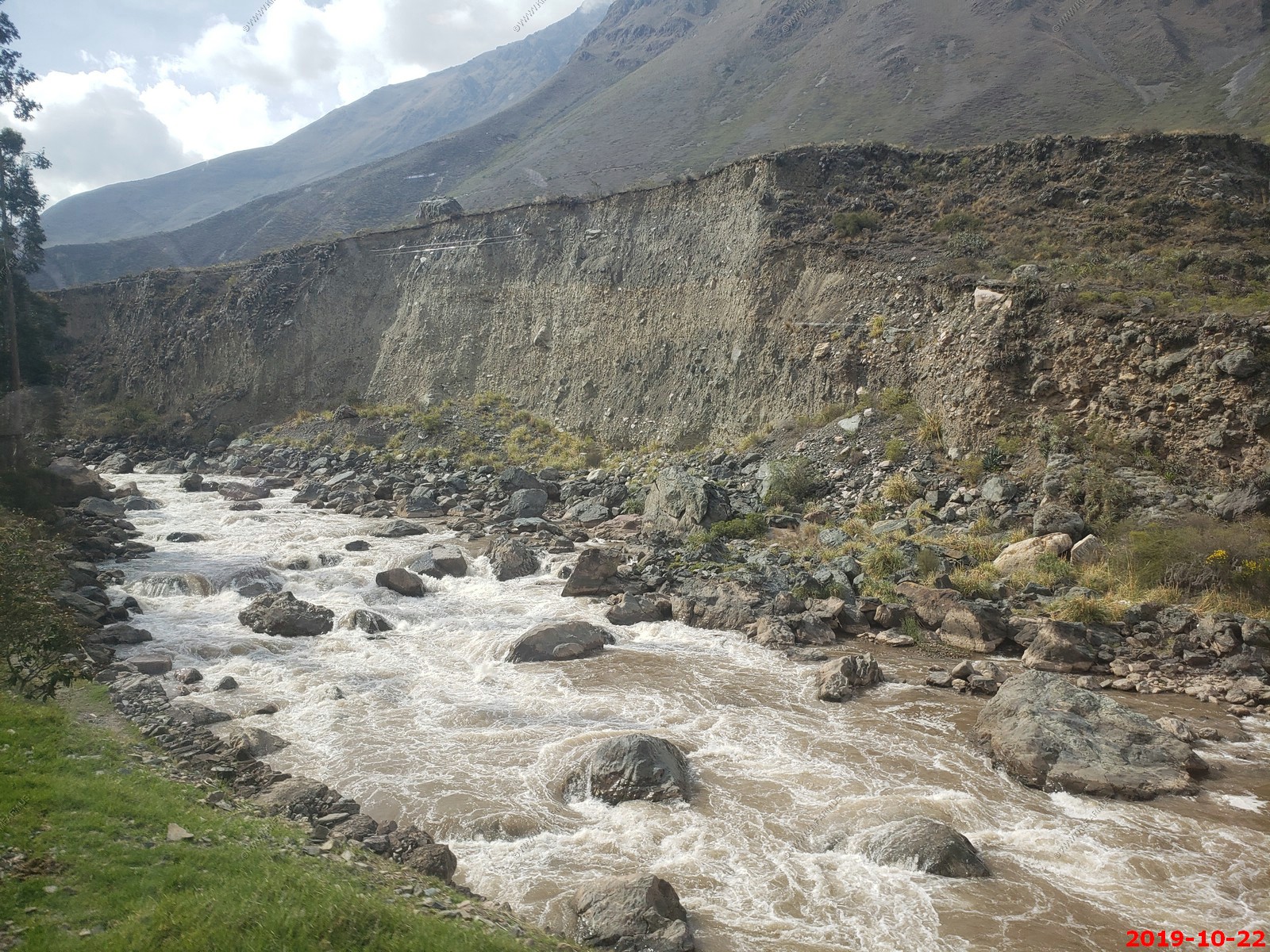
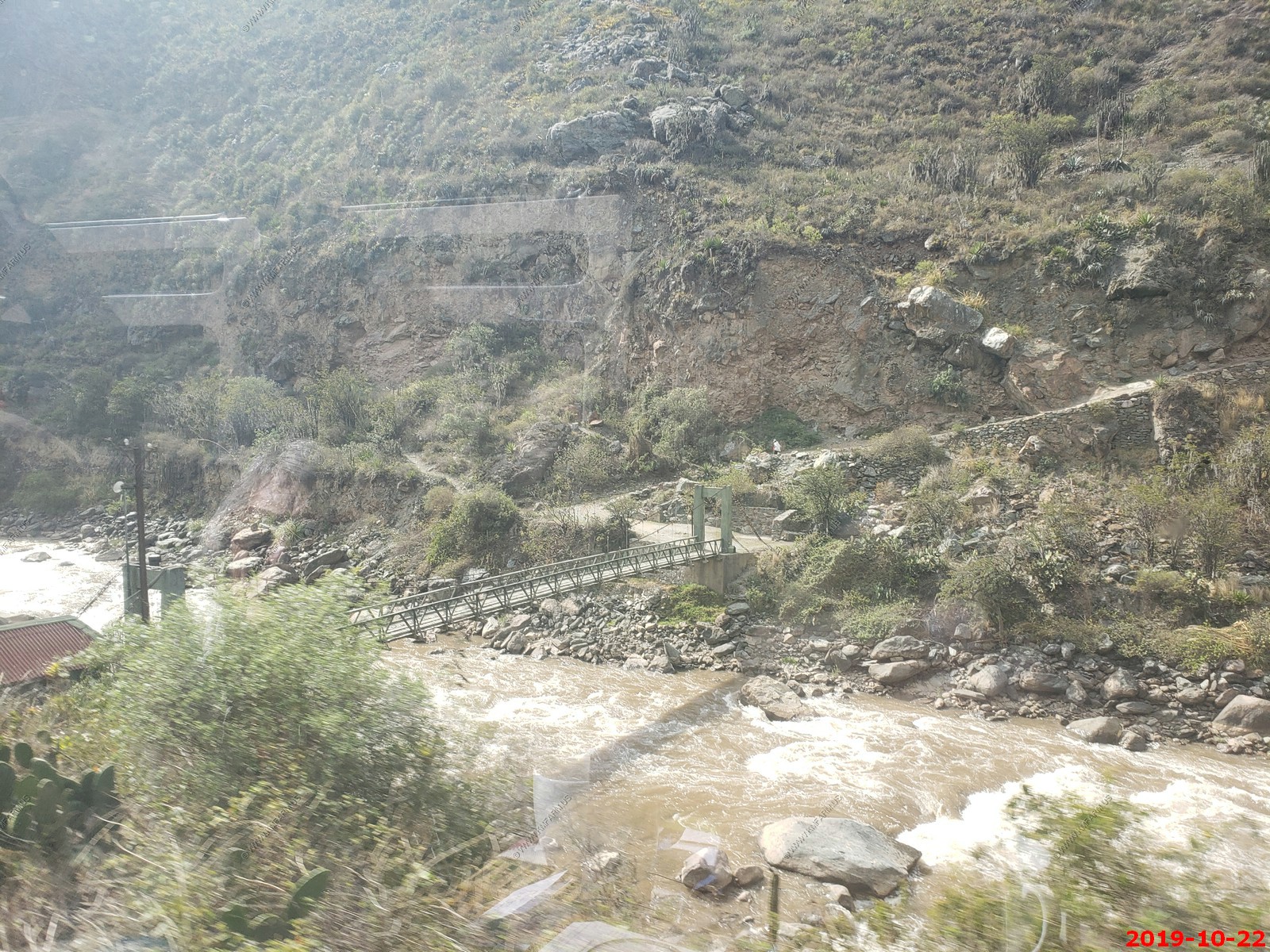
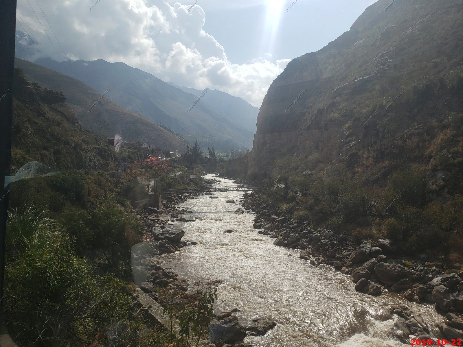
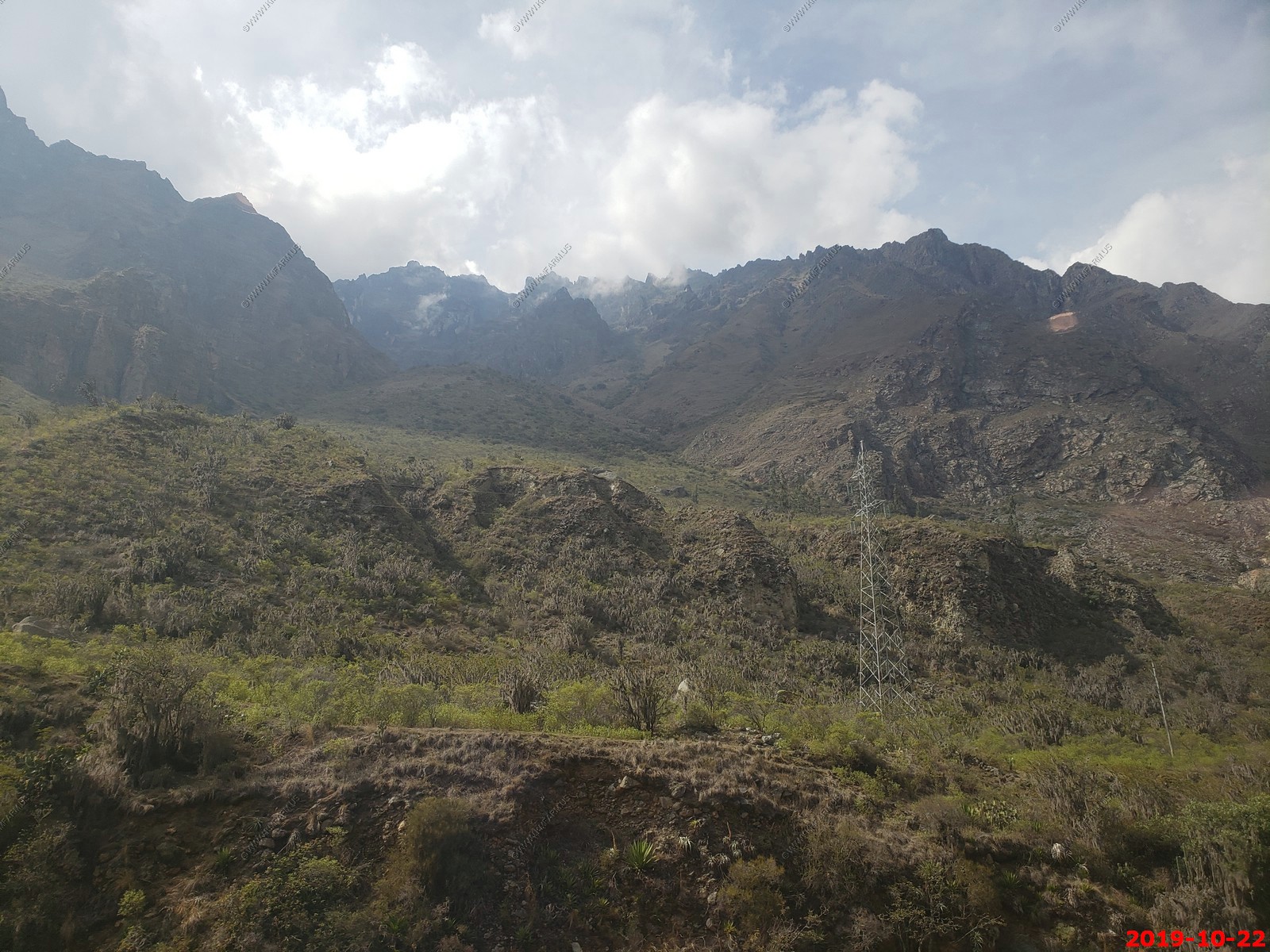
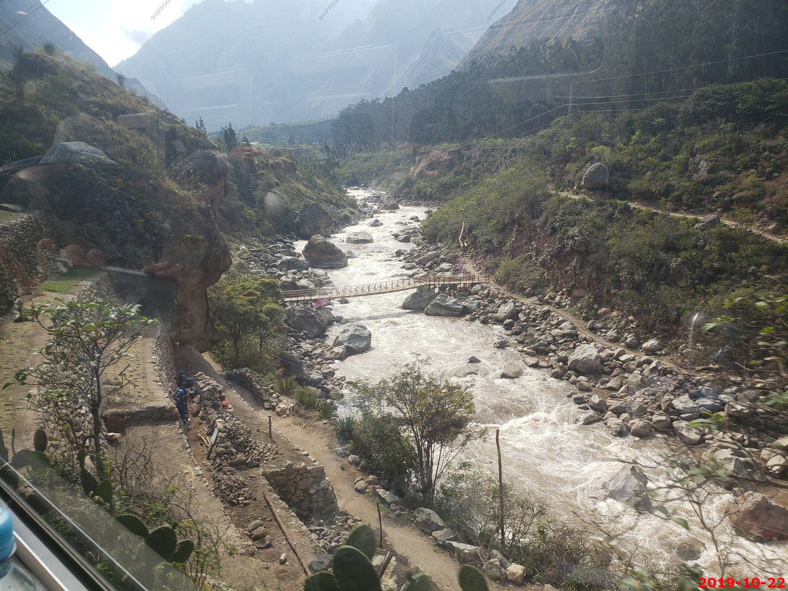
Becoming greener as we are going lower
Machu Picchu Hydroelectric Dam - It diverts most of the river thru a tunnel that runs under Machu Picchu
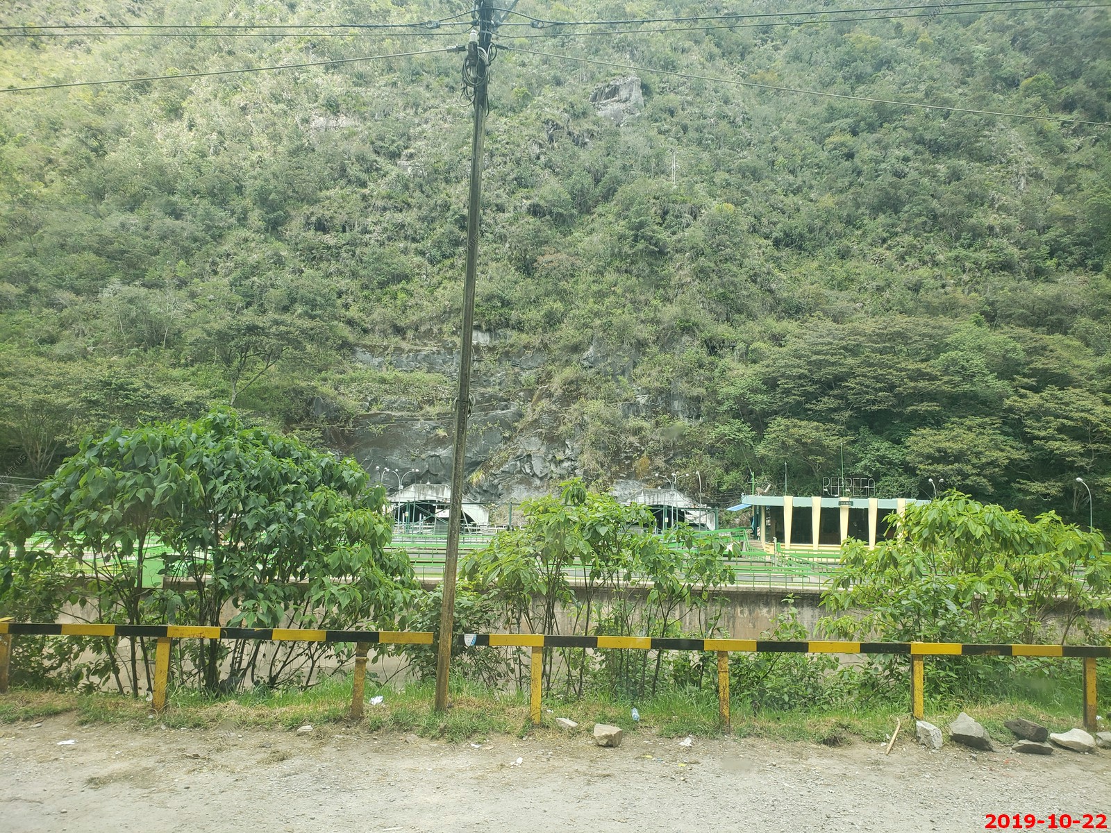
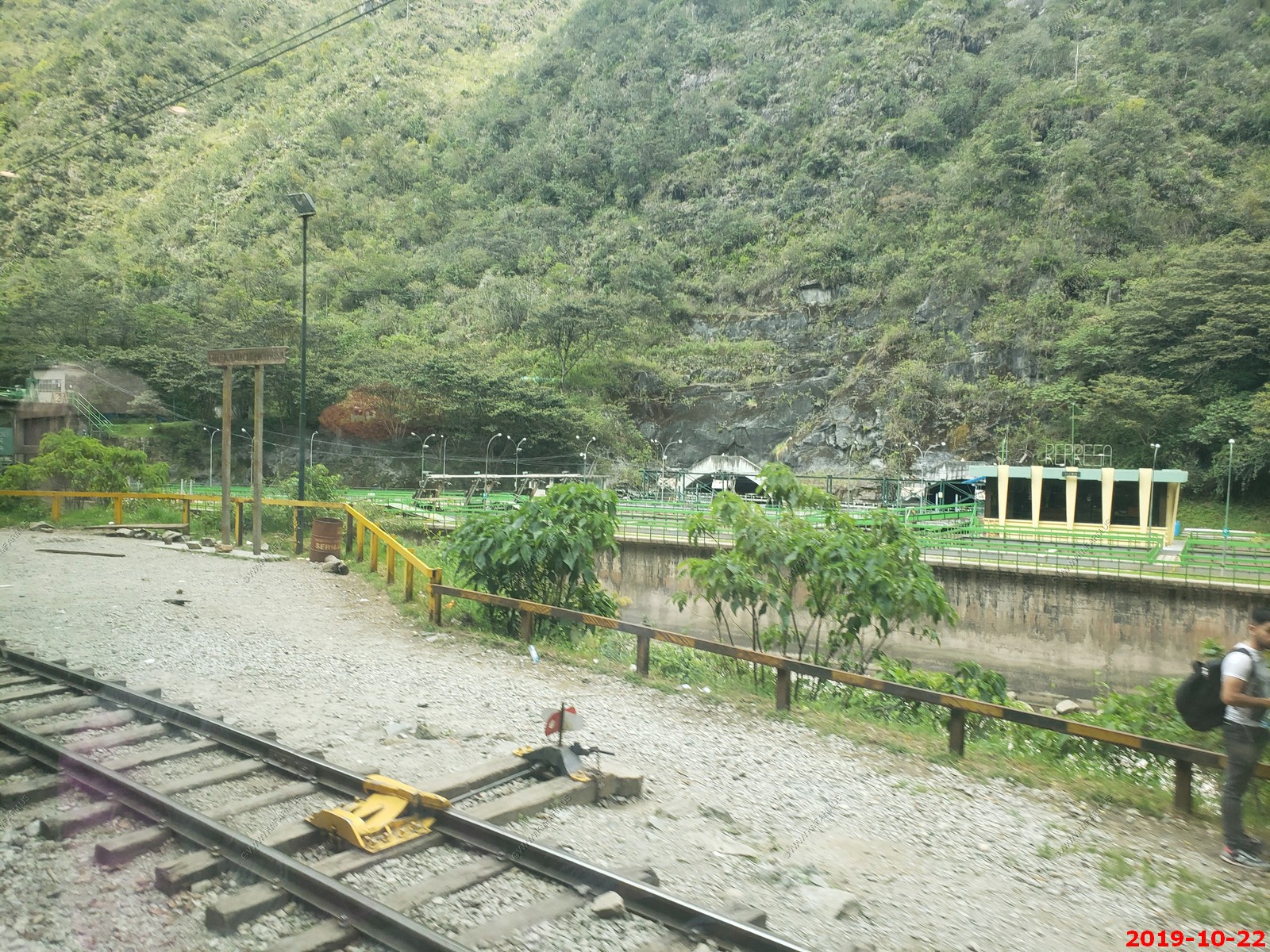
Looking back at one of the many tunnels that the rail line goes thru.
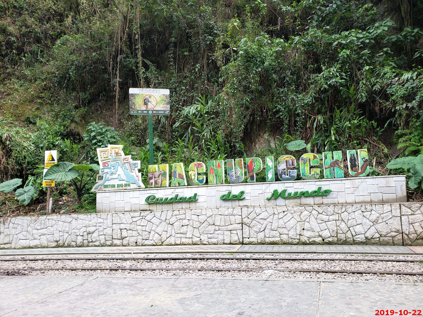
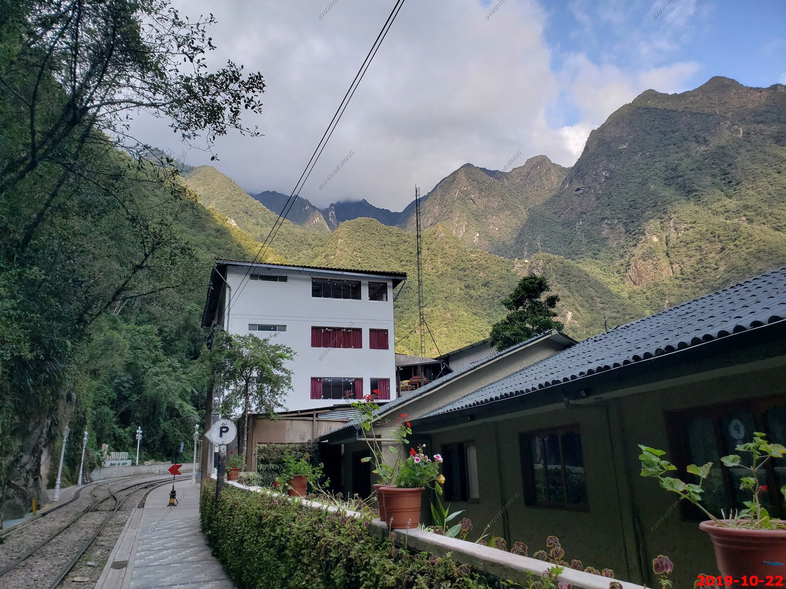
Aguas Calientes
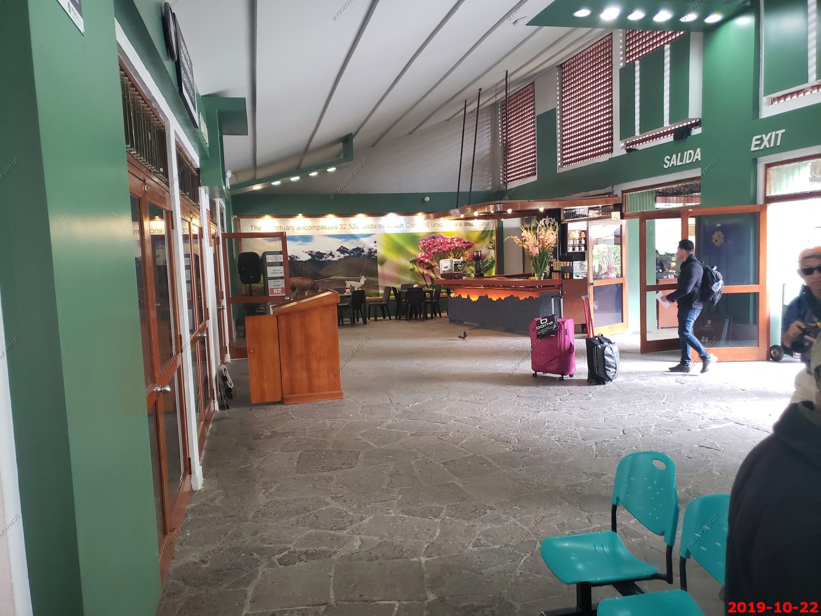
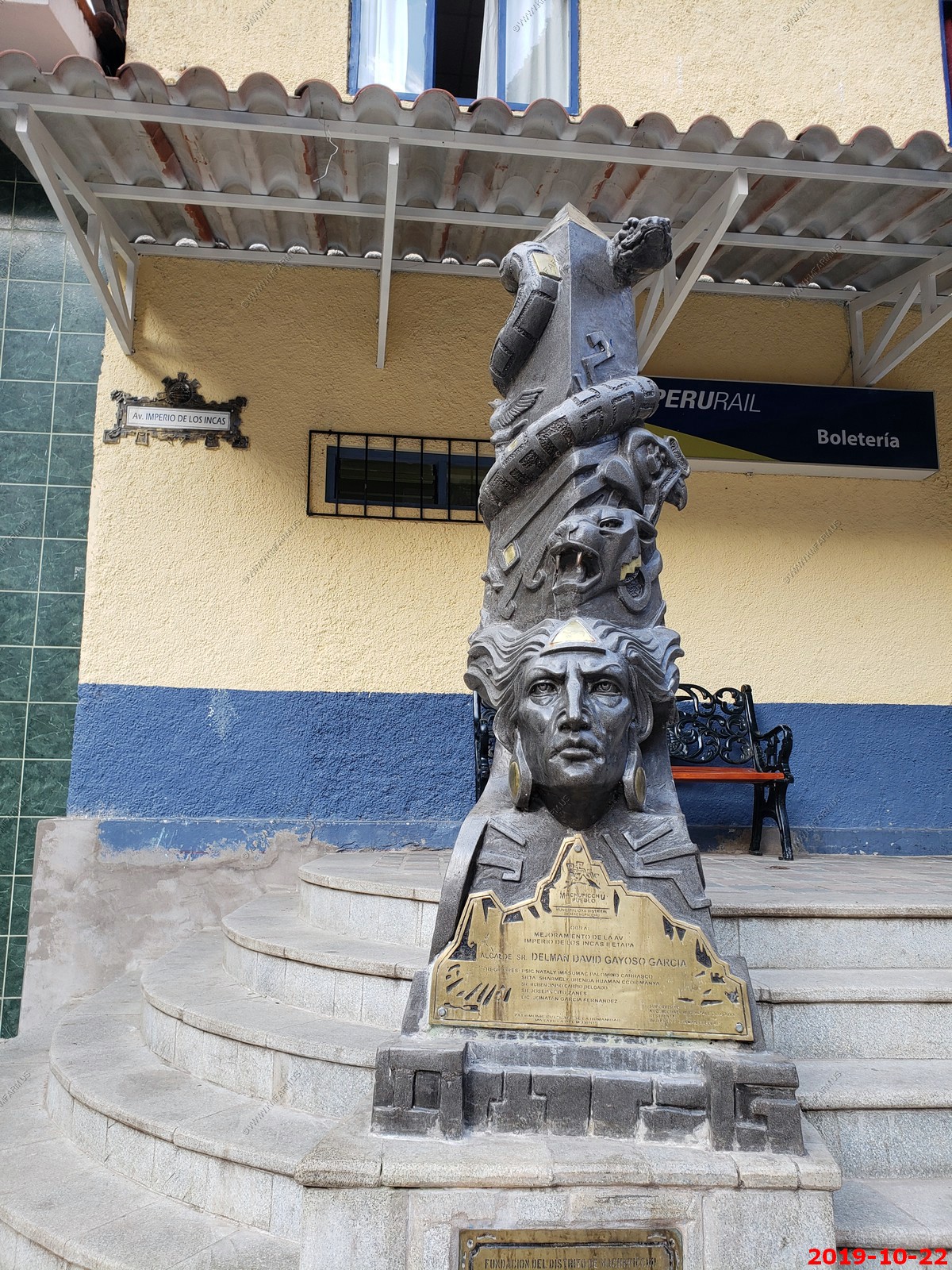
Town of Aguas Calientes, train terminal and the initial way to Machu Picchu. A good place to stock up on water, film, etc.
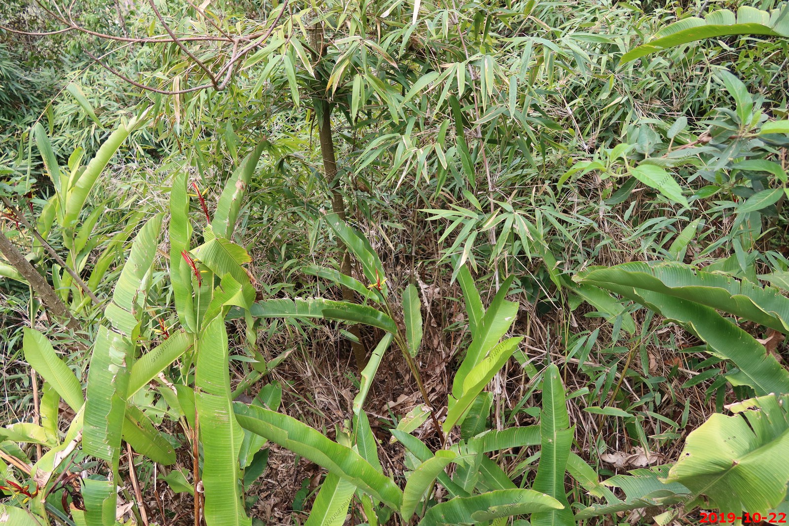
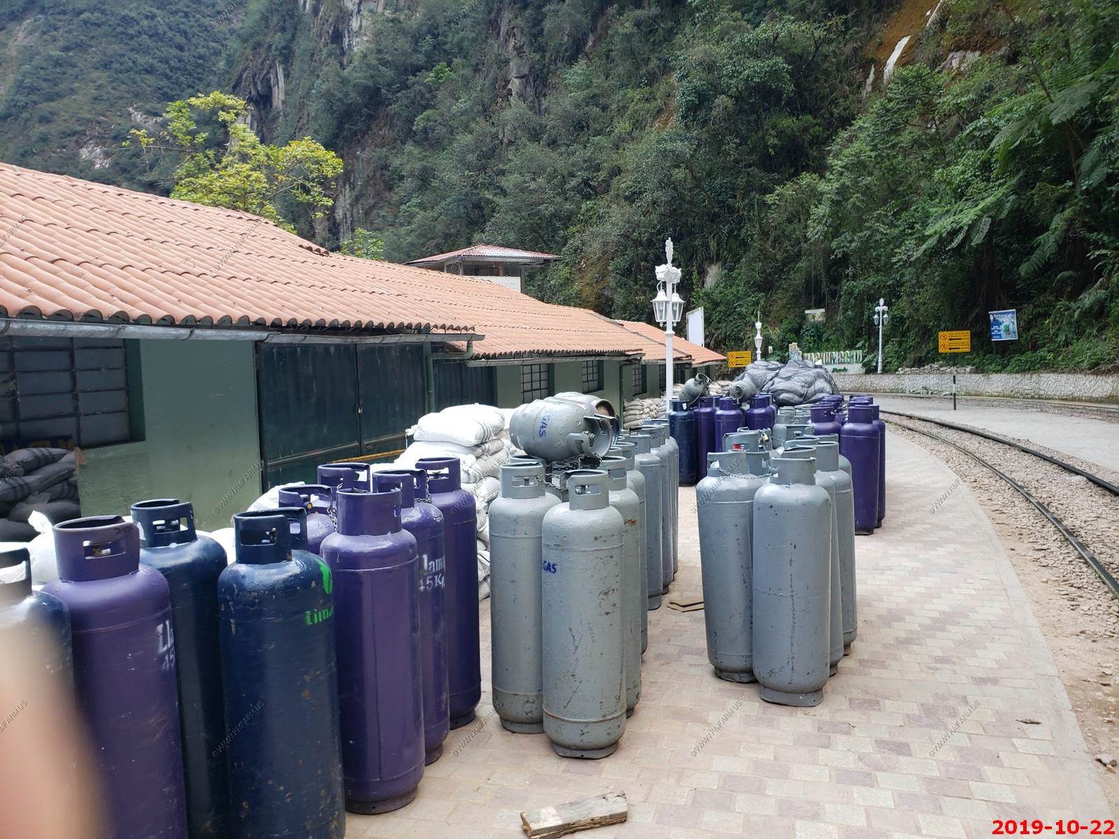
Aguas Calientes (Spanish for "hot water" or "hot springs"), sometimes referred to as Machupicchu Town, is a town in Peru on the Urubamba (Vilcanota) River. It is the closest access point to the historical site of Machu Picchu, which is 3.7 miles away or about a 1.5 hours walk. There are many hotels and restaurants for tourists, as well as natural hot baths, which give the town its name. The baths were destroyed by floods several years ago, but have been rebuilt.
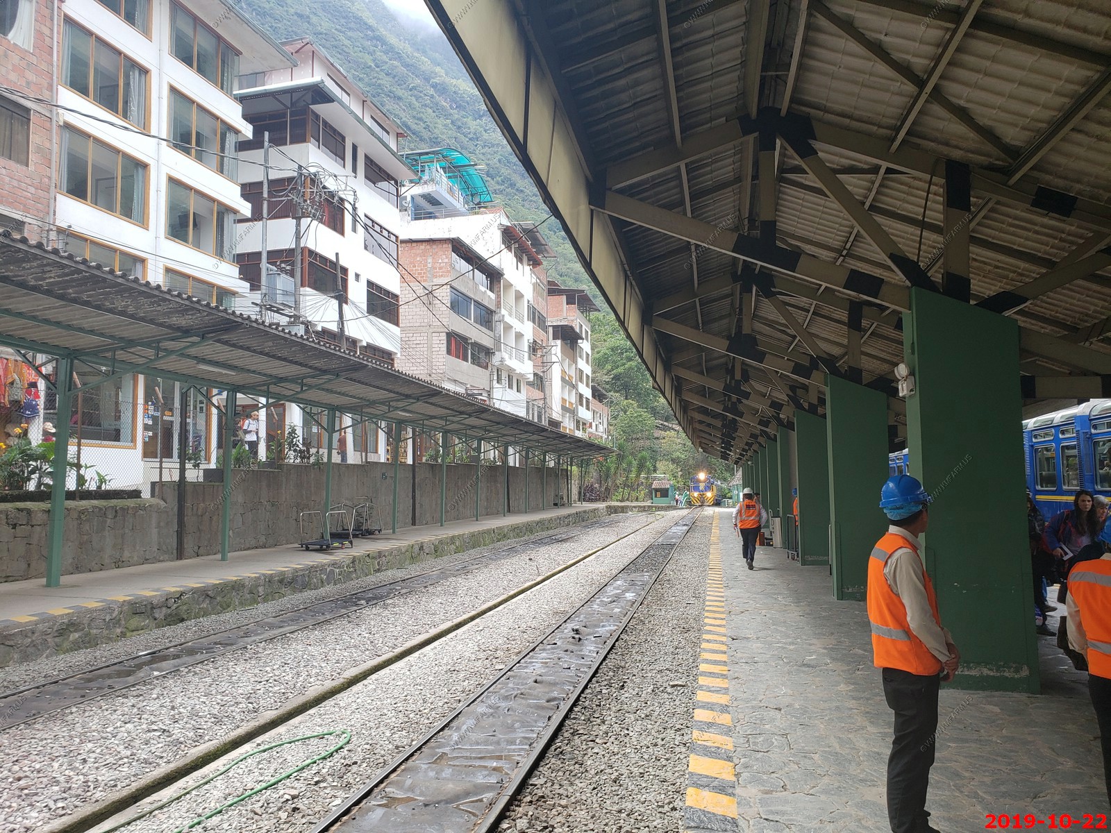
Narrow gauge train station
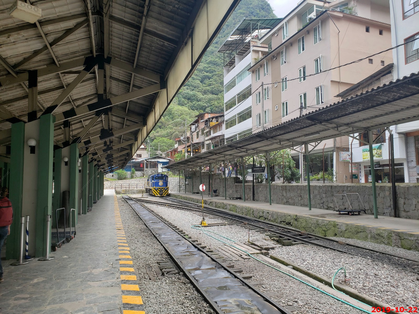
Some of our group
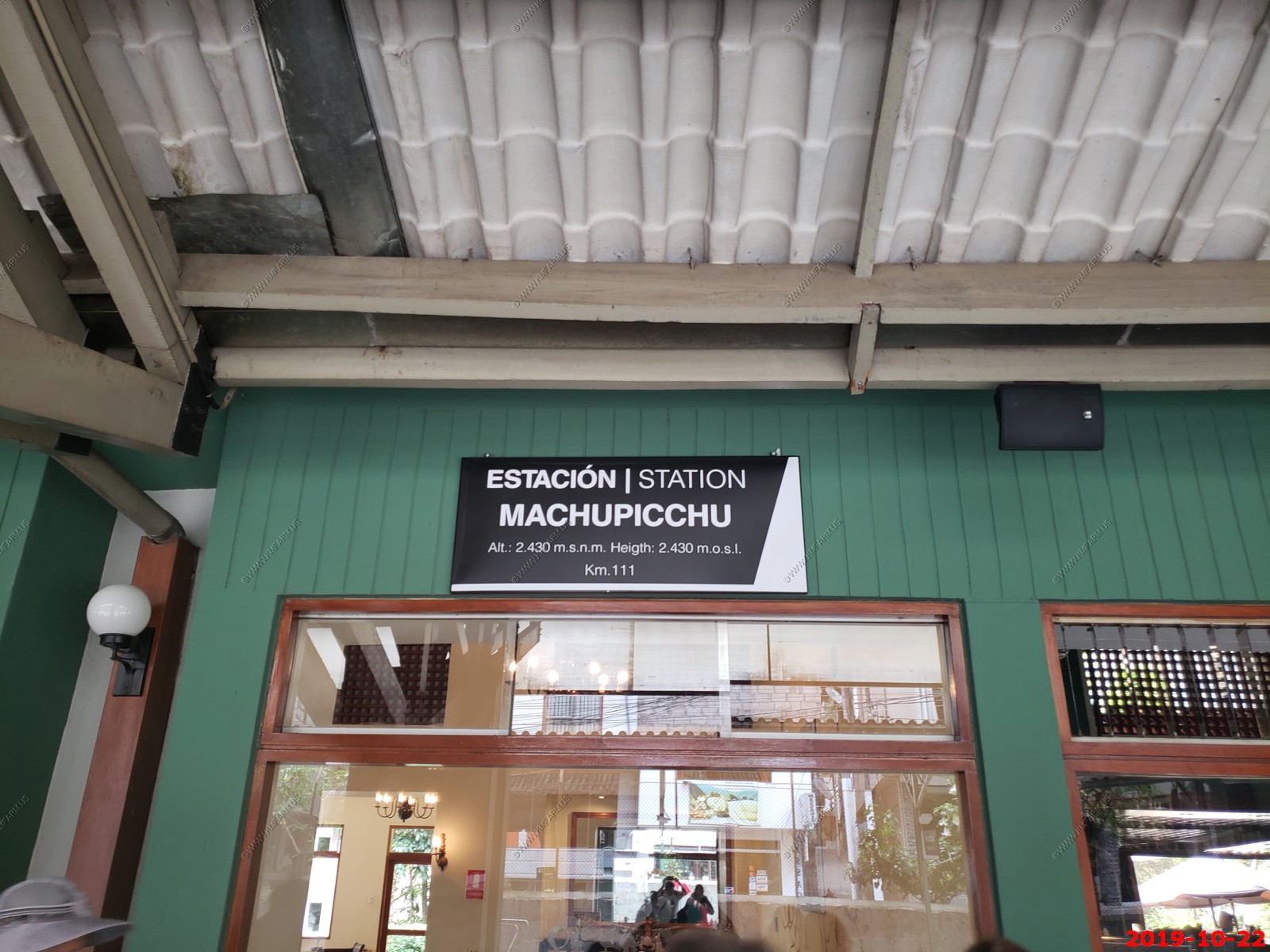
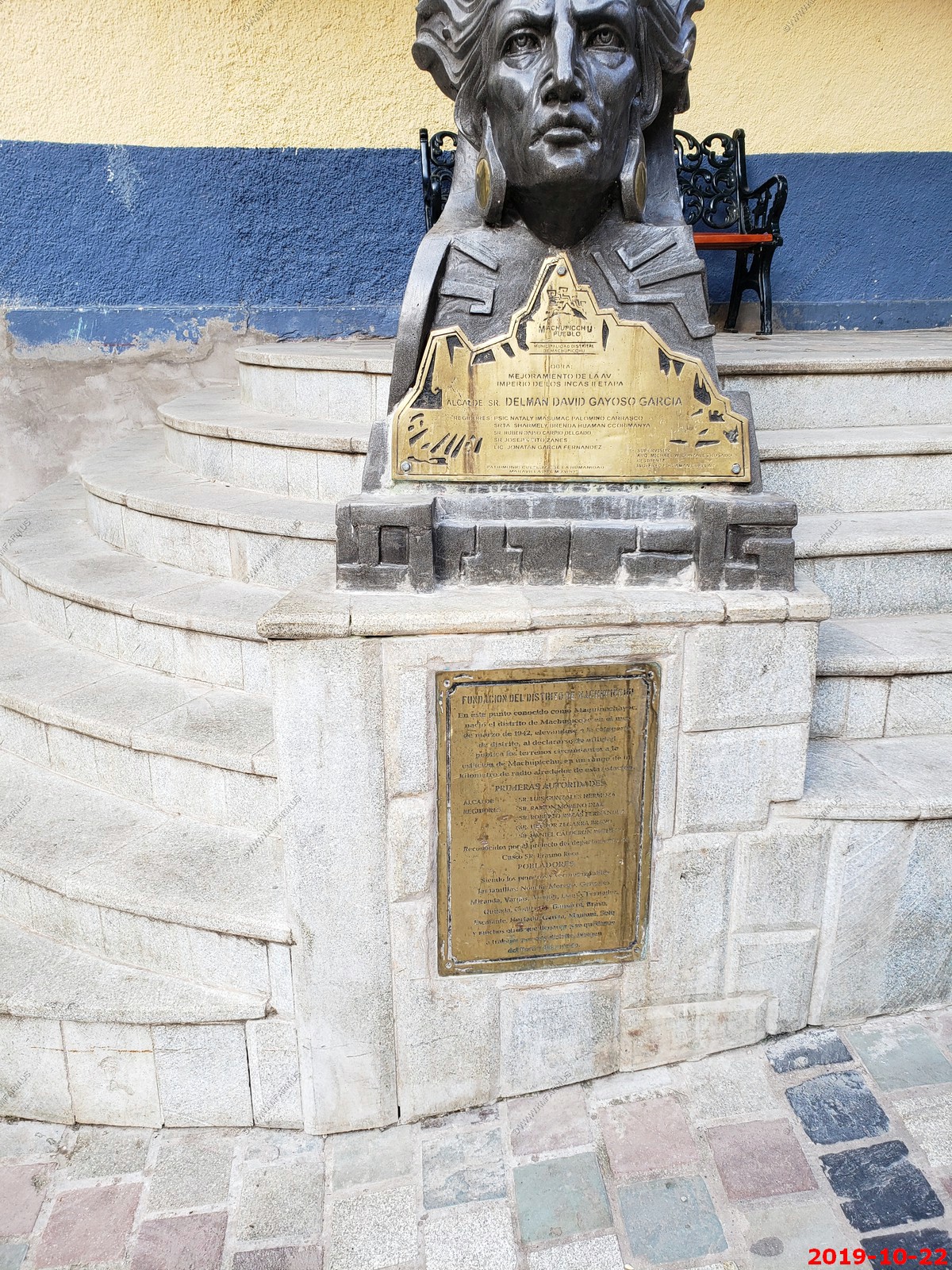
Station Machupicchu - Elevation 7,972 feet
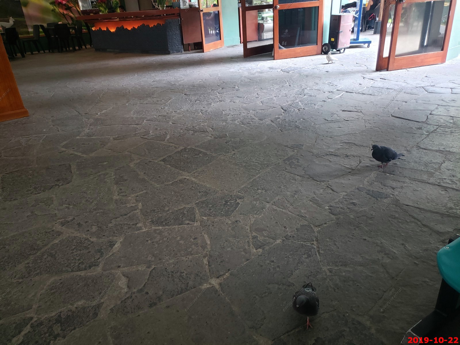
The pigeons here would walk around in the station.
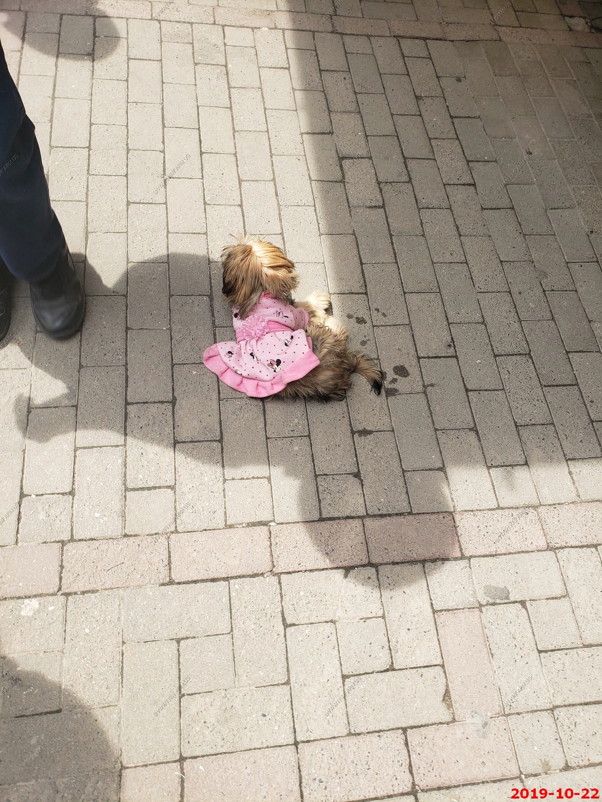
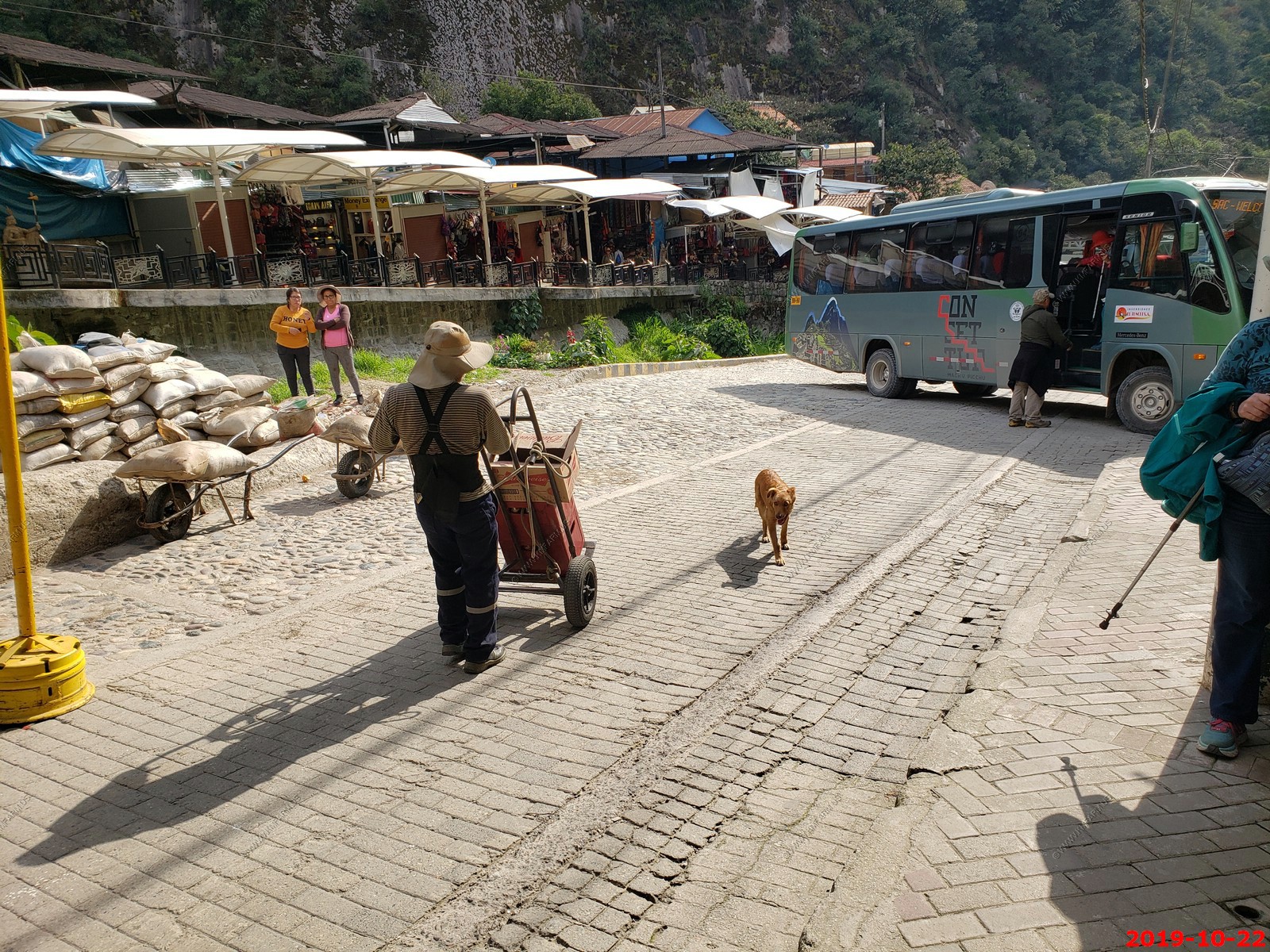
Many of the stray dogs here had outfits on ?
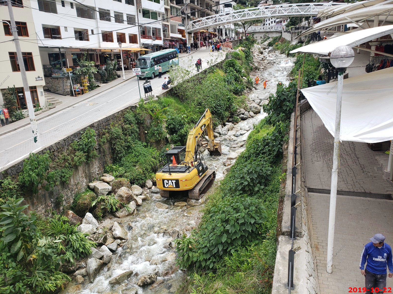
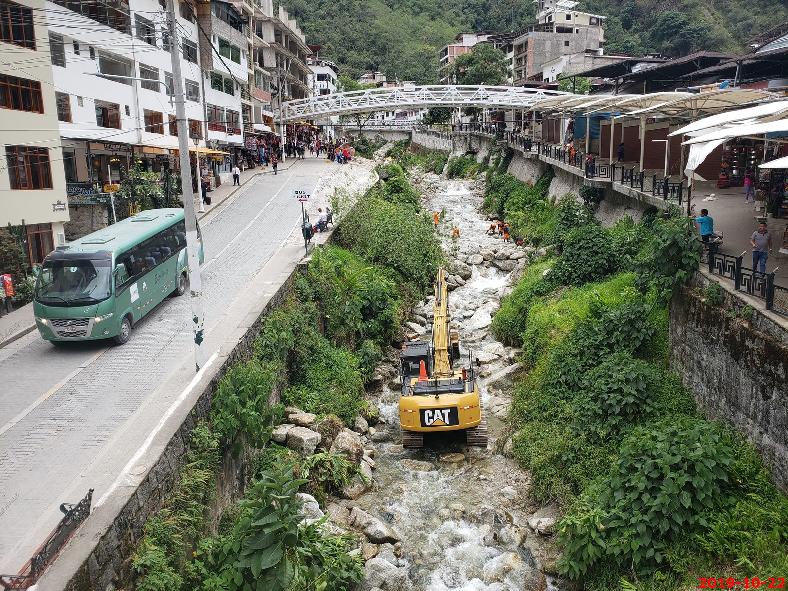
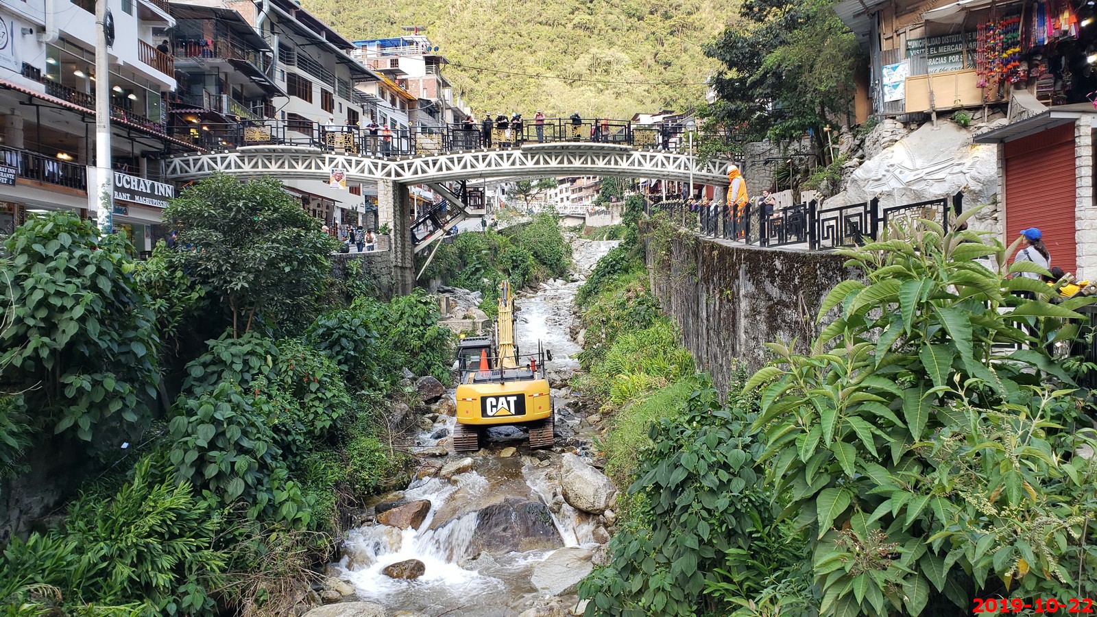
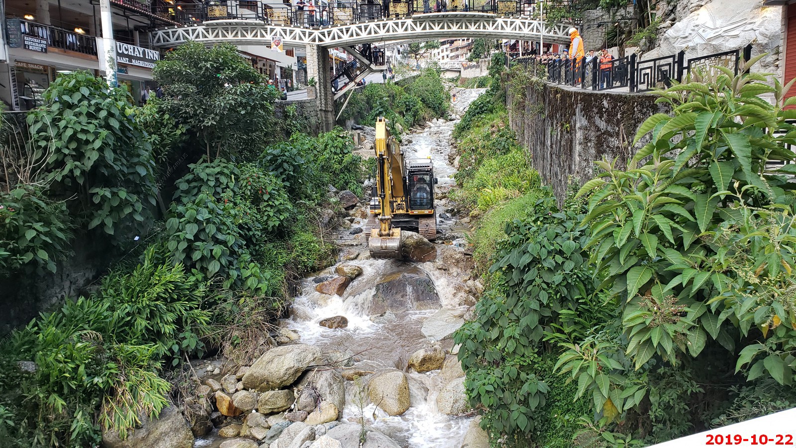
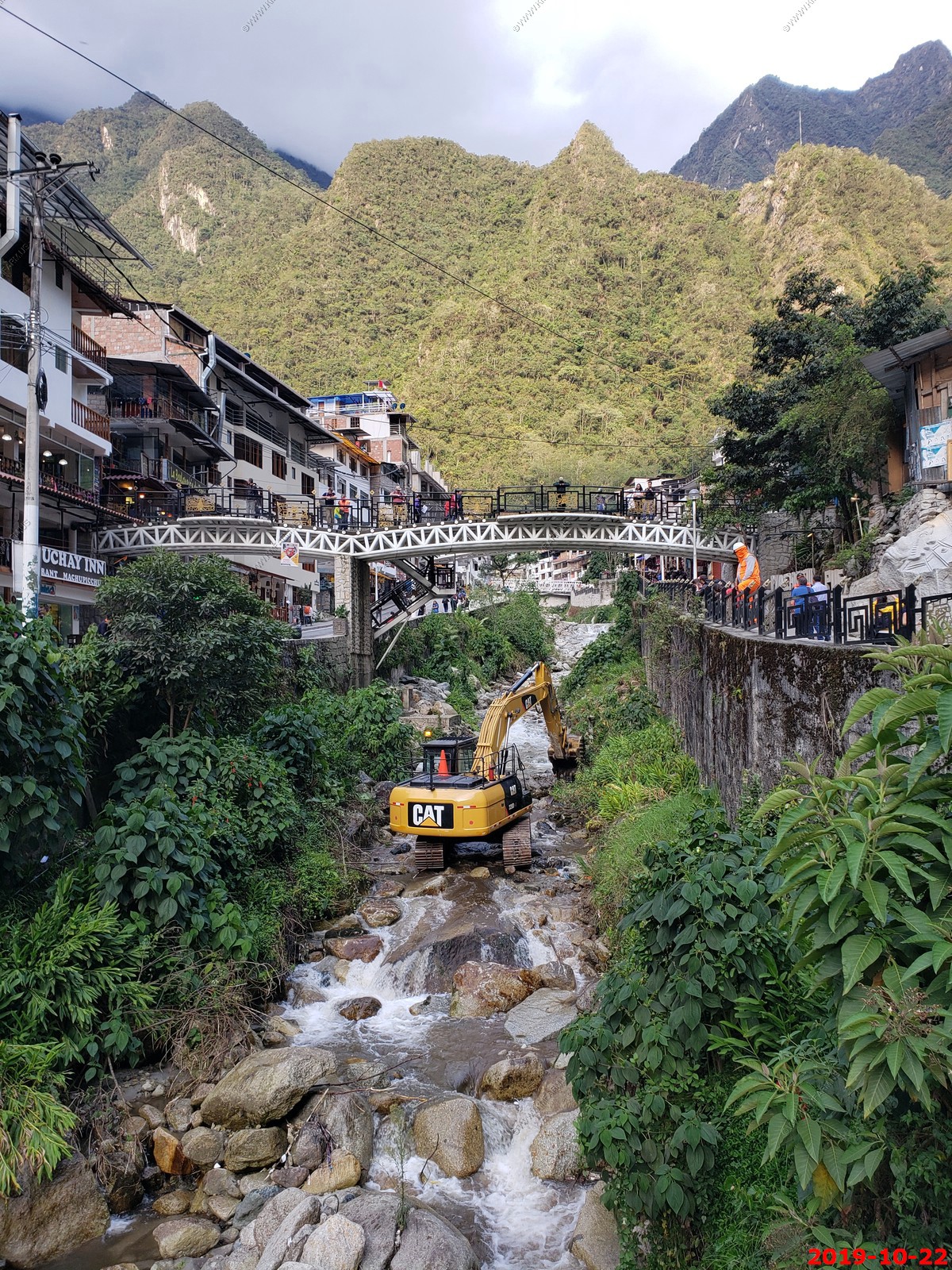
They were moving the rocks around in the stream that ran thru town. Not sure why as the flow was high and the grade was steep so it would have moved the rocks naturally
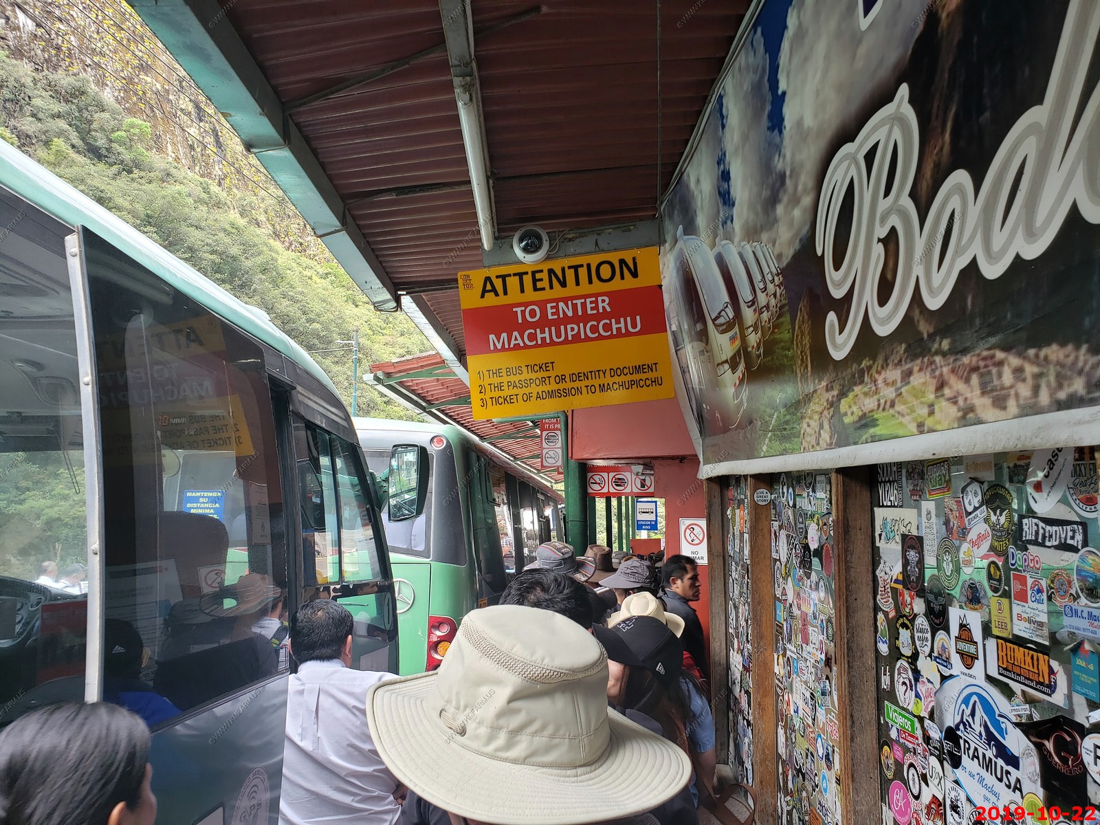
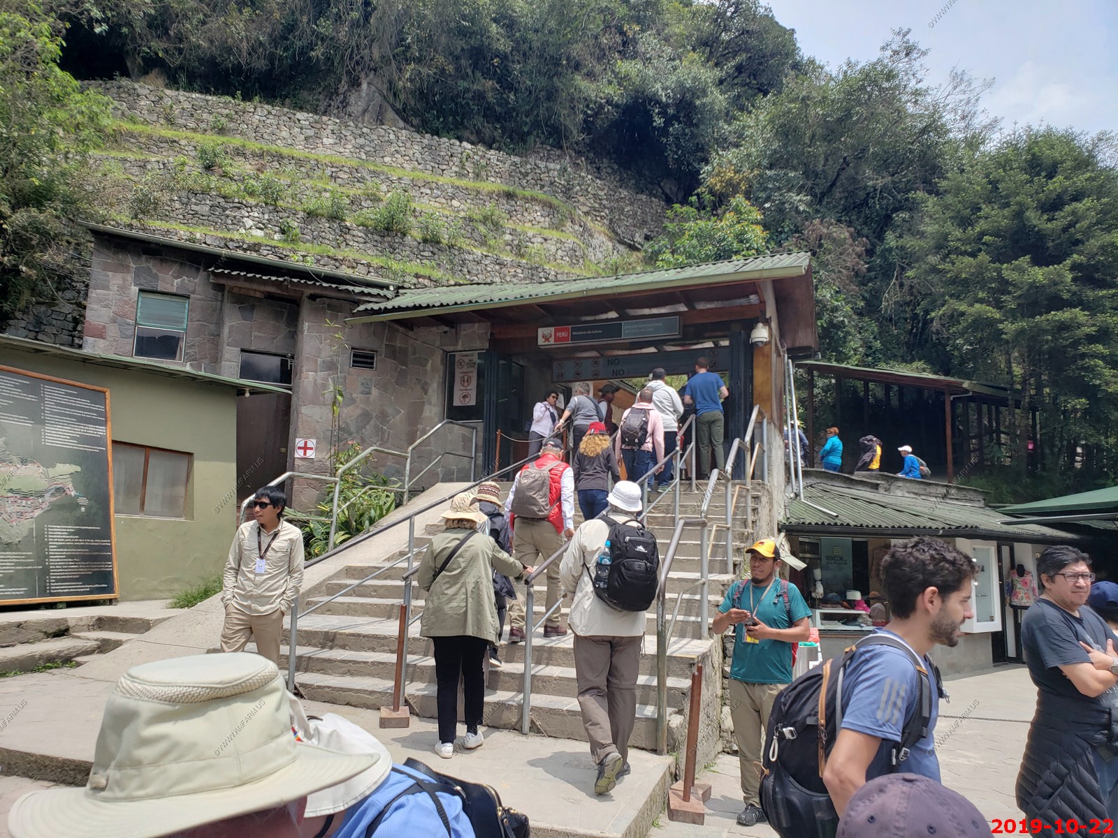
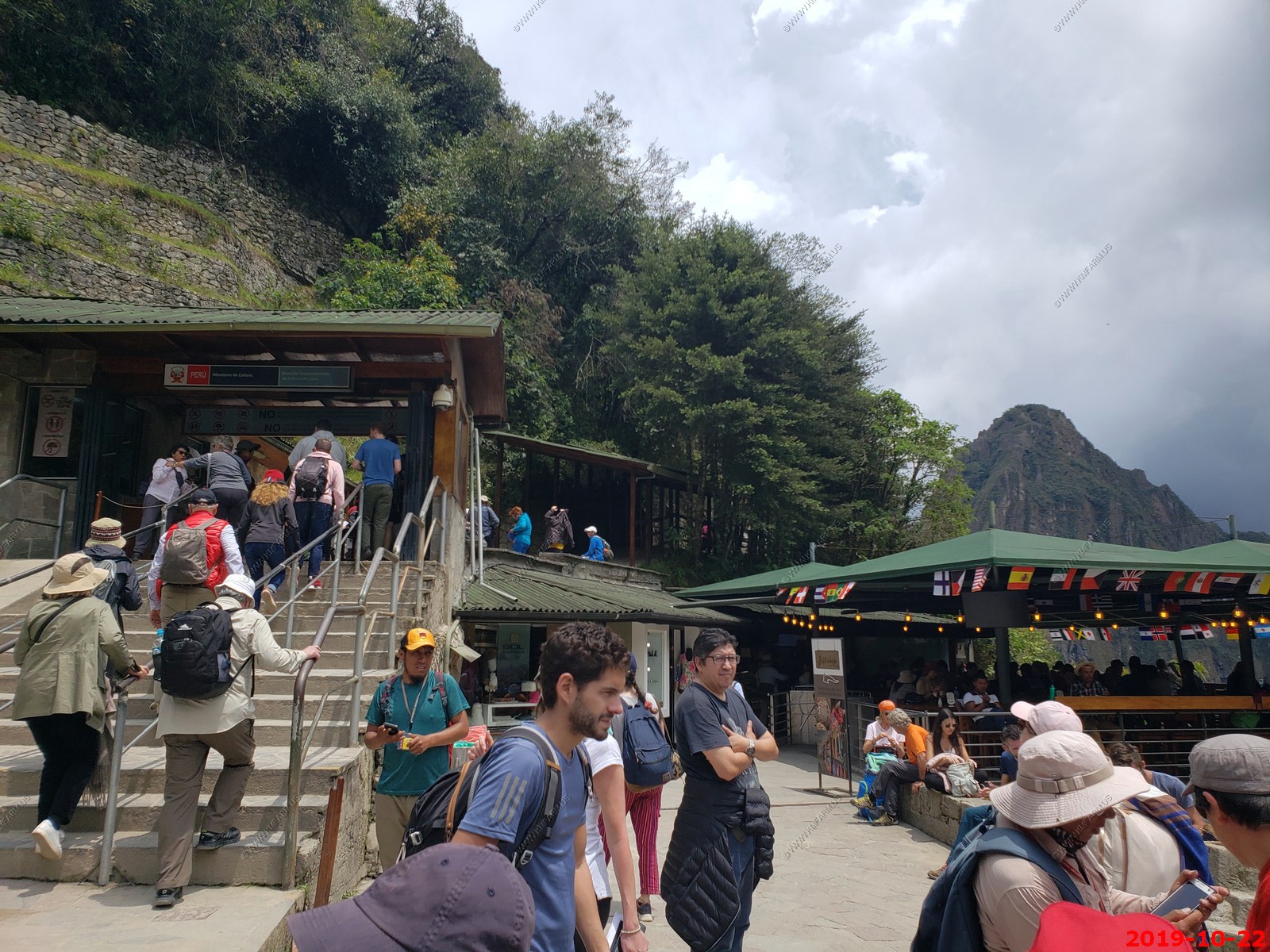
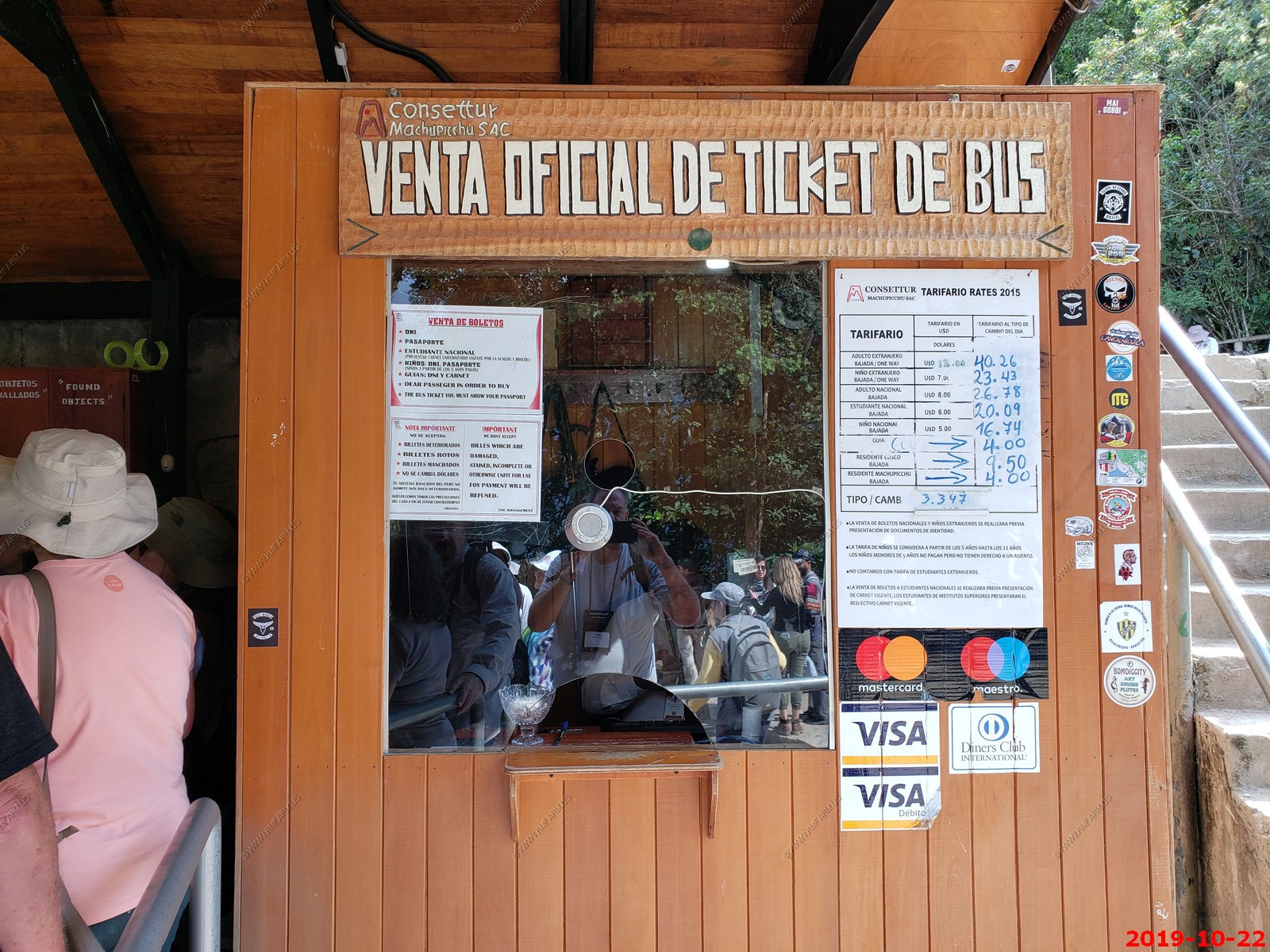
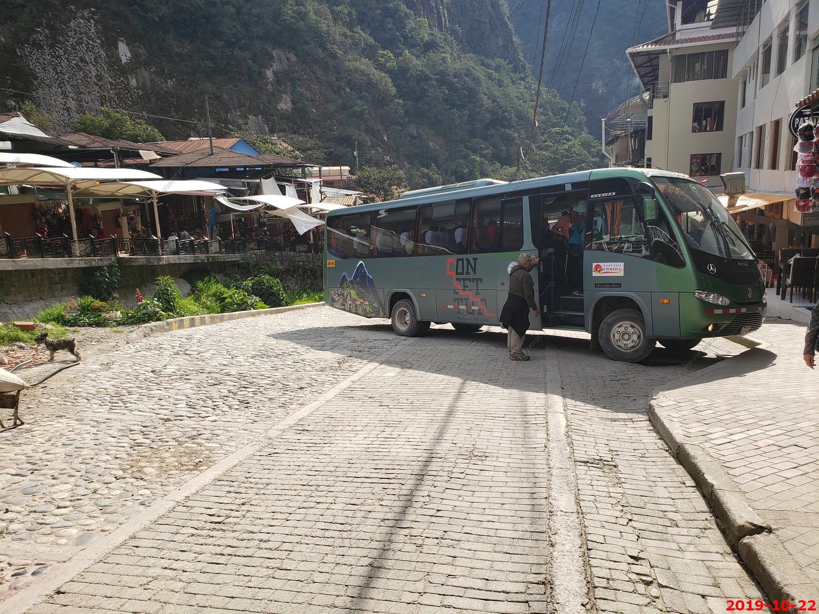
Getting on the bus to Machupicchu. They are strict on tickets.
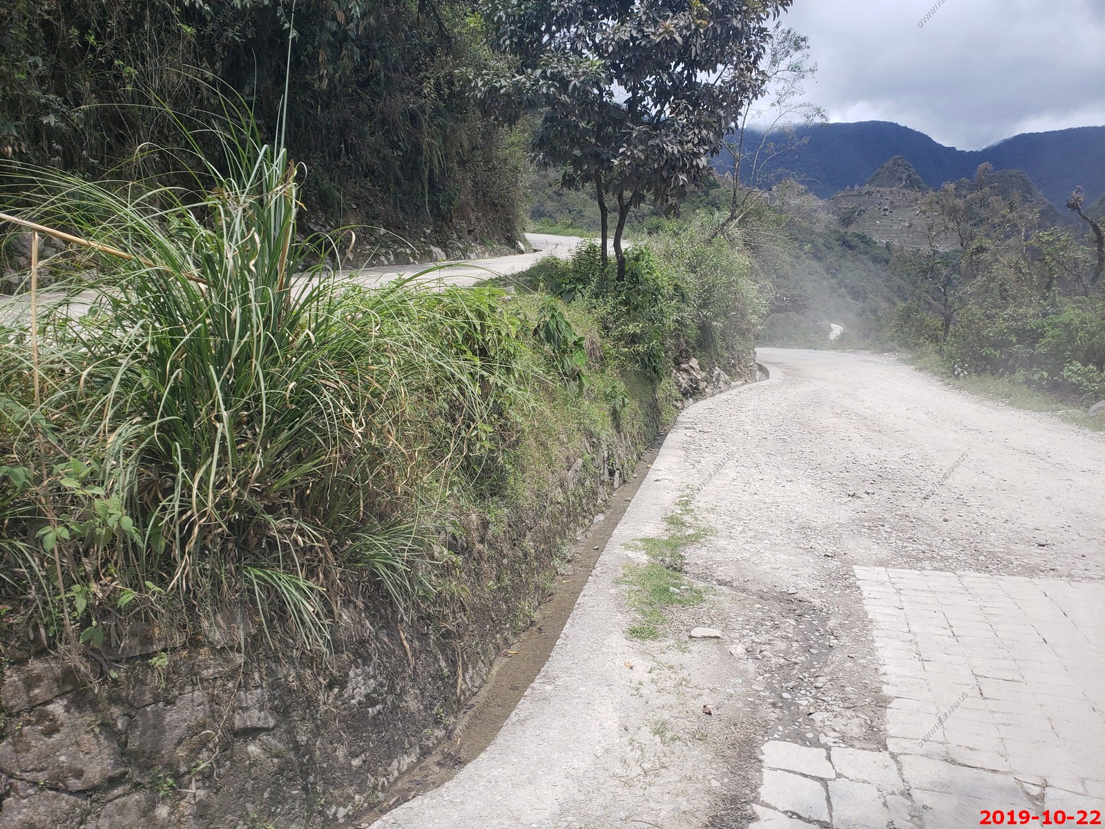
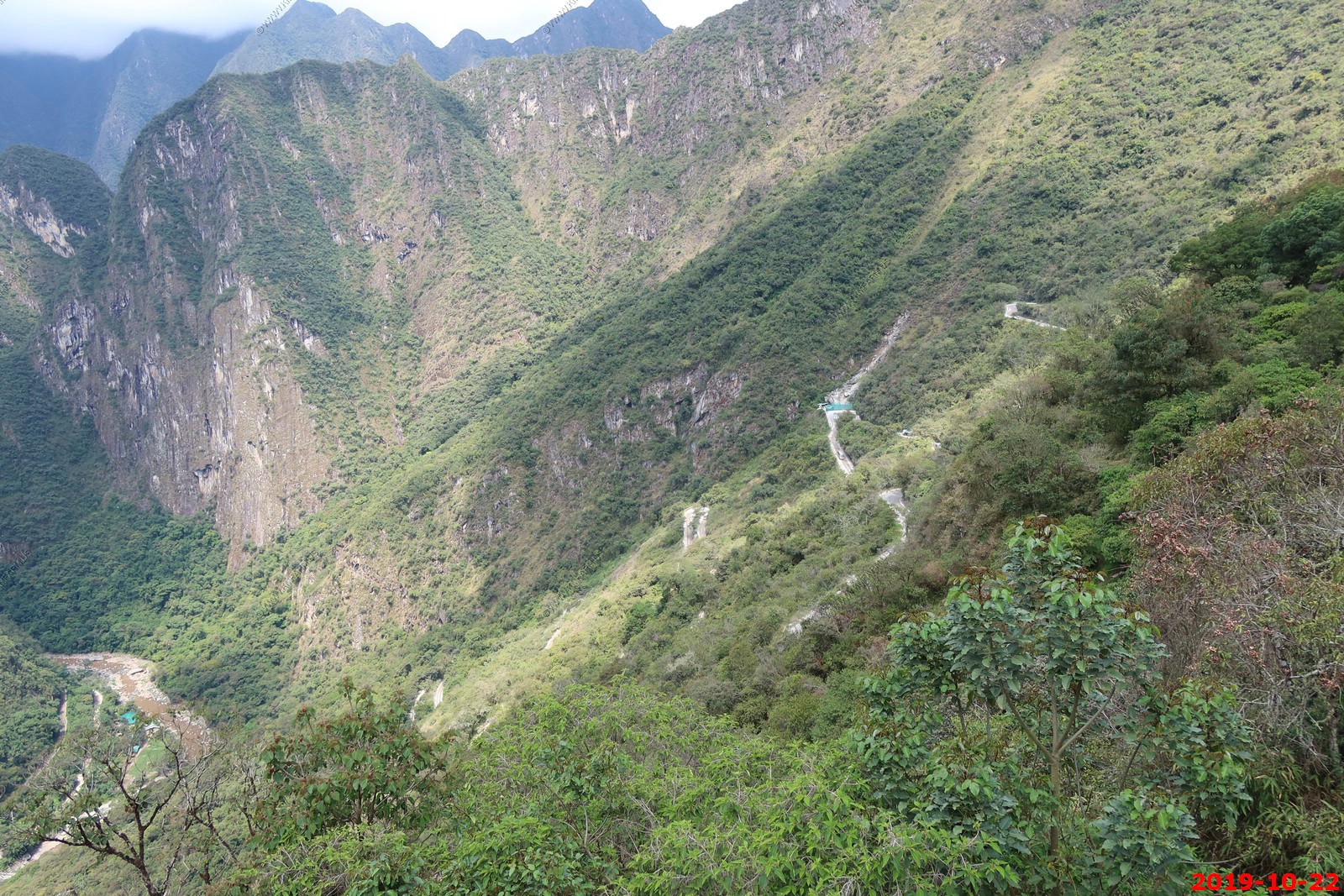
Going up the switchbacks
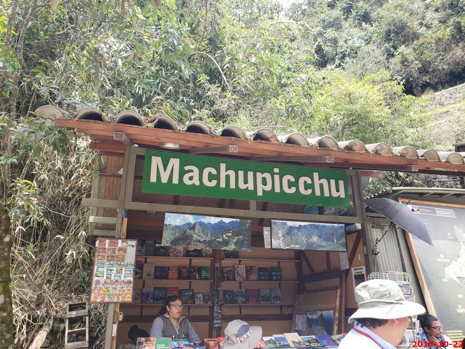
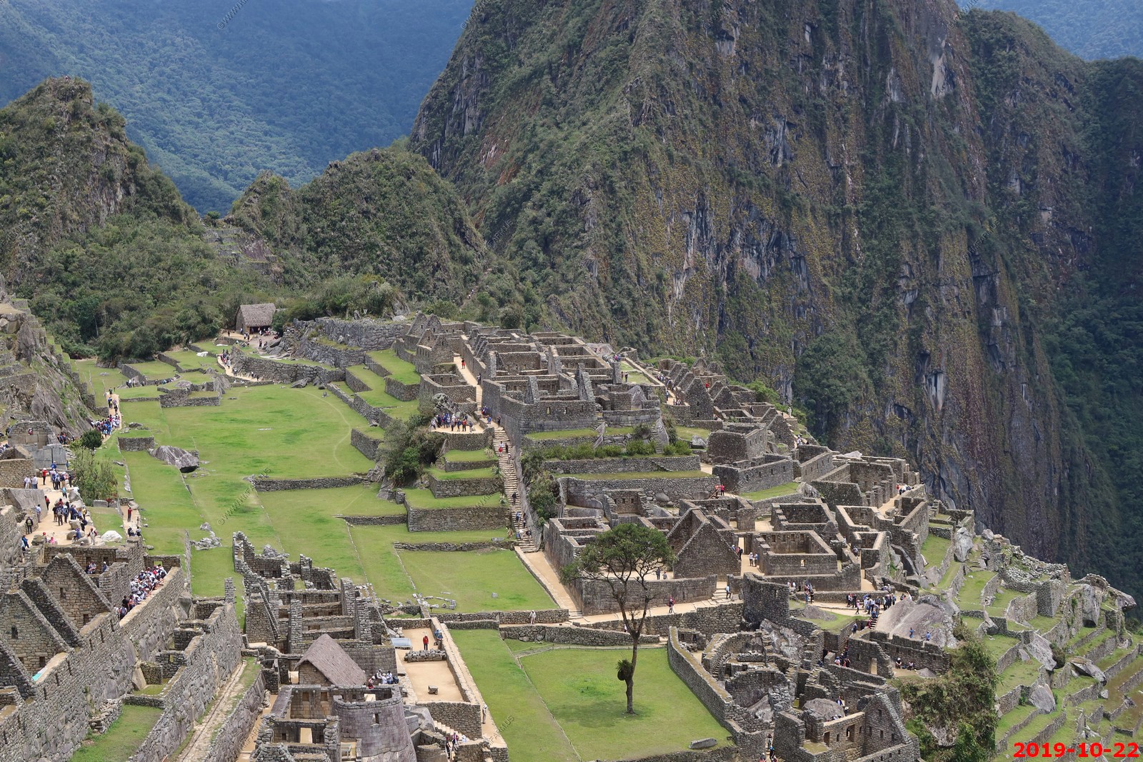
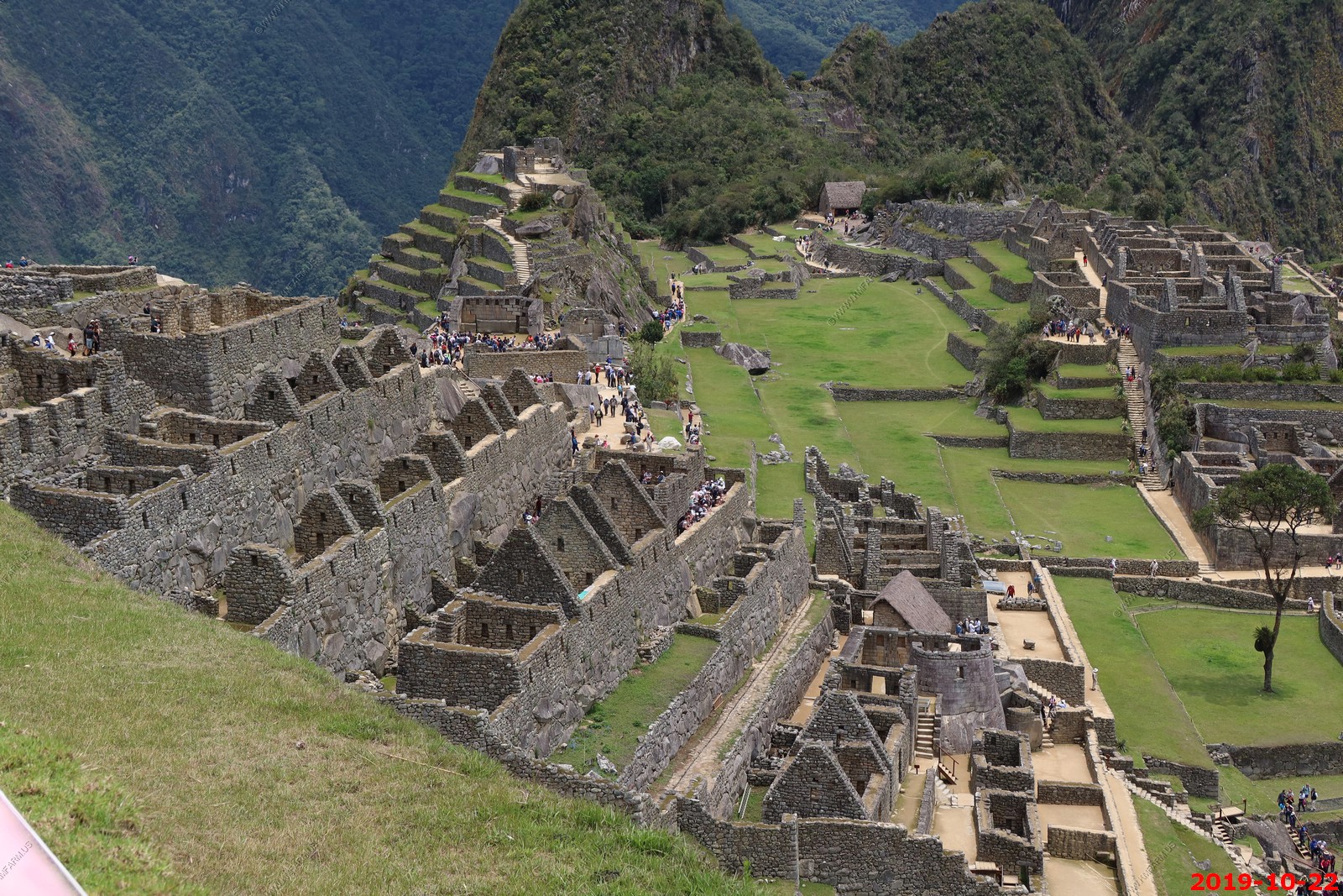
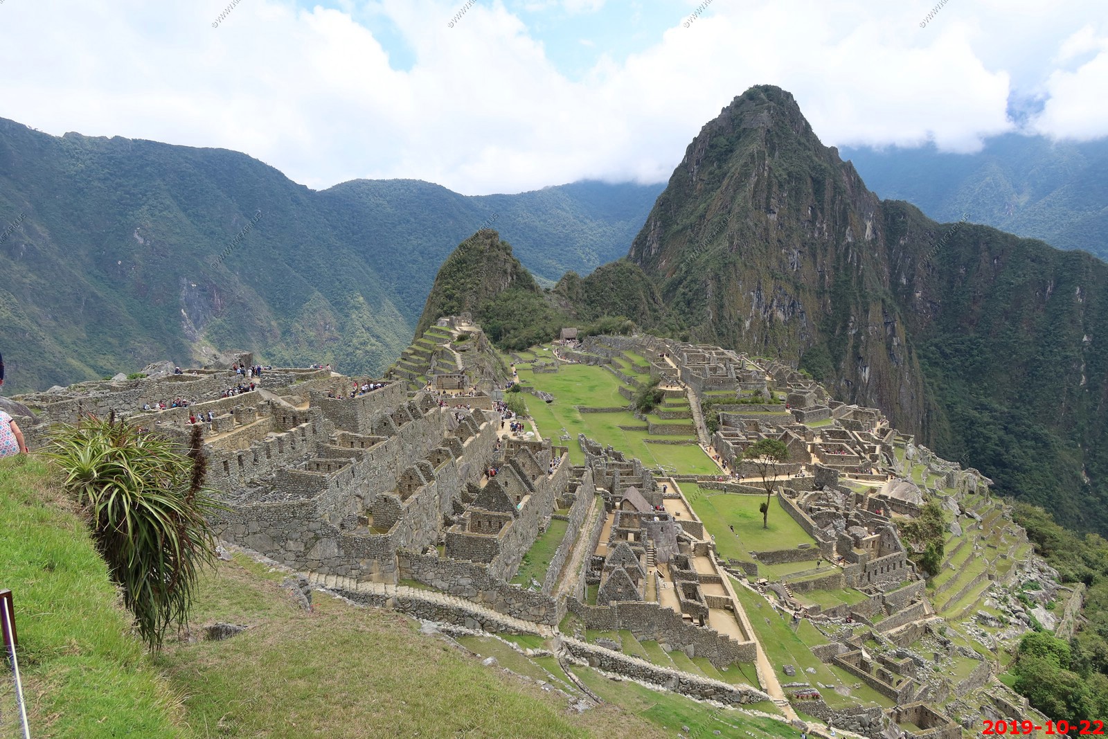
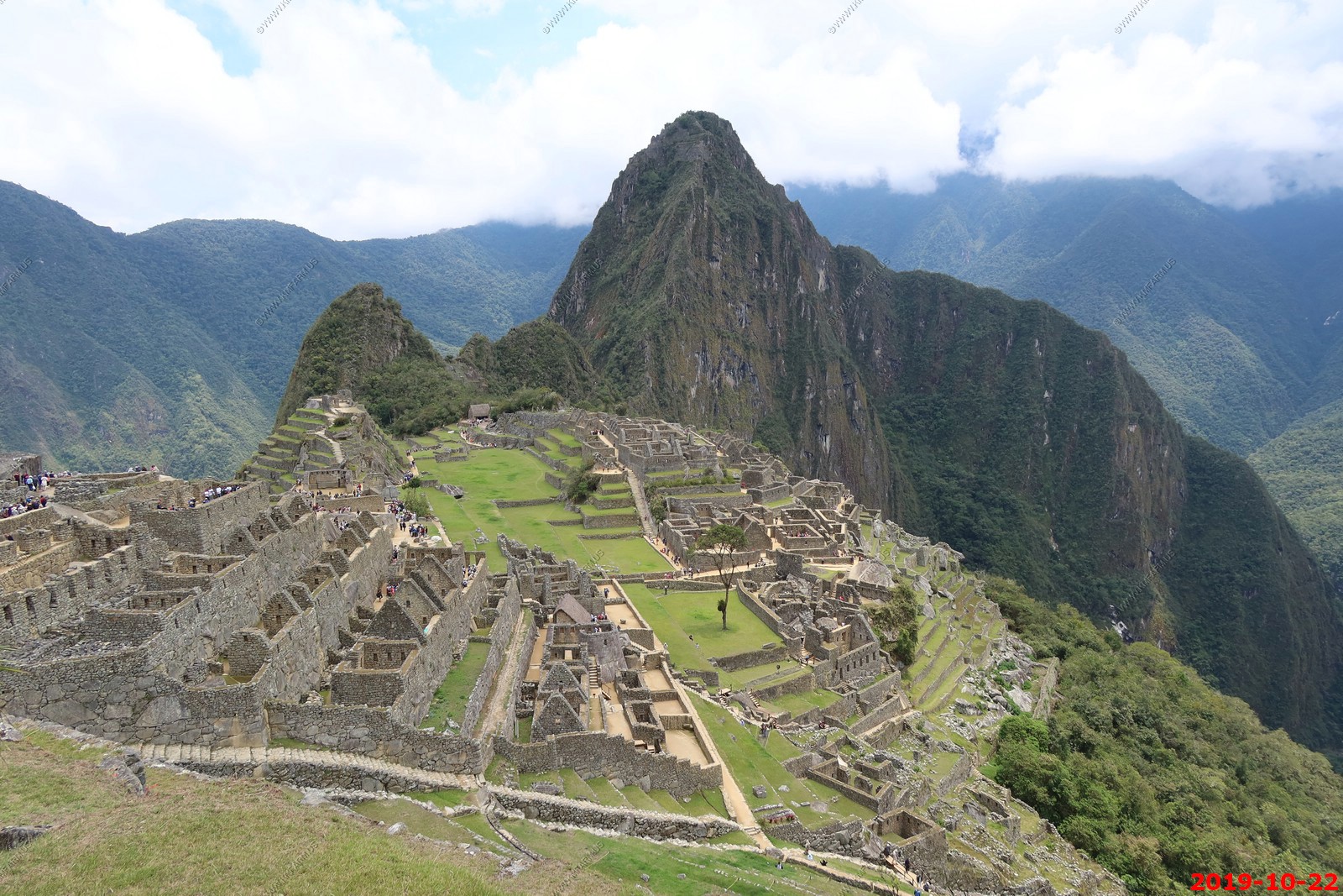
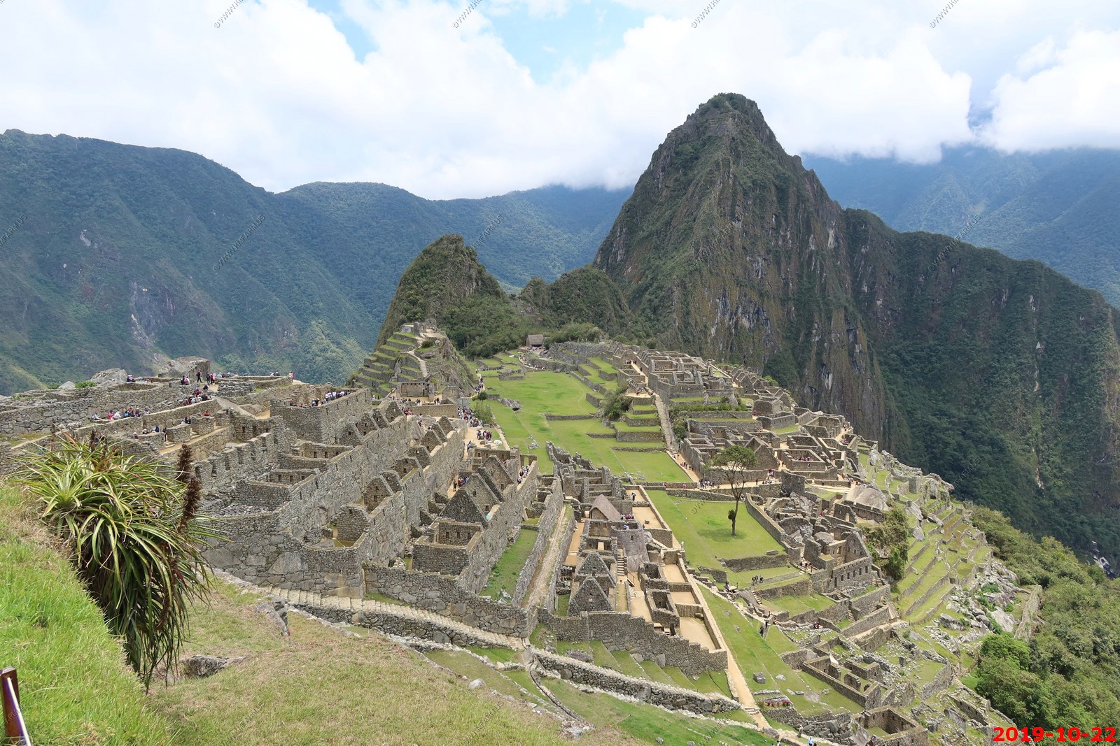
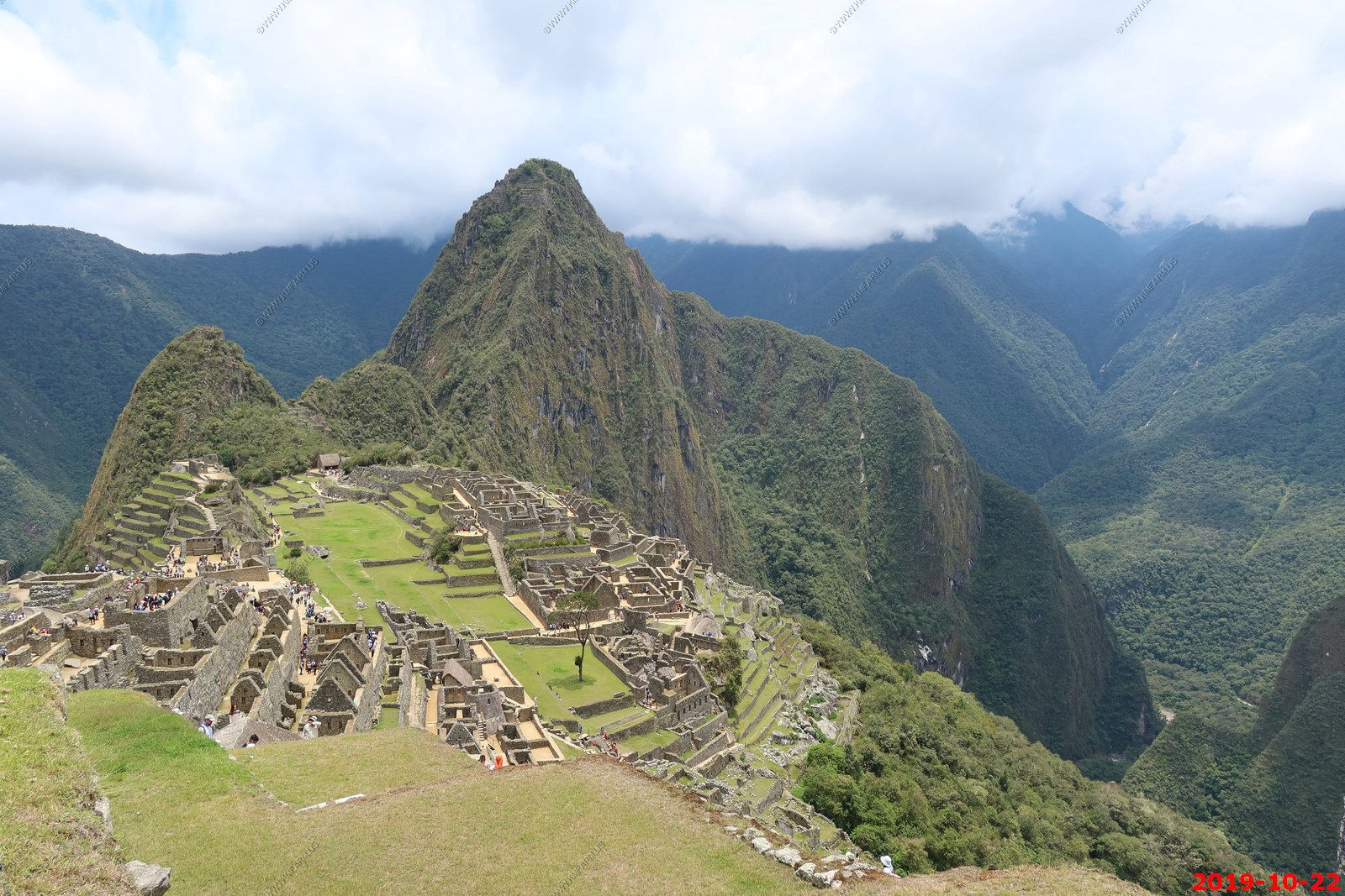
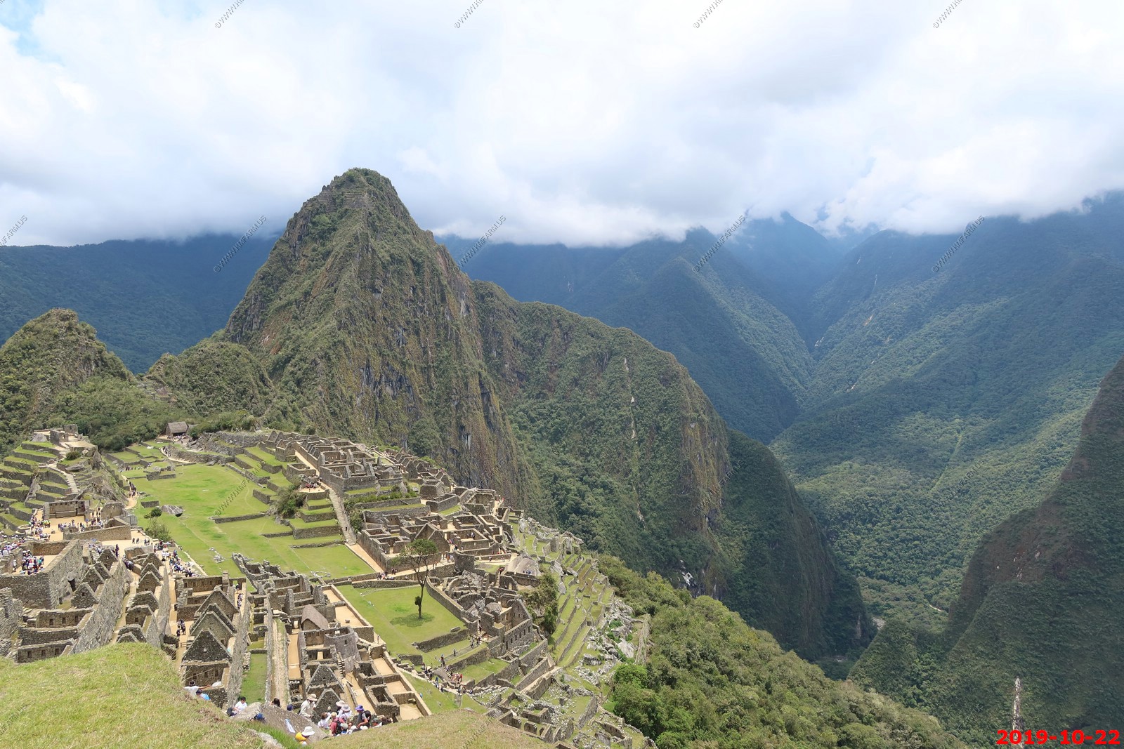
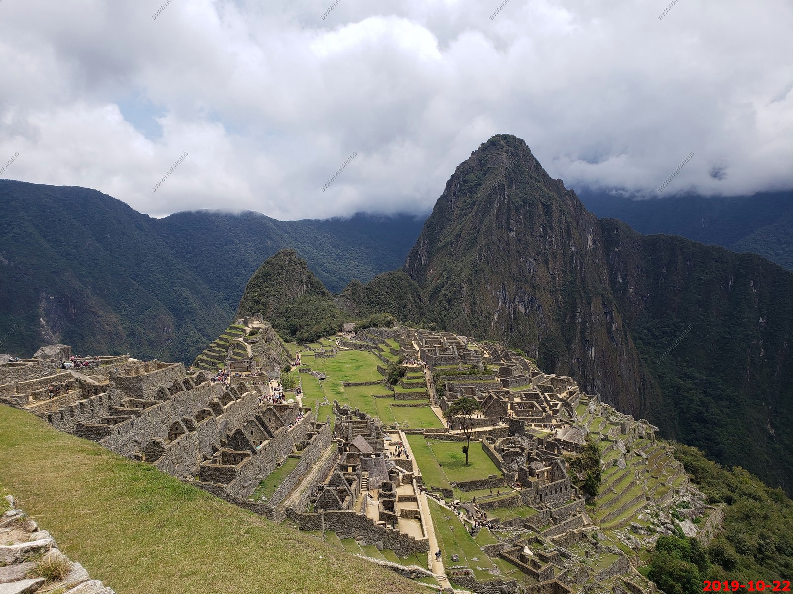
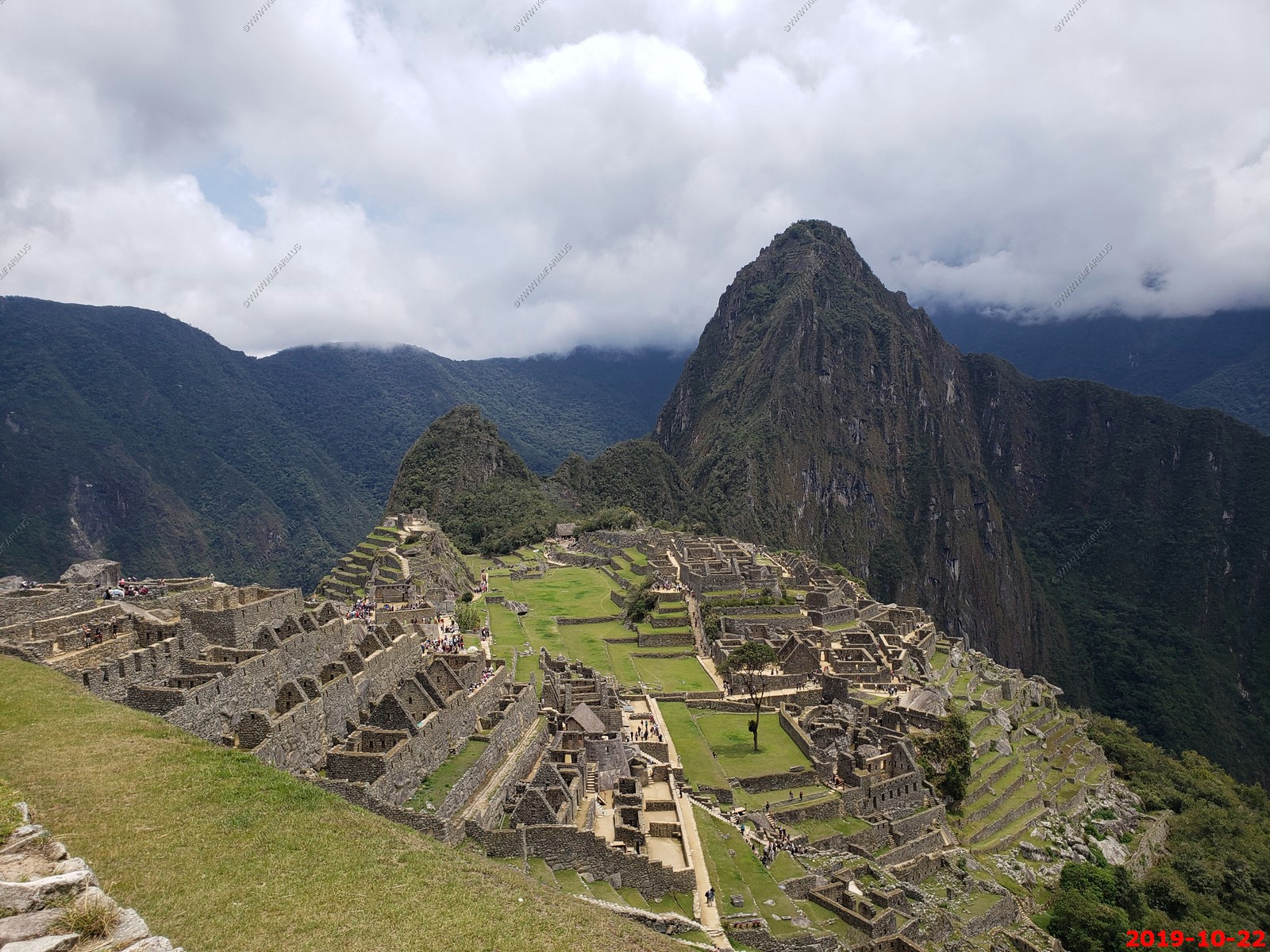
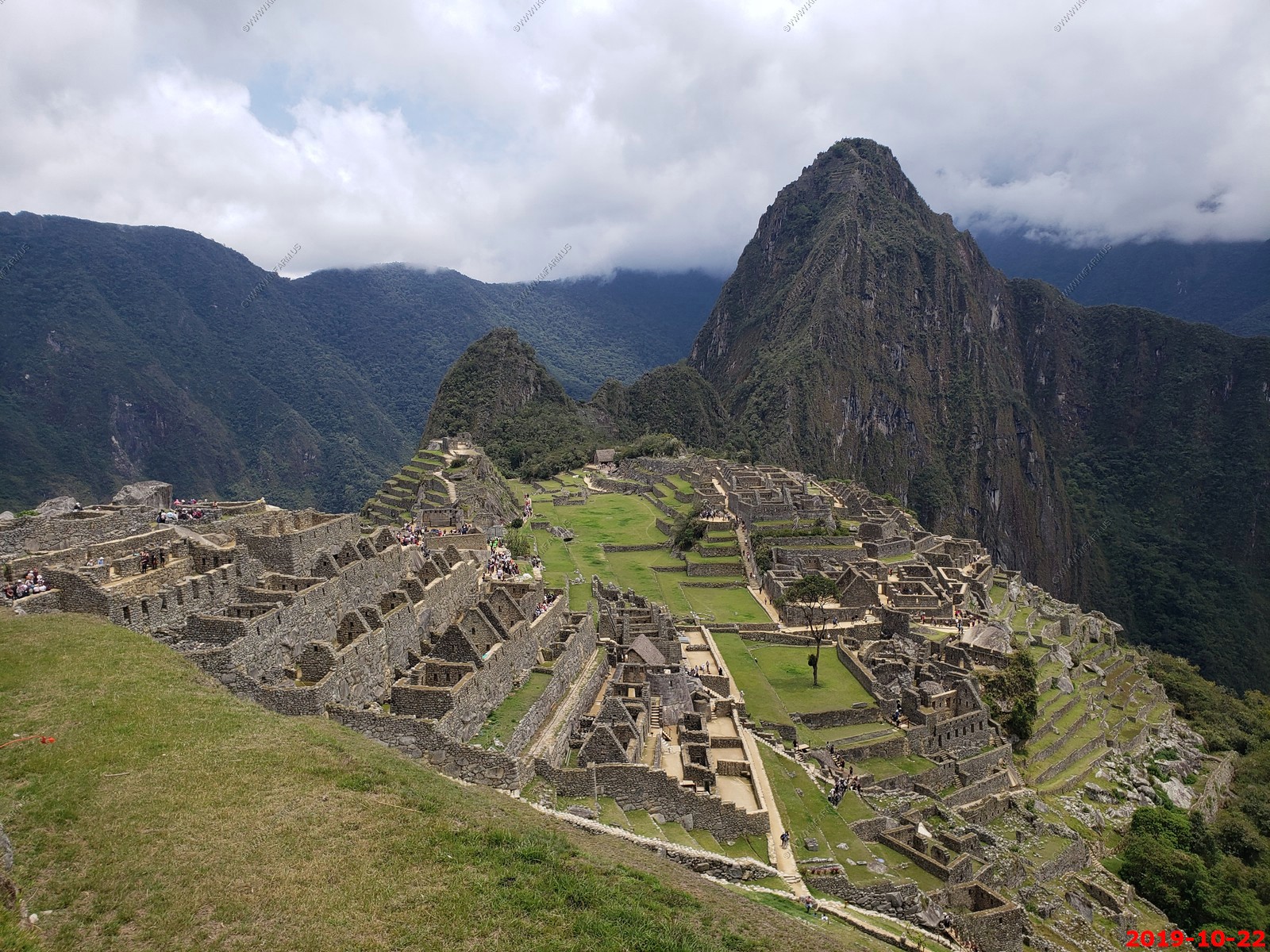
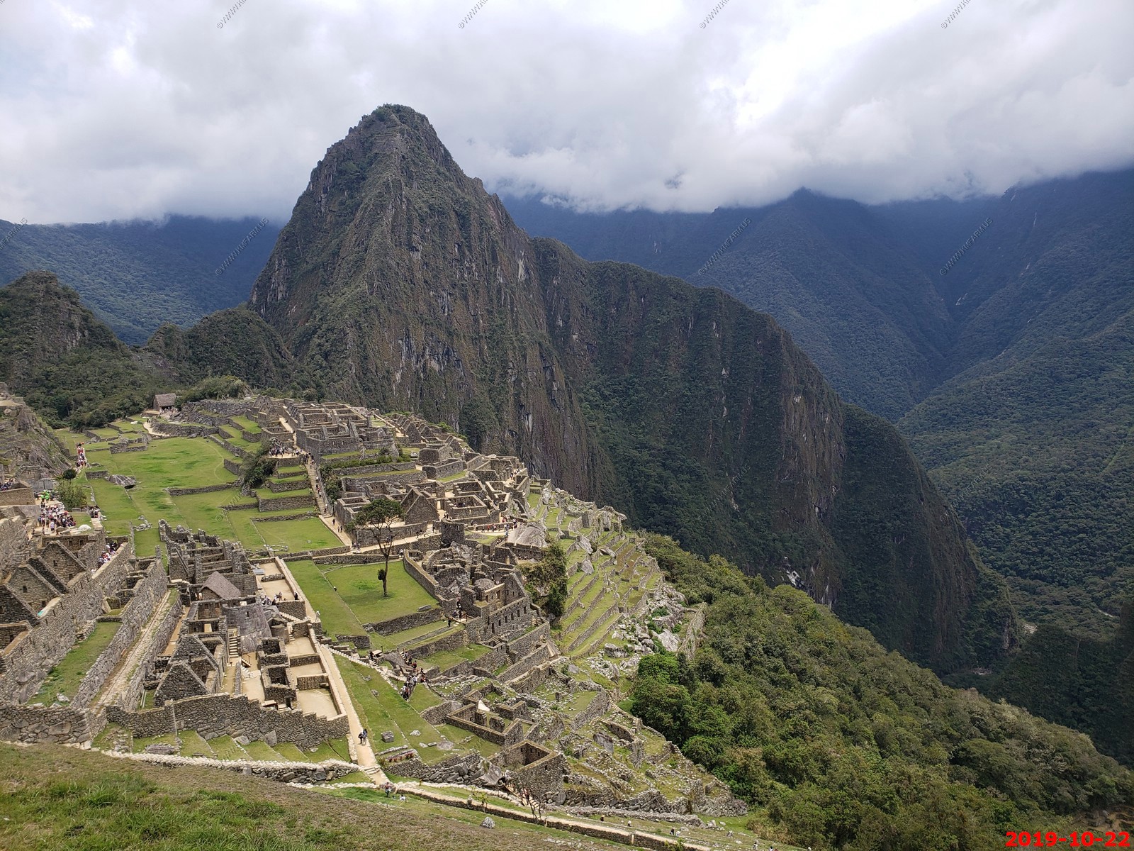
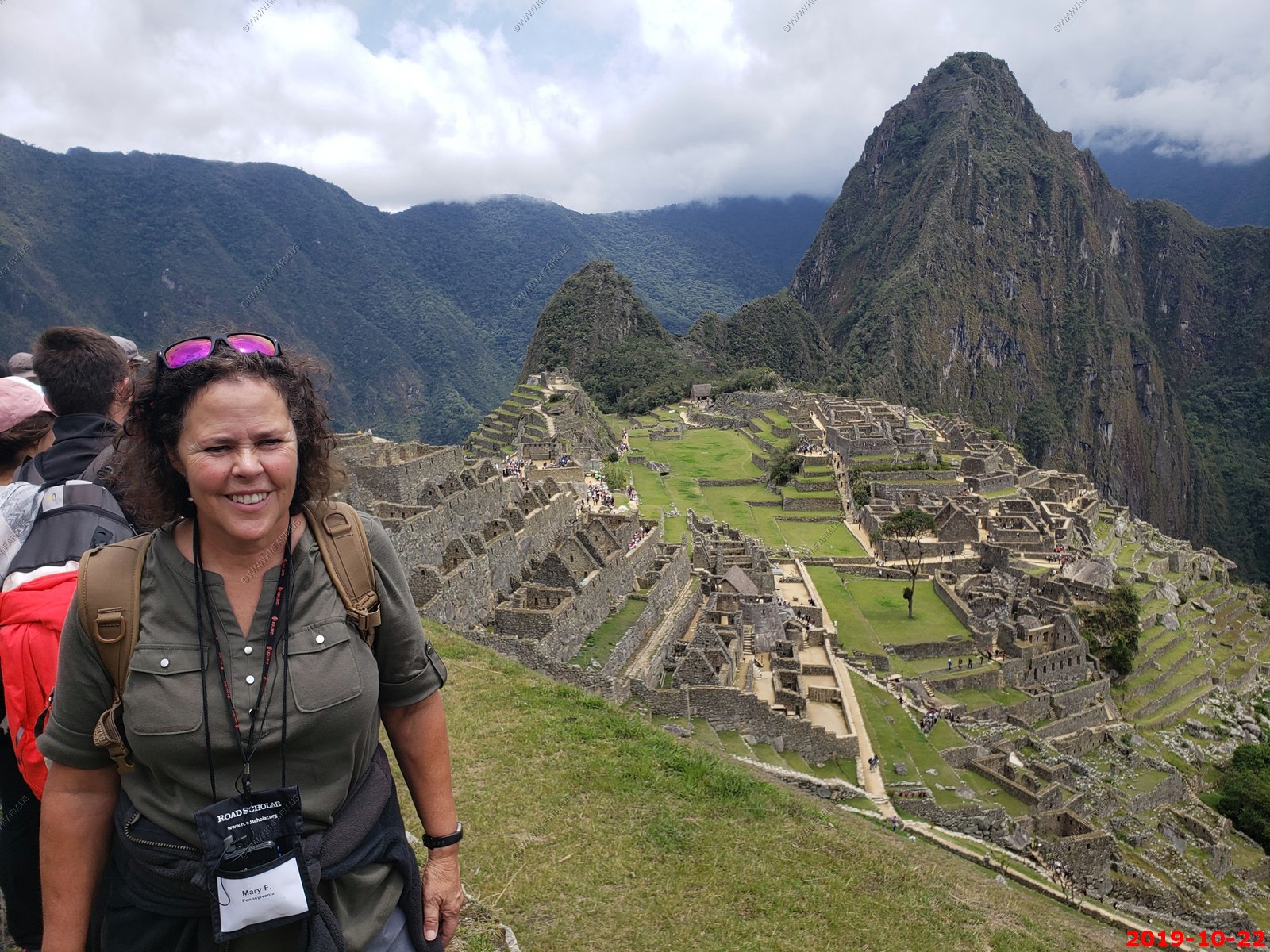
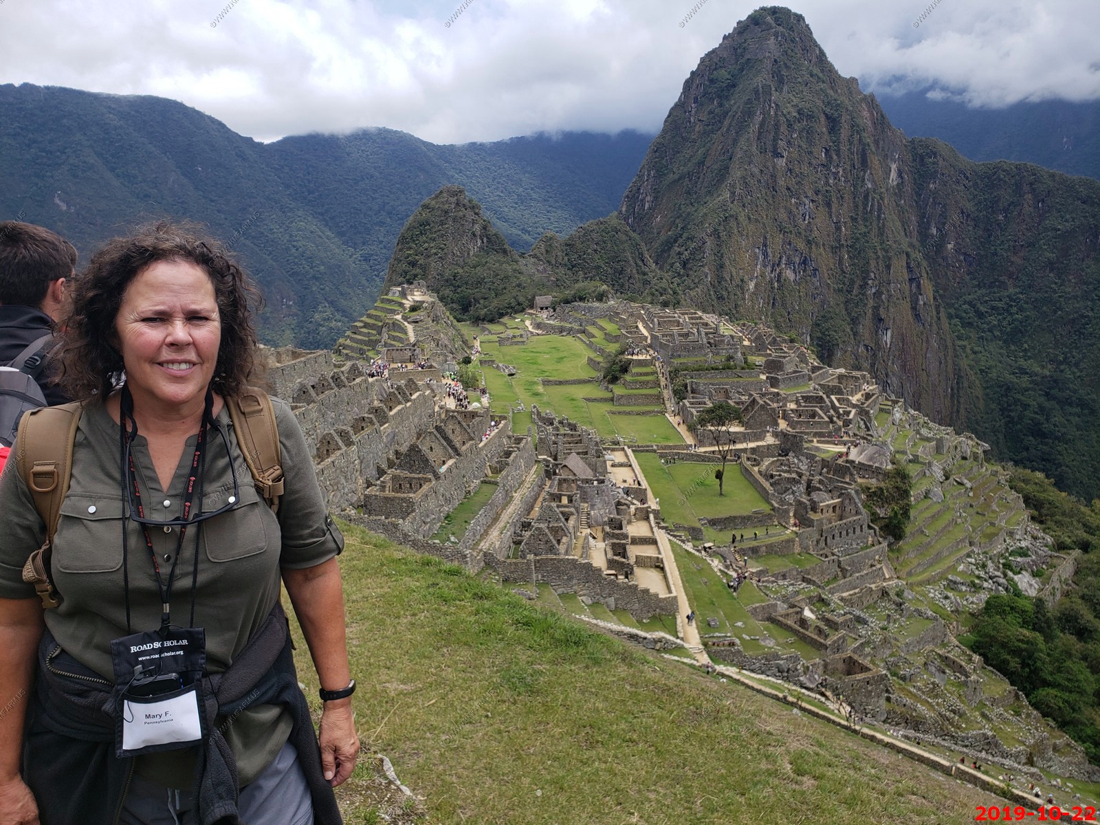
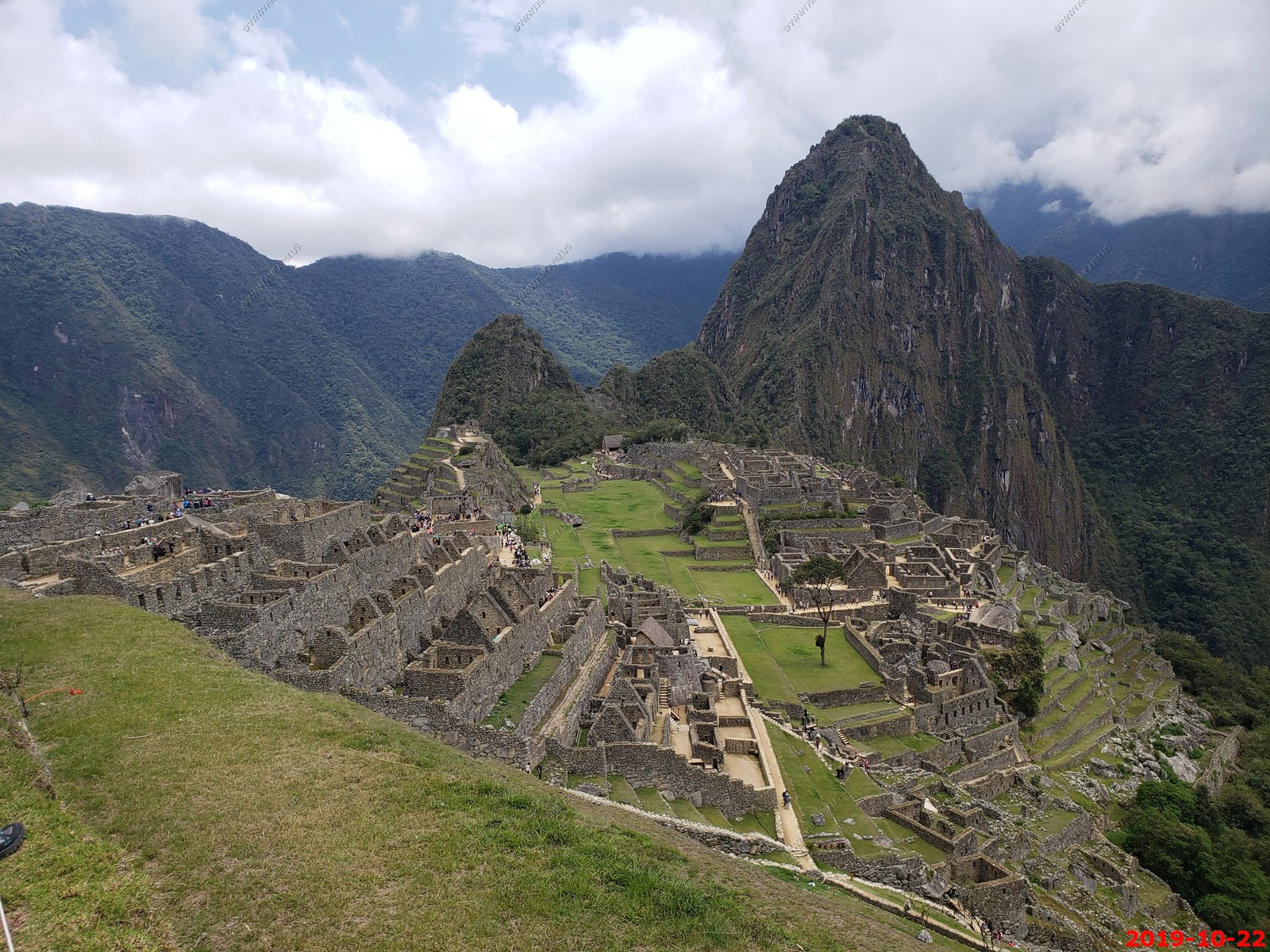
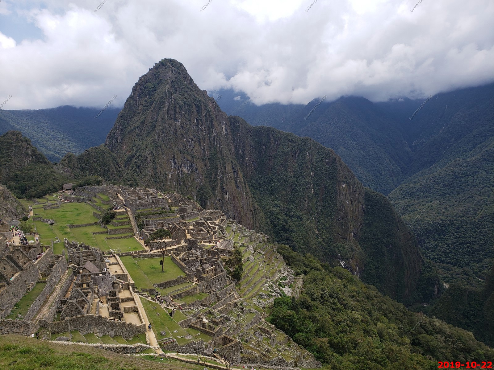
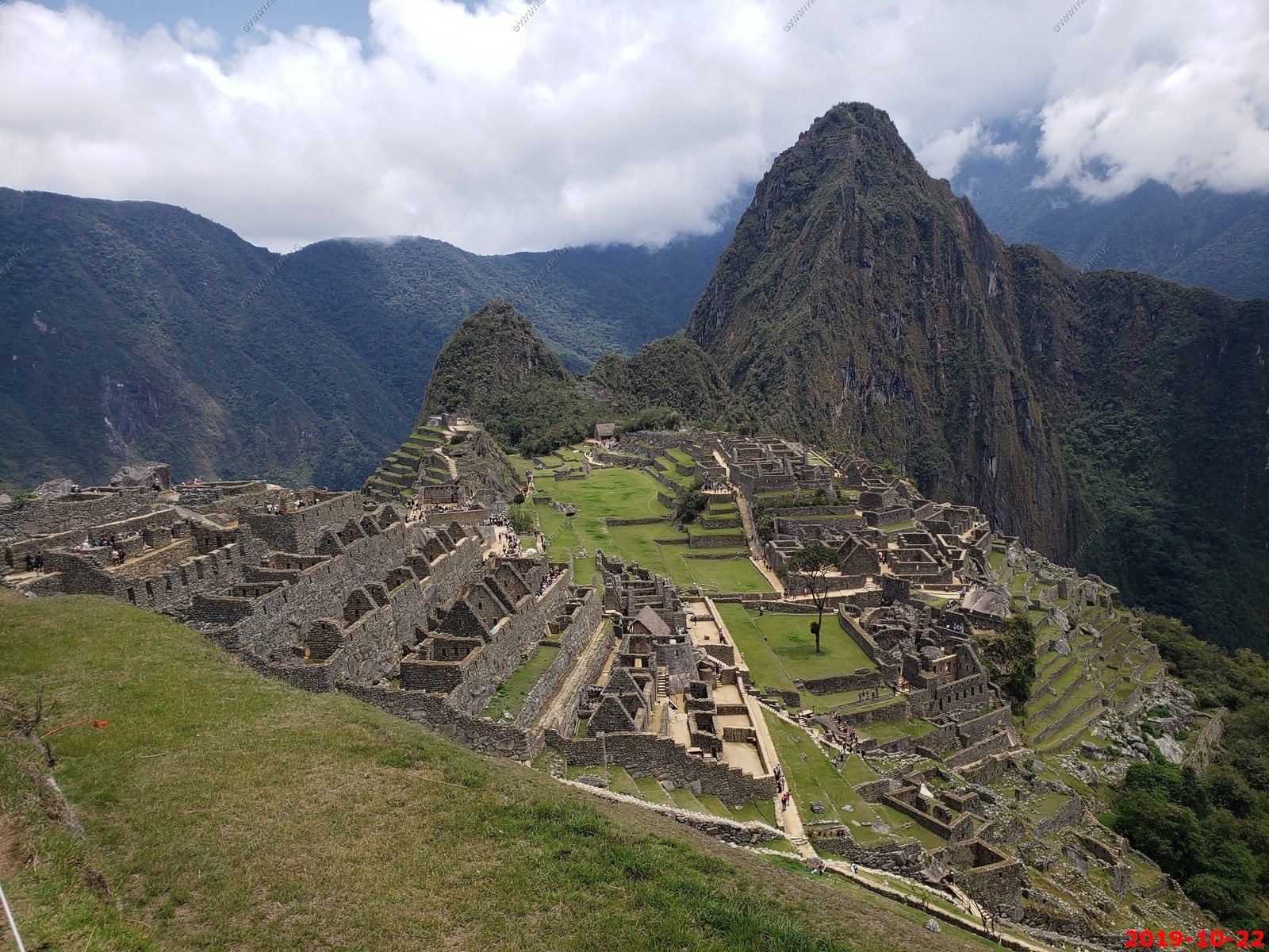
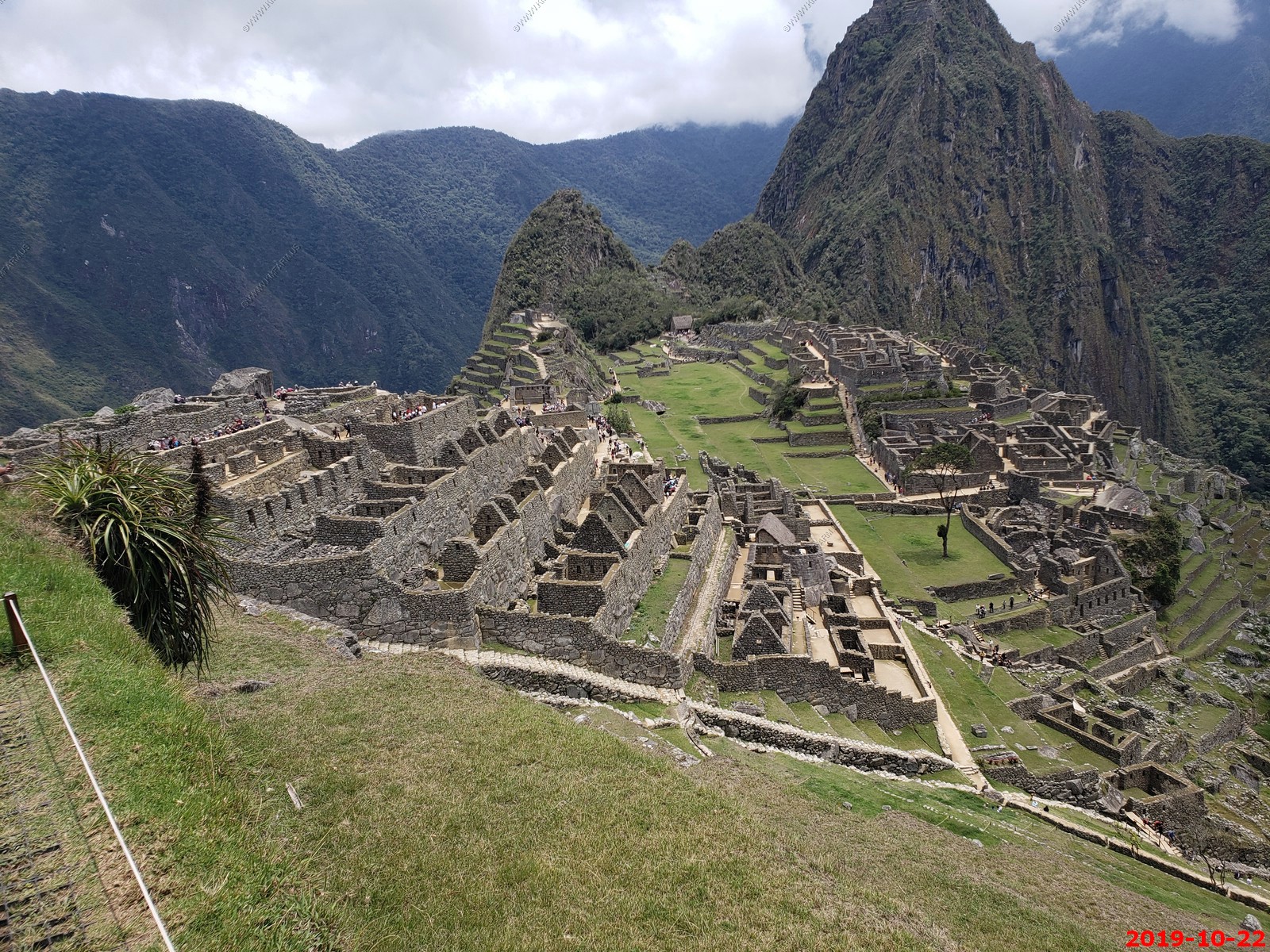
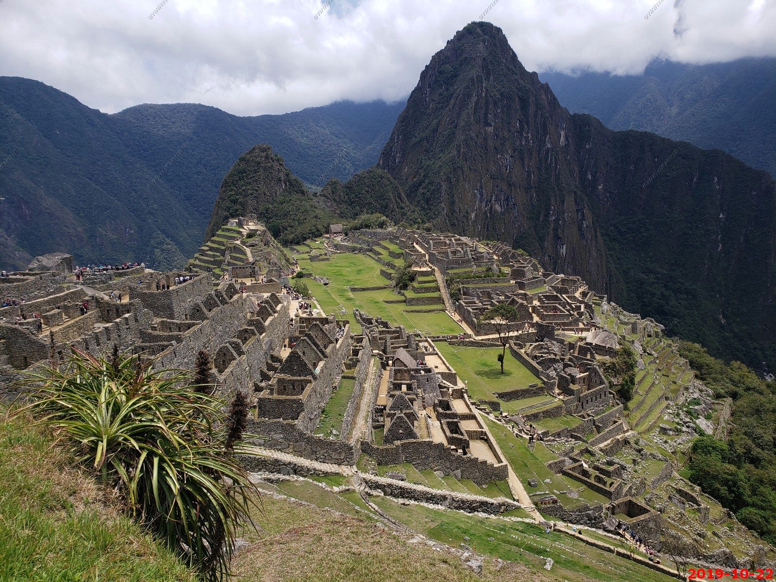
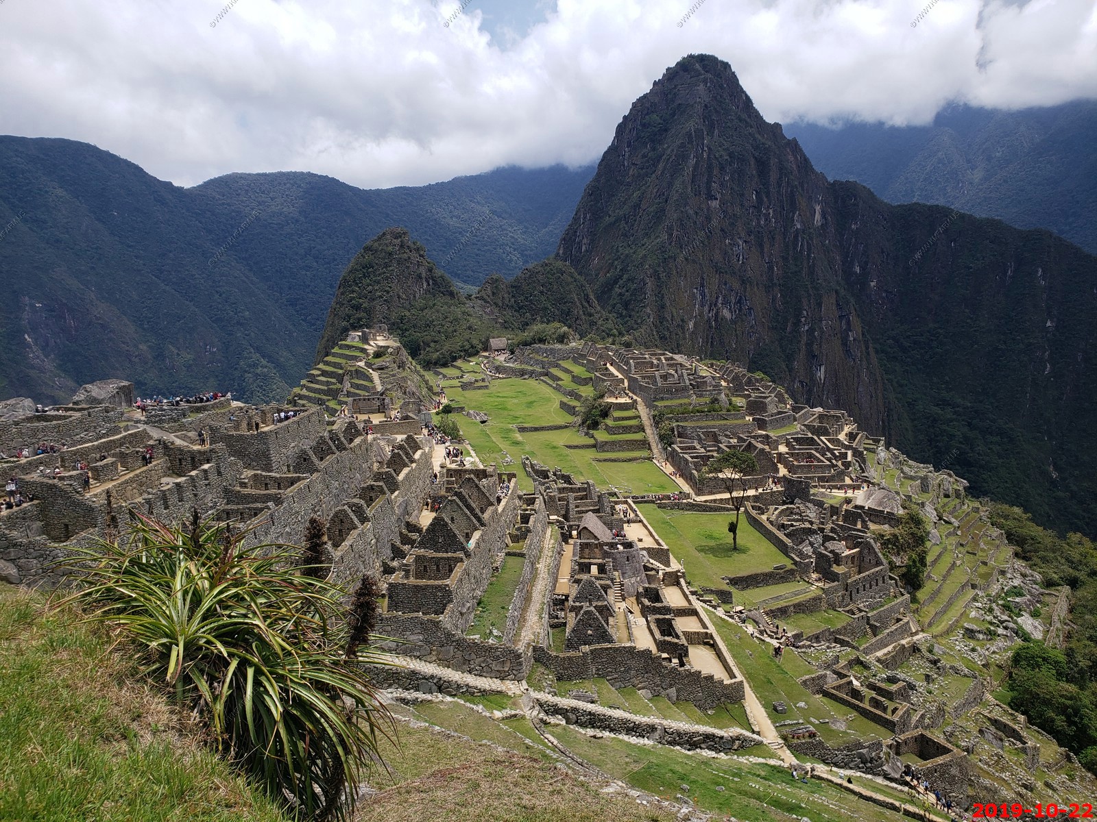
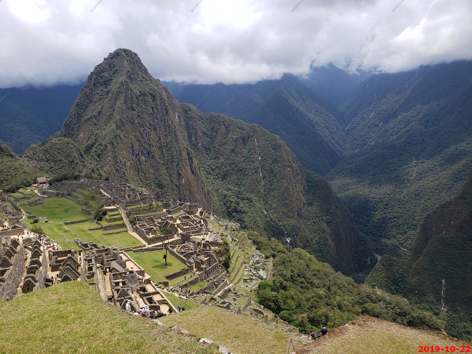
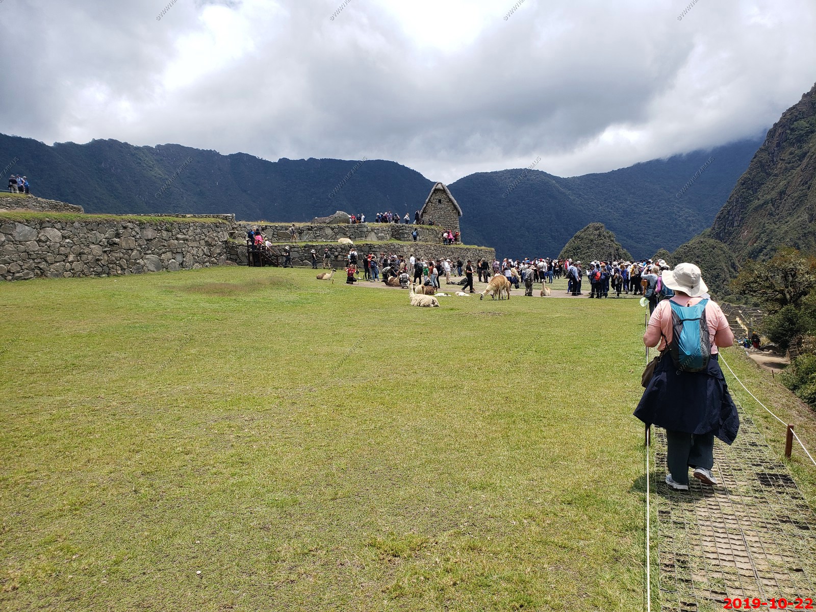
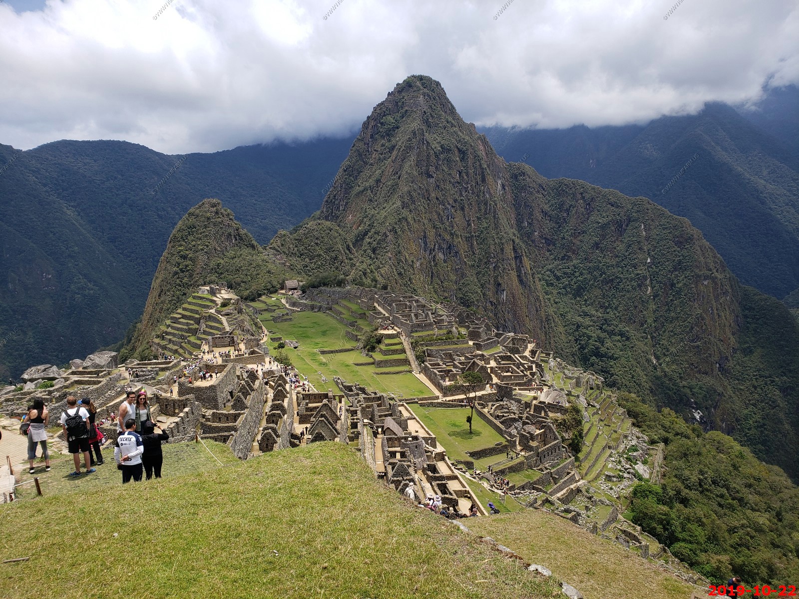
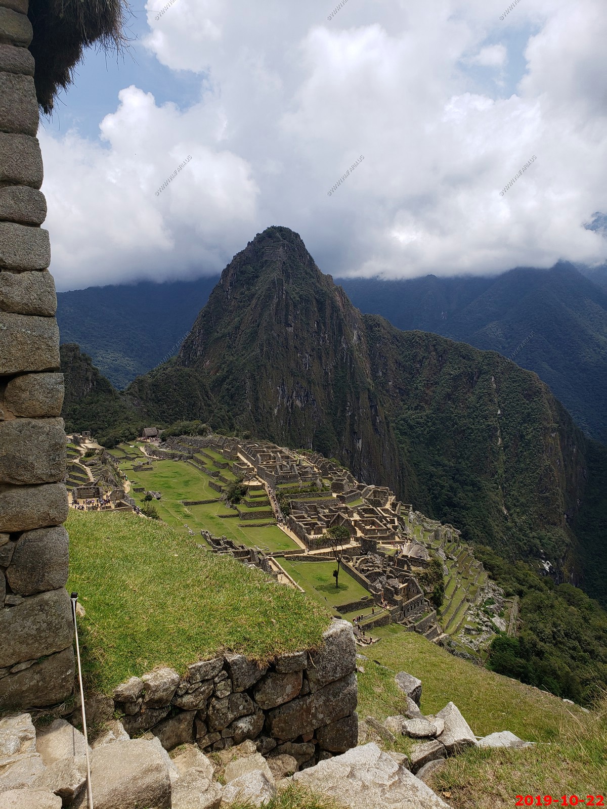
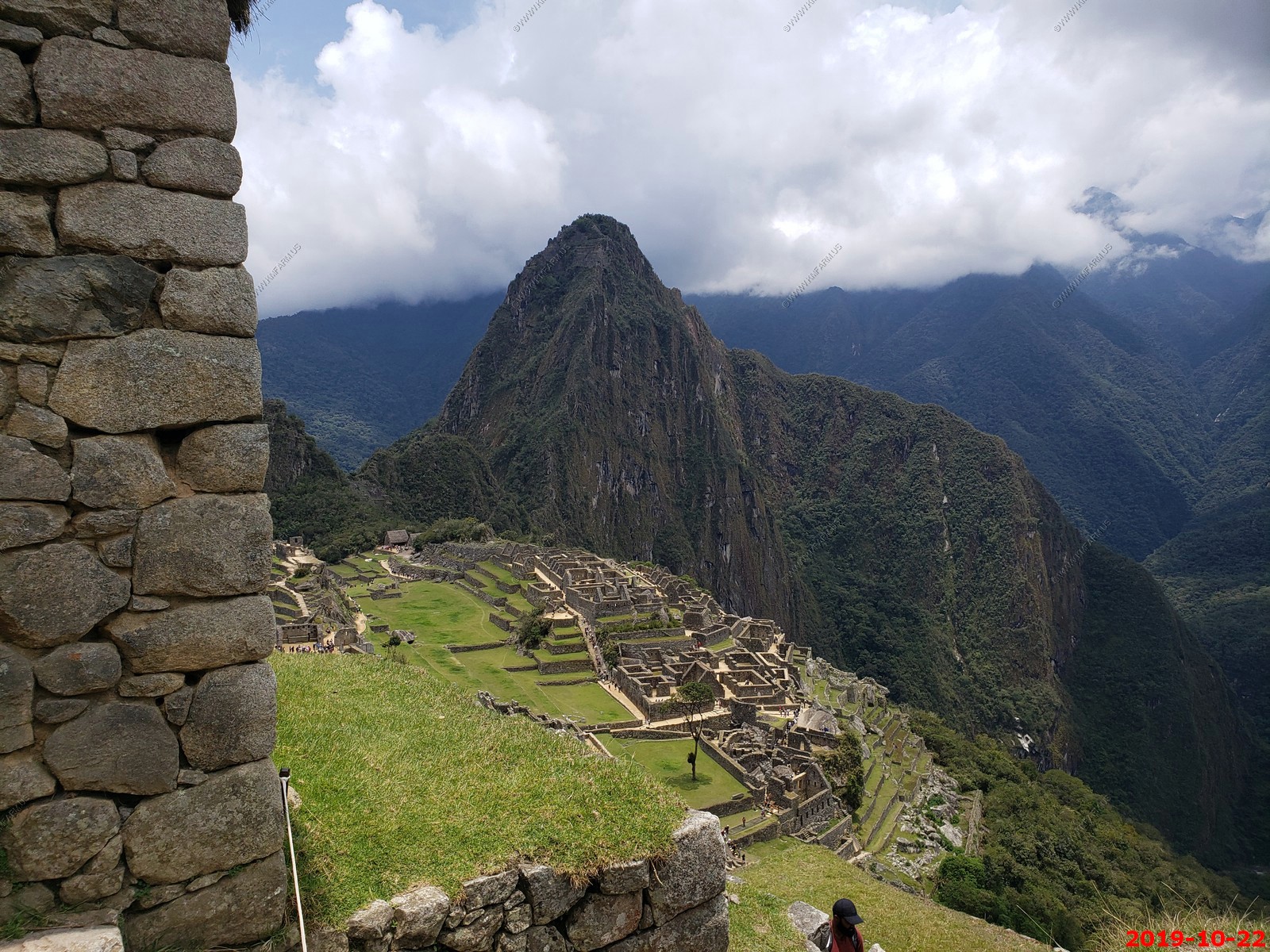
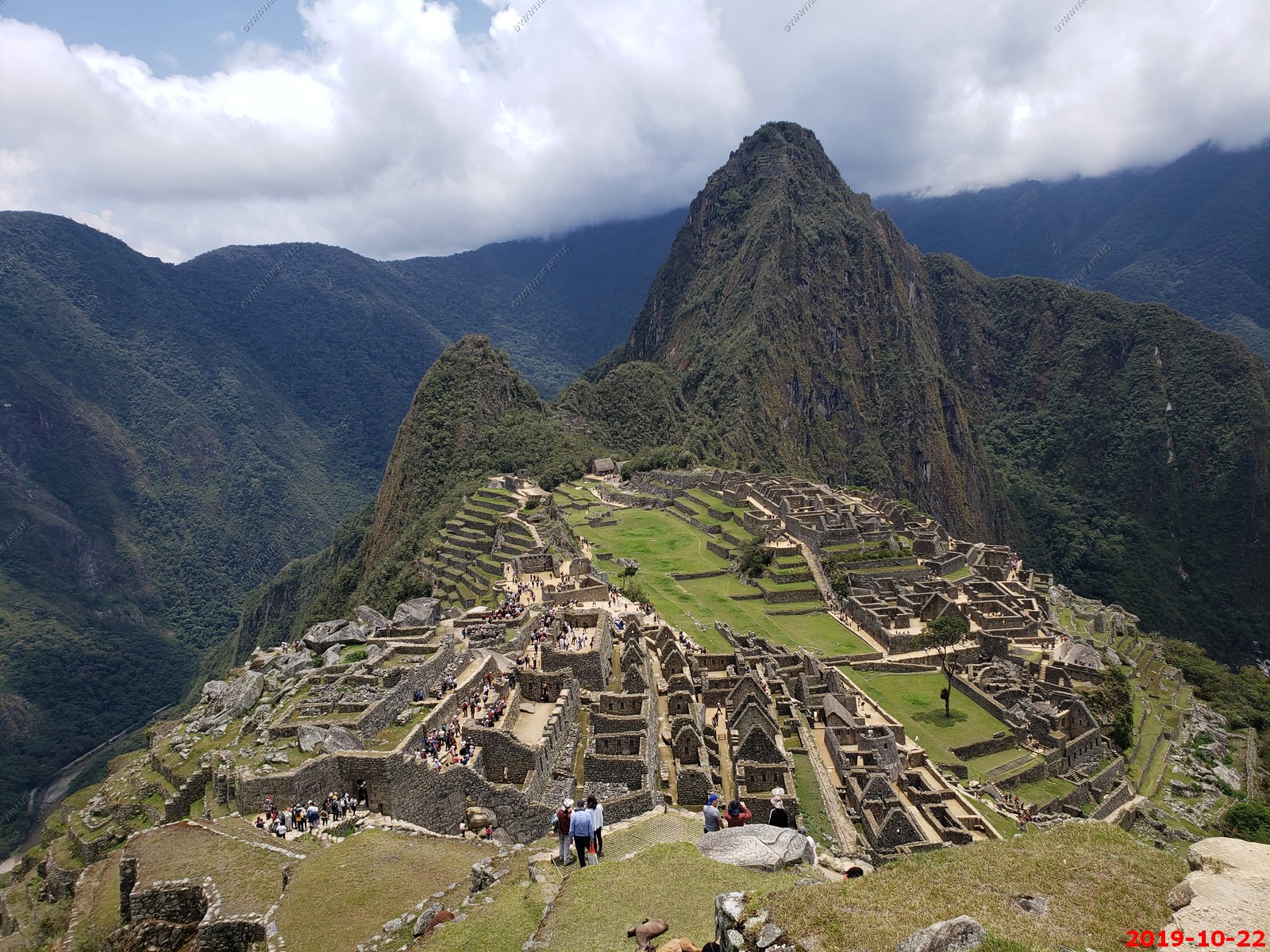
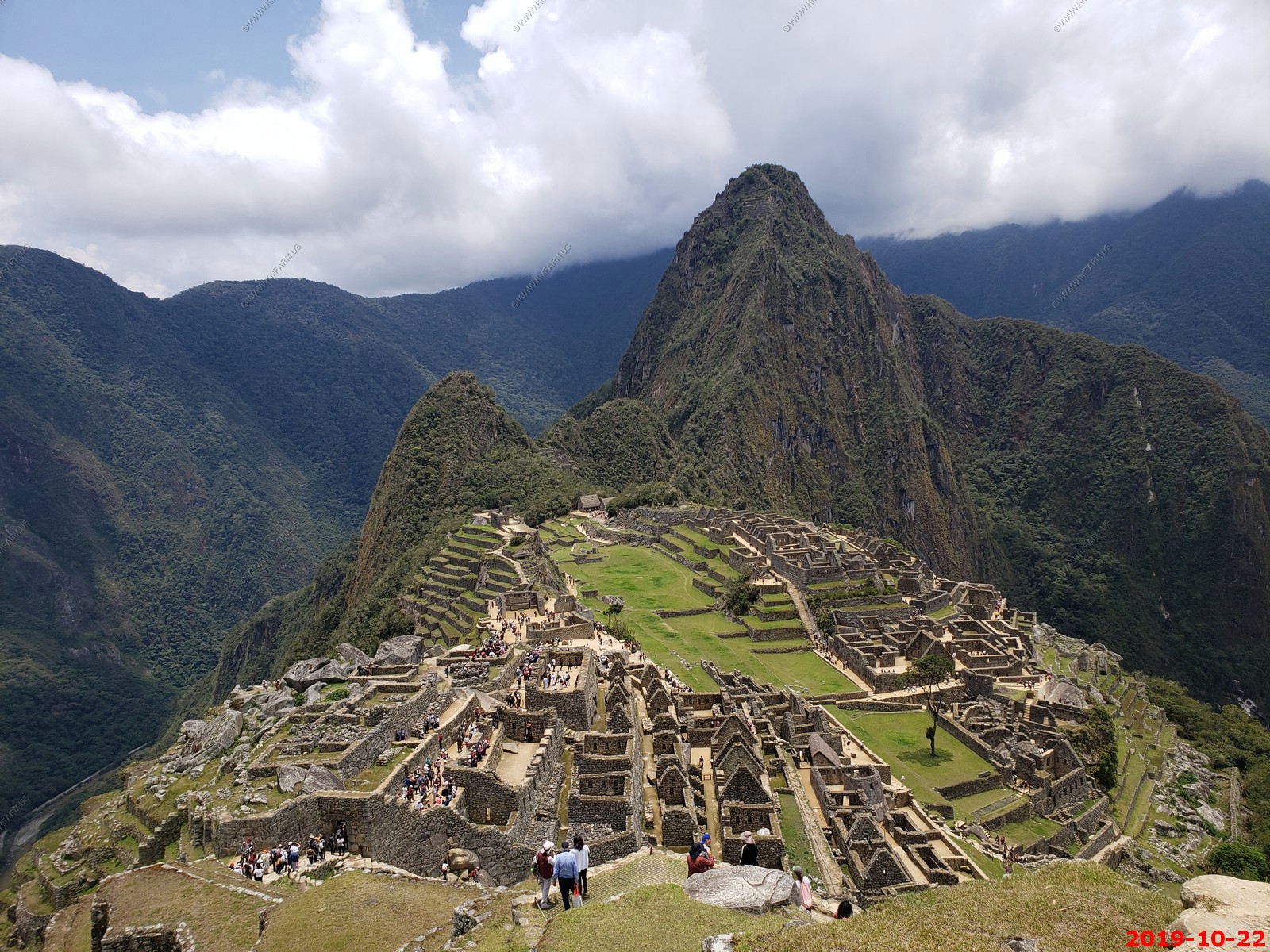
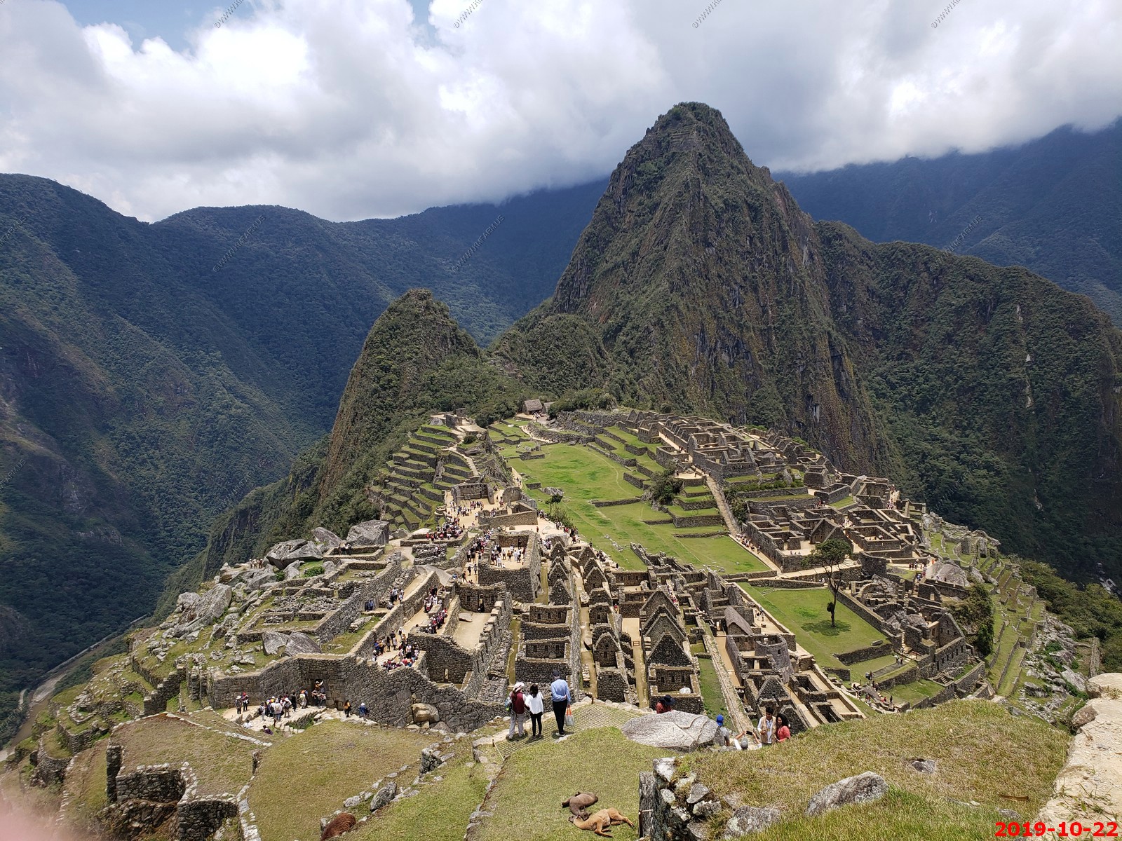
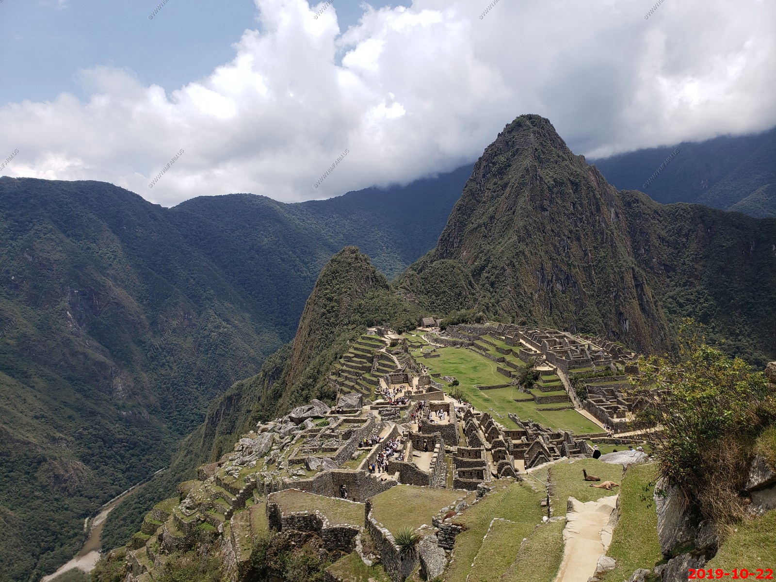
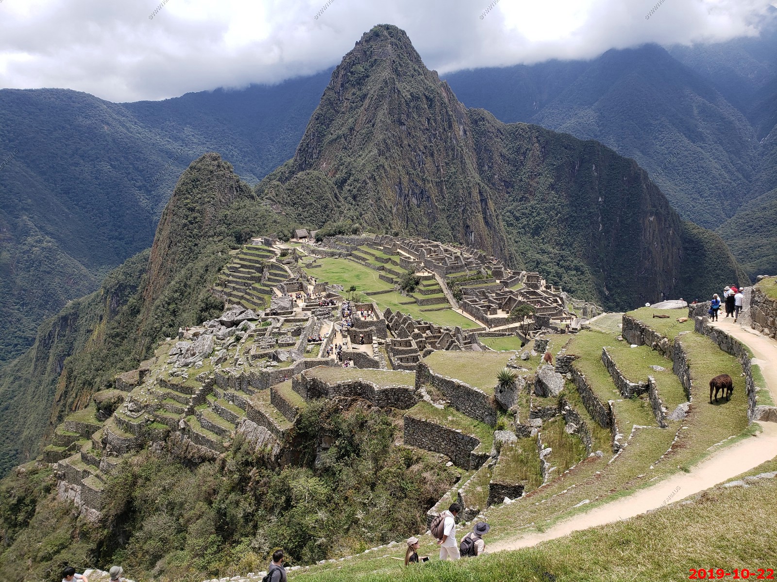
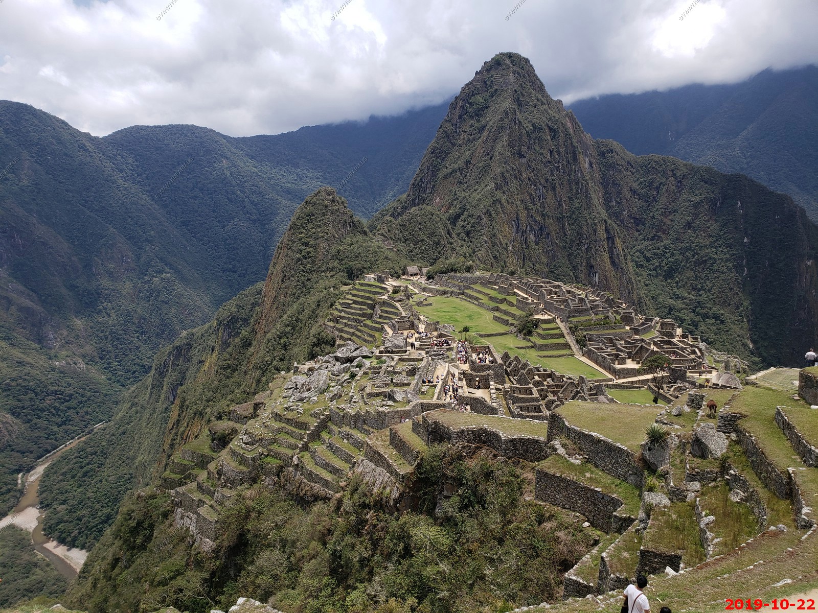
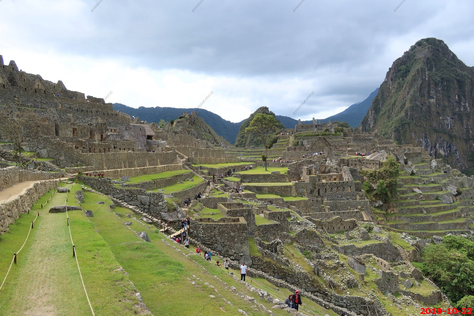
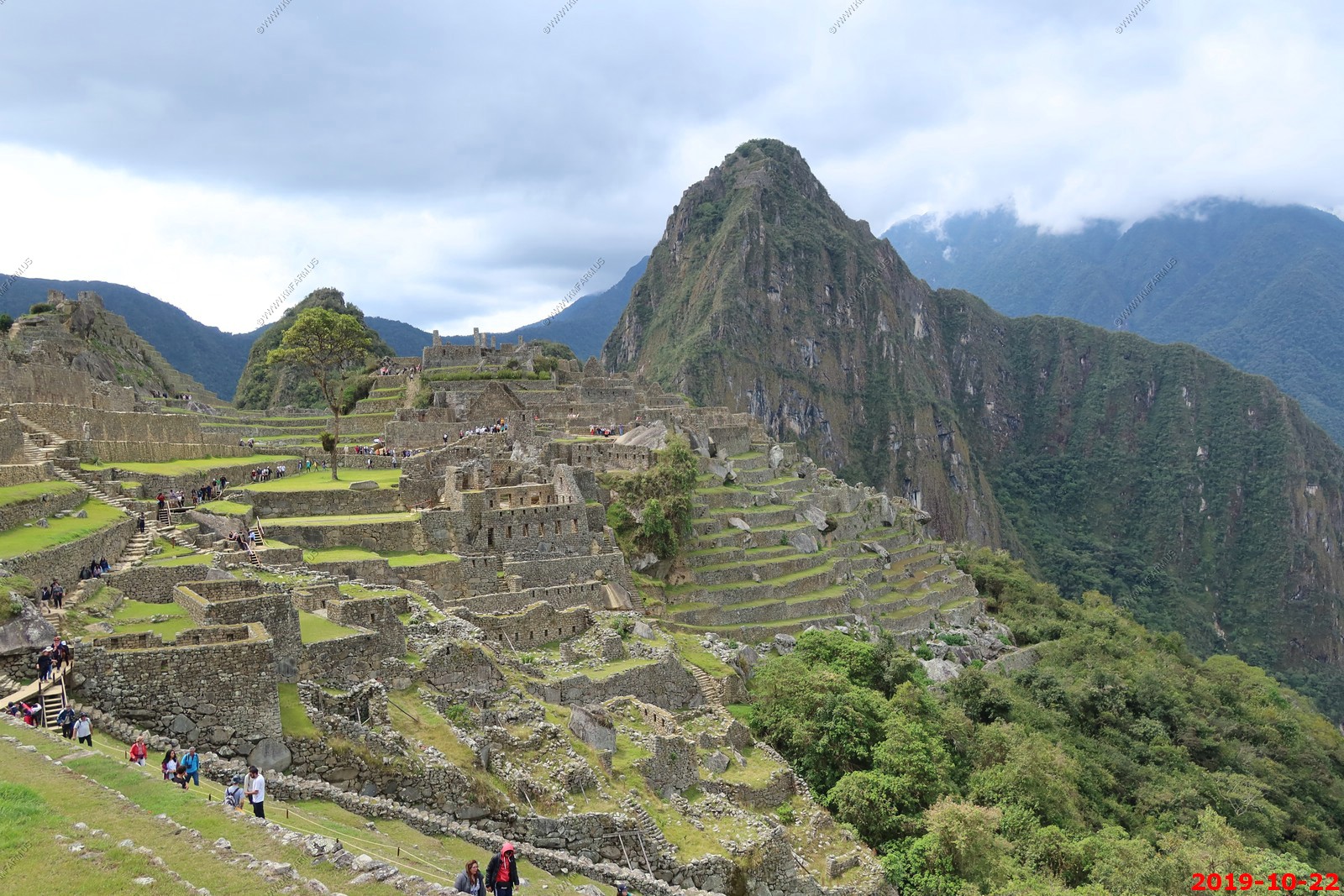
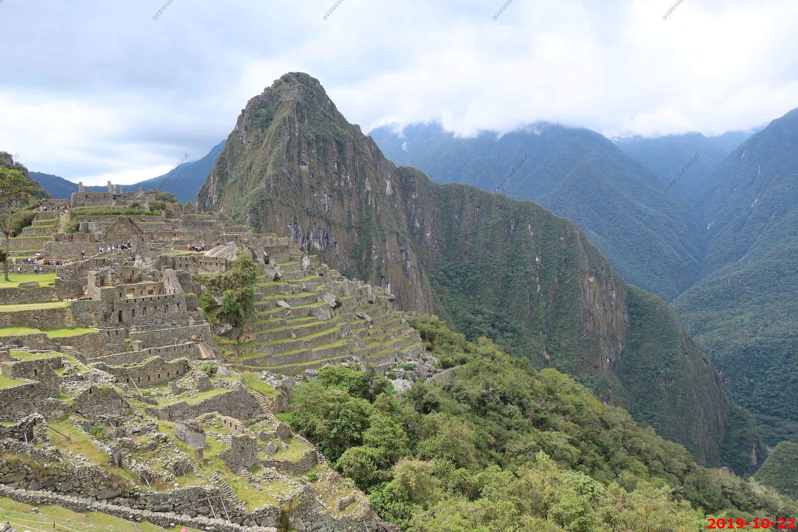
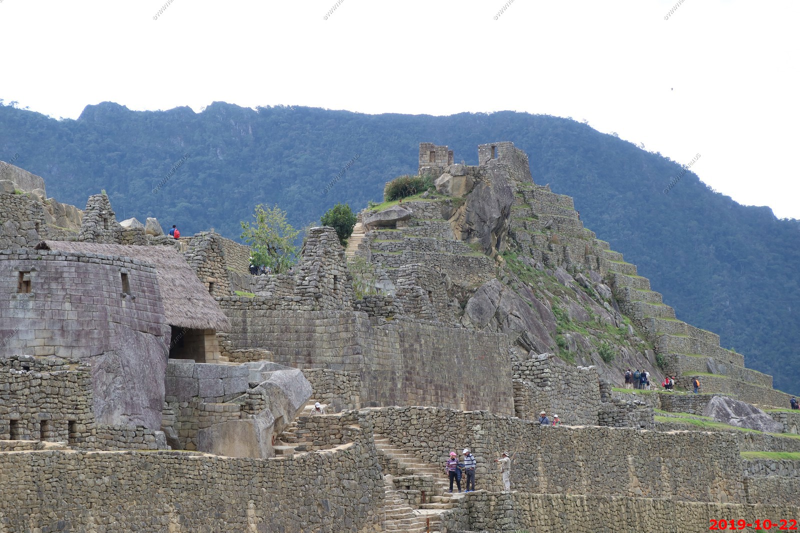
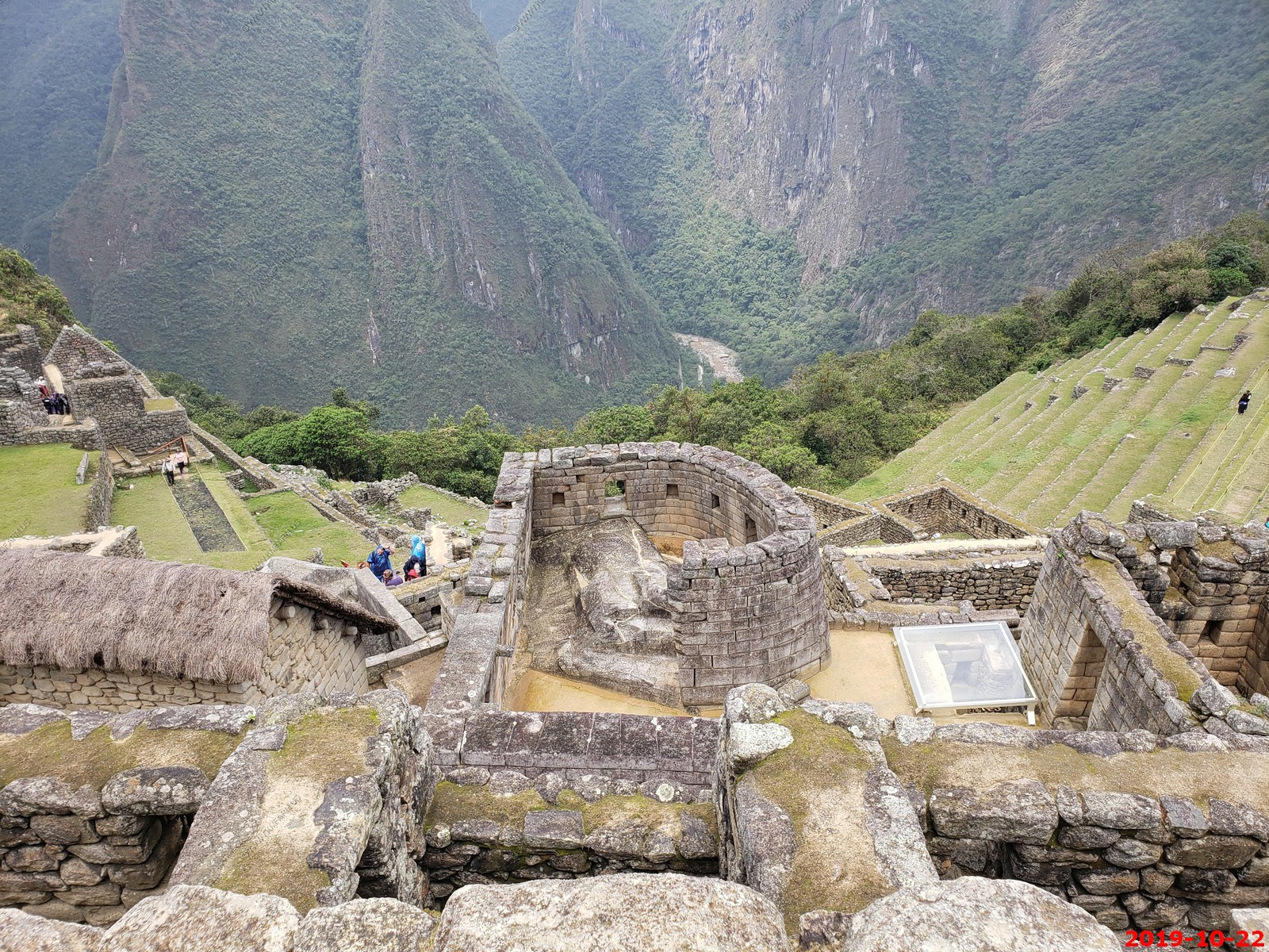
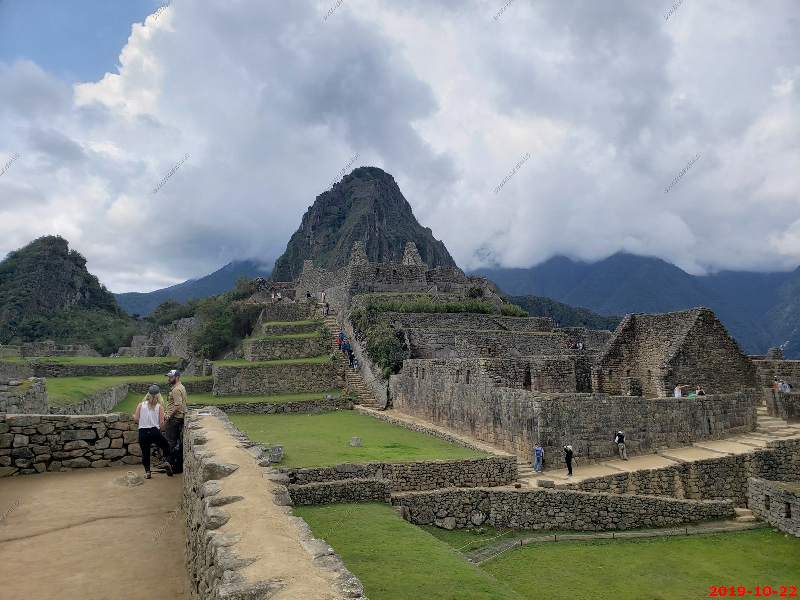
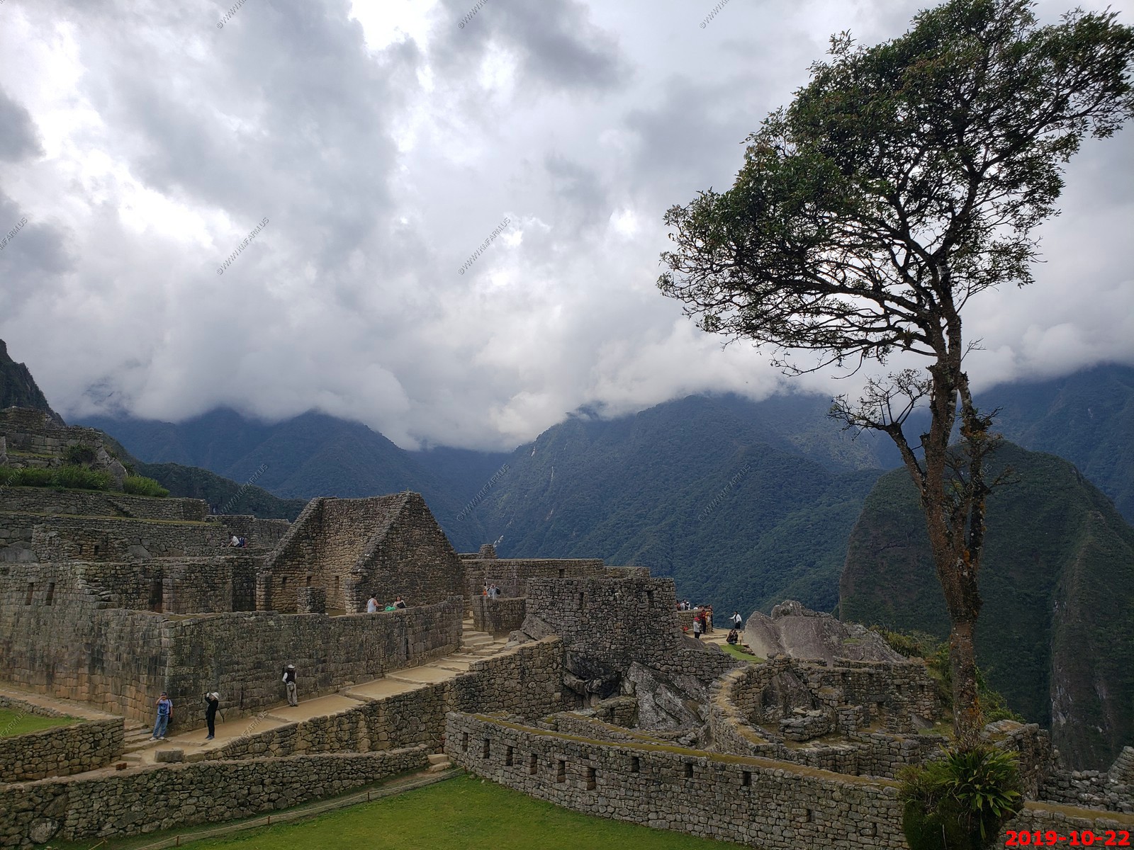
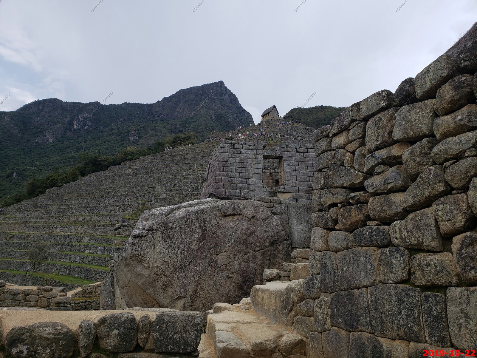
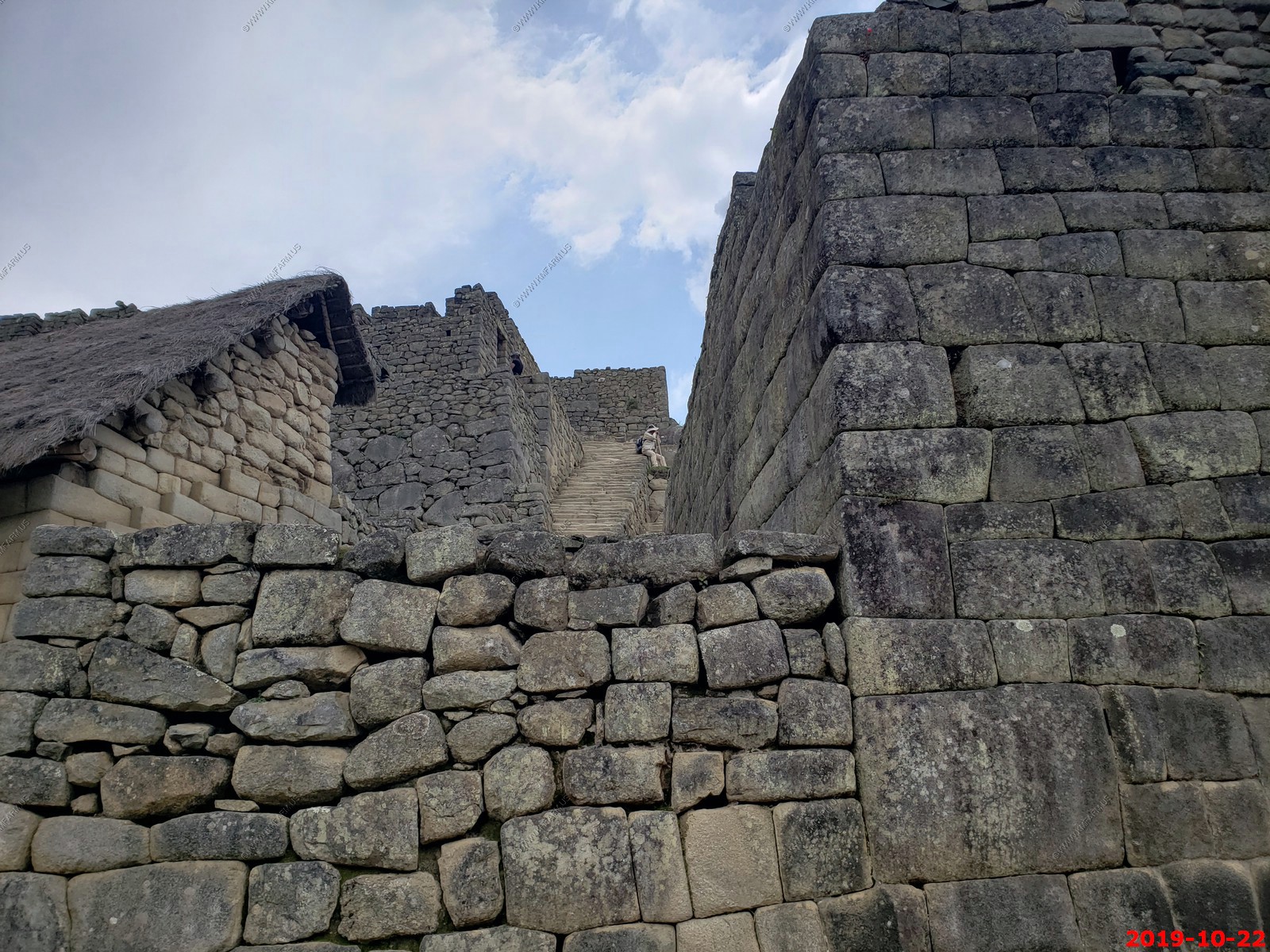
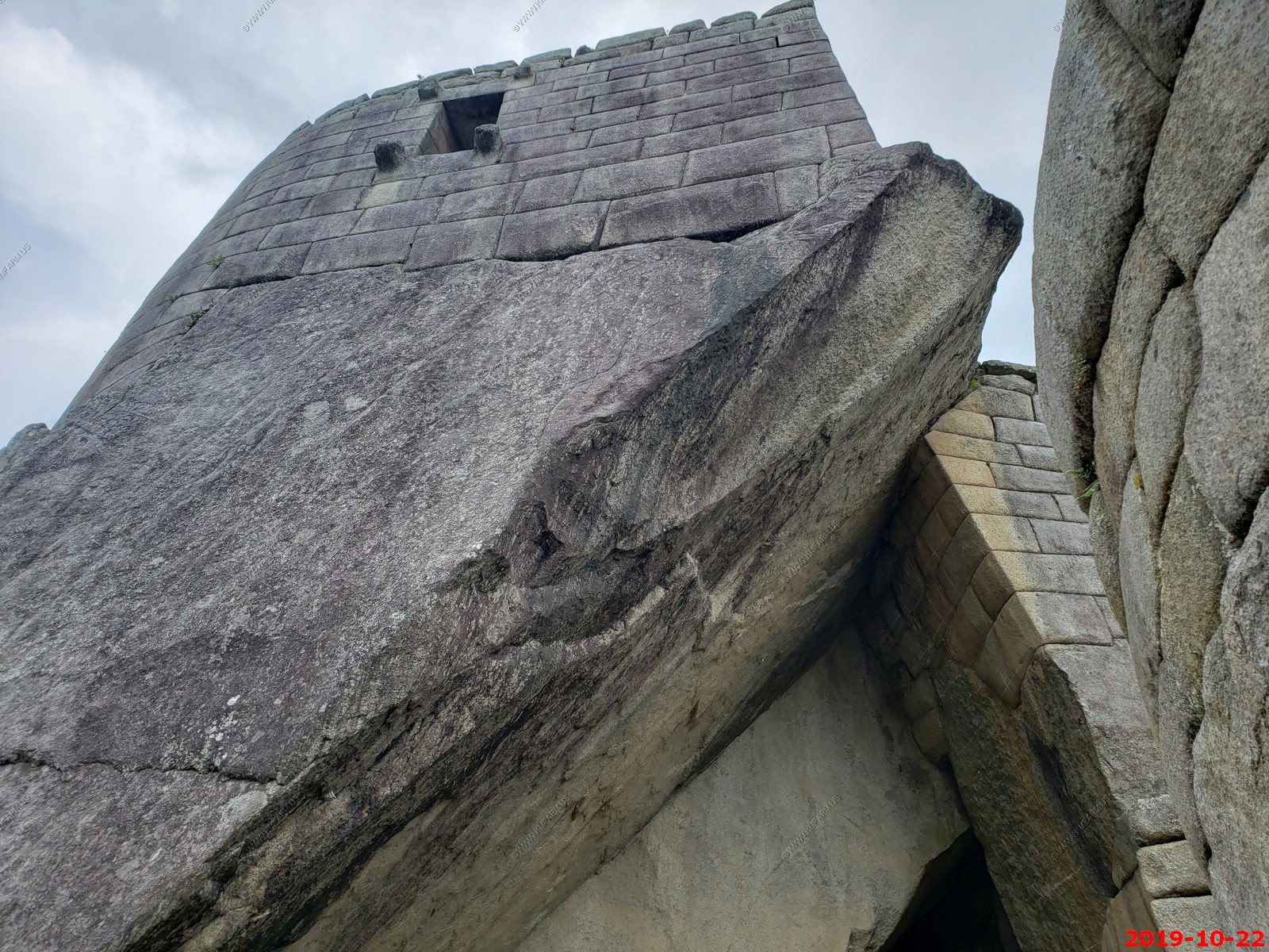
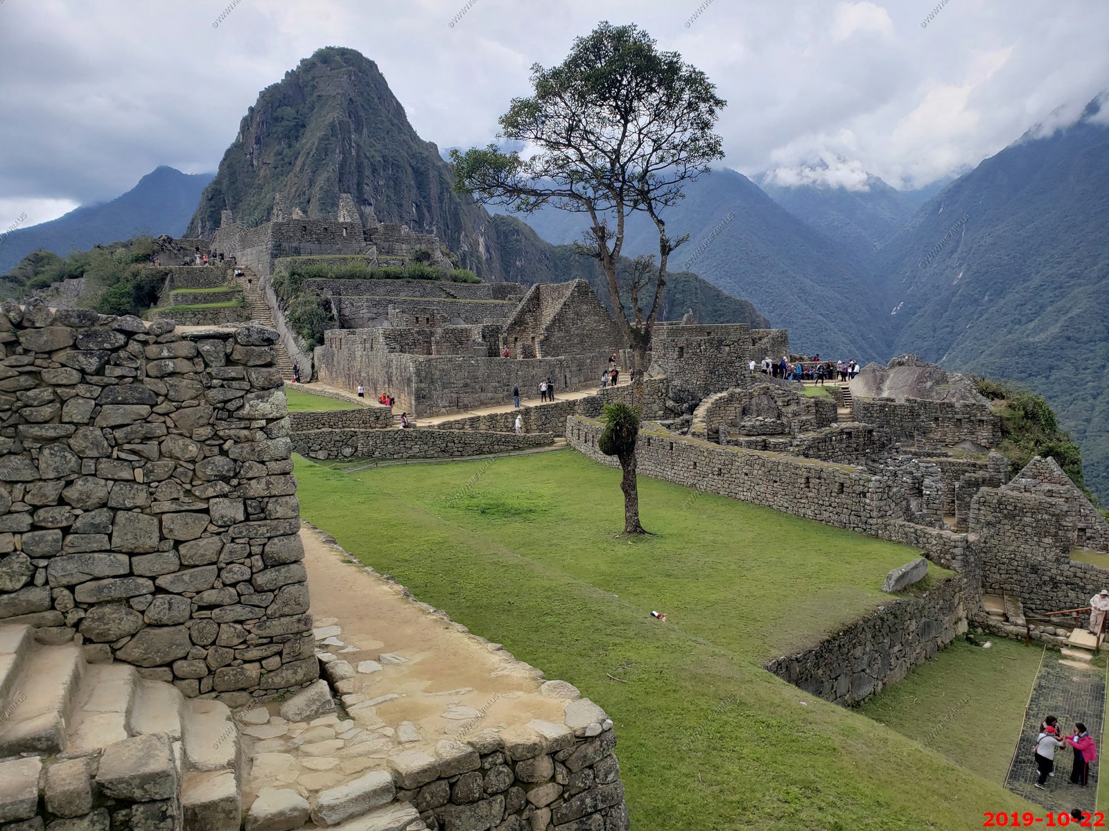
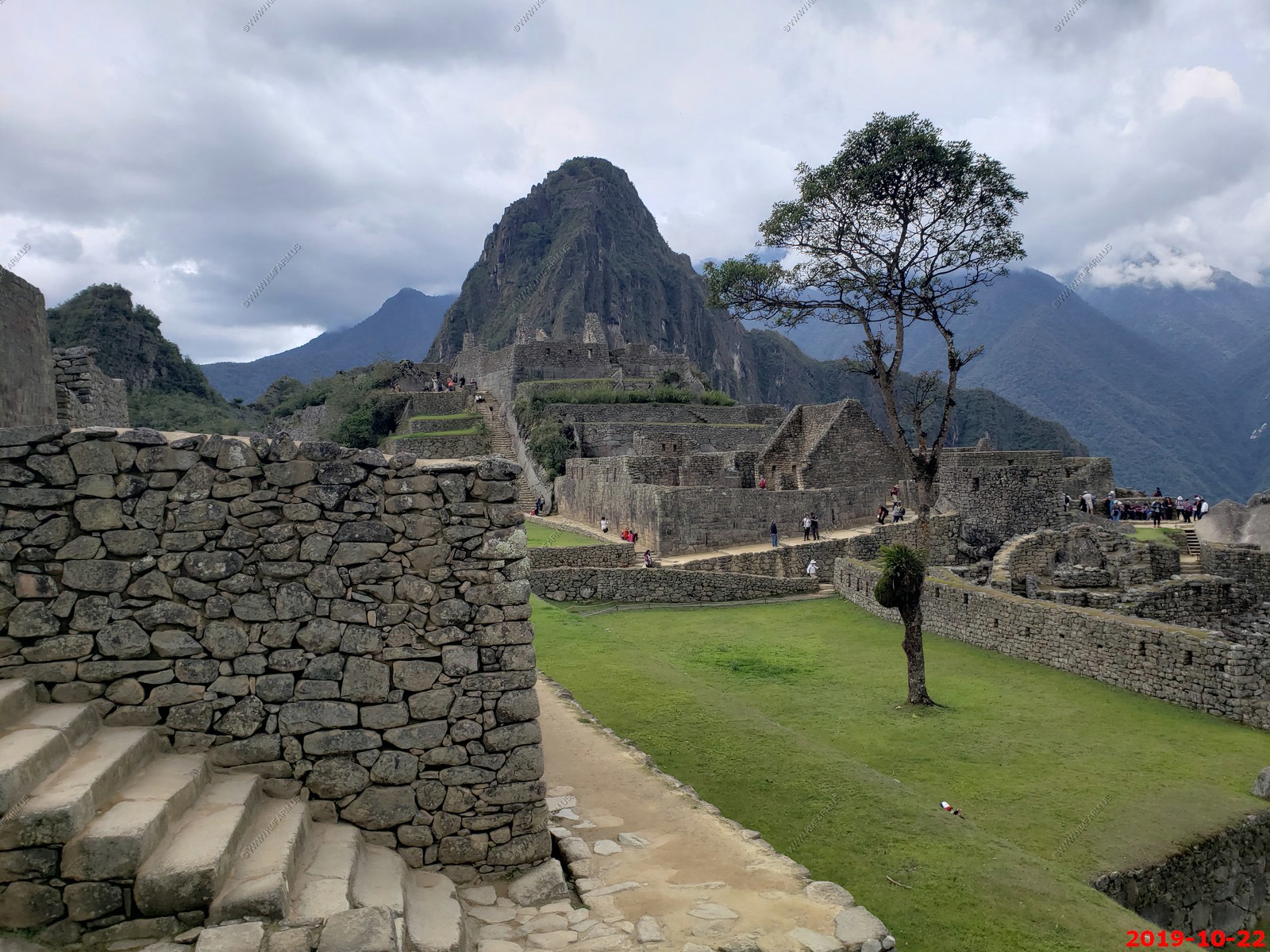
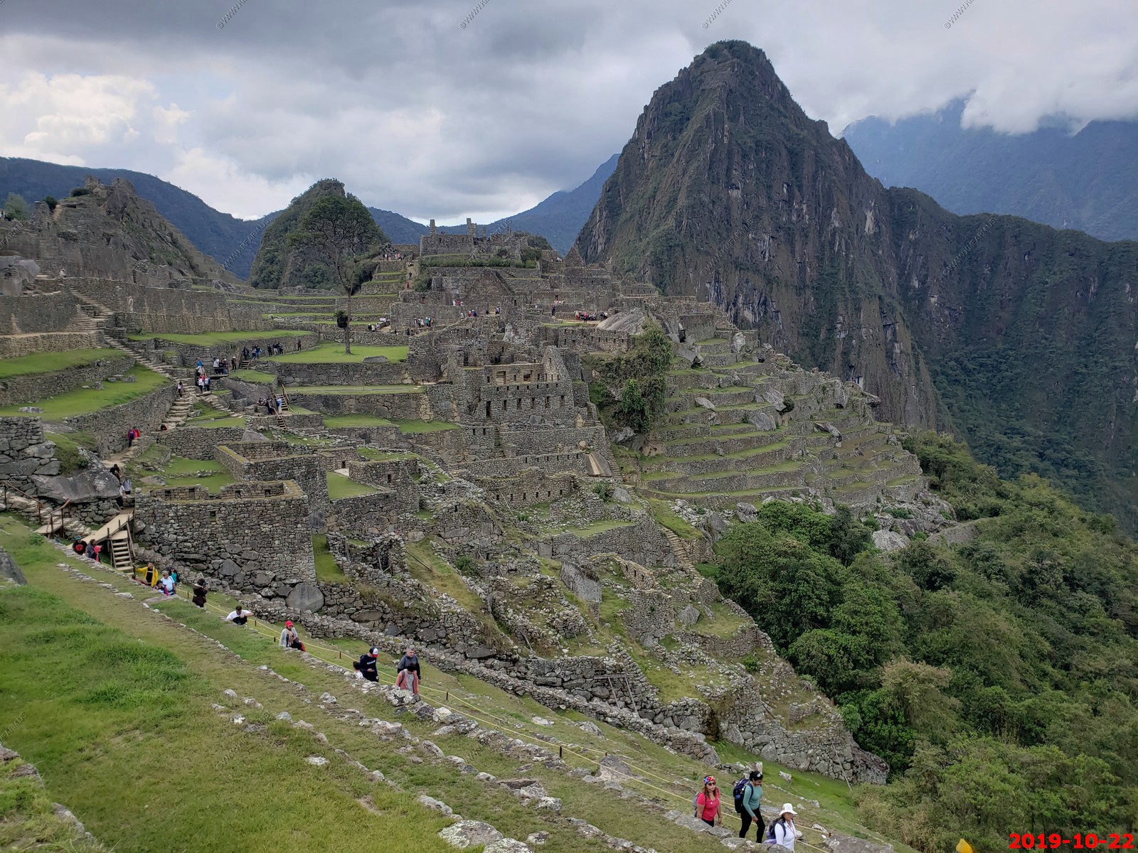
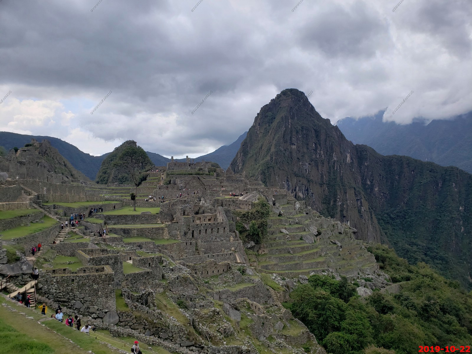
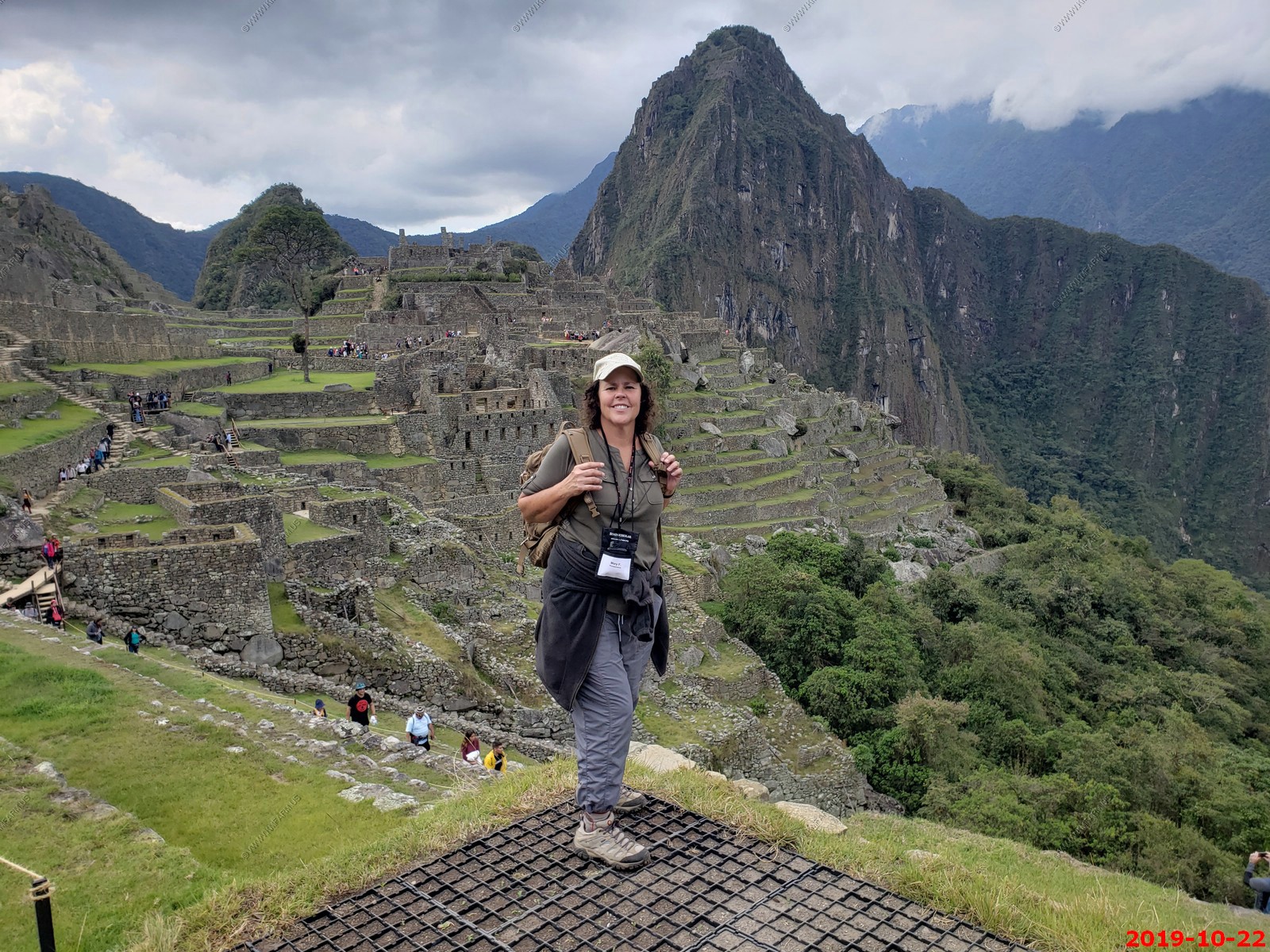
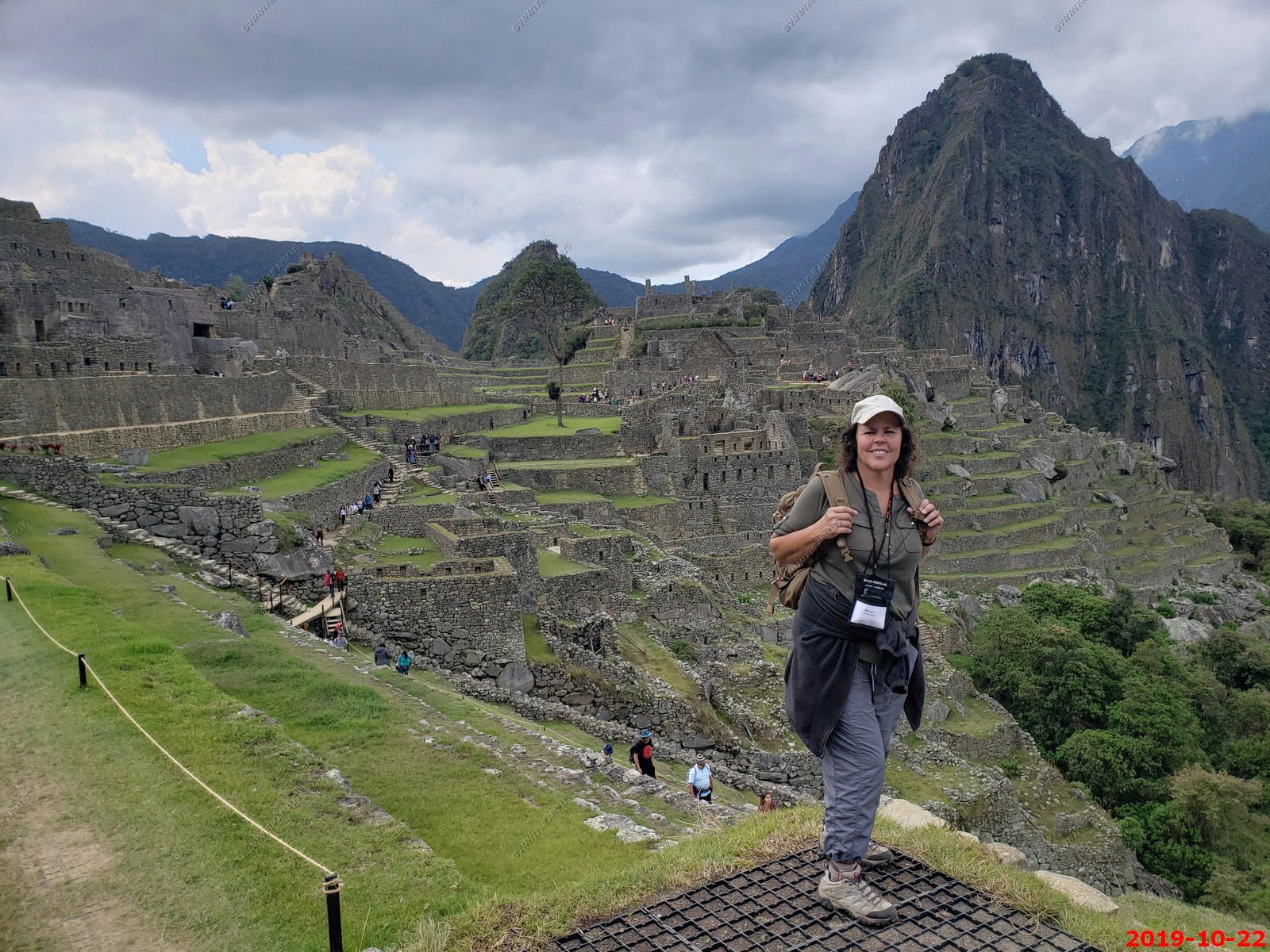
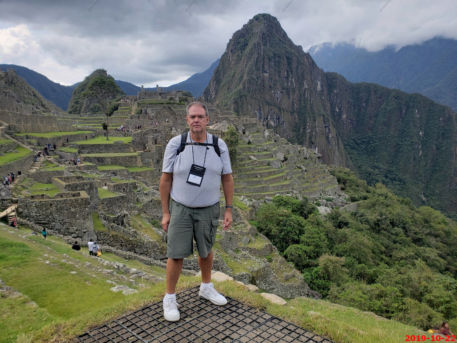
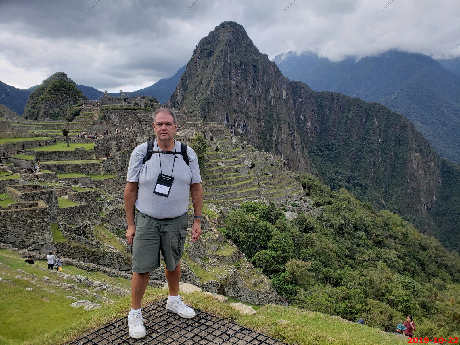
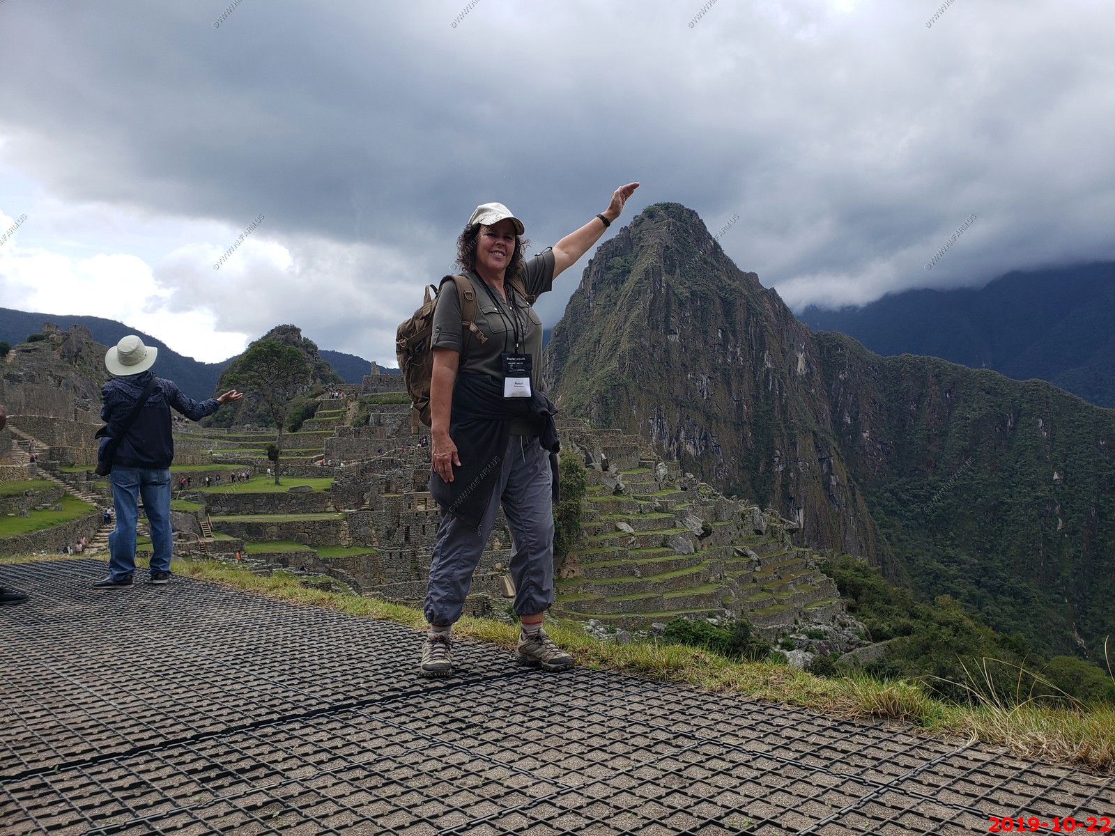
Machu Picchu
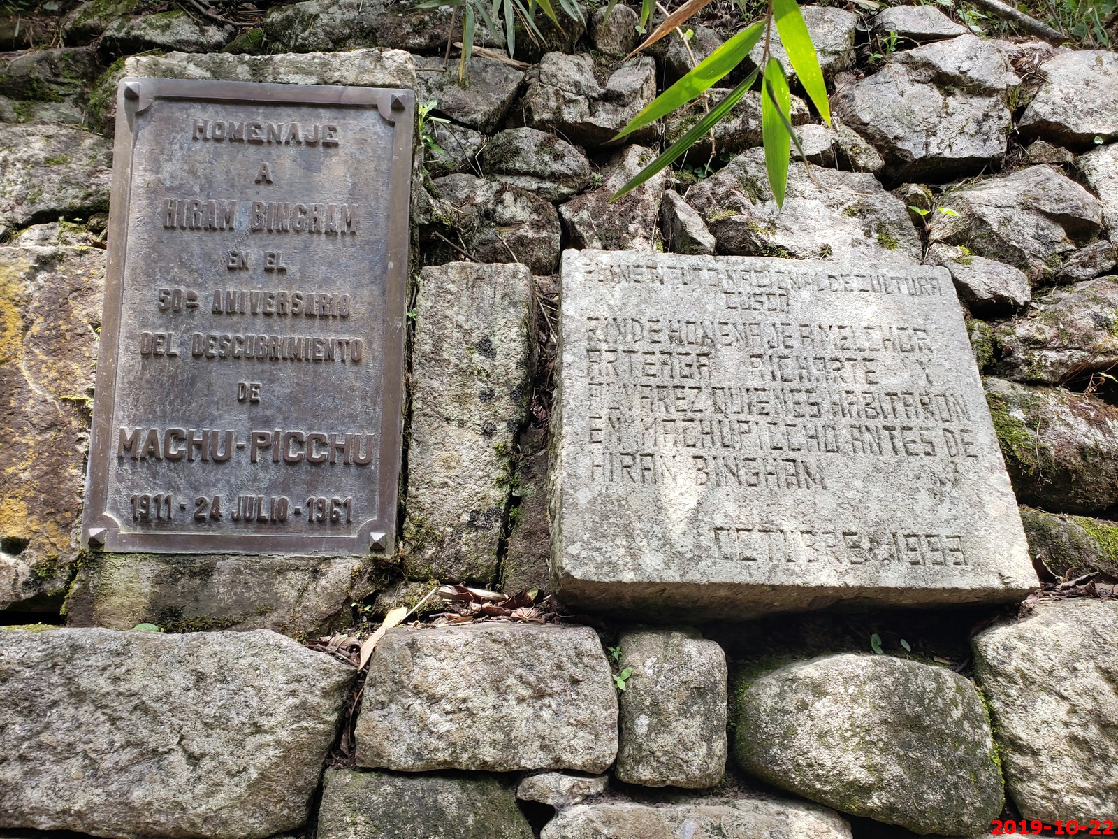
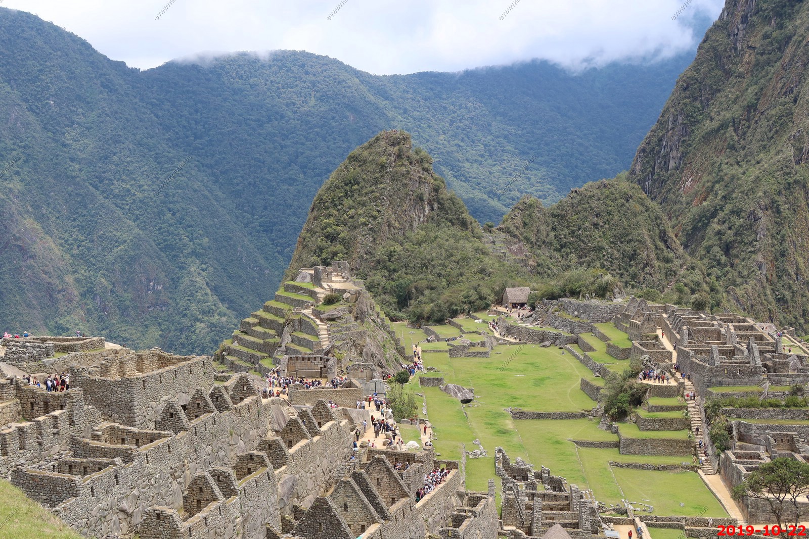
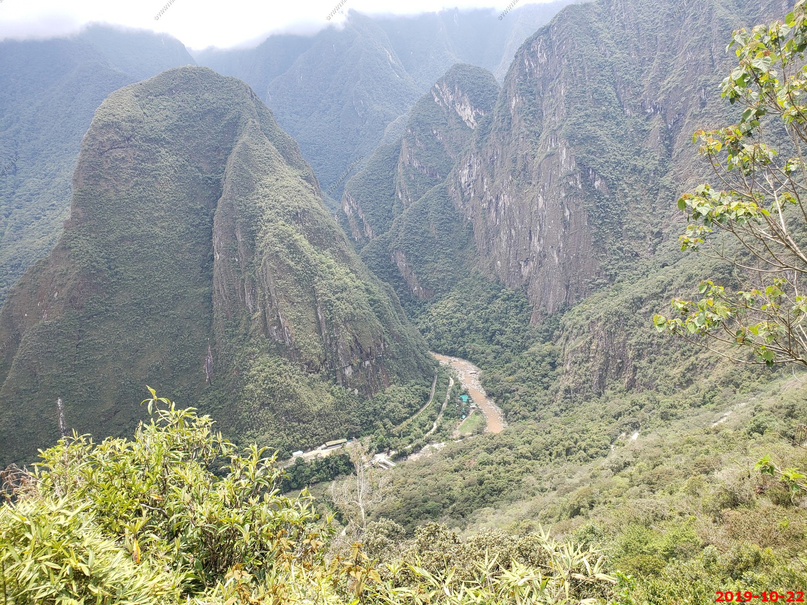
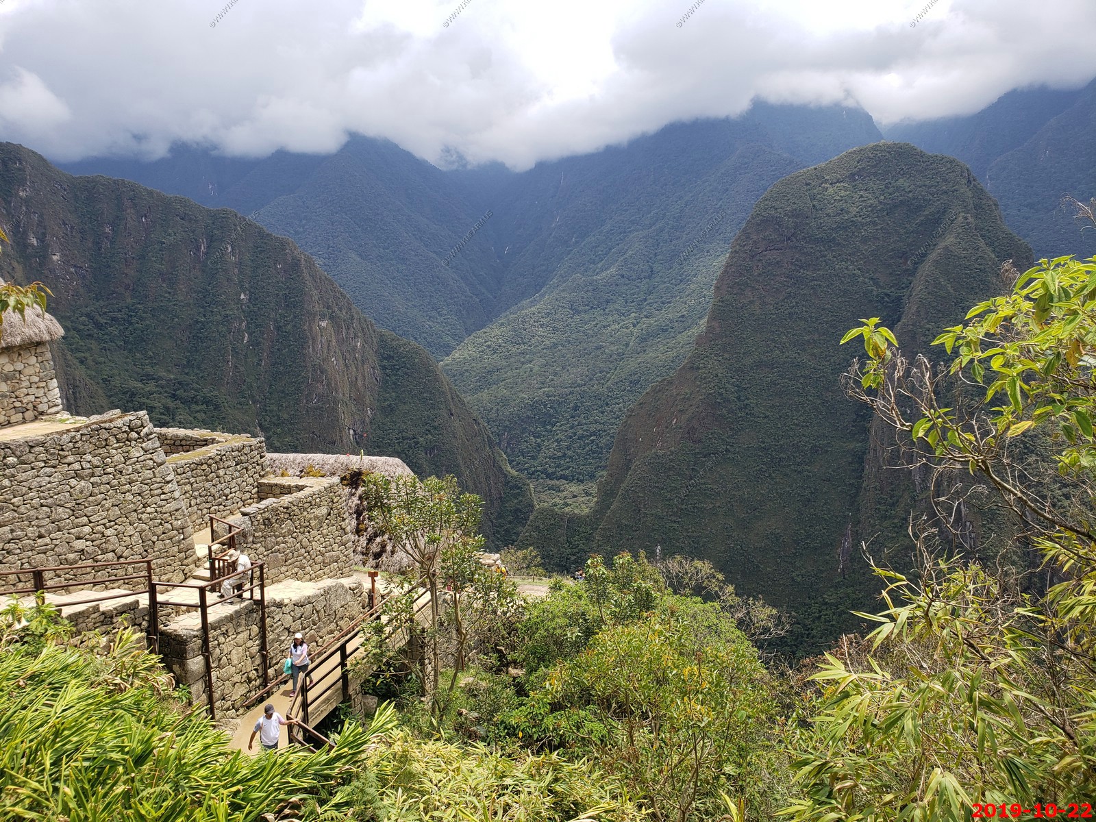
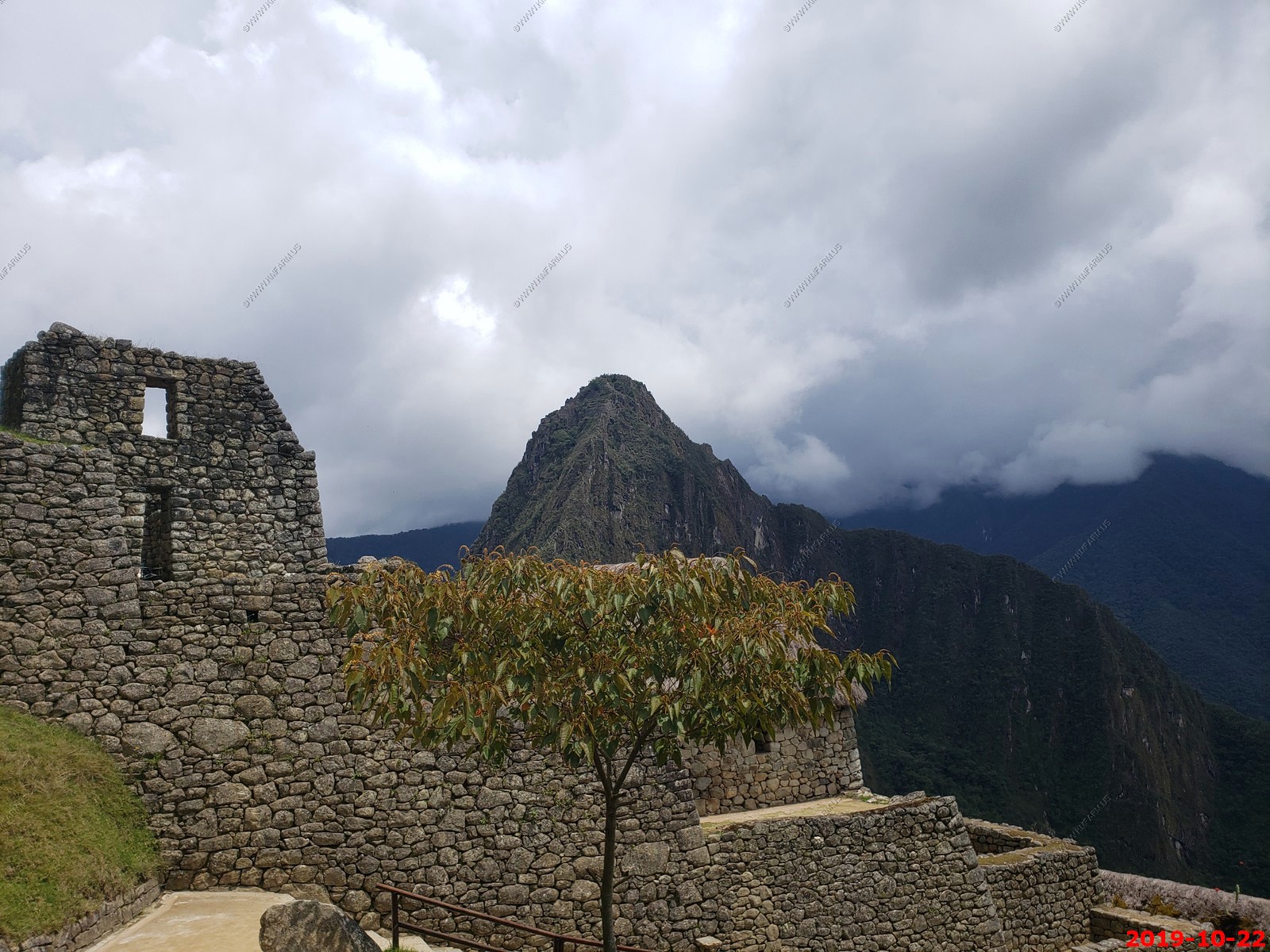
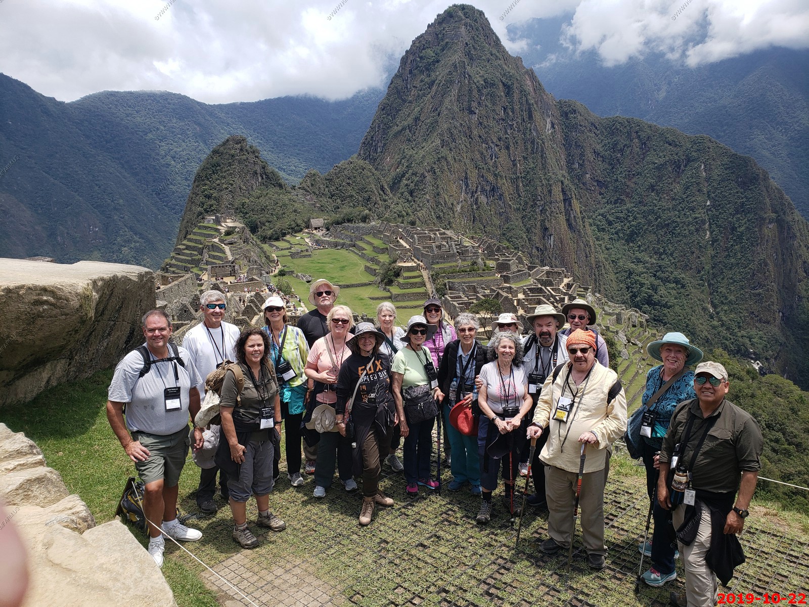
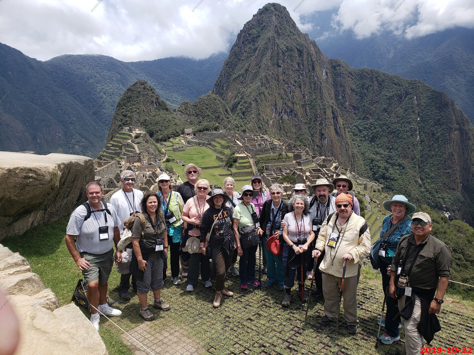
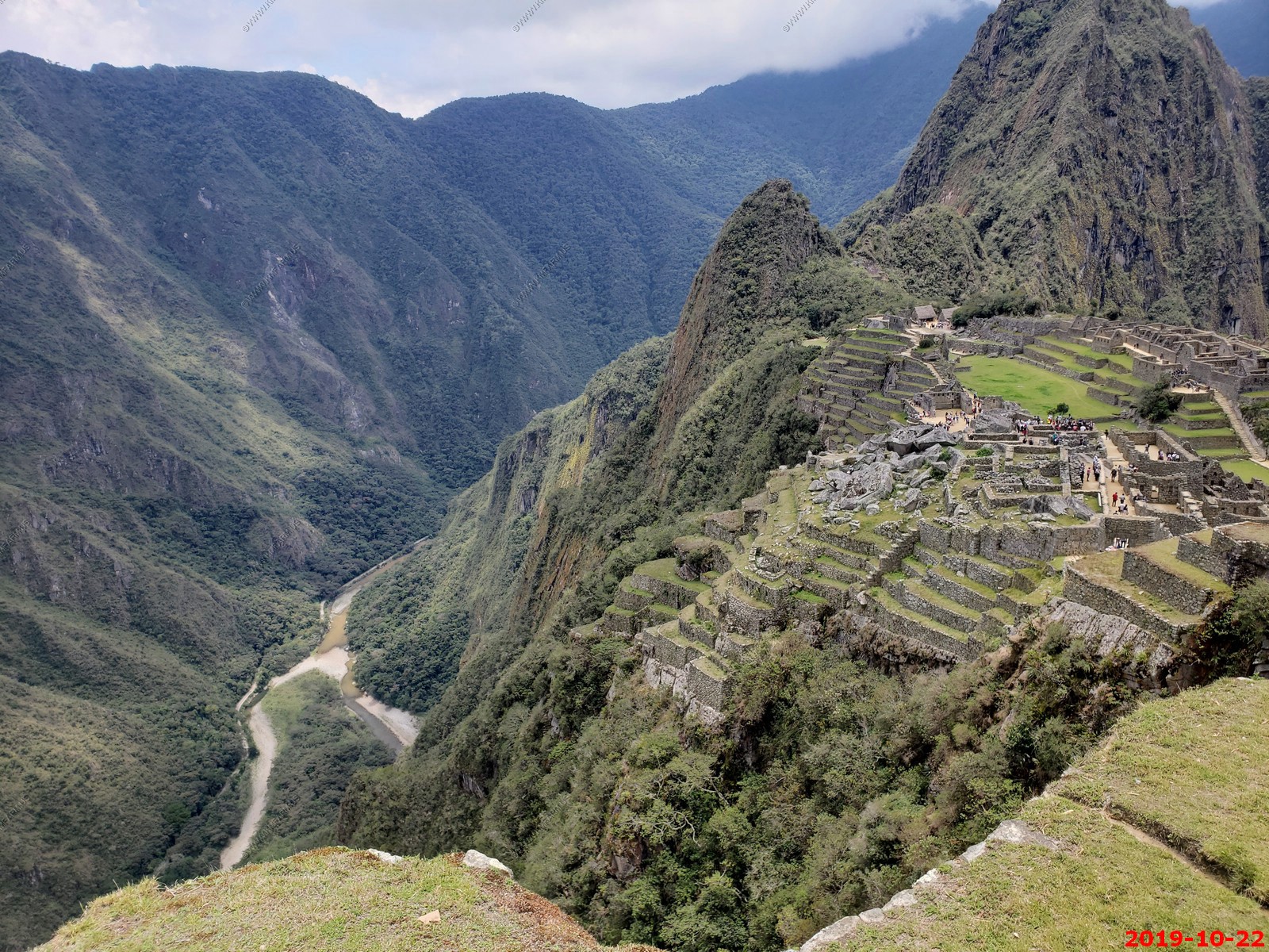
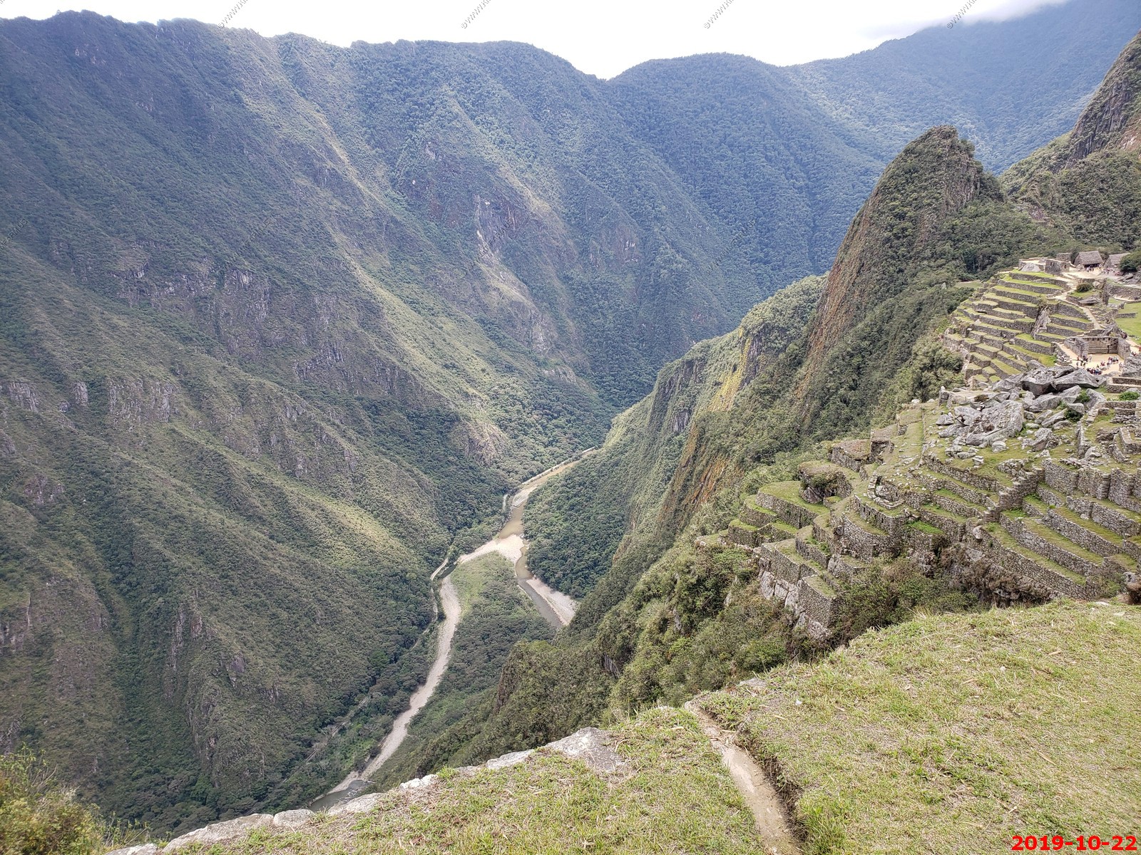
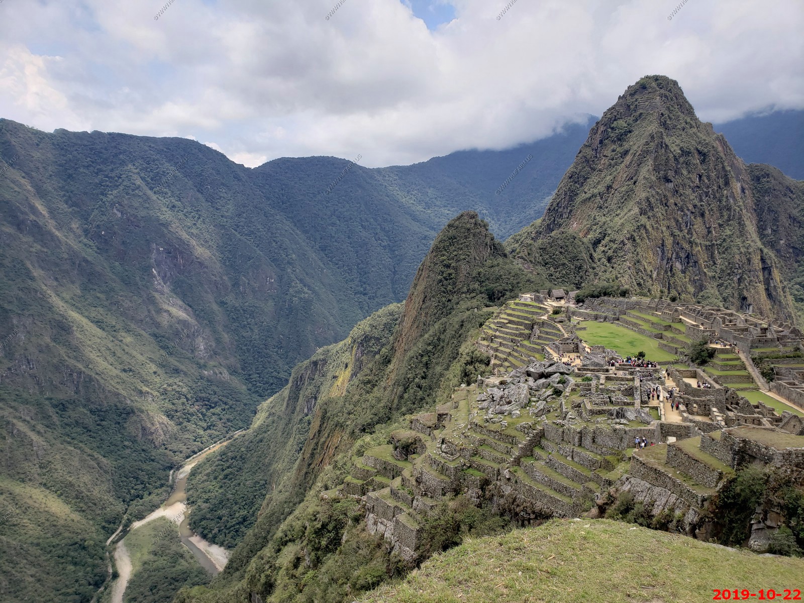
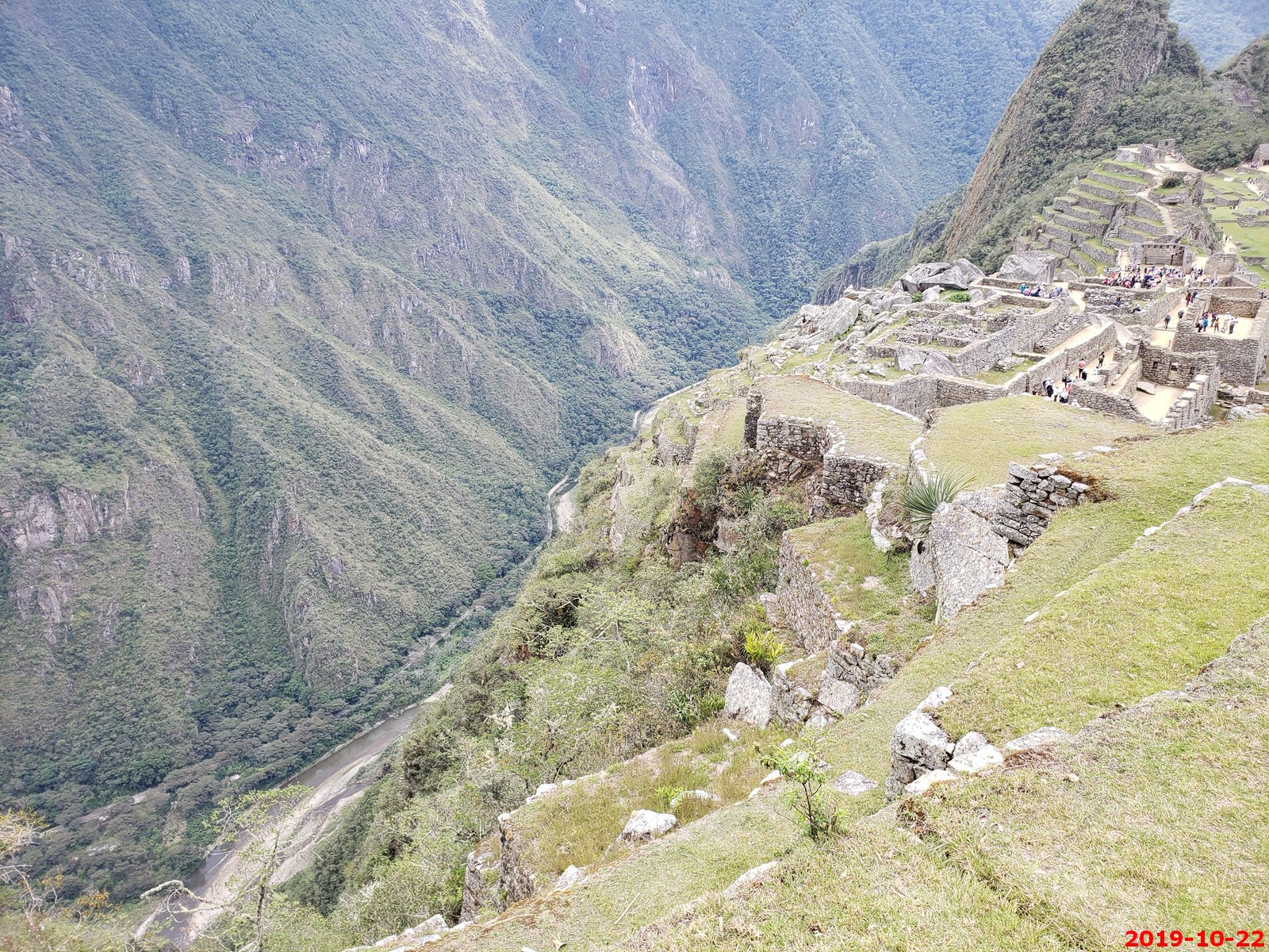
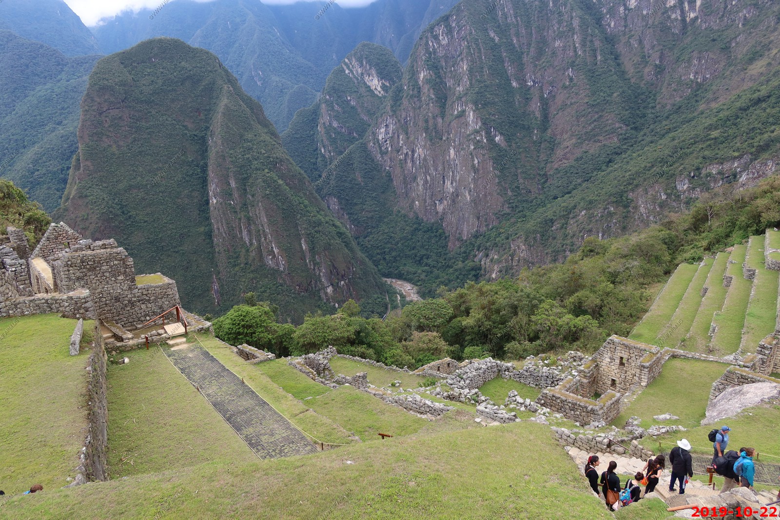
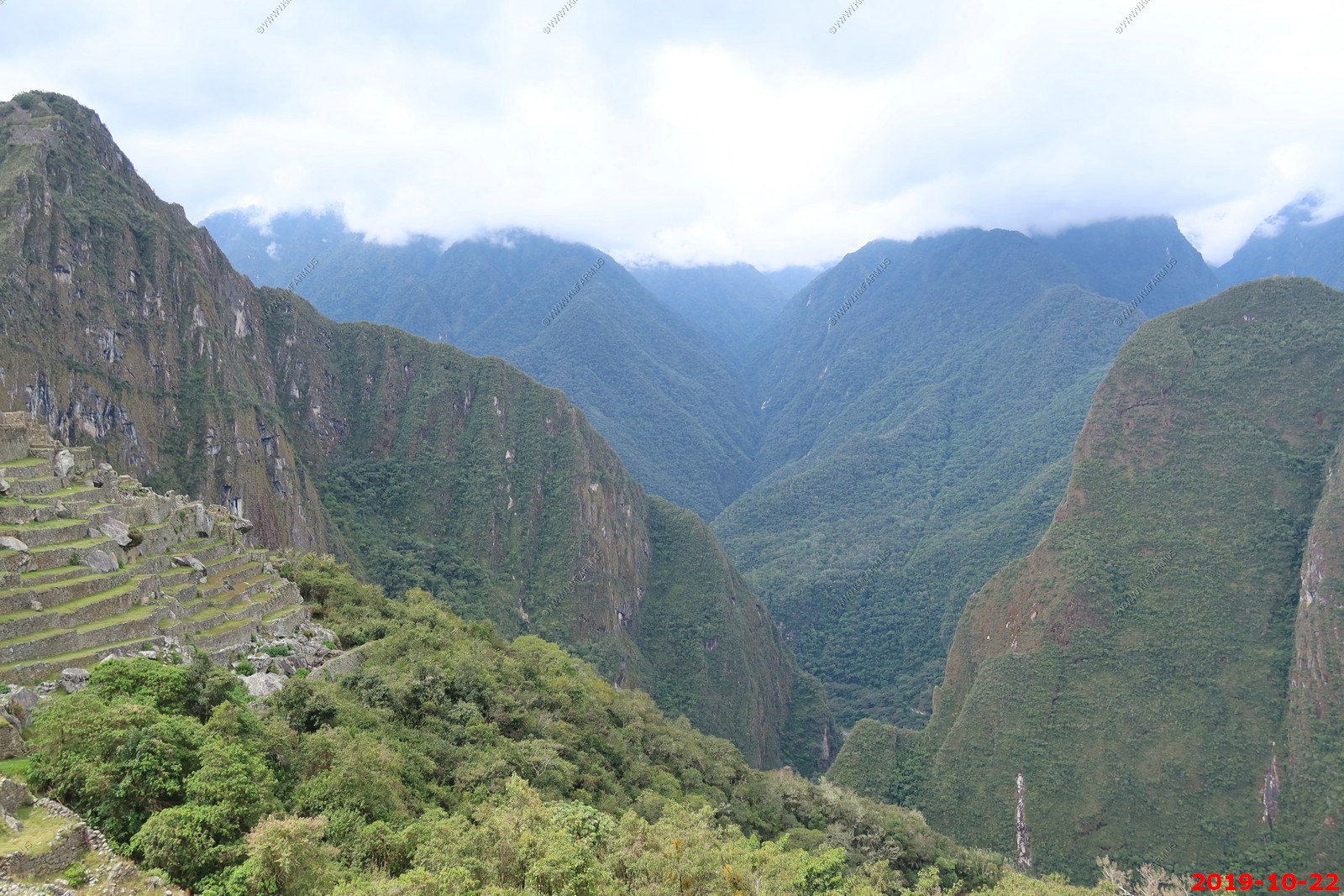
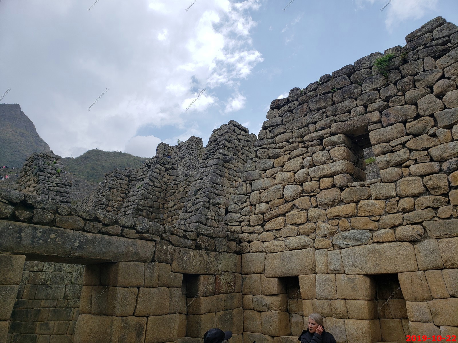
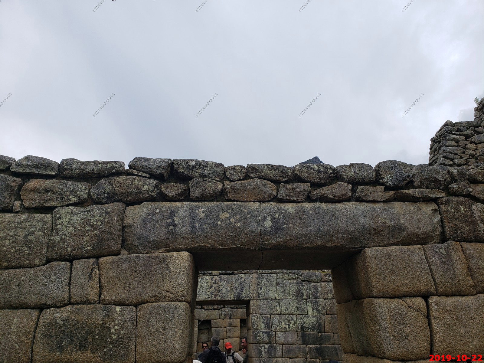
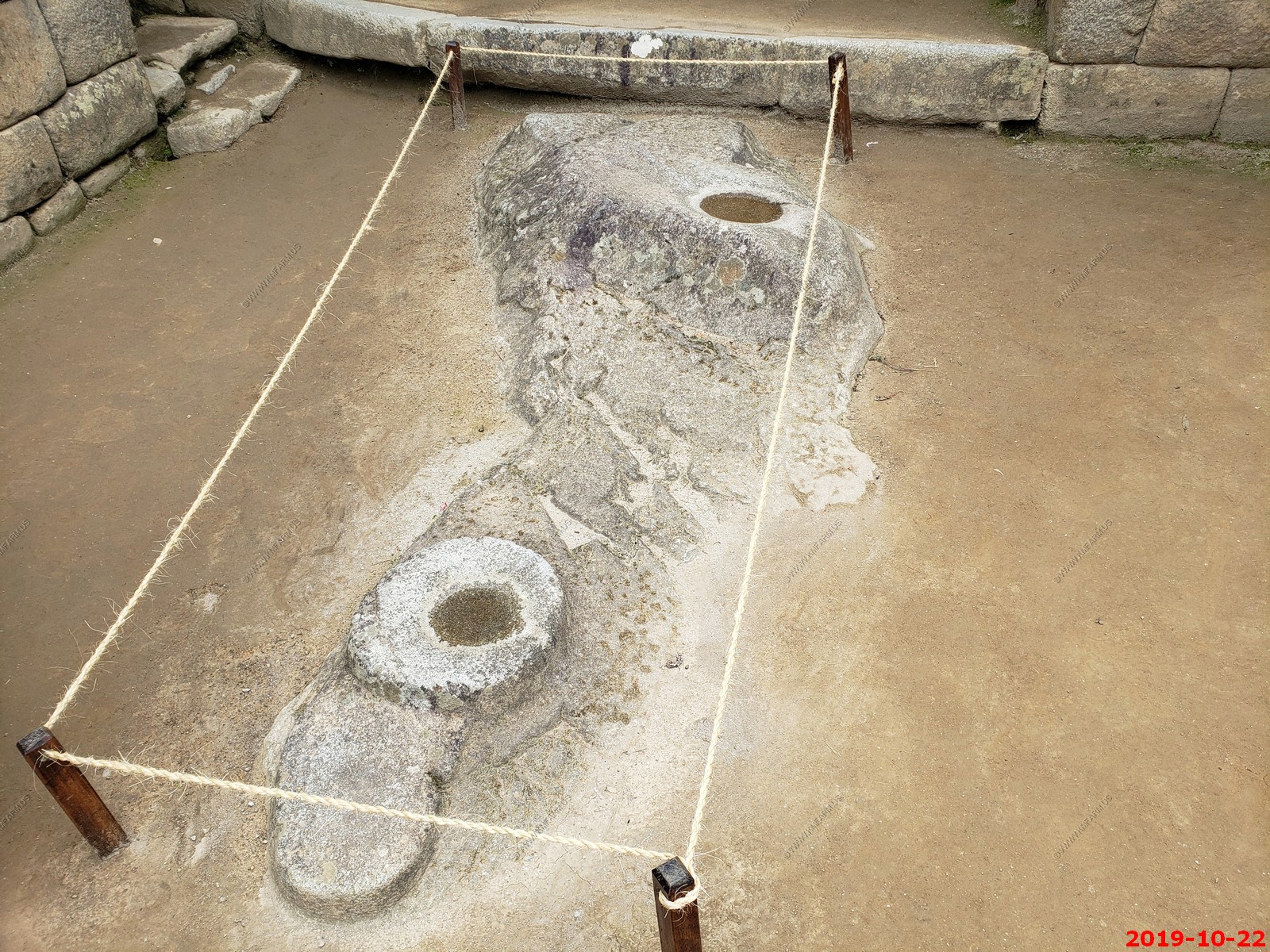
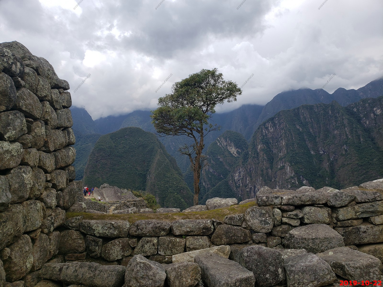
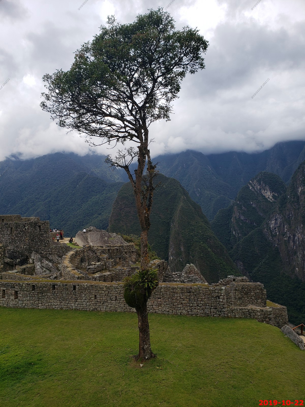
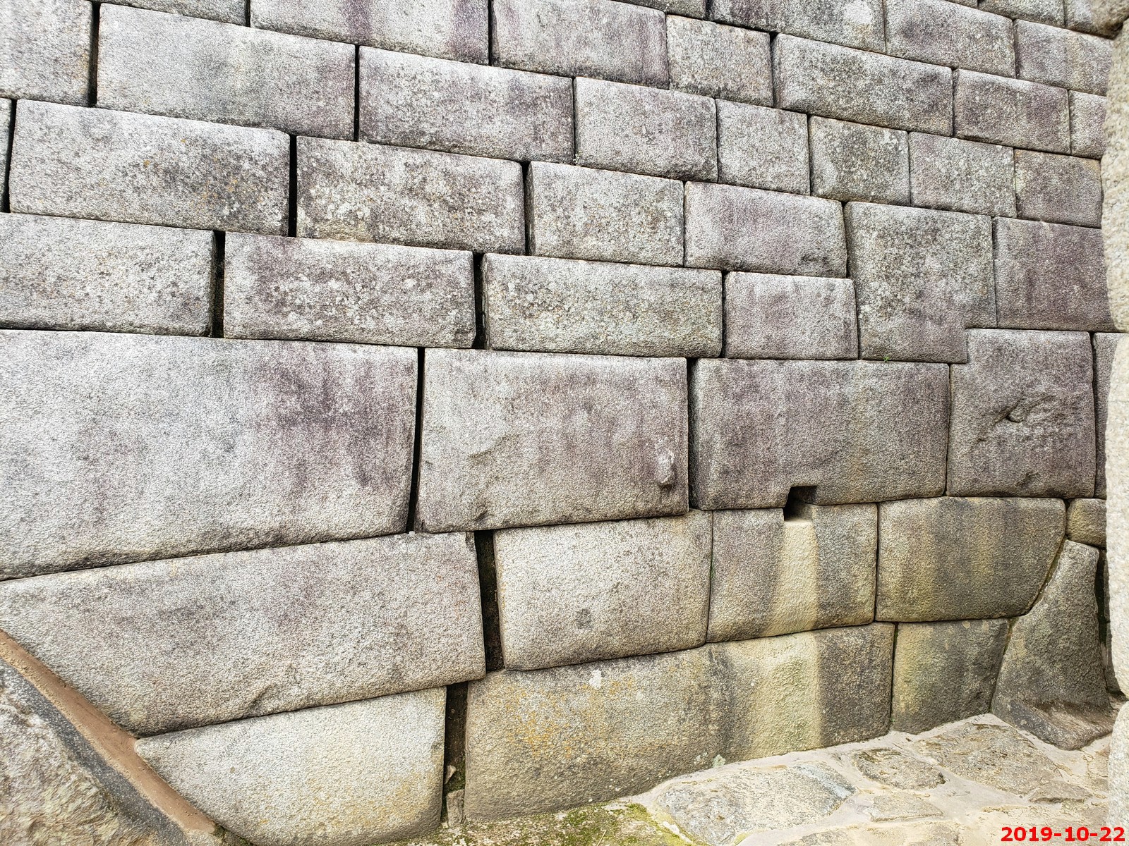
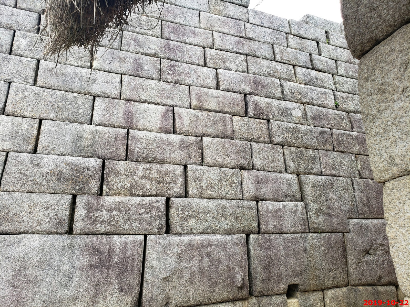
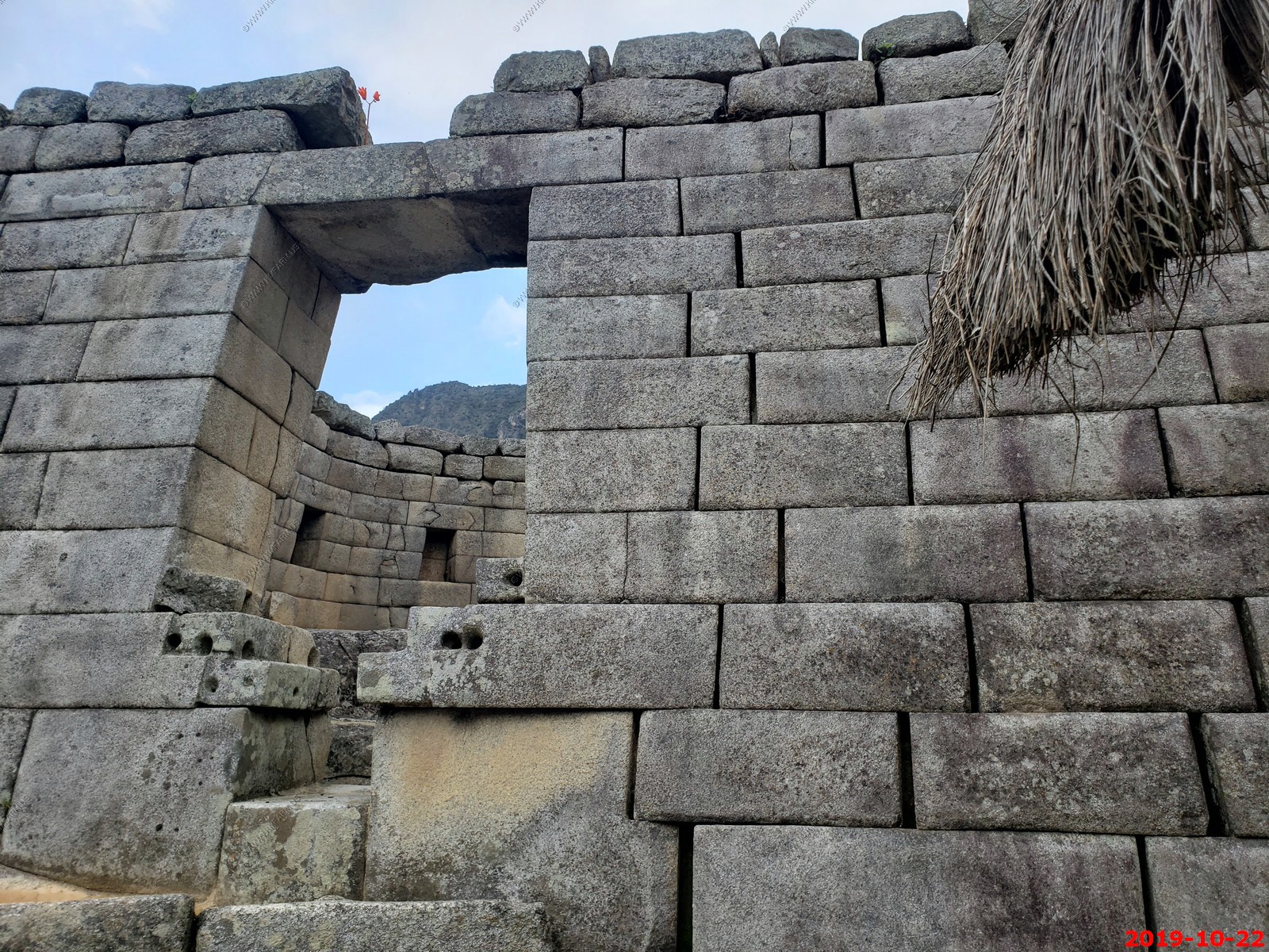
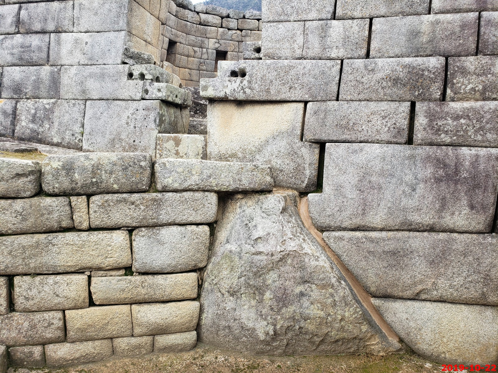
Machu Picchu was built around 1450, at the height of the Inca Empire. Its construction appears to date to the period of the two great Incas, Pachacutec Inca Yupanqui (1438-71) and Tupac Inca Yupanqui (1472-93). It was abandoned just over 100 years later, in 1572, as a belated result of the Spanish Conquest. Machu Picchu is situated above a bow of the Urubamba River, which surrounds the site on three sides, with cliffs dropping vertically for 1,480 ft to the river at their base. The area is subject to morning mists rising from the river. The location of the city was a military secret, and its deep precipices and steep mountains provided excellent natural defenses. The Inca Bridge, an Inca grass rope bridge, across the Urubamba River, provided a secret entrance for the Inca army. The city sits in a saddle between the two mountains Machu Picchu and Huayna Picchu, with a commanding view down two valleys and a nearly impassable mountain at its back. It has a water supply from springs that cannot be blocked easily, and enough land to grow food for about four times as many people as ever lived there. To say Machu Picchu was an impregnable fortress in addition to a sanctuary is to overstate the obvious.
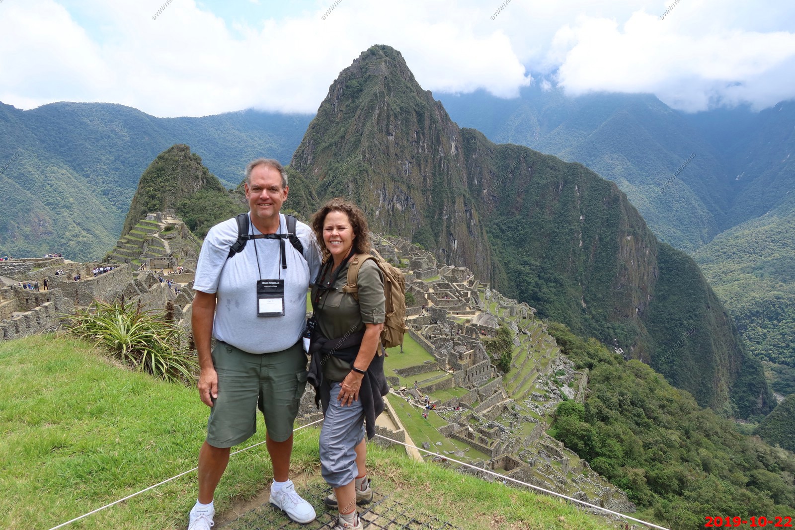
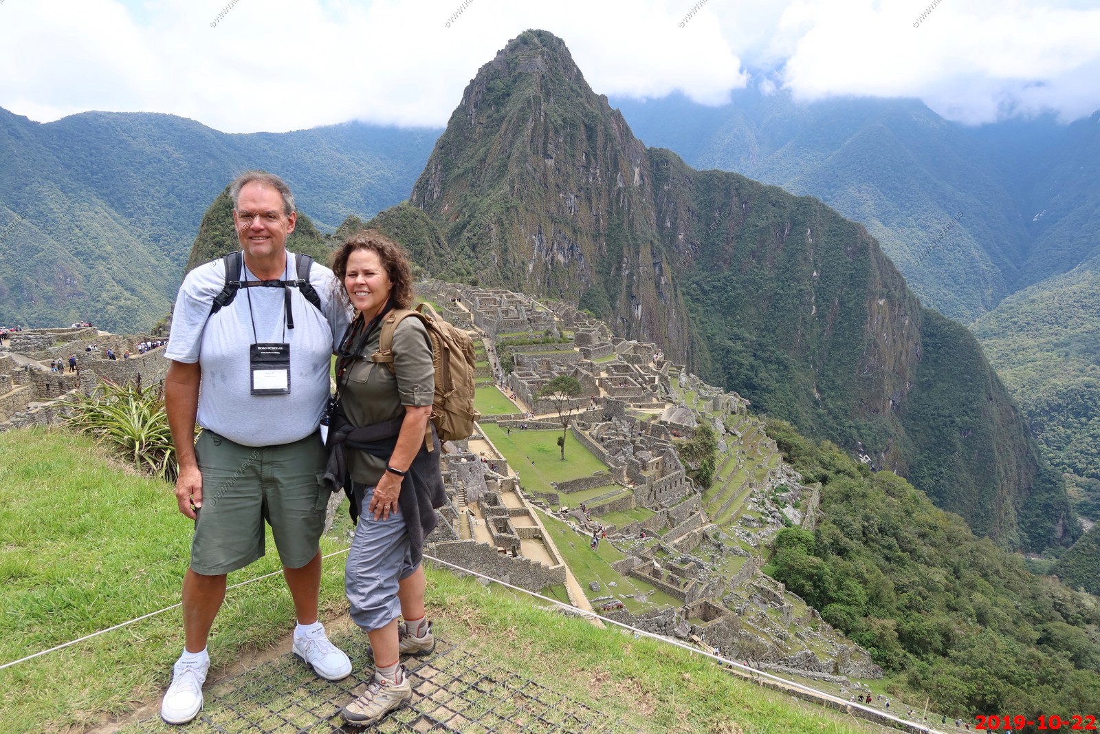
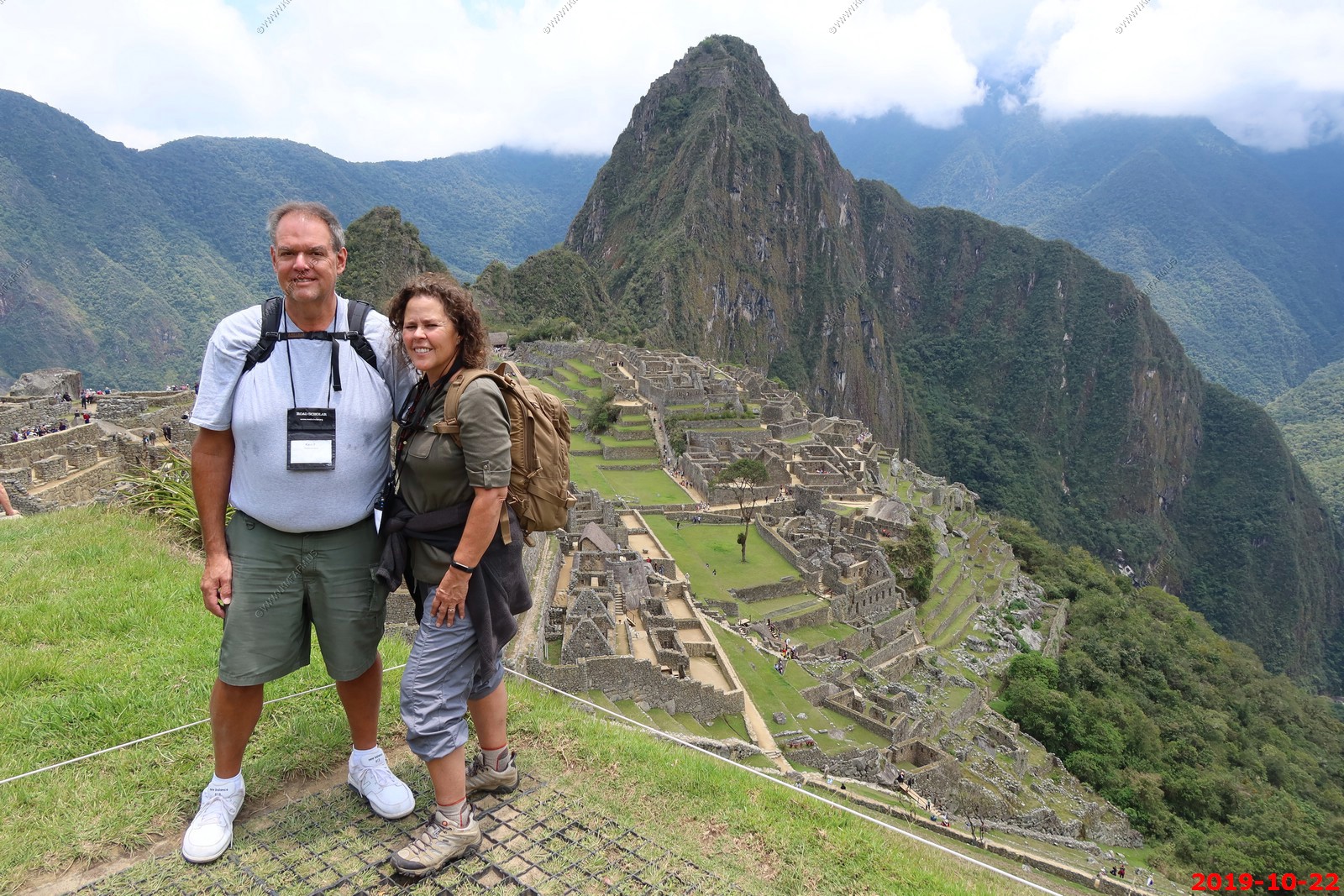
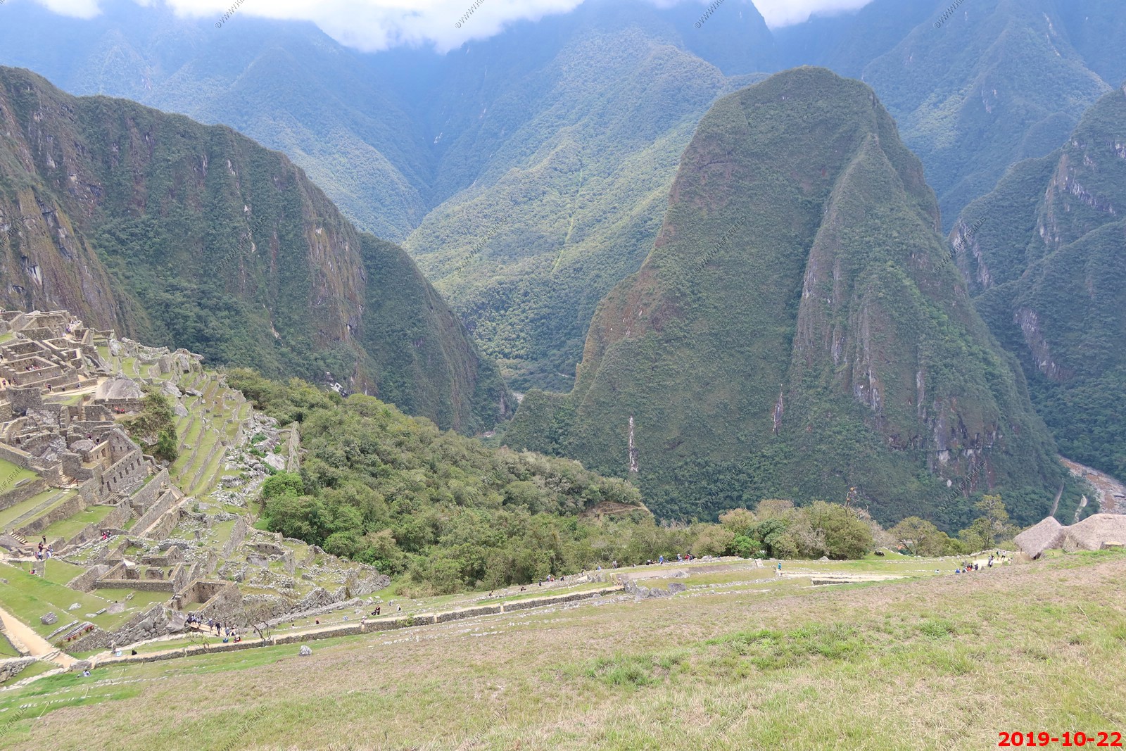
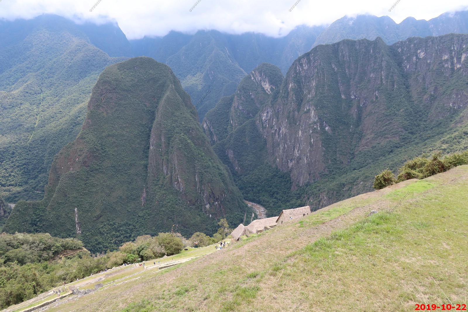
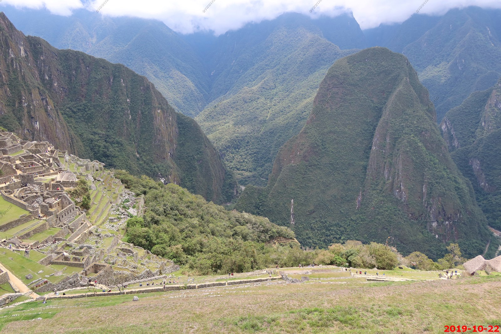
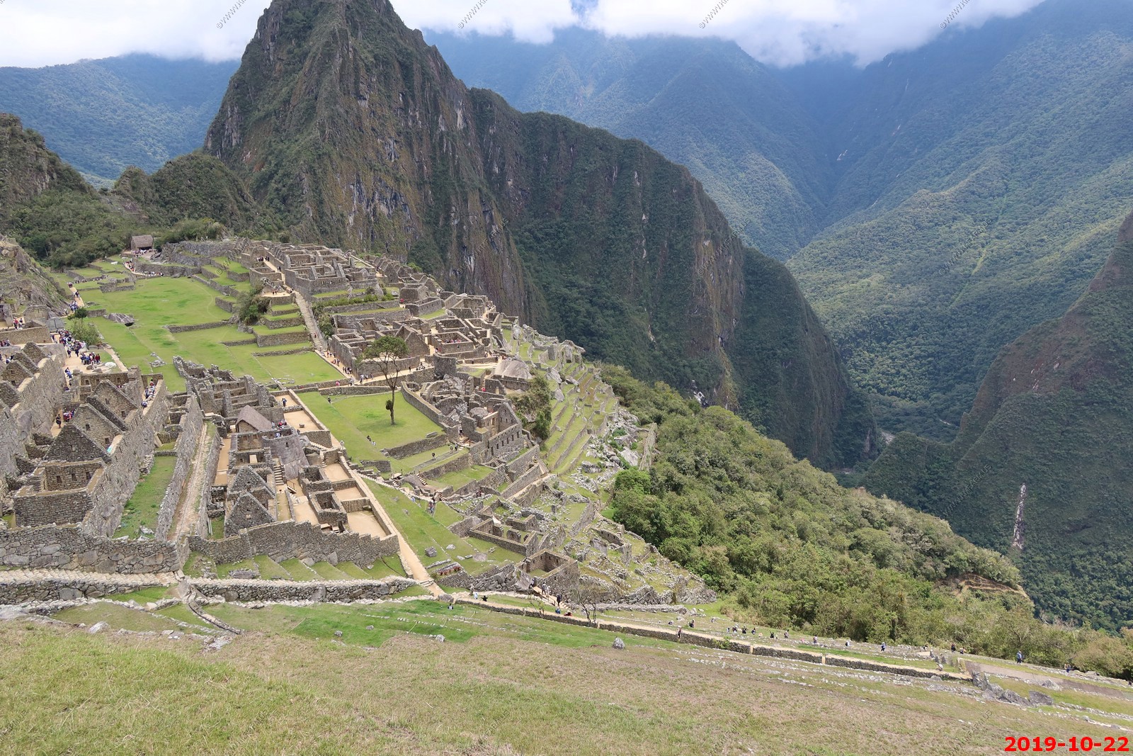
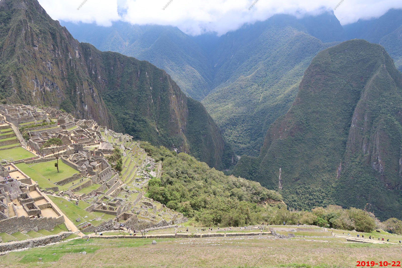
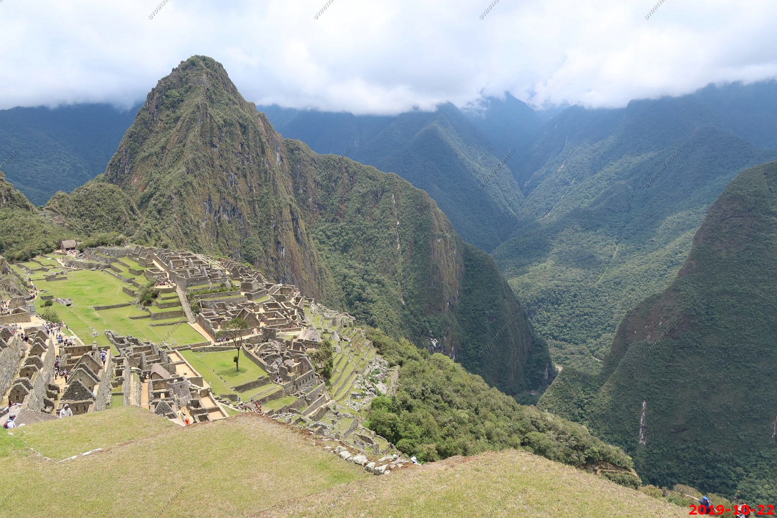
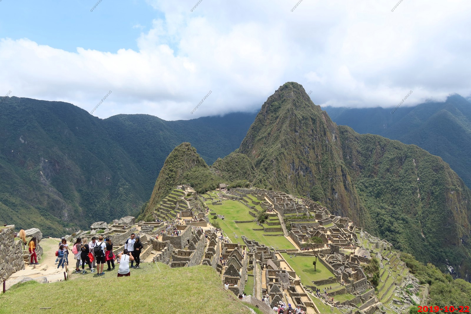
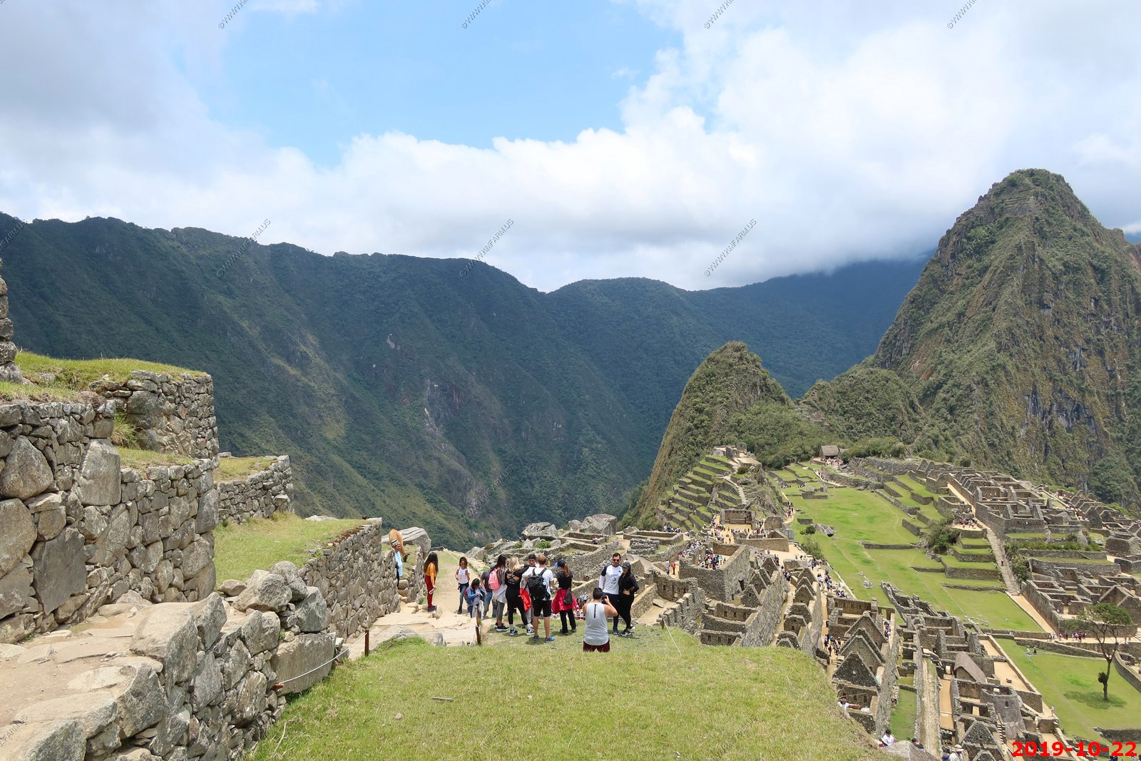
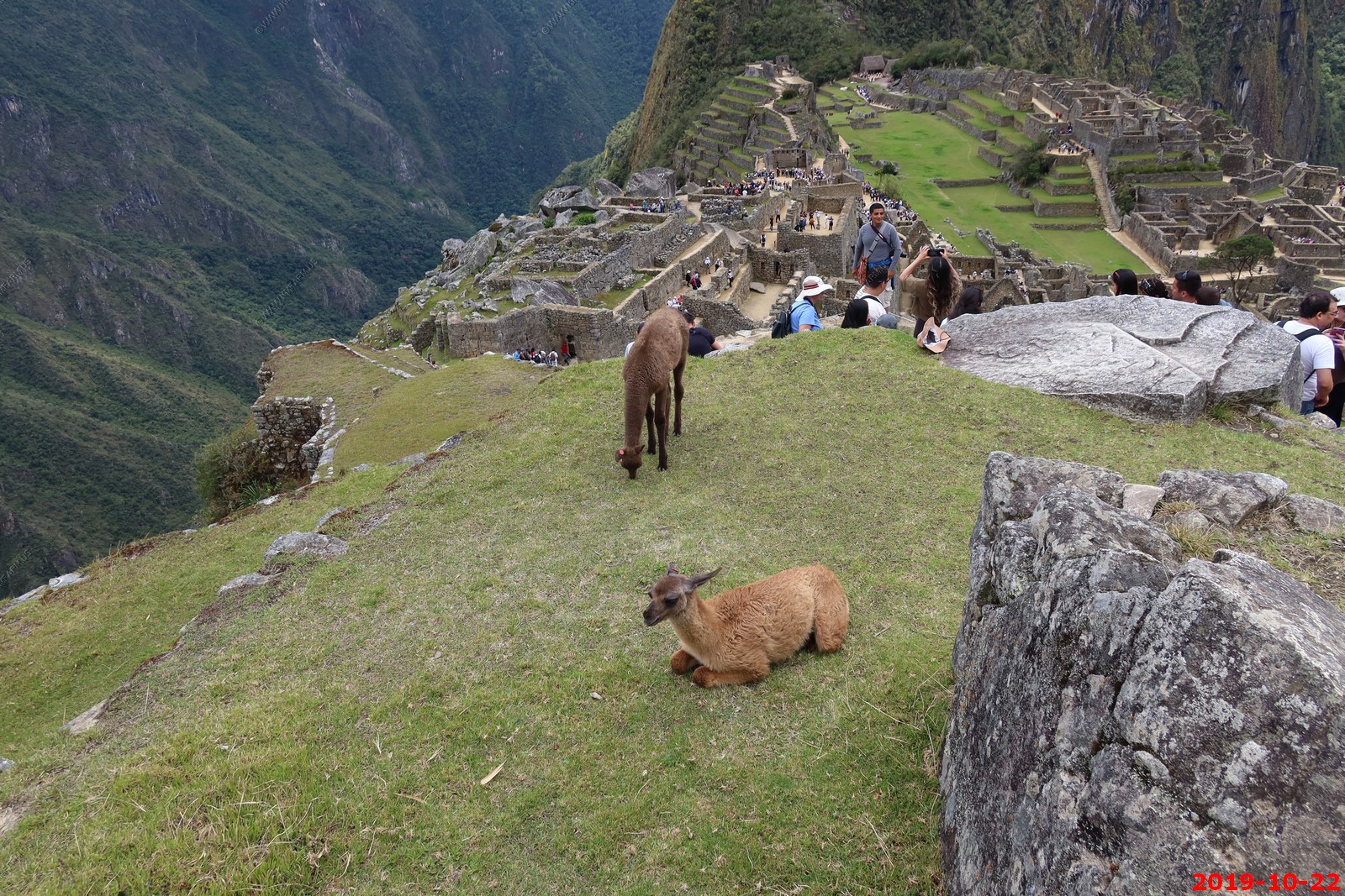
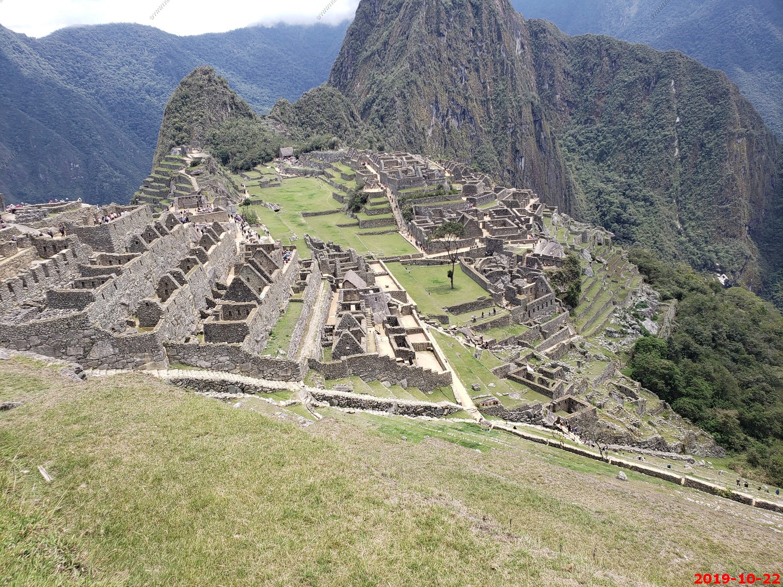
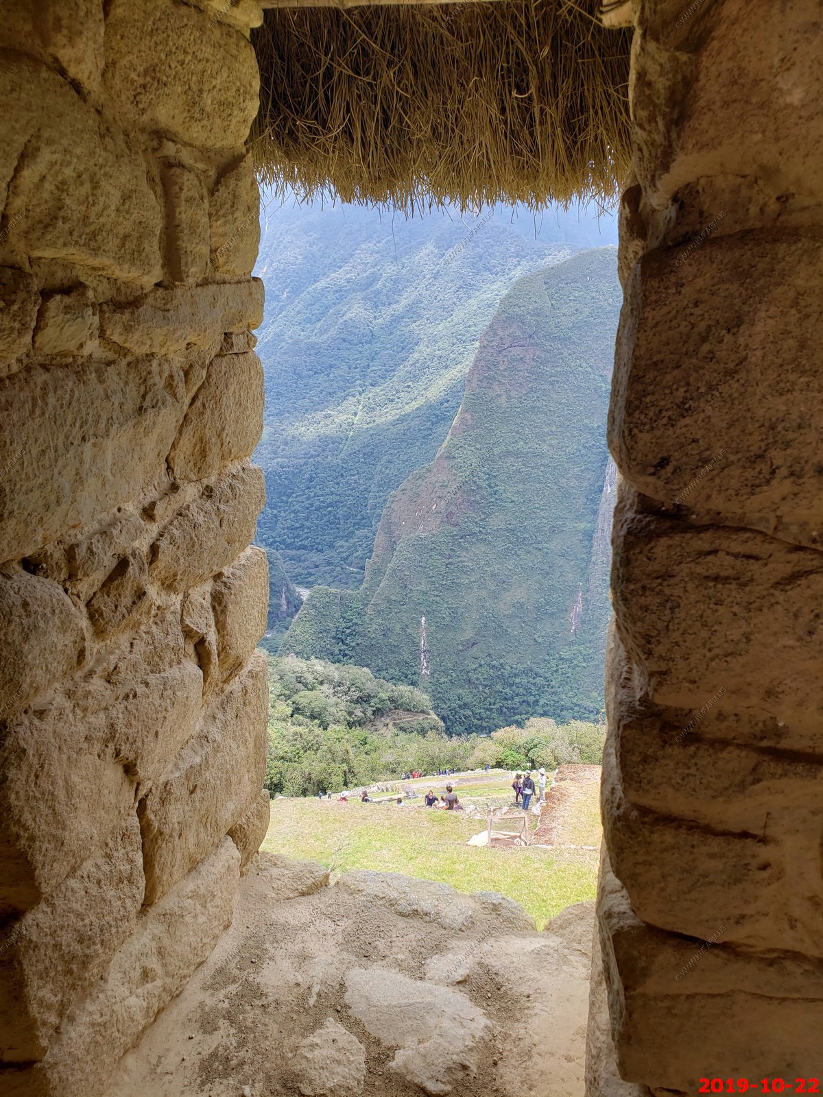
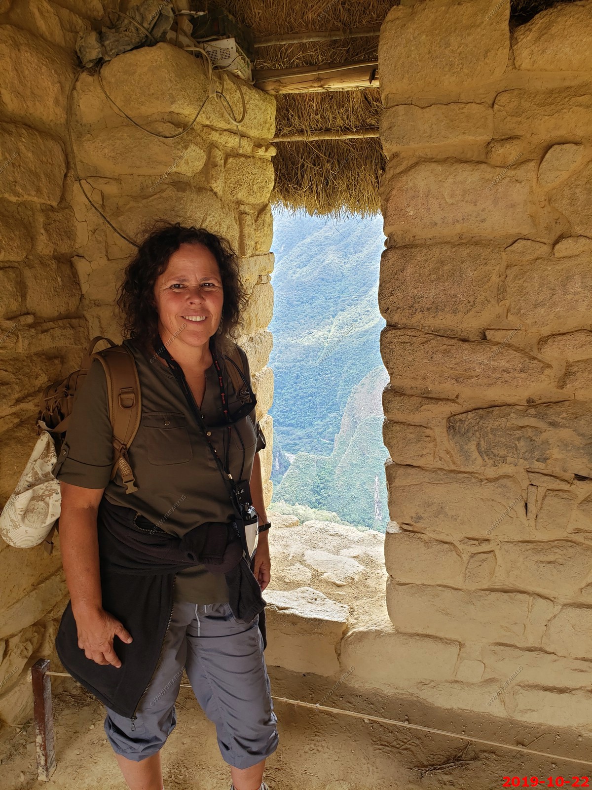
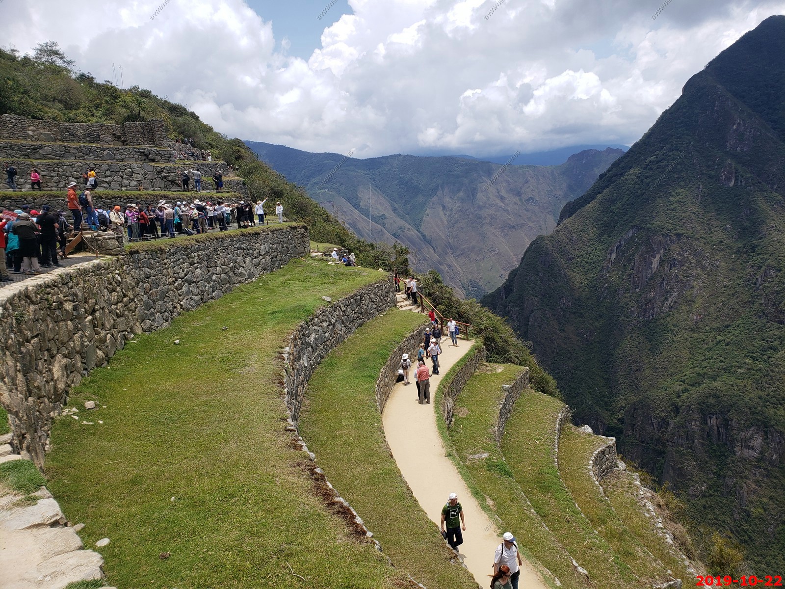
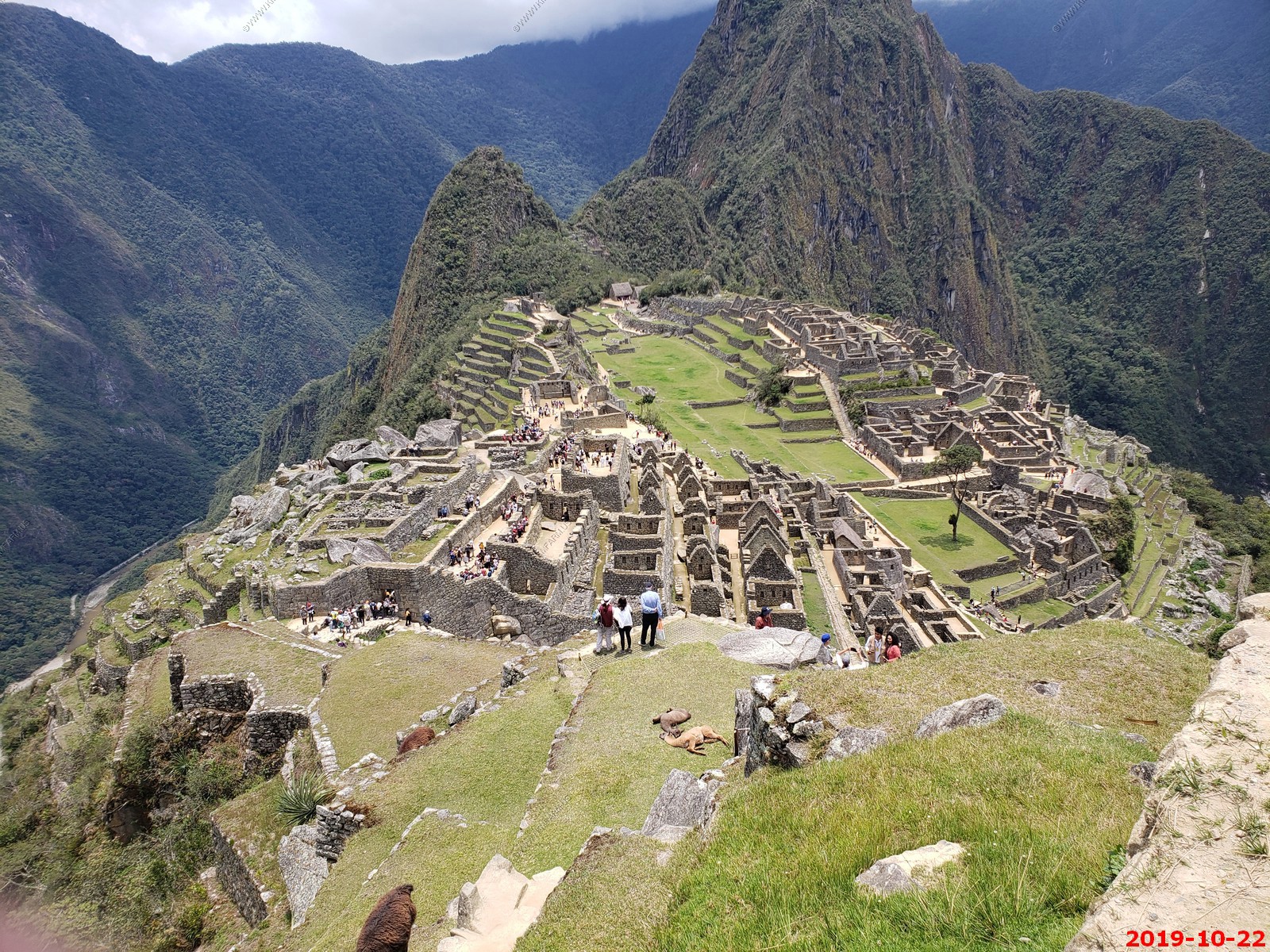
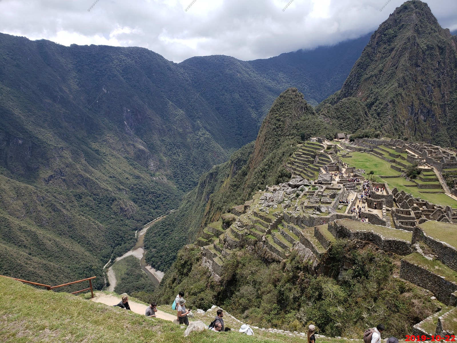
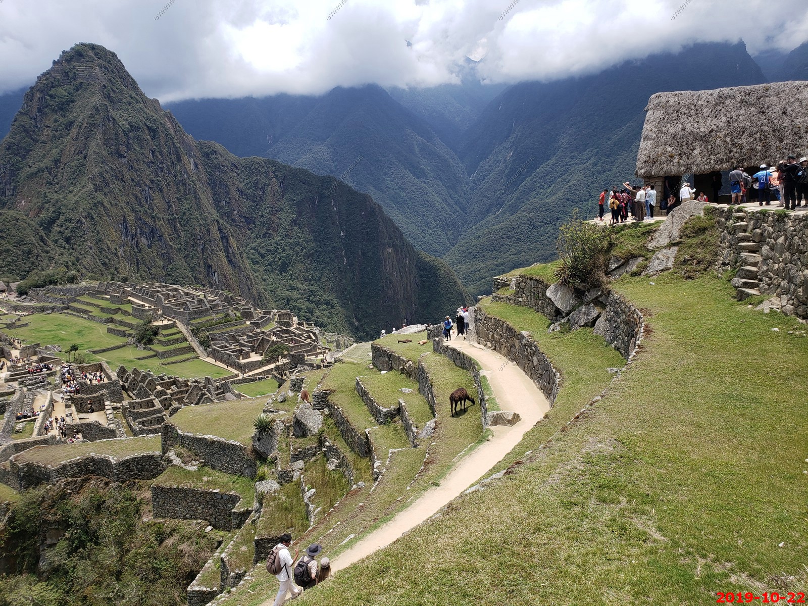
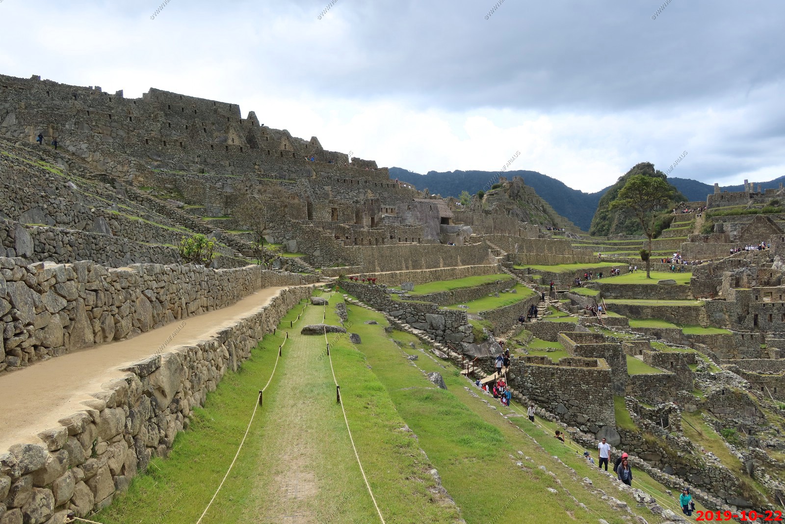
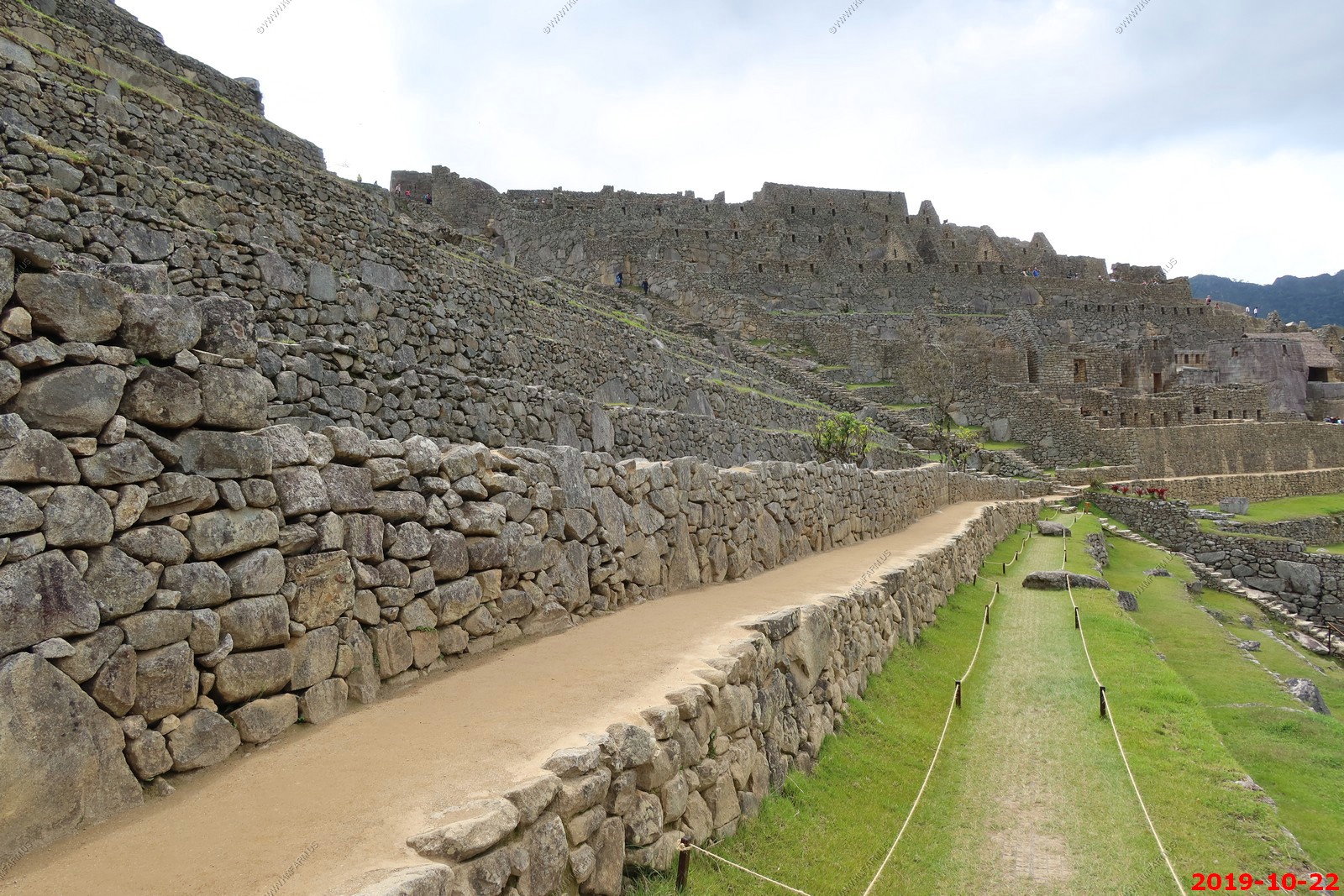
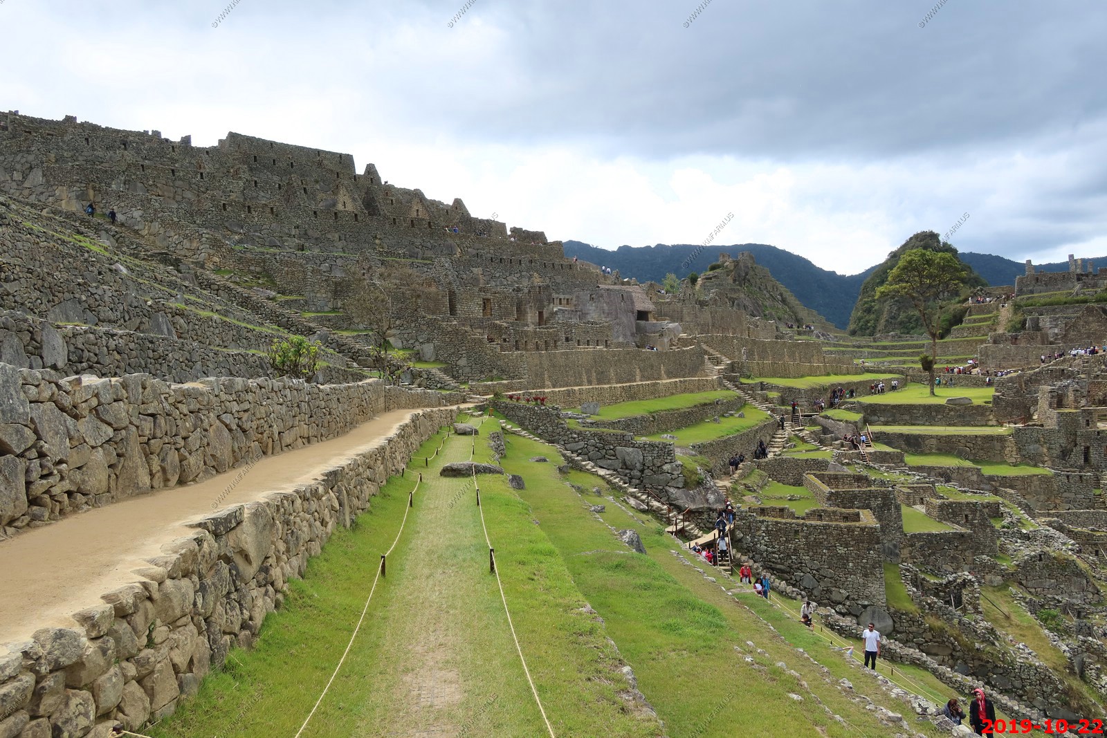
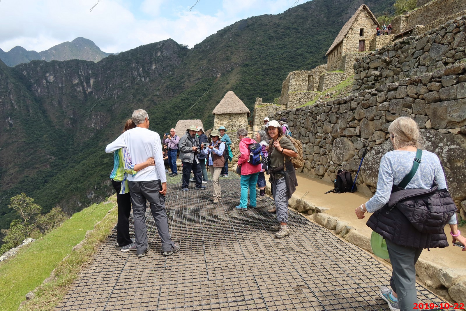
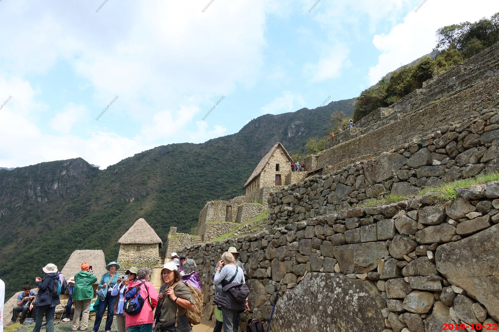
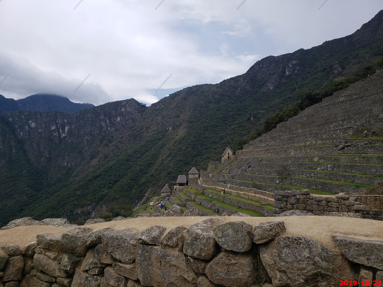
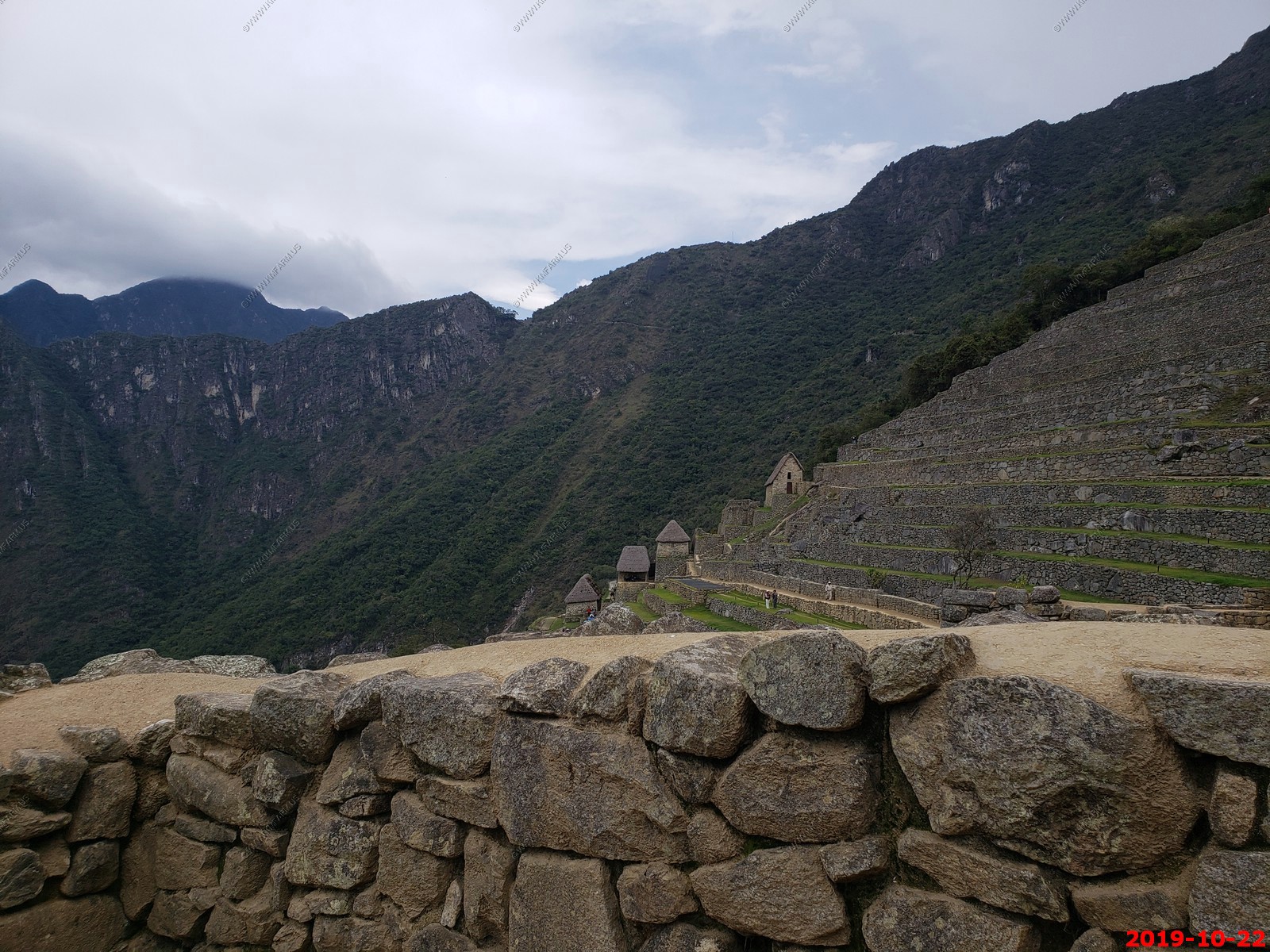
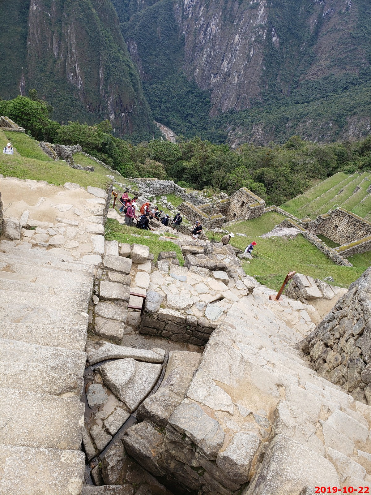
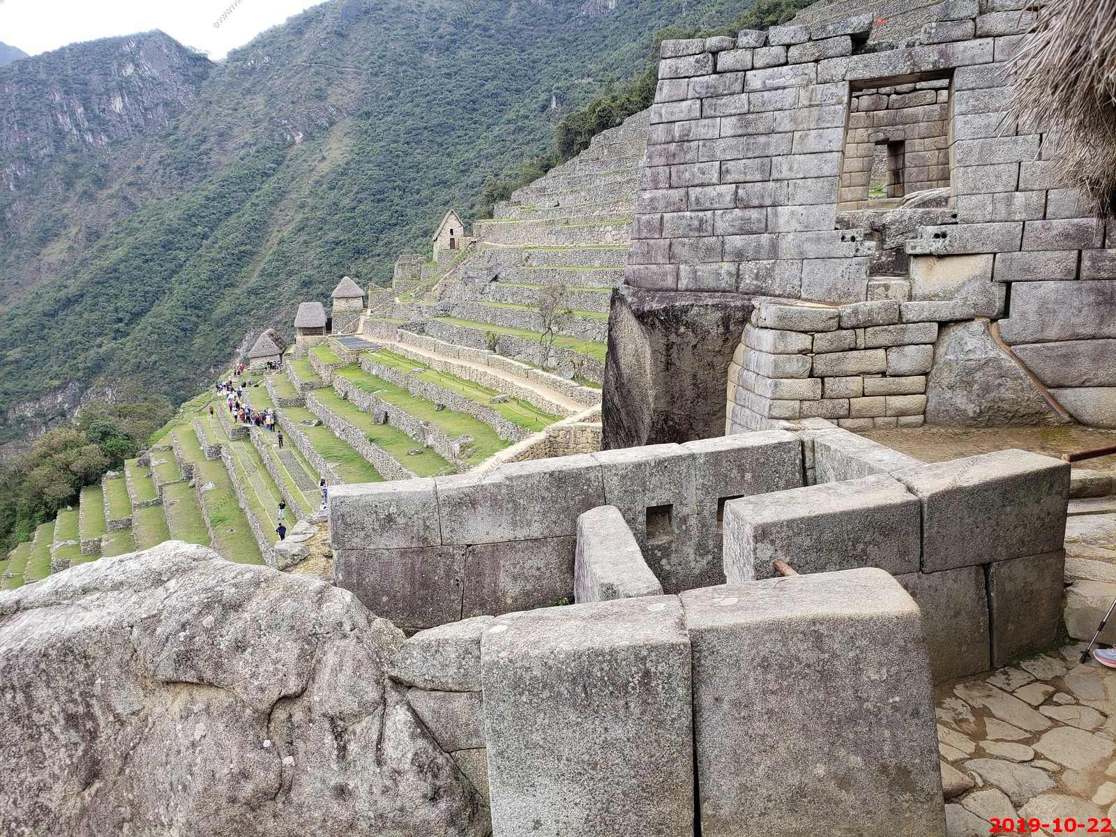
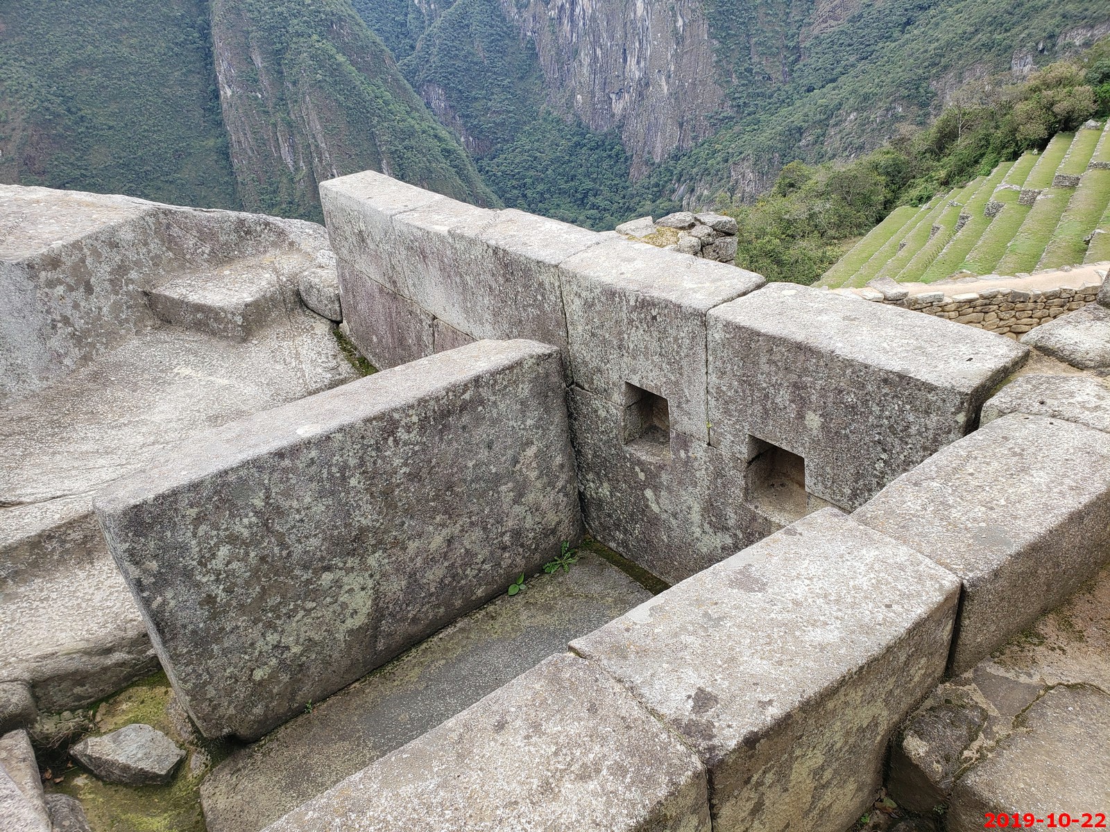
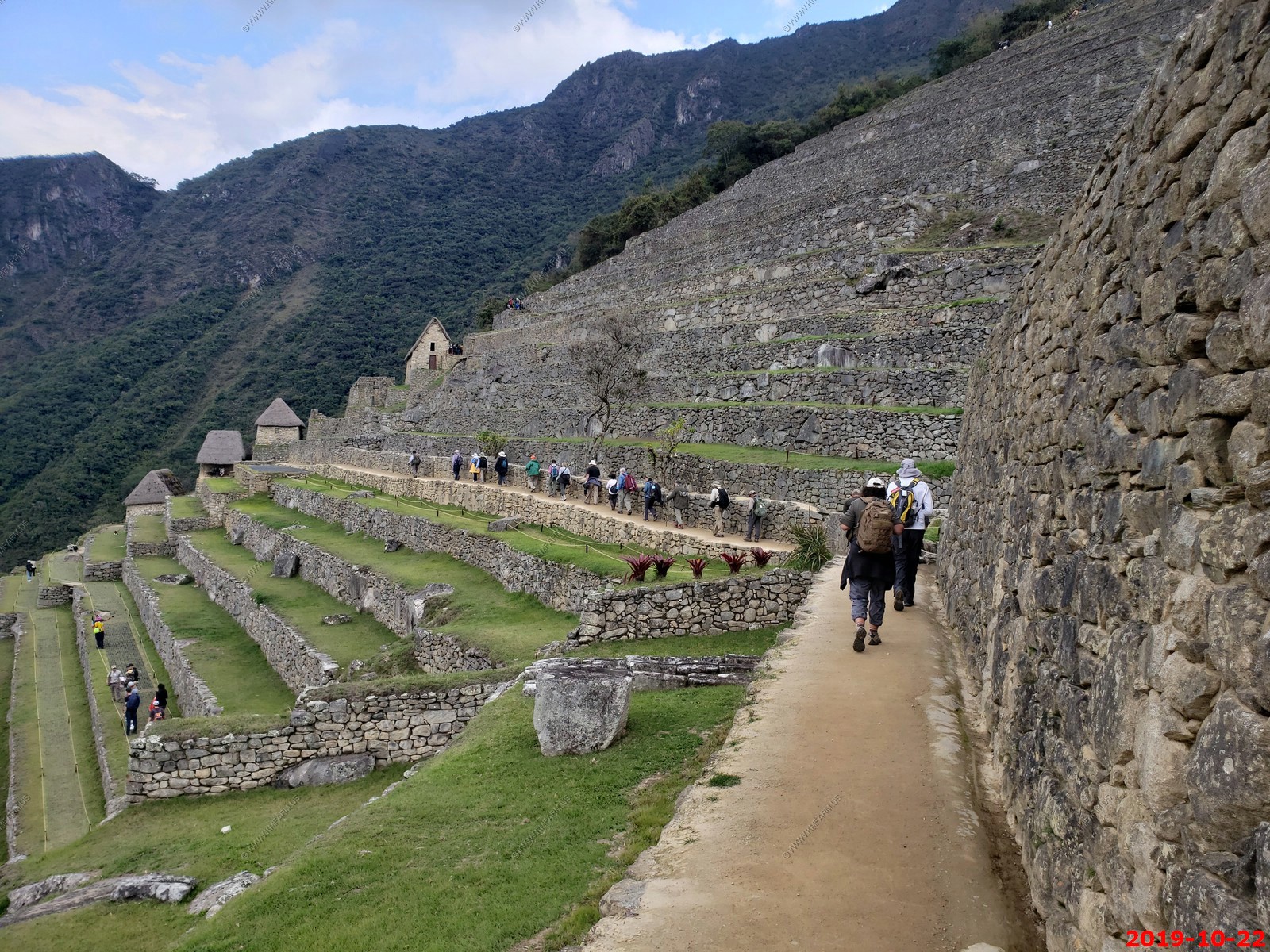
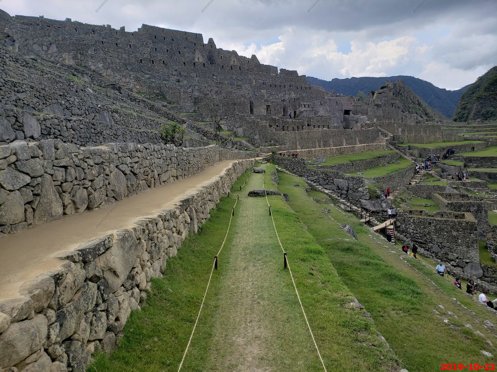
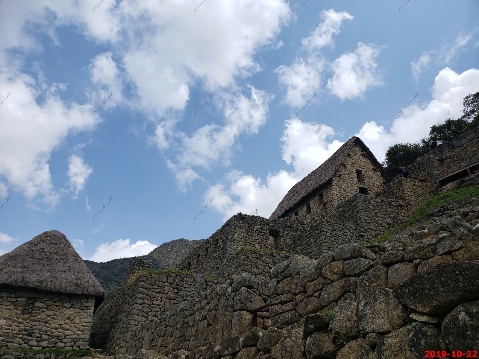
Machu Picchu - Various views (I am not deleting duplicates to save time processing)
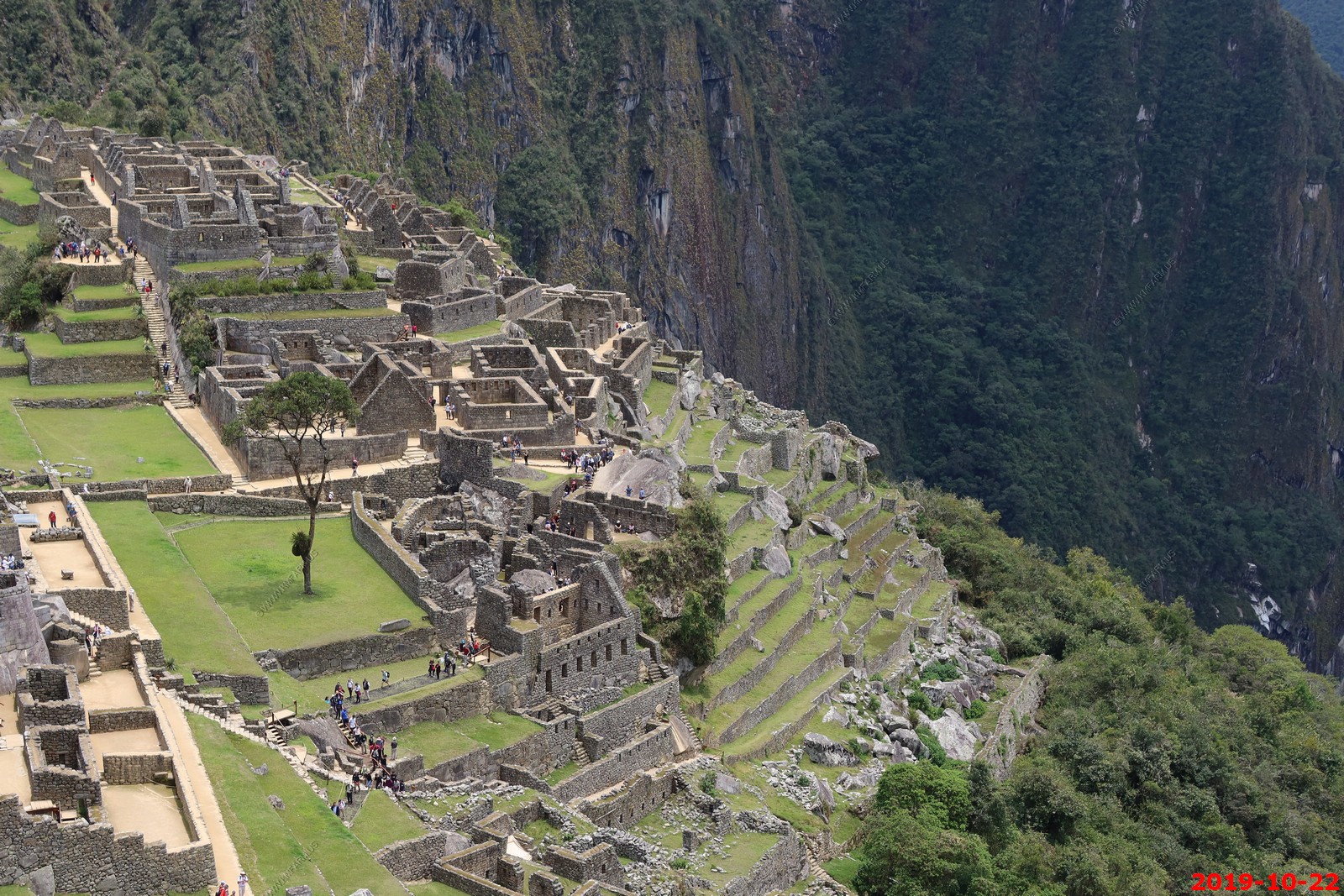
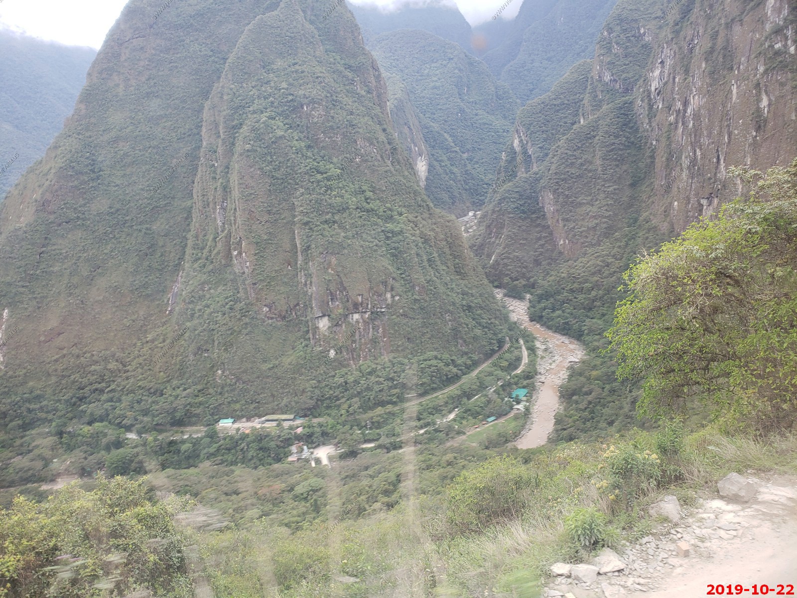
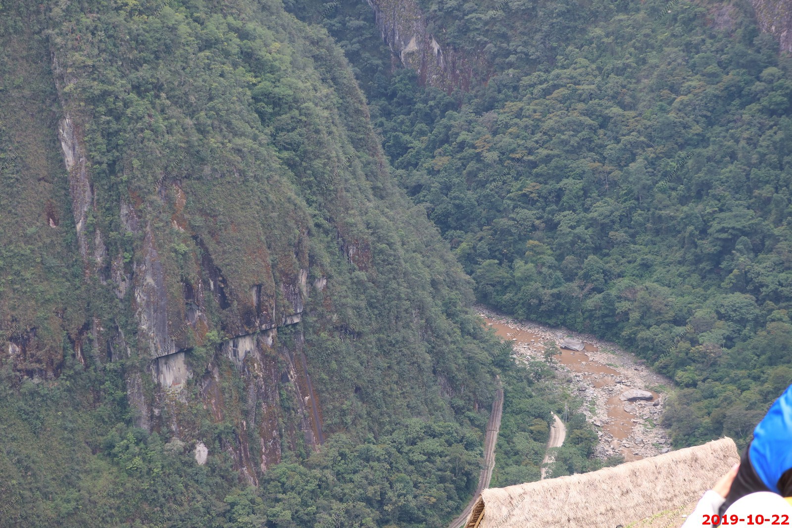
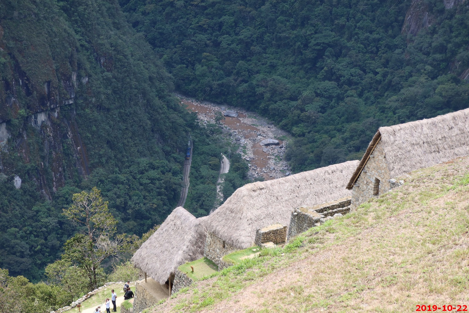
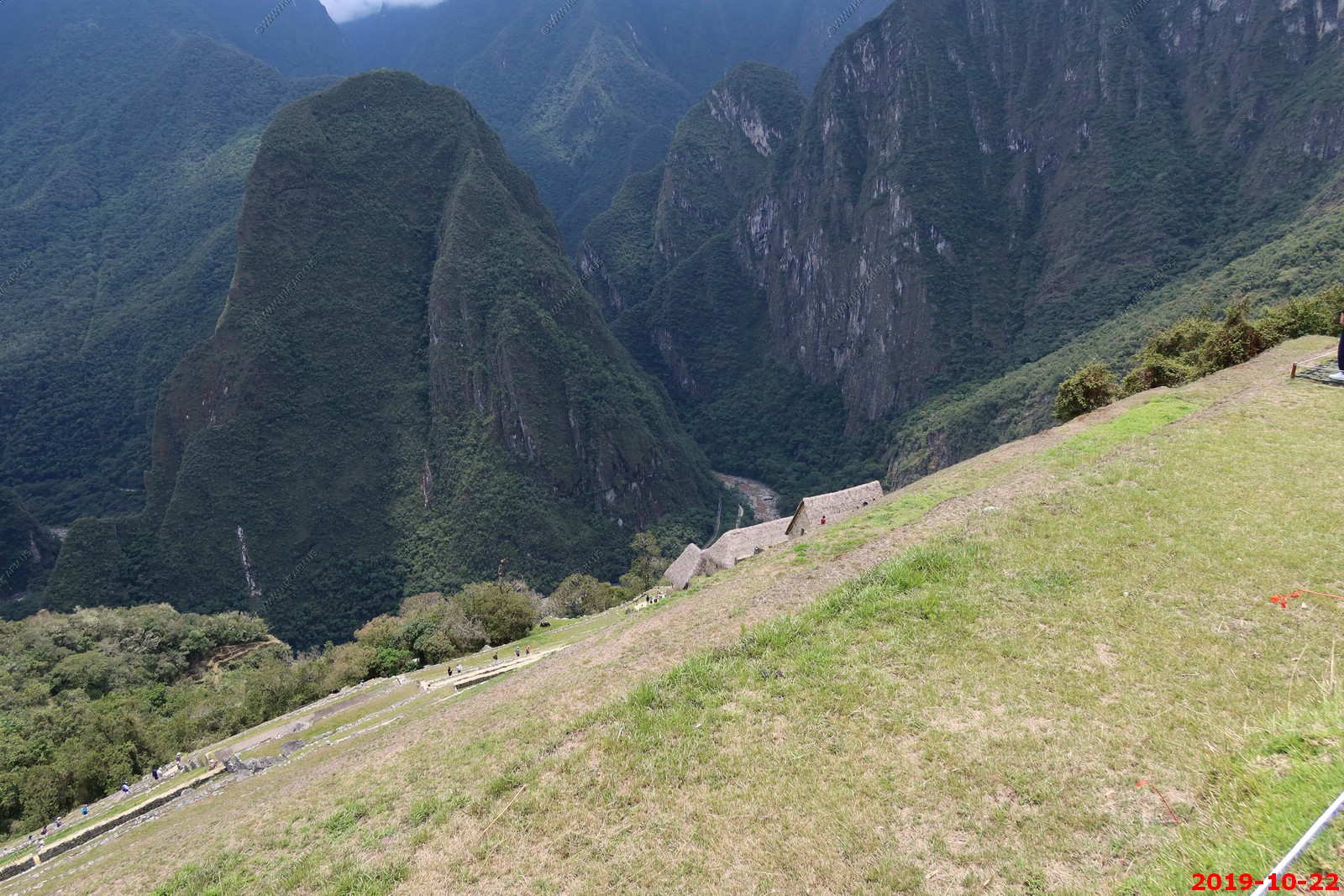
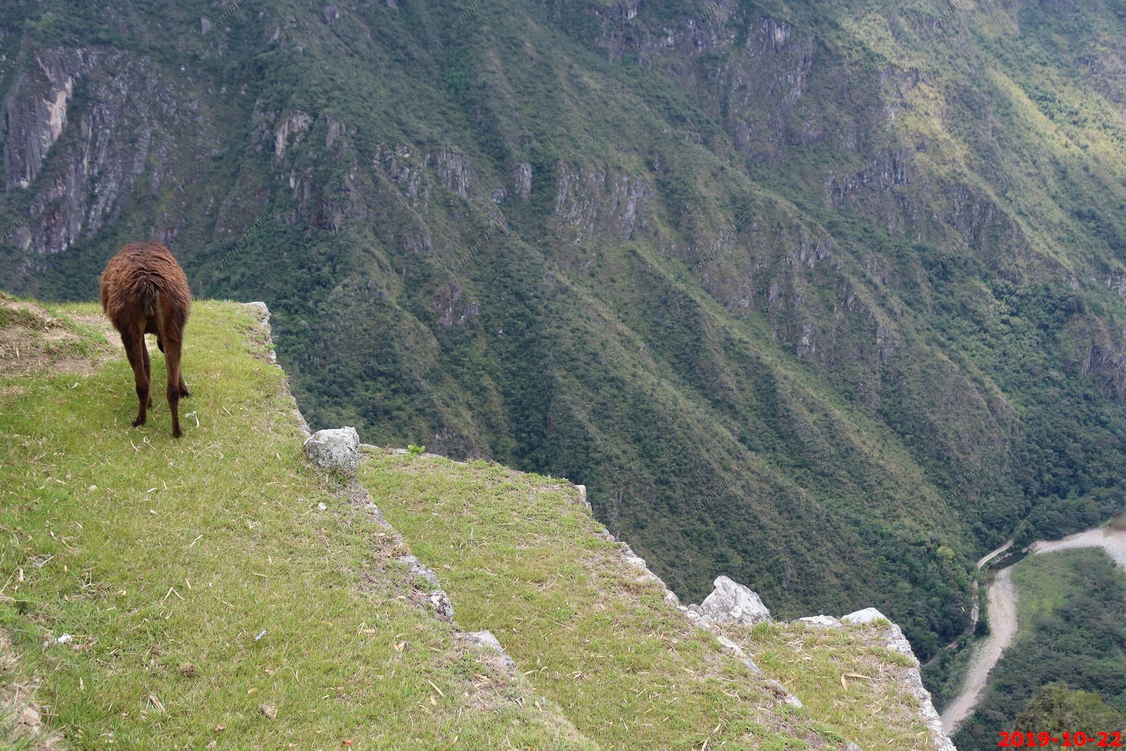
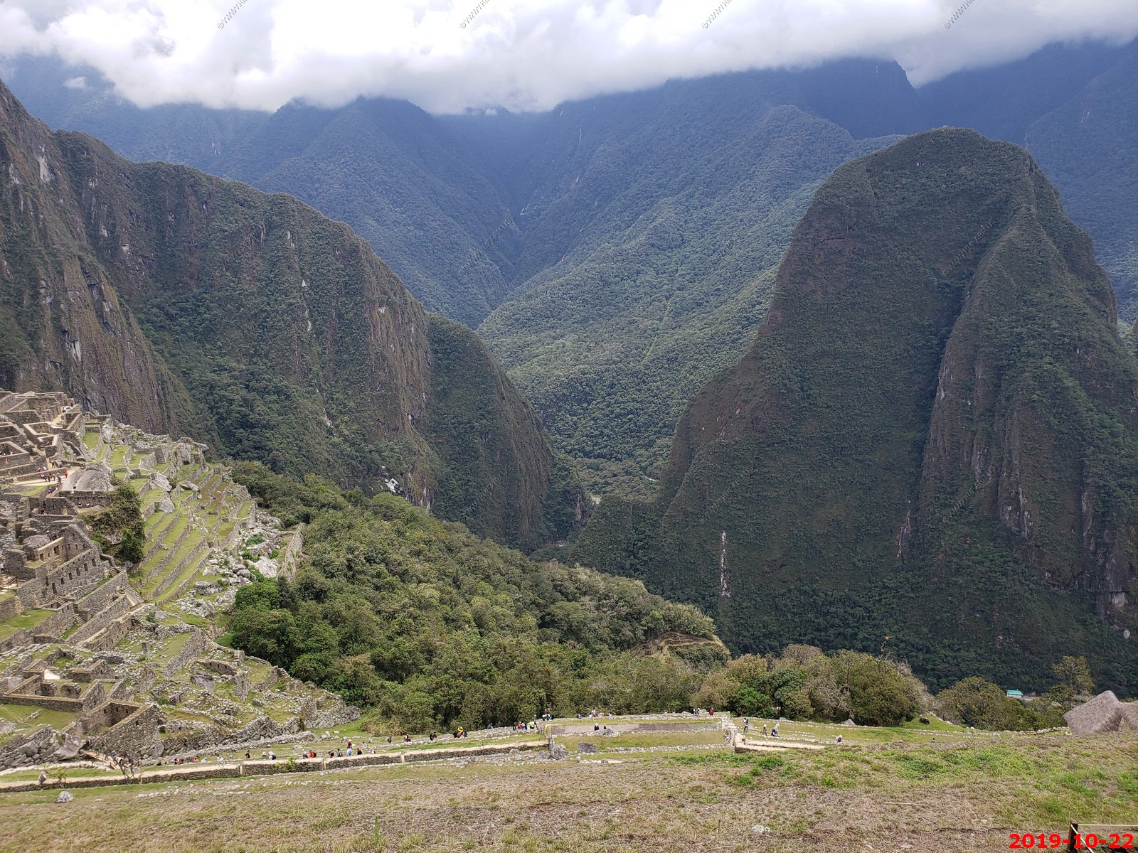
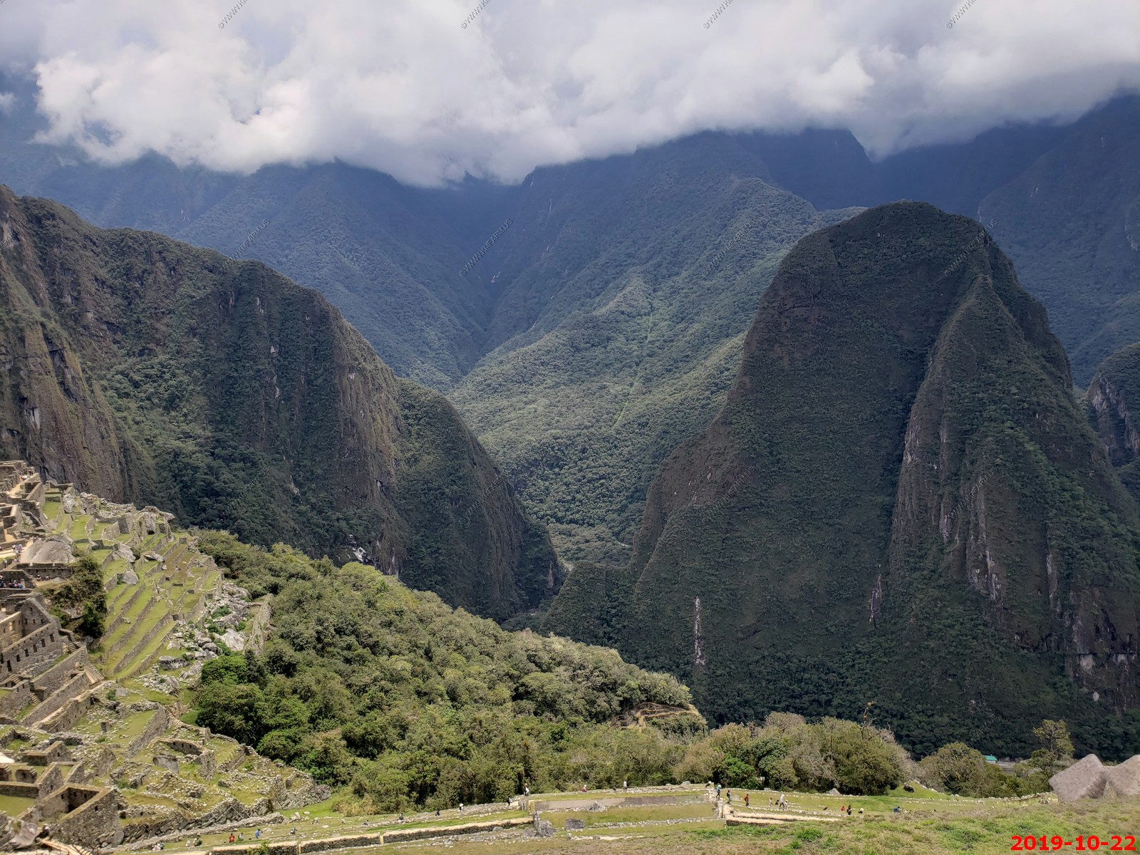
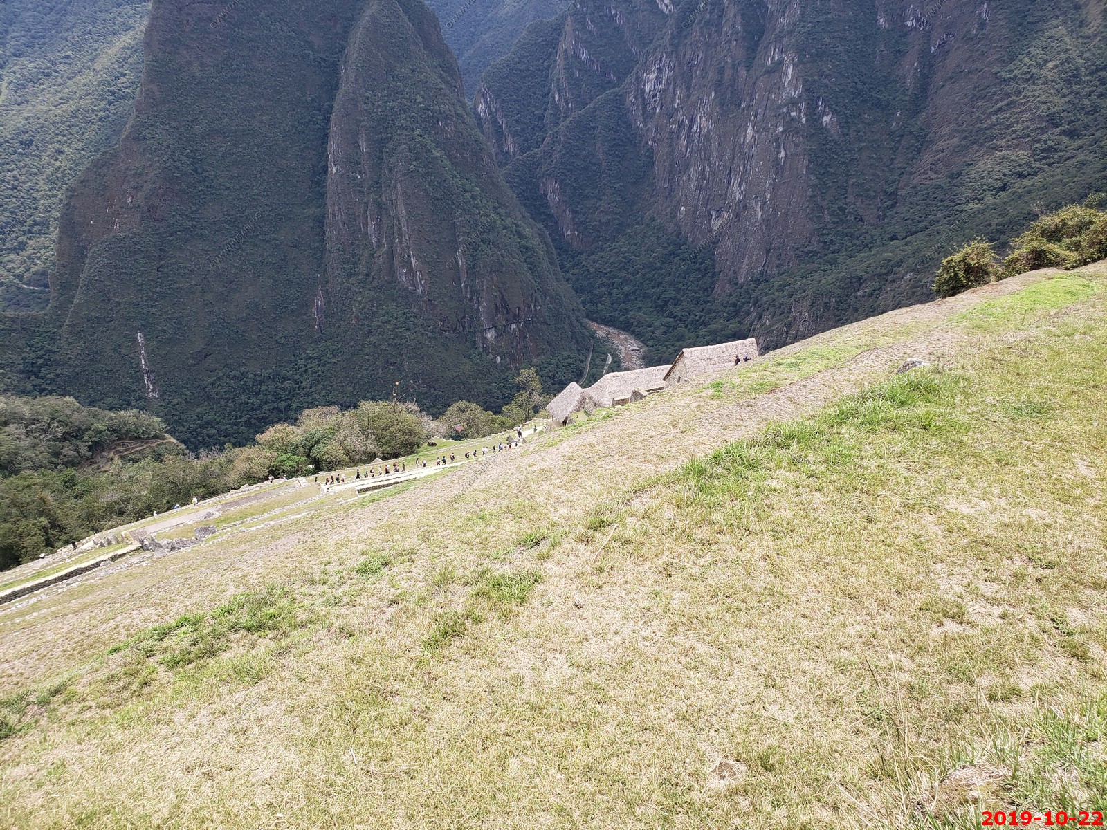
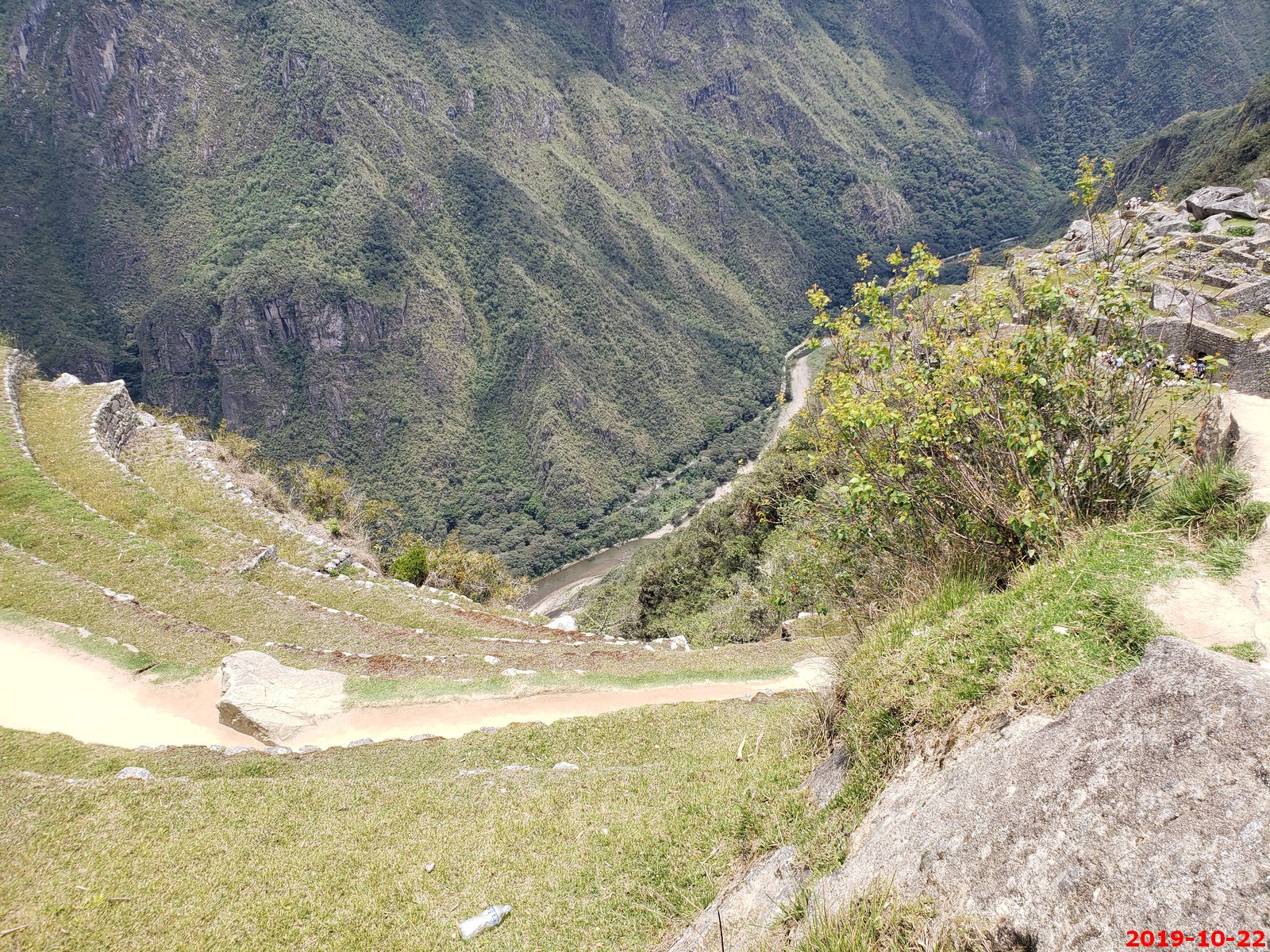
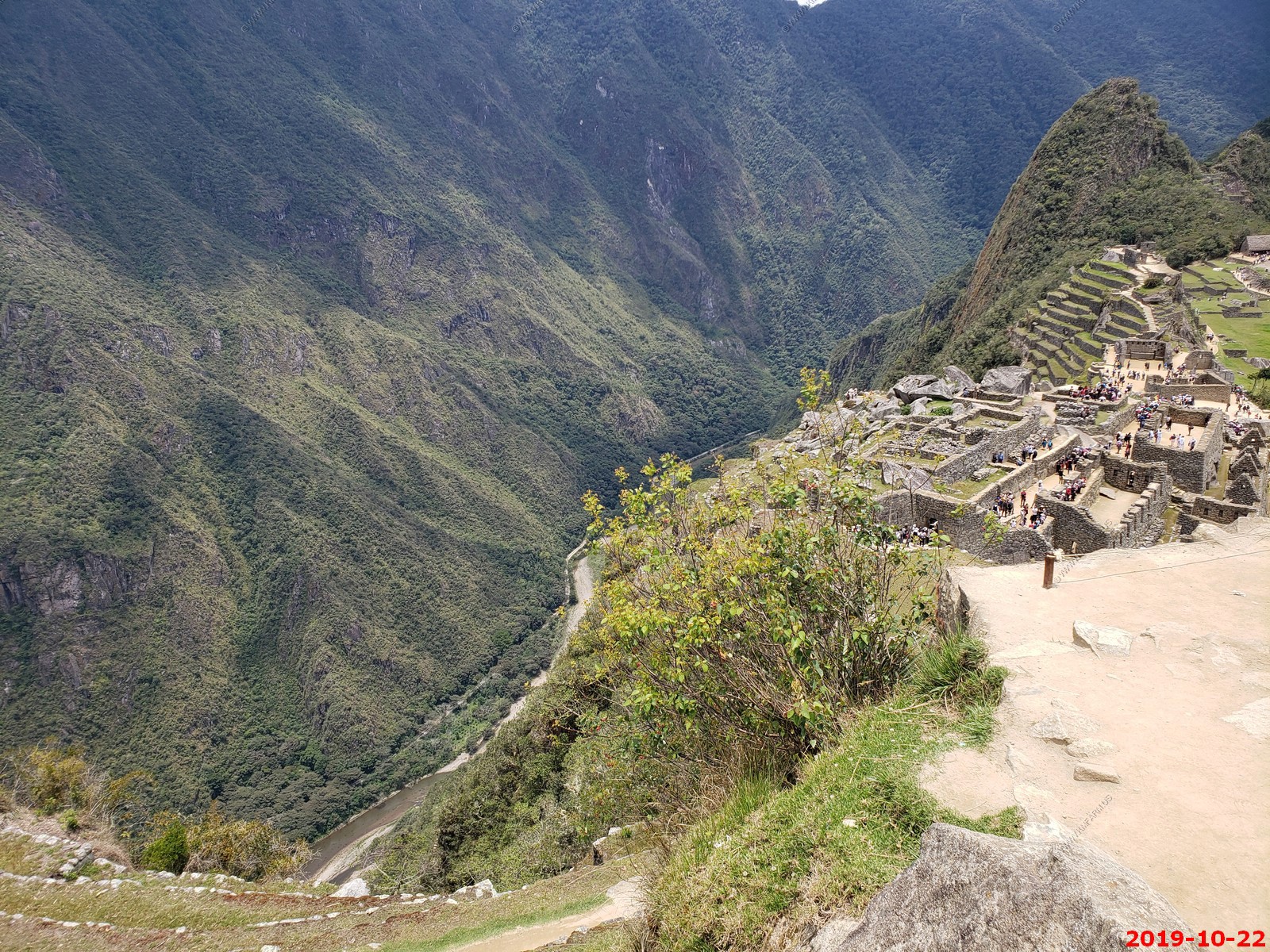
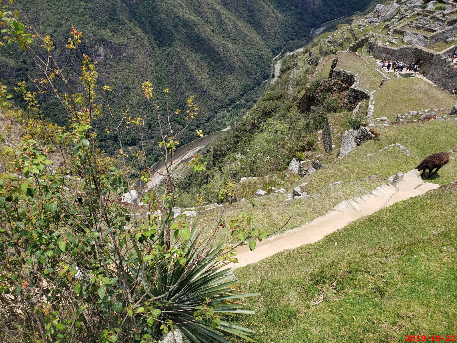
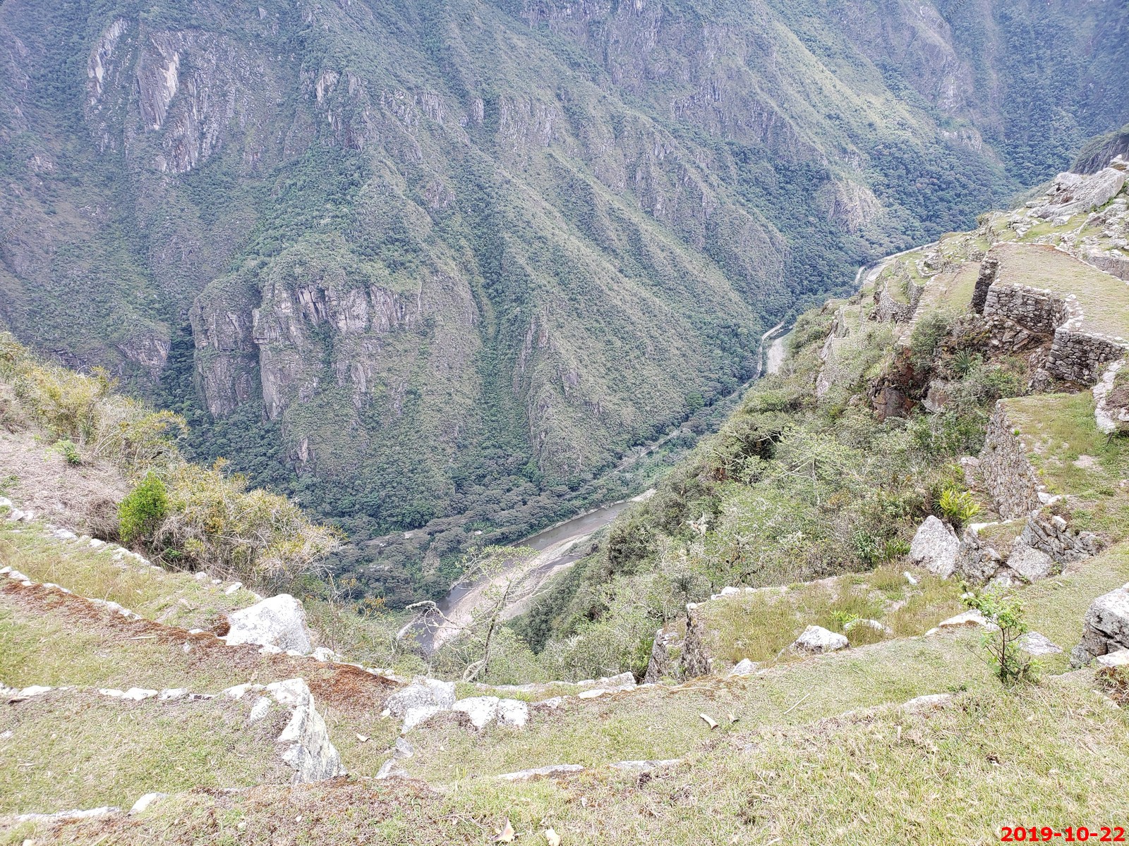
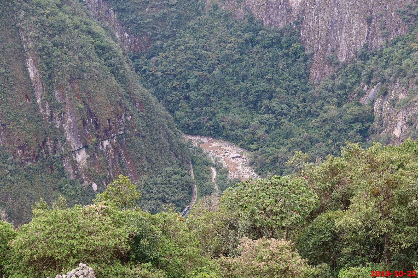
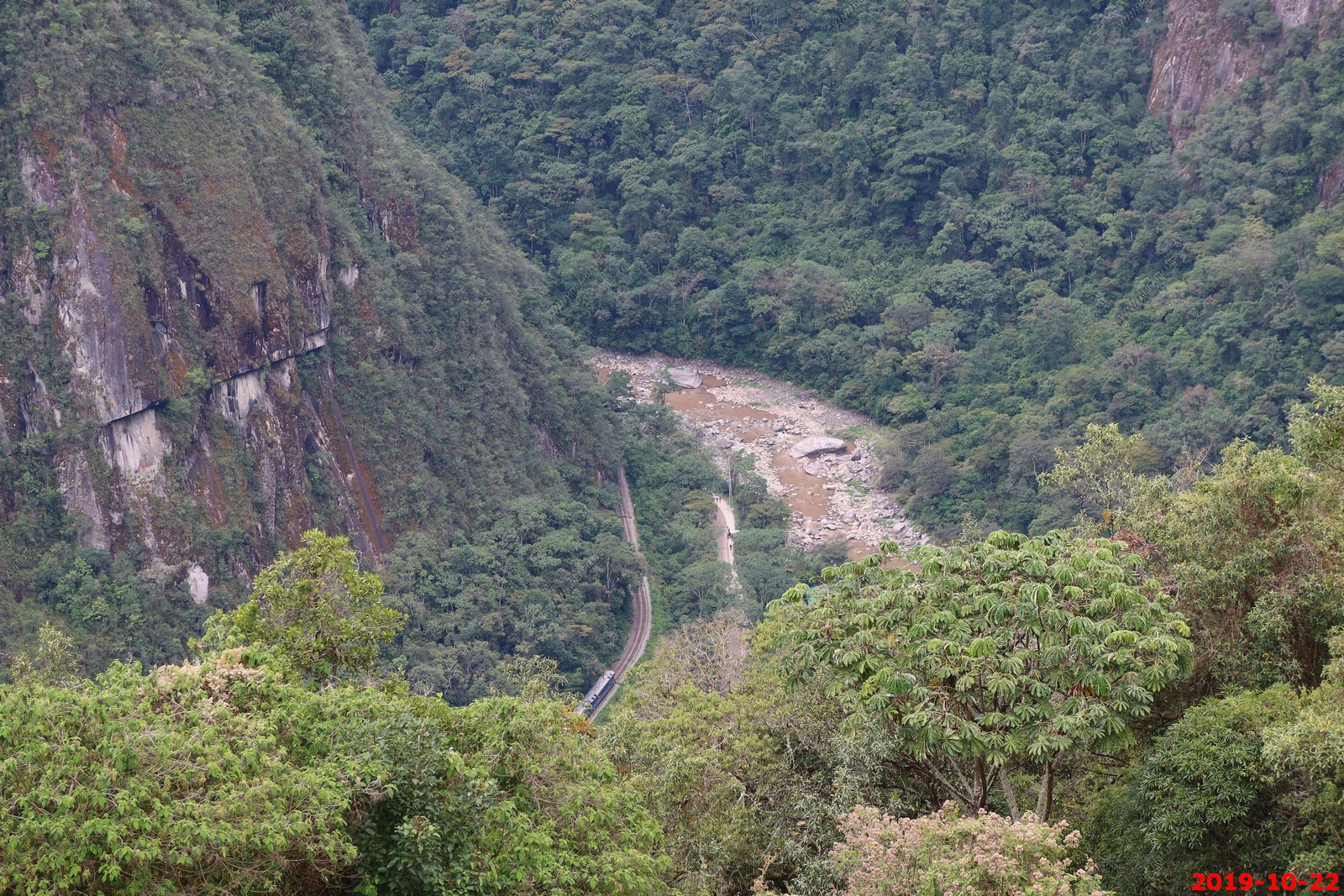
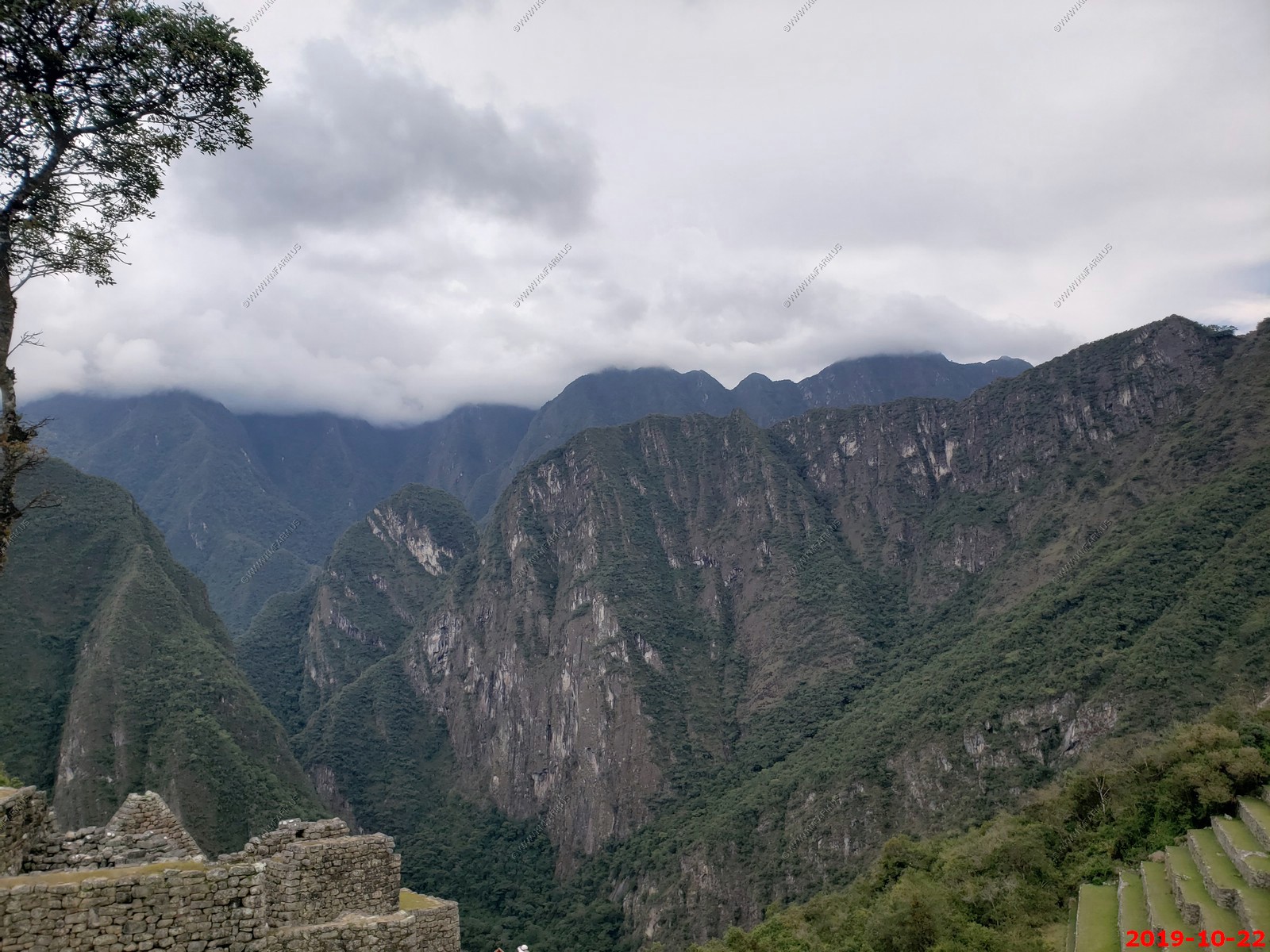
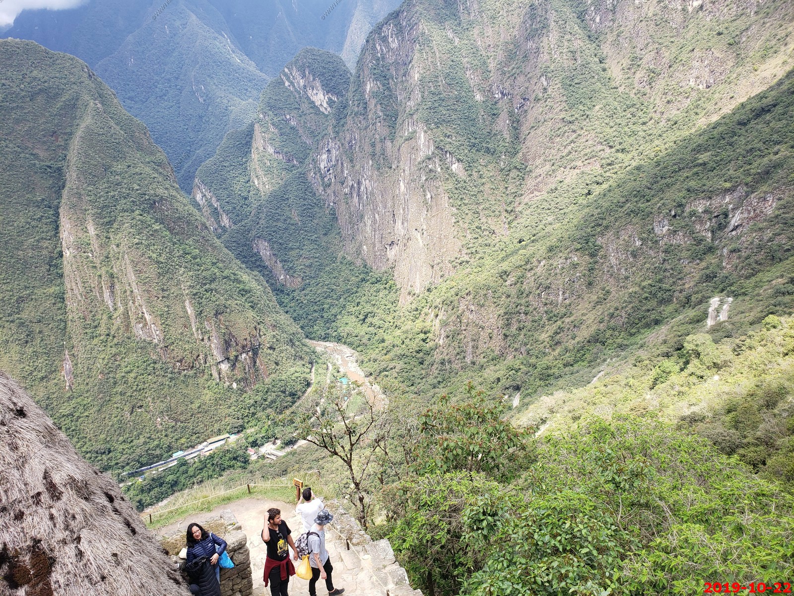
Looking down at the river / road / tracks over 1,500 feet below us
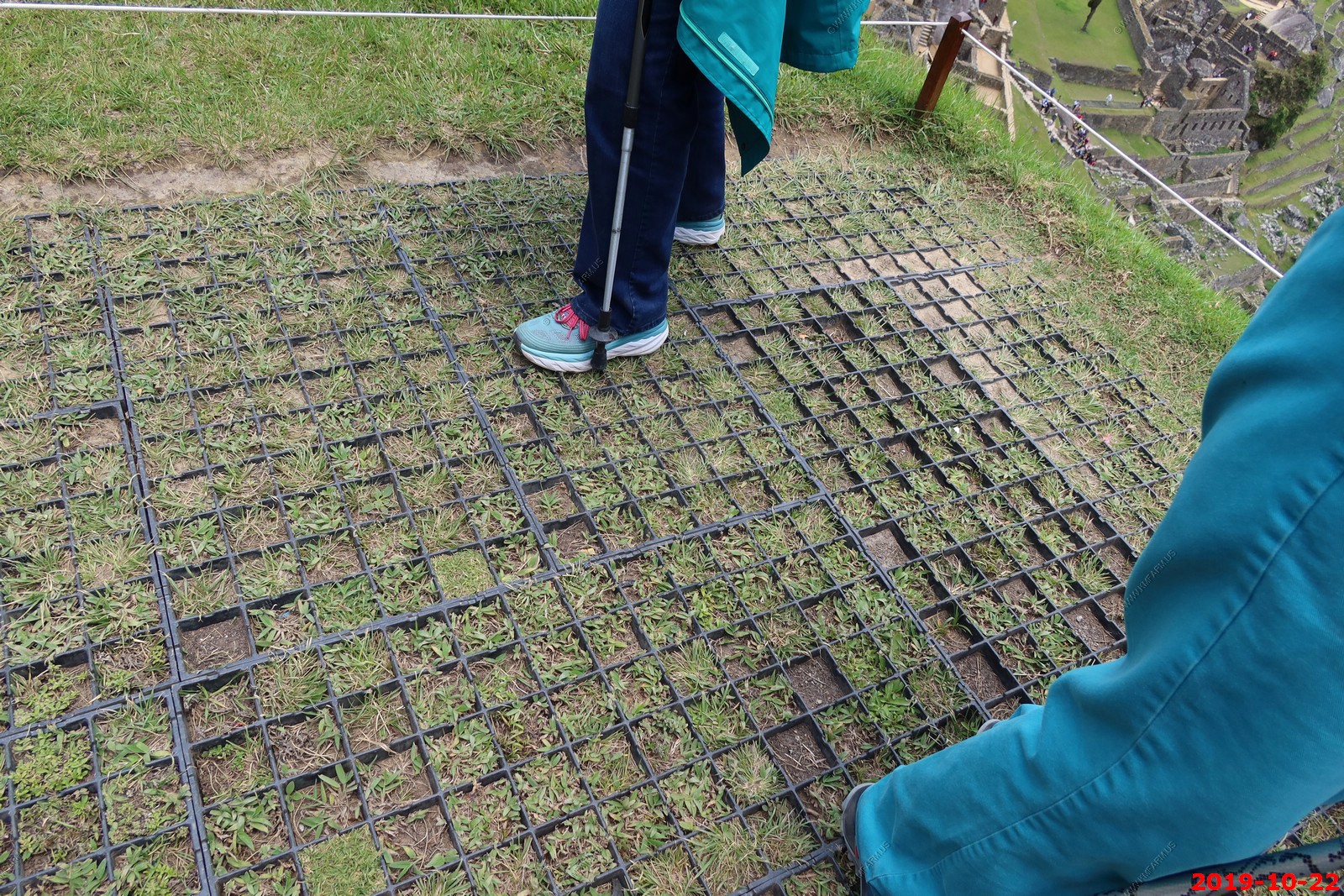
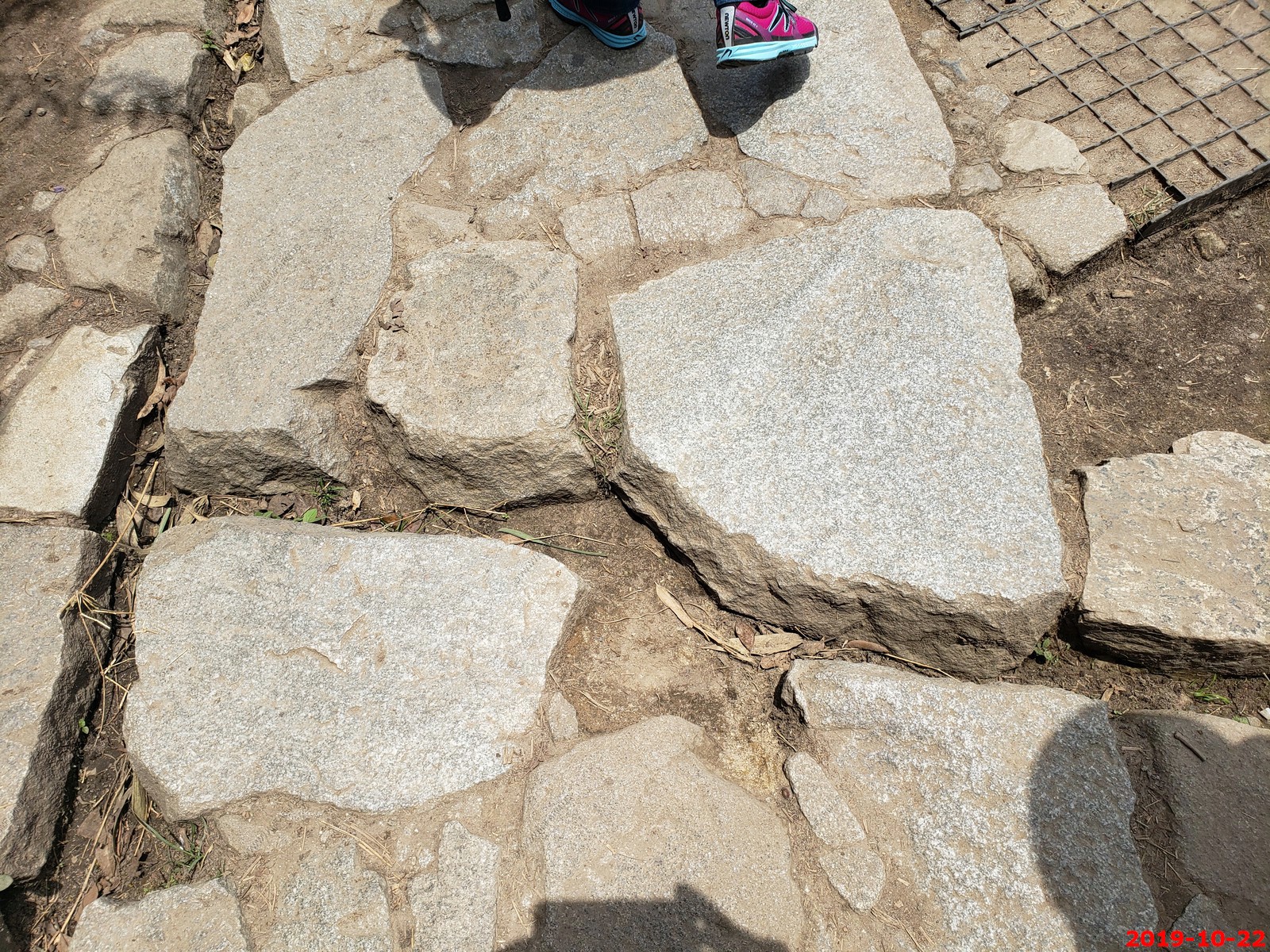
Geocell Ground Grid Paver for erosion control
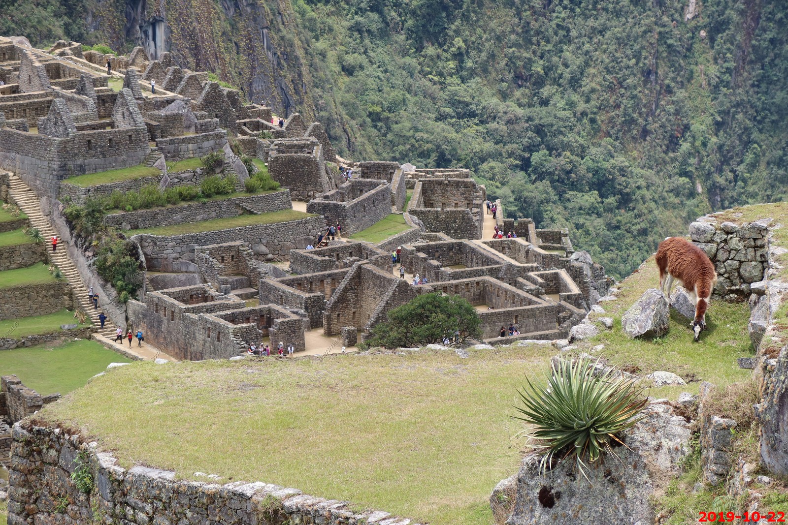
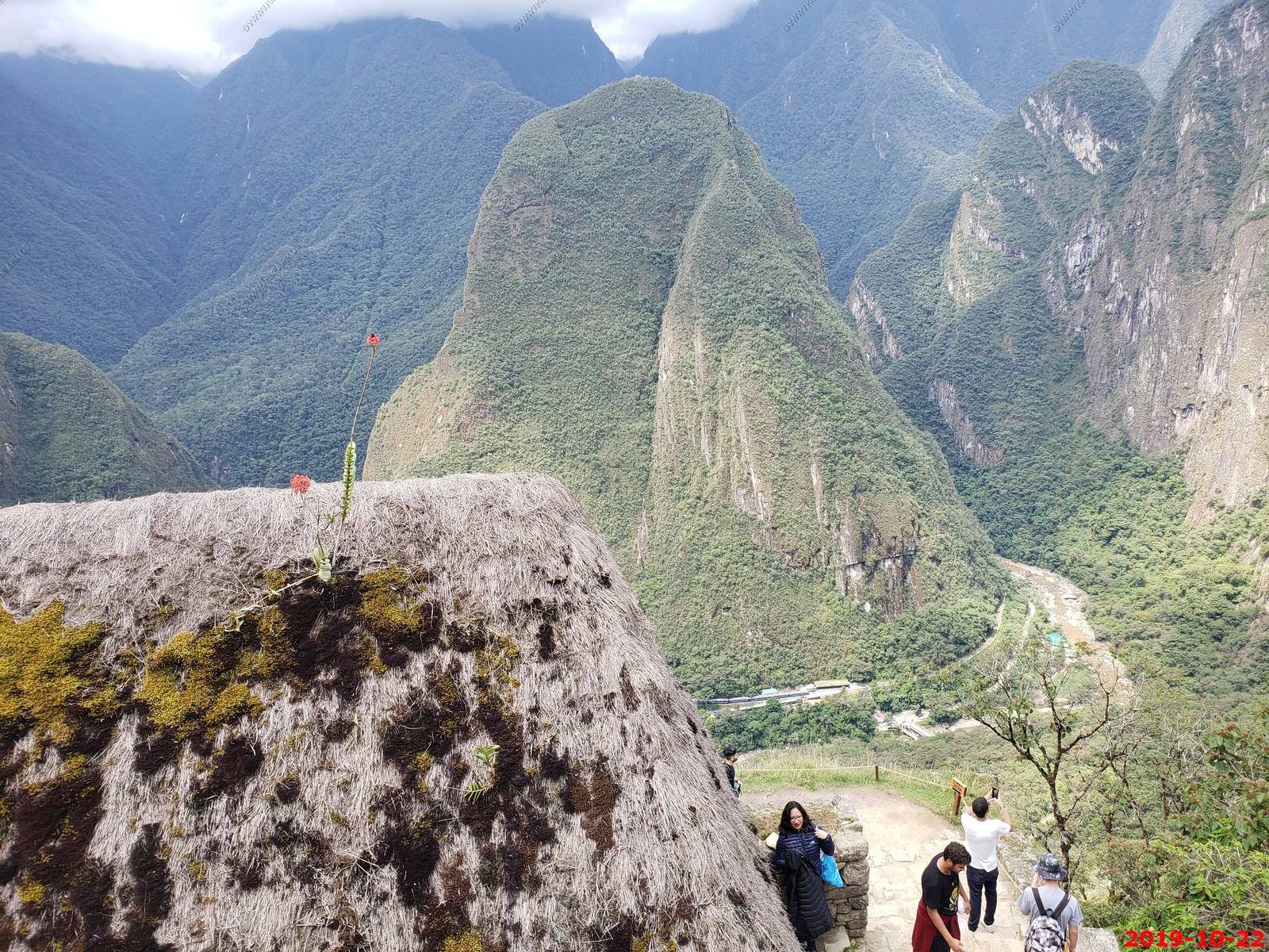
Various views
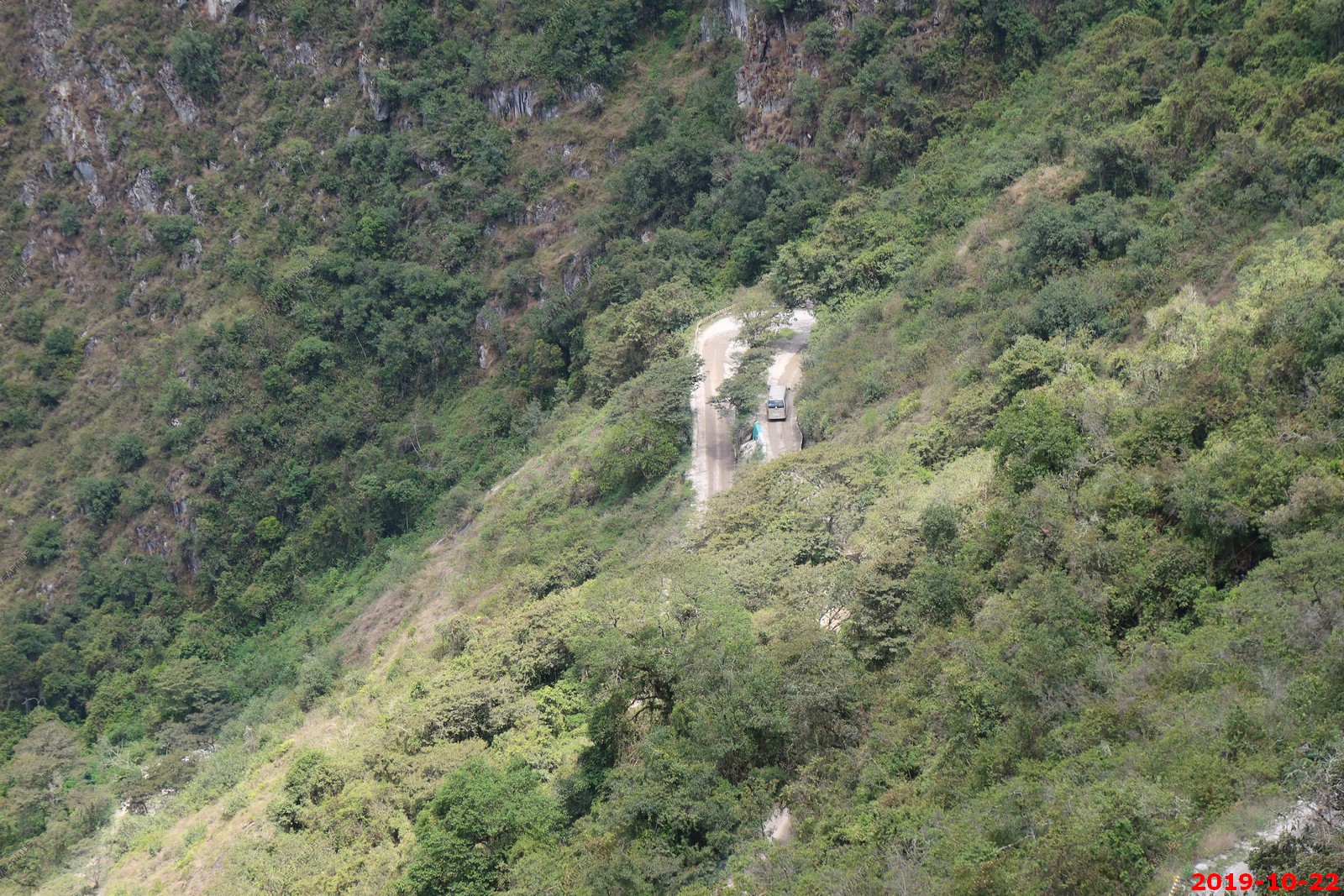
Looking down at the train that we took to Machu Picchu Pueblo. We then took a bus to Machu Picchu. You cannot drive on your own. The alternative is to hike the Inca Trail.
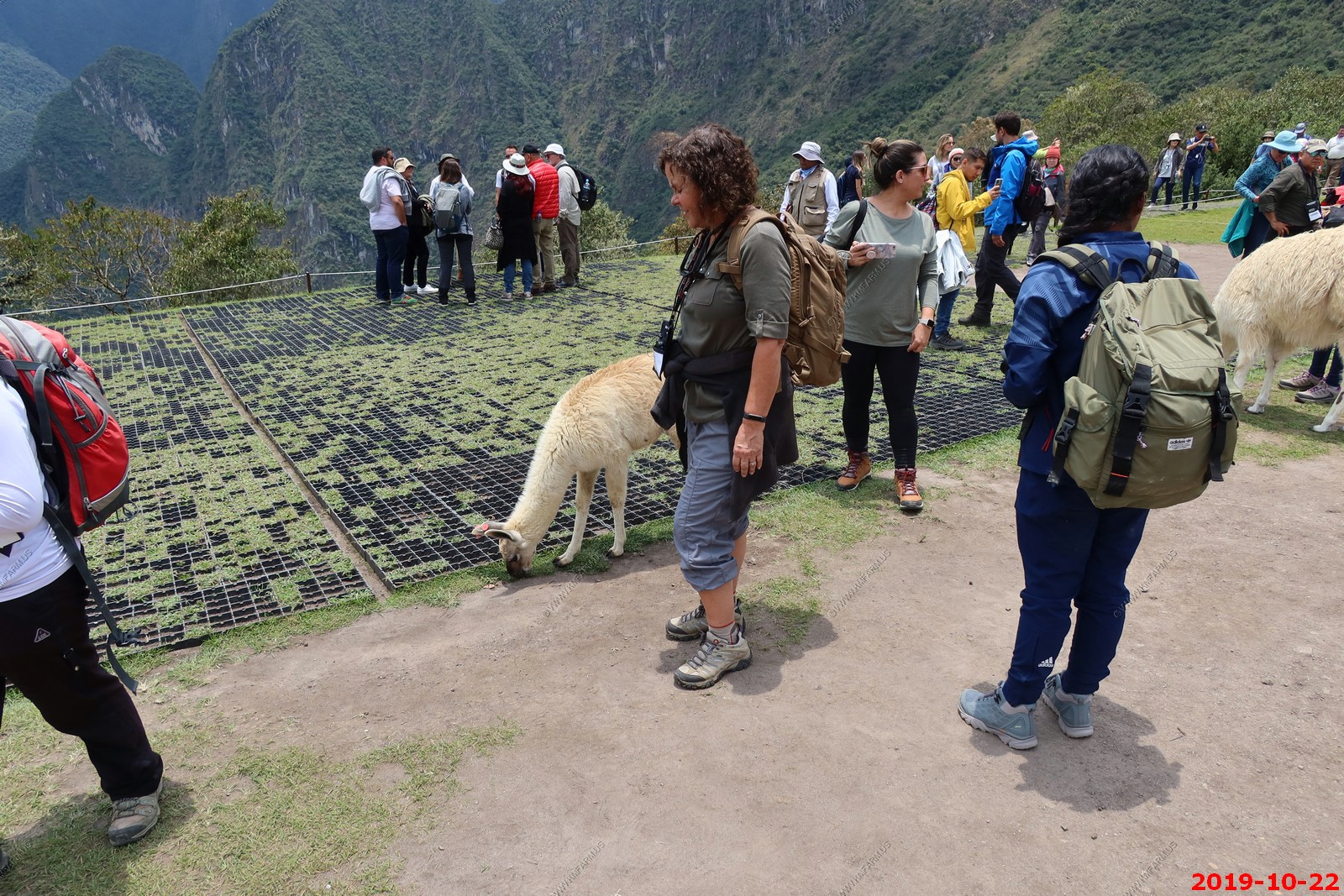
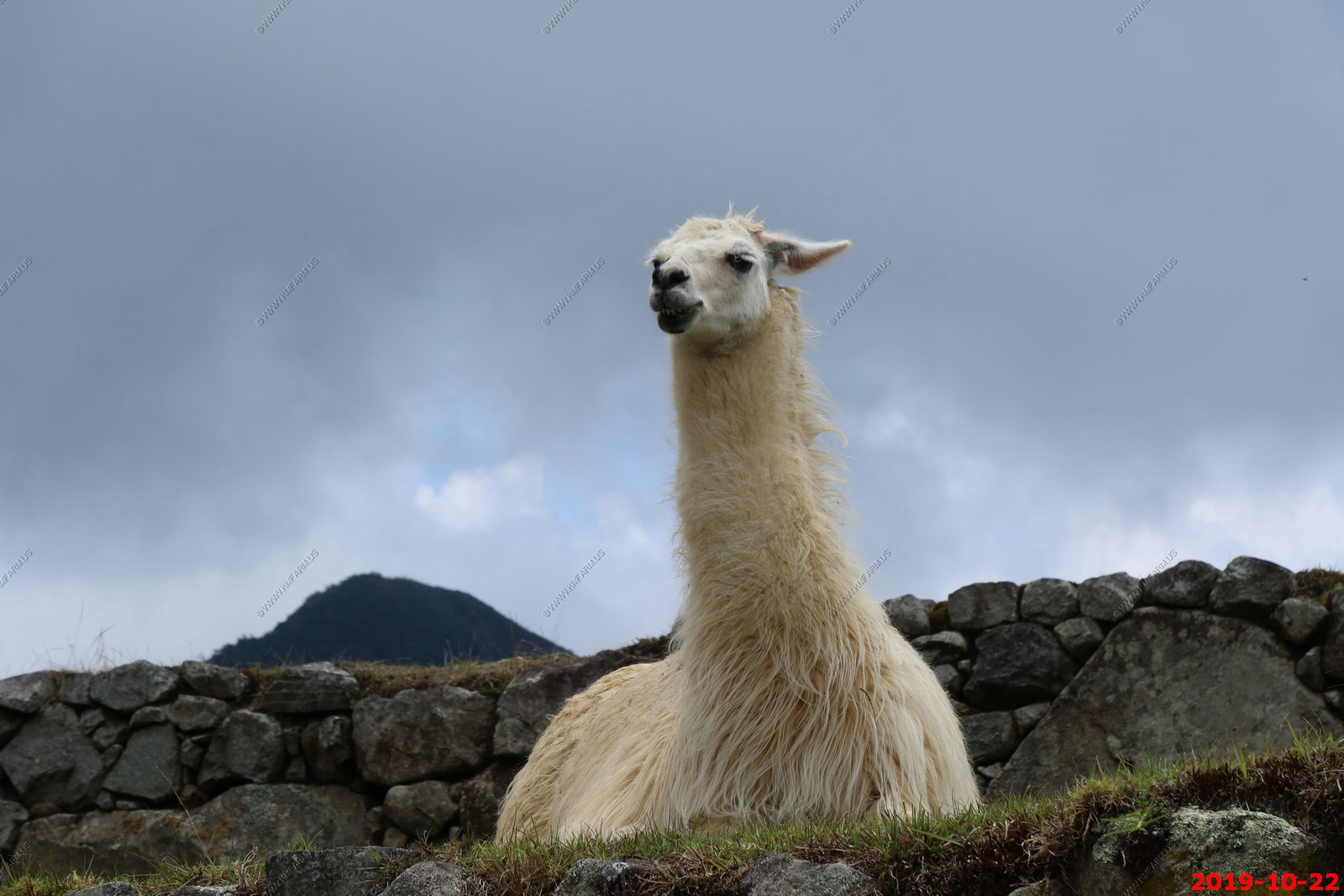
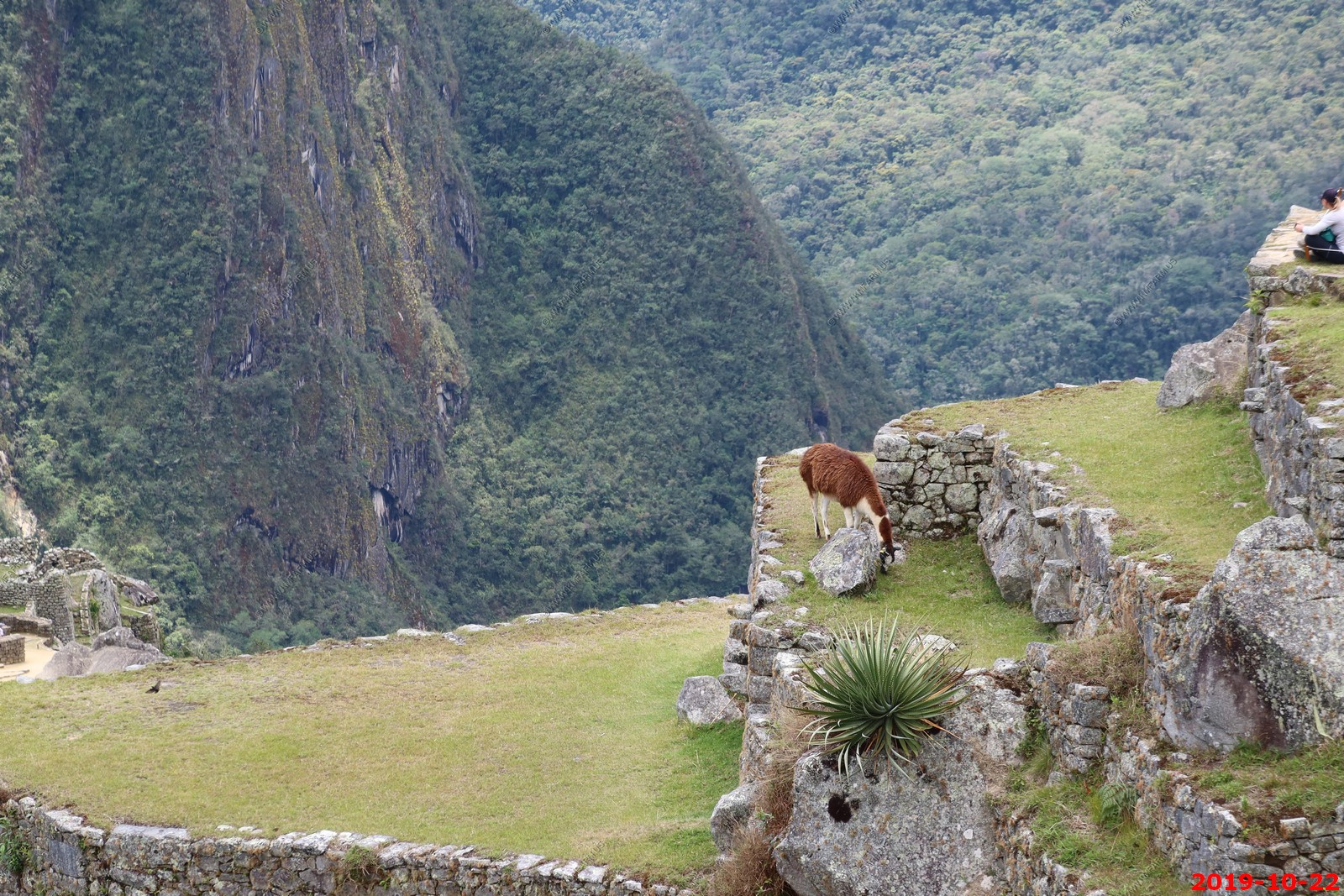
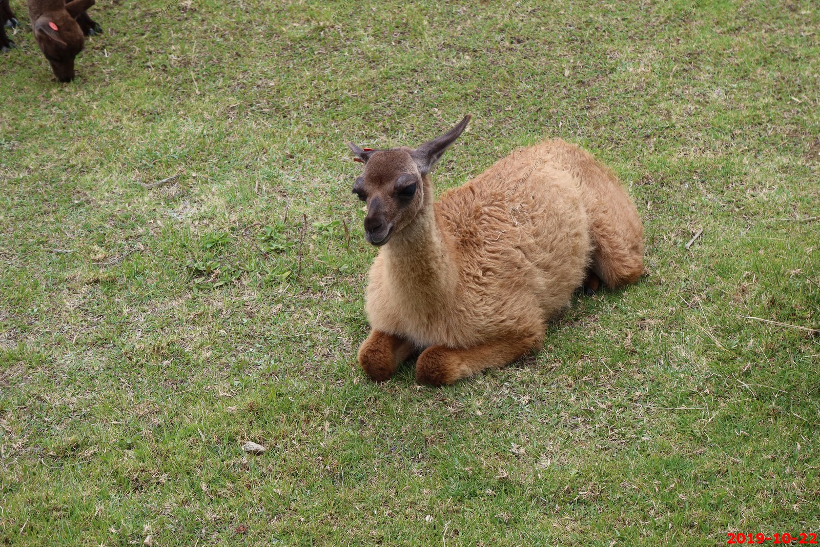
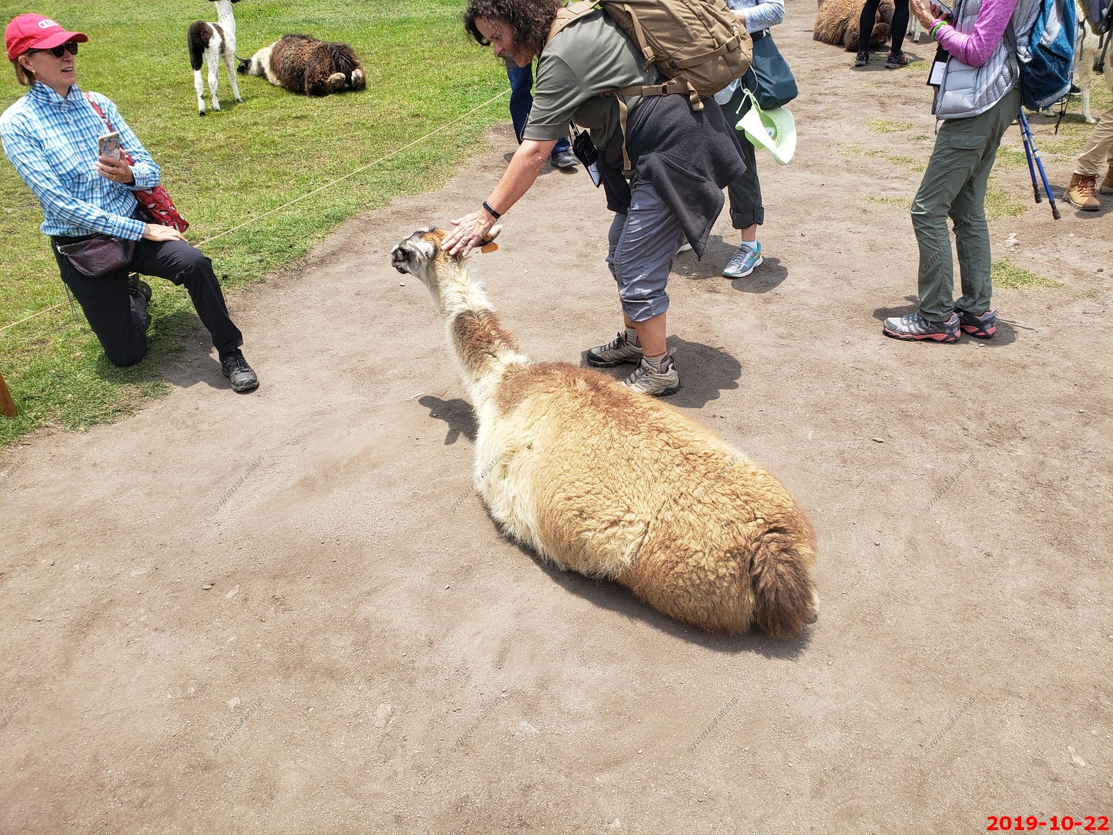
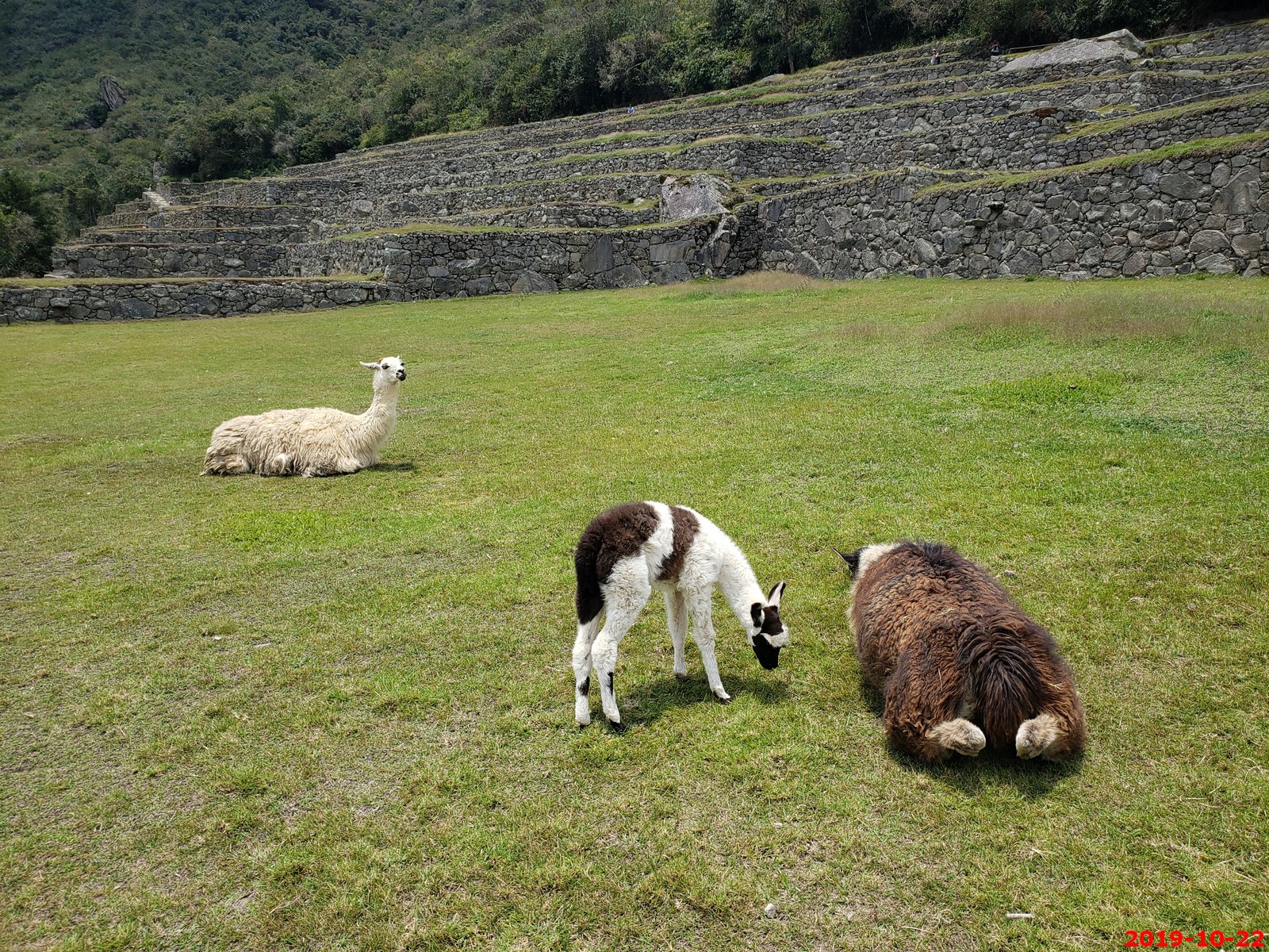
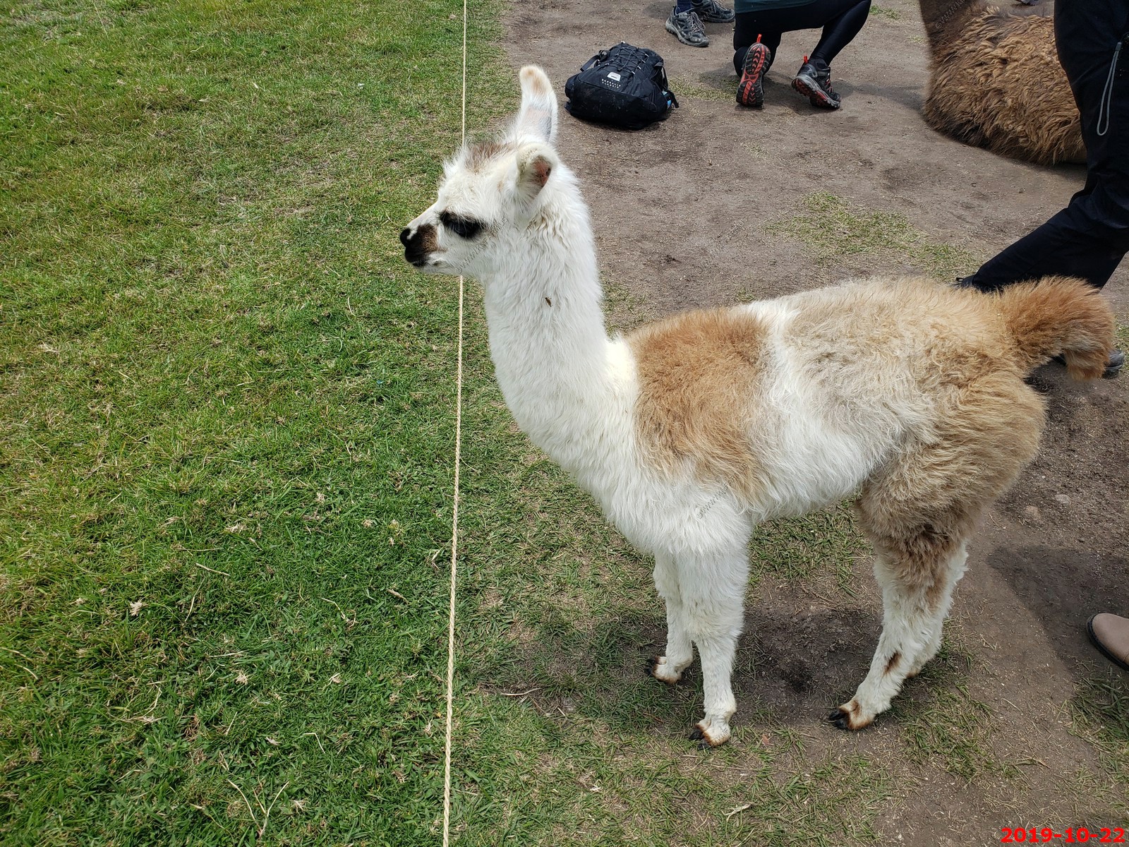
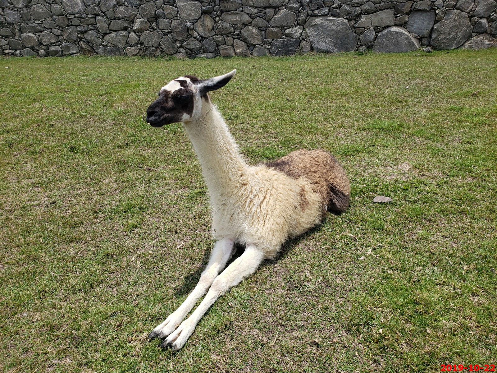
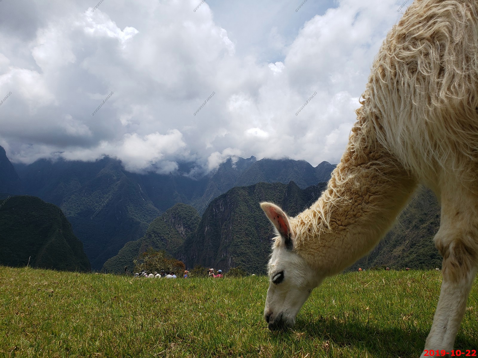
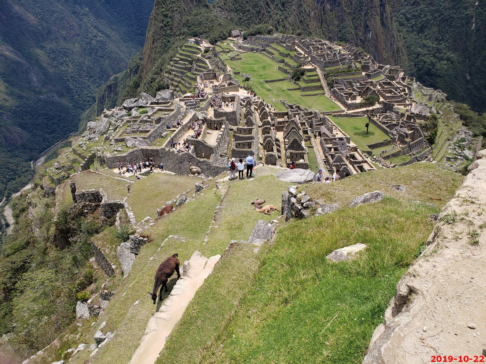
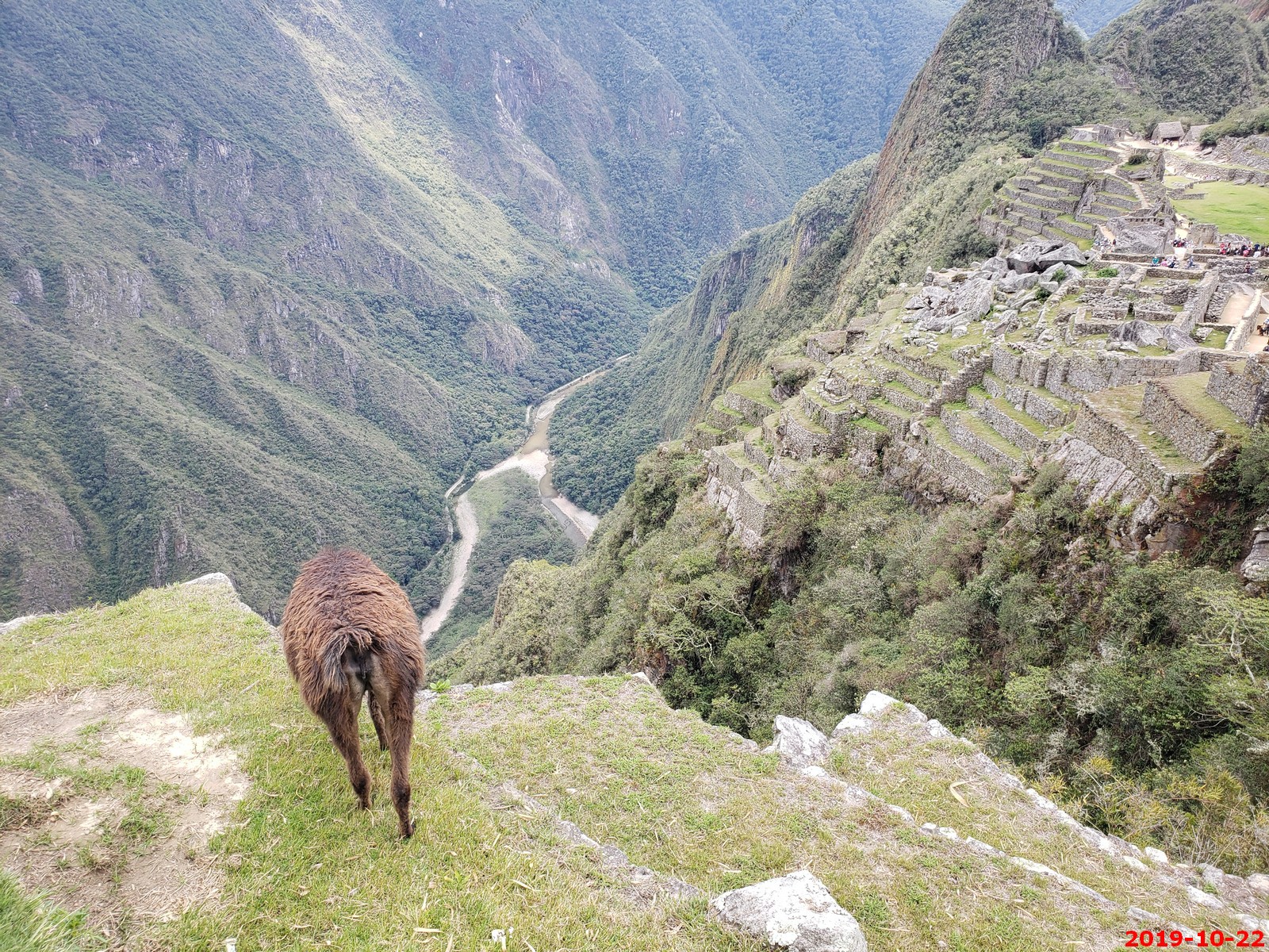
Llama guard
Various views
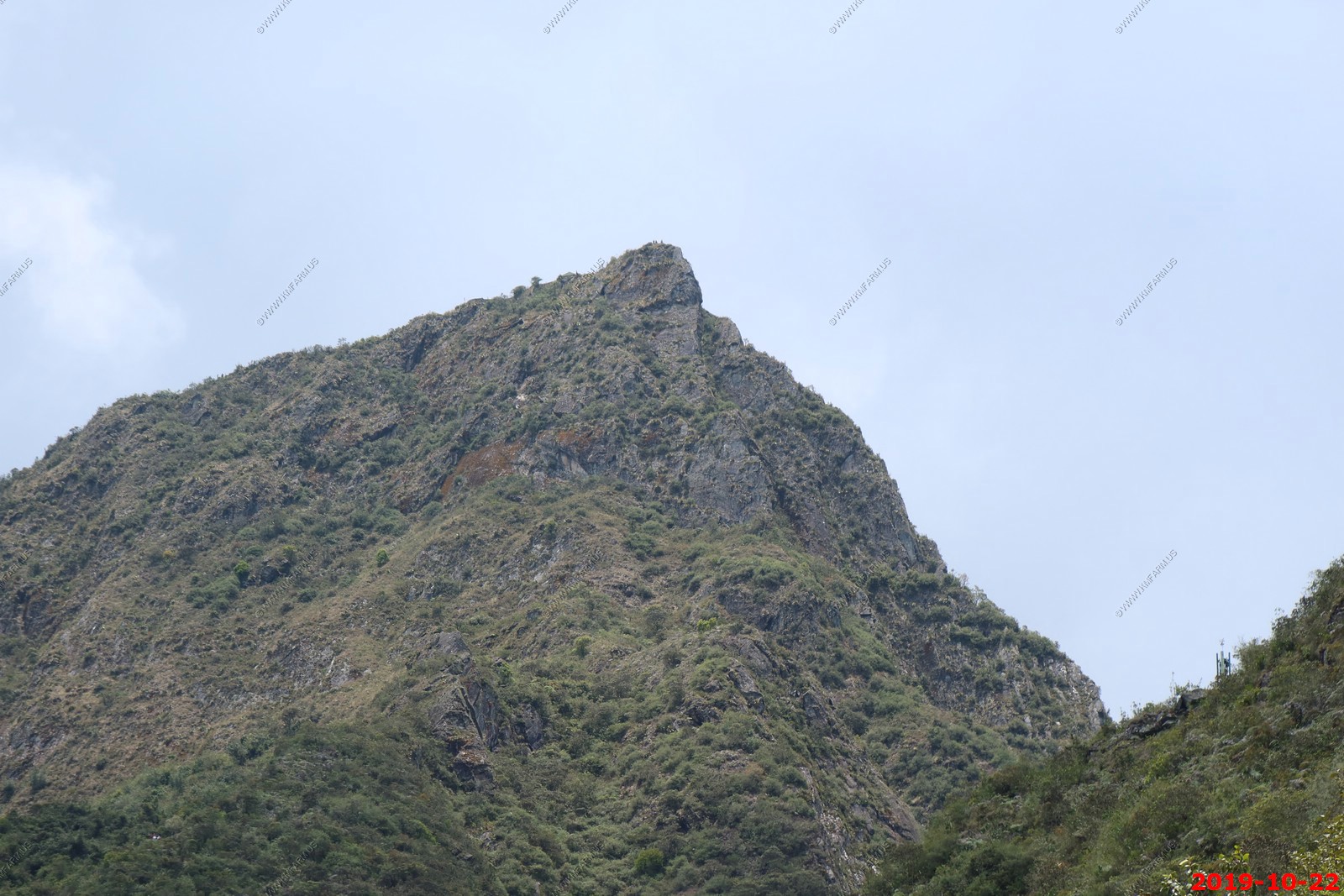
Looking up at people standing on Top Machu Picchu Mountain - The summit of Machu Picchu Mountain is 10,111 feet or 3,082 meters above sea level. This will make it the highest point above Machu Picchu.
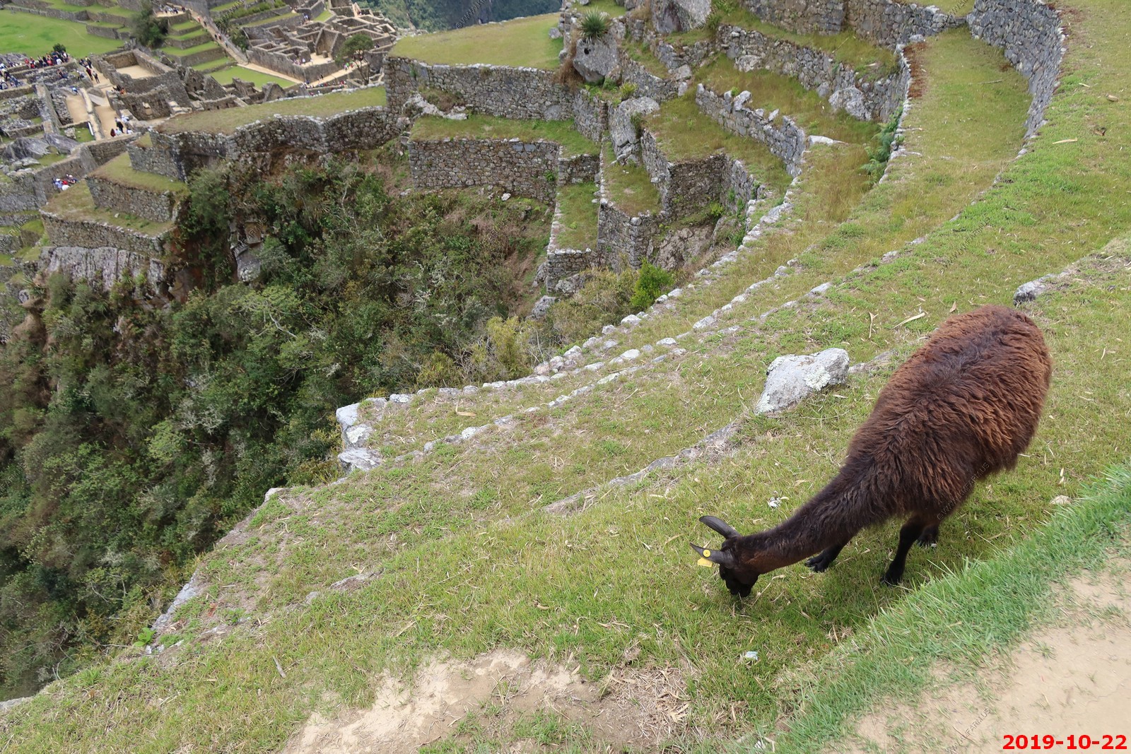
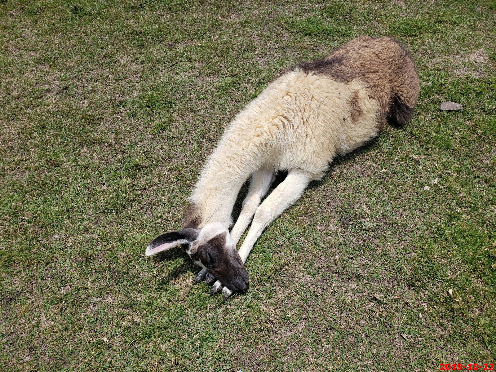
More llamas
Various views
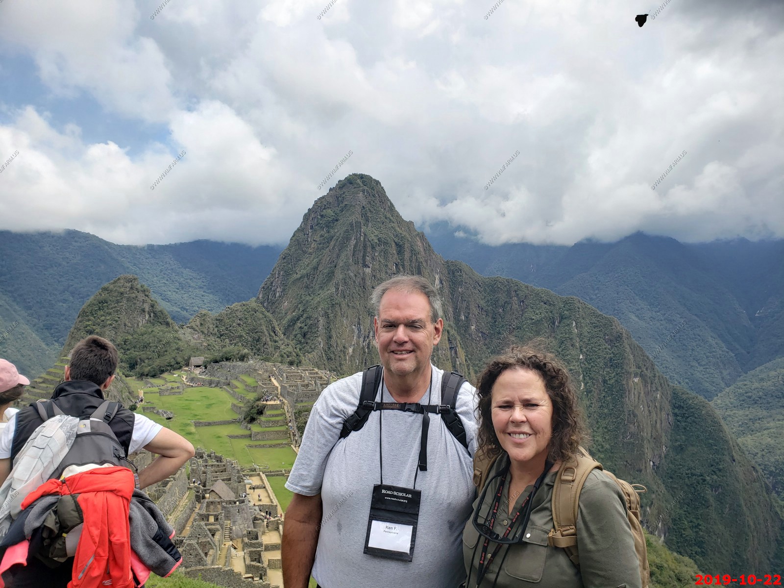
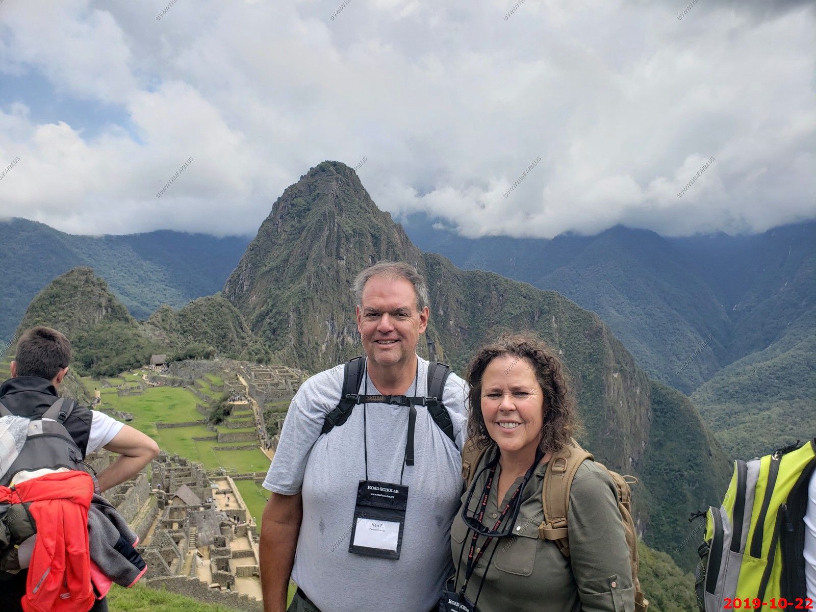
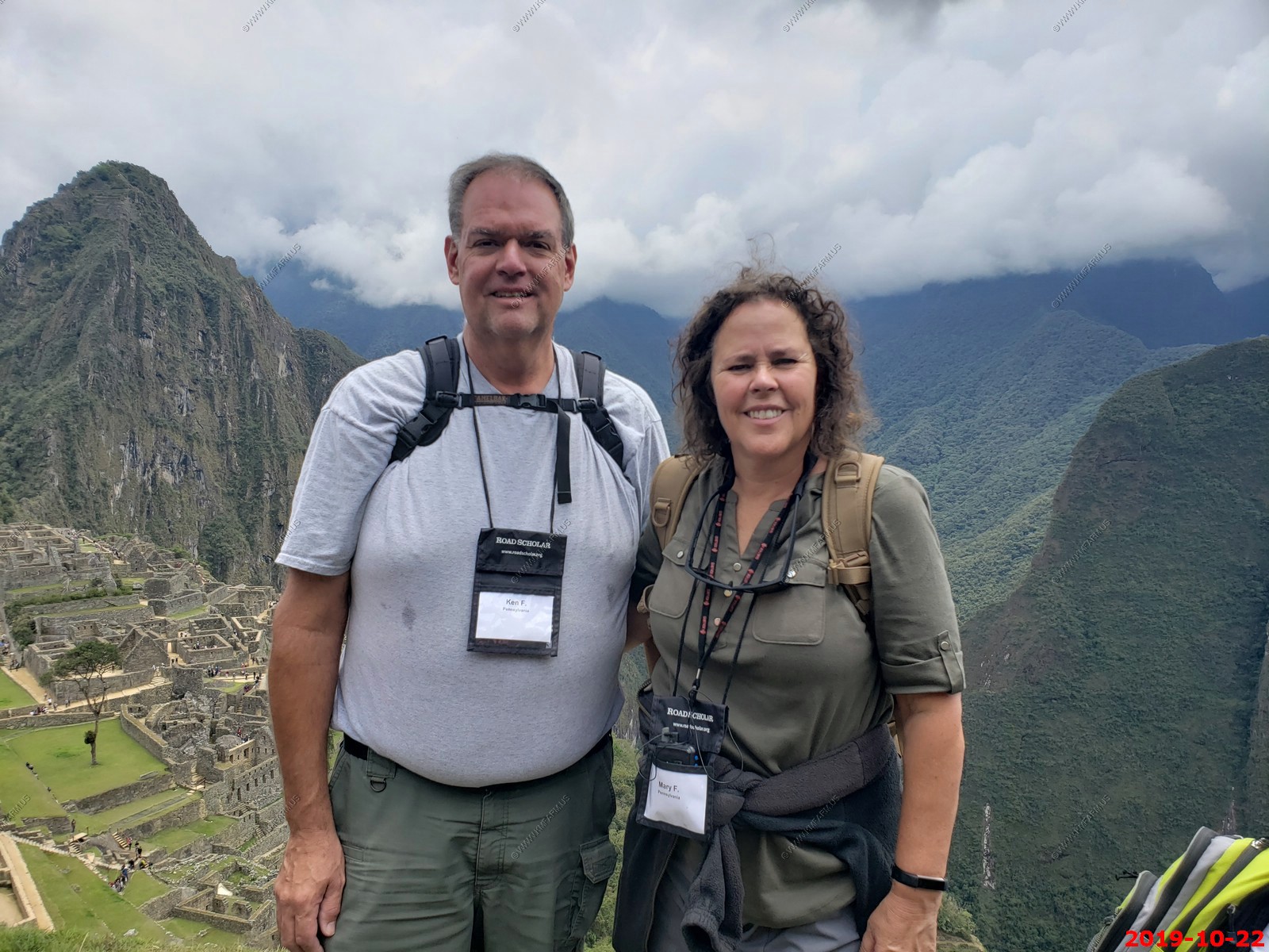
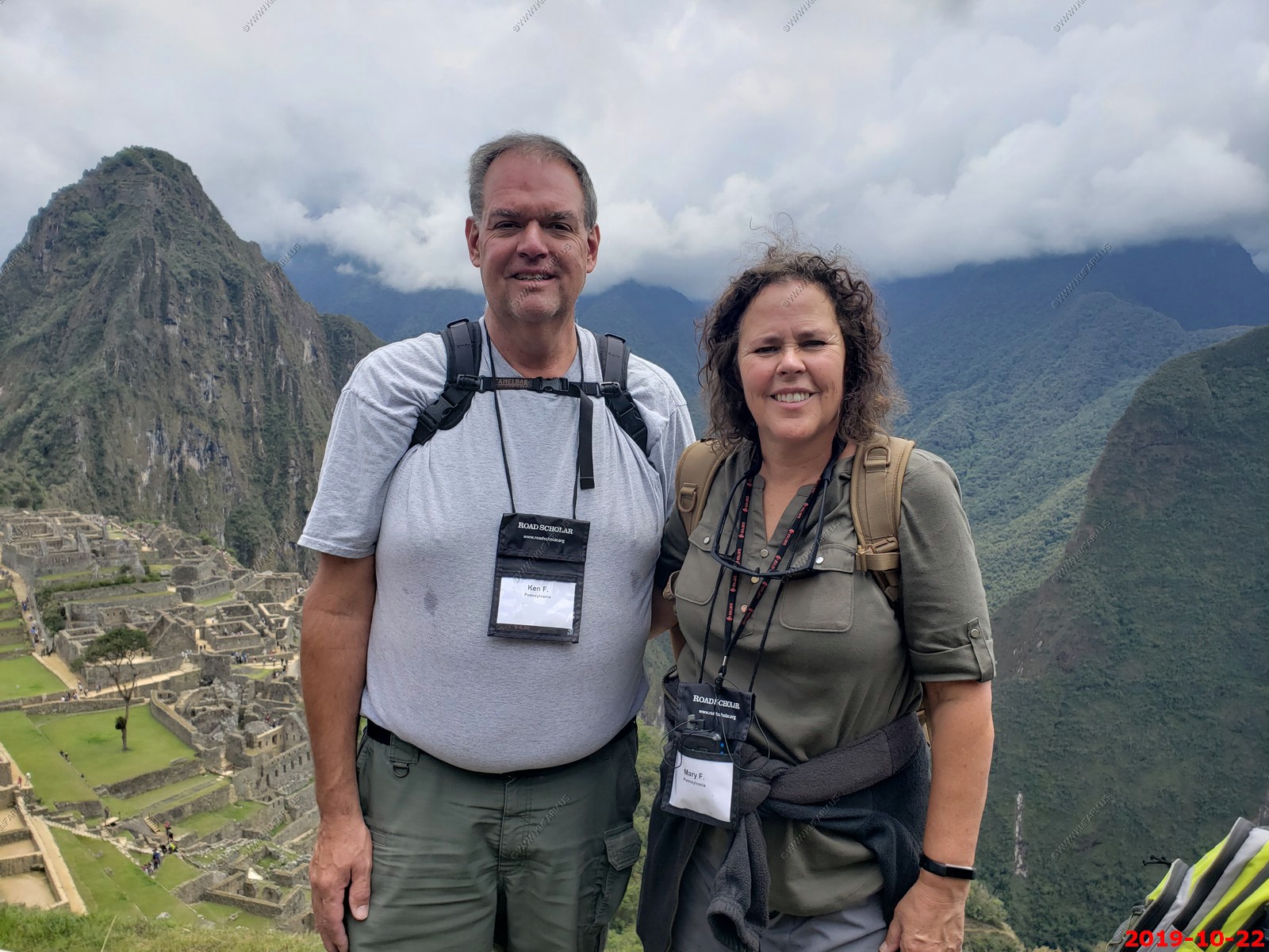
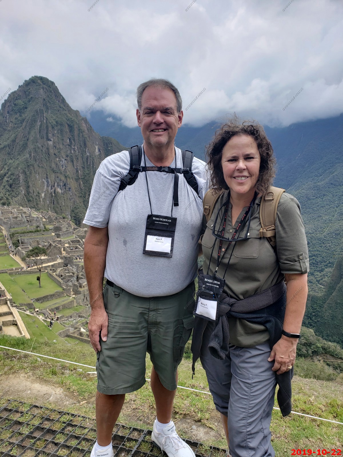
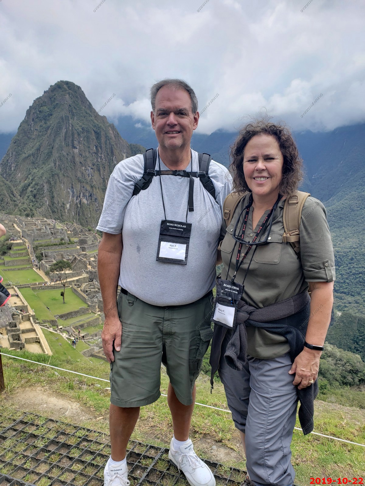
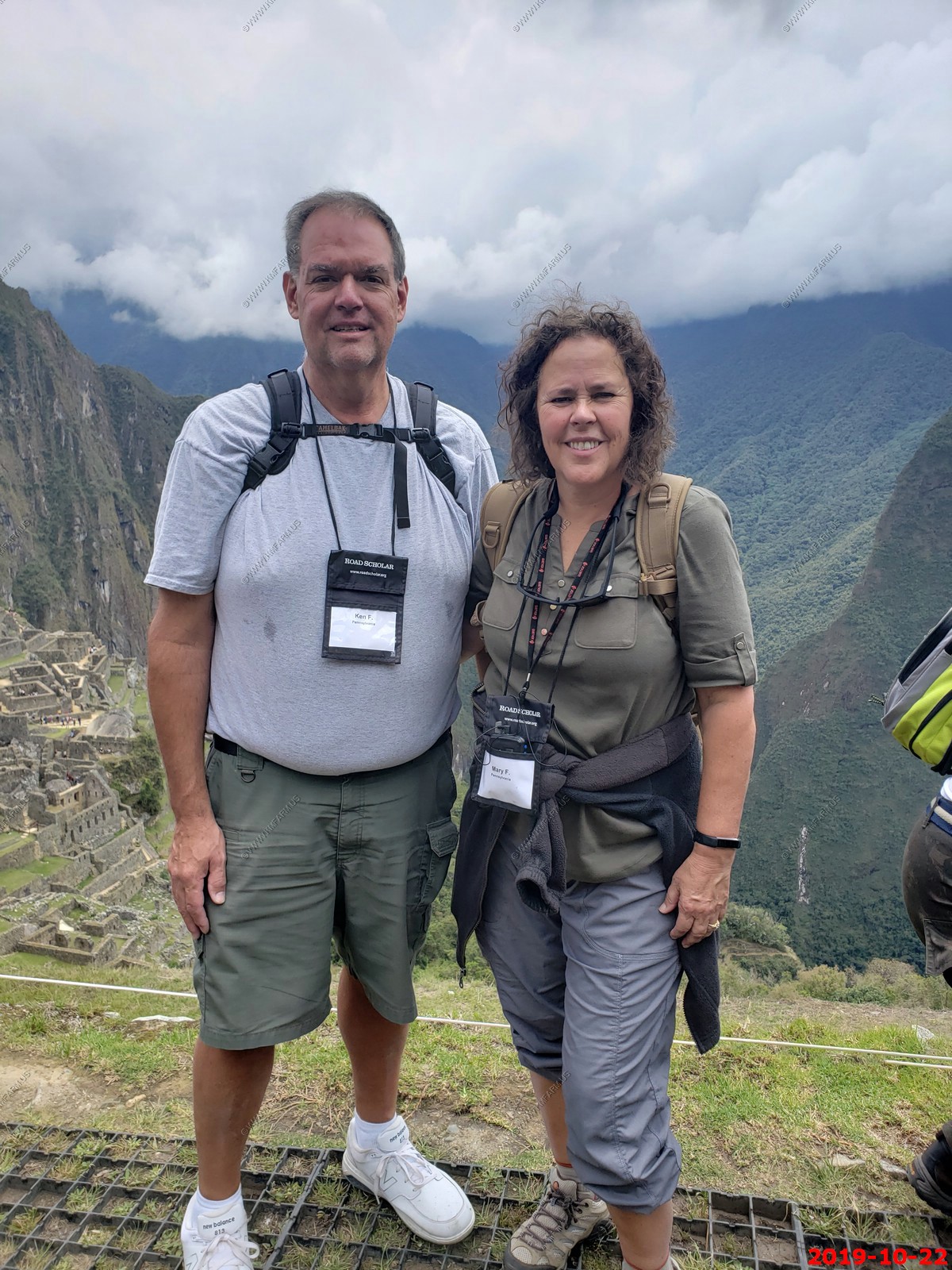
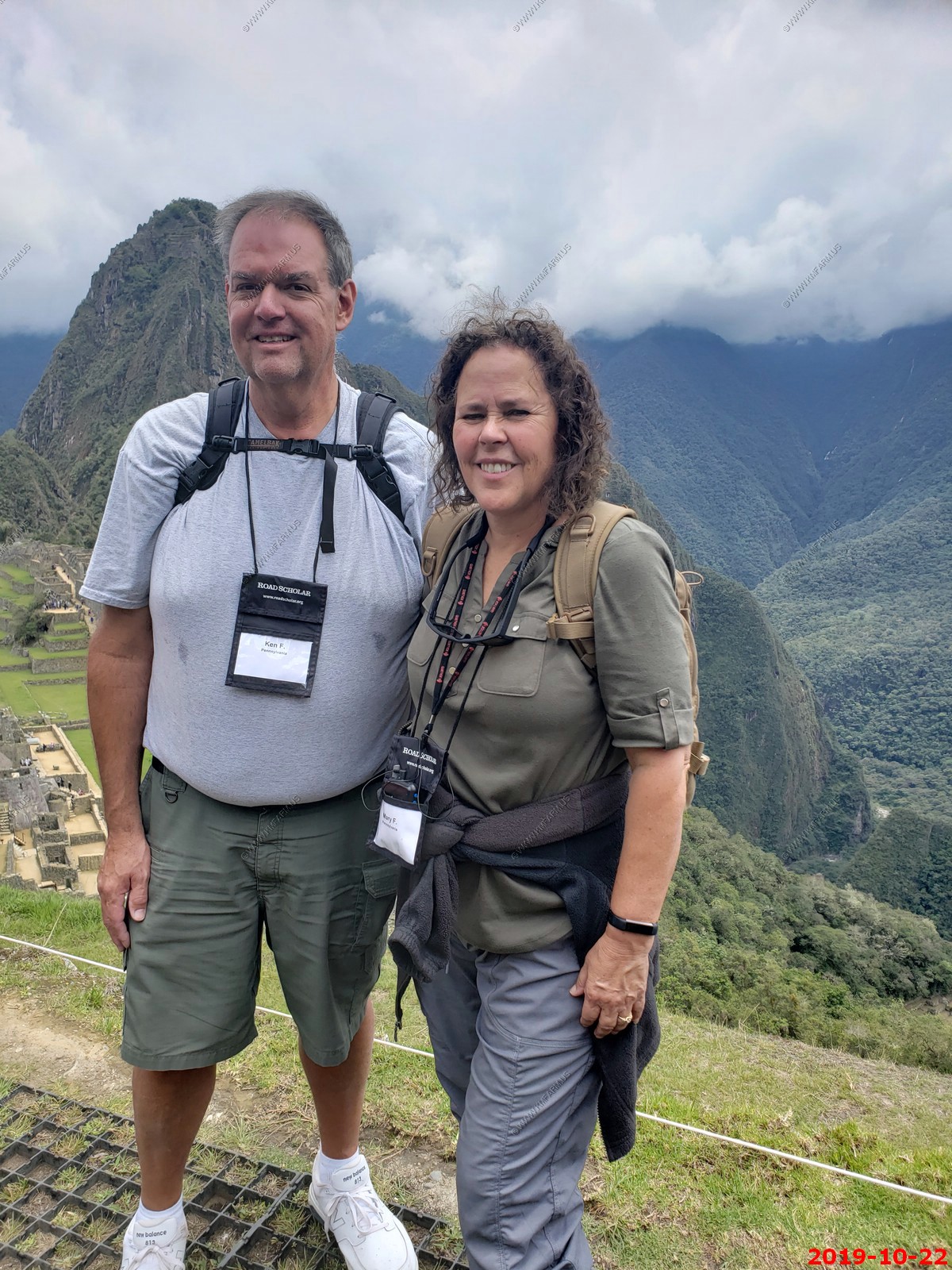
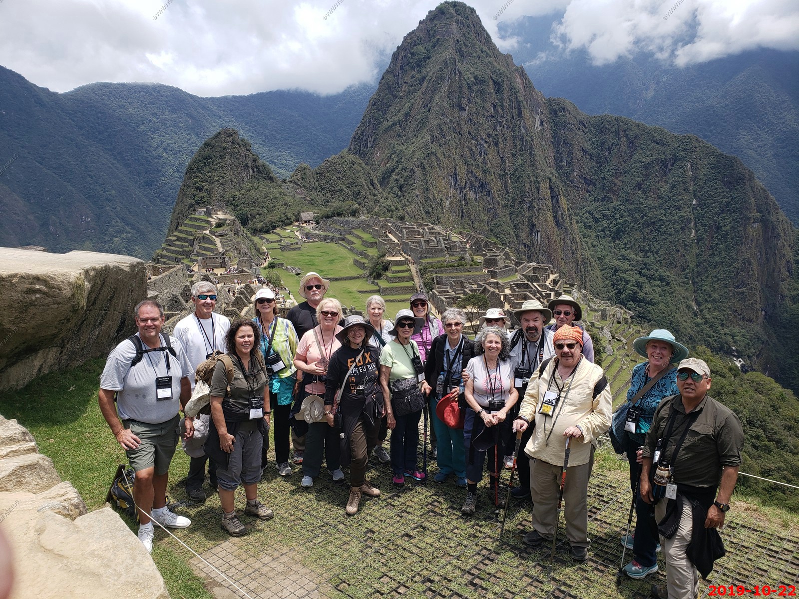
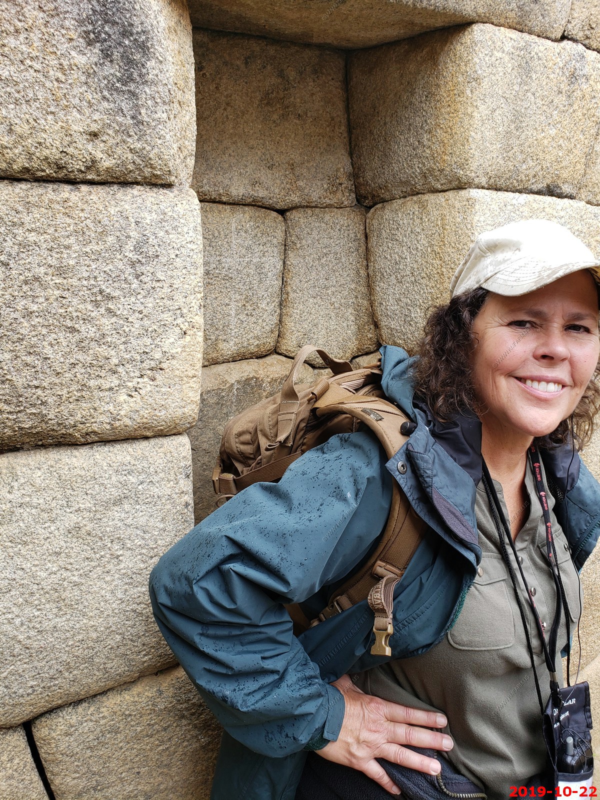
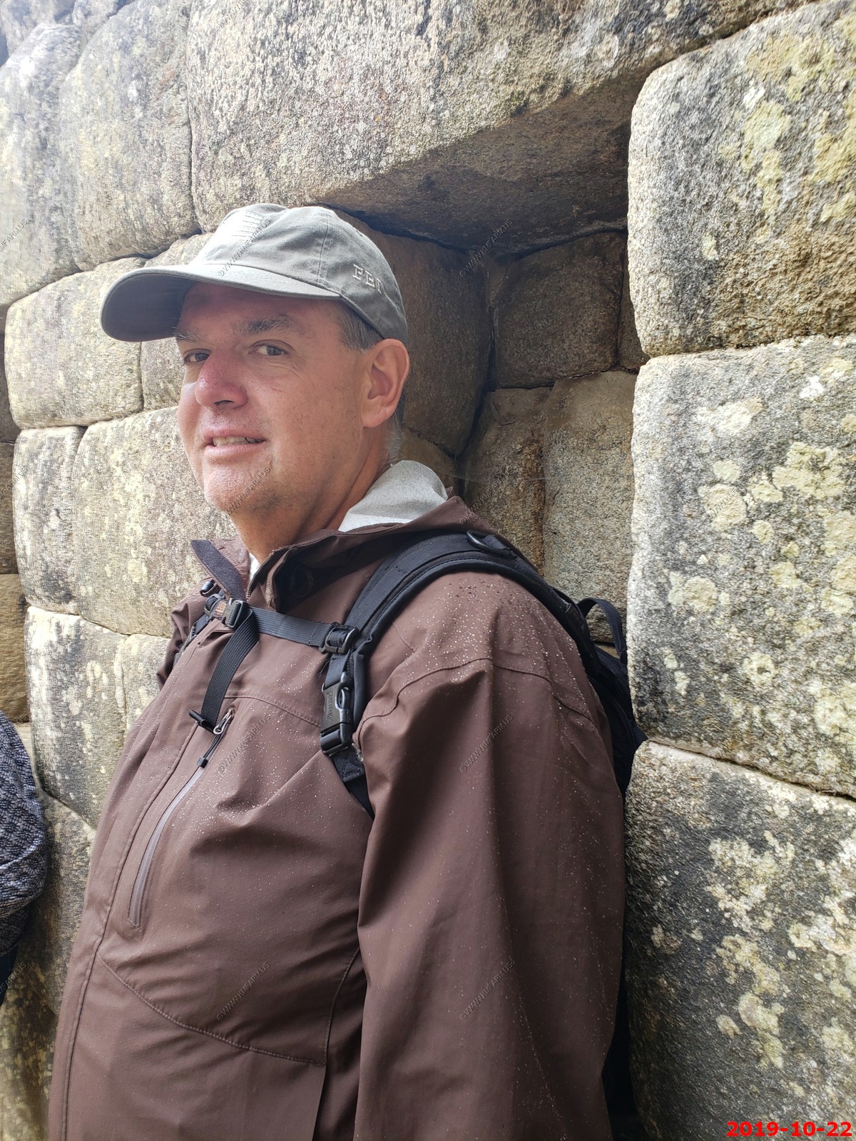
Group Shot
The trail to the exit
Various views
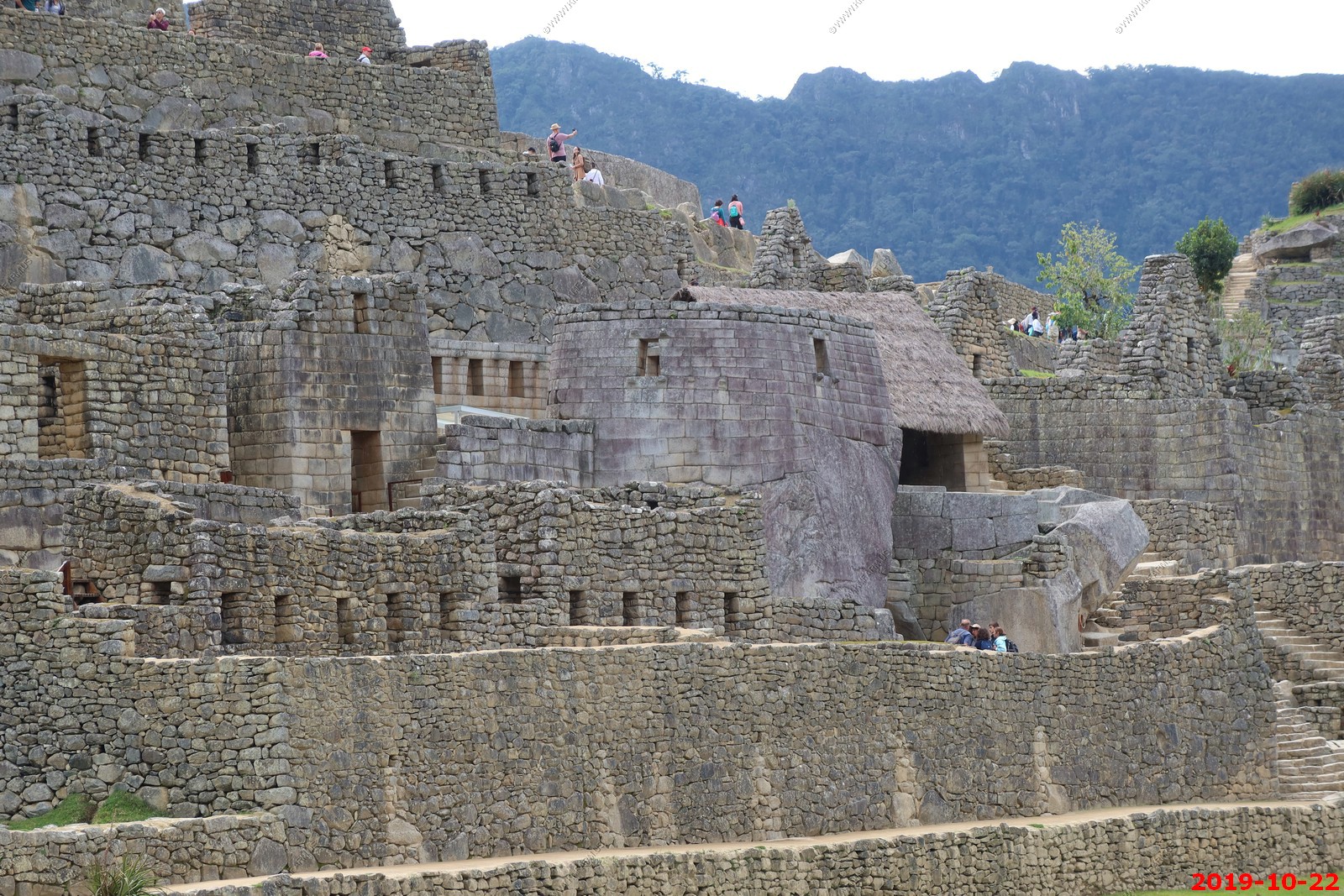
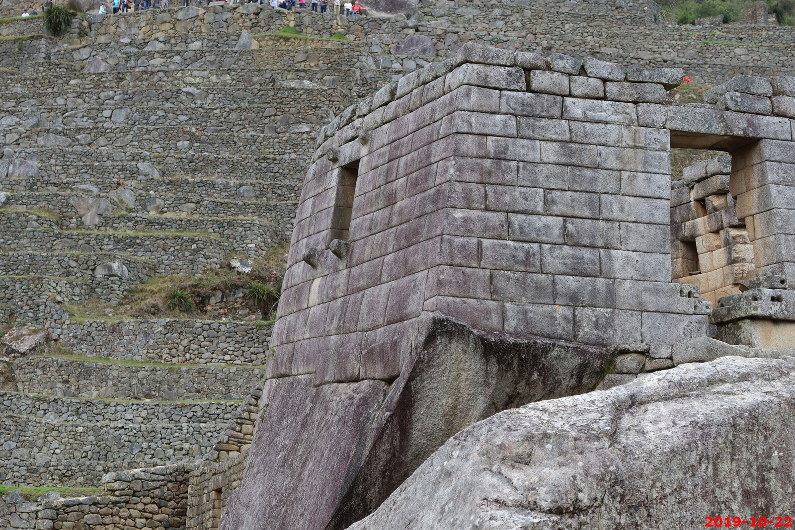
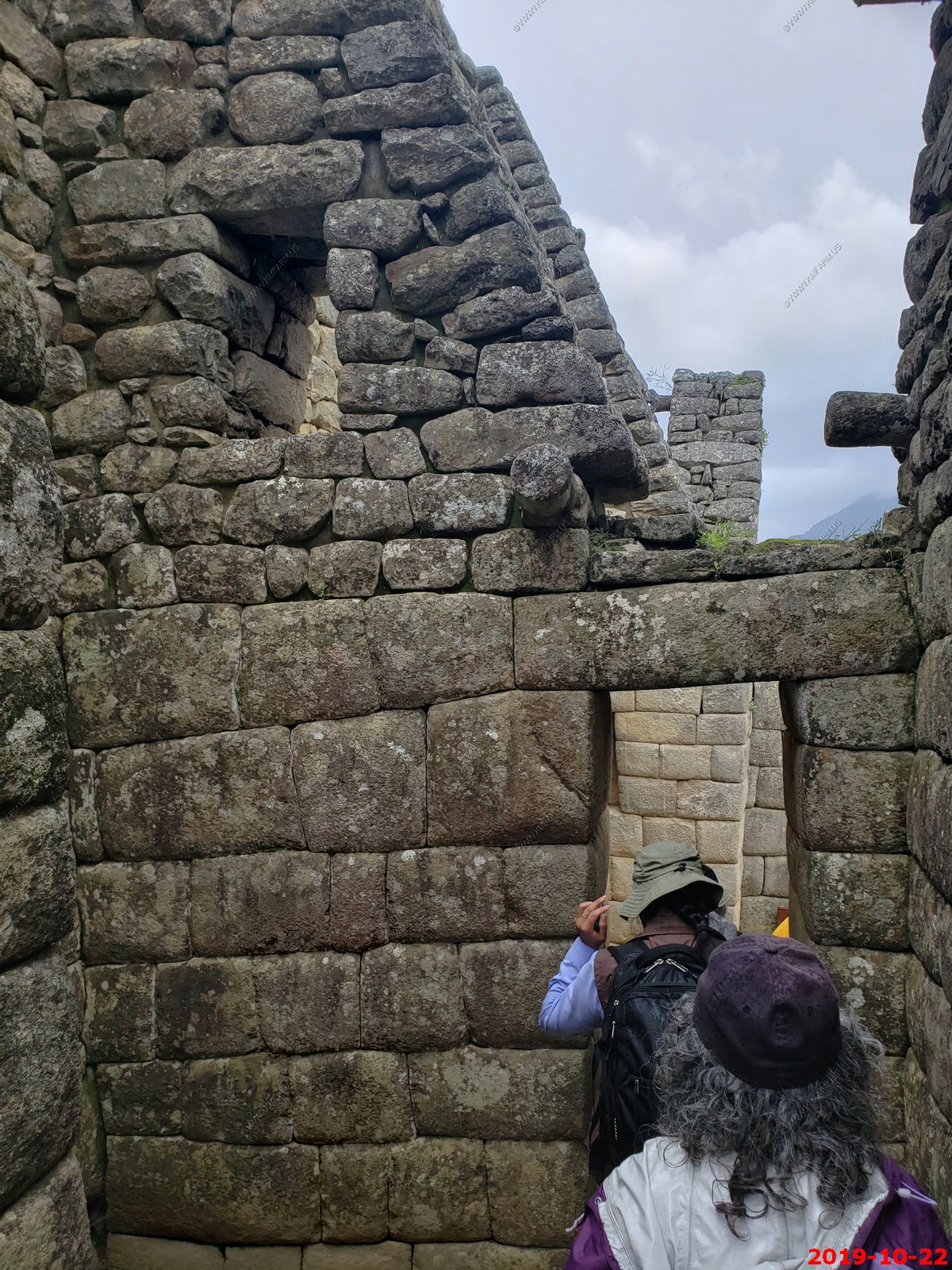
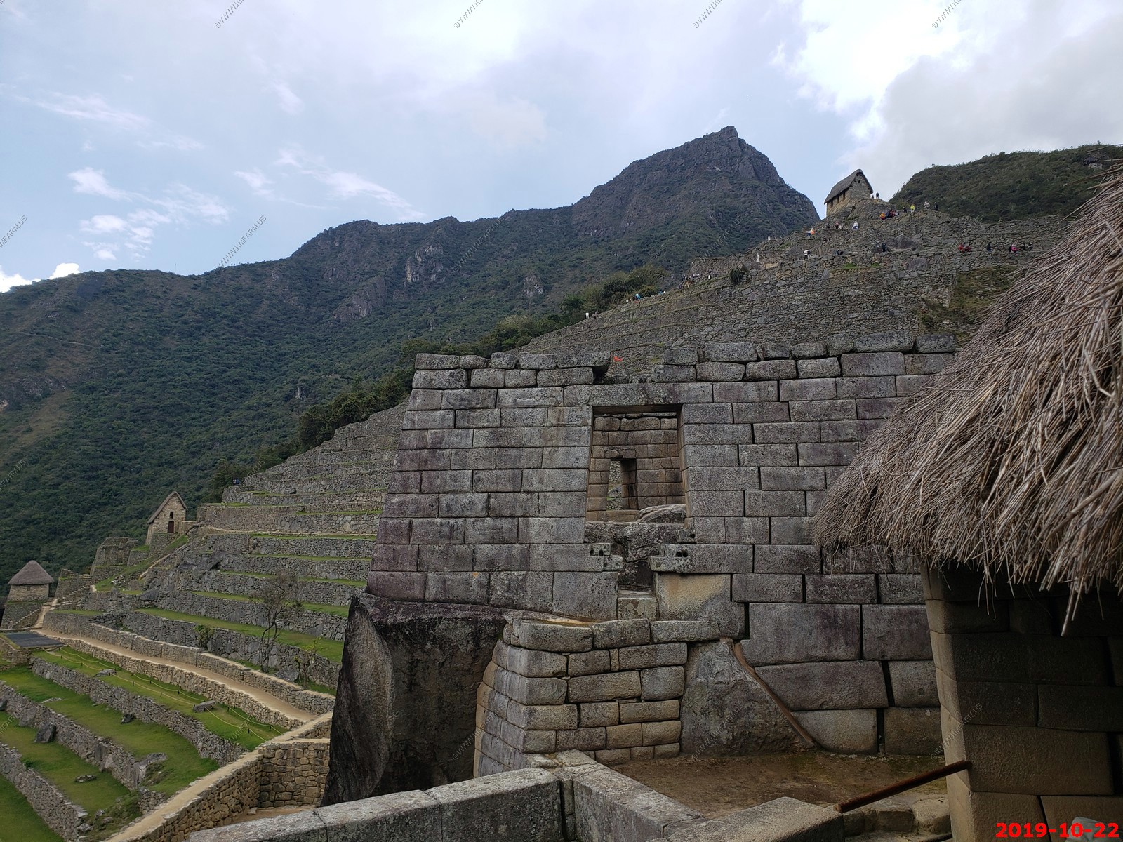
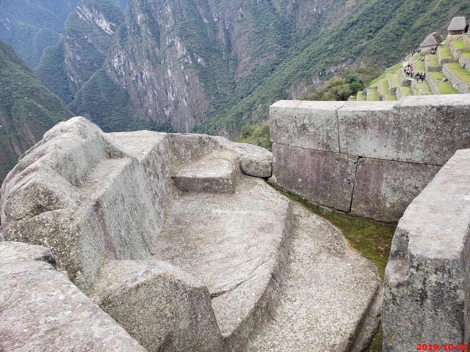
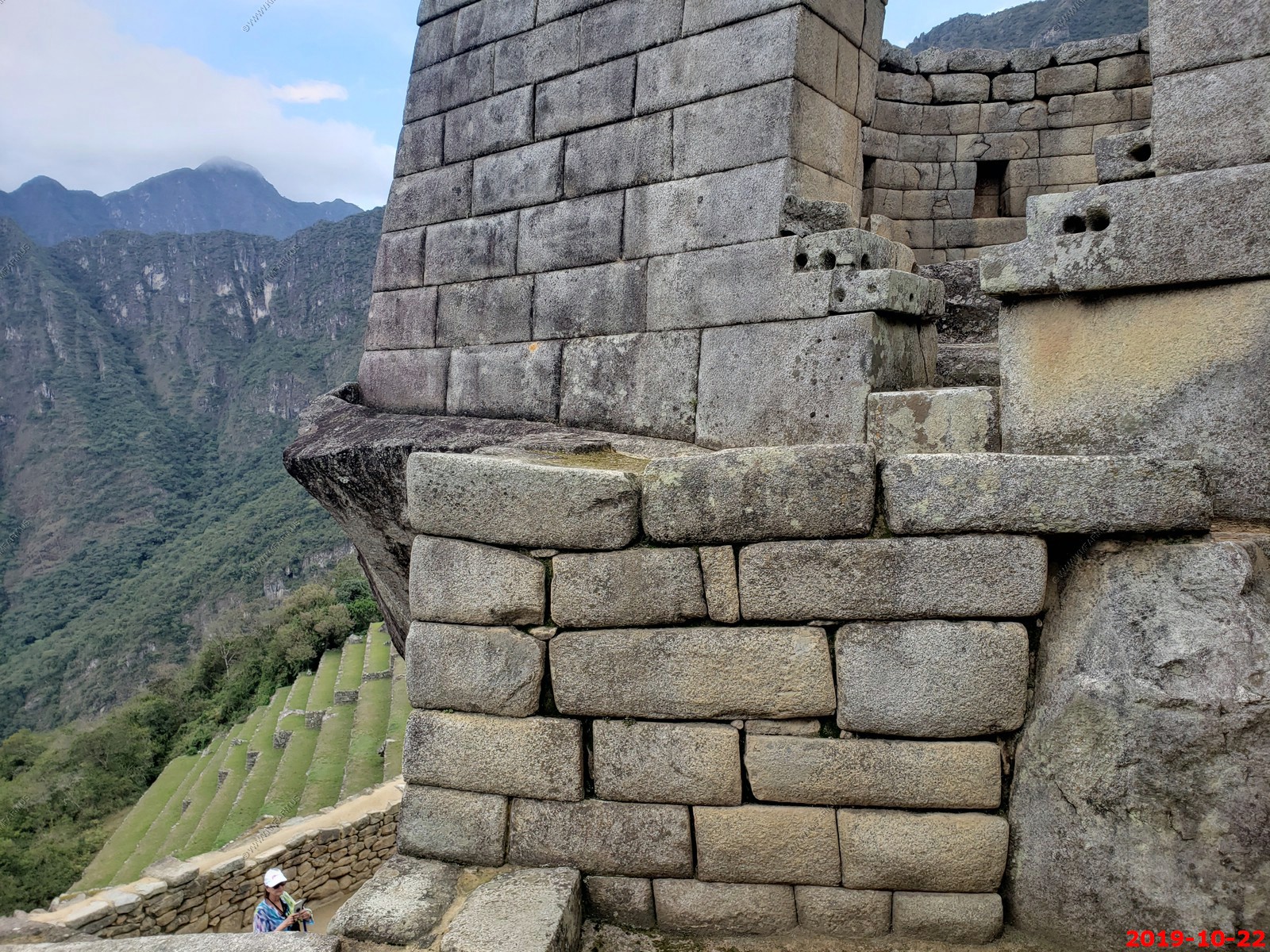
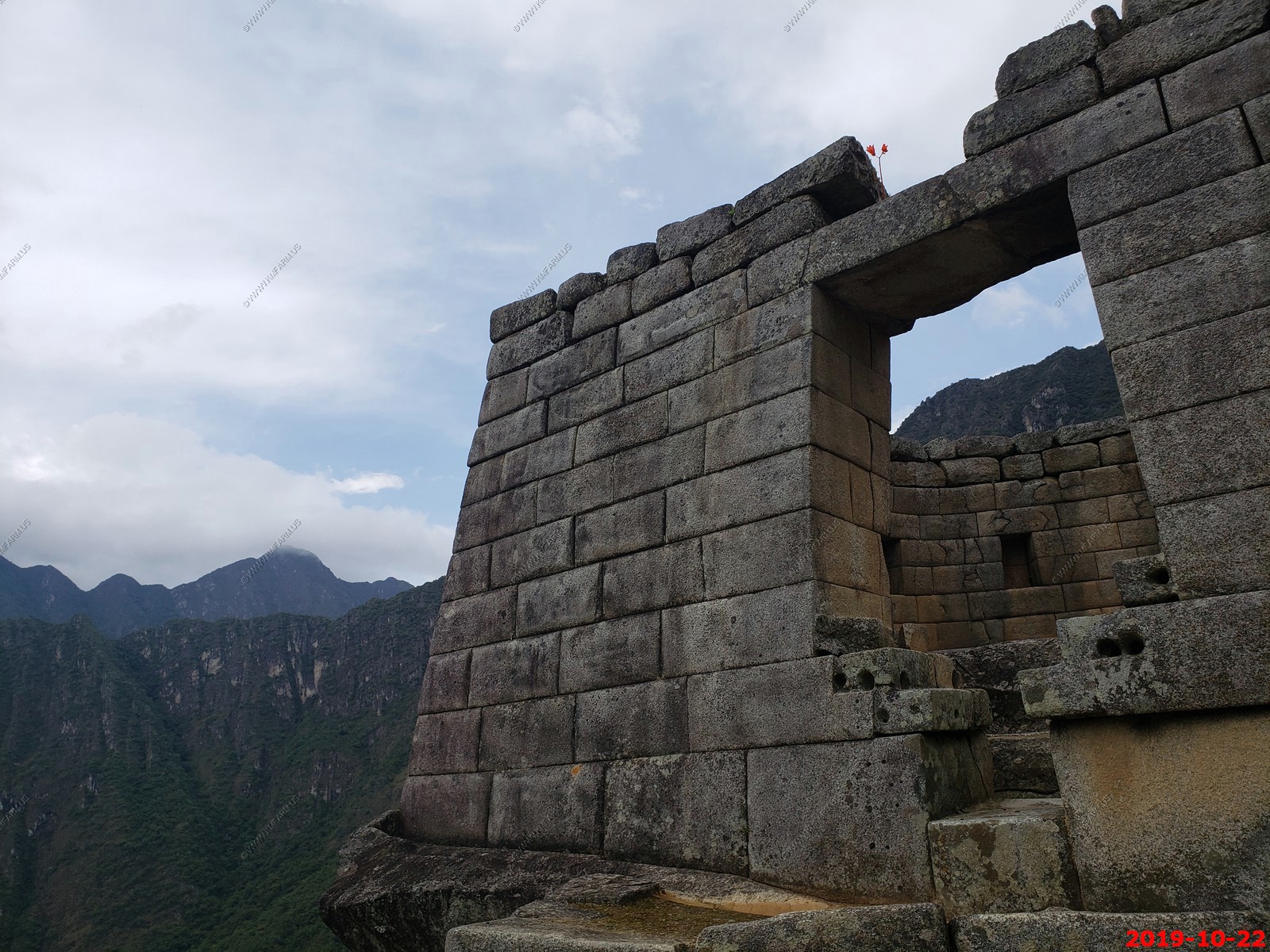
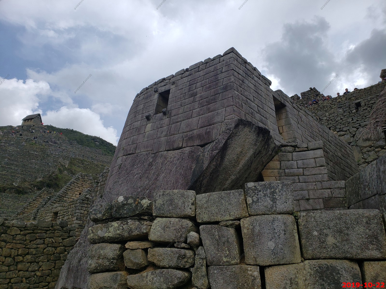
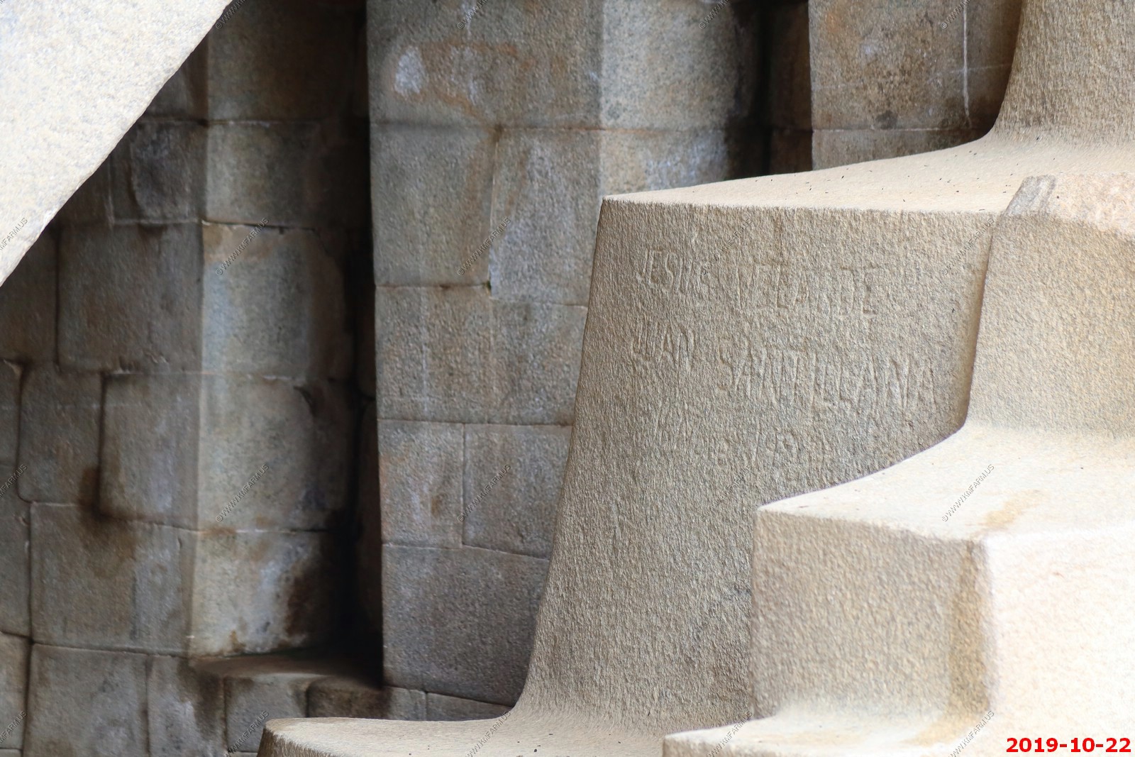
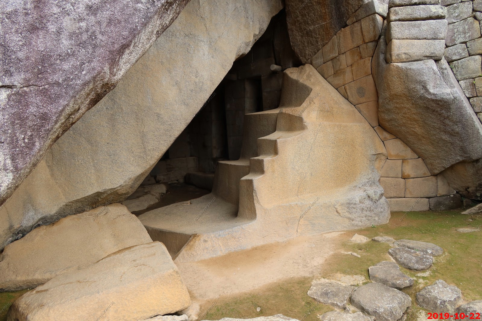
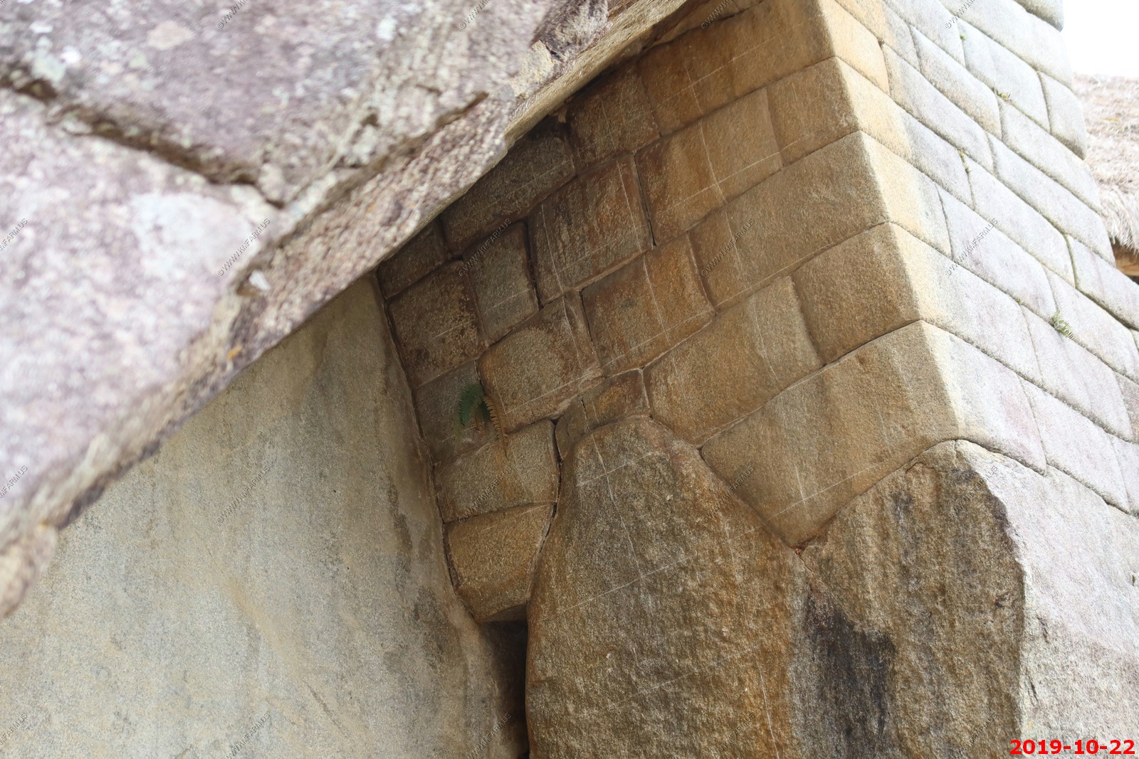
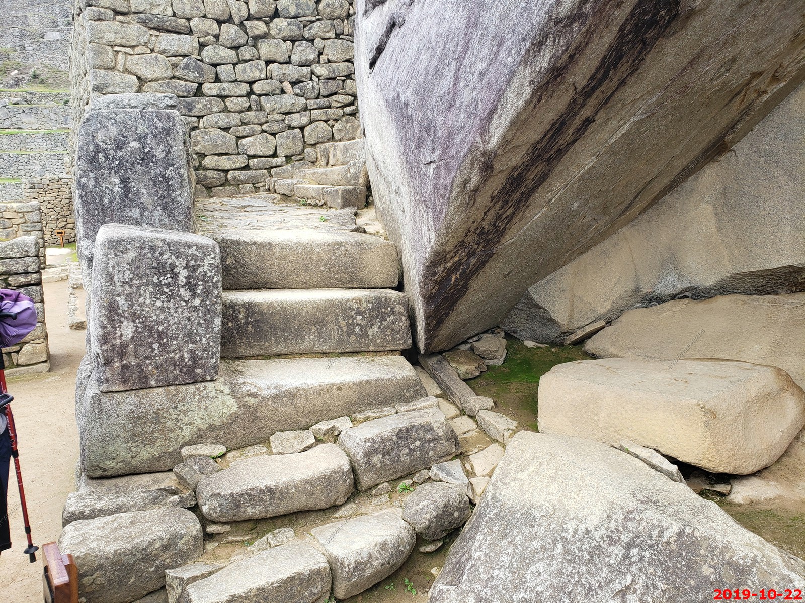
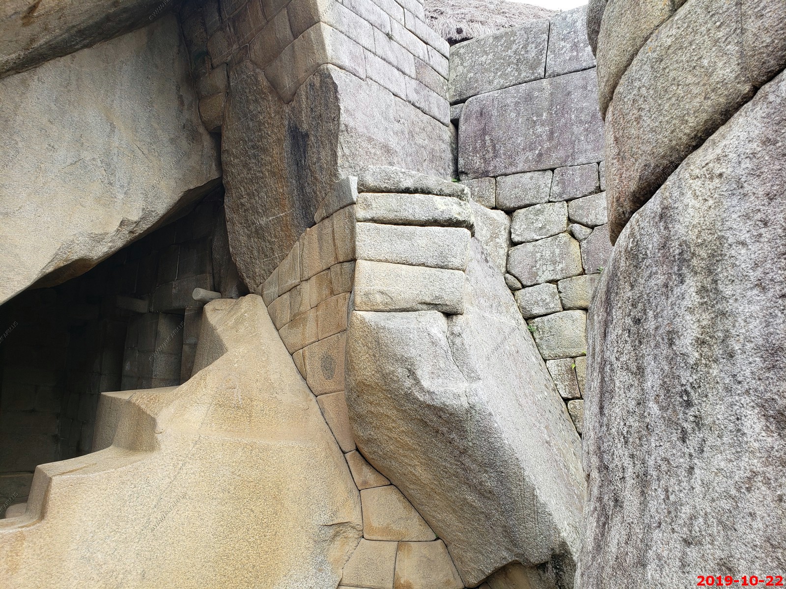
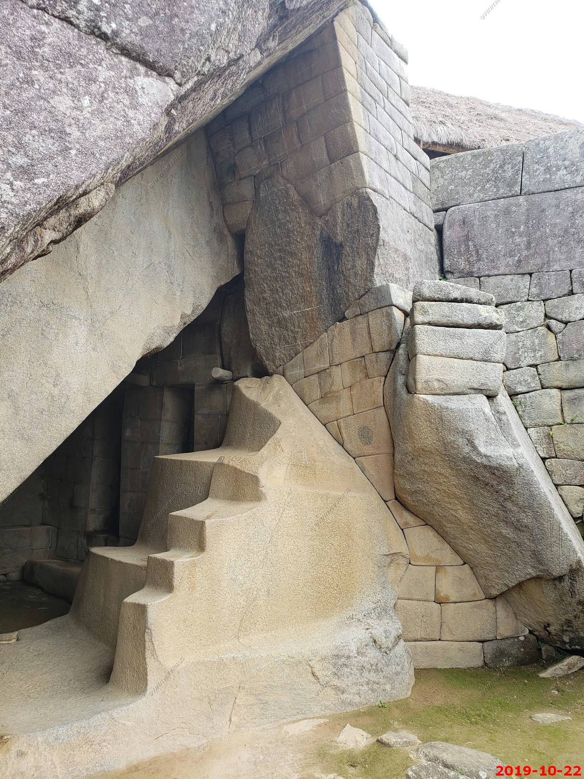
Temple of the Sun in the center made out of different rock
Our group
Temple of the Sun on the left made out of different rock
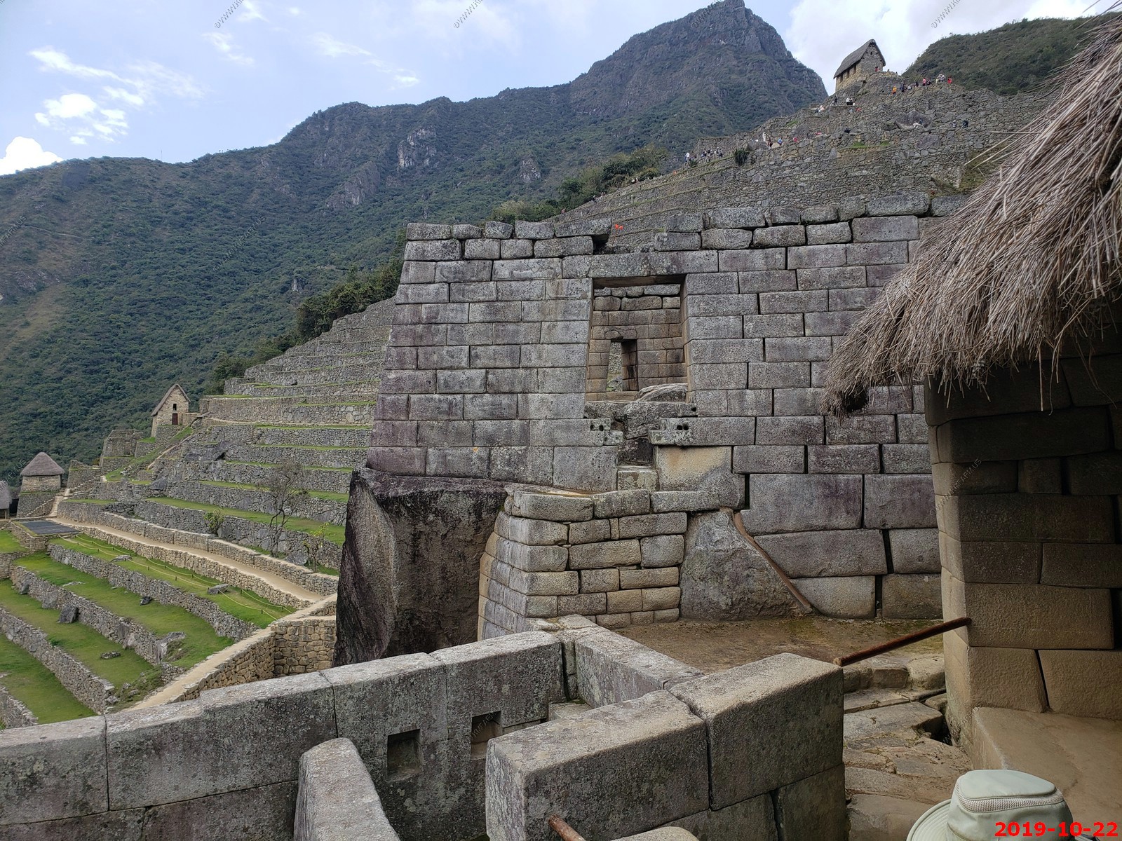
Various views around the Temple of the Sun
A perfect shelf for a day pack at the Temple of the Sun. This was the only rain on the entire of the trip.
The Temple of the Sun is one of the most important structures at Machu Picchu. Only priests and higher nobles were permitted to enter, with no commoners allowed inside. The temple's structure mixes man-made and natural features.
Various views
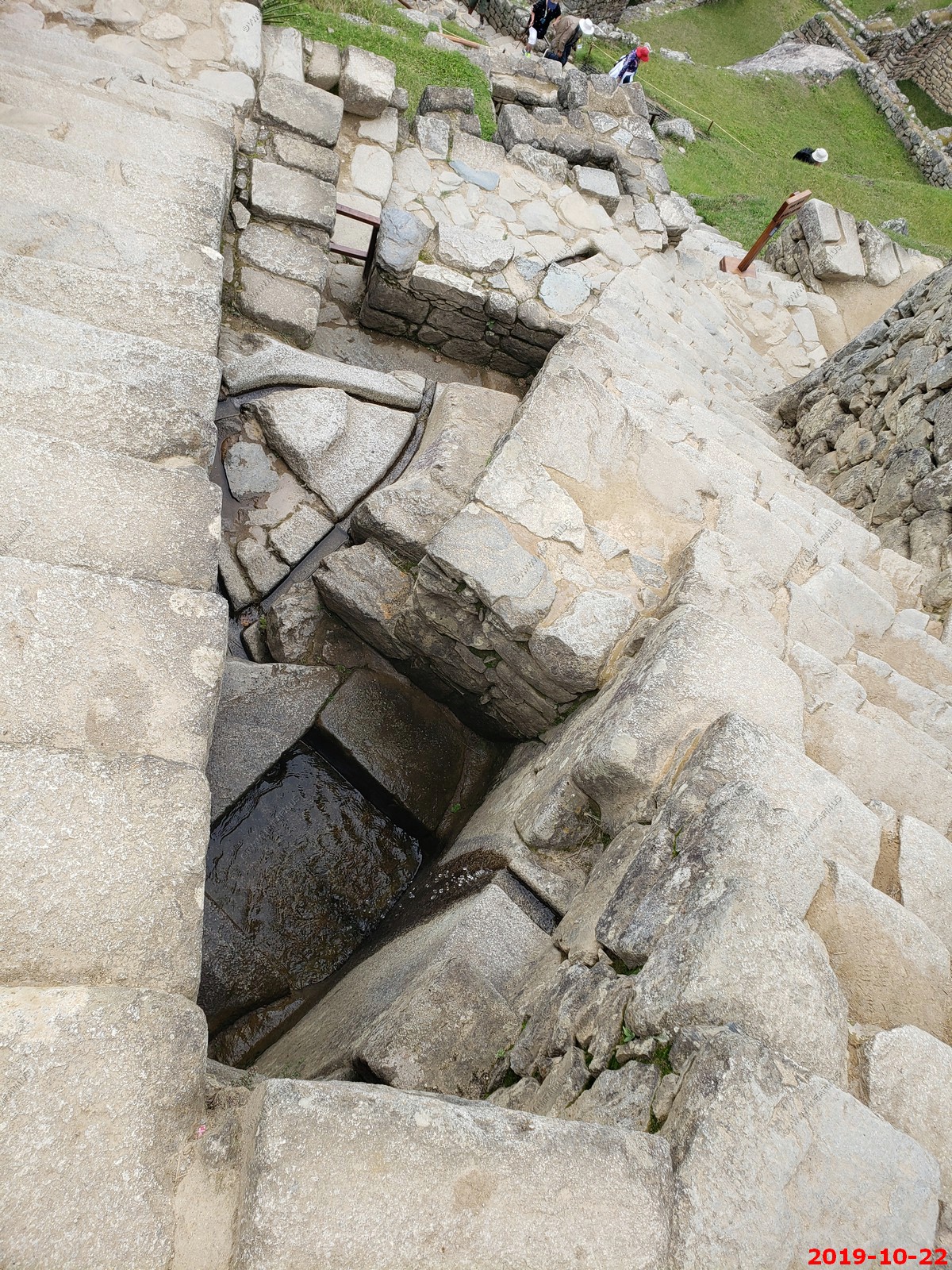
Running water here
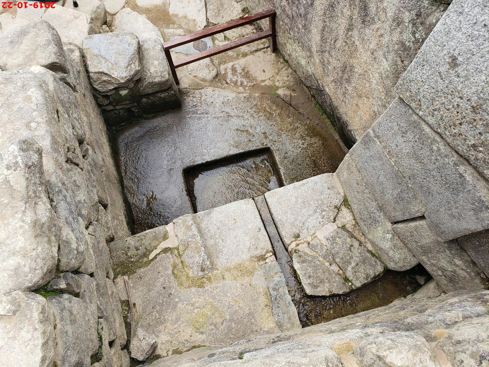
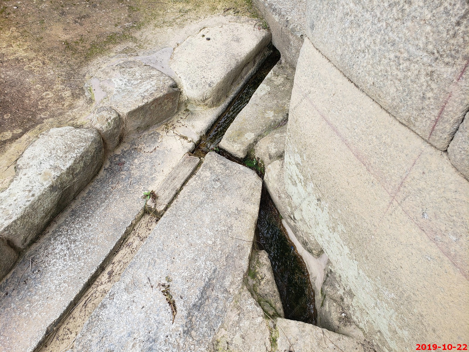
Various views around the Temple of the Sun
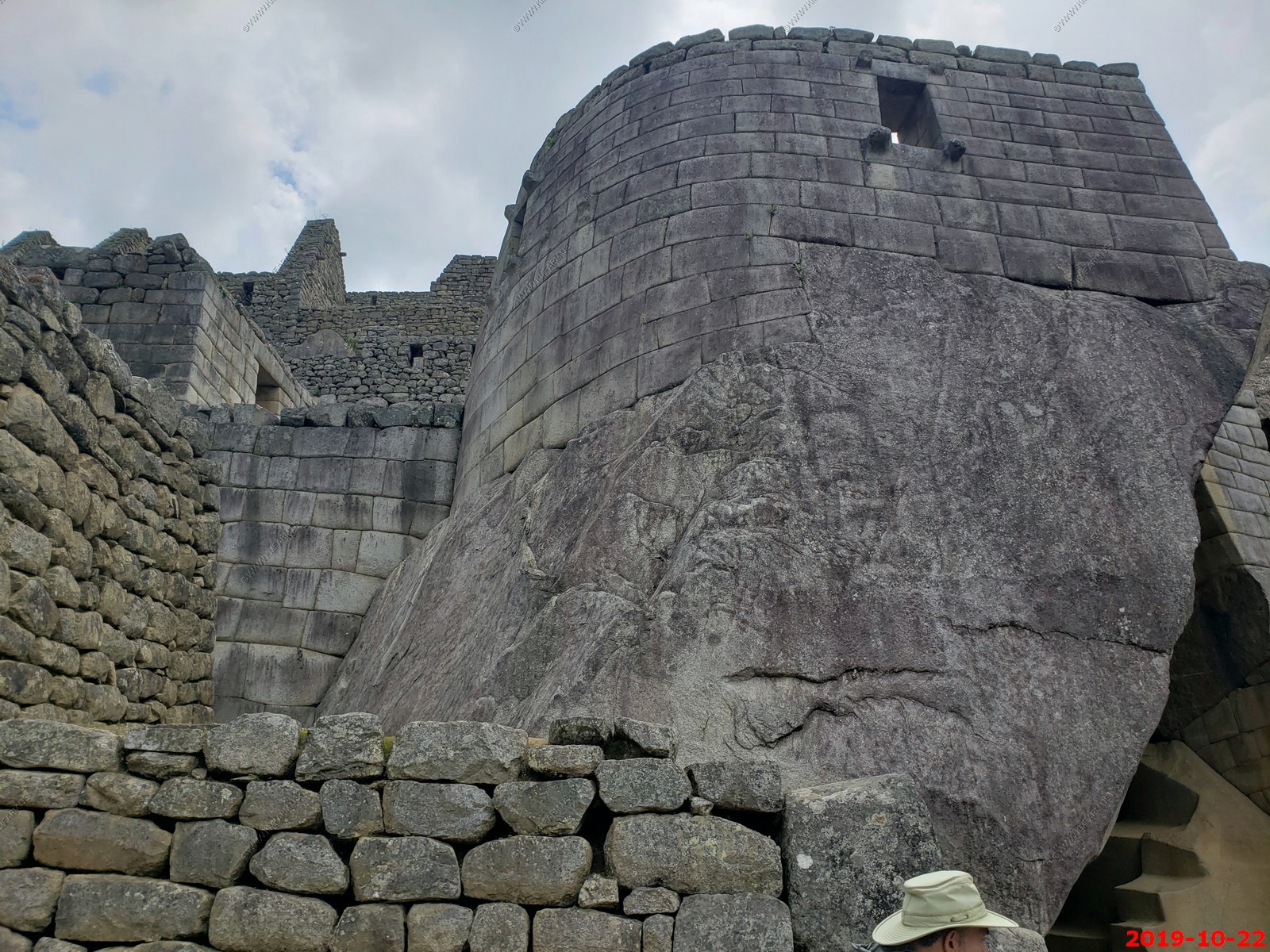
Under the temple of the sun
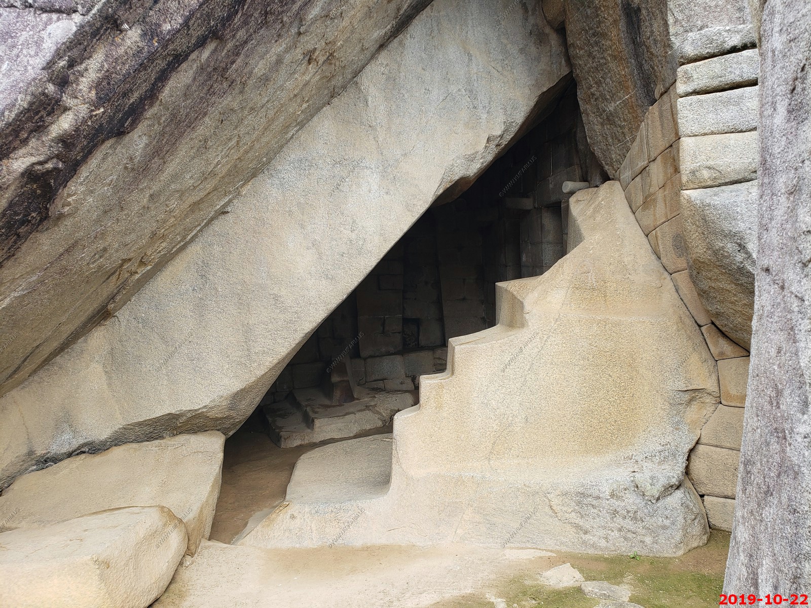
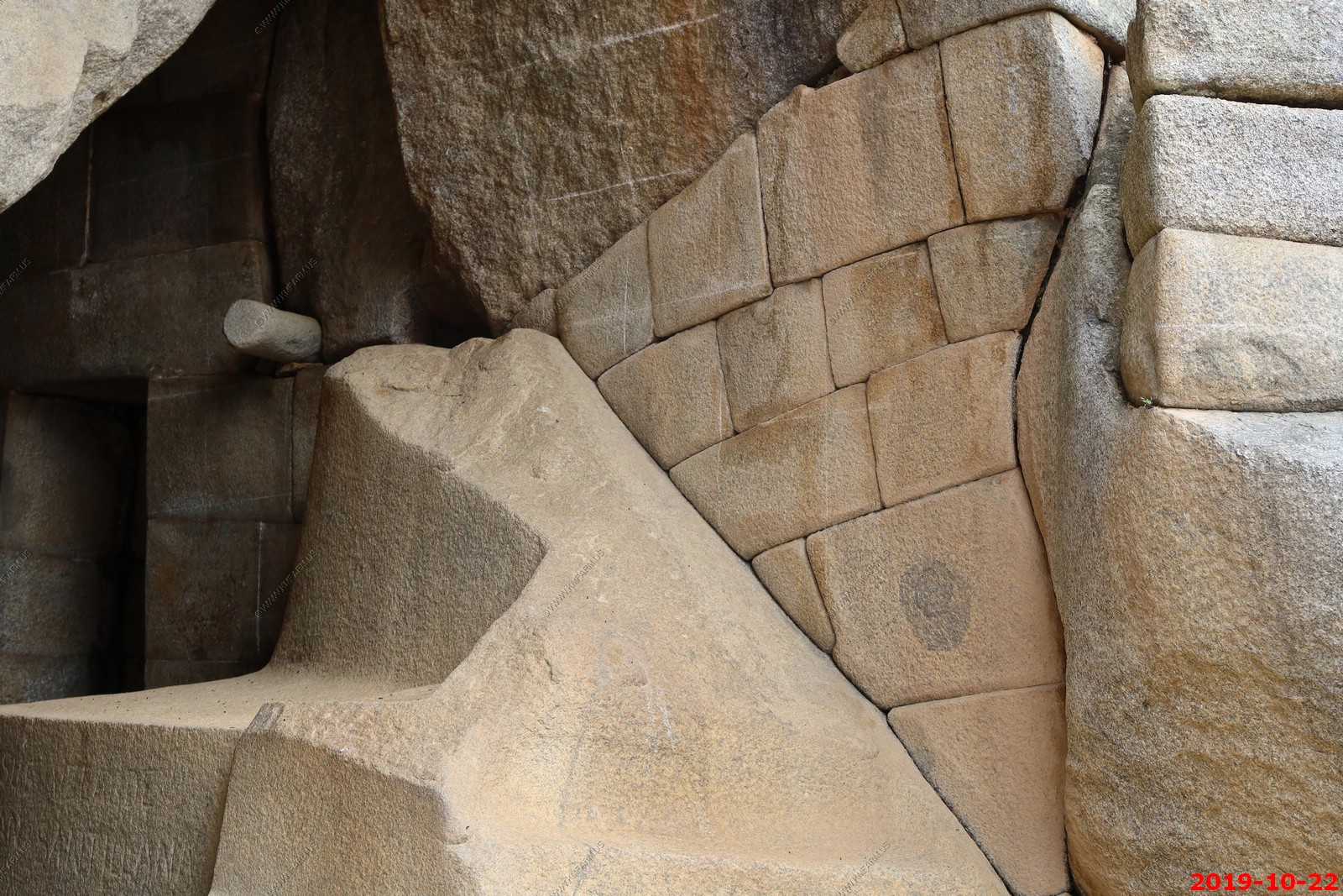
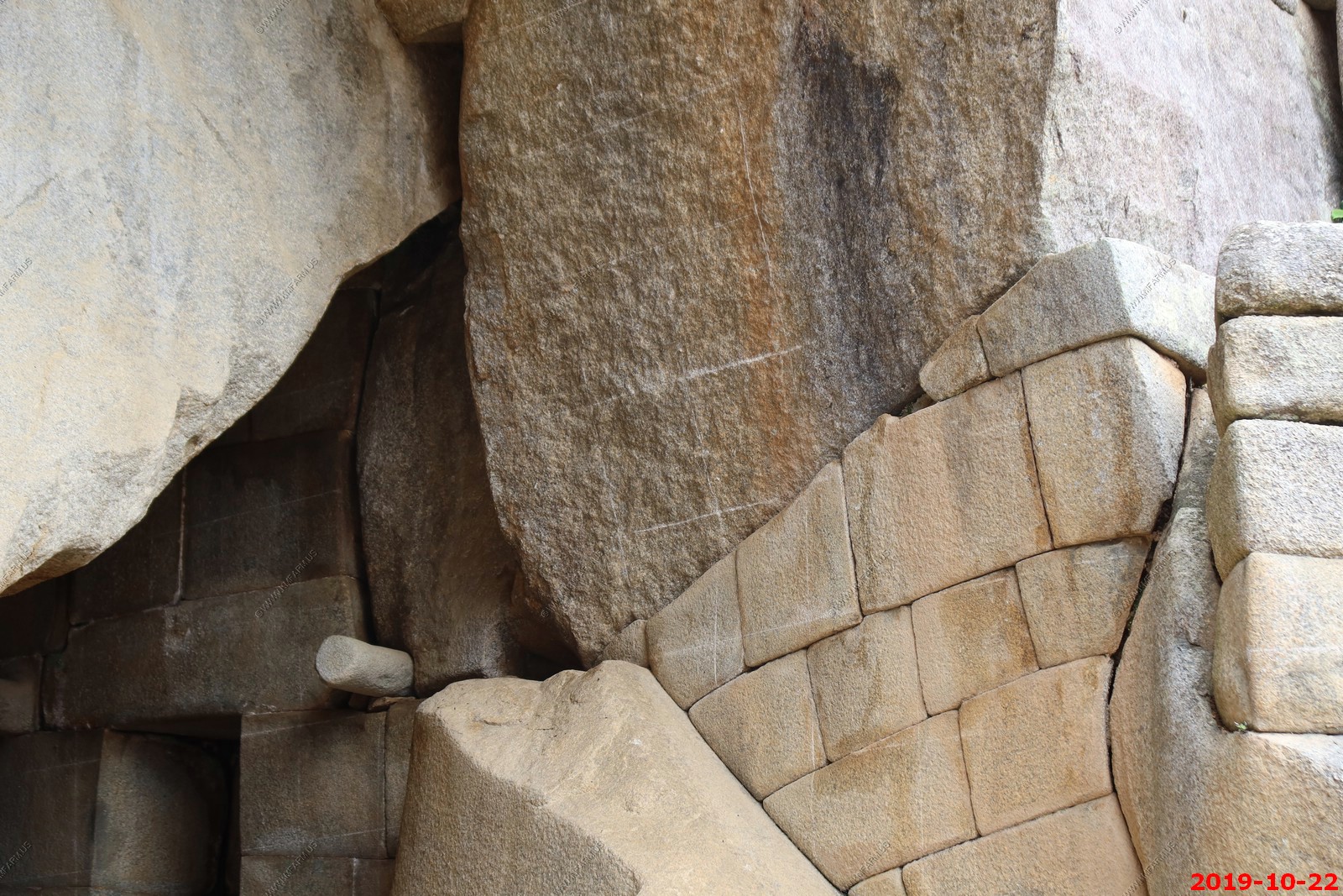
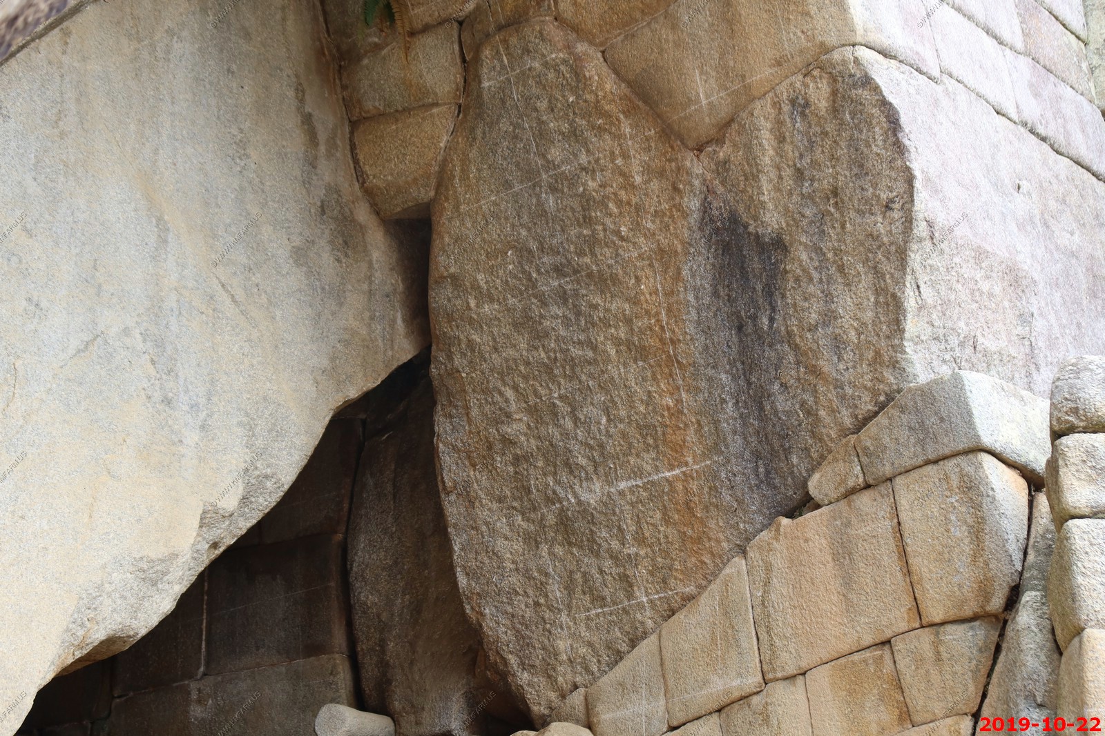
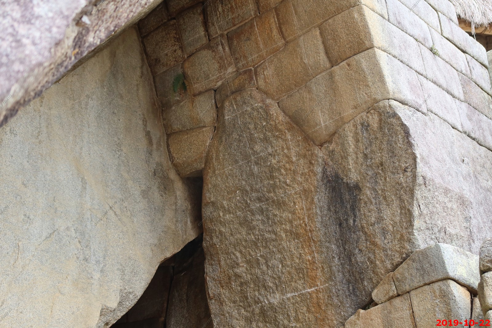
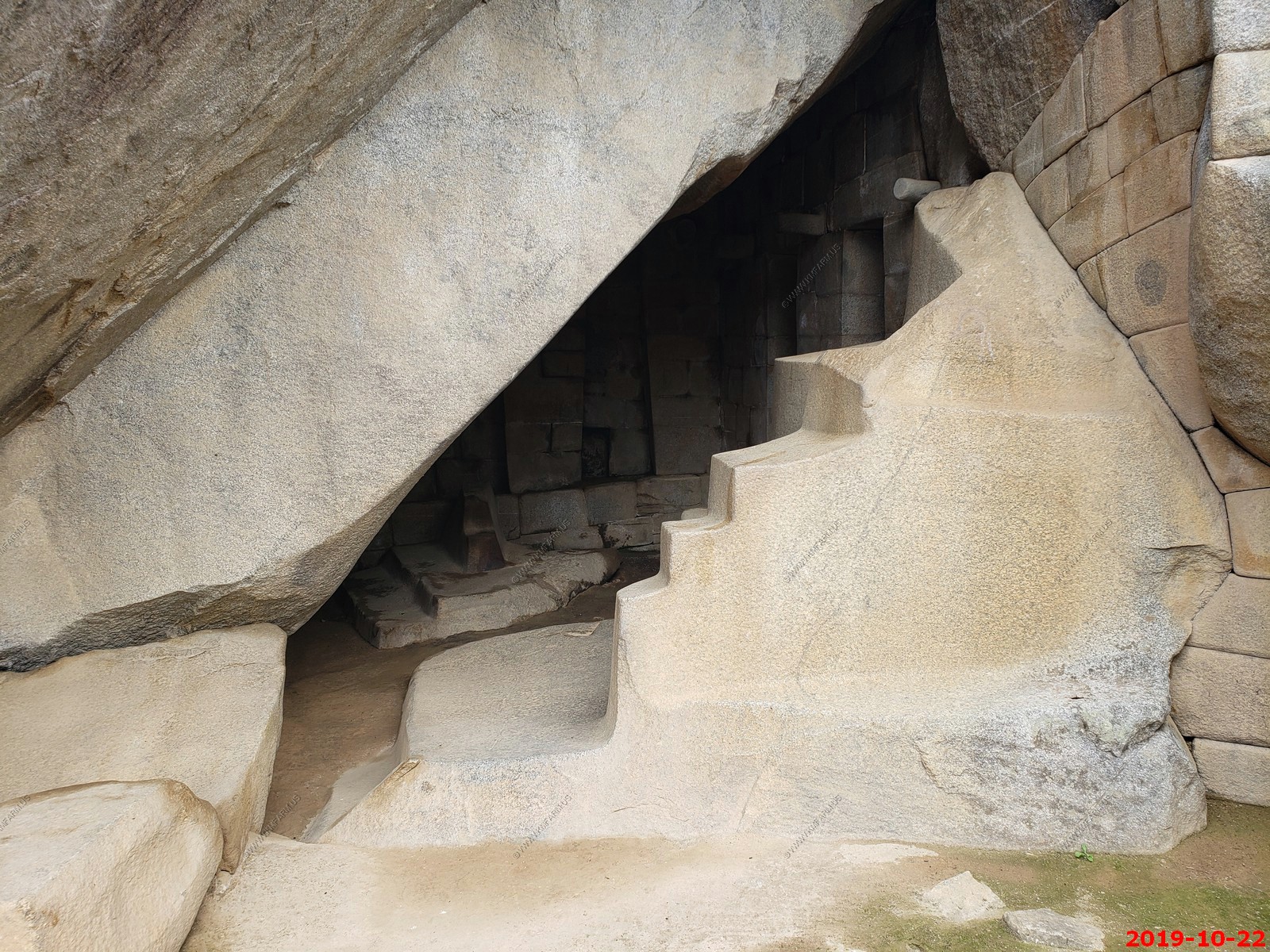
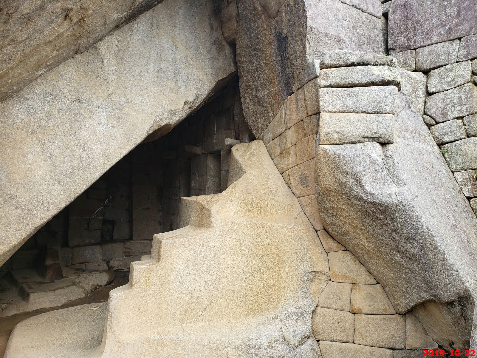
Temple of the Condor ?
The Temple of the Condor shows the artistry and creativity of Inca stonemasons. If you use your imagination you begin to make out an actual condor, wings outspread, appearing before you. Its wings are formed by two diagonal outcrops of rock rising up above the temple entrance, with the condor's head and beak carved into a smooth, flat rock on the ground. The cave inside the temple was likely used for rituals. The condor's head may have served as an altar.
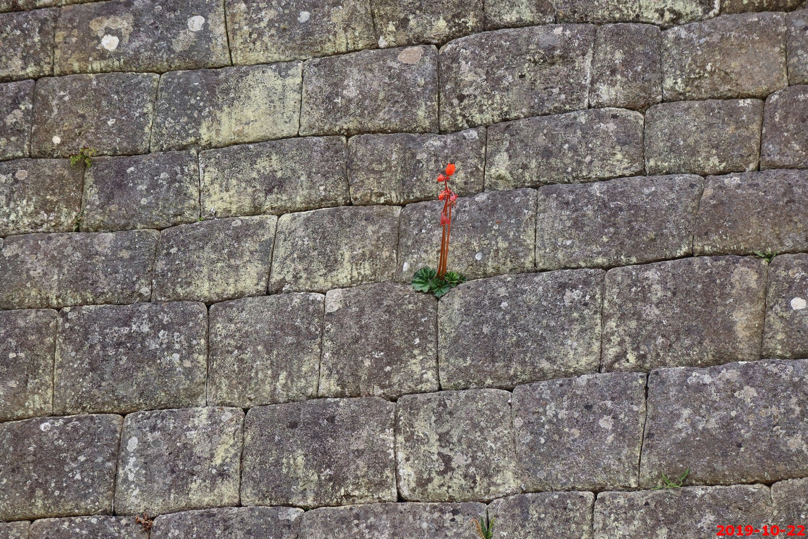
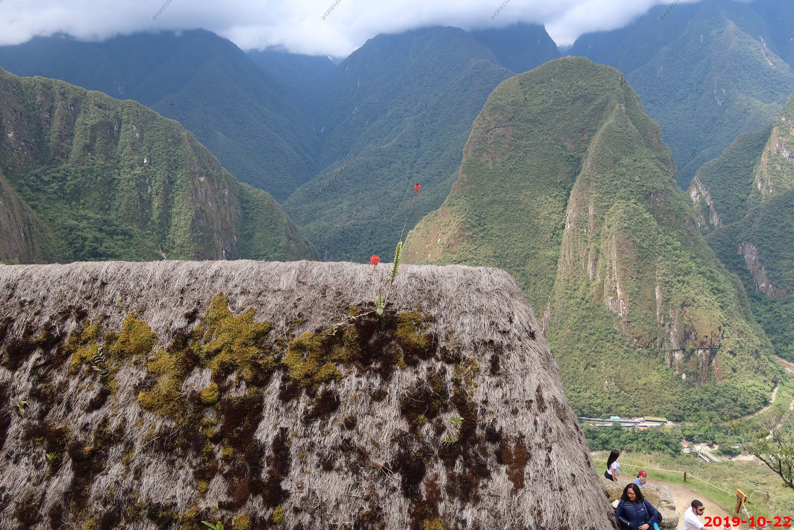
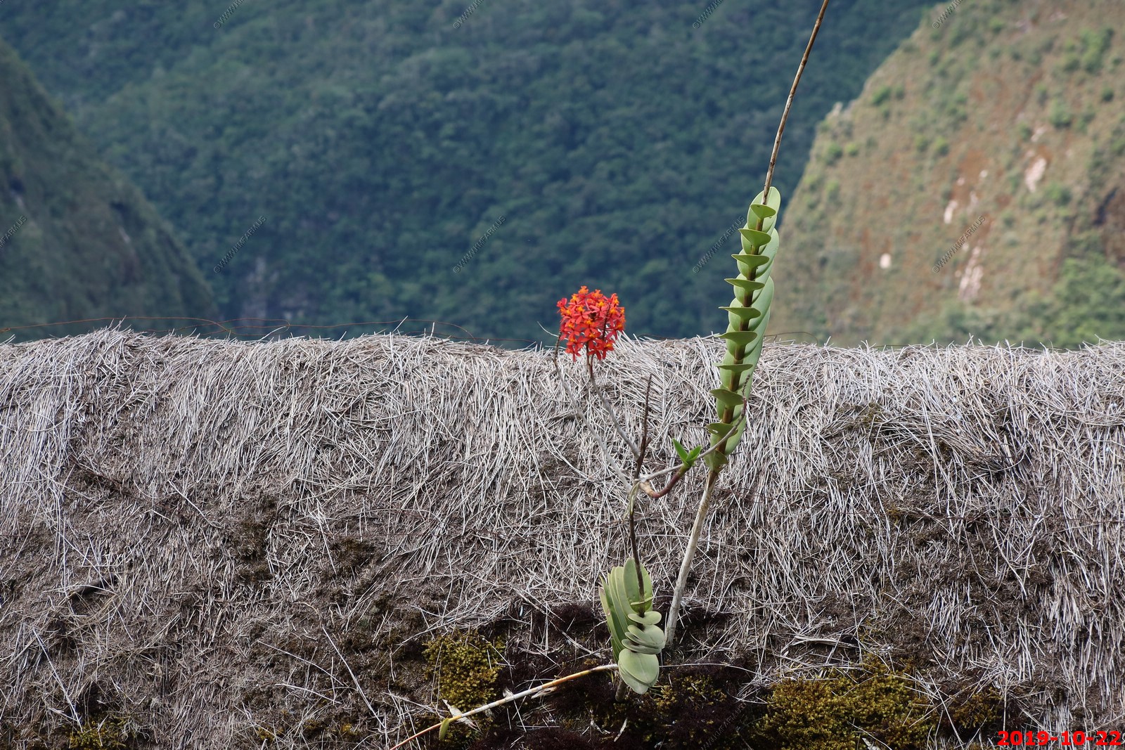
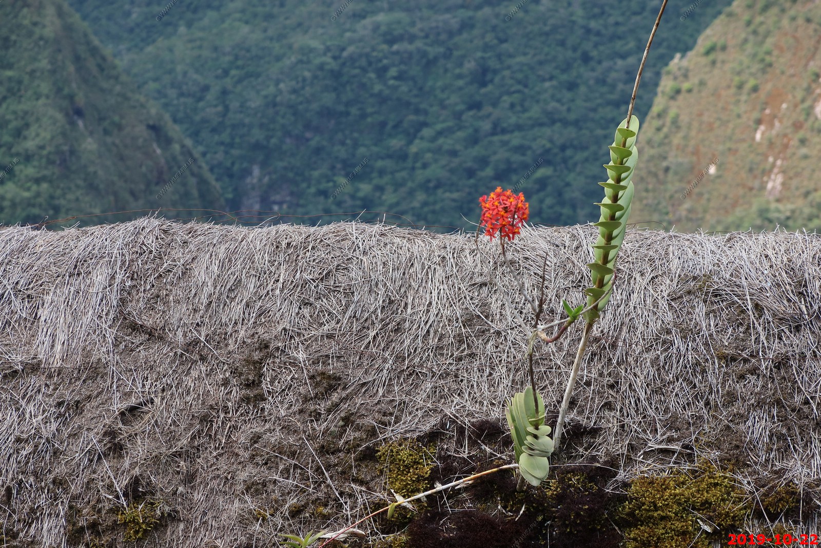
Flower growing on the roof
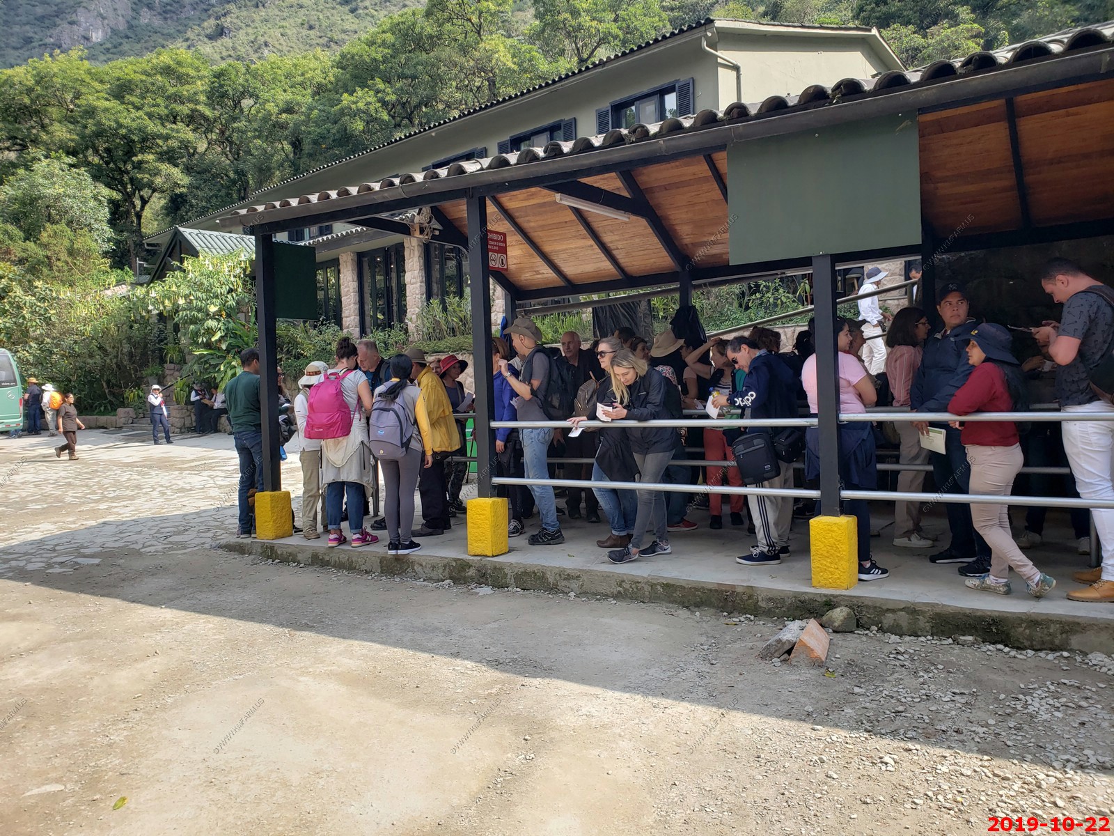
Restroom and bus ticket booth
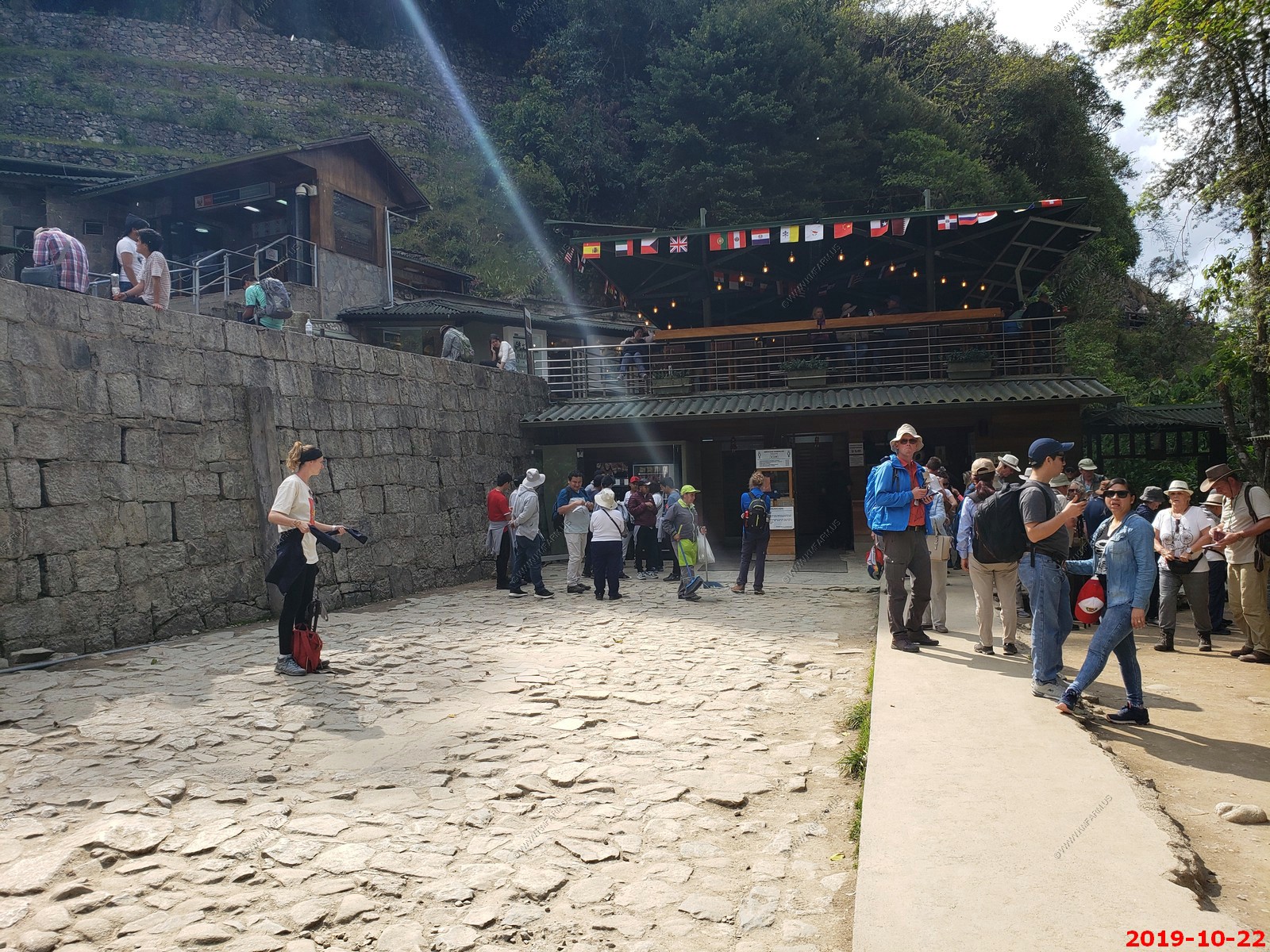
We are lined up and waiting for the bus back to town
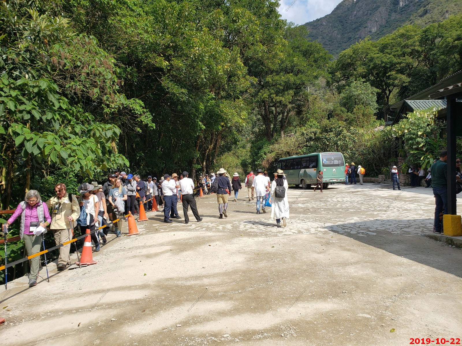
Bus dropped us back at Machu Picchu Pueblo (Aguas Caliente)
Sad that they have Budweiser beer here.
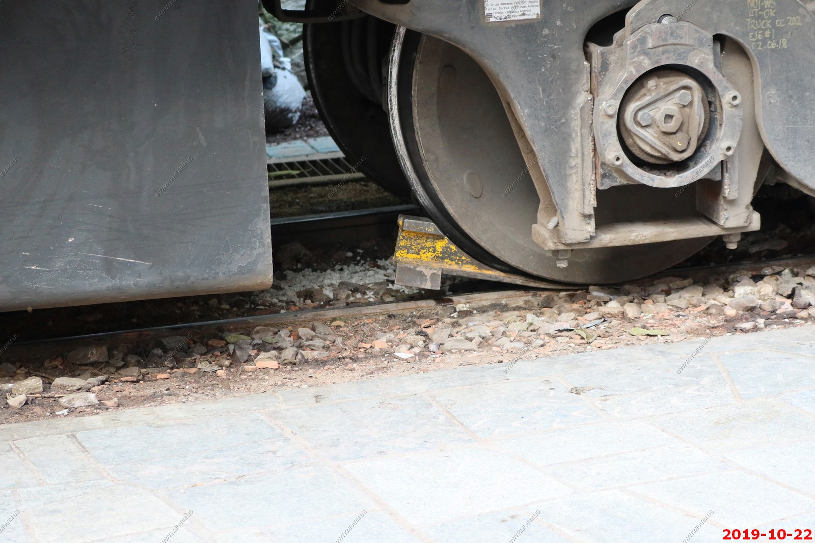
Interesting way to secure a train
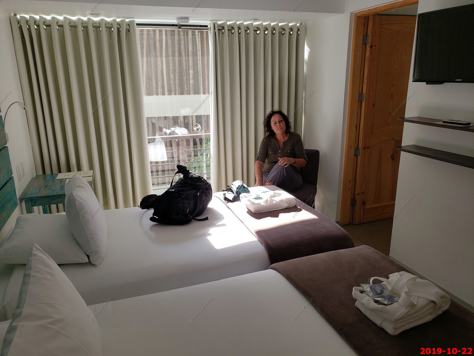
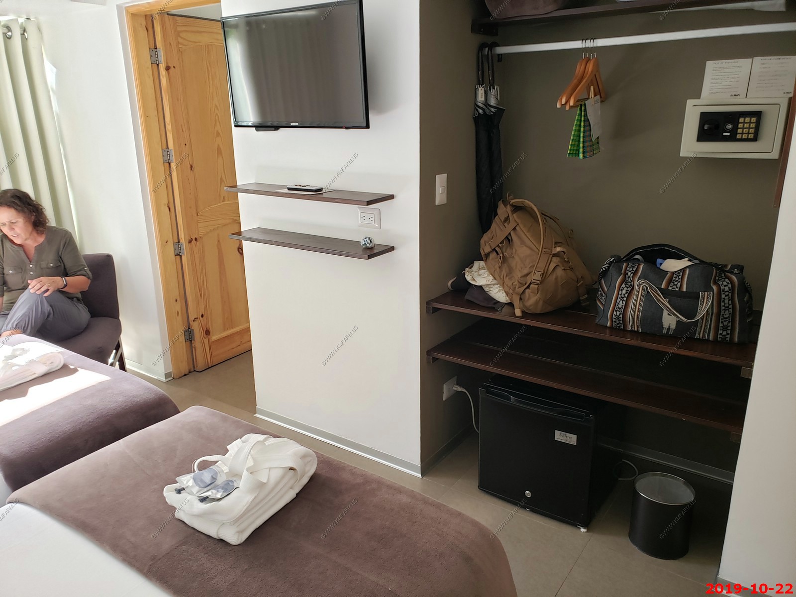
Nice (but very small) hotel room
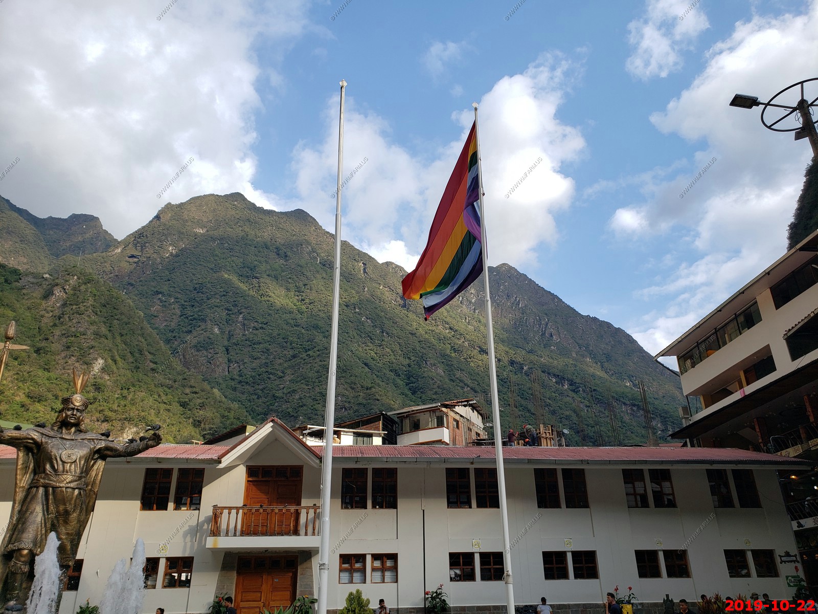
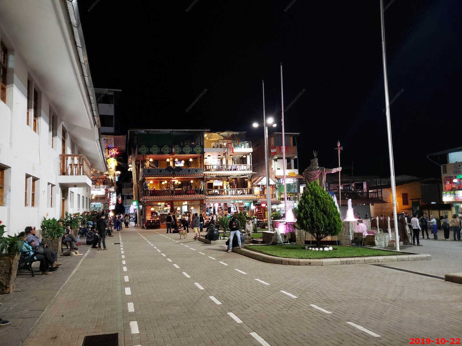
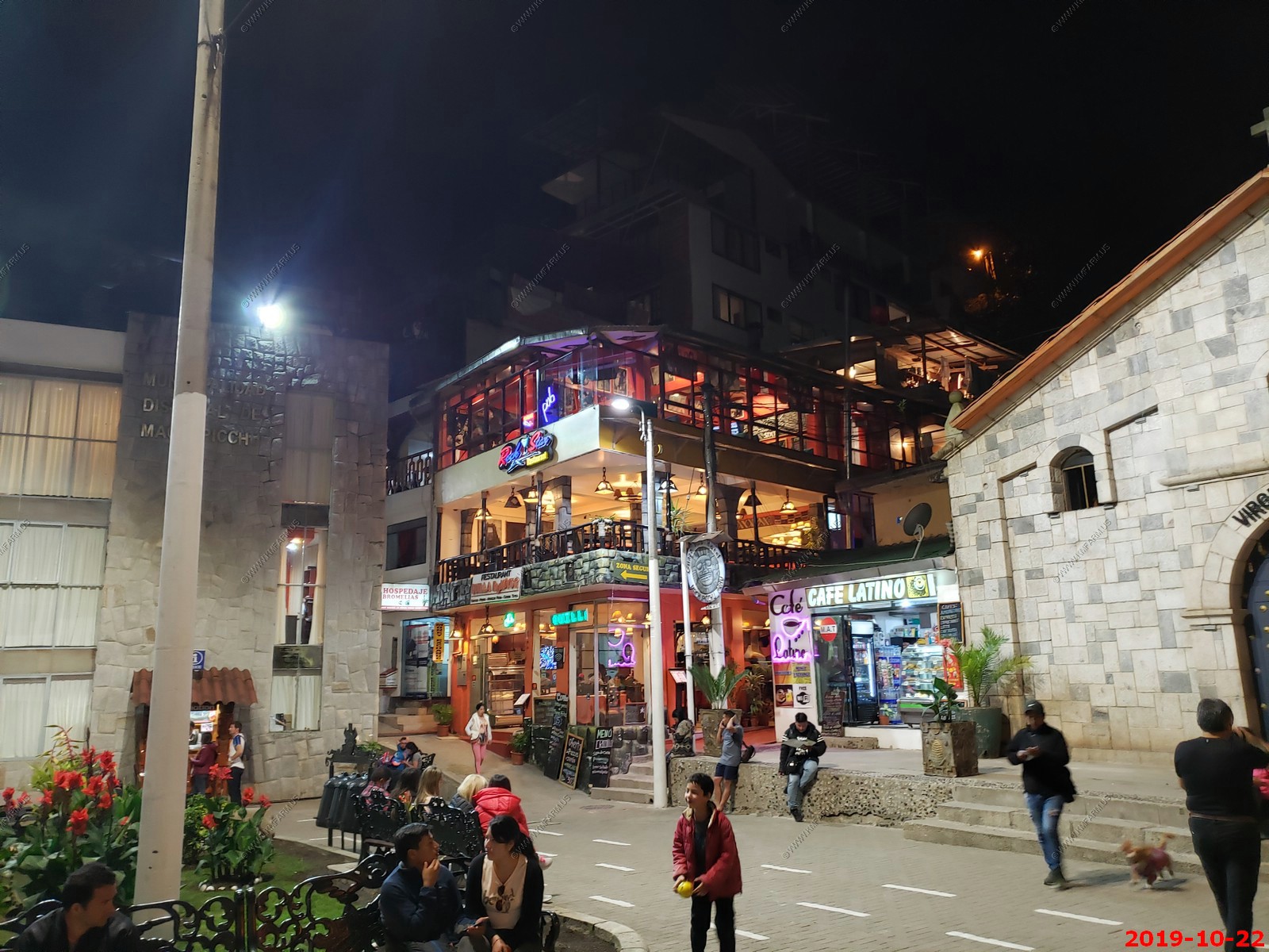
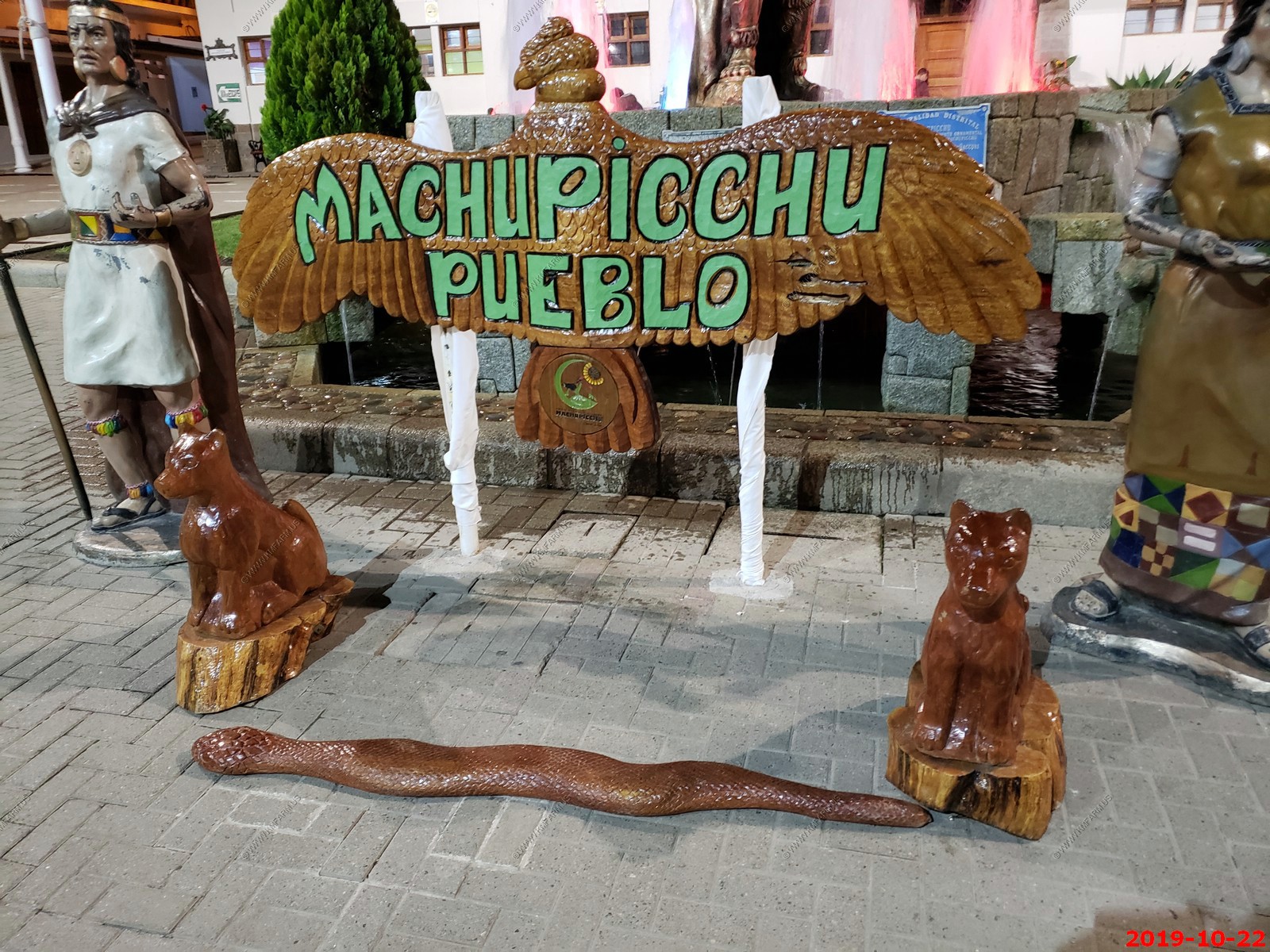
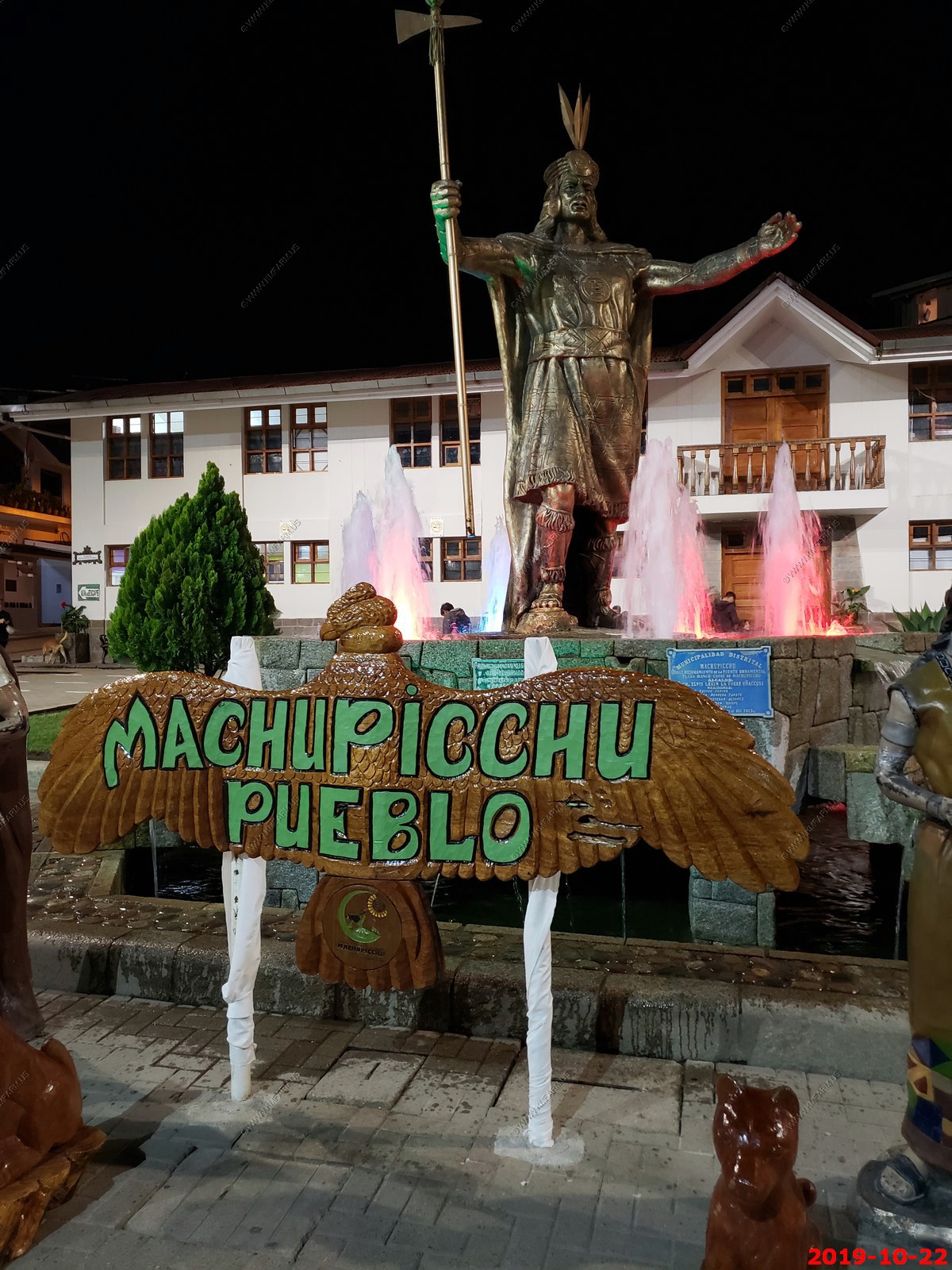
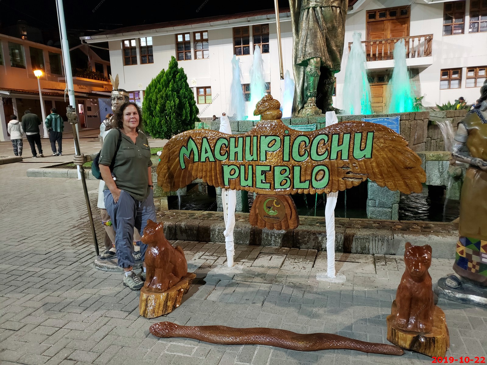
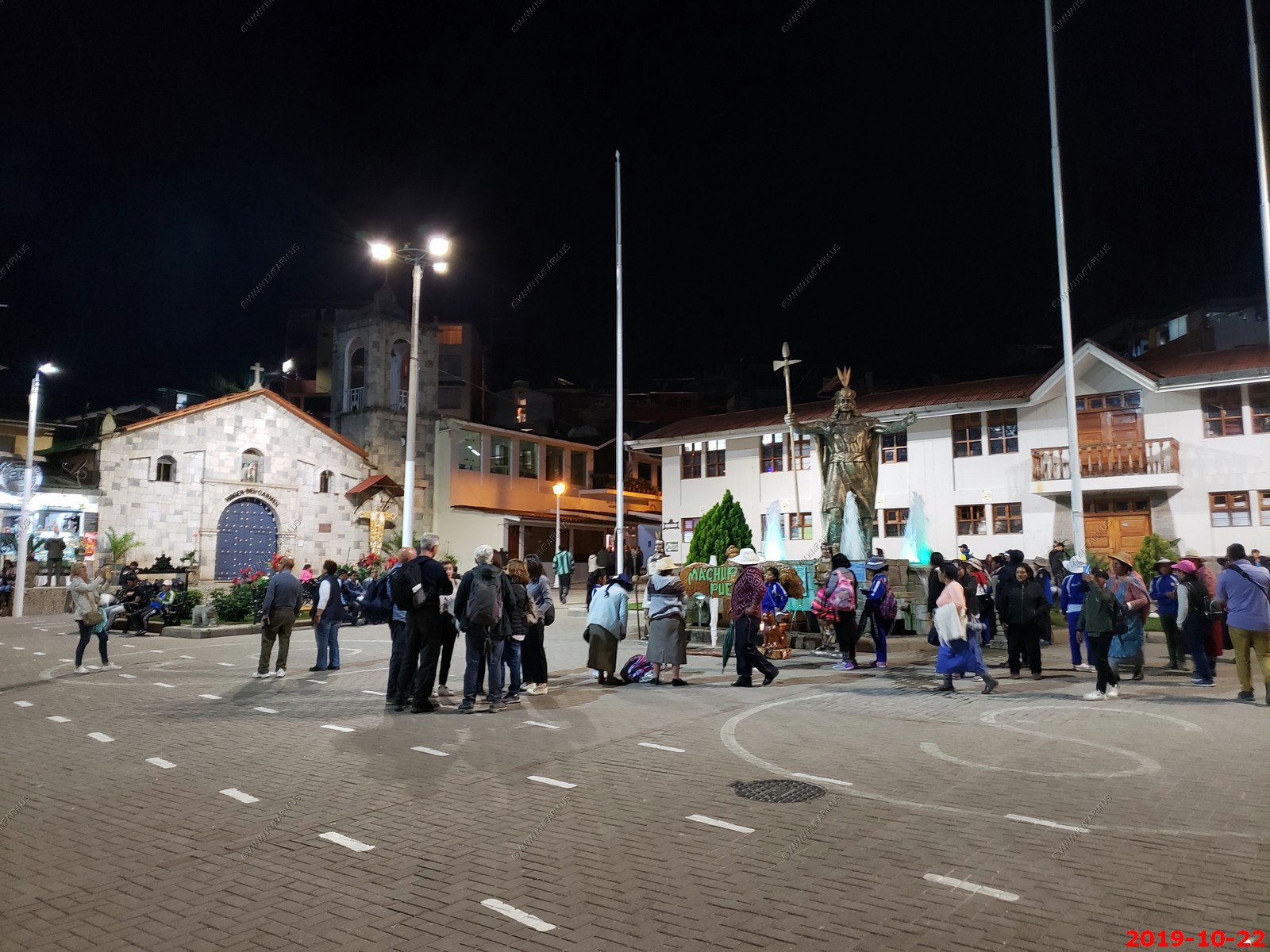
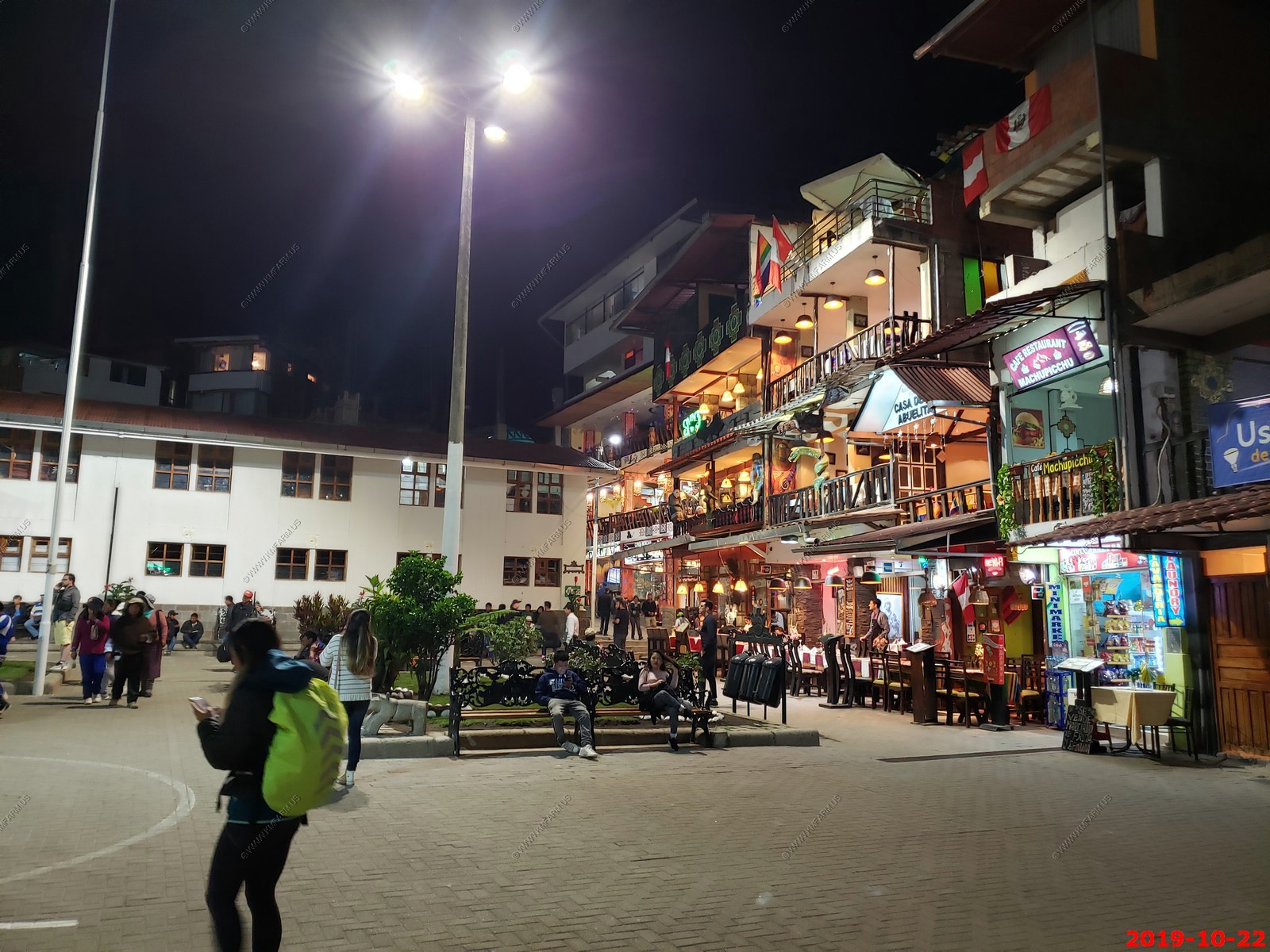
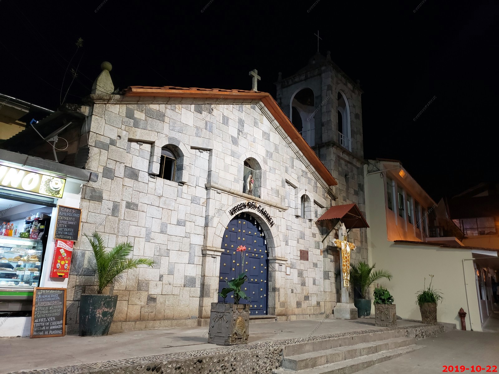
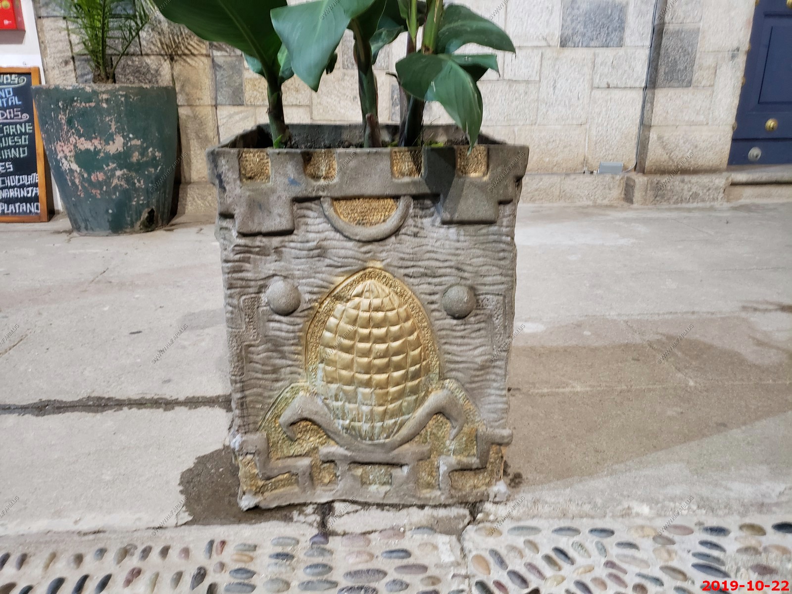
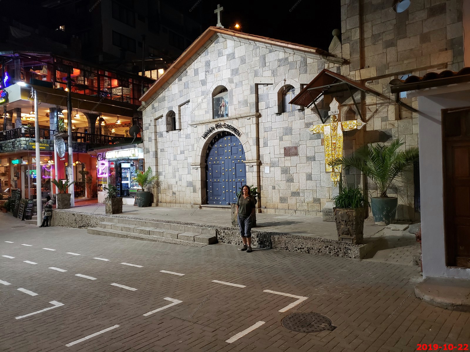
Various views of Machu Picchu Pueblo (Aguas Caliente) - (I am not deleting duplicates to save time processing)
The rainbow is still a good thing here. The flag is the "flag of Cusco" and region
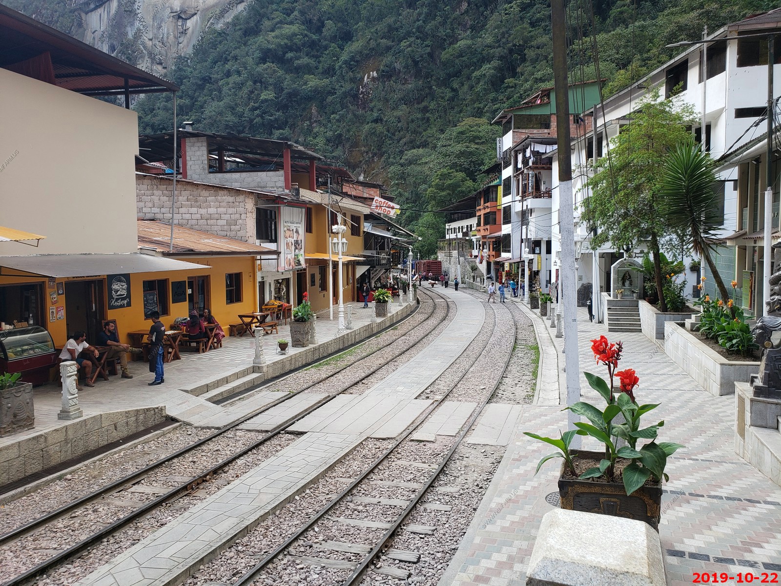
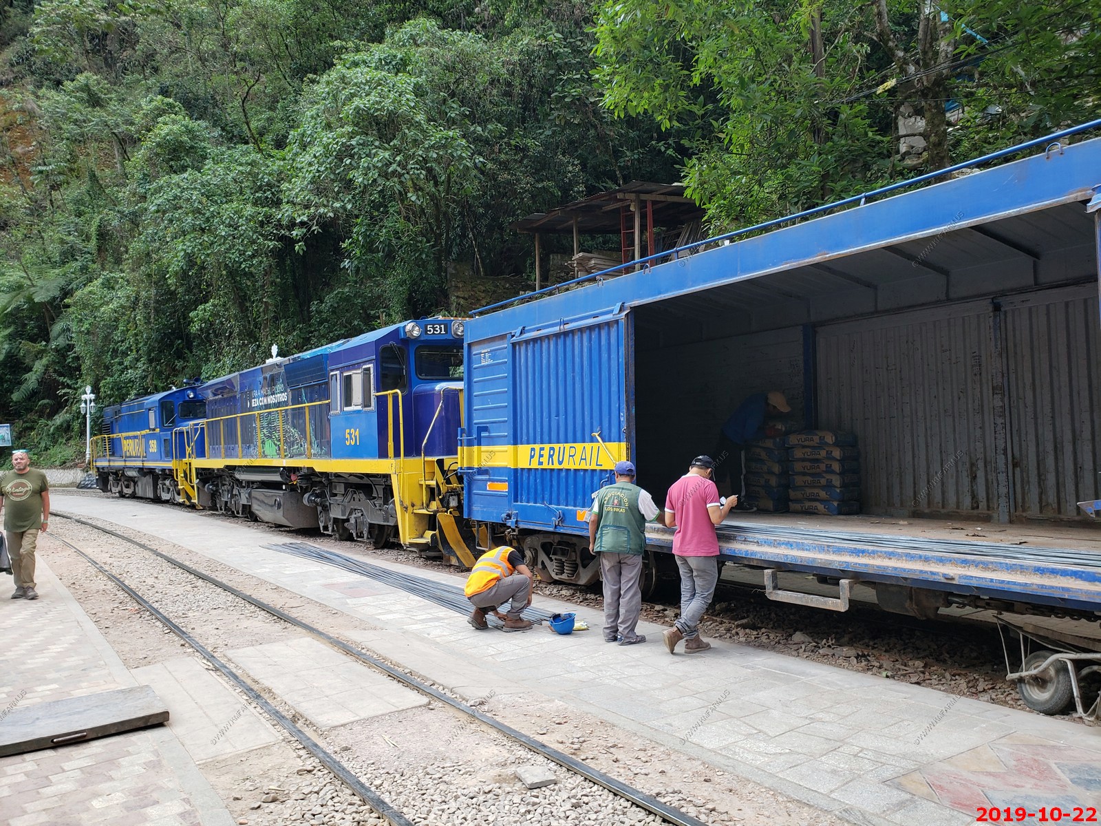
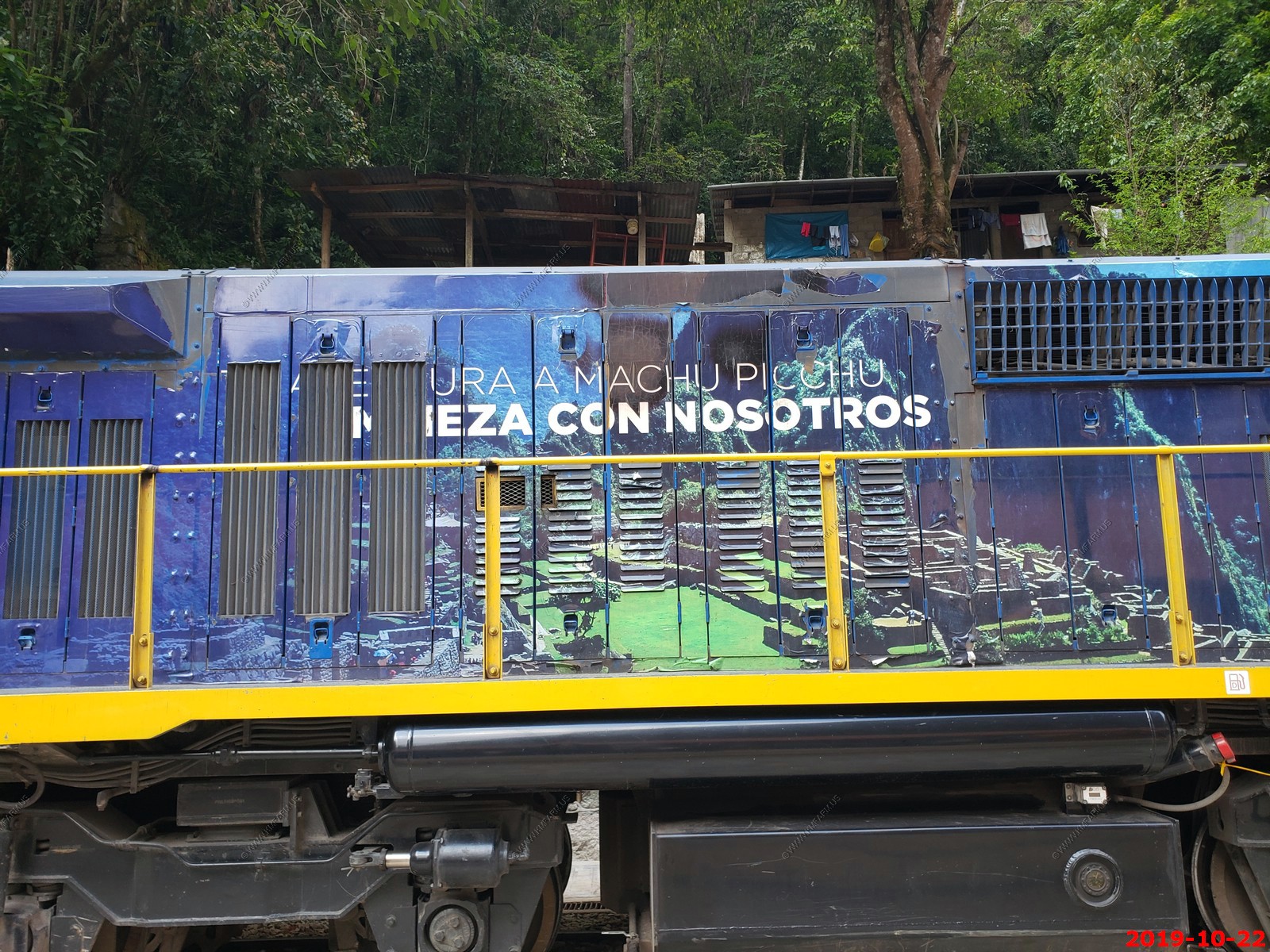
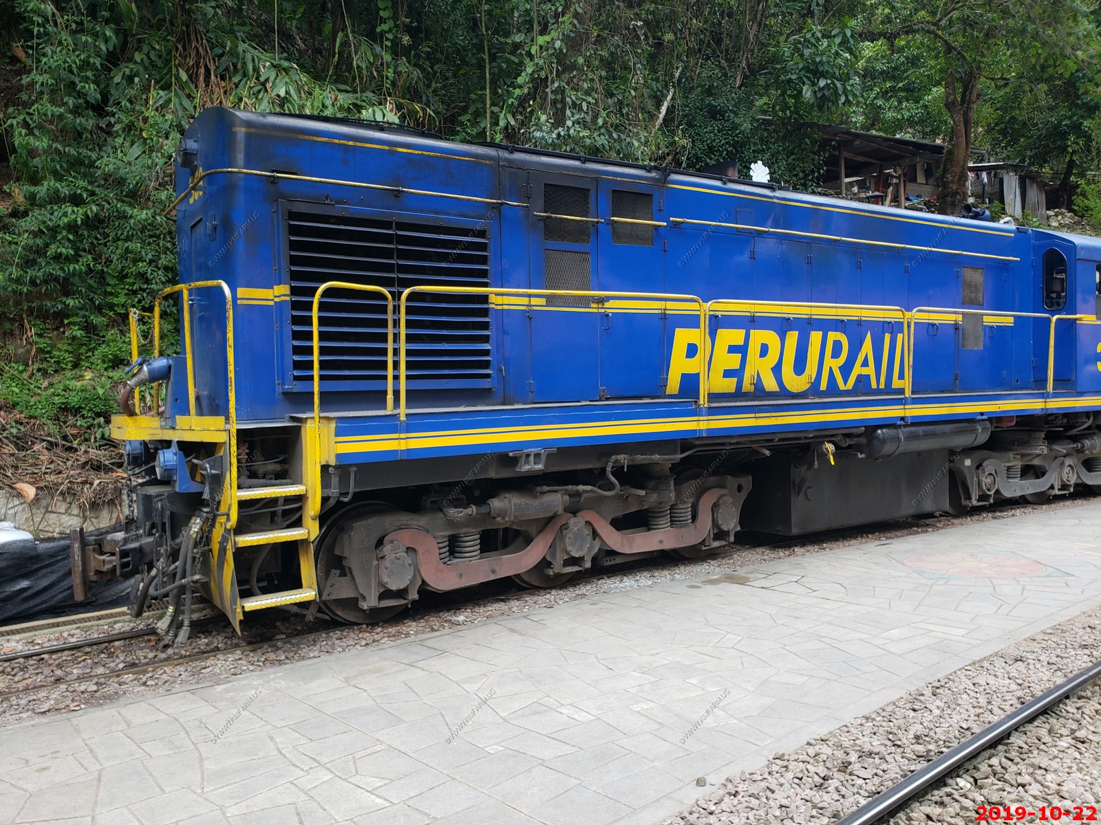
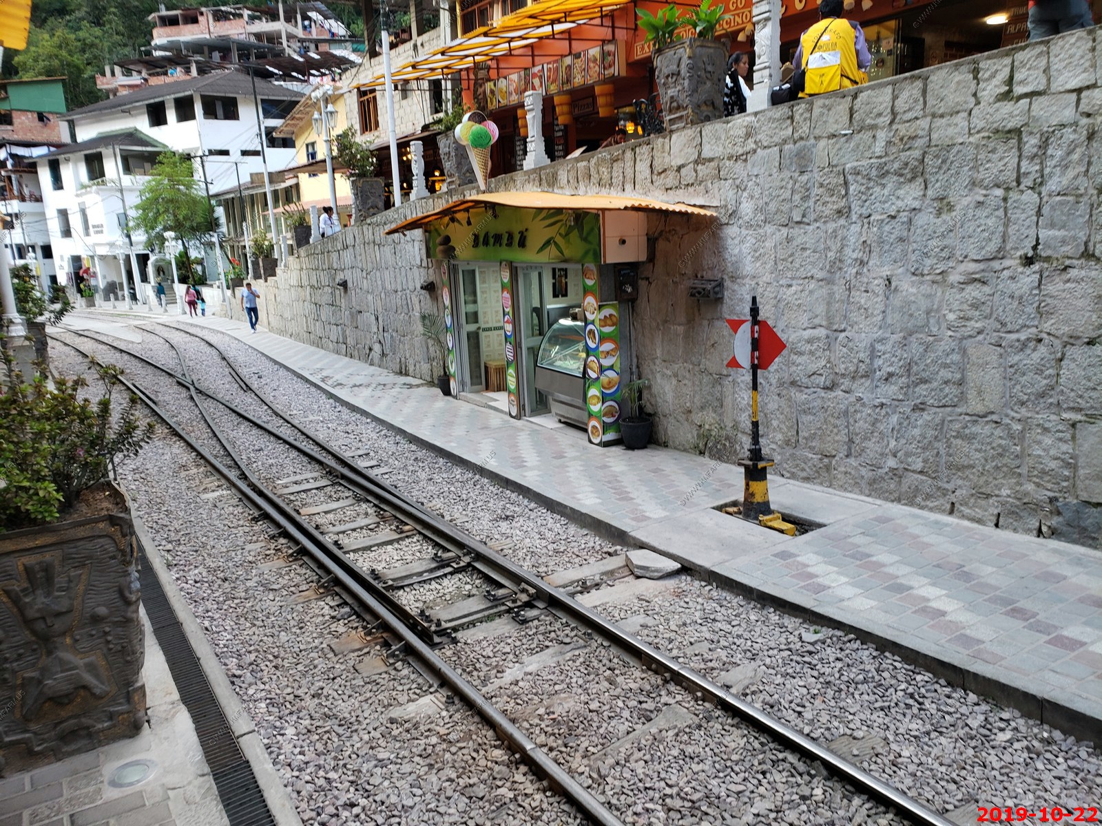
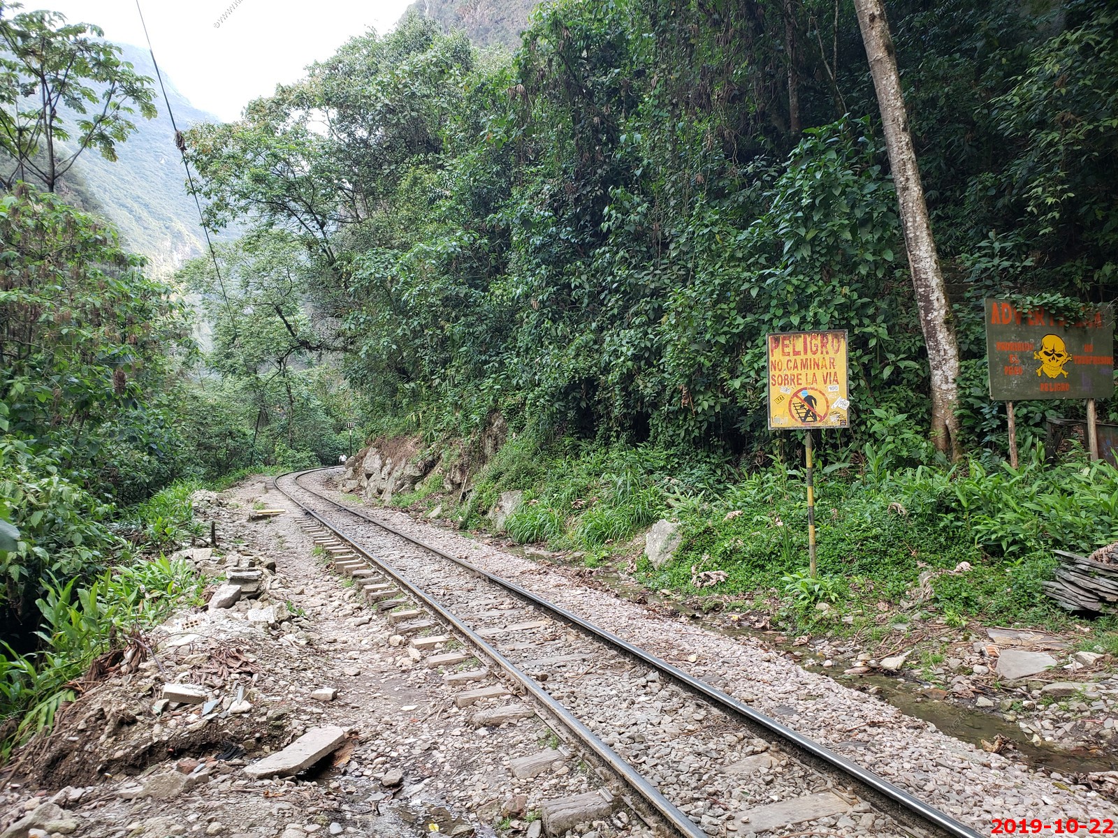
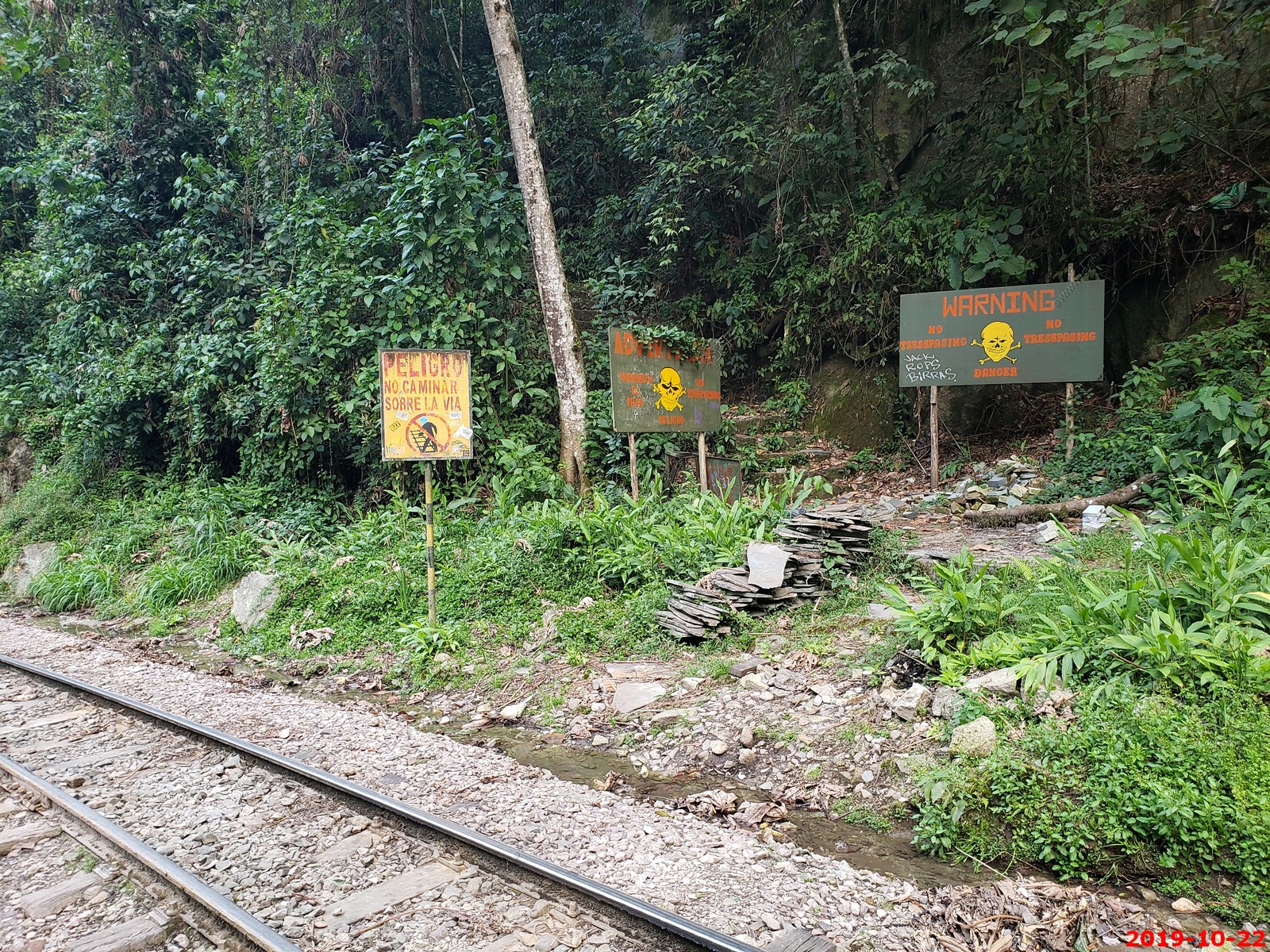
Various rail road thru town photos. EVERYTHING here comes by train
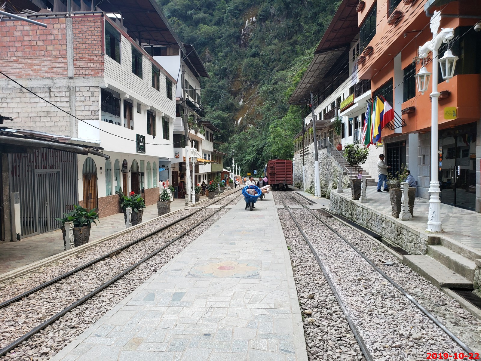
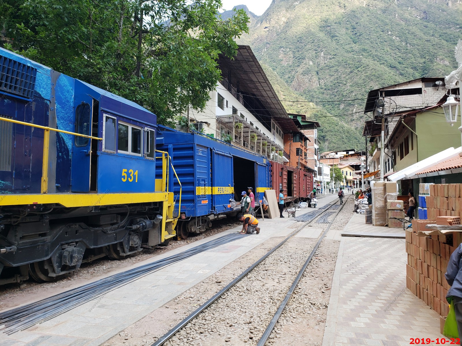
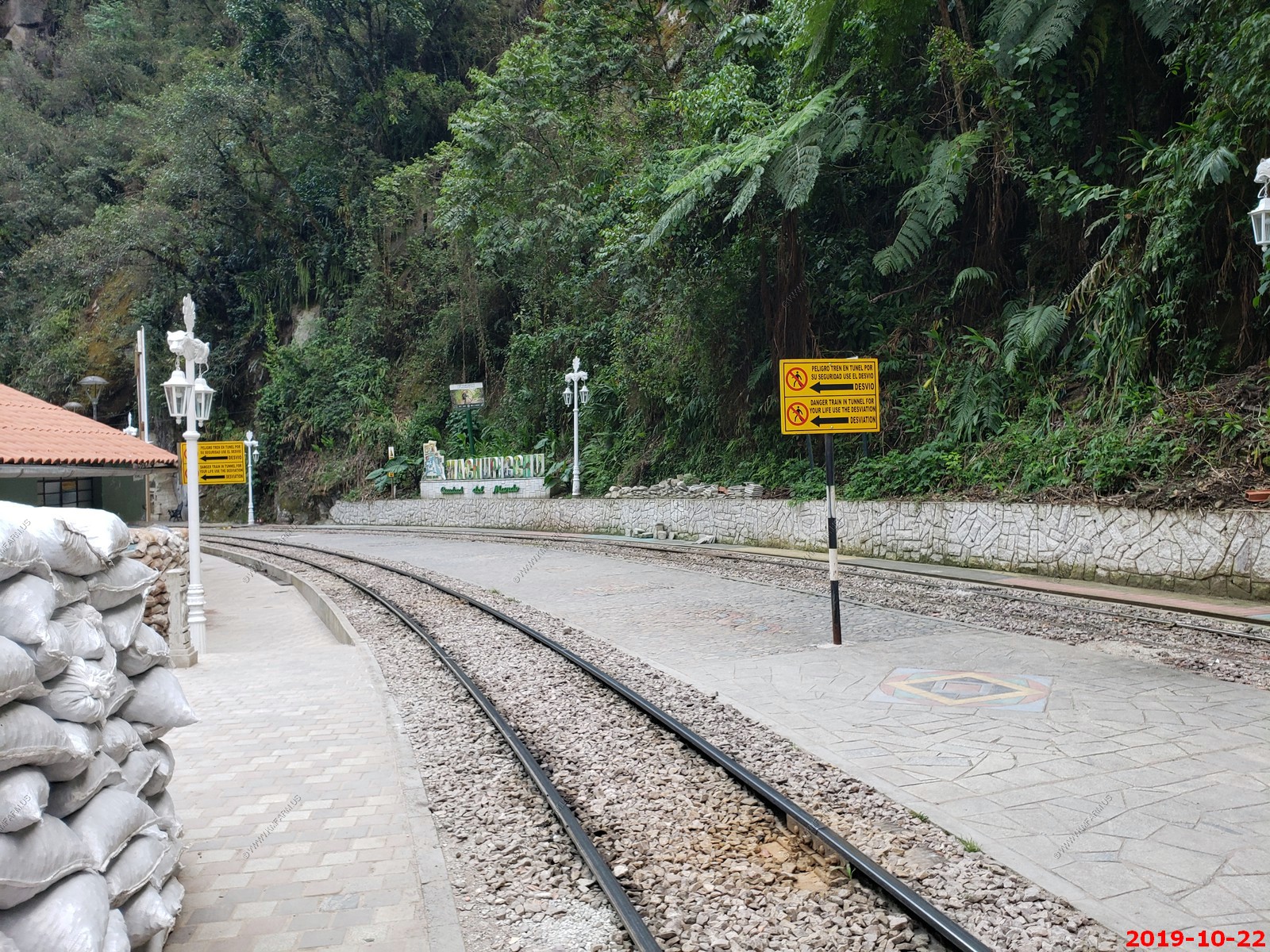
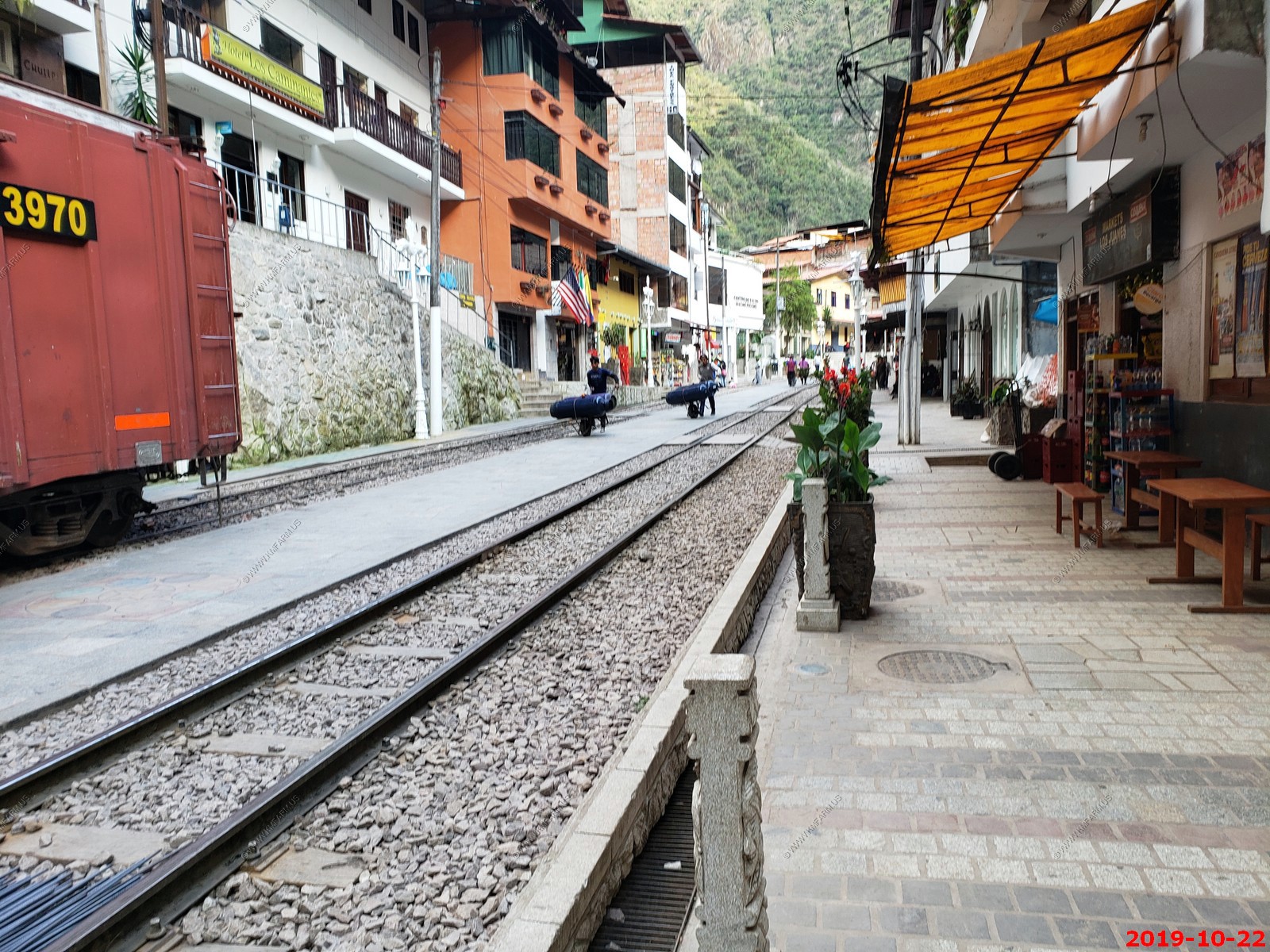
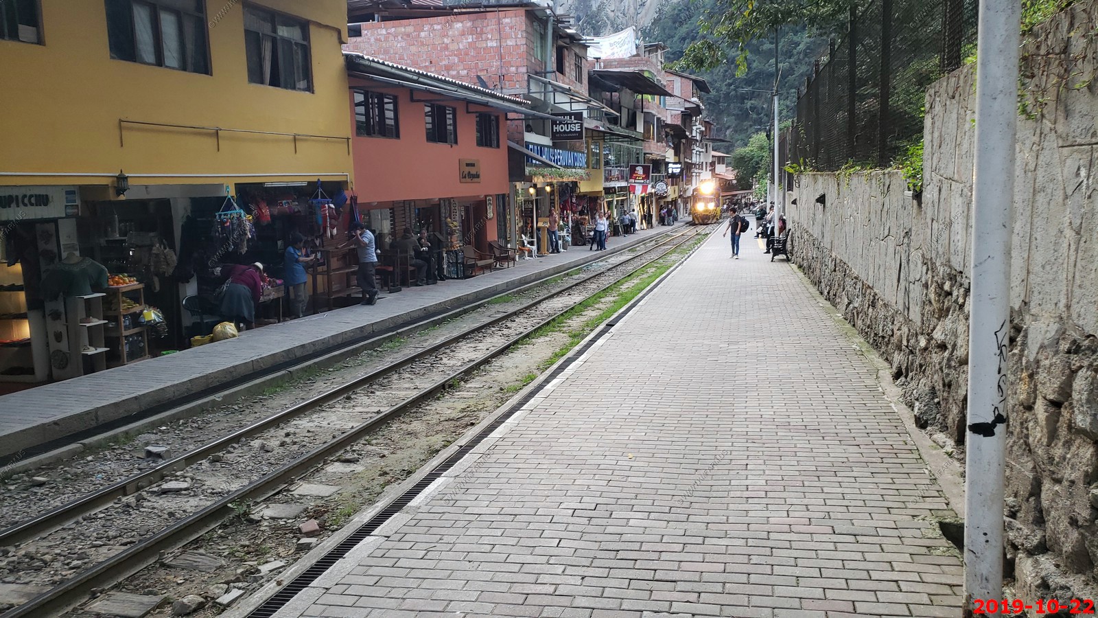
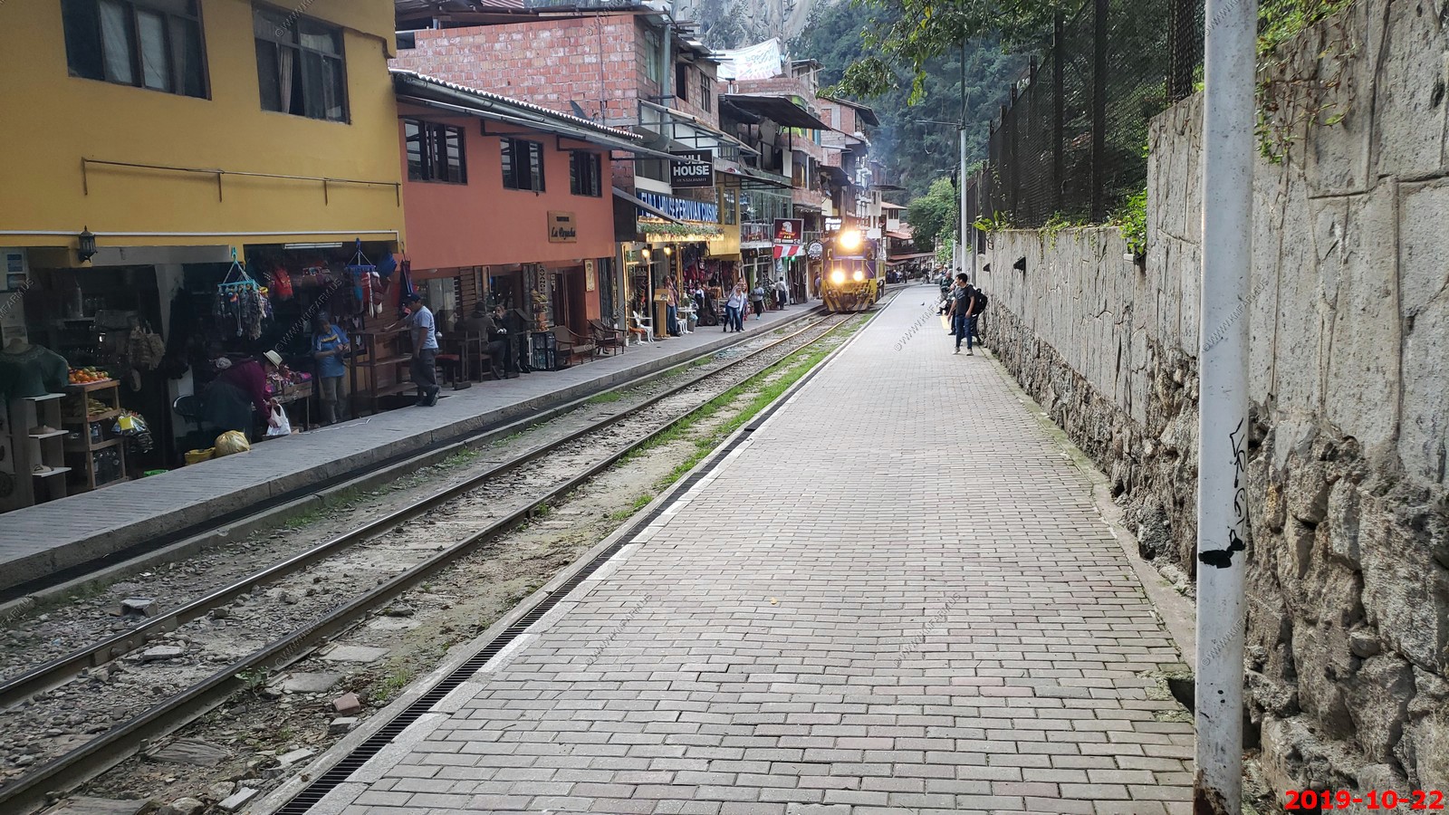
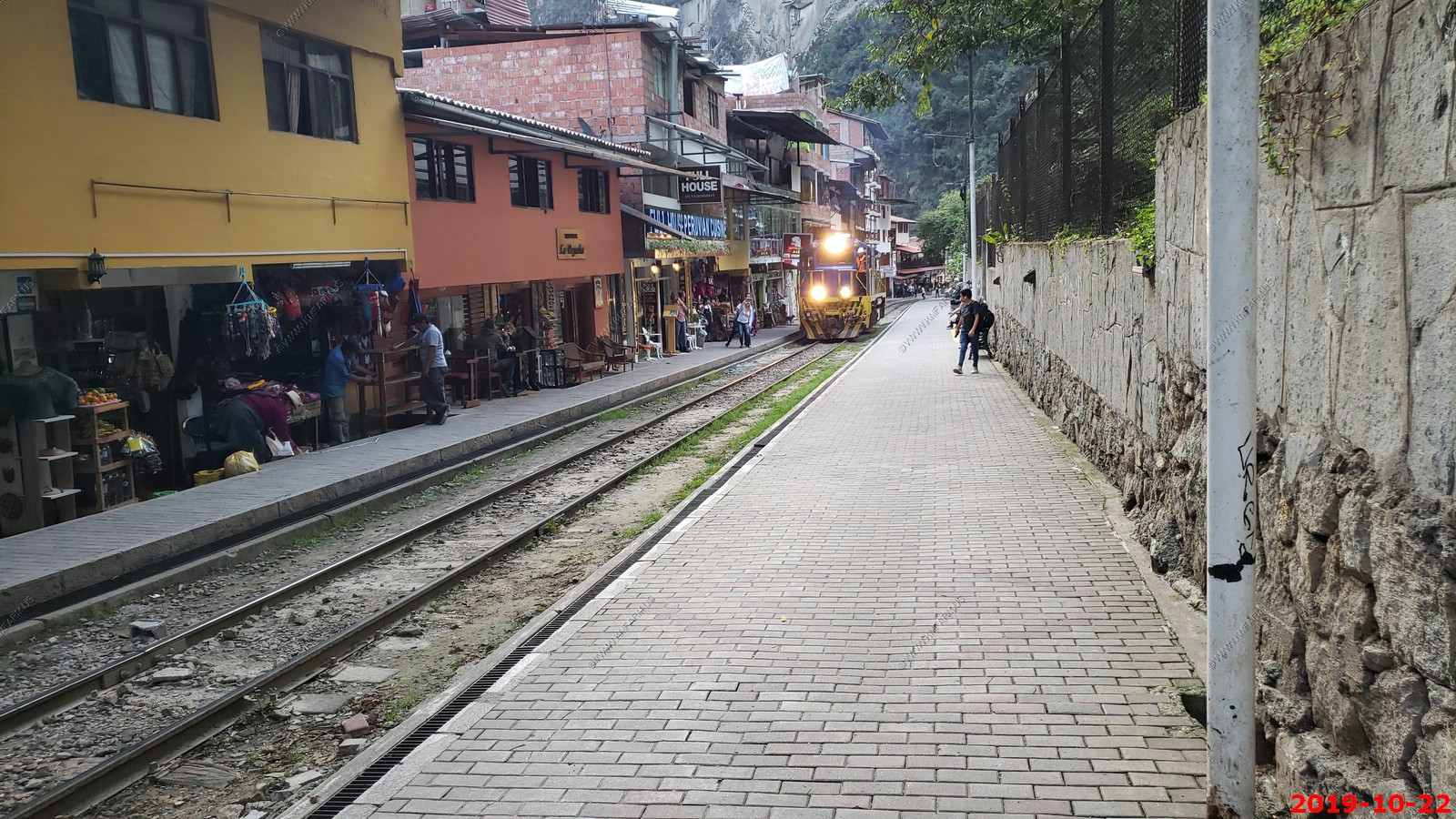
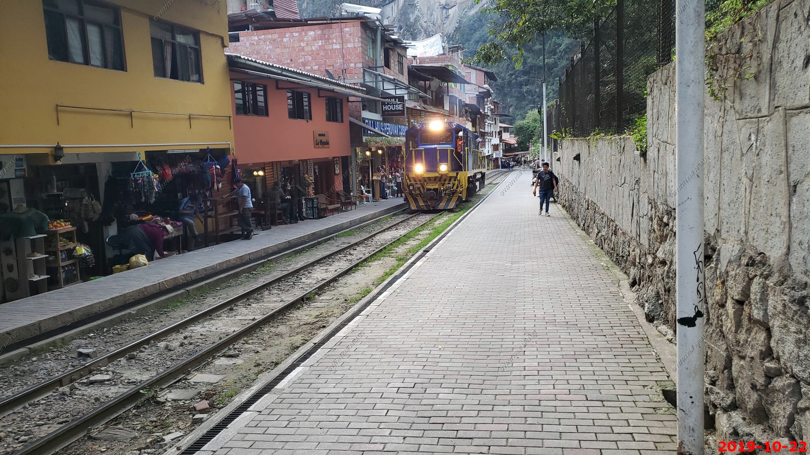
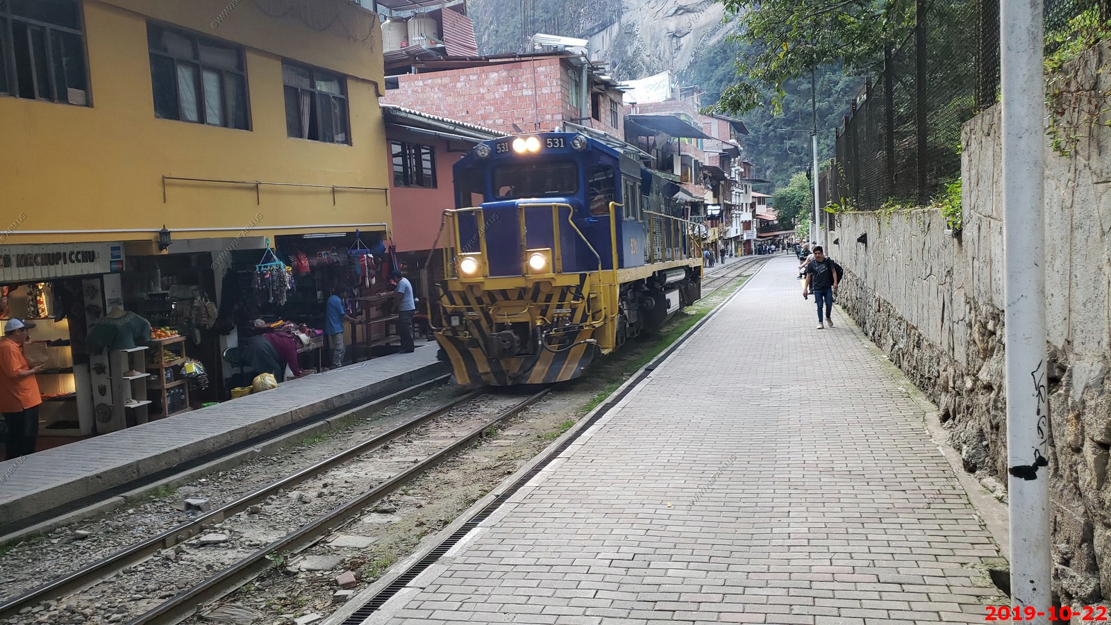
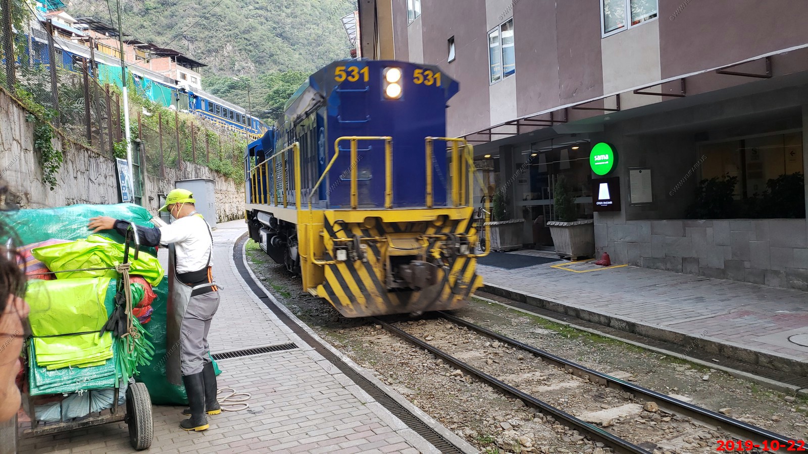
A little kid playing on the greasy tracks
Strange, a store built into the wall
We walked down to the end of the town
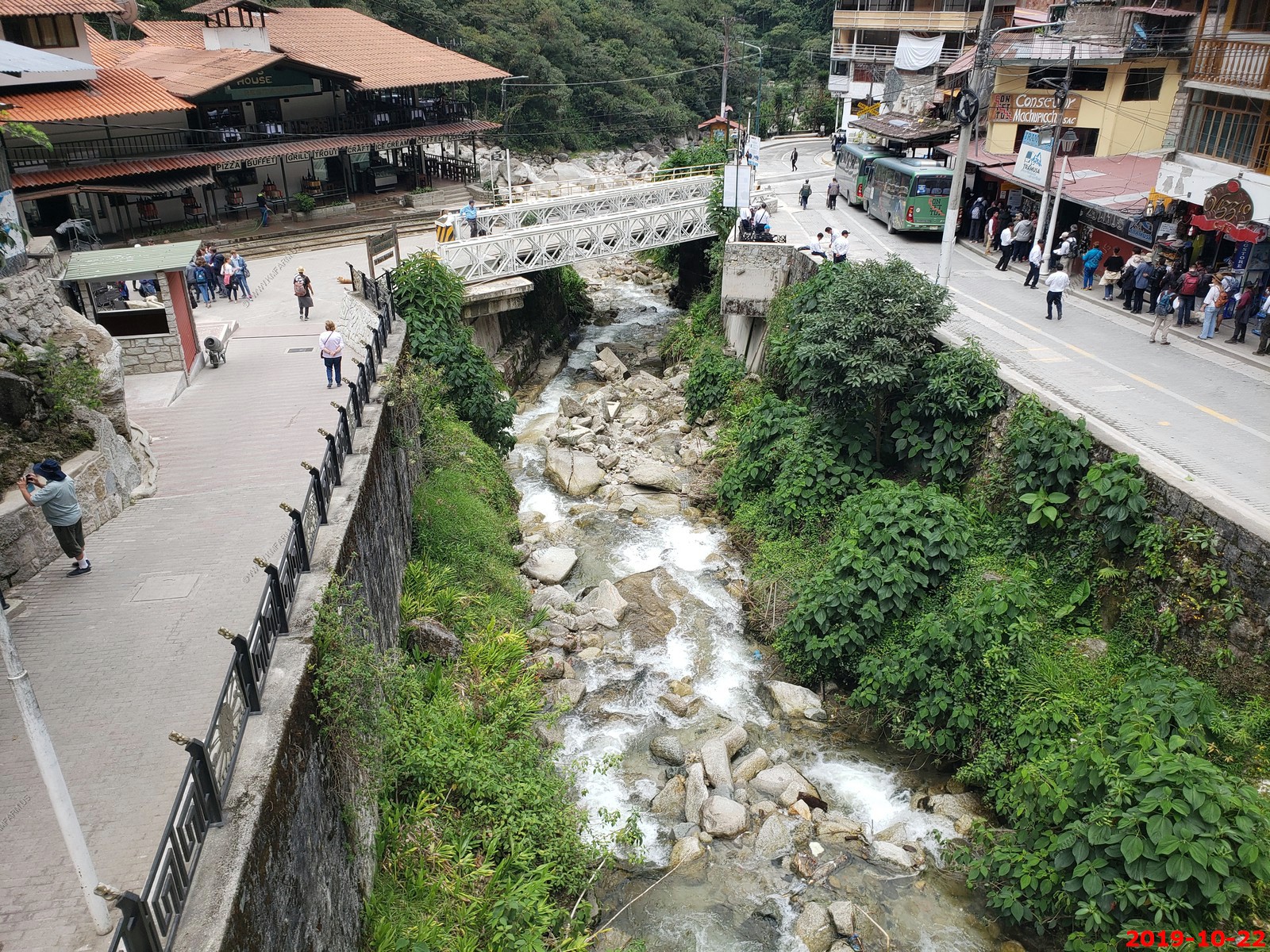
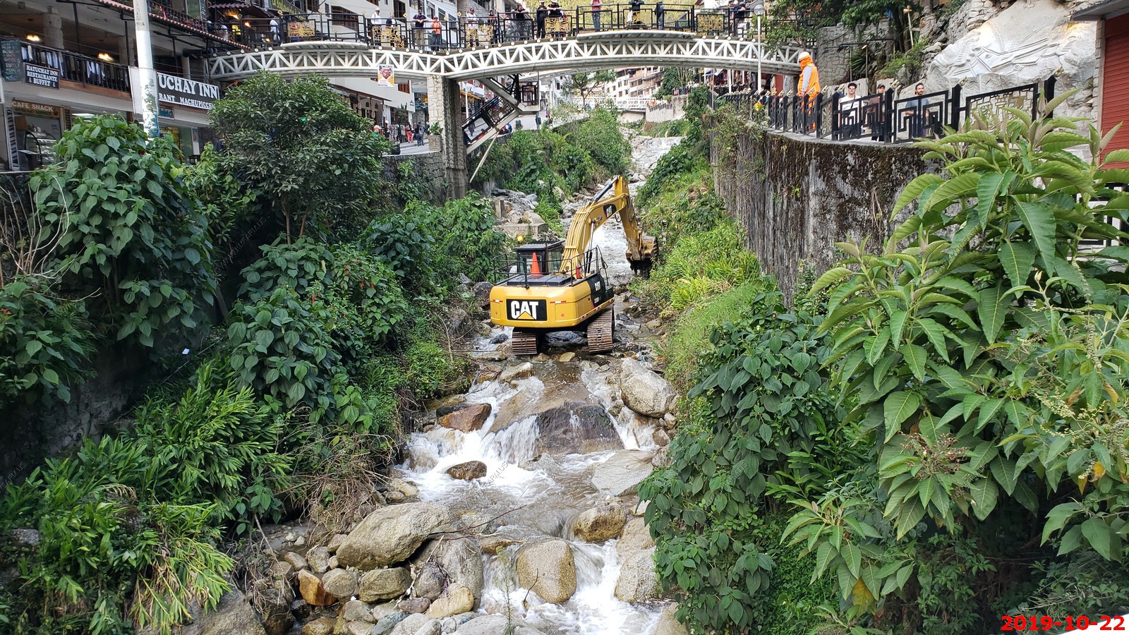
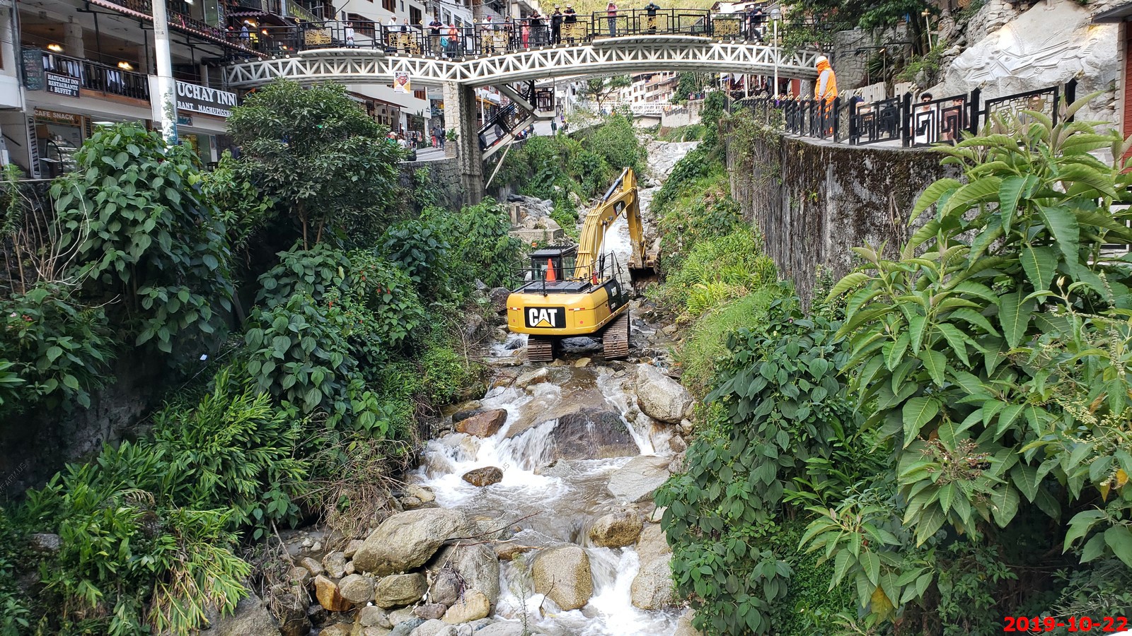
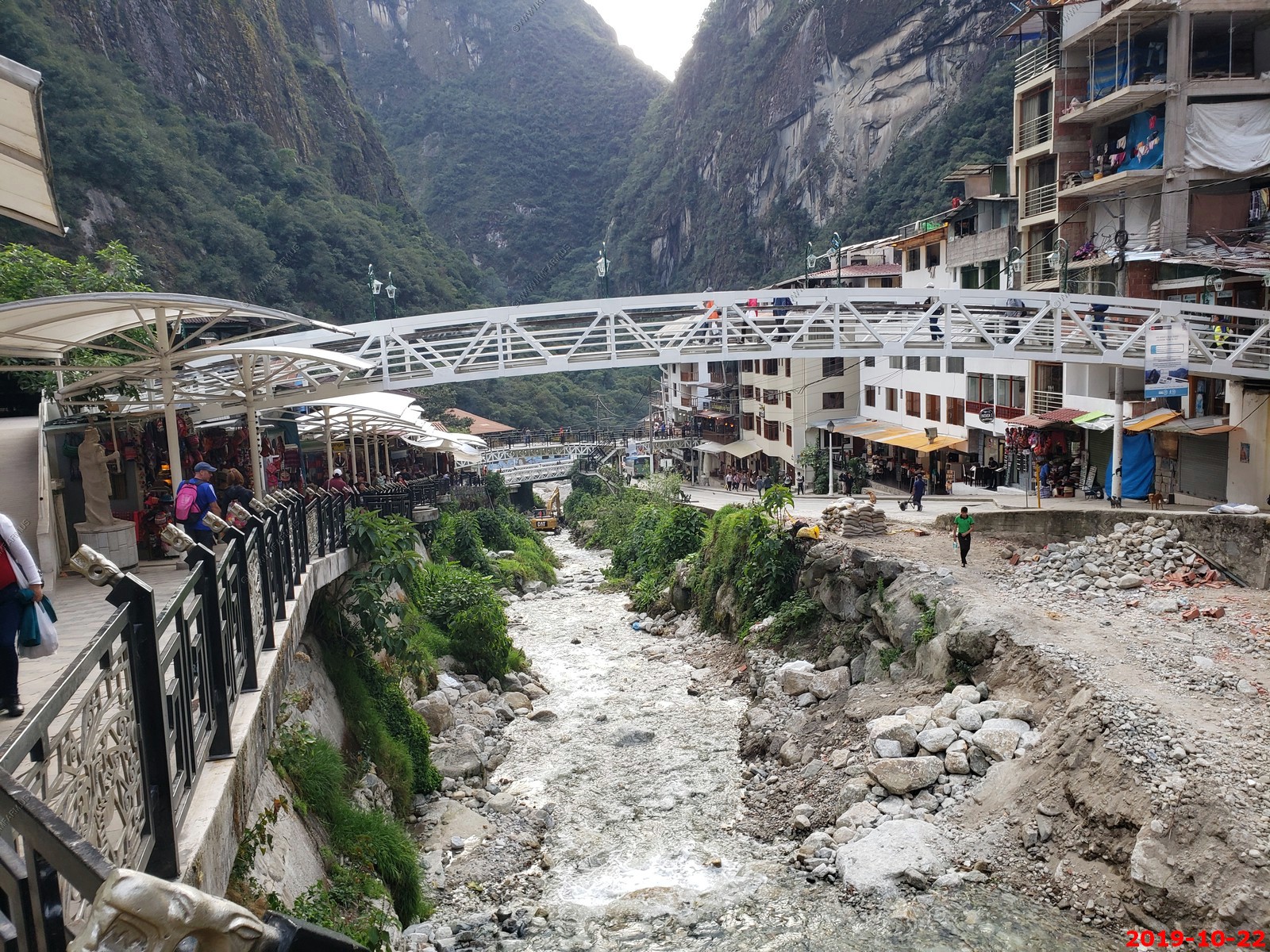
Stream restoration Peru style

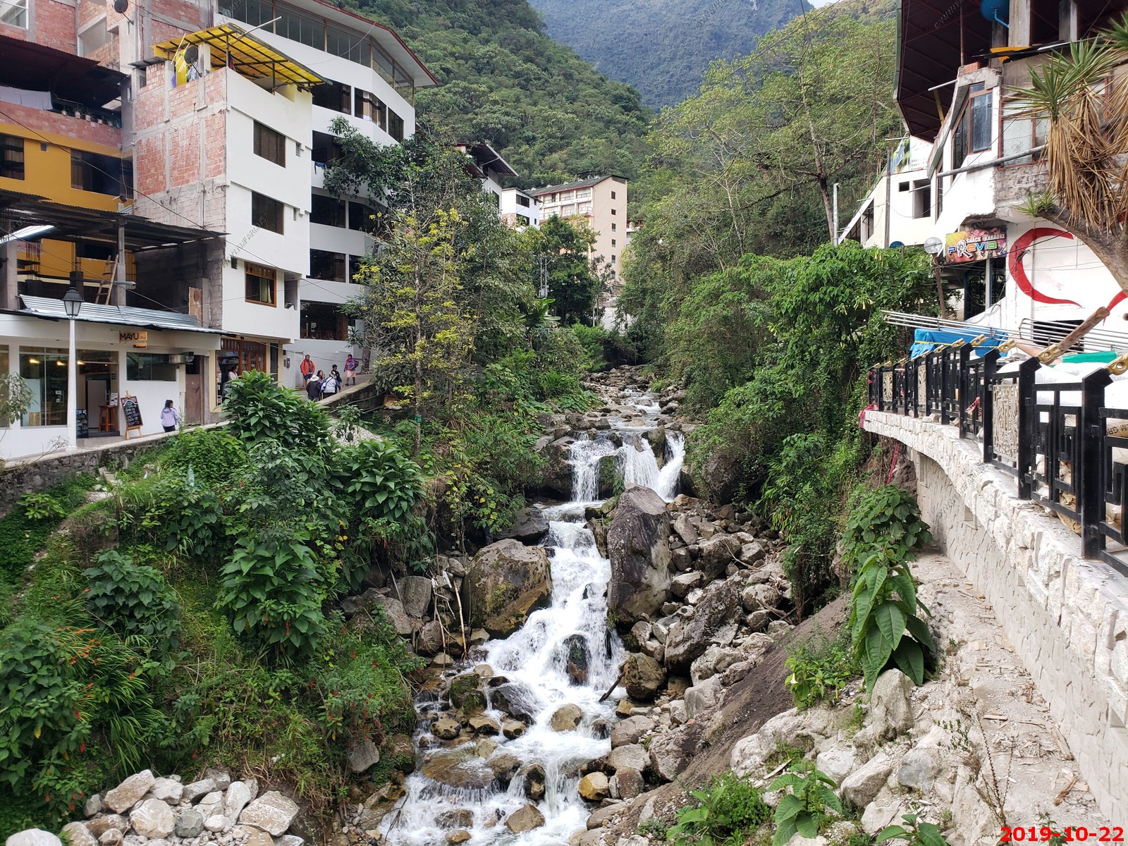
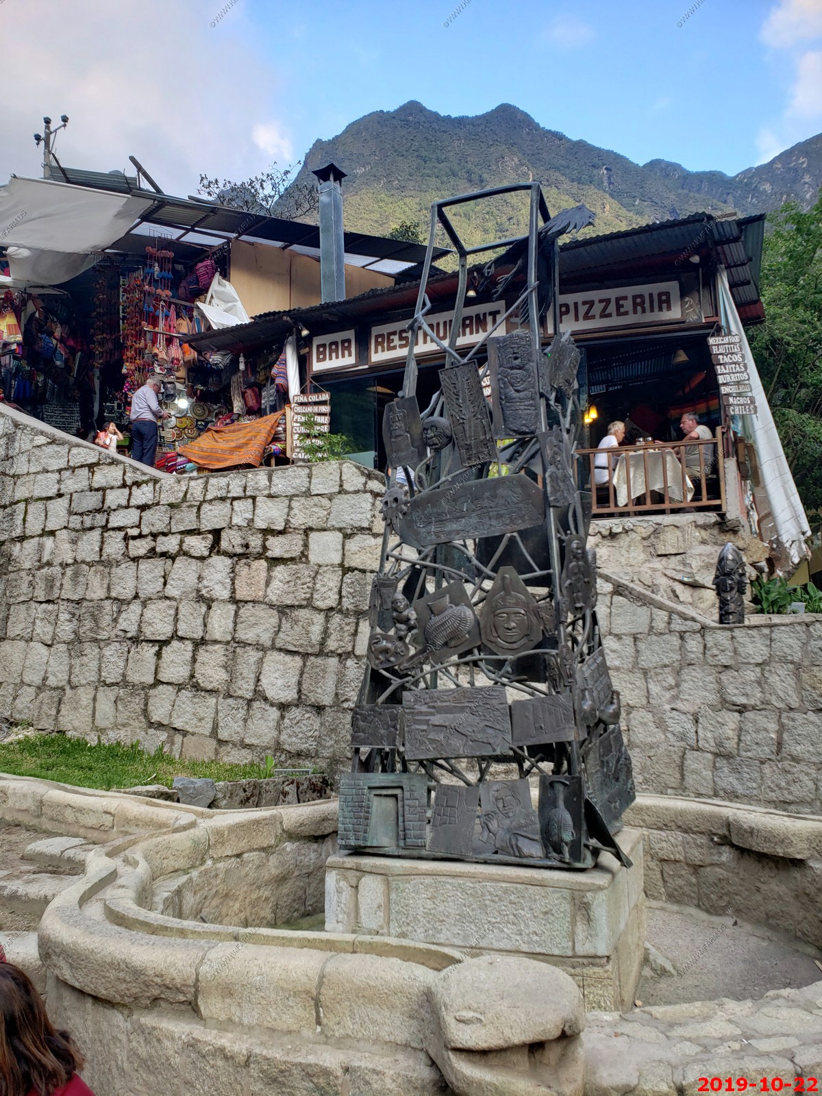
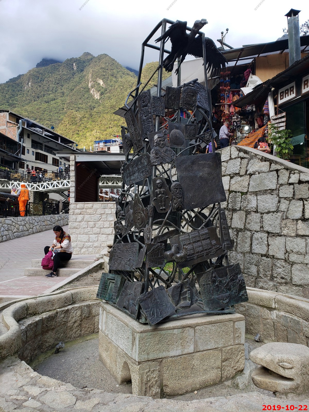
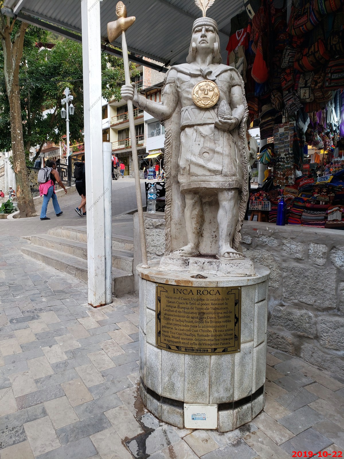
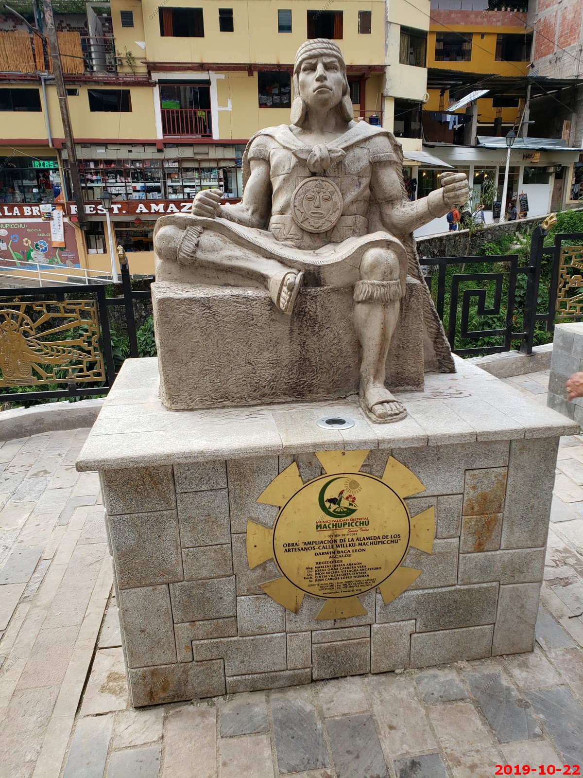
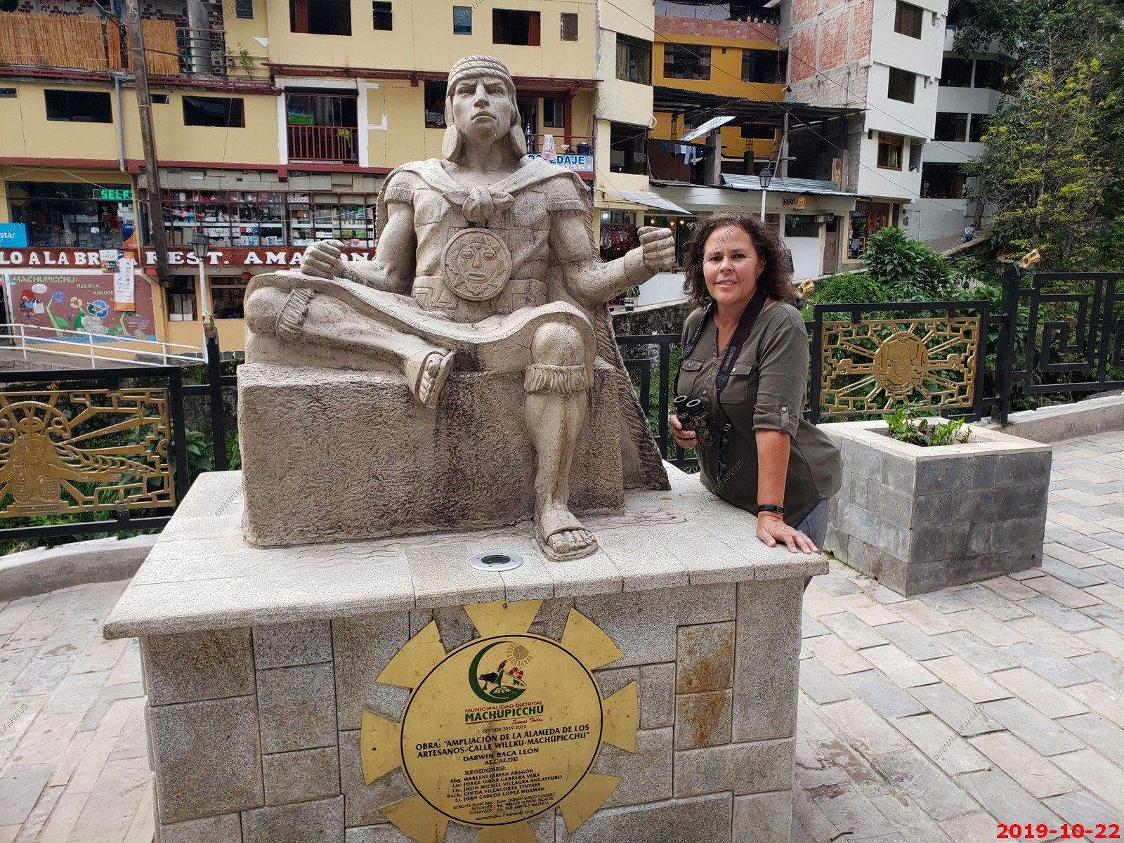
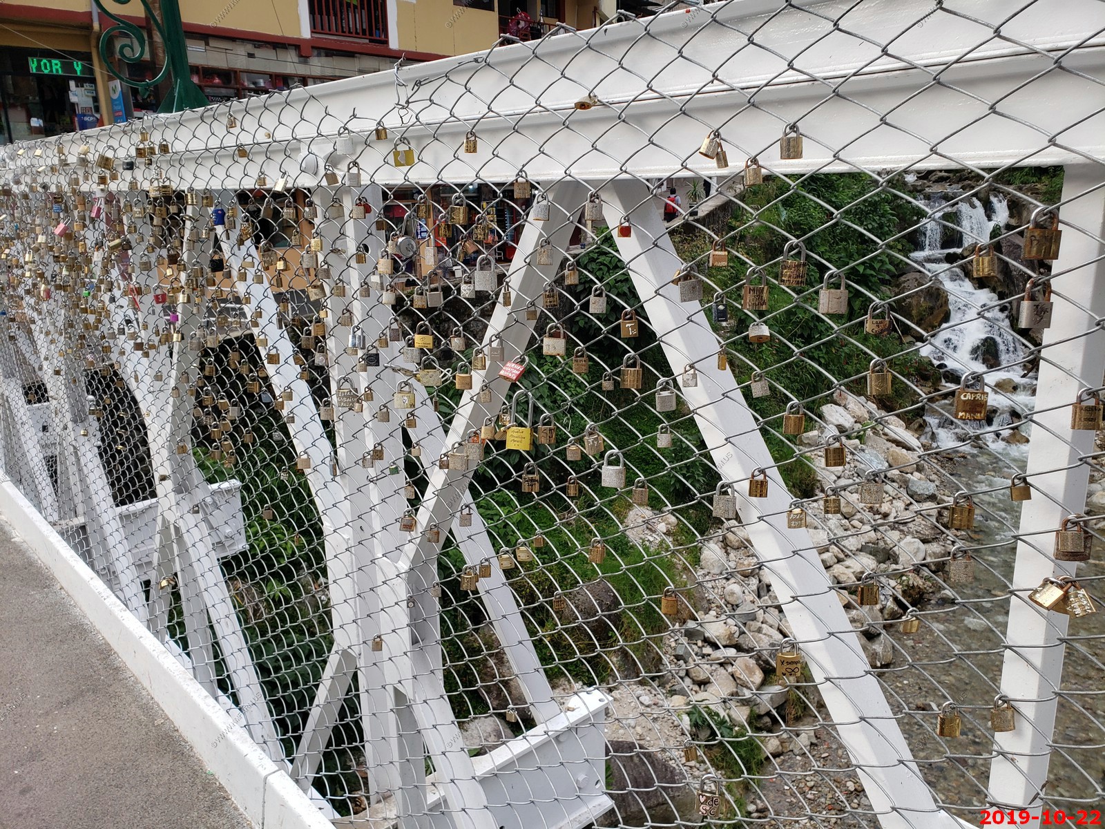
Various views of Machu Picchu Pueblo (Aguas Caliente)
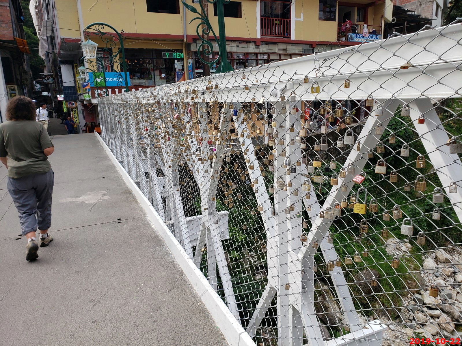
Love locks on one of the bridges
Peru - Good supply of rock wieners
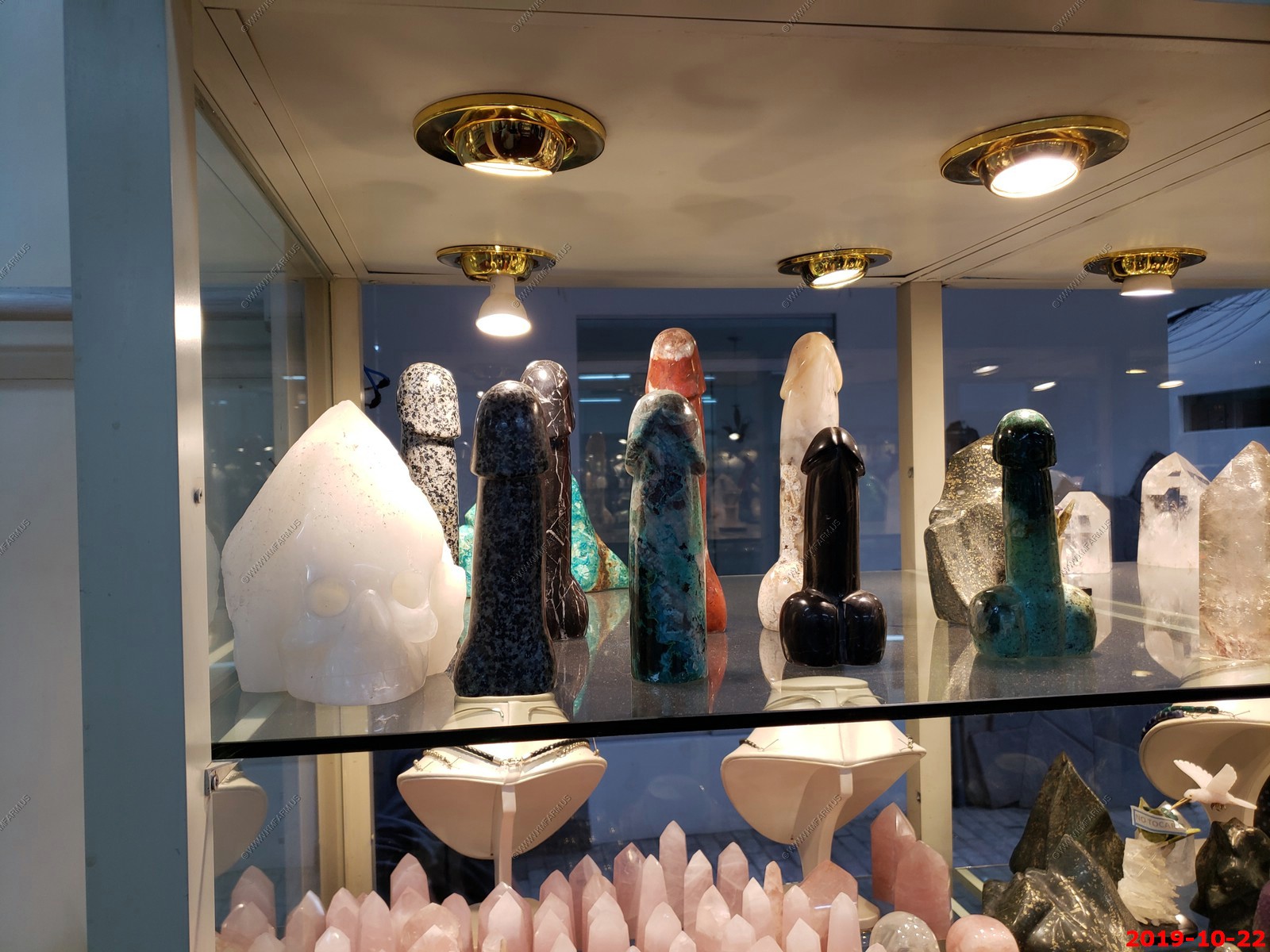
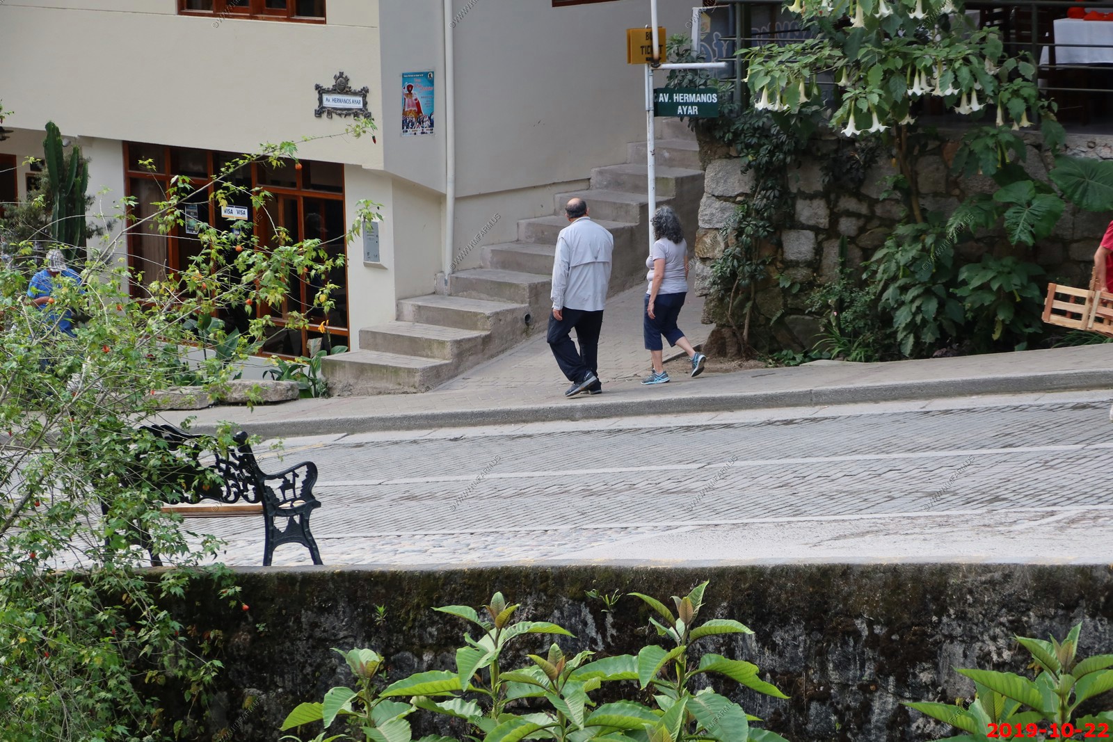
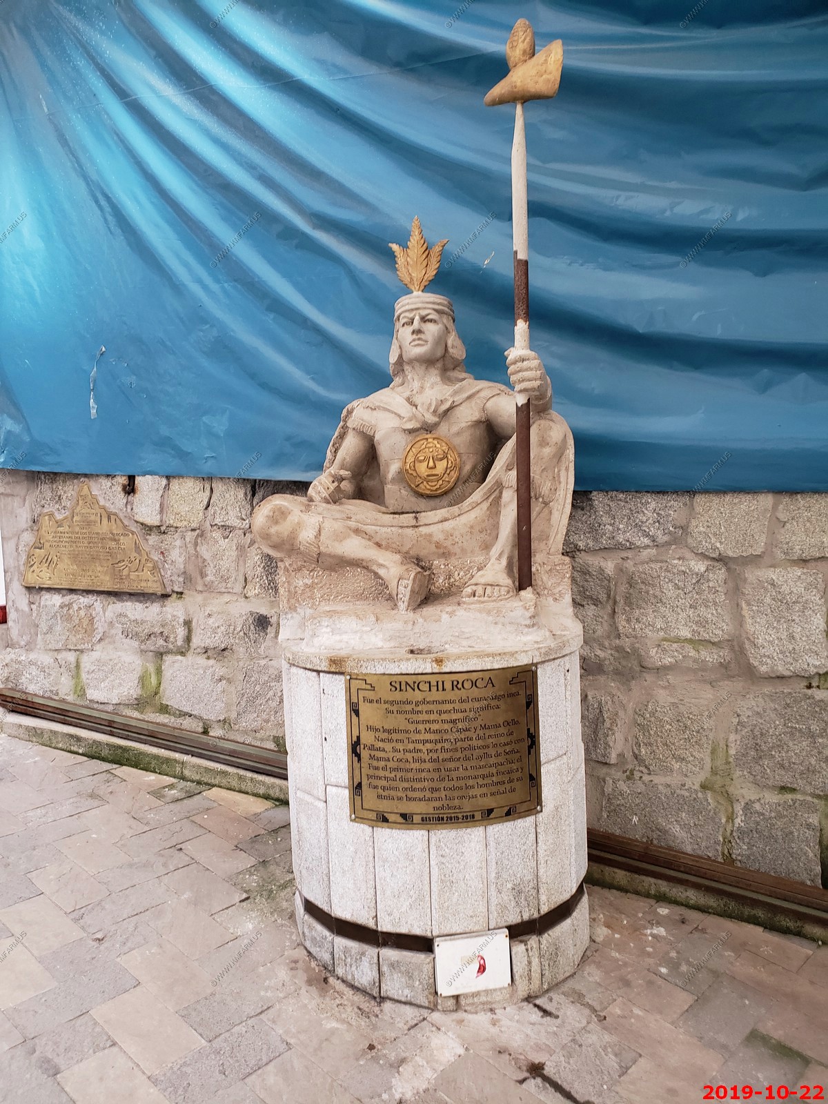
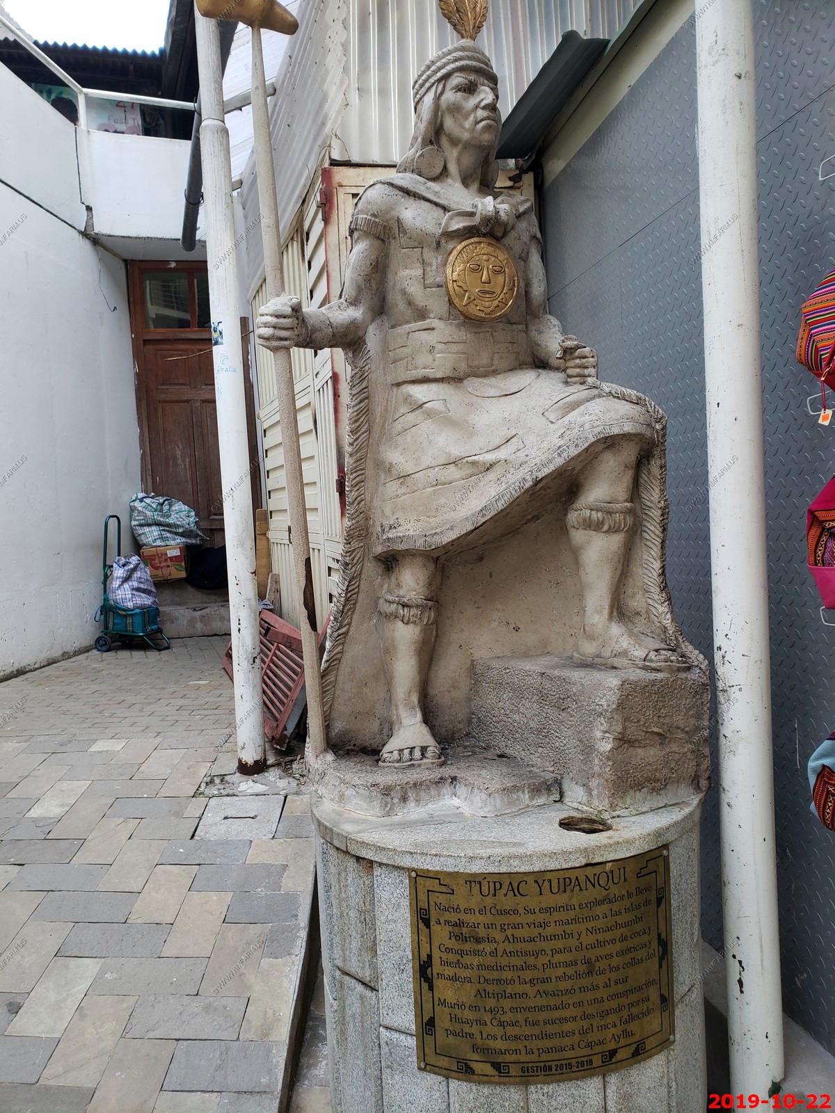
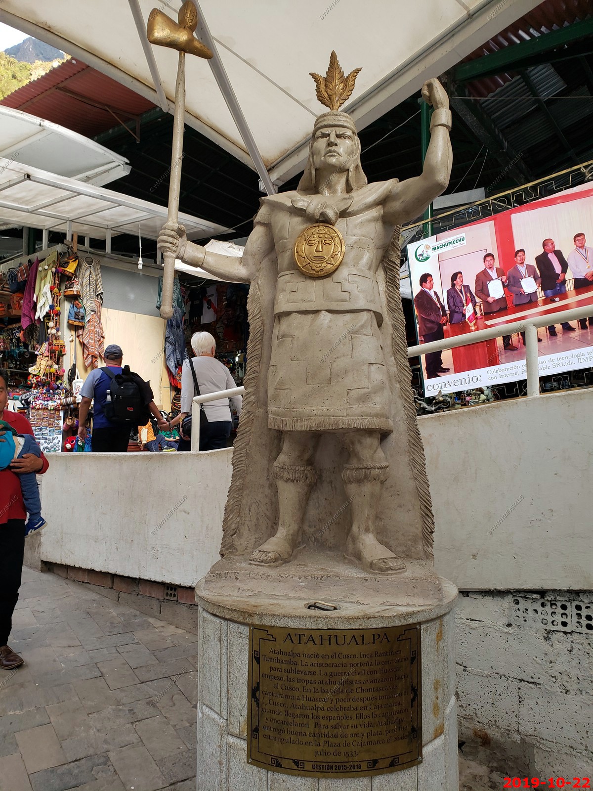
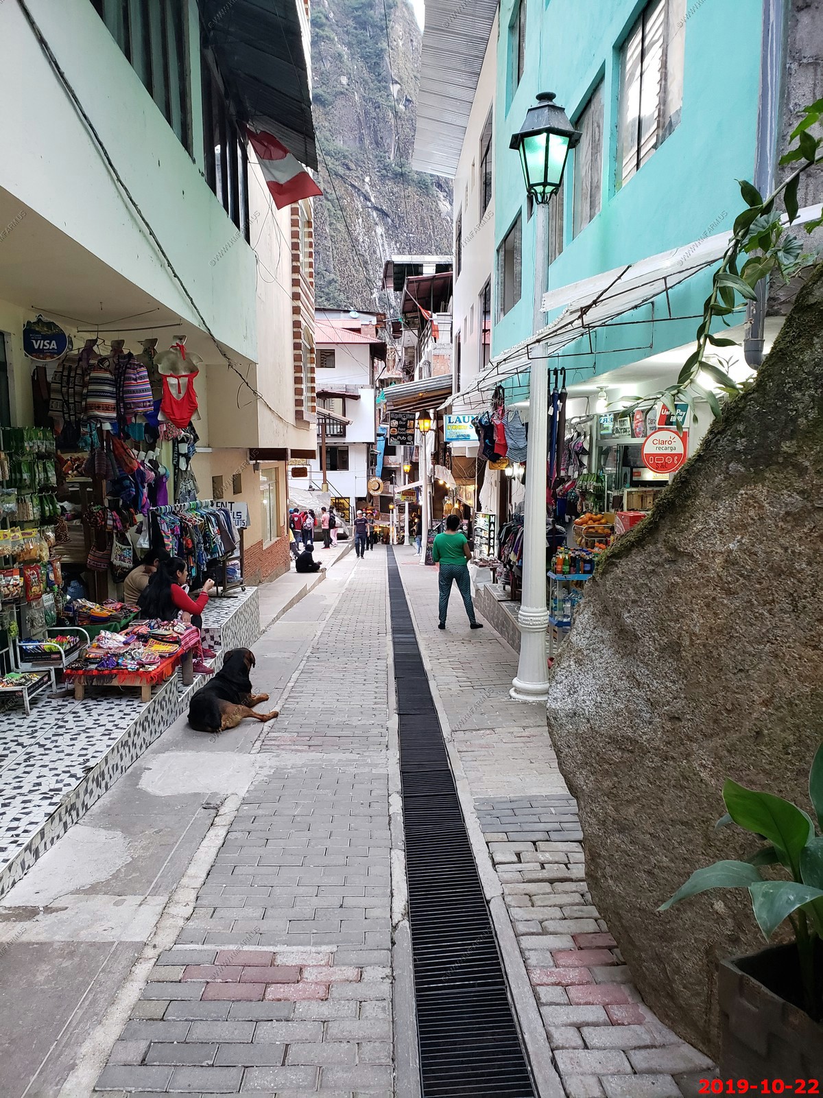
Narrow shopping areas. Was very safe here.
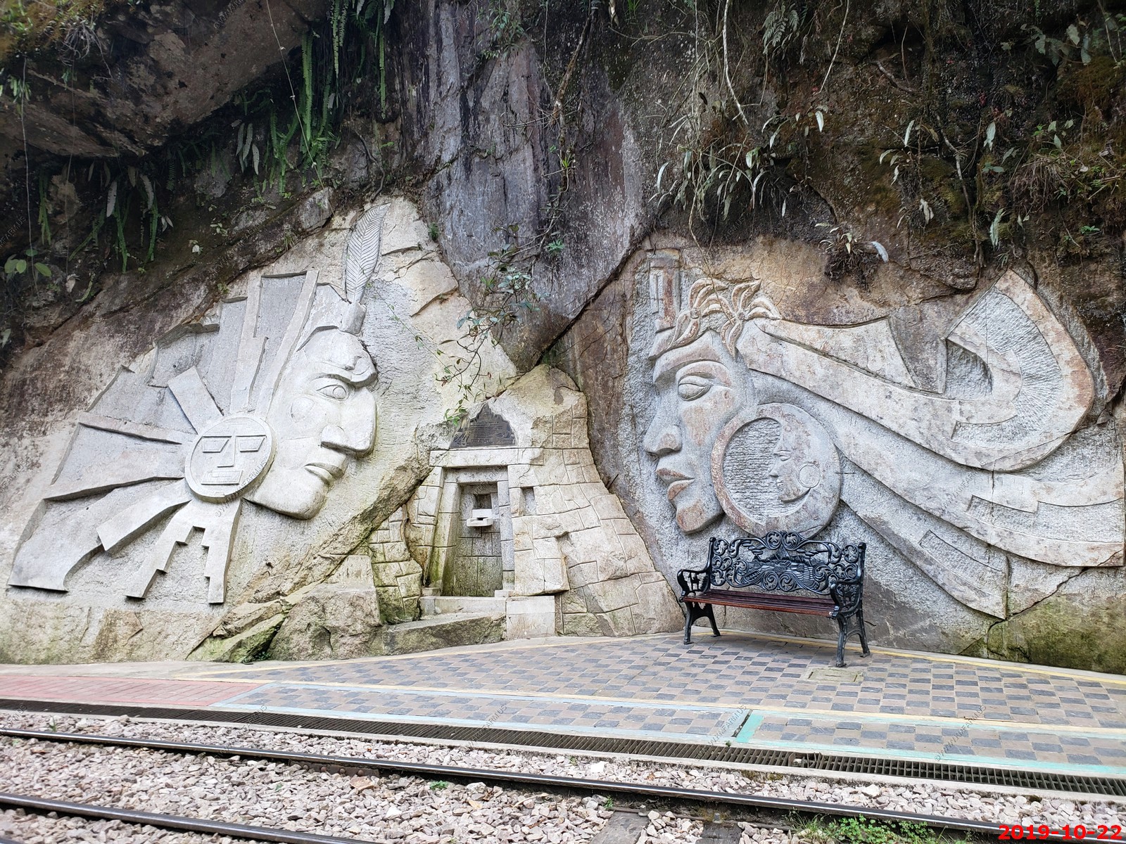
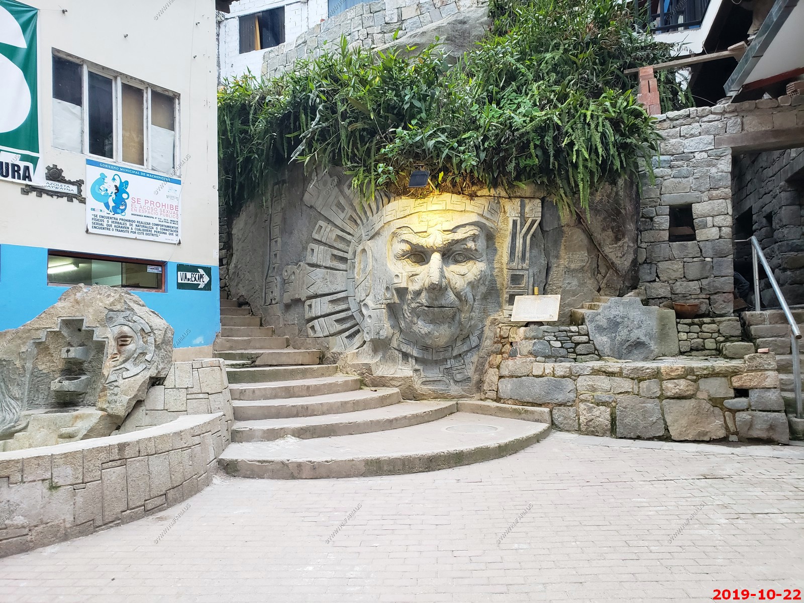
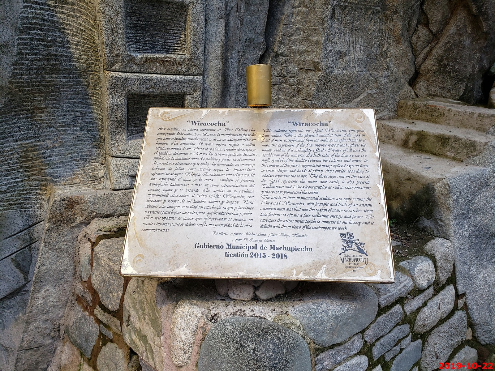
Cool rock carvings
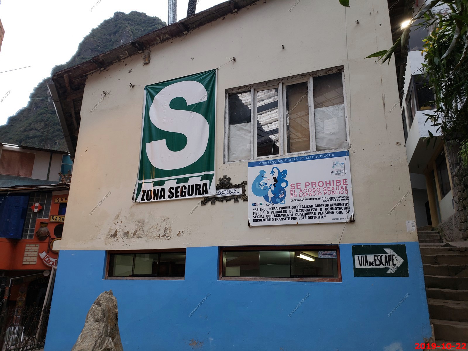
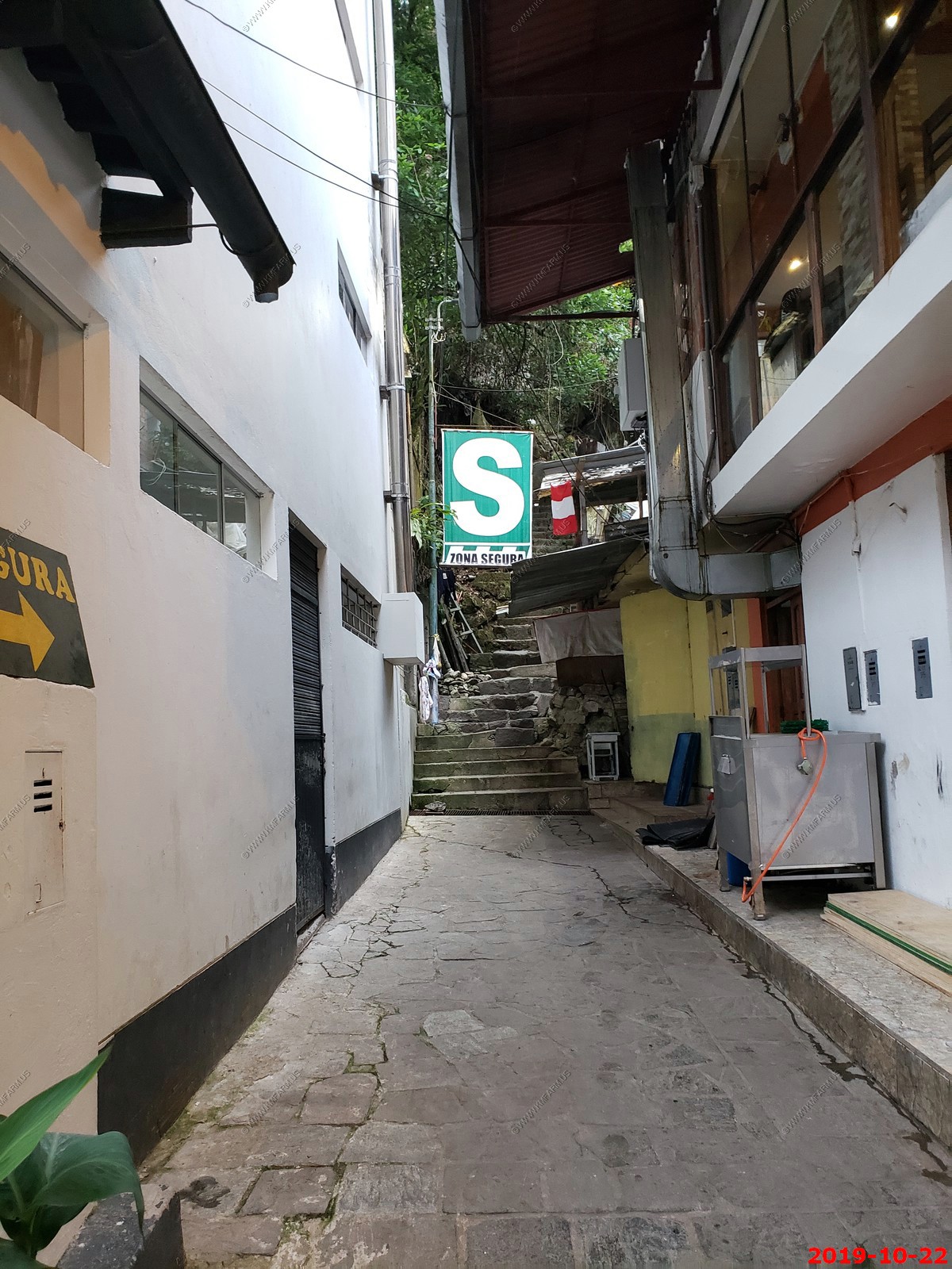
The big "S" is the safe zone if this area has a earthquake. Not sure how safe it would be with the sheer cliffs around this town.
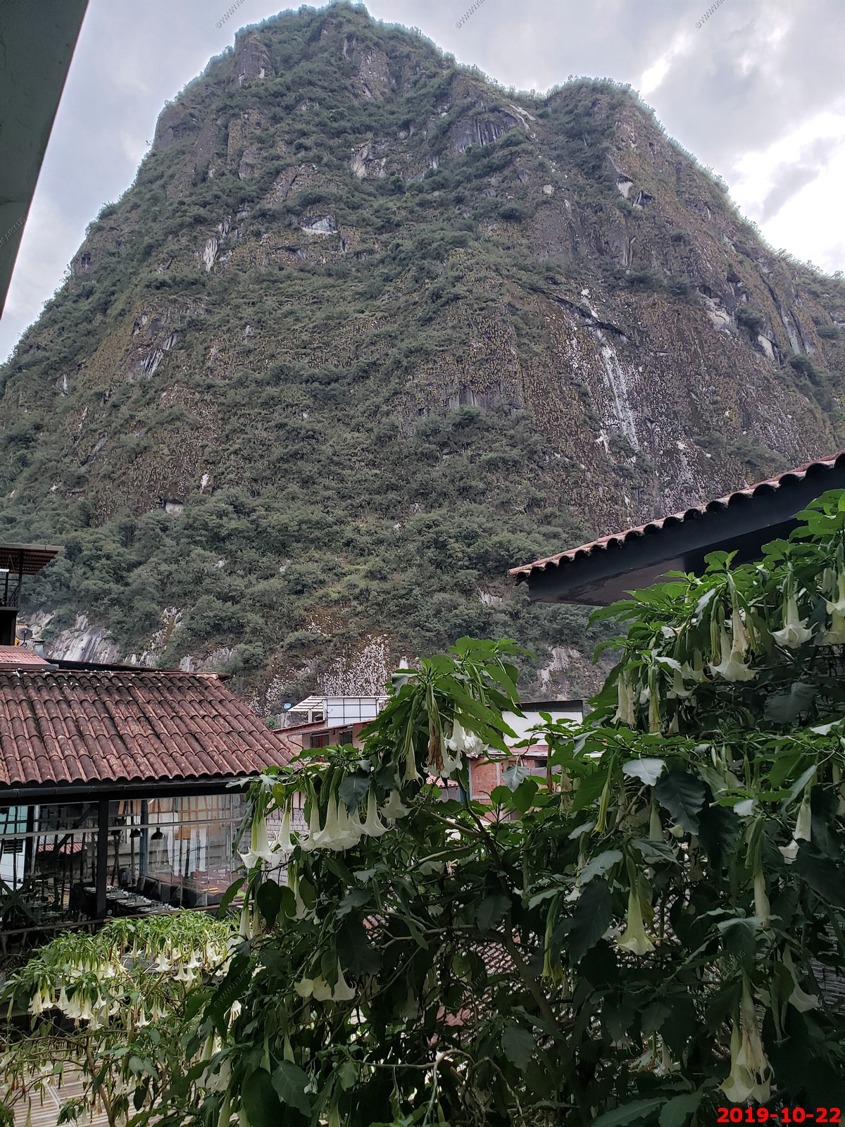
View from our Hotel room - Brugmansia are large shrubs or small trees, with semi-woody, often many-branched trunks. They can reach heights of 10-36 ft. The leaves are alternately arranged along the stems, generally large, 4-12 in long and 2-7 in across, with an entire or coarsely toothed margin, and are often covered with fine hairs. The name "angel's trumpet" refers to the large, pendulous, trumpet-shaped flowers, 6-20 in long and 4-14 in across at the opening.
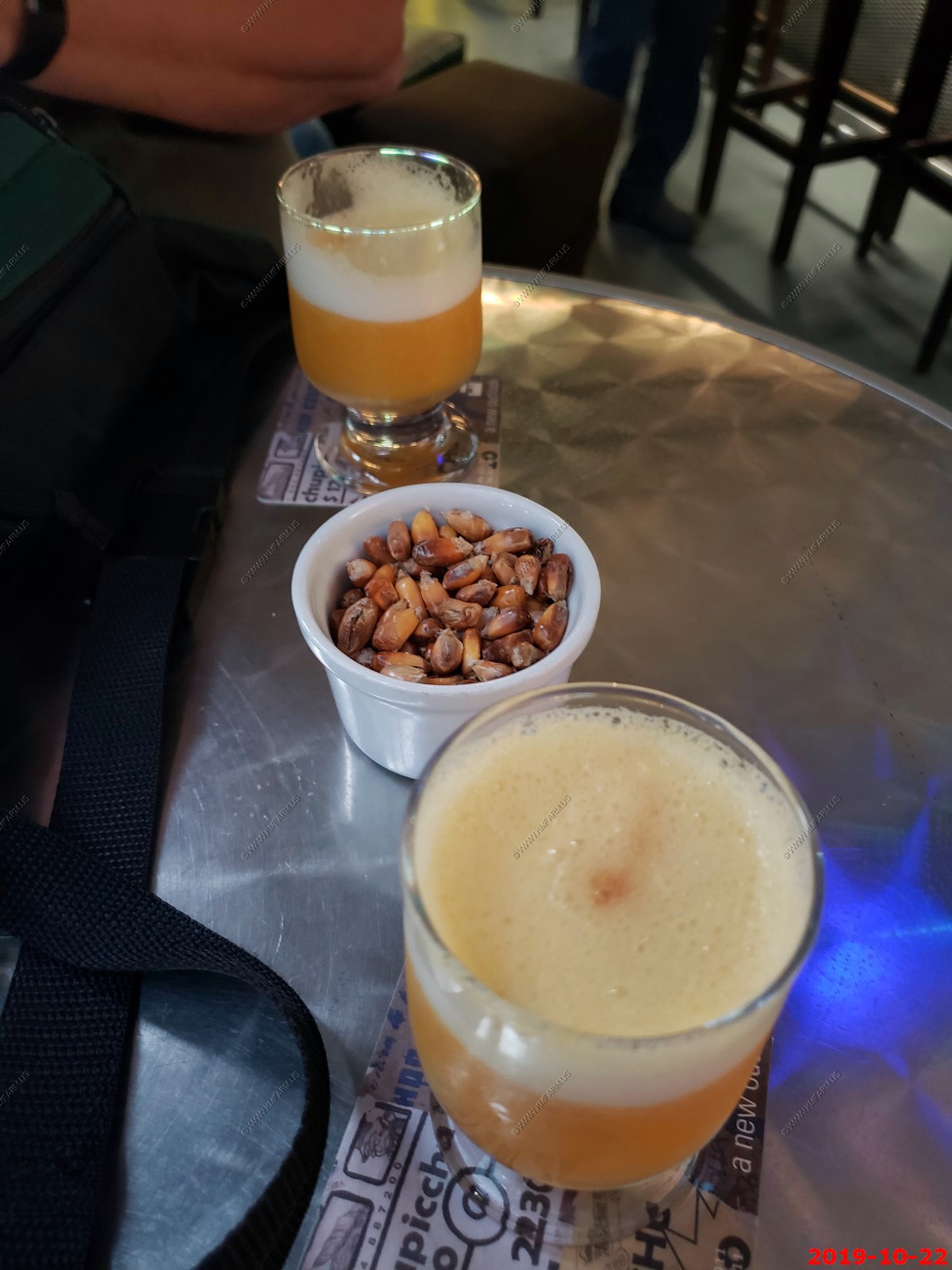
A pisco sour is an alcoholic cocktail of Peruvian origin that is typical of the cuisines from Chile and Peru. The drink's name comes from pisco, which is its base liquor, and the cocktail term sour, in reference to sour citrus juice and sweetener components.
We had these a number of times in Peru and also in Chile. The roasted corn they gave us was interesting as well.
The path we took today (up / back) at Machu Picchu. It makes you realize how much you missed.
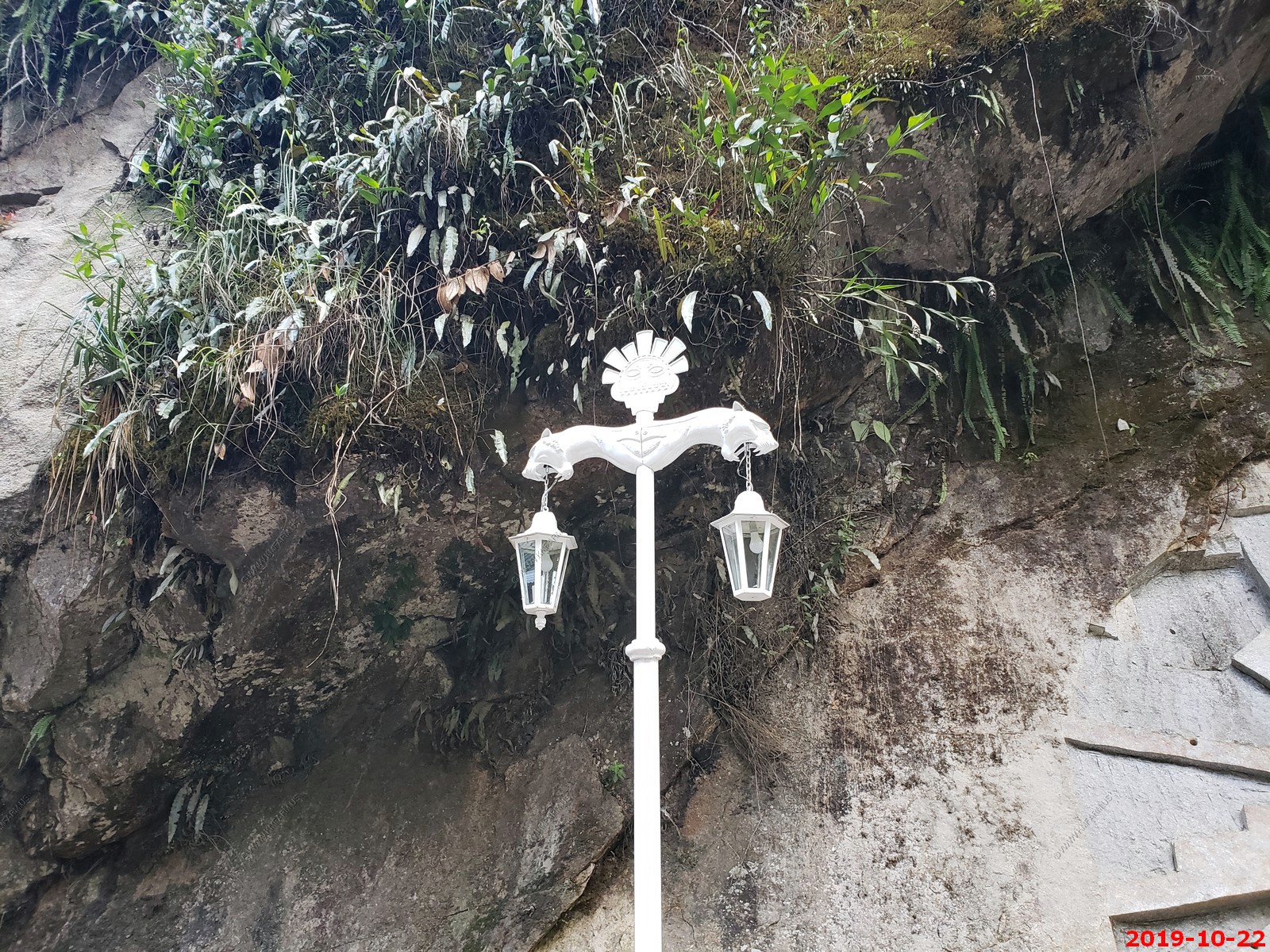
Exploring the square at Machu Picchu Pueblo (Aguas Caliente)
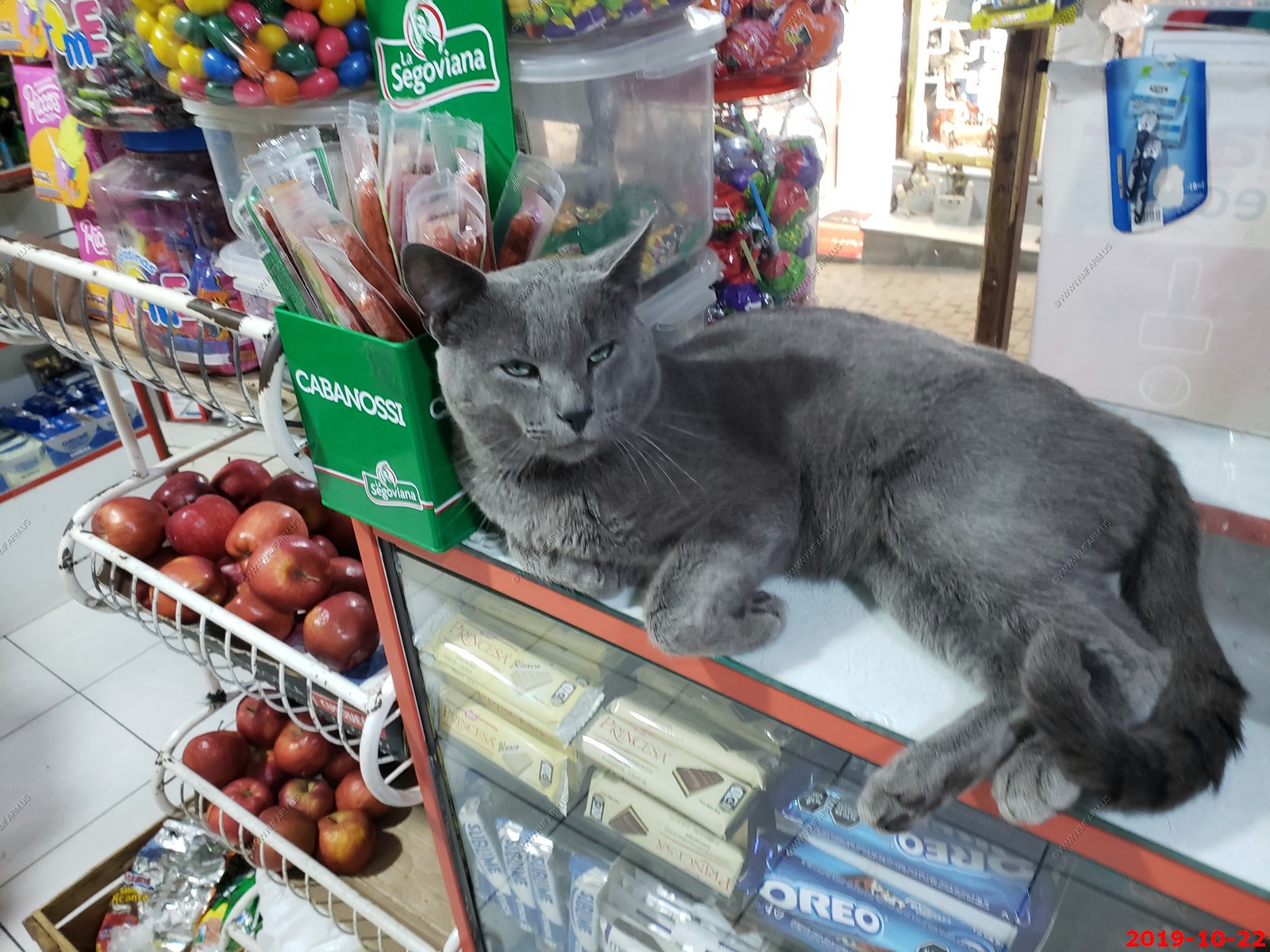
Cool cat at a small market where ken bought a coke and chocolate
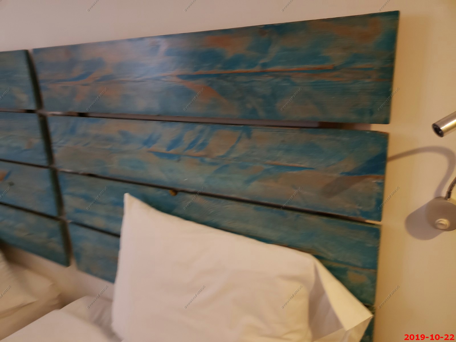
Simple bed headboard at the hotel. I need to do this at home
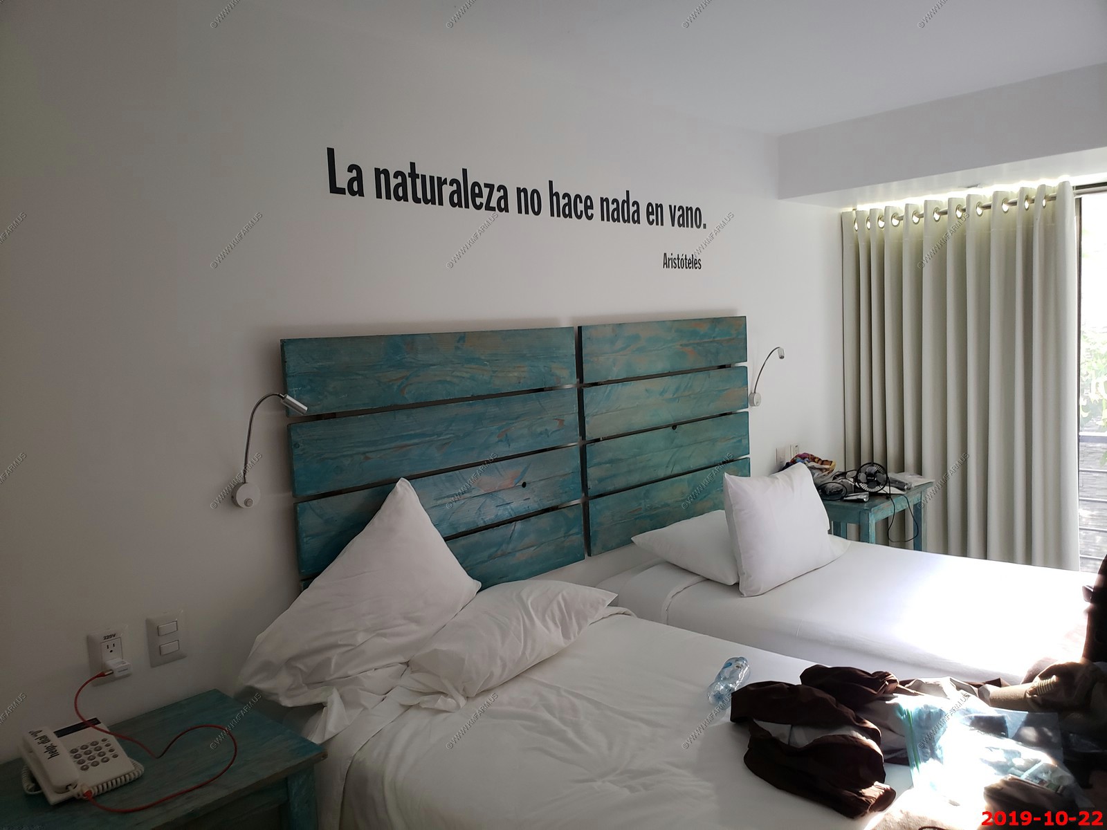
This hotel had writings all over the place - Translation: Nature does nothing in vain. Aristotle
On to Day 6 - Train to back to Ollantaytambo / Transfer to Cuzco, Weaving Cooperative
Return to Machu Picchu & Rapa Nui: Discovering Two Mysterious Civilizations front page