Last Updated: 25-JUL-2022
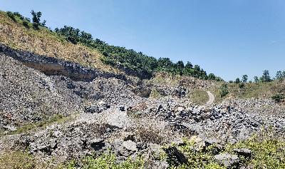
Ground photo (2 photos combined)
Click on image to enlarge for RAW Drone photo. These images are 4 meg in size so give it time to load
You can right click and save image as to your computer. All images on this page are released for unrestricted use.
Once image is saved to your system, you can right click then properties then details you can get lat/long (elevation in meters) for each photo.
View from 964 feet. Upper quarry elevation is 544 feet)
Looking west
Looking east over Mt Pleasant Mills, PA