Last Updated: 25-AUG-2018
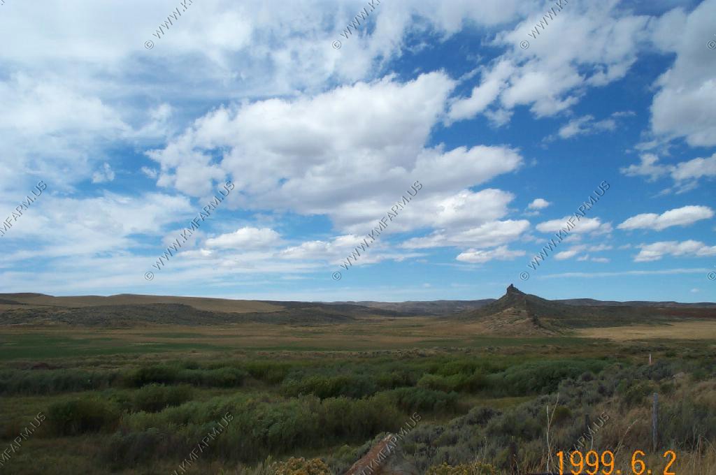
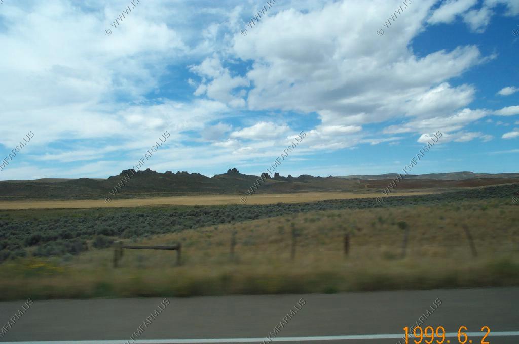
We left RMNP in the fog and headed through Steamboat Springs, Hayden and Craig Colorado. Along Colorado 13 is the Fortification Rocks.
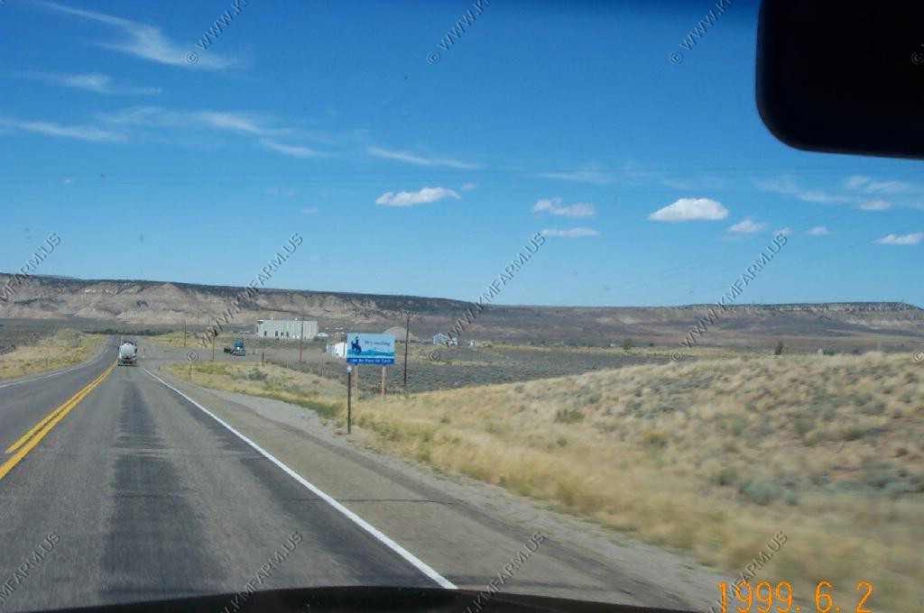
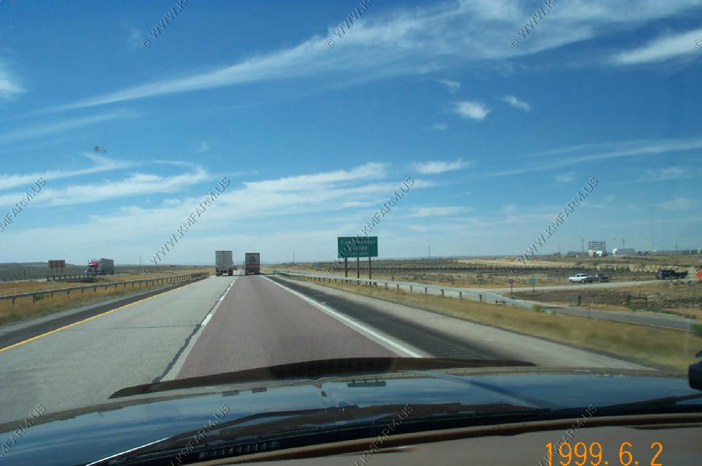
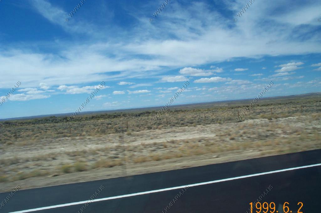
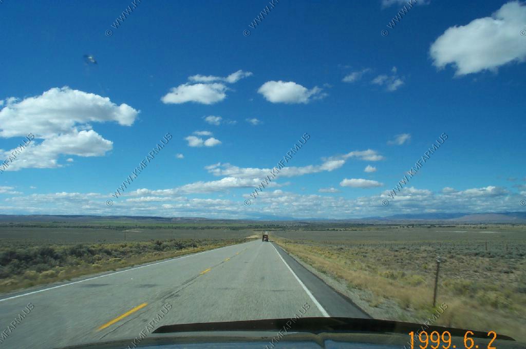
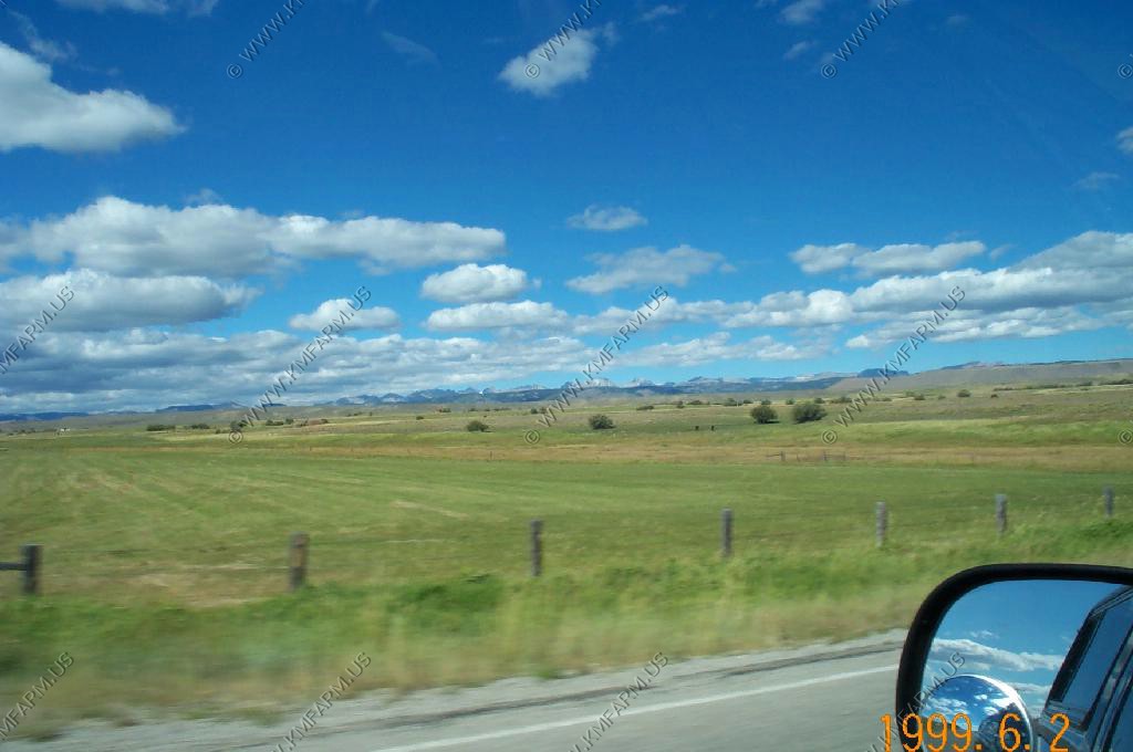
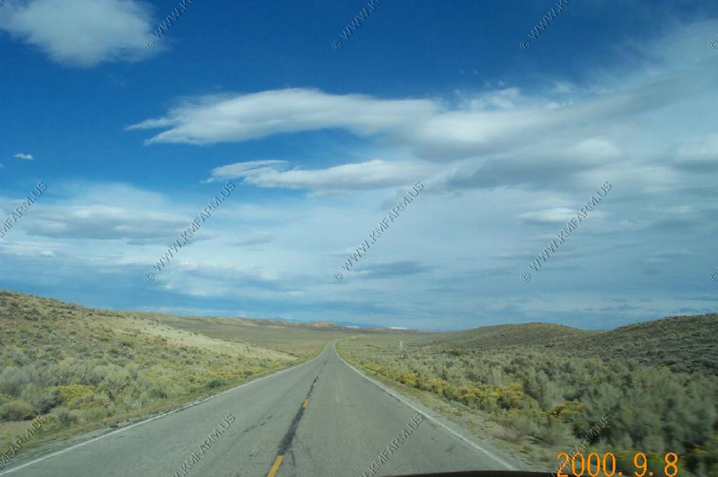
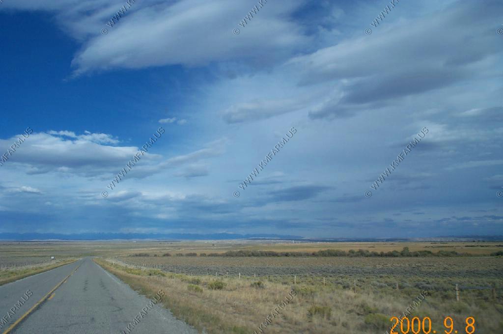
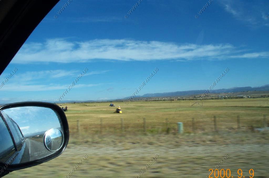
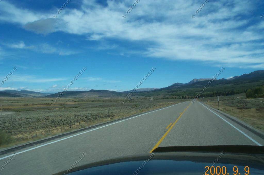
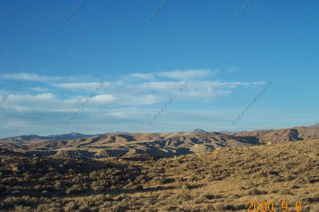
Finally WYOMING !!! Nothing but wide open spaces at 100 mph
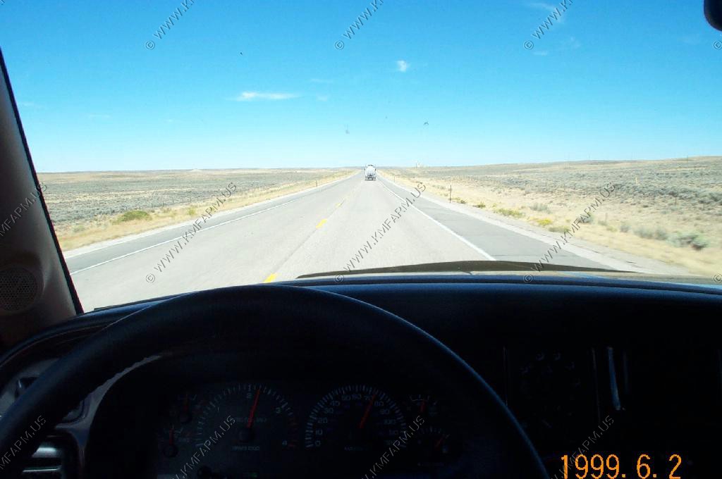
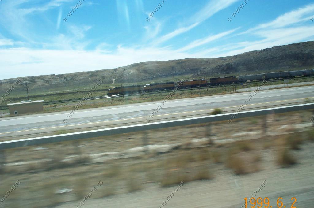
Along I-80 crossing the Great Divide Basin and a UP freight train heading East on the mainline.
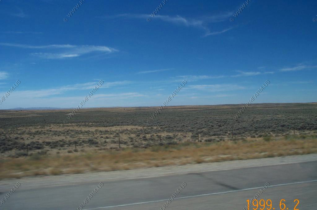
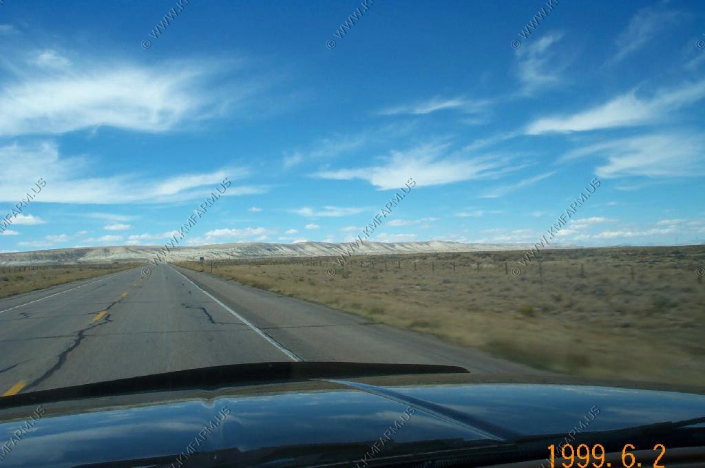
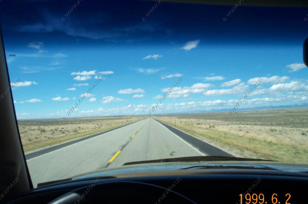
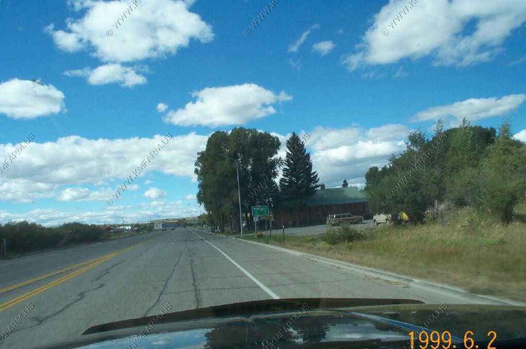
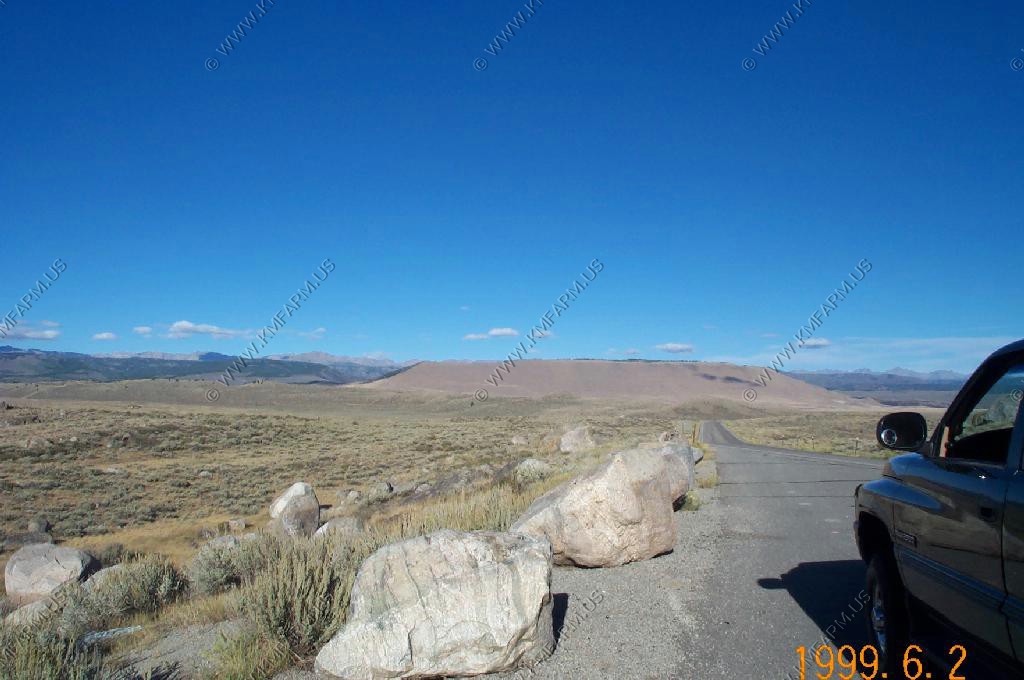
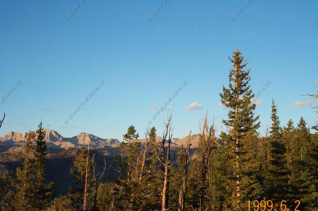
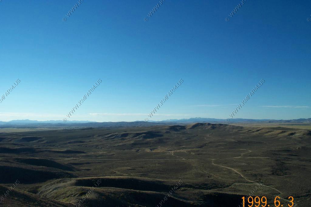
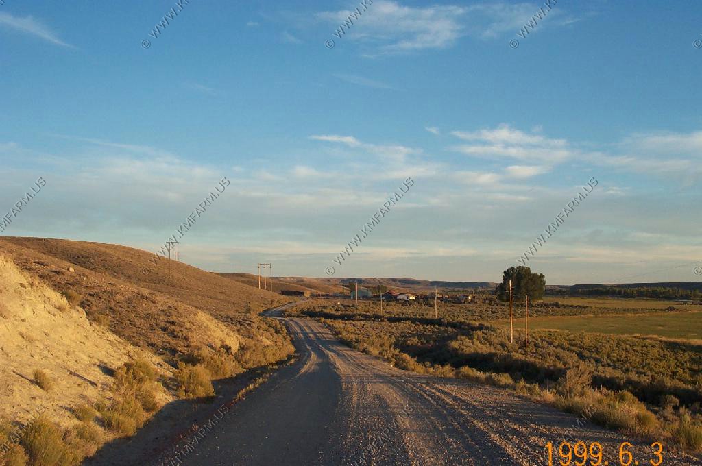
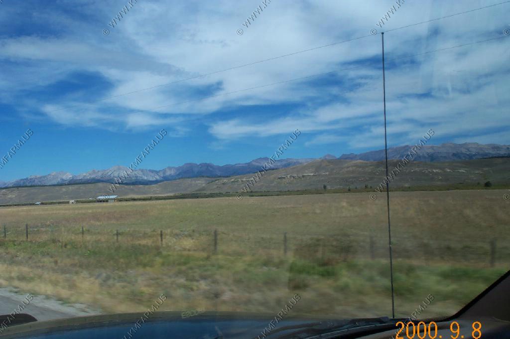
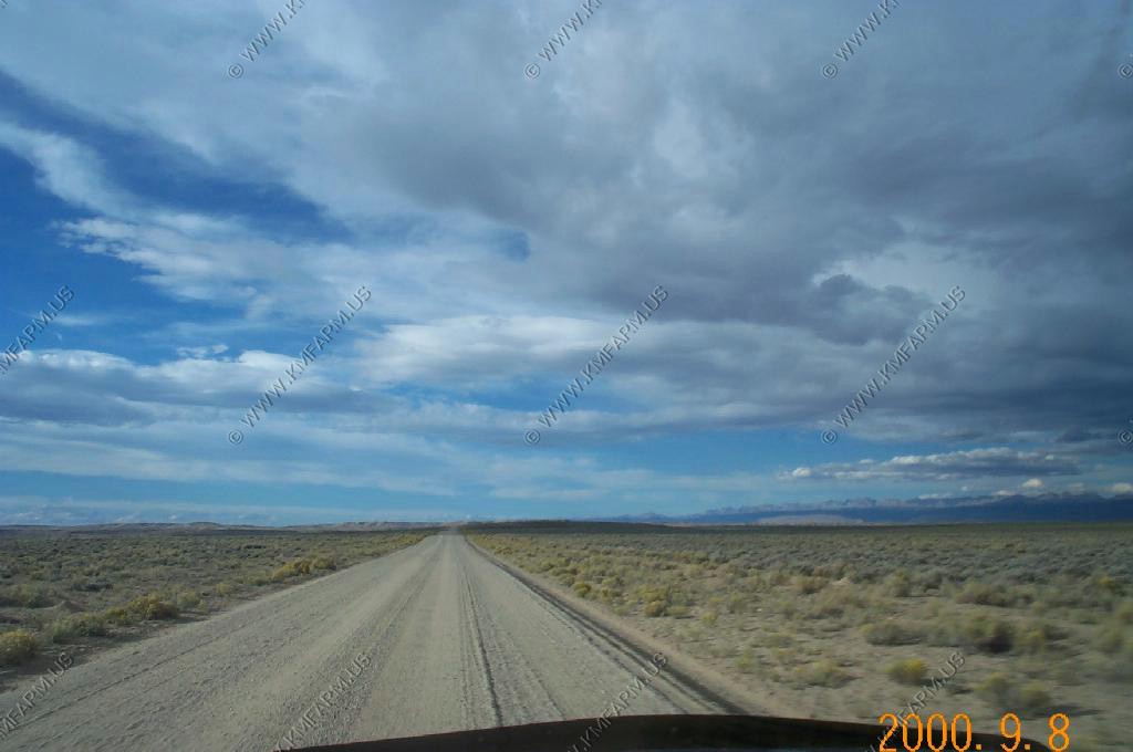
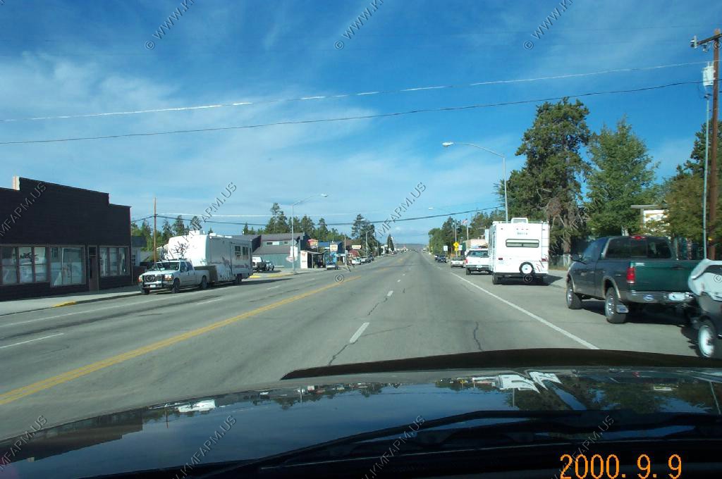
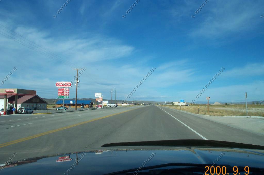
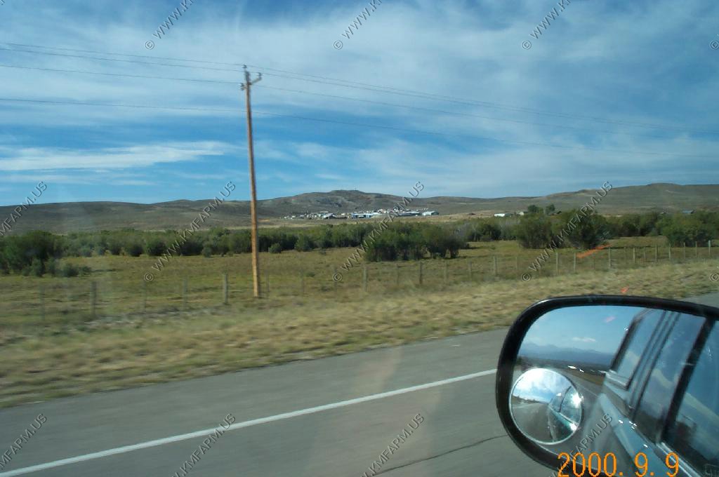
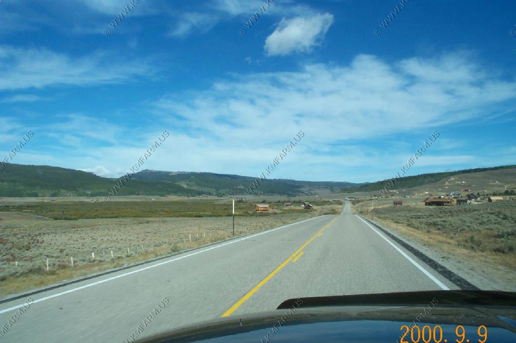
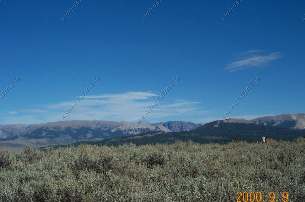
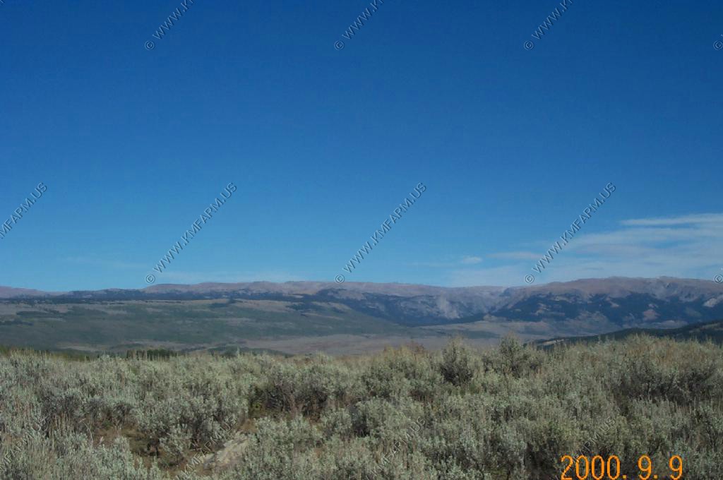
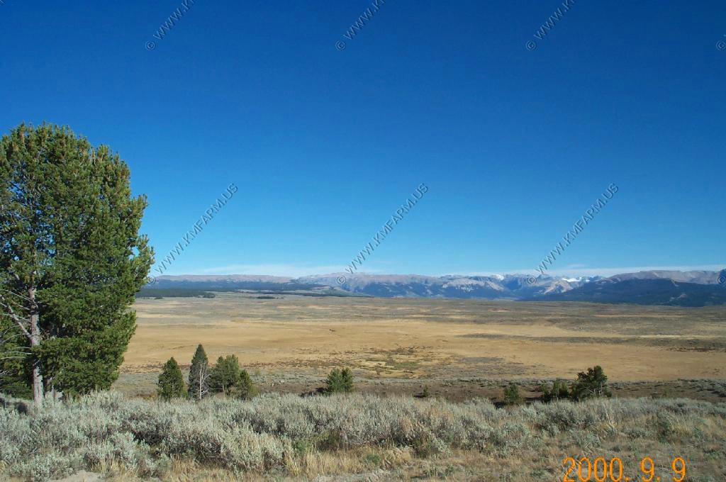
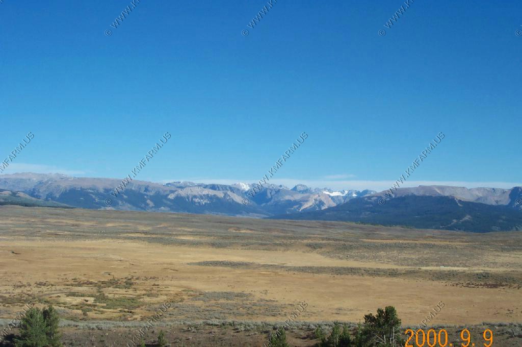
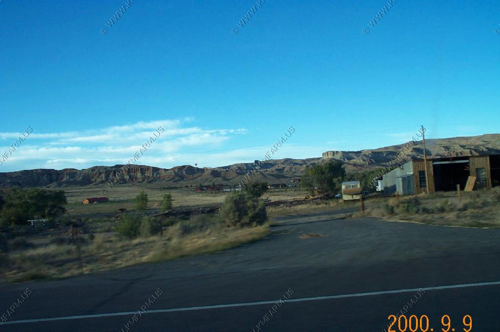
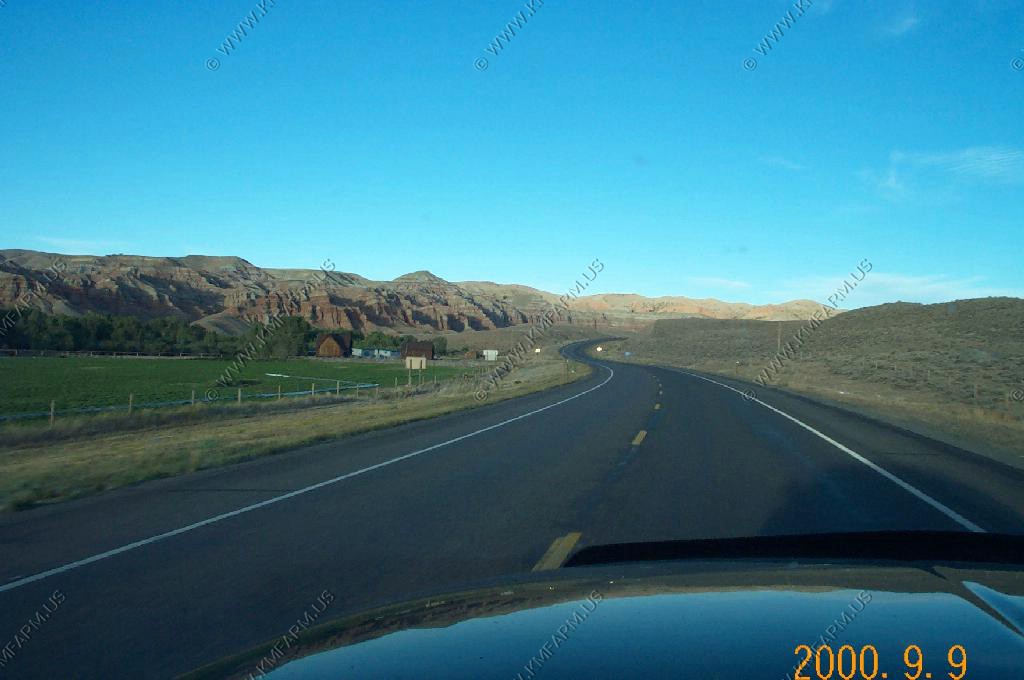
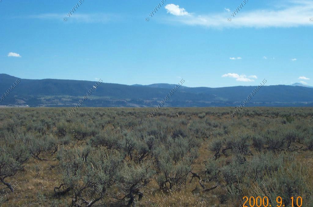
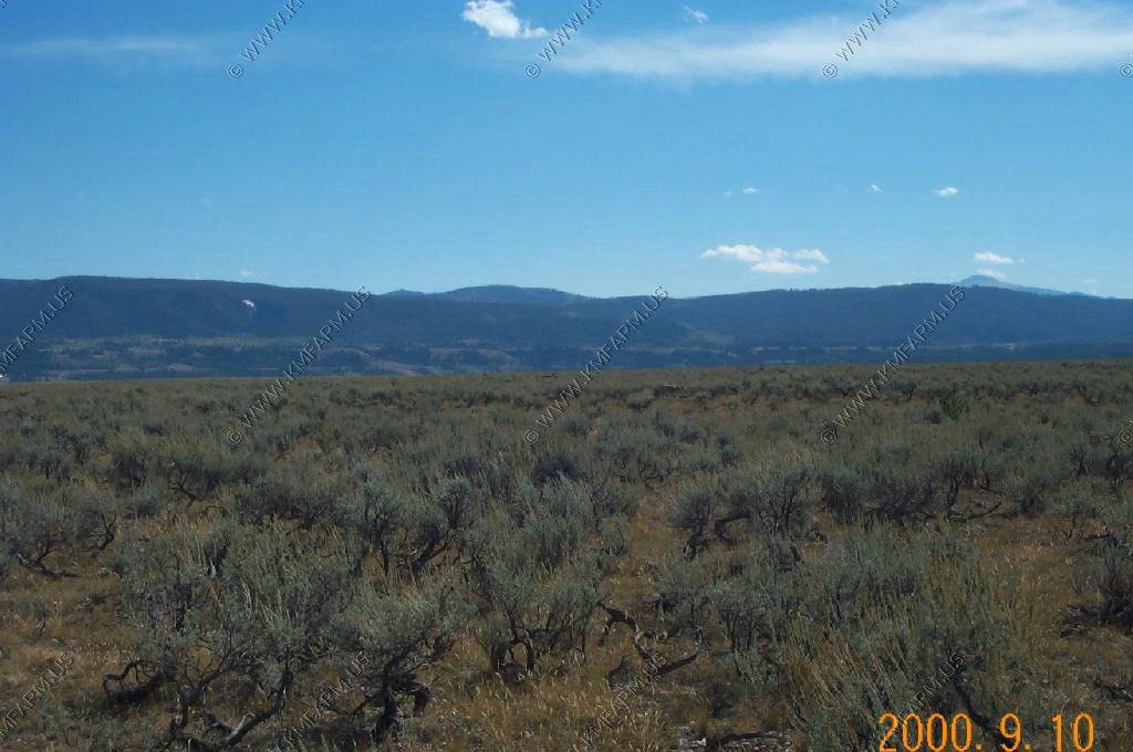
Heading North on US-191 after exploring Rock Springs. Nothing but a rail town. The Mesa is off to the West. As you head north, the Wind River Range comes into view to the North and East. Lots of sagebrush, antelope...Mesa has a large wild horse population.
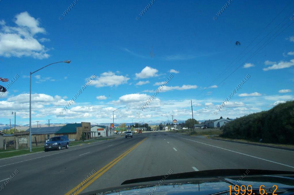
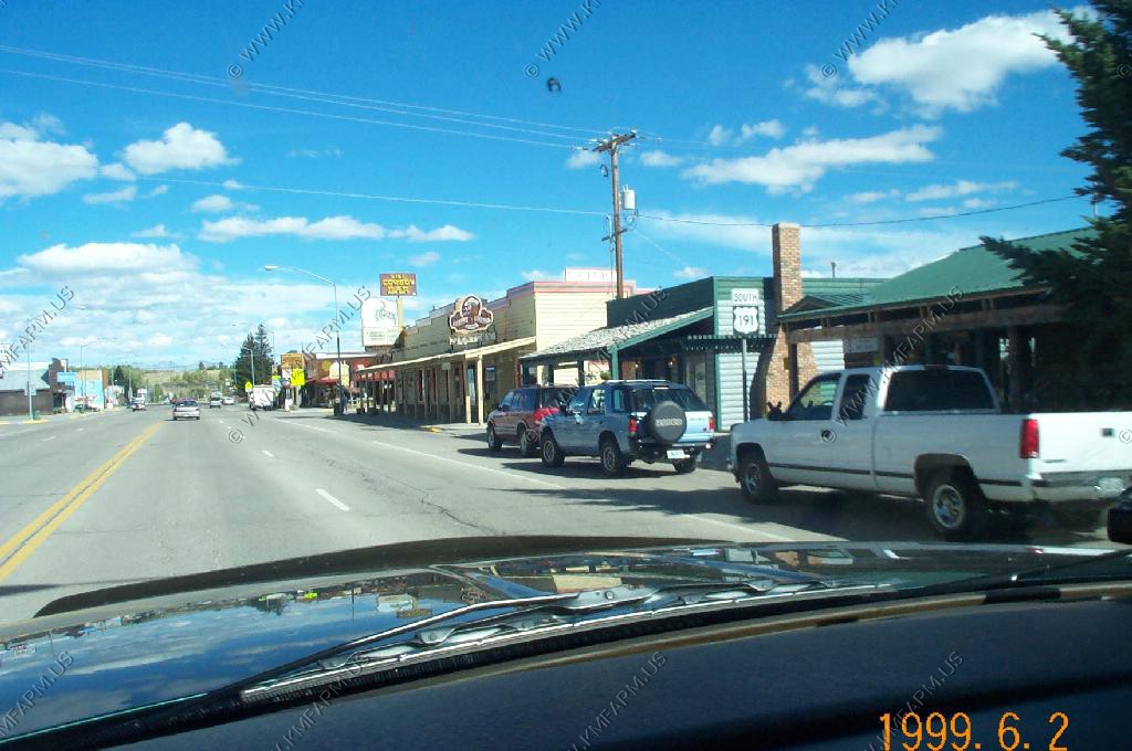
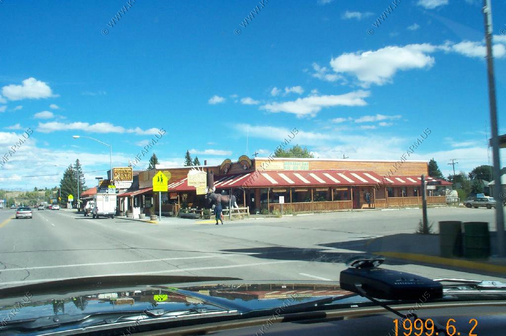
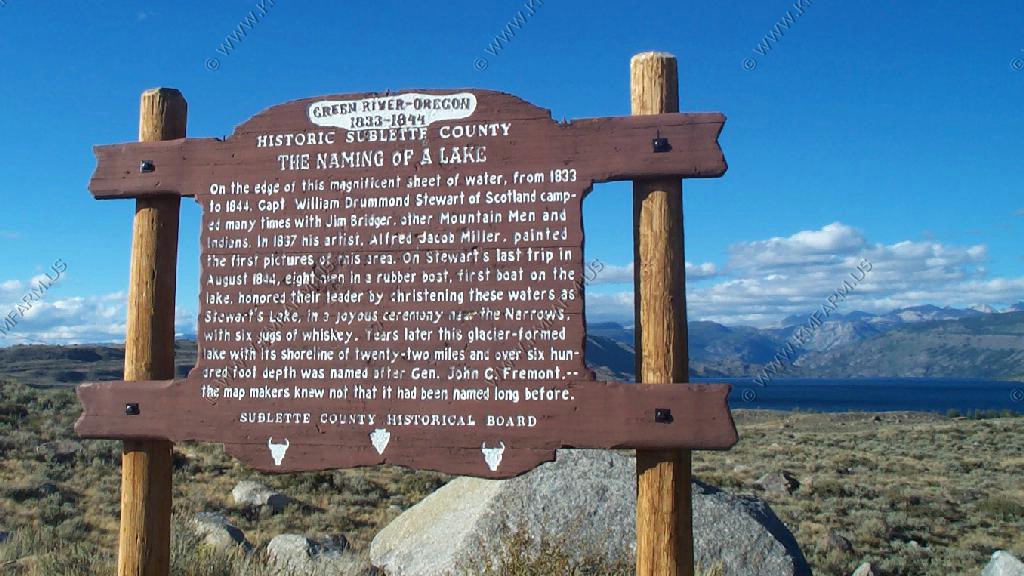
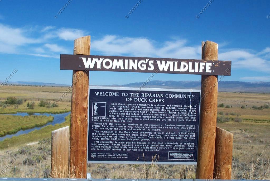
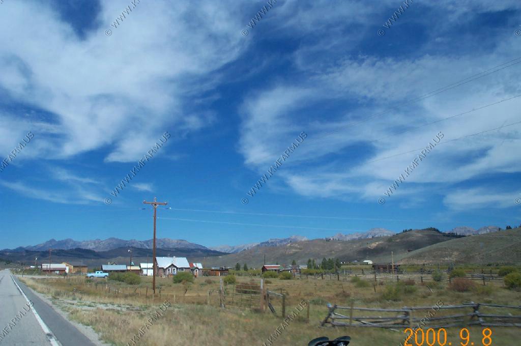
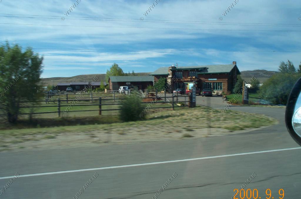
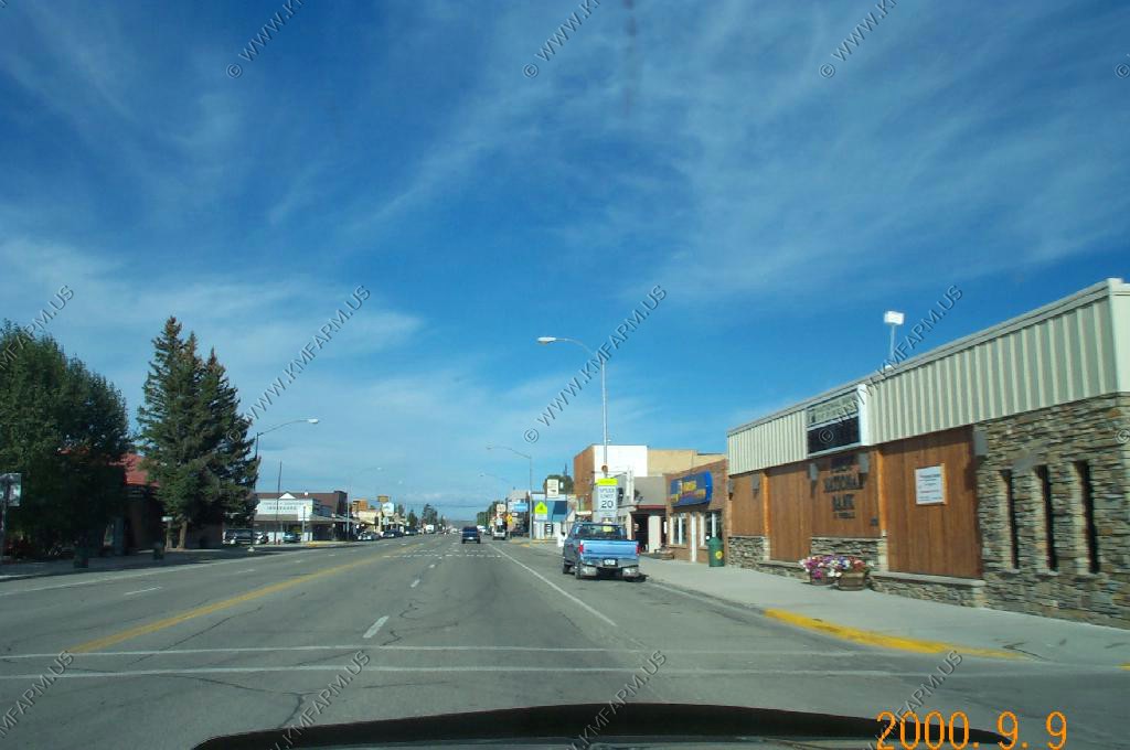
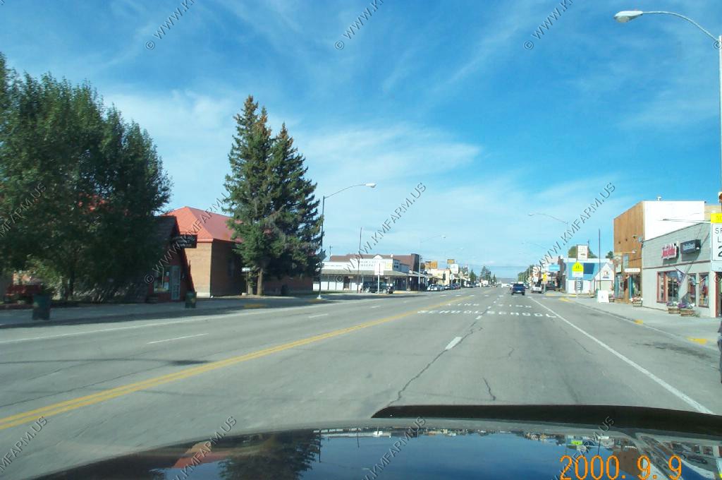
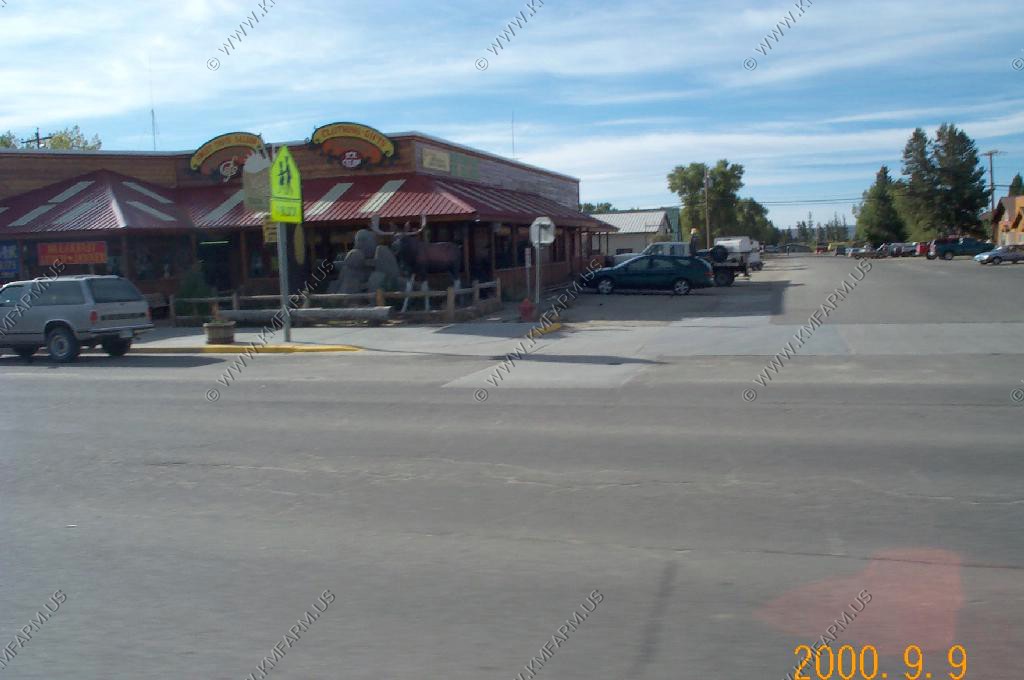
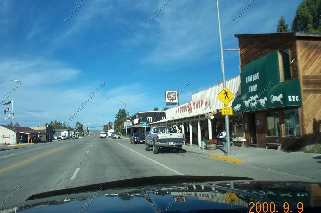
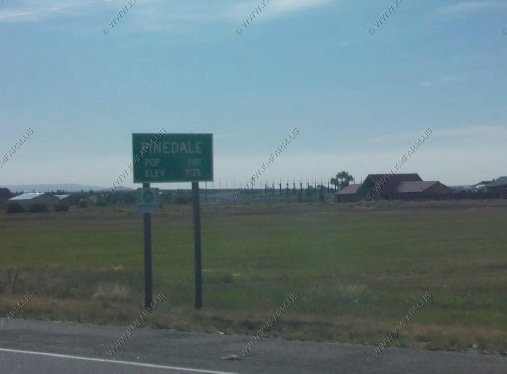
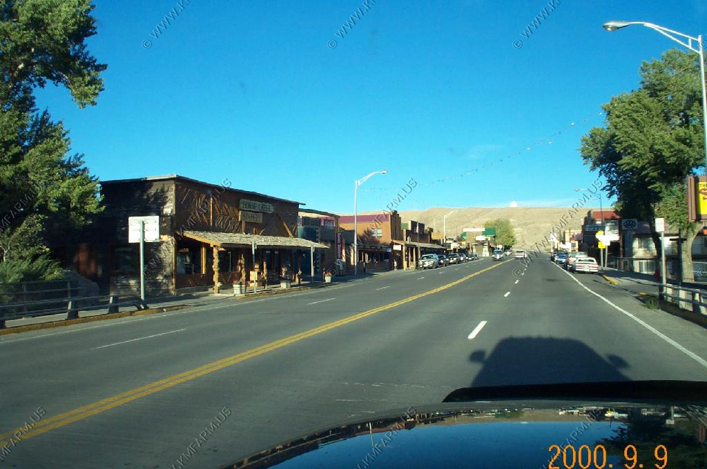
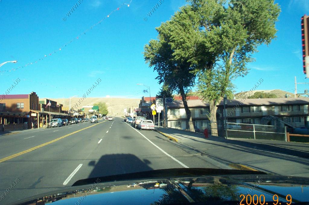
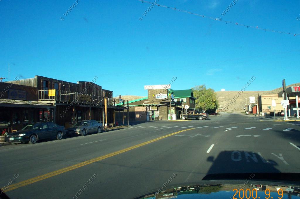
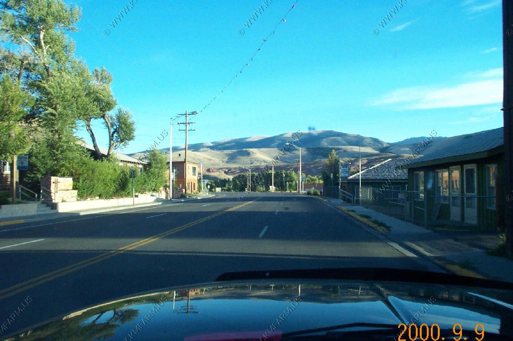
After getting the (Sublette County Journal) now Pinedale Online from Pinedale for almost a year we were very much looking forward to checking out the town.

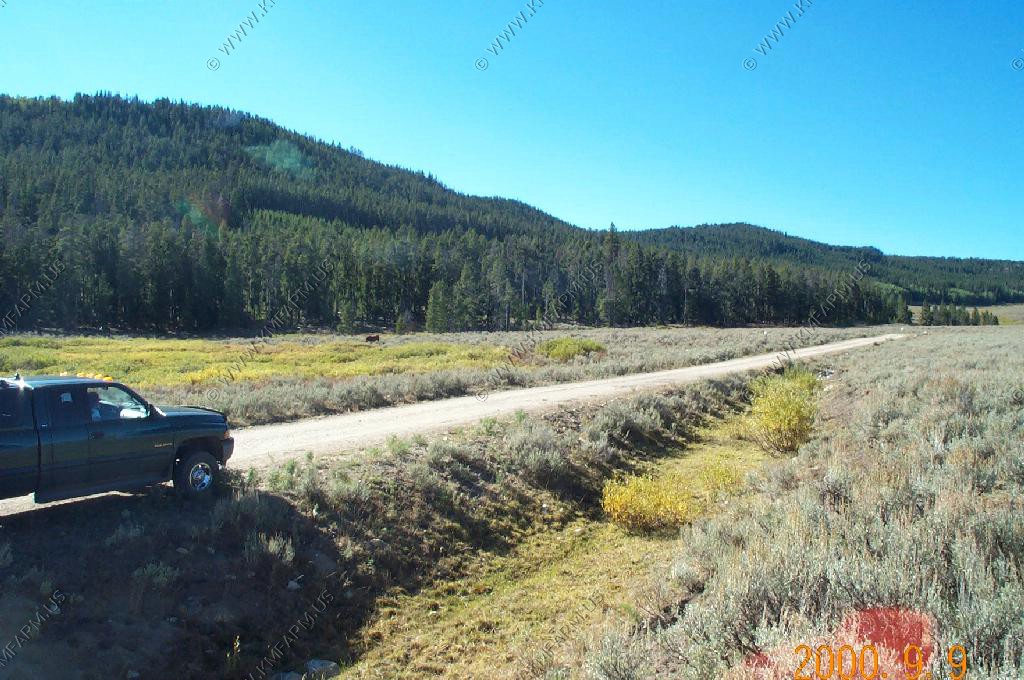
Heading West on Fayette Pole Creek Road
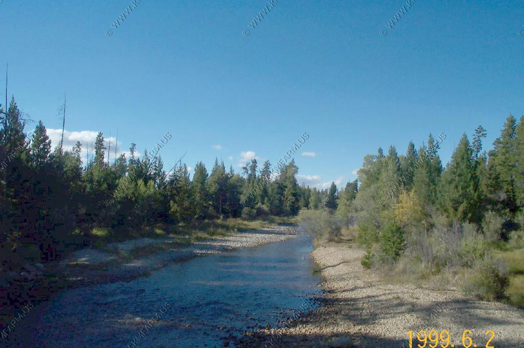
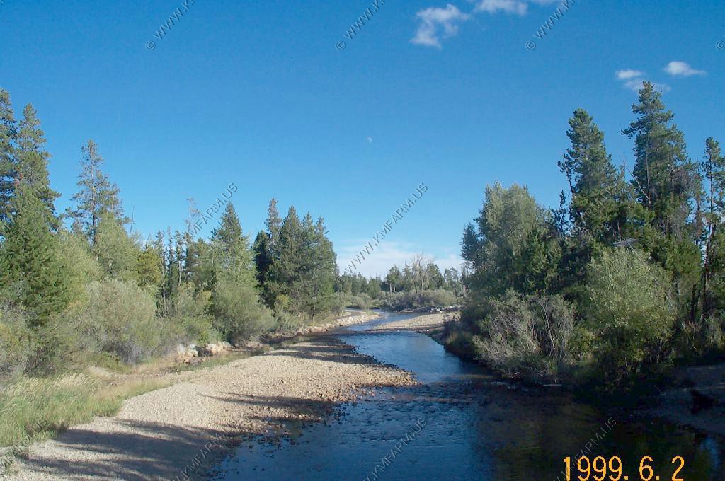
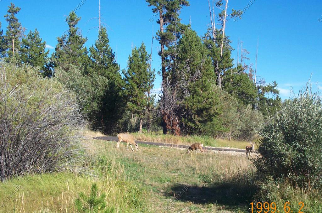
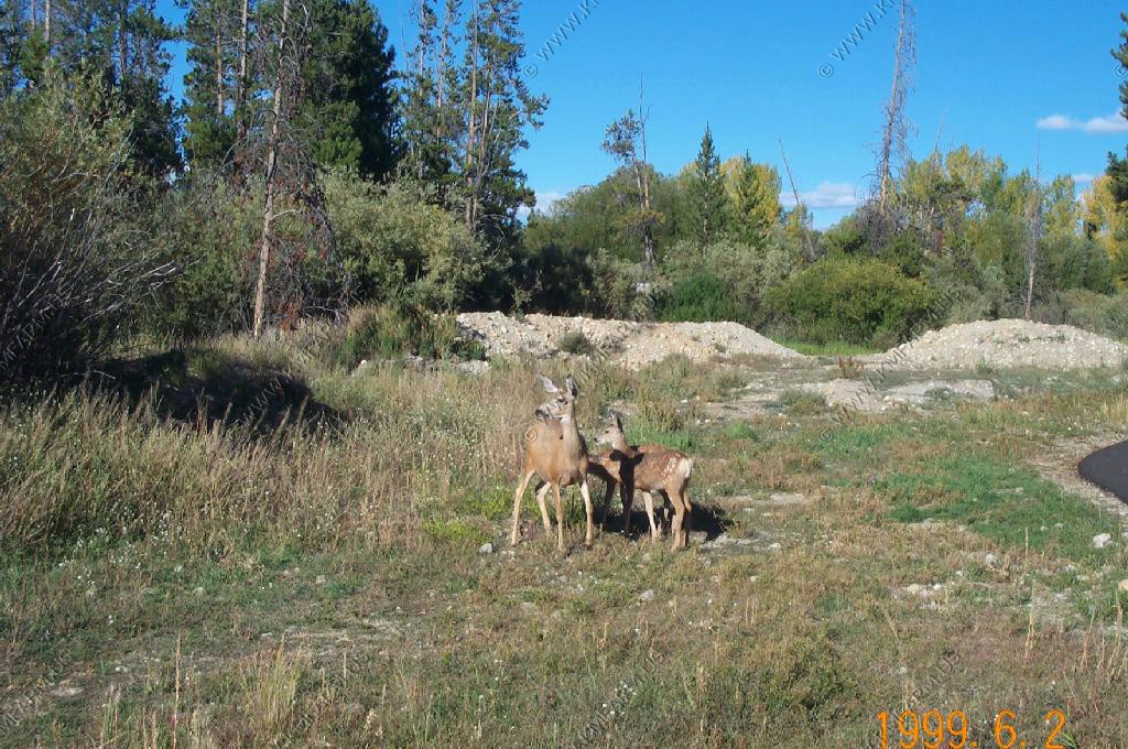
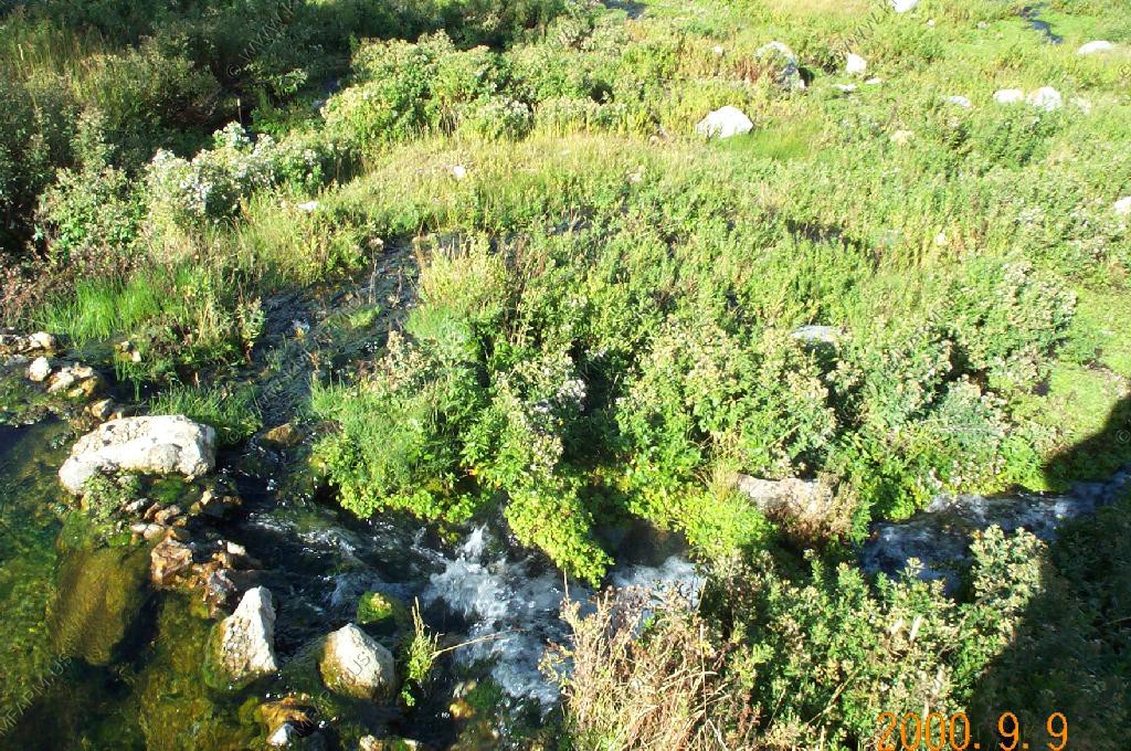
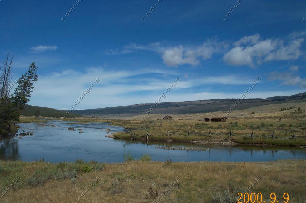
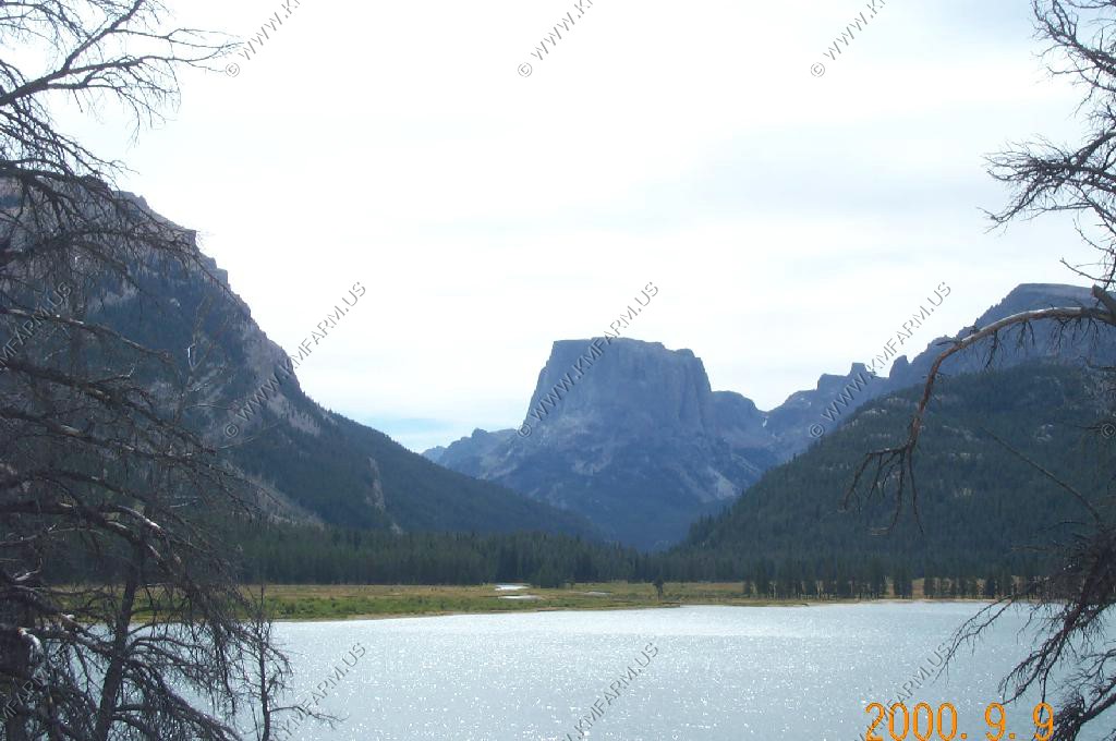
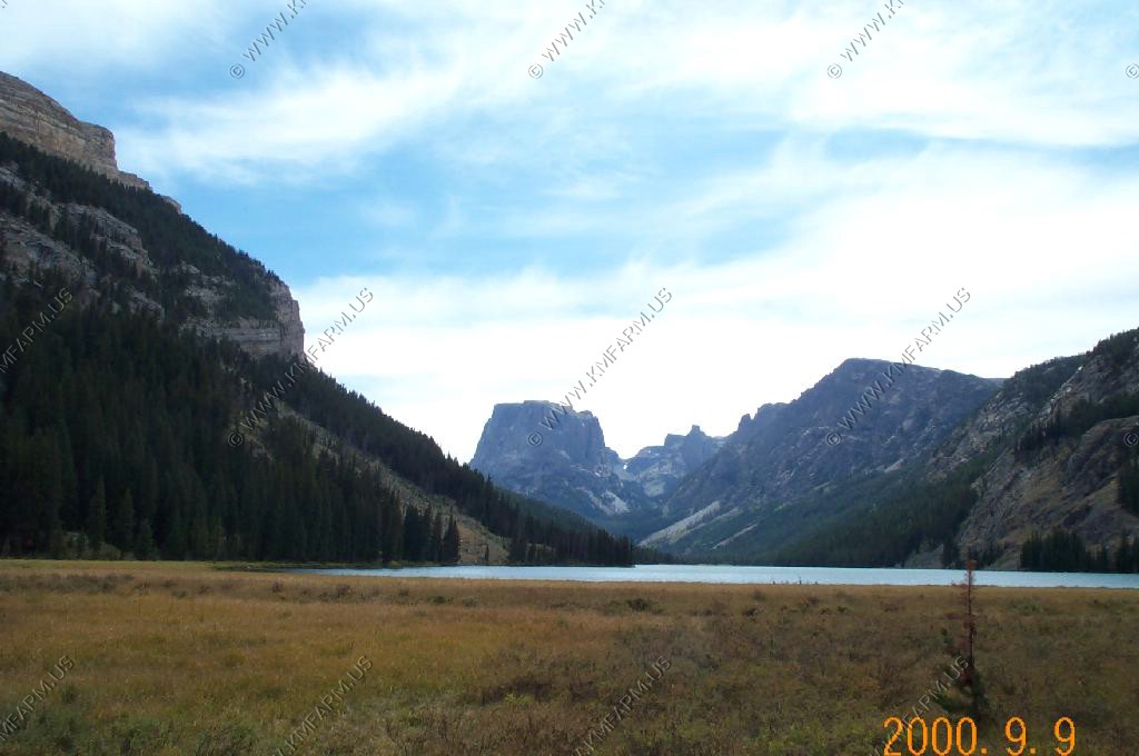
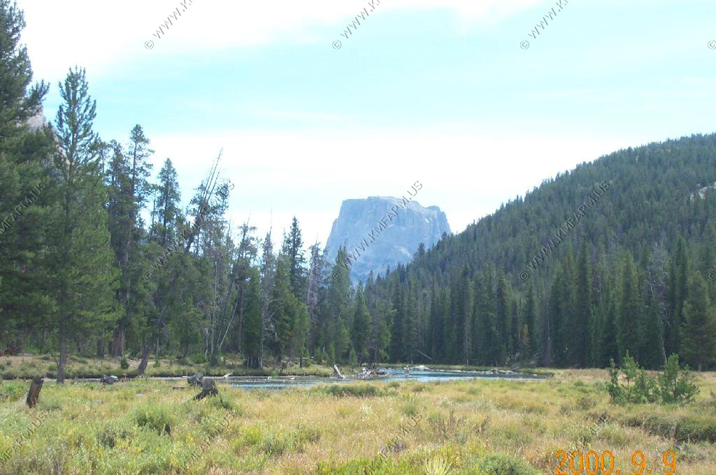
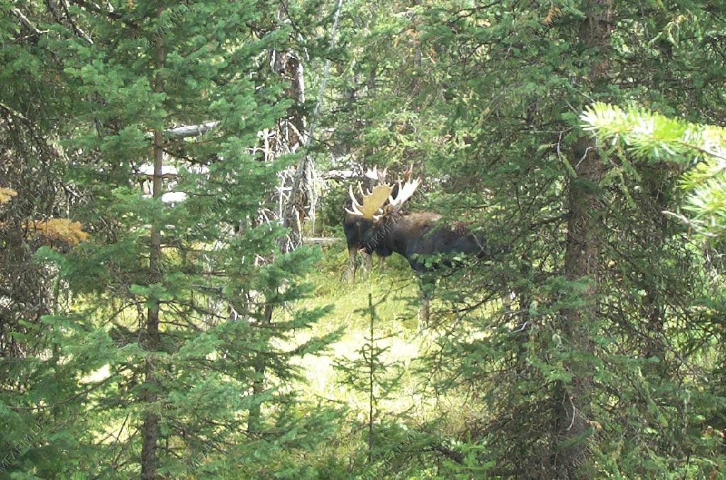
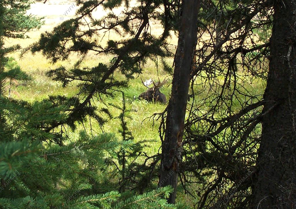
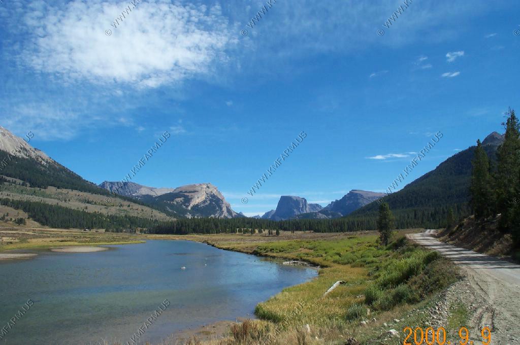
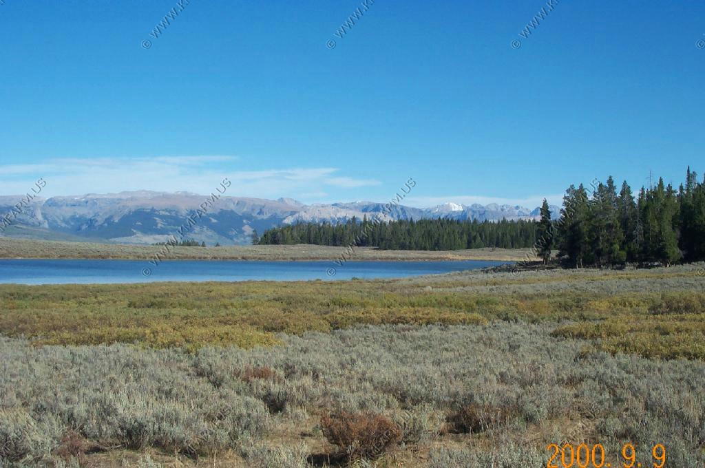
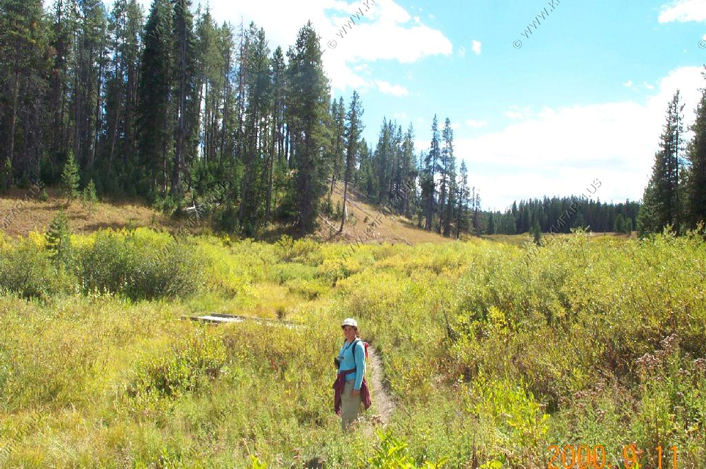
The Pinedale city park along Pine Creek. Pine Creek source is Fremont lake. We checked out the park a number of times because people were talking about the mother moose and her calf, but all we saw were mule deer.
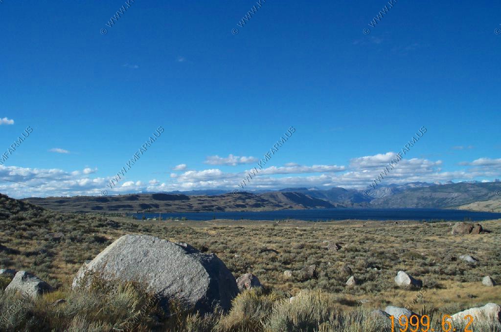
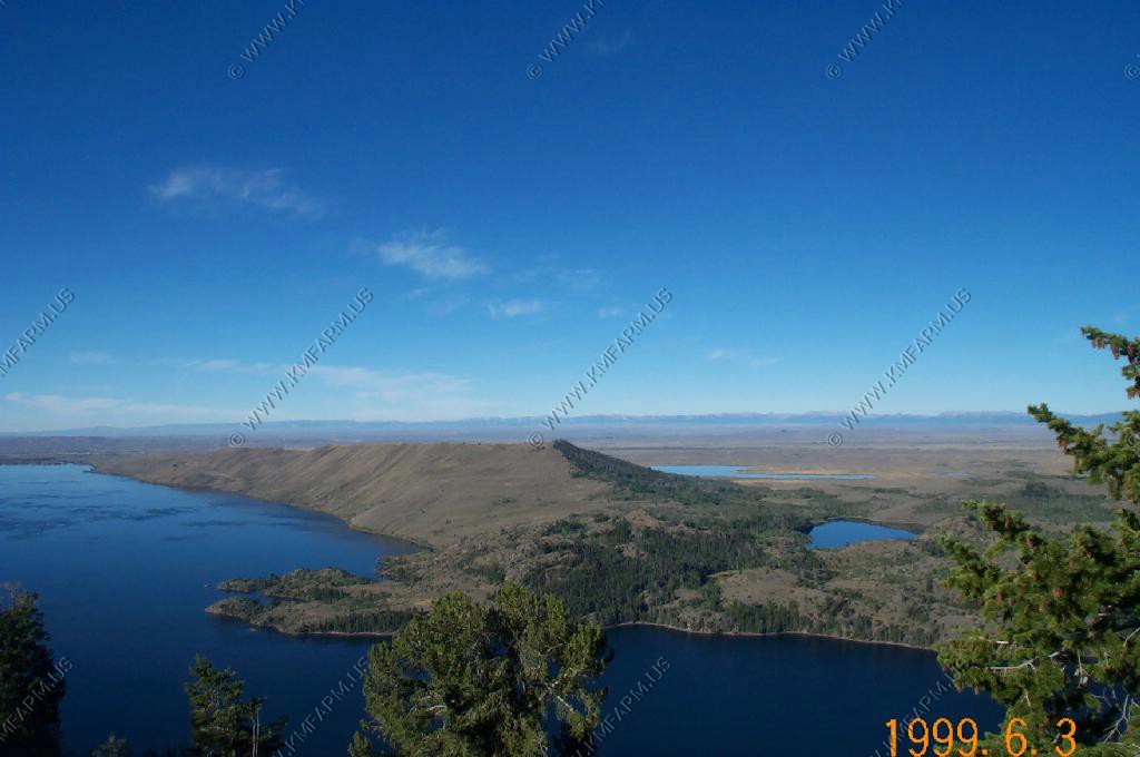
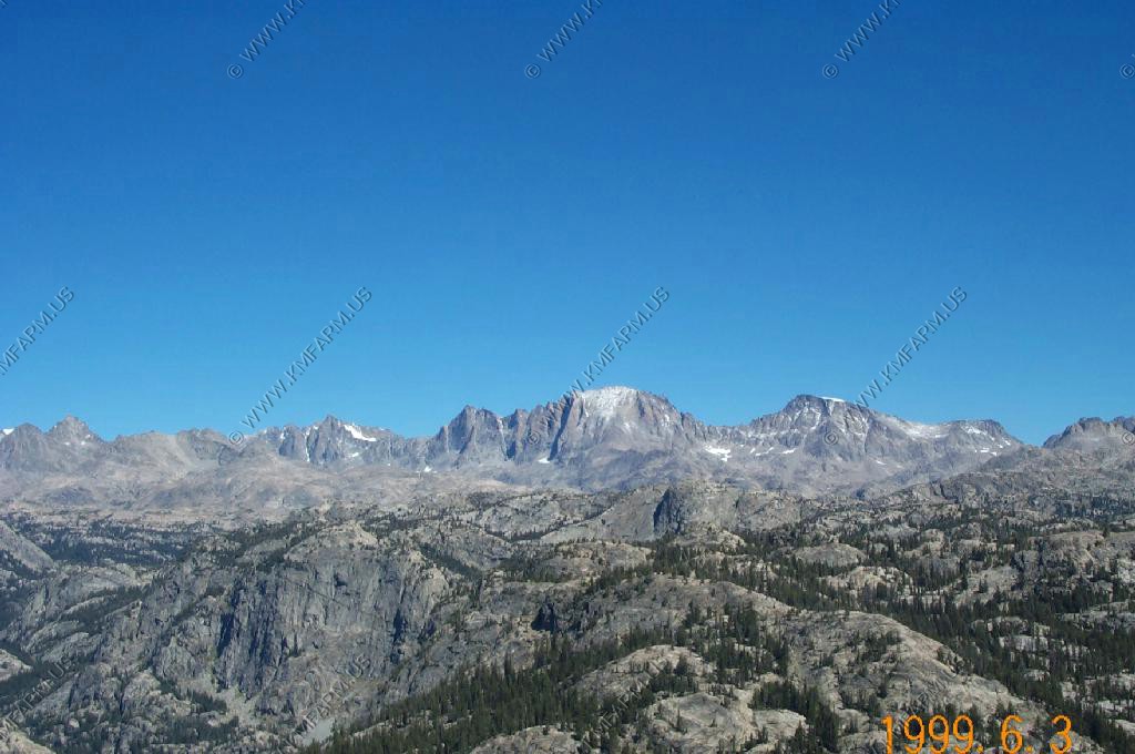
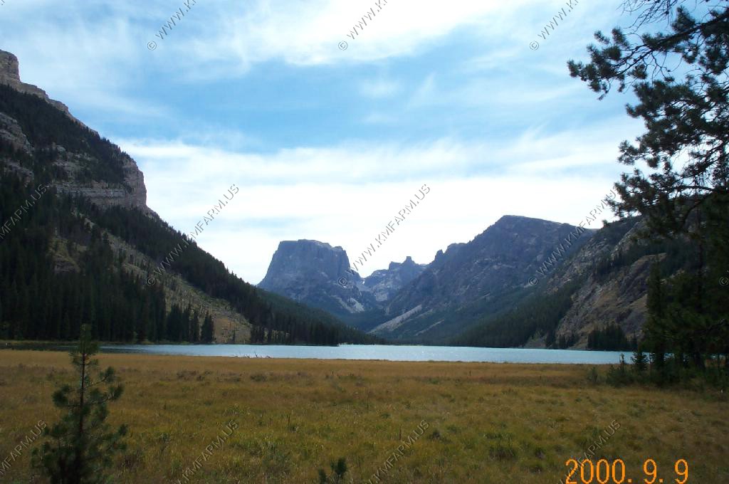
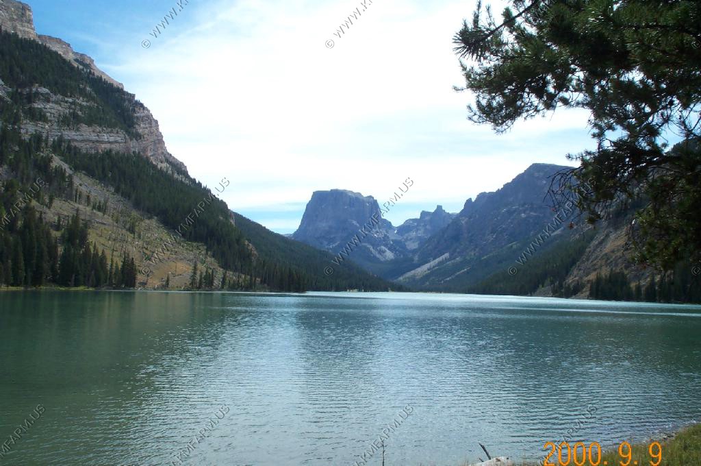
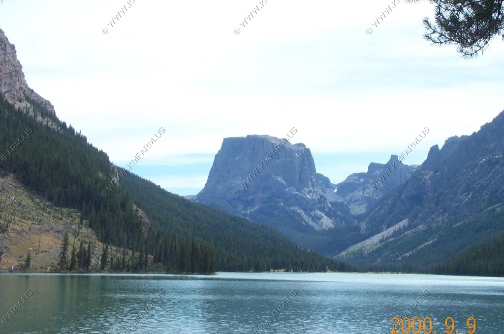
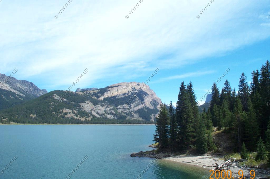
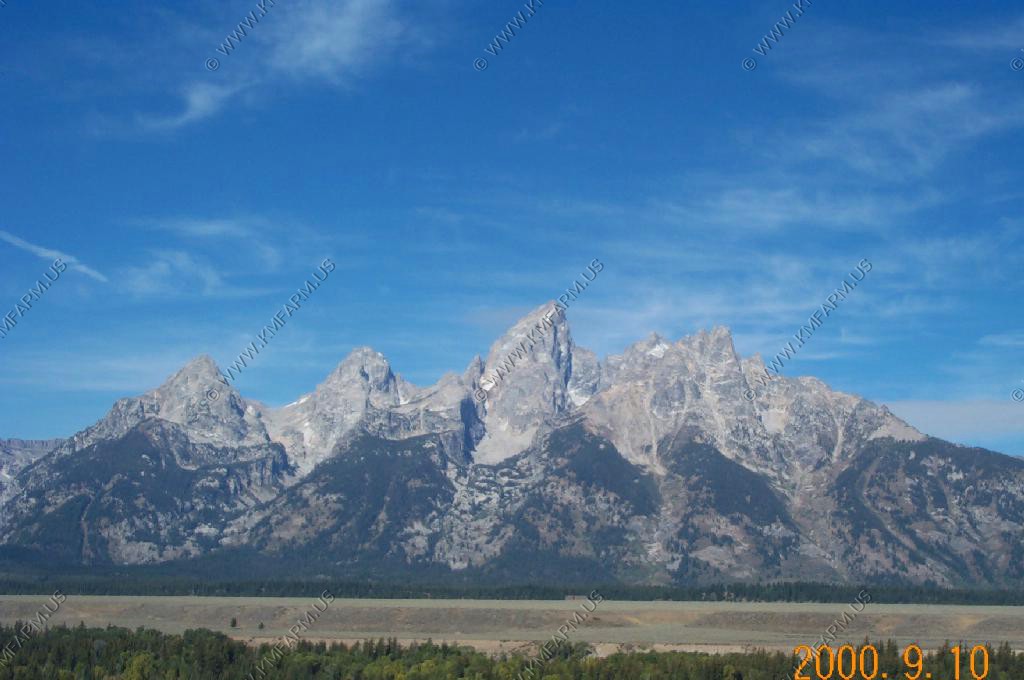
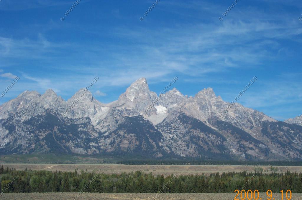
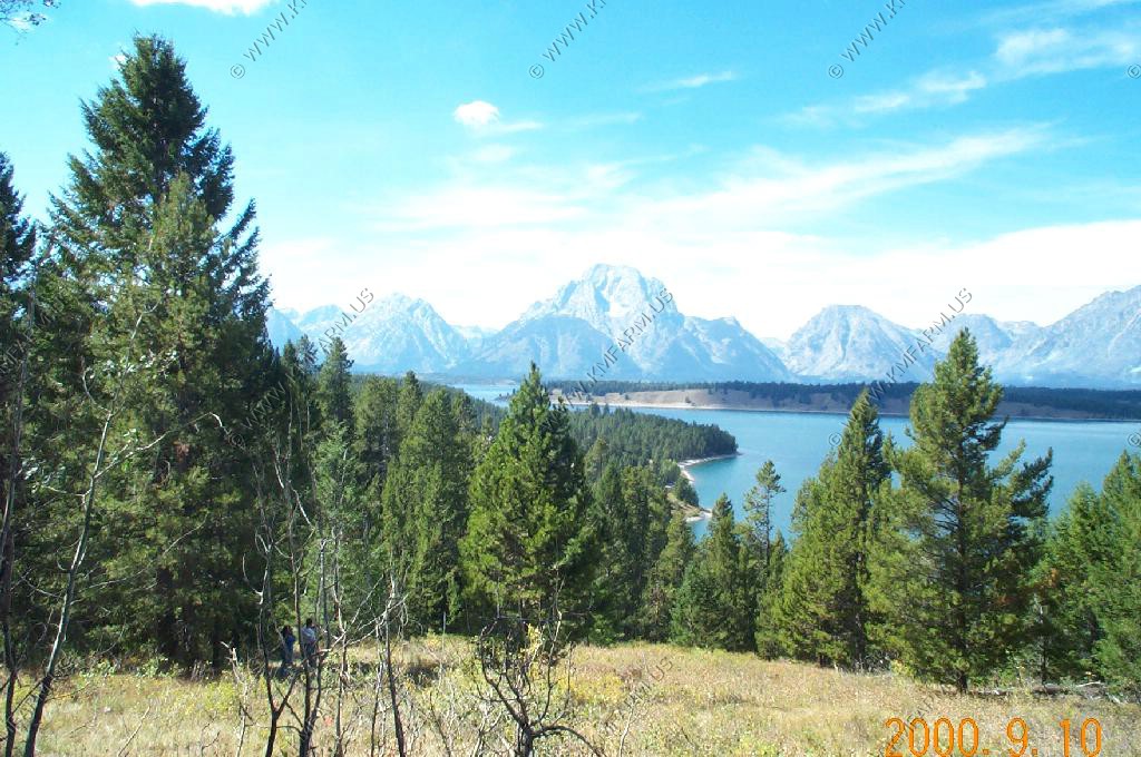
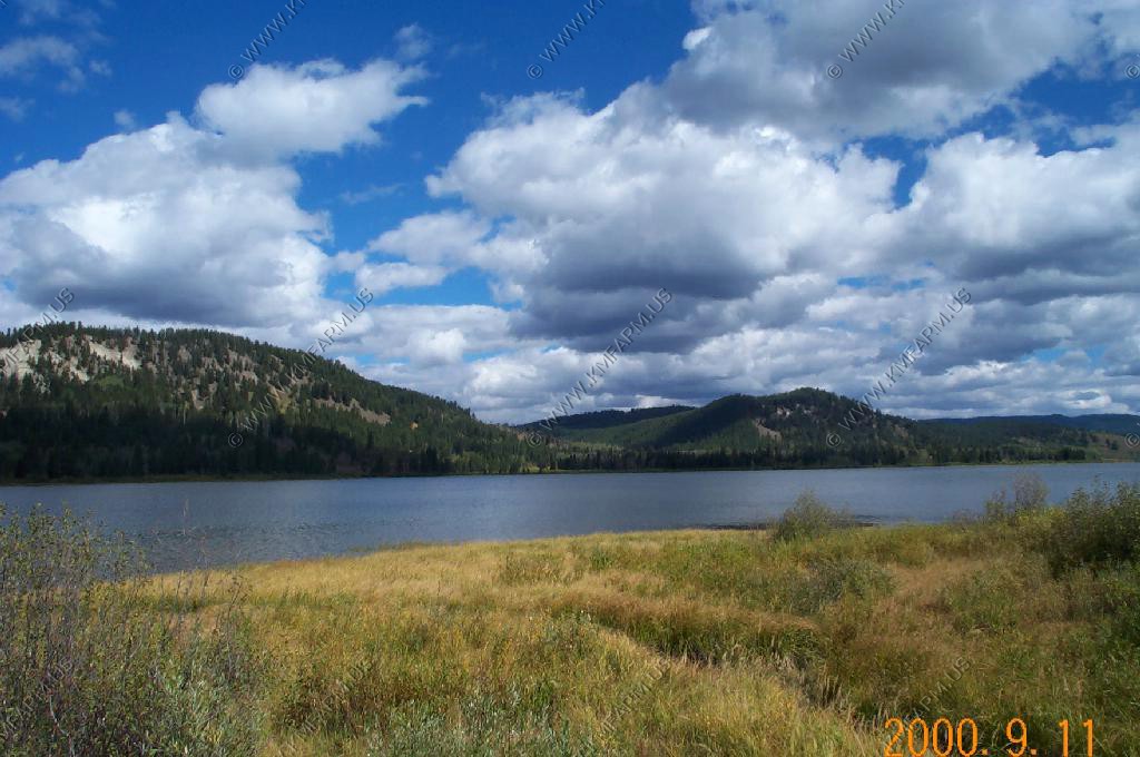
We headed up to take a look at Fremont lake and the Winds and we were quite impressed. Fremont Lake is approximately 12 miles long and a little over 1 mile wide. Average depth is 269 feet with a depression of 625 feet mid lake west of the campground. Also Fremont Lake has the 2nd lowest dissolved solids content of all U.S. lakes, making Fremont Lake one of the nation's cleanest.
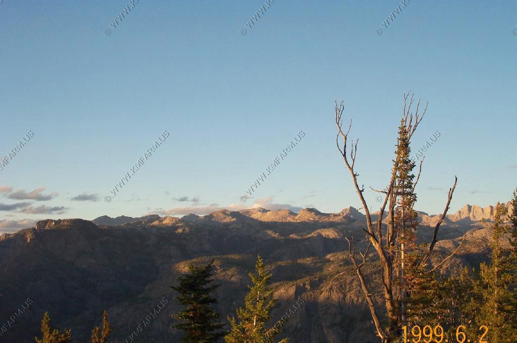
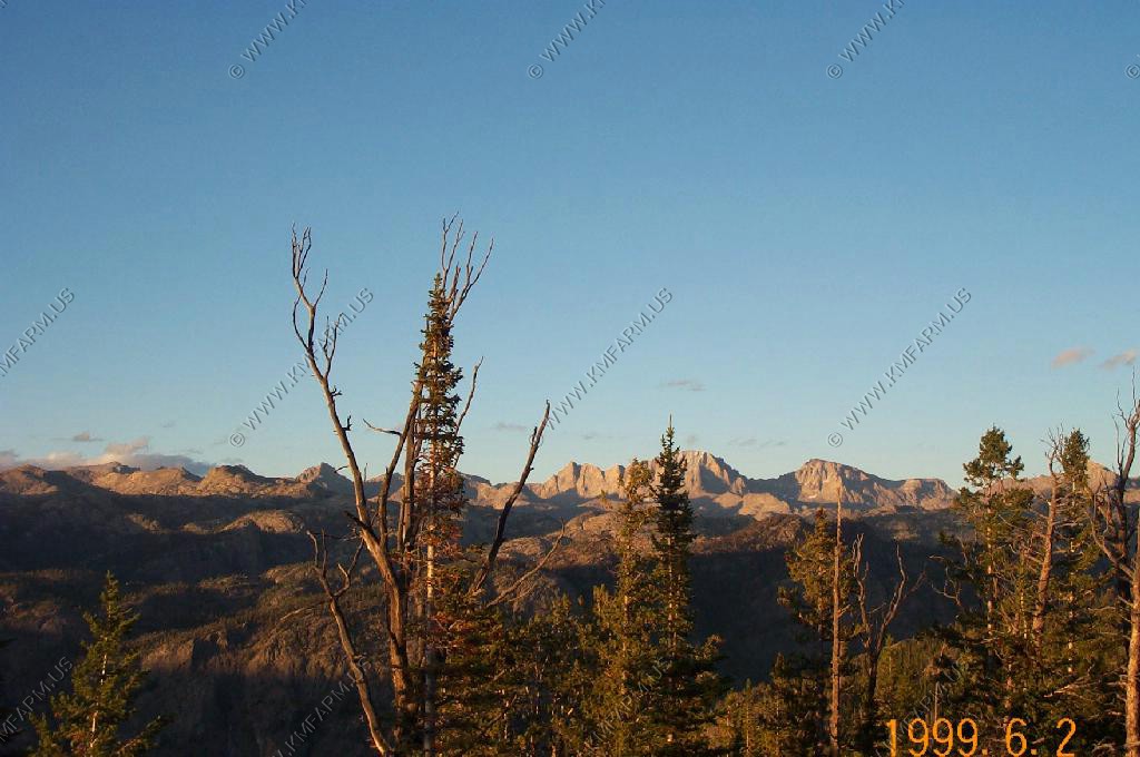
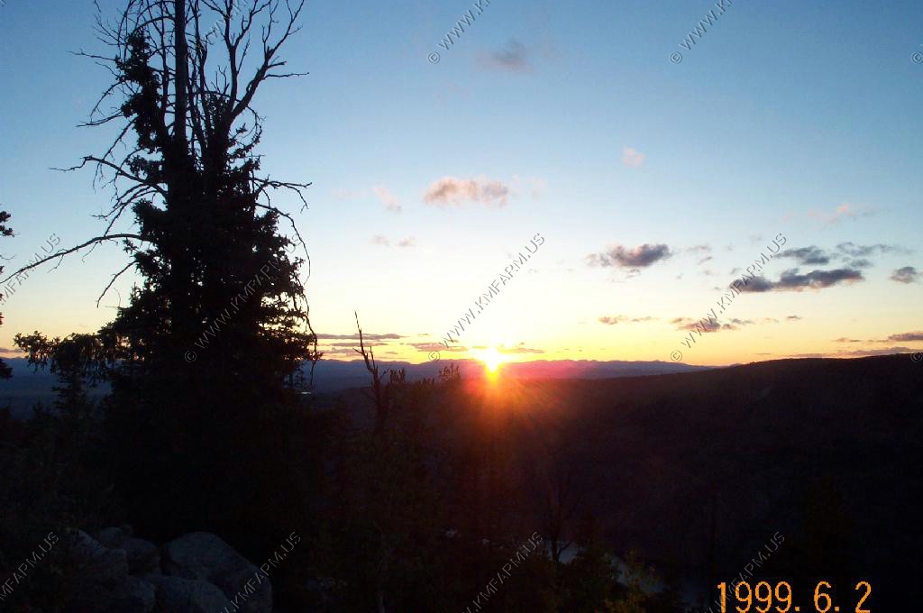
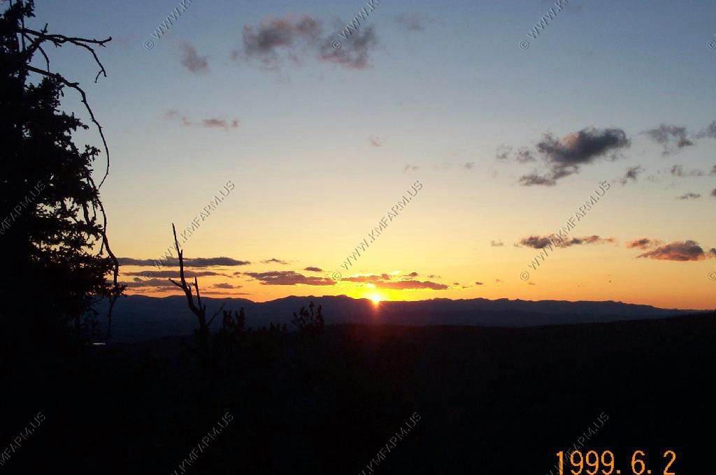
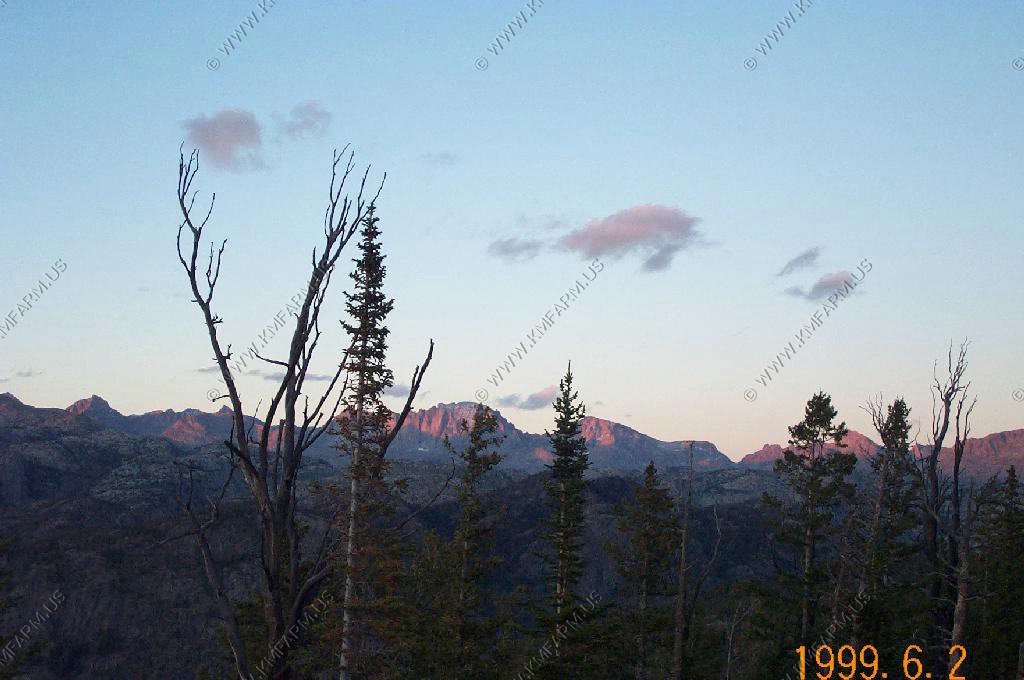
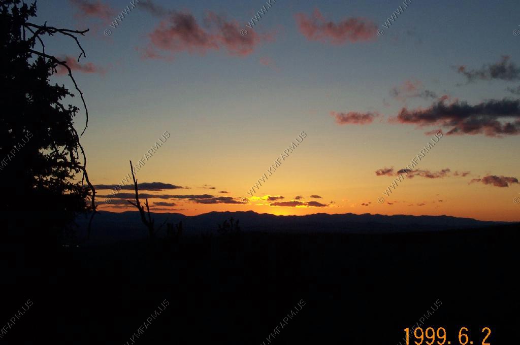
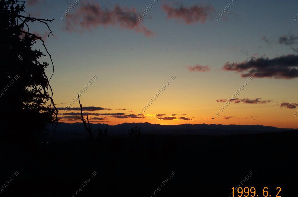
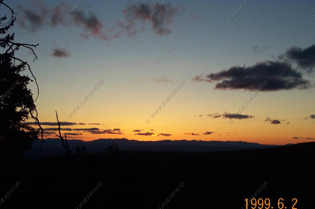
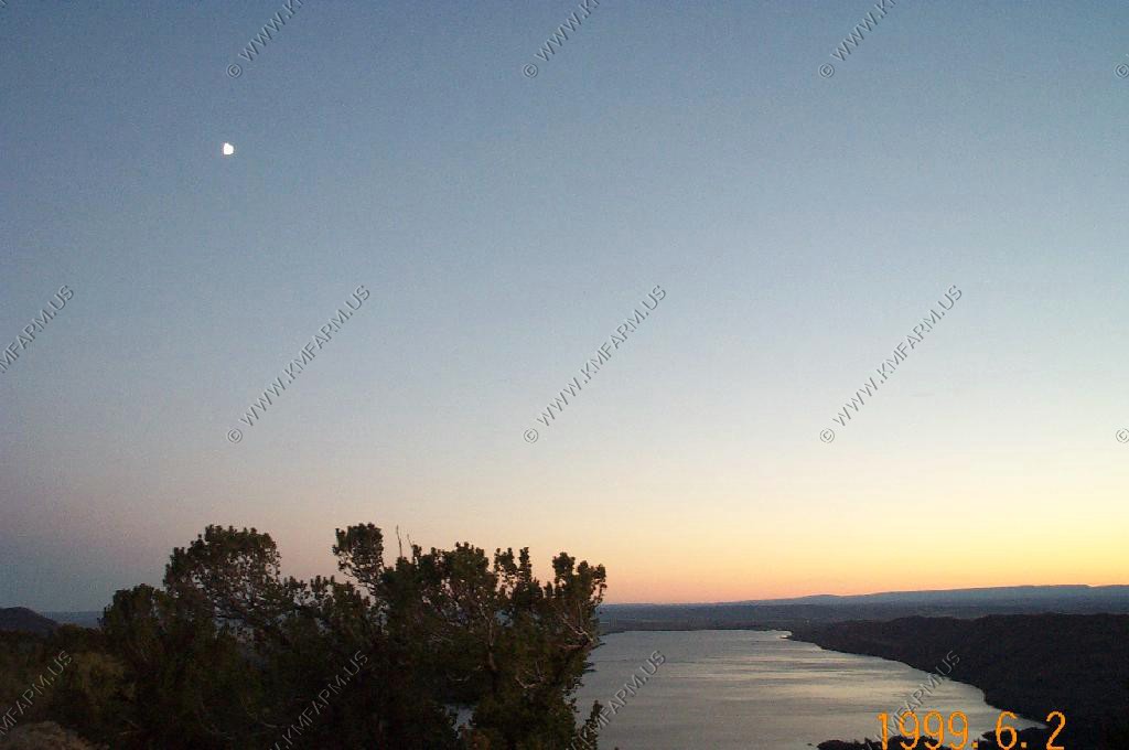
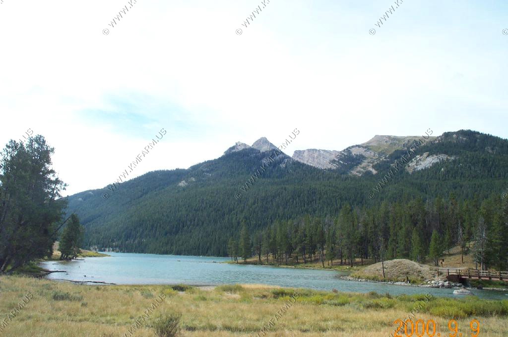
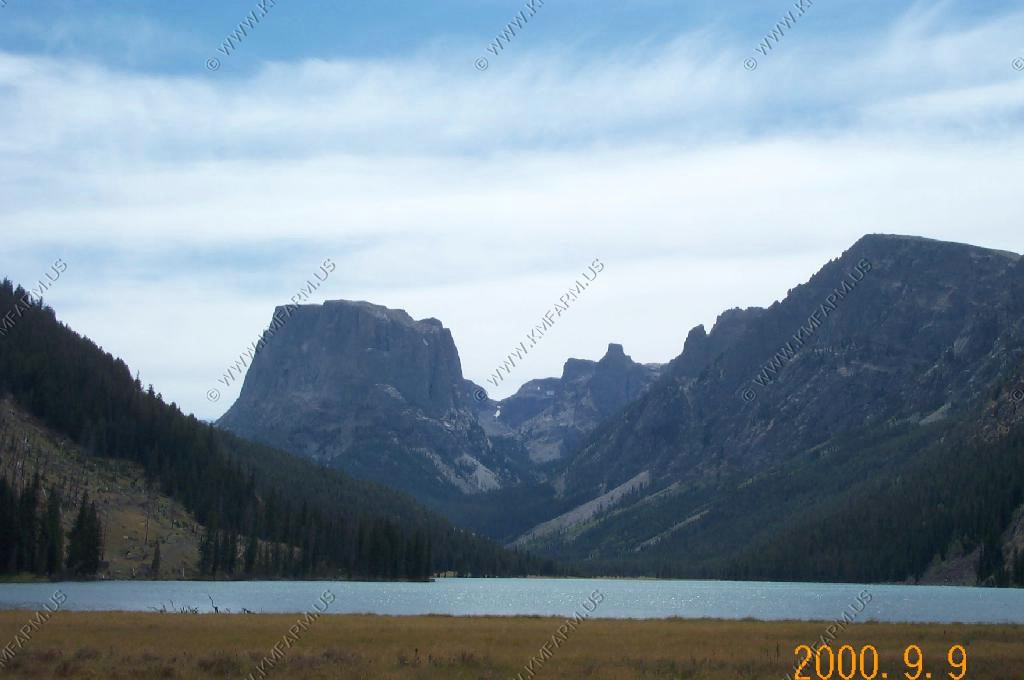
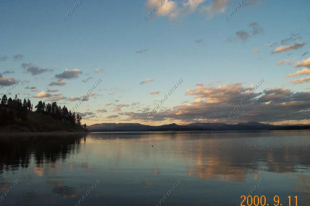
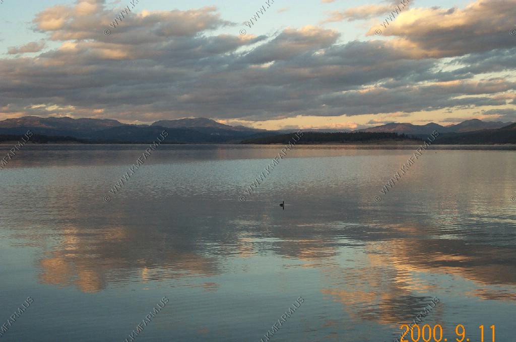
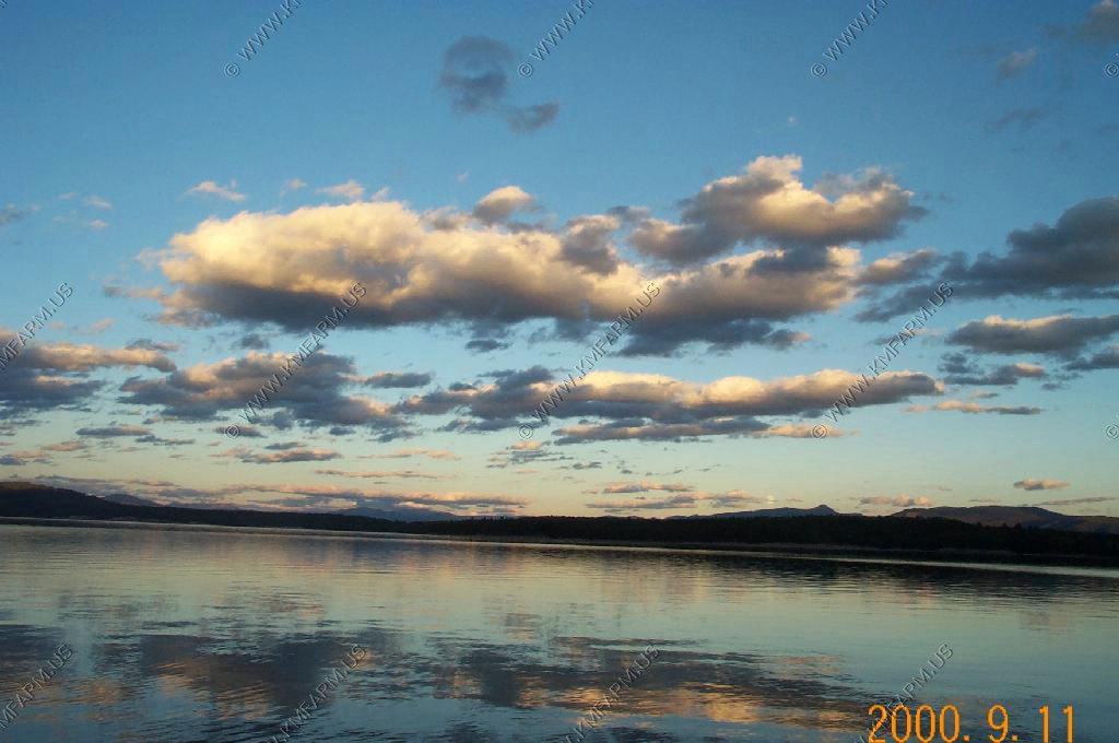
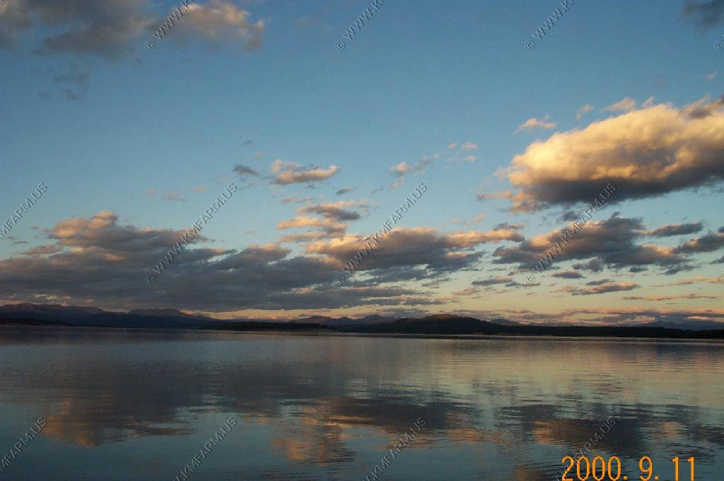
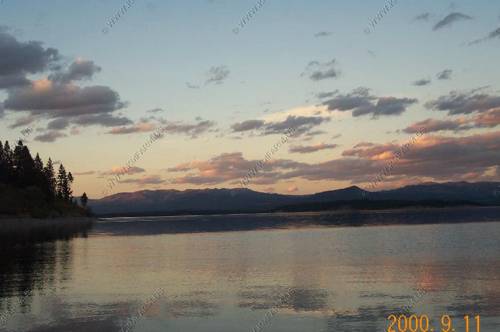
We ate at Halfmoon Lake and had the entire place to ourselves for most of our meal. The food was very good and we will definitely go back the next time we are in Pinedale. After dinner we headed up to Elkhart Park, Elevation 9,100 ft, to watch the sunset.
The light on Fremont peak was much more impressive that the sun going down in the west over the Wyoming range 50 miles away.
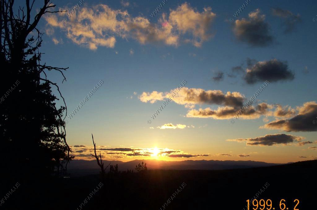

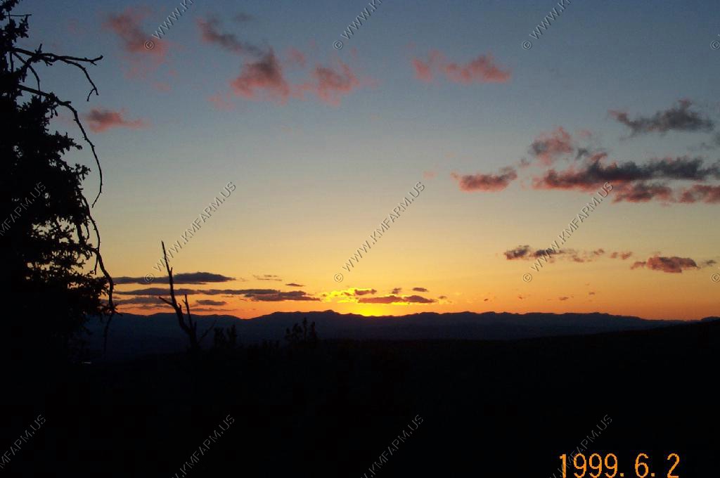
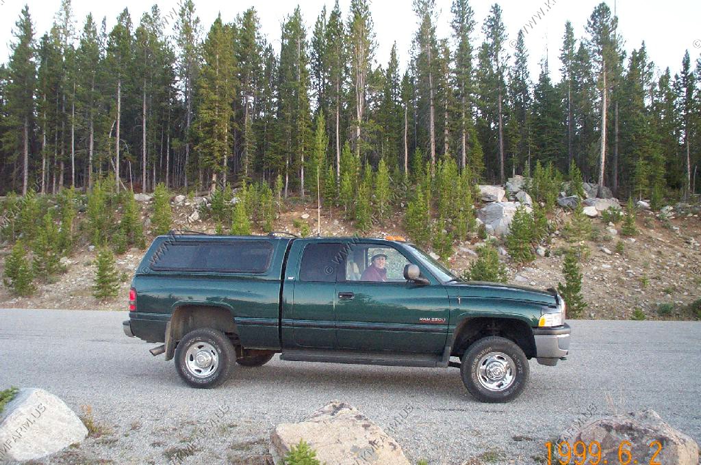
Since the tempature was in the 40's Mary enjoyed the sunset from the truck.
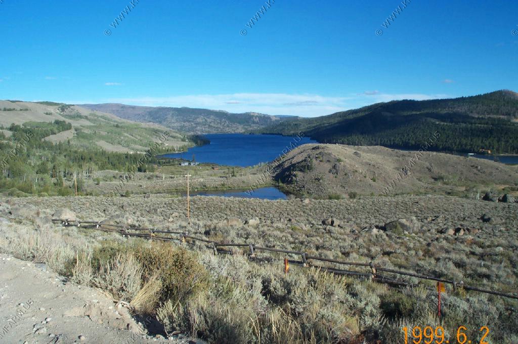
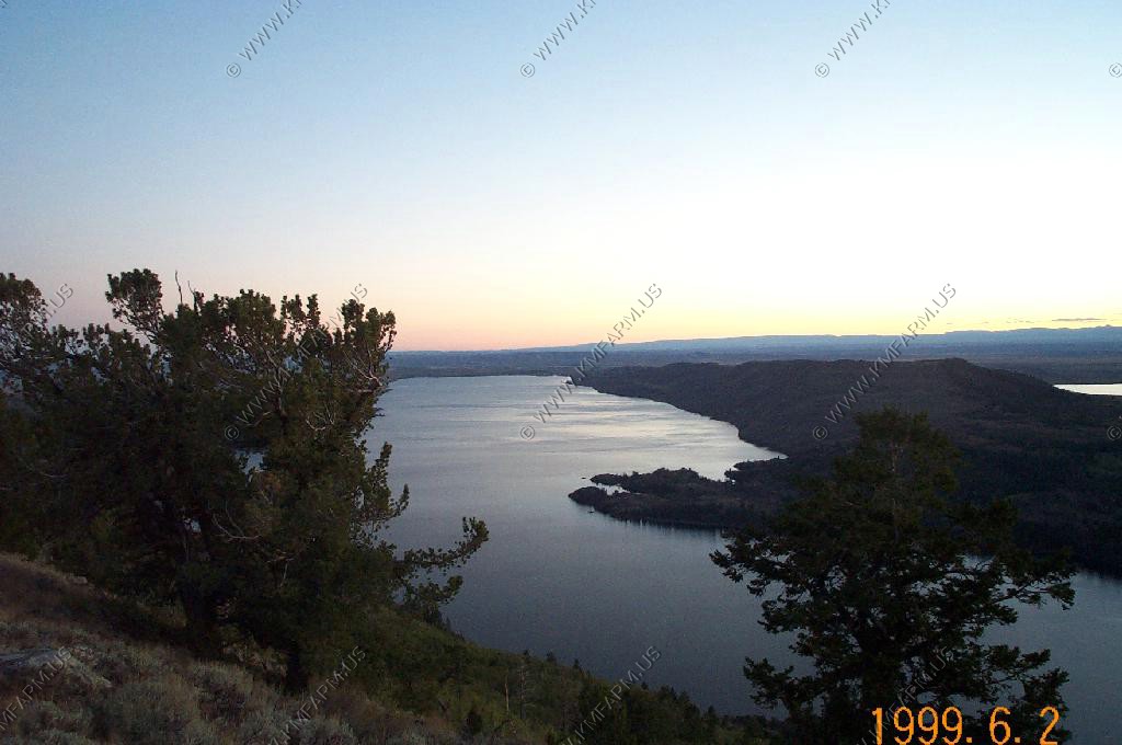
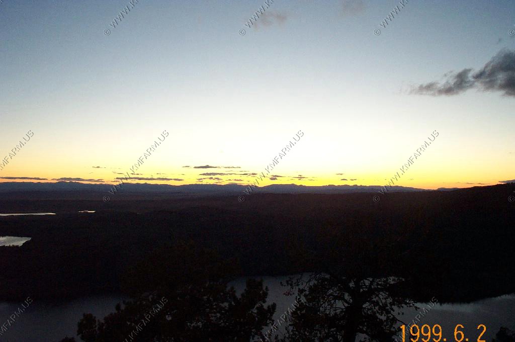
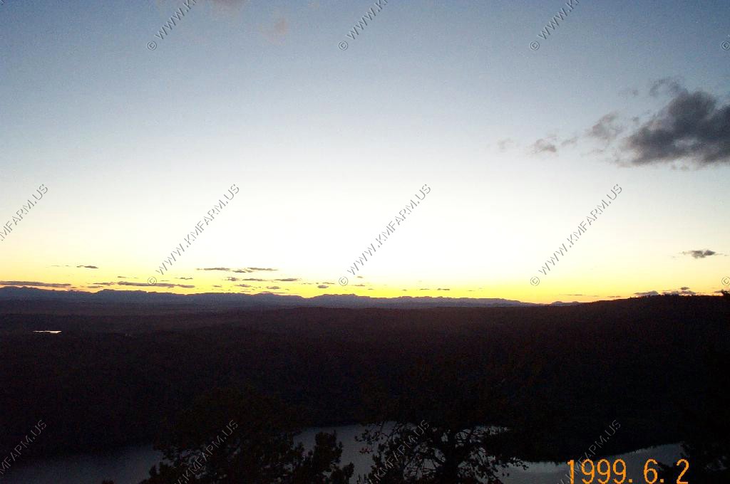
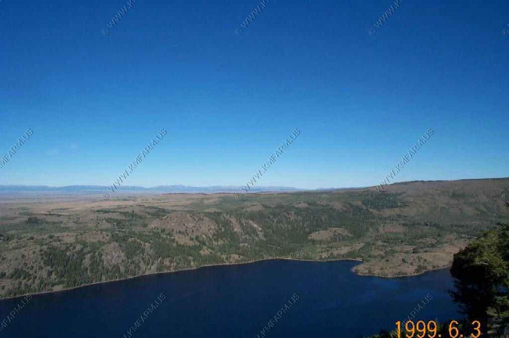
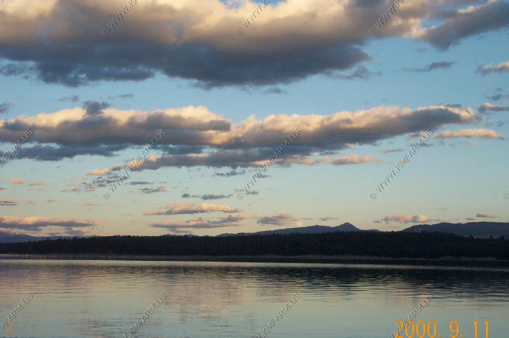
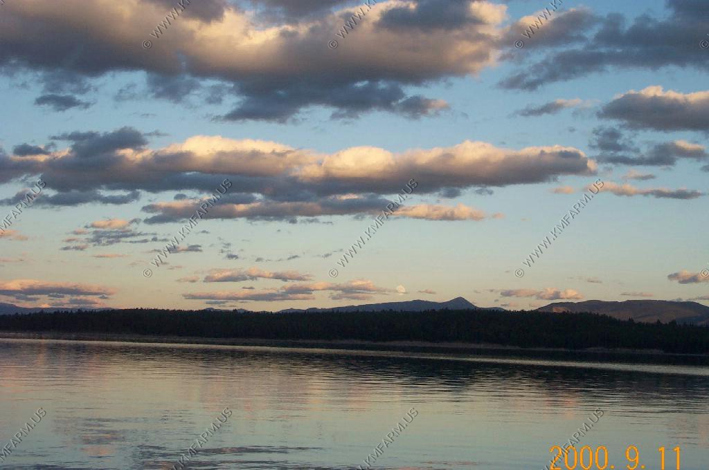
On the way back to Pinedale we checked out Fremont lake almost 2,000 feet below.
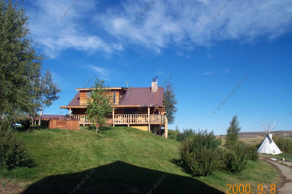
We stayed at Rivera Lodge because Pole Creek Ranch screwed up our reservations. Rievera was clean but we had to kill about 20 flys in the room when we checked in.
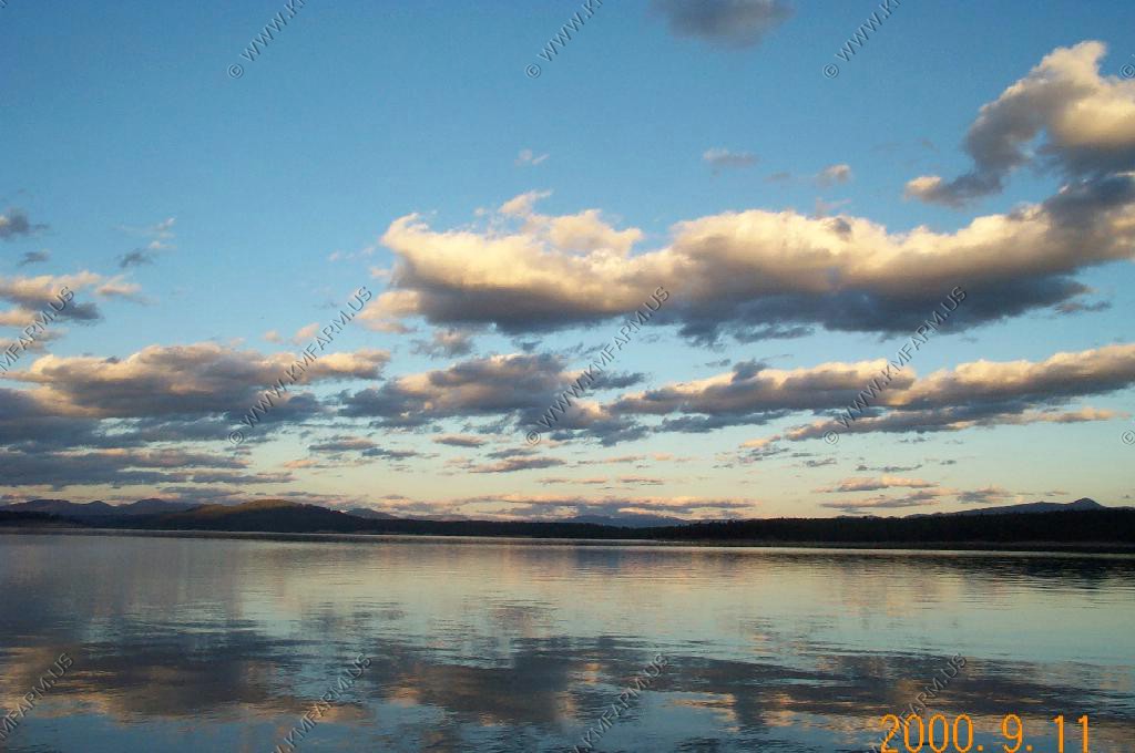
Another beautiful day.
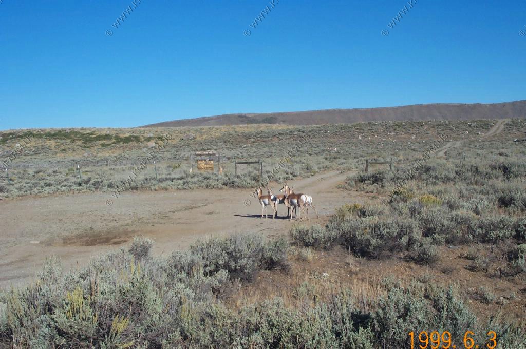
A herd of Pronghorn along the Fremont Lake Road to Elkhart Park

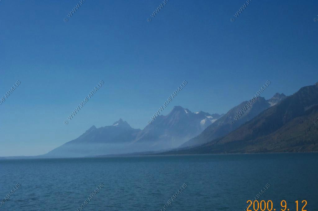
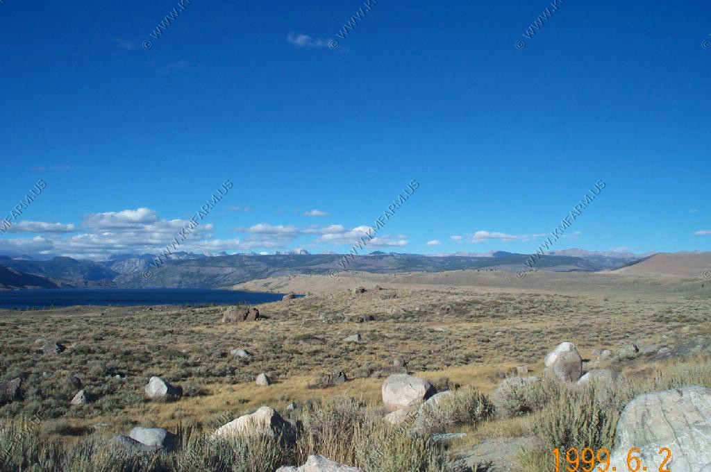
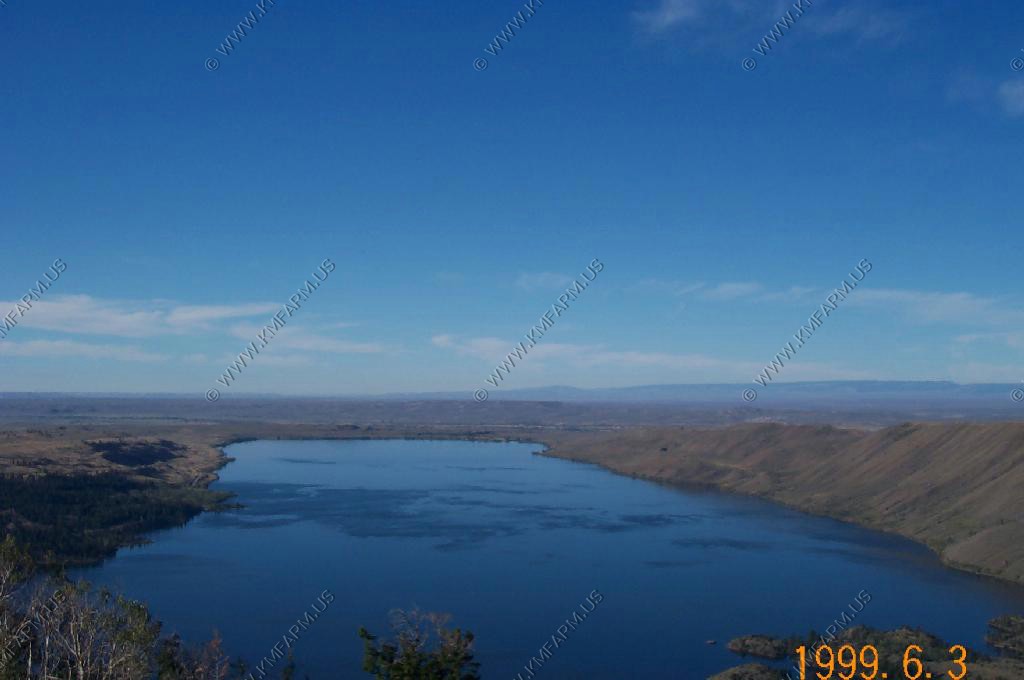
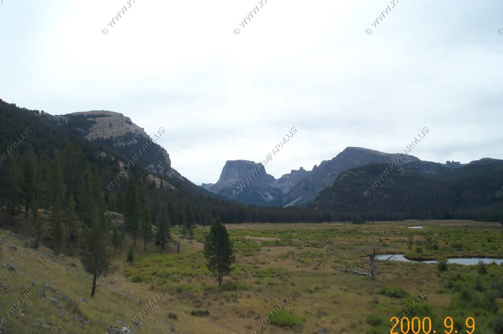
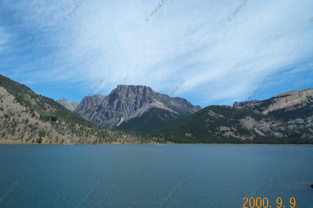
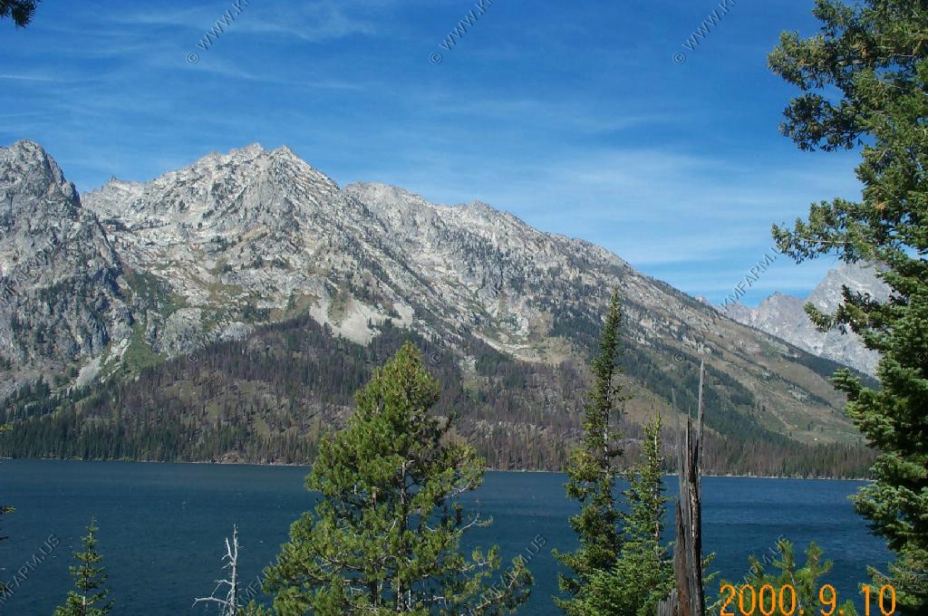
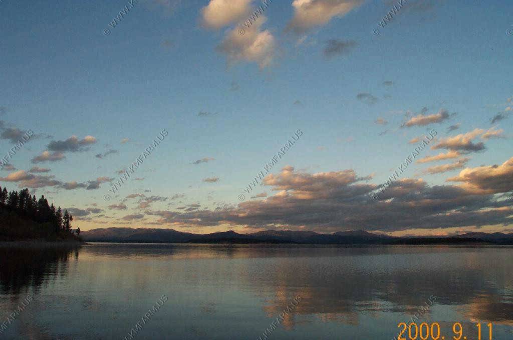
Looking west over Fremont Lake.

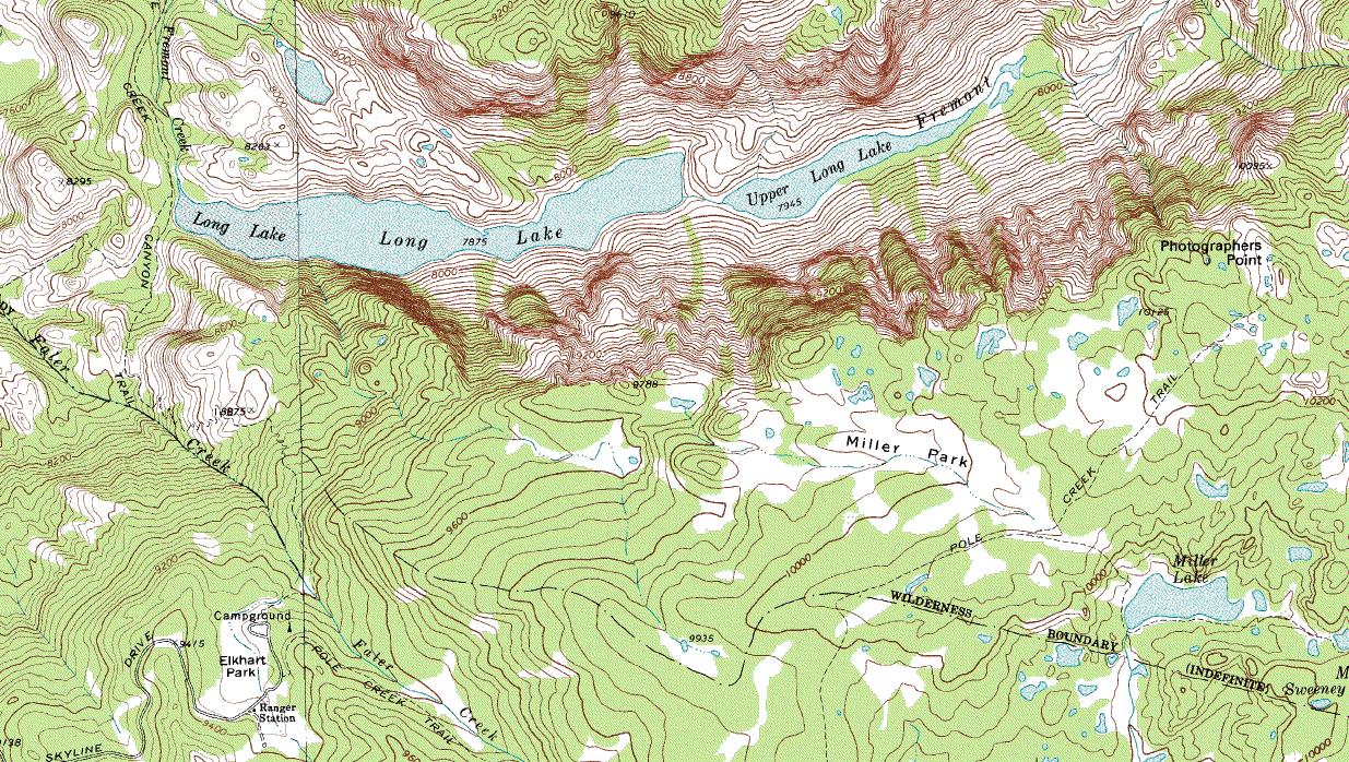
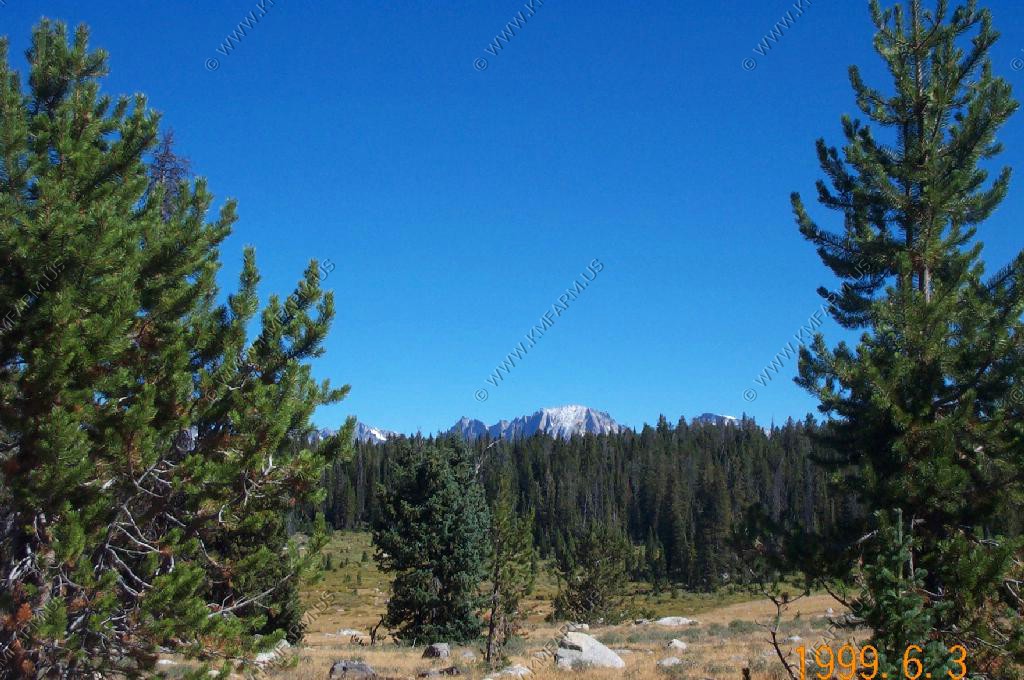
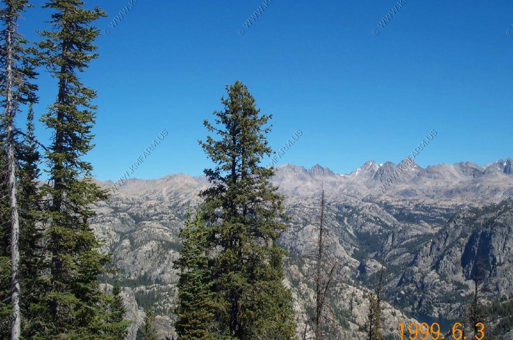
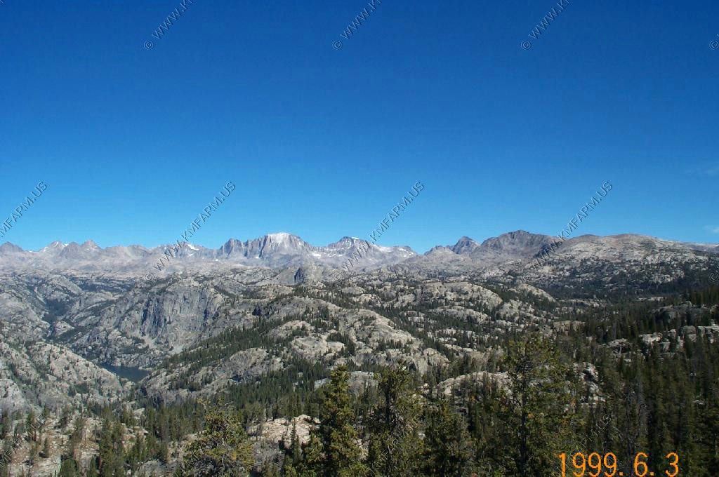
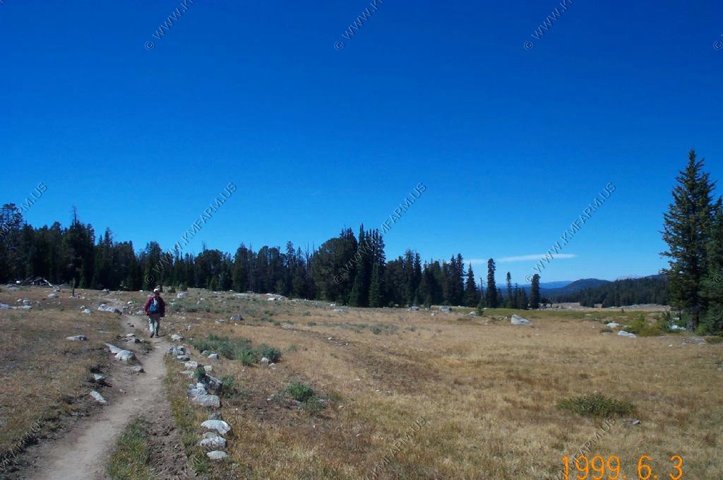
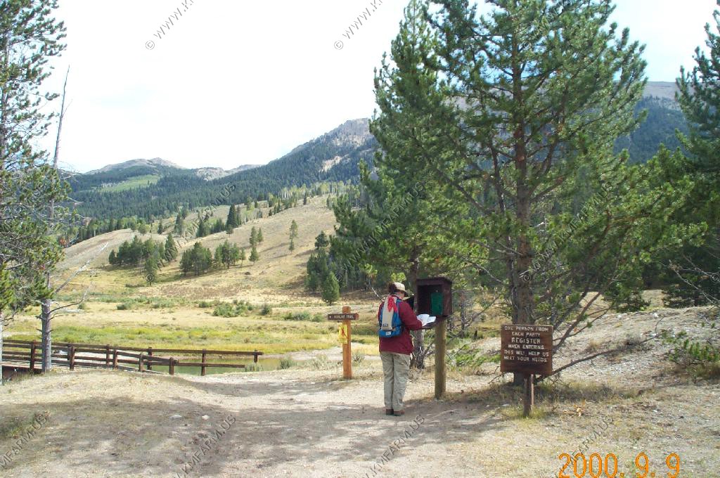
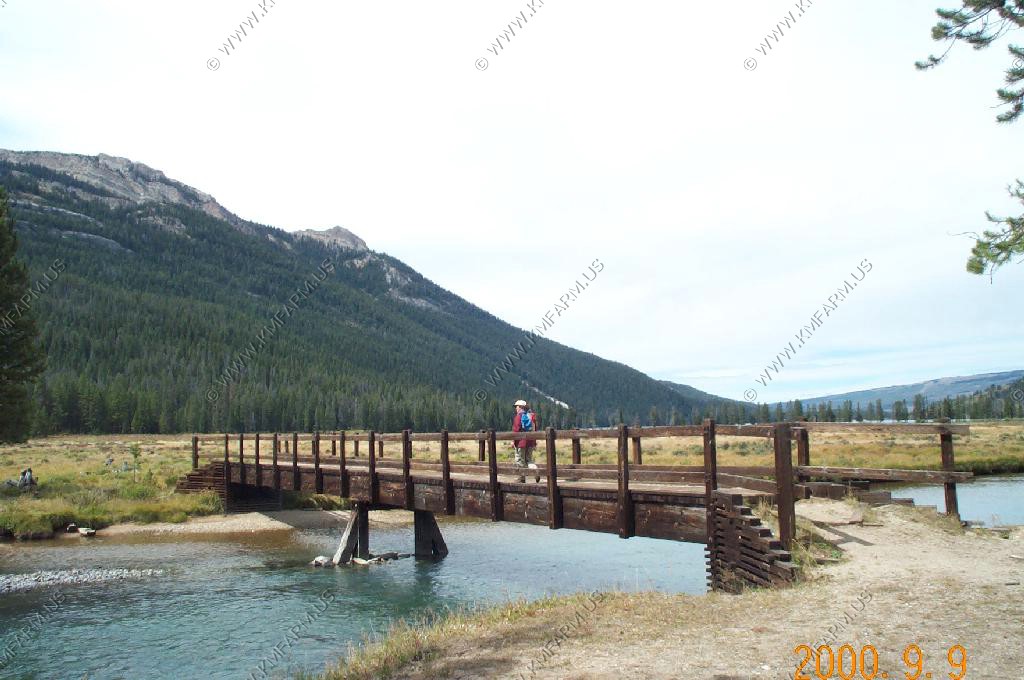
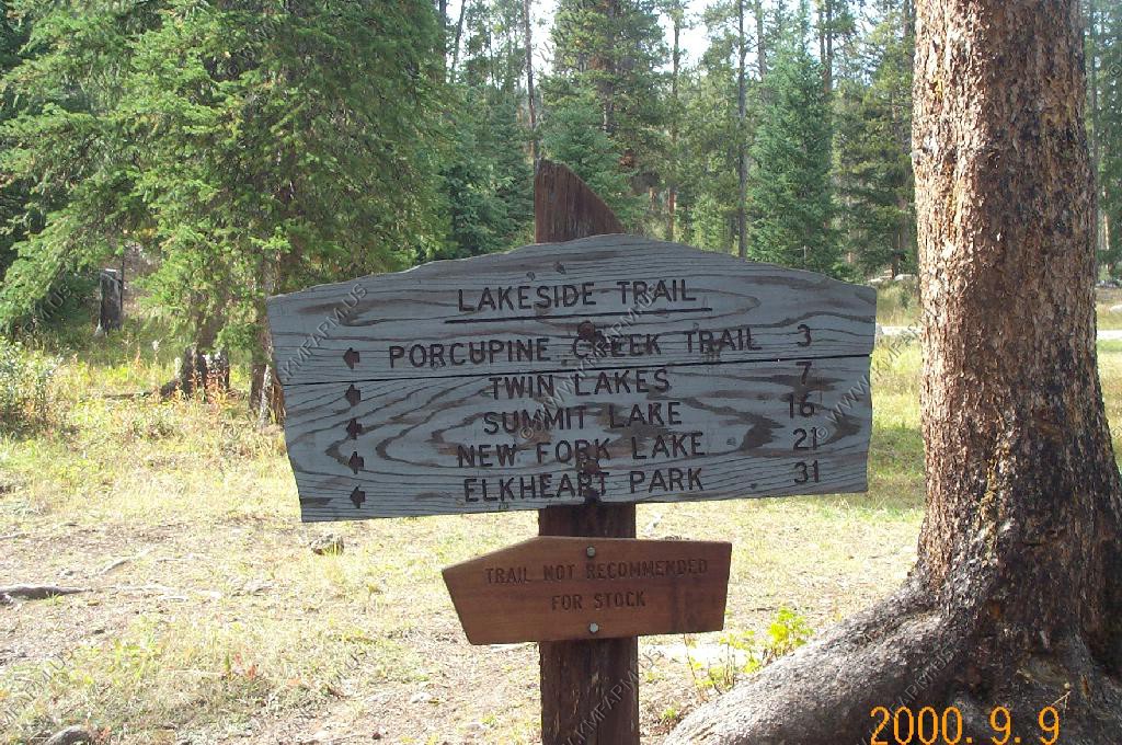
We parked at Elkheart Park 9,300 ft and then hiked the 5 uphill miles on the Pole Creek trail. The point is at 10,200 so the elevation change is not that much for a 5 mile hike.
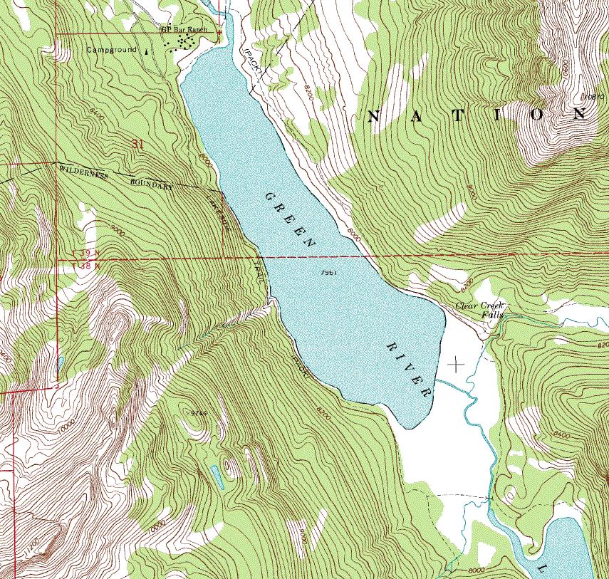
The topo map of most of the route
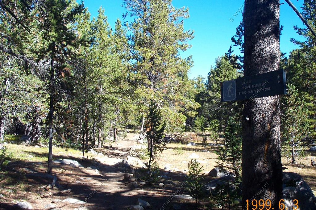
Starting point
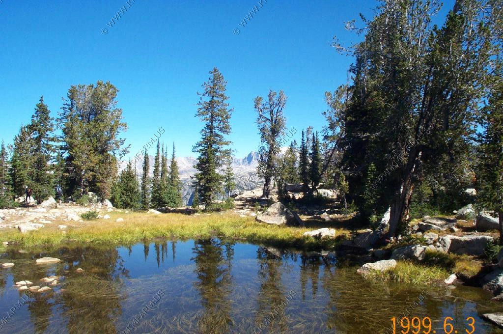
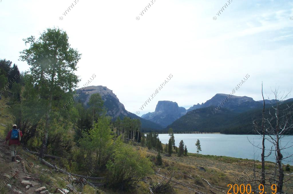
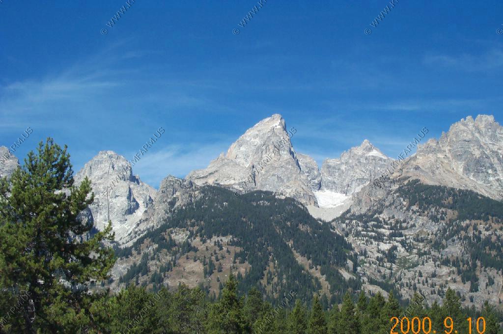
Fremont Peak looms above the trees as we get closer to Photographers Point
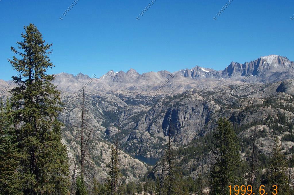
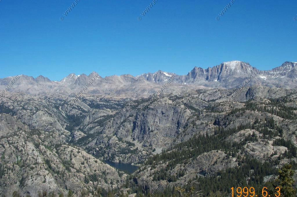
A small lake is right behind the point
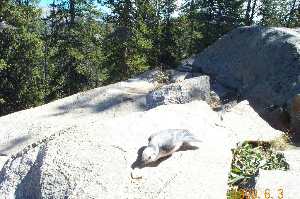
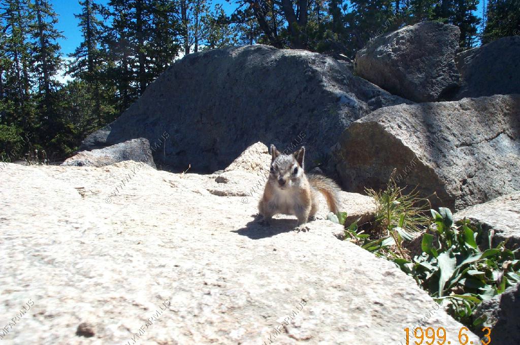
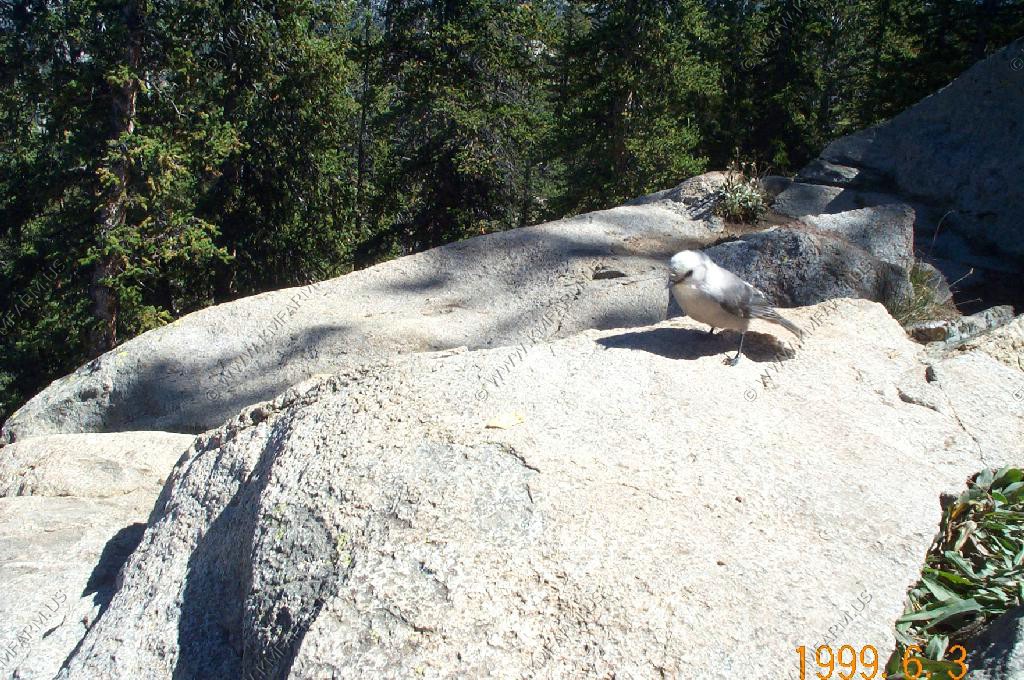
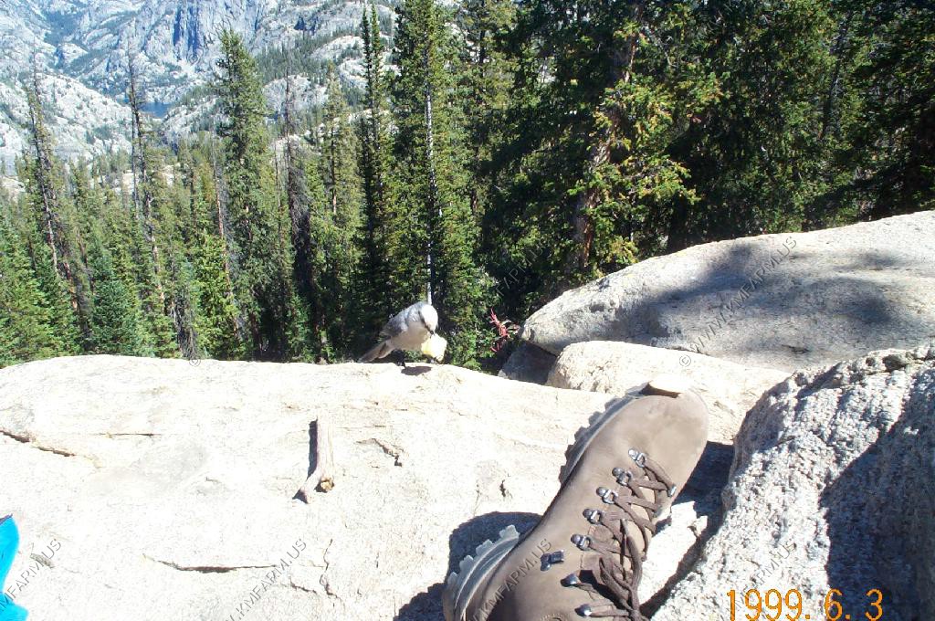
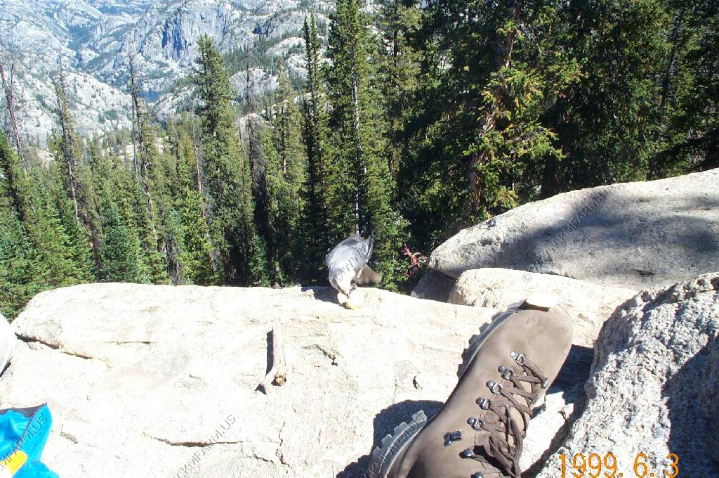
The chipmunks and the Clark's Nutcracker, as usual, are very friendly.
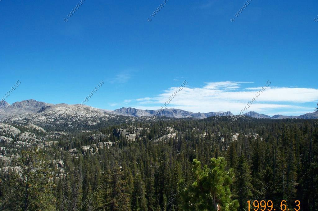
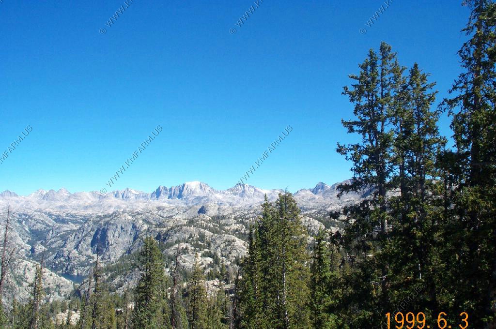
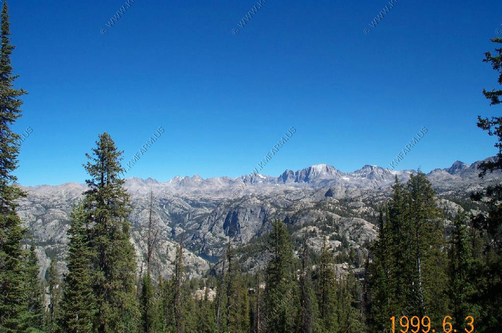
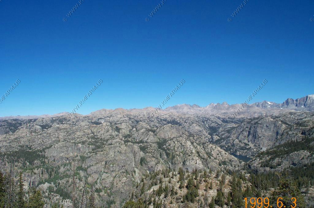
We walked a few hundred feet to the left of the trail and we found a more open area to view the upper Winds.
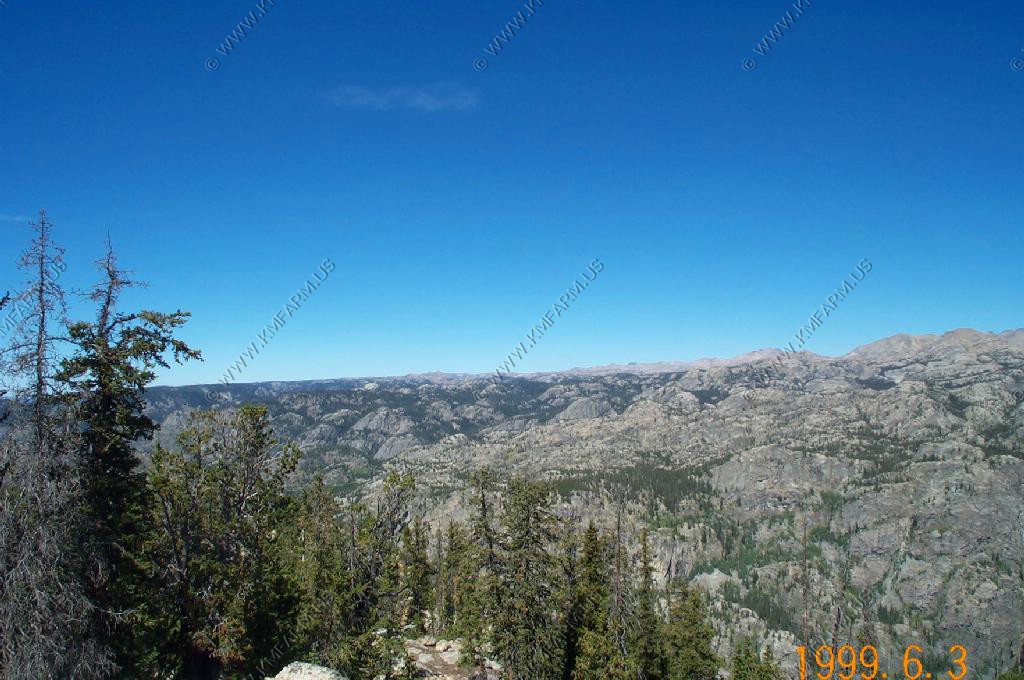
On the trail crossing Miller Park
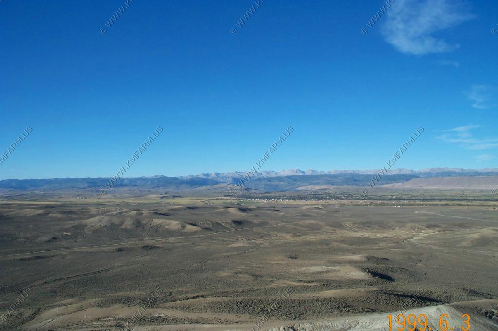
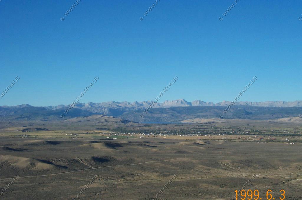
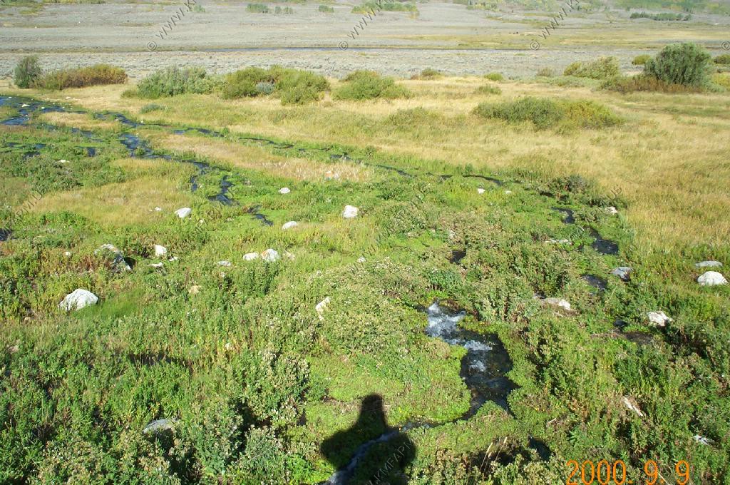
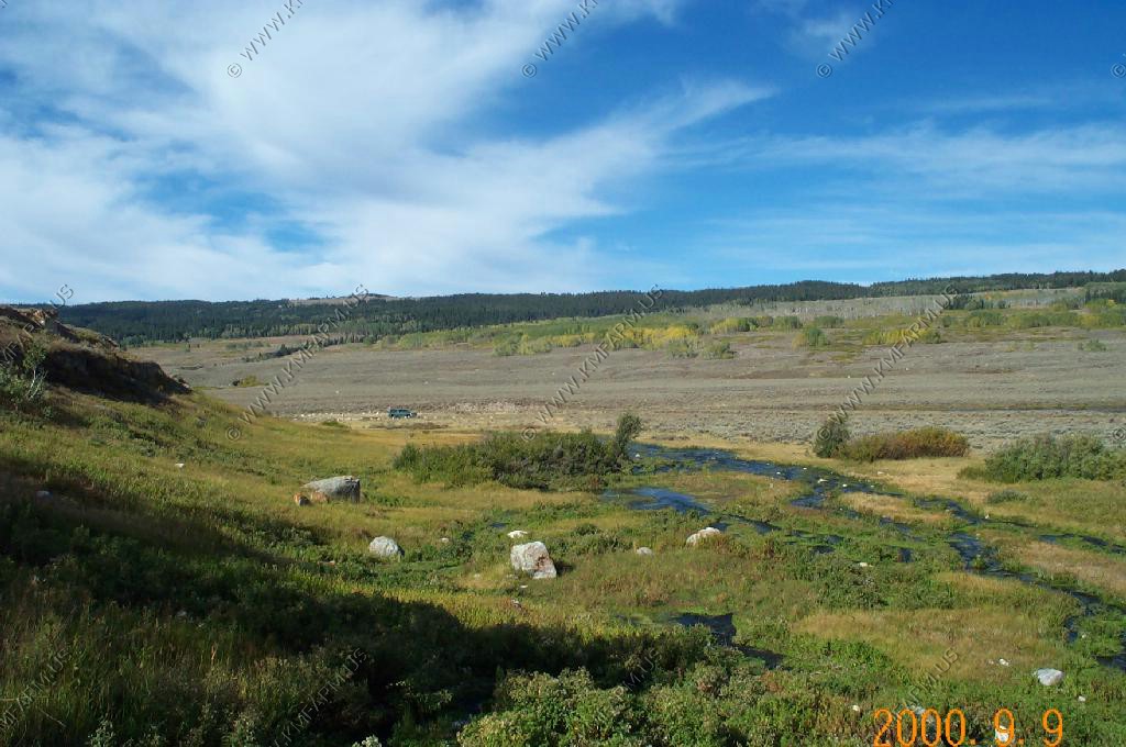
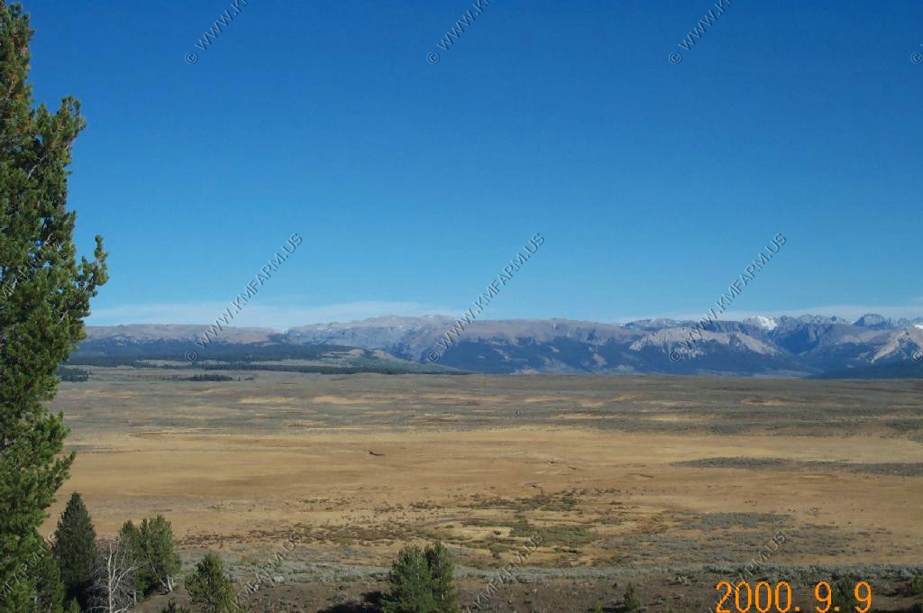
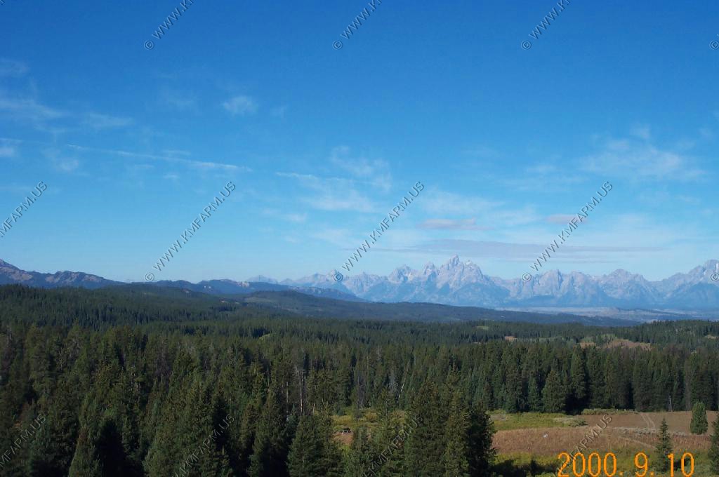
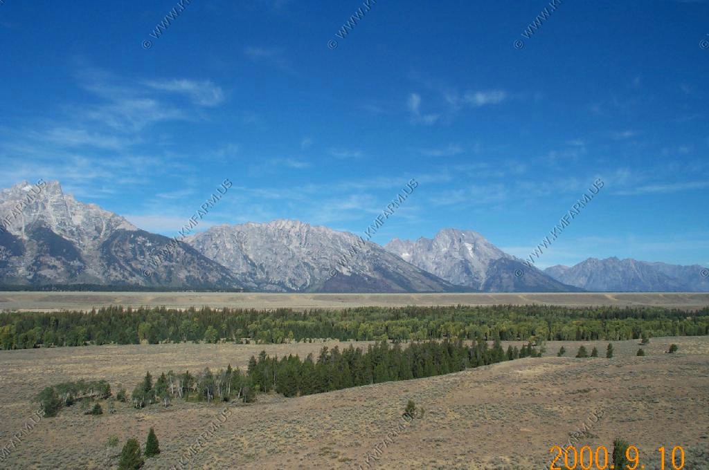
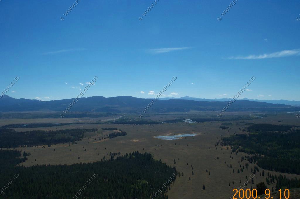
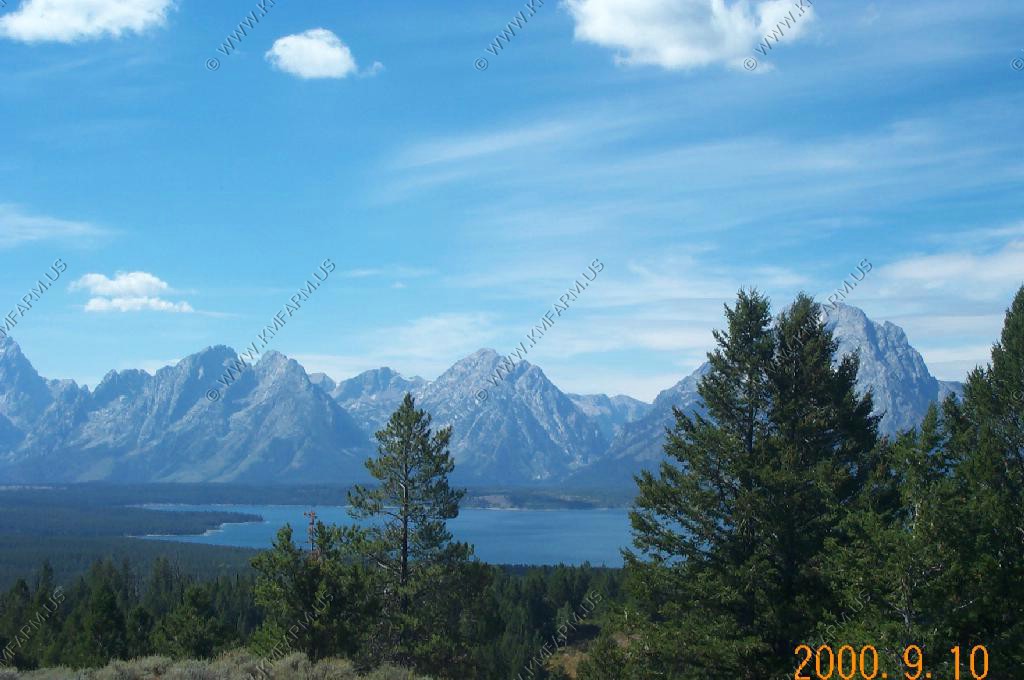
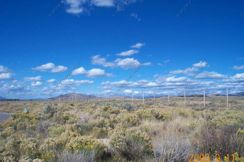
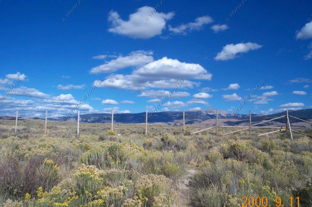
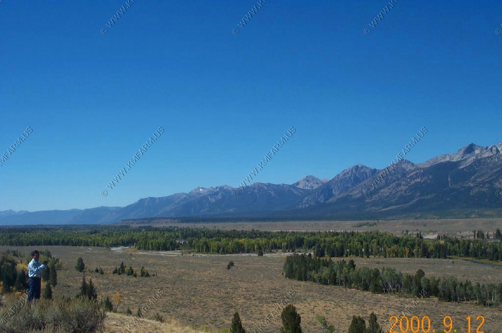
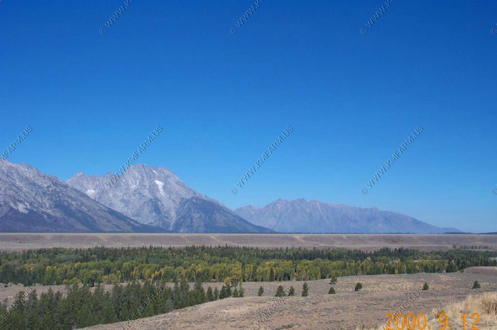
We went out on the Mesa to get a different view of Pinedale and the Winds.
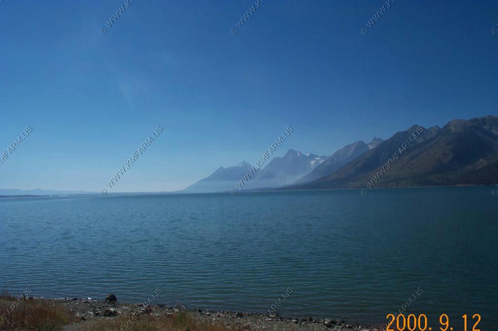
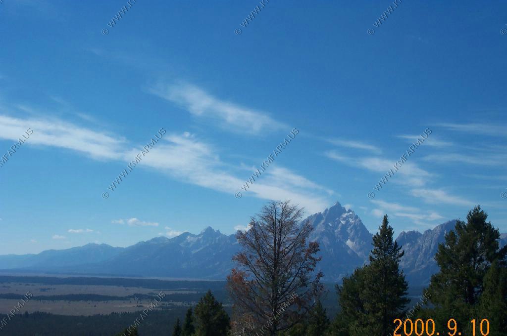
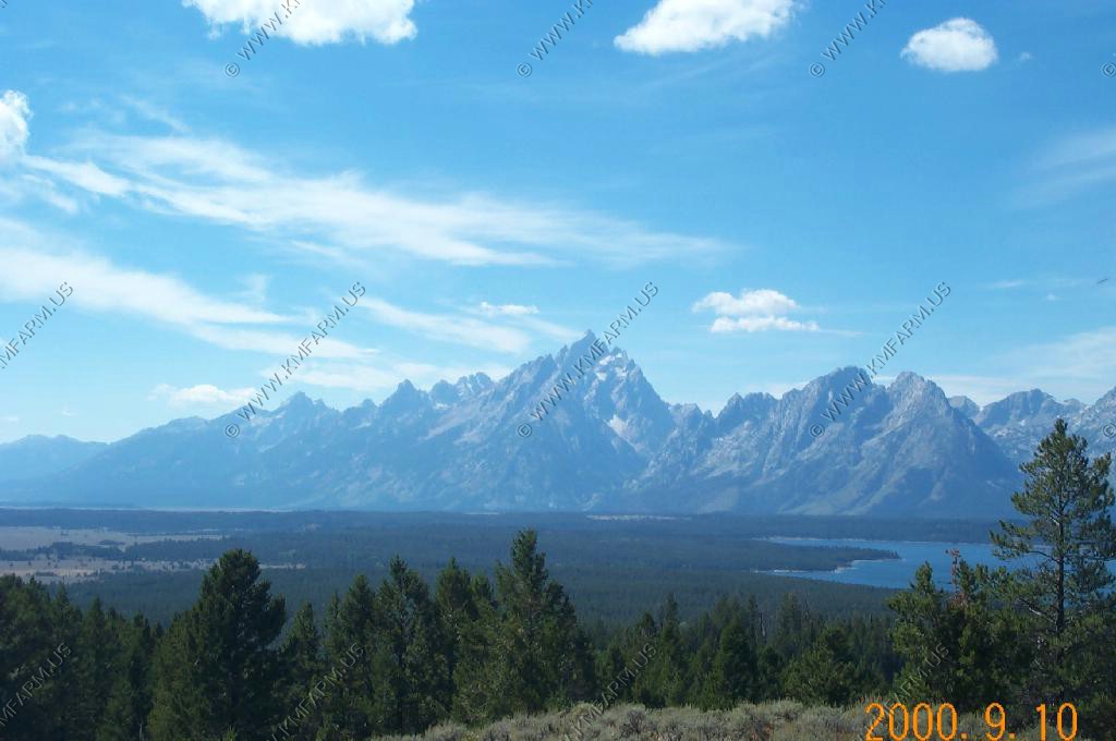
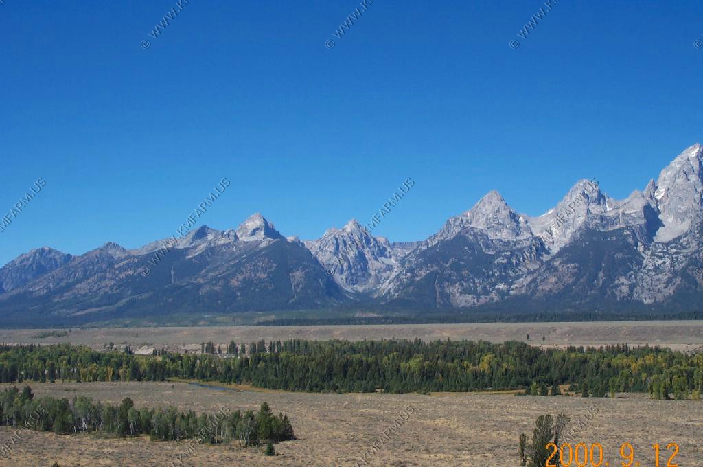
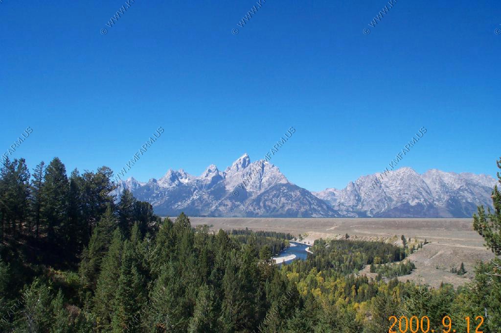
The view looking north from Stewart Point. You can see the highest point in the Tetons from here over 60 miles away.
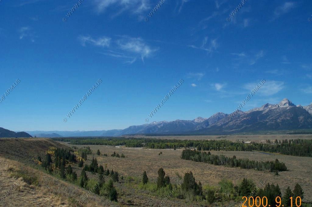
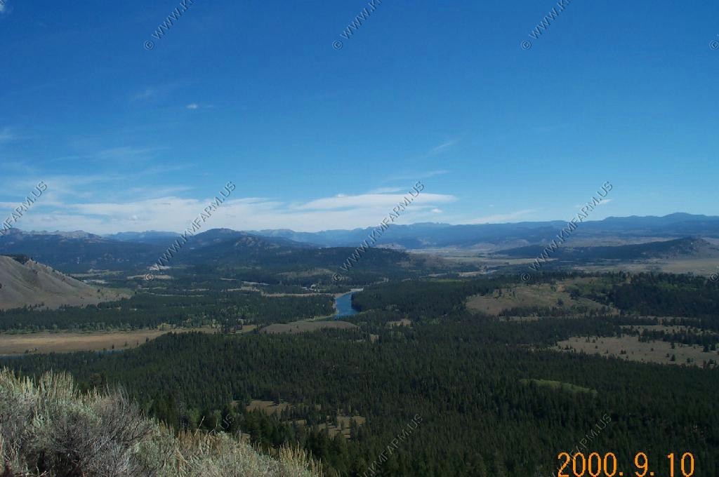
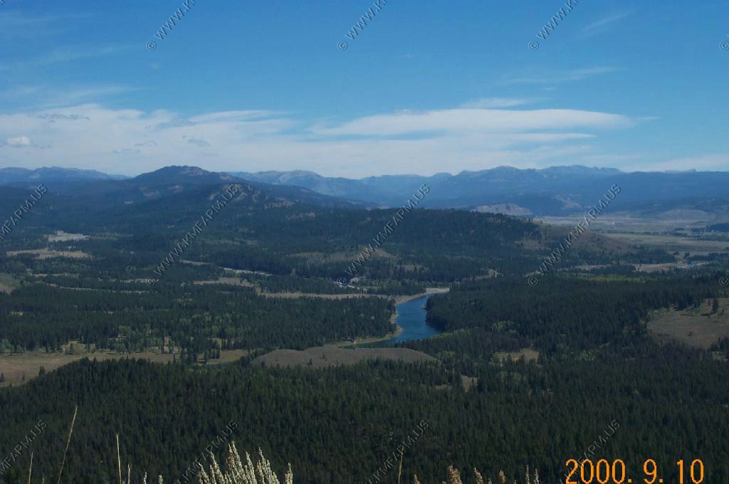
Looking north up the Green River valley towards Union Pass
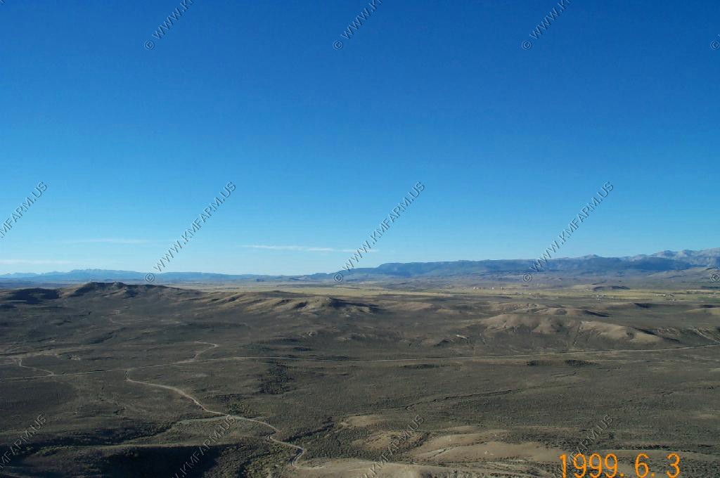
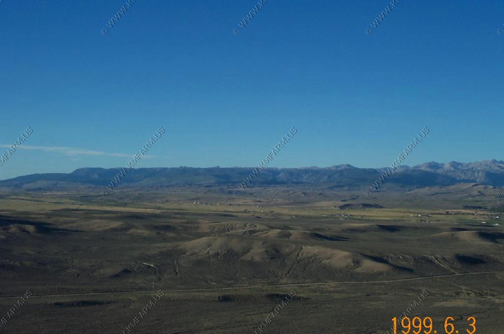
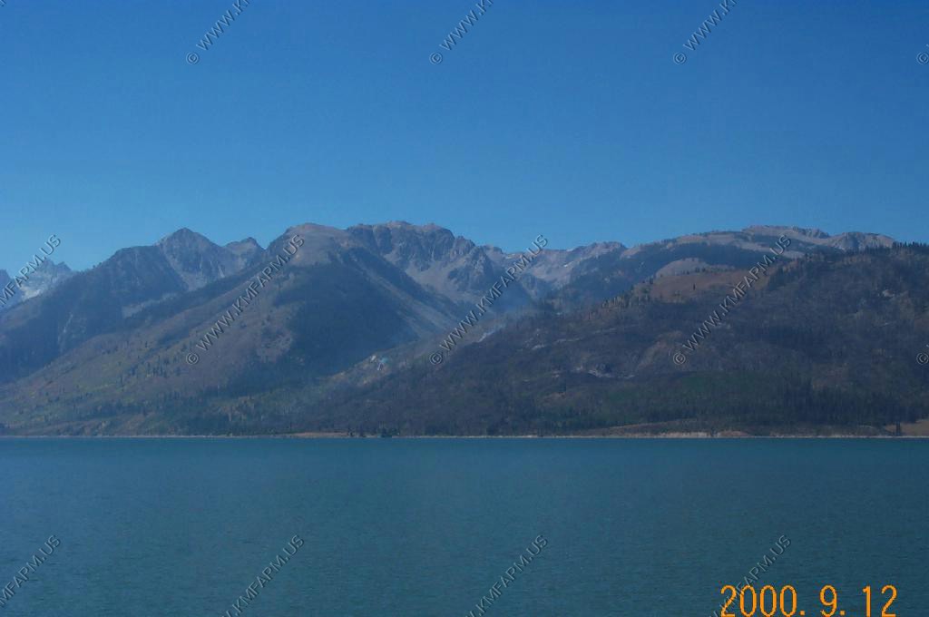
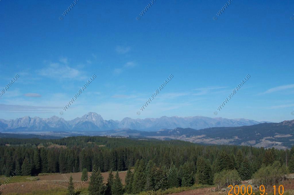
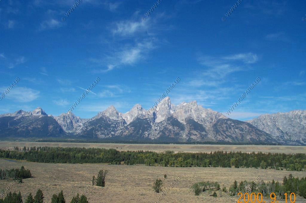
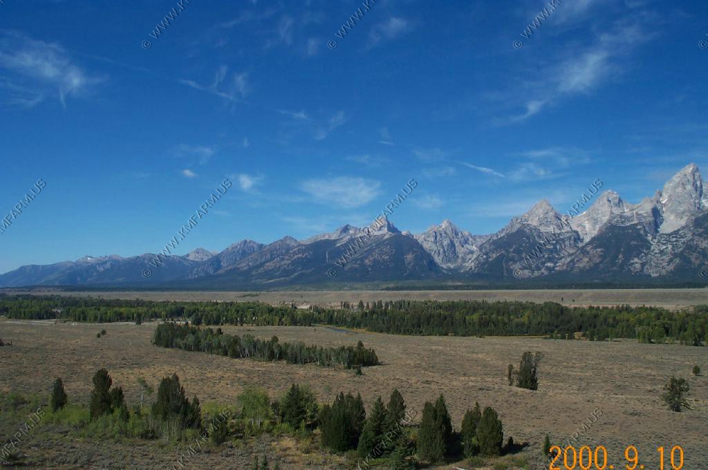
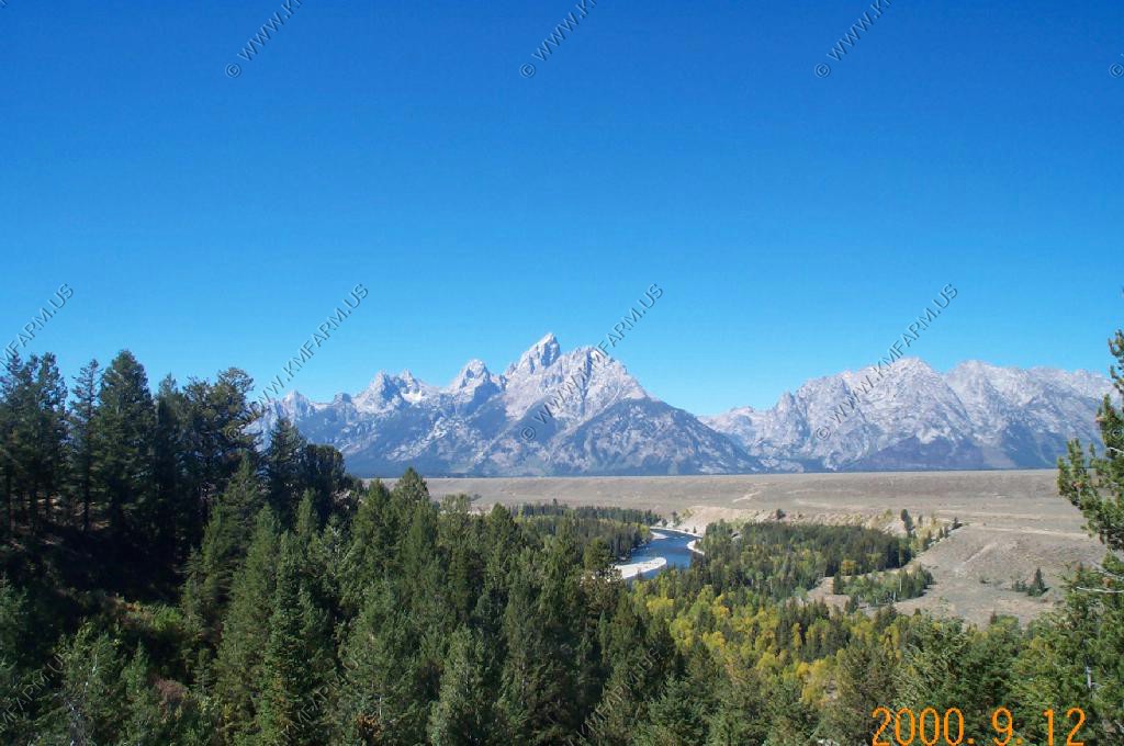
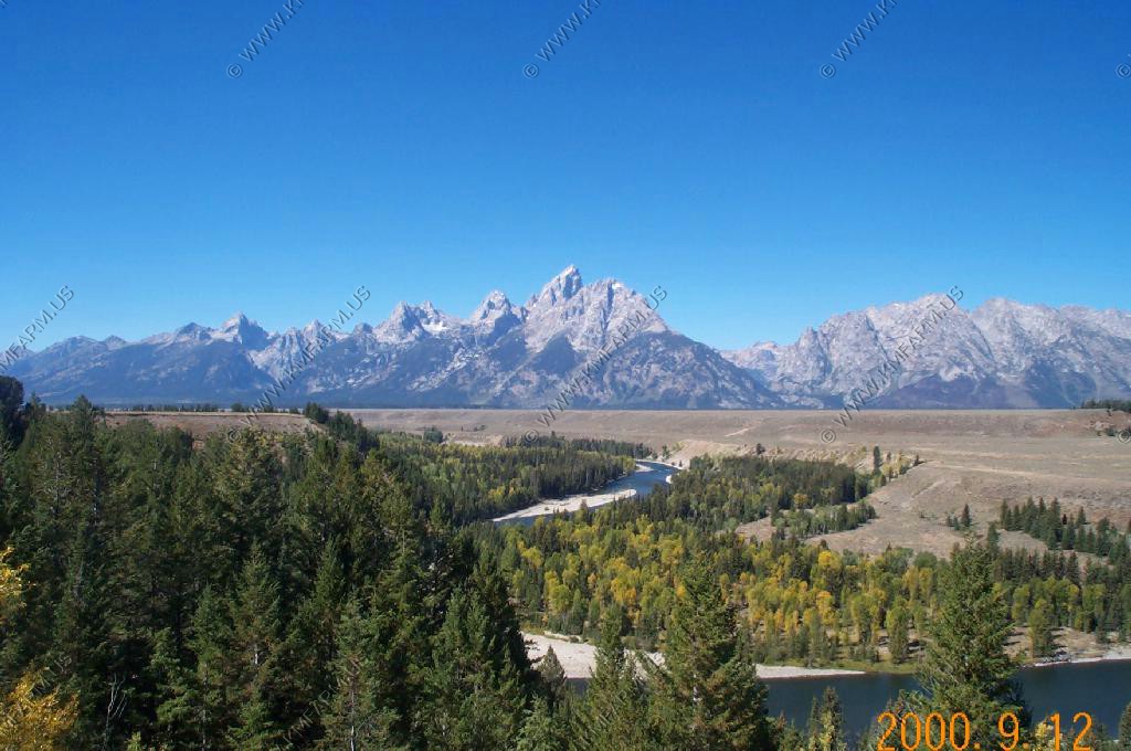
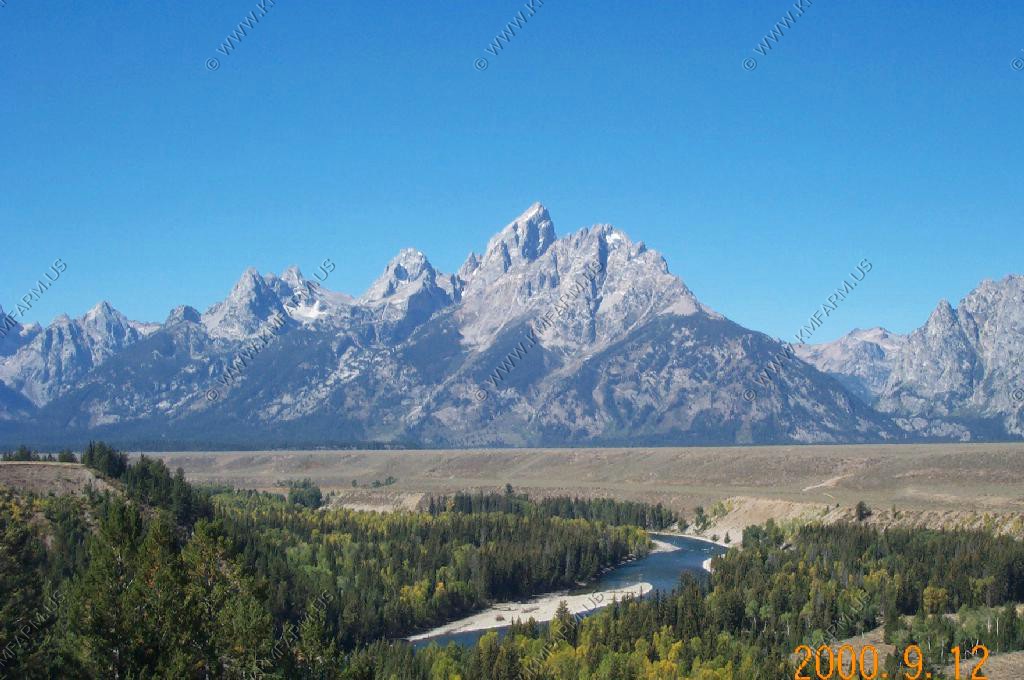
Looking east at Pinedale and the Winds. You can see Fremont lake above the town.
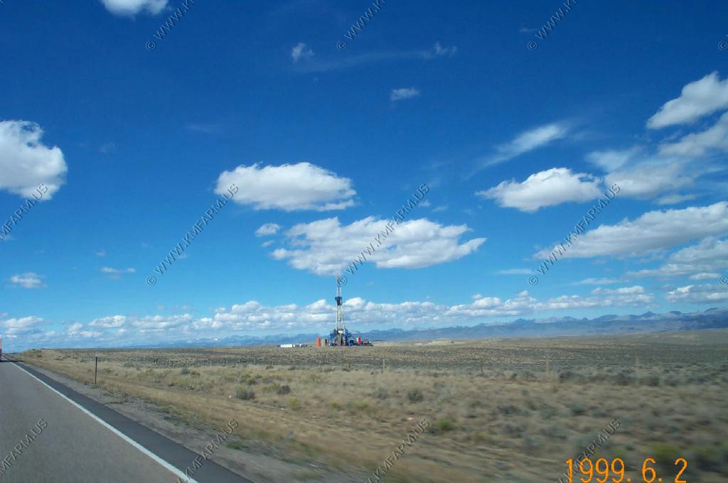
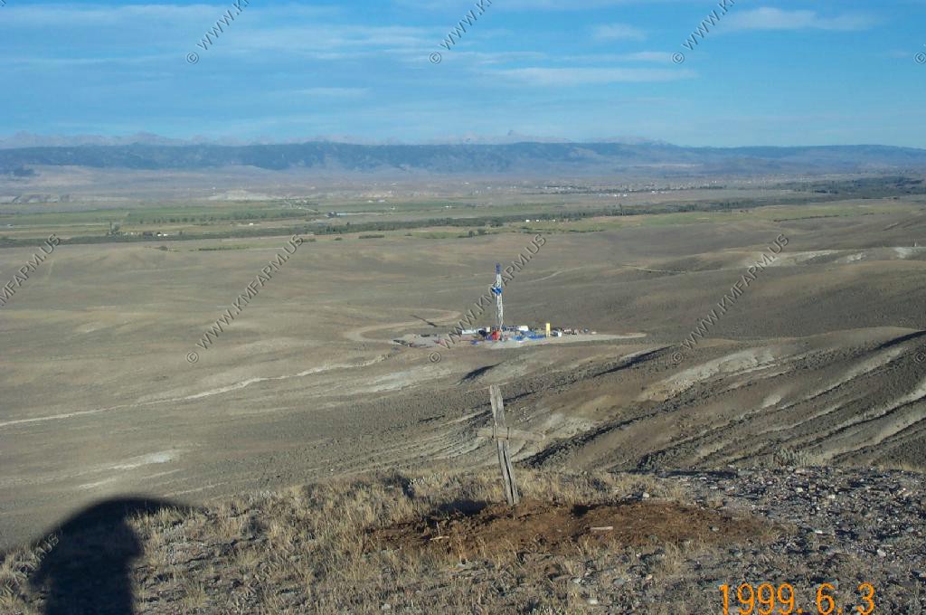
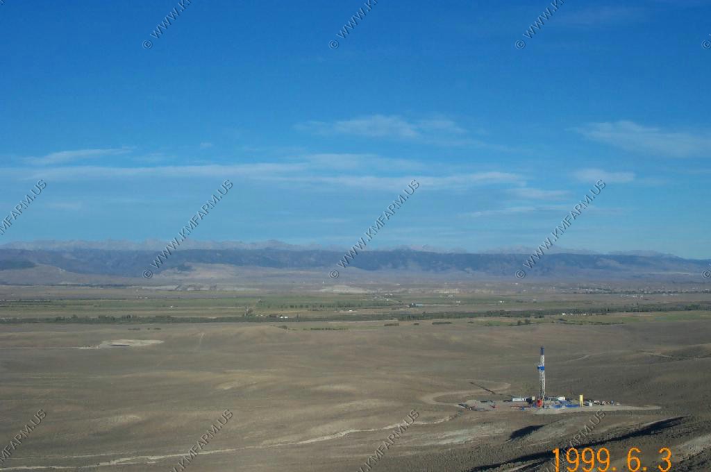
Looking southeast at a grave ??? One of the gas wells and the southern end of the Winds
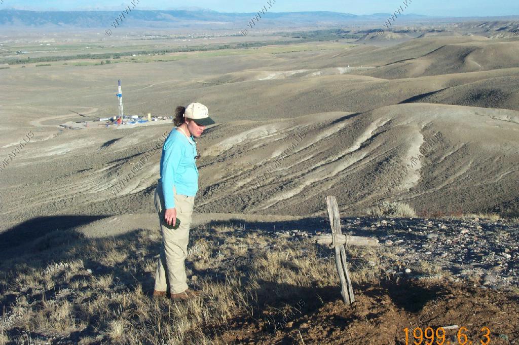
Mary on the Mesa
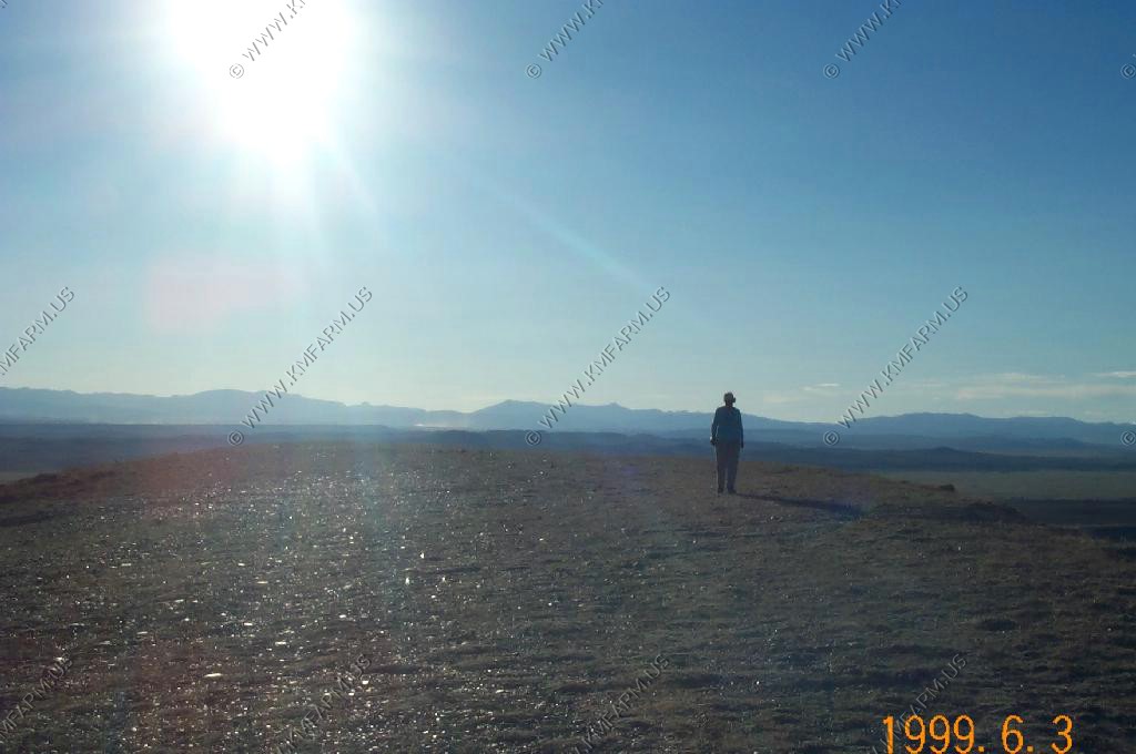
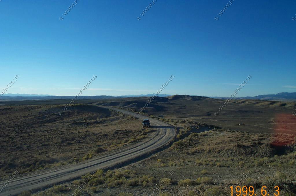
Looking back at the mesa road. Notice how the digital camera reacted to the light level
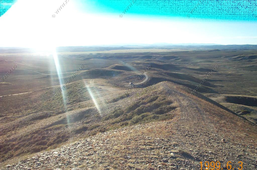
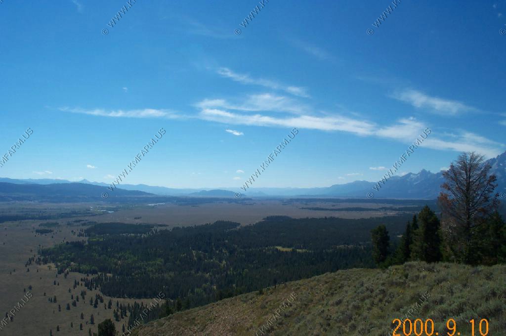
Looking south over the Mesa
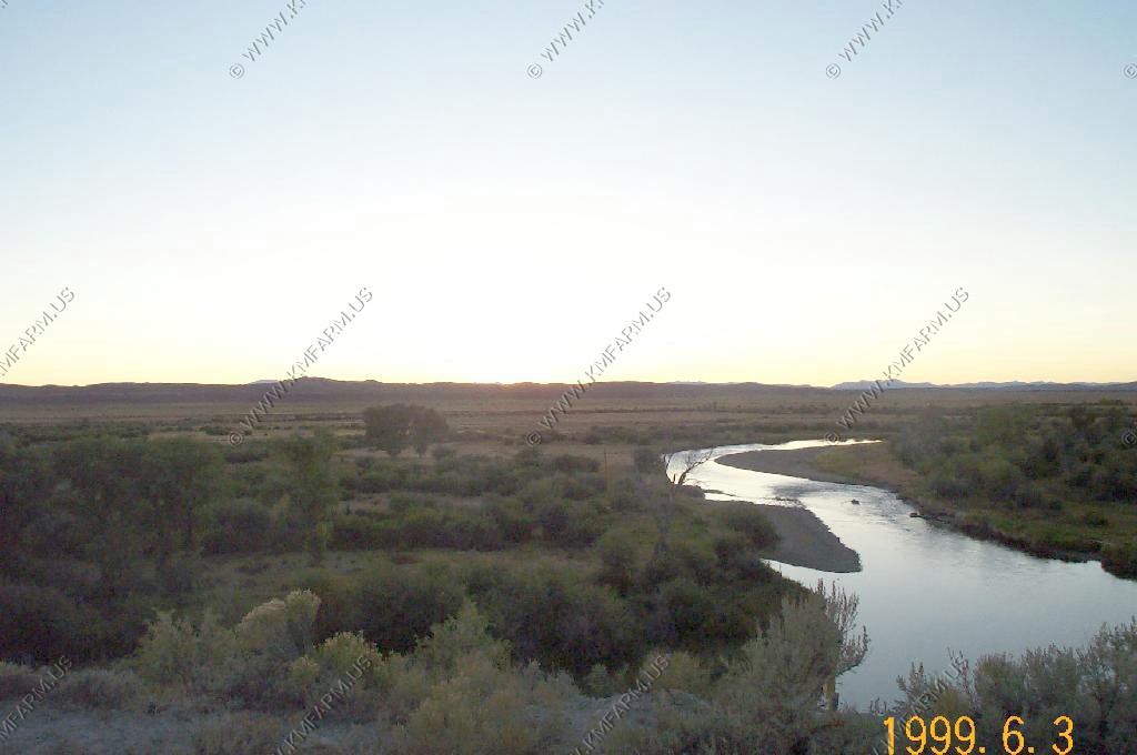
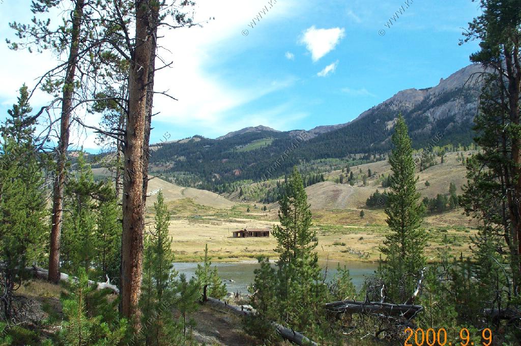
Sommers Ranch along the Green
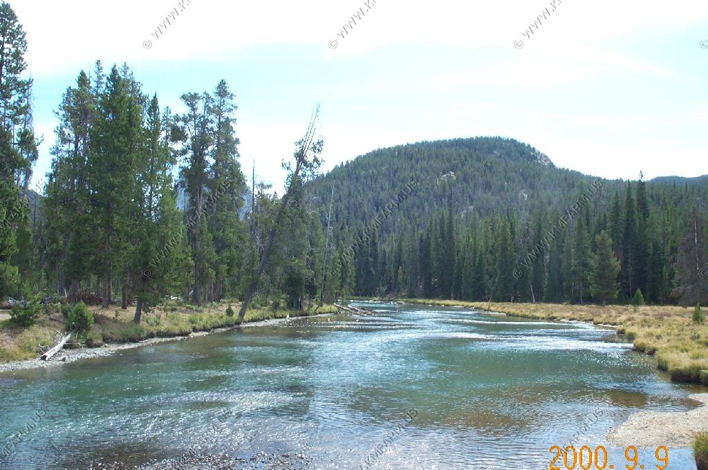
The Green near Tyler Draw
We stayed at the Pole Creek Ranch B and B out on Fayette Pole Creek Road. Very nice and we will definitely stay here again, but a word of advice. Make sure you call a number of times and check your reservations. They misplaced our first night that we planned to stay with them. We were disappointed, but mistakes do happen.UPDATE JAN 2017 - Looking on Trip Advisor we are not alone as Pole Creek Ranch does this from time to time.
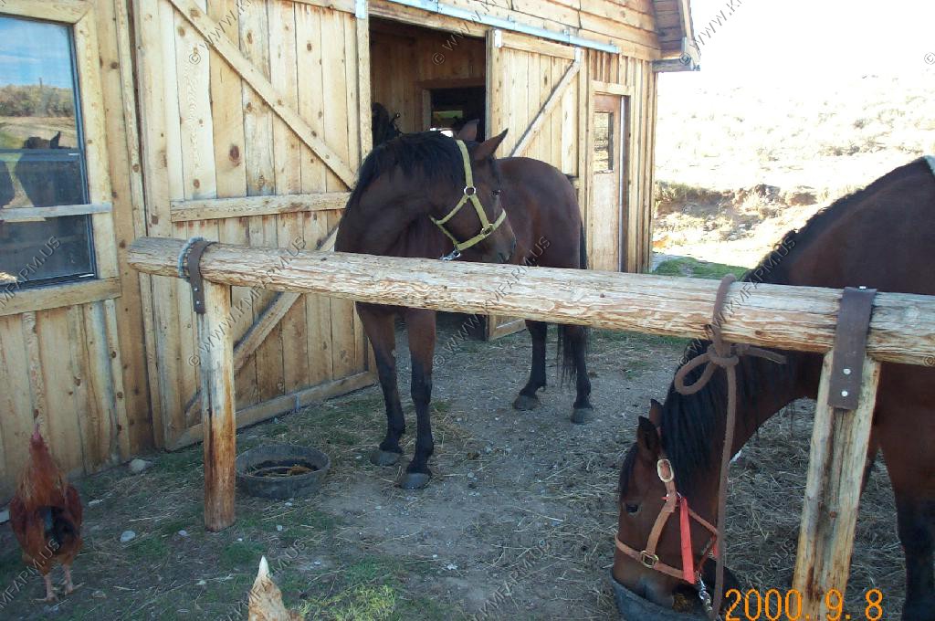
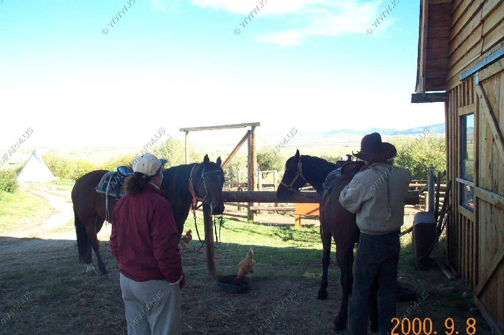
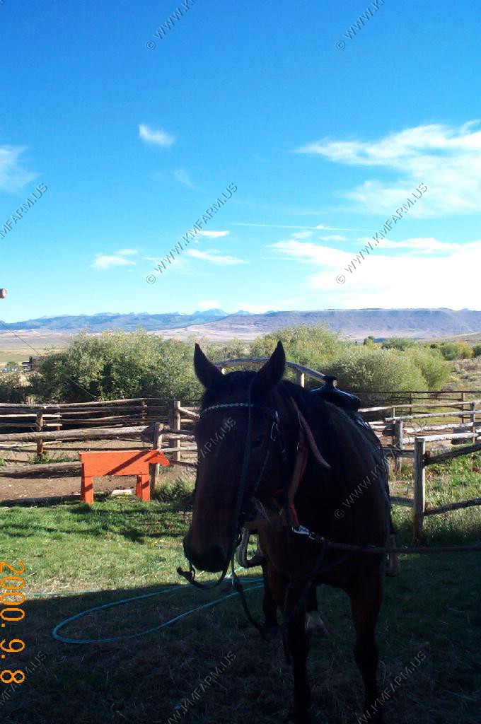
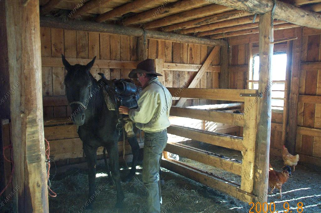
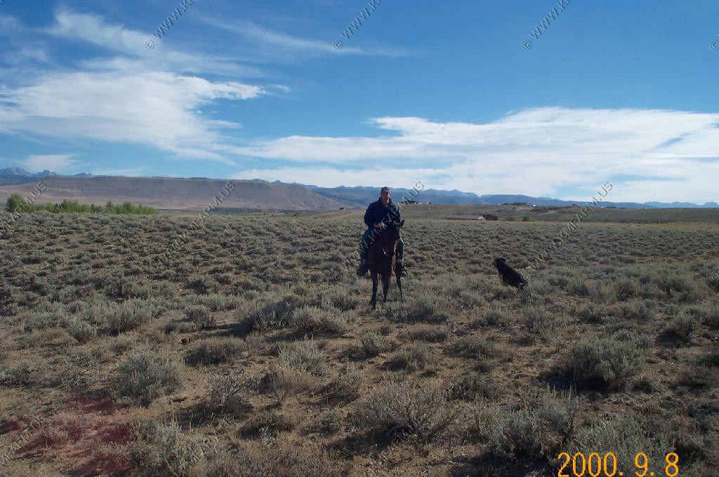
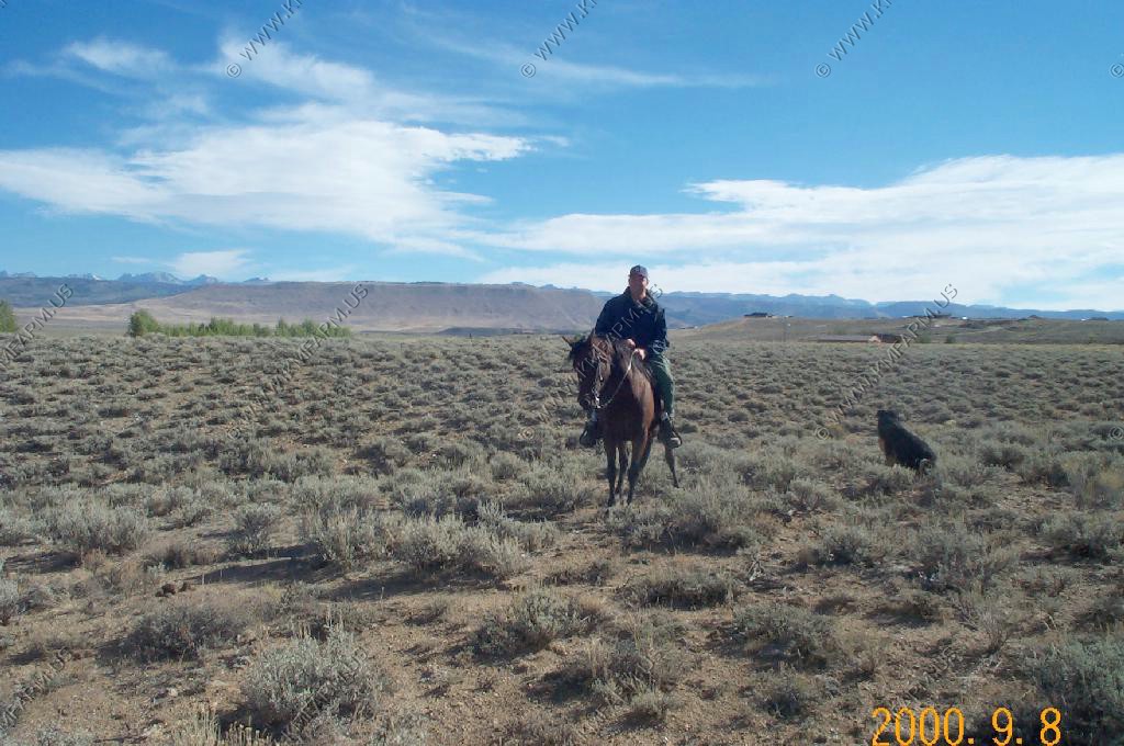
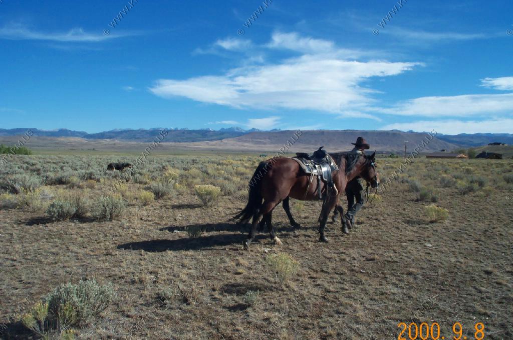
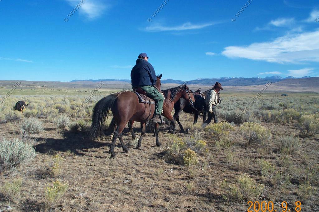
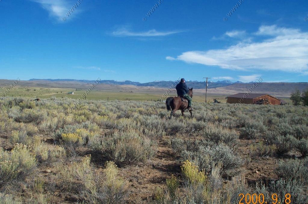
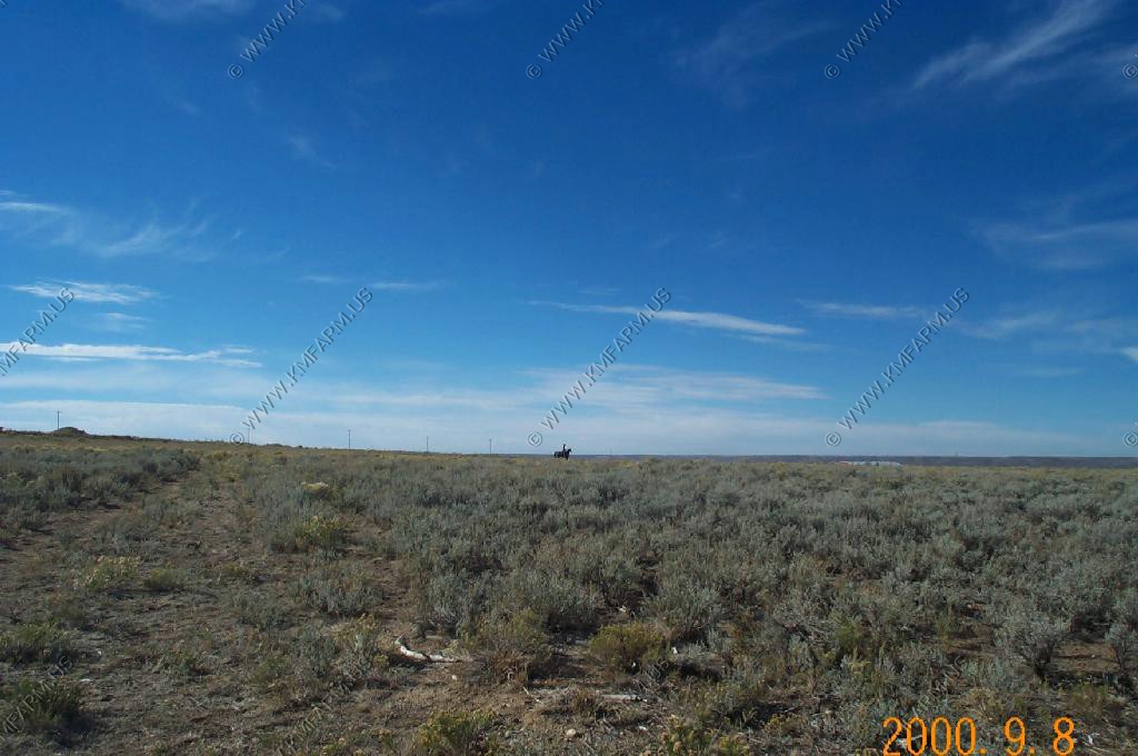
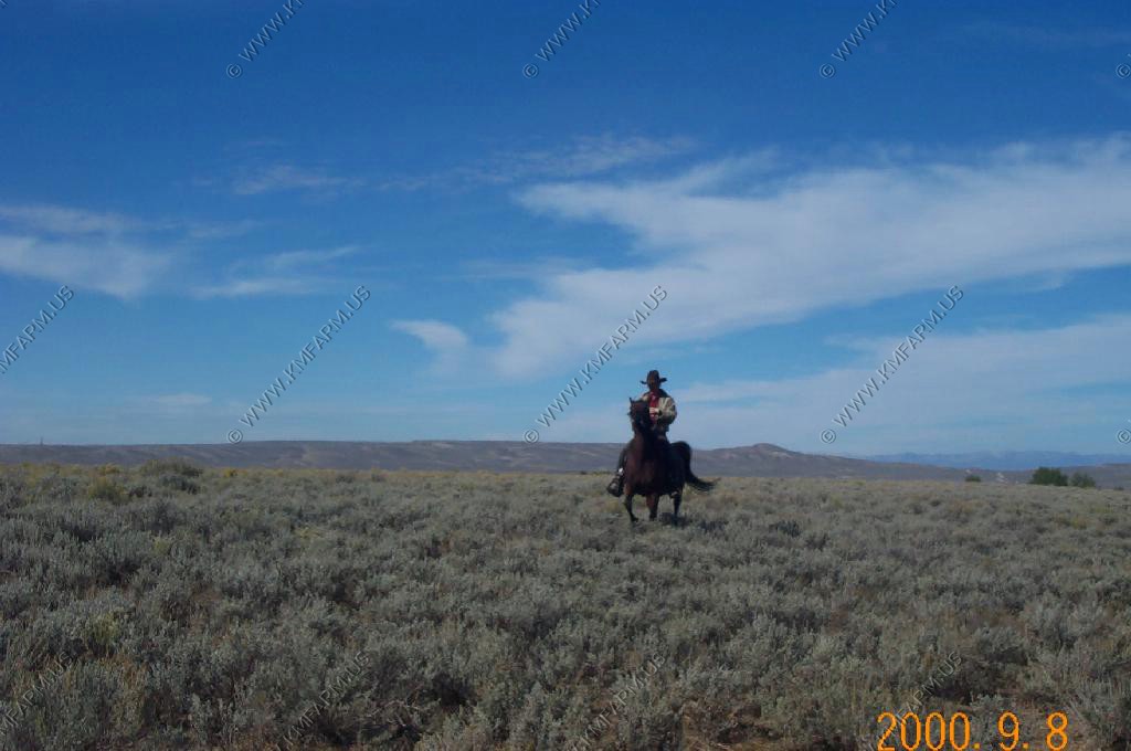
One of the reasons that we wanted to stay here was that the B&B offered horseback rides. We took them up on the offer. It was a cold morning and the horses ended up being a bit frisky but it was fun.

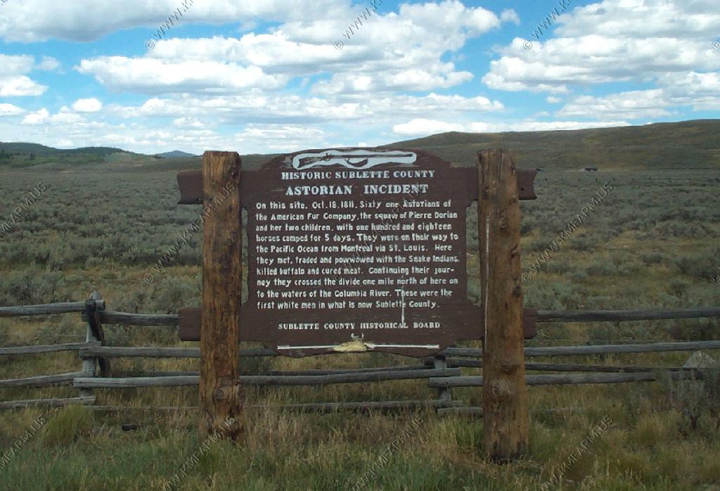
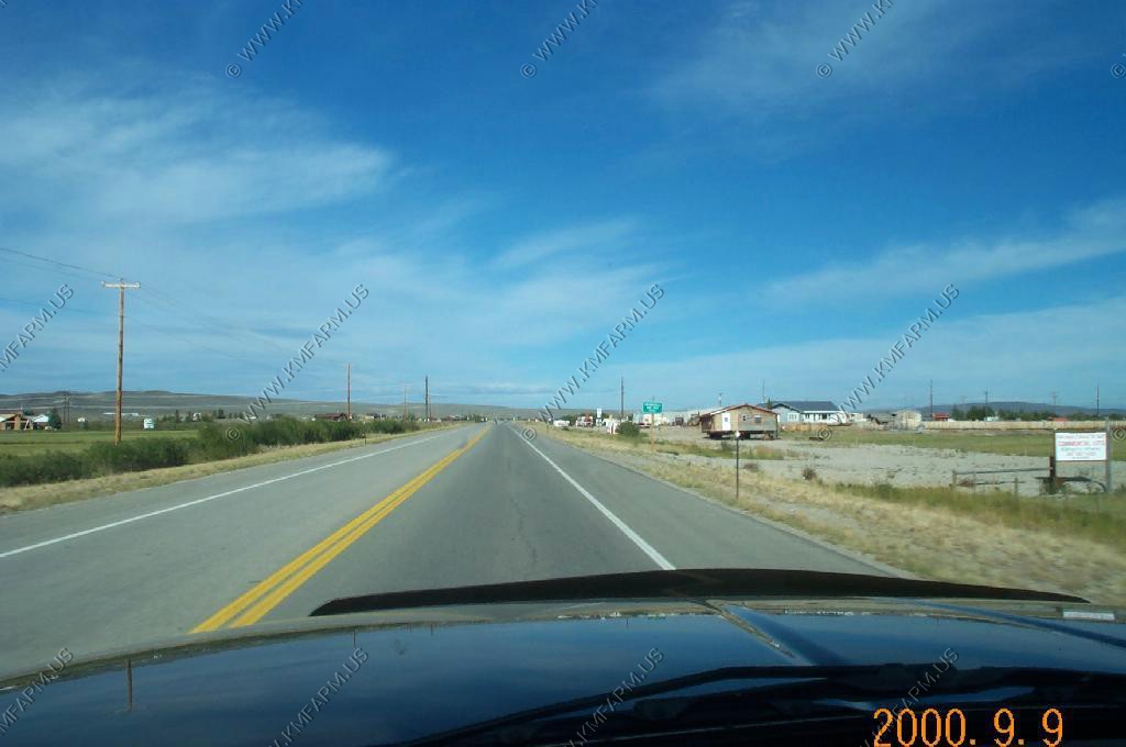
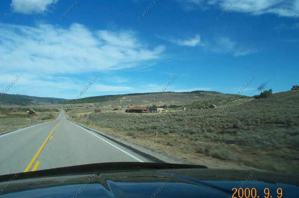
The rest of the day we went and explored the area north and west of Pinedale. These were some signs along US191 and US189 north.
Heading north on US189
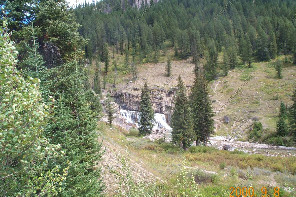
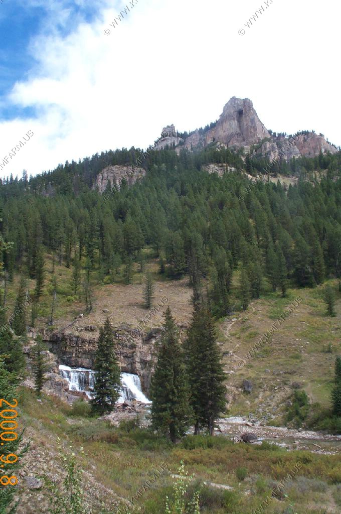
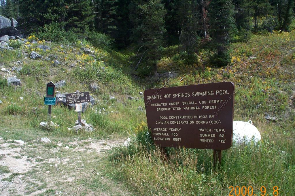
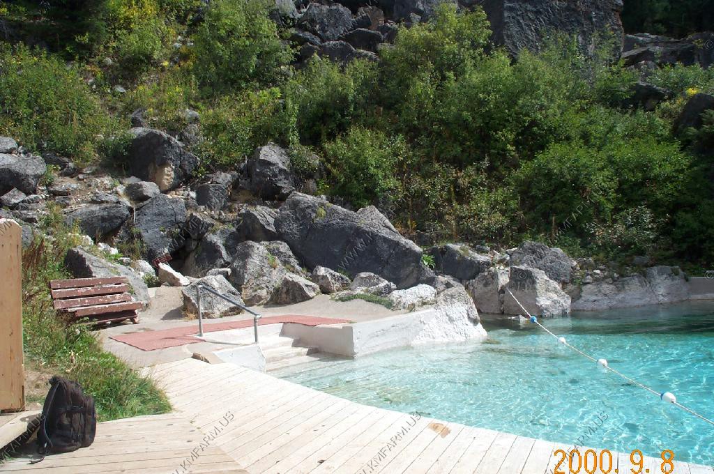
We checked out Granite Hot Springs located in the Gros Ventre Range. This area had some heavy fire damage only a month earlier.
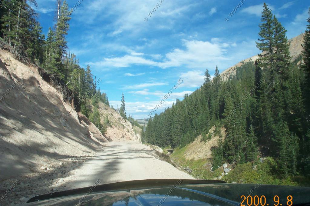
The road going up to the springs.

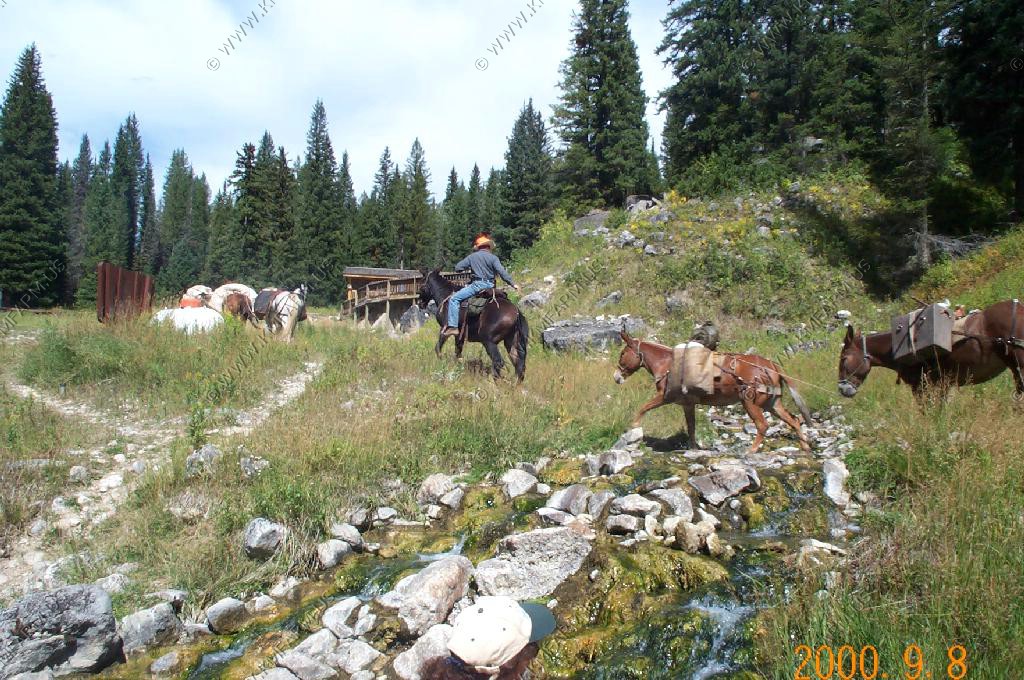
The springs area. We watched a horse / mule pack train go by the springs.

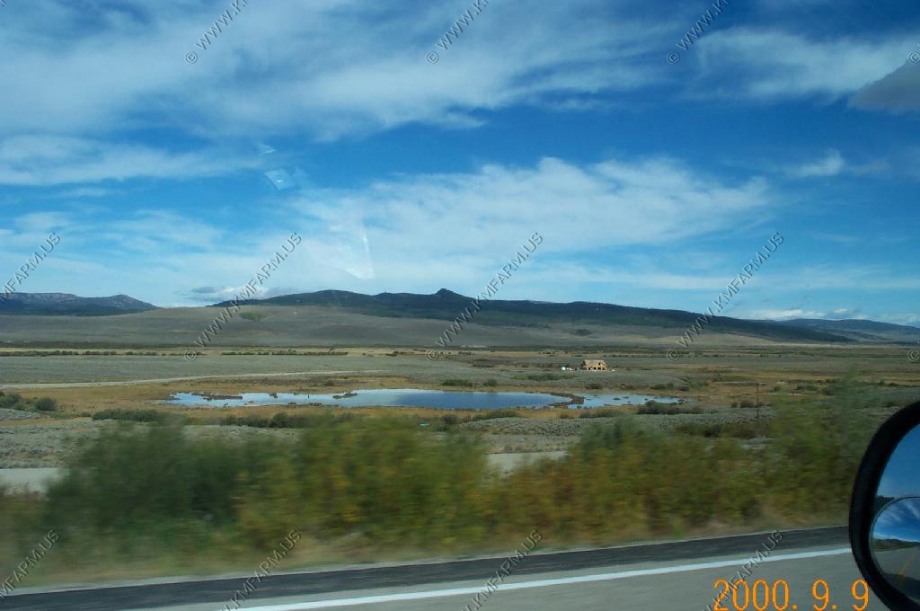
We then headed down to check out the east side of the Wyoming Range. We drove down to Big Piney and went west to Middle Piney Lake and did not see much. Nice but the Winds are much nicer.
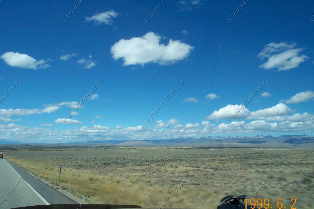
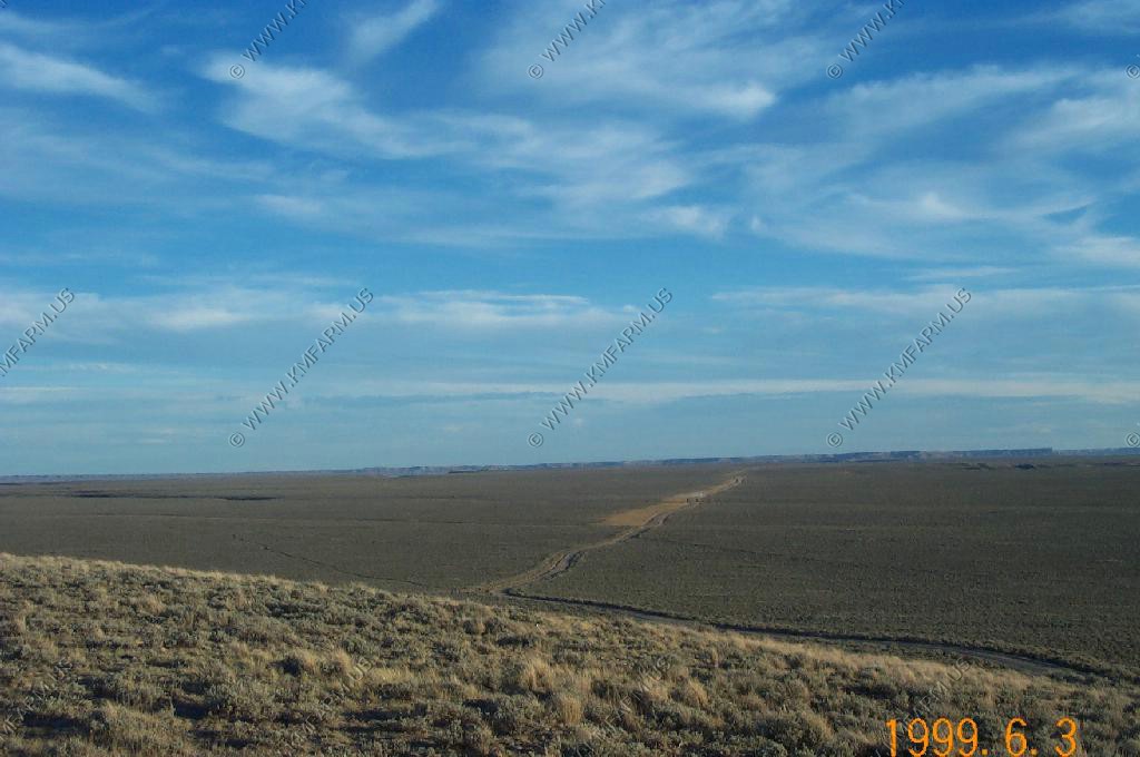
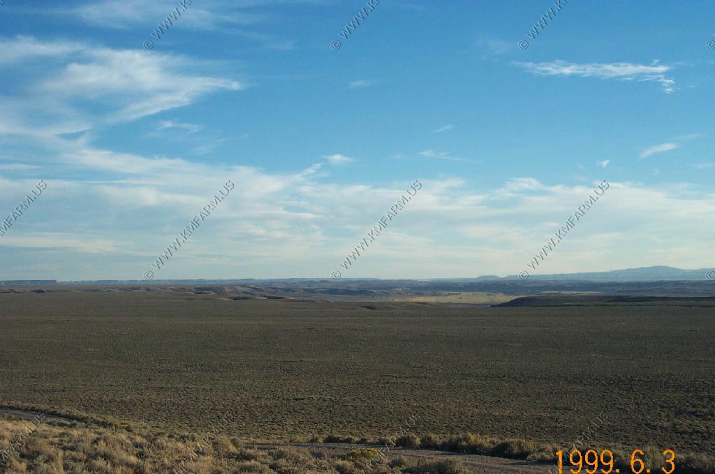
We then cut across the Mesa back to Pinedale. Nice wide open Wyoming spaces...
We stayed at the Window on the Winds B & B that was a mile or two west of town. It was nice but a bit noisy as it was full and lot's of kids were running about. Also, the hot tub was indoor and in our book that was a major drawback.
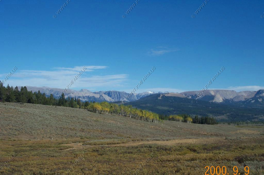
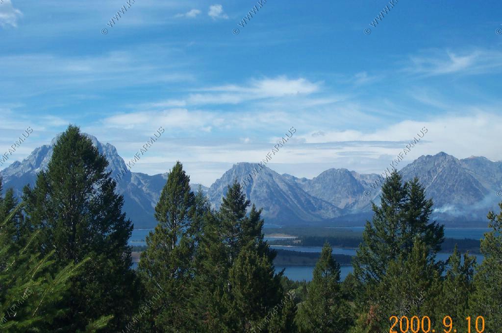
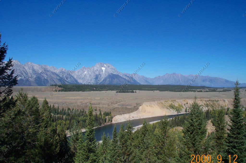
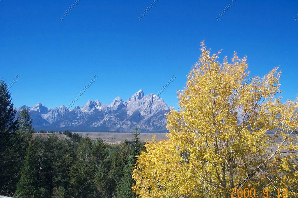
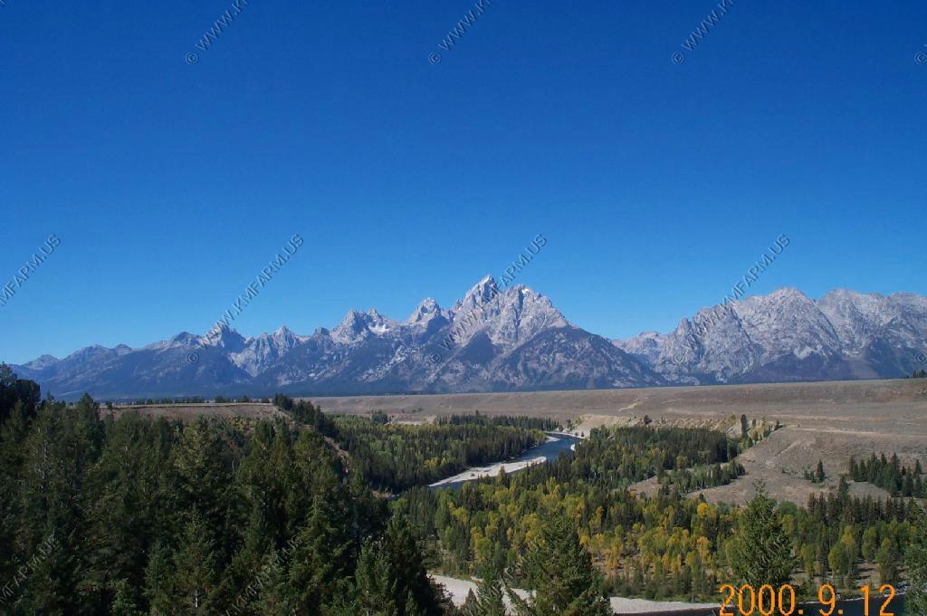
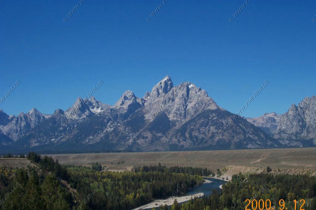
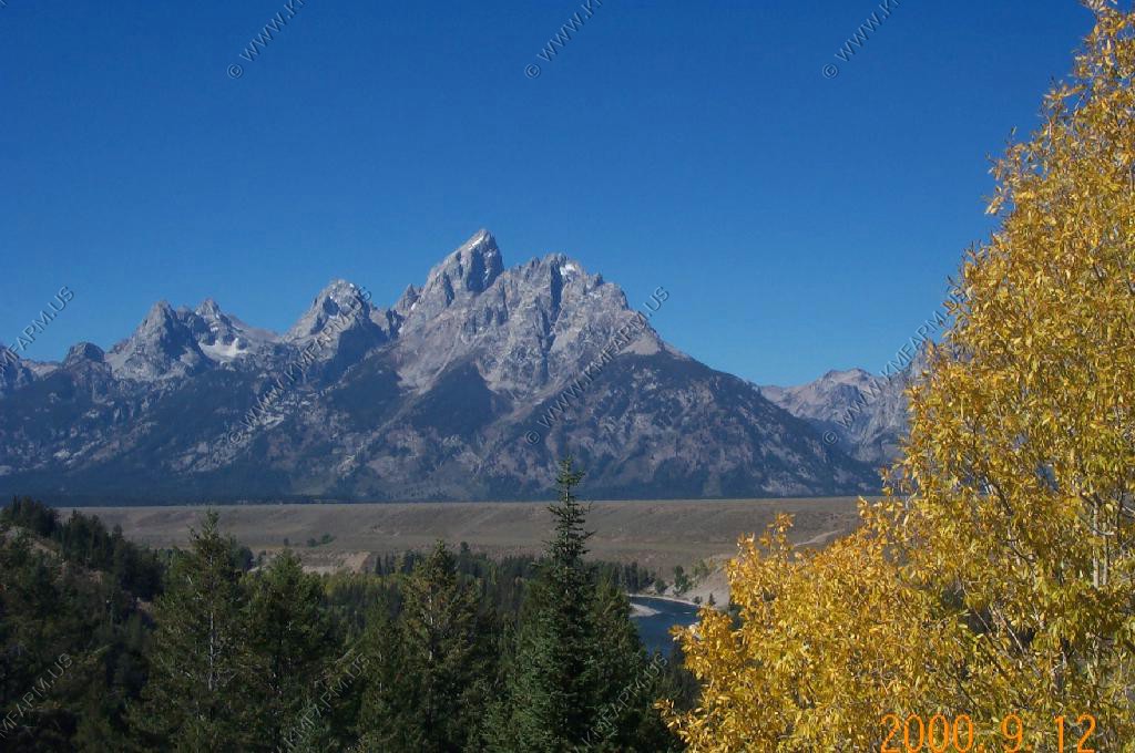
Some more views of around Pinedale.
Our next stop was Square Top so we headed north up WY-352 and checked out Cora on the way.
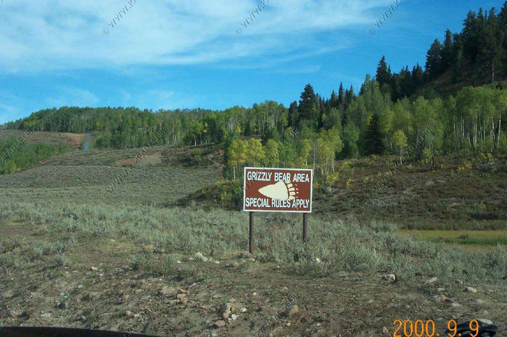
Only a few miles north of Cora we entered Grizzly Bear country. The summer of 2000 saw a number of livestock being killed by the bears.
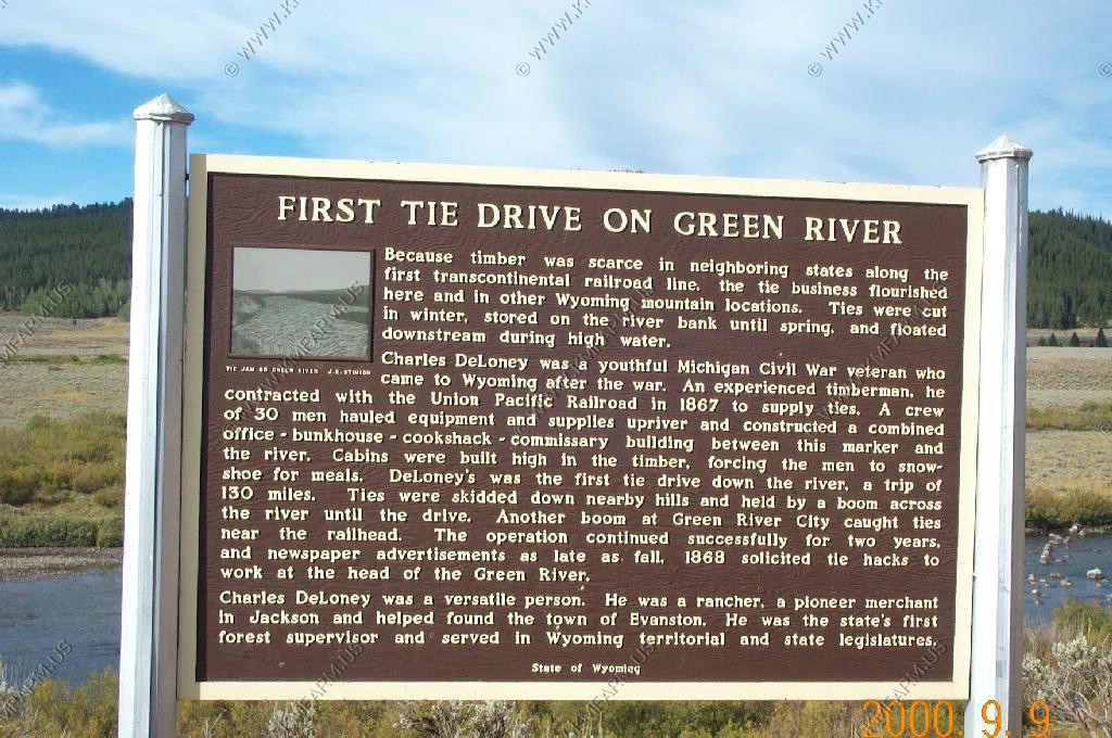
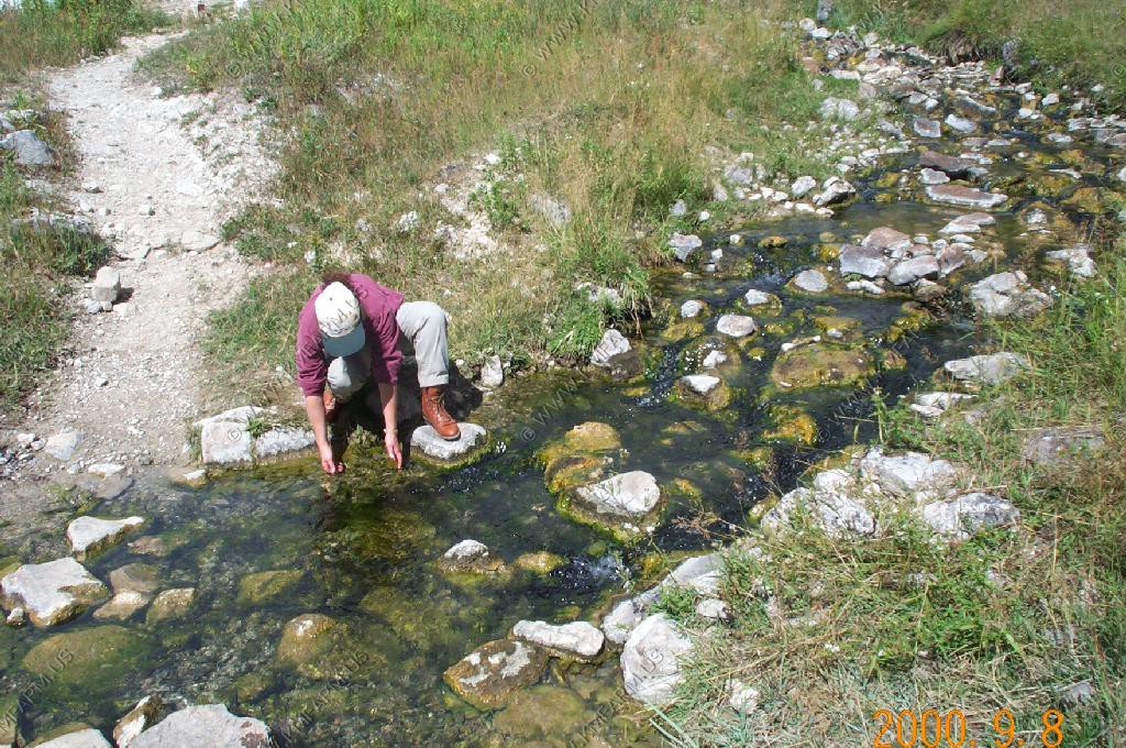
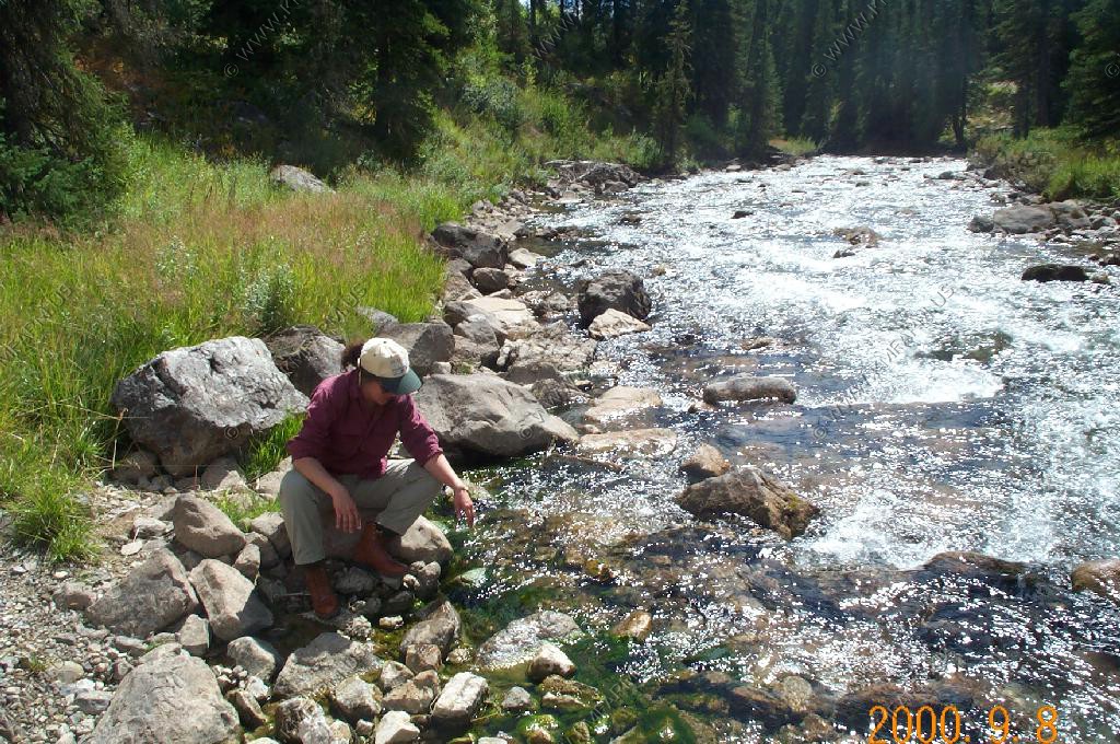
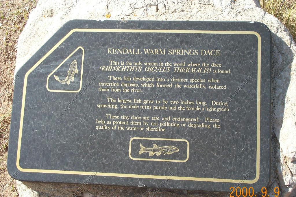
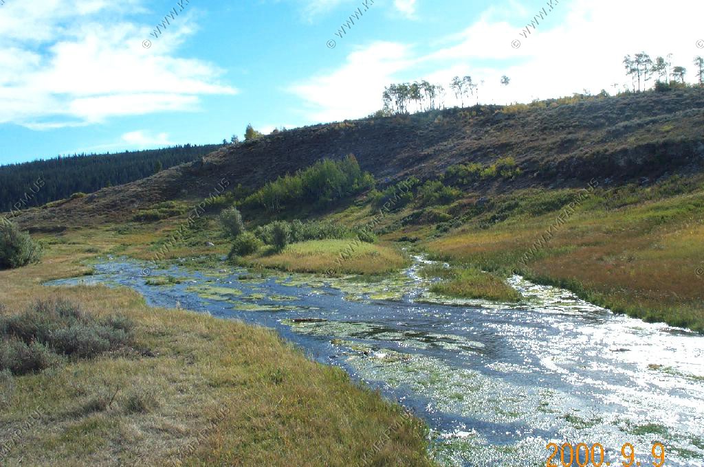
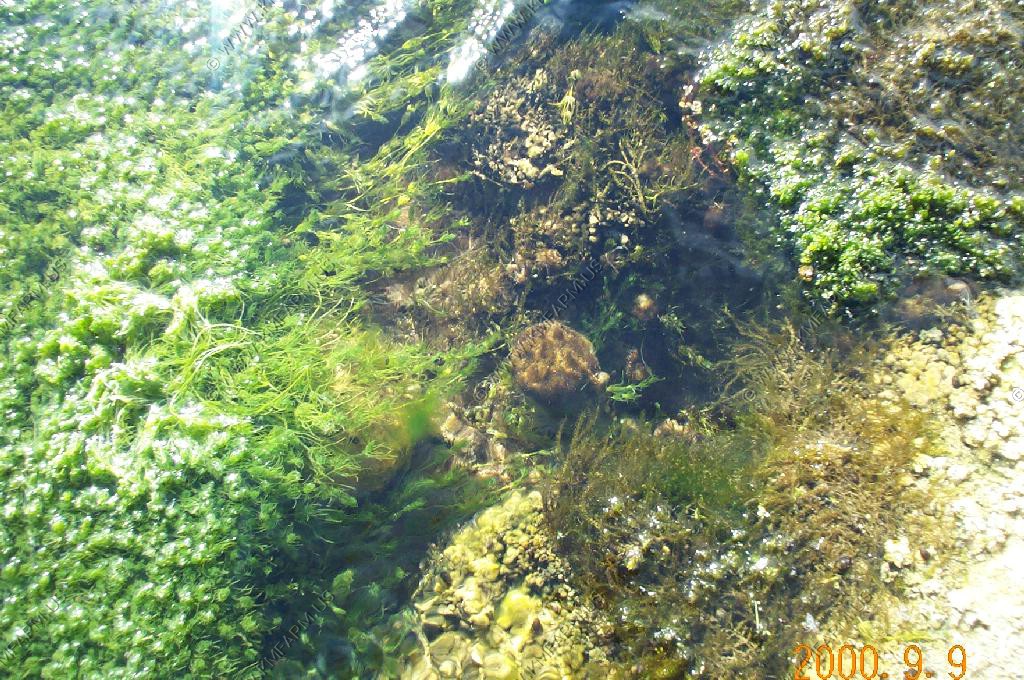
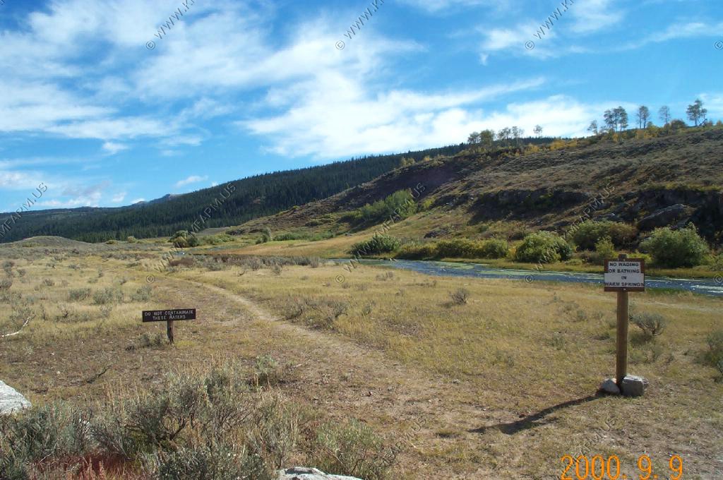
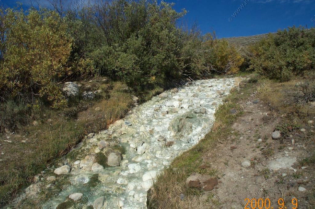
Right along the road we stopped at Kendall Warm Spring which is the only stream in the world where the dace (fish)(Rhinichthys Osculus Thermalis)is found.
We walked up to where the water came out of the hill and the temp was probably in the upper 80's and it felt quite nice on a cold morning.
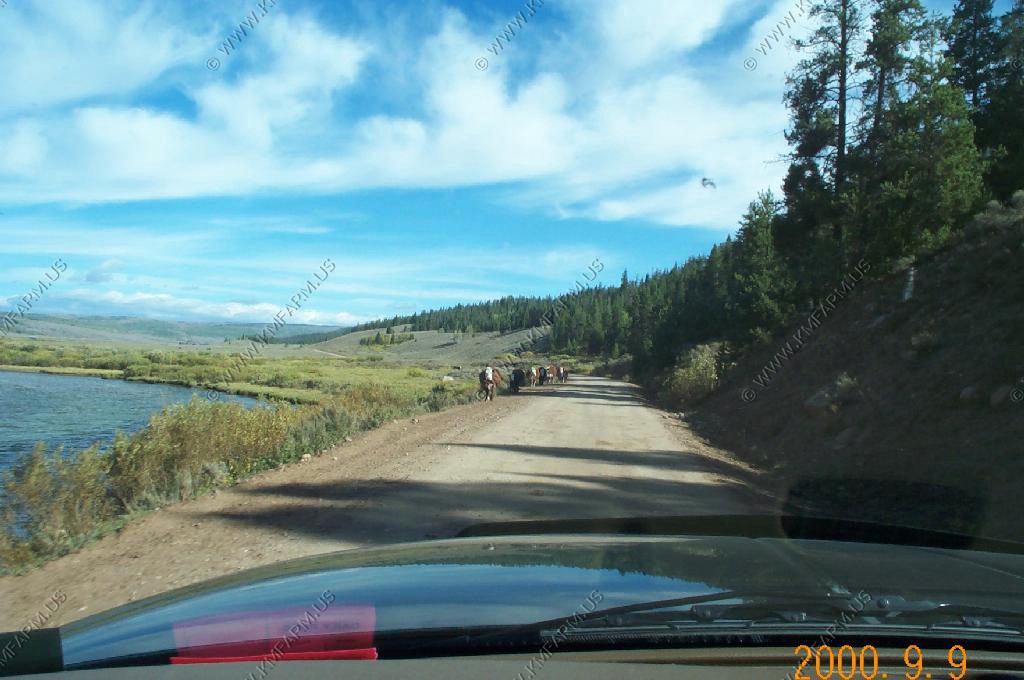
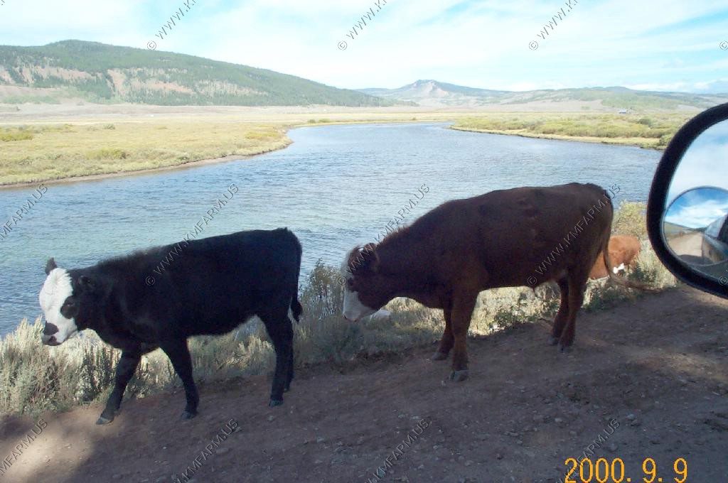
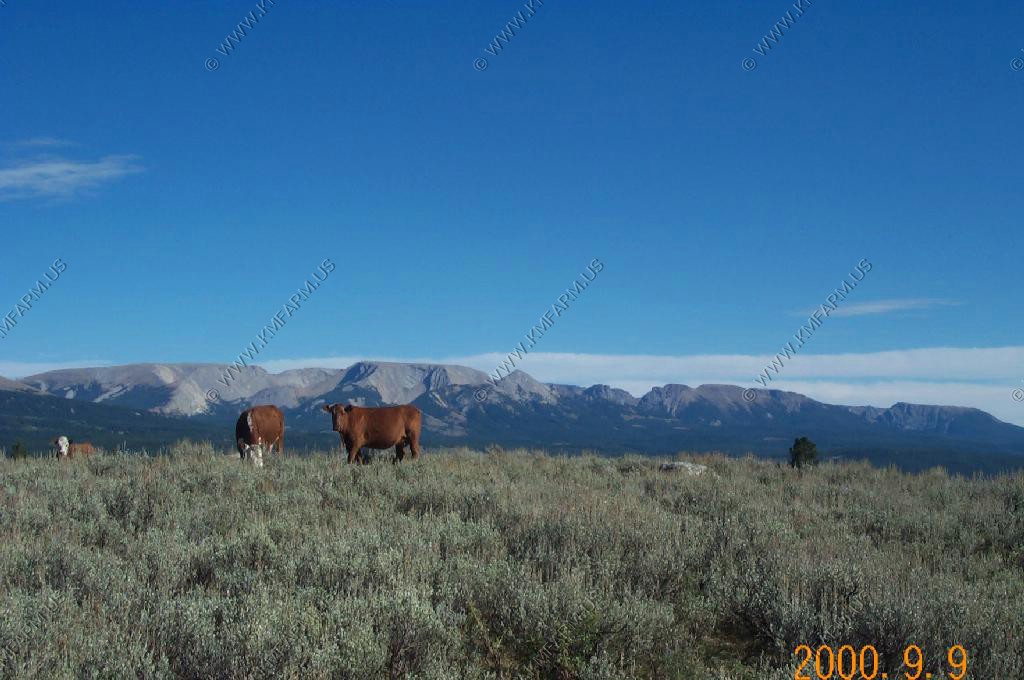
Lots of cows along the road to Square Top
We parked near the campground and hiked around the lake. We went clockwise around the lake.
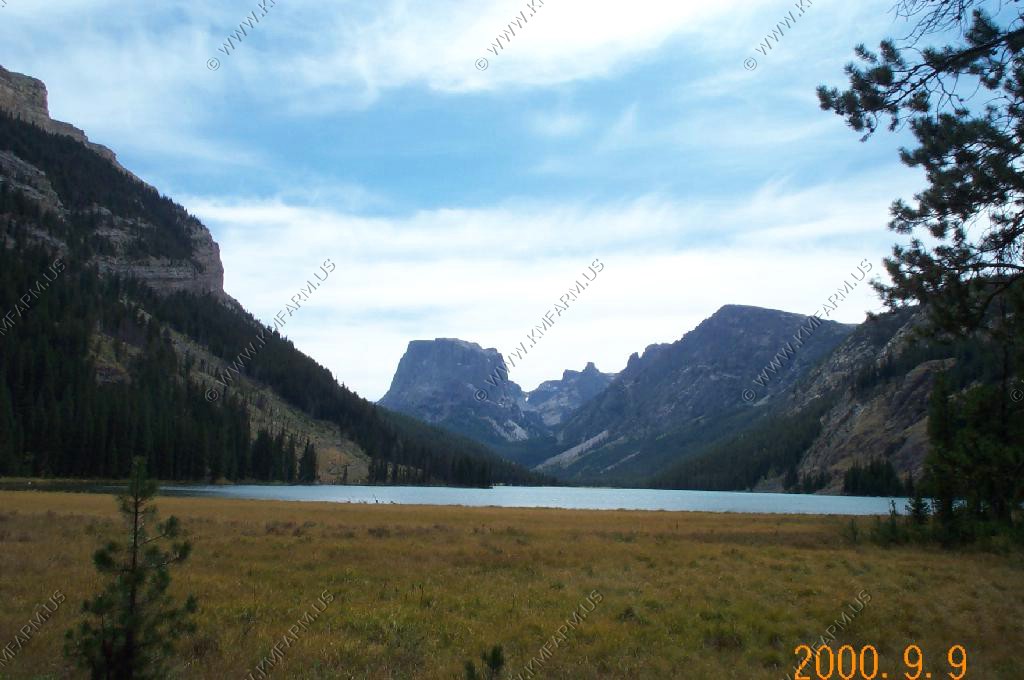
Views of the Green river and of Square Top from the start of the trail
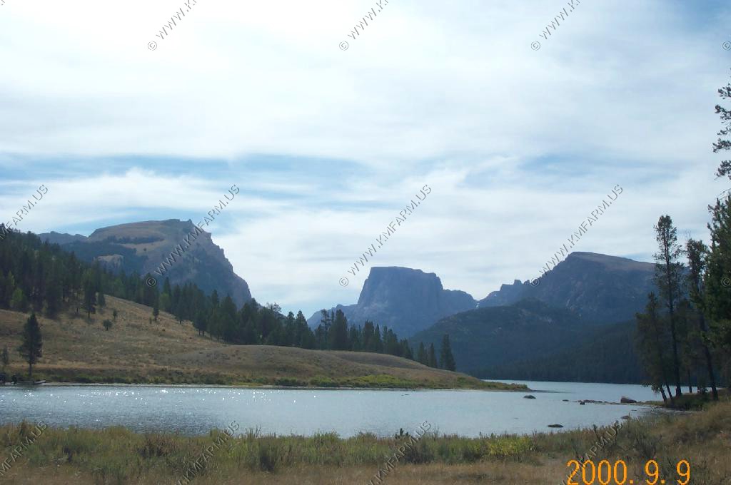
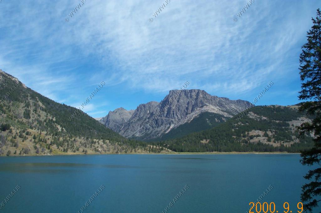
View of Square Top from the East side of the lake.
Clear Creek
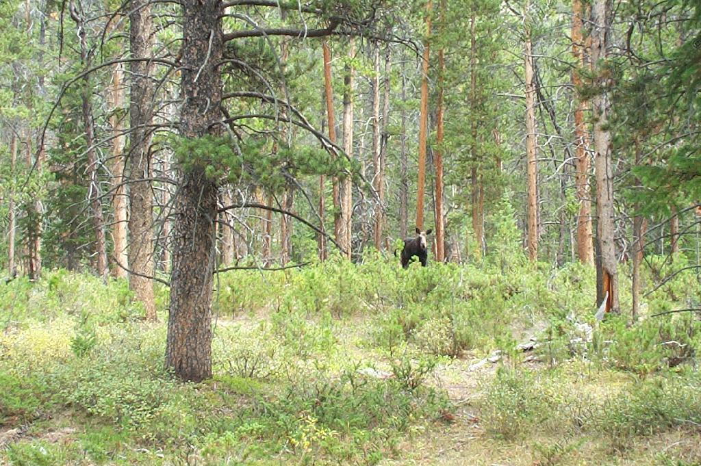
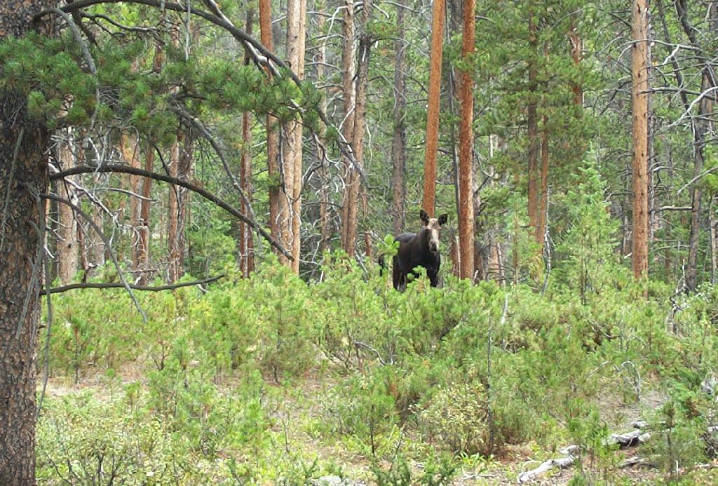
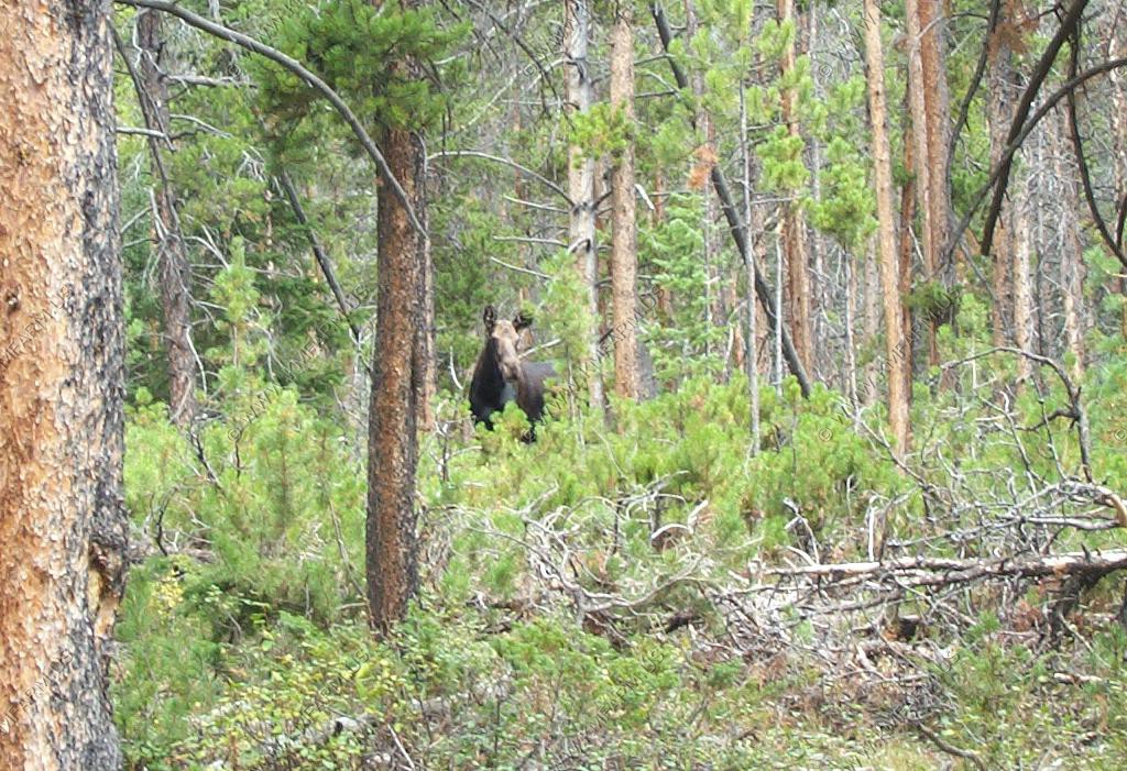
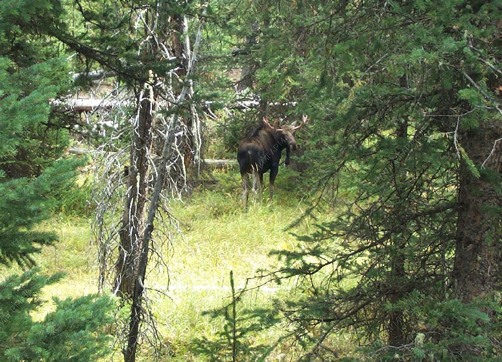
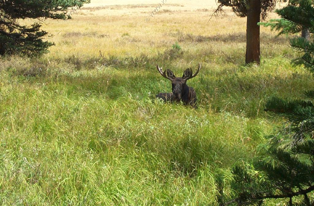
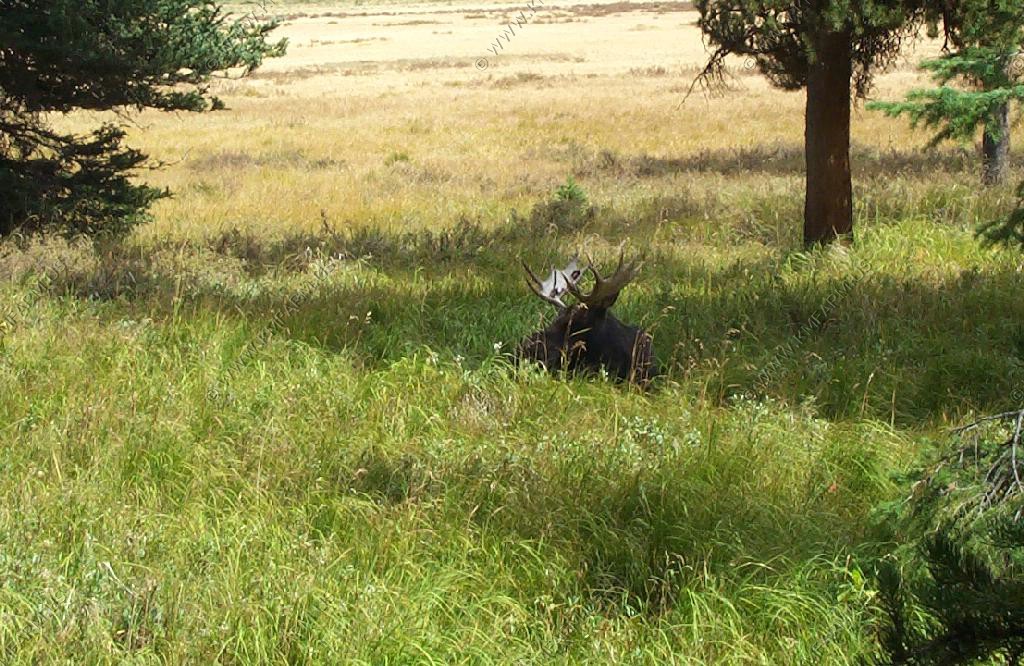
A Moose cow that we ran into along the trail between the lakes. Of all of the Moose that we saw on this trip she was the most agressive of them all. We gave her lots of room.
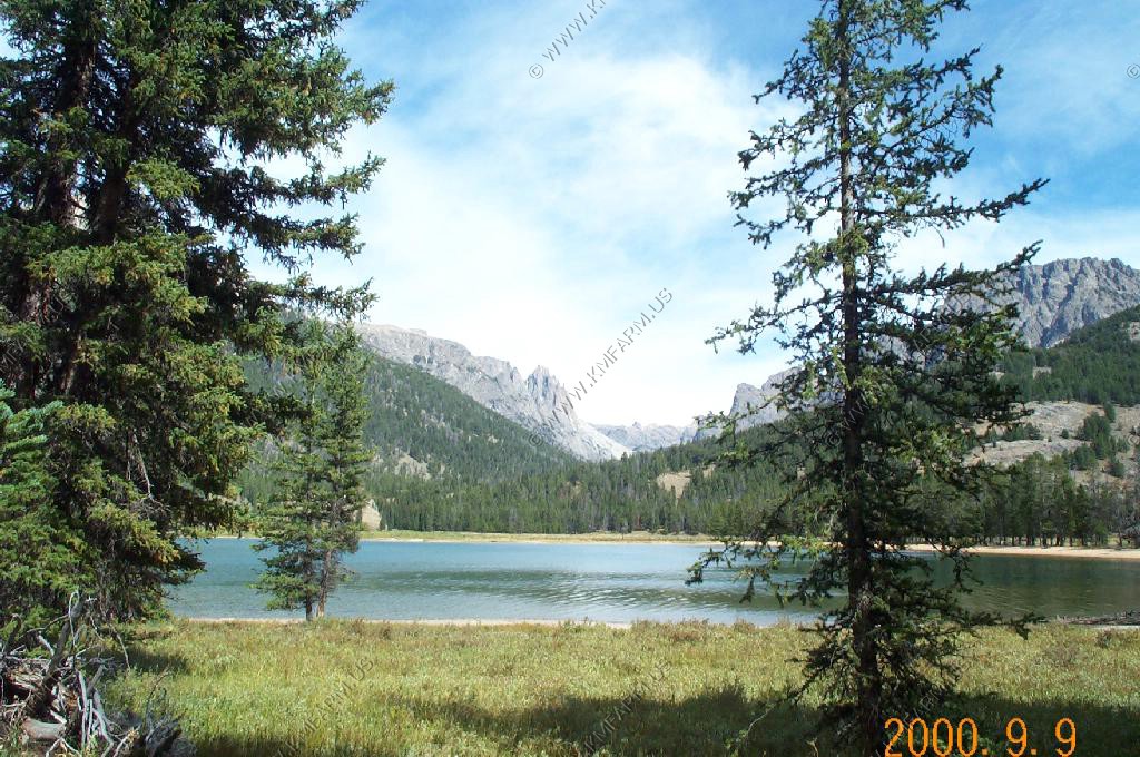
We stopped and had lunch on the Northern end of the small lake at the bottom of the map above. Very good views of Square Top Mountain.
Heading over to the west side of the larger lake. This was fly fishing heaven.
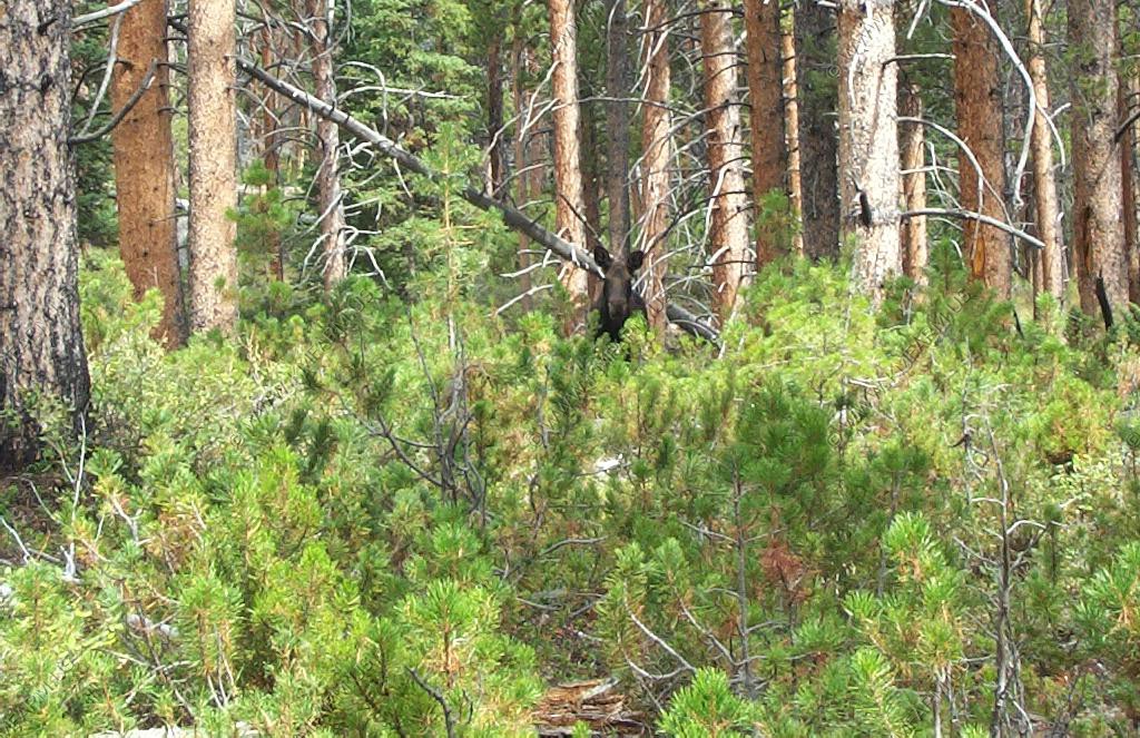
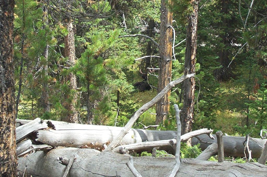
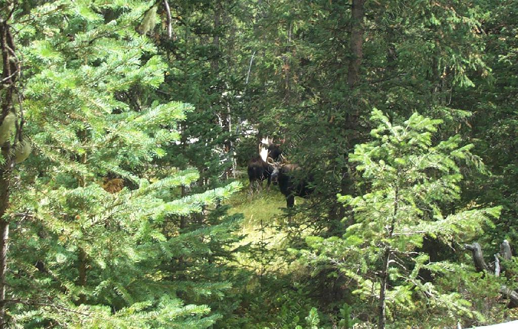
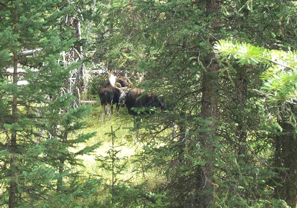
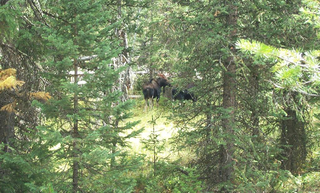
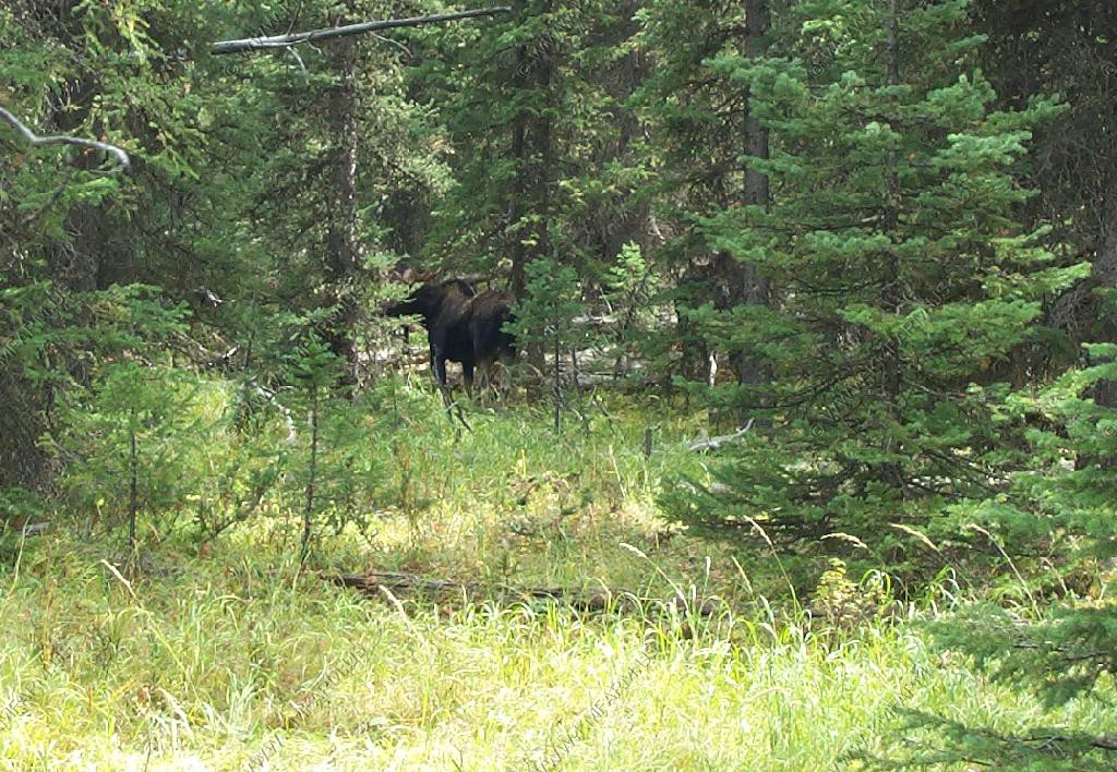
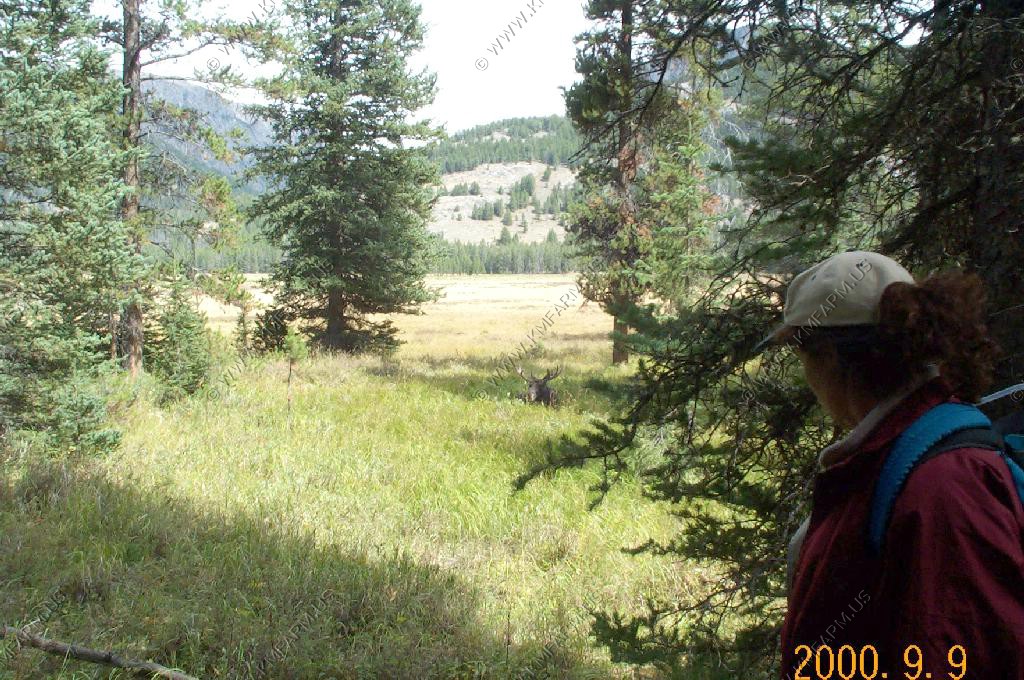
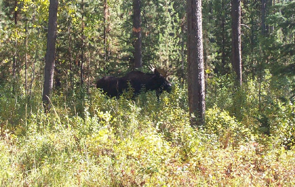
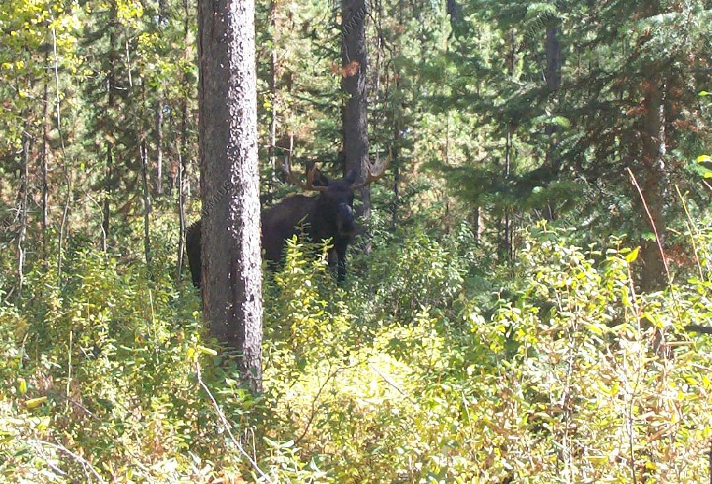
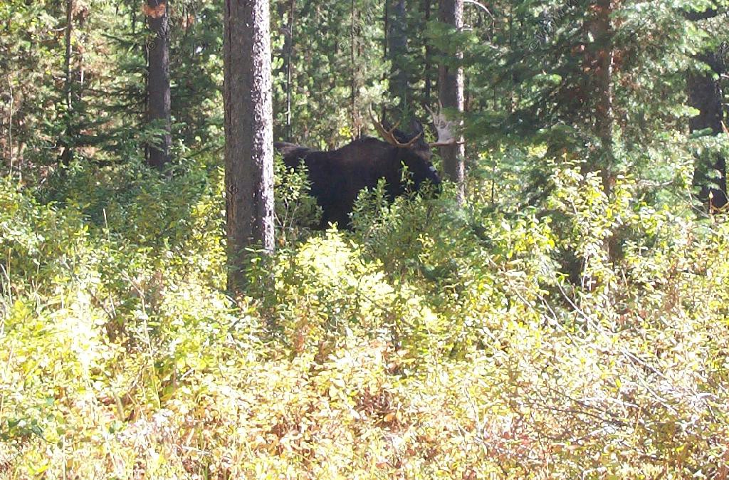
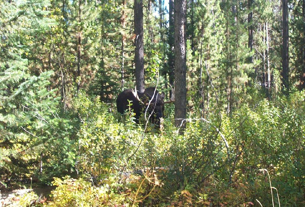
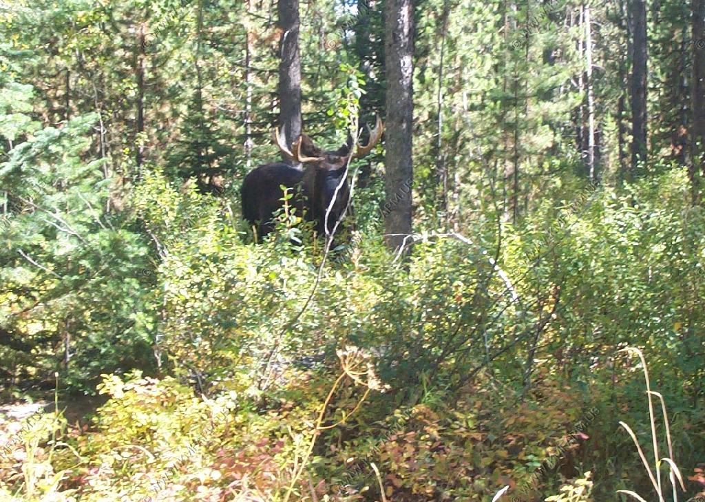
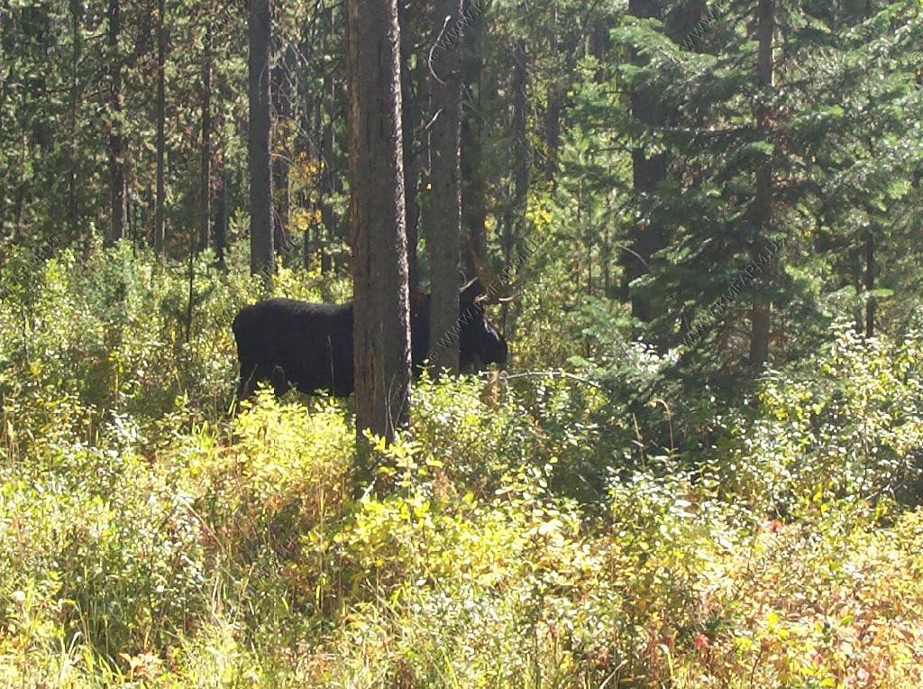
Along the way back I looked off of the trail and spotted three bull Moose. Amazing that they were so close to each other at this time of year. We kept our distance but they did not seem concerned that we were in their area.
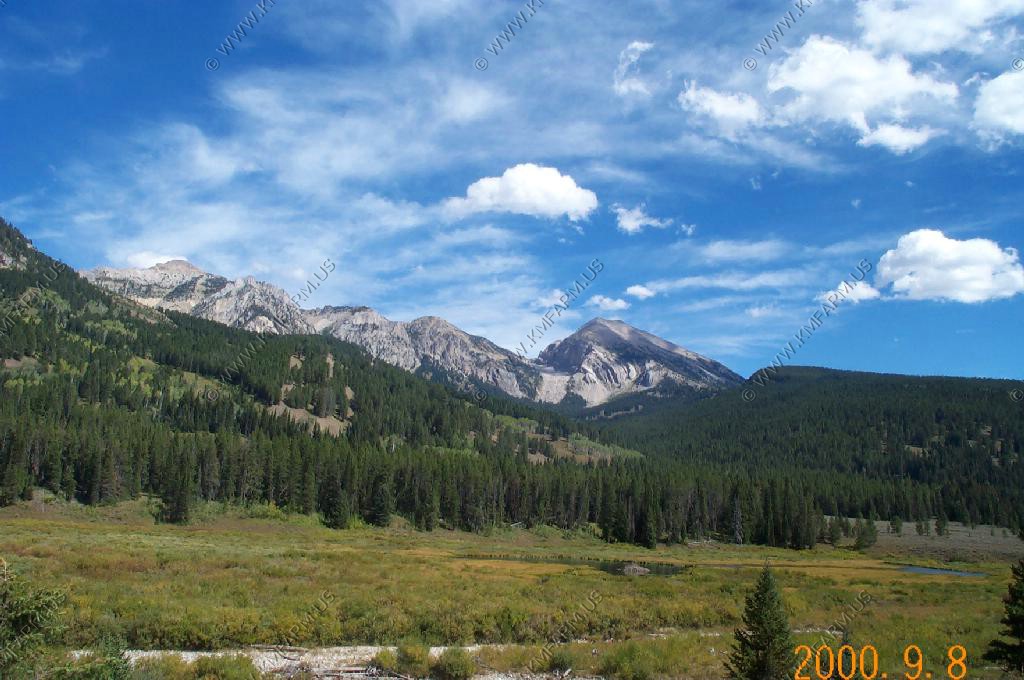
Some of the views on the way back.
31 miles back to Elkhart Park
A view of Square Top from the road along the Green
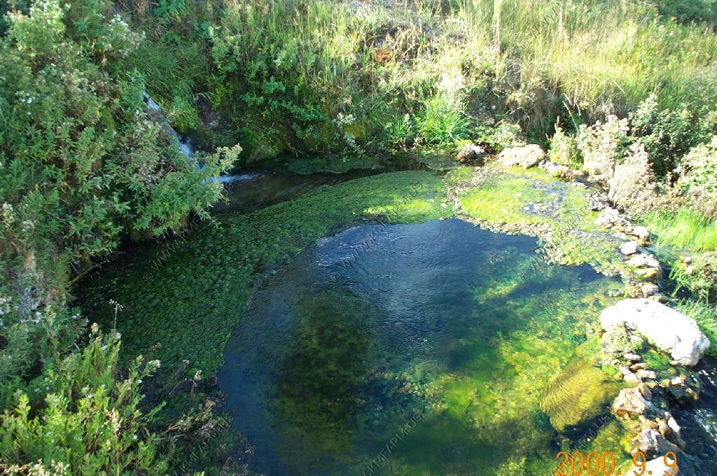
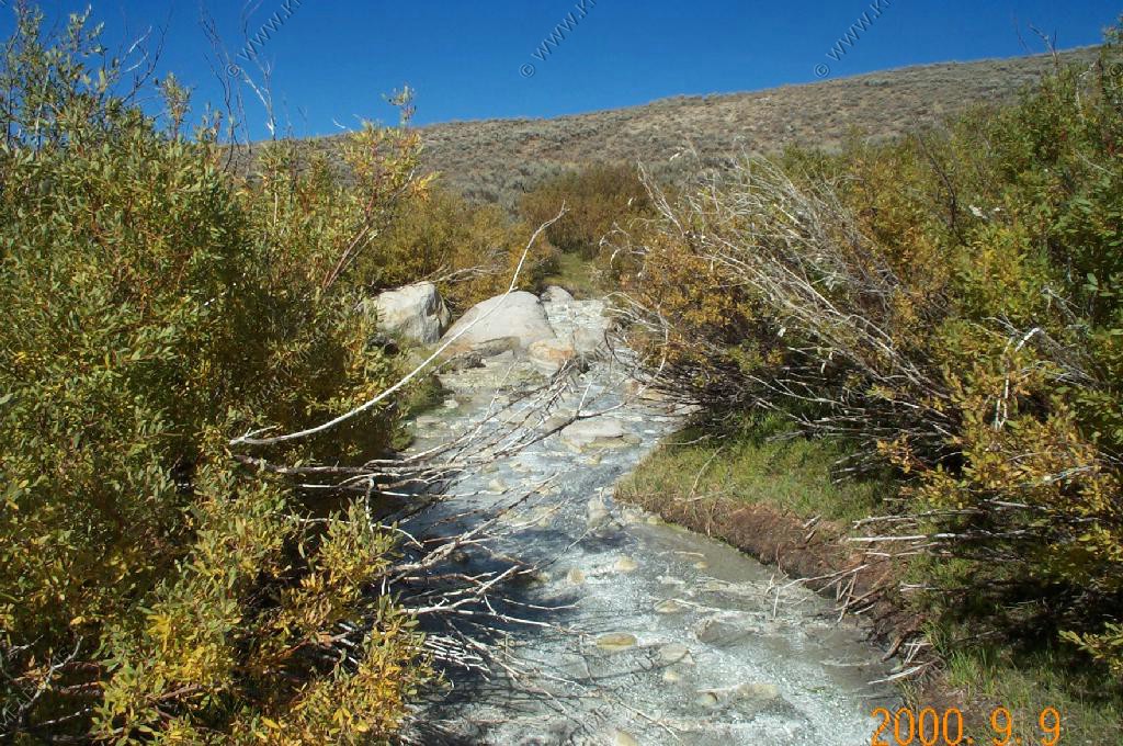
Right next to Kendall Warn Springs we took a look at Stinky Spring. Not something that you would want to swim in.
We left the Square Top area and drove back to the intersection near Kendall Warm Springs. The pass road was rough and a few places on the western side you would definitely need a 4X4 or a high clearence vechicle to stay at a resonable speed.
The views over the Winds were very impressive. As you got higher on the road you could see some of the glaciers around Gannett Peak.
As usual you had to be alert to all of the cows walking along the road. The Grizzly bears will have lots to eat in this area.
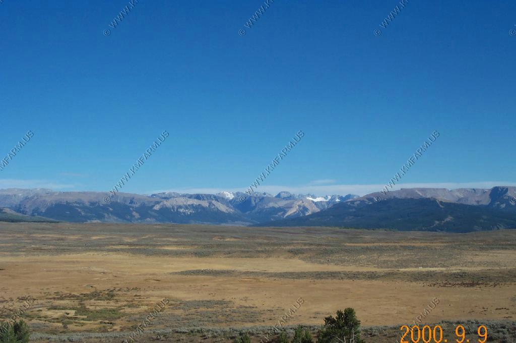
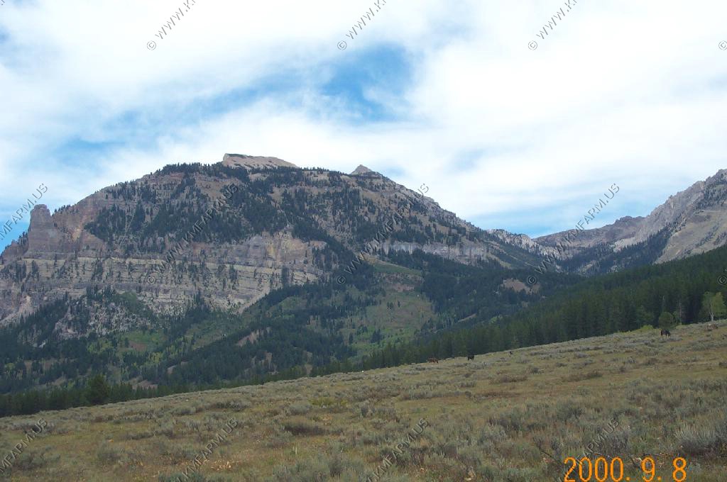
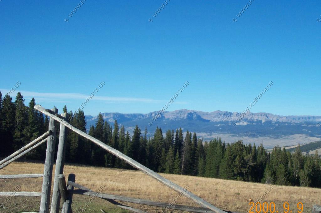
After we crossed the pass we had some great views of the southern Absaroka range north of Dubois.
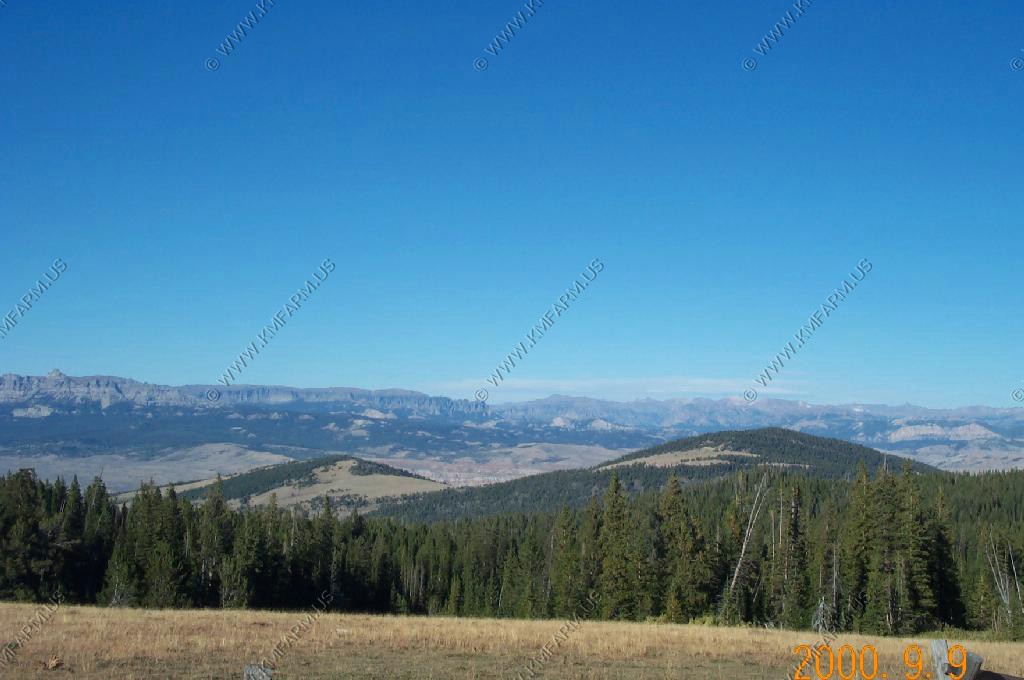
We checked out the Dubois area and it was a nice quiet town.
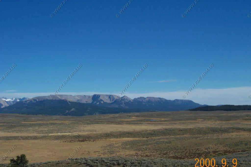
The area around Dubois looks a lot like most of Utah.
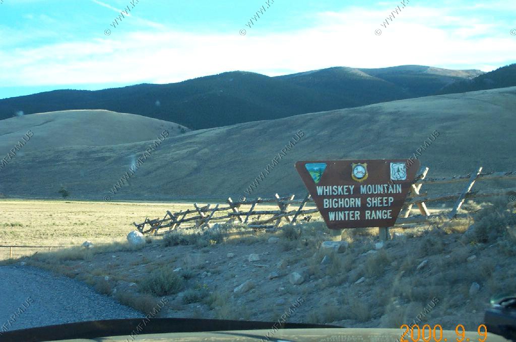
We checked out the Whiskey Mountain Bighorn Sheep winter range. No sheep to be found.
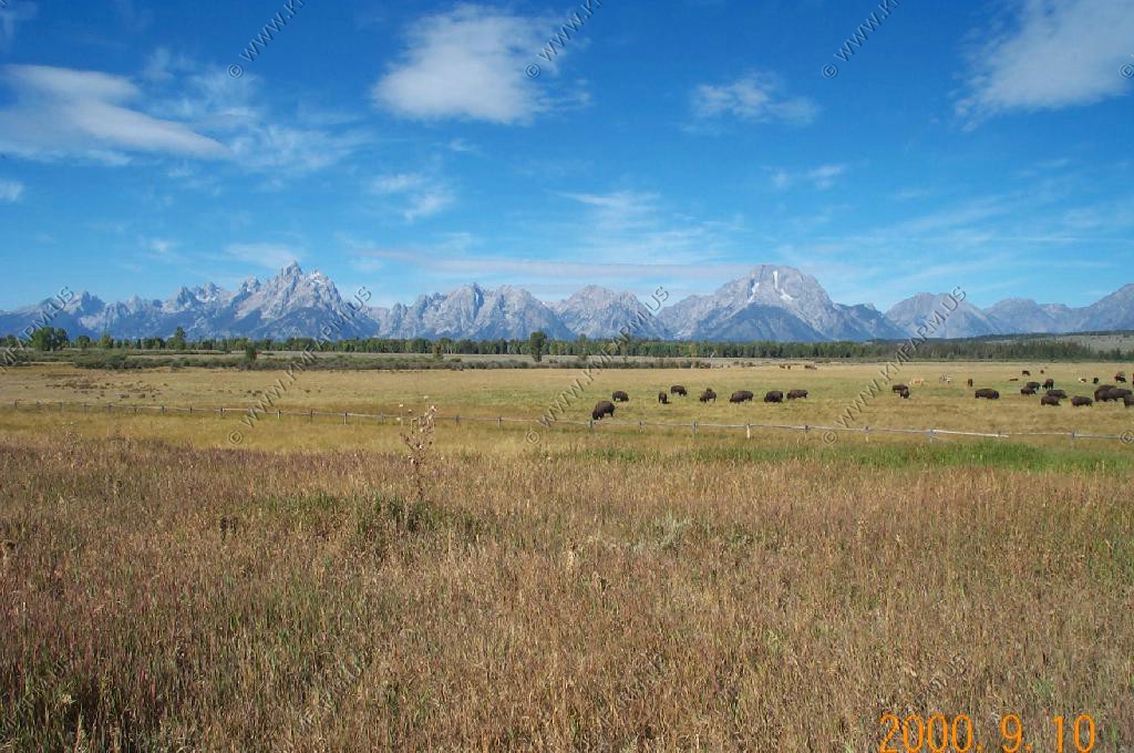
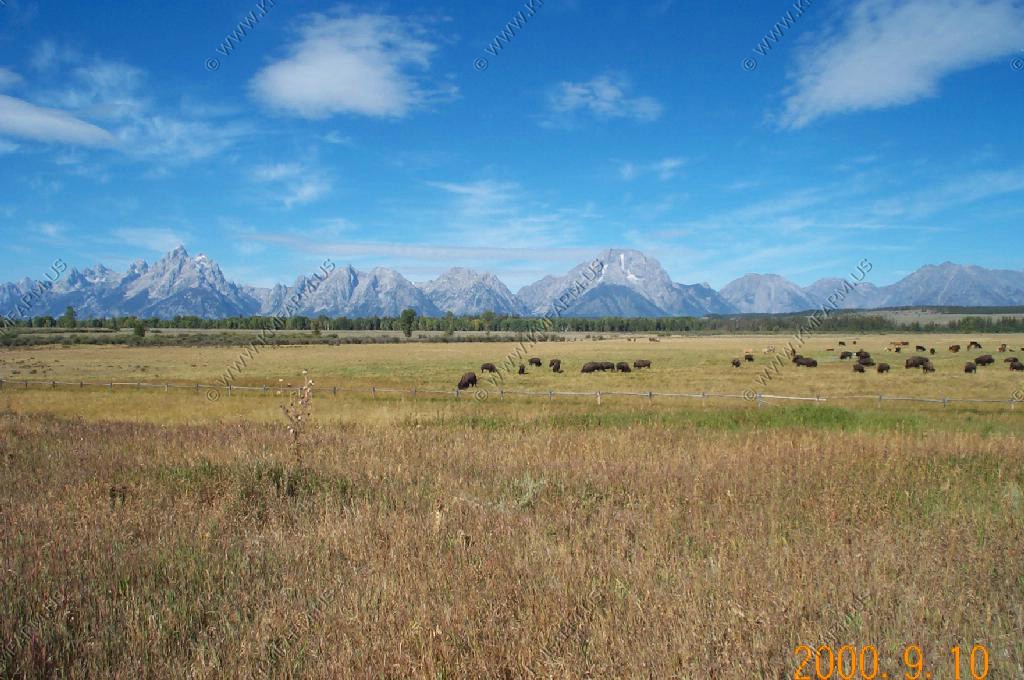
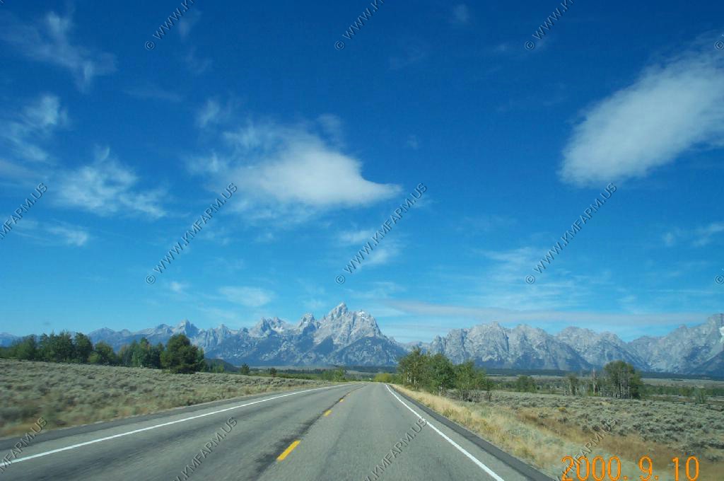
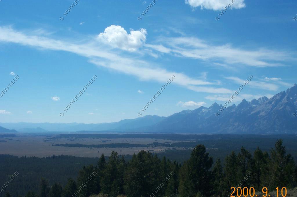
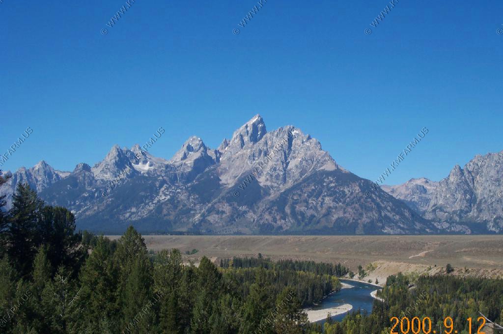
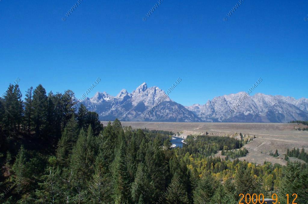
On the way from Dubois to Grand Tetons we get our first view along US 26
The entrance sign above Jackson

Some views along US-26 between Elk and Moose
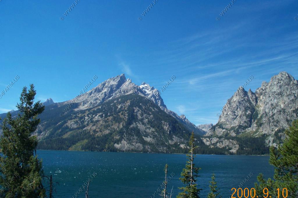
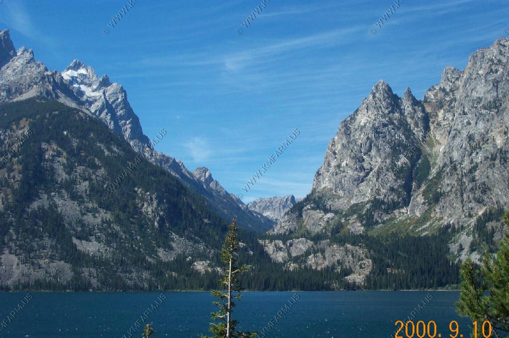
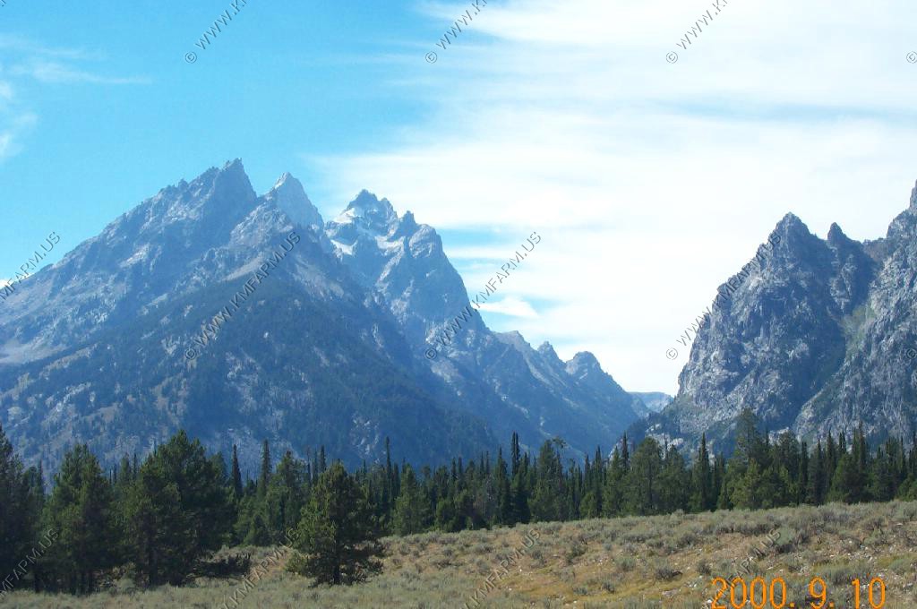
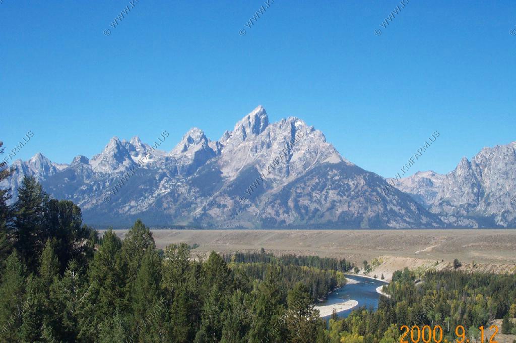
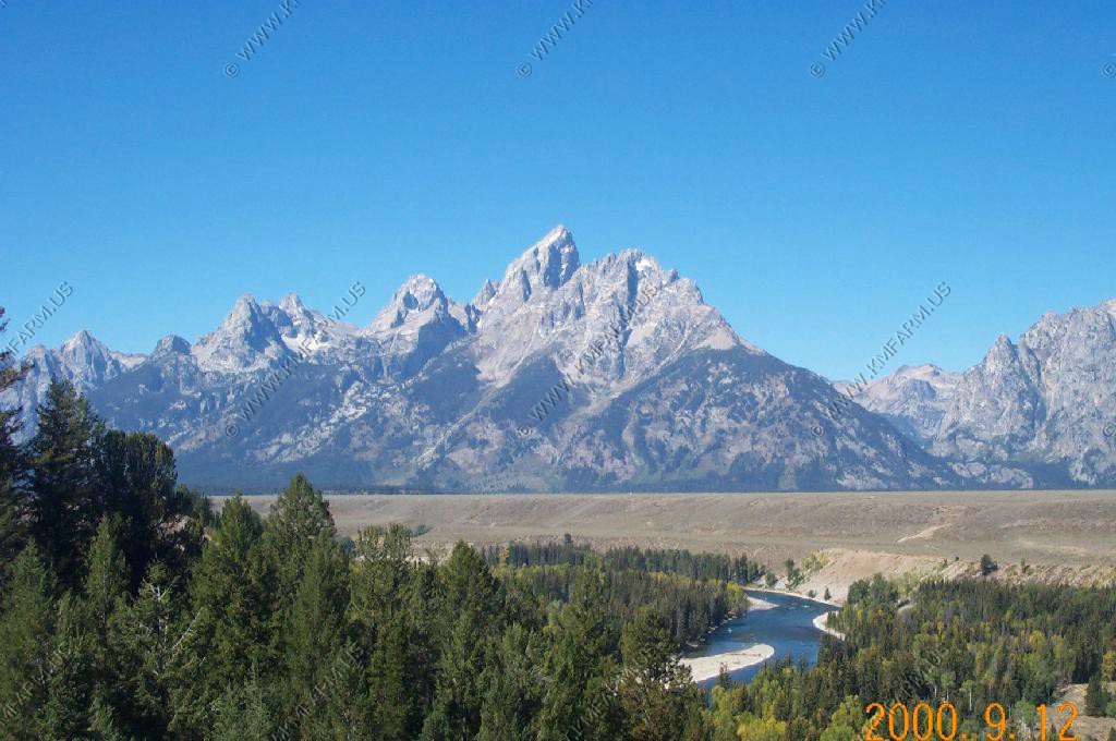
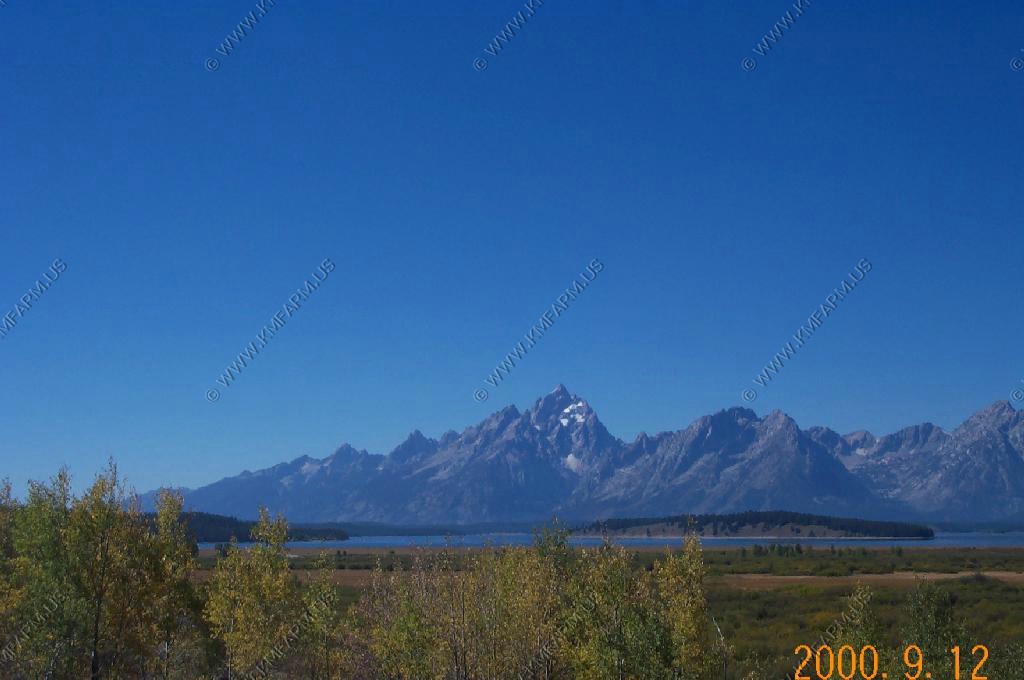
Beautiful, but windy view, of Jenny Lake
Signal Mountain (El. 7,593) views north, east and south from the Emma Matilda Overlook.
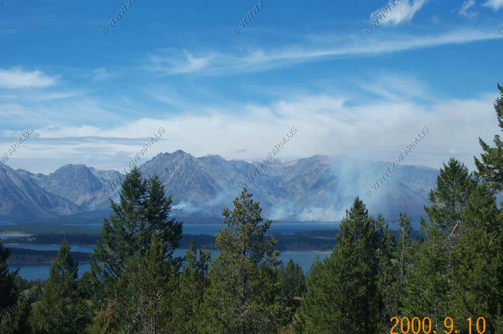
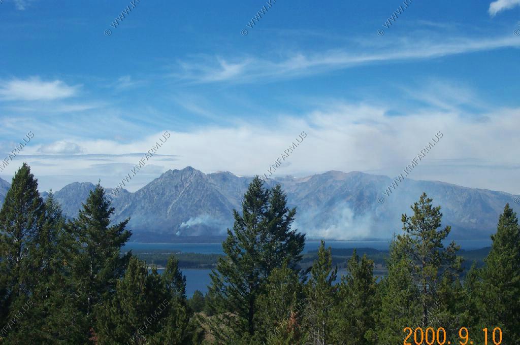
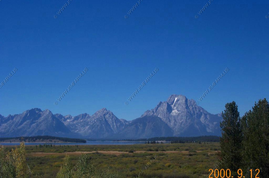
Views south and west from the Jackson Lake Overlook. We had been hearing about how the West was burning all summer long. This was the first fire that we saw.
Followed a rather large Coyote along the Teton Park road.
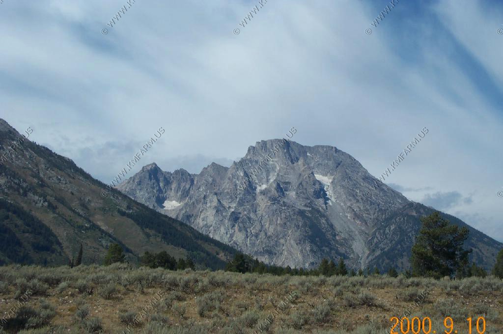
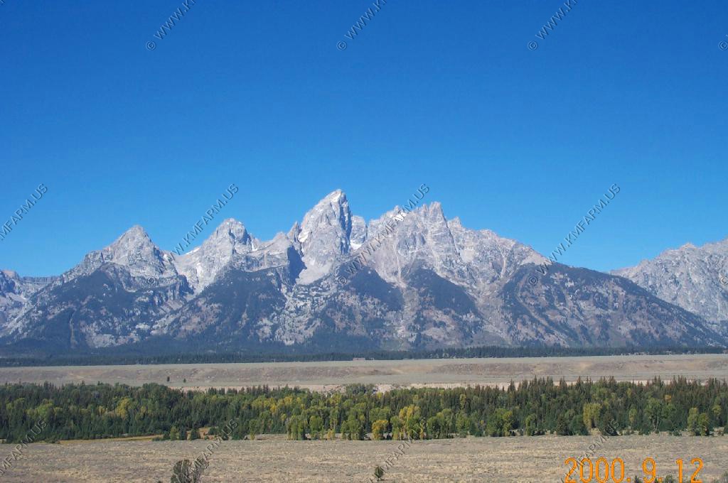
Mountain views
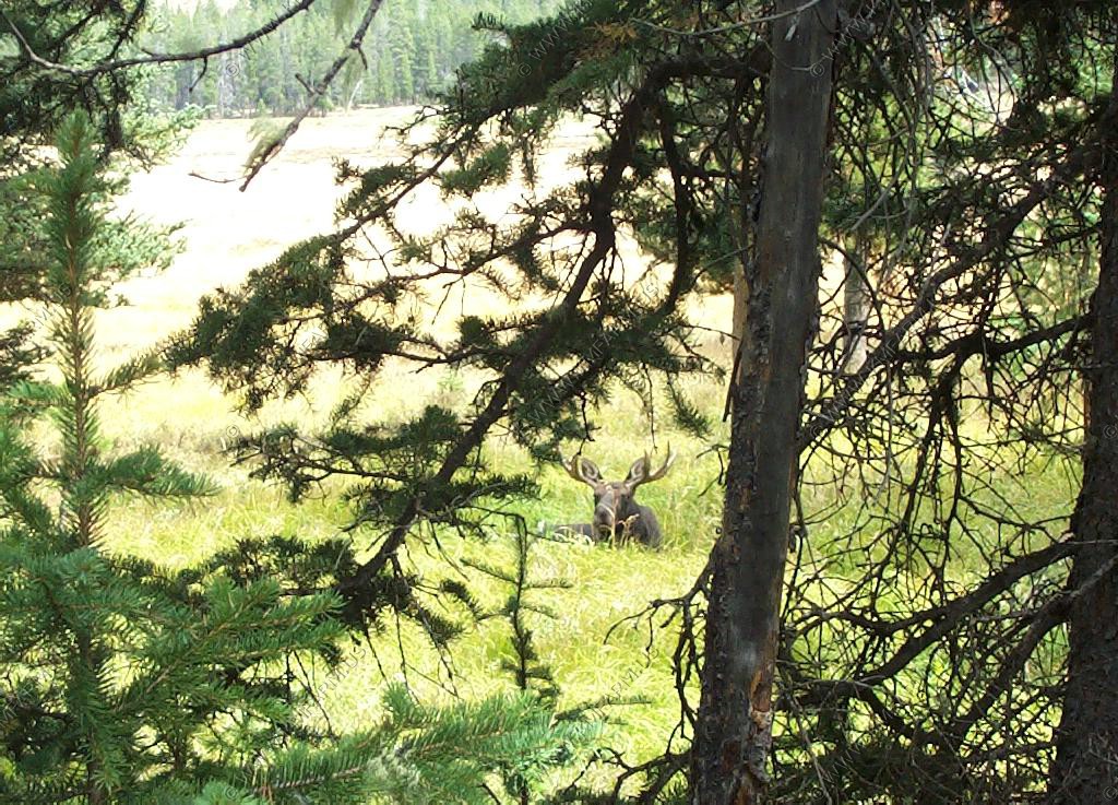
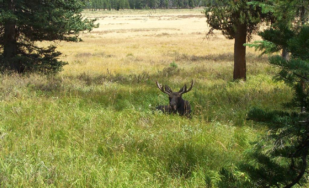
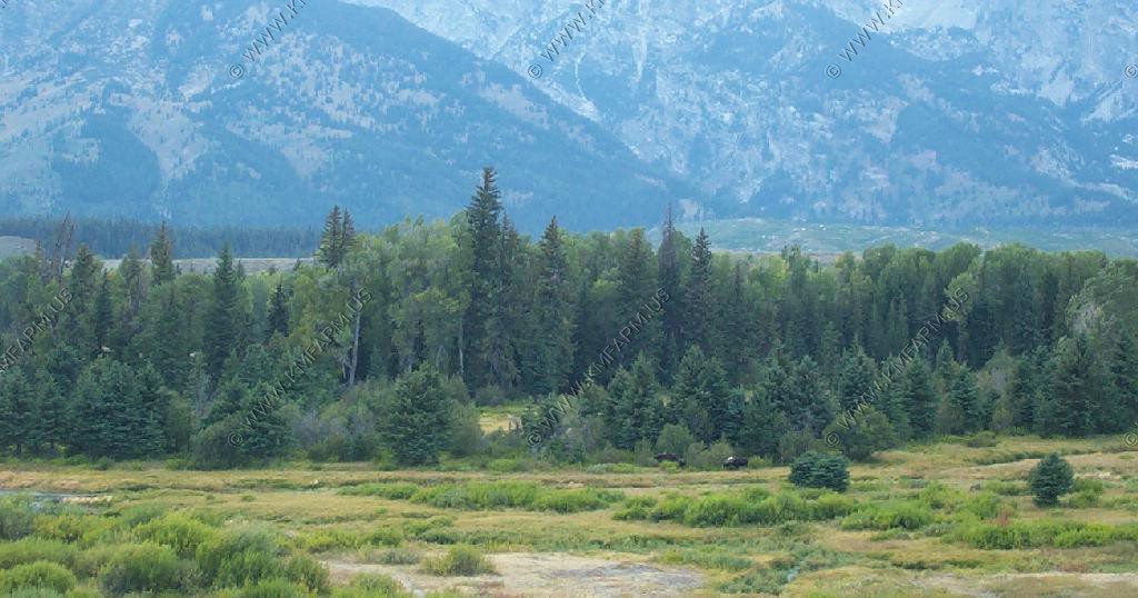
A bull Moose and cow from the Blacktail Ponds Overlook.
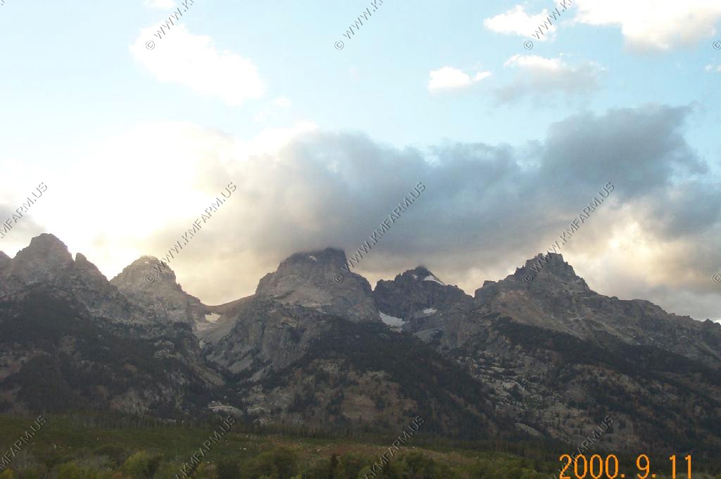
During the night a front came through and we picked up a few inches of new snow up on the peaks.
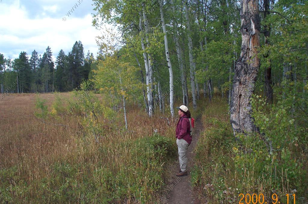
We wanted to go for a good hike with nobody else so we headed up to Two Ocean Lake and took the trail that runs around the lake which is a bit over 7 miles. This hike was a good pick because we only saw one other hiker on the trail.
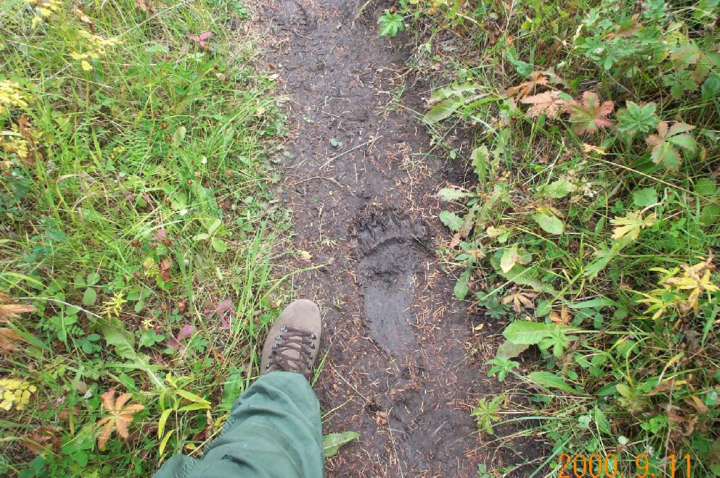
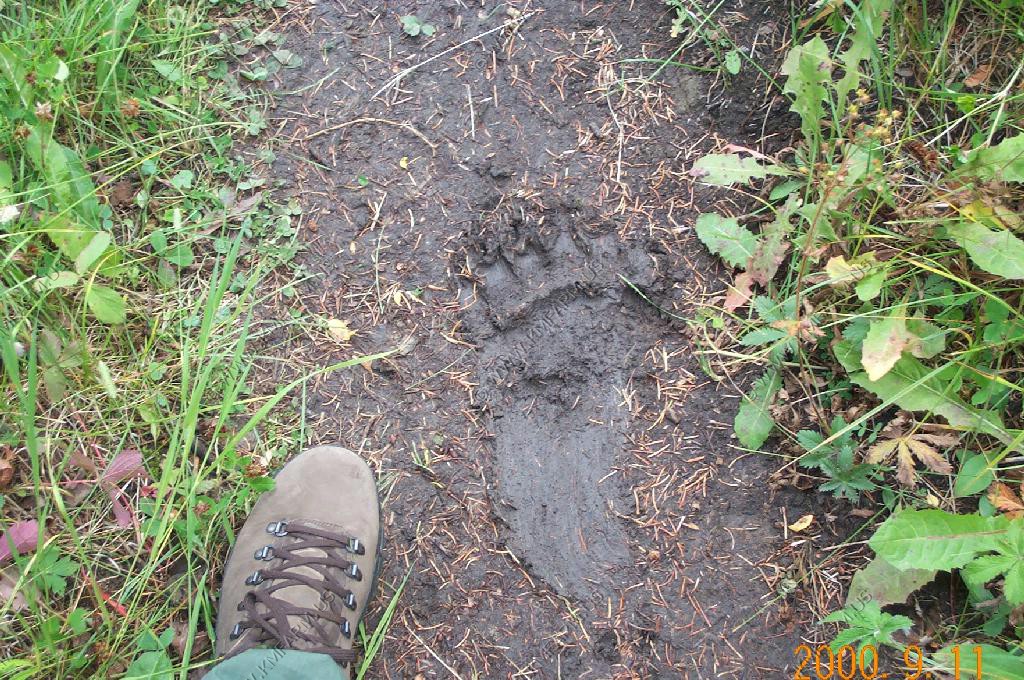
Along the trail we found some very fresh bear tracks. This is Grizzly country so we were prepared with pepper spray and a .44 if that did not work.
Views along the trail. The north side was open for the most part. The south side was more forested.
About 200 feet from the parking/picnic area we bumped into a Bull Moose. He did not seem to mind us taking a few photos. We still kept a safe distance.
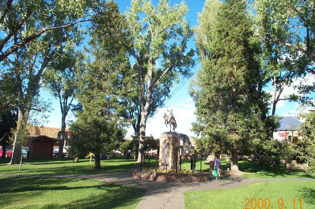
We then headed down to check out the Elk Refuge and the Jackson area.
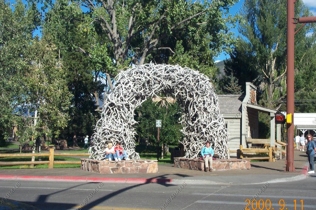
We had to visit the town park with the Elk antler arches.
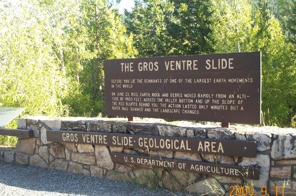
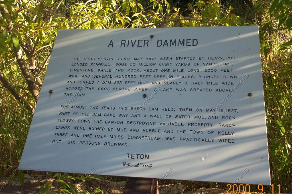
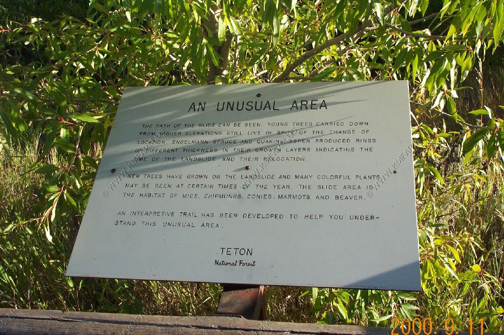
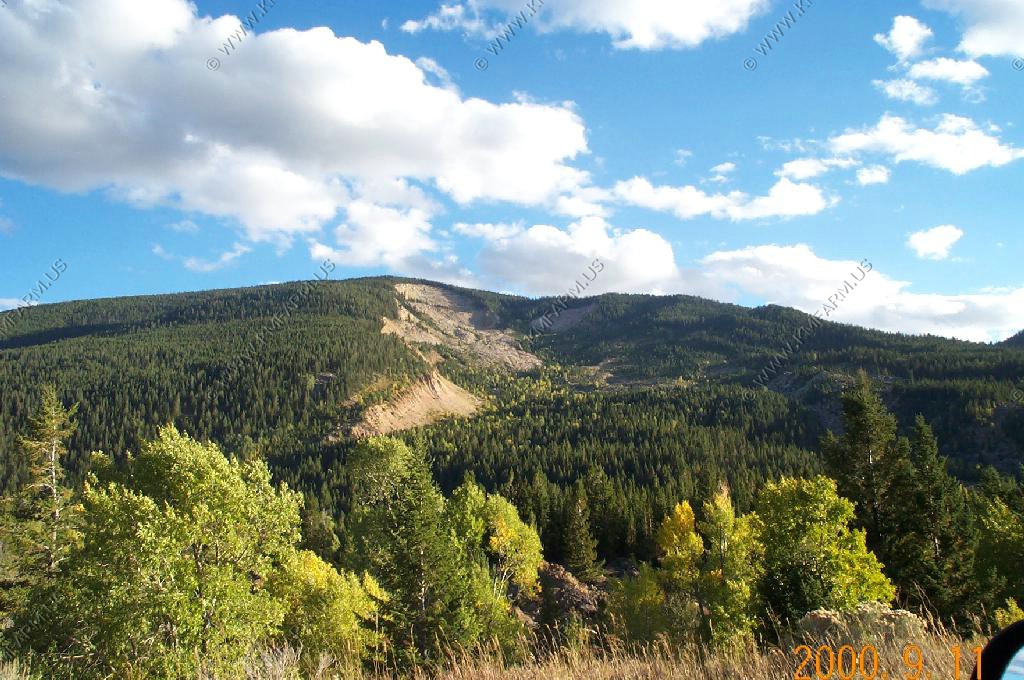
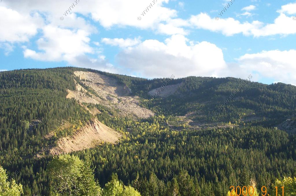
We then headed out East of Jactson to the Gros Ventre Slide area.
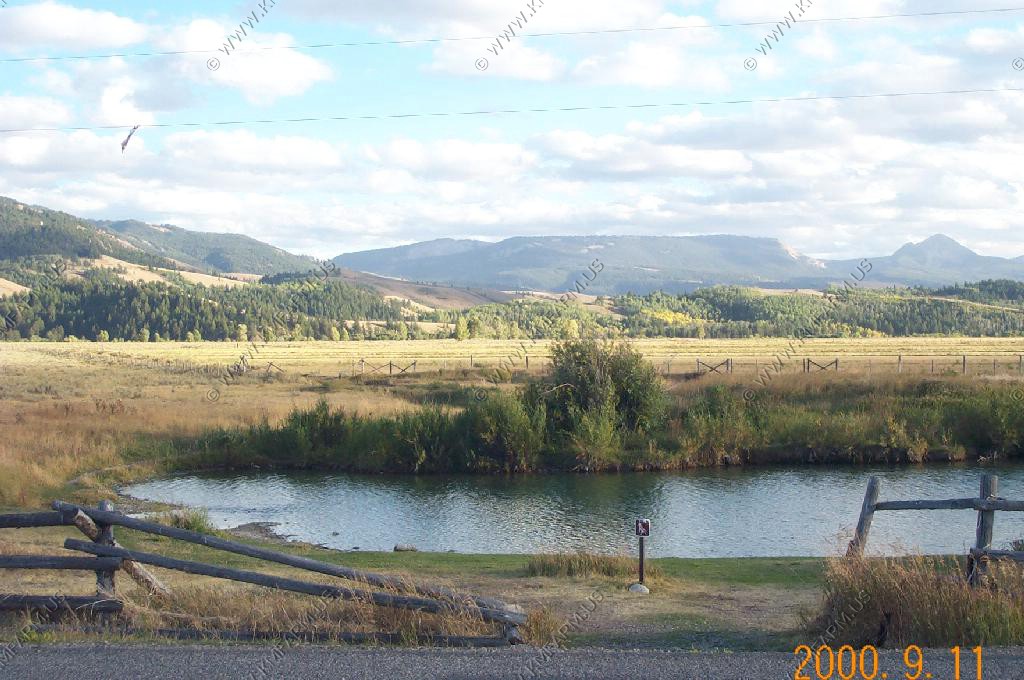
On the way back from the slide we stopped at Kelly Warm Springs along Gros Ventre Road.
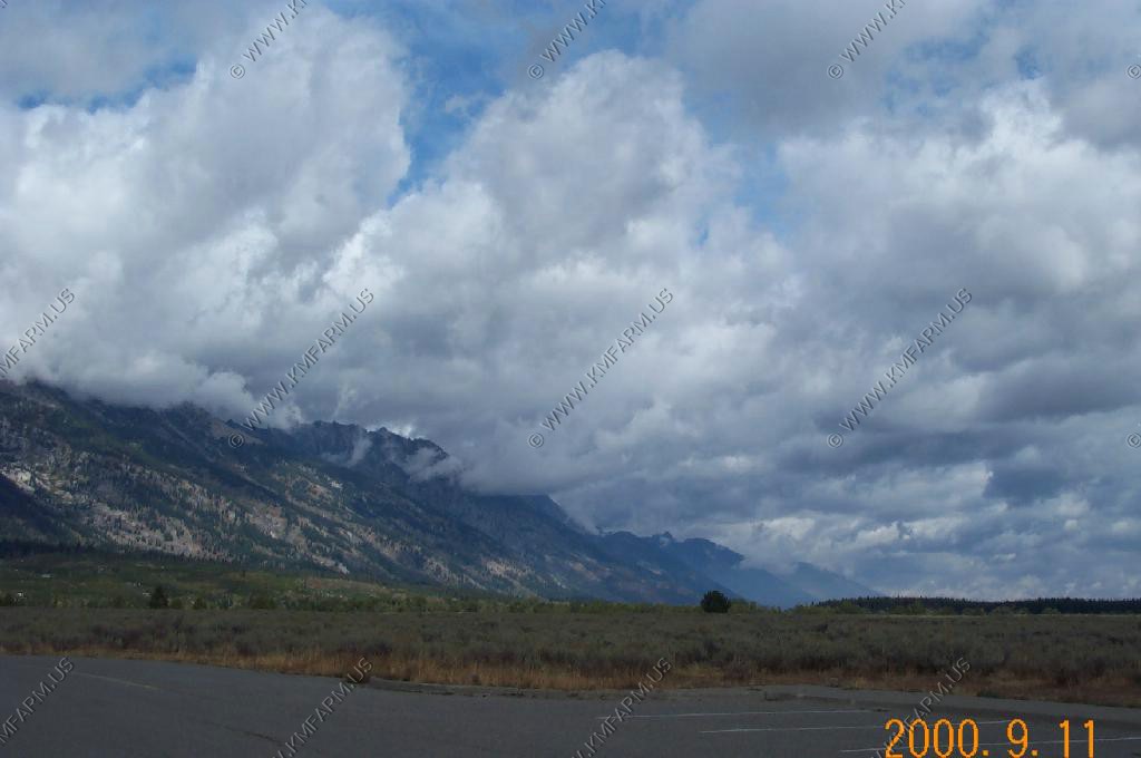
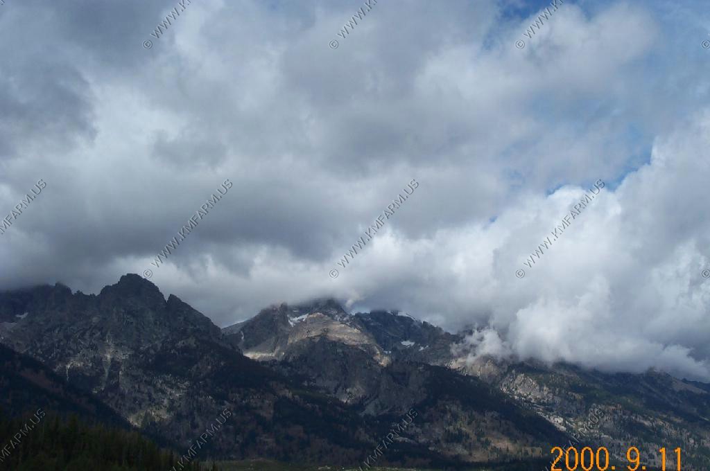
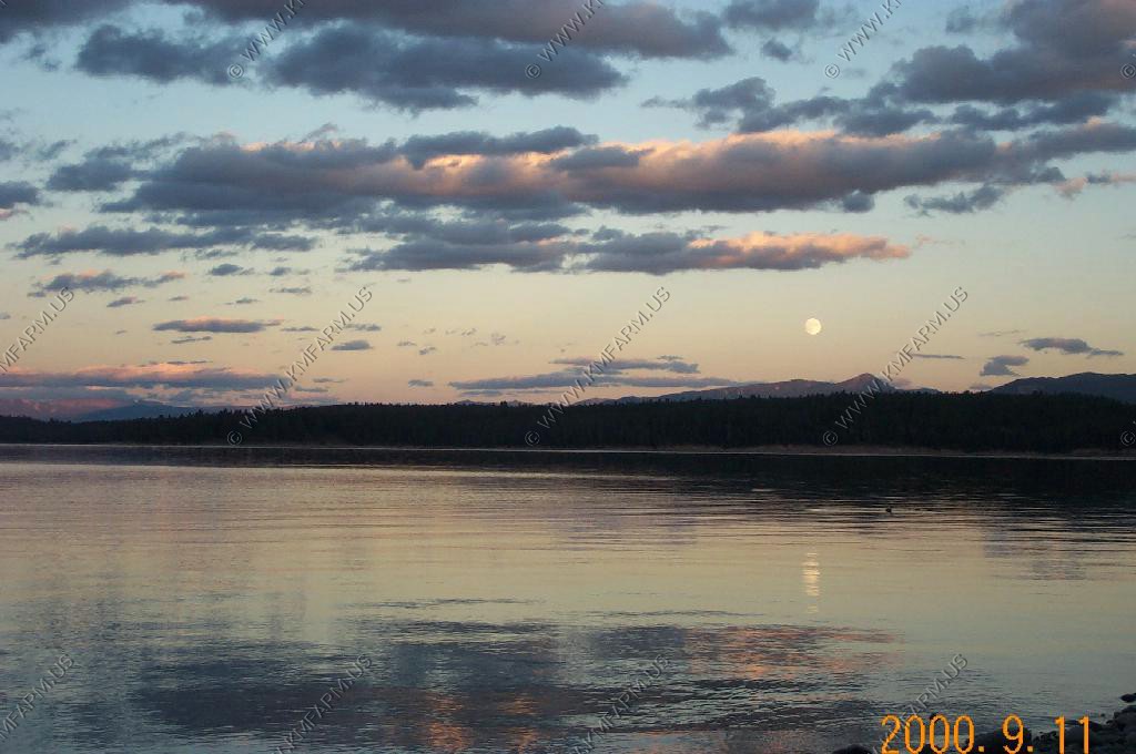
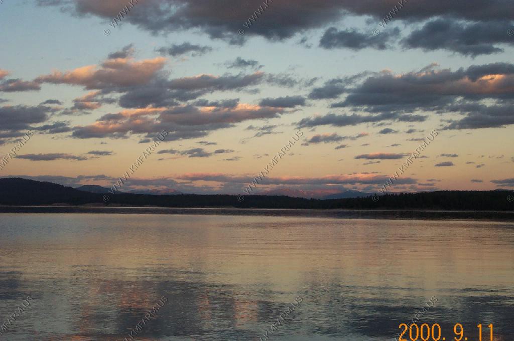
We headed back into the Park to watch the sunset. The clouds really never left the Peaks the entire day.

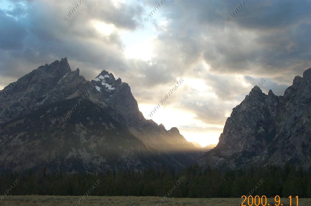
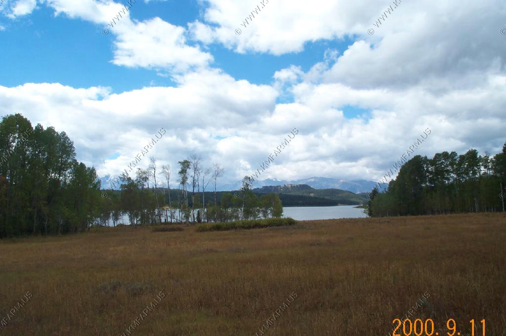
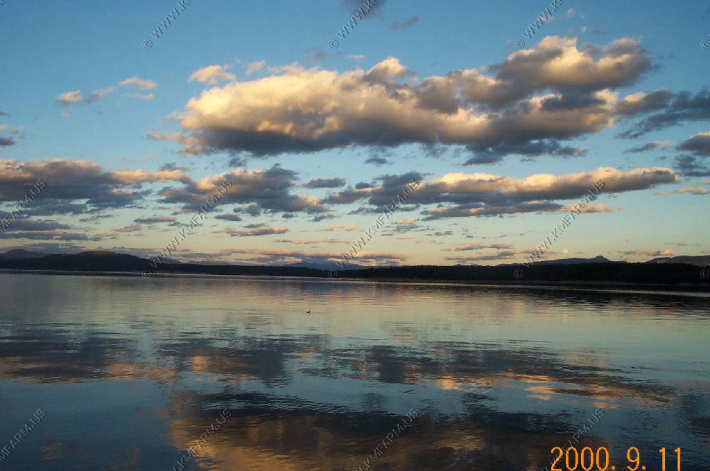
We took a one lane dirt road back onto Spalding Bay (Jackson Lake) to watch the sunset. It was so quiet that we could hear ducks landing on the lake over a mile away. Besides that no sound at all. The way it should be.


We stayed the two nights in Jackson at a condo that we rented through Rendezvous Mountain Rentals. We planned it this way because this was close to the 1/2 way point and this way we could wash all of our clothes in our condo. We would definitely go through them again as the condo was great.
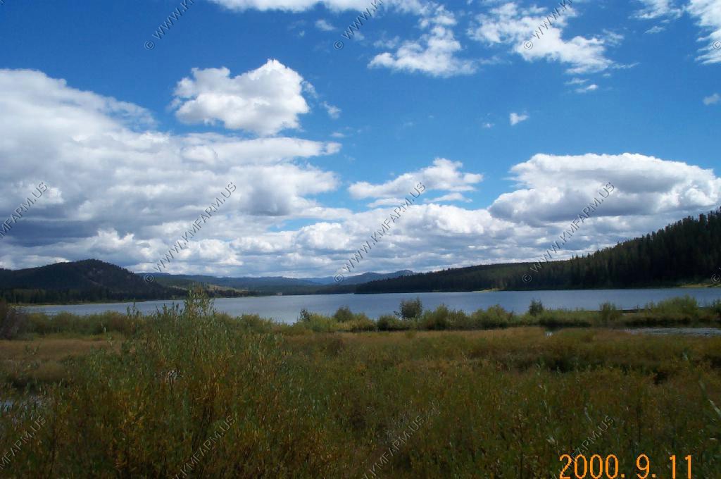
We awoke to a beautiful, not a cloud-in-the-sky kind of day.
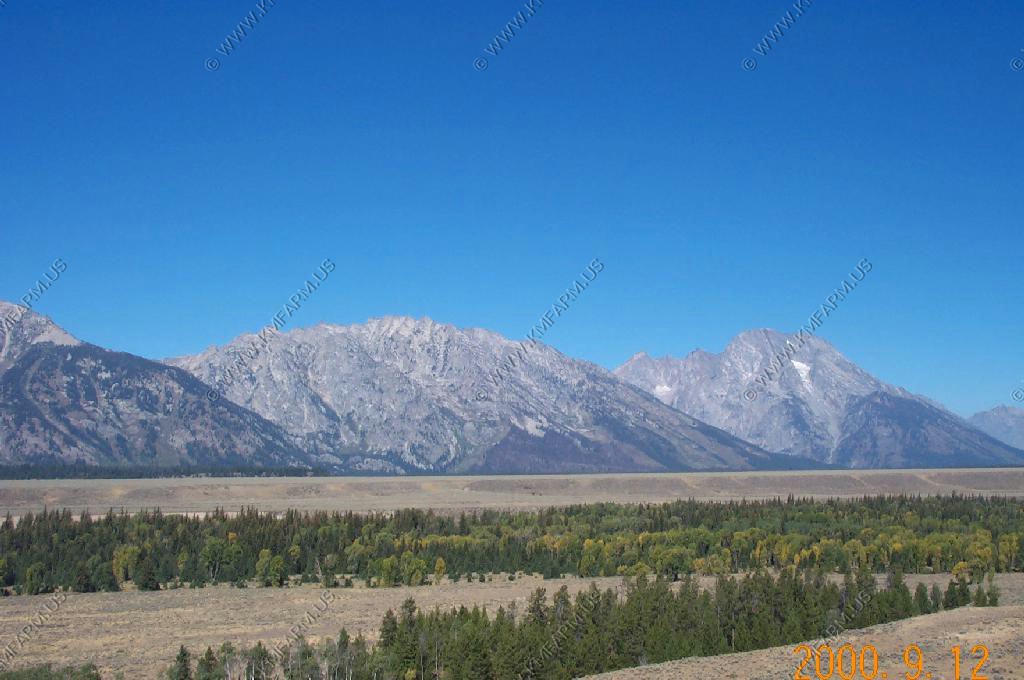
We started heading up US-26 / US-89 and stopped at a number of overlooks that we did not catch before.
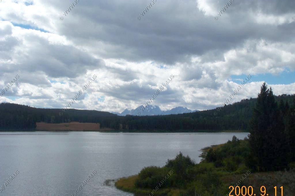
We got back into the smoke area near Lizzard Creek along Jackson Lake.