Last Updated: 12-JUN-2022
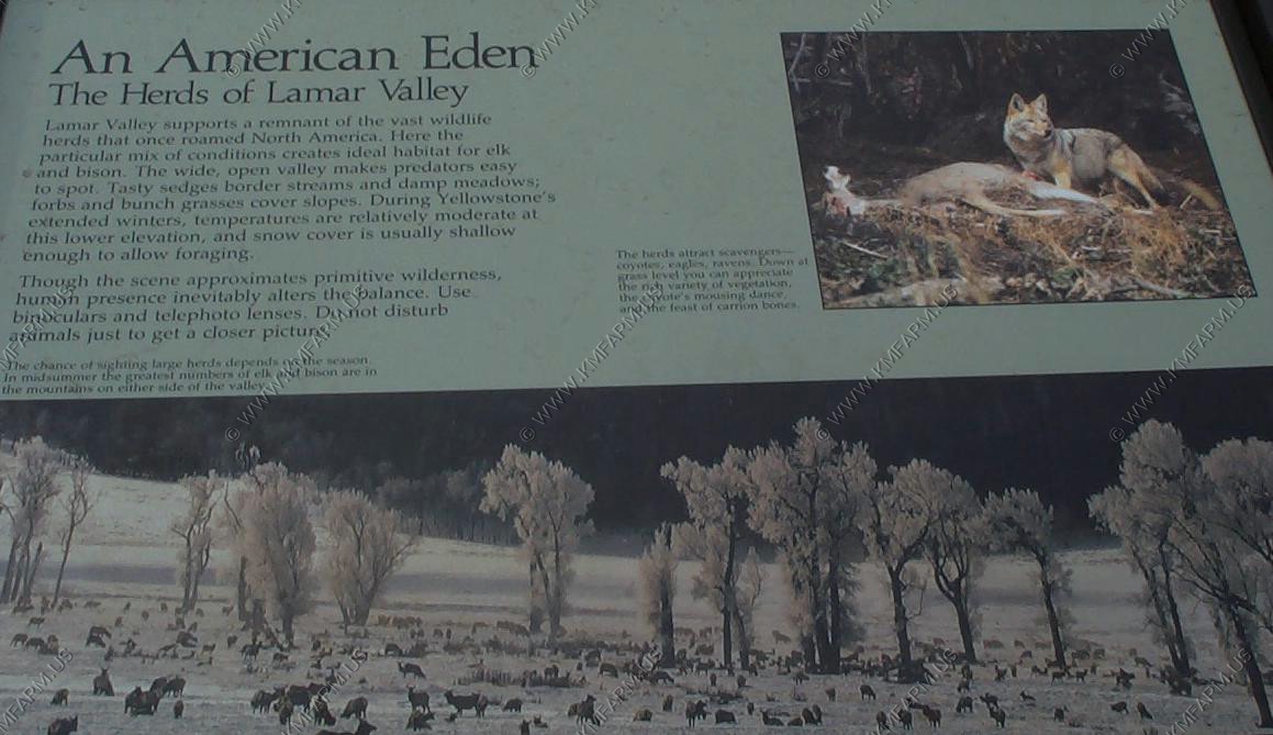
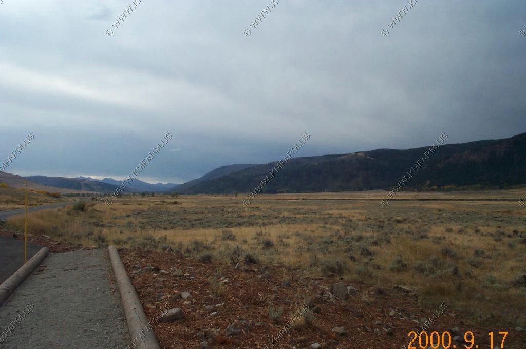
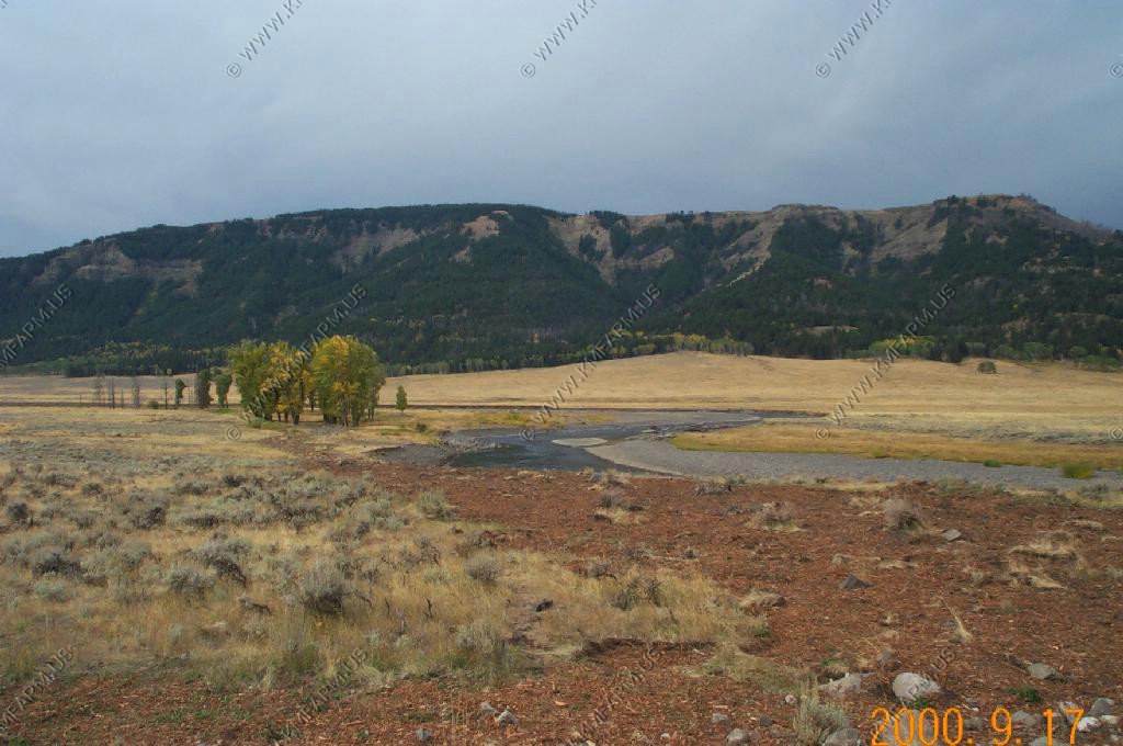
A morning stop in the Lamar Valley. Saw nothing.
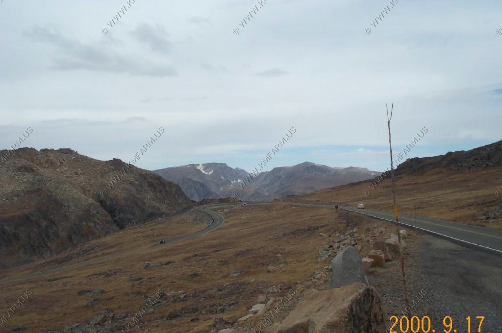
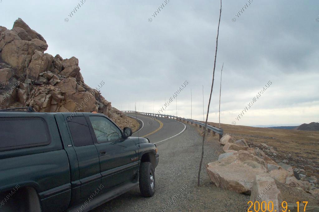
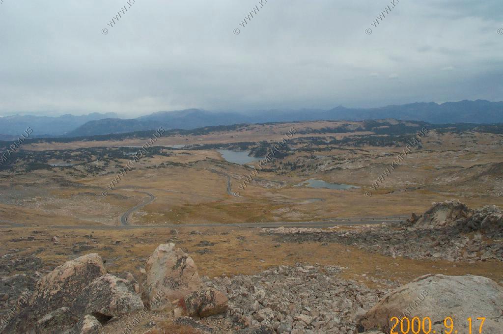
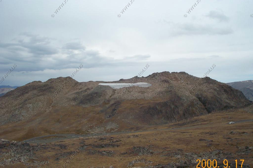
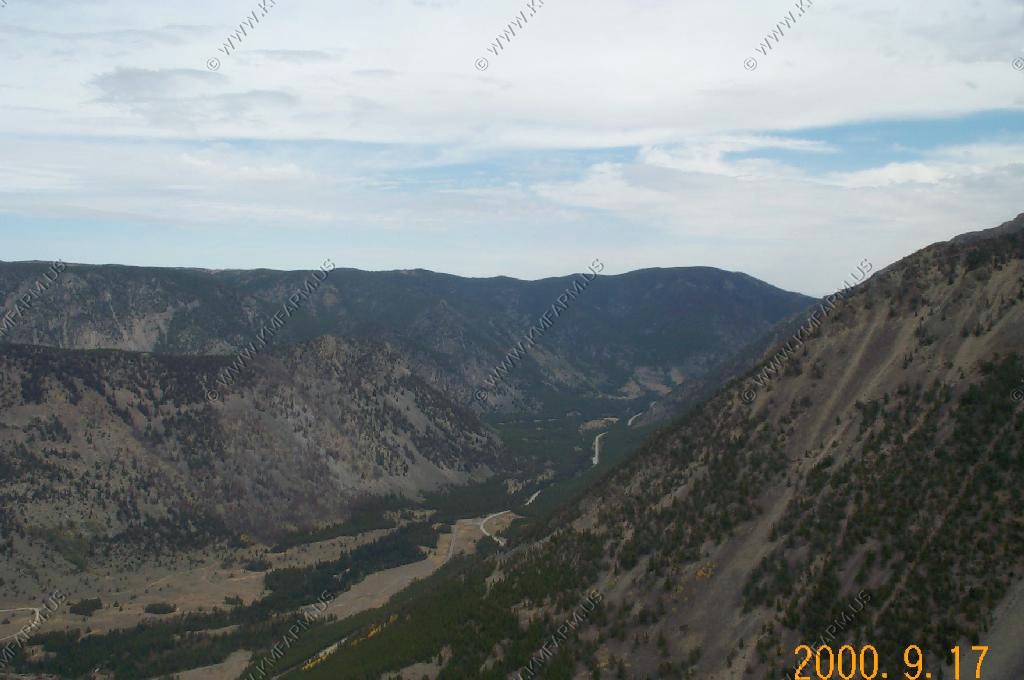
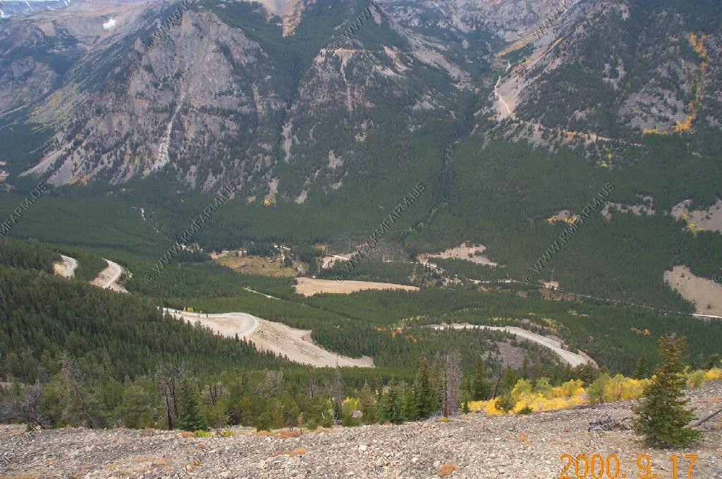
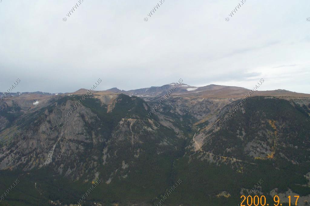
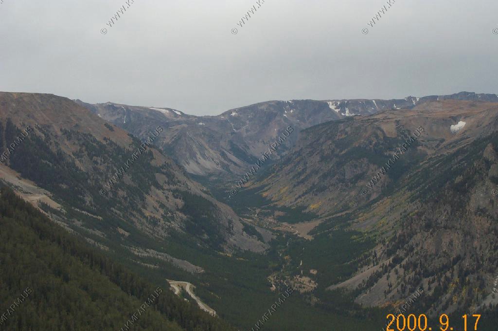
The Beartooth Highway
The 11,708 Ft. Pilot Peak
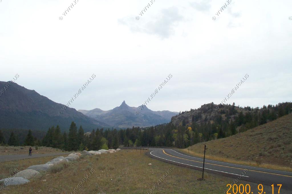
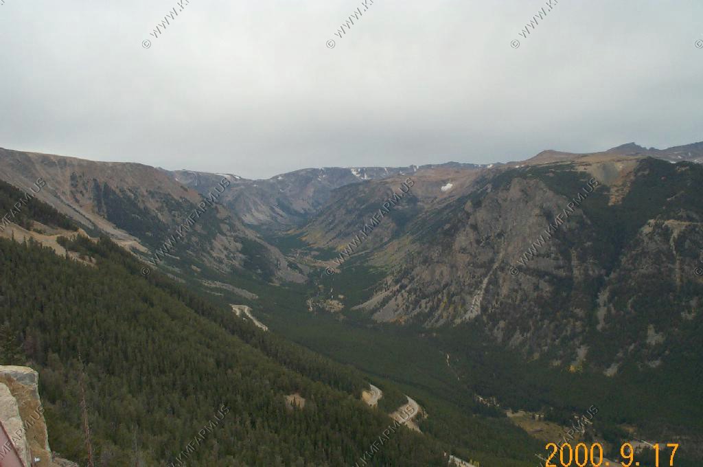
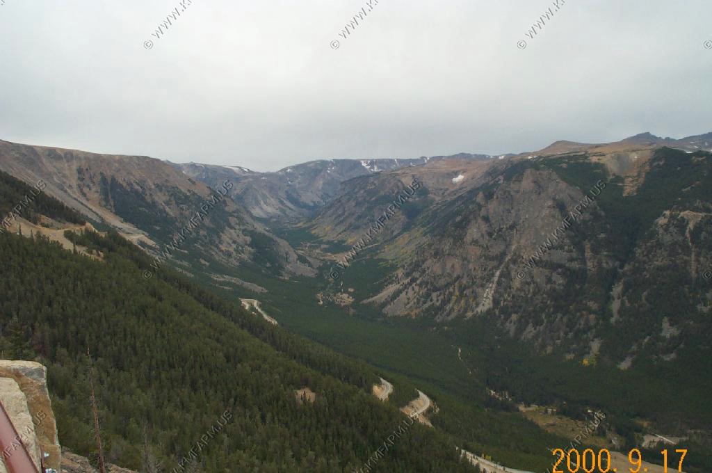
Beartooth Highway views
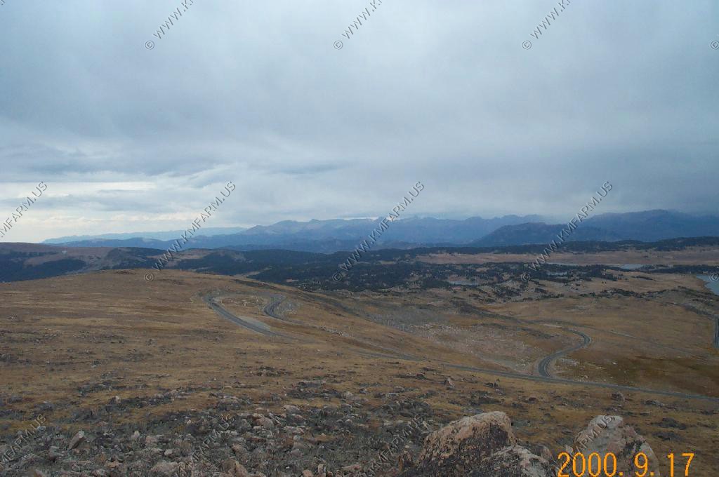
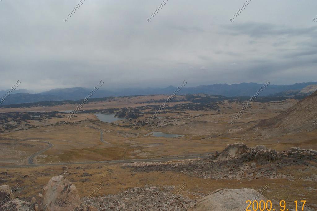
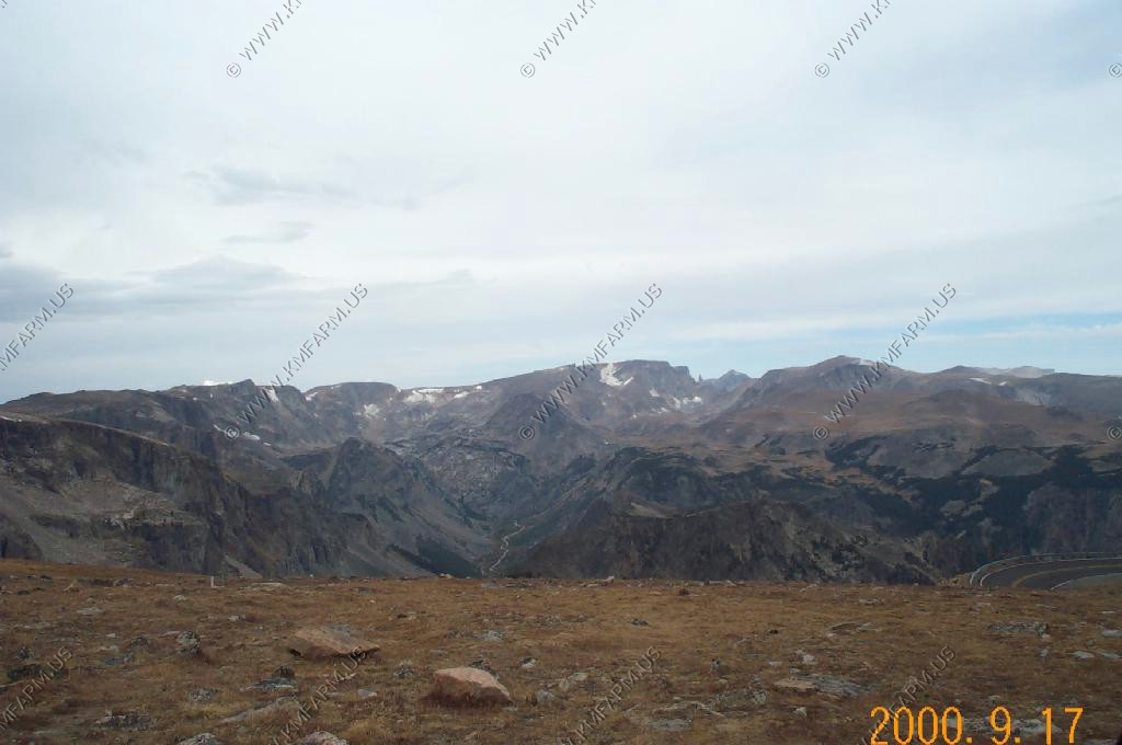
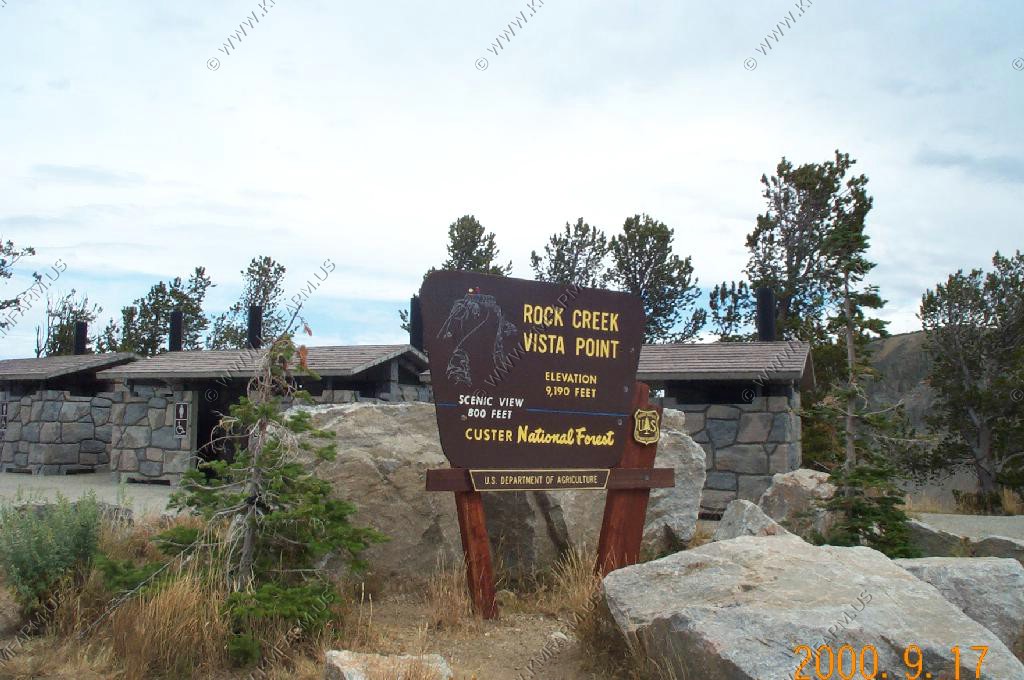
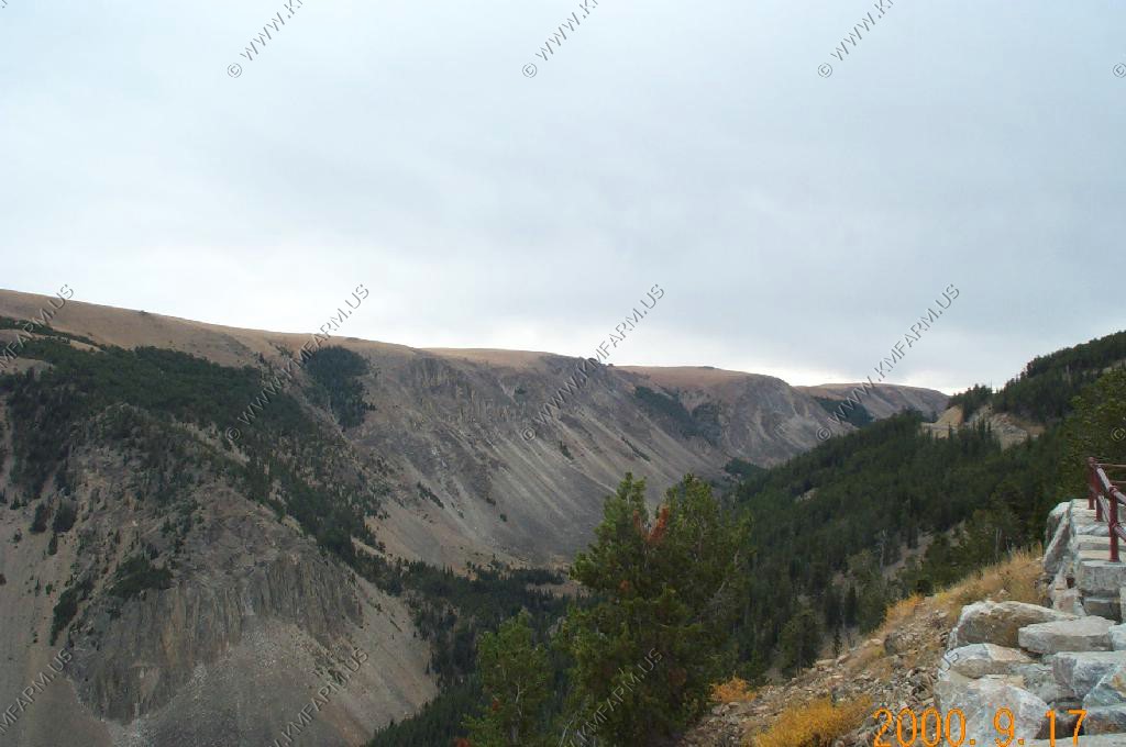
Views from Rock Creek Vista Point El. 9,190 Ft.
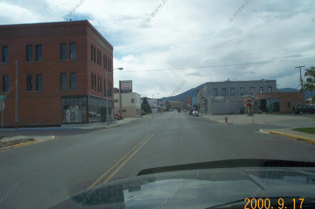
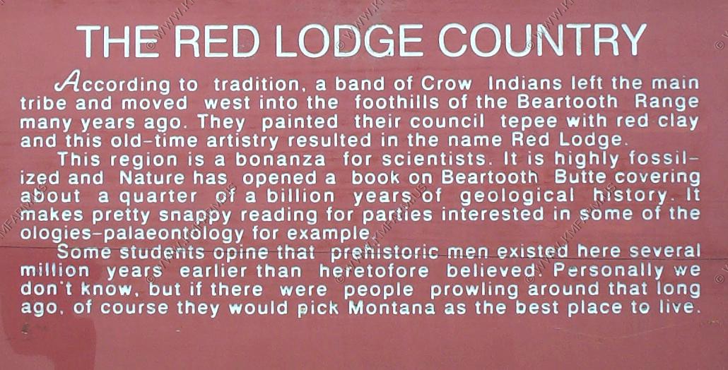
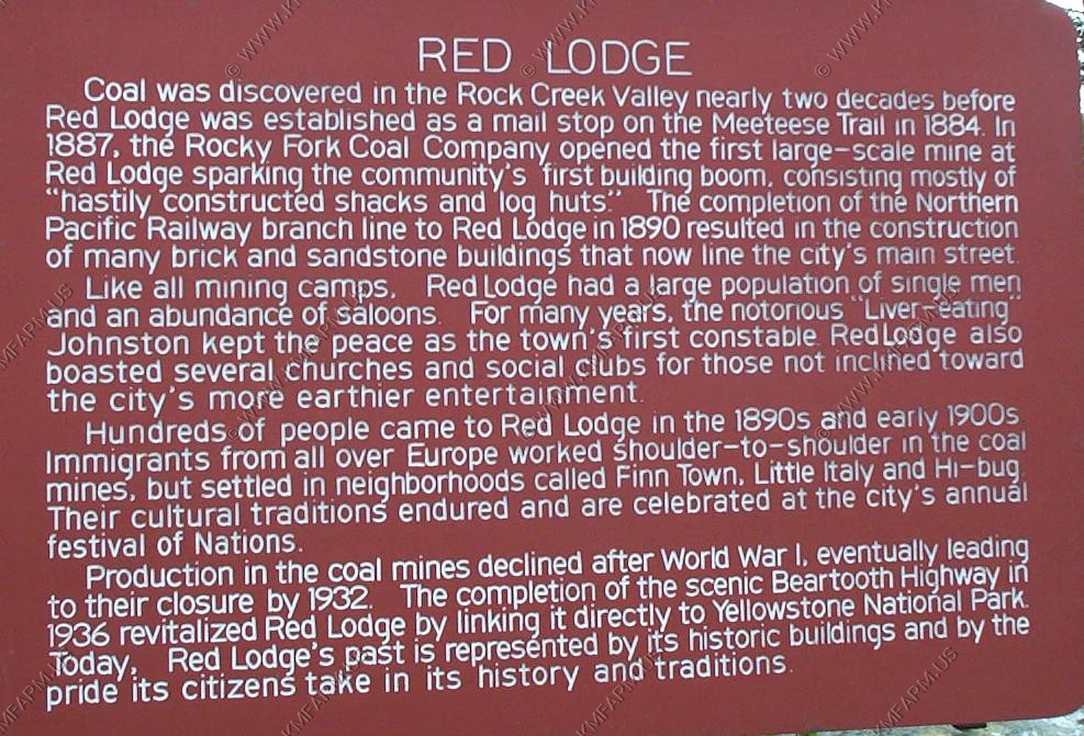
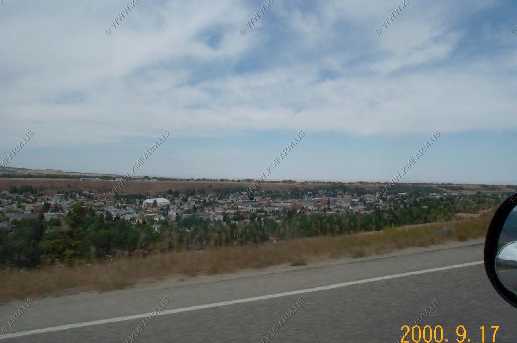
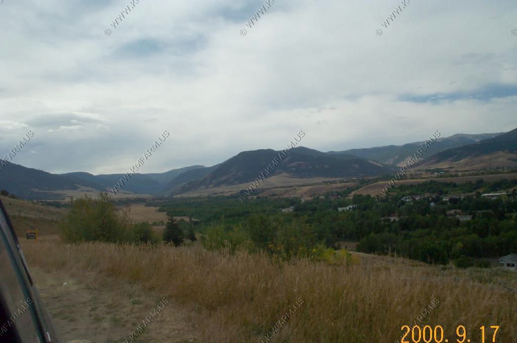
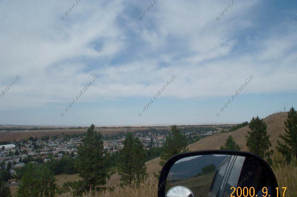
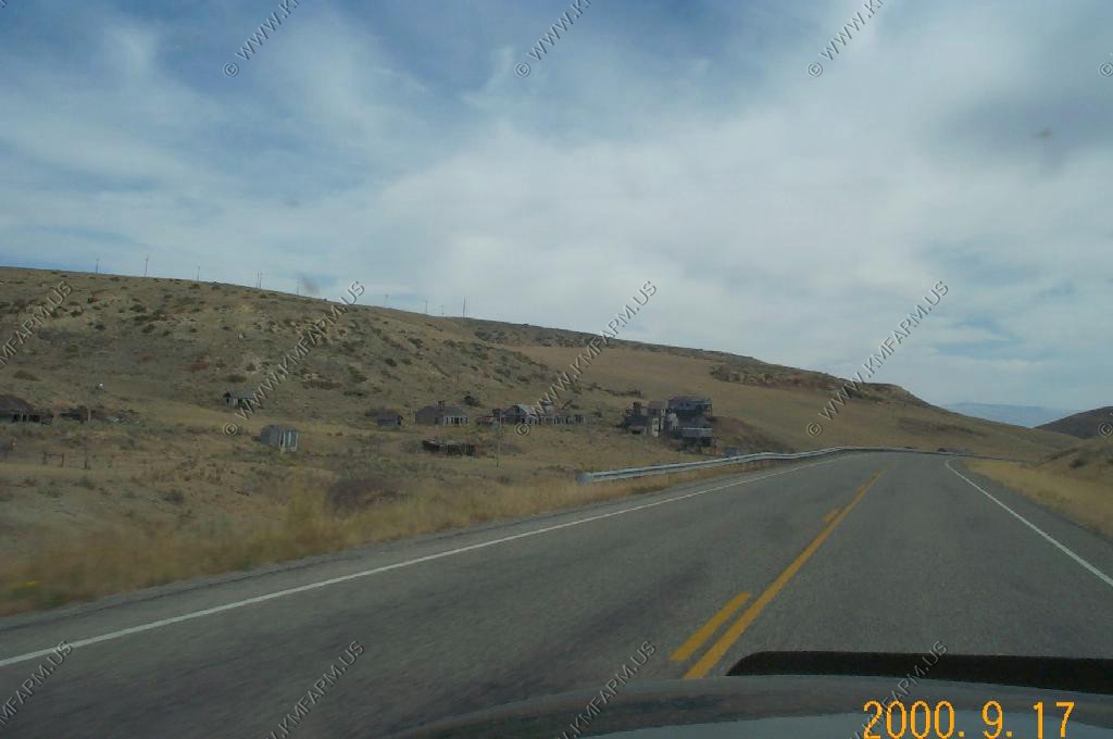
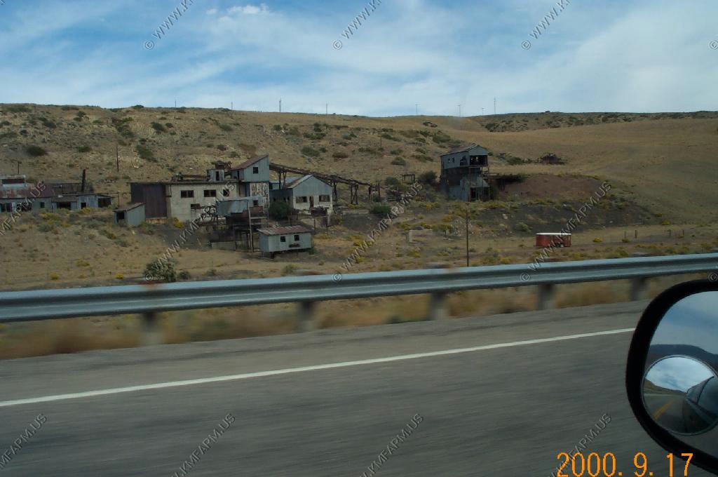
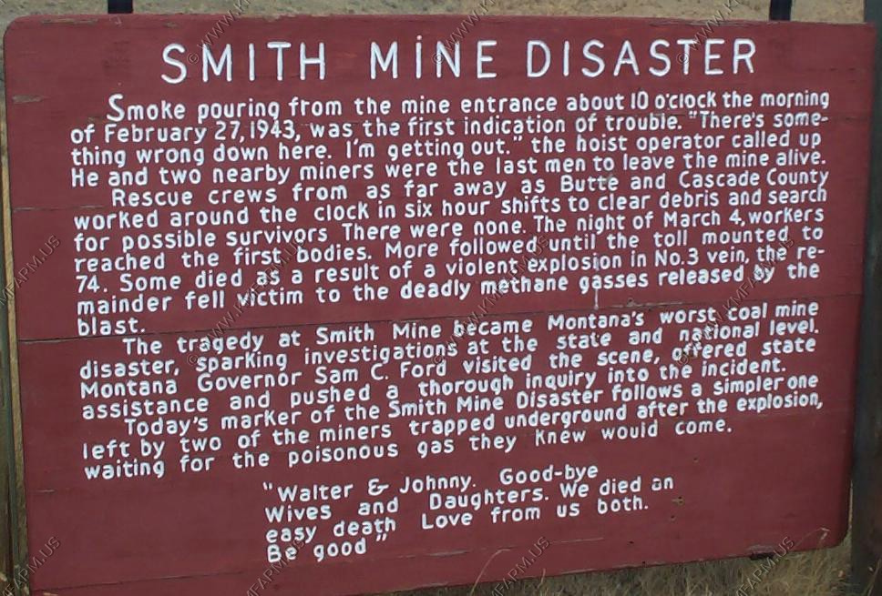
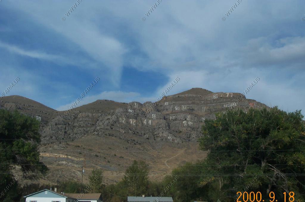
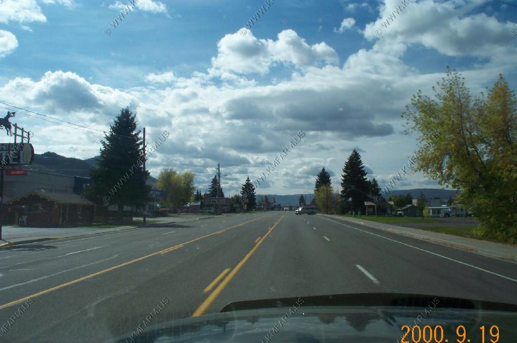
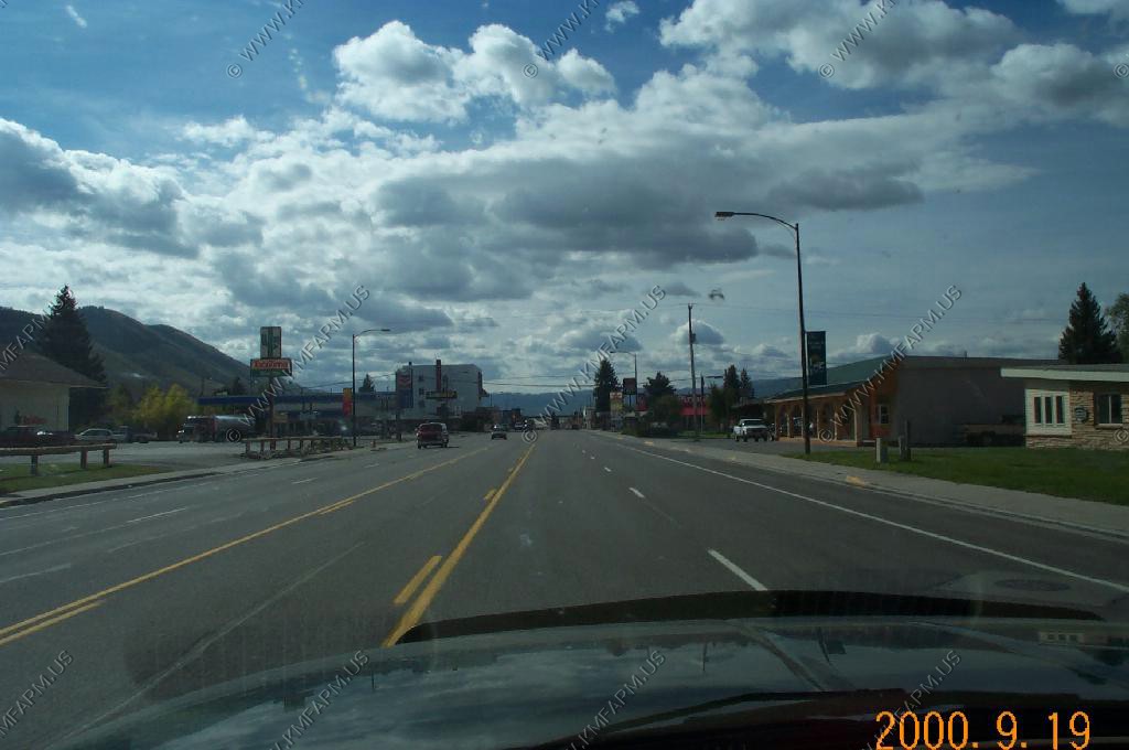
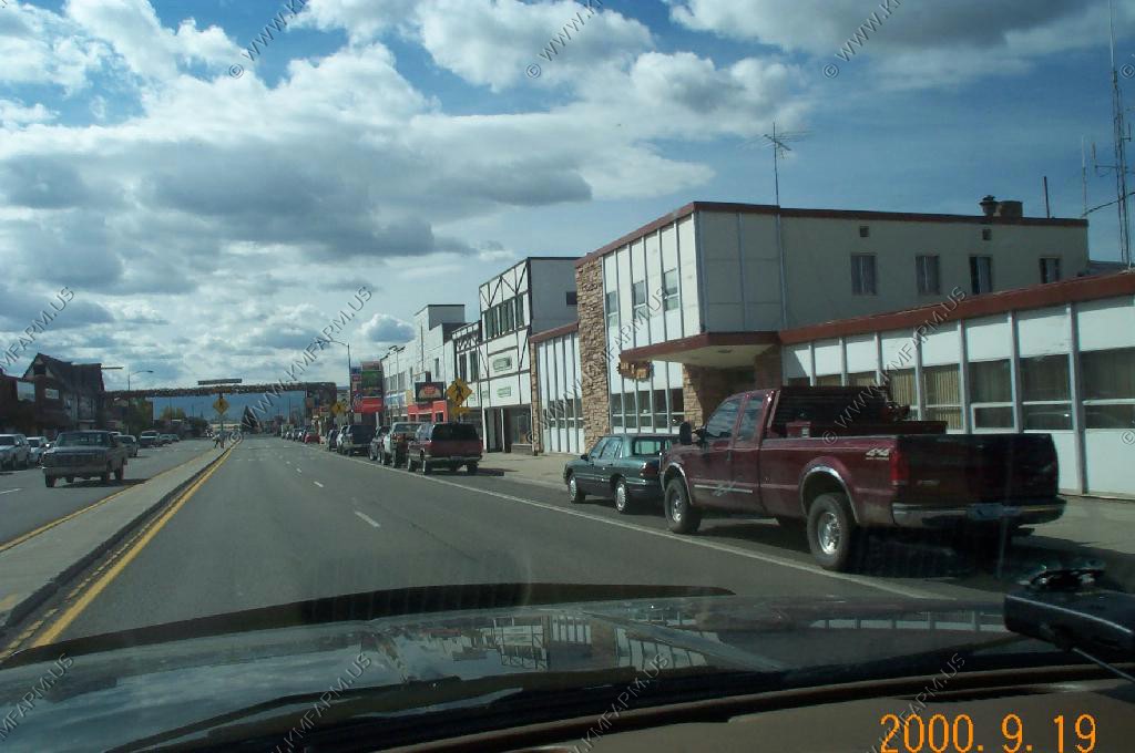
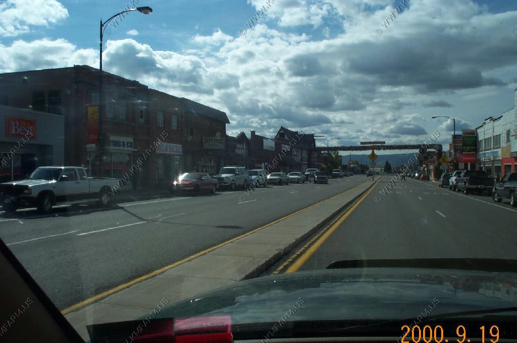
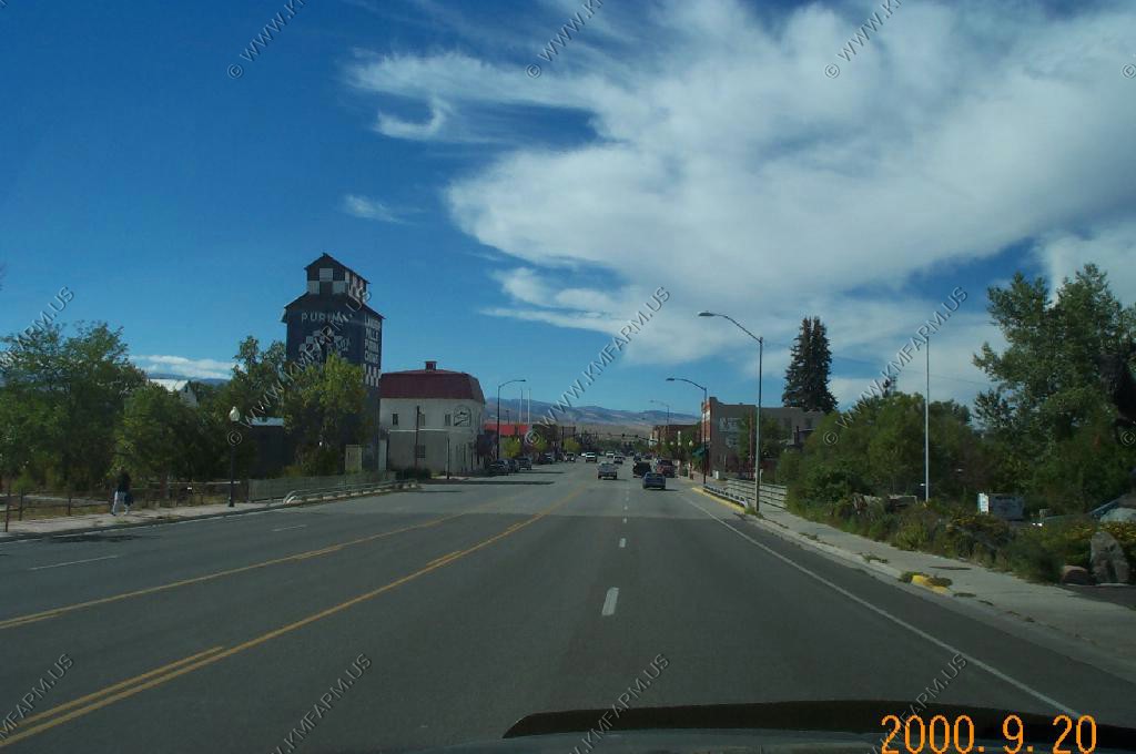
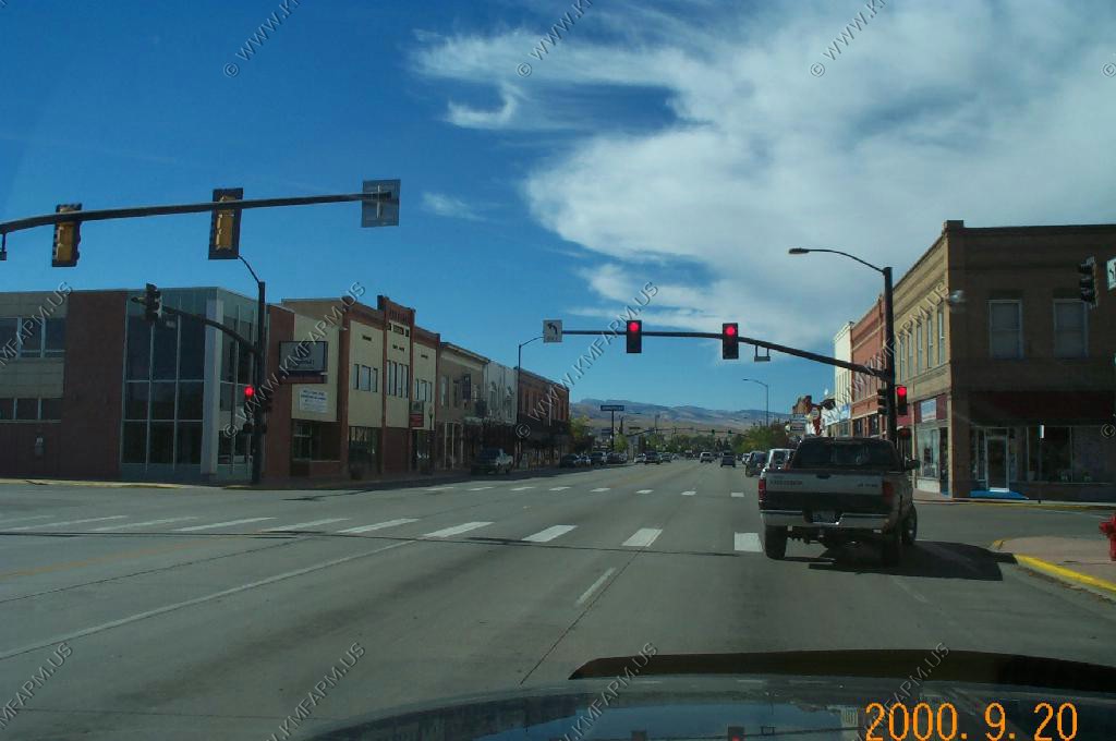
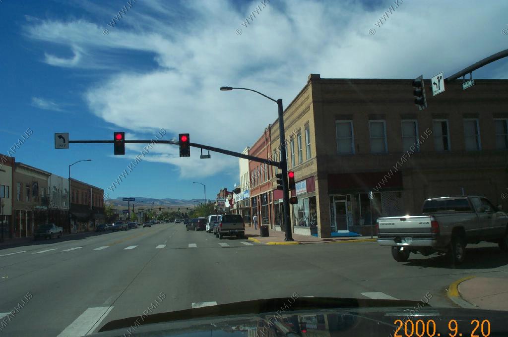
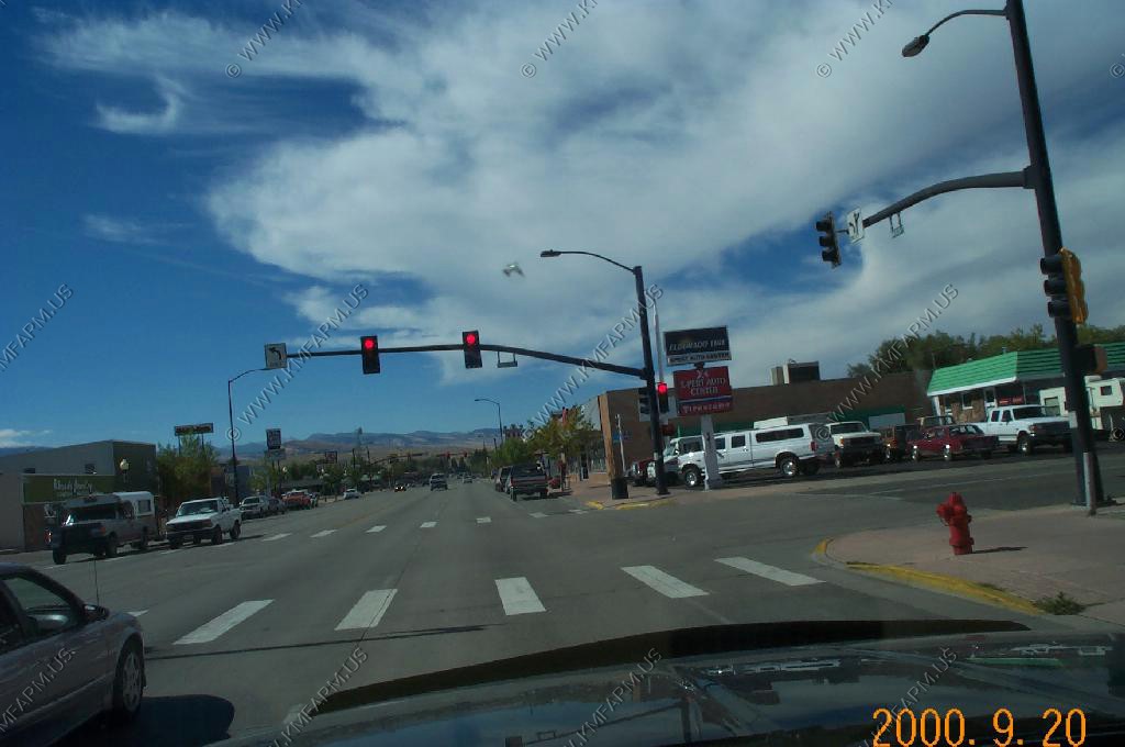
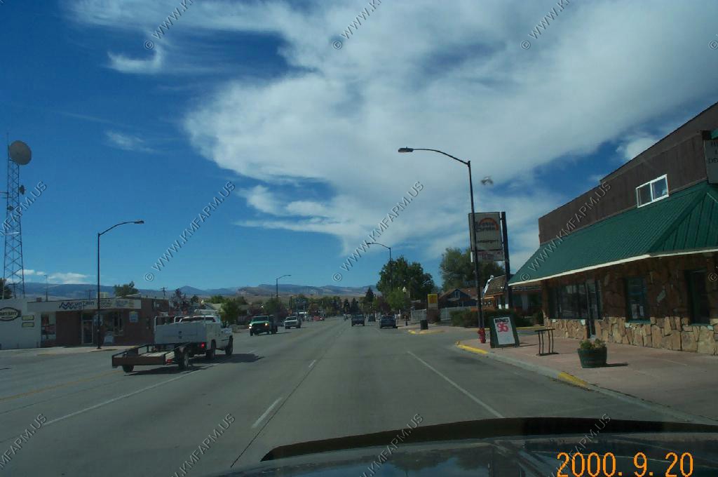
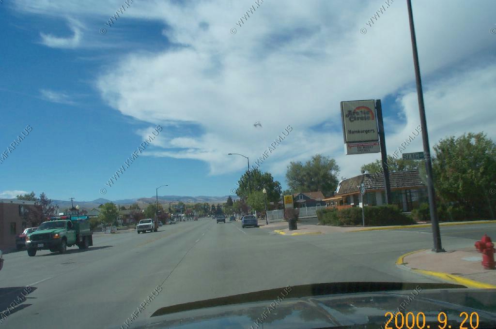
Red Lodge, Montana
Views around town and the coal mines south of town
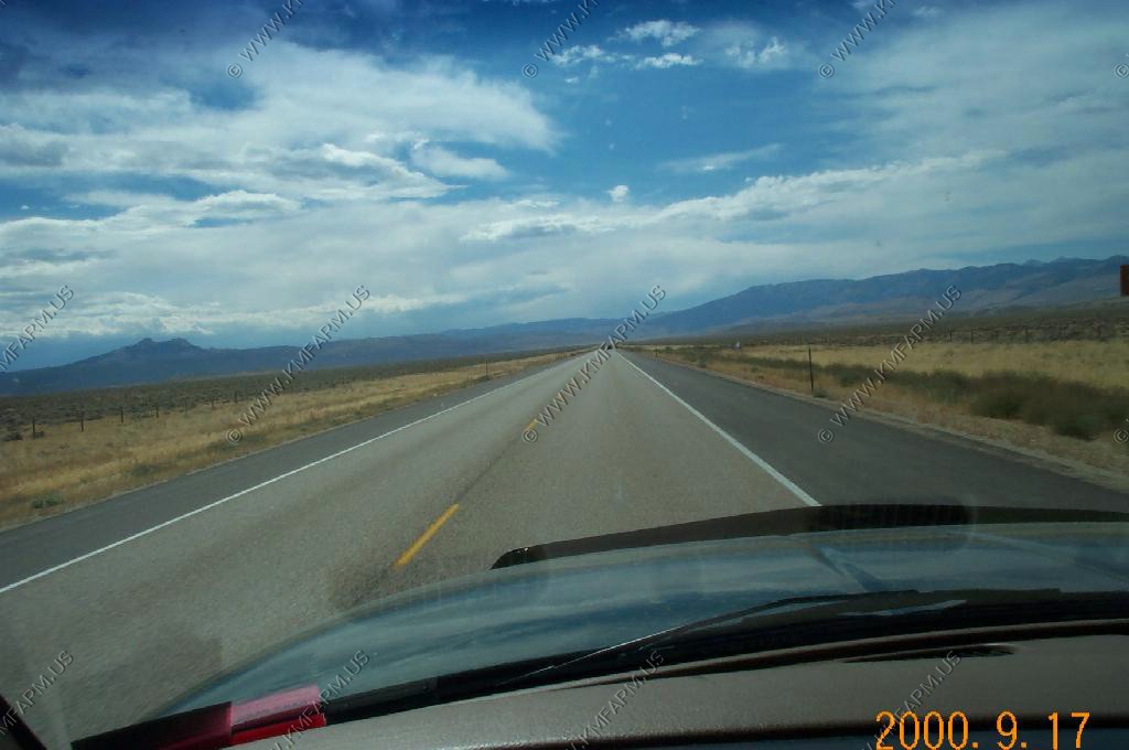
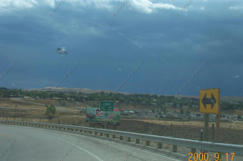
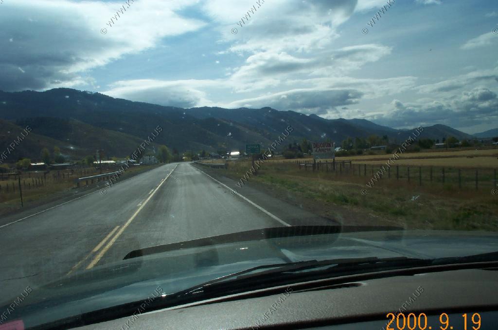
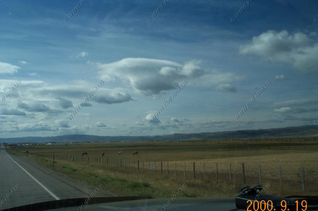
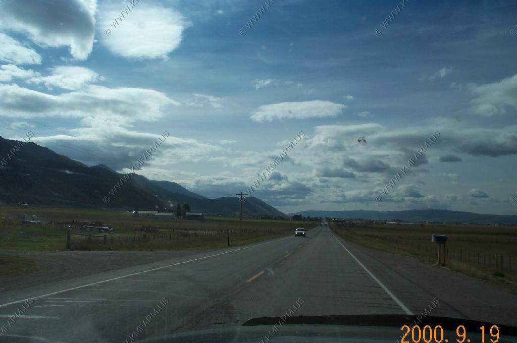
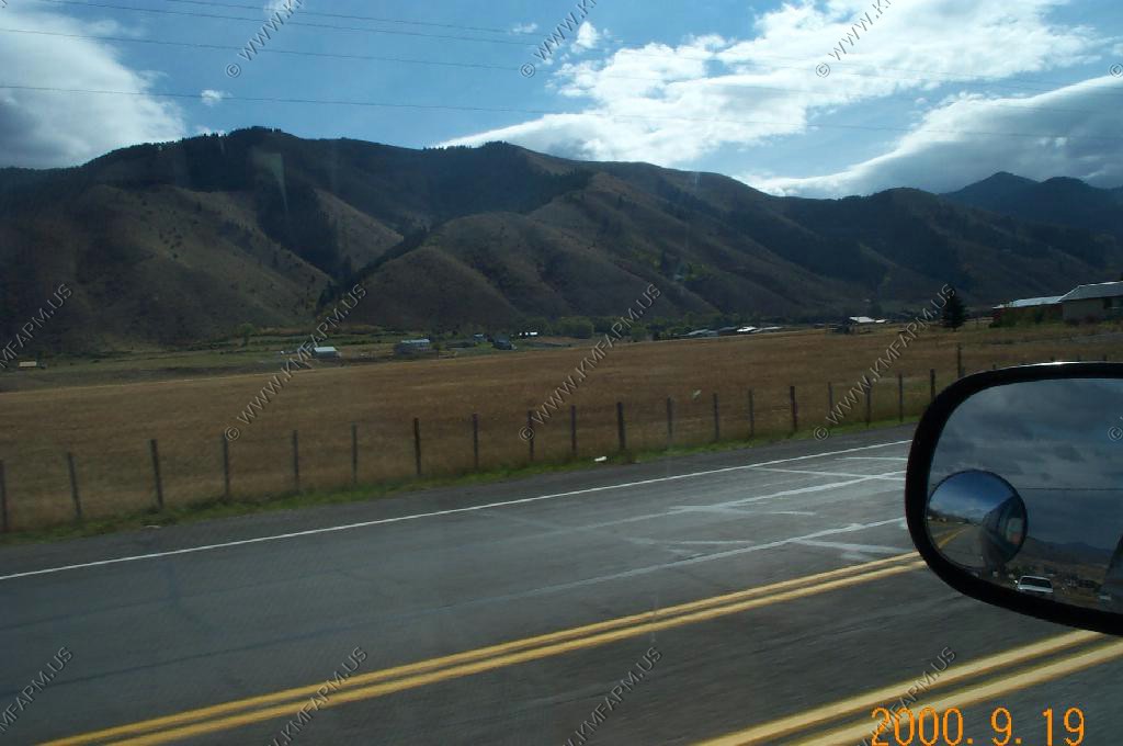
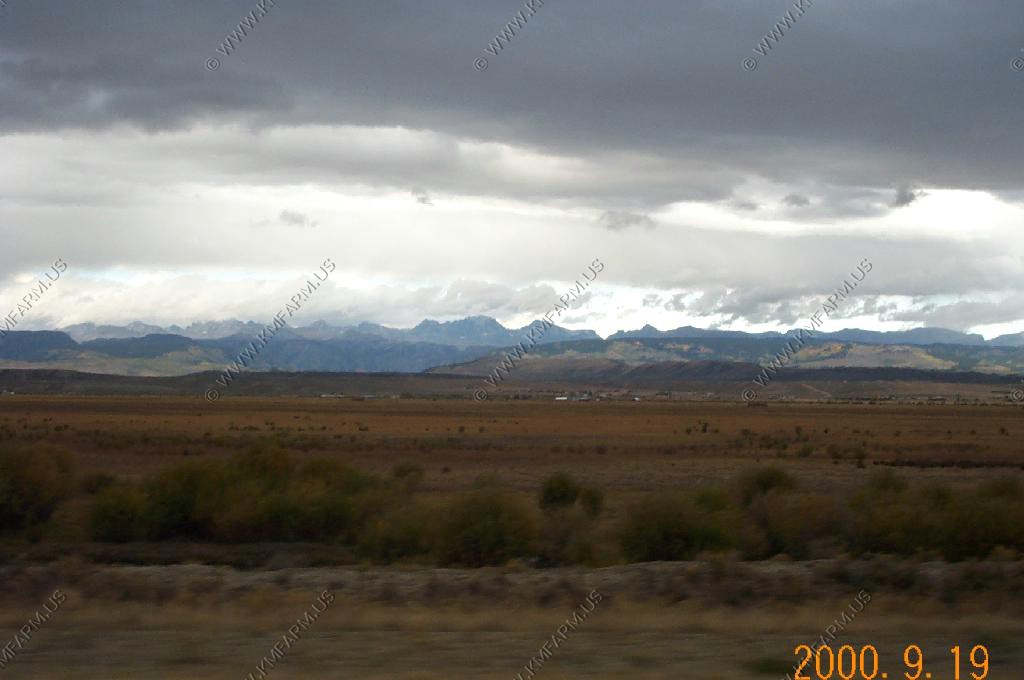
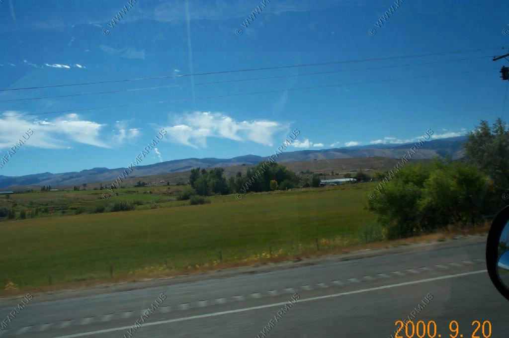
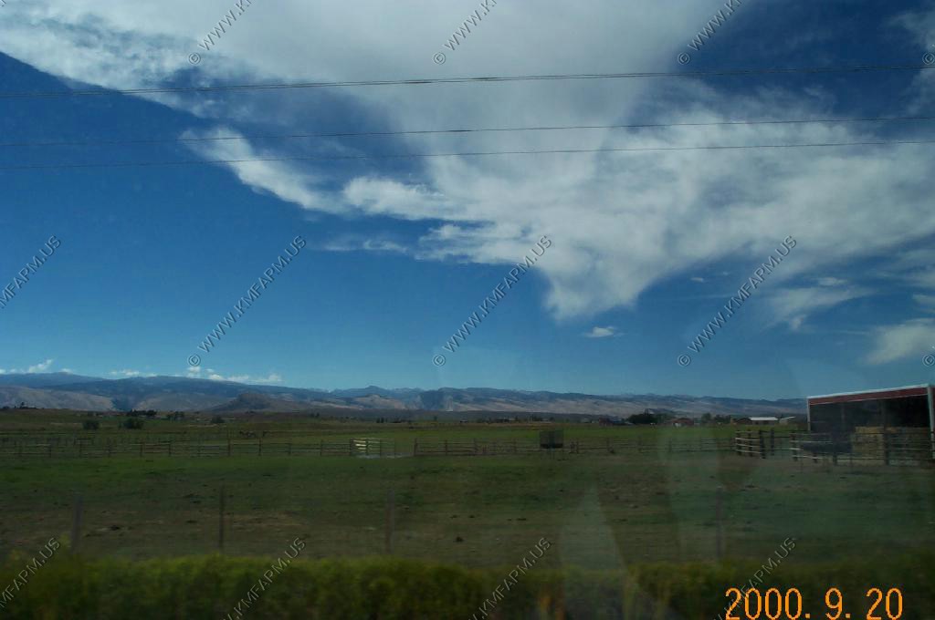
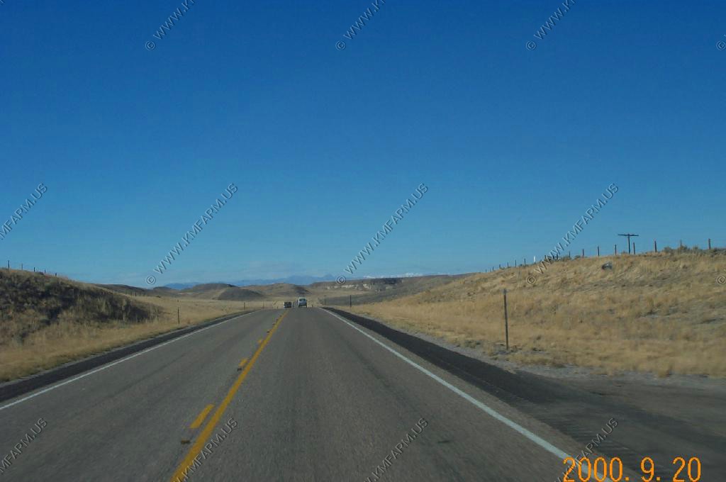
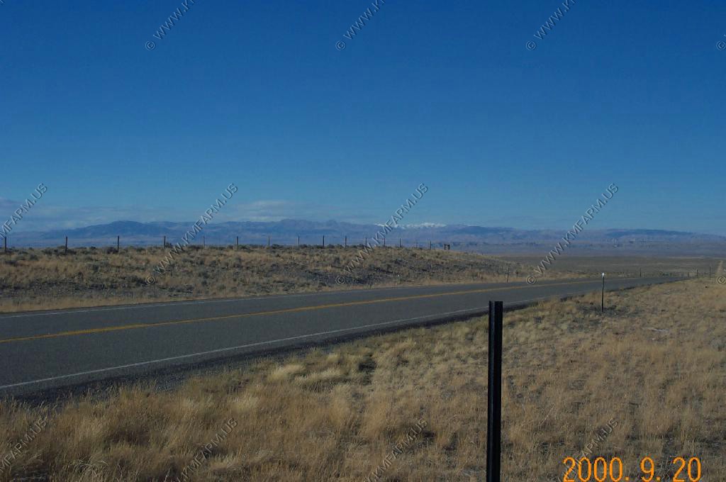
Southbound along Wyoming 120 between Belfry, MT and Cody, WY
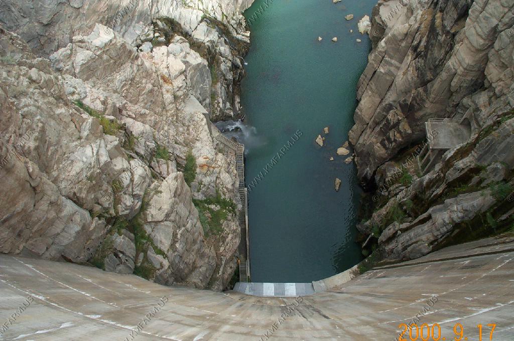
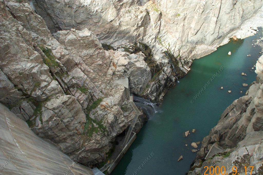
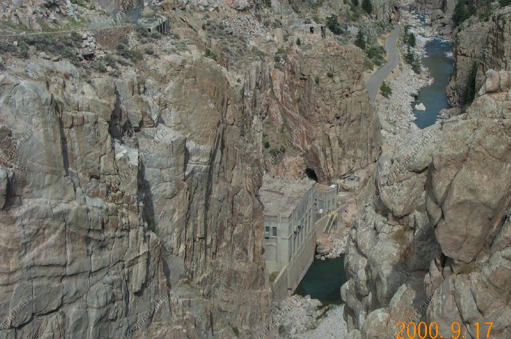
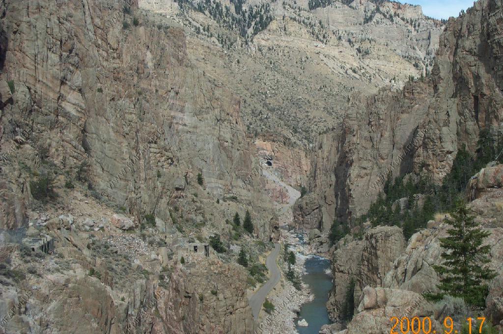
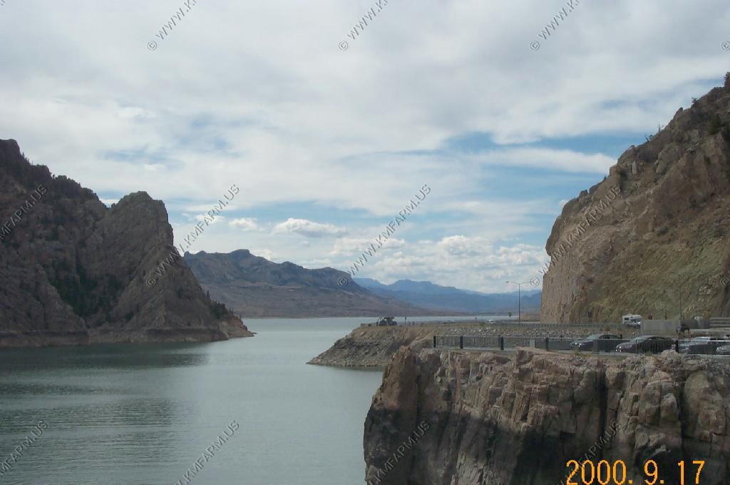
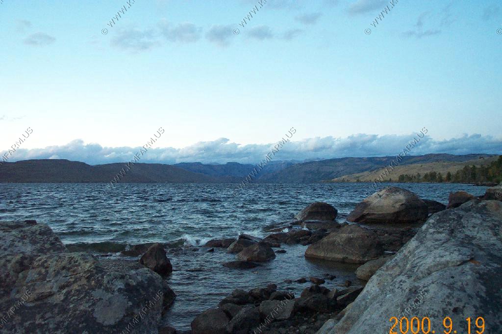
Buffalo Bill Dam and Reservoir, West of Cody
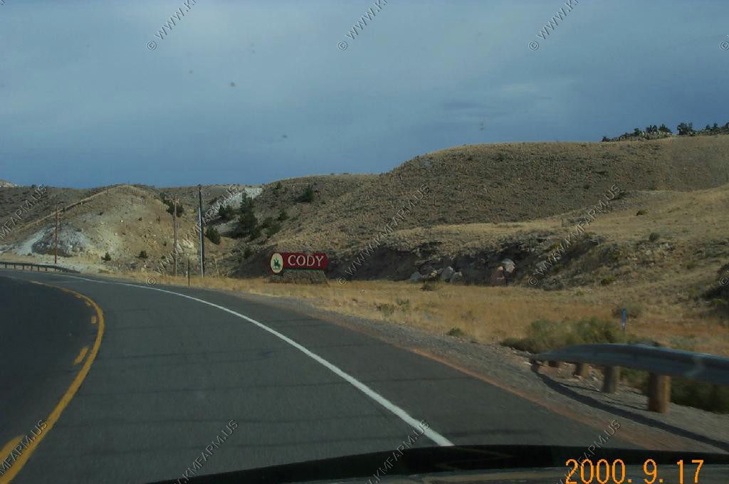
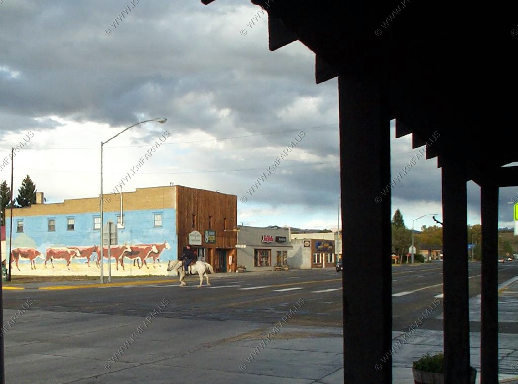
Welcome to Cody - We researched Cody Wyoming as a possible retirement location - FAIL - Too darn cold !
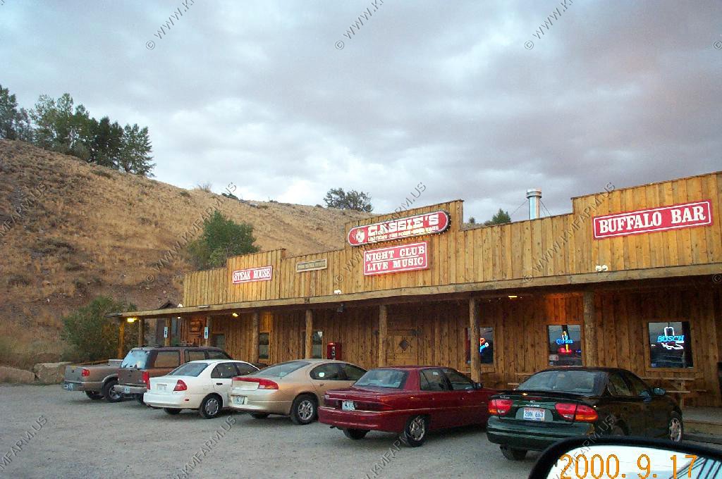
A very good steak resturant in Cody called Cassie's - Was very good but that was 17 years ago.
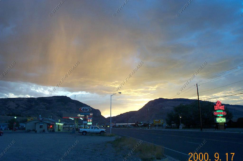
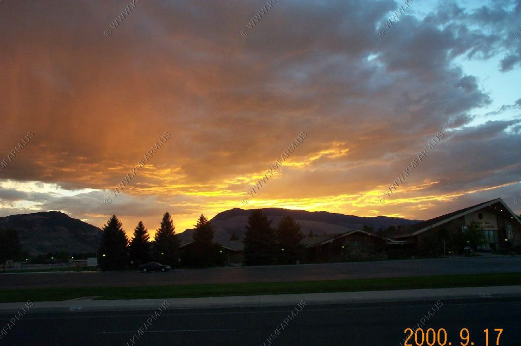
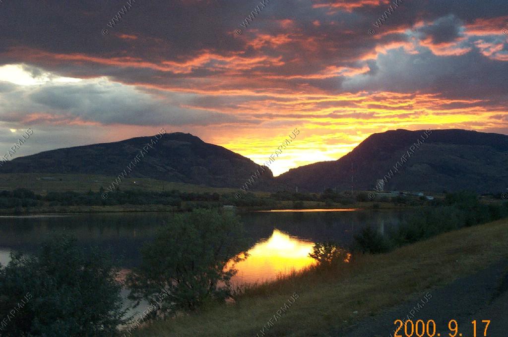
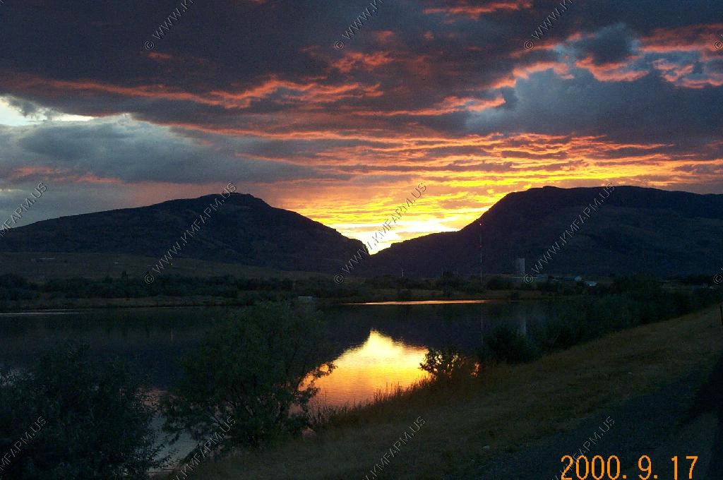
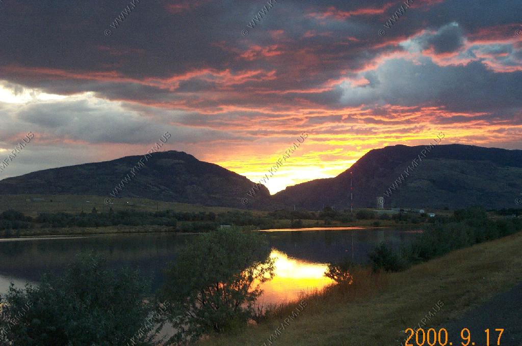
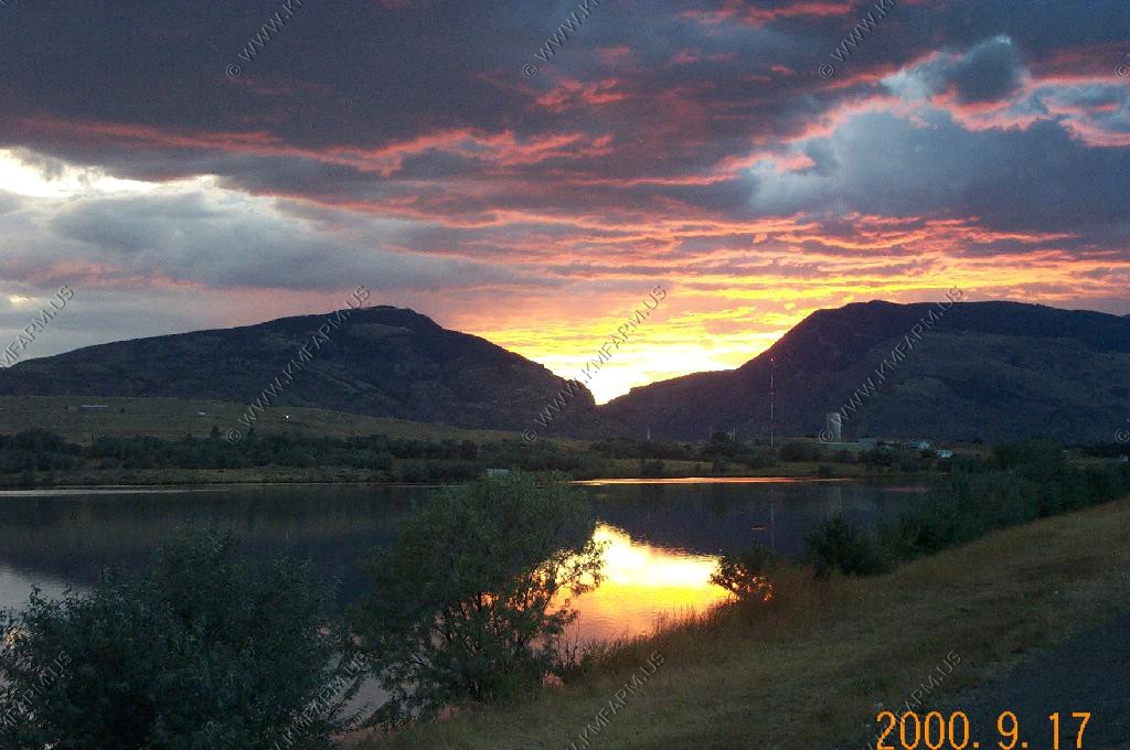
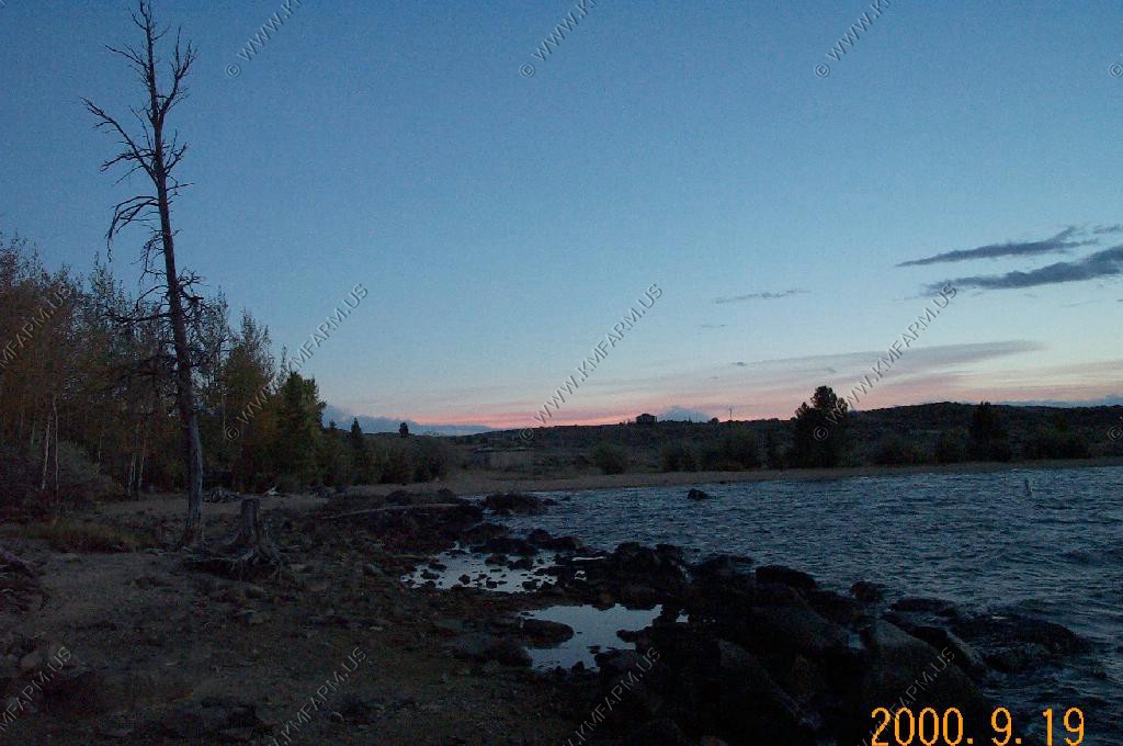
Sunset from Cody
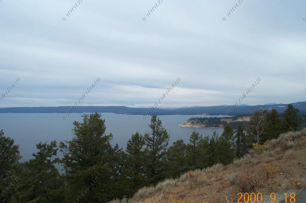
We drove west along US-14/16/20 and before we got to Yellowstone lake we looked south to see Mt. Doane (El.10,551) - 44 24 47.4N - 110 08 51.8W This peak was named for Lt. Gustavus Doane, who in 1870 helped lead an attack on a band of Piegan Blackfeet in northern Montana. These Indians were murdering fur traders in the area and Lt. Doane had the resources to remove the threat. In 2022 the woke movement will try to change the naming of the mountain but it will always be Doane Peak to me and many others who live & explore this amazing area.
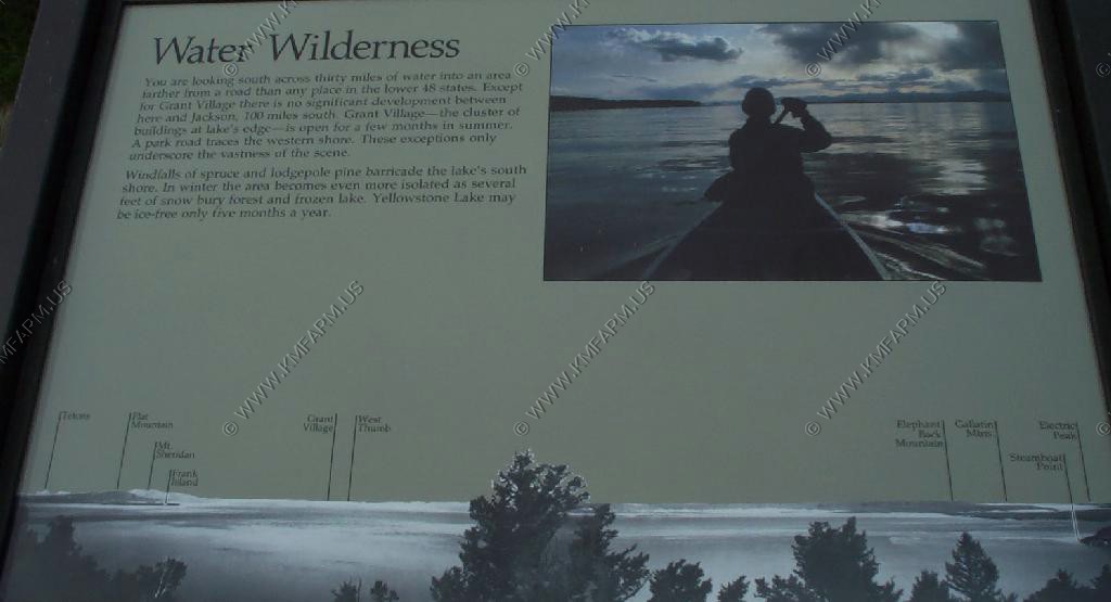
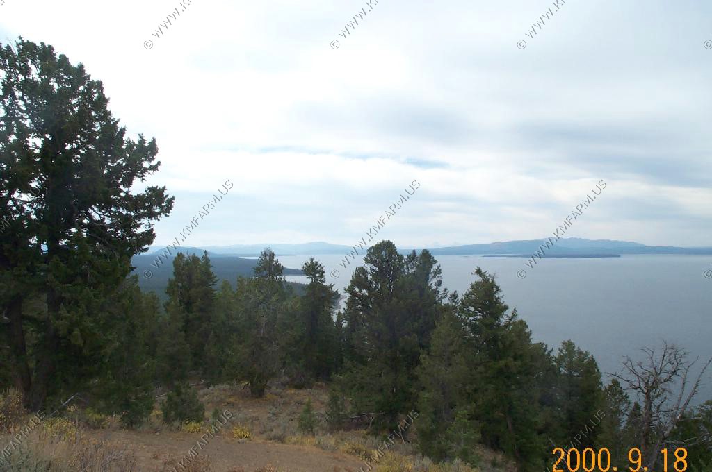
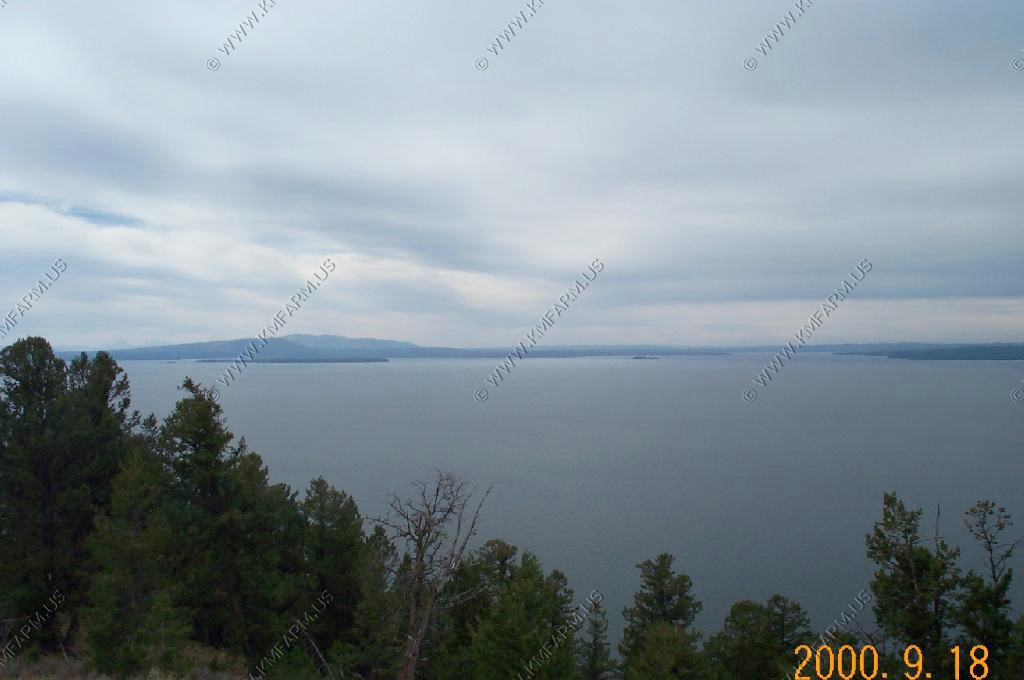
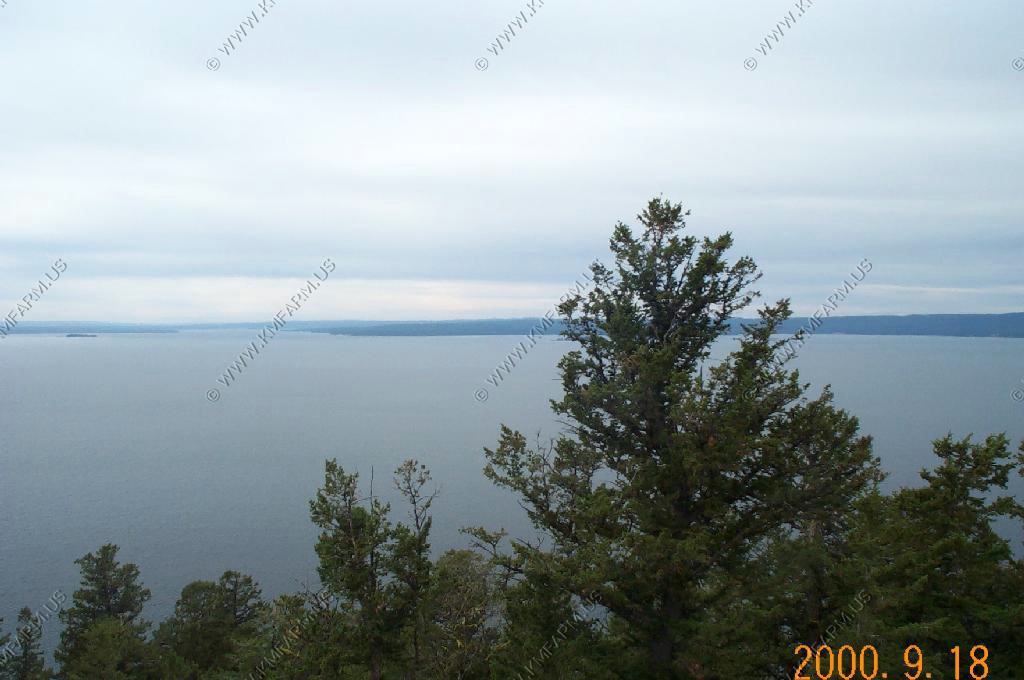
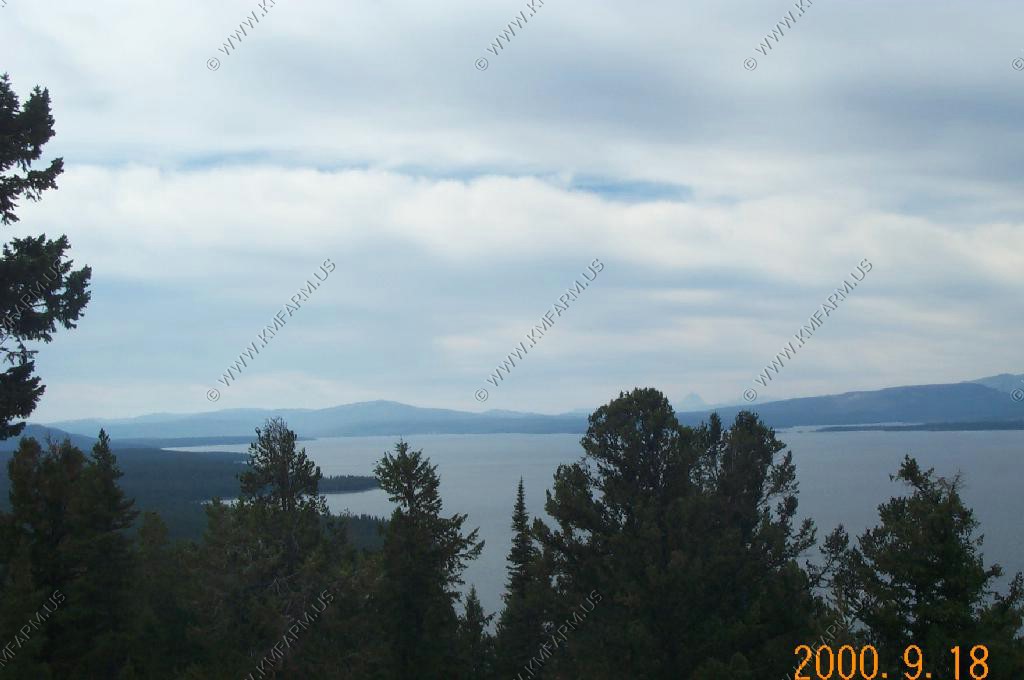
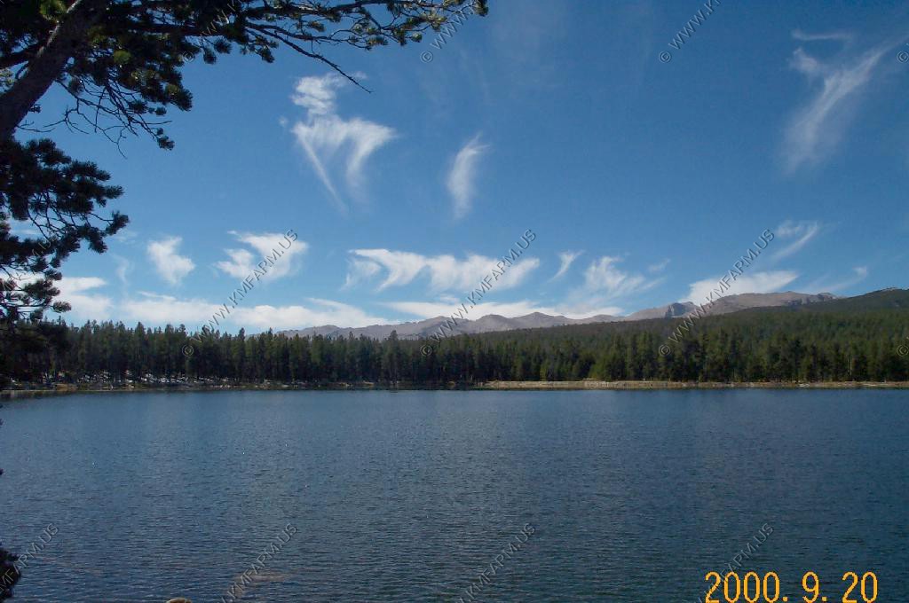
A quick stop at Yellowstone Lake
Arco Idaho. They like to write the year on the mountain next to the small town.
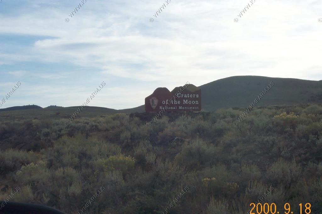
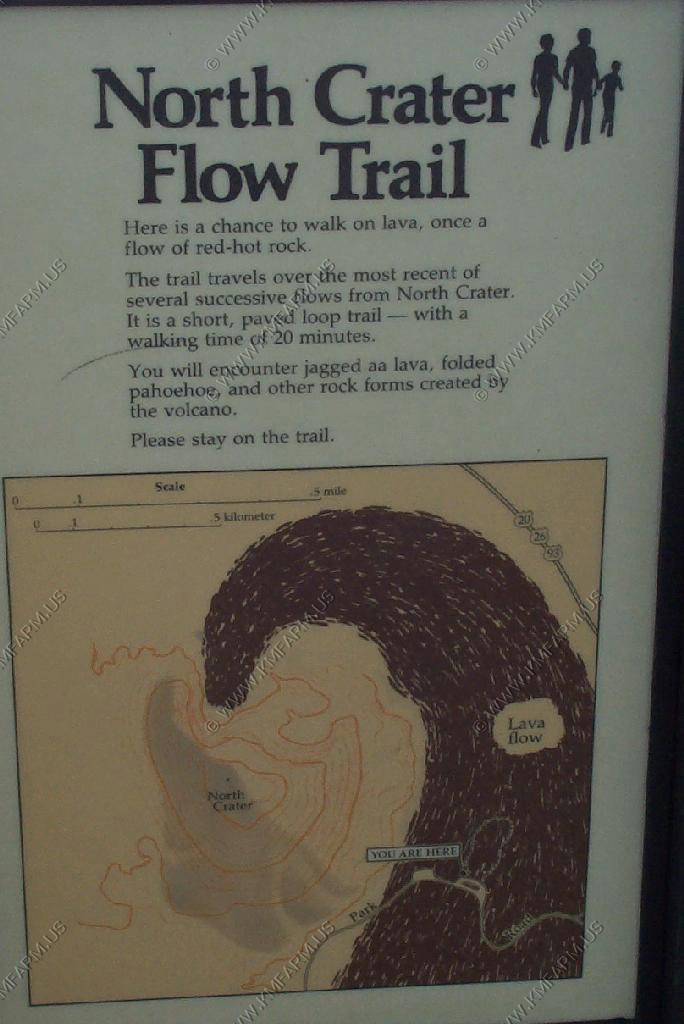
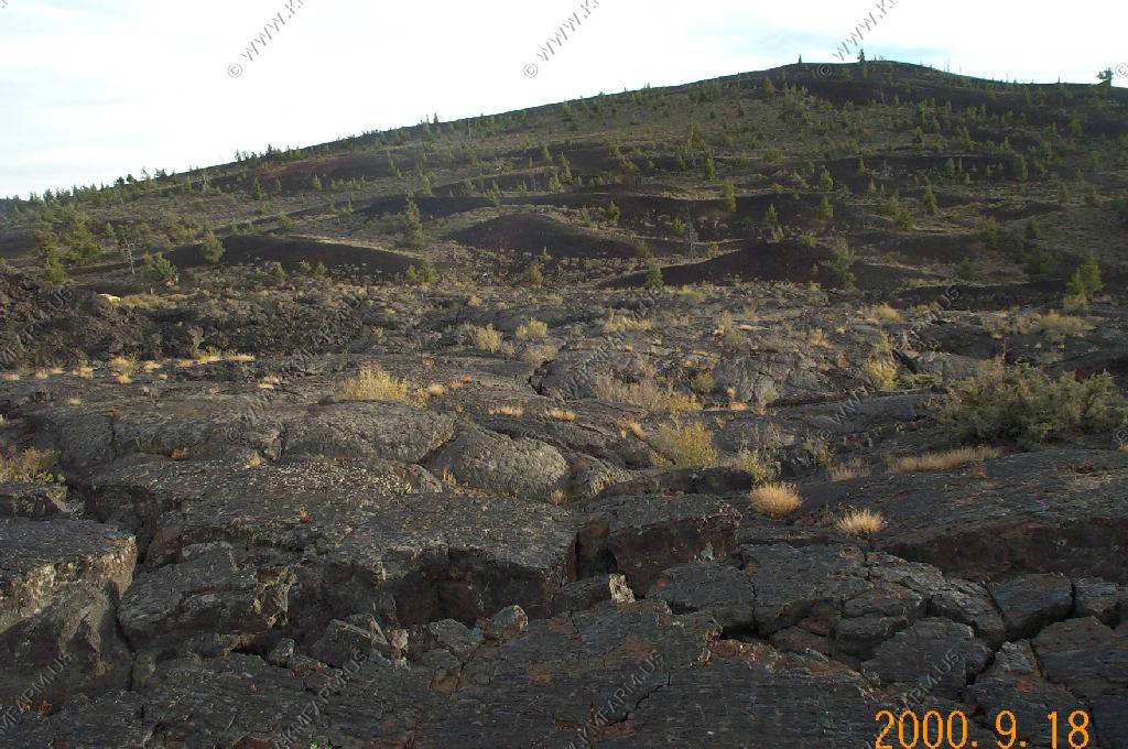
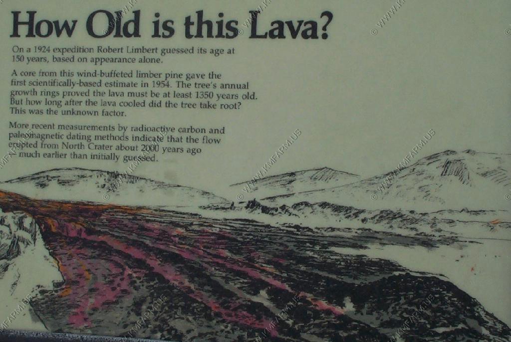
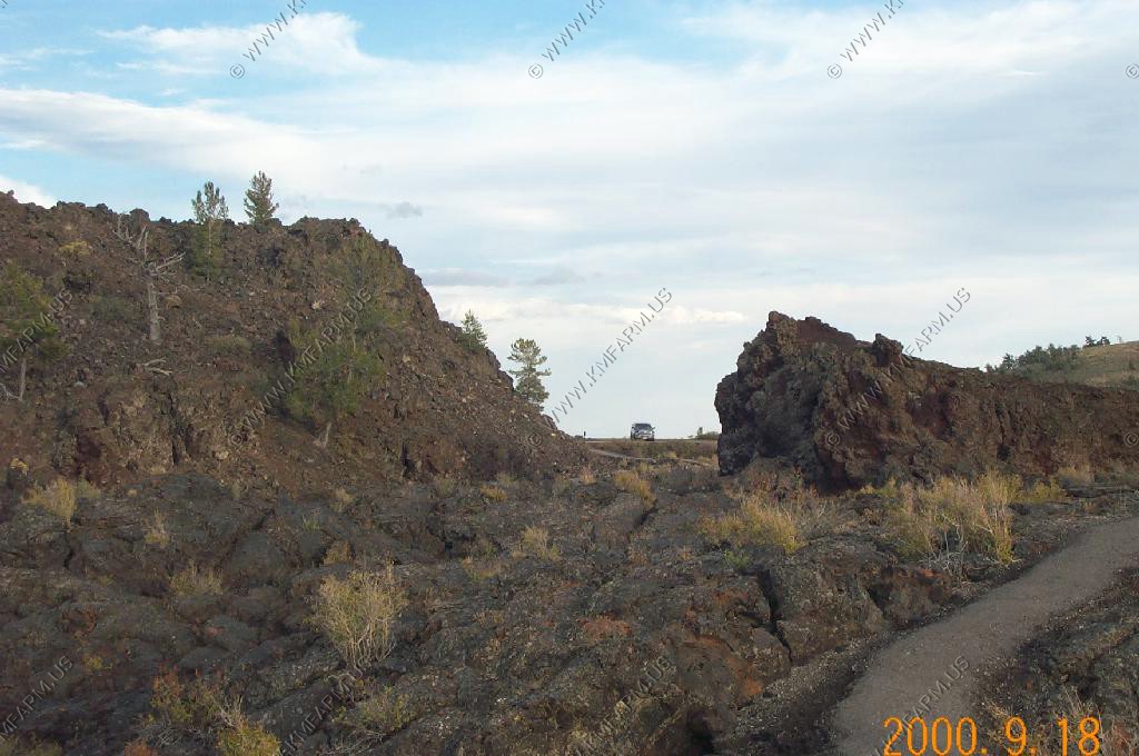
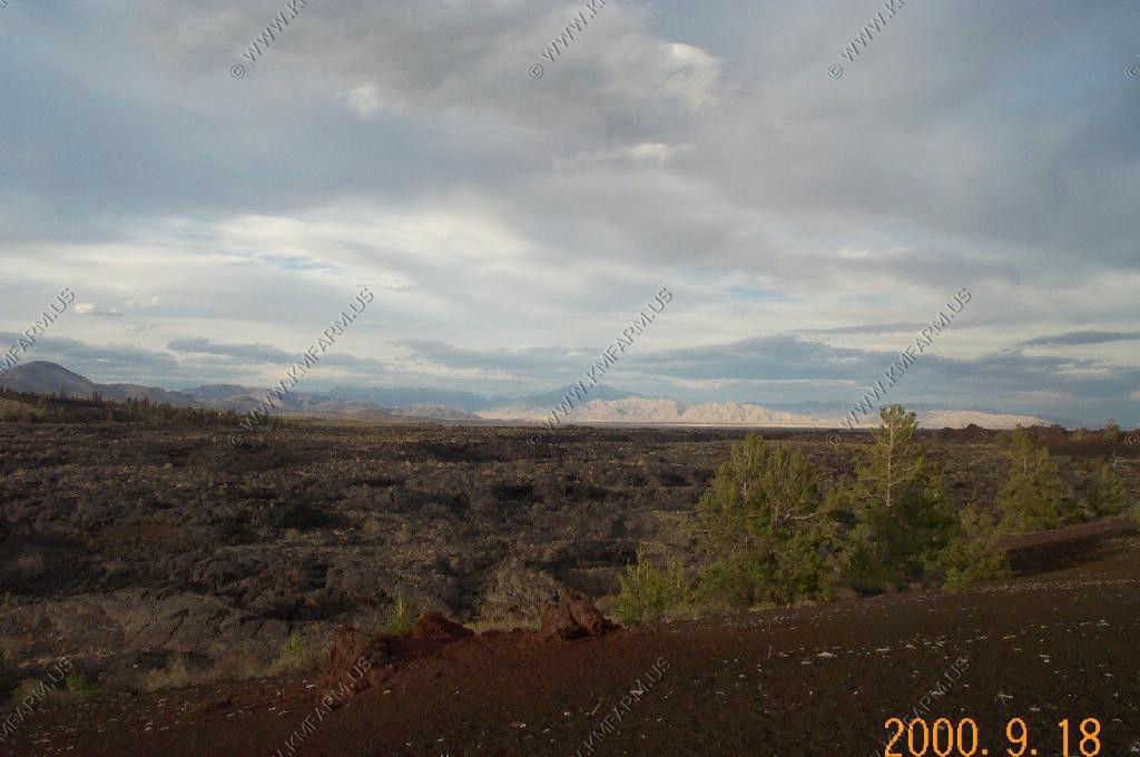
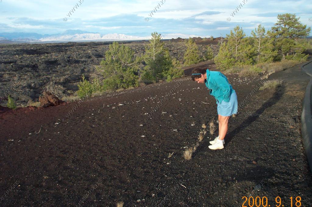
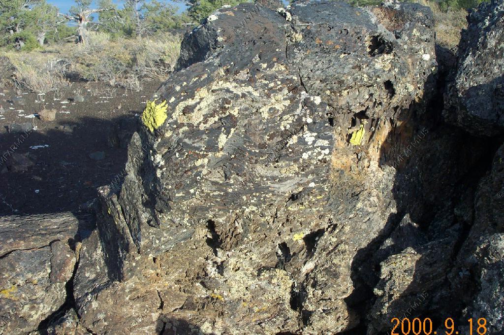
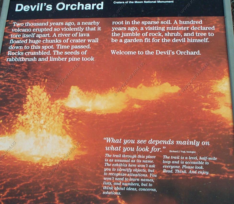
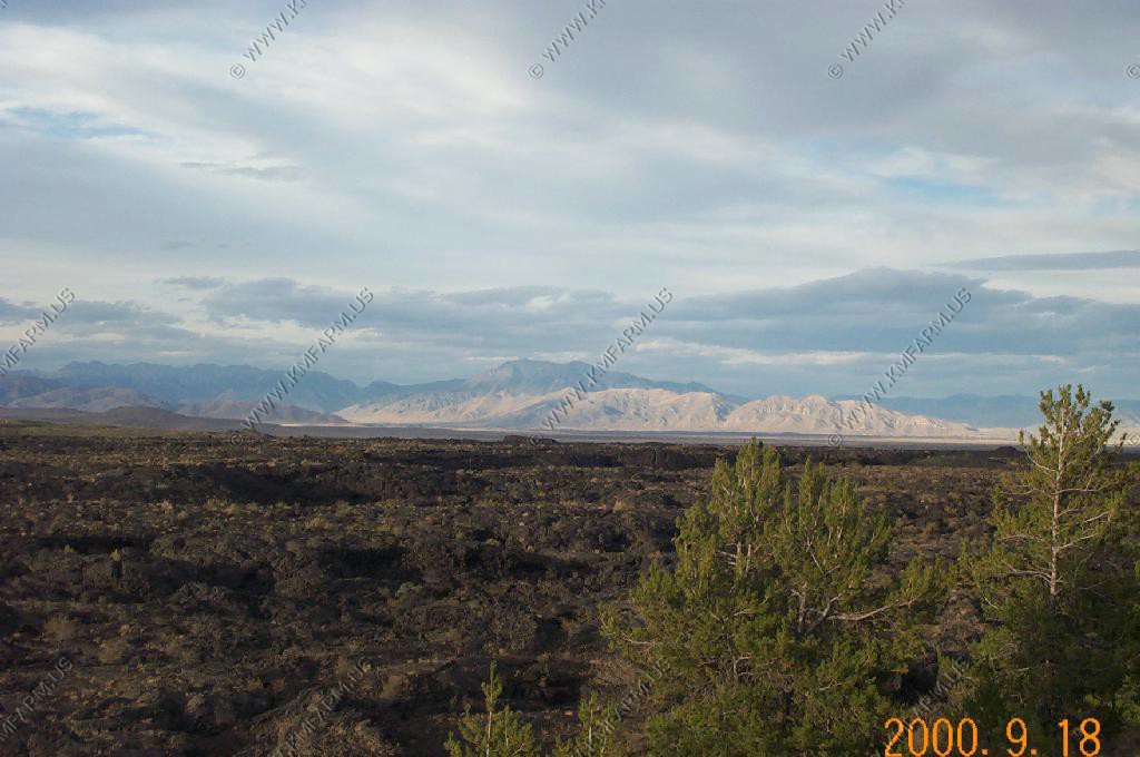
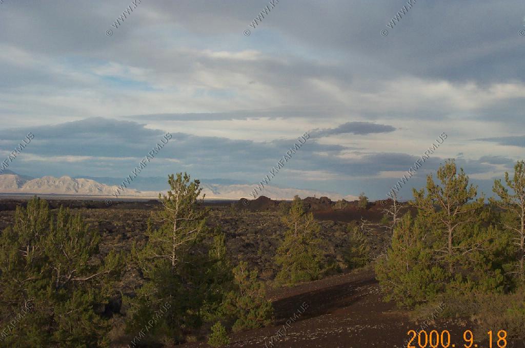
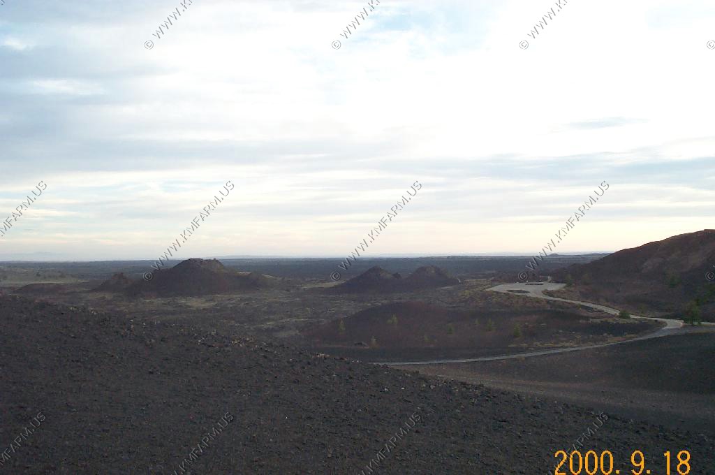
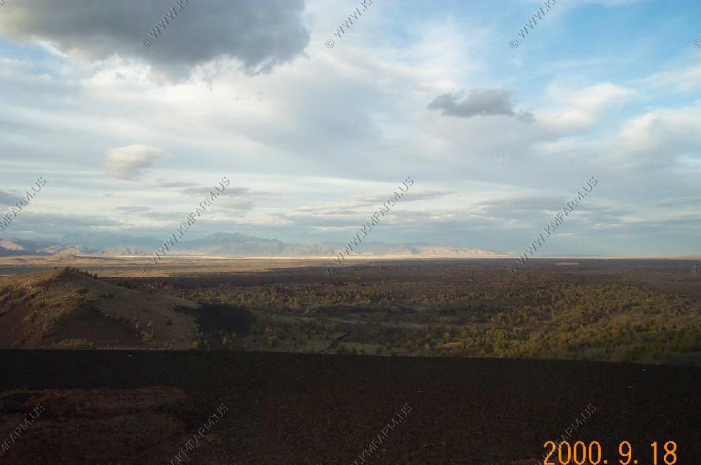
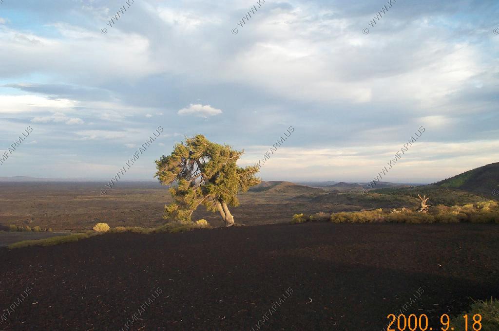
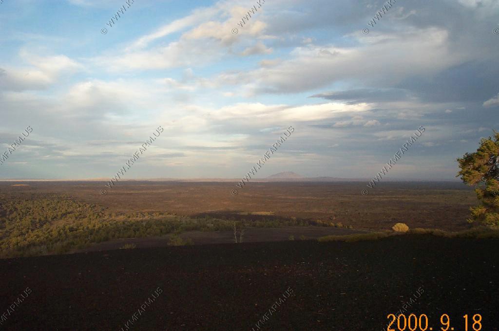
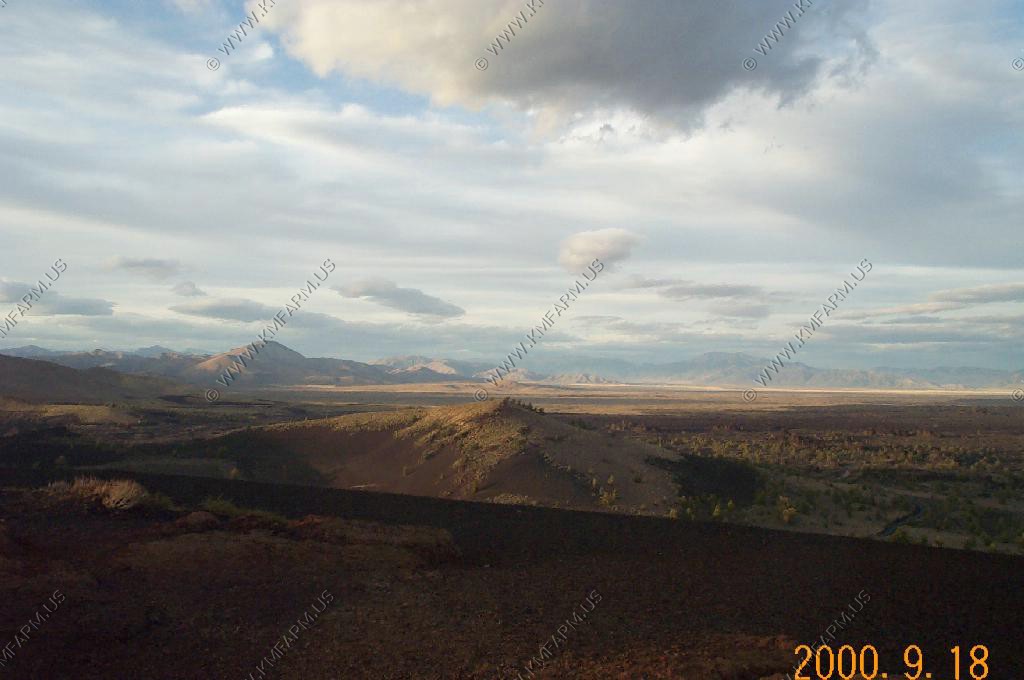
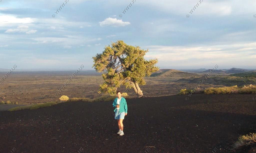
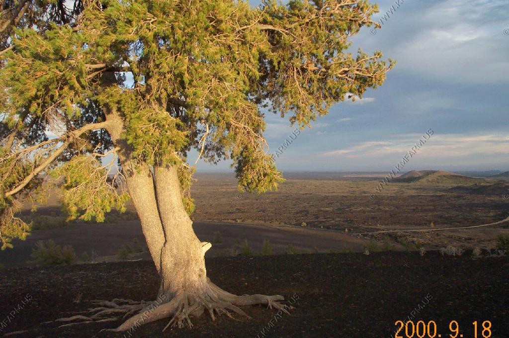
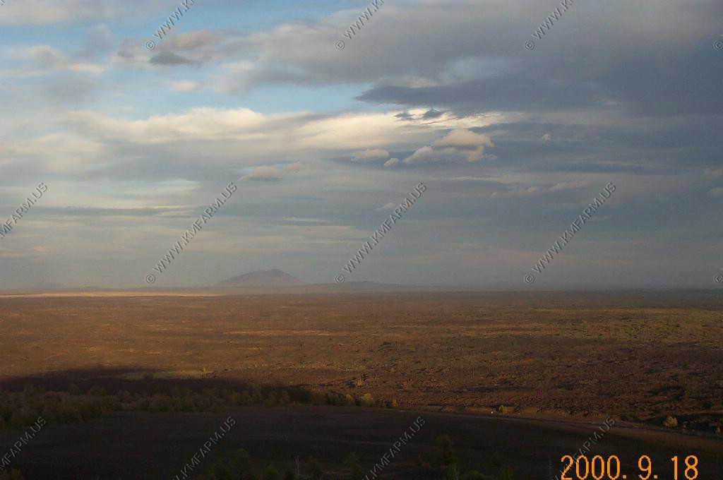
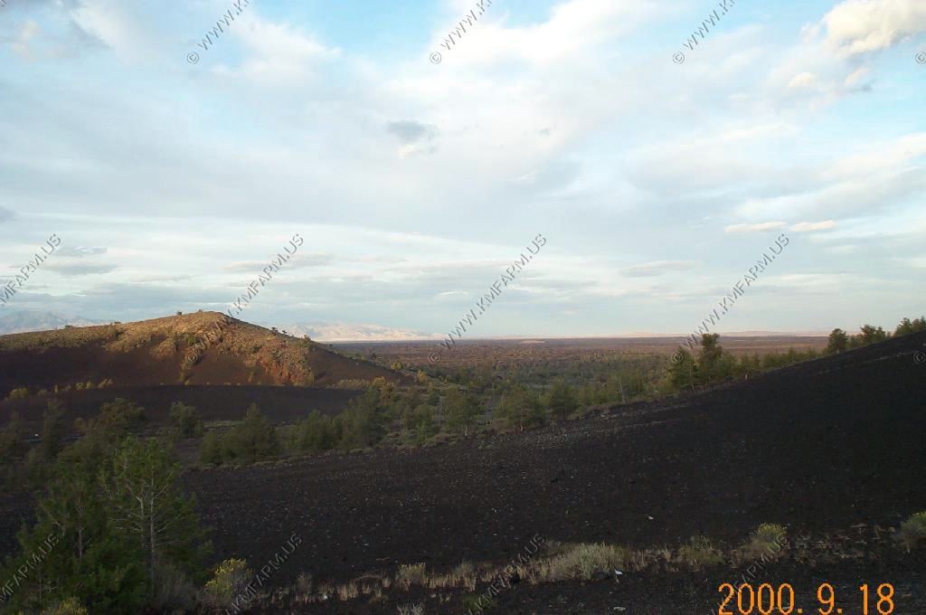
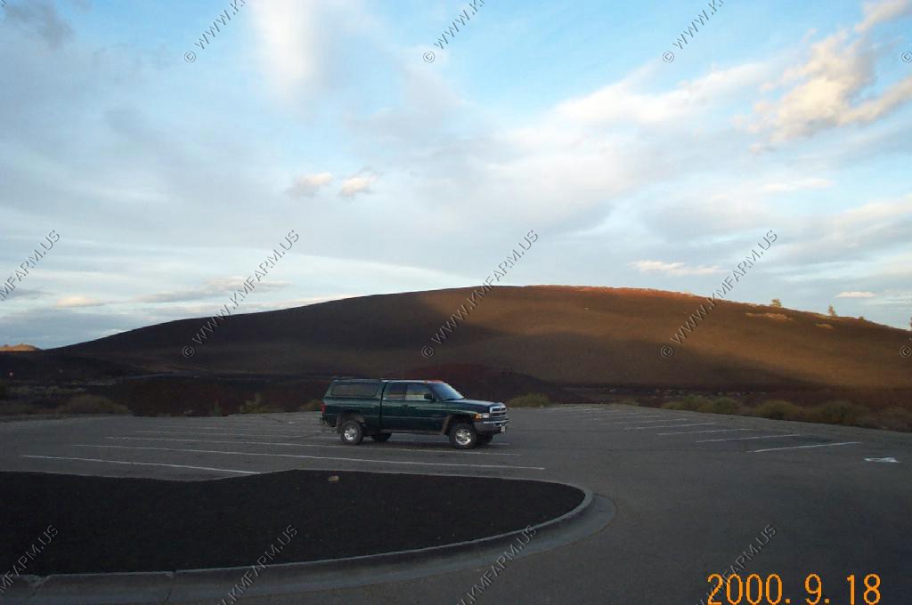
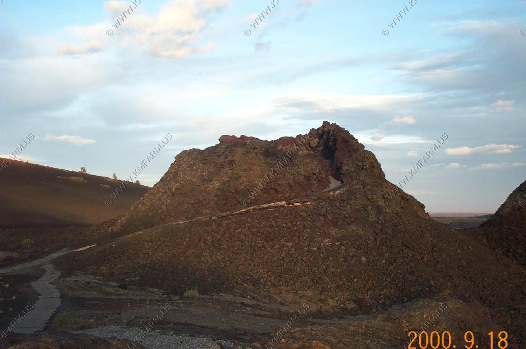
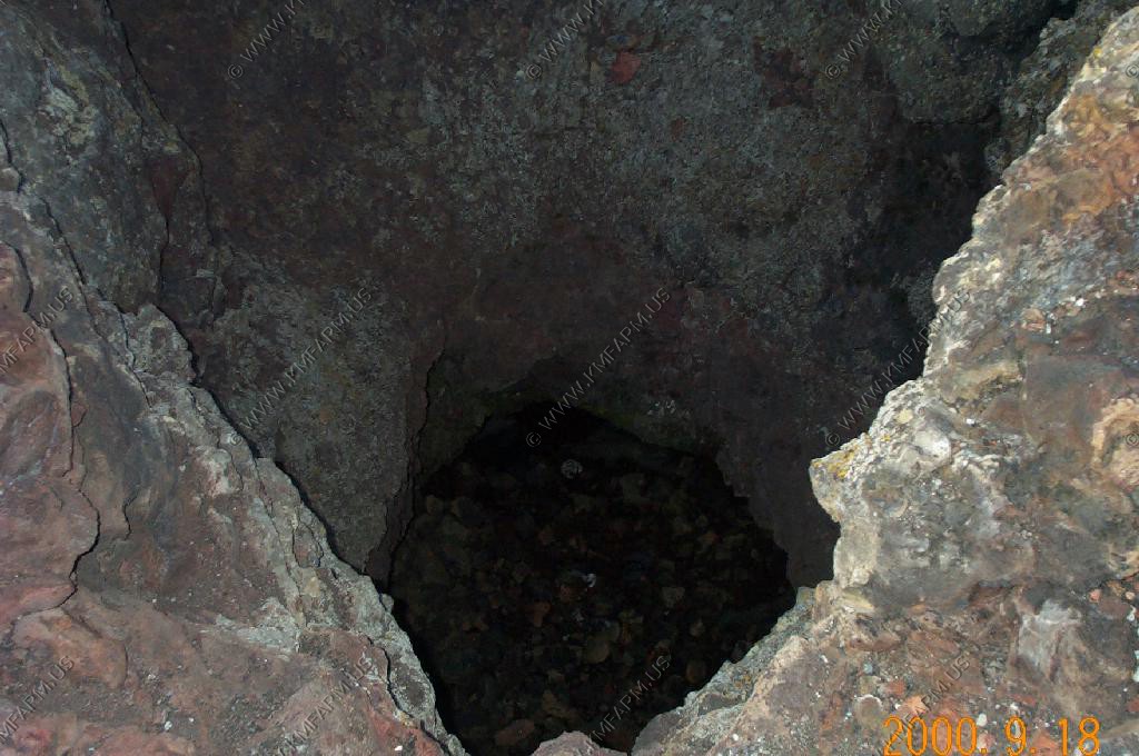
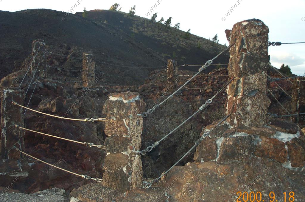
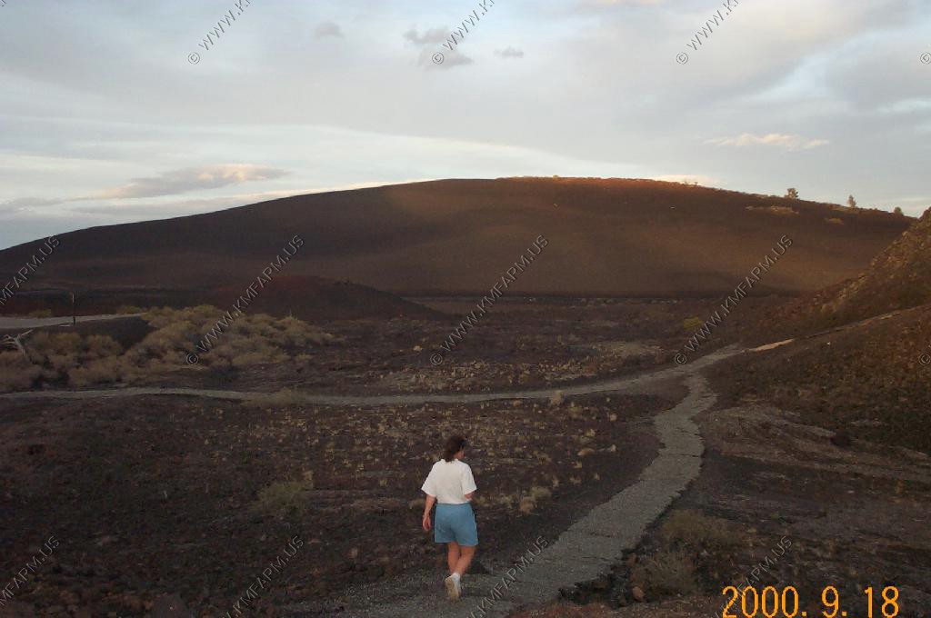
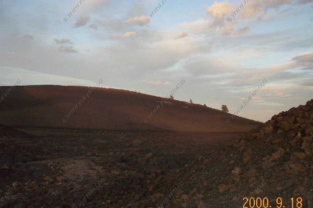
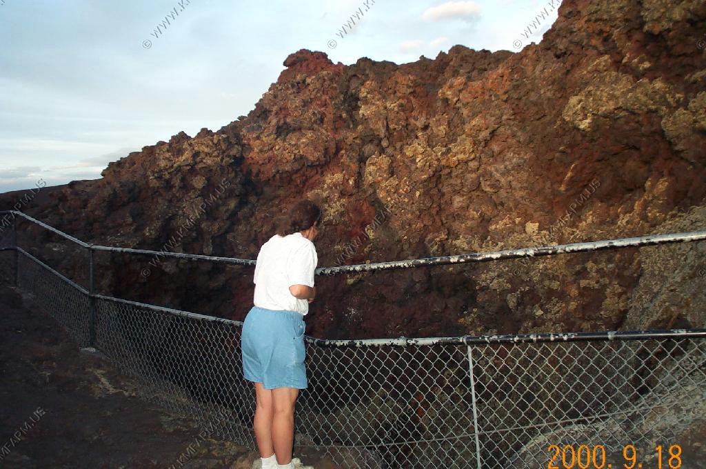
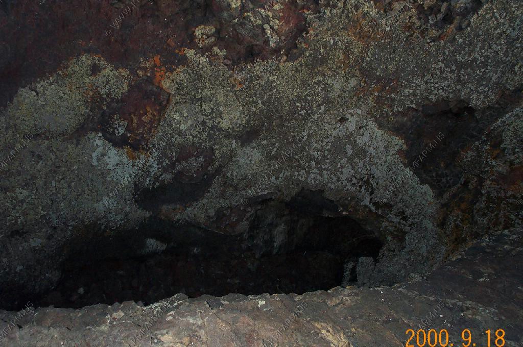
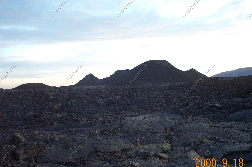
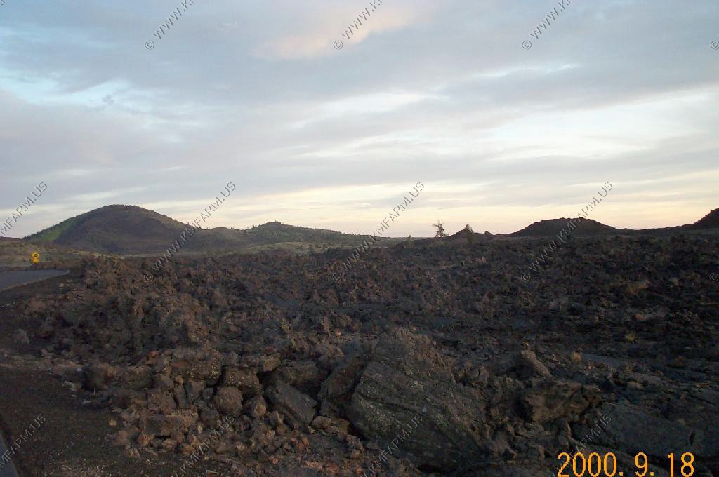
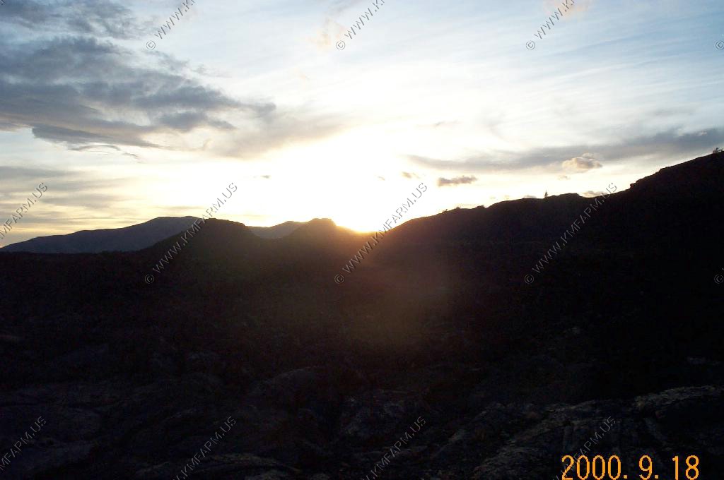
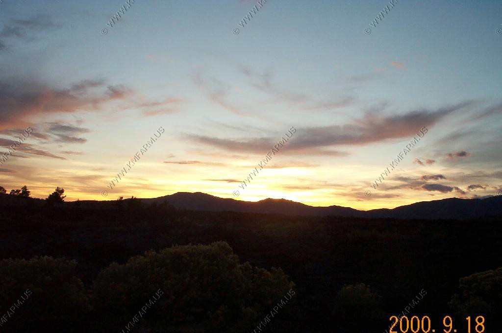
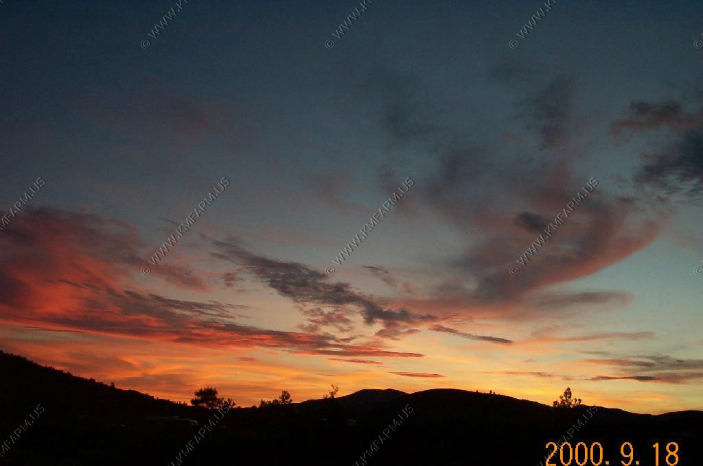
Craters of the Moon National Monument
Monday evening is definitely the time to visit. We had the entire monument to ourselves
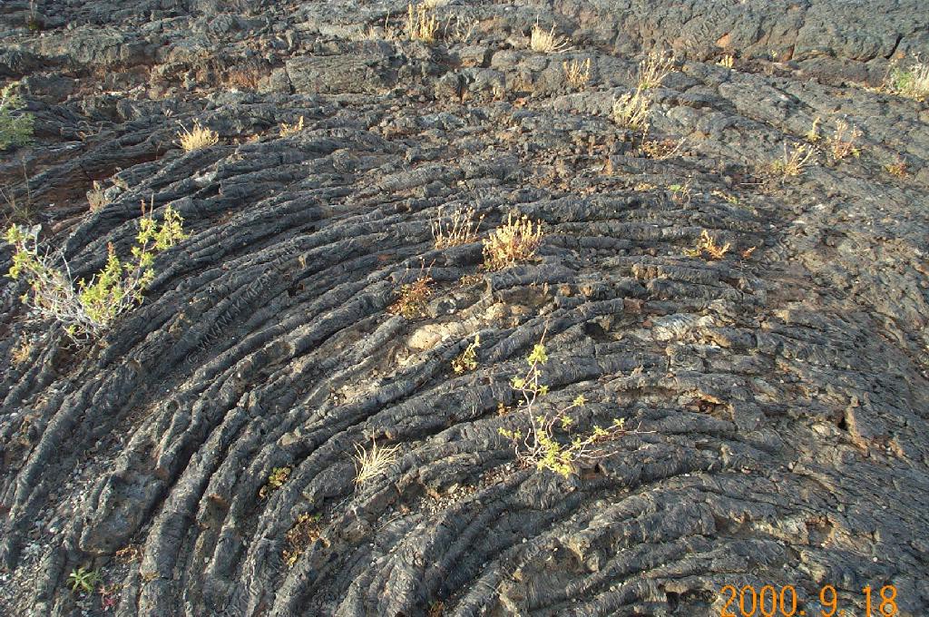
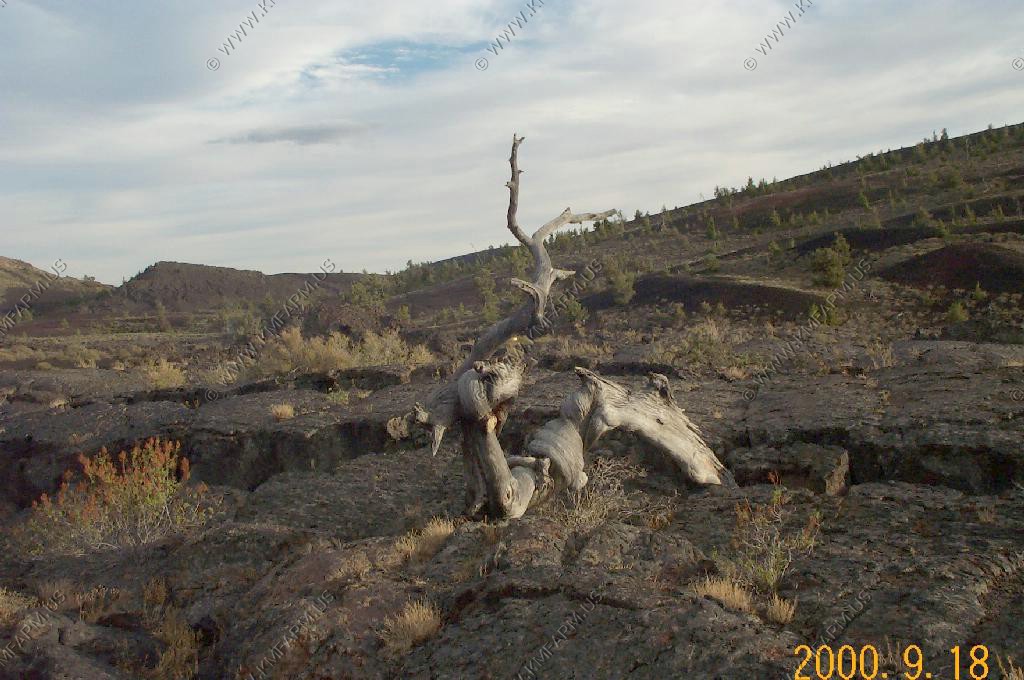
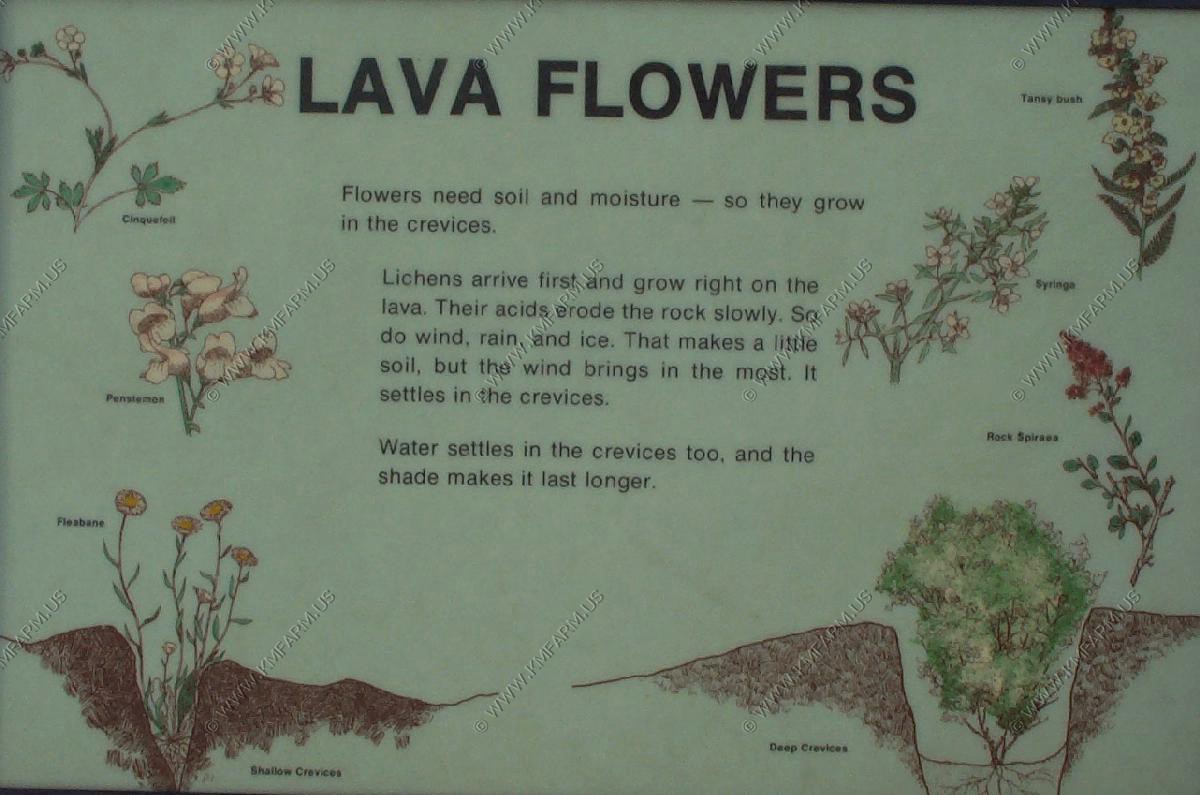
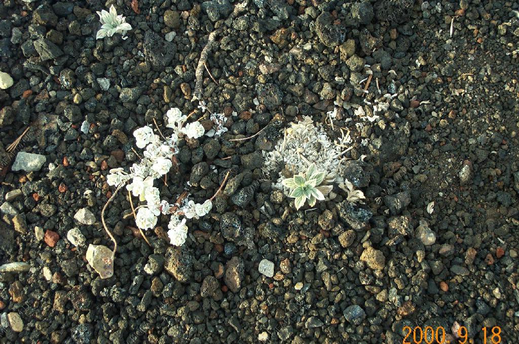
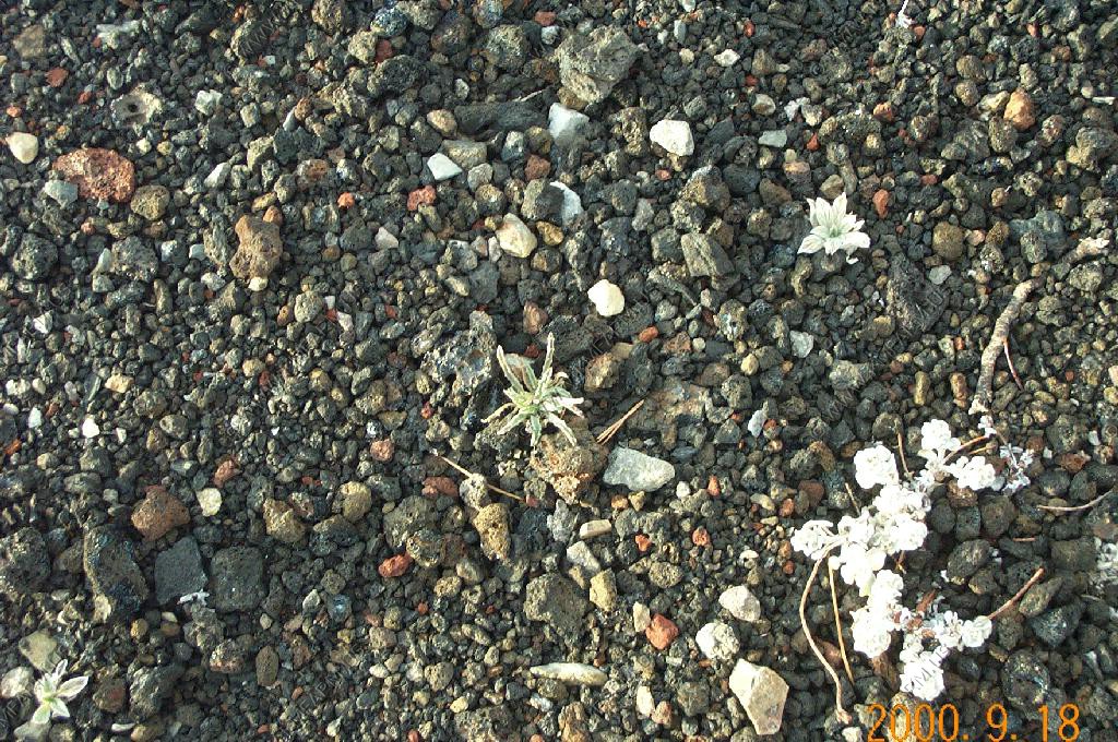
Lava vegetation
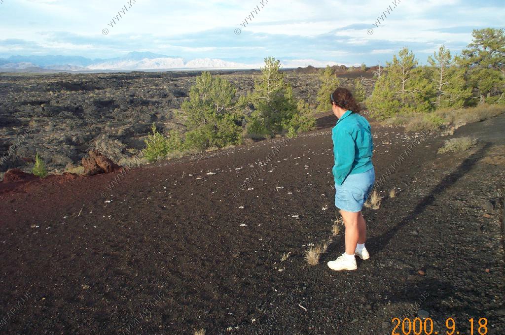

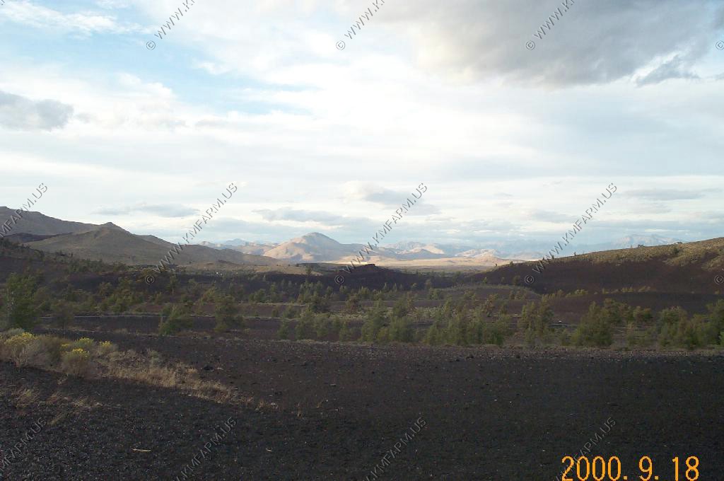
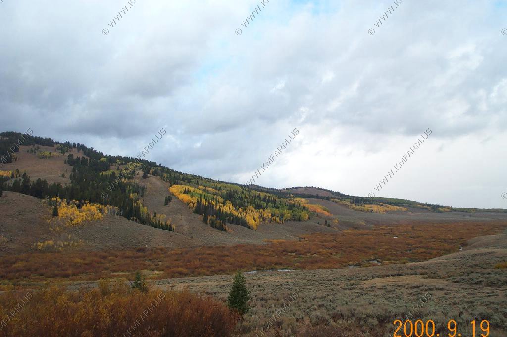
Mountains in the distance
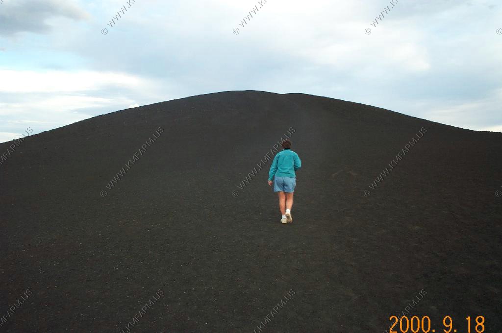
A hike up Inferno Cone El. 6,181 Ft.
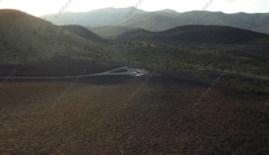
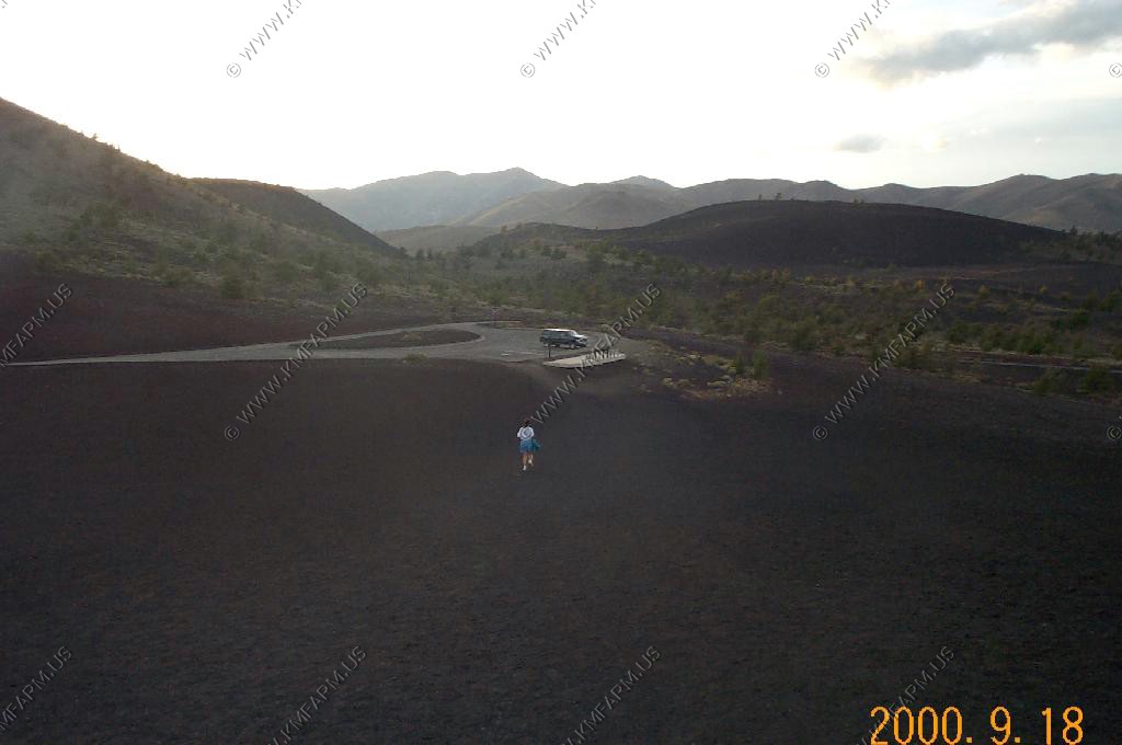
Got to fight for parking
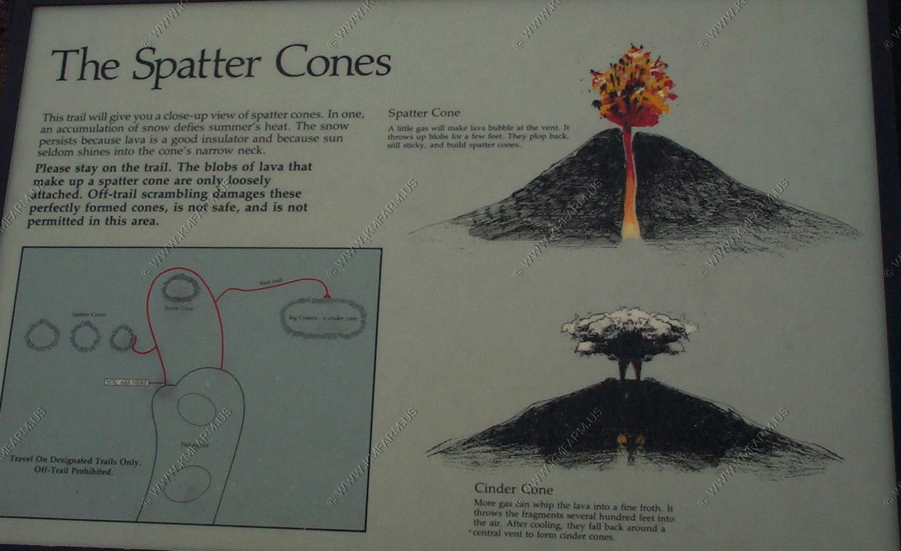
Spatter Cones
Sunset over the craters
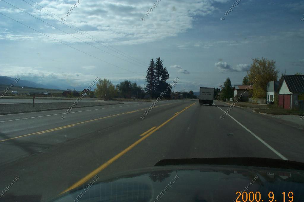
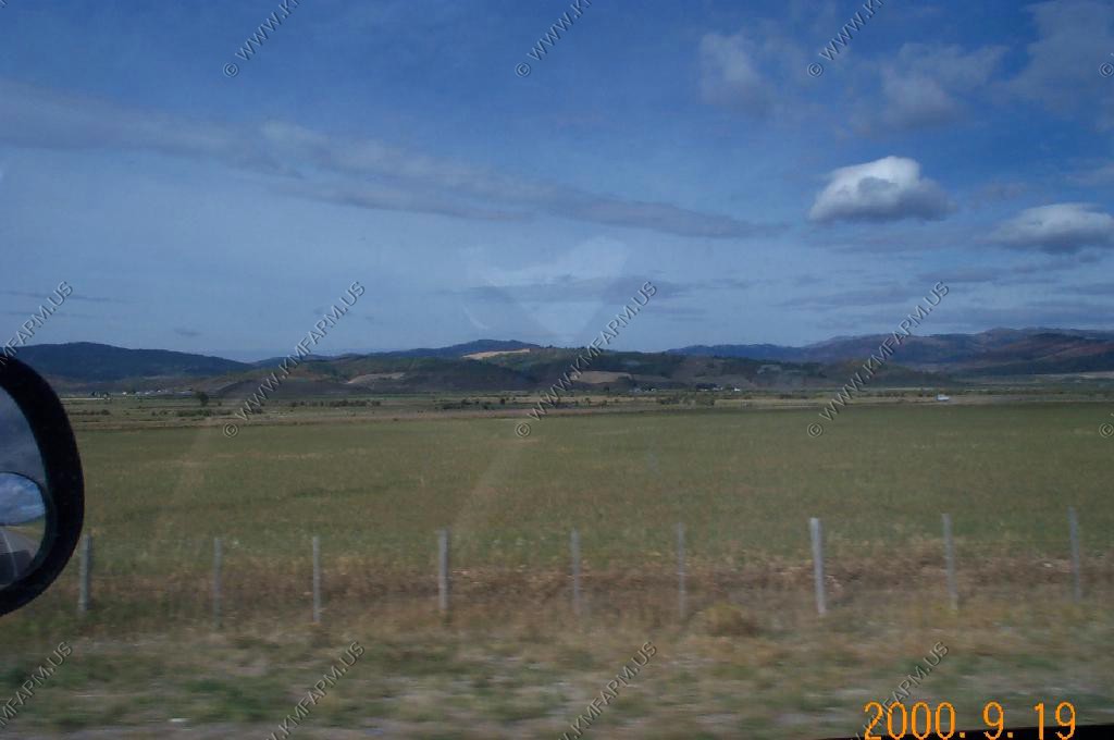
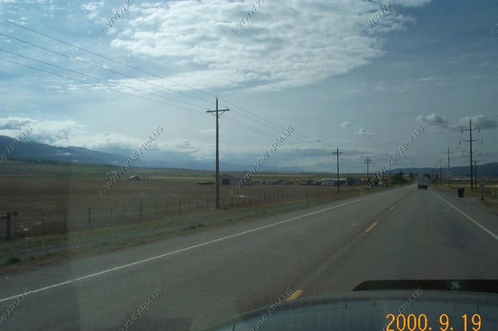
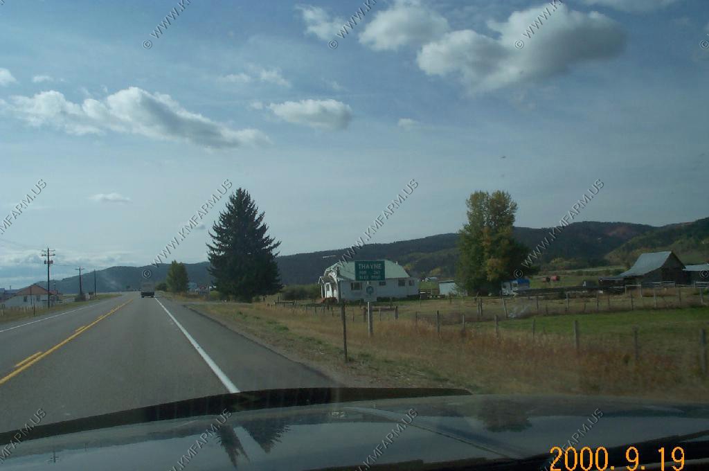
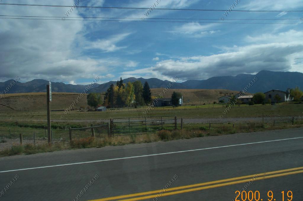
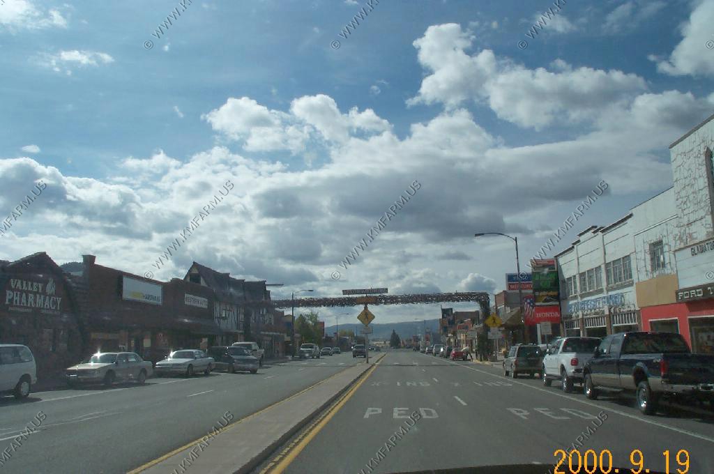
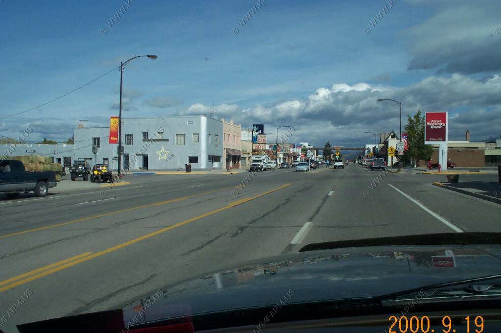
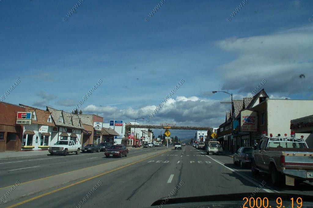
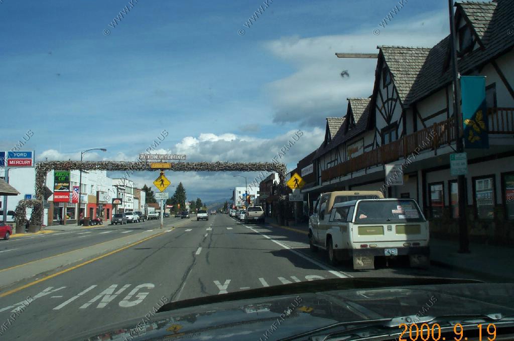
Afton, Thayne, Periodic Spring and Grays River Road to Pinedale
Afton / Thayne
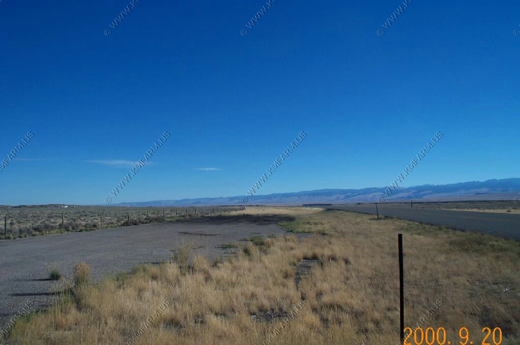
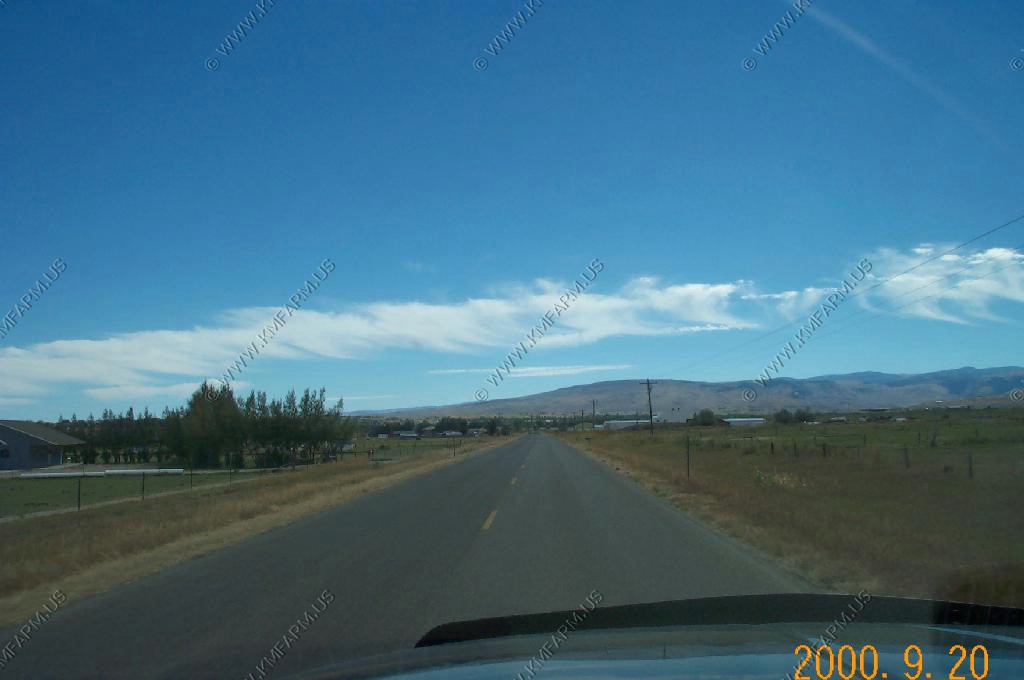
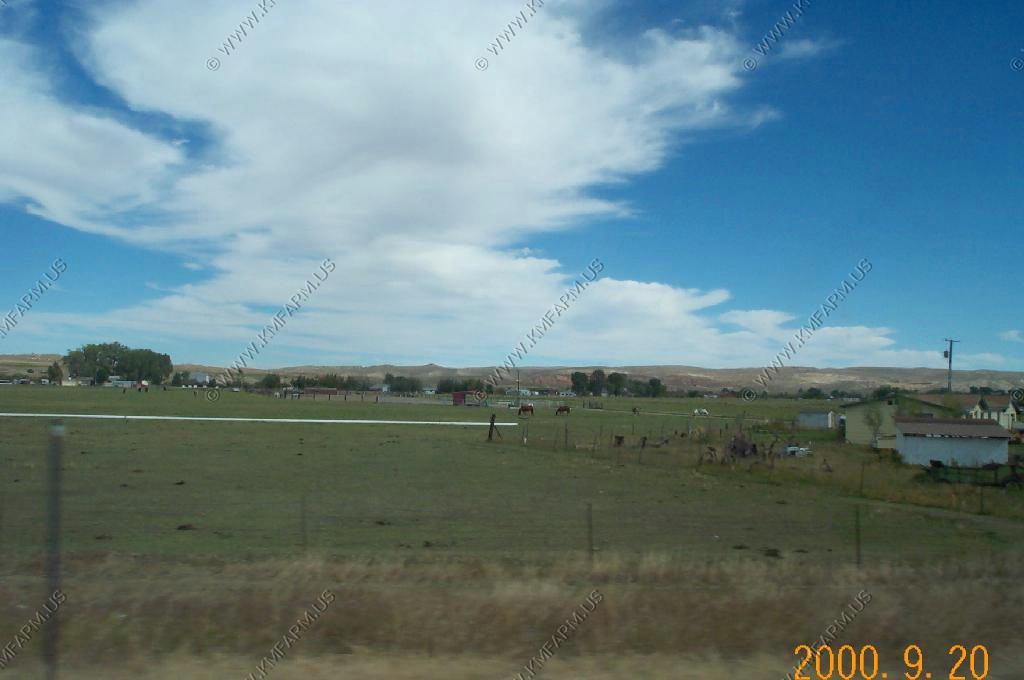
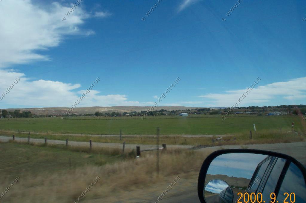
The Afton and Thayne (Star Valley) area was on our list of possible relocation towns so we were here to check it out.(TOO COLD)
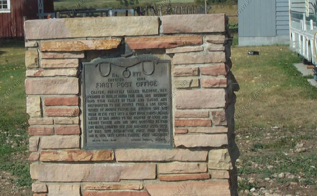
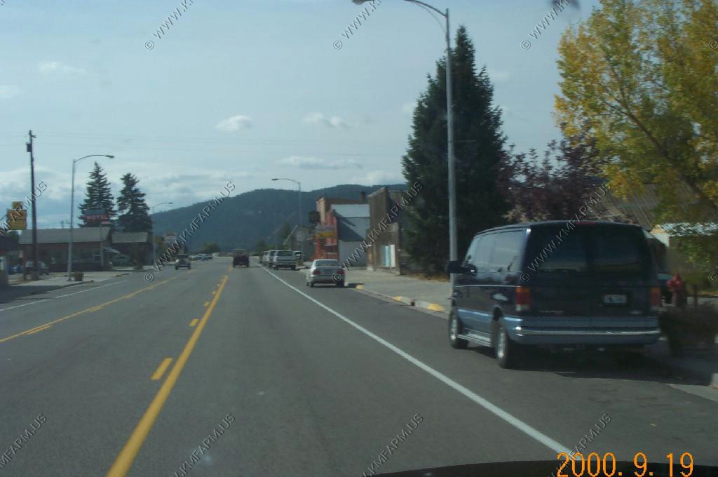
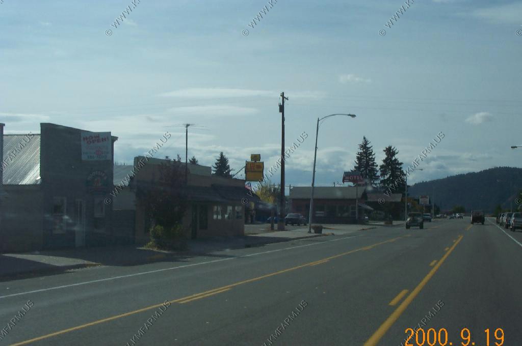
Downtown Afton and the Elk antler arch
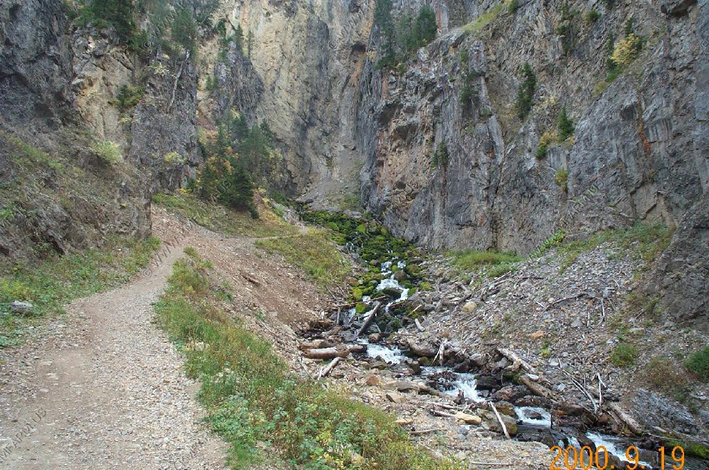
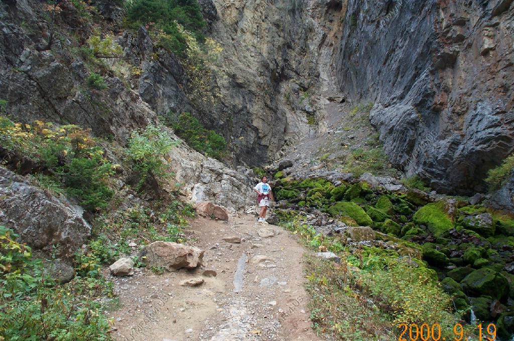
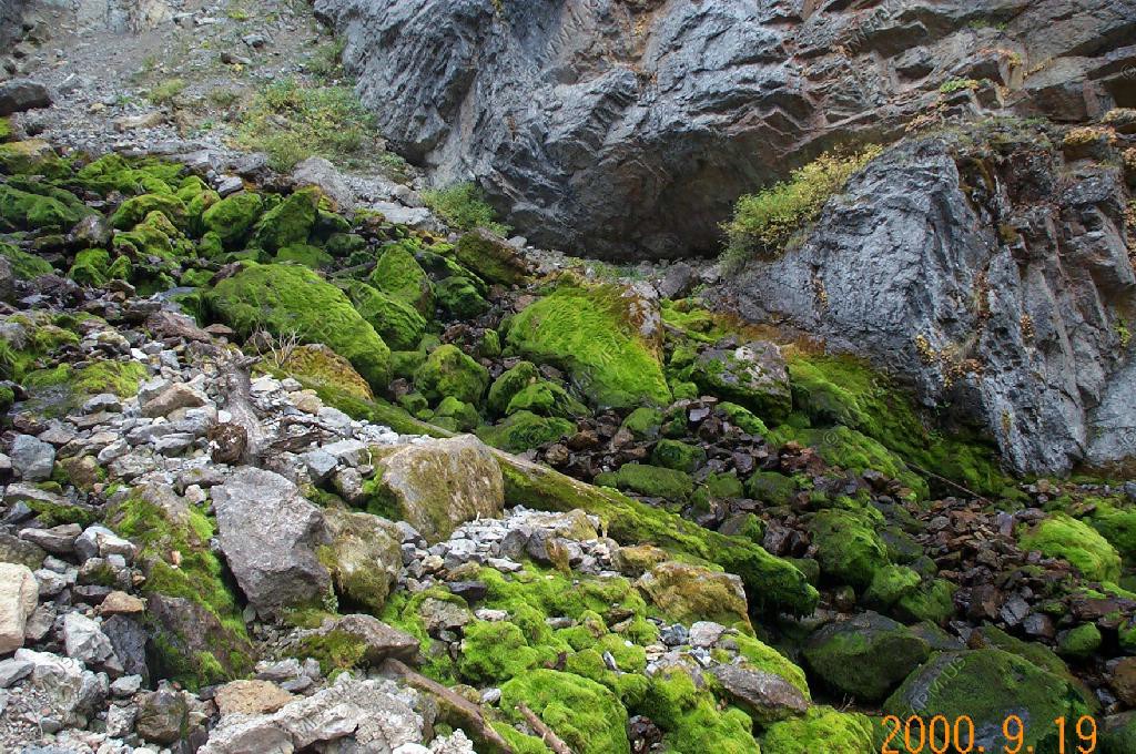
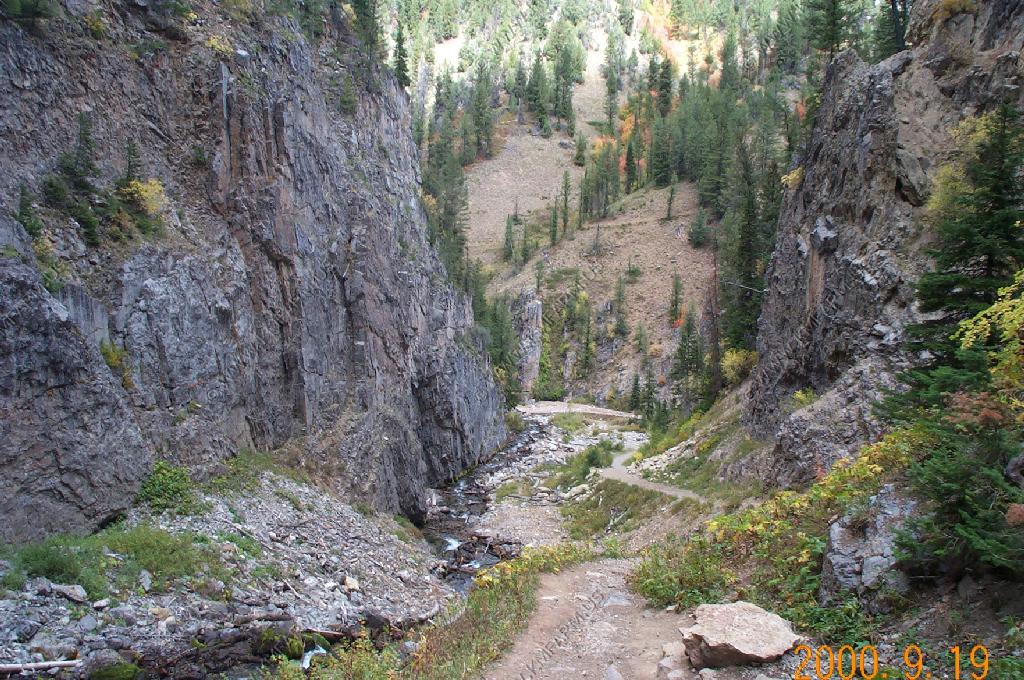
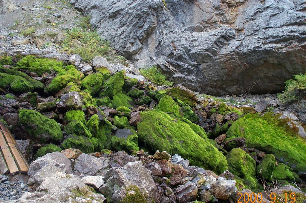
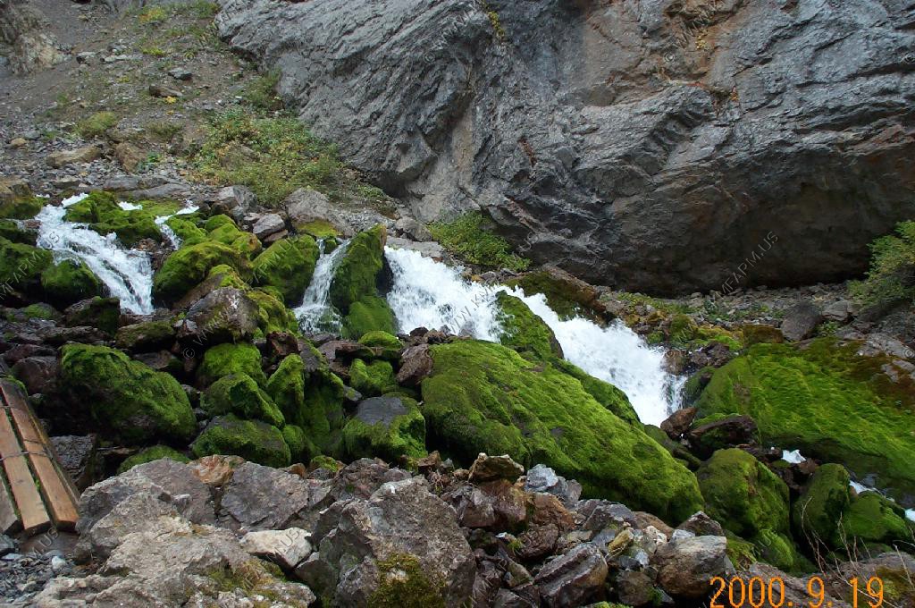
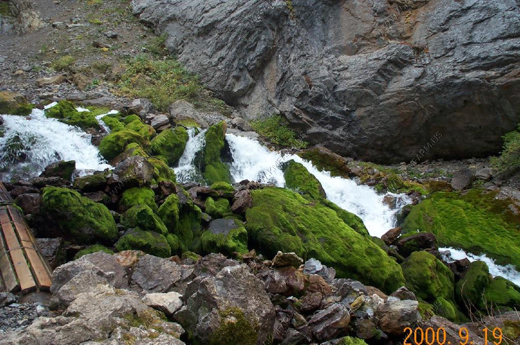
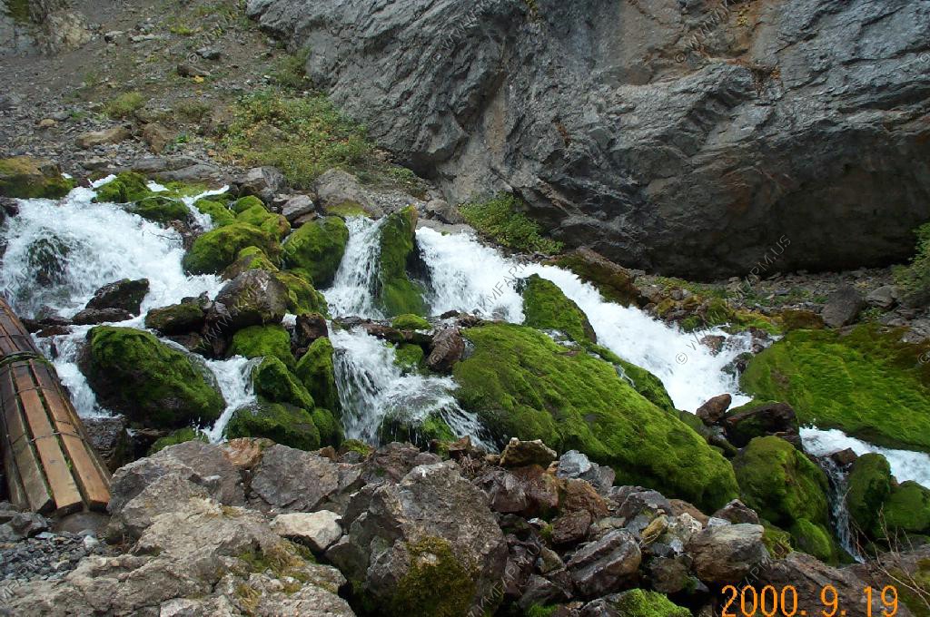
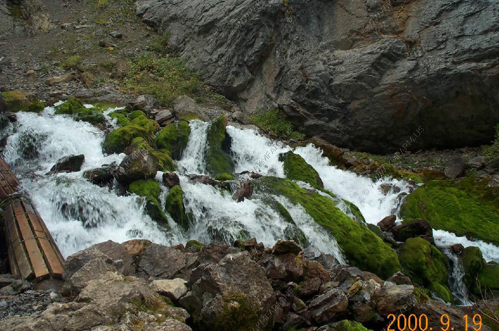
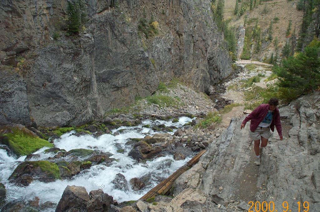
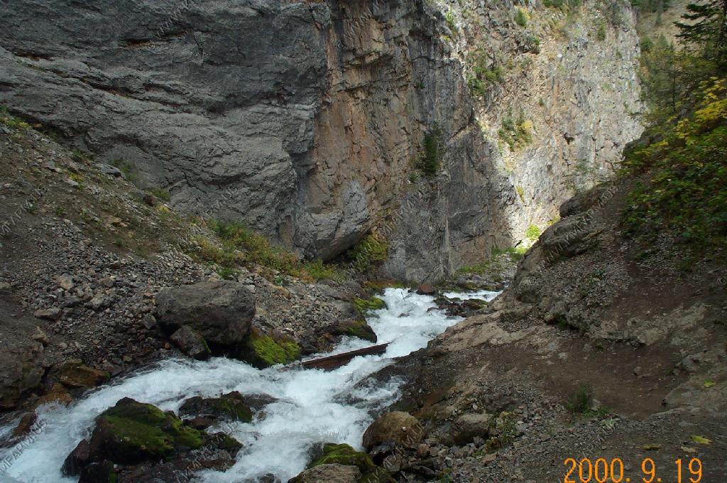
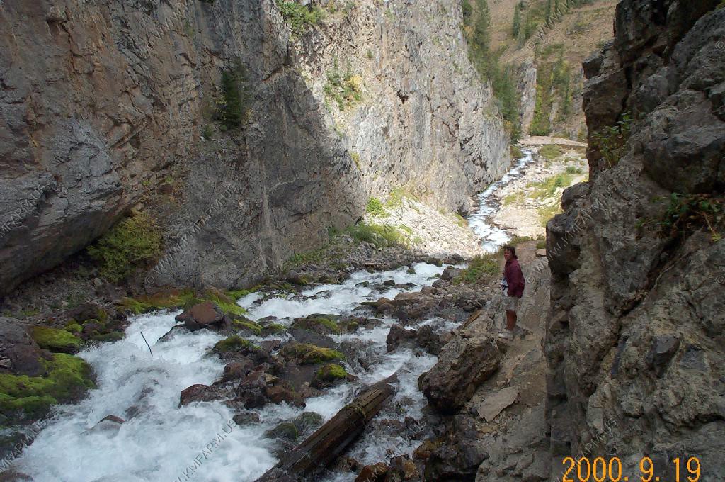
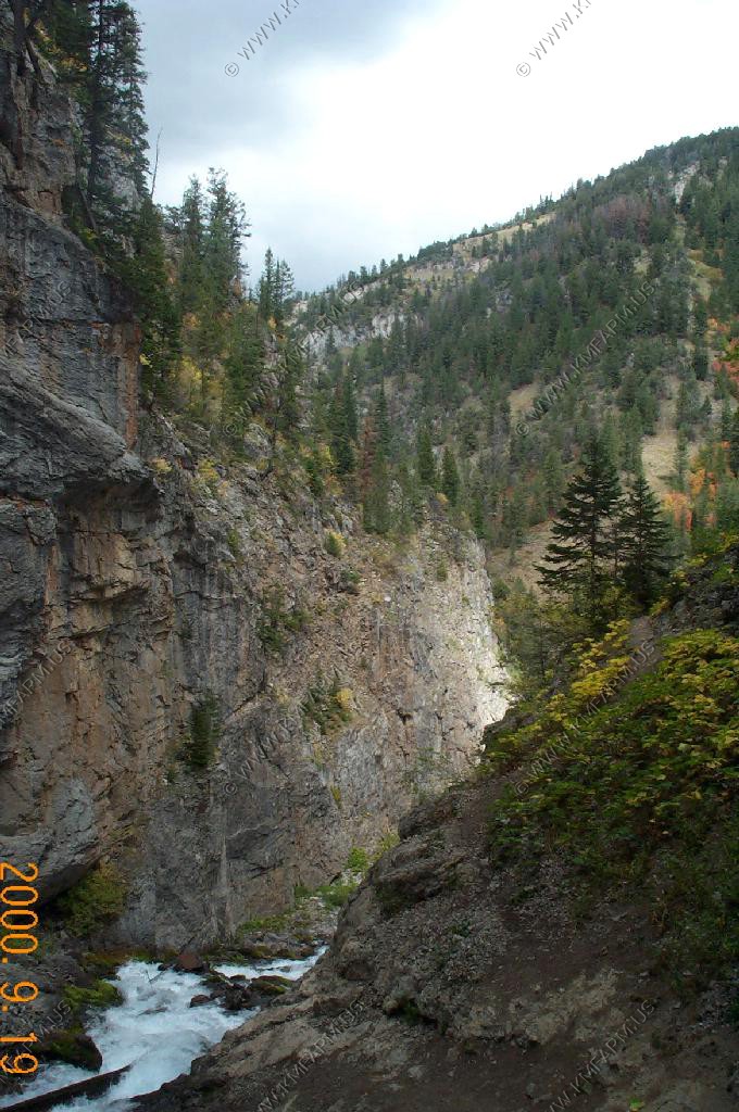
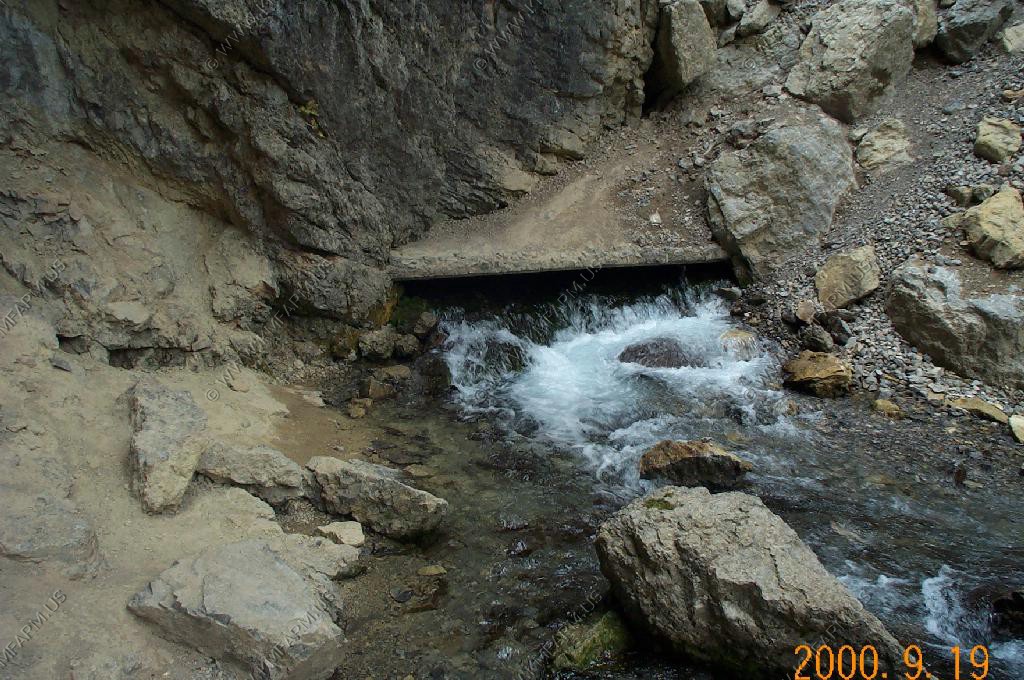
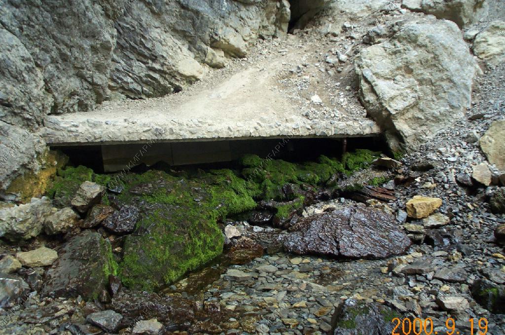
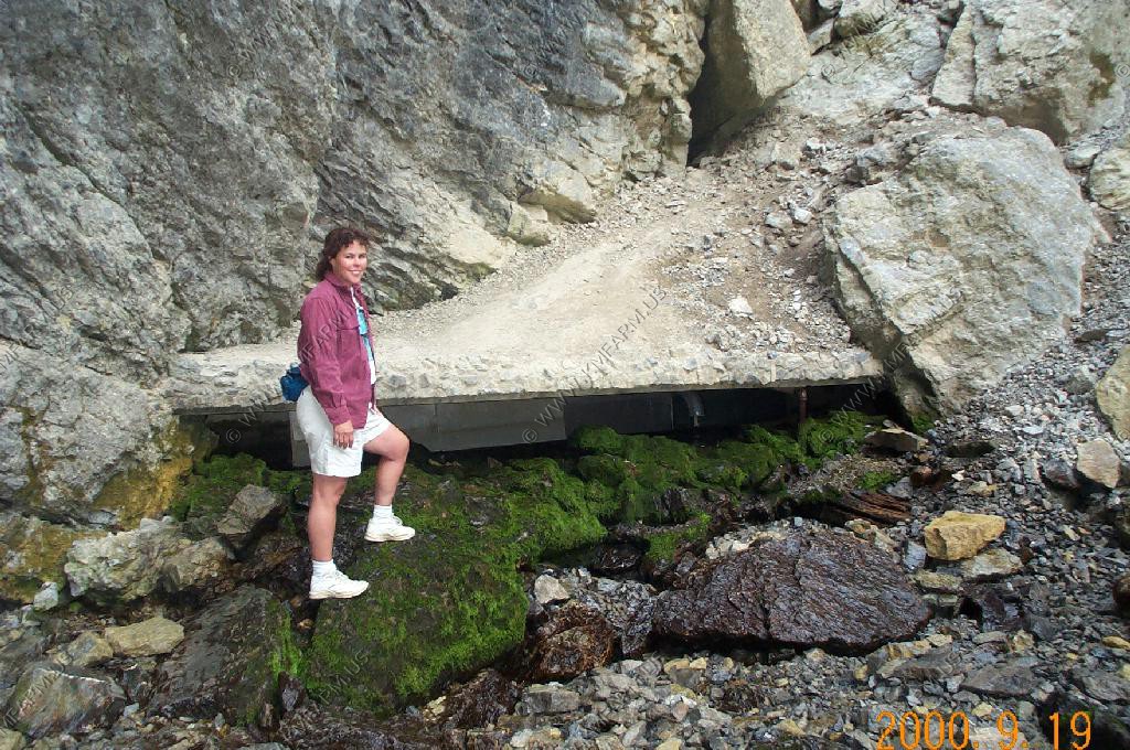
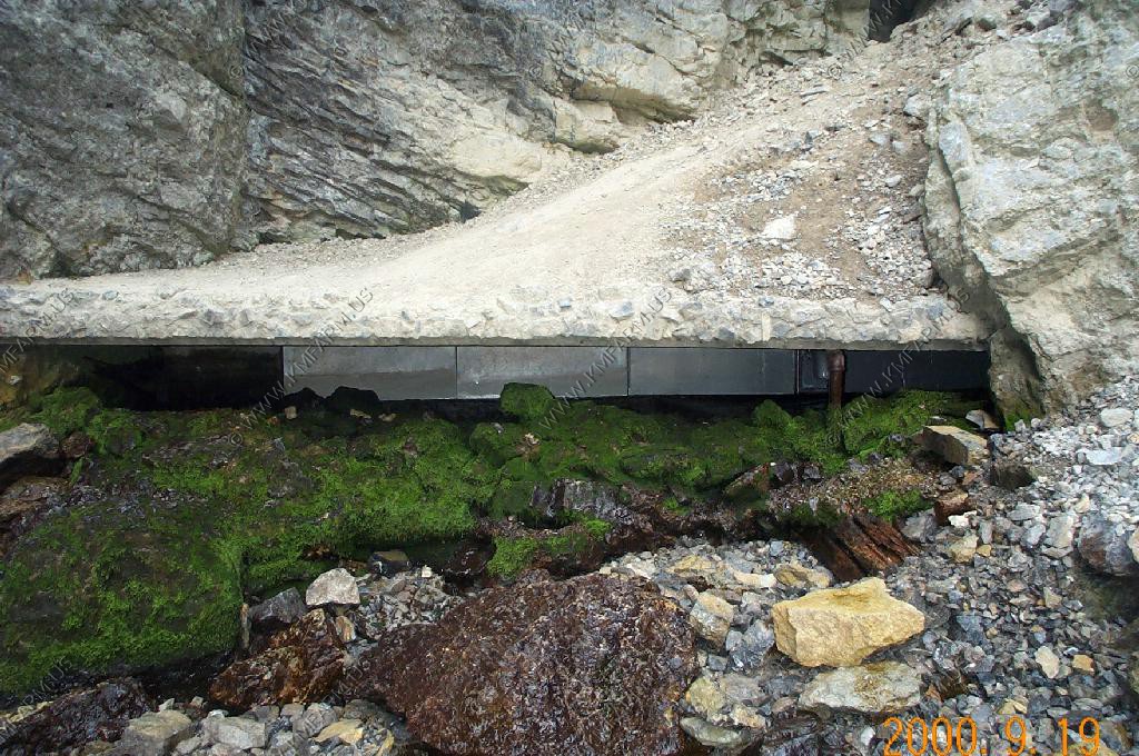
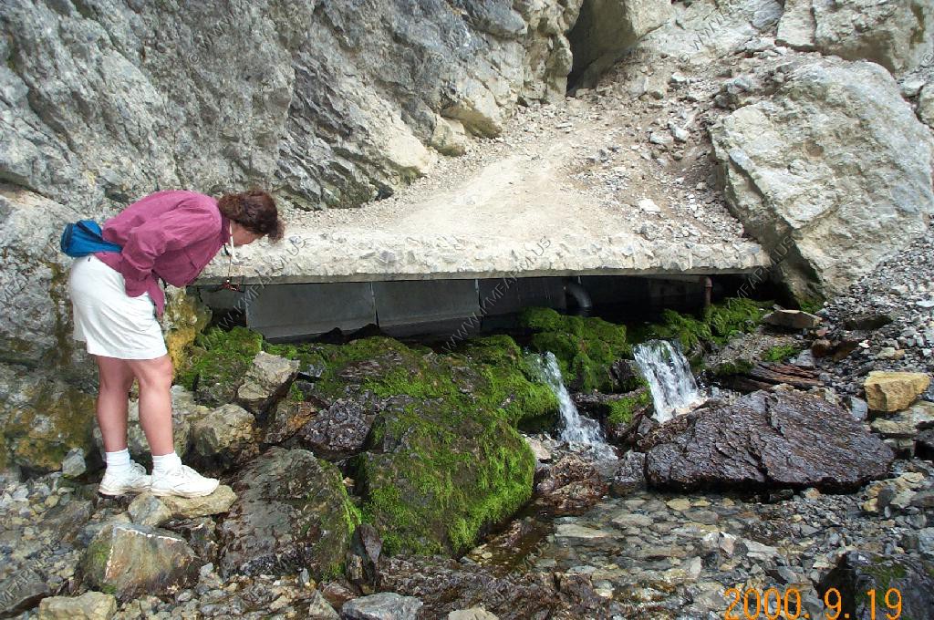
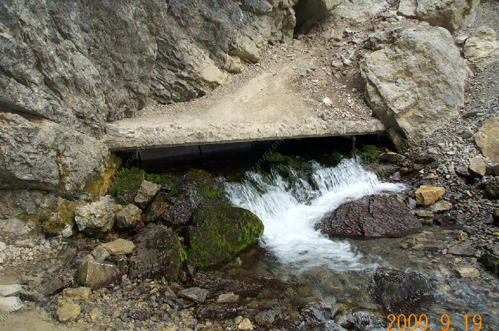
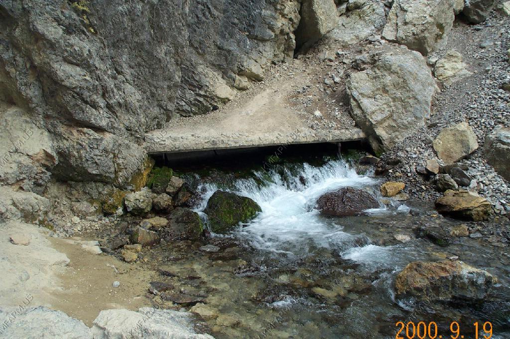
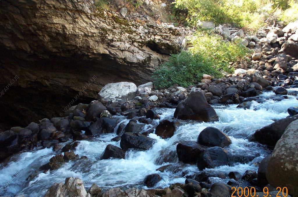
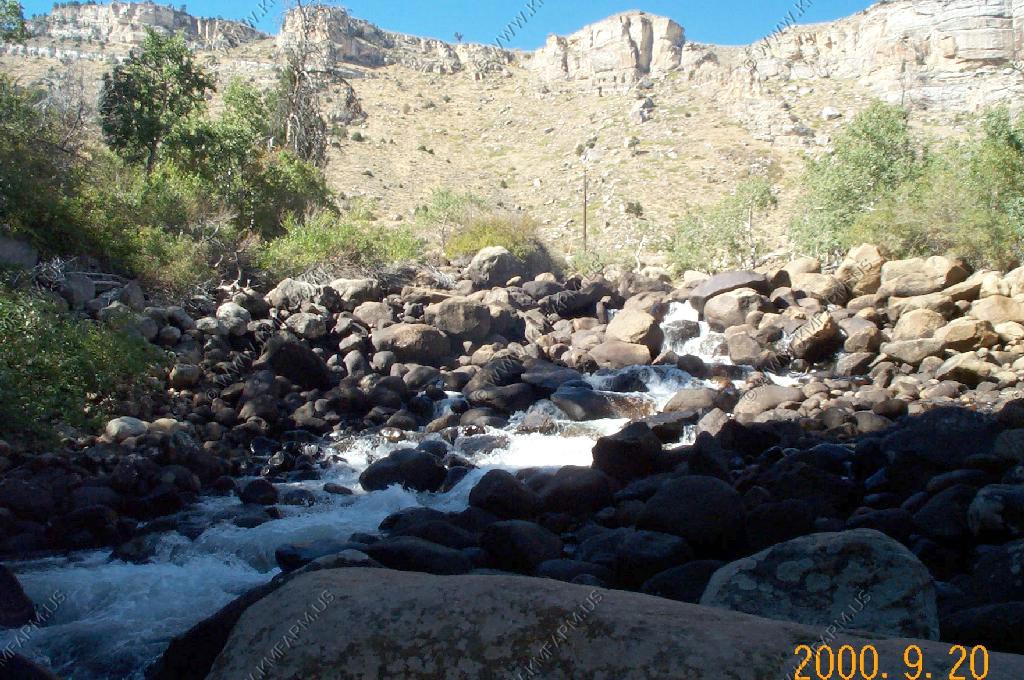
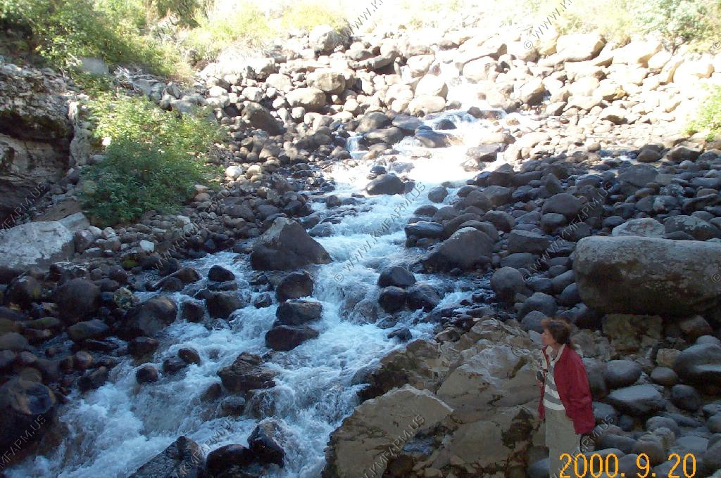
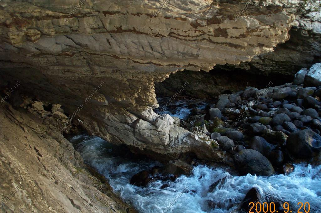
Periodic Spring
The spring that breathes
We parked and walked the mile or so up to the valley that the spring lies in.
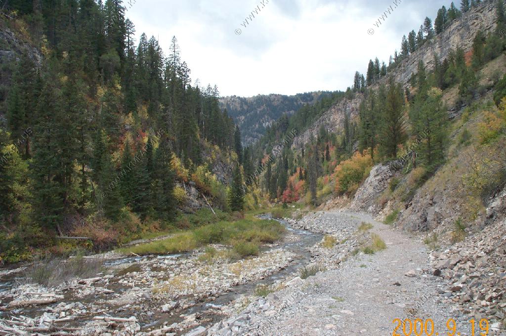
The spring lies in a small canyon of to the left of the main valley
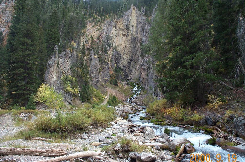
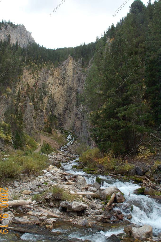
The perodic spring is a cold water geyser. The flow cycles on and off from late summer through winter. The water gushes out of a sheer ledge and cascades down a hillside to swift creek. Suddenly, the flow stops. After 12 to 18 minutes, the water gurgles to the surface and the cycle repeats.
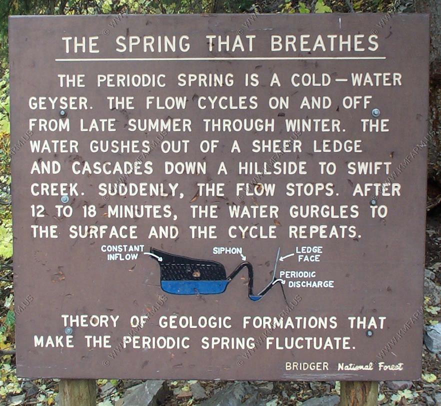
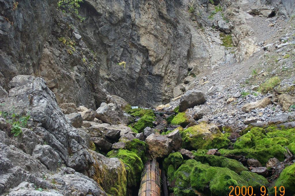
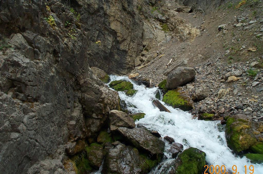
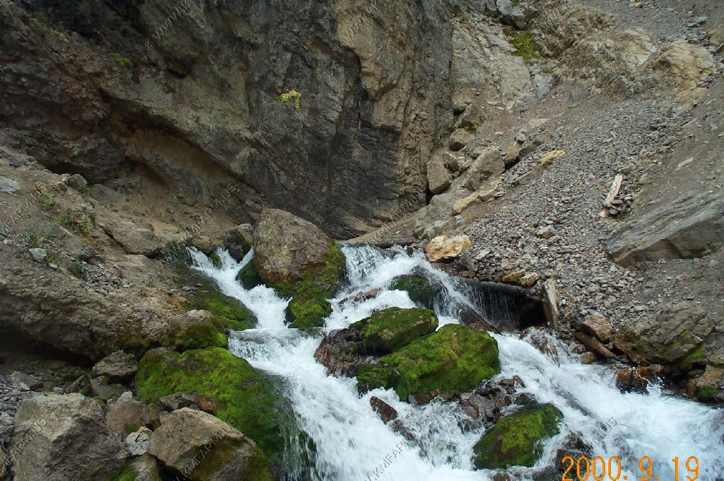
The opening that the water comes out. Very man made. It was stainless steel and supplies Afton with a good bit of its water.
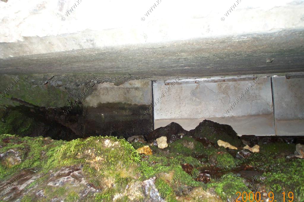
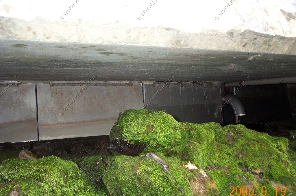
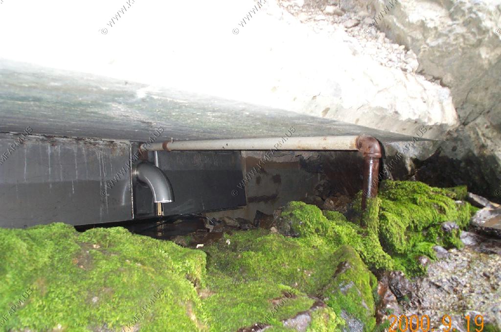
It goes from no flow to full in a minute or so
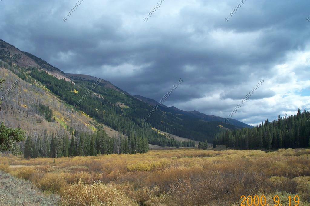
Grays River Road
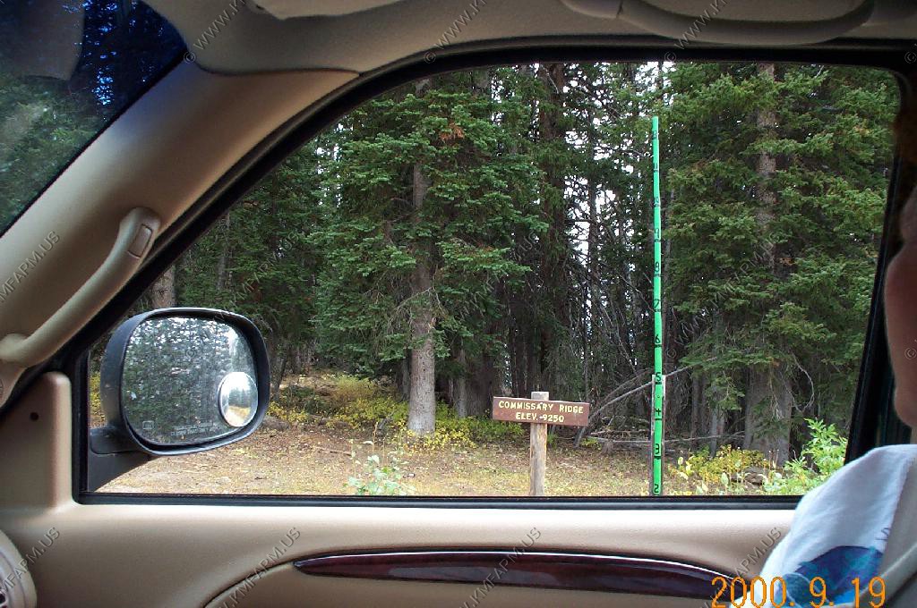
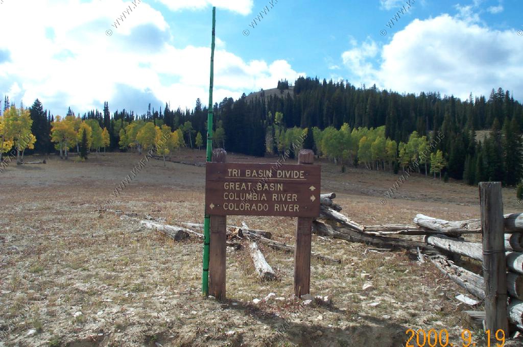
We started south of Afton on Smiths Fork Road and went up over Commissary Ridge El. 9,250 Ft.
Tri Divide Basin with drainage to the Great Basin, Columbia River and the Colorado River
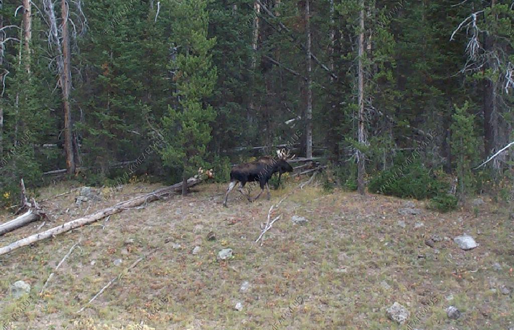
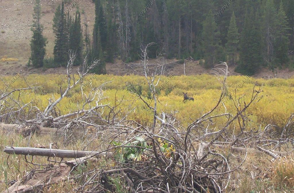
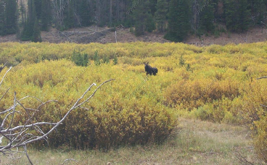
Bull Moose along Grays River road
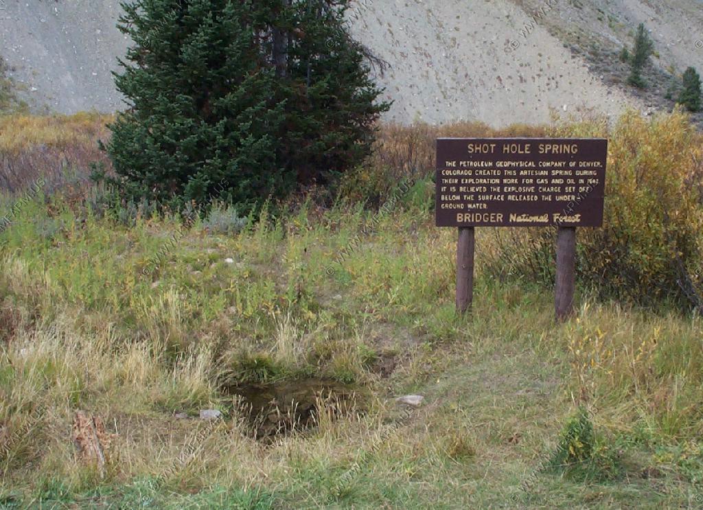
Shot Hole Spring
Along the Grays River

Another moose along the road
We then went up over the Wyoming Range and headed towards Daniel on Cottonwood Road. Up over the pass it was snowing. We we got to the mesa it begining to clear. We saw a number of grouse and pronghorn along the Mesa
Pinedale Again
The Wind River range 2 weeks later. A bit more snow.
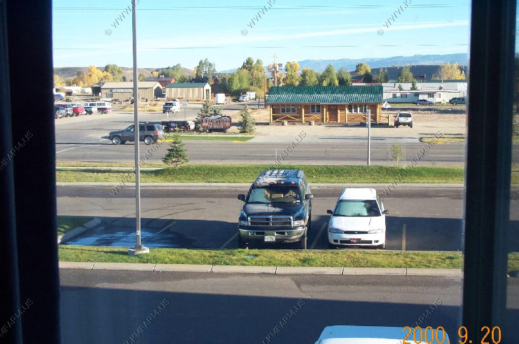
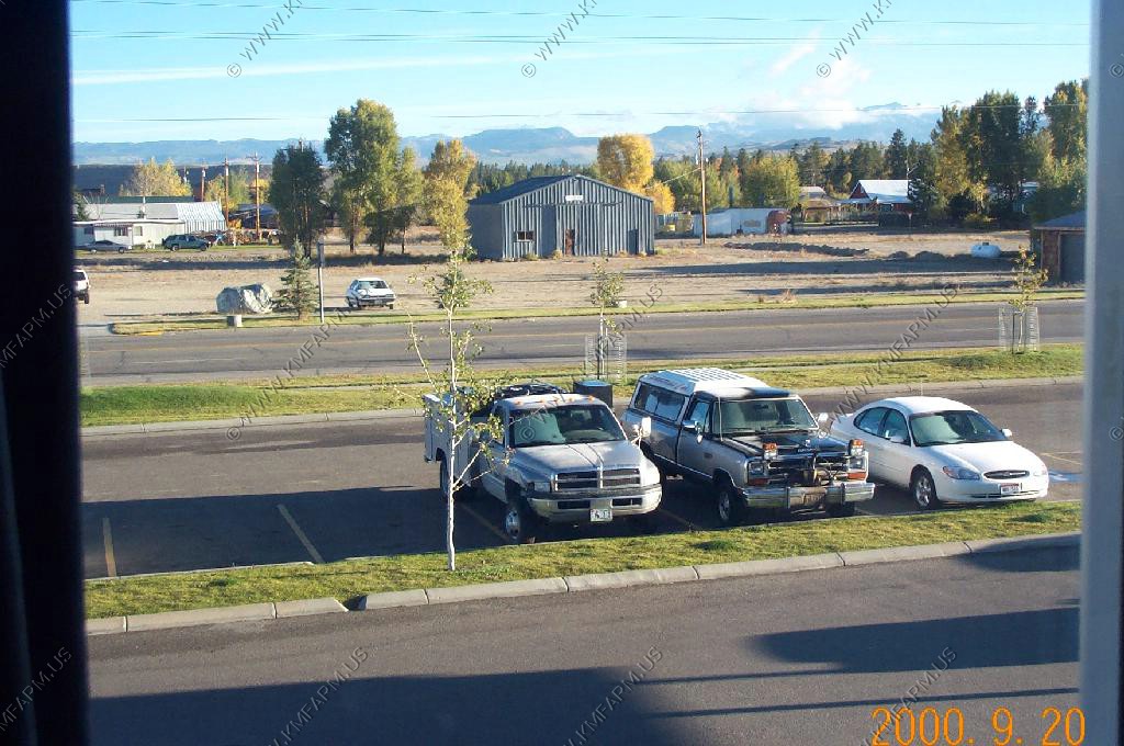
Pinedale at rush hour
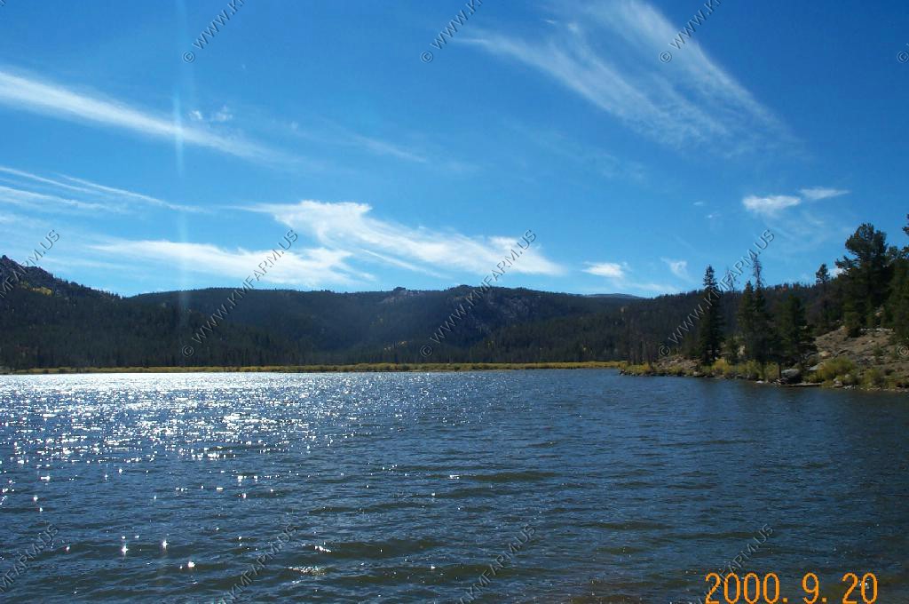
Fremont Lake on a very cold and windy evening
A very cold September morning in Pinedale
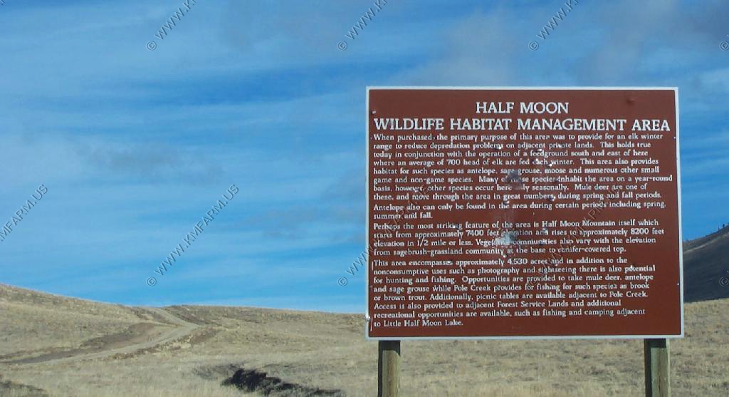
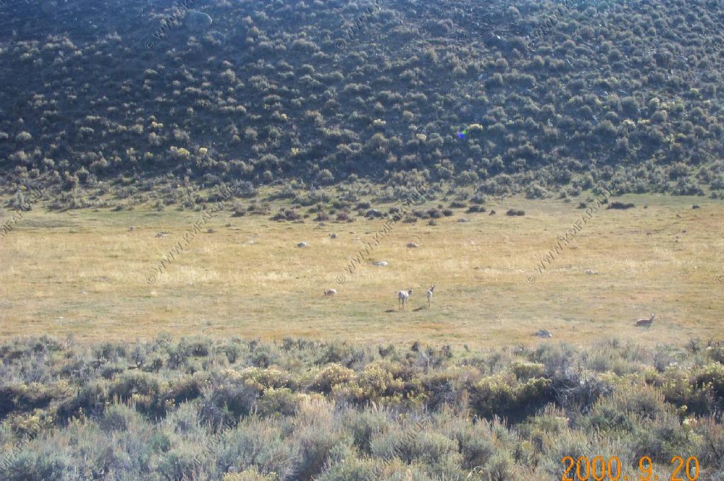
Half Moon Wildlife Management Area
Along Fayette Pole Creek Road
Along the Southern Winds between Big Sandy and Atlantic City
Oregon Trail / Lander Cutoff
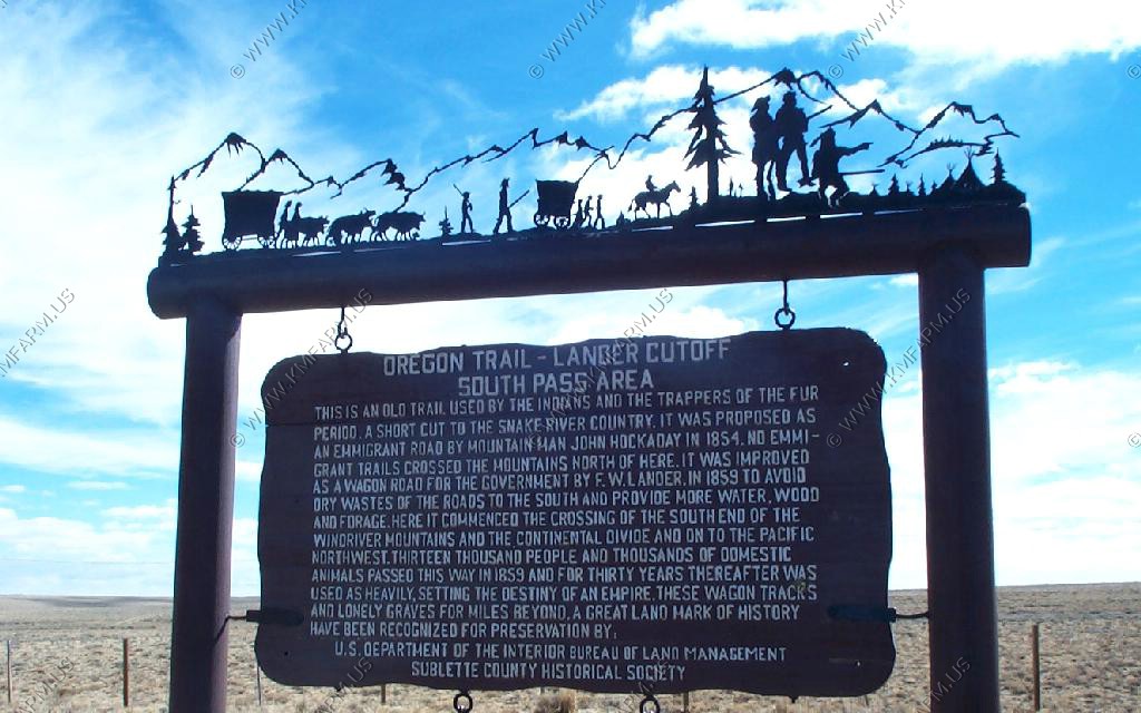
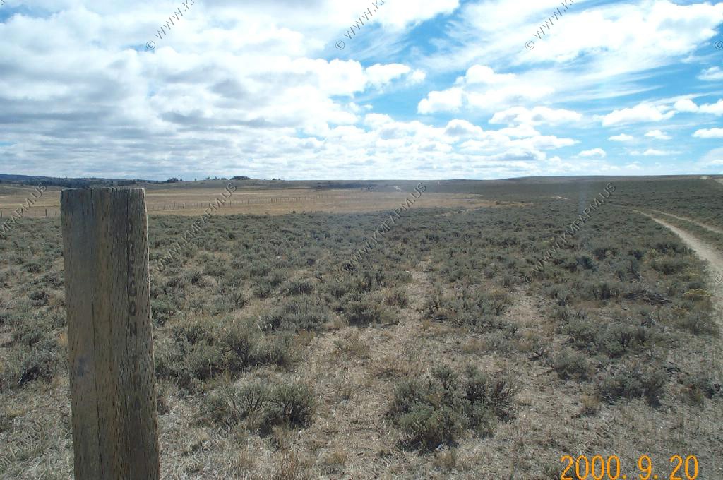
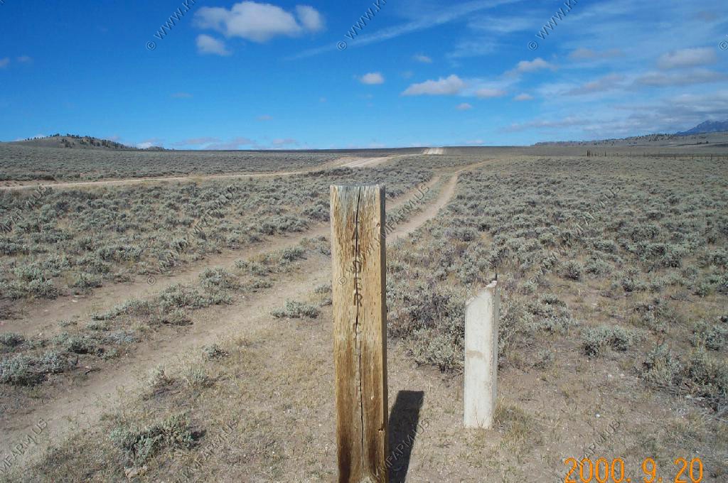
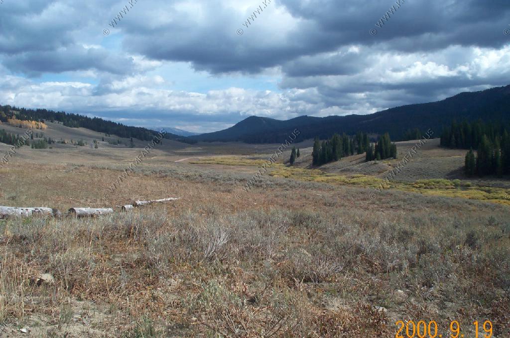
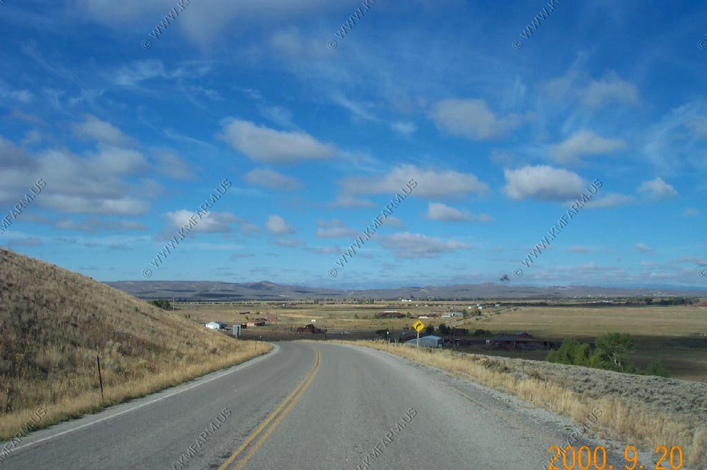
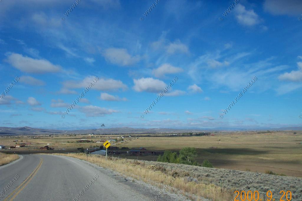
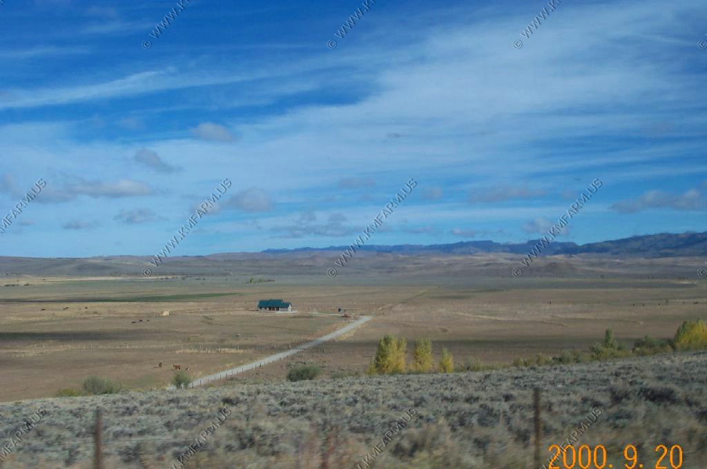
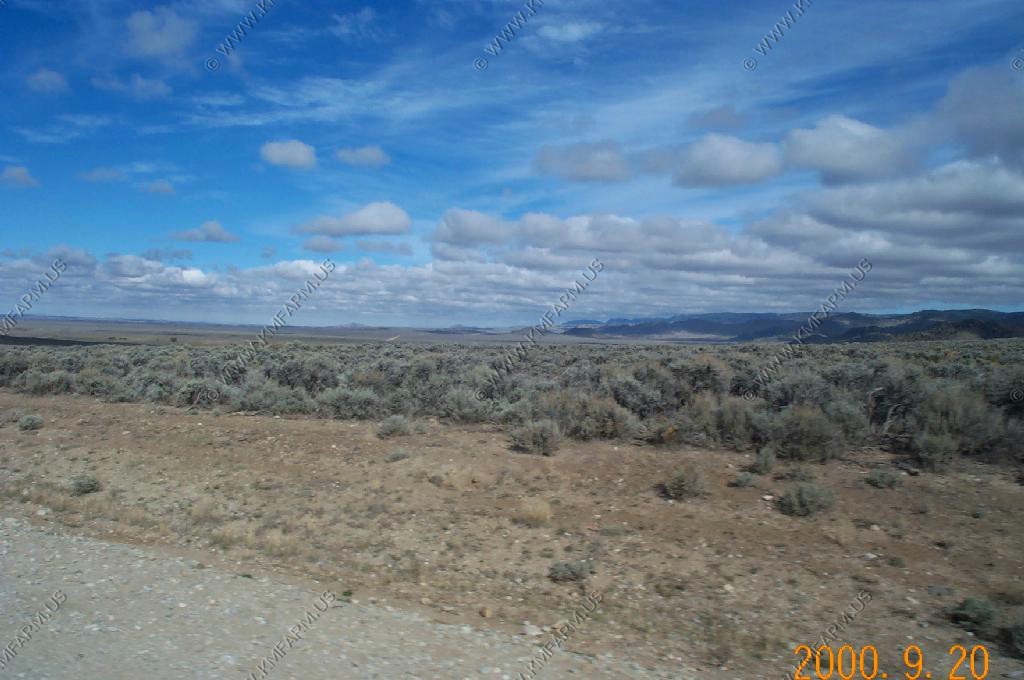
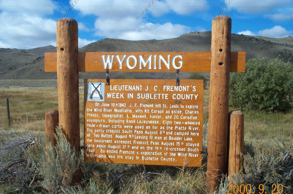
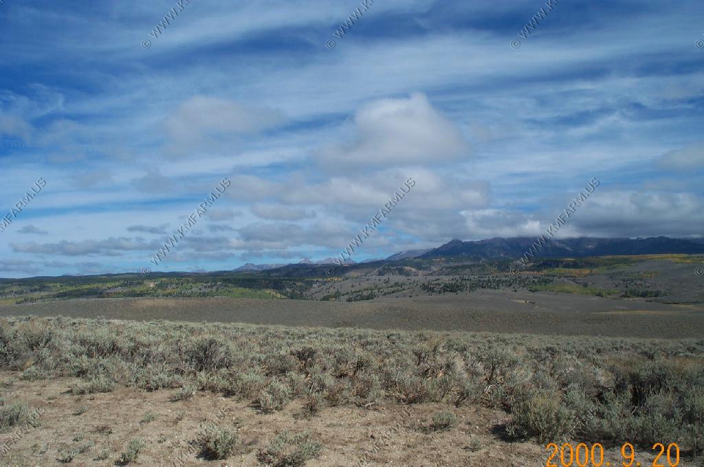
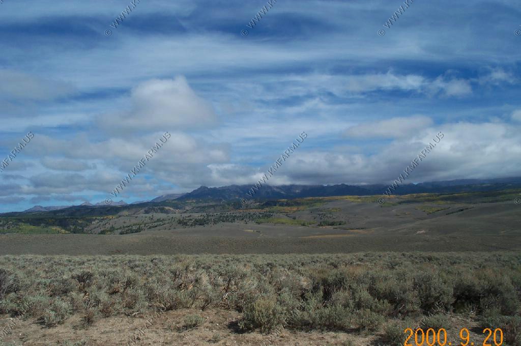
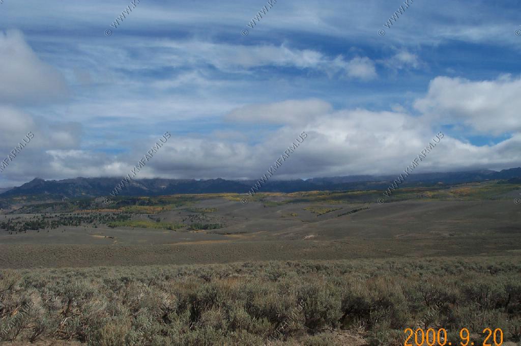
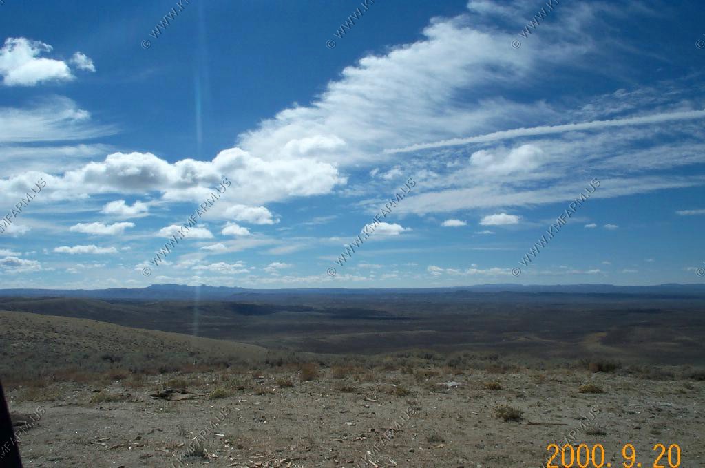
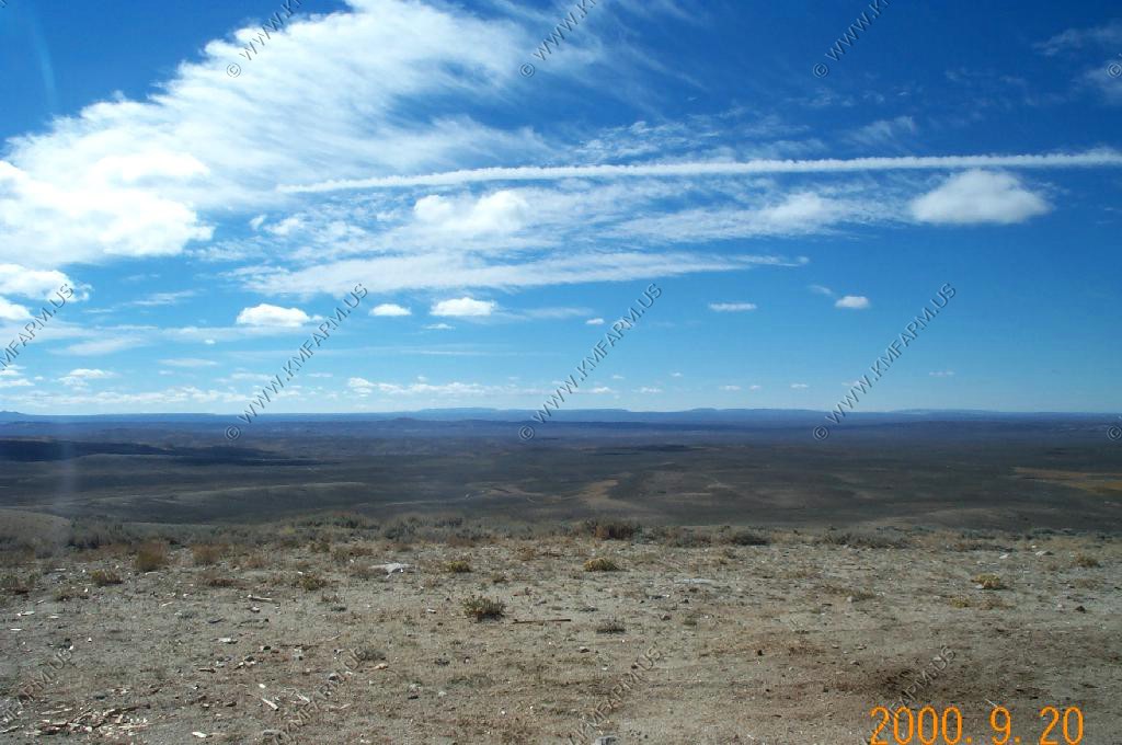
Wide open spaces of souhthern Sublette County
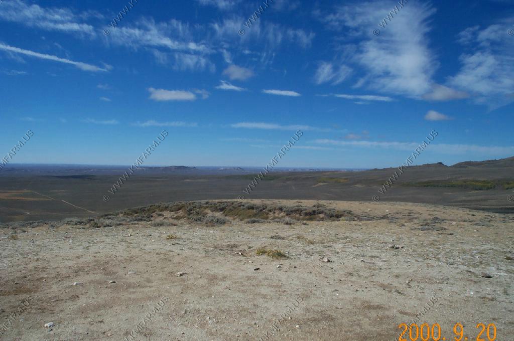
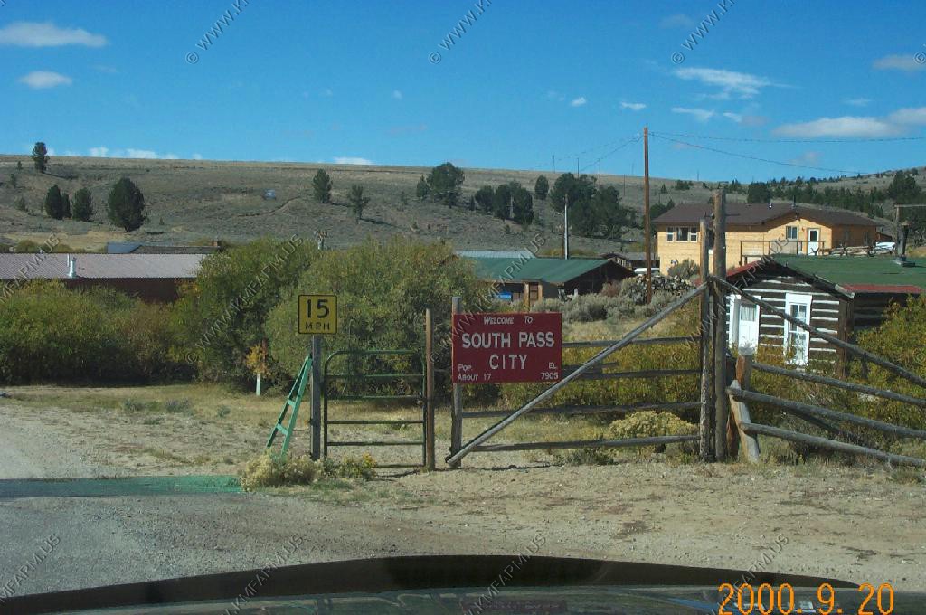
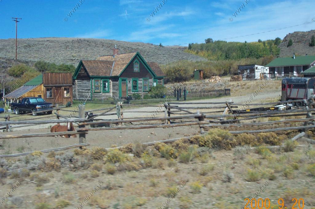
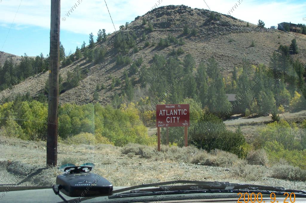
South Pass Area
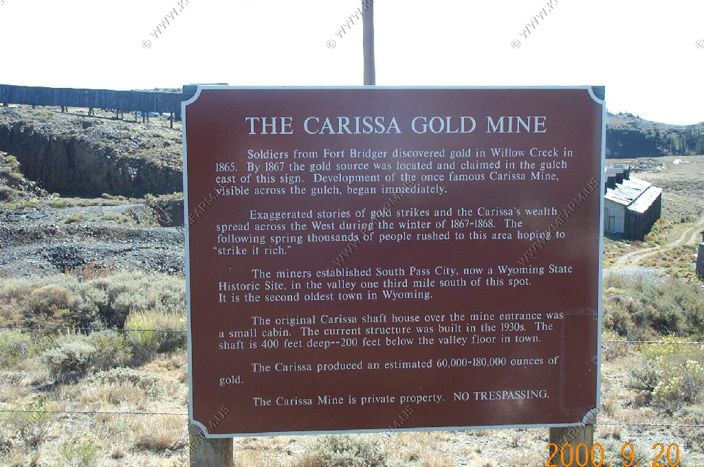
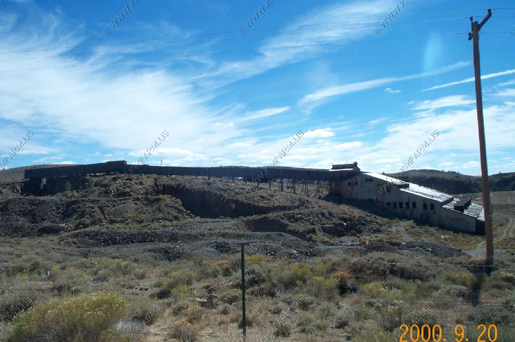
Carissa Gold Mine
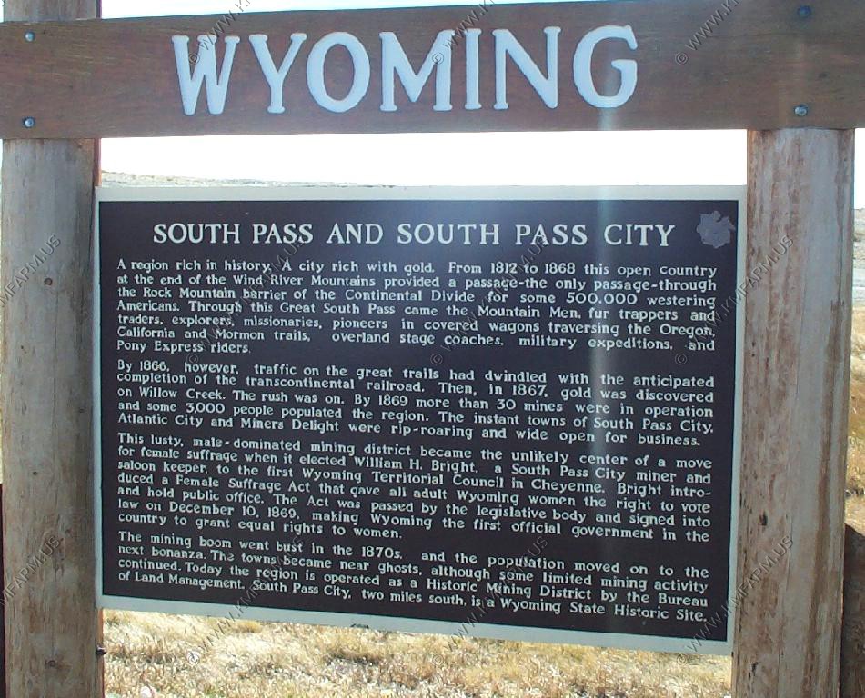
South Pass and South Pass City
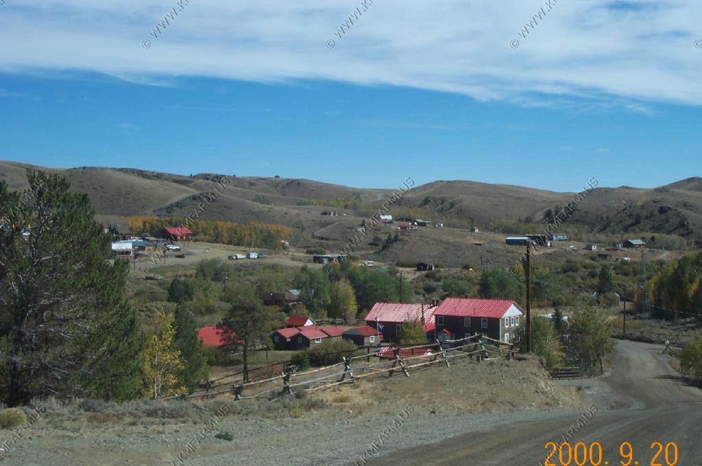
Atlantic City
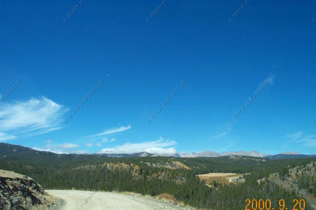
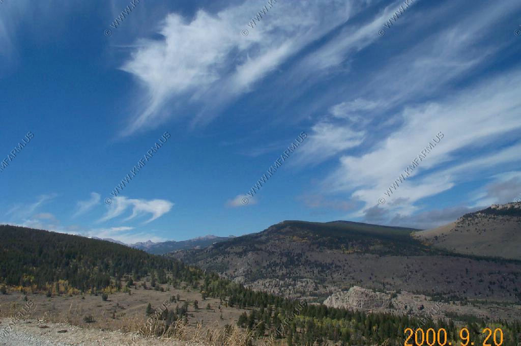
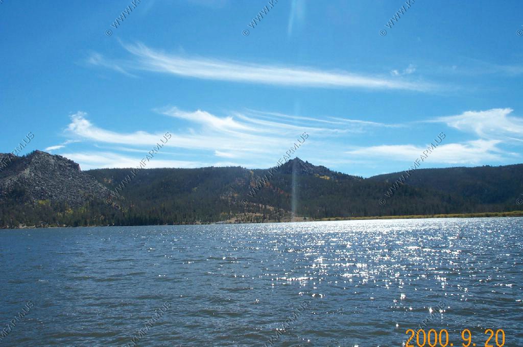
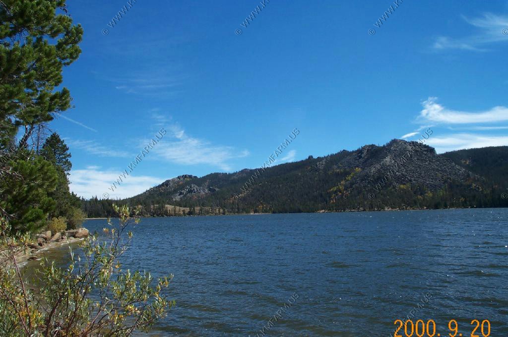
Louis Lake Road
Southern Winds
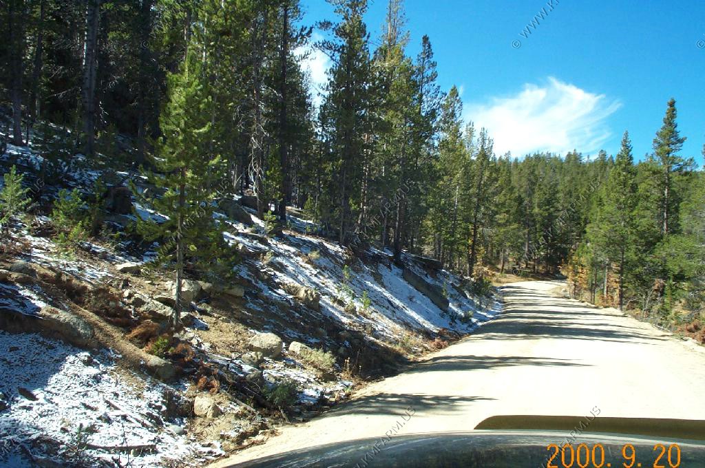
Snow along the road
Lake Louis
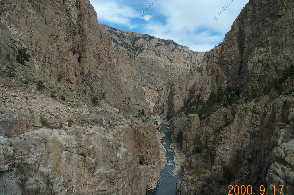
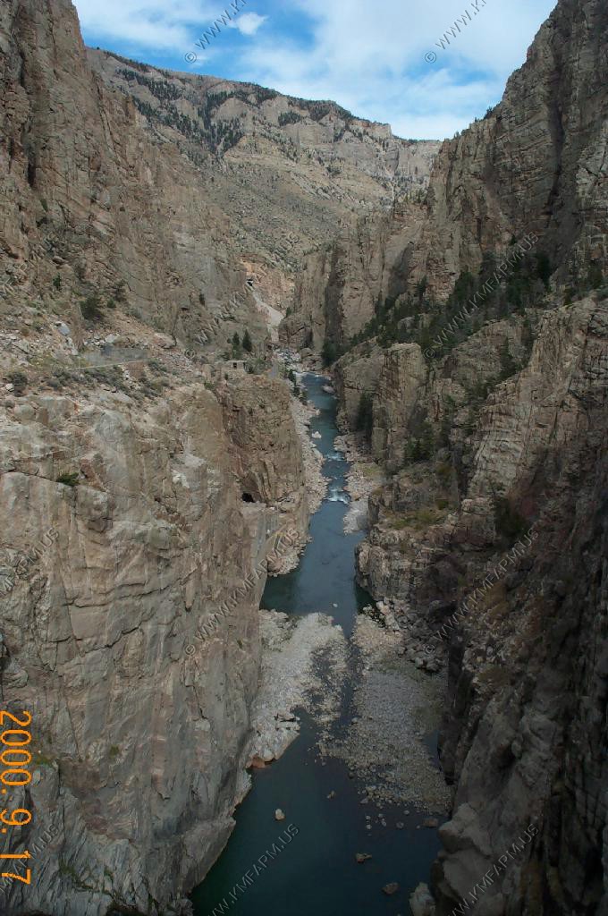
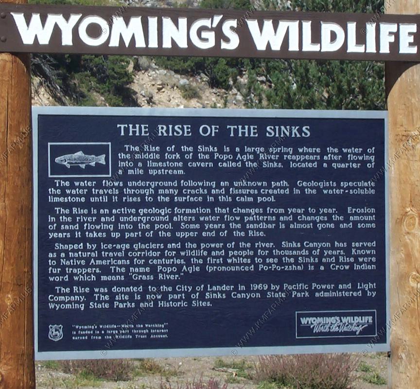
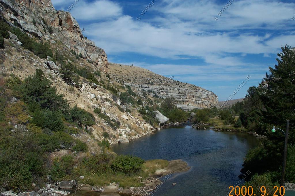
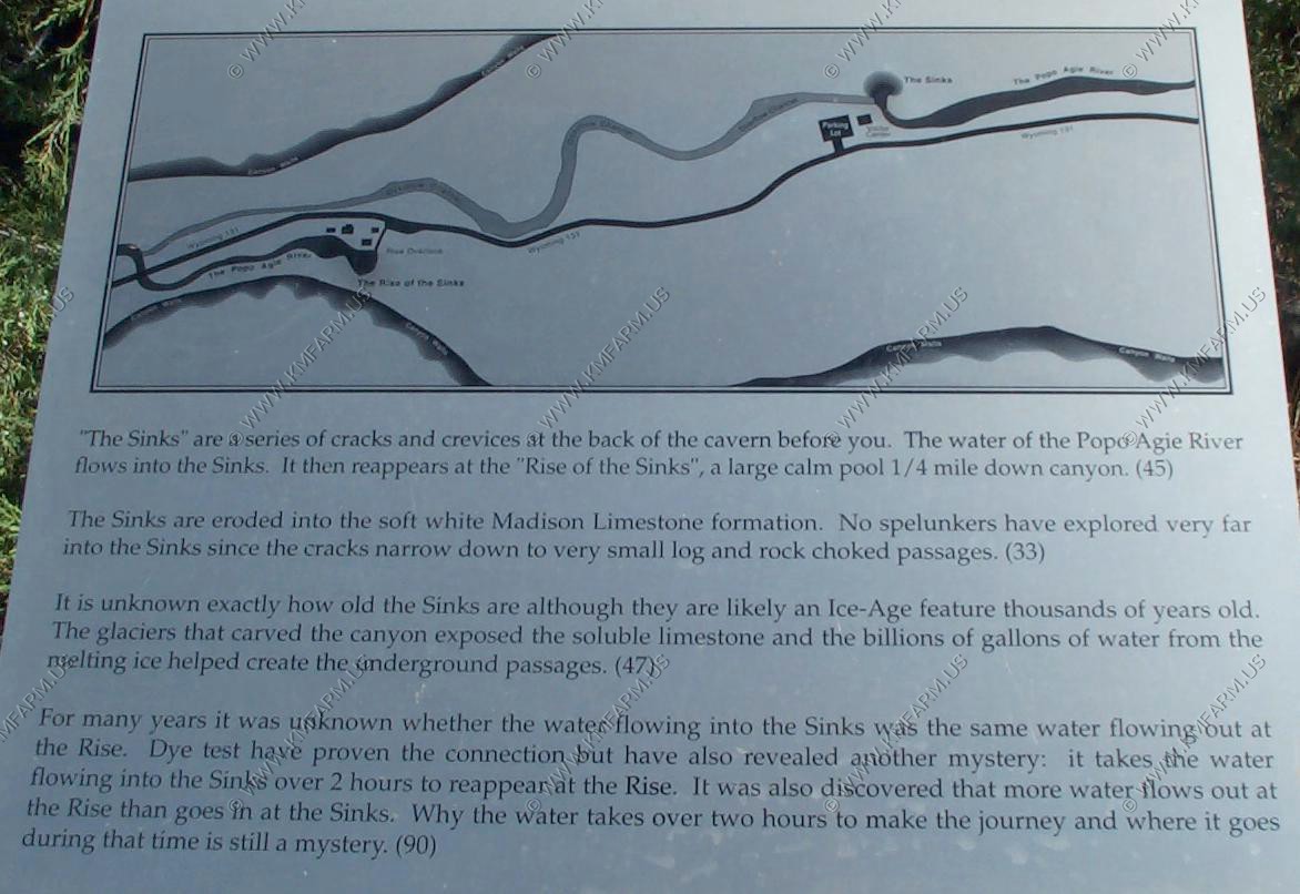
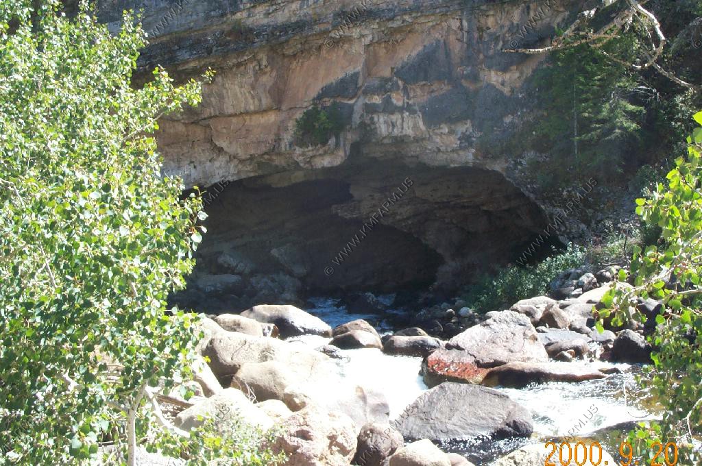
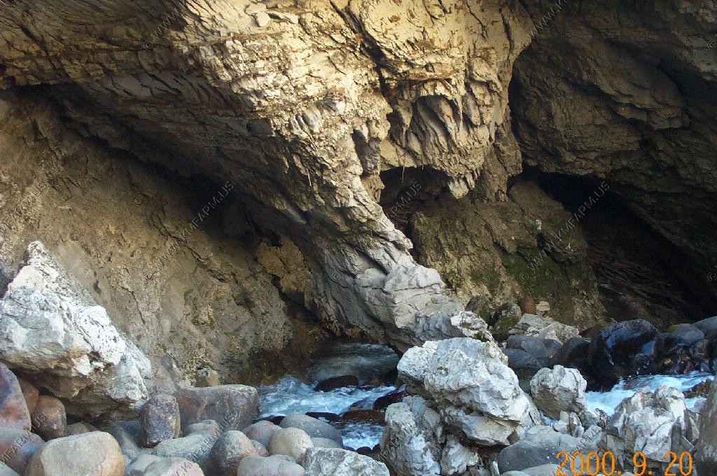
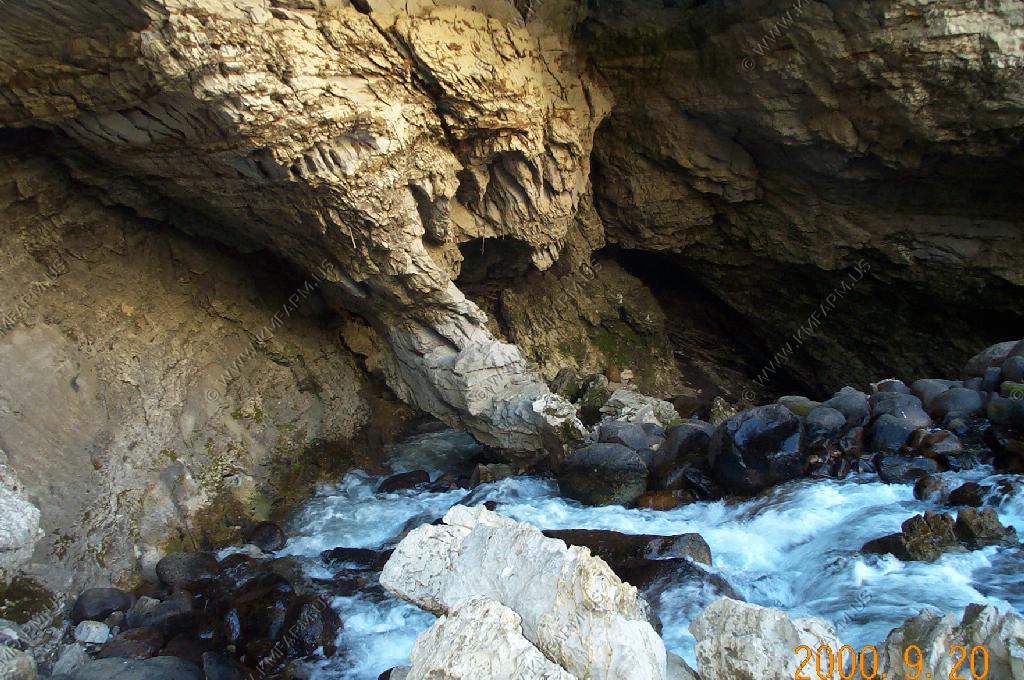
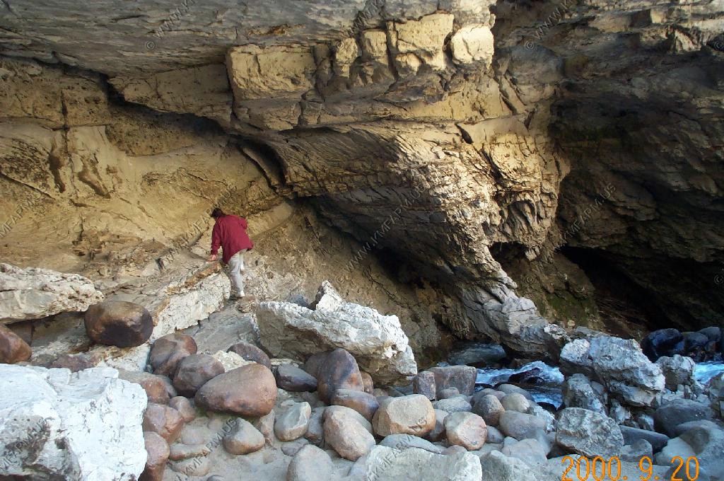
Sinks Canyon
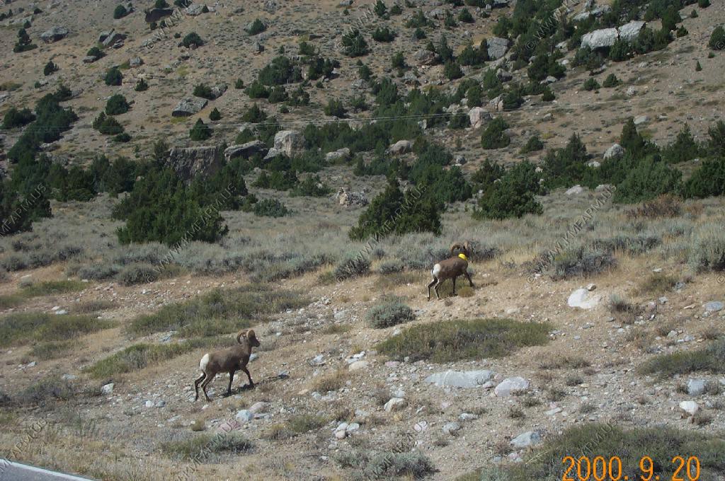
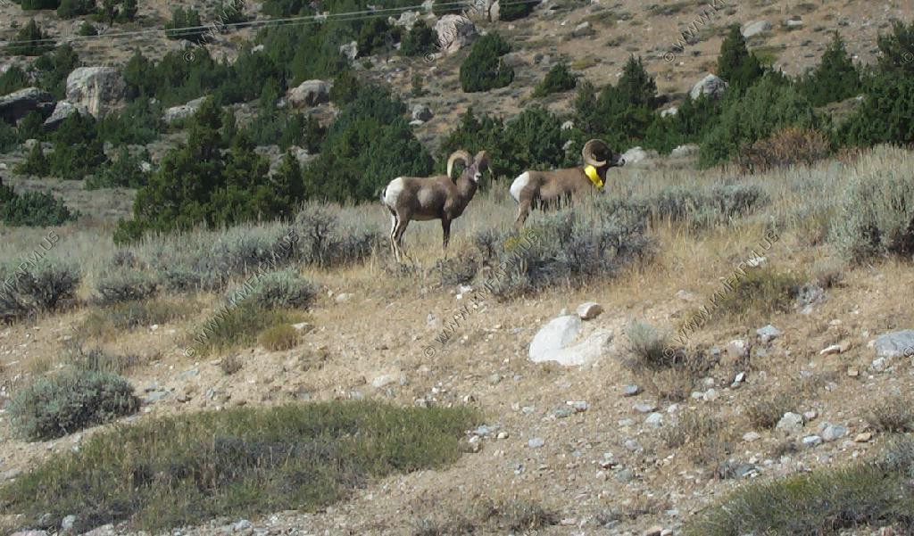
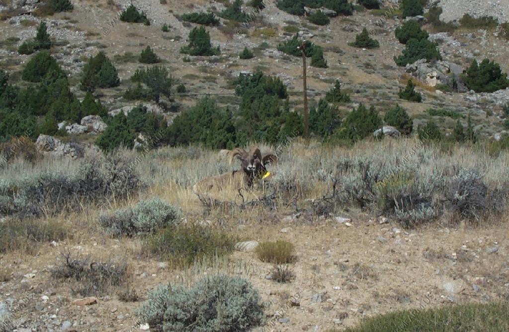
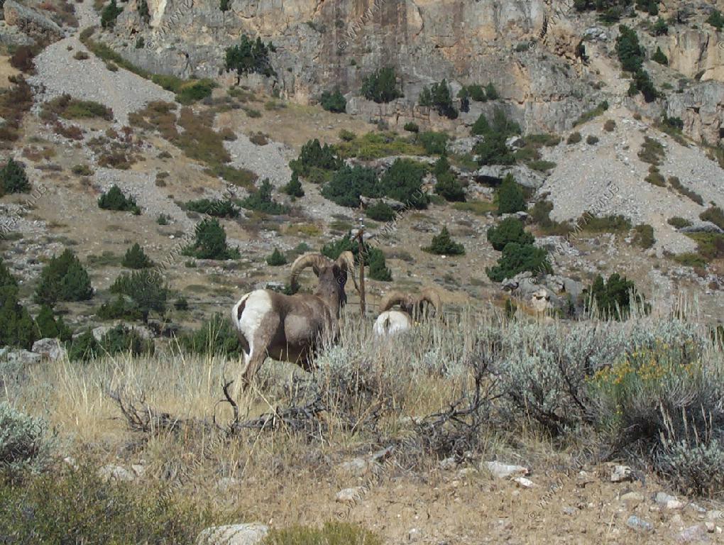
Male Bighorn Sheep fighting along the road in Sinks Canyon
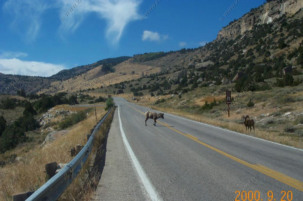
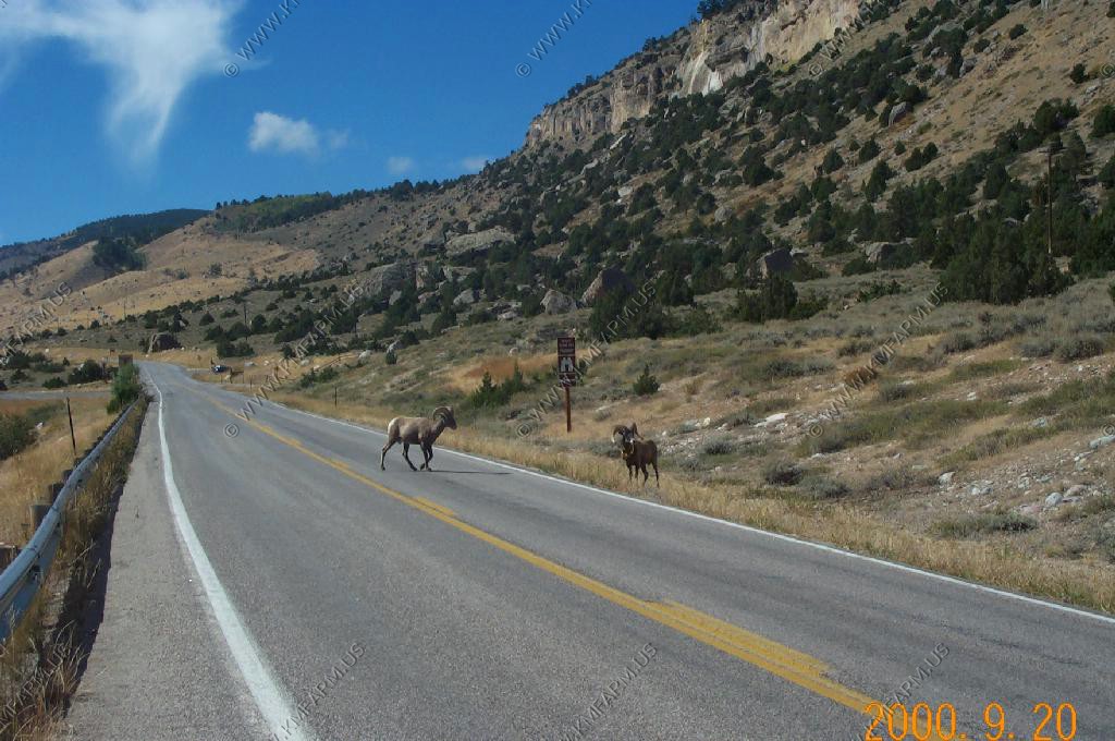
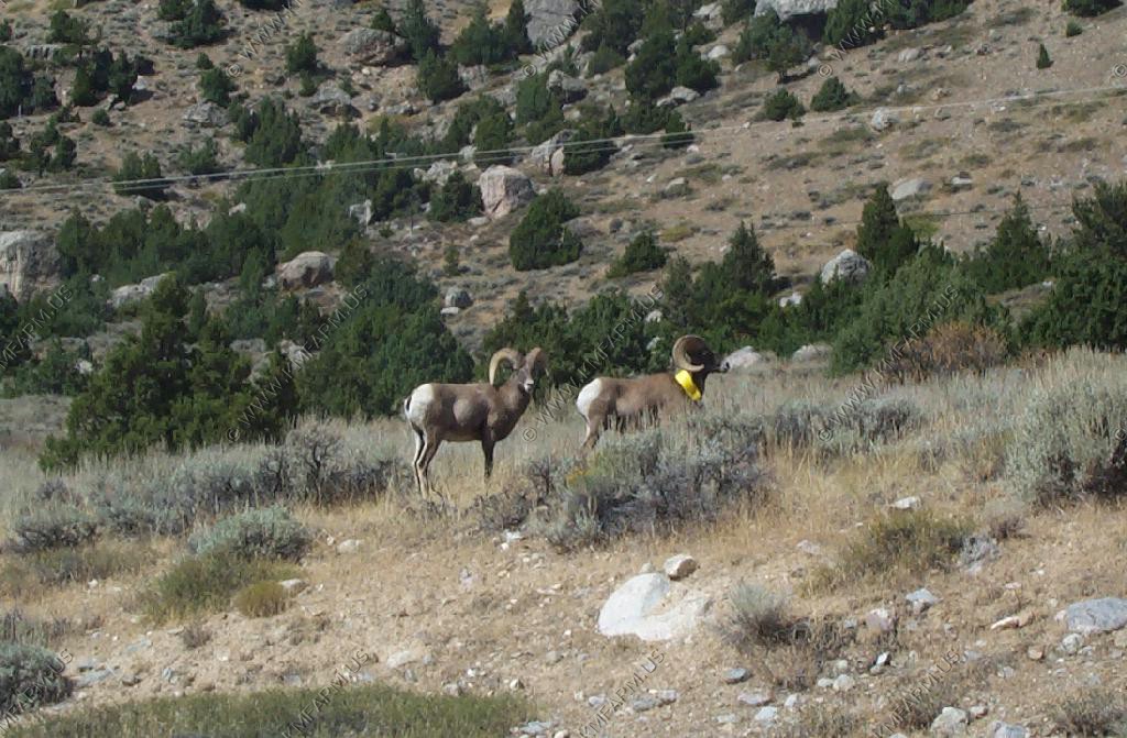
Sinks Canyon Park
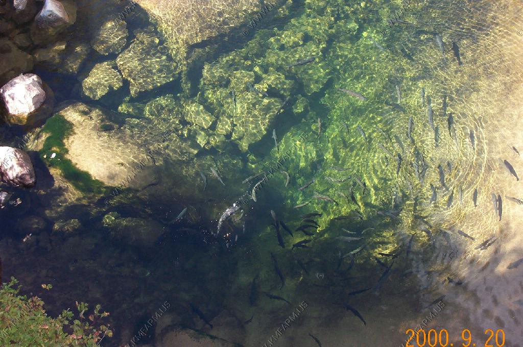
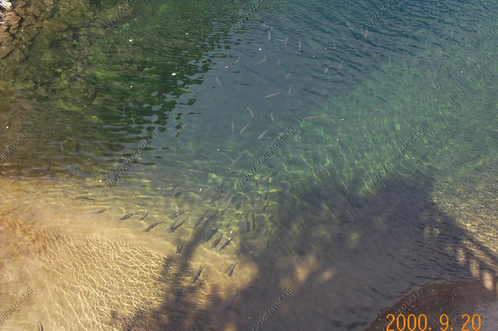
The Rise
The Fall
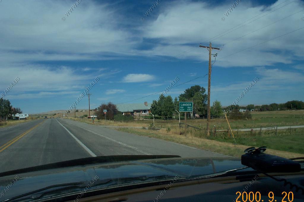
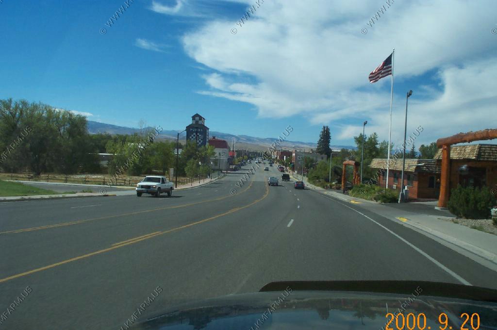
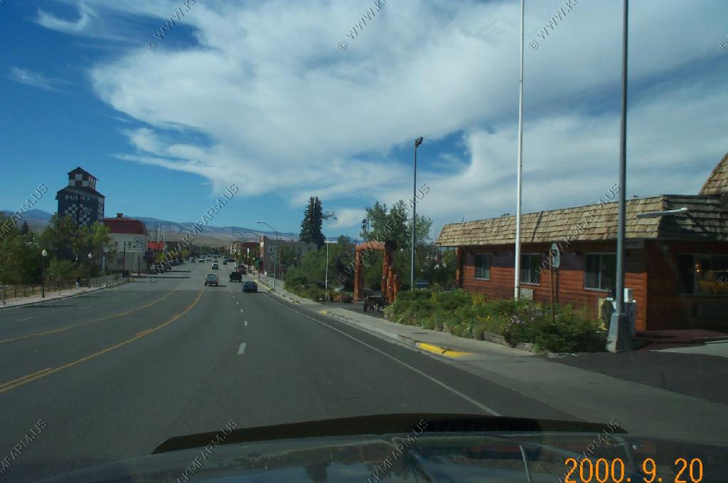
Lander
Views of the Lander downtown and area. Lander was one of the relocation areas that we were interested in. We liked it but it was too close to the influences of the Indian Reservation.
Still a very nice place to visit.
Outside of town looking back towards the Wind River Range
Views outside town
We drove up across the reservation and could see the snow up in the Absaroka Range that had fallen the night before
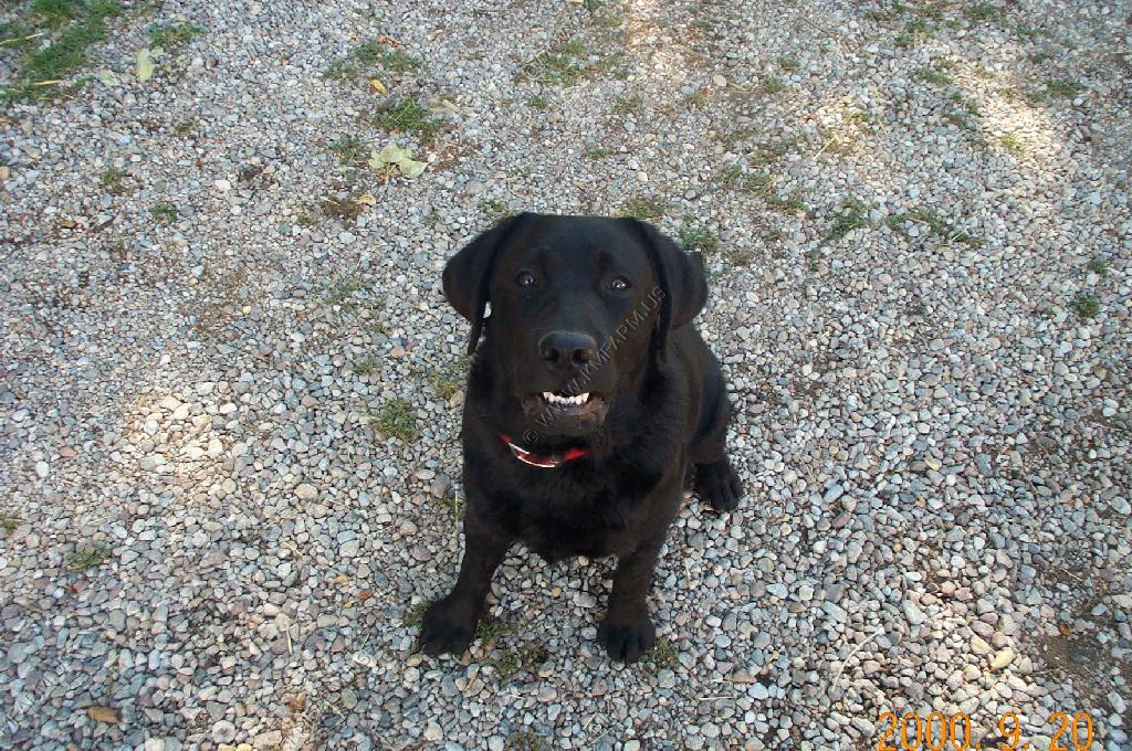
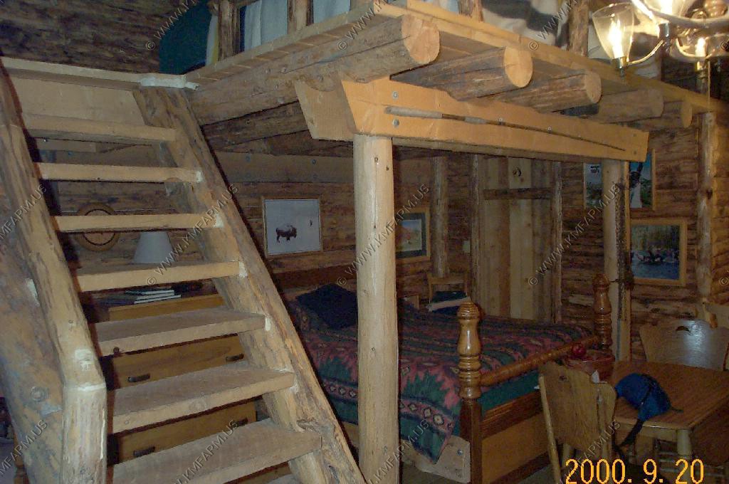
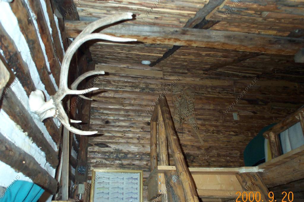
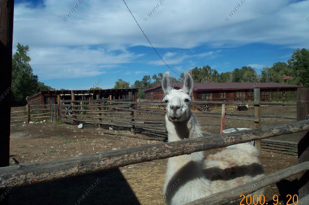
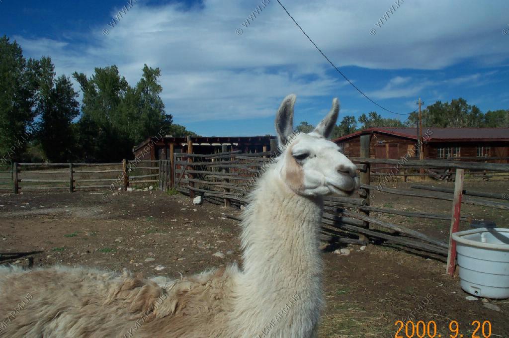
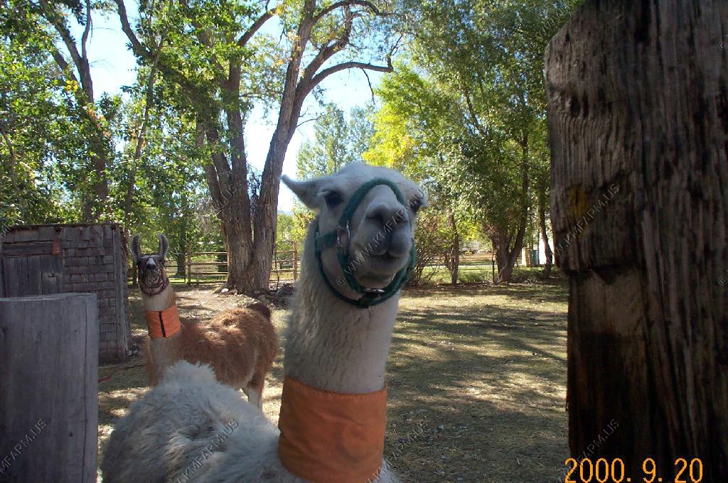
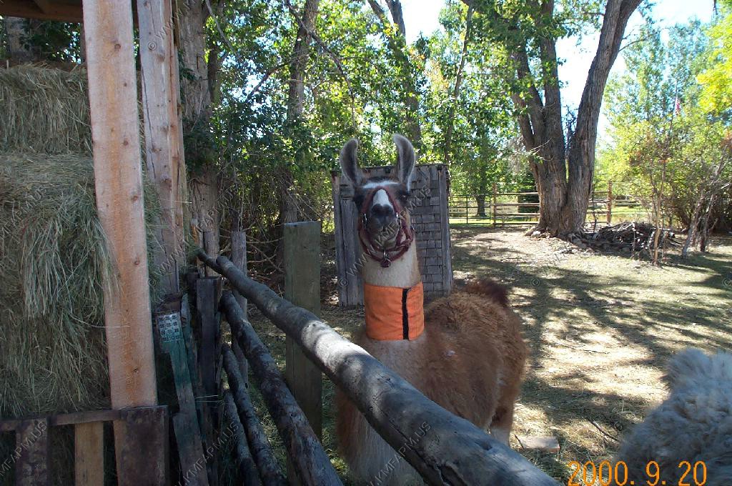
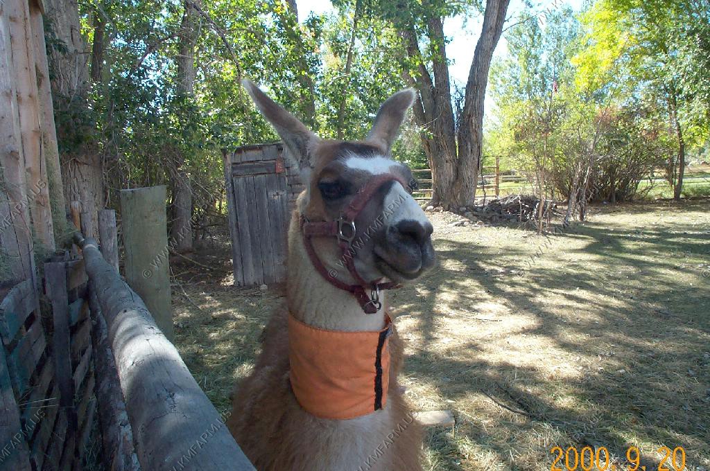
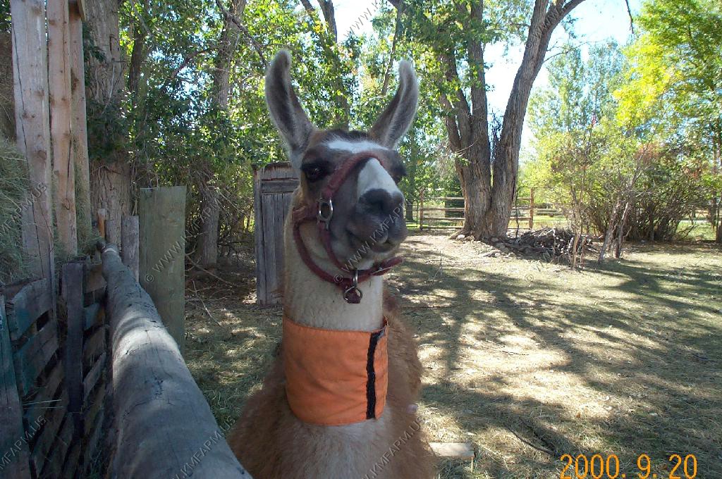
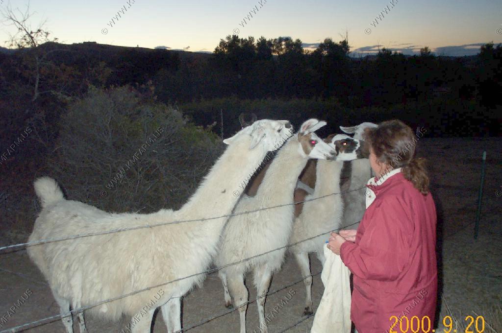
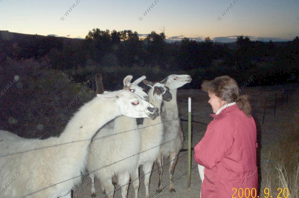
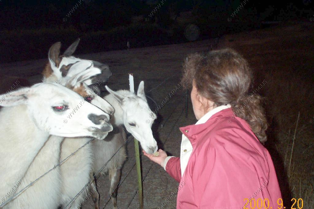
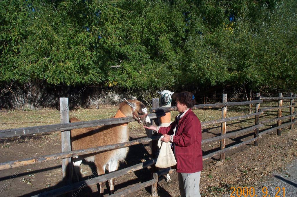
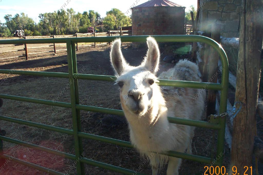
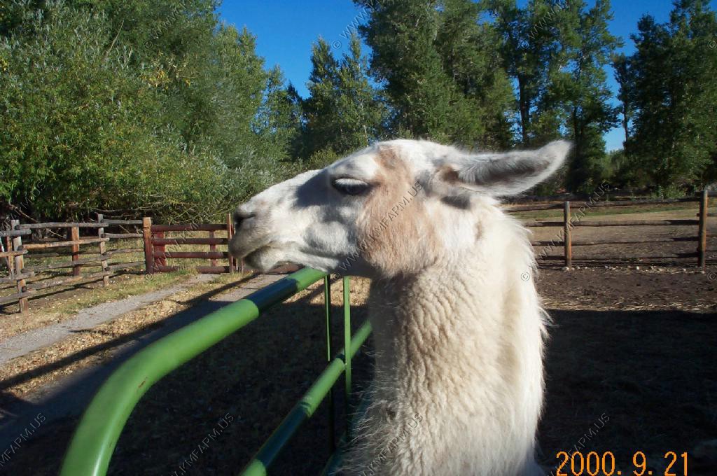
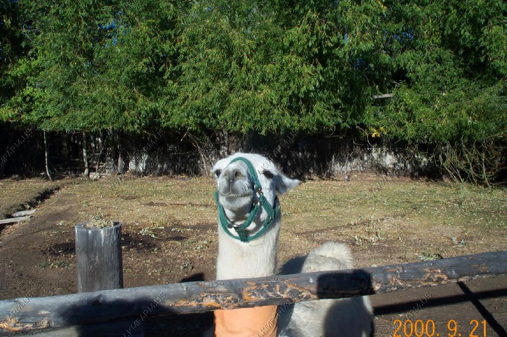
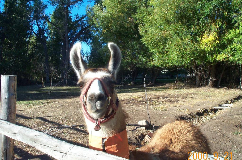
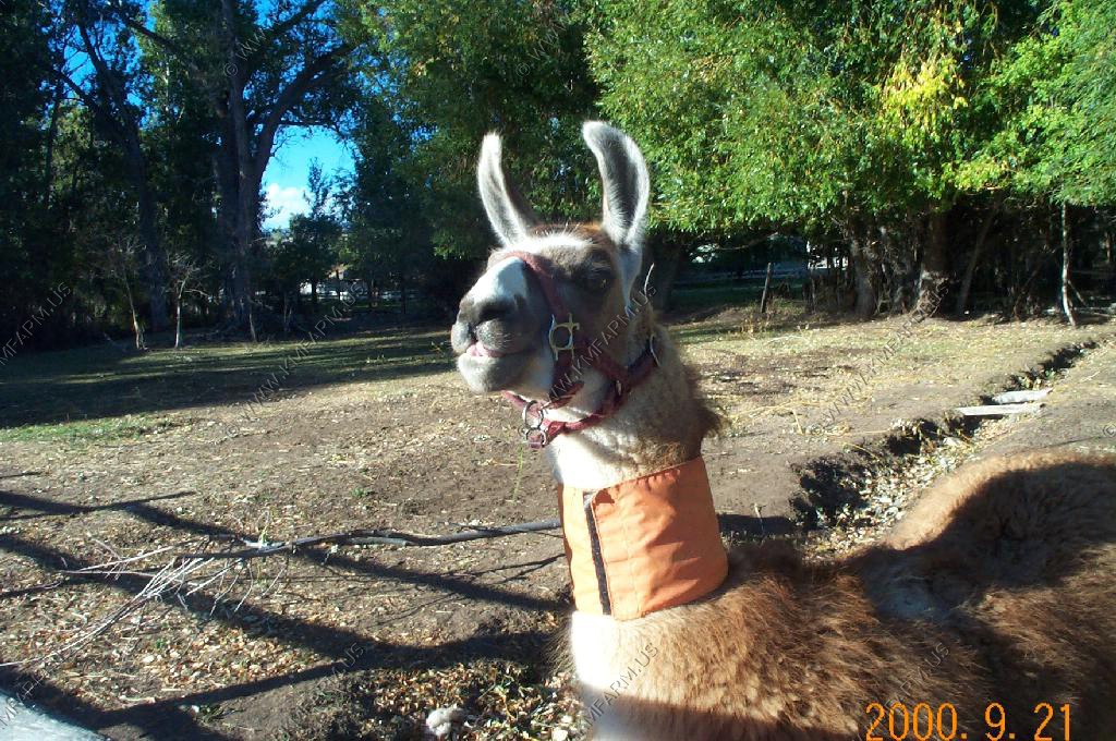
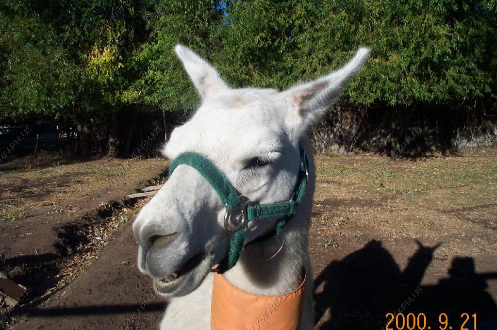
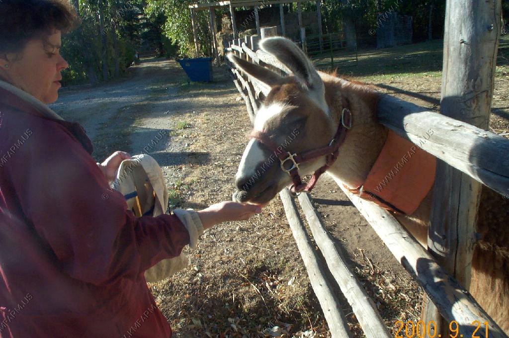
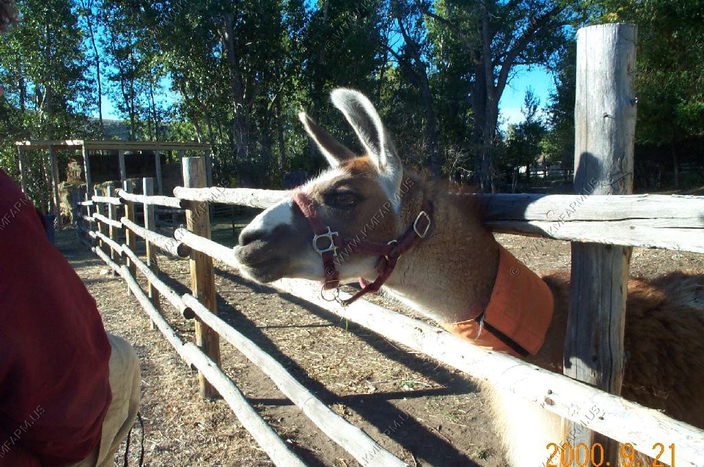
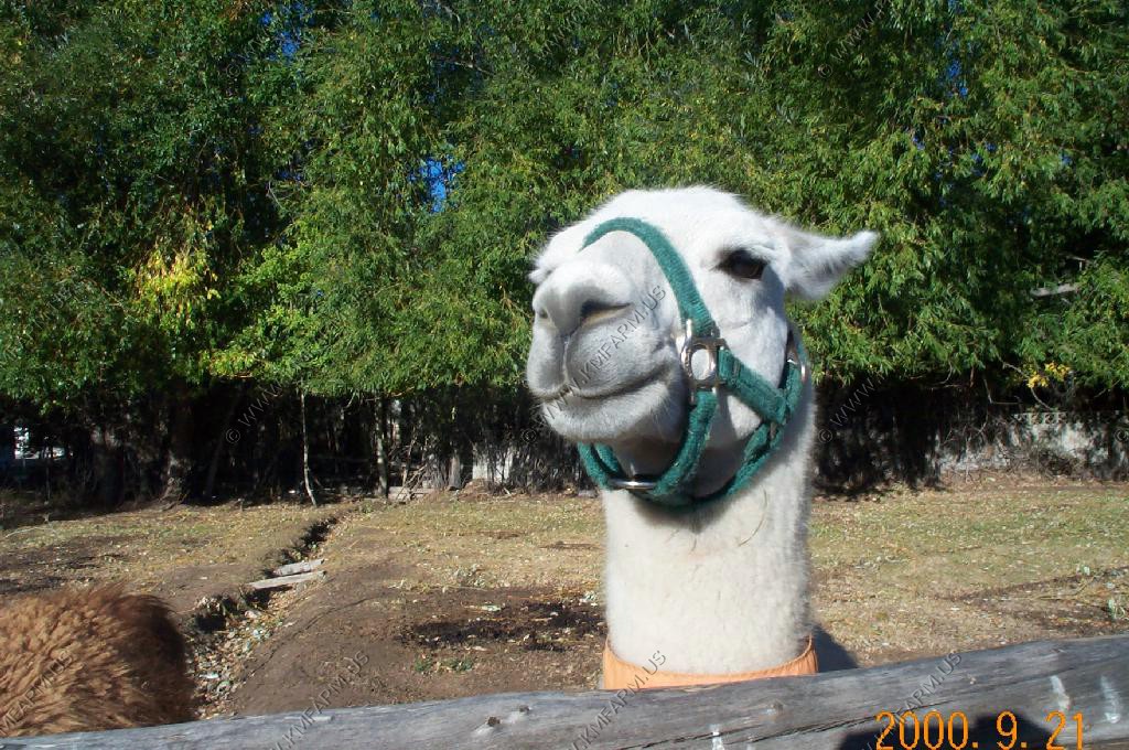
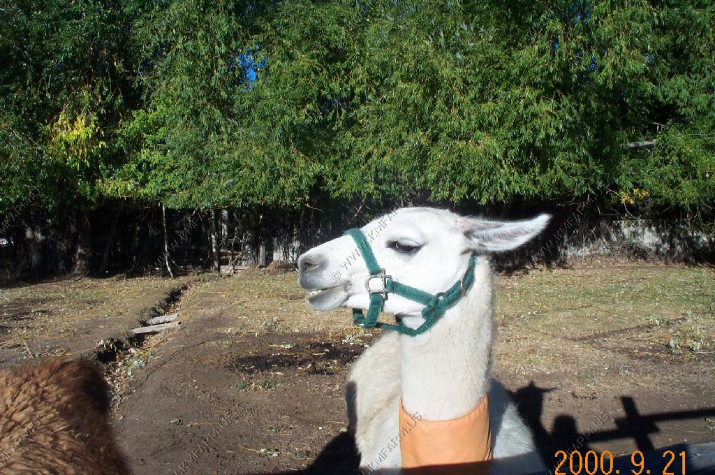
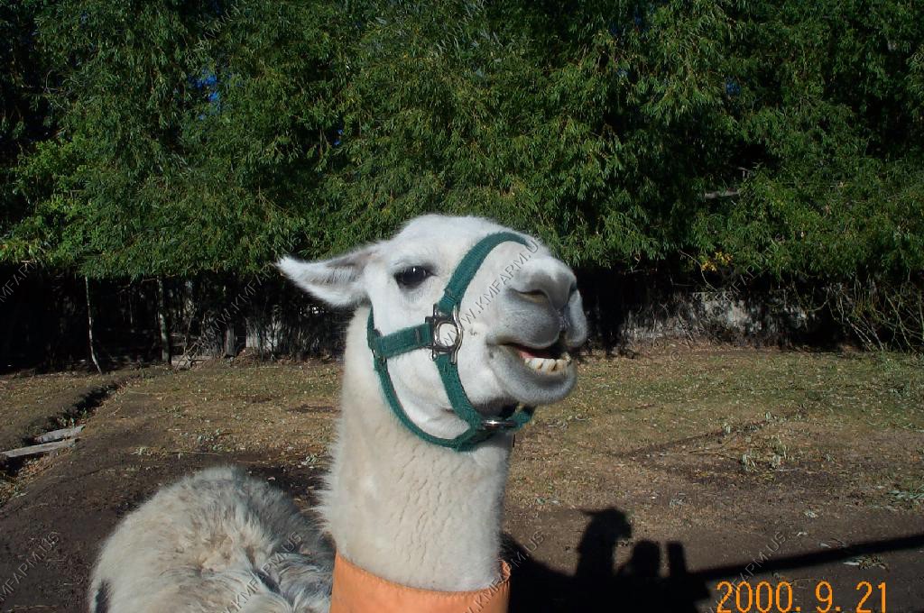
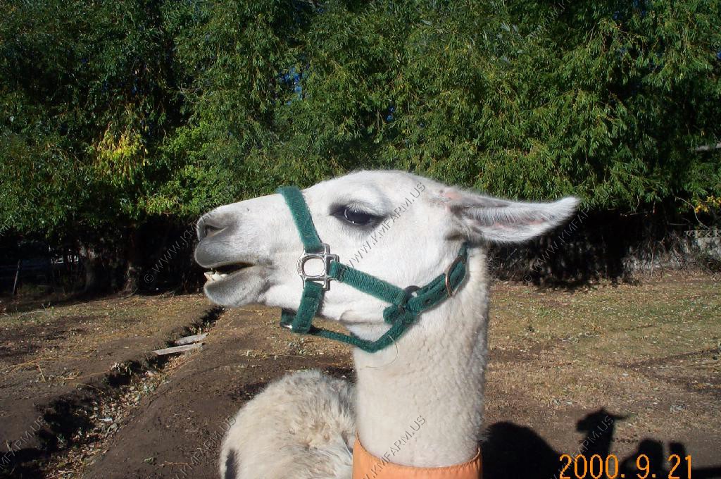
We stayed at the Lander Llama Company Bed and Breakfast in Lander. This was a great place to stay. We liked the detached layout of the room. We were on our own. When we go back to Lander we will definitely stay here again.
The black lab at the B&B
The inside of the B&B
The llamas
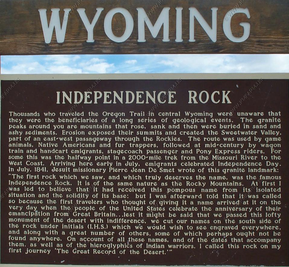
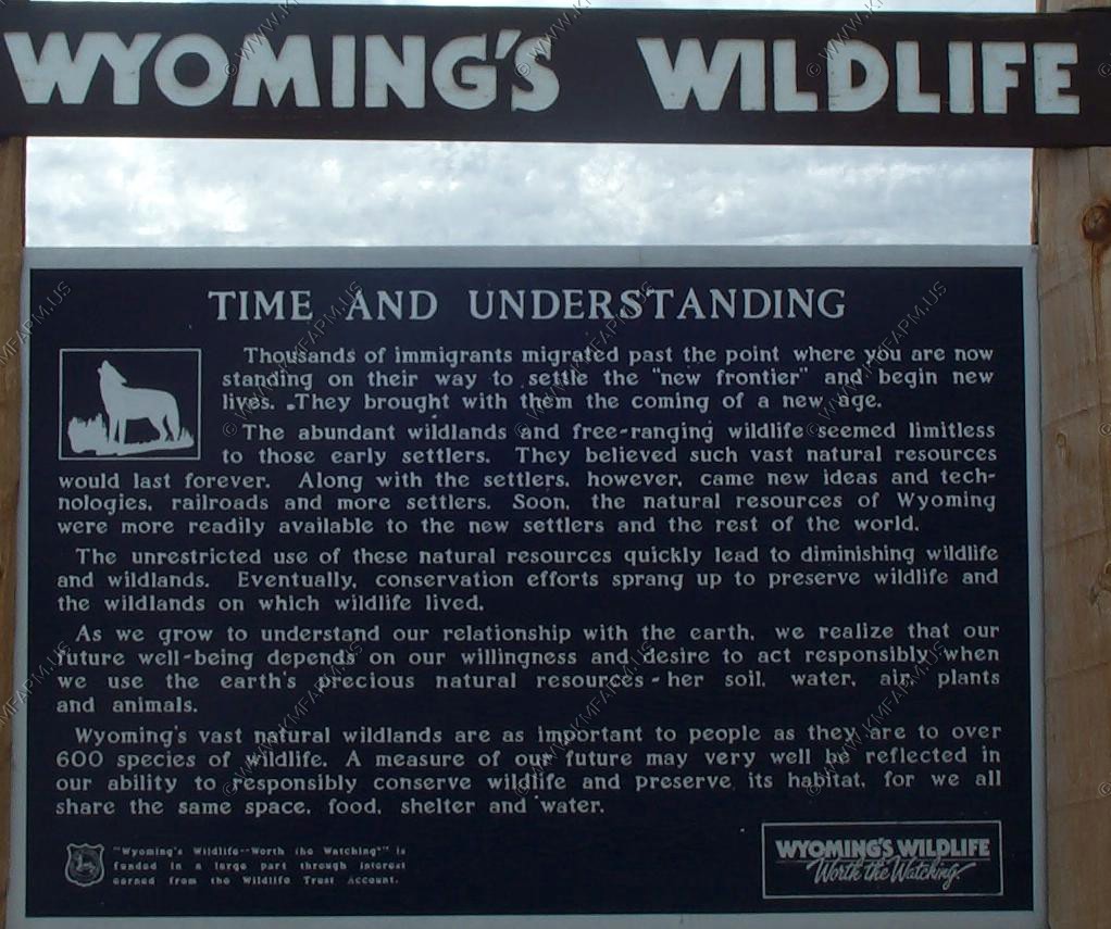
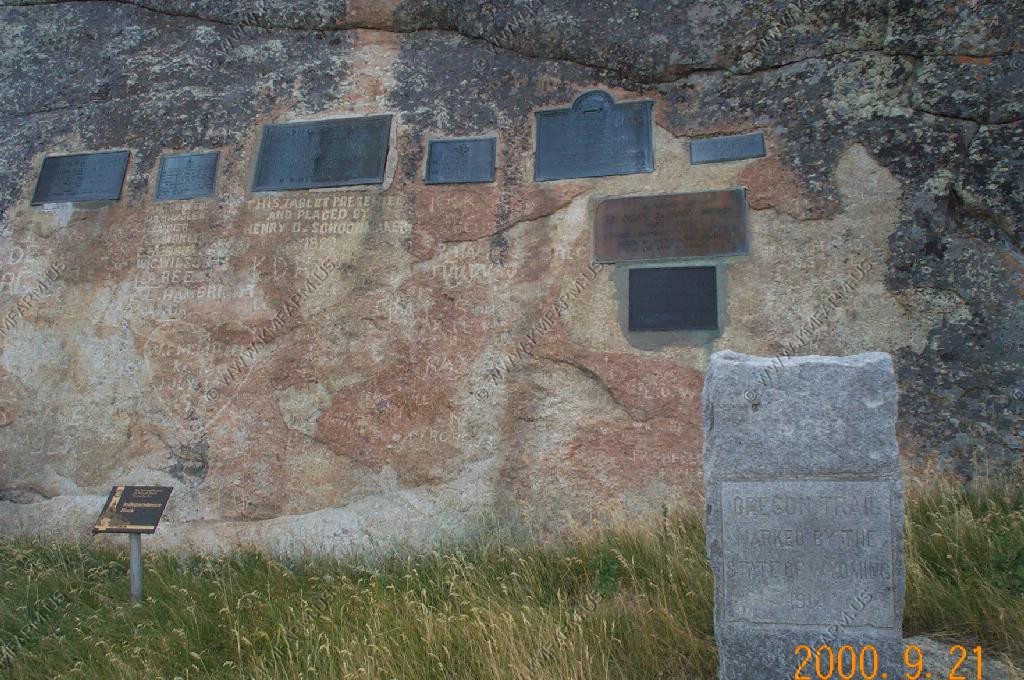
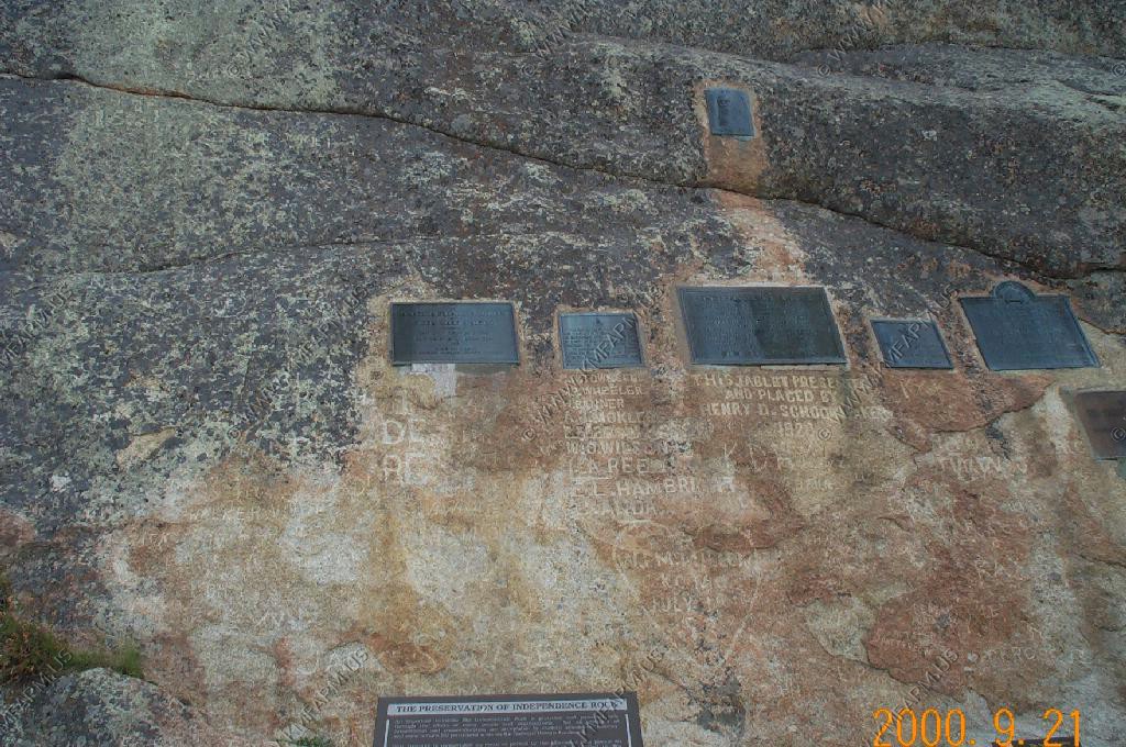
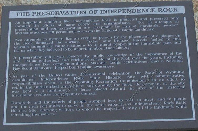
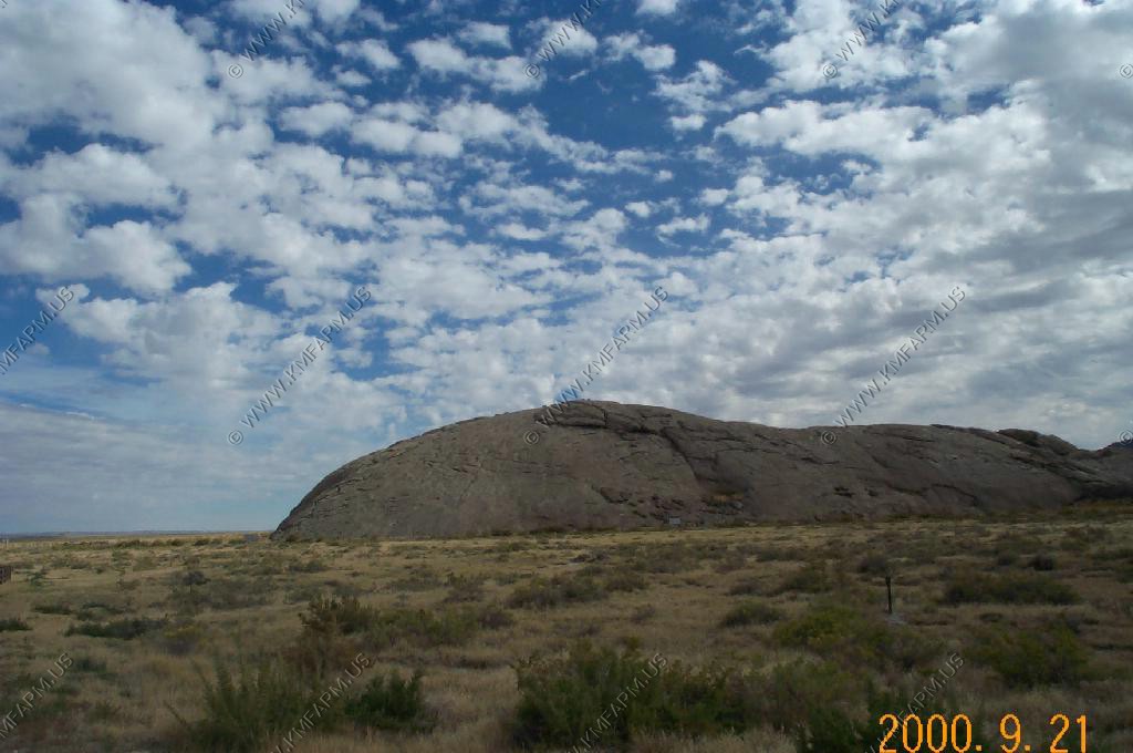
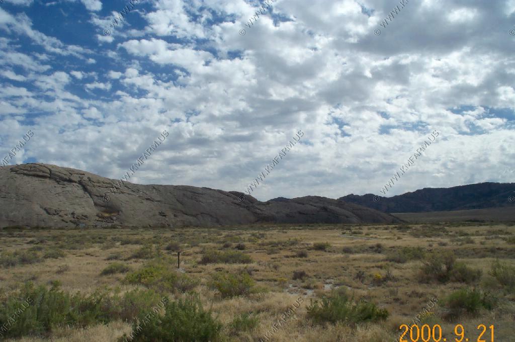
Independence Rock El. 6,028 Ft.
We stopped at Independence Rock along Wyoming 220
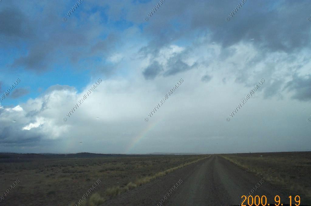
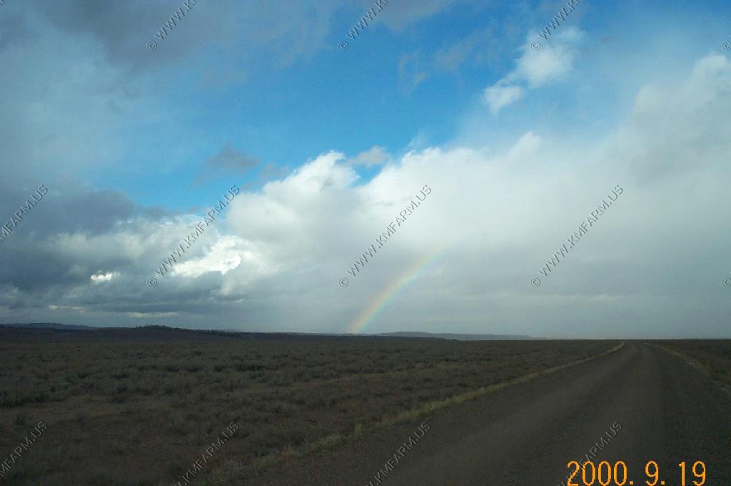
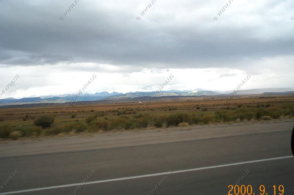
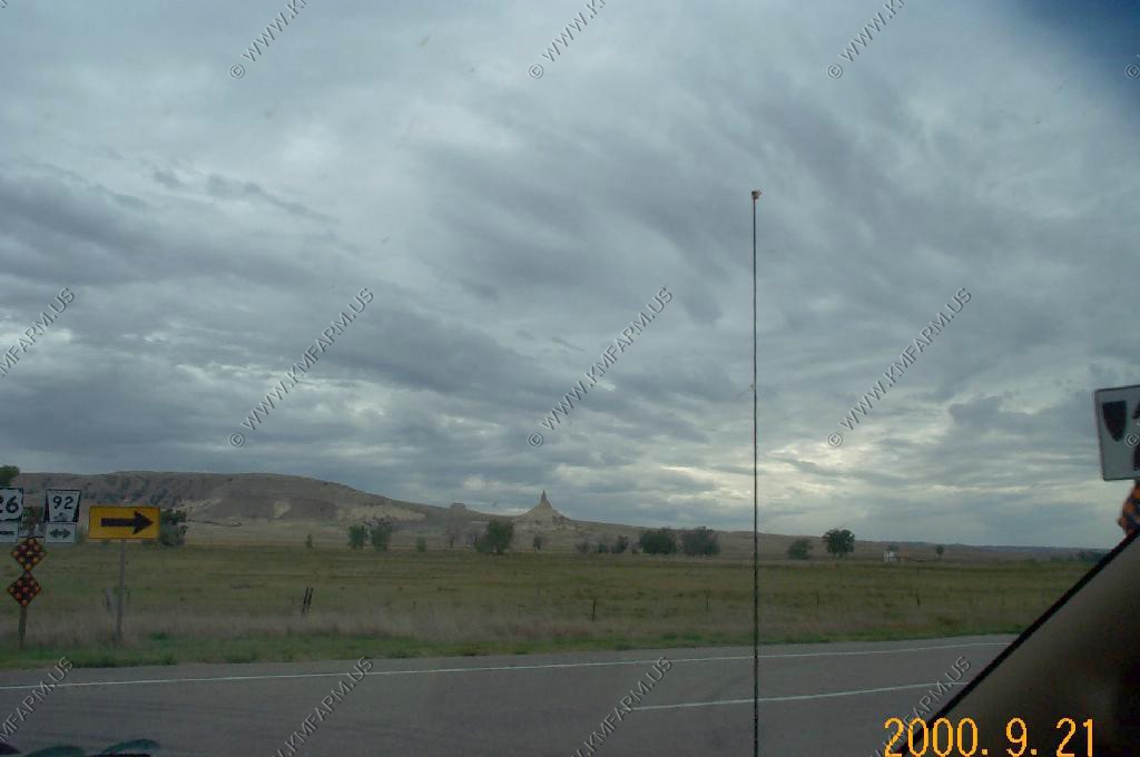
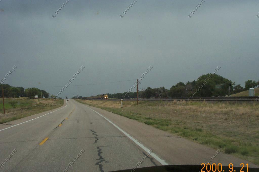
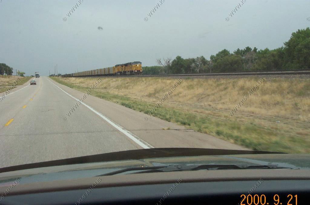
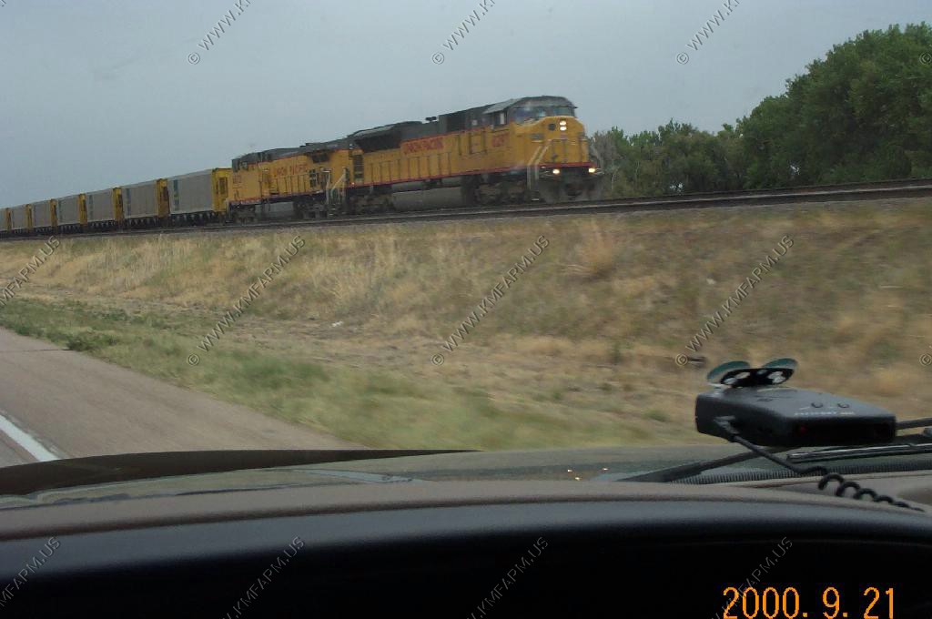
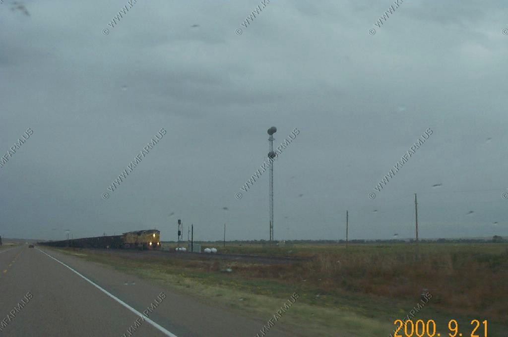
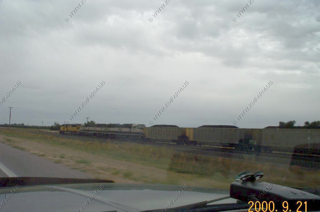
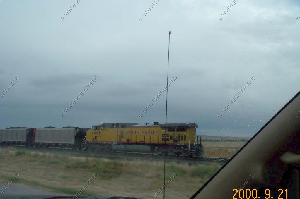
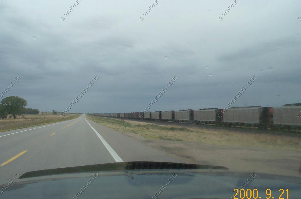
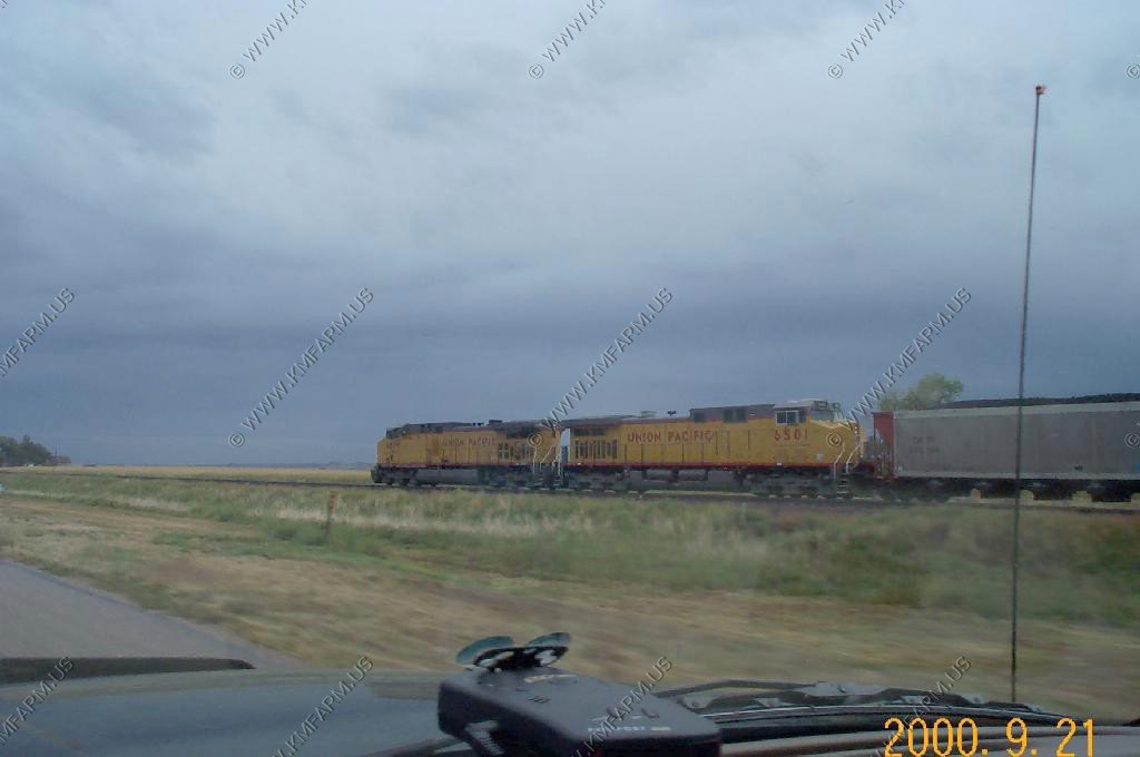
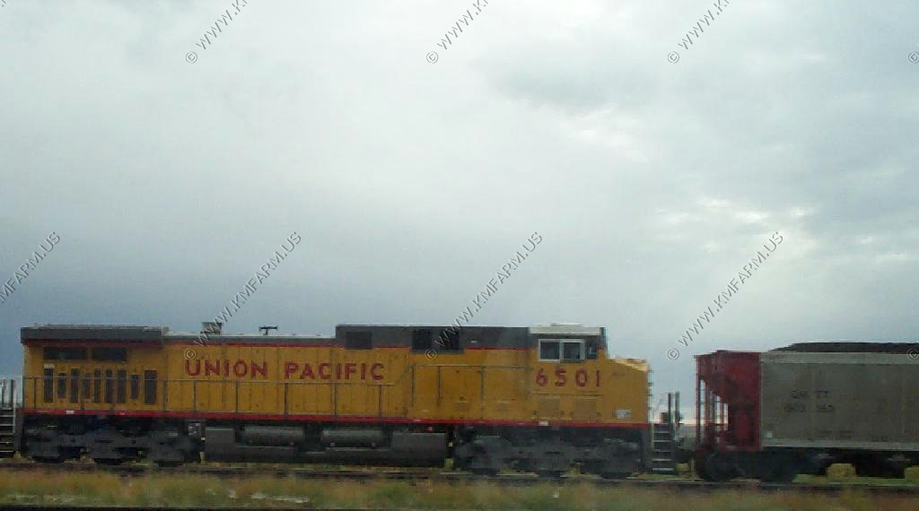
We did some train spotting along US 26 in Wyoming and Nebraska. I was surprised at the amount of traffic. Looked like Powder River coal moving east and empties moving west.
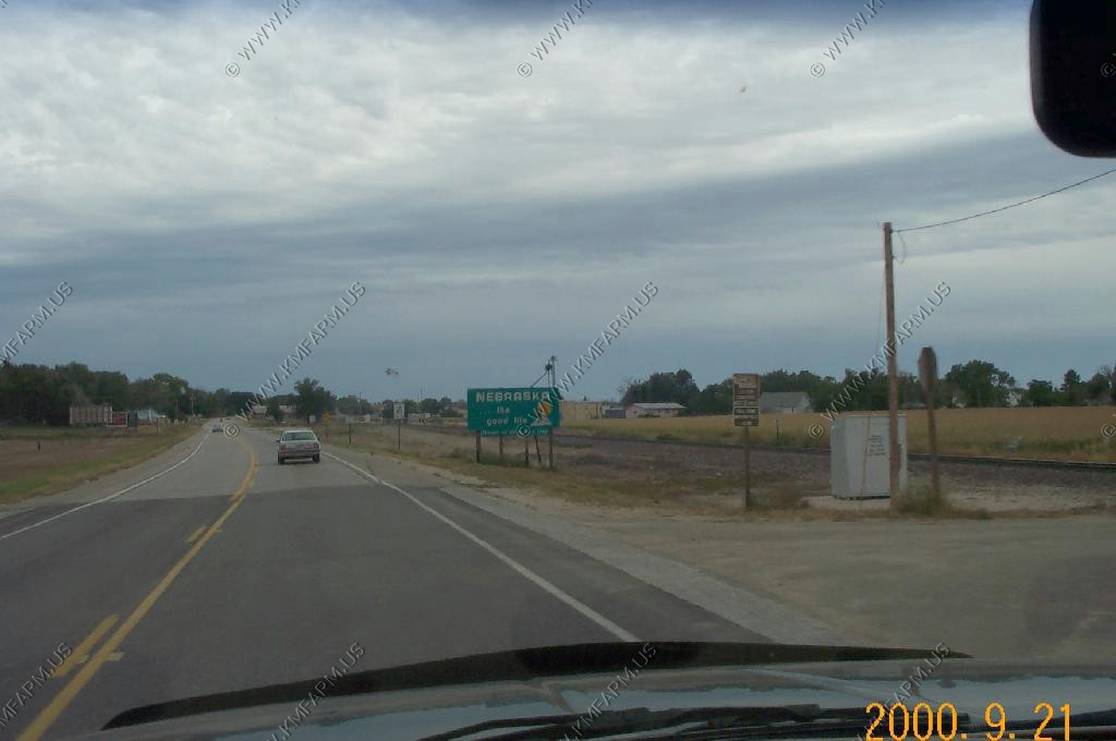
Back to the wonderful east.... Raining most of the way across Iowa