
Last Updated: 25-AUG-2018
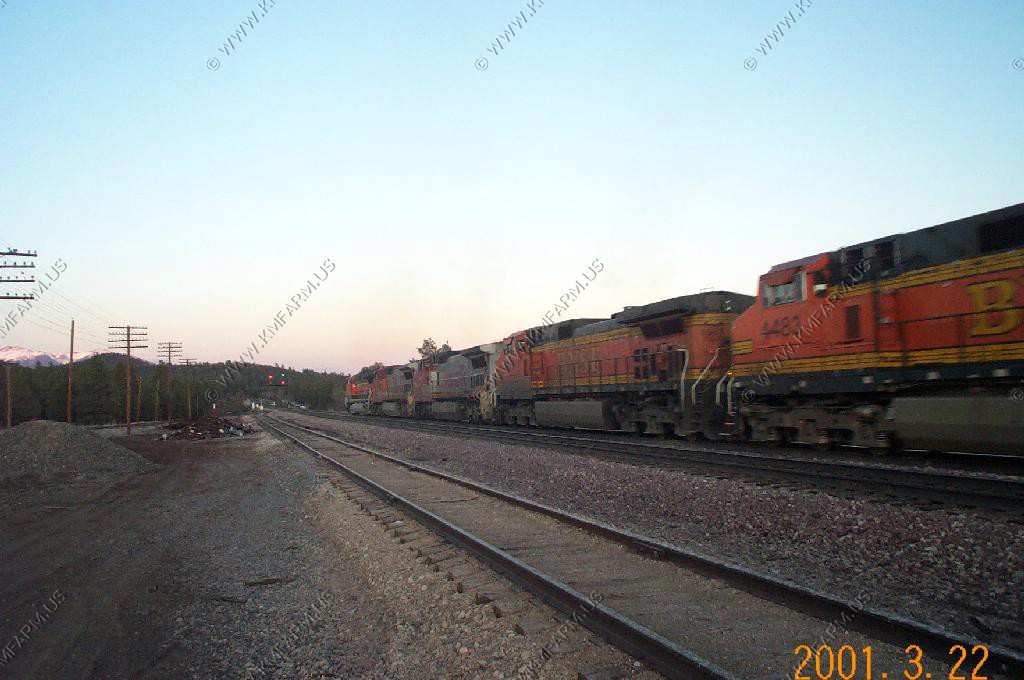
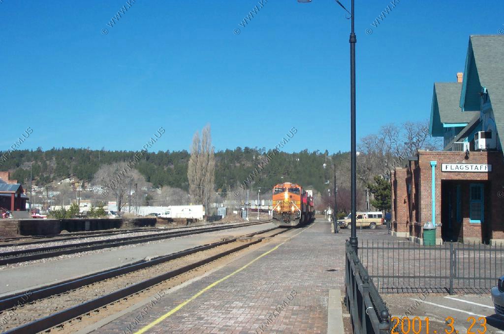
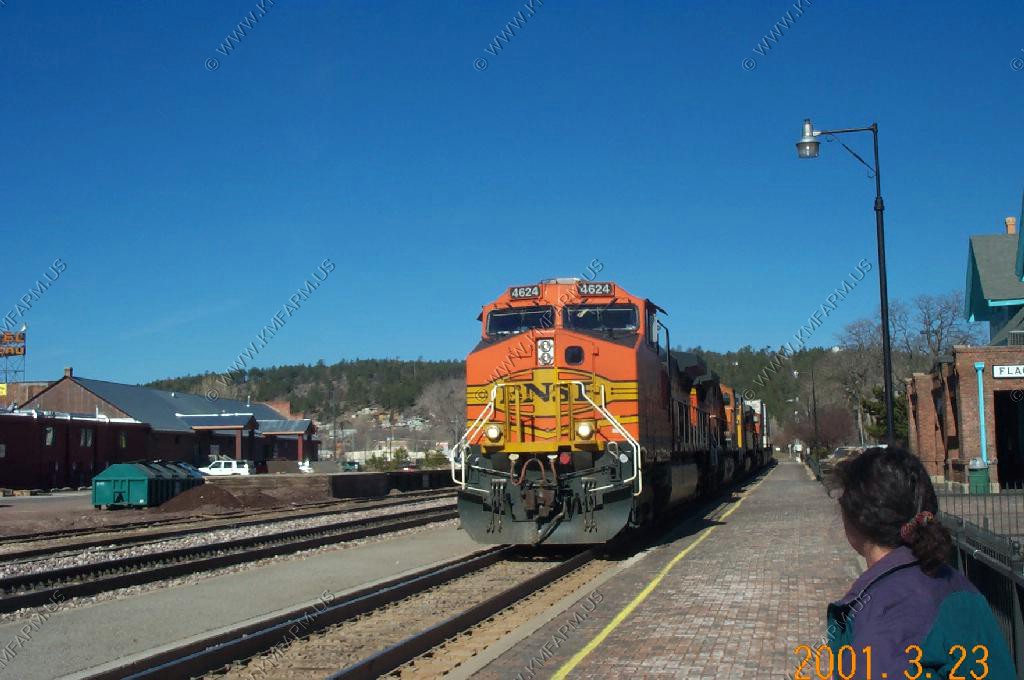
Two passenger trains per day and many freight trains...


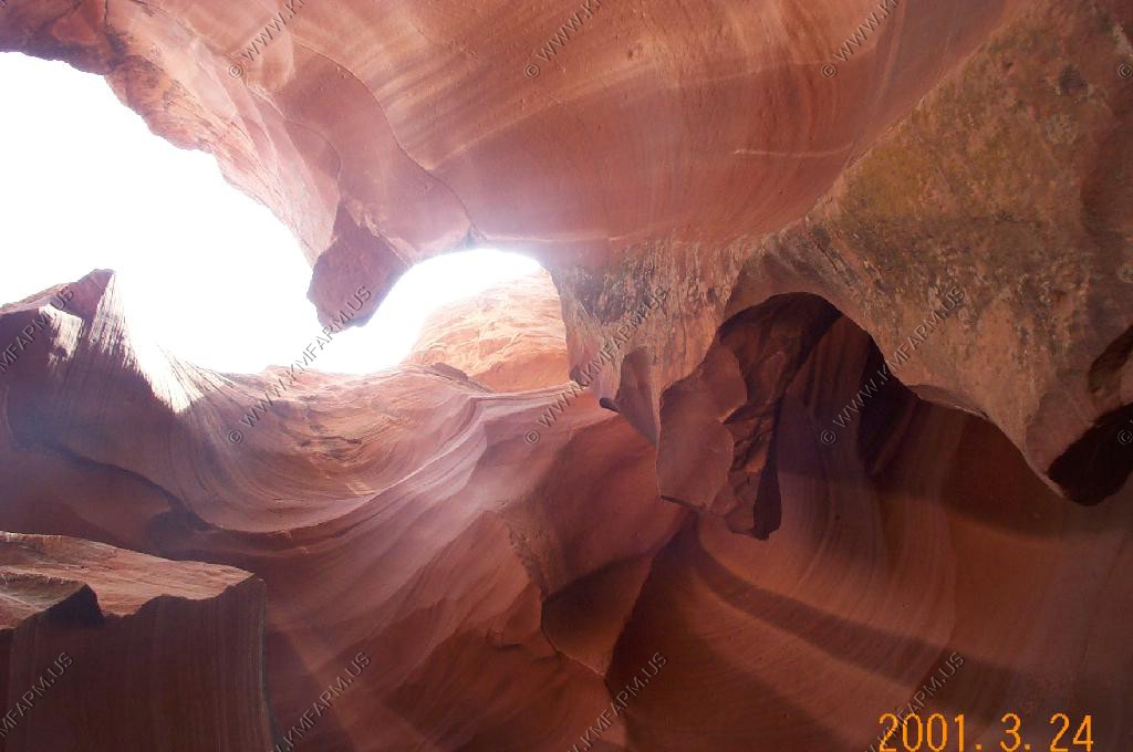
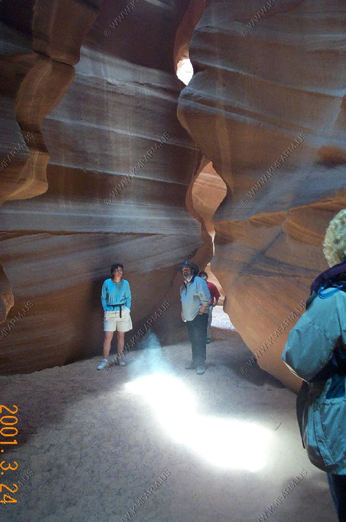
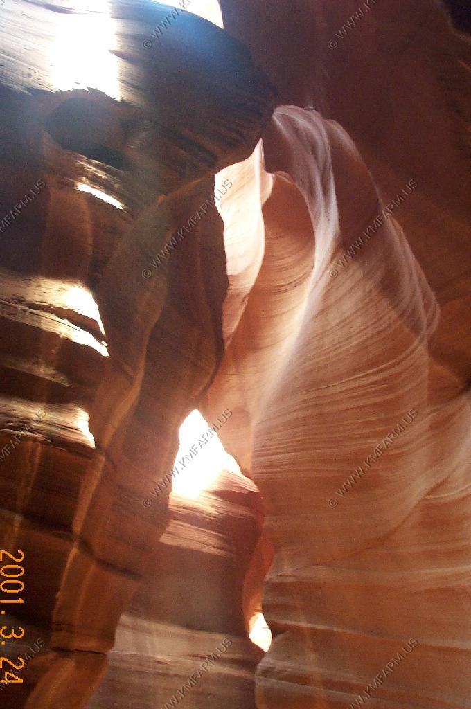
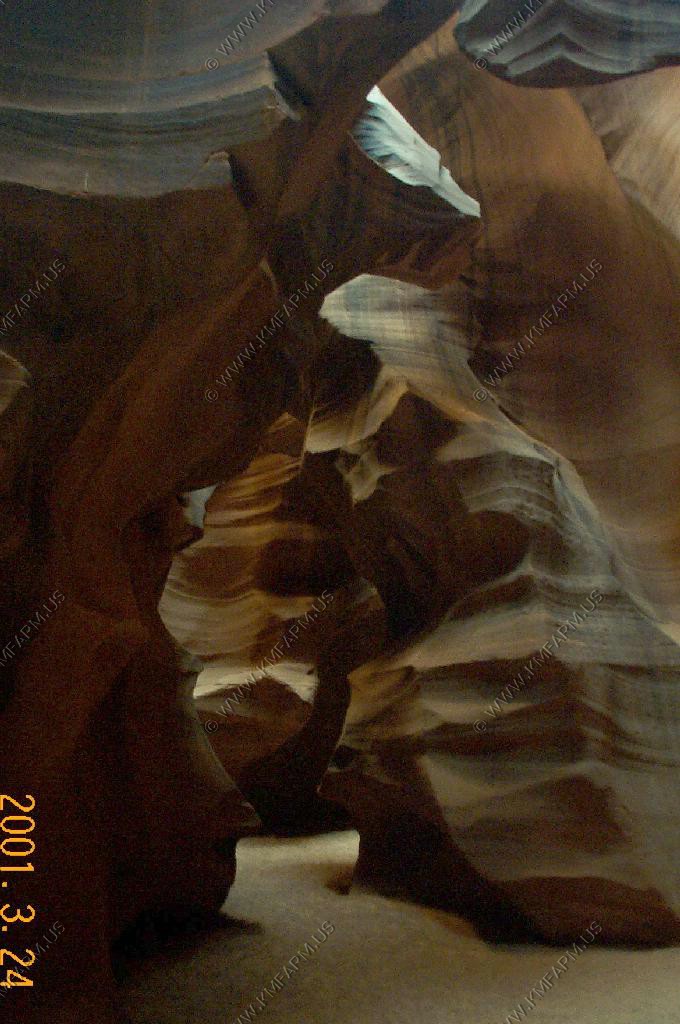
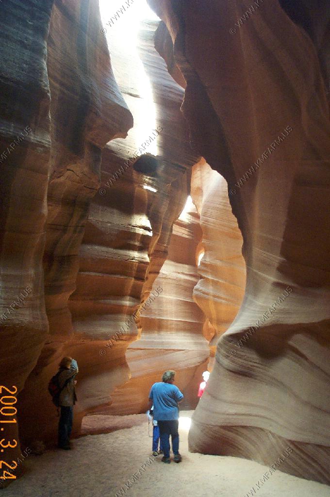
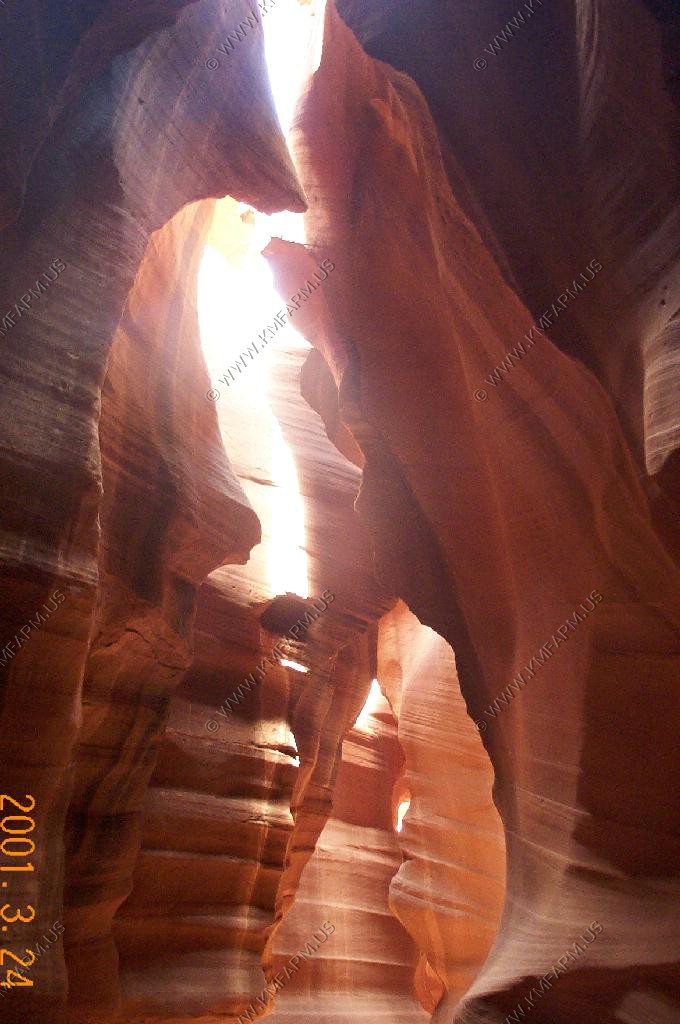
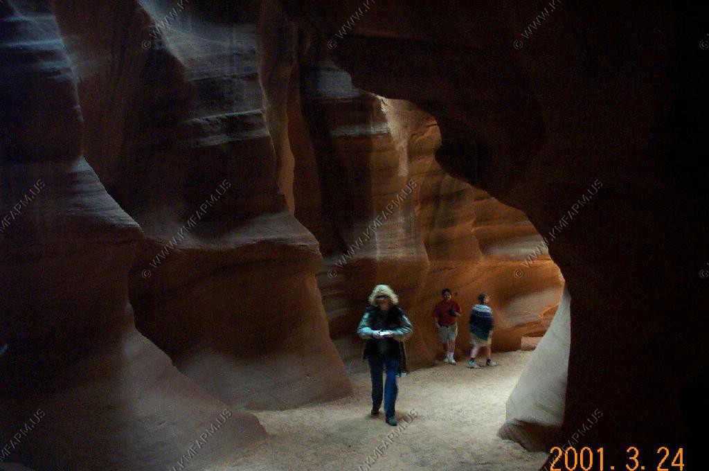
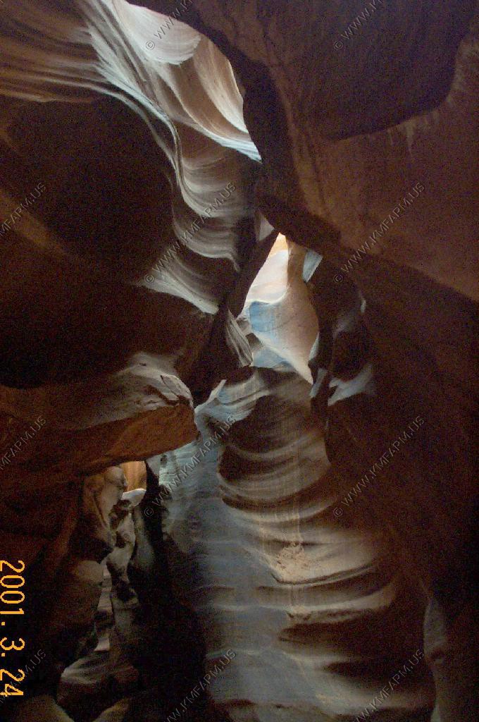
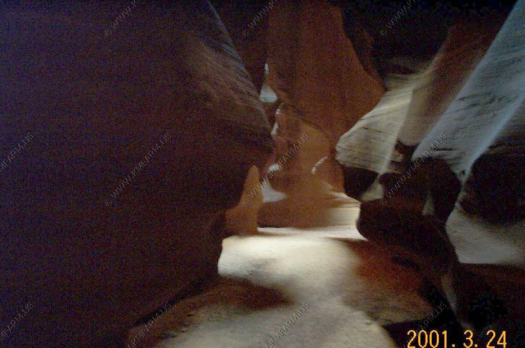
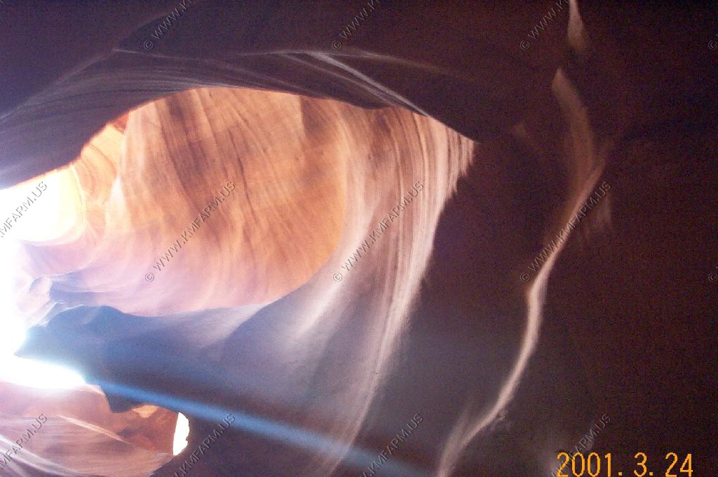
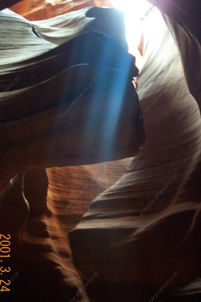
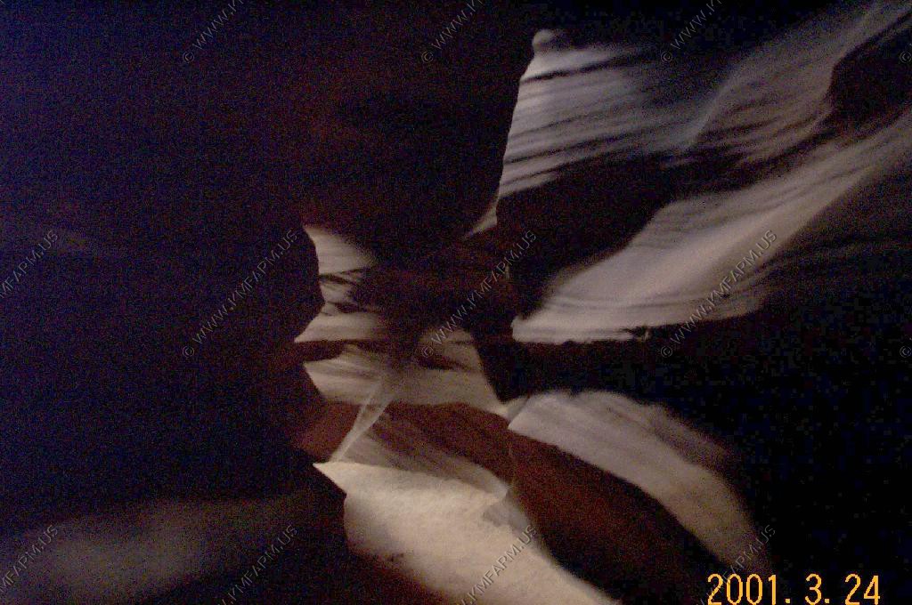
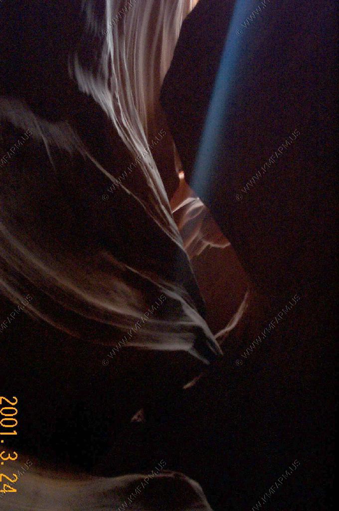
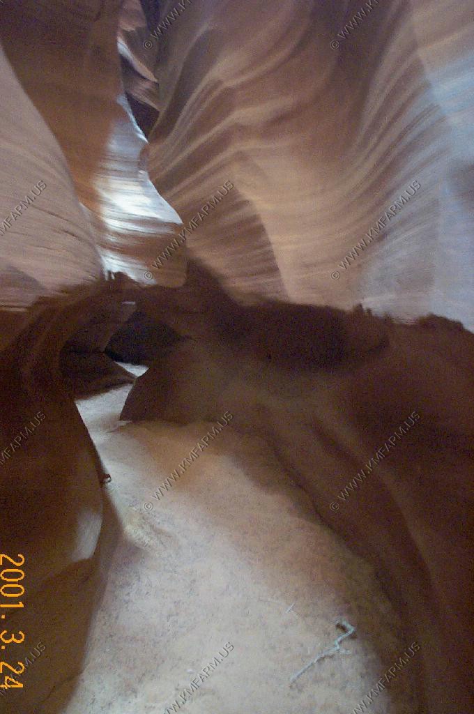
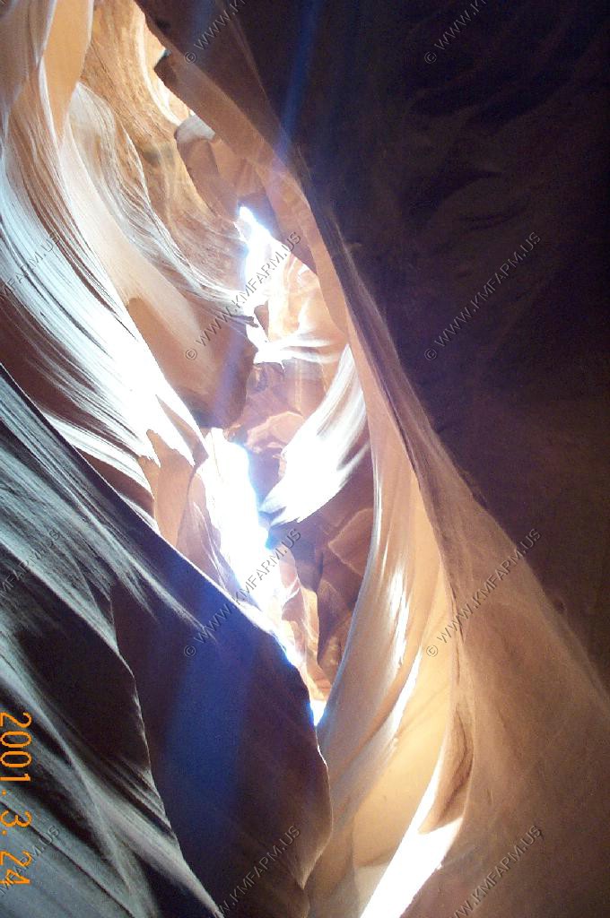
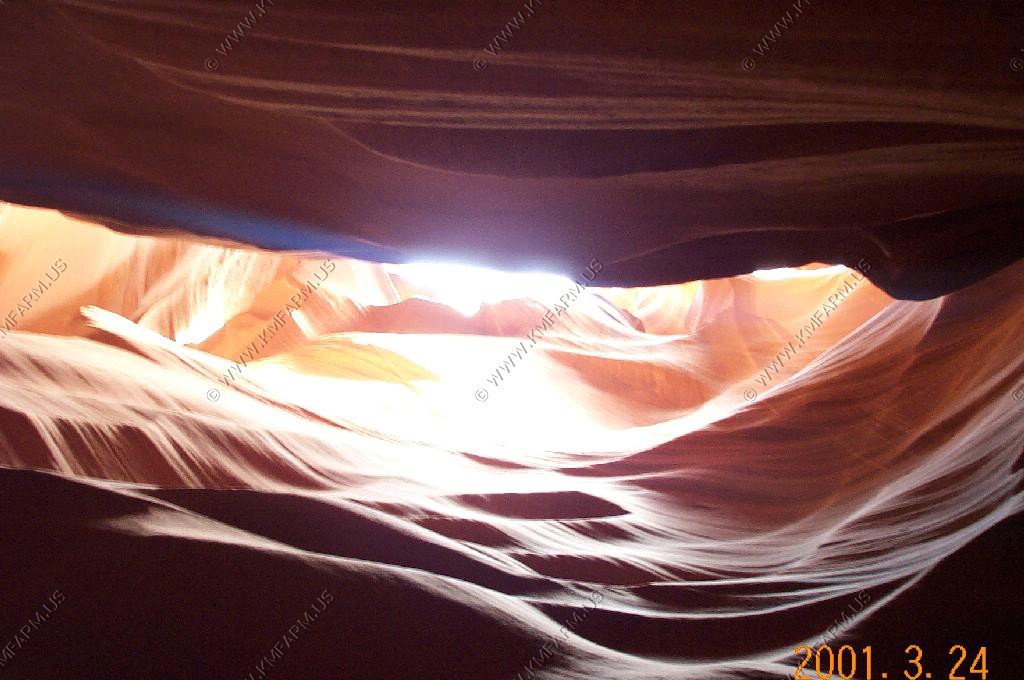
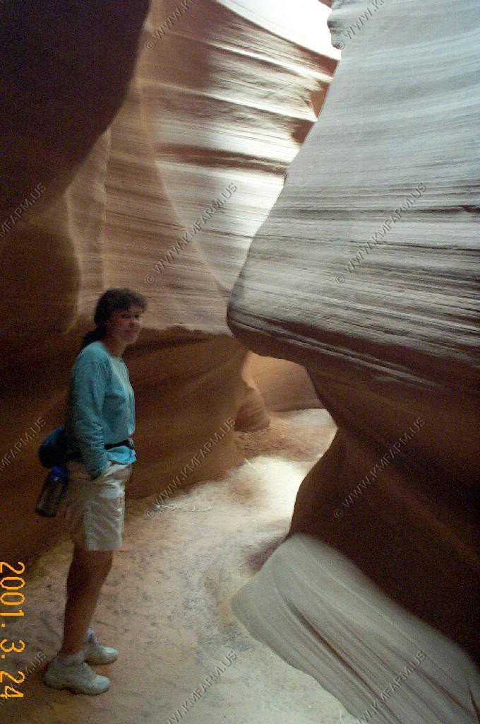
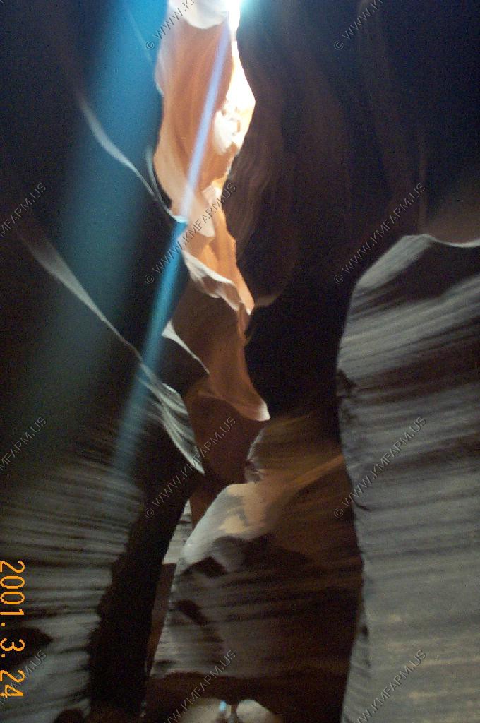
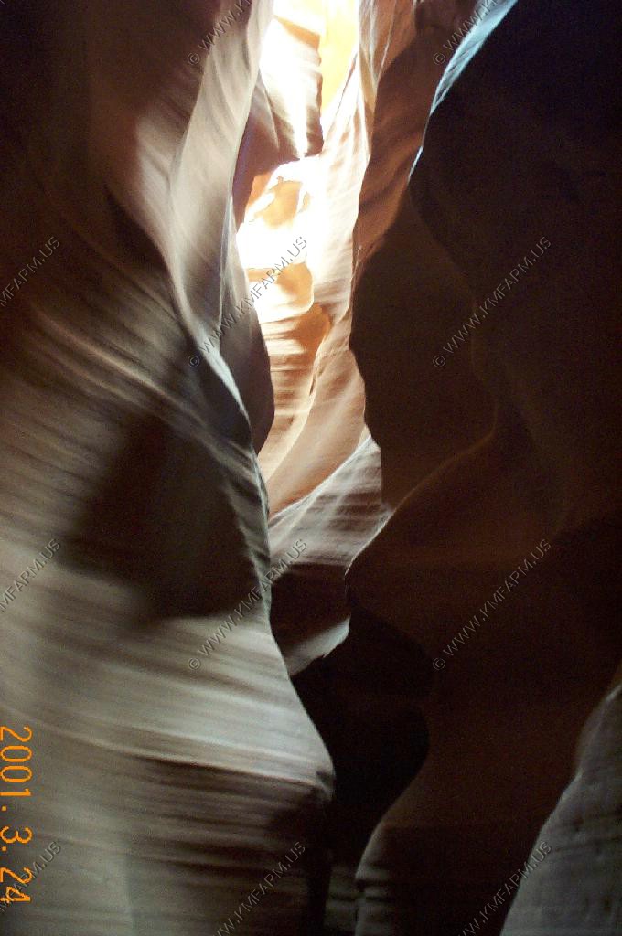
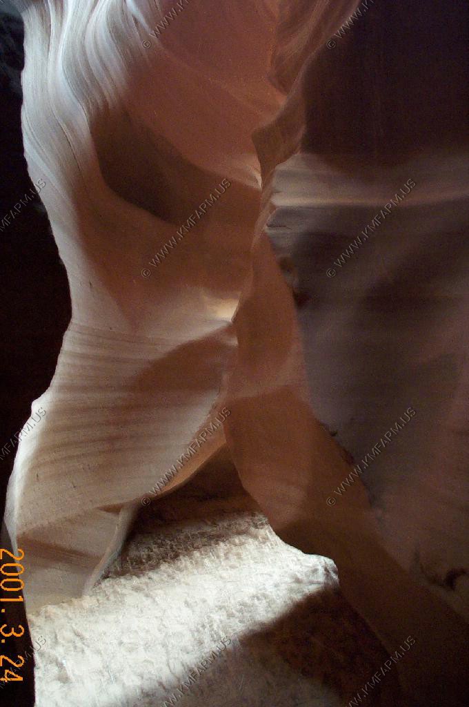
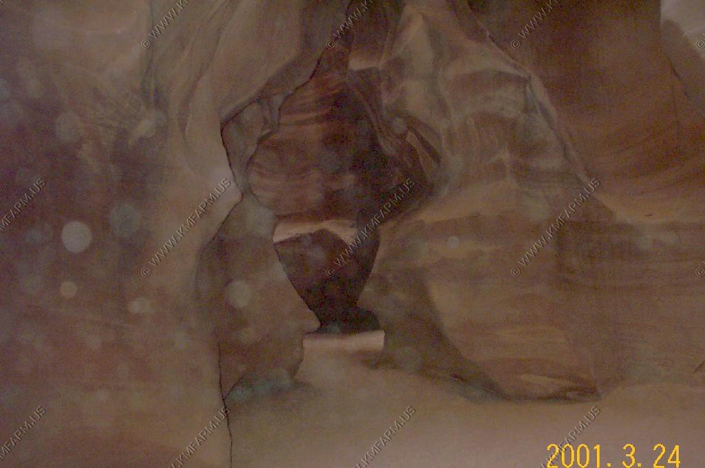
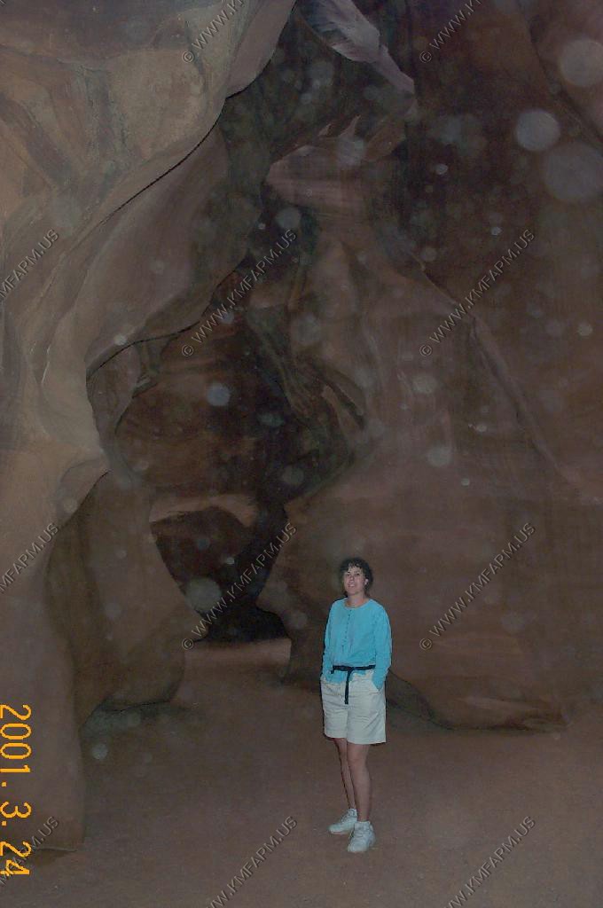
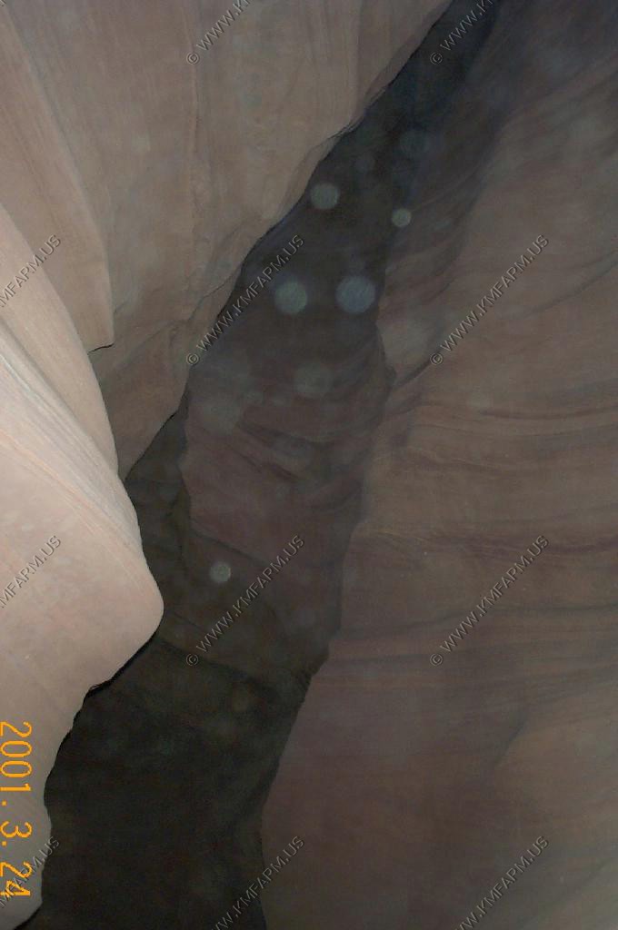
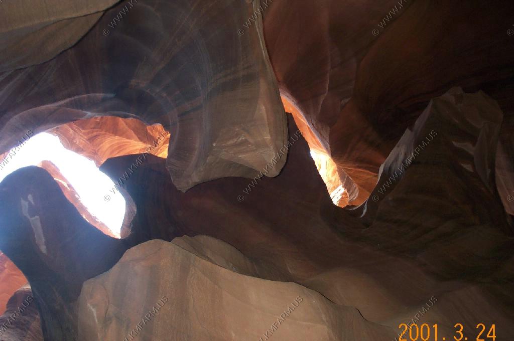
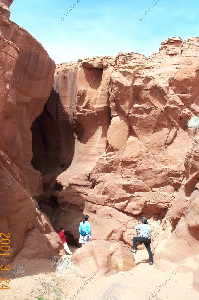
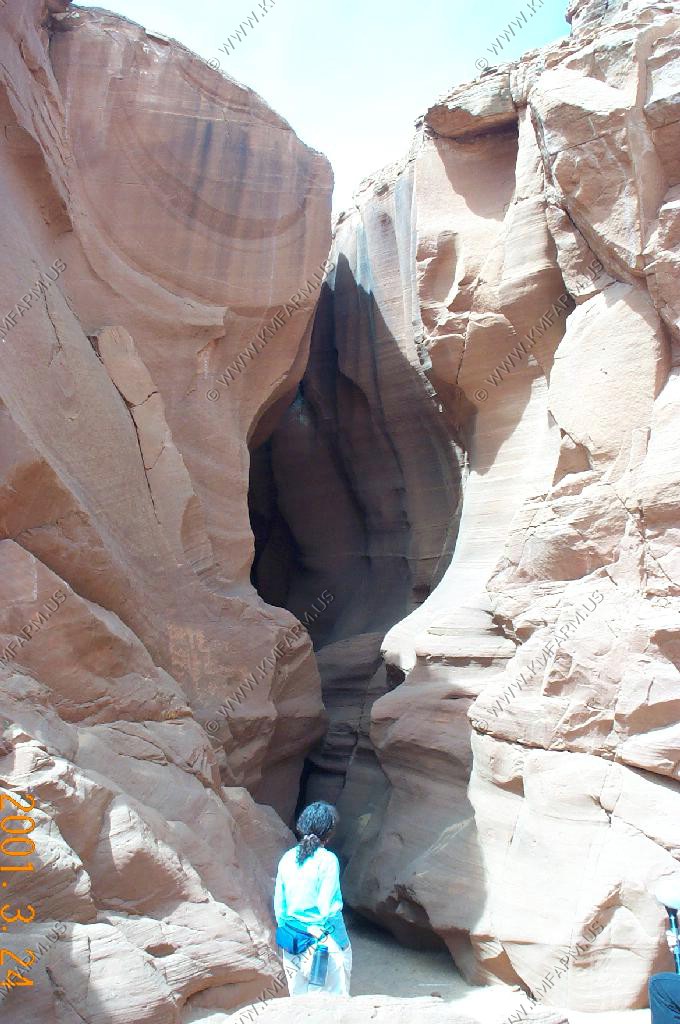
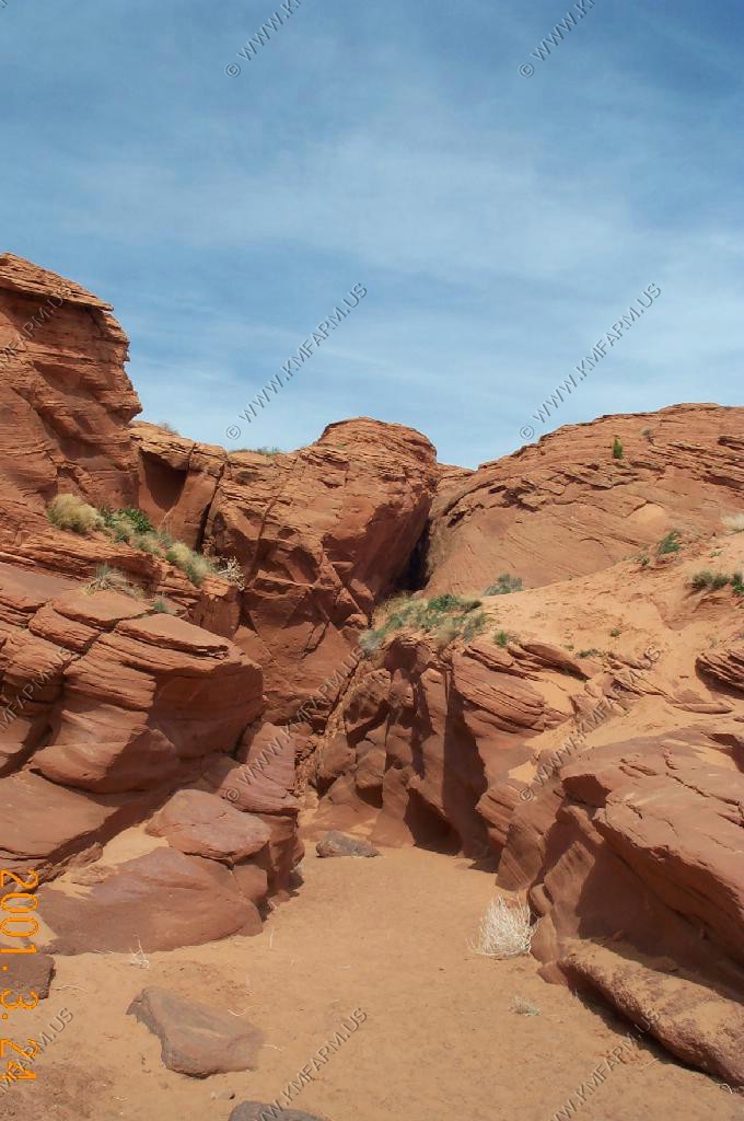
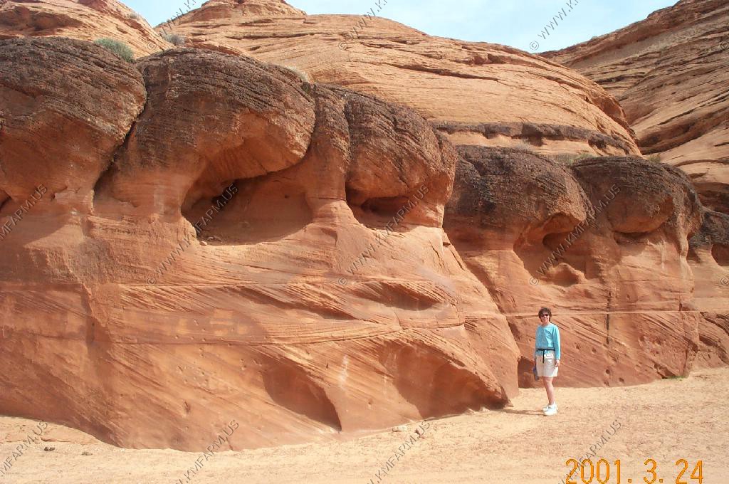
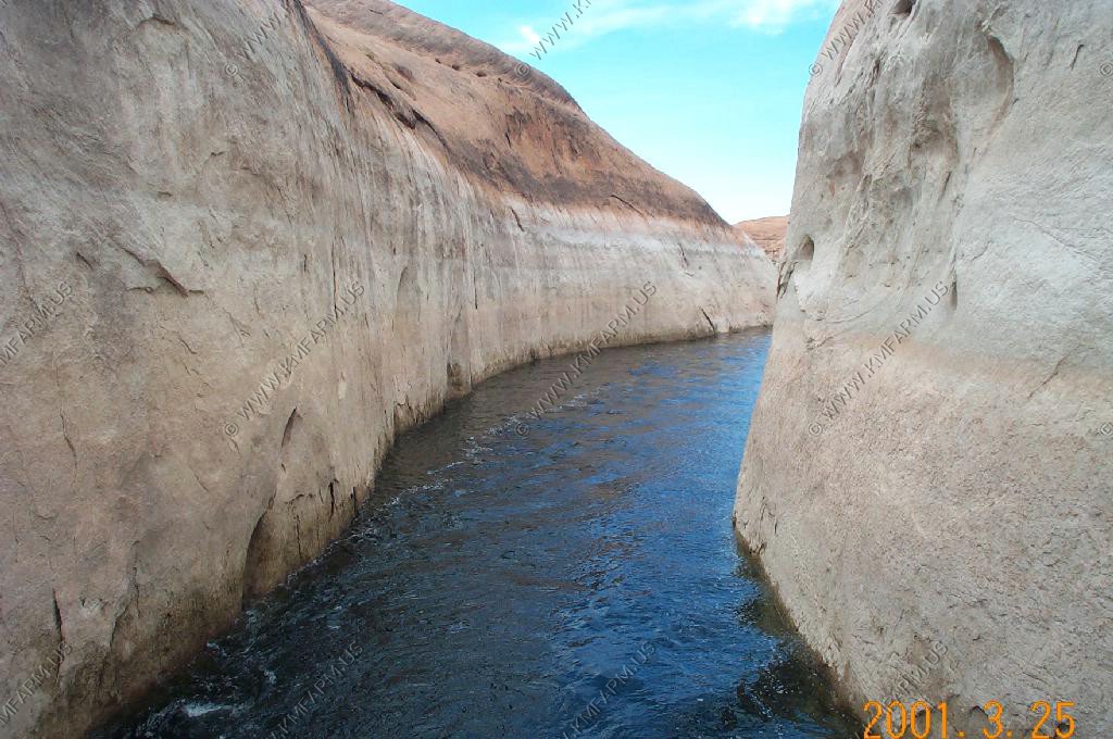
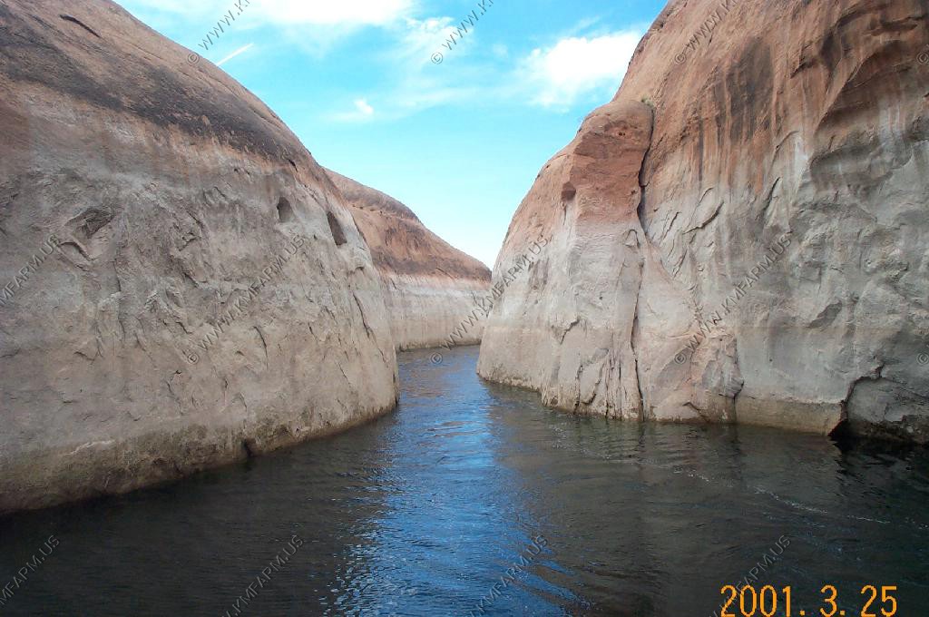
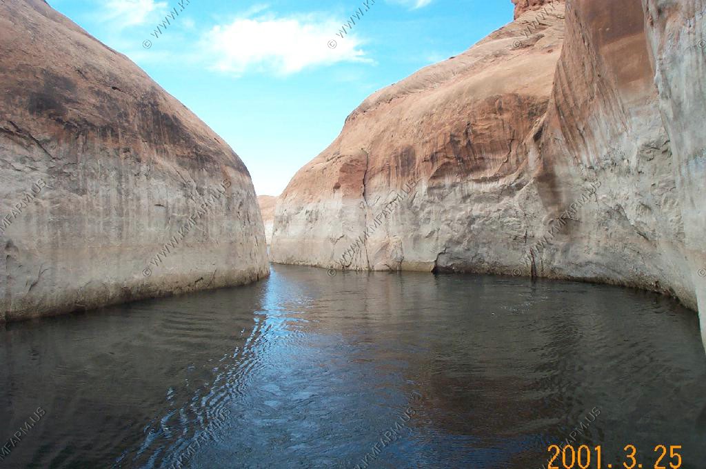
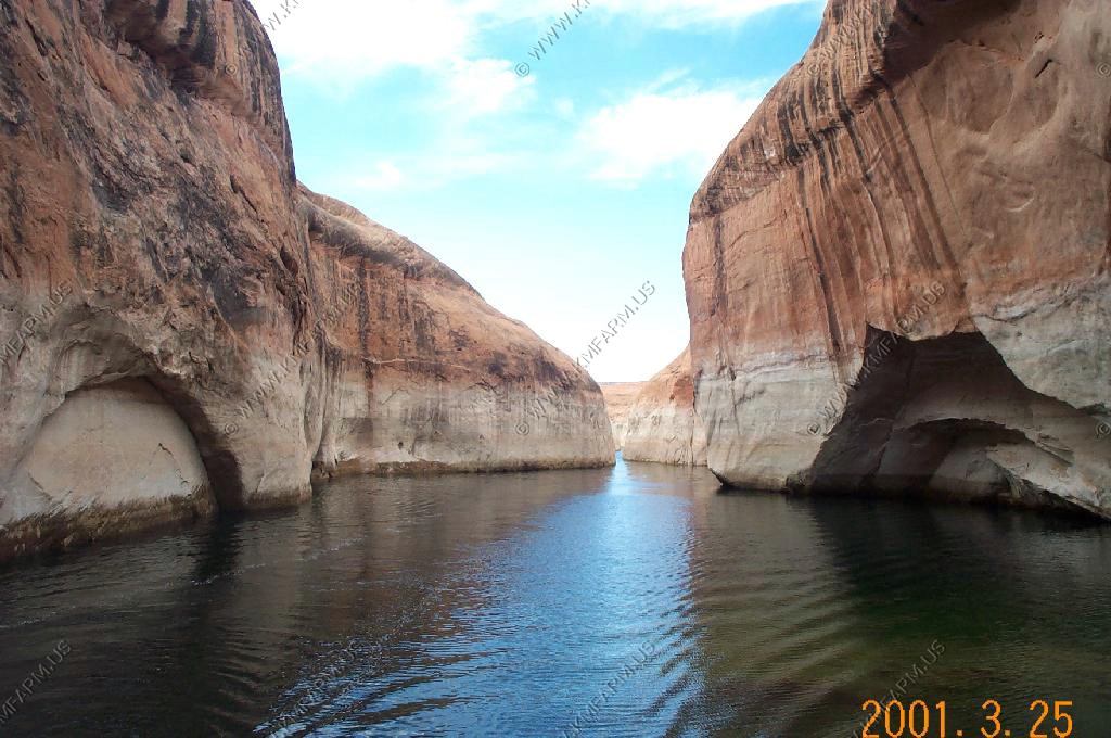
Upper Antelope Canyon is world renown for photographing slot canyons. It is owned by the Navajos so you must pay an entrance fee or take a tour, which we did. Incredible formations and colors! Though dry most of the year, Antelope Canyon runs, and sometimes floods, with water after rains. It is the water, slowly wearing away the sandstone grain by grain, that has formed the beautiful and graceful curves in the rock. Wind has also played a role in sculpting this fantastic canyon.
It has been accessible by permit only since 1997, when the Navajo Tribe made it a Navajo Tribal Park. Photography within the canyons is difficult due to the wide exposure range (often 10 EV or more) made by light reflecting off the canyon walls.
Light beams start to peek into the canyon March 15 and disappear October 7 each year.
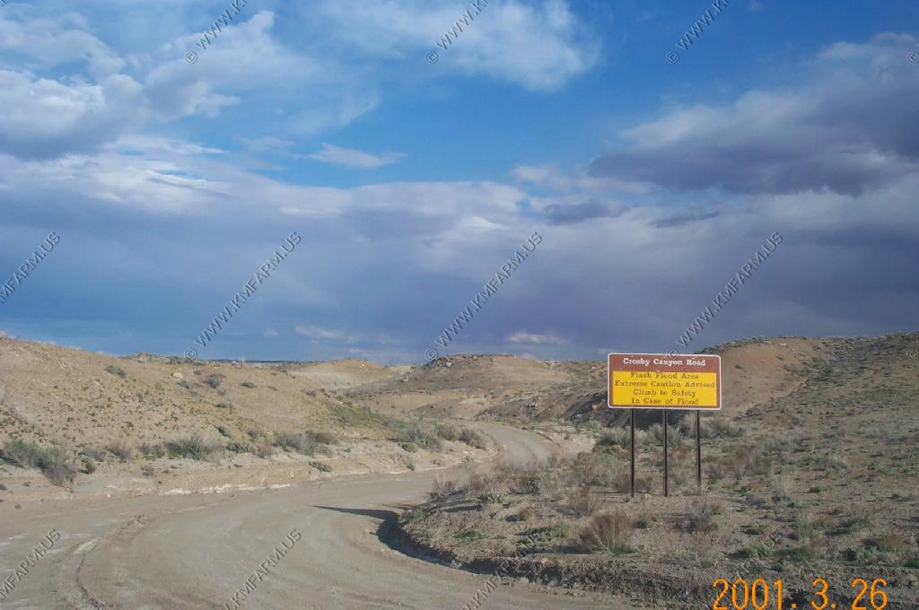
On August 12, 1997, eleven tourists, including seven from France, one from the United Kingdom, one from Sweden and two from the United States, were killed in Lower Antelope Canyon by a flash flood. Very little rain fell at the site that day, but an earlier thunderstorm had dumped a large amount of water into the canyon basin, seven miles upstream. The lone survivor of the flood was tour guide Francisco "Poncho" Quintana, who had prior swift-water training. At the time, the ladder system consisted of amateur-built wood ladders that were swept away by the flash flood. Today, ladder systems have been bolted in place, and deployable cargo nets are installed at the top of the canyon. At the fee booth, a radio from the National Weather Service and alarm horn are stationed.
Entry Fees
Entry to Antelope Canyon is restricted to guided tours led by authorized guides. The Park website has a list of guides. As of 10 July 2008, guided tours of Upper Antelope Canyon are reported to cost $31, and Lower Antelope Canyon $26 per person.
Geology
Antelope Canyon was formed by erosion of Navajo Sandstone, primarily due to flash flooding and secondarily due to other sub-aerial processes. Rainwater, especially during monsoon season, runs into the extensive basin above the slot canyon sections, picking up speed and sand as it rushes into the narrow passageways. Over time the passageways are eroded away, making the corridors deeper and smoothing hard edges in such a way as to form characteristic 'flowing' shapes in the rock.
Flooding in the canyon still occurs. A flood occurred on October 30, 2006 that lasted 36 hours, and caused the Tribal Park Authorities to close Lower Antelope Canyon for five months.
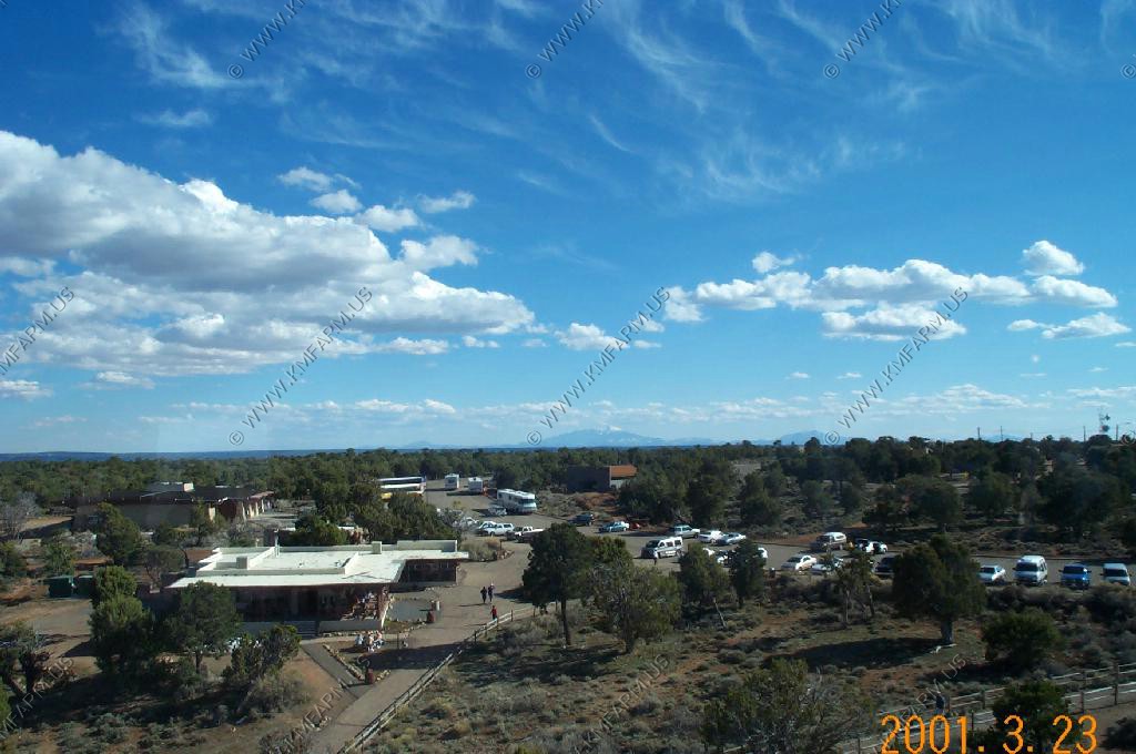
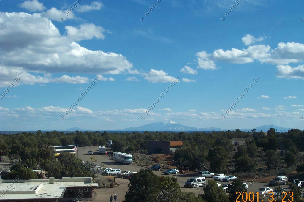
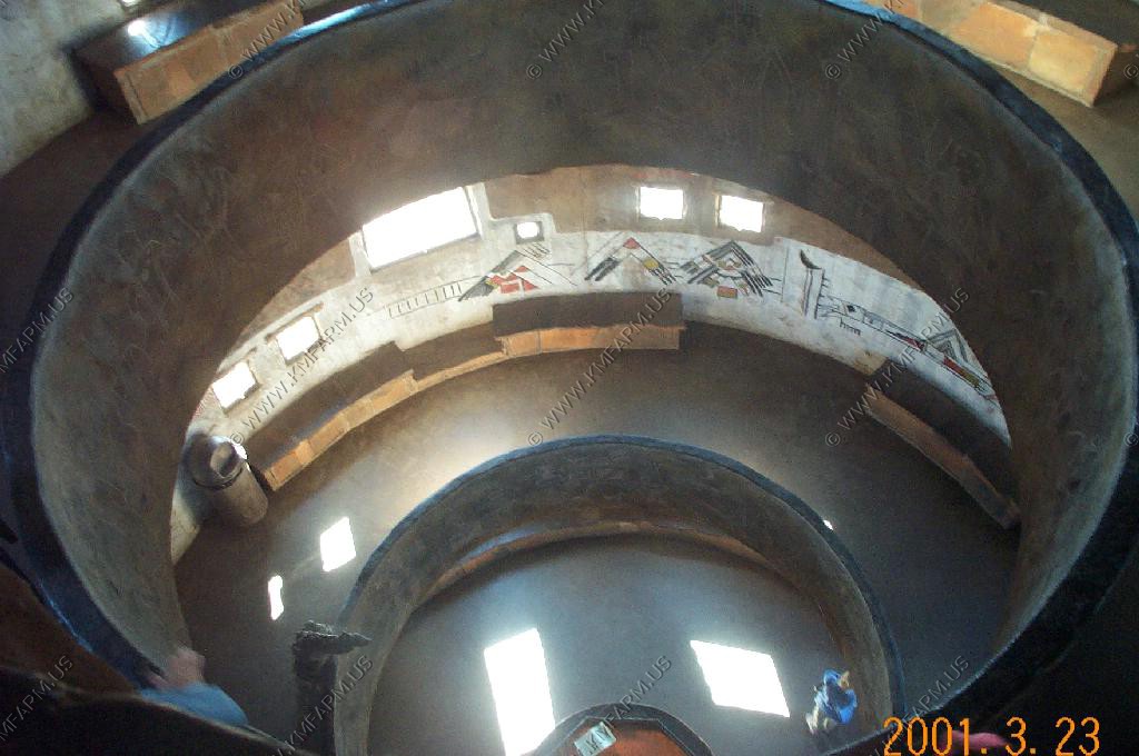
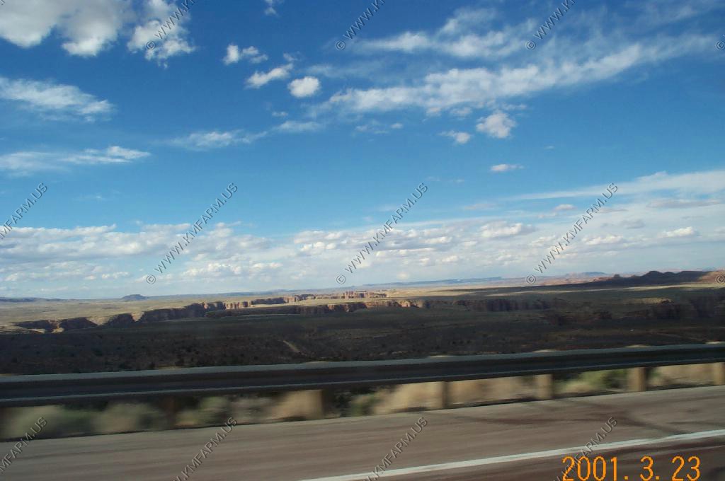
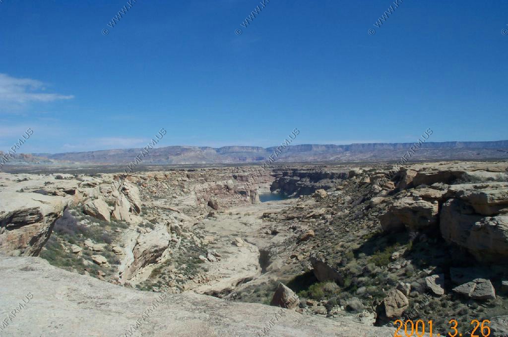
Various Canyon Views


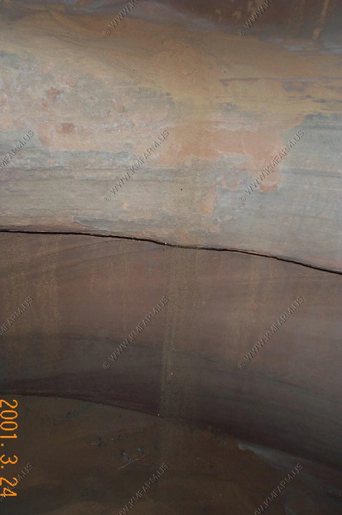
Not a good place for cameras. You can see the sand falling from above coating everything
Looking up
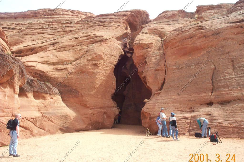
The upper end

More sand falling
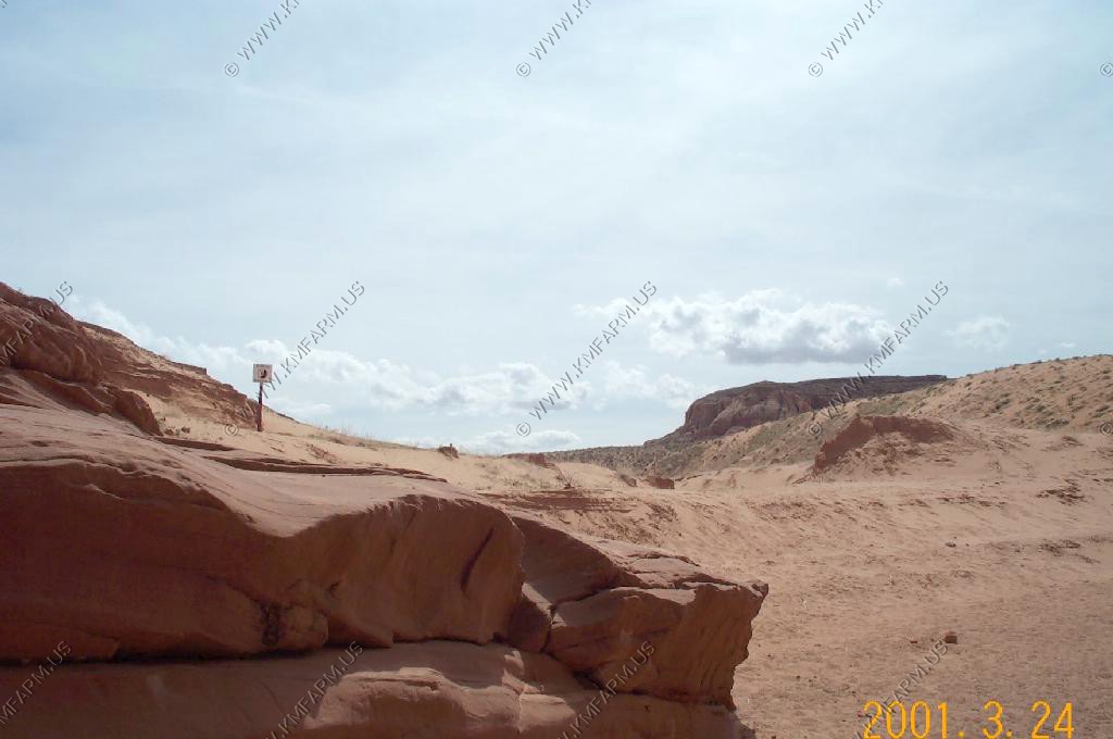
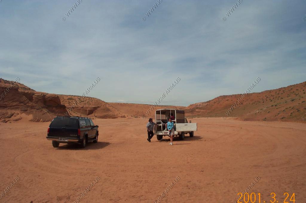
Parking area at the lower end

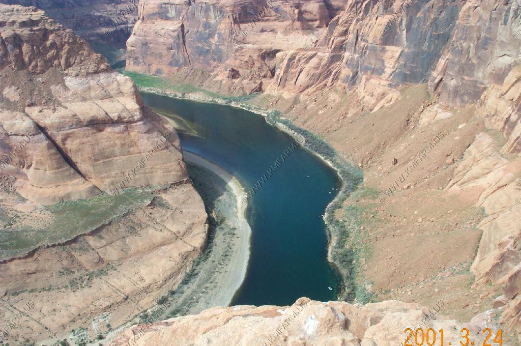
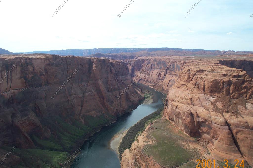
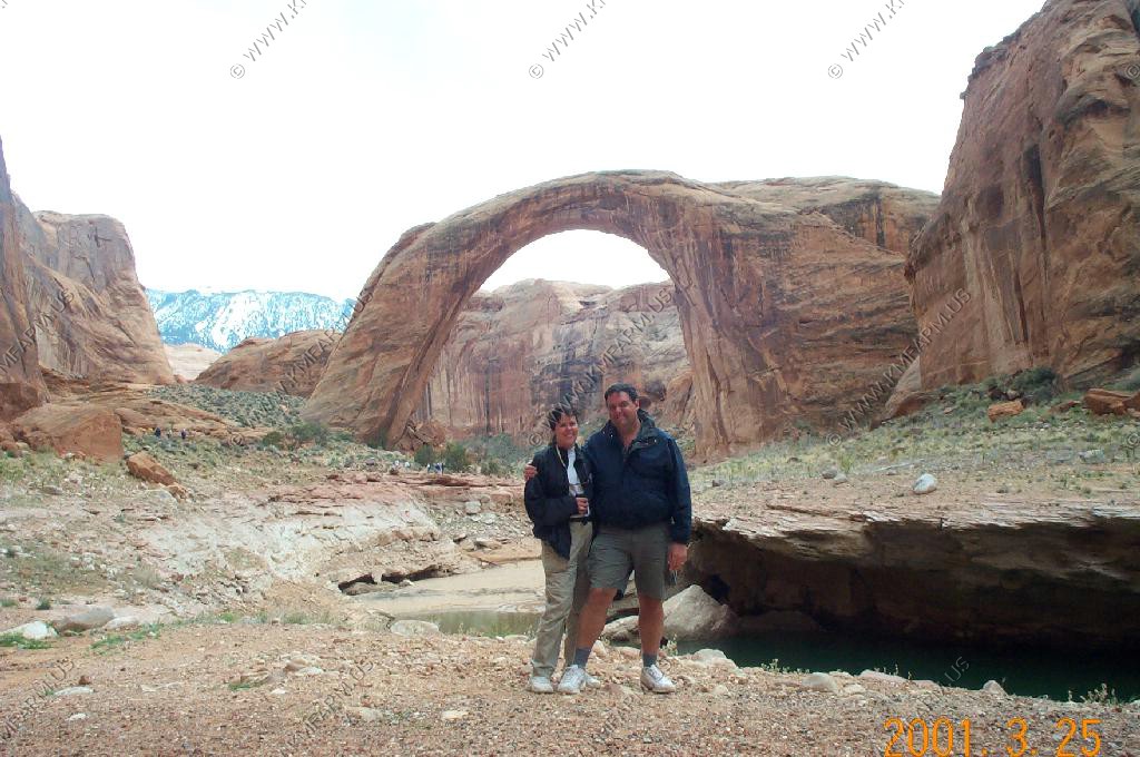
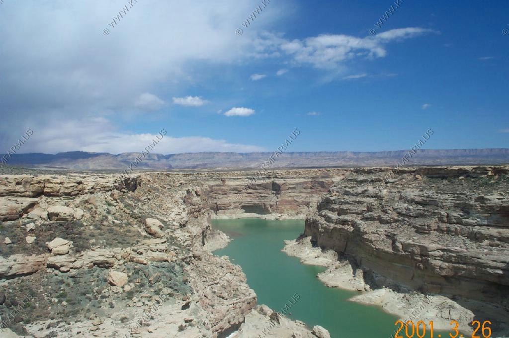
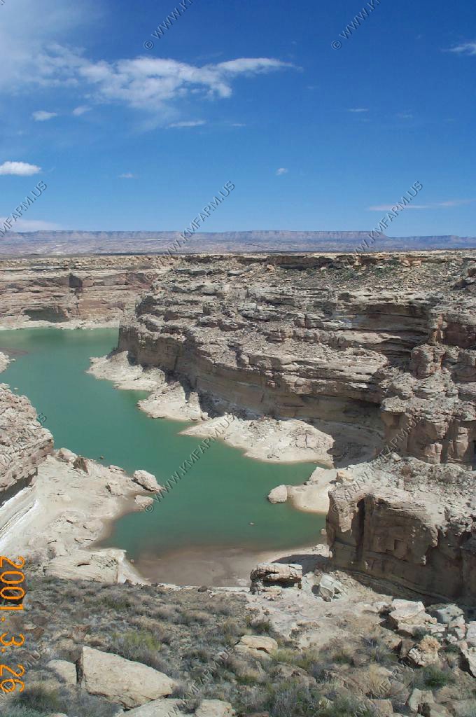
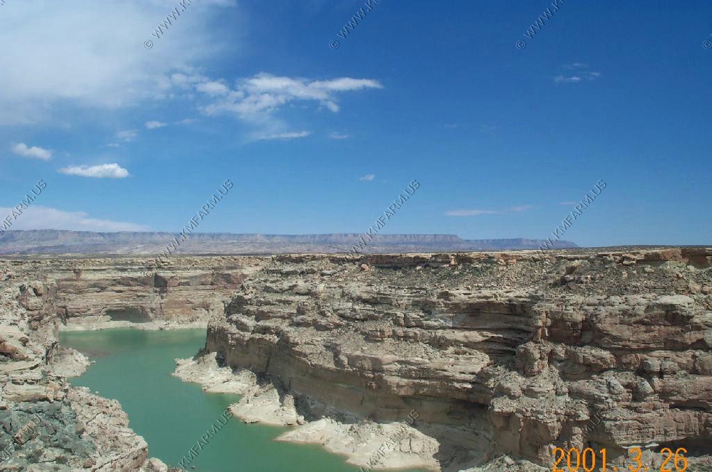
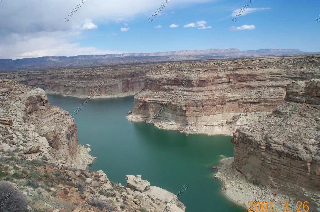
We were married at this spot in 1998...
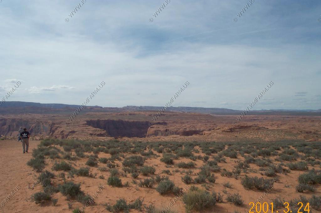
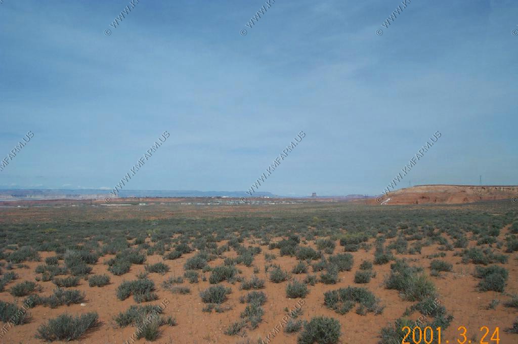
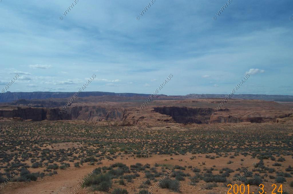
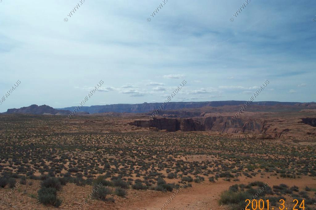
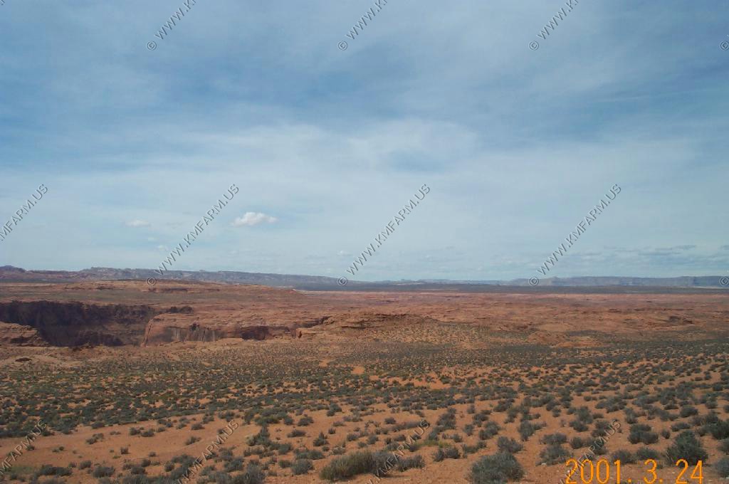
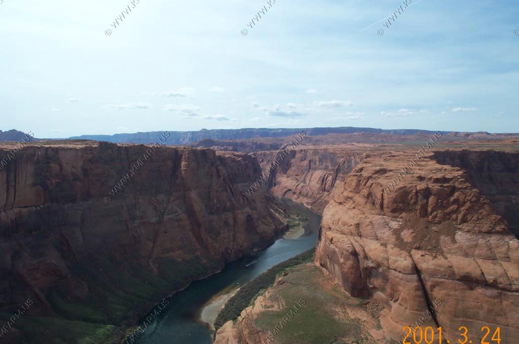
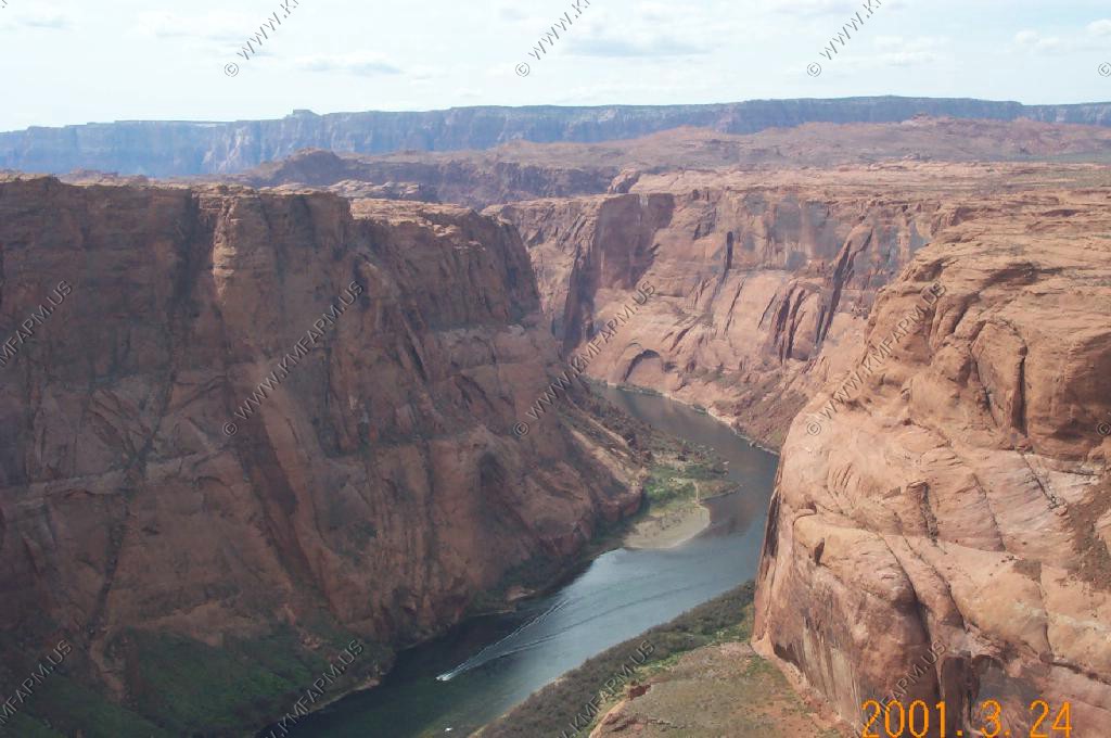
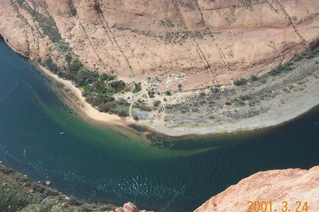
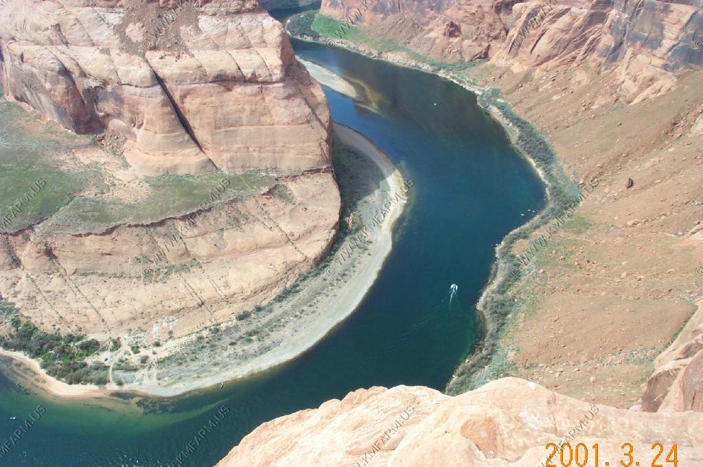
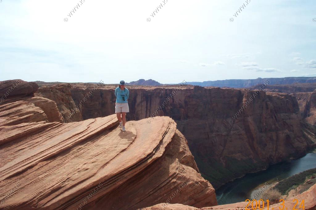
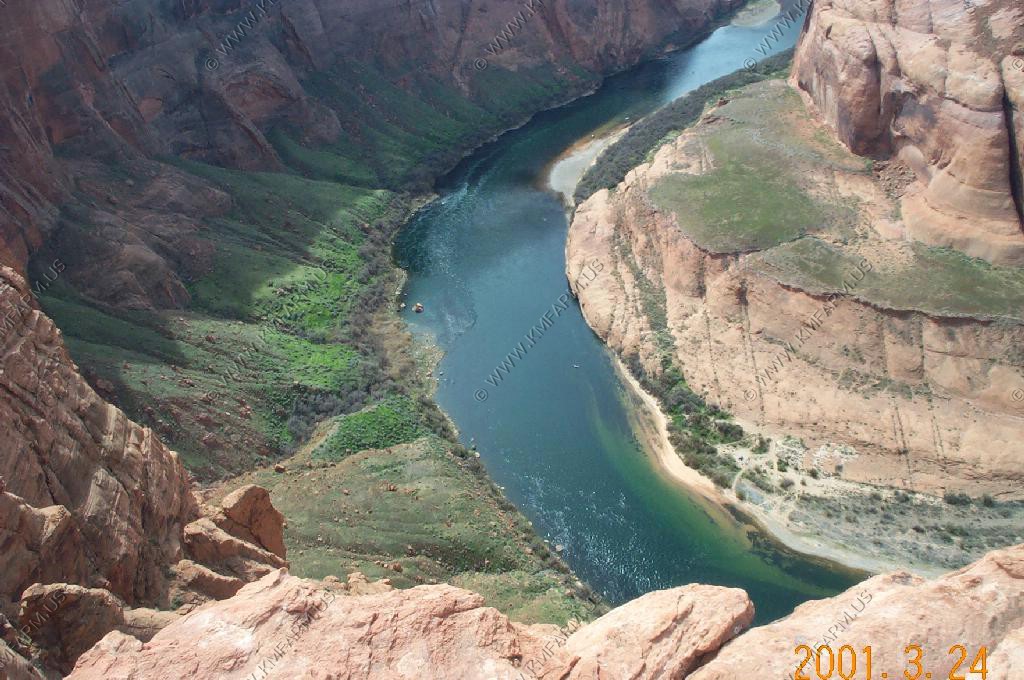
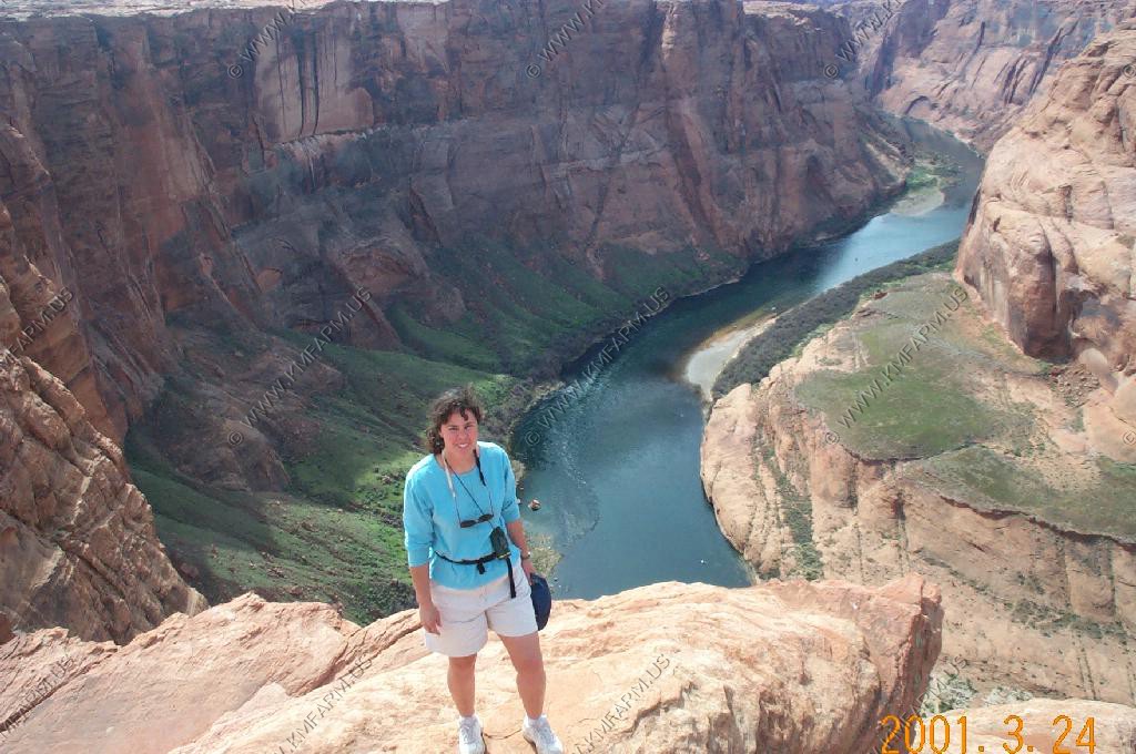
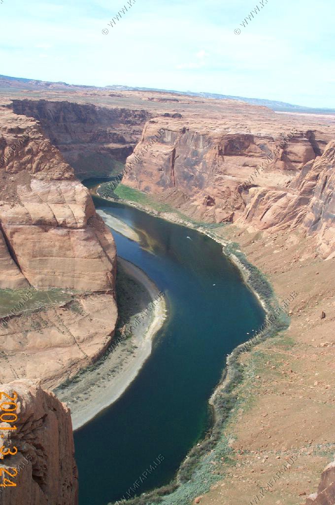
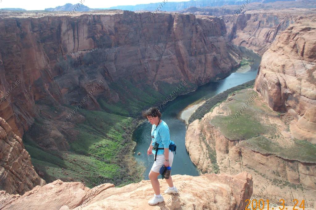
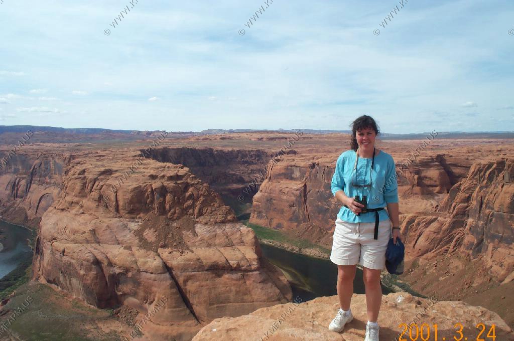
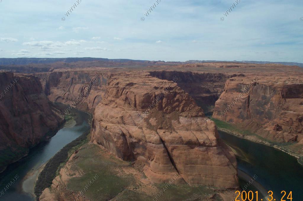
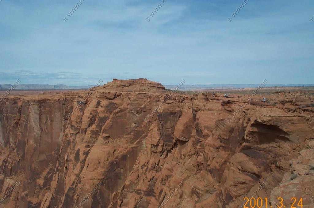
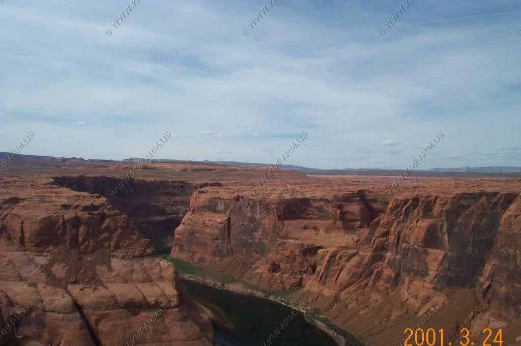
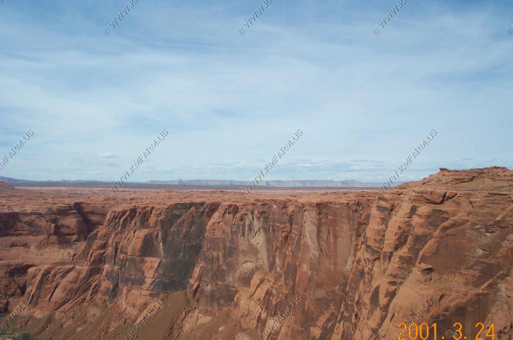
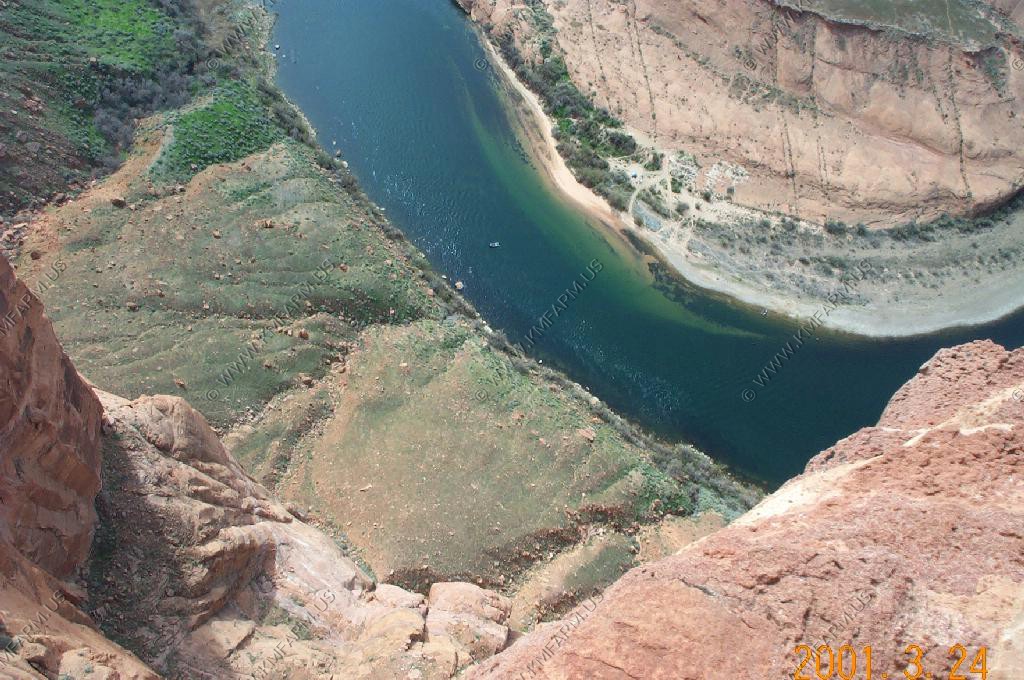
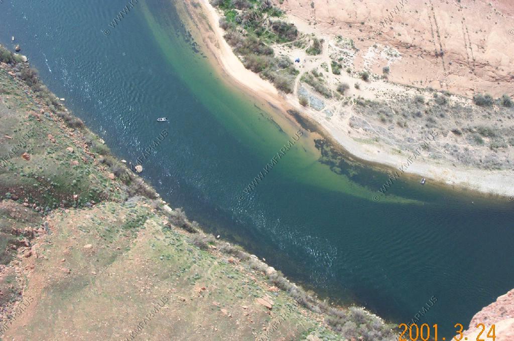
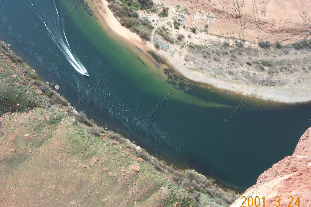
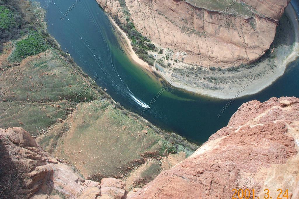
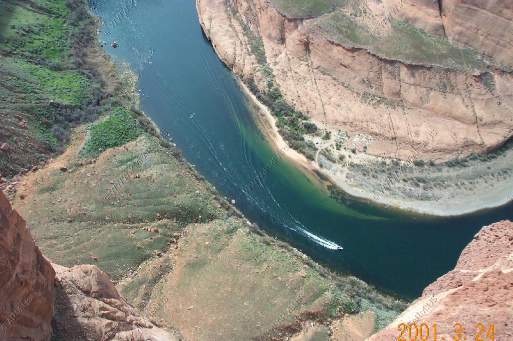
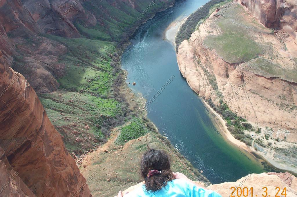
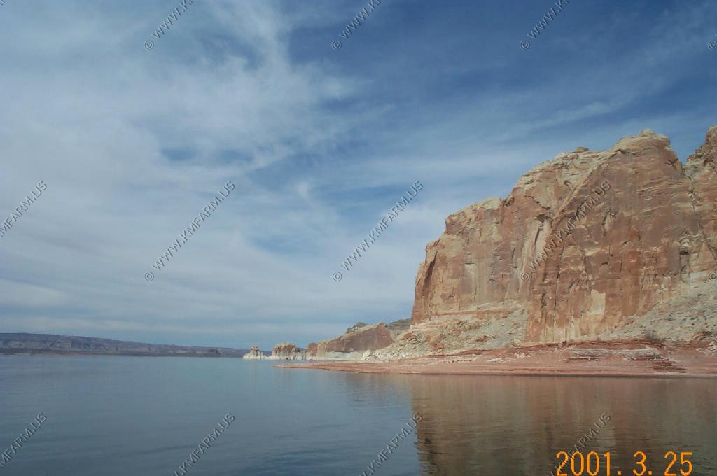
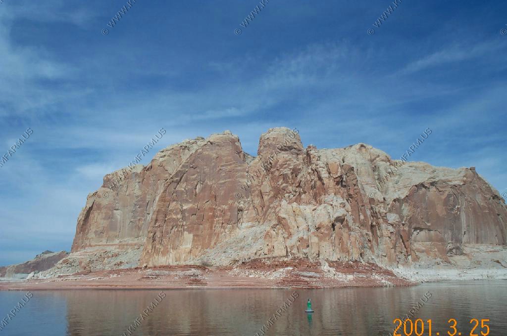
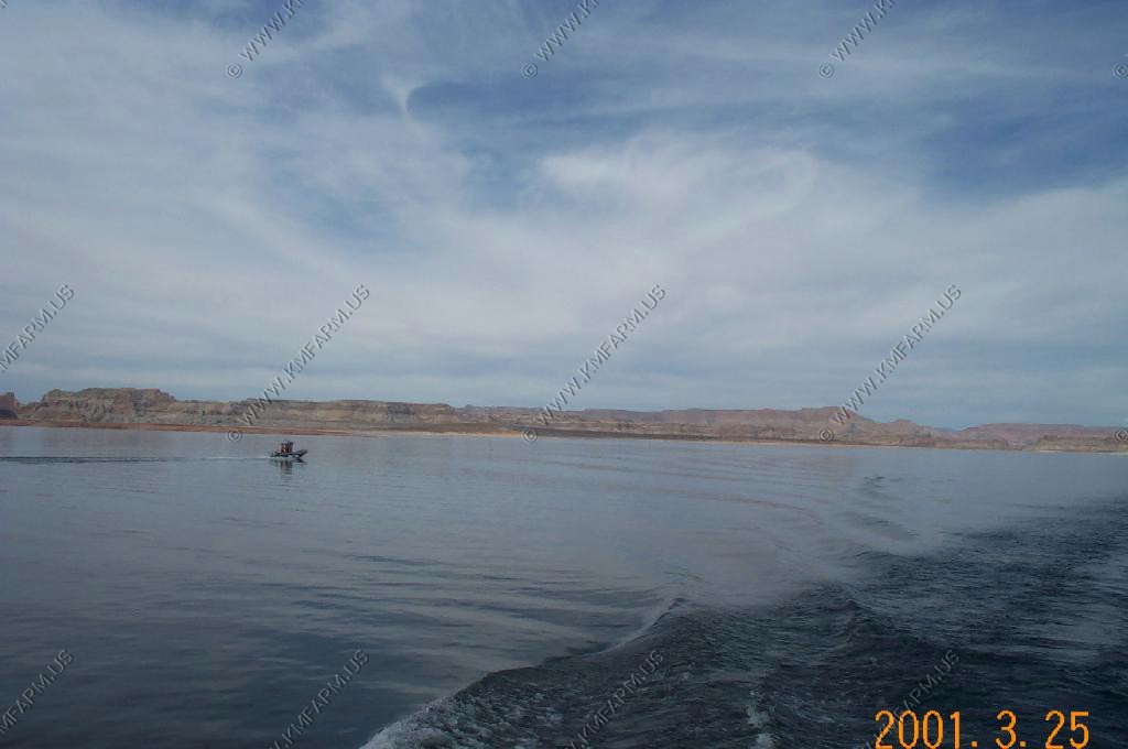
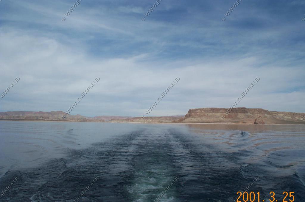
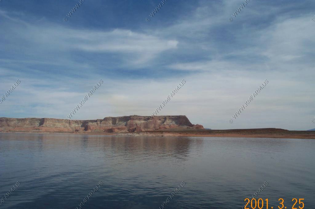
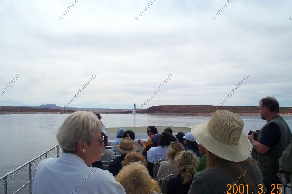
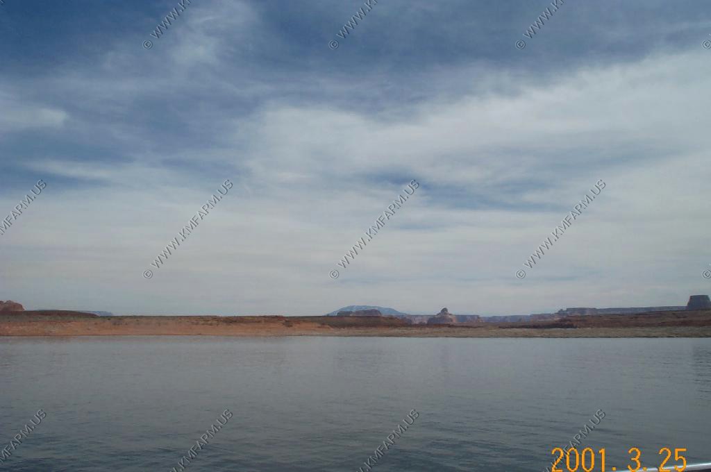
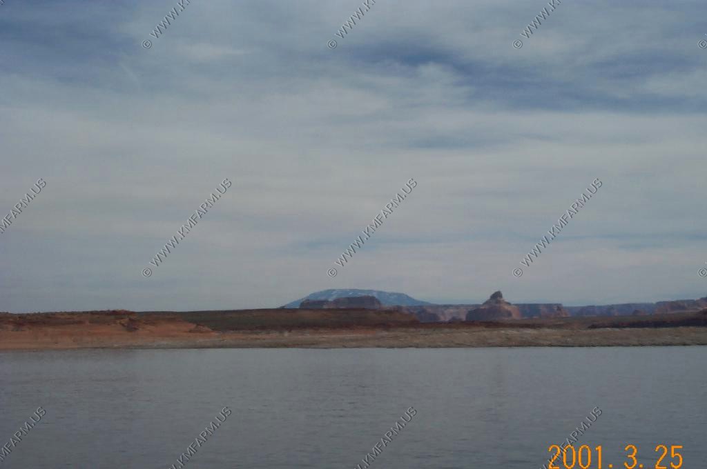
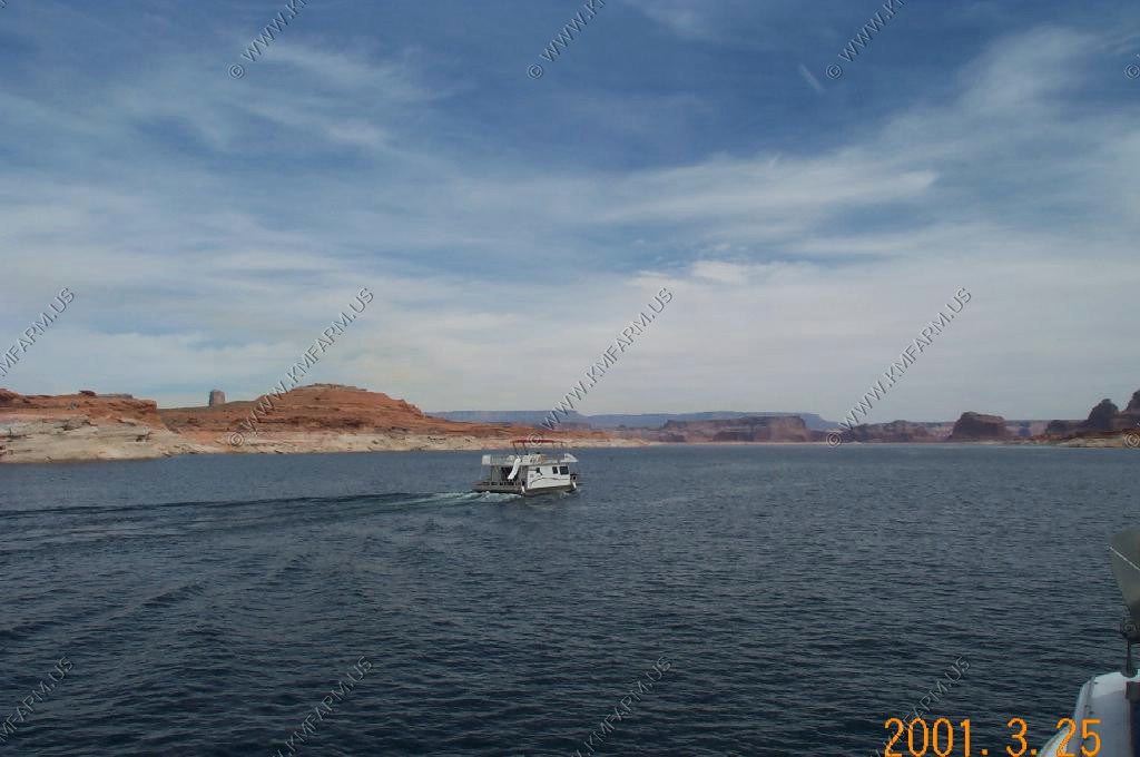
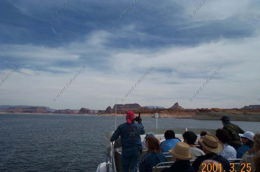
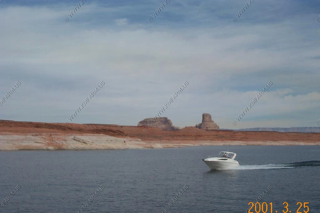
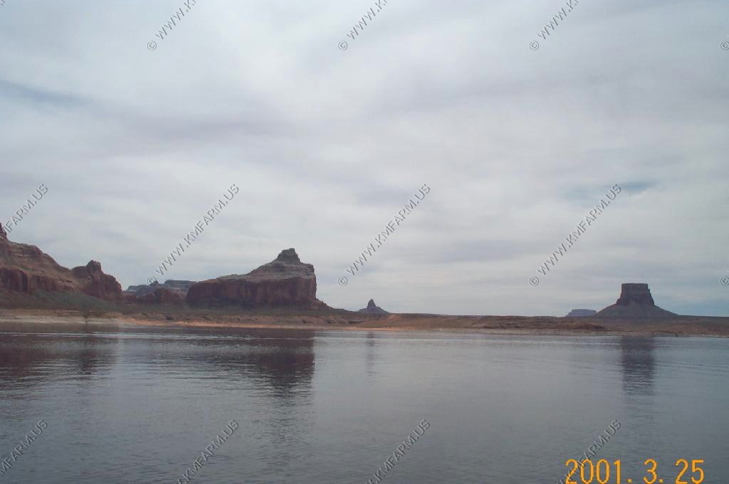
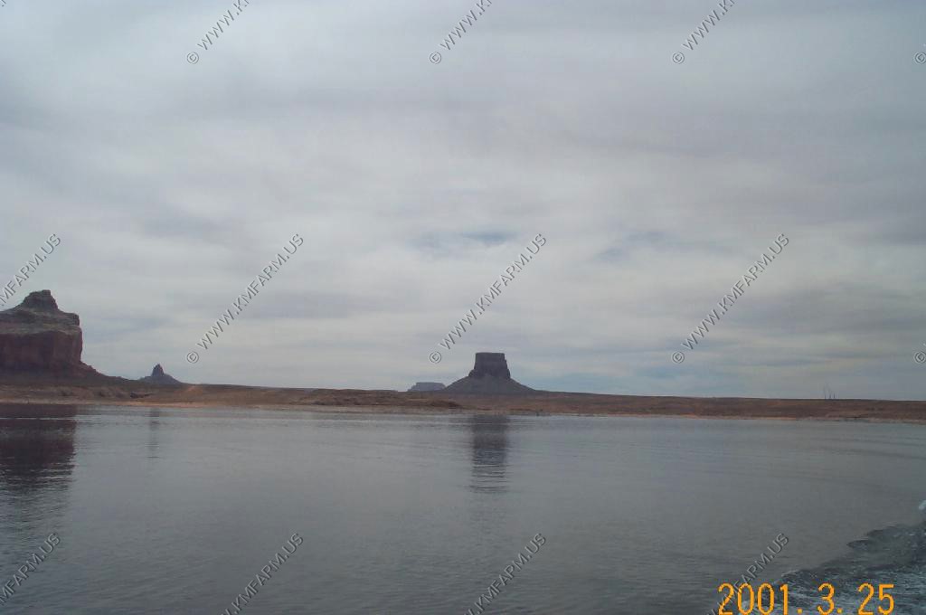
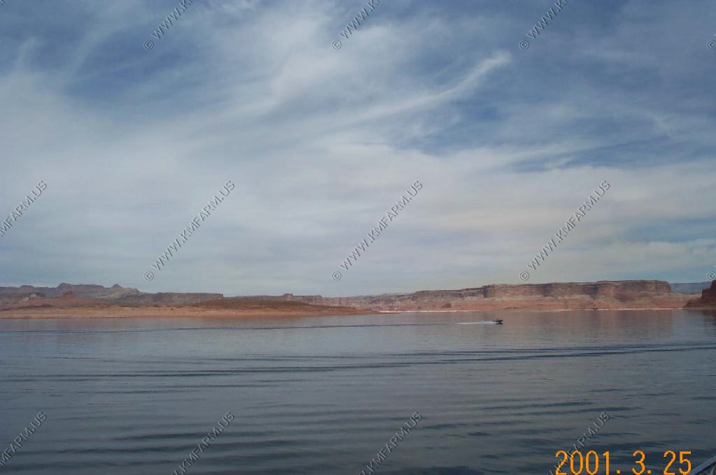
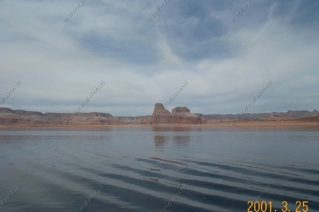
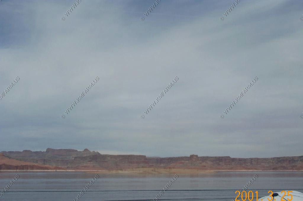
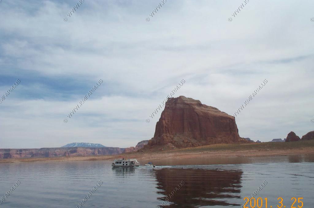
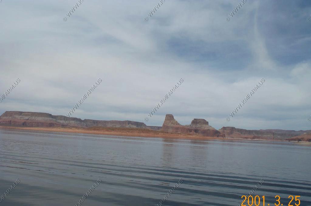
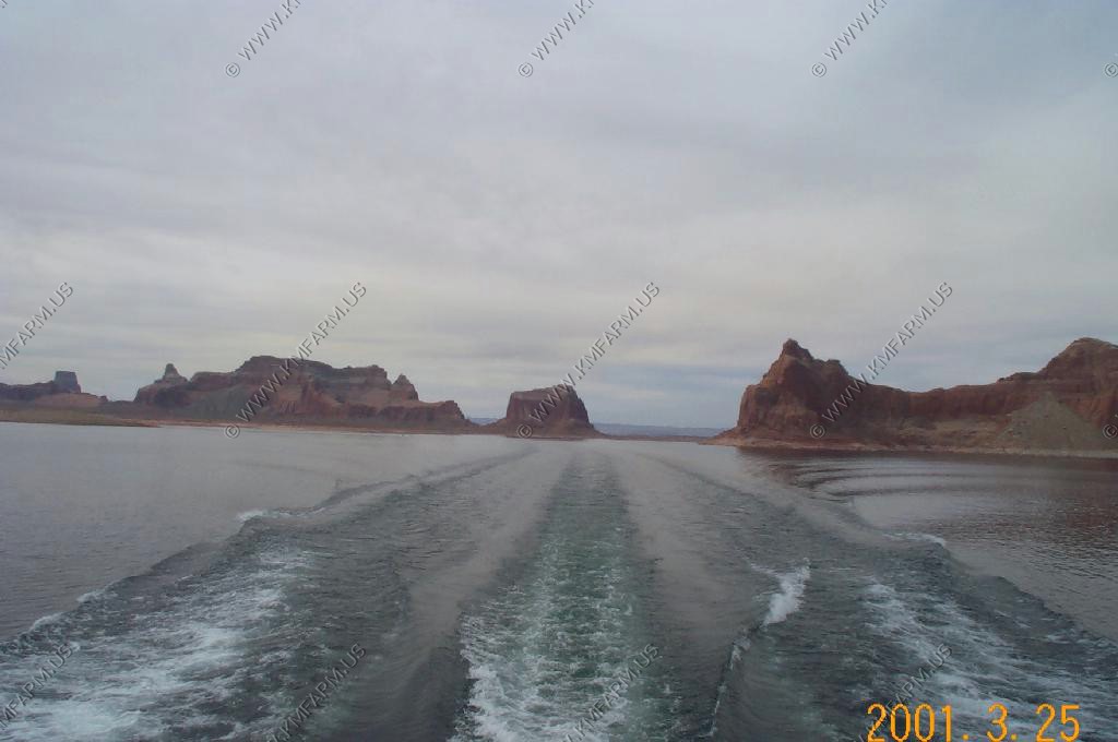
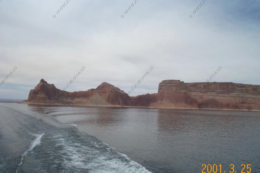
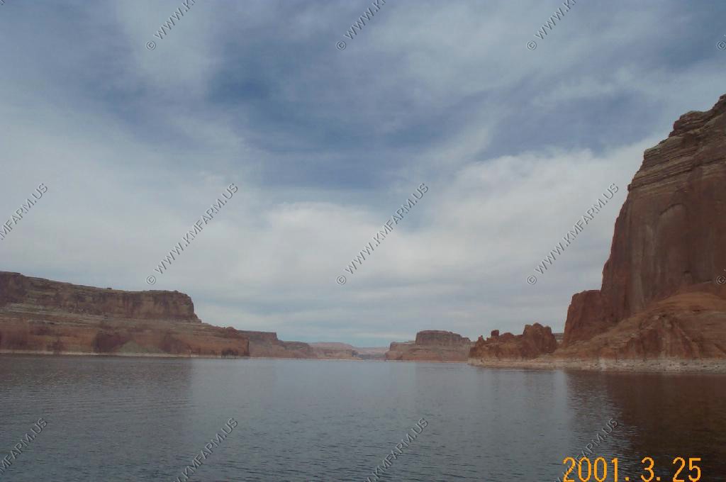
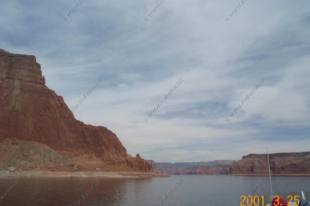
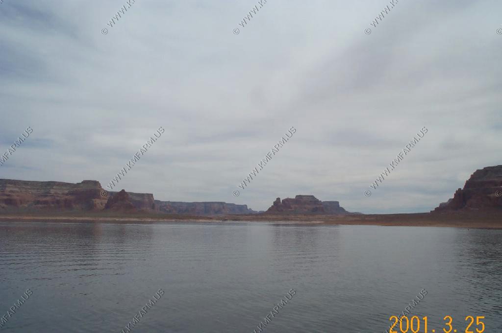
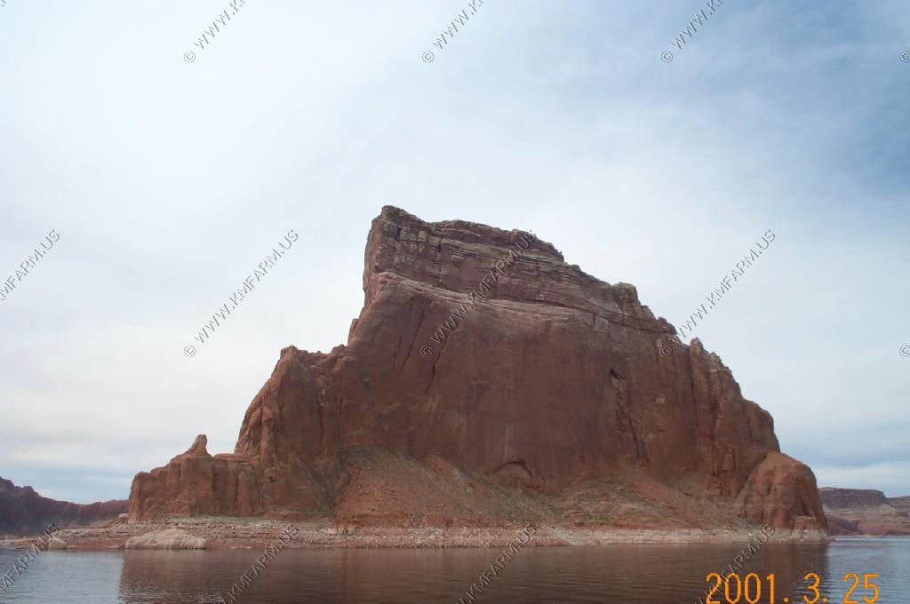
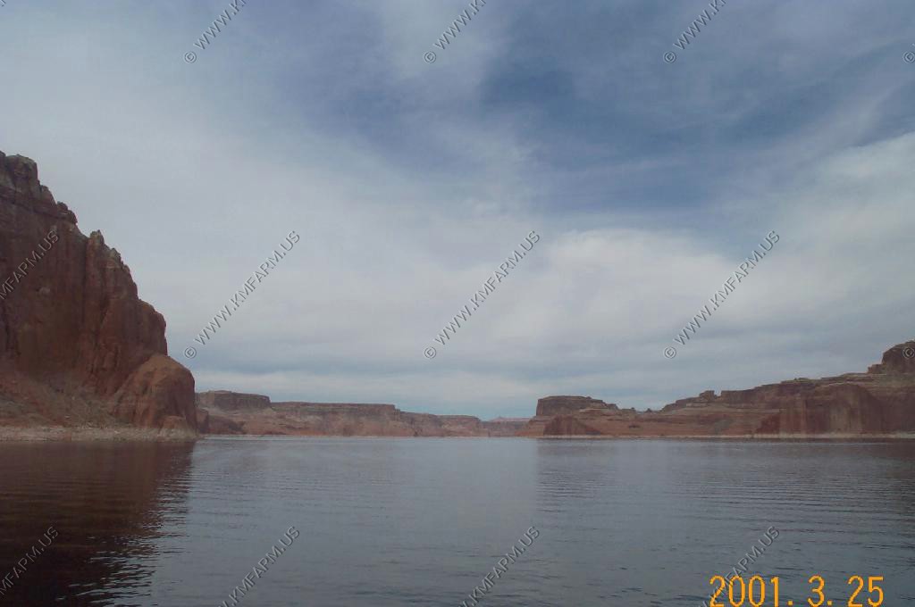
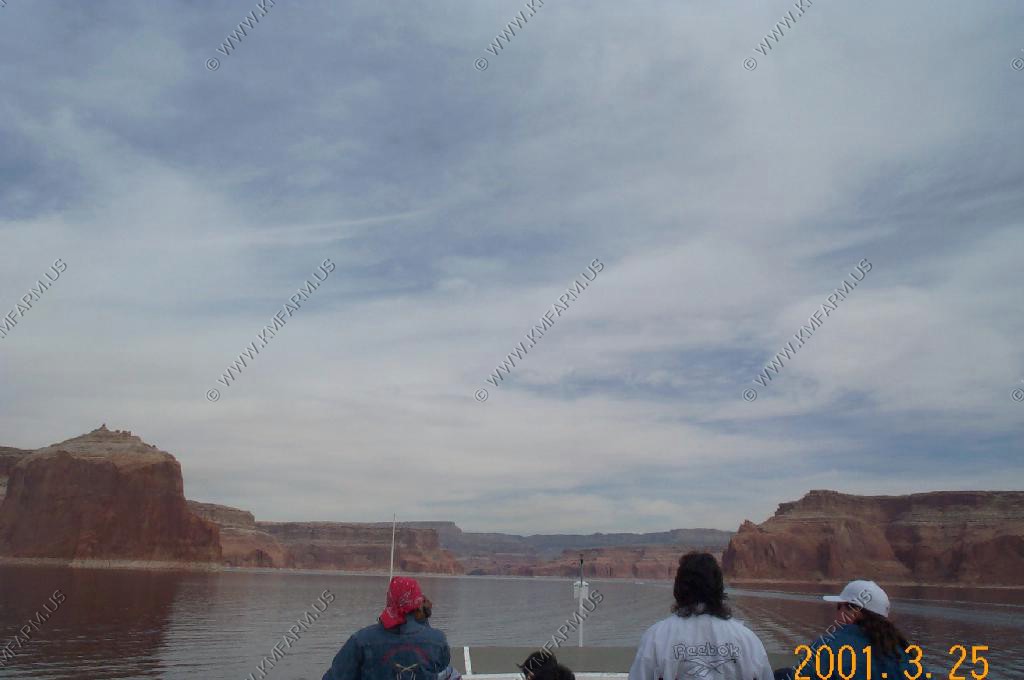
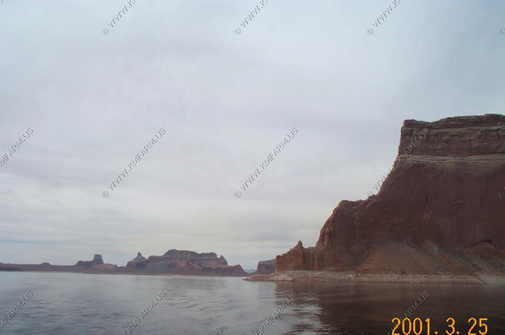
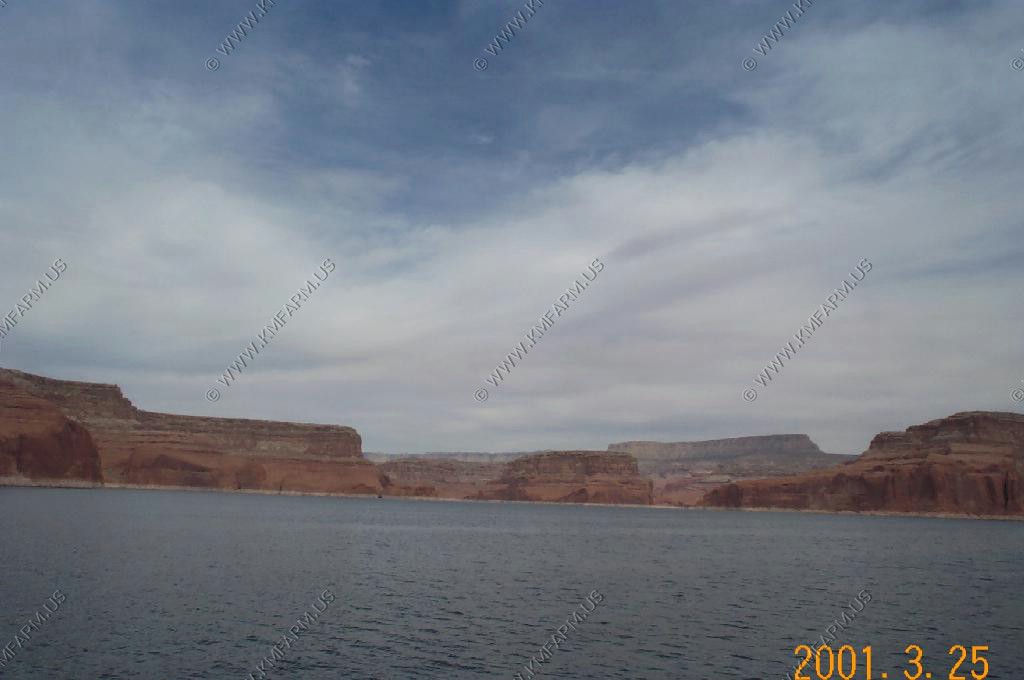
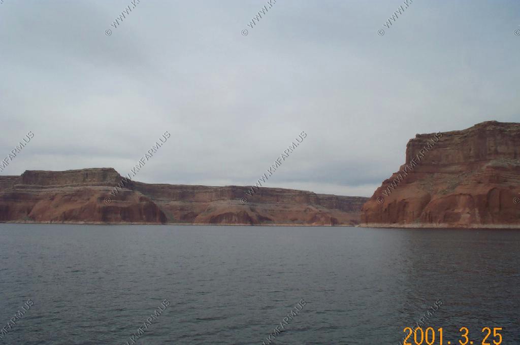
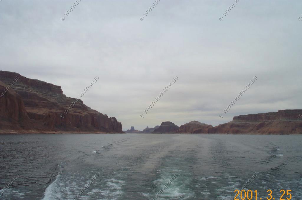
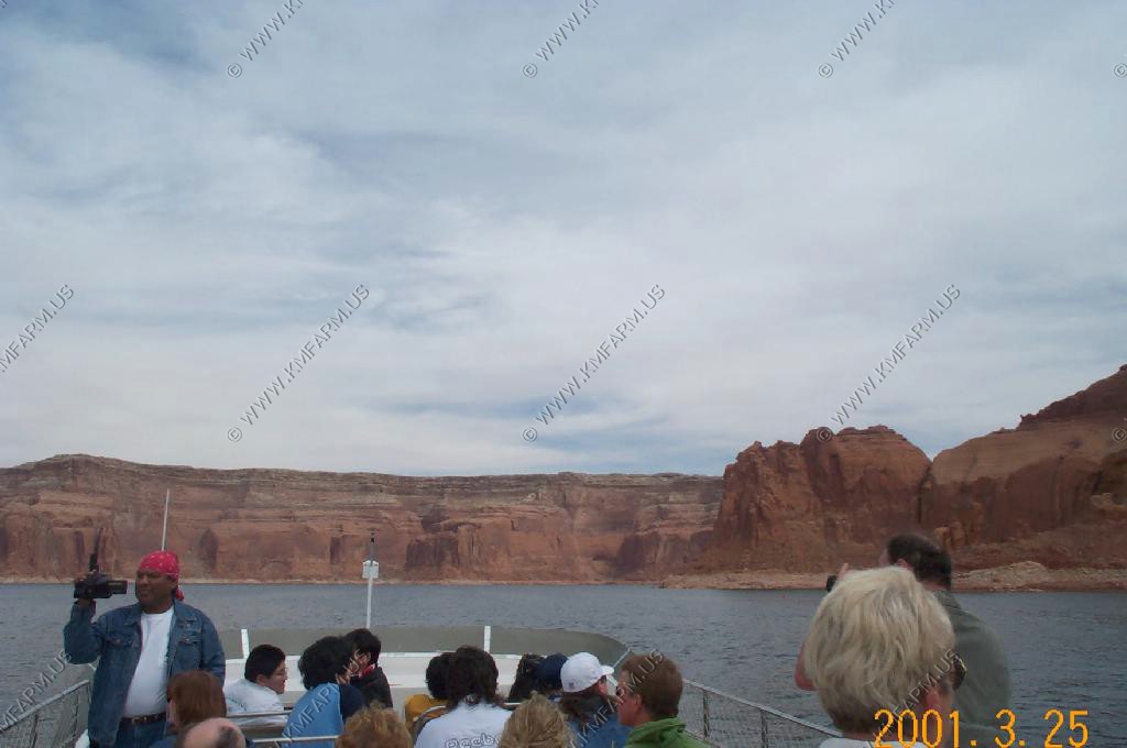
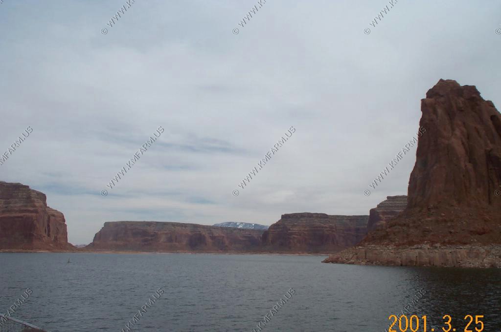
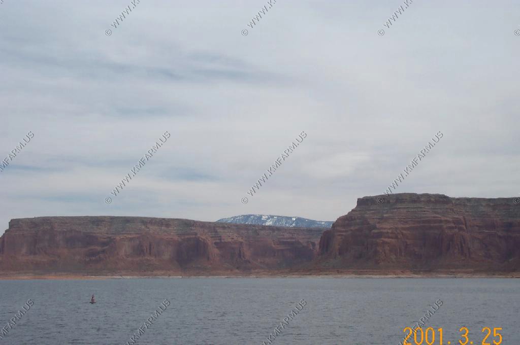
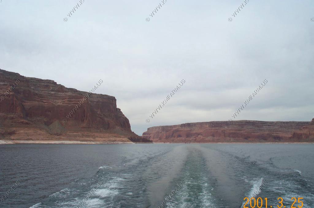
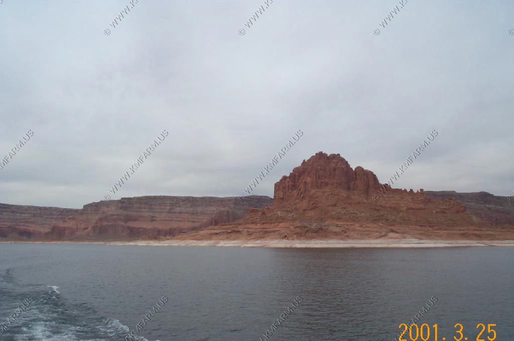
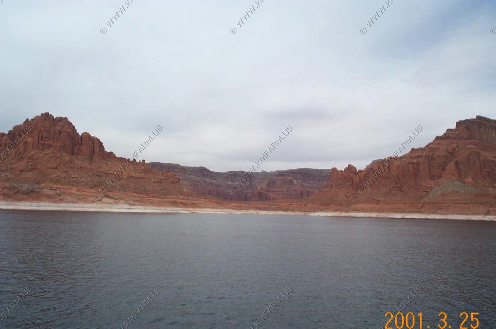
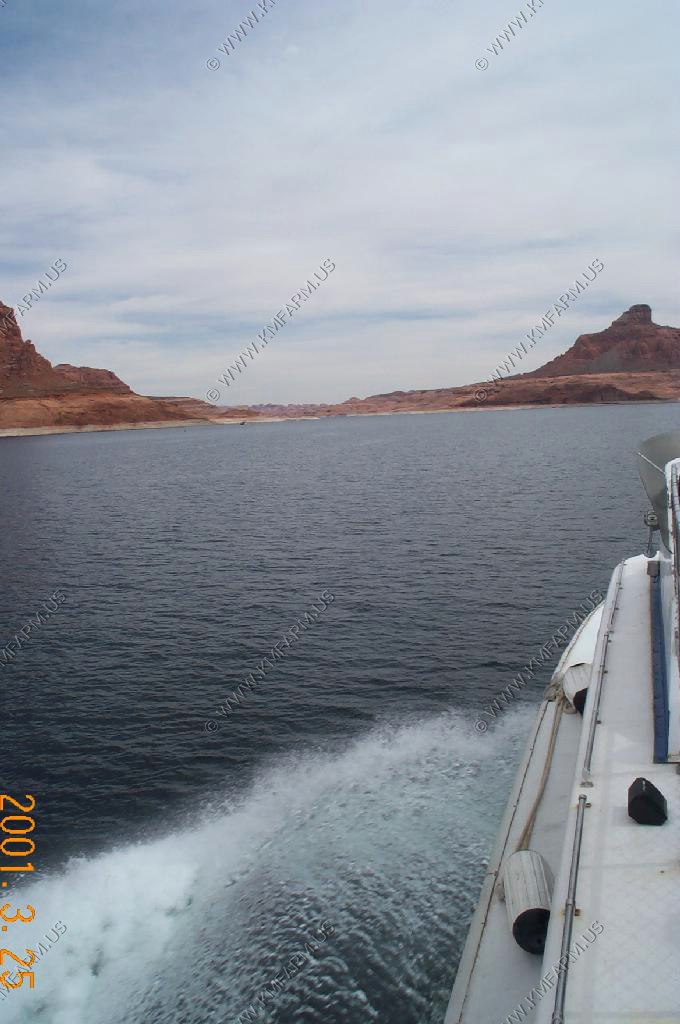
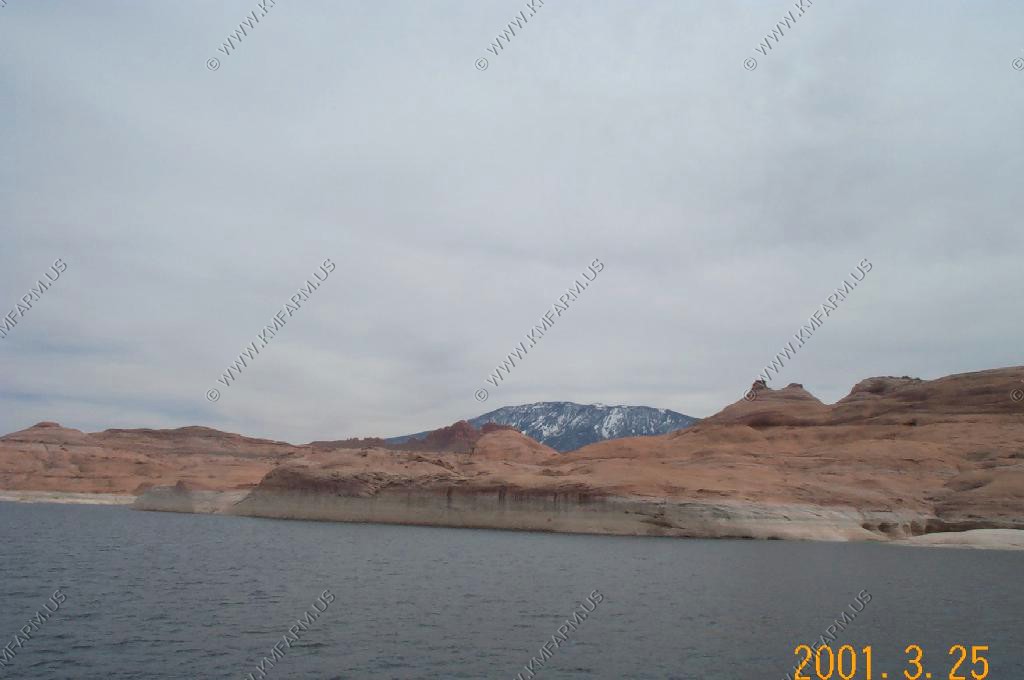
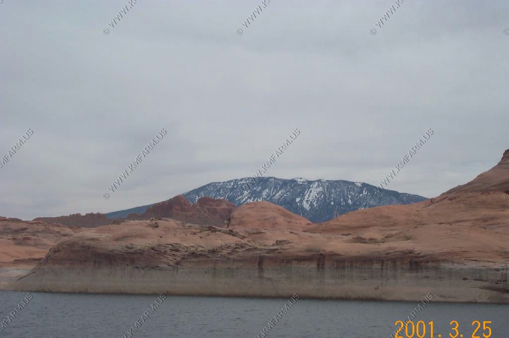
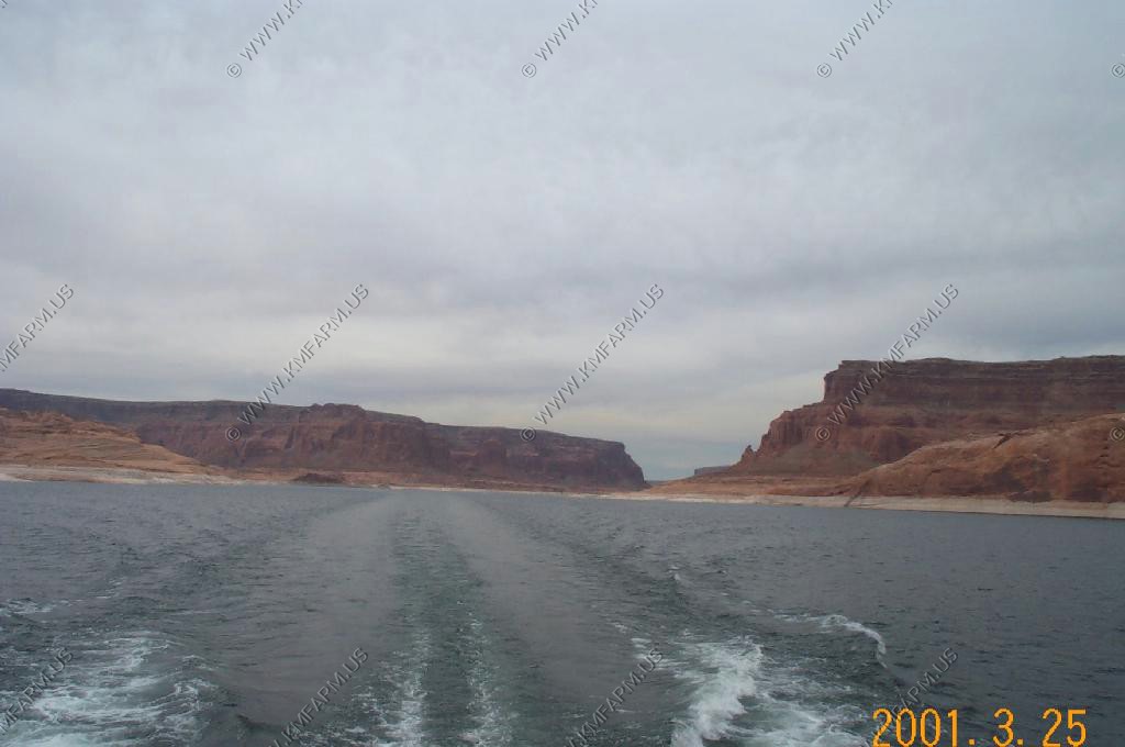
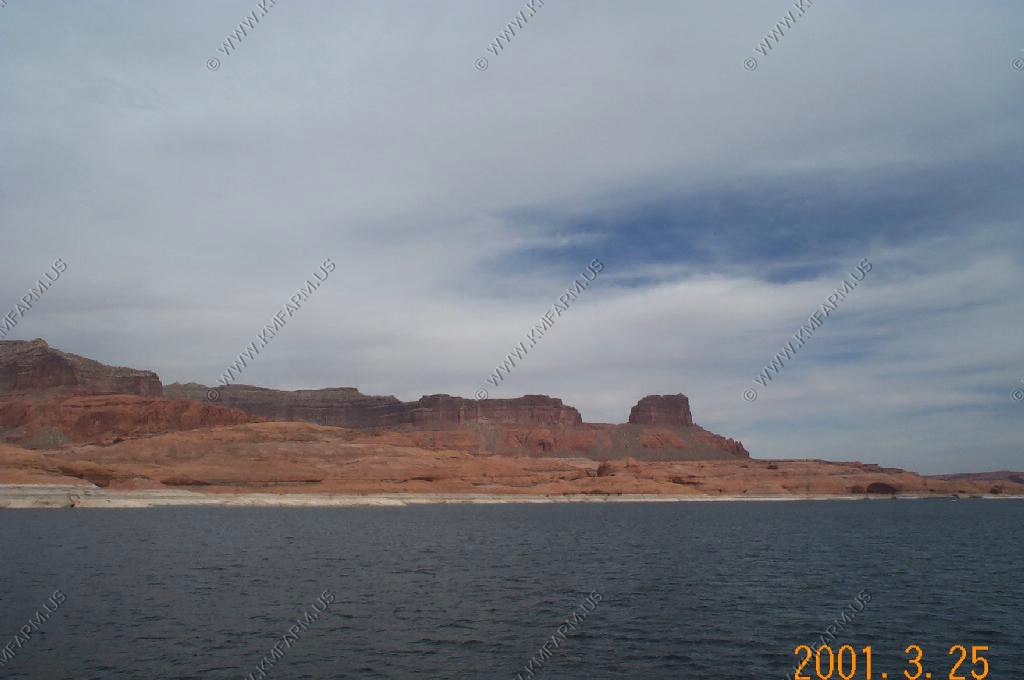
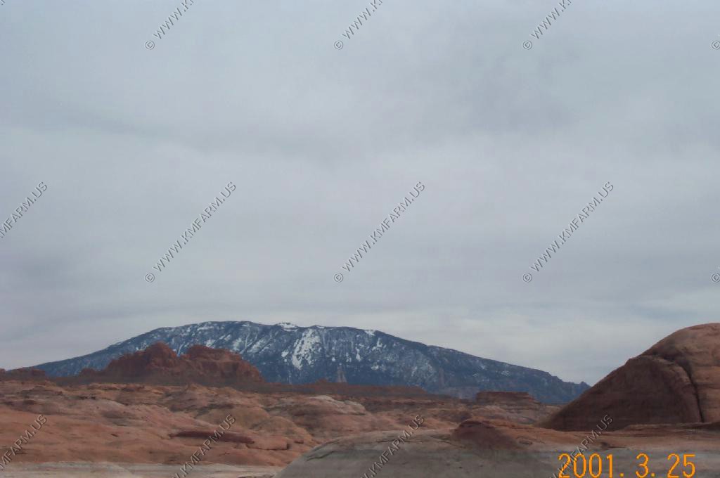
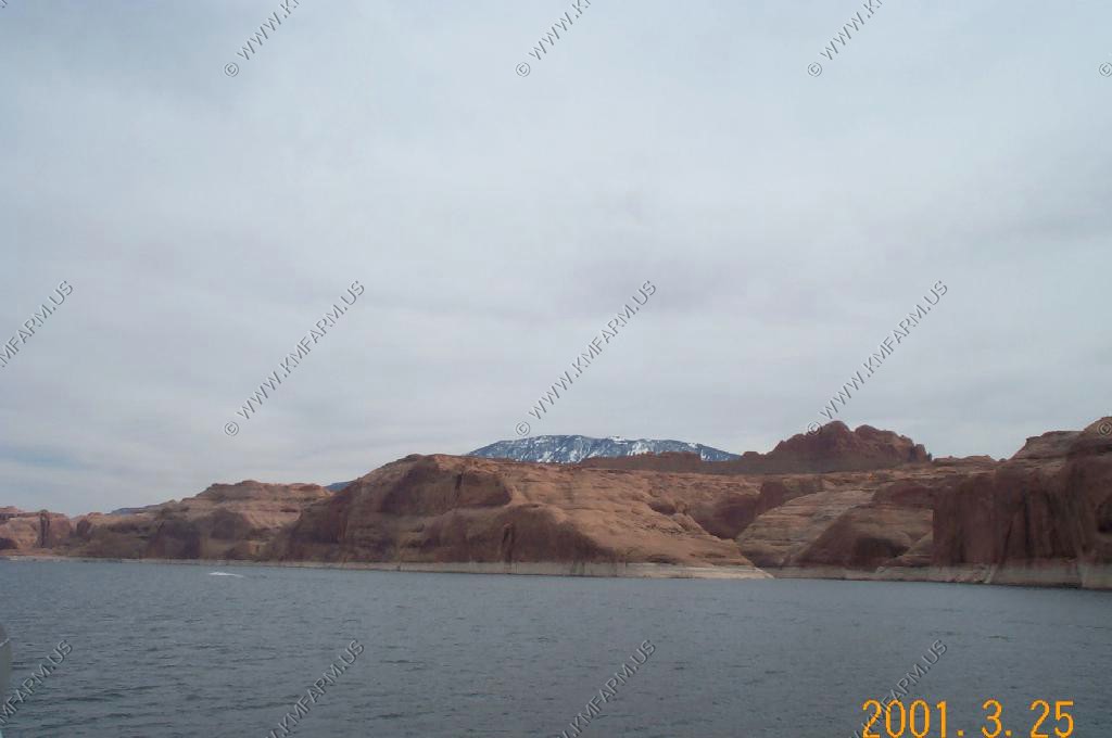
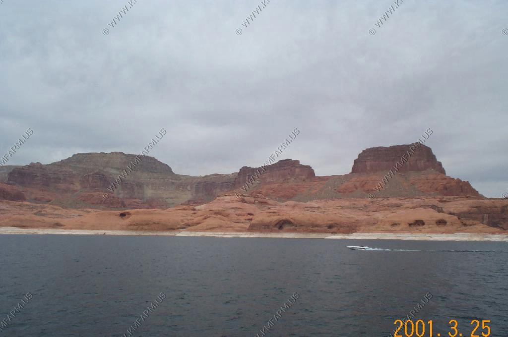
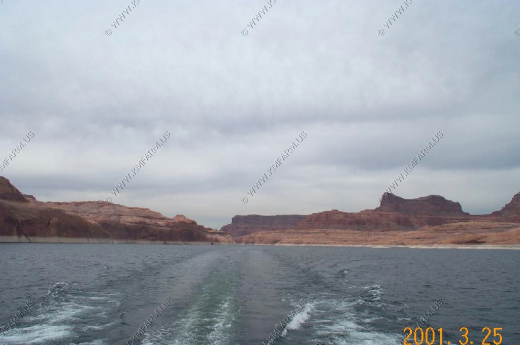
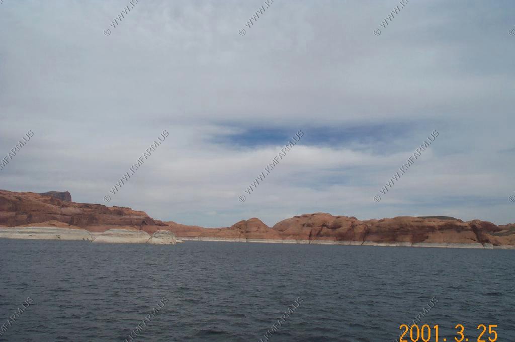
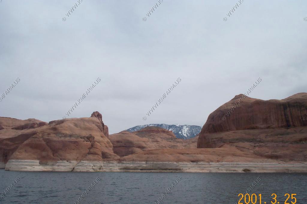
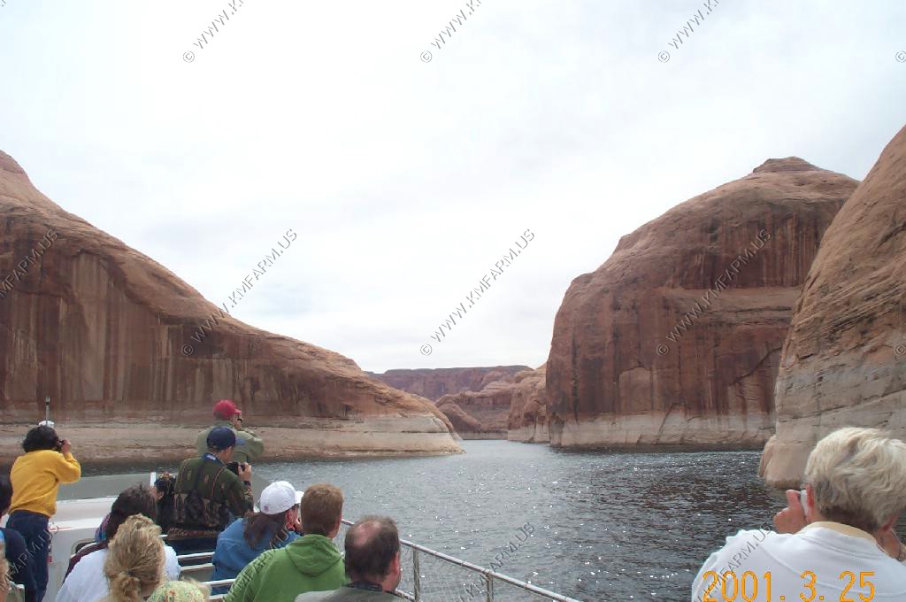
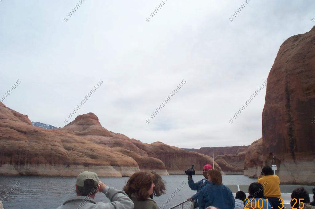
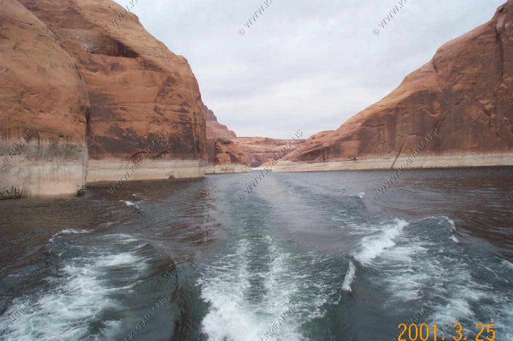
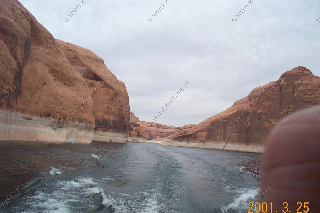
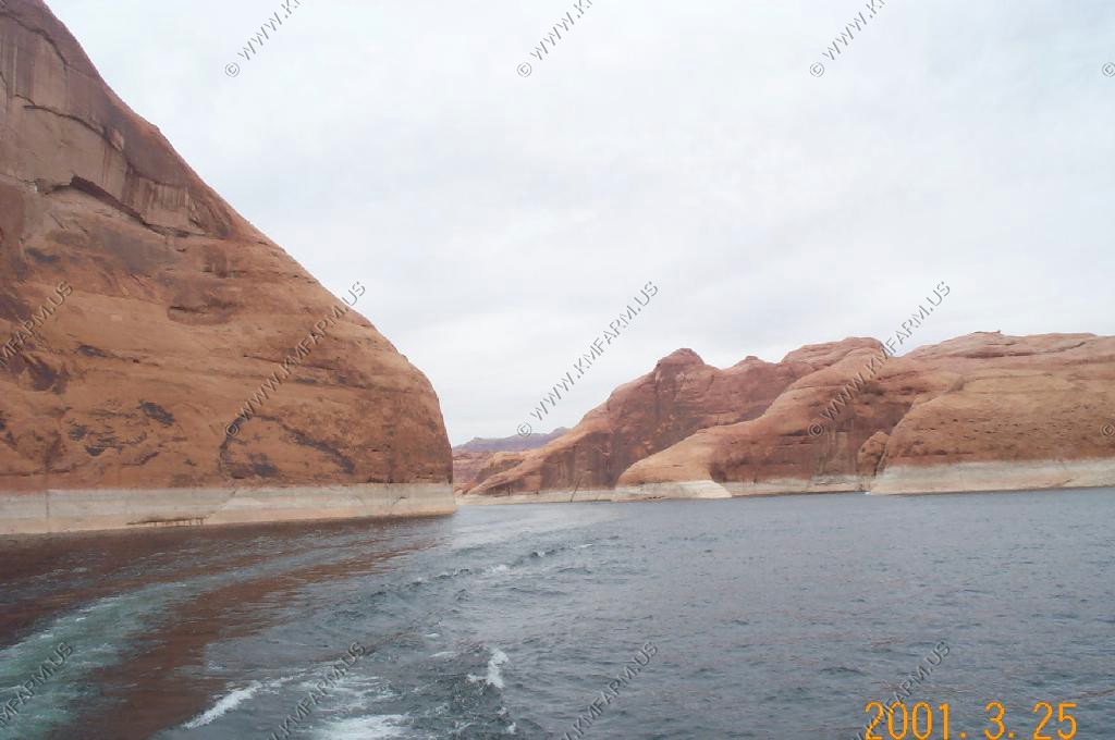
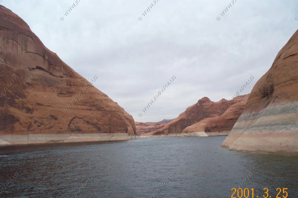
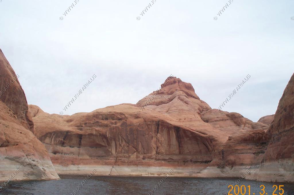
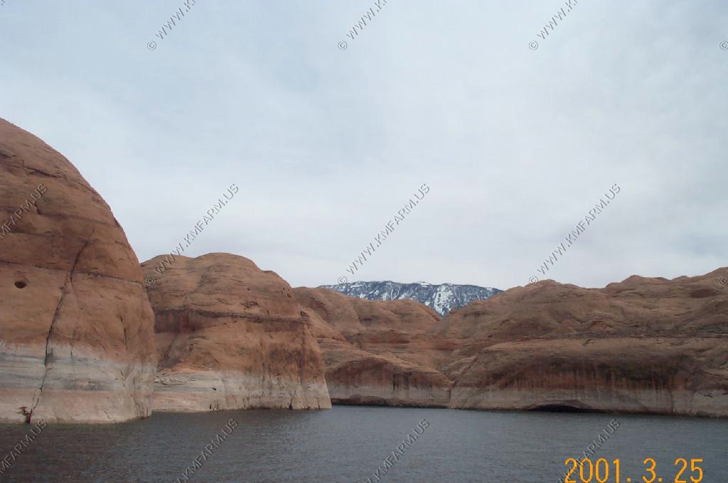
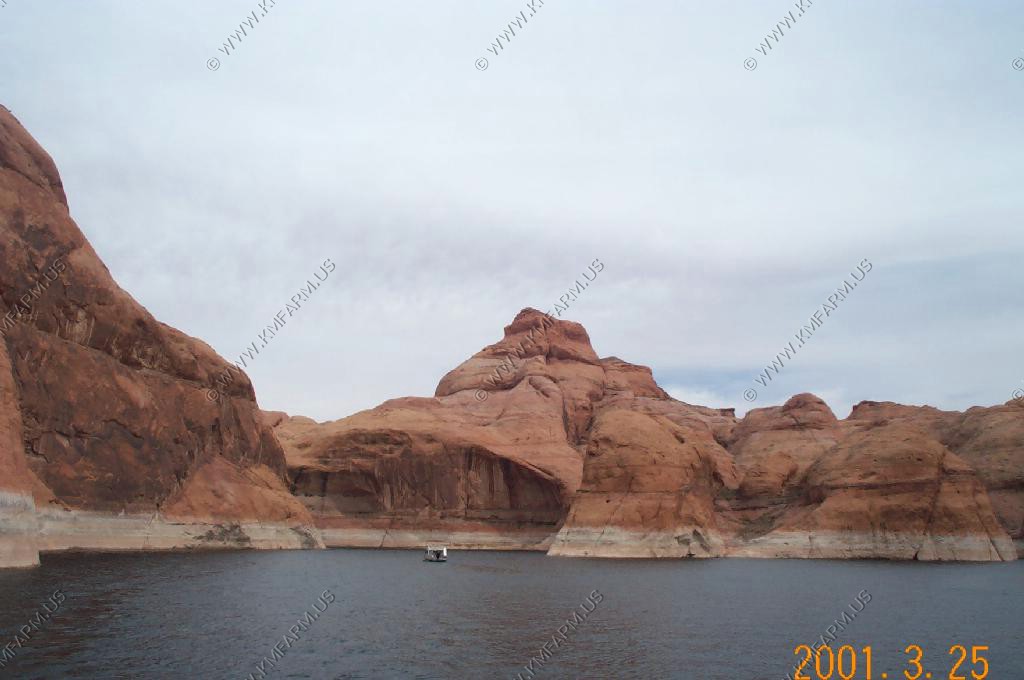
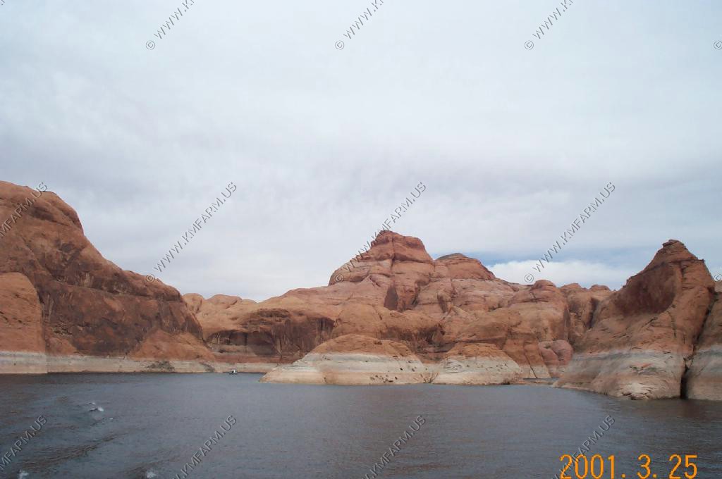
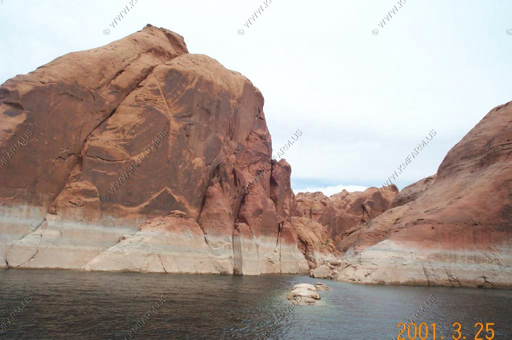
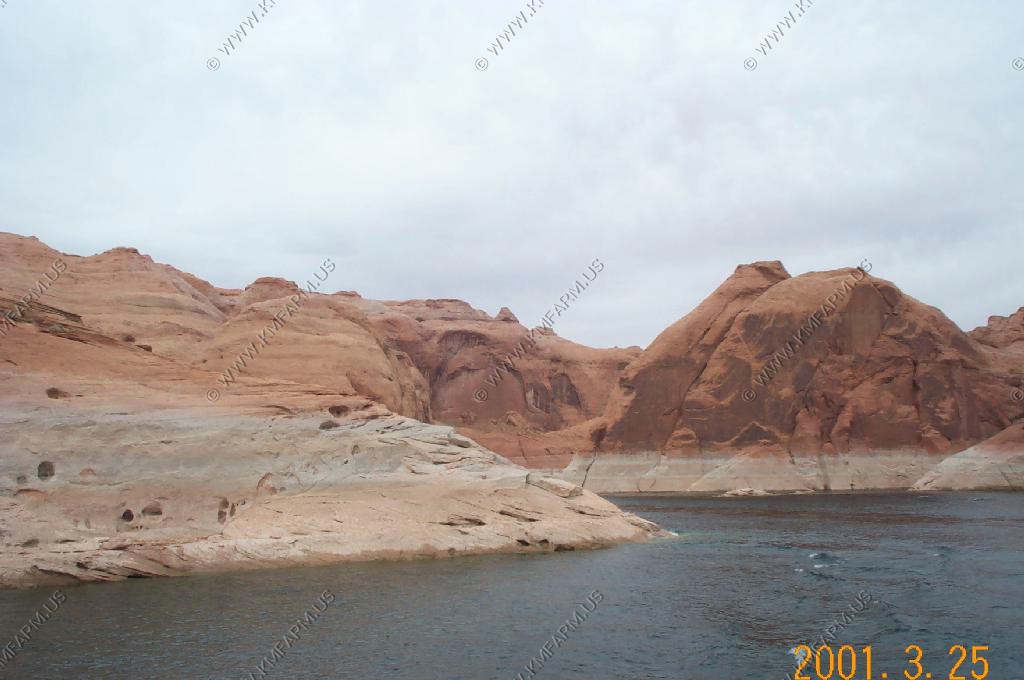
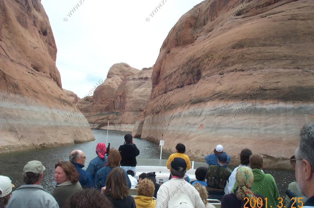
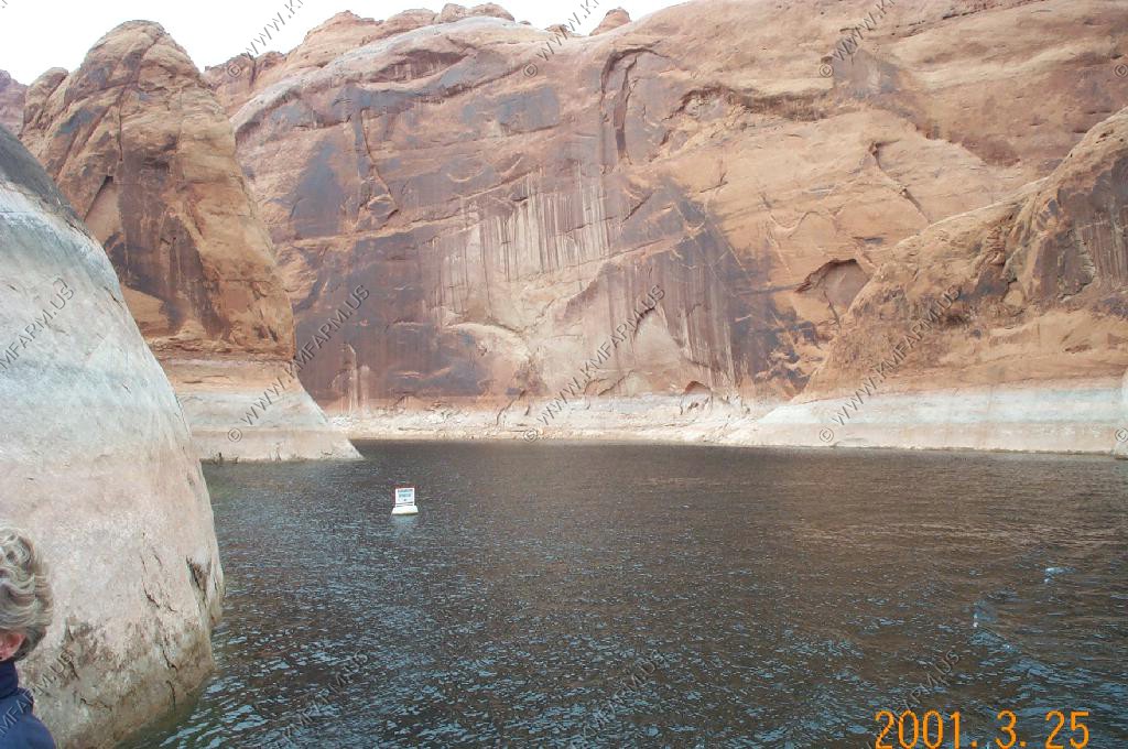
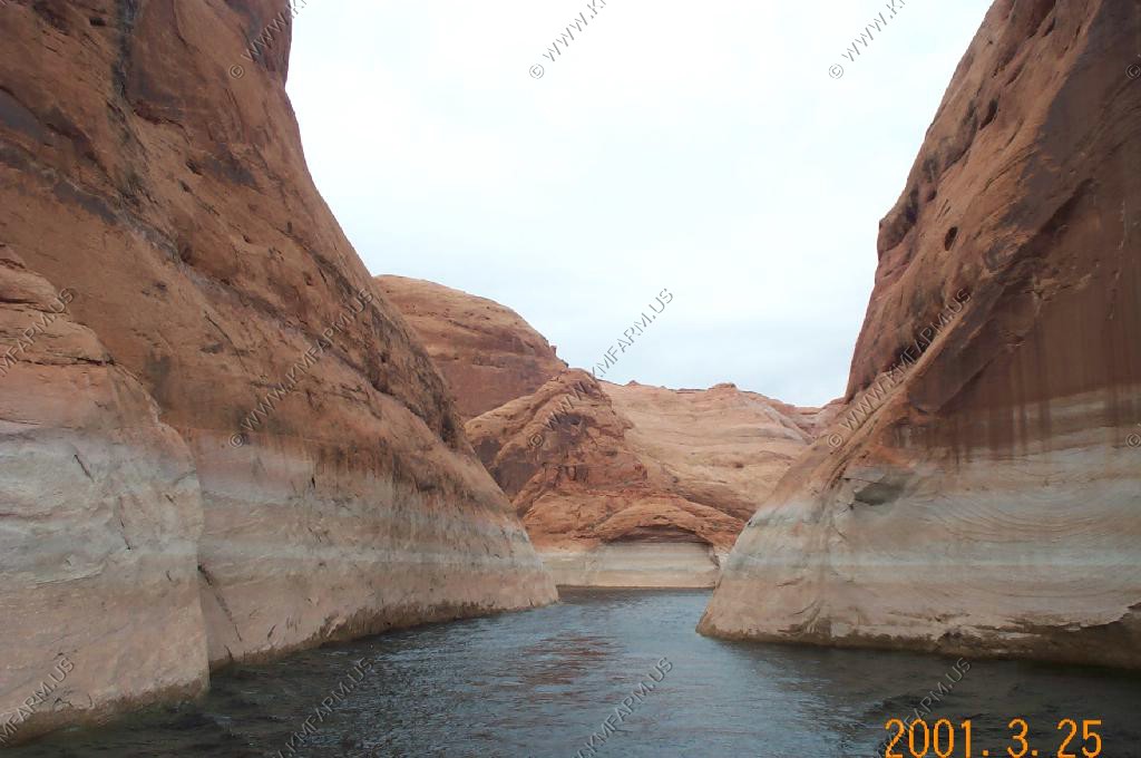
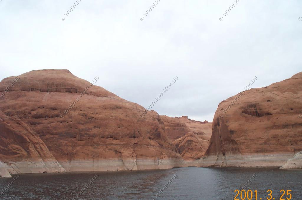
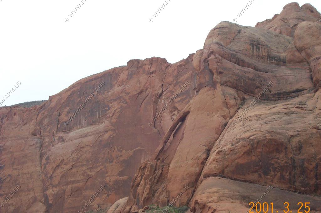
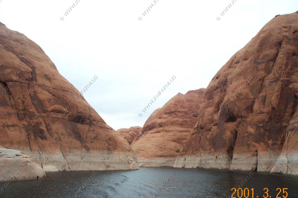
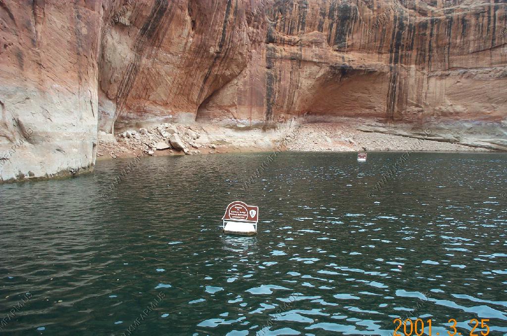
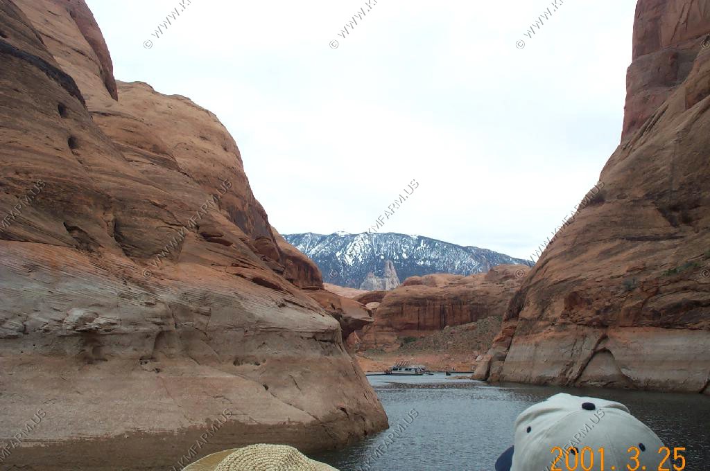
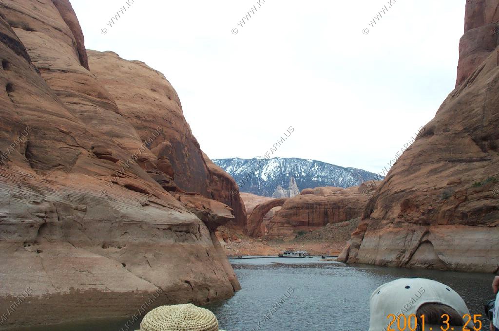
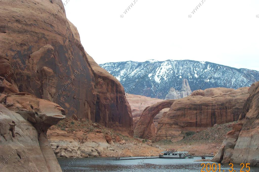
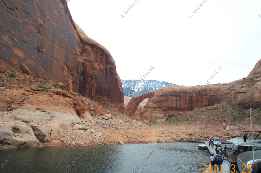
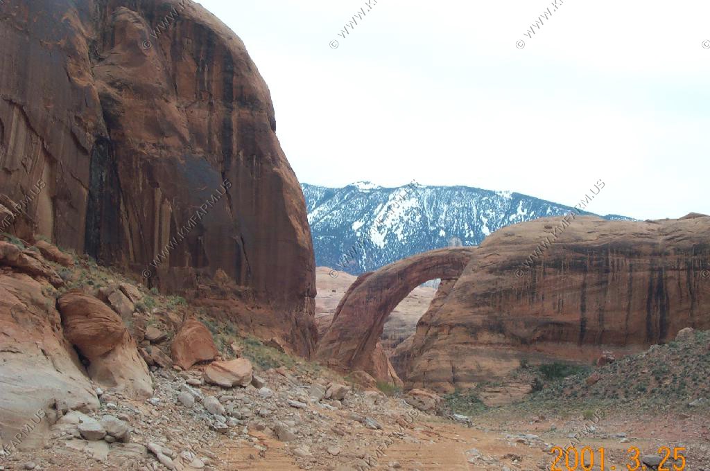
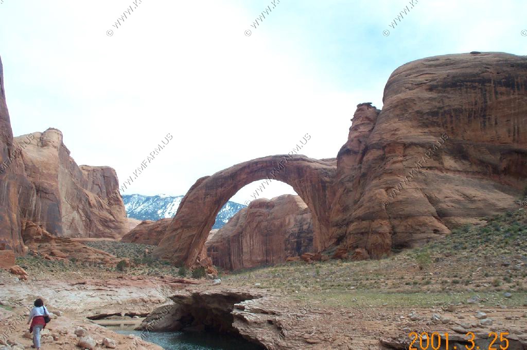
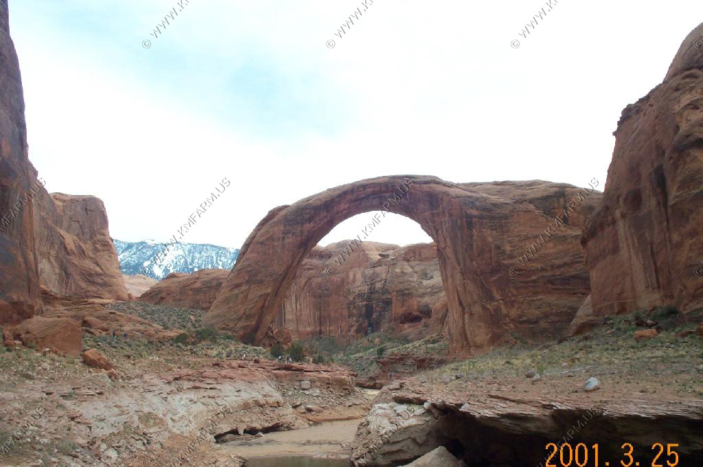
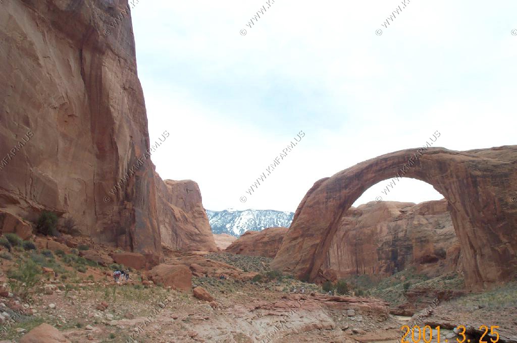
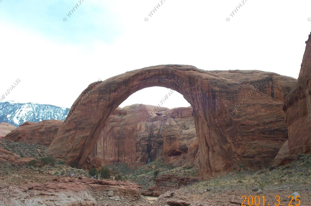
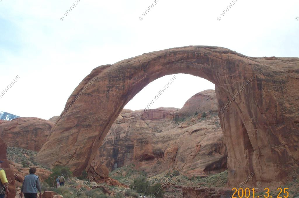
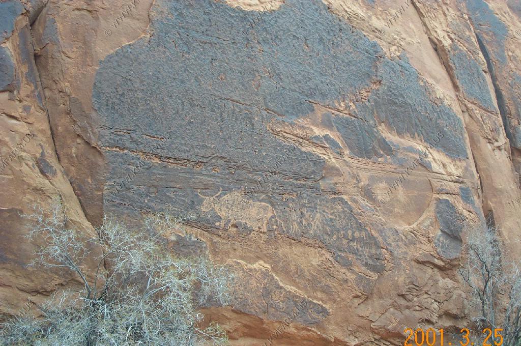
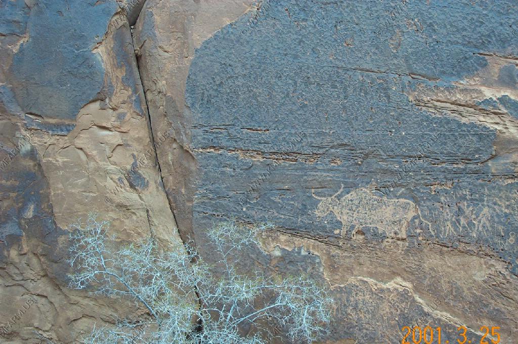
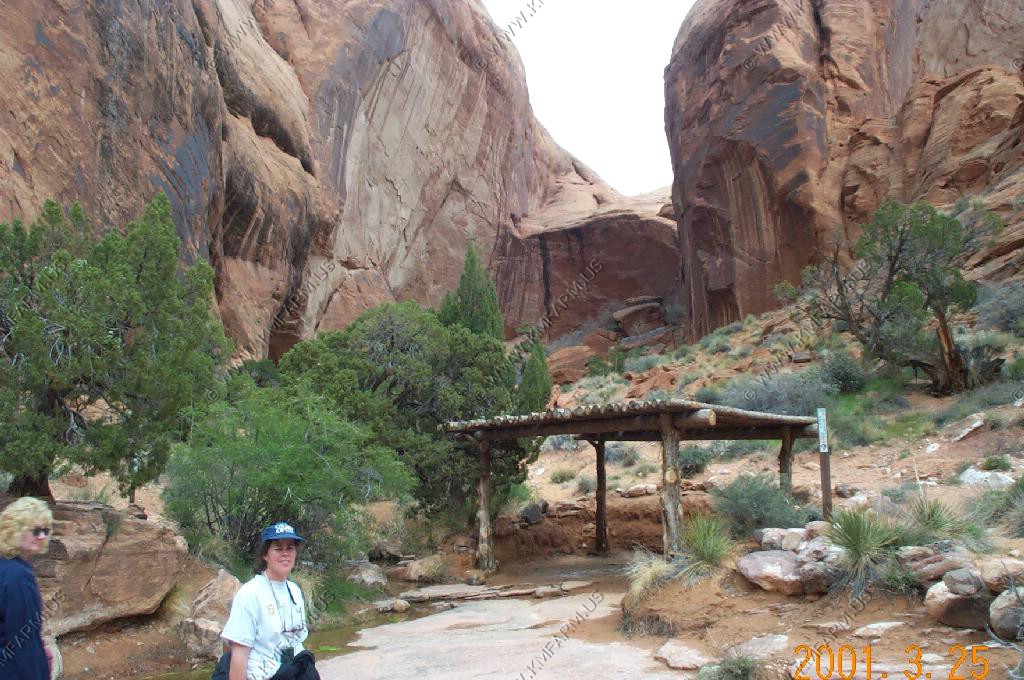
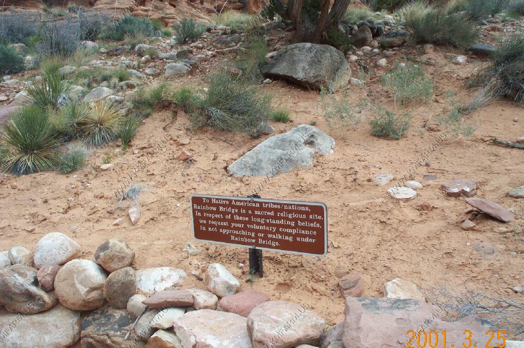
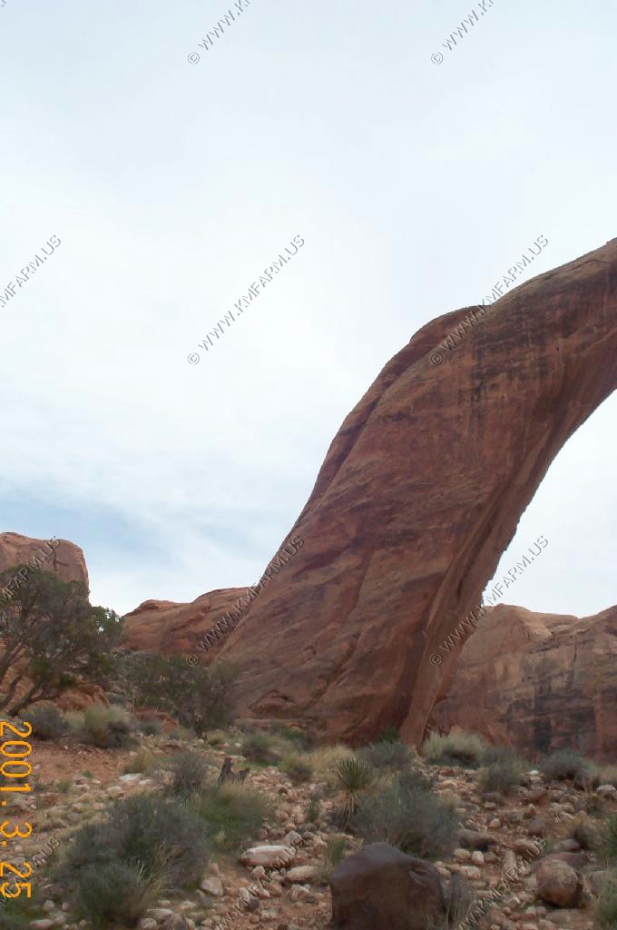
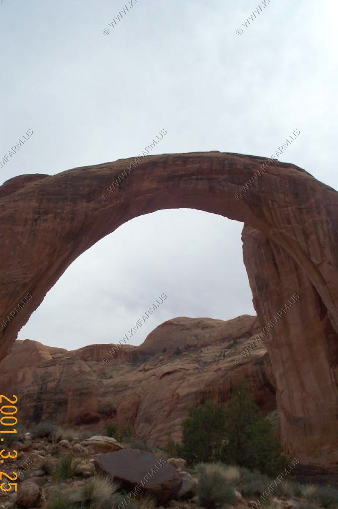
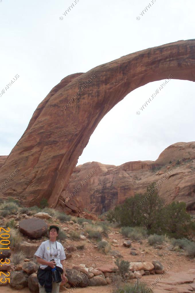
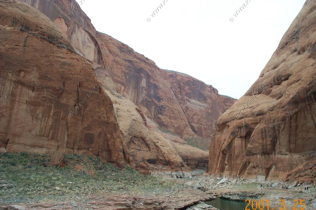
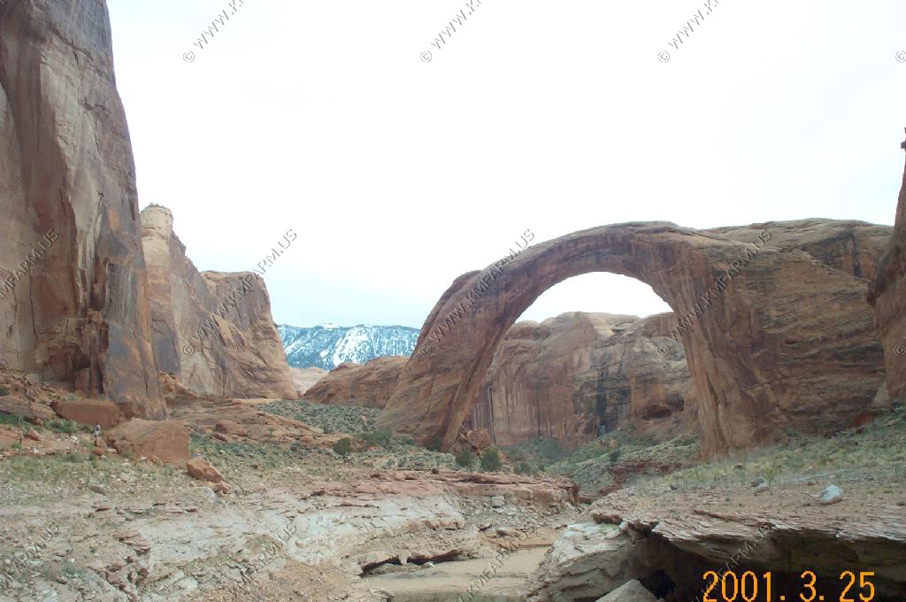
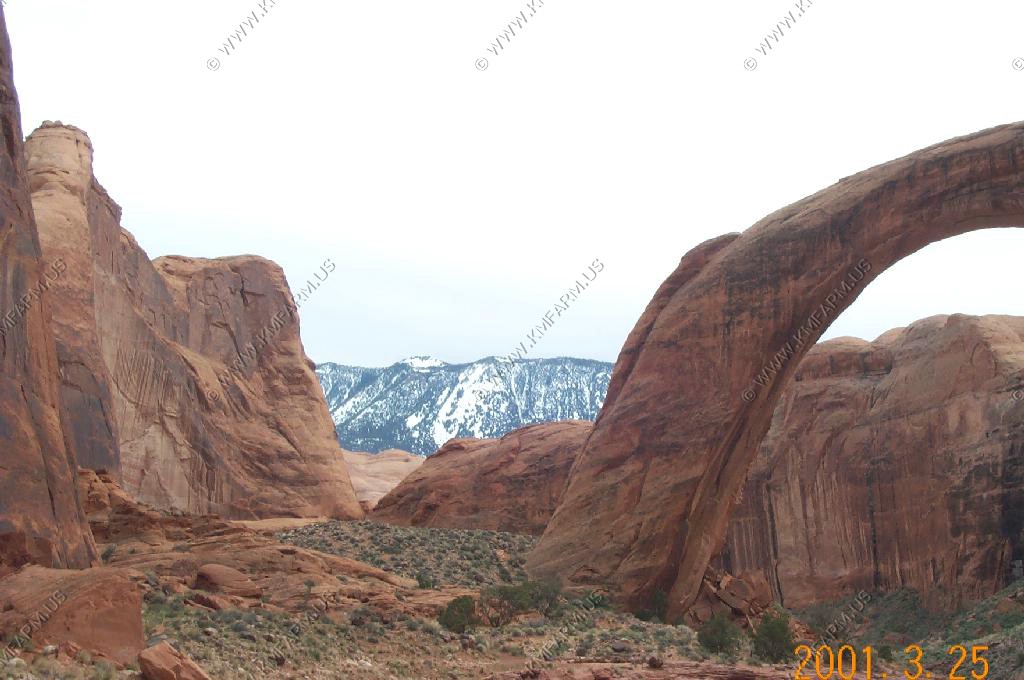
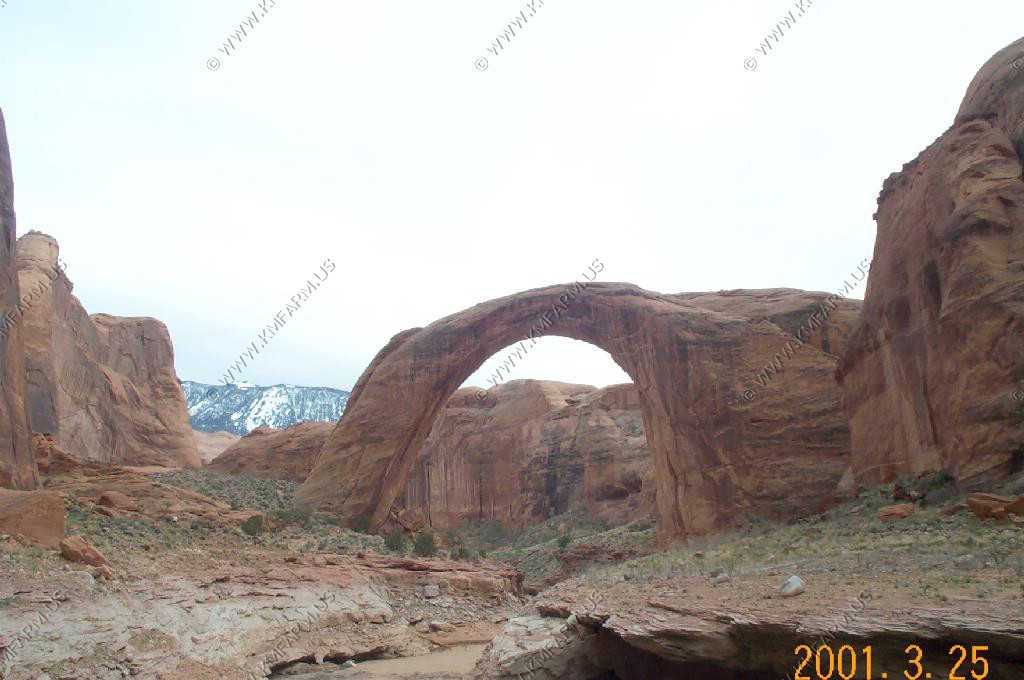
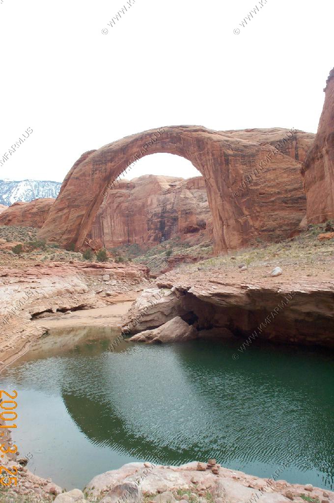
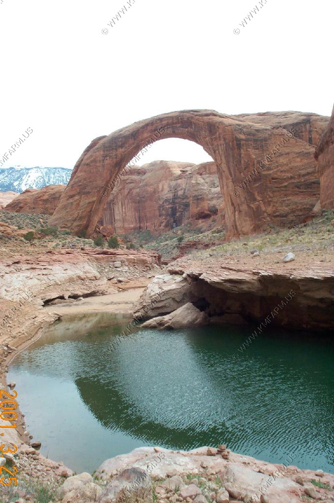
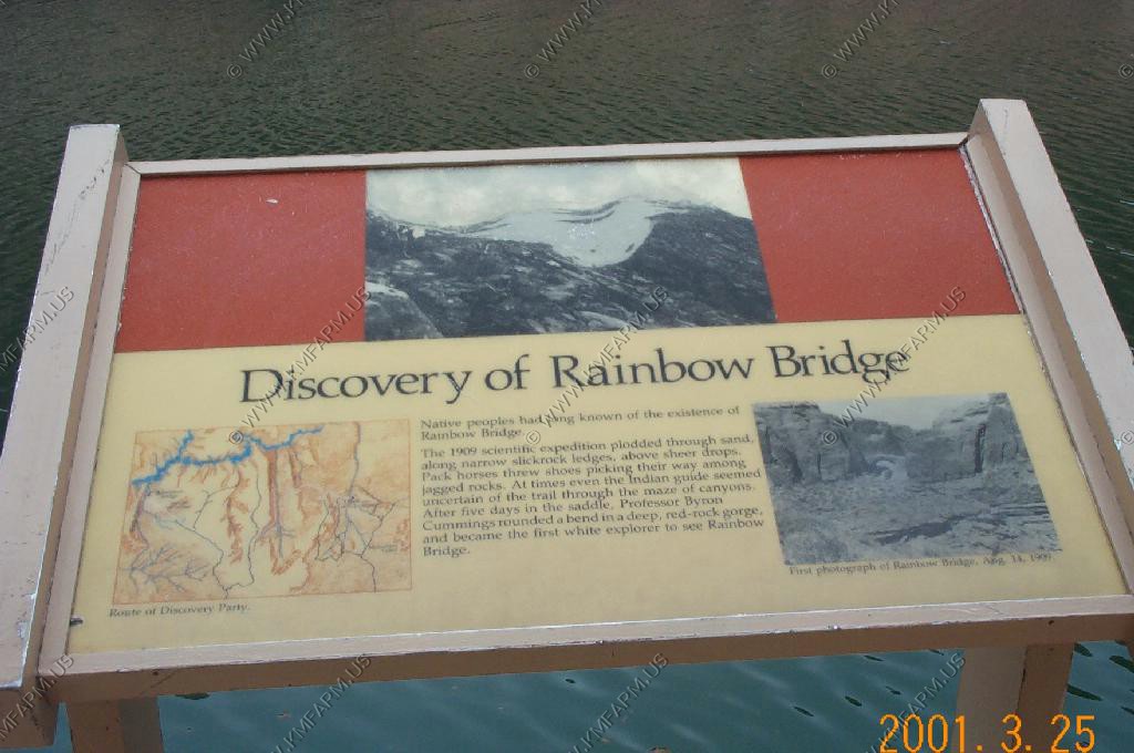
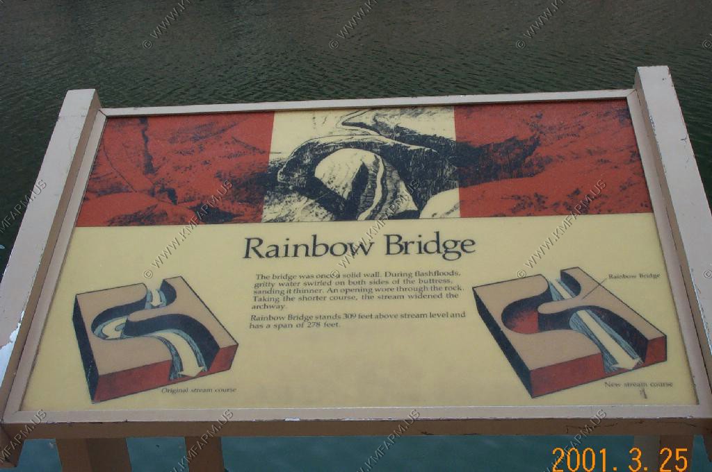
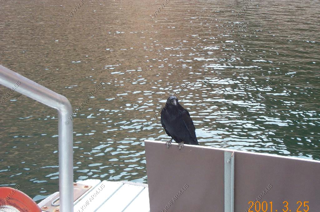
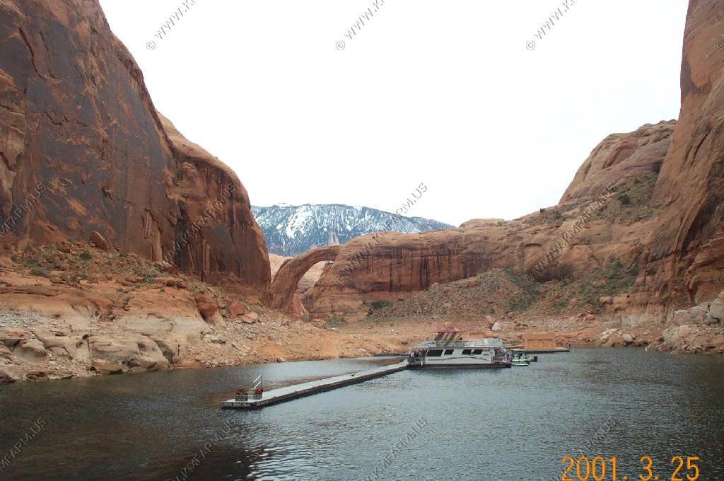
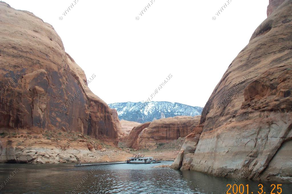
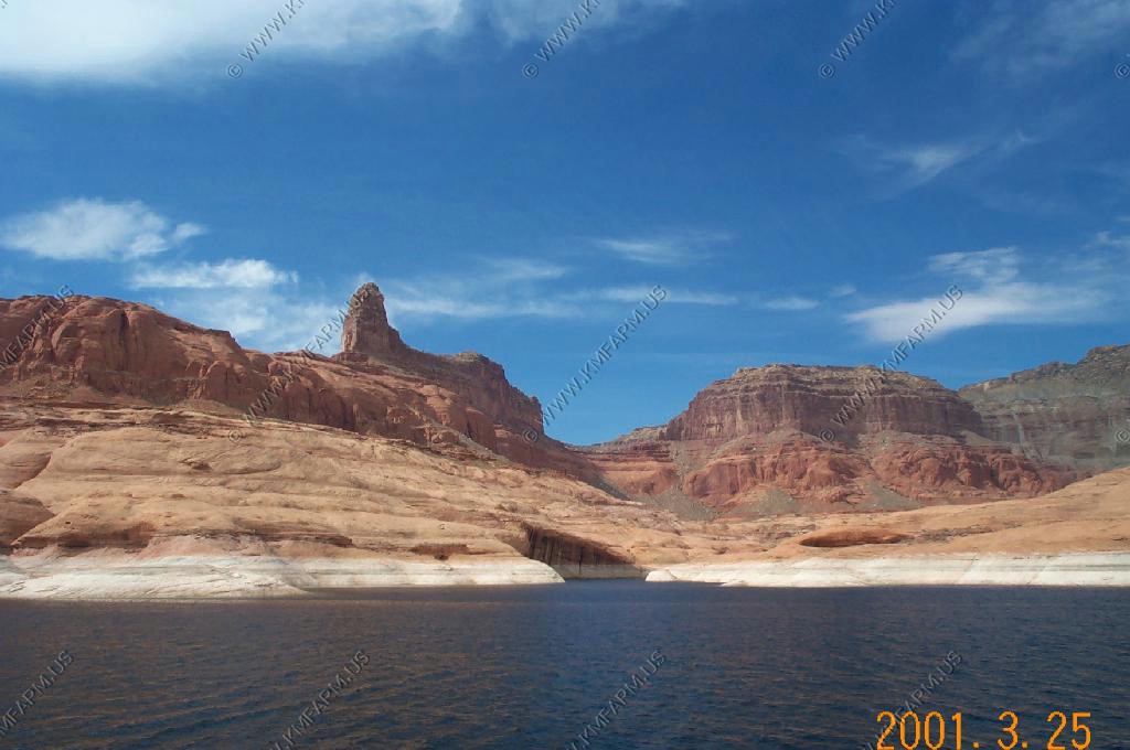
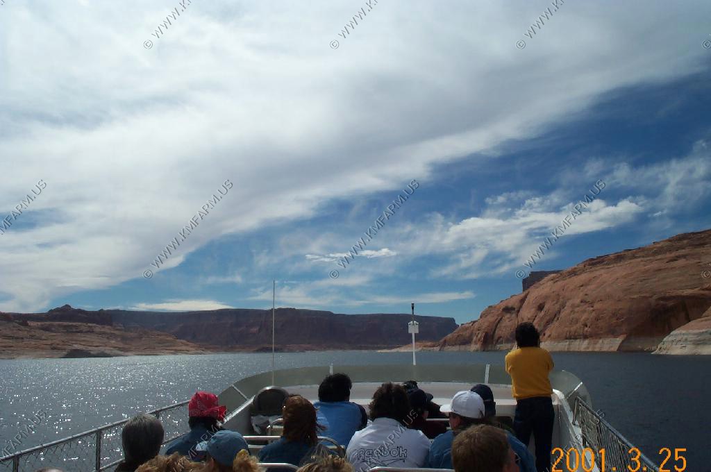
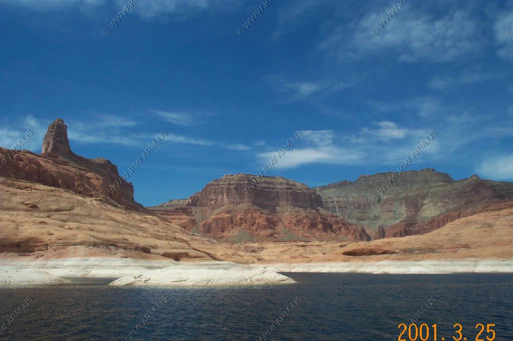
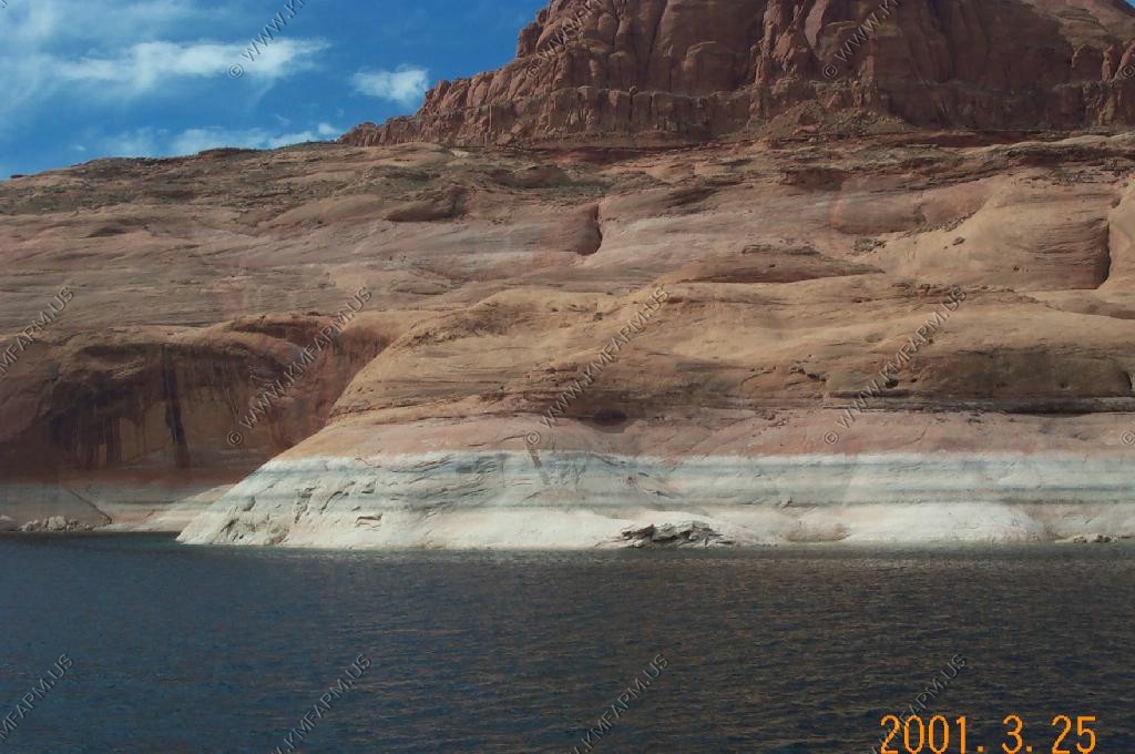
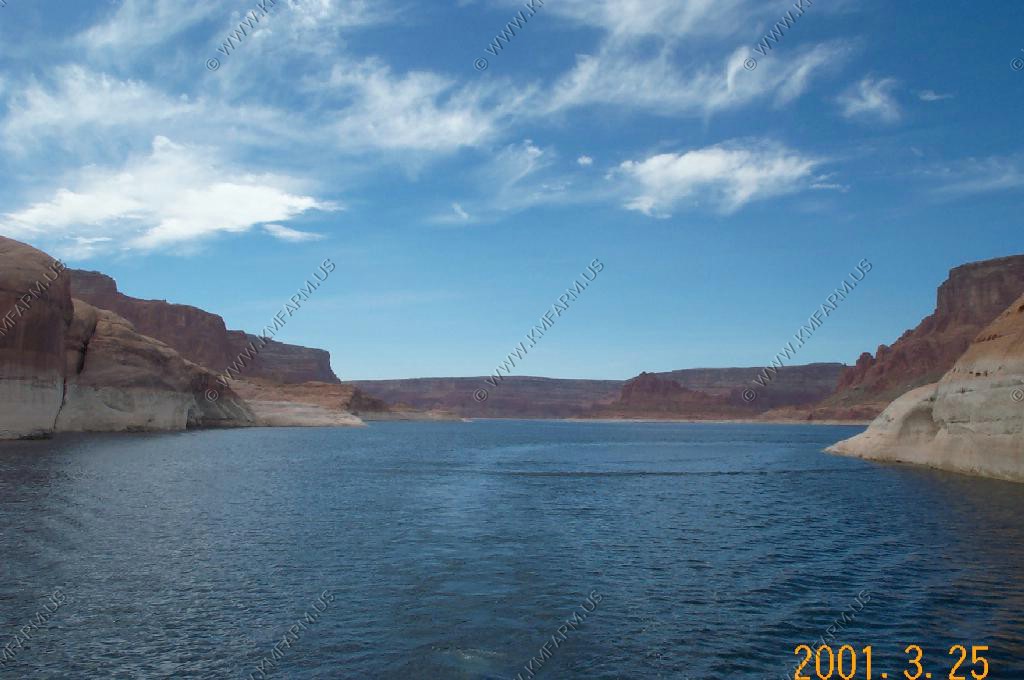
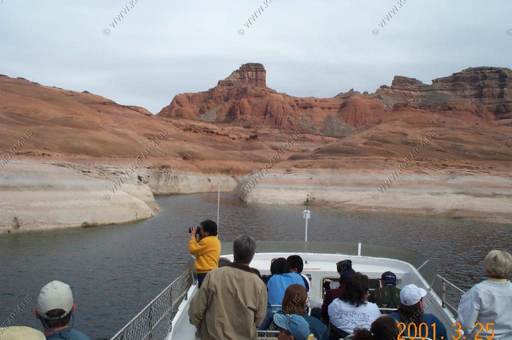
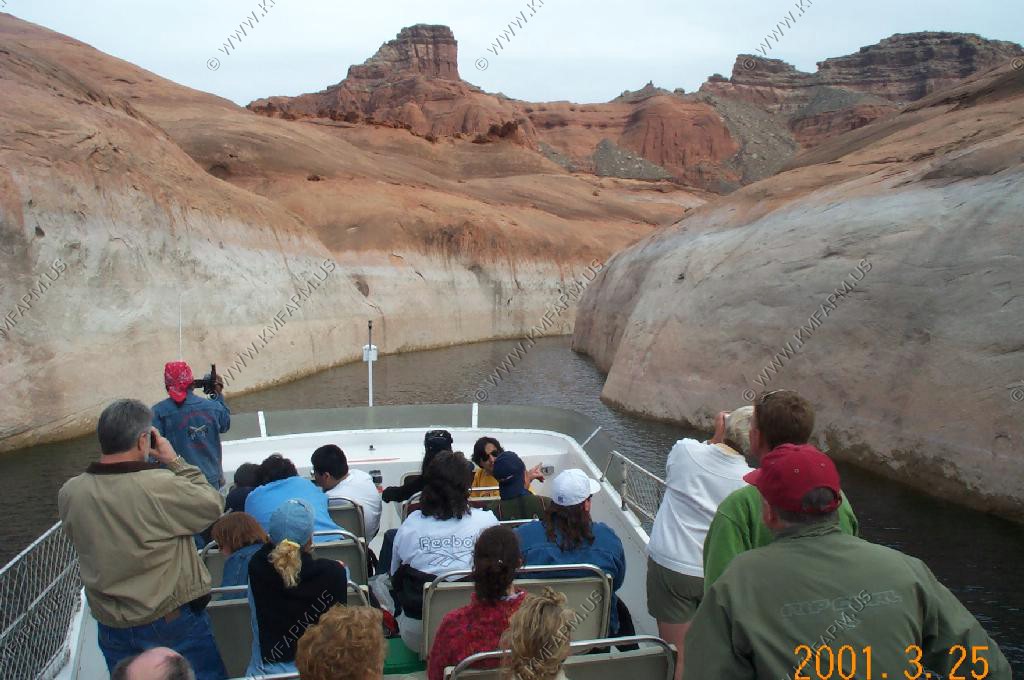
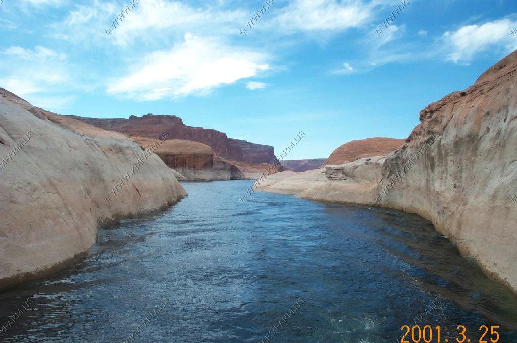
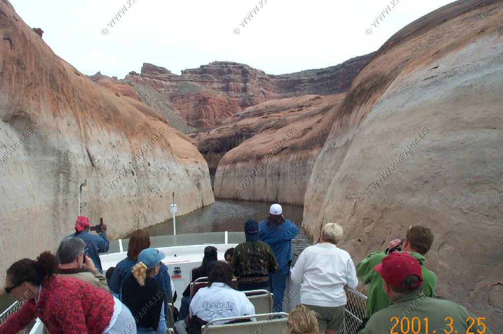
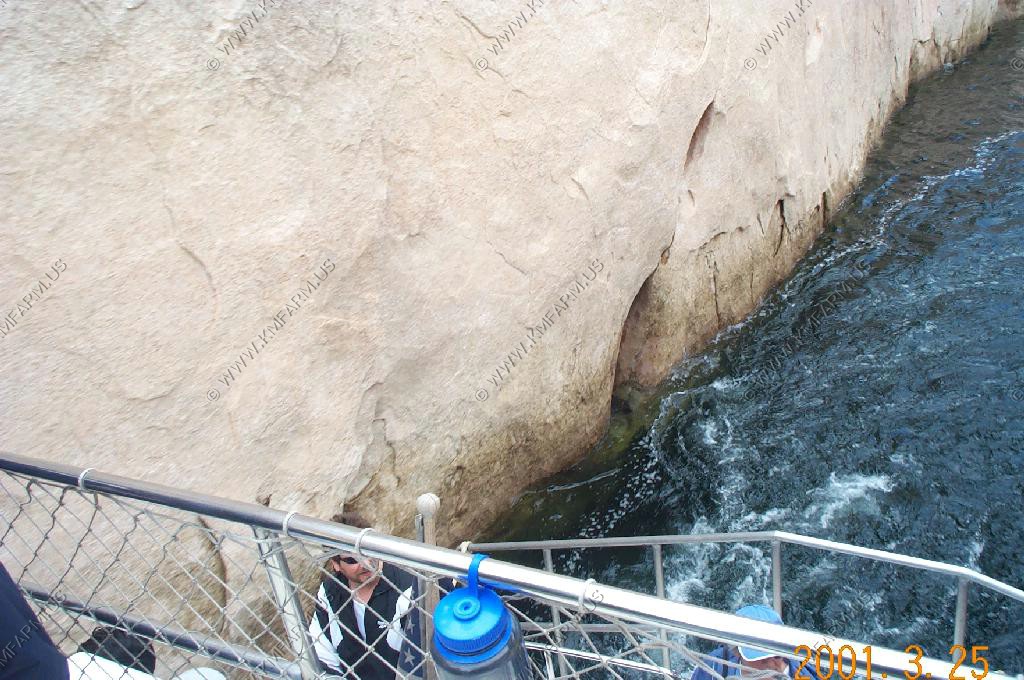
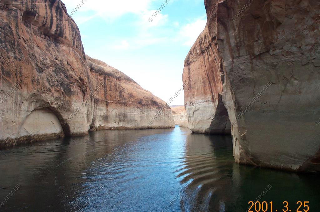
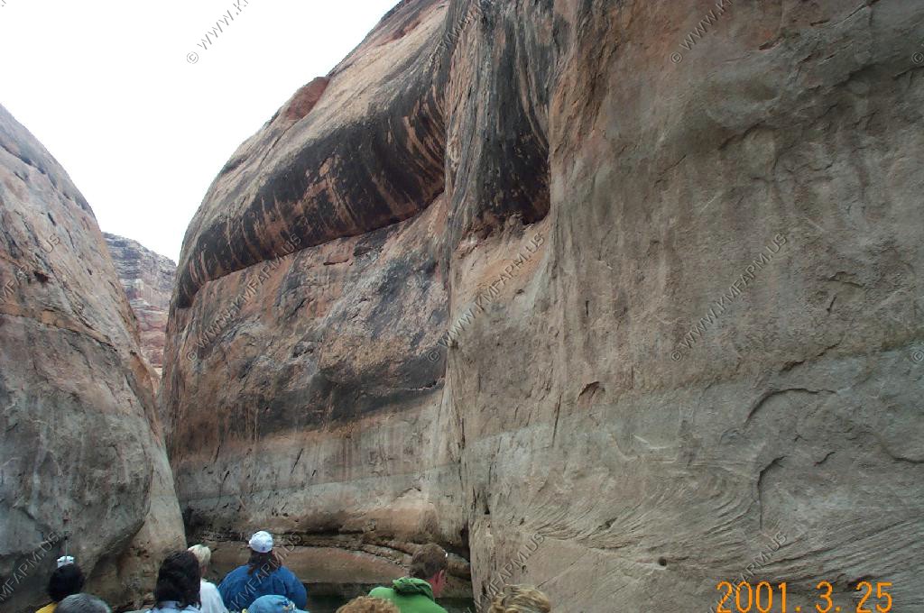
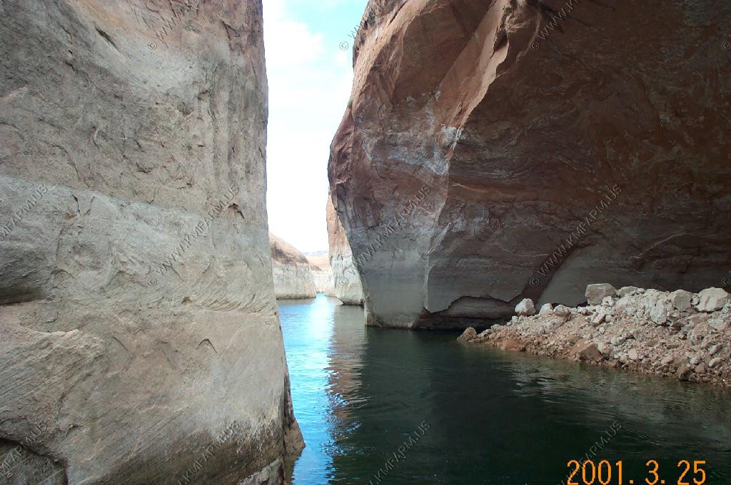
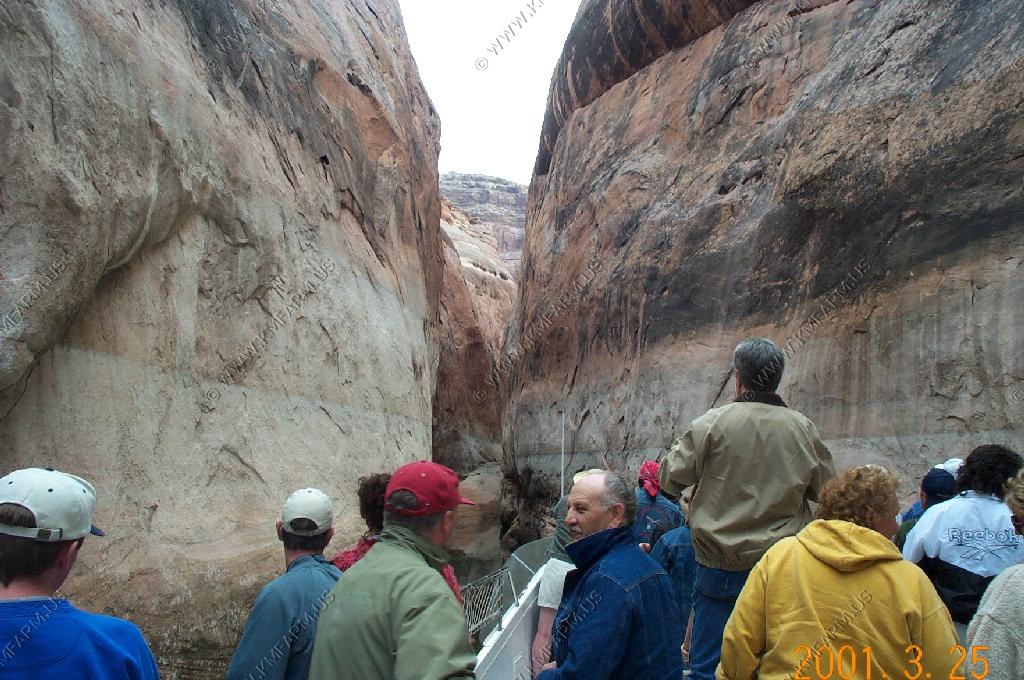
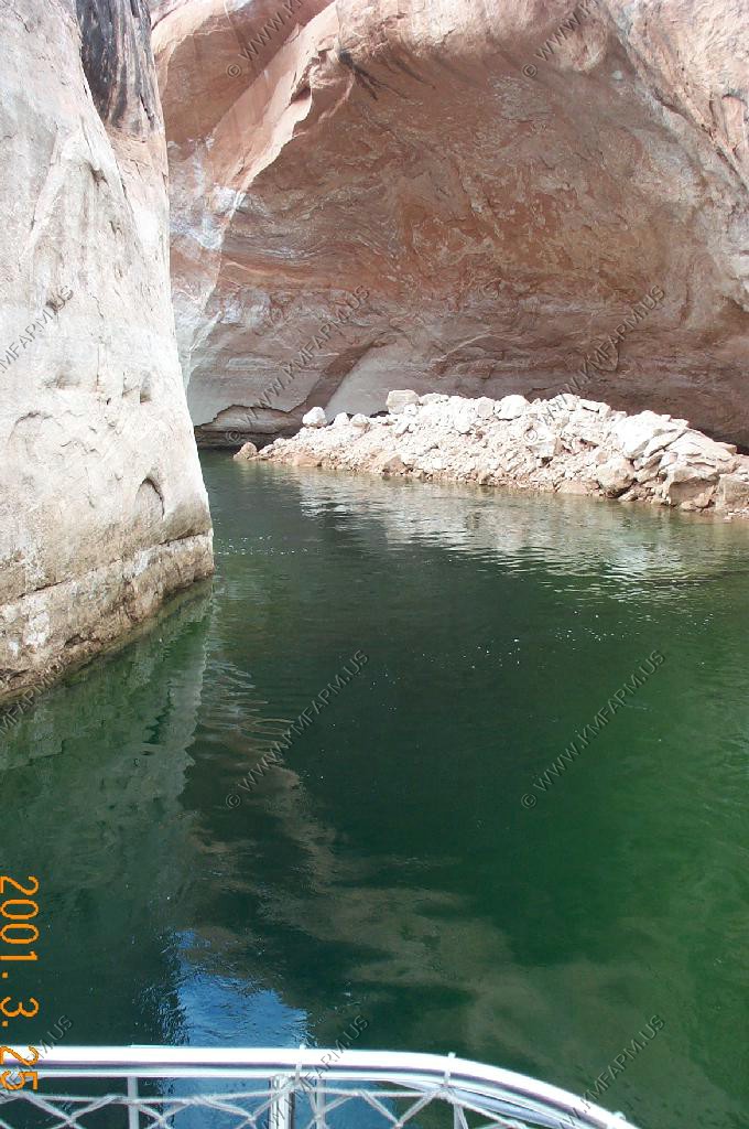
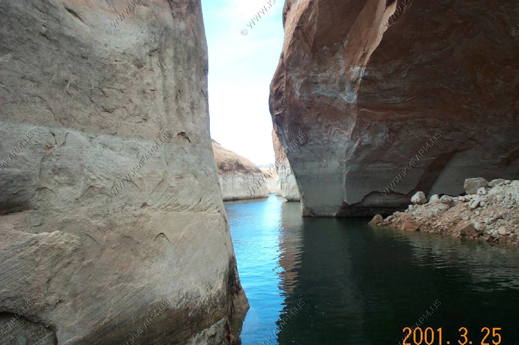
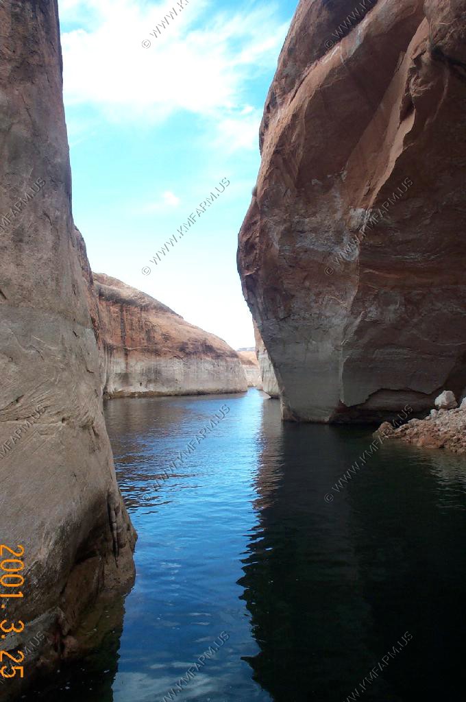
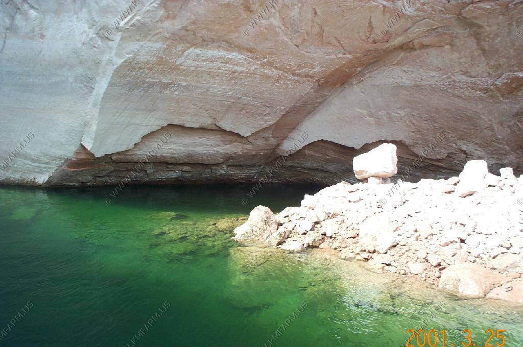
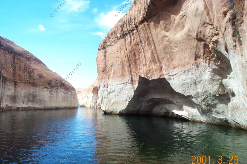
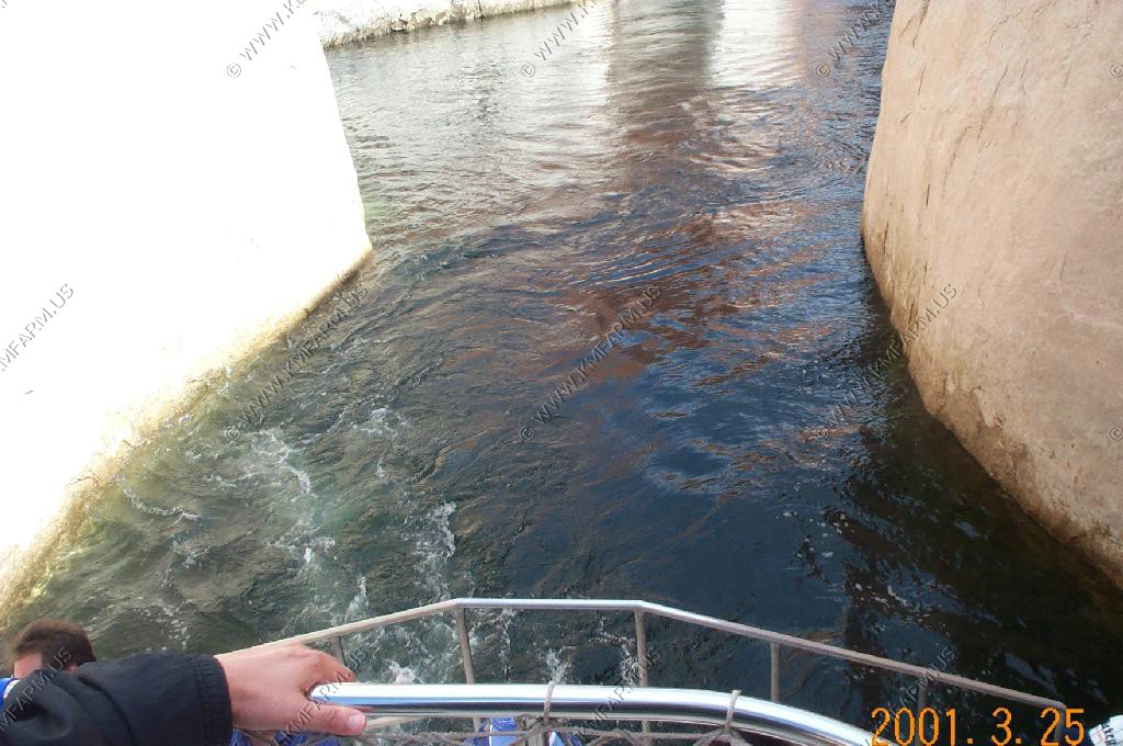
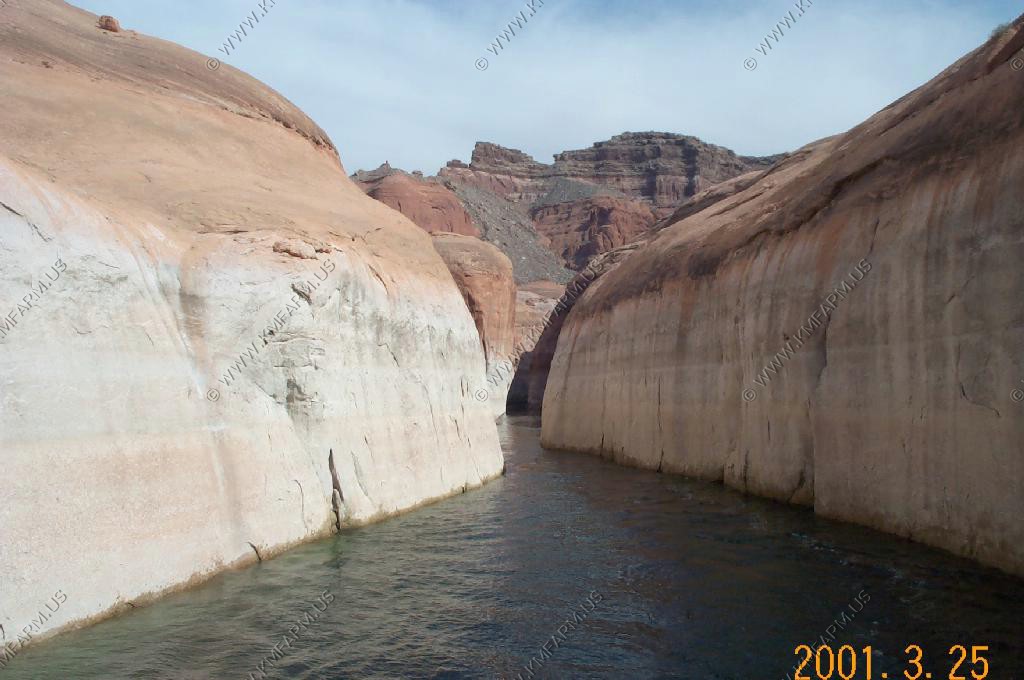
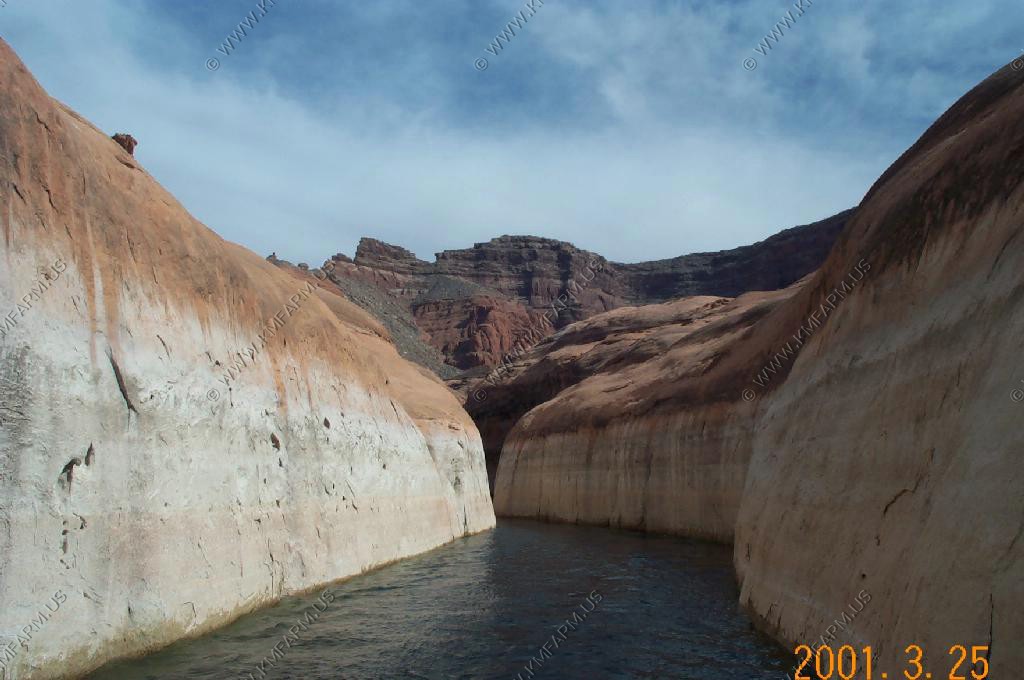
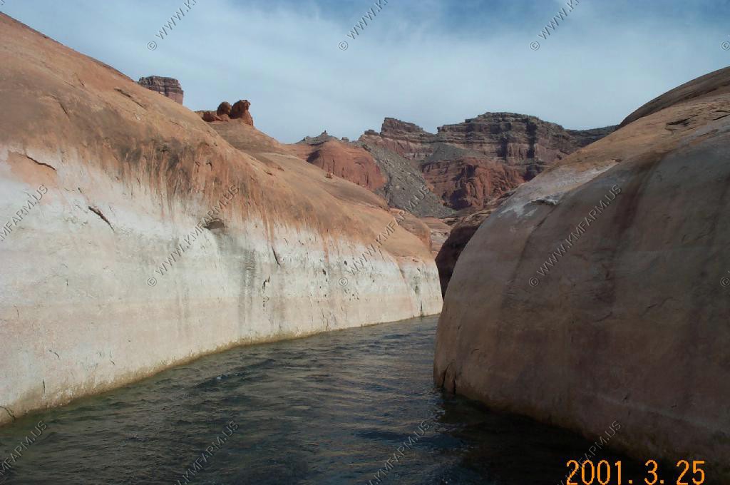
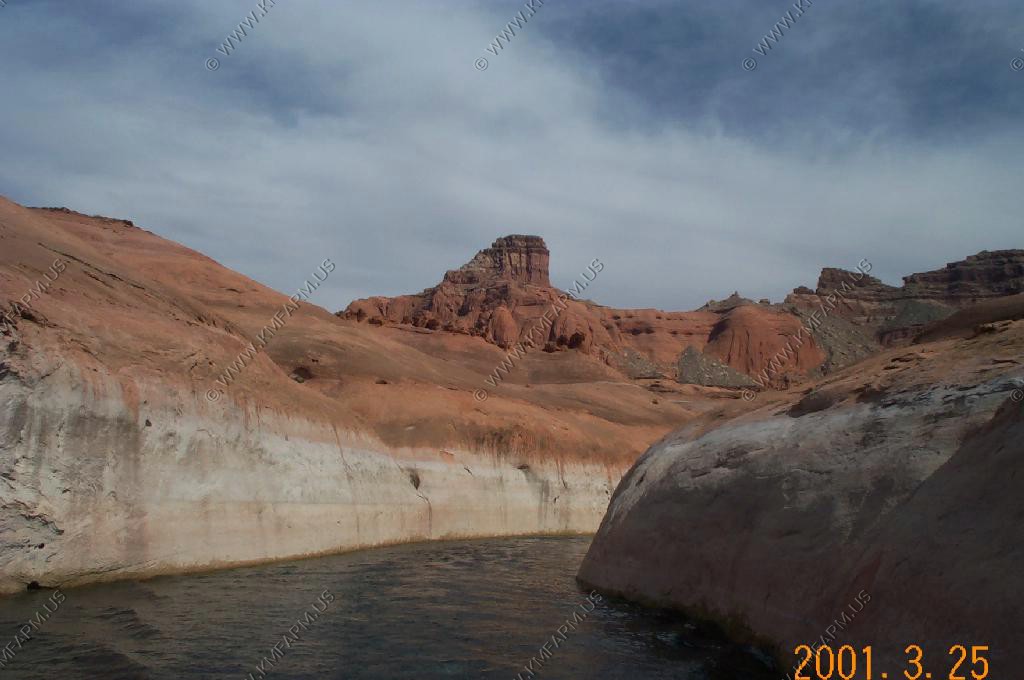
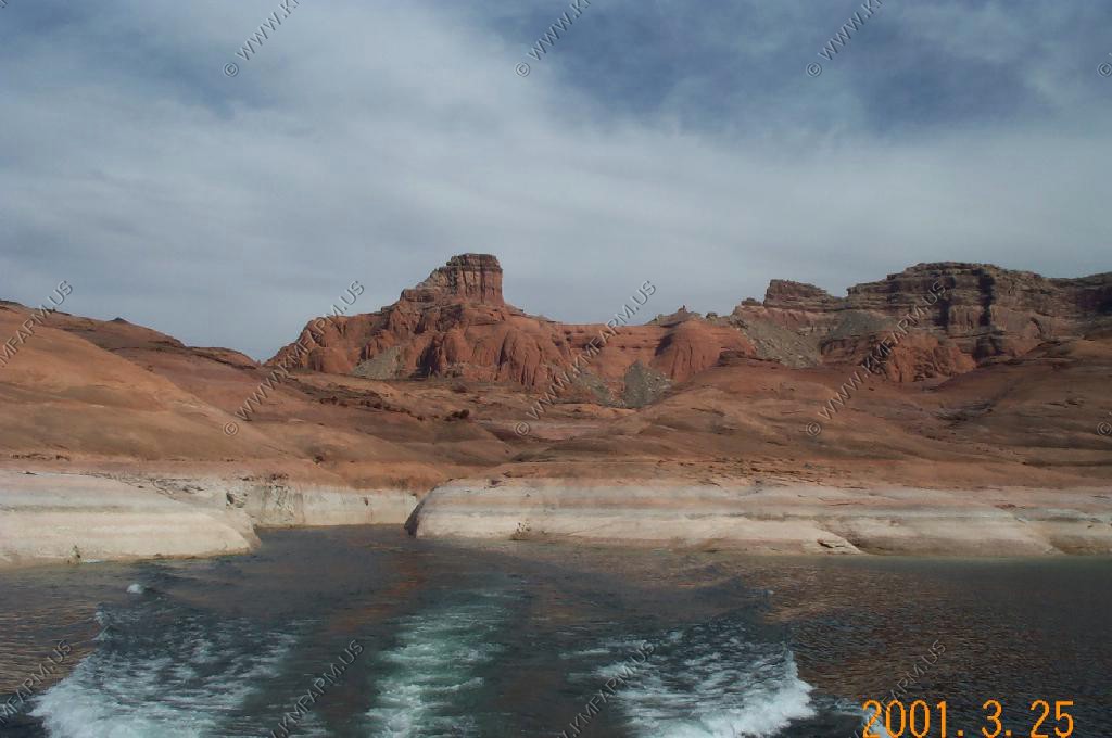
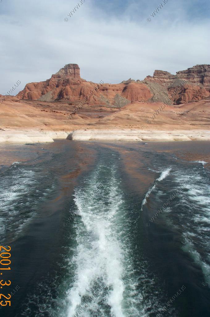
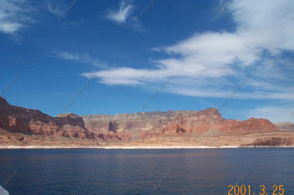
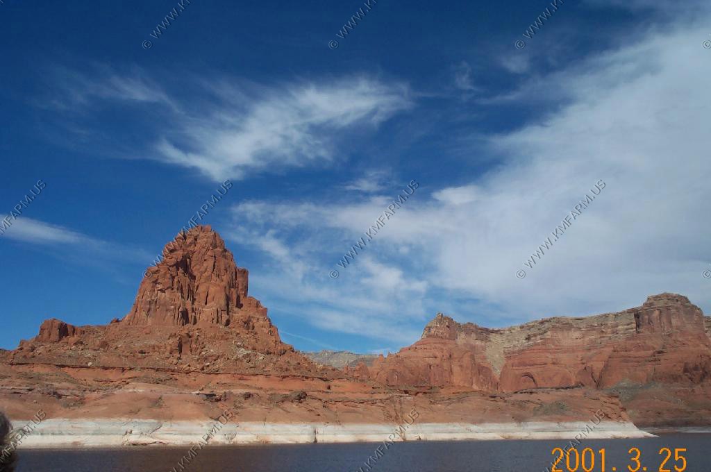
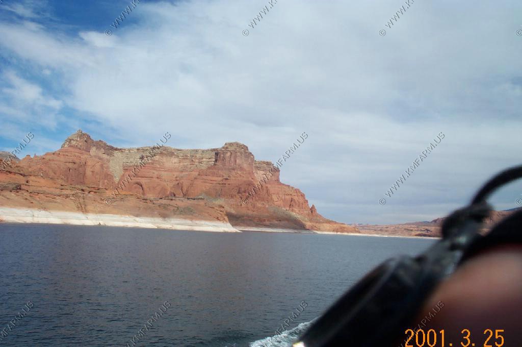
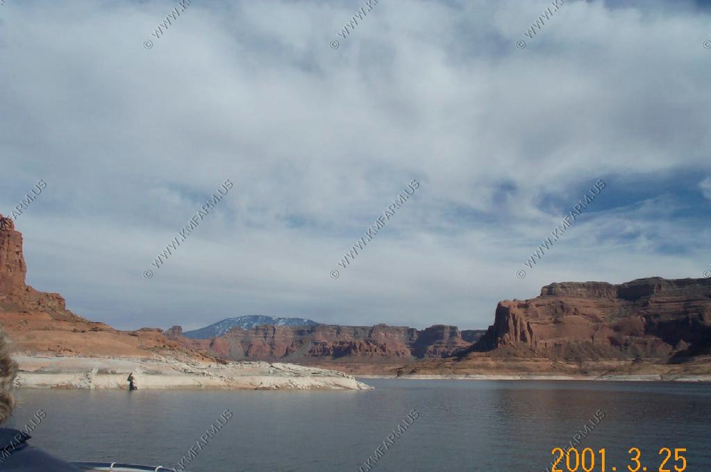
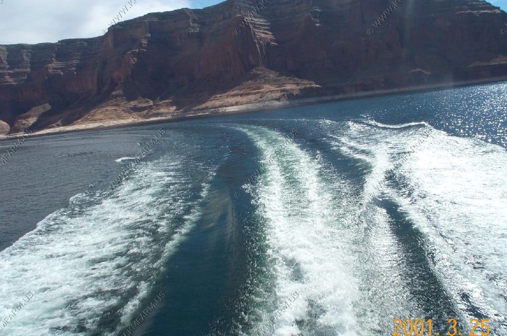
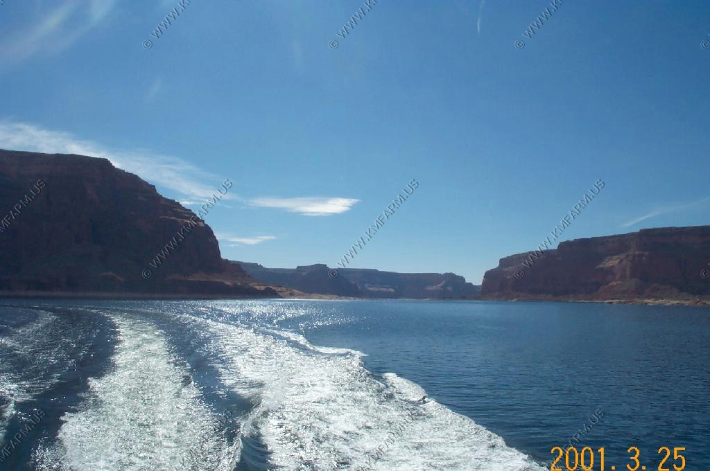
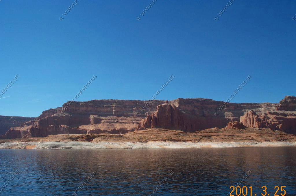
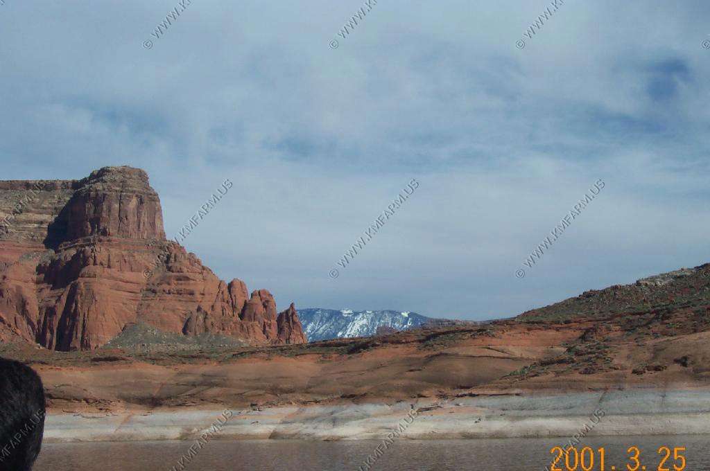
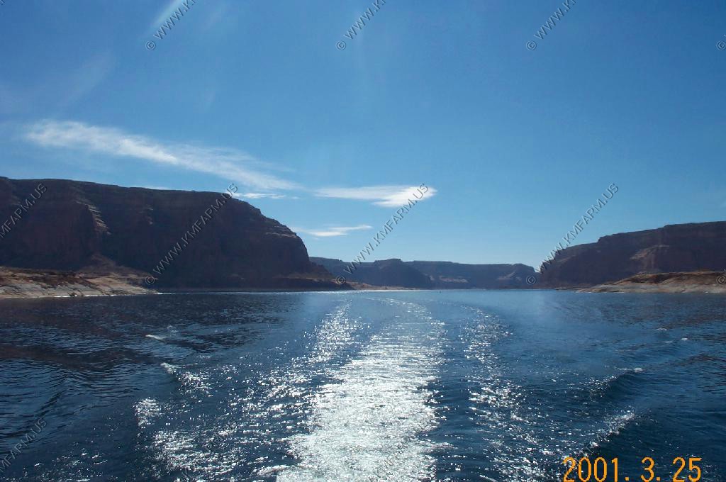
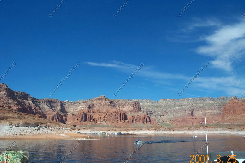
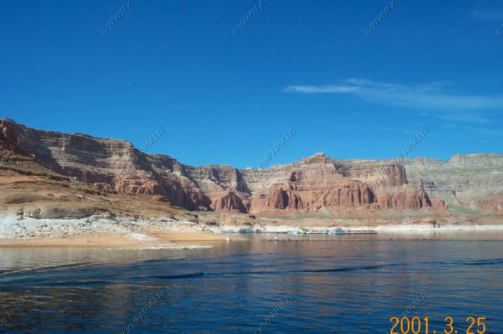
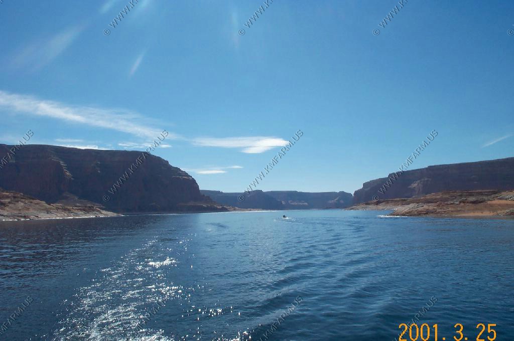
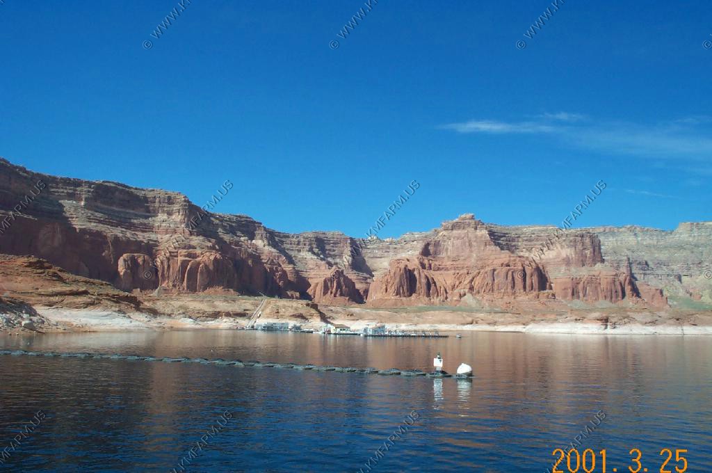
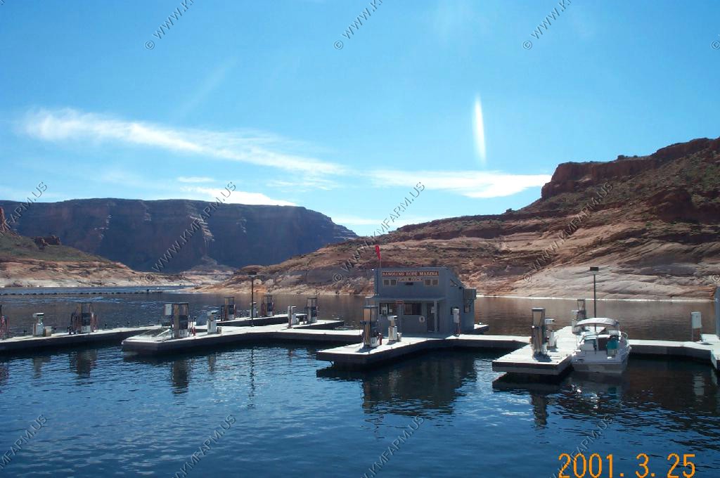
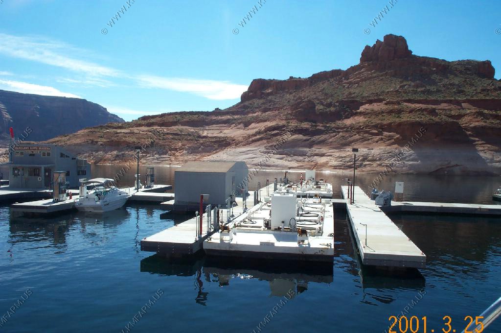
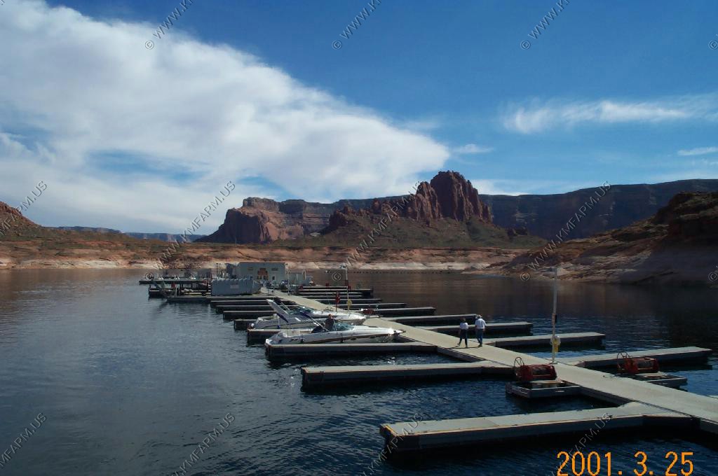
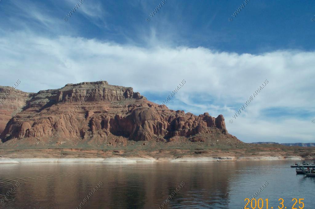
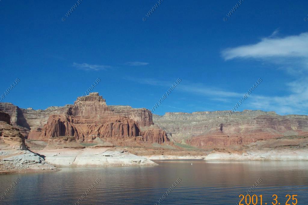
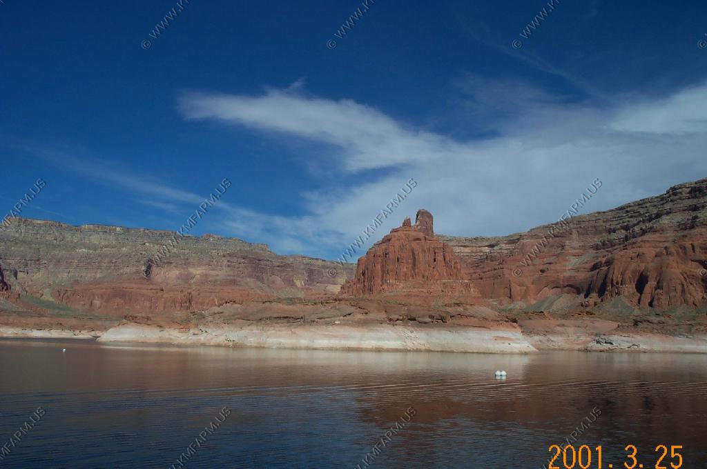
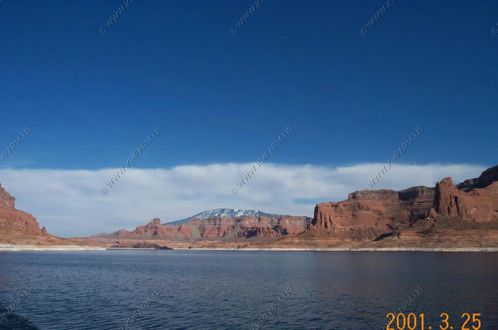
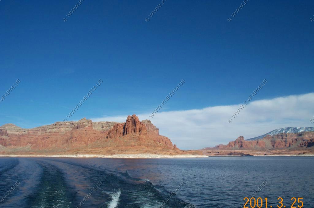
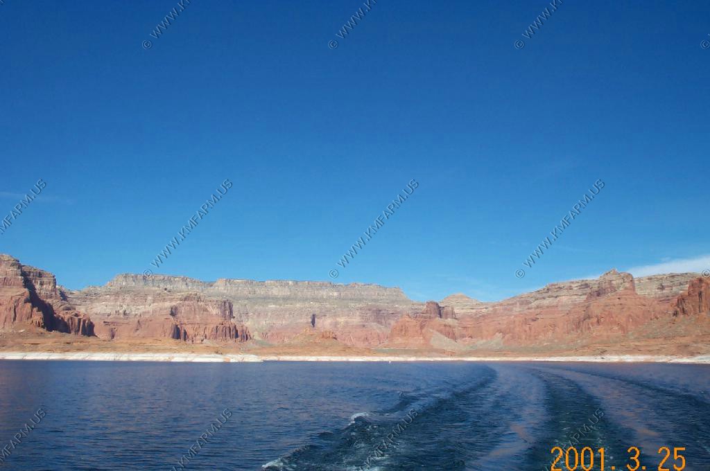
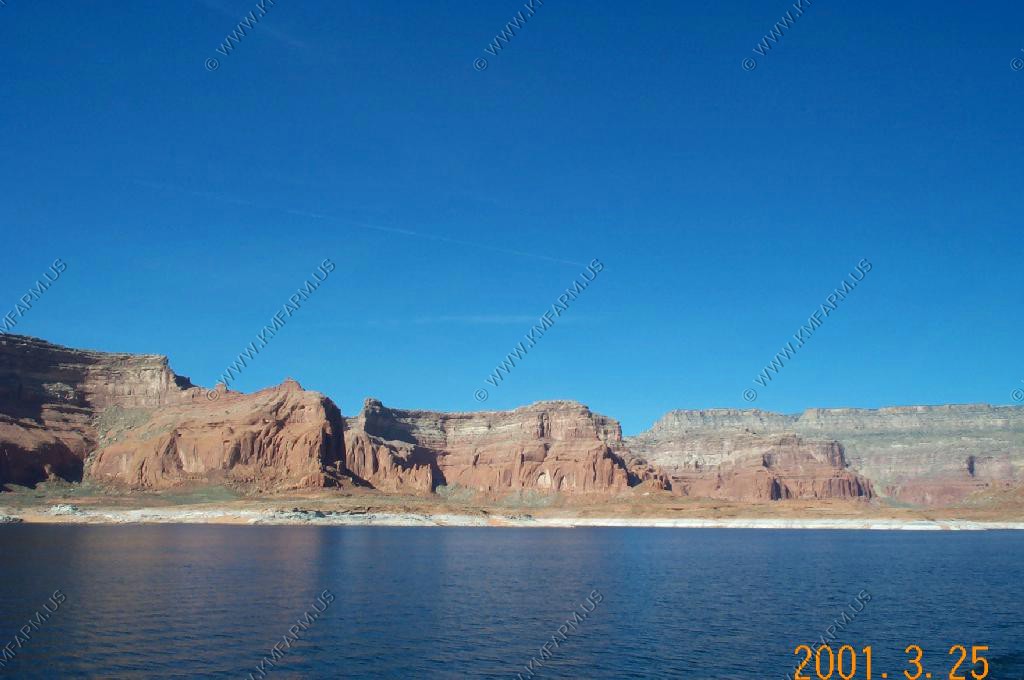
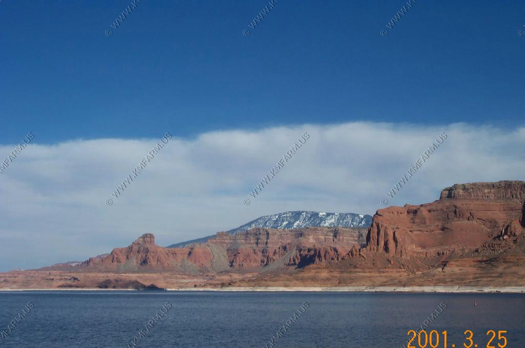
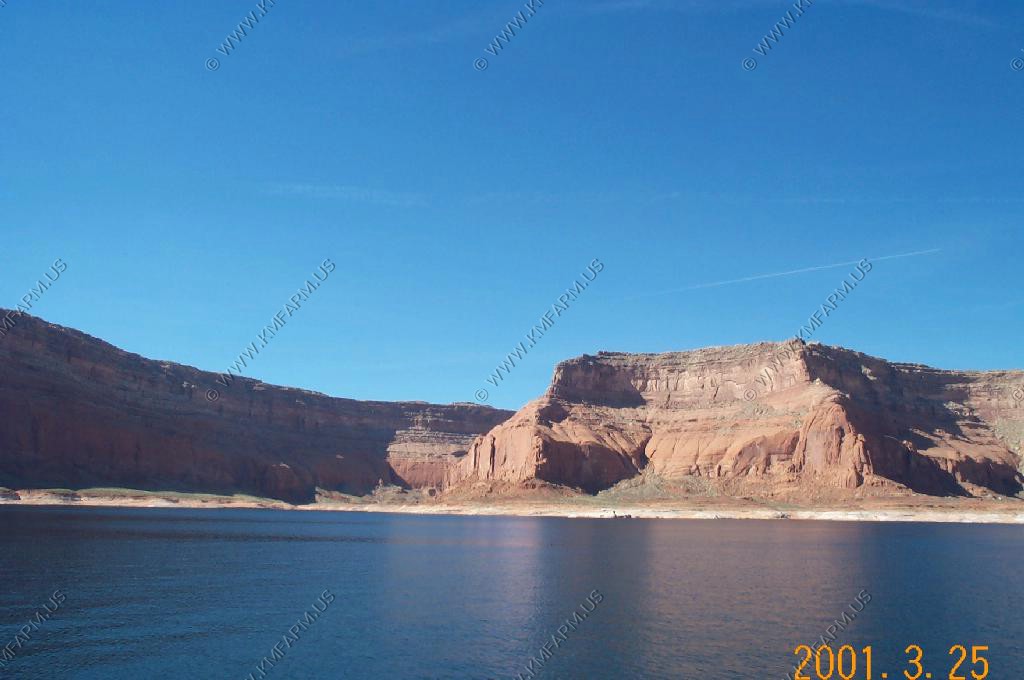
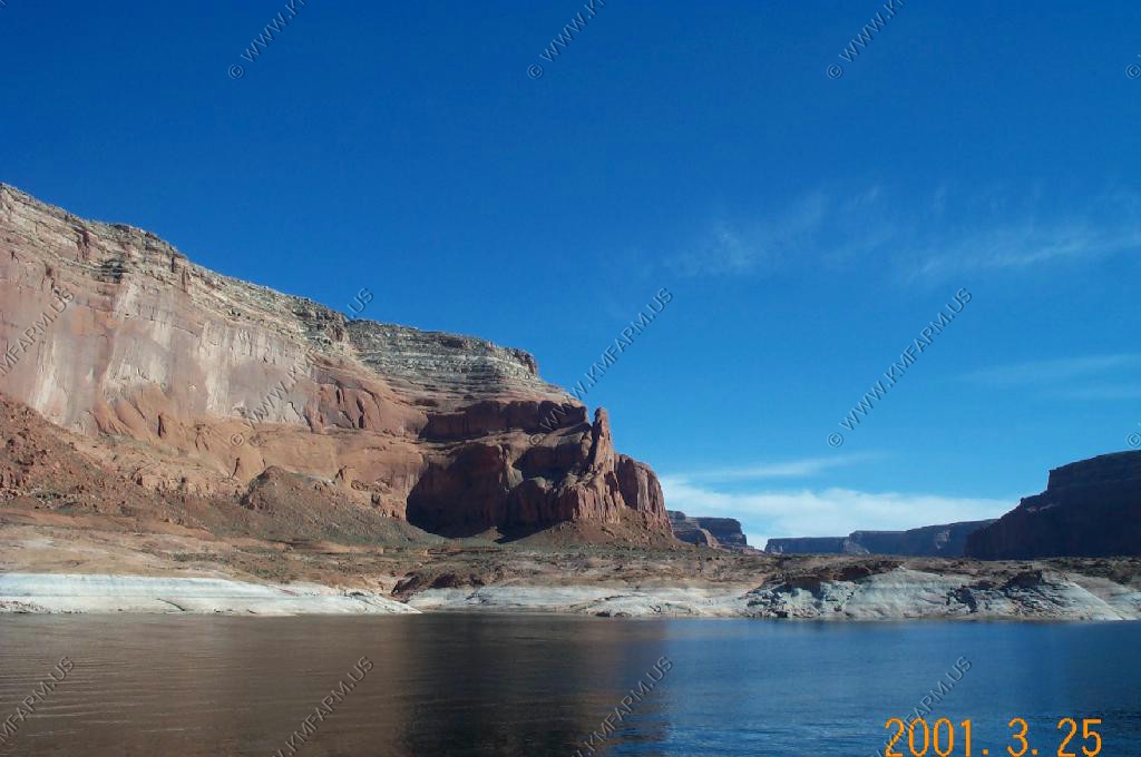
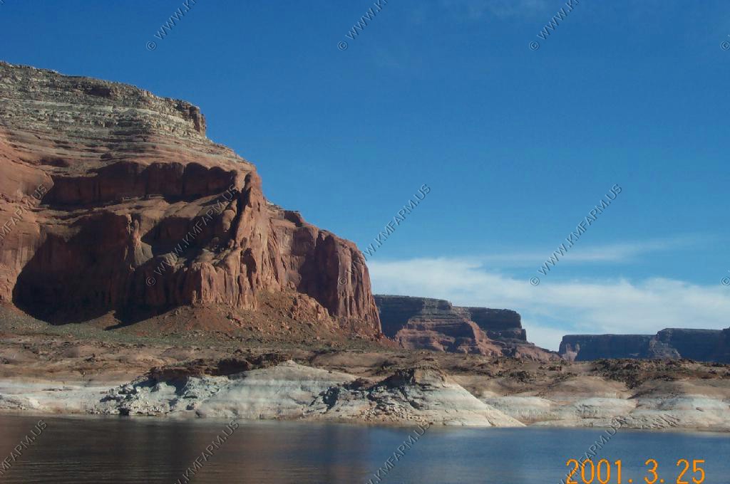
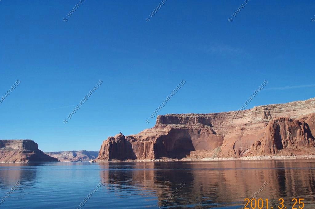
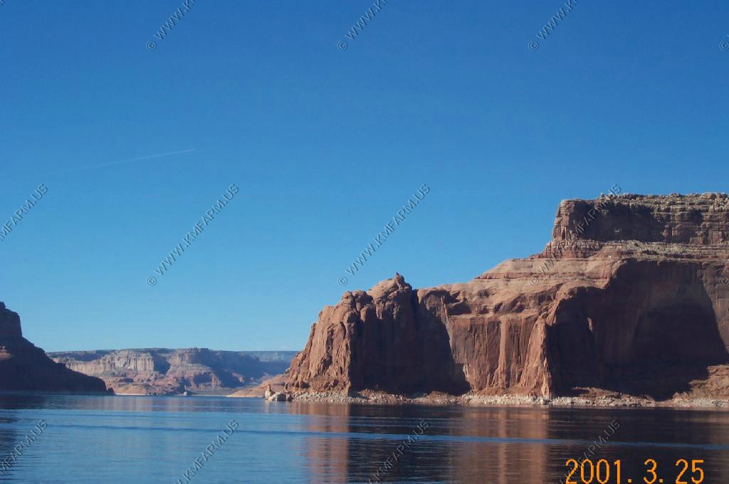
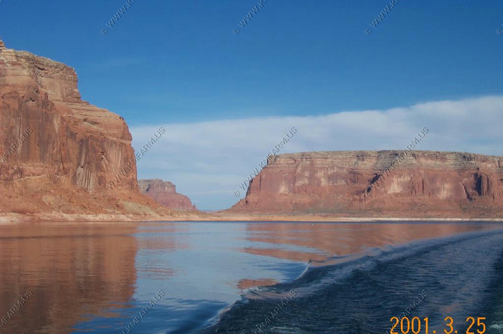
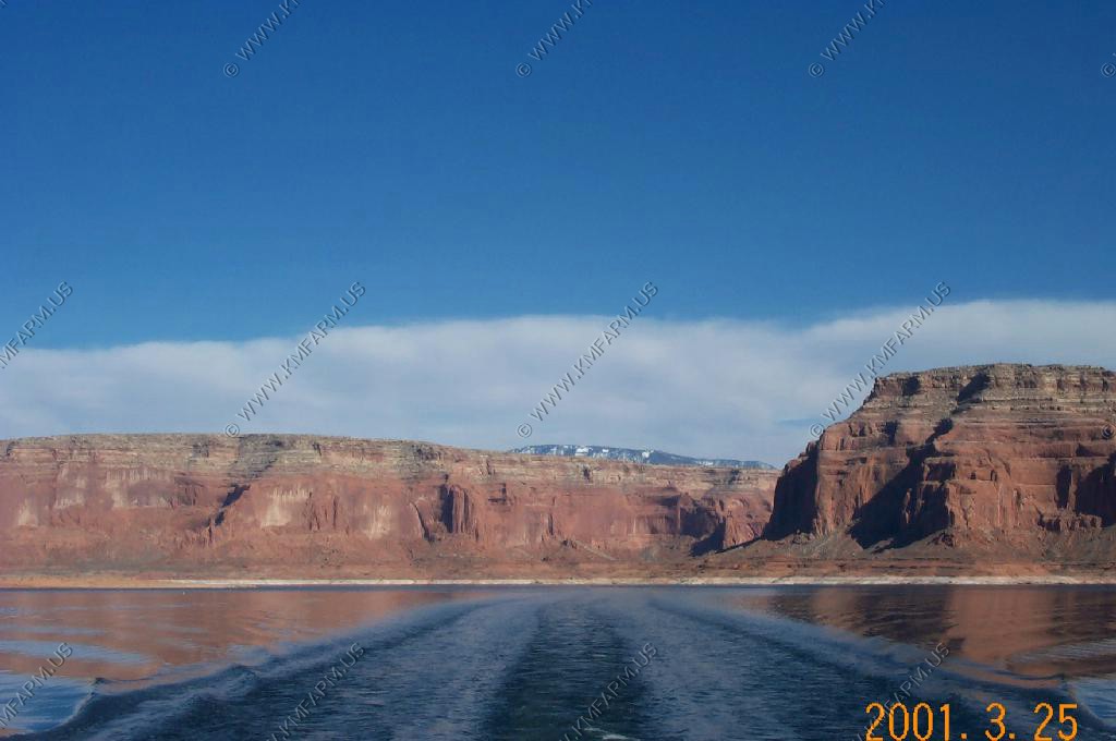
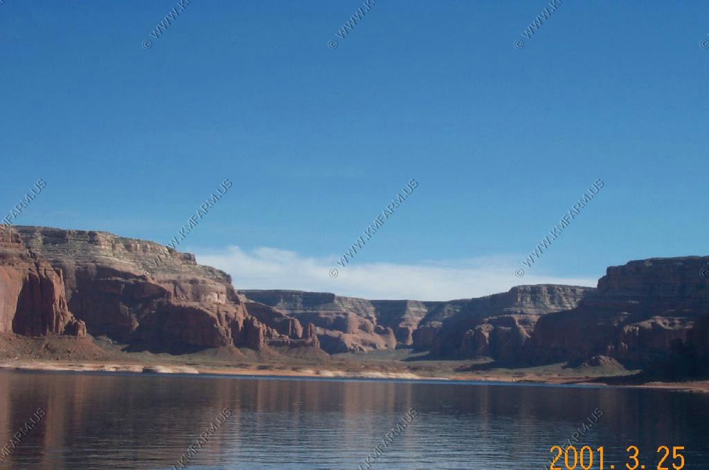
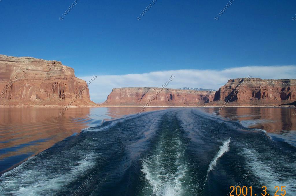
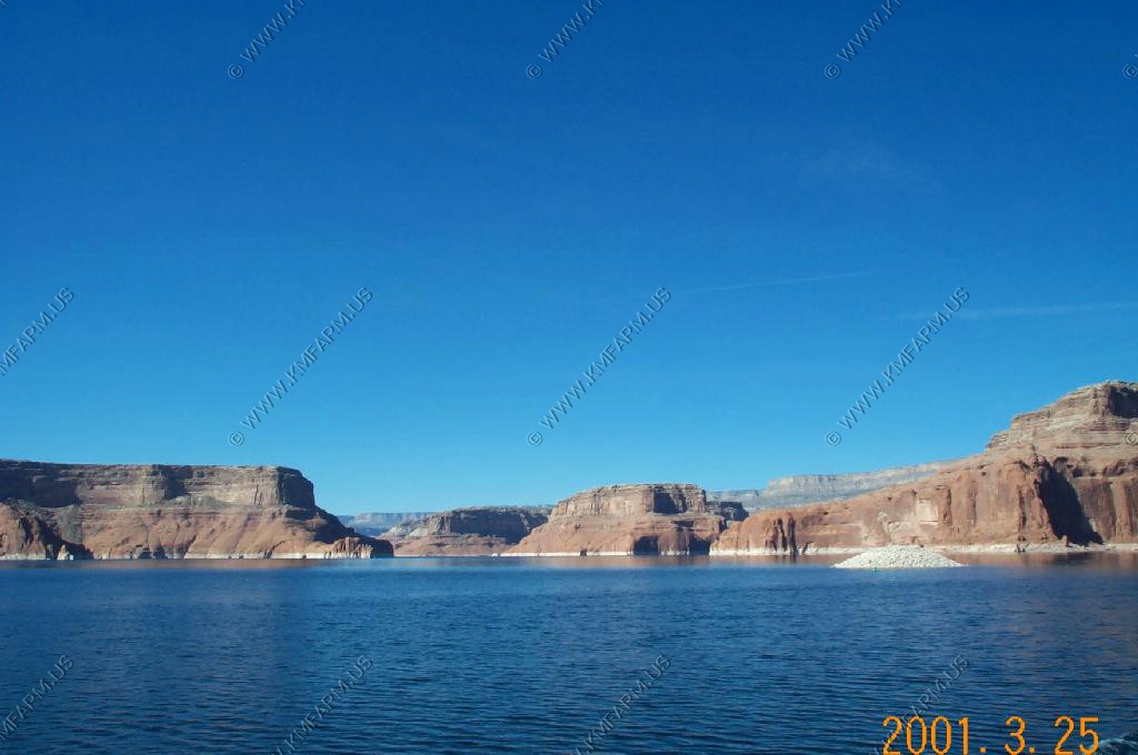
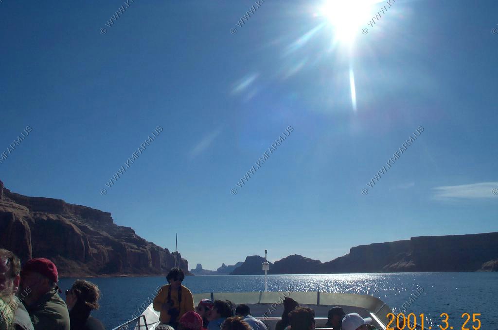
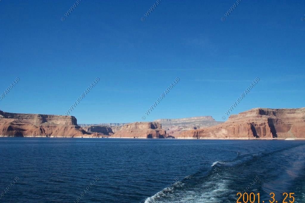
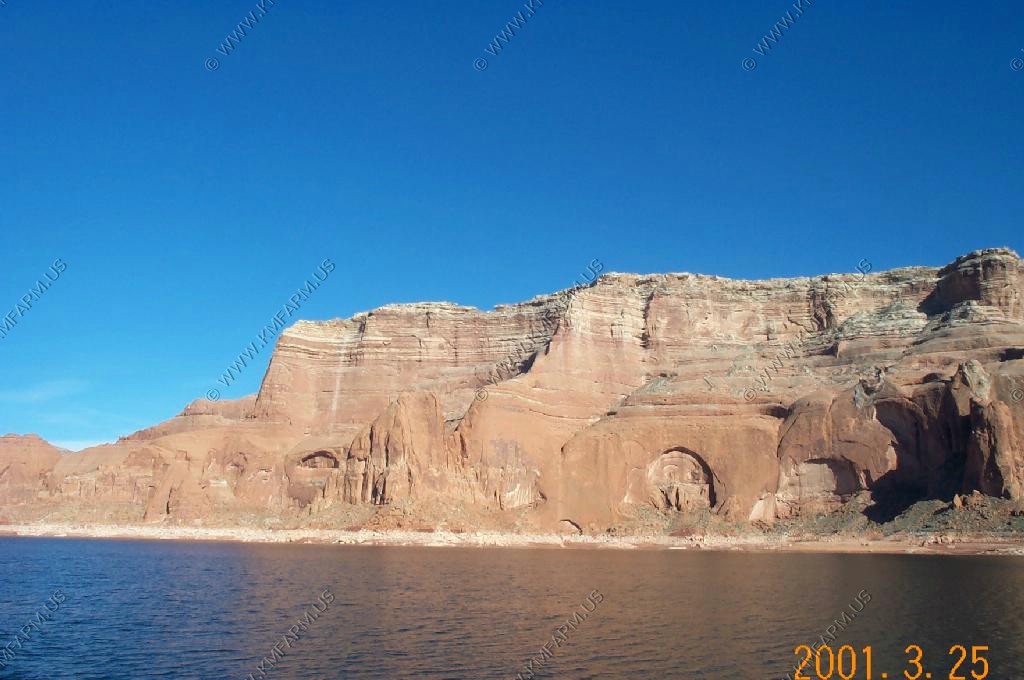
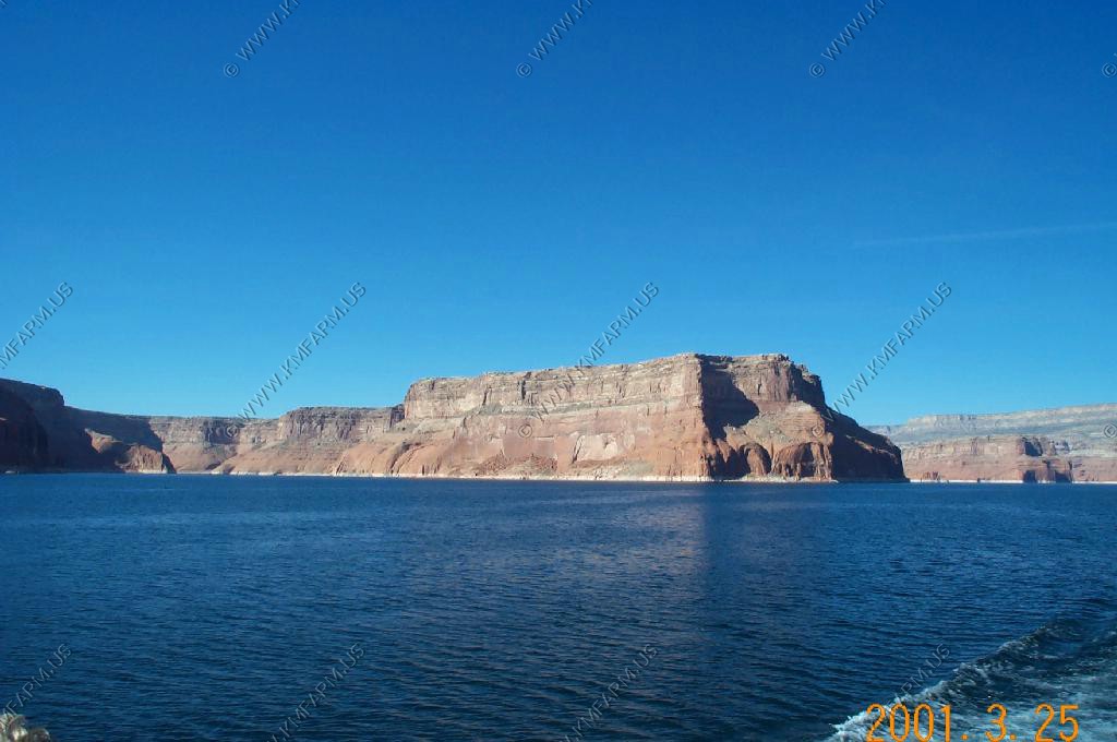
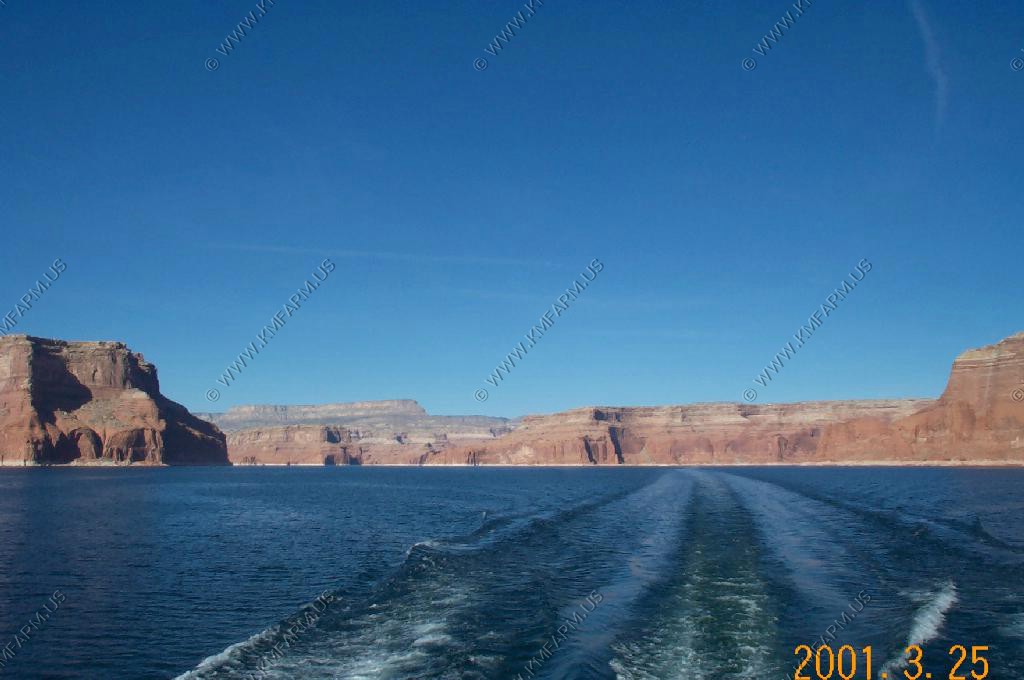
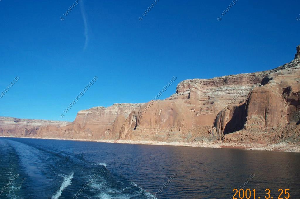
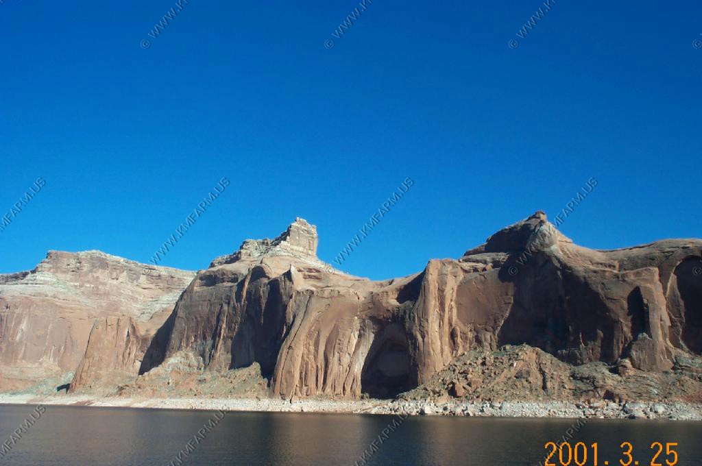
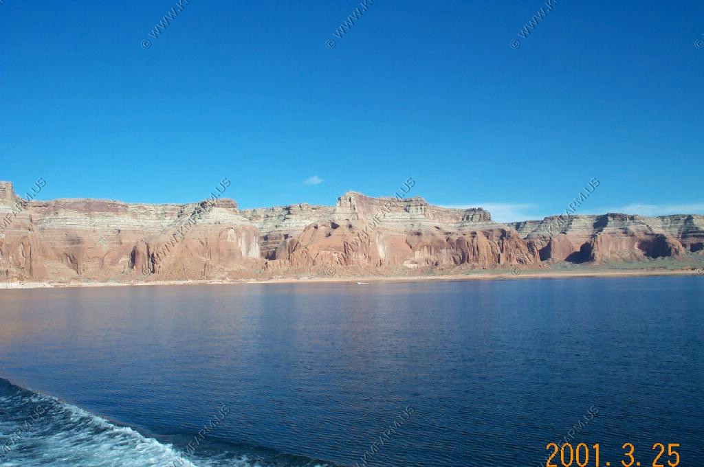
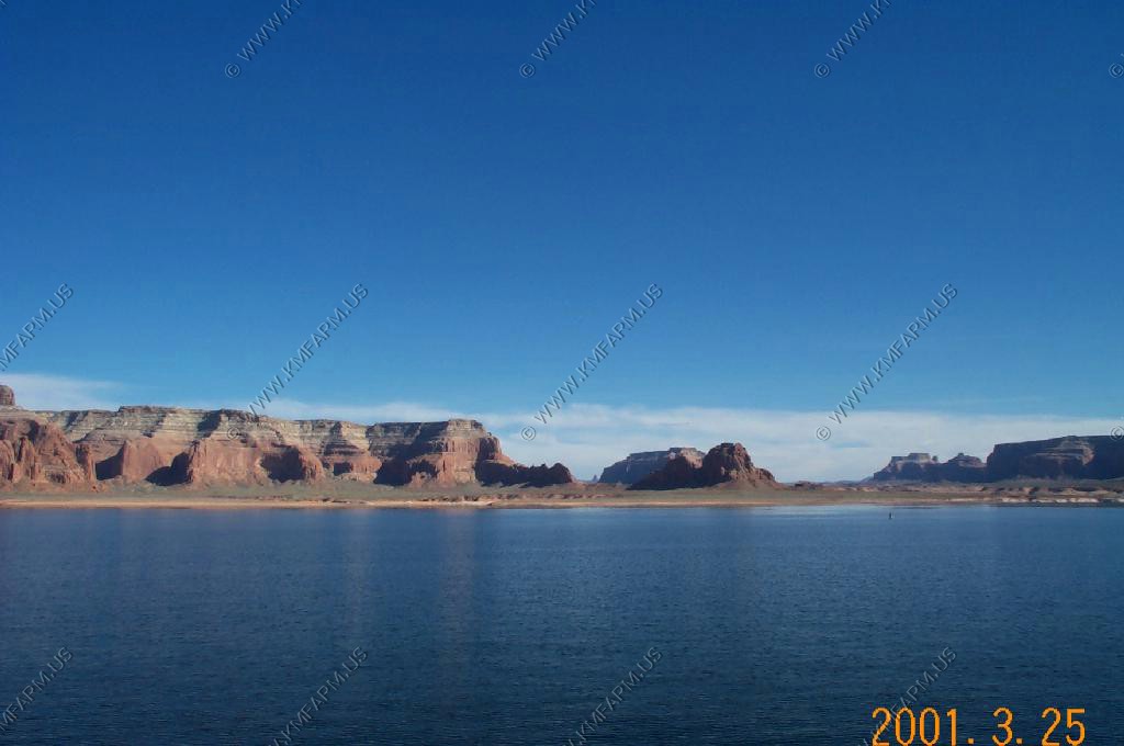
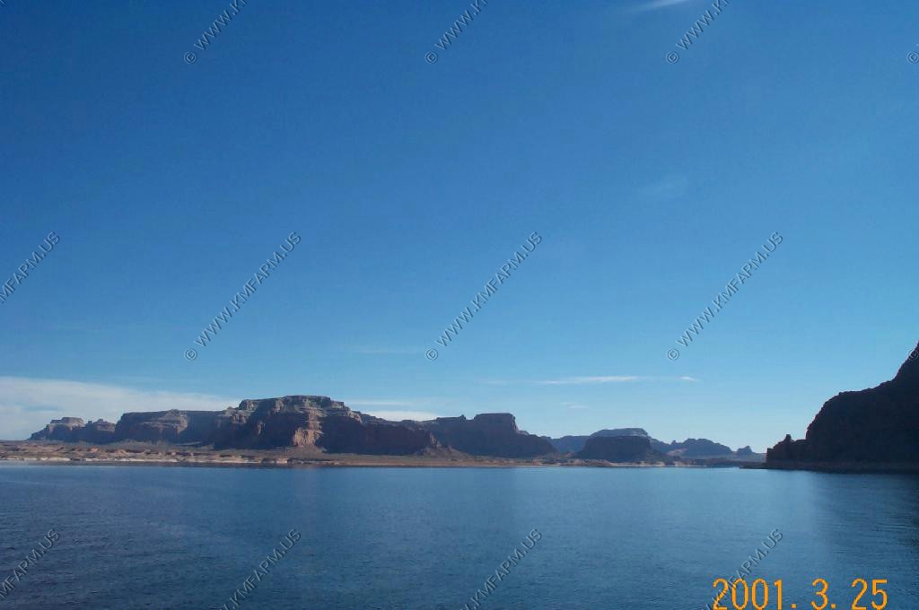
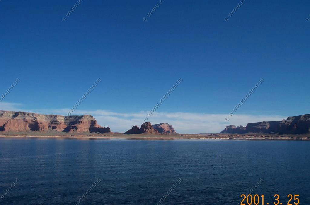
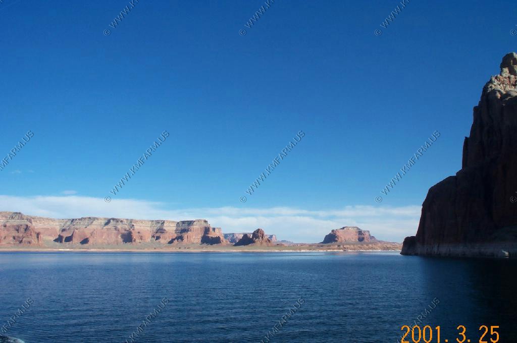
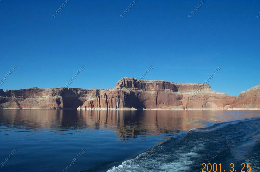
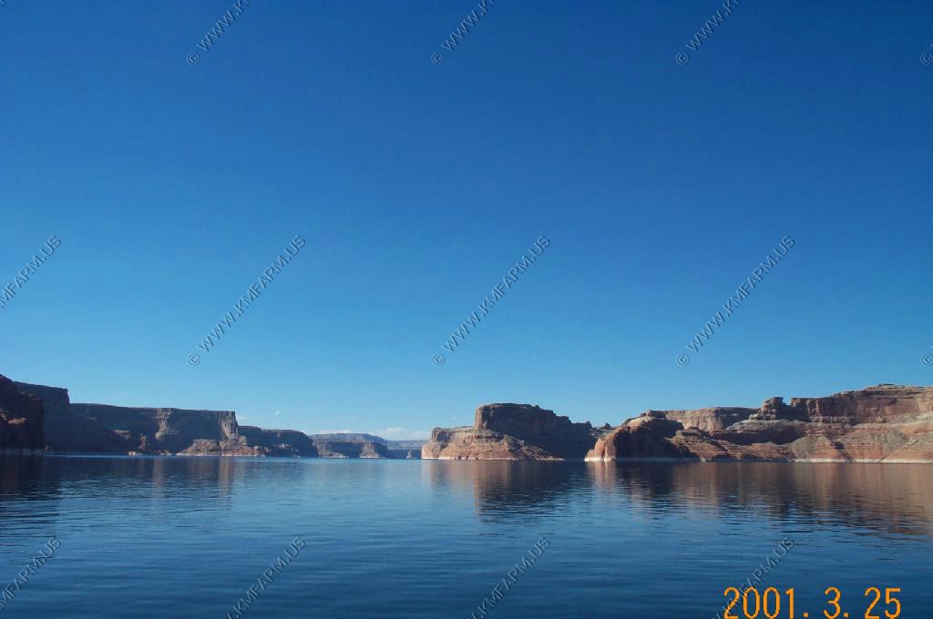
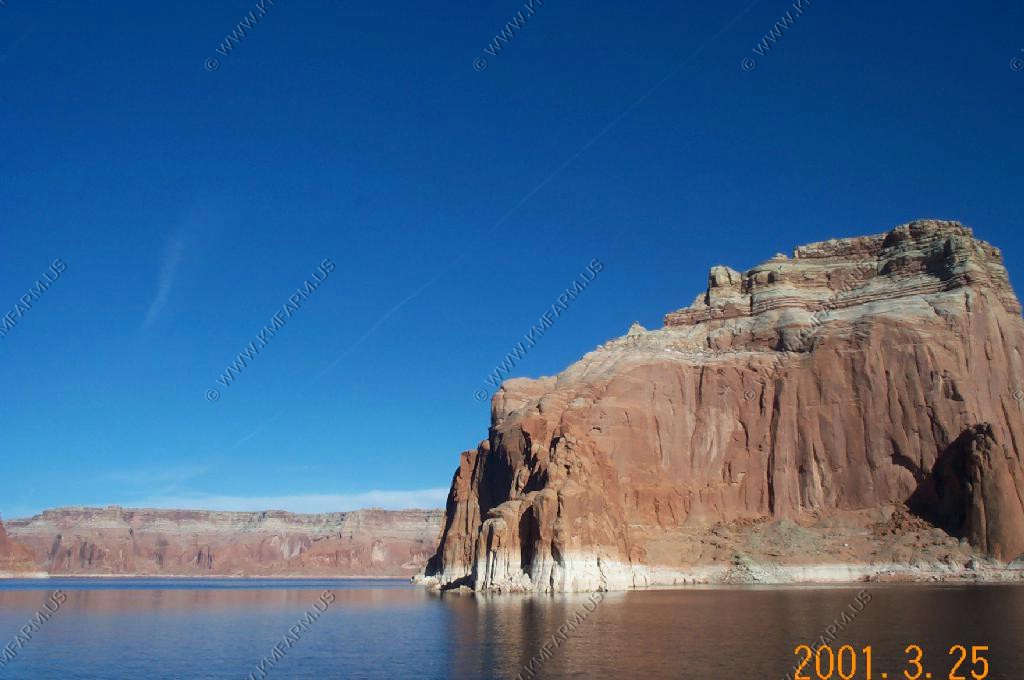
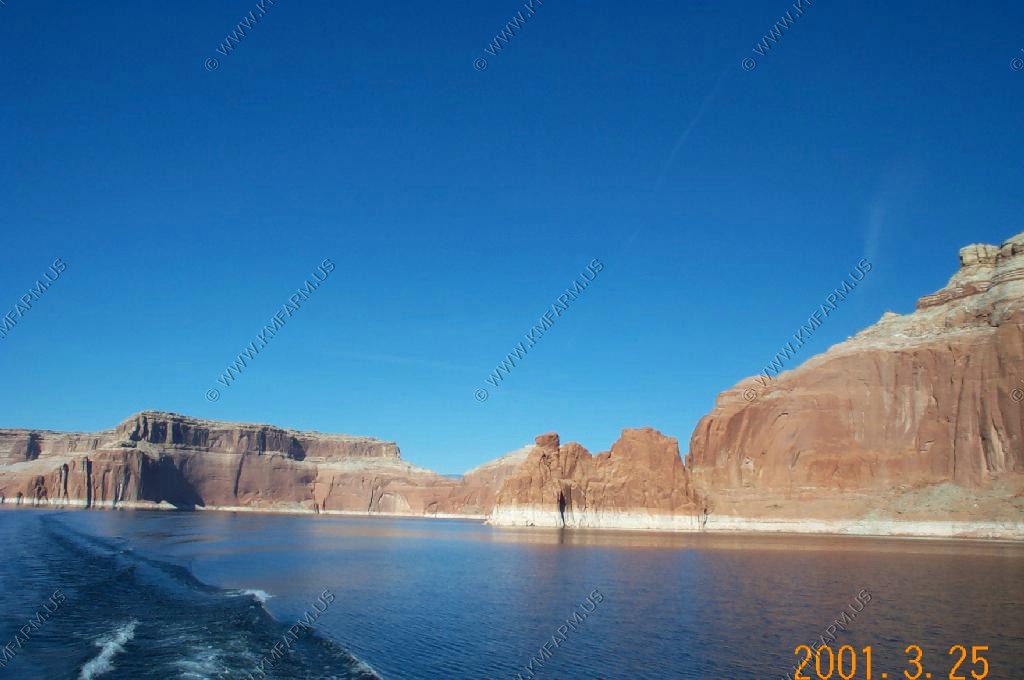
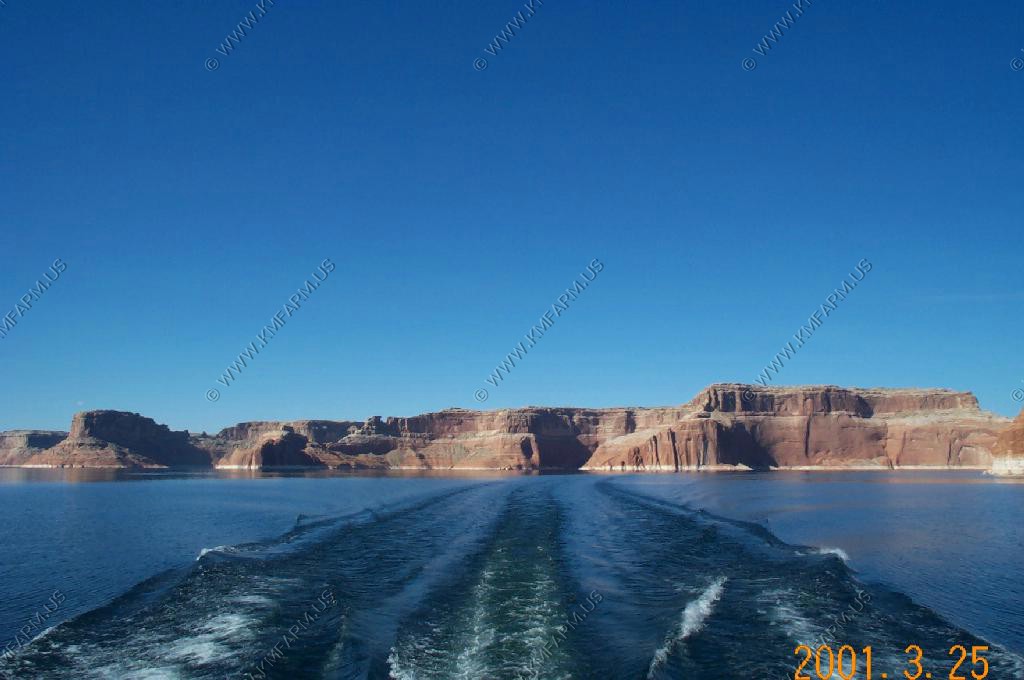
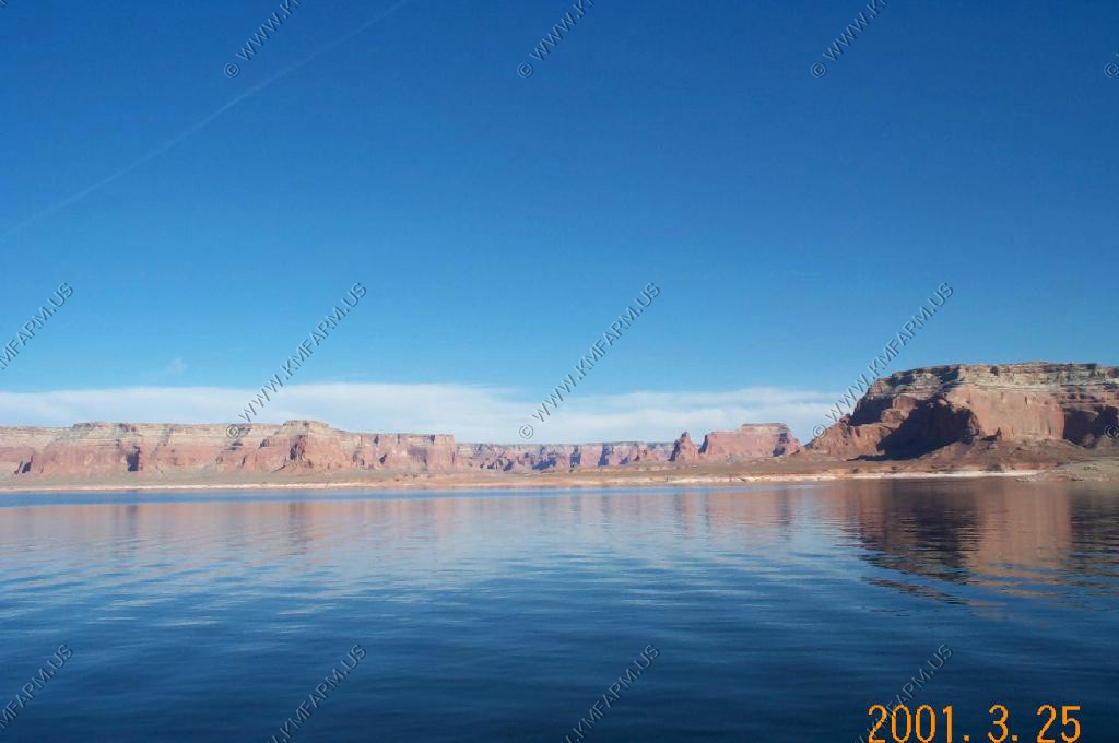
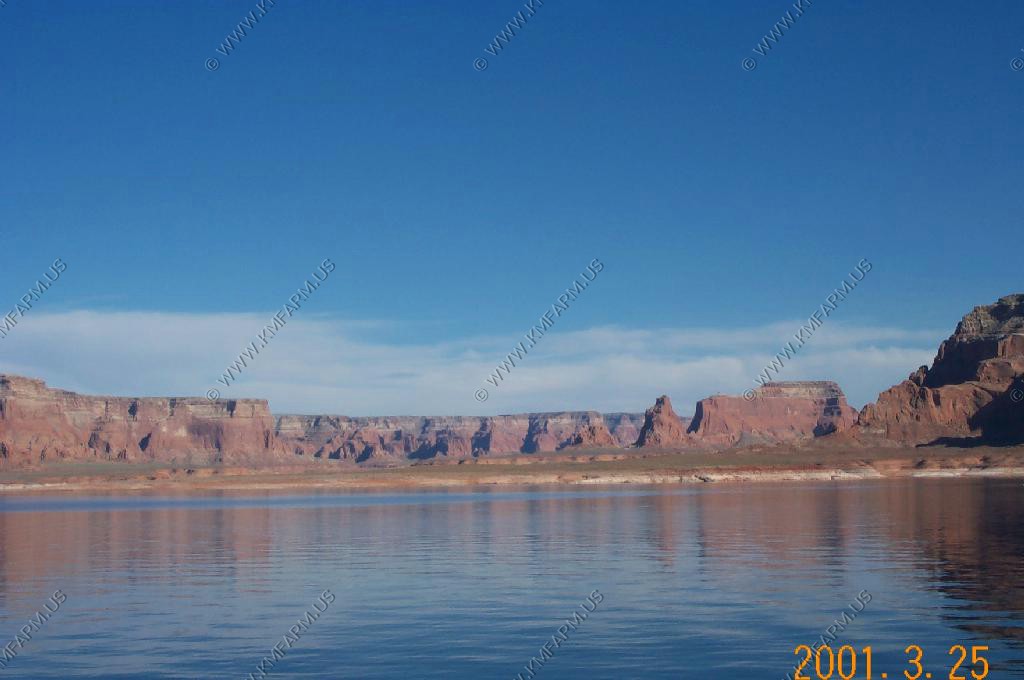
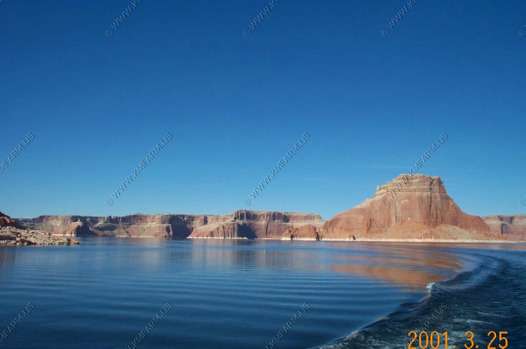
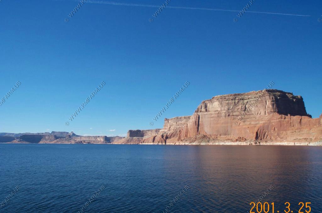
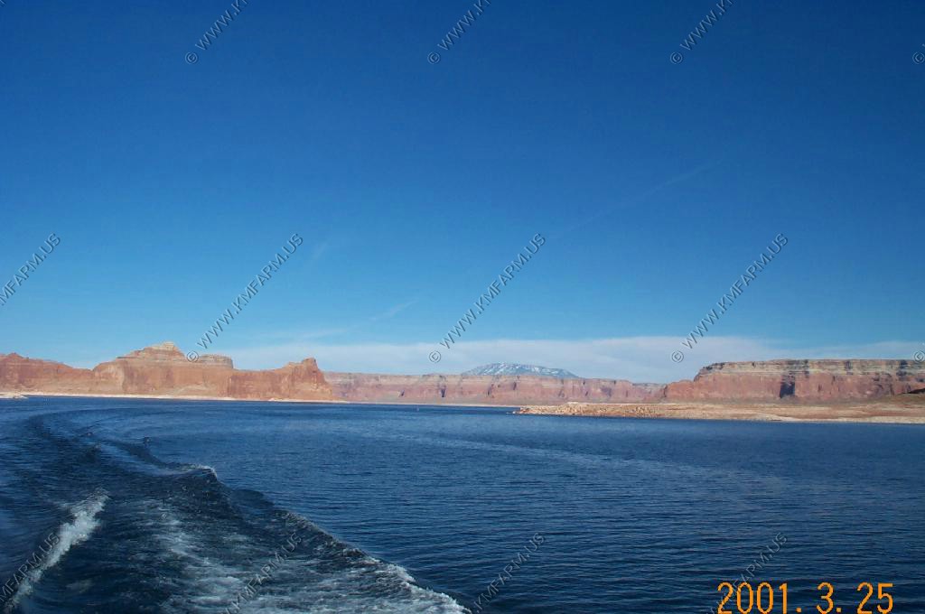
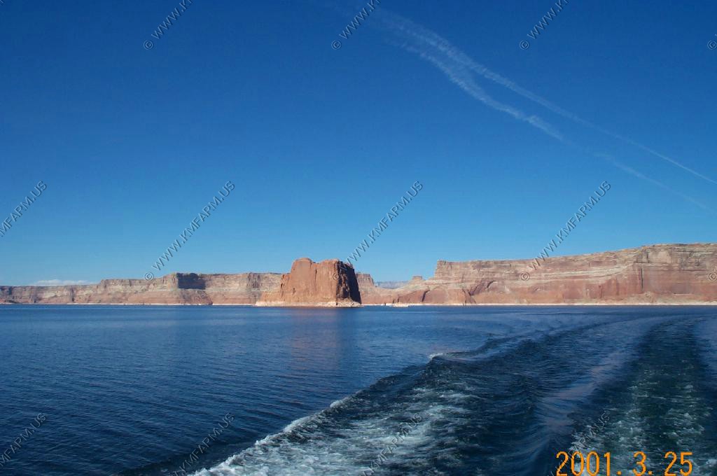
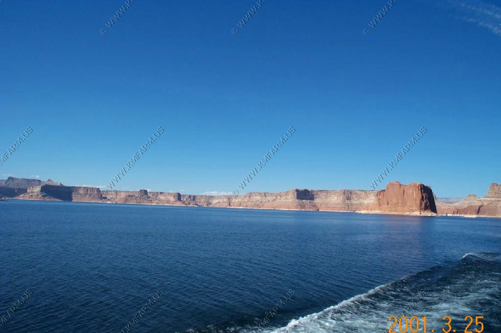
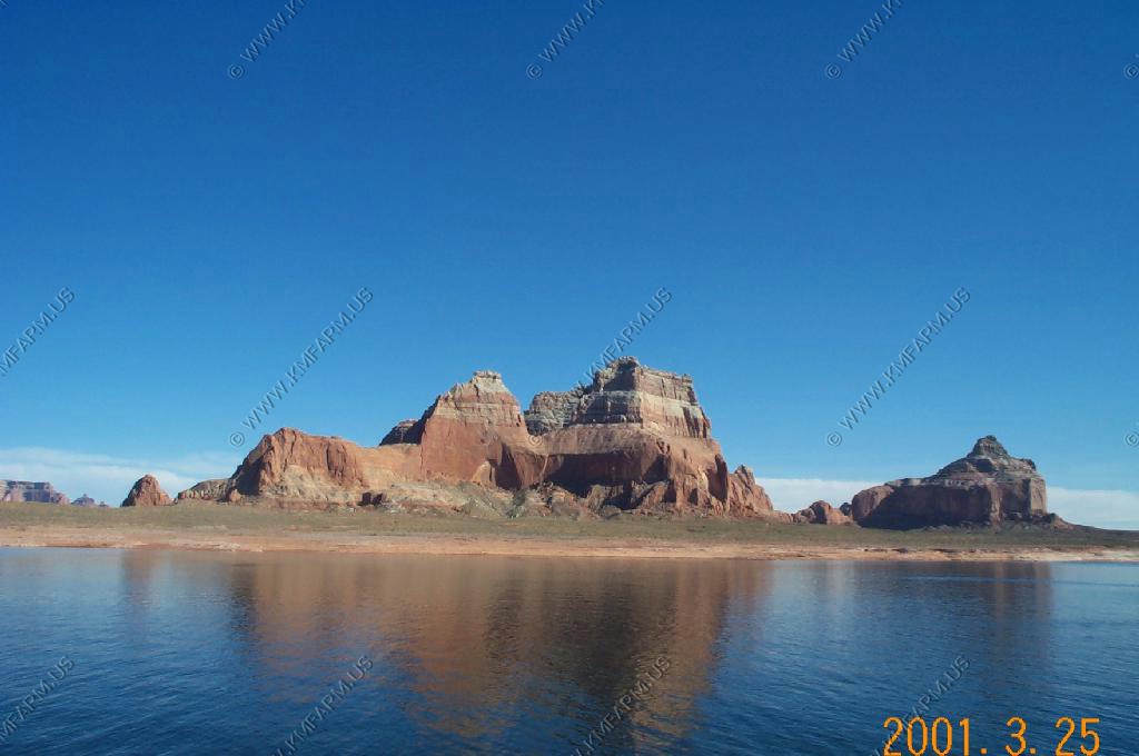
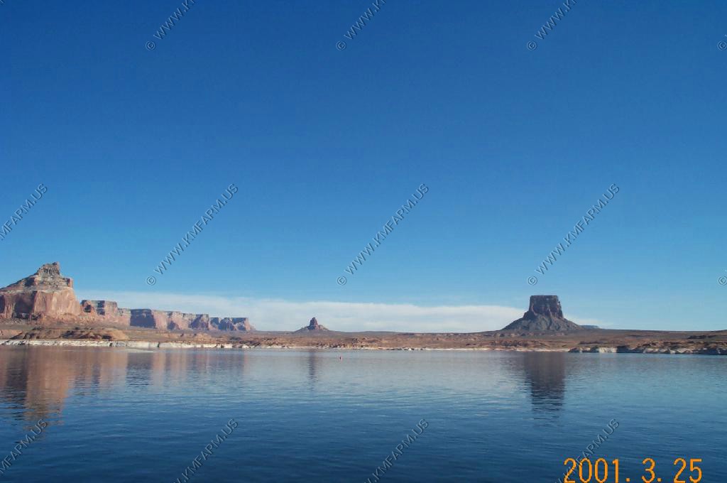
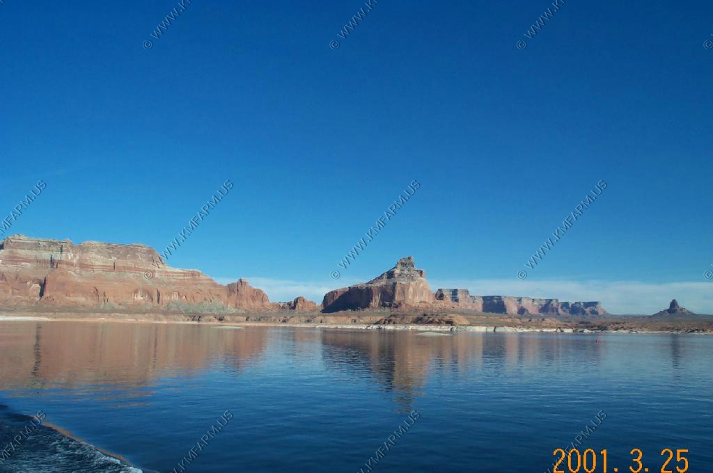
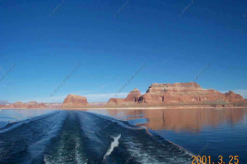
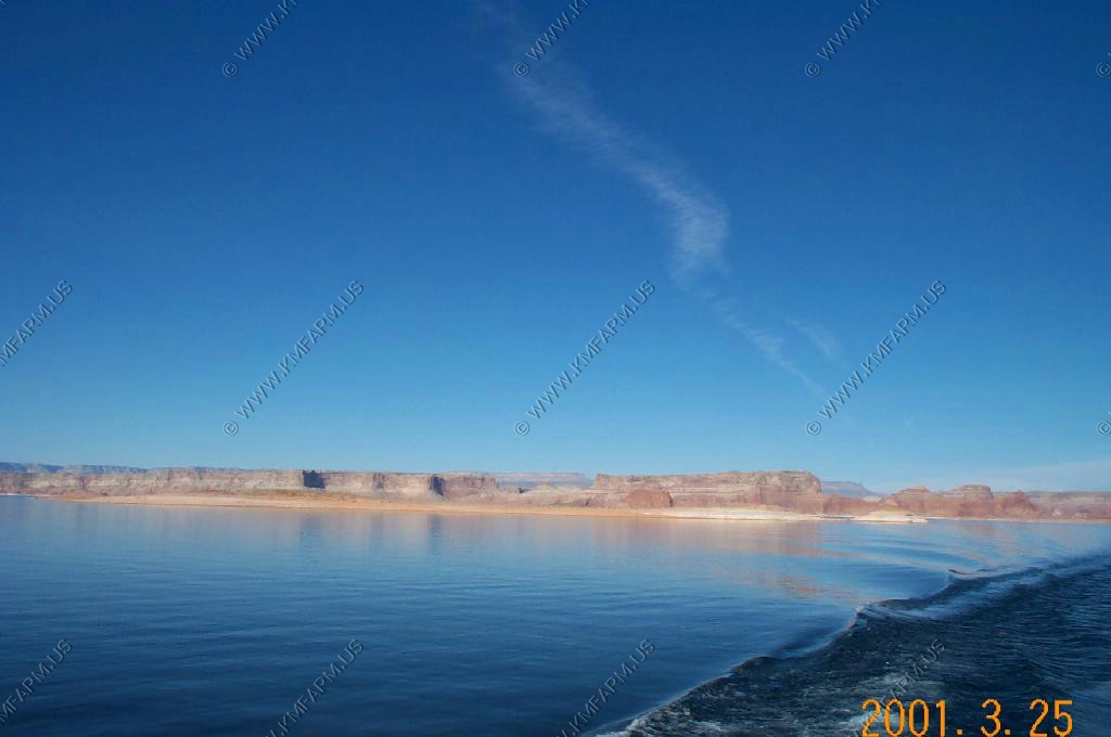
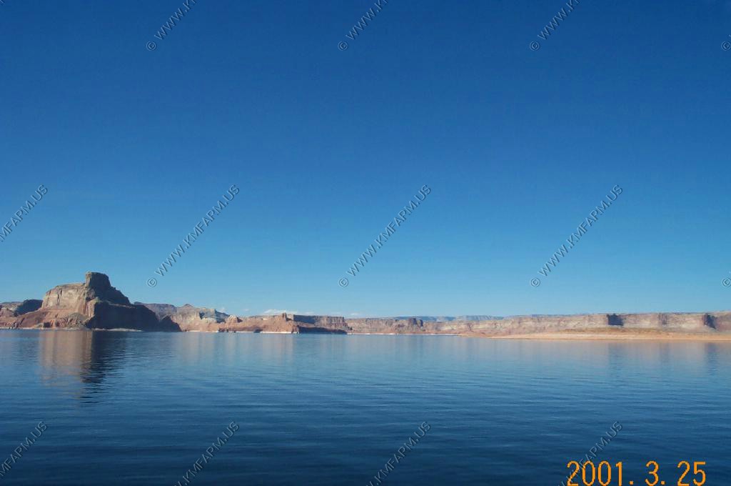
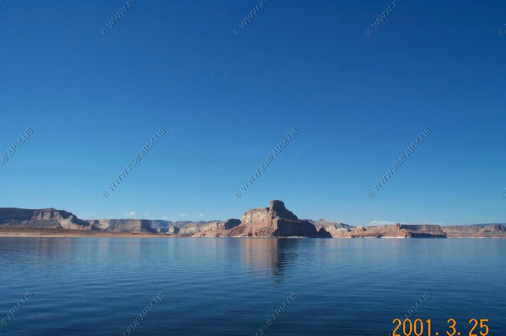
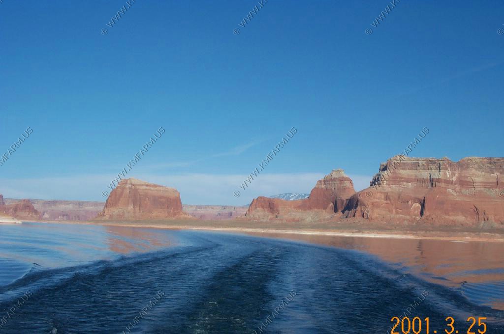
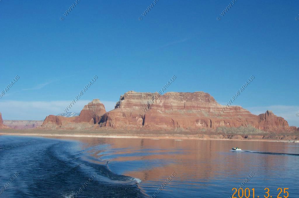
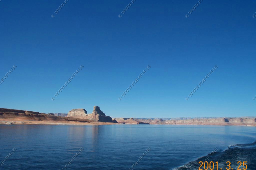
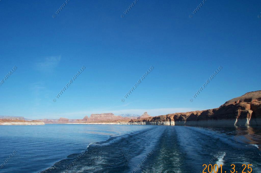
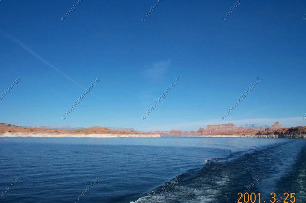
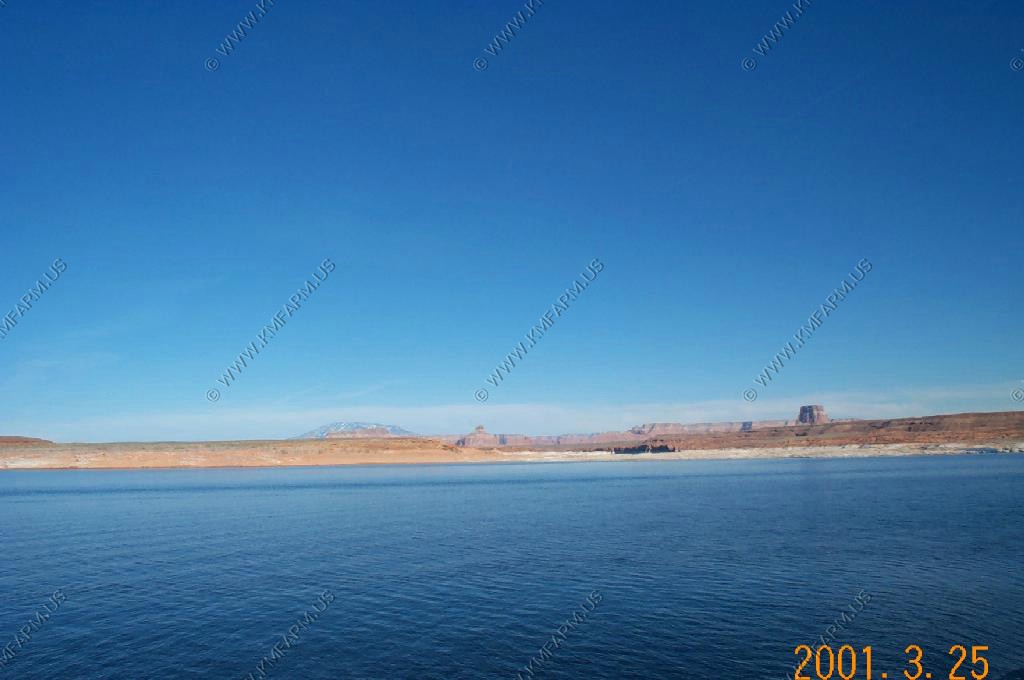
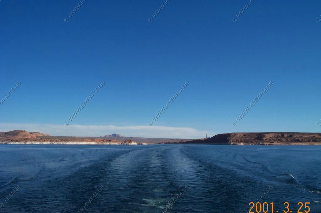
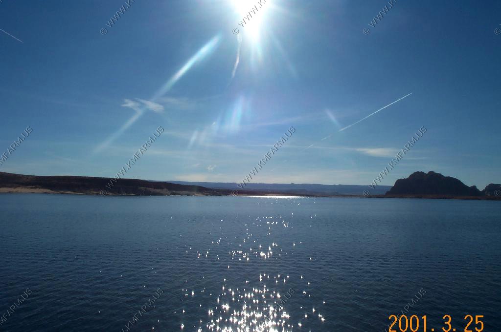
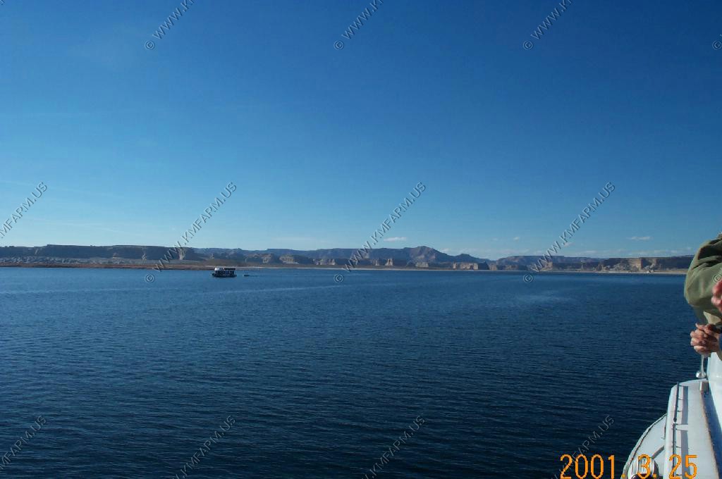
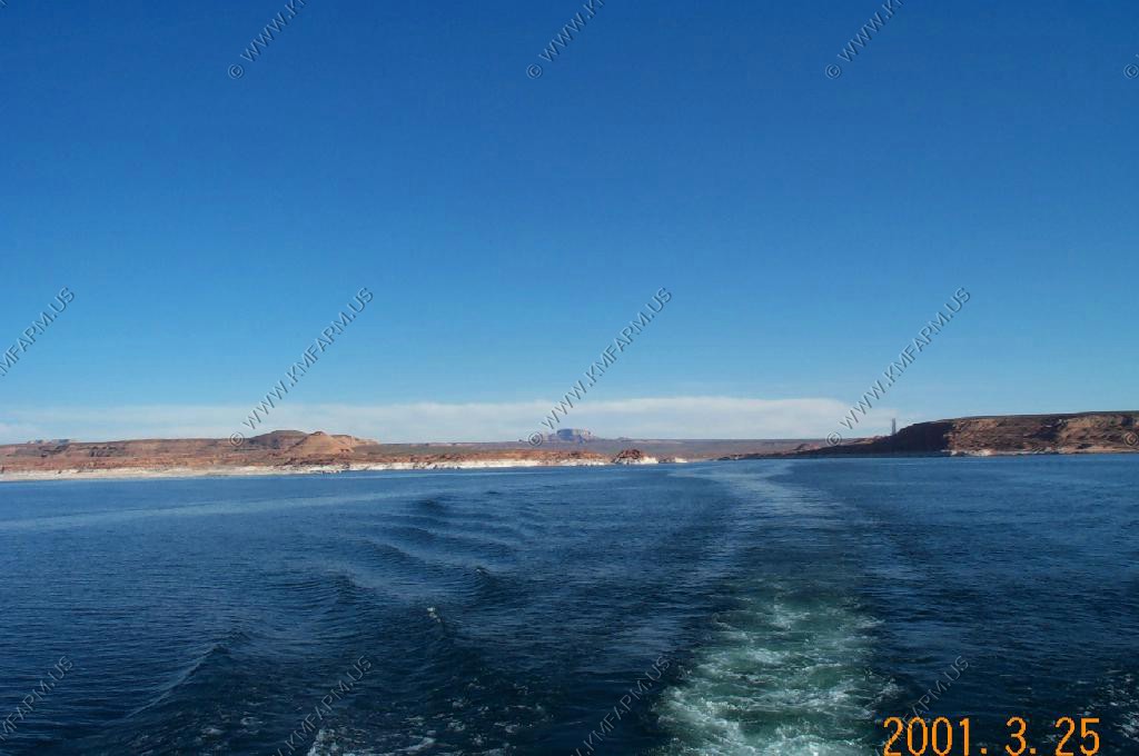
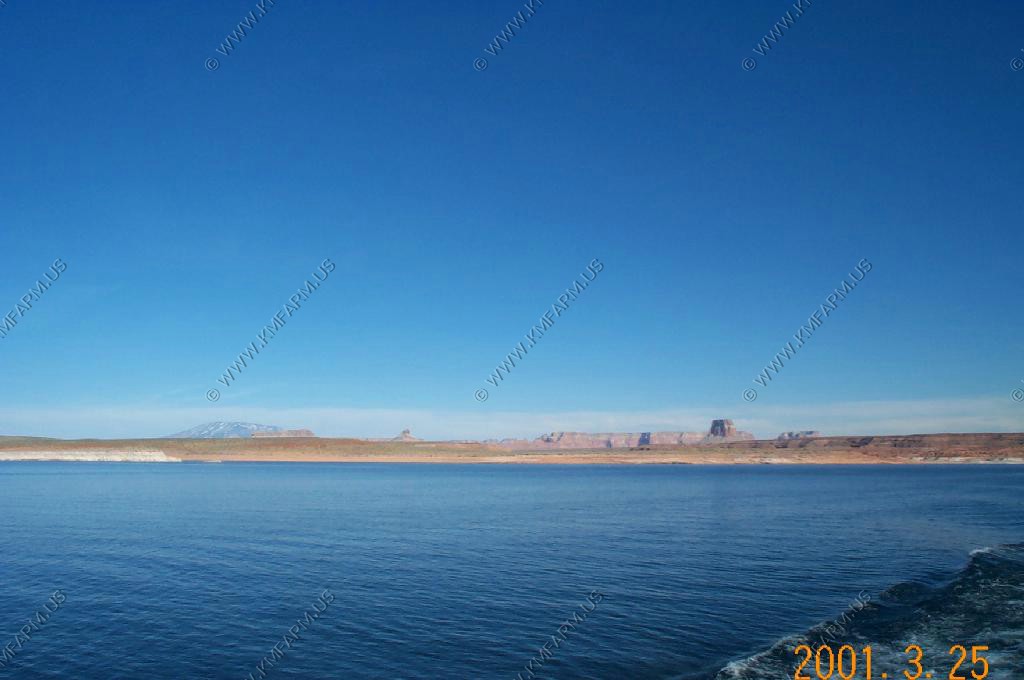
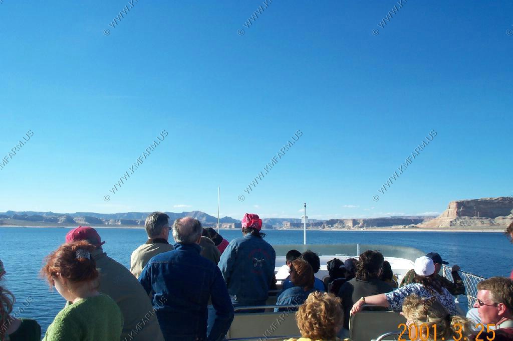
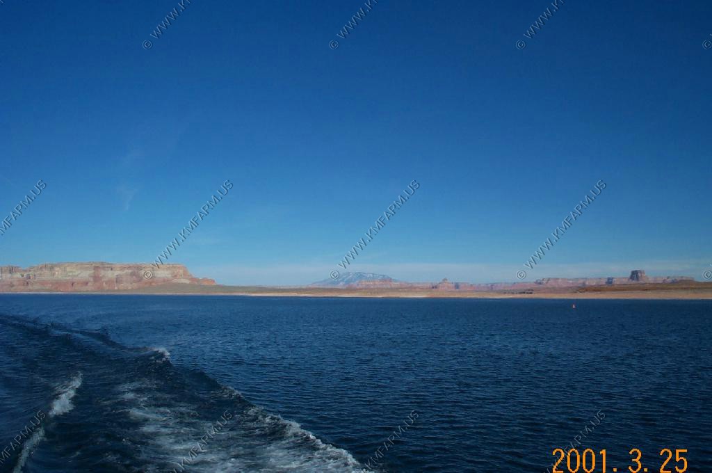
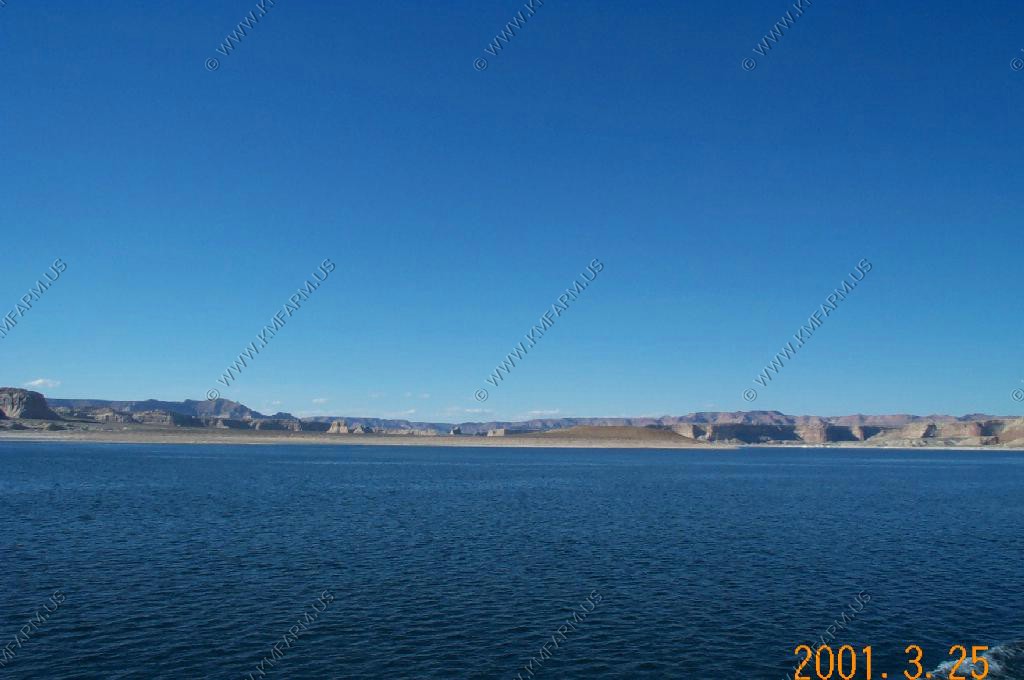
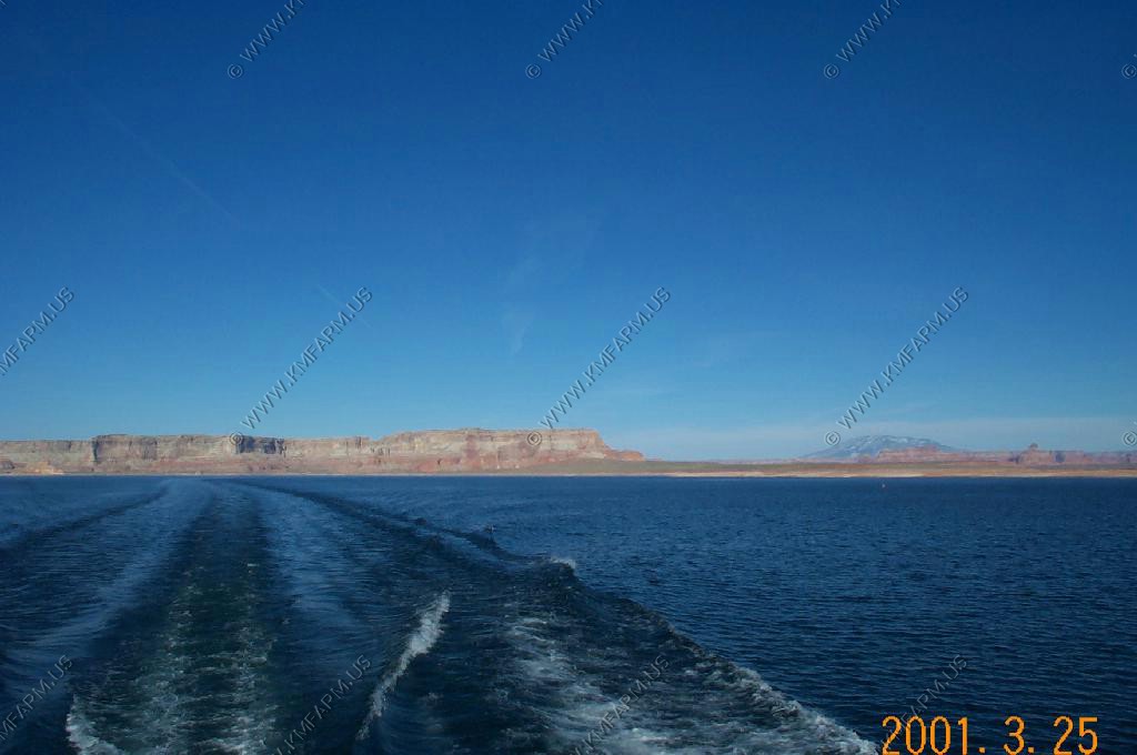
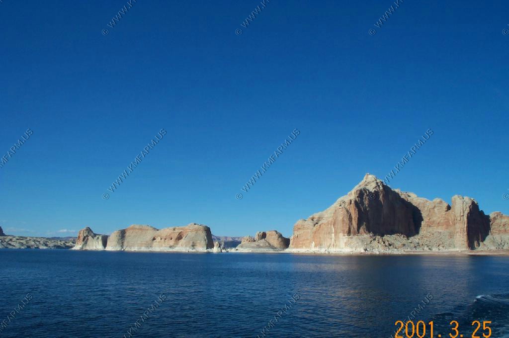
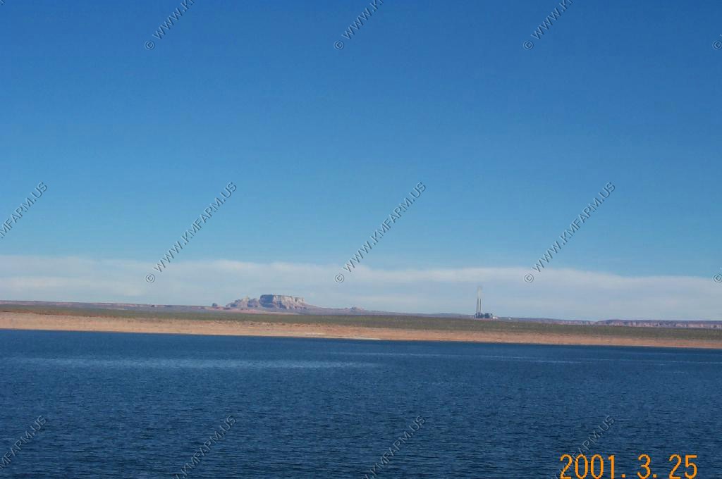
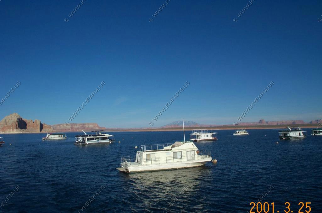
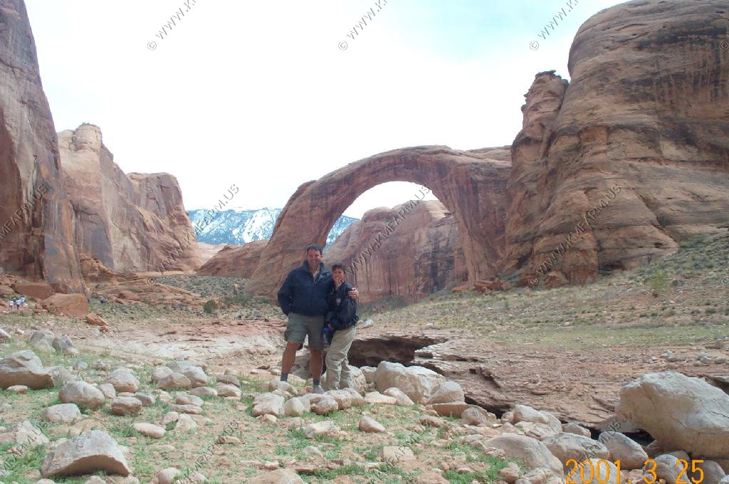
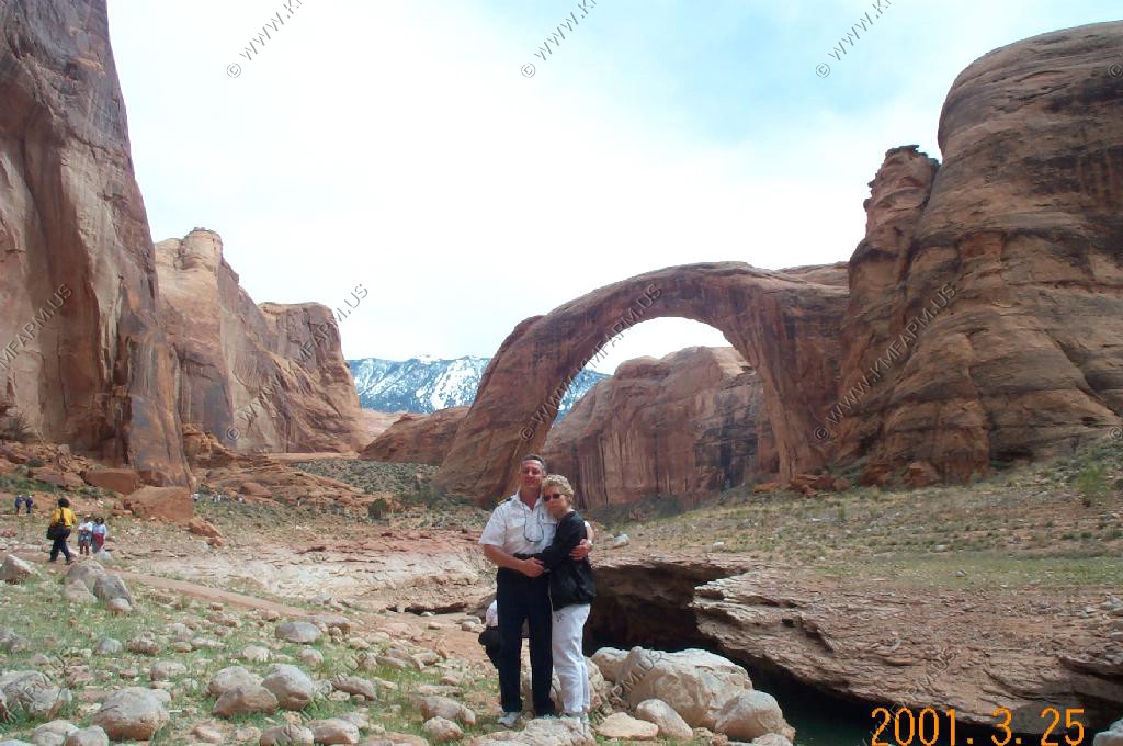
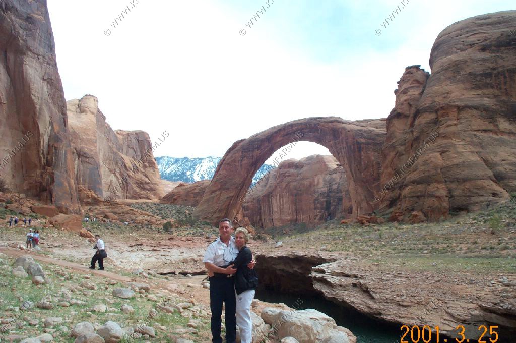
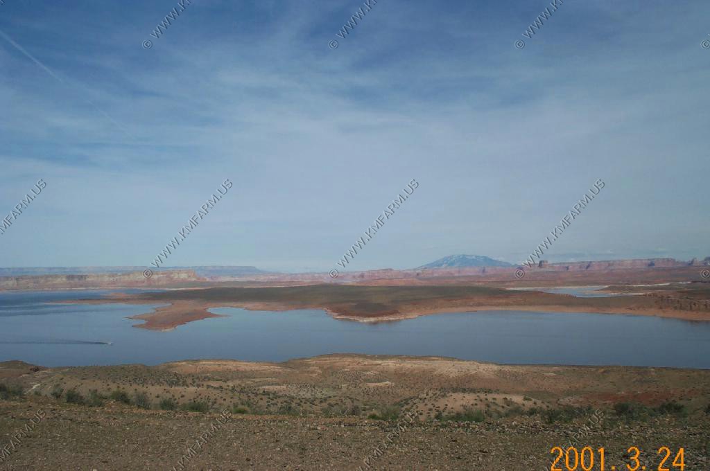
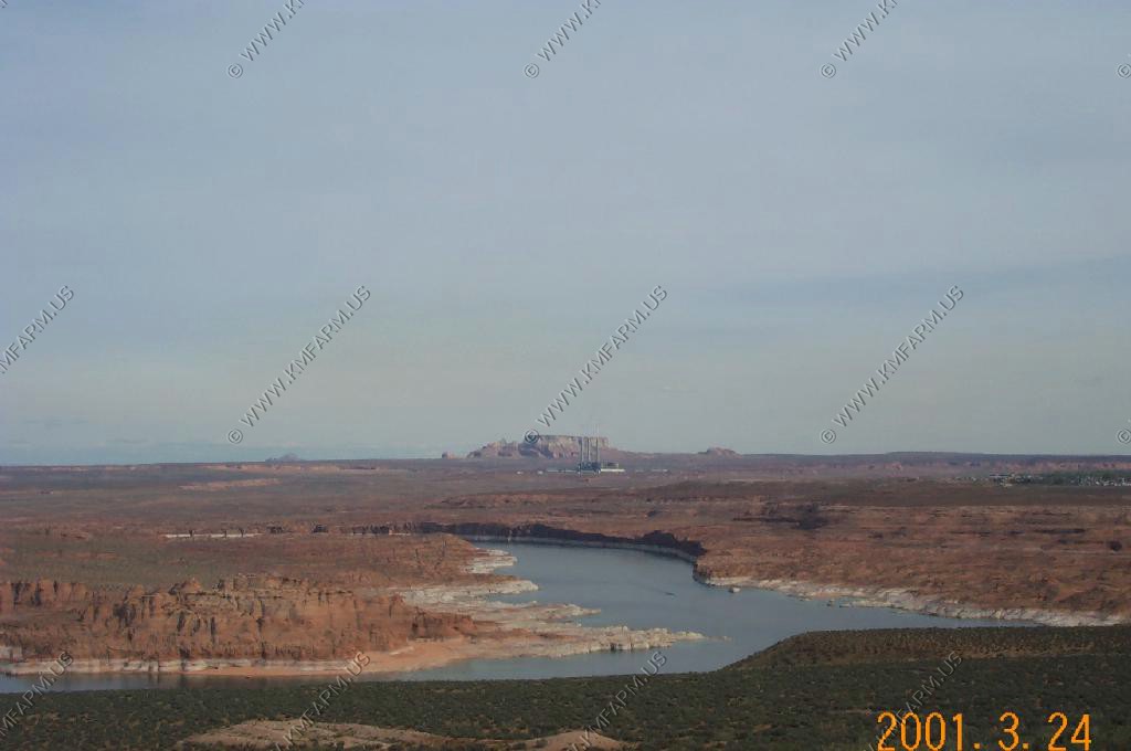
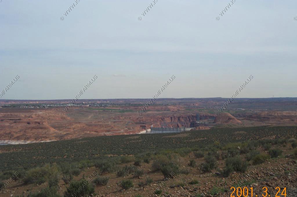
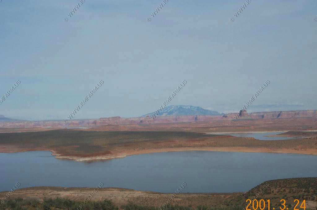
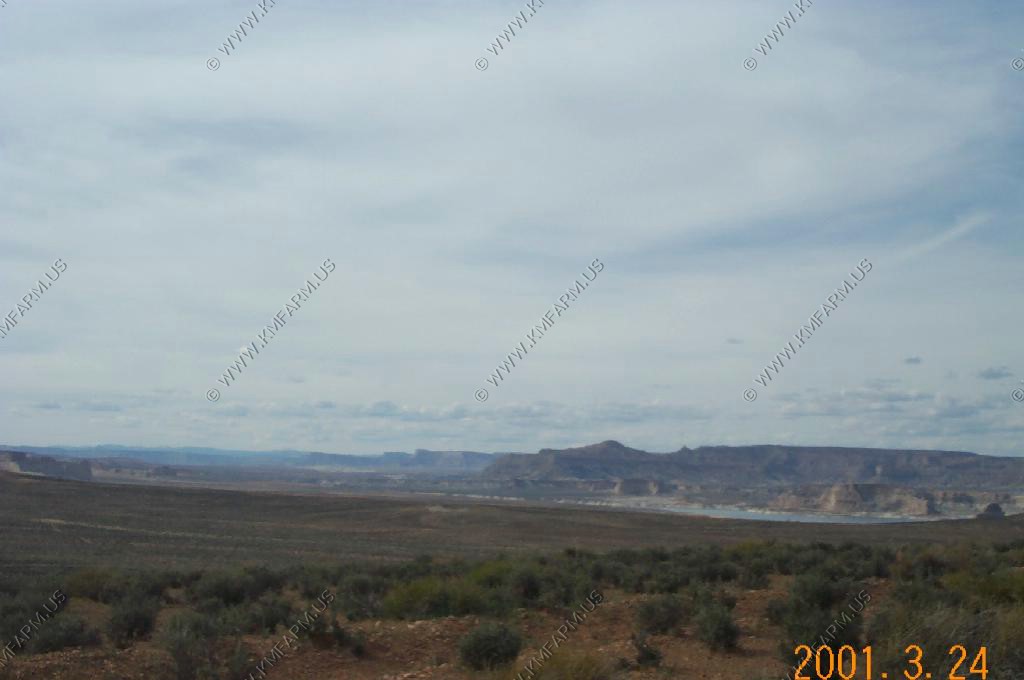
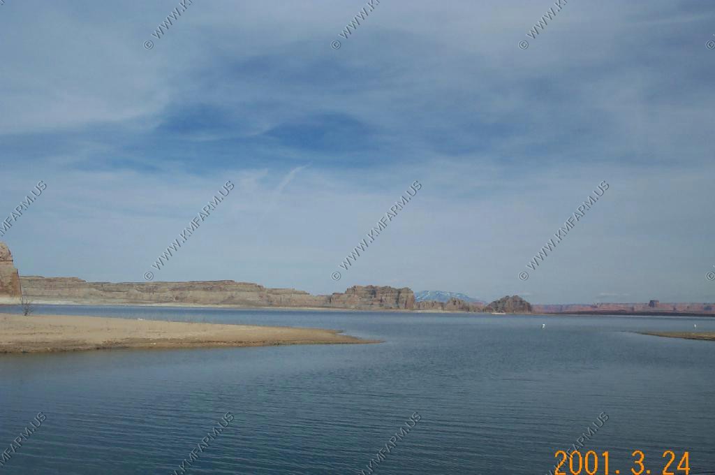
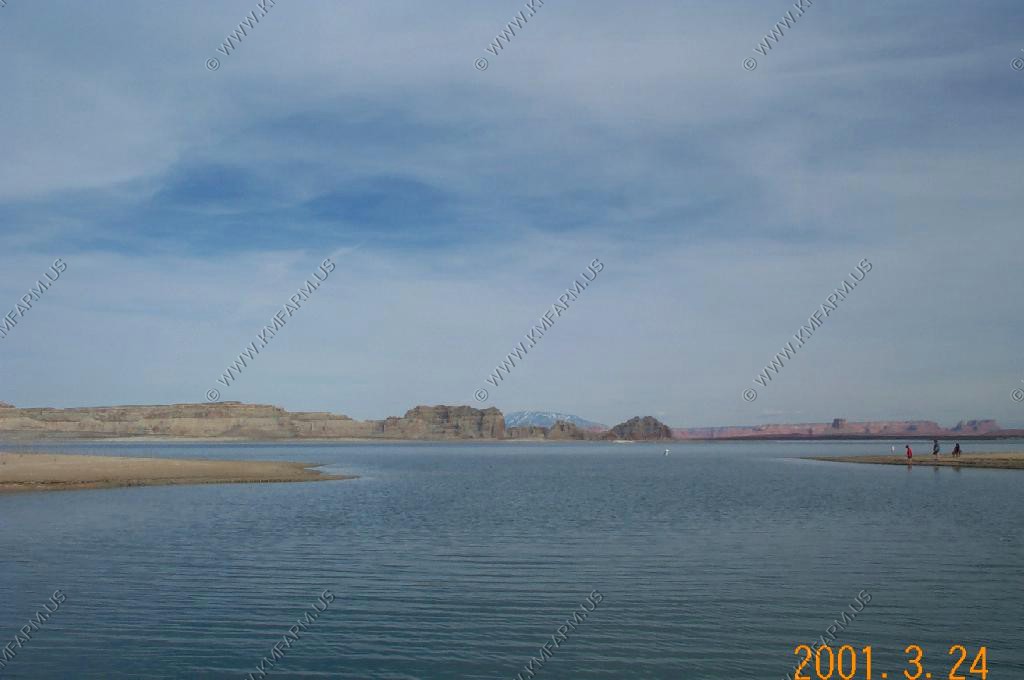
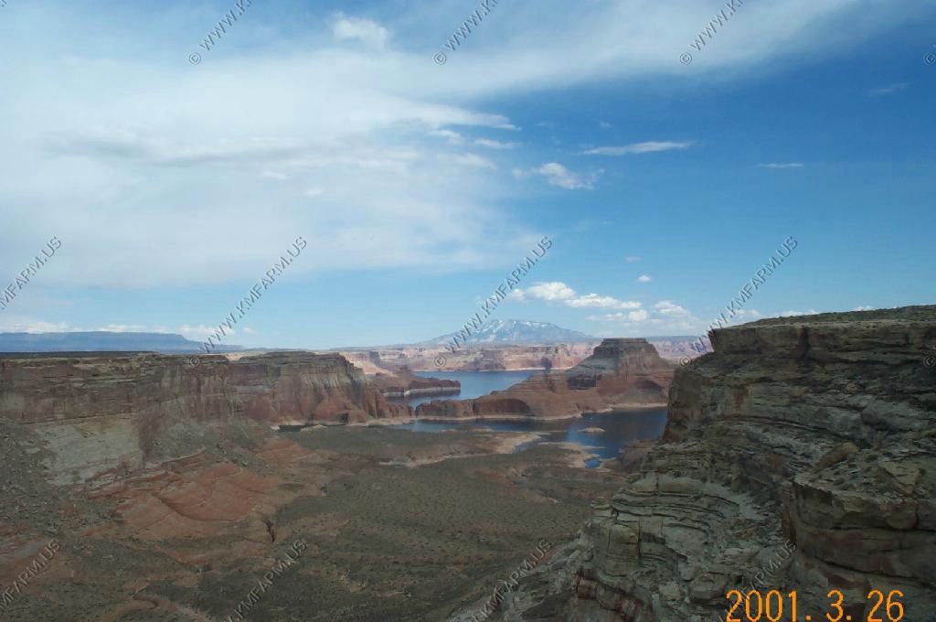
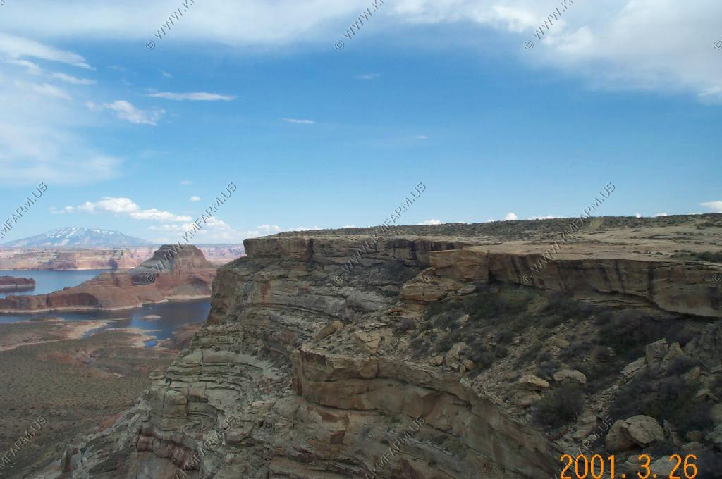
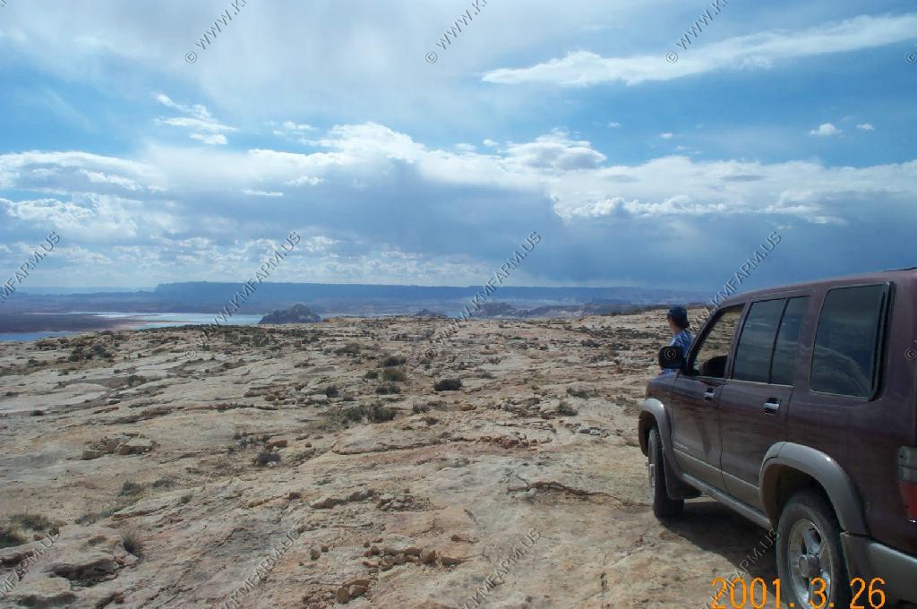
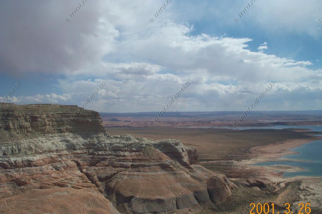
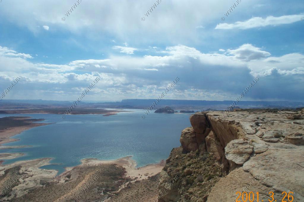
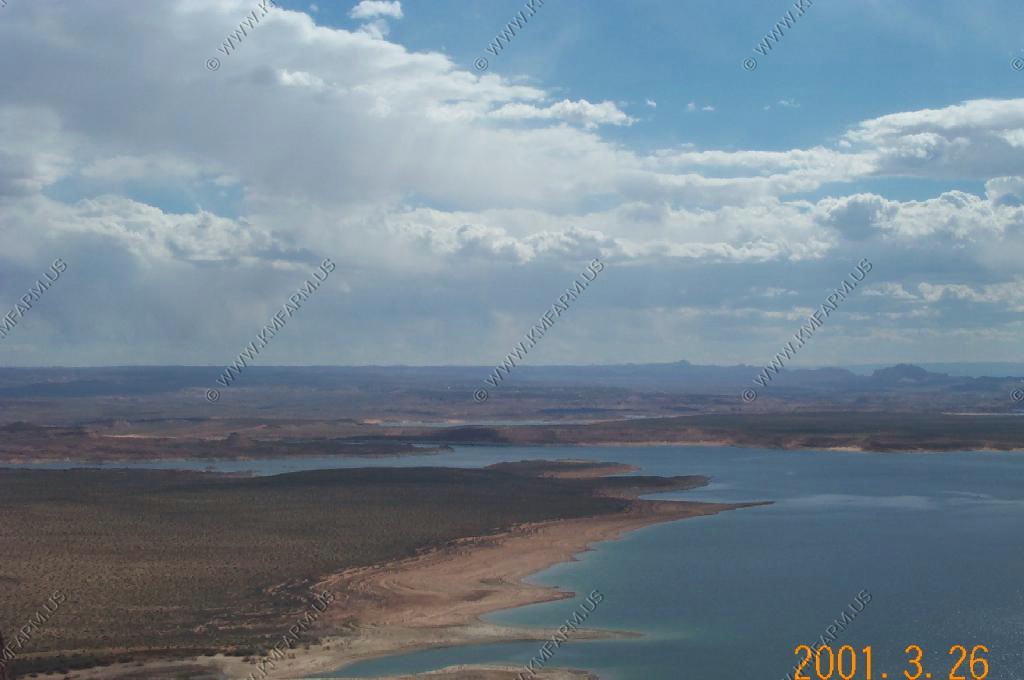
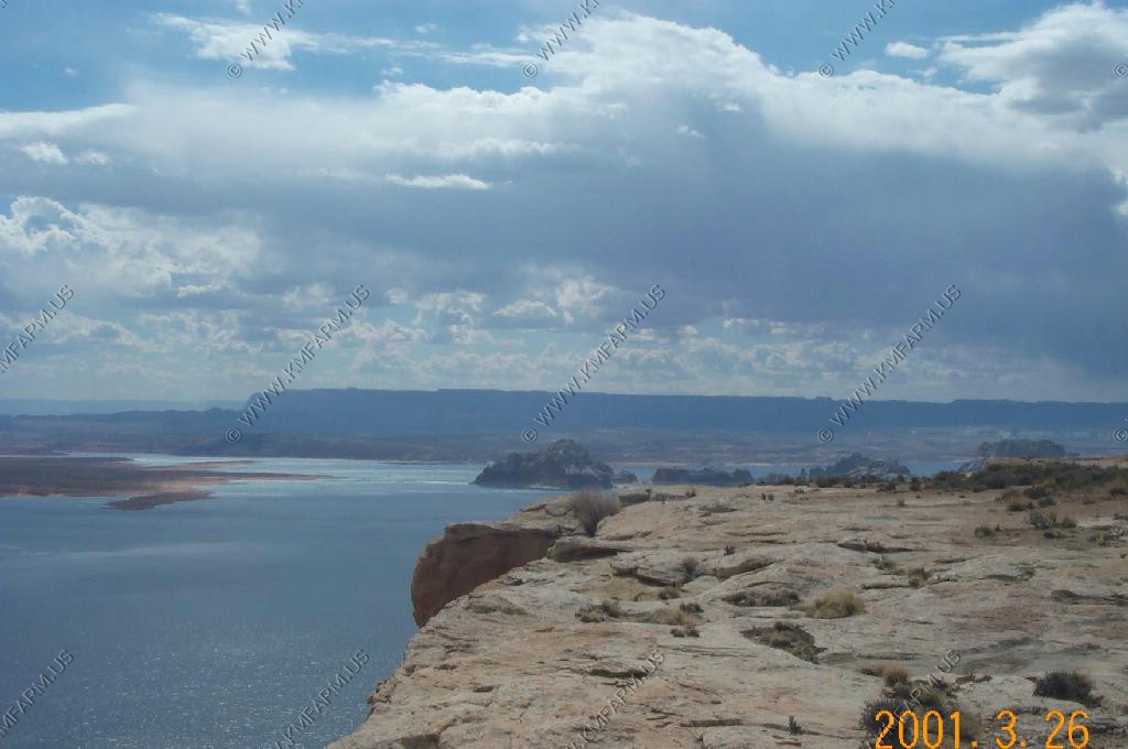
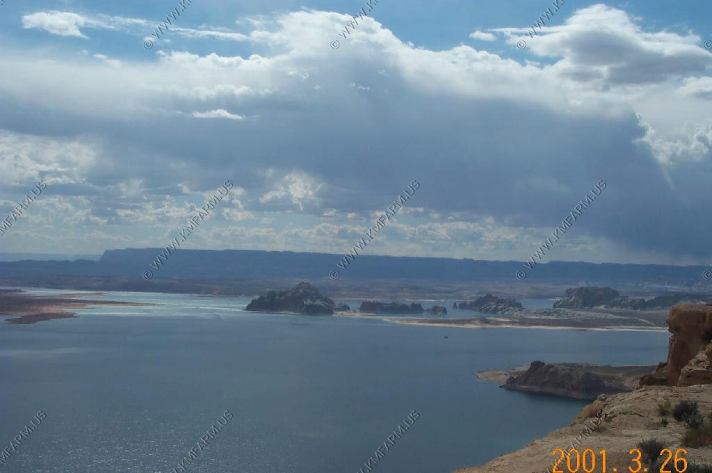
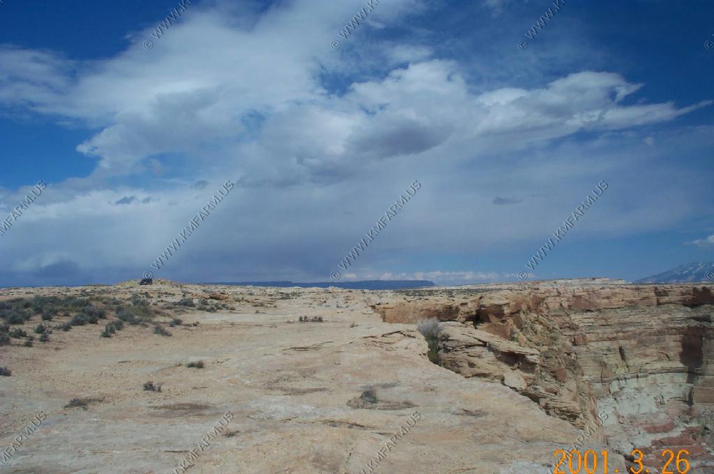
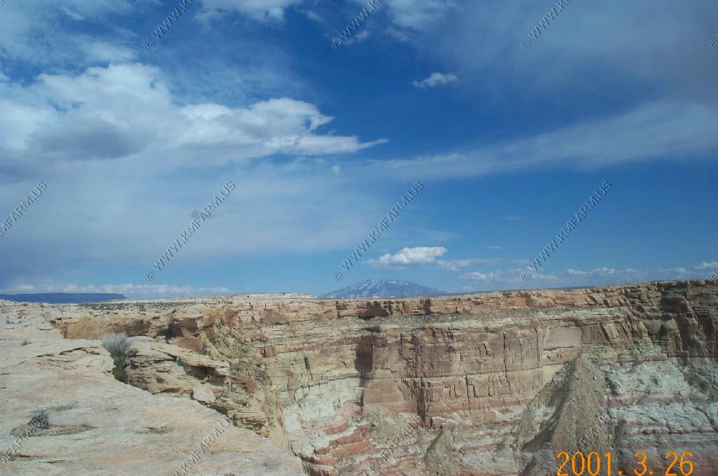
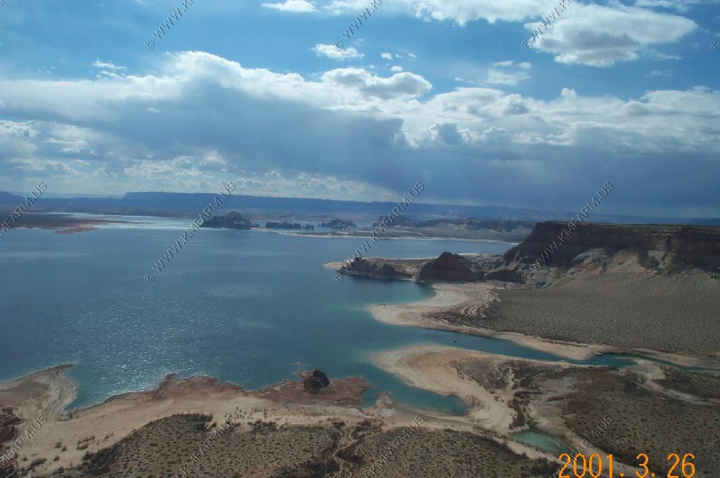
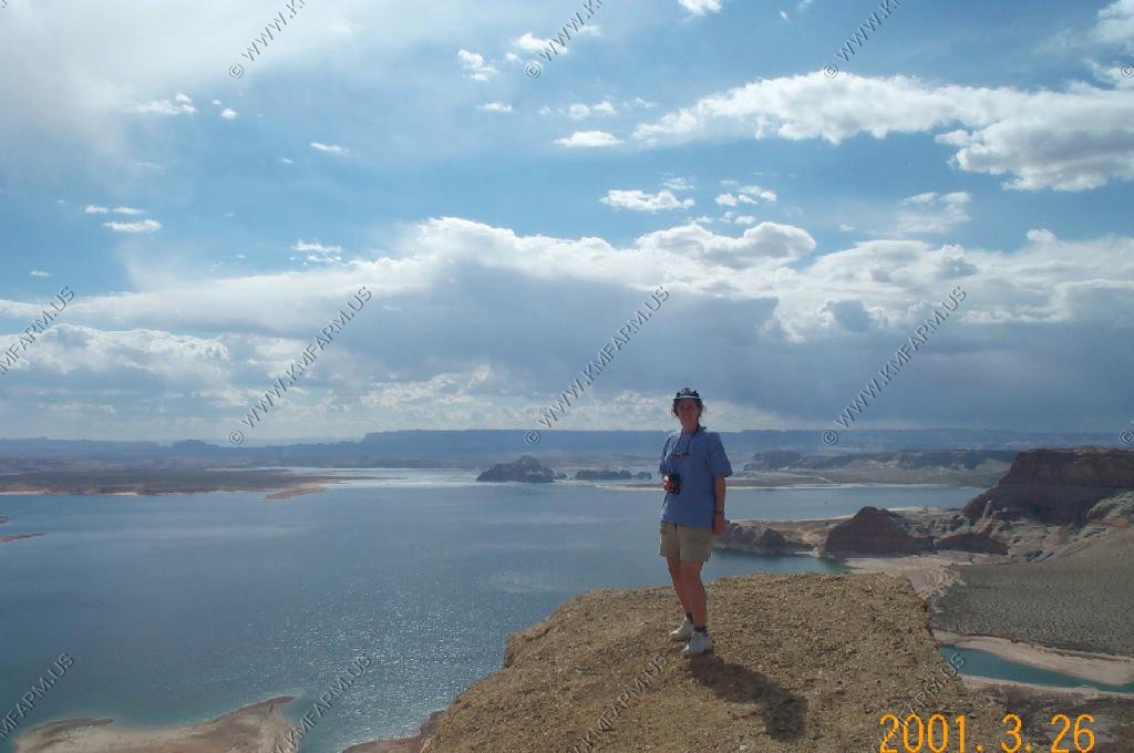
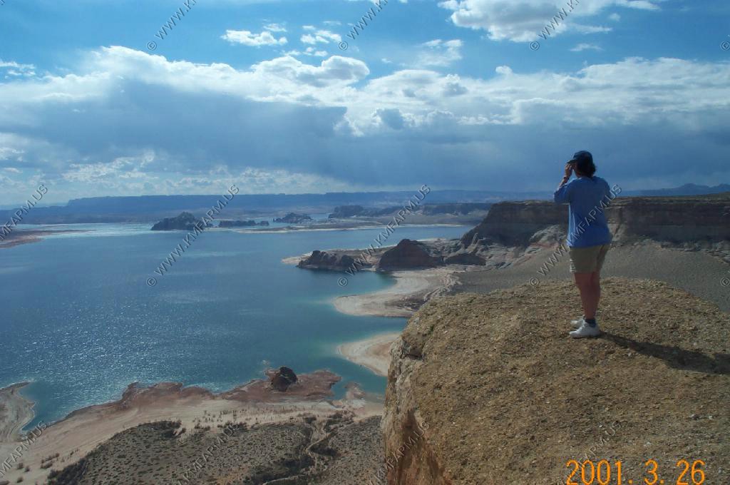
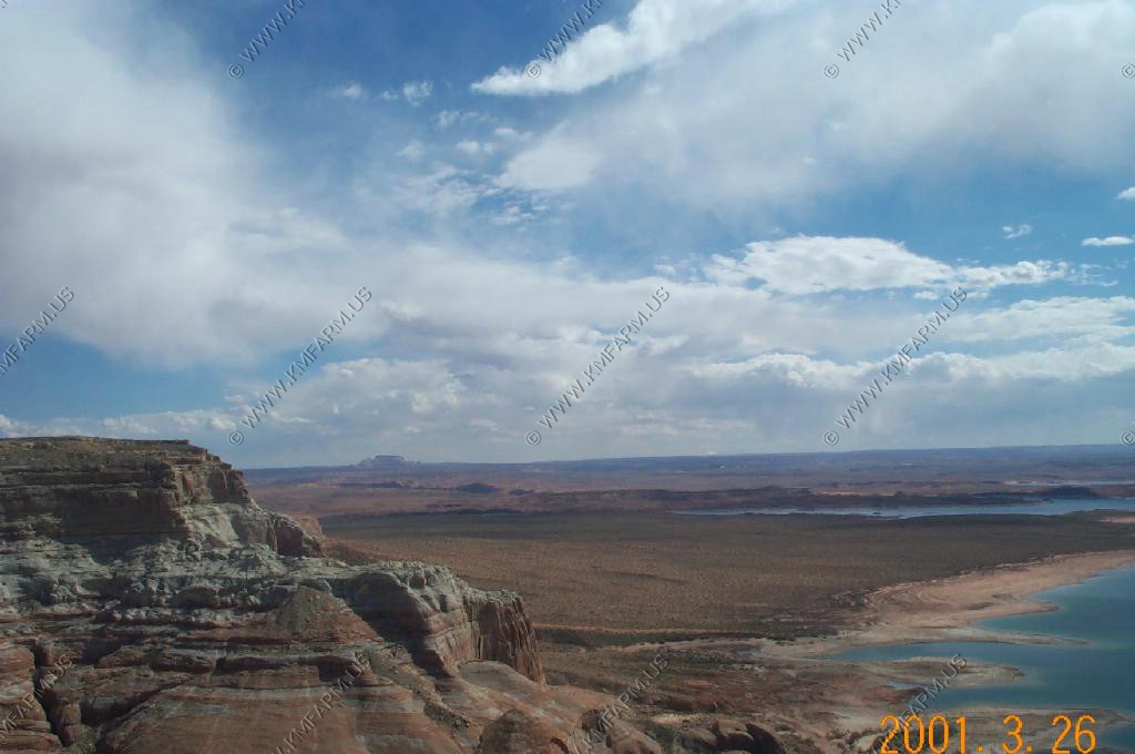
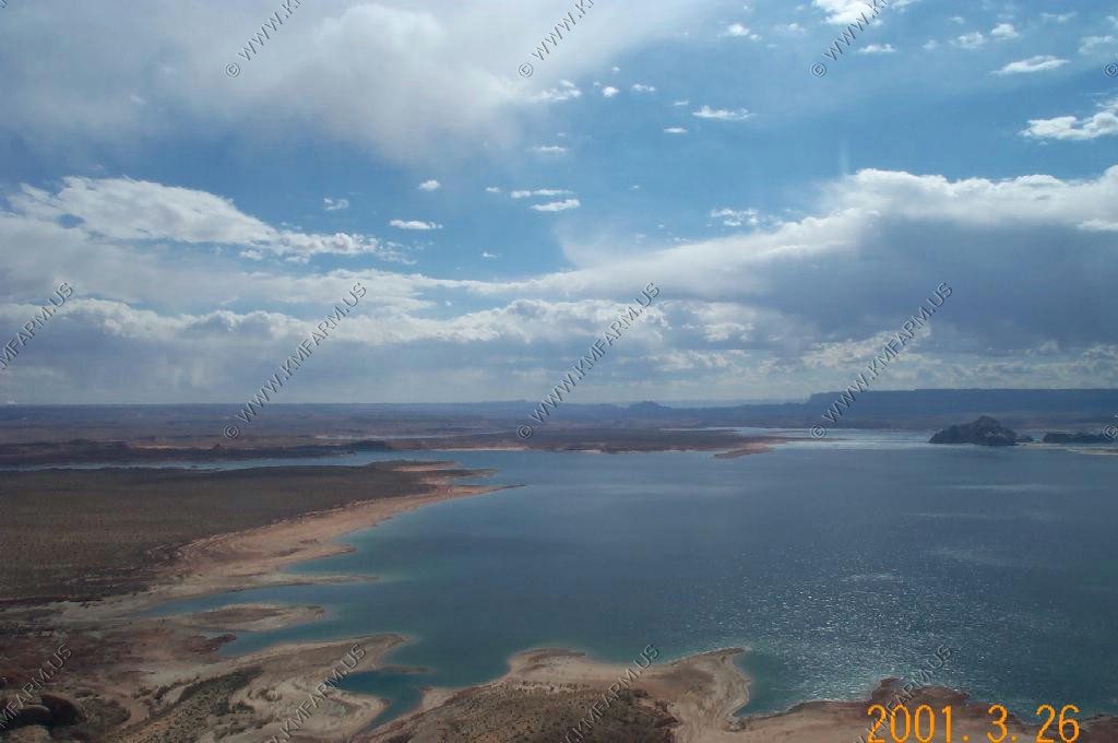
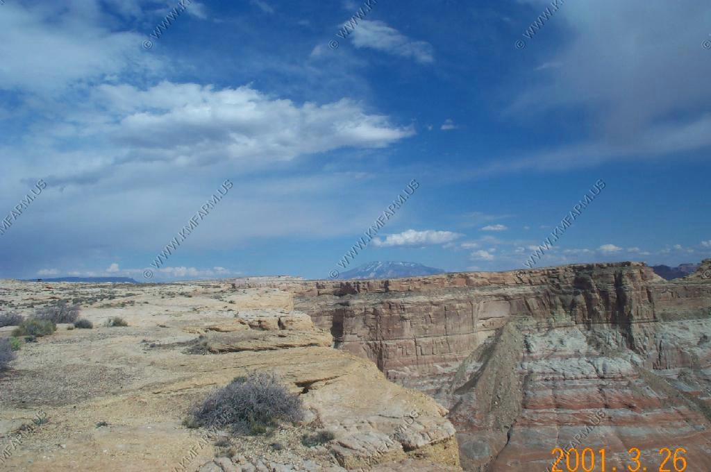
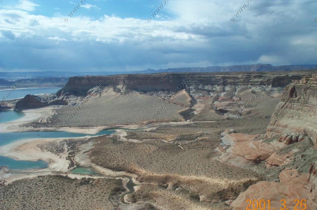
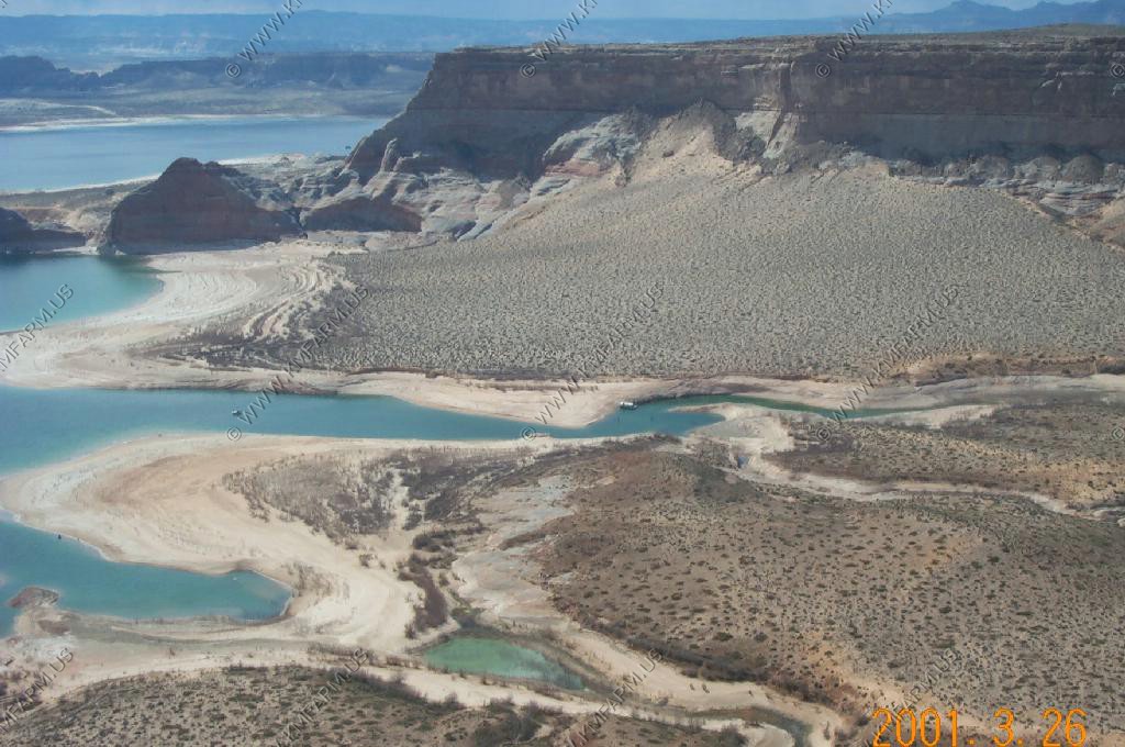
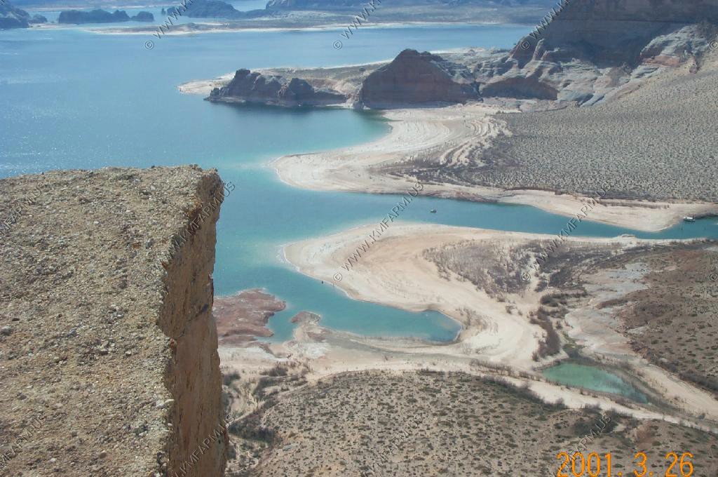
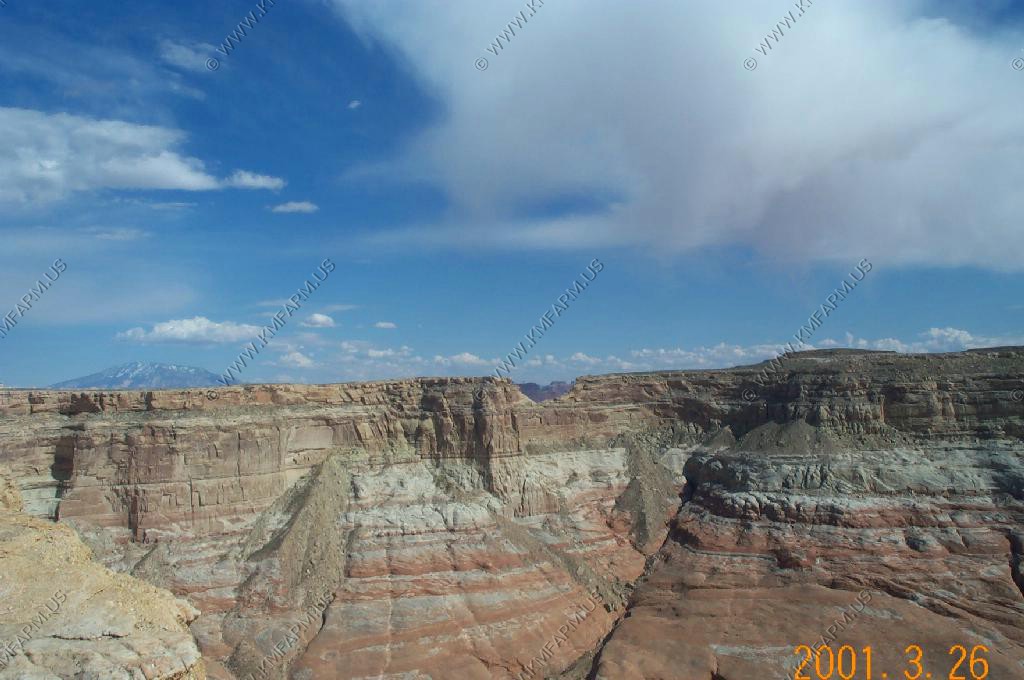
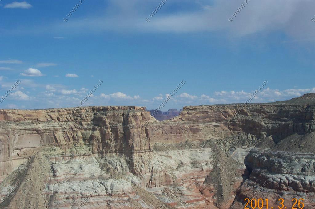
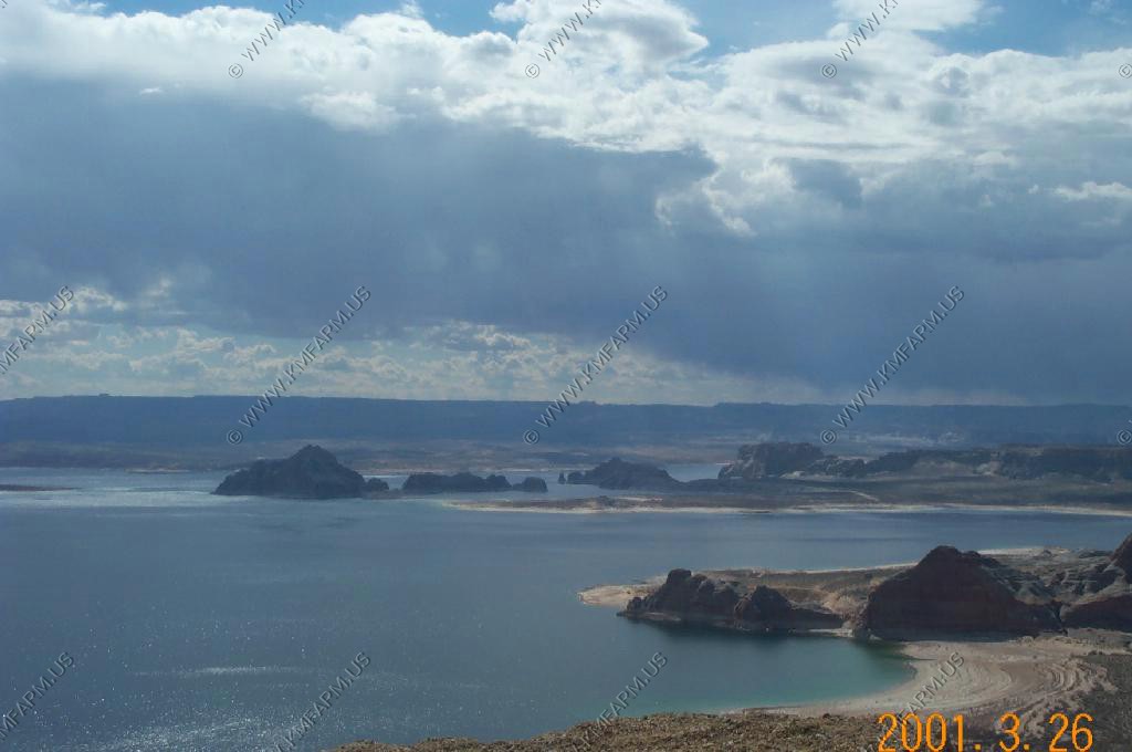
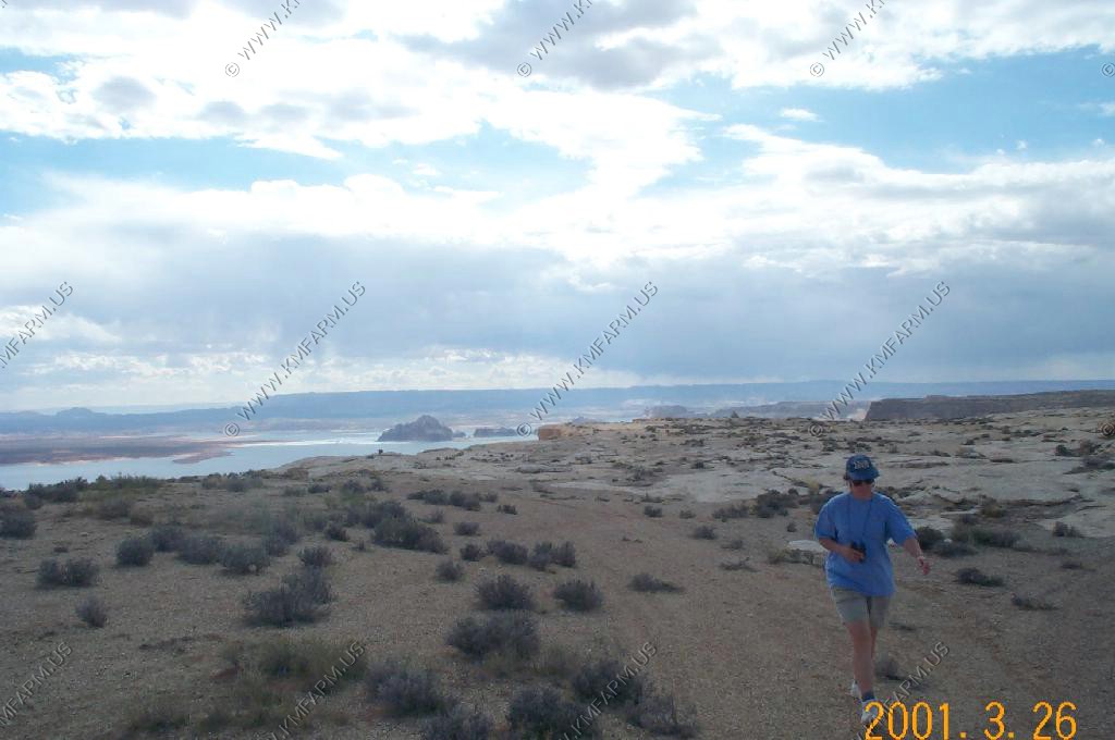
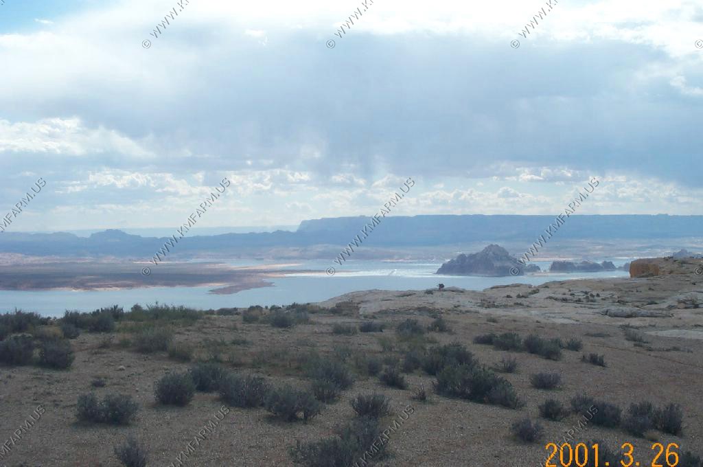
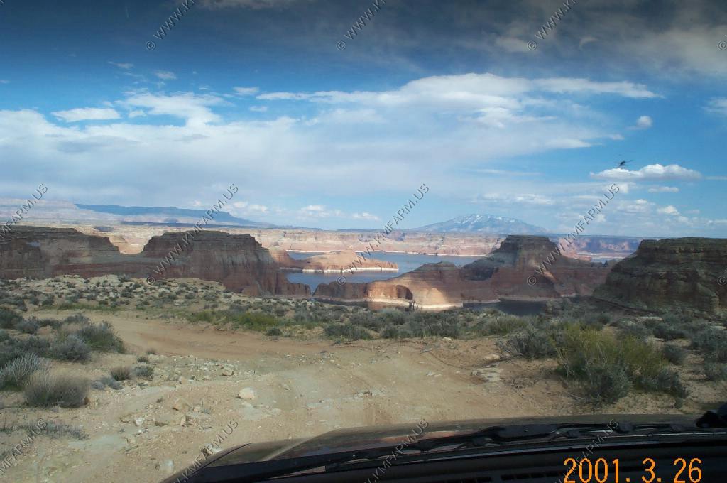
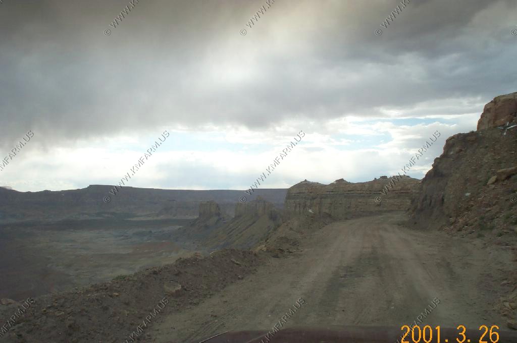
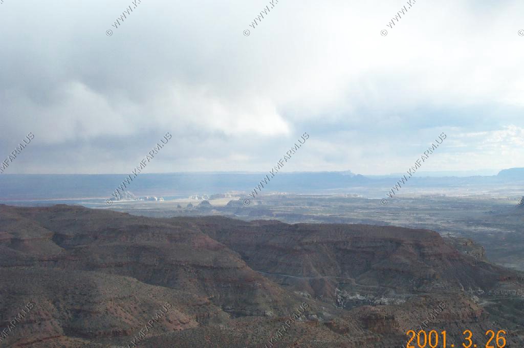
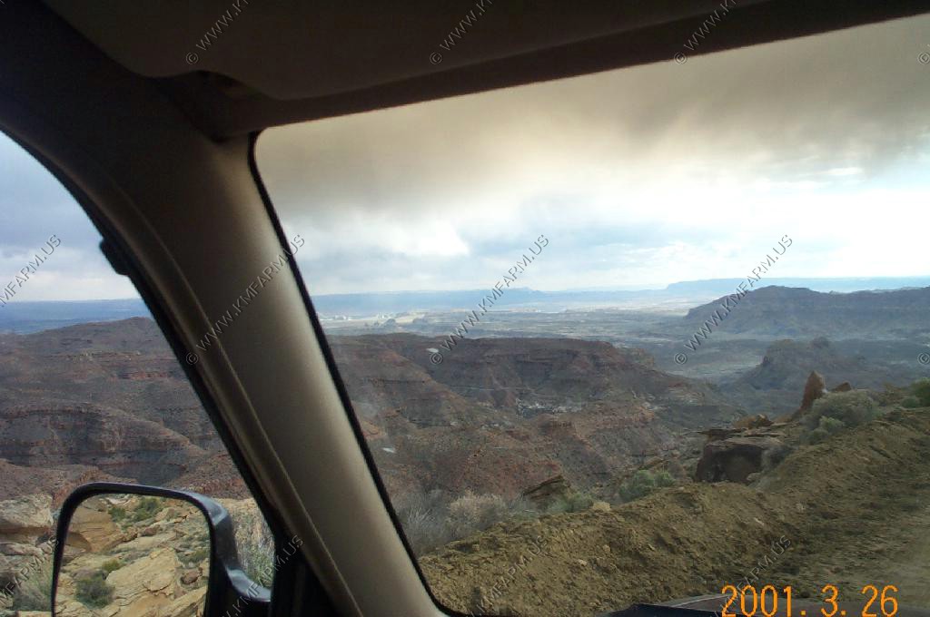
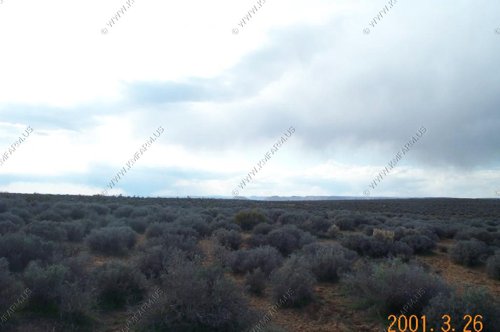
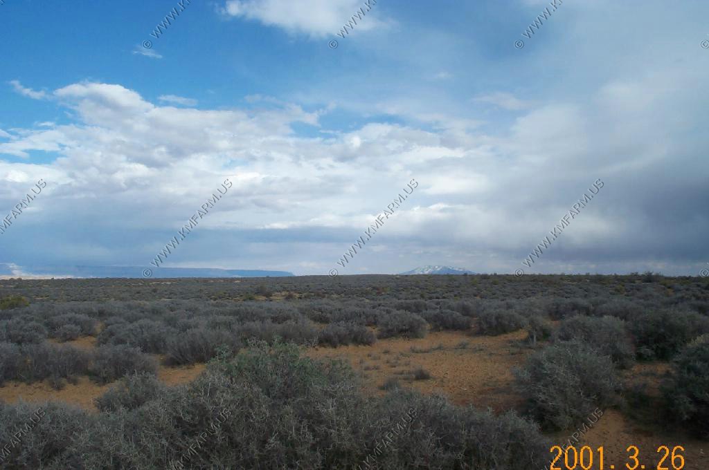
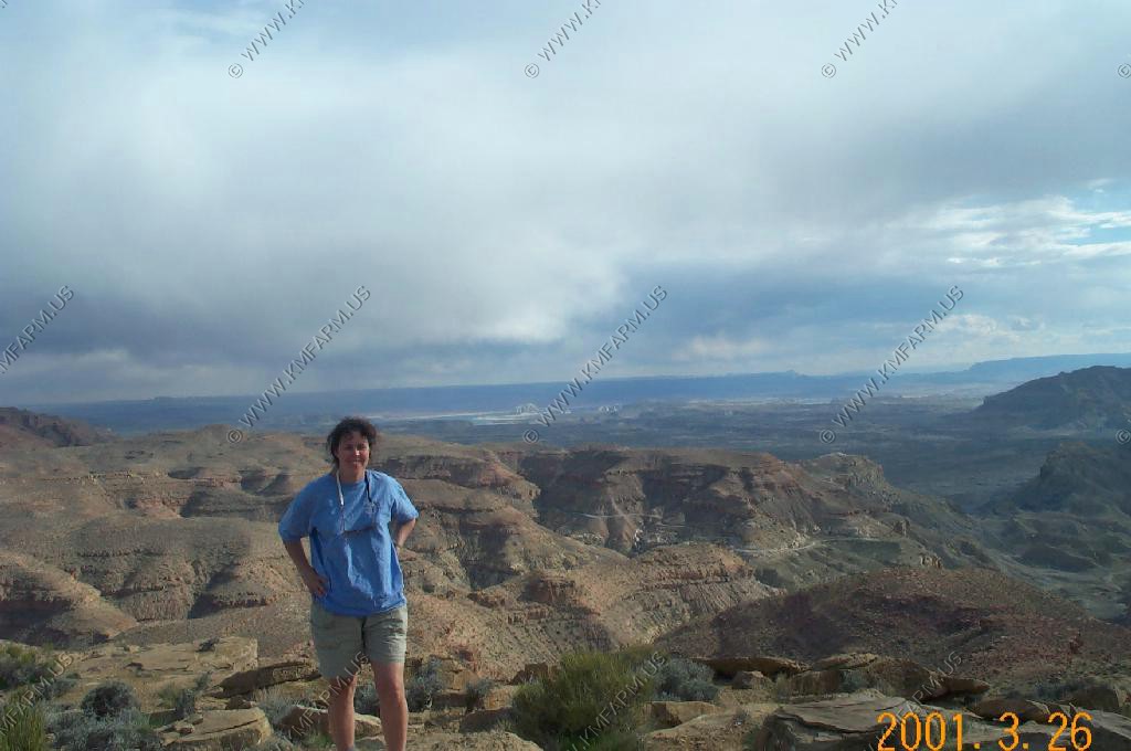
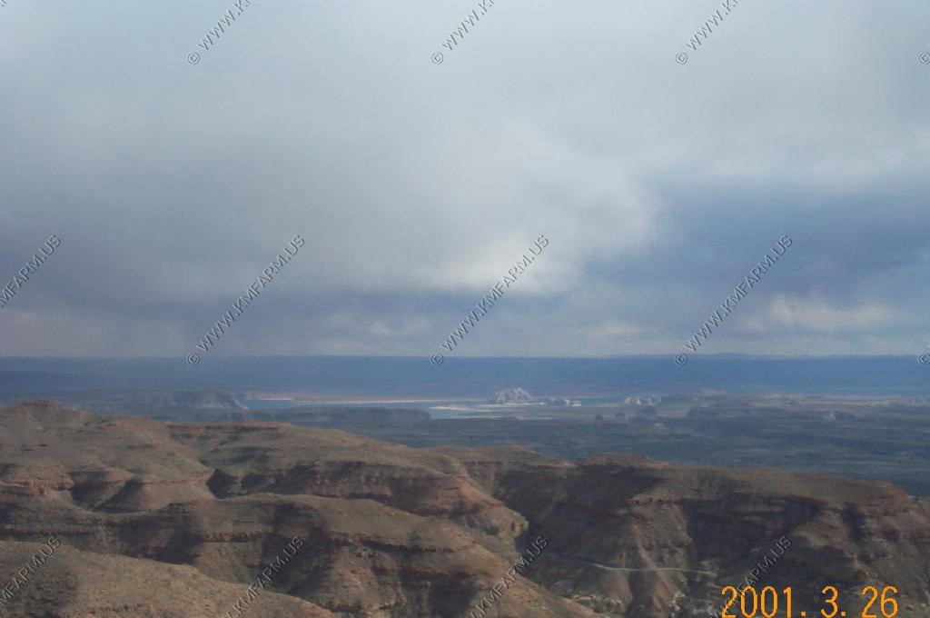
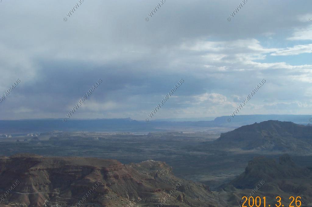
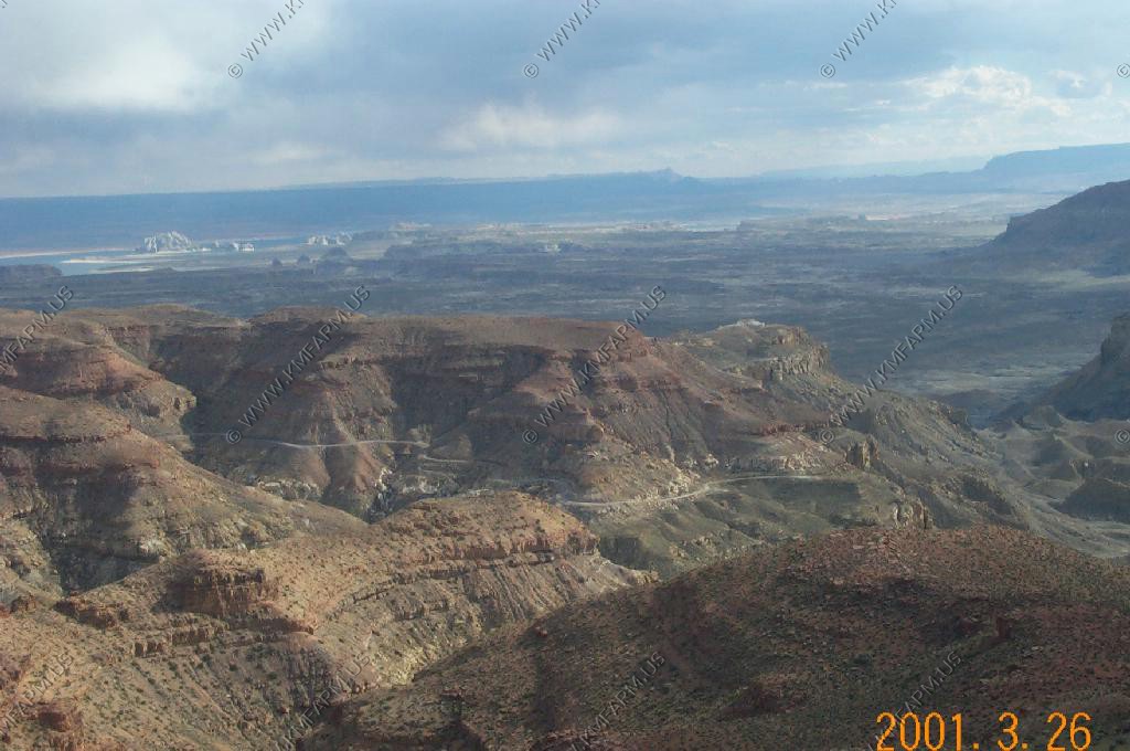
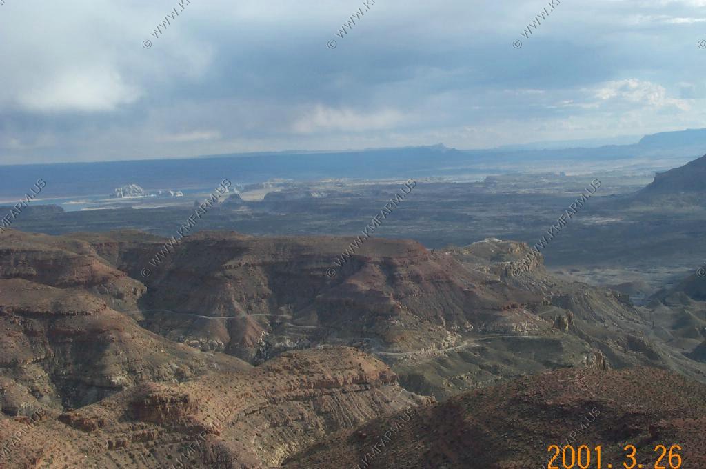
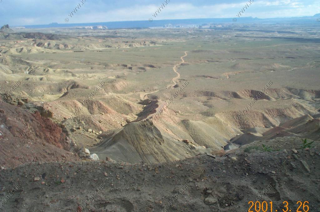
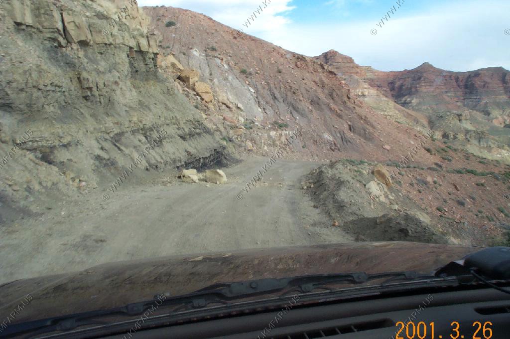
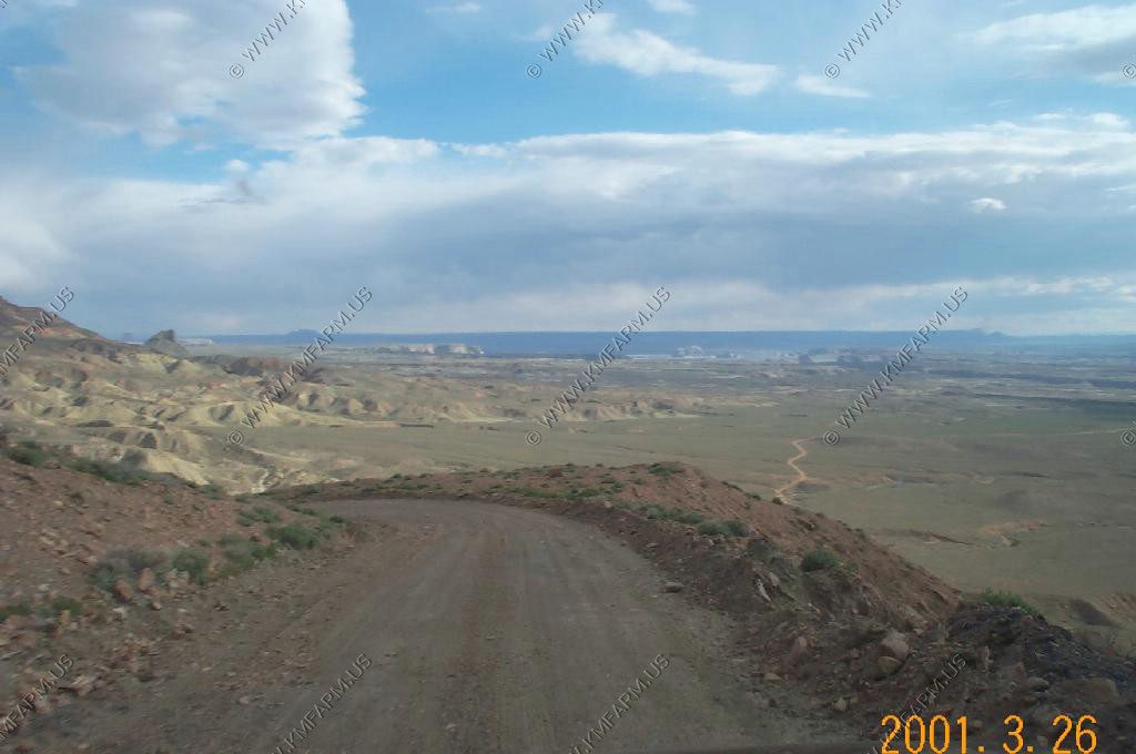
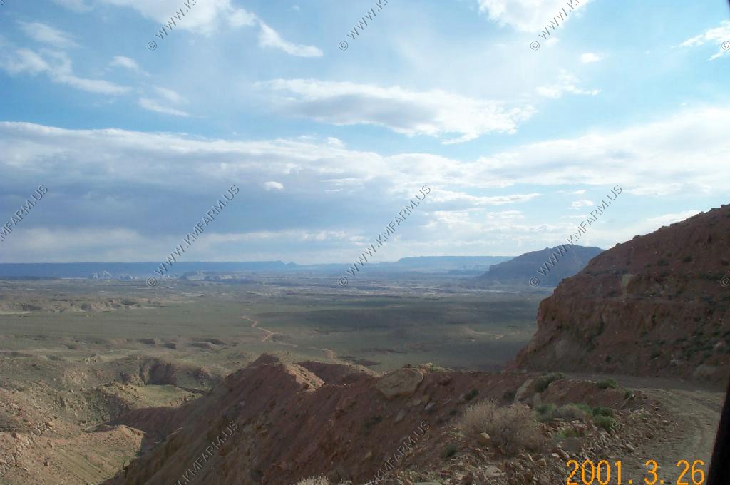
We went to spend a couple days with our friends, Roland and Kathy, who live on Lake Powell. Roland married us in 1998 at Horseshoe Bend, nearby. Roland was the boat captain and he took us out to Rainbow Bridge, which was a lot of fun. The weather improved as the day went on...

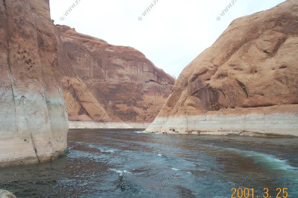
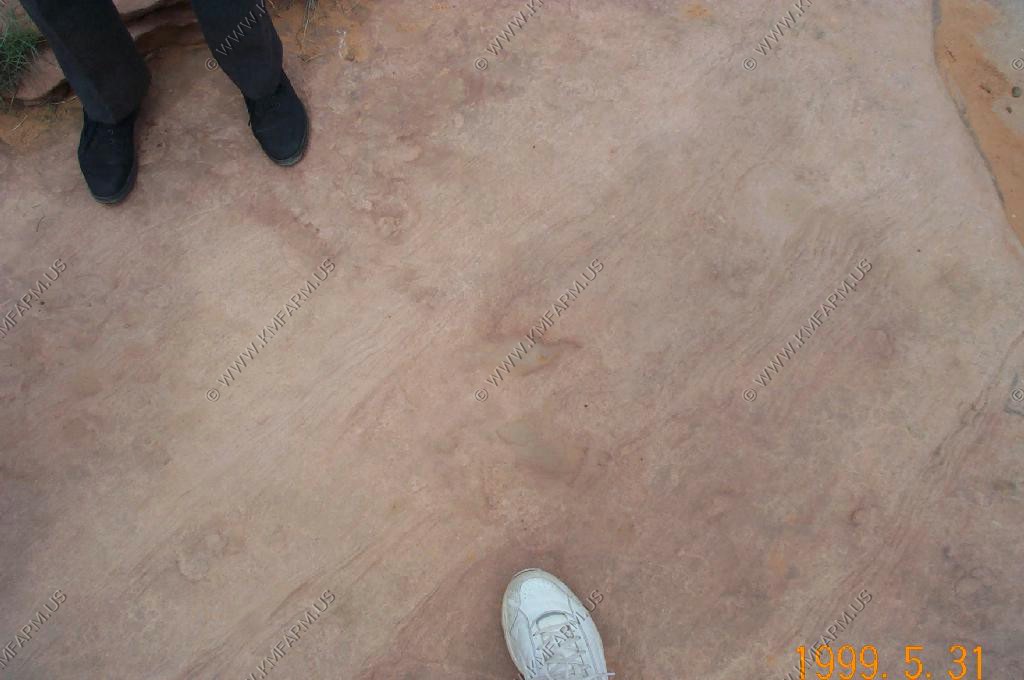
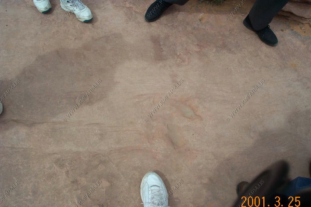
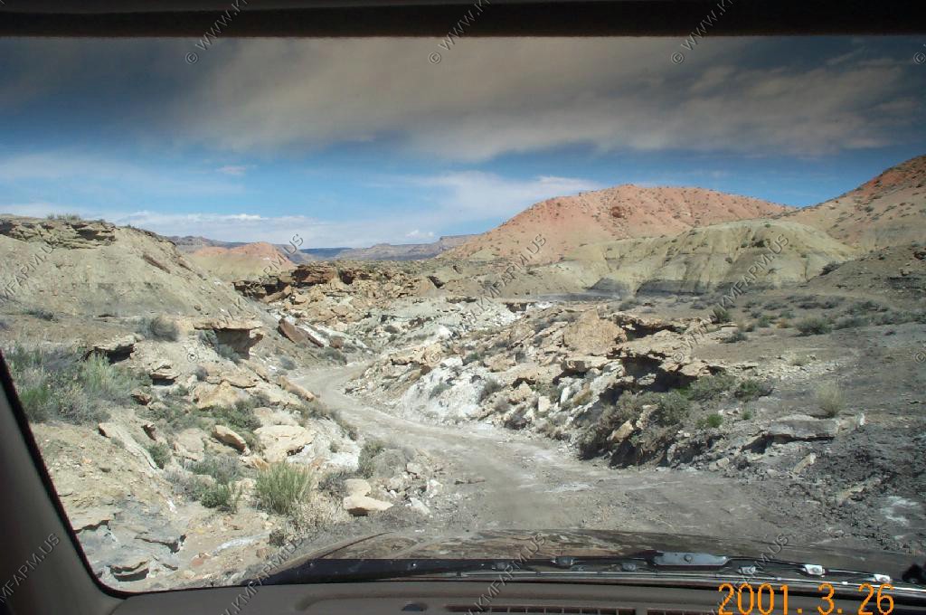
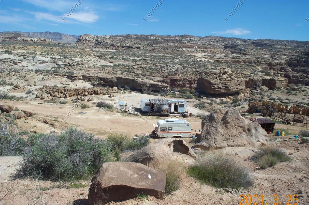
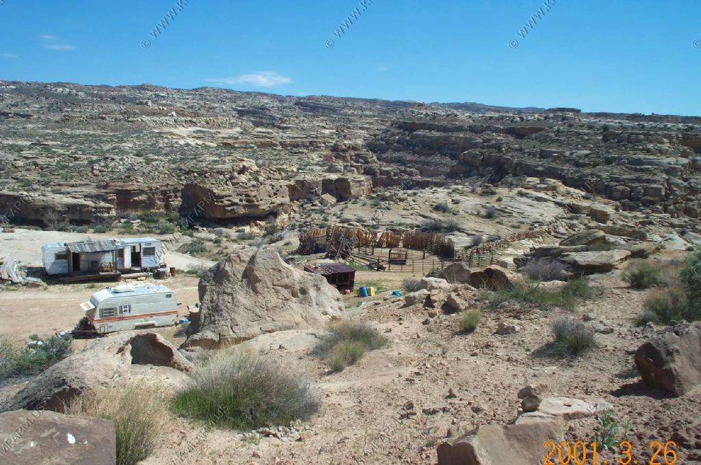
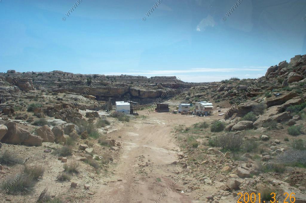
Dinosaur fossil prints

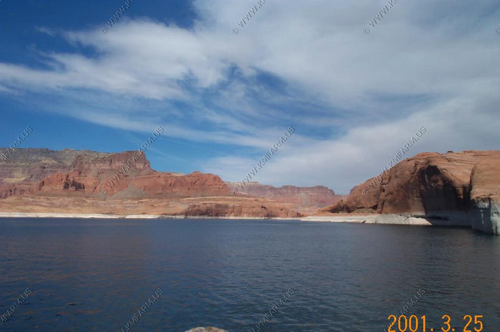
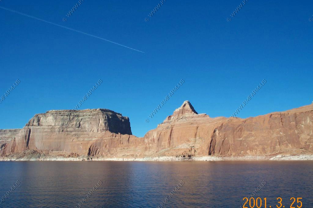


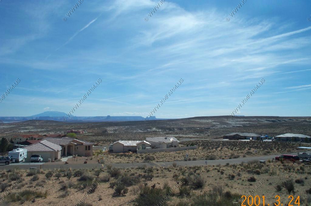
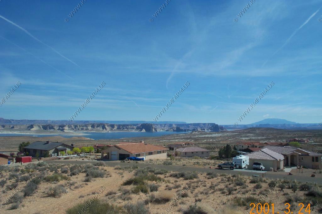
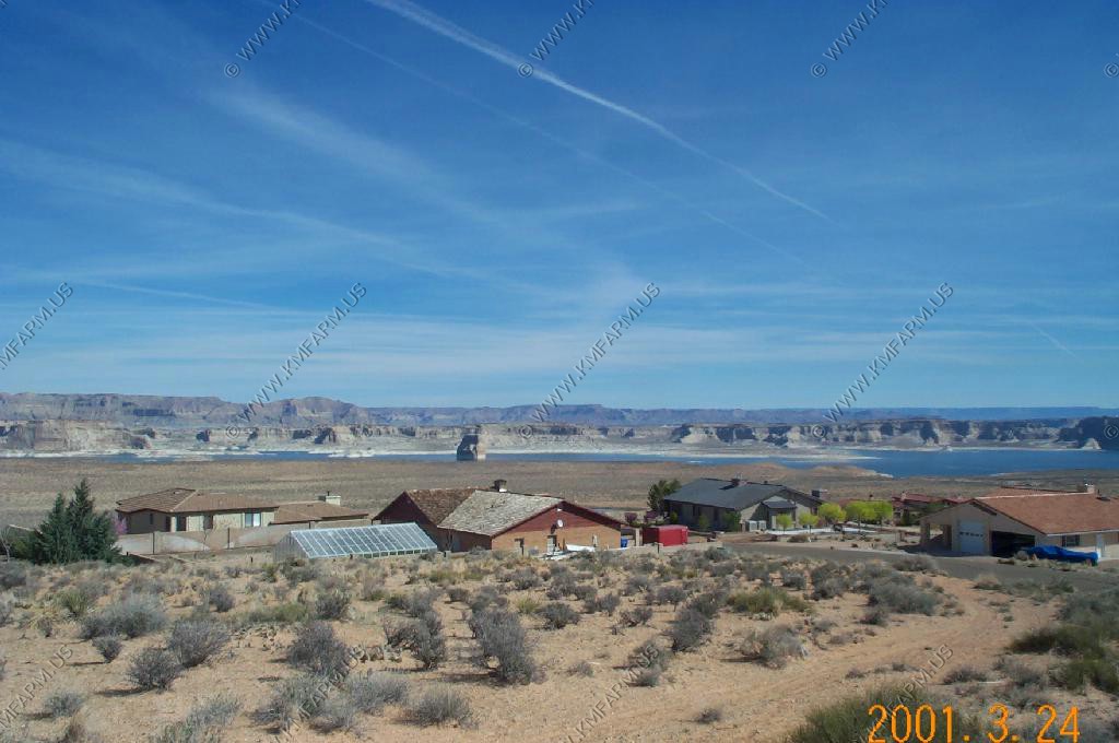
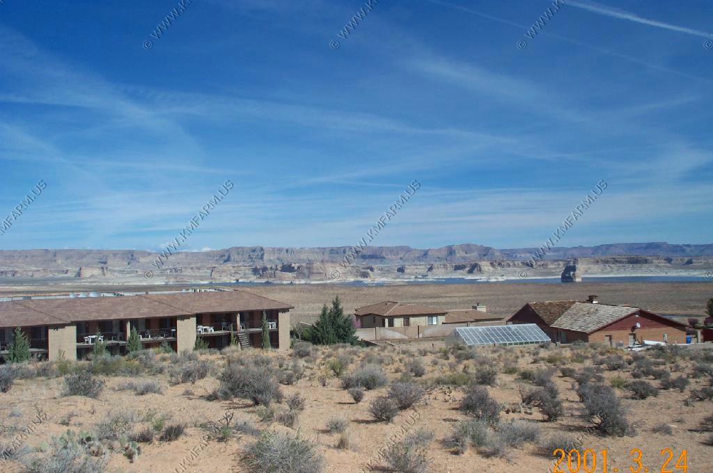
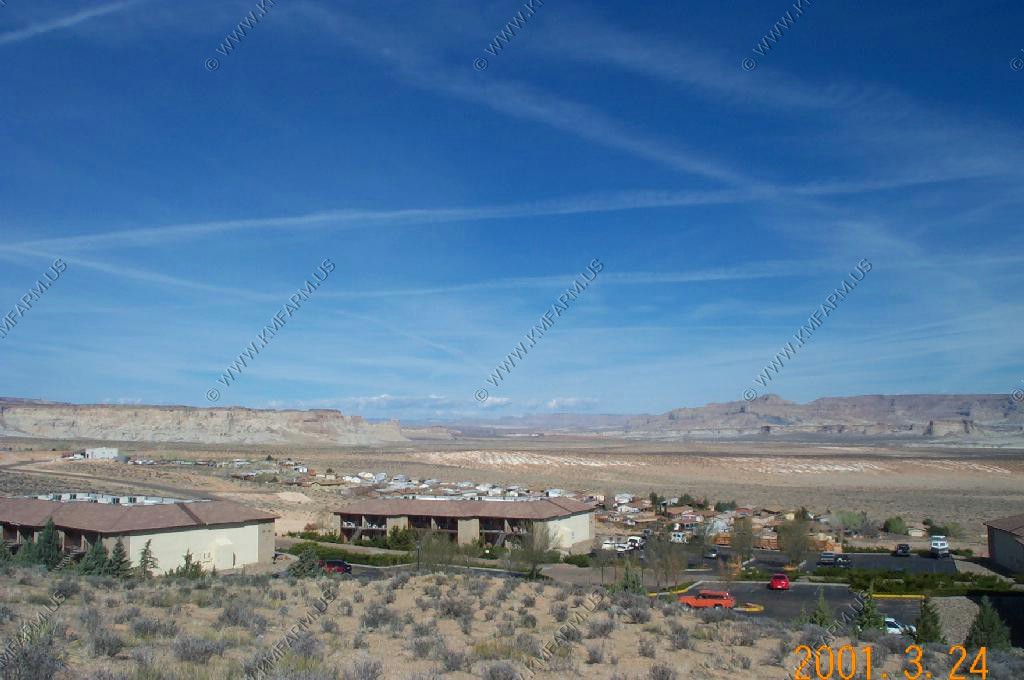
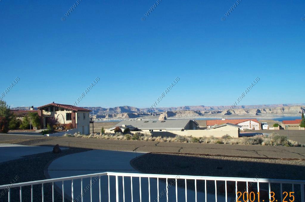
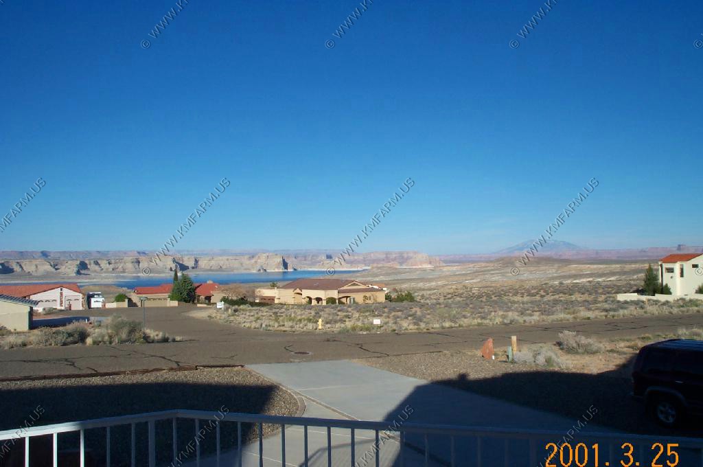
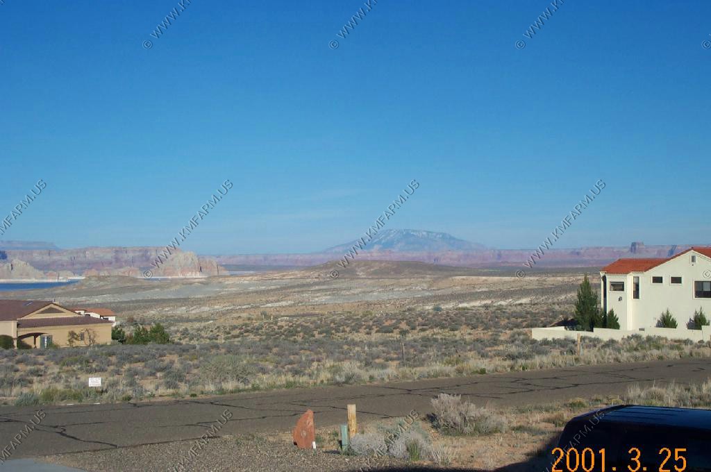
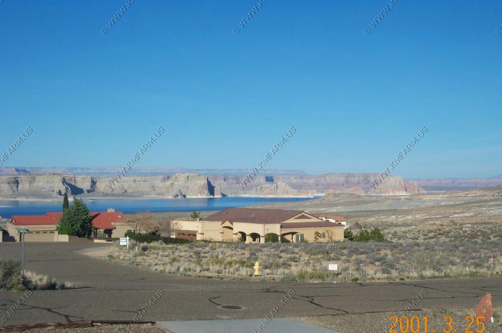
Greenehaven, Roland's lakefront neighborhood
Lone Rock Beach, Utah
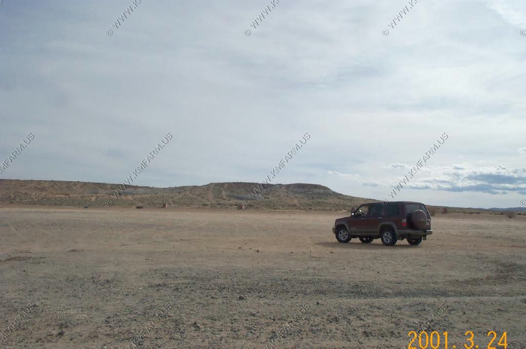
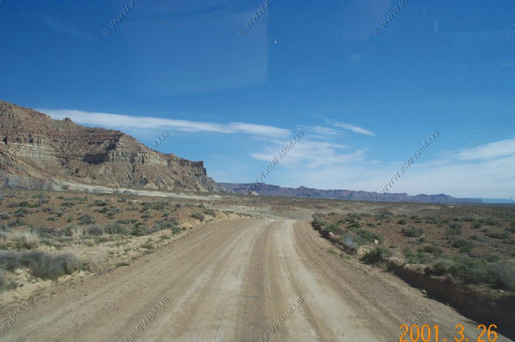
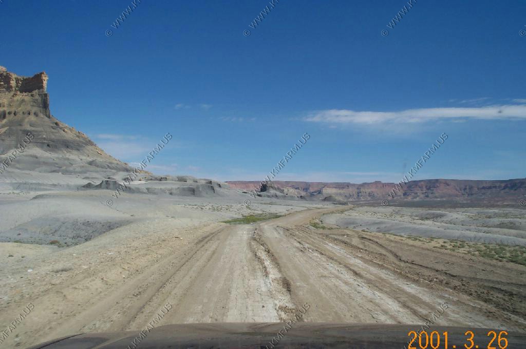
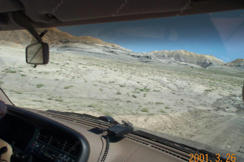
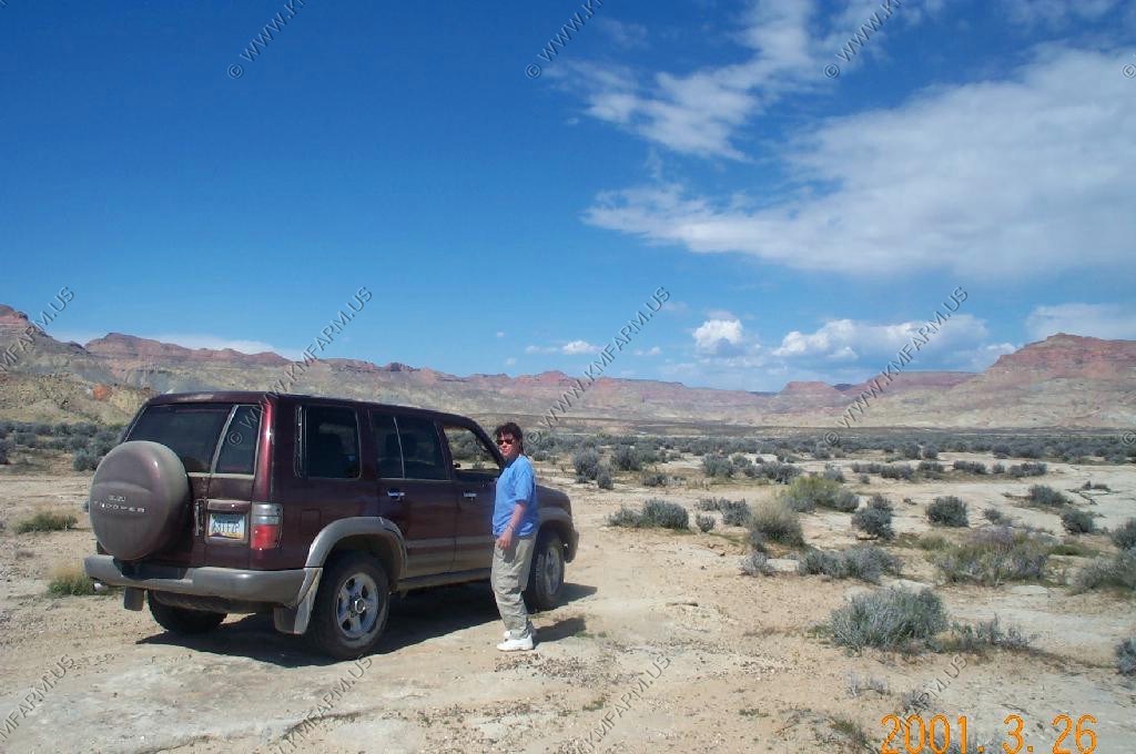
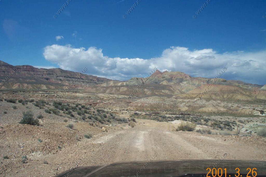
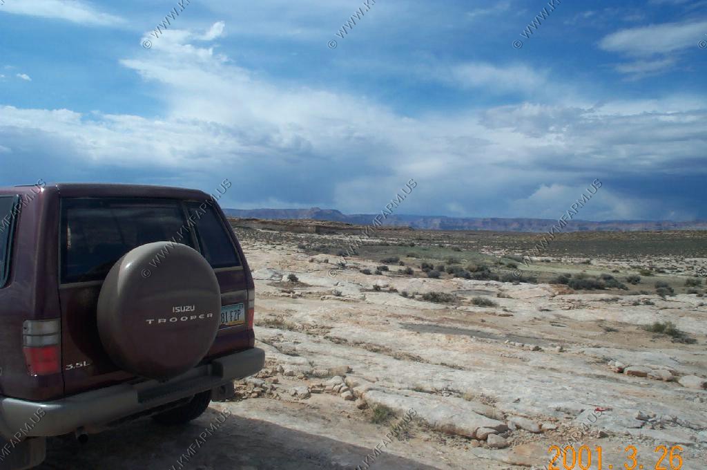
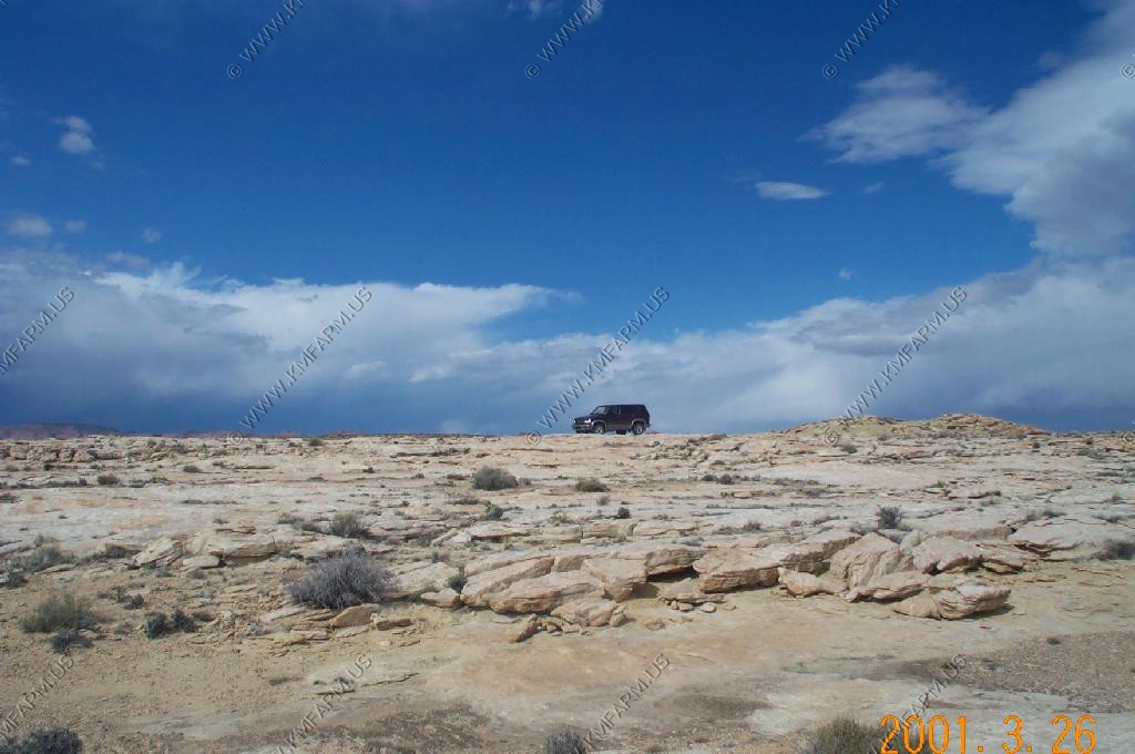
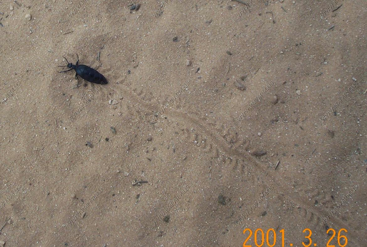
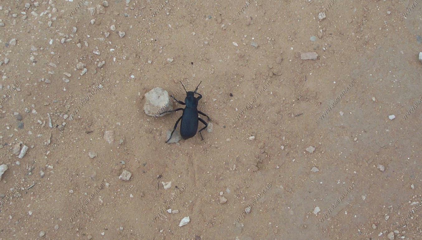
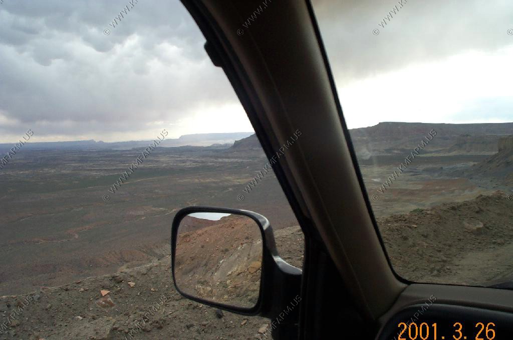
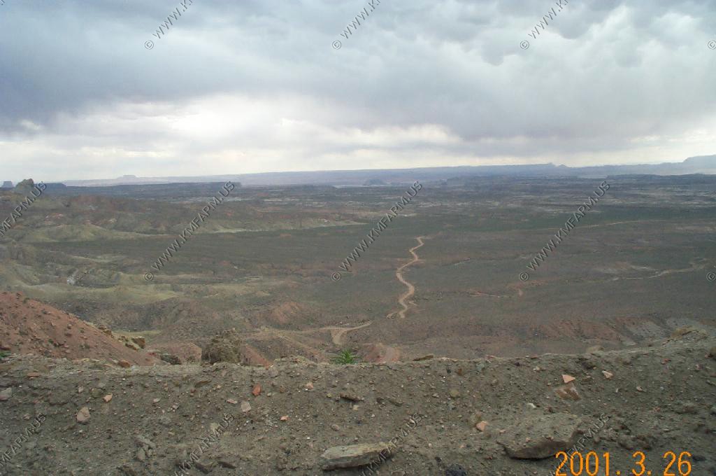
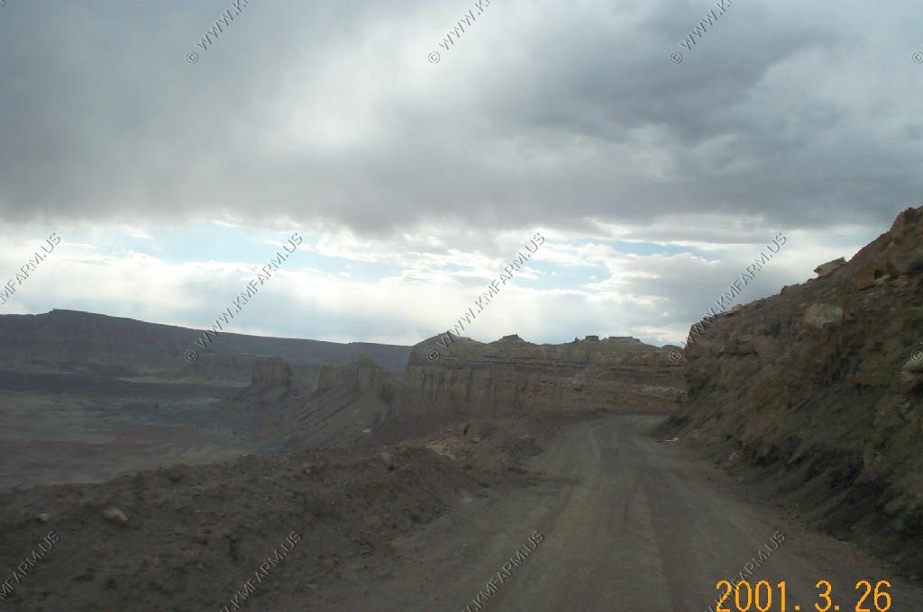
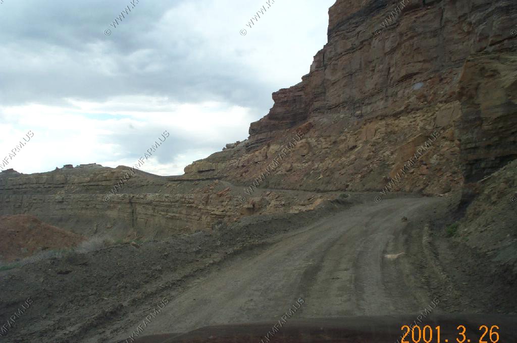
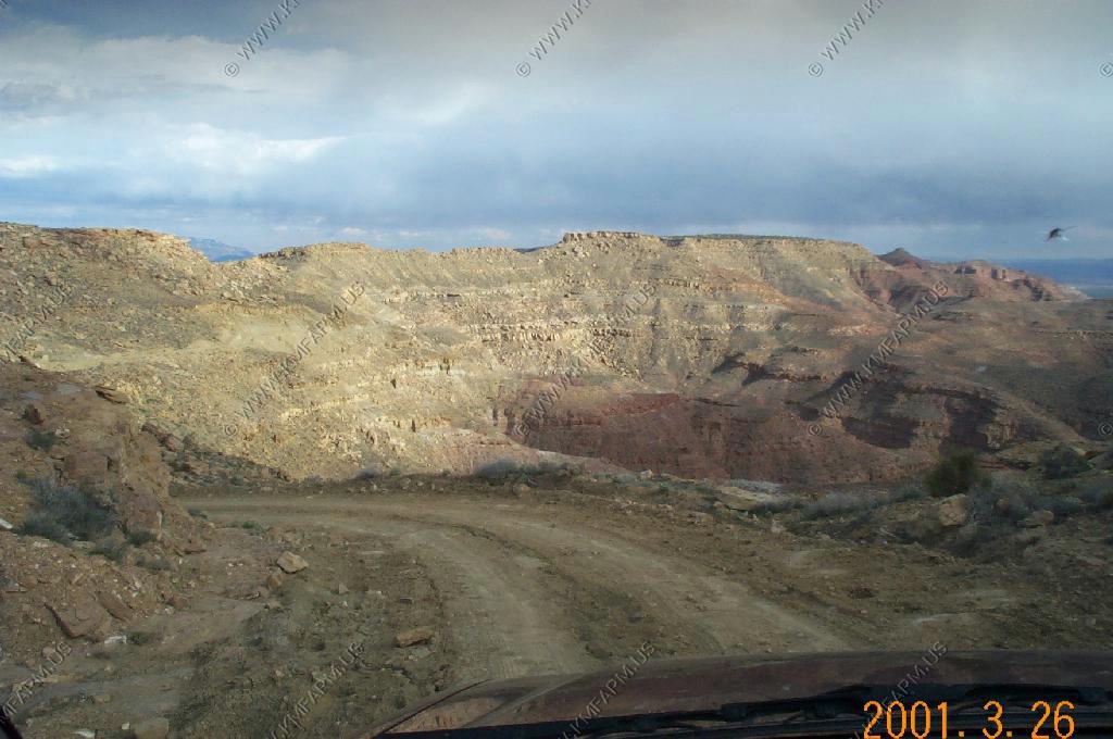
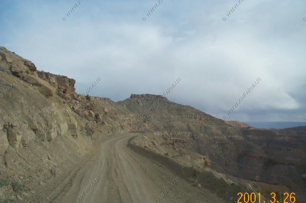
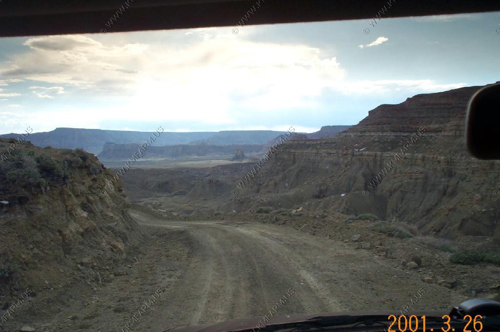
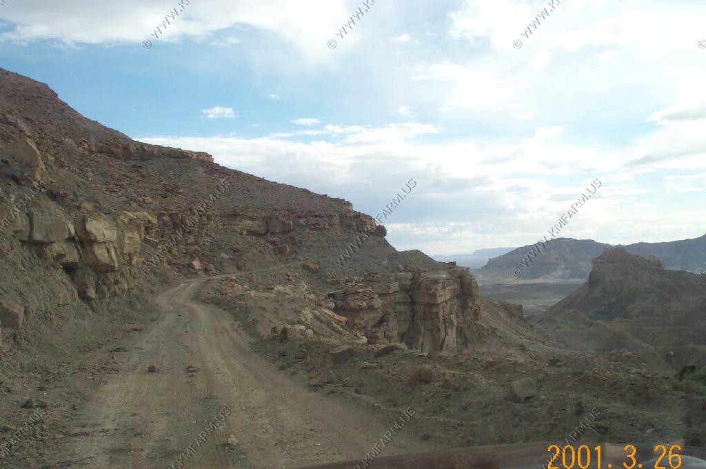
Our rental Trooper, which they gave us when the original 4X4 lost its brakes at Organ Pipe--couldn't stop on sand!
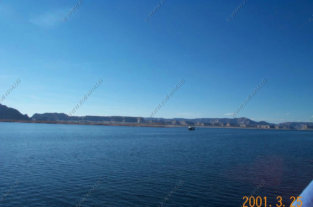
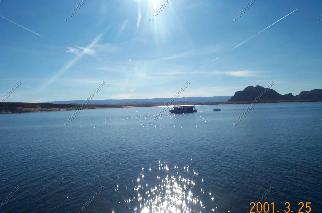
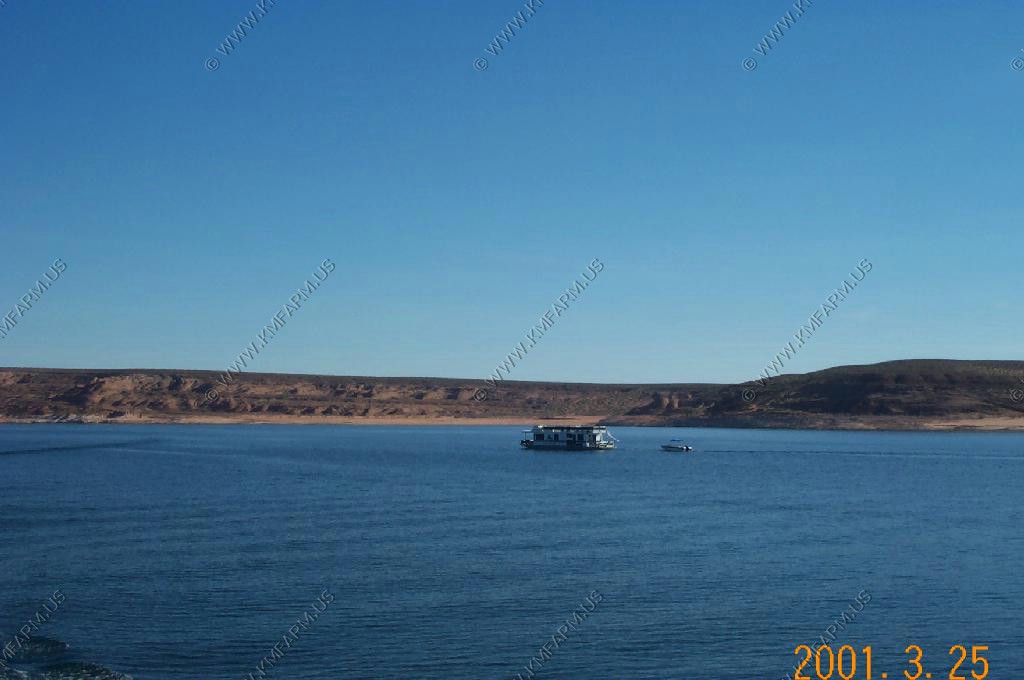
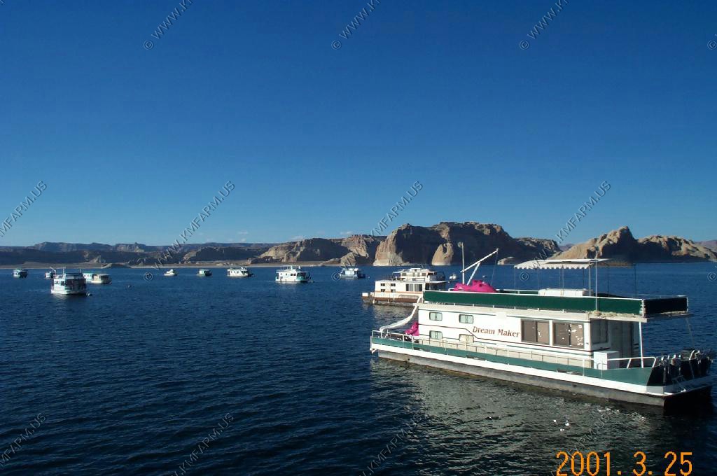
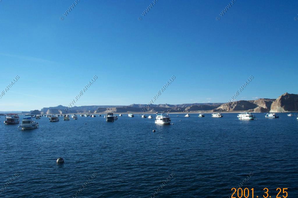
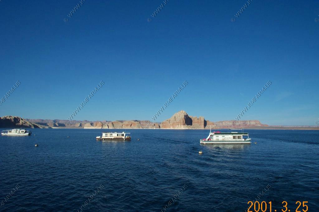
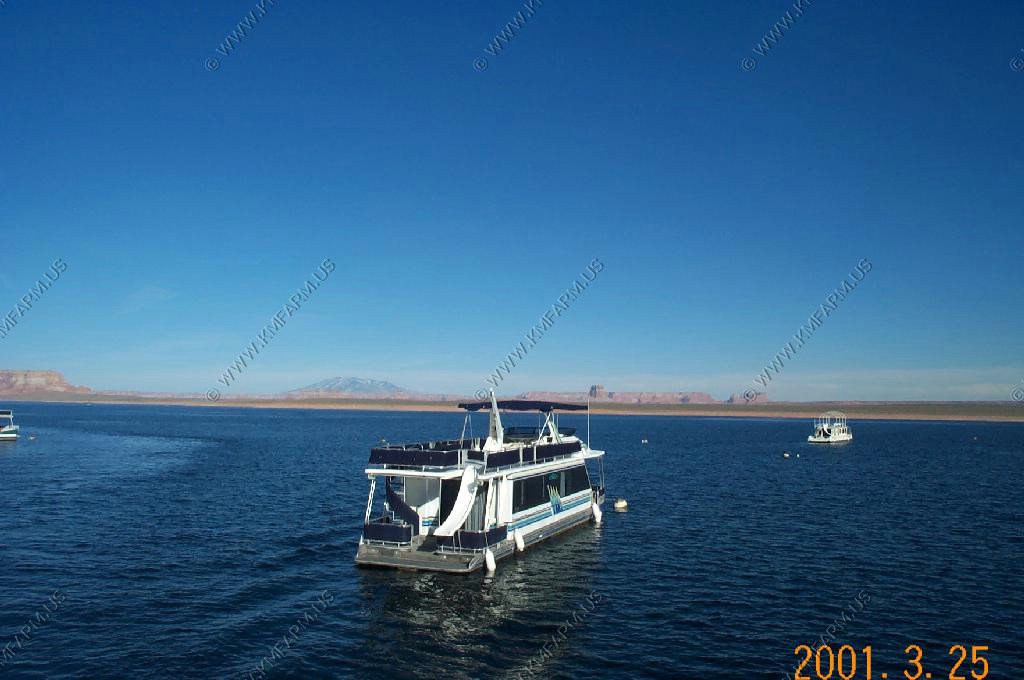
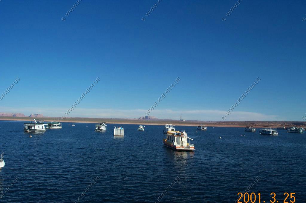
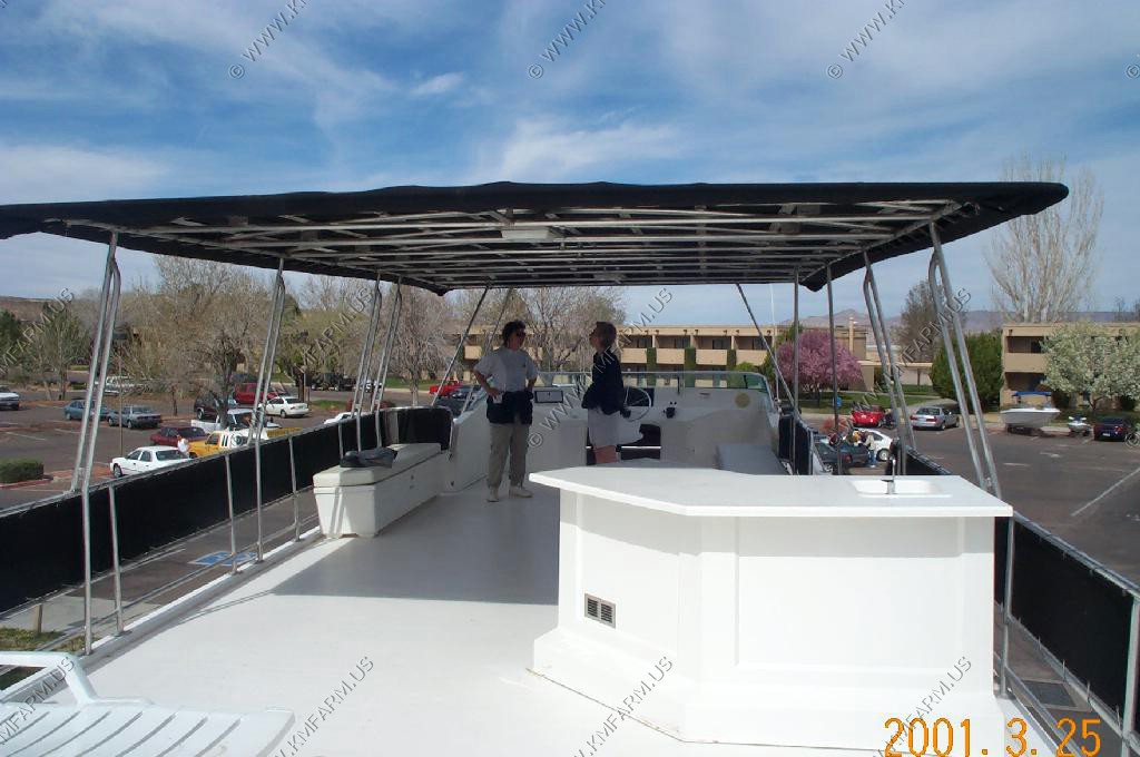
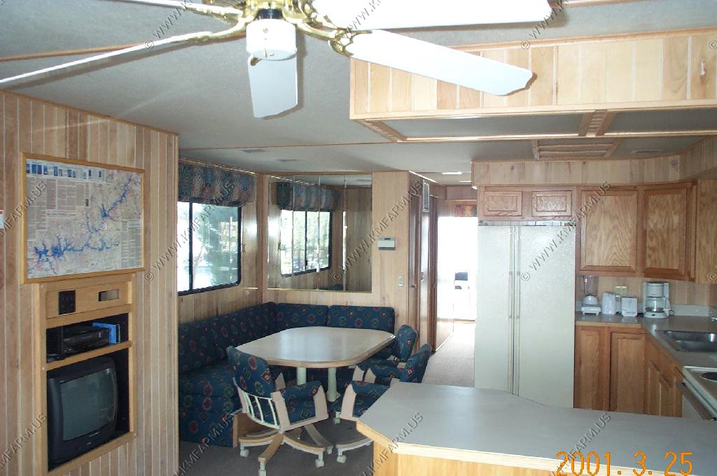
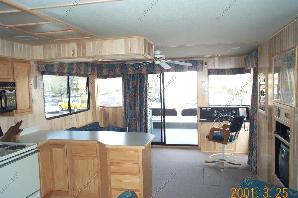
One of the houseboats you can rent at Lake Powell. Very popular for week-long vacations


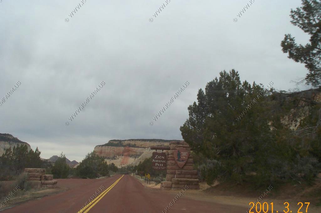
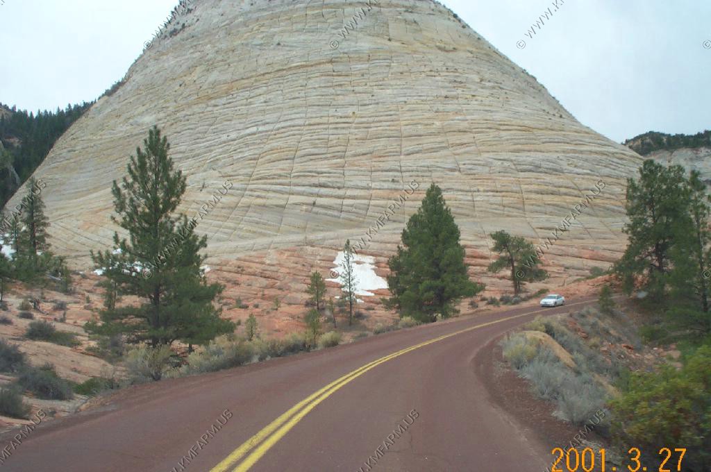
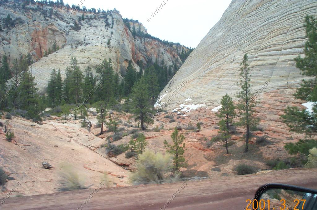
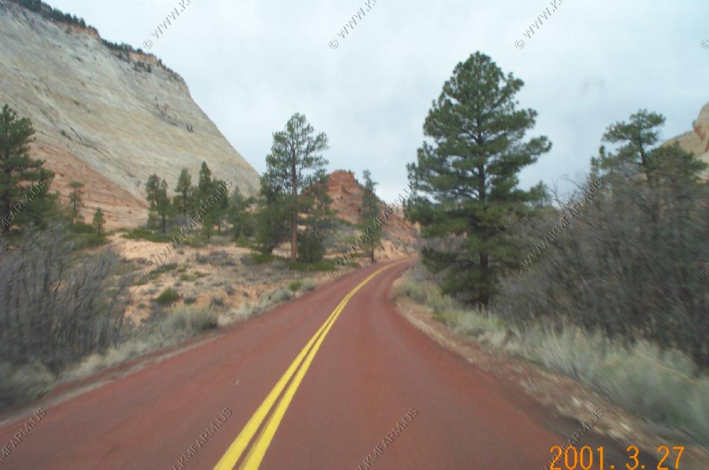
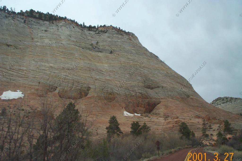
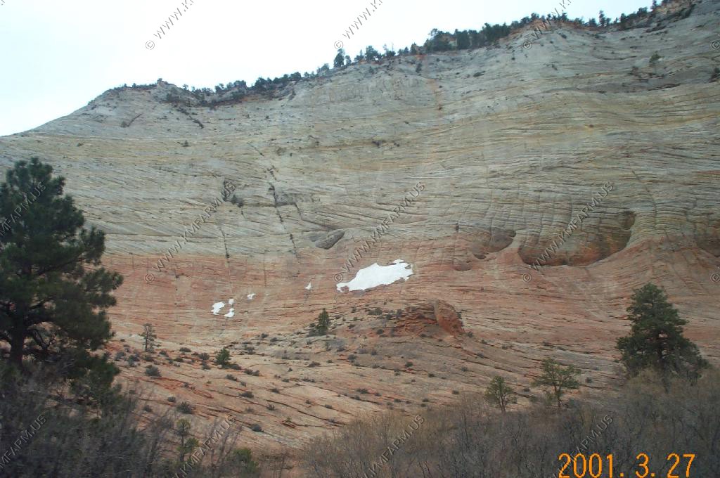
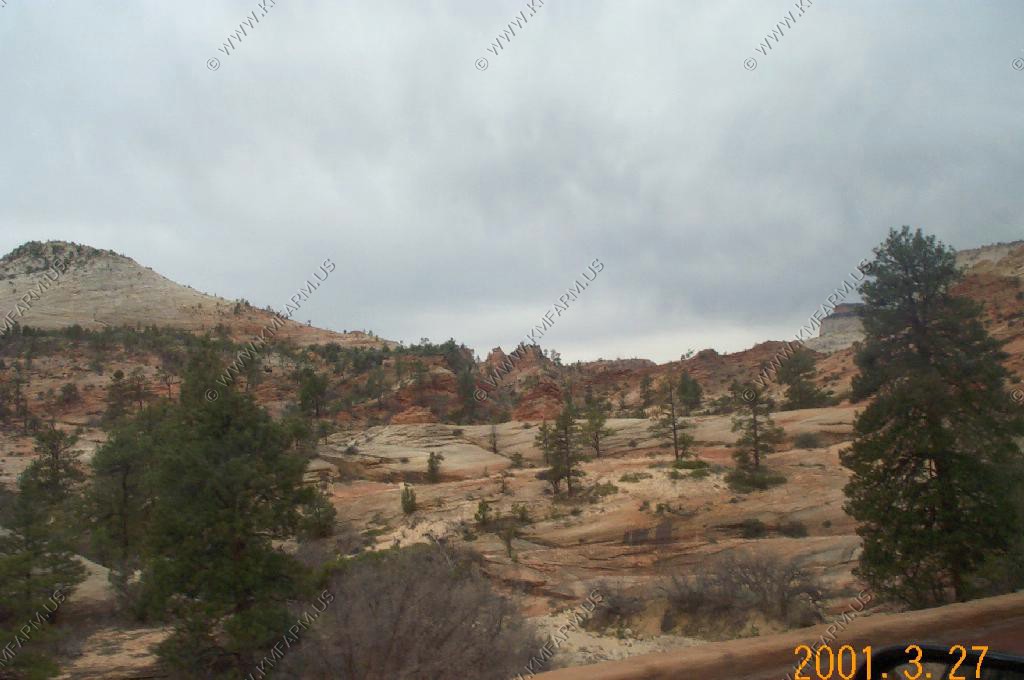
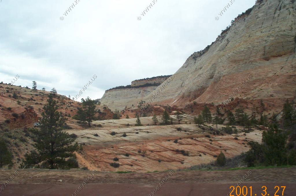
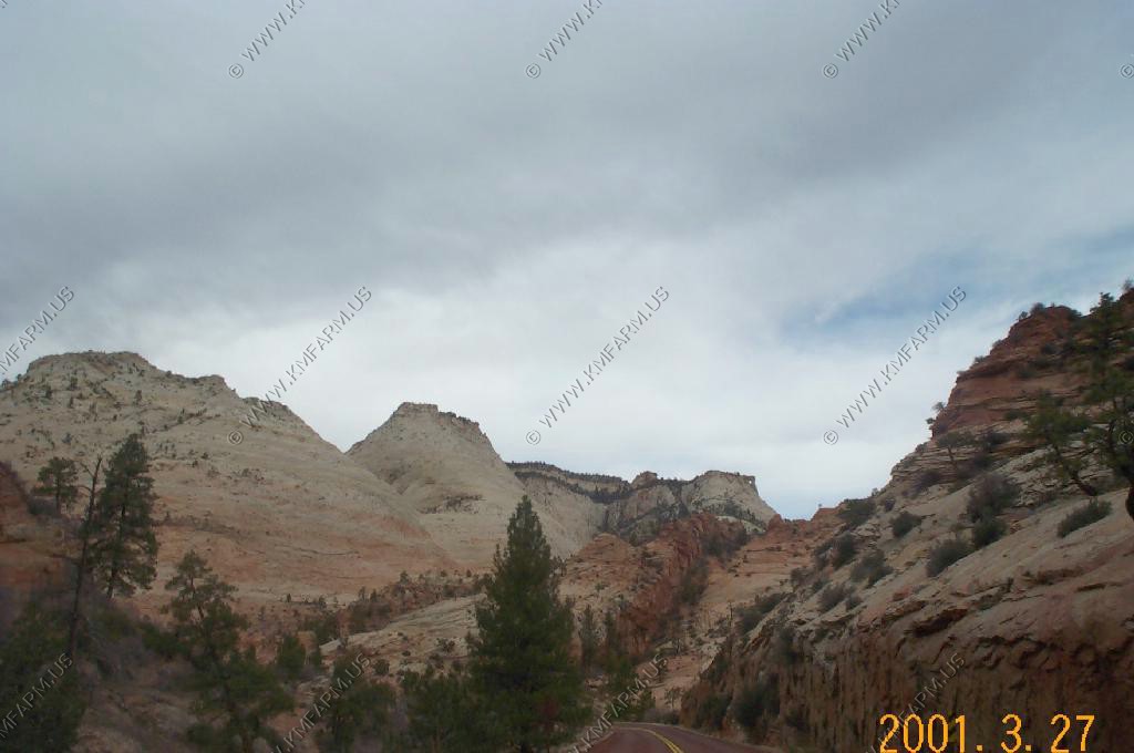
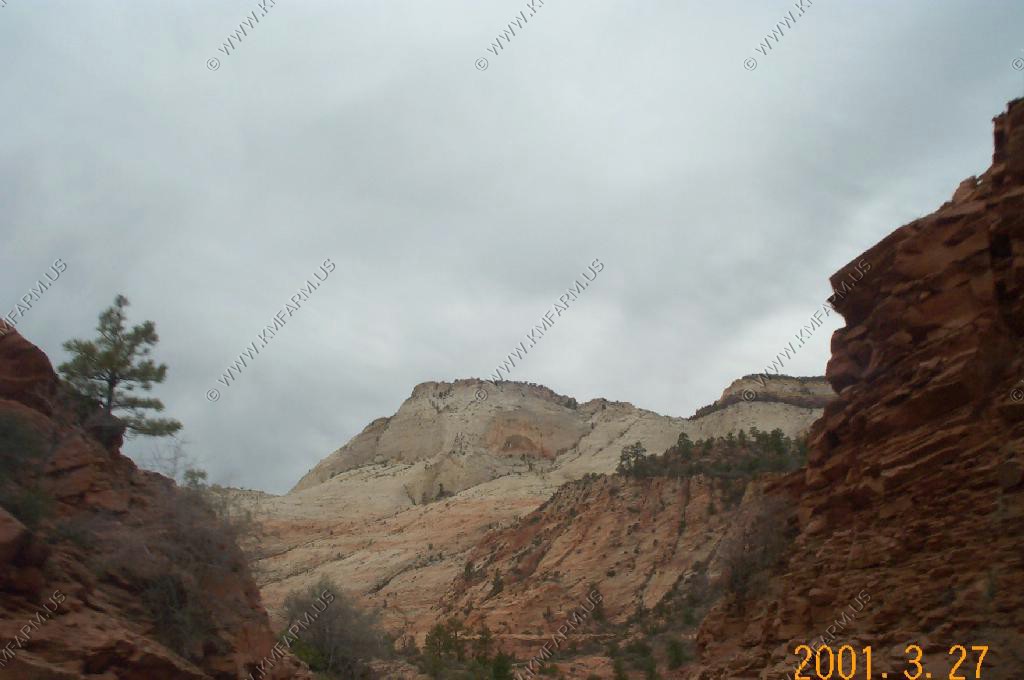
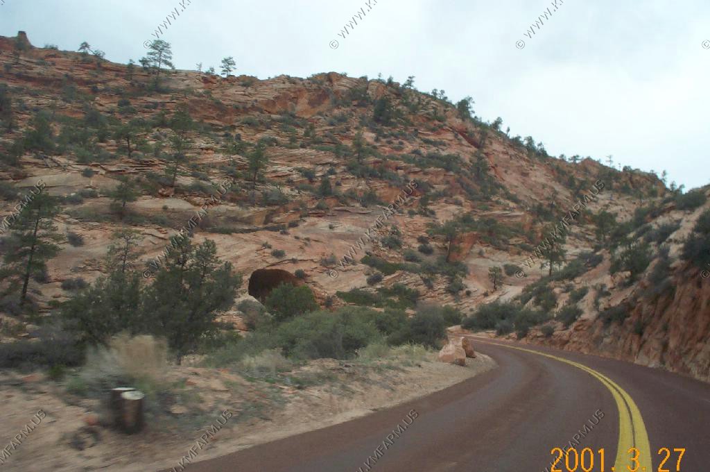
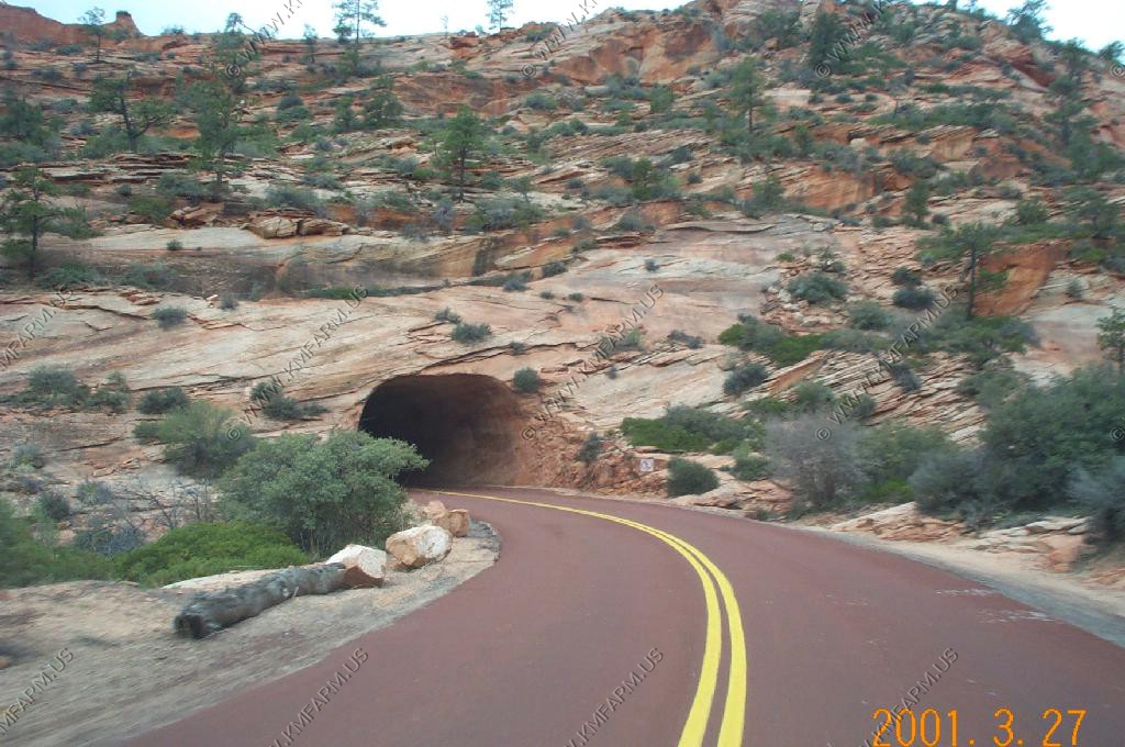
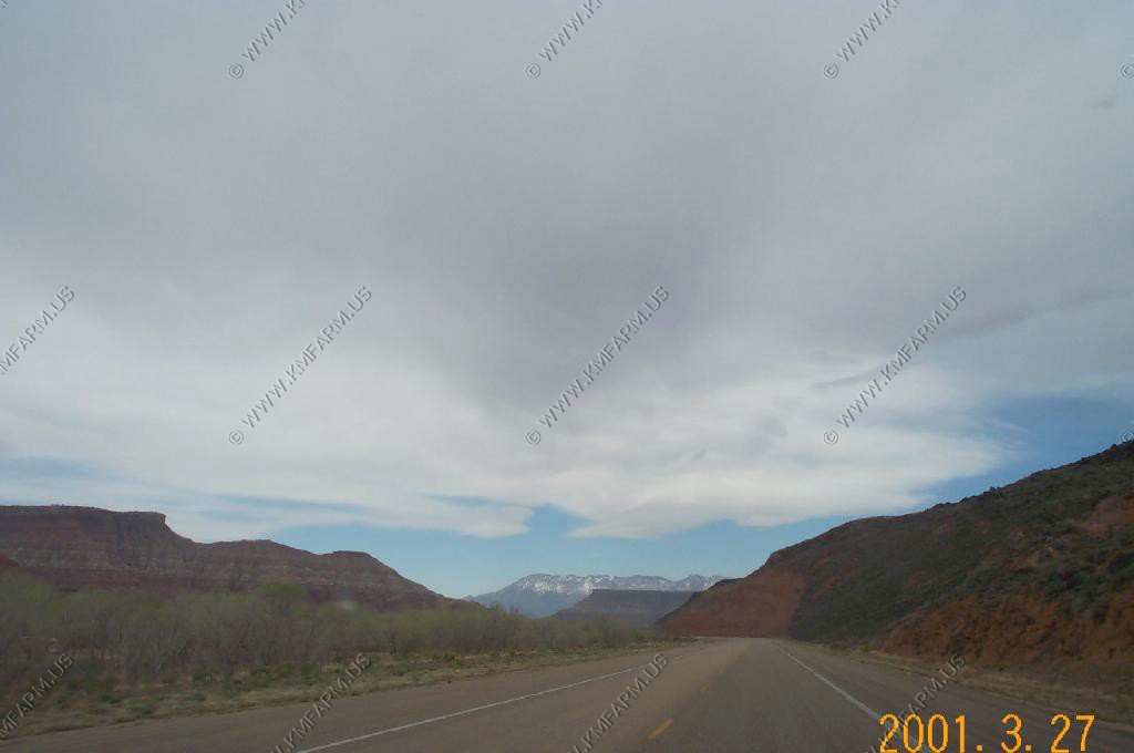
We had been to Zion National Park several times. It is worth several days to explore but we had to get back to Las Vegas to catch a plane...
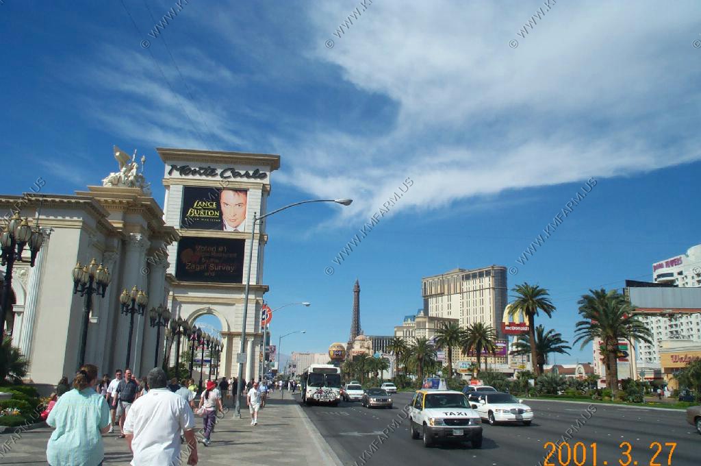
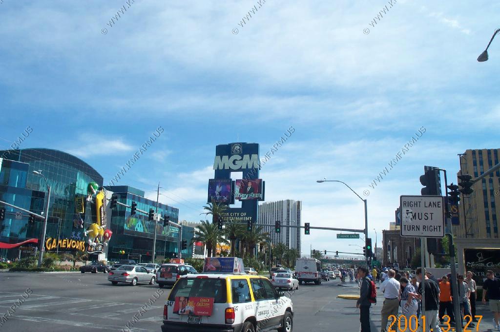
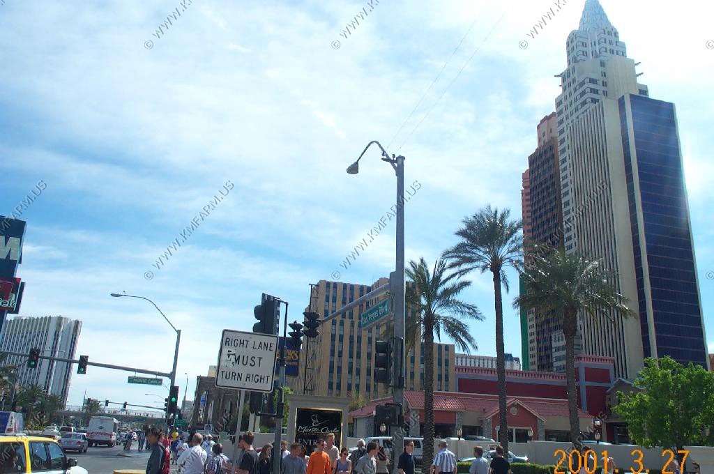
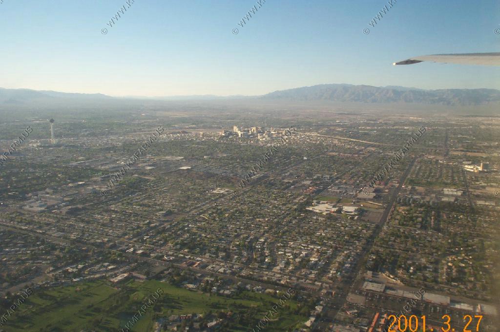
Las Vegas is truly a place like no other...