
Last Updated: 25-AUG-2018
Our 2 day goal was central Nebraska. We took I-70 west to Indianapolis then I-74 North West Davenport / Moline where we got on I-80. This allowed us to avoid the Chicago mess and the tolls across Northern Indiana.
Left around lunch and headed west. Made it out to the Dayton Ohio area. The appx. miles for the day was a easy 450 miles.
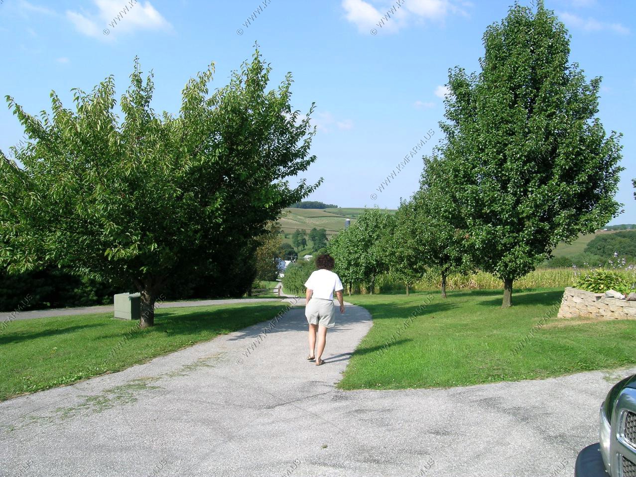
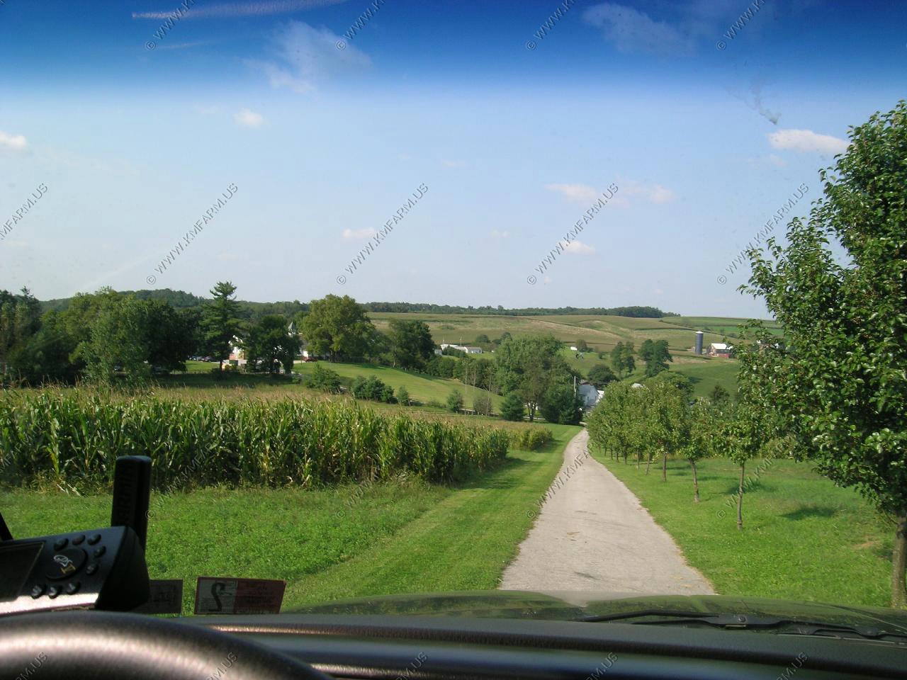
A few shots of the place on the way out. A few days later the area got slammed by the remnants of Isabell.
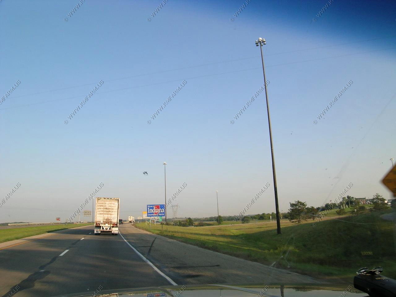
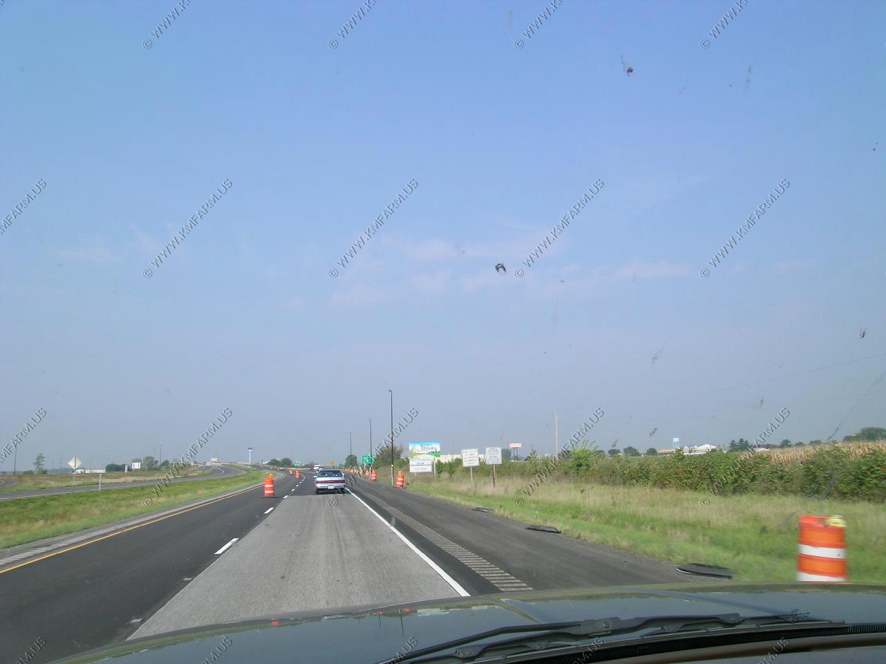
Entering the terrible state of Illinois. Because of the whaco gun laws we don't stop... We don't spend one cent !! I just race across as fast as I legally can with the hope that I don't have any problems with the police as I do travel armed !
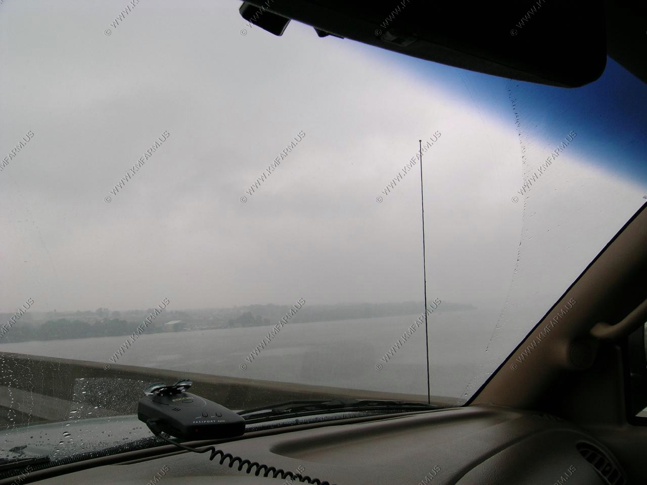
Crossing the Mississippi in the rain. But, we are in Iowa now !! We made it !!

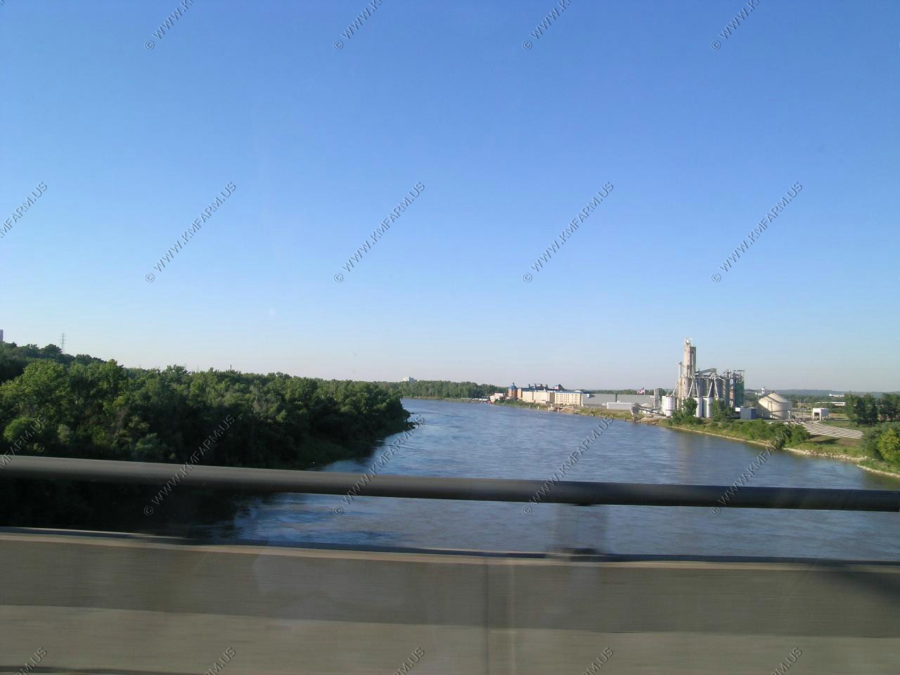
Crossing the Missouri and the sun is back.
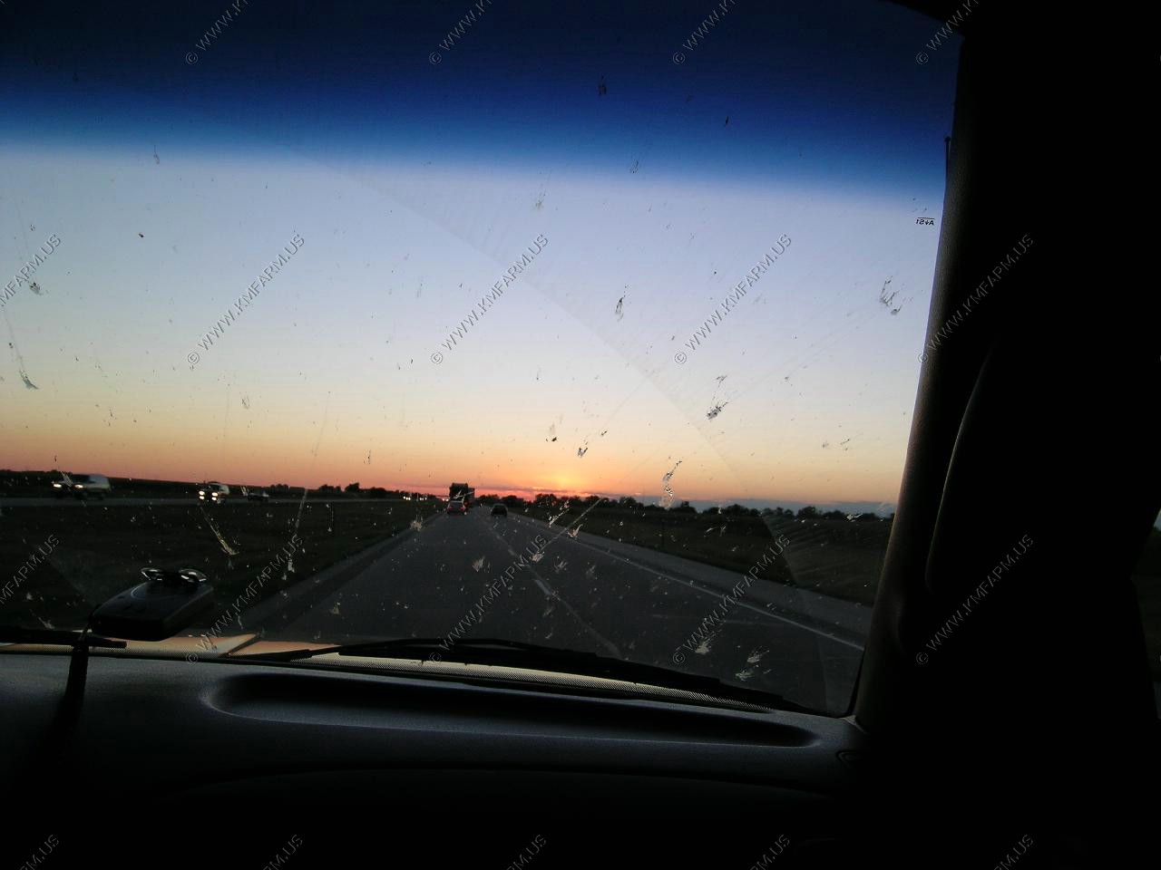
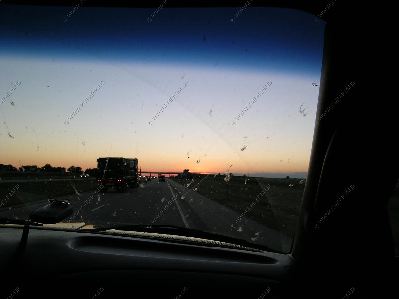
Our second night will be in Kearney Nebraska. This would be the end of our interstate travel except for a few small sections until it was time to go home. The sun angle was right over the road and the bugs made visibility difficult.
The Dayton, Ohio to Kearney, Nebraska ride was appx. 900 miles. Easy day. Also, the time zone change helped make the day seem shorter.
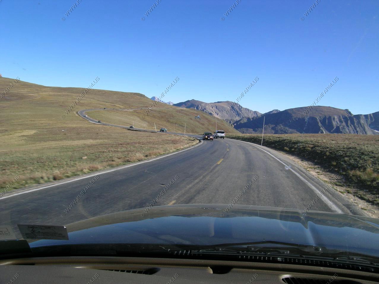
Our goal today is Kearney, Nebraska to Estes Park, Colorado which was appx. 400 miles. So, it's an easy day.
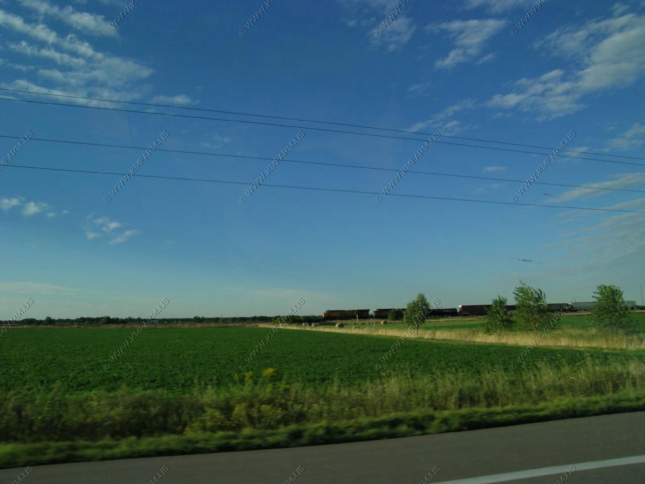
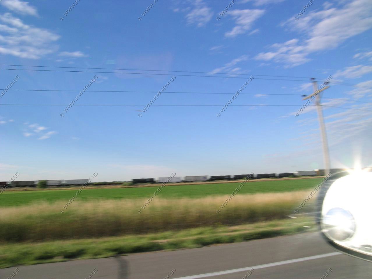
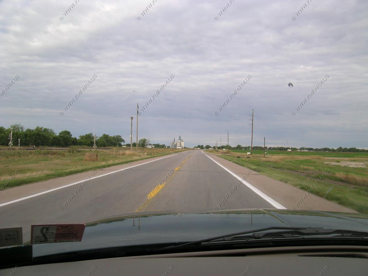
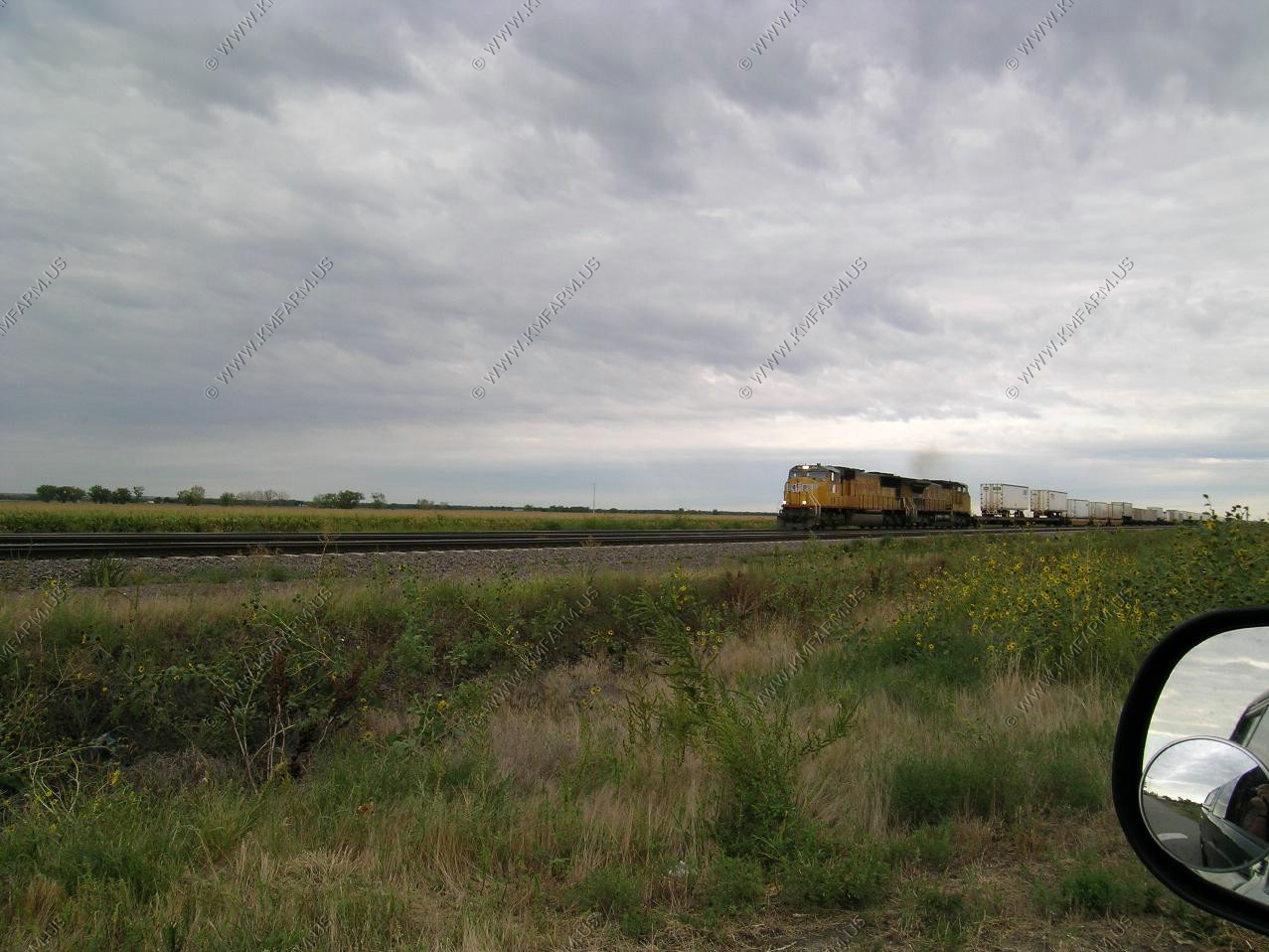
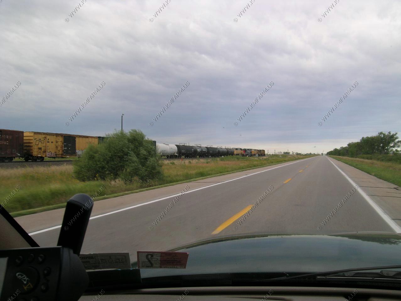
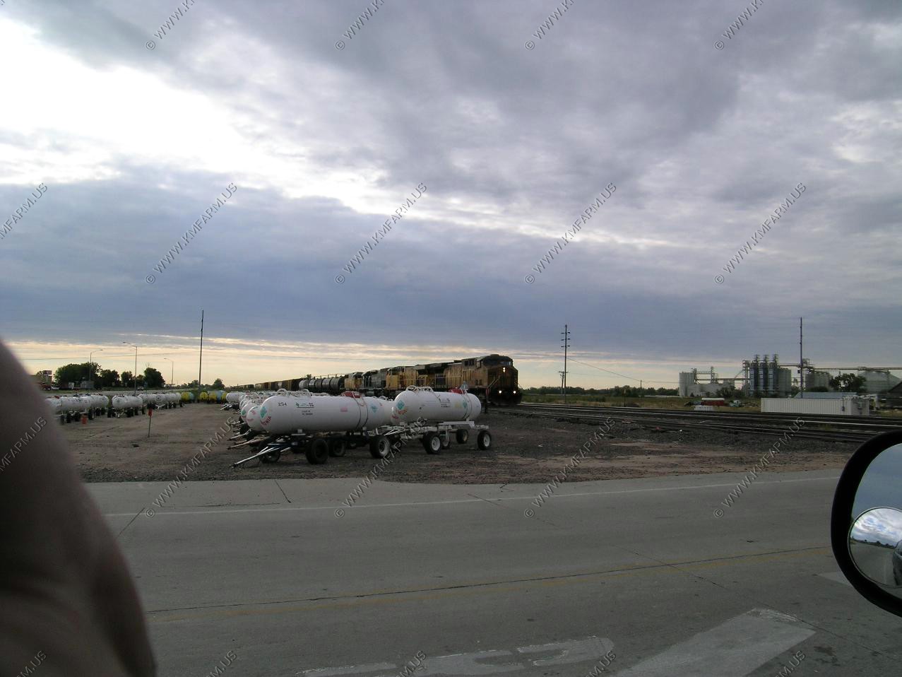
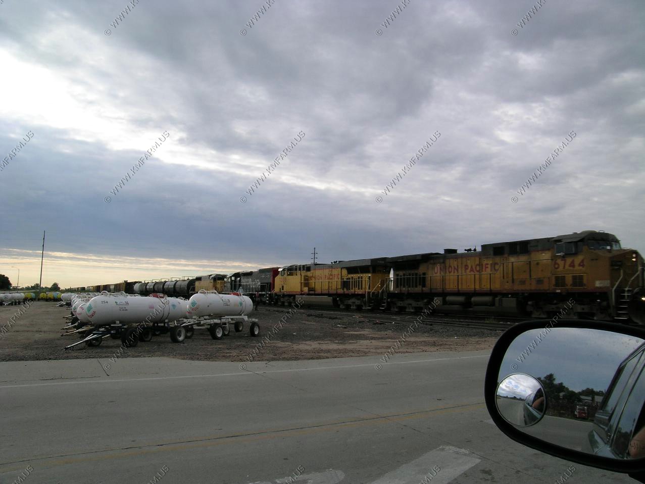
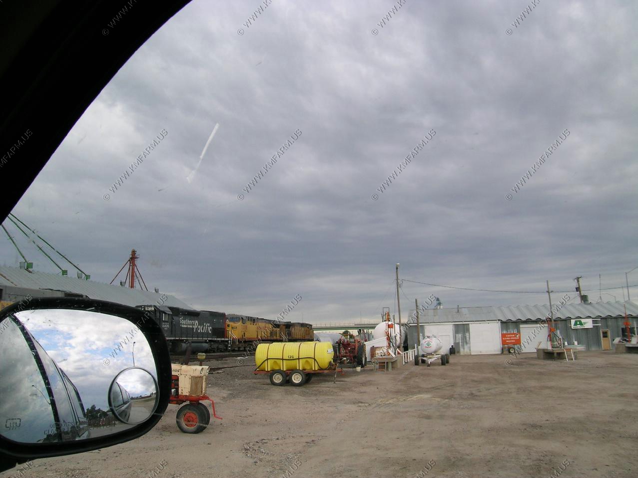
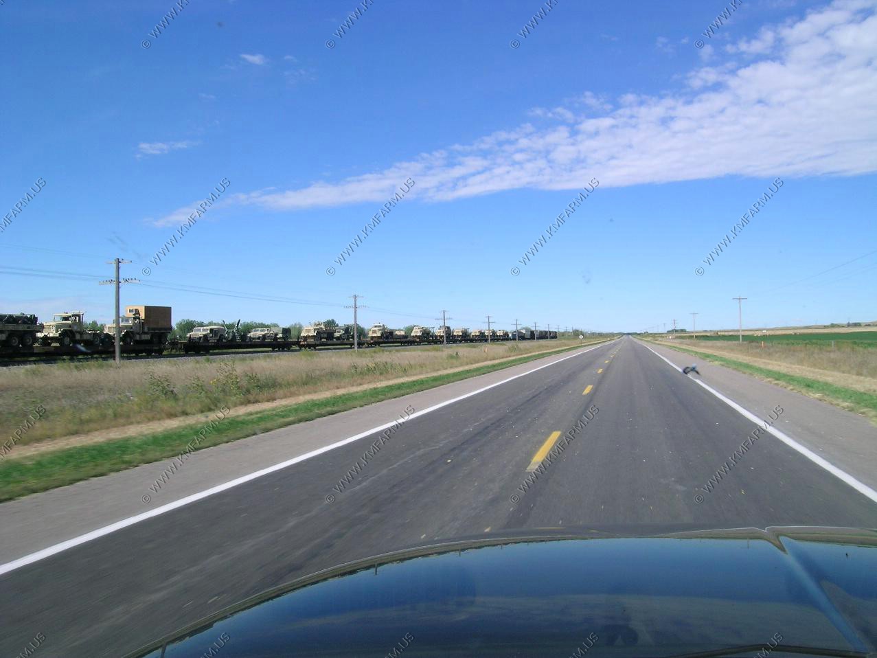
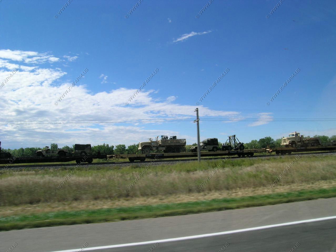
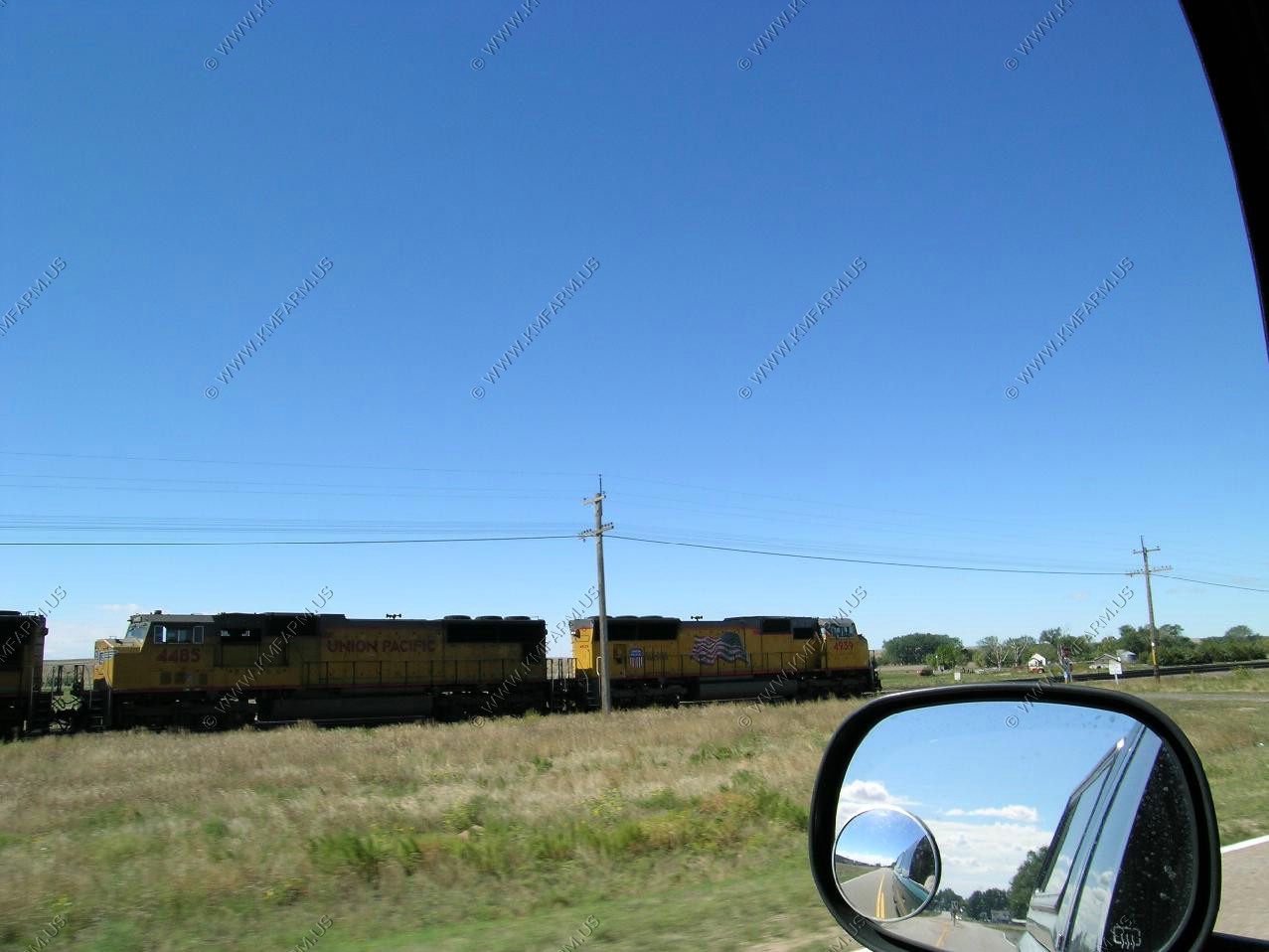
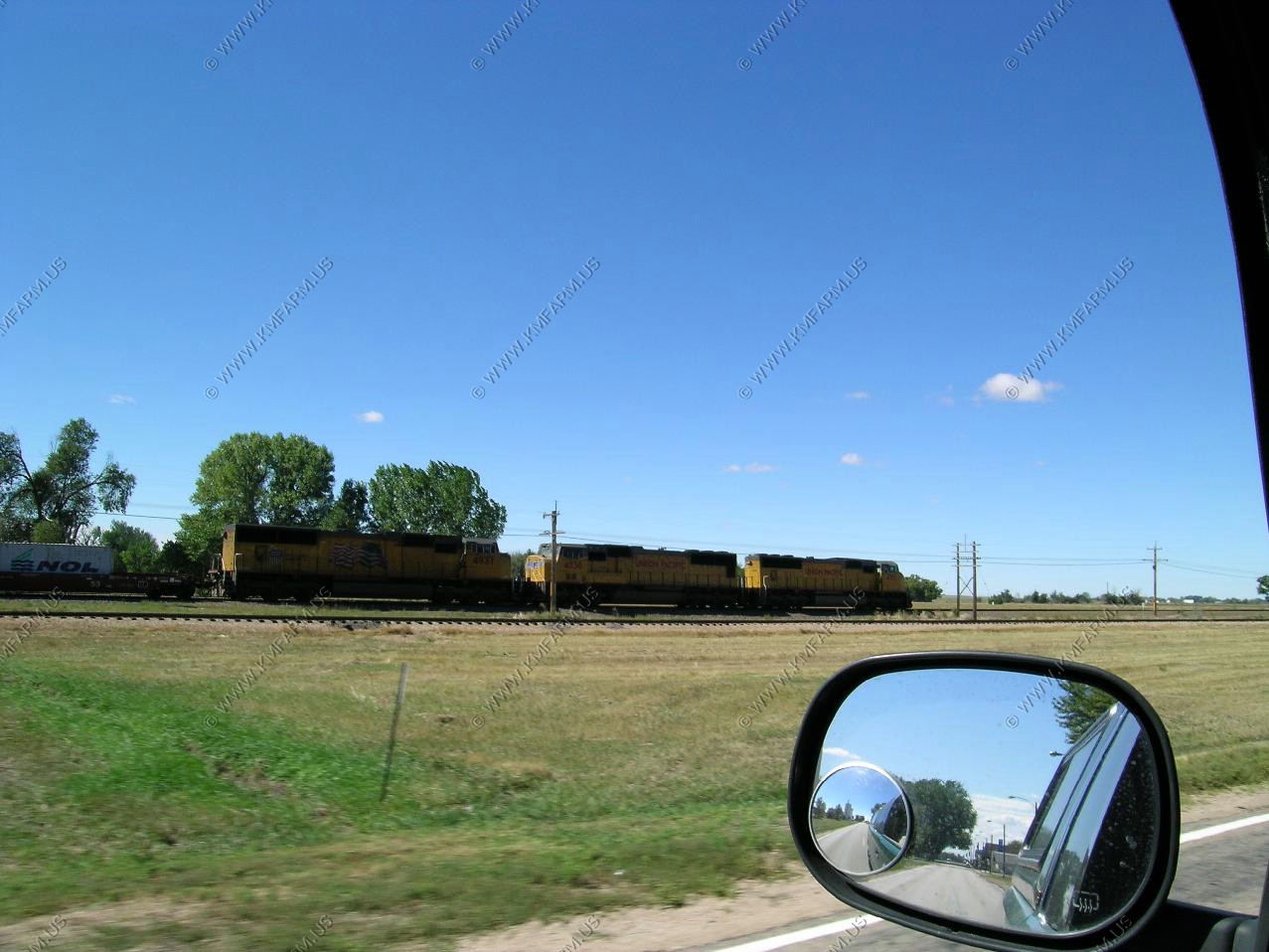
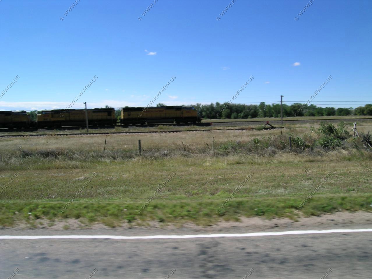
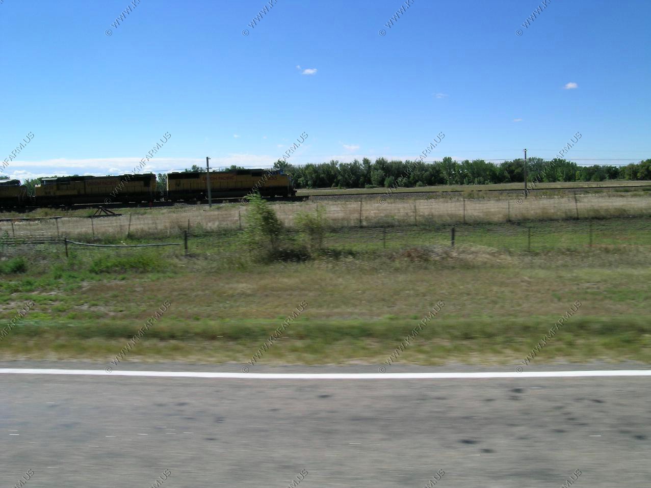
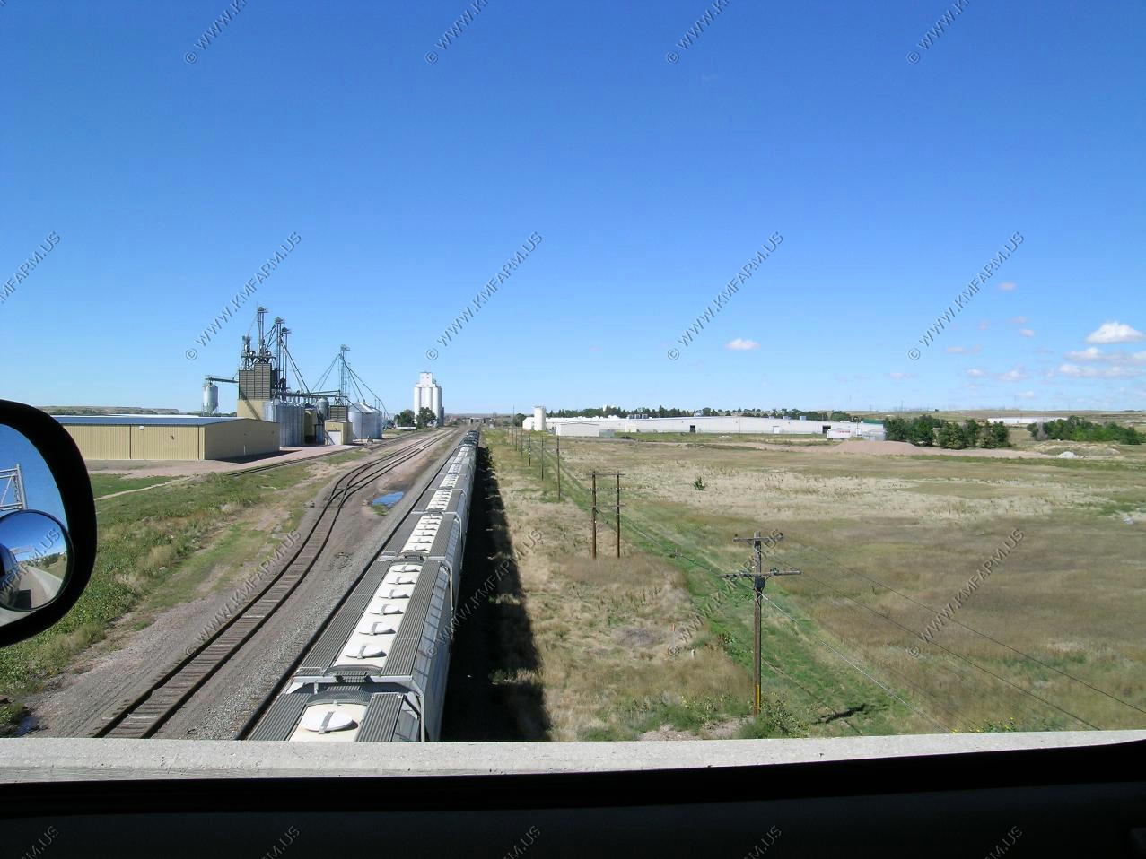
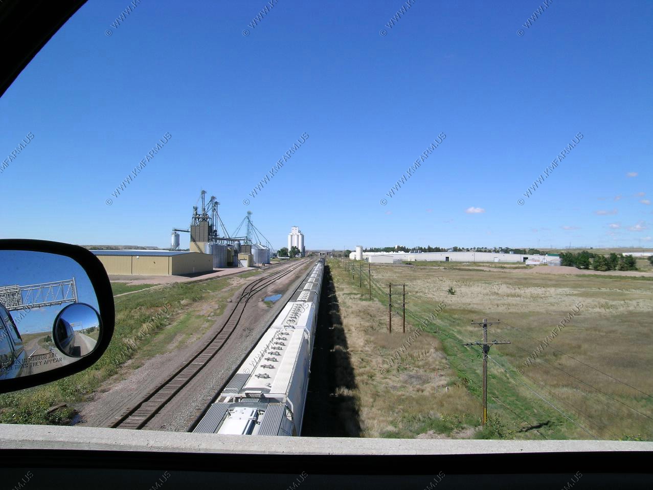
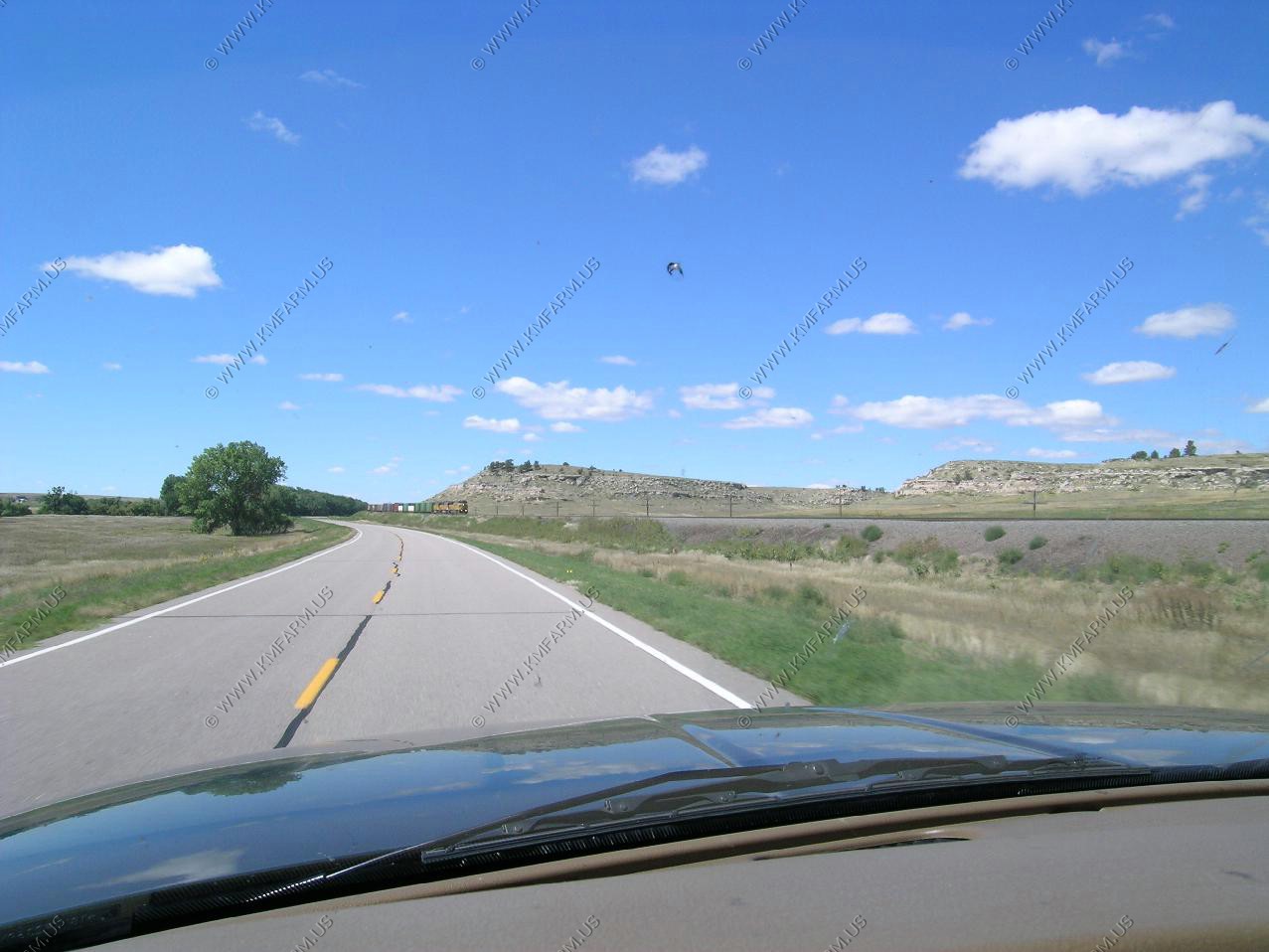
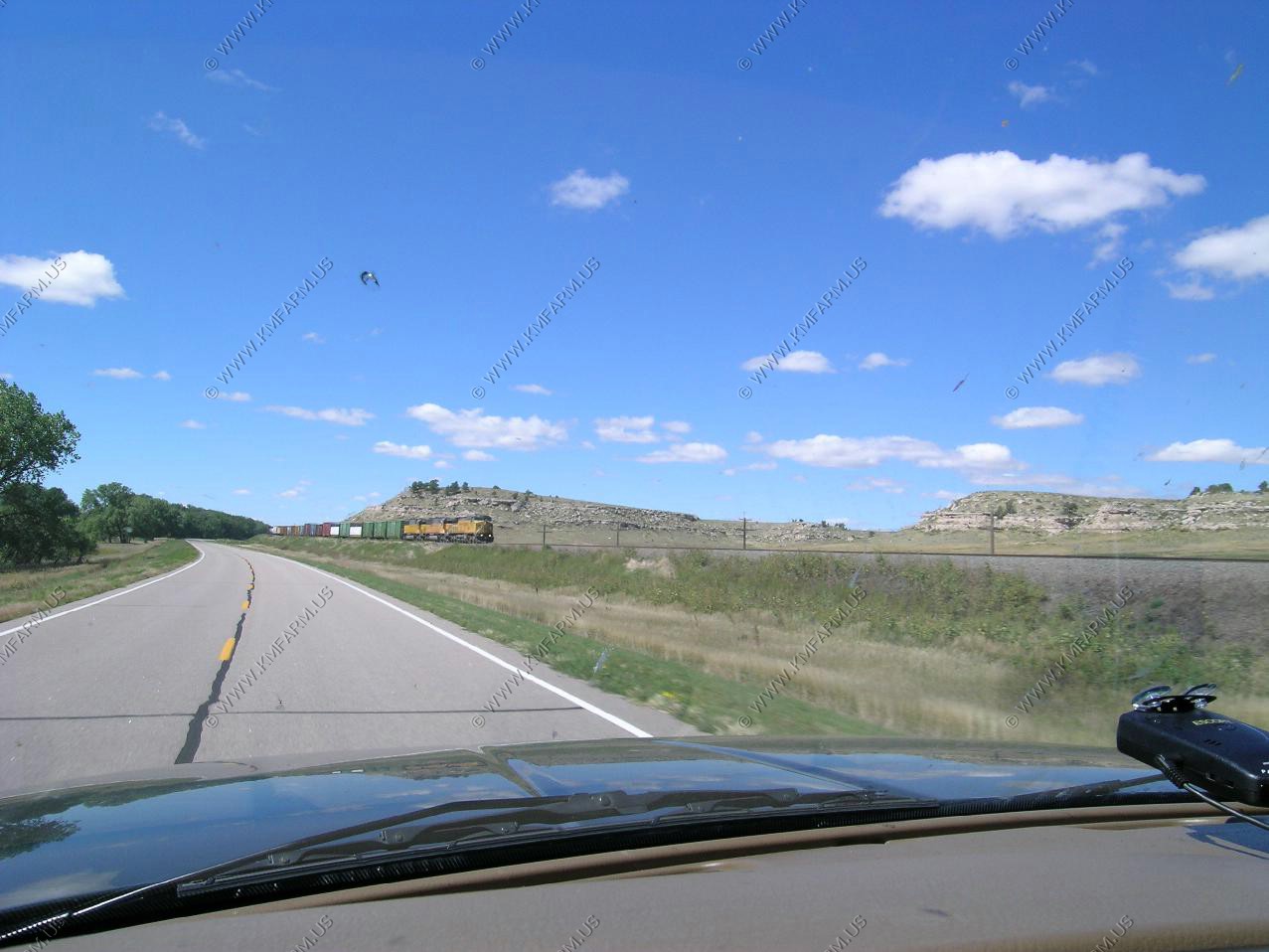
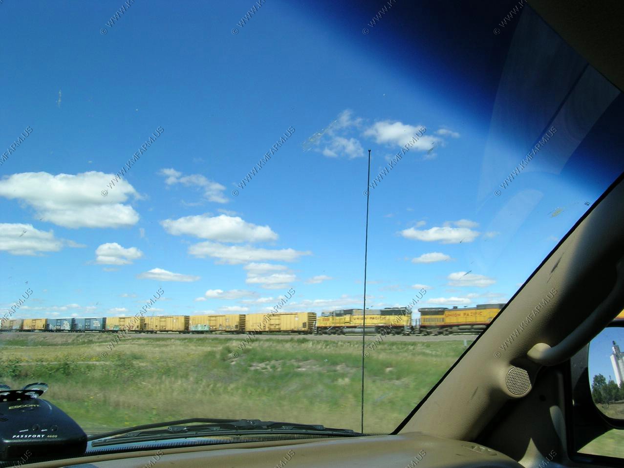
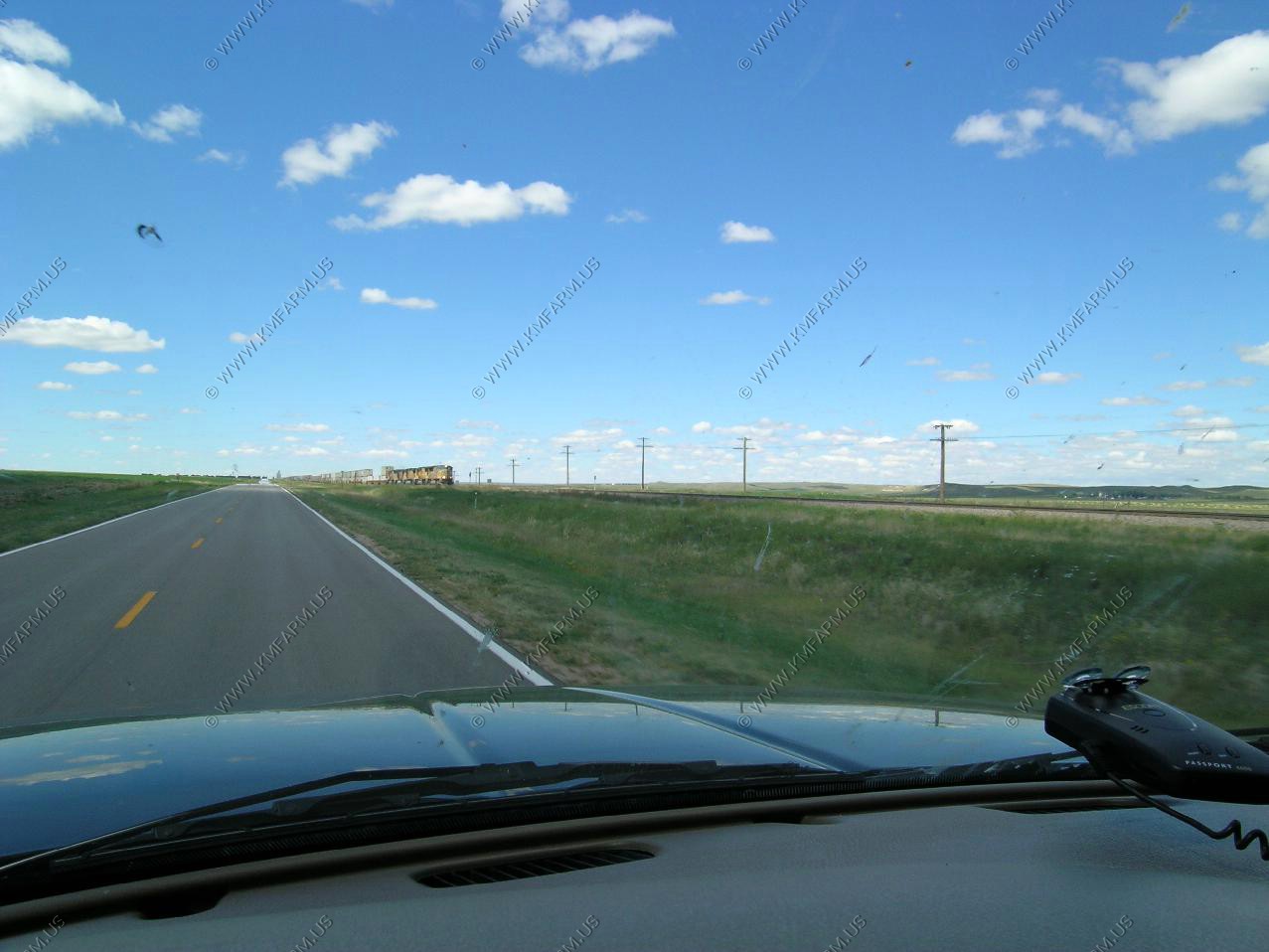
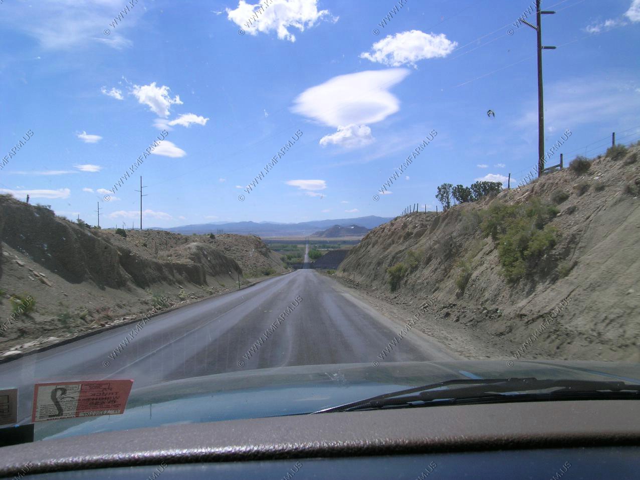
We left Kearney, Nebraska heading west on US-30. Wanted to see what this area looked before I-80 was built. Also, with the Union Pacific main line running along US-30, I could get some train watching in.
Views along Rt. 30
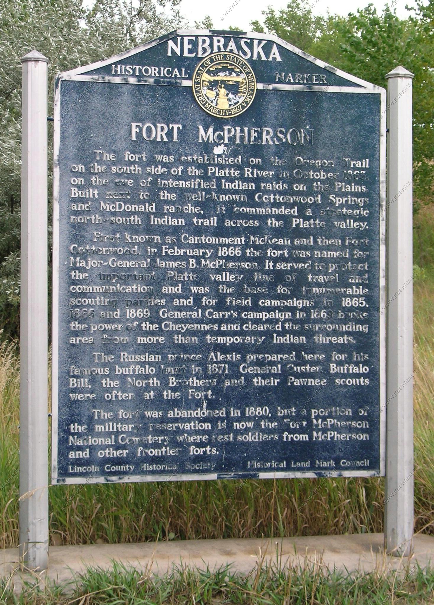
Ft. McPherson
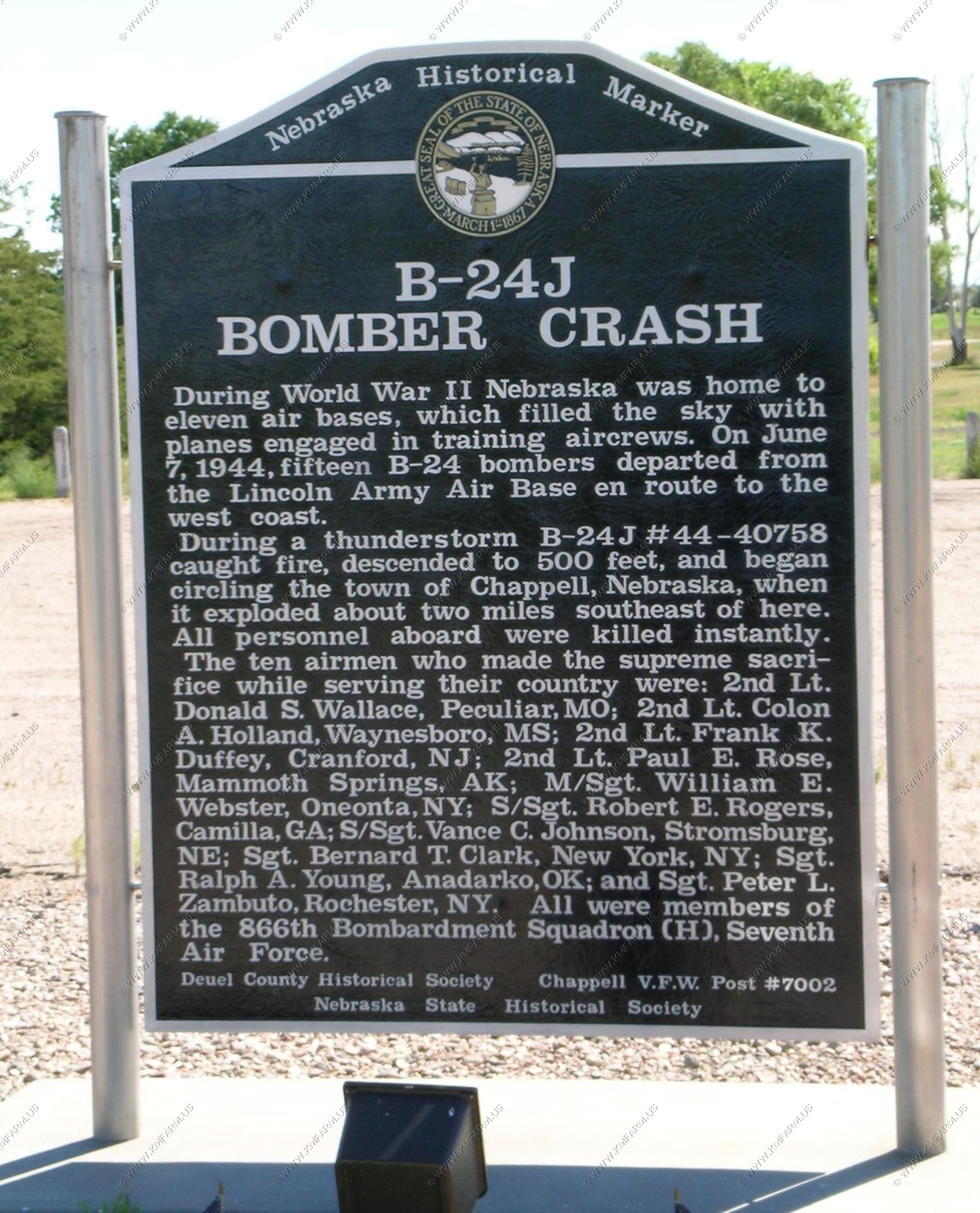
B-24J Bomber Crash
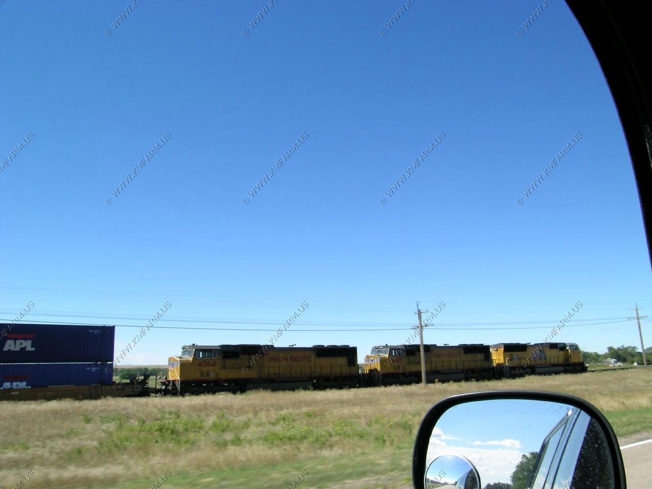
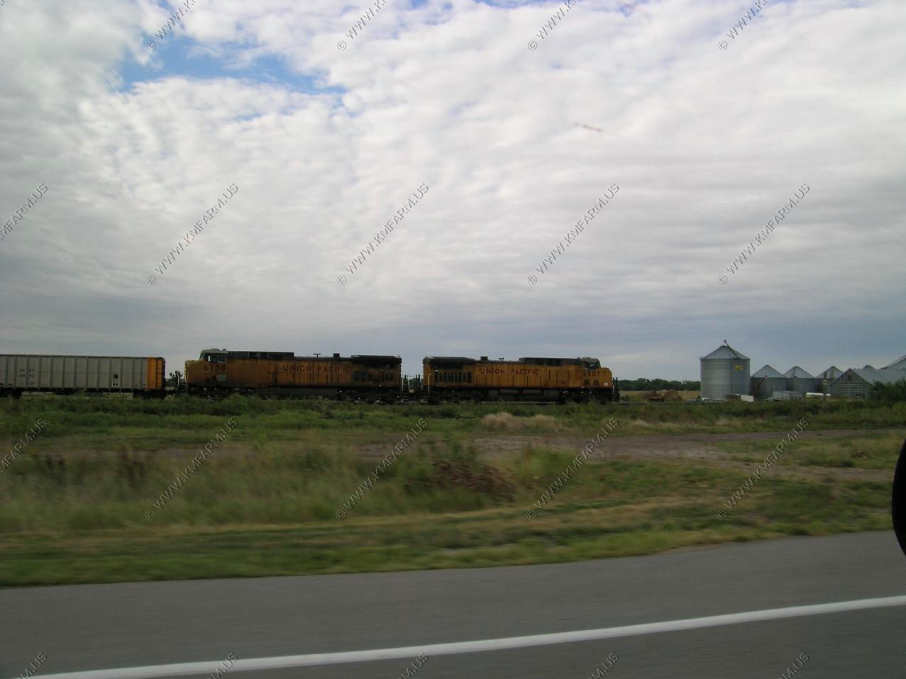
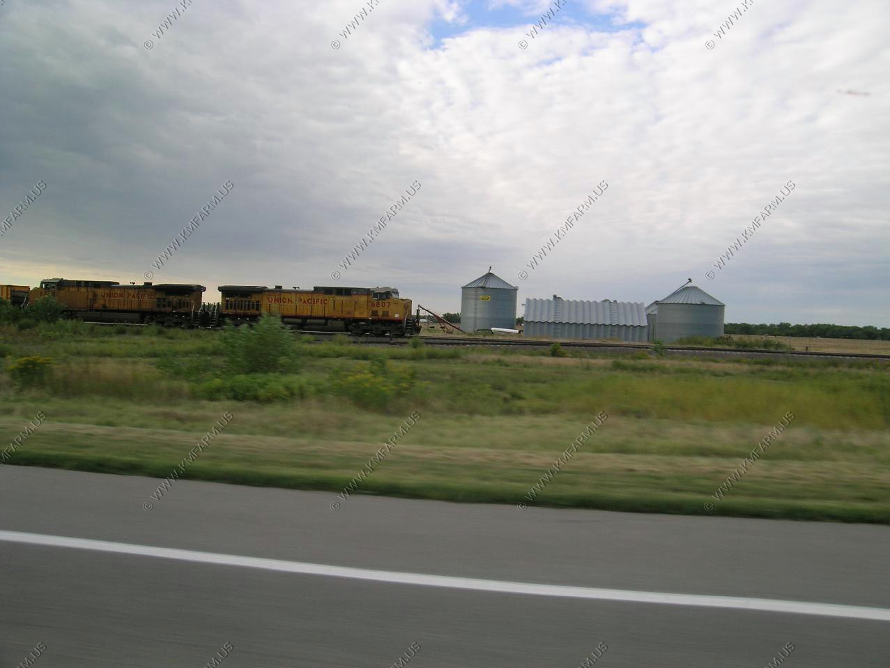
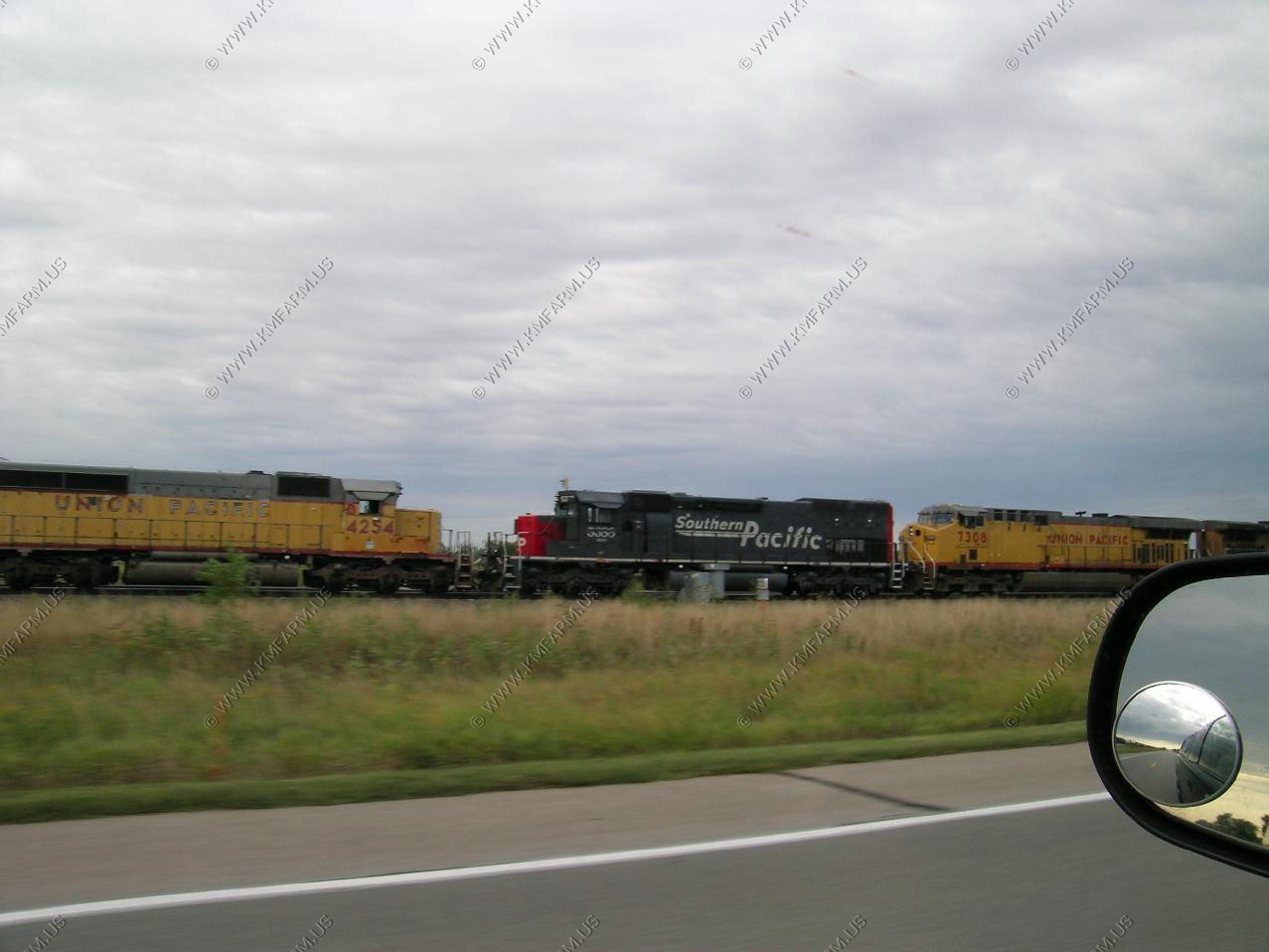
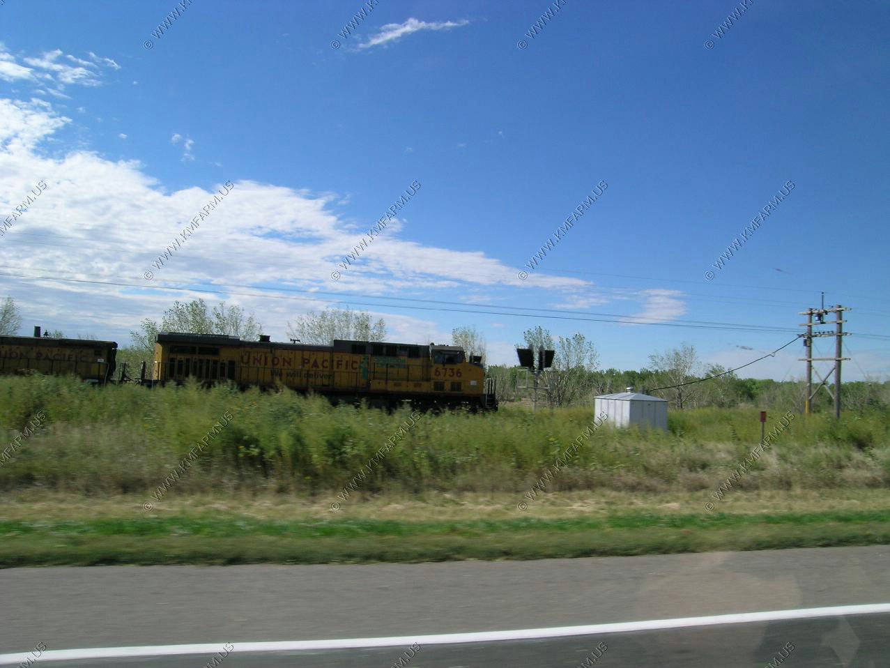
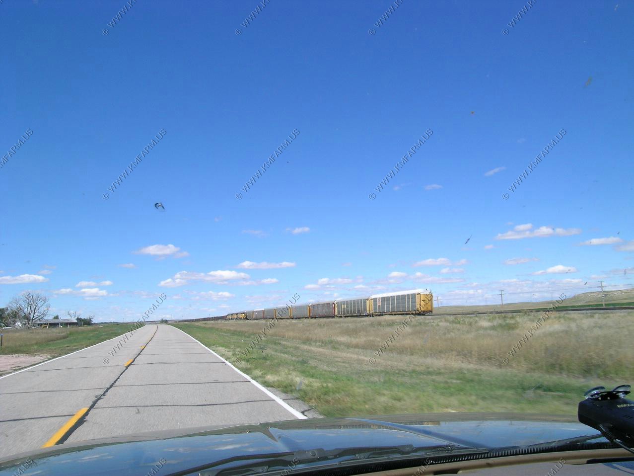
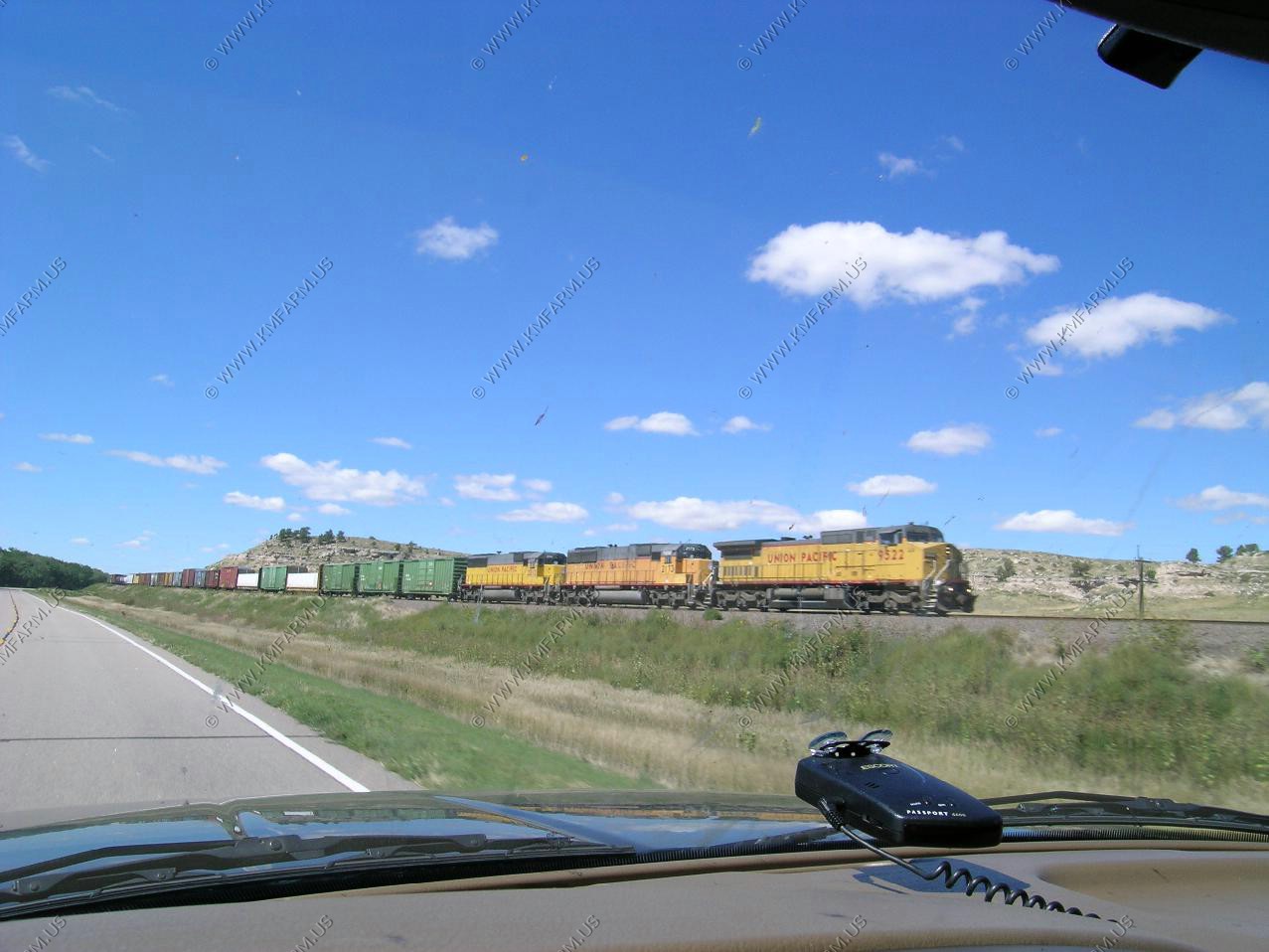
Six engine west-bound.
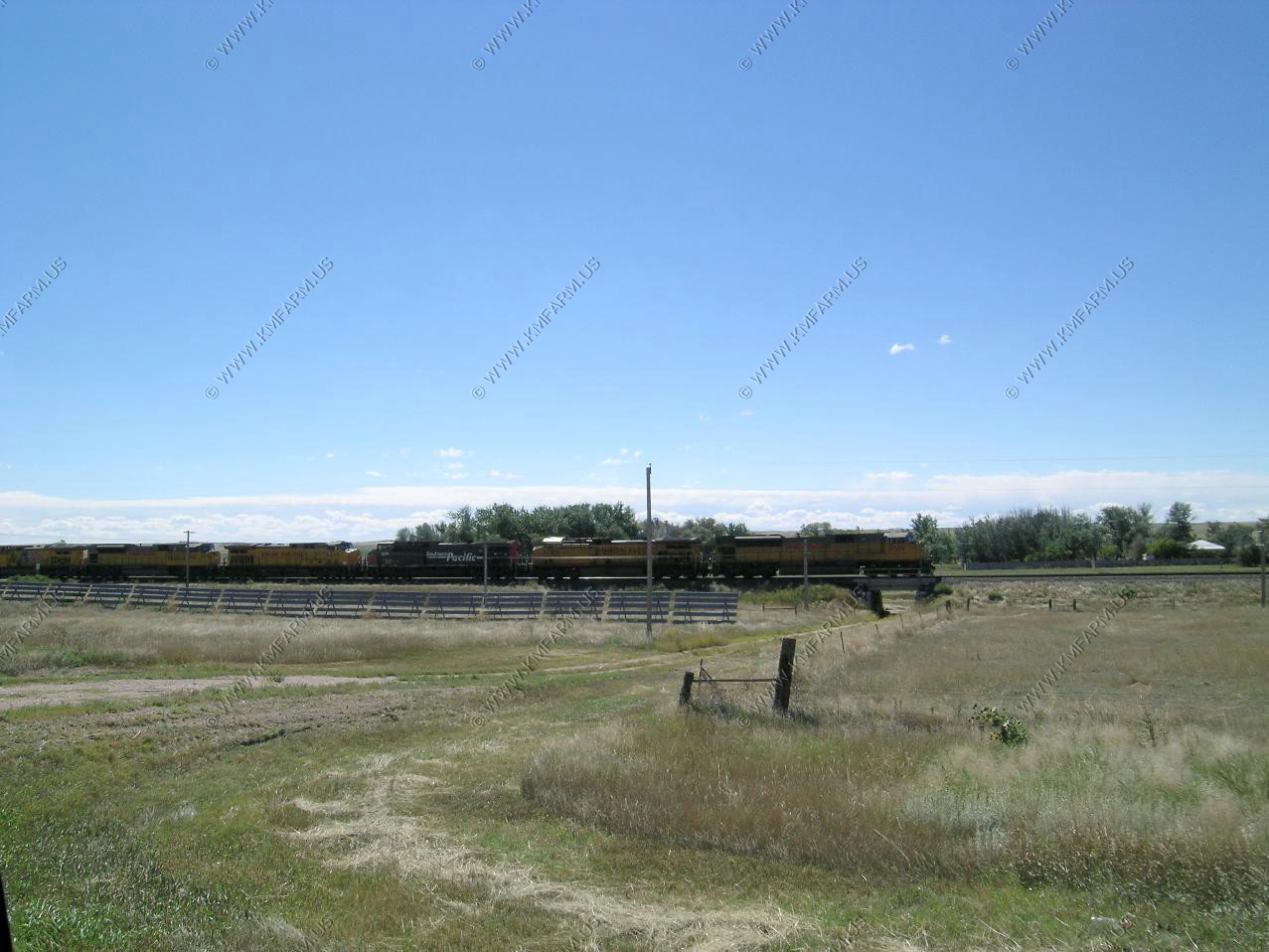
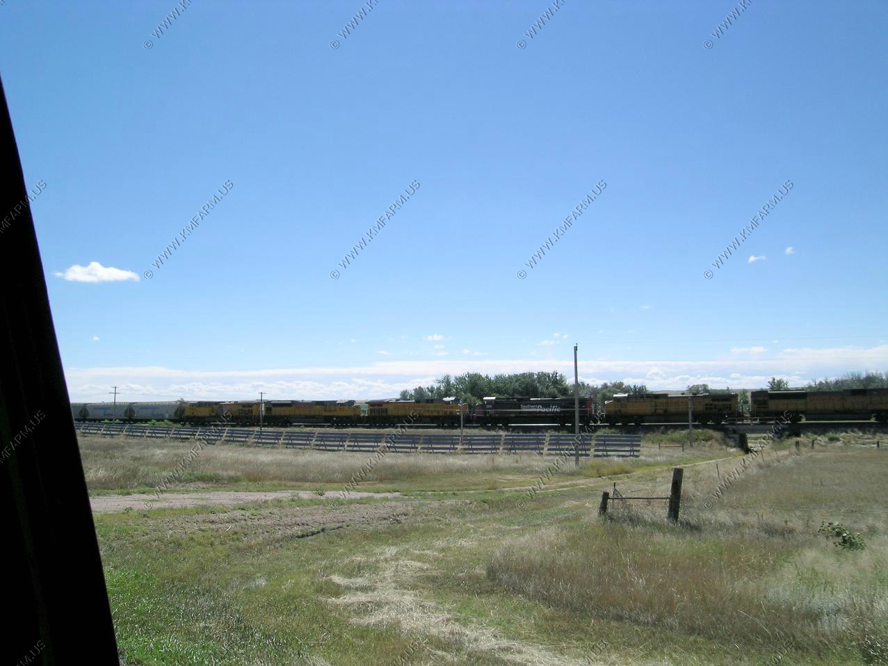
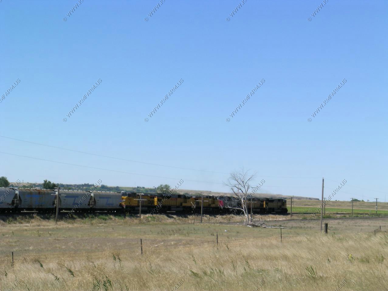
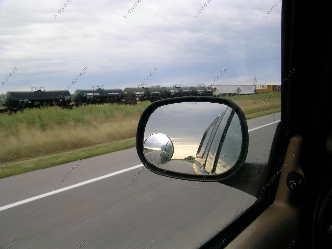
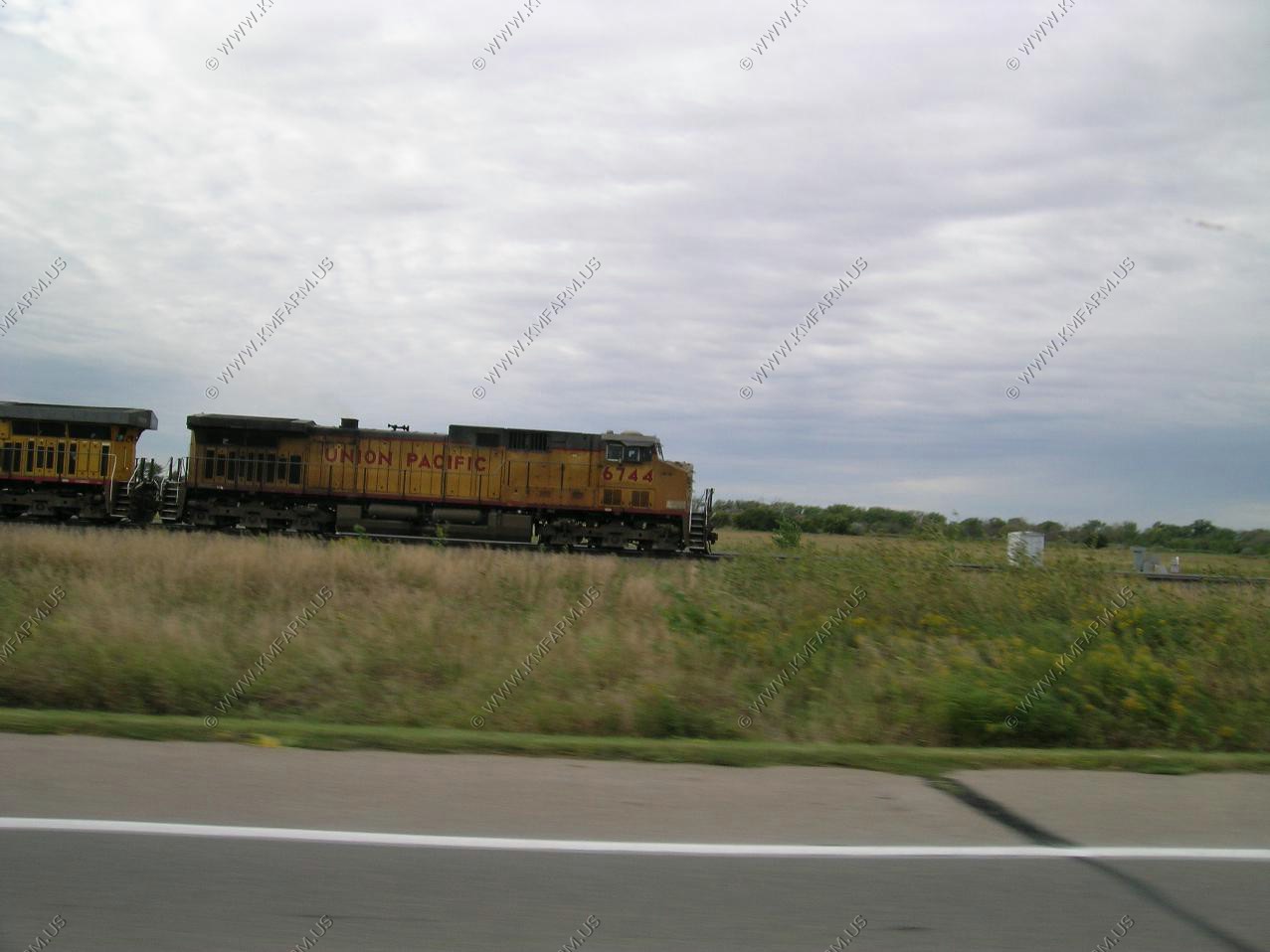
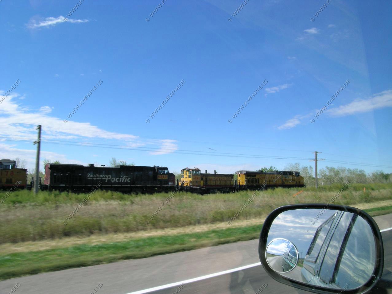
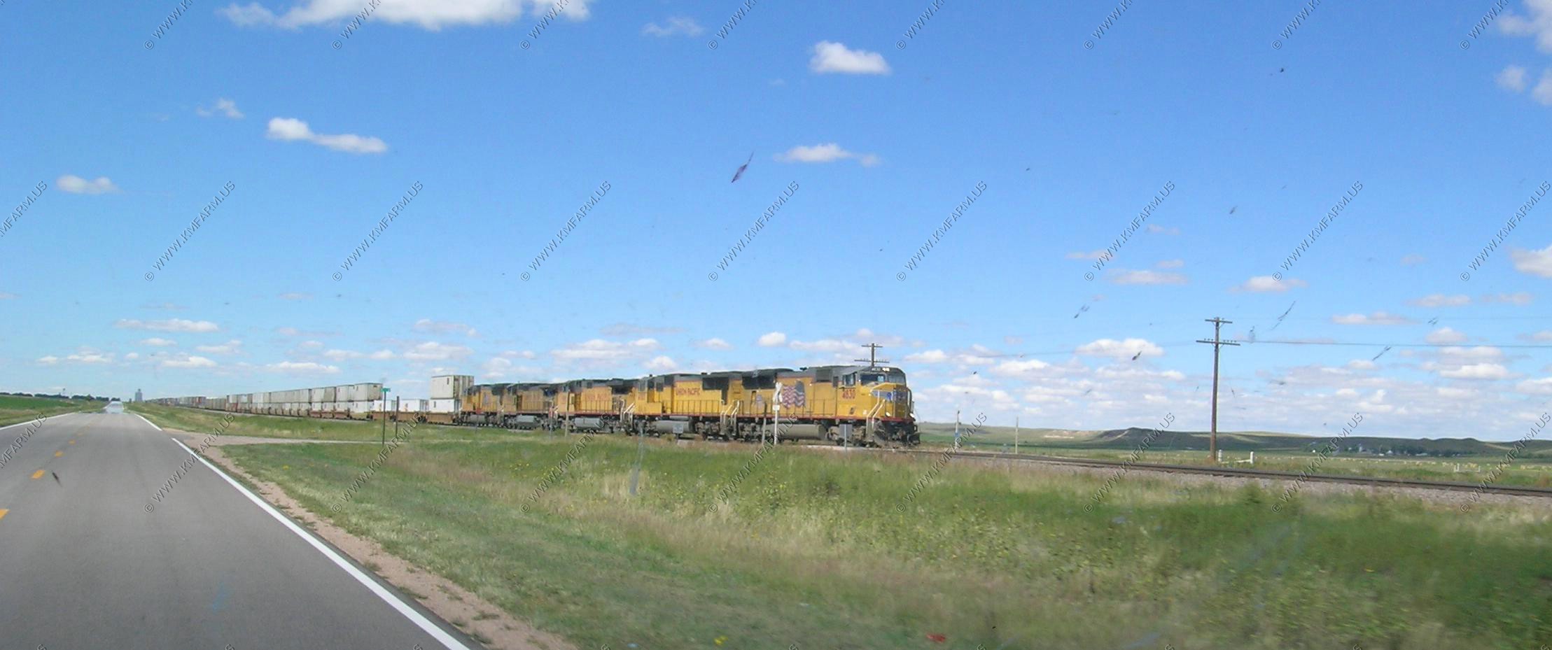
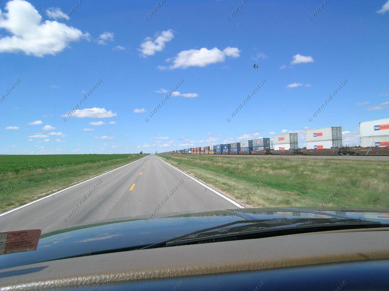
More train views in Western Nebraska
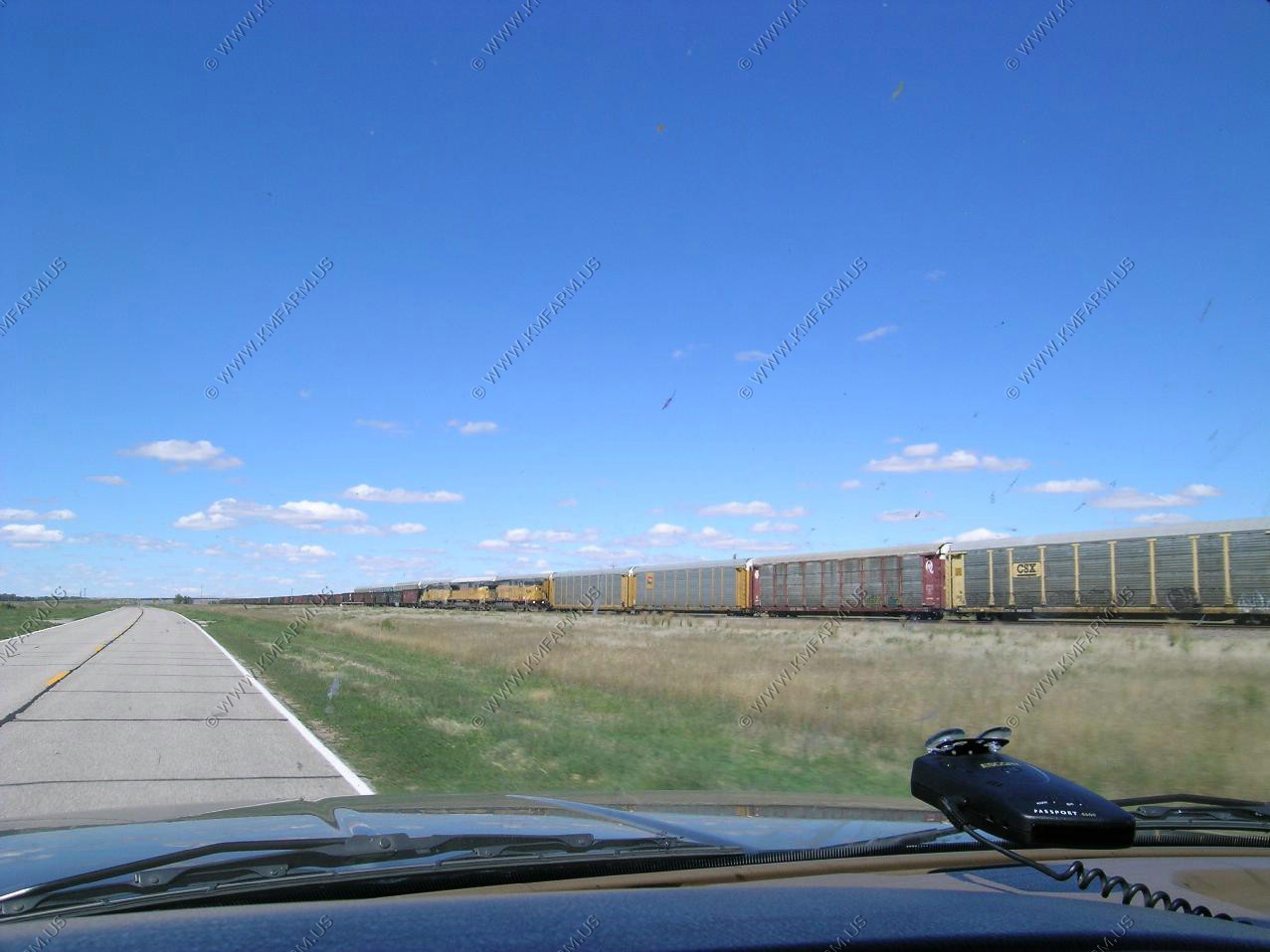
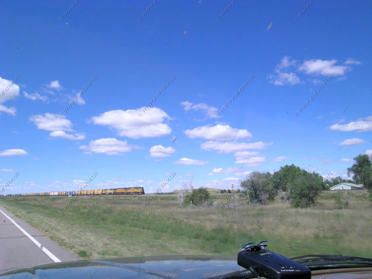
Five engine east-bound stack
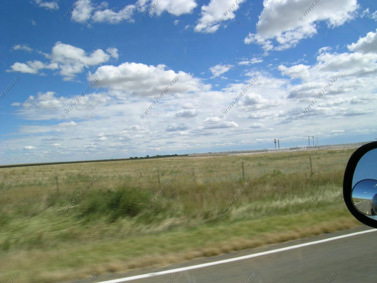
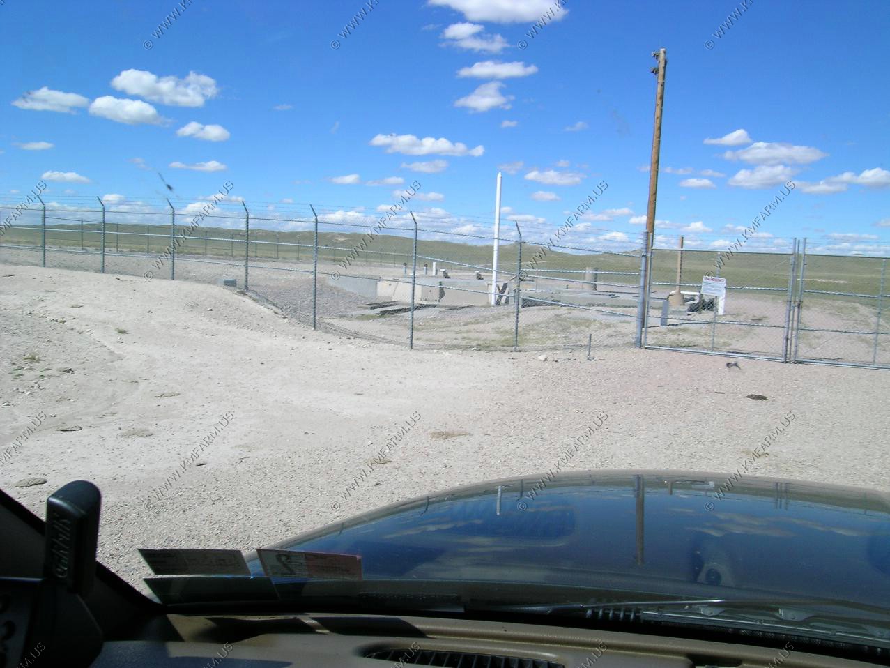
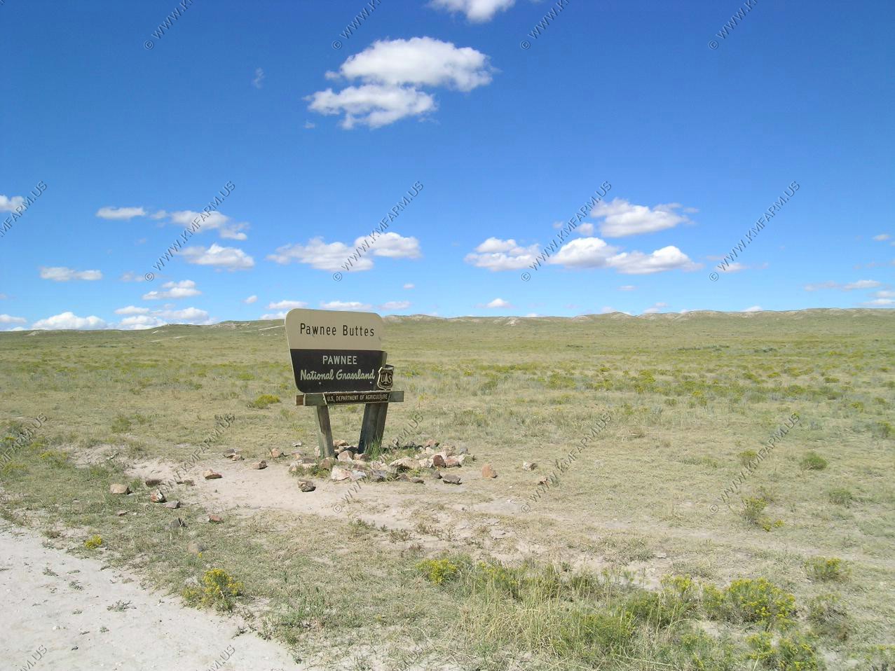
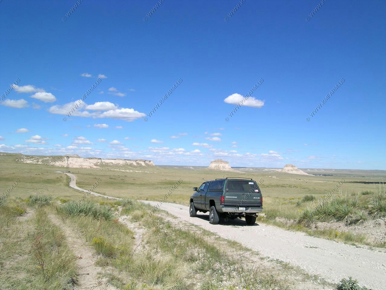
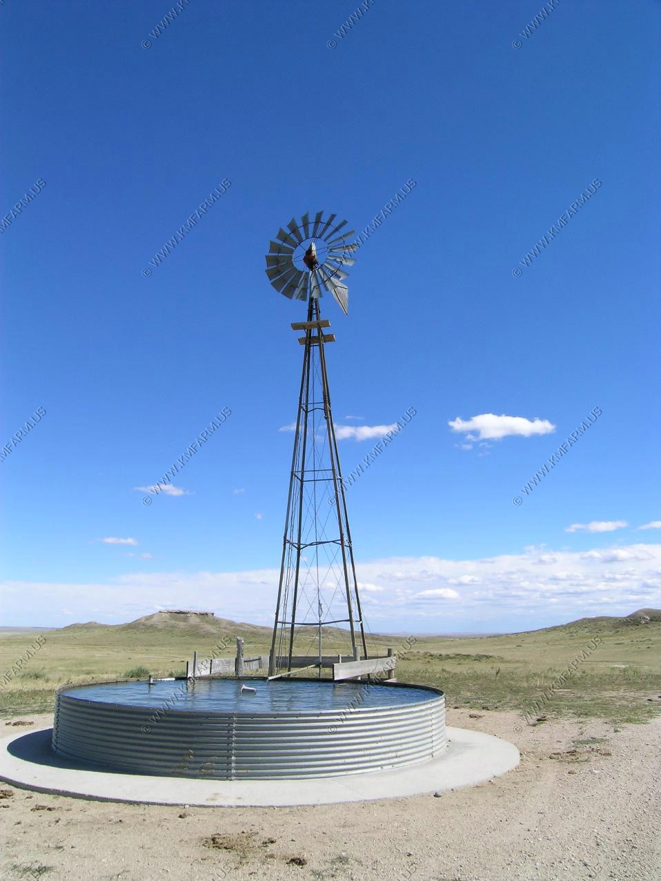
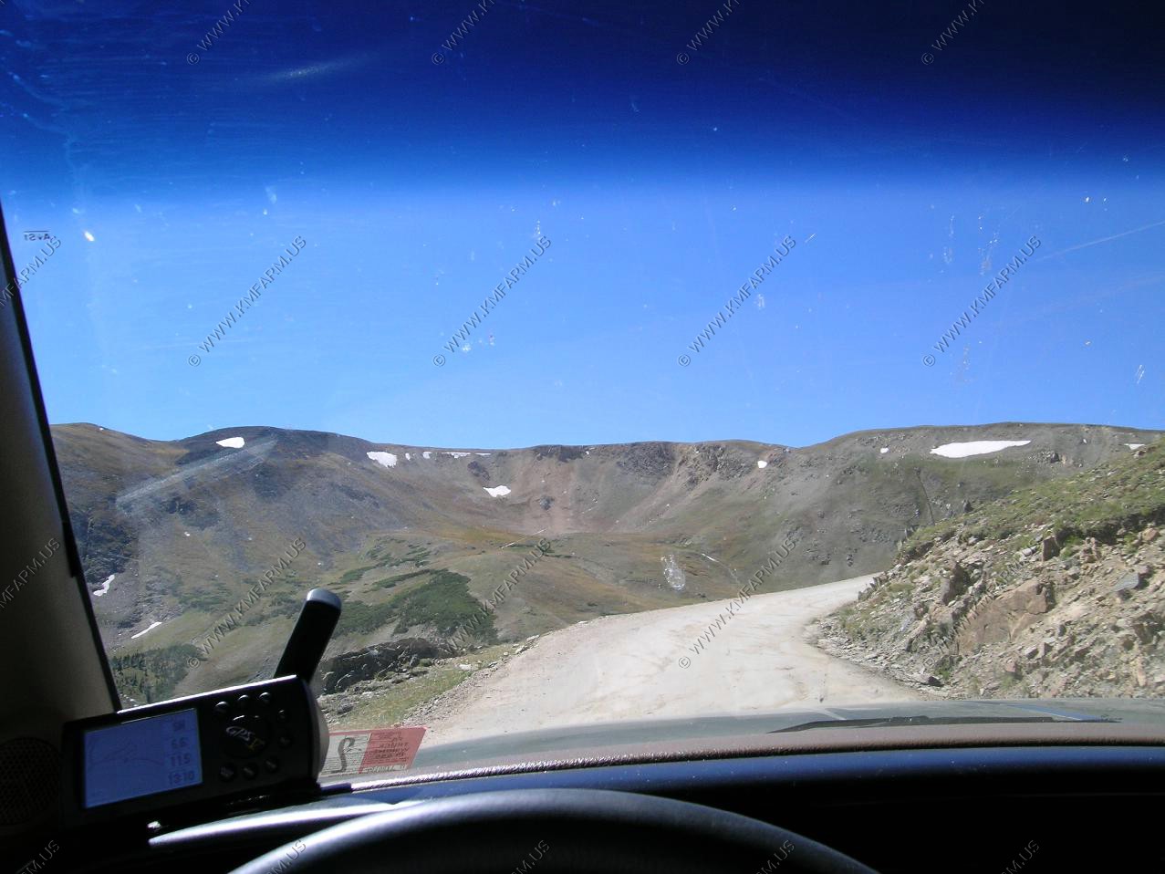
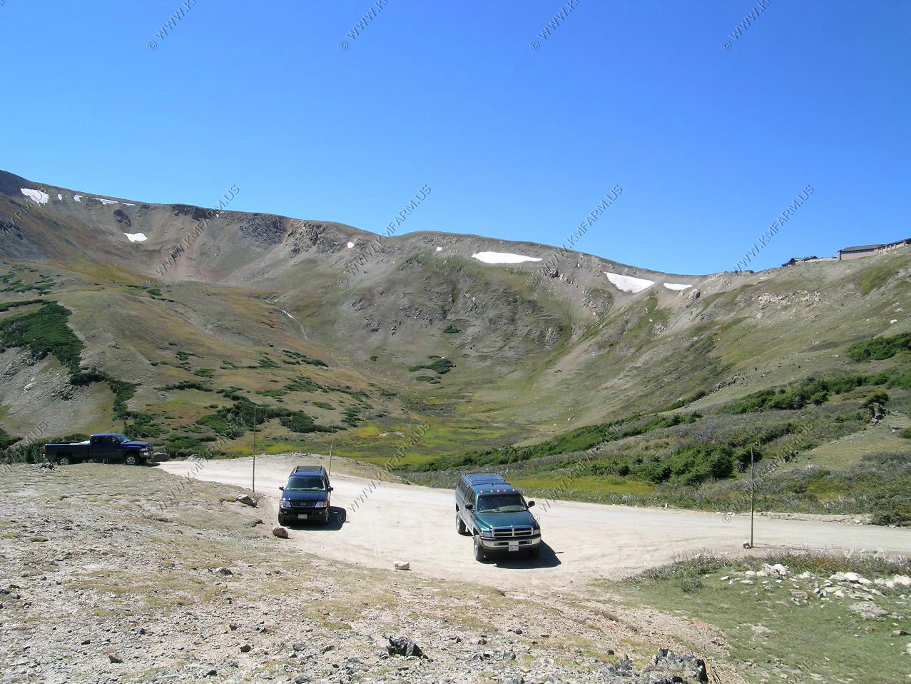
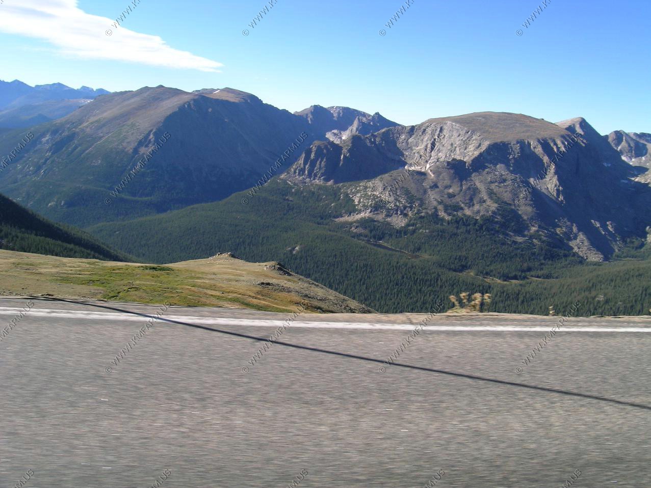
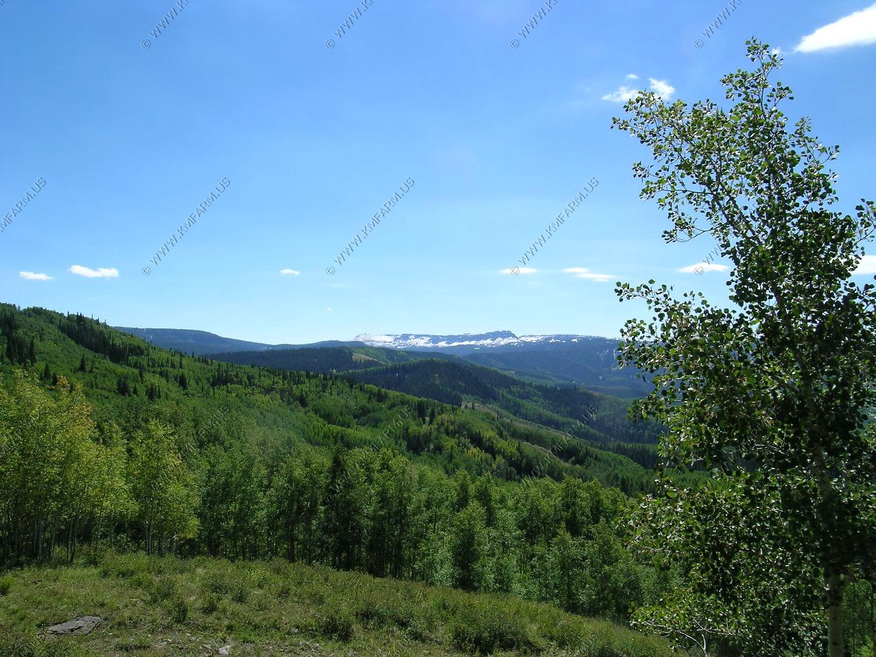
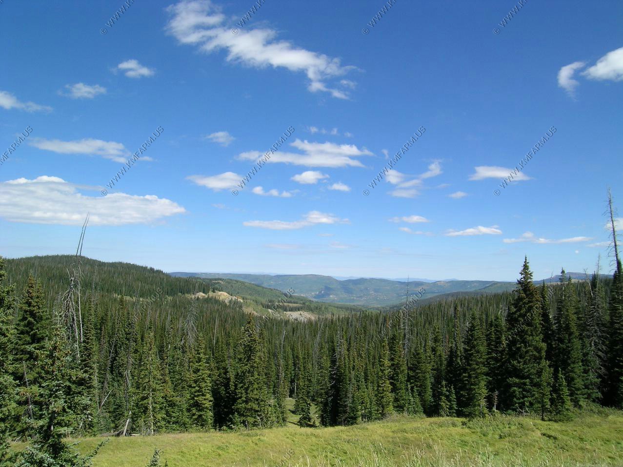
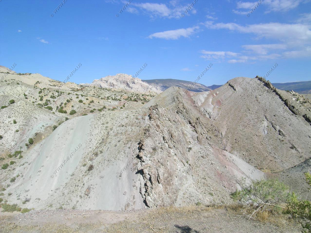
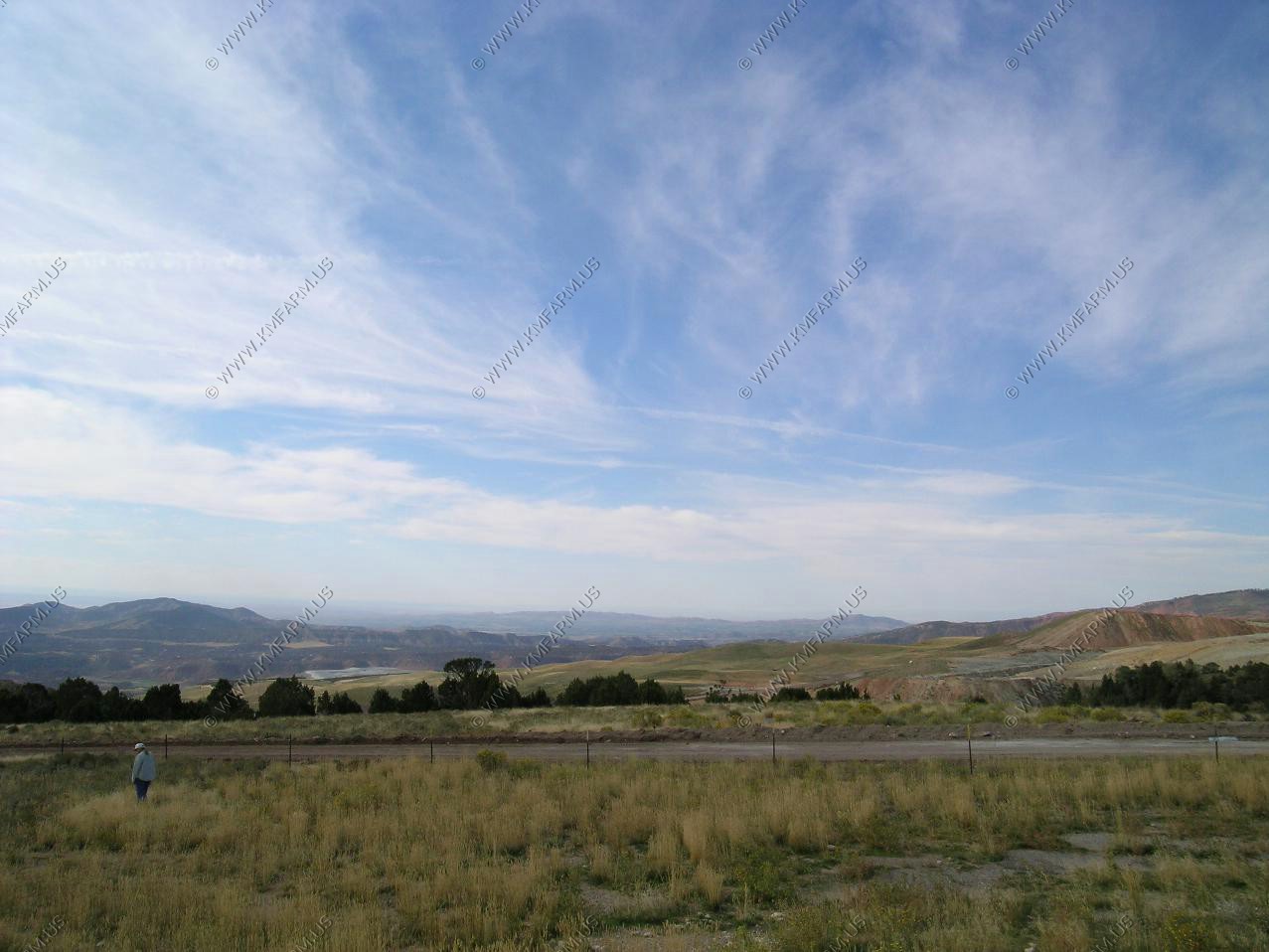
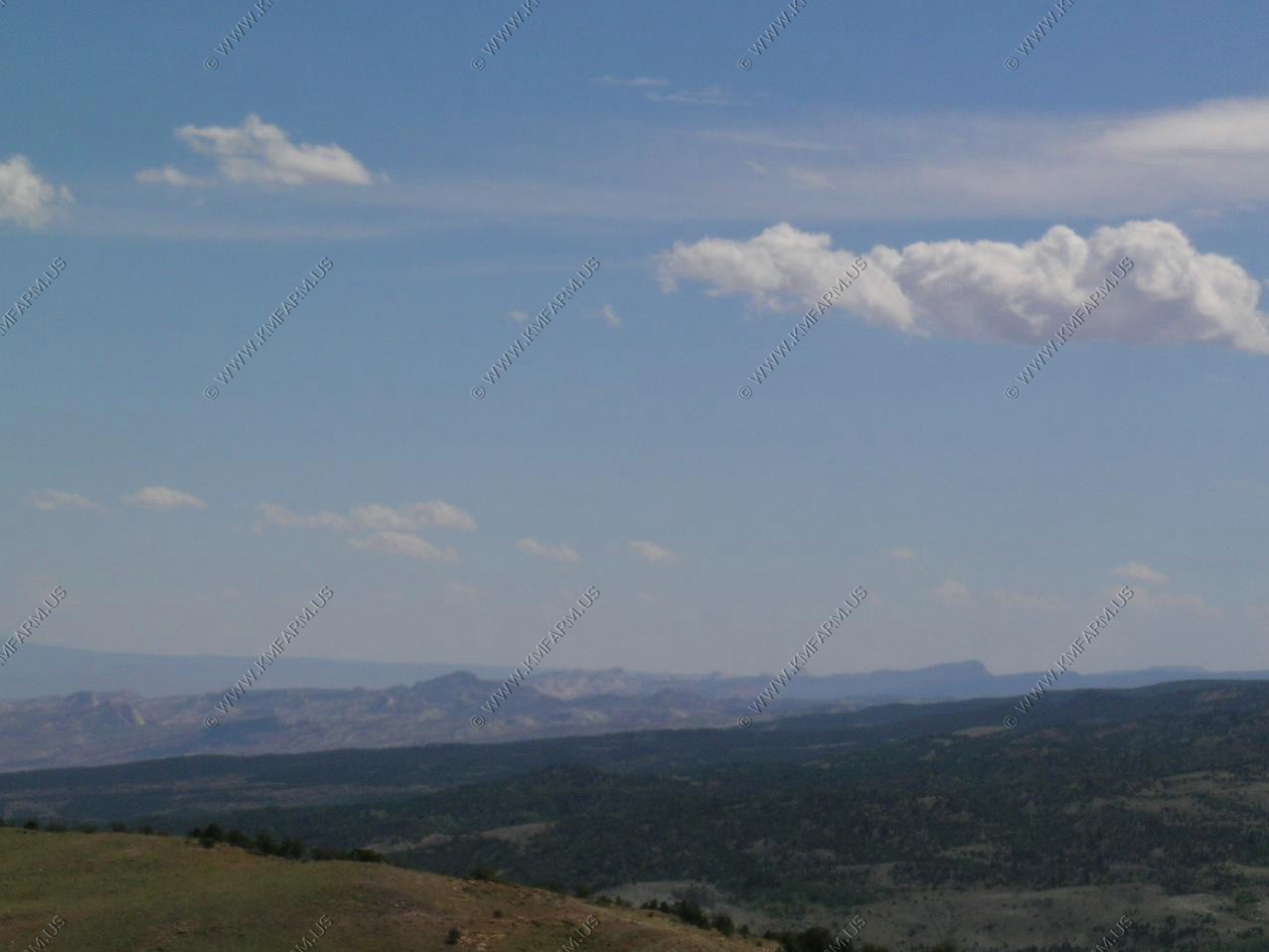
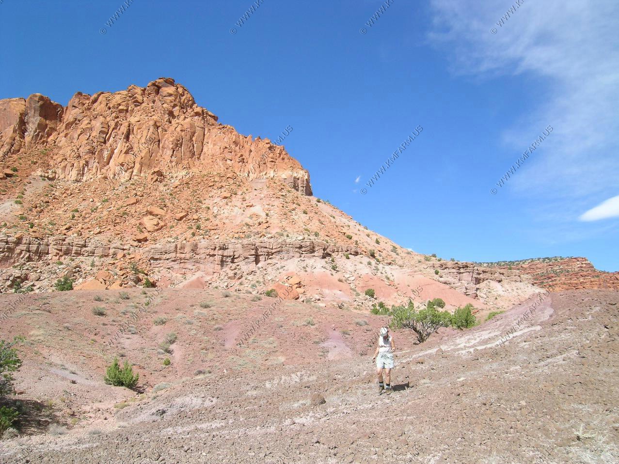
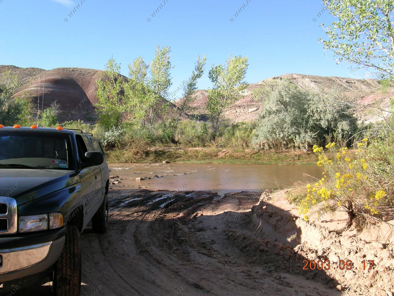
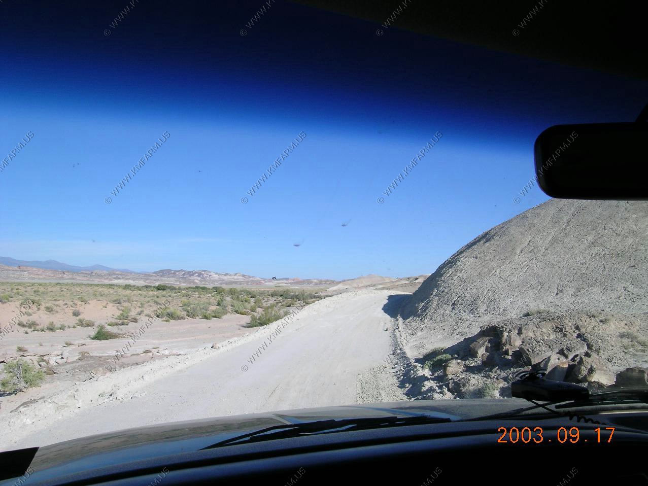
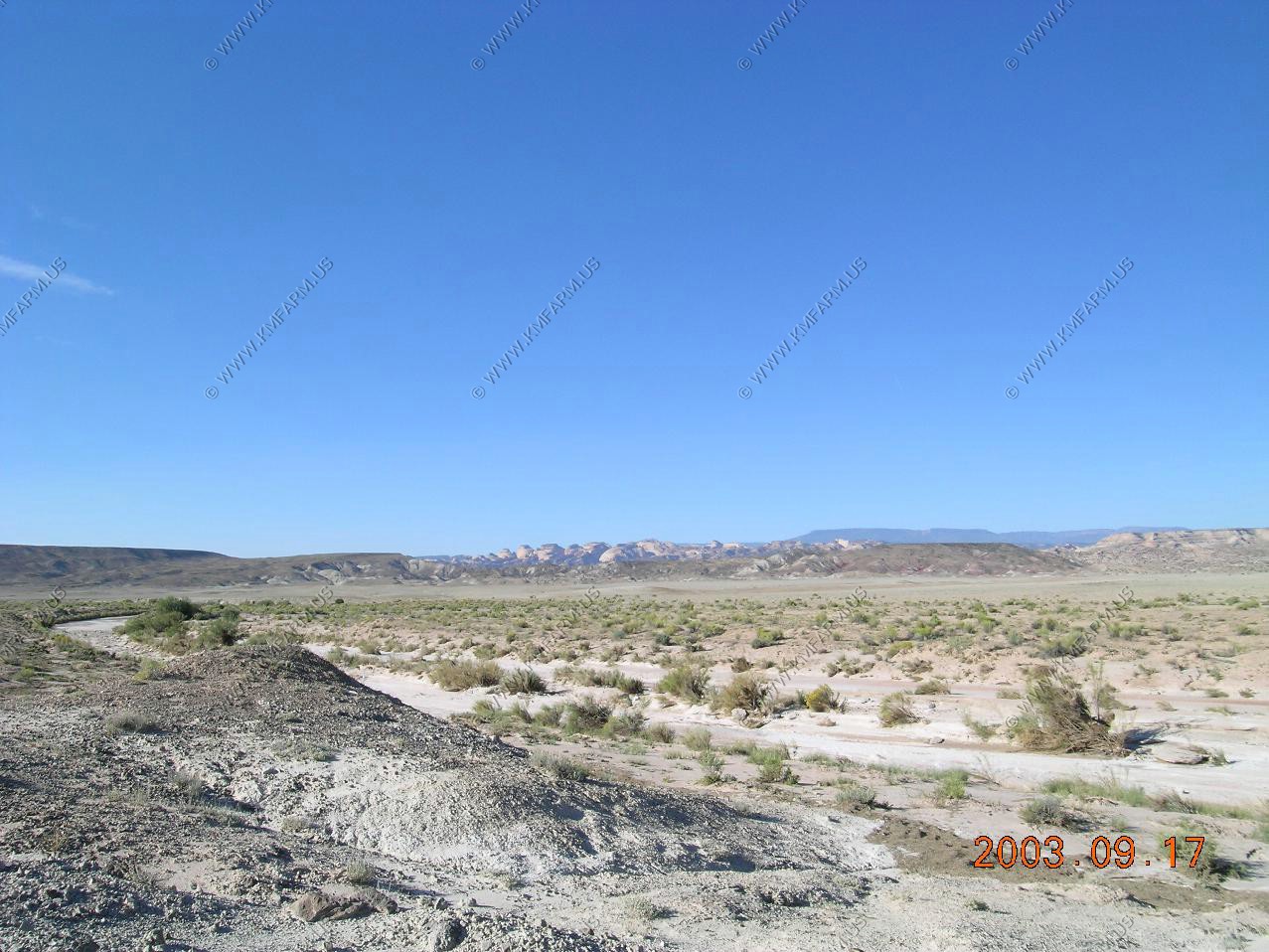
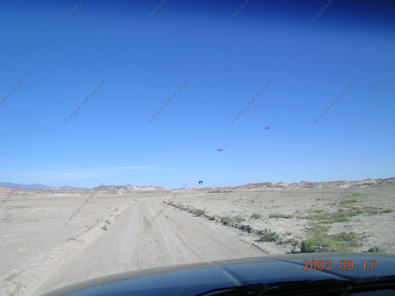
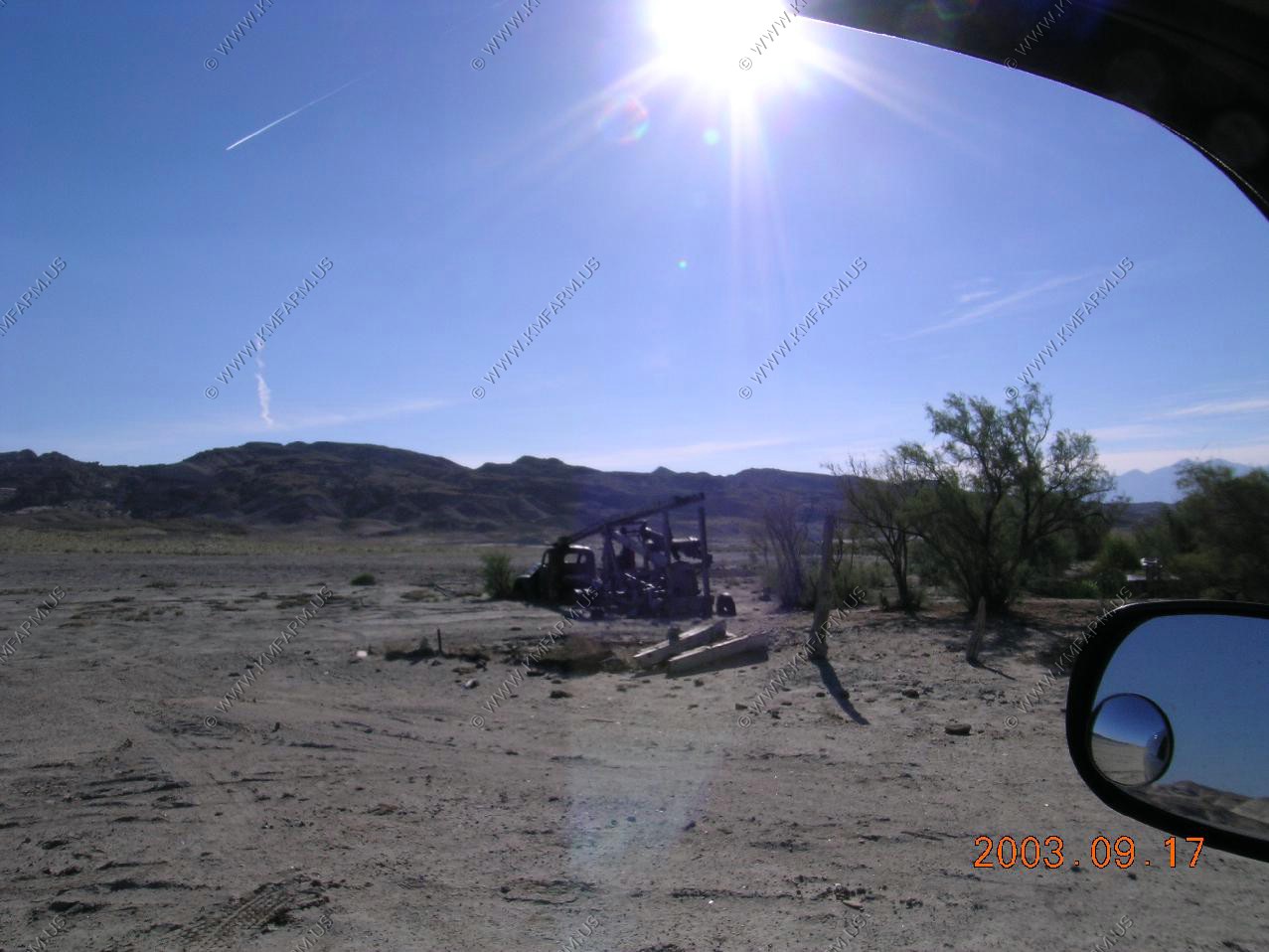
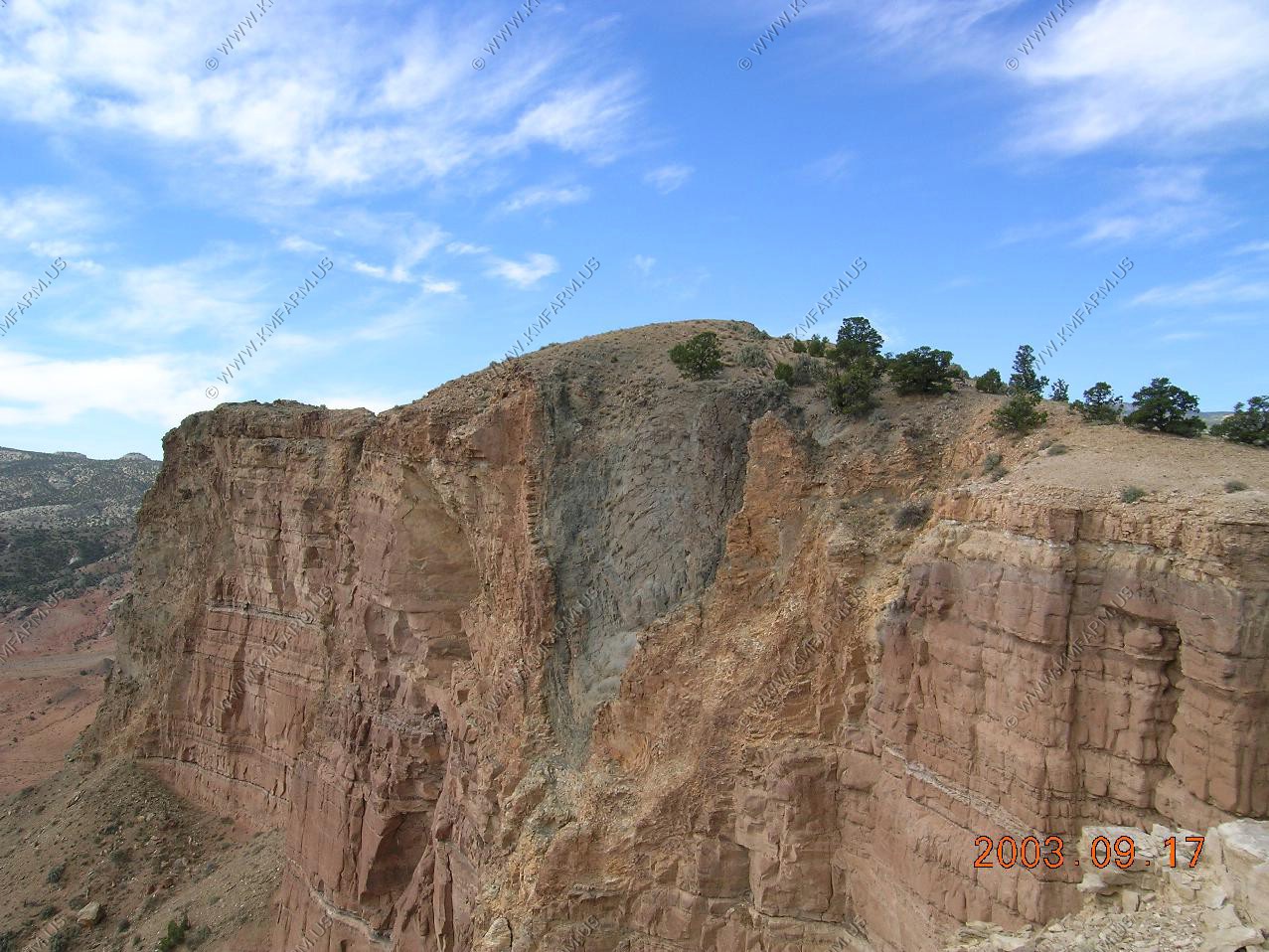
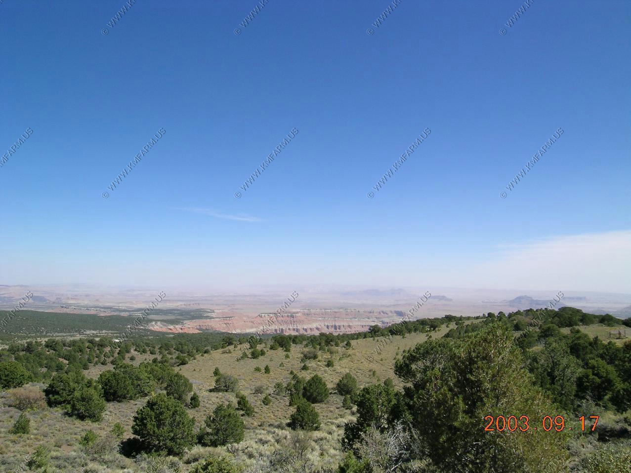
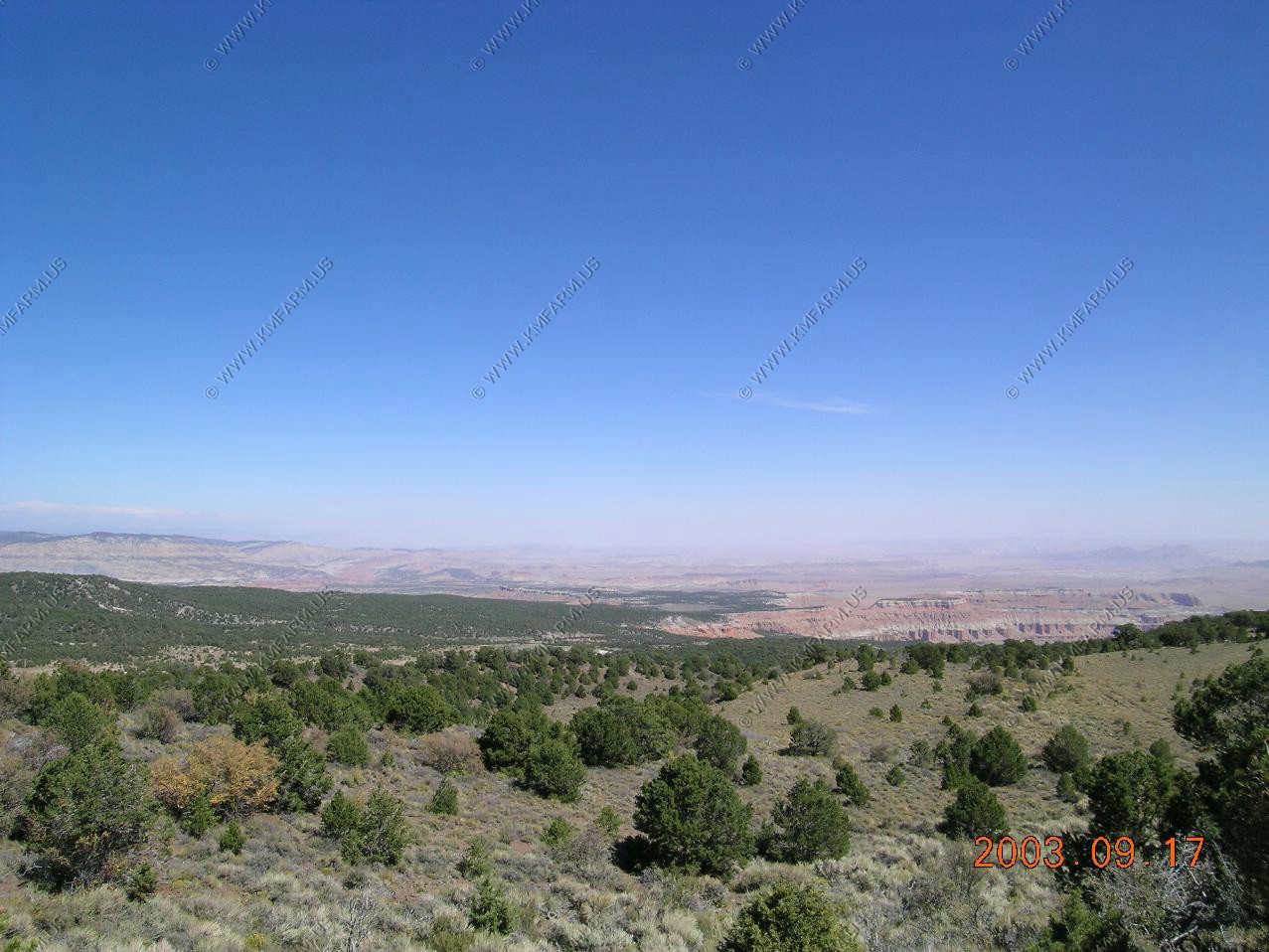
Left Nebraska on Highway 71 and entered NE Colorado. Most all of the trees are gone at this point and the elevation was over 5000 feet in most places. Very open area. Also, missile silos were all over the place
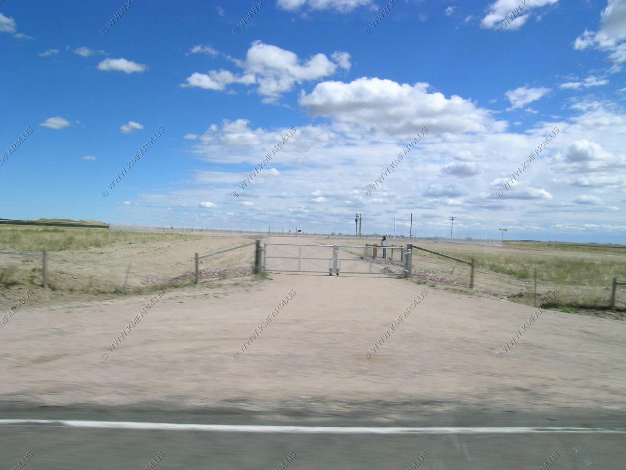
I was amazed at how close you can drive to one of these. Then again, what could you do to it ???
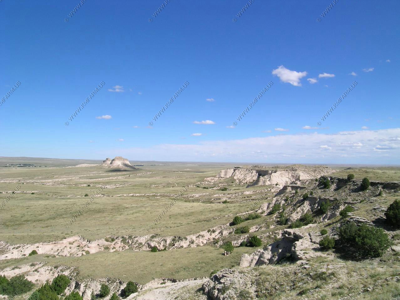
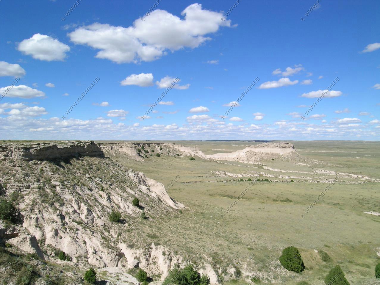
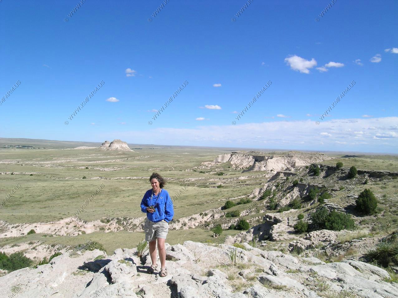
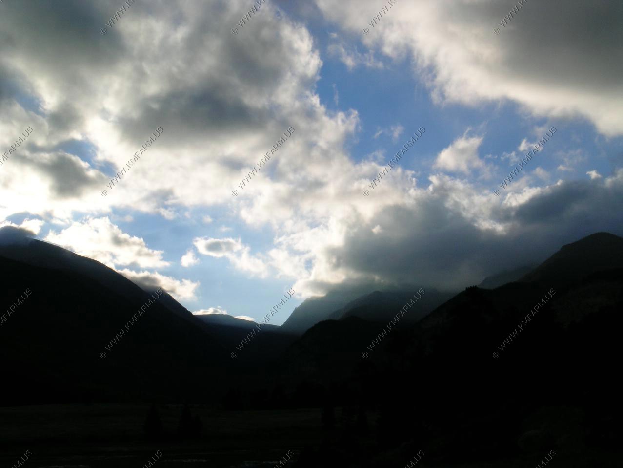
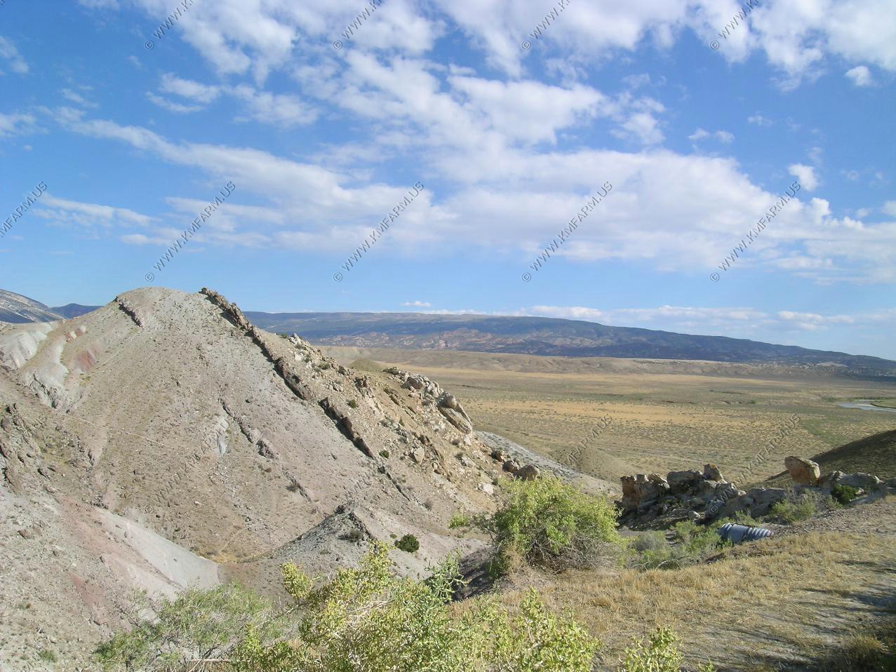
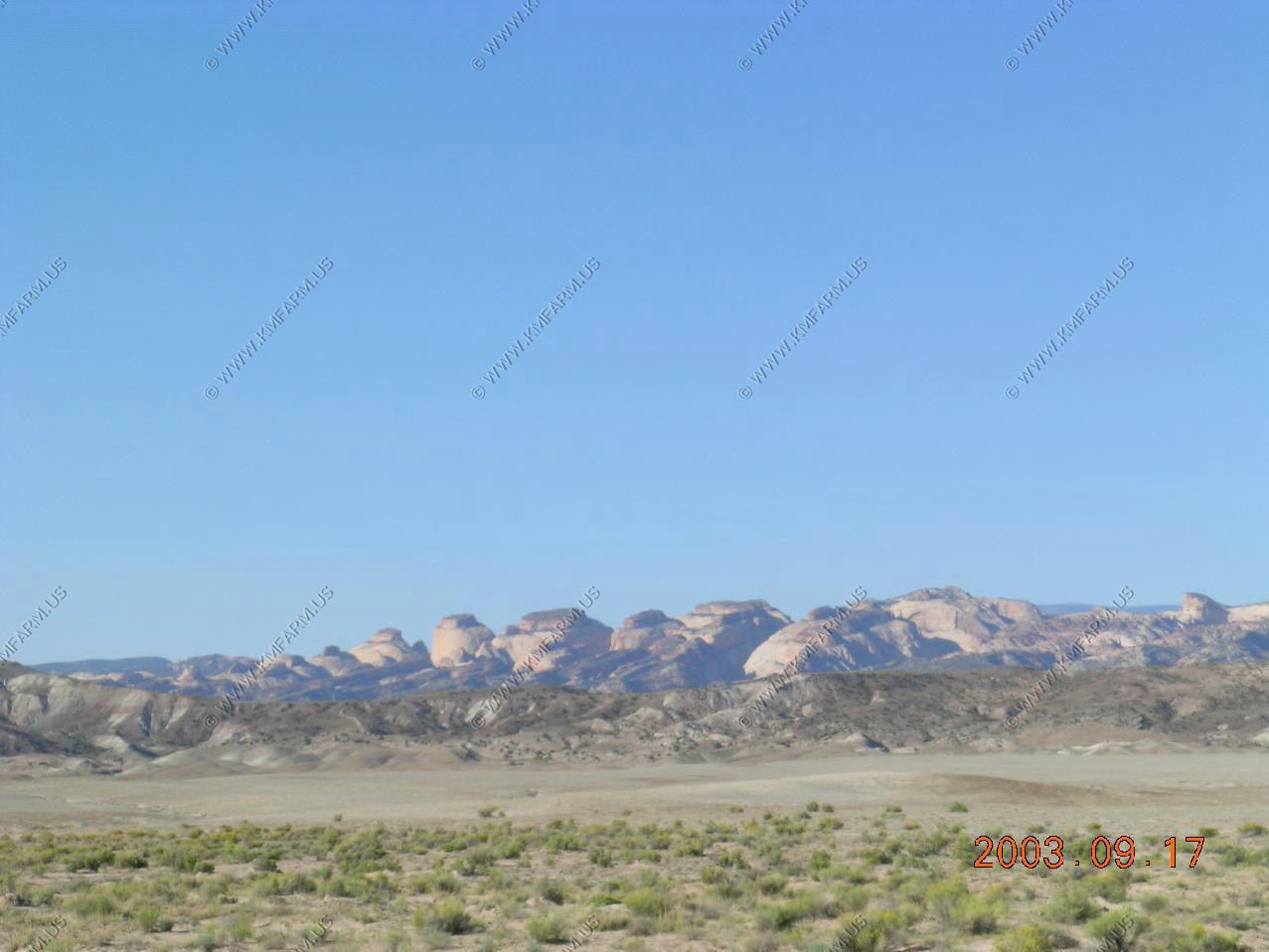
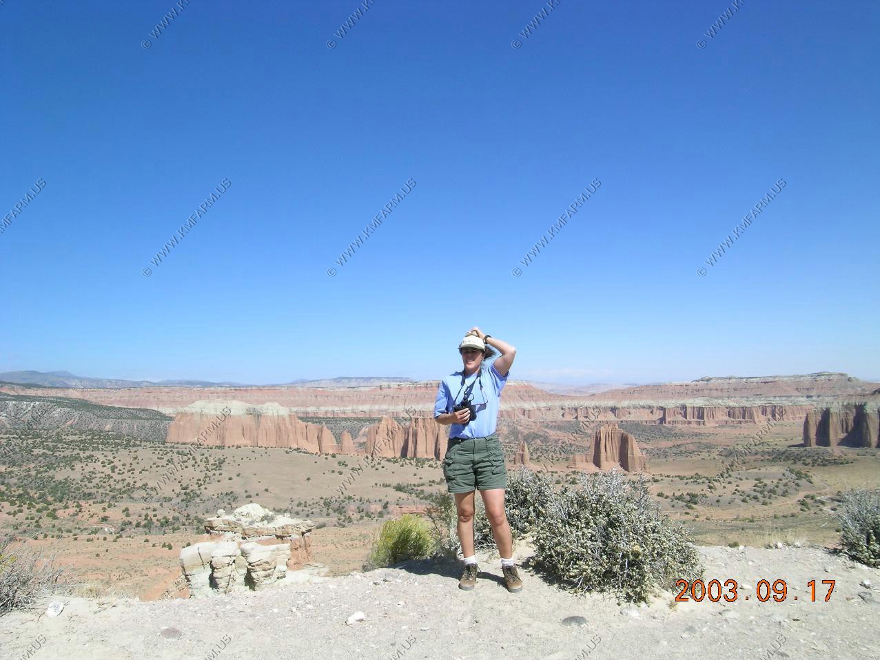
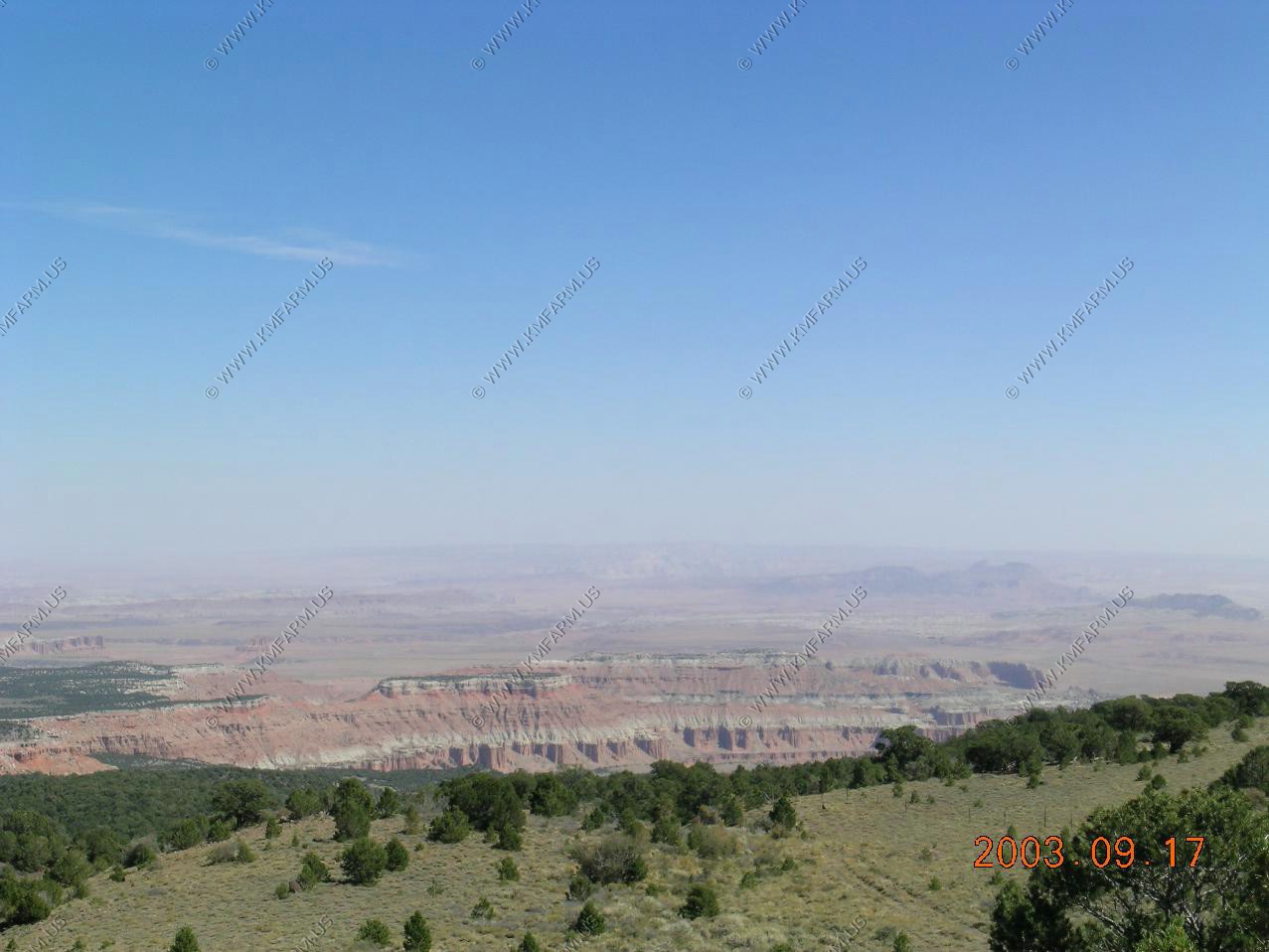
A quick stop at Pawnee Buttes. You could see the cold front racing to the east.
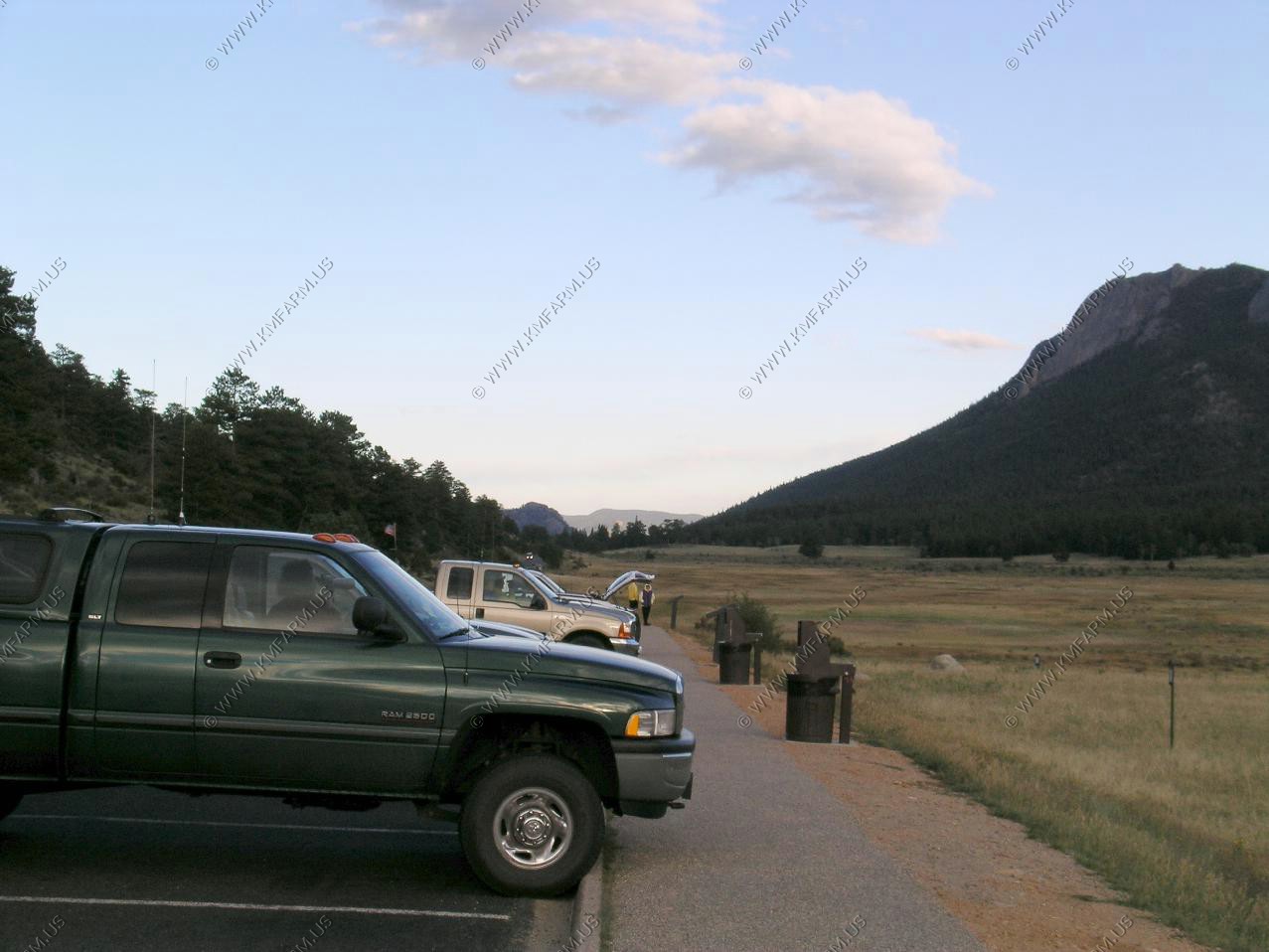
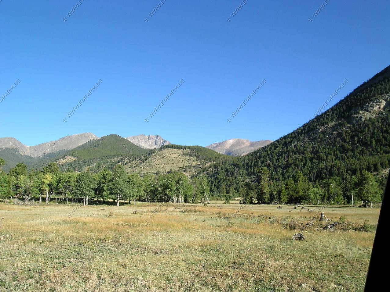
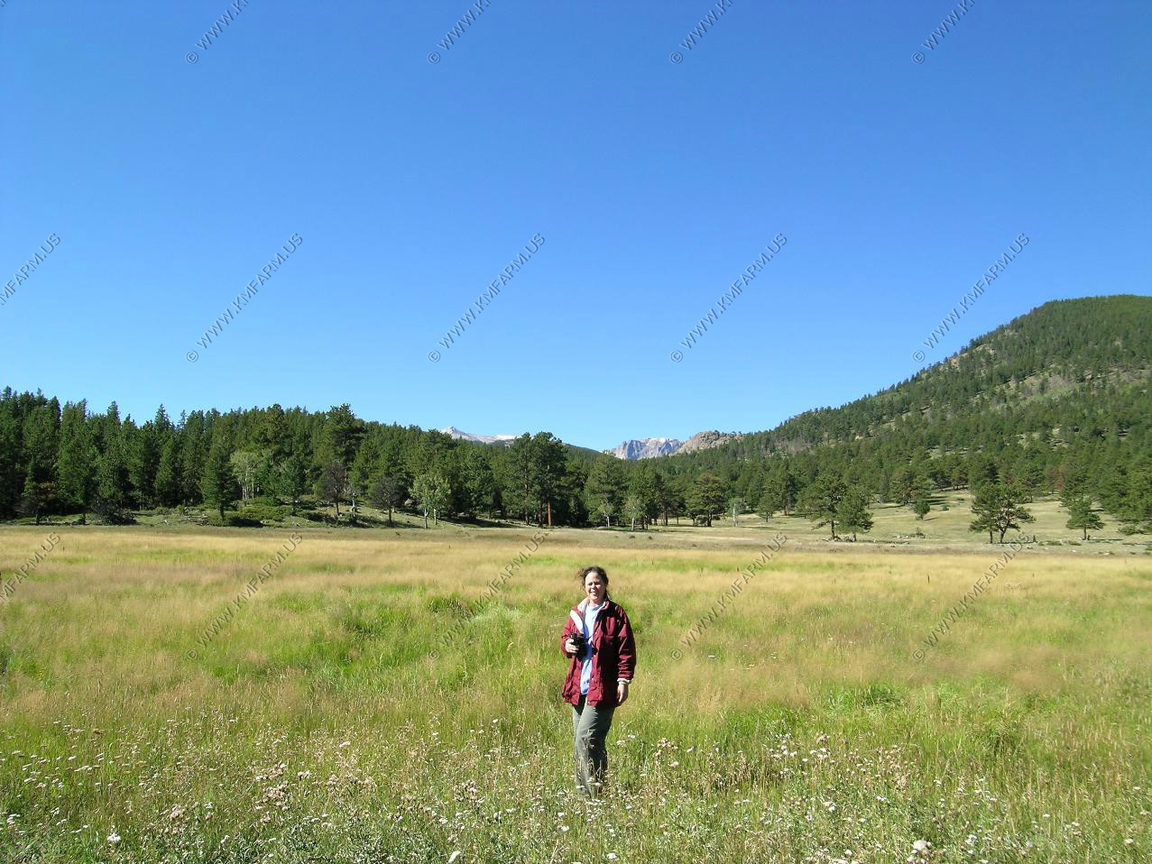
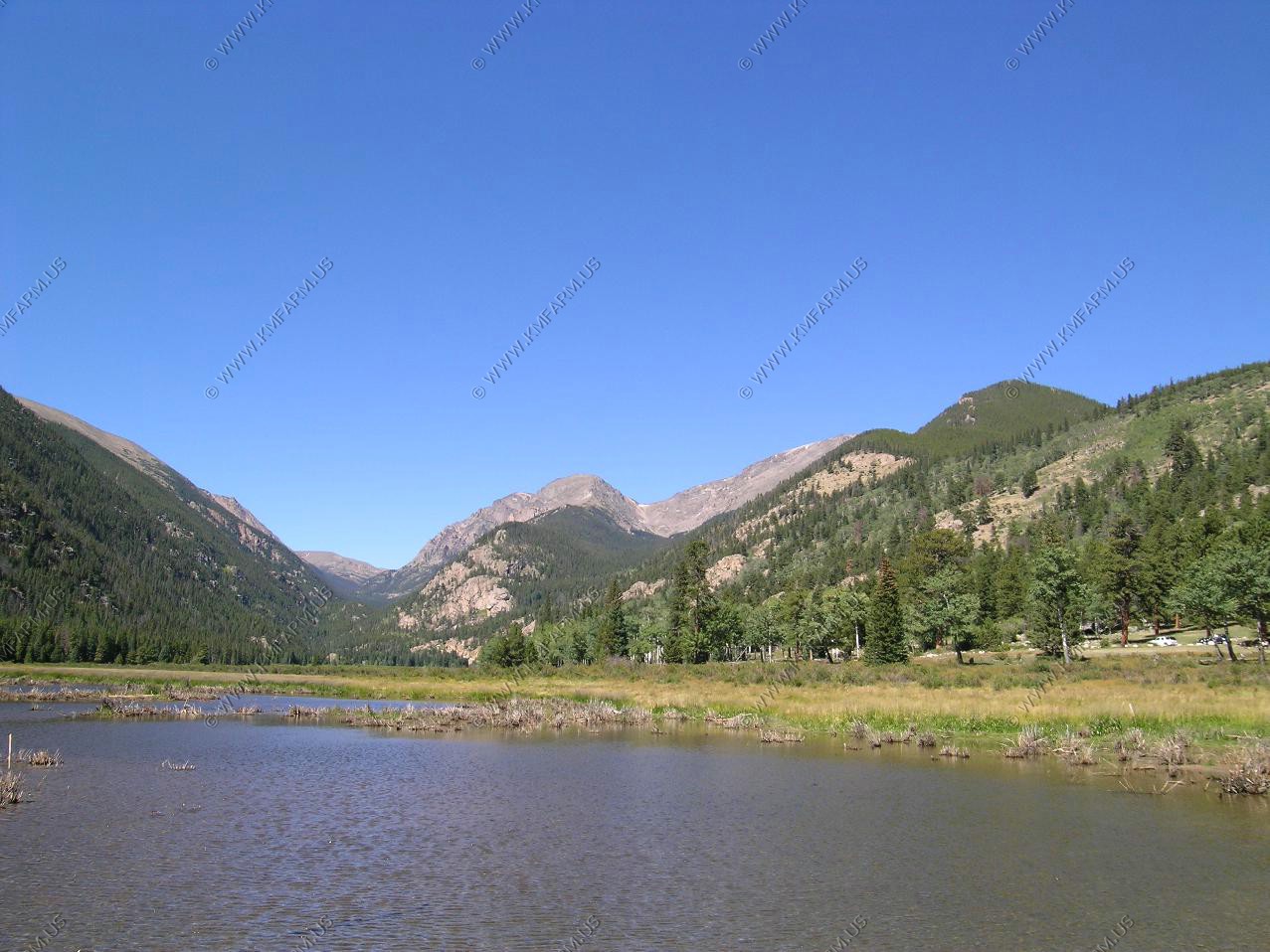
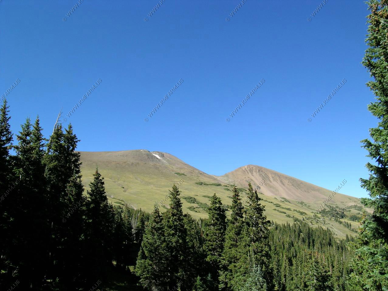
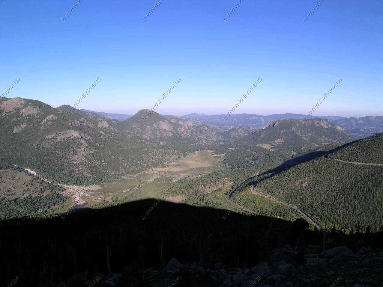
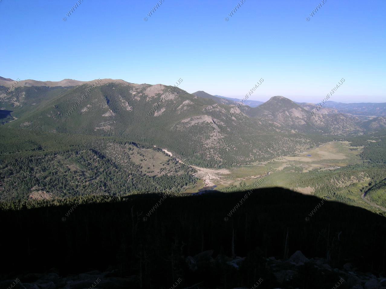
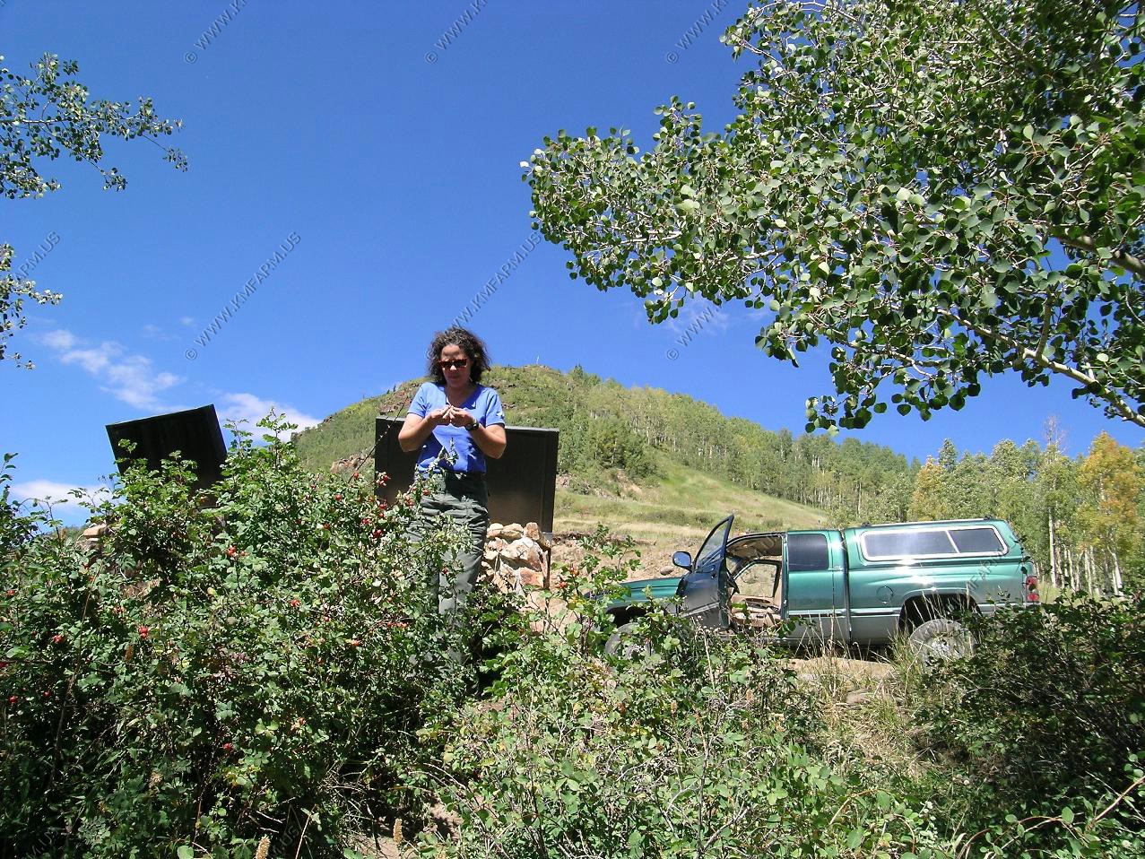
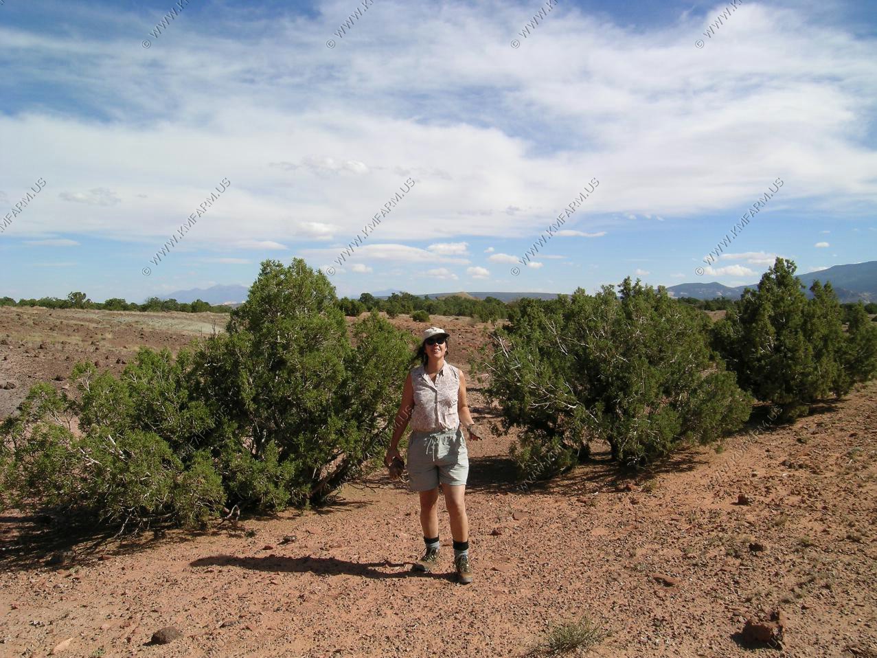
This was our second trip to RMNP. We stayed at Streamside at Fall River, where Mary reserved a second floor of a cabin. It was a bit small and rustic but it was ok.
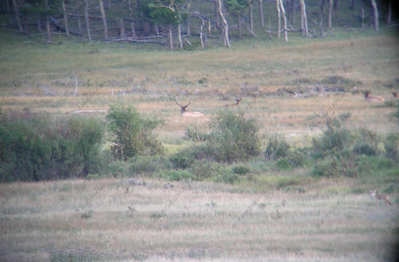
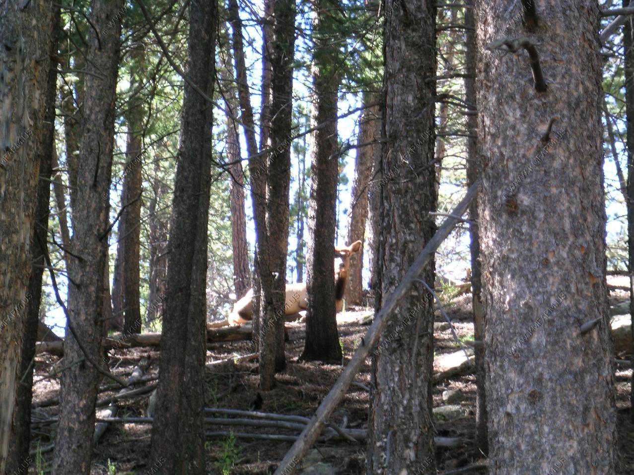
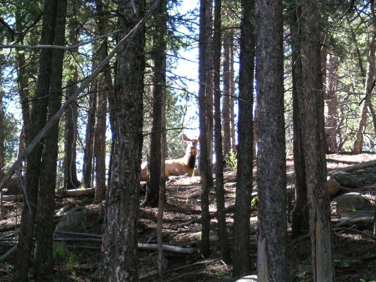
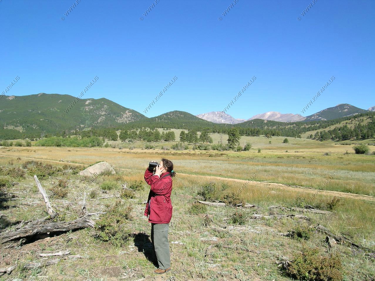
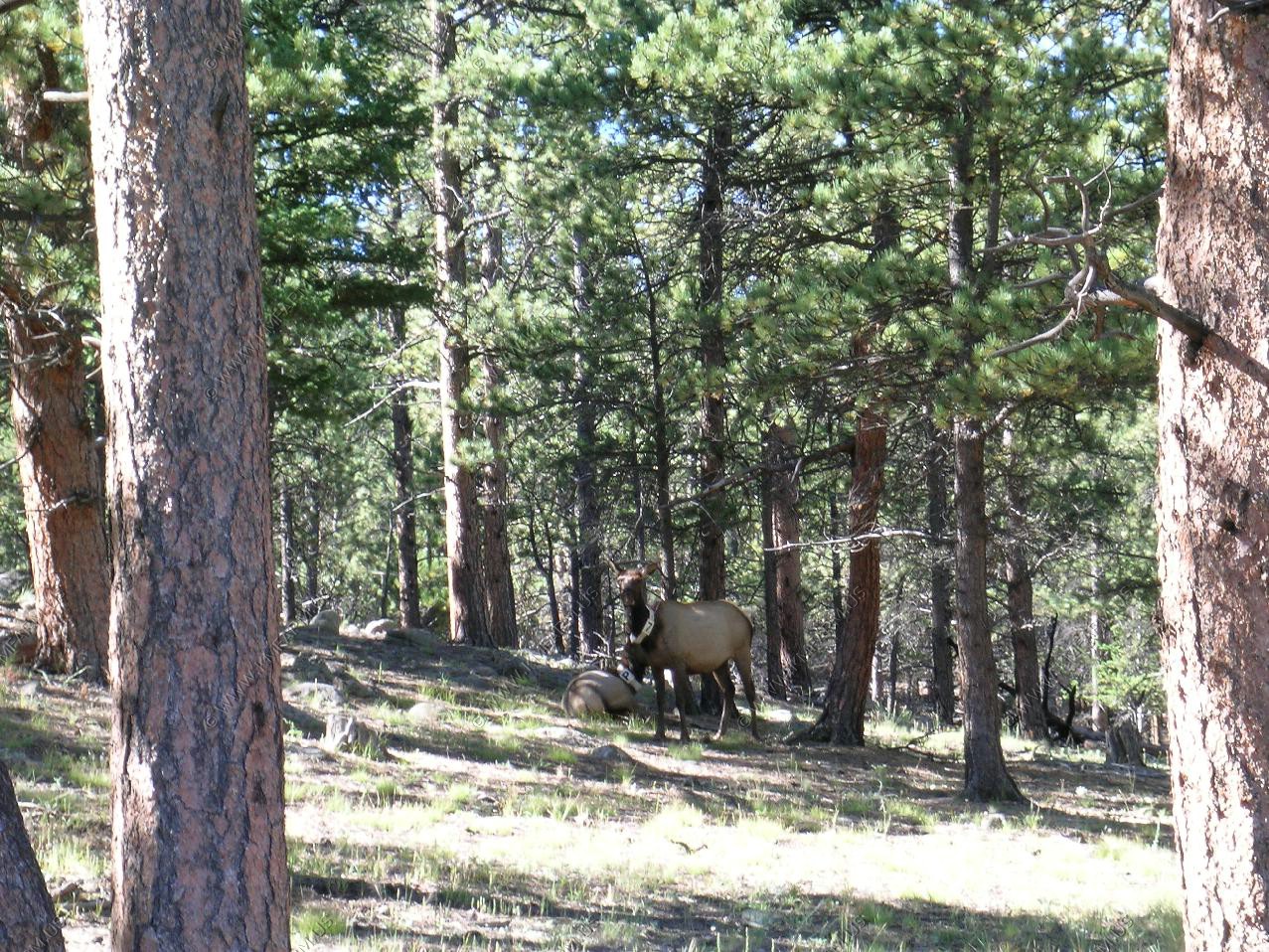
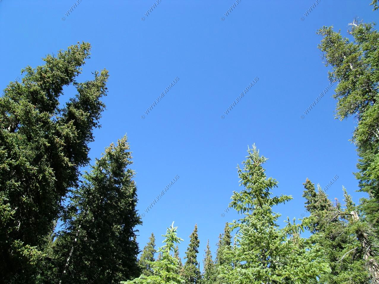
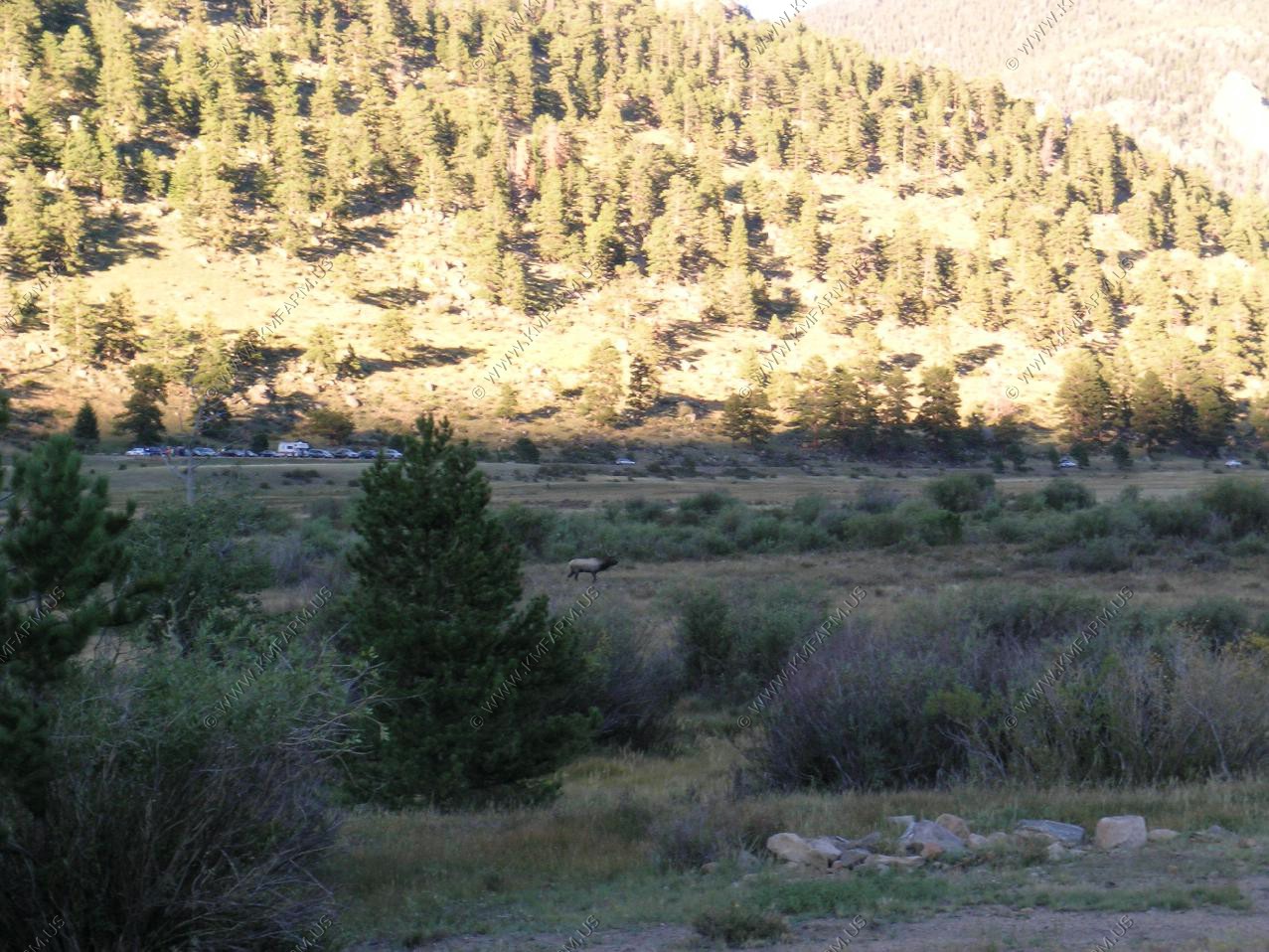
Went up to the Sheep Lakes pullout and watched and listened to the bull elk. Not as good as it was in 2000.

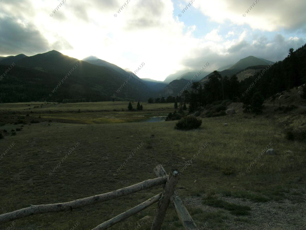
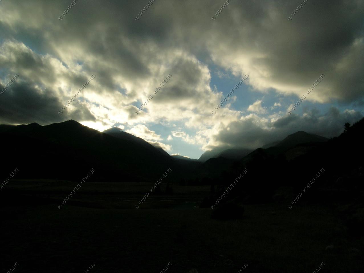
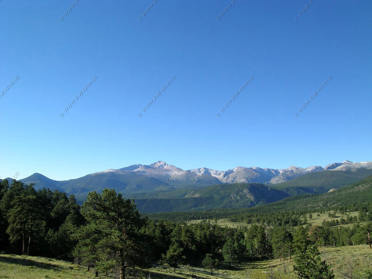
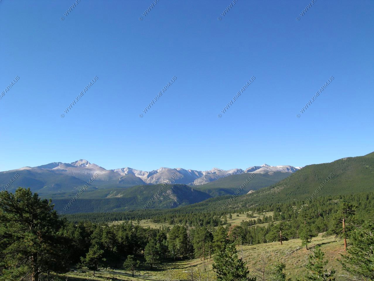
What a beautiful day. Started out in the low 20's but not a cloud in the sky.
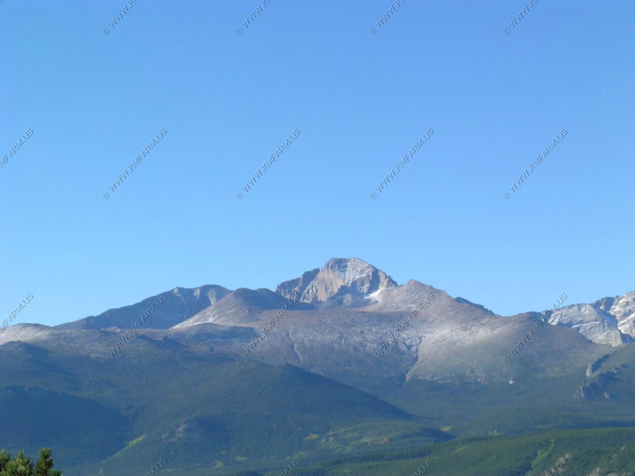
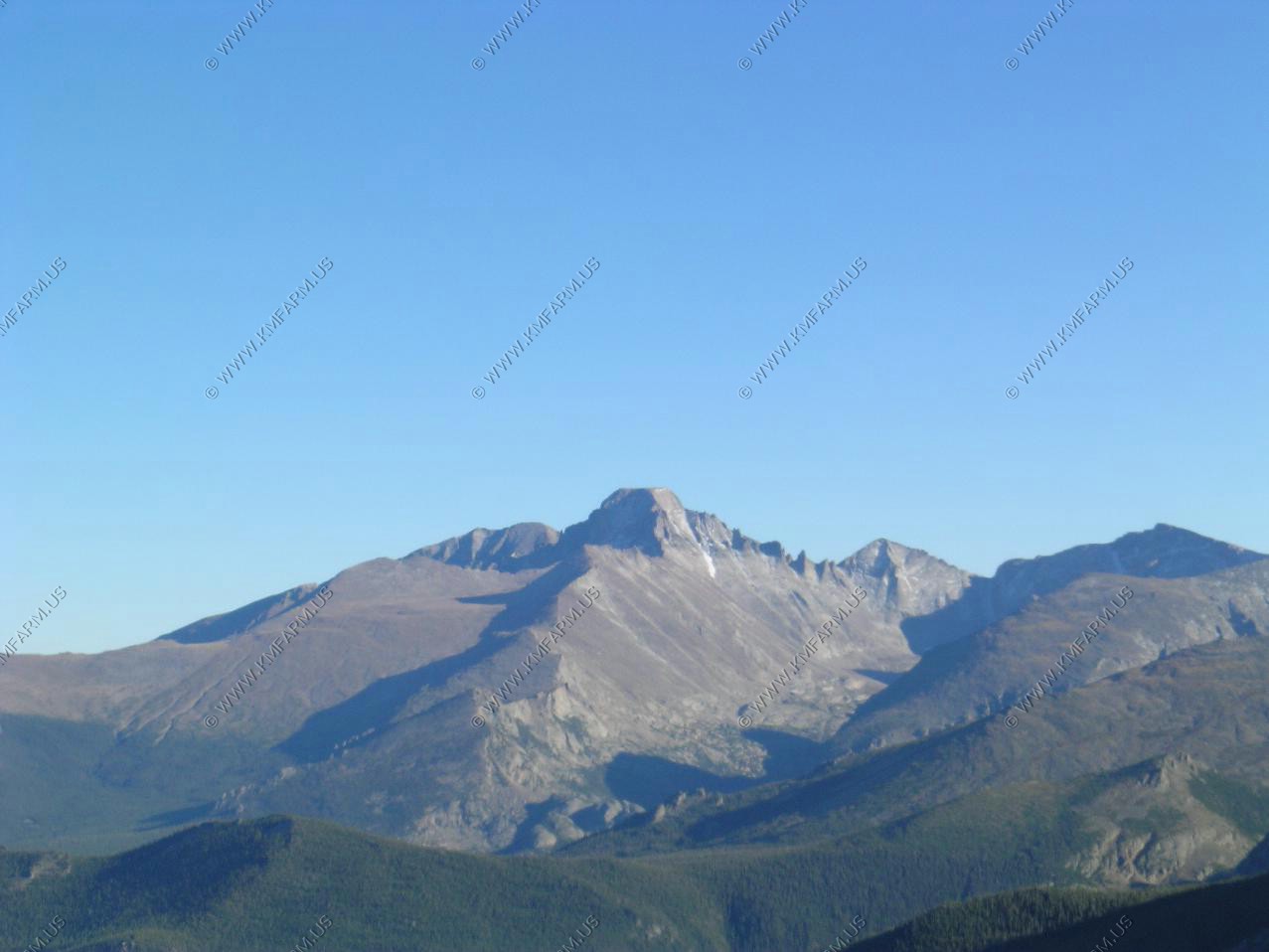
Longs Peak 14,255

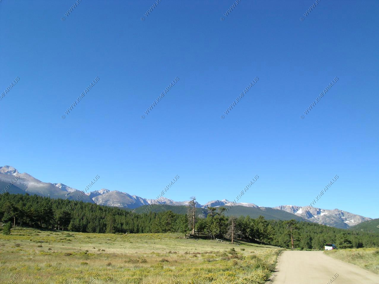

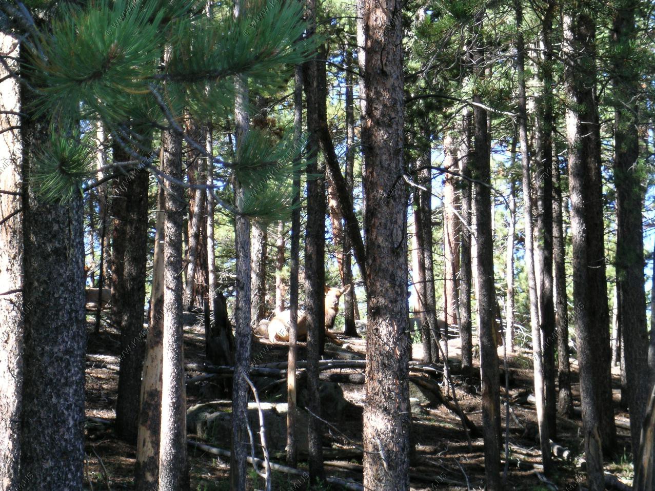
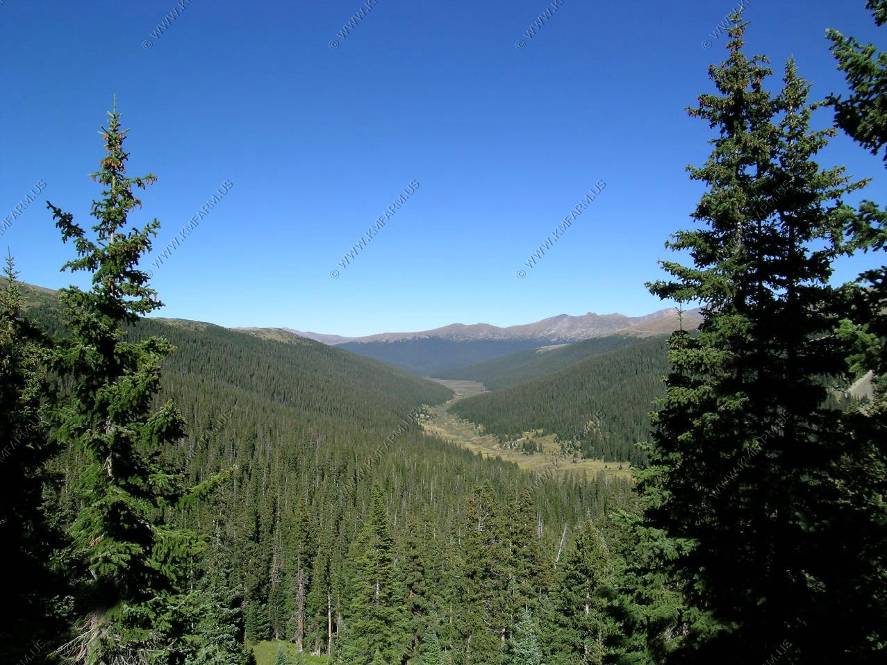
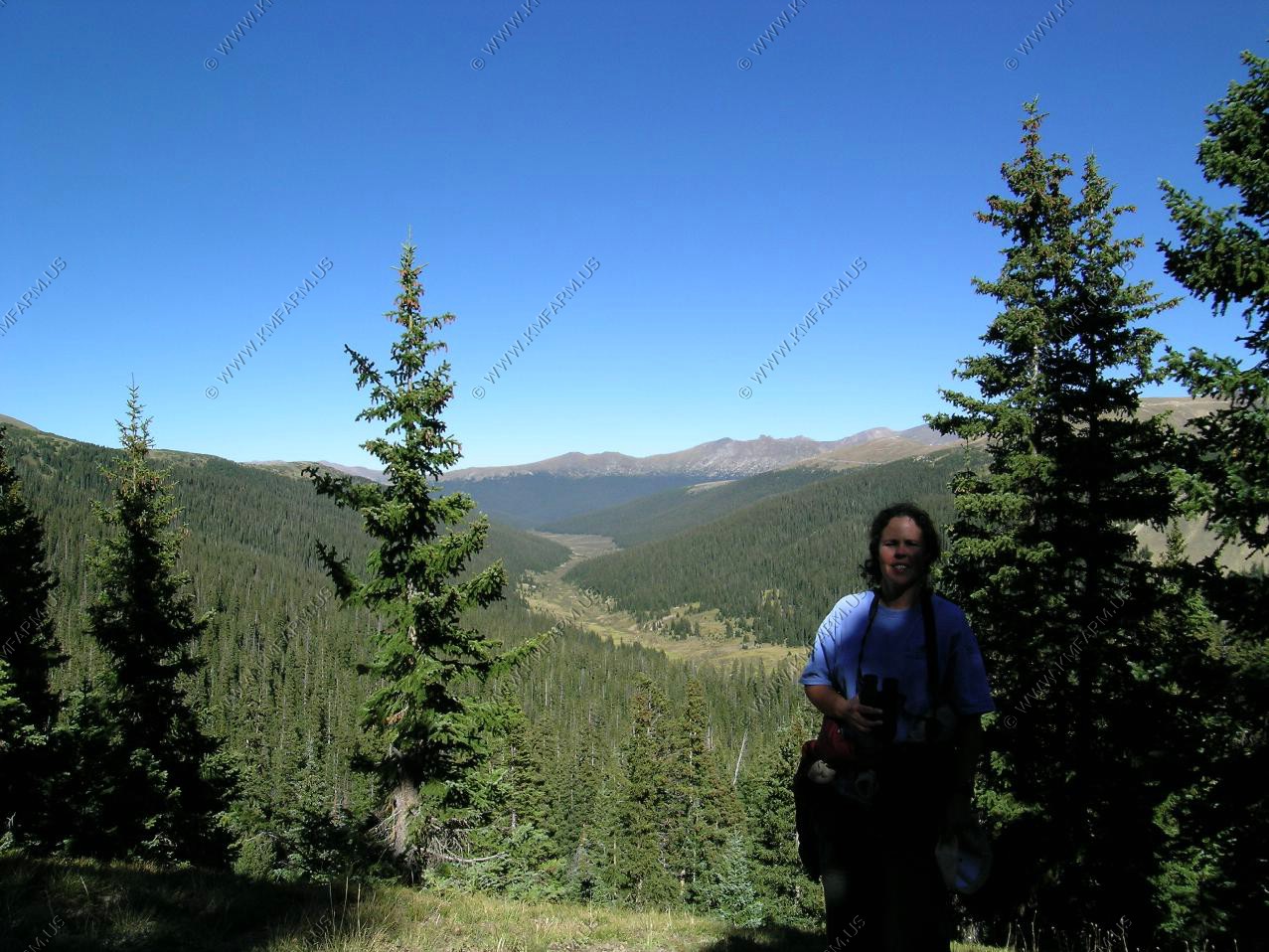
Headed over to Beaver Meadows for a hike.
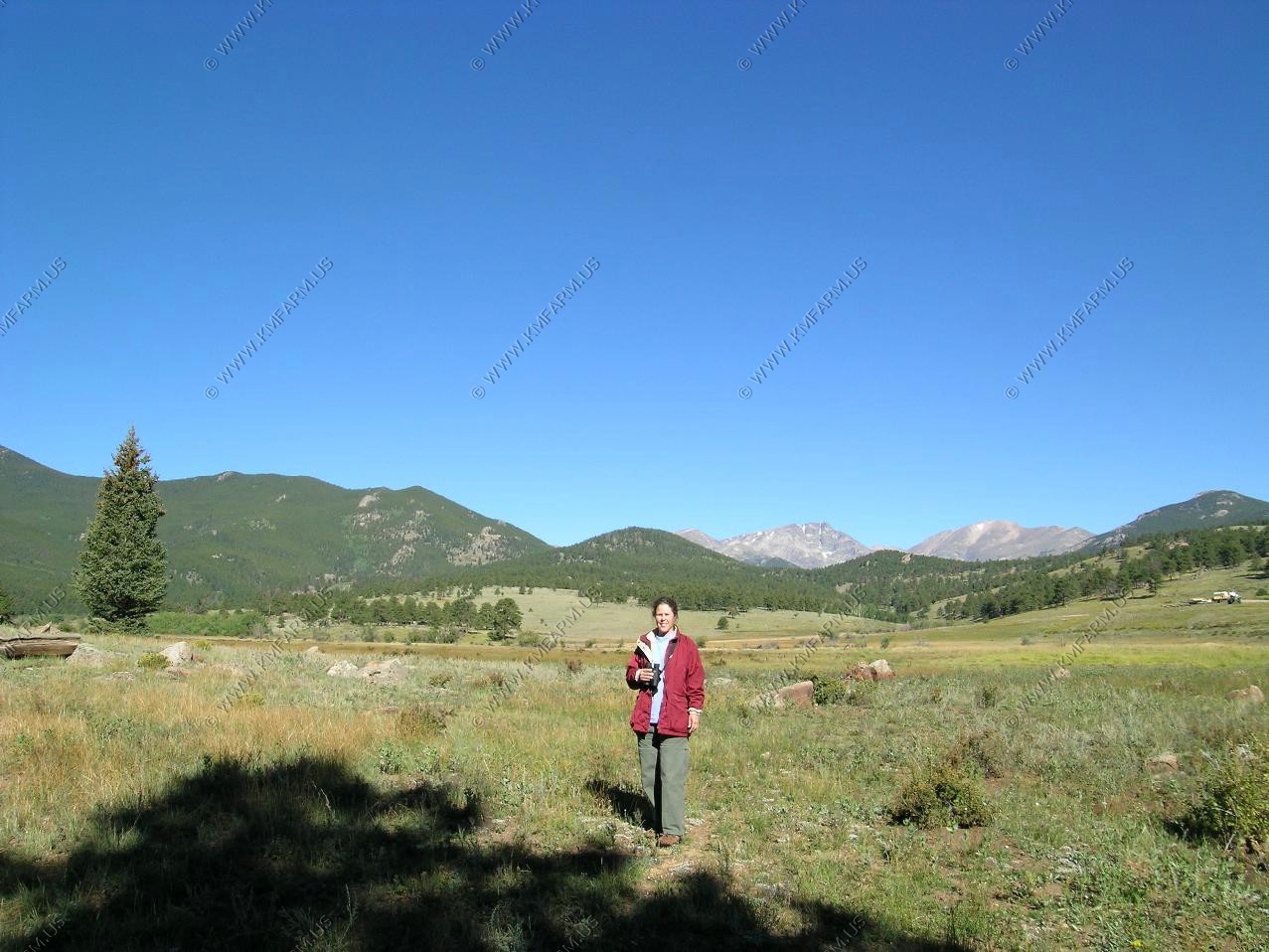
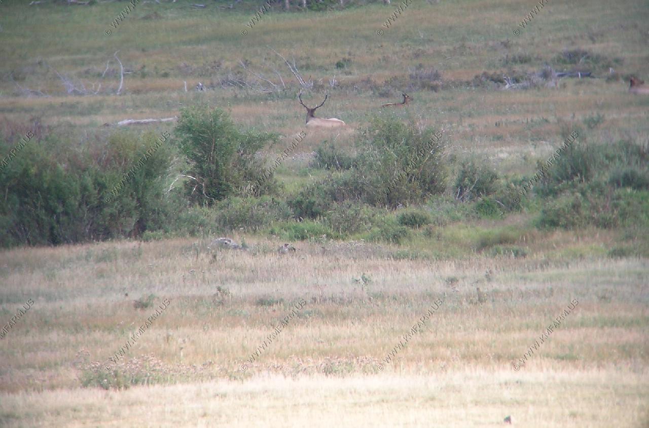
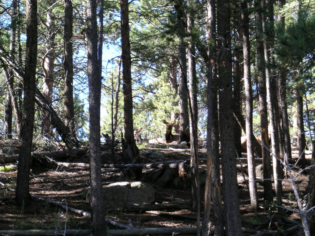
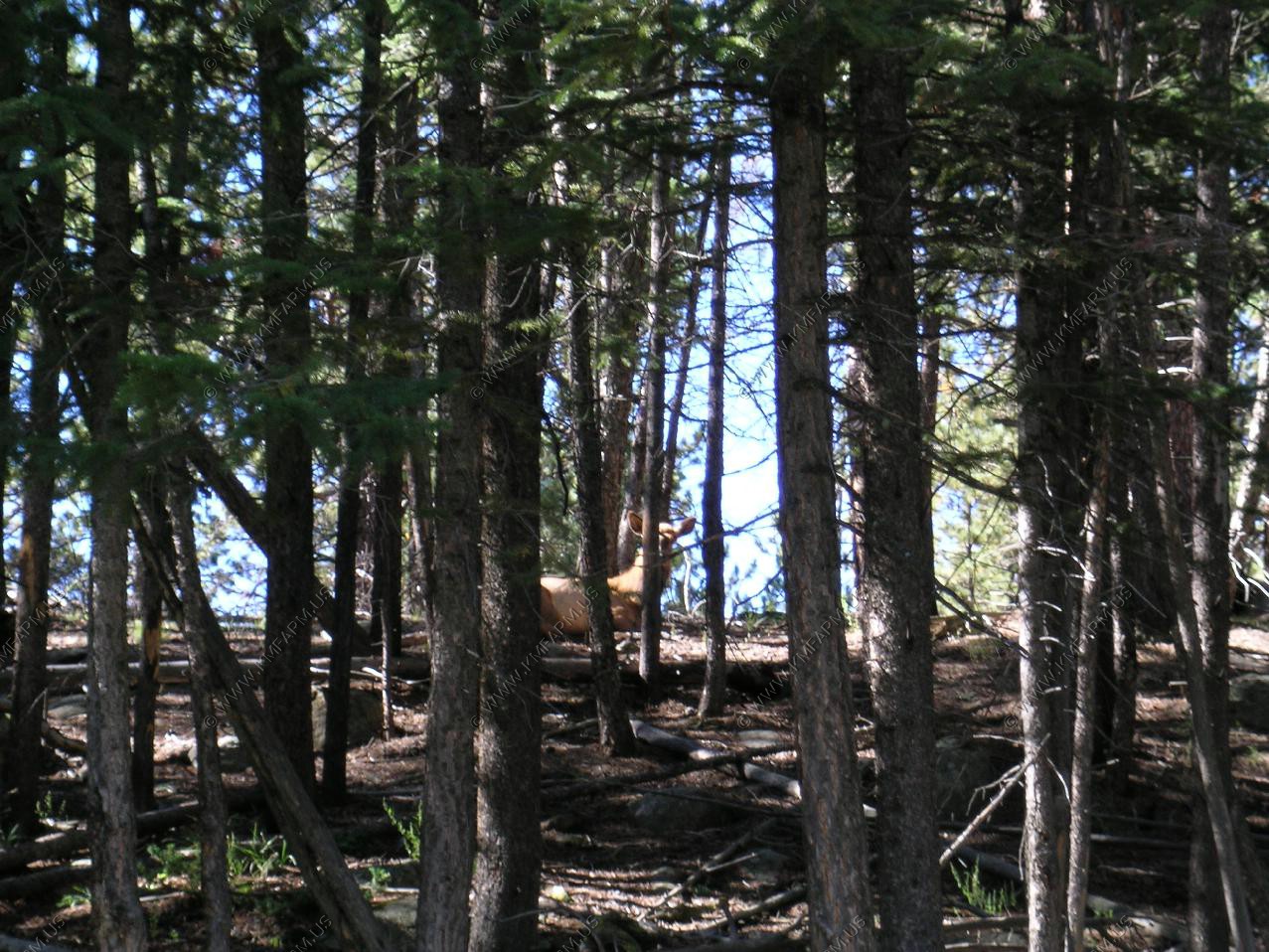
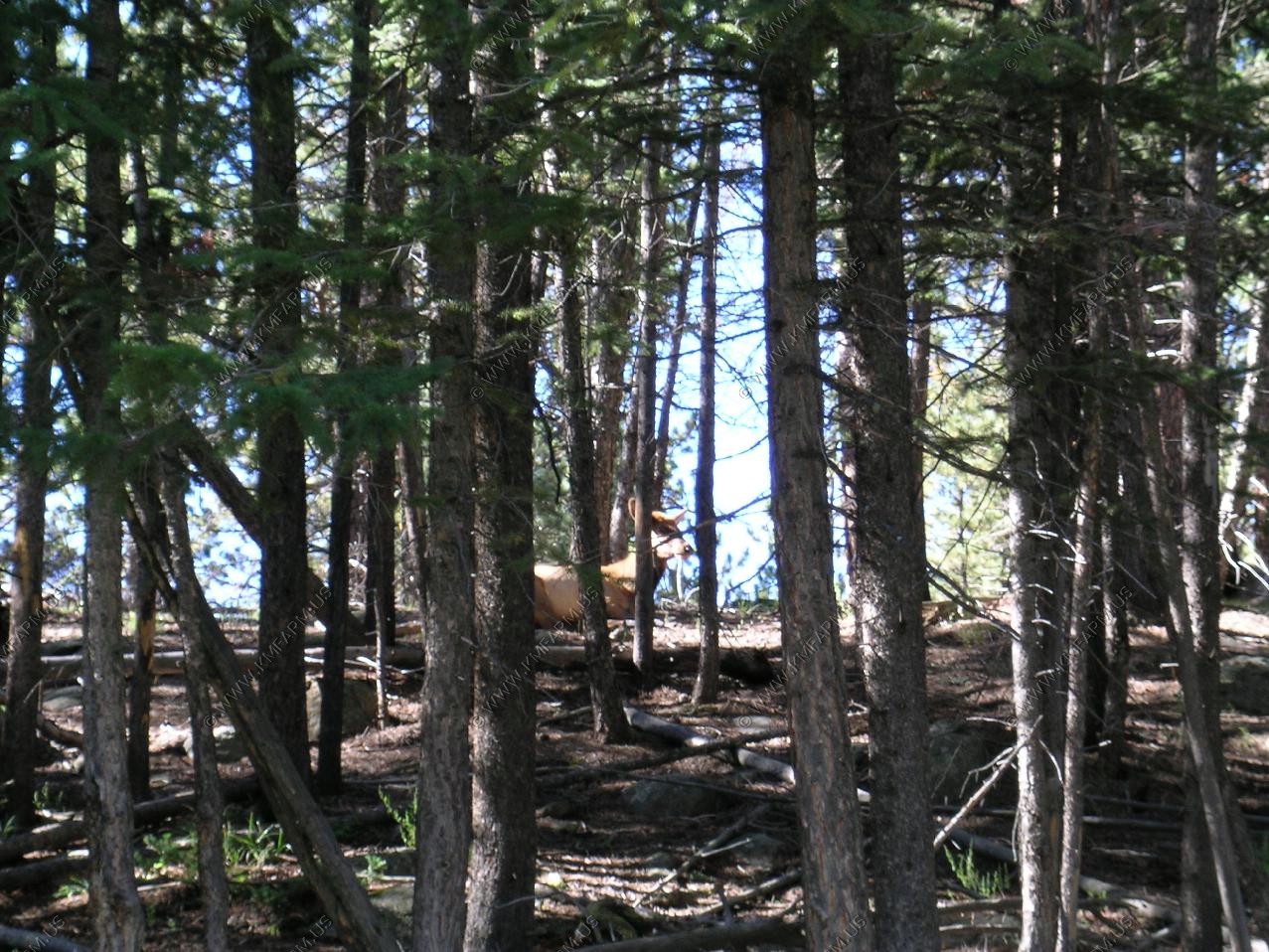
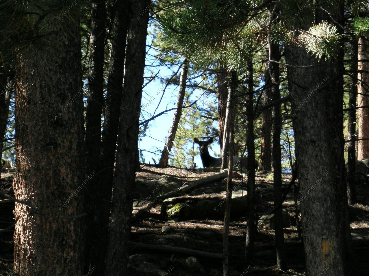
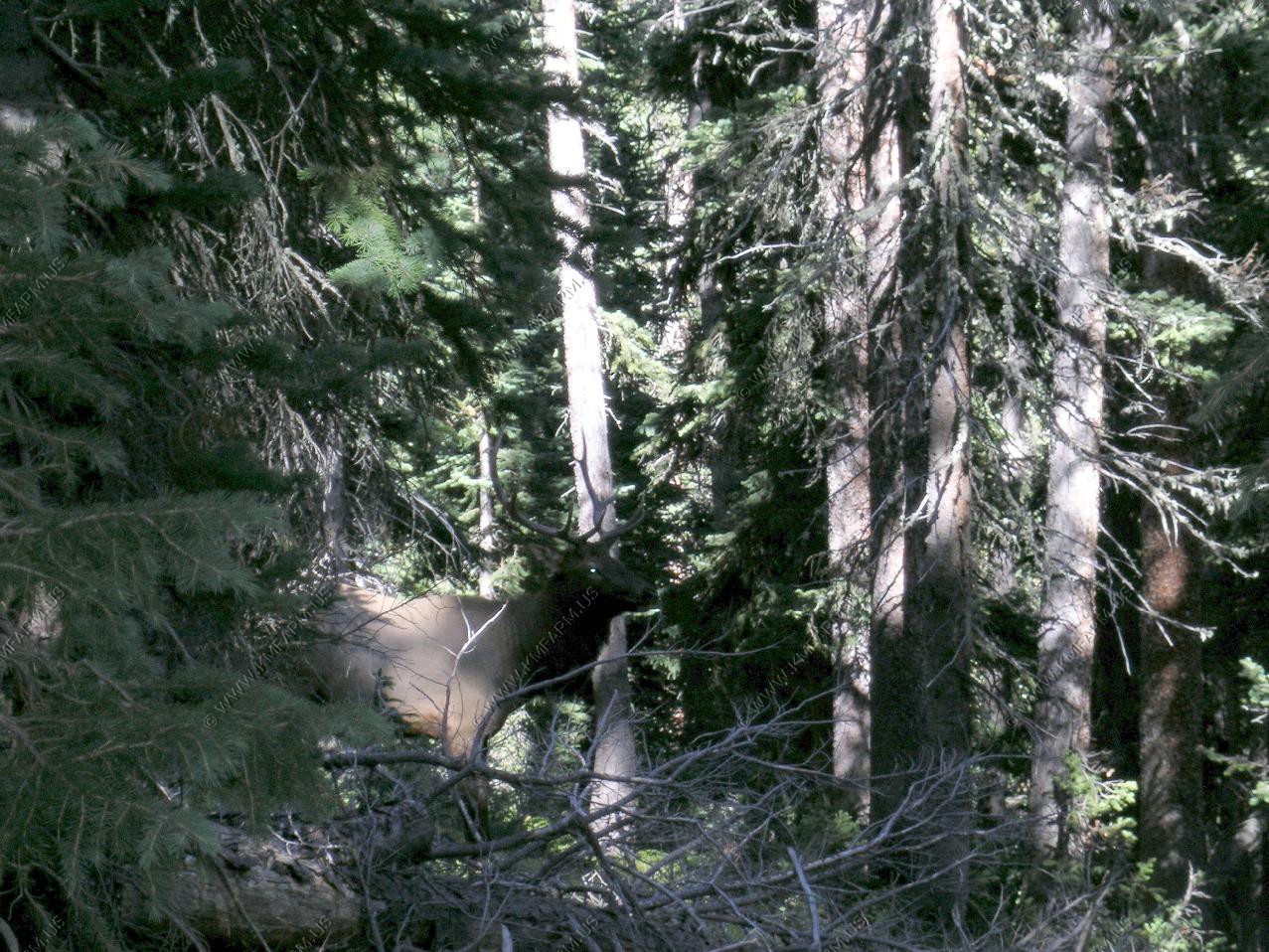
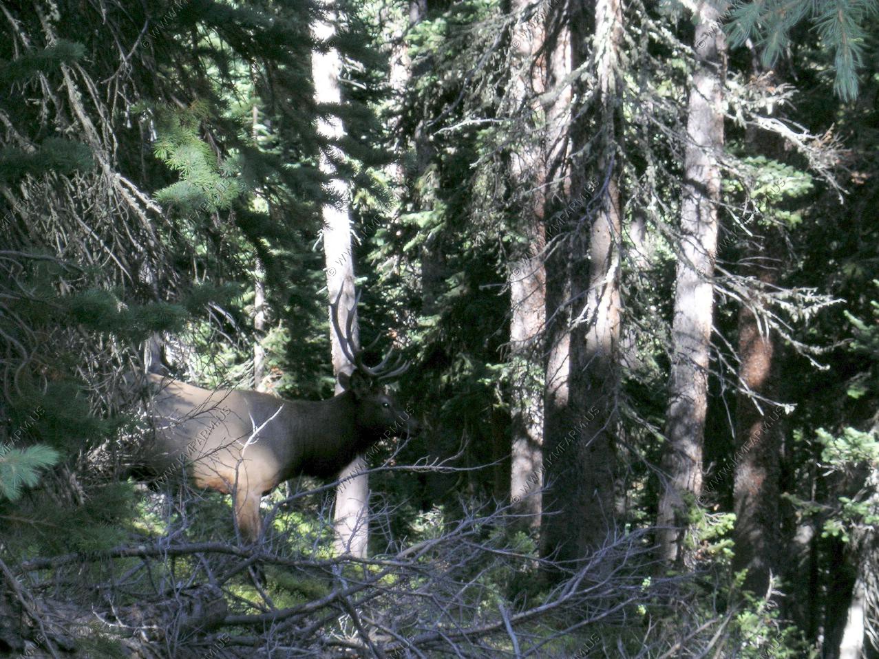
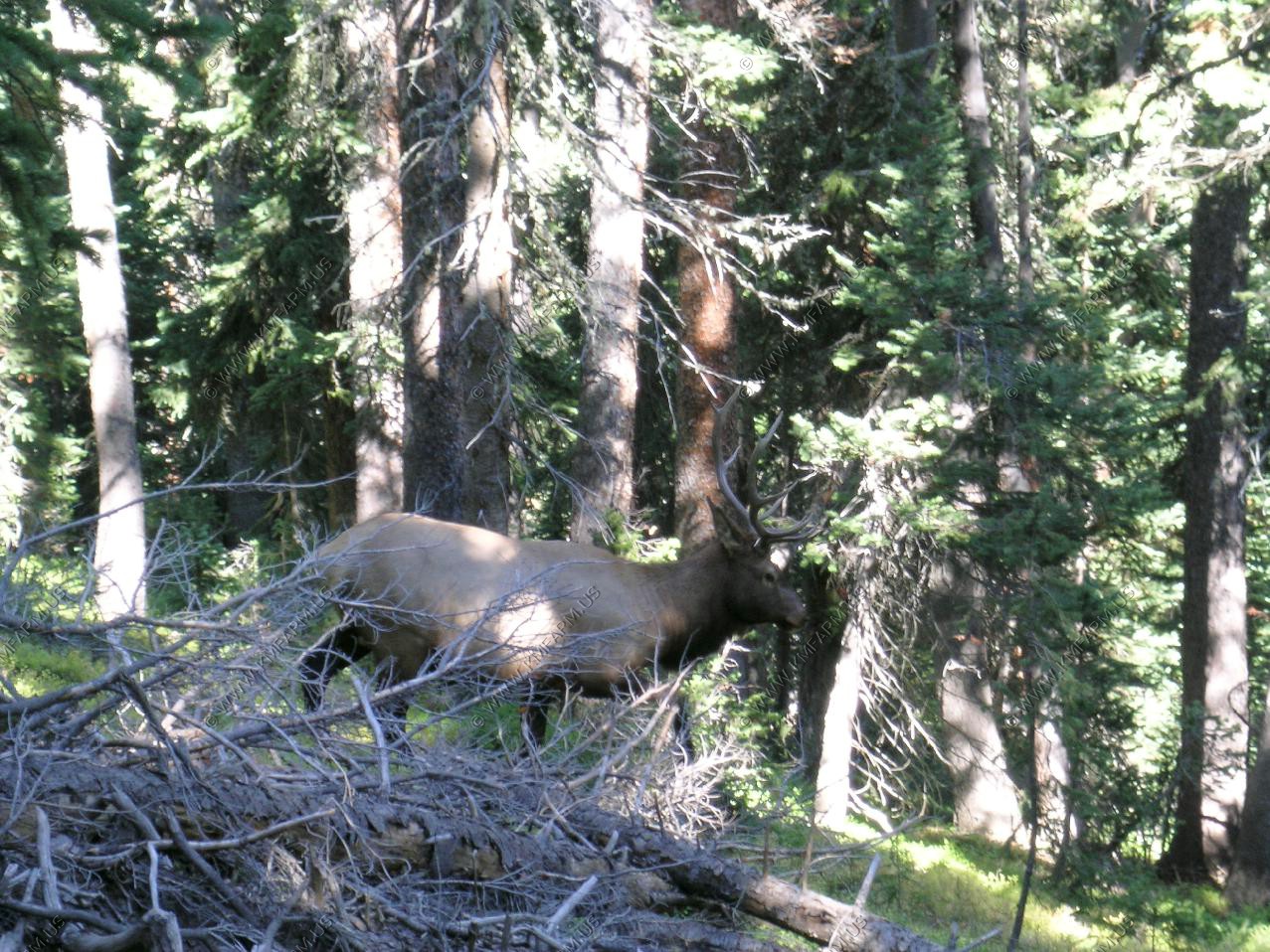
The elk resting in the woods along the trail. Mary birding in the adjacent wet meadow.
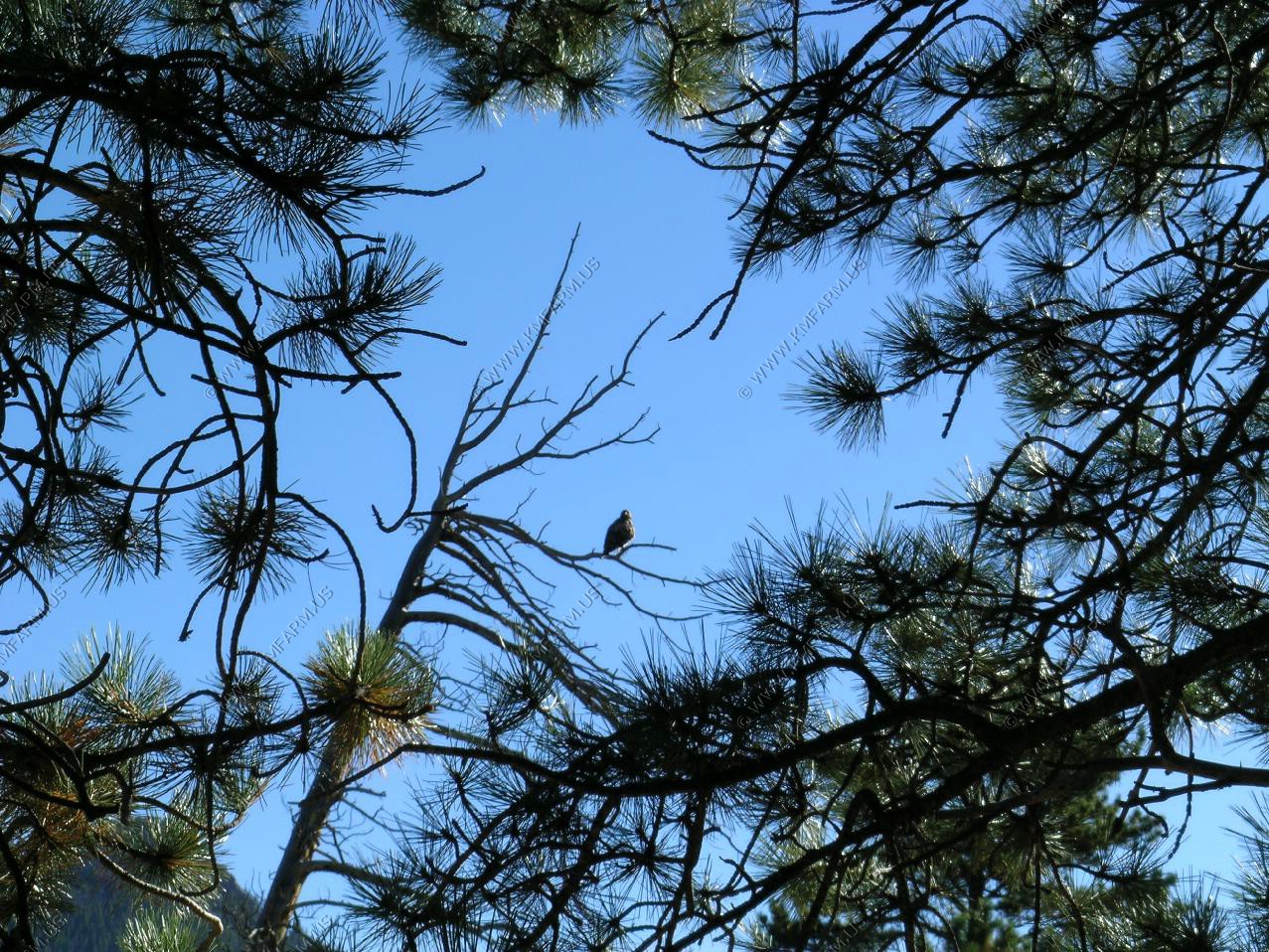
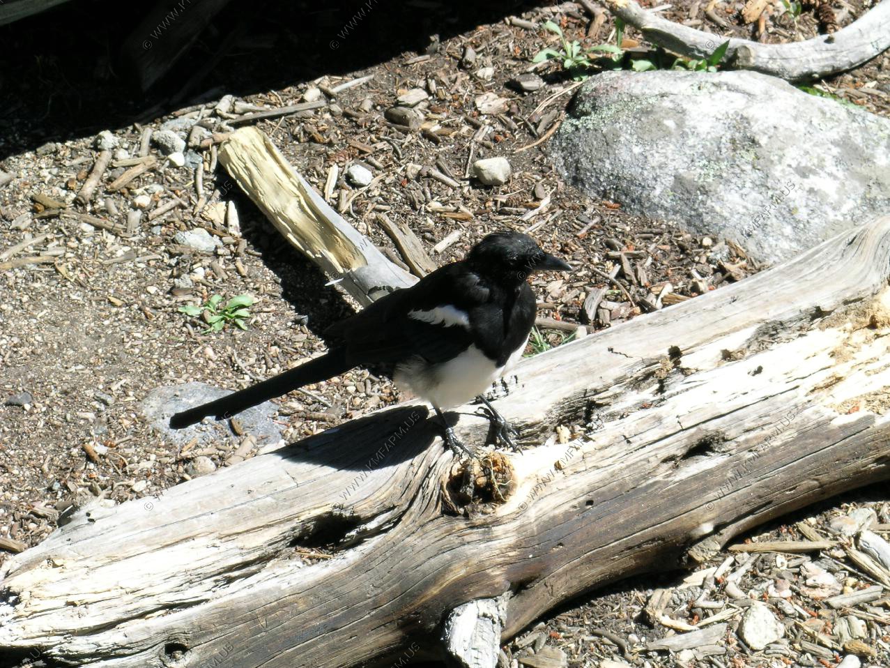
Magpie
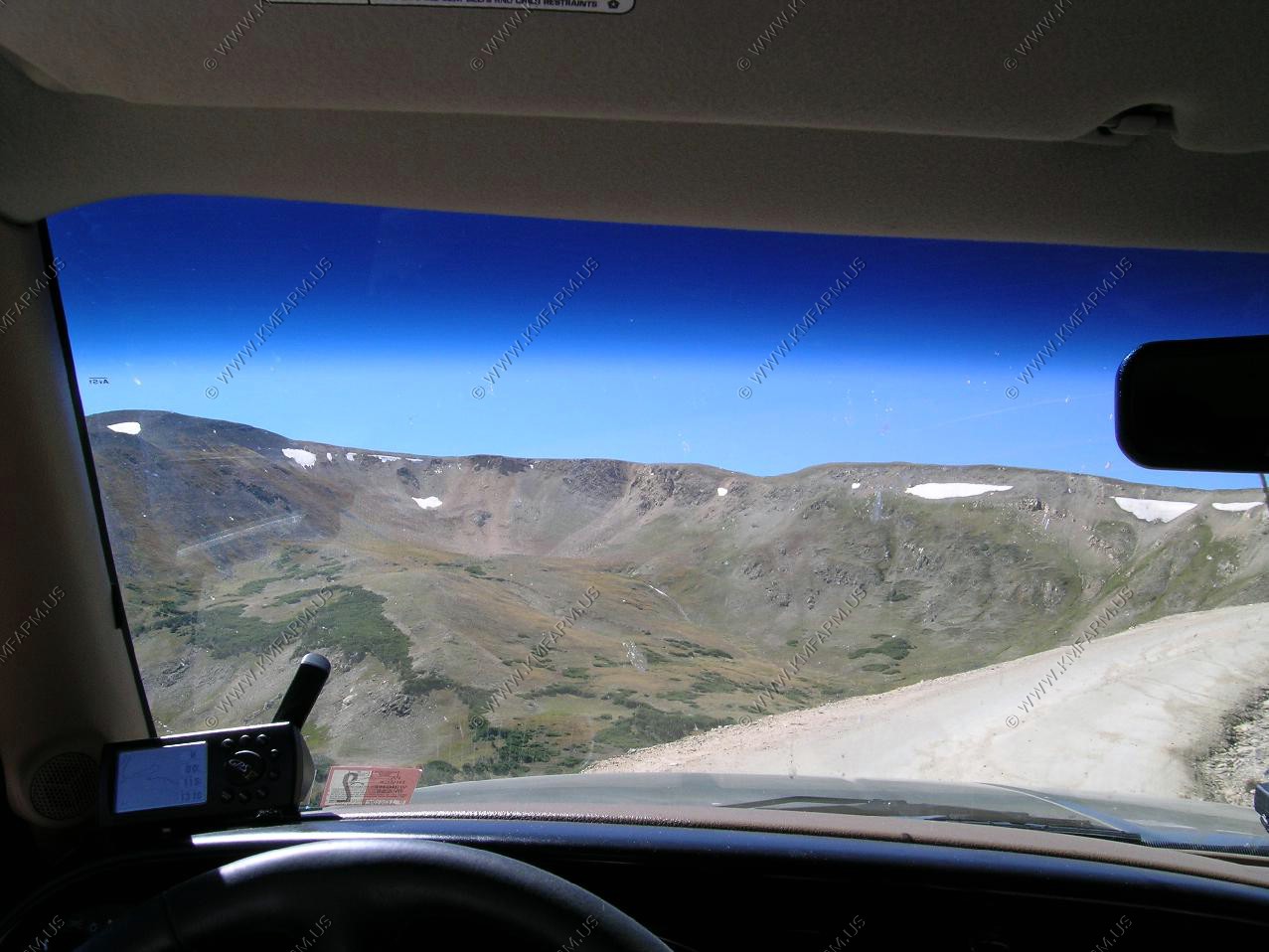
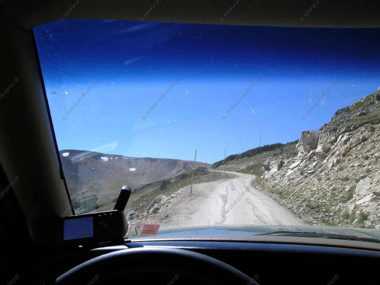
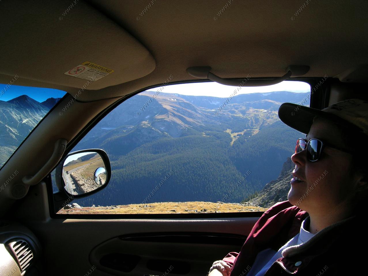
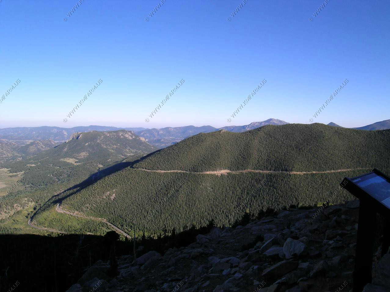
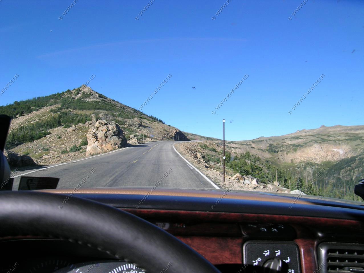
The other time we were here in 2000 we did not have time to take the Old Fall River road. It runs up this valley on the right side. Interesting drive but too accessible to the city people. One good thing is that it's one way up. At the top you're at the Alpine Visitor Center which is at the elevation of 11,796.
Treeline and views along the Old fall river road.
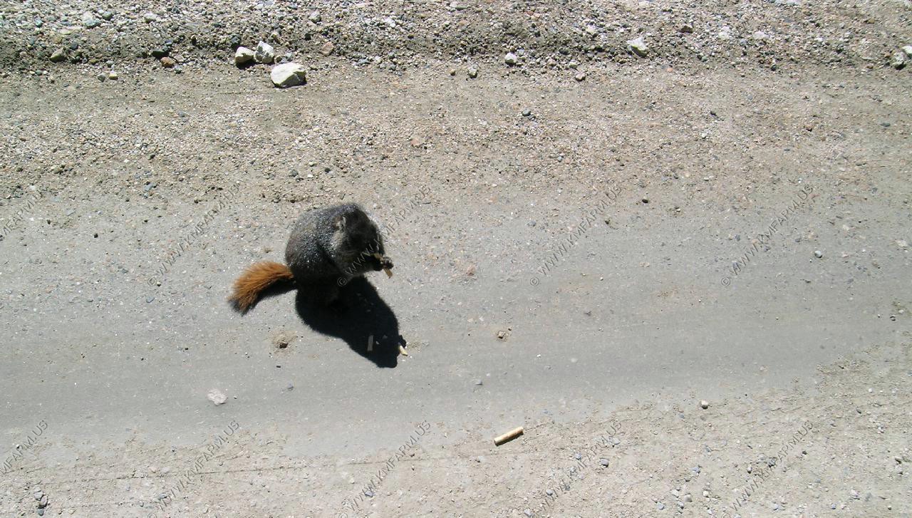
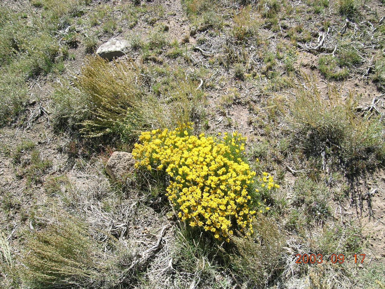
A marmot enjoying candy along the road.

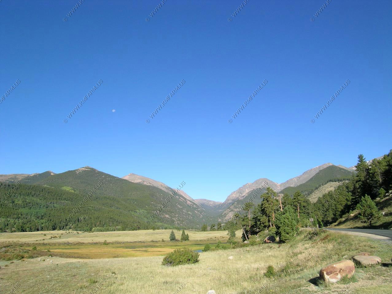
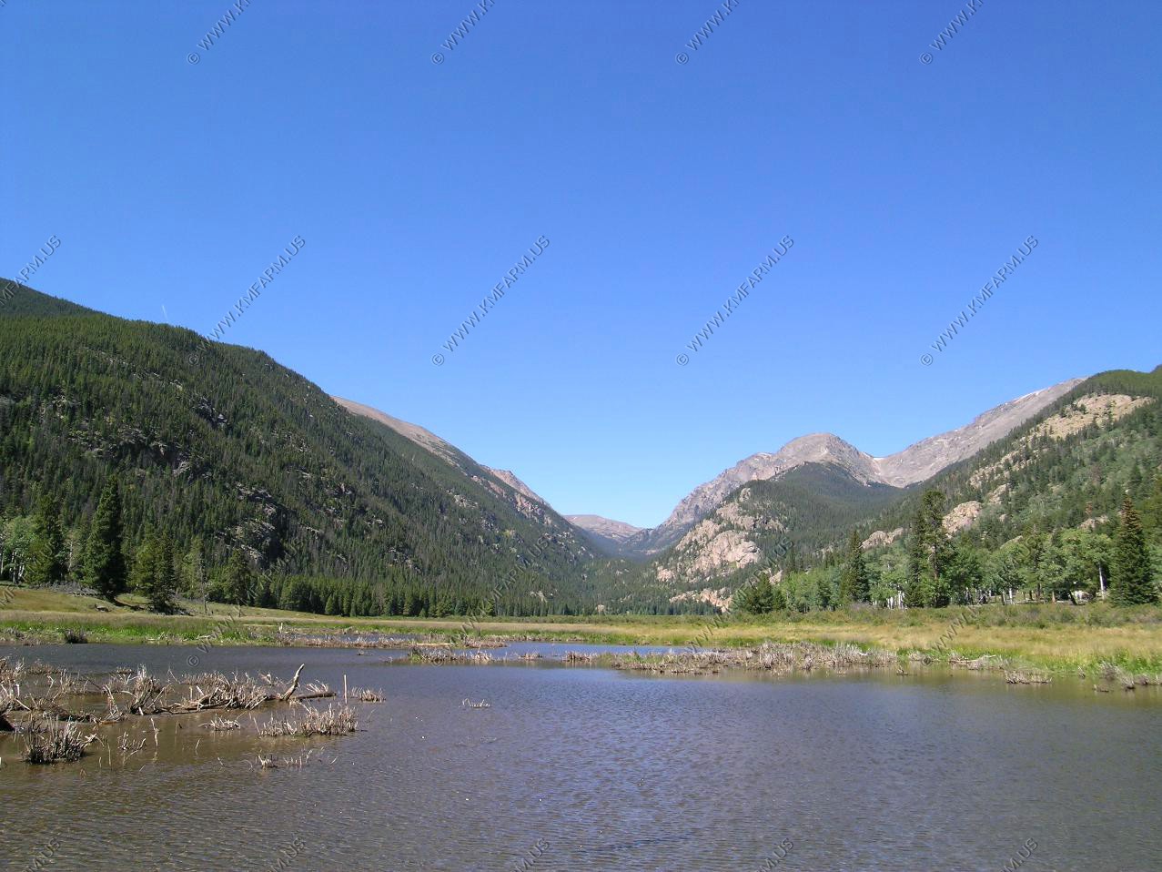
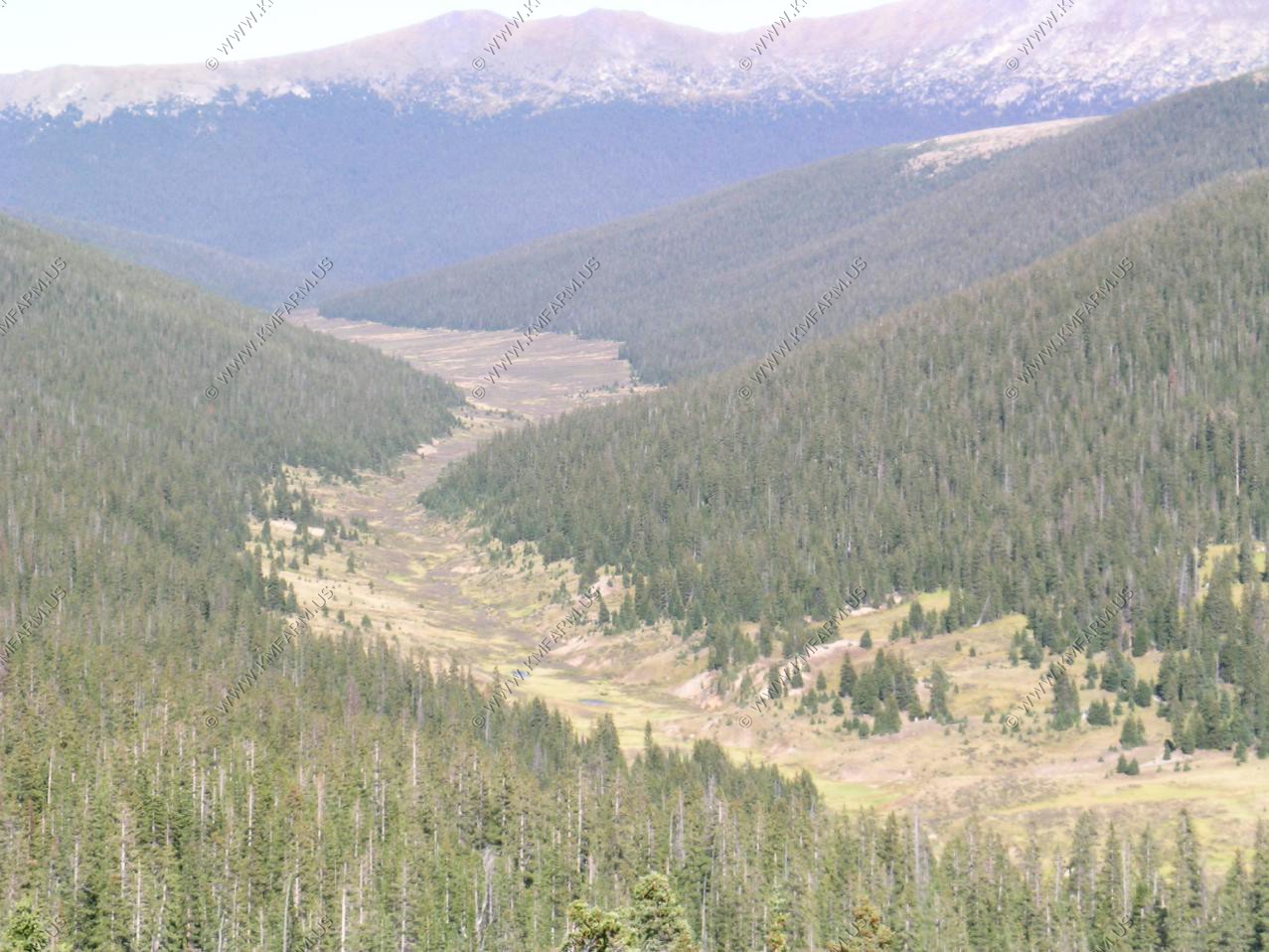
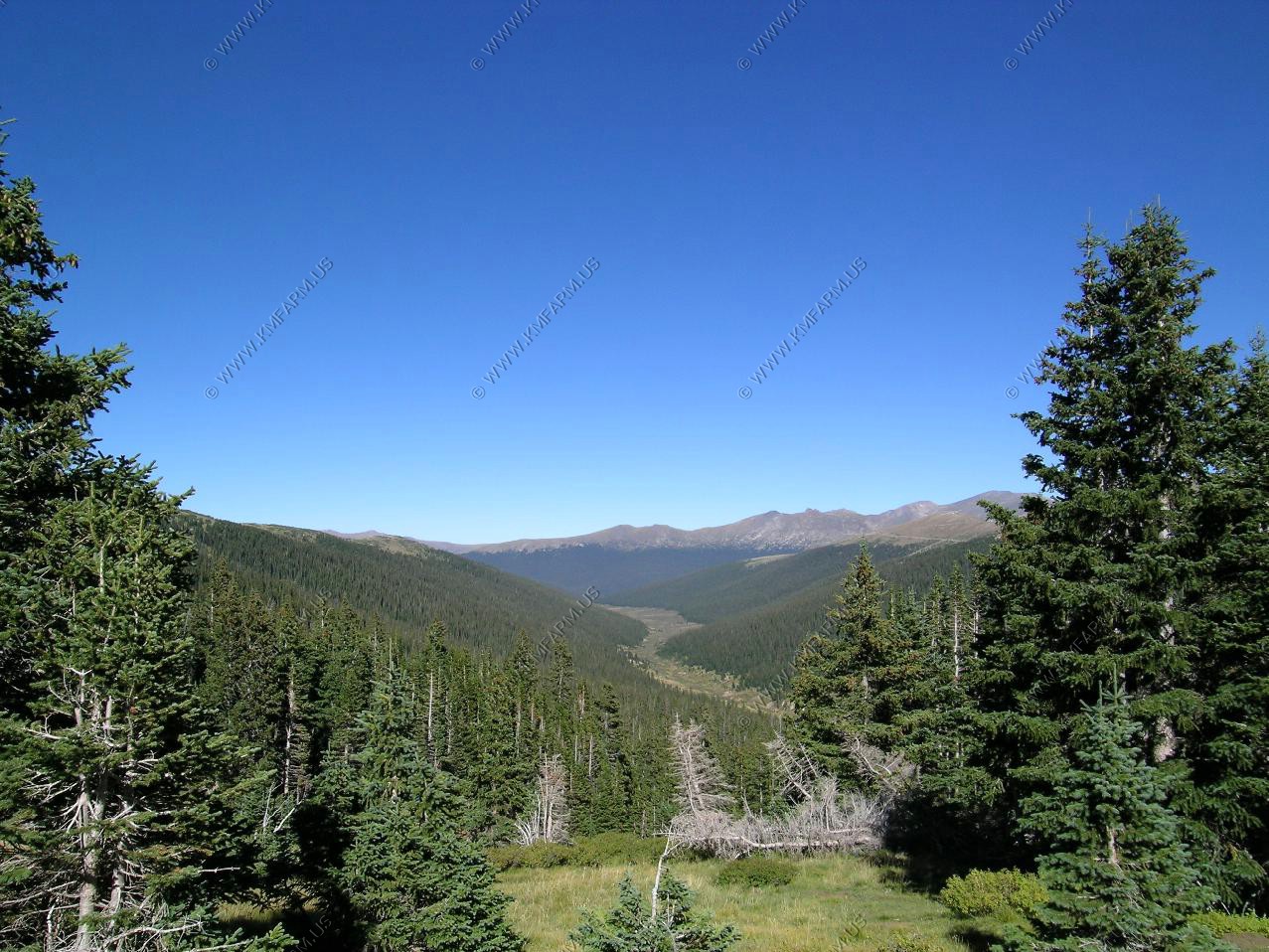
We headed over to the West side of the park for a hike. The headwaters of the Colorado. Blue Sky !!
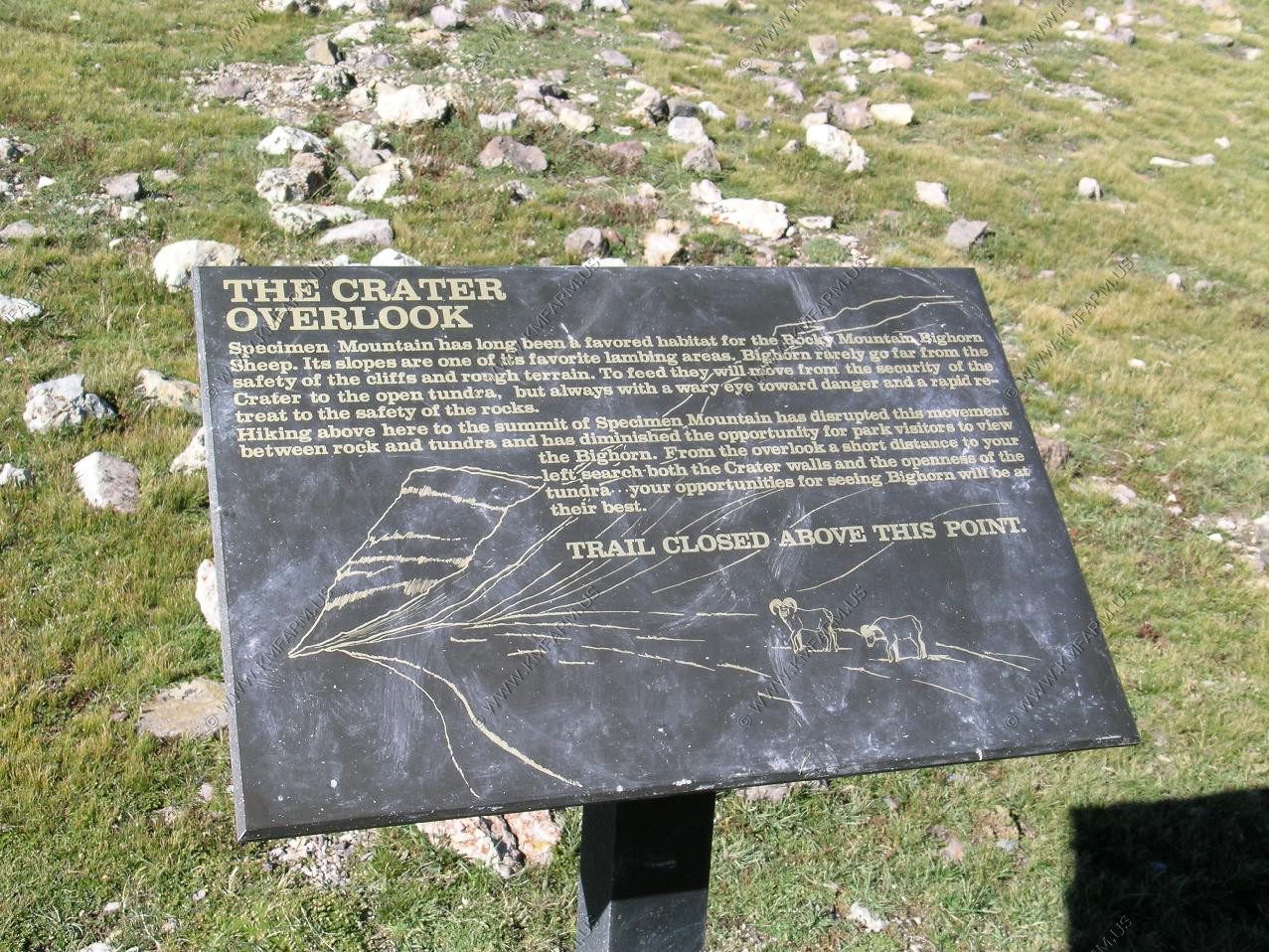
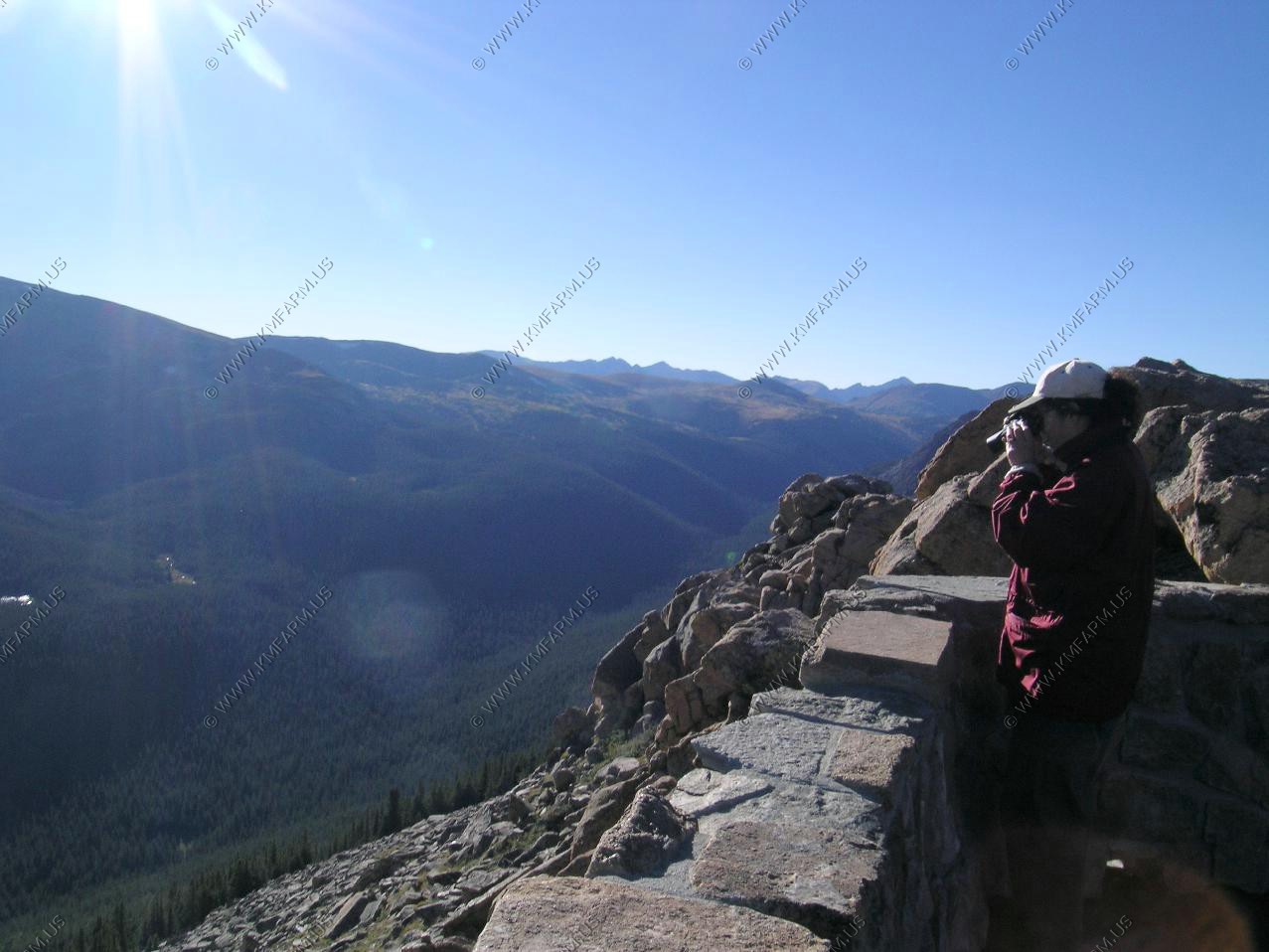
Mary wanted to hike one the Crater Overlook trail. Yes, it was all up hill and with no cars in the trailhead lot it looked like it would be a fun hike. We parked at Milner Pass (El. 10,785) As we walked along the trail we encountered a big bull elk.
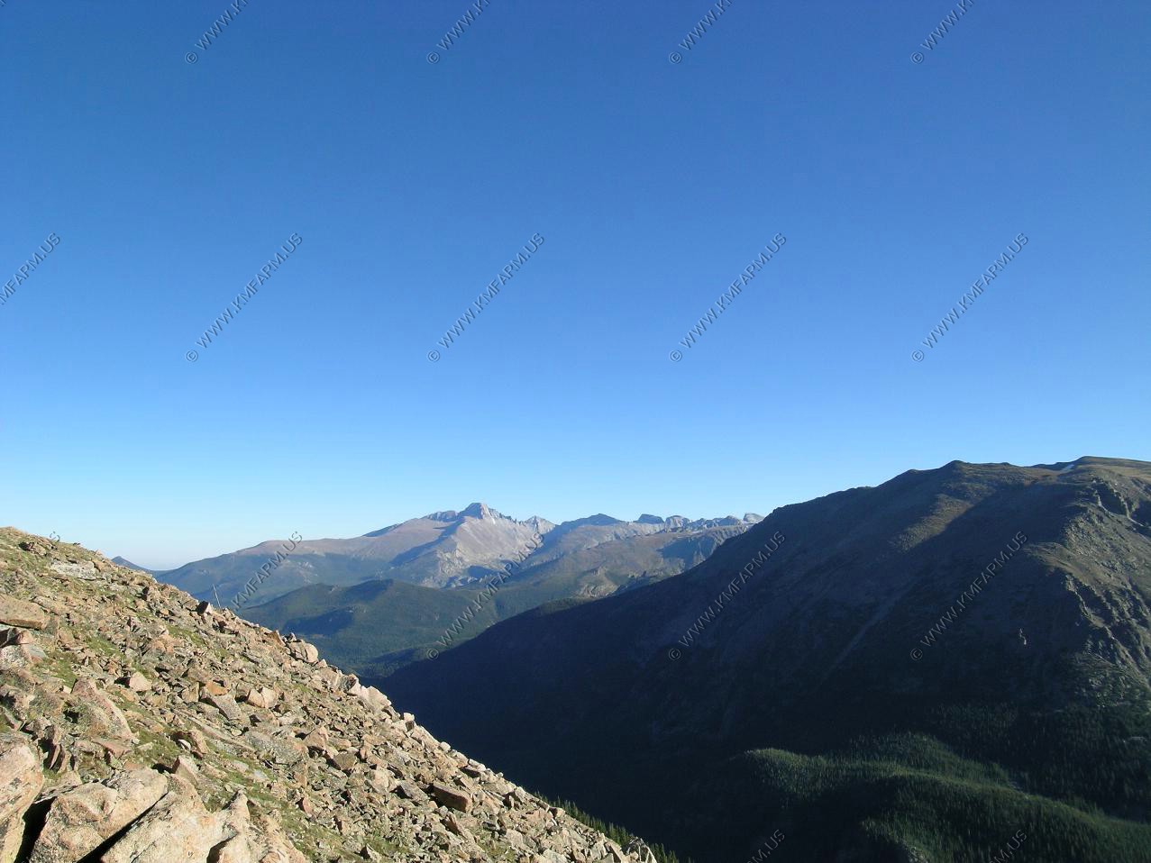
Looking back to the north east
Specimen Mountain 12,489 to the north.
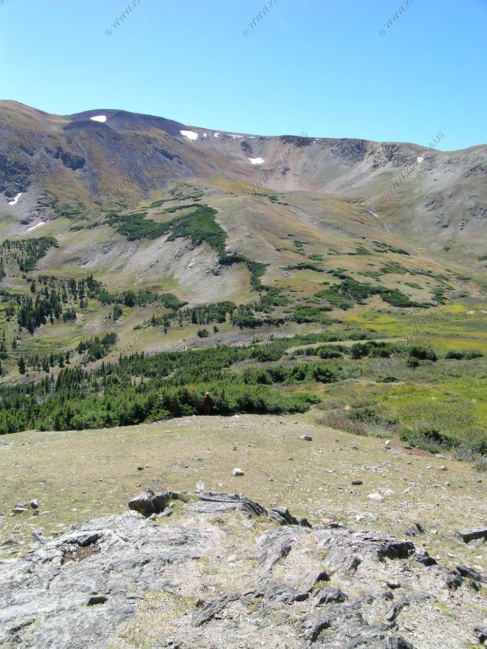
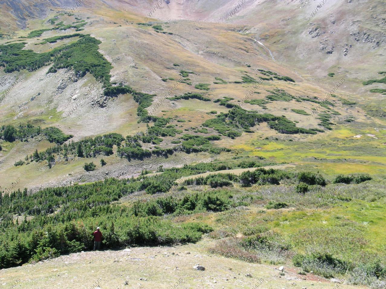
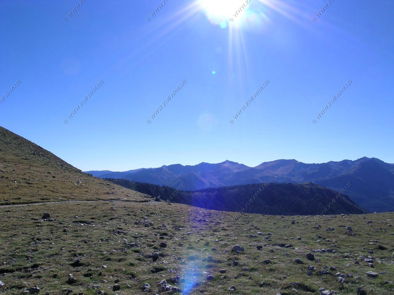
We arrived at Crater Overlook. This is the start of the remote northern part of the RMNP. So, the human impact in this area is very low.
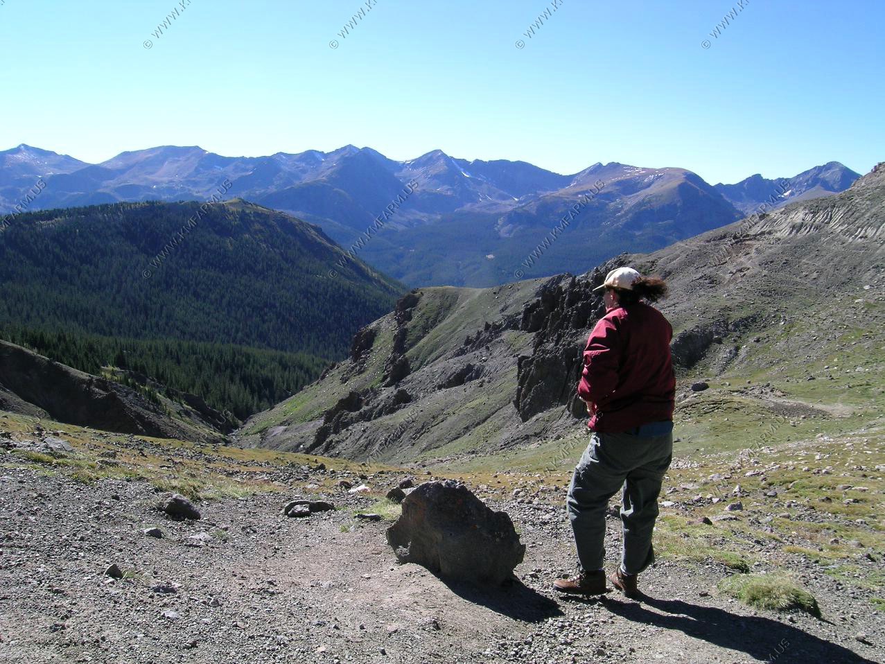
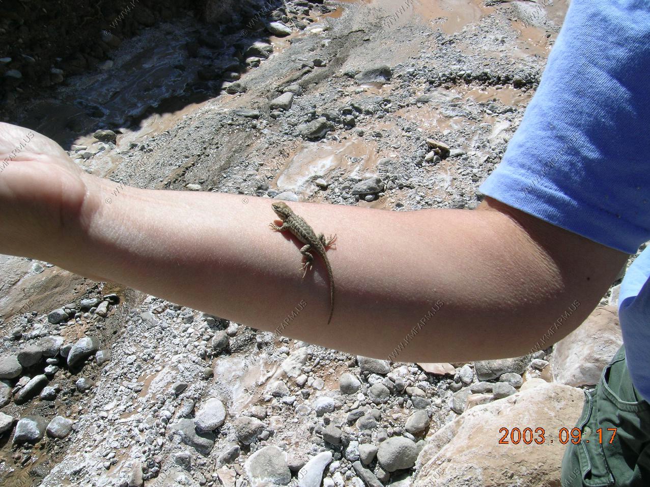
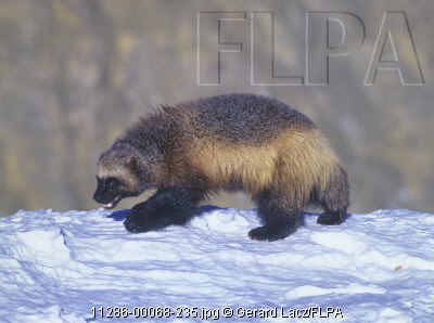
As I was looking down in the valley on the right side at the rock outcropping, I saw movement with my eyes. I figured it was a Rocky Mountain Bighorn Sheep as the color was brown-black. But, when I looked with the binoculars I was shocked to see that it was a Wolverine that was actually reacting to us being on the ridge. It was hard to judge the distance (since then I bought a laster rangefinder to get things like this in perspective) but, it was close enough. I have never seen one before but I was 100% on my ID.
Later in the day when we were at Sheep Lakes pullout watching the elk, I told a ranger about what we had seen. The reaction was amazing. I was interviewed and was told that I had the first sighting of a Wolverine in the park since the 30's or the 40's. They had other evidence that they were in the park but nobody had ever seen one. They were going to send in a team the next day to see if they could find evidence of what I had seen. We later saw the biologists as we were driving west.

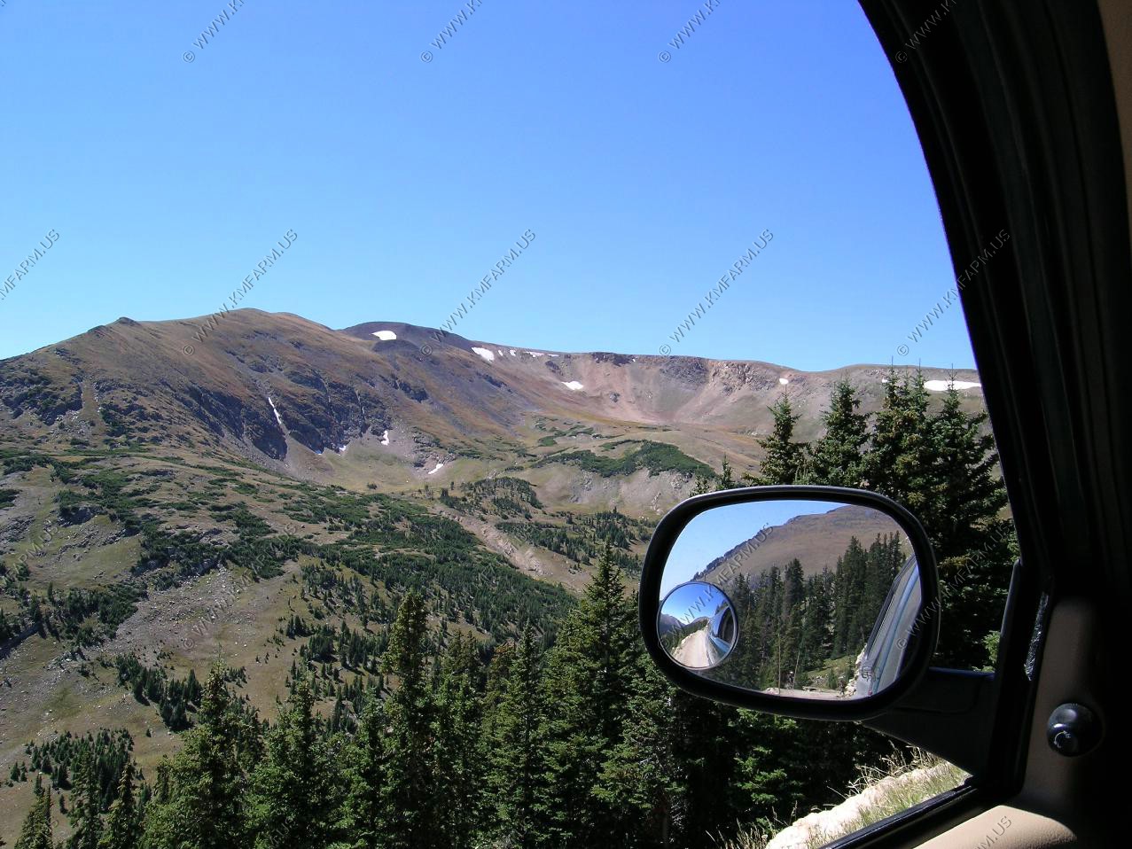
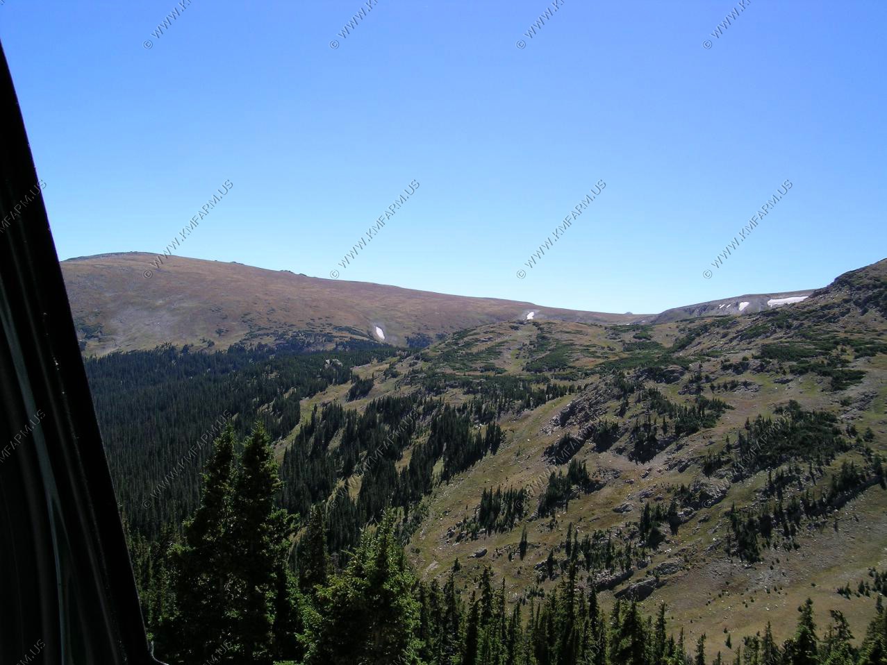
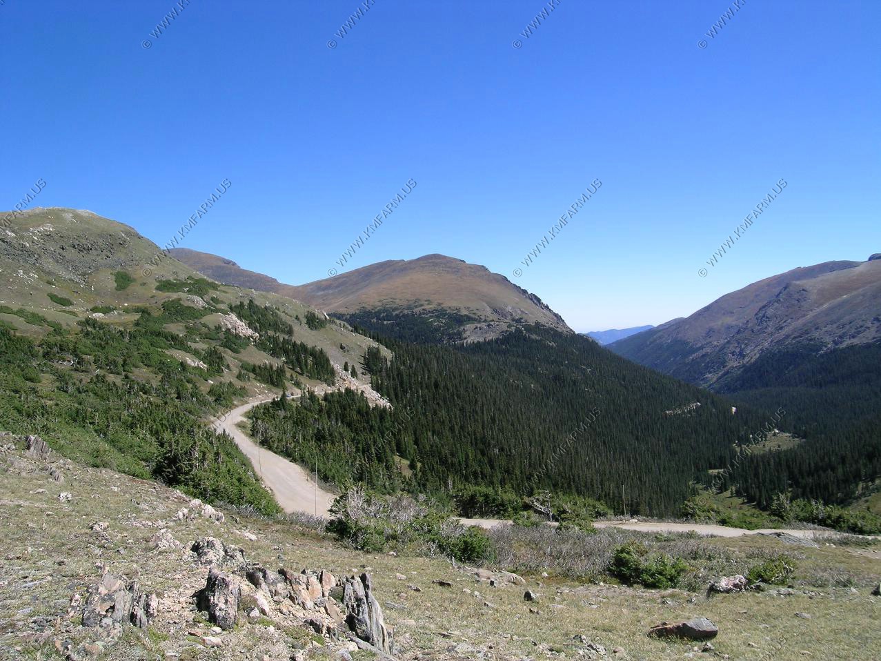
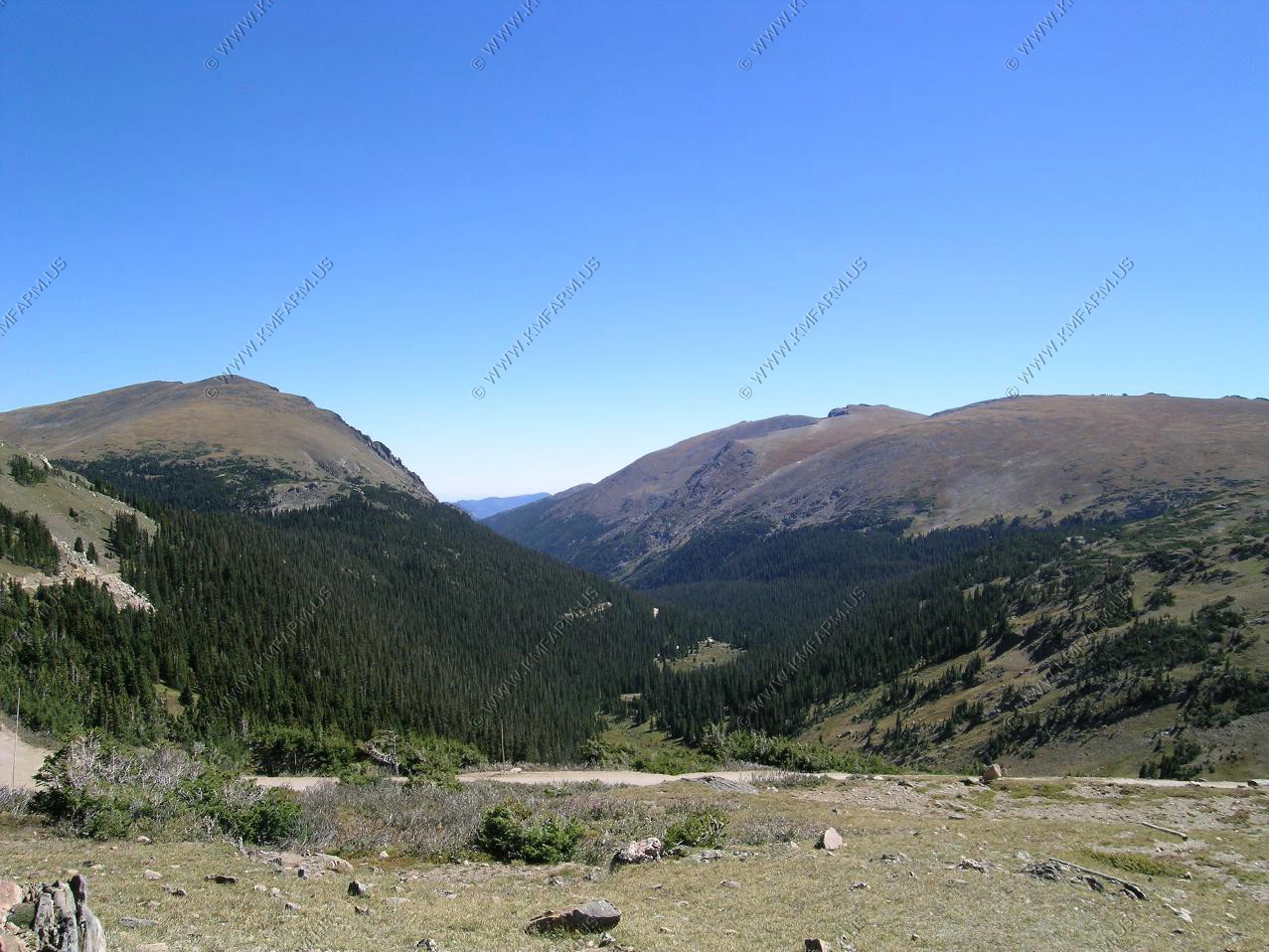
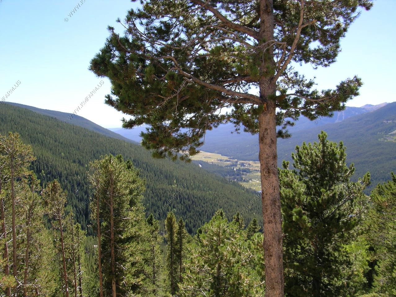
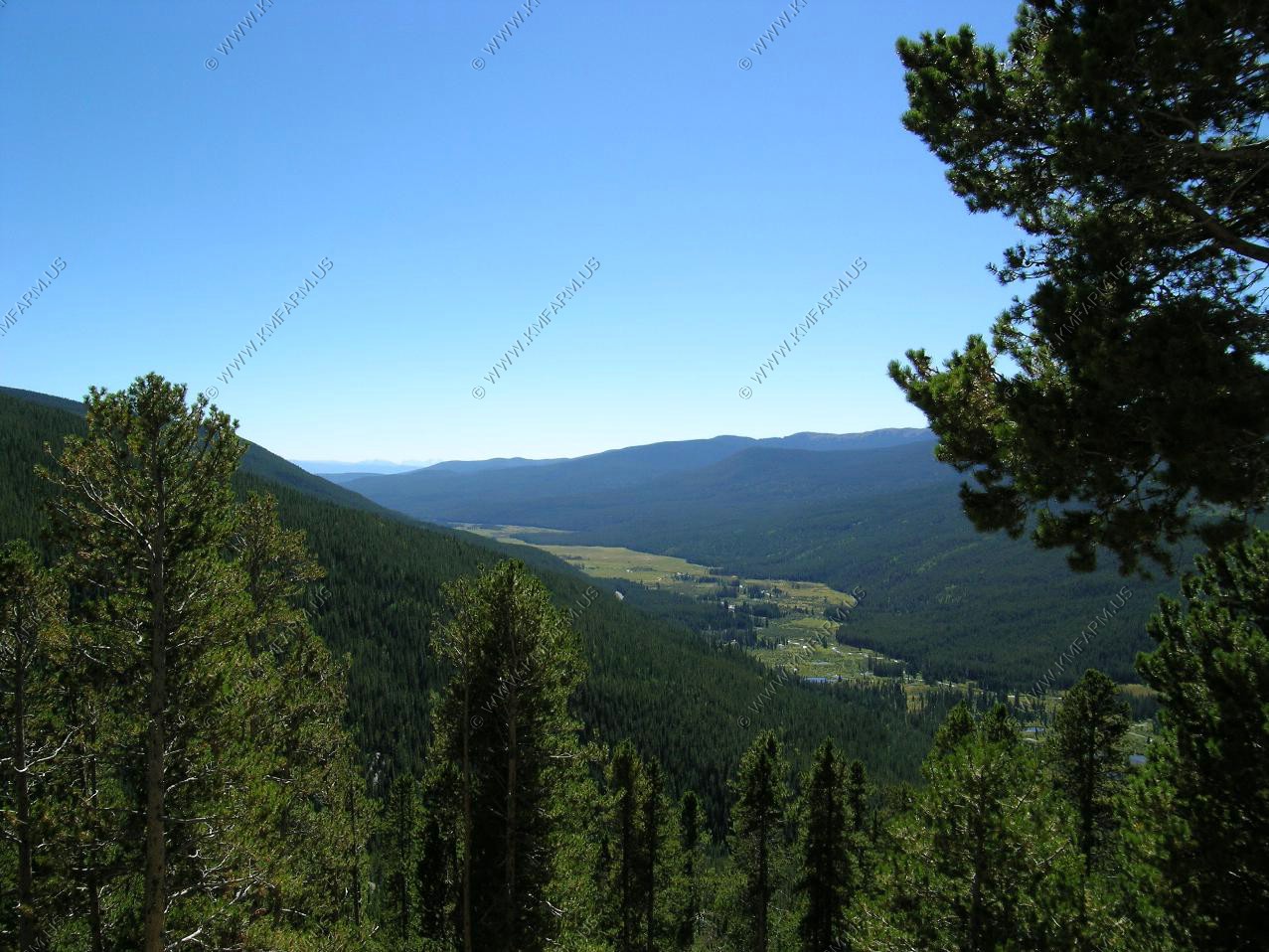
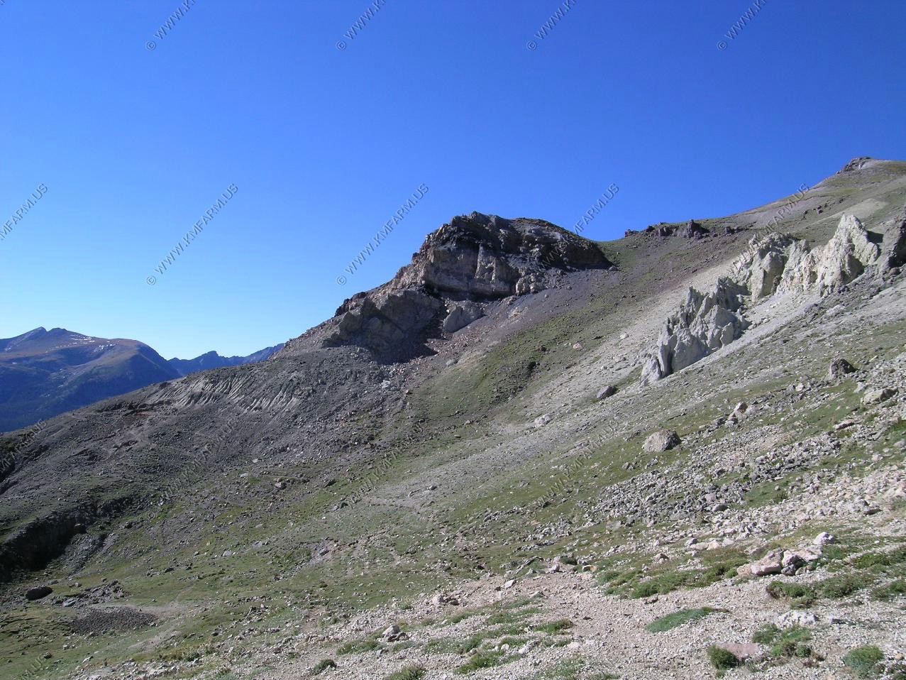
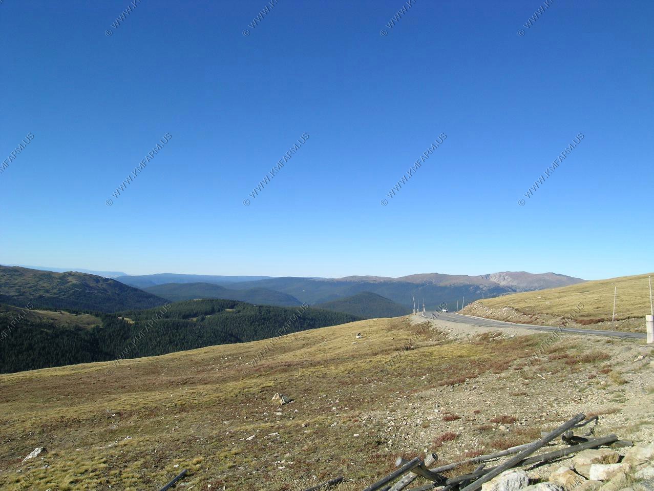
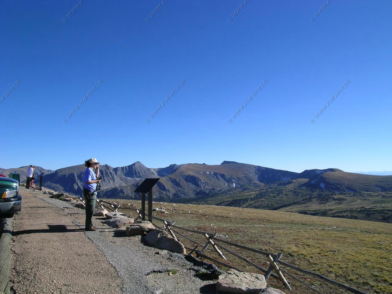
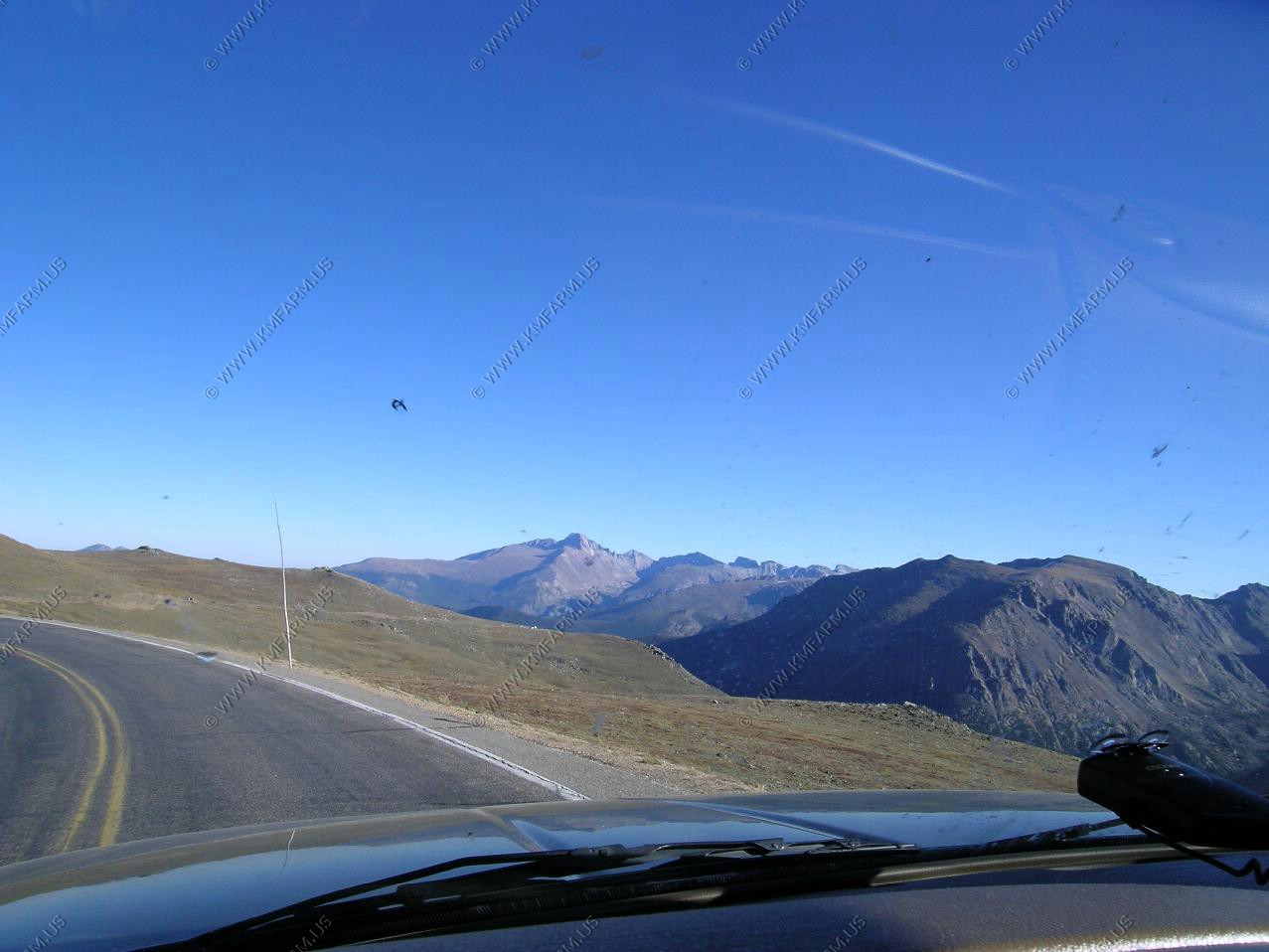
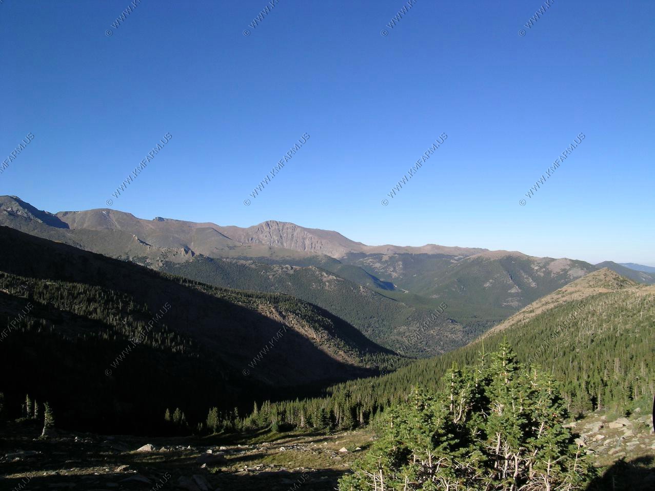
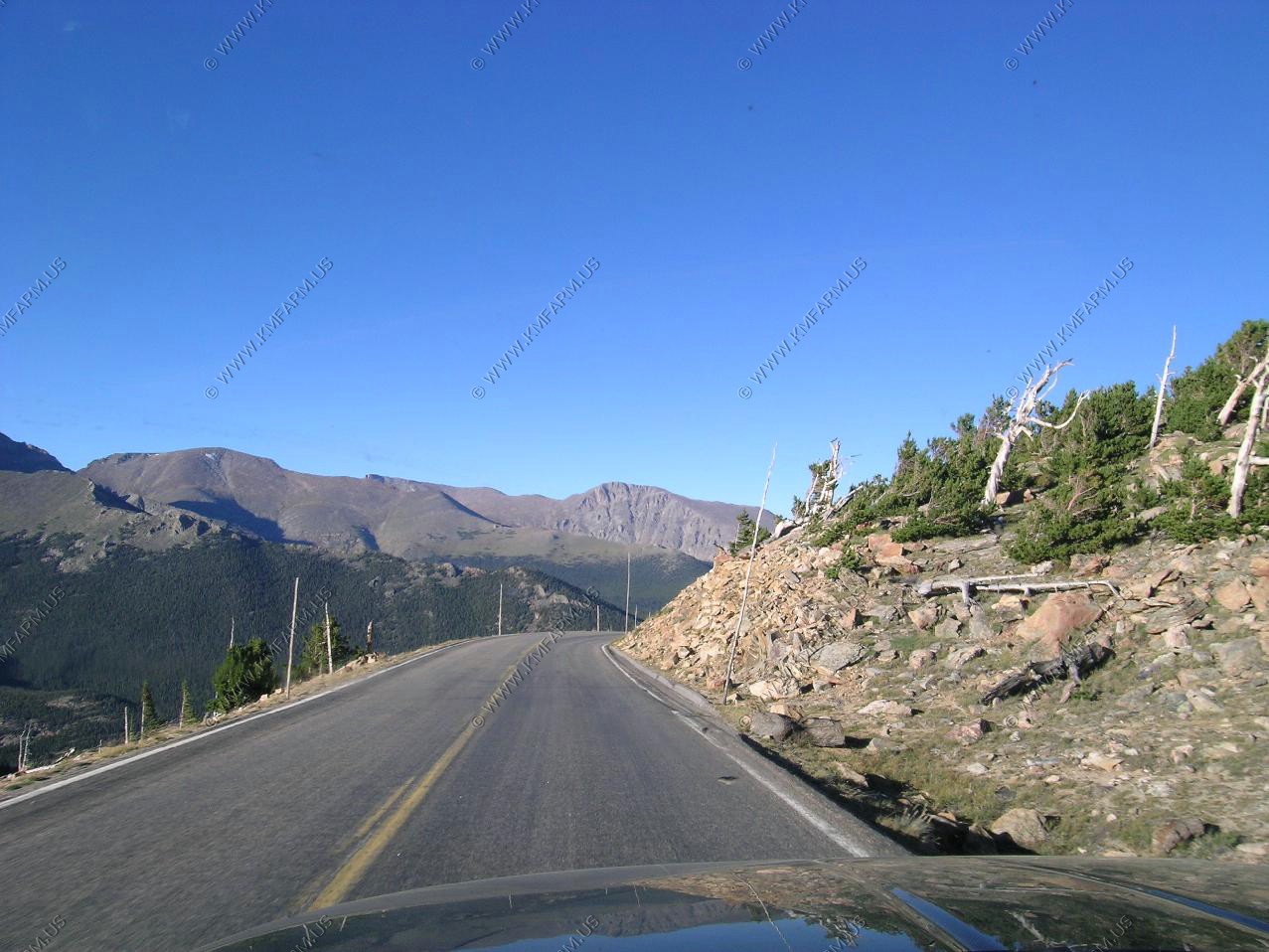
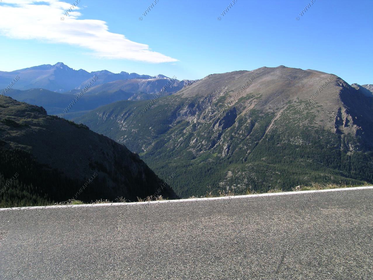
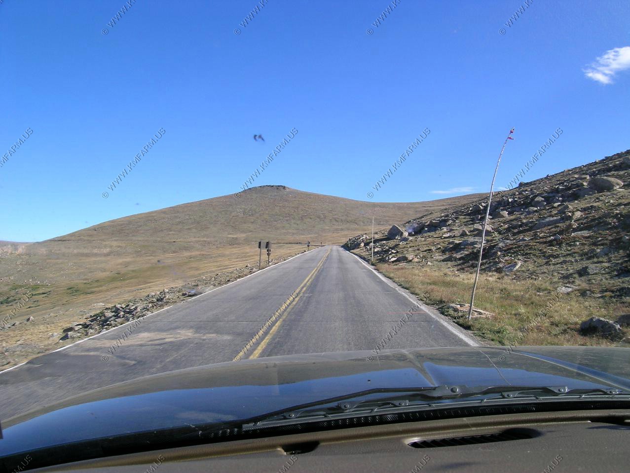
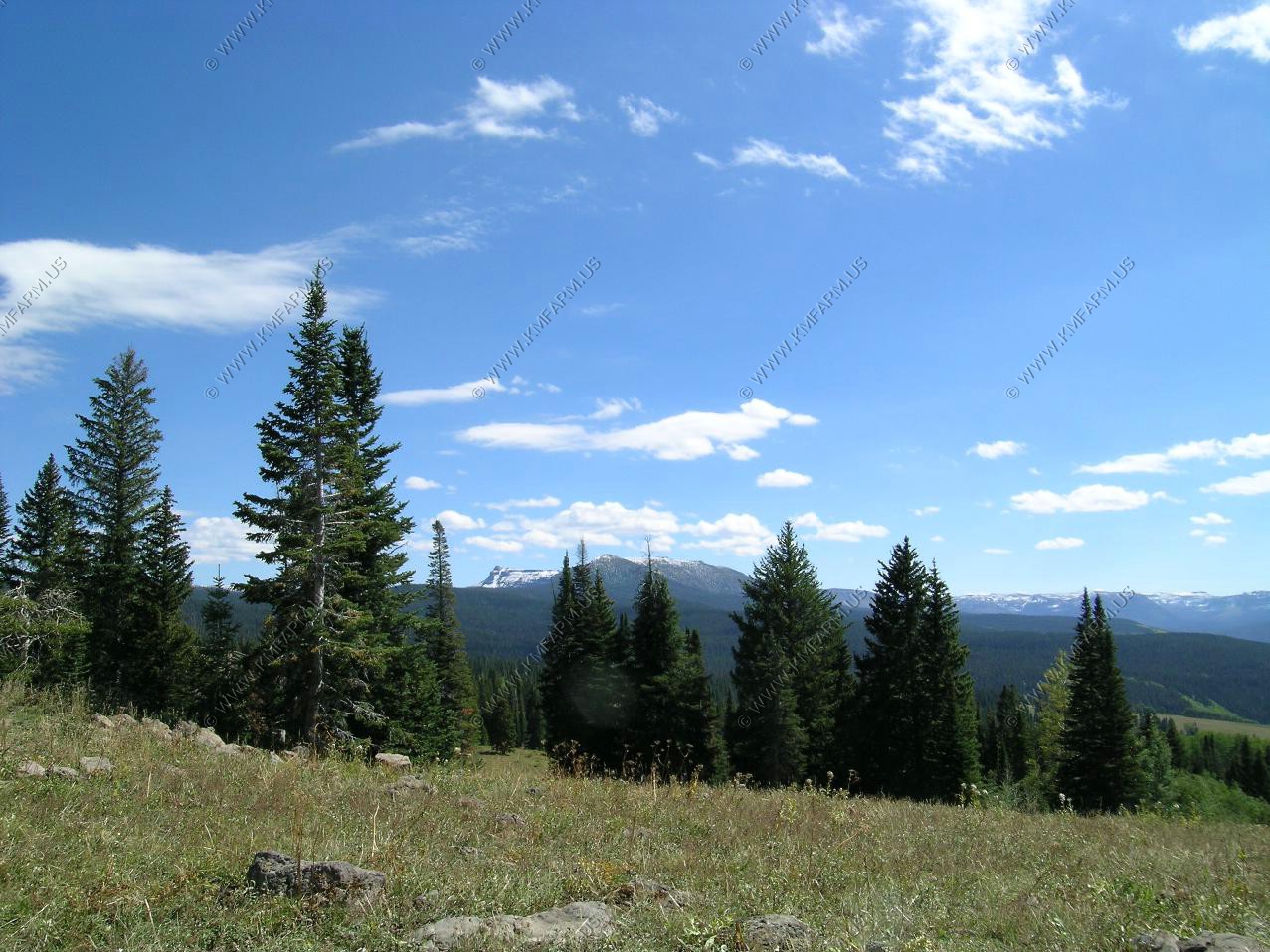
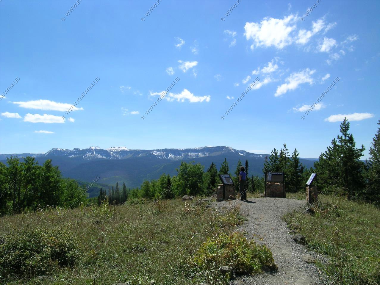
Back on Trail Ridge road. Taking in the views and the overlooks along the trail. The highest elevationon the road is 12,183.
Longs Peak 14,255. Looking down on Forest Canyon well over a mile below us where the Big Thompson River flows to the east.
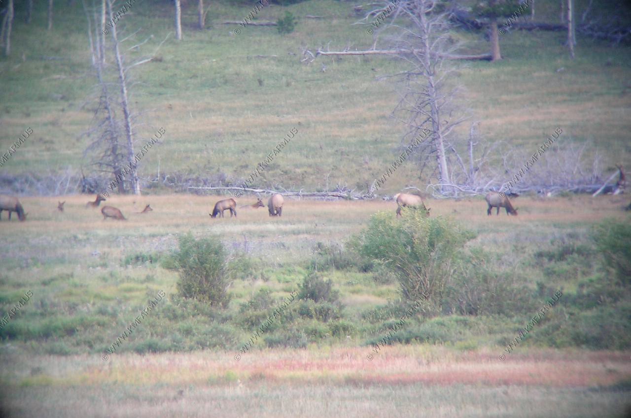
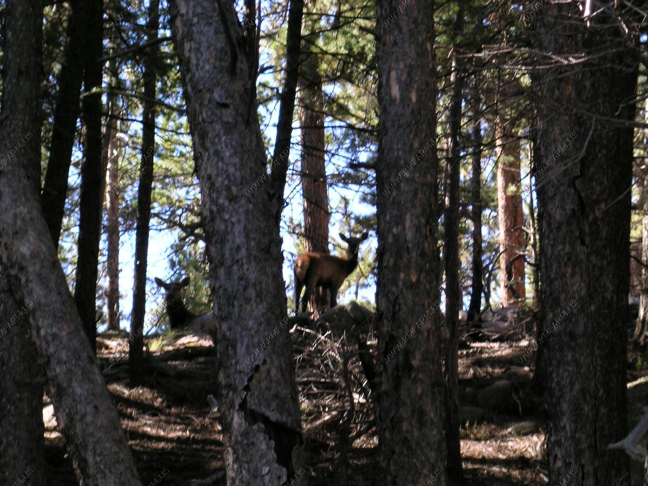
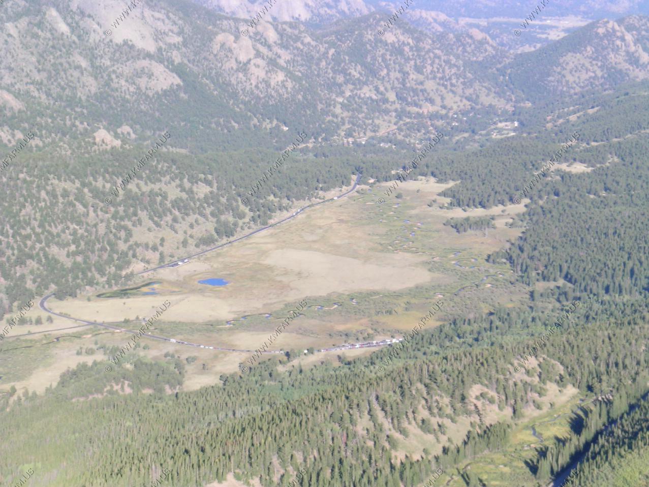
Looking down on the upper end of Estes Park and the area where we watch the elk.
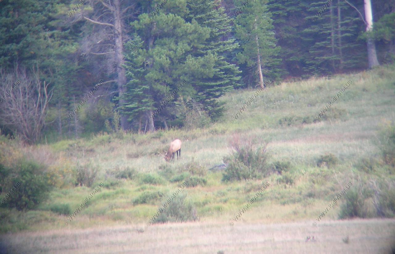
More elk
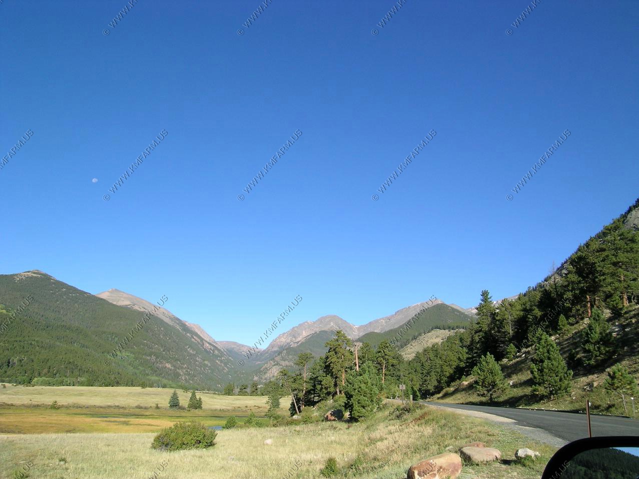
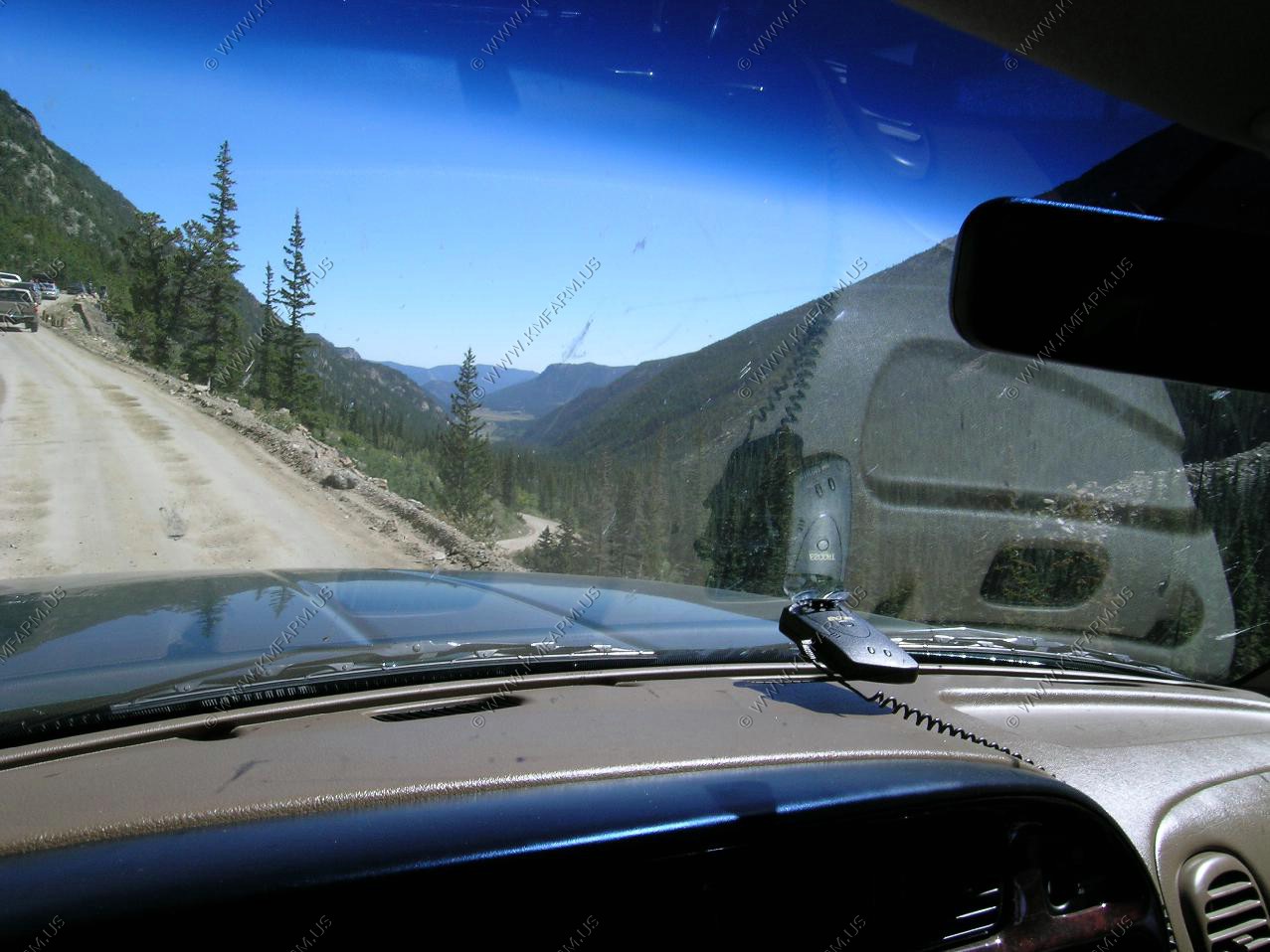
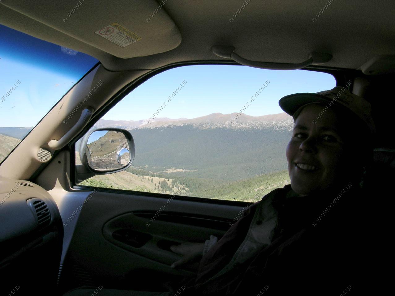
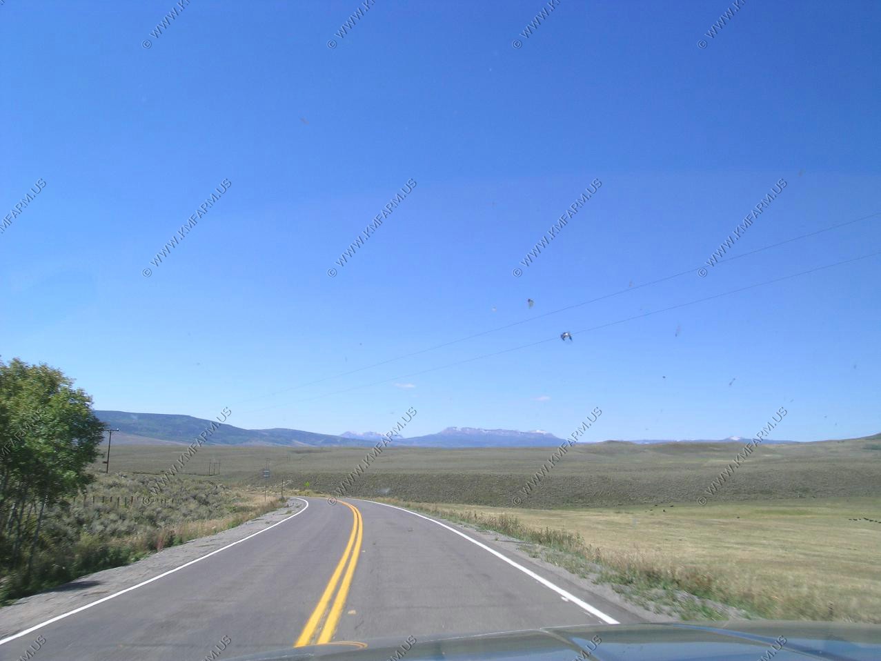
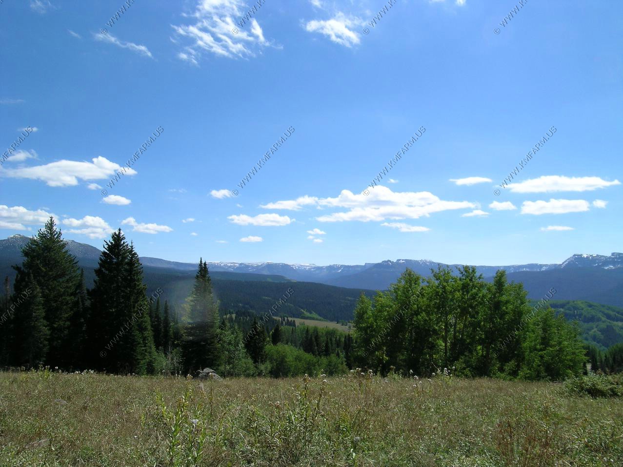
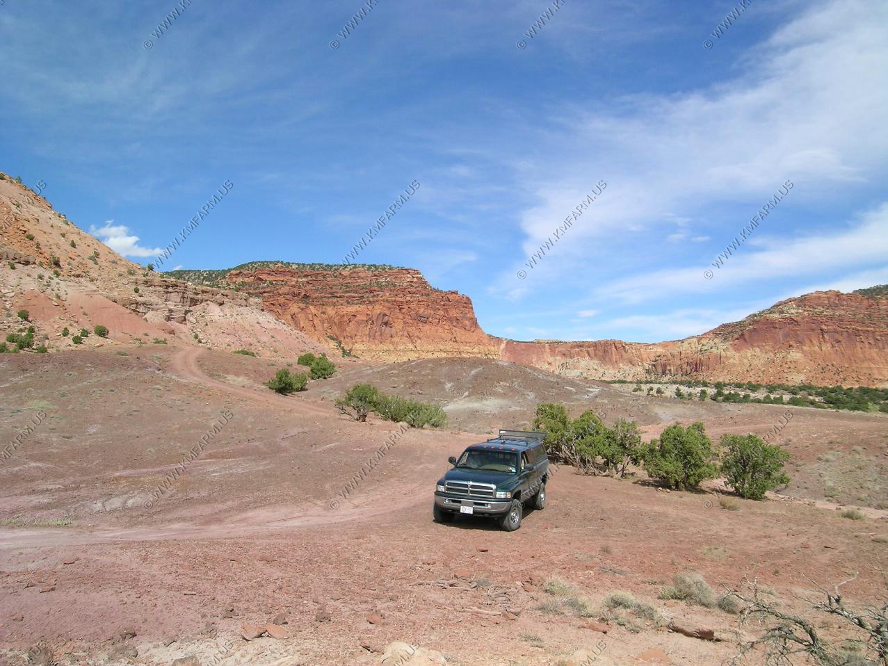
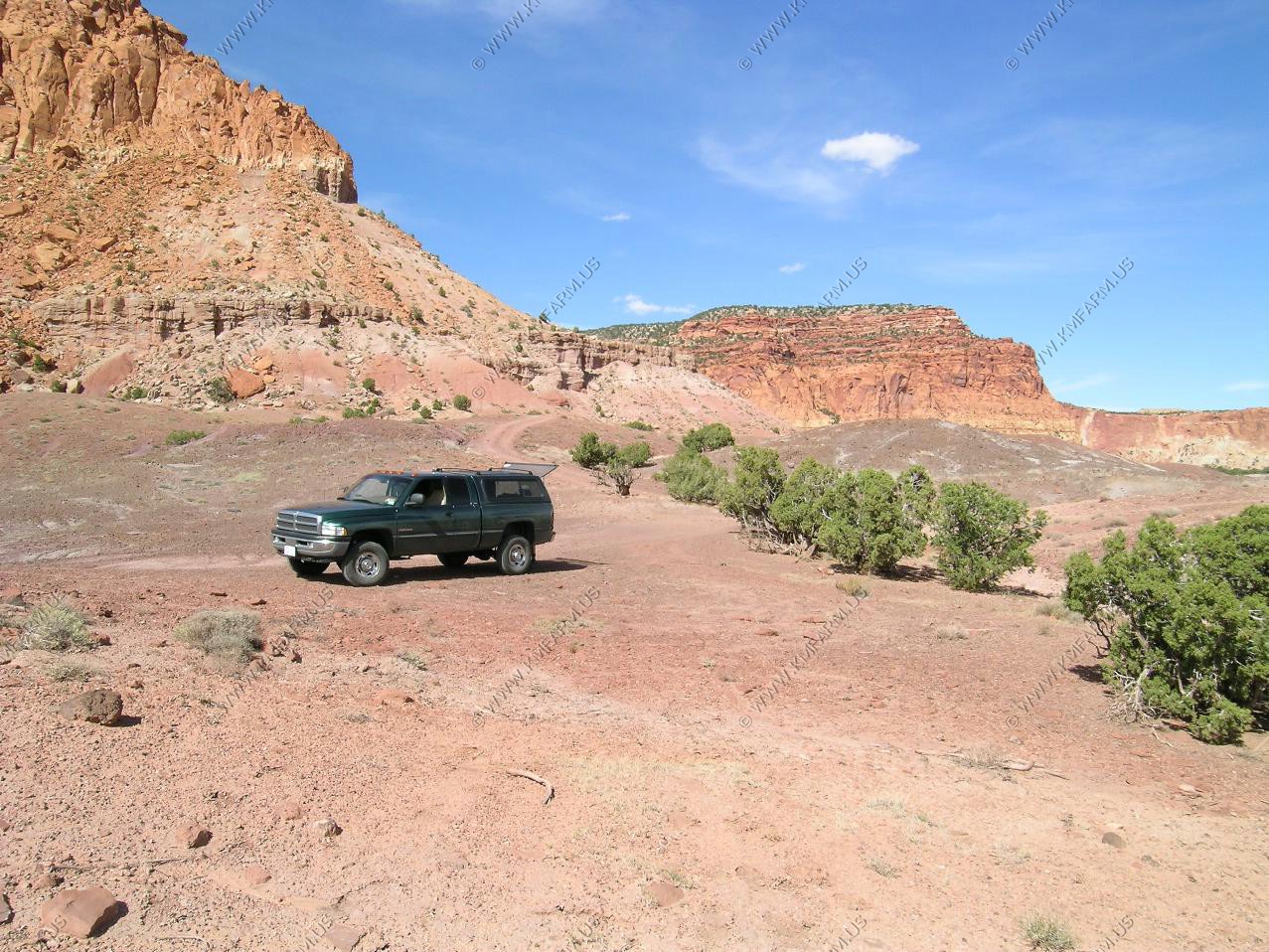
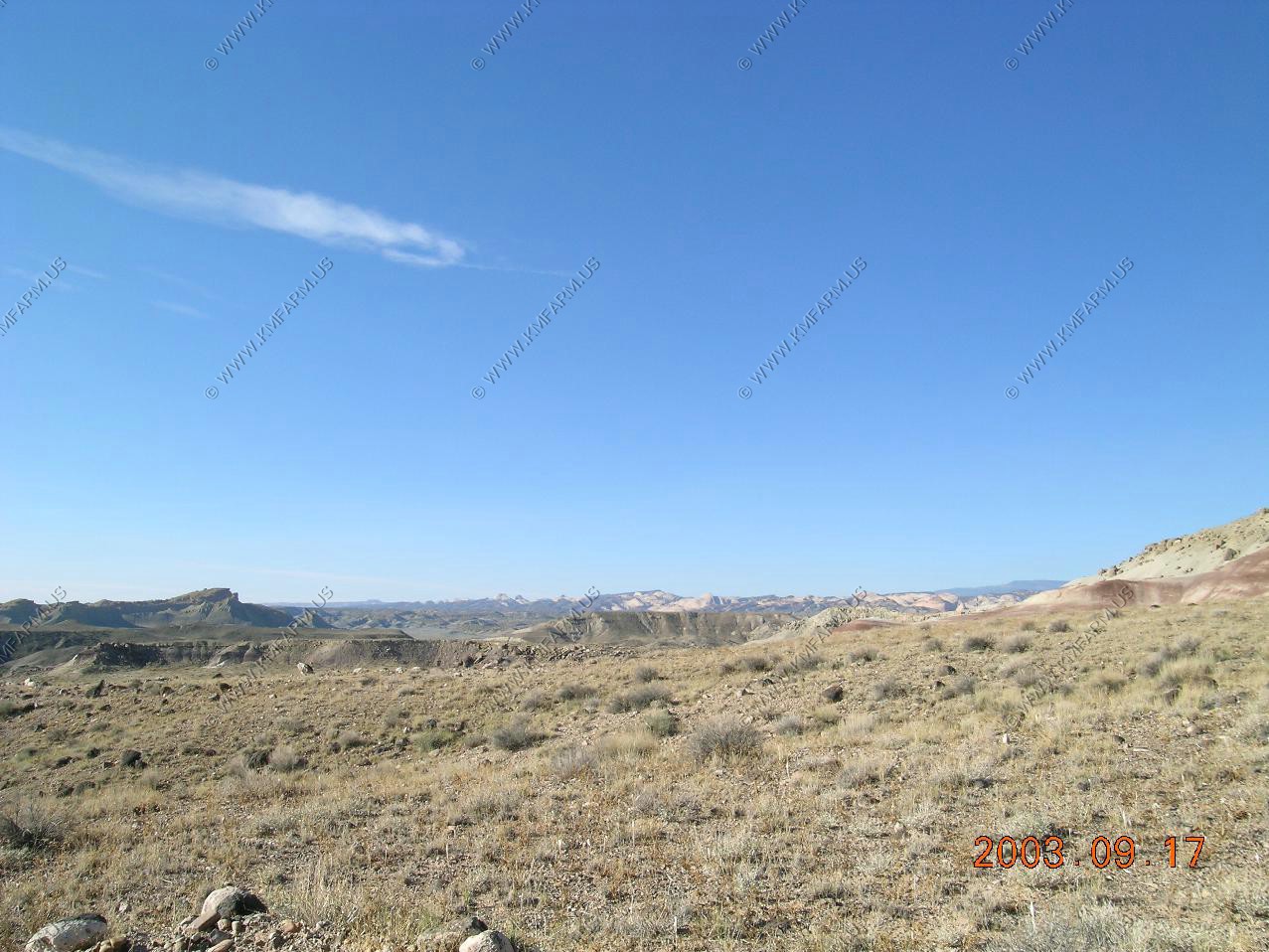
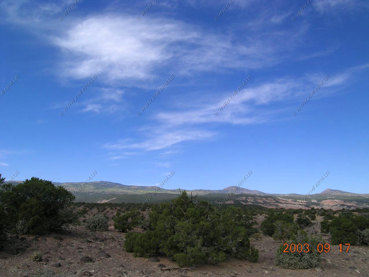
Heading across the park on our way to Vernal, Utah 310 miles away. The plan is to take back roads.
Some nice drop-offs.
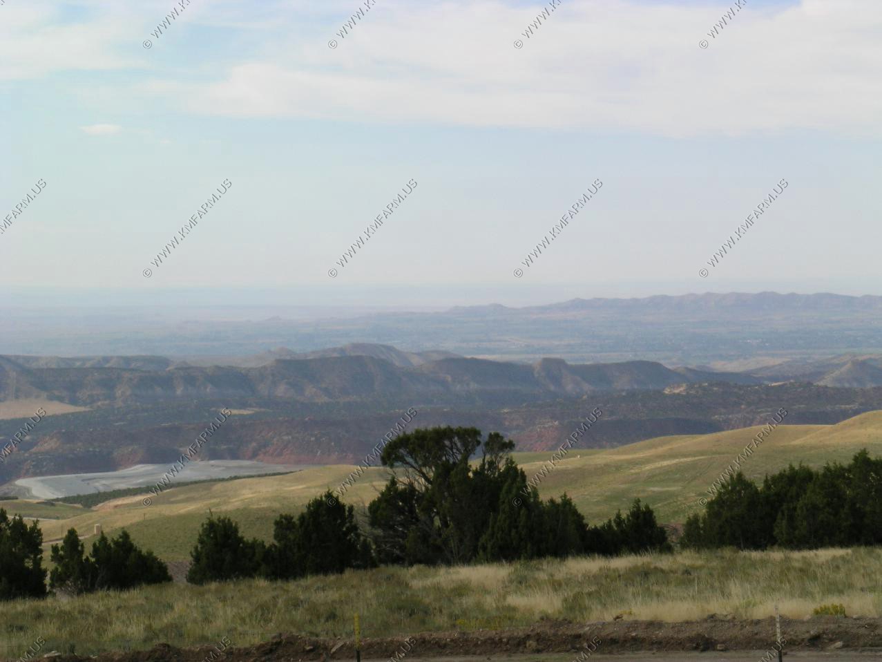
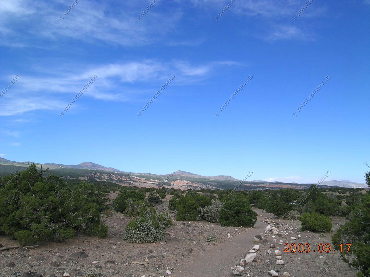
We avoid roads like I-70 so we set out going from RMNP to Vernal generally on back roads. We went from RMNP to Gramby then headed west on US40 till we hit Colorado 134 appx 5 miles west of Kremmling. 134 was scenic taking us up over Gore pass El. 9,527.
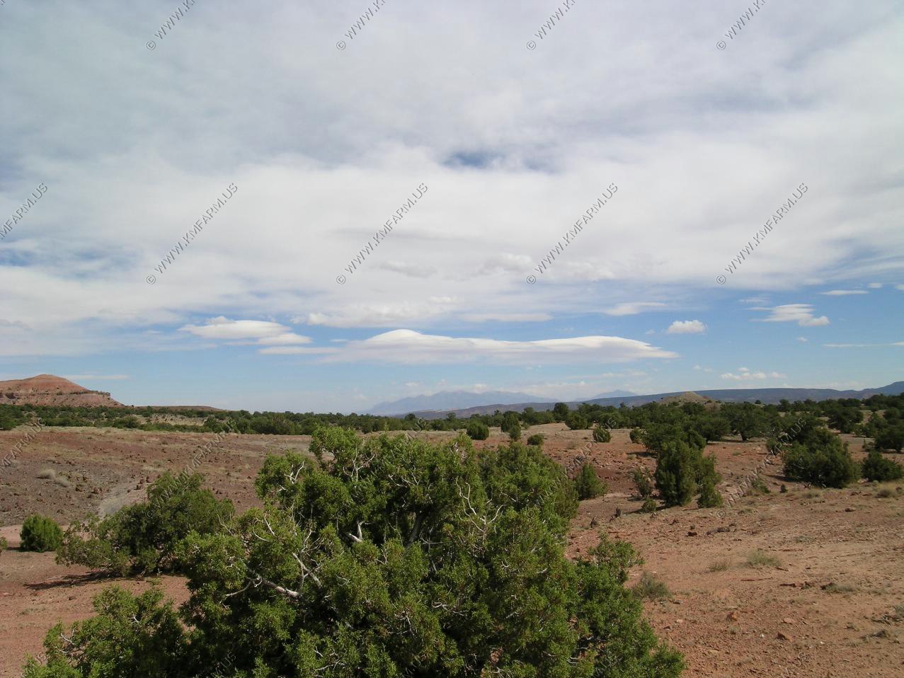
Colorado 134 intersects with Colorado 131 at Topanos. We took 131 north till Yampa then headed west on Colorado 16. 16 was very scenic.
Views along 134 / 131 and 16. Not sure where.
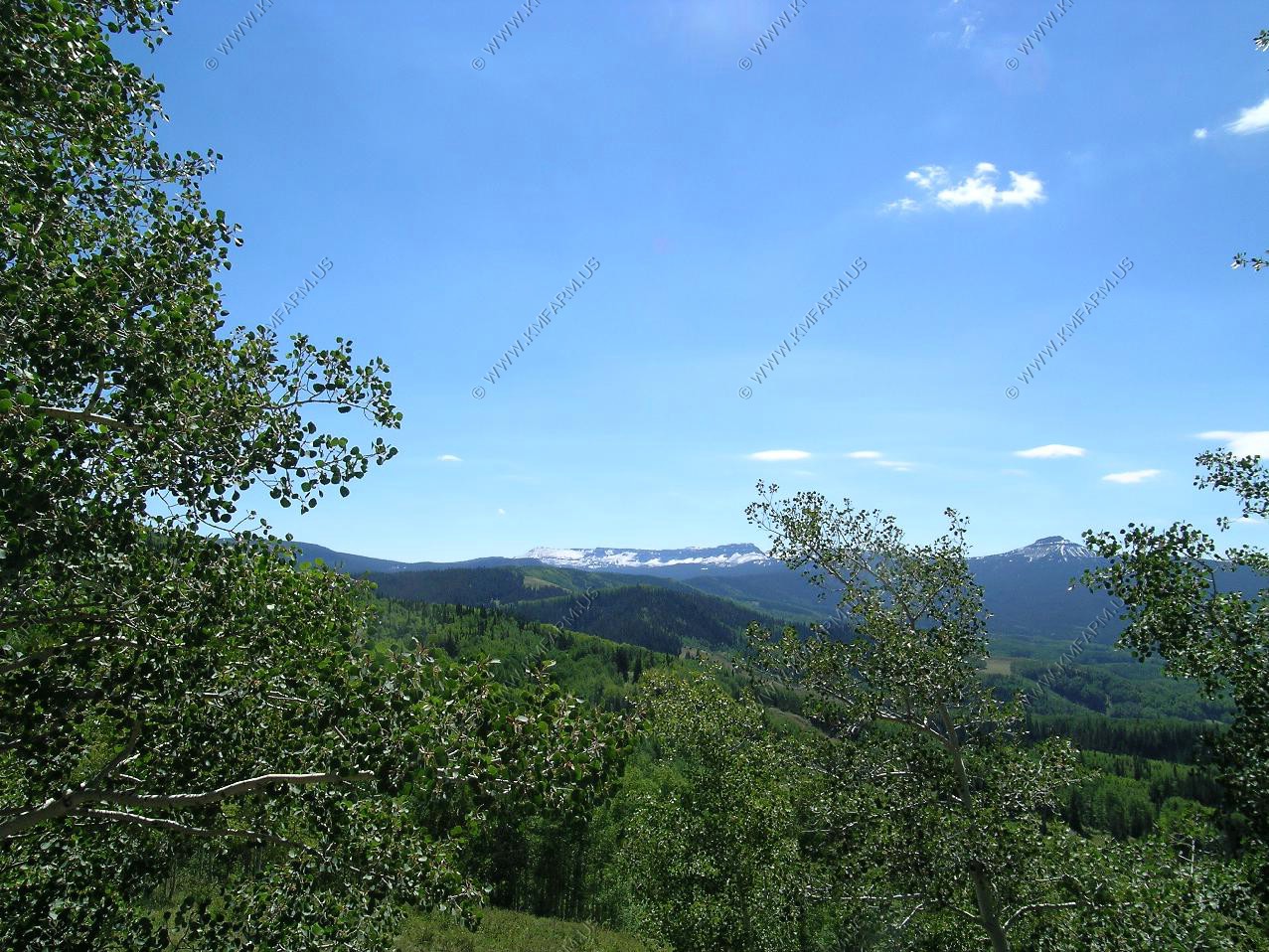
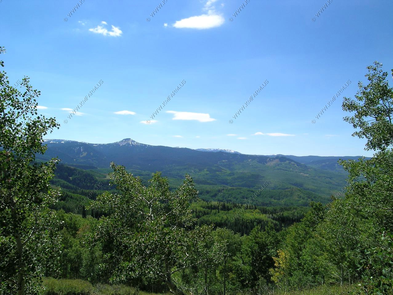
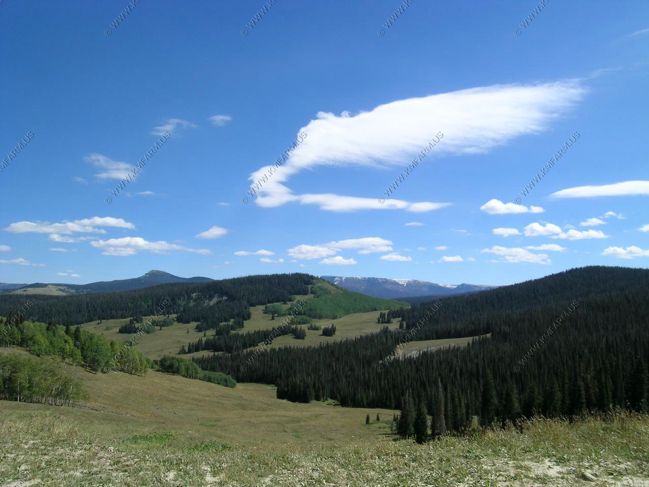
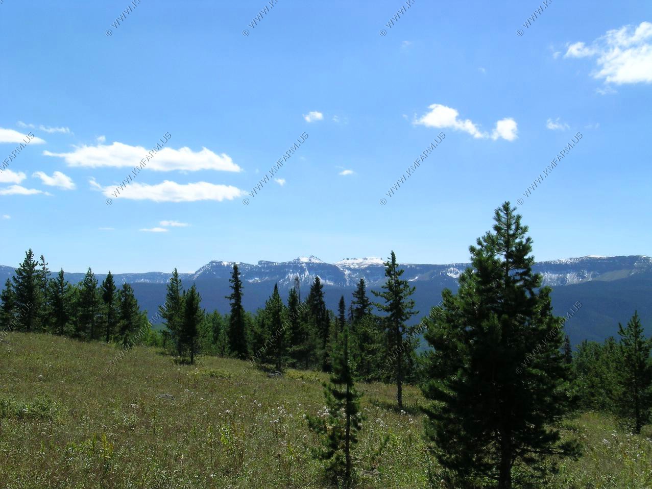
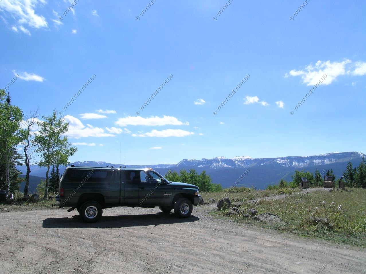
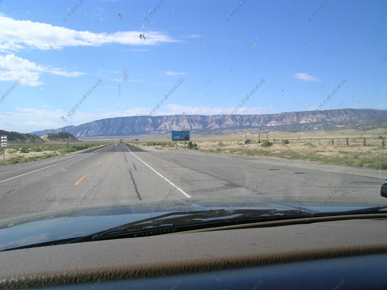
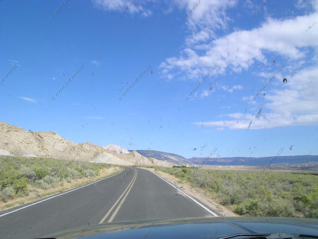
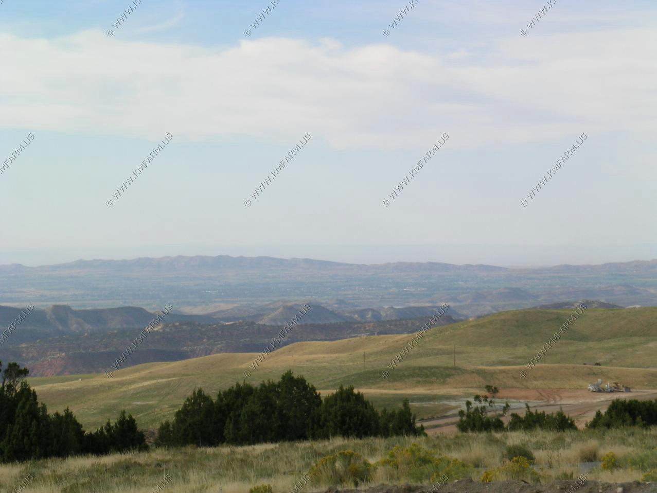
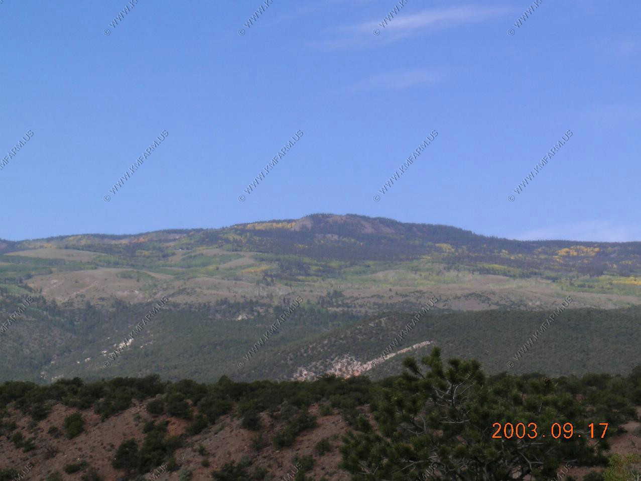
Views of Flat Top wilderness from Colorado 16. We continued on CO-16 over Ripple Creek Pass El. 10,343 We then took Forest road 8 west (also called Flat Top road) along the north fork White River till we hit CO-13 at Meeker.

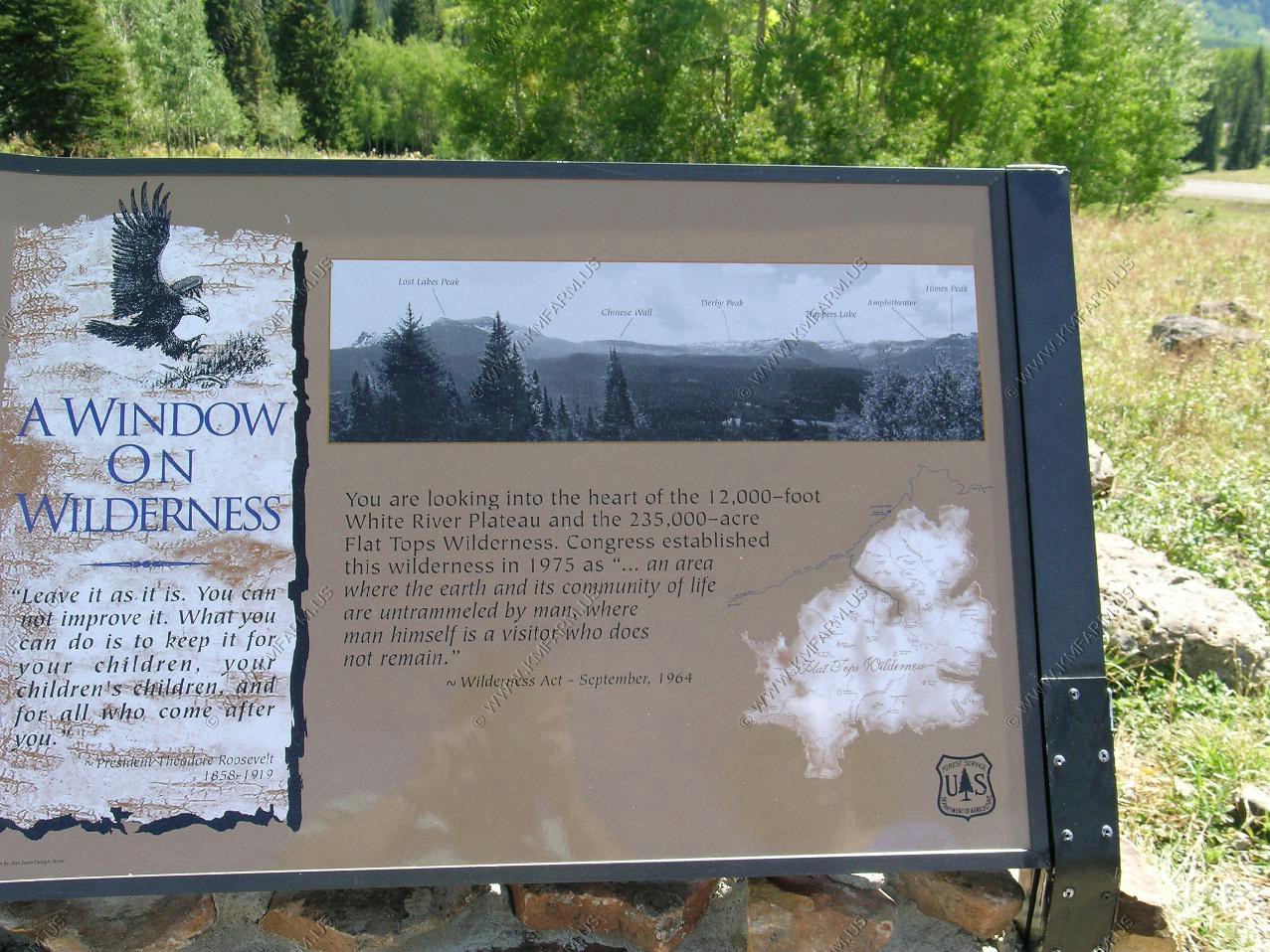
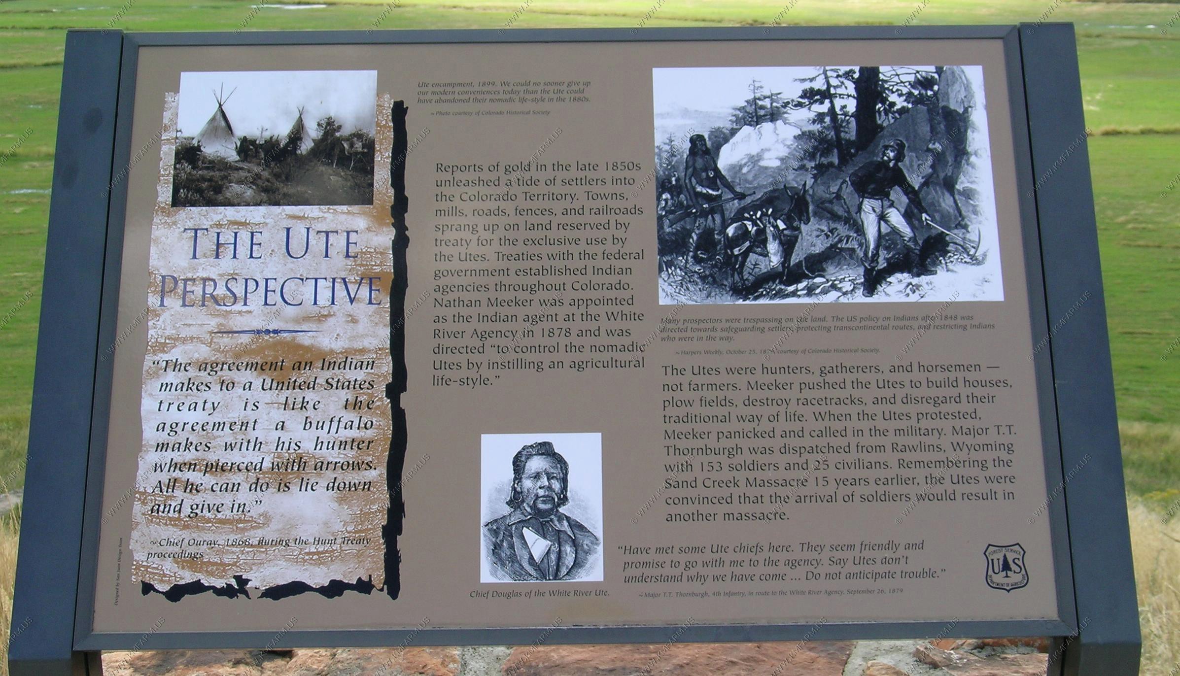
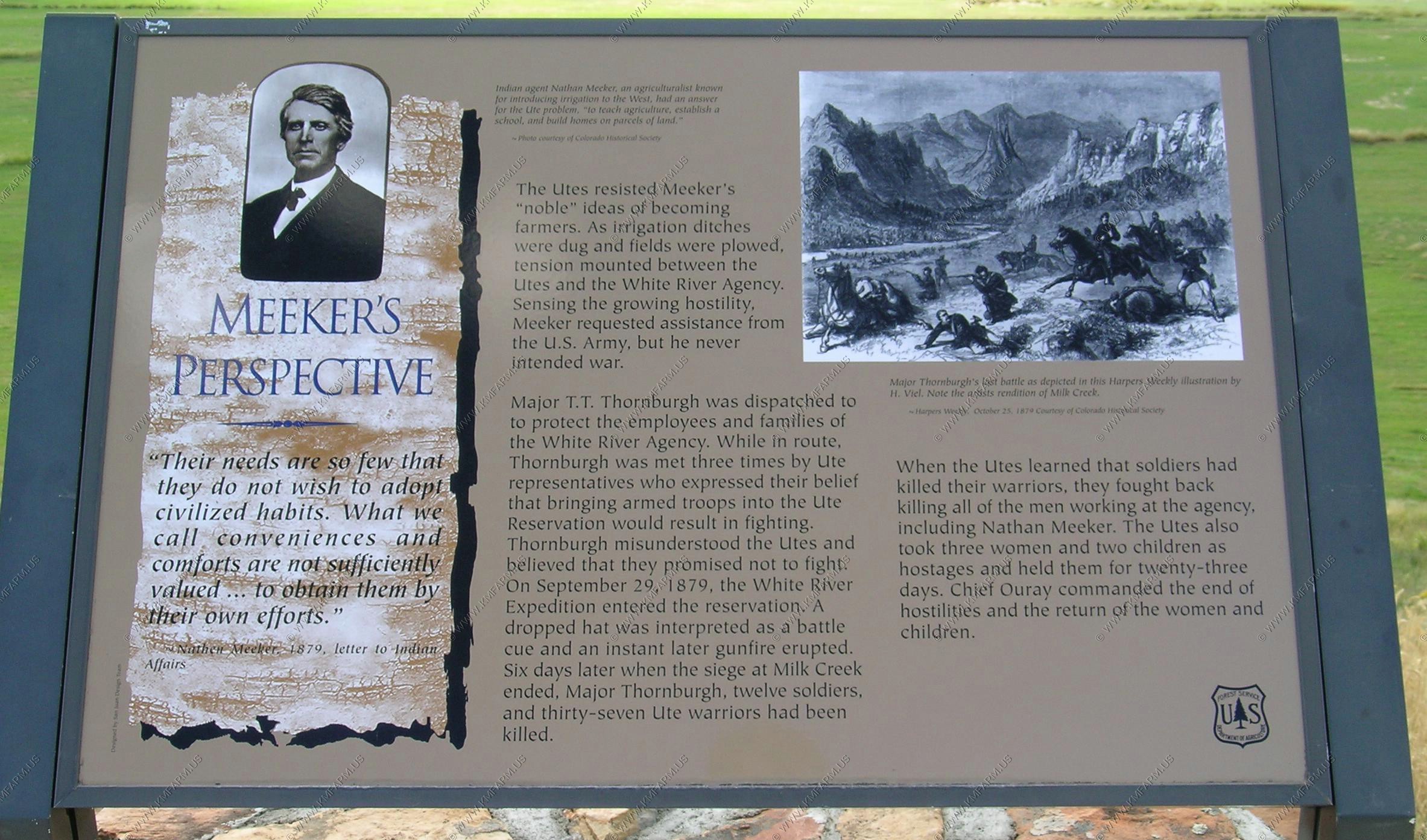
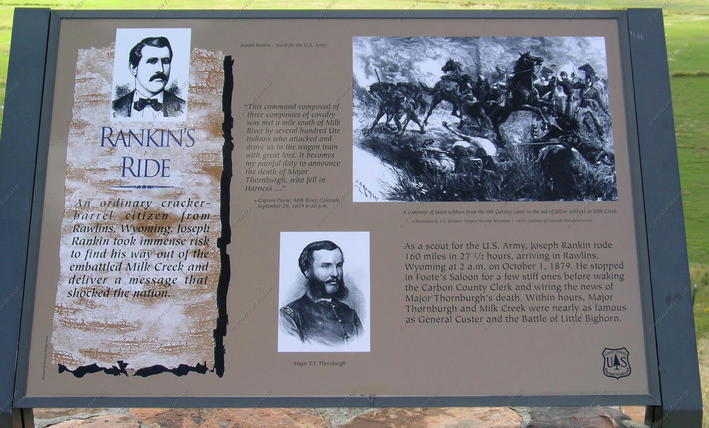
We continued west from Meeker taking CO-64 west a few miles from town. Along CO-64 they had a stop that talked about the Ute's
We passed through Rangely then got back on US-40 in Dinosaur. We considered looking at the Colorado side of Dinosaur National Monument and then taking the 4x4 trail that connects the two sides but we were running out of daylight..
Vernal was one of the towns on our list of possible retirement locations. Just driving into town from the east changed our mind. This is an oil town...Very blue collar. Was bigger than I had figured but it was not what I expected. No tourism here. So, we scratched it from the list. We were not really expecting much as it was at the northern edge of possible locations anyway.
Welcome to Utah
Driving into Dinosaur. We arrived late and the Quarry was closing so we did not get to go in.
Views from the Visitor center.
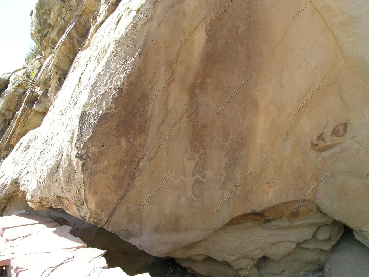
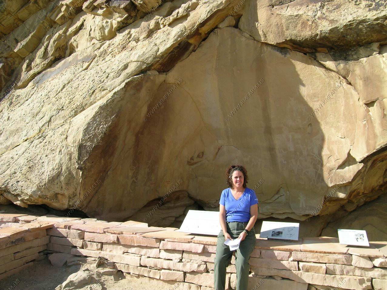
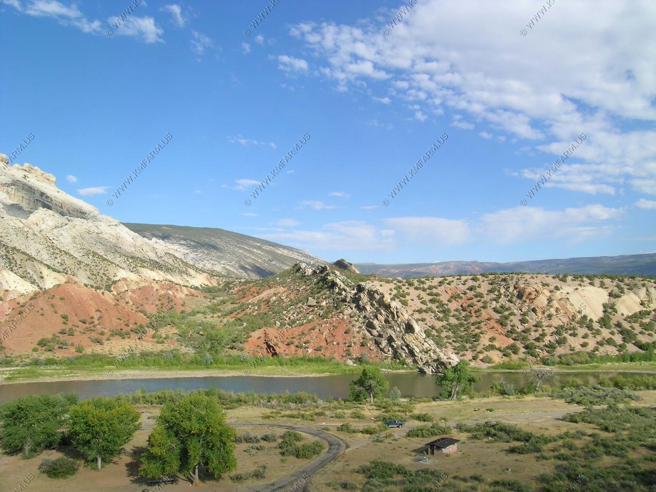
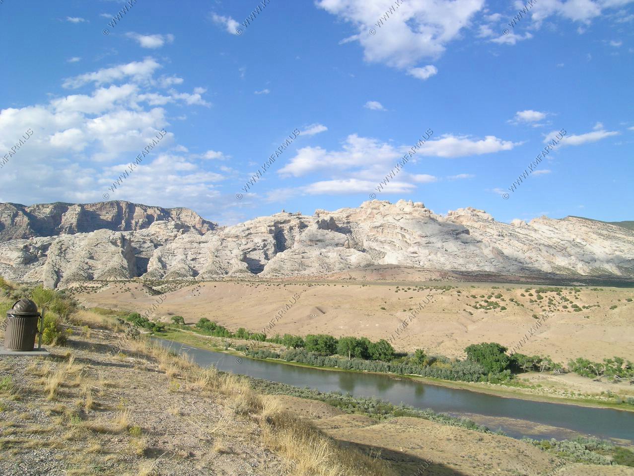
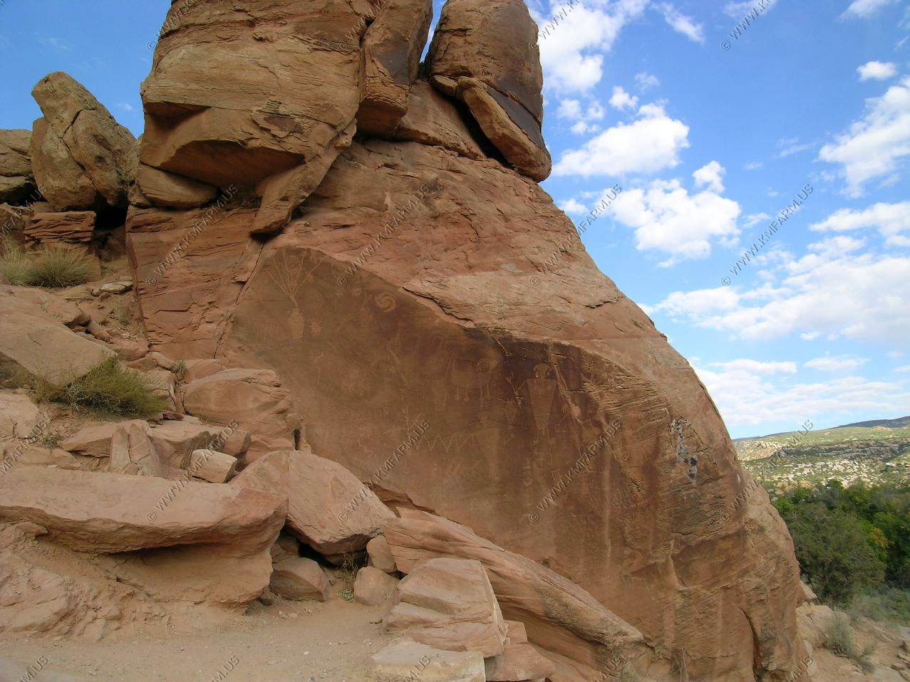
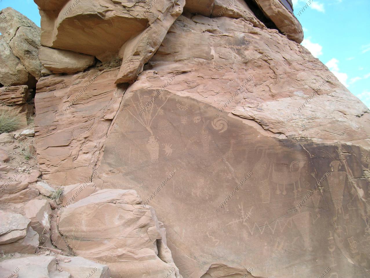
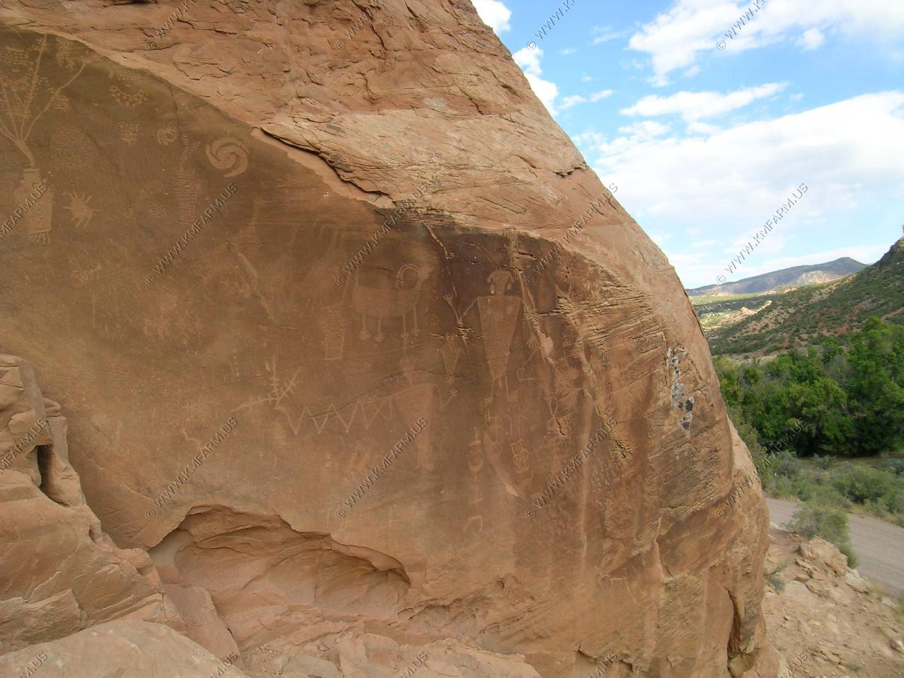
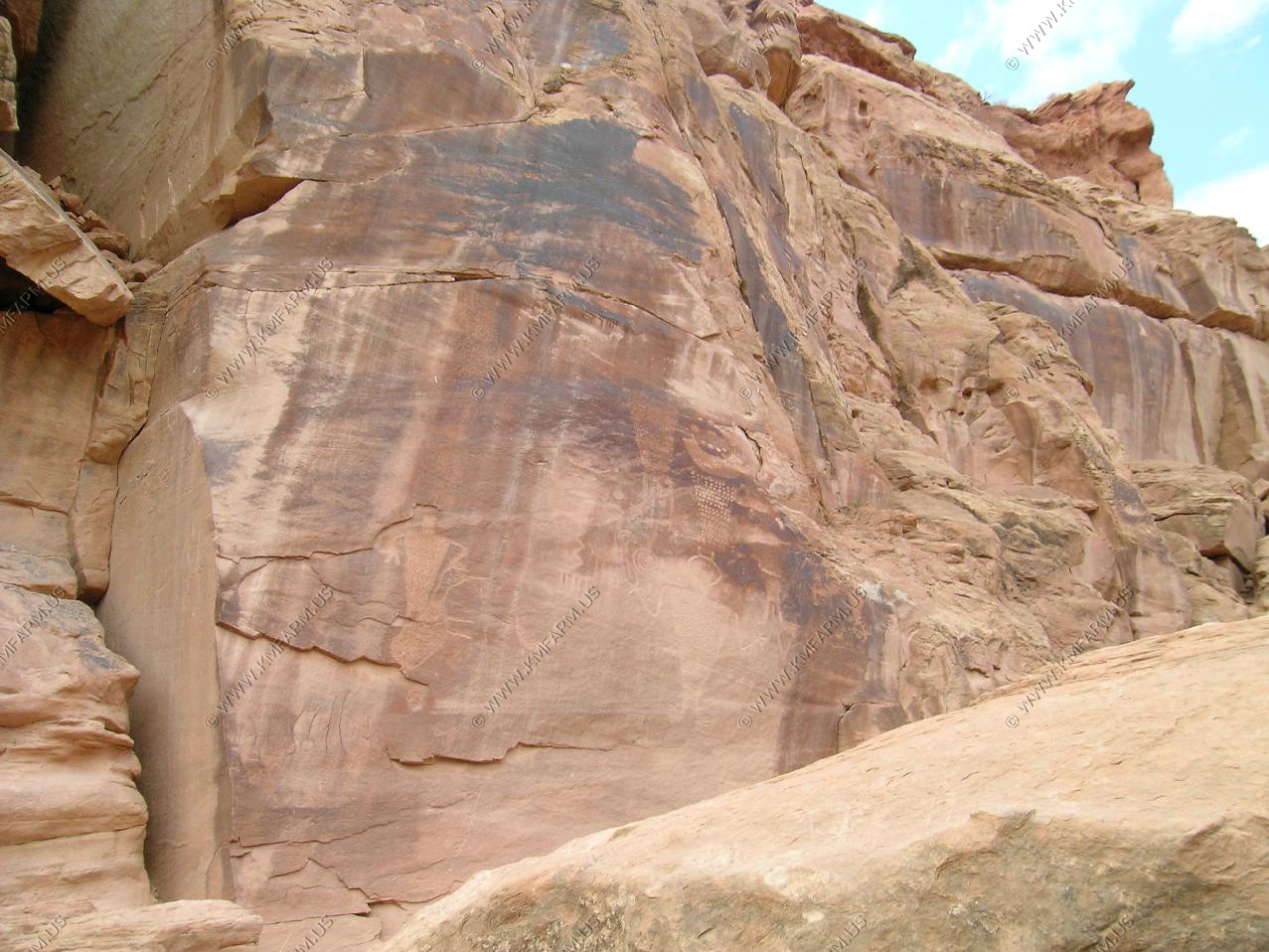
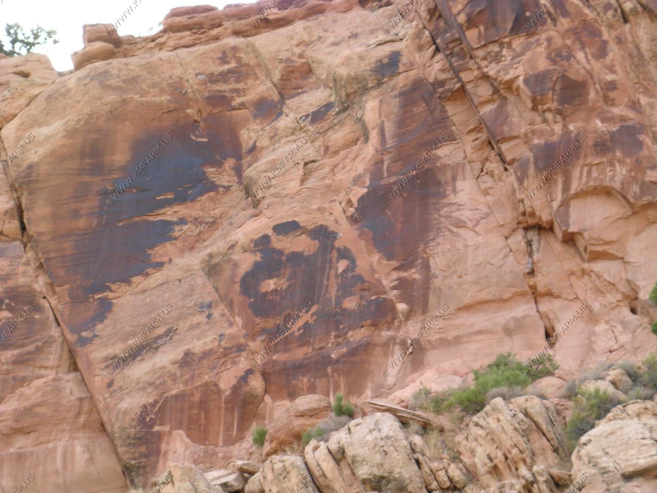
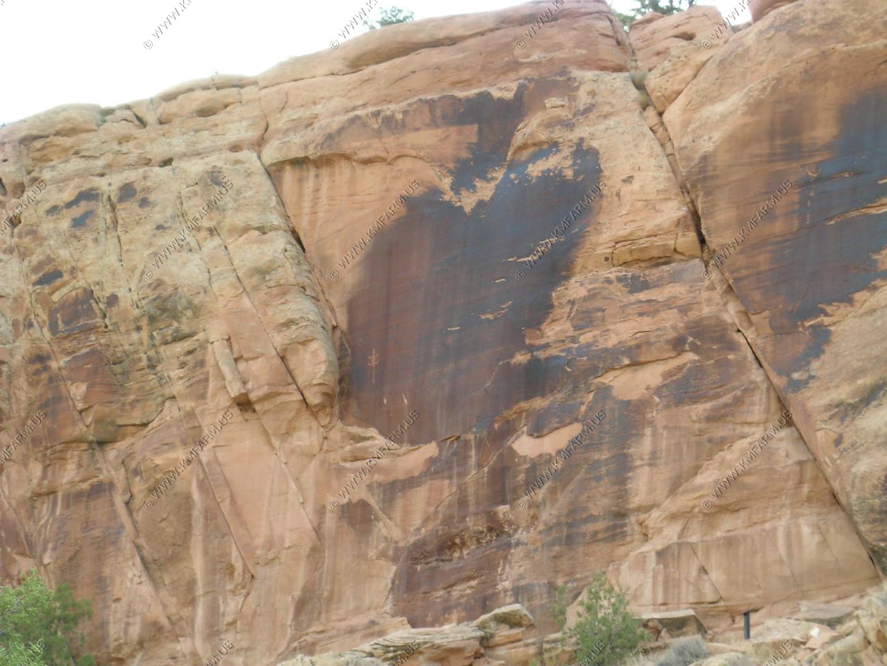
Since the visitor center / Quarry was closed we continued into the Monument. We stopped at the petroglyphs along the road.
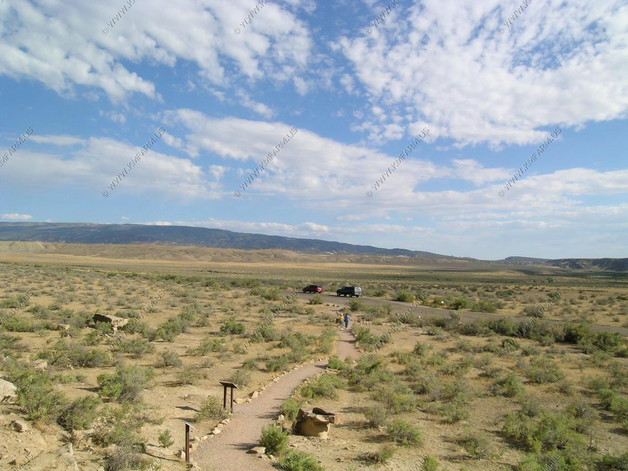
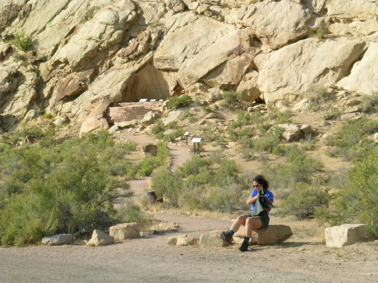
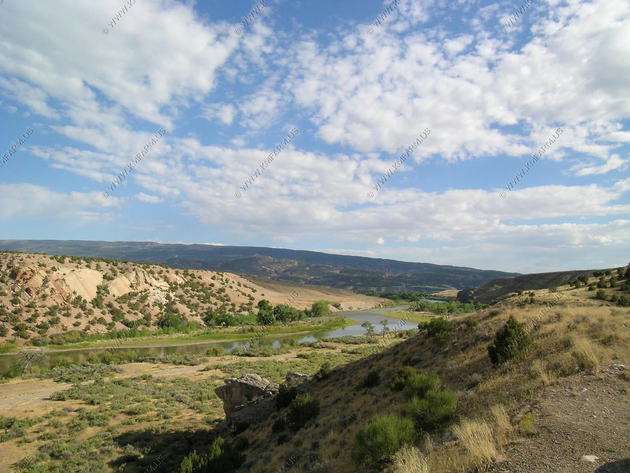
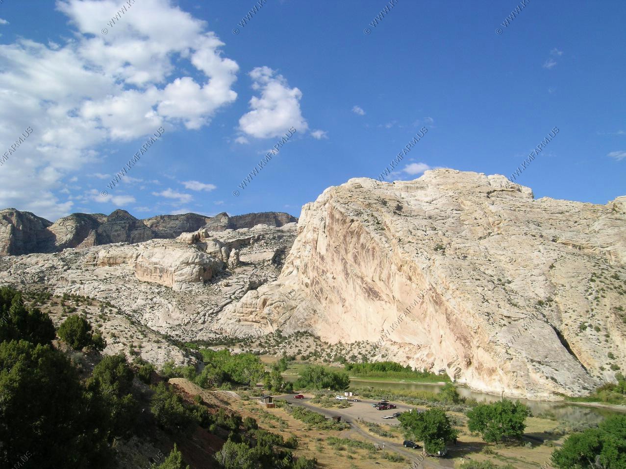
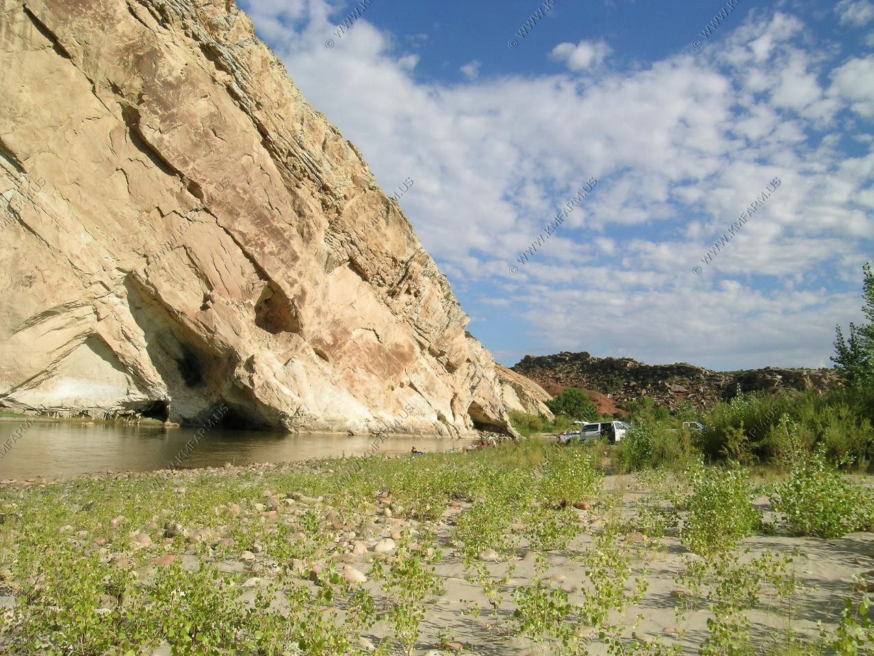
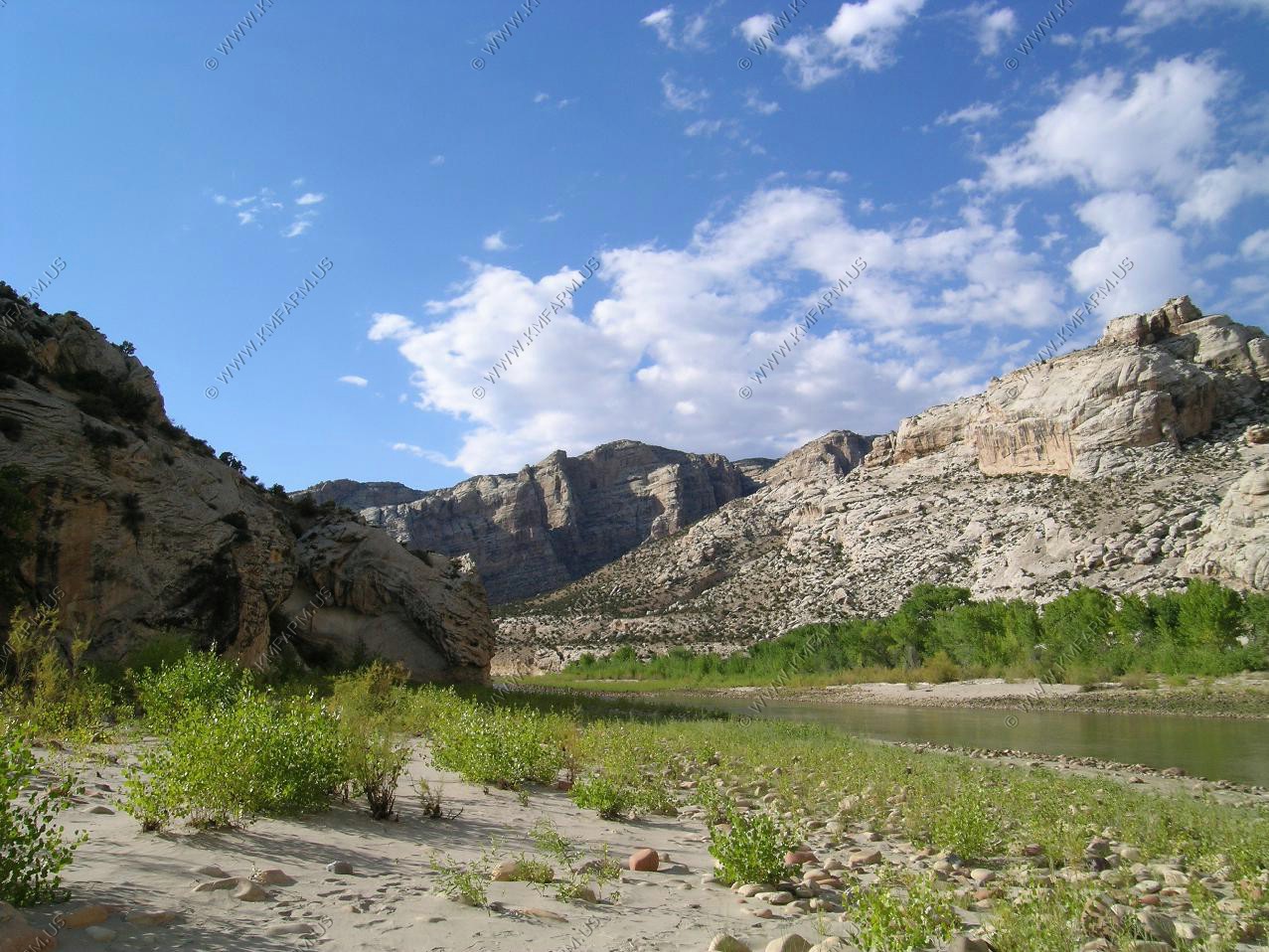
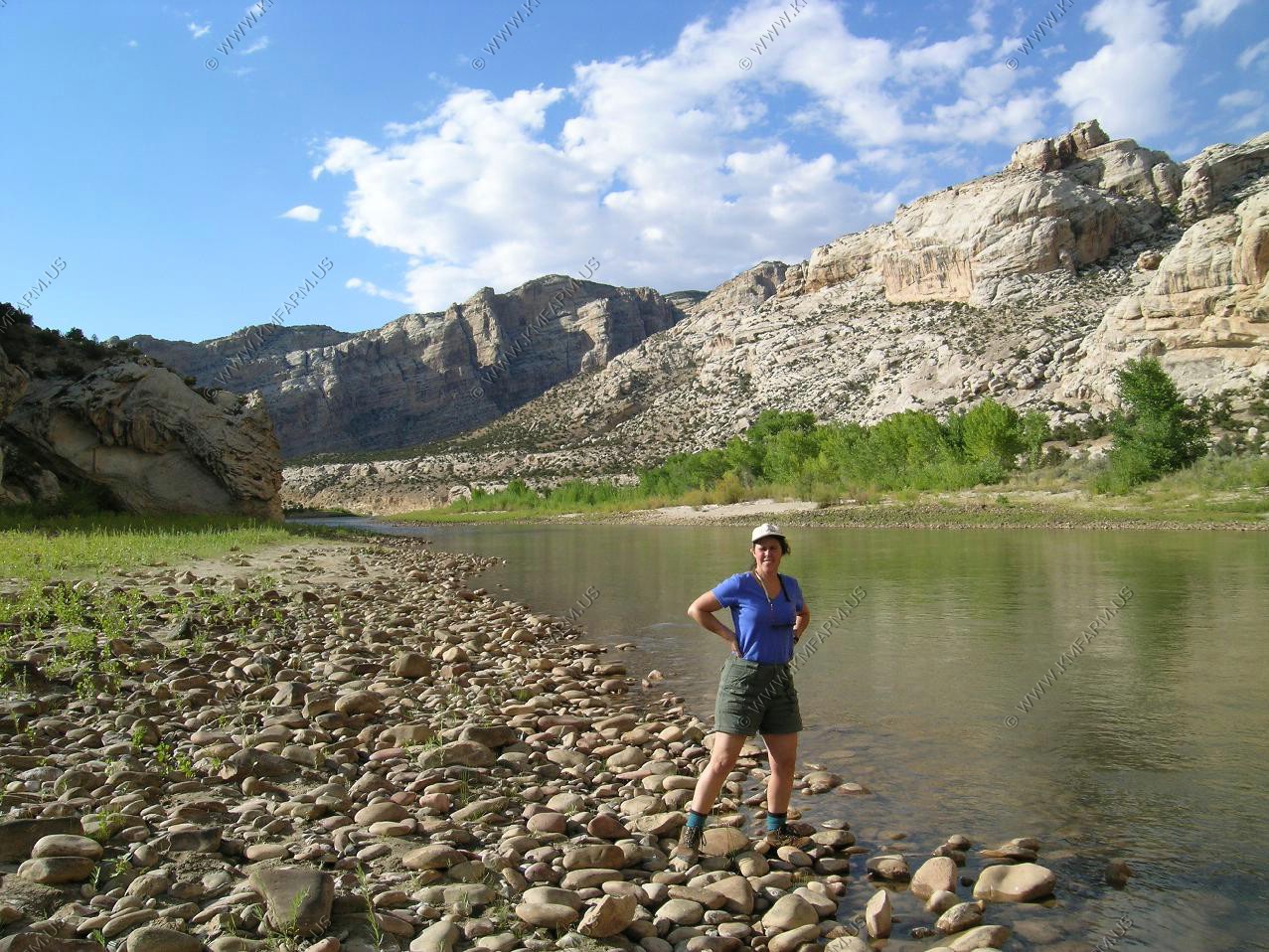
Where the Green river comes out of the Split Mountain Canyon. We walked a short distance up into the canyon along the Green
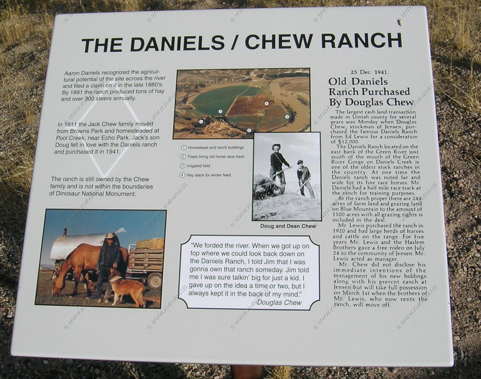
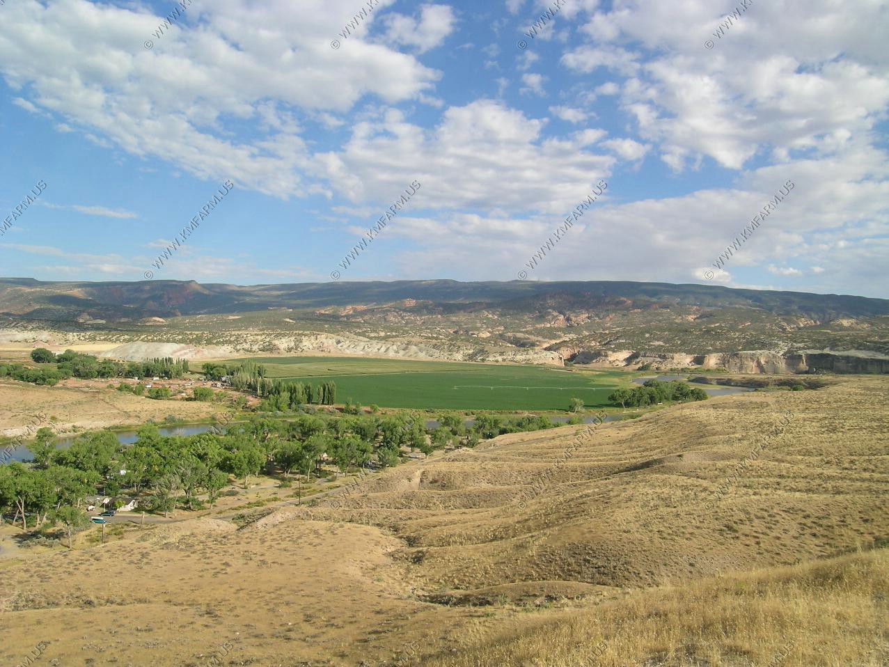
The Daniels / Chew Ranch
More petroglyphs along the road. We drove a few miles up Blue Mountain road which leads to the Eastern part of the Monument. It looked passible with a high clearance vehicle.
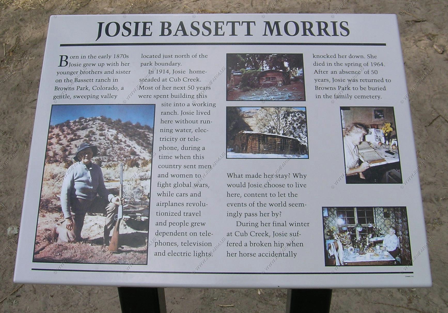
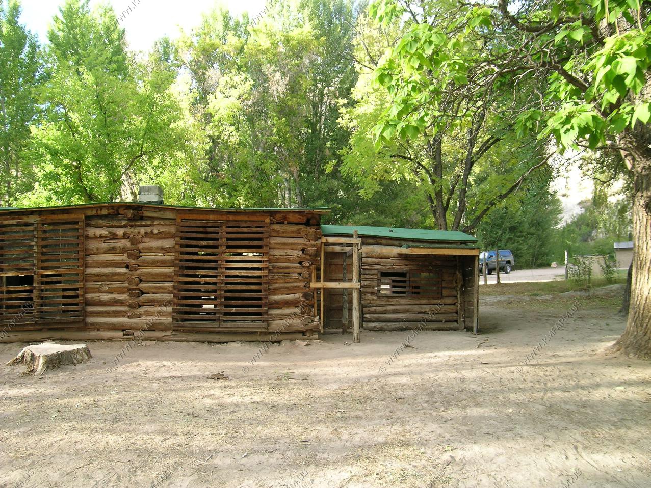
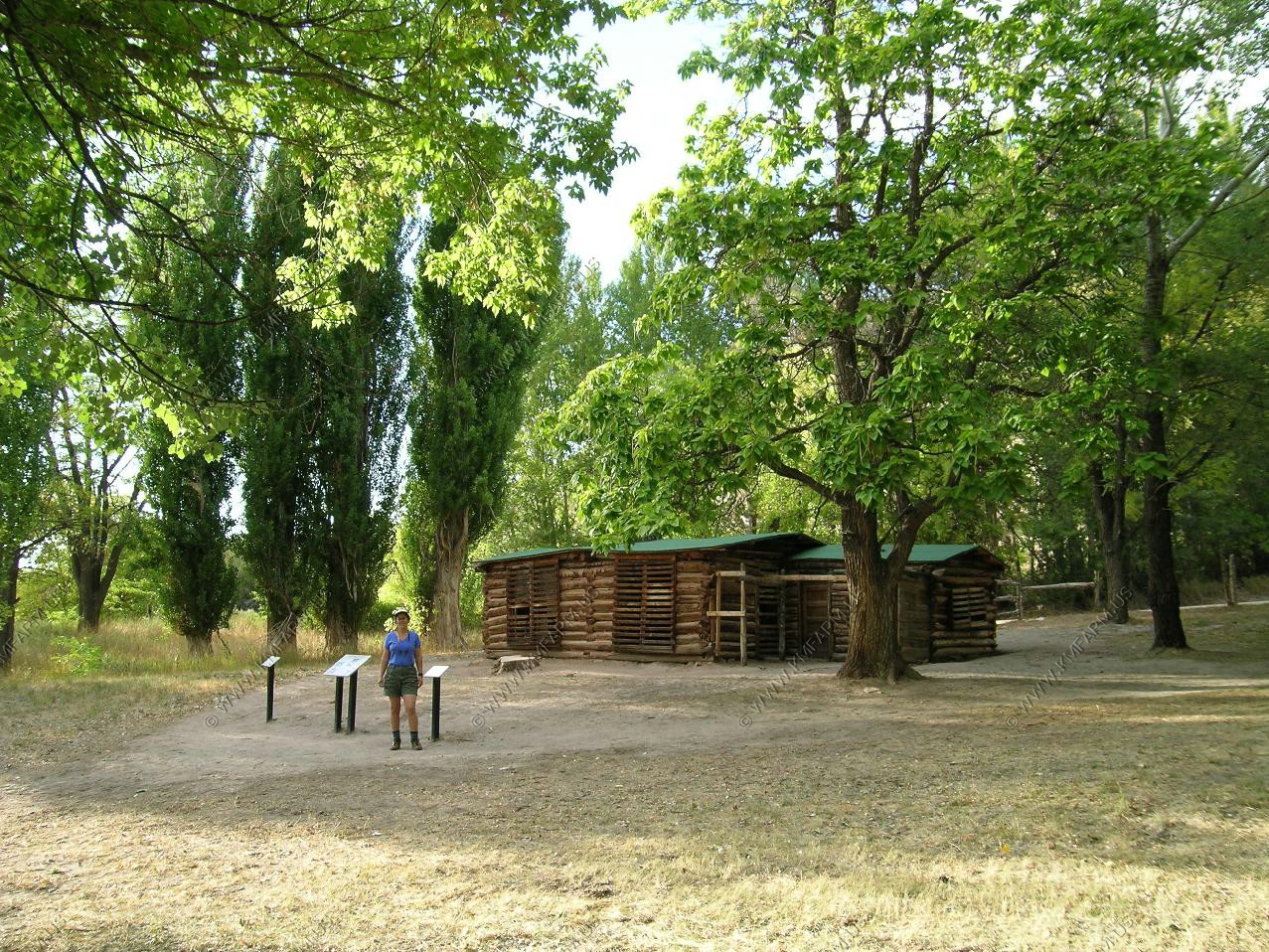
Josie Bassett Morris homestead. Interesting area with many springs.

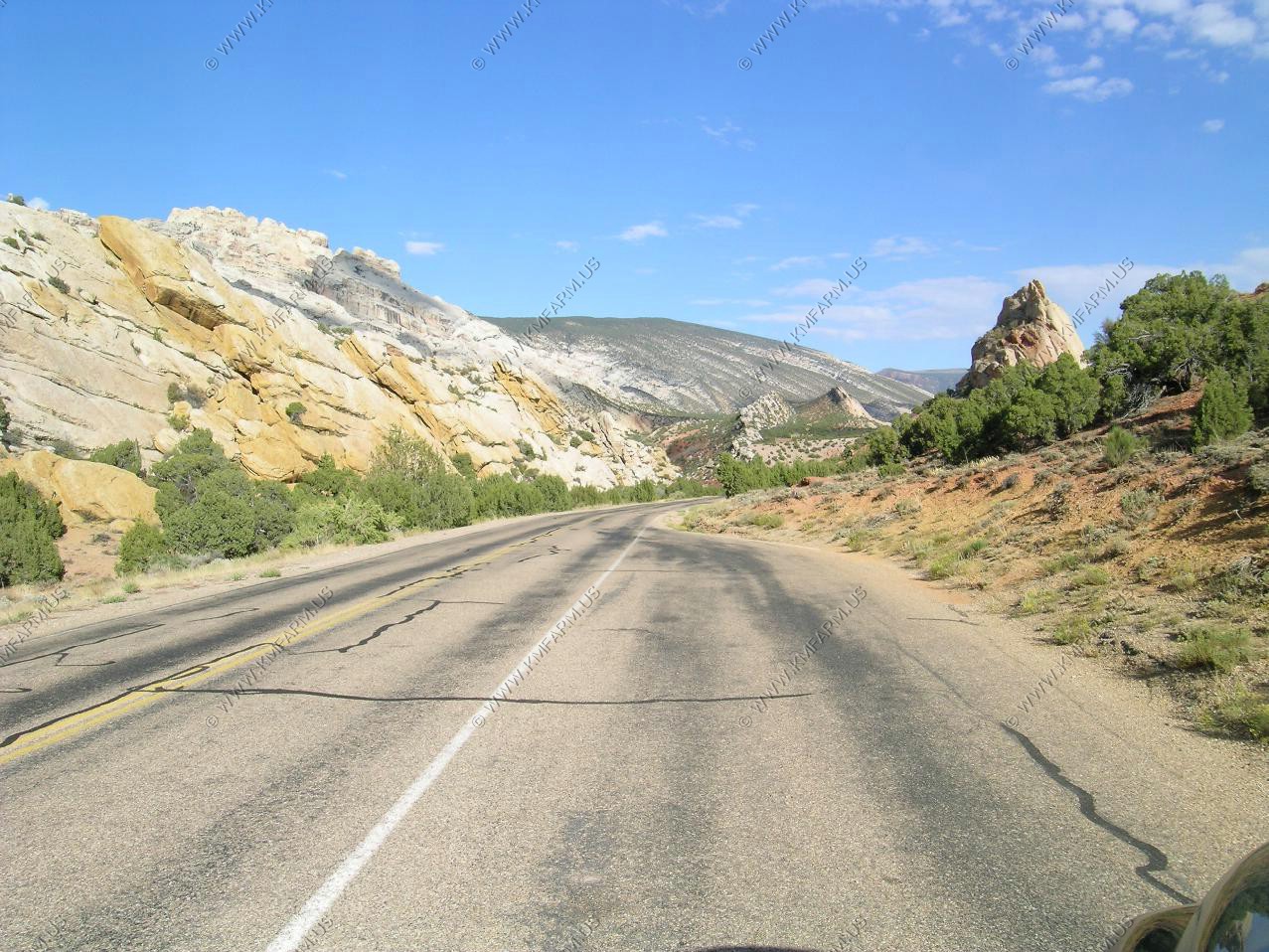
Along one of the roads in the monument

We stayed at the the Super 8 in Vernal. New and clean. Would recommend it again. It's located on the West side of town.
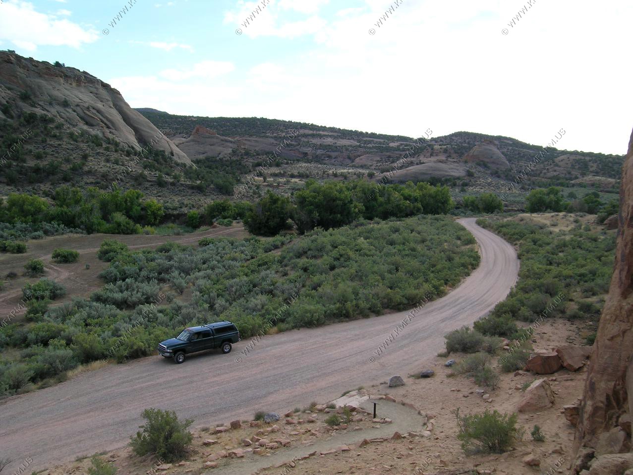
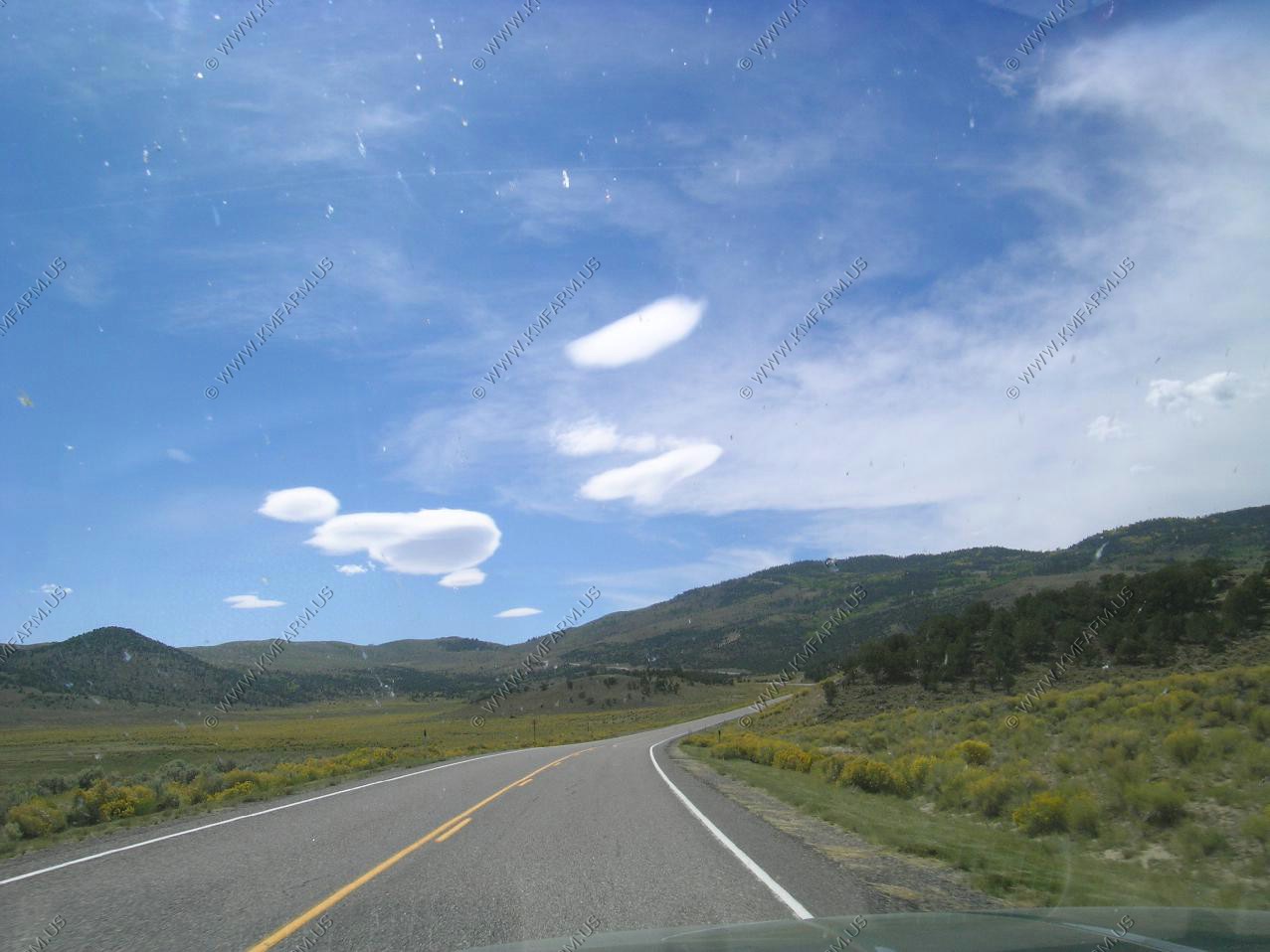
Today's ride is an easy 235 miles over some very scenic country.
First we wanted to drive up 191 to explore what it looked like north of Vernal in the high country.
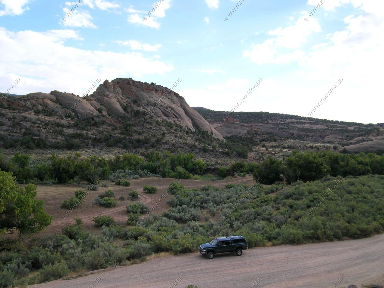
Looking back at Vernal from a large mining operation north of town.
Driving back through Vernal
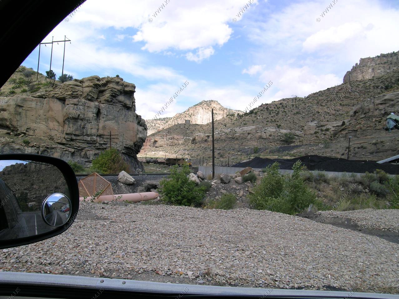
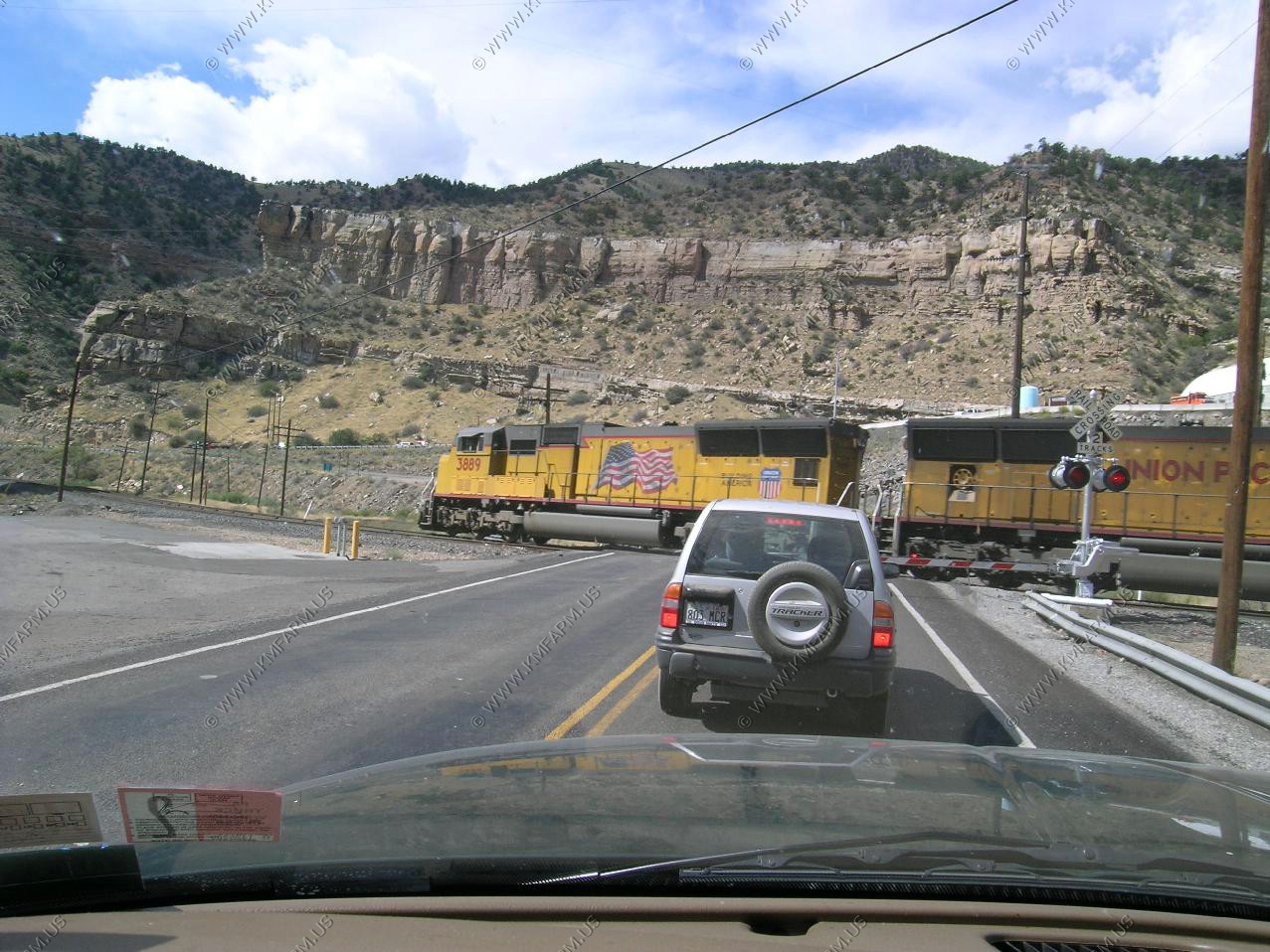
Waiting for a Union Pacific coal train to go by in Helper, Utah. We have been in Helper before and it's an interesting town (for train buffs), with a good bit of history.

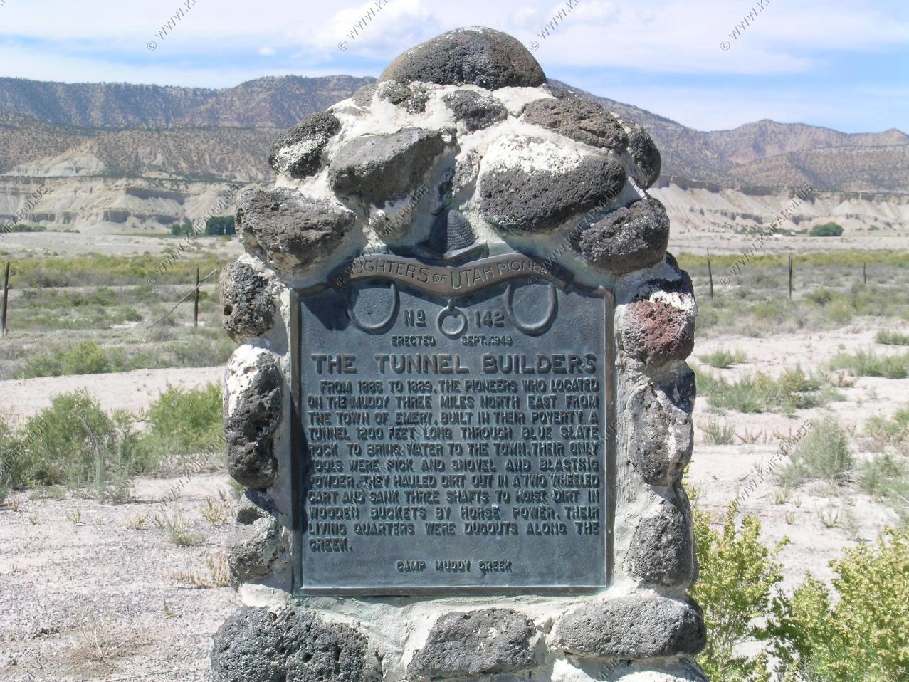
History monument along UT-10 about the tunnel builders. Also, the road back to the tunnel area.
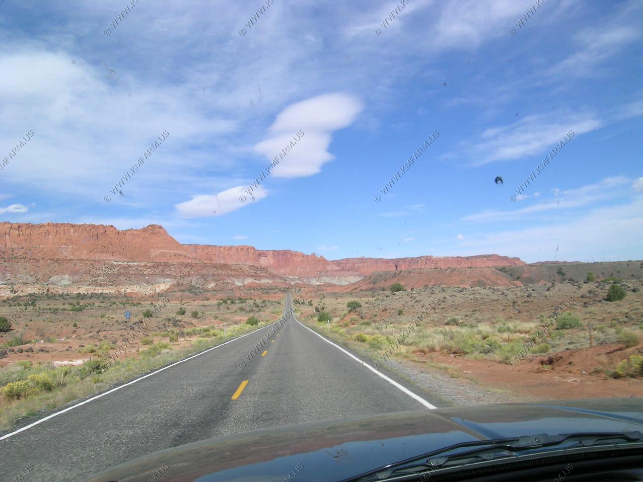
UT-10 is a easy road to make up lost time.
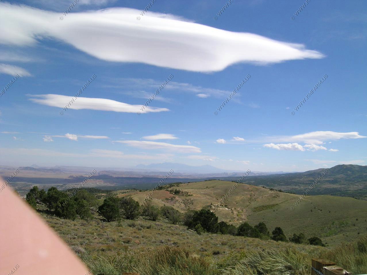
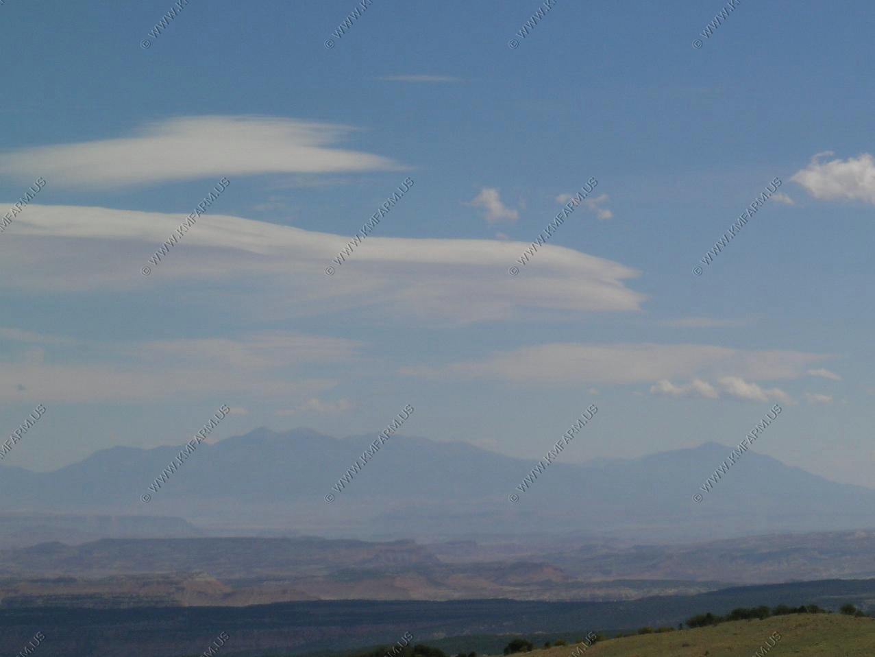
Interesting clouds
Back in the high country

Hogan Pass on UT-72. (El. 8,300) Our first look at the Henry Mountains appx. 50 miles away.
Also, from Hogan pass we looked down into the northern end of Capitol Reef National Park. We could see Cathedral Valley, which is the remote northern area of the park, that we were hoping to visit in a day or so.

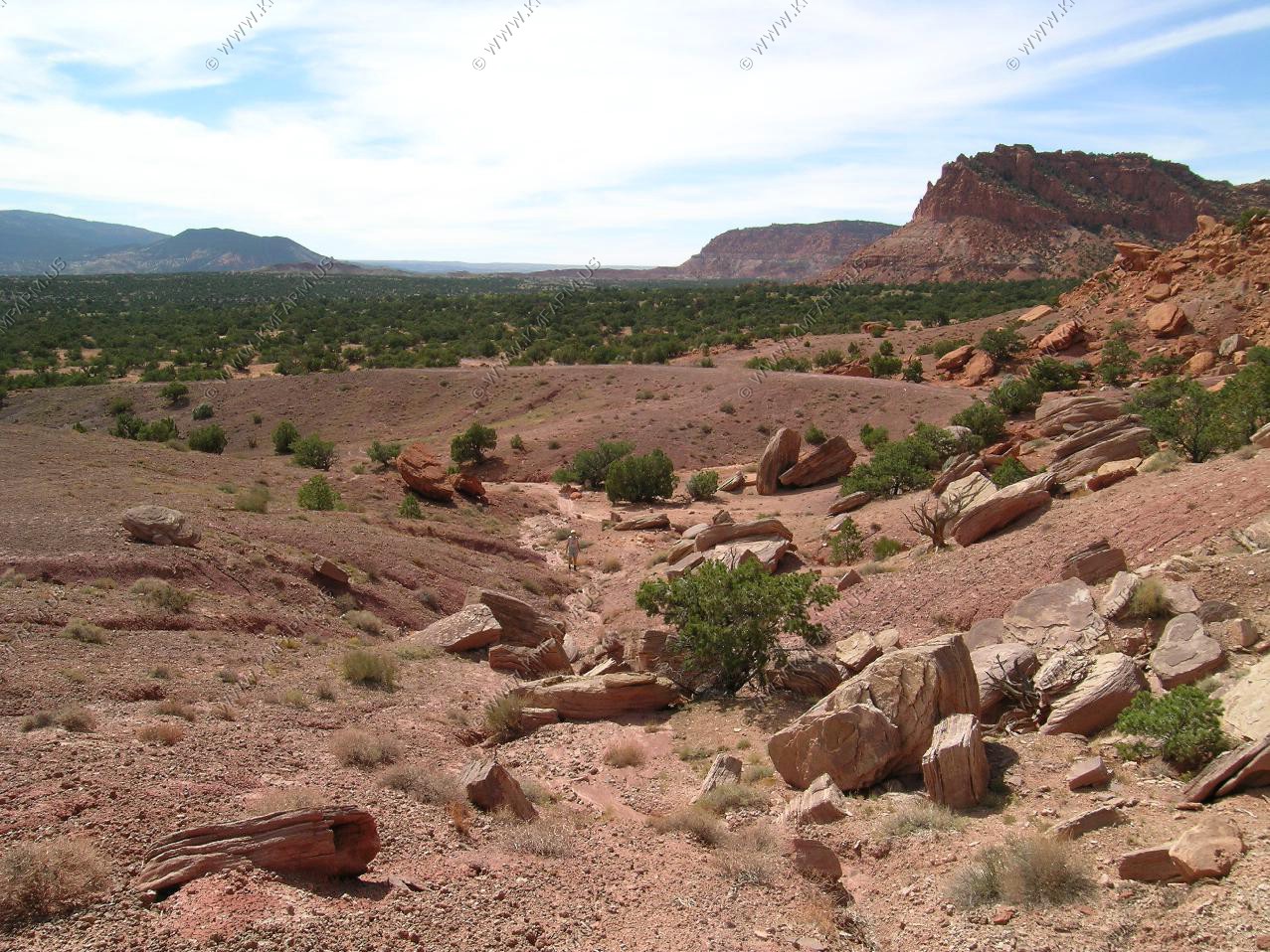
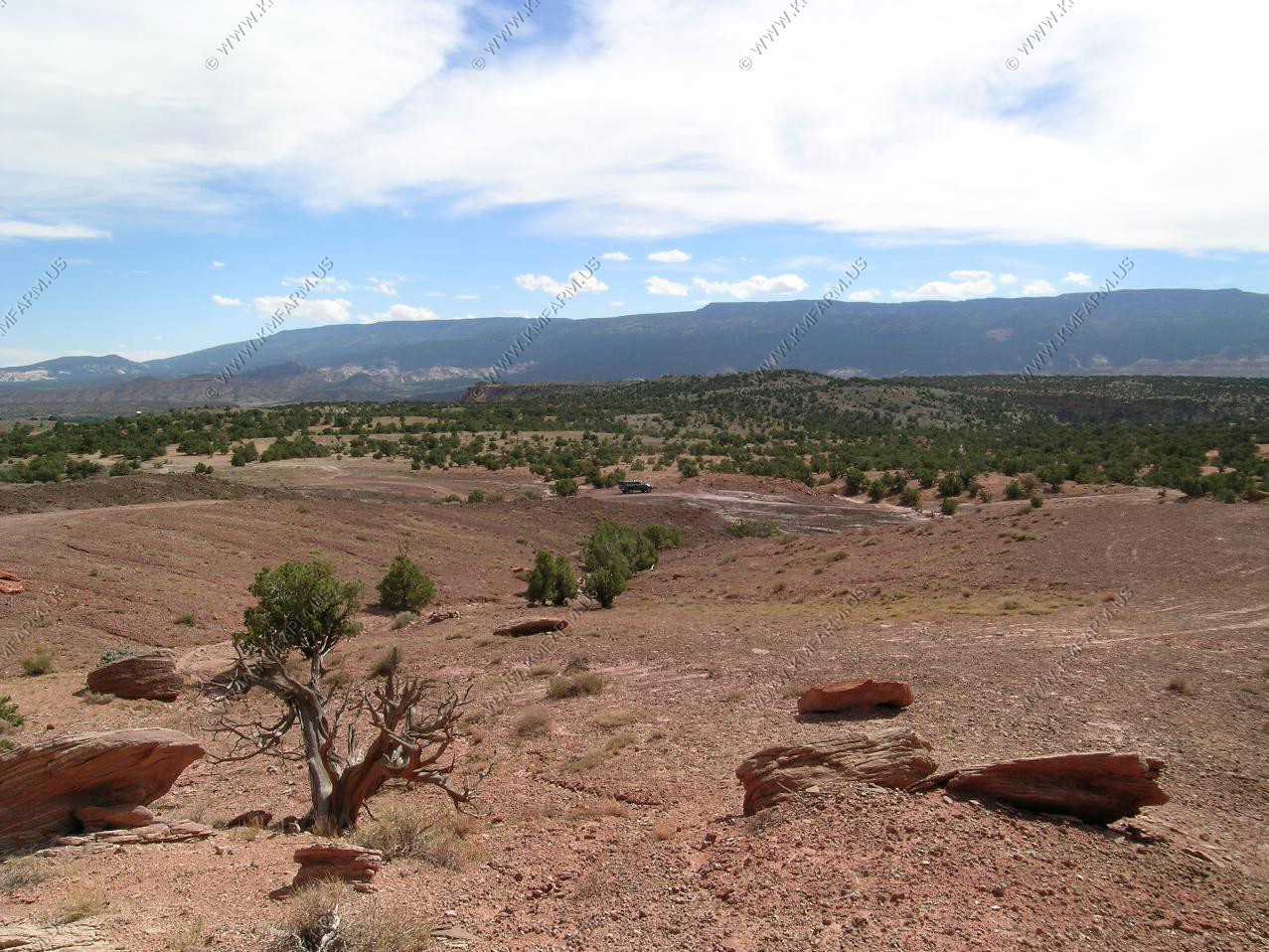
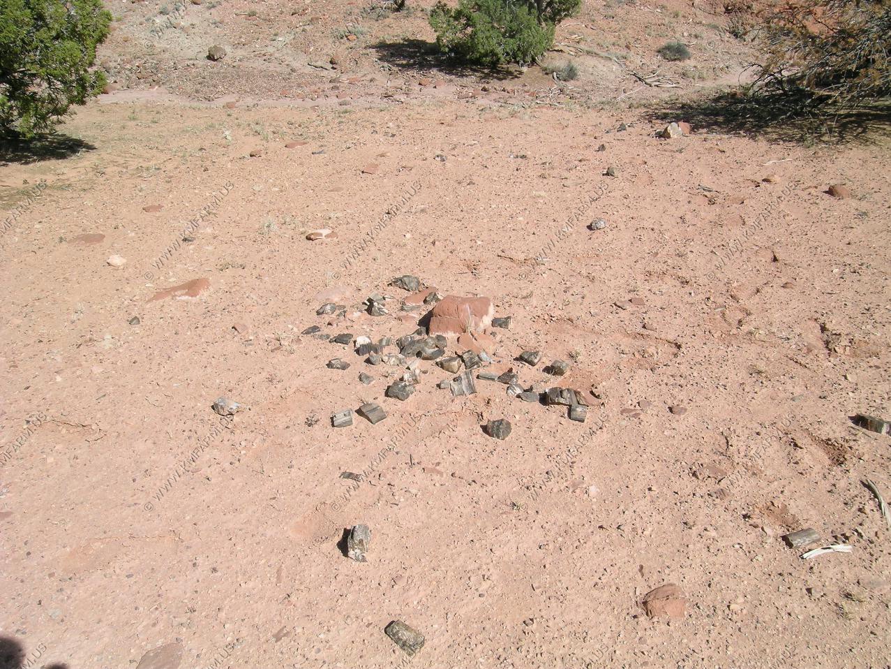
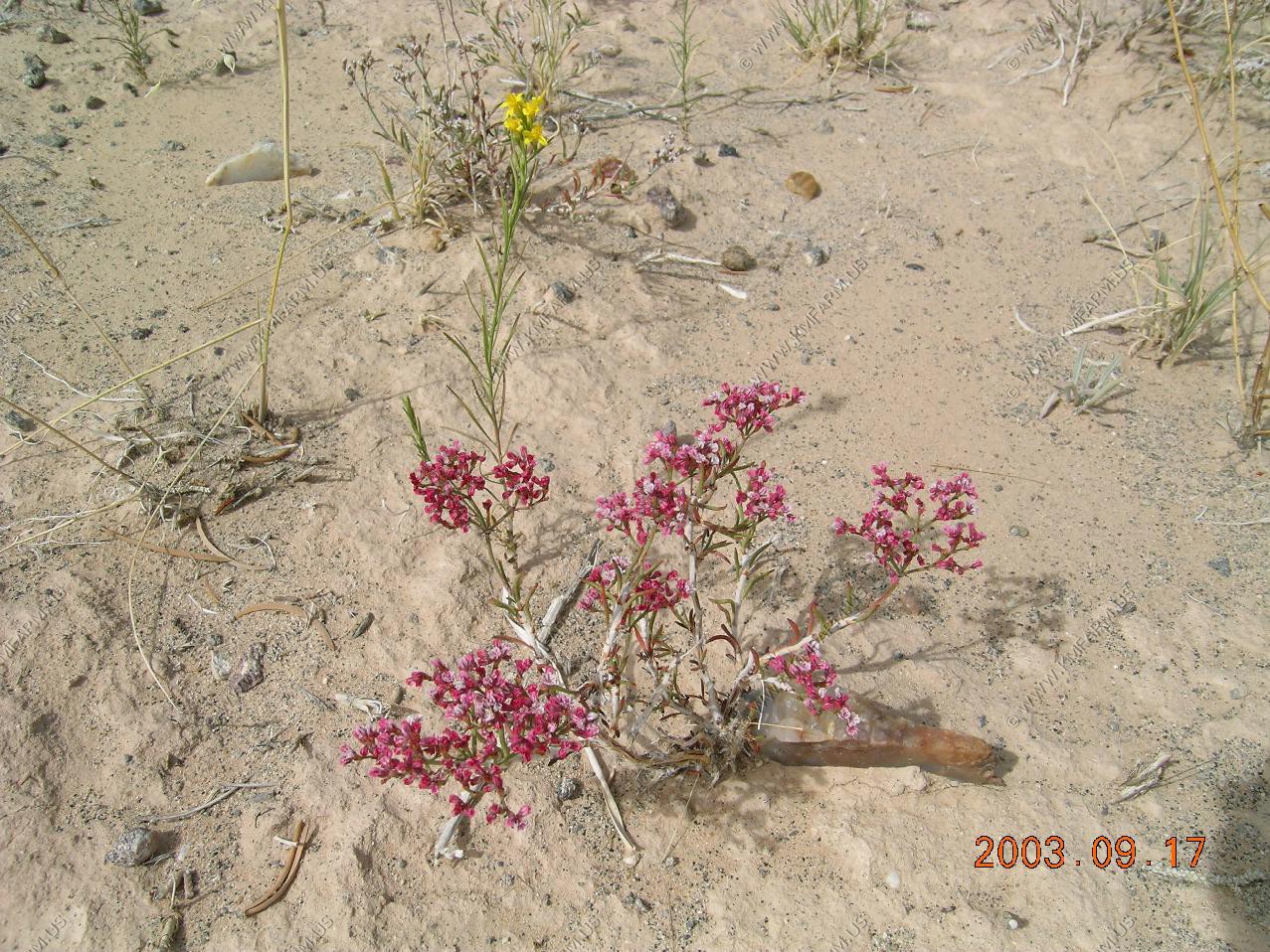
From one of the Utah rock books, we were informed of a place near Torrey that we could collect petrified wood. The fact that the site is on BLM land makes it legal to collect and remove the rocks. And we did.. Nobody else was around the site and so much was on the ground that we only took the best samples that we could find.
We will visit this location again. You can never have too much...

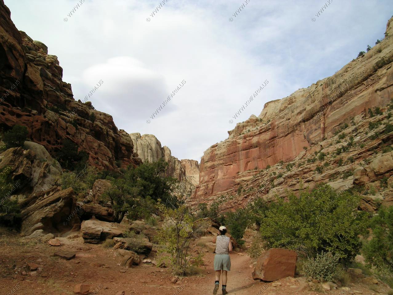
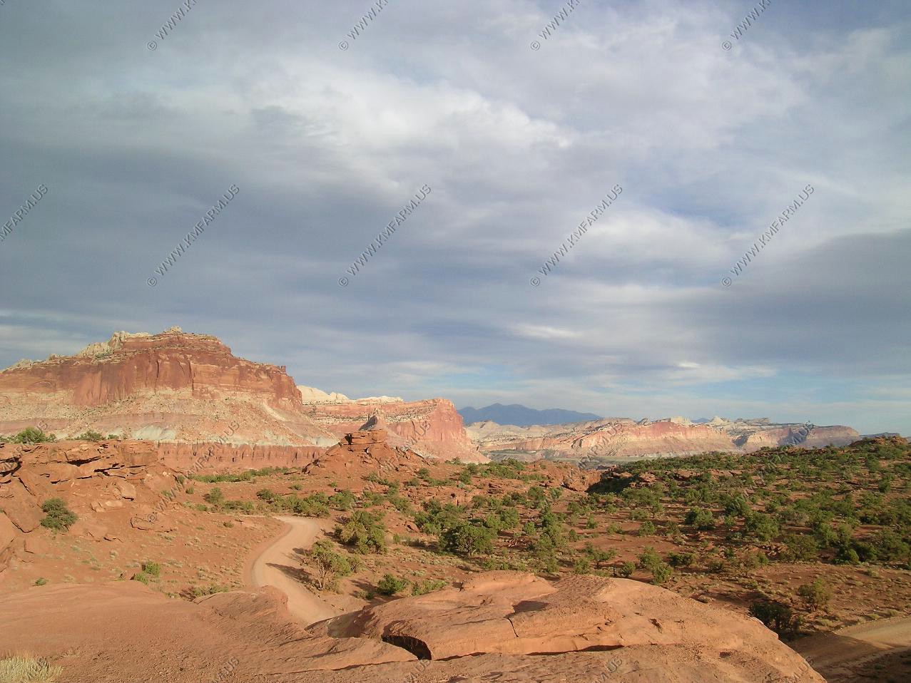
Heading to Capitol Reef (day 1)
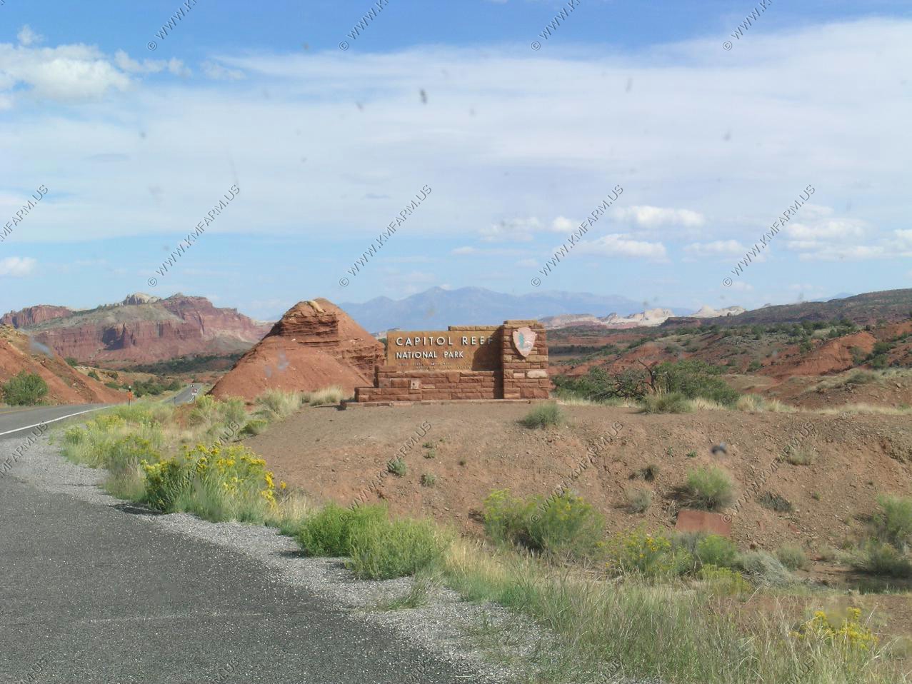
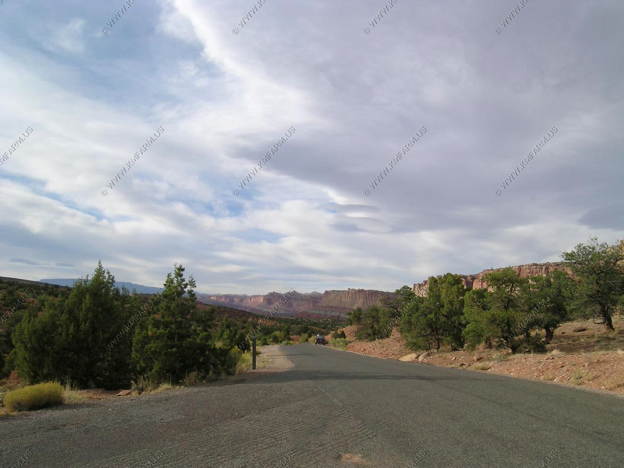
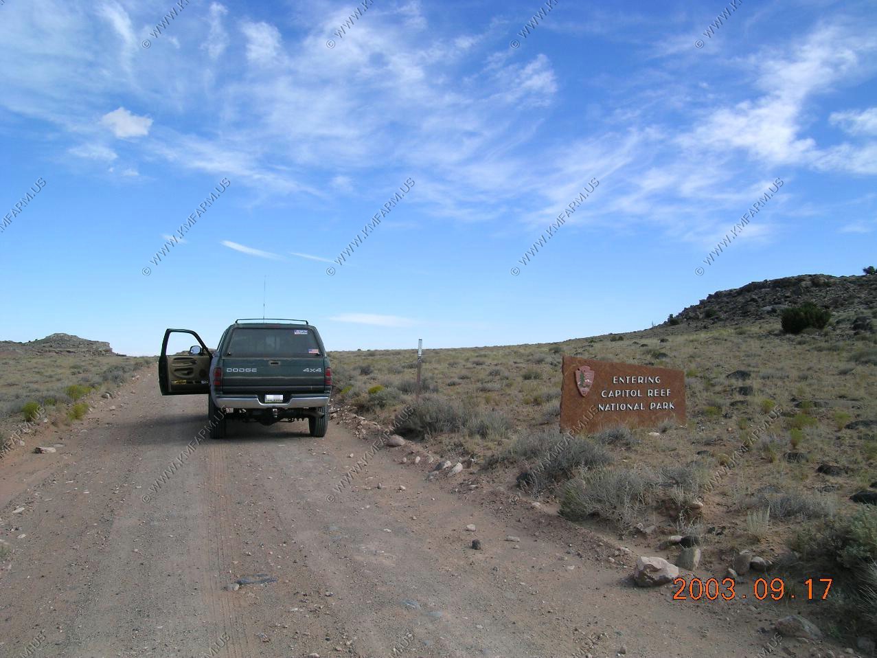
Approaching the park from the west on UT-24
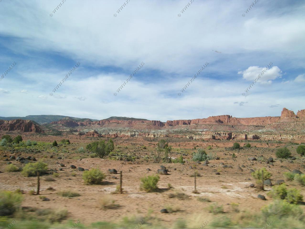
The entrance sign. With the Henry Mountains in the background
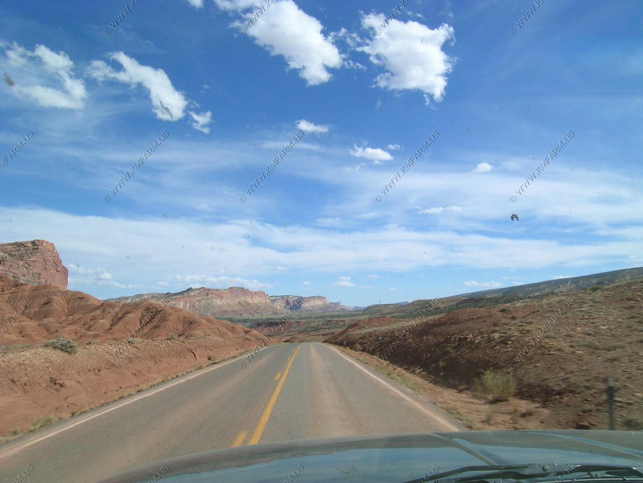
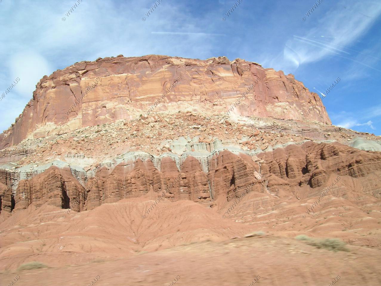
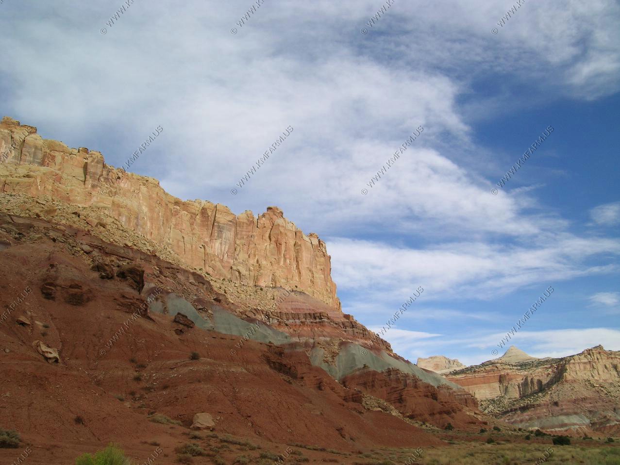
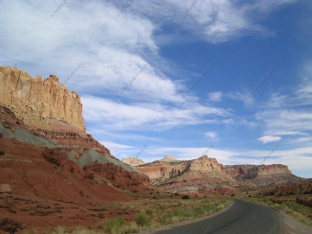
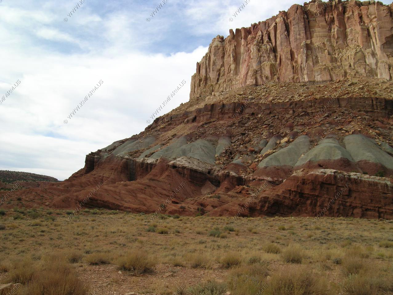
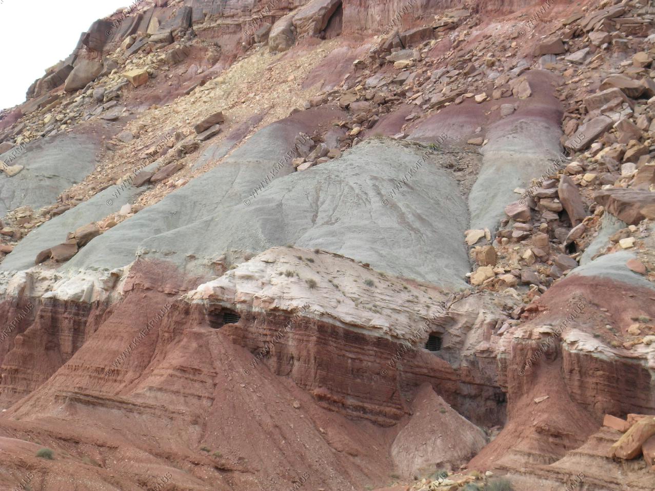
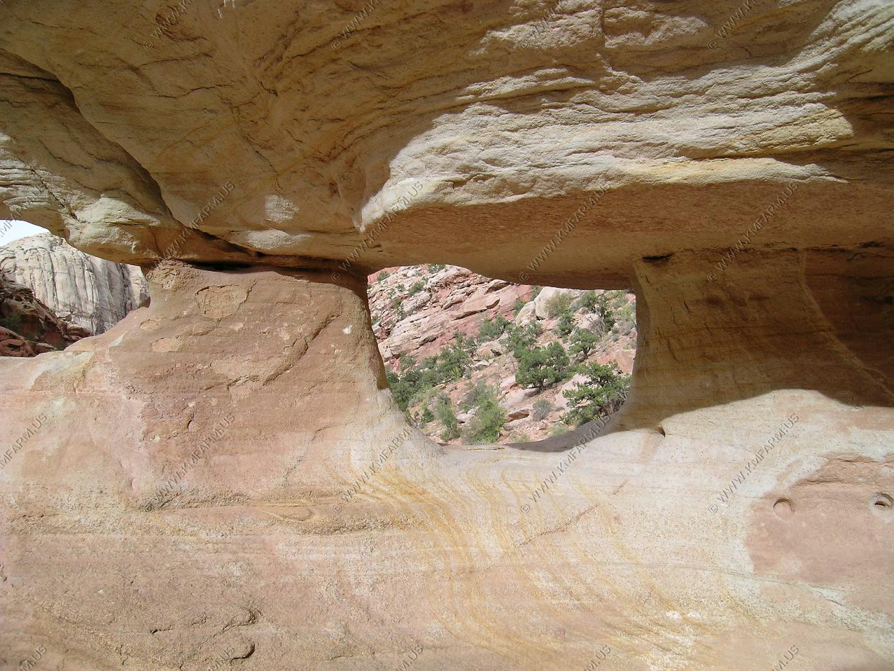
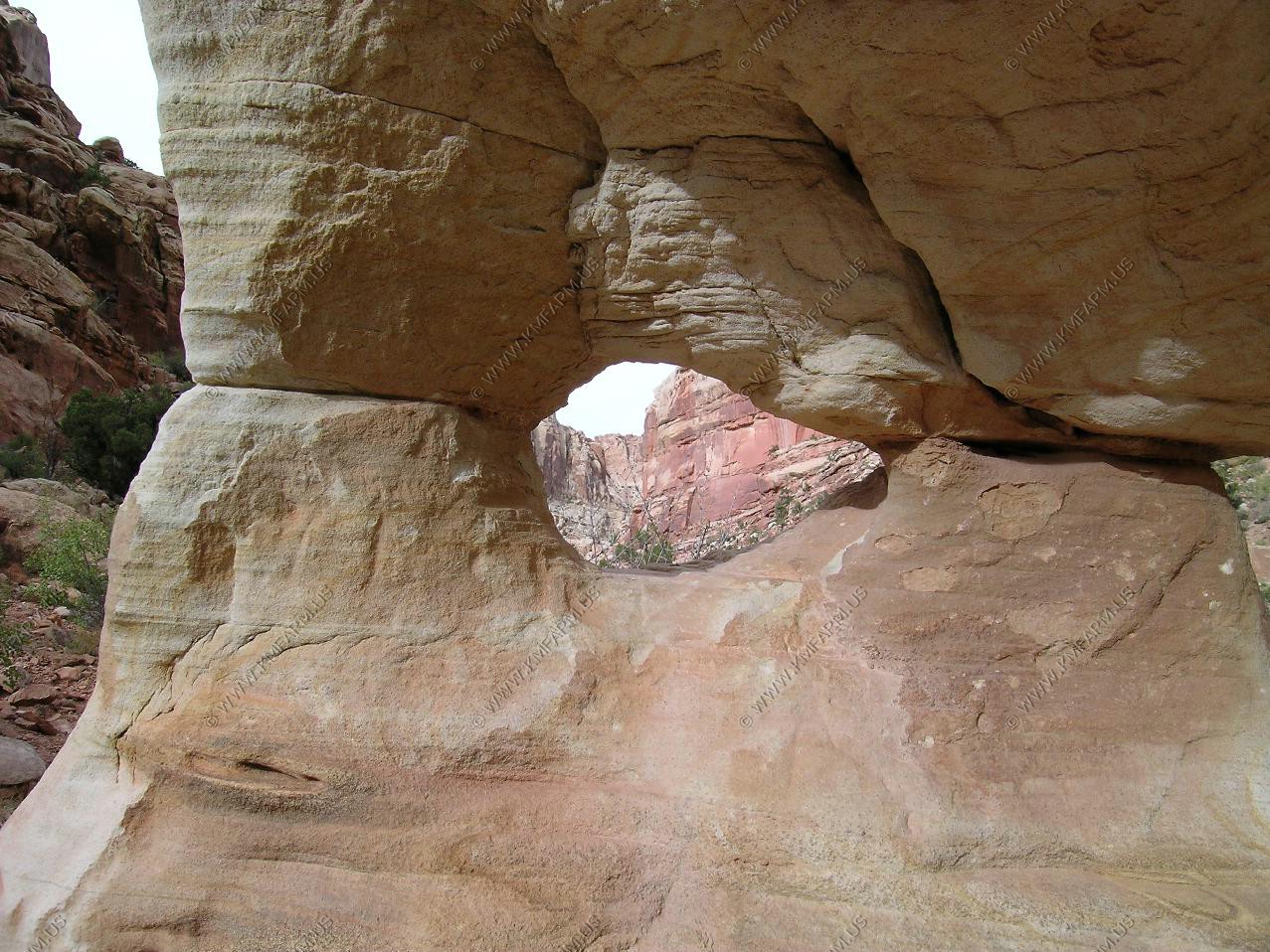
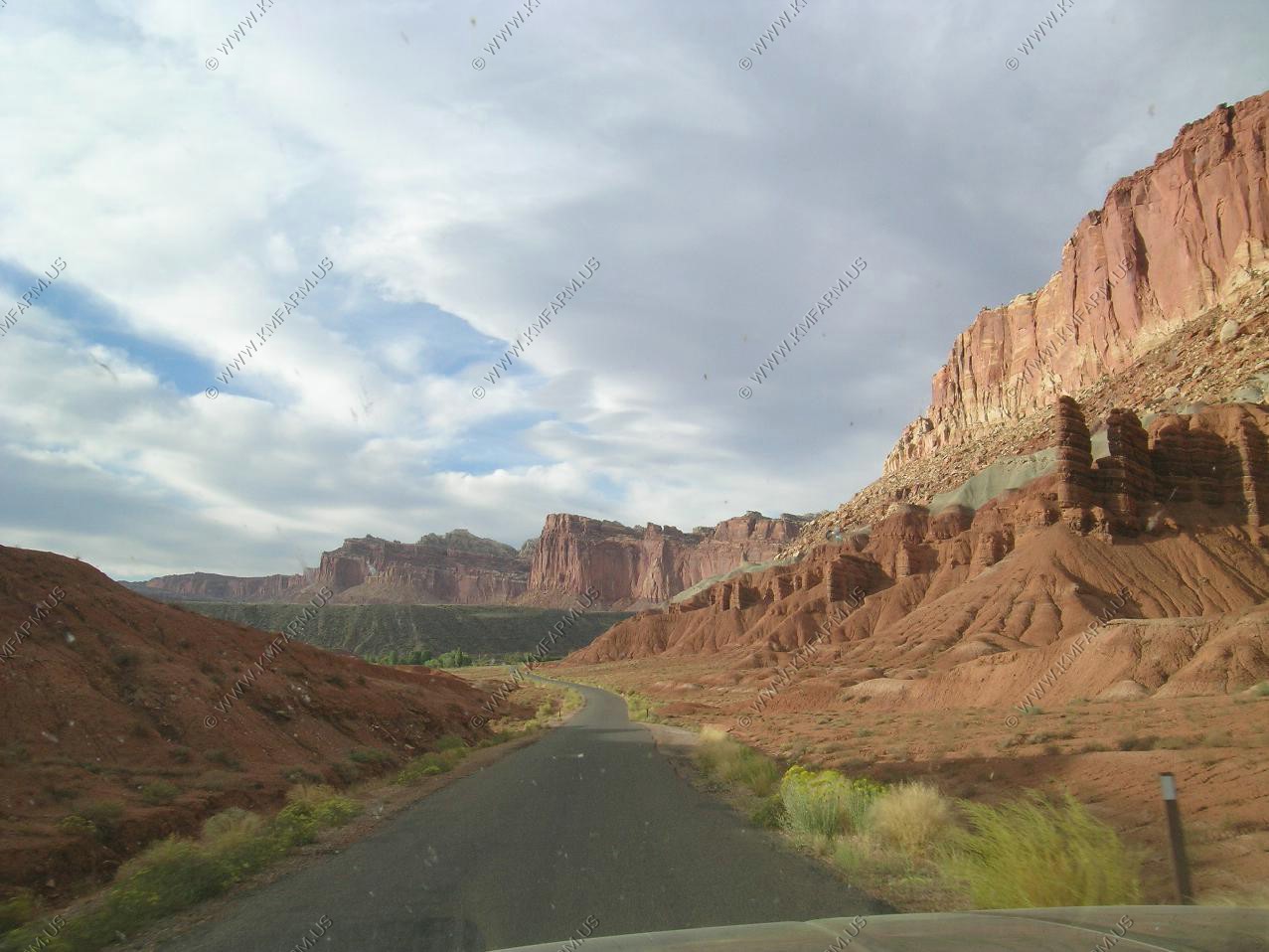
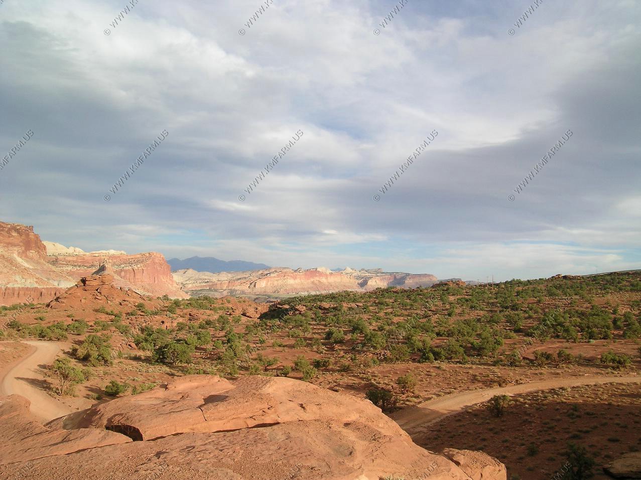
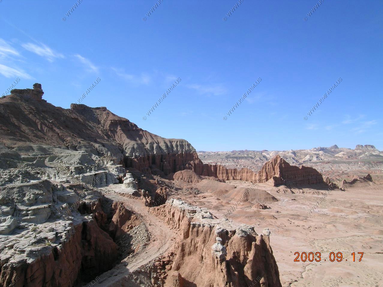
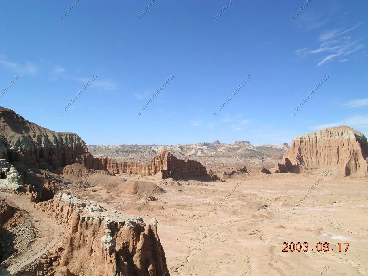
You can see the fault and views along the scenic drive

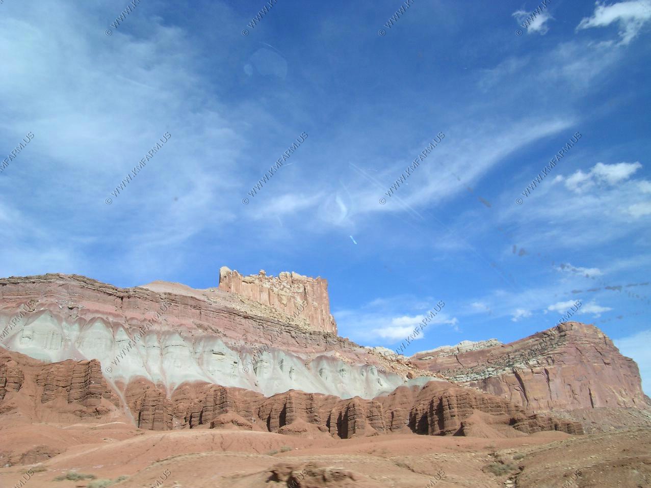
Mines from the uranium boom back in the 50's This is the entrance of the Grand Wash drive off of the Scenic Drive
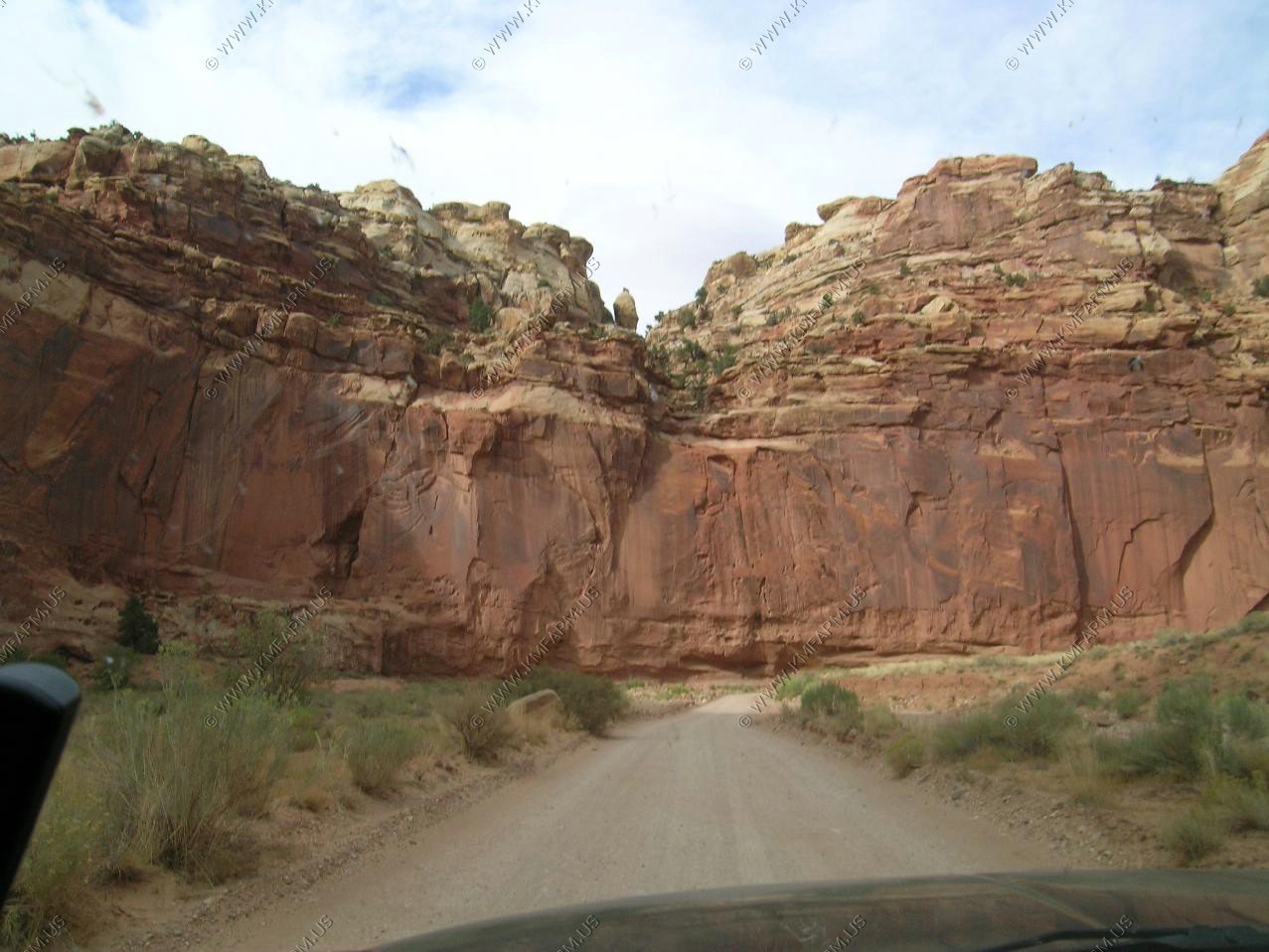
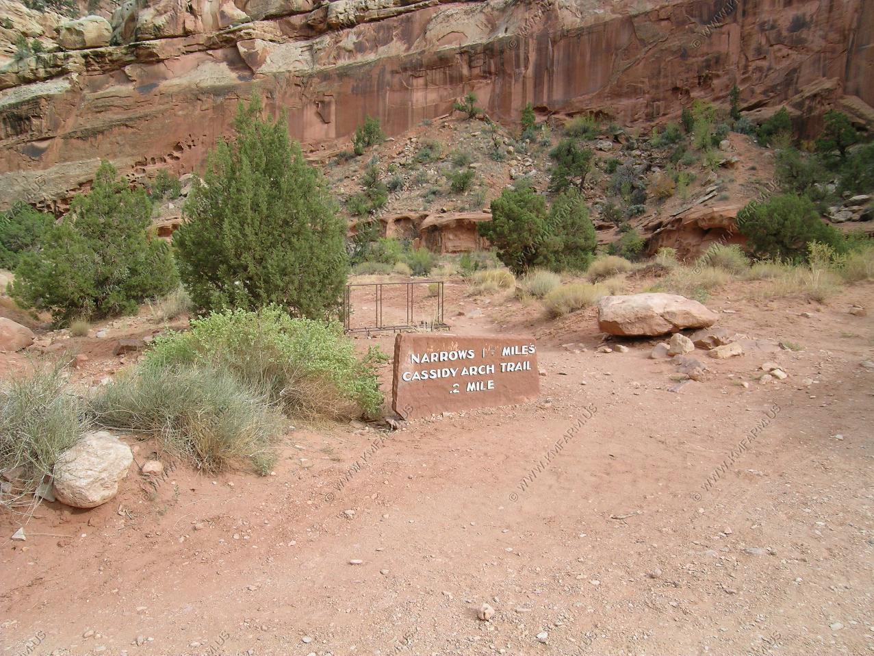
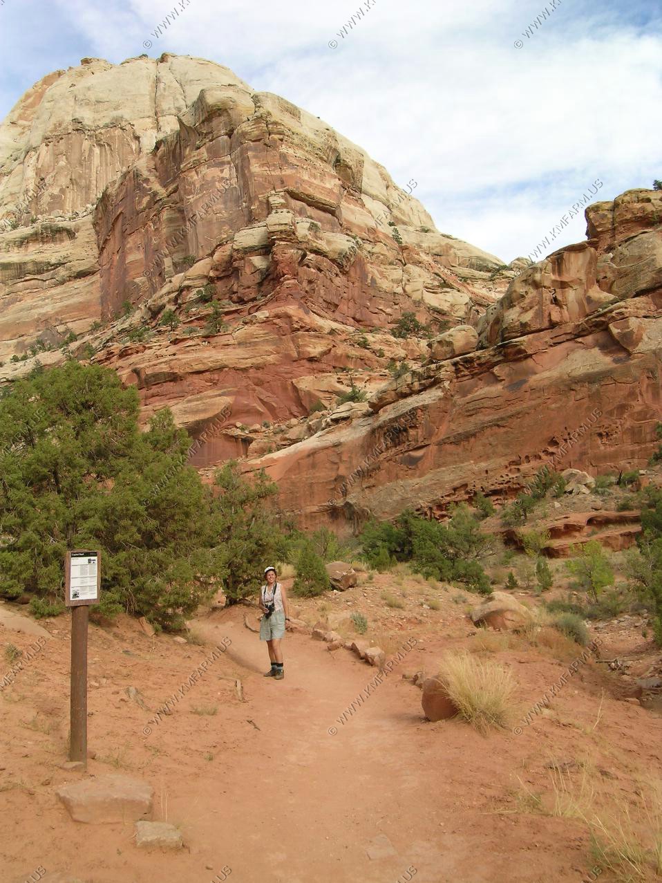
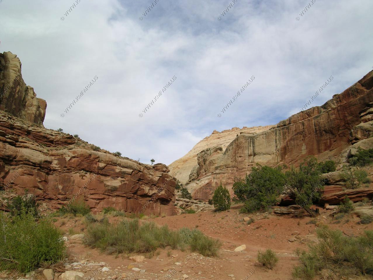
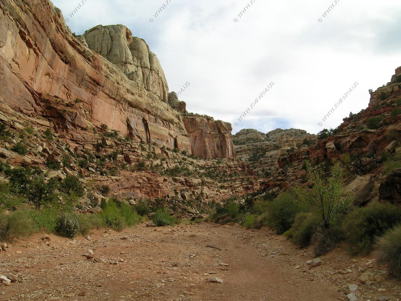

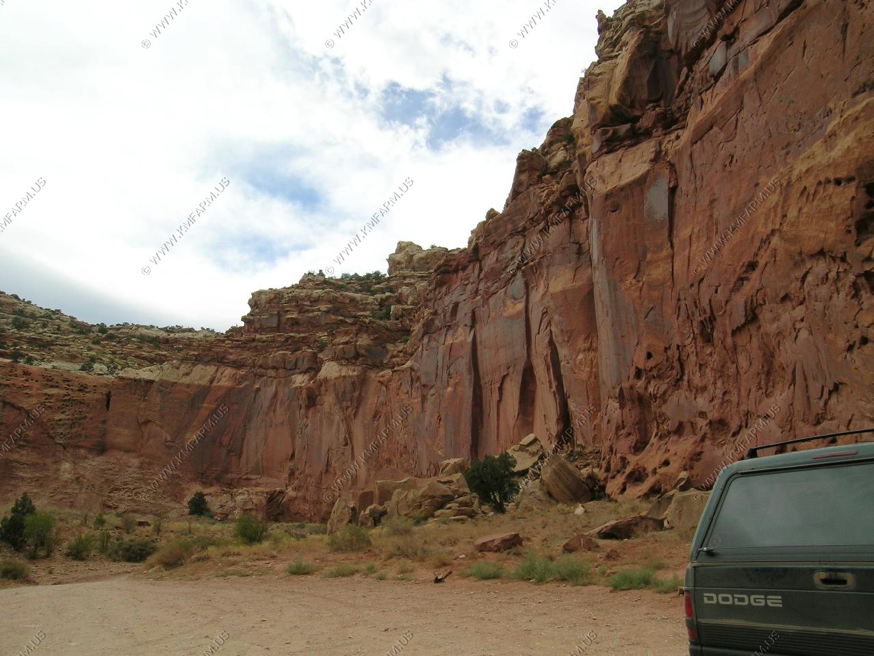
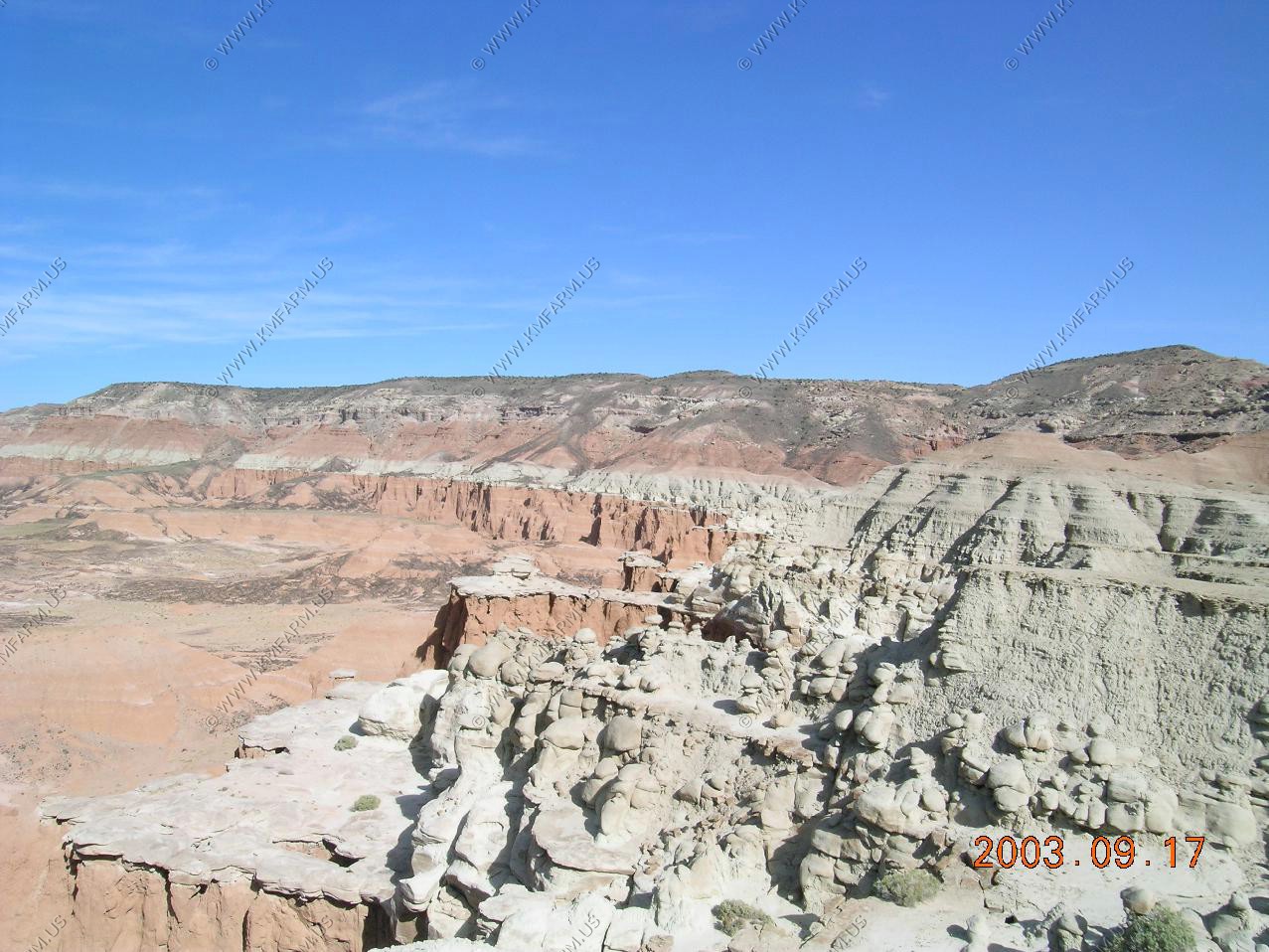
Back along the Scenic Drive

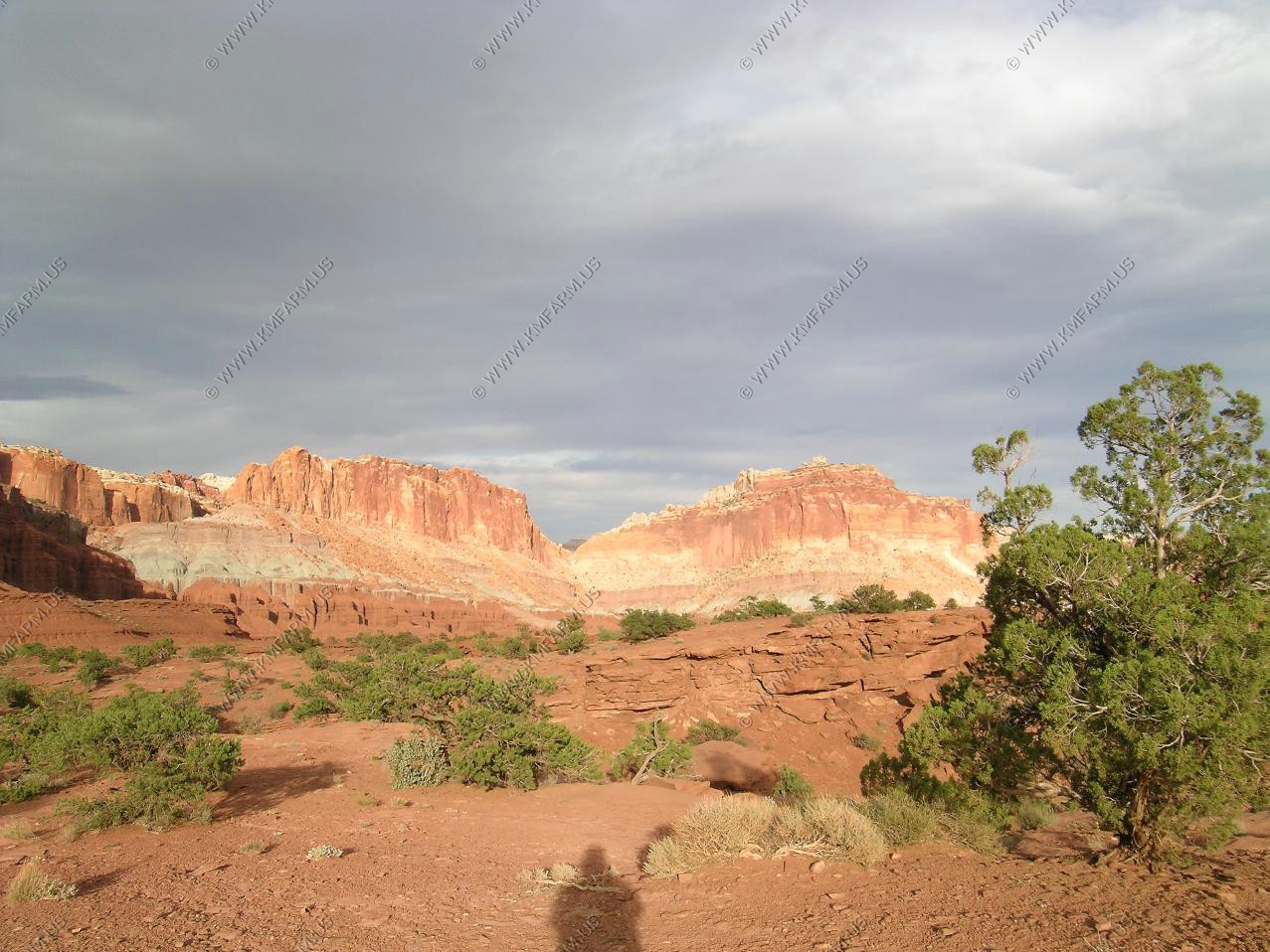
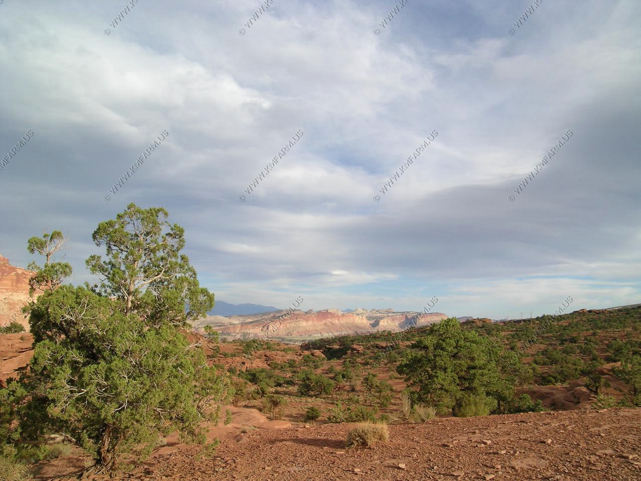
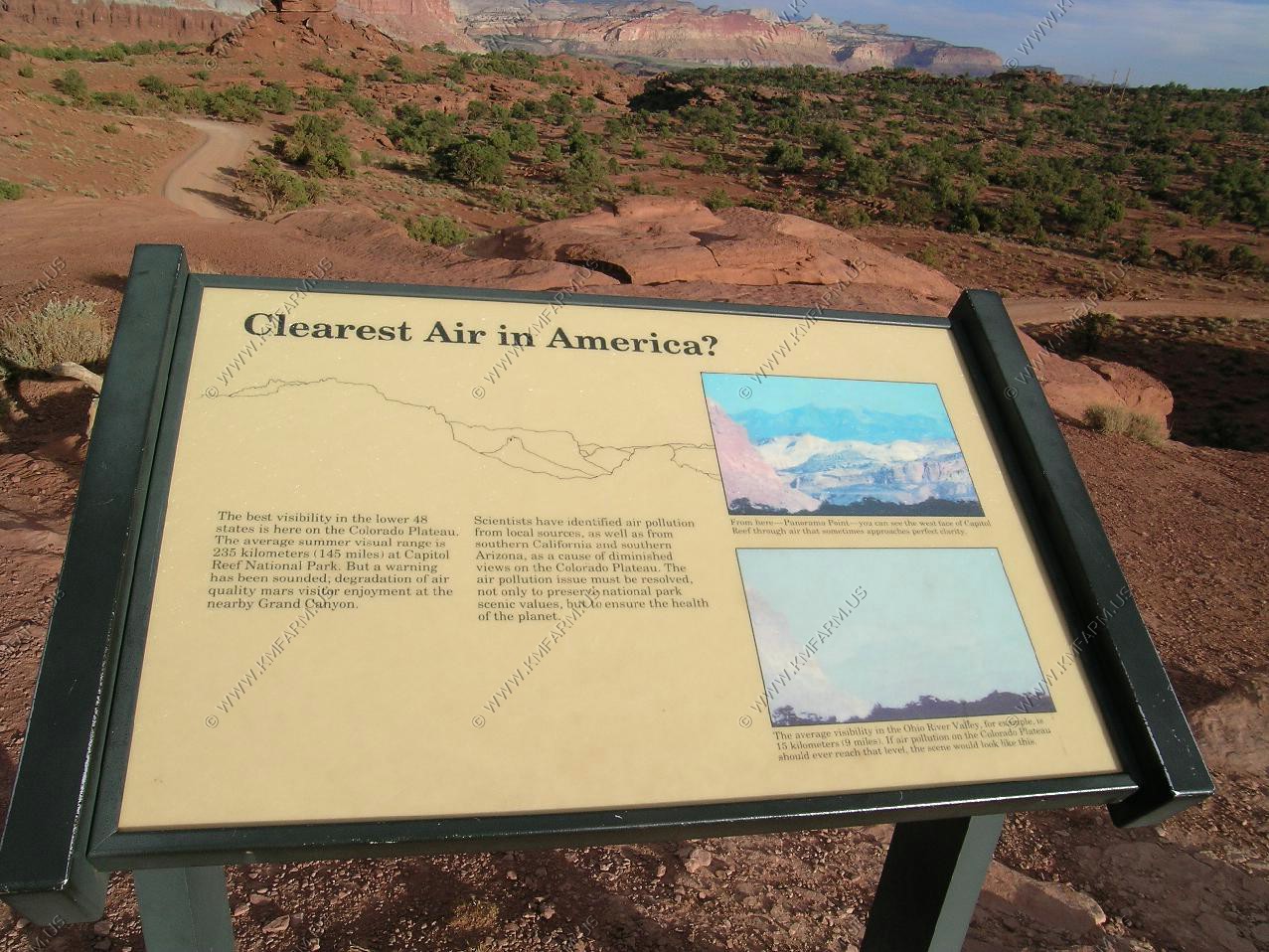
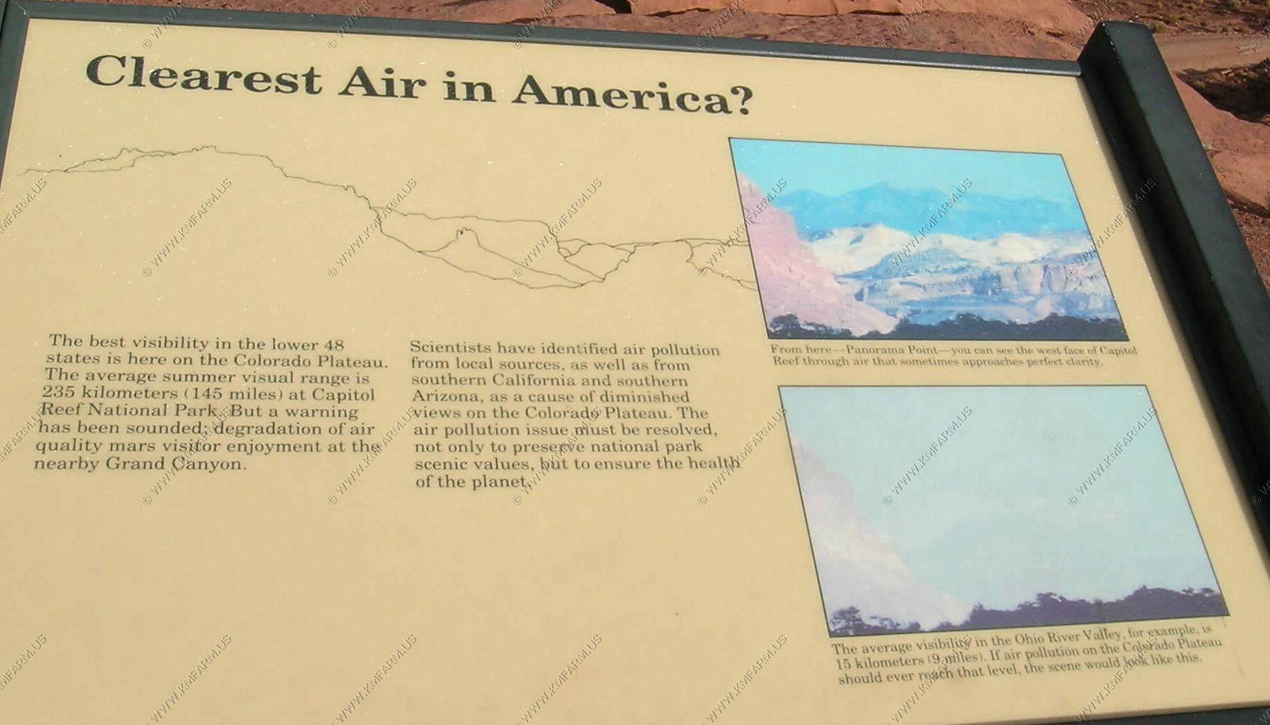
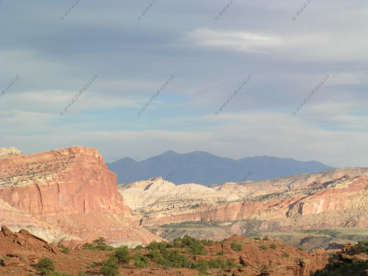
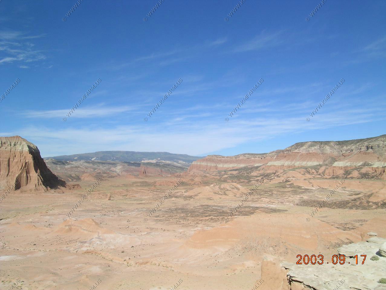
On the way back to Torrey we stopped at Panorama point. Good views of the Henrys

We stayed at the Super 8 in Torrey. Very nice place for $50 a night. Not much in Torrey but we like it that way. We ate at the Rim Rock restaurant (east of Torrey) both nights that we were here. Great food and a good view.
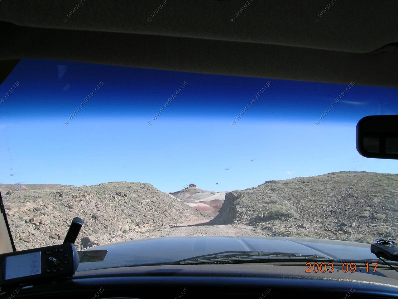
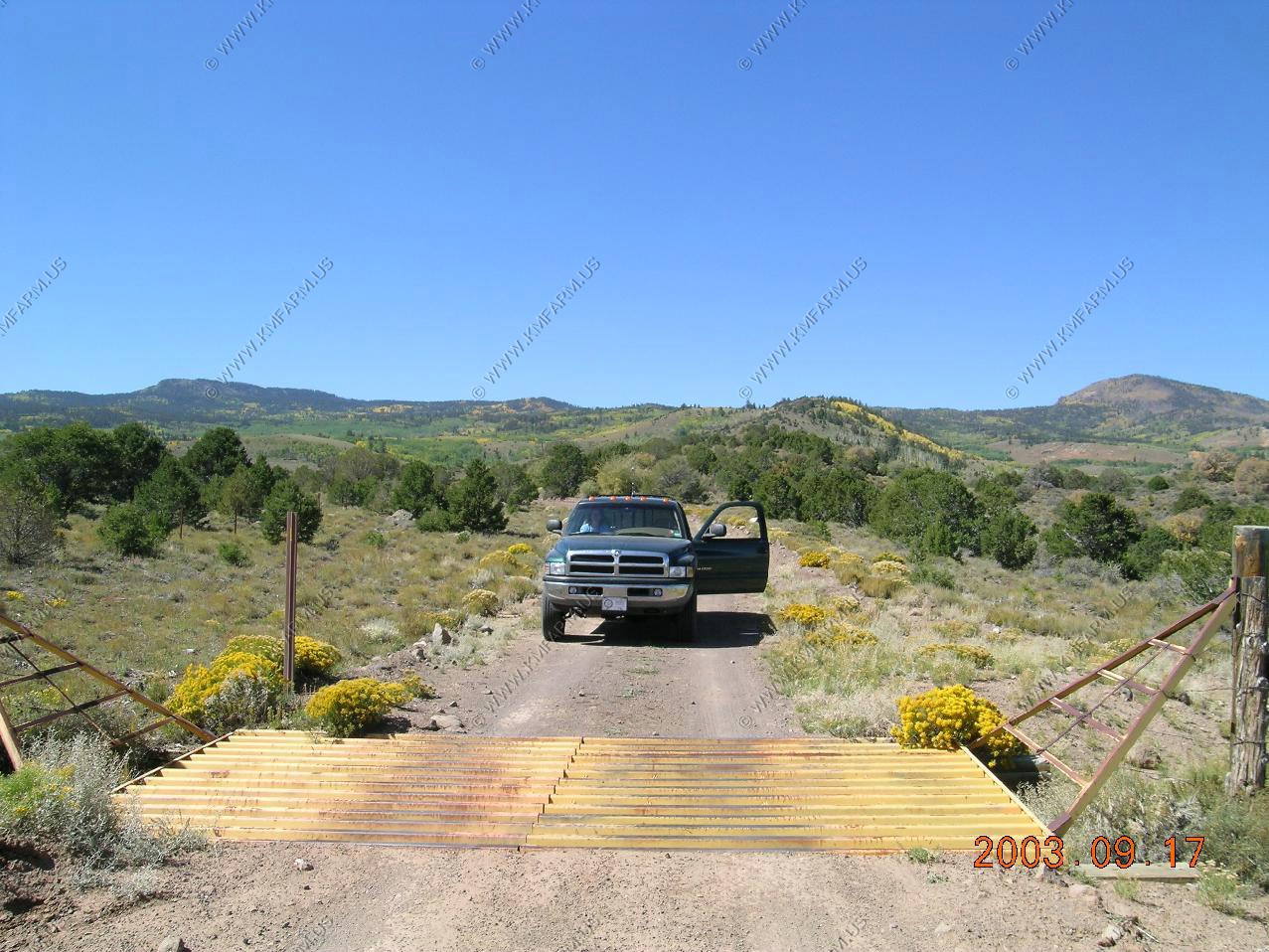
The rangers told us that you always drive the Cathedral Valley back roads in a clock-wise direction. This is due to the river ford crossing of the Fremont River. The water was appx. 2 feet deep and fast moving but we did not have a problem with it. This was going to be a great ride as a ford like this keeps the cars out !
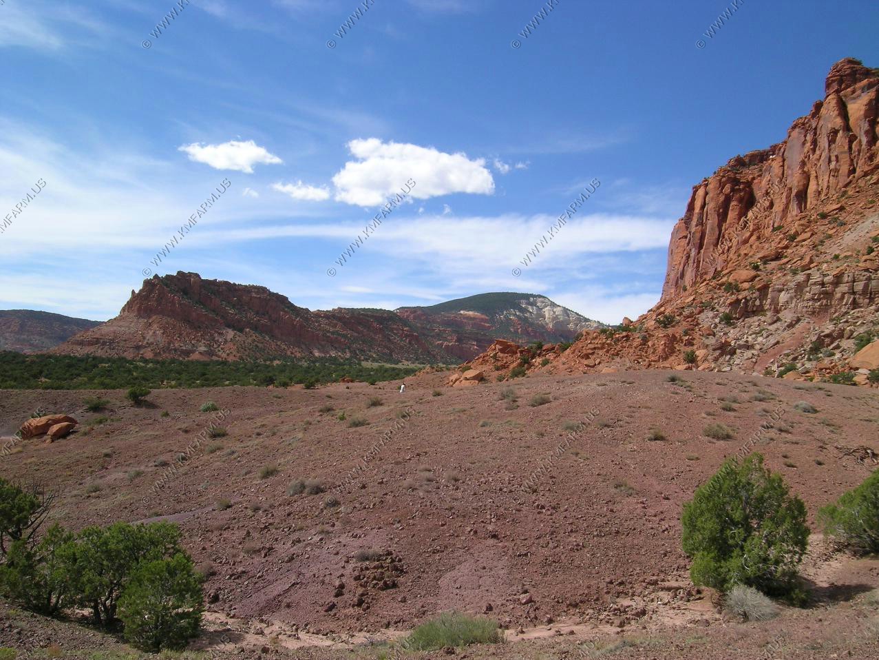
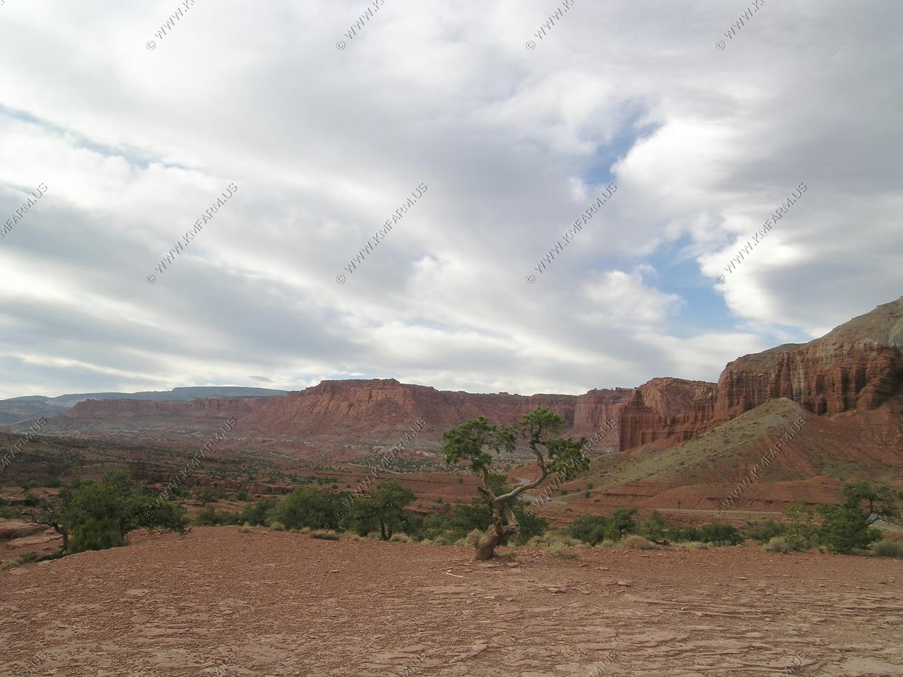
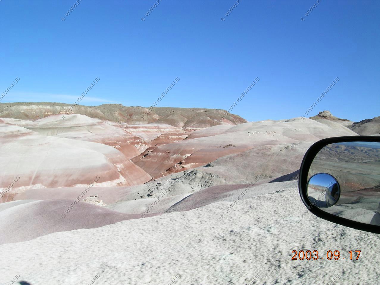
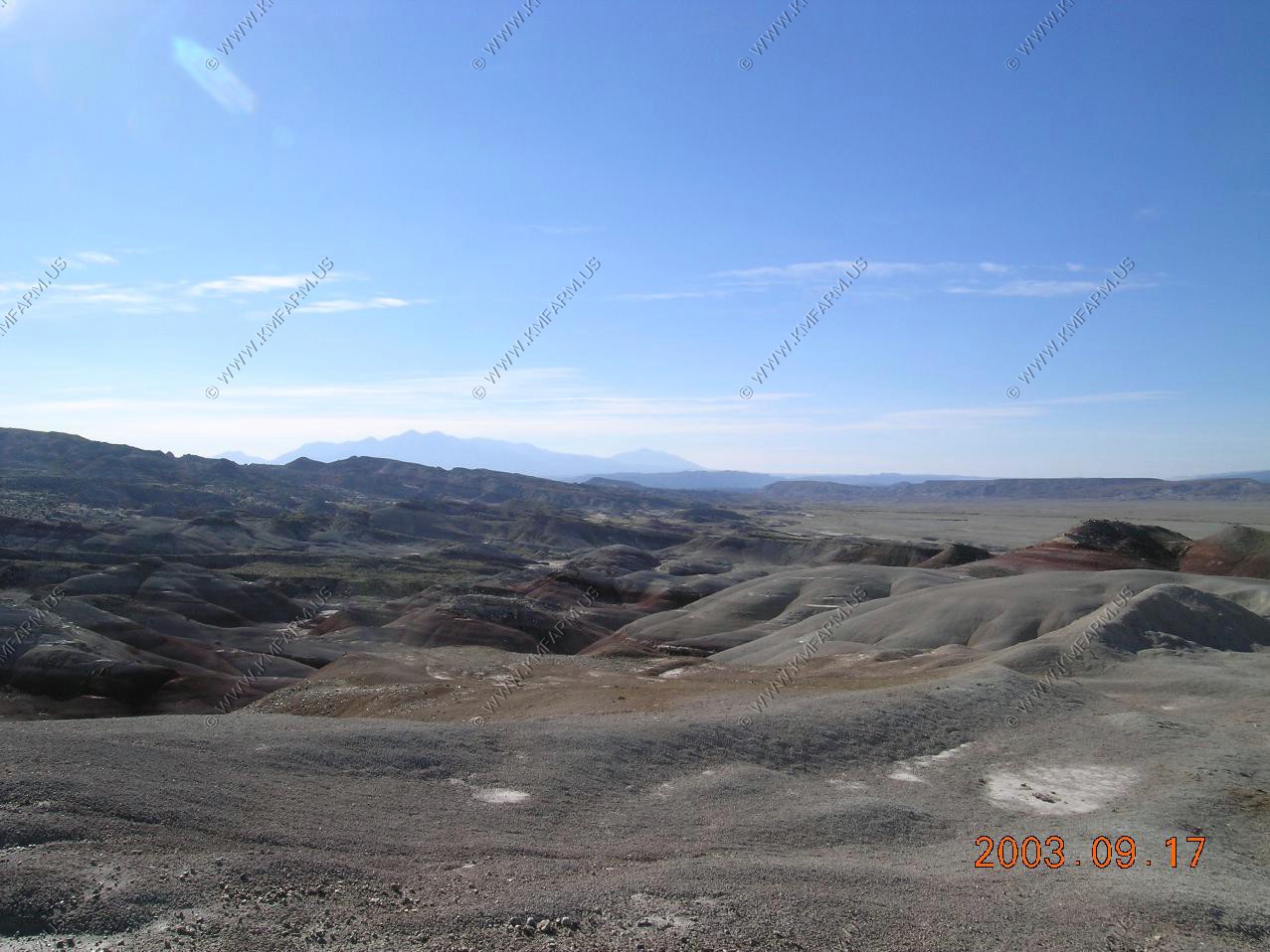
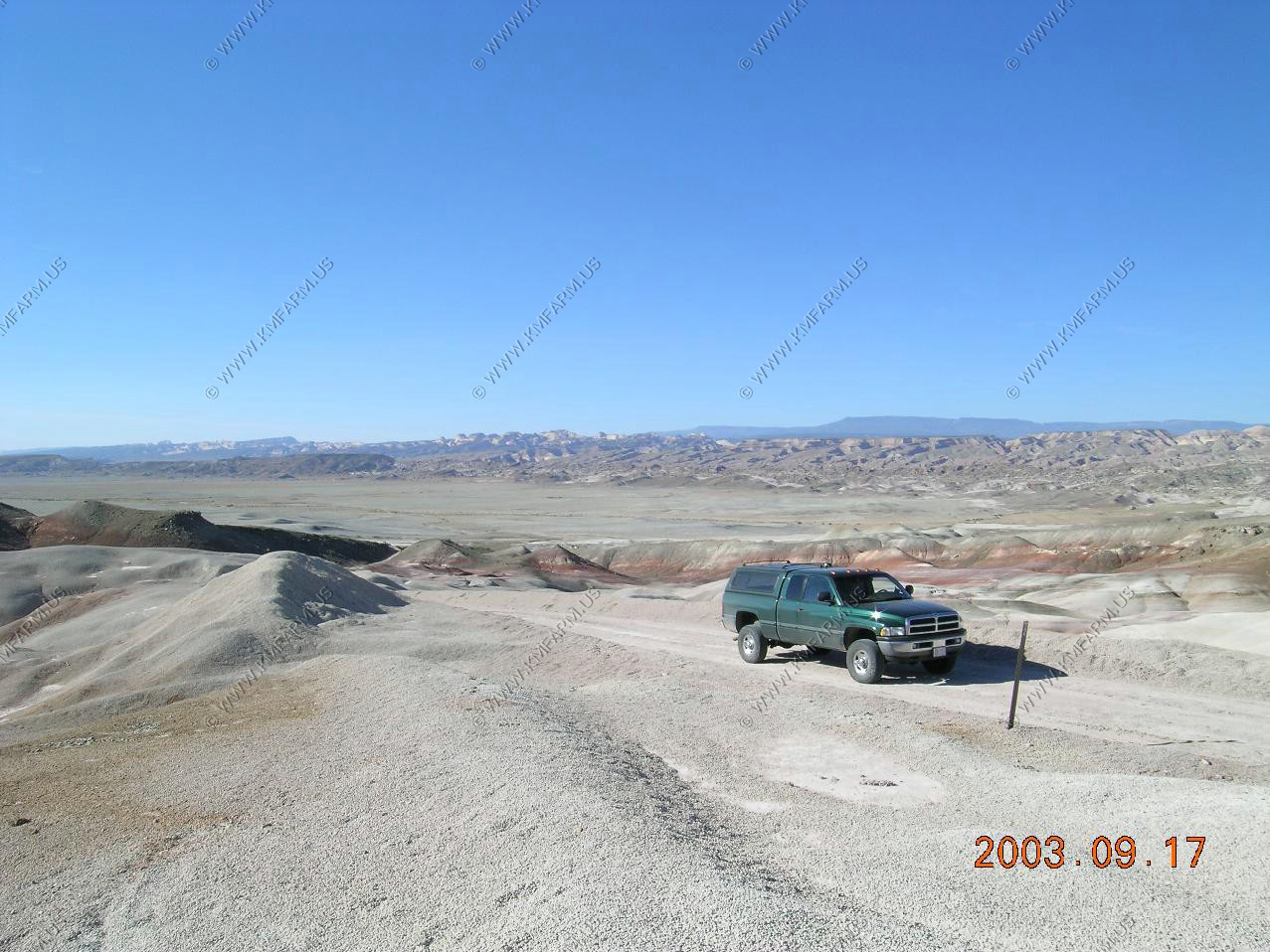
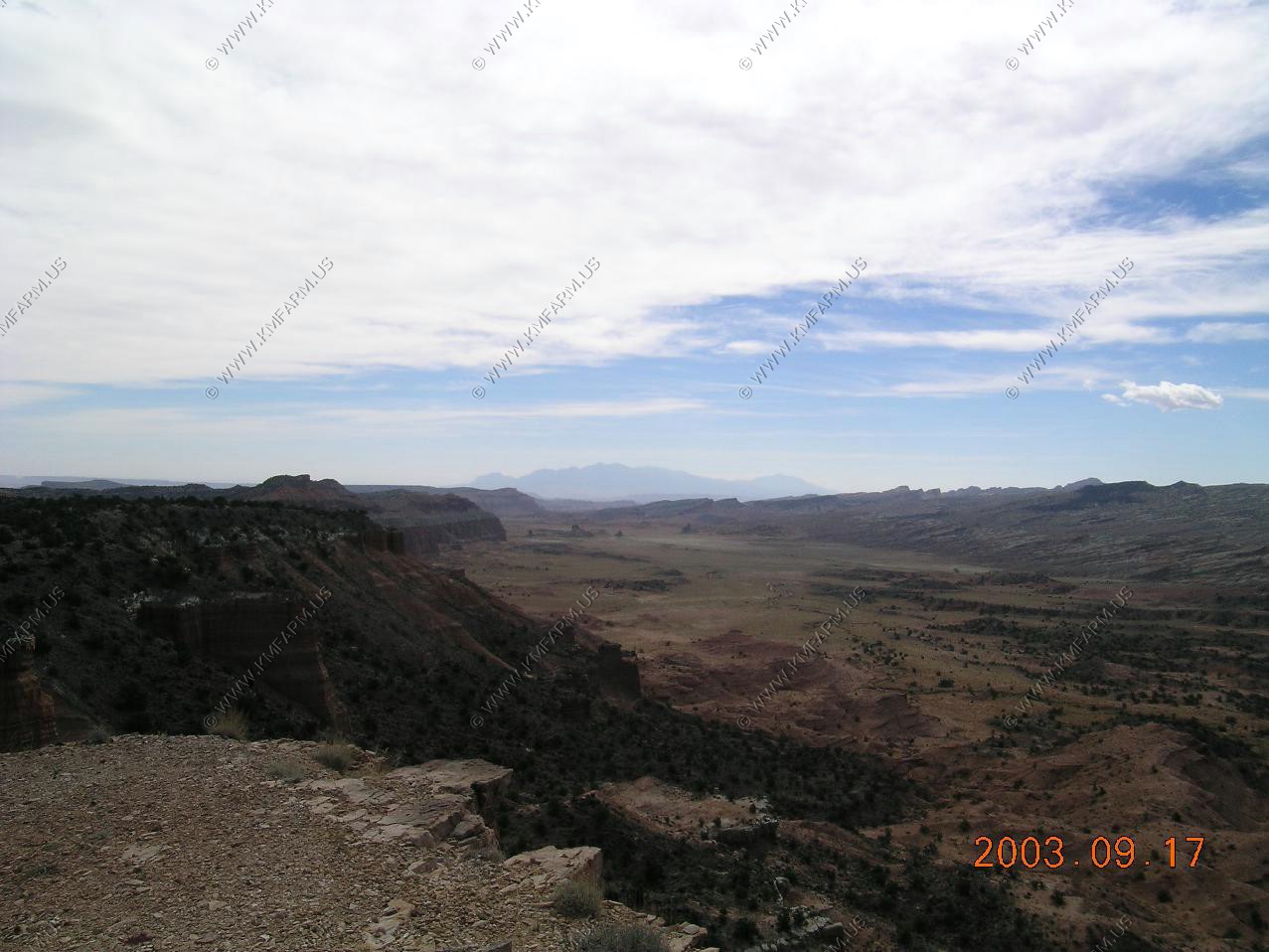
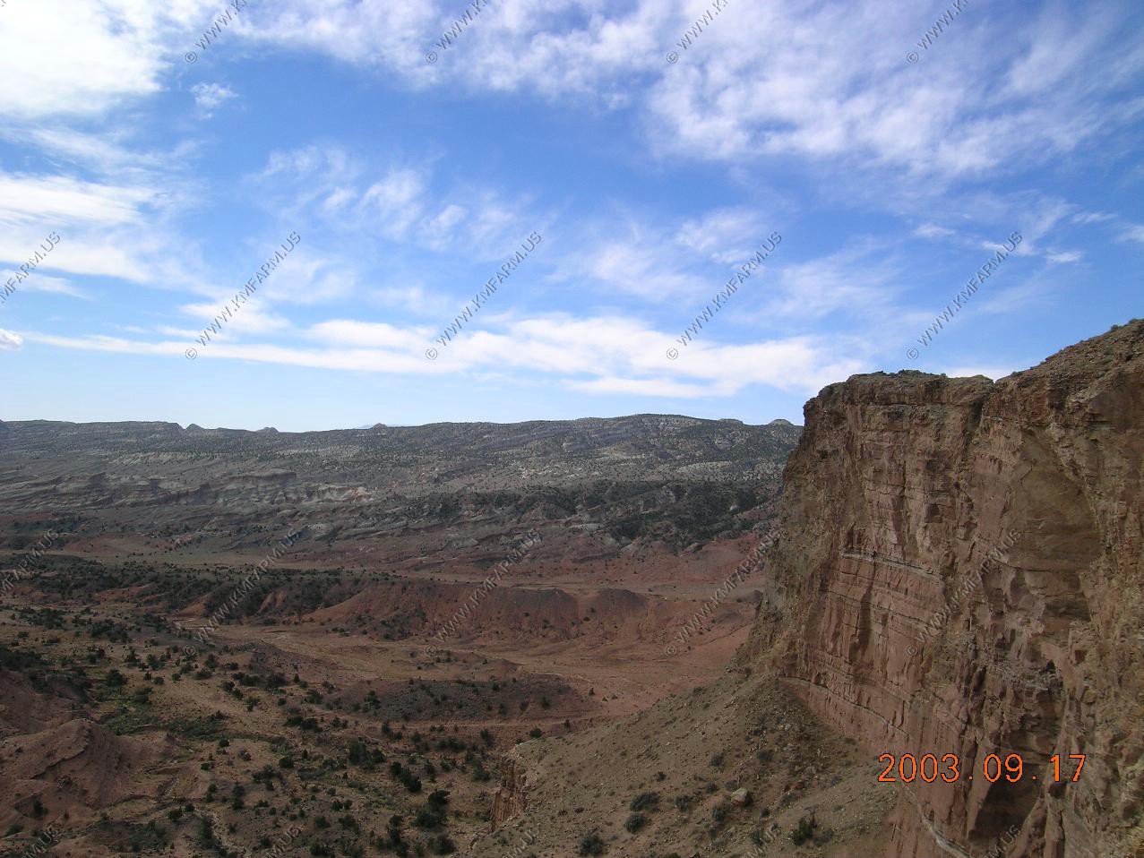
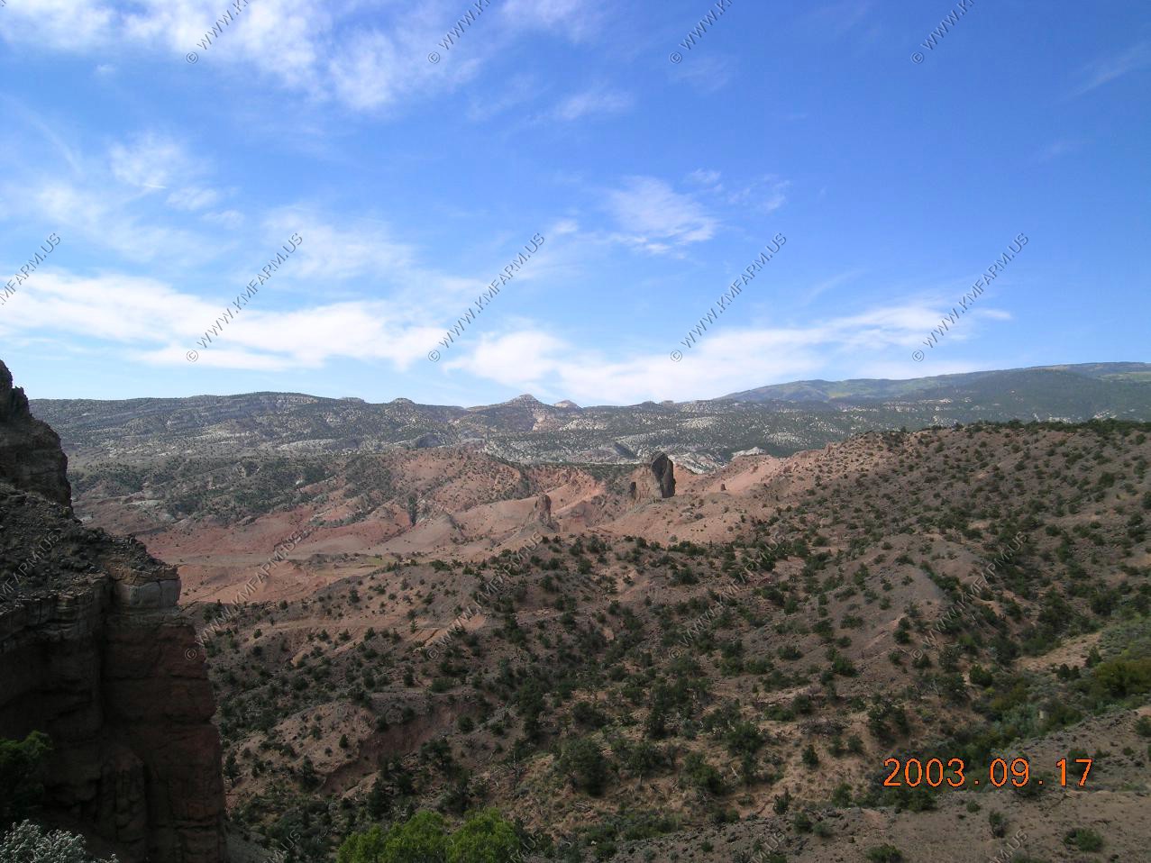
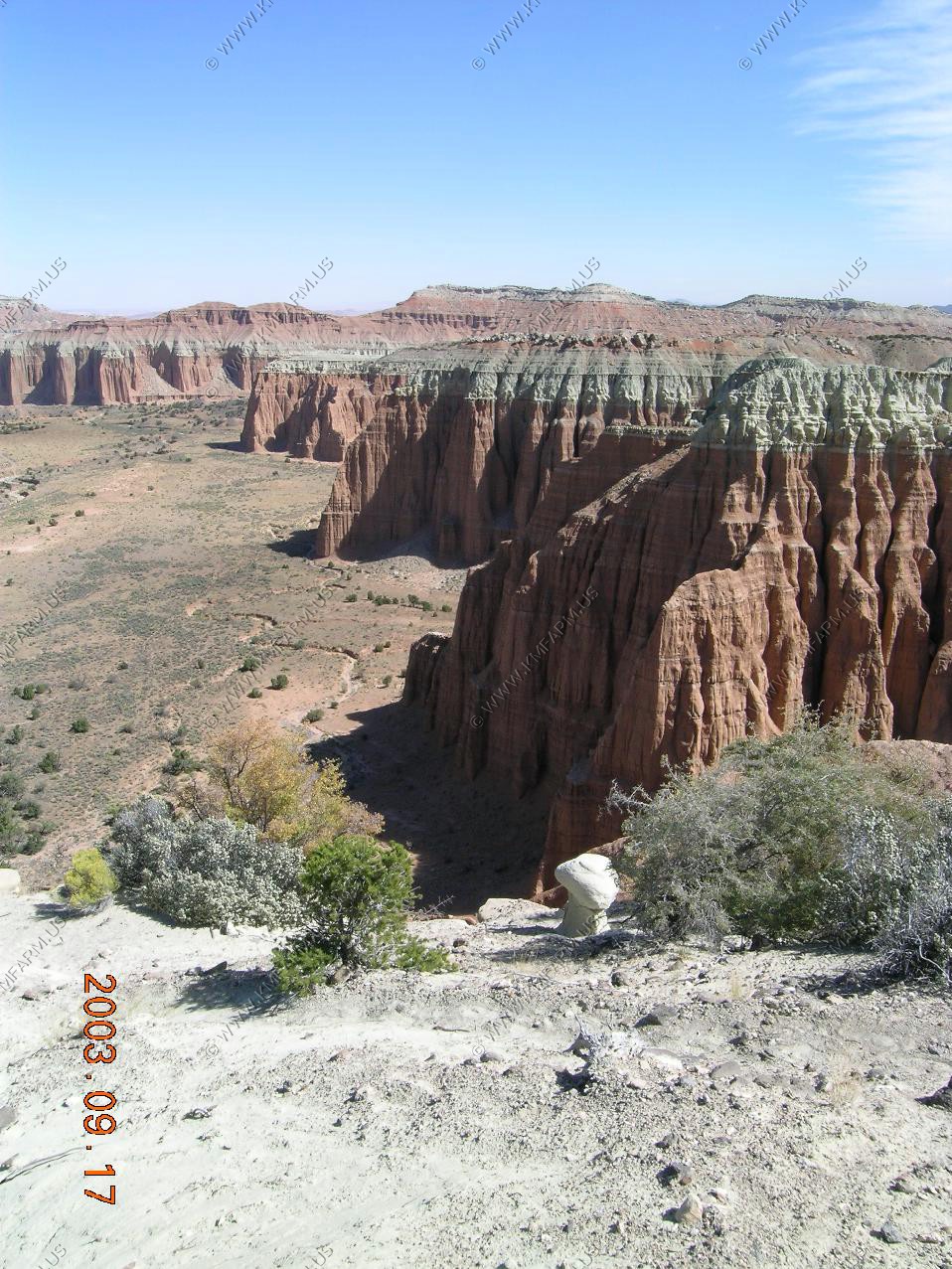
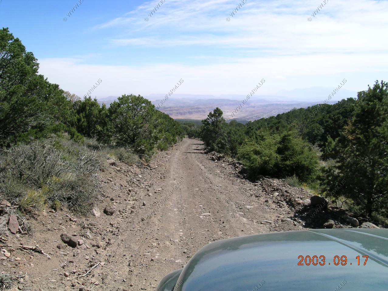
Generally the first part of the ride was flat and we did not have any problems. To the west you could see the main part of Capitol Reef / Water Pocket Fold located appx. 10 miles away across the North Blue Flats.
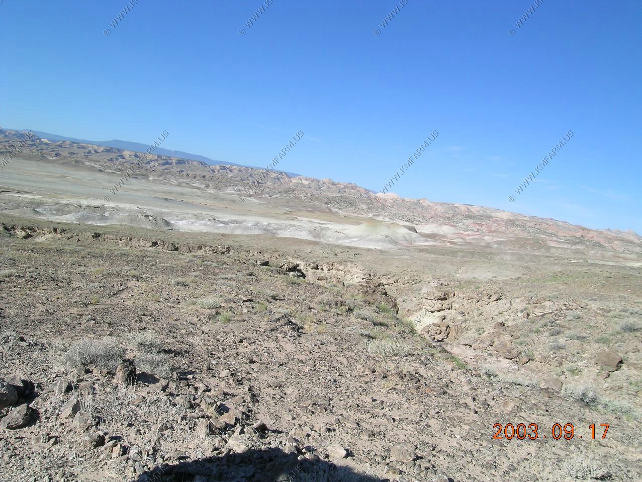
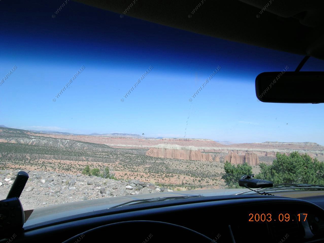
Looking across the top of the main part of Capitol Reef / Water Pocket Fold at the Fish Lake Mountains 25 miles away
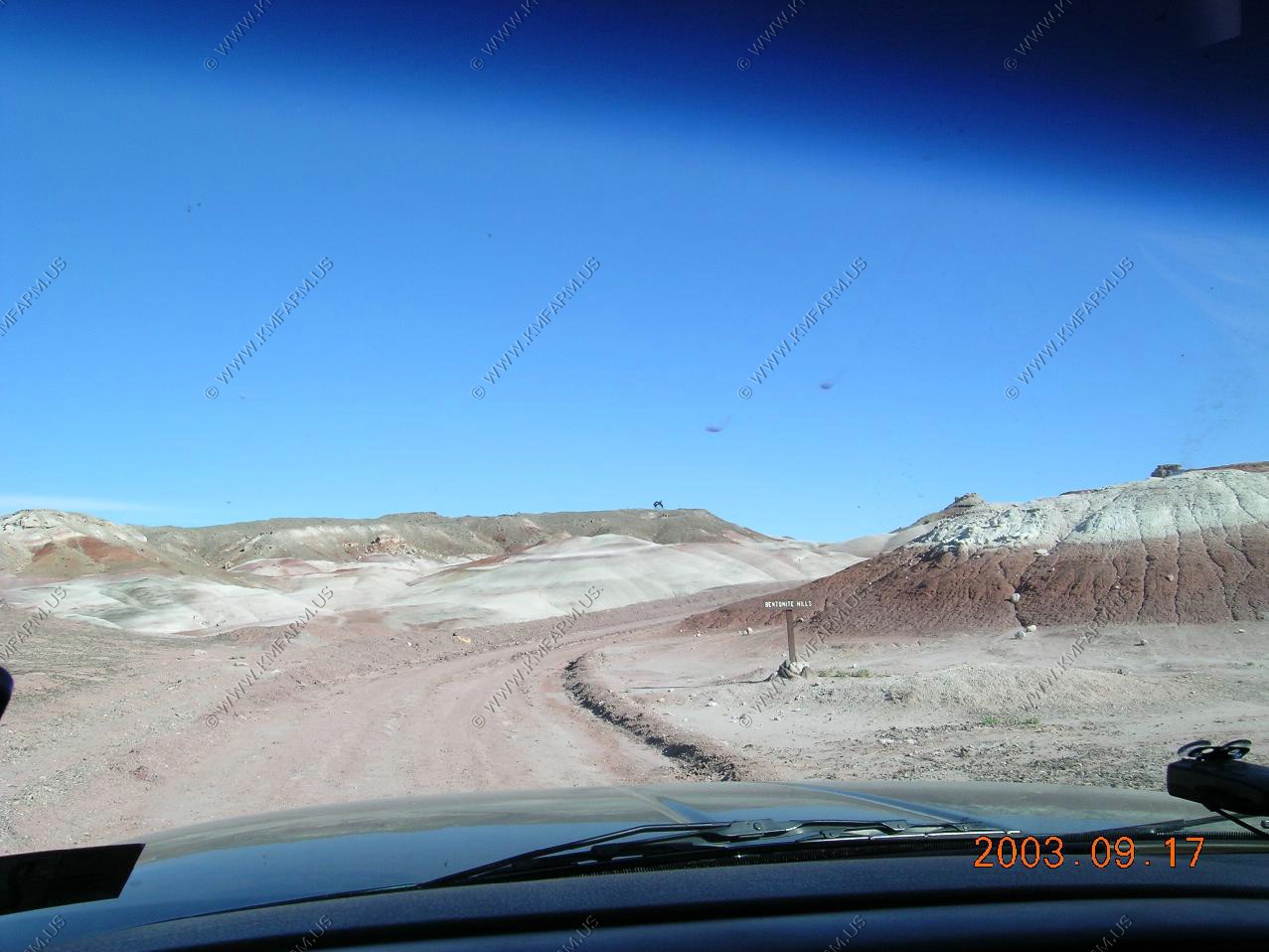
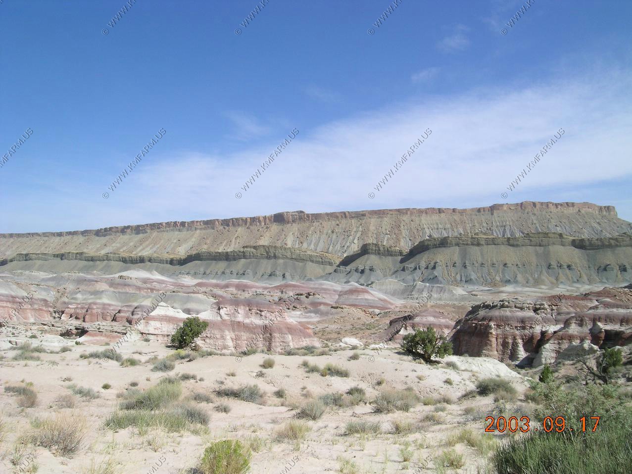
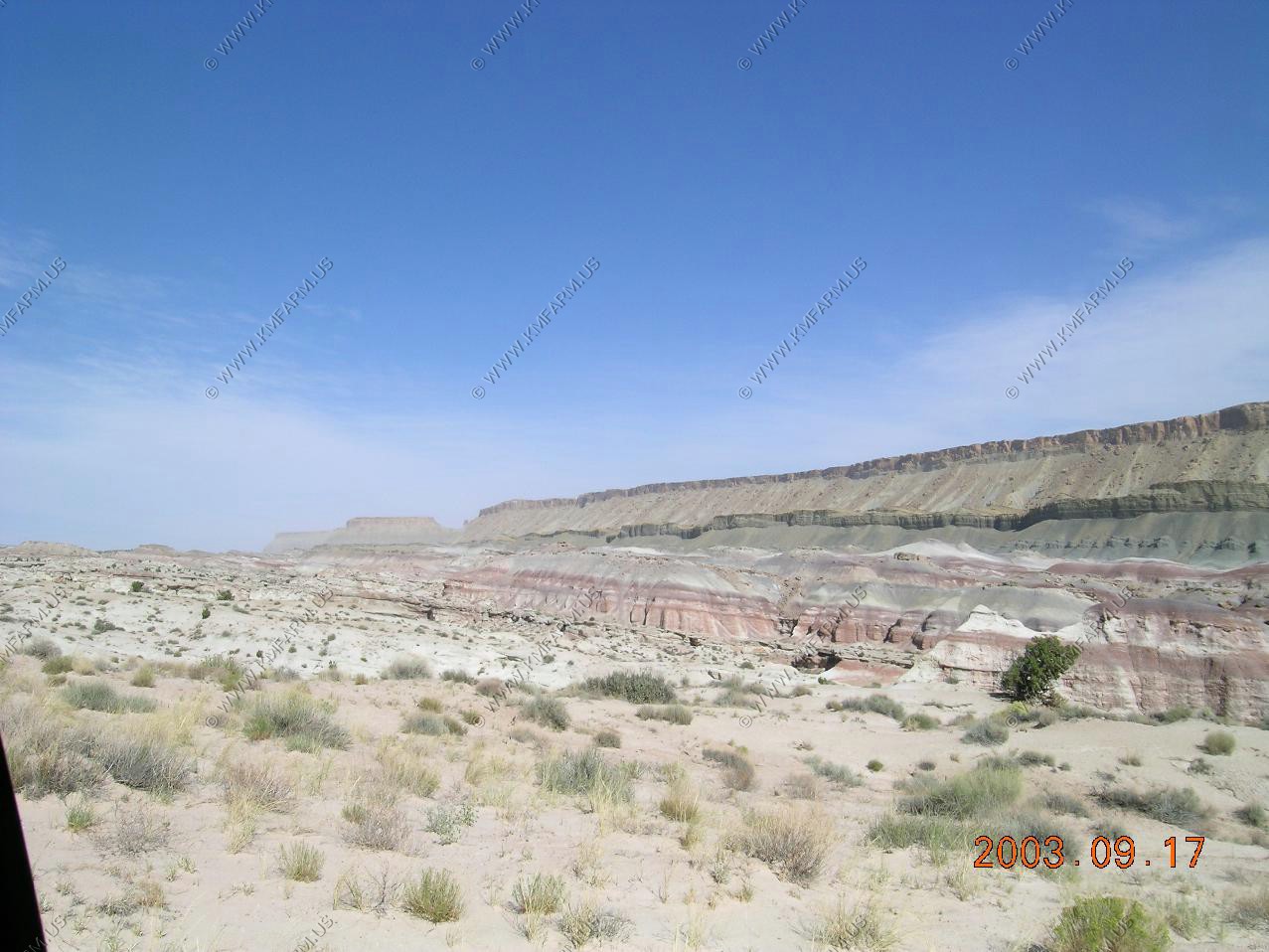
Bentonite Hills in the distance. We were told by the rangers that the road is impassible when wet. Today we would have no problems.
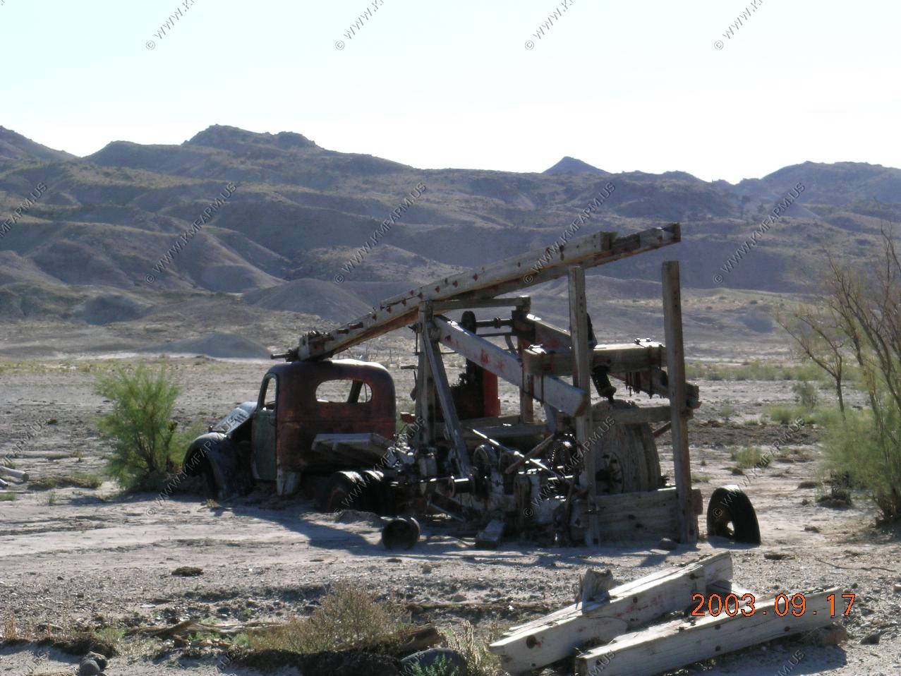
An old drilling rig ??
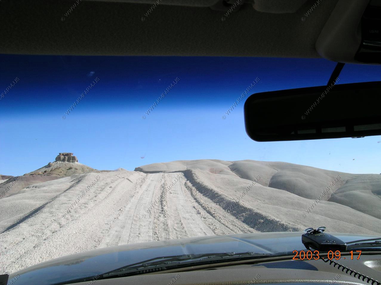
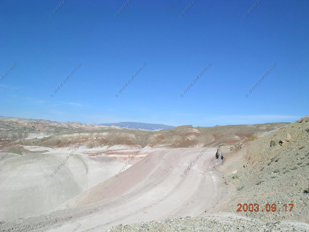
Starting to climb. So far no 4x4 needed except for the river ford
Looking south at the Henry Mountains
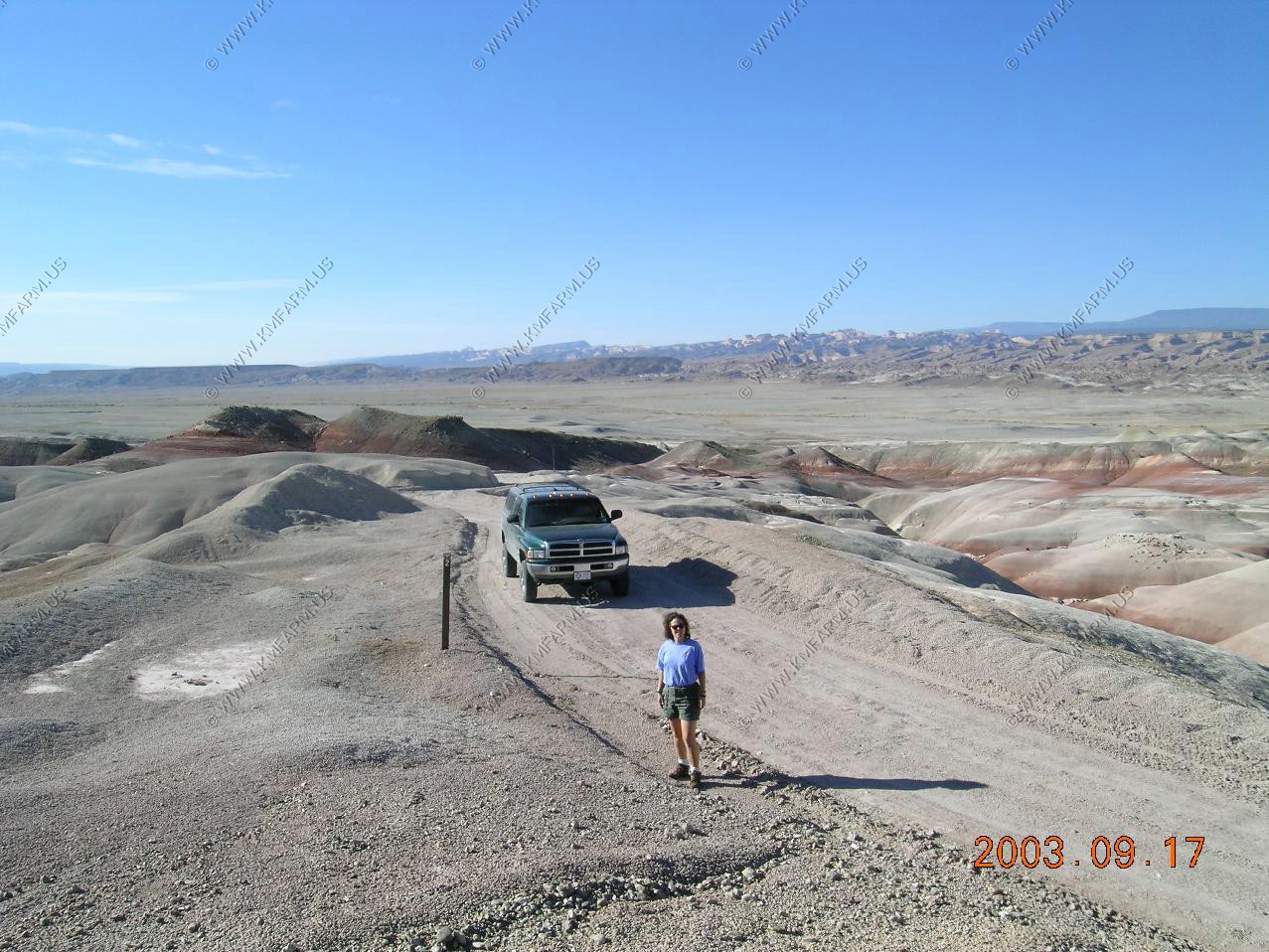
Mary looking for rocks
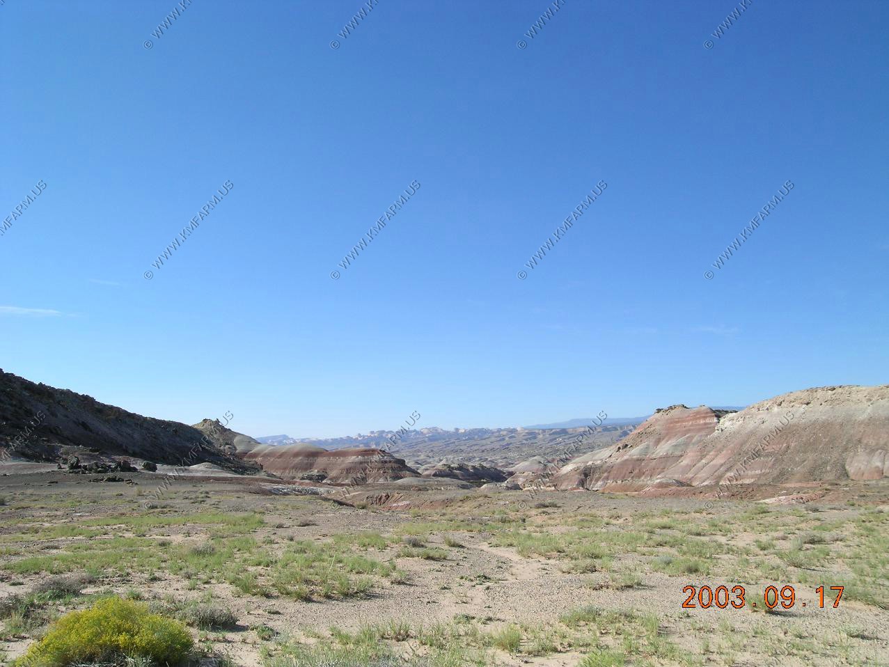
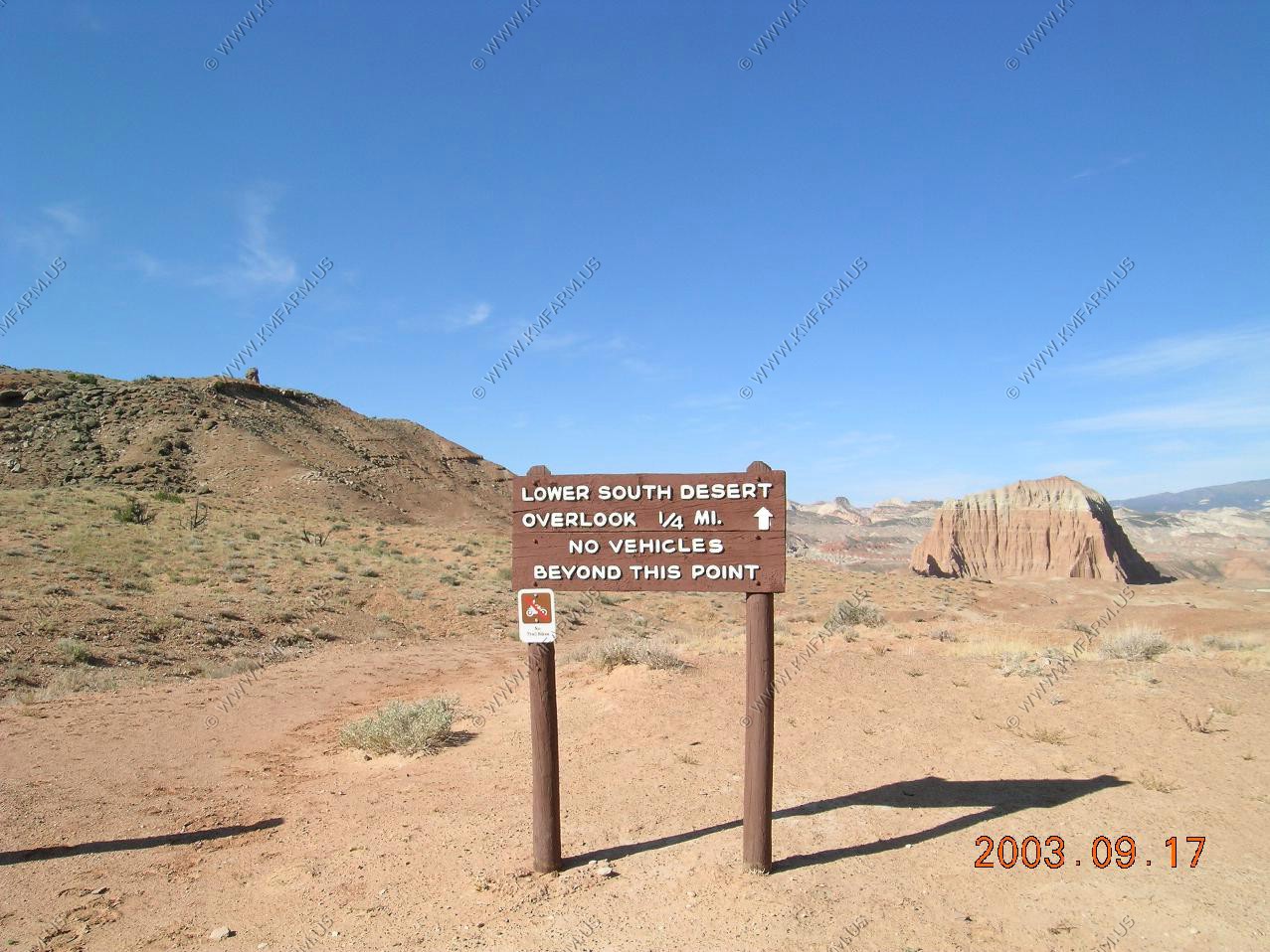
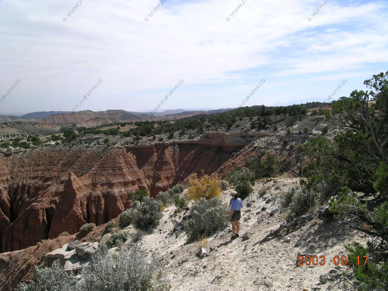
We parked and walked back to Lower South Desert Overlook. The National Park Service had a number of trucks with horse trailers here so we assumed that they were off to the west of this point. From the overlook you could easily follow a old road that went down to Deep Creek. We did not have time to do this.
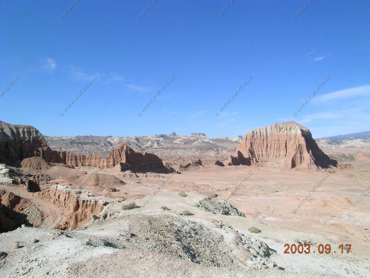
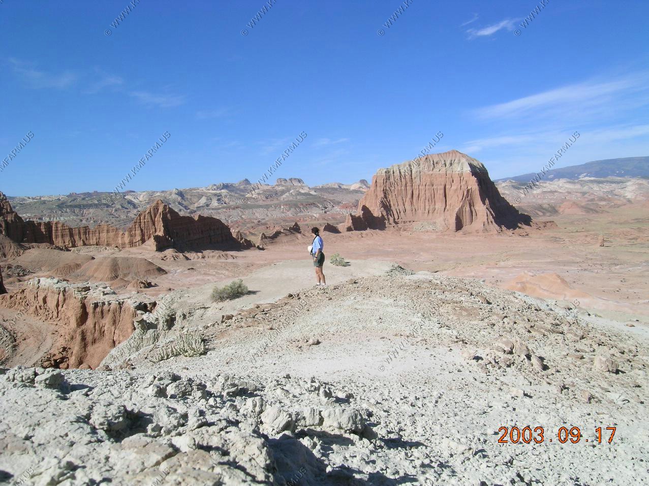
From Lower South Desert Overlook looking to the West at the Fish Lake Mountains where we were on UT-27 the day before taking a photo in this direction.


A good bit of the road that we have been on today has been BLM land (you can collect and remove rocks). But, now we are informed that we are entering Capitol Reef. I am amazed that the NPS would spend the $$$ on a fancy stone sign 50 miles up a dirt road that only a few hundred people a year see. It's your government at work.
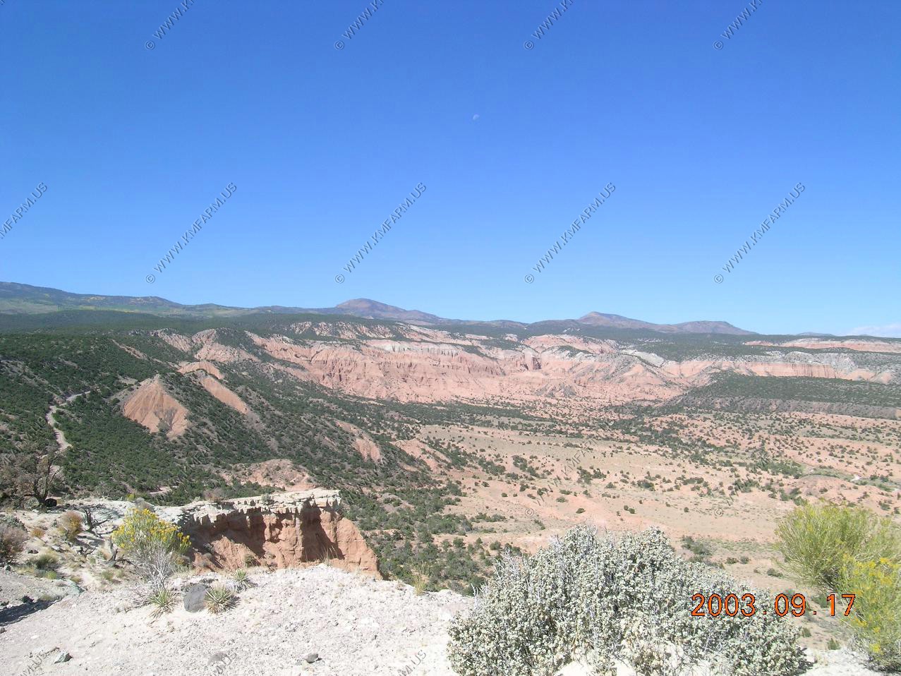
Views from the Upper South Desert overlook. Looking south at the Henry's. Looking West at the high country. Also, you can see that the vegetation has changed as we are close to 6,000 feet. This is appx. 1,200 feet higher than the river ford at the start of the trip.
Aspen changing up on the mountain.
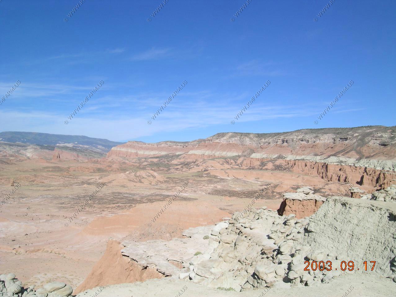
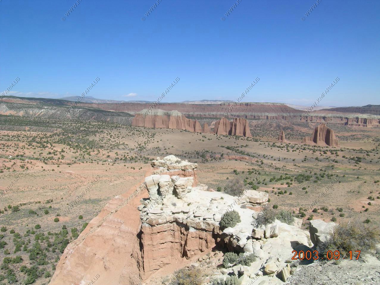
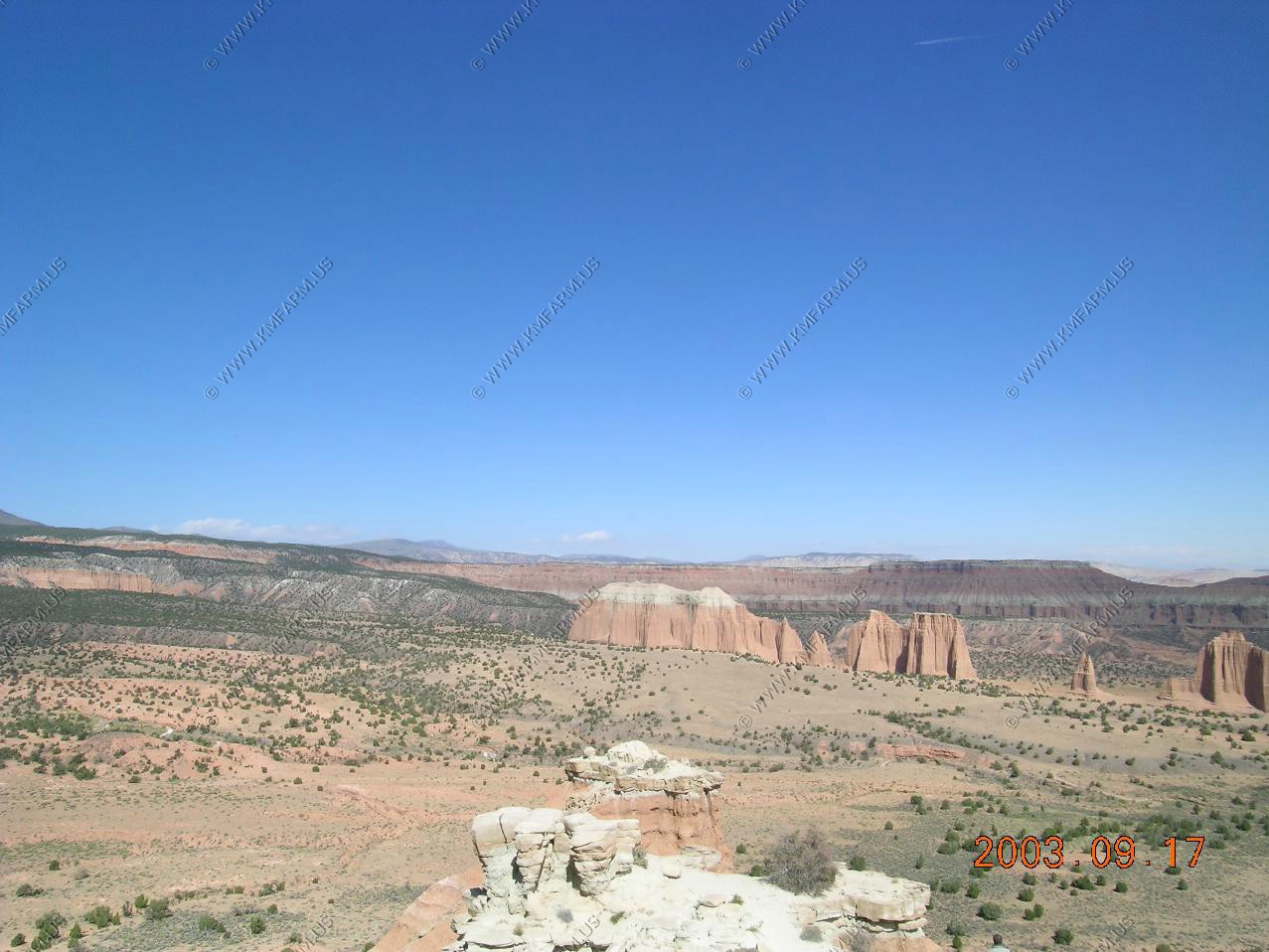
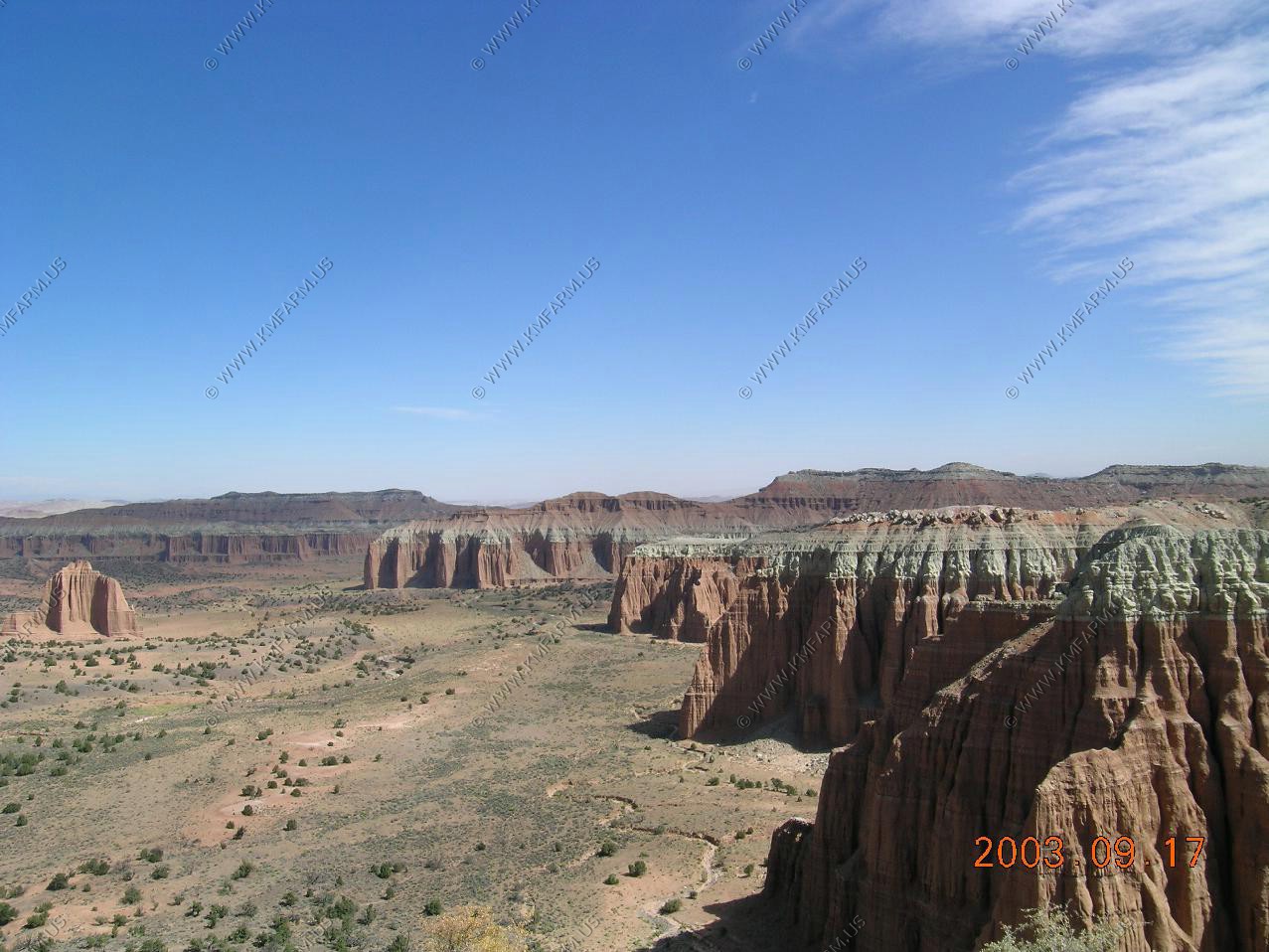
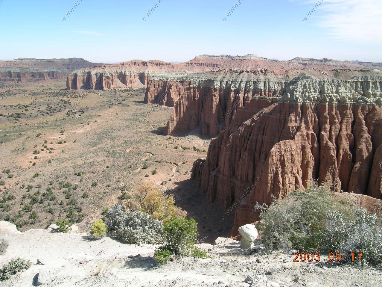
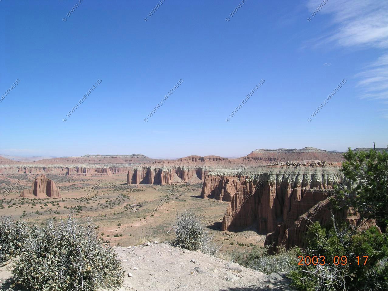
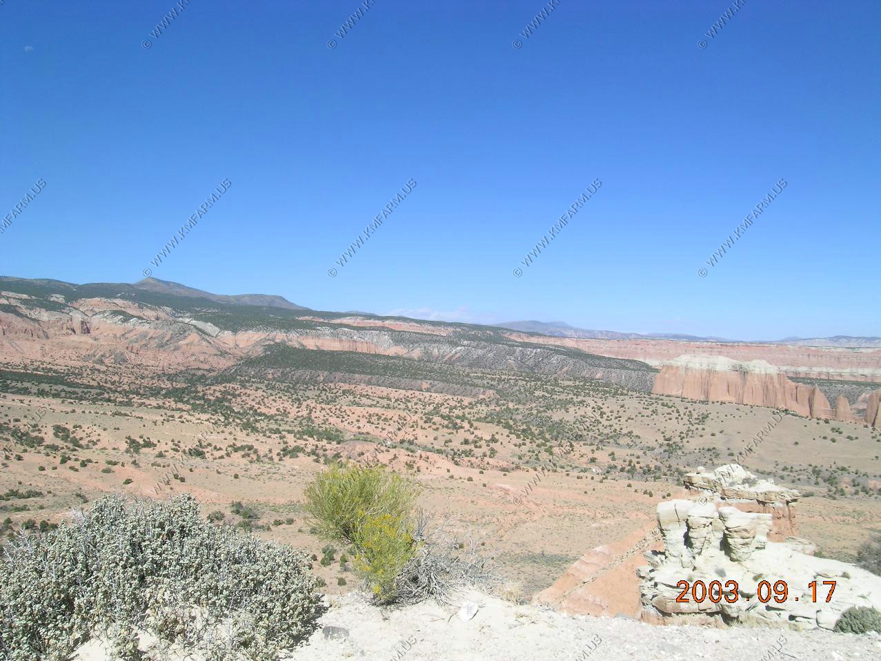
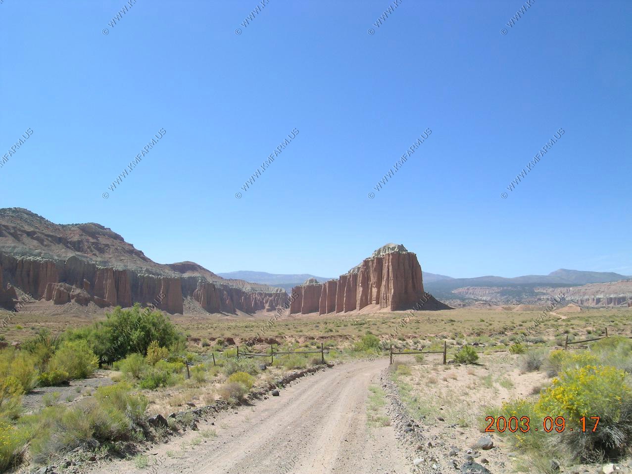
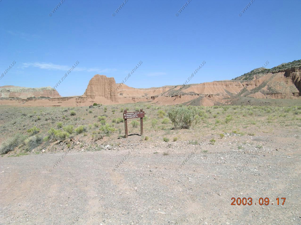
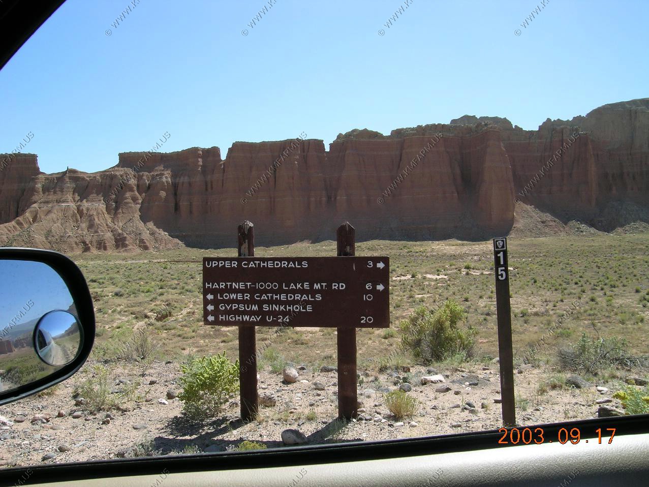
A short distance we stop at the Upper Cathedral Valley Overlook. This overlook looks north and East. The road that we are on drops down into Cathedral Valley and heads to the east then south
Mary trying not to lose her hat
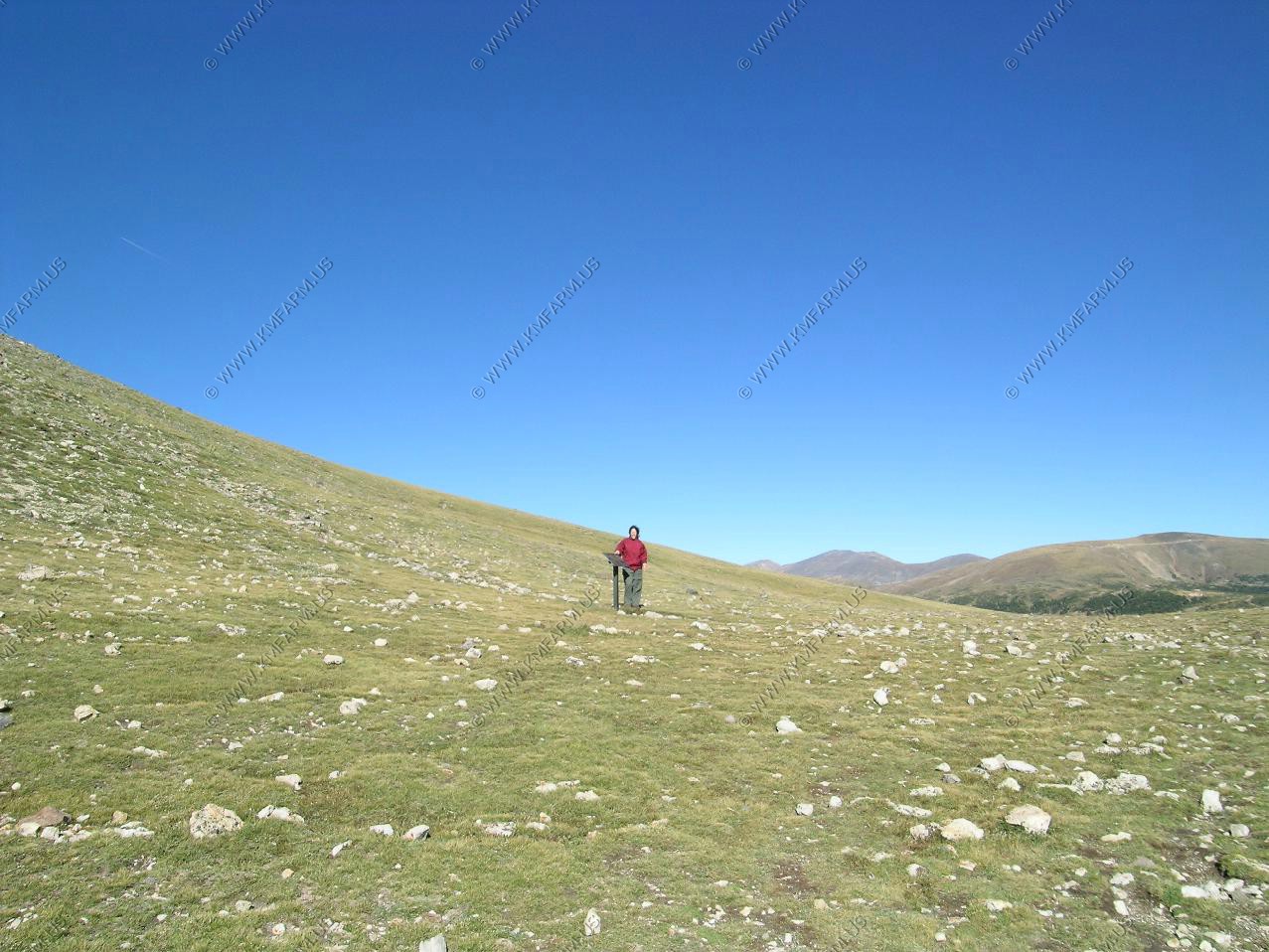
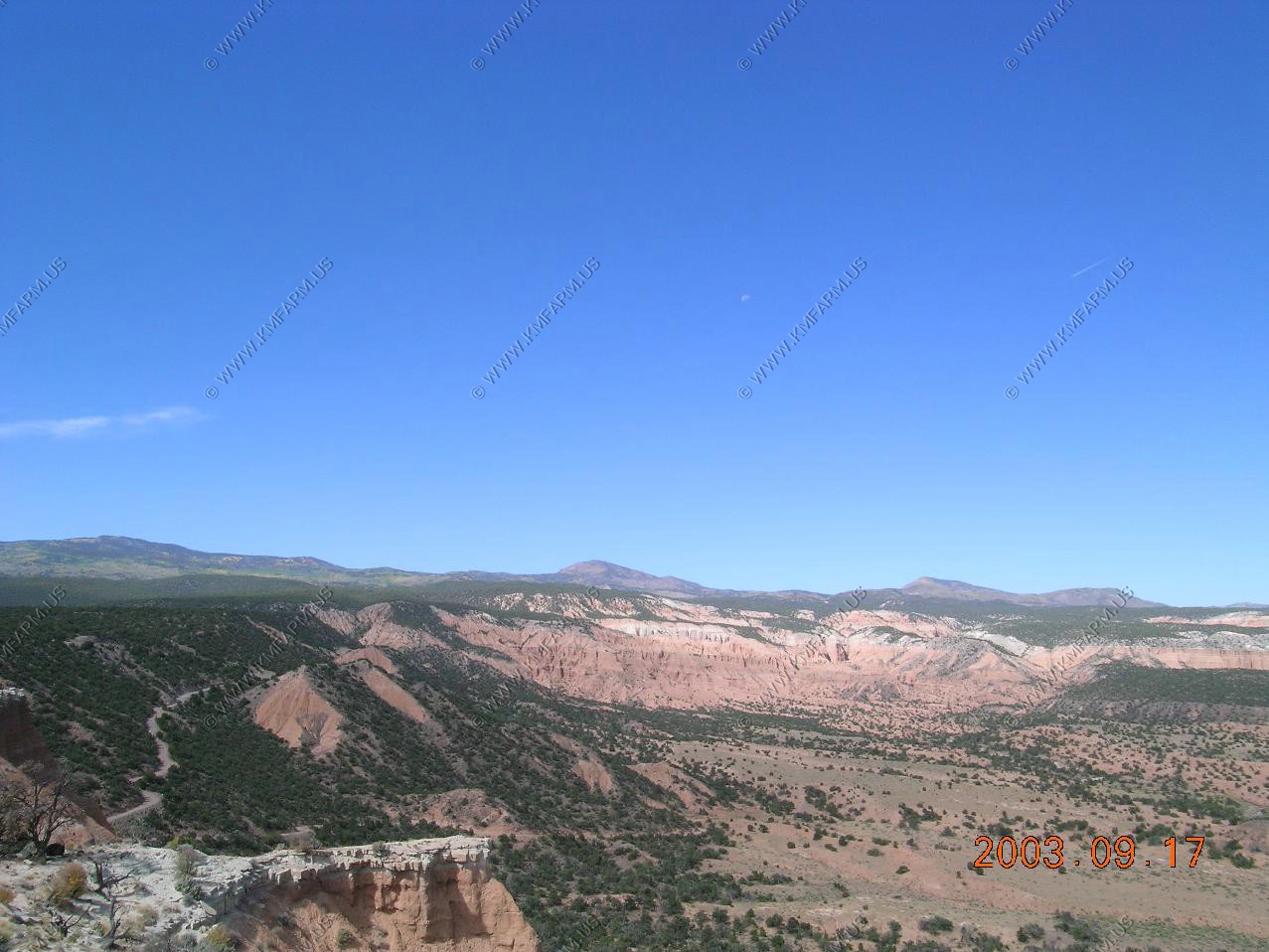
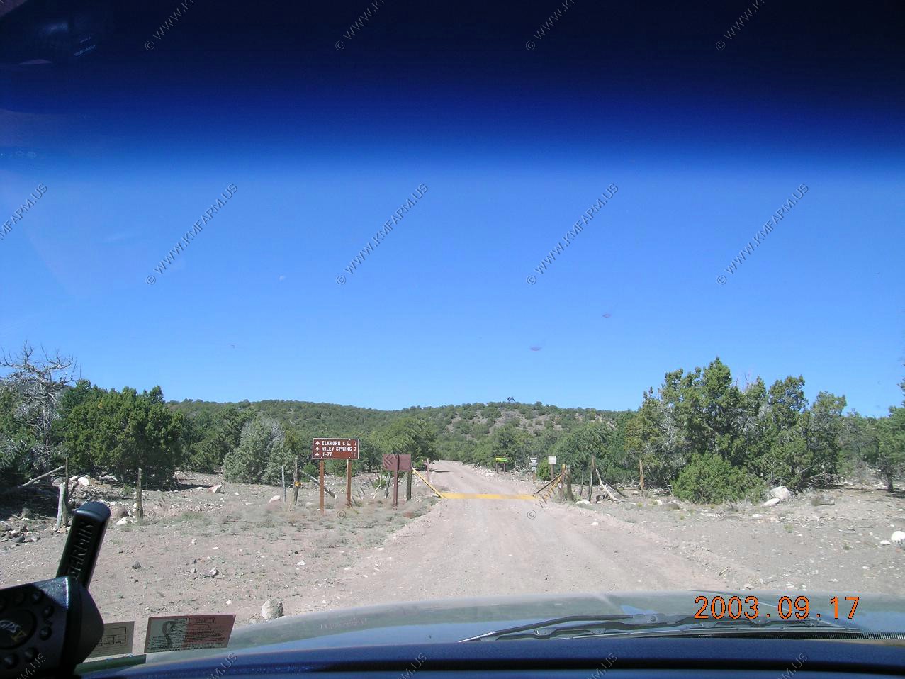
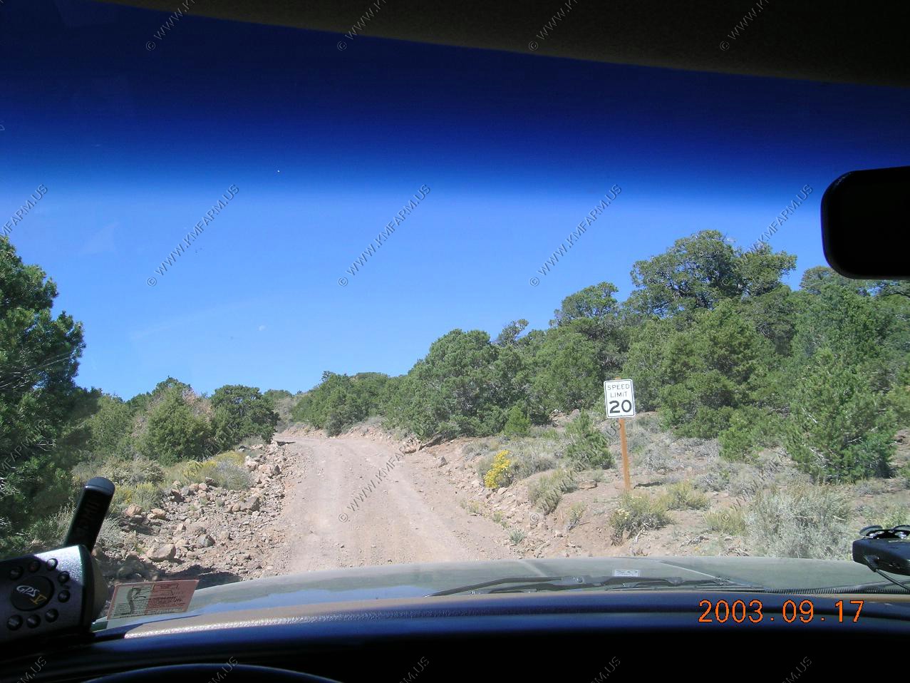
Right after the overlook at Harnet Junction we decided to ride up into the high country a few miles to see the view. The elevation goes to over 9,000 within a few miles. I was surprised to see that UT-72 was only 11 miles away when we crossed the cattle guard leaving Capitol Reef NP. Don't forget the speed limit on this dirt road is 20... I wish !!
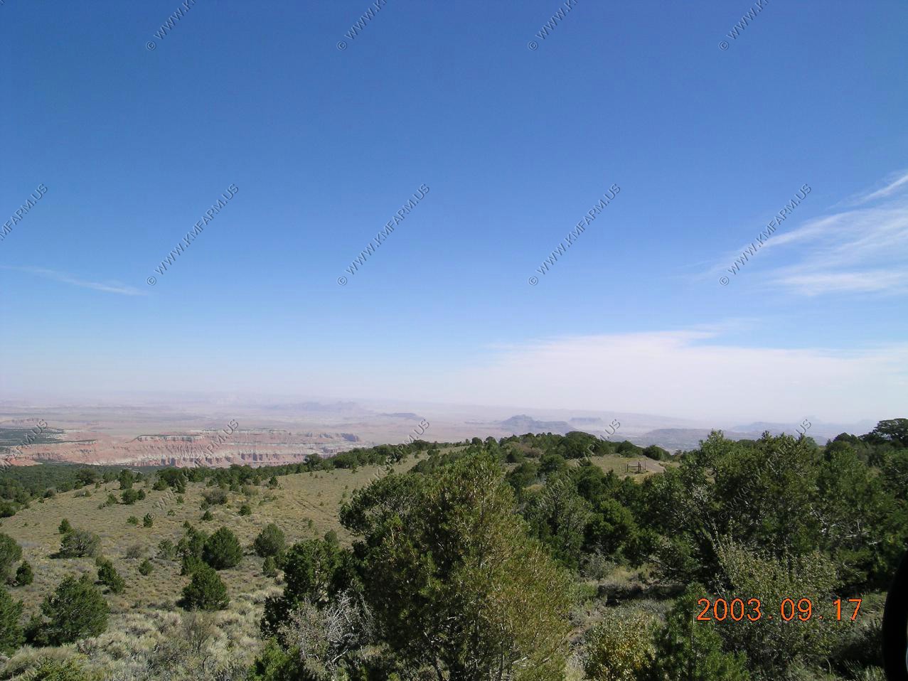
We stopped at a good spot (El. 8,500). The view to the east was great except for all the dust that the wind had picked up. On a clear day I would think that you could see to the La Sal's on the Utah / Colorado line appx. 100 miles away. Even the Henry's were fading into the dust 40 miles away
Going back down. Good road with a nice view to the East
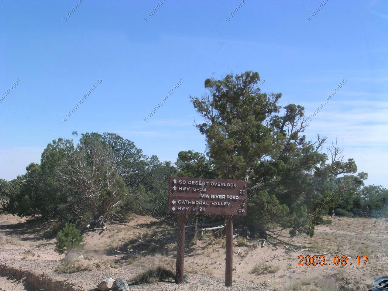
Back at Hartnet Junction. It's 29 miles back to UT-24 via the river ford. 26 miles back to UT-24 via the East route via. Cathedral Valley
Starting down the switchbacks
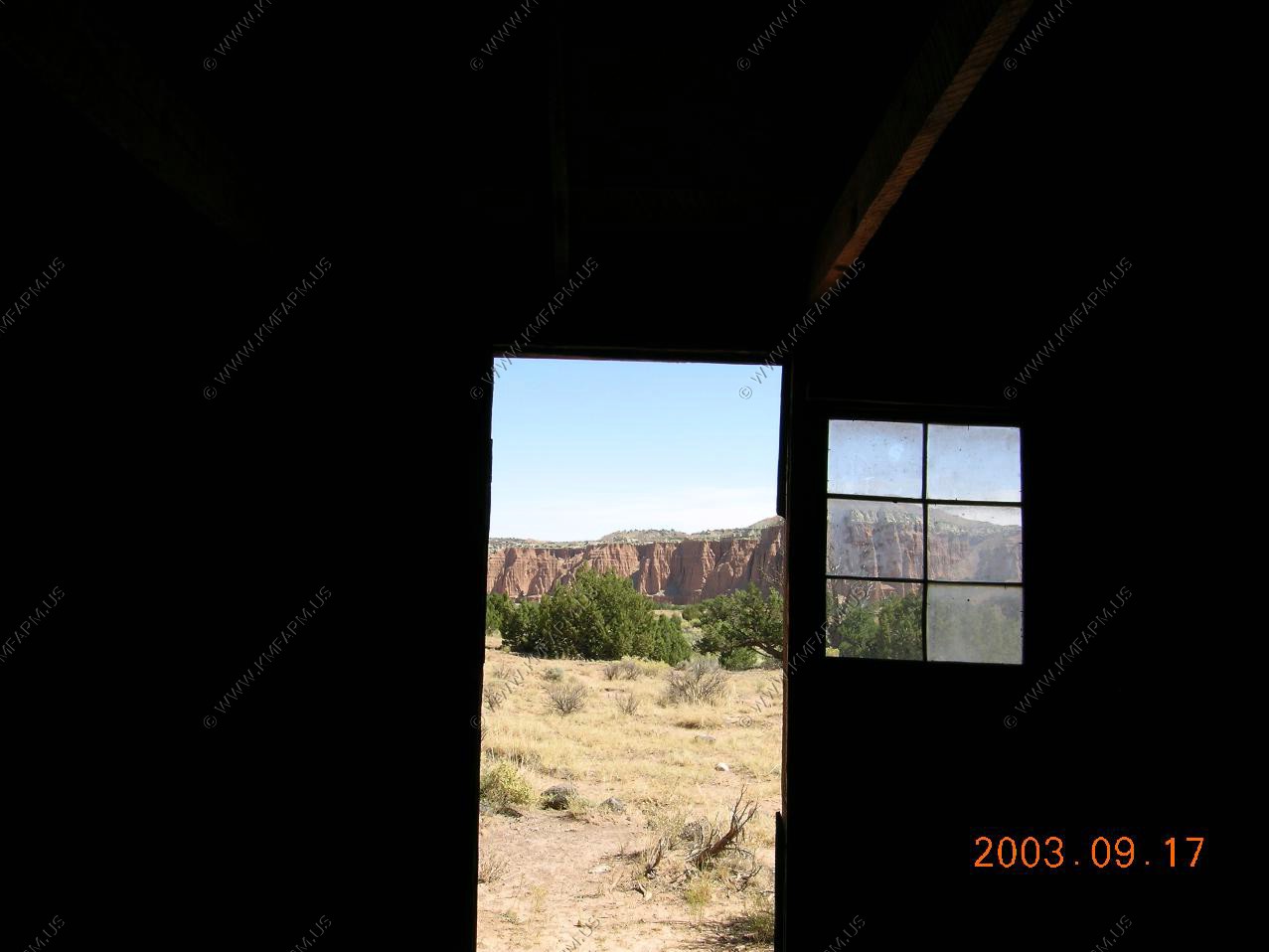
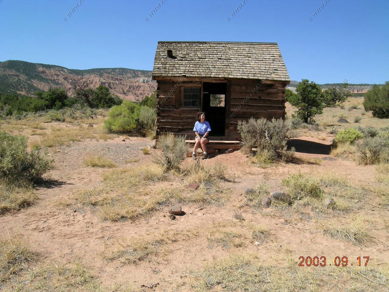
We took a walk back to the Morrel Cabin. The parking space was for one car. More than enough.
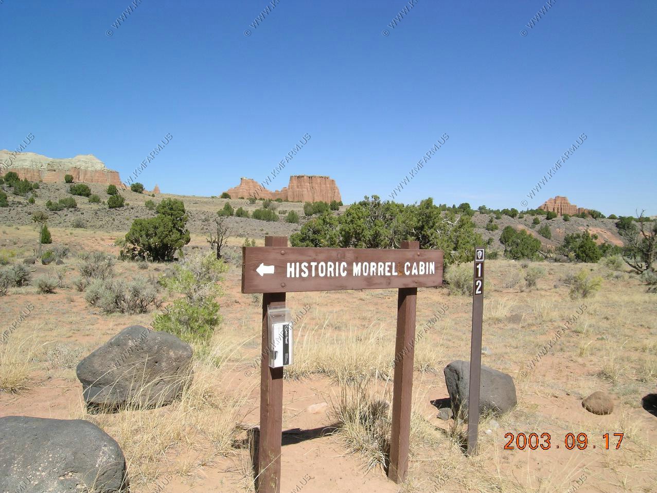
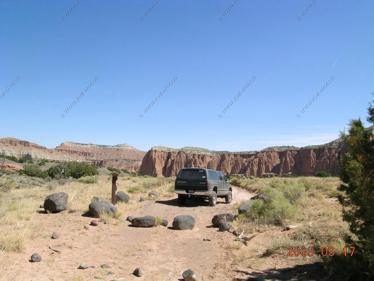
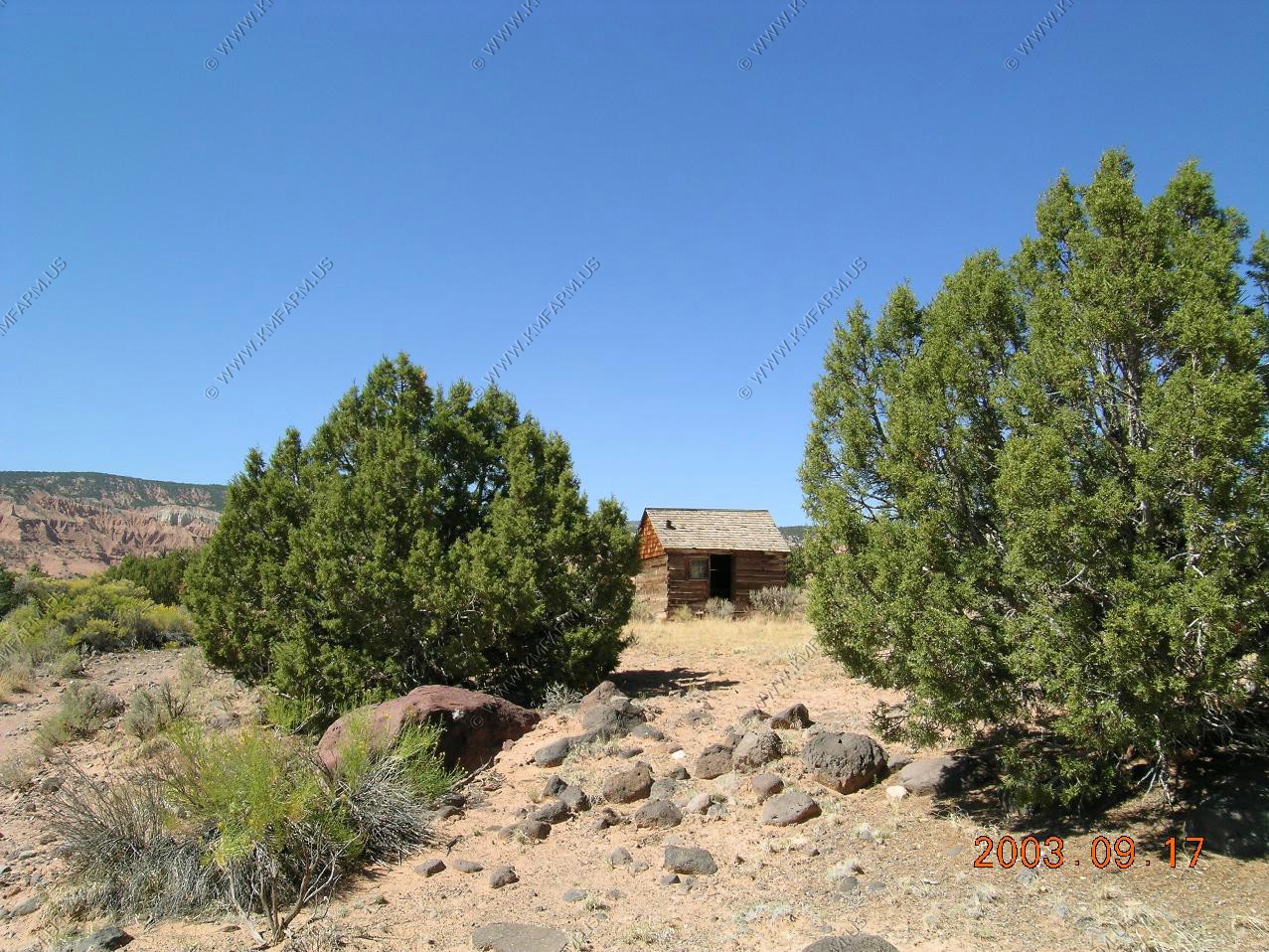
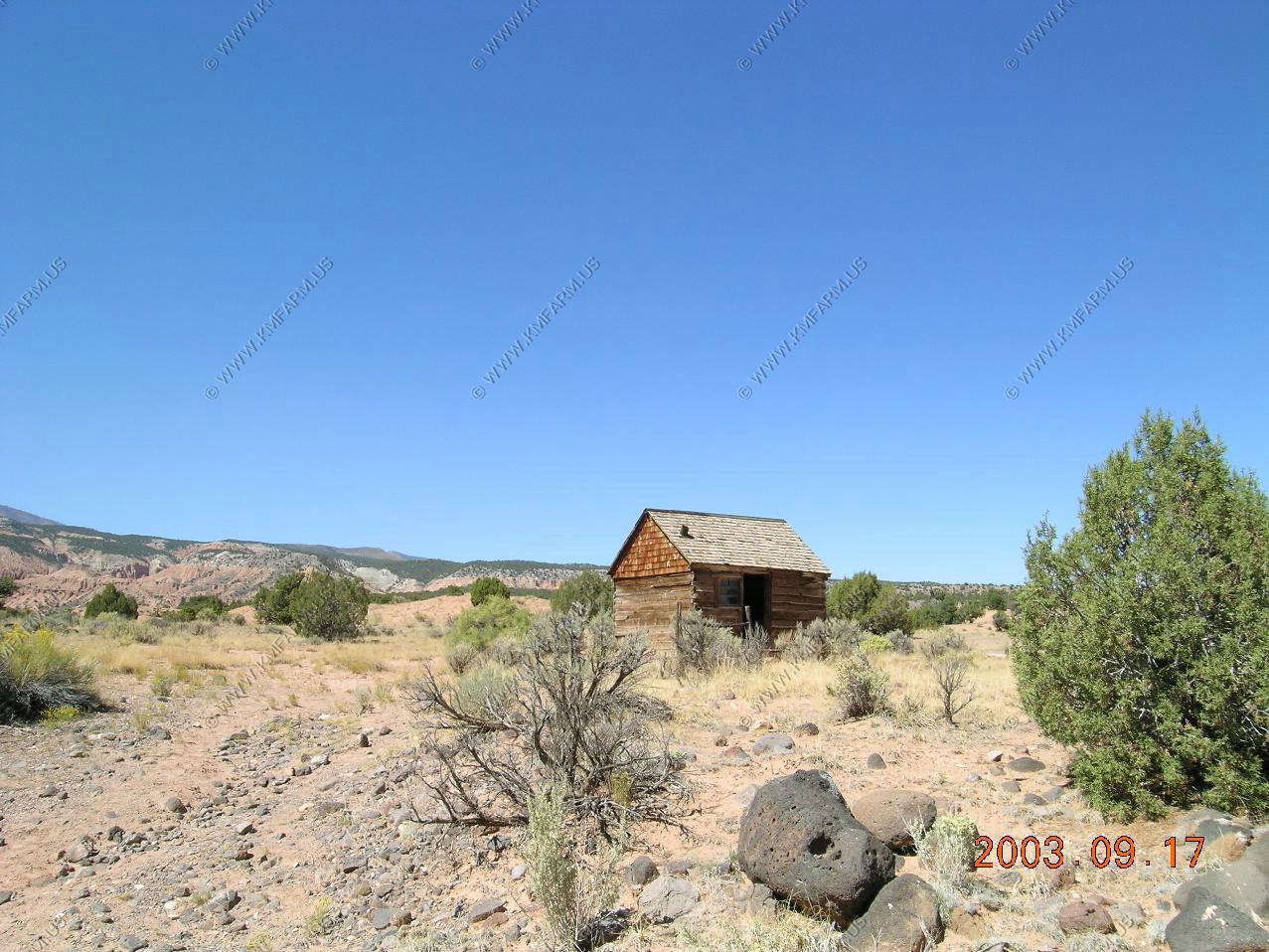
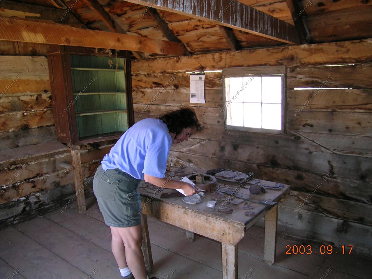
Yes... I could live here... Would not see anyone for weeks !!

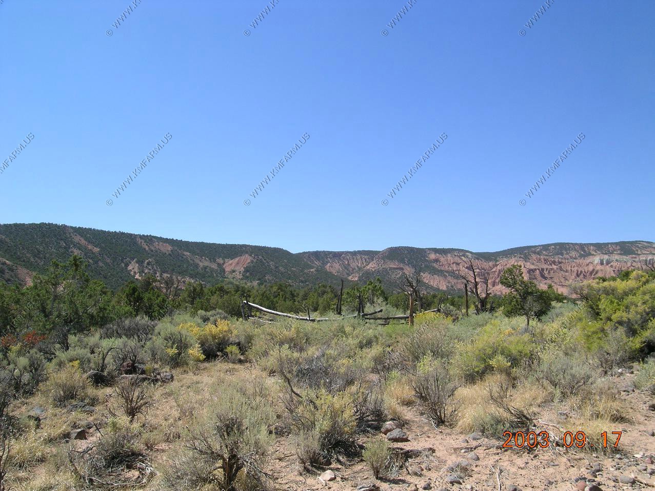
One of the roads that heads off to the north. I would think that you could get to I-70 app. 30 miles north of here.
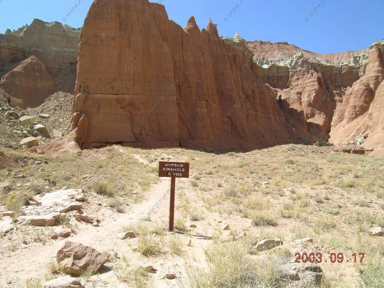
The Gypsum Sinkhole formed when a gypsum plug dissolved. Good place to get rid of some unwanted people.

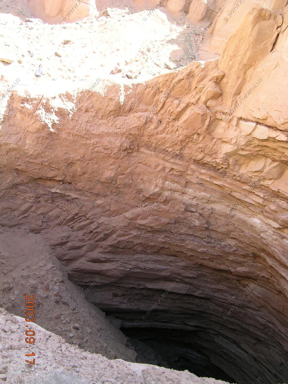
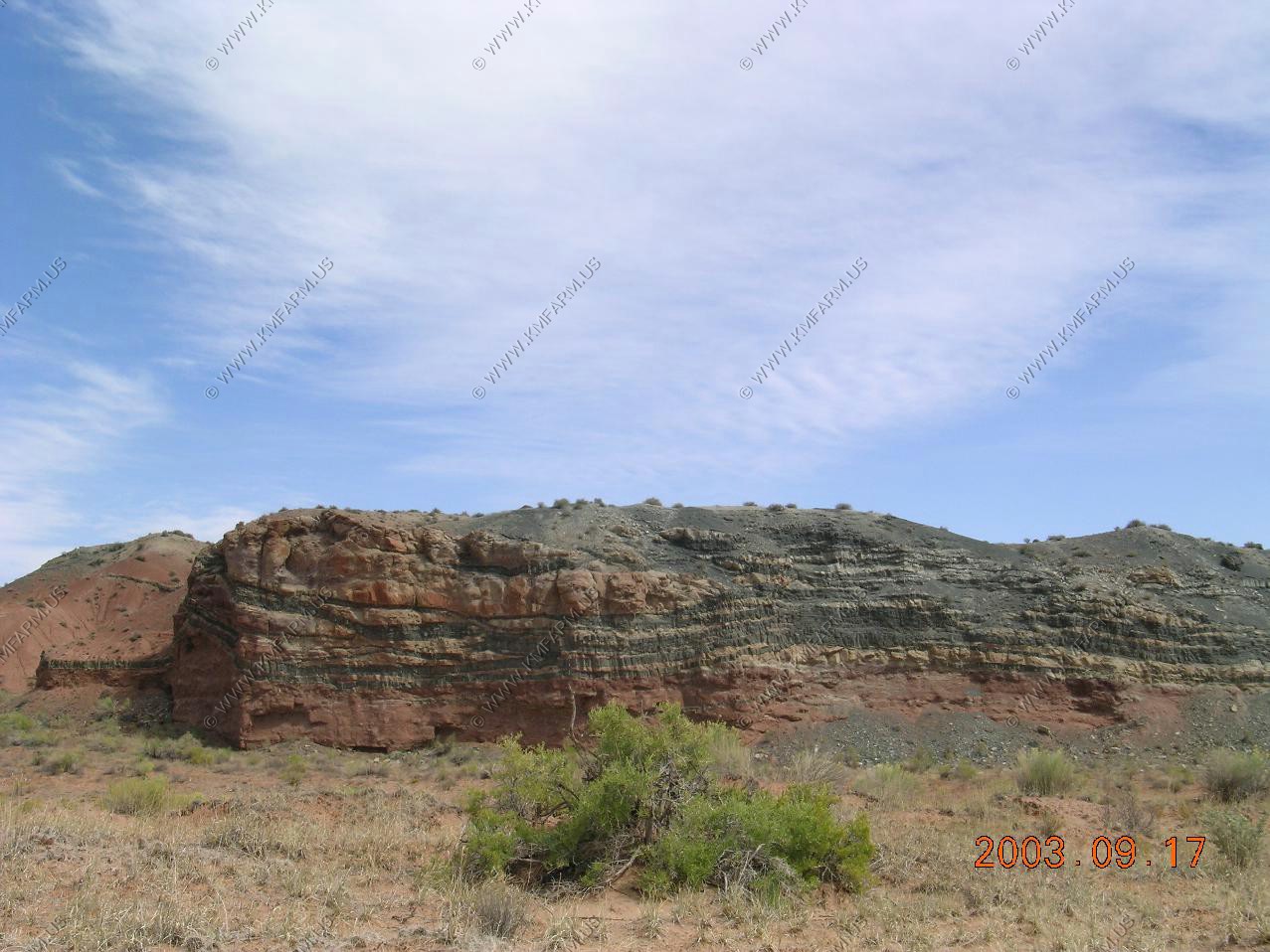
Interesting layers in the rocks
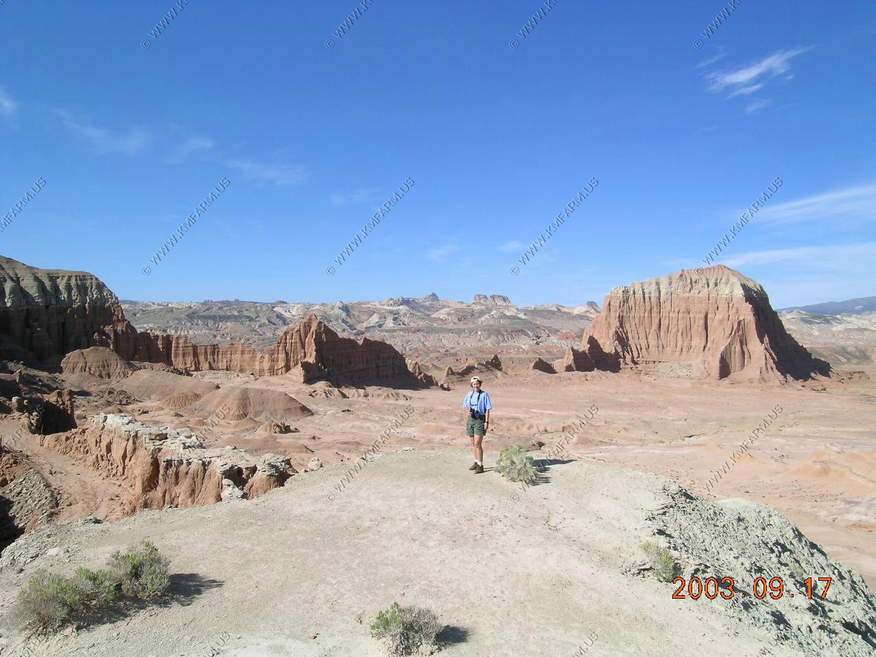
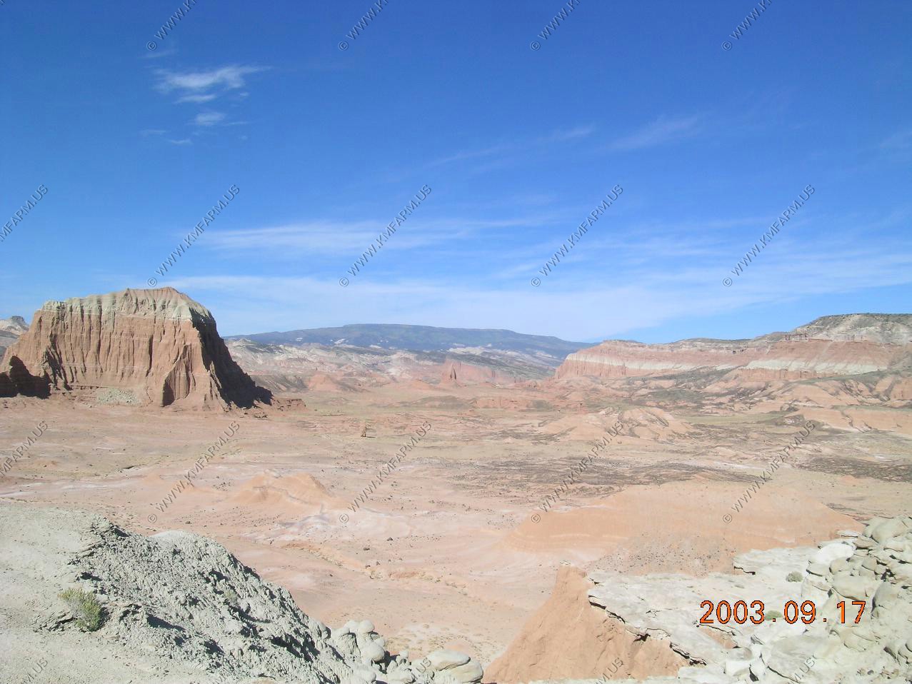
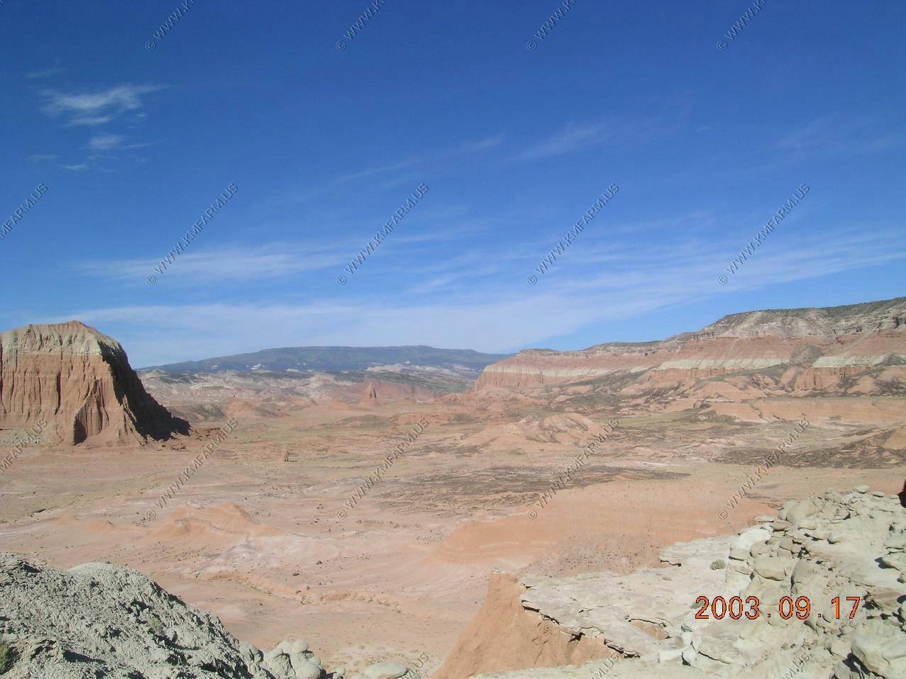
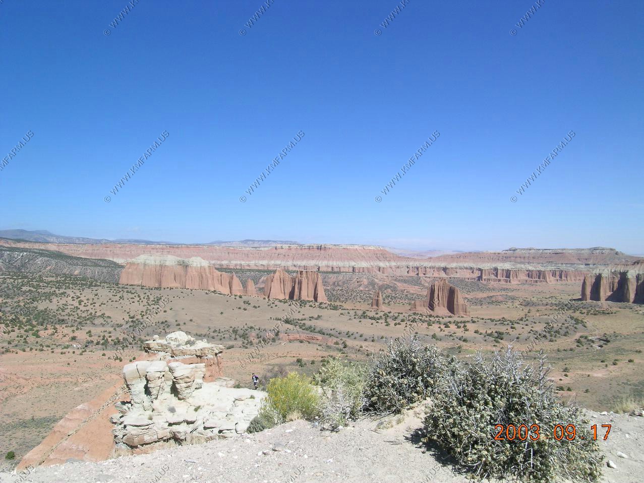
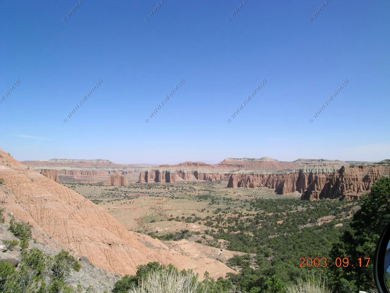
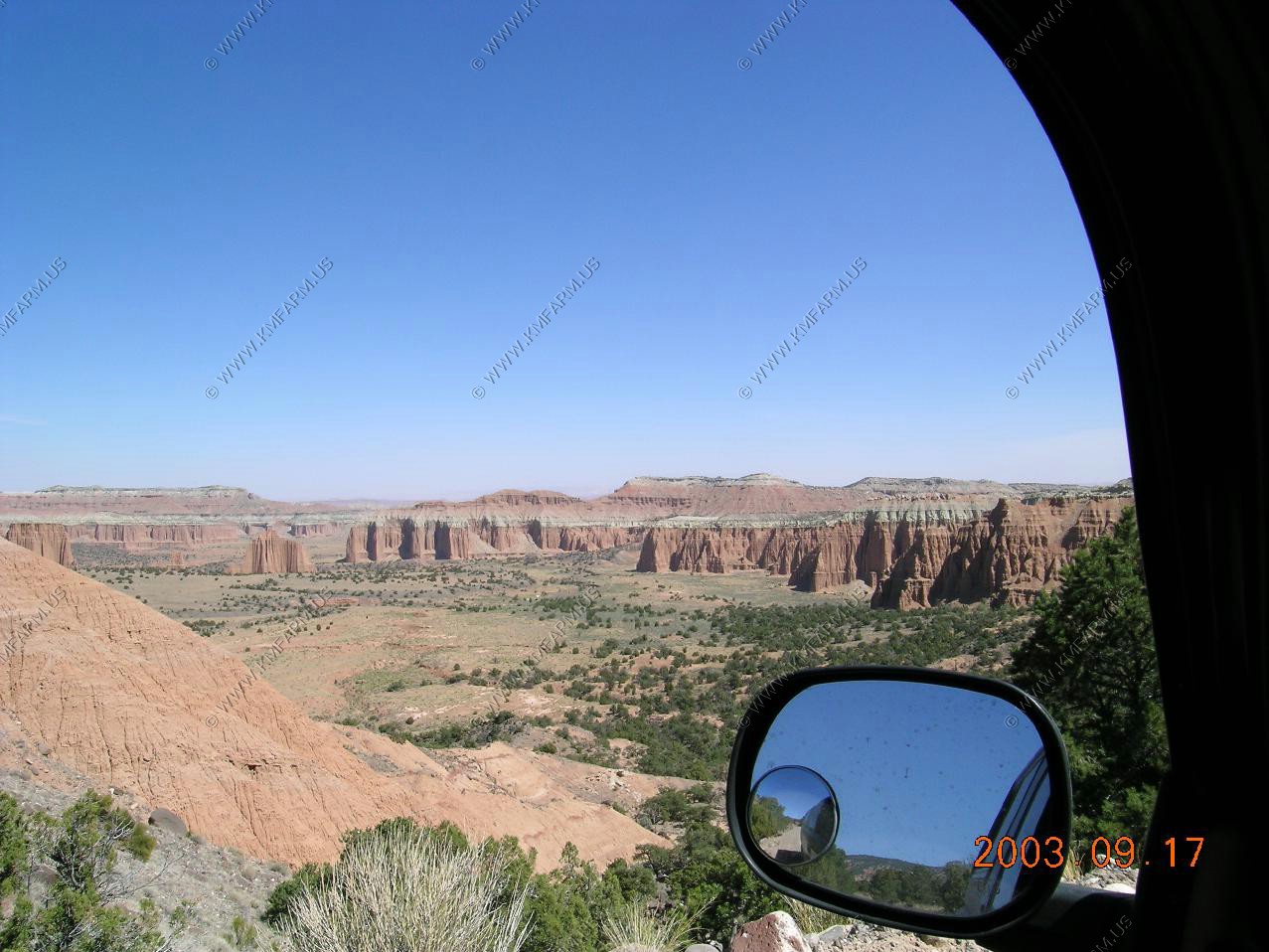
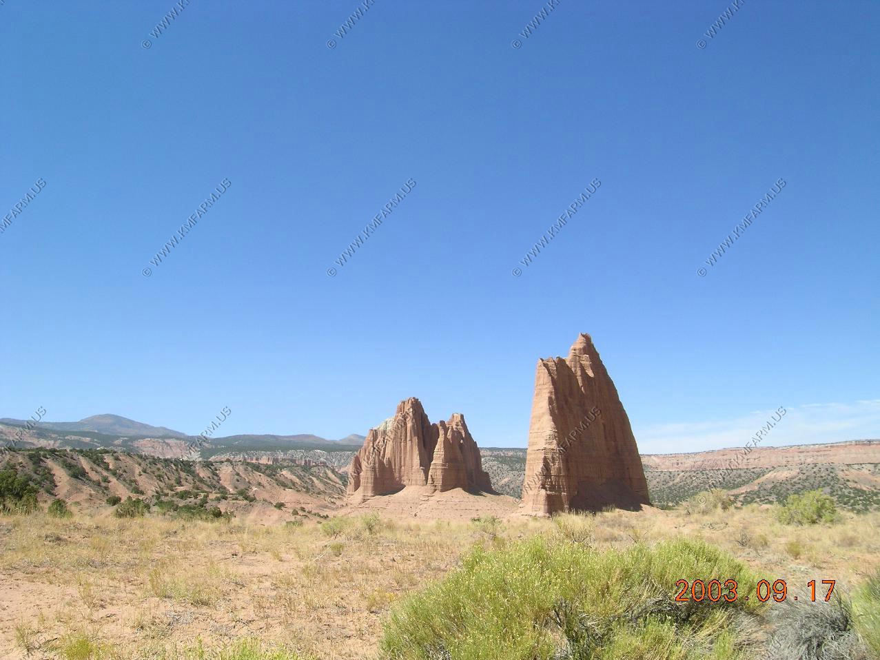
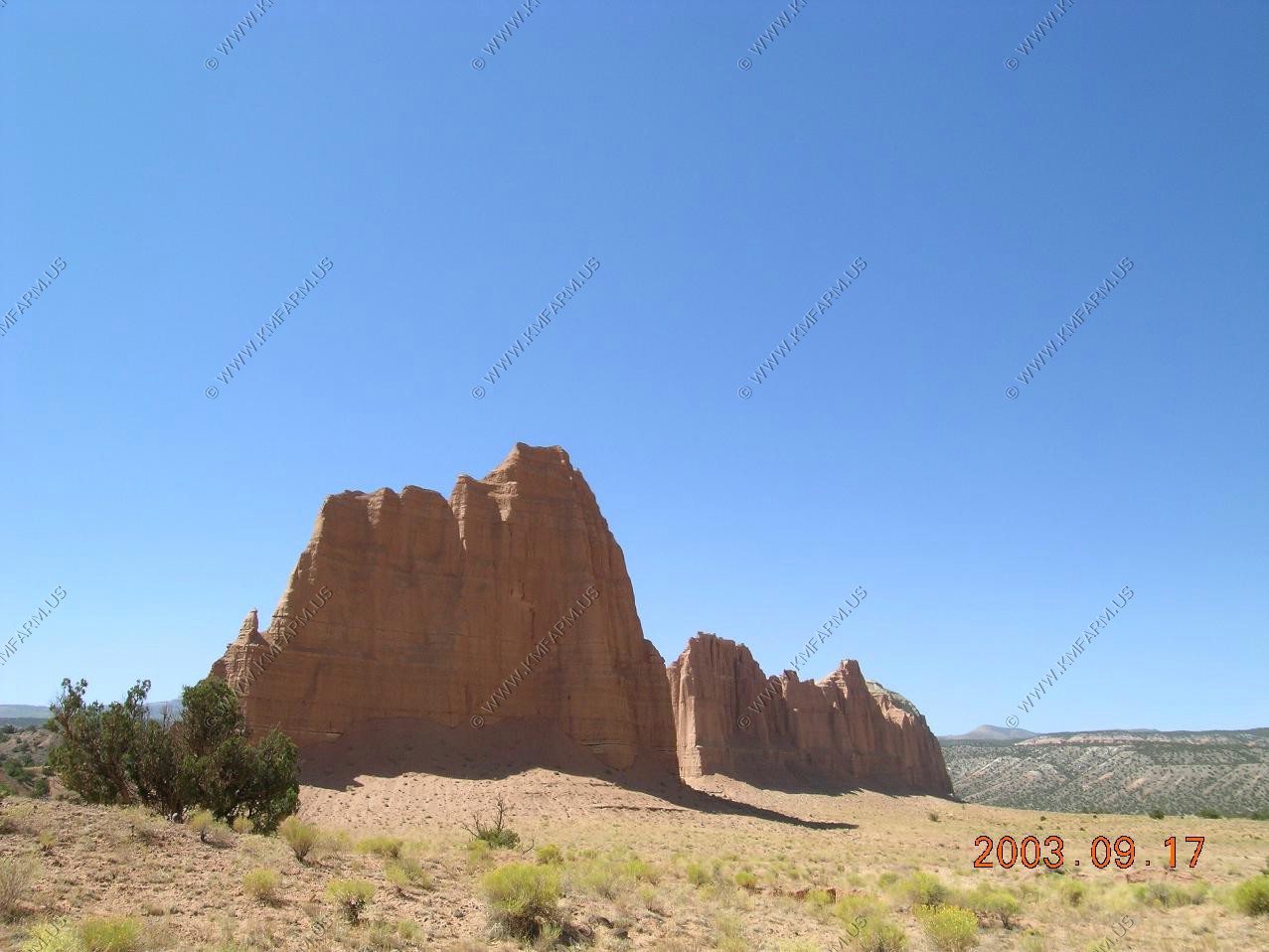
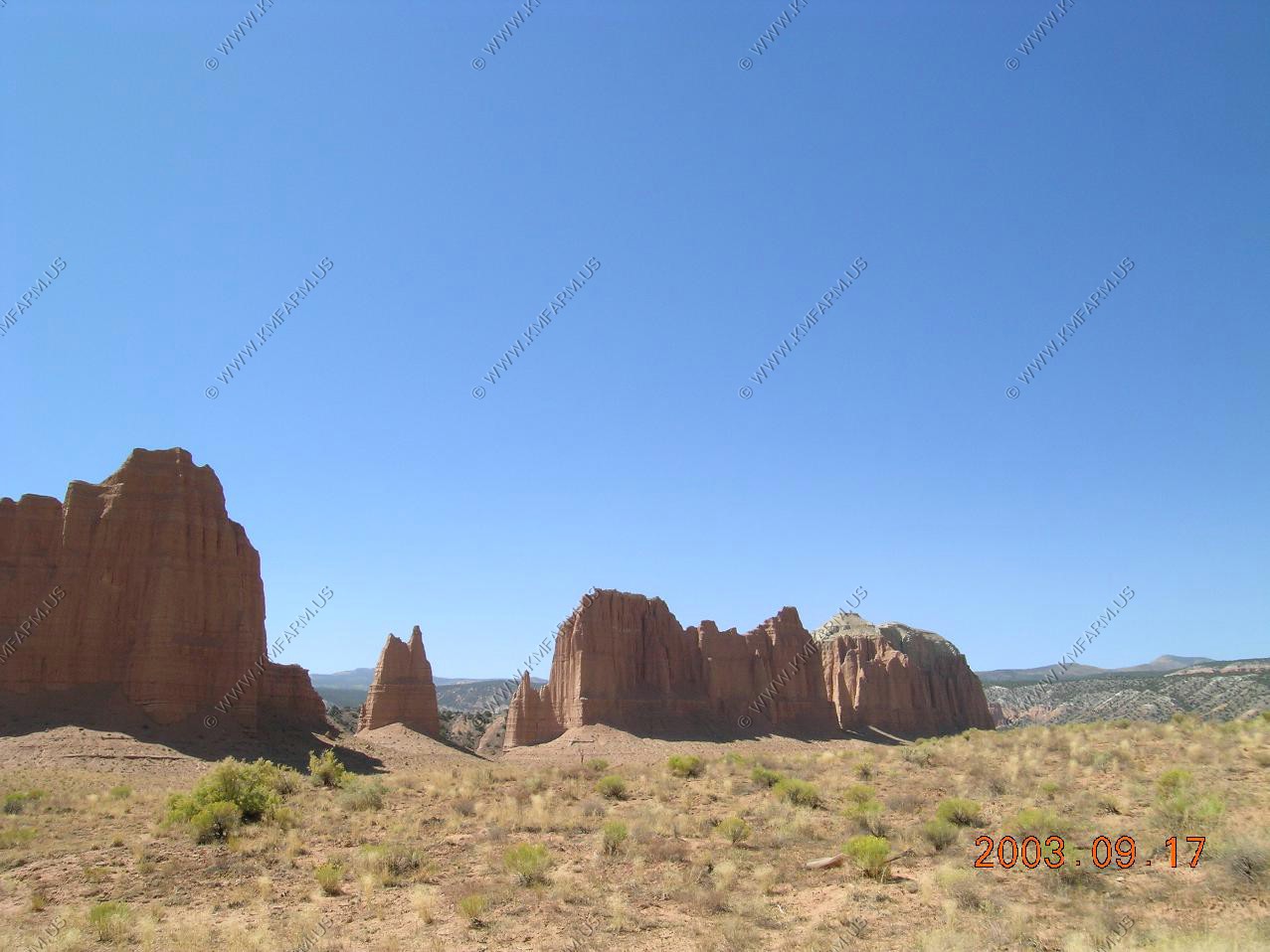
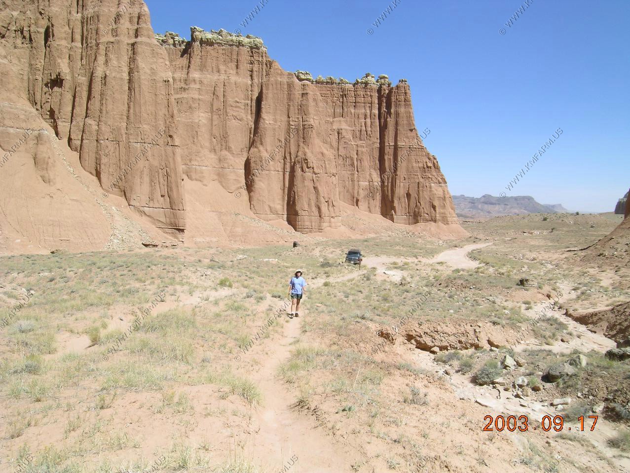
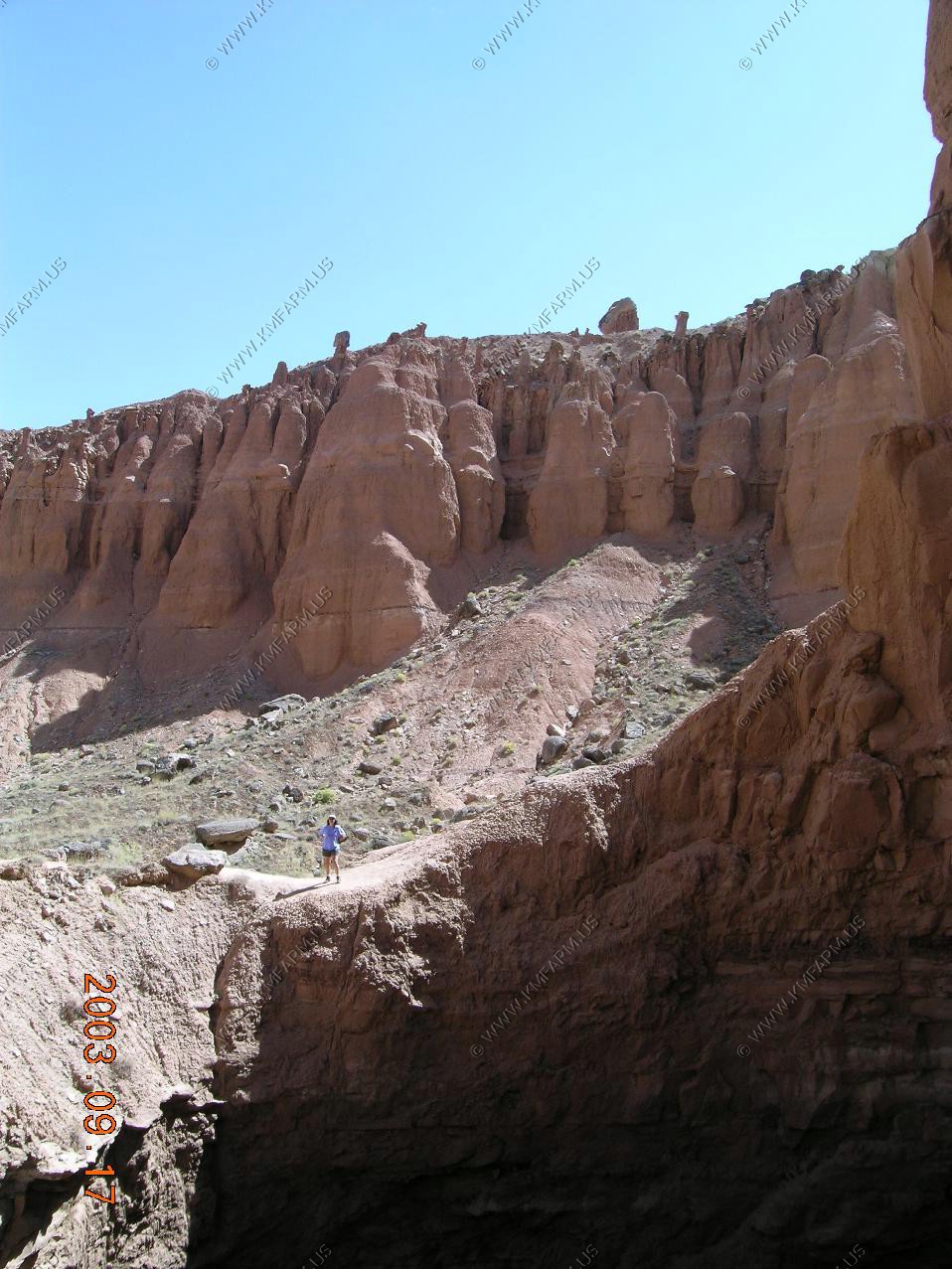
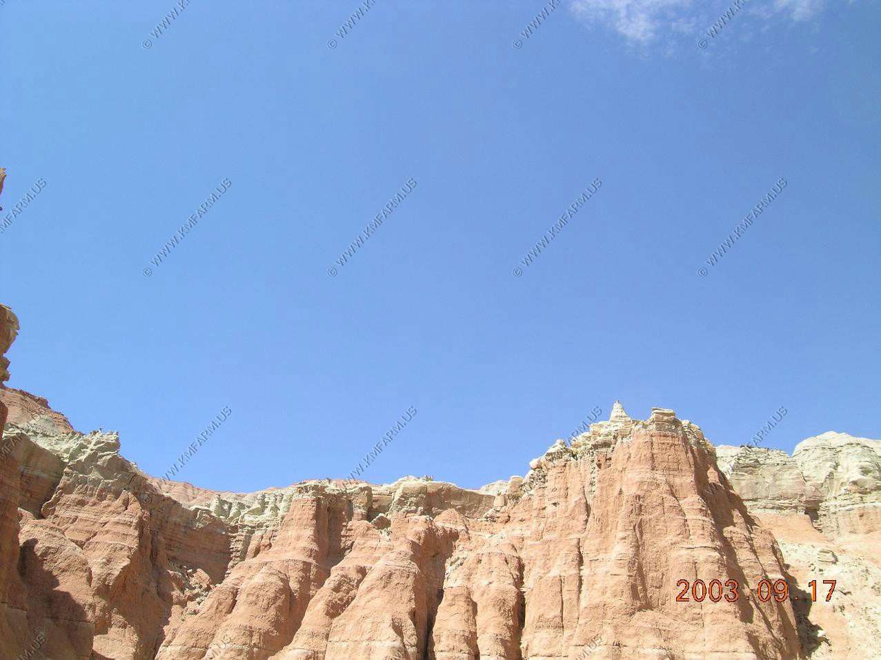
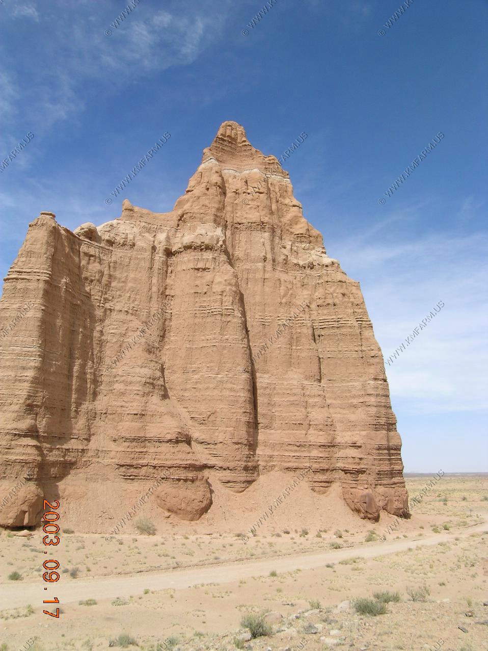
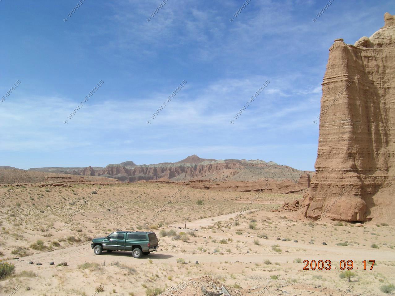
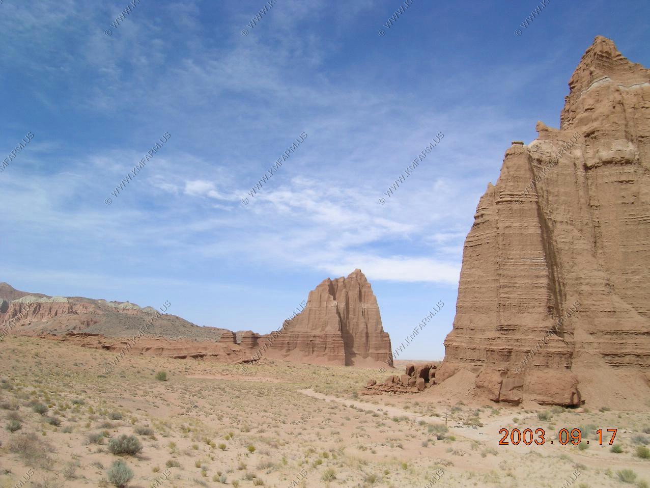
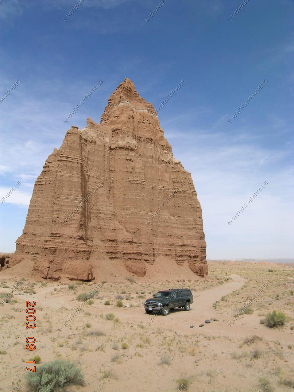
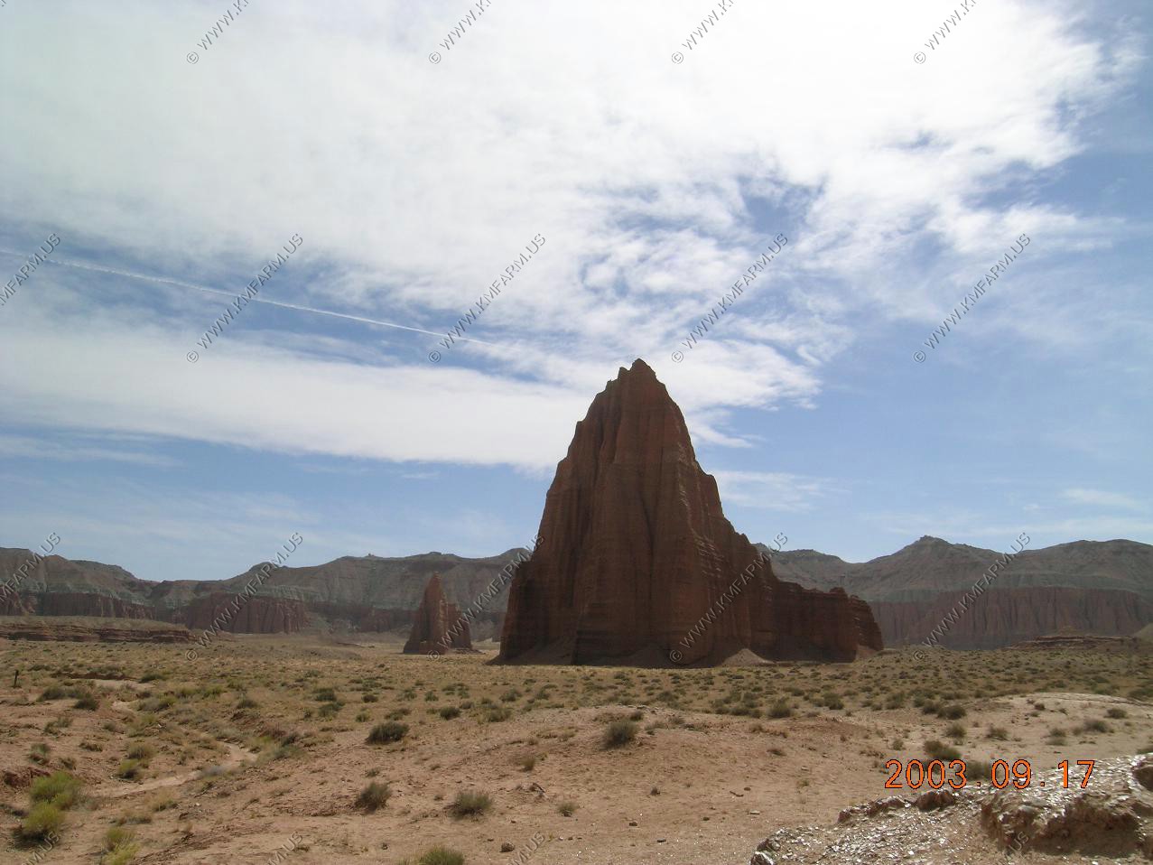
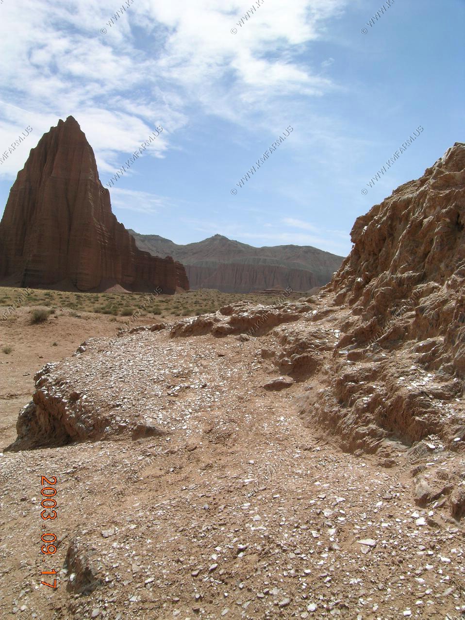
Temple of the sun and Temple of the moon.
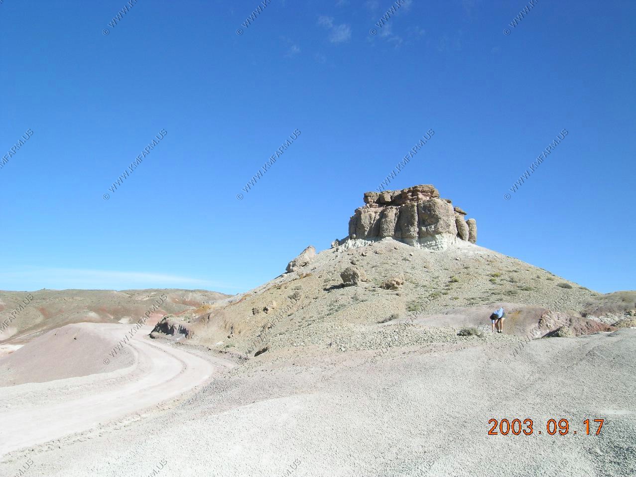
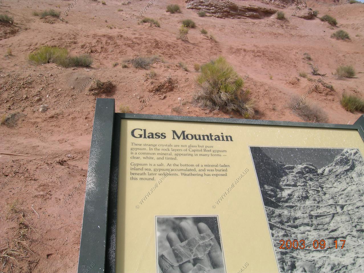
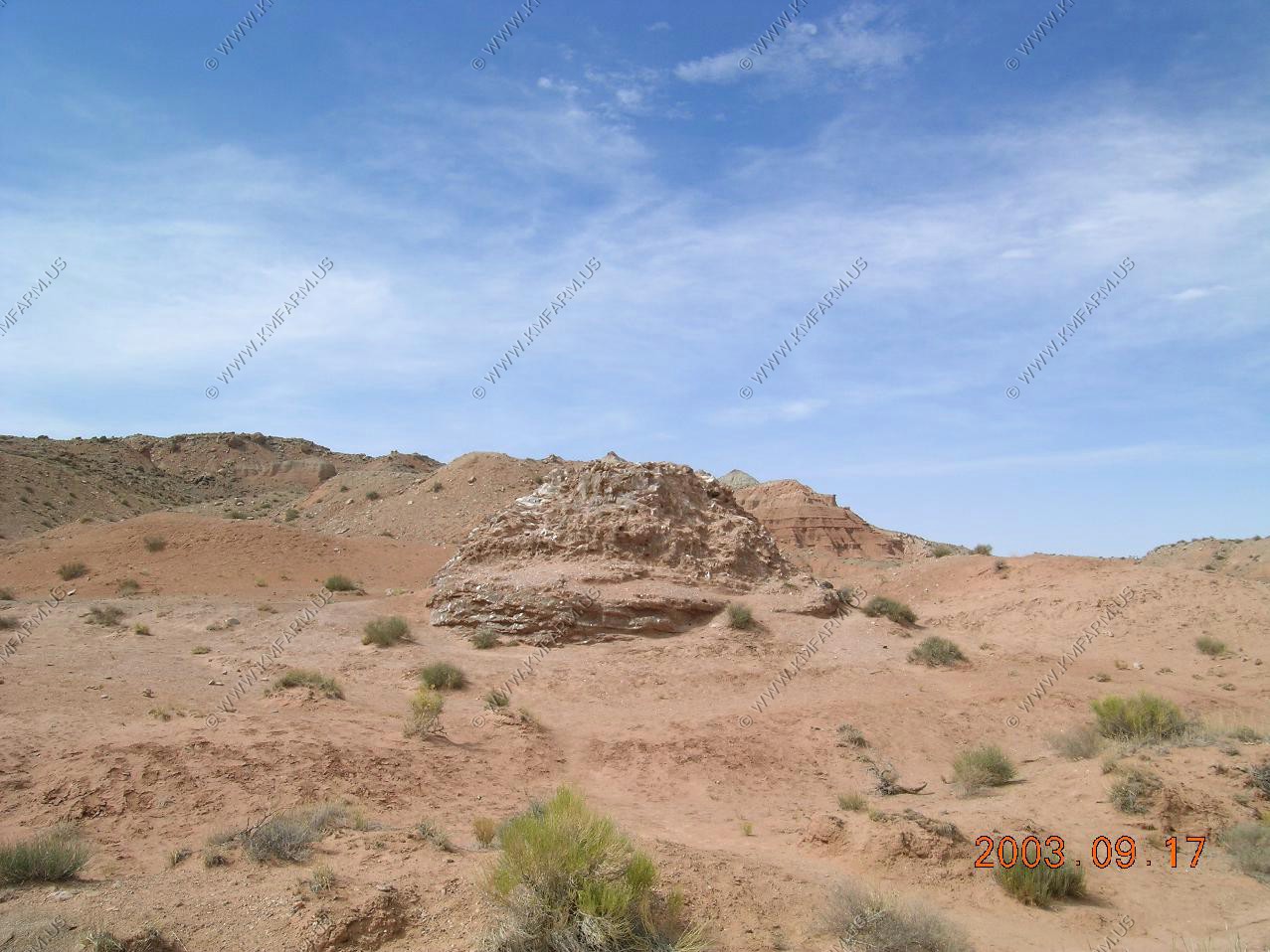
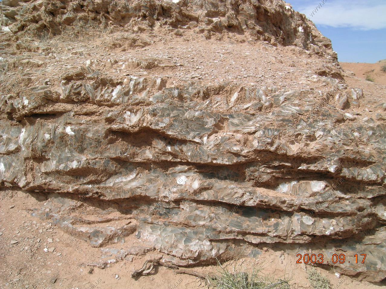
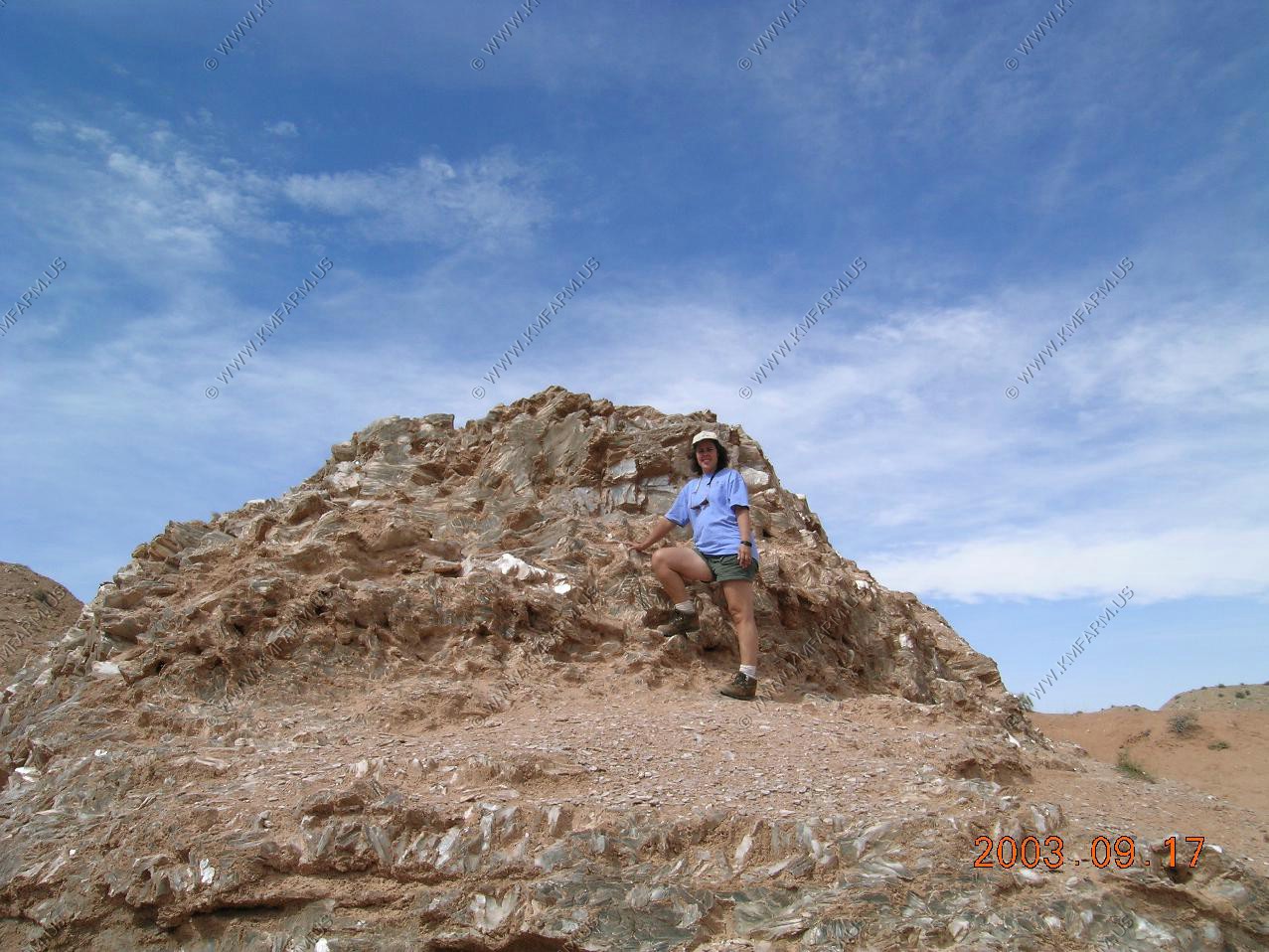
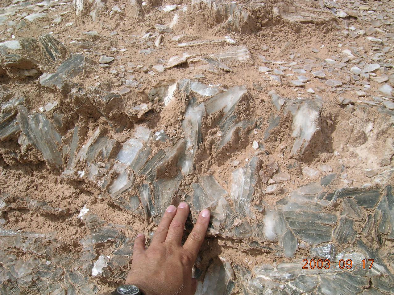
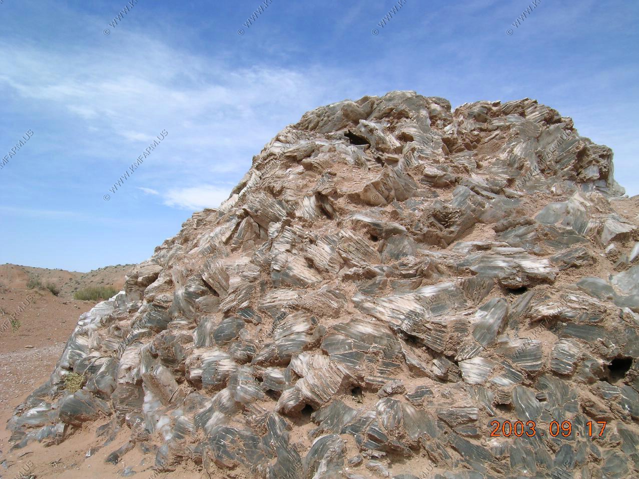
Glass Mountain is an exposed plug of gypsum.
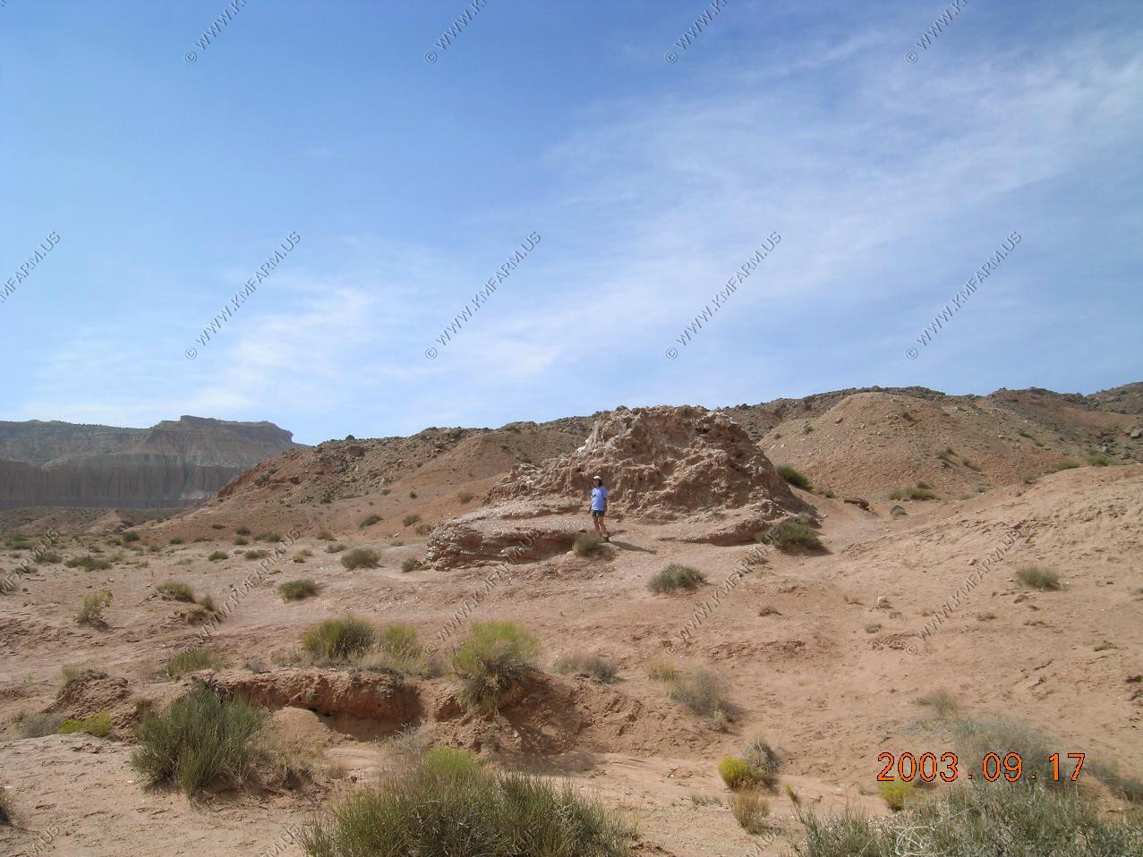
Looking at the Temples of the sun and moon from Gypsum Mountain
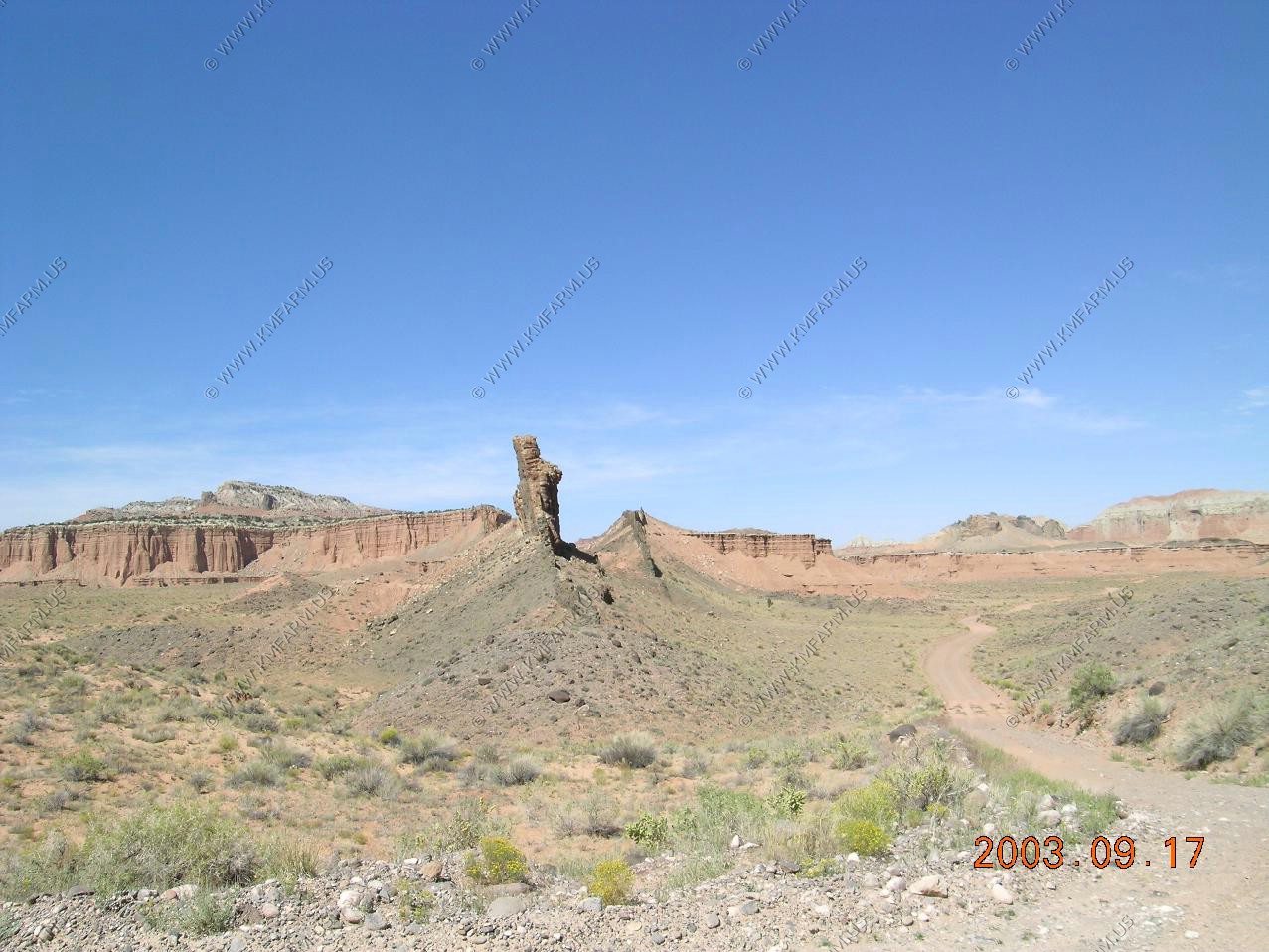
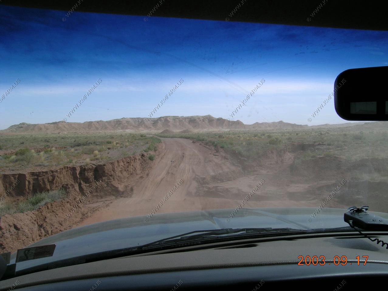
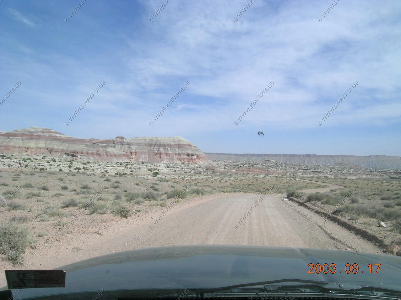
Along Caineville Wash Road We were dealing with high winds and small dust storms on the way out. Also, the road was very very rough where we had to cross Caineville Wash. More views alomg the dirt road before Caineville and UT-24
