Last Updated: 24-AUG-2018
Majority of the photos were taken with a Canon EOS-70D 20.2mp camera, and on plane photos were taken with a Motorola Moto-X
For a detailed description of the Canon EOS-70D 20.2mp camera setup I am using, visit my Camera Page
Any video was shot with both cameras and converted with AWS Video Converter 8
Wednesday - OCT 08 2014
The first day we started in Salt Lake City, Utah and had an easy 240 mile (5 hr) drive down to our VRBO rental condo in Moab, Utah. Approximately 55 miles of this drive was on Interstate 15 and except for short 25 mile stretch on I-70 near Green River, UT the rest was on US highways.
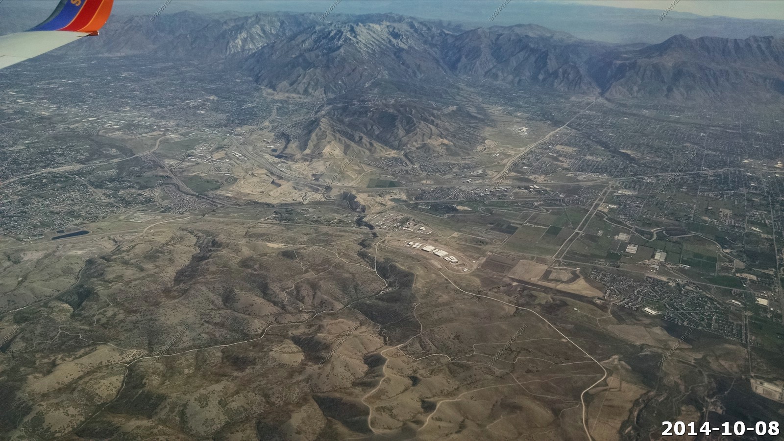
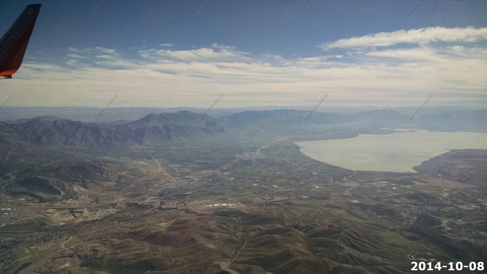
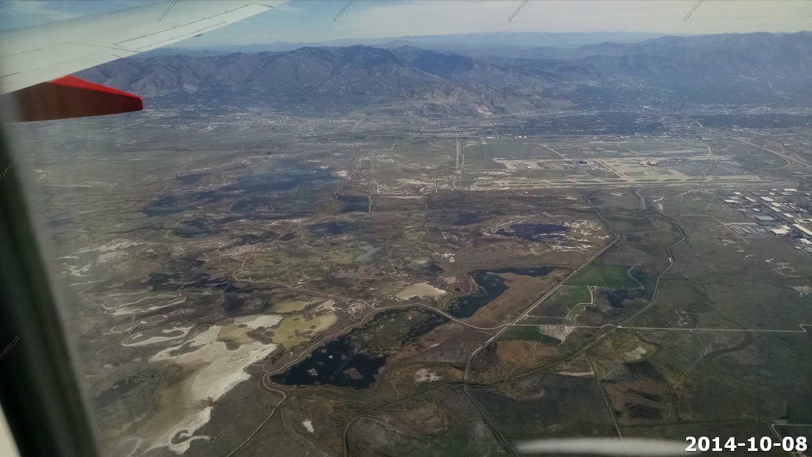
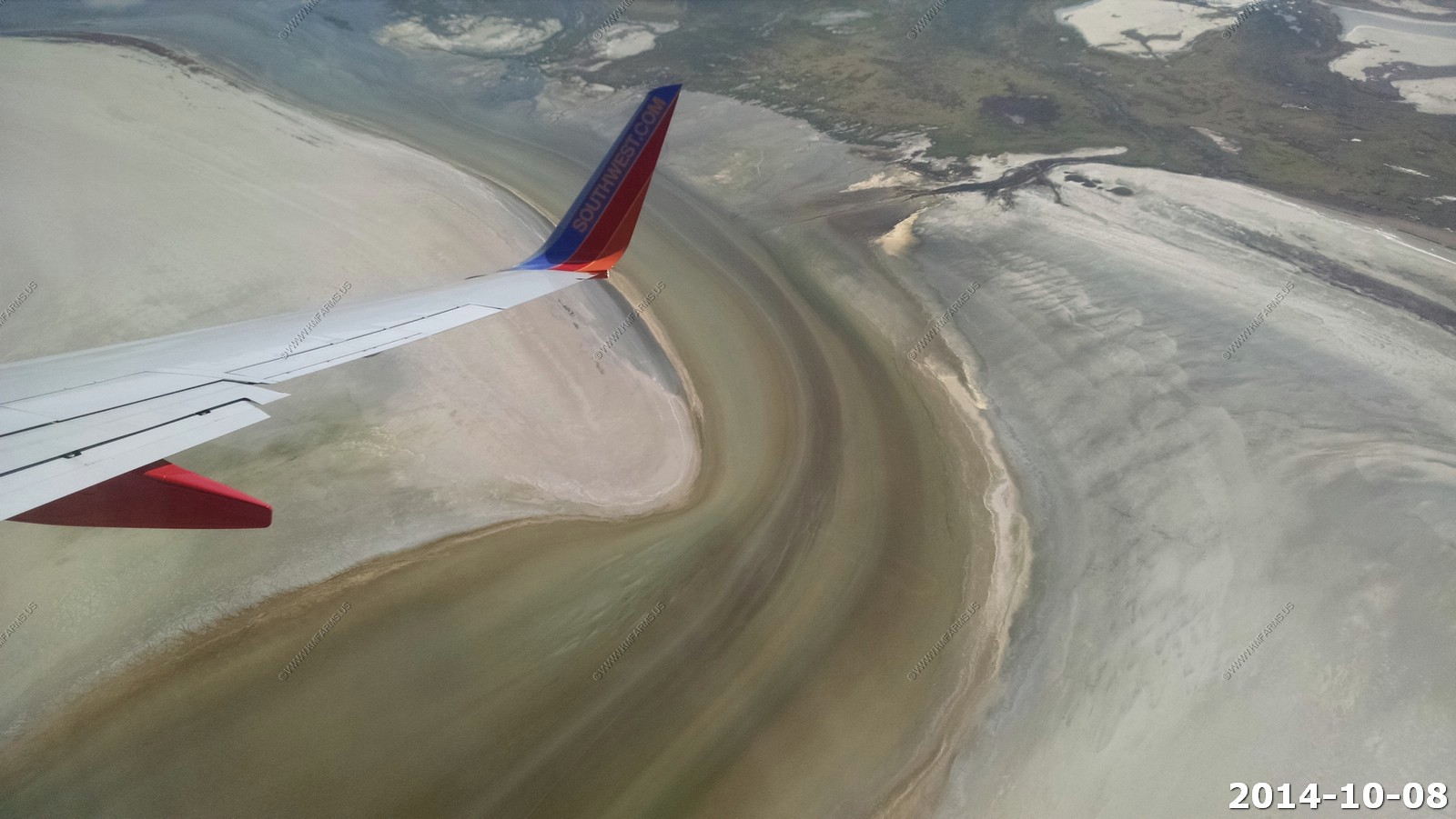
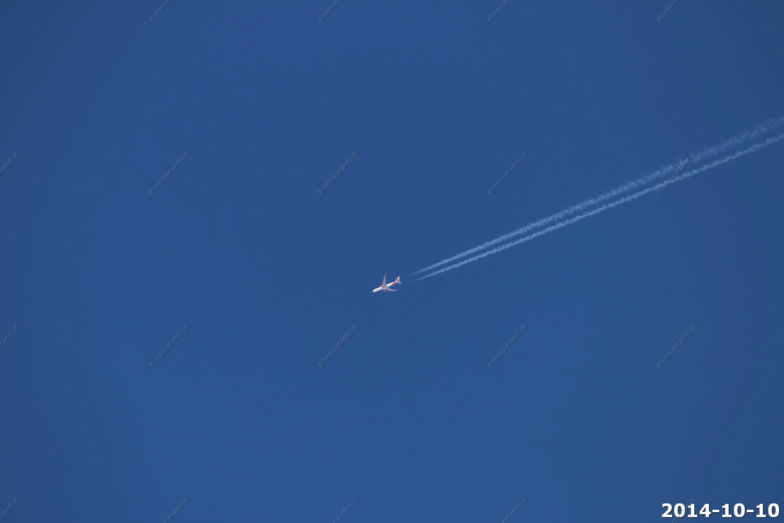
The flight was on Southwest Airlines and it was a non-stop from Baltimore, MD to Salt Lake City, UT.
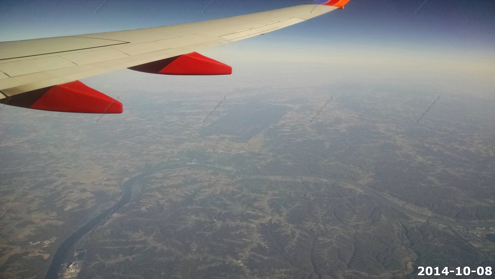
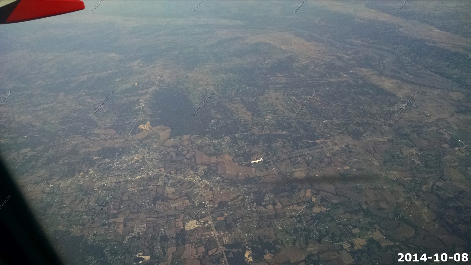
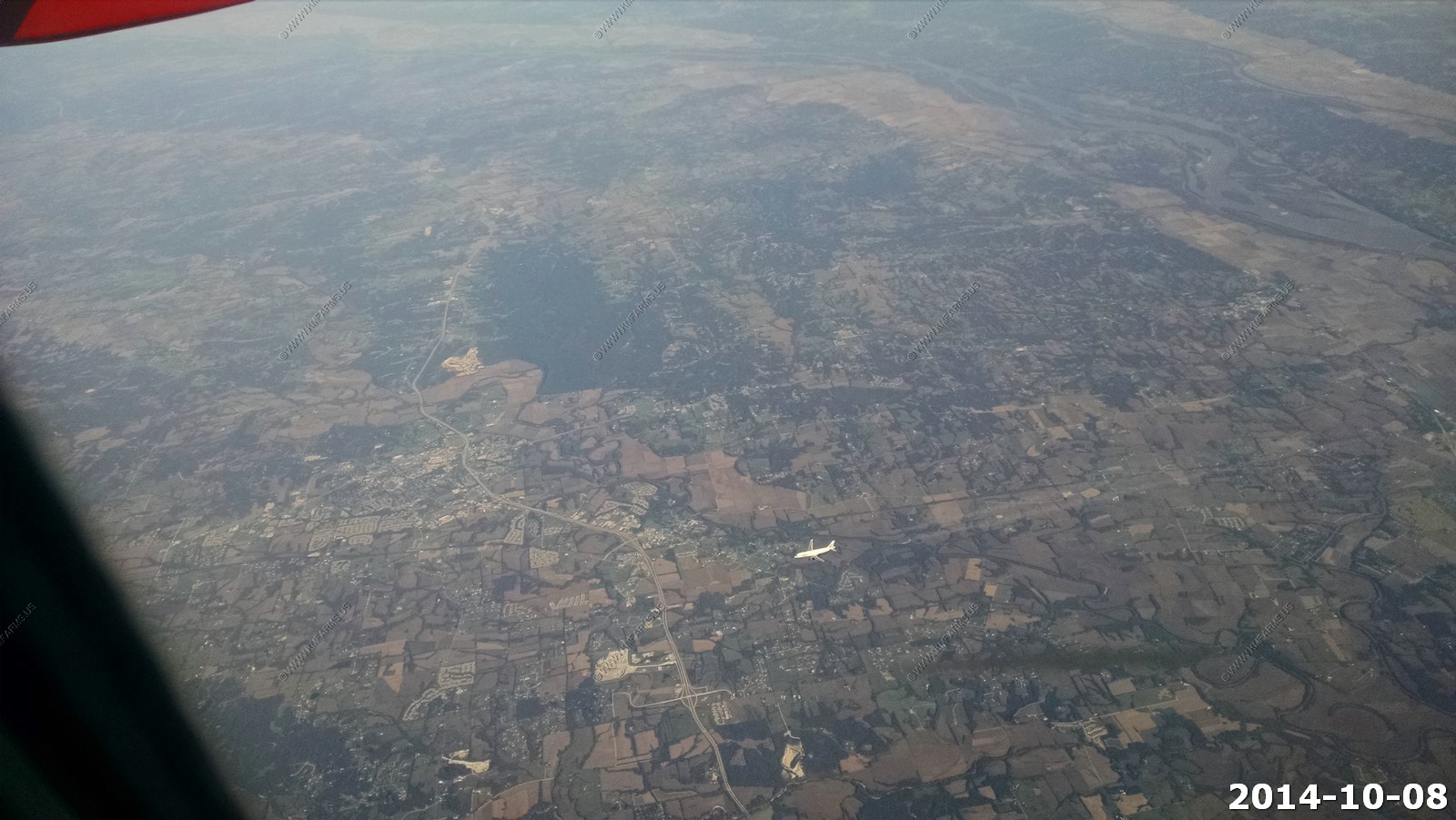
On the flight out we flew over some easy to spot places - The large tree covered area is the Big Oaks National Wildlife Refuge, which consists of approximately 50,000 acres on the former Jefferson Proving Ground, located in Jefferson, Ripley, and Jennings Counties in southeastern Indiana.
We were flying with another commercial jet just below us. The river upper right is the Mississippi & Illinois rivers. The city area is Troy, MO.
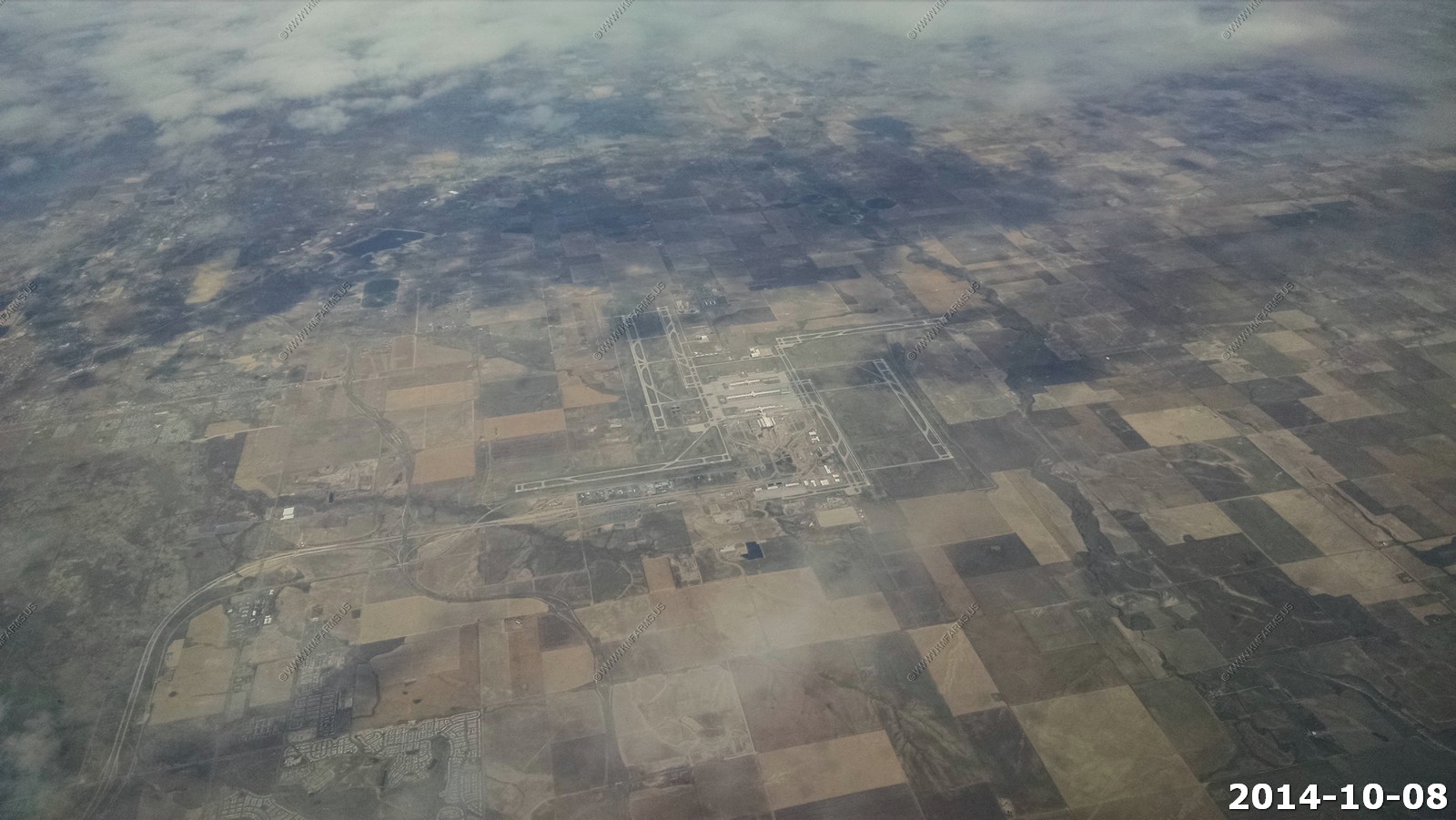
Denver International Airport (DIA) (DEN /KDEN) (Denver, Colorado).
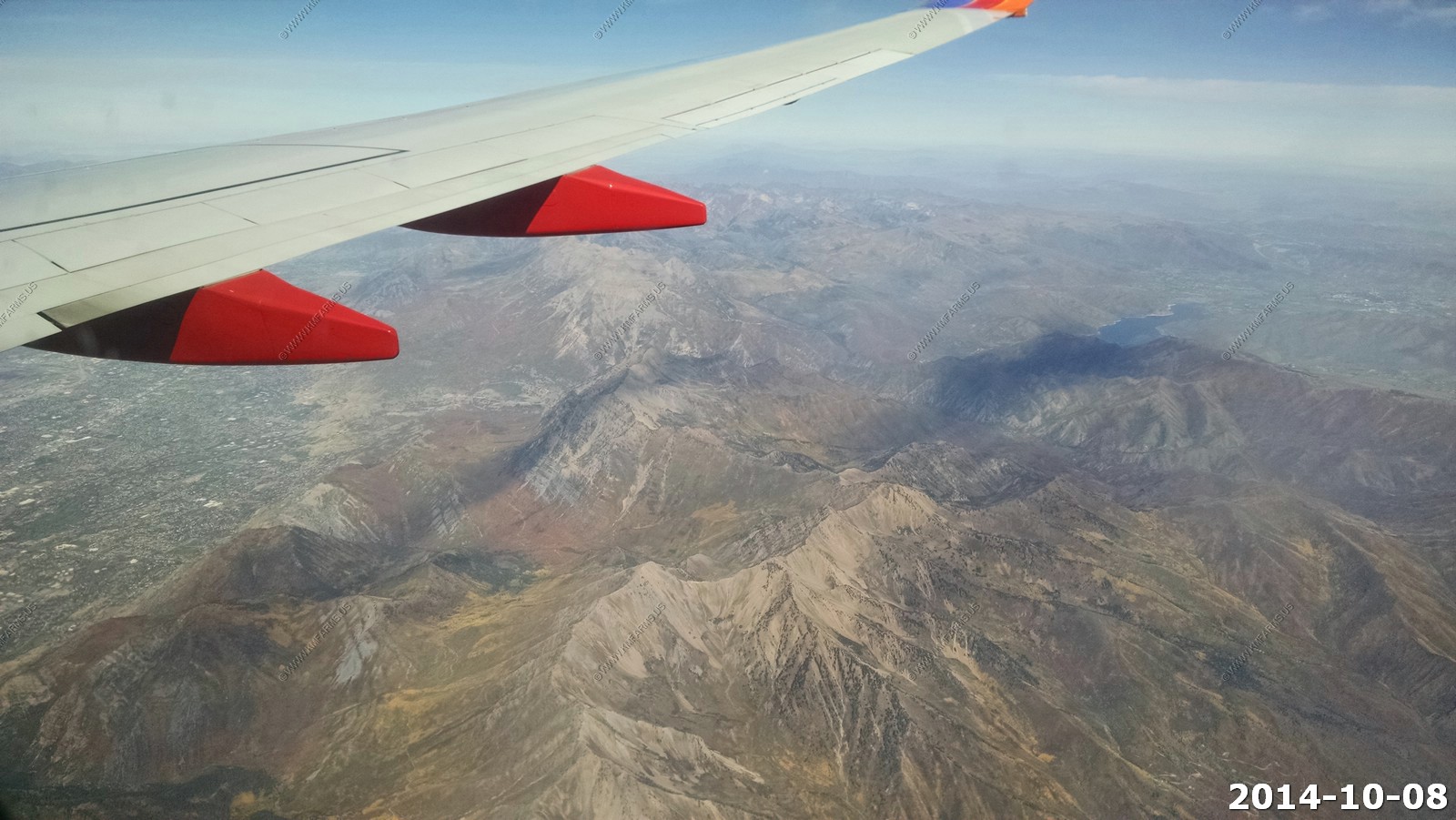
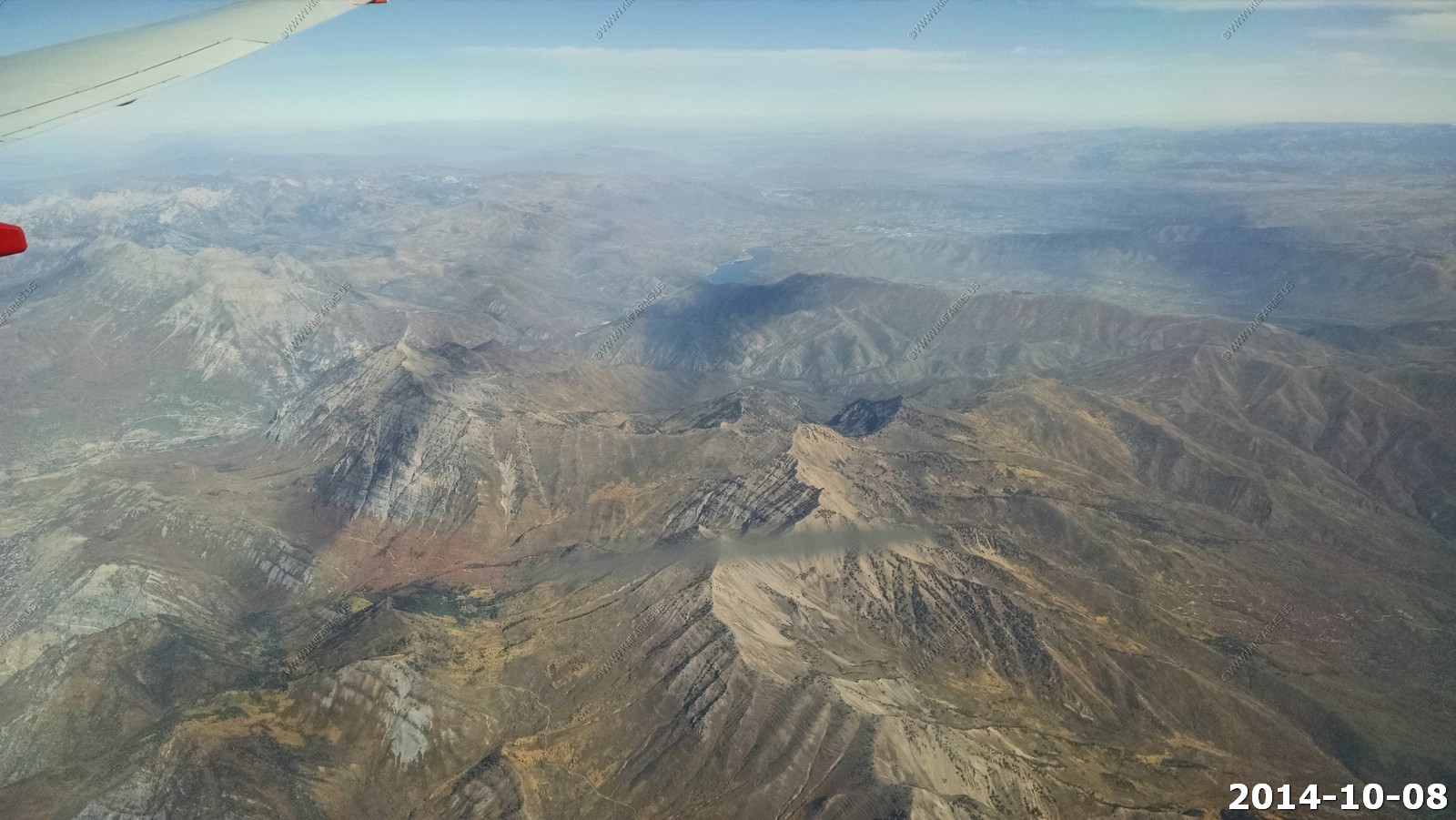
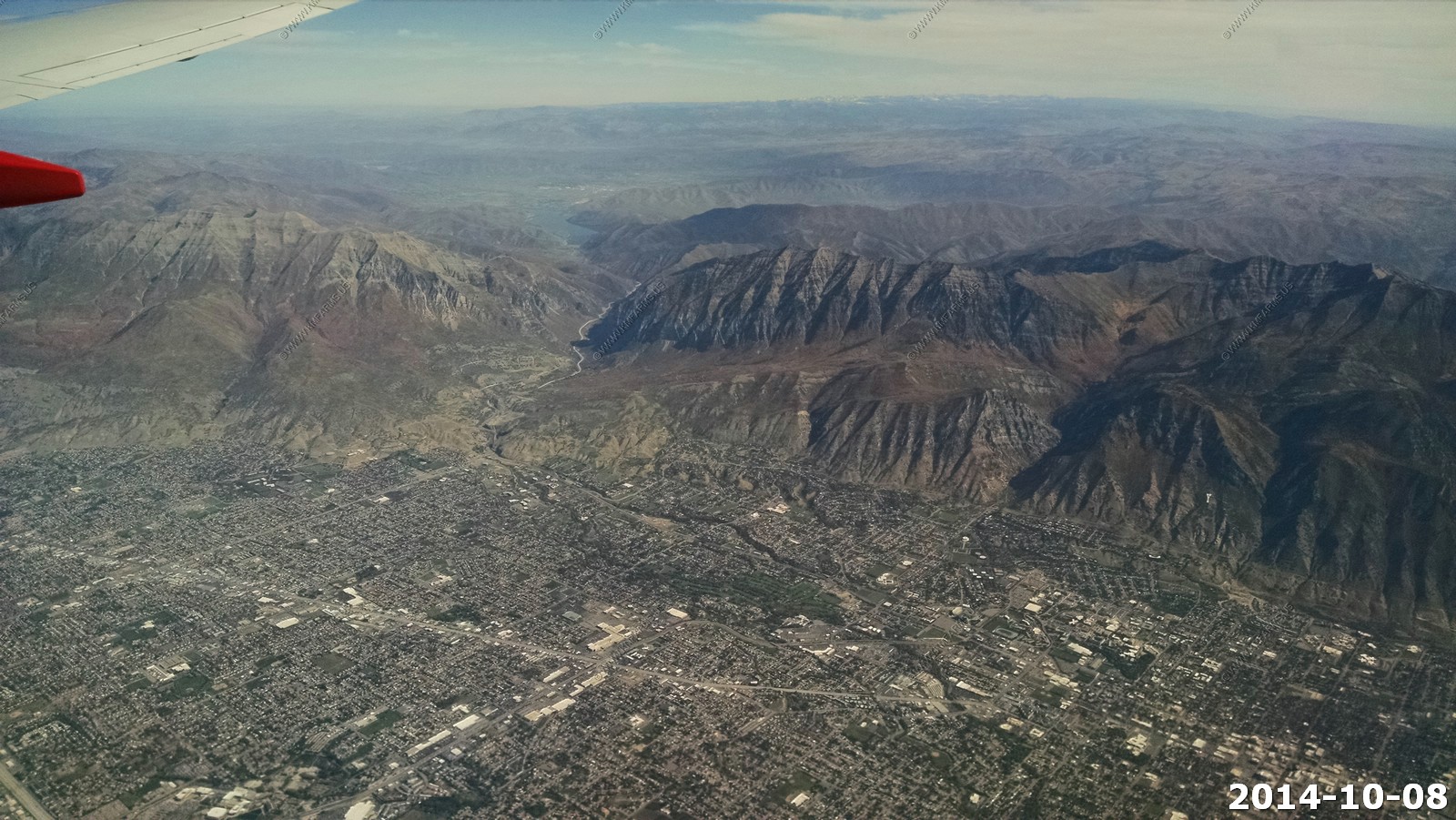
Wasatch Range just west of Provo, Utah Some of the peaks are over 11,000 feet.
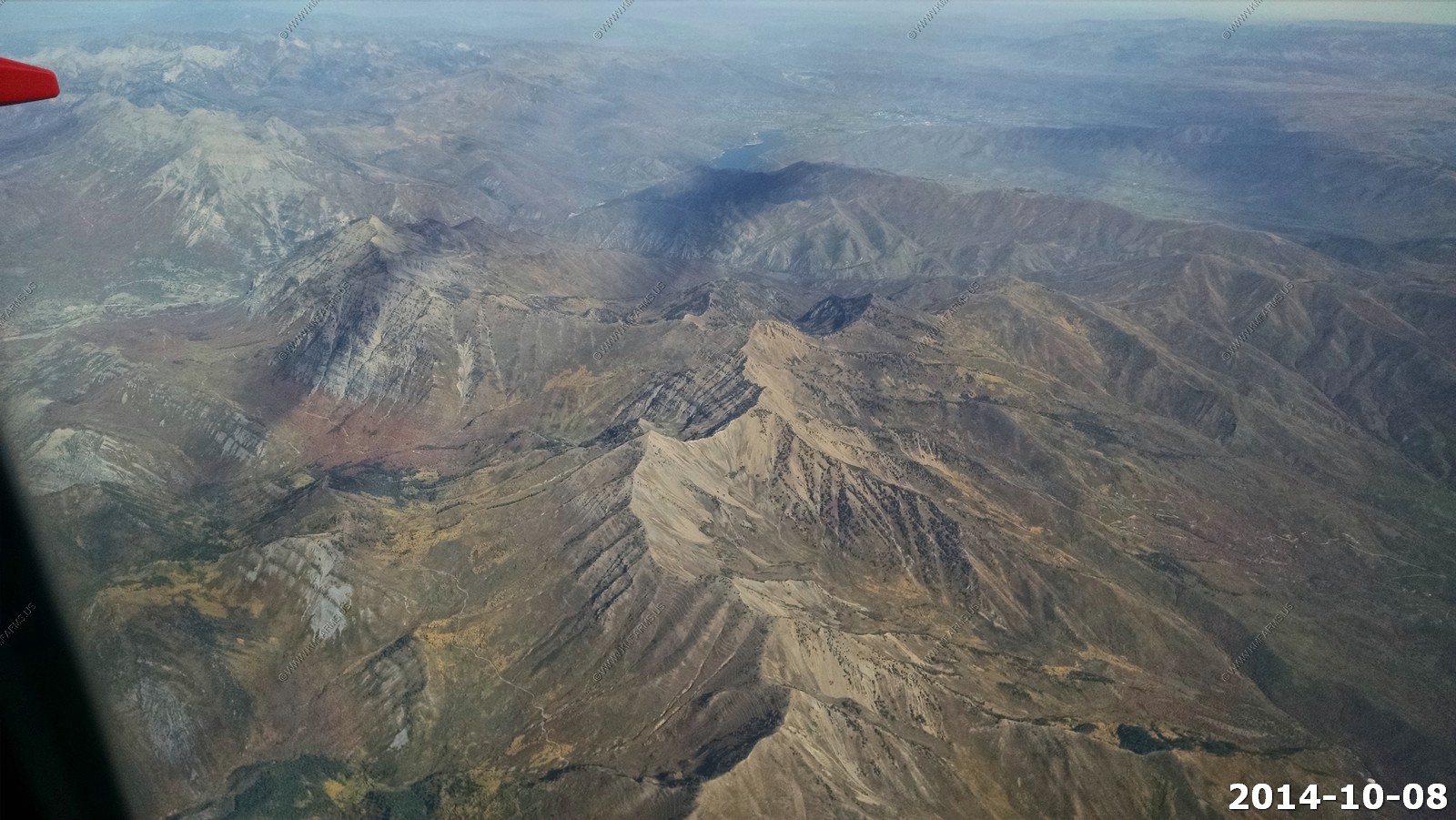
Provo and Orem, Utah we would stay in this area our last night.
US highway 189 going thru Provo Canyon. You can see the Deer Creek Reservoir up in the mountains. You can see the snowcapped Uinta range off in the distance.
The new National Security Agency's (NSA) National Cyber-security Initiative (CNCI) Data Center. in Draper, Utah. (The white buildings in a group)
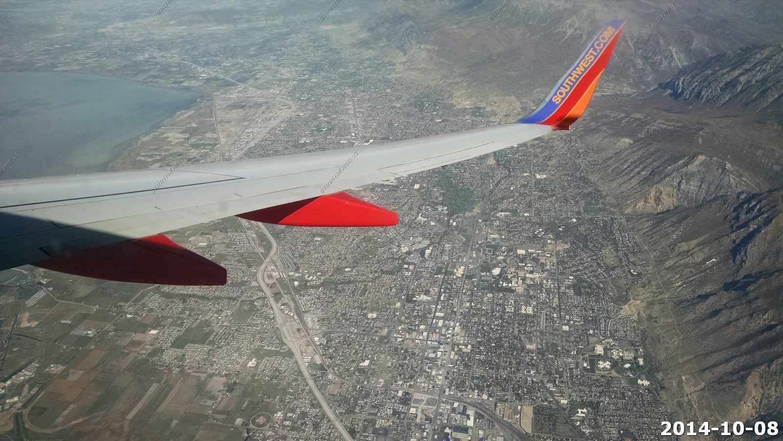
Looking back at Orem & Provo, Utah. The lake you see is the Utah Lake.
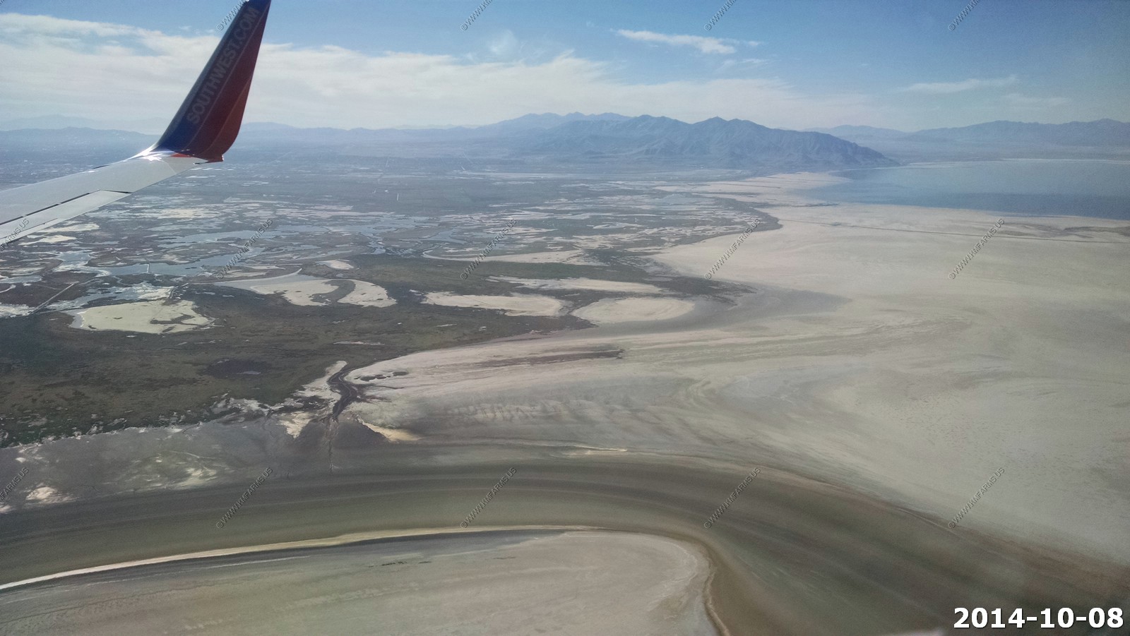
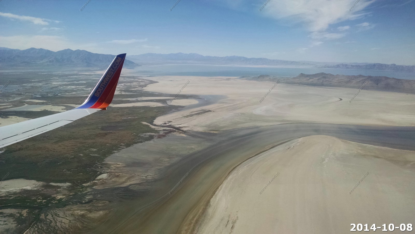
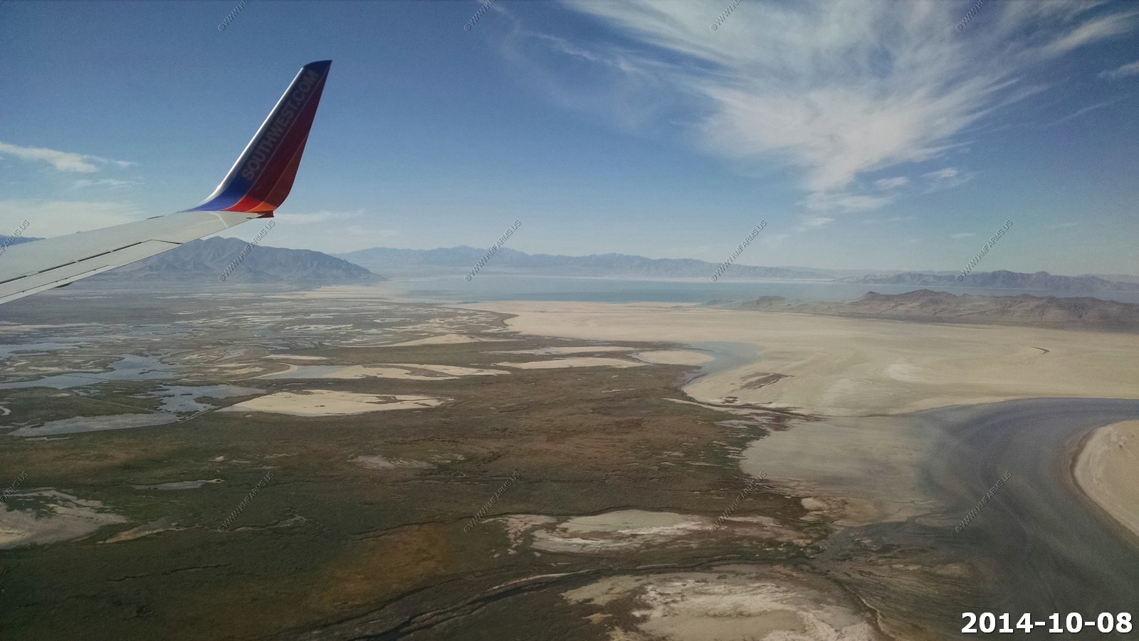
Salt Lake International Airport and the wet areas of Farmington Bay WMA.
Making some tight turns on approach and various Great Salt Lake views.
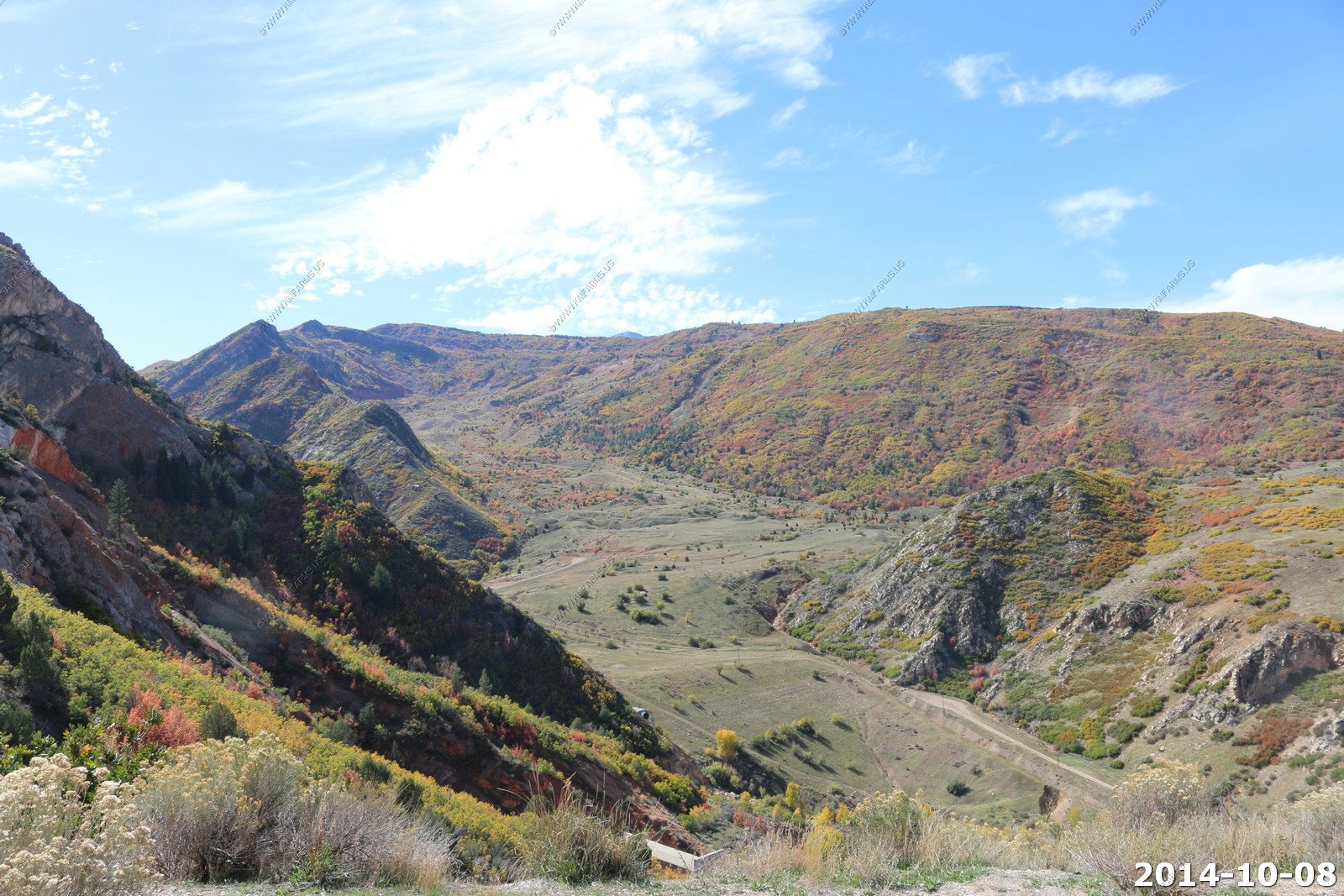
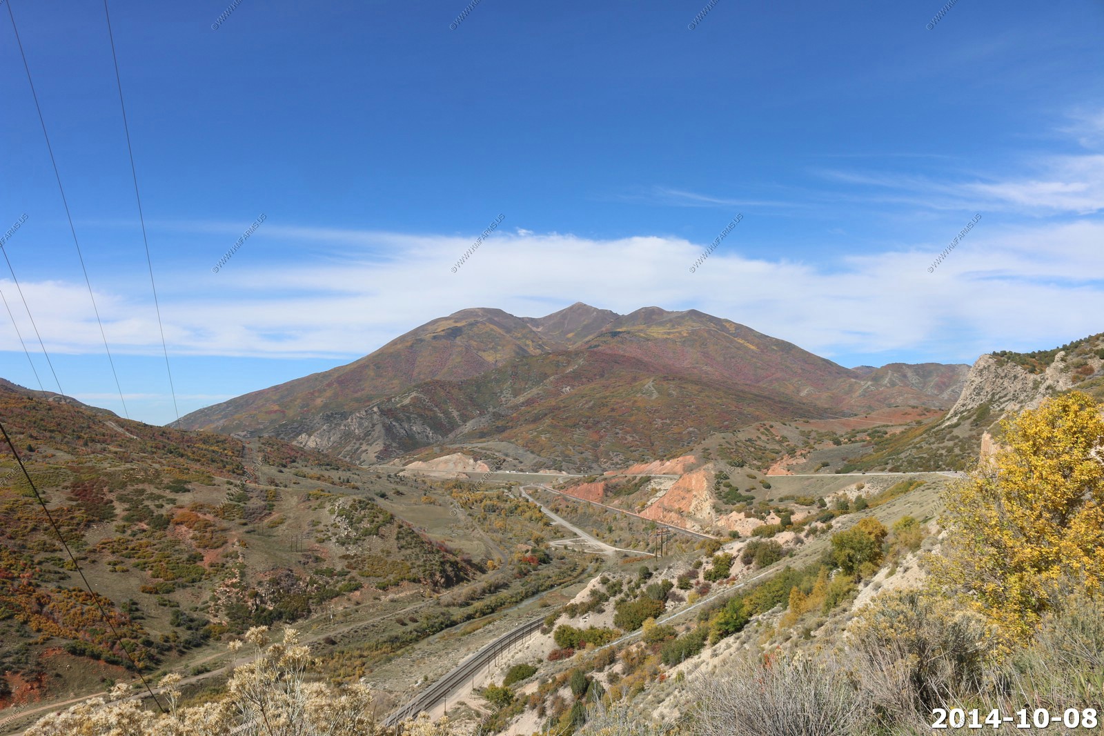
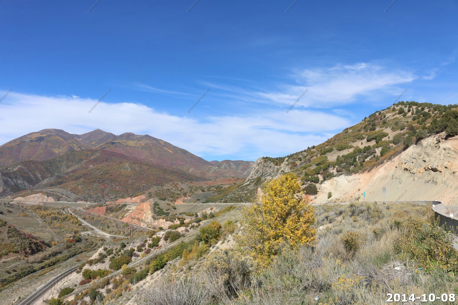
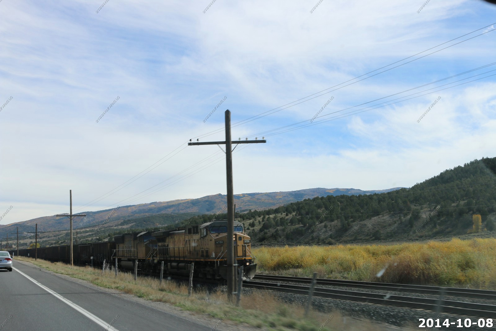
The first interesting stretch was US 6 over Soldier Summit. Crossed by US Highway 6 and the Union Pacific Railroad. Elevation: 7,440 feet.
Thistle Slide
Location of the Thistle Slide, the costliest landslide in US history. It destroyed the small community of Thistle. The slide created an earthen dam that blocked creeks and backed up water, flooding the town.
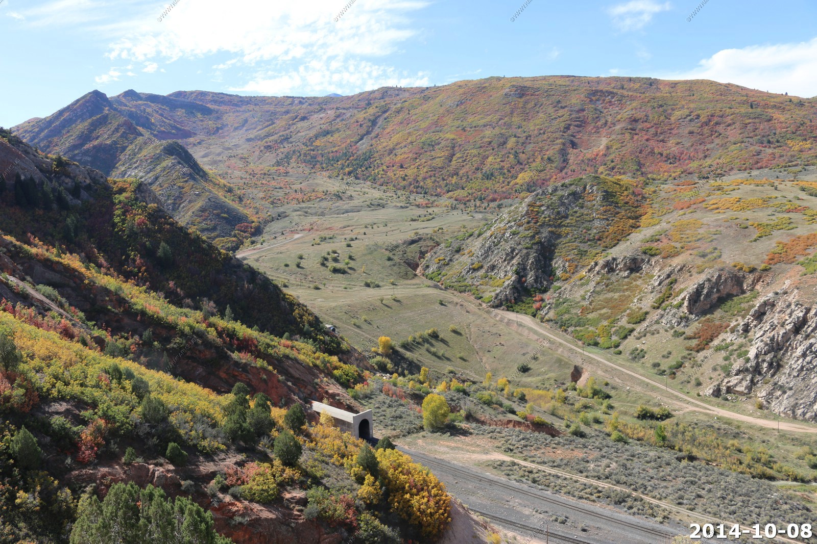
Twin 3,000 foot plus railroad tunnels (you can see the western end) are part of a line relocation made necessary by the Thistle Slide, which destroyed the former line.
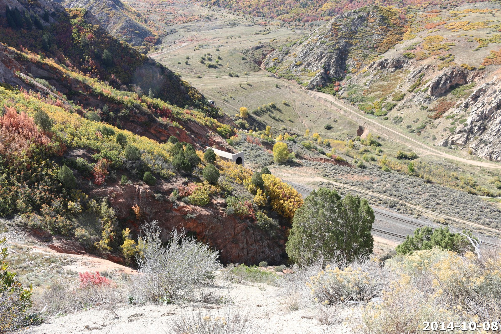
Looking north along the new alignment of US-6 because of the slide.
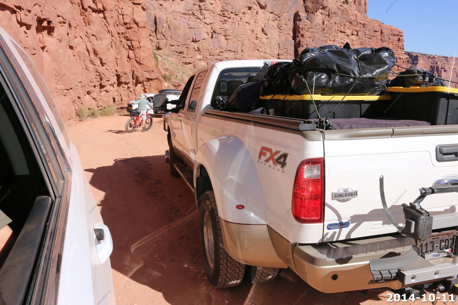
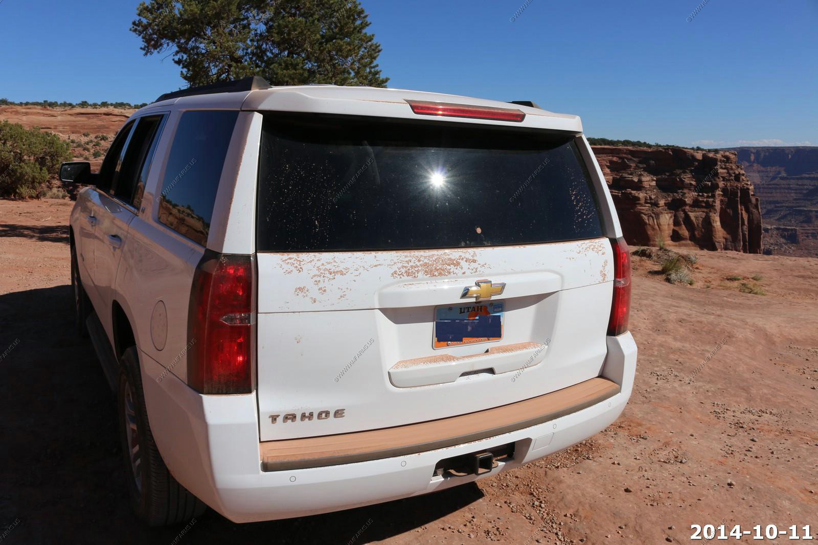
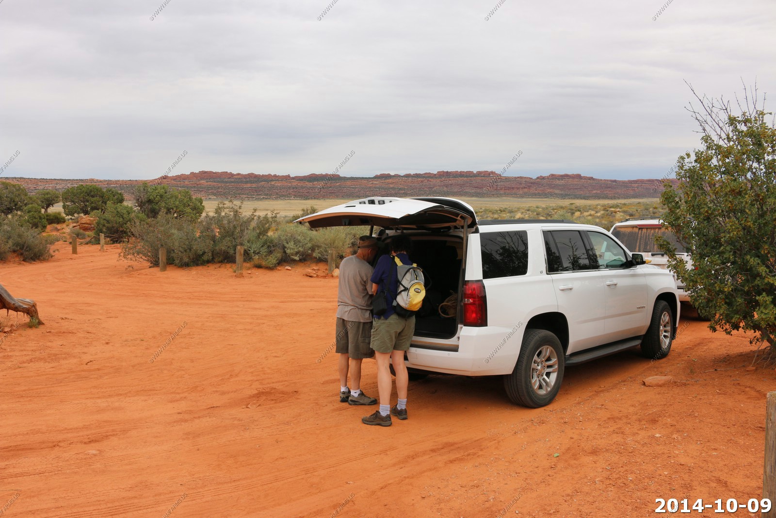
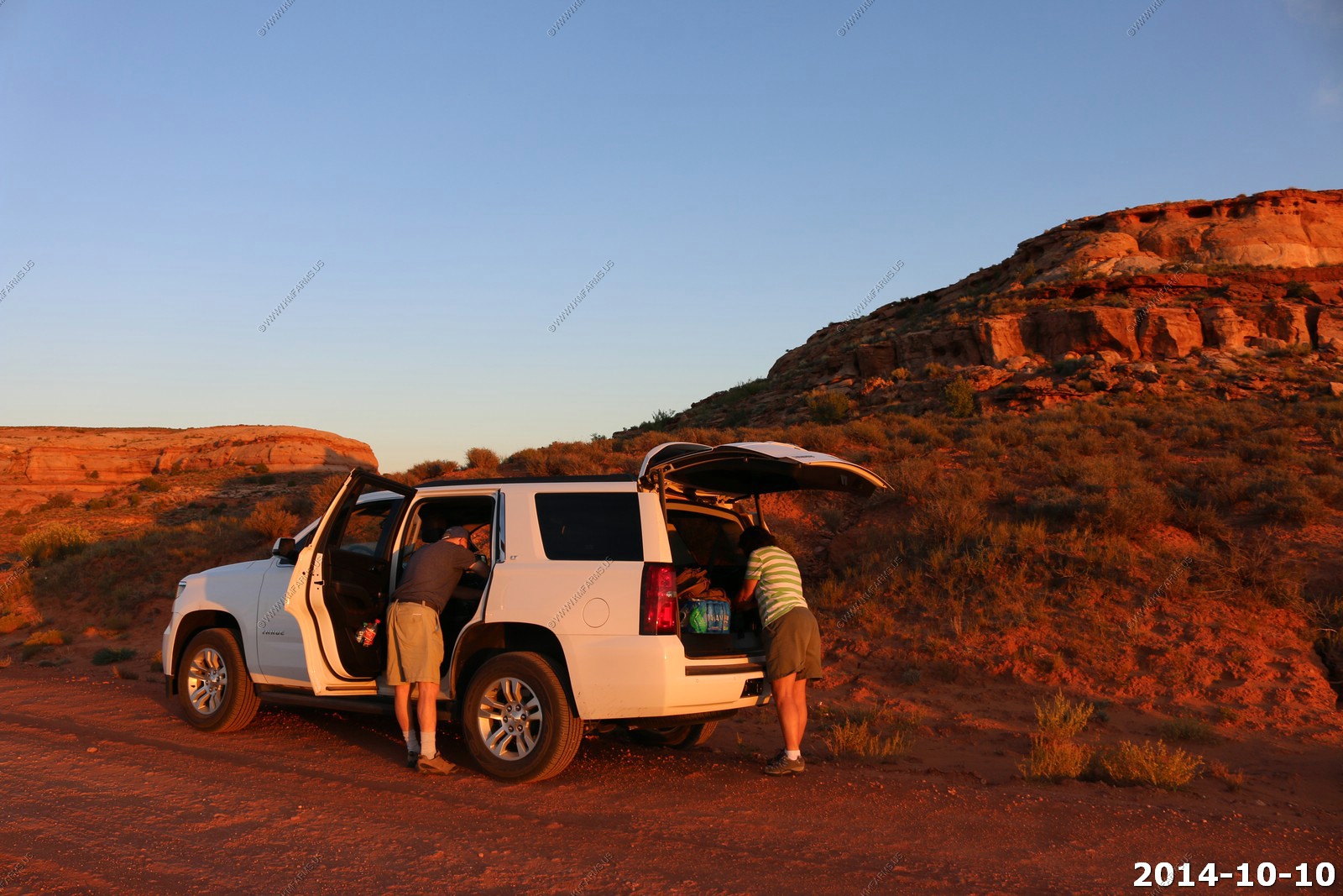
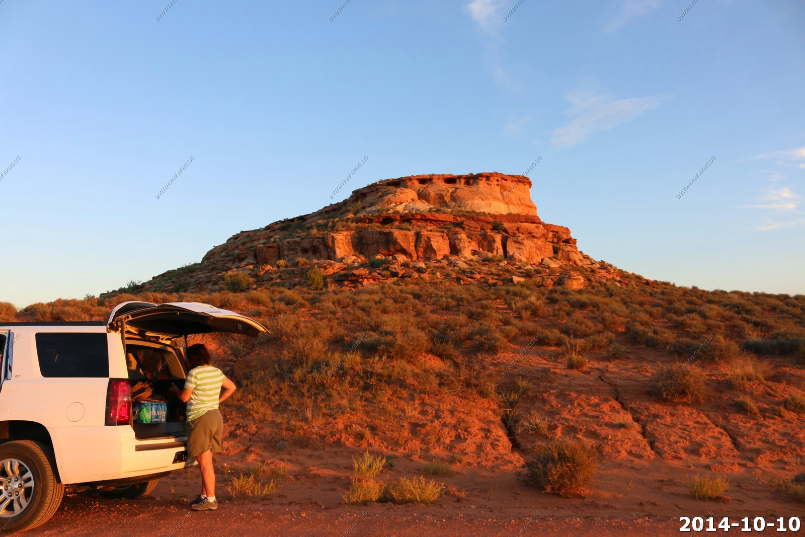
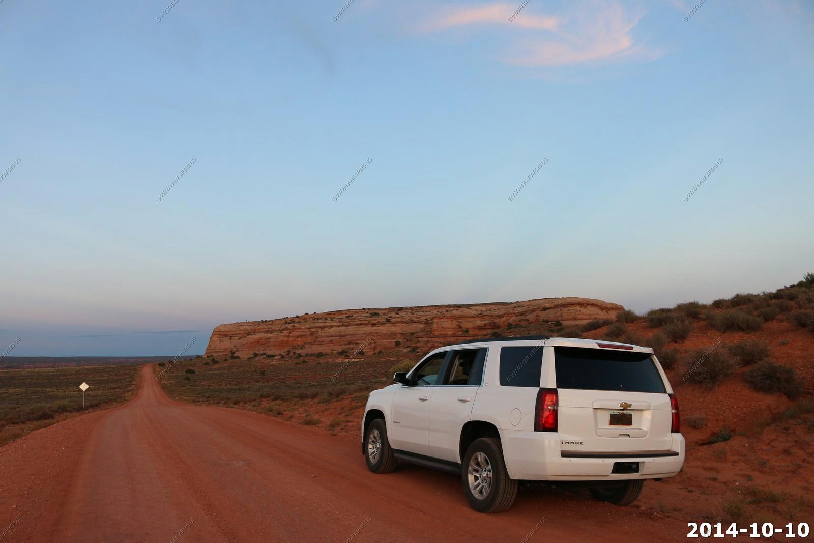
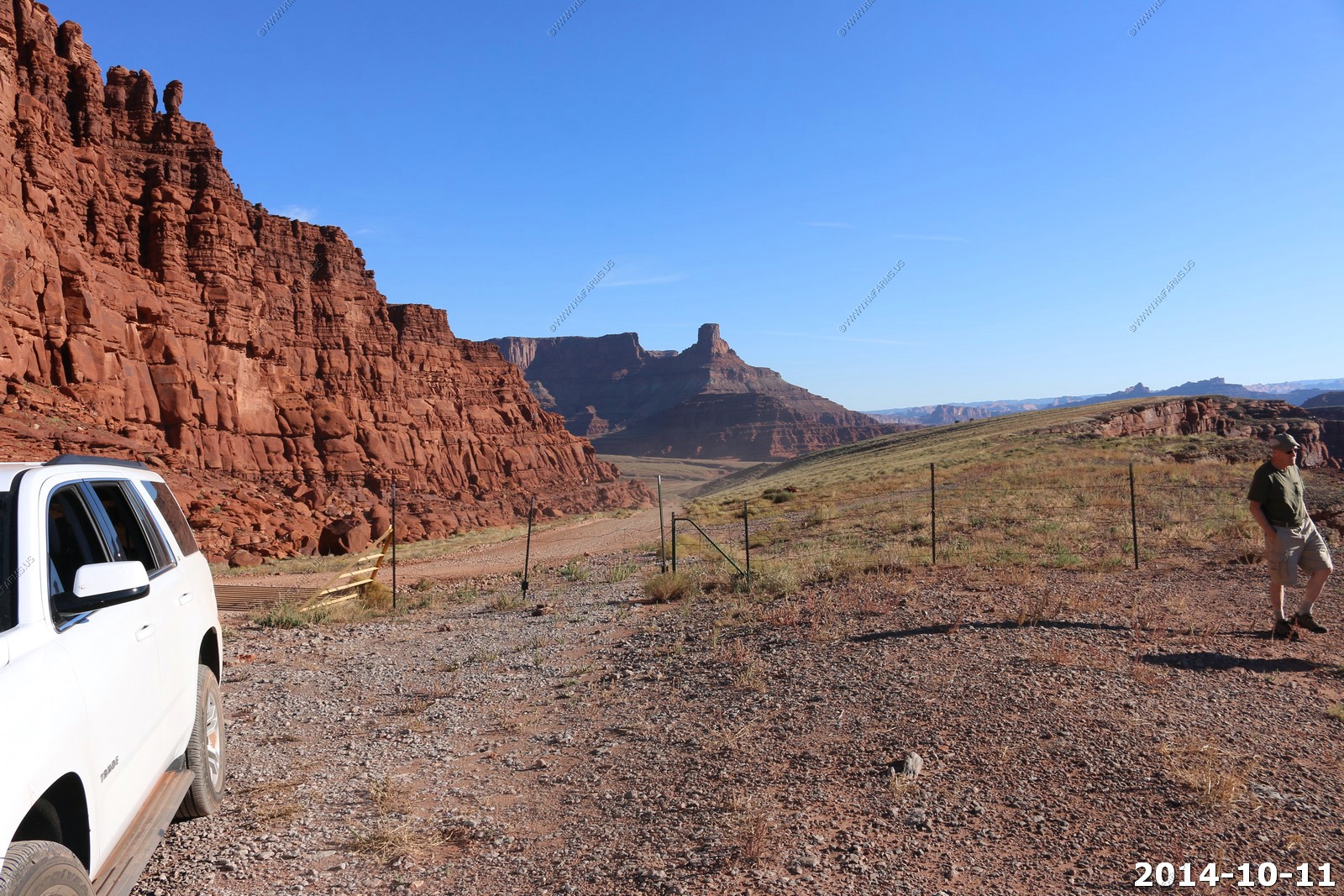
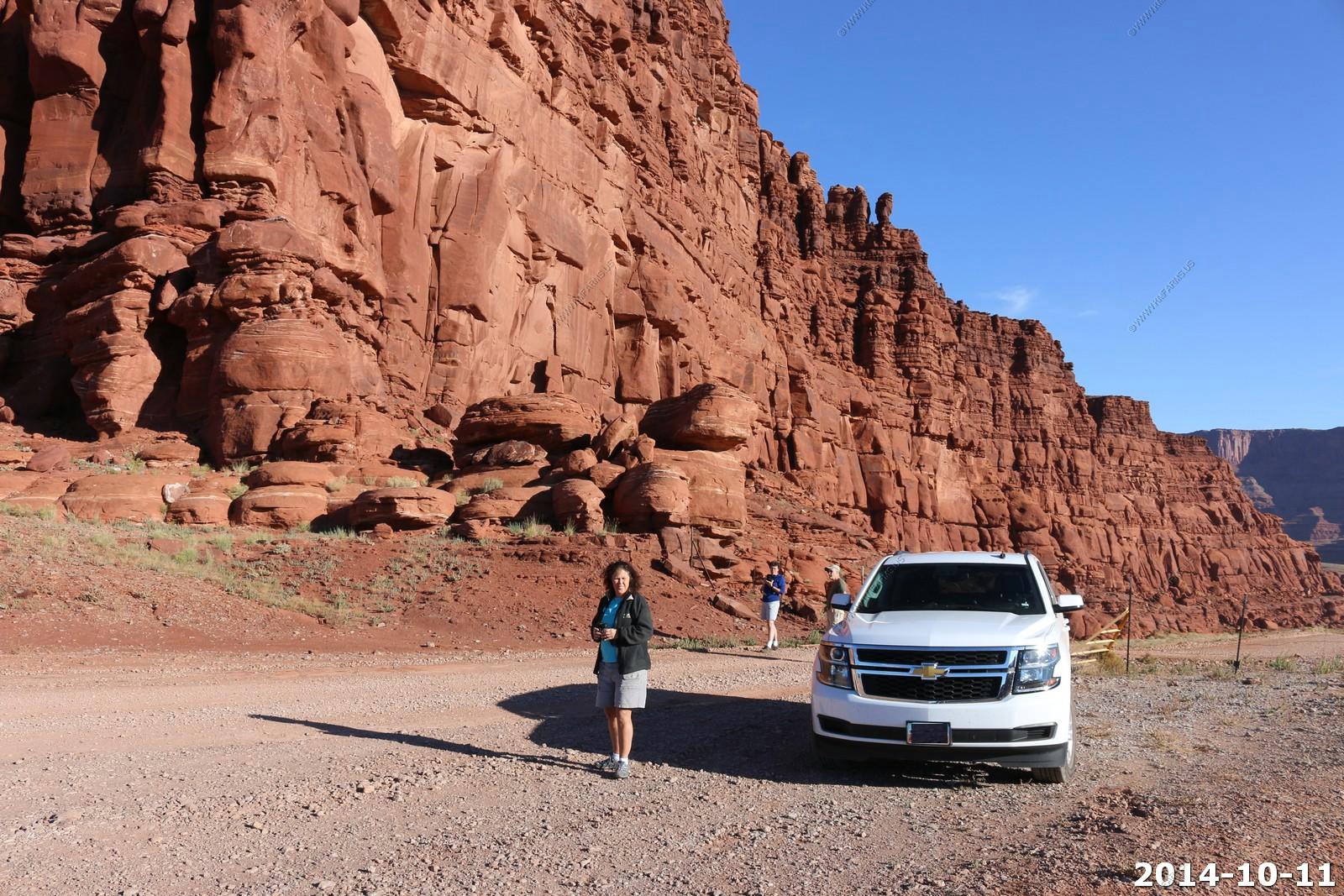
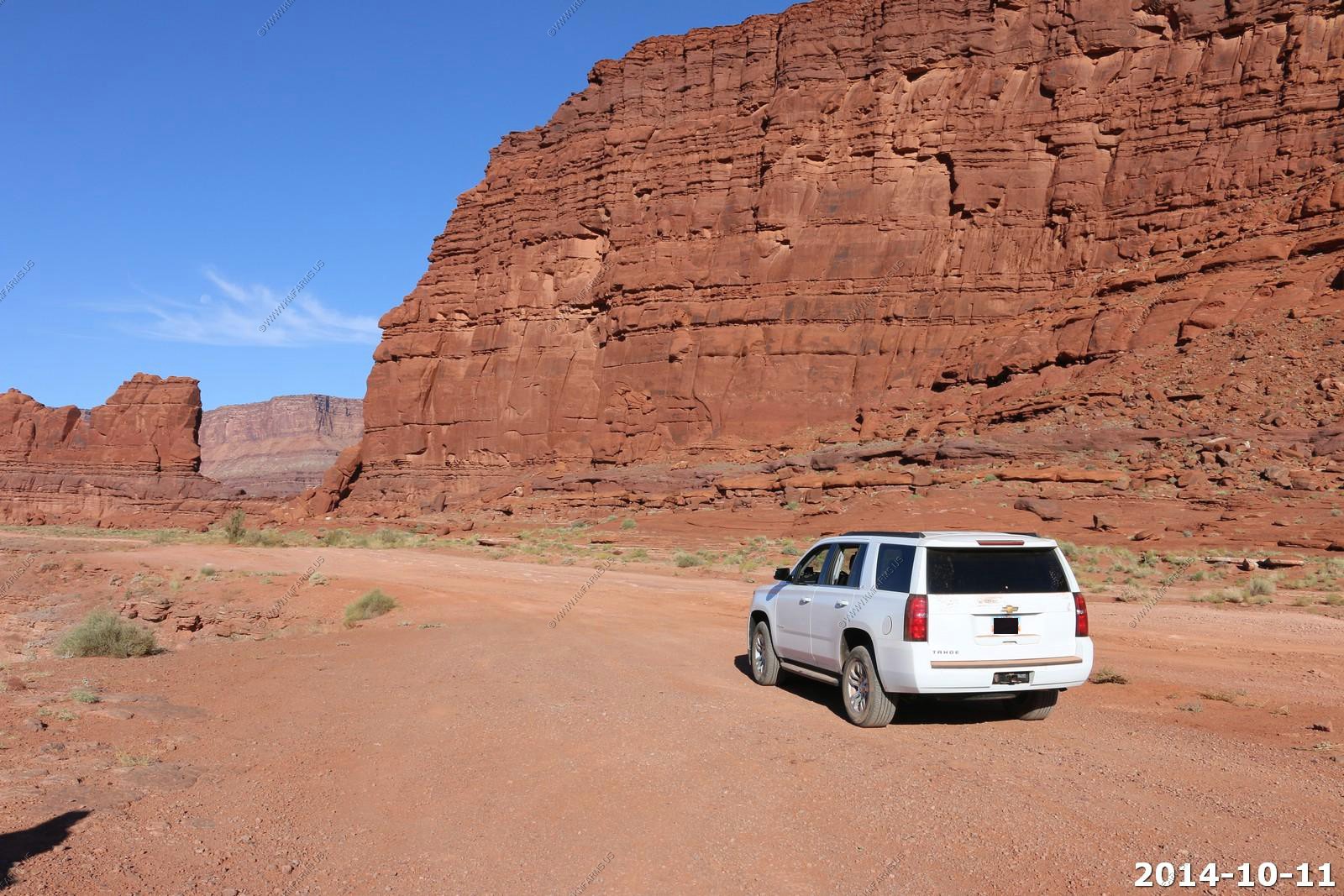
The brand new Chevy Tahoe that we rented from Enterprise. We used to always rent from Alamo, but the last year or two, Enterprise has had better deals.

West bound Union Pacific Coal Train heading down from Soldier Summit on the third highest railroad pass in the US at 7,440 feet.
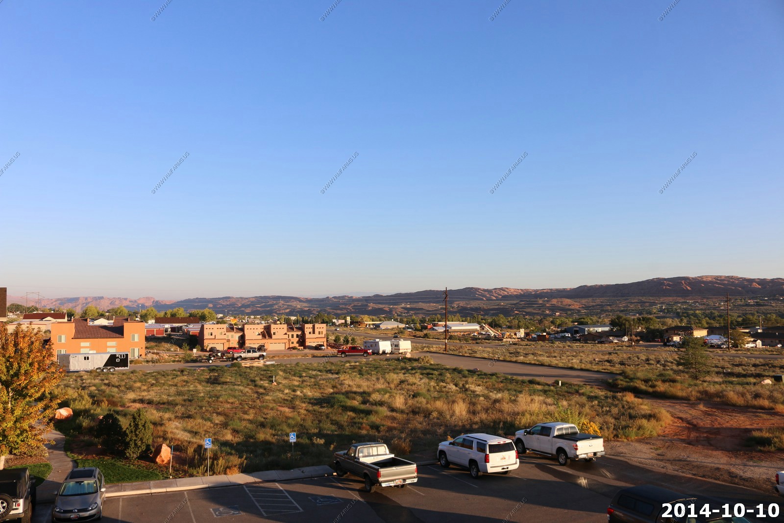
We got into Moab and stayed at VRBO - 605773condo that Mary found. It was clean, quiet and was exactly where and what we wanted. Also, since we spent the first four days here and we could do laundry we were able to pack less clothes, as we basically started out with clean everything on day 5 of the trip.
We ate dinner at - Moab Brewery - in Moab. The Reuben's were just as good as they were 11 years ago!
Thursday - OCT 09 2014
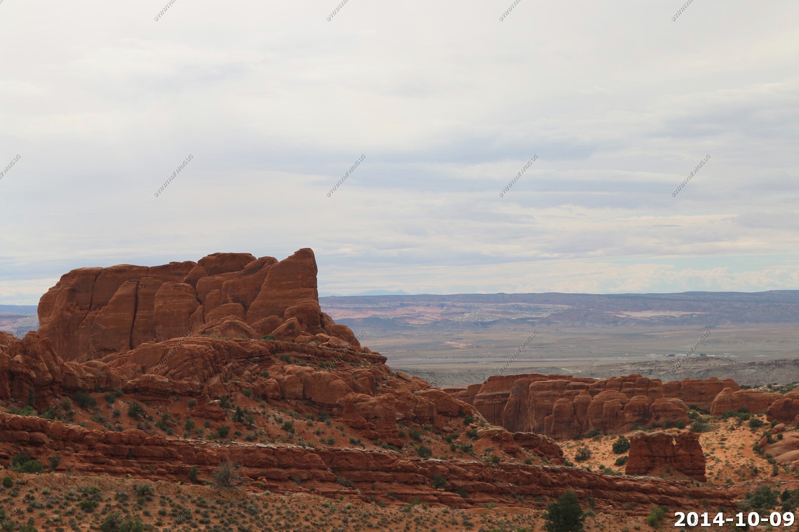
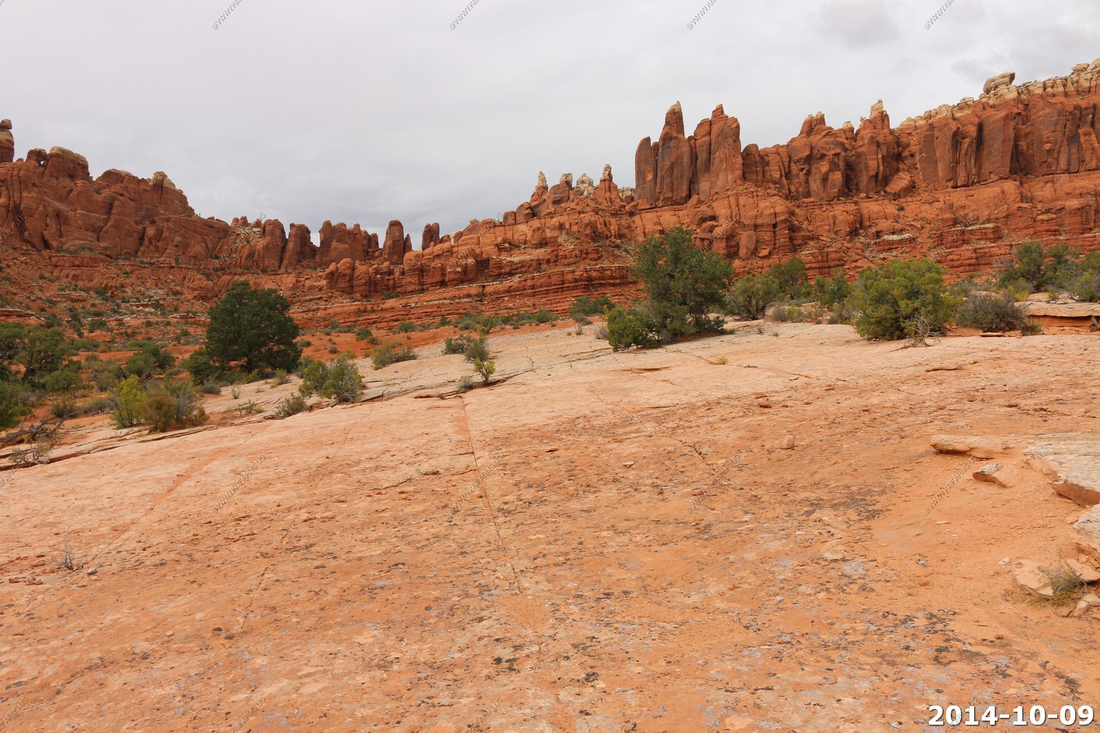
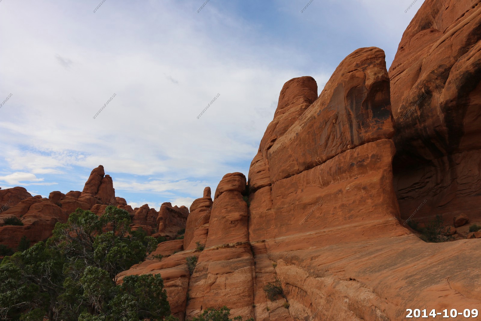
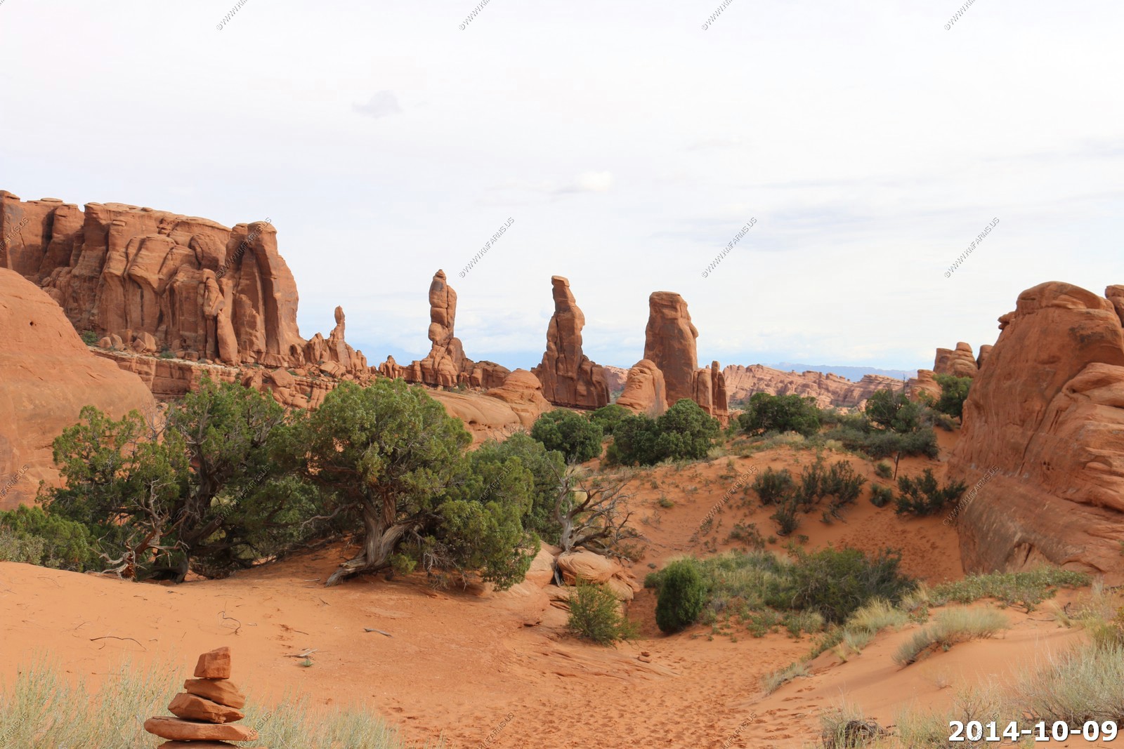
Arches National Park
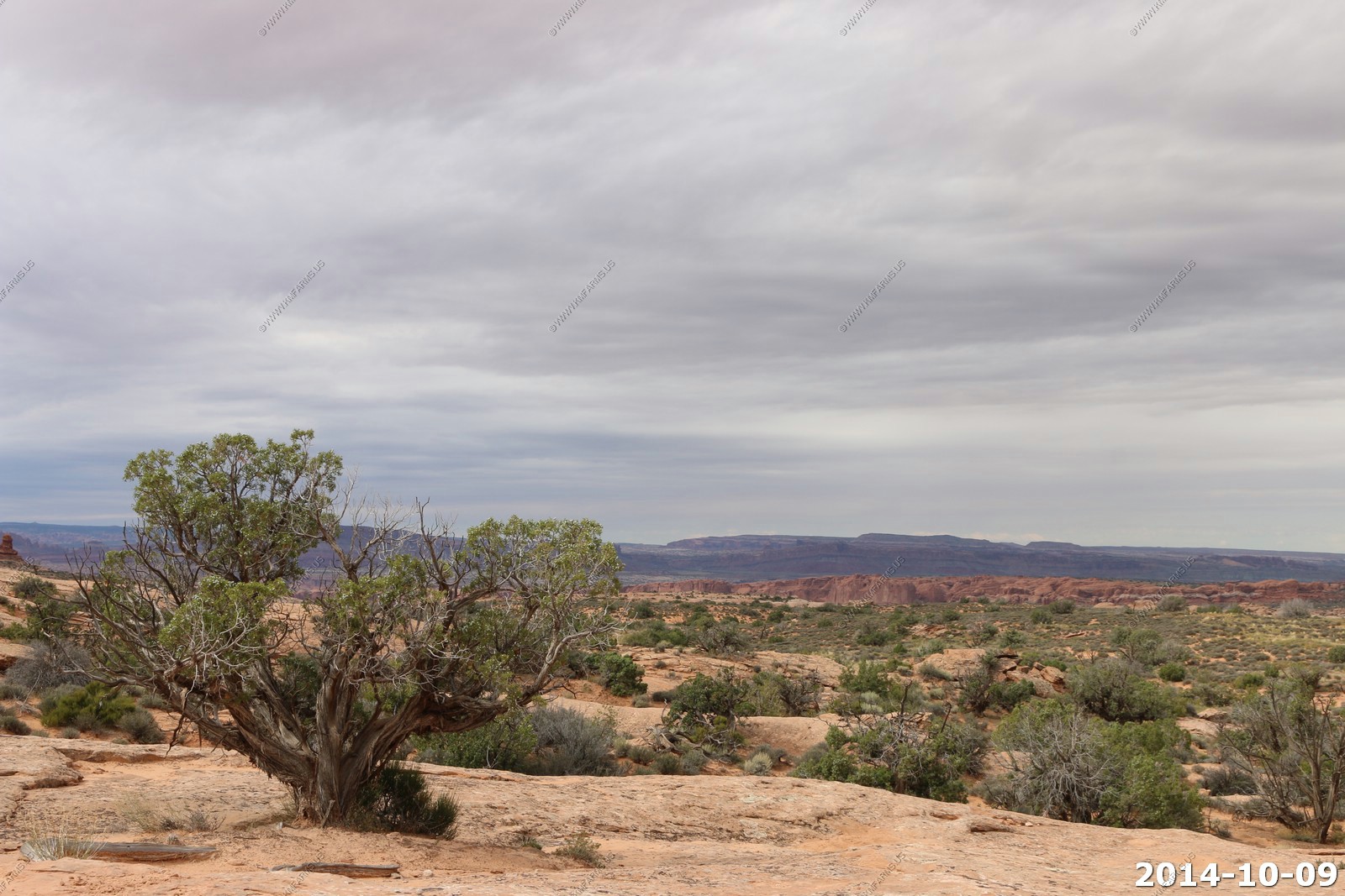
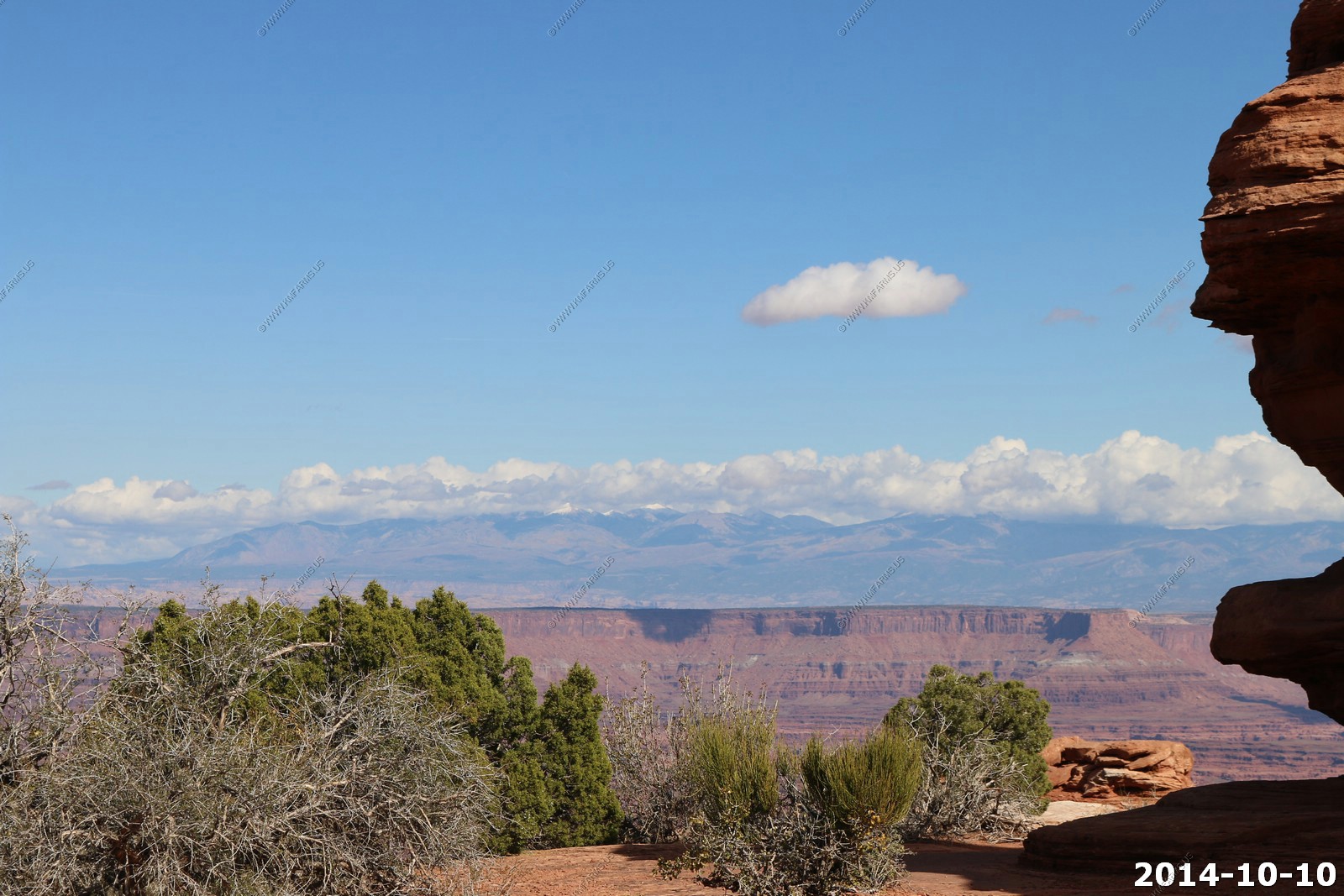
With the remnants of Hurricane SIMON coming up into Arizona and catching the south east corner of Utah, today would start out cloudy. On past vacations we would visit Canyonlands first, then Arches, then back to Canyonlands, but since we wanted the best weather at Canyonlands we decided to do Arches first. We waited till lunchtime before we headed up to the park allowing the weather to get a bit brighter.
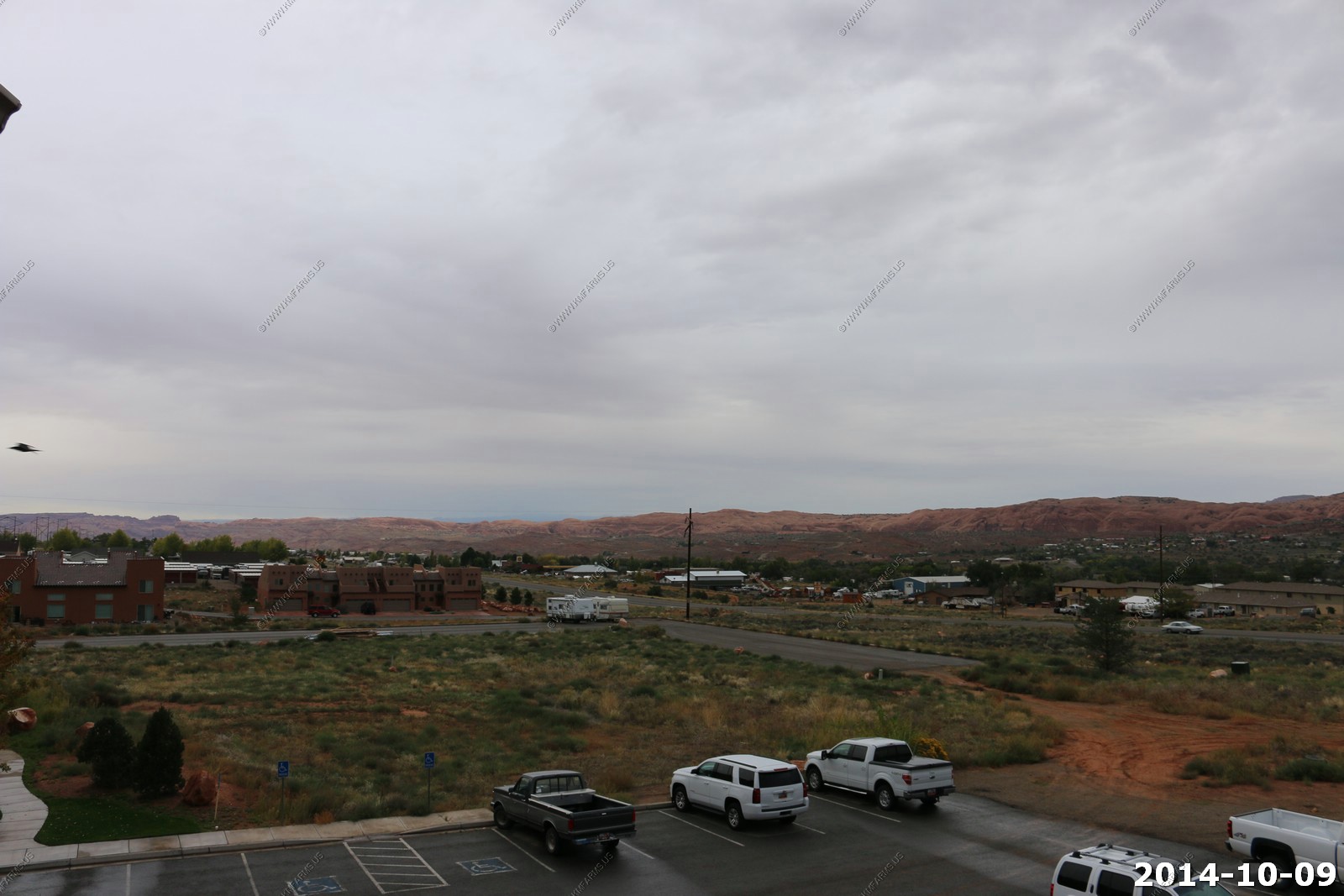
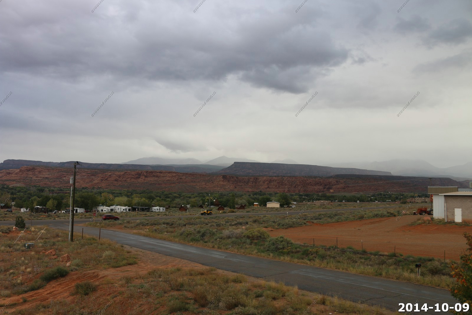
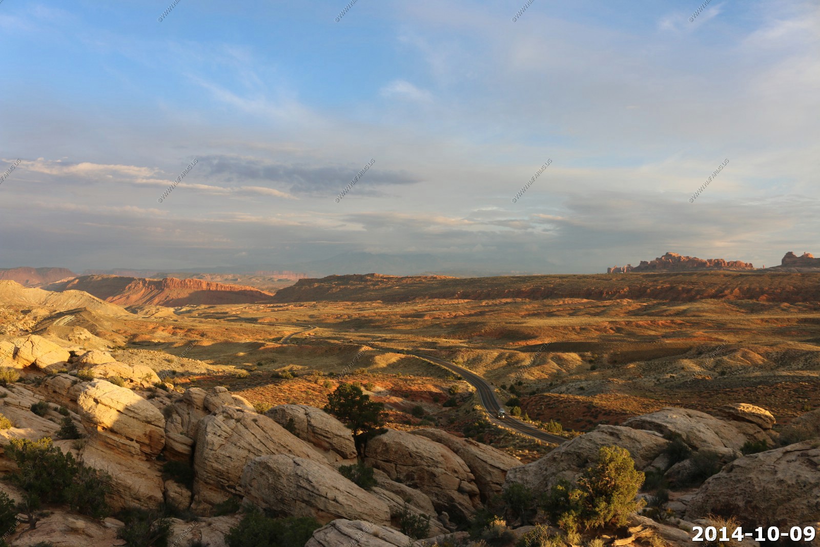
Our rented condo was south of Moab along US-191. Looking north from the balcony.
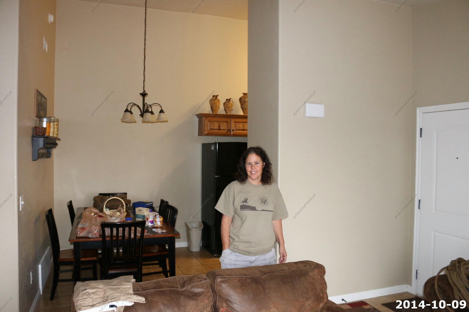
Mary packing lunches for our trip.
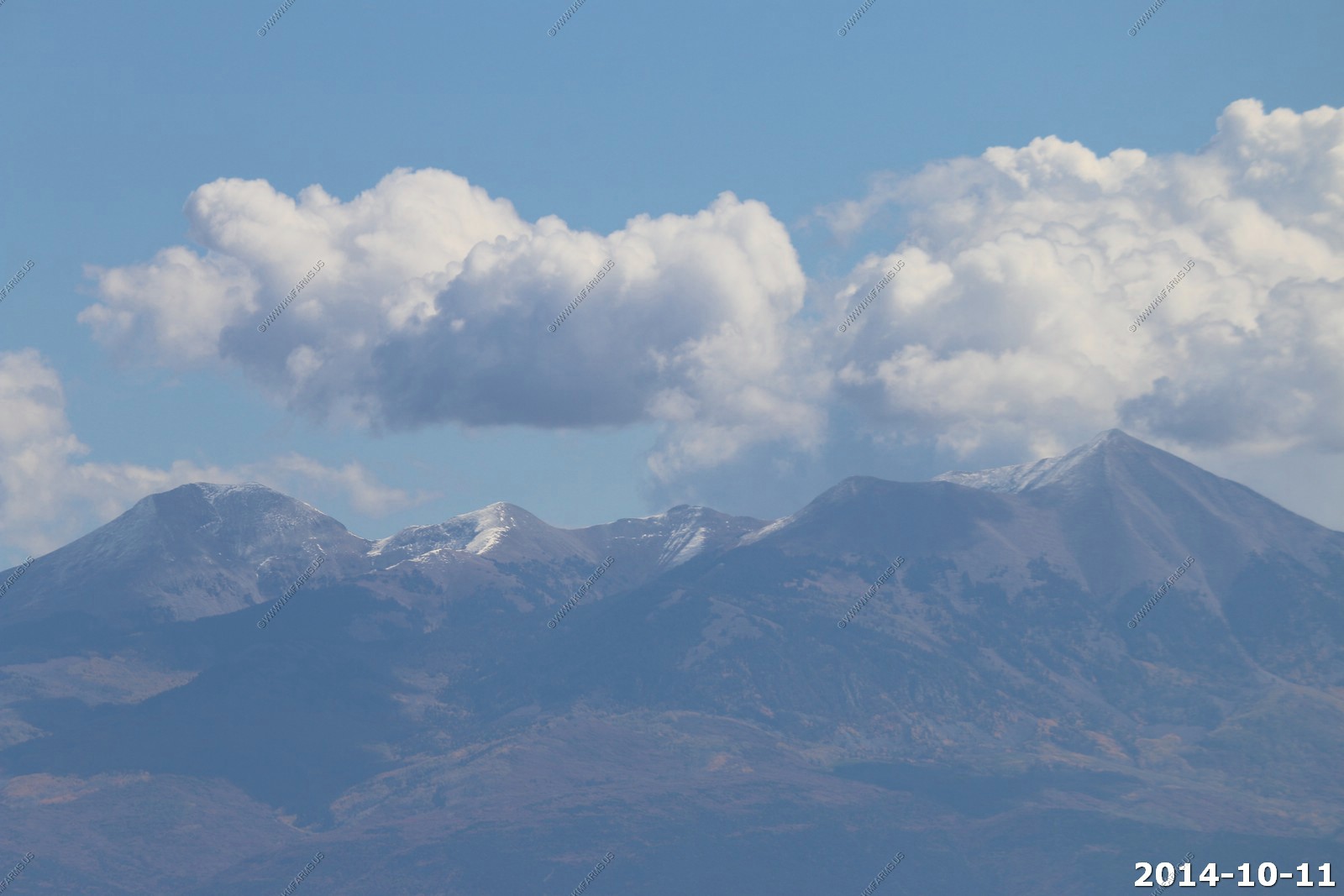
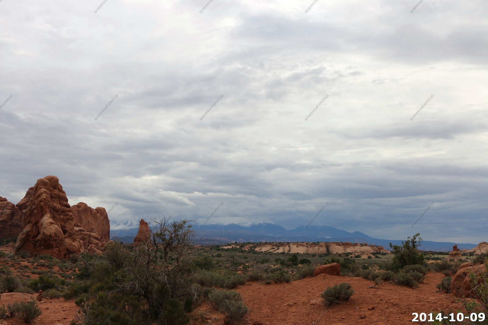
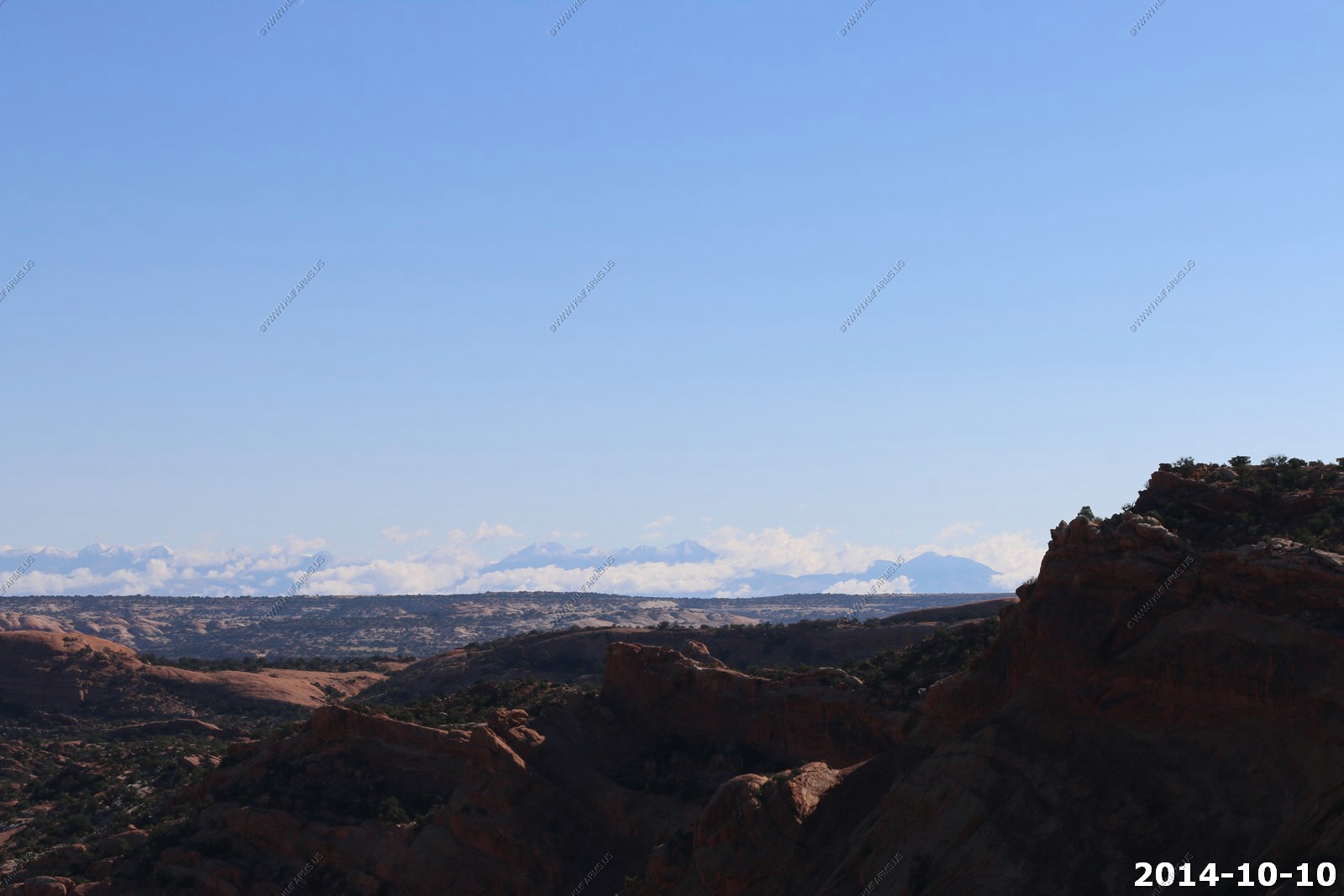
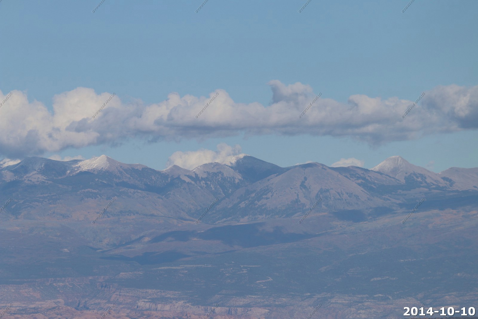
Looking east up into the snowy La Sal's and to Mount Peale 12,721 ft. in the clouds and snow. We would see these mountains for the next 5 days.
Arches is very close to Moab. Only a bit over 6 miles from downtown Moab to the entrance of the park.
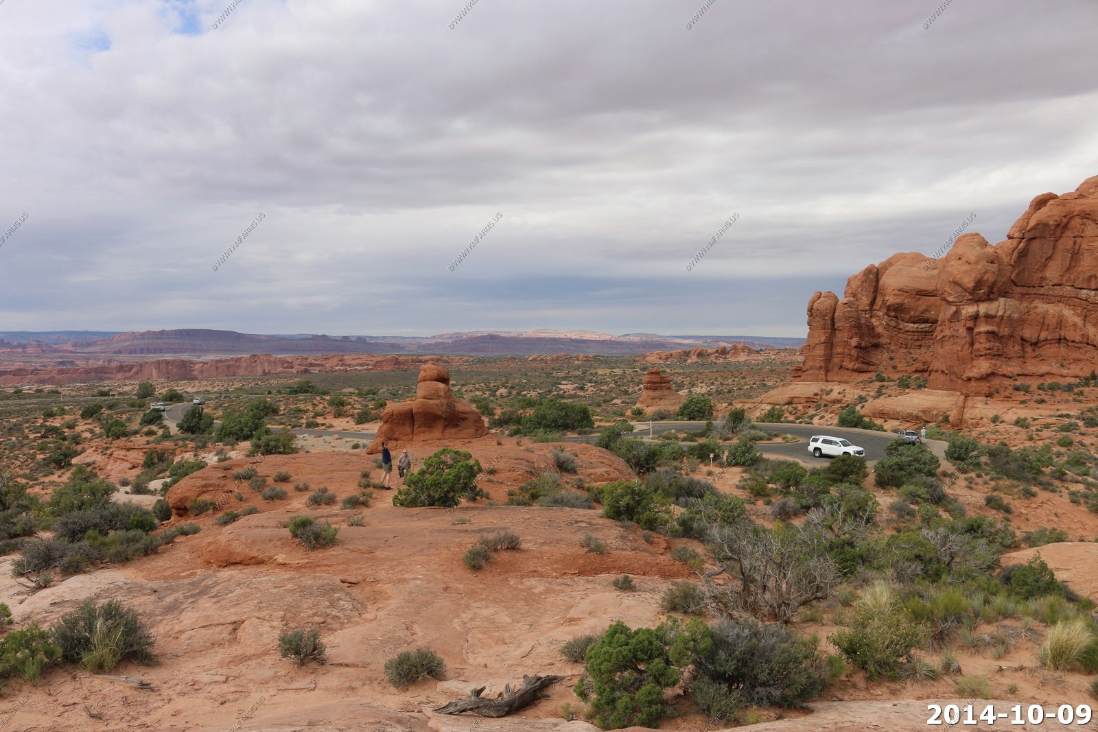
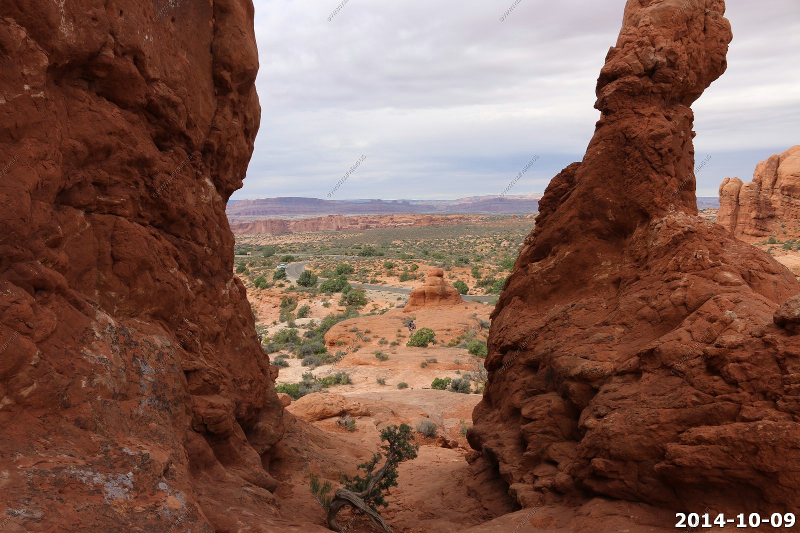
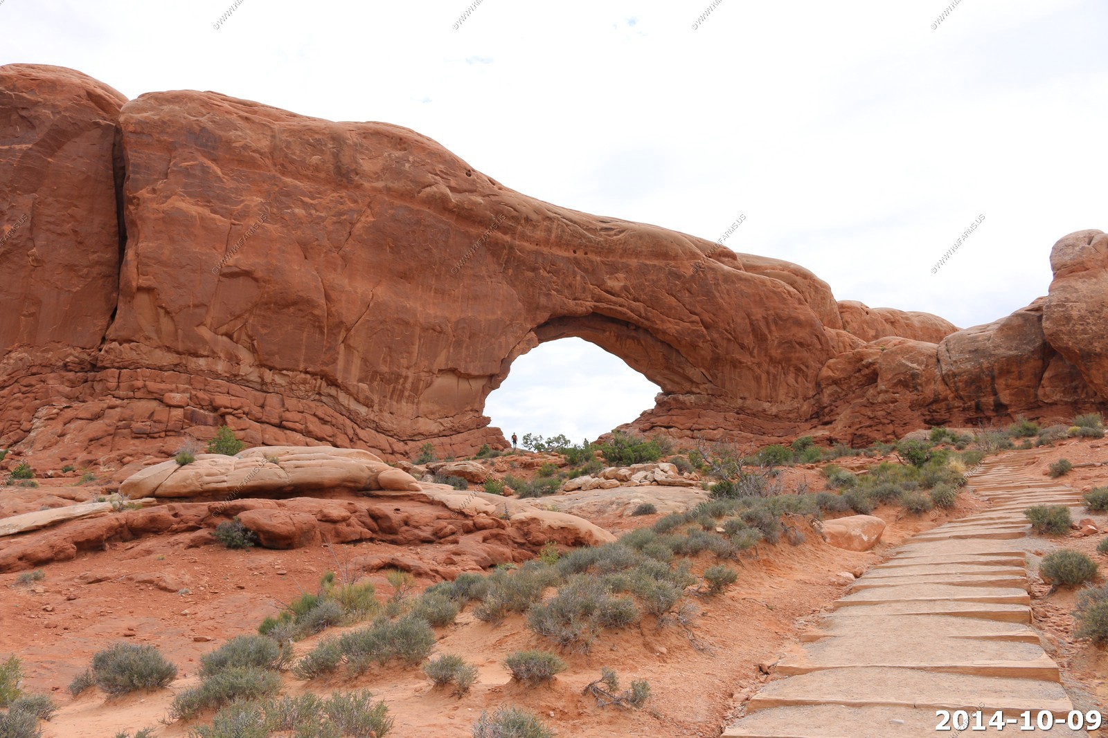
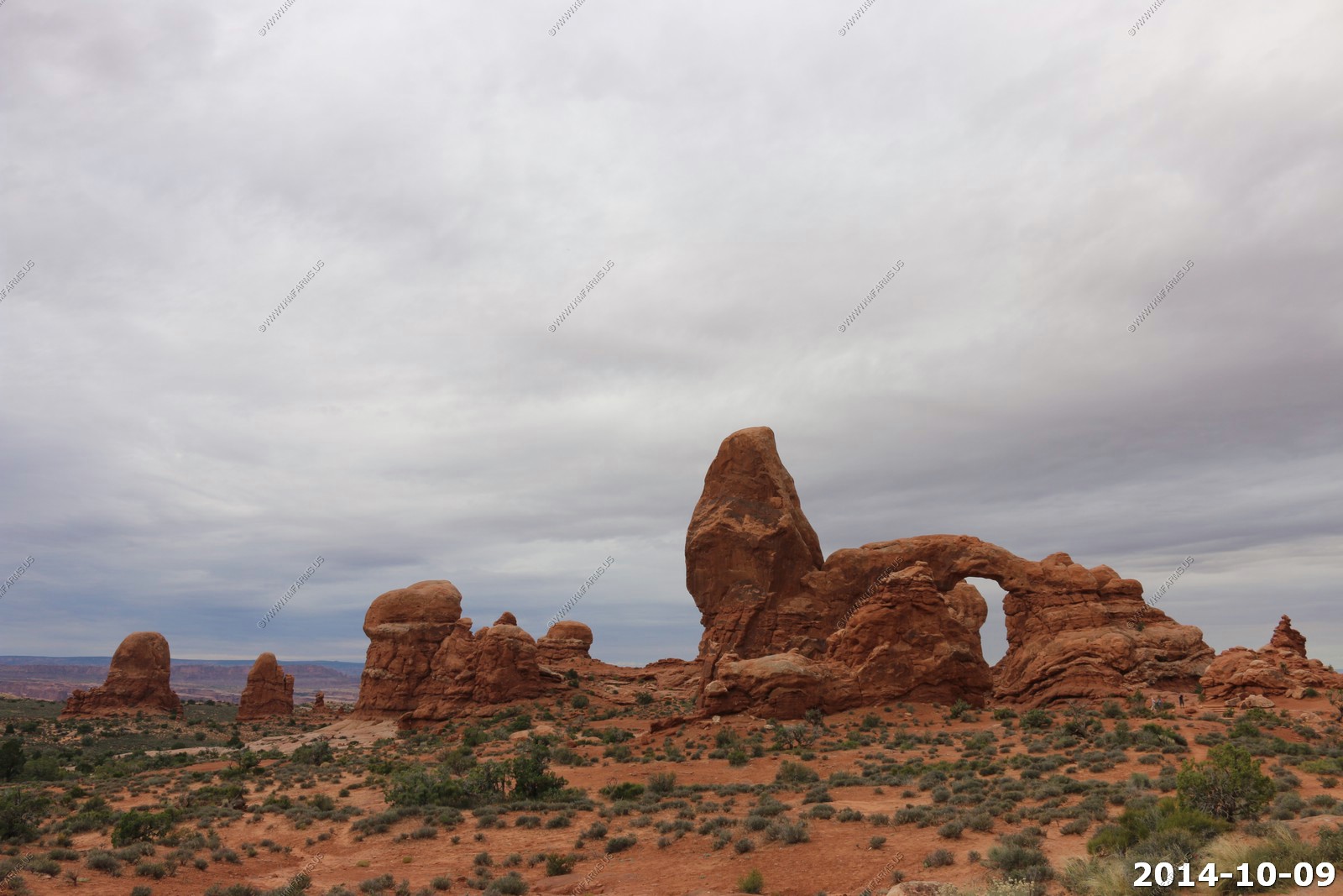
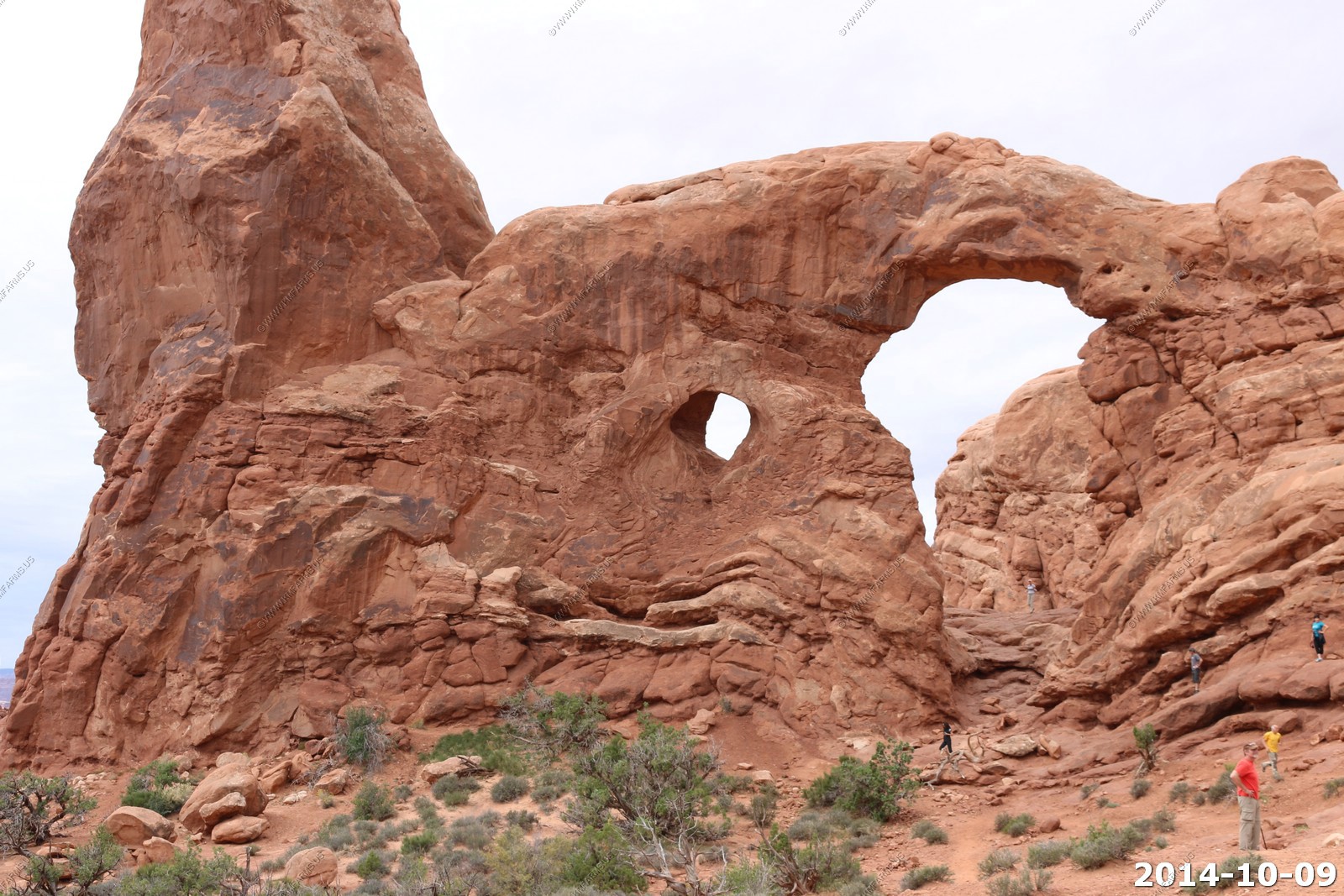
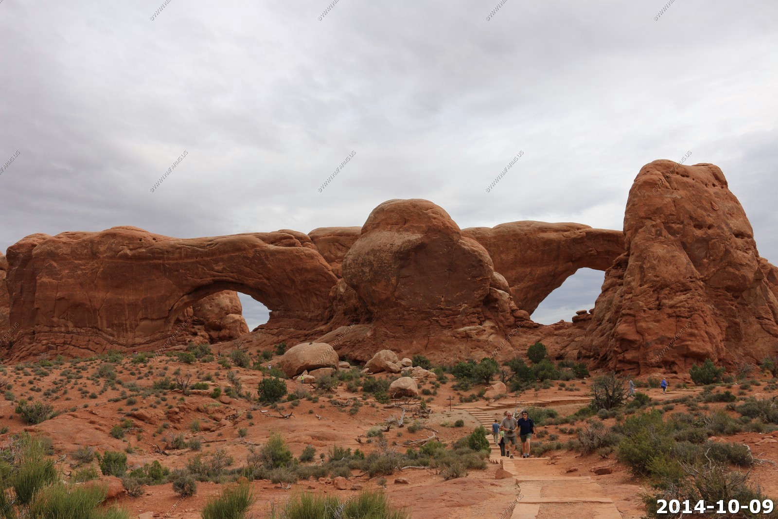
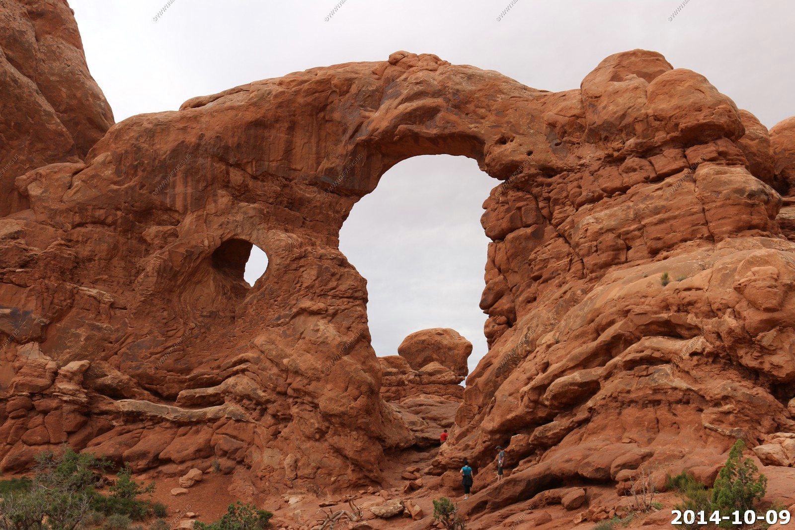
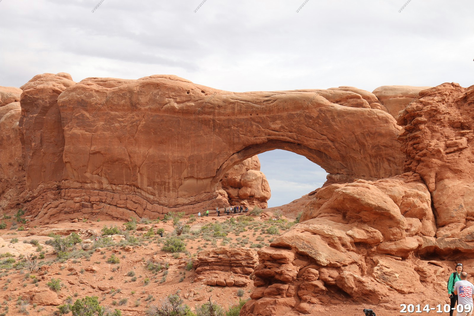
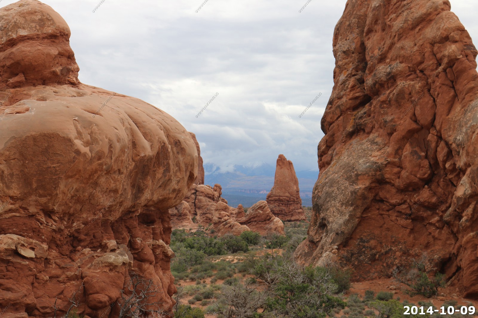
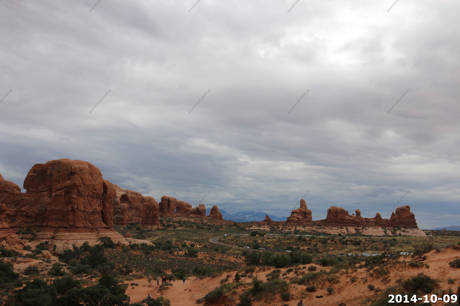
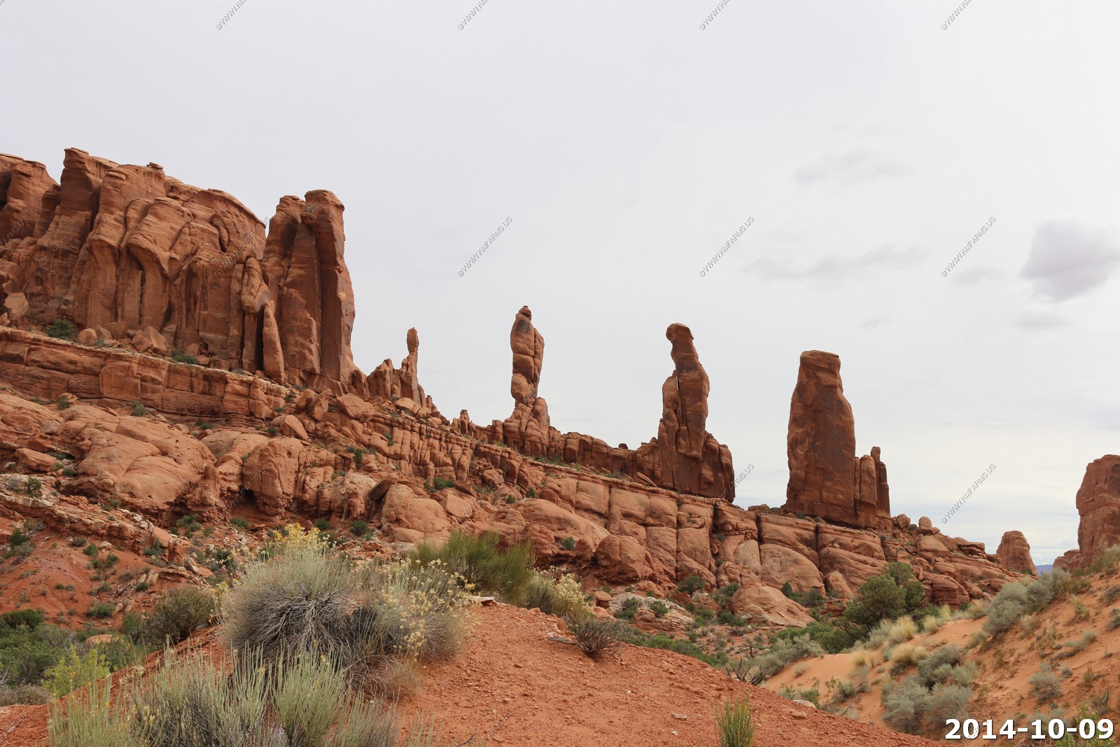
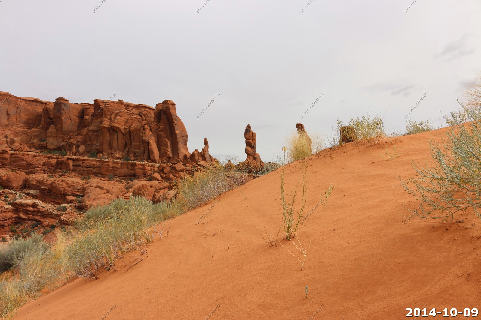
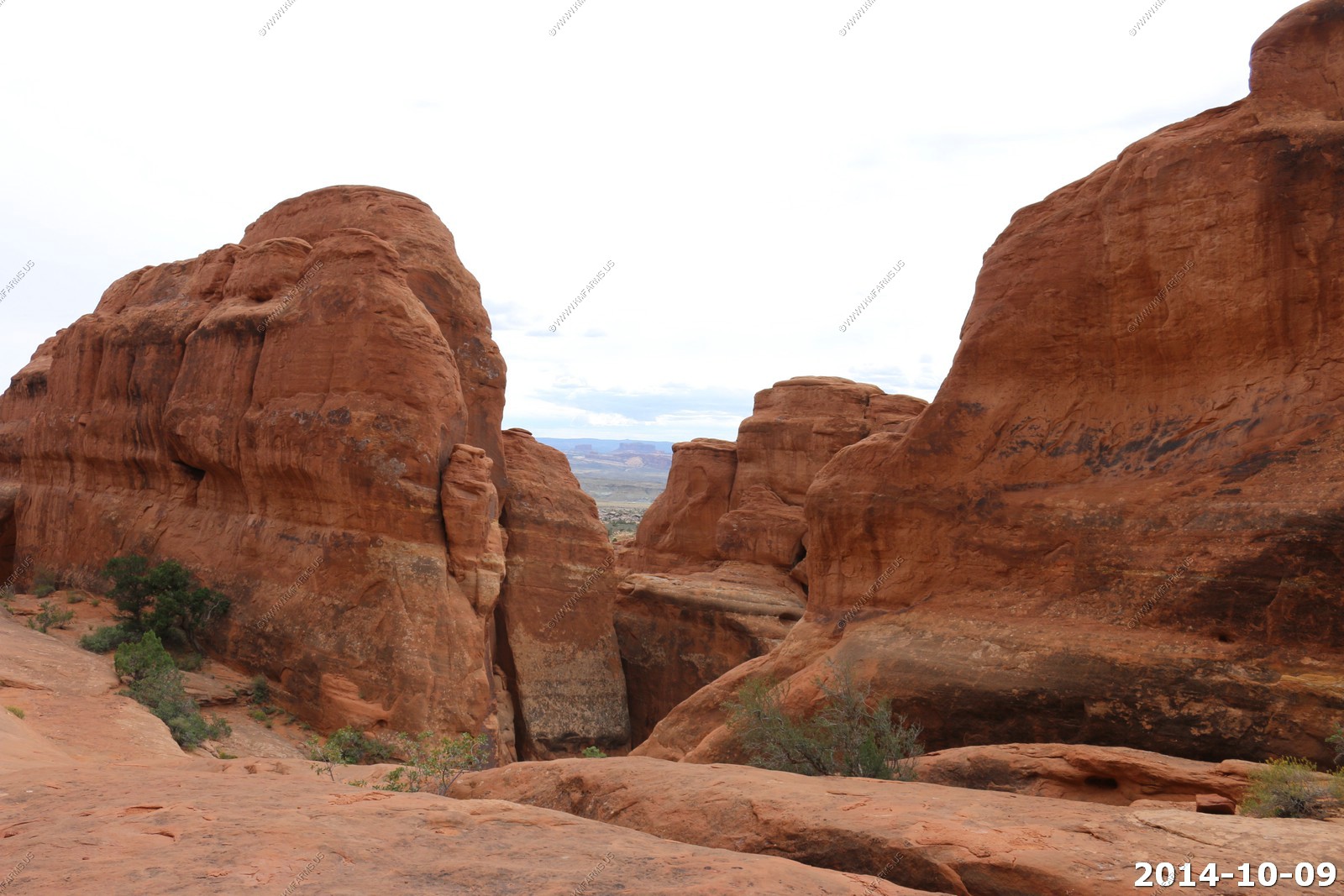
Our first stop was along the road to the Windows Section.
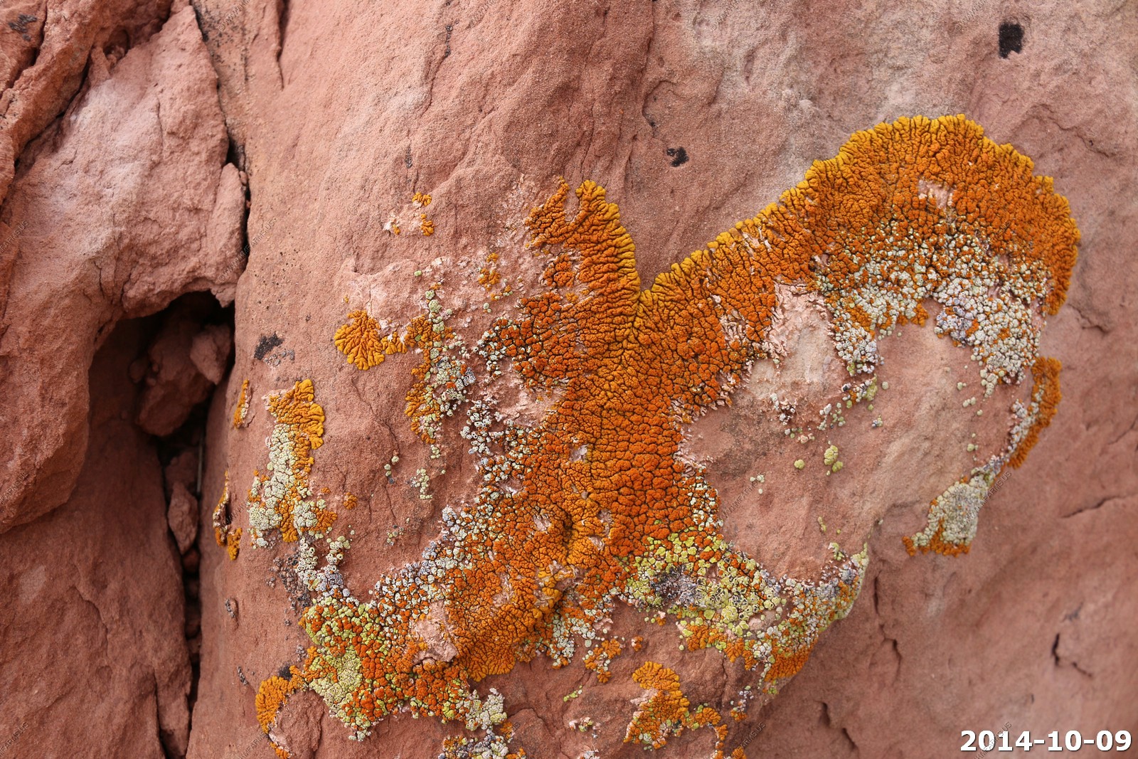
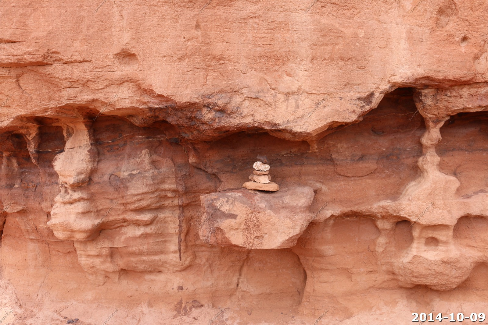
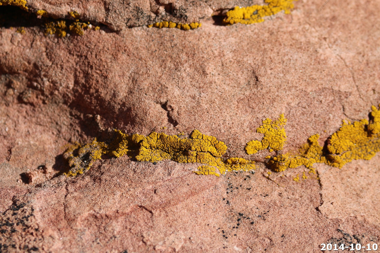
Cool lichens - Excellent air quality here.
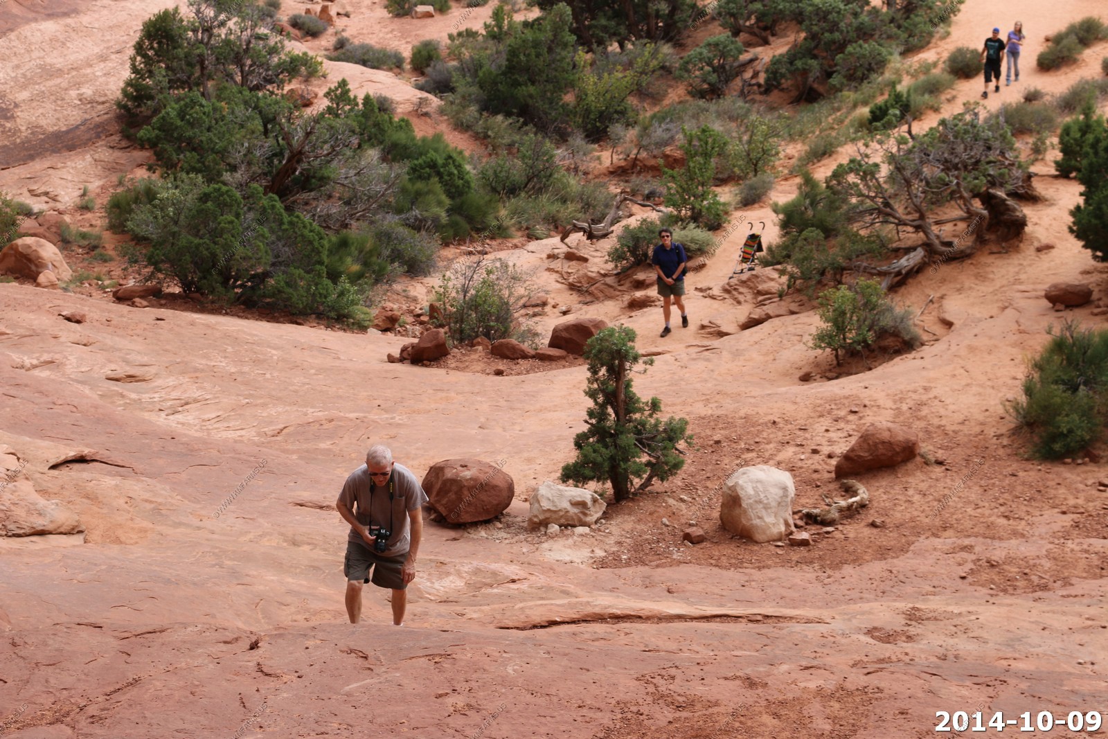
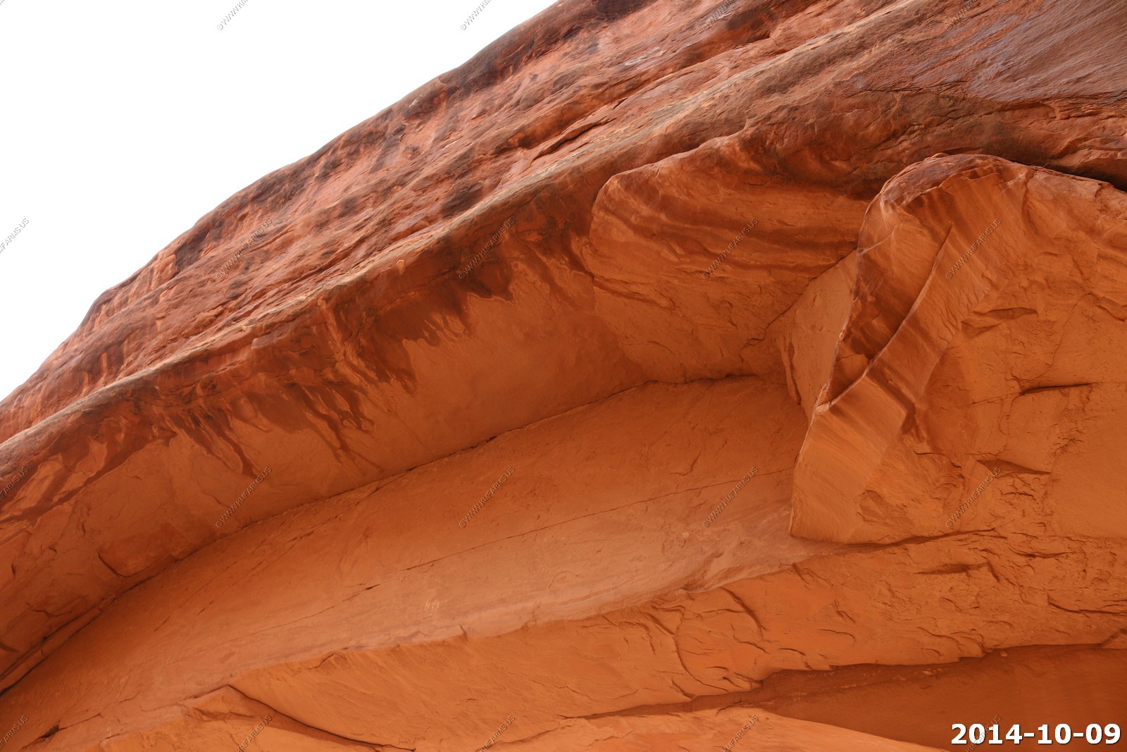
We were amazed for a cloudy Thursday how crowded it was here. Would not want to visit in the summer. We found a place to park and walked around the arches. It looked exactly the same as it did back in 2003.
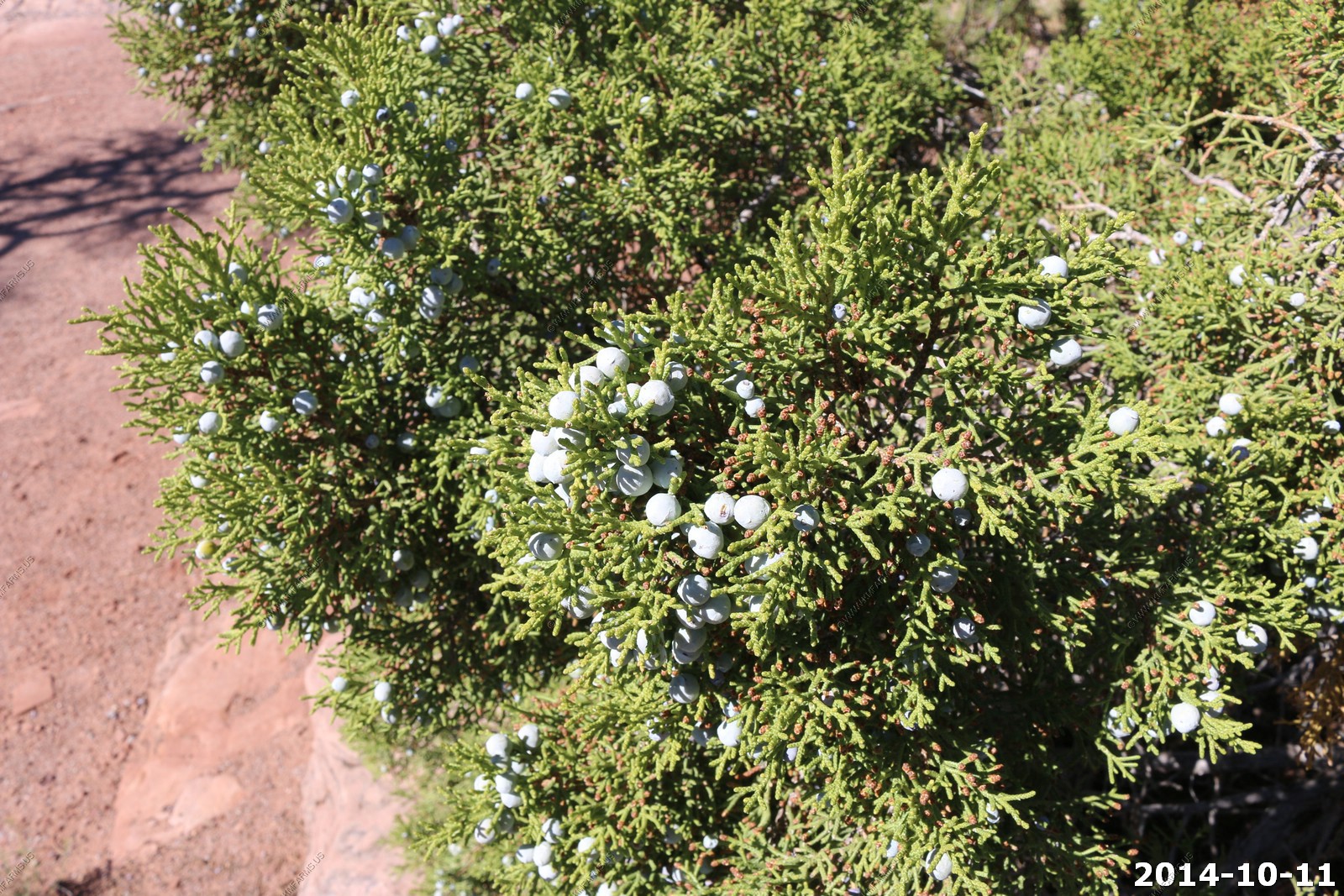
Utah Juniper has shaggy bark and small cones that look like berries. Cones have a waxy coating protecting the seeds from losing moisture. Junipers survive drought by self-pruning. When water is scarce, sap supplies can be shut off to certain branches. Utah junipers often appear dead when they have been living for over 1000 years.
Looking at the snow up in the La Sal's 25 miles away.
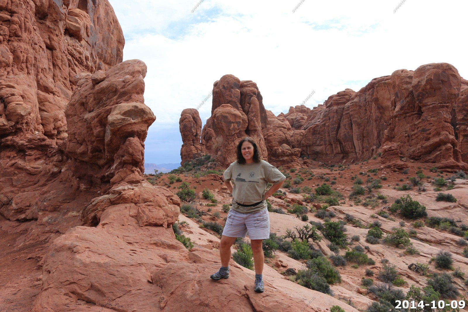
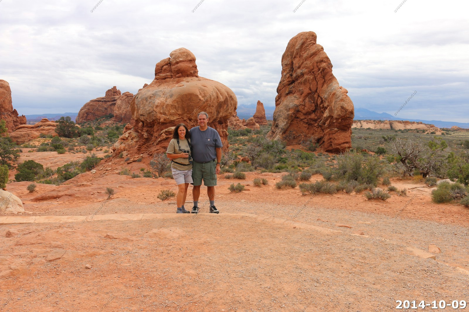
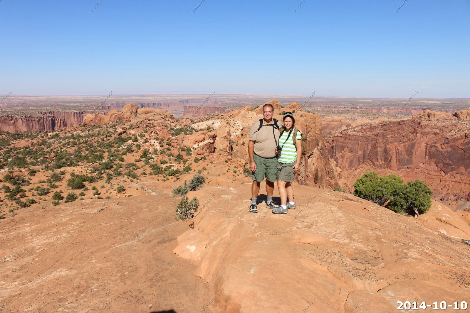
Mary & Ken on vacation.
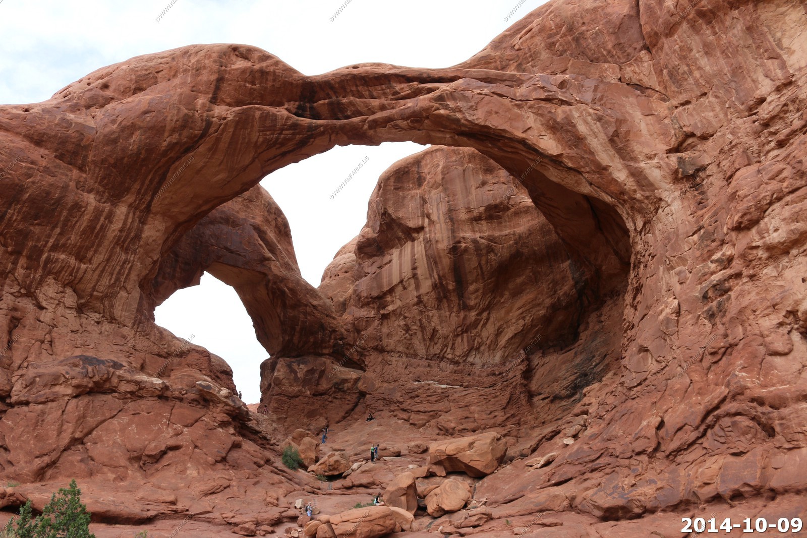
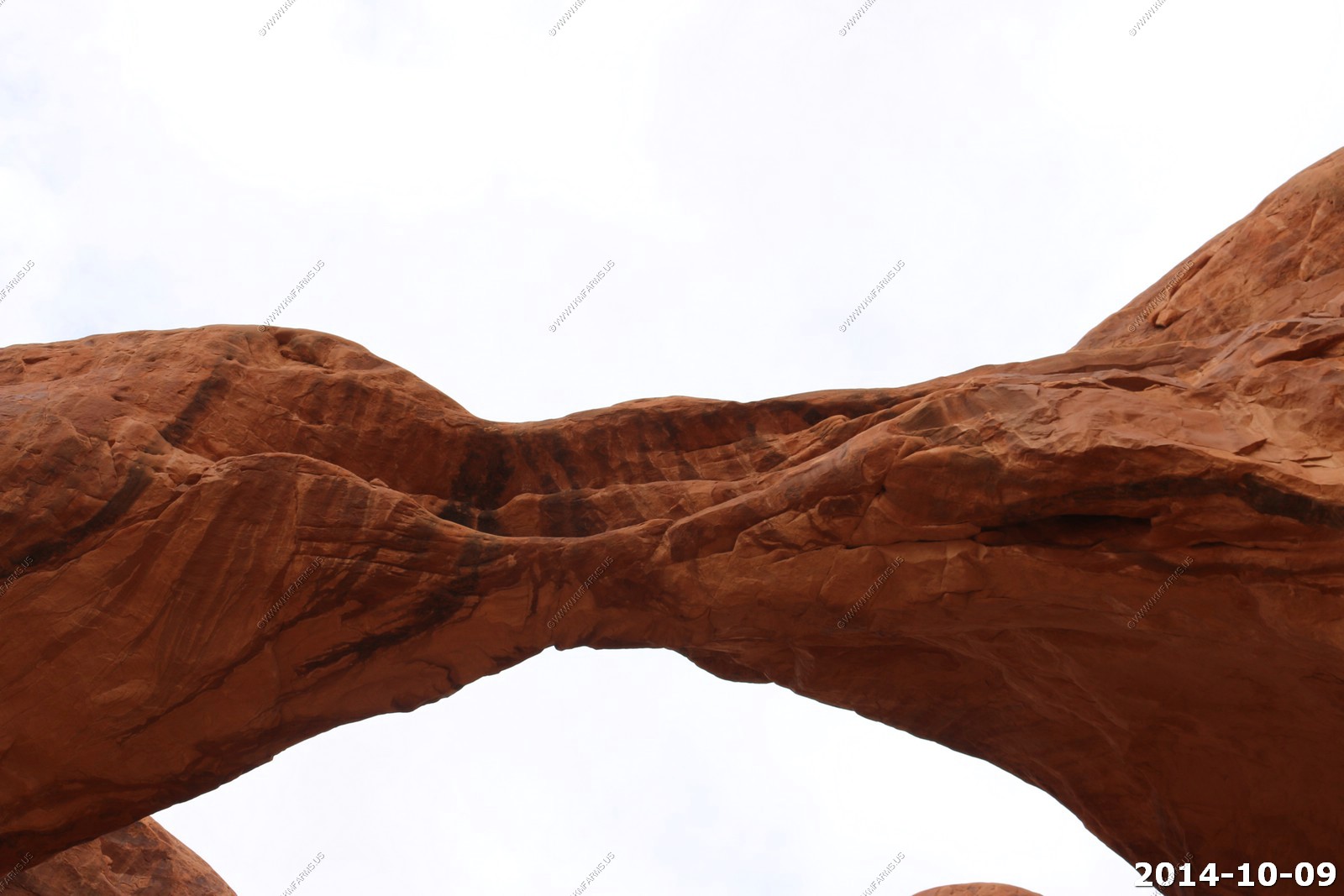
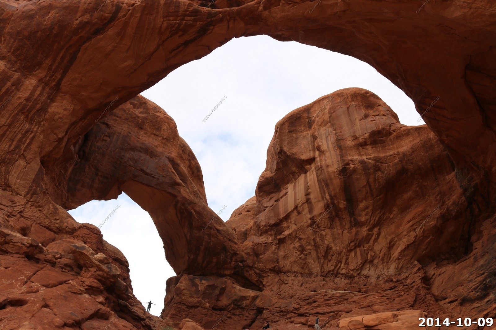
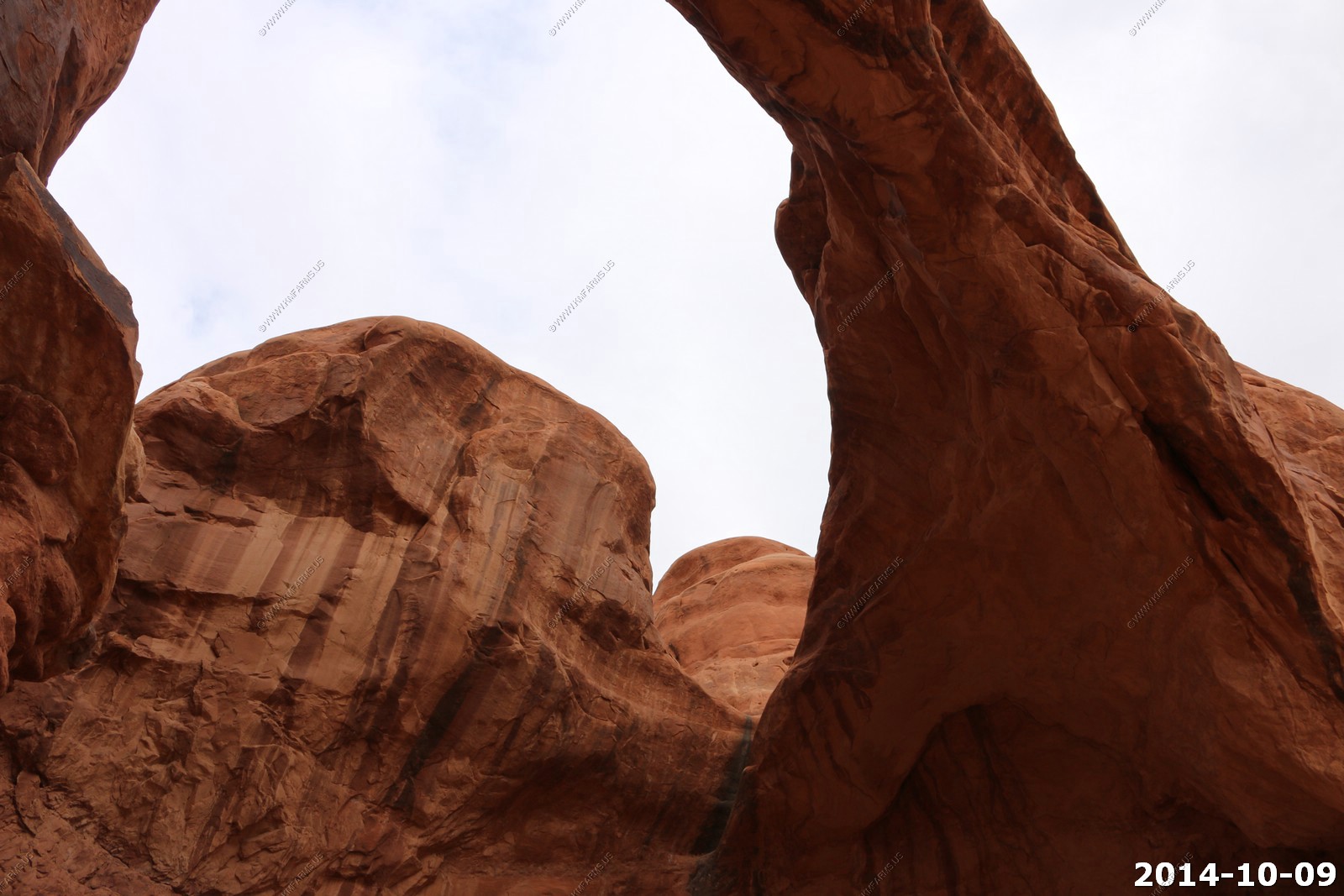
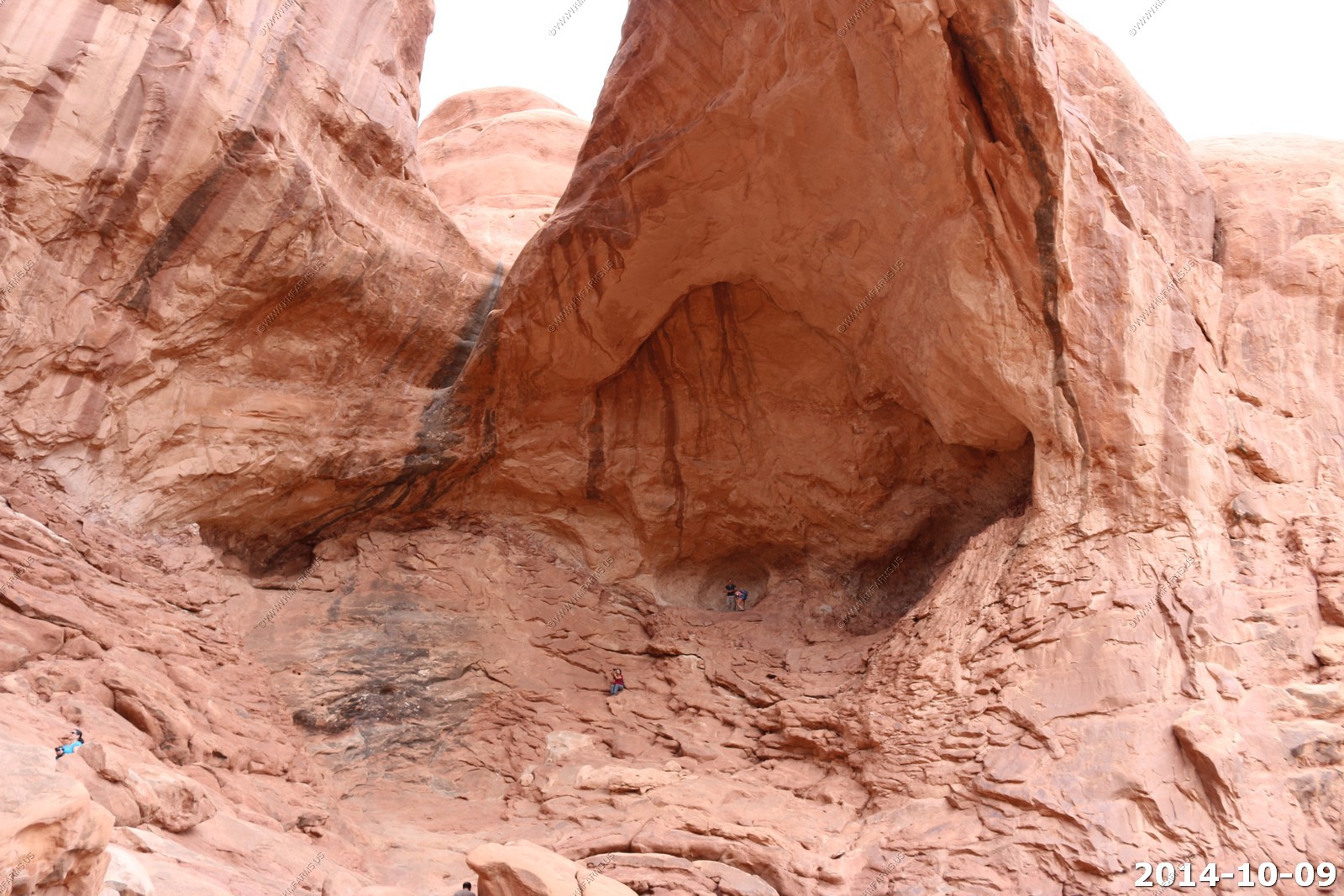
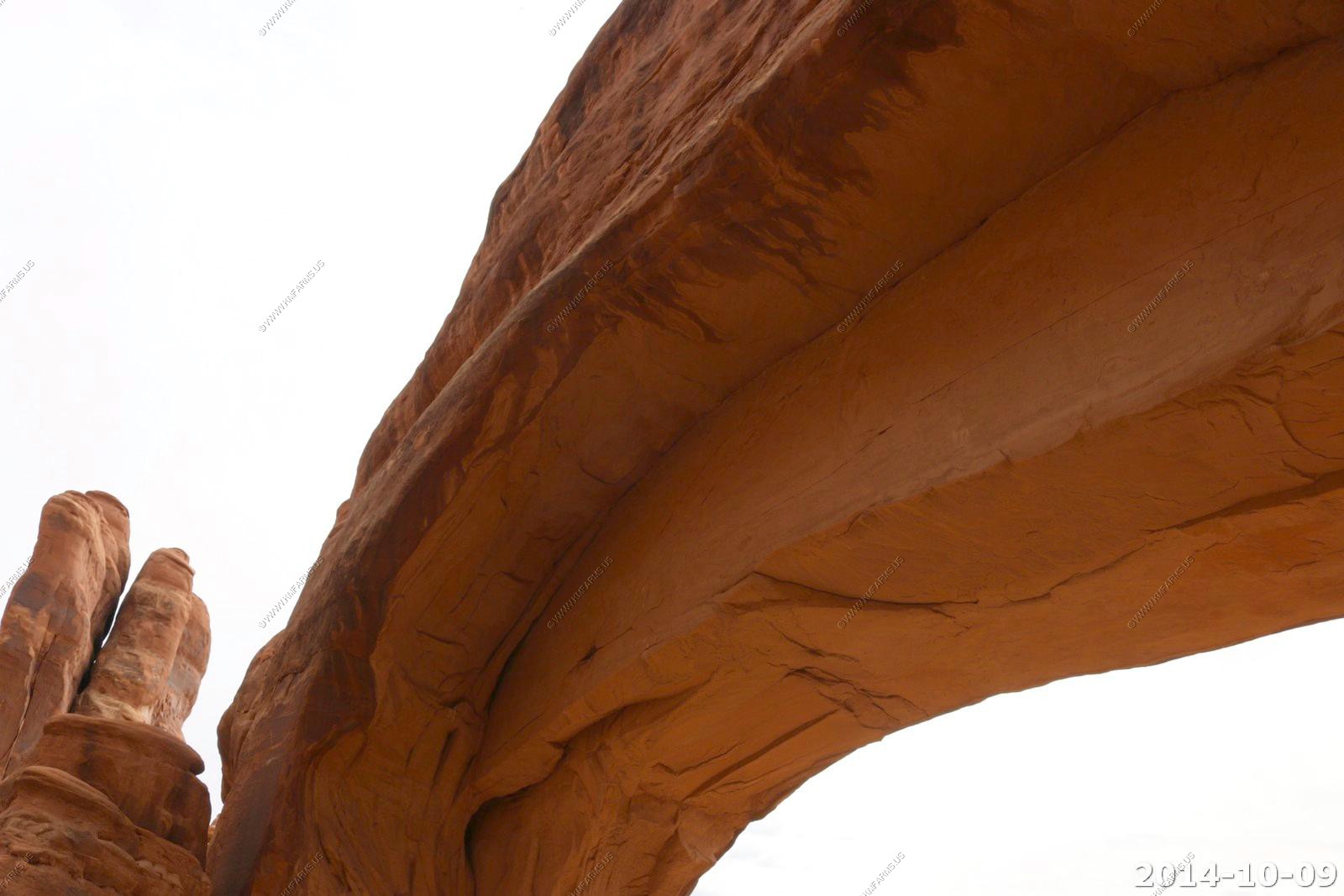
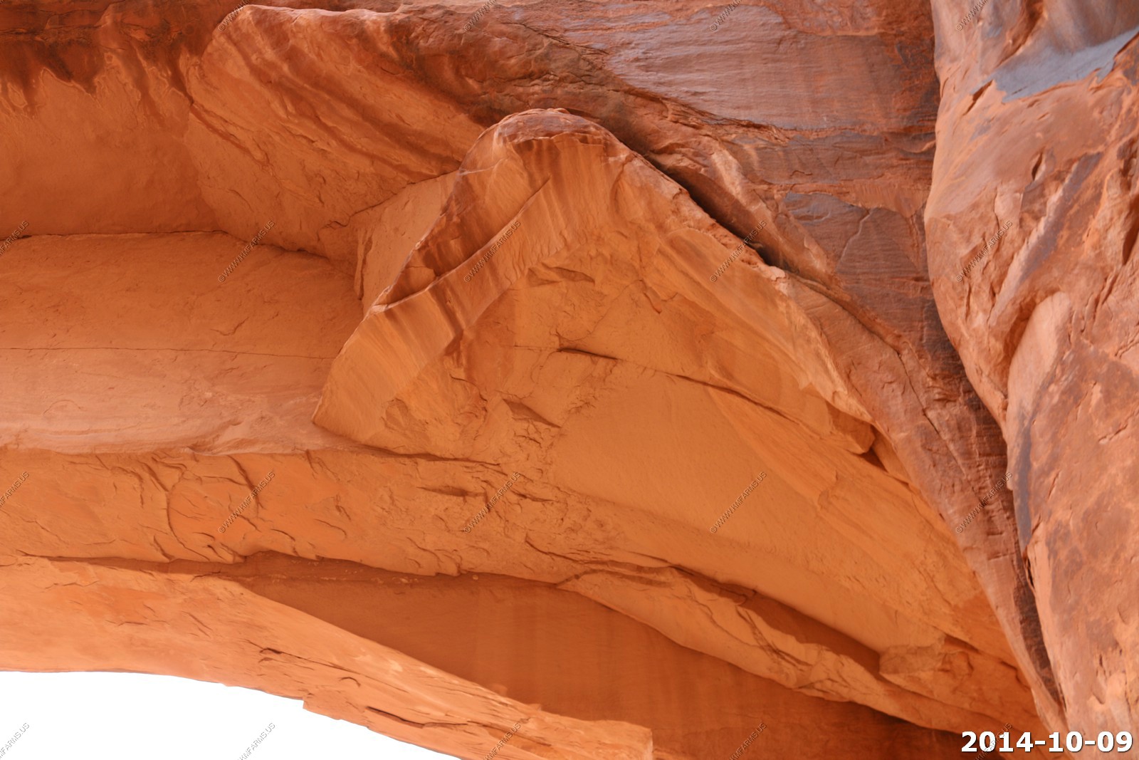
Double Arch.
Dave & Monika catching up.
Easy to go up.. Coming down is not so easy...
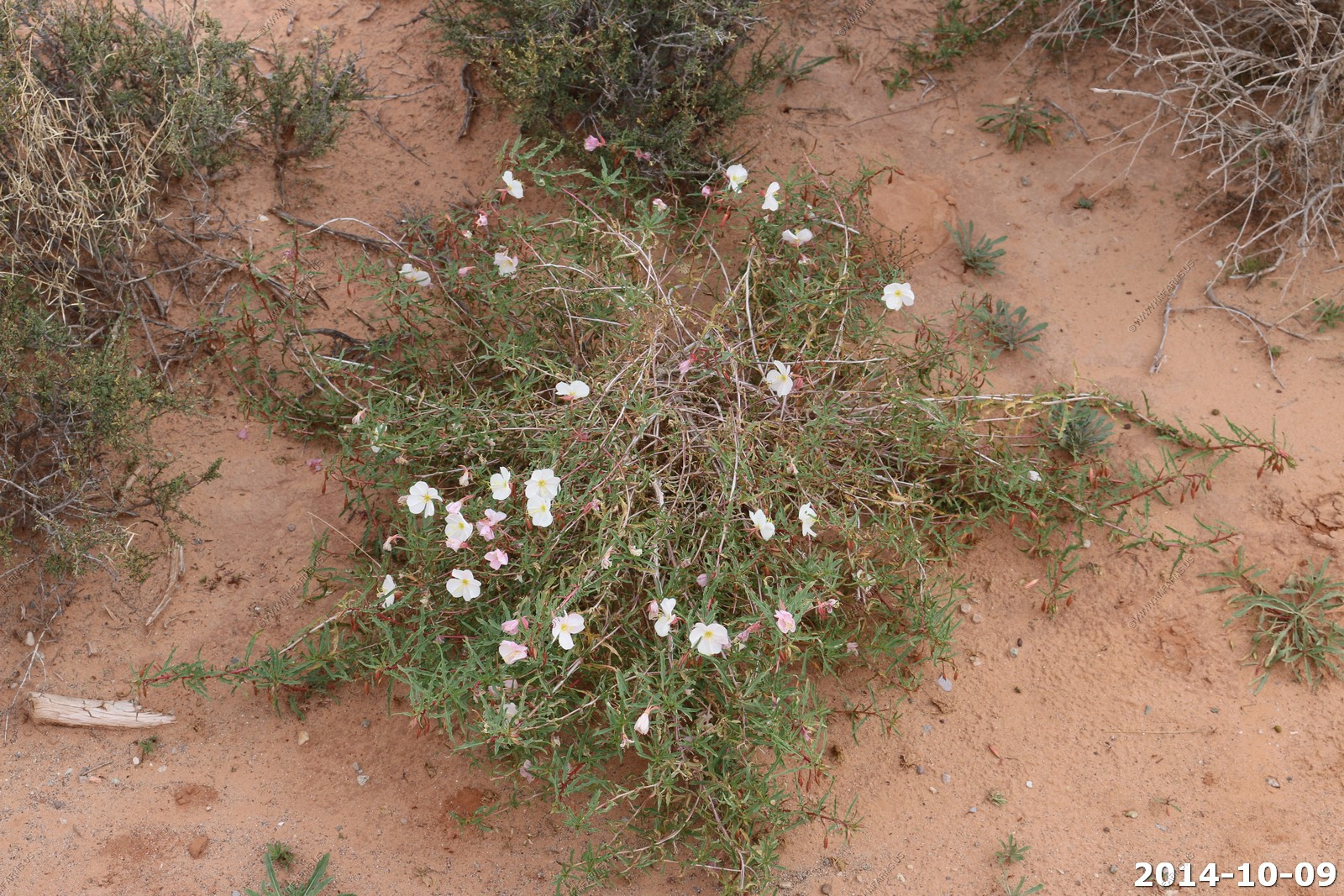
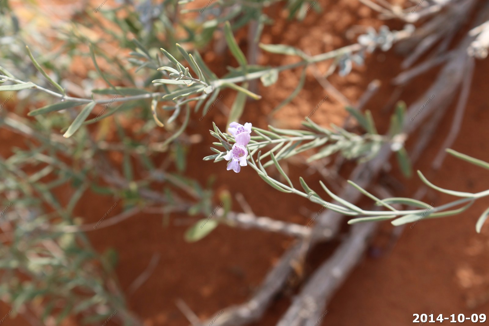
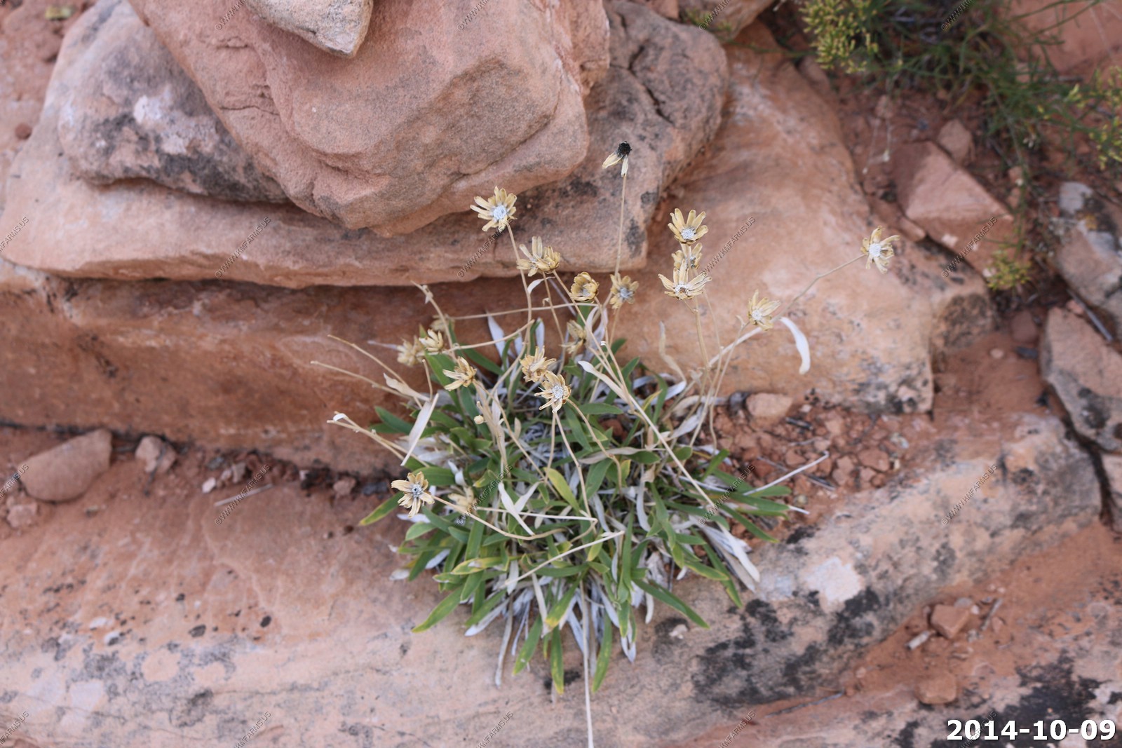
Late season flowers .

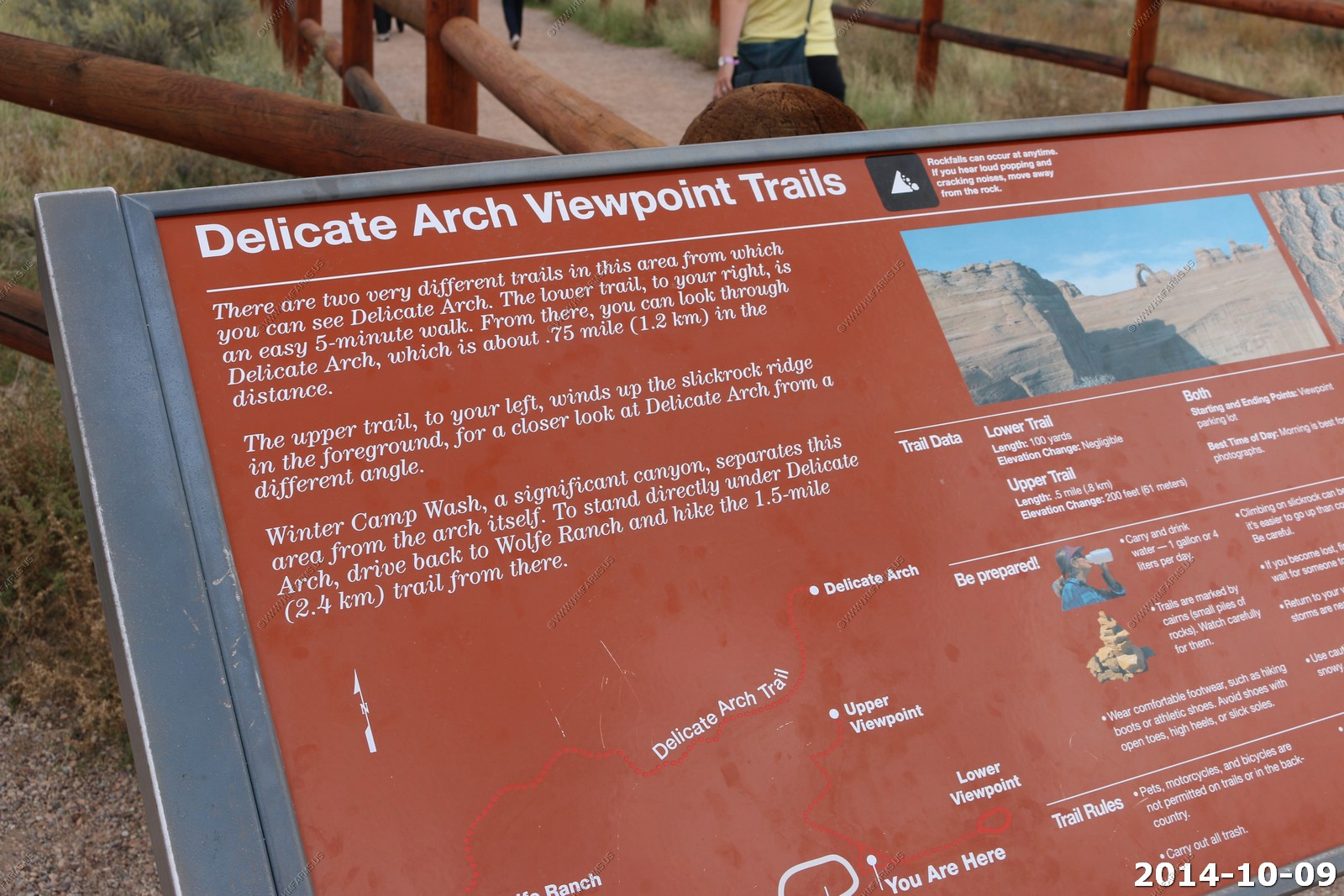
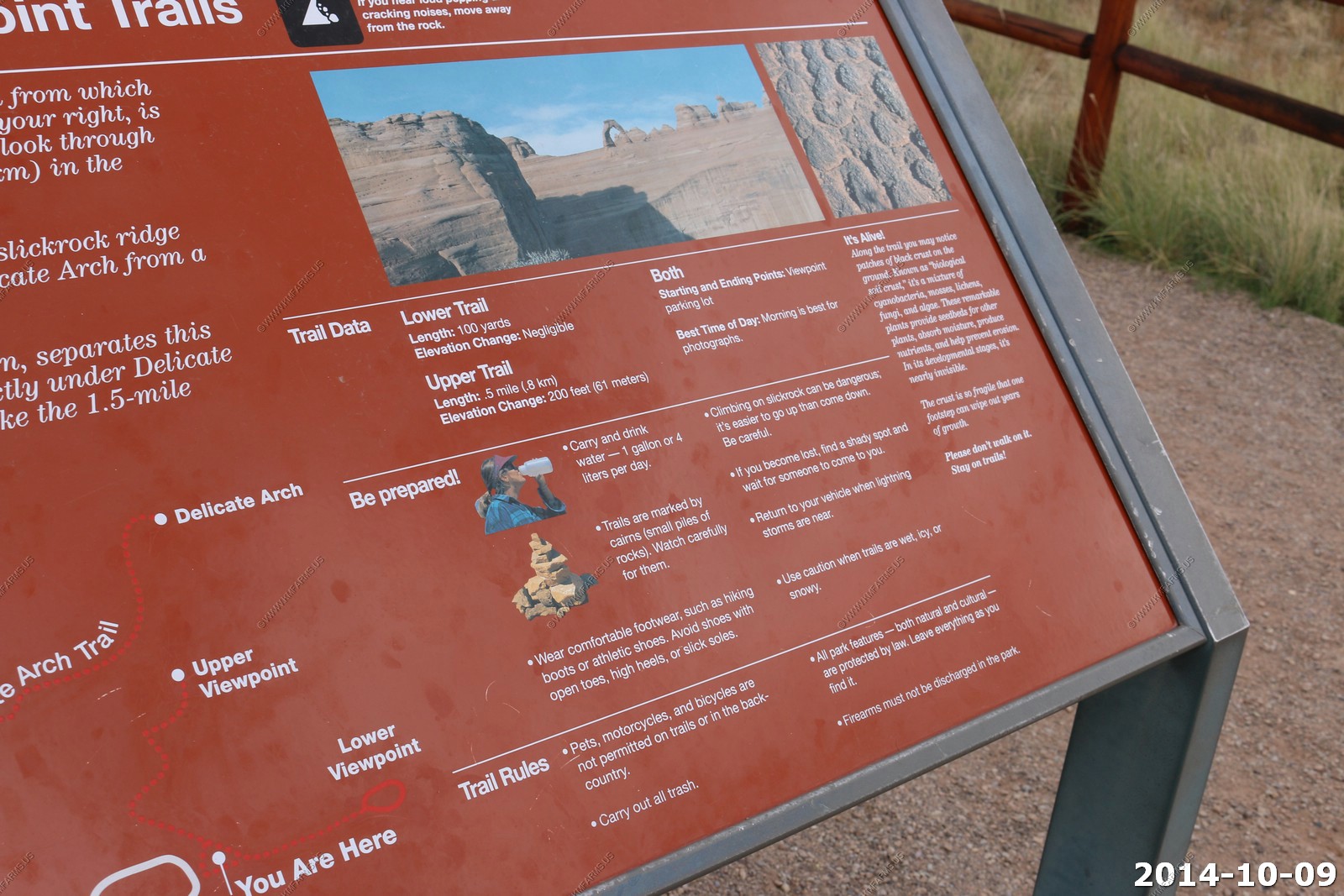
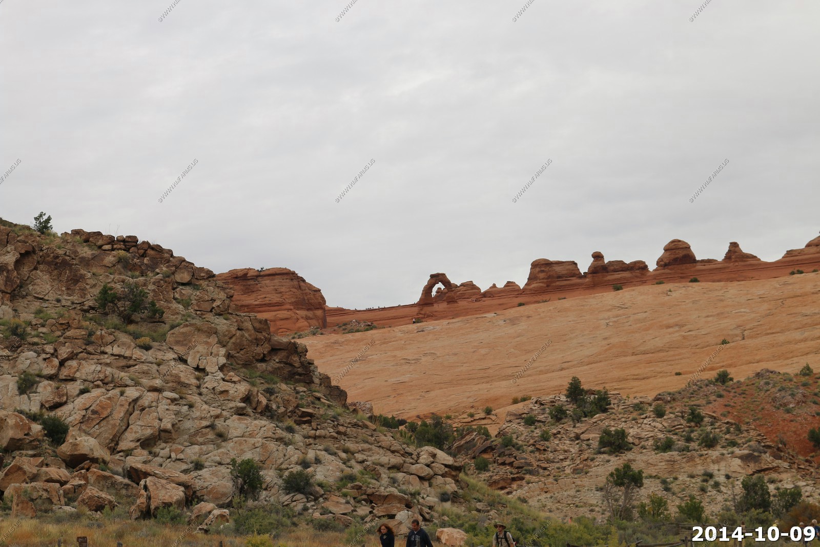
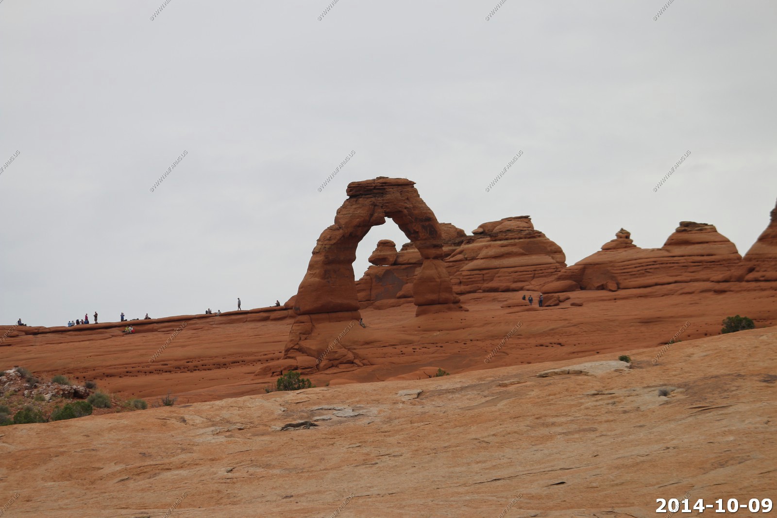
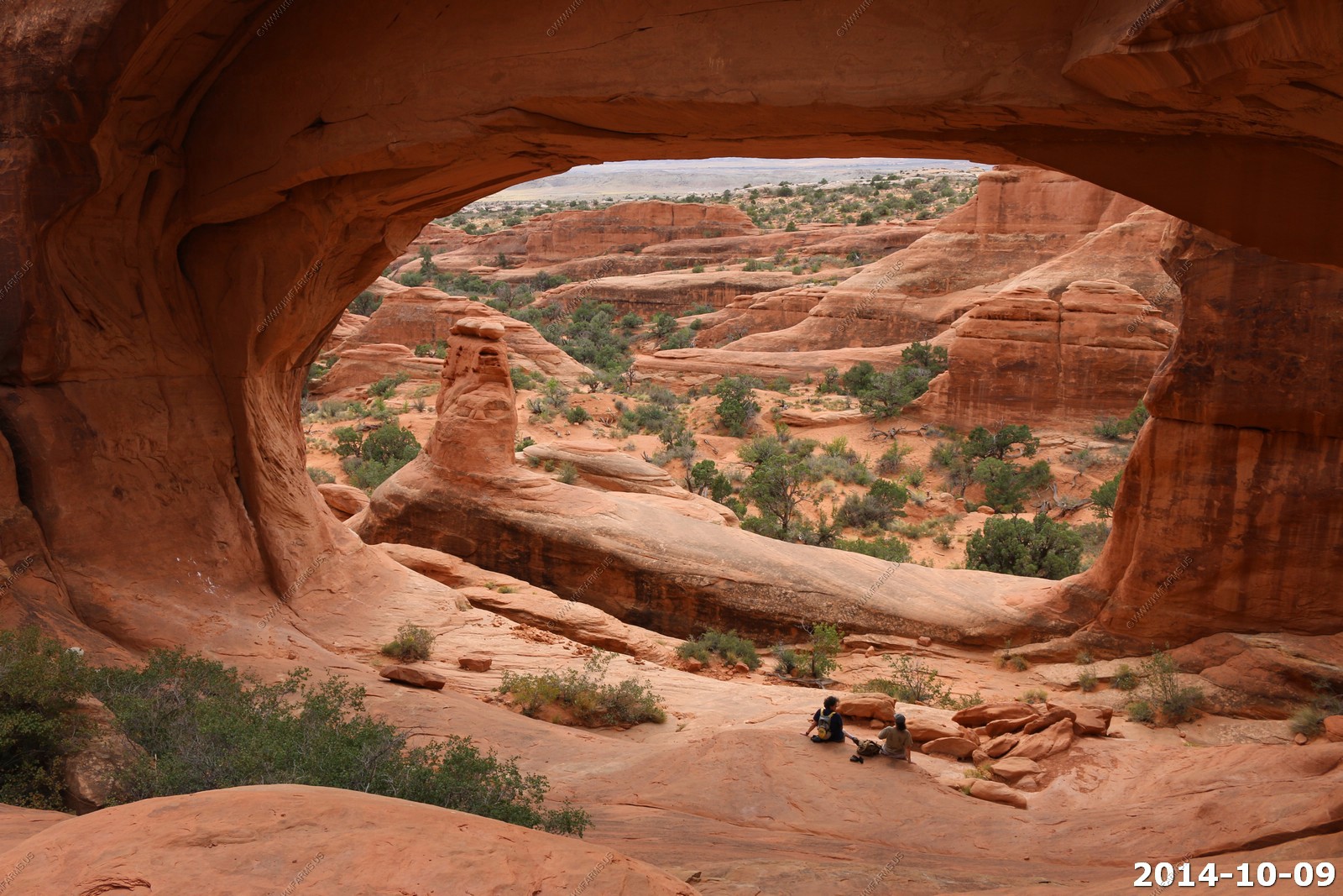
Delicate Arch Viewpoint Trail (lower Viewpoint)
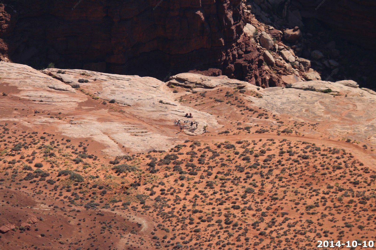
Parking at all of the Delicate Arch trail points were totally full, so we headed down to the Delicate Arch viewpoint trails. Here, we ran into a ranger who told us that the Salt Valley road was in good condition, so we took a few photos of Delicate Arch and headed to the remote parts of the park.
Just too many people.
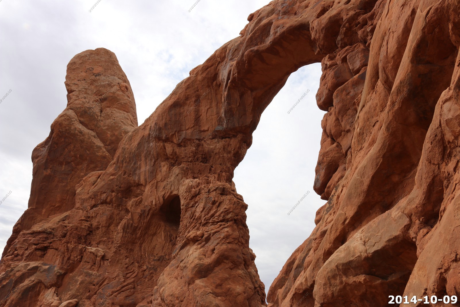
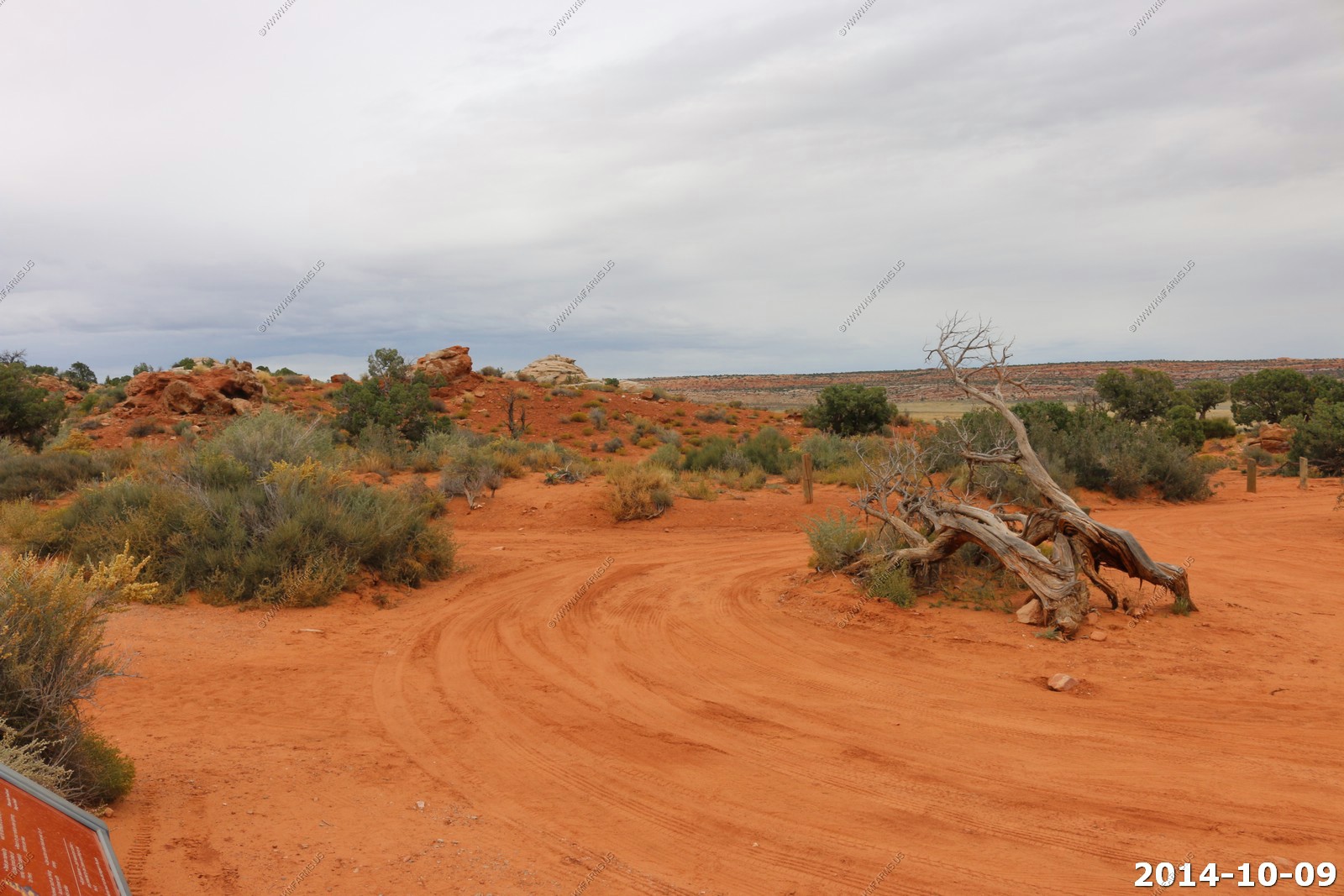
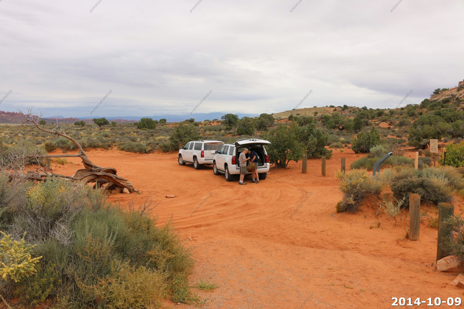
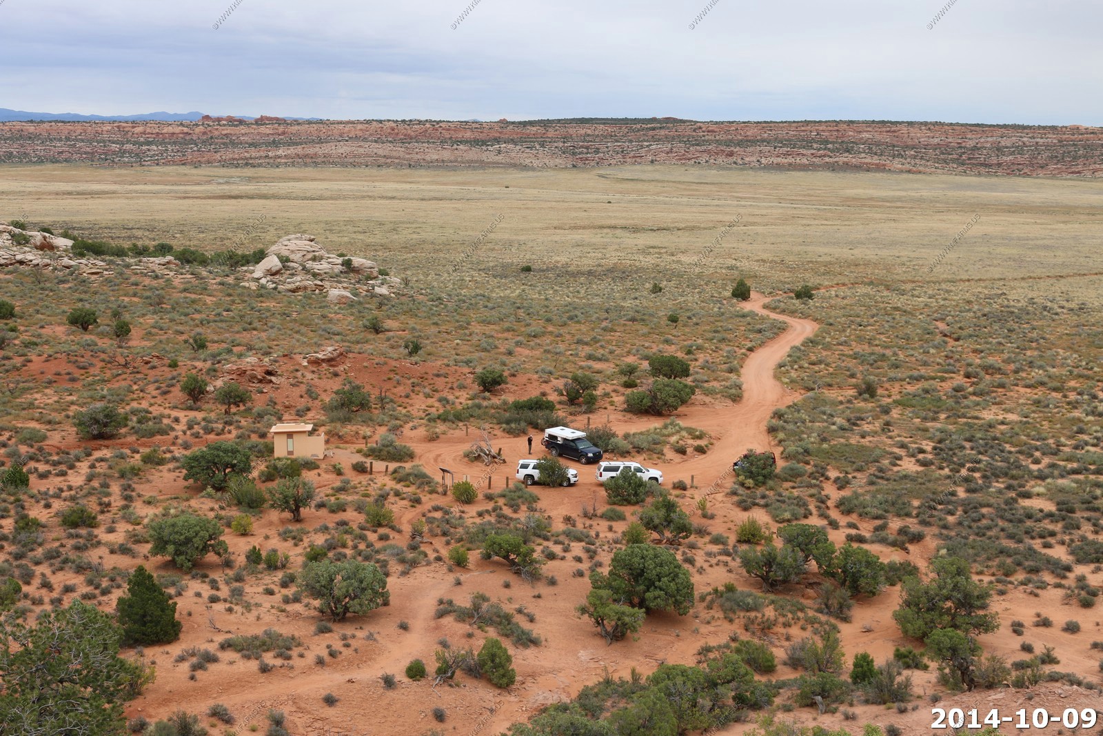
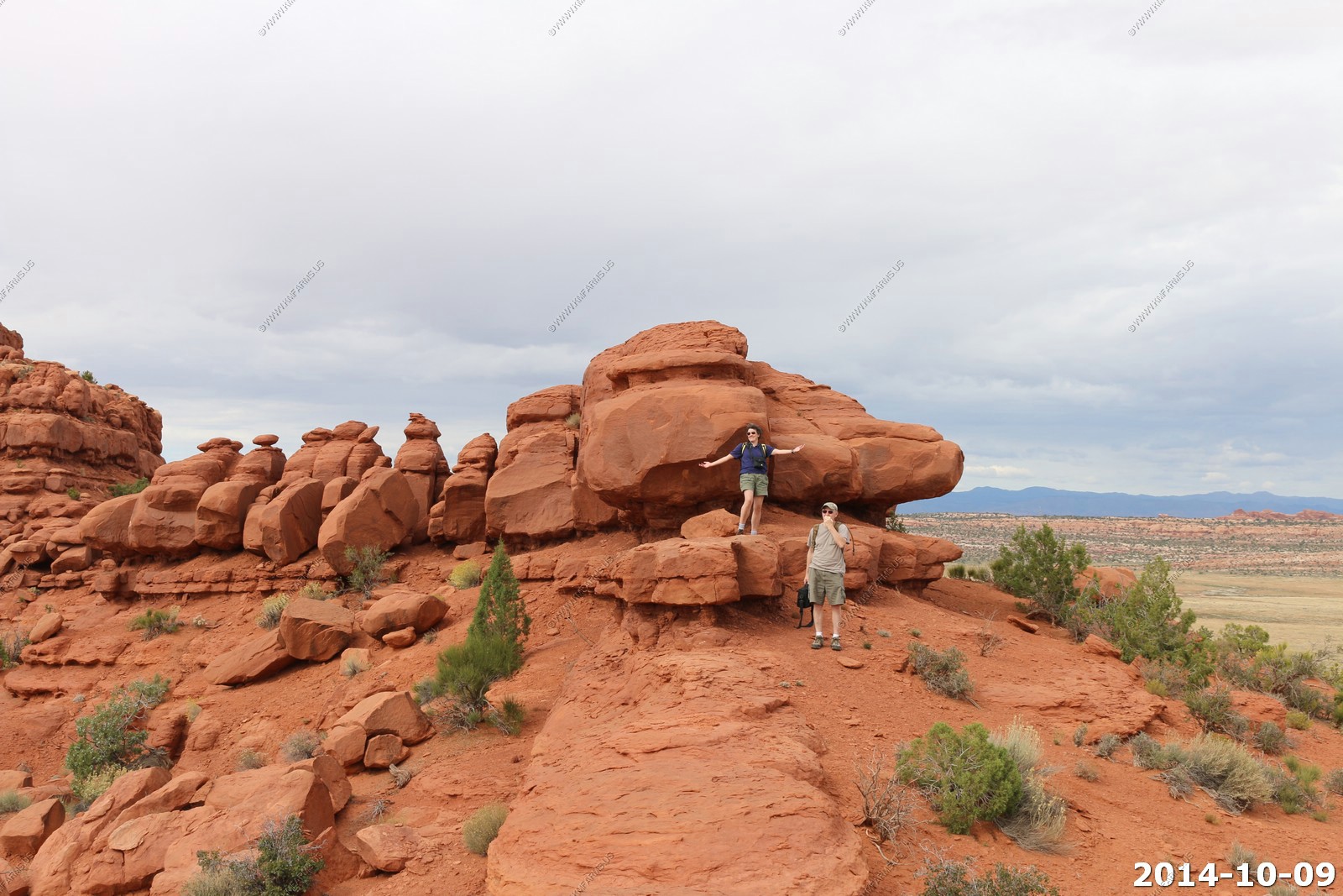
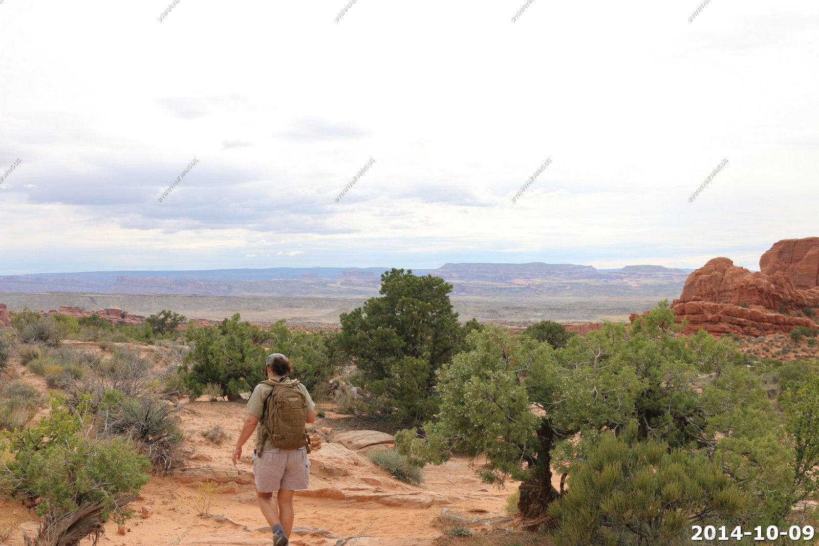
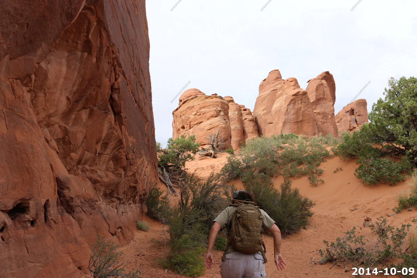
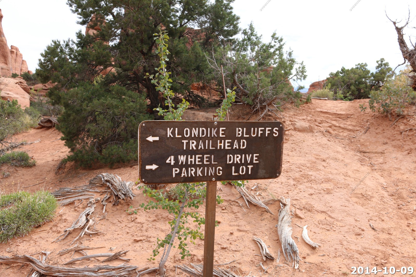
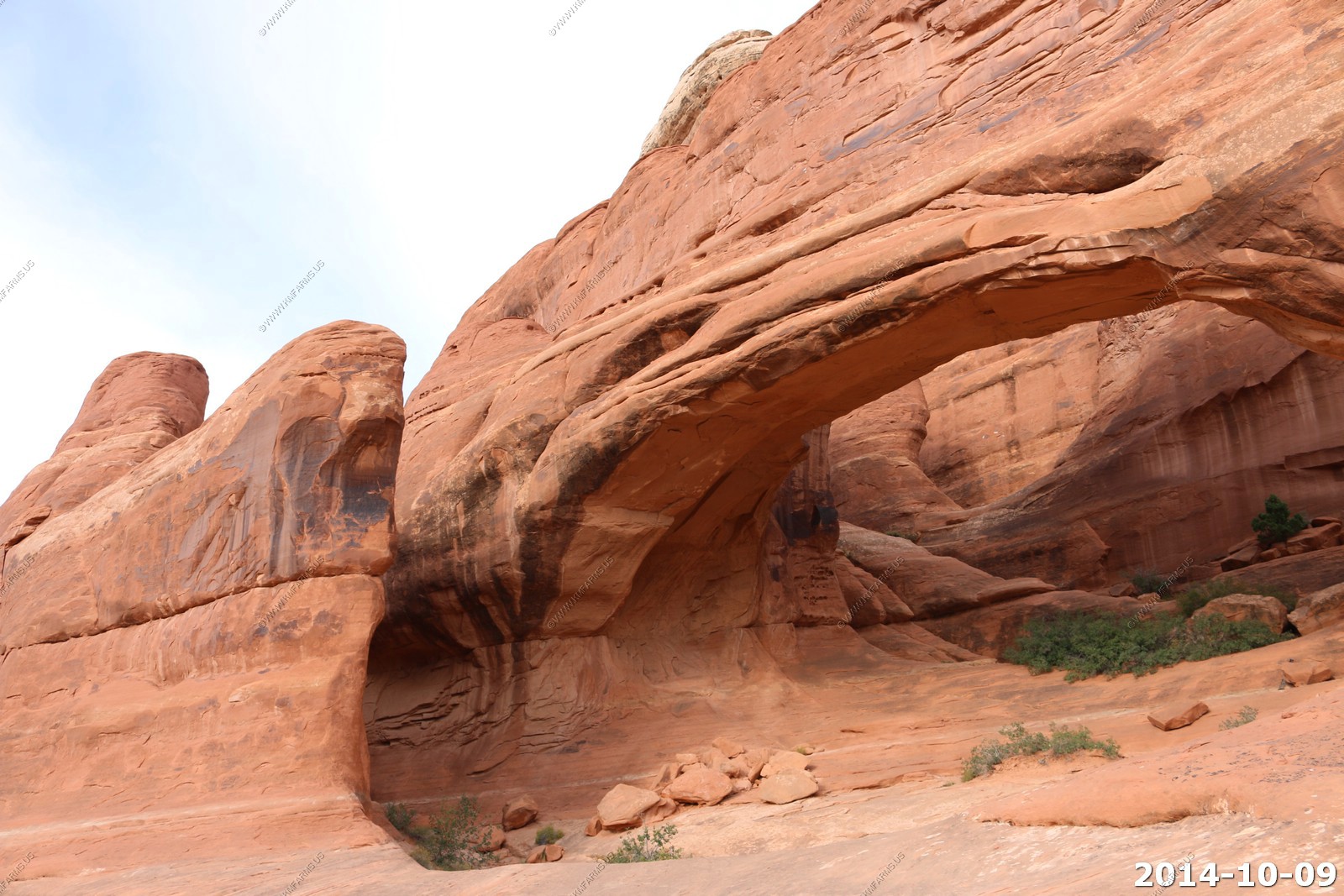
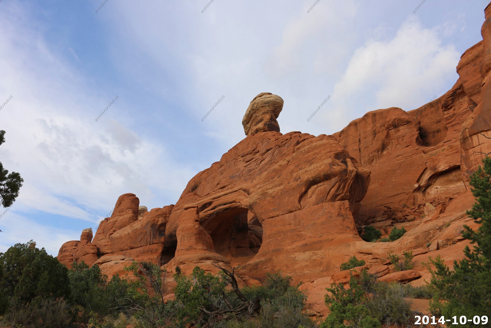
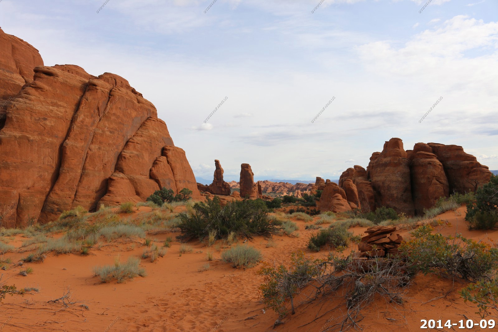
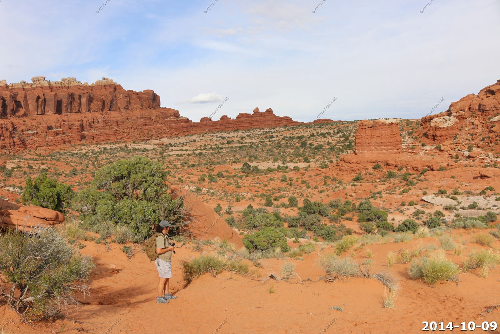
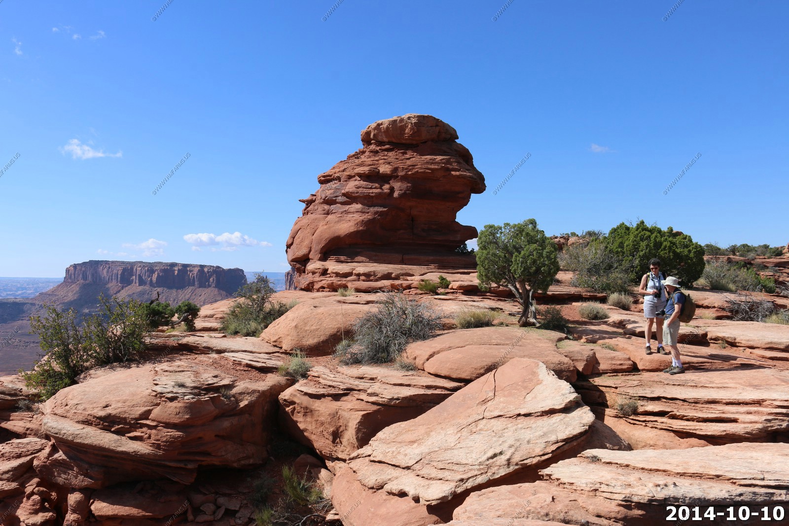
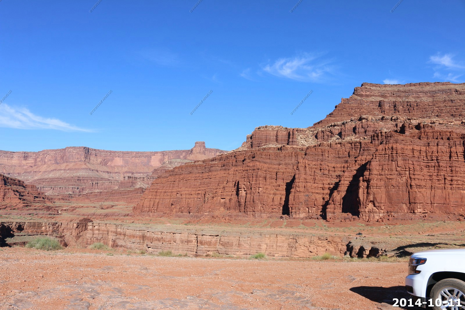
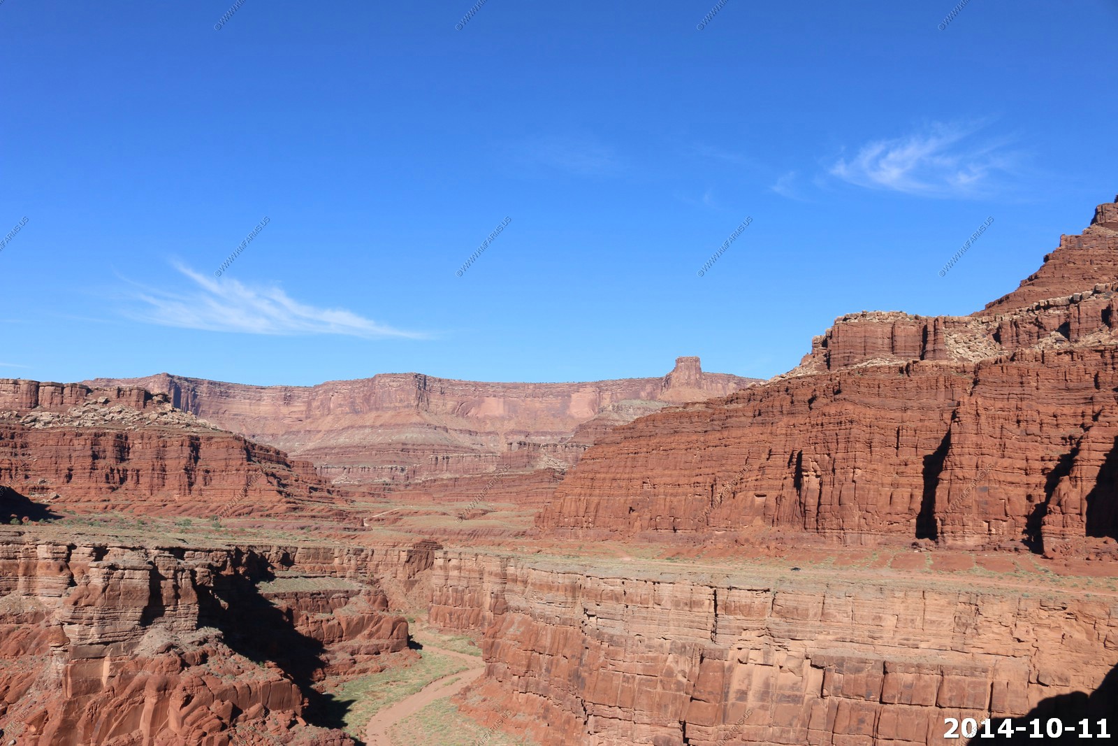
Arches National Park - Tower Arch Trail
So we headed up the 7.2 mile dirt road to the tower arch area. The road was good but a few sandy spots, and rough washboard in some places.
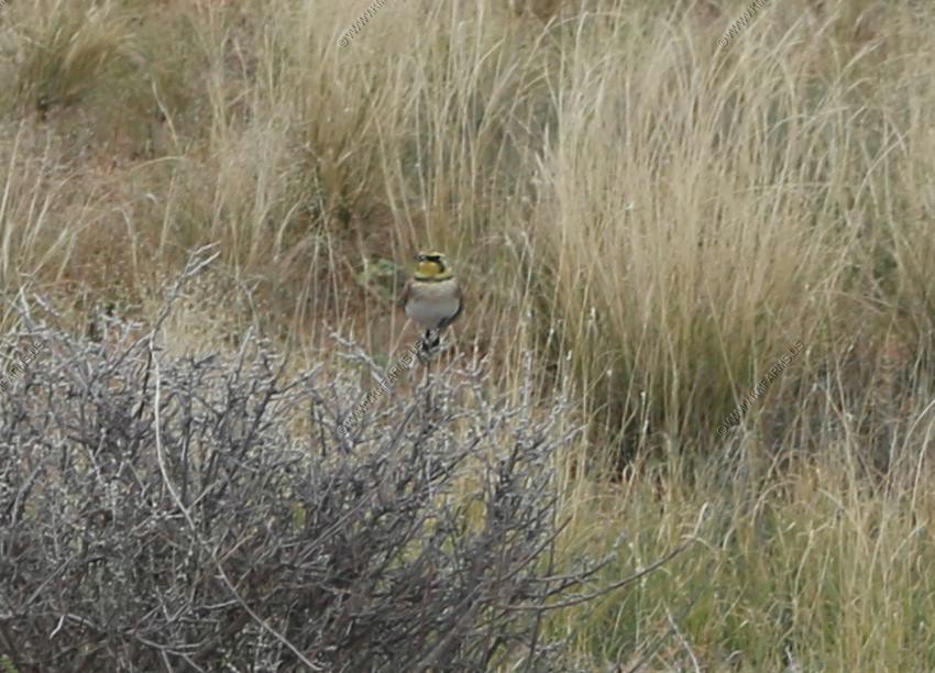
Horned Larks are small birds that live in large, empty fields and they're roughly the same color and size as a clod of dirt. Unlike most other larks, this is a distinctive-looking species on the ground, mainly brown-grey above and pale below, with a striking black and yellow face pattern. This is a male. The summer male has black "horns", which give this species its American name.
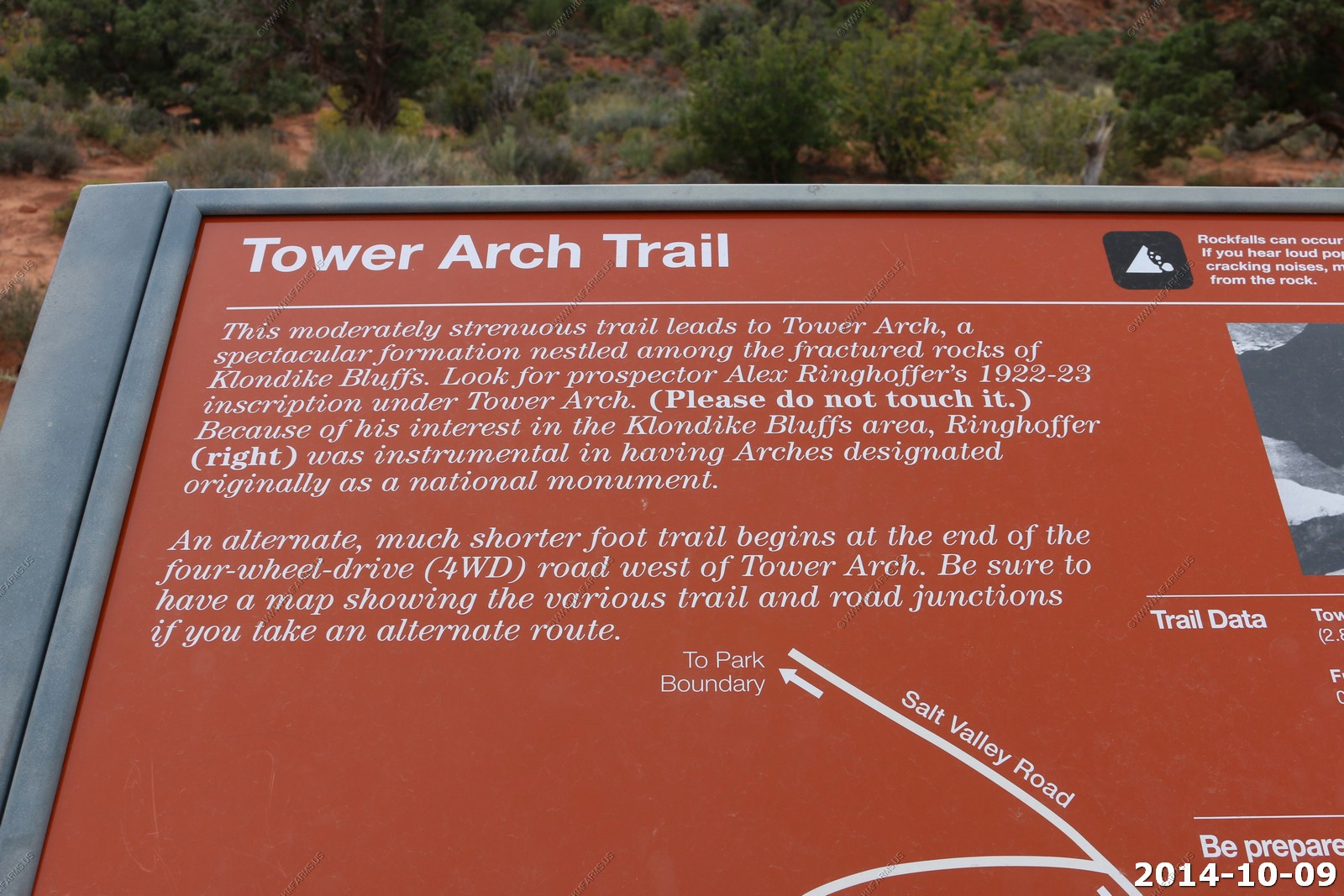
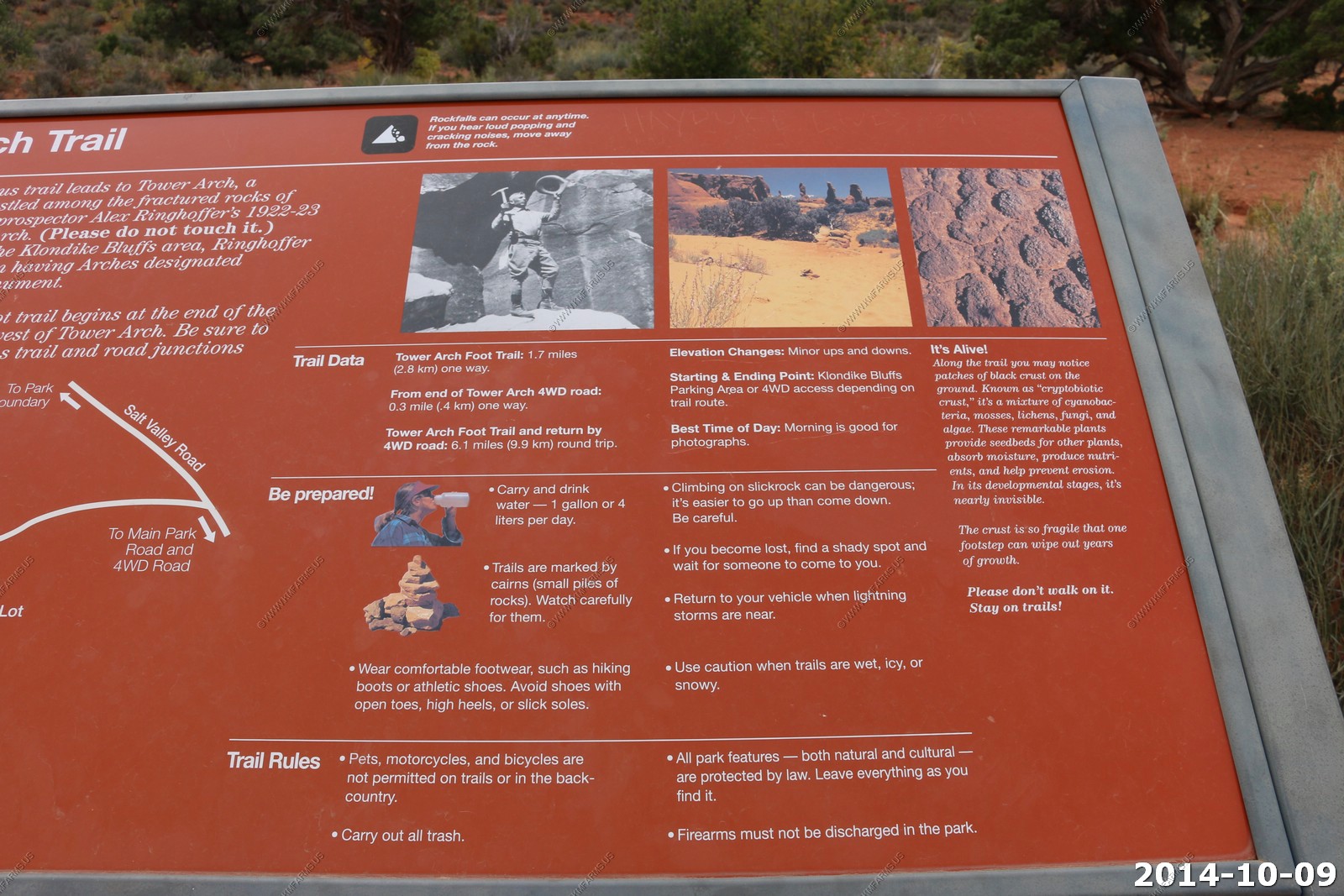
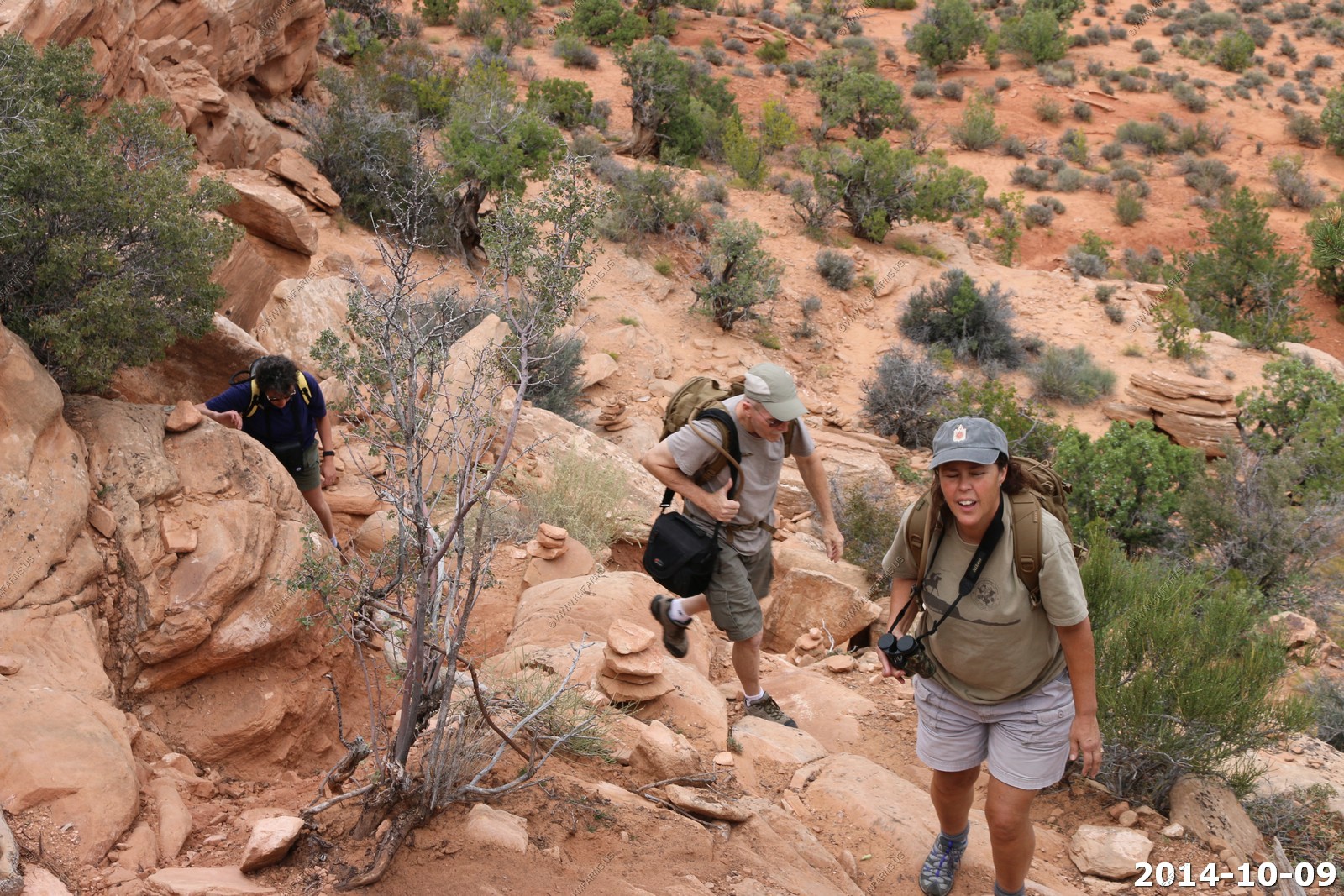
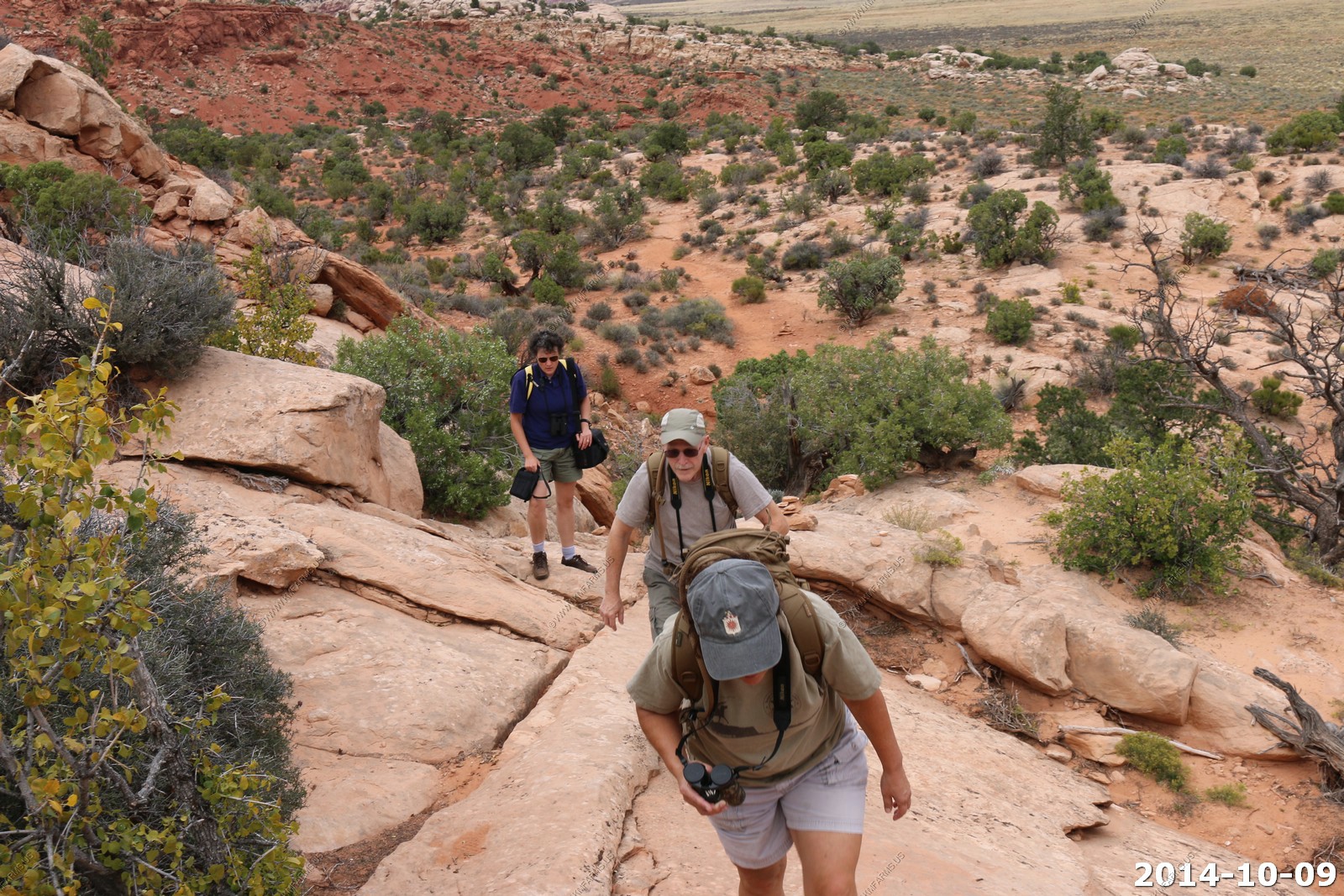
Tower Arch Trail
The moderately strenuous trail leads to Tower Arch, a spectacular formation nestled among the fractured rocks of Klondike Bluffs. Look for prospector Alex Ringhoffer's 1922-23 inscription under Tower Arch. Because of his interest in the Klondike Bluffs area, Ringhoffer was instrumental in having Arches designated originally as a national monument.
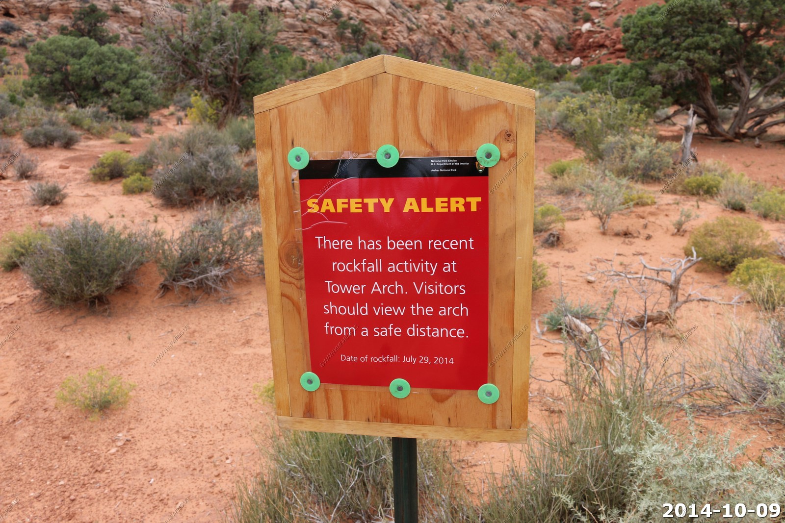
Not good but we did not see anything that looked new that had fallen.
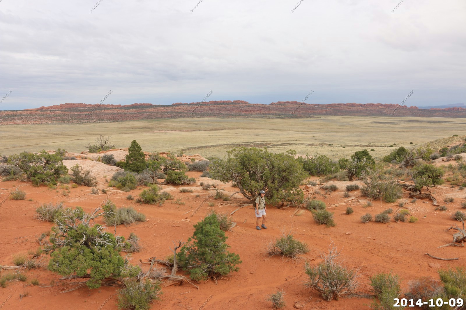
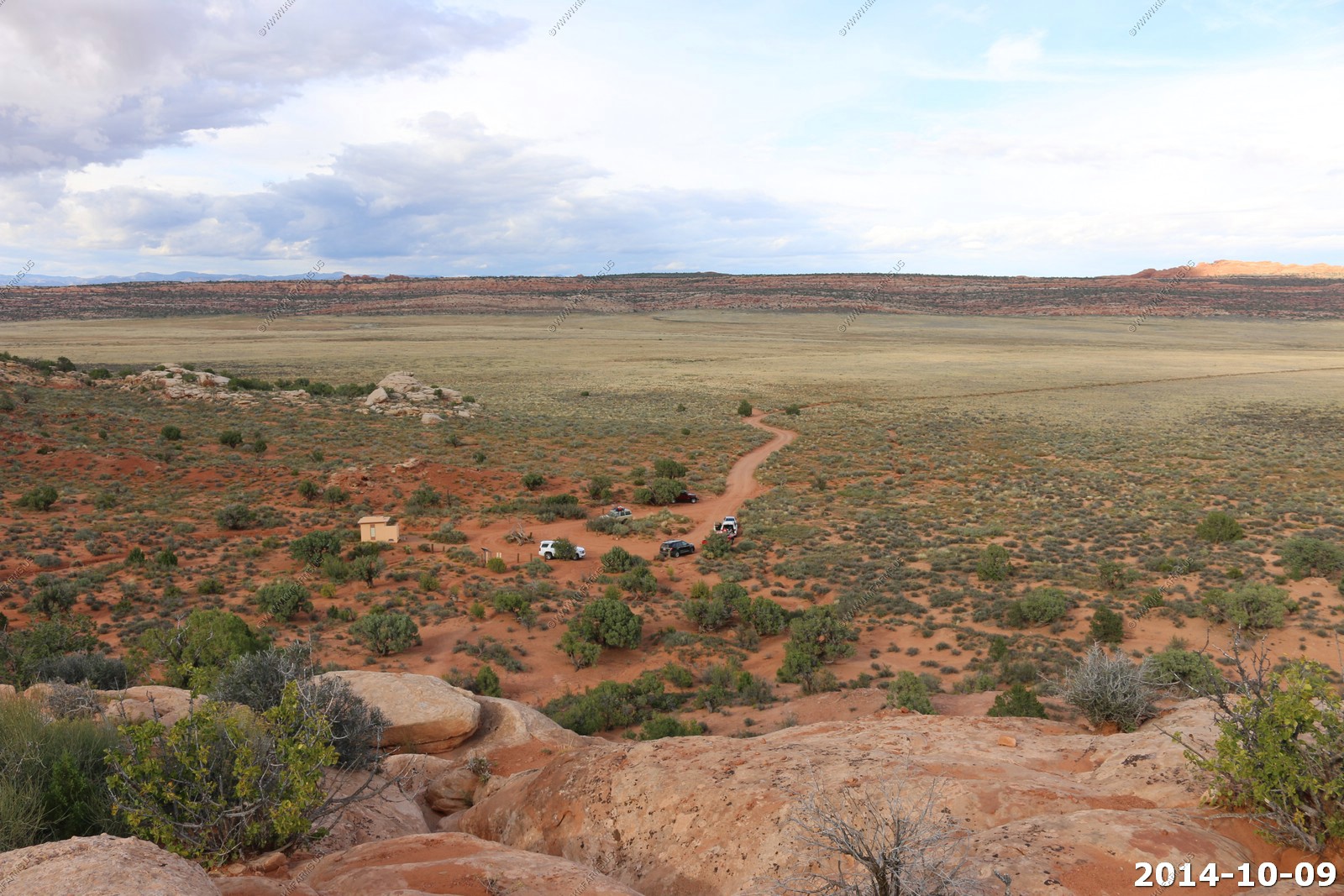
Getting ready for our 3.4 mile hike. Happy to say that its getting brighter as the day was progressing !
Only one other car.
This trail has a good initial climb.
Oh no.. Someone else has shown up !
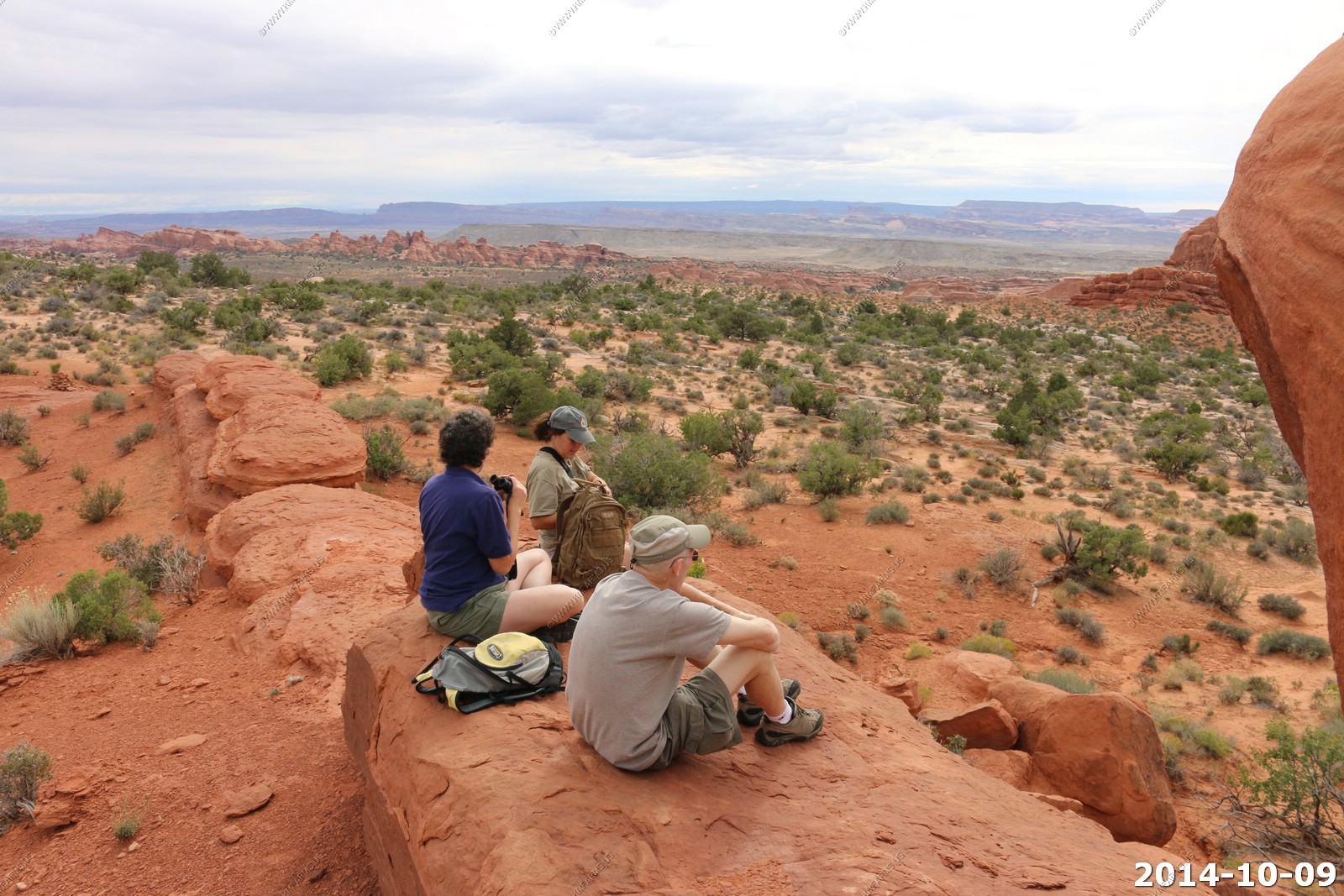
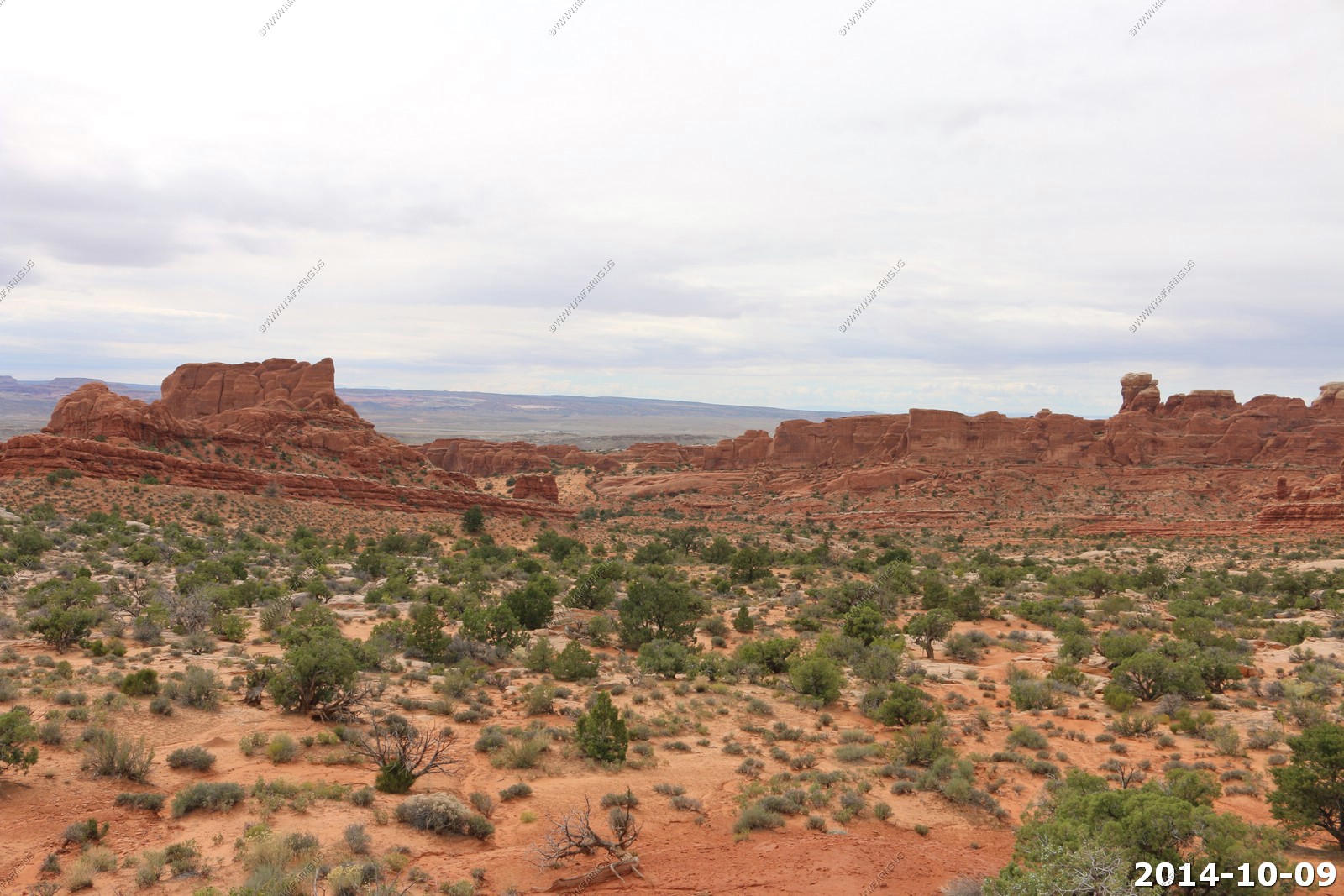
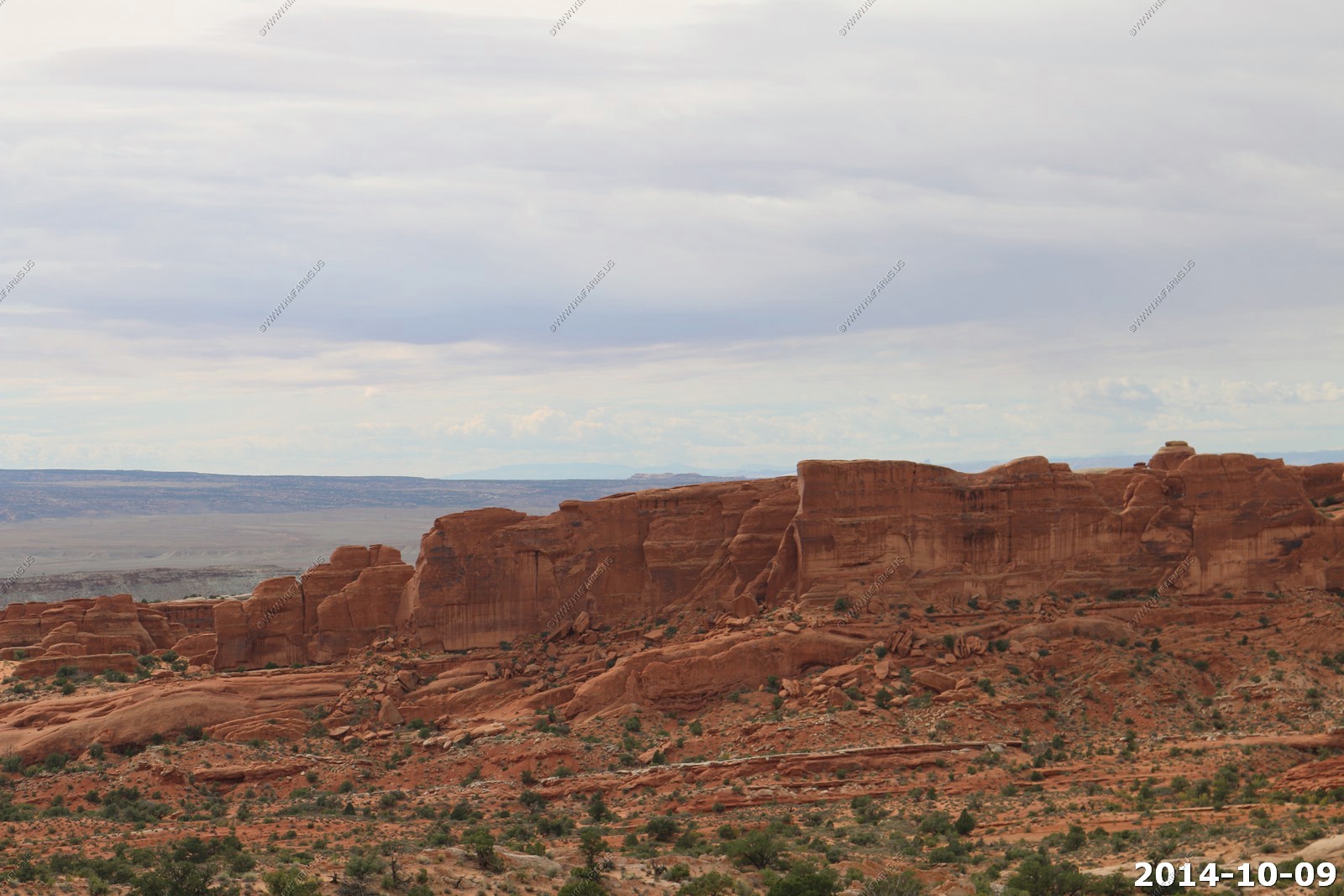
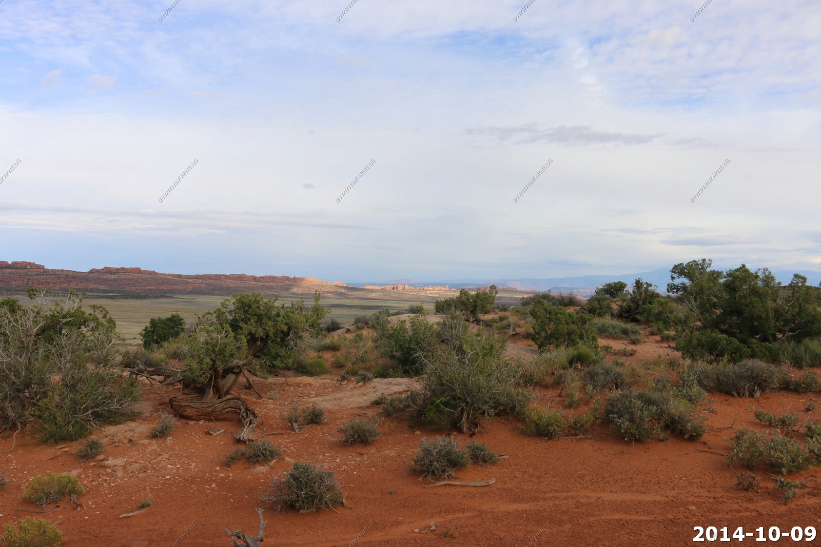
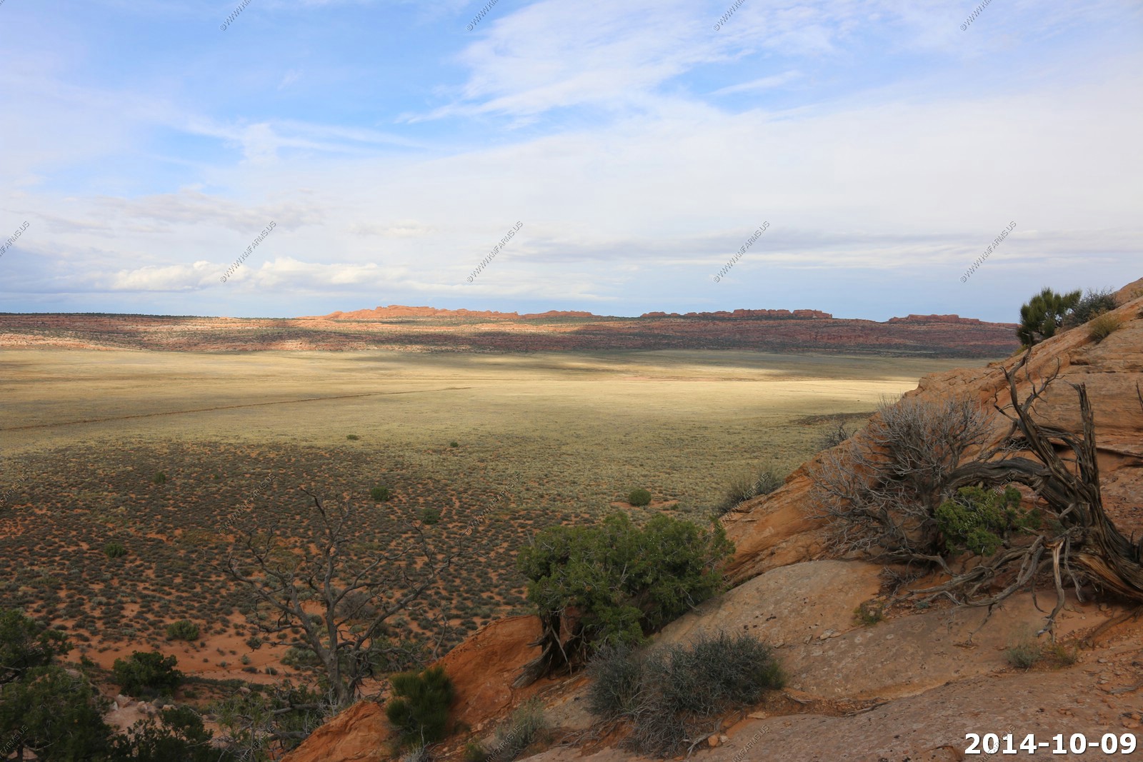
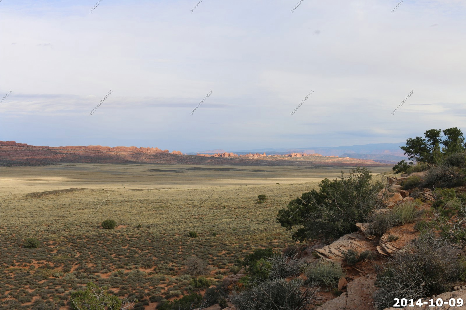
Looking down on Salt Valley with Devils Garden in the background.

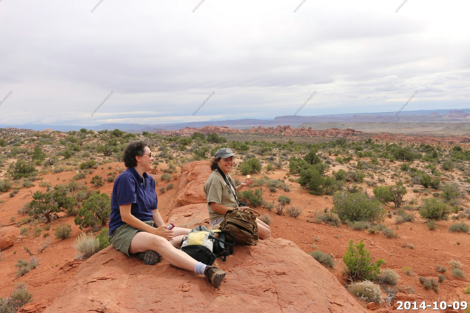
Our lunch spot.

Looking at the valley that we will be hiking thru. Amazing I had good ATT cell service here as we were only 5 miles east of US-191.
You could see the Henry Mountains 88 miles off to the west.
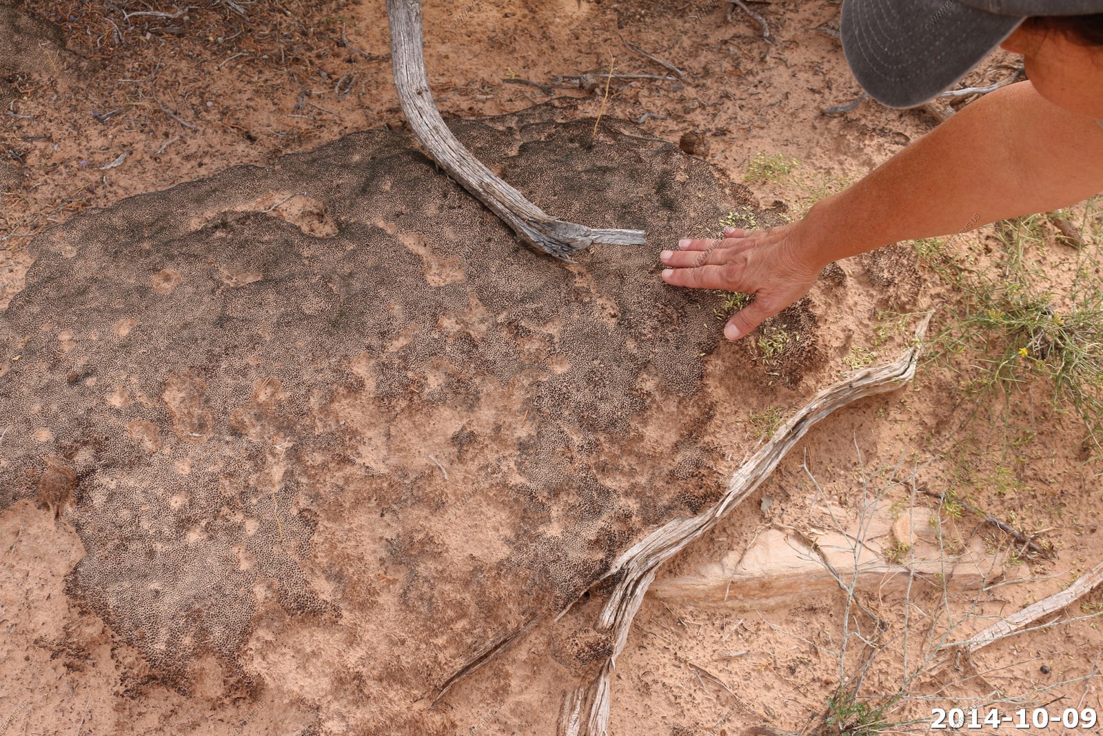
Back to hiking - Mary touching the Cryptobiotic Crusts - They changed the name (probably for more funding) but it will ALWAYS be Cryptobiotic Crusts to us !
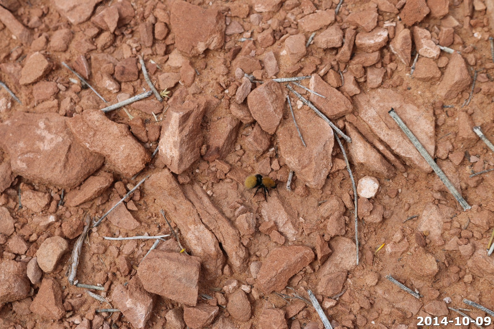
Mary spotted a Yellow Velvet ant (a wingless wasp). They are known for their extremely painful stings, hence the common name cow killer or cow ant.
We left it alone as it would not be a good way to start a vacation to be stung by it.
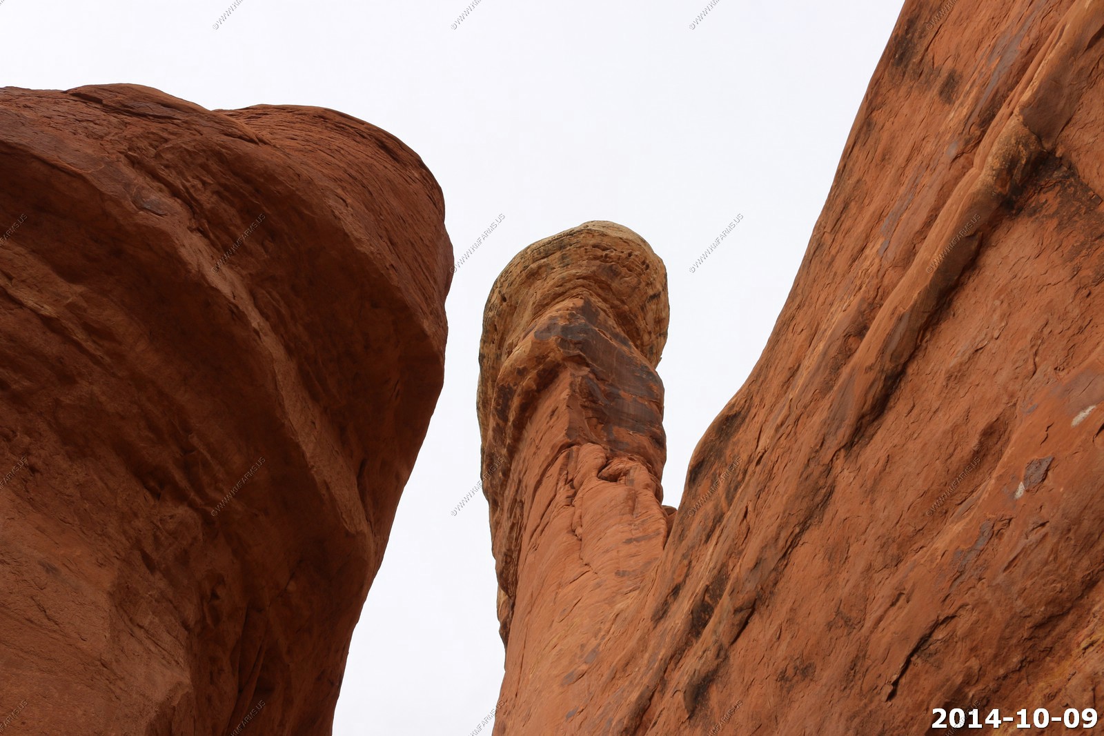
Interesting smooth rock areas.
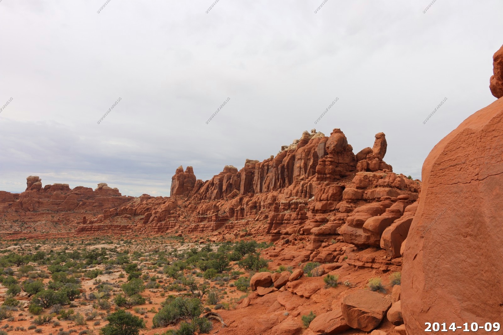
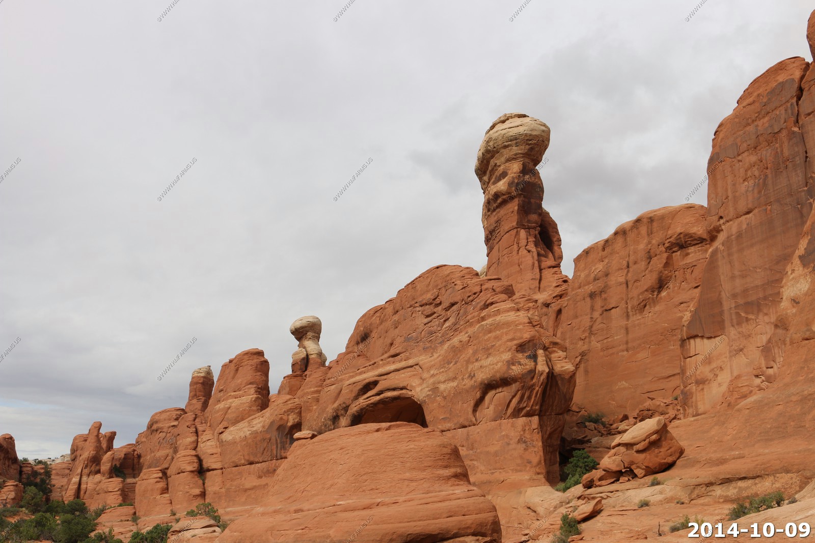
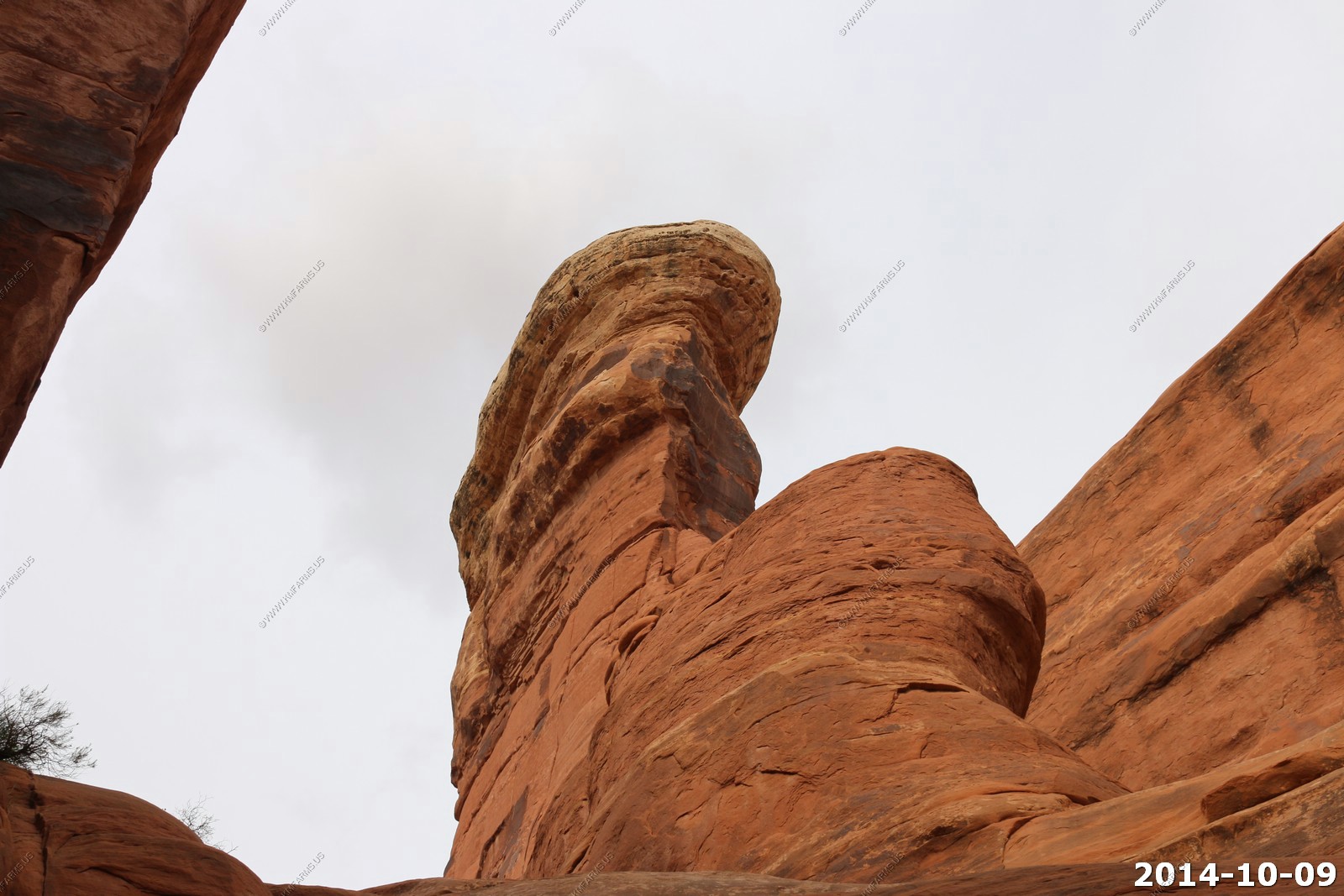
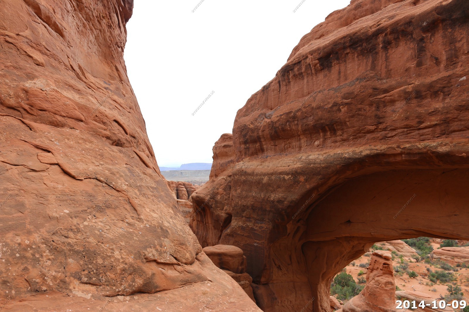
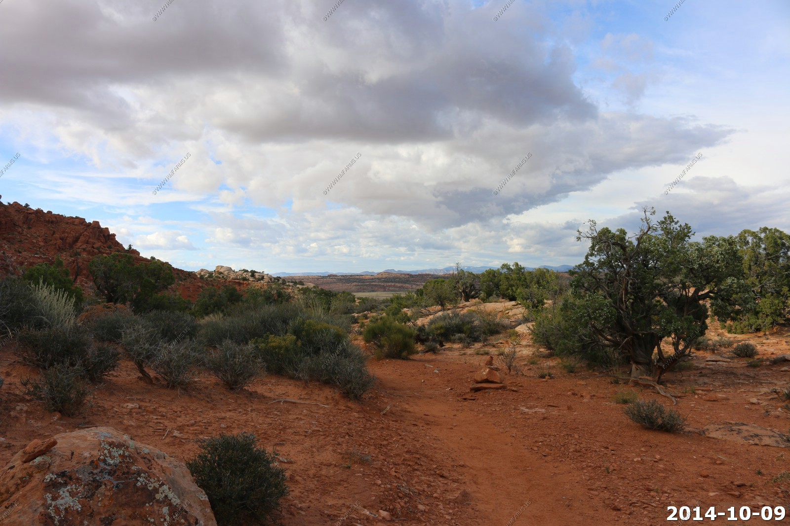
Views along the trail on our way to Tower Arch.
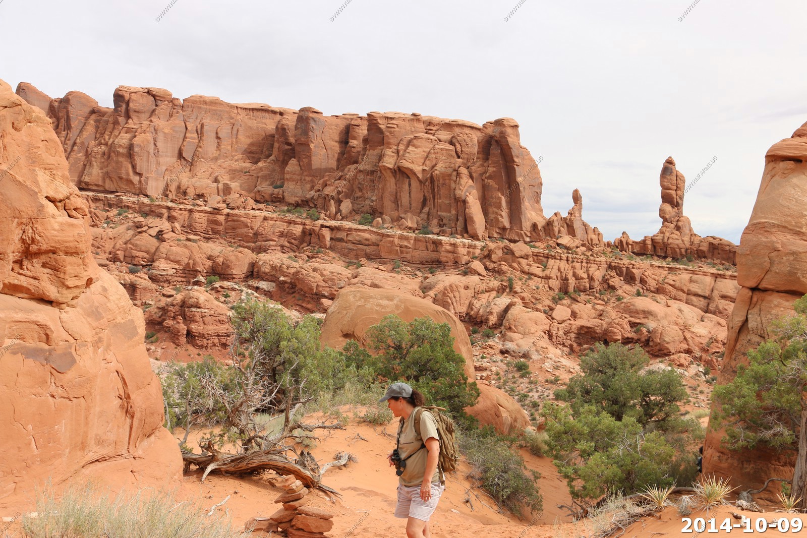
First we see the tower.
We have yet to drive here on the 4x4 road. The hike is most of the fun to get here.
Tower Arch - This was our 3rd time here and it looks the same.
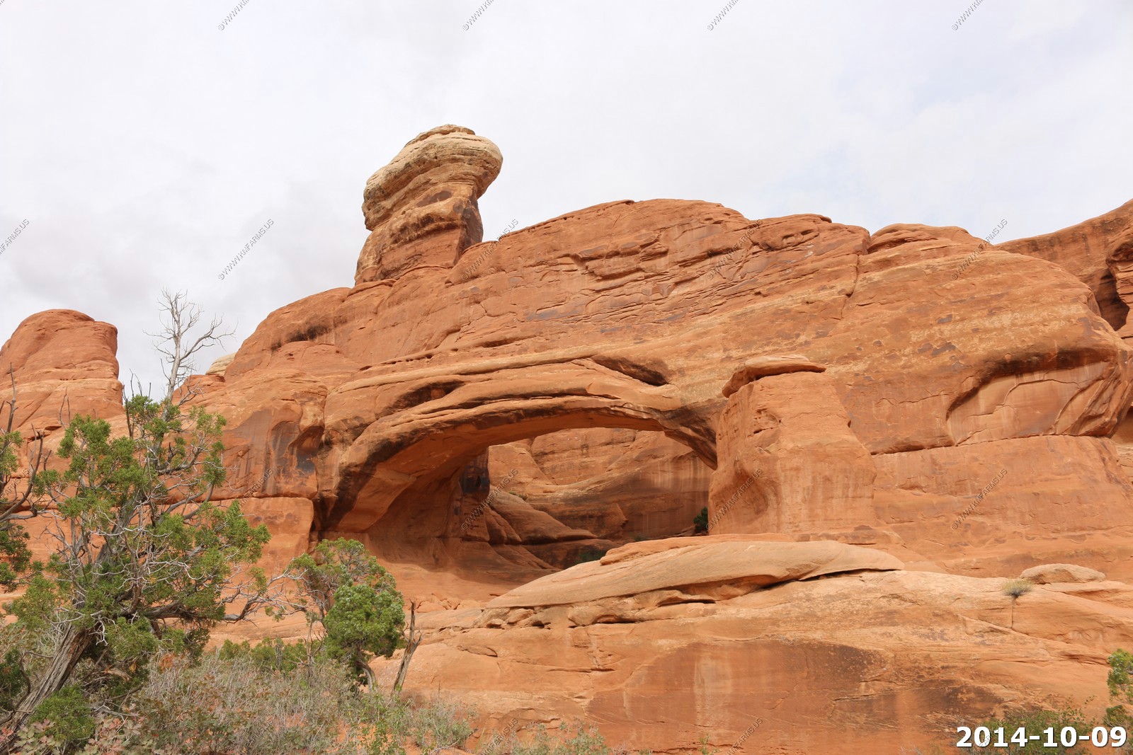
Like the sign said when we started.. Unsafe rock conditions.. Yup, I see some cracks.
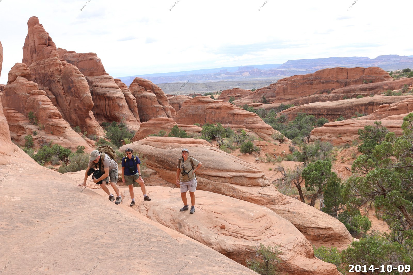
Its an easy climb up onto the top of the arch. Was 40 the last time I was here. Now at 51 it seems a bit higher. Its always easier to go up vs. coming down on these rocks.
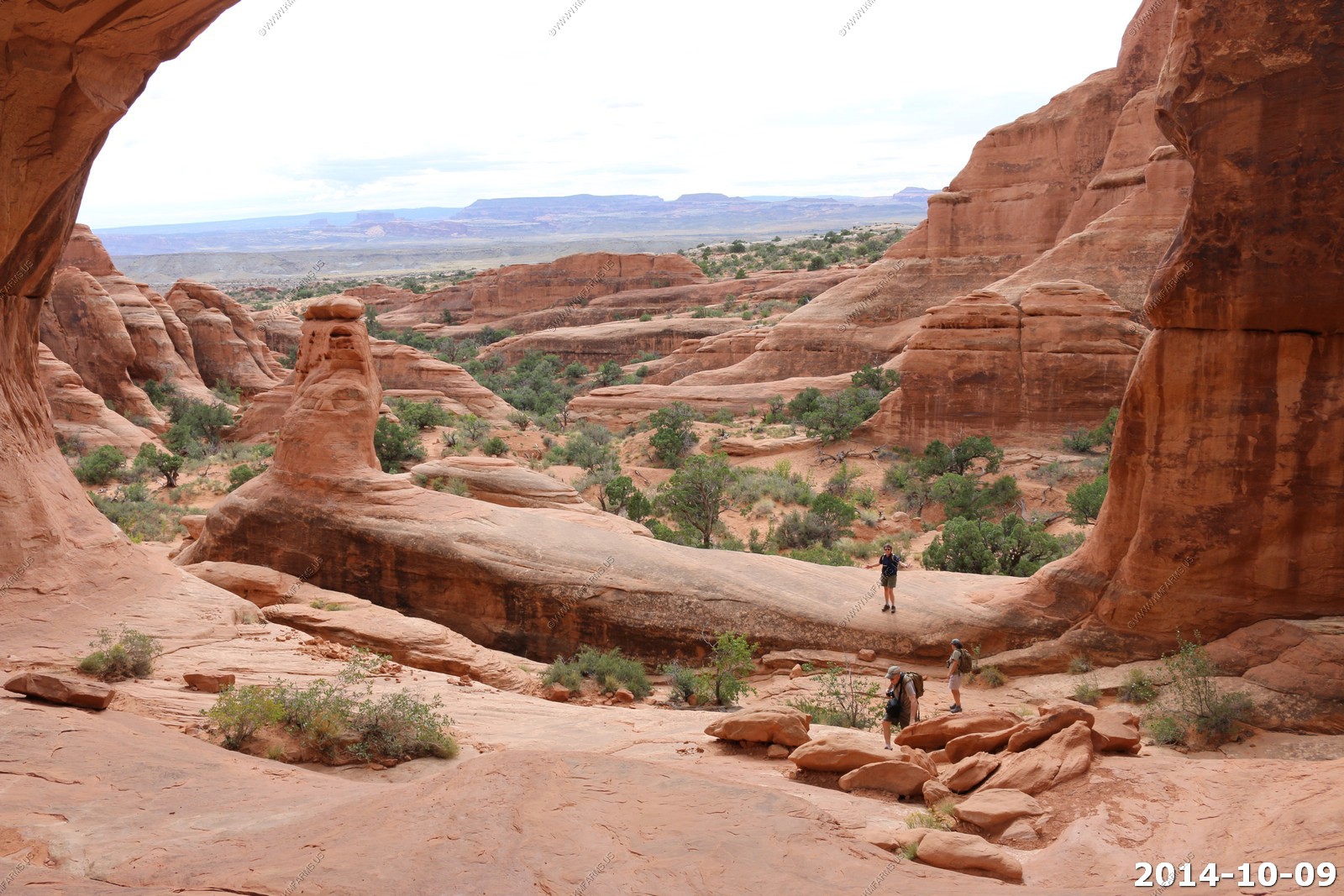
Views from the top of the arch.
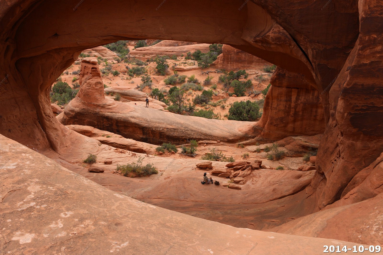
Other views of the arch.
Walking out. And we see some blue sky.
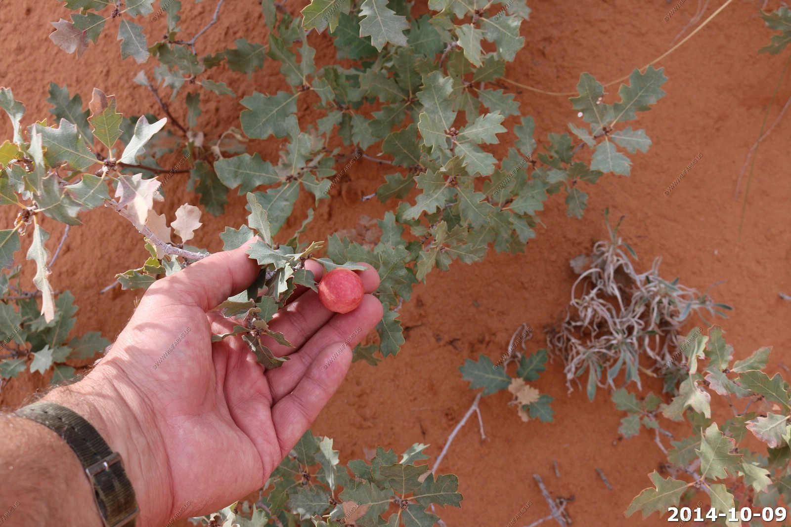
Gambel oak is commonly called scrub oak, but other common names are Rocky Mountain white oak and Utah white oak. The scientific name is Quercus gambelii. Galls appear as round, swollen areas on stems and leaves and are quite common on oak. Most galls are caused by small flies or wasps.
Sage blooming.
Sun on the Salt Valley.
Oh no... More cars.
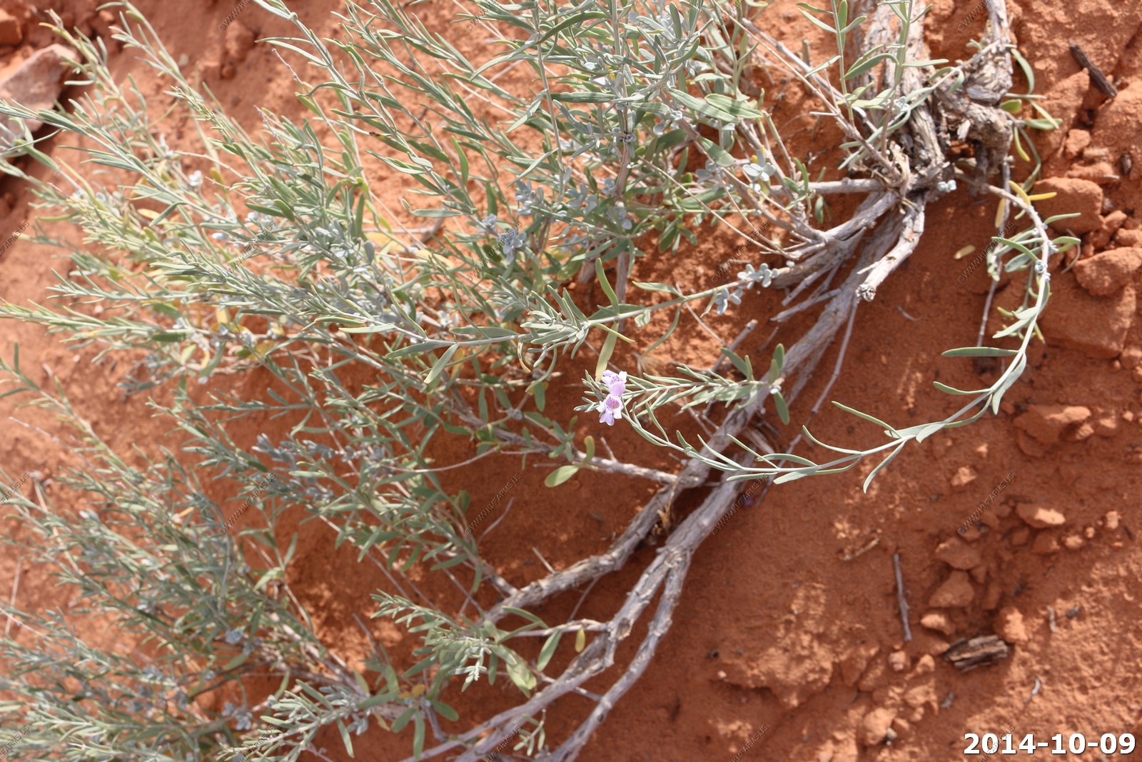
Cool unknown weed along the trail.
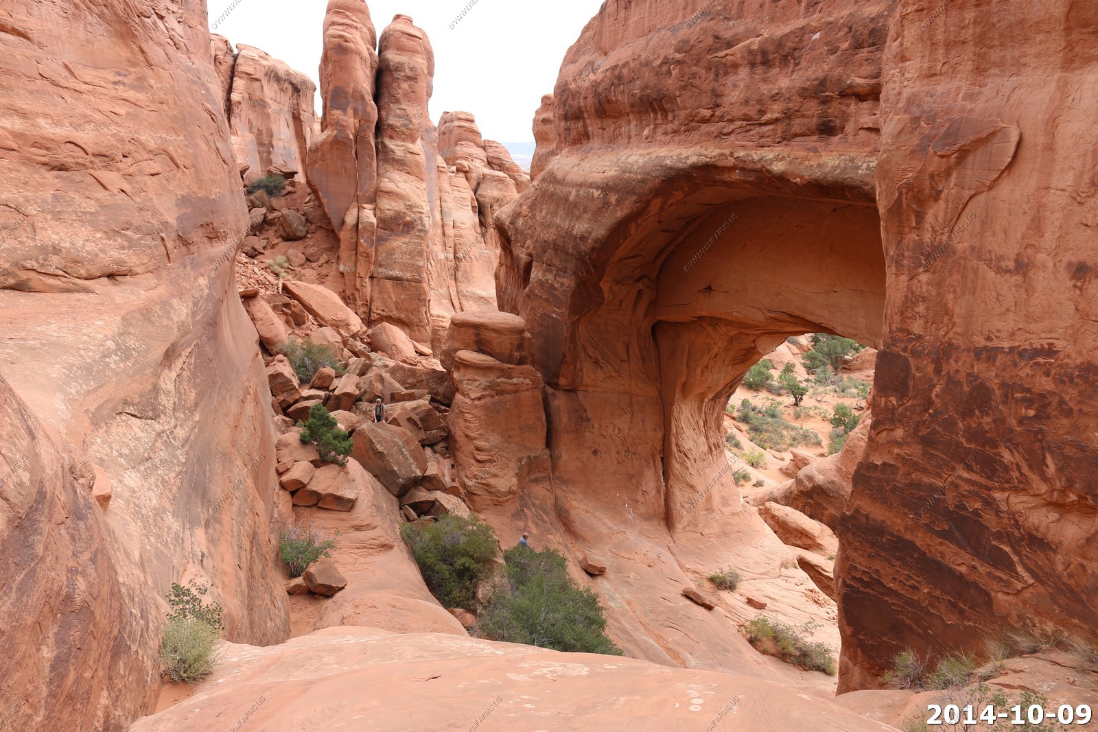
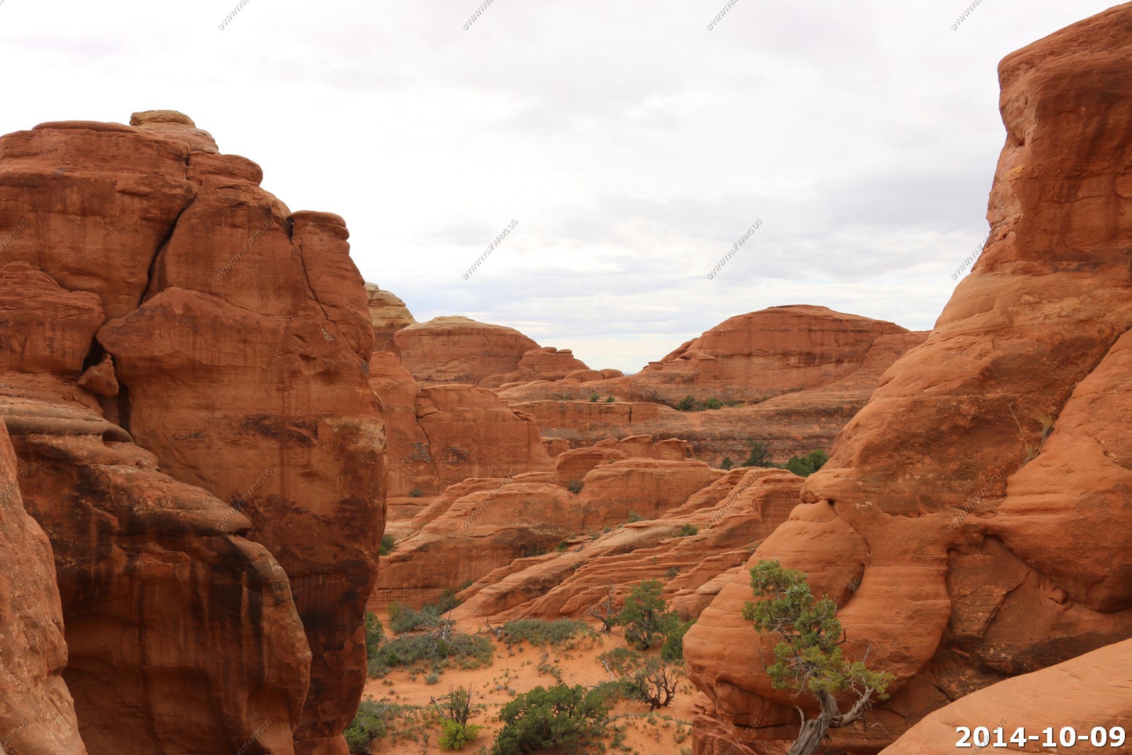
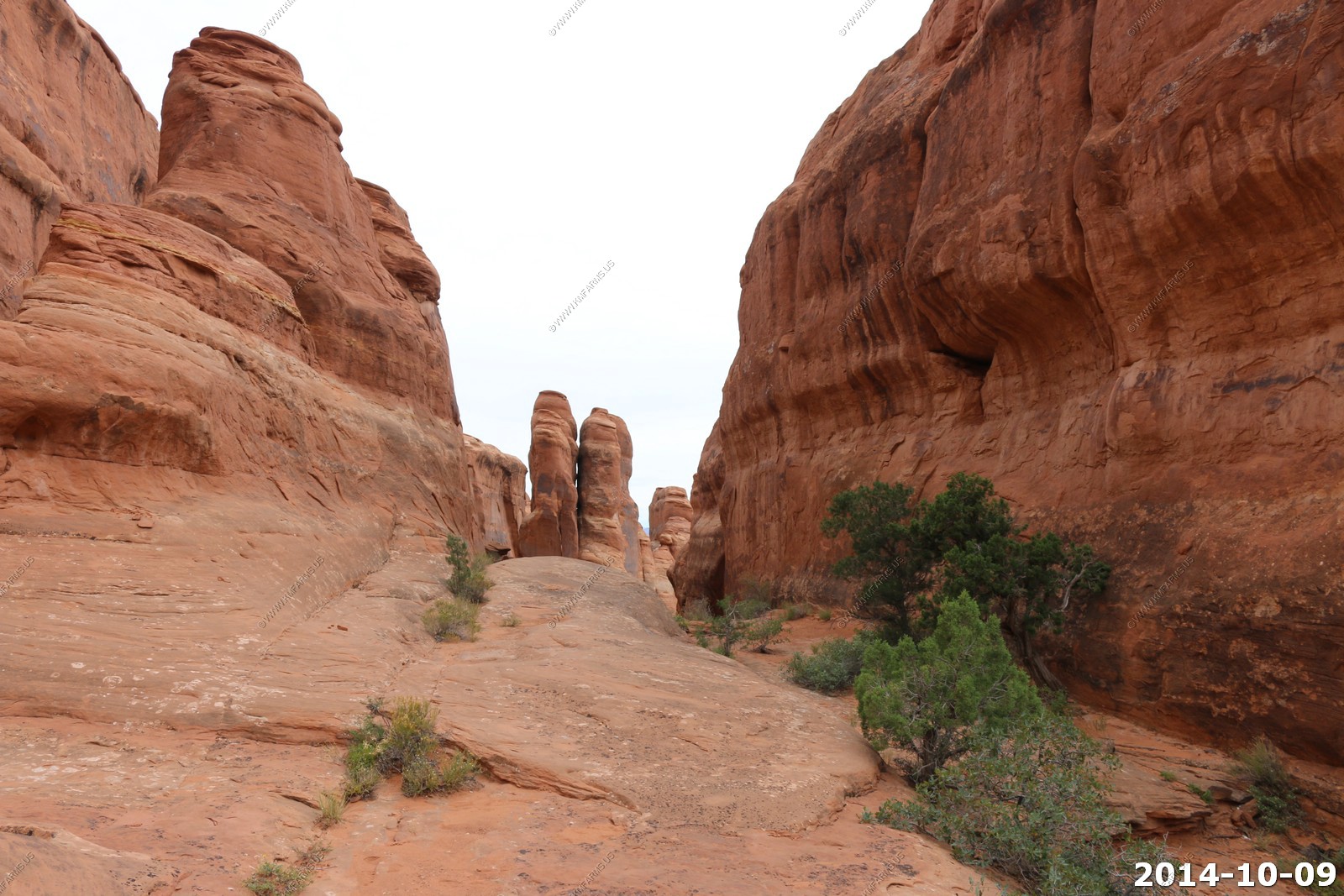
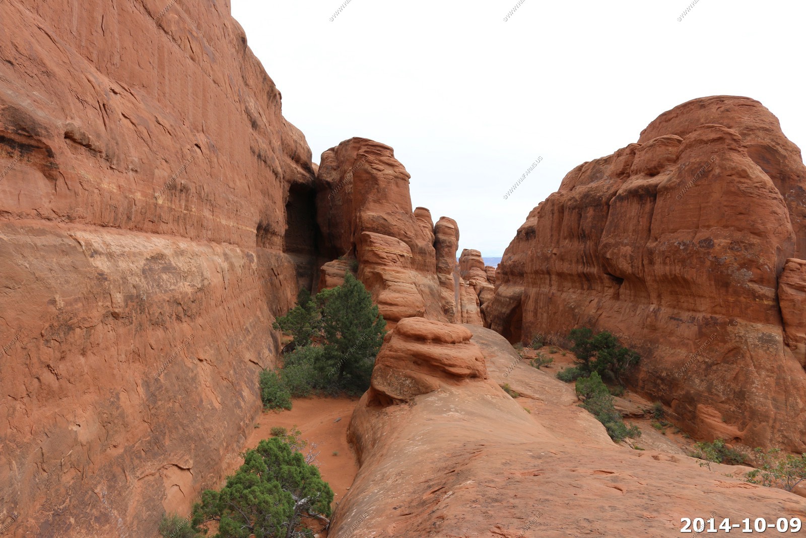
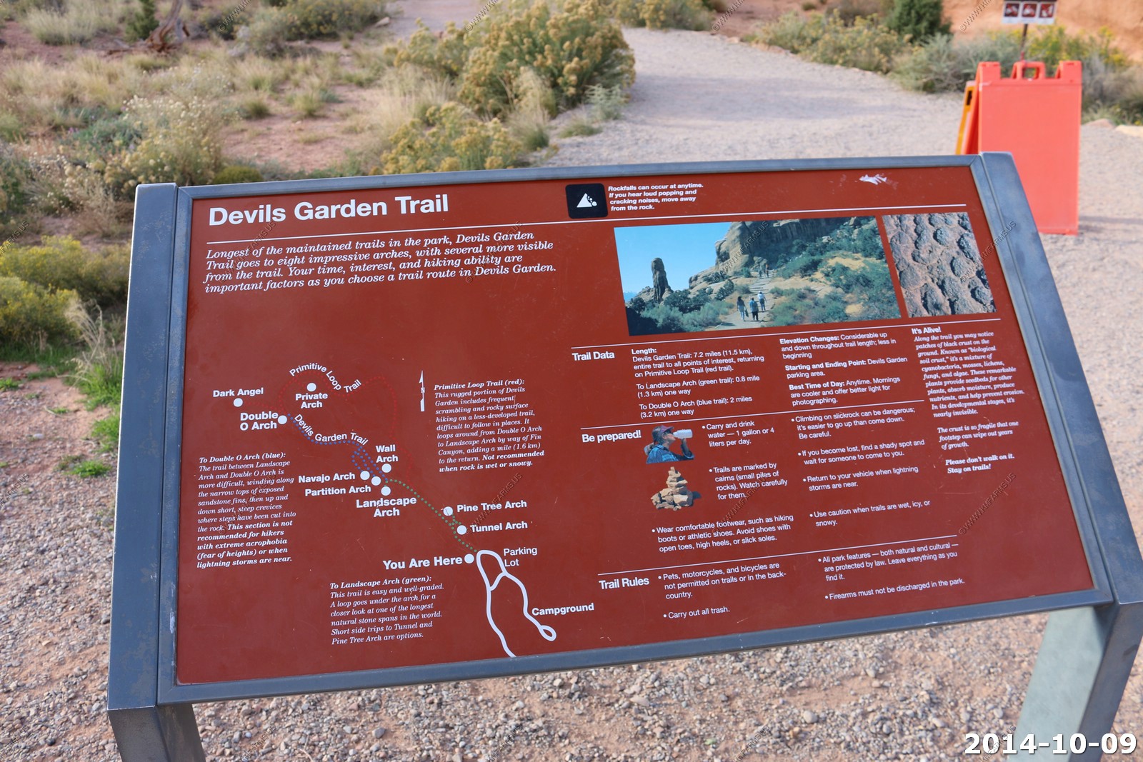
Arches National Park - Devils Garden Trail
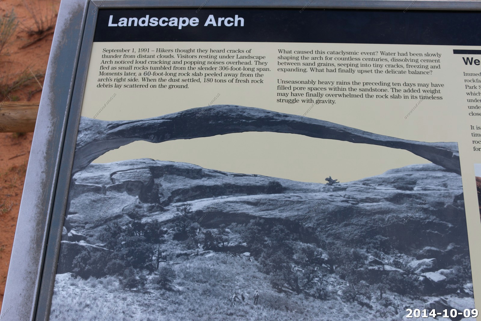
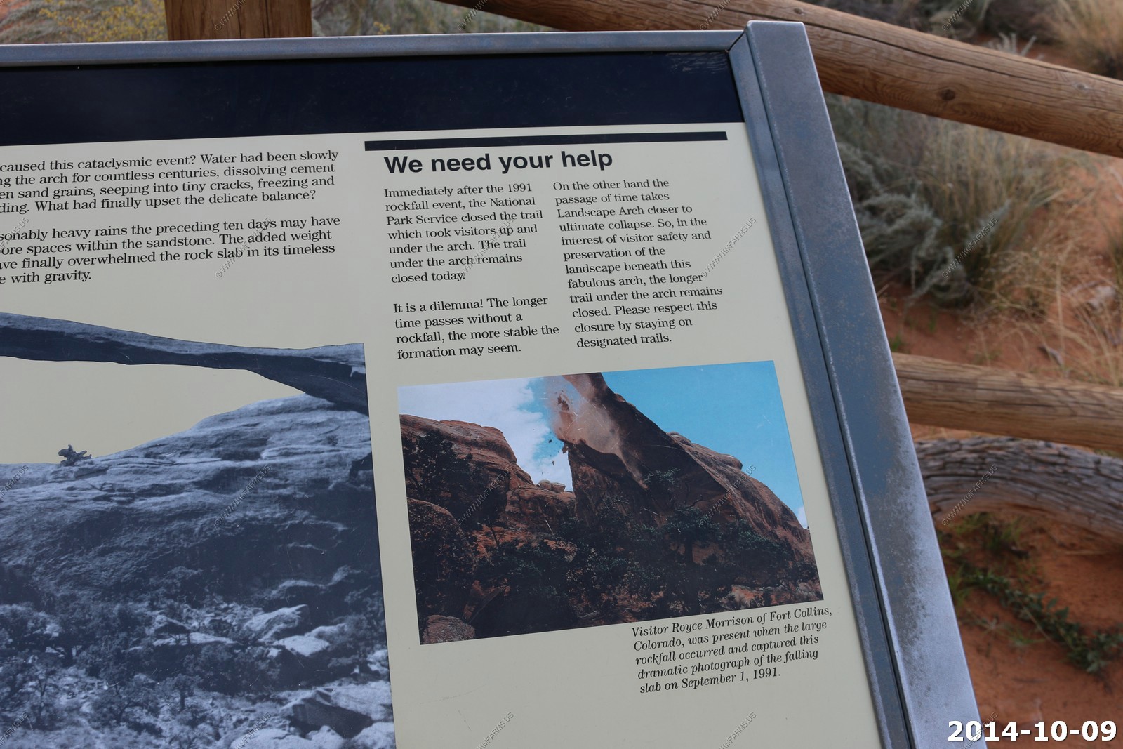
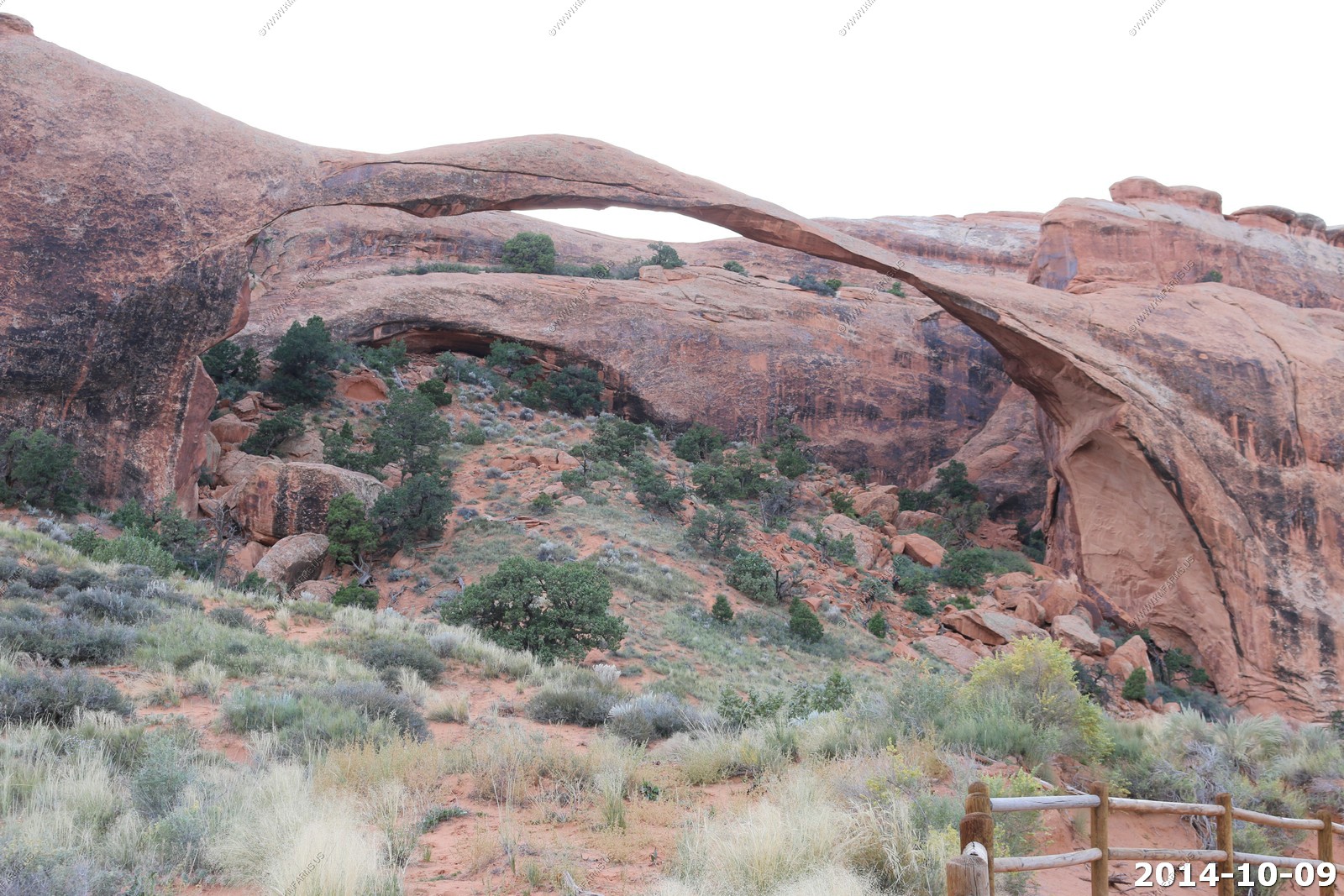
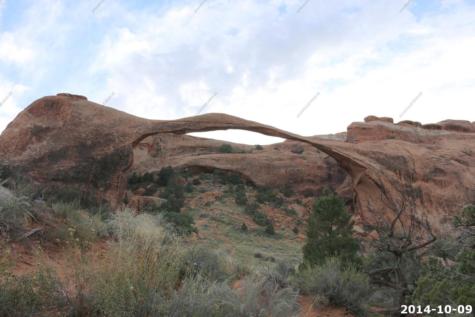
One of the cool arches here is Landscape Arch, which is on a 1.6 mile round trip on a relatively flat, gravel-surfaced trail its (usually heavily populated with hikers). This trail leads to a spectacular ribbon of rock, whose span is more than a football field in length.
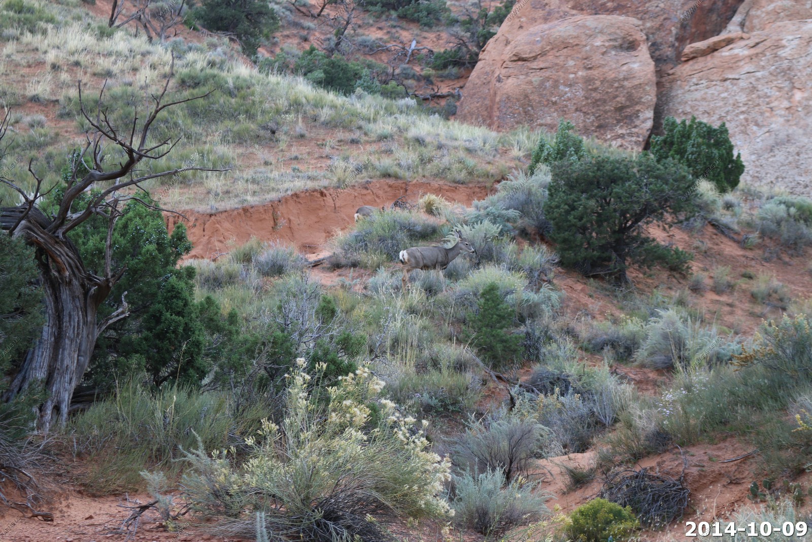
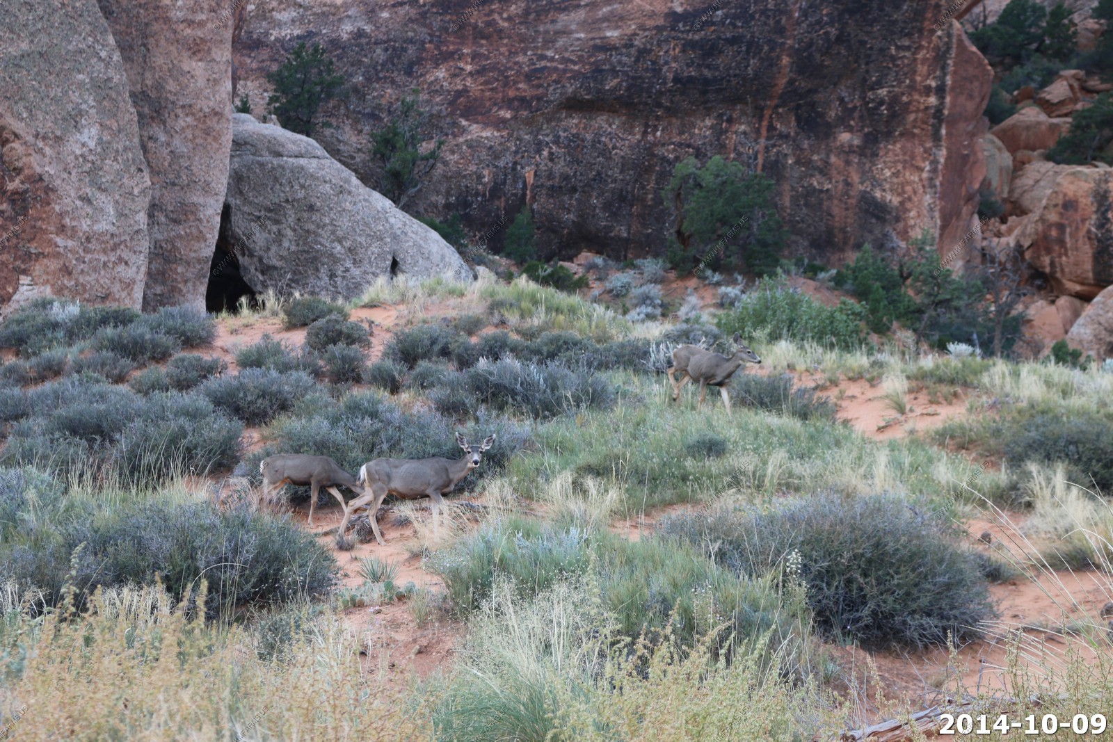
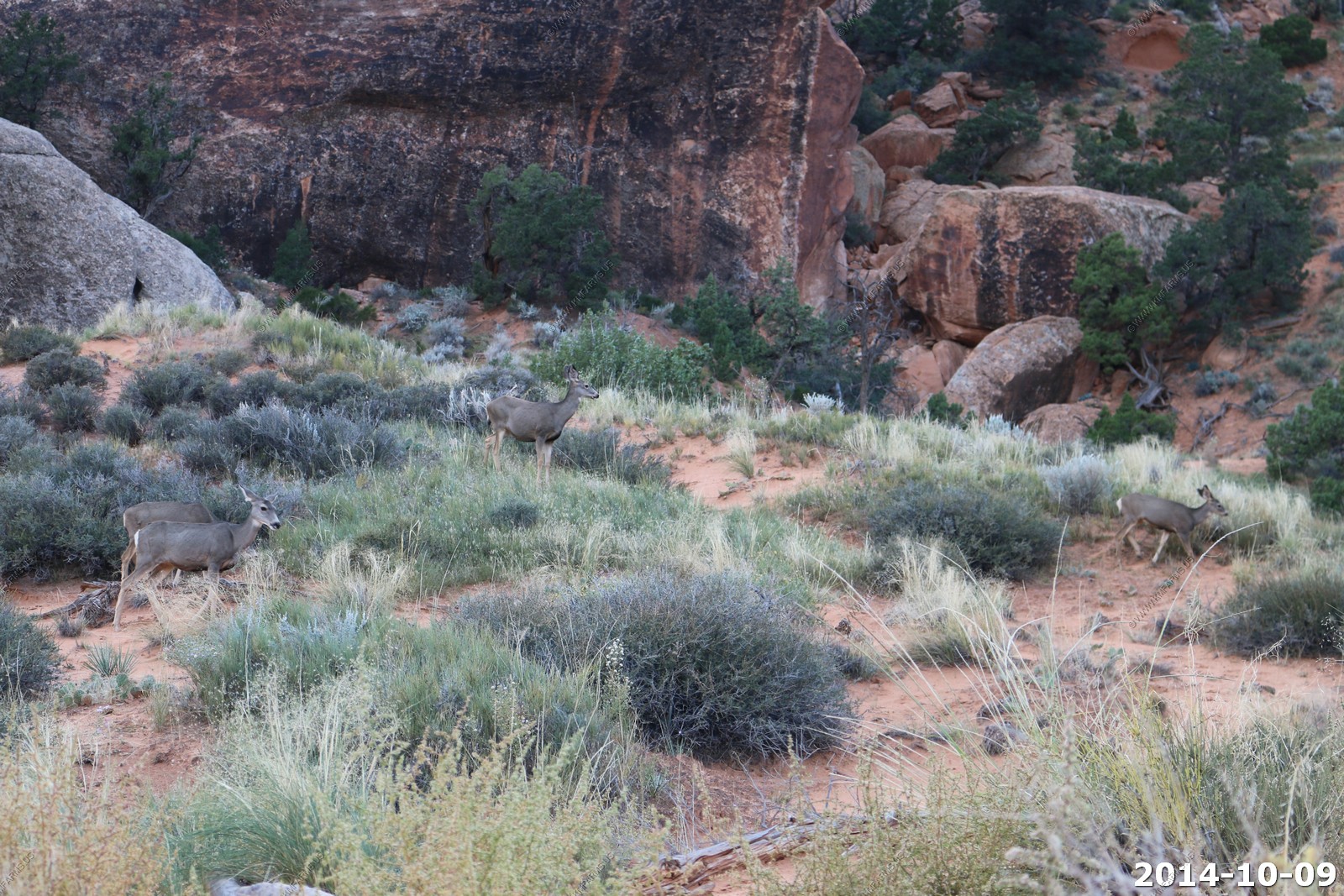
Mule deer.
The mule deer (Odocoileus hemionus) is a deer indigenous to western North America; it is named for its ears, which are large like those of the mule. Unlike the related white-tailed deer (Odocoileus virginianus), mule deer are generally more associated with the land west of the Missouri River, and more specifically with the Rocky Mountain region of North America.
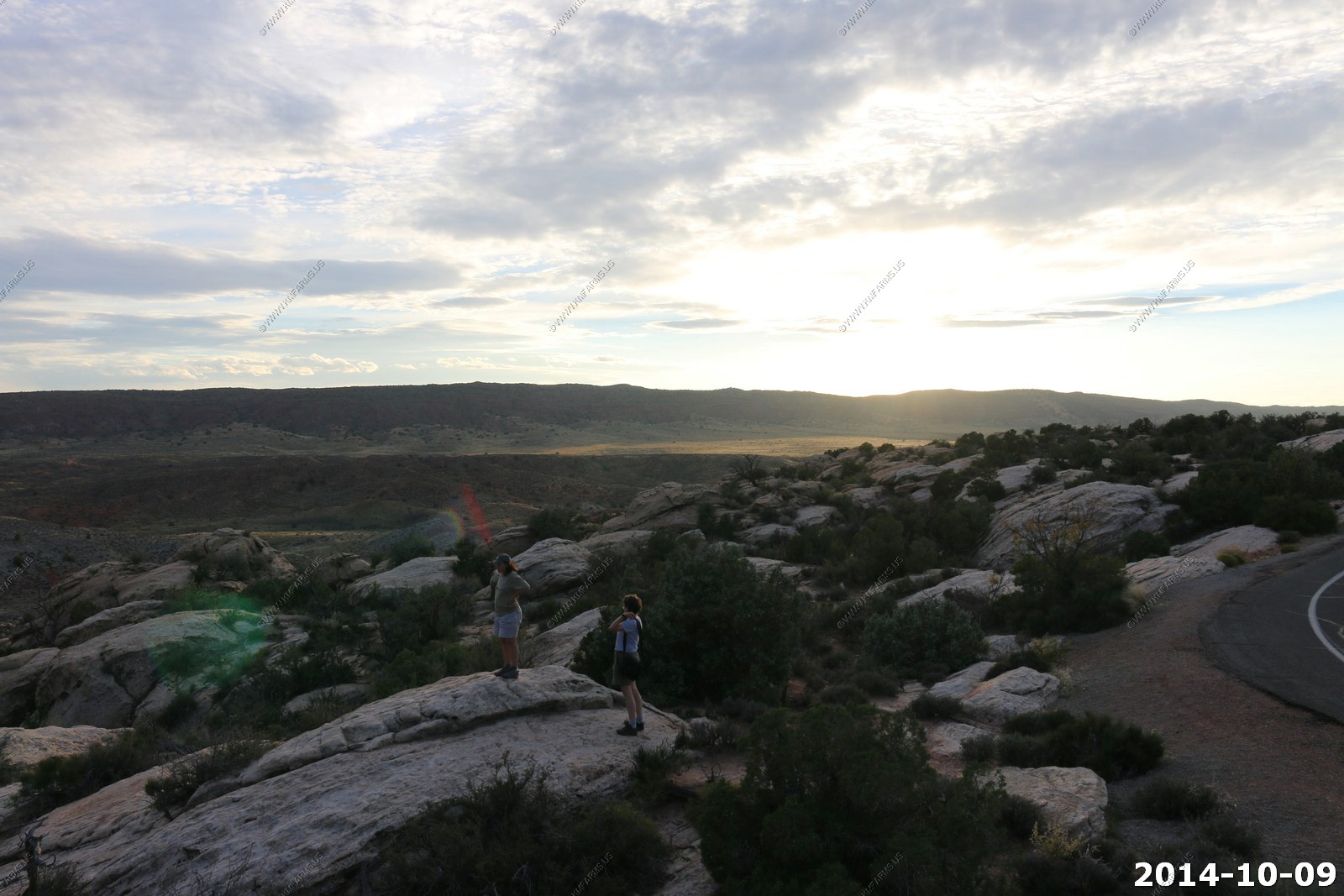
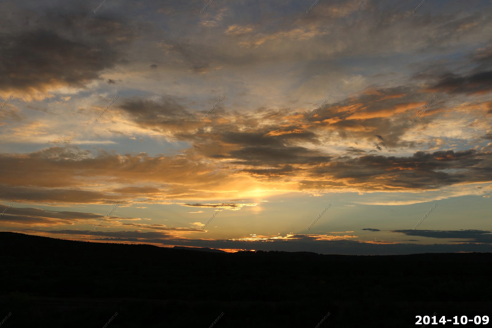
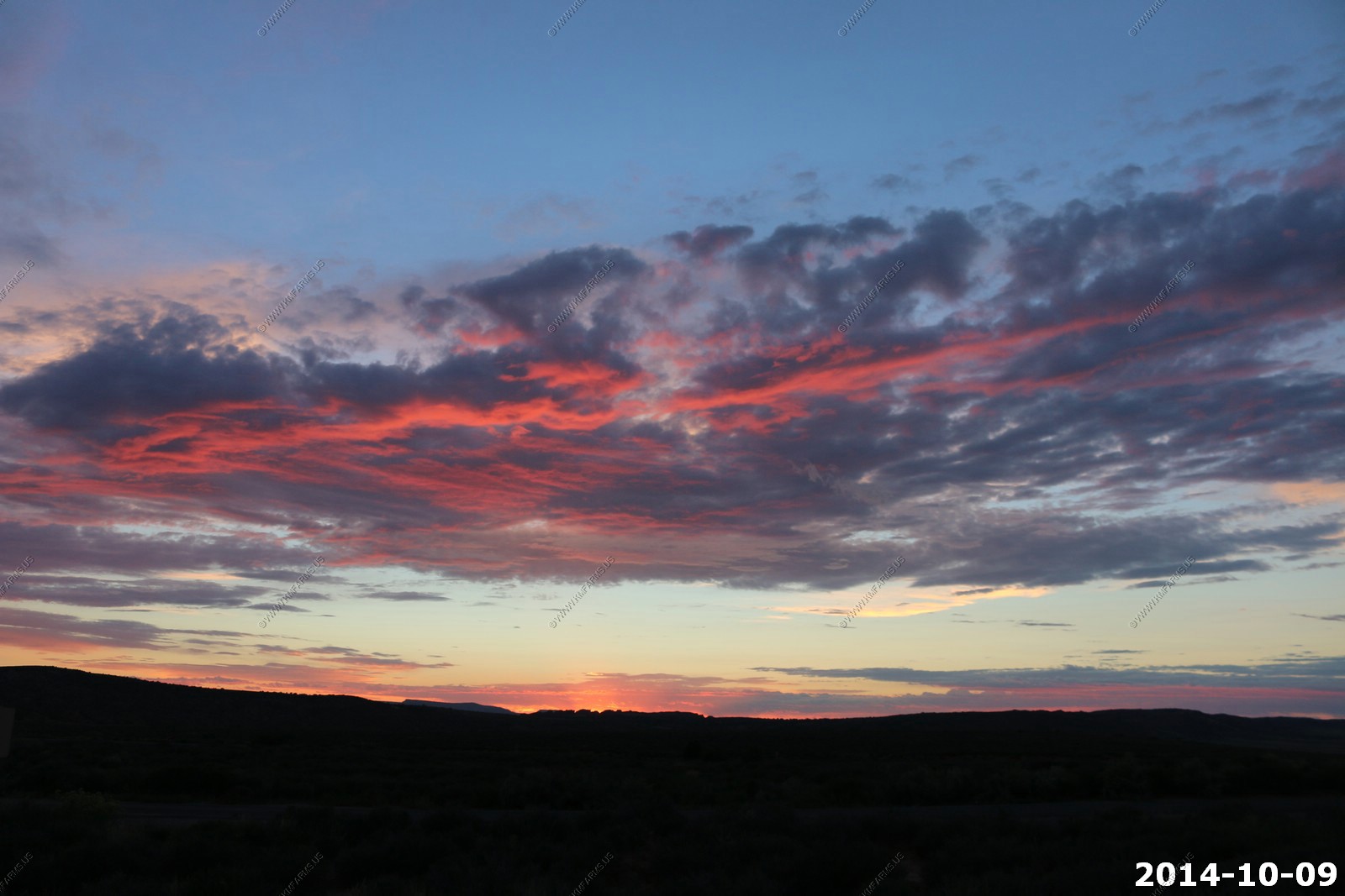
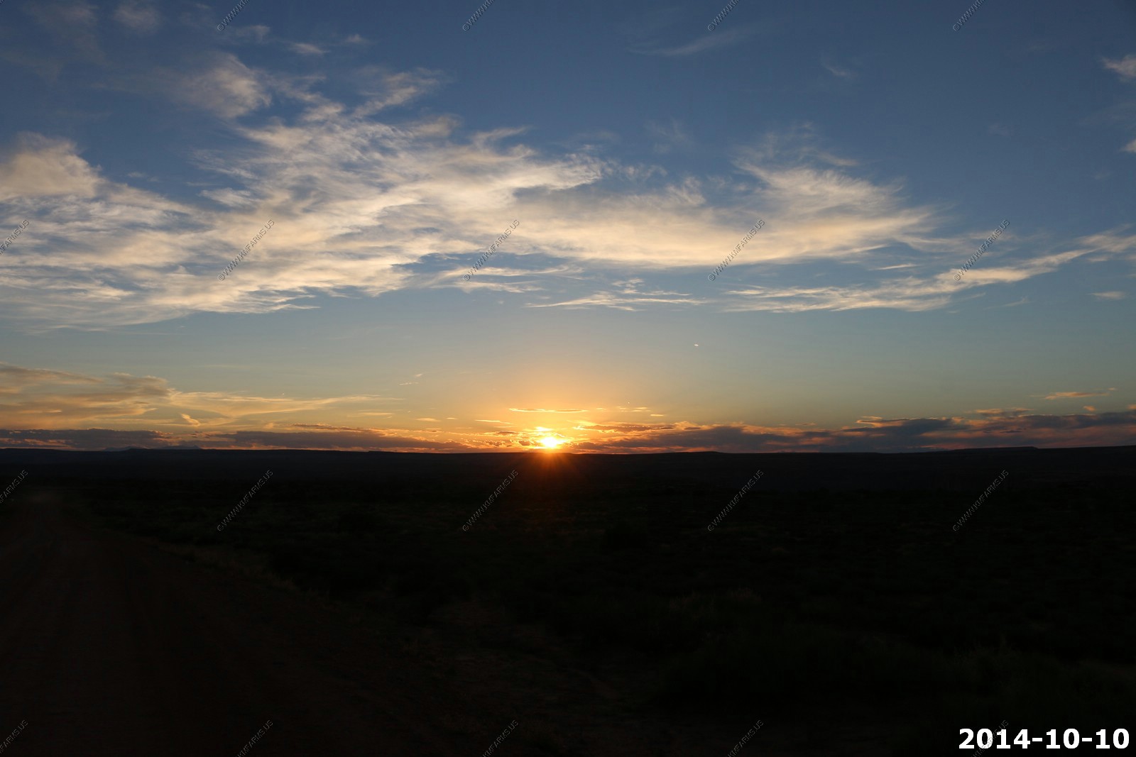
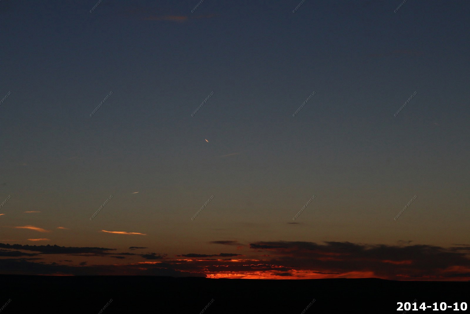
Sunset Time.
We wanted to be in a more open area for sunset. And with the clouds we knew it would be good. First we stopped at Salt Valley Overlook.
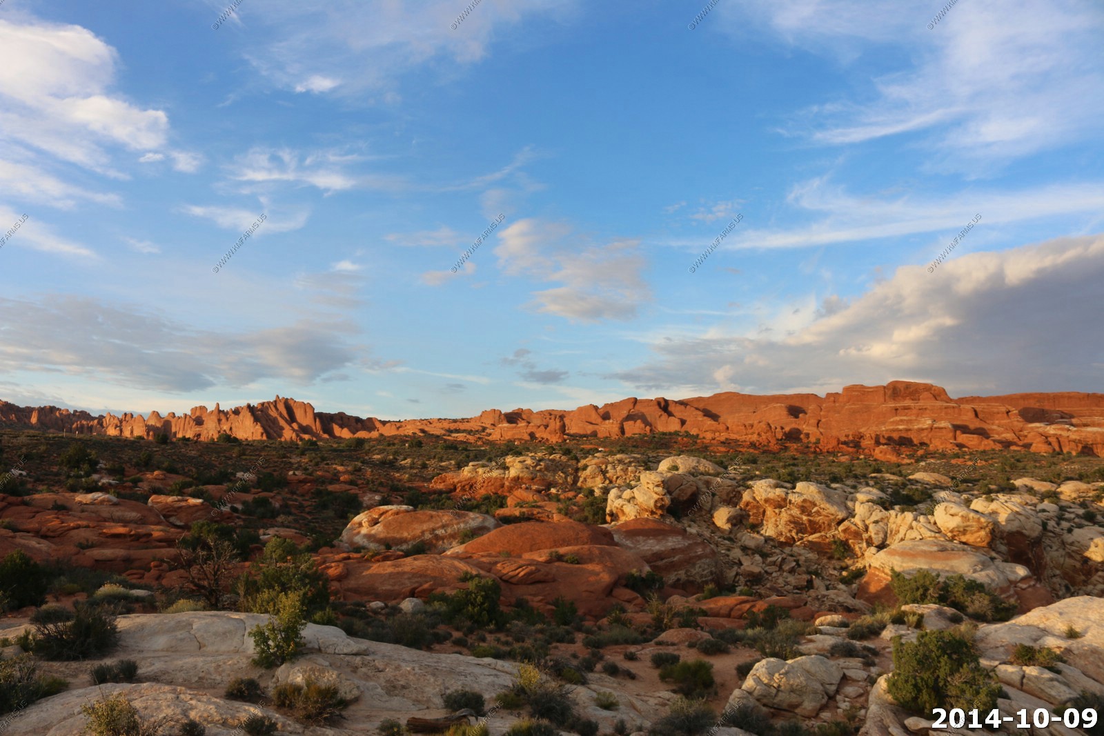
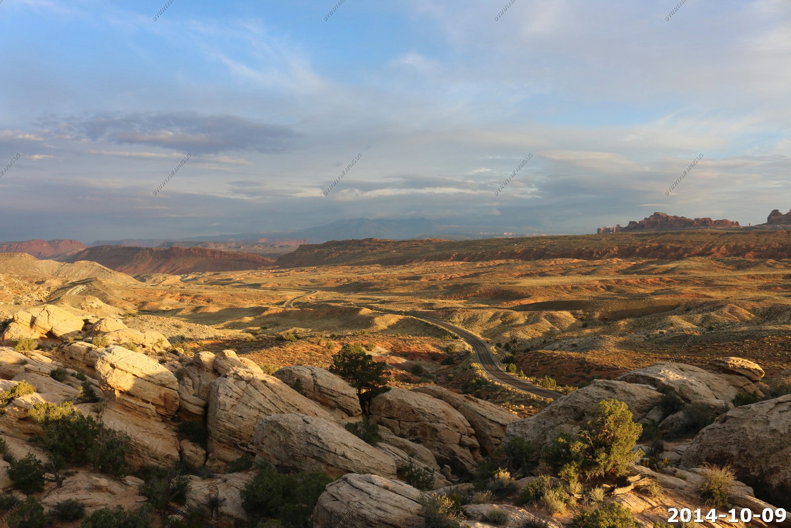
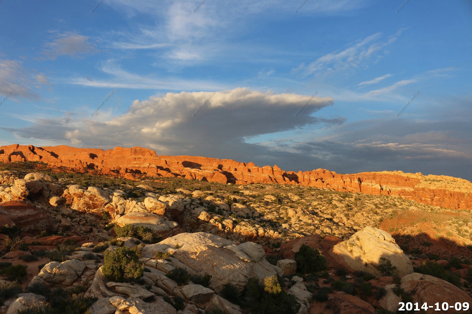
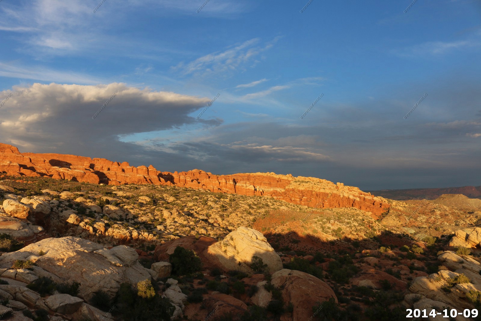
We then drove a few miles and stopped at Panorama Point, which gave us a better look towards the west.
In the end and even with the weather not 100%, our visit to Arches was very good. We saw what we wanted and this 1/2 day of bad weather would be the only bad weather we would encounter on this trip.
For dinner we used the grill on the deck of our condo.
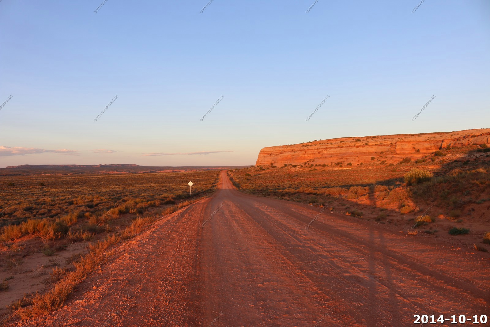
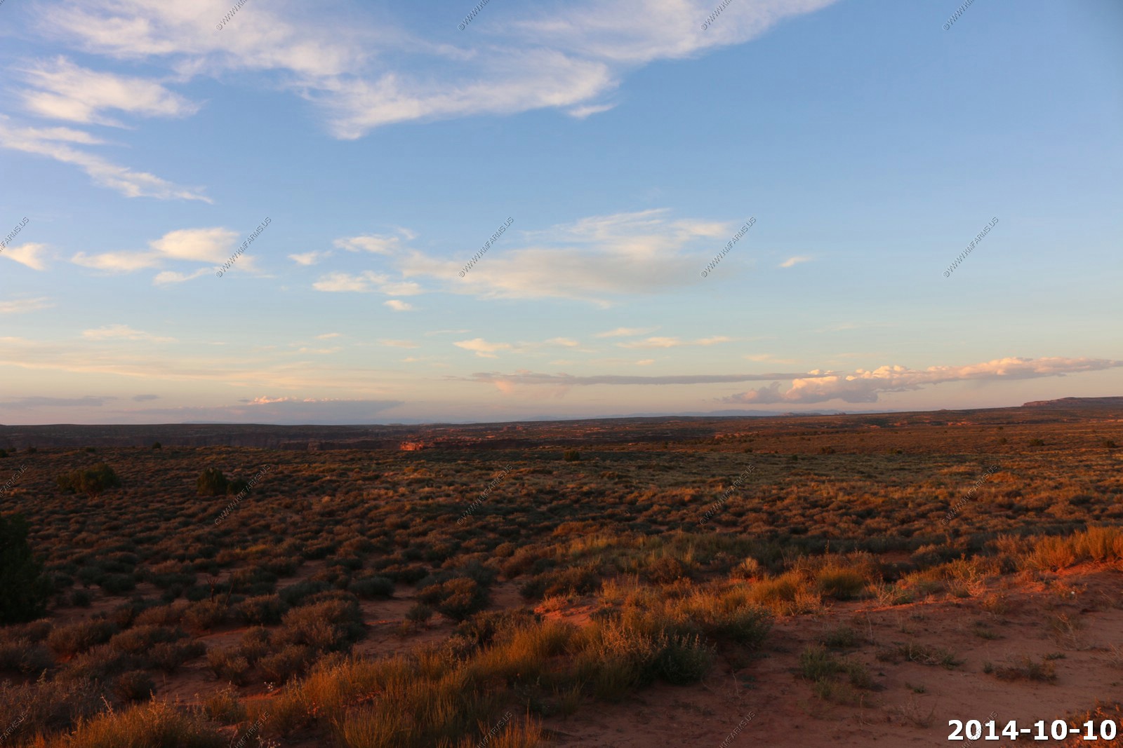
Friday - OCT 10 2014
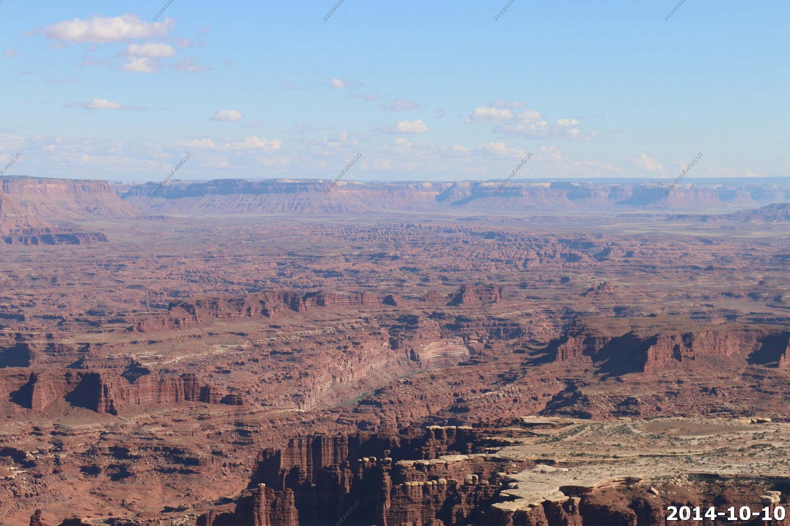
Canyonlands Day - 1
Canyonlands is divided into three parts. Its hard to explain to people who have never been here about how vast this park is. On this trip we spent two days in Island in the Sky District, and one day in Needles. Some day we will go the the remote "The Maze" part of the park.
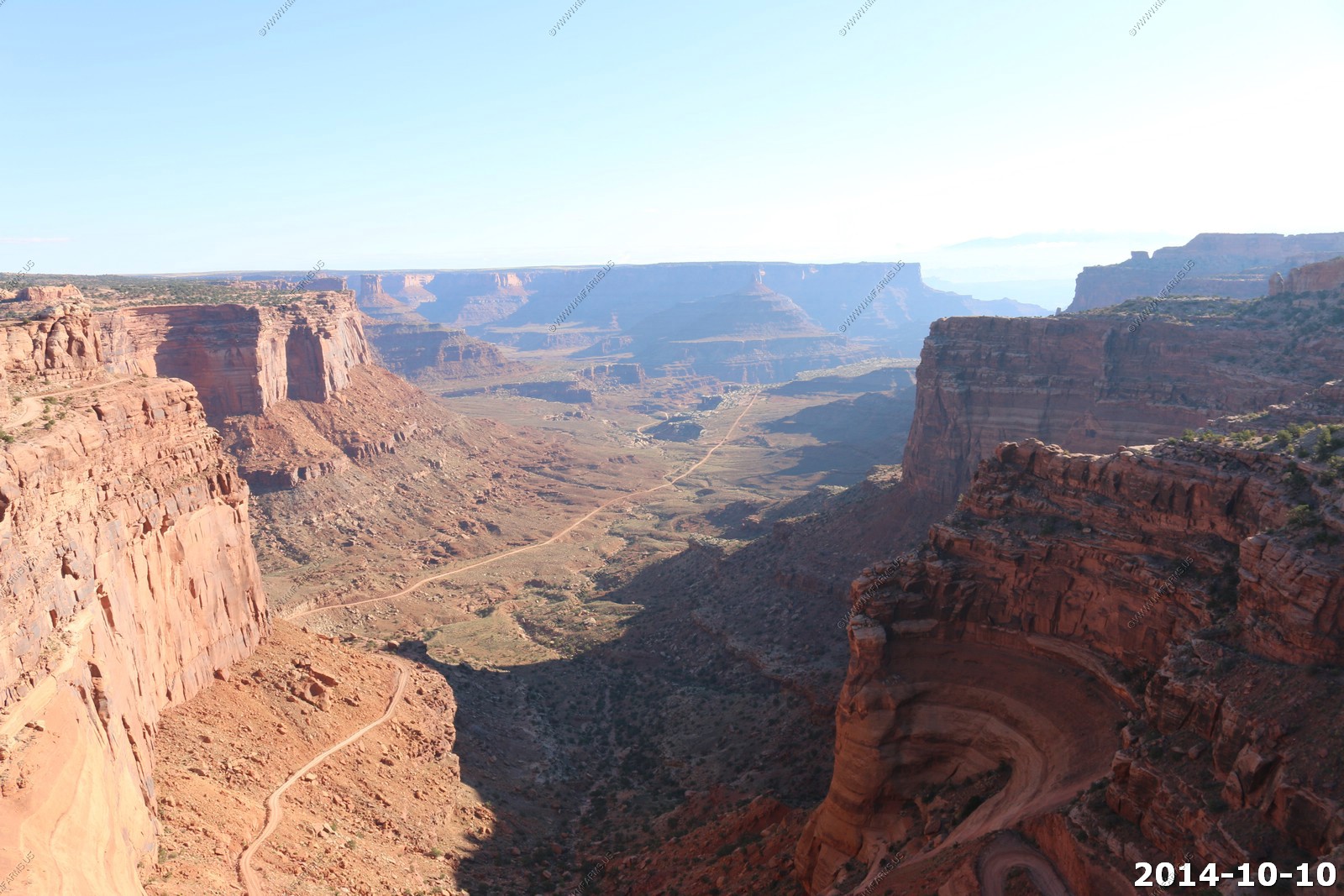
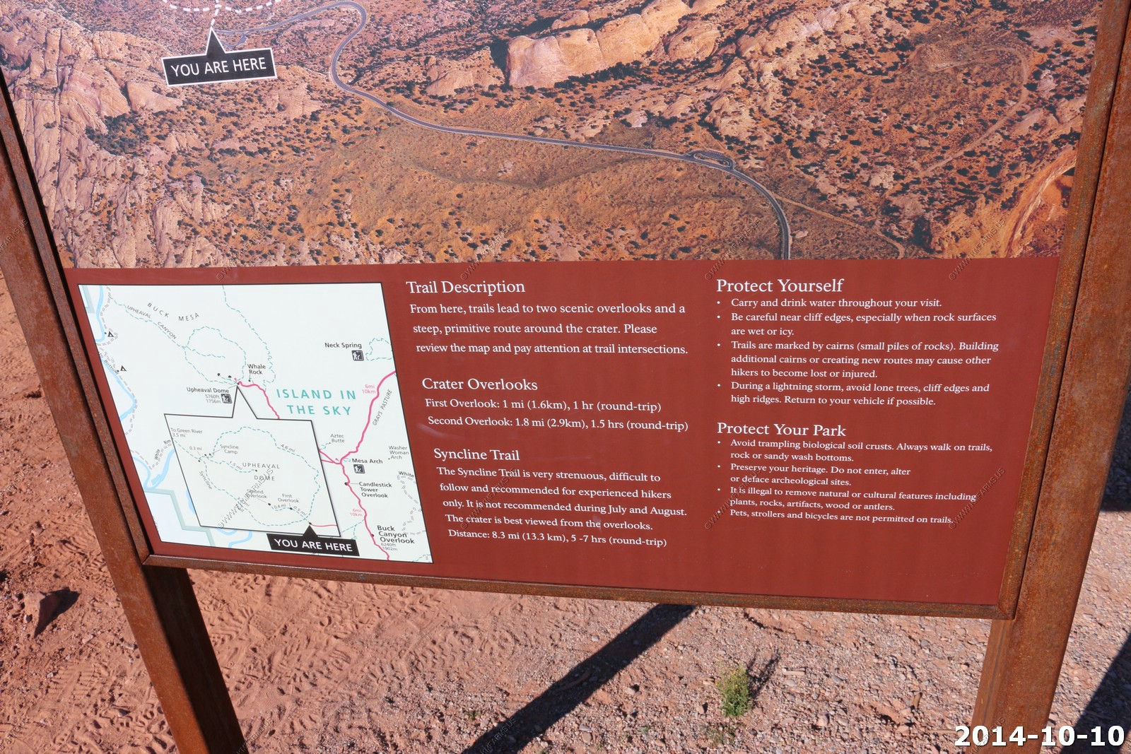
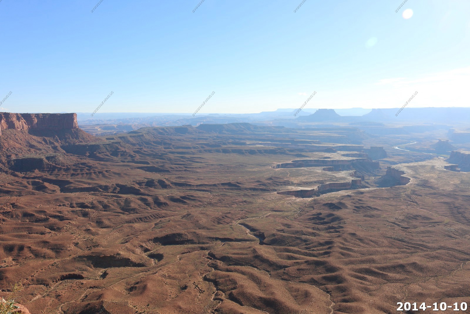
So the plan for Day one is to hit the overlooks, Ken's most favorite place in the world, A hike in Upheaval Dome and then sunset along Mineral Road (Horse Thief Trail). This follows what we have done here twice before.
Author Edward Abbey, a frequent visitor, described the Canyonlands as "the most weird, wonderful, magical place on earth there is nothing else like it anywhere."
We woke up to a beautiful day. The almost full moon from our condo in Moab setting over Moab Rim (fault).
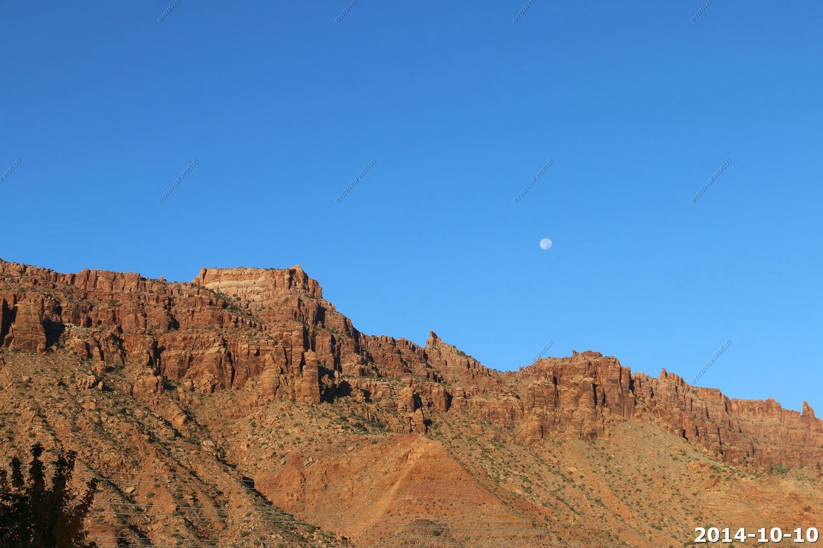
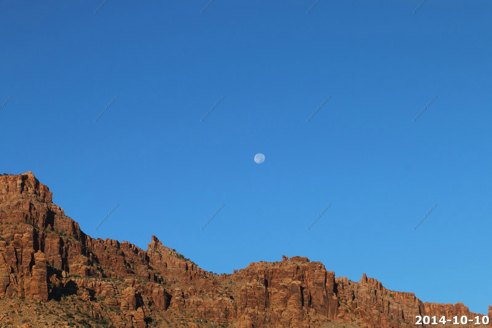
Looking north over Moab from our condo balcony.
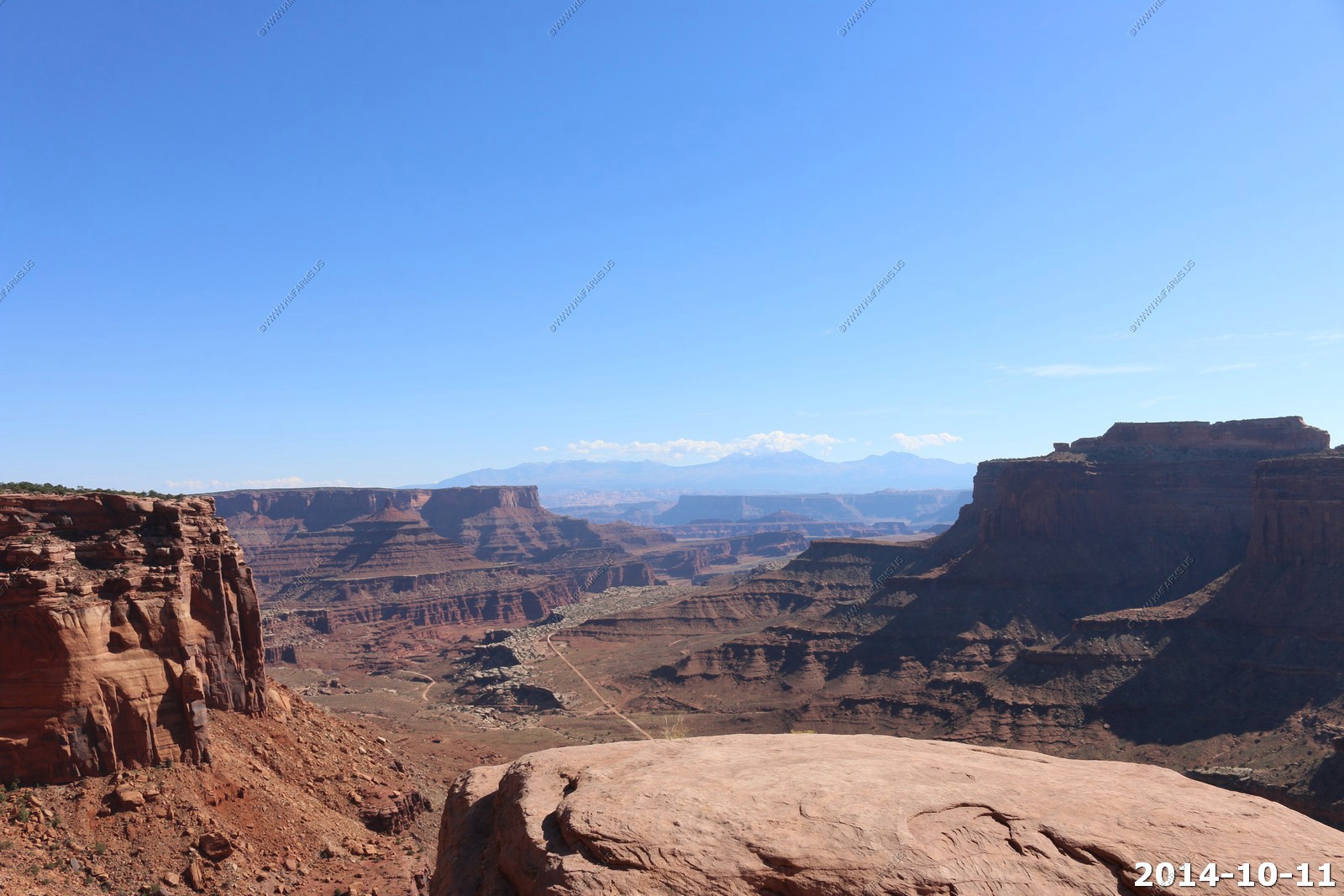
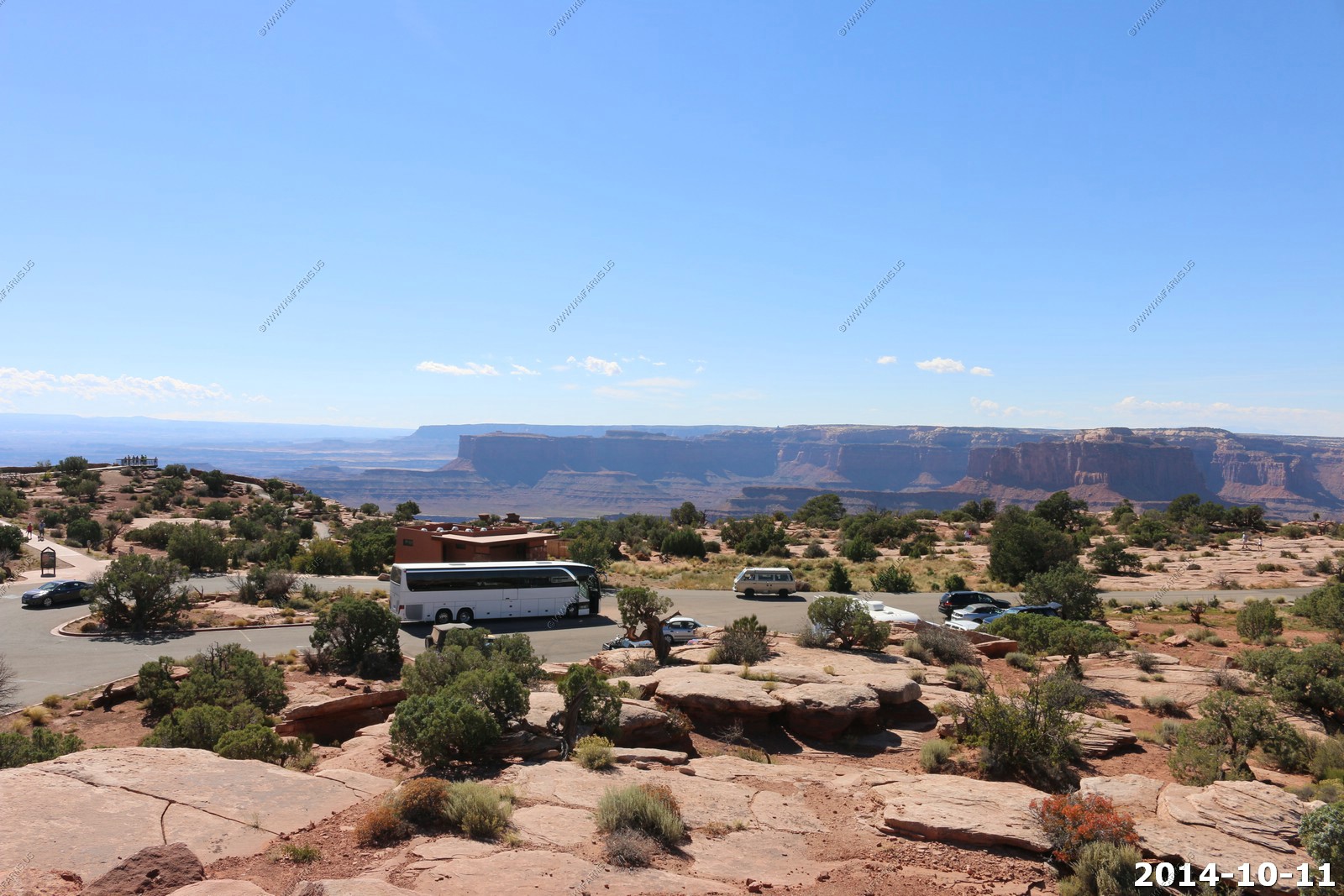
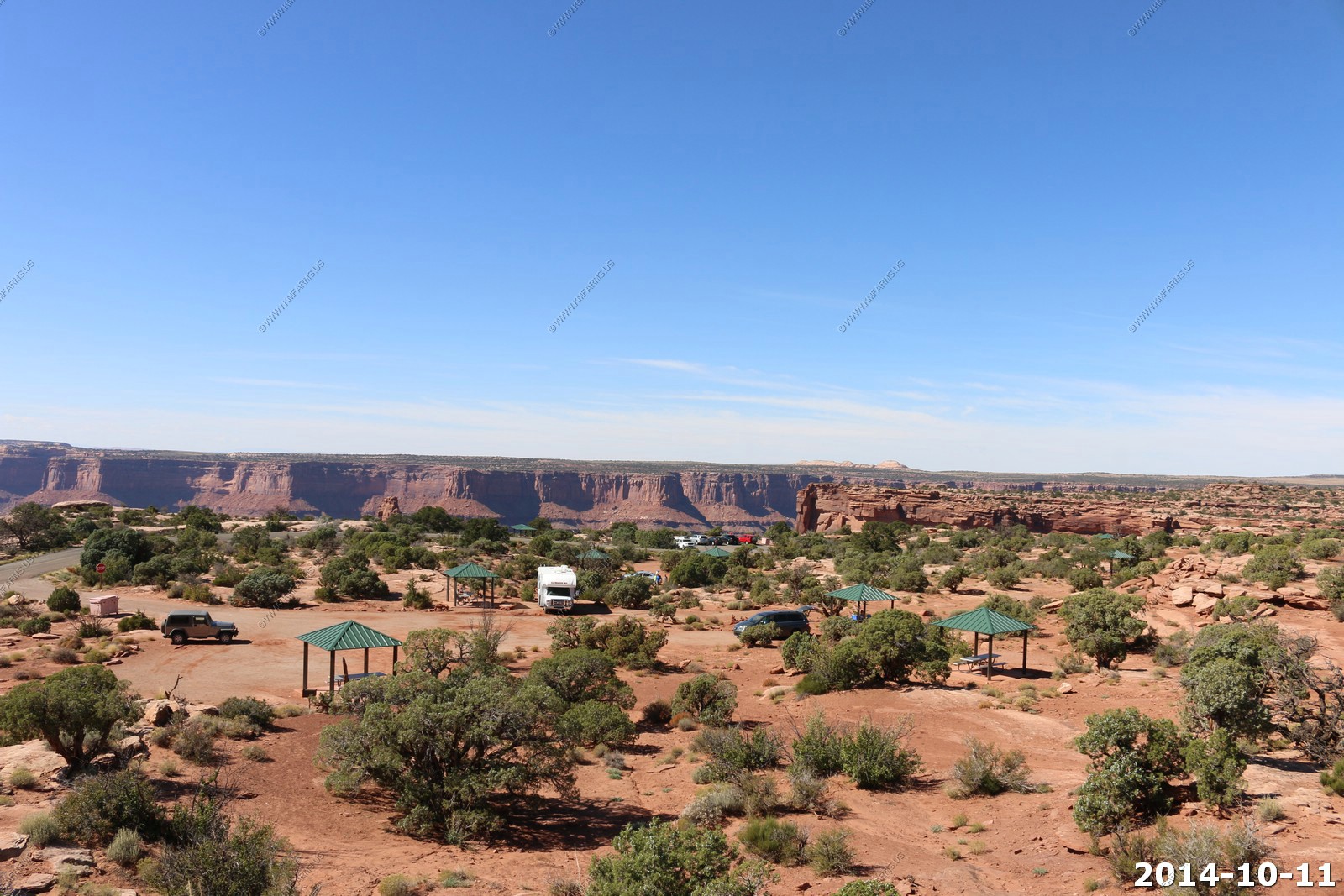
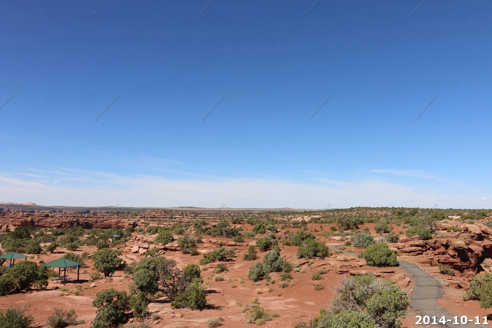
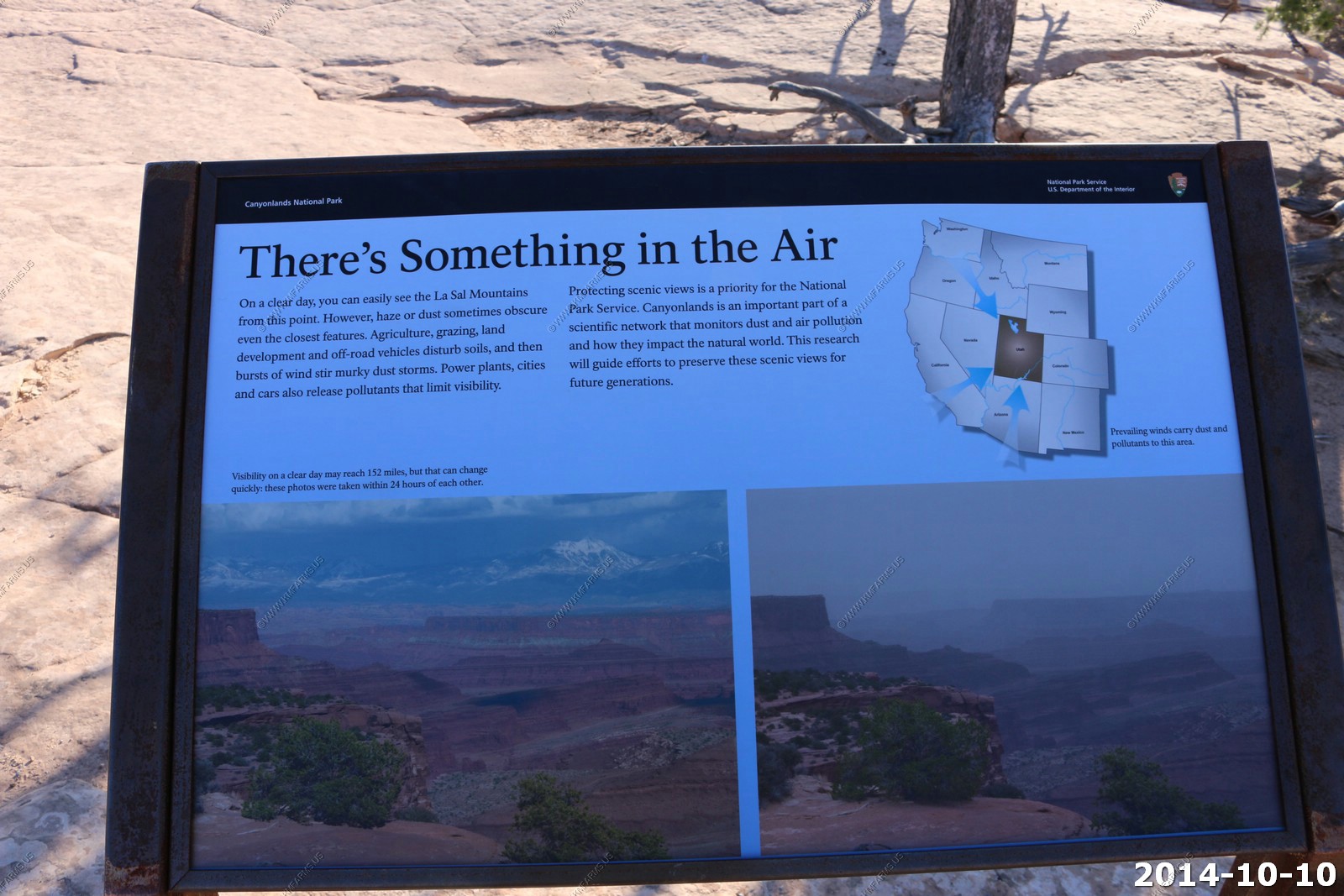
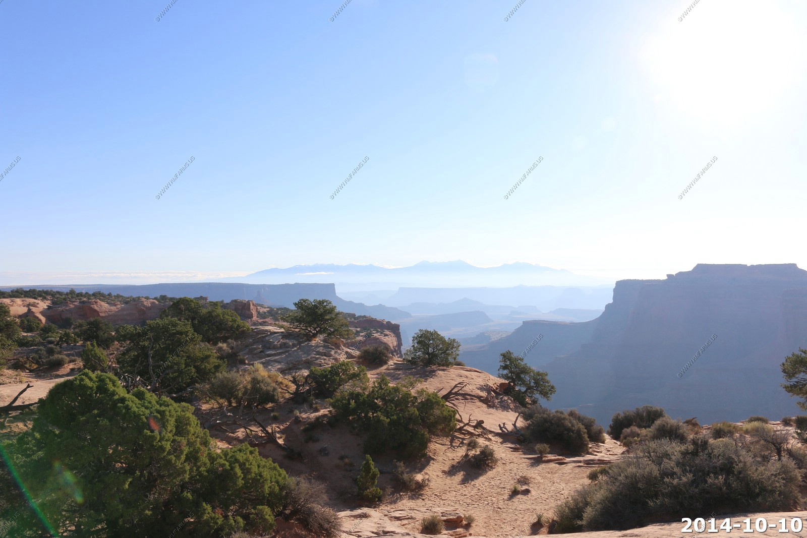
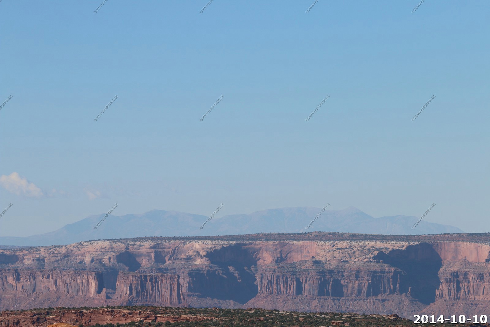
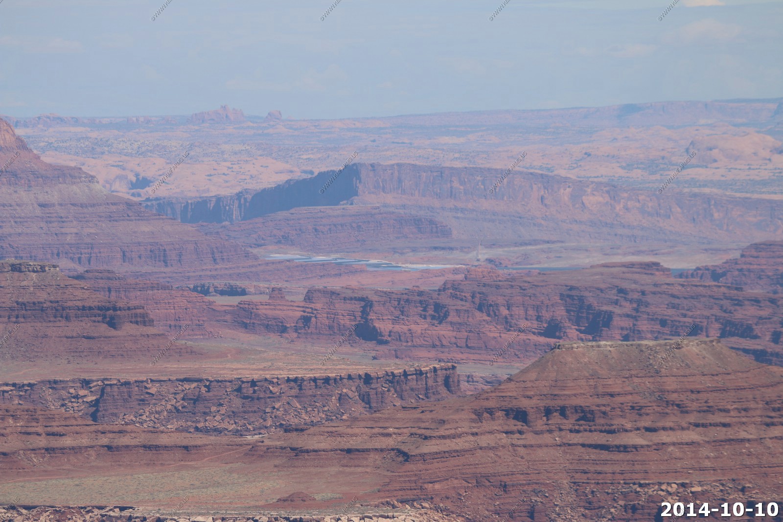
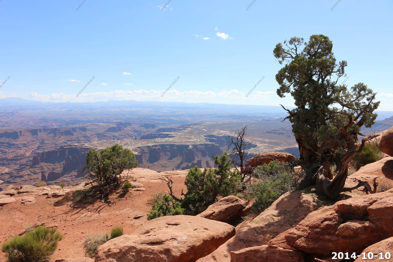
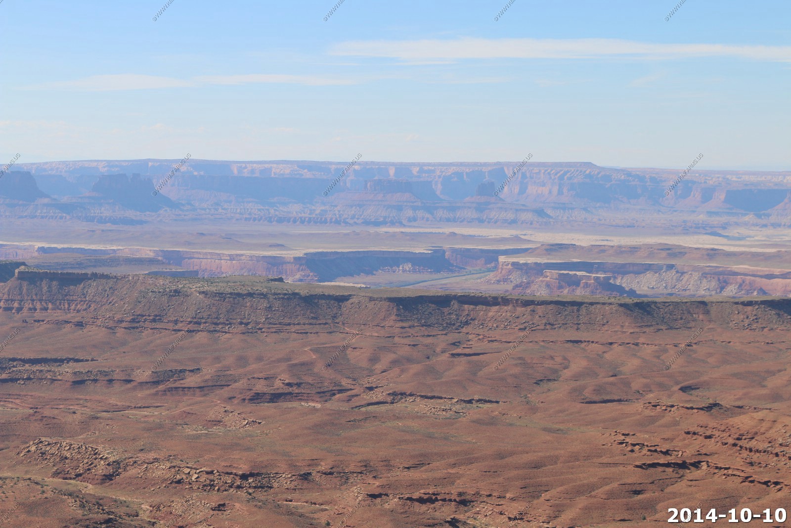
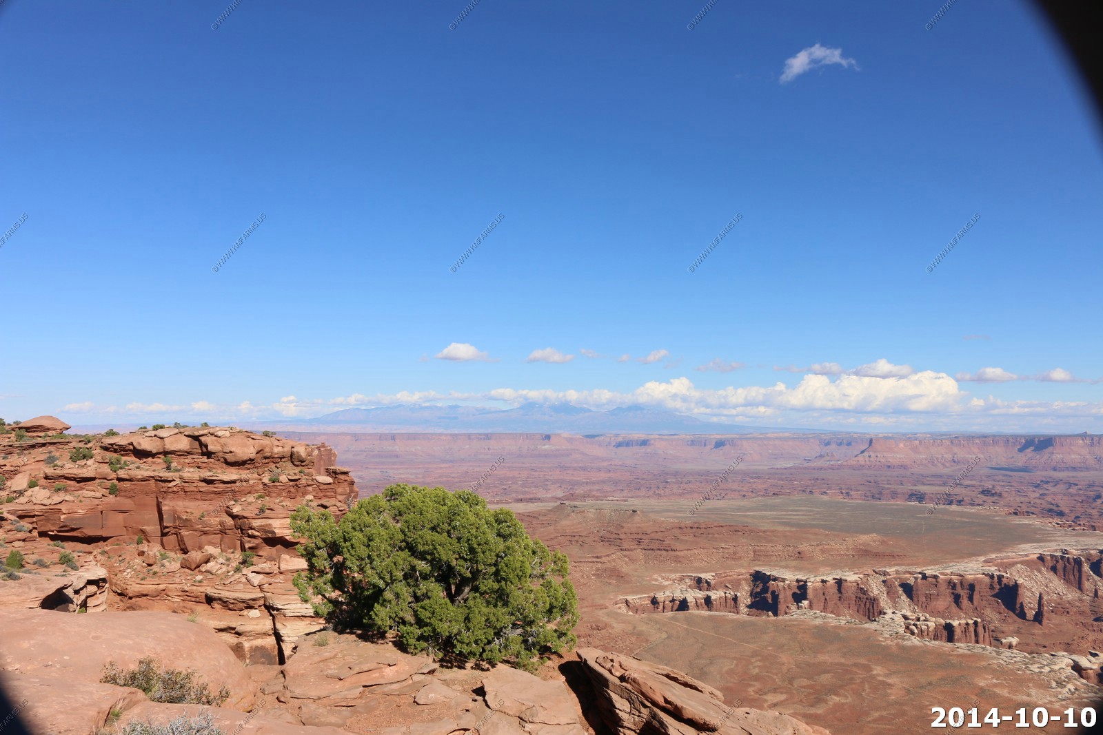
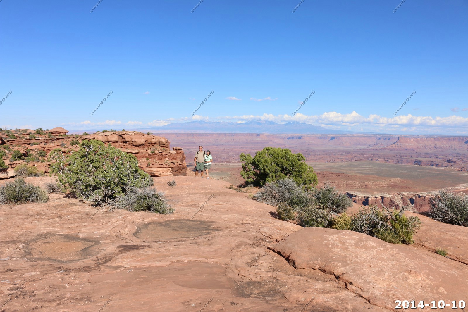
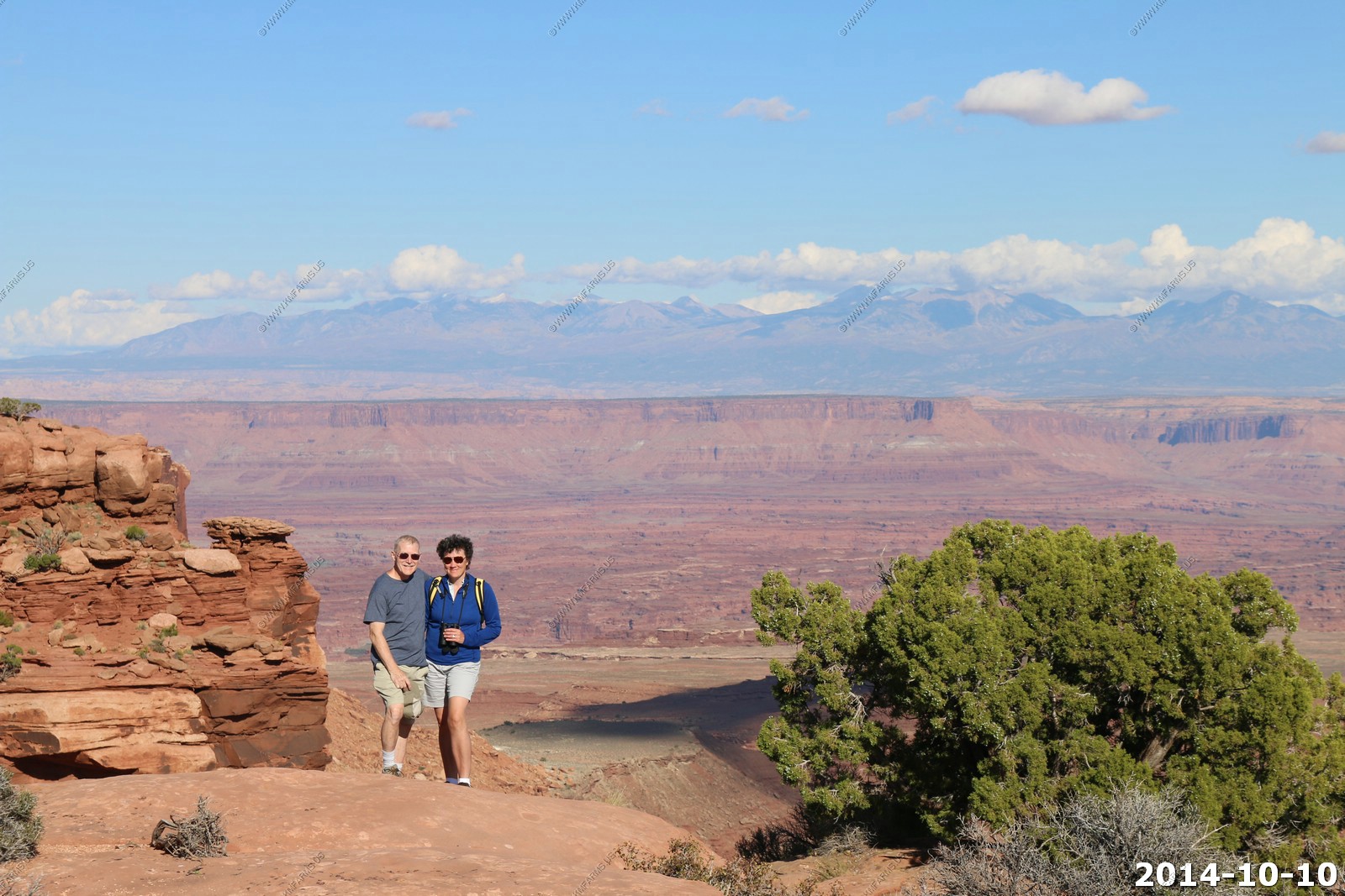
Canyonlands - Island in the Sky is 30 miles from Moab via paved roads. A very nice commute ! The air quality today is excellent !
Visibility can be up to 152 miles on a clear day.
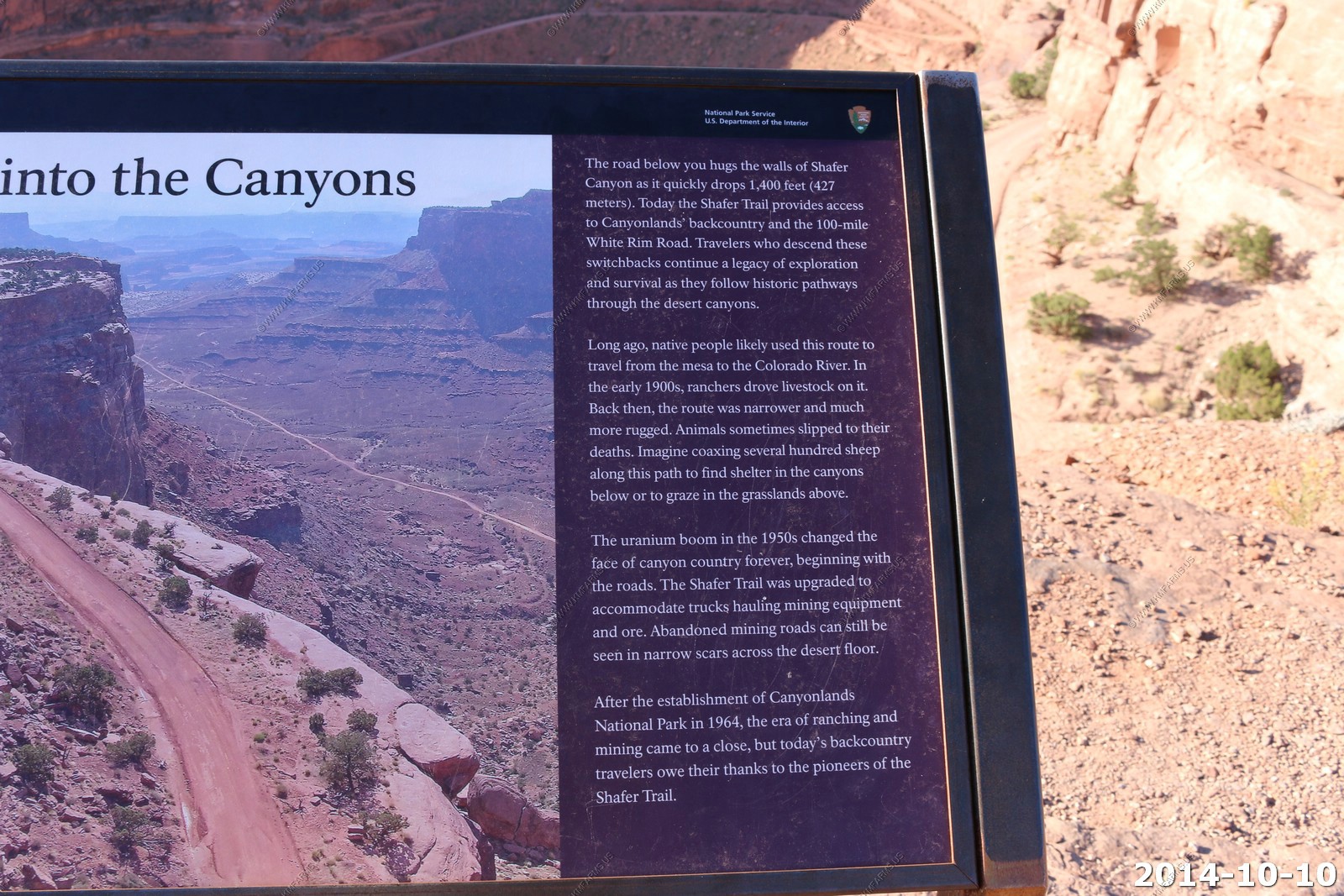
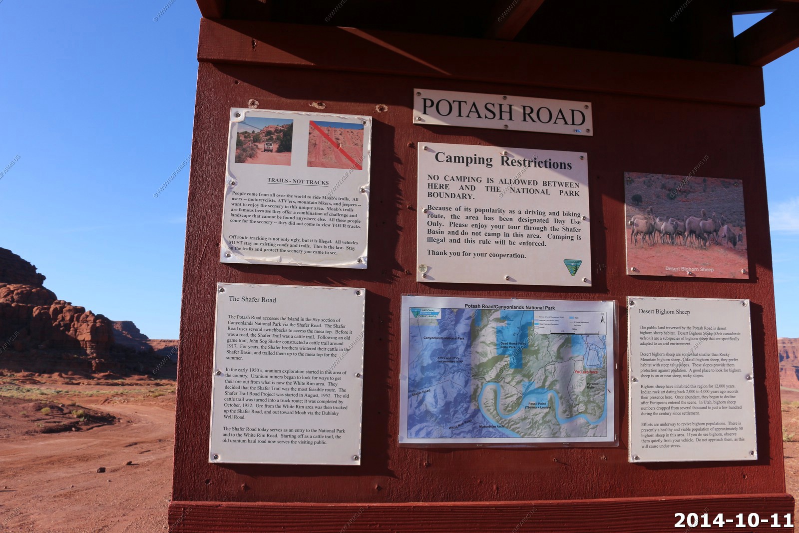
Right at the visitor center (Park Entrance) is where the Shafer Trail comes up from the White Rim & Potash Road (we would do this tomorrow).
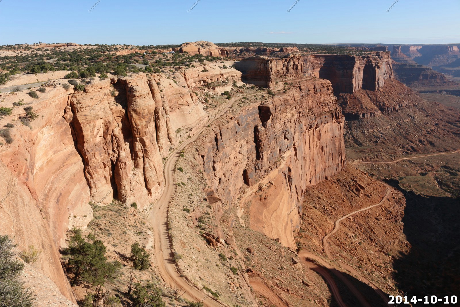
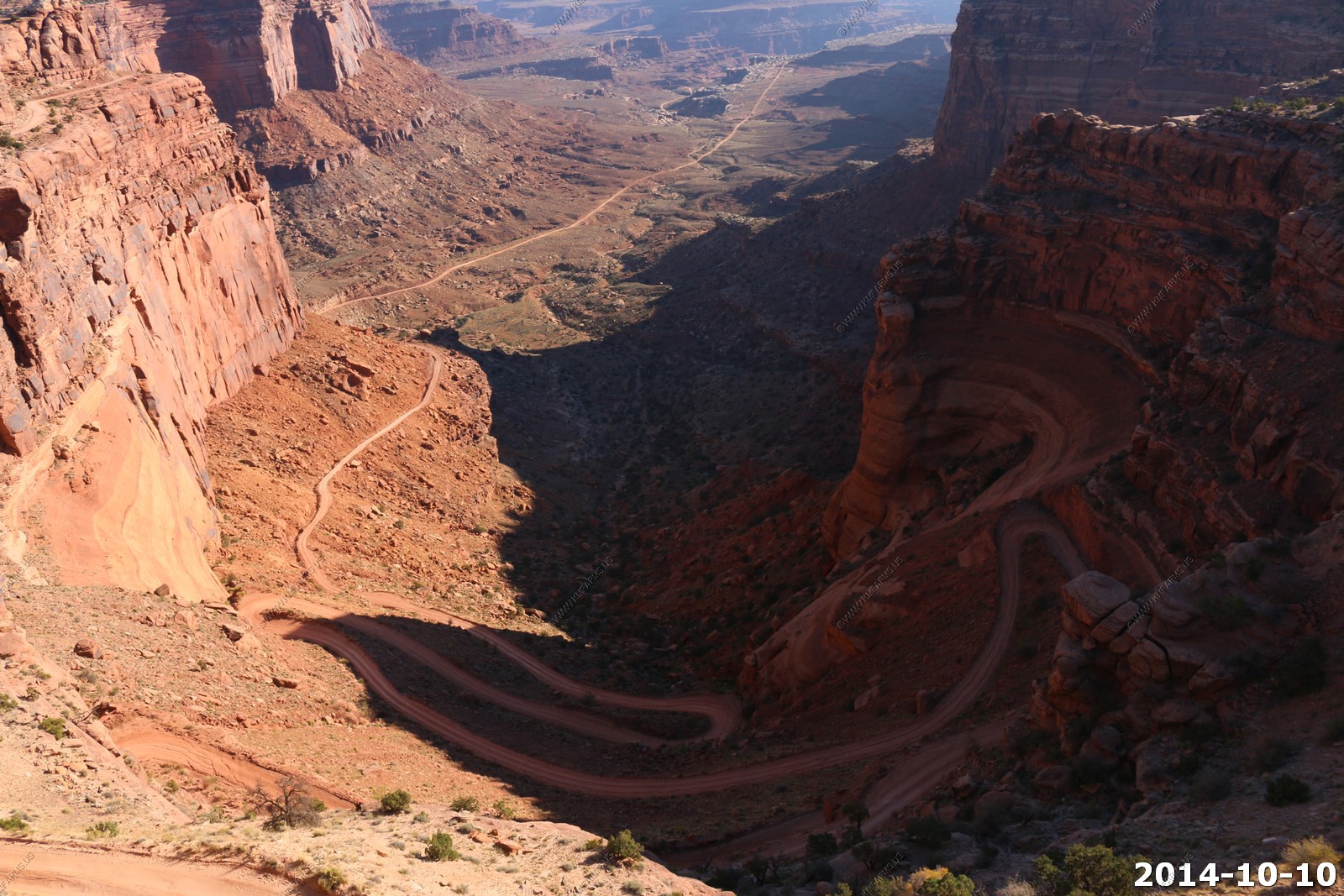
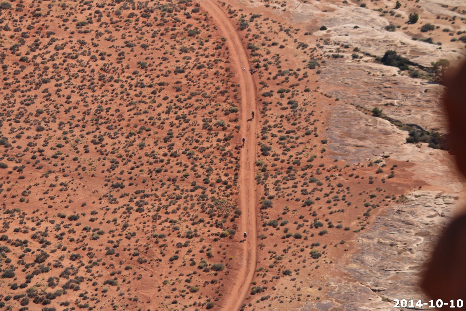
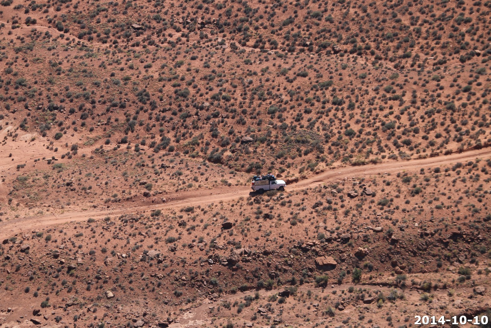
A bike rider going down the trail.
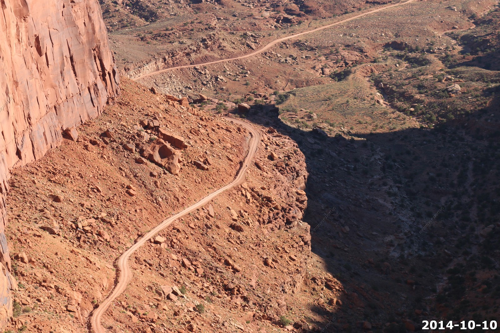
At the road intersection - Straight becomes the White Rim Trail. To the left is Potash Road back to Moab.
Looking back on this we should have done the switchbacks today (Friday) as Saturday it was very busy, and we met a number of vehicles on our way up. Meeting people on this trail makes it very exciting !
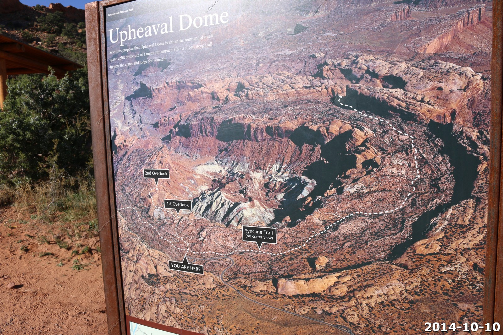
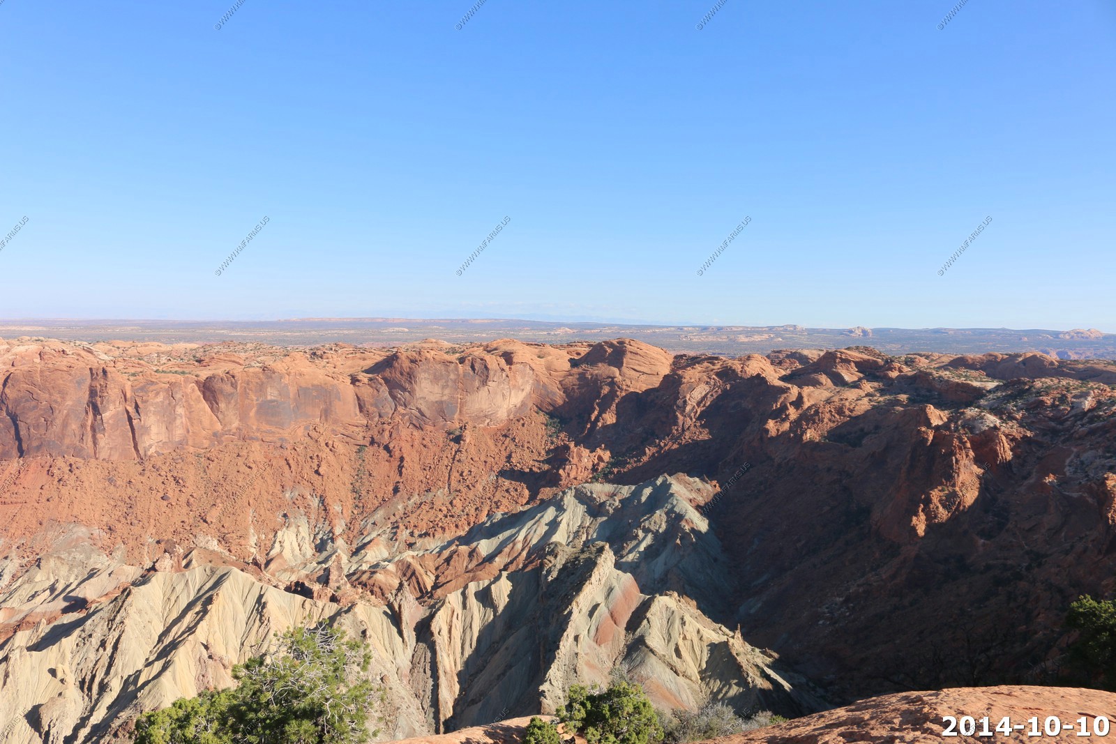
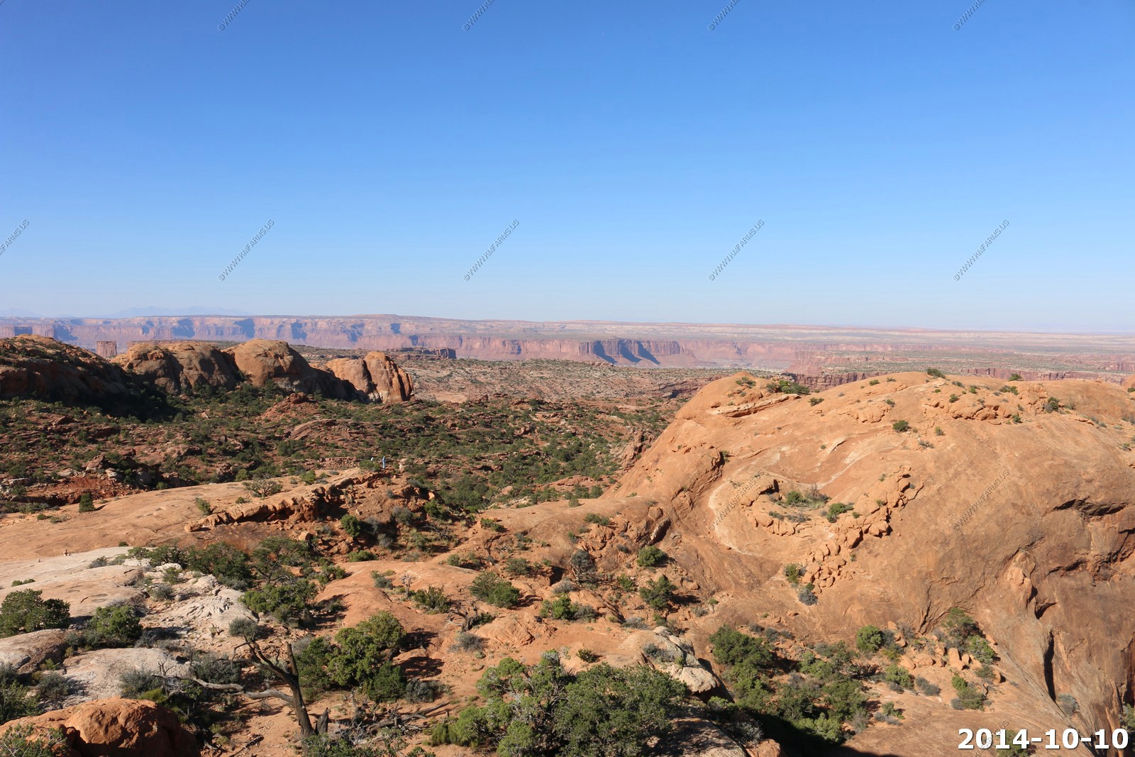
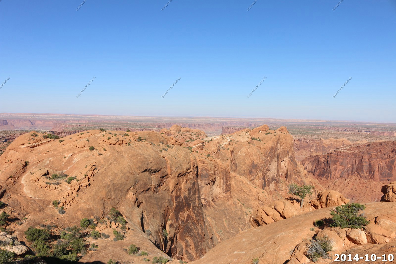
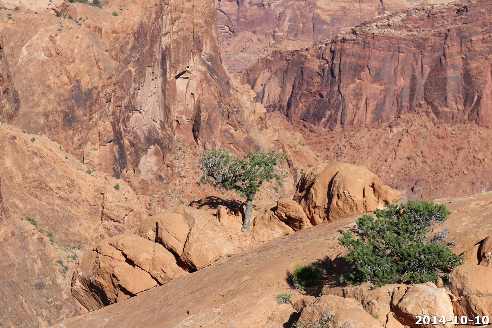
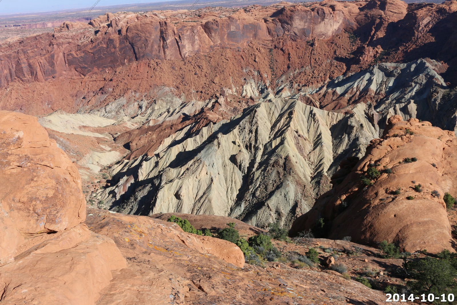
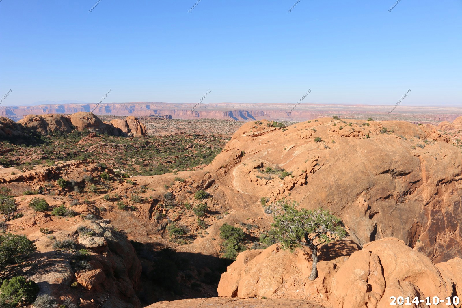
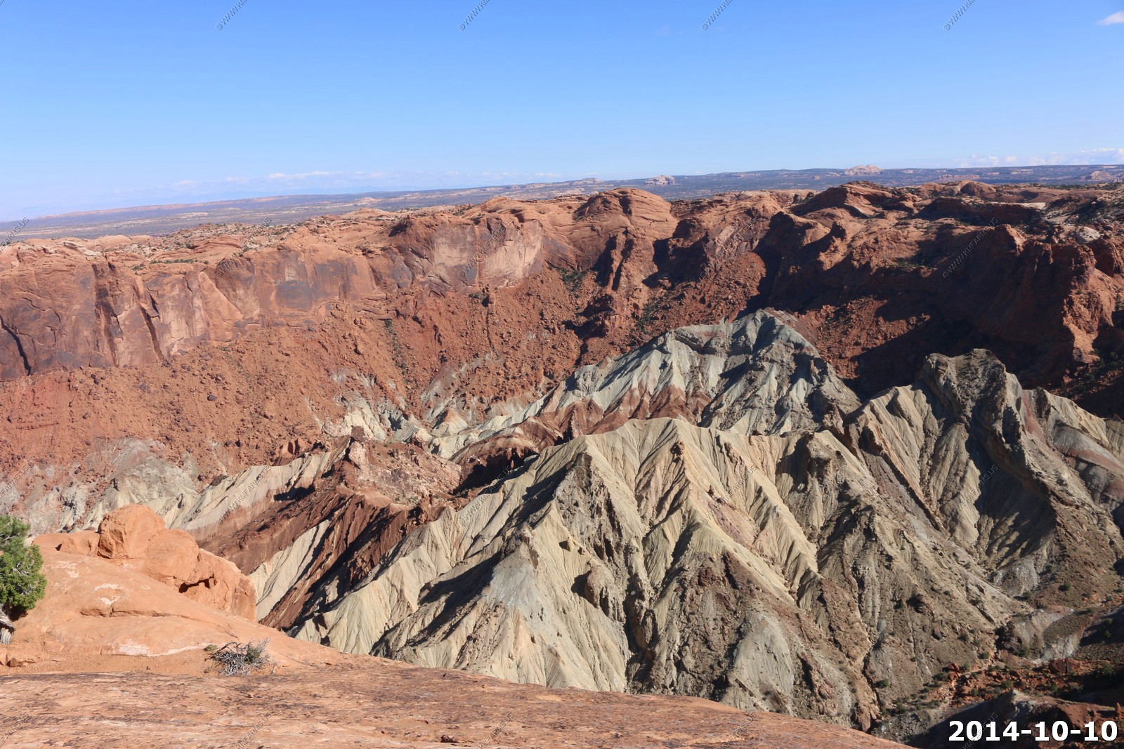
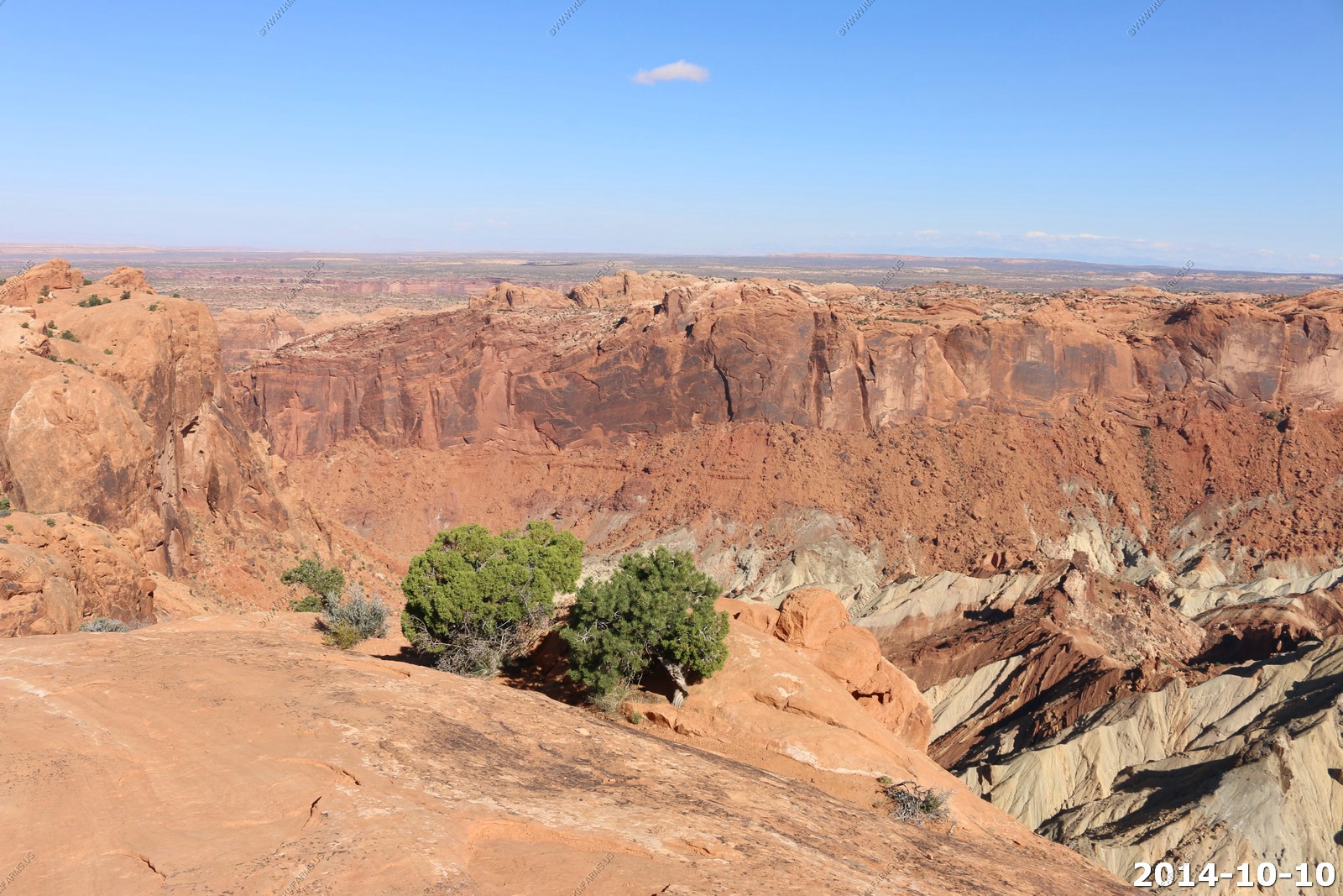
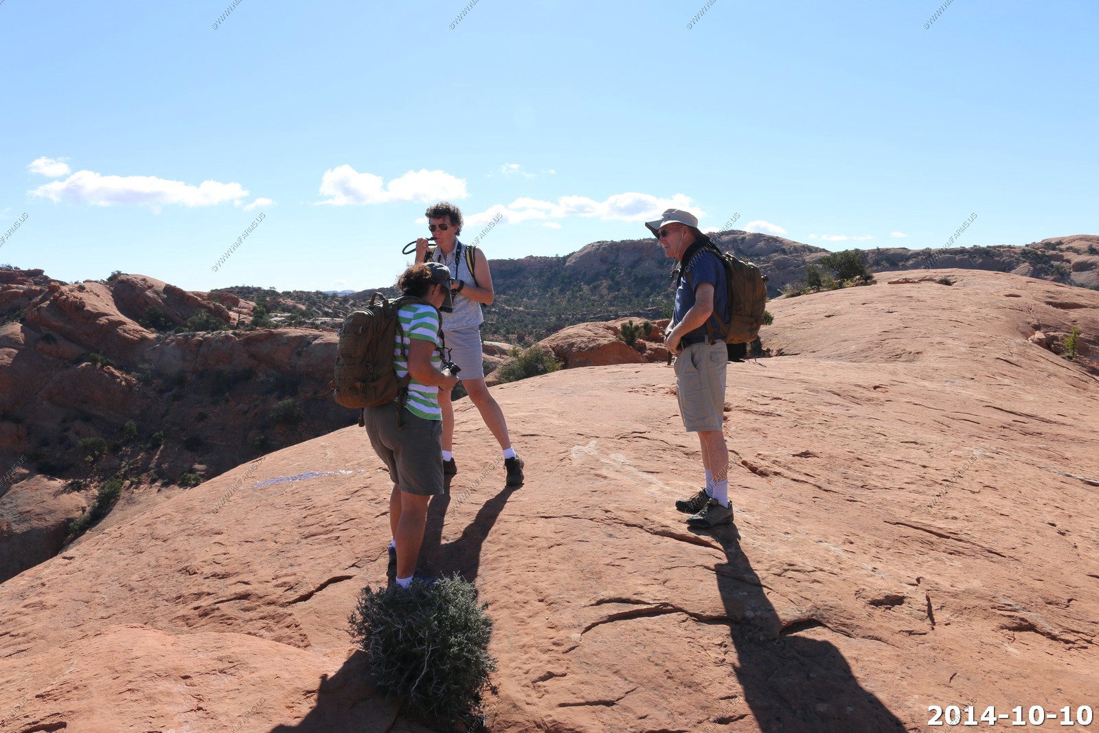
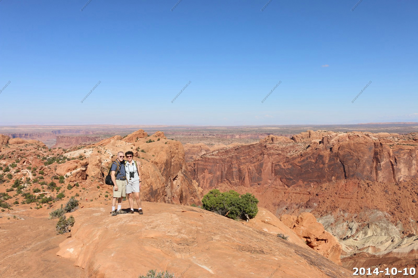
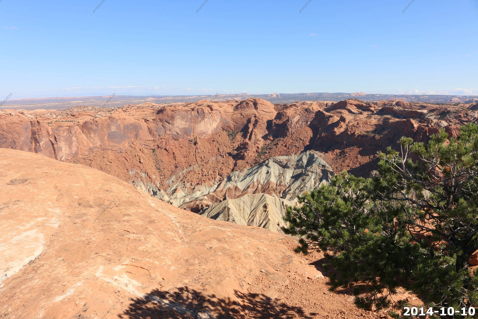
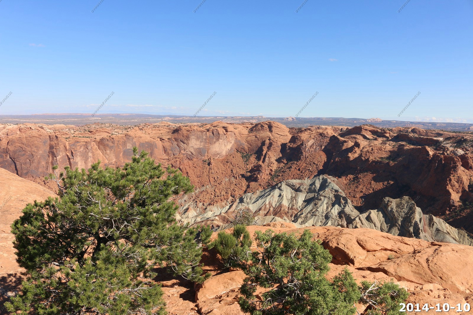
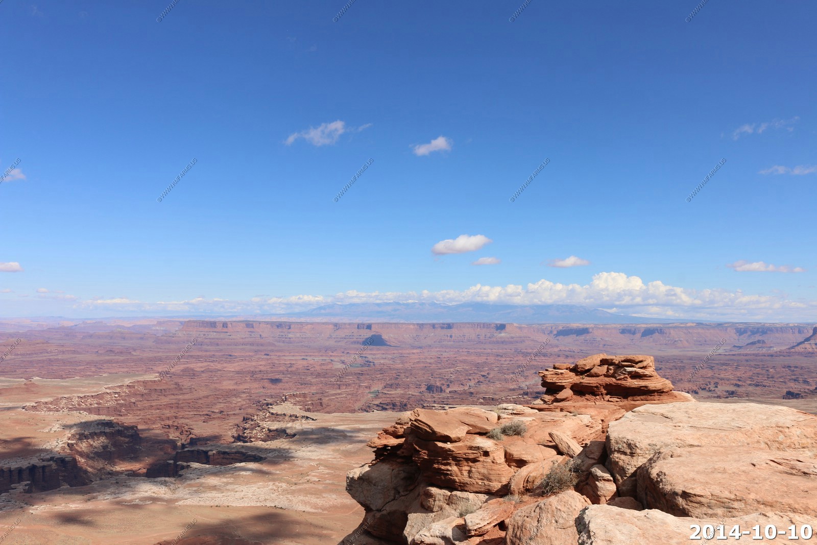
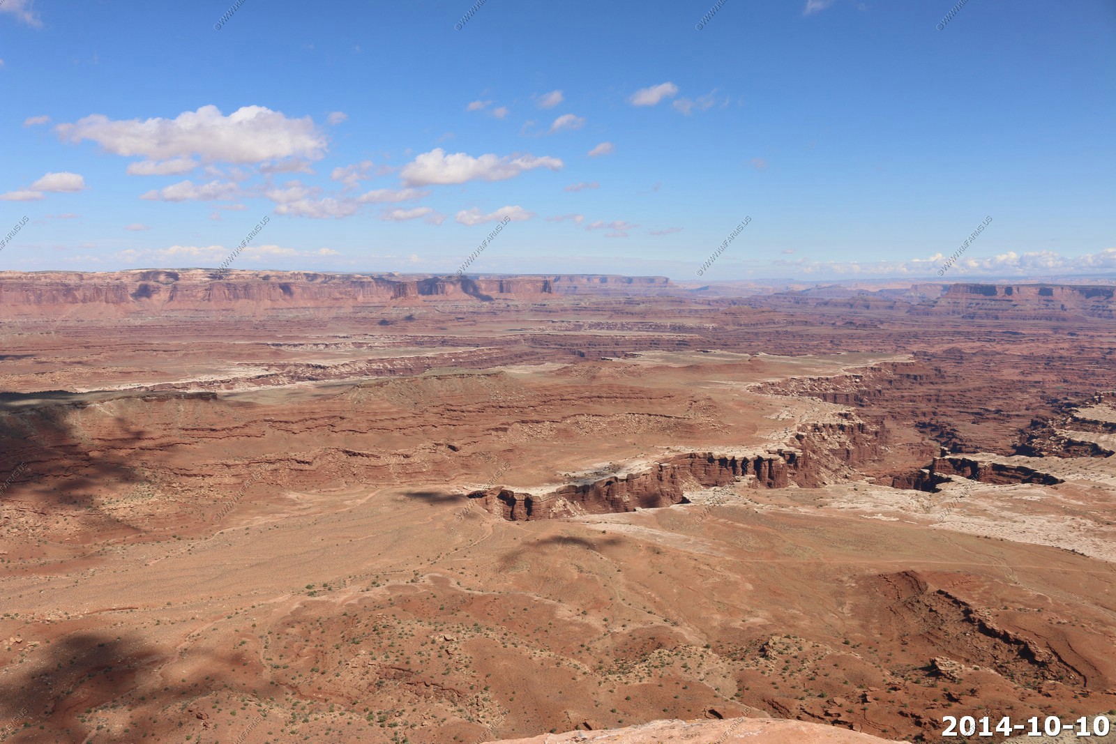
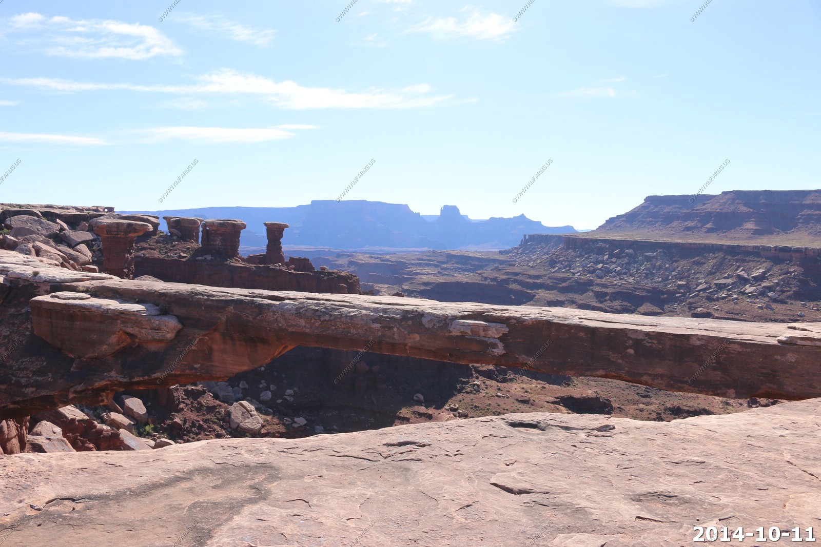
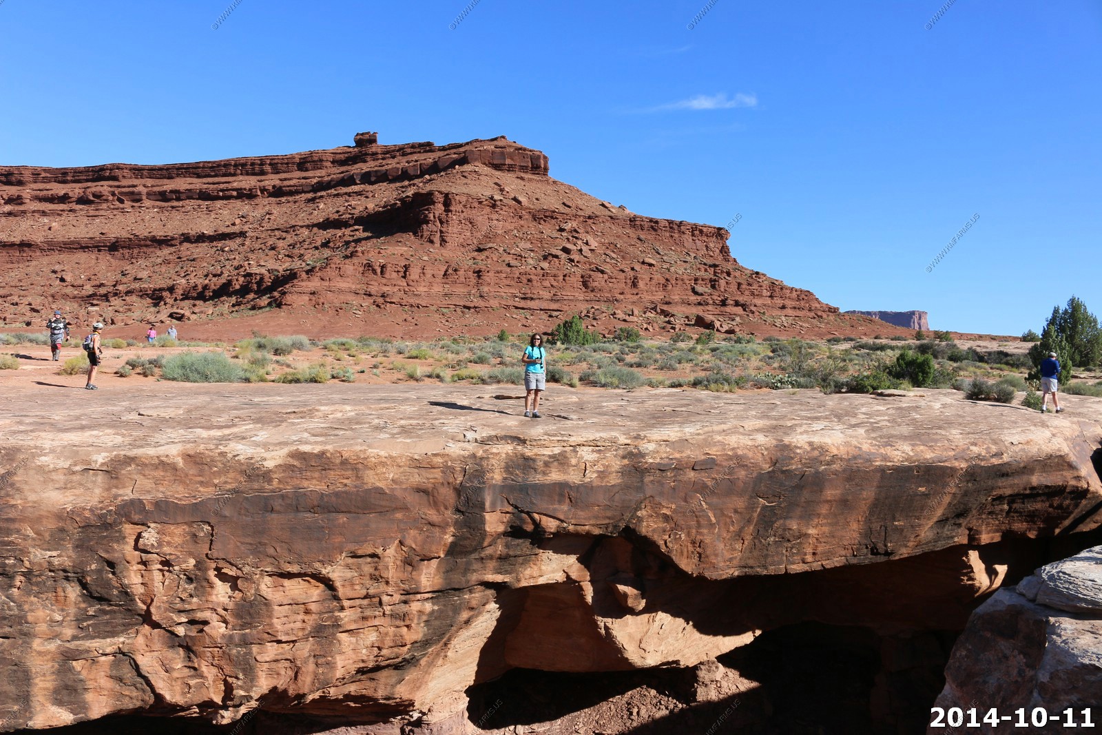
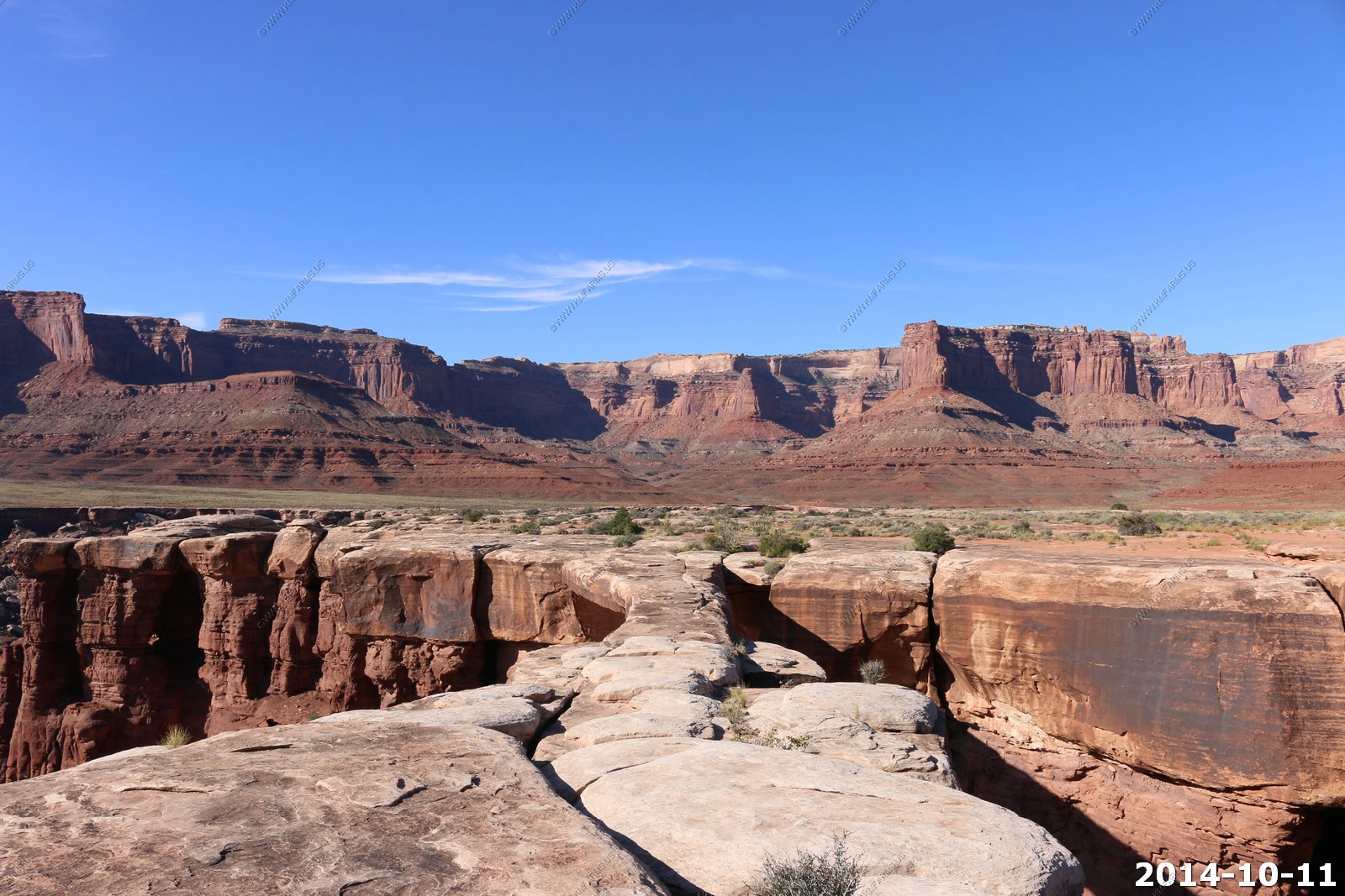
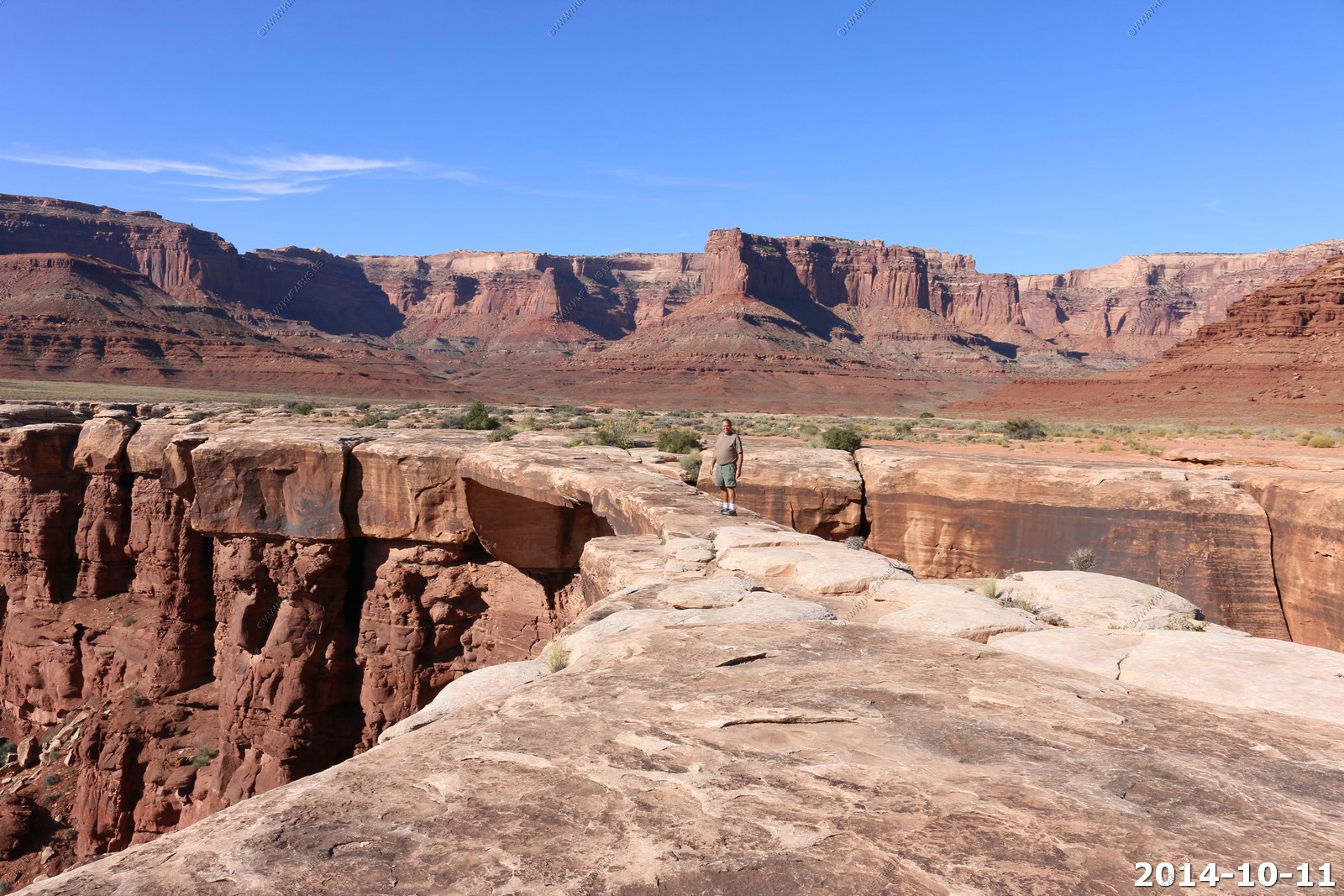
Canyonlands National Park - Upheaval Dome Trail
This is a great trail as you can do as much as you want as we go out to the 2nd overlook appx. 1.8 miles roundtrip. It's very exposed and gives you excellent views off to the west.
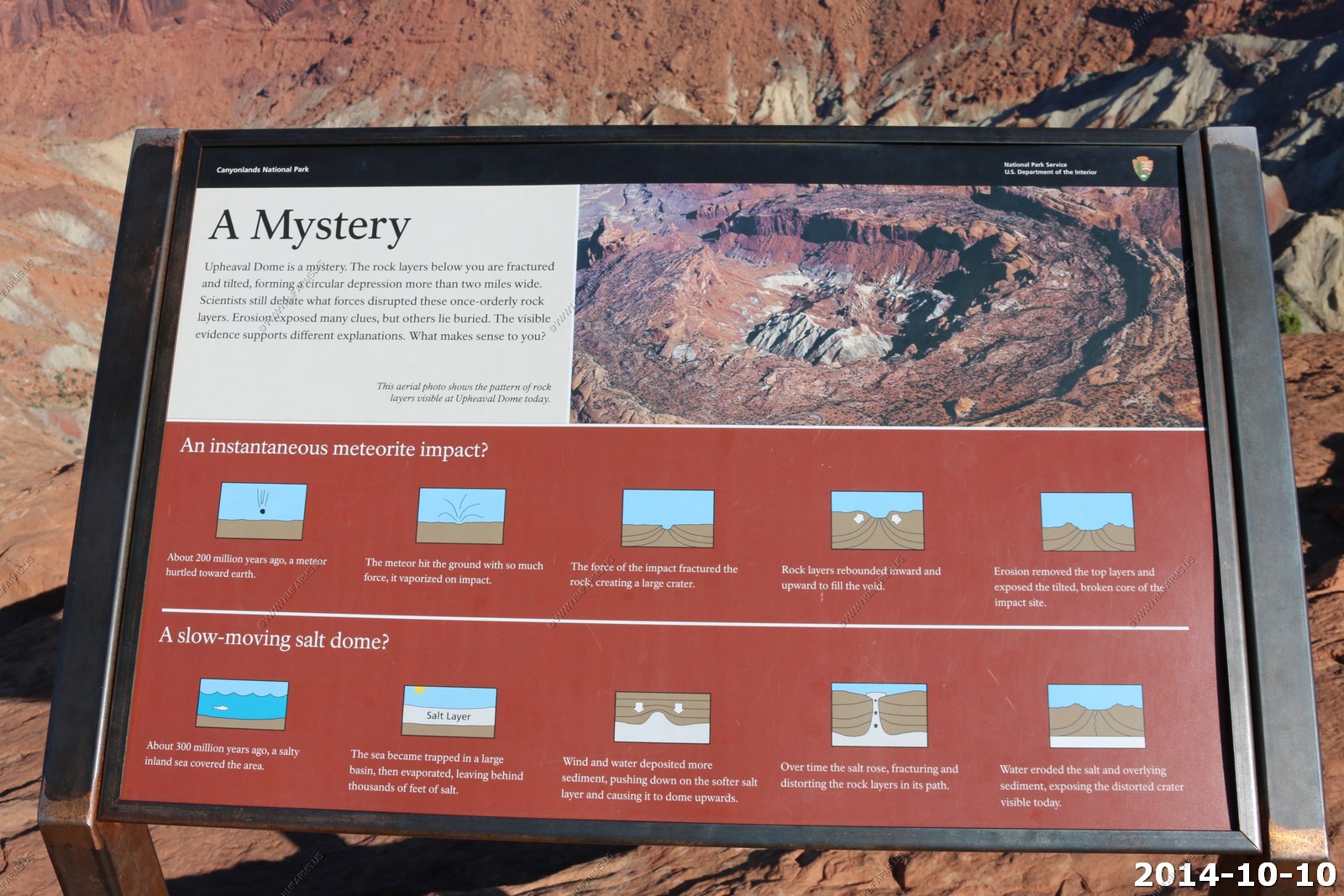
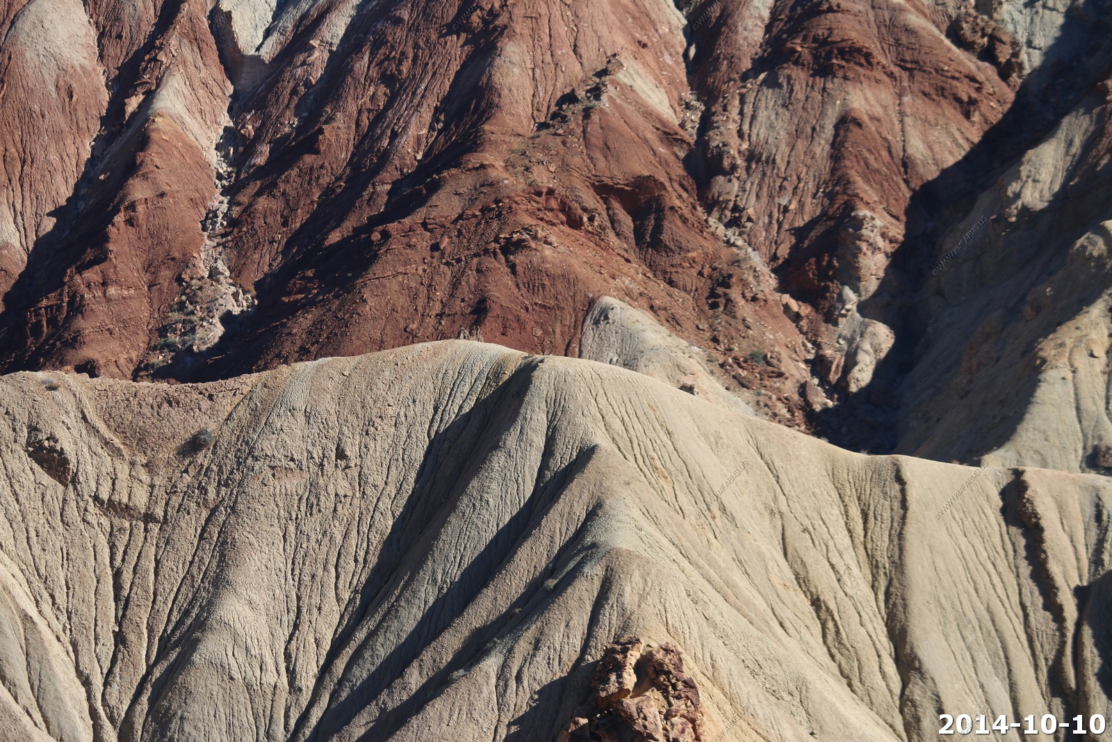
Upheaval Dome is an anomaly in the relative geologic order of canyon country. Here rock layers are dramatically deformed in a roughly circular or "bull's-eye" pattern nearly three miles (5 km) across. What caused this deformation at Upheaval Dome? Geologists do not know for sure, but there are two main theories which are hotly debated.
Competing Theories - Impact Crater Theory & Salt Dome Theory.
As of late, the study supports the meteorite theory. In 2008, it was announced that shocked quartz was discovered. This confirmed the meteor impact theory because the rocks were subjected to high pressures only possible in an impact or a nuclear explosion.
In any case it's a great place to hike !
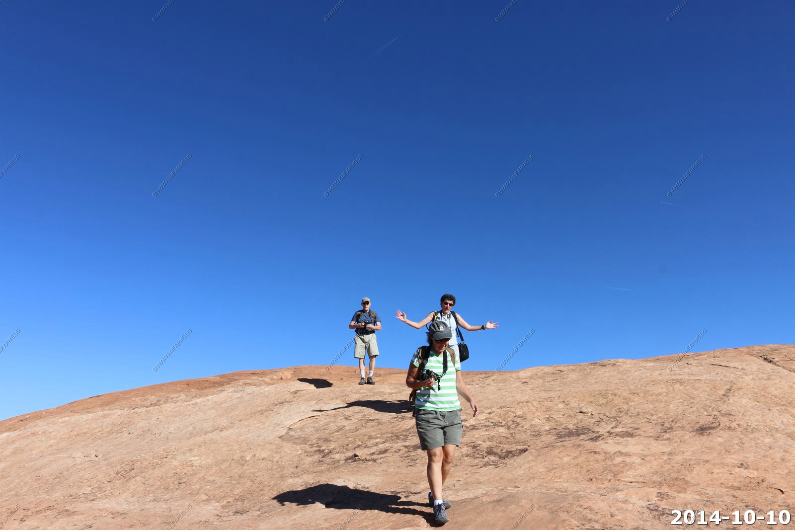
The views here are amazing - First the core of Upheaval Dome.
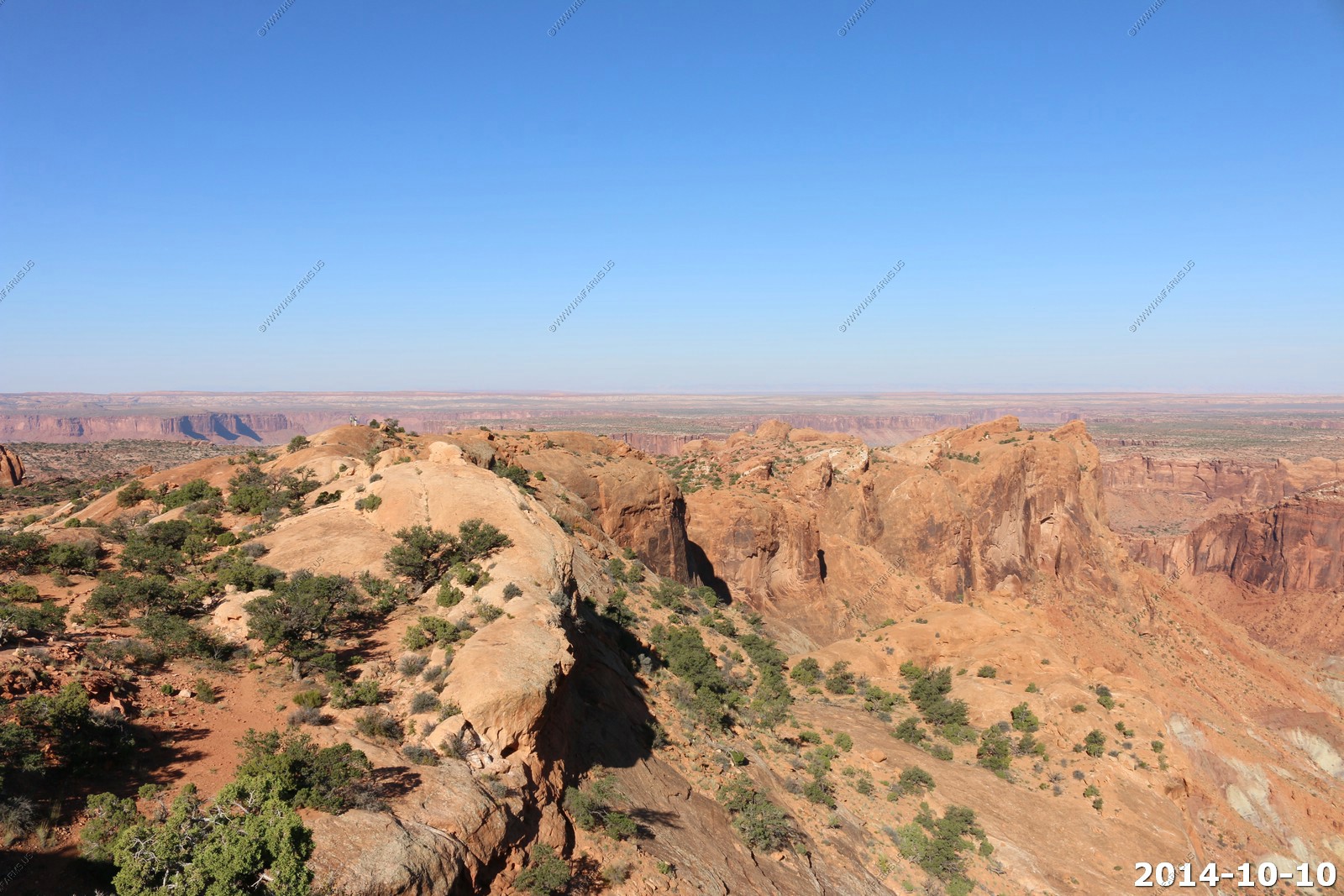
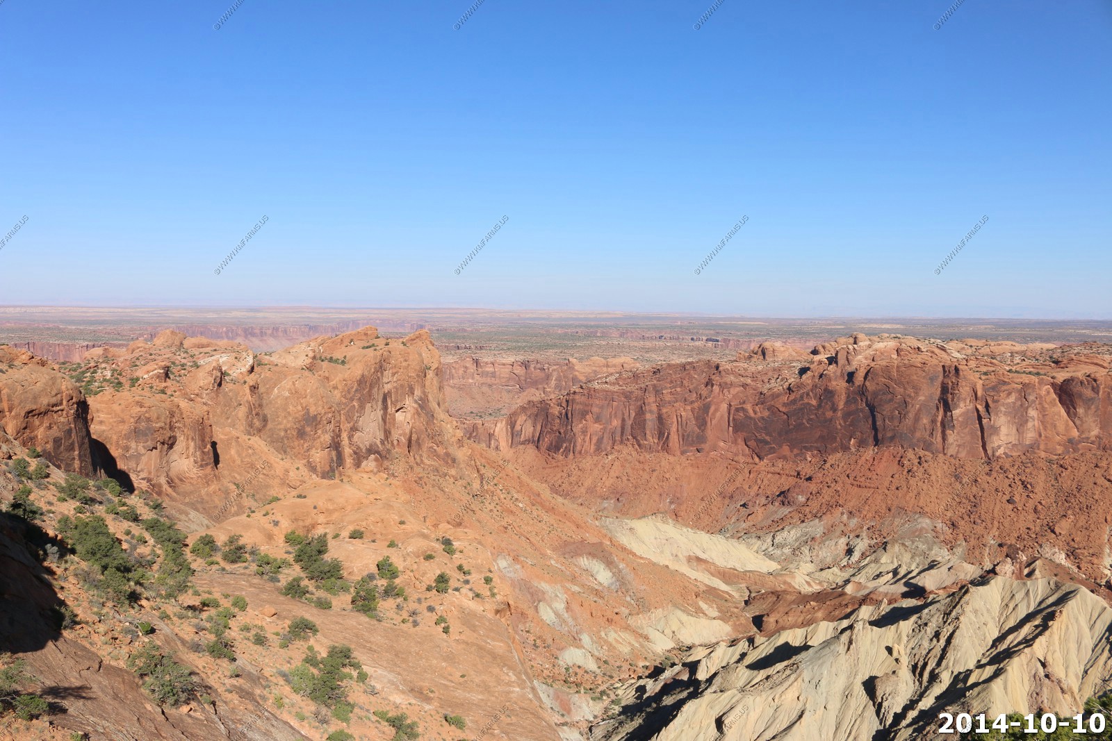
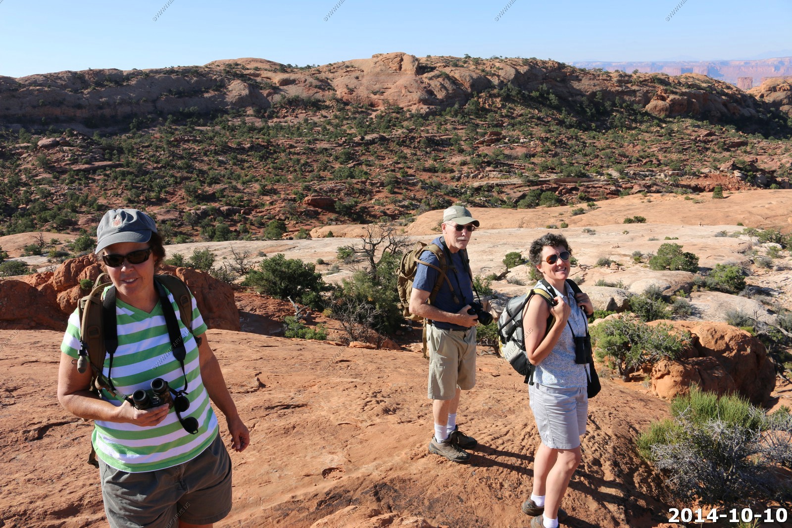
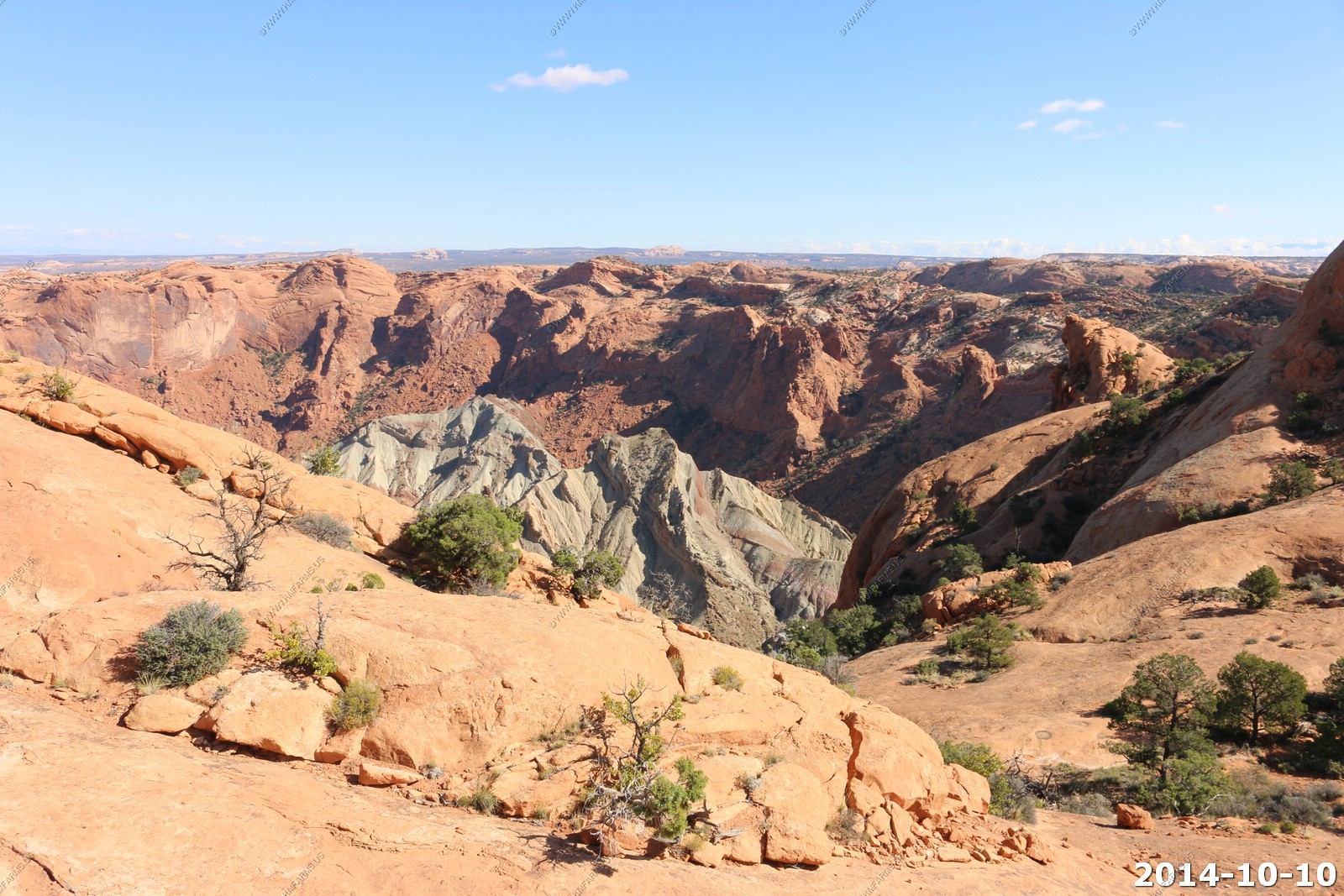
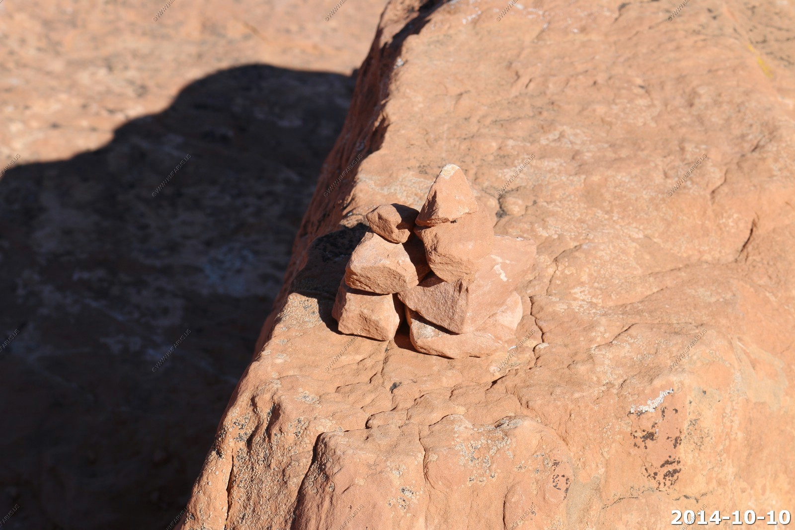
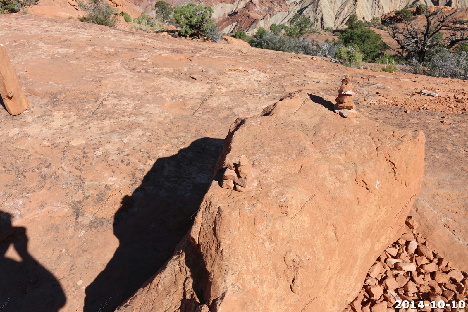
You have to follow these rock cairns to stay on the trail.
Amazing Blue Sky.
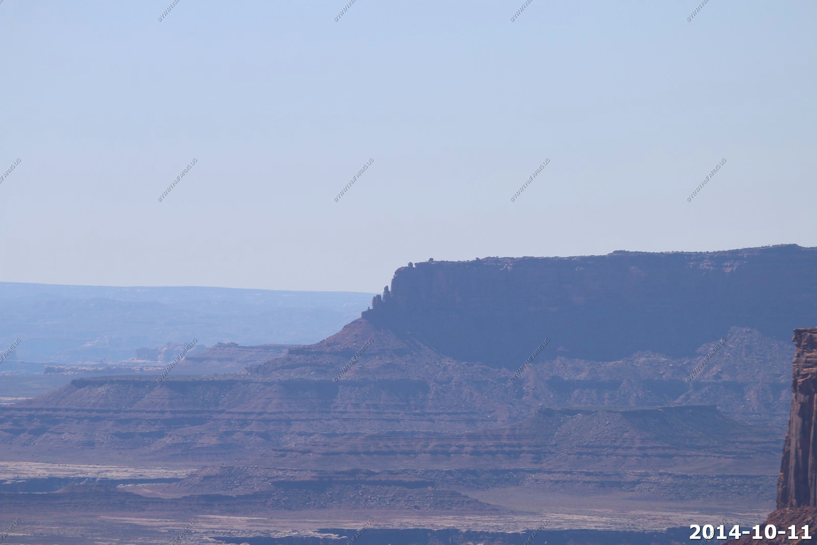
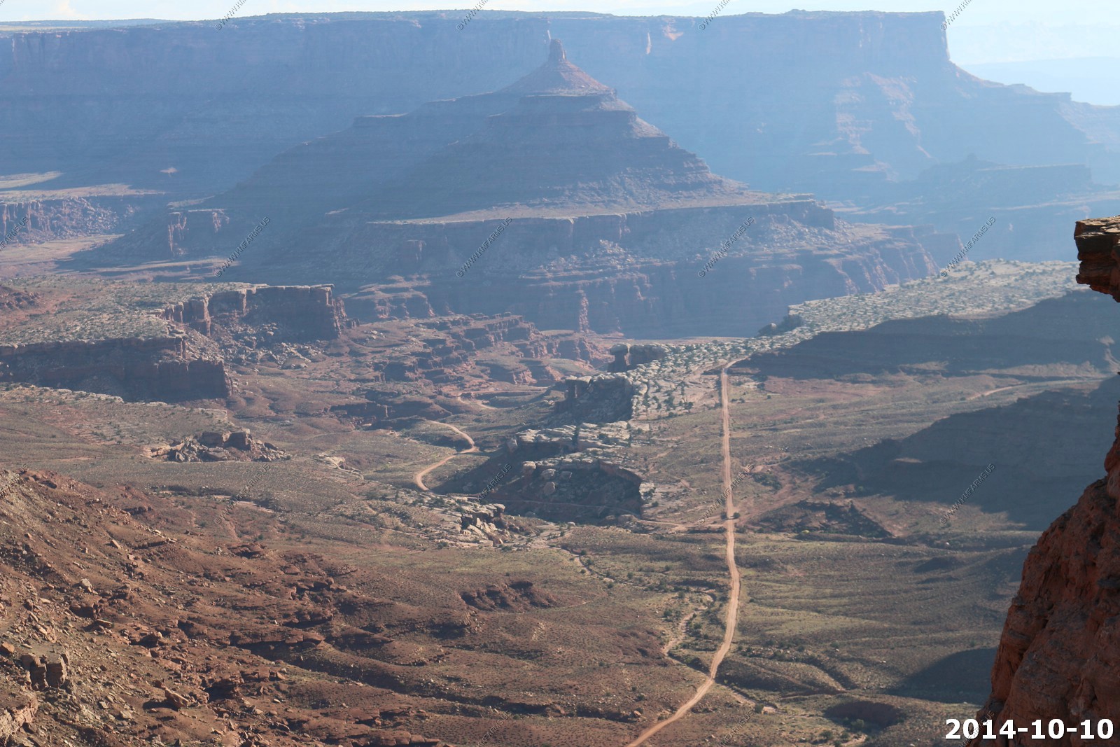
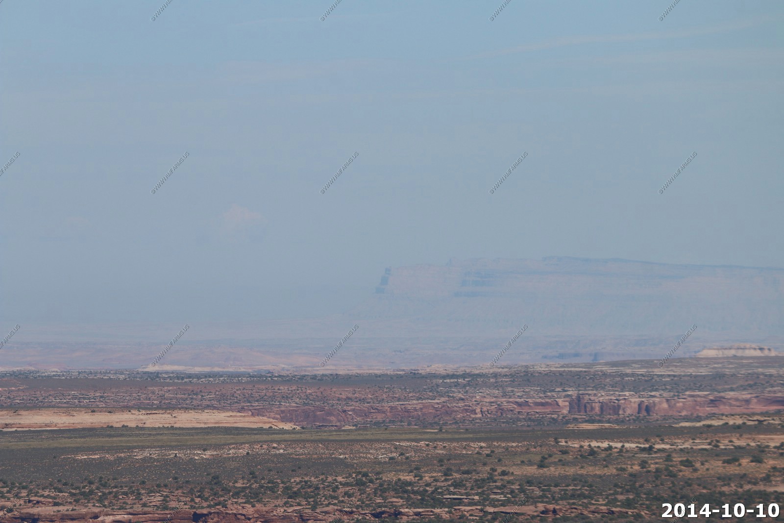
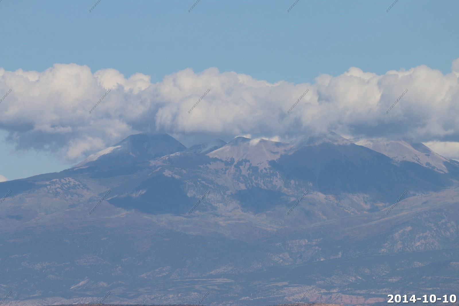
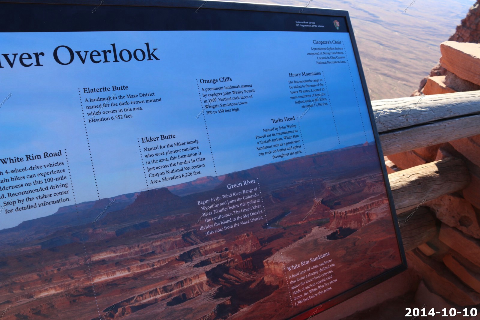
Looking west to the Henry mountains across the Maze District of Canyonlands National Park. The Henrys are 60 miles away.
Looking North to Little Elliott Mesa north of Green River, where we drove down thru here two days ago. This is 50 miles away.
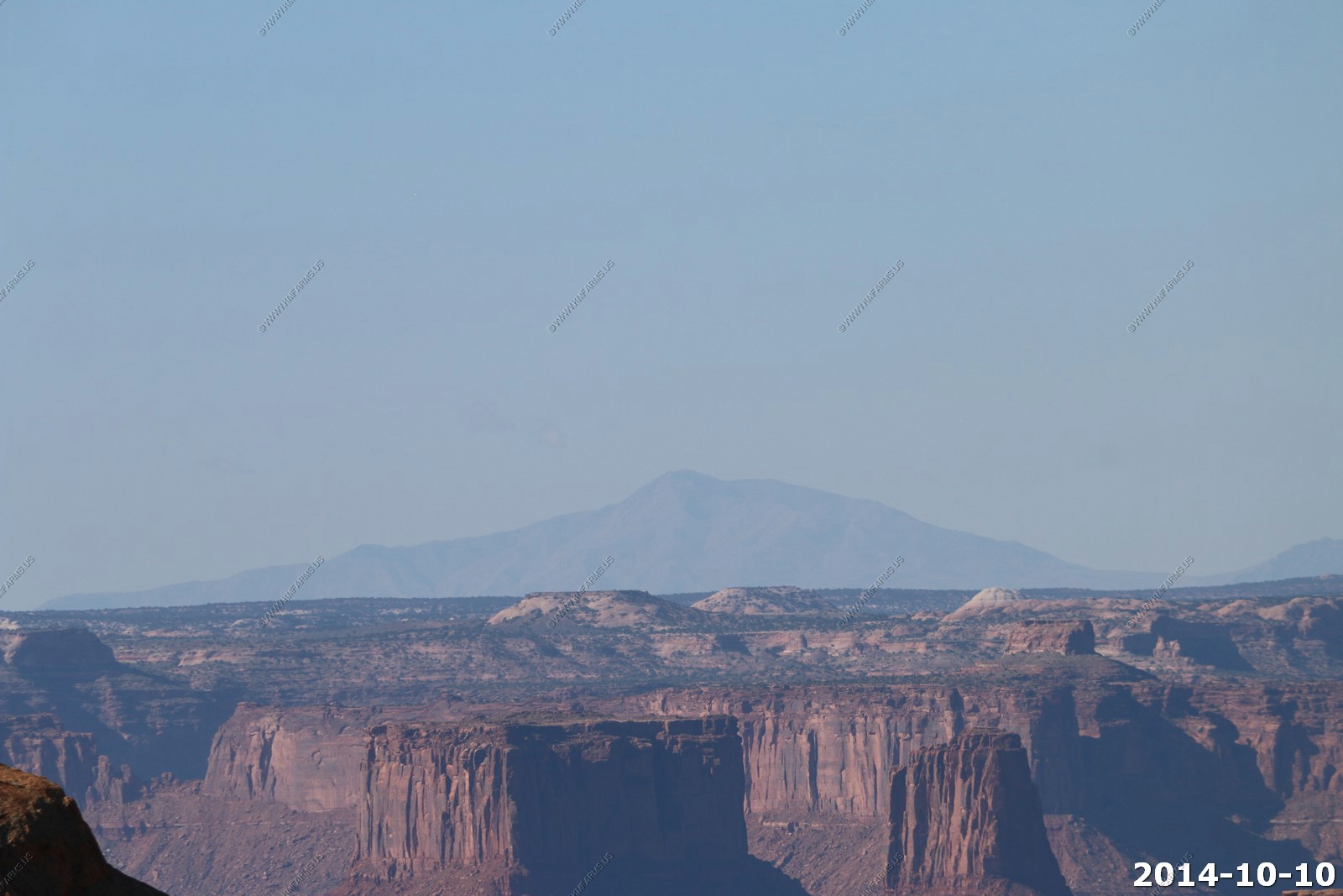
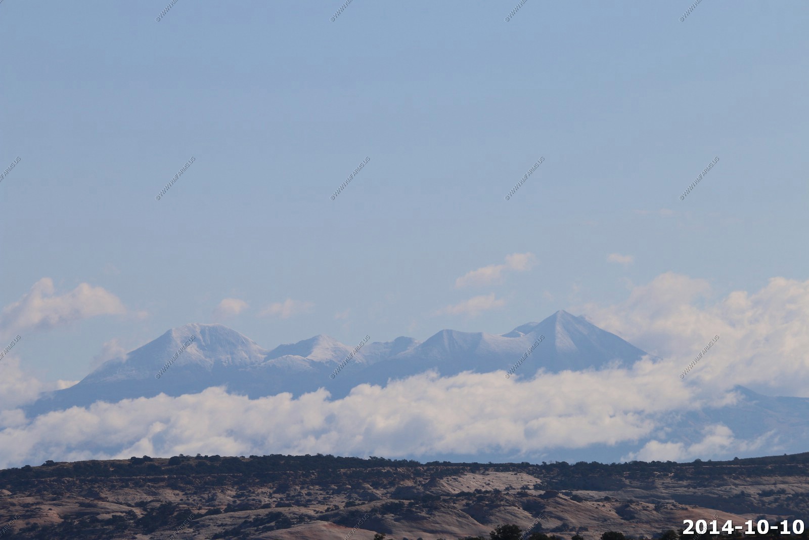
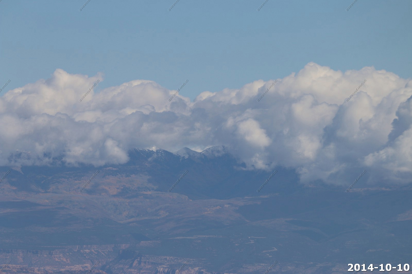
Looking east towards the snow-capped La Sal's on the Utah / Colorado line 40 miles away.
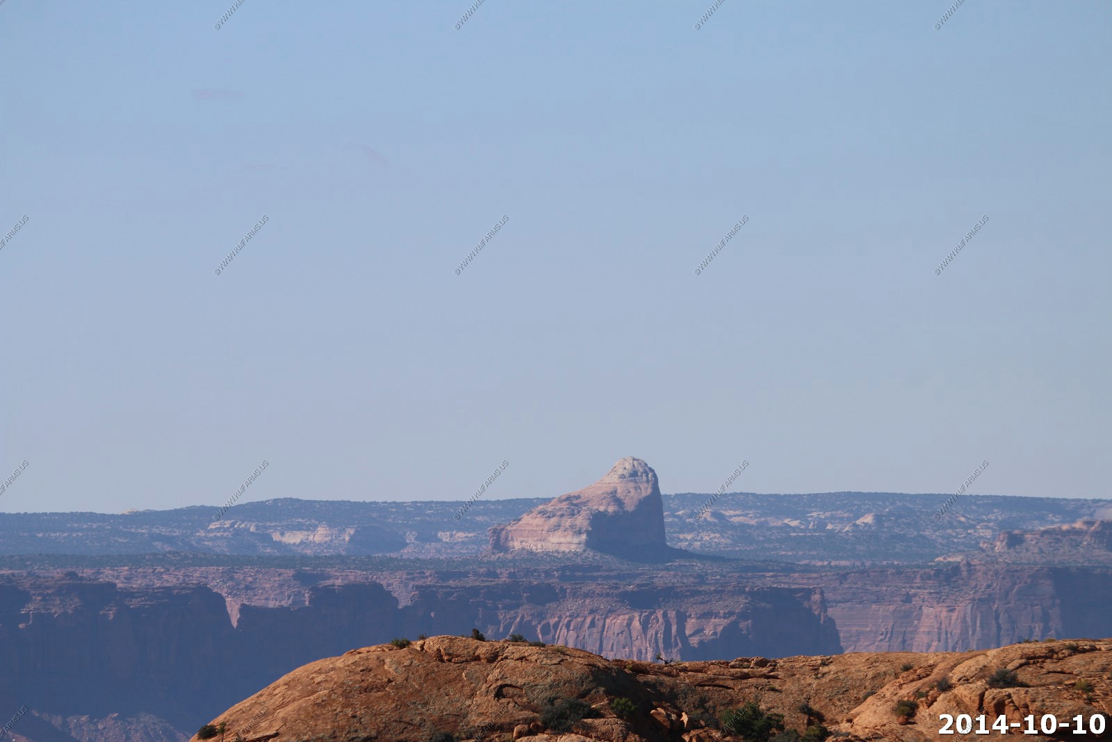
Cleopatra's Chair (el. 6250ft) located in Glen Canyon National Recreation Area appx. 12 miles away.
You can almost see the Green River from here, but not quite.
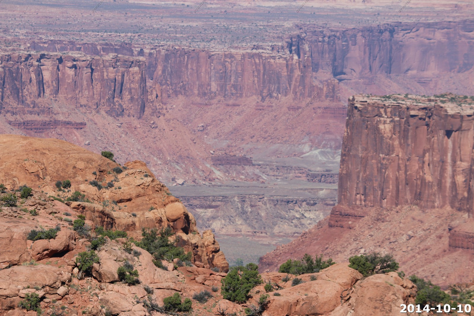
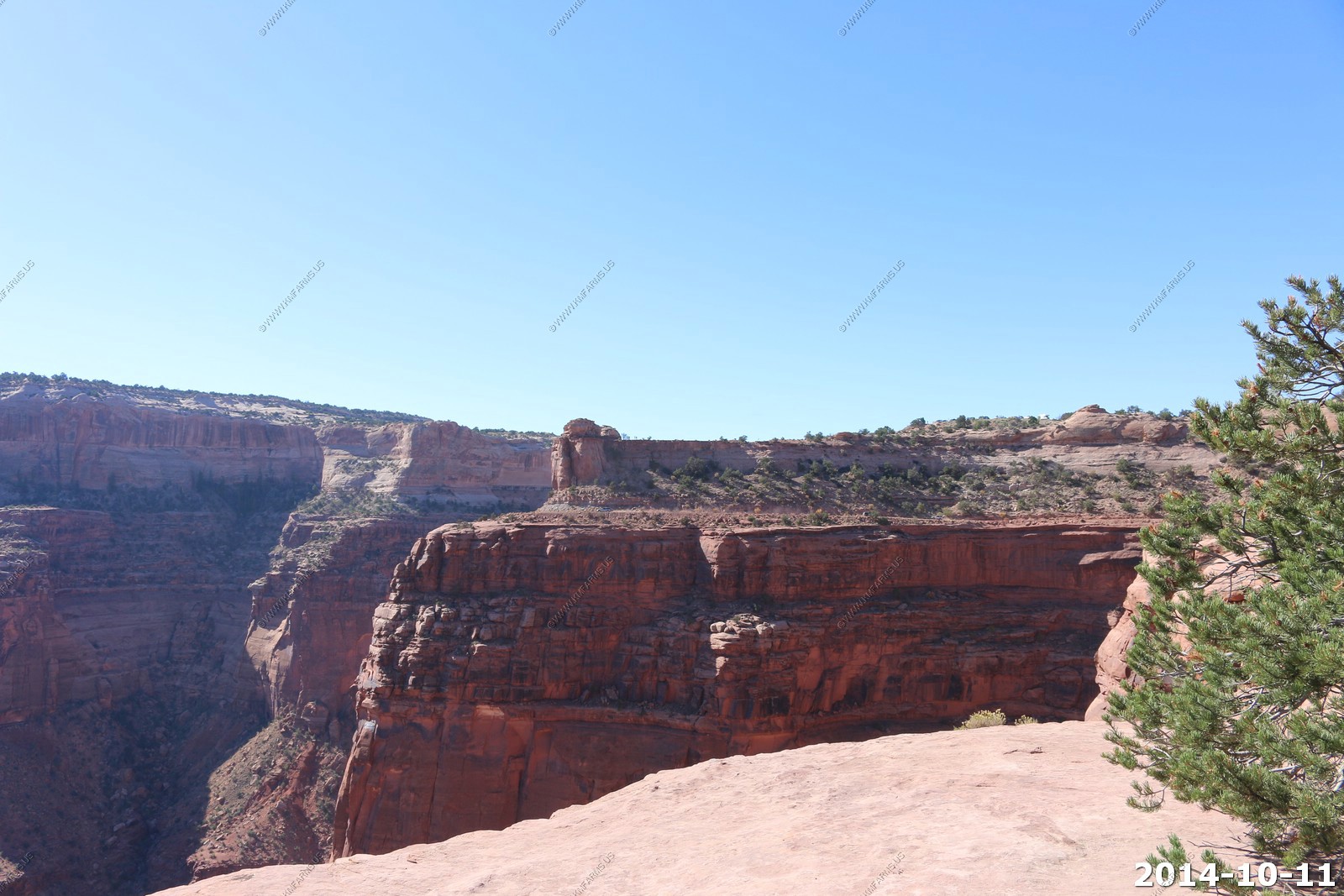
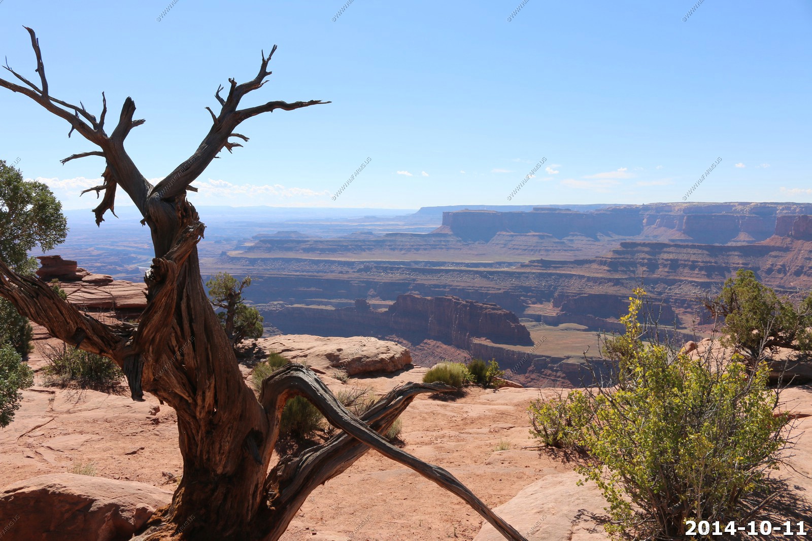
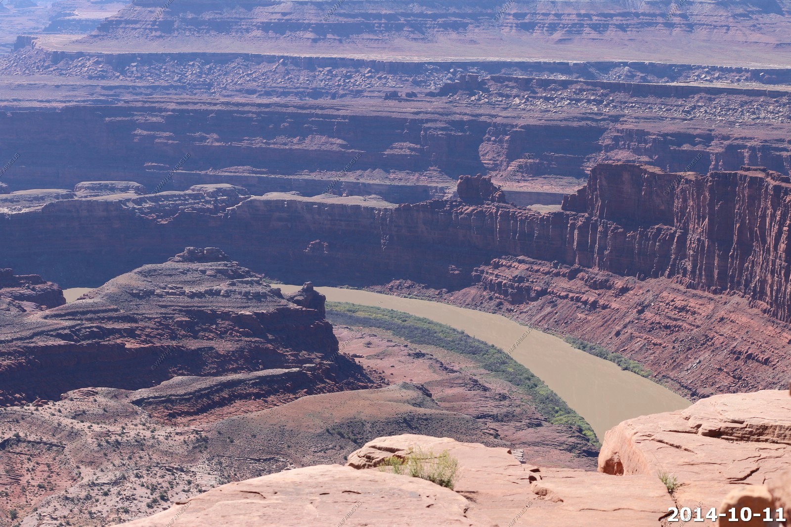
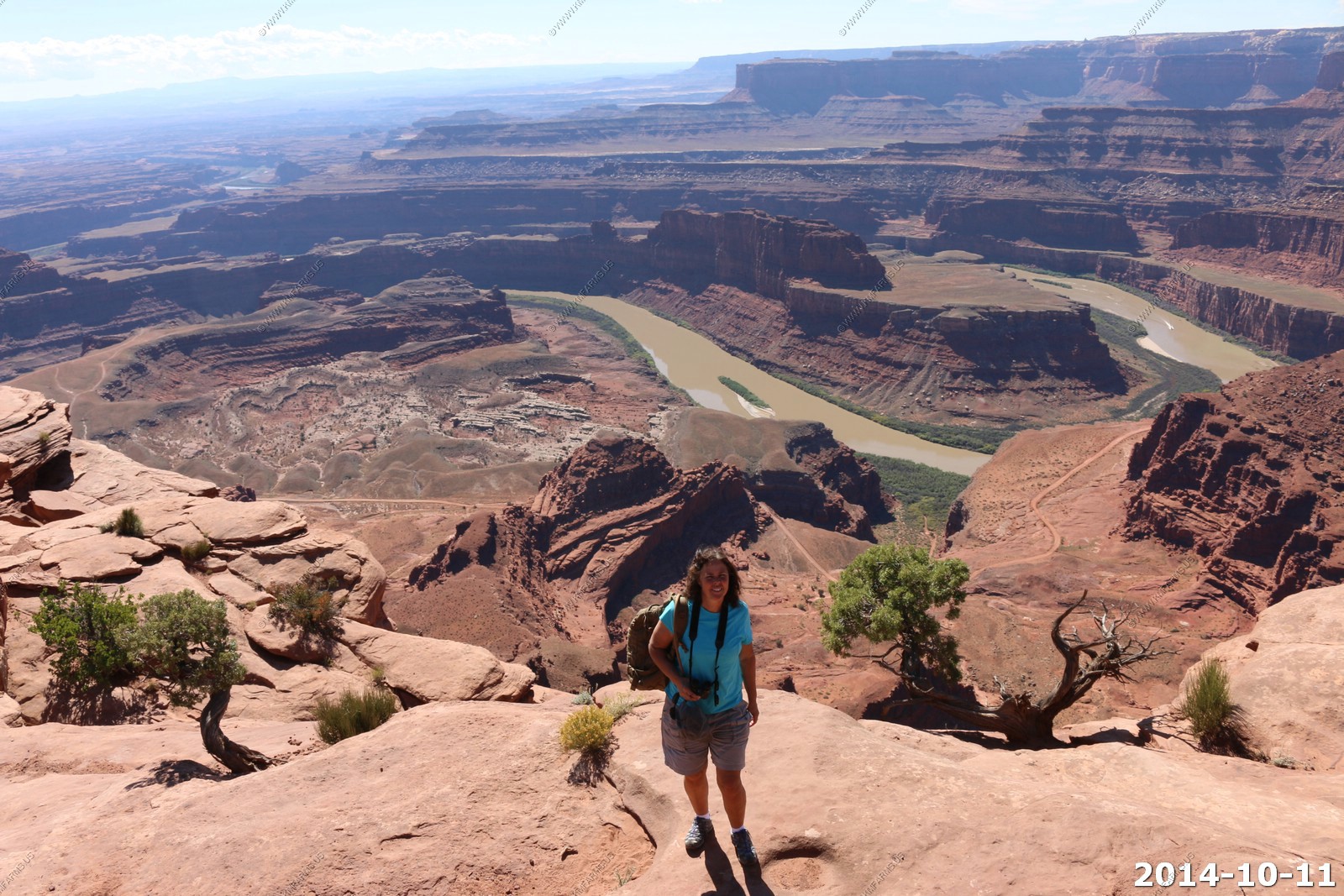
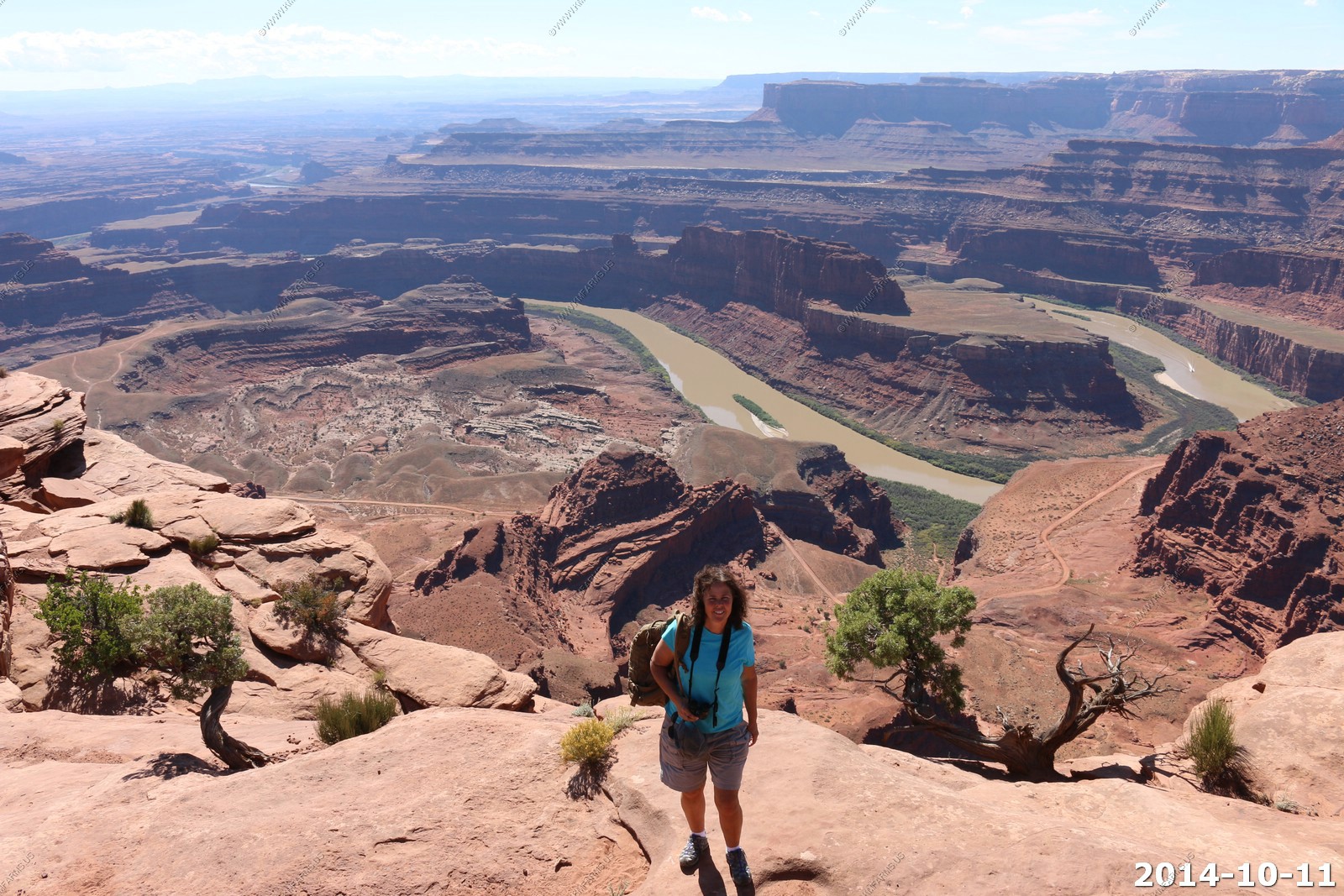
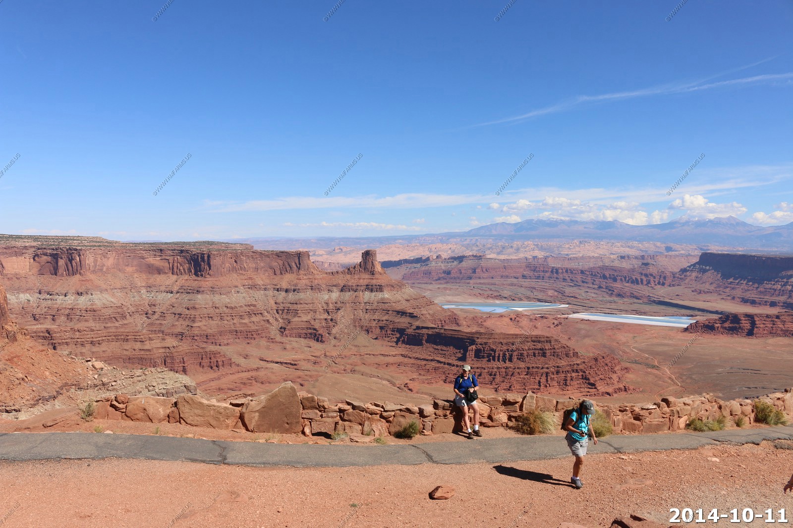
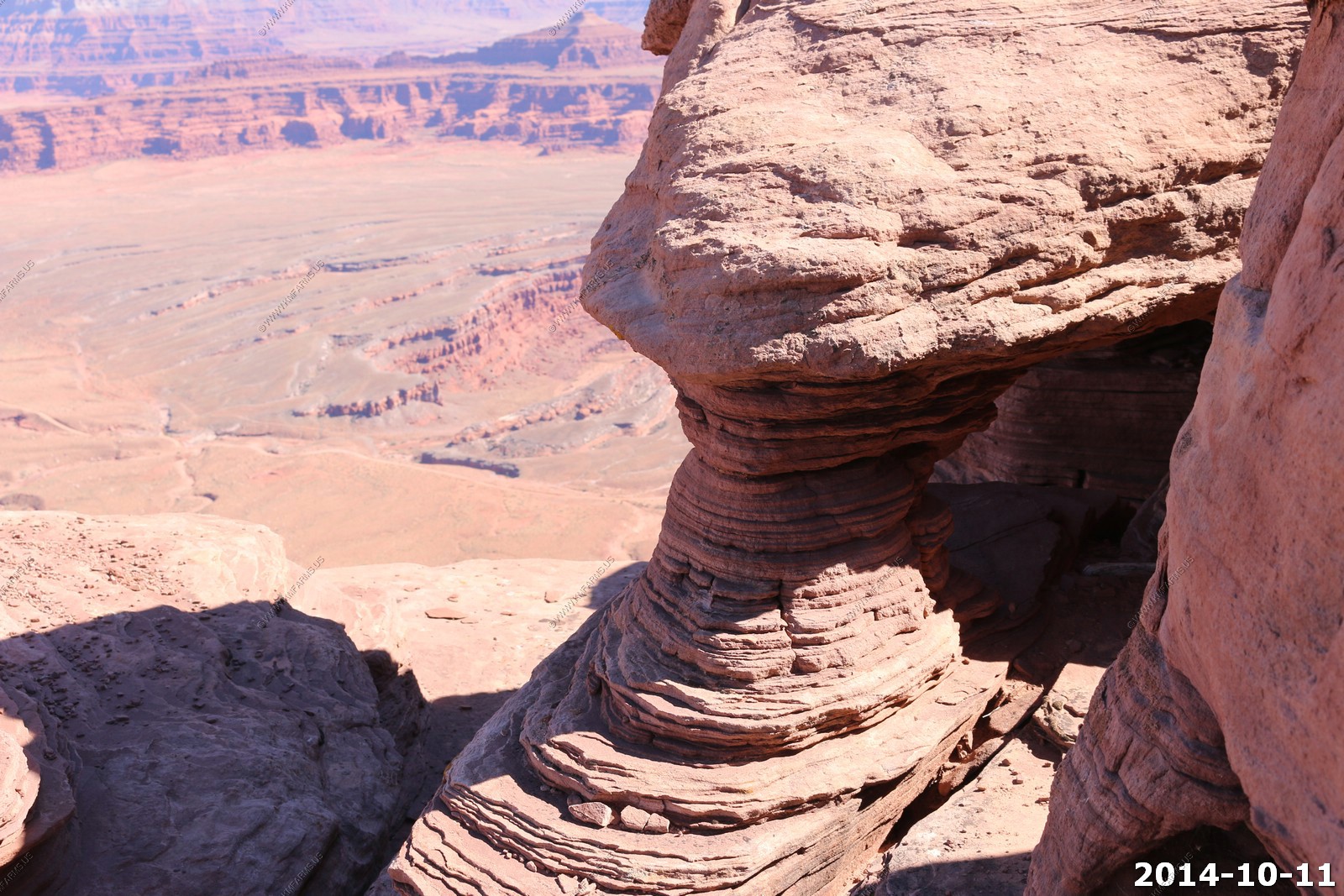
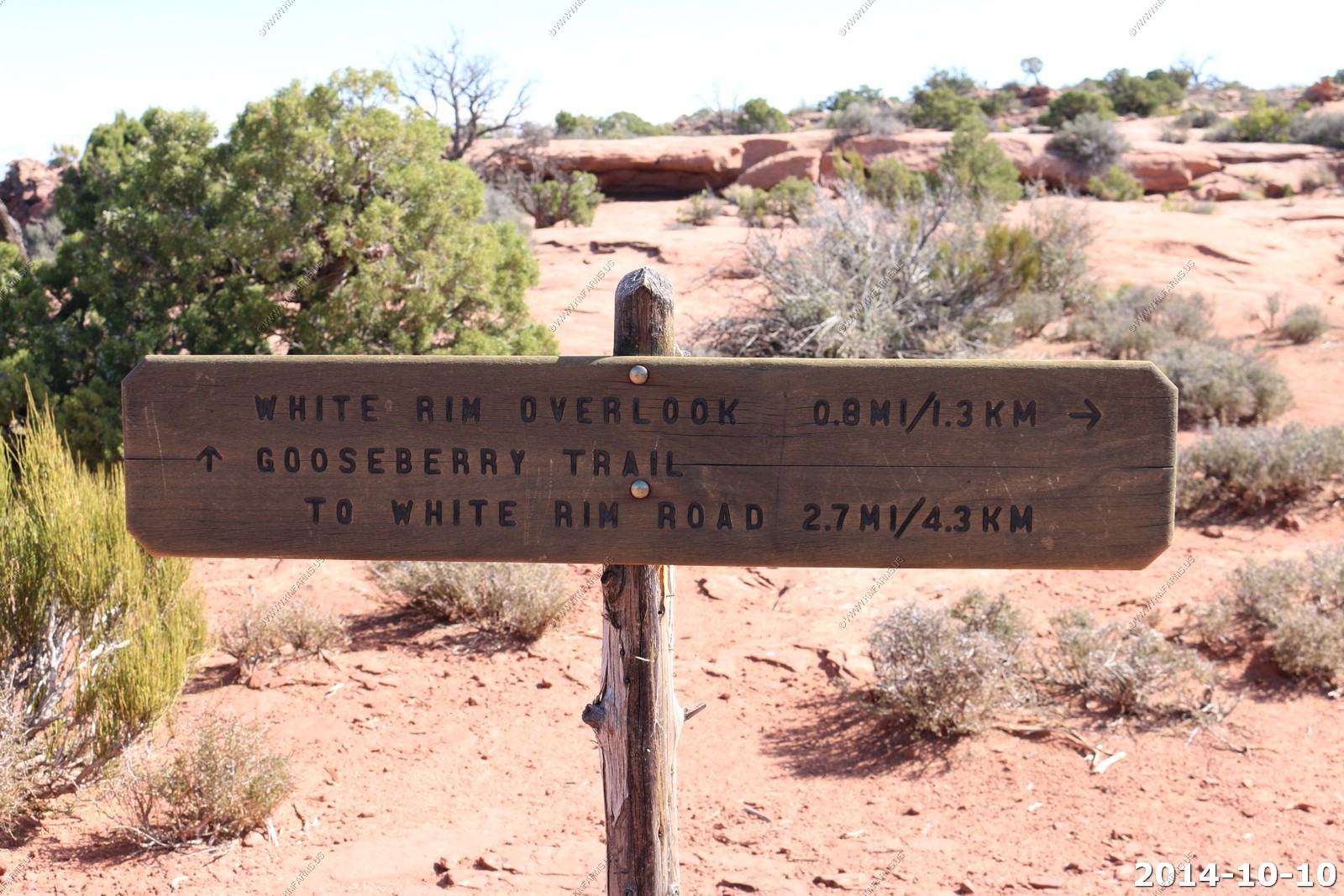
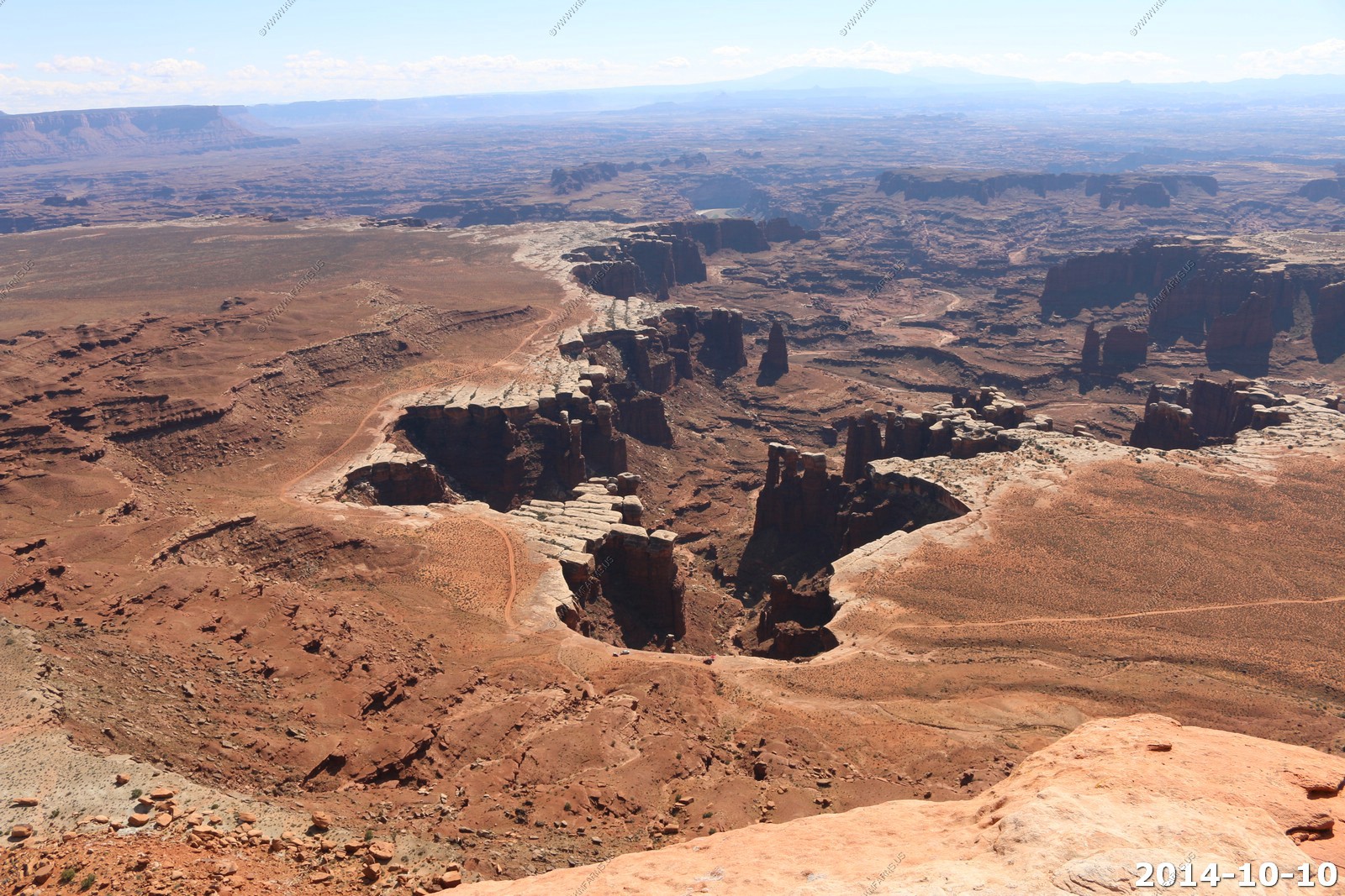
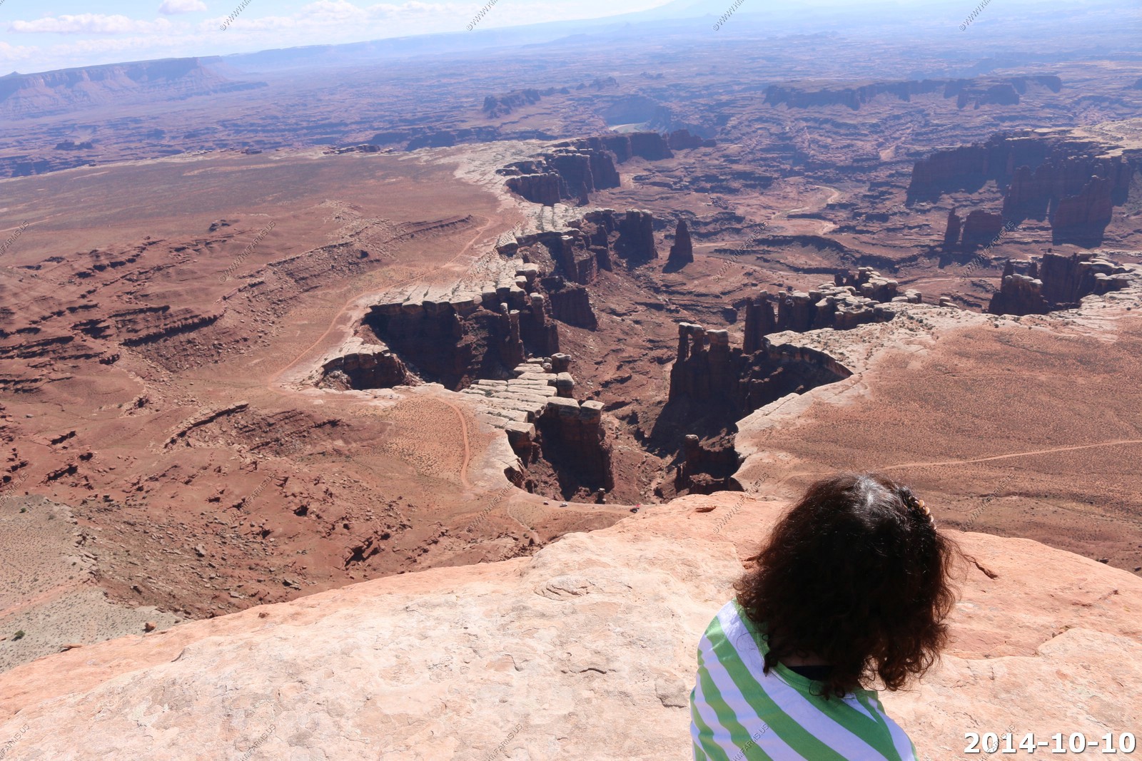
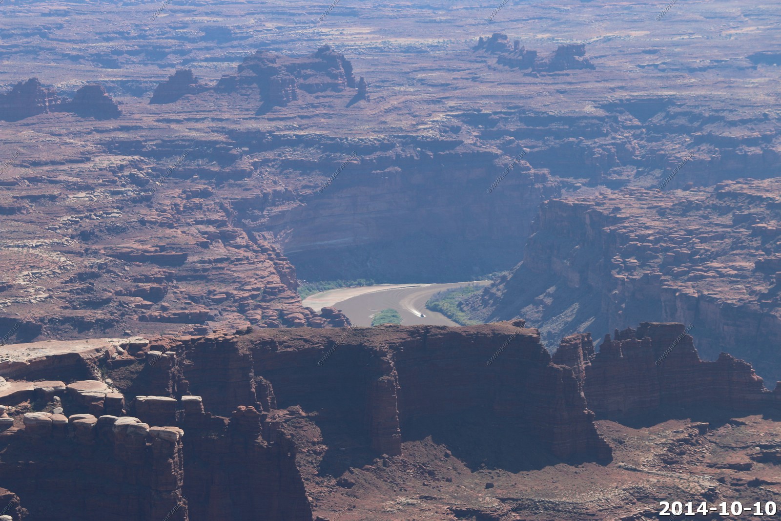
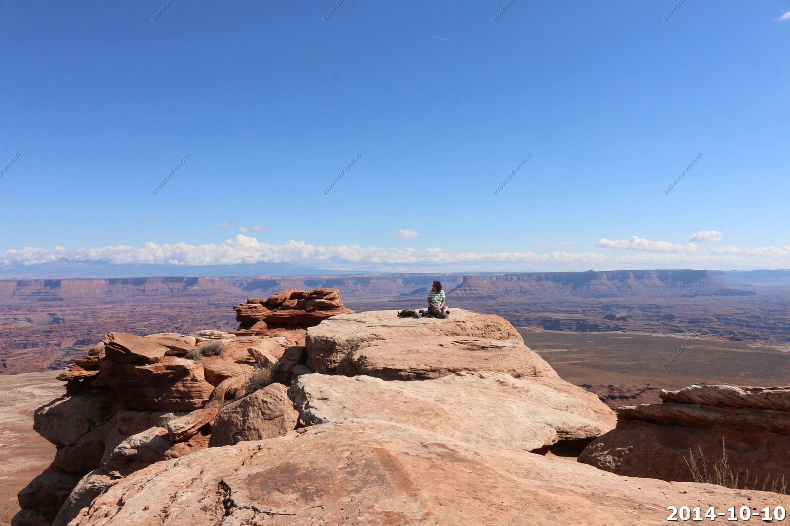
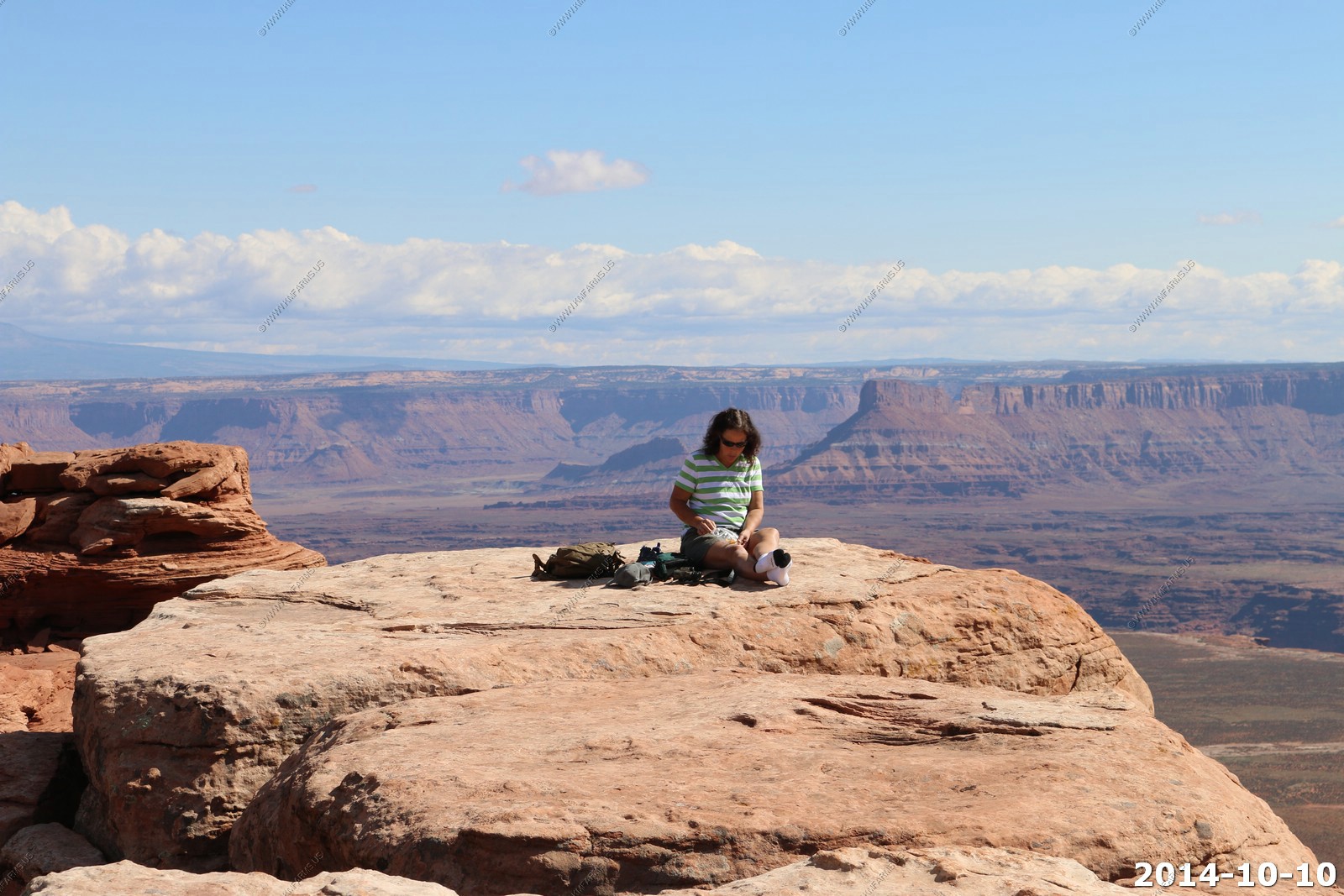
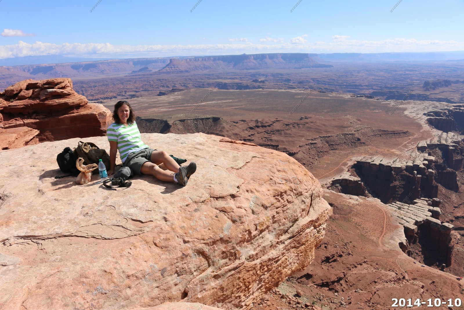
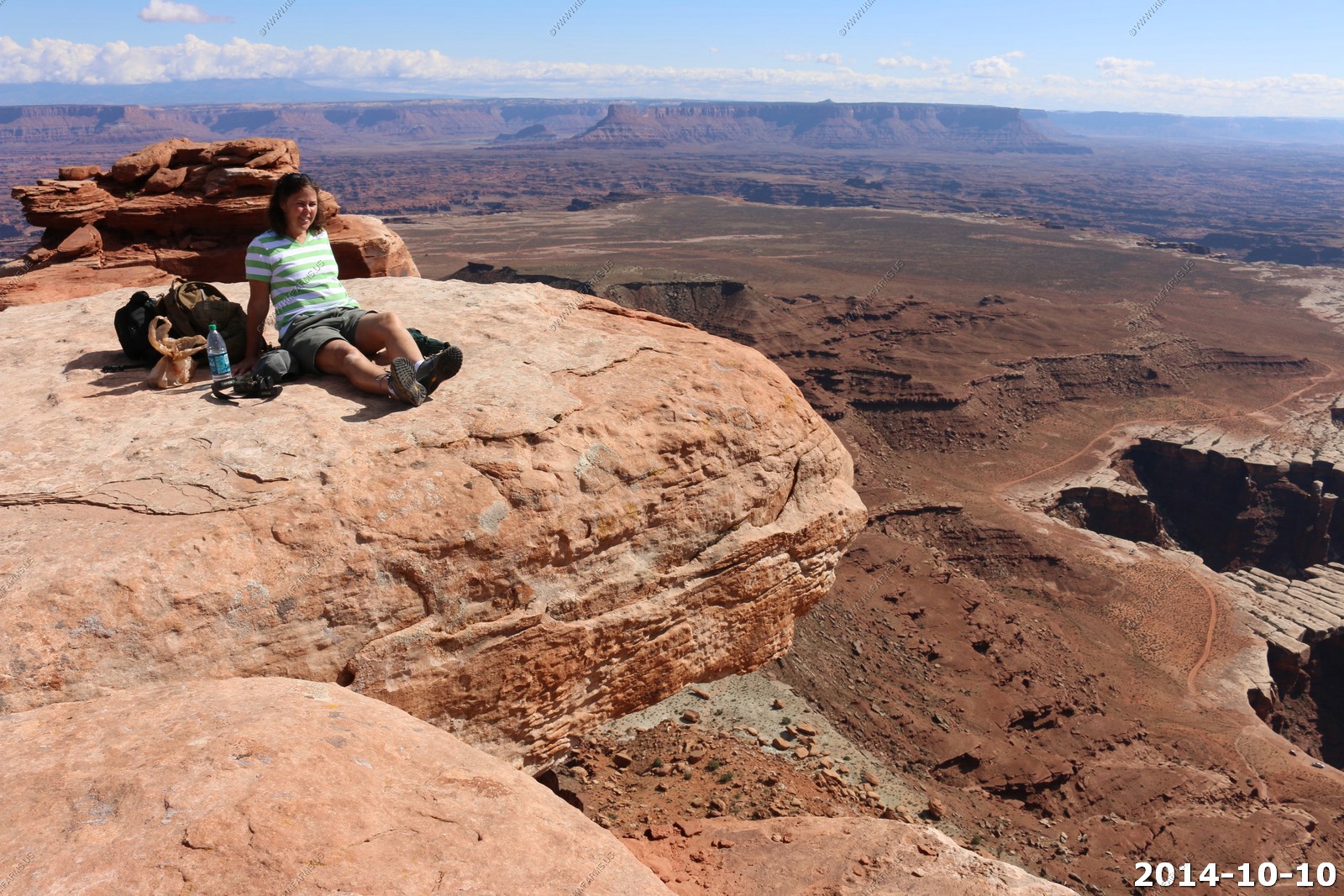
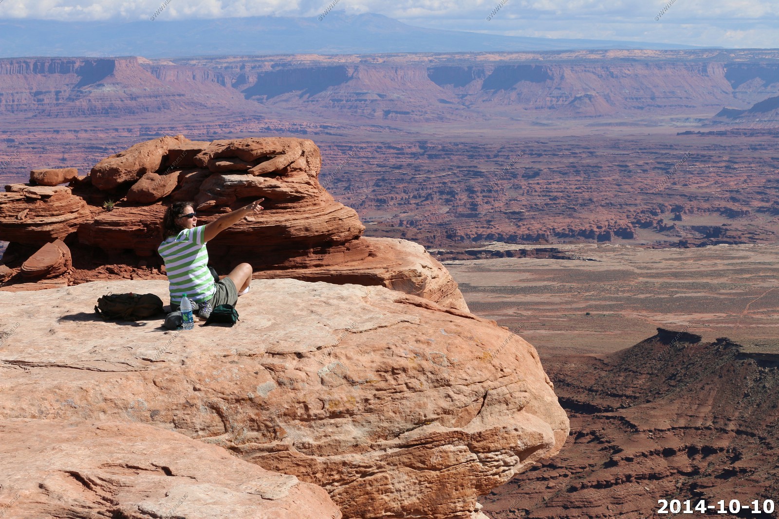
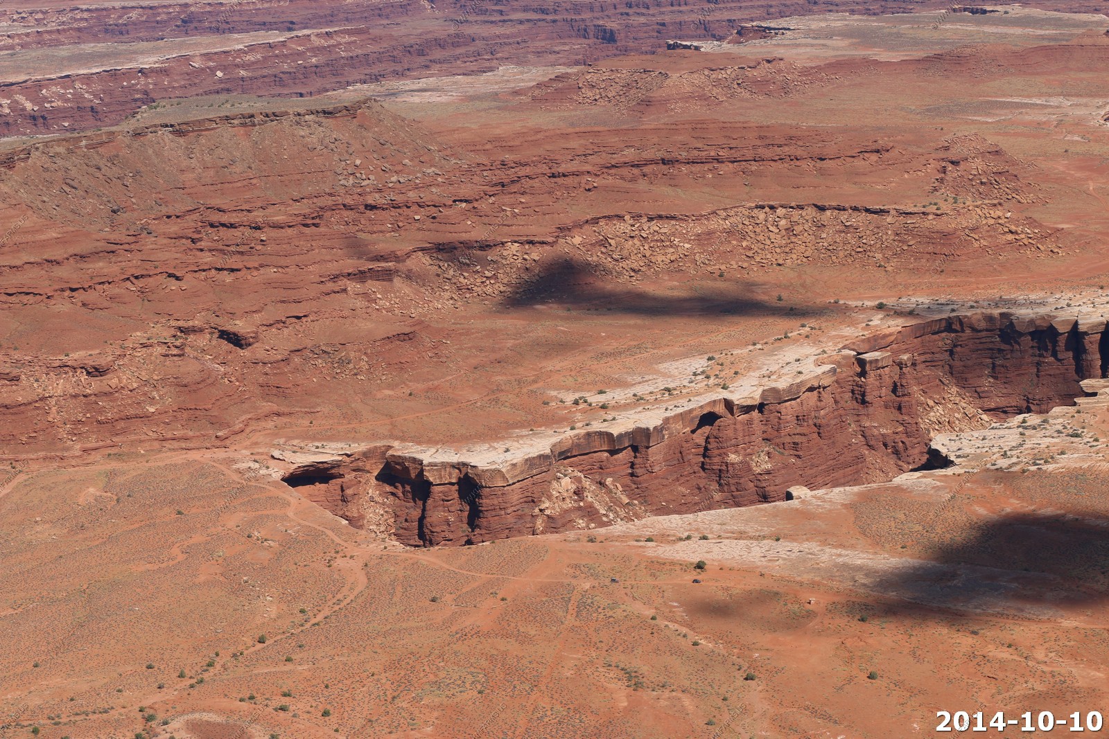
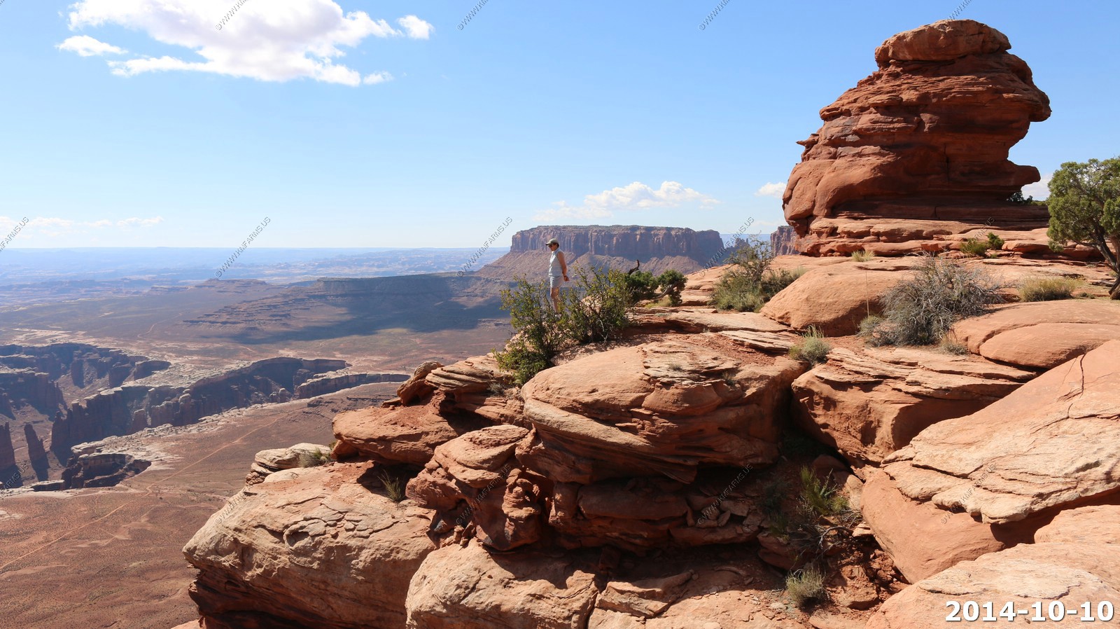
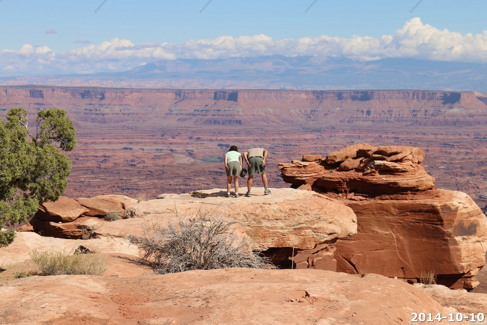
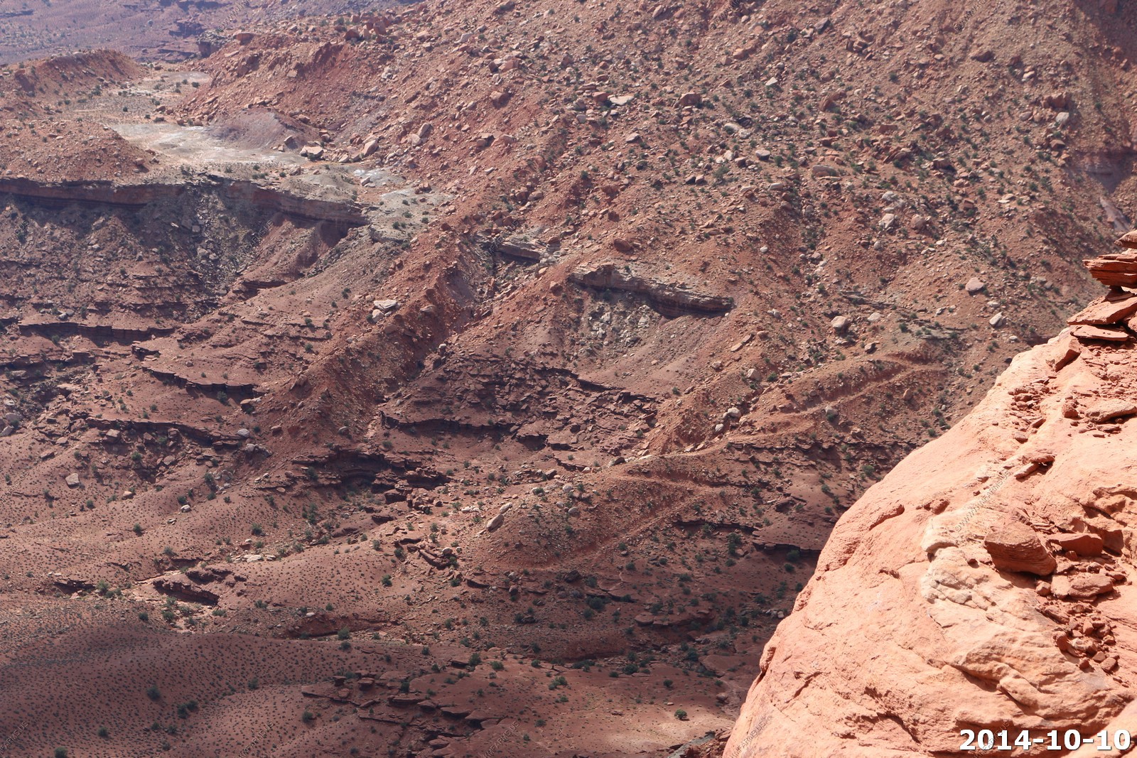
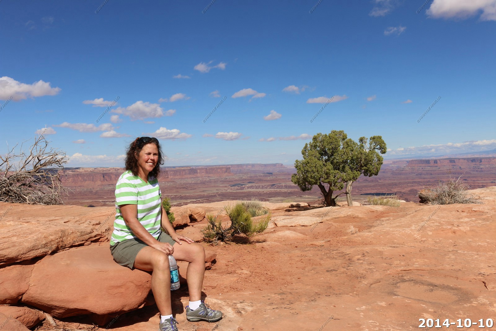
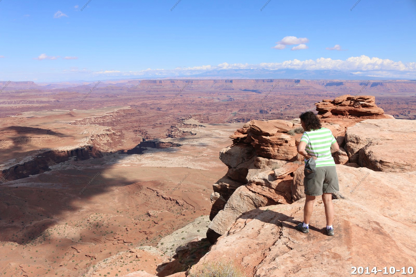
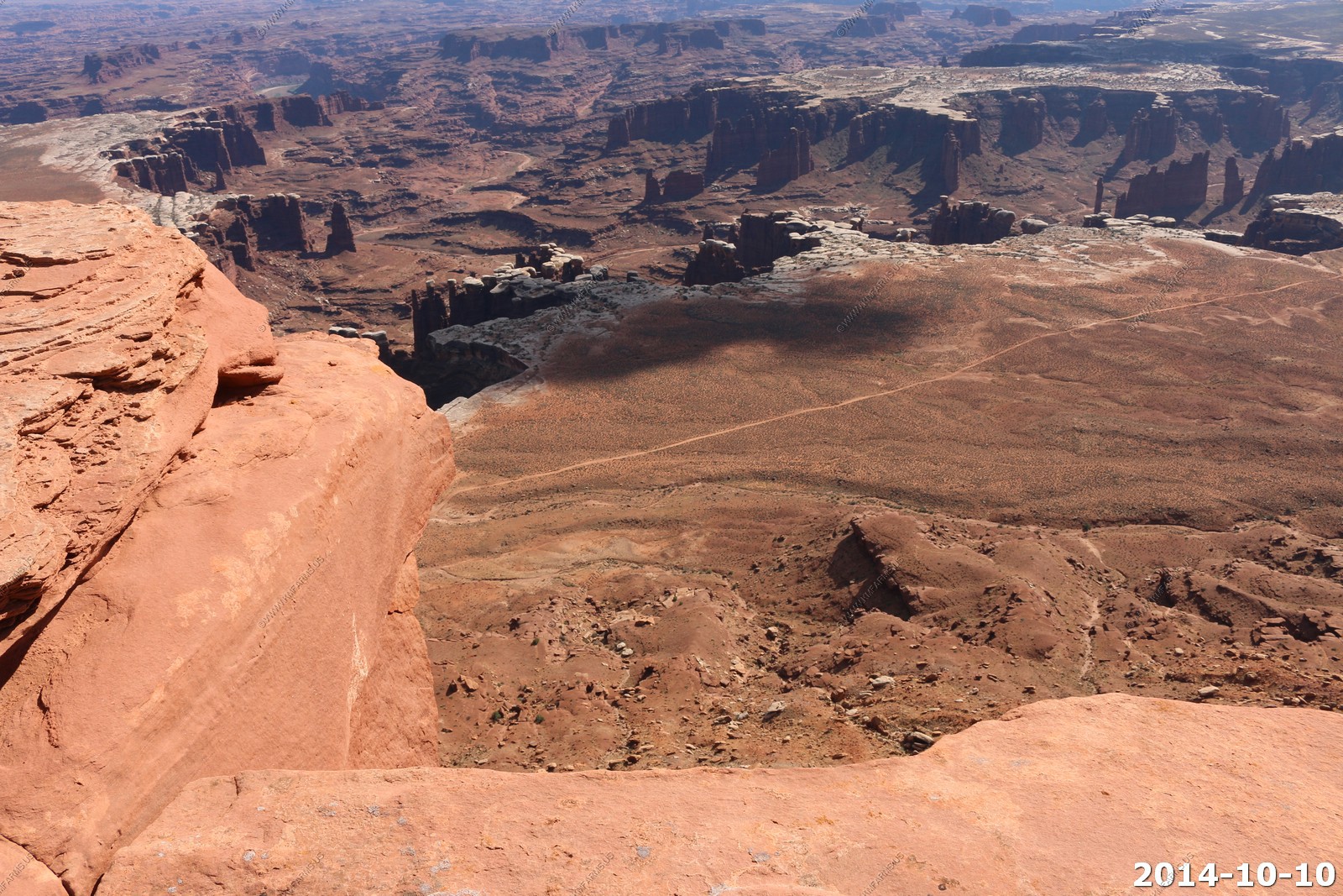
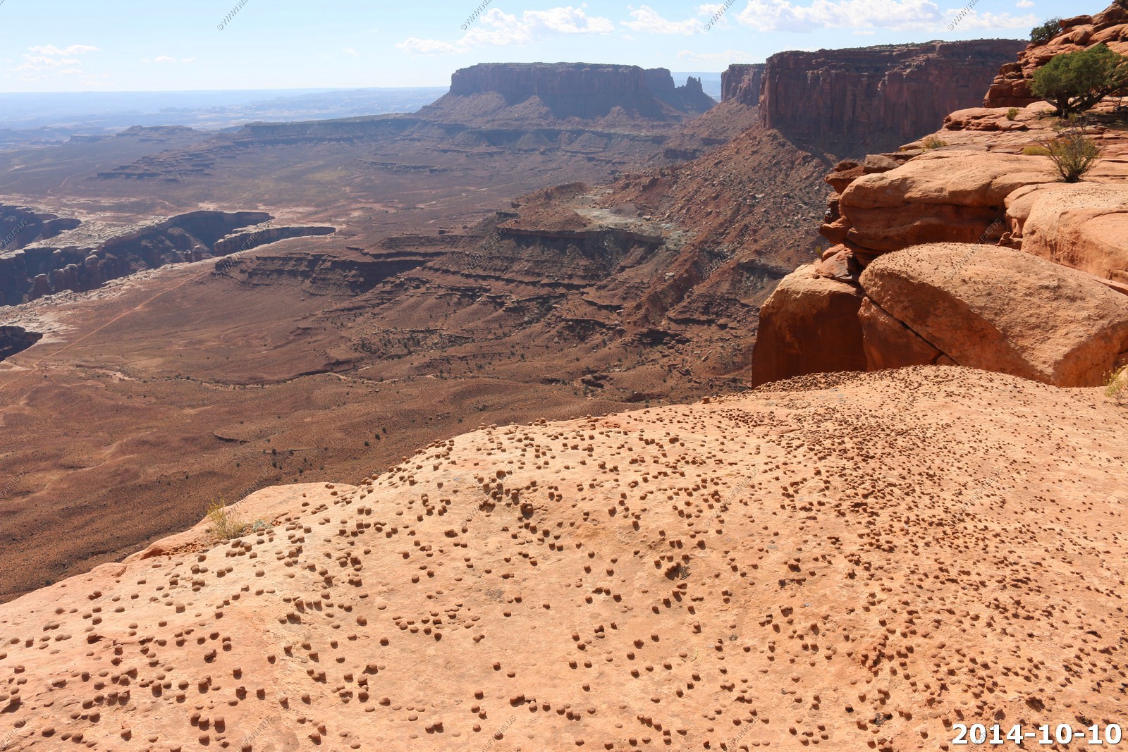
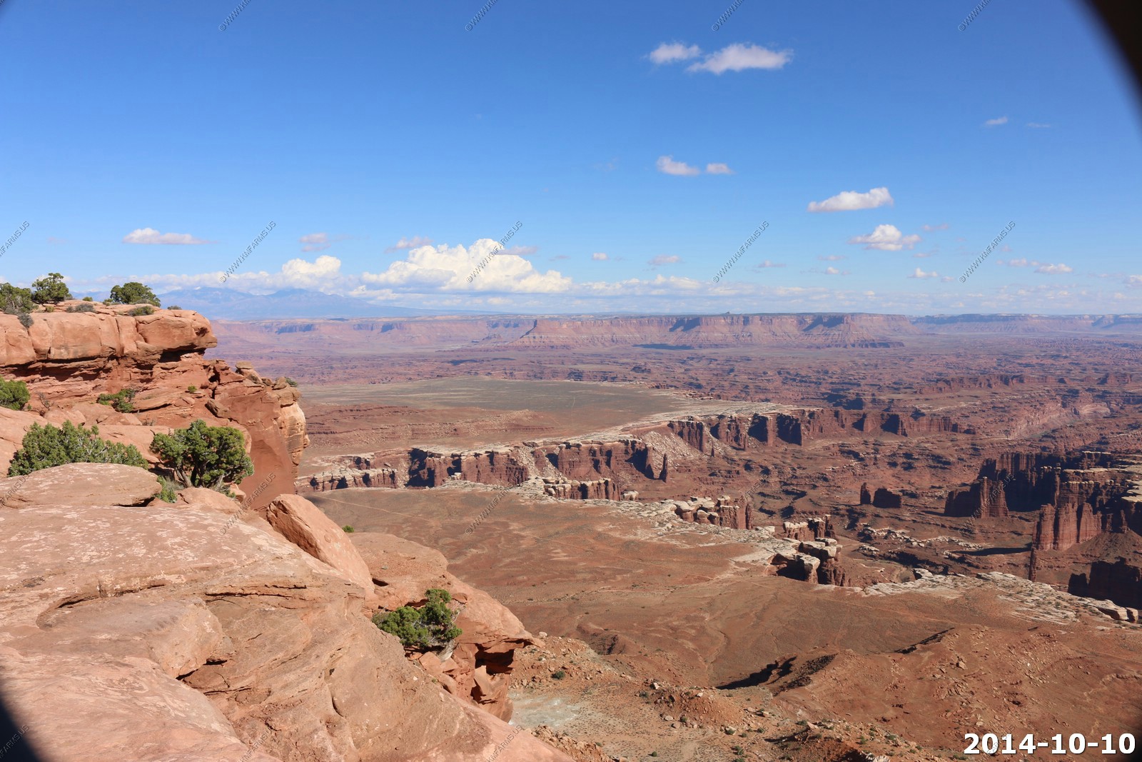
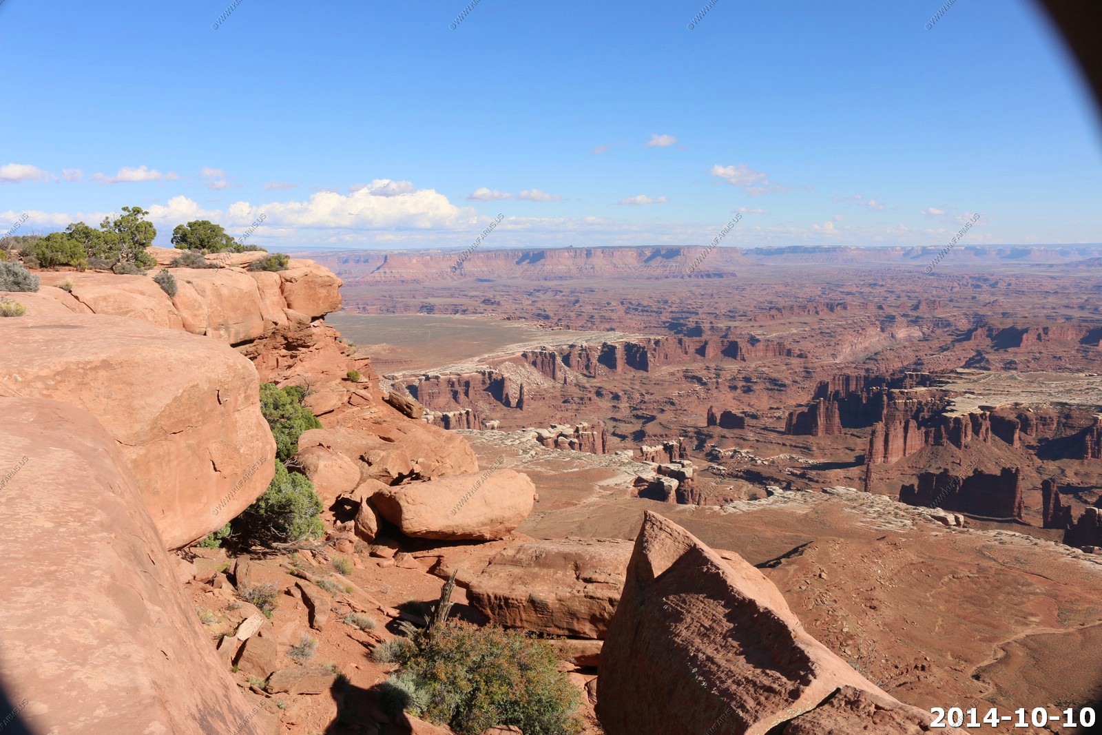
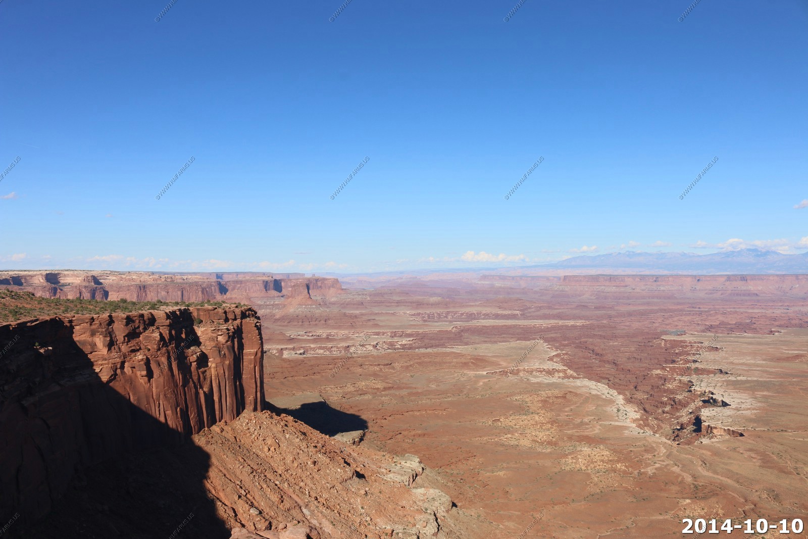
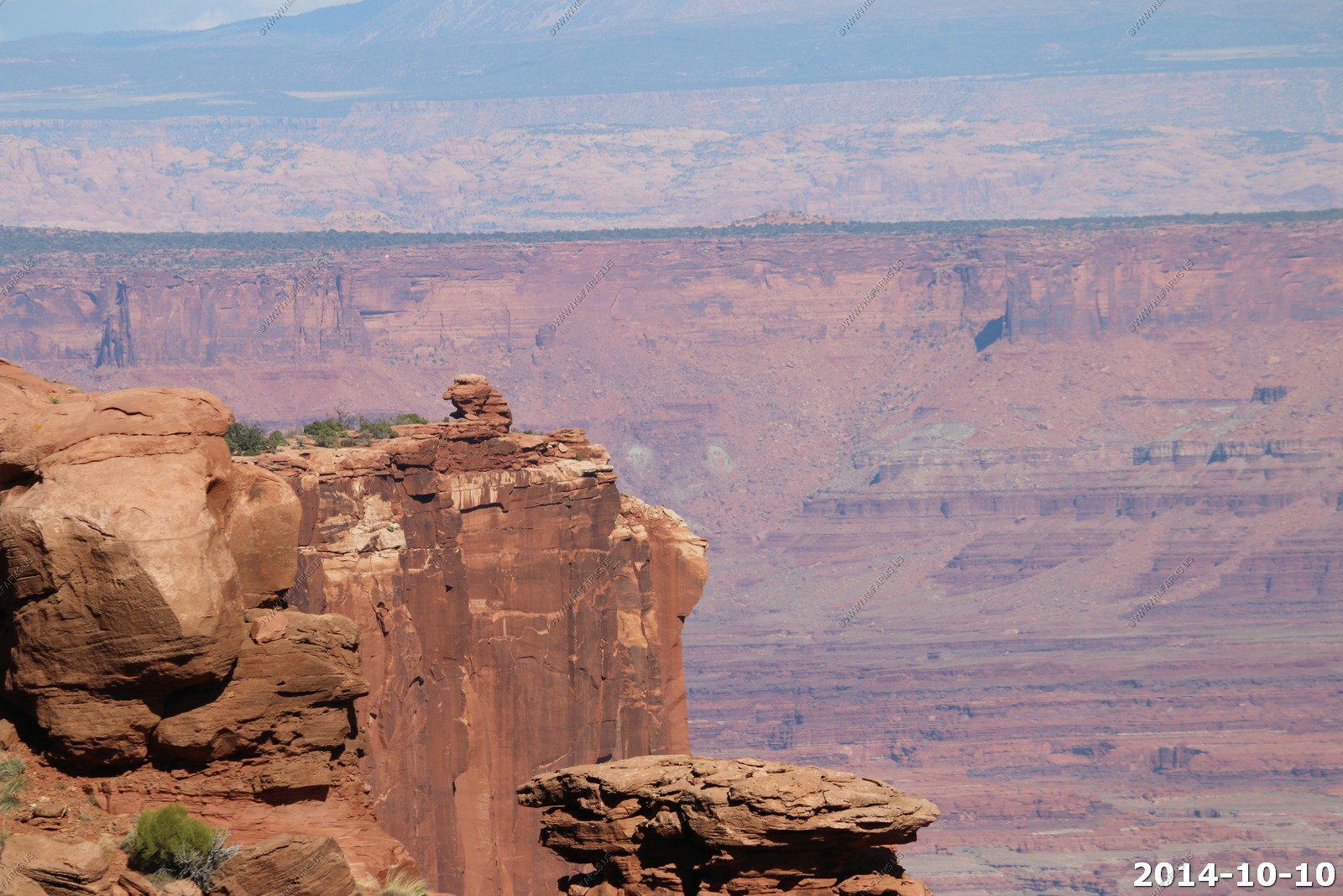
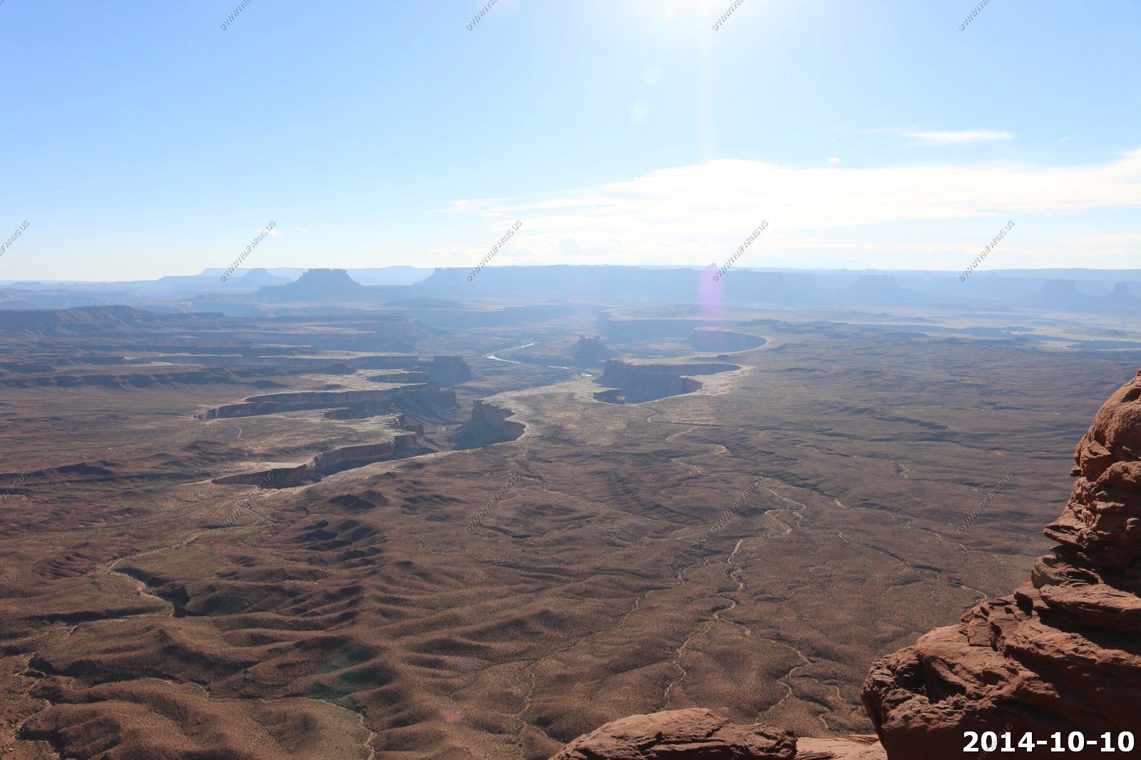
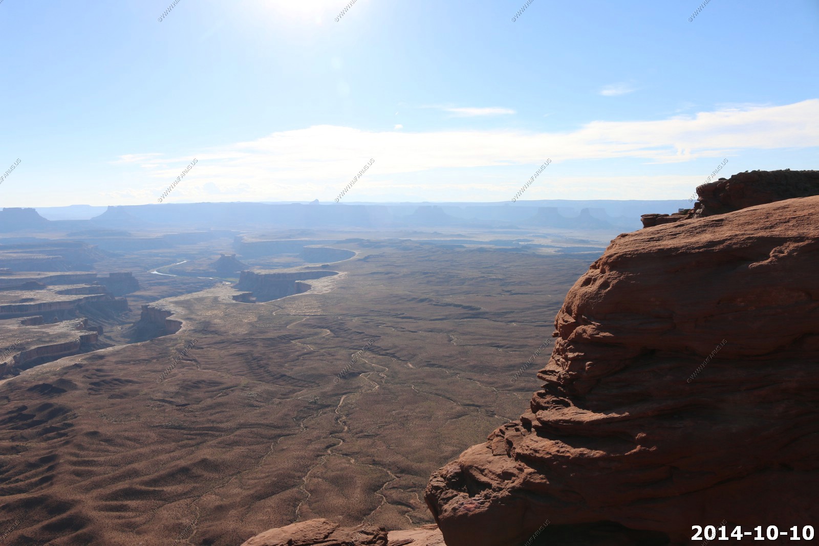
Canyonlands National Park - White Rim Overlook Trail & Viewpoint
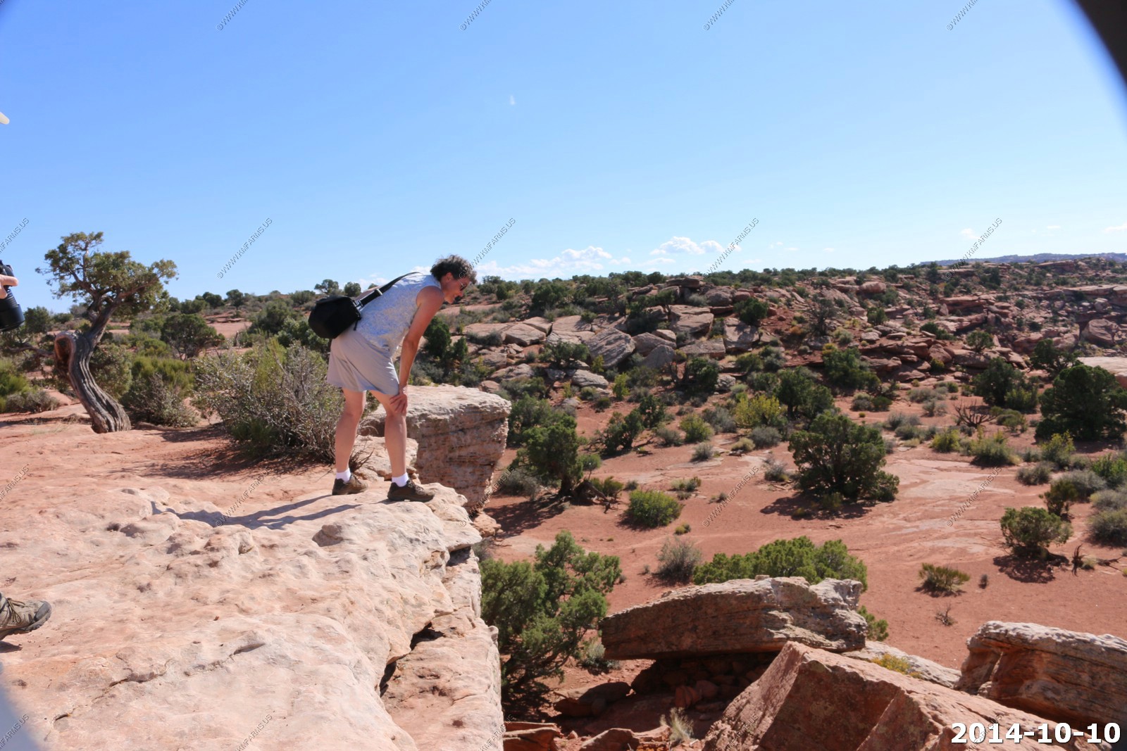
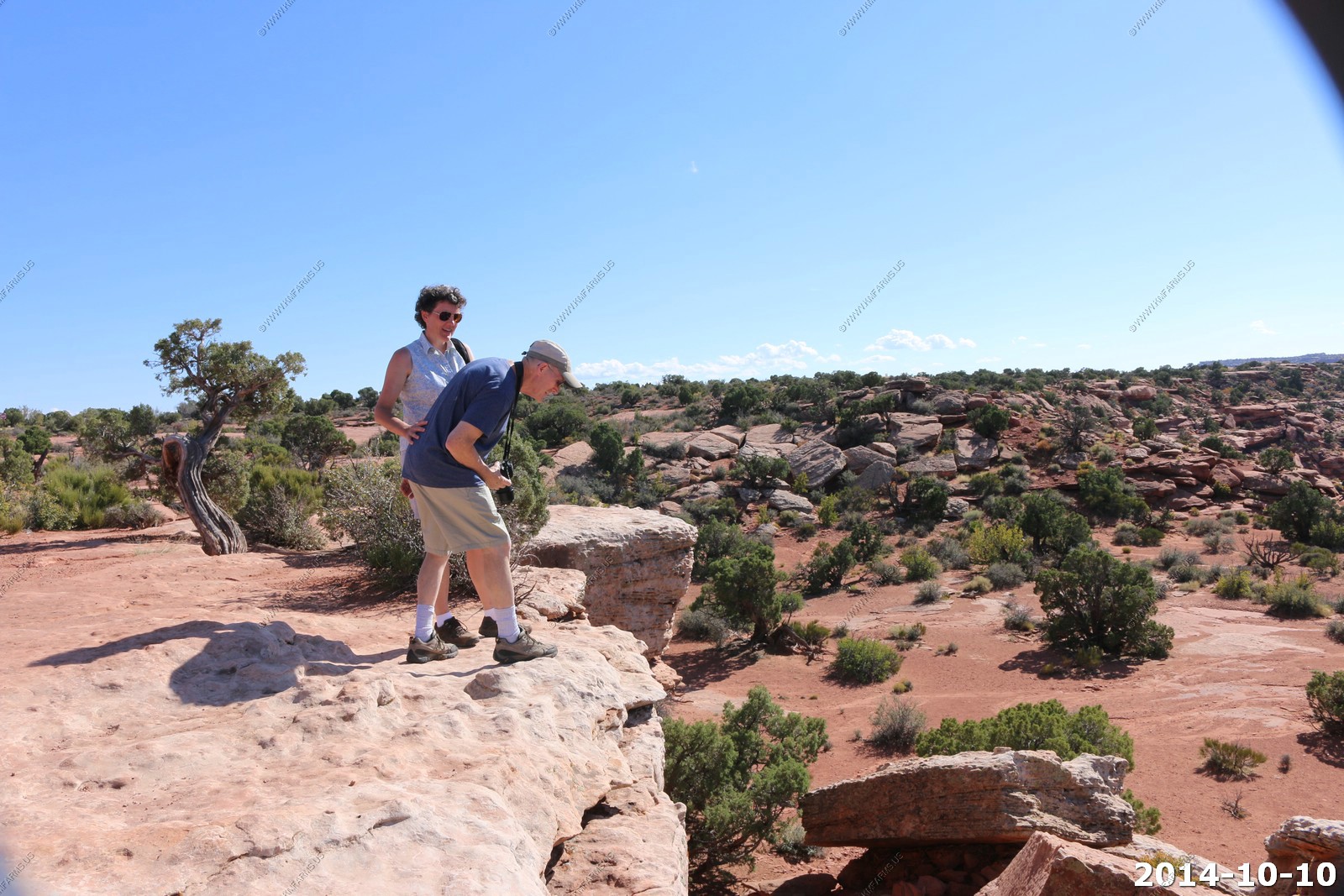
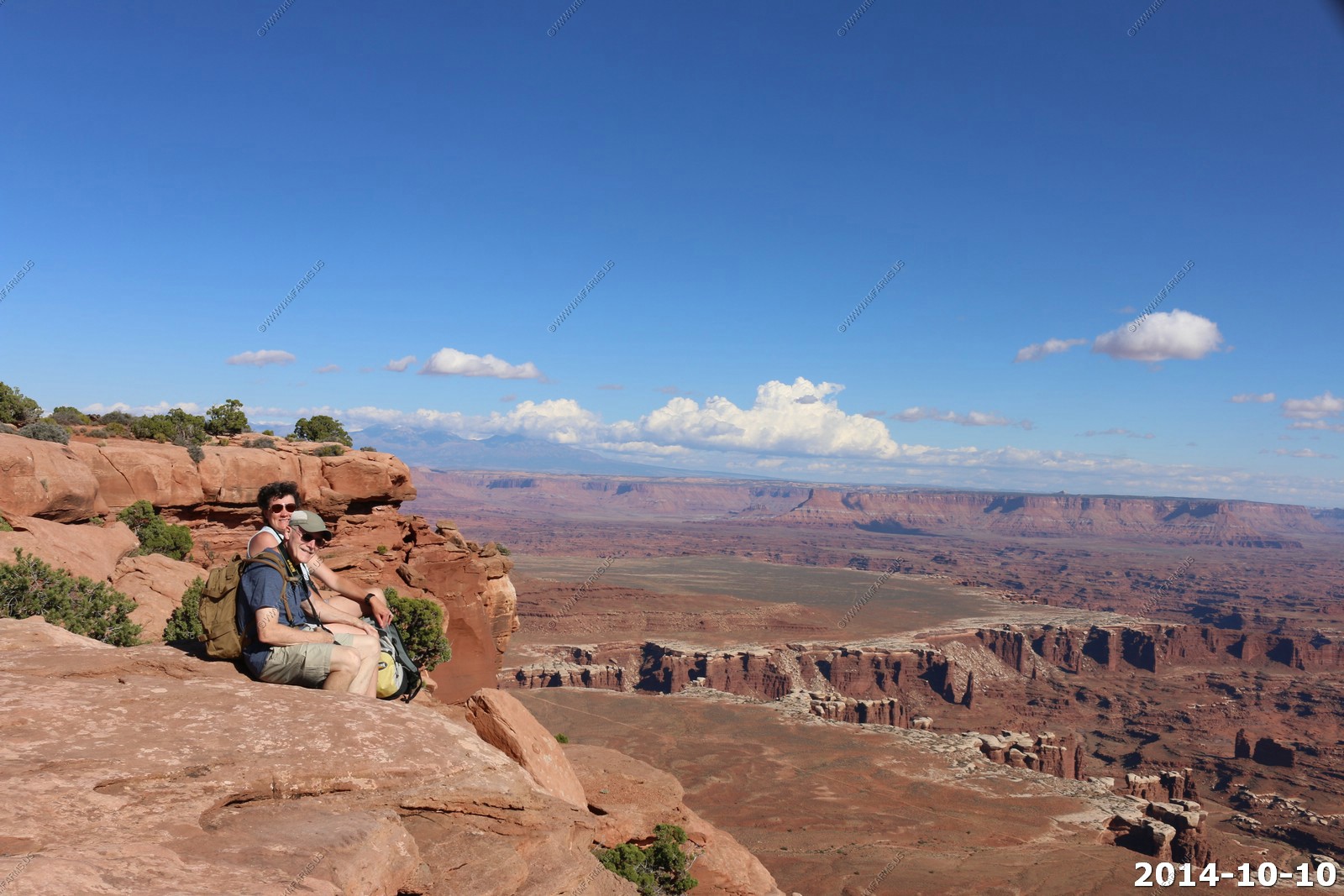
This is Ken's favorite place. The heights, amazing views and a place that really makes you realize what is & is not important in life. I could spend the entire day just sitting here. The sad thing is that in the 11 years since I was last here, the heights got to me a bit more. Still I will be back !
The option is easy. Would be an interesting hike down. Not so much coming back up !
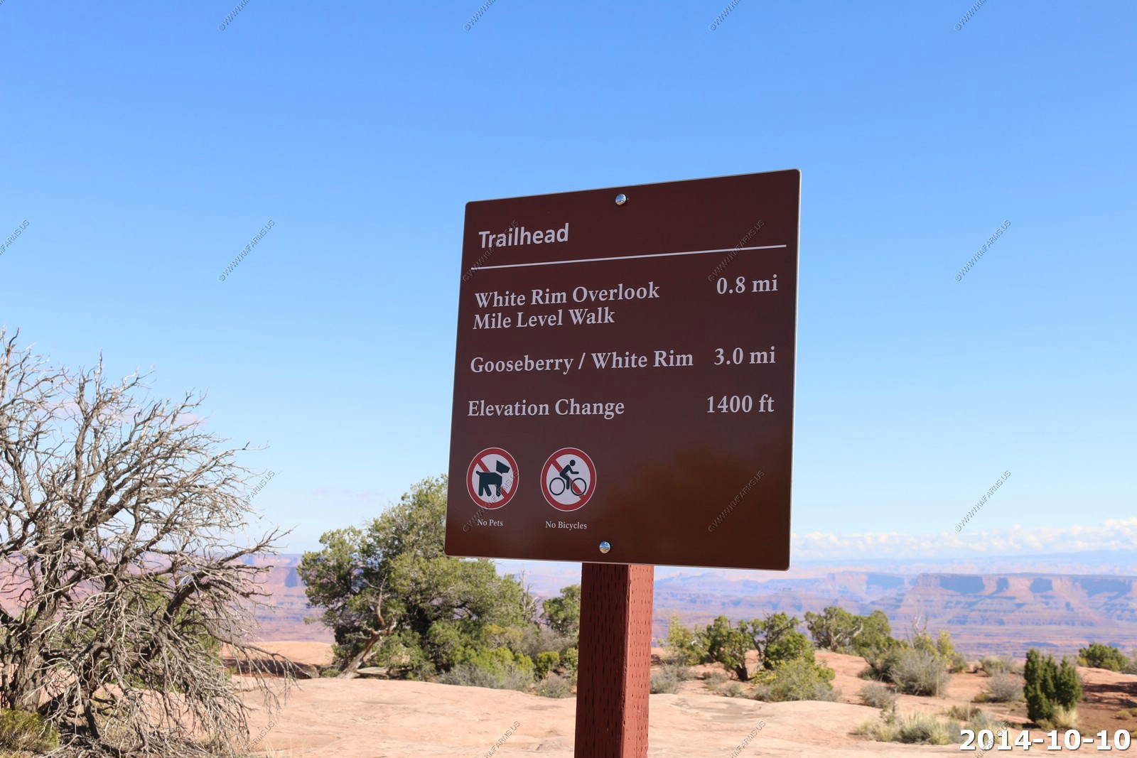
Got to do some rock hopping to get out on the end. Only 1,400 feet down if you screw up !
The GPS location here is 38 19.205N 109 50.089W at (El. 6120) The La Sal's are 35 miles to the east.
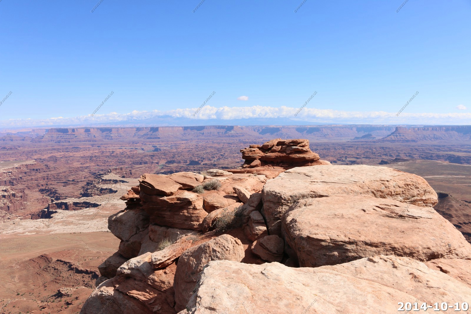
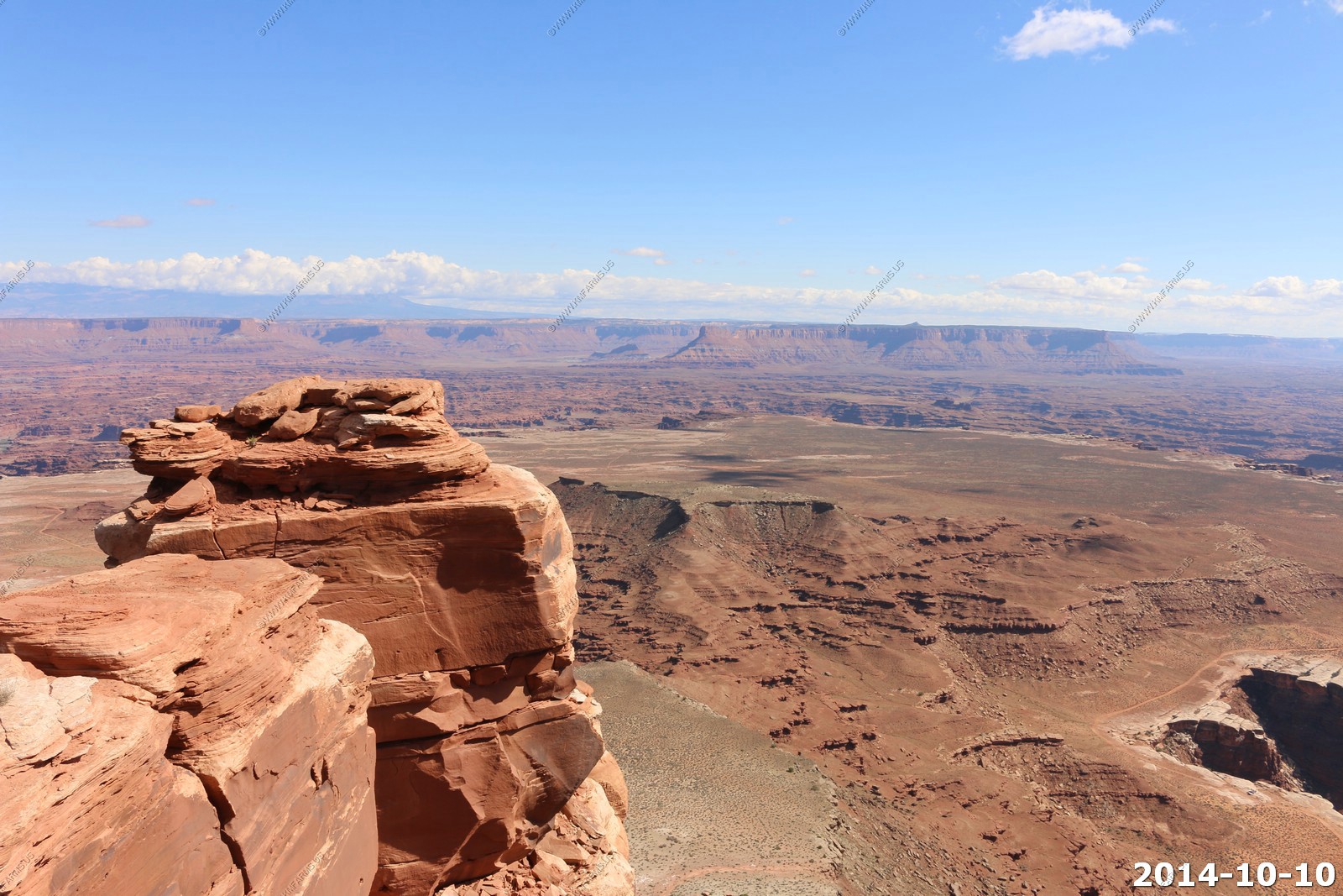
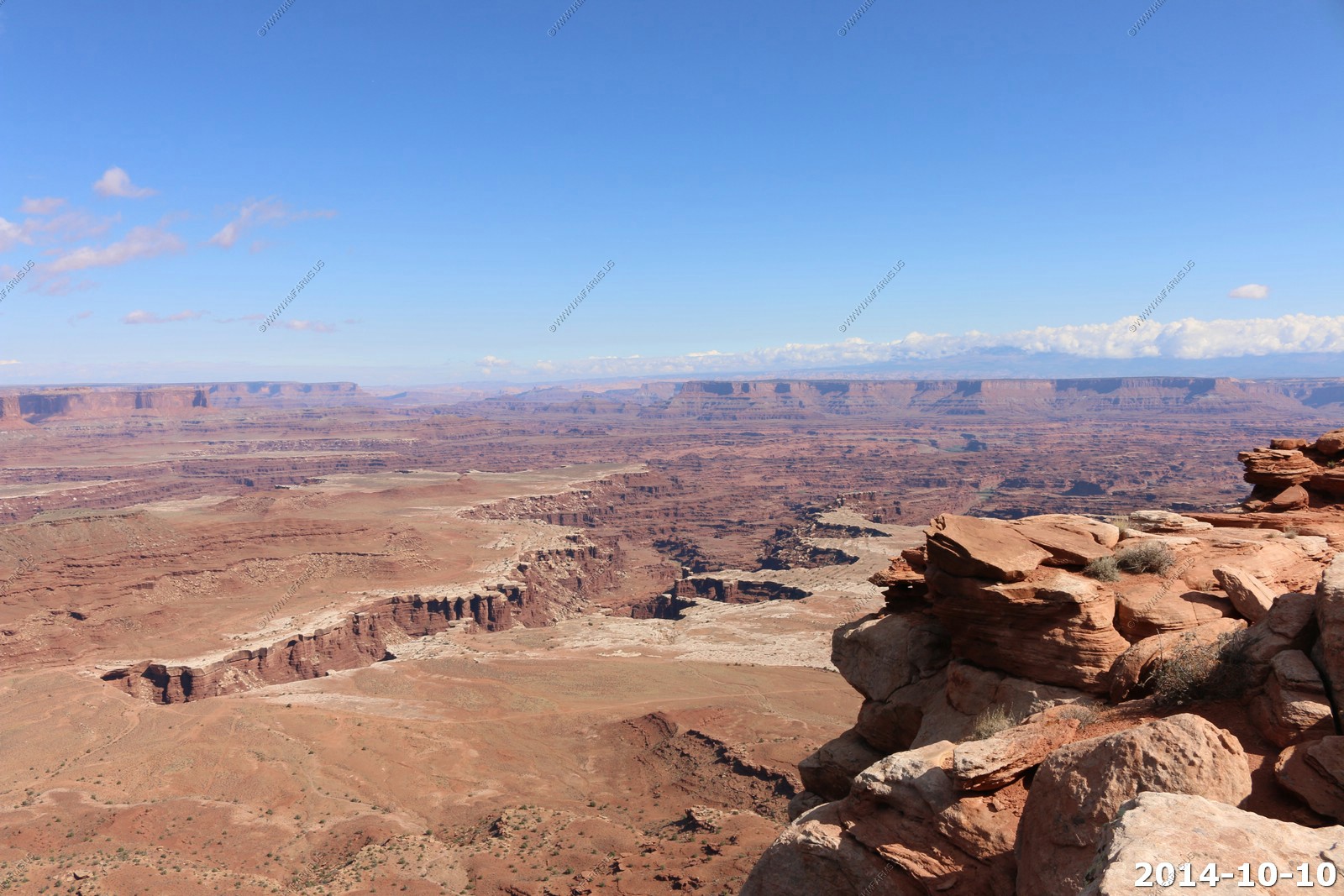
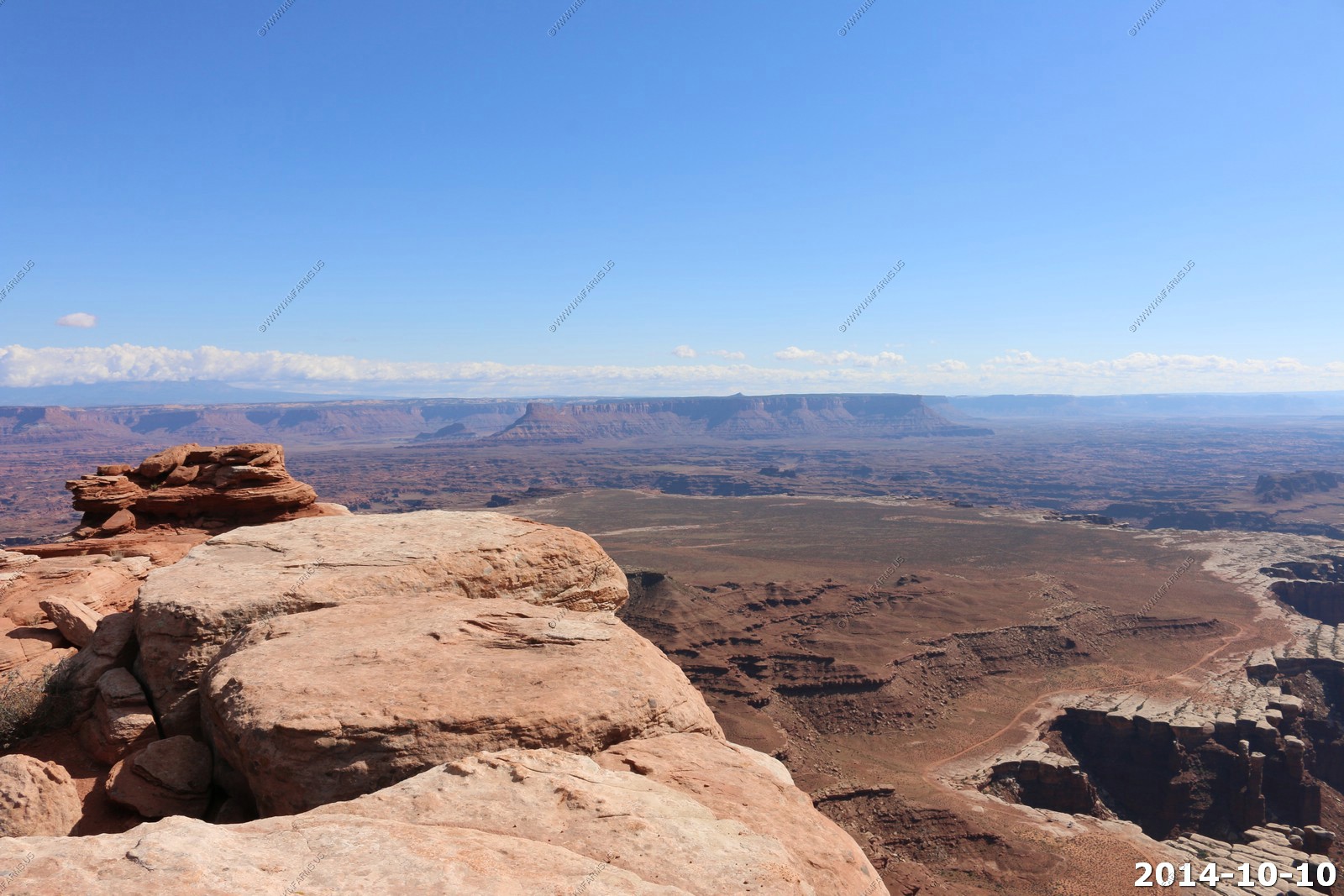
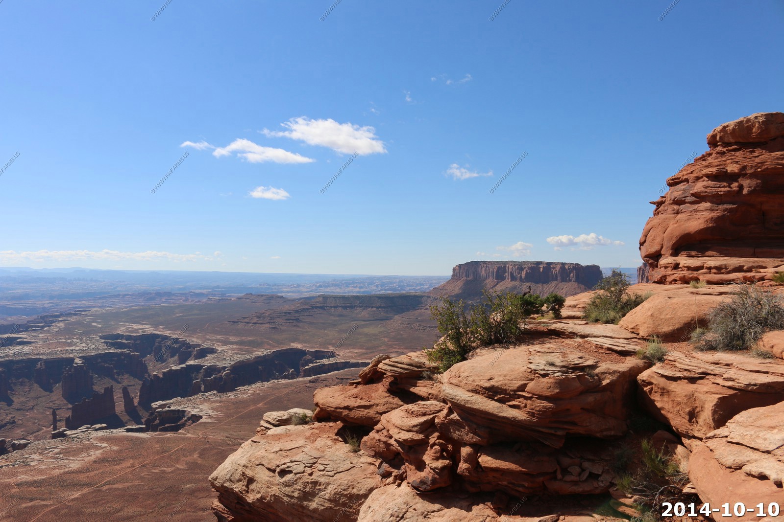
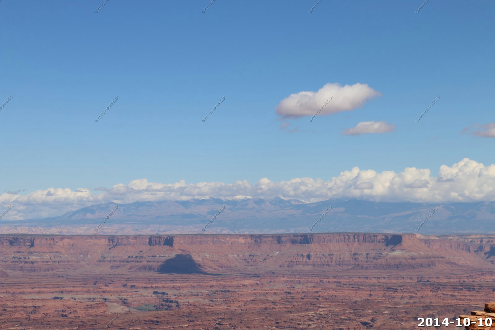
The Mountains on the right are the Abajo's (El. 11,360) Located 45 miles to the south. We would drive up thru these in two days.
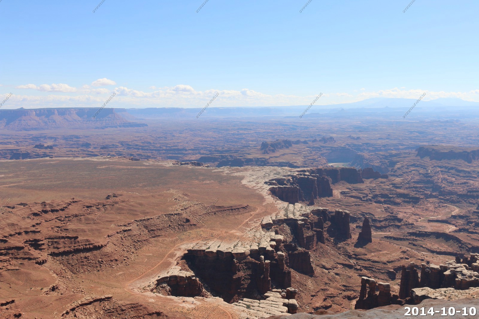
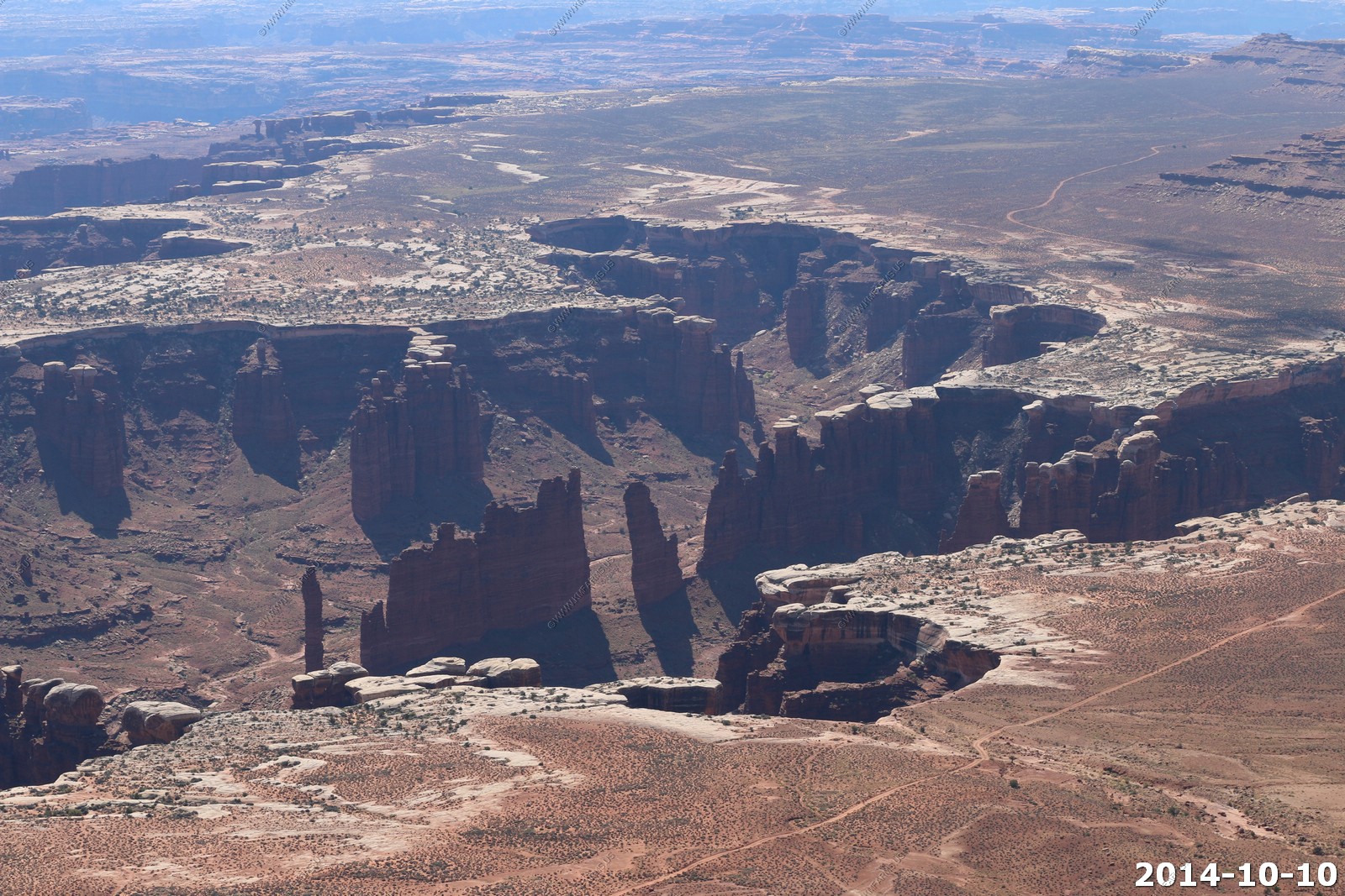
Looking down at Monument Basin.

Looking Back at Potash and Dead Horse State Park. Also, Arches is on the Horizon.
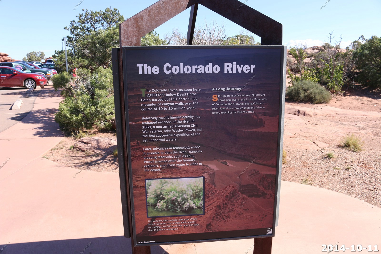
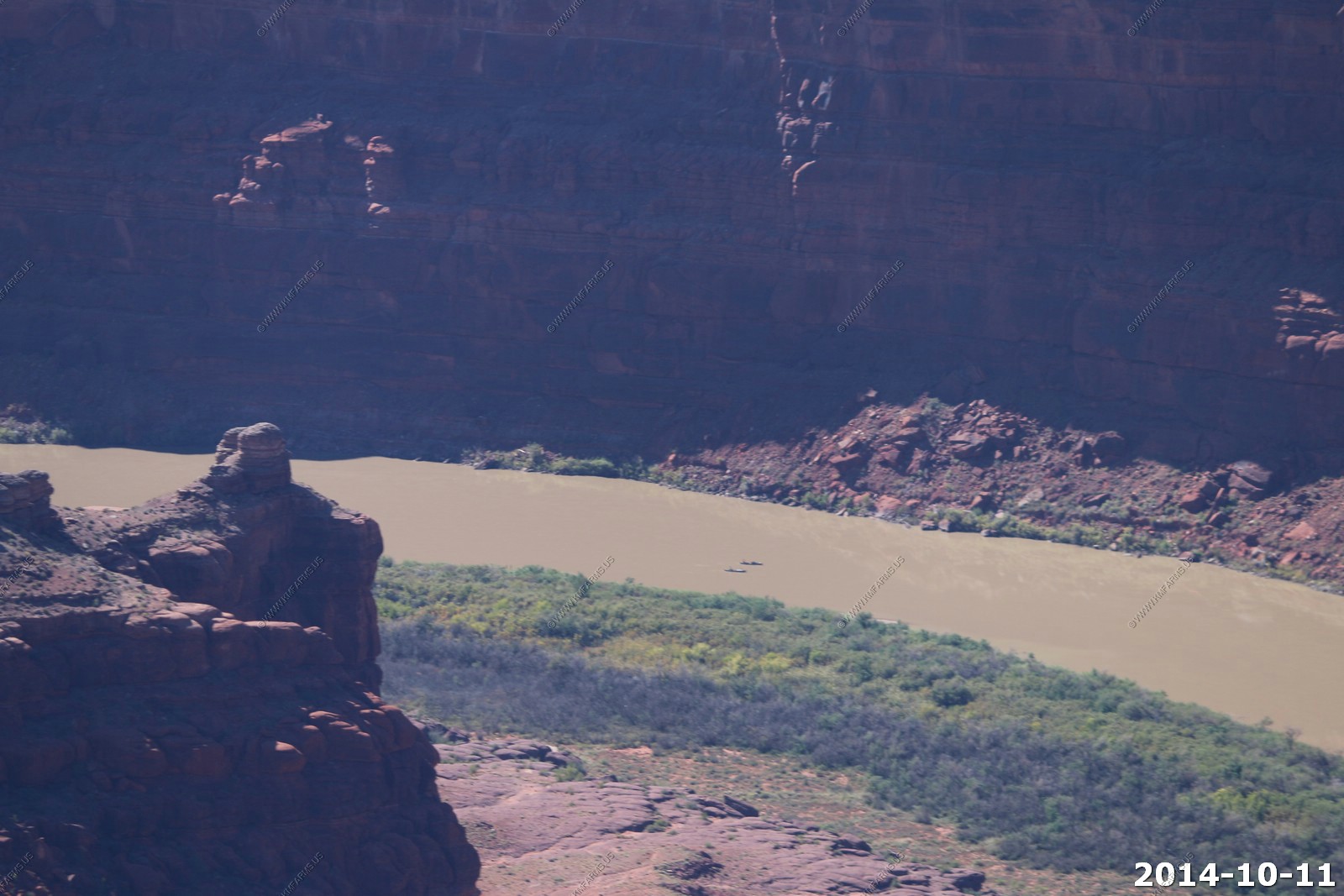
The Colorado River.
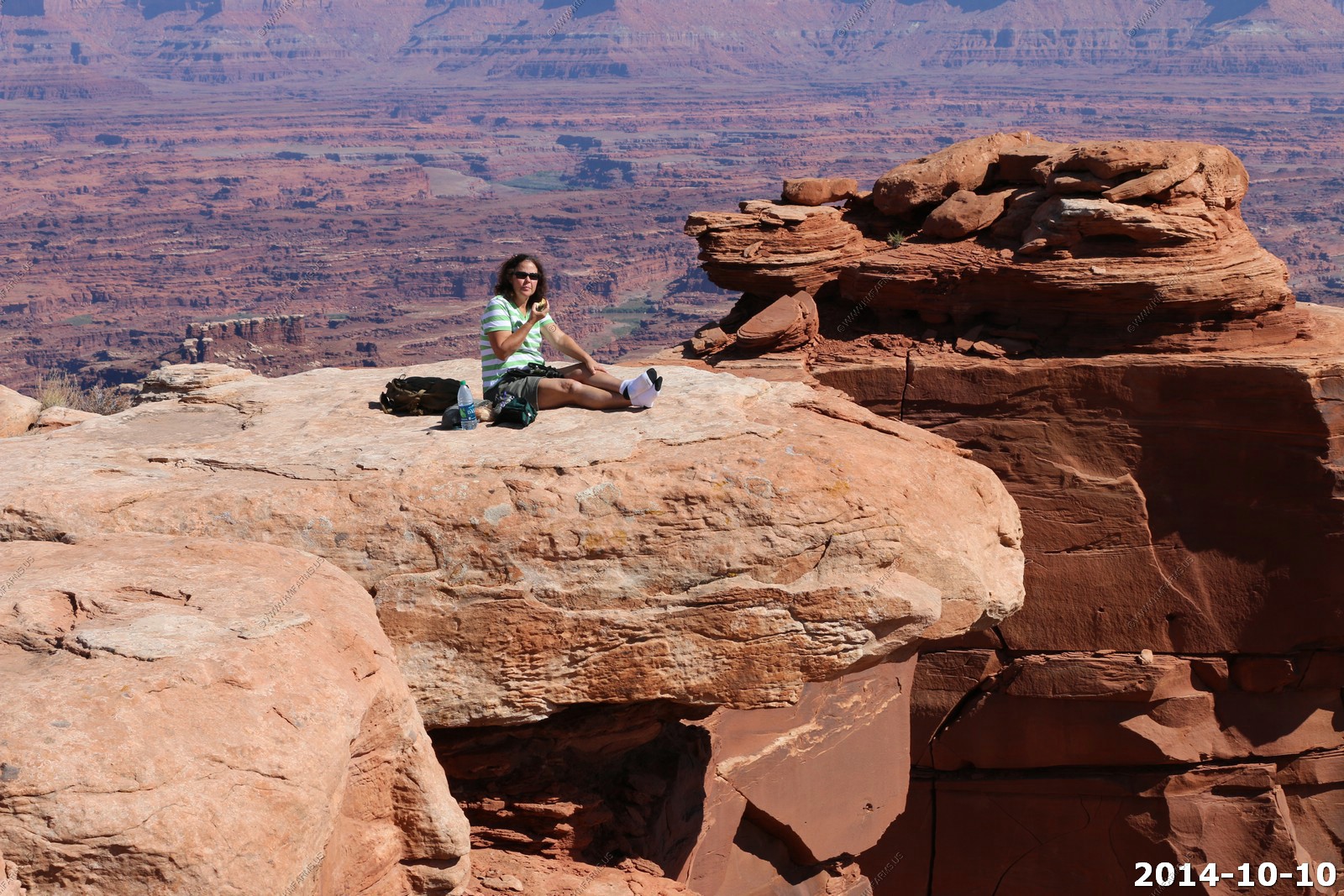
Mary enjoying the view not realizing that she really has nothing below her.
White Rim Views 1,400 feet below us. Messing with the 255mm Cannon Lens. I did not bring the 400mm lens due to weight. Lots of bikes on the trail.
Give you an idea about the scale. People out on the white rim rocks. And it's another 500 foot drop from those rocks.
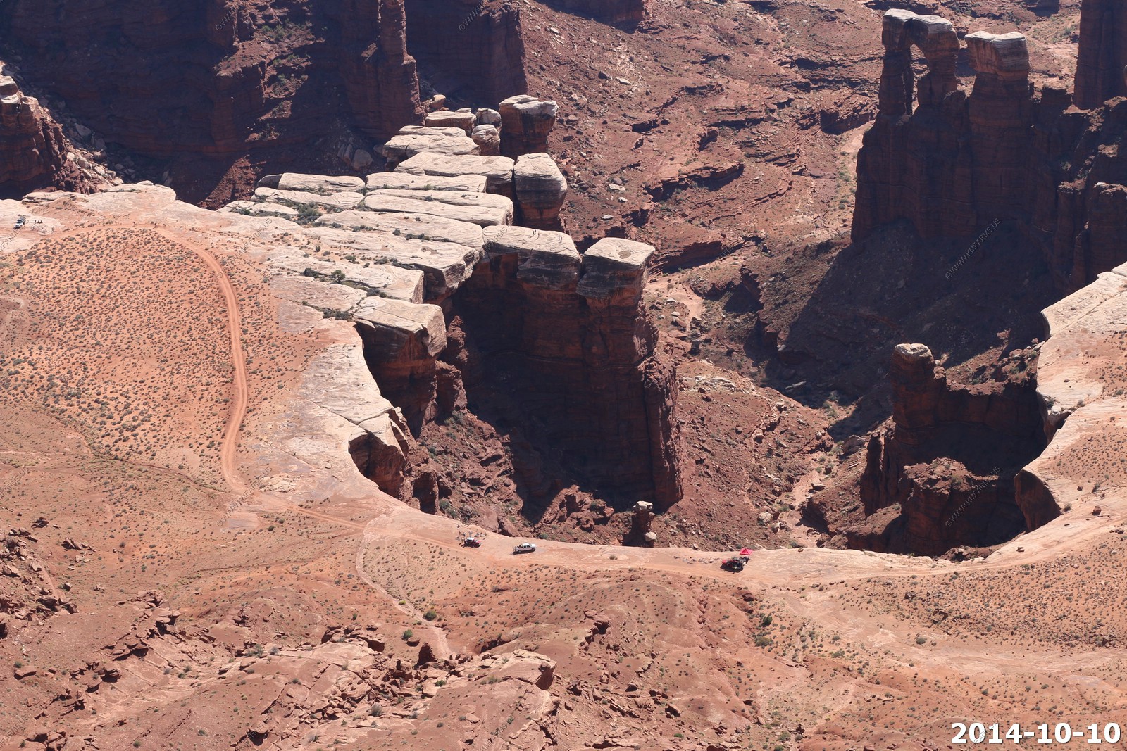
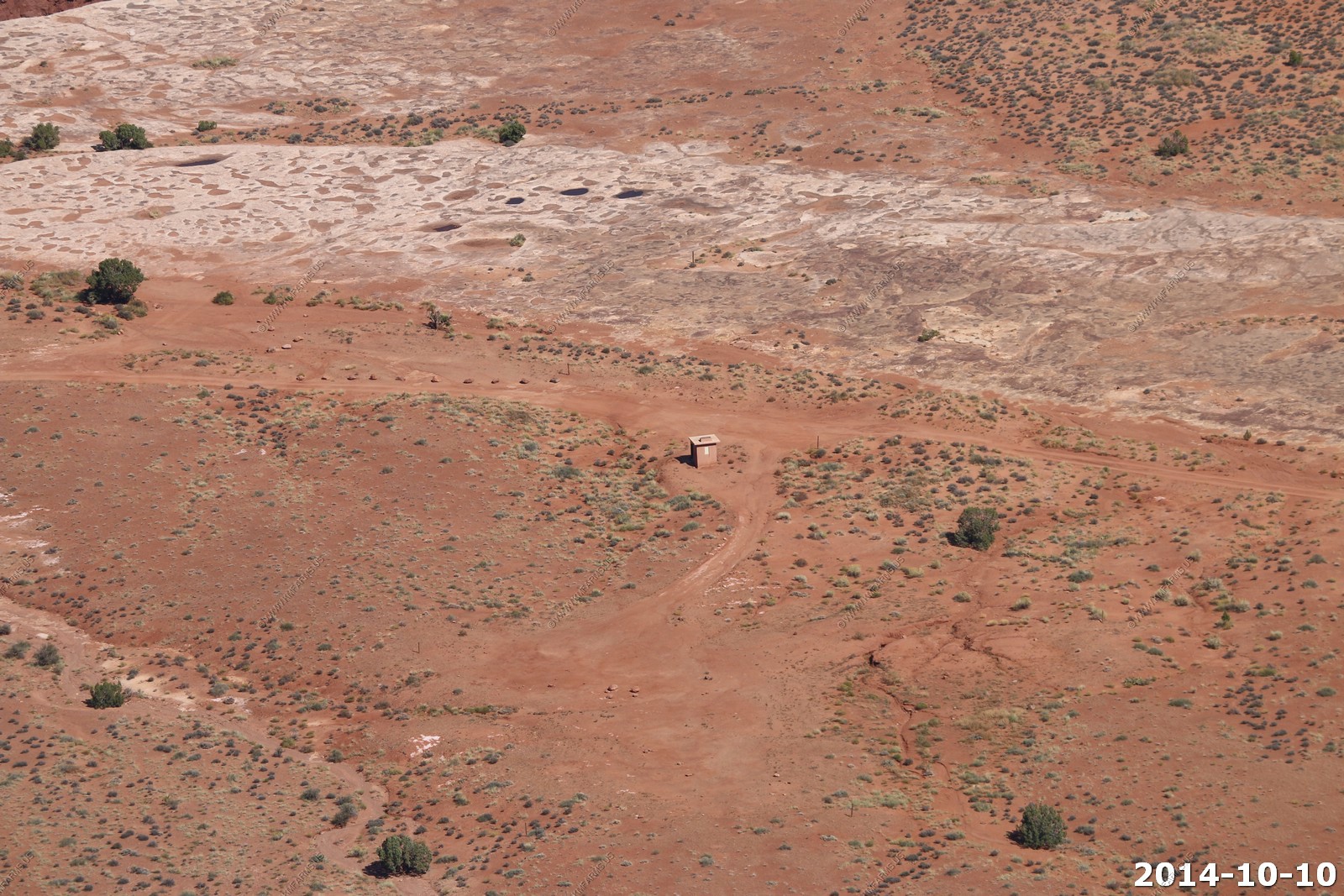
If you got to go... The restroom is only 5 miles away and 1,400 feet below you.
Thinking about work !
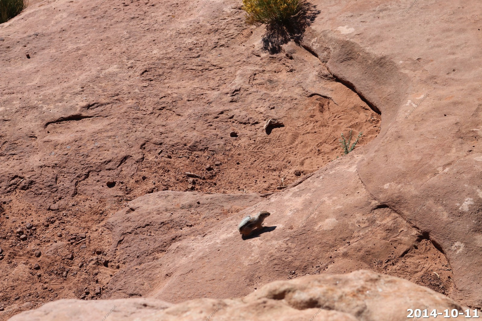
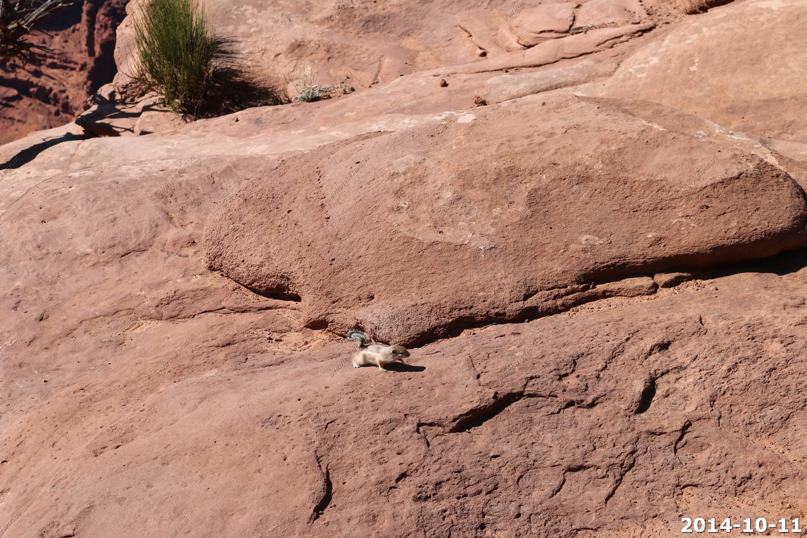
Old roads, chipmunks, backpacks & various views.
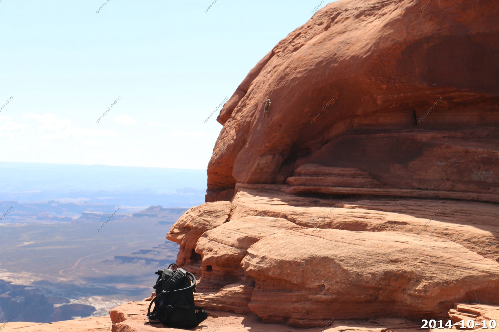
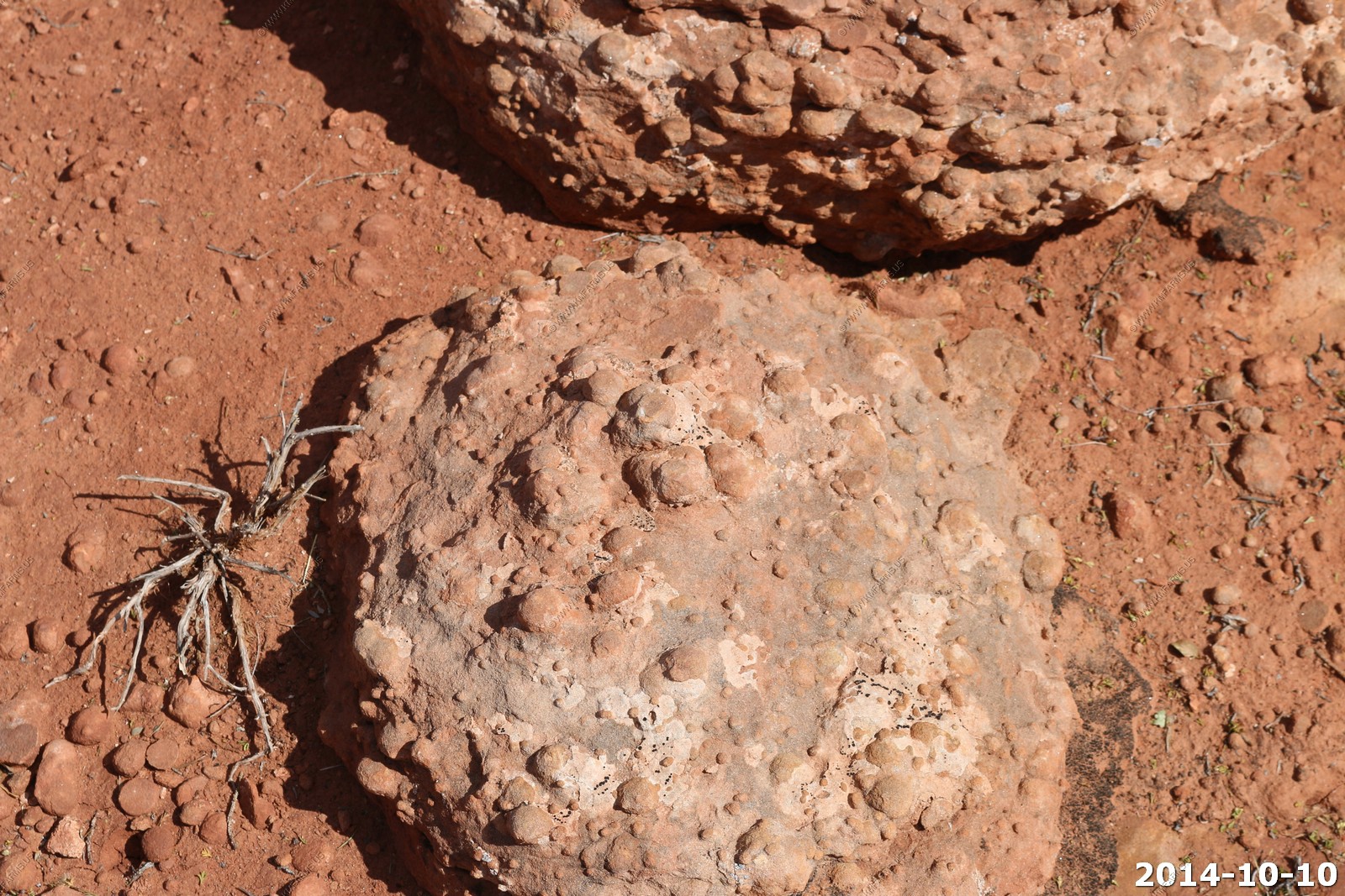
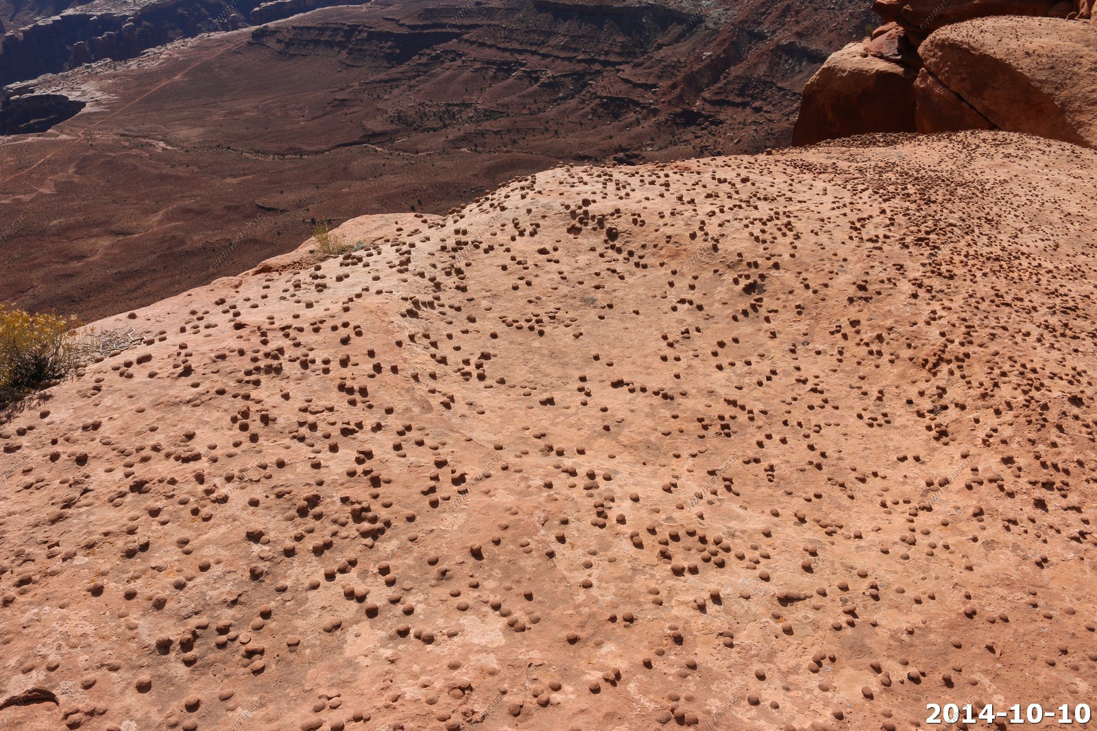
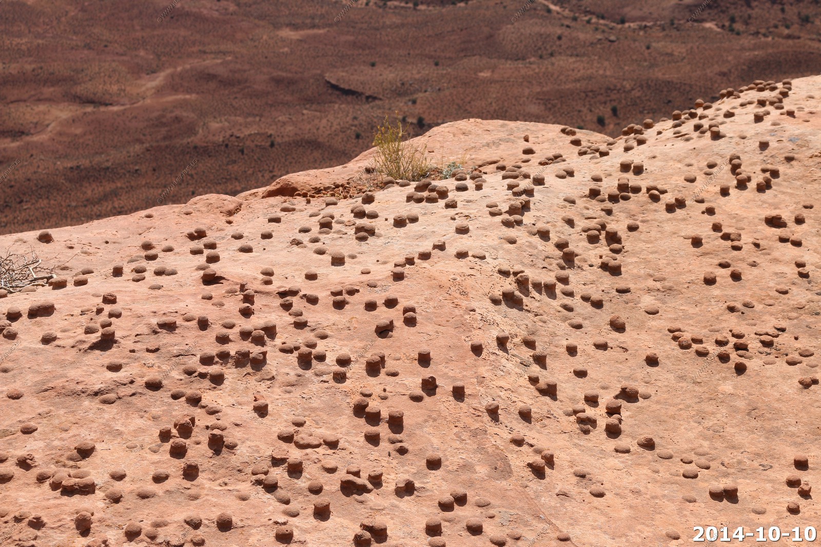
Cool bumps on the rocks
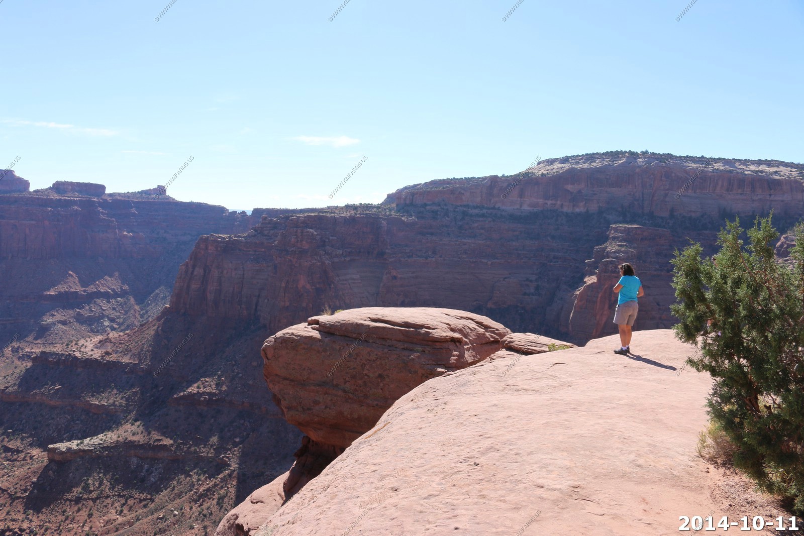
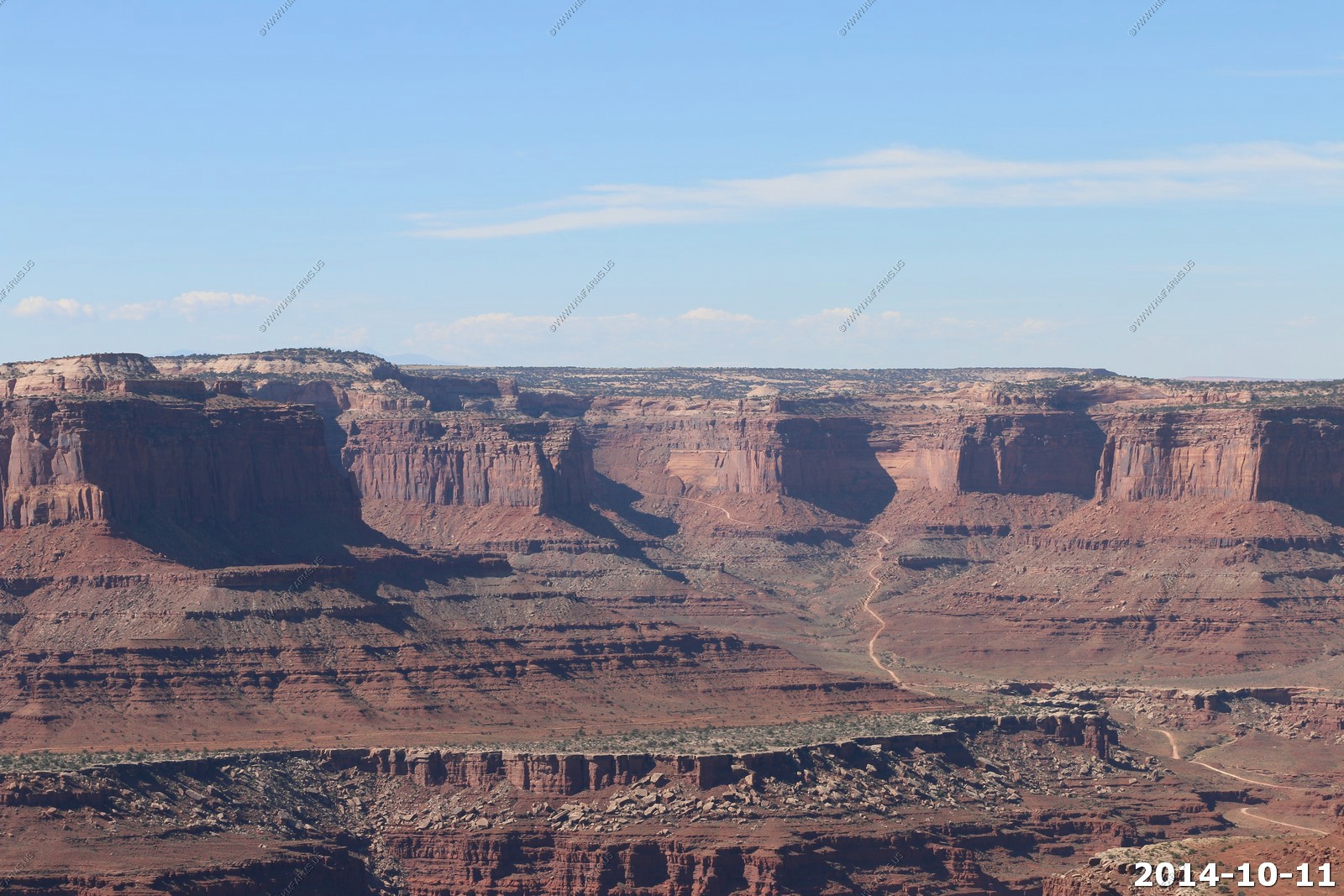
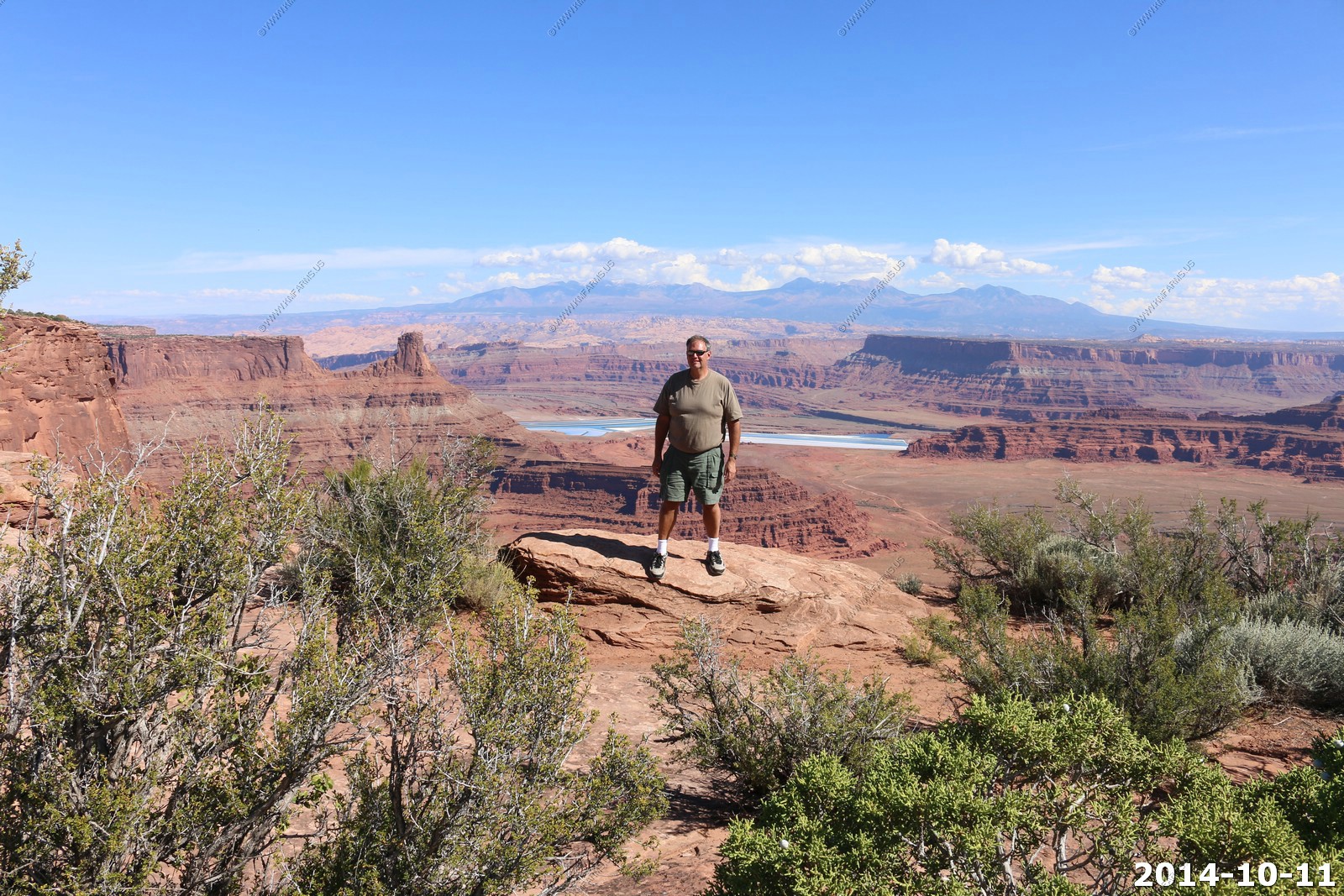
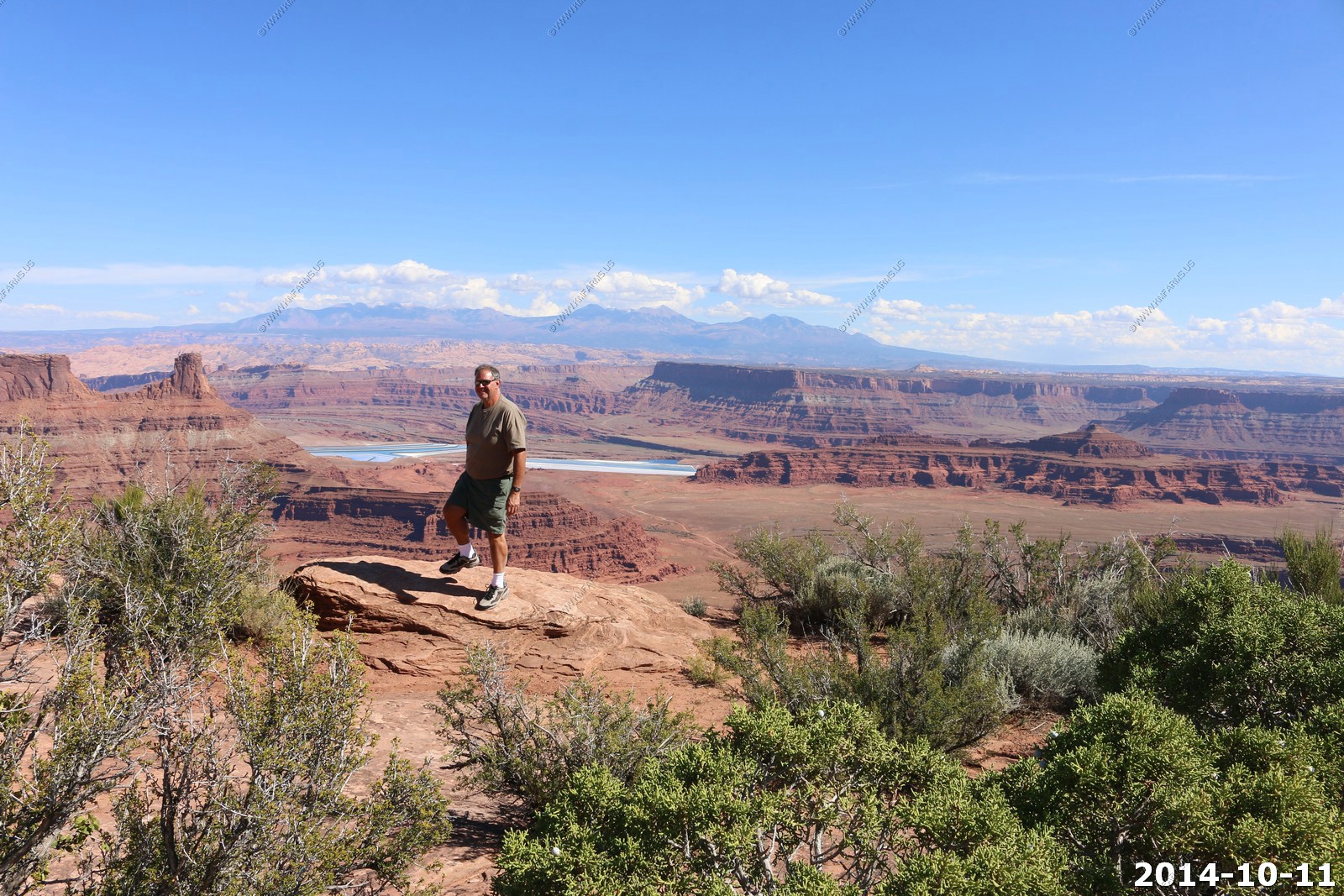
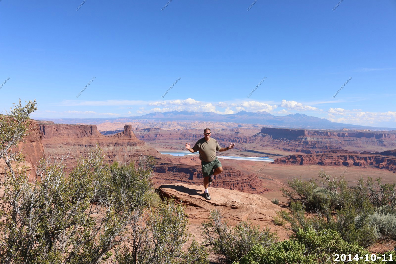
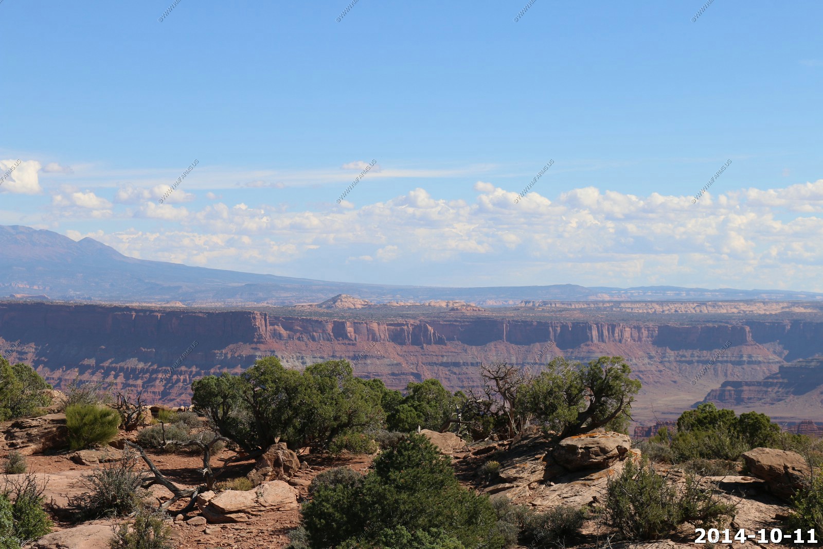
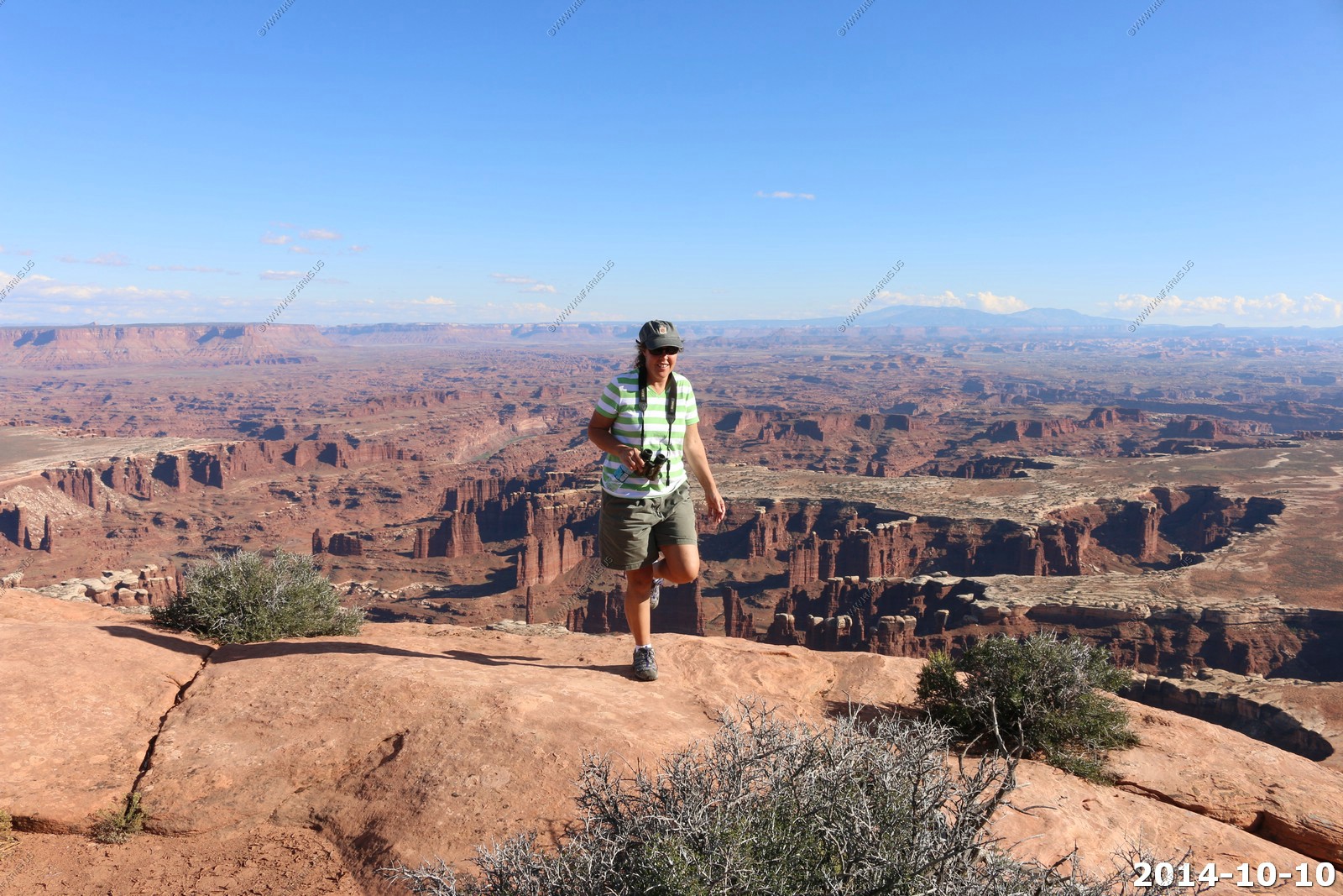
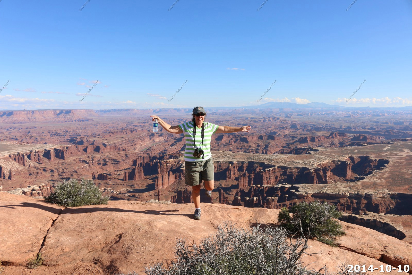
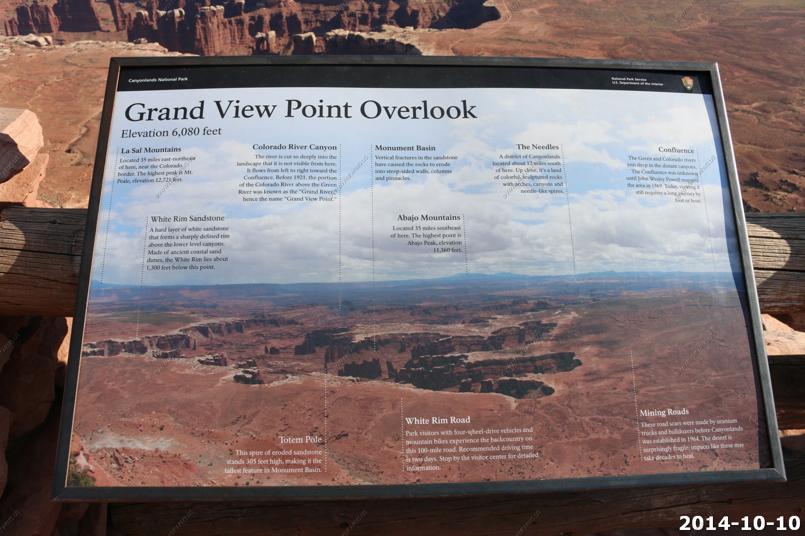
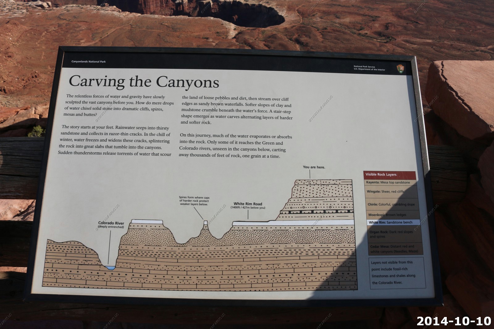
Canyonlands National Park - Grand View Point Overlook
So we drove down to the end of the Island In the Sky viewpoints. We don't usually stay in this area, as this is where many people go, but since Dave & Monika had never been here we checked it out.
Canyonlands became a park on Sep 12, 1964. This area was proposed to became a large reservoir in the early 60's.
The Green River
Monika & Dave looking over the edge.
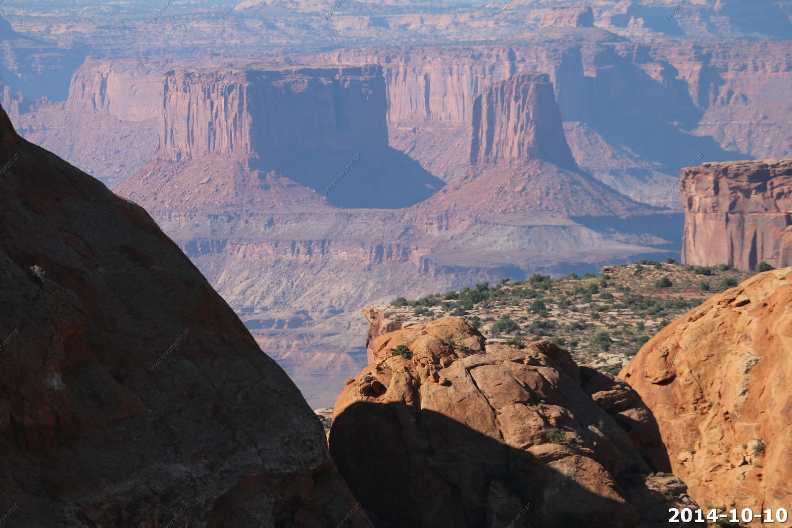
Various views of the White Rim, Grand View Point Overlook.
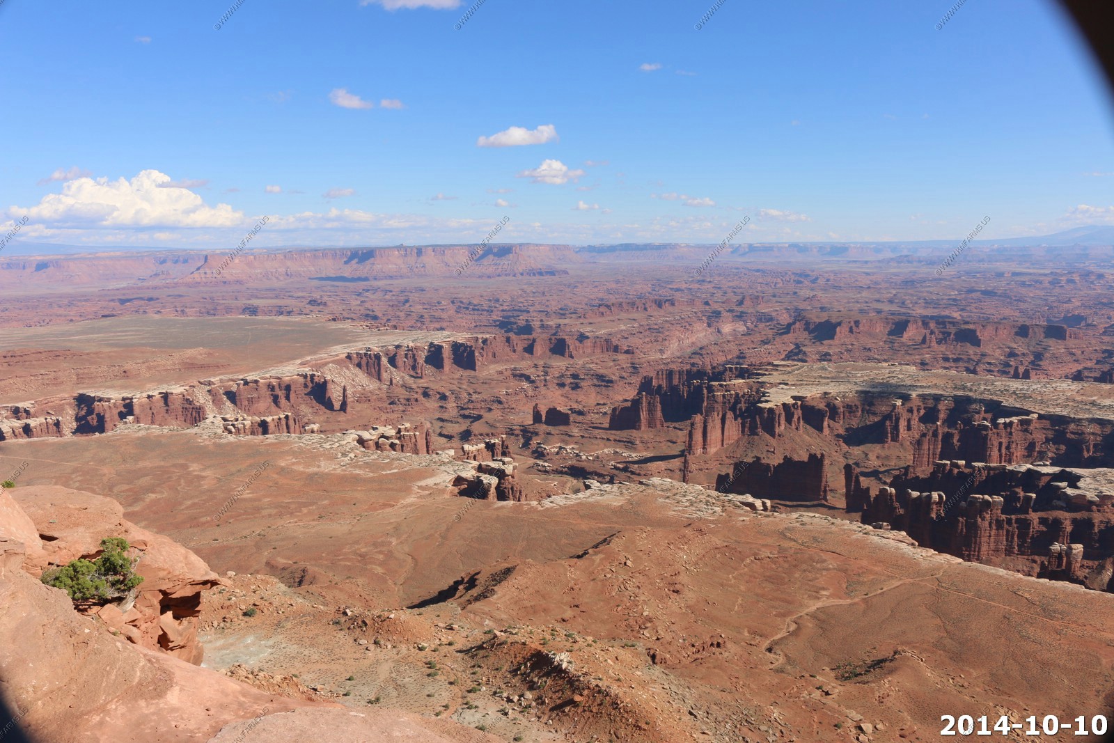
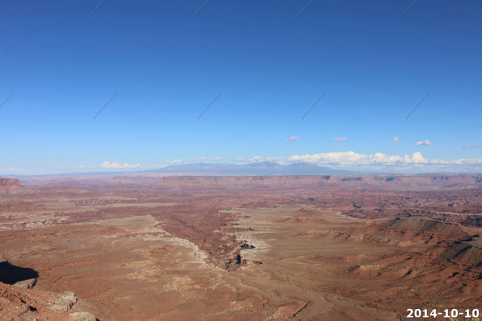
Looking down on The Needles part of Canyonlands. We would be in this area in two days. Starts at 12 miles away.
Looking back where we were sitting - White Rim Viewpoint.
Snow on the La Sal's - 255mm lens.
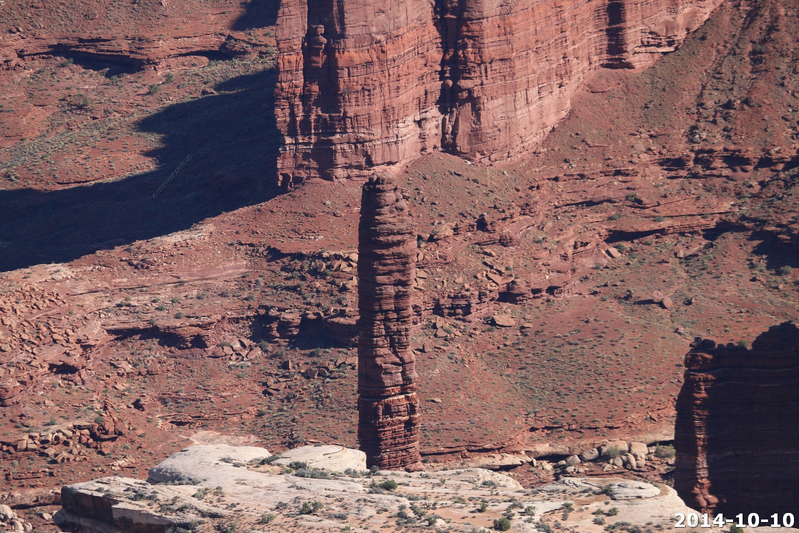
Totem Pole - This spire of eroded sandstone stands 305 feet high, making it the tallest feature in Monument Basin.
Life is anyplace there is water.
Ken & Mary standing on the edge with the La Sal's in the background.
Dave & Monika standing on the edge with the La Sal's in the background.
Mary acting funny.
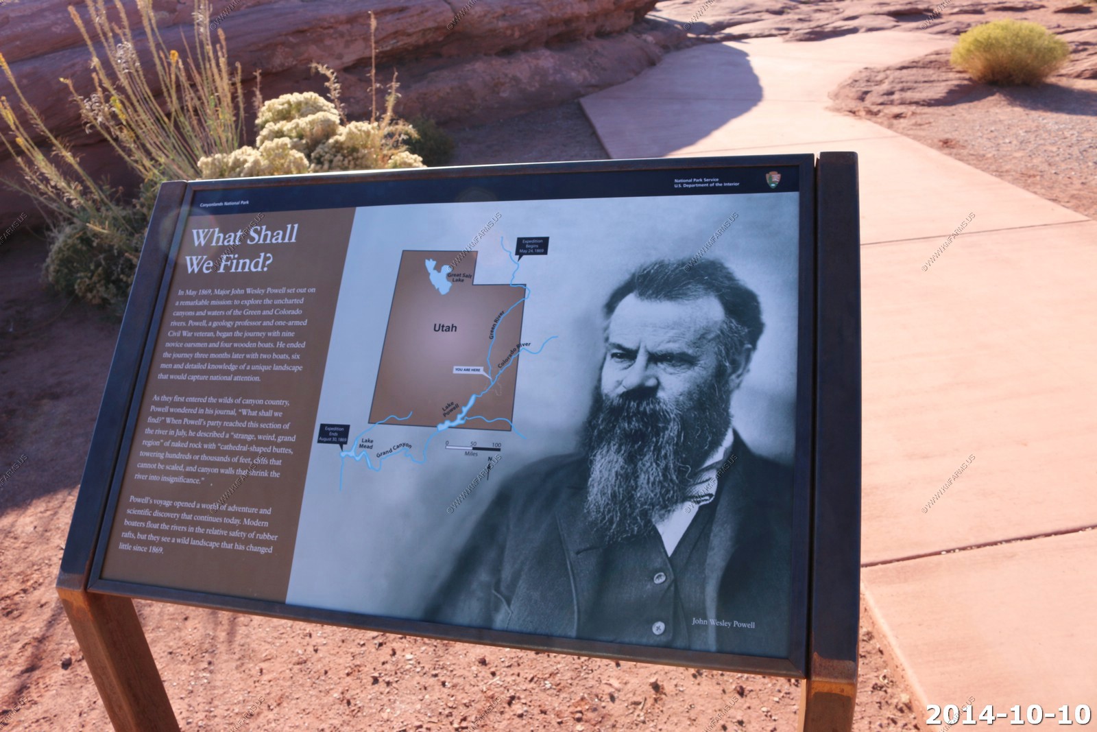
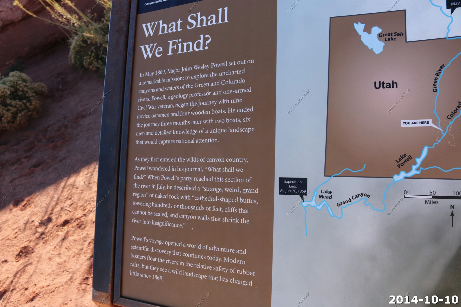
Information signs at the overlook.
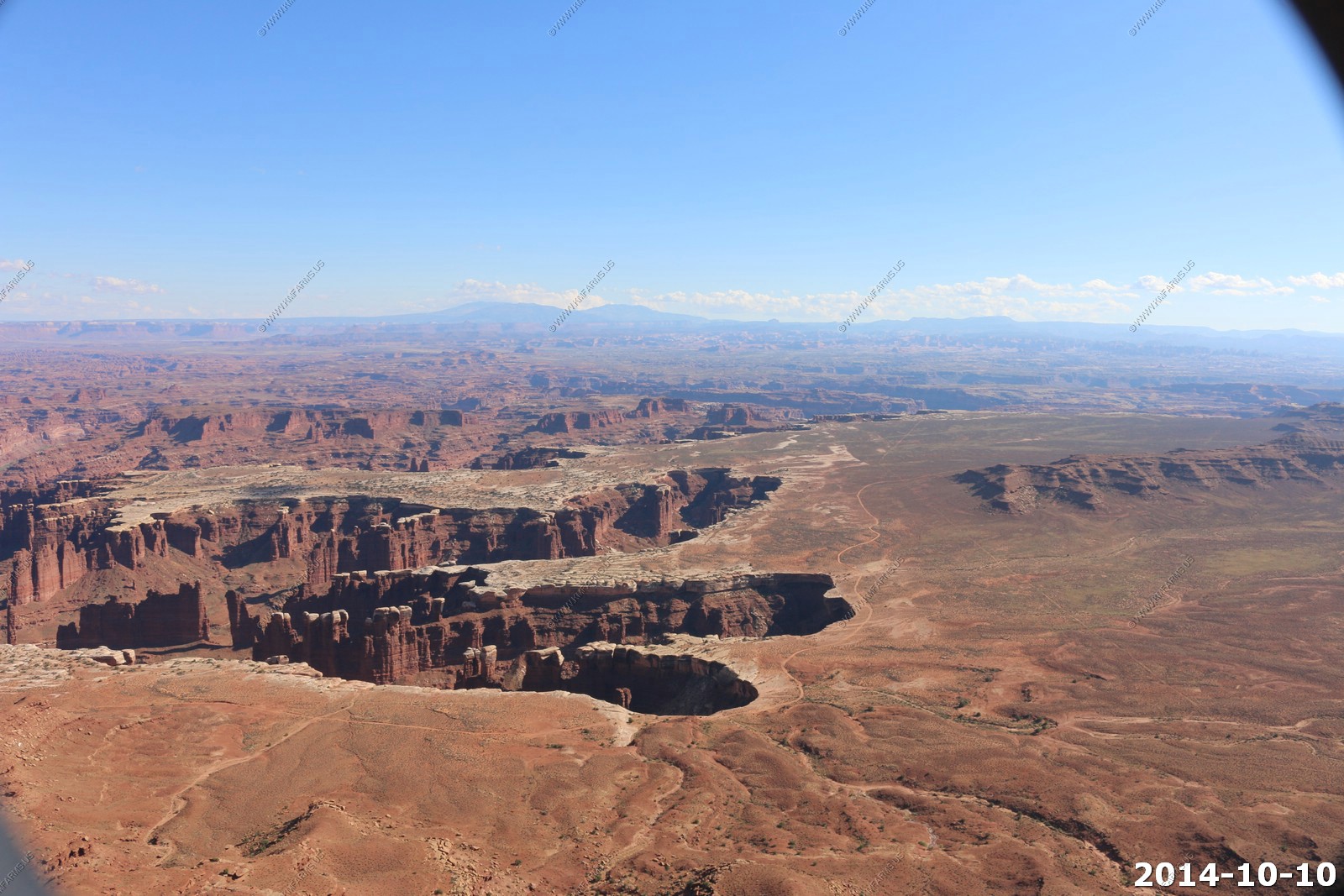
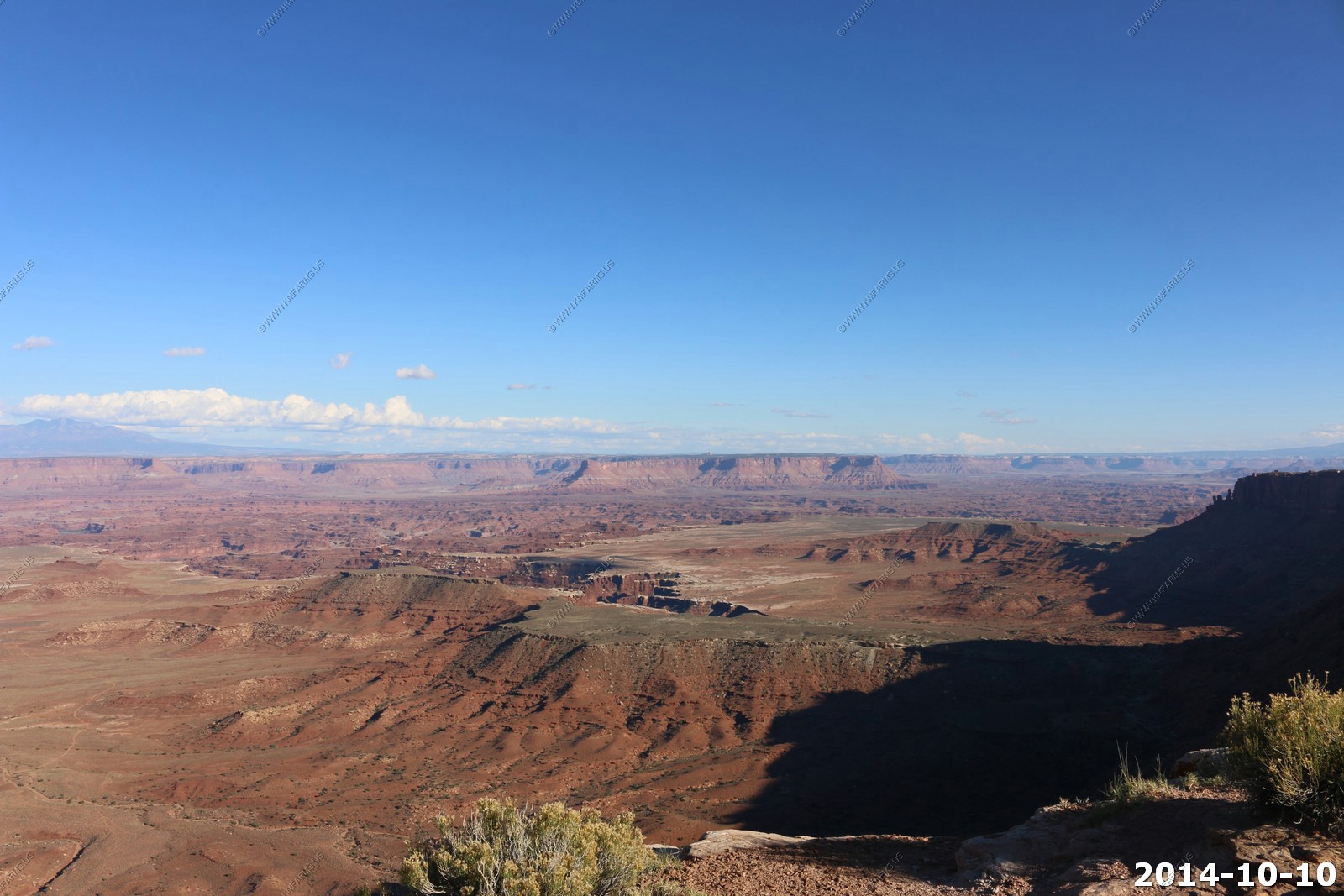
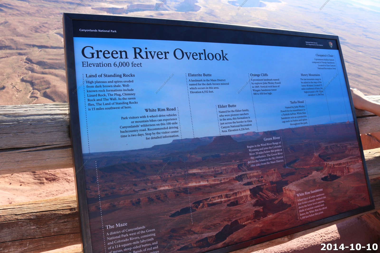
We started to head out of the park and catch the overlooks we missed. The Green River Overlook.
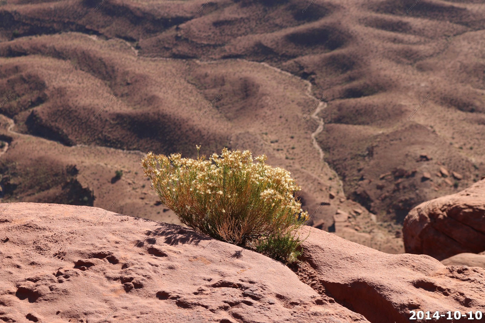
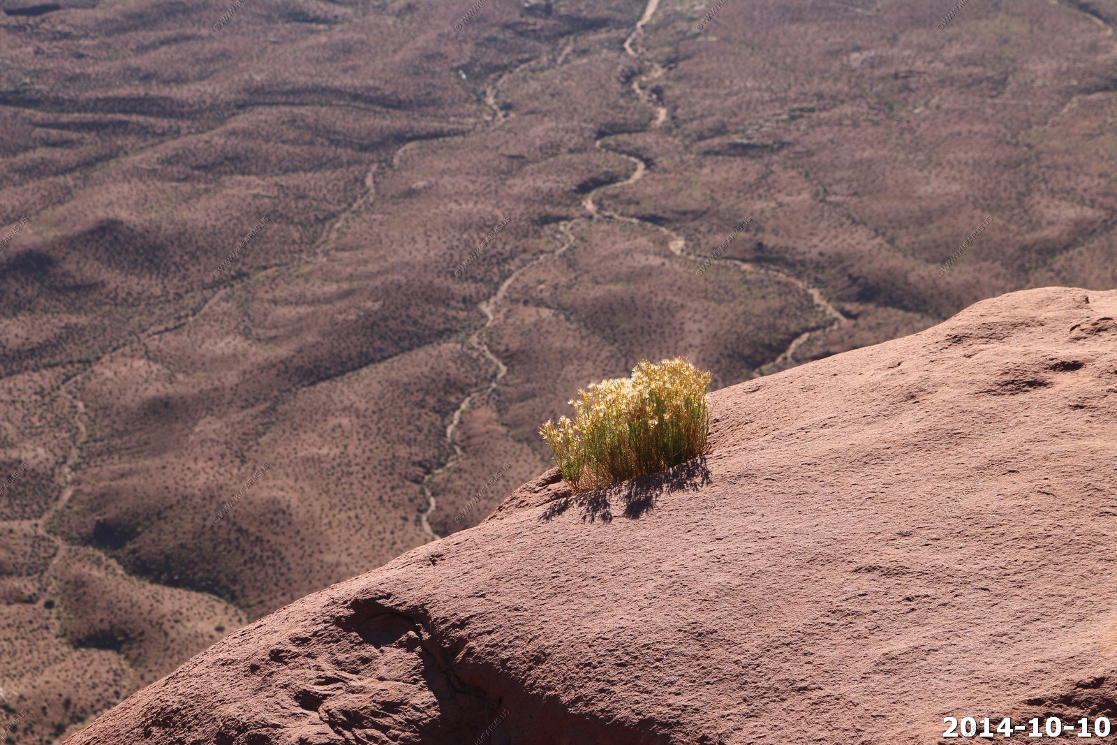
These plants sure like being on the edge.
Rush hour !
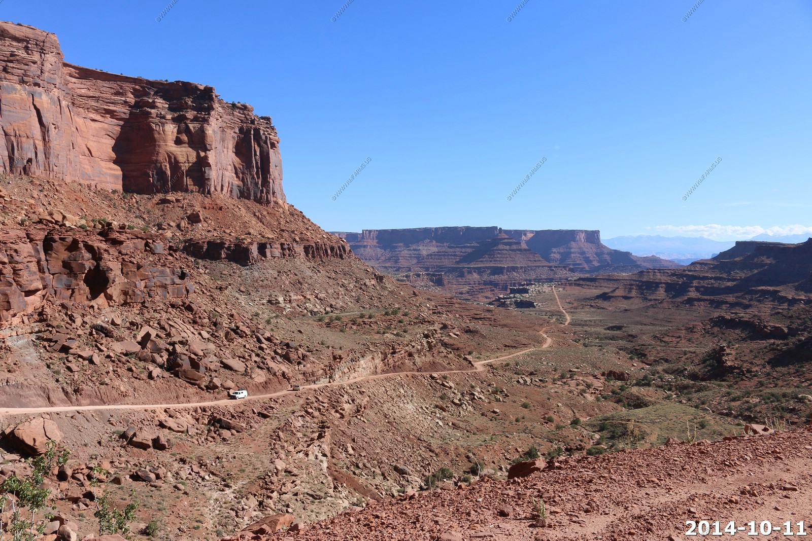
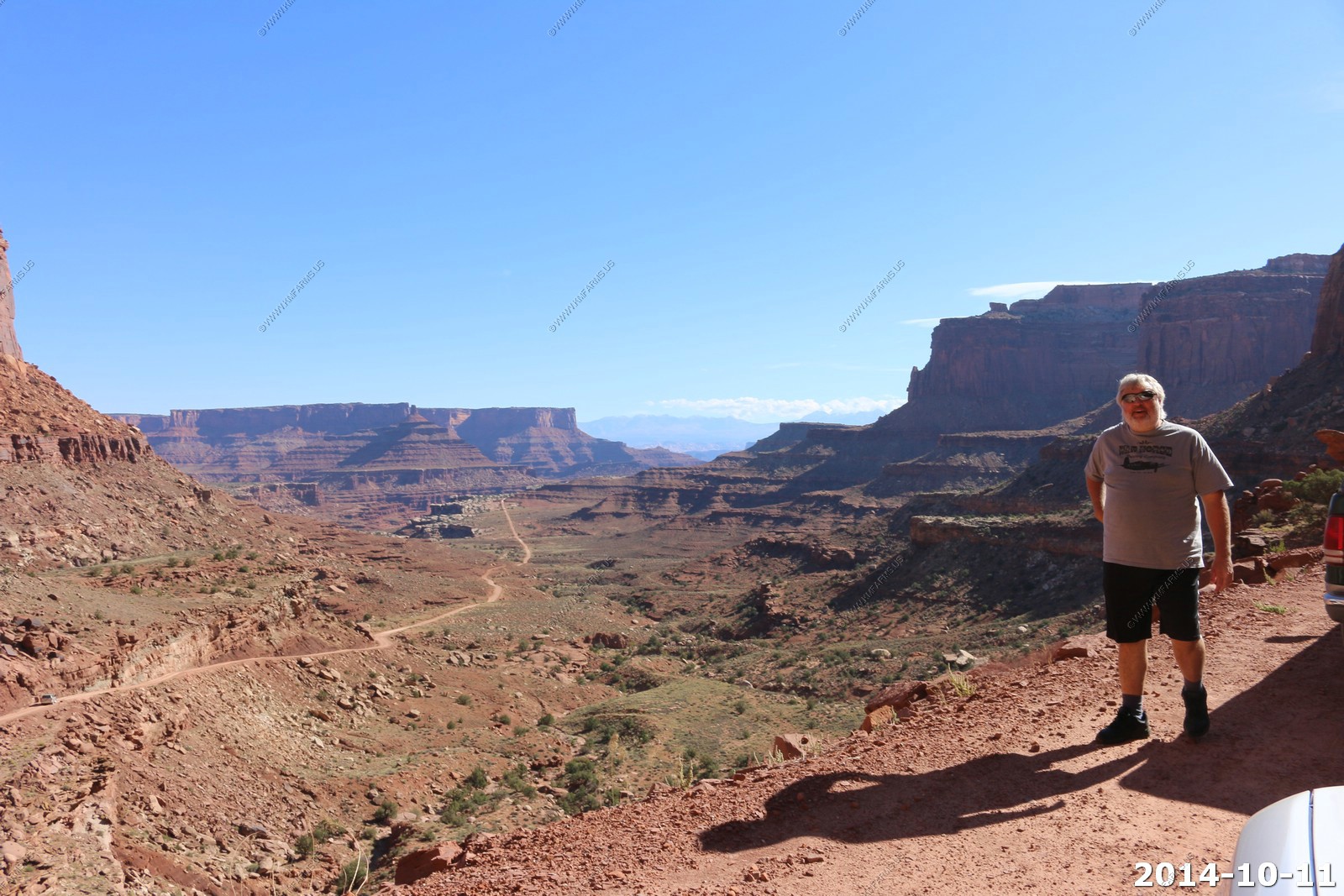
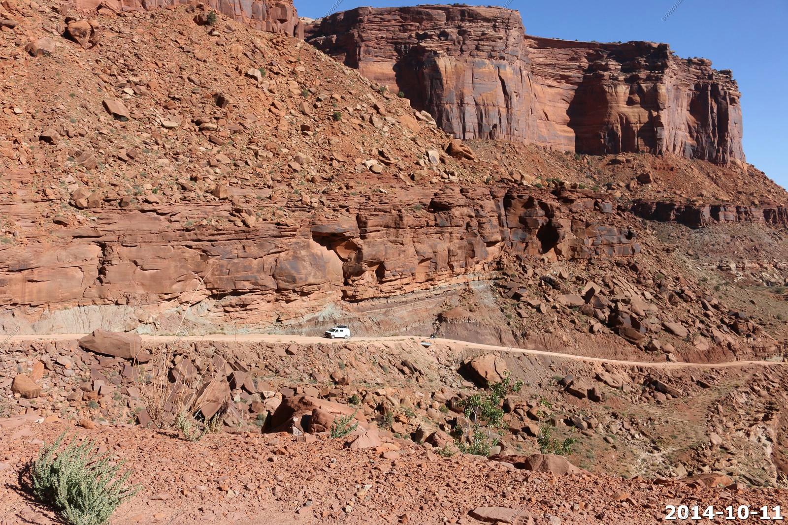
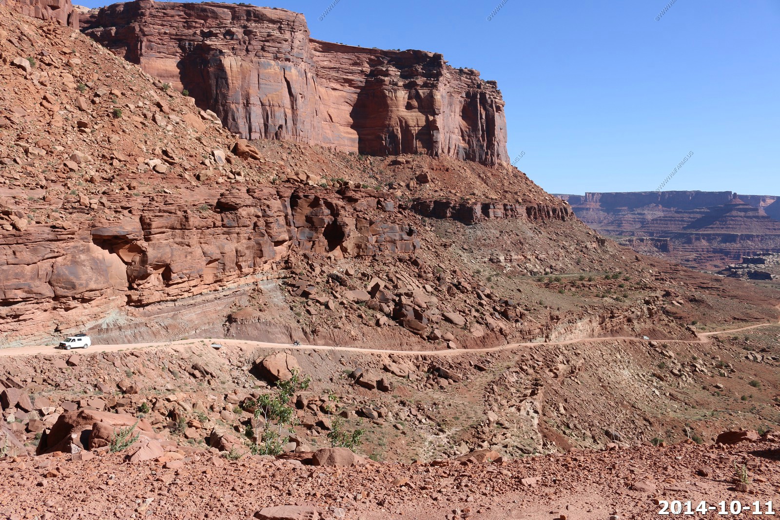
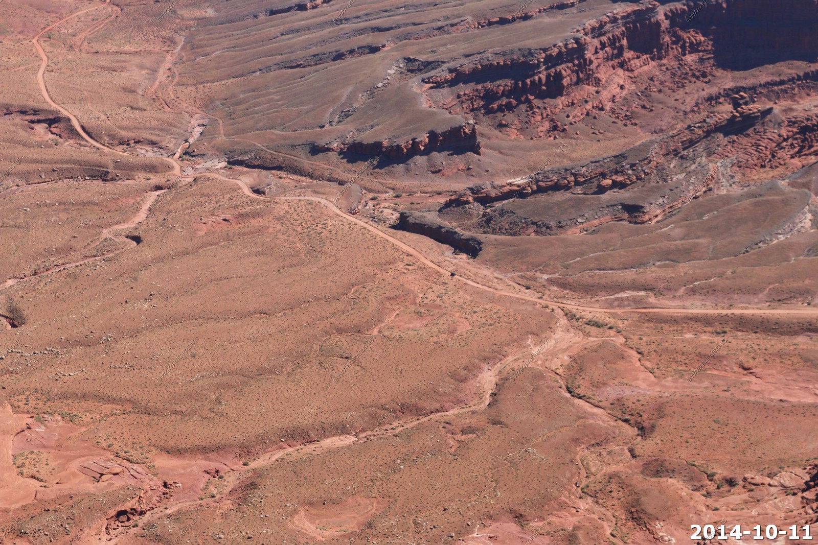
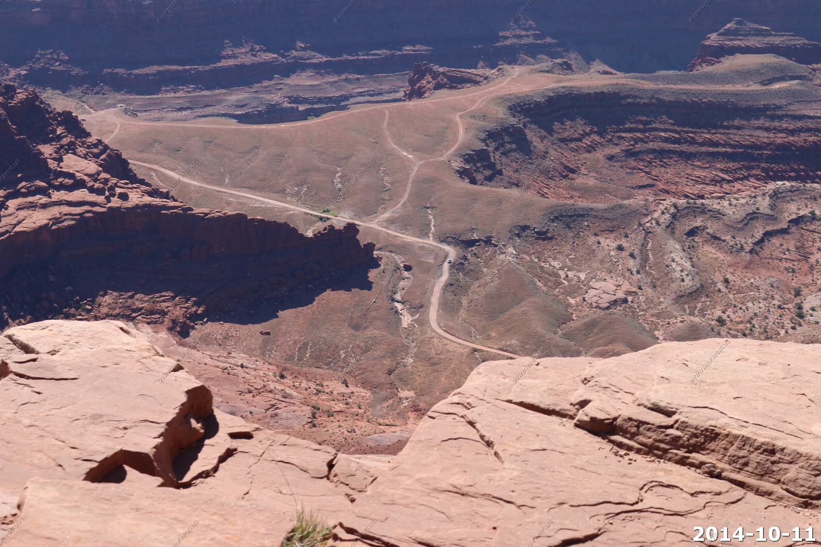
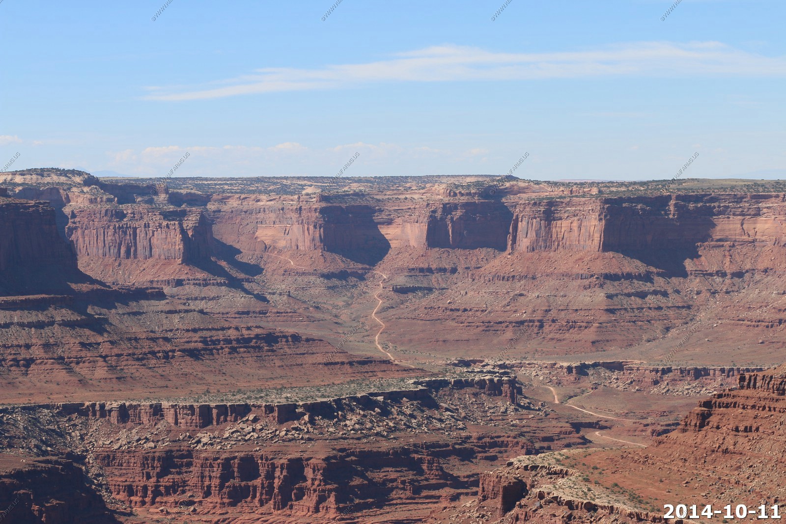
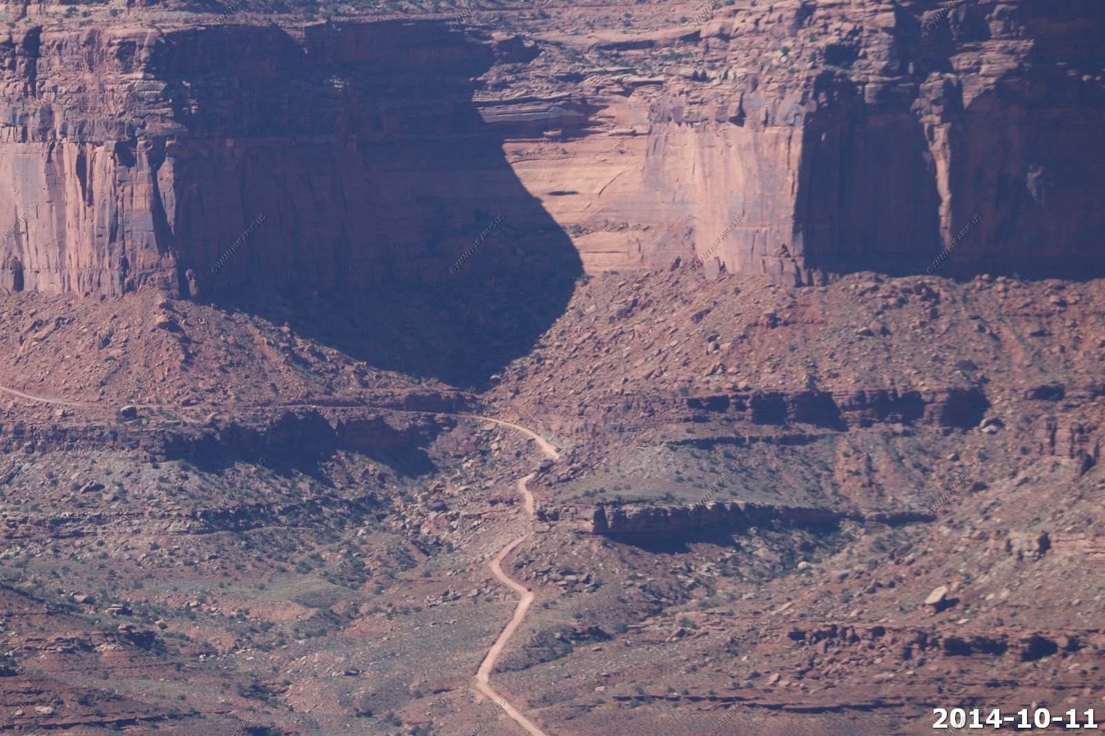
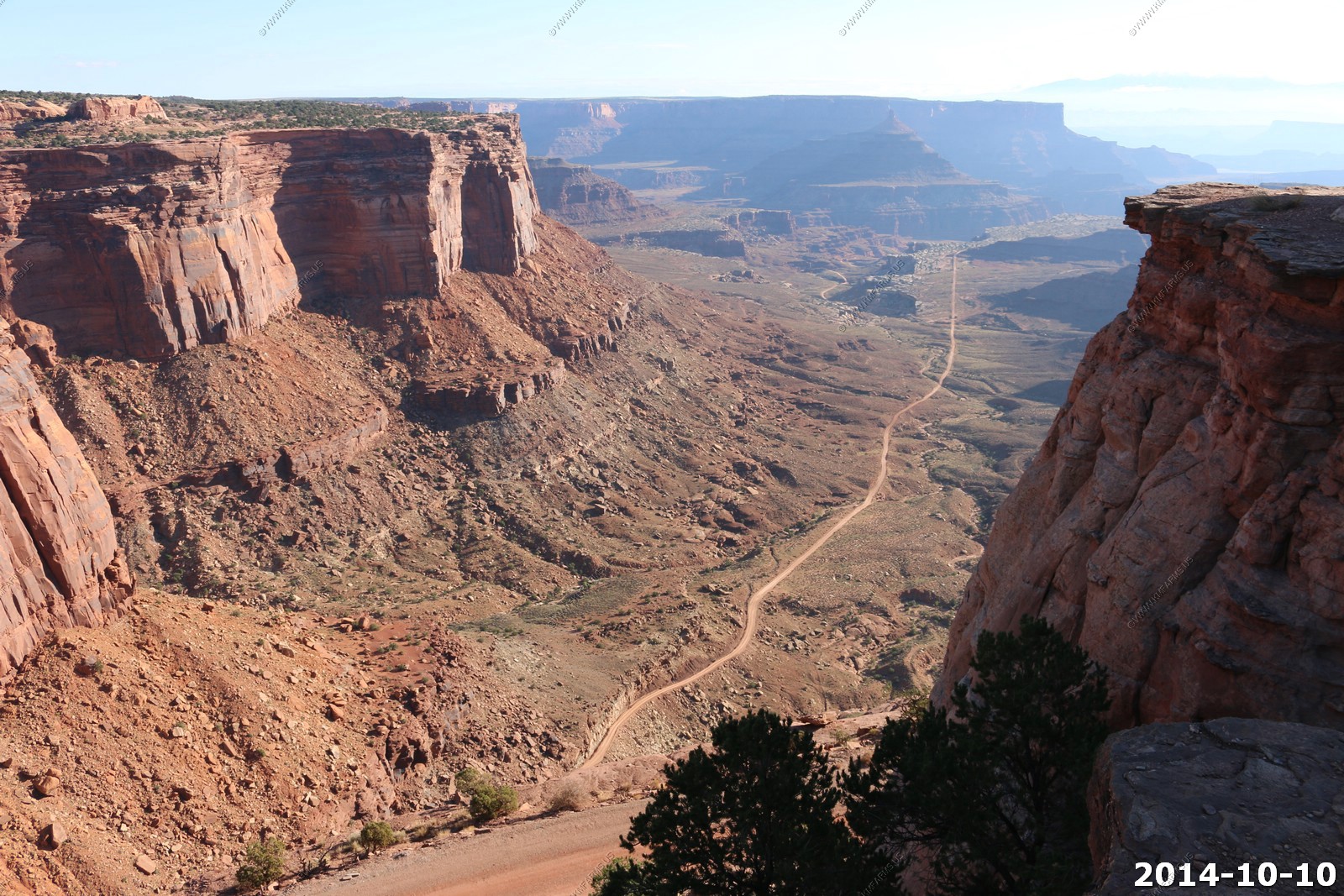
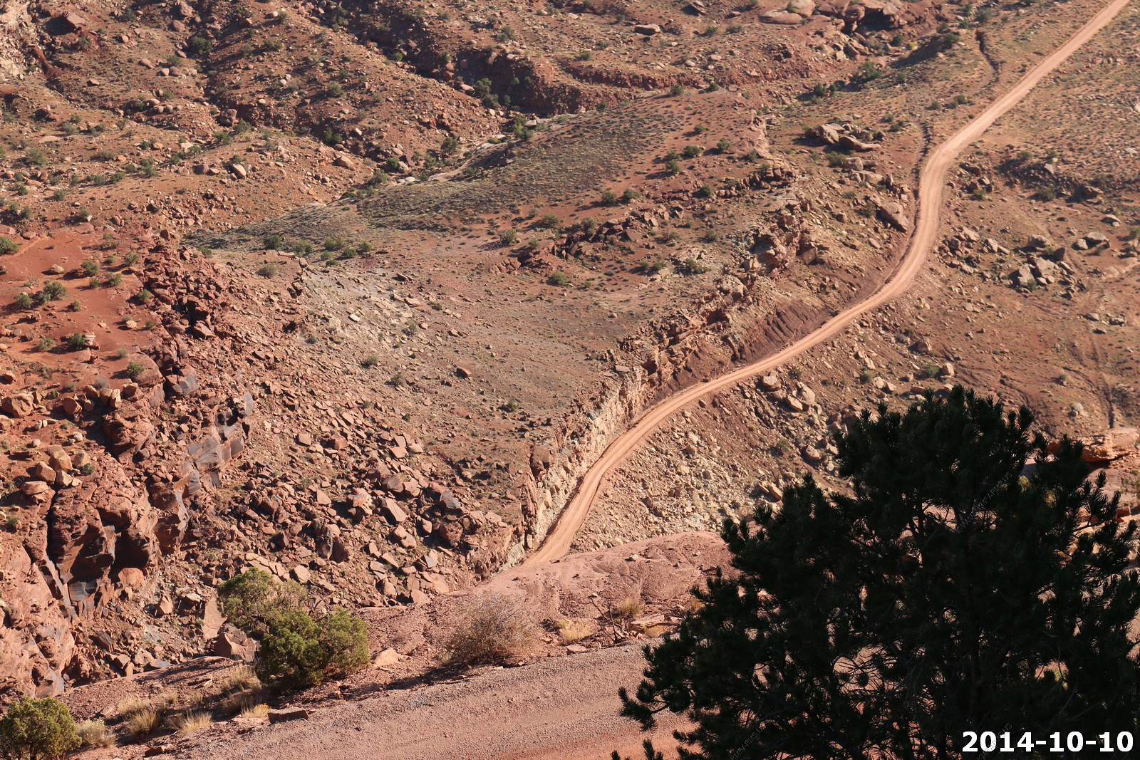
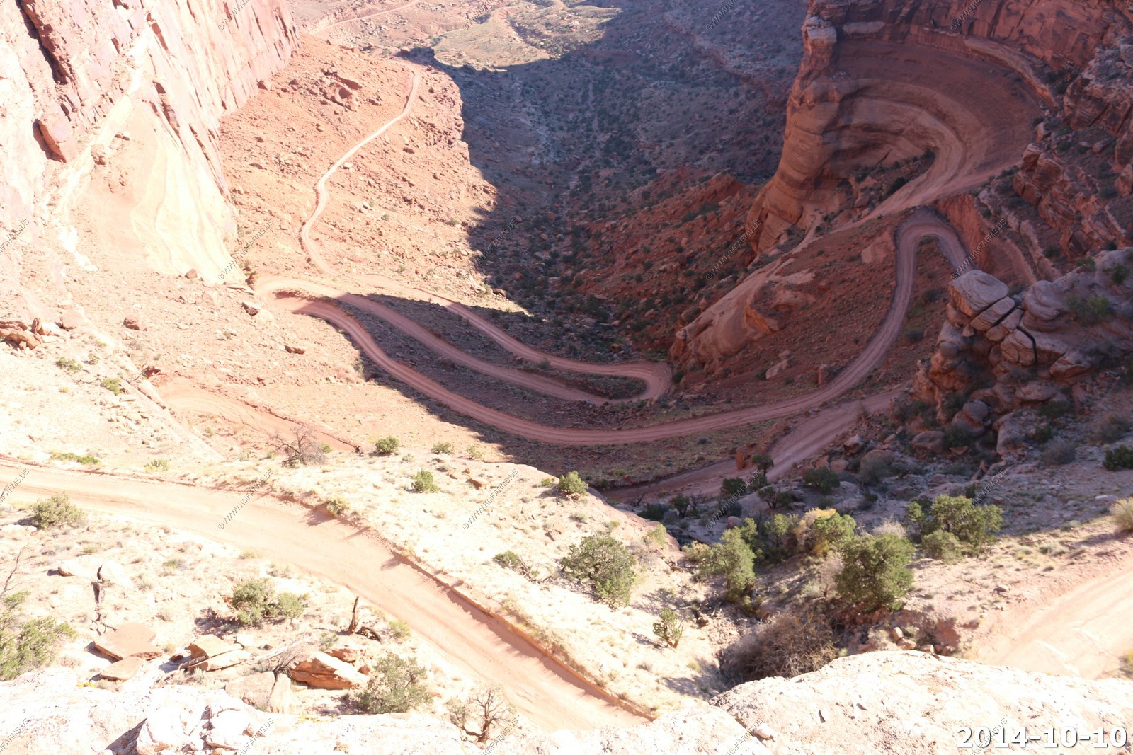
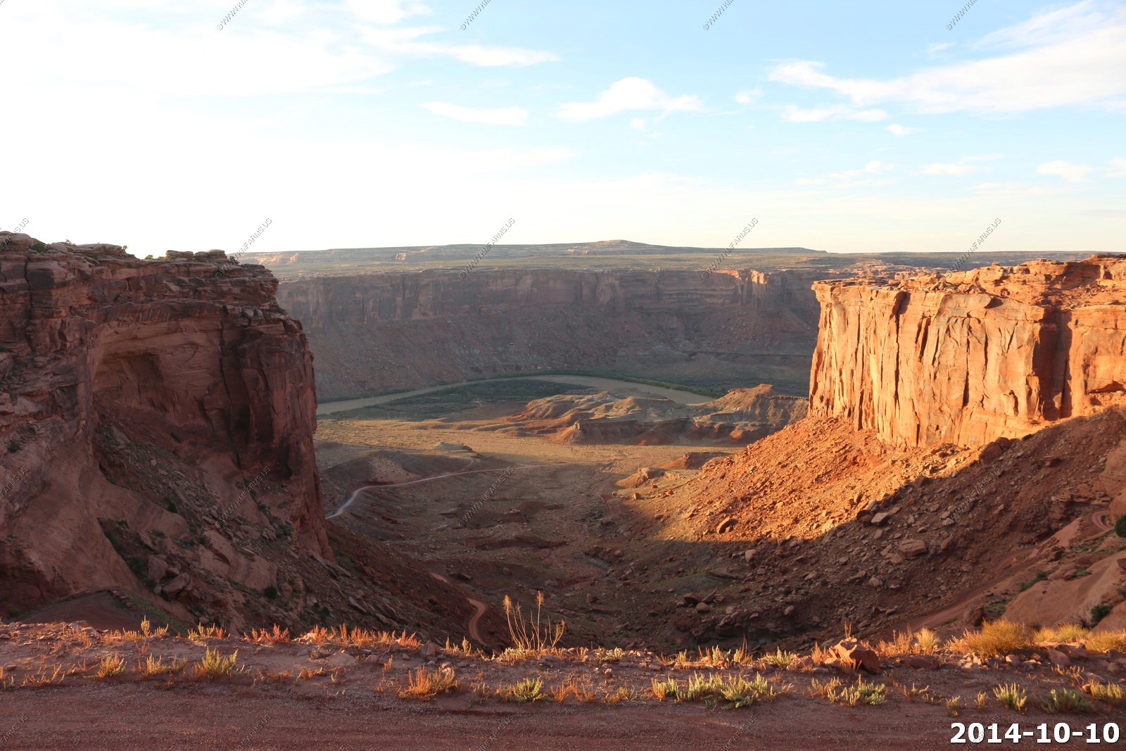
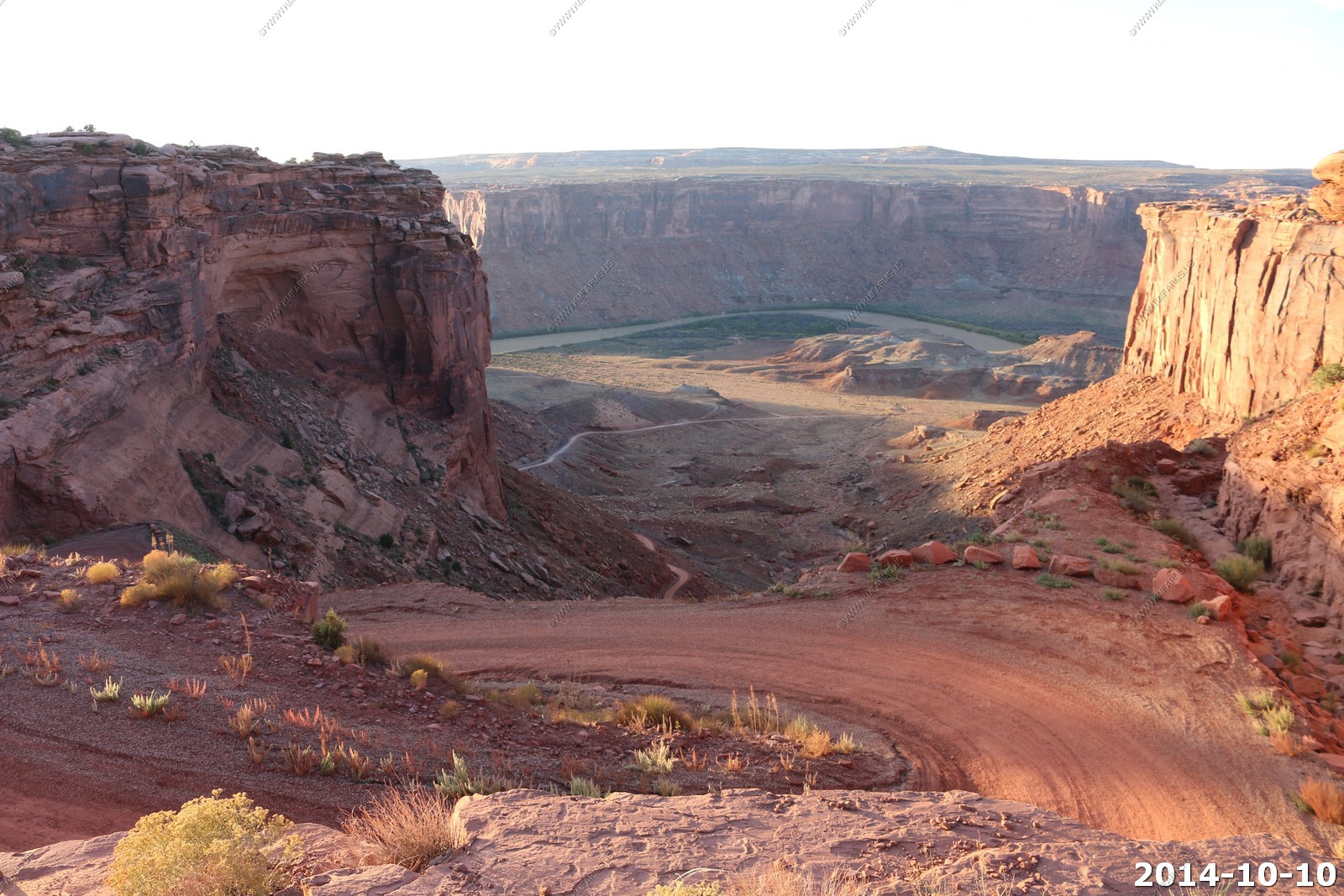
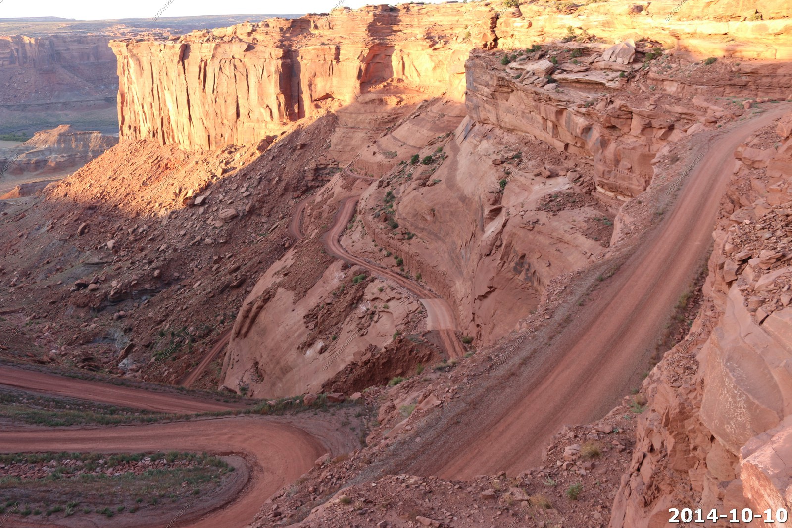
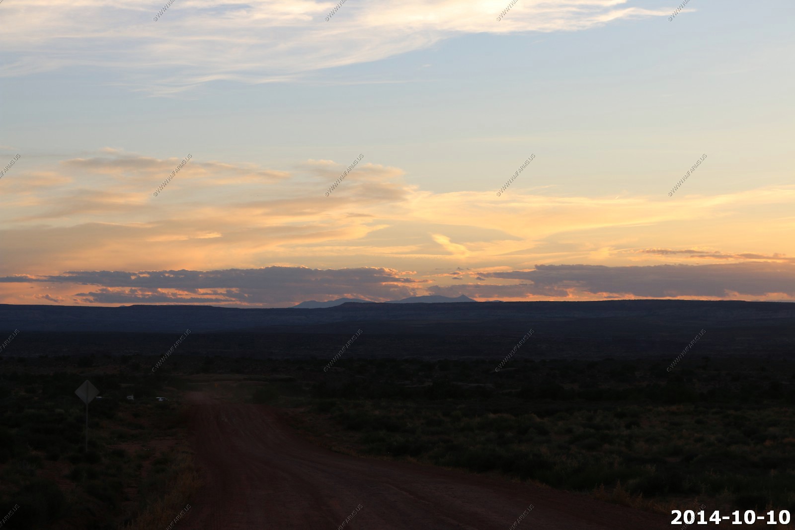
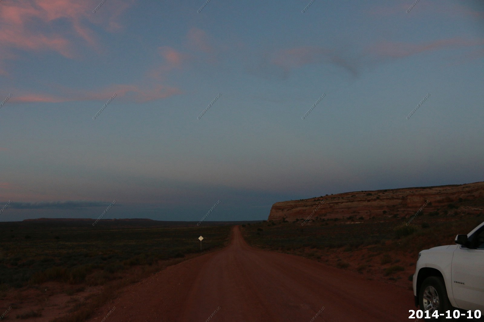
BLM lands - Mineral Road switchbacks - Access to the western side of White Rim Road
So, last time we were here we watched the sunset from this road and it was very good. So, we figured we would try it again.
Looking down at the Green River and the switchbacks. Looks to not be as well maintained as the Shaffer Trail.
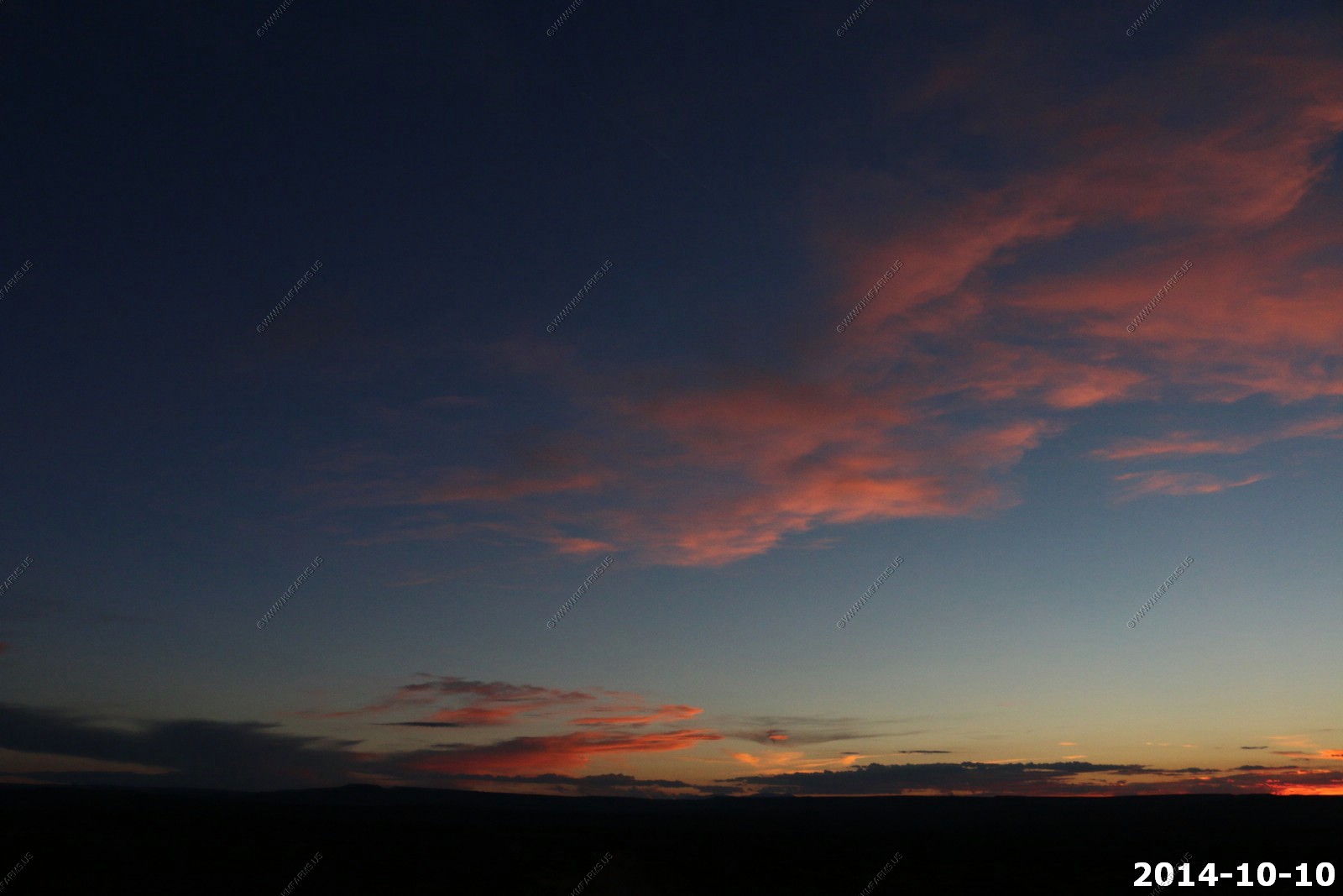
Sunset time along Mineral Road (Horse Thief Trail) as the shadows are getting long.
Looking north towards Green River, Utah.
Looking at a thunderstorm over the North Rim of the Grand Canyon 195 miles to the southwest.

They are never ready... Missing the sunset.
Sunset in the Henrys - 55 miles to the west.
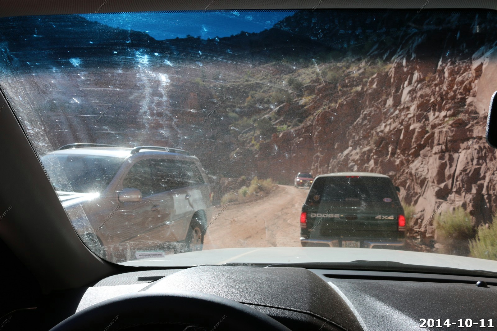
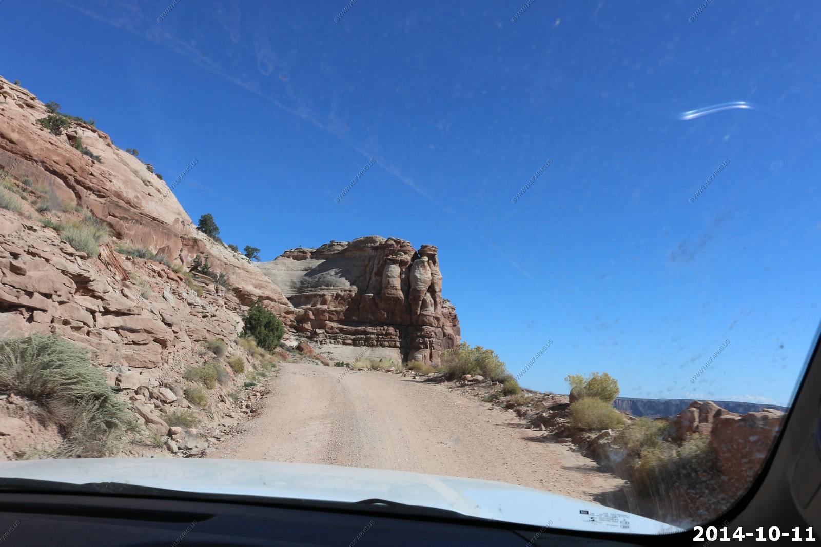
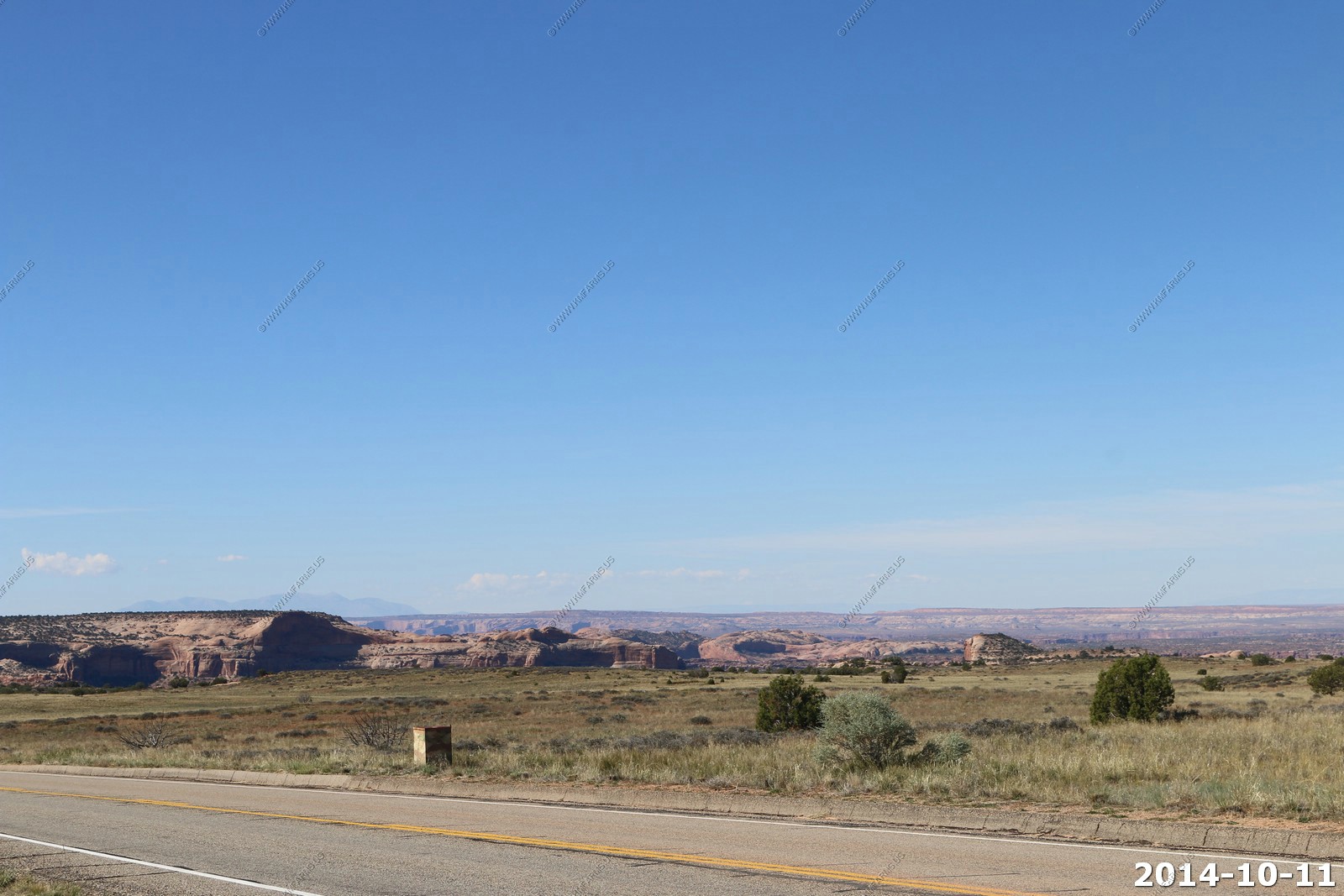
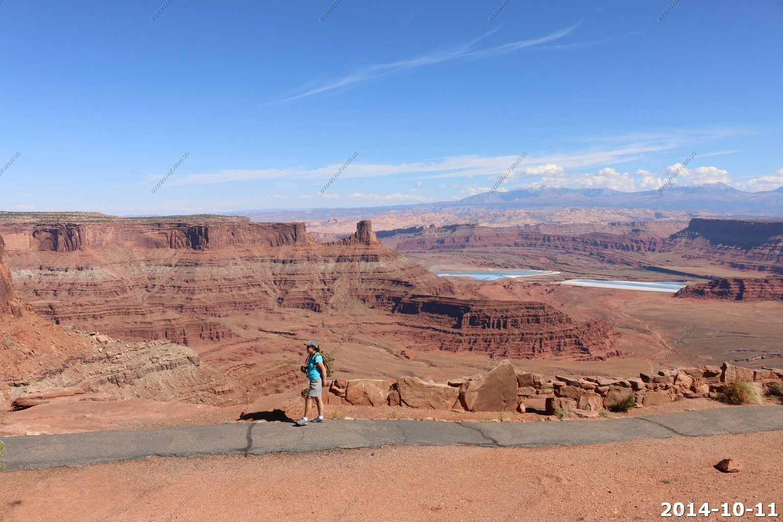
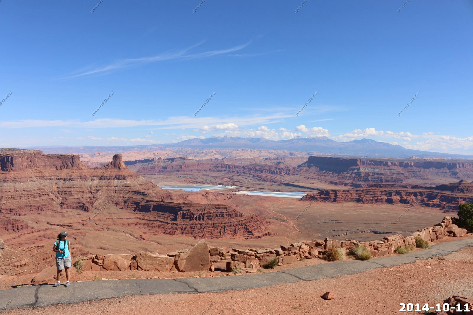
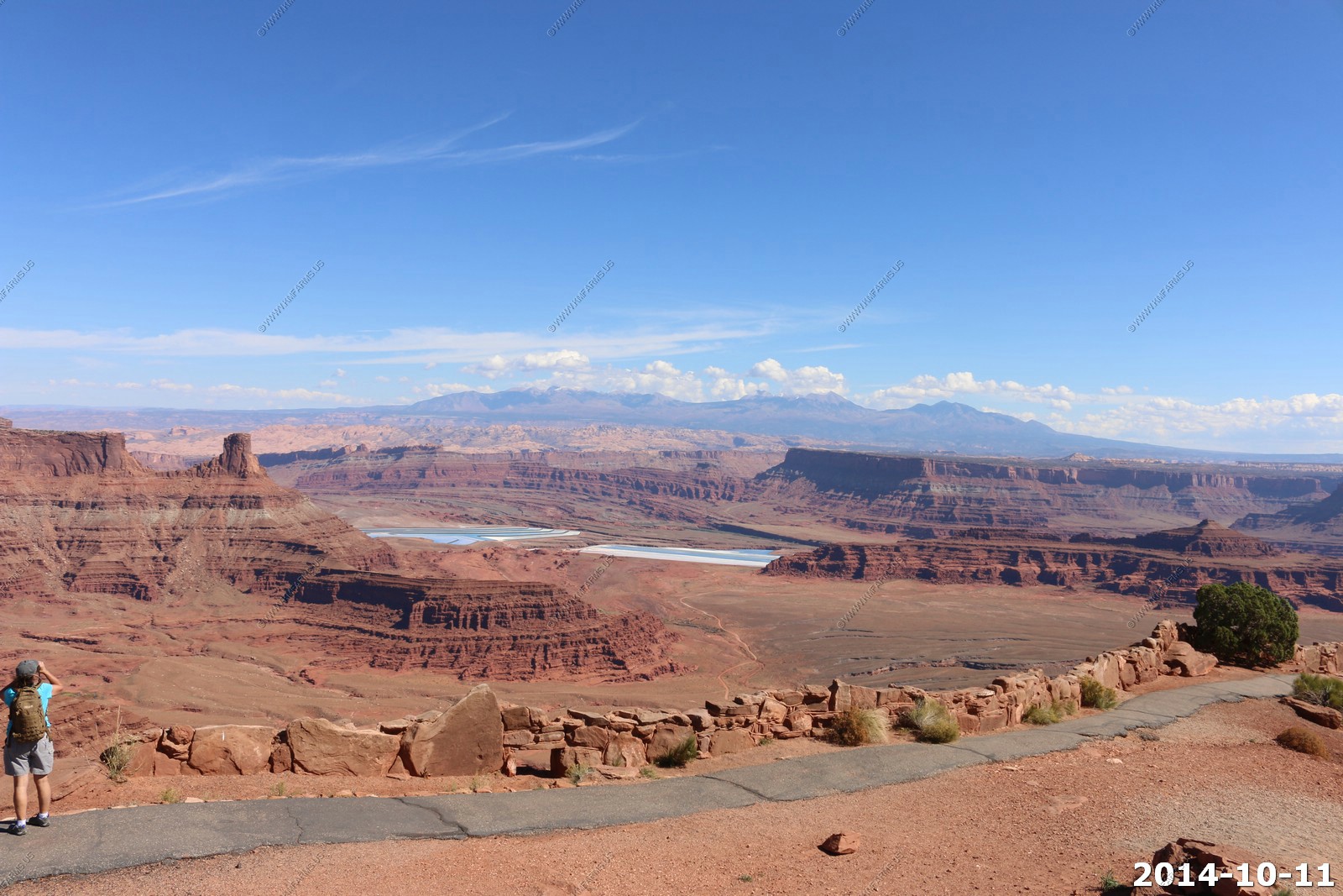
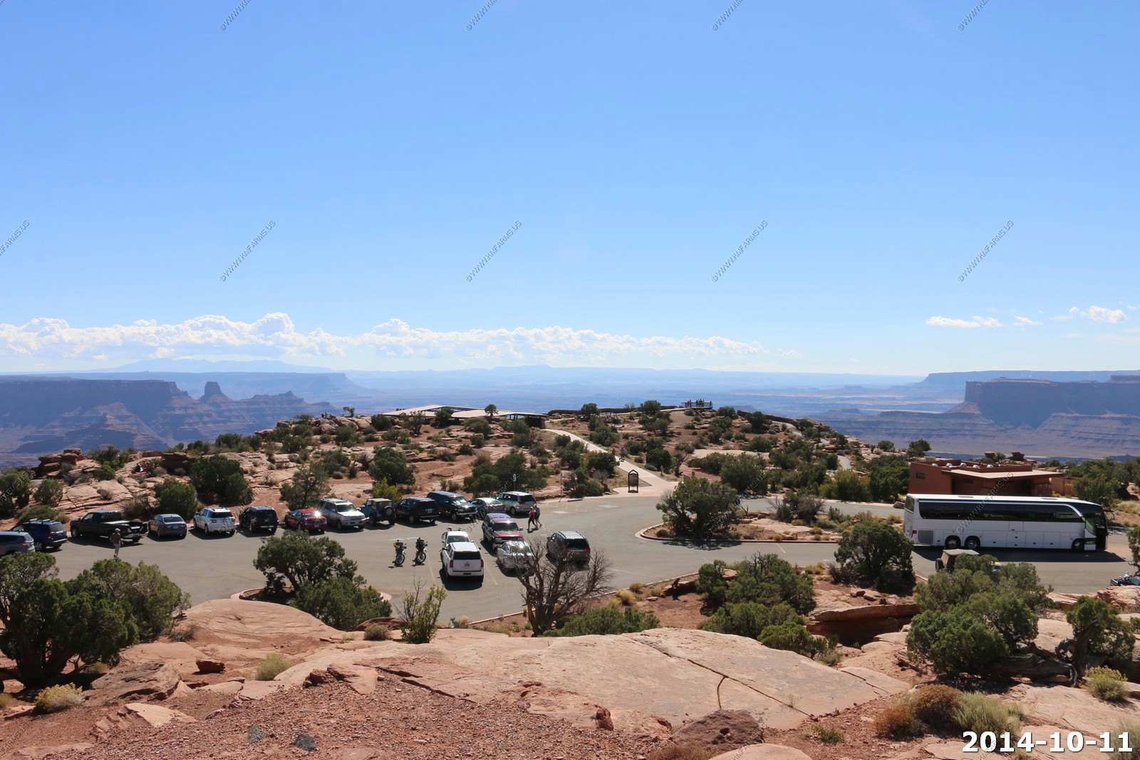
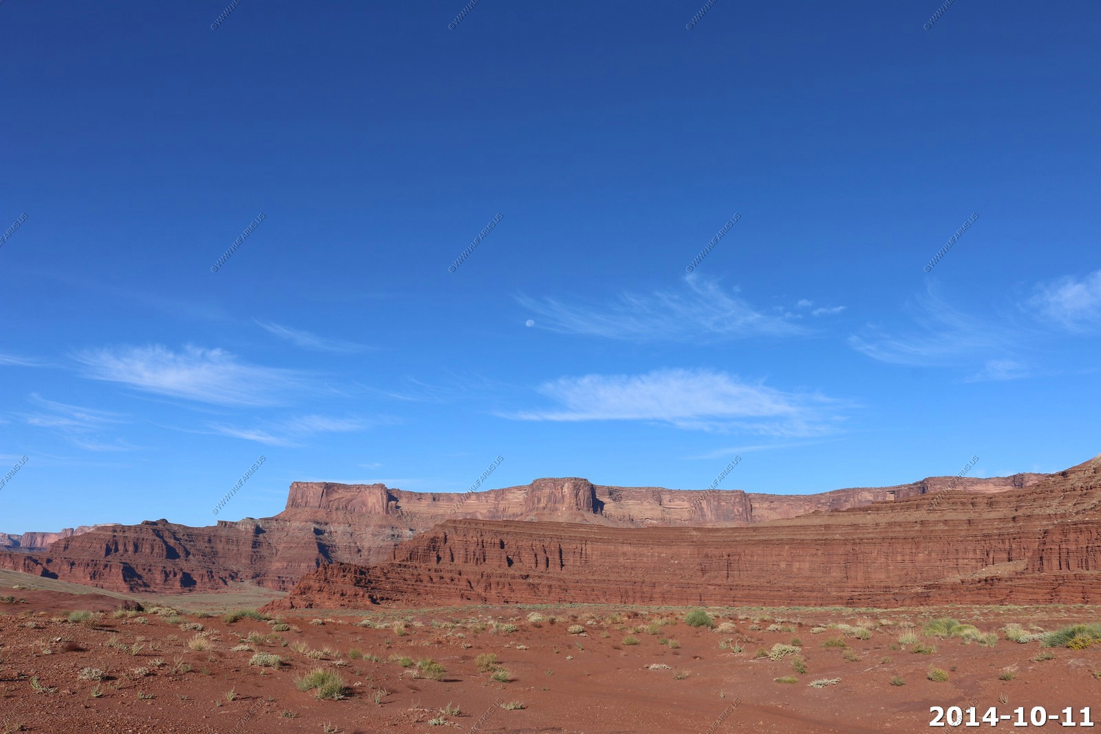
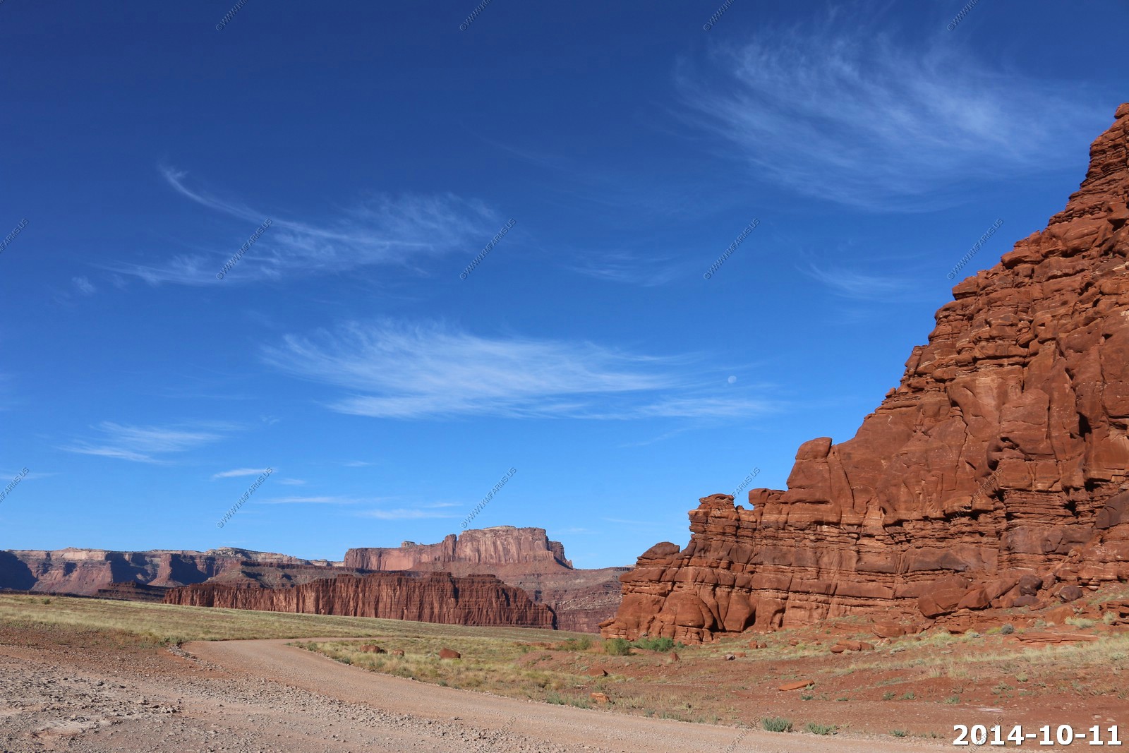
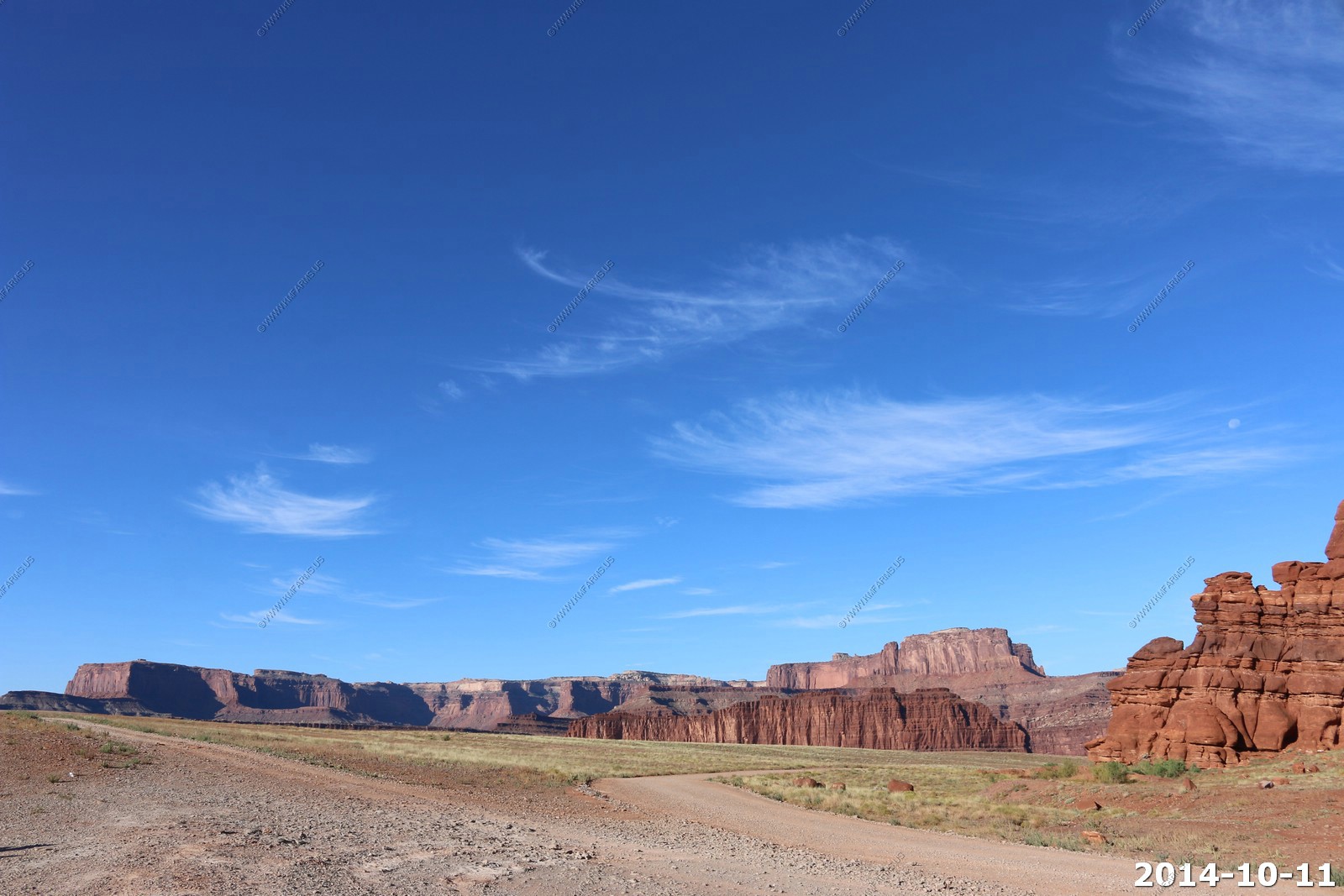
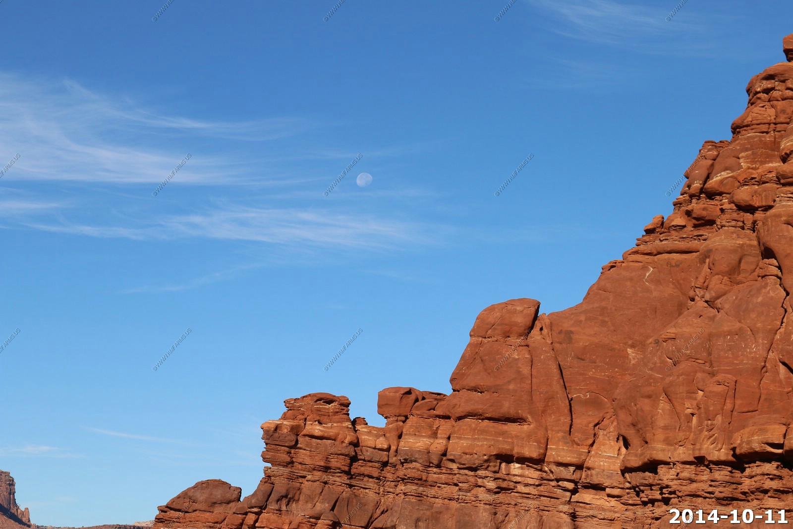
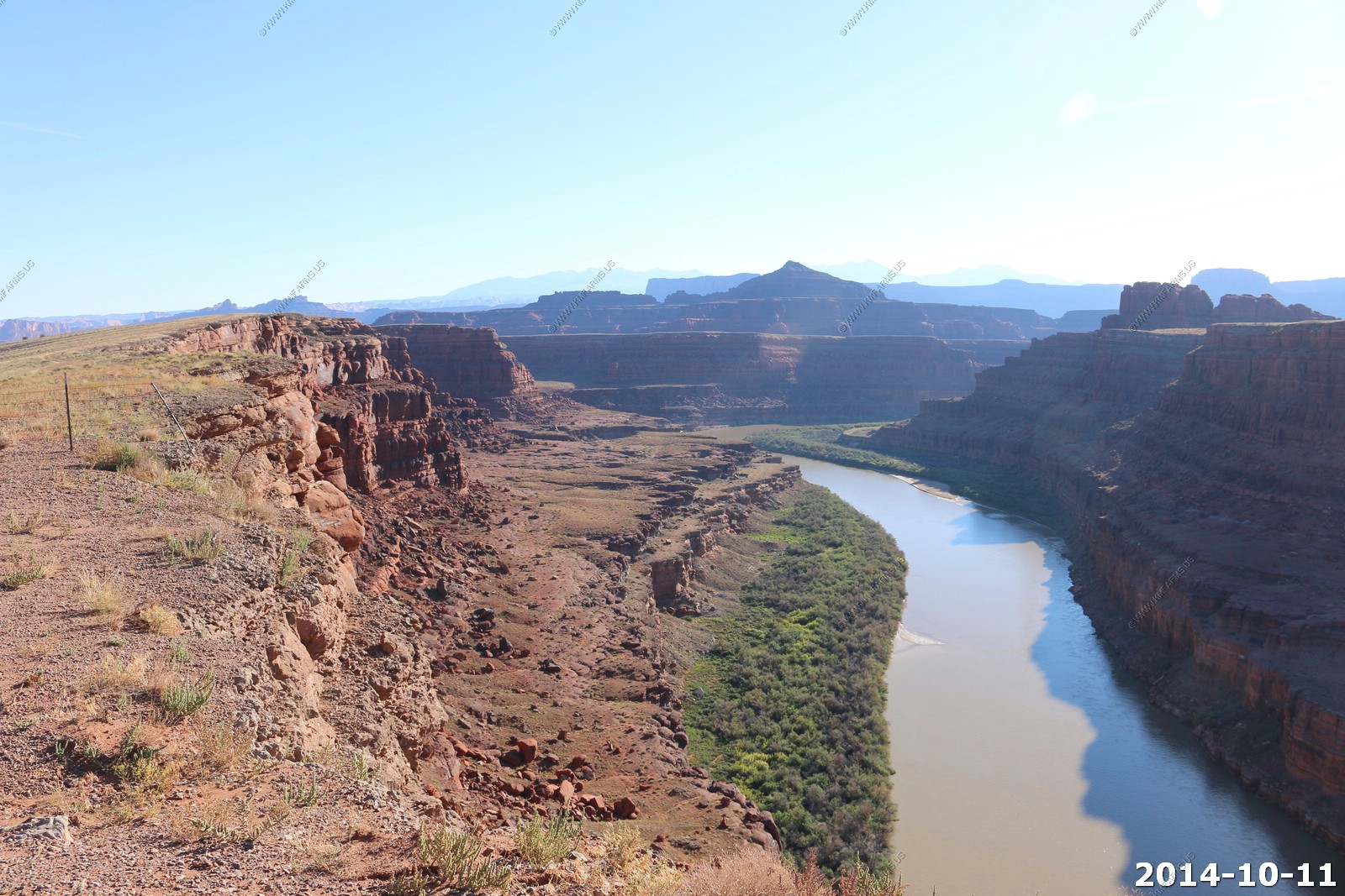
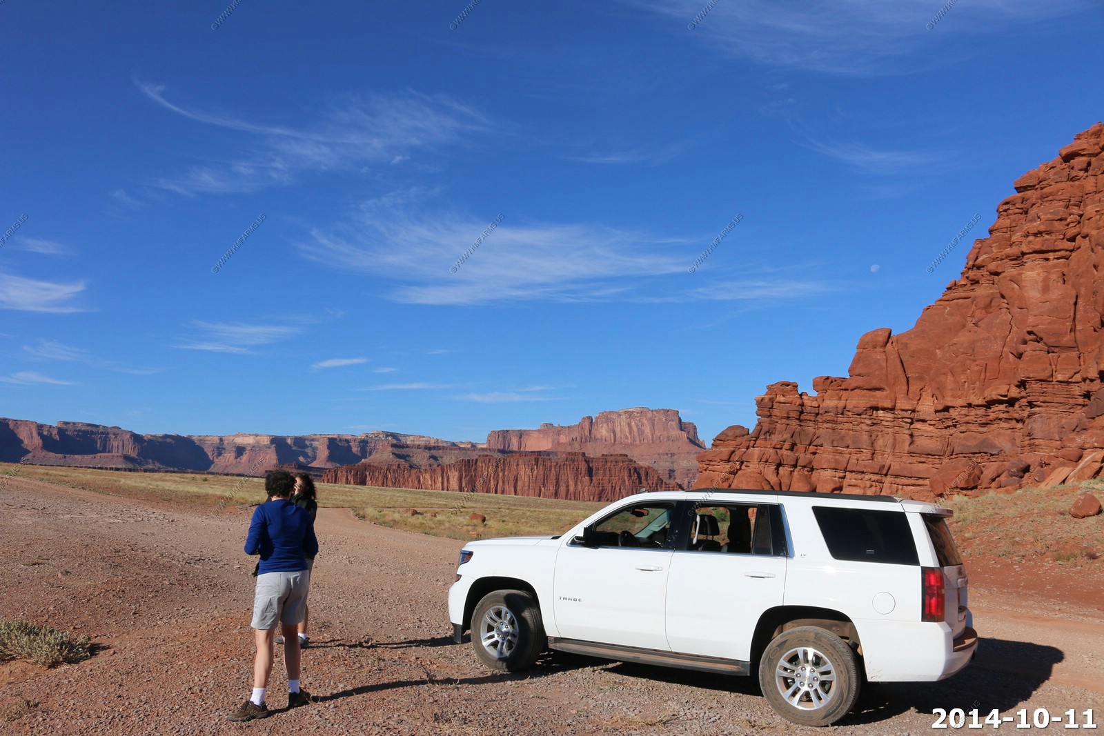
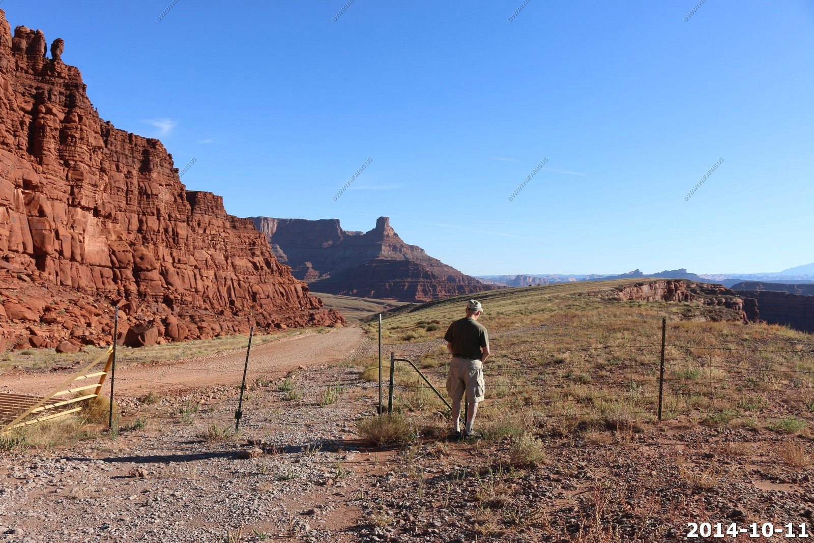
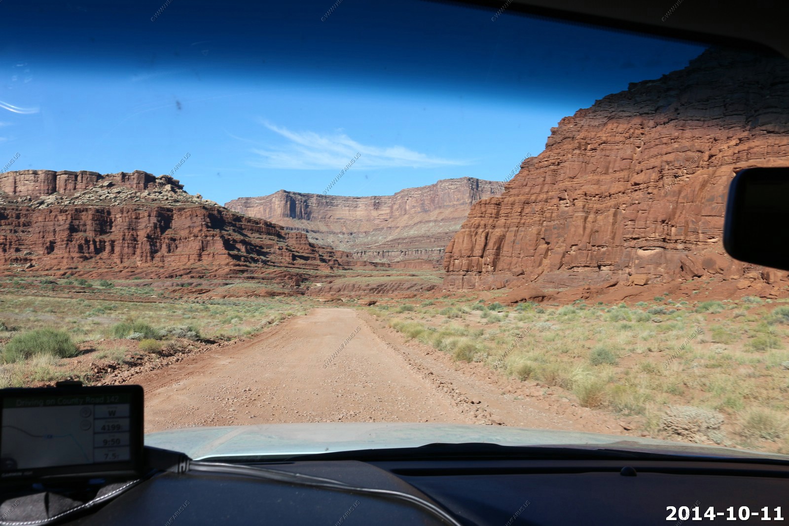
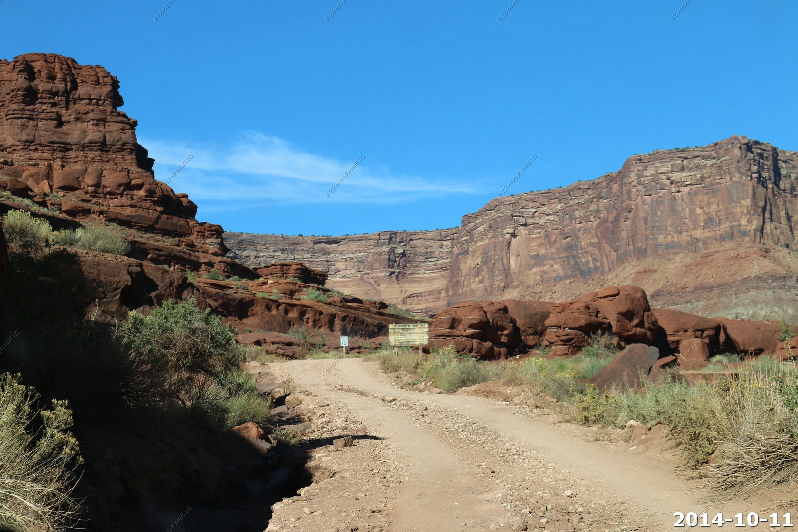
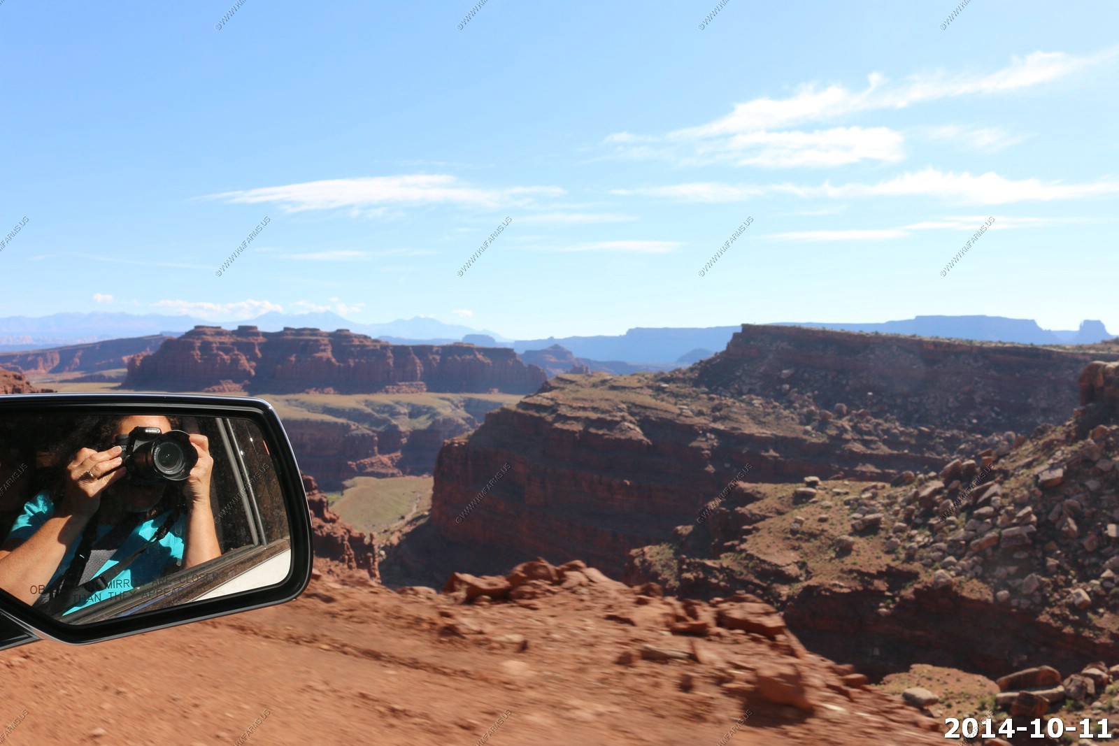
Saturday - OCT 11 2014
Canyonlands Day - 2
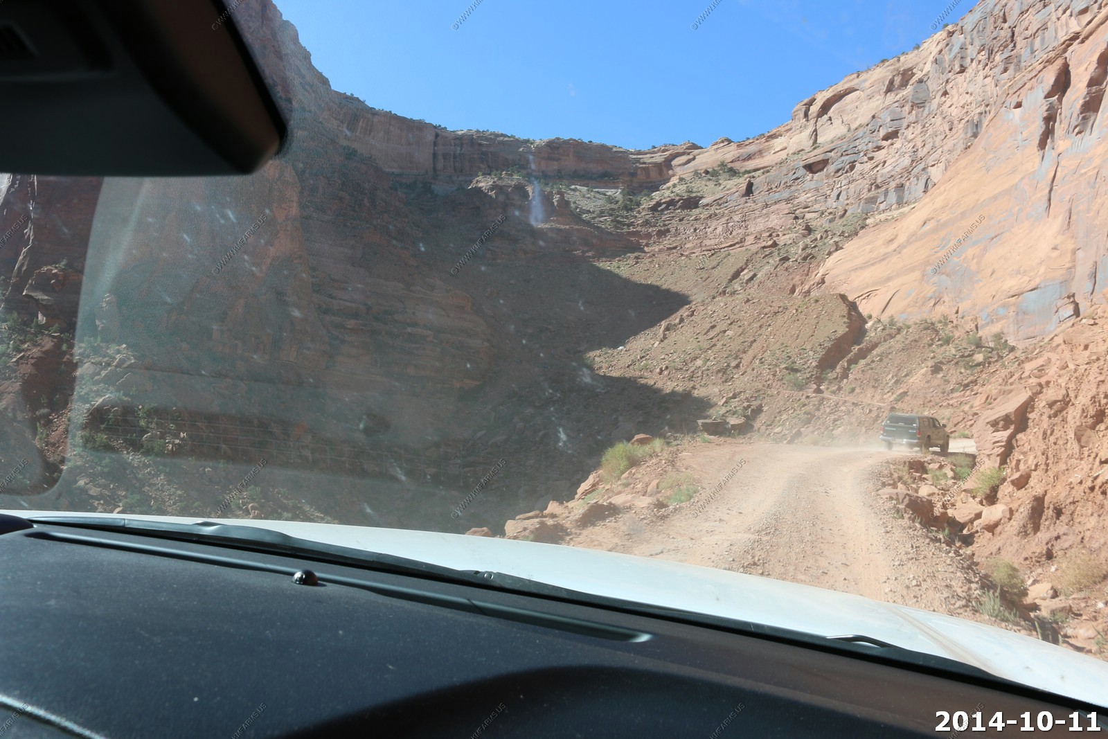
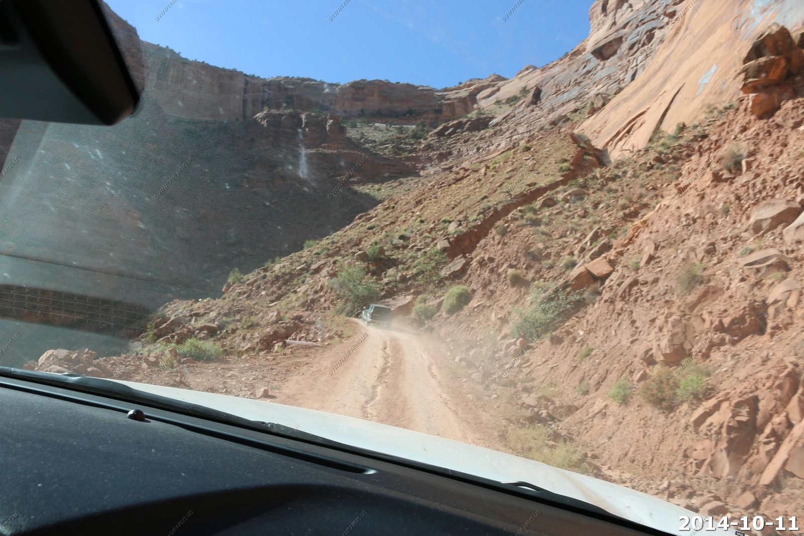
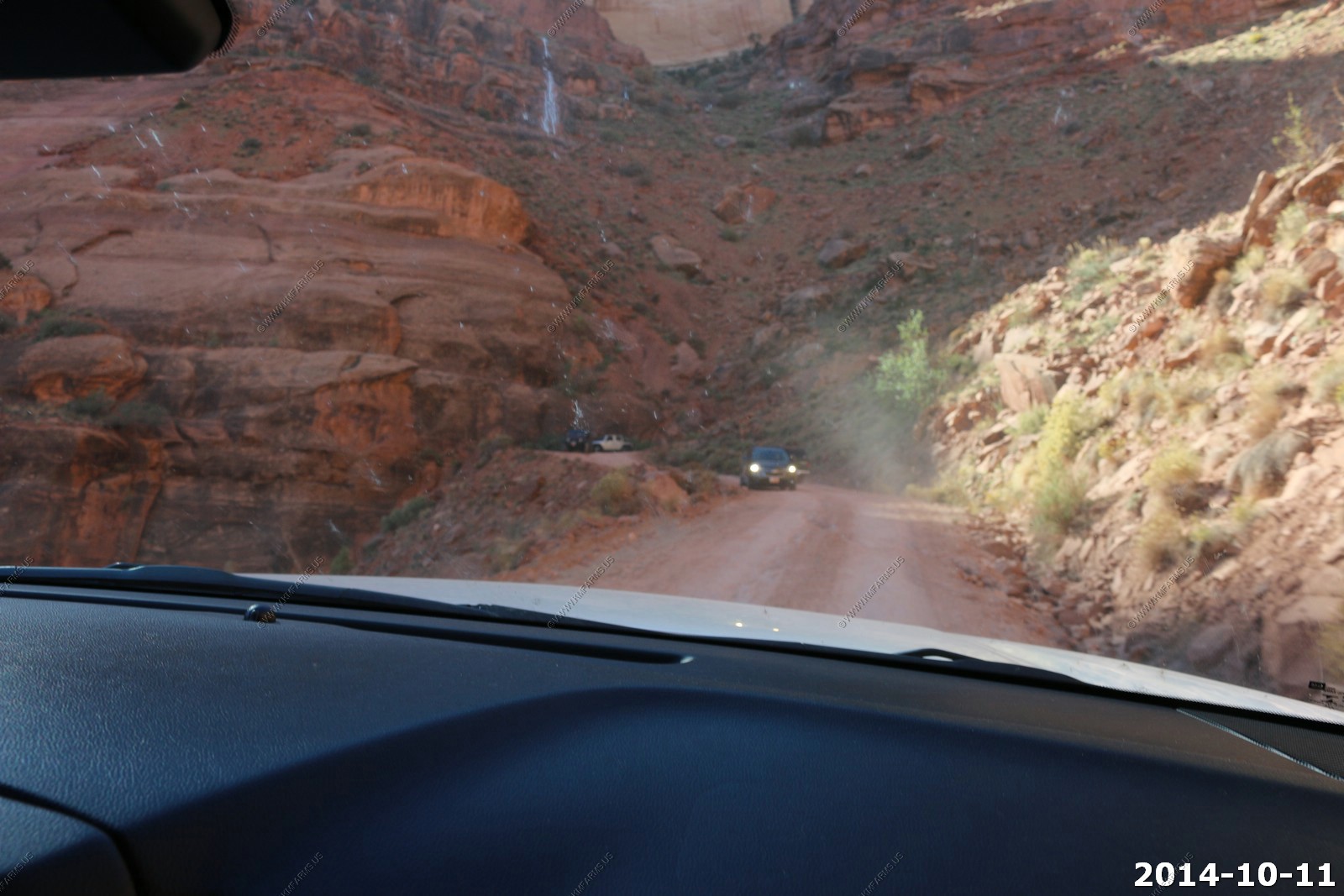
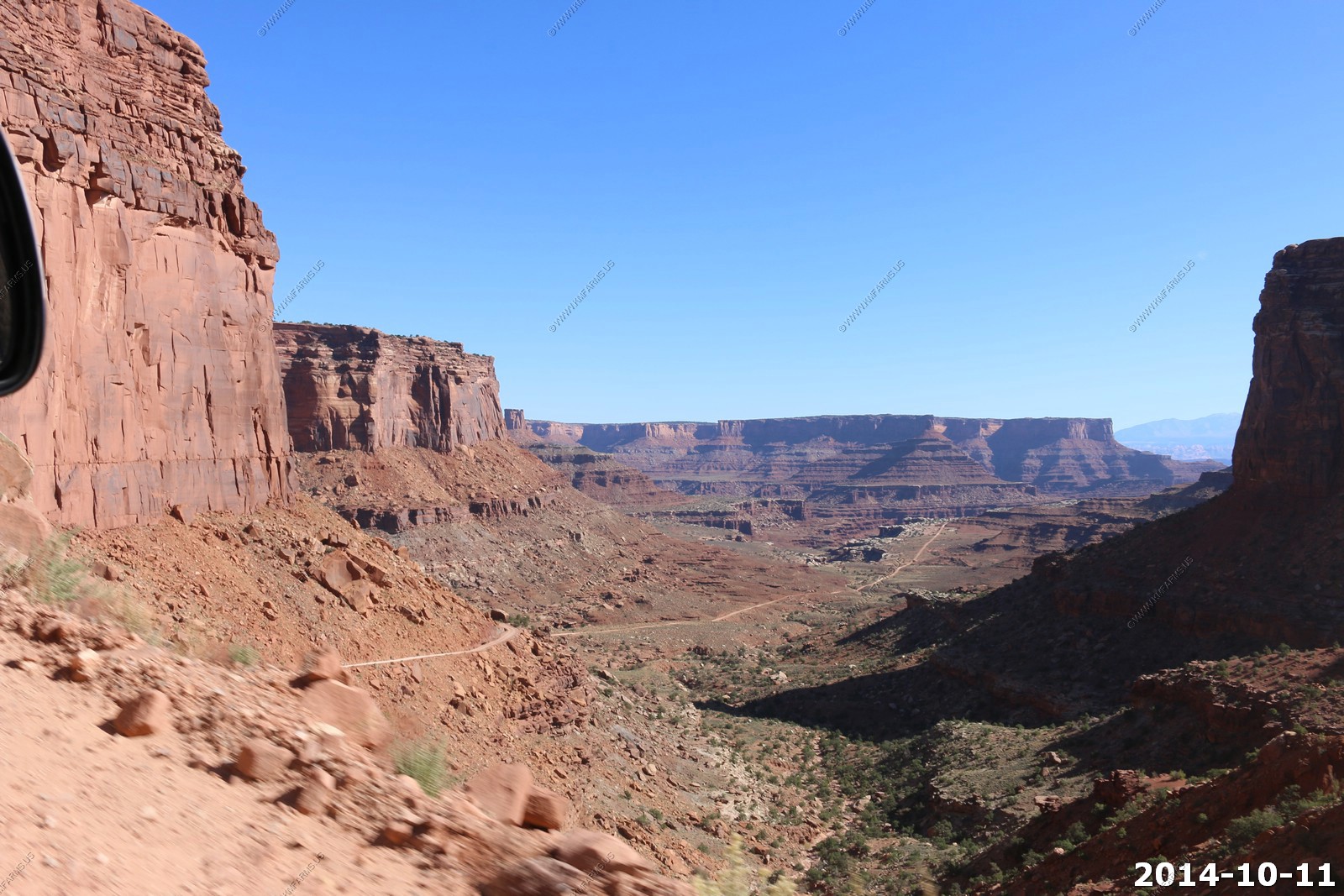
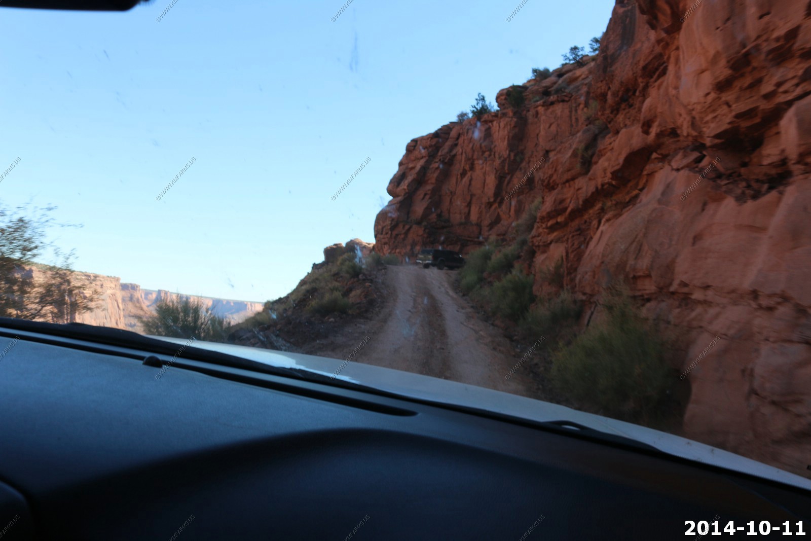
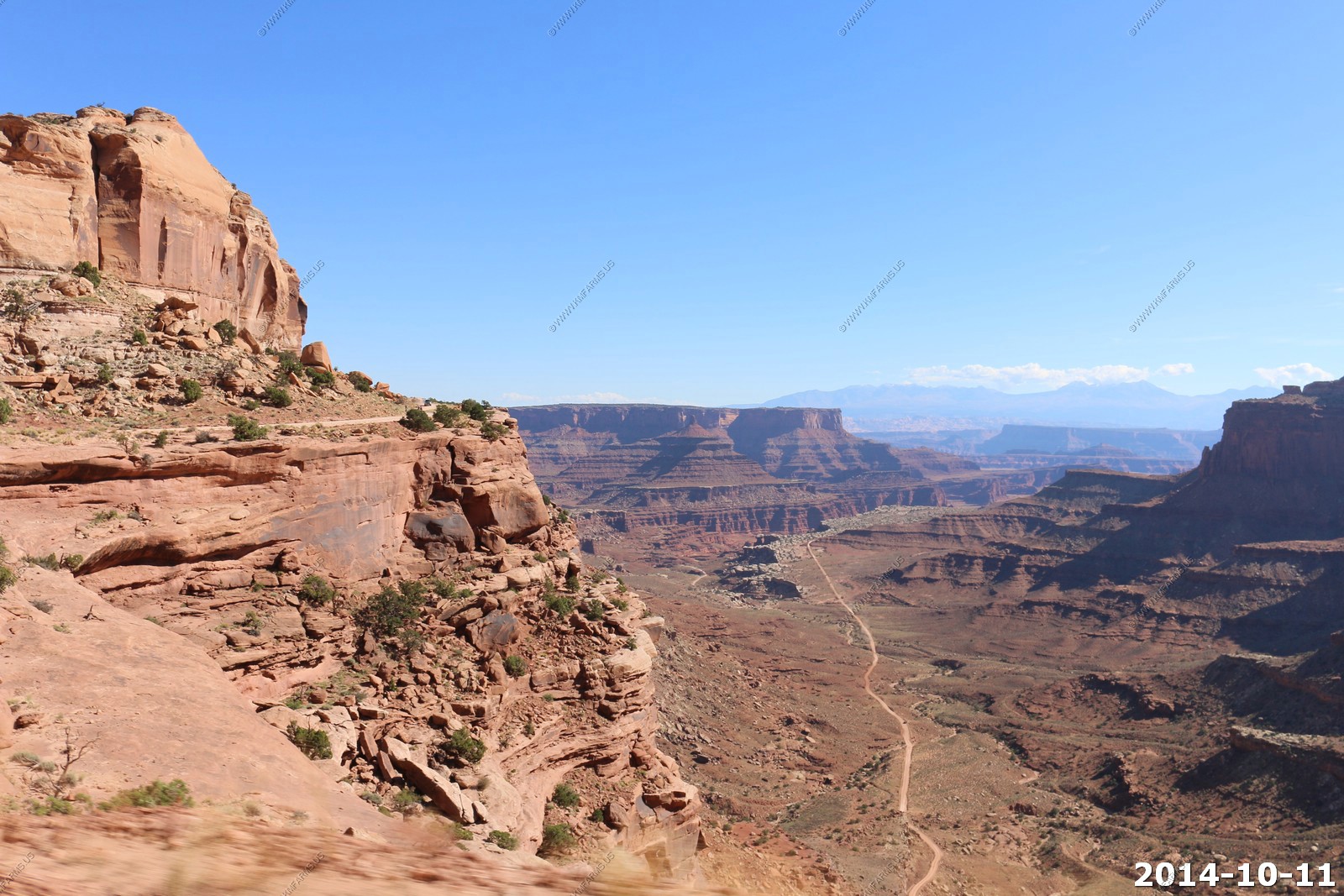
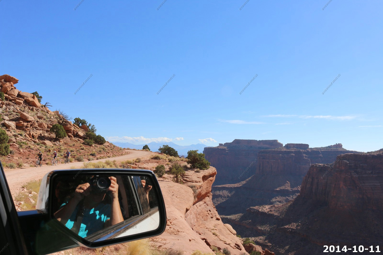
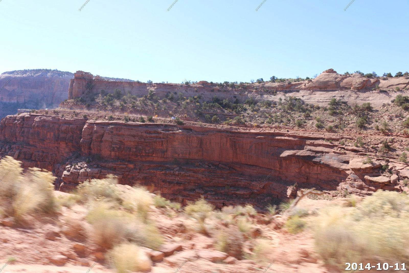
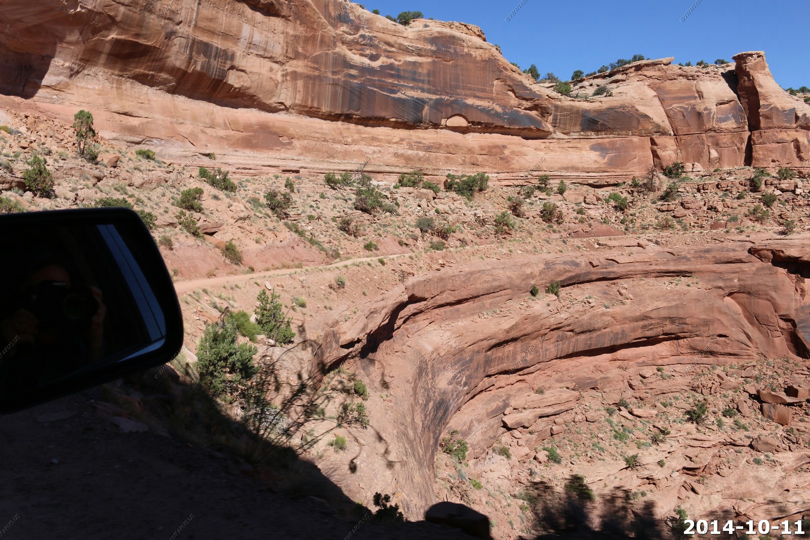
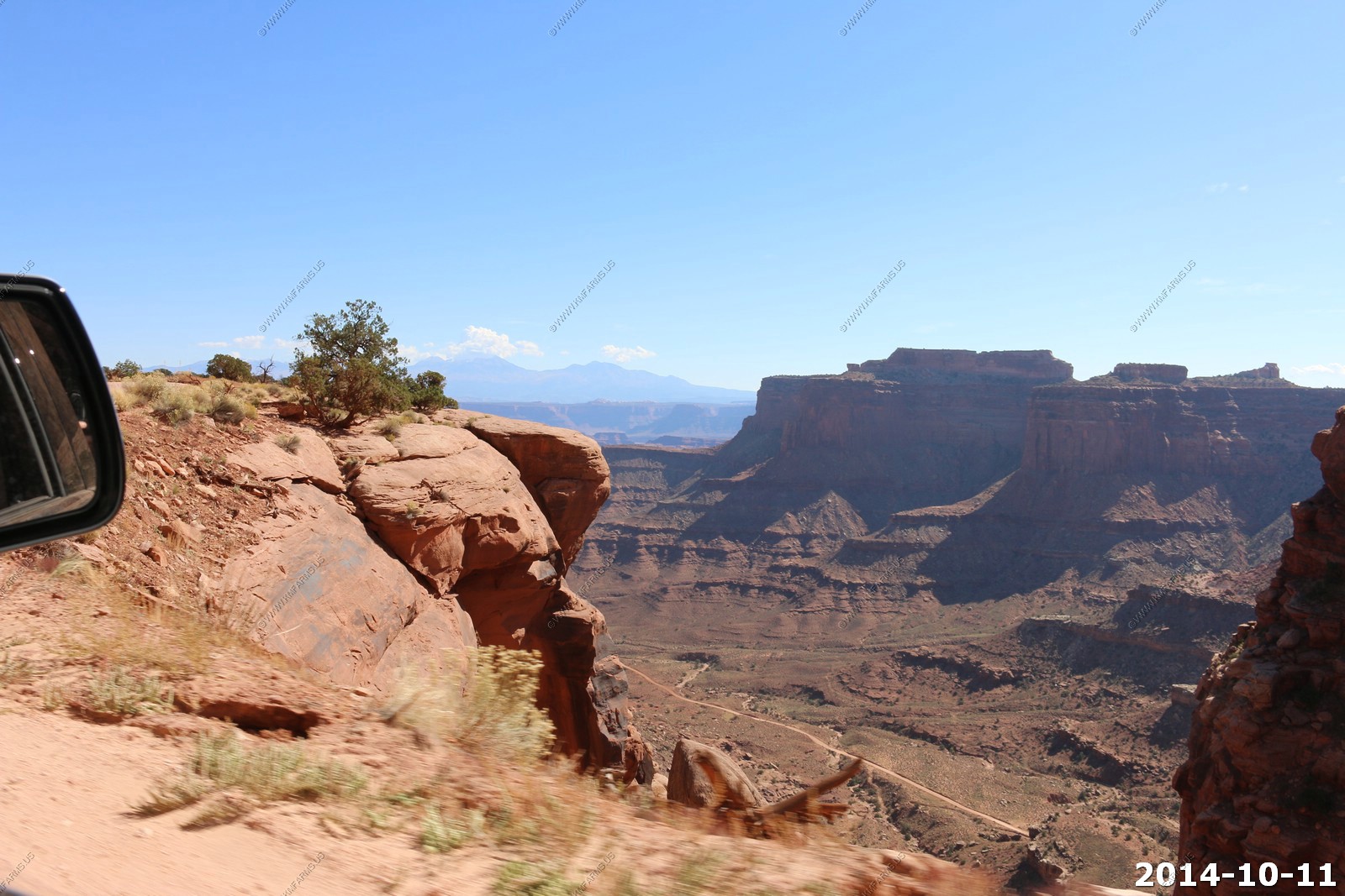
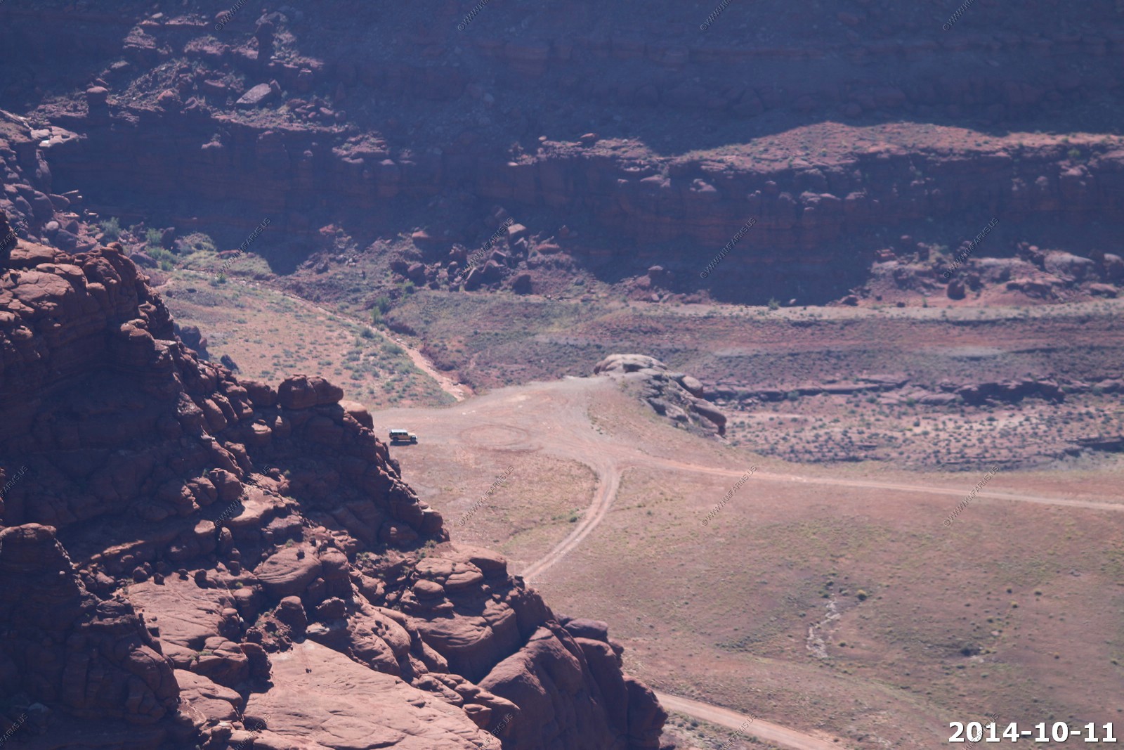
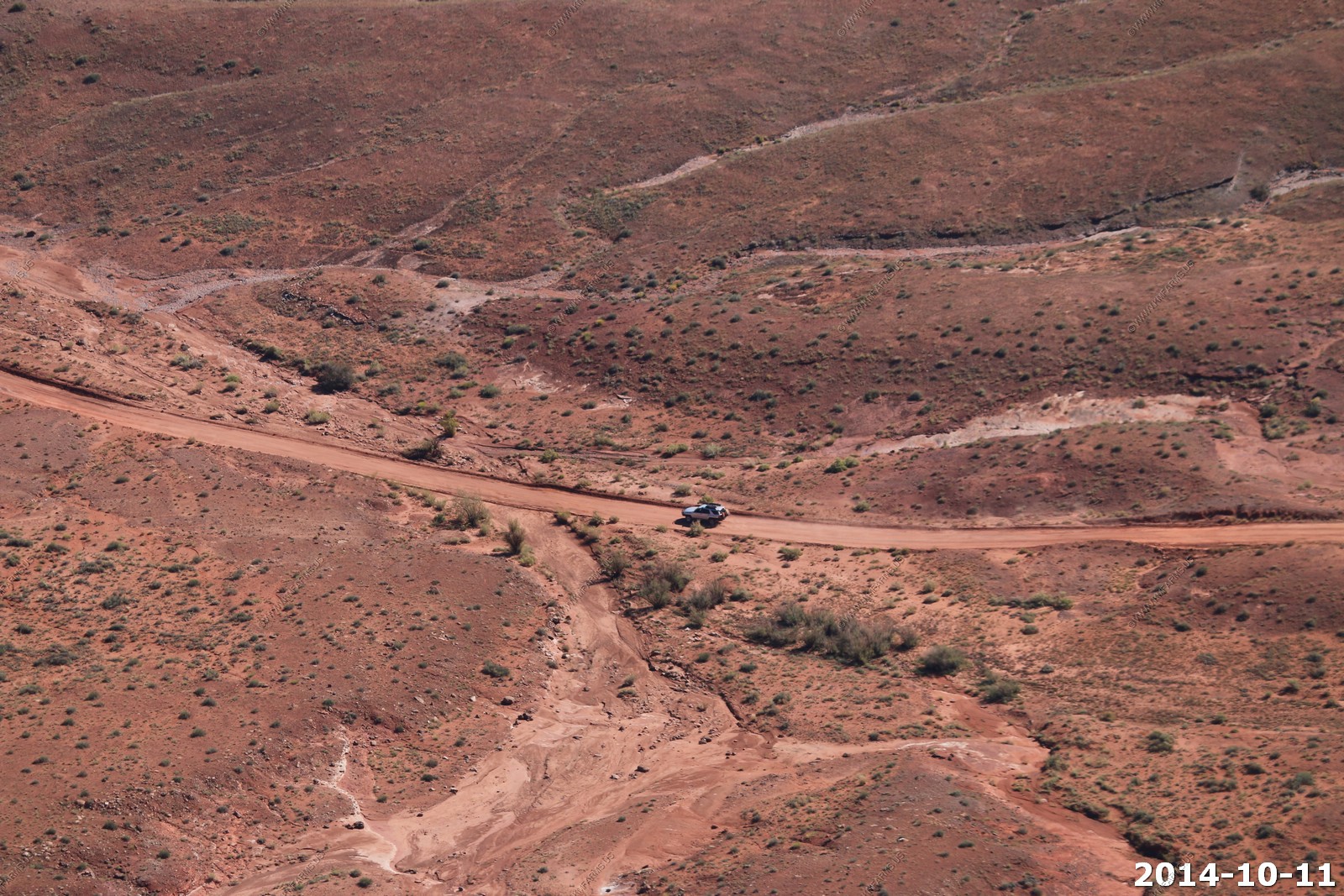
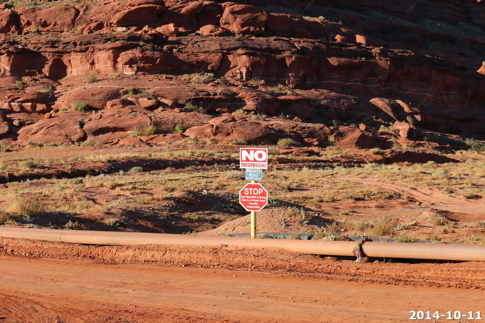
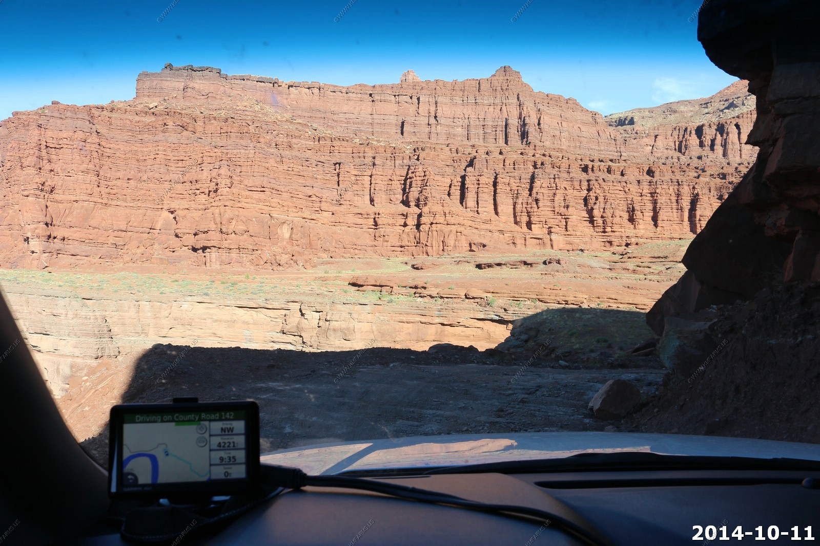
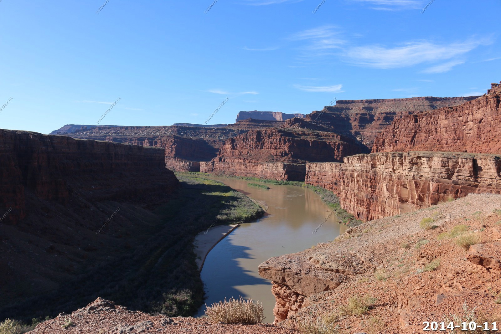
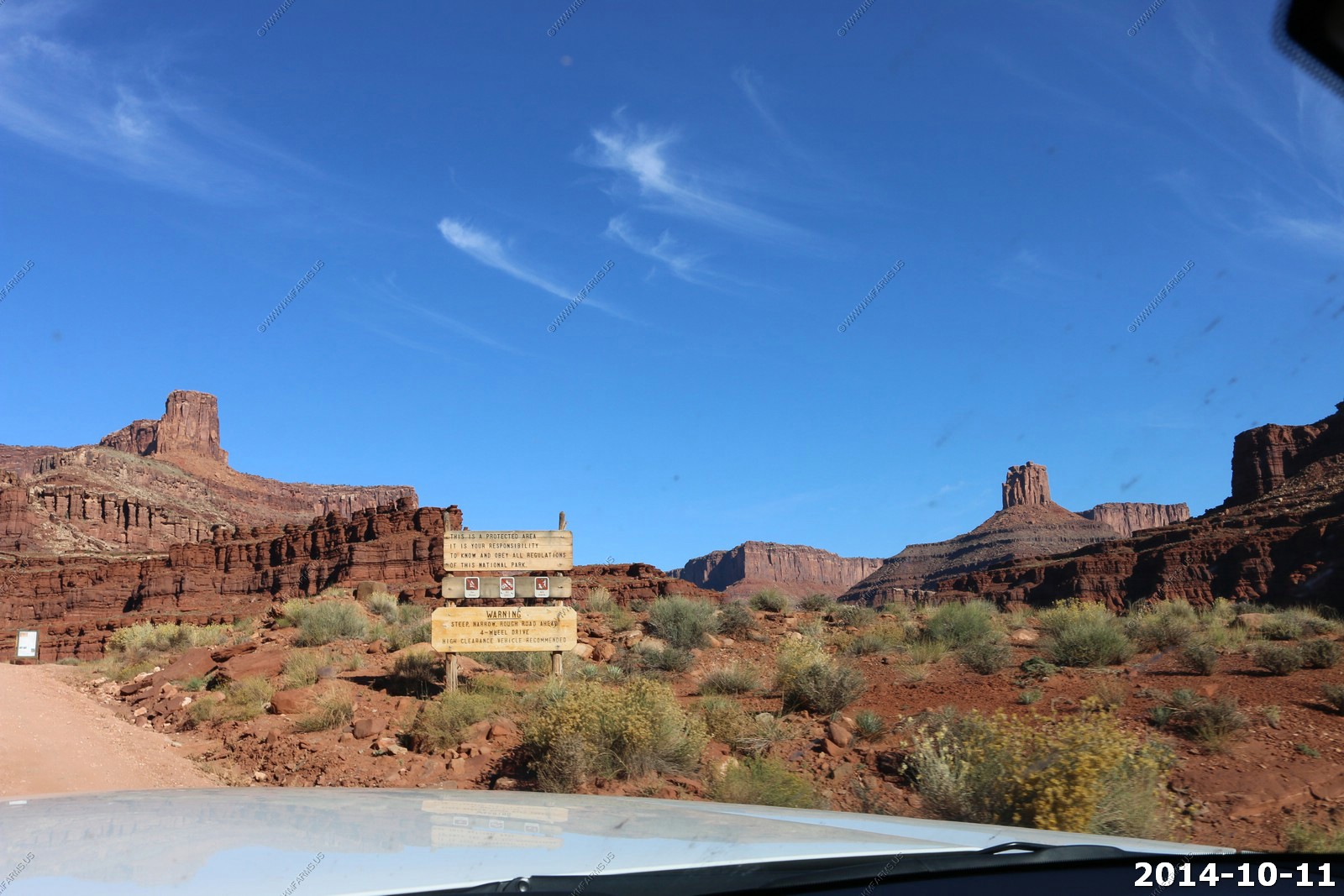
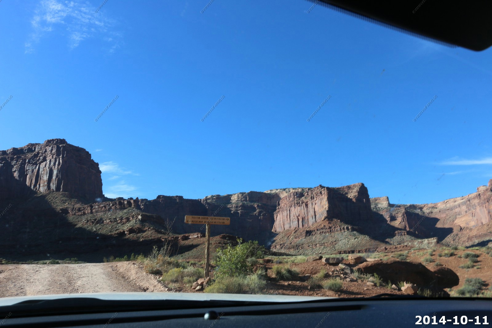
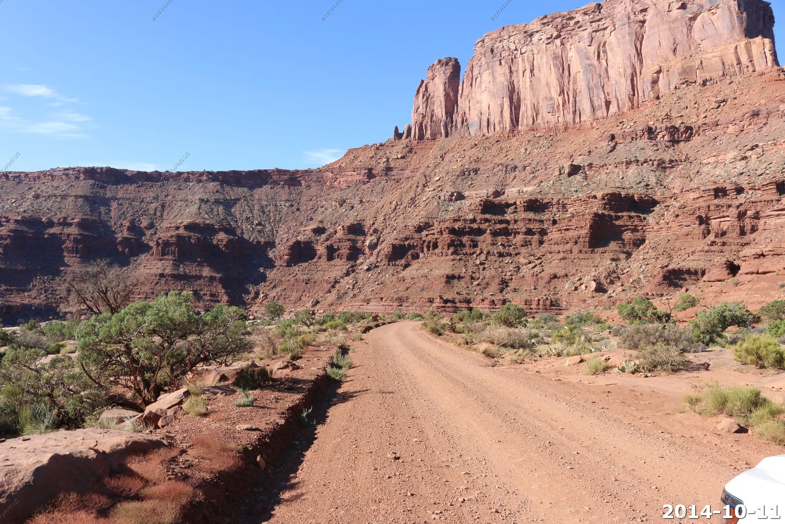
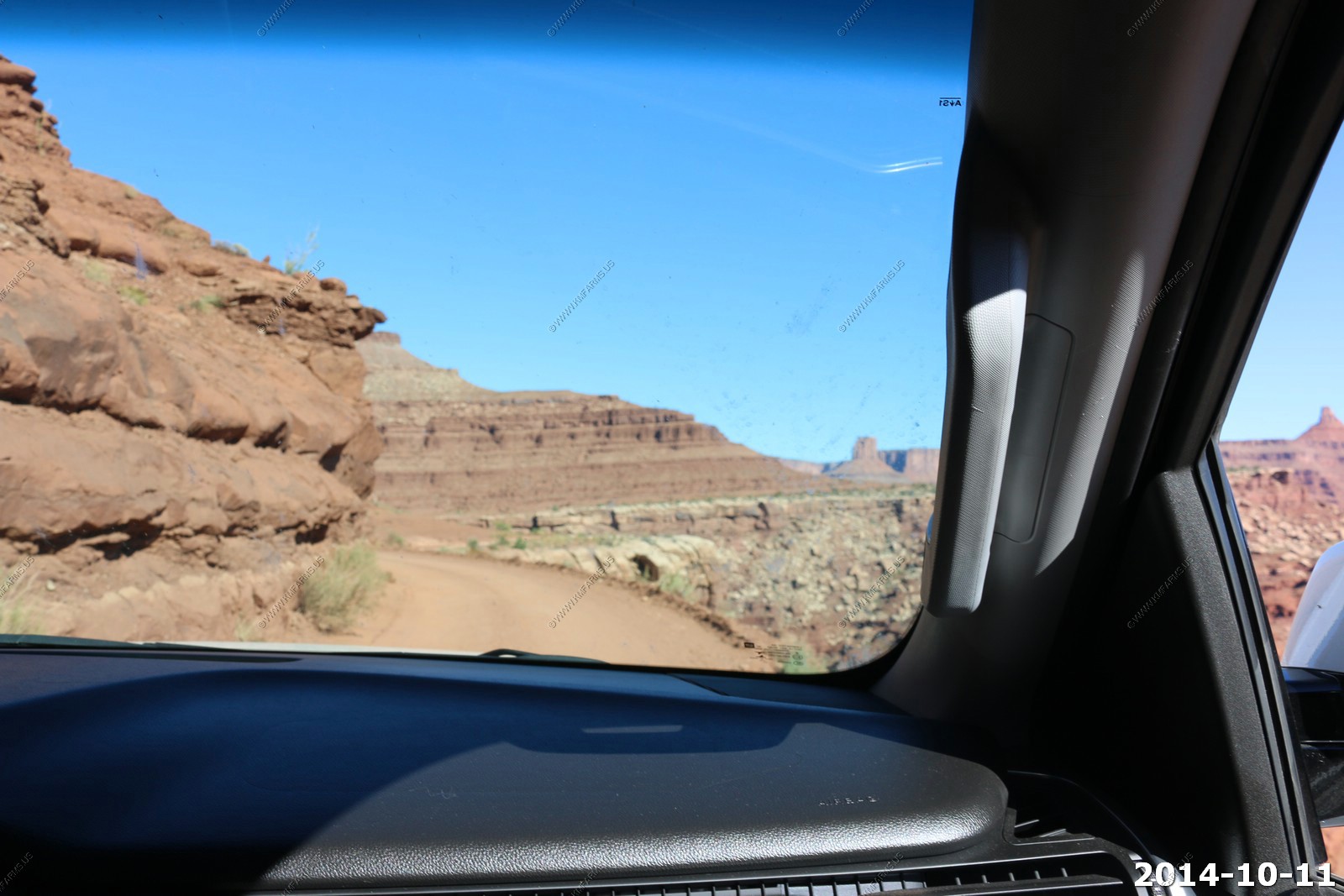
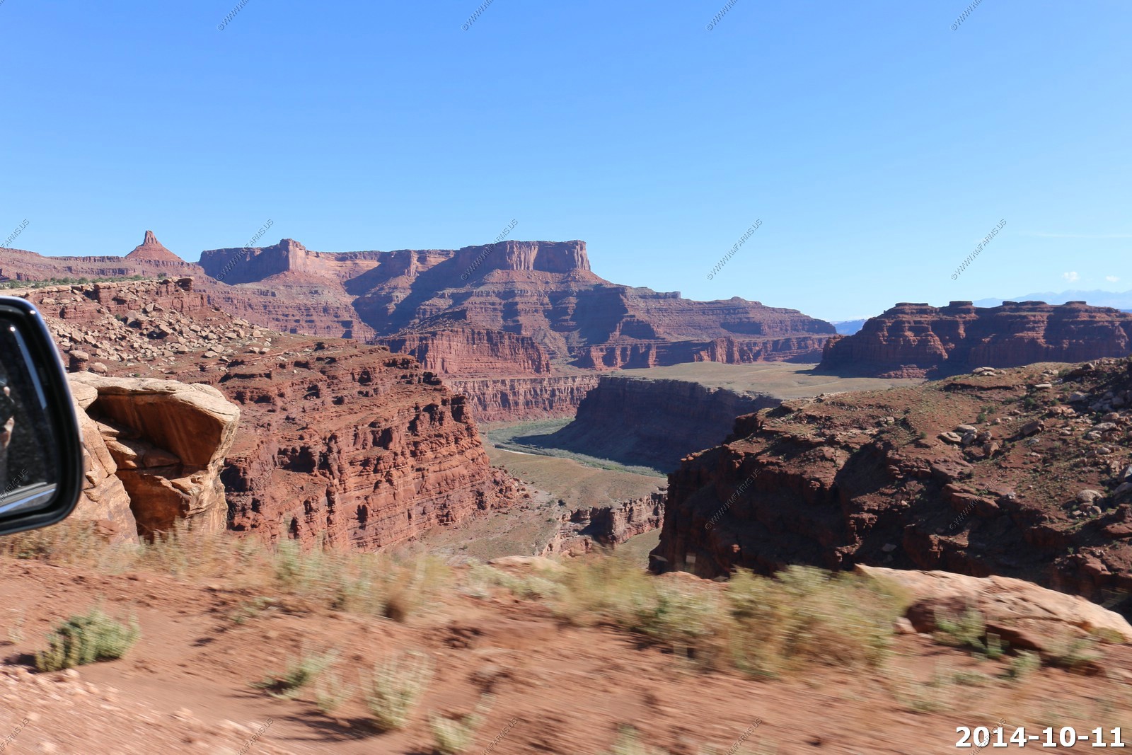
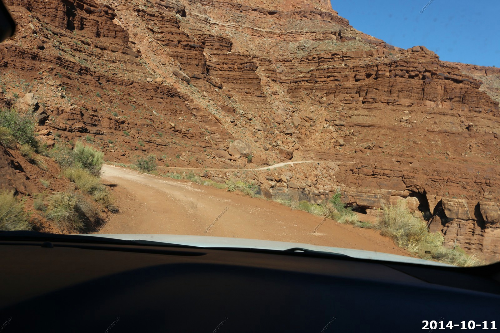
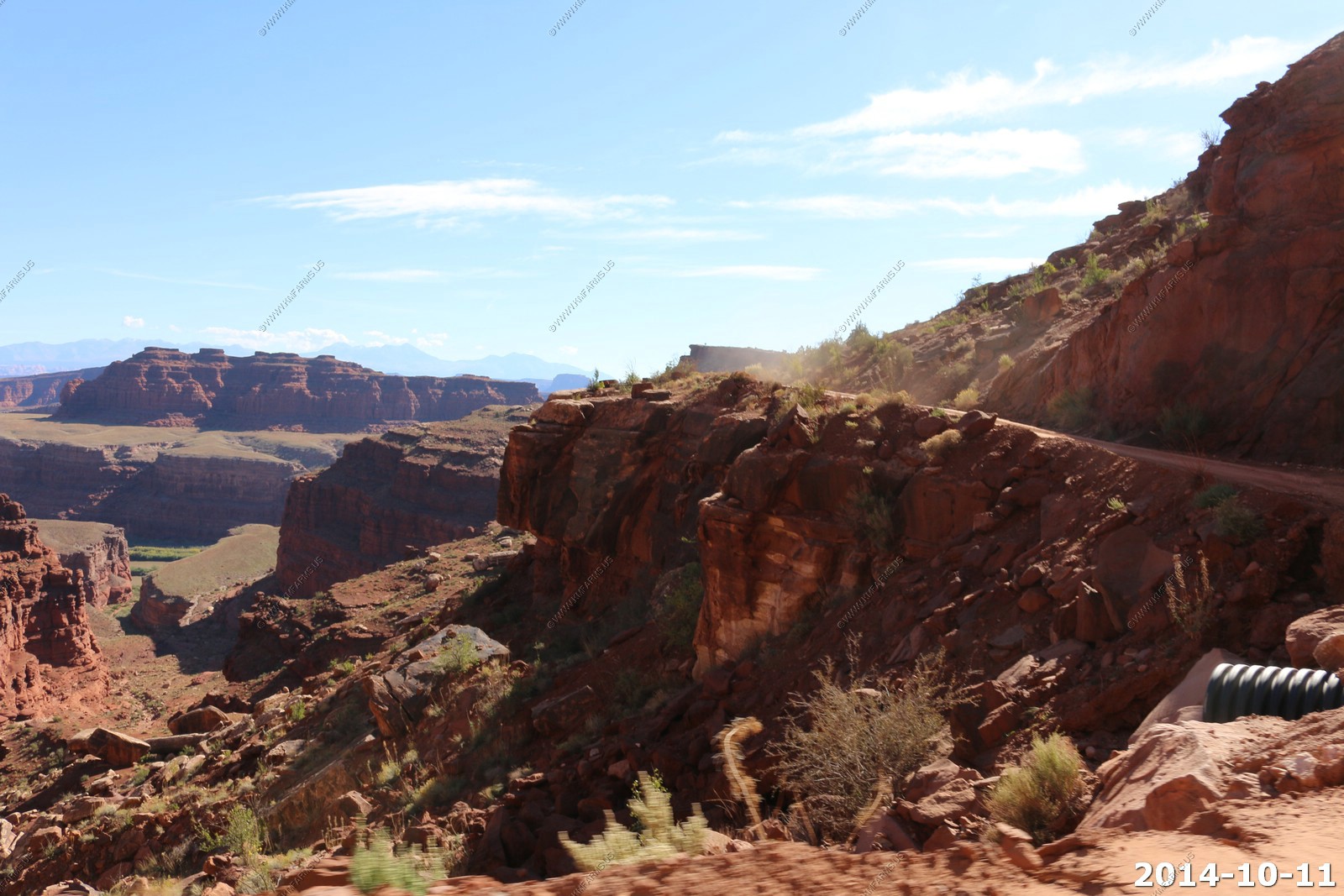
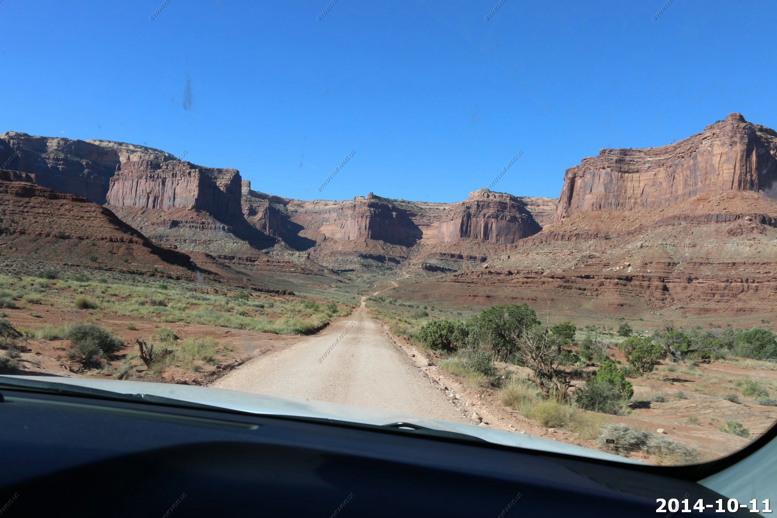
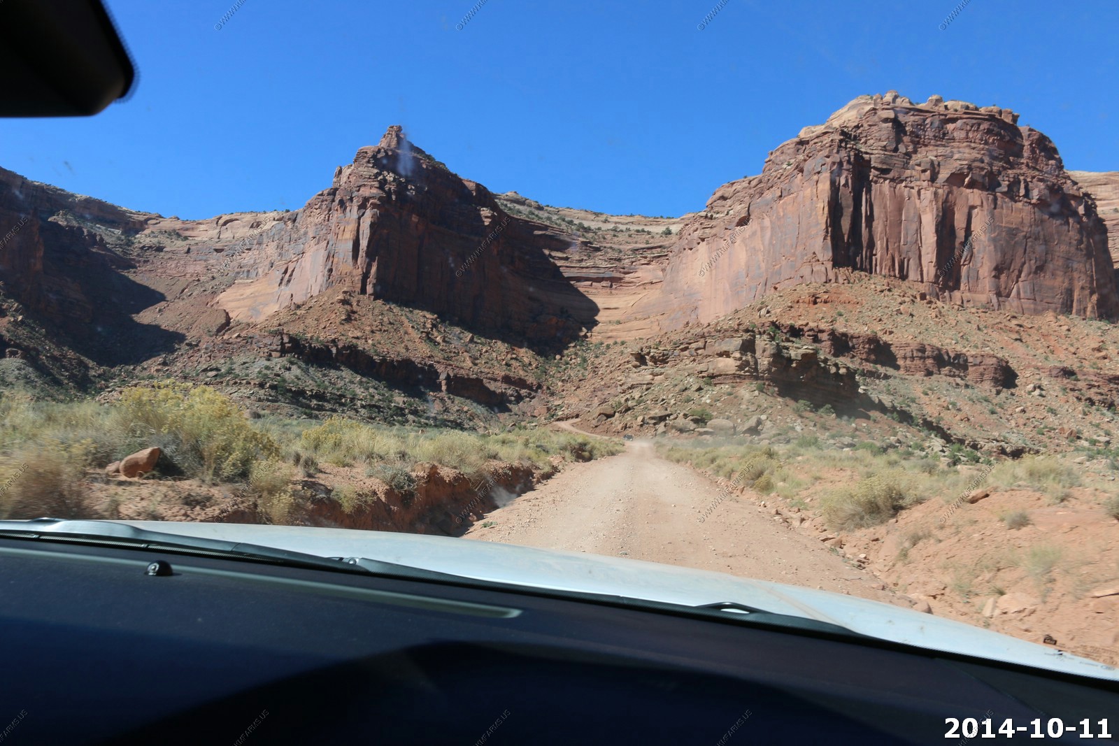
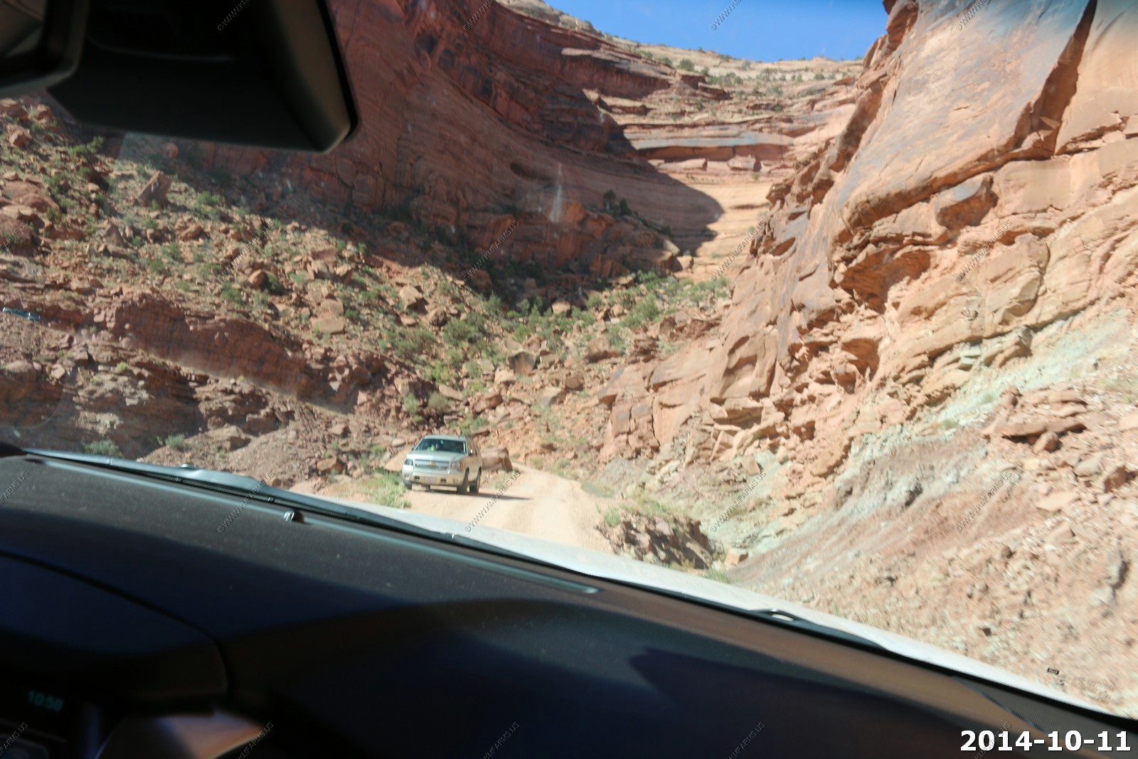
Day two in the exploring of Canyonlands. It's a Saturday so we would encounter more traffic. Our plan was to go to Canyonlands via Potash road and Shafer Trail. Also, we took a short trip on White Rim road to Musselman Arch. The 4x4 Tahoe was going to work hard today.
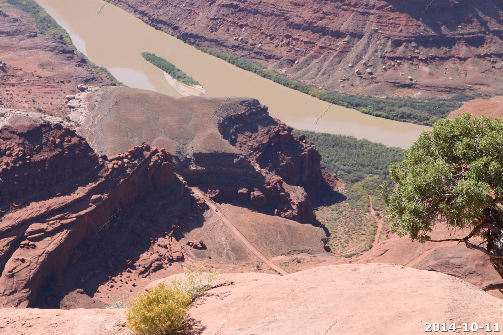
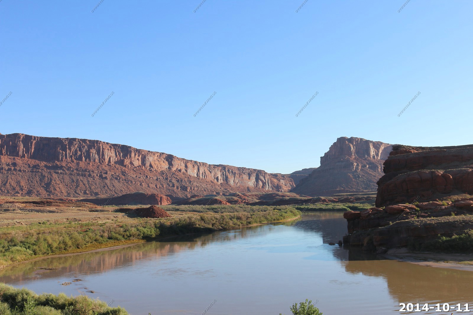
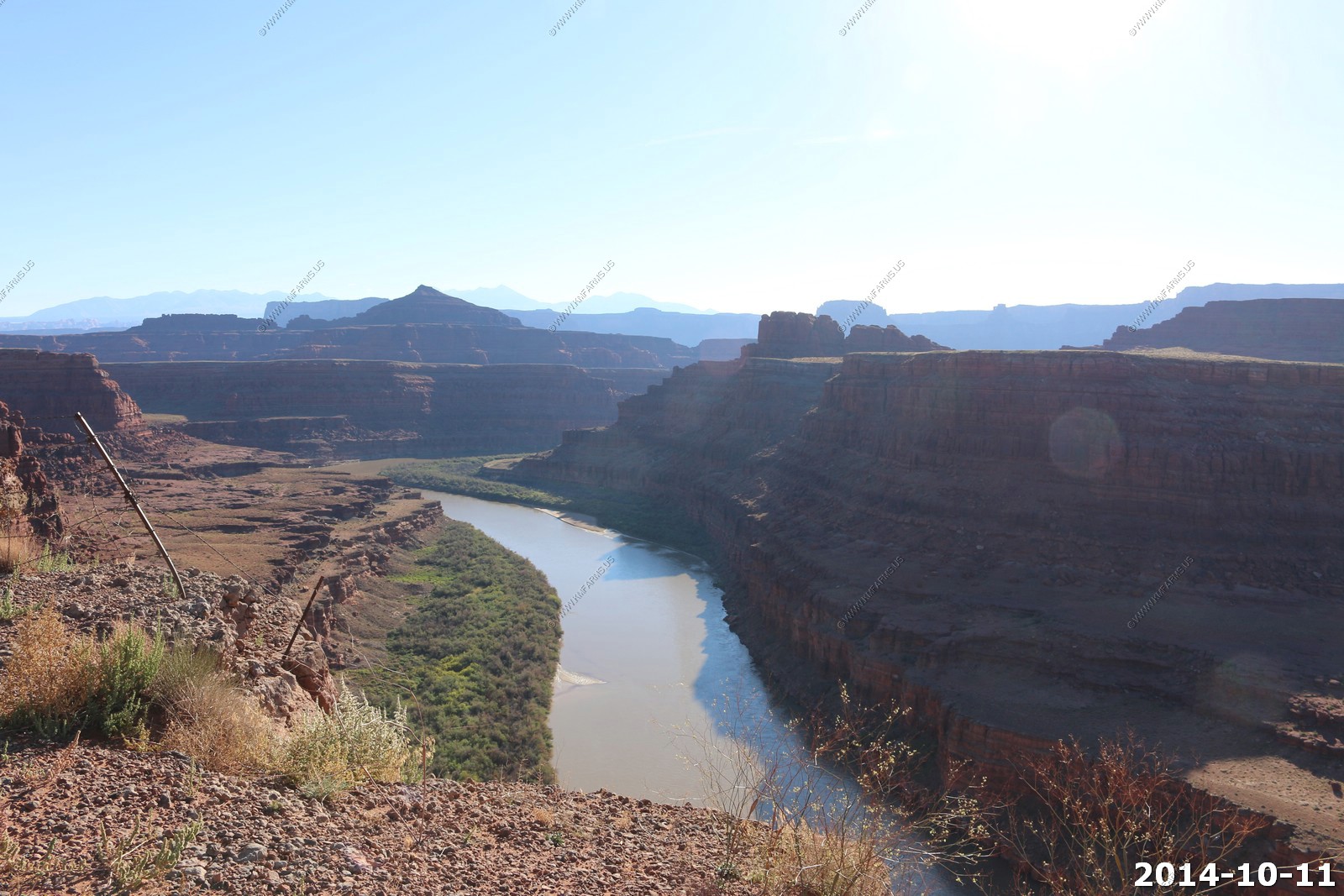
The Colorado River along Potash Road.
Signs for stupid people. STOP - Your Map/GPS is wrong - This is a private road - You ARE trespassing.
Along Potash Road.
The moon over Dead Horse Point - Will be up on this later today.
Looking down on the Colorado. Its probably 500 feet and the rocks are just gravel at this point. Would really hate to get near the edge.
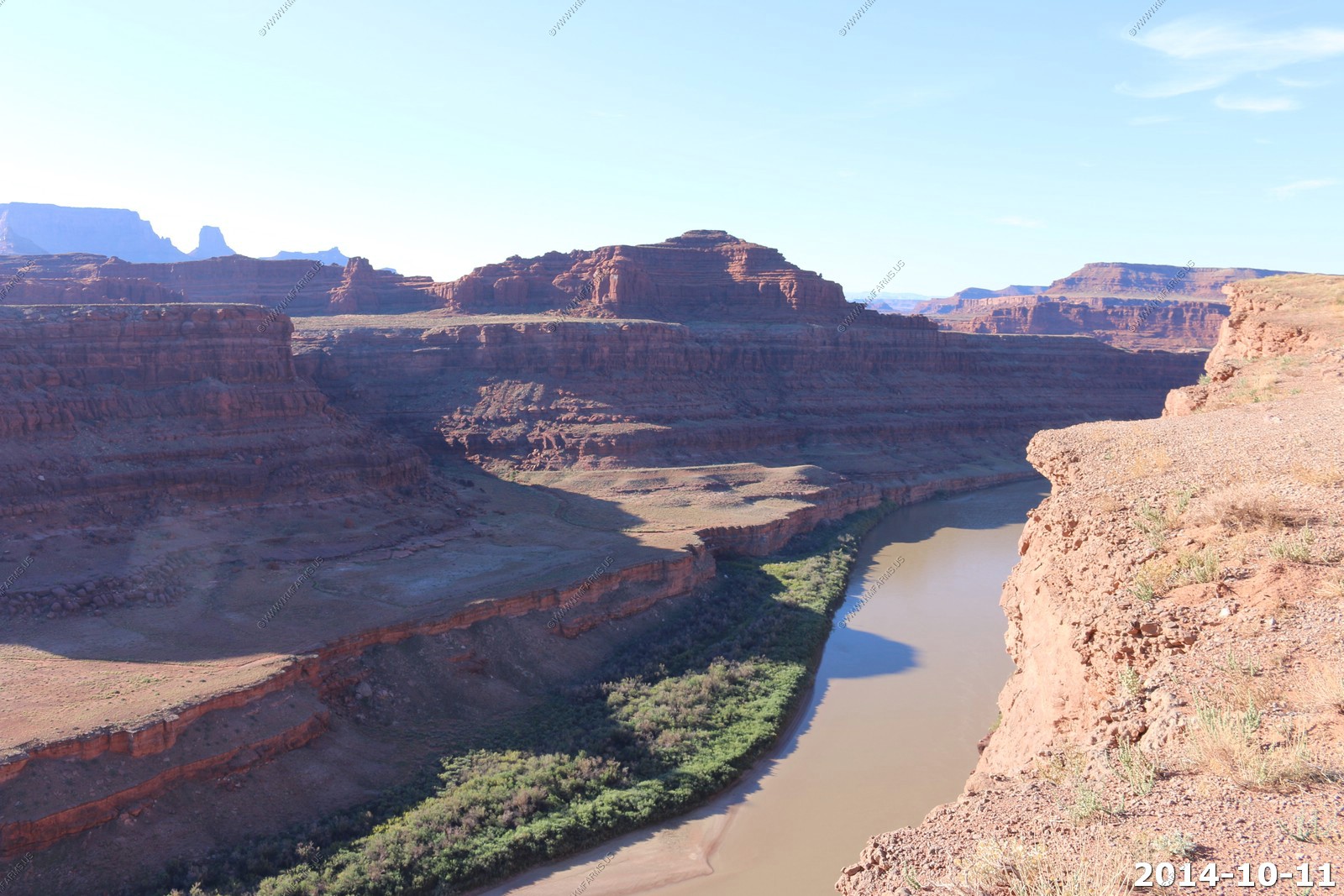
Right on the edge - Potash Road - Driving ledges.
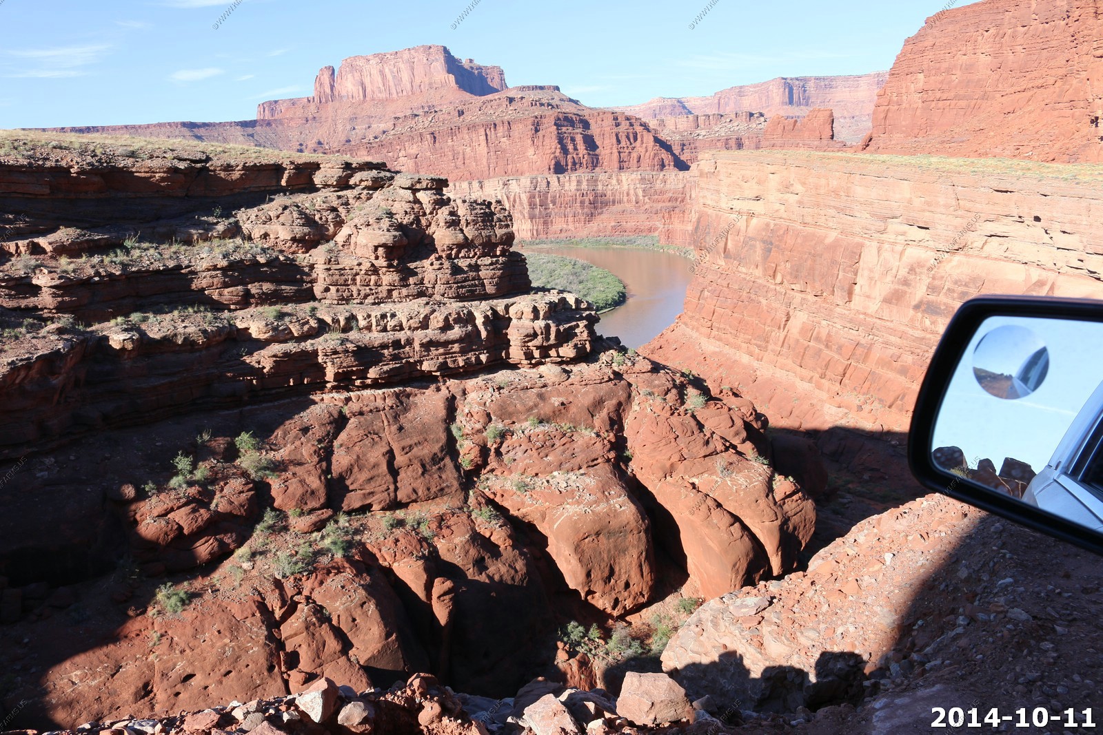
The brand new rented Tahoe is getting dirty - Colorado River.
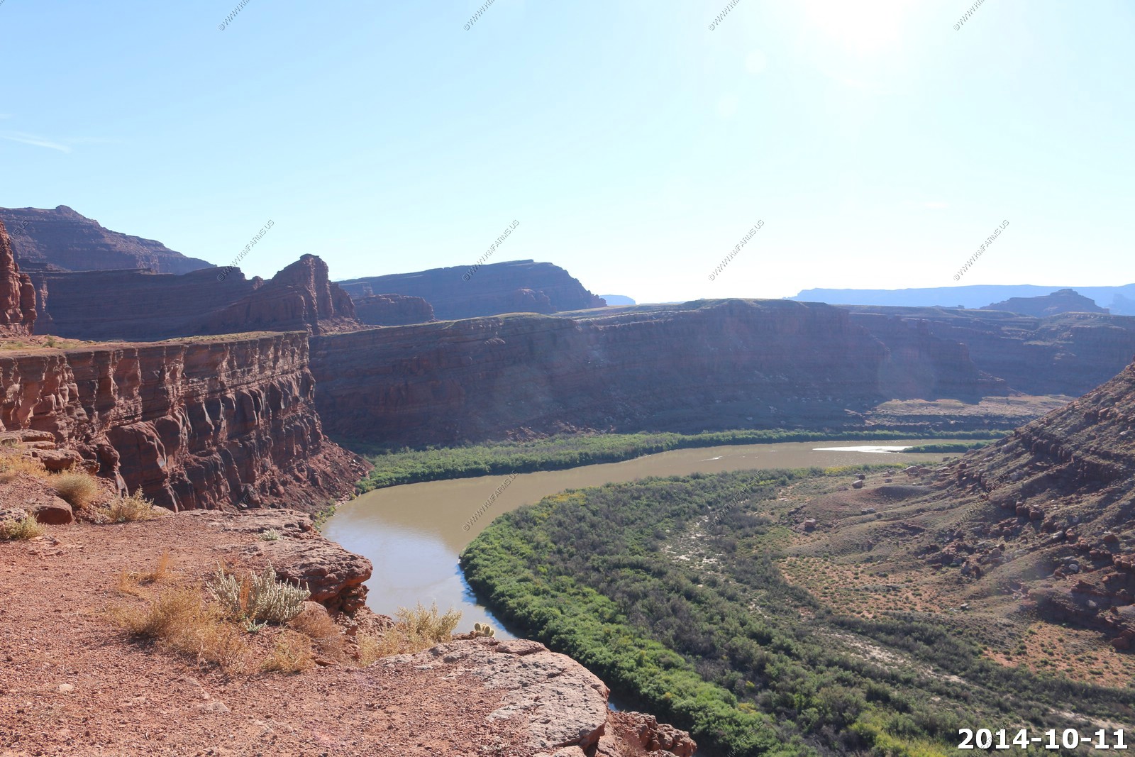
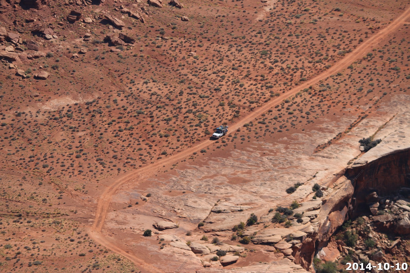
Idea of scale - You can see a green pickup in front of our truck.
The road is very good in places but that's about to change.
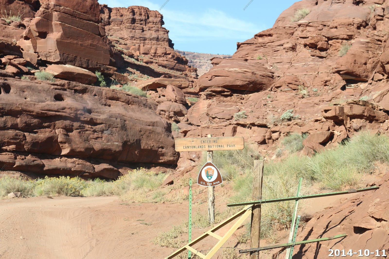
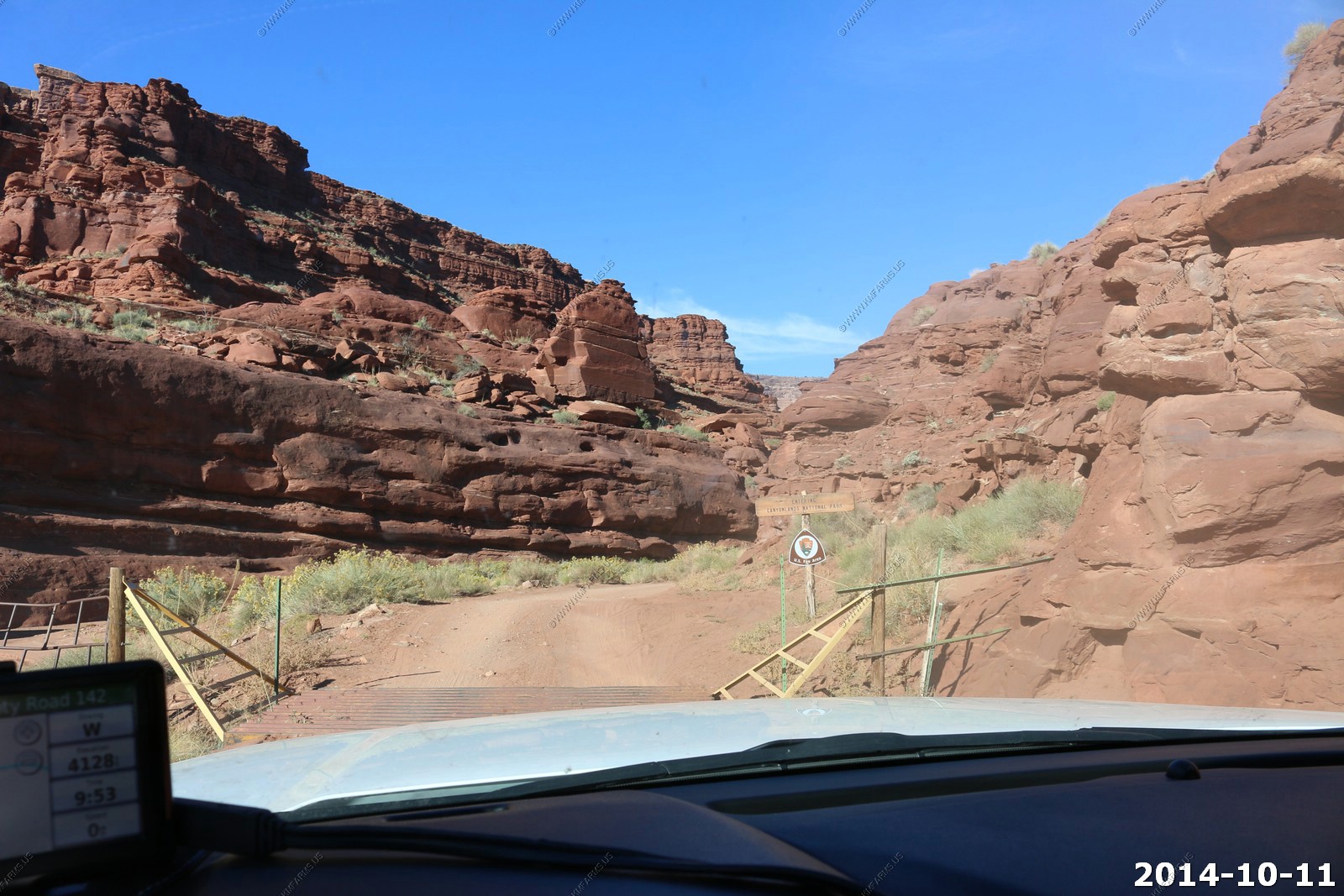
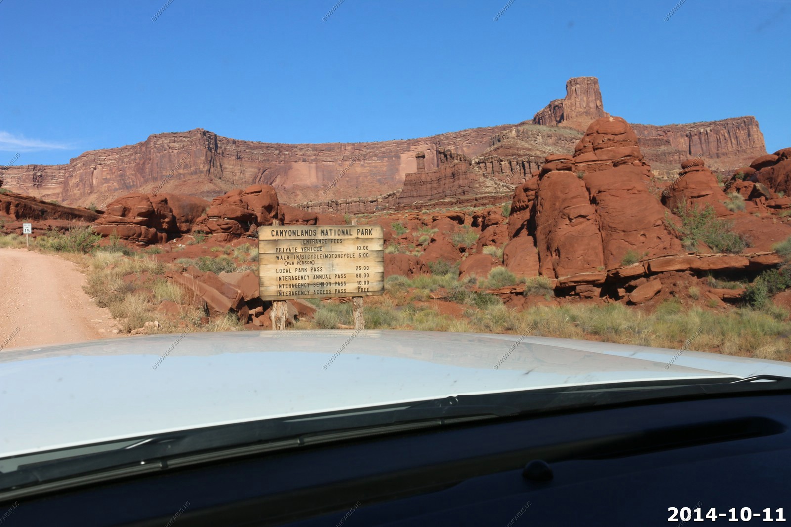
Entering Canyonlands National Park - It's a fee area.. But, nobody to pay.
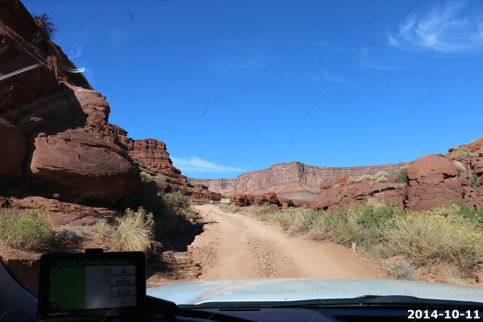
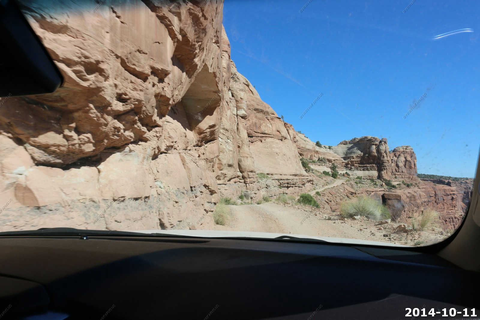
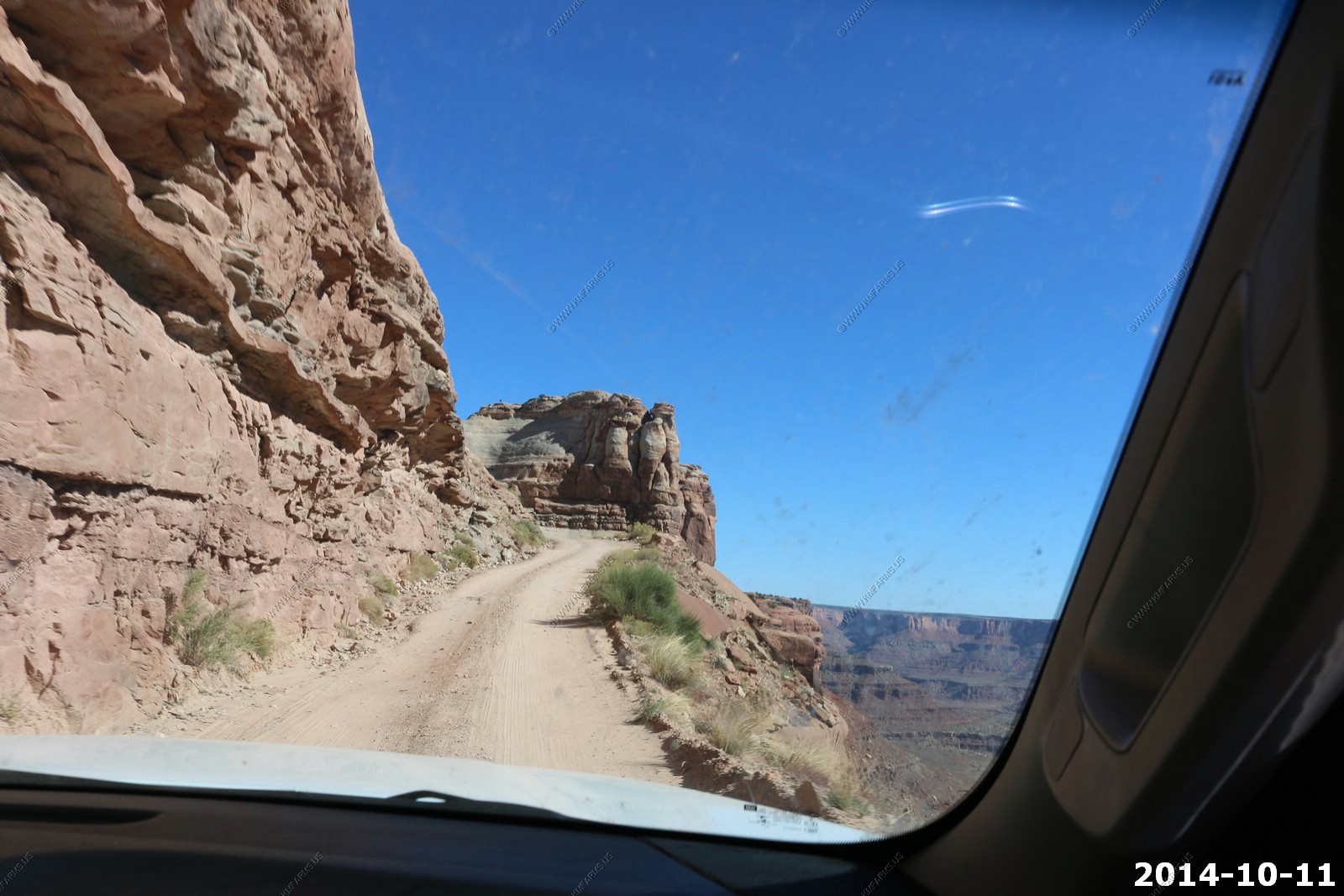
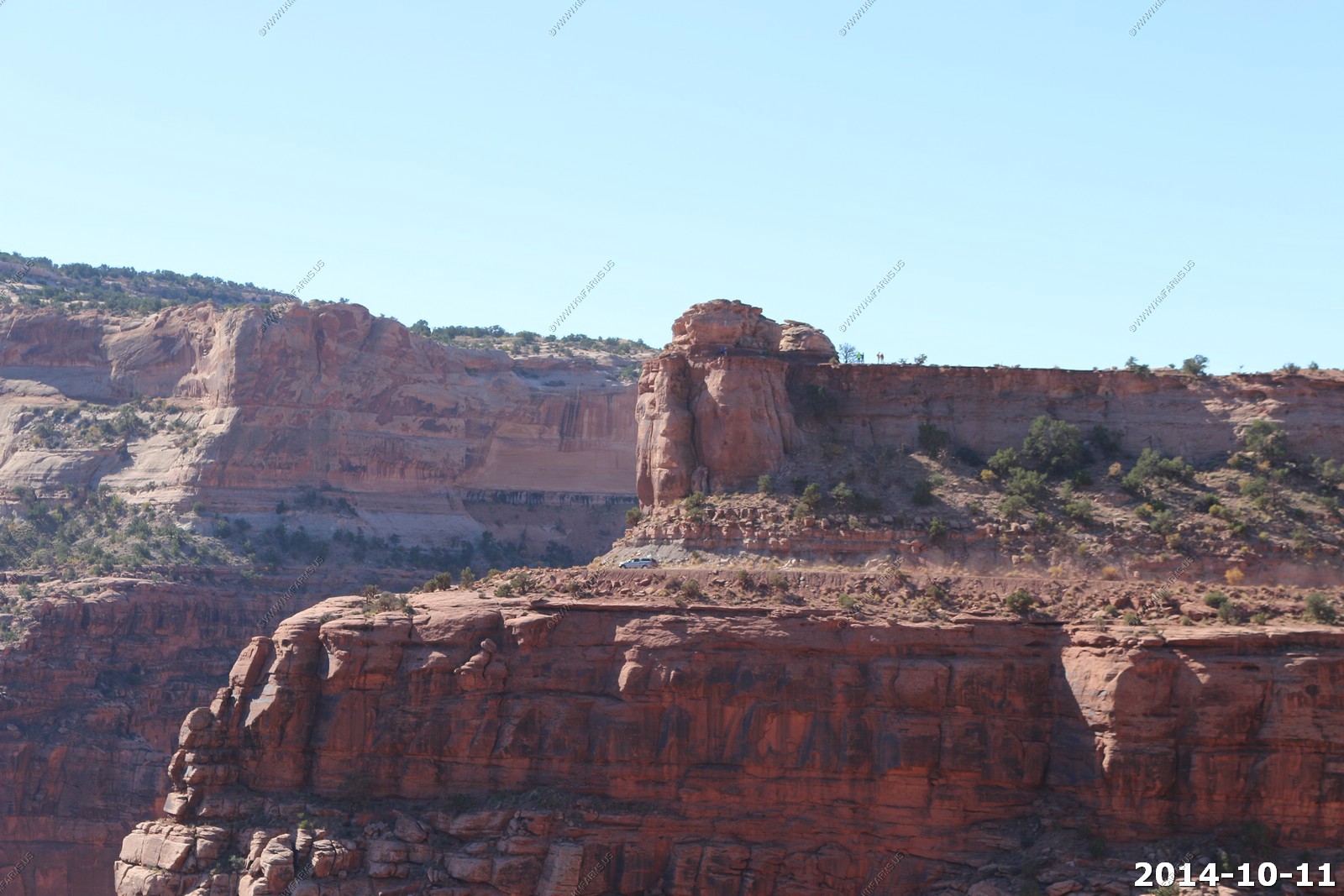
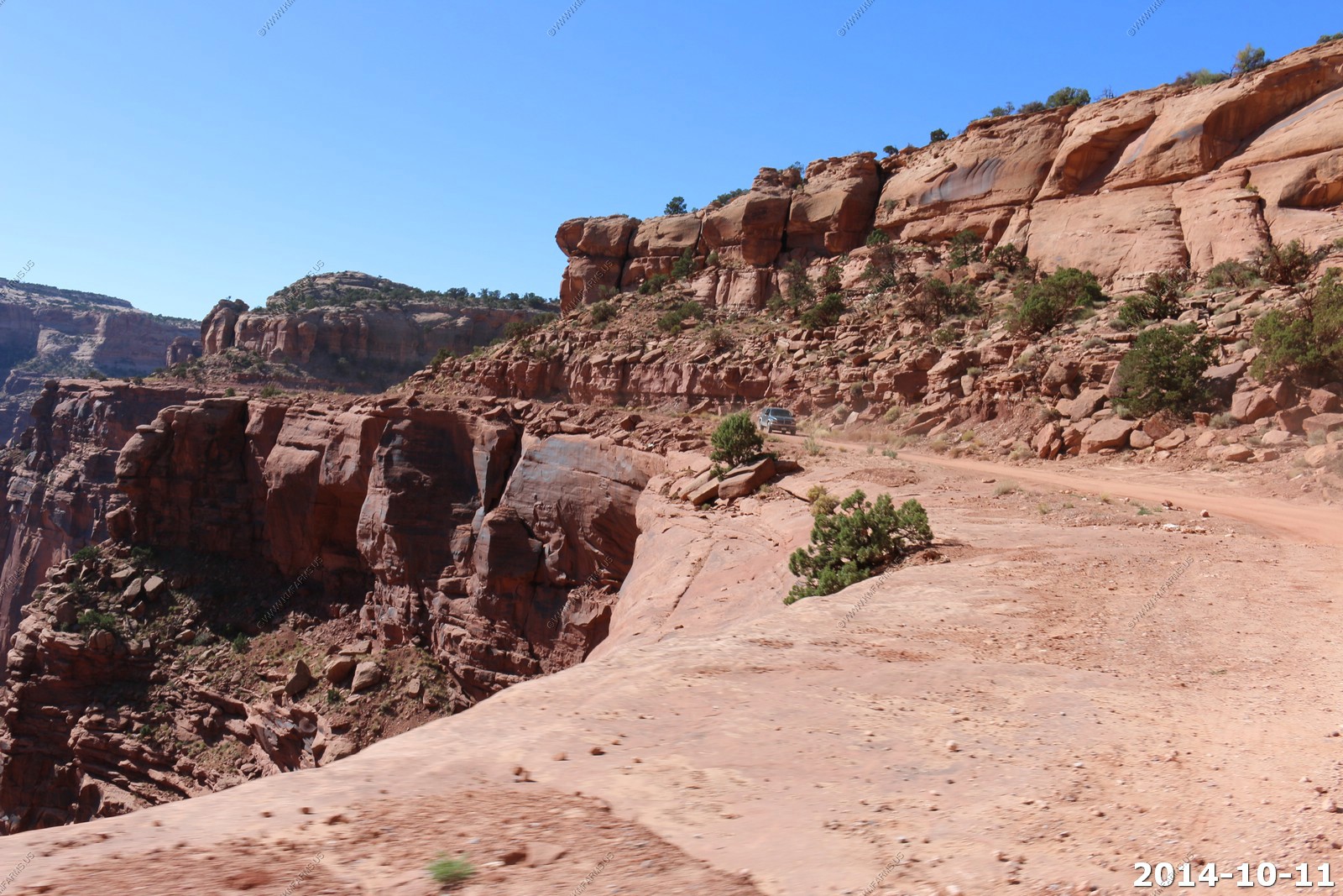
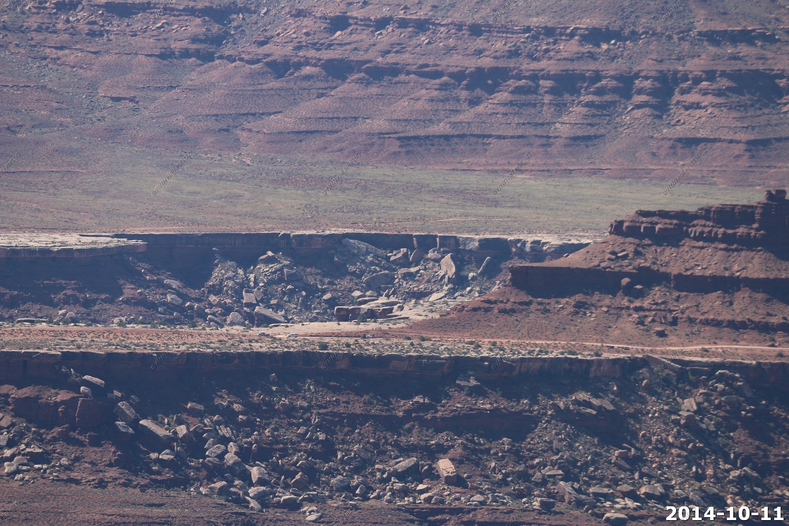
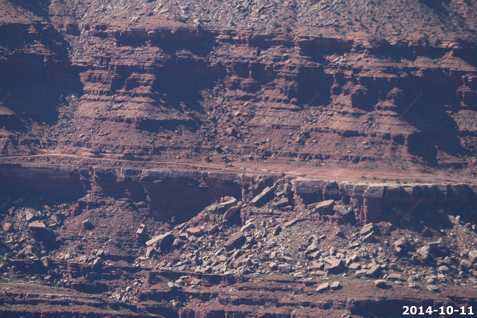
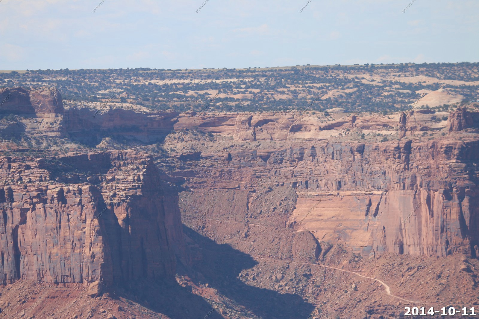
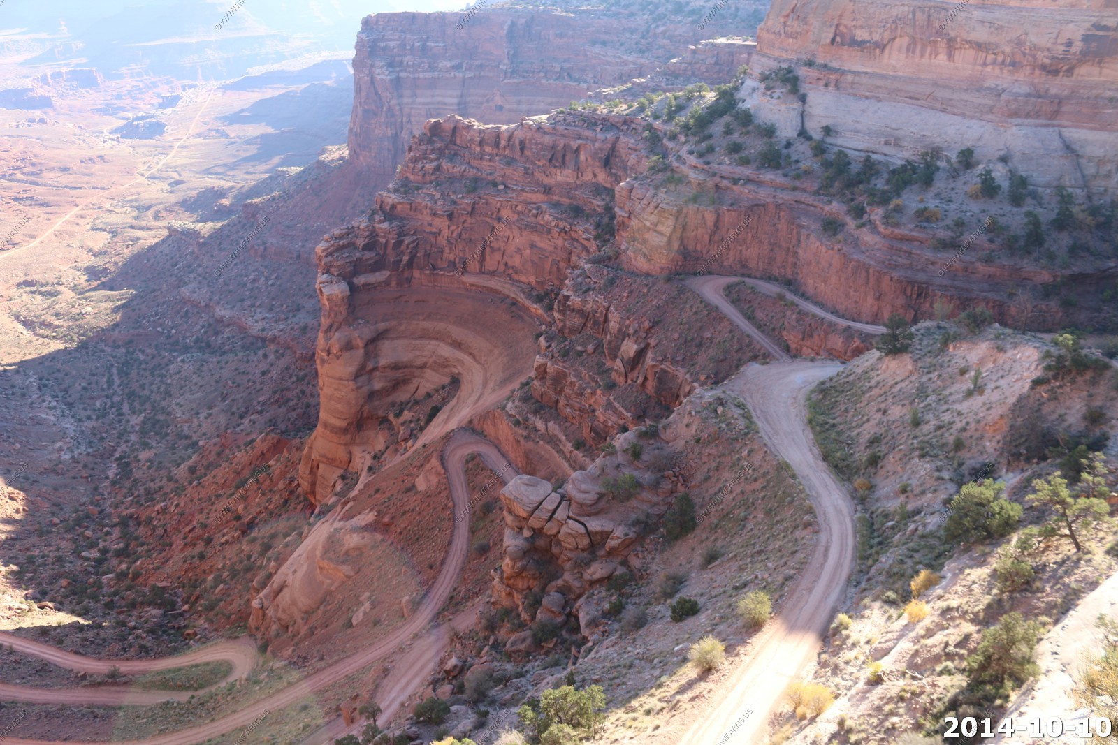
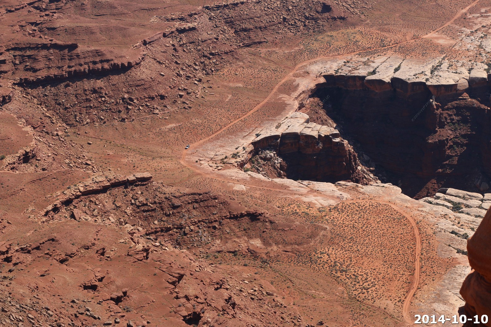
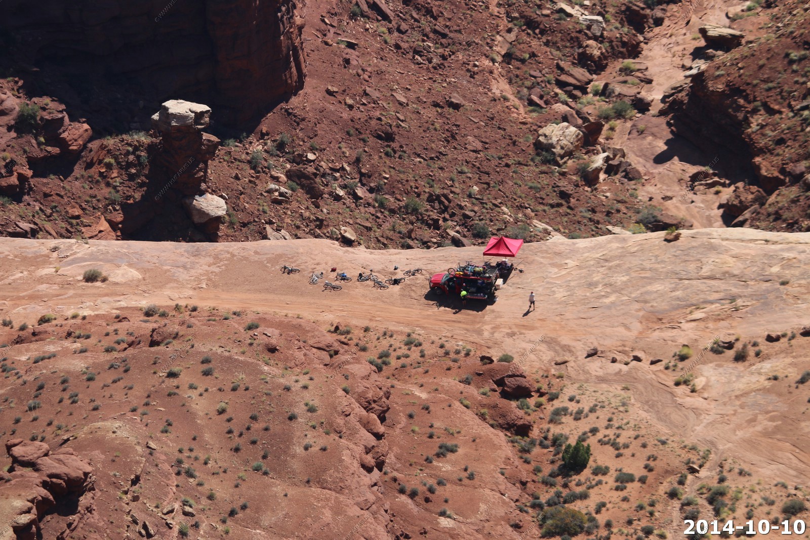
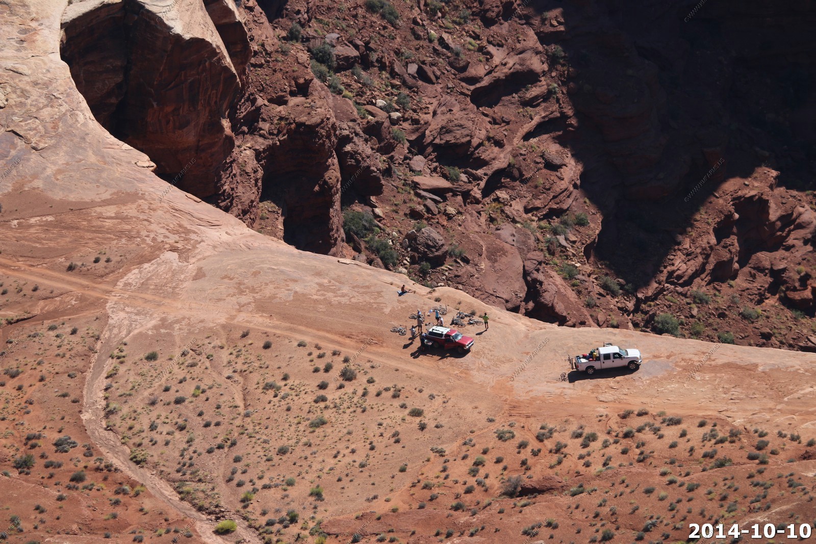
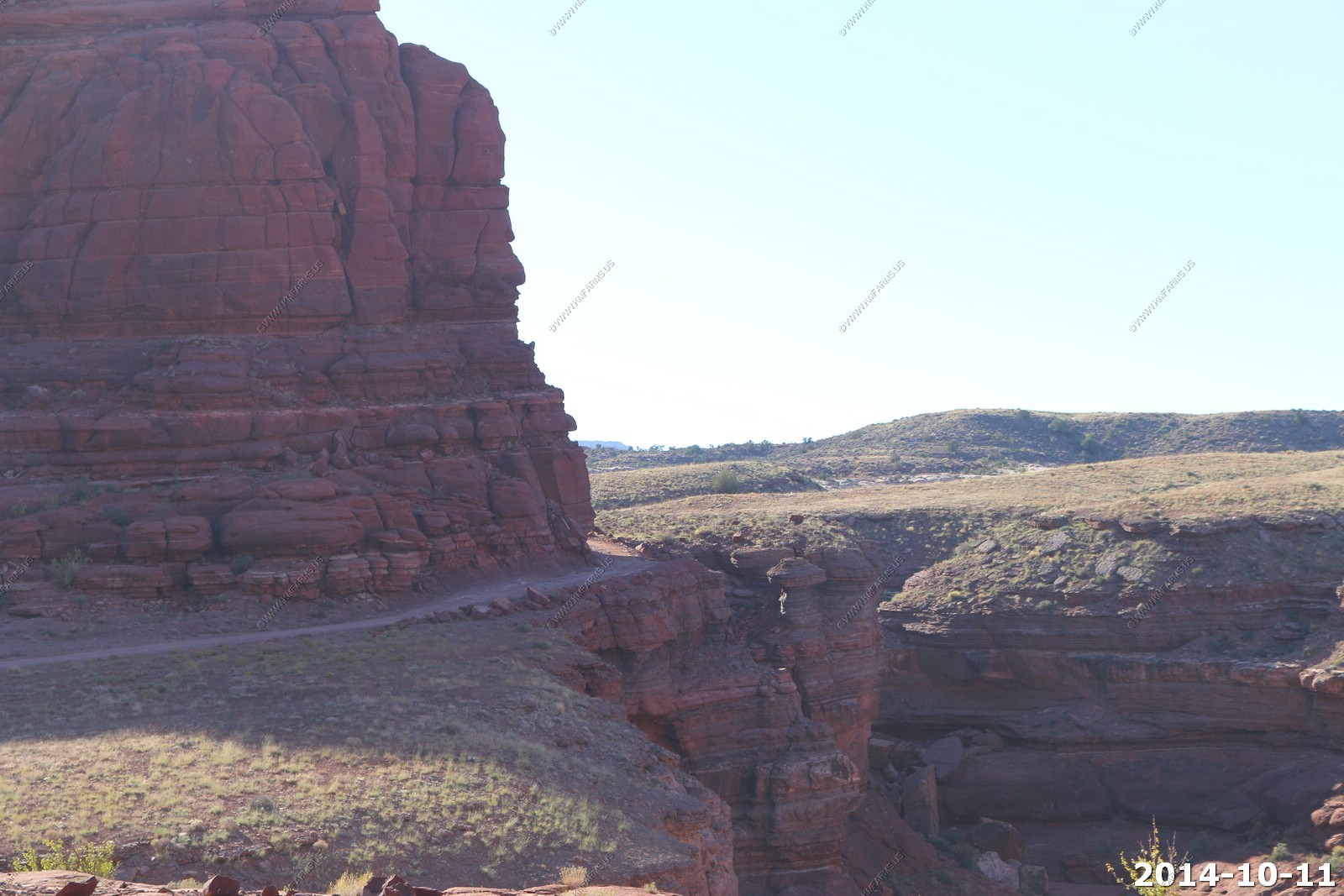
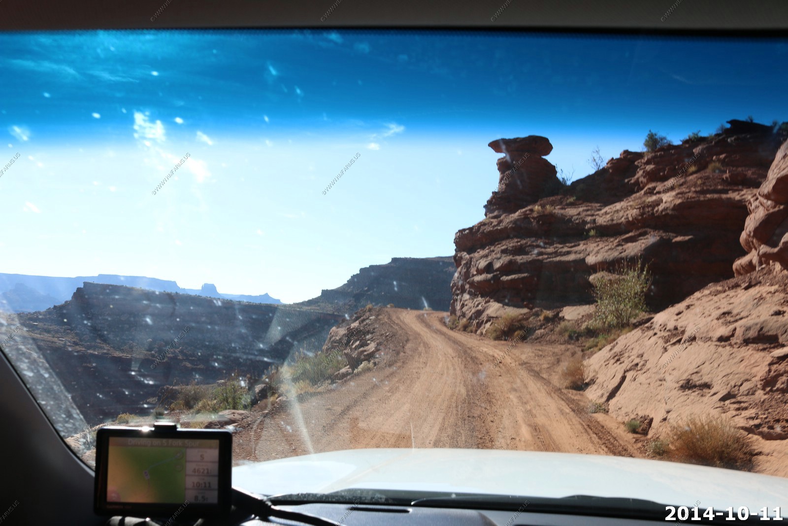
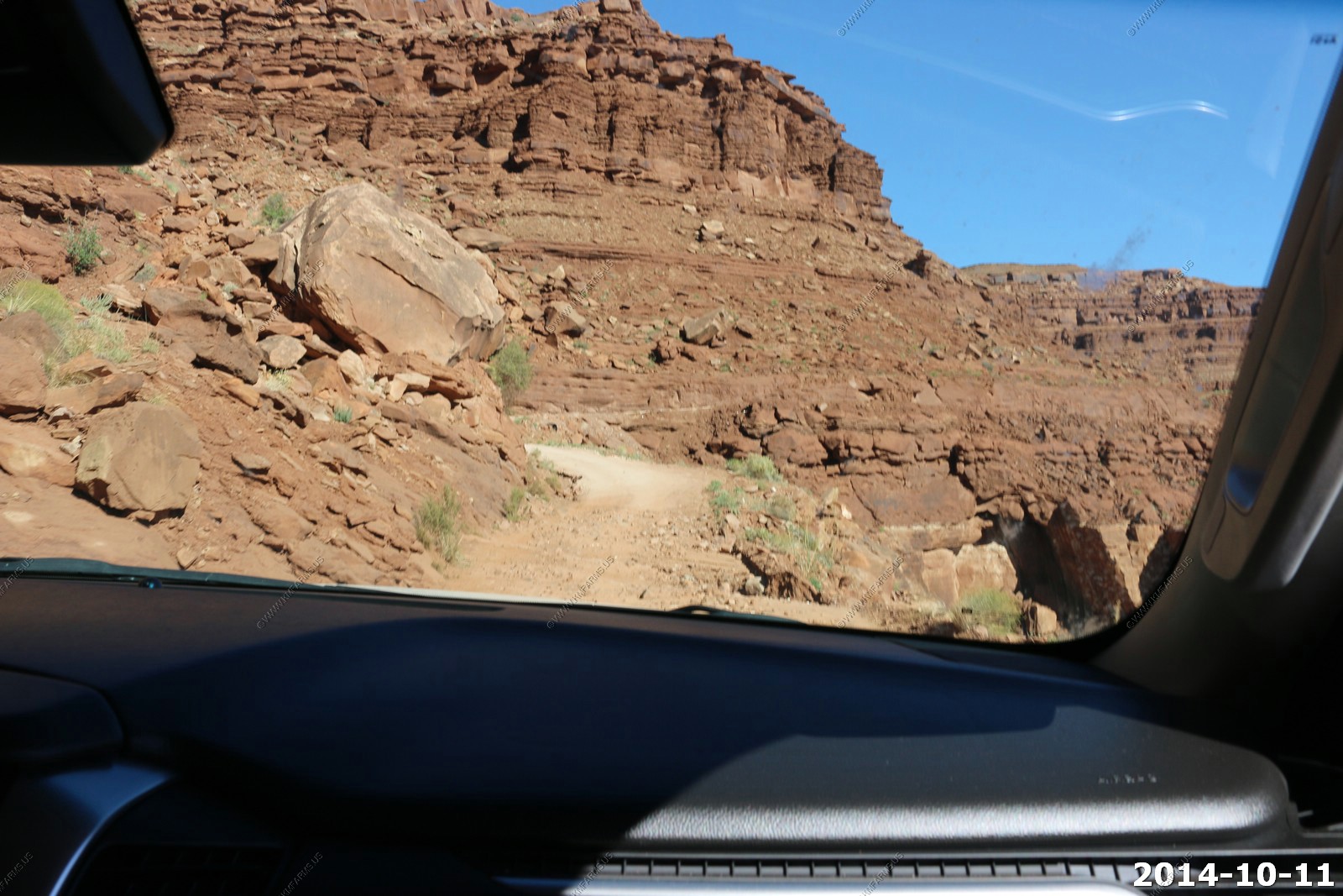
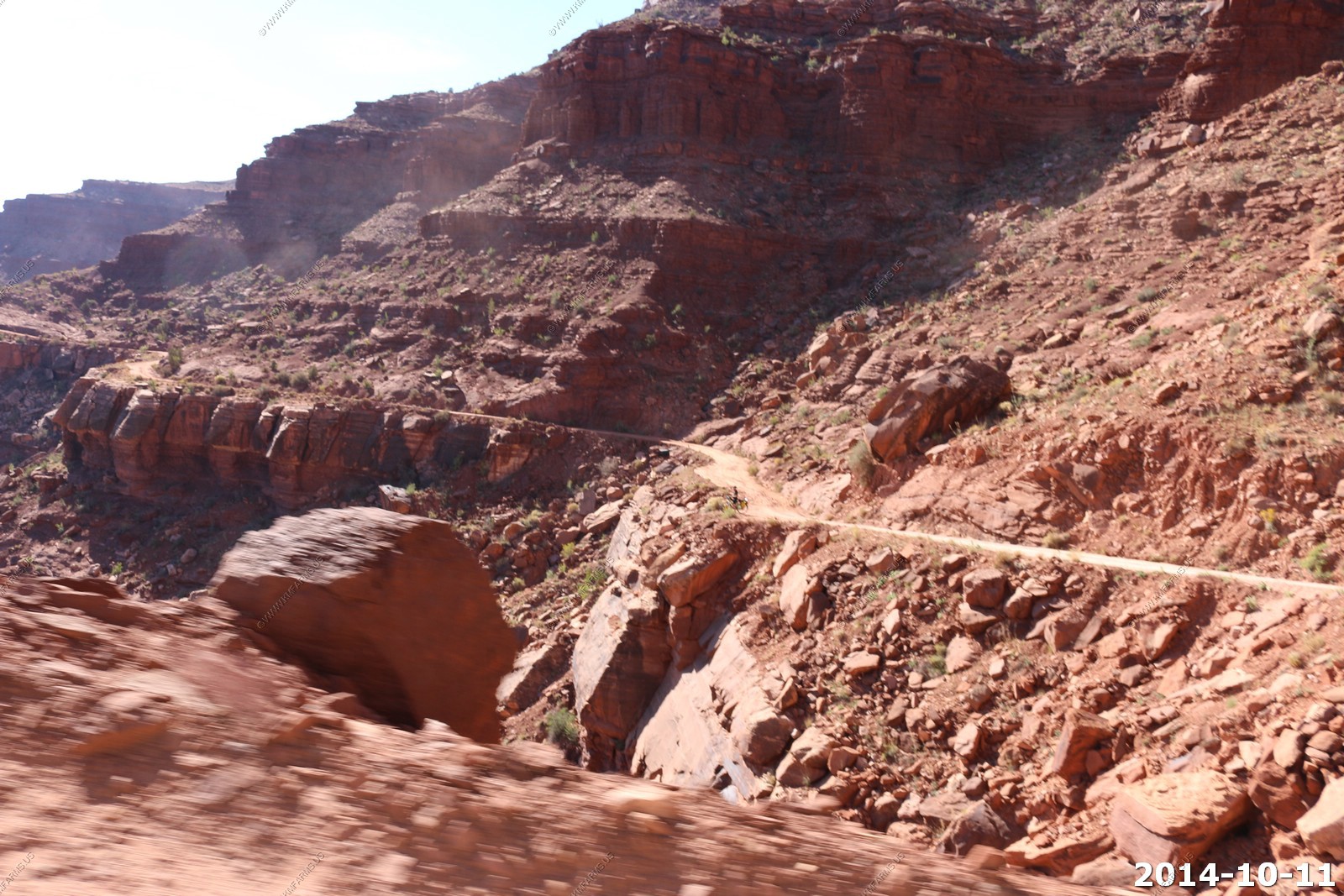
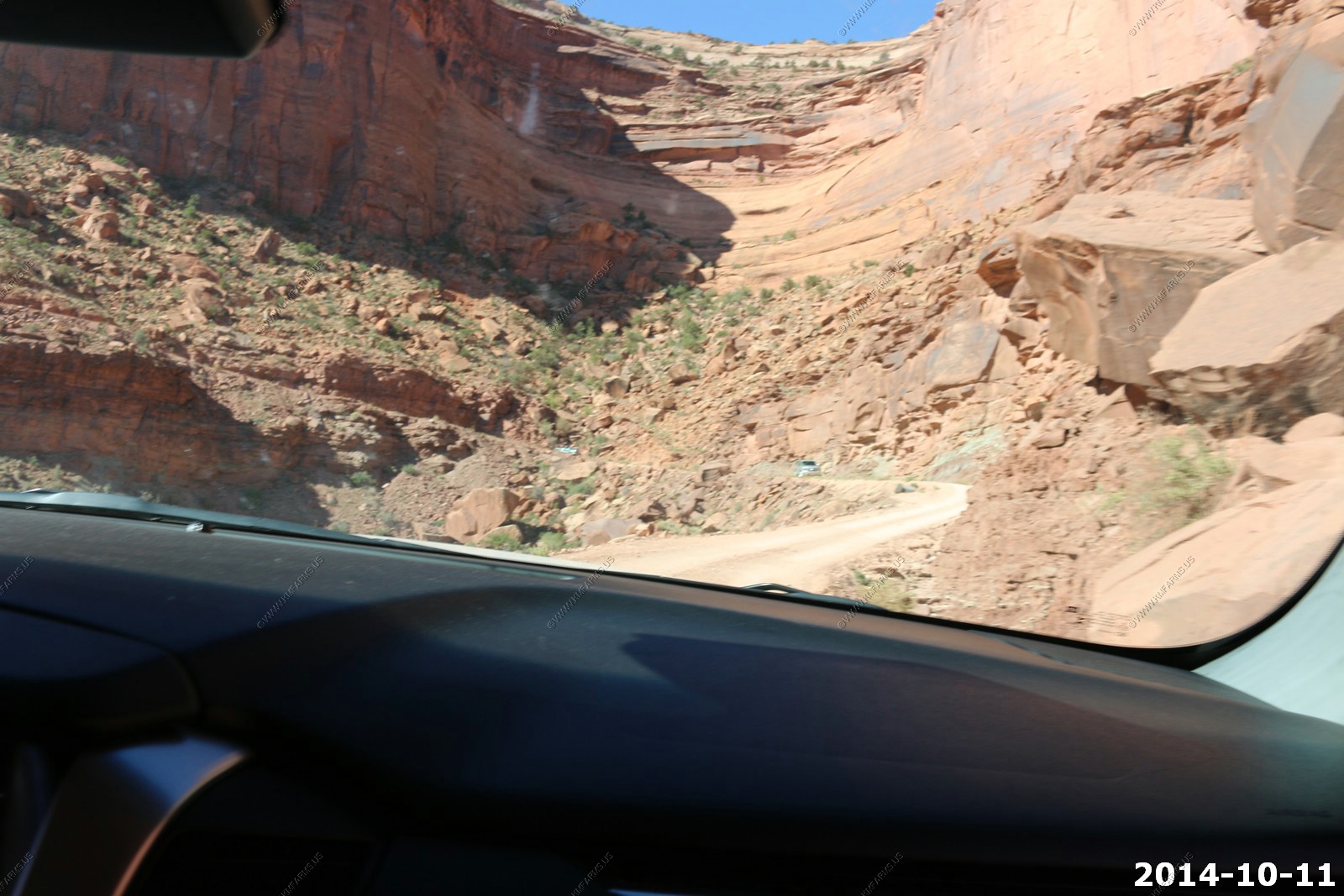
We are at the bottom of Shafer Trail (switchbacks) and the white rim road. You can see this intersection on the top of the Shafer Trail. Its 4 miles to the left to Musselman Arch. 4 miles of ledge driving !
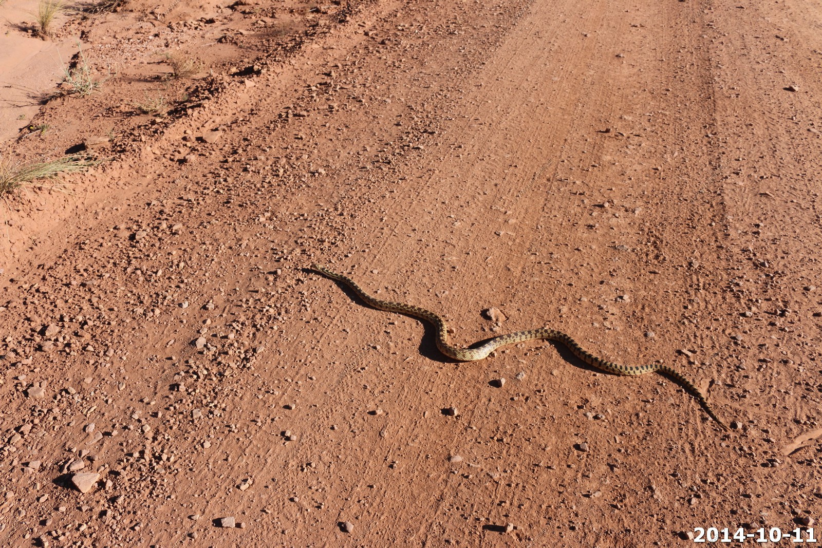
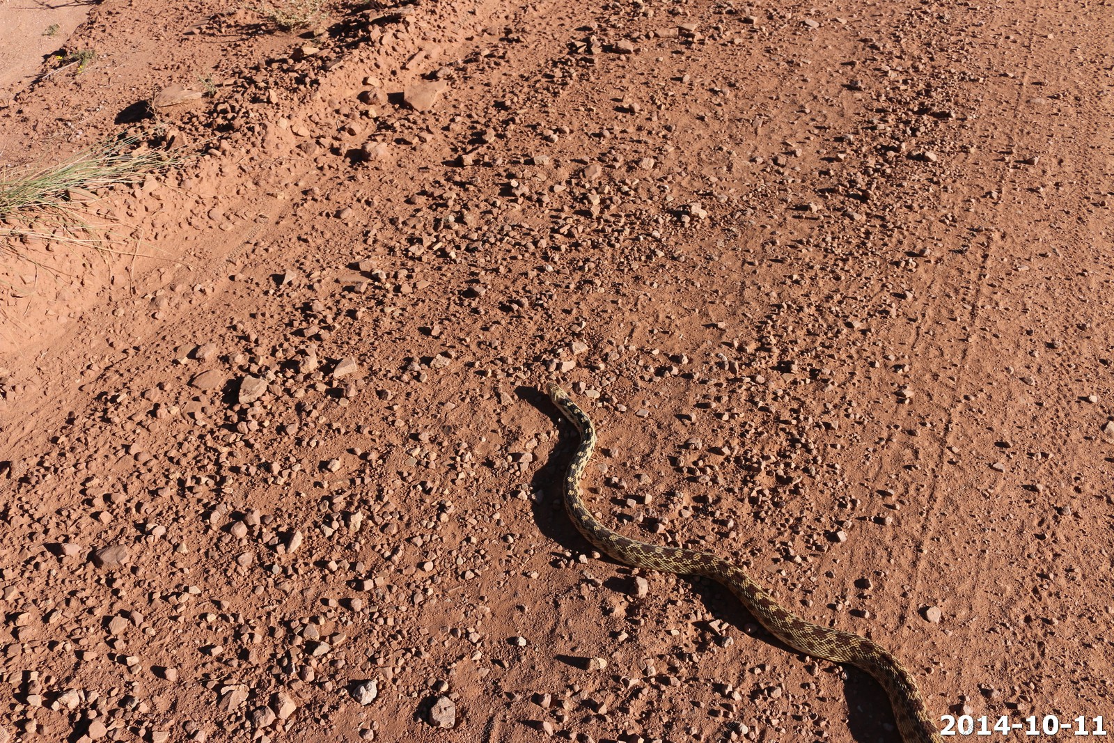
Great Basin Gopher Snake.
The road is very good in places but that's about to change as we got out on the ledges.
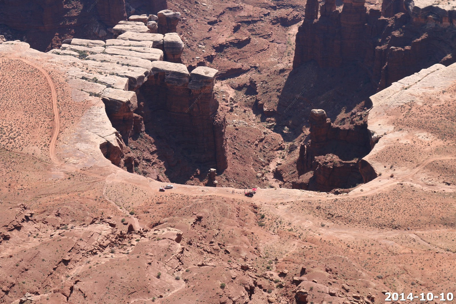
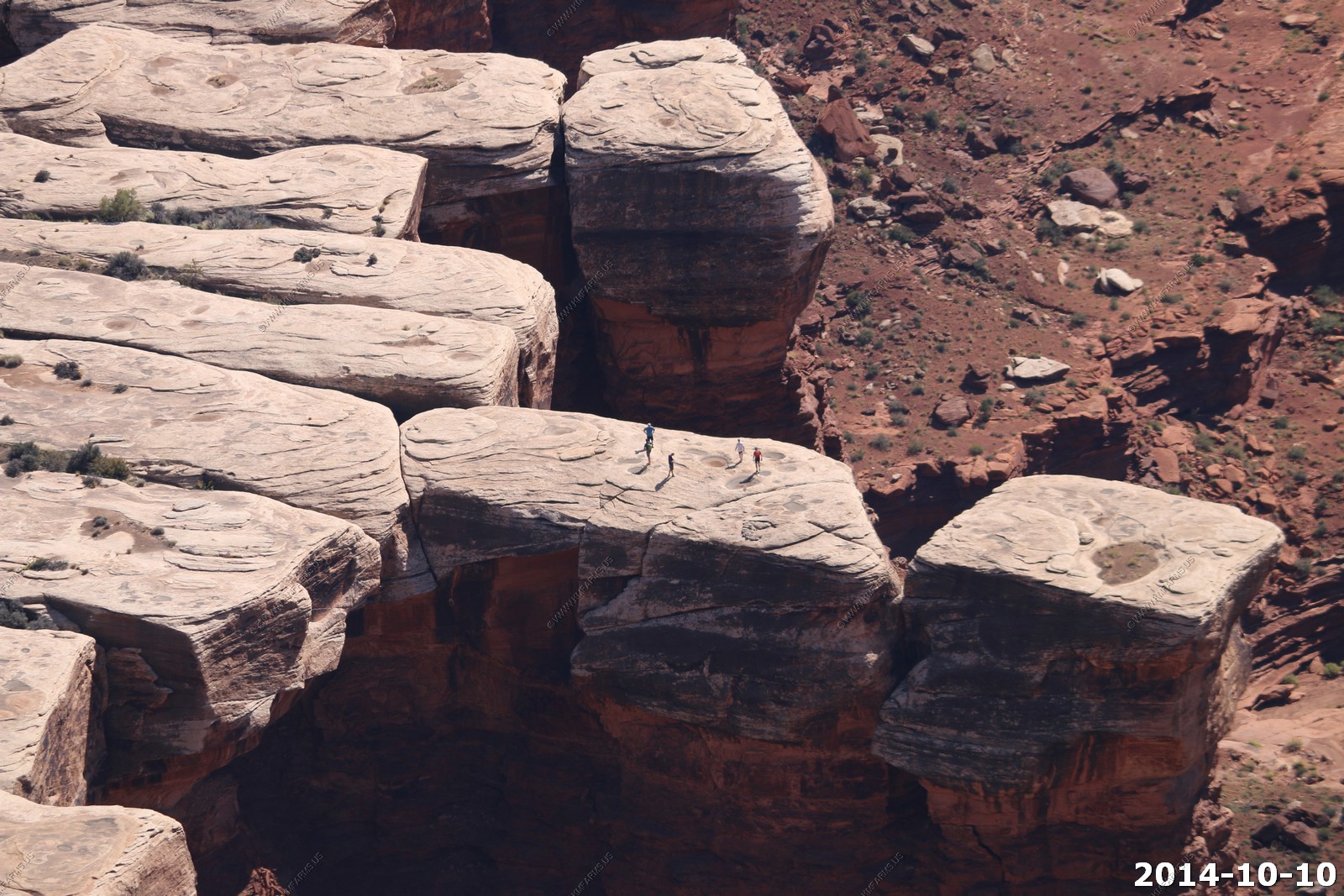
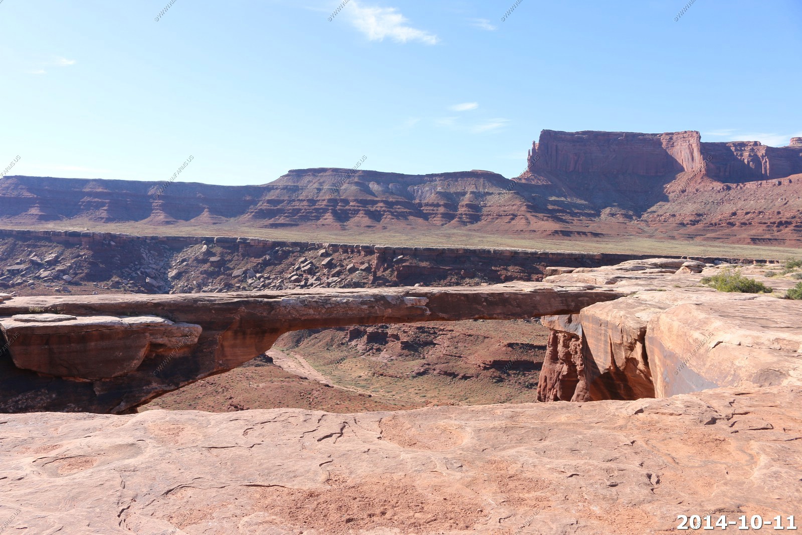
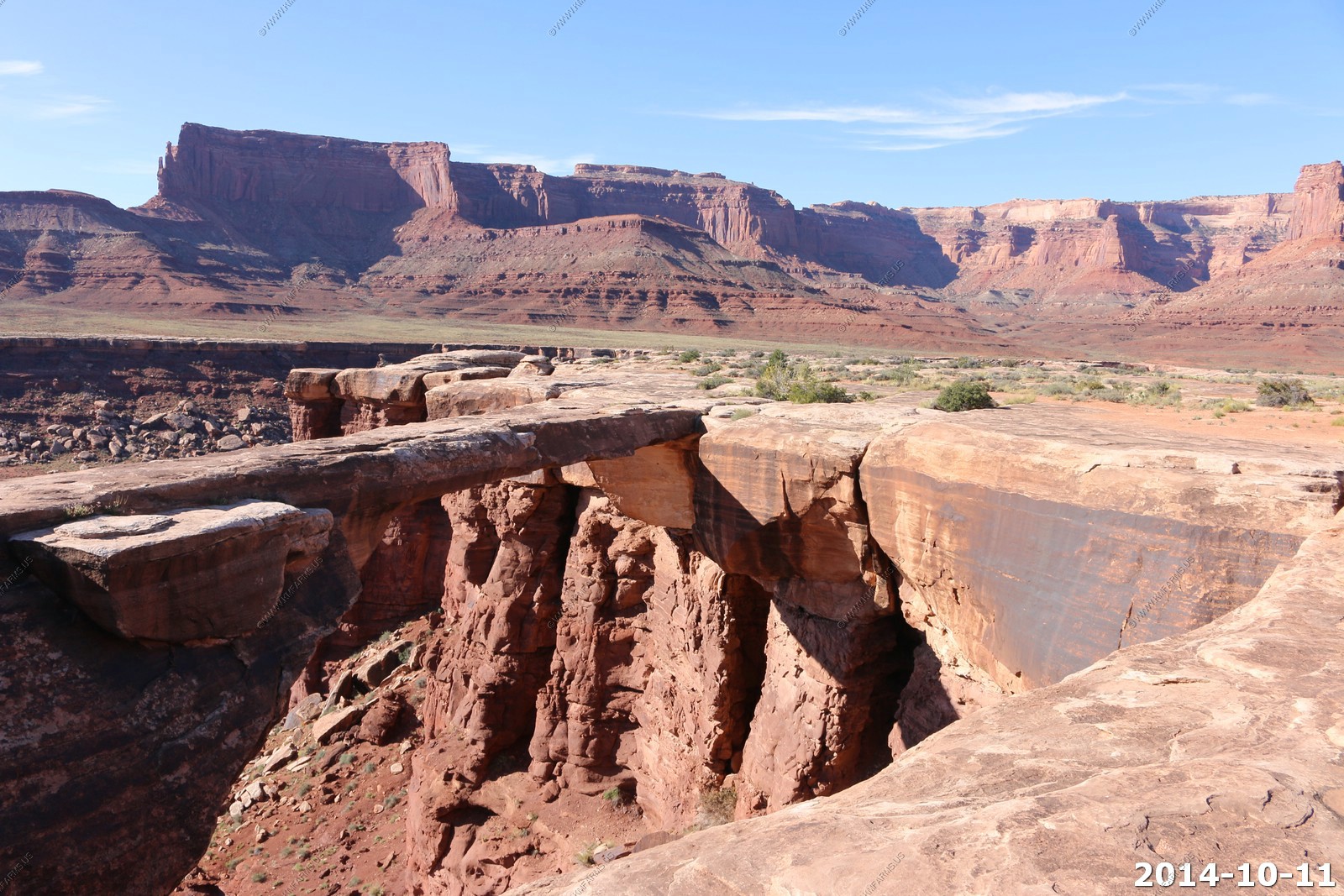
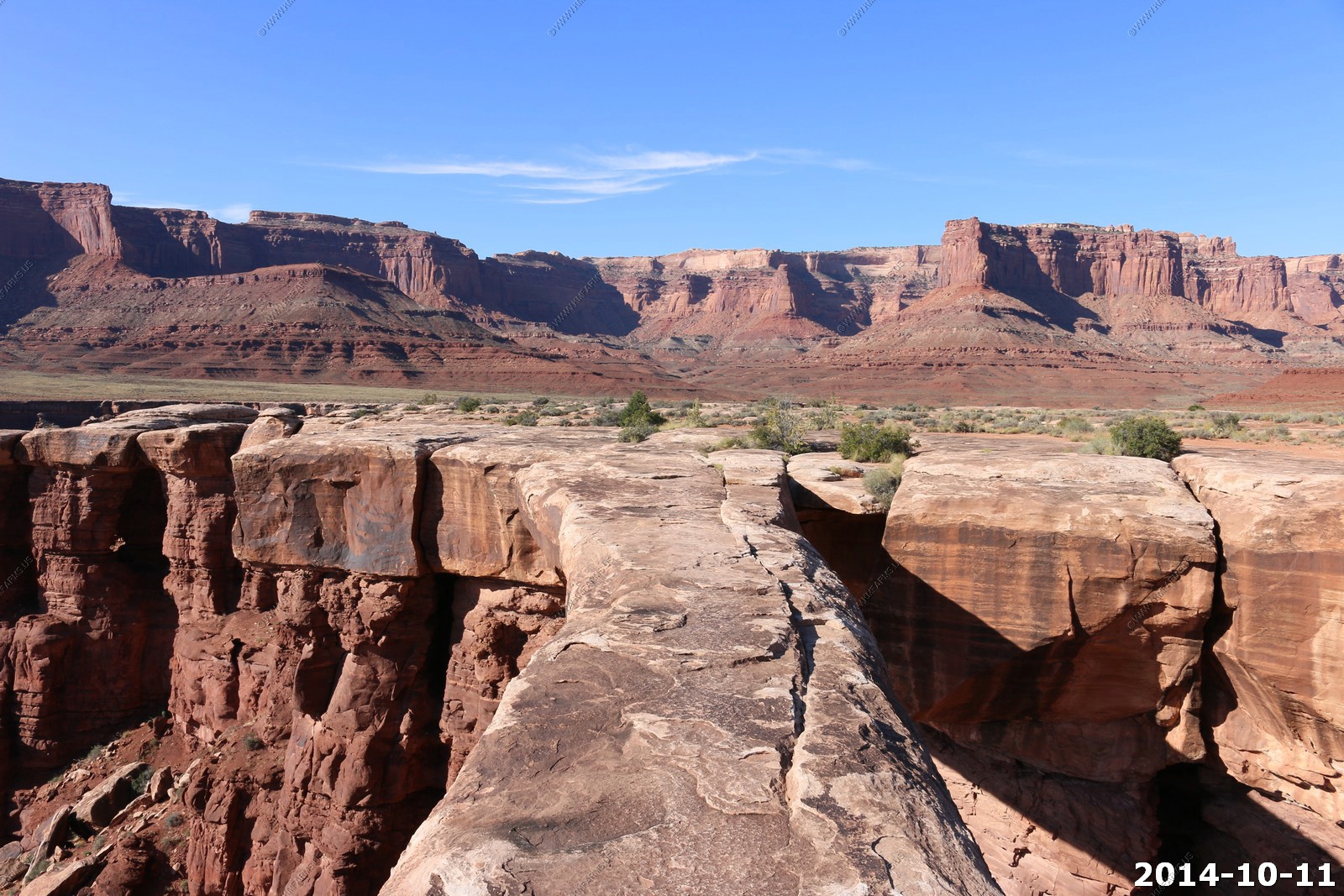
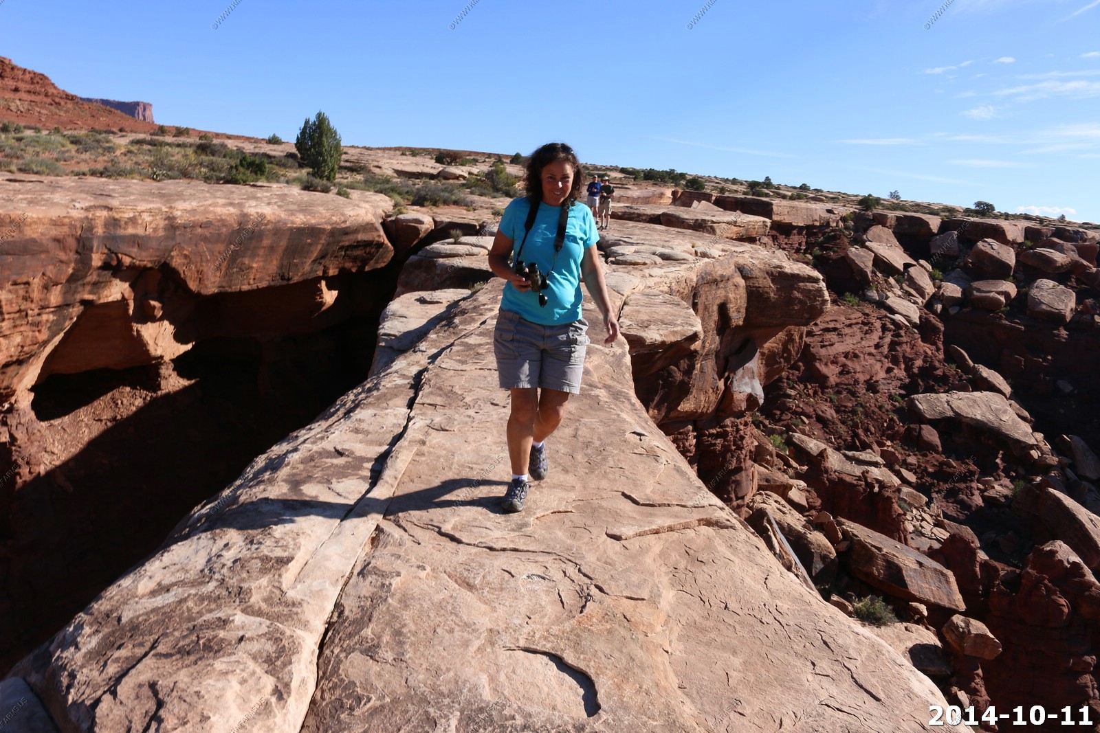
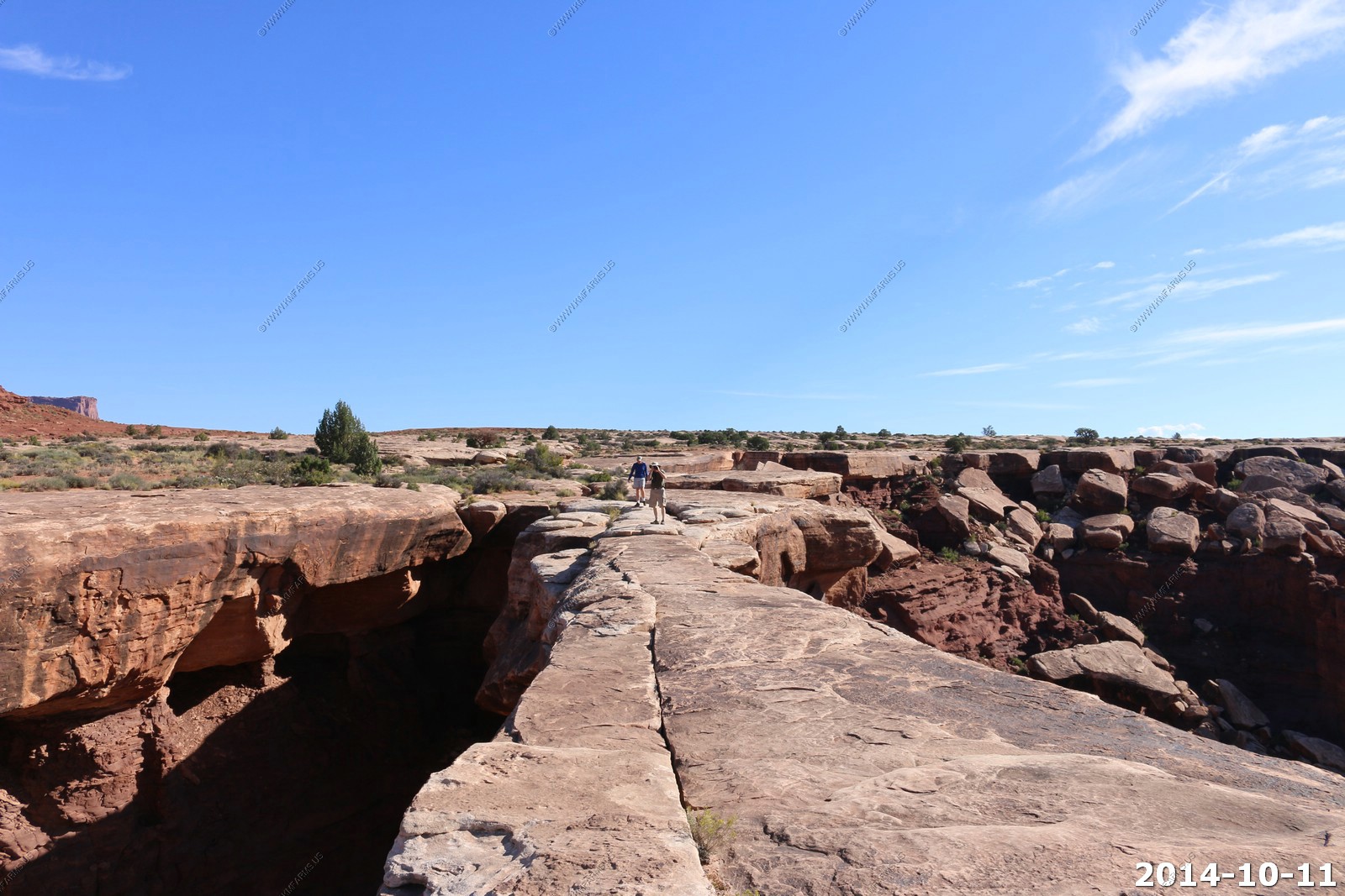
Musselman Arch
We were back here 11 years ago. You used to be able to drive right up to it and on it if you wished. But, now you have to park in a lot and walk back. Funny.. The last time I was here, we sat on it with our feet hanging off for lunch.
Now we were cautious just to walk across it. Funny how you get as you get older. Dave & Monika would not walk across it.
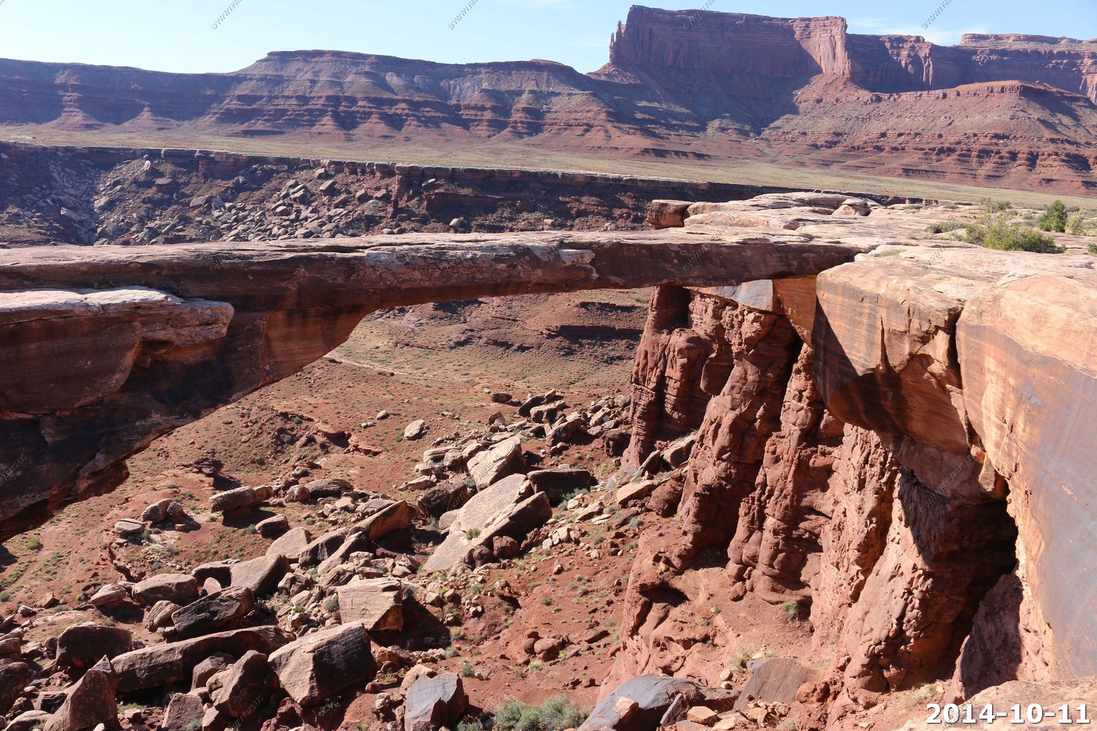

Trying to get Dave and Monika to cross... Nope...
You can't see it, but the road runs along the top of the broken white rim. It's 4 miles back to the intersection of Potash Road and Shafer Trail.
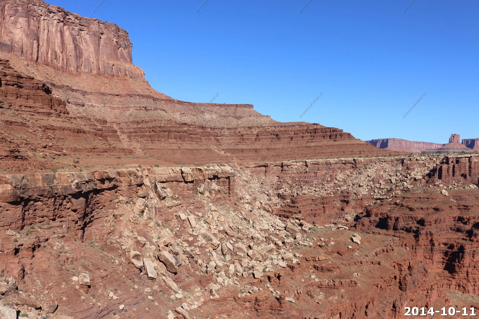
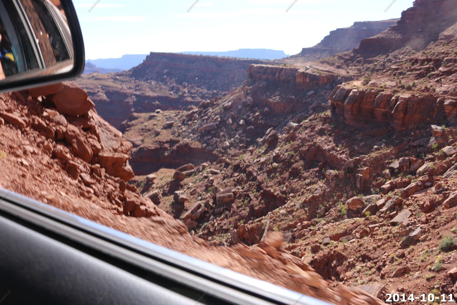
Some impressive drop-offs along this section of the White Rim road.
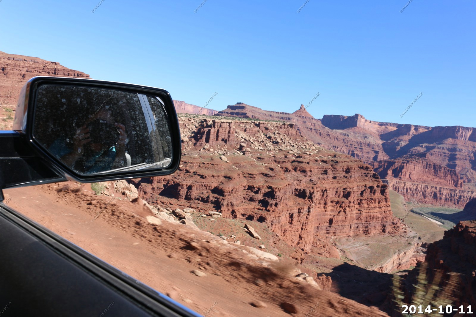
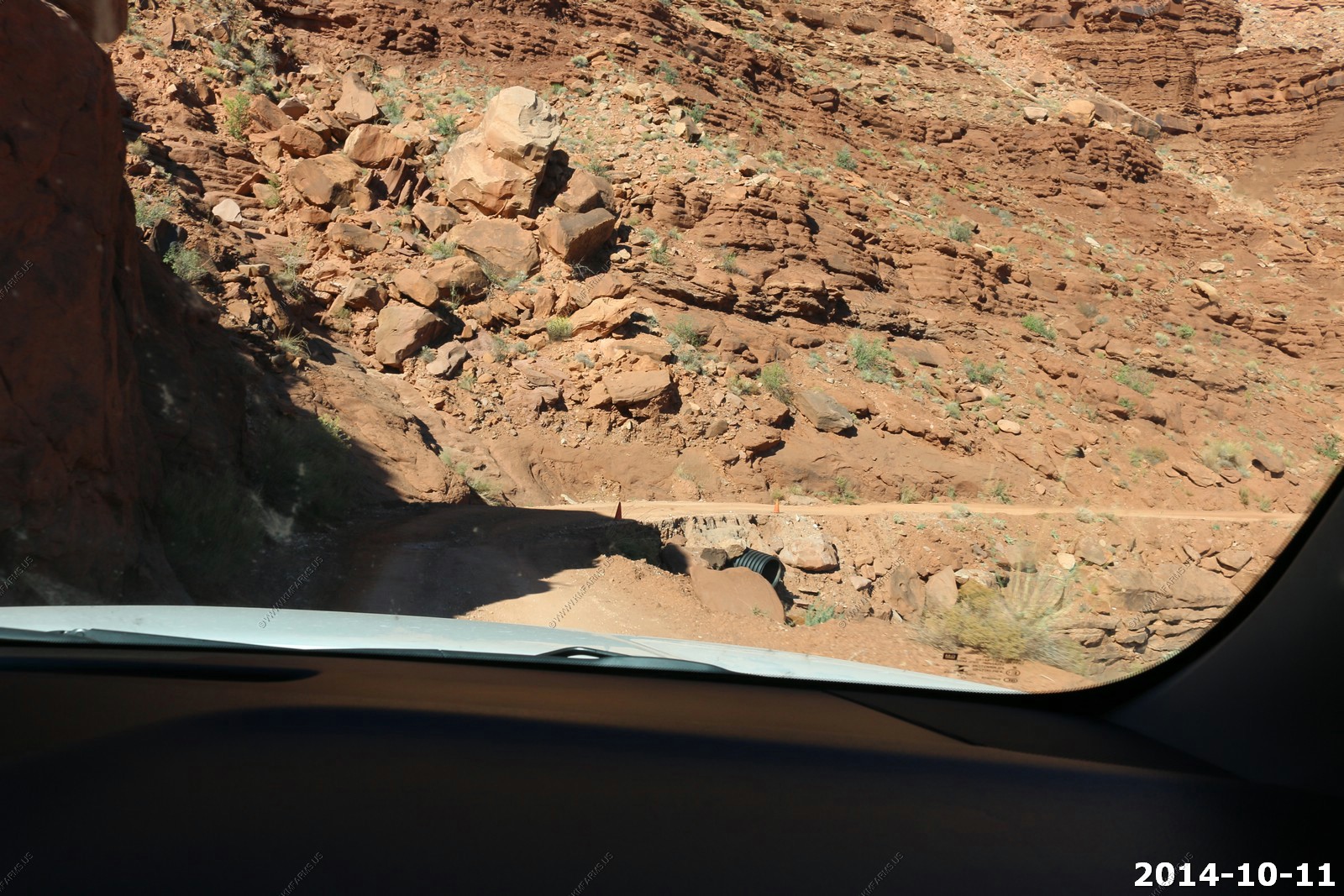
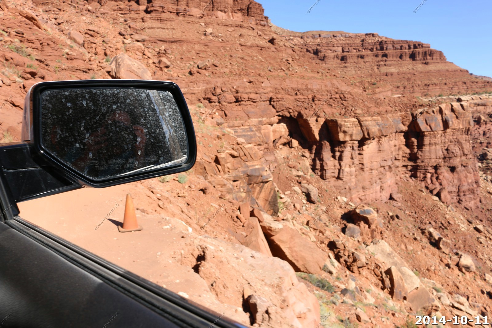
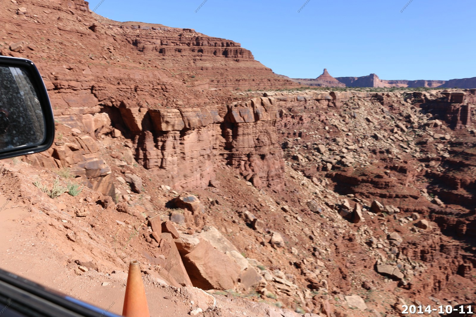
In one area the road was falling off.. And it was marked by a orange cone... This would be a fun road at night.
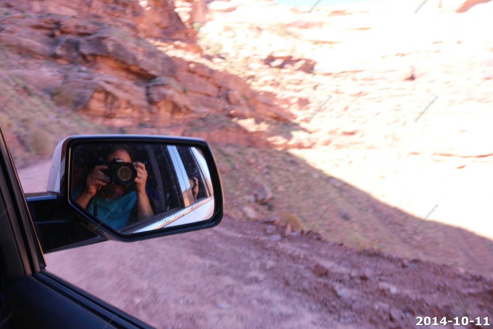
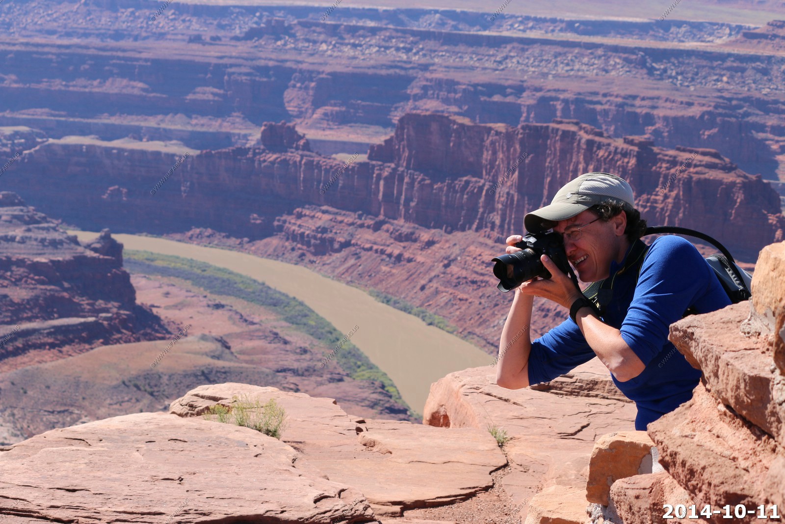
Mary taking photos.
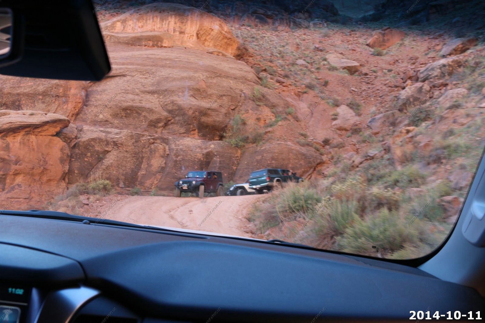
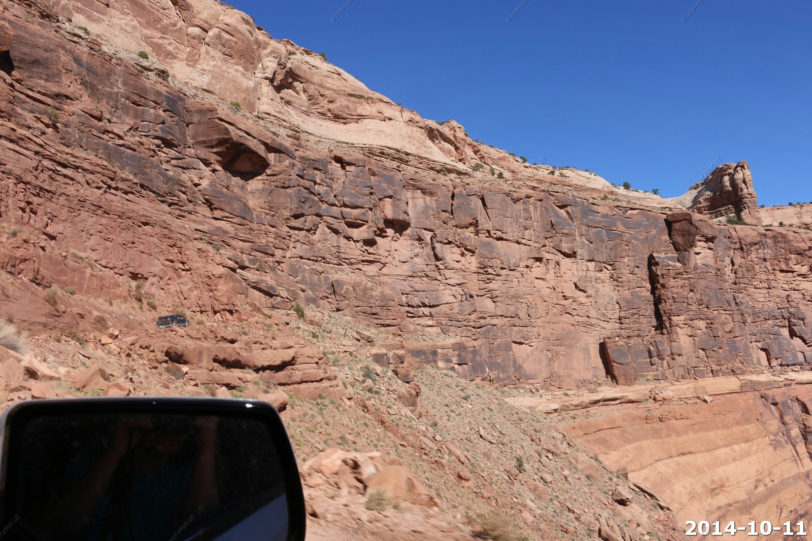
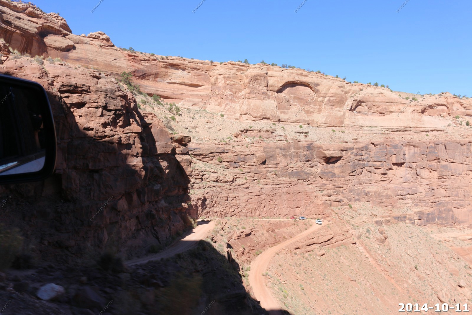
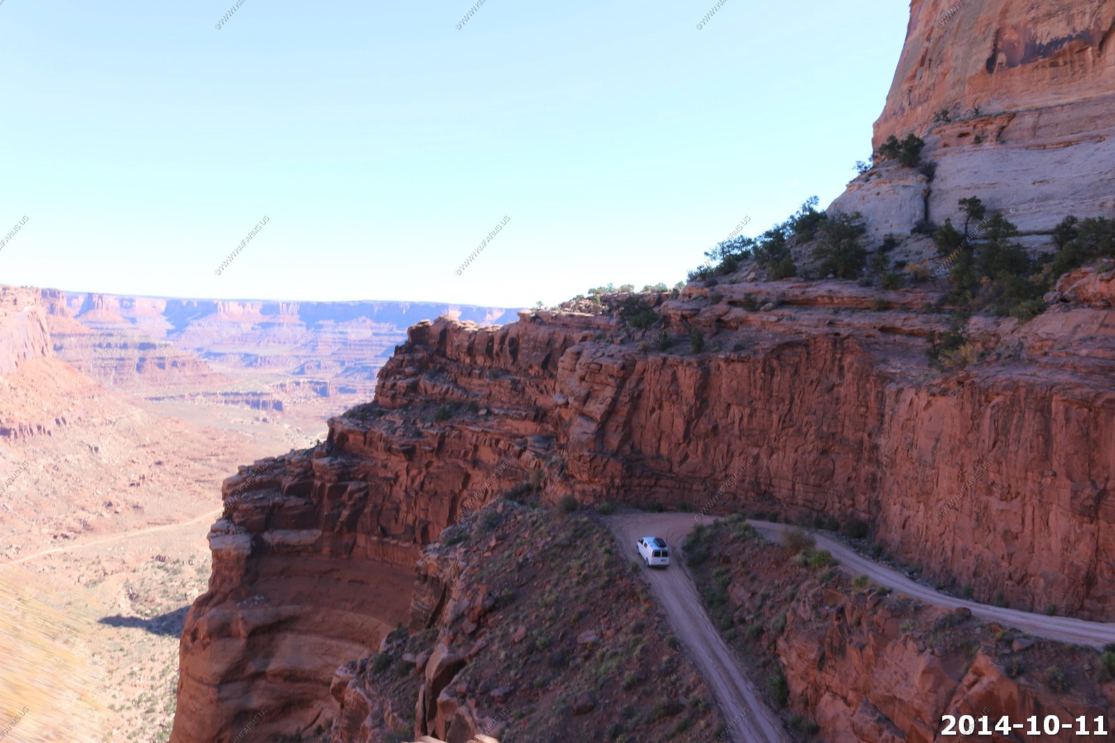
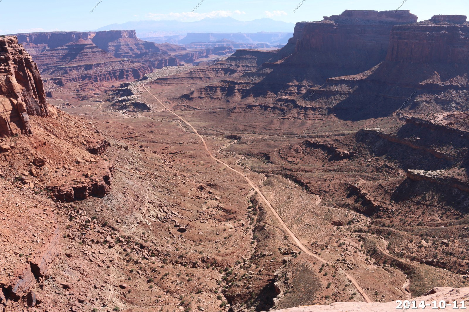
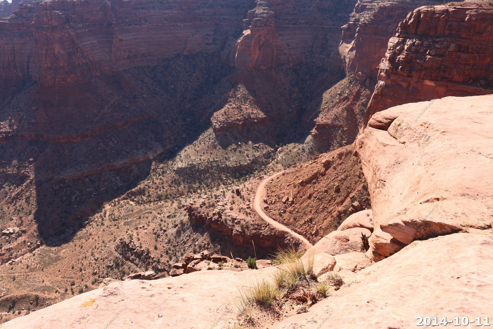
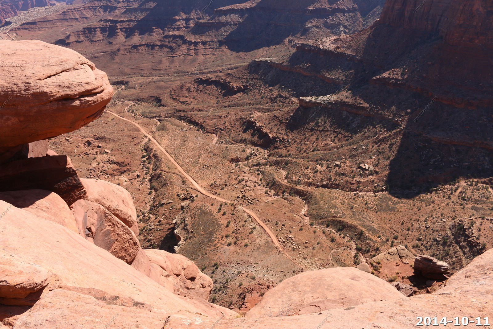
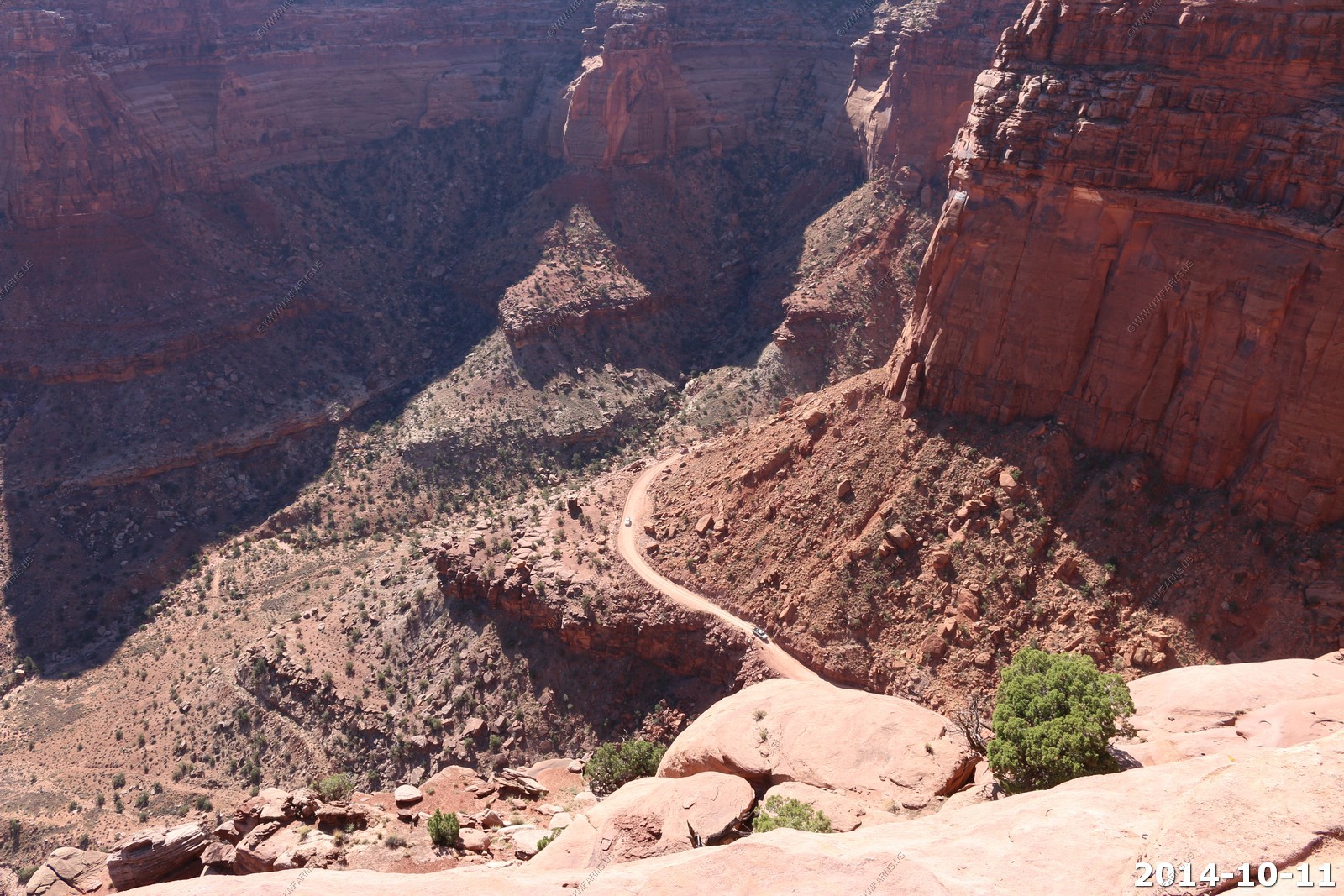
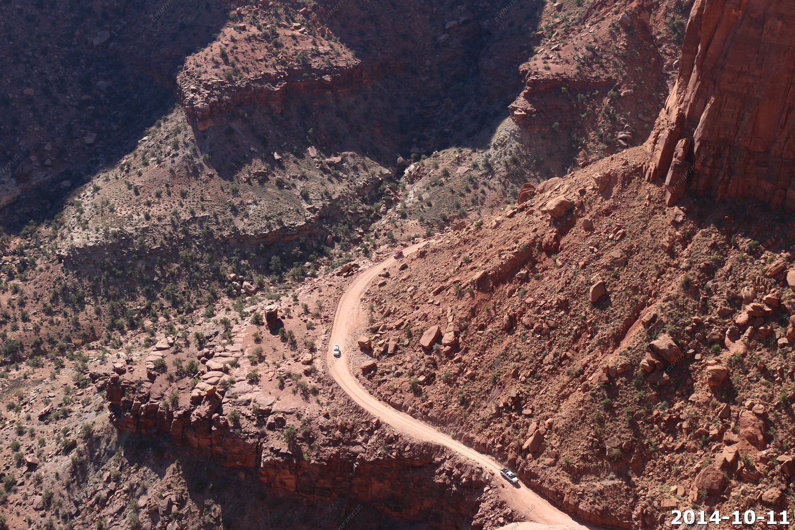
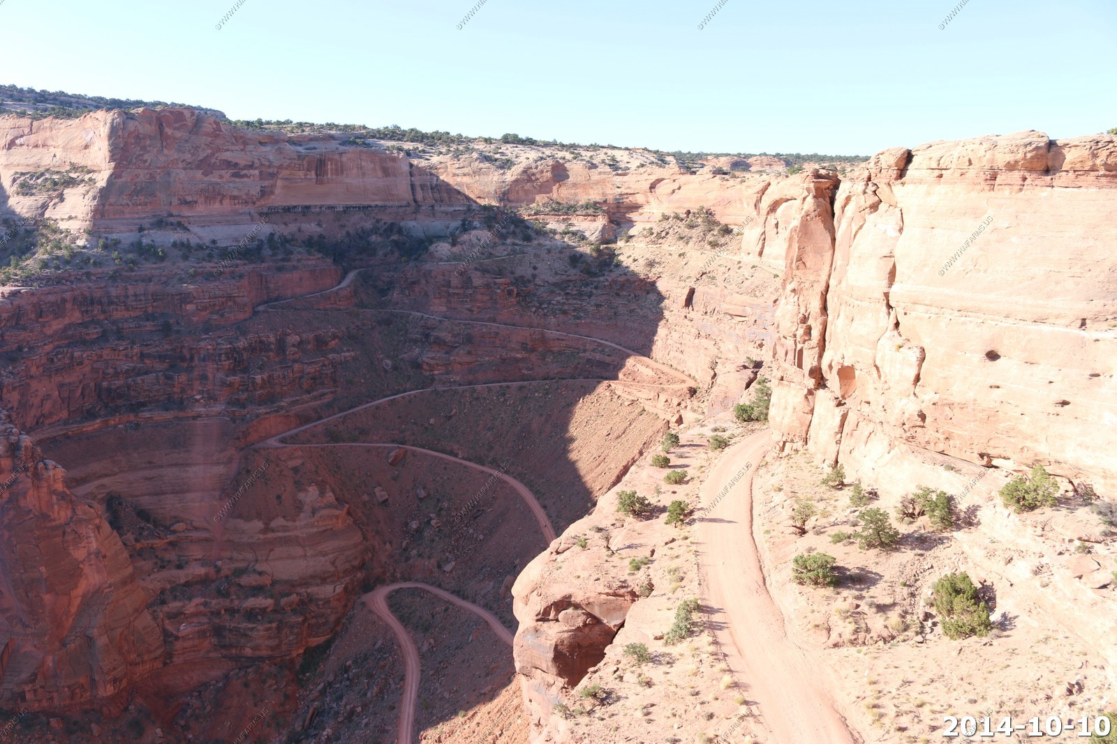
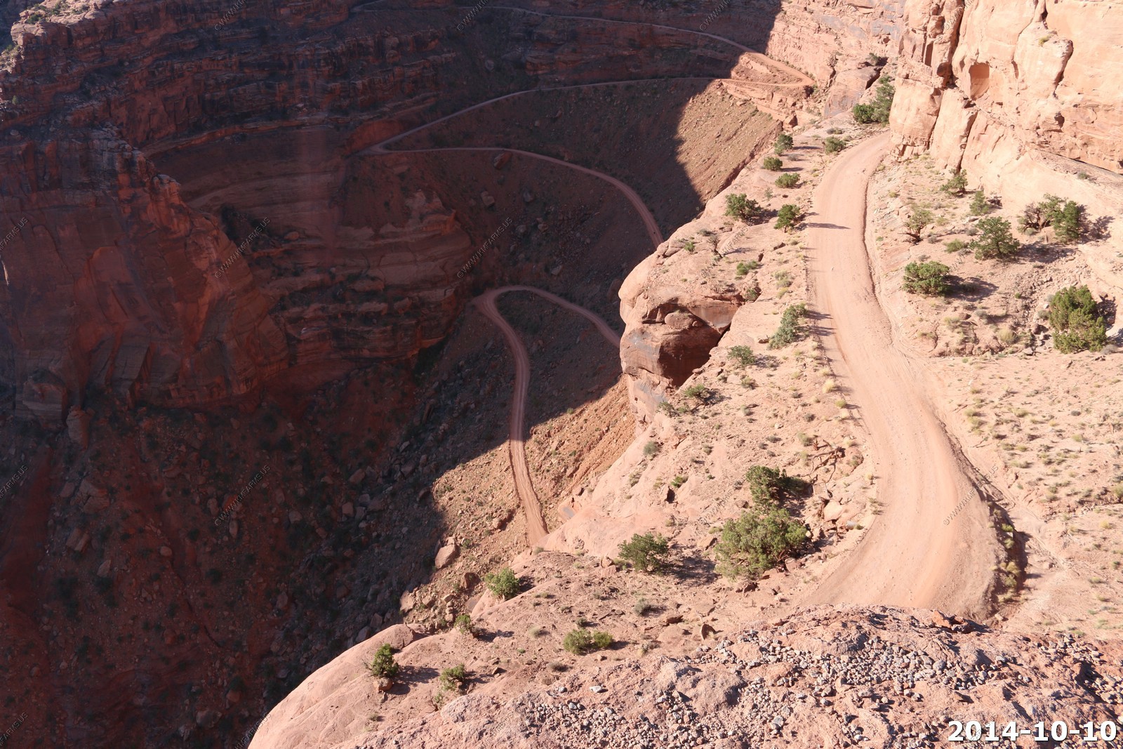
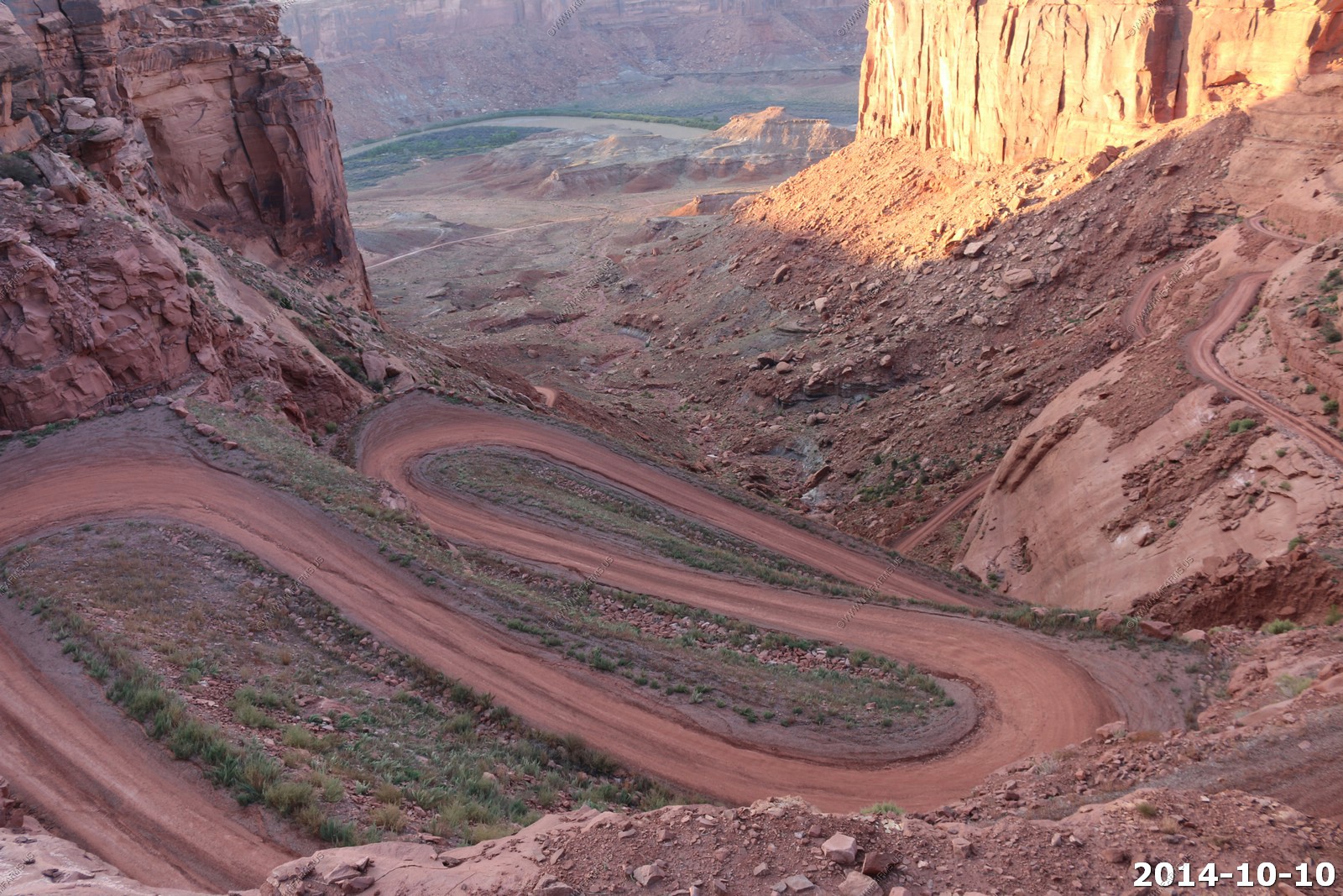
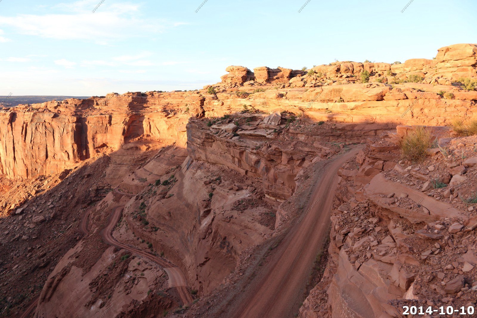
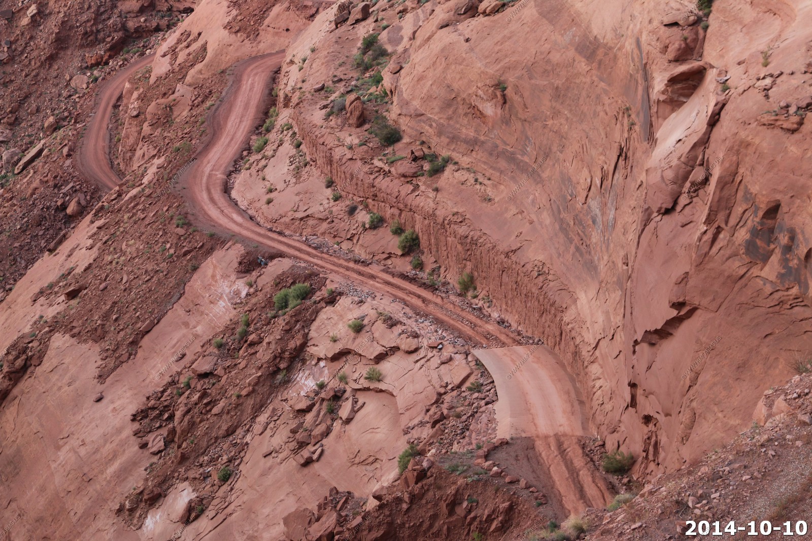
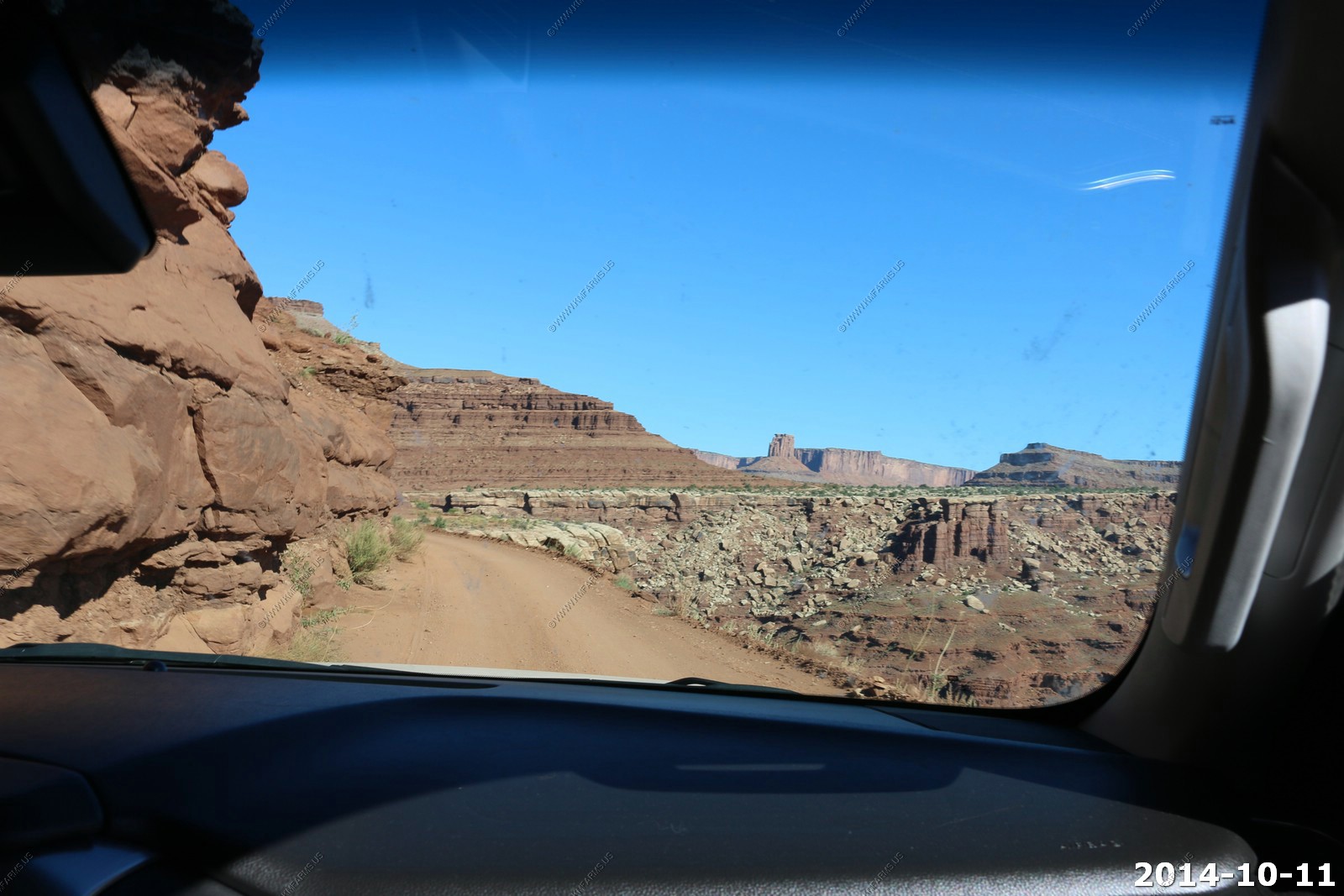
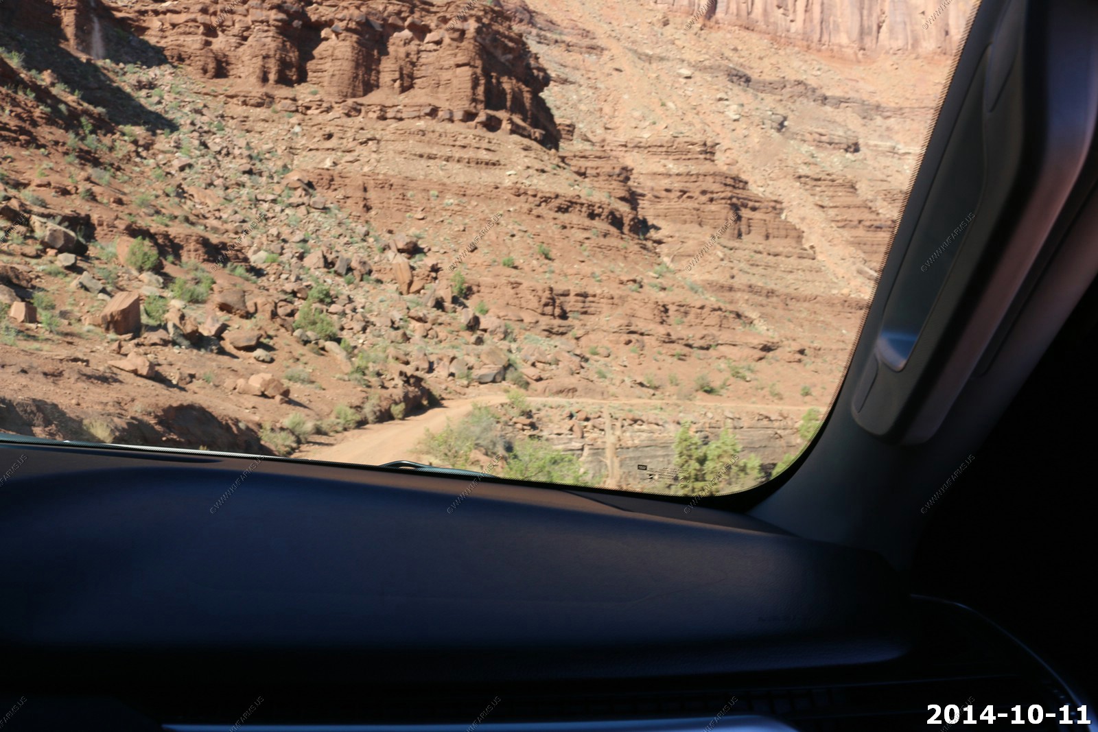
Time to tackle the Shafer Trail
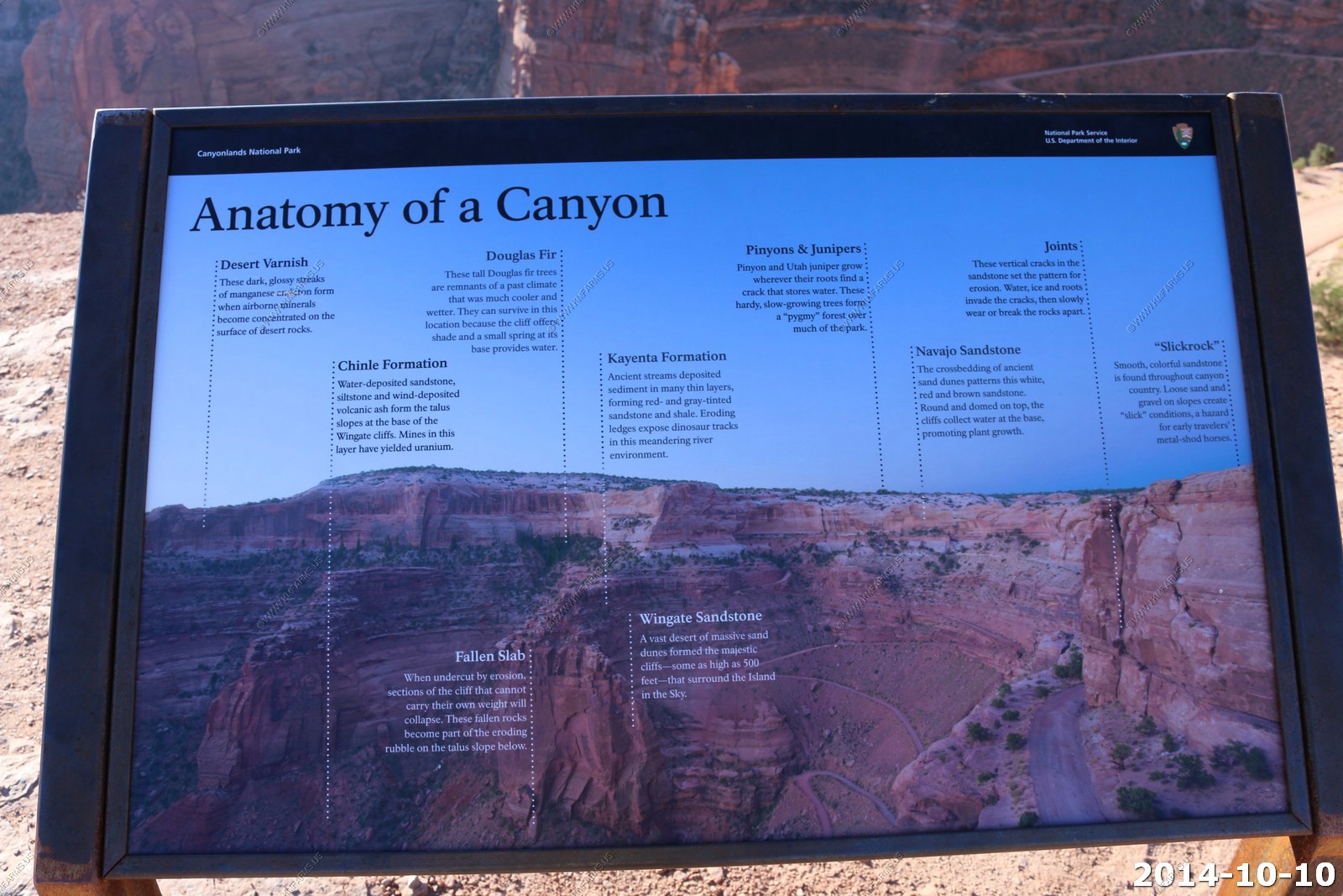
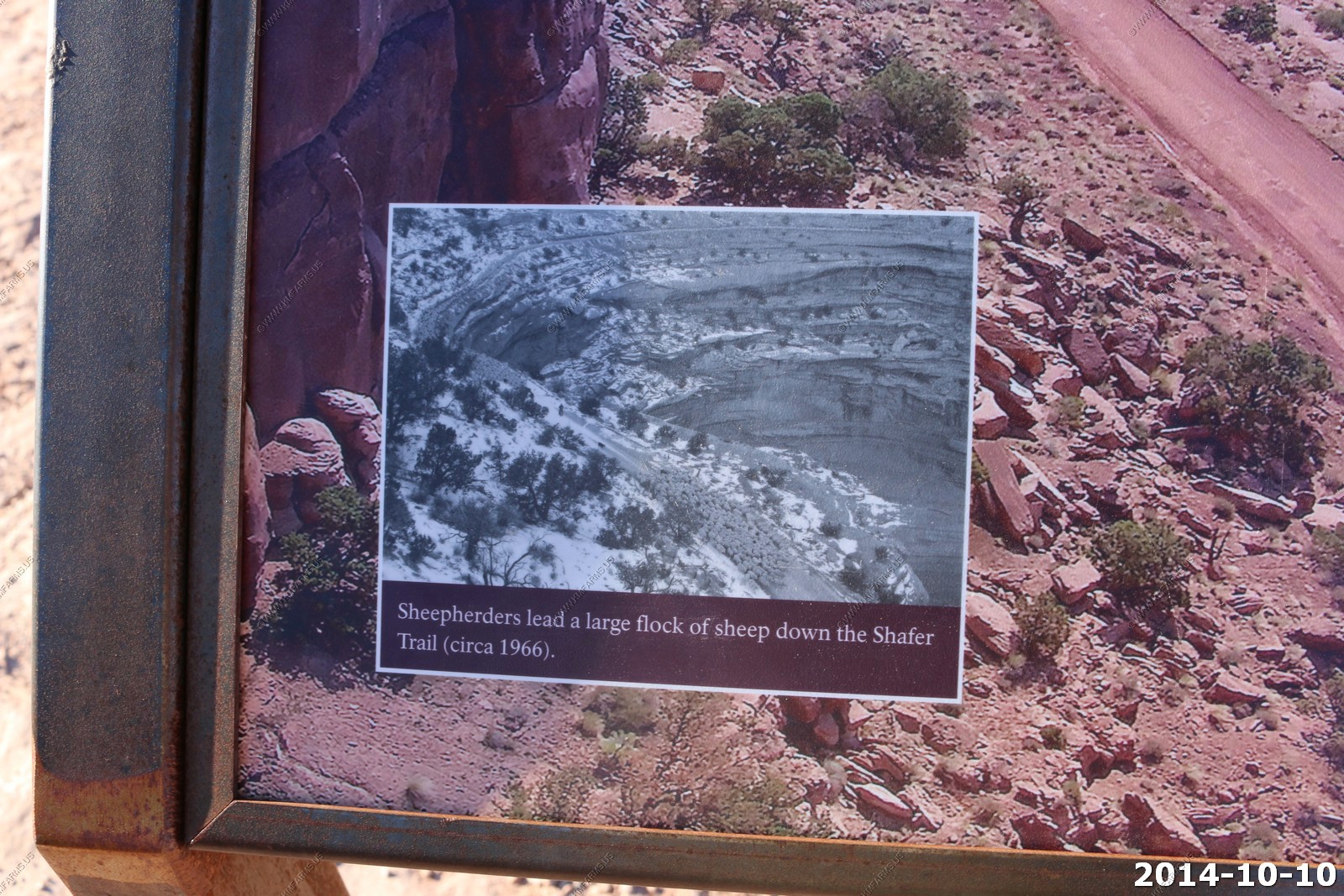
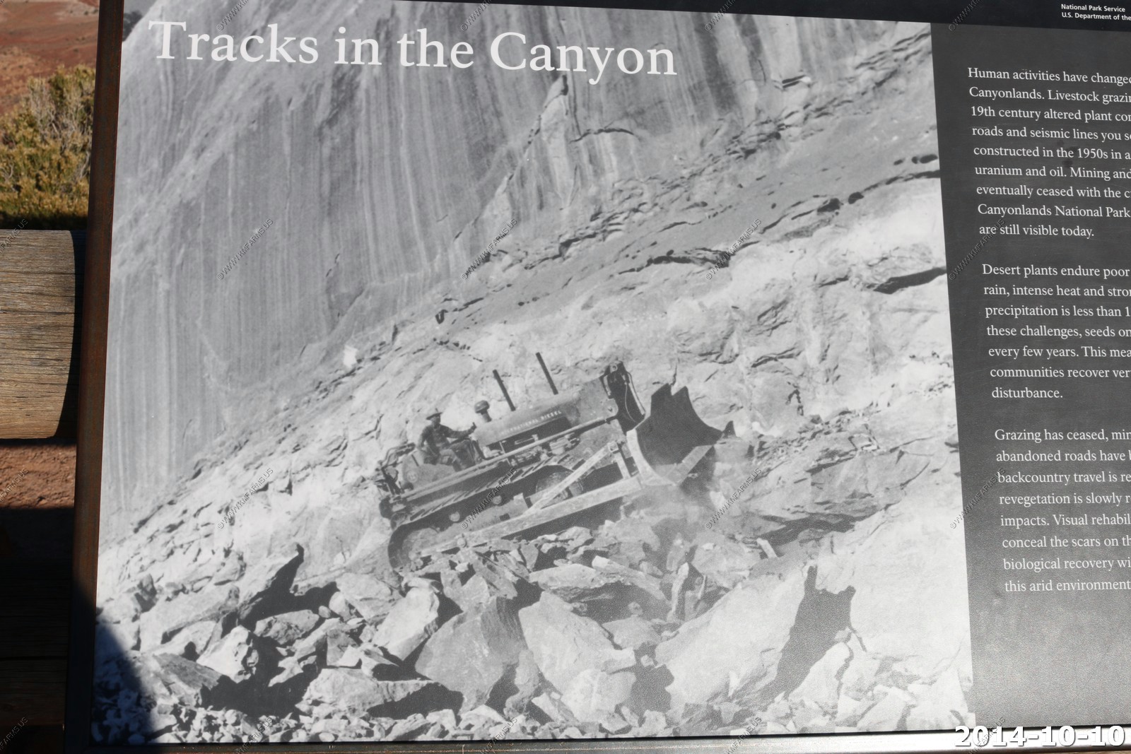
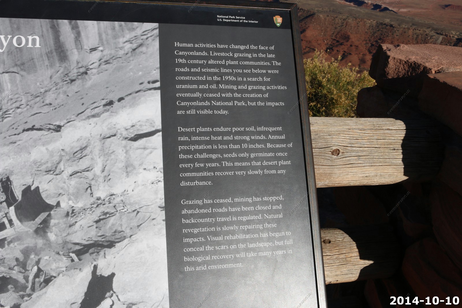
The Shafer Trail offers an excellent opportunity to observe nearly the complete succession of rocks exposed in the Canyonlands region of Utah. The trail is actually a dirt road that begins near the top of the Jurassic Navajo Sandstone and descends to the Permian Cutler Formation. The Shafer Trail road was originally built by uranium miners to transport ore extracted from the Triassic Chinle Formation during the middle part of the twentieth century. The mining road followed the path of a large natural rockfall that buried part of the typically cliff-forming Wingate Sandstone. Although the road has been greatly improved by the National Park Service, the Shafer Trail is still extremely steep and it travels along the tops of sheer cliffs.
The last time thru this area the road was extremely bad. I was surprised at the condition.

It's always fun to encounter oncoming traffic on this road.
Just starting to go up.
This gives you an idea on the scale.
Up we go.
Trying to meet others in the turns.
Getting higher.
Mary & Monika going for the shots.
Still behind the Wisconsin people and getting higher.
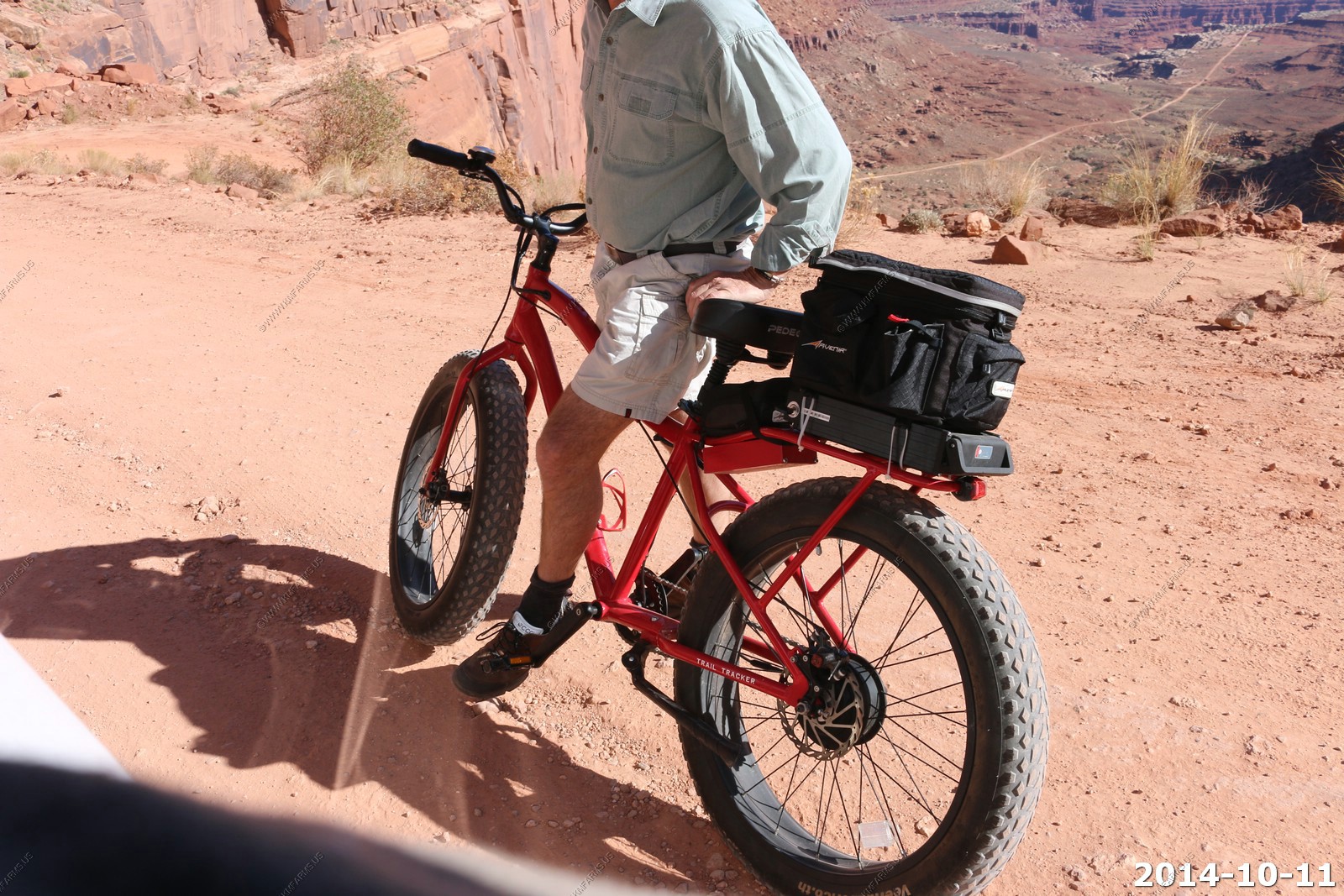
Saw my first Pedego Trail Tracker on the trail. Getting one over the winter.
Traffic jam - We should have done this on a weekday.
Narrow in places then sharp turns.
Almost to the top ledge.
Very steep & narrow. Not the place to meet someone else.
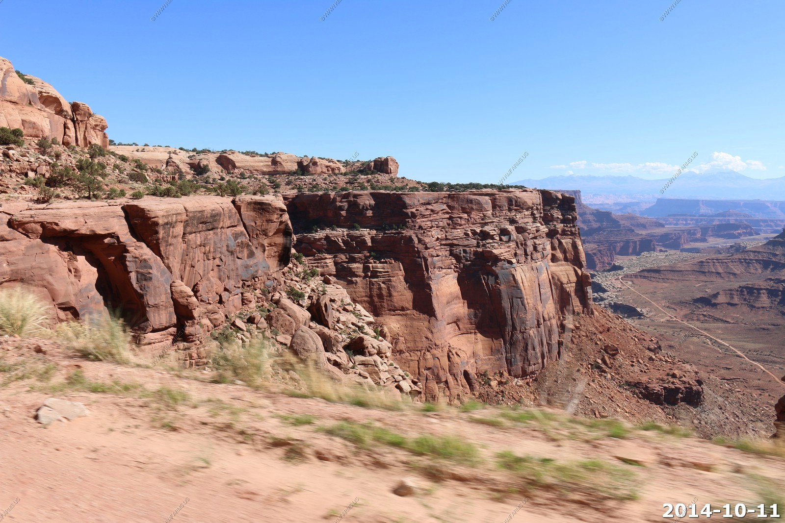
Now we are on the top ledge.
In some places its forming an arch under the road.
Getting the new rental dirty.
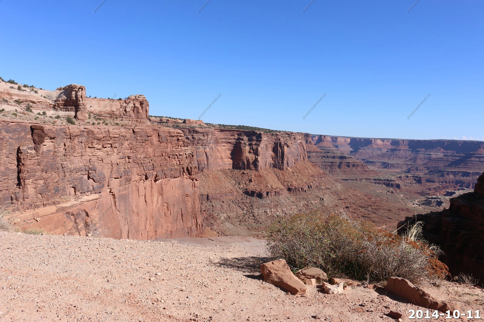
Up on the ledge at the top, it's an excellent place to look back down what we just came up.
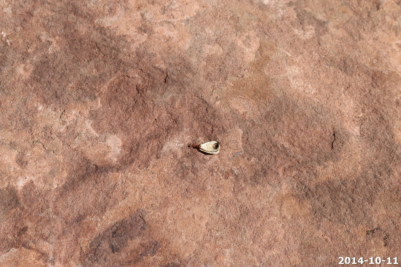
I feel bad for this ant.. Not much eating in a sunflower shell.
Sure looks different at the top.
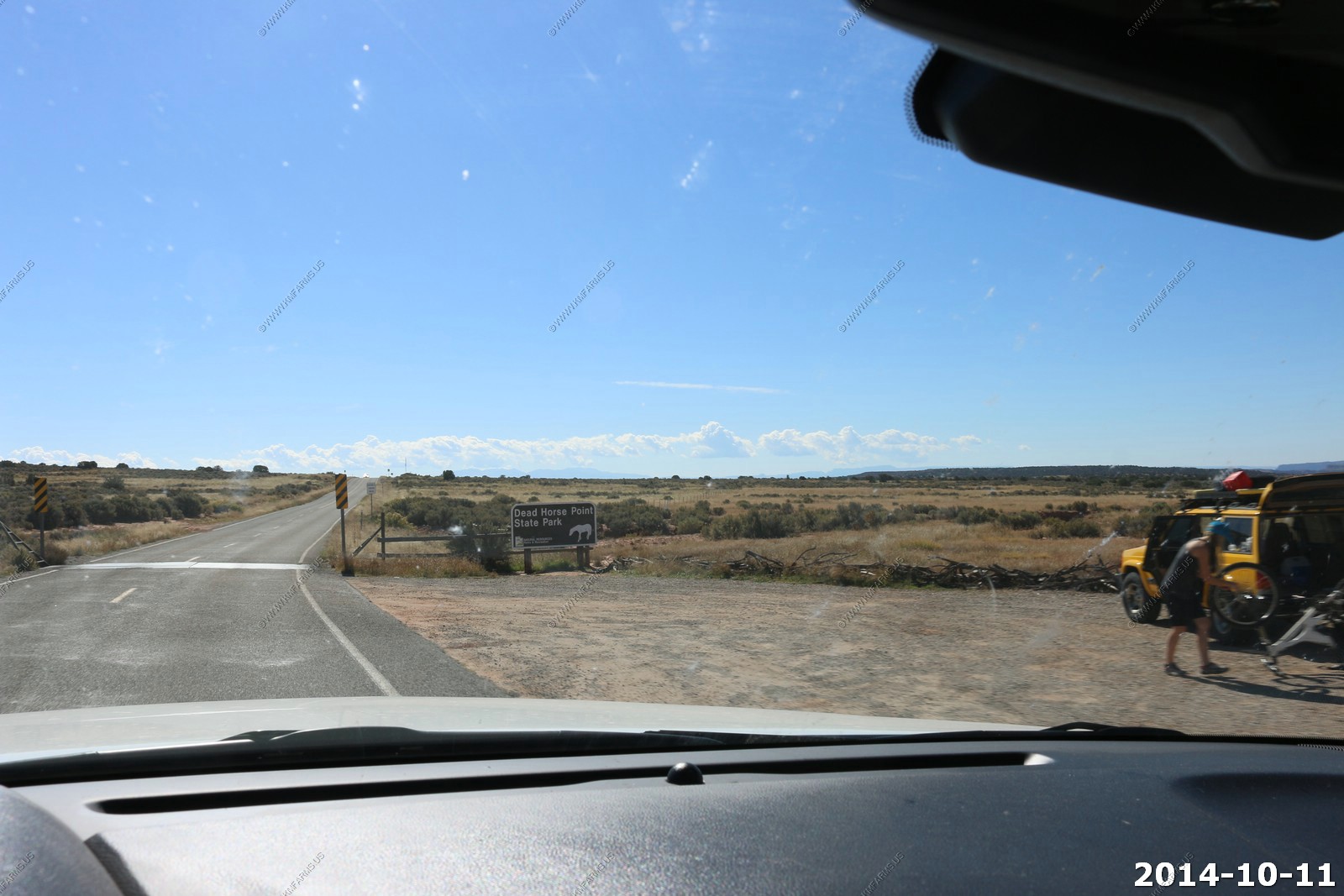
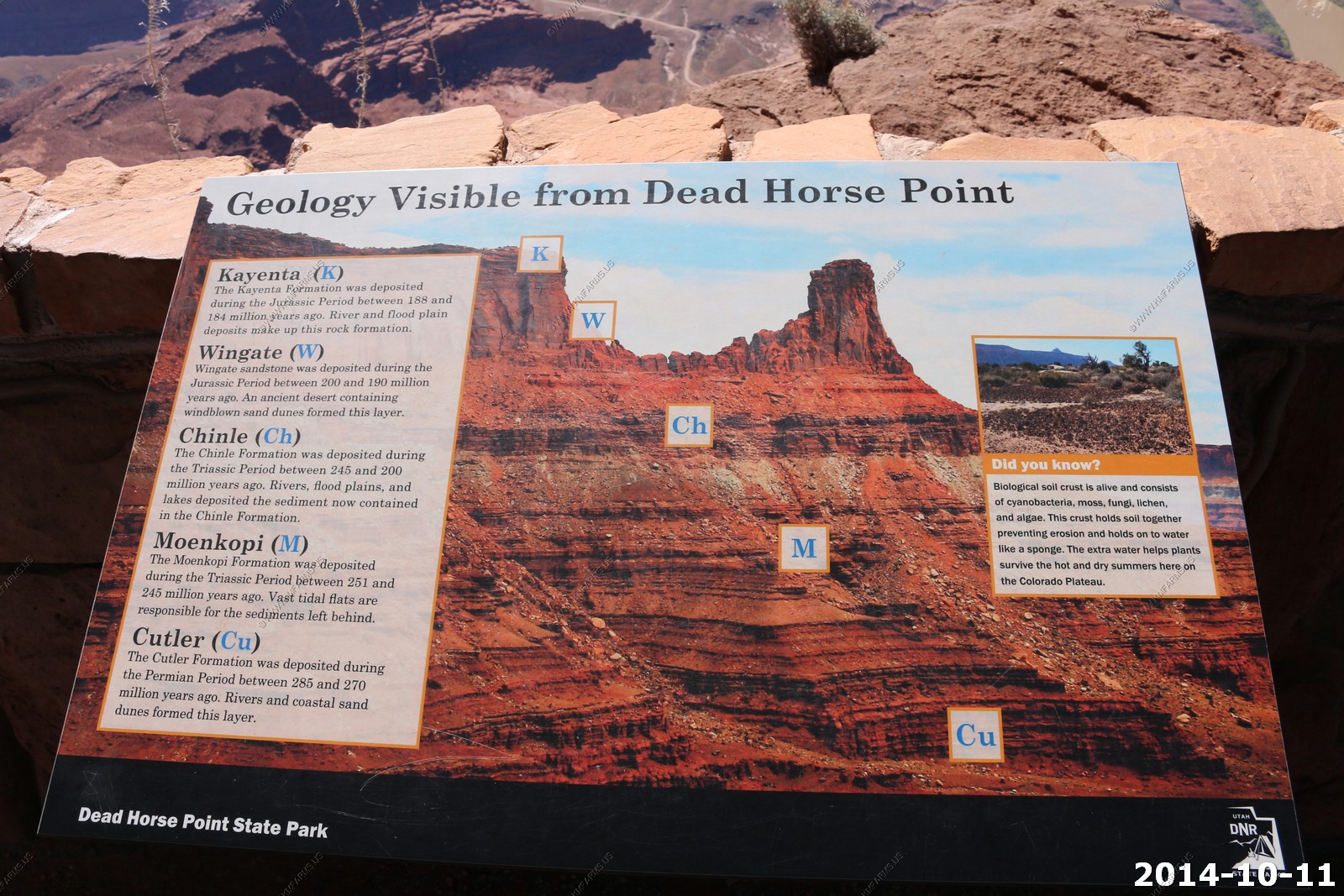
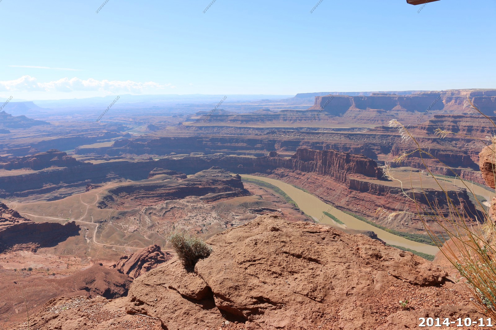
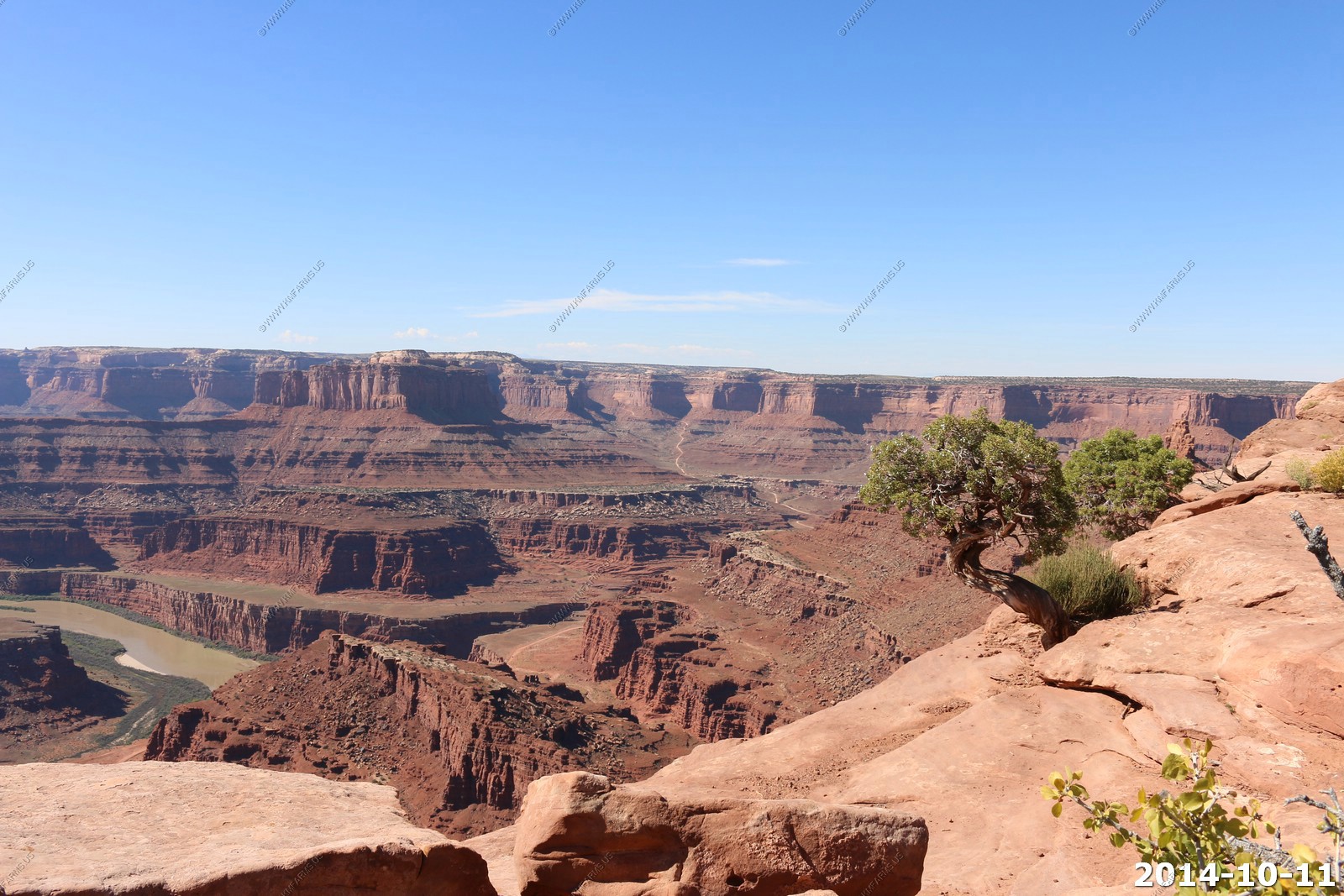
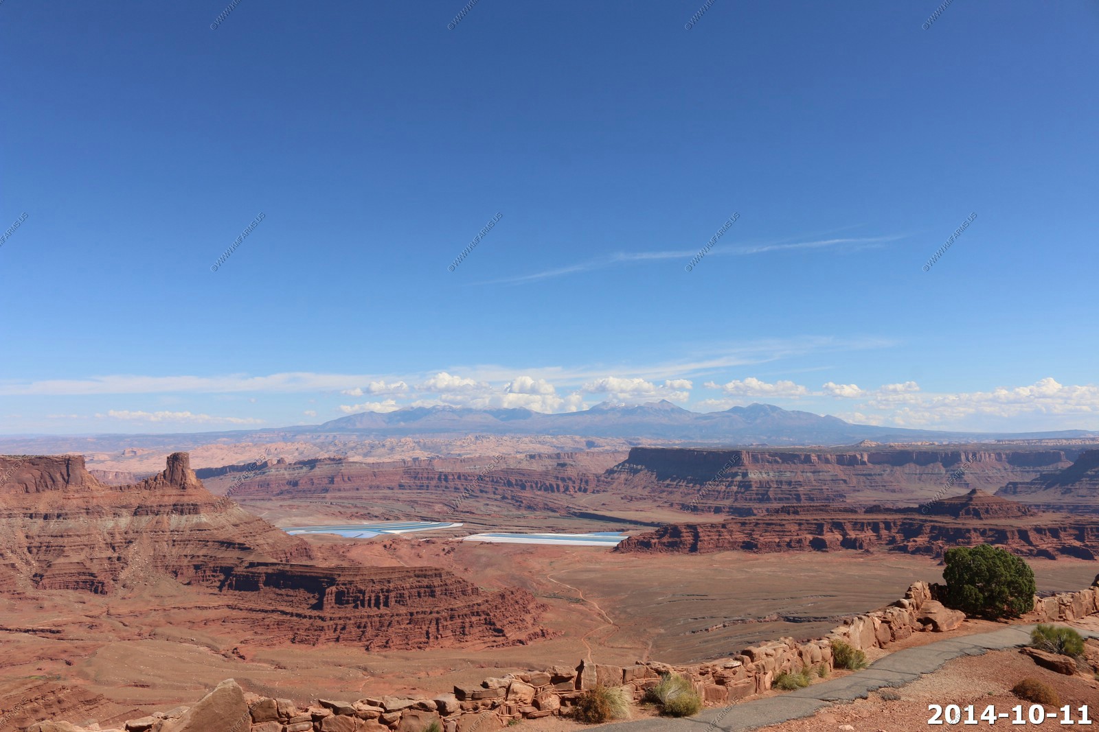
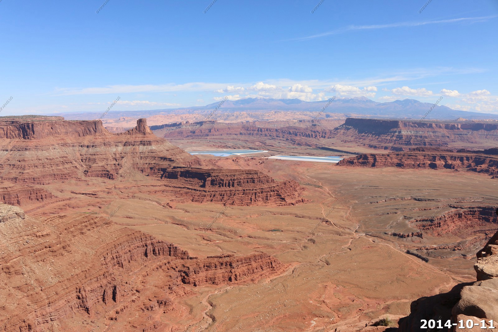
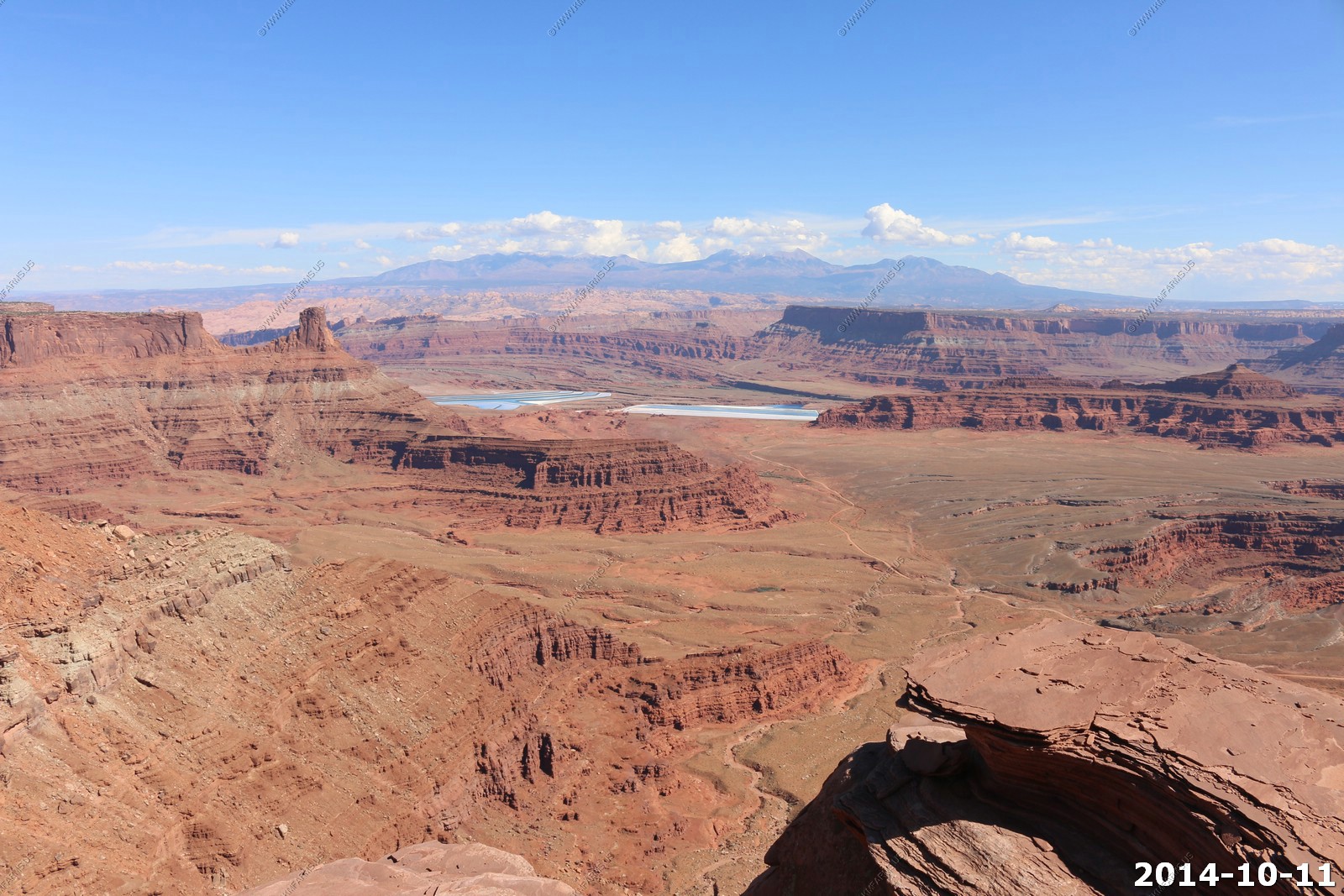
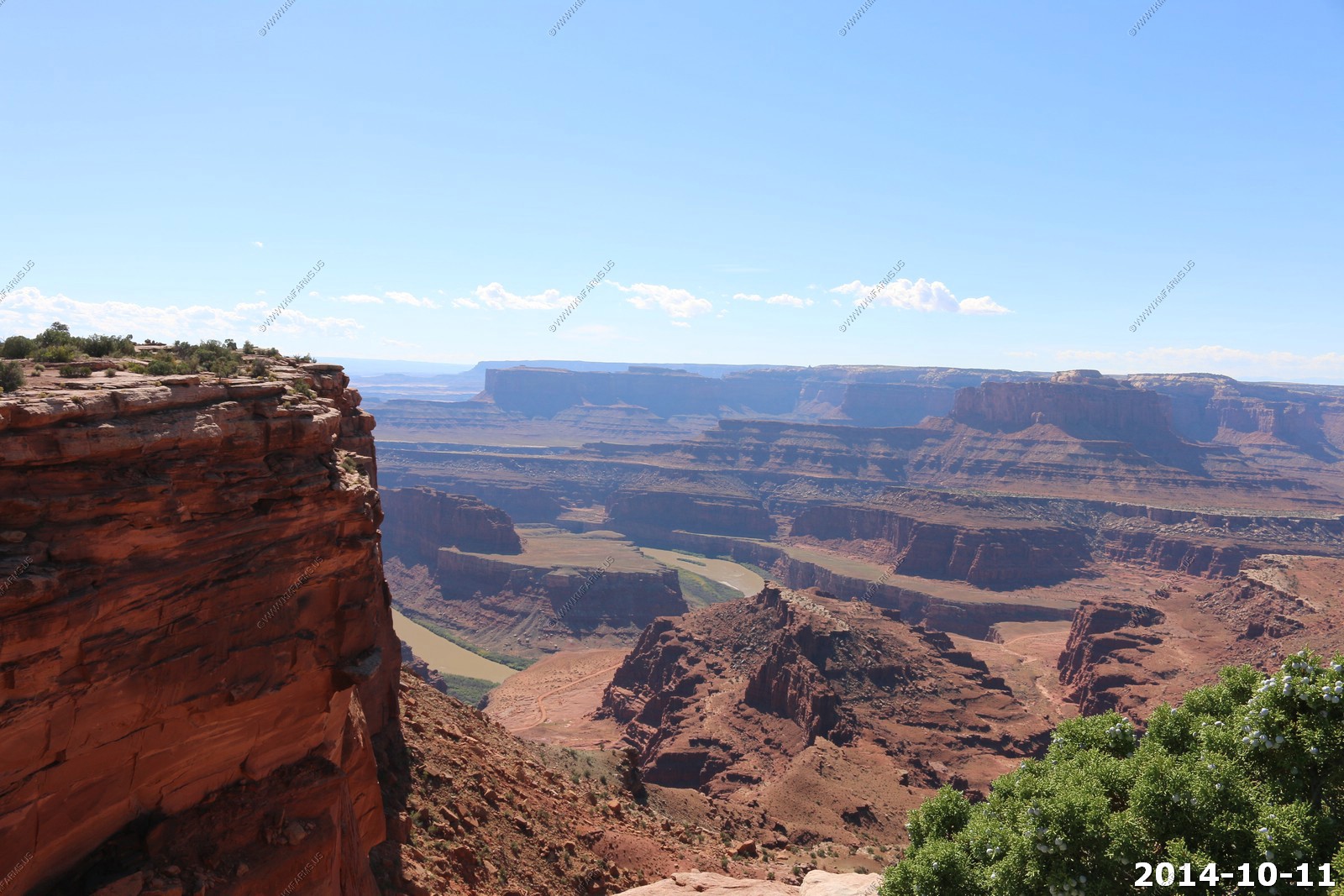
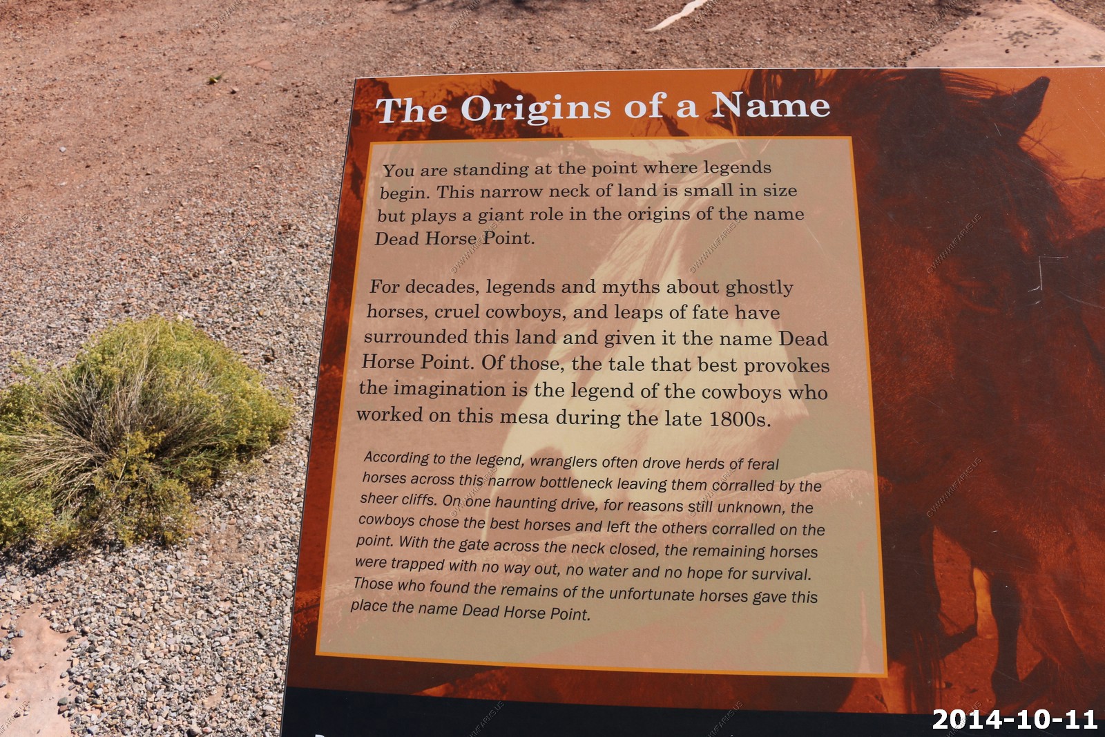
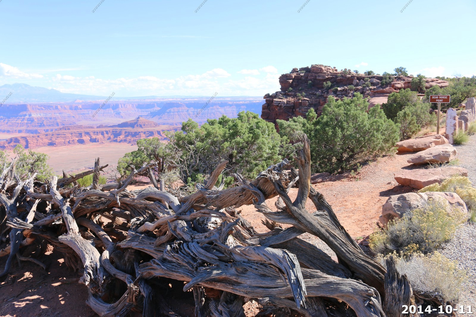
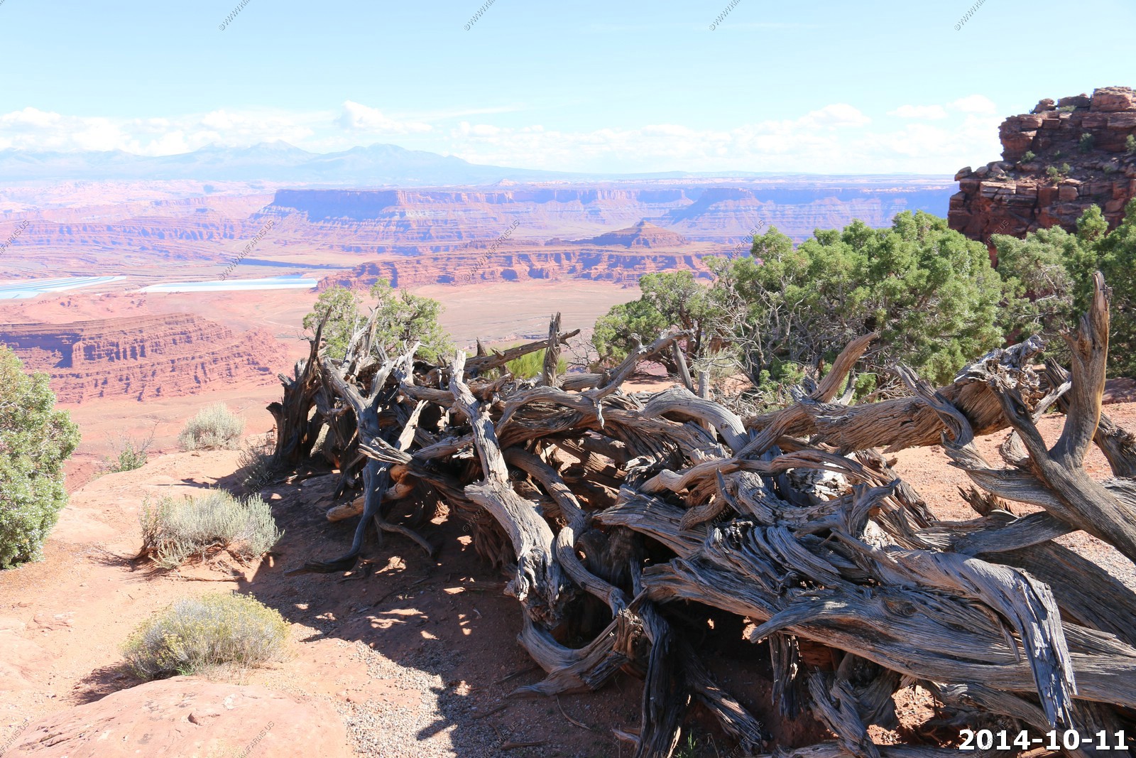
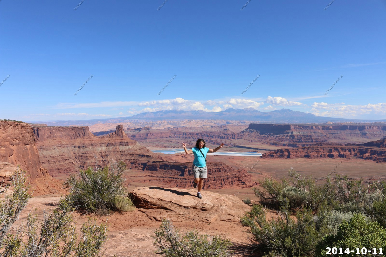
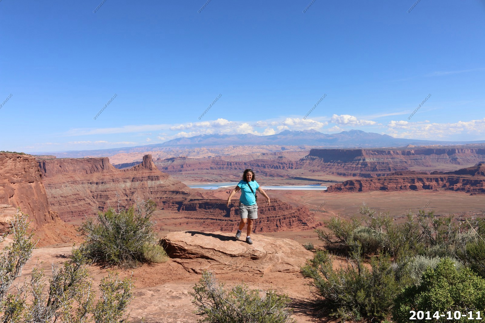
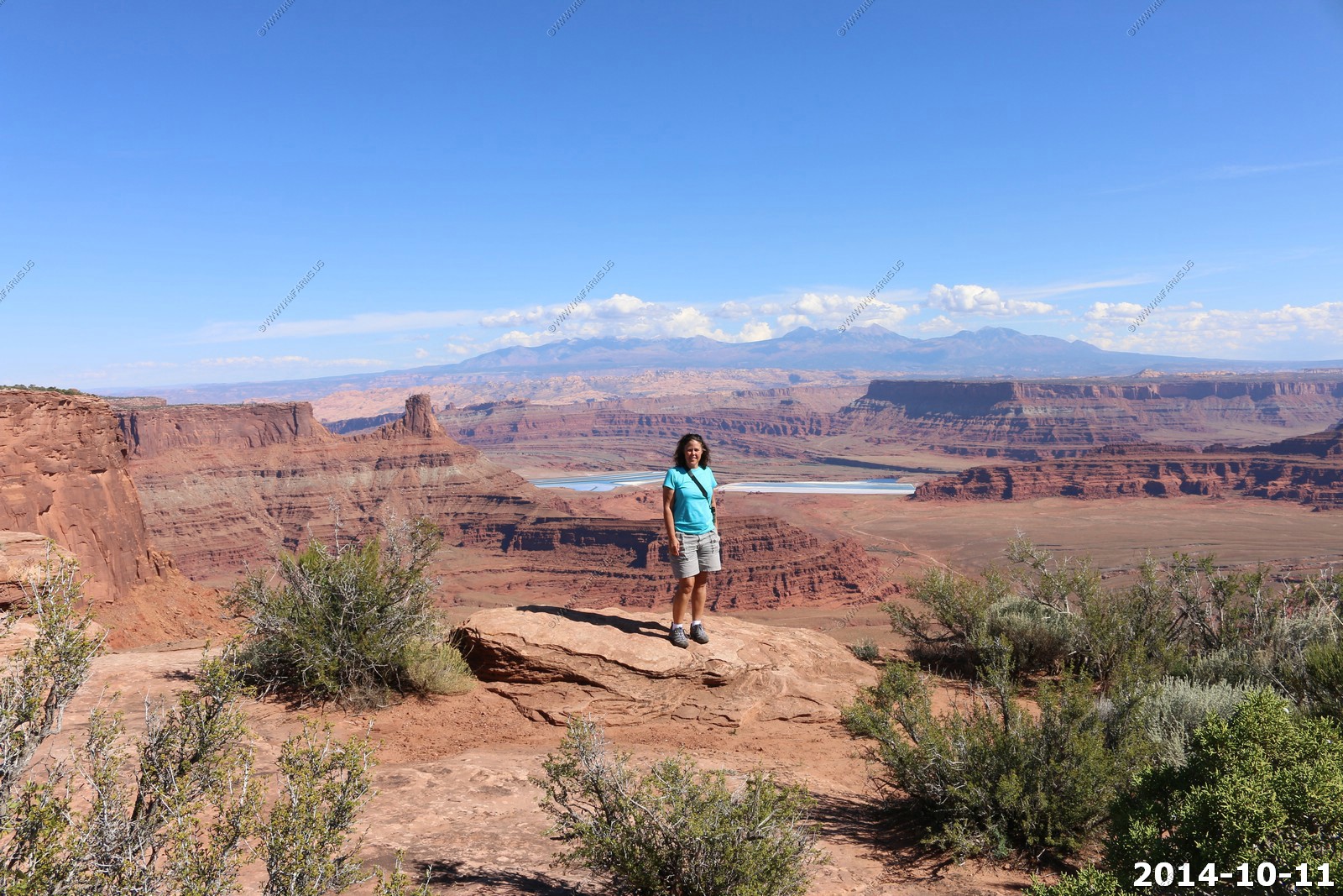
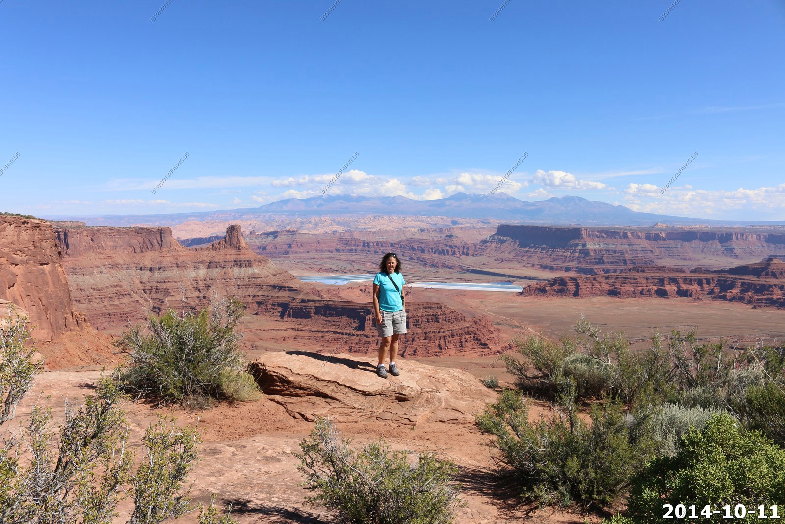
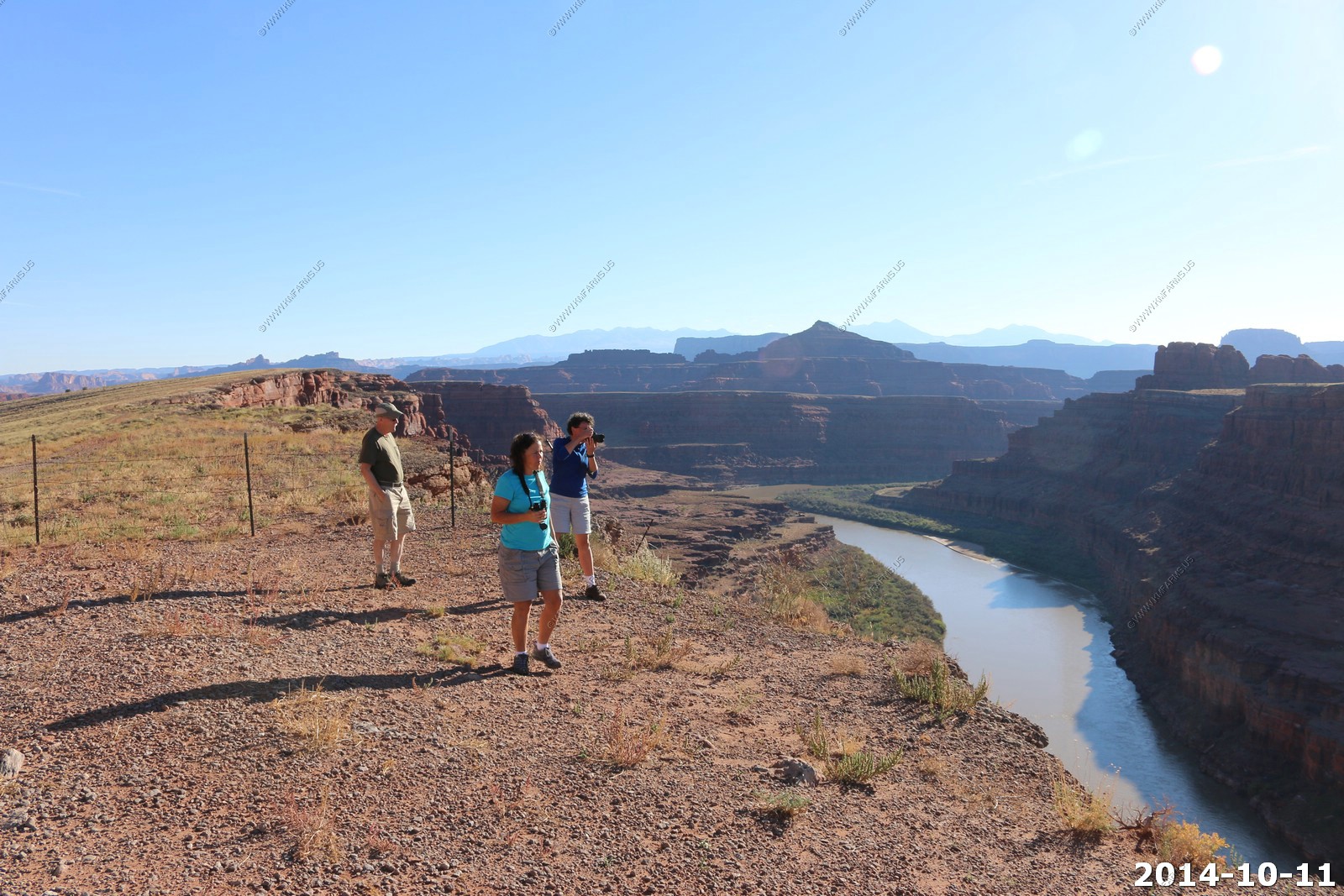
Dead Horse State Park
Dead Horse Point State Park is a state park of Utah in the United States, featuring a dramatic overlook of the Colorado River and Canyonlands National Park.
The park is so named because of its use as a natural corral by cowboys in the 19th century. The park covers 5,362 acres (2,170 ha) of high desert at an altitude
of 5,900 feet (1,800 m).
The plateau is surrounded by sheer cliffs 2,000 feet (610 m) high with only a narrow neck of land 30 yards (27 m) wide connecting the mesa to the main plateau.
Thus it was easy for cowboys to simply fence off this narrow neck, and keep rounded up wild horses from running away.
Safety concerns include the relative isolation of the park (gas, food and medical care are over 30 miles (48 km) away in Moab), lightning danger and unfenced cliffs
We were on the road below only a few hours before. Also, the evaporation pools at potash and the La Sal's on the Utah / Colorado border.
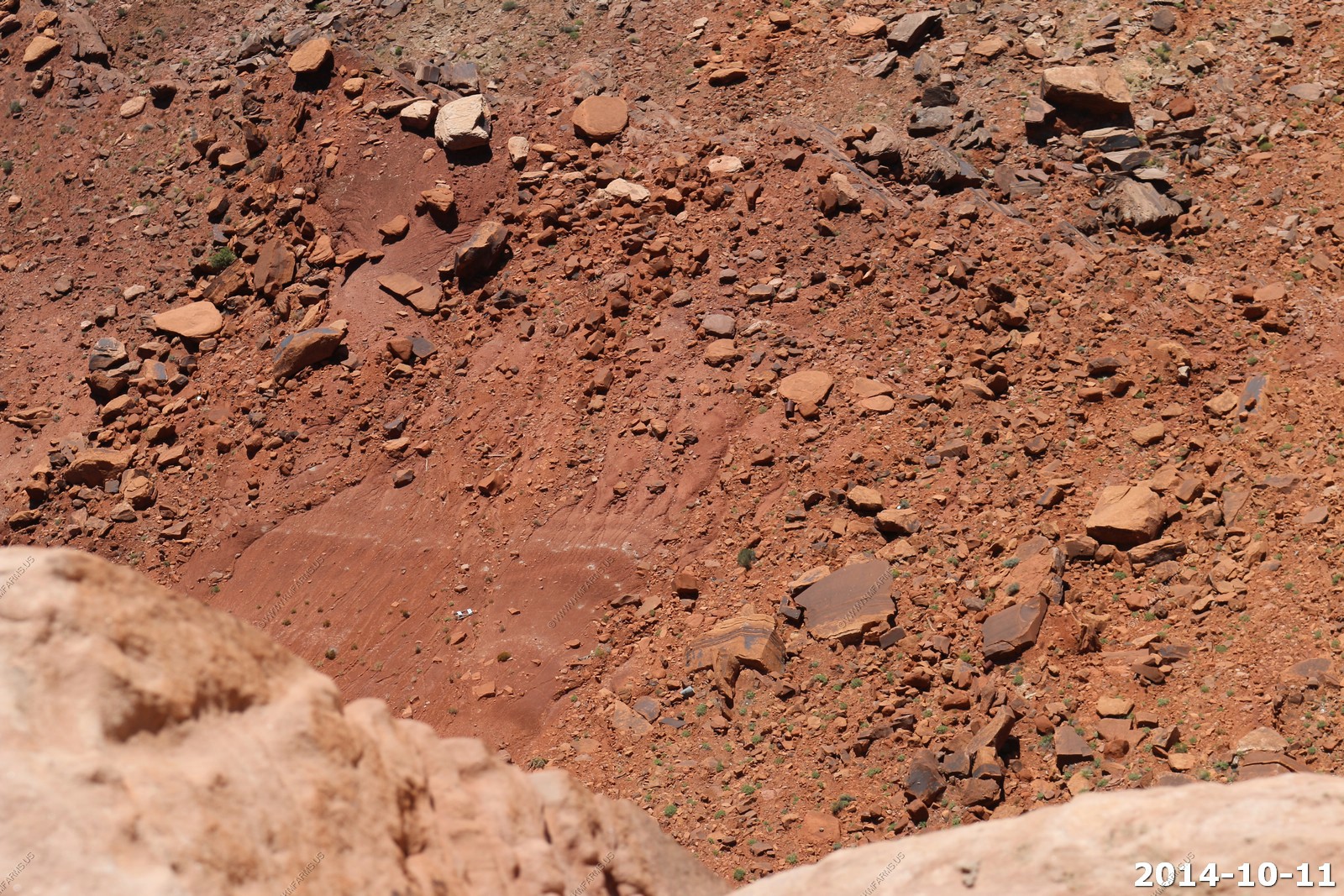
People driving on Pot Ash road 2,000 feet below.
Monika taking photos on the edge.
Snow in the La Sal's.
Kayaks on the Colorado.
This is where we were yesterday out on this point. About 25 miles away.
You can actually see Musselman Arch in this photo with people standing to the right. Not bad for a 255mm lens.
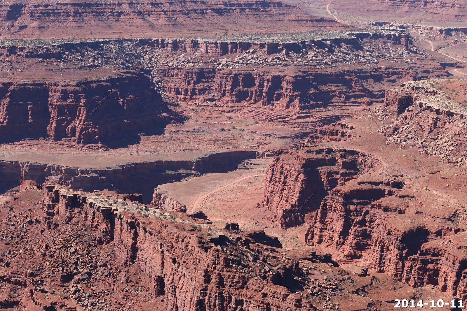
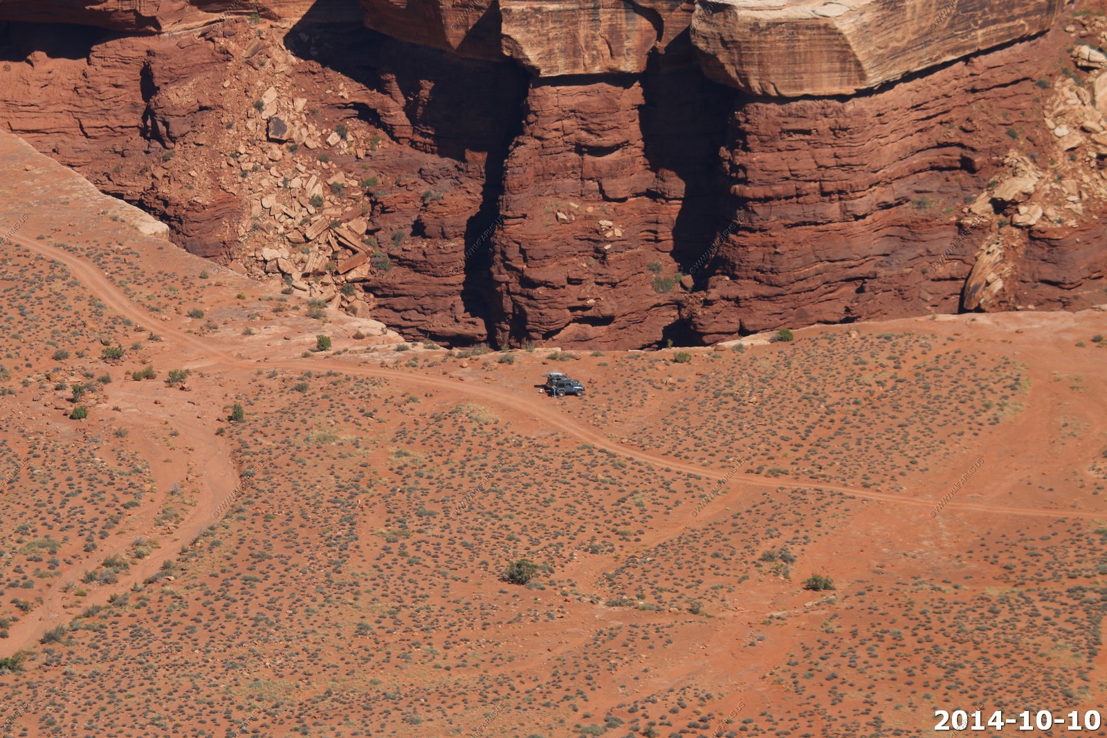
White Rim road on the way to Musselman Arch.
From Dead Horse State Park you can look up the Shafer Trail valley.
Someone tossed a sign off of the cliff.
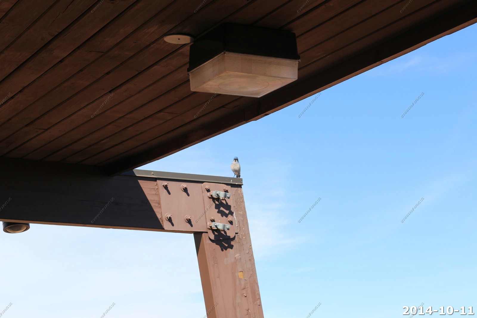
This guy was begging for crumbs.
Mary on the edge (pick the best).
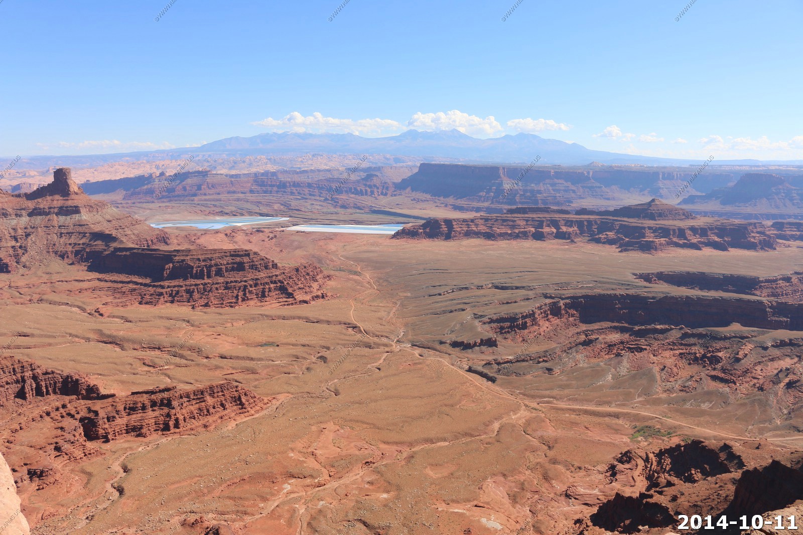
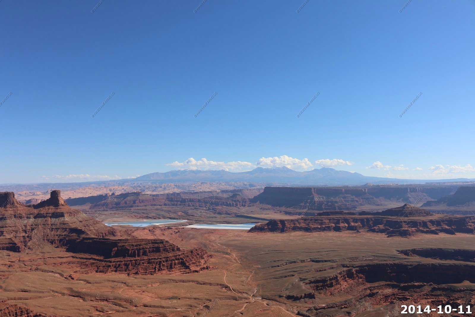
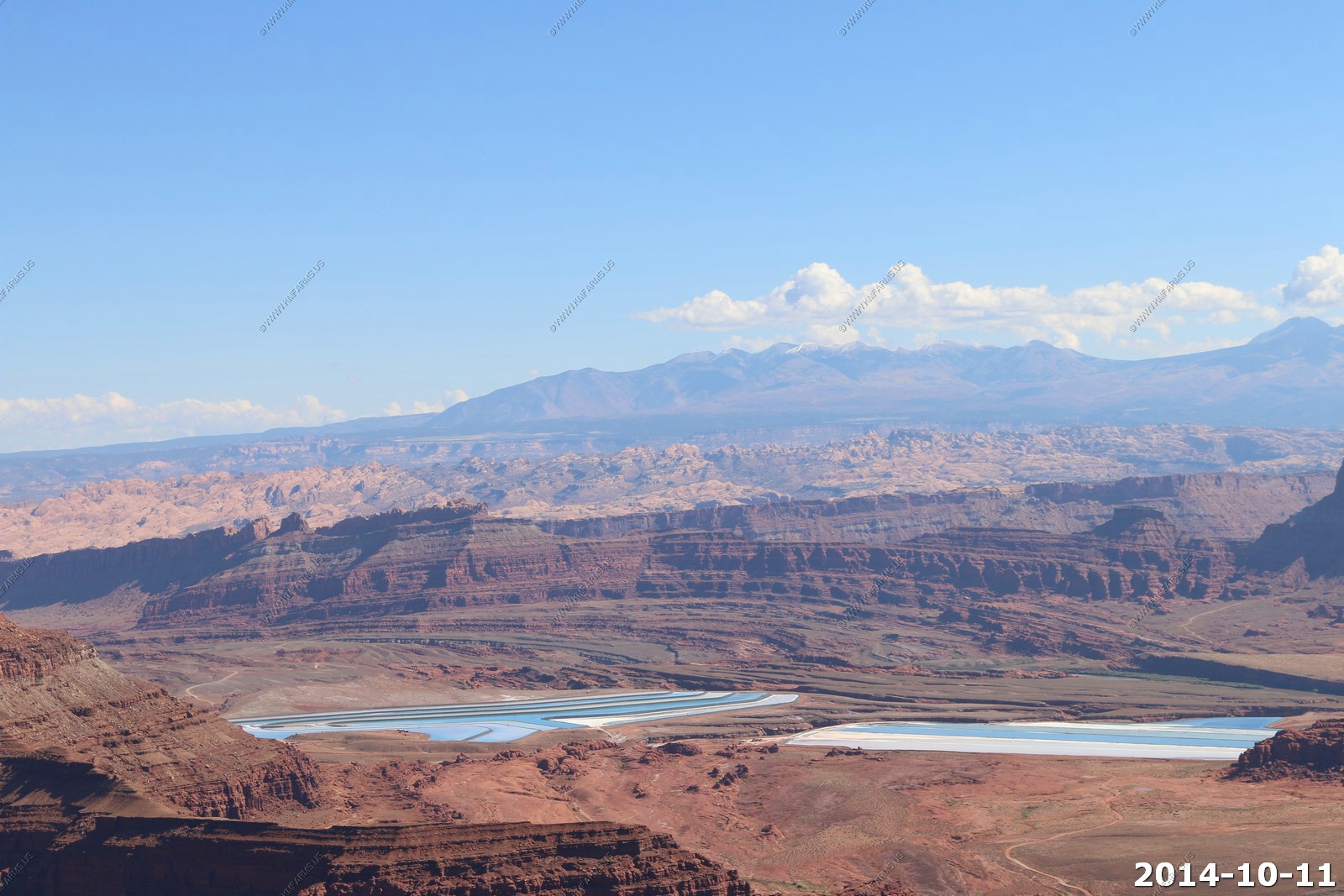
The evaporation ponds and the La Sal's. This is an amazing place.
Looking over the Dead Horse Point area.
In many of the photos looking east you have various views of the Potash Ponds - Salt is also the reason behind those blue ponds below Dead Horse Point.
These are solar evaporation ponds for potash, the mineral potassium Chloride, which is found in the Paradox formation. Water is pumped from the Colorado
River into the underground deposit of potash and left to dissolve the salt. With the salt in solution, this slurry is pumped into shallow, vinyl-lined
ponds where it slowly evaporates in the desert sun. A cobalt-based dye is added to the water to help it absorb more of the sun's rays and producing the
vivid blue color. When all the water has evaporated out, the remaining potash is harvested by giant 20 ton scraping machines with blades controlled by
laser beams. The potassium is then turned into fertilizer for growing agricultural crops.
The neck where the fence was placed to keep the horses out on the cliffs.
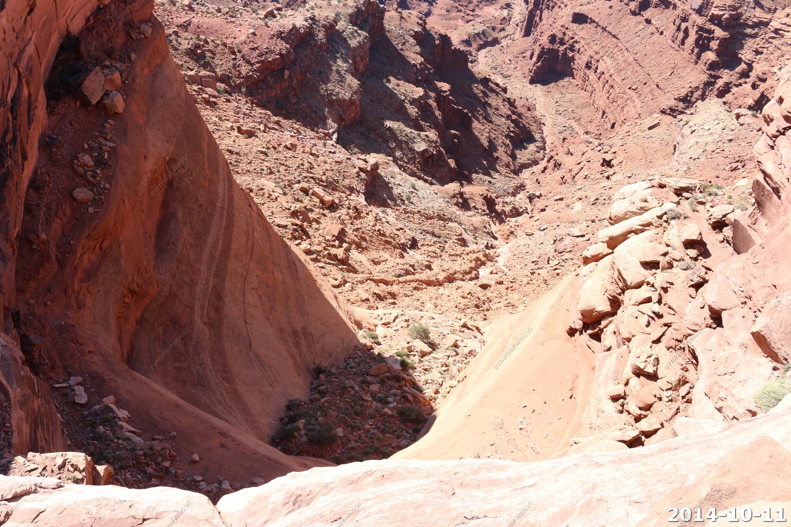
Nice drop-off and interesting erosion.
Ken & Mary on the cliff.
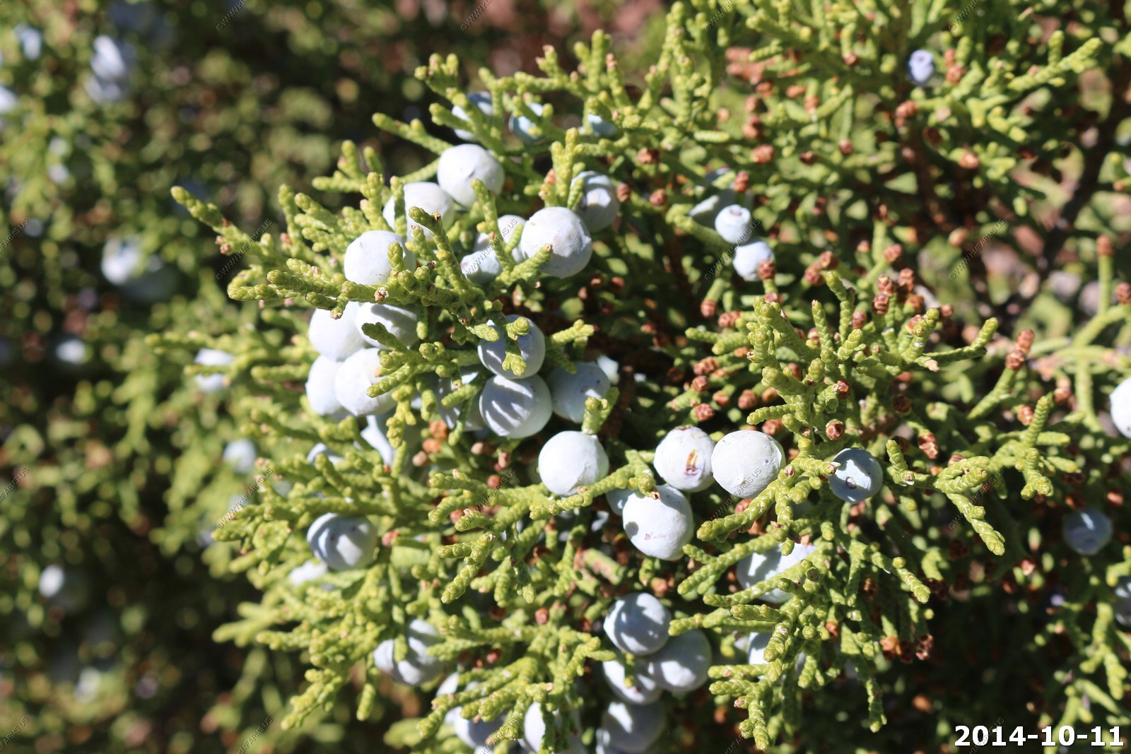
Among the majestic spires, canyons, buttes and mesas of Canyonlands can be found a truly amazing tree: the Utah juniper (Juniperous osteosperma).
Junipers grow in some of the most inhospitable landscapes imaginable, thriving in an environment of baking heat, bone-chilling cold,
intense sunlight, little water and fierce winds. Often they appear to grow straight out of solid rock. On the Colorado Plateau, the juniper,
along with the pinyon pine, forms the most prevalent plant community - the pinyon-juniper woodland - between 4,500 and 7,000 feet above sea level.
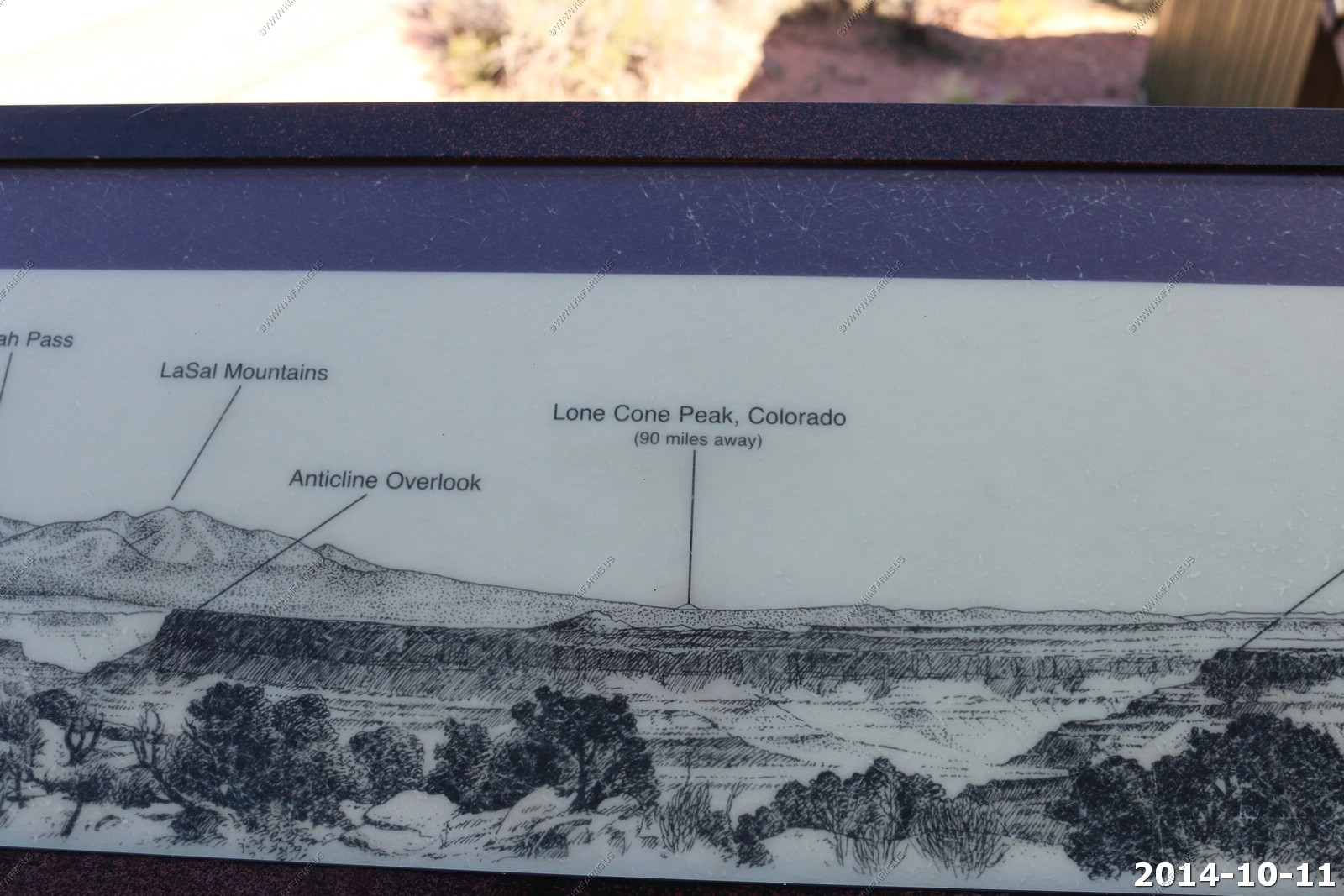
Looking for Lone Cone Peak, Colorado (90 miles away). I don't see it.
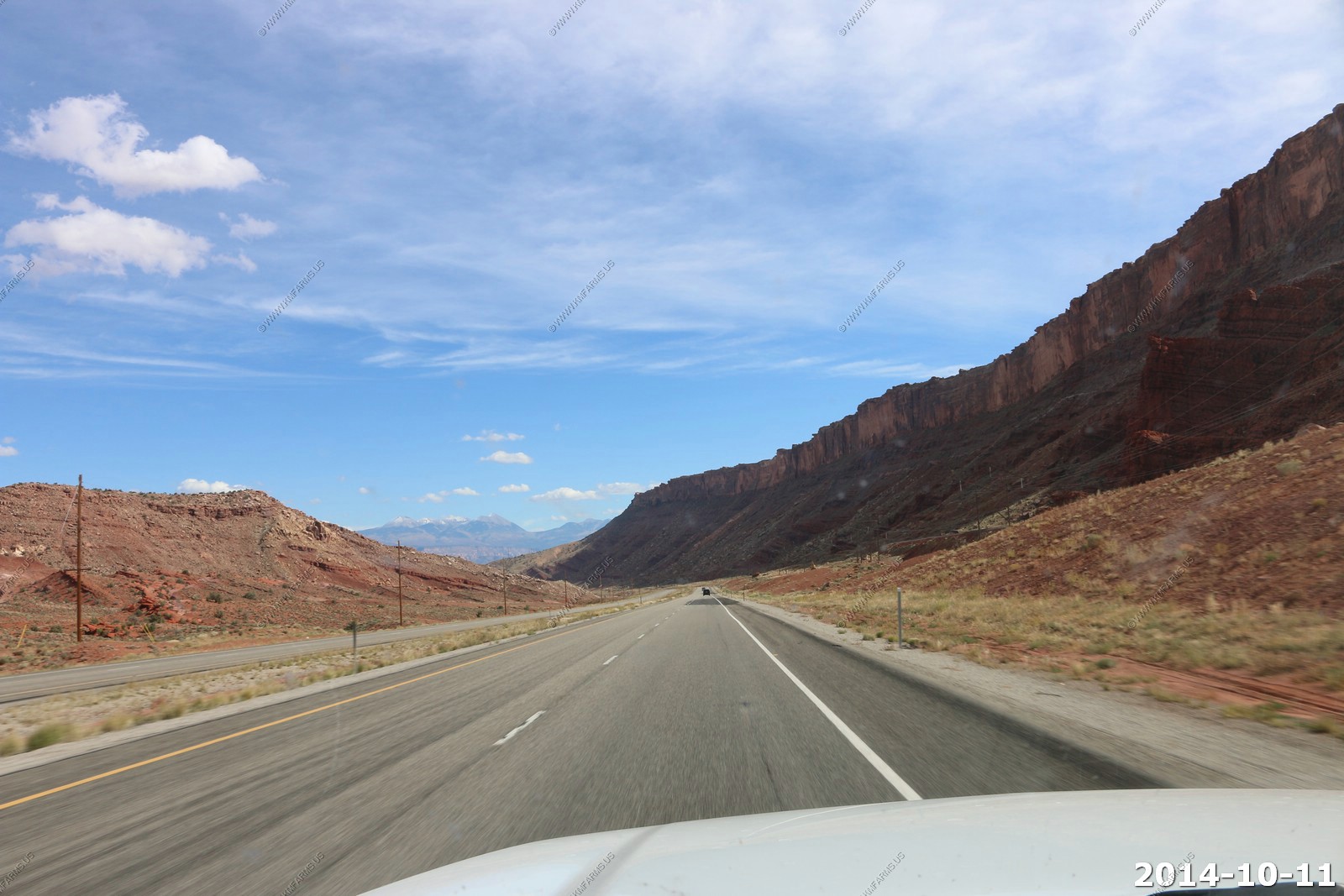
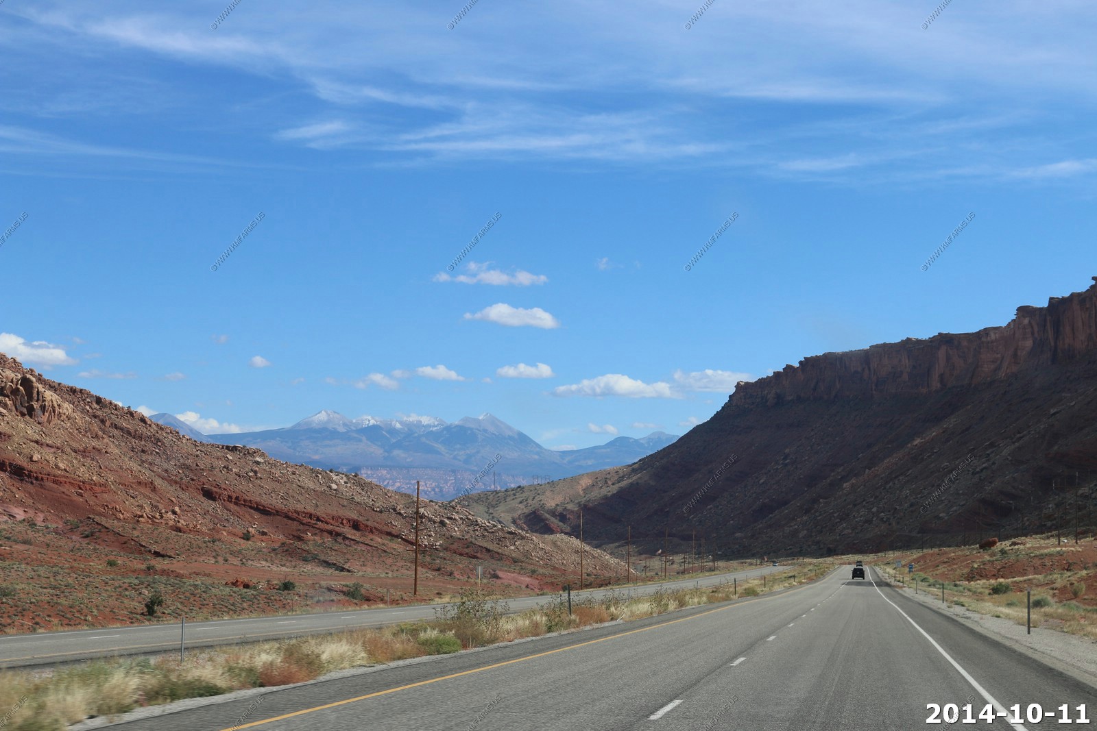
Going south on US-191 down the hill into Moab. This is one of the faults that helped create all of this.
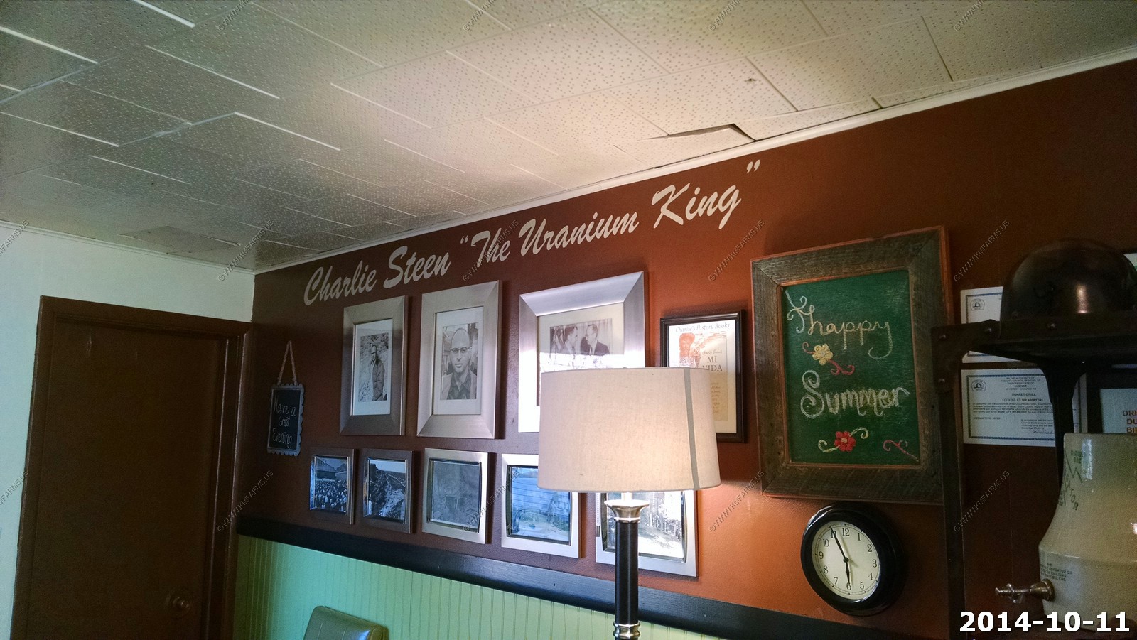
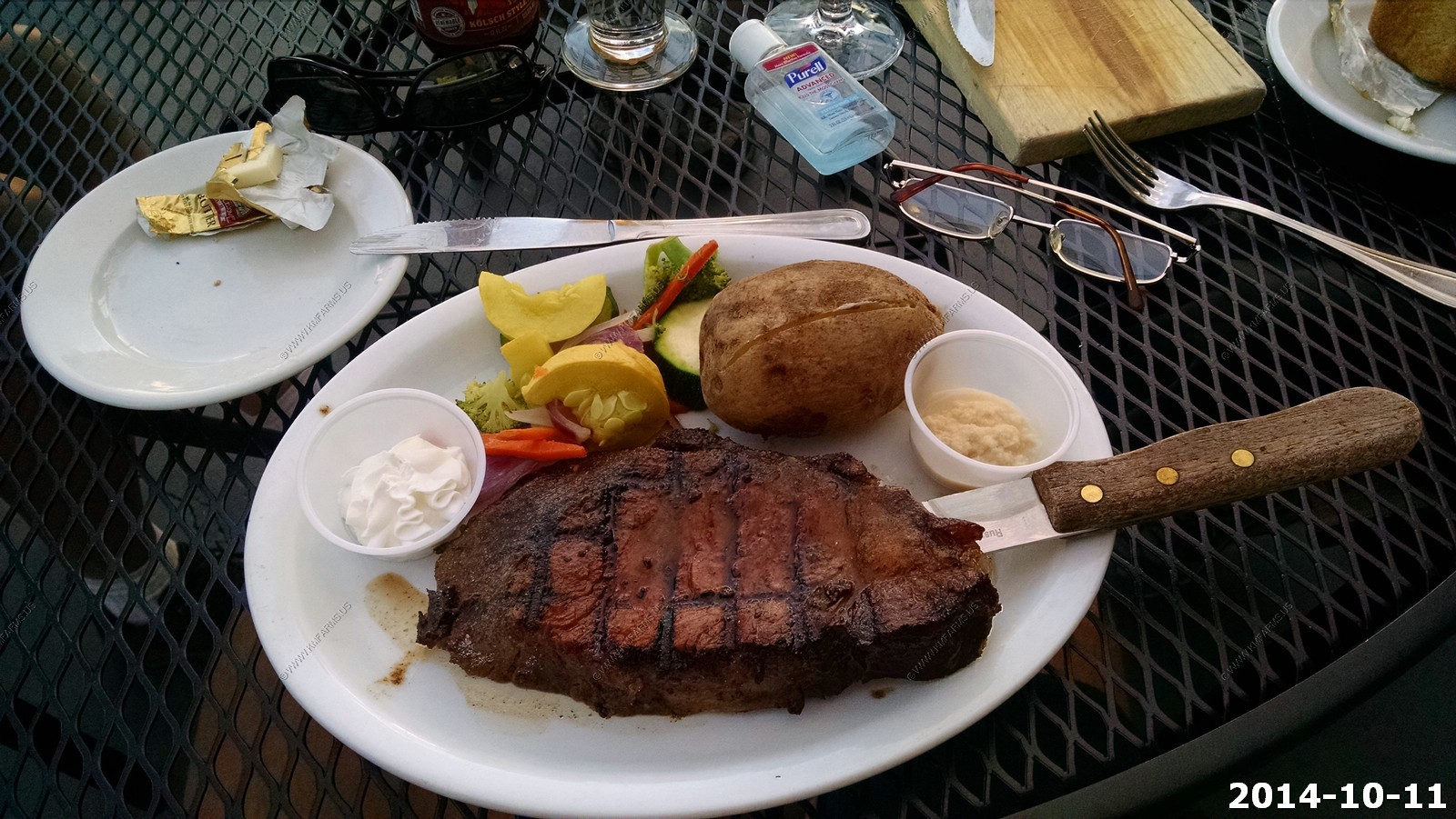
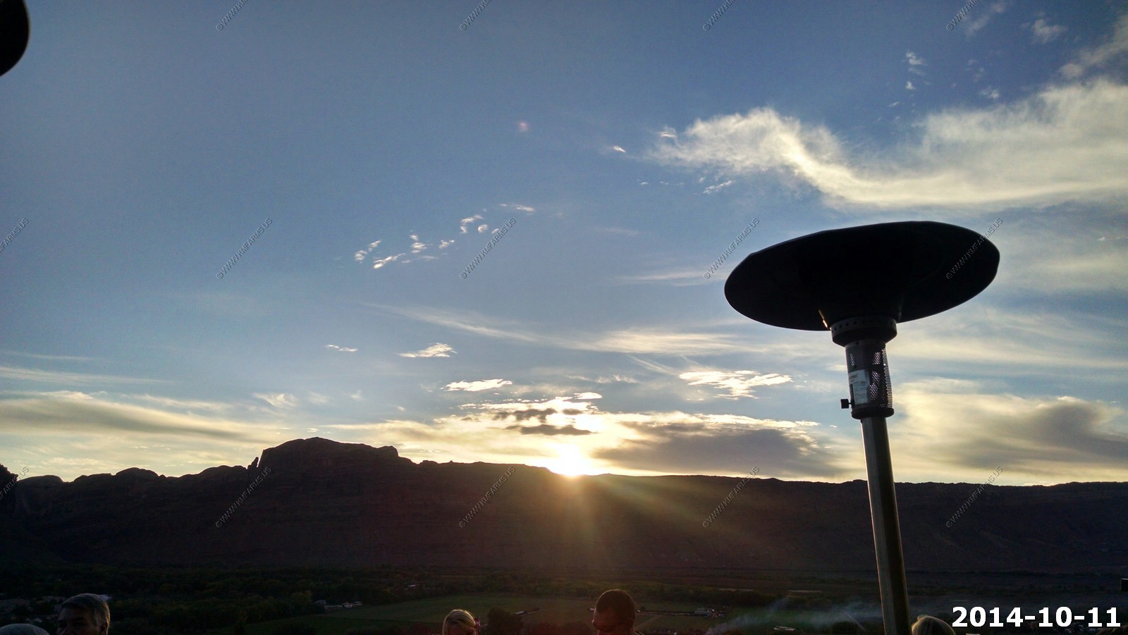
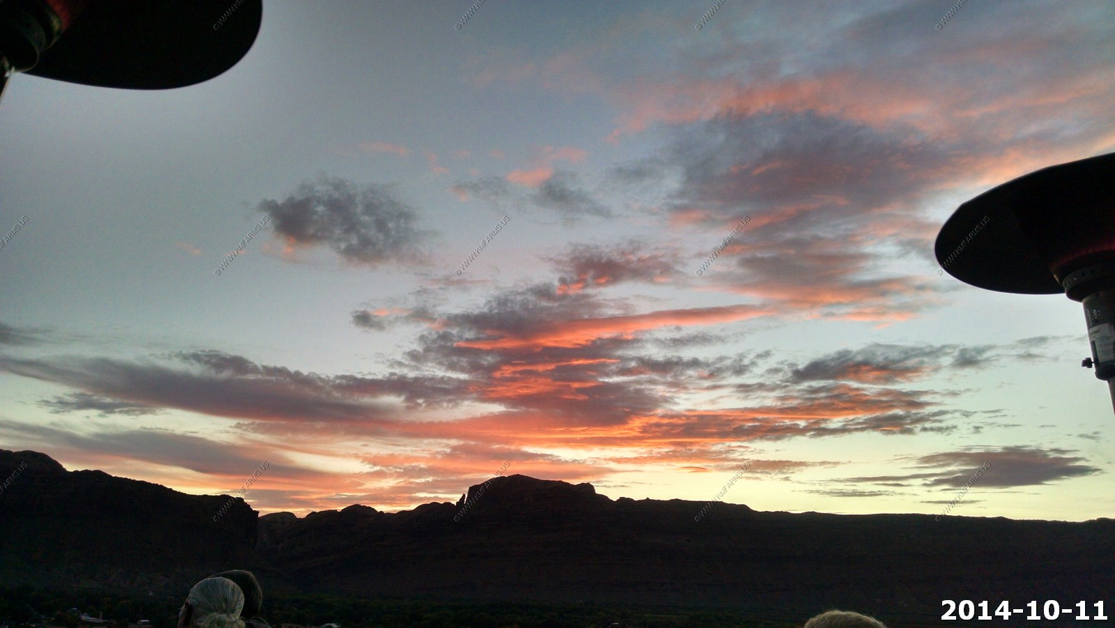
We ate dinner at - Sunset Grill - in Moab. Very good but service was slow. Like 11 years ago we watched the sunset.
The Sunset Grill is in the former home of Uranium King Charlie Steen. In the early 1950s Moab was a small farming community. Arches and Canyonlands
were places only a lucky few experienced. In 1952 Charles A. Steen, geologist and prospector, put Moab on the world map. The Atomic Energy Commission
was offering a $10,000 reward for finding domestic uranium. Charlie had the knowledge and skills it would take to locate the uranium. While other miners
were content gathering small amounts of surface deposits around Moab, Charlie wanted more. After three long years of searching with his family nearly
destitute, and his resources expended, he made his final attempt to extract ore samples 240 feet beneath the earth's surface. Having broken his drill
bit at 180 feet, he went into town. He stopped for gas, not realizing what lay in the back of his jeep, ore samples he found at 70 feet. The attendant
approached the jeep with a Geiger counter. They were both surprised by the activity it created. It was July 3rd, 1952 and Charlie had finally hit his "paydirt."
Excellent steak !
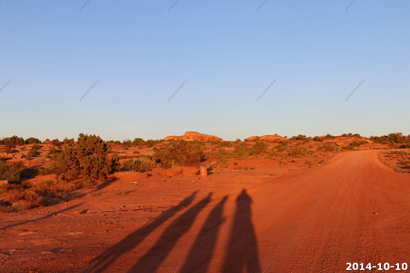
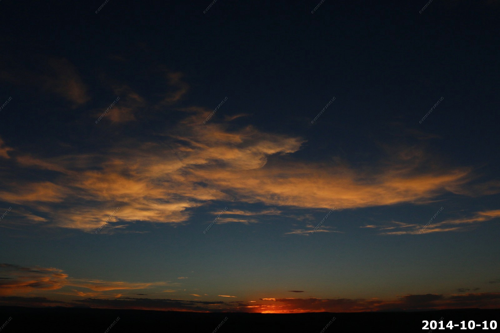
Another nice sunset.