Last Updated: 24-AUG-2018
Majority of the photos were taken with a Canon EOS-70D 20.2mp camera and on plane photos were taken with a Motorola Moto-X
For a detailed description of the Canon EOS-70D 20.2mp camera setup I am using, visit my Camera Page
Any video was shot with both cameras and converted with AWS Video Converter 8
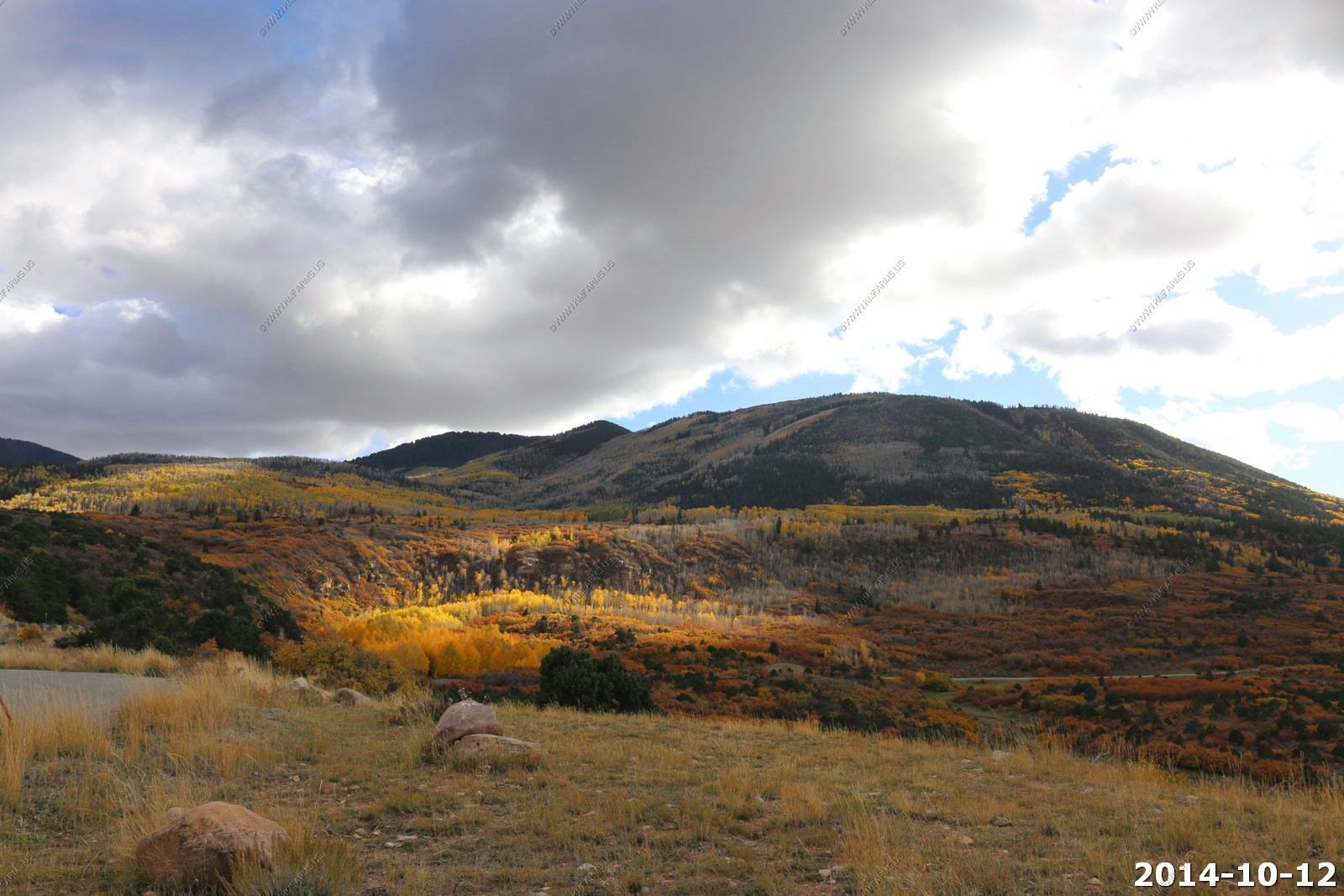
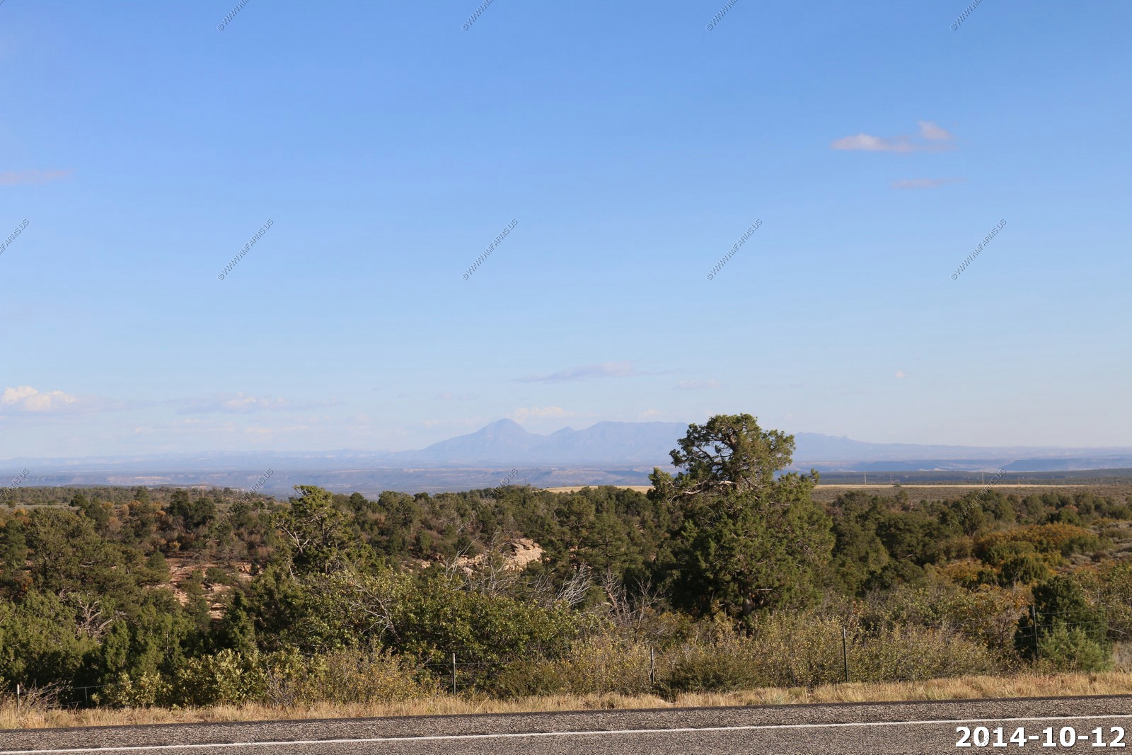
Sunday - OCT 12 2014
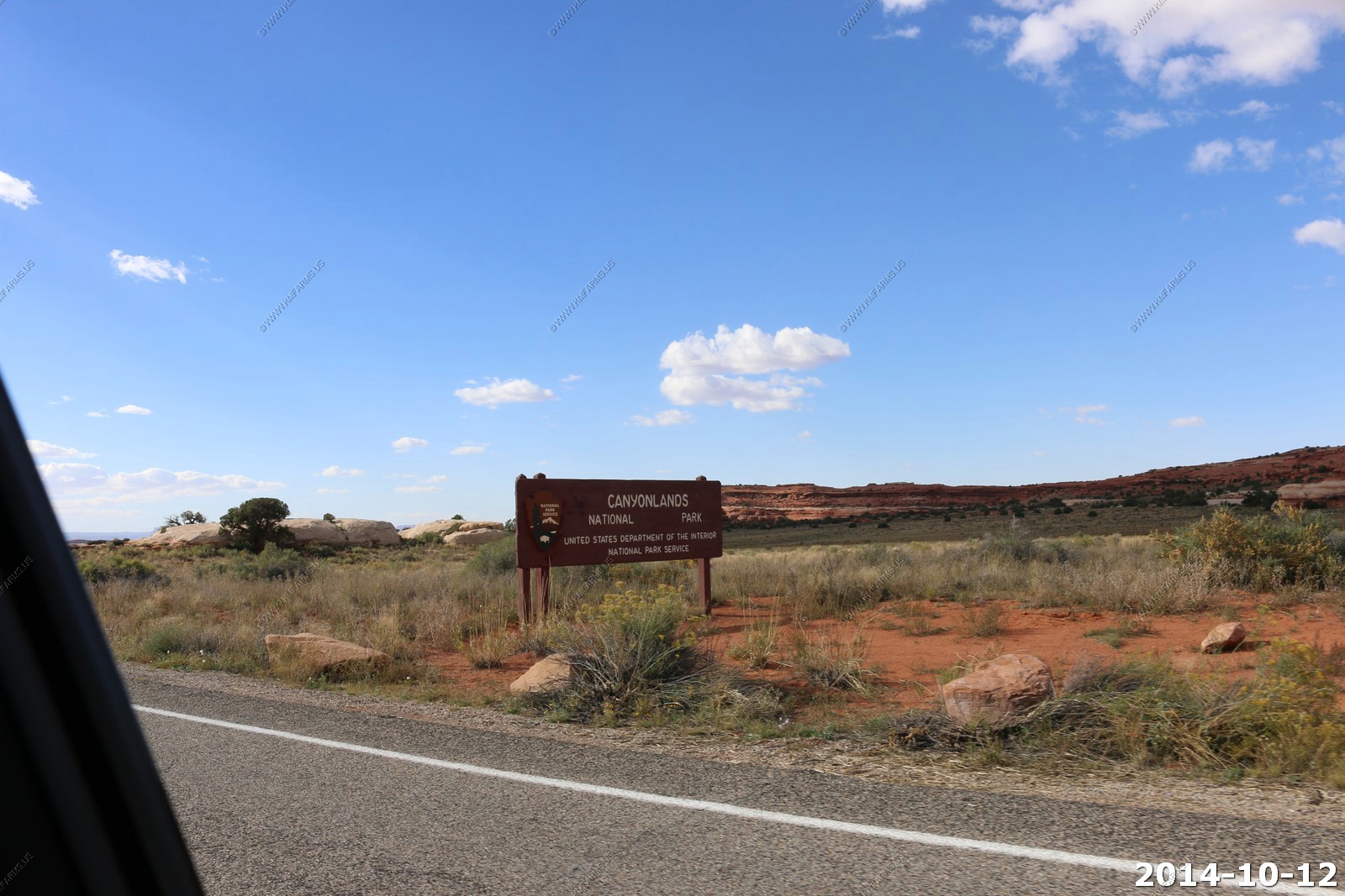
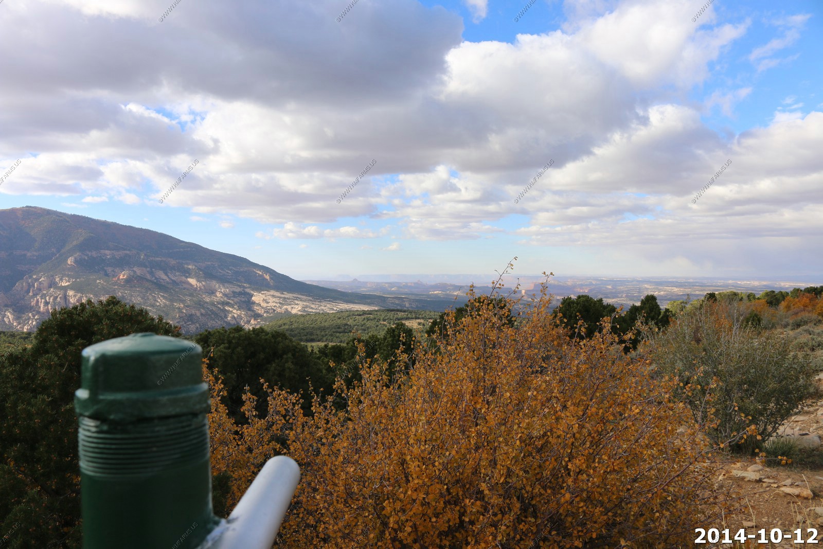
Easy day driving wise, about 150 miles from Moab to the Needles area of Canyonlands National park, then on to spend the night in Blanding, UT
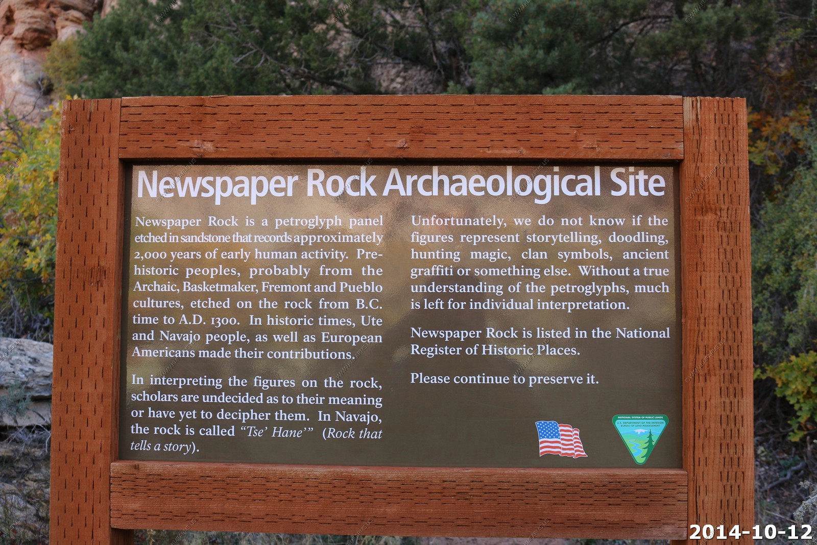
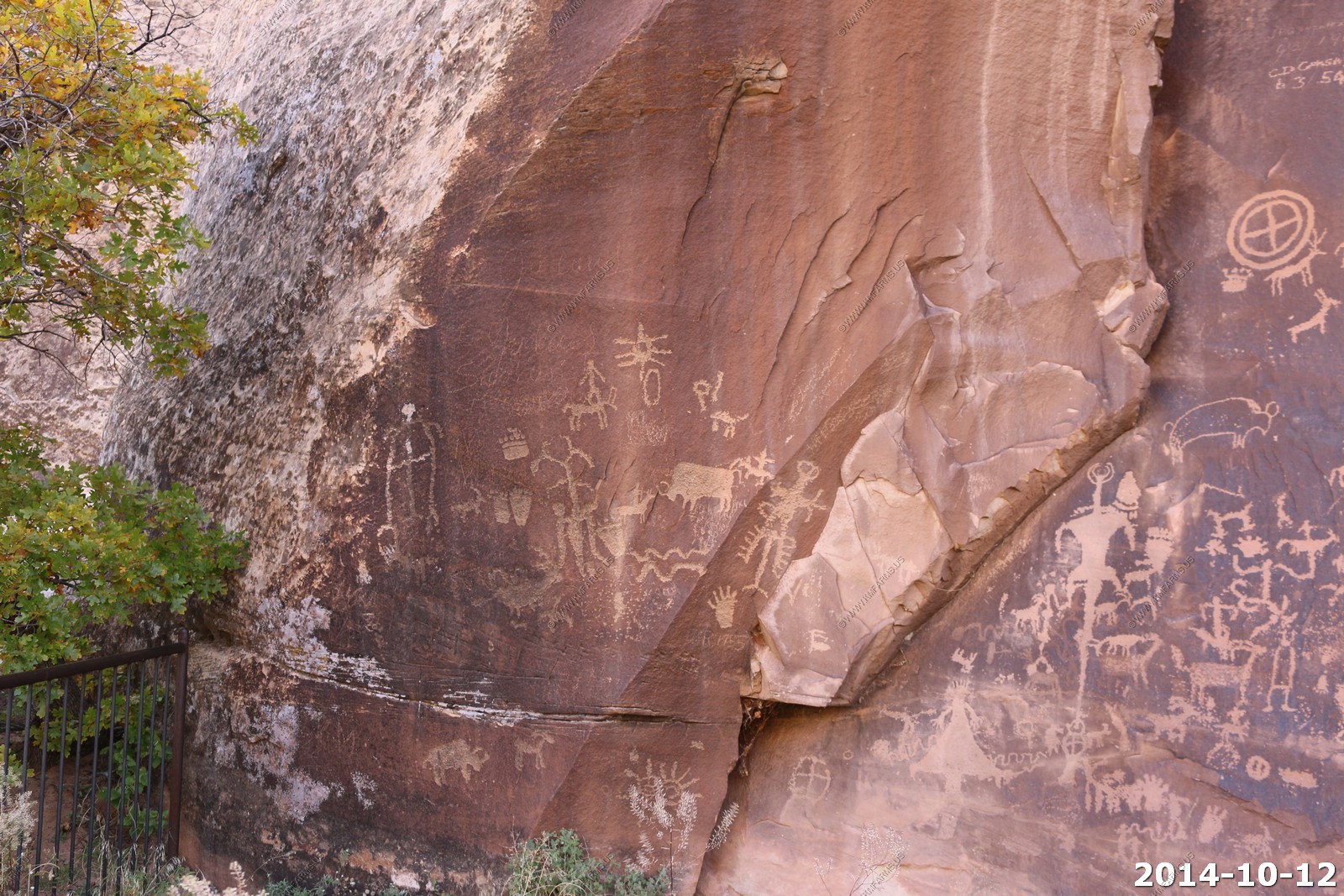
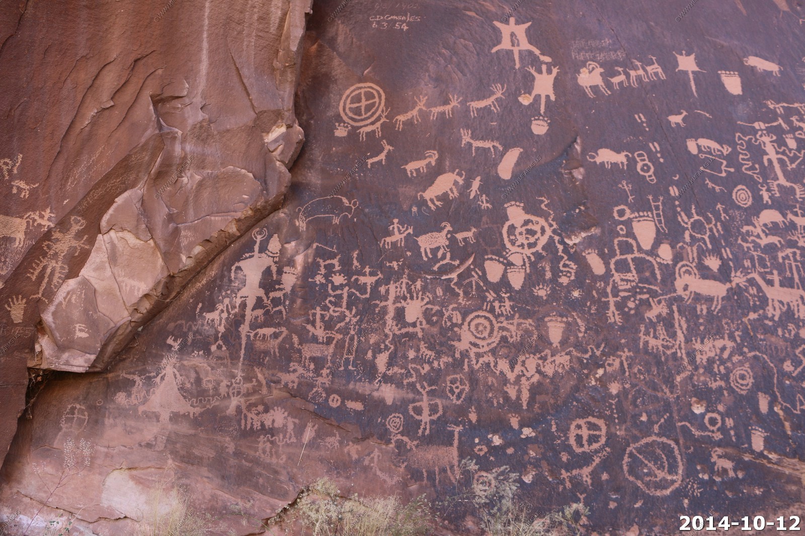
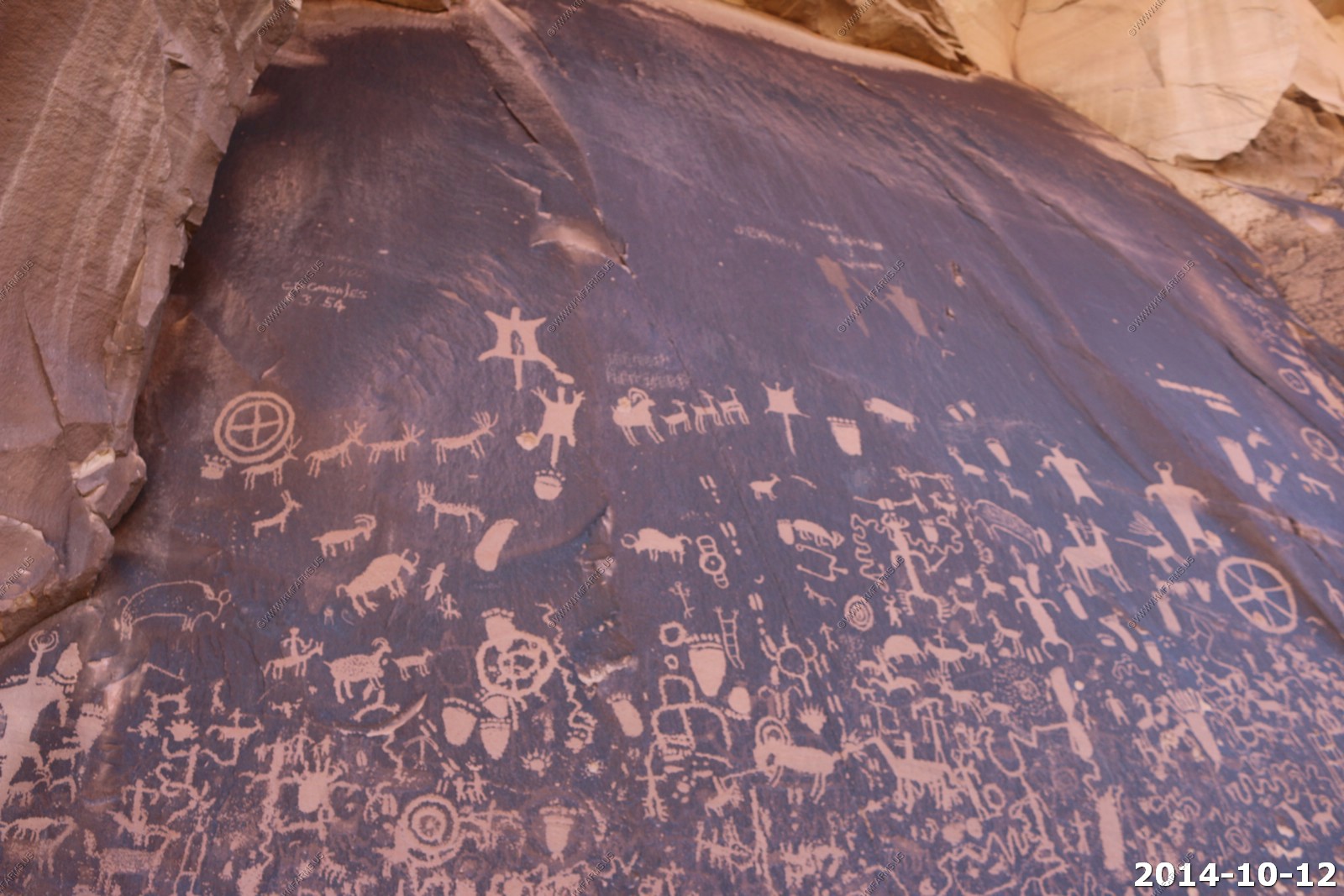
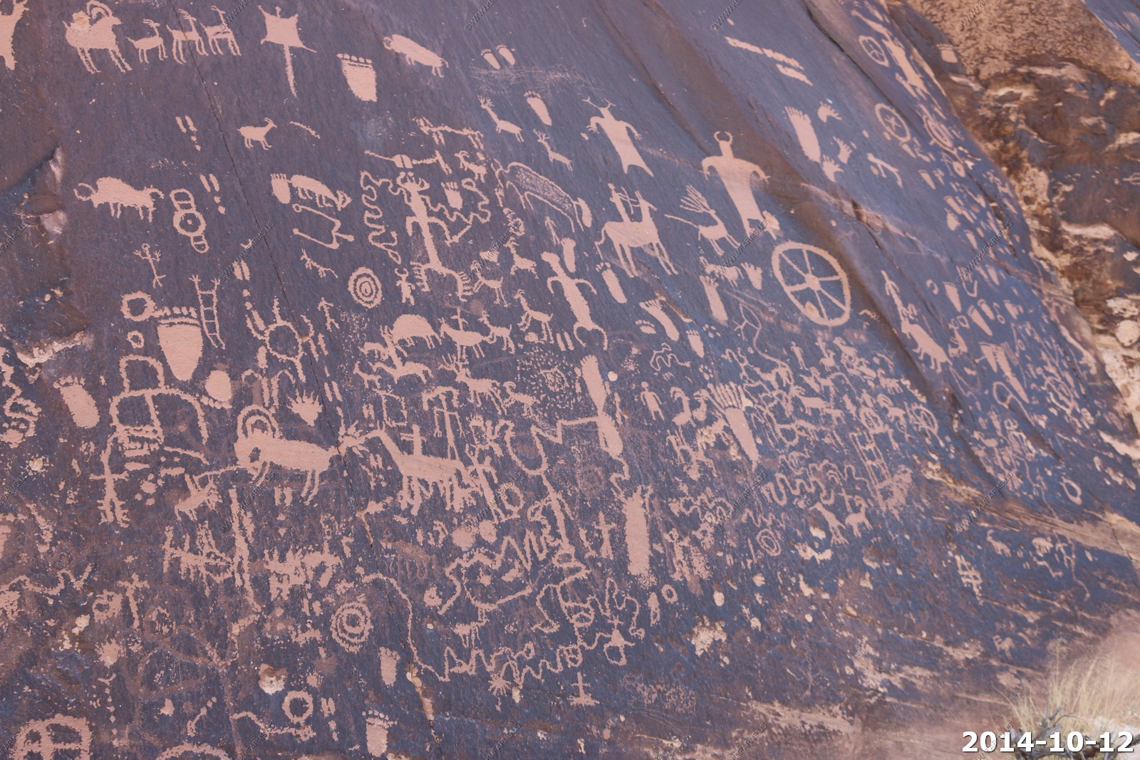
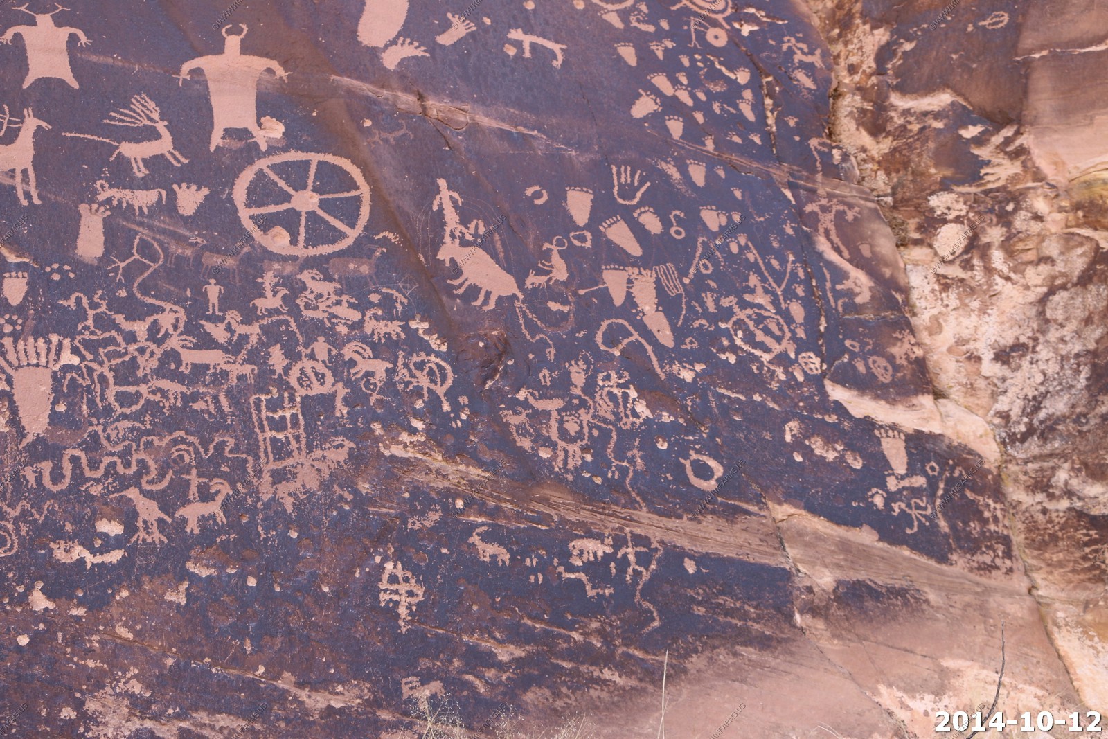
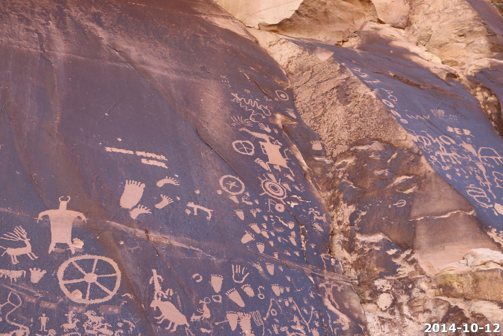
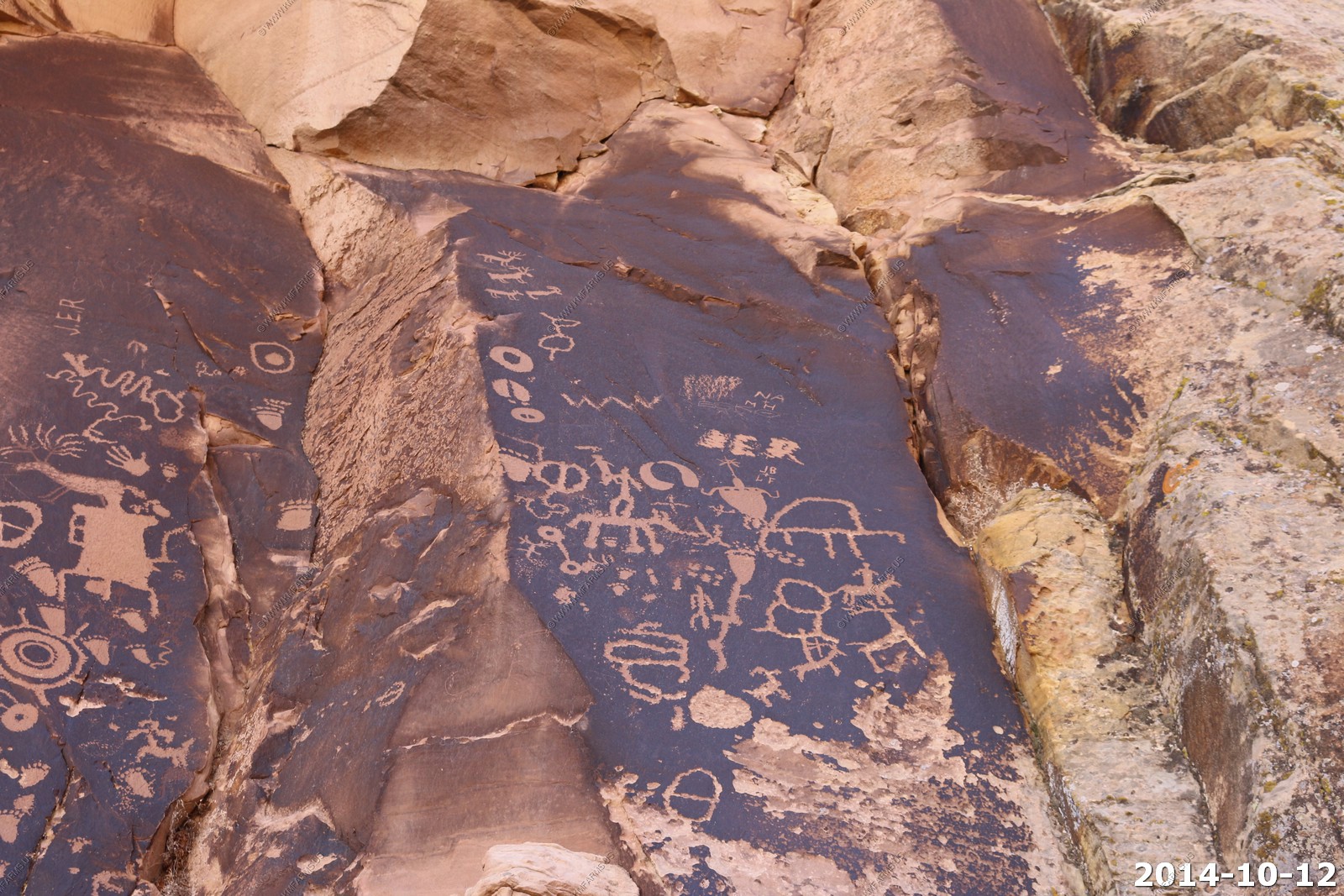
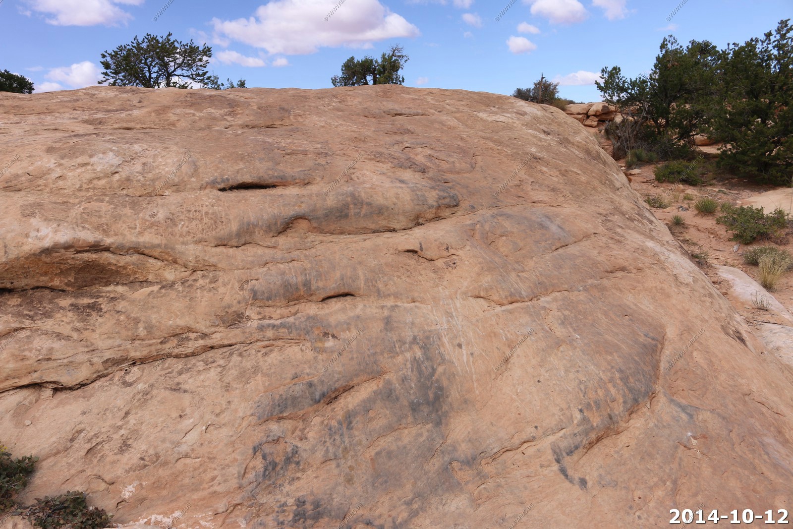
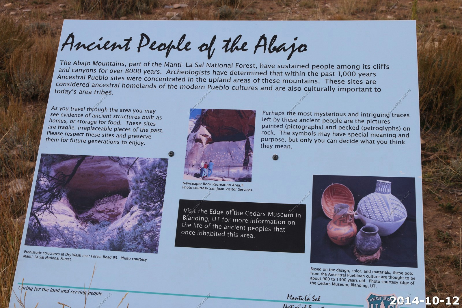
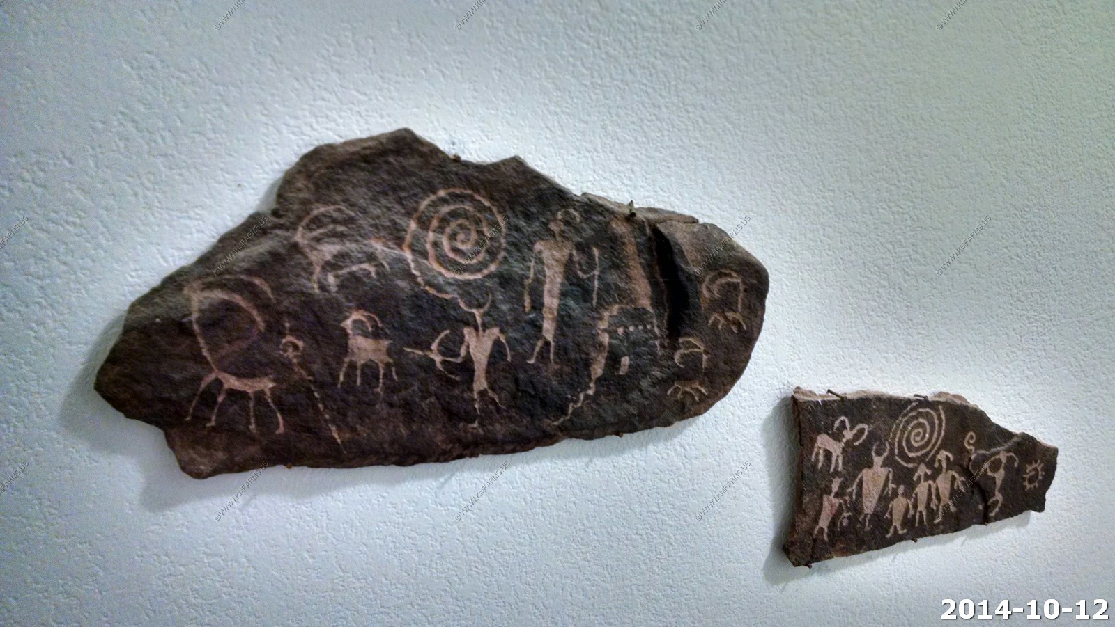
Newspaper Rock Archaeological Site
Newspaper Rock State Historic Monument is covered by hundreds of petroglyphs one of the largest, best preserved and easily accessed groups in the Southwest. The petroglyphs feature a mixture of human, animal, material and abstract forms.
The first carvings at the Newspaper Rock site were made around 2,000 years ago, left by people from the Archaic, Anasazi, Fremont, Navajo, Anglo, and Pueblo cultures.
The petroglyphs were carved by Native Americans during both the prehistoric and historic periods. There are over 650 rock art designs. The drawings on the rock are of different animals, human figures, and symbols. These carvings include pictures of deer, buffalo, and pronghorn antelope. Some glyphs depict riders on horses, while other images depict past events like in a newspaper. While precisely dating the rock carvings has been difficult, repatination of surface minerals reveals their relative ages. The reason for the large concentration of the petroglyphs is unclear.
The pictures at Newspaper Rock were inscribed into the dark coating on the rock, called desert varnish. Desert varnish is a blackish manganese-iron deposit that gradually forms on exposed sandstone cliff faces owing to the action of rainfall and bacteria. The ancient artists produced the many types of figures and patterns by carefully pecking the coated rock surfaces with sharpened tools to remove the desert varnish and expose the lighter rock beneath. The older figures are themselves becoming darker in color as new varnish slowly develops.
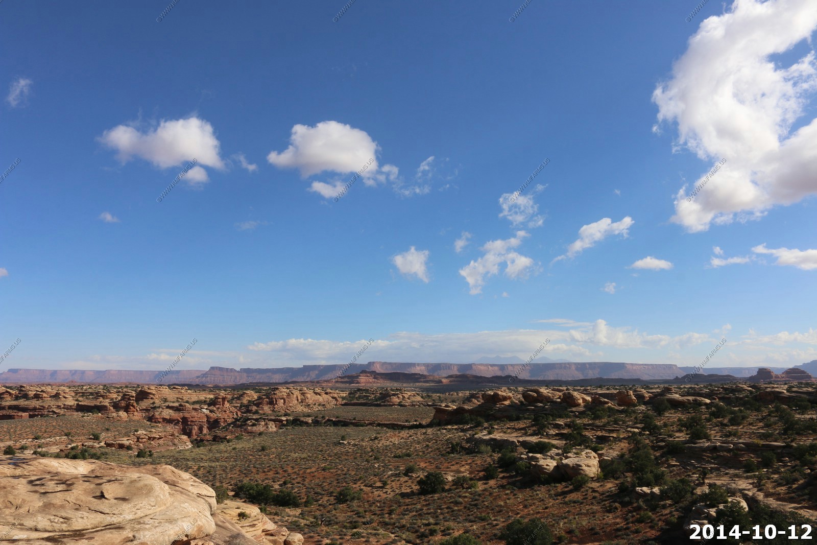
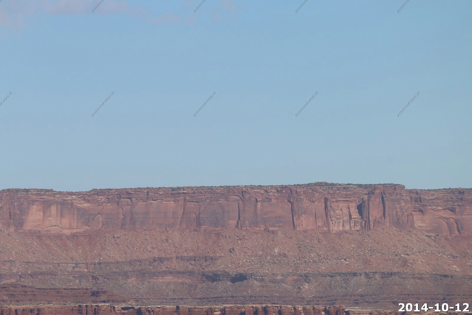
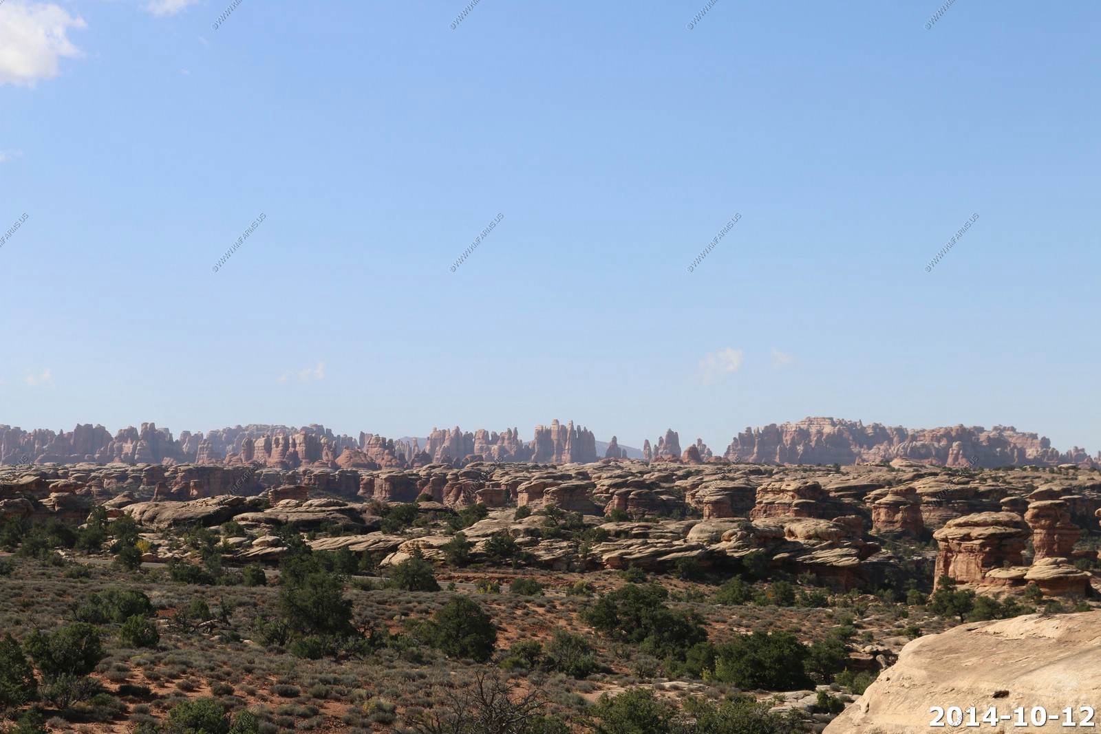
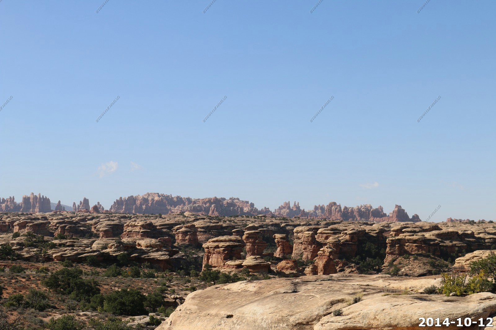
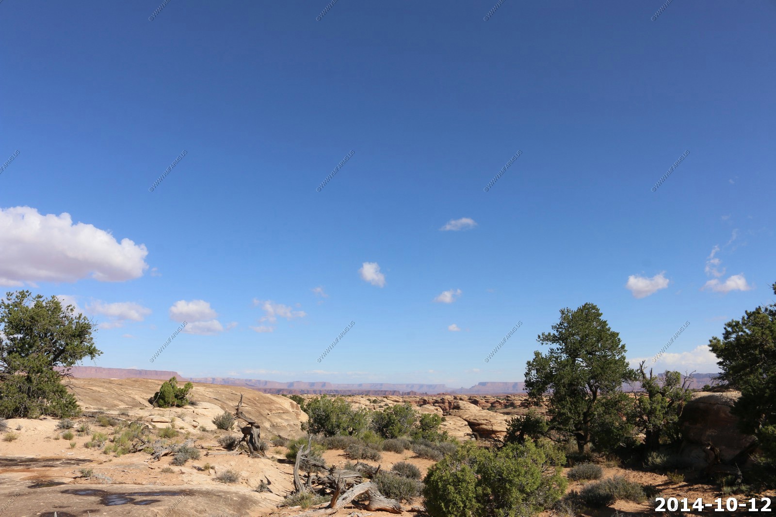
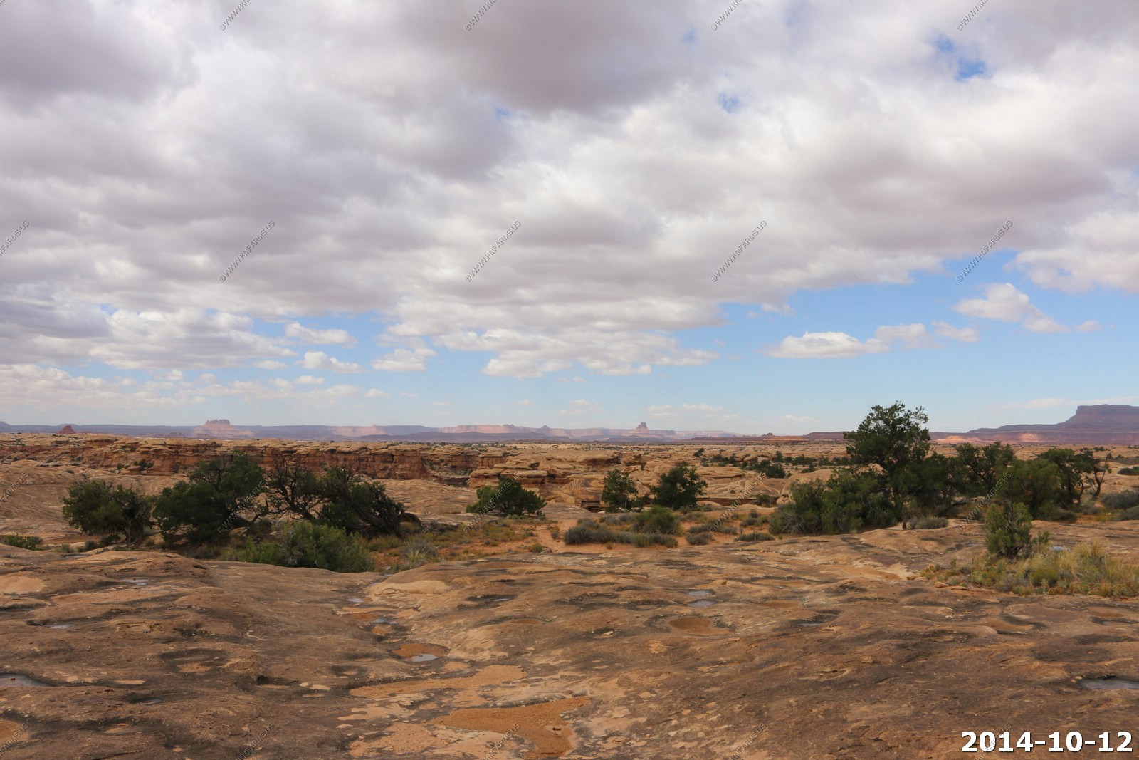
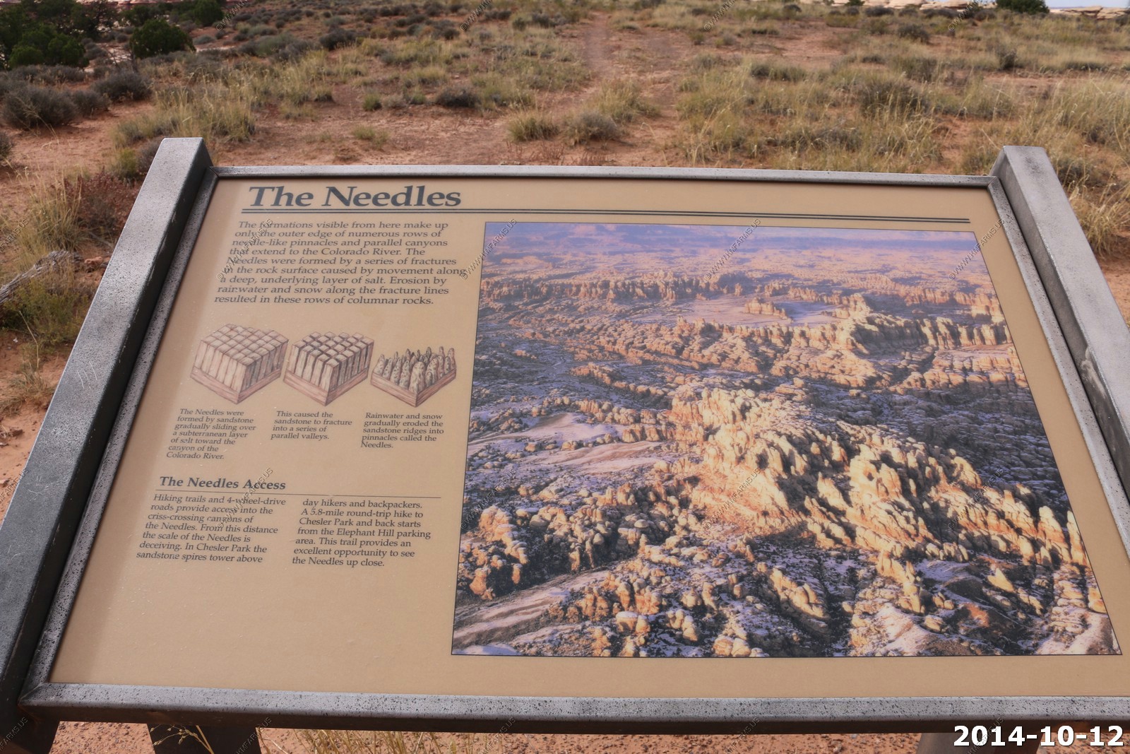
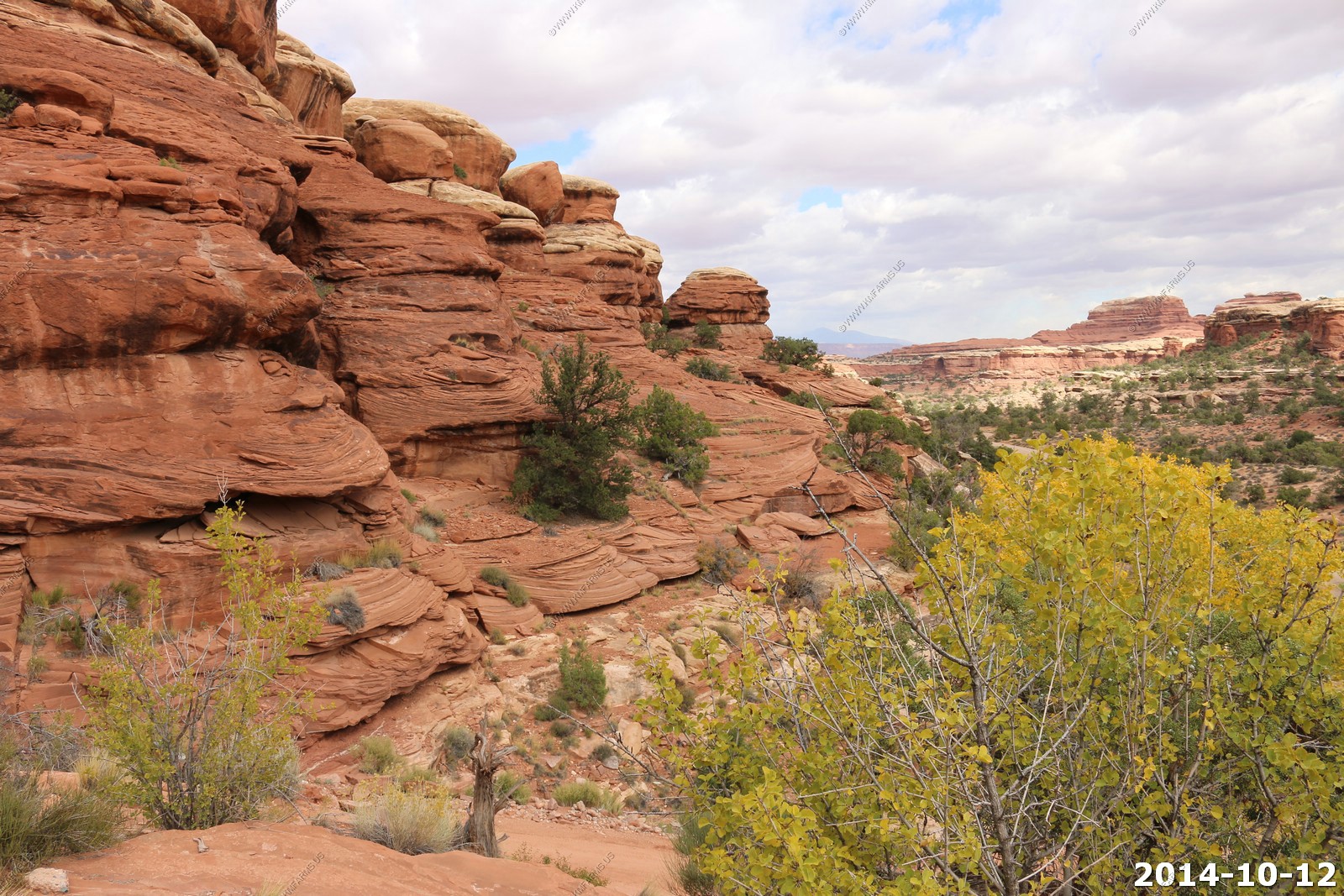
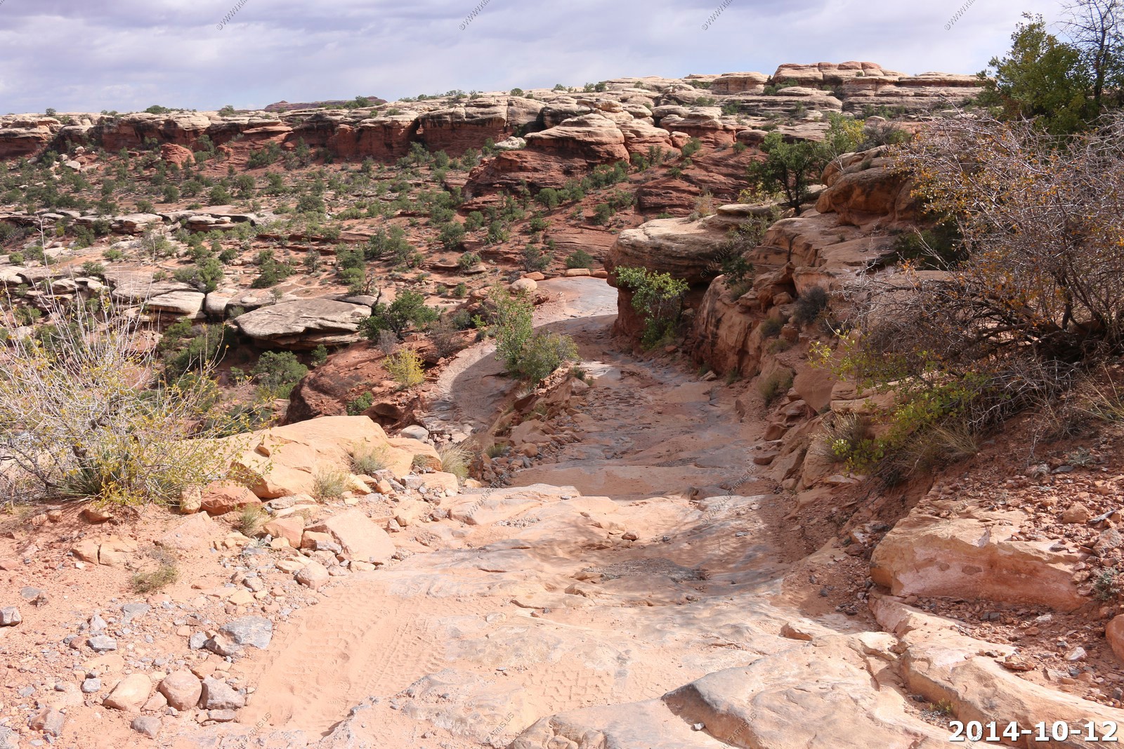
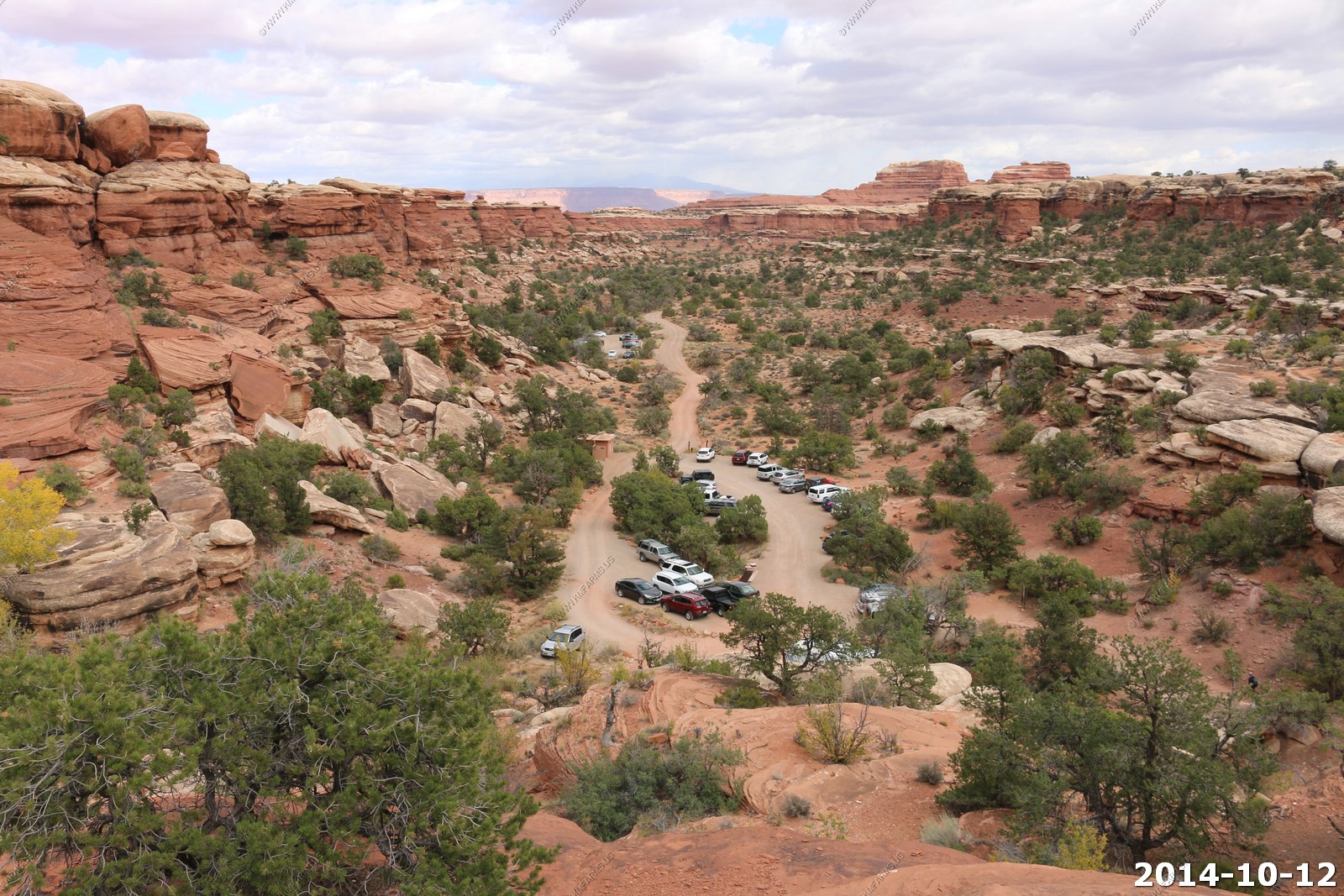
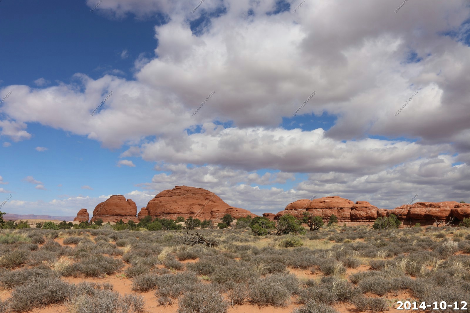
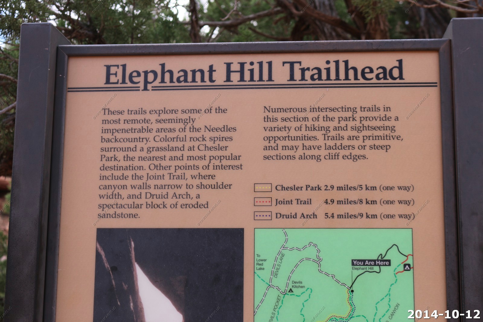
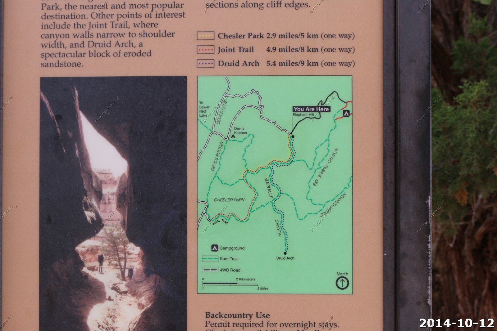
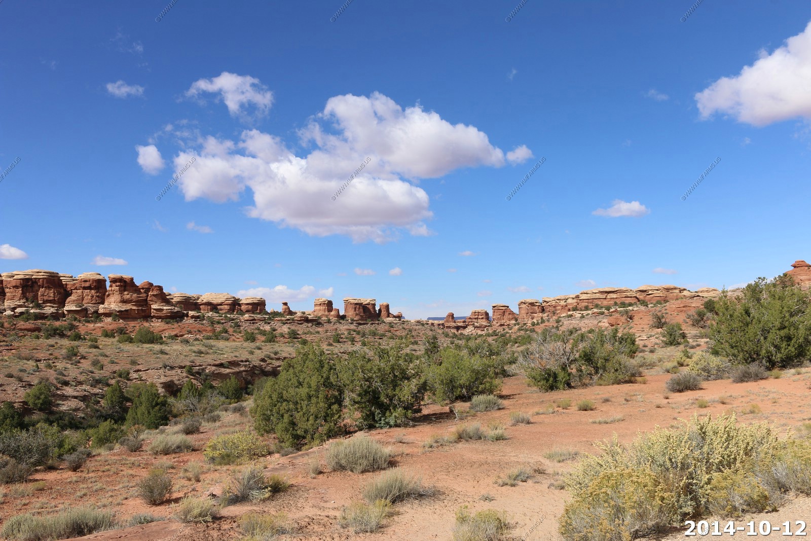
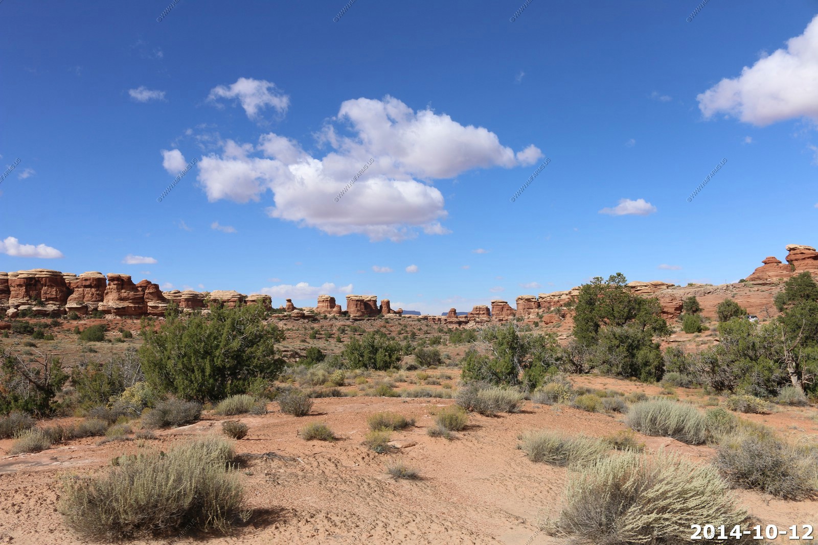
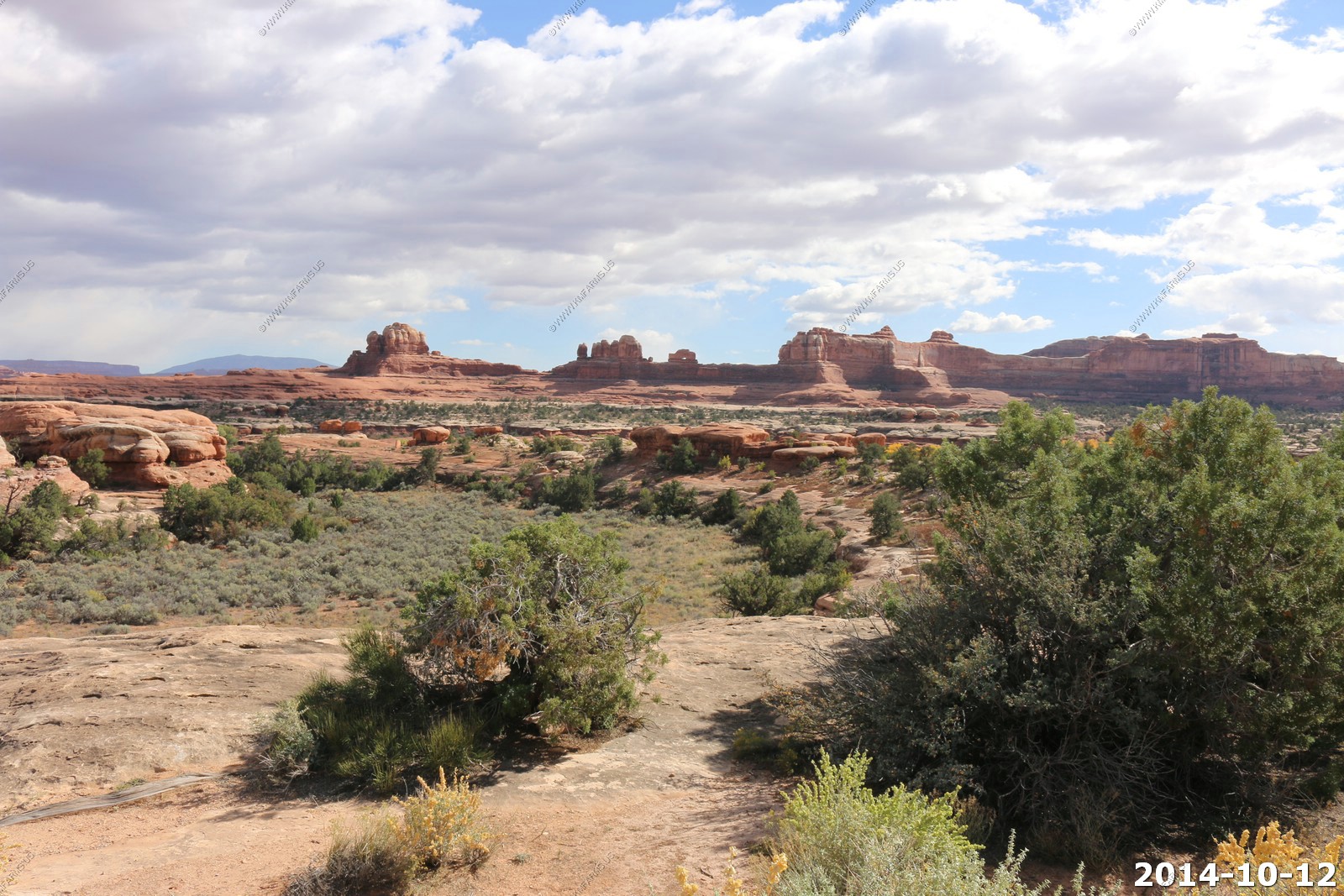
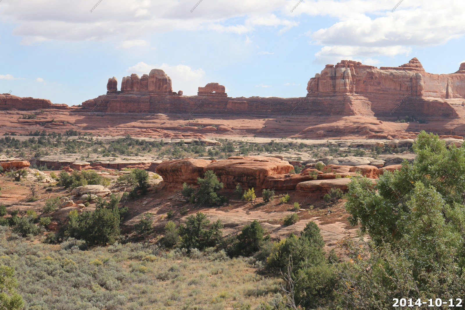
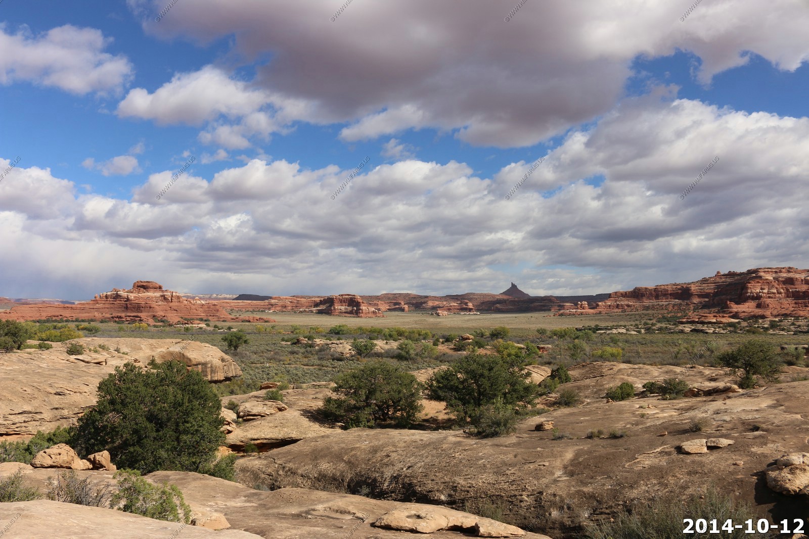
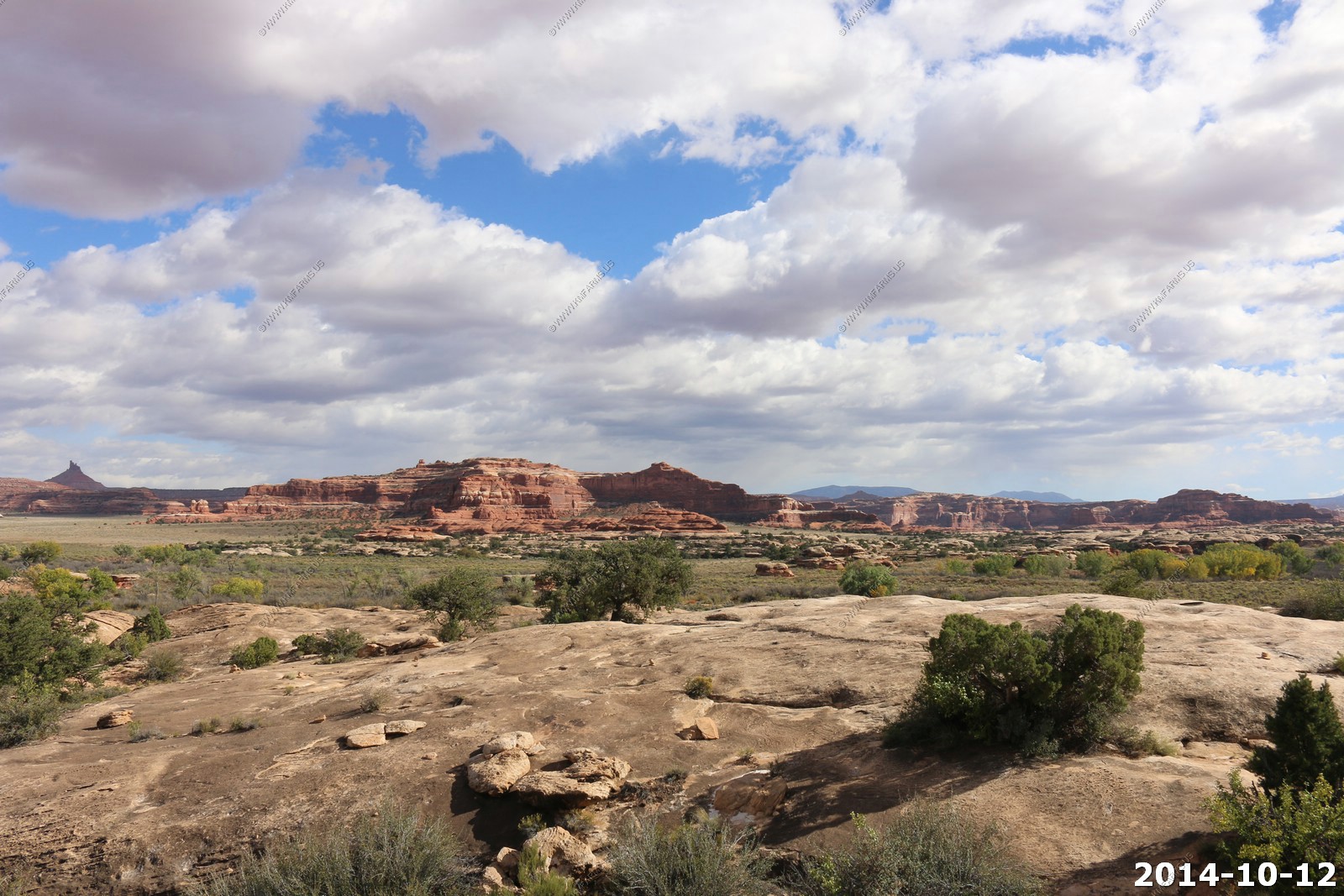
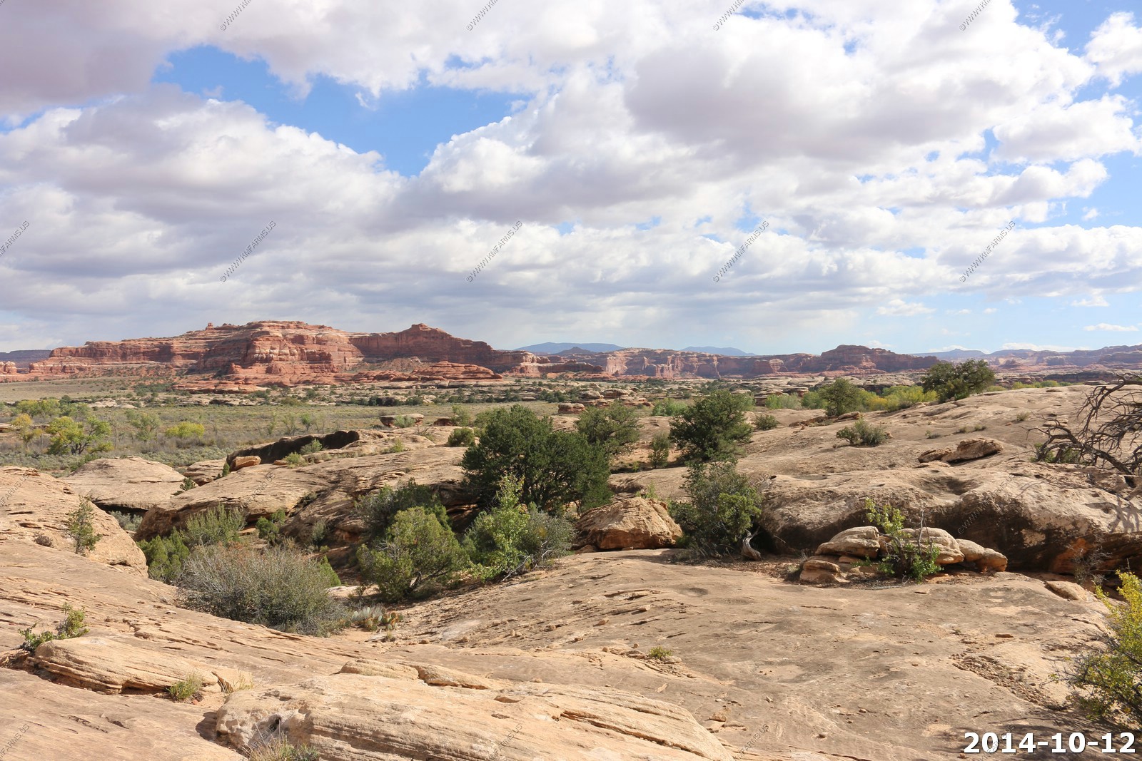
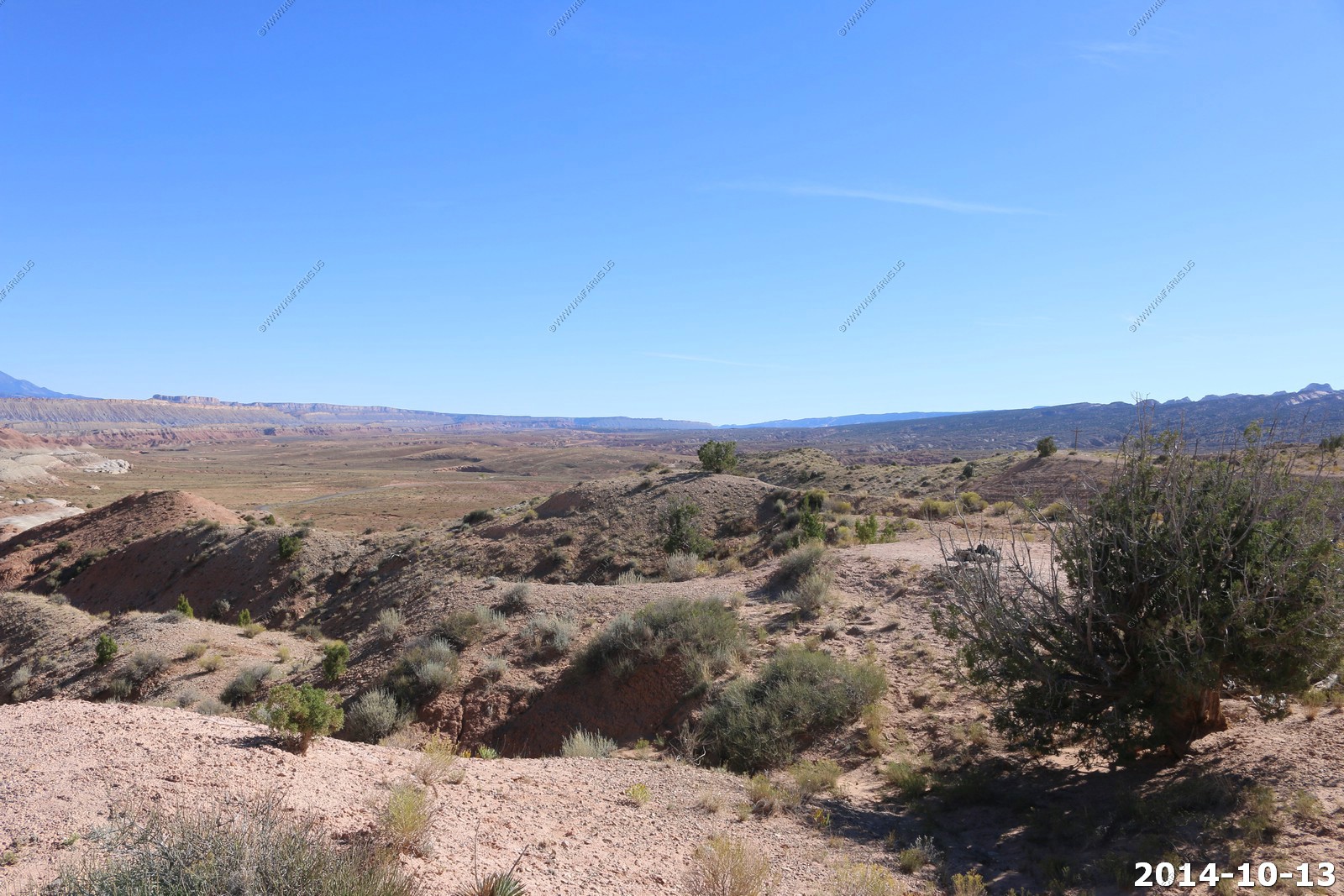
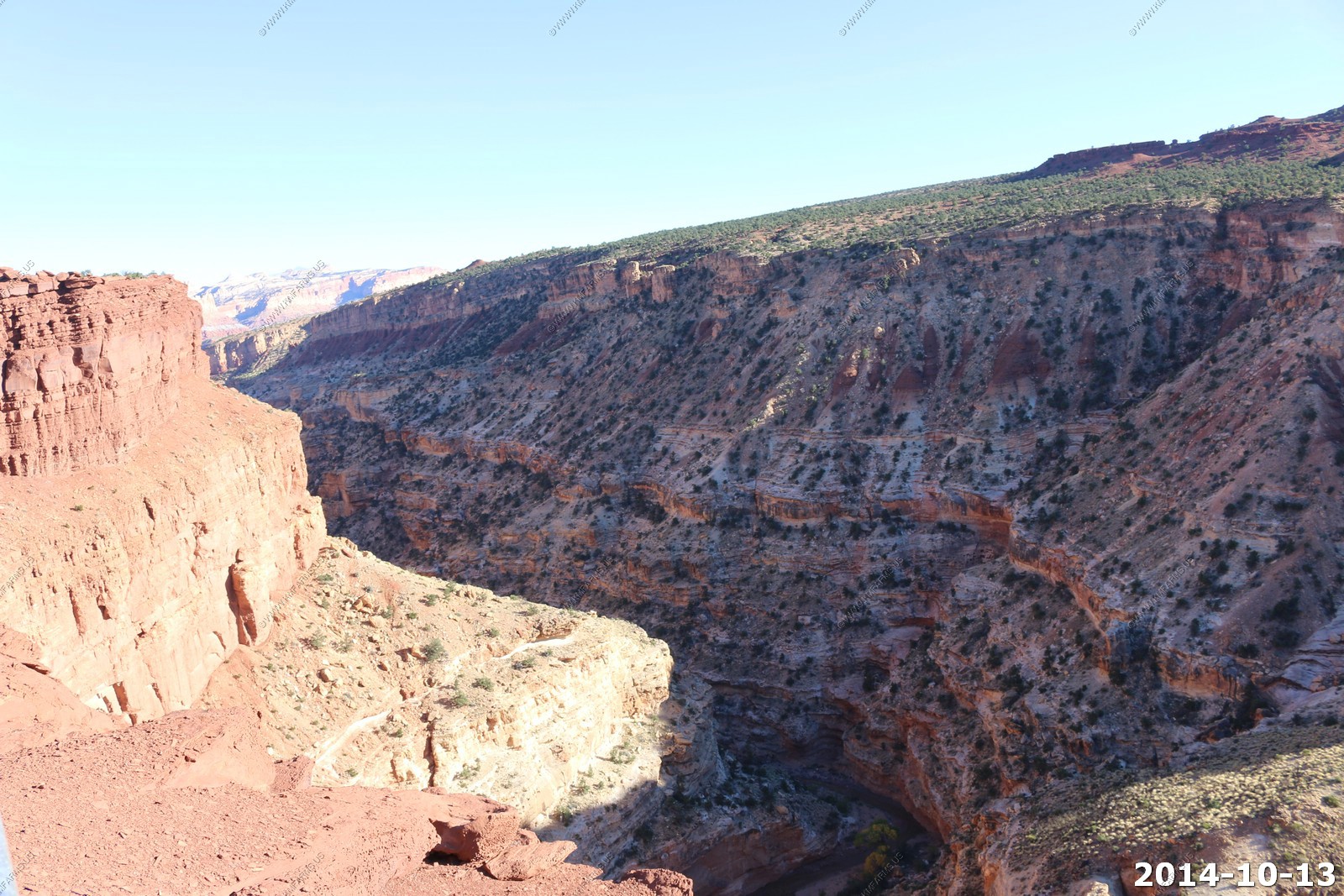
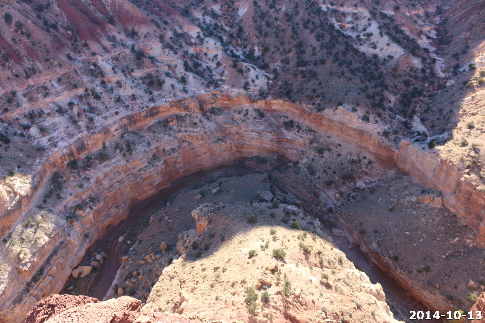
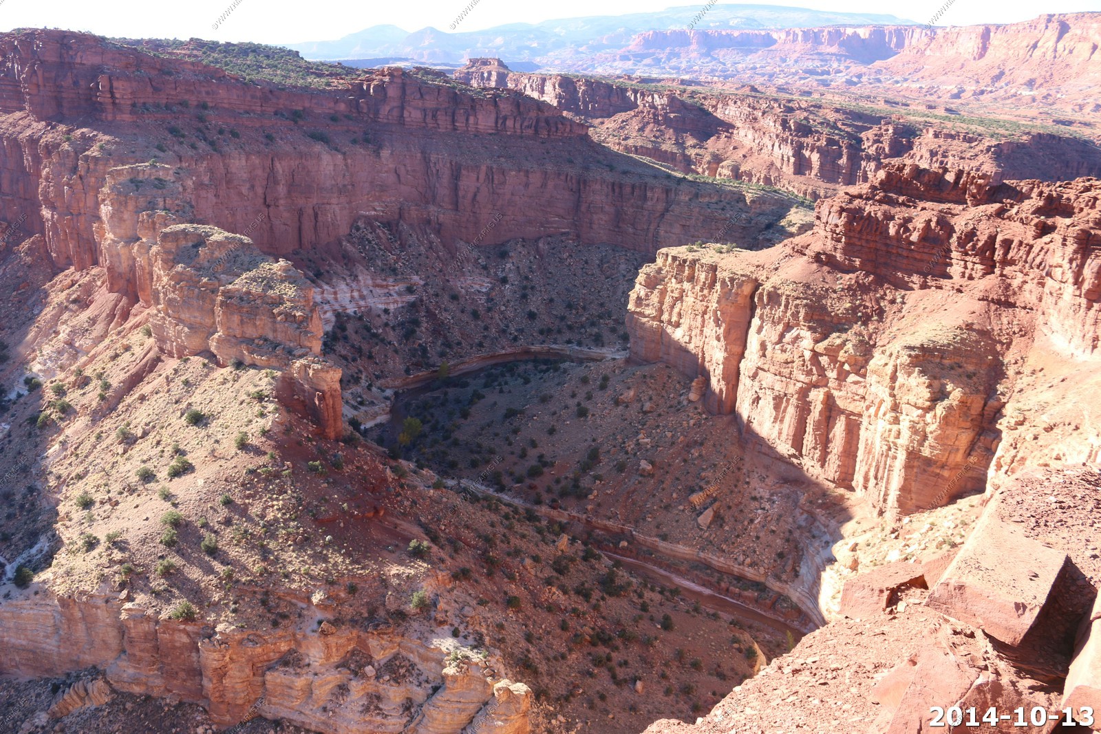
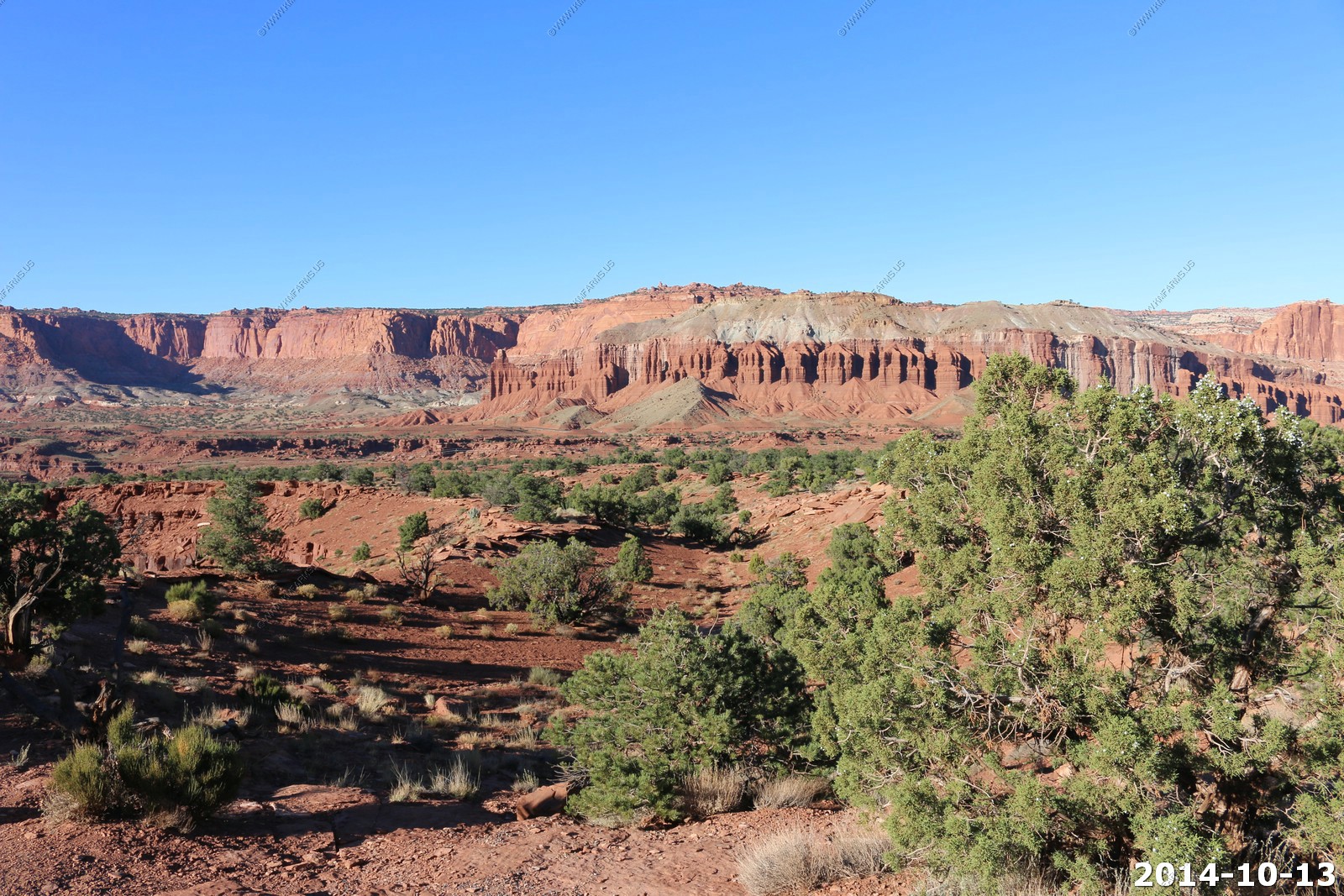
The Needles District - Canyonlands National Park
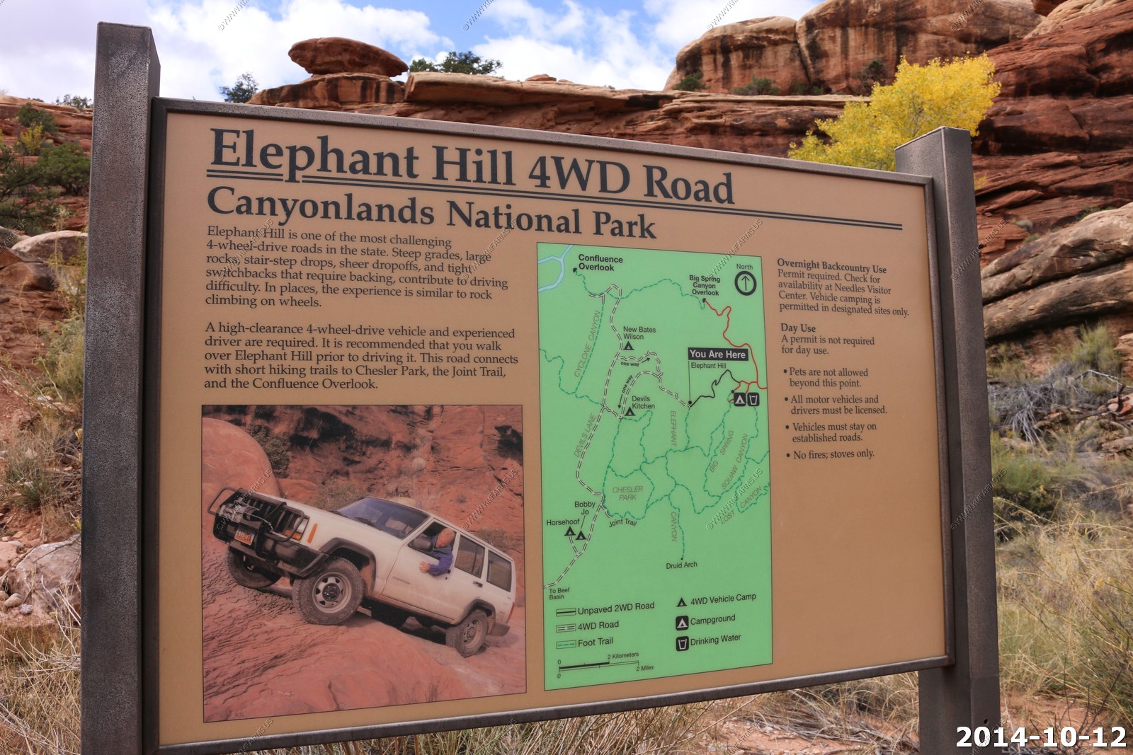
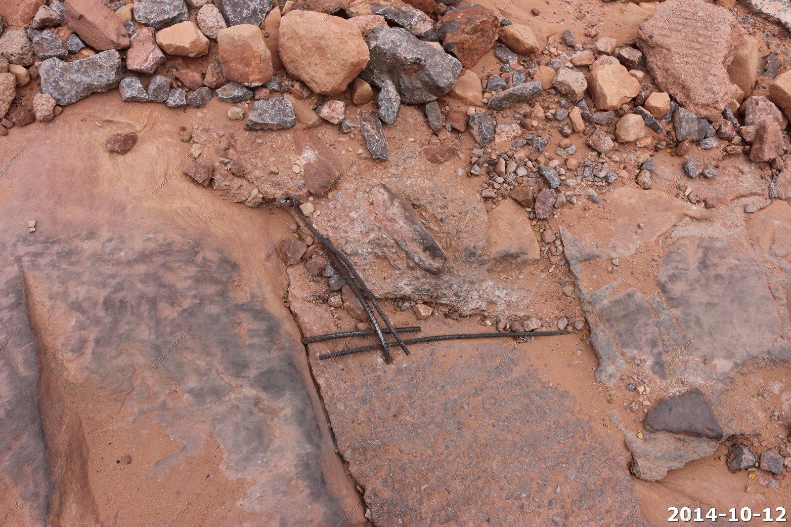
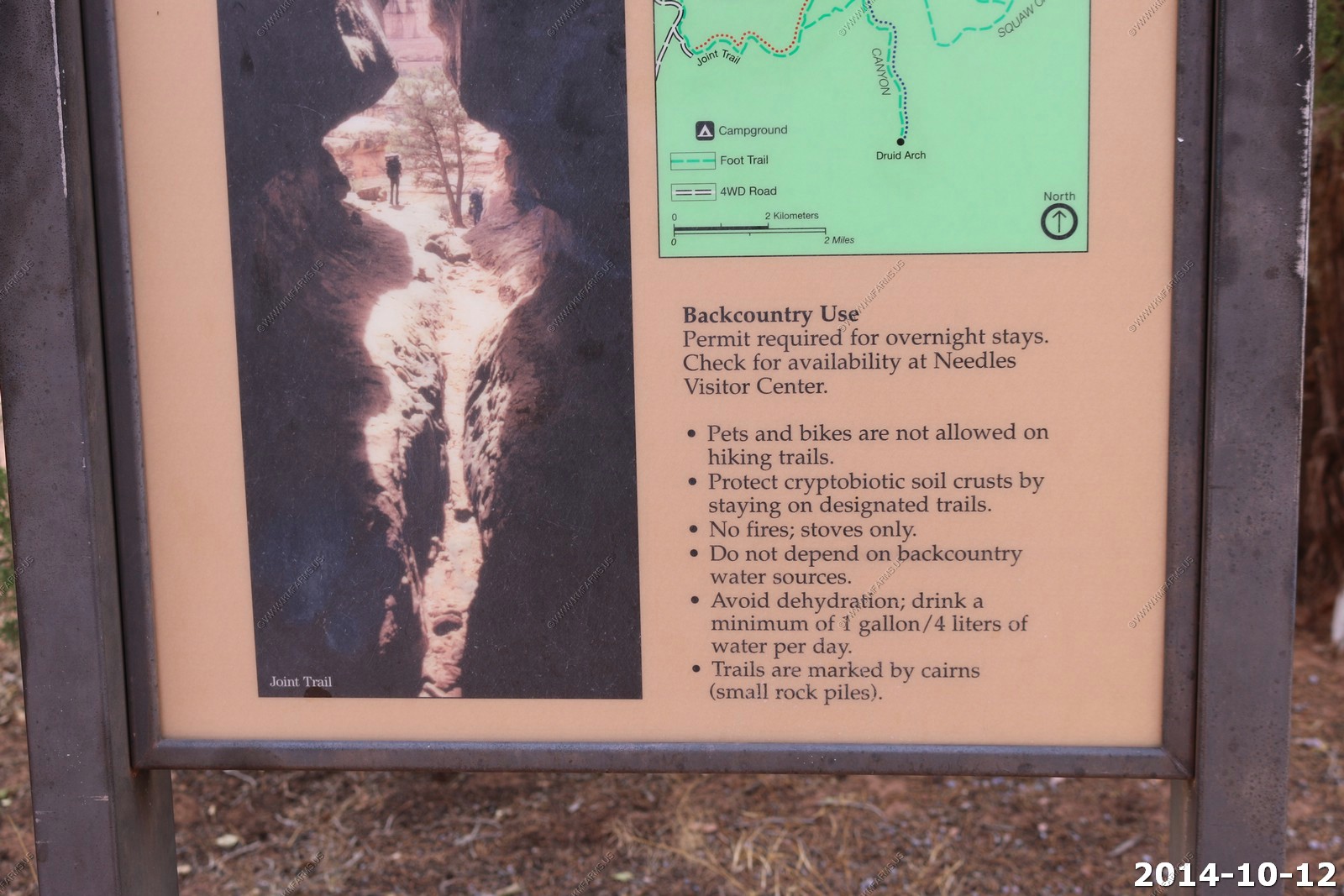
The Needles District forms the southeast corner of Canyonlands and was named for the colorful spires of Cedar Mesa Sandstone that dominate the area. The district's extensive trail system provides many opportunities for long day hikes and overnight trips. Foot trails and four-wheel-drive roads lead to such features as Tower Ruin, Confluence Overlook, Elephant Hill, the Joint Trail, and Chesler Park.
This area is famous for its rough jeep trails, including some that rank with the most challenging in the world. You need a high clearance 4X4 vehicle optimized for off-road travel to drive some of the routes here.
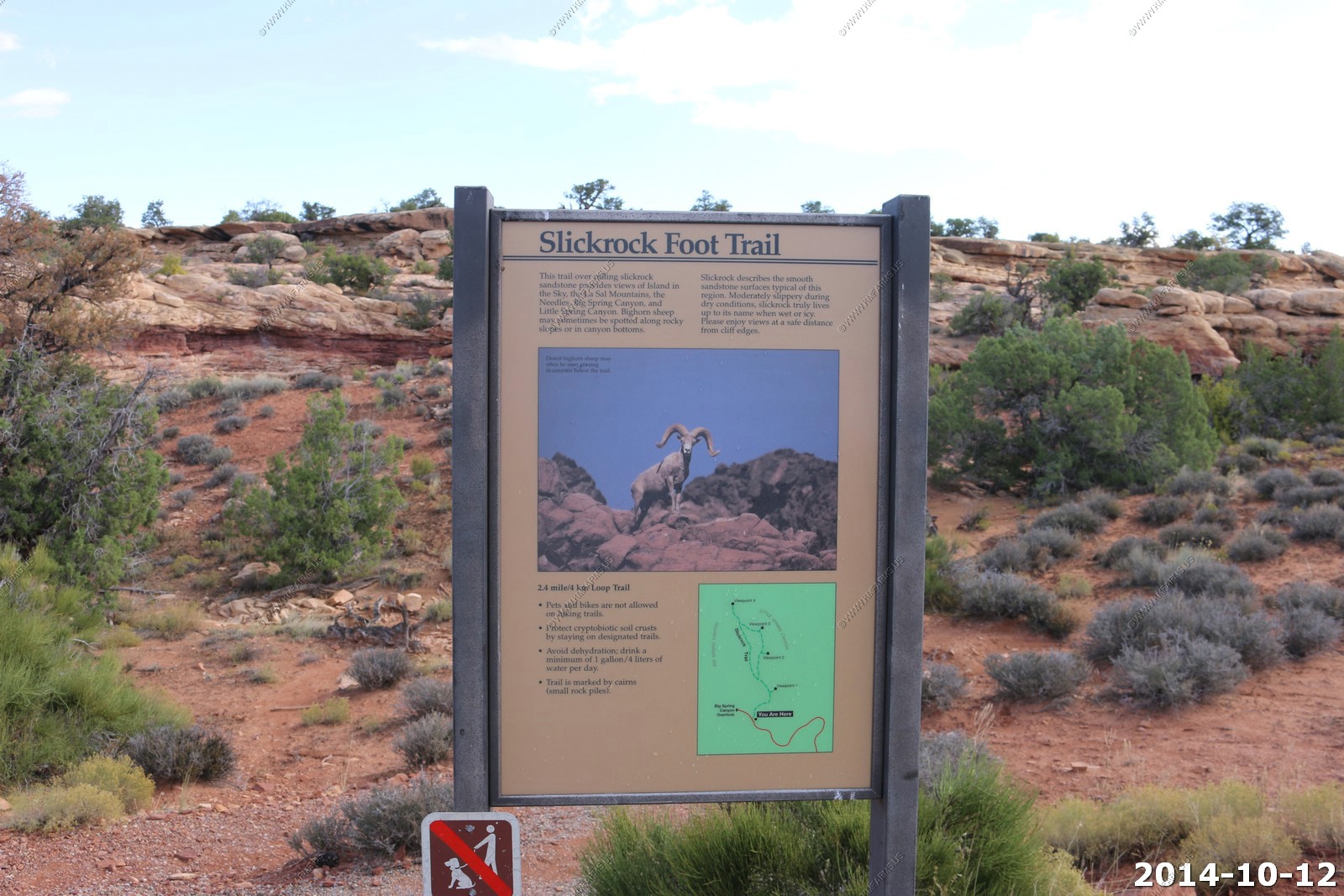
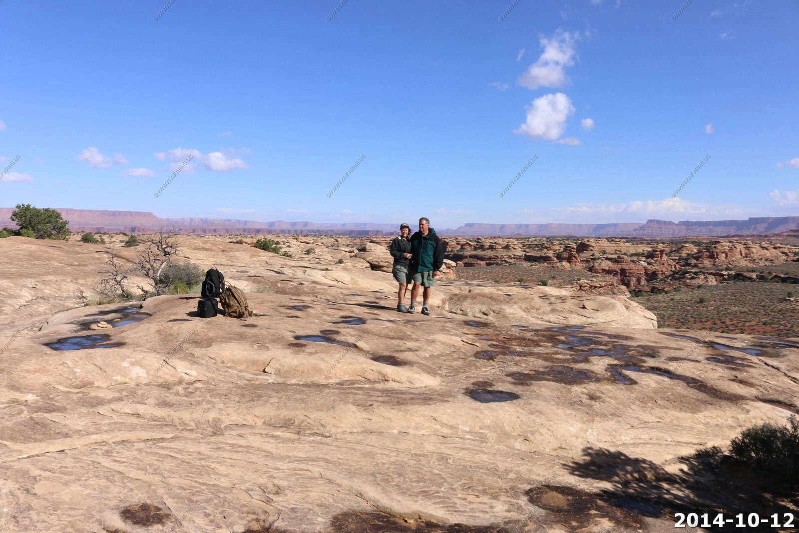
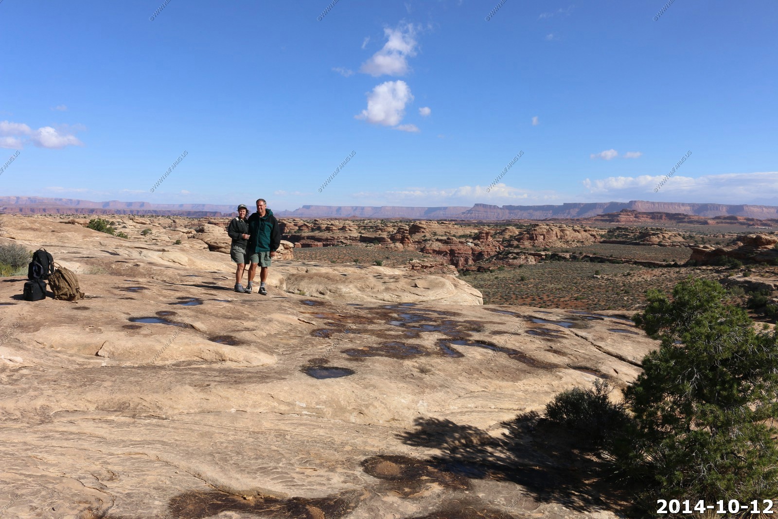
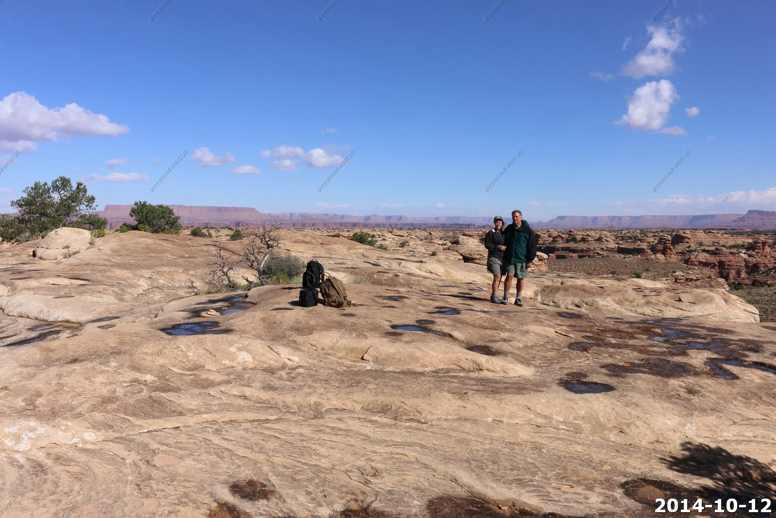
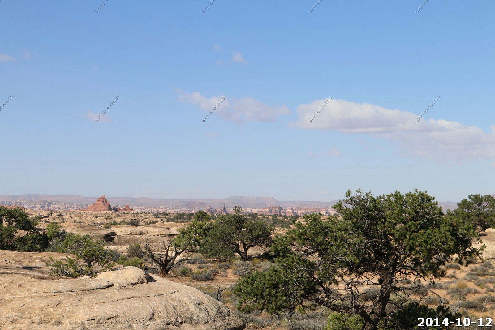
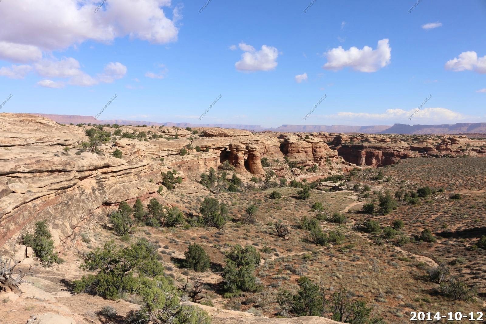
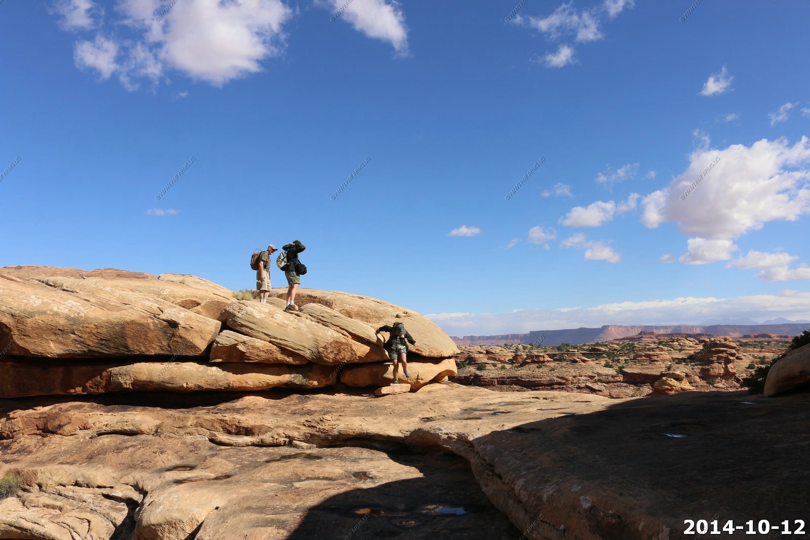
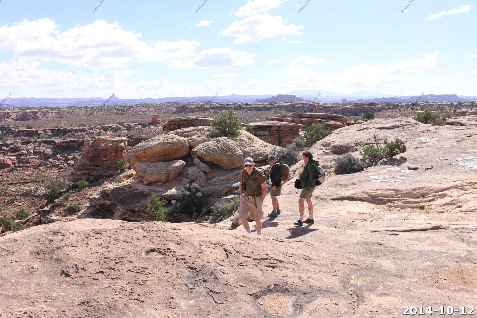
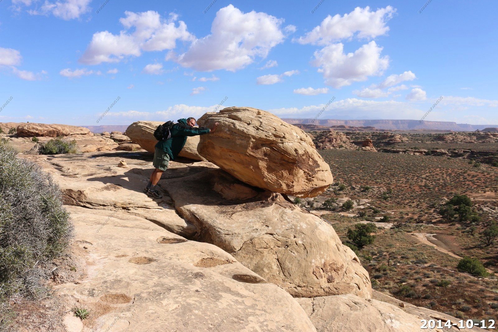
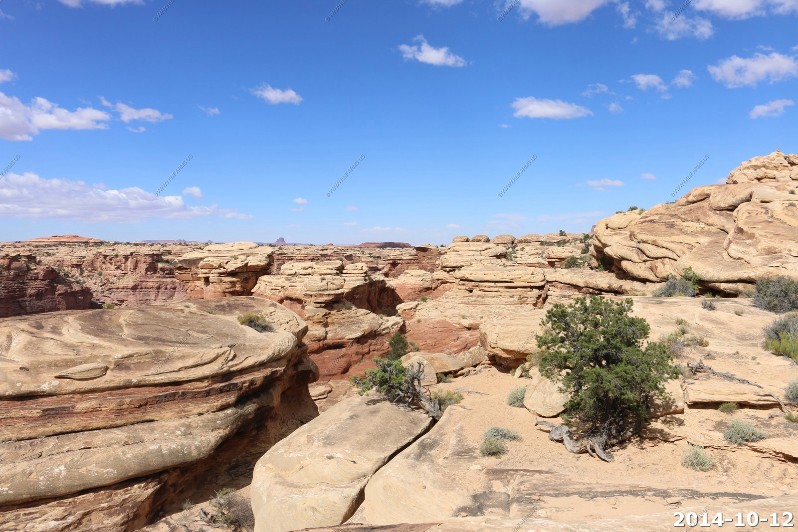
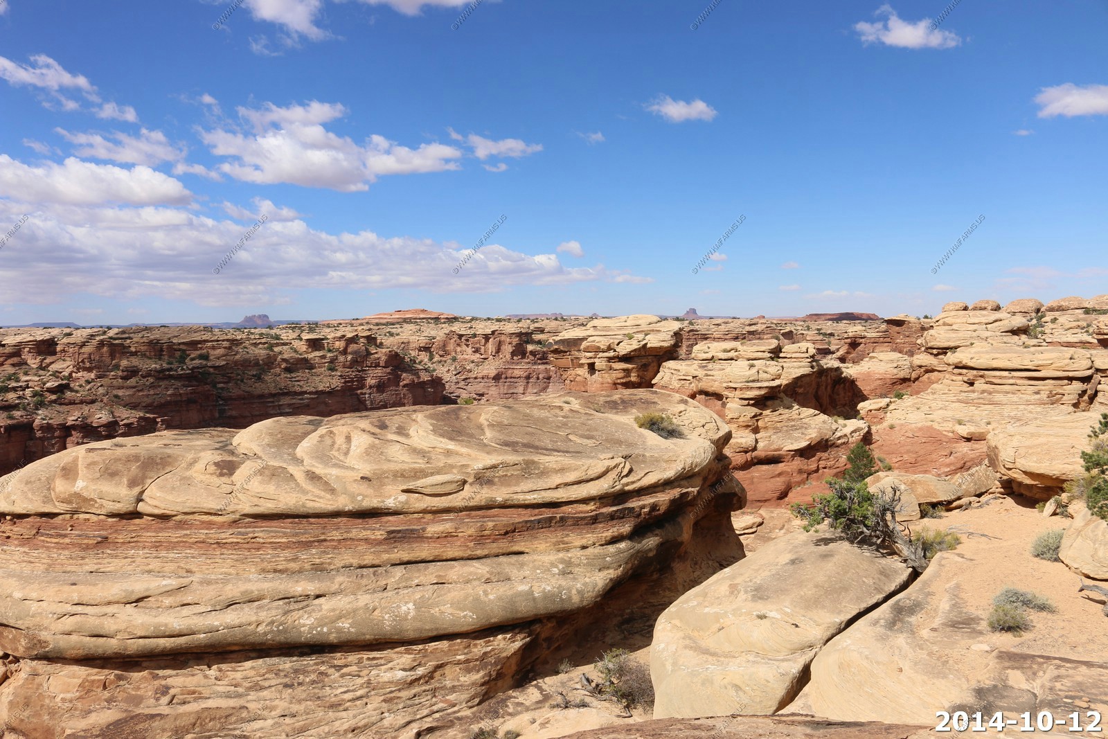
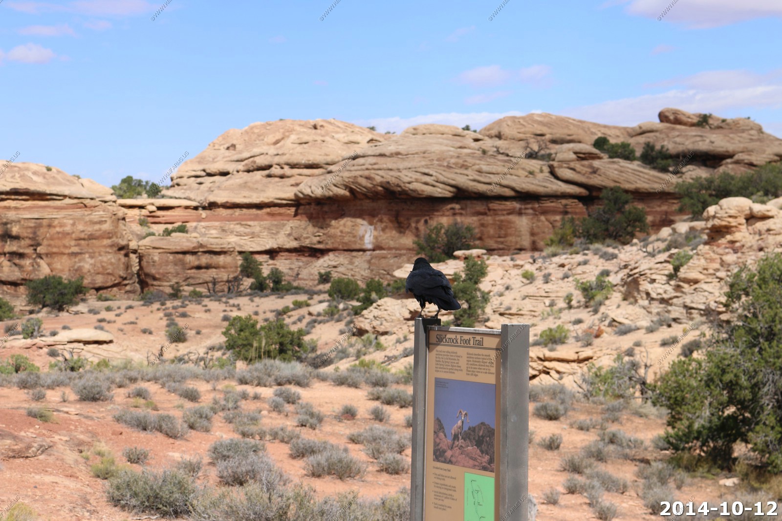
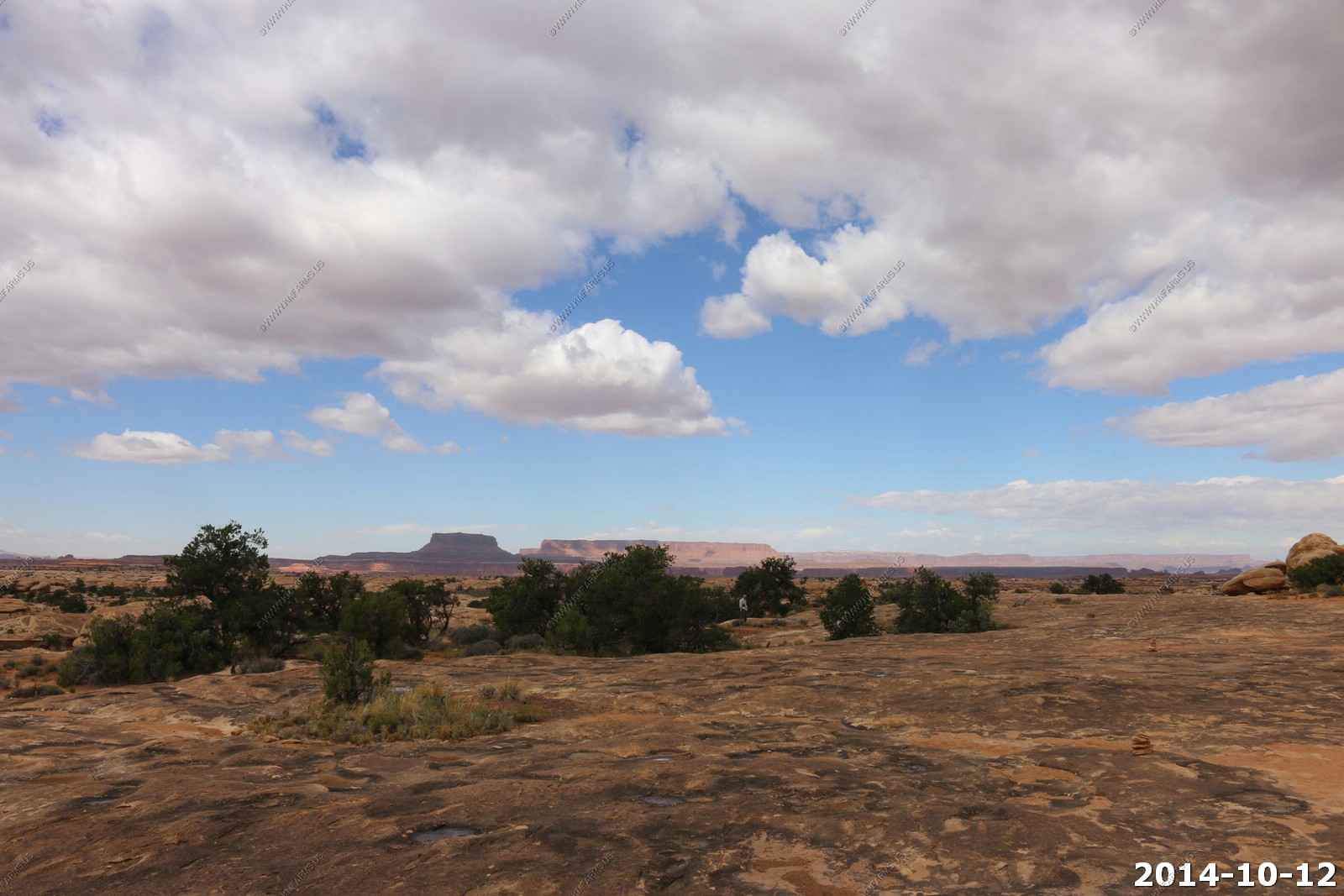
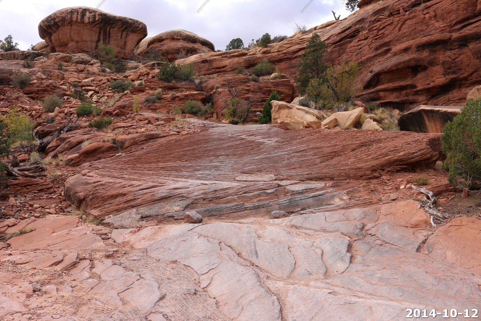
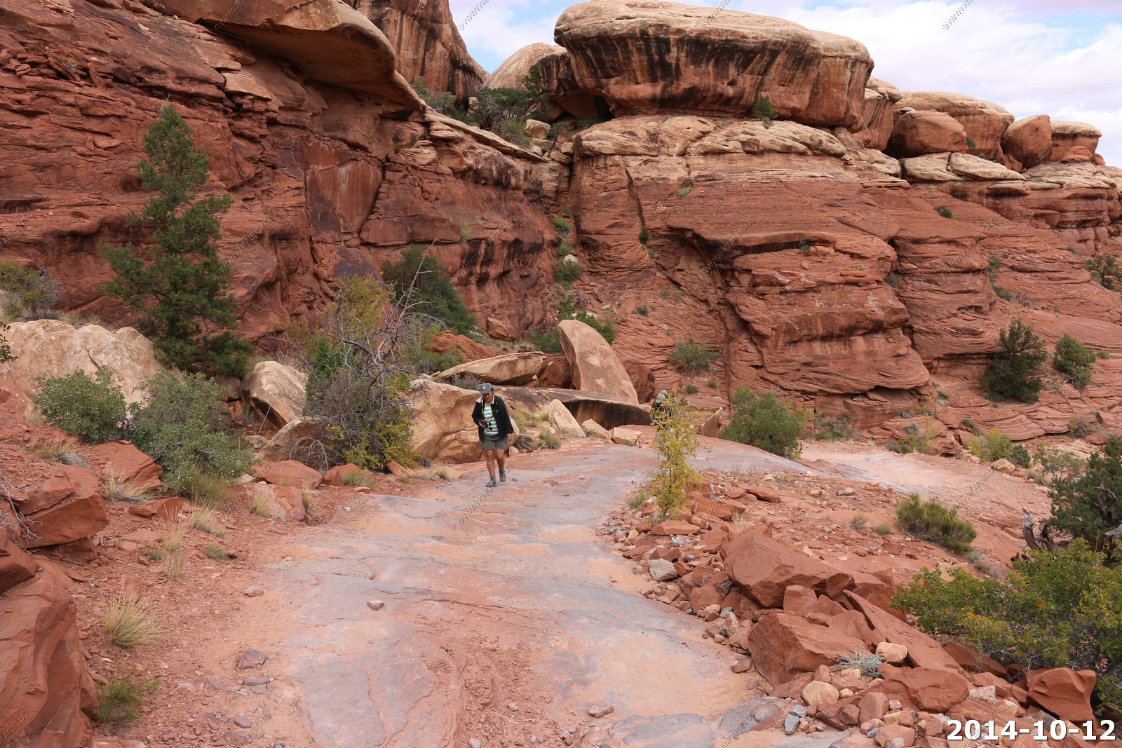
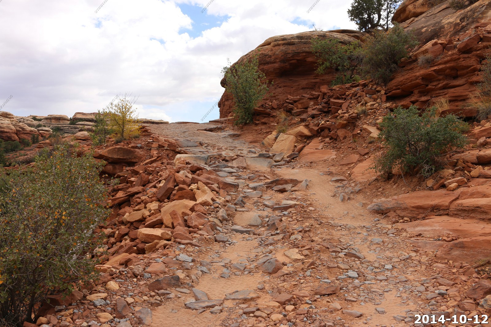
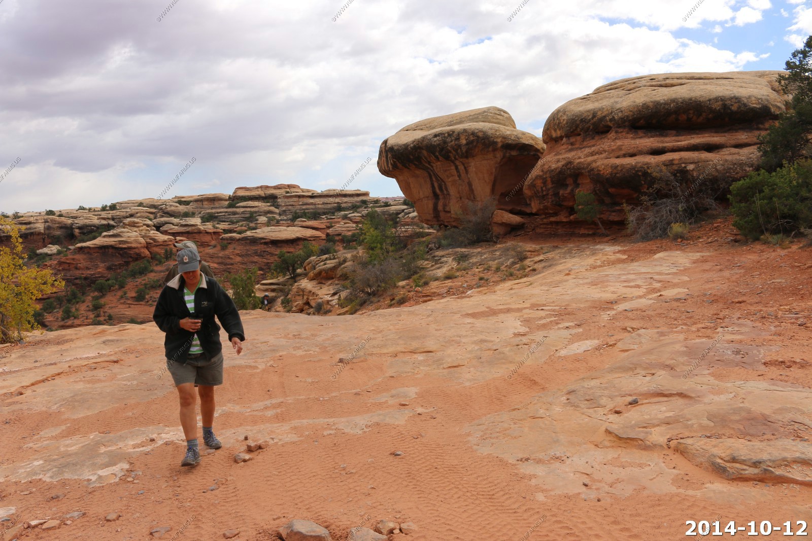
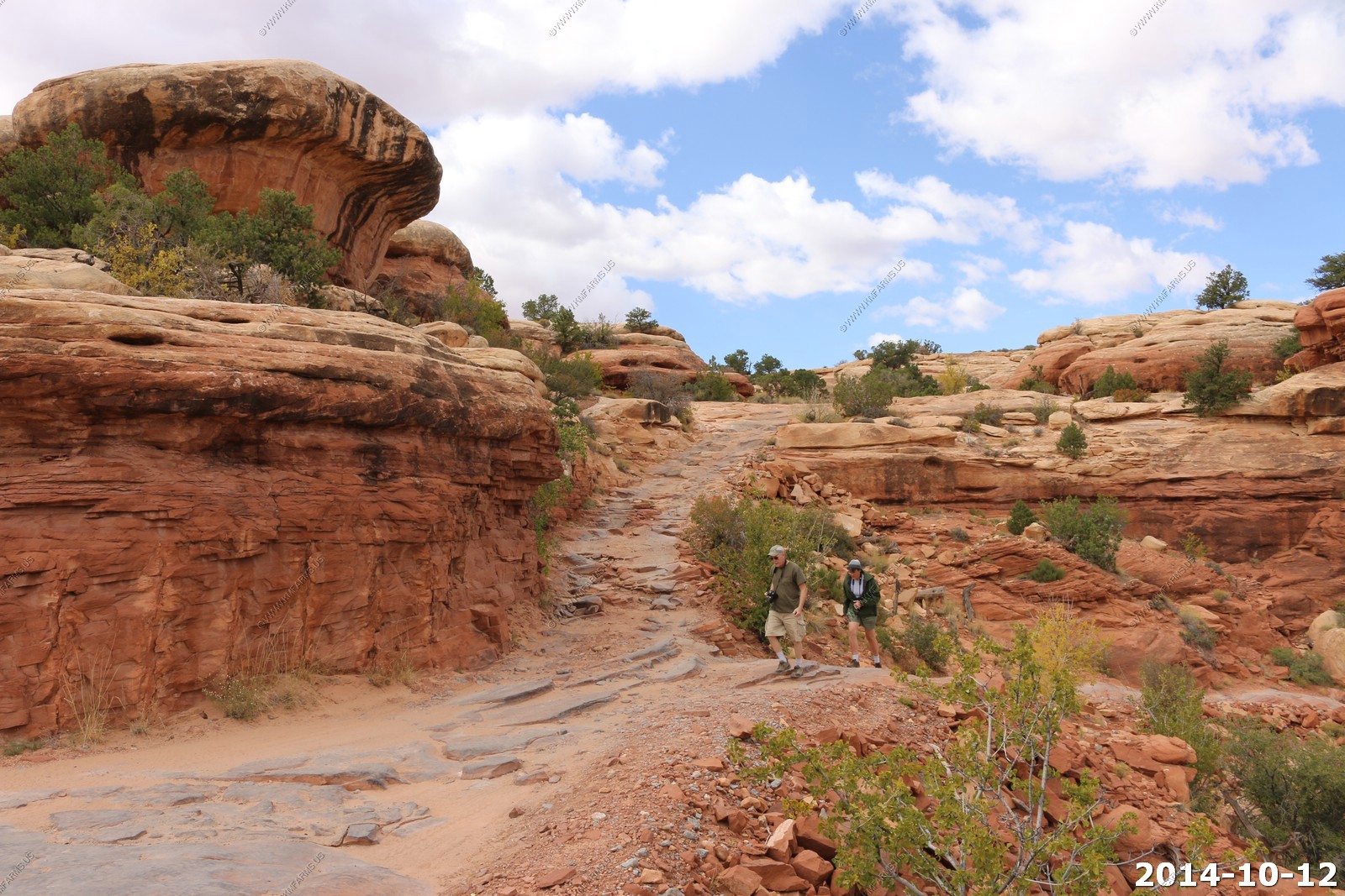
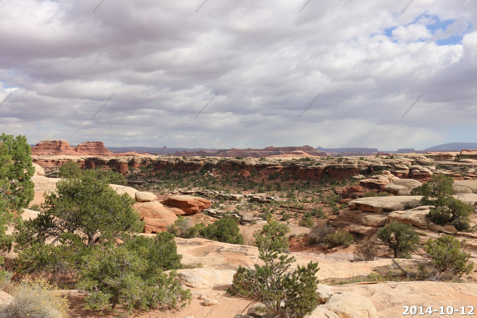
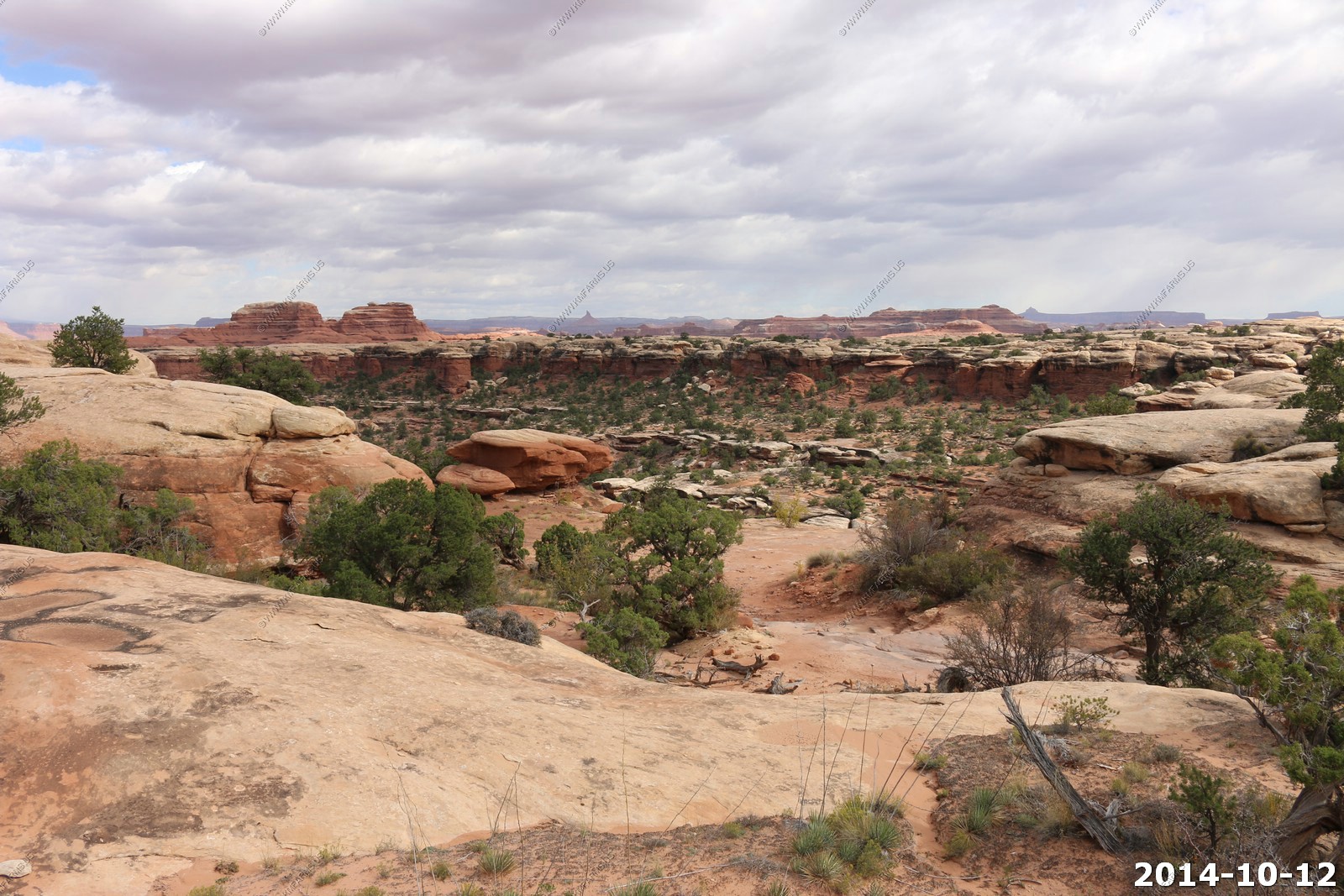
Slickrock Foot Trail
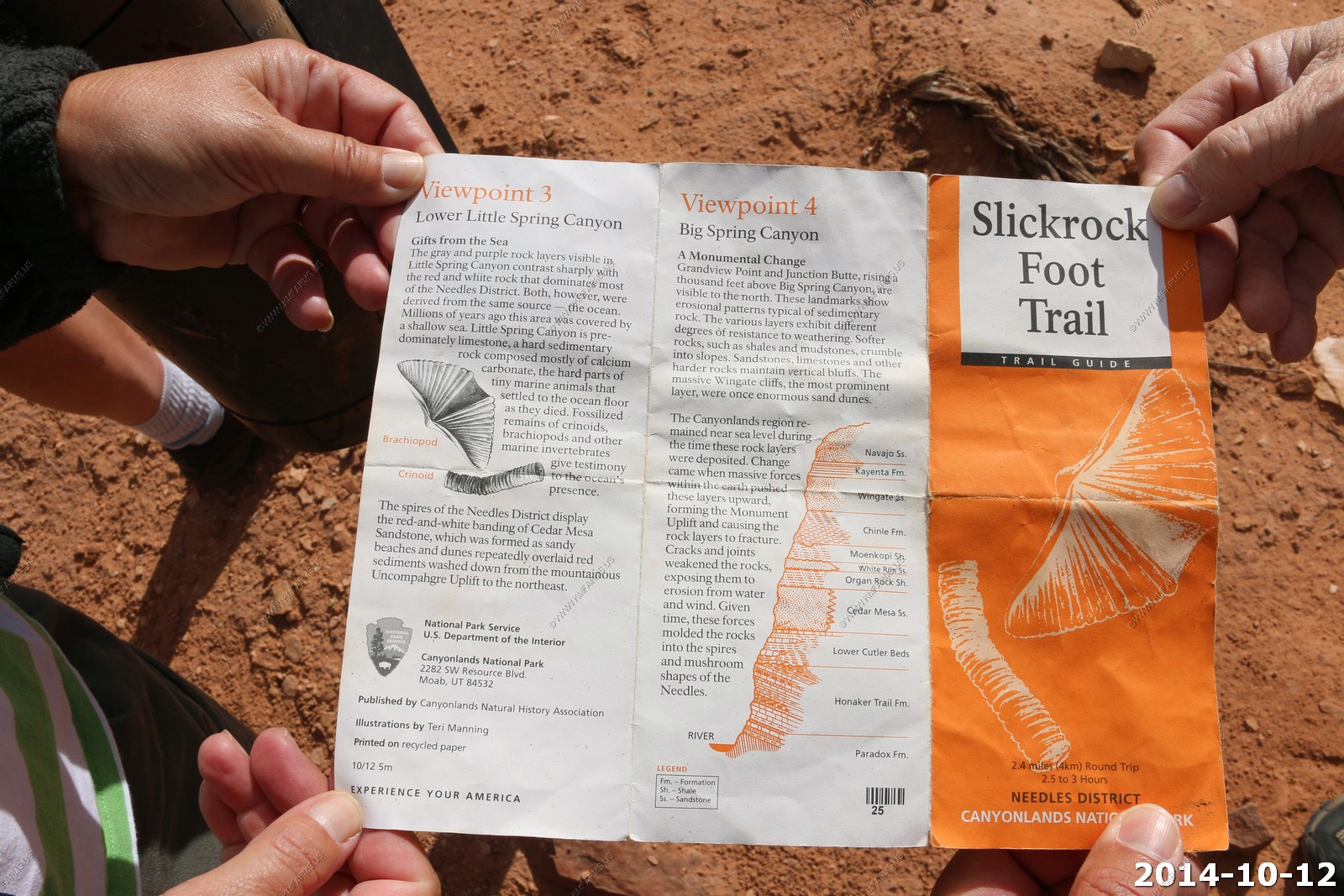
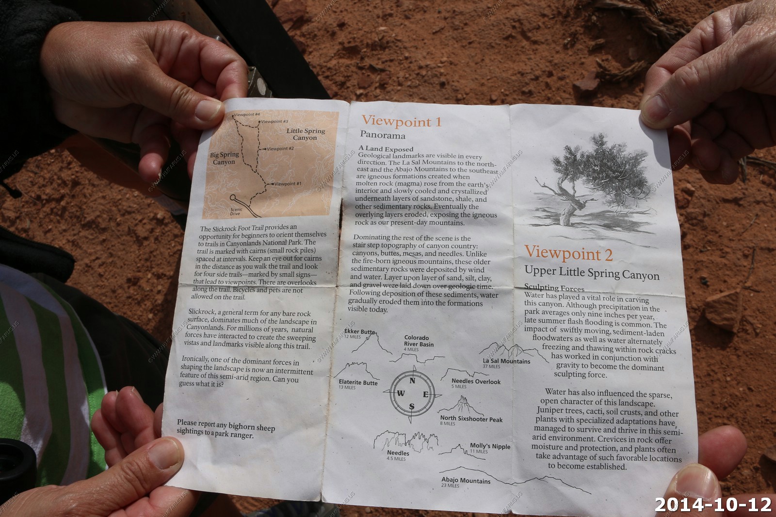
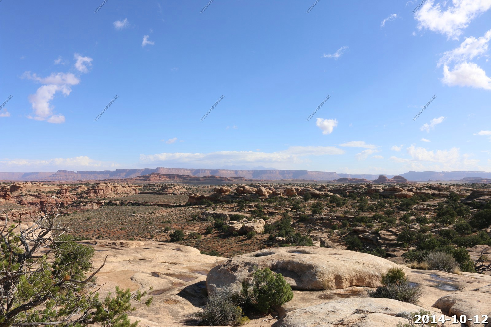
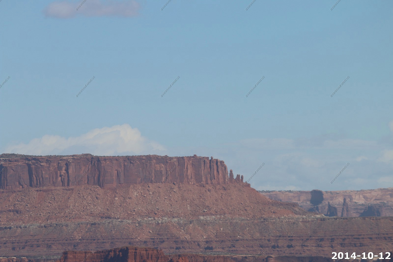
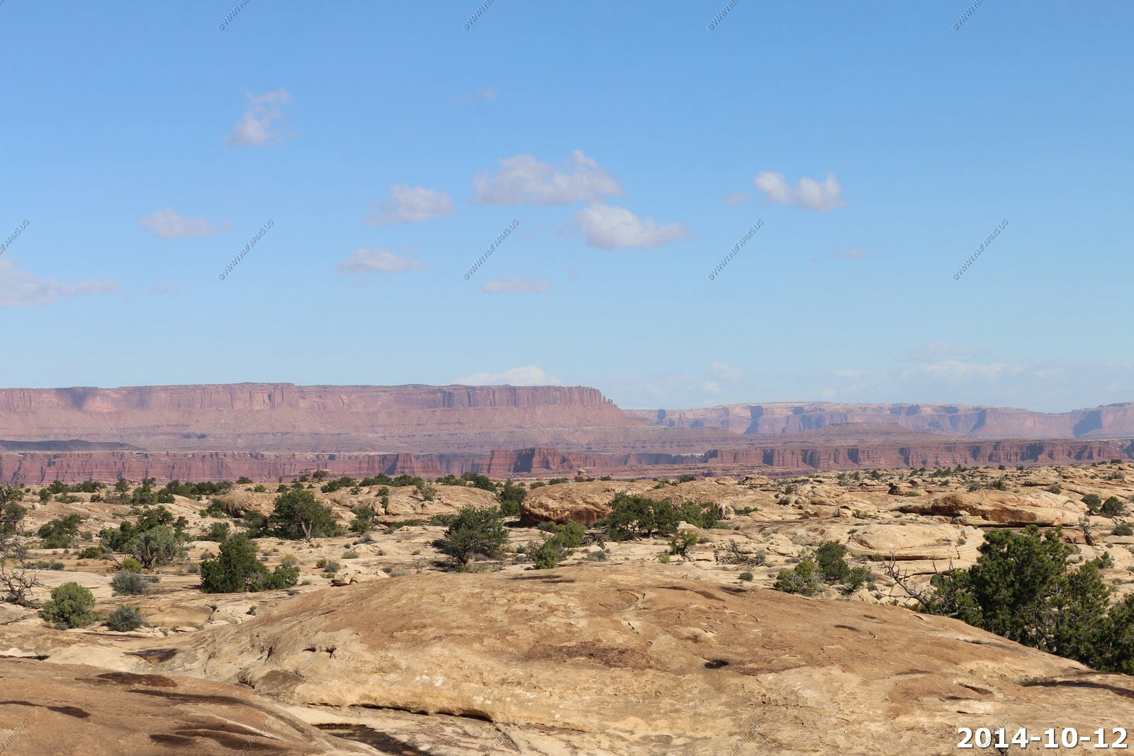
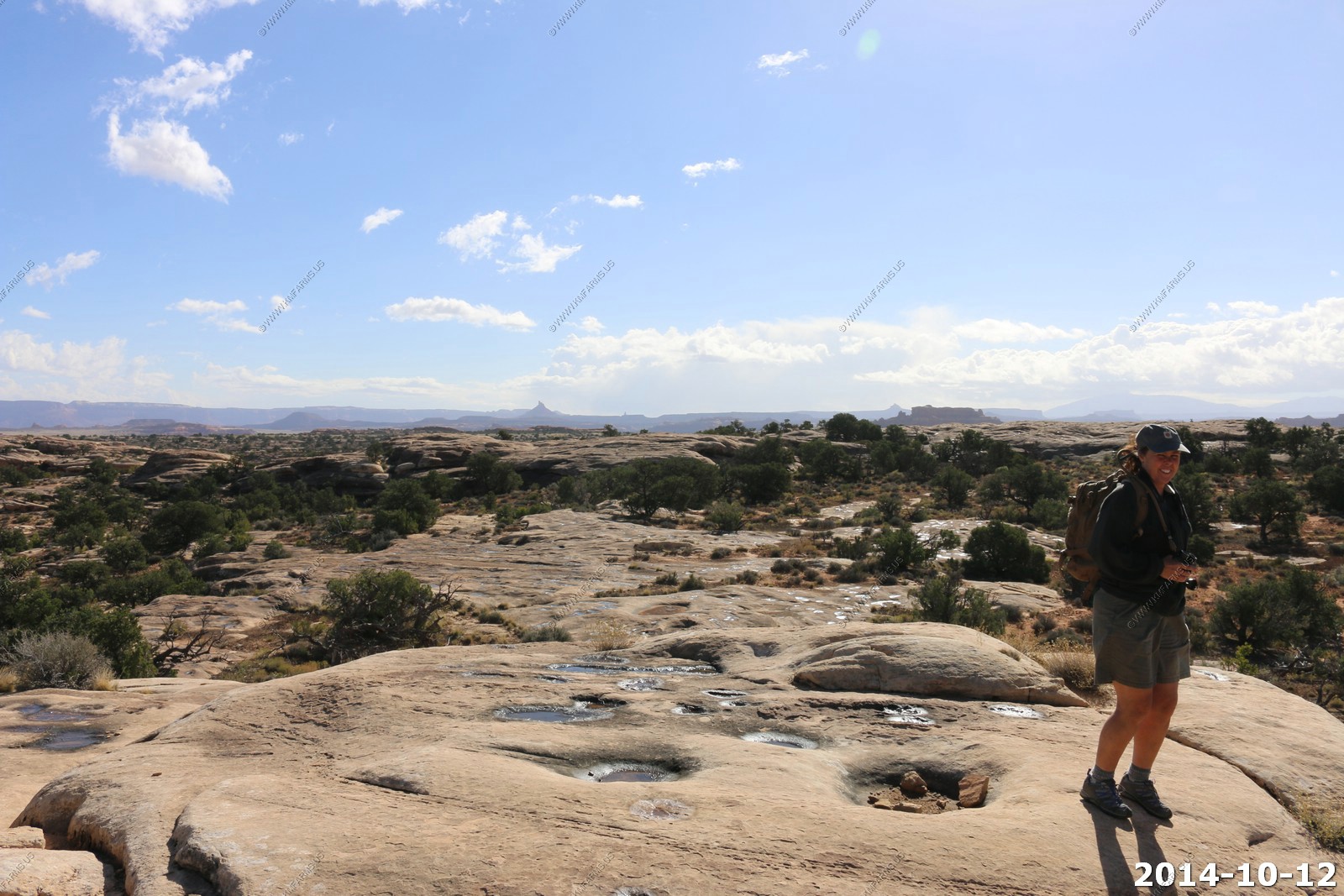
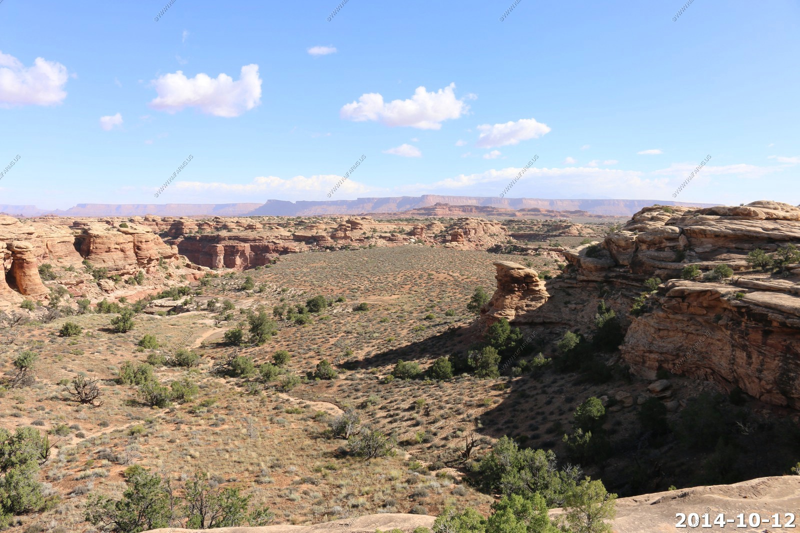
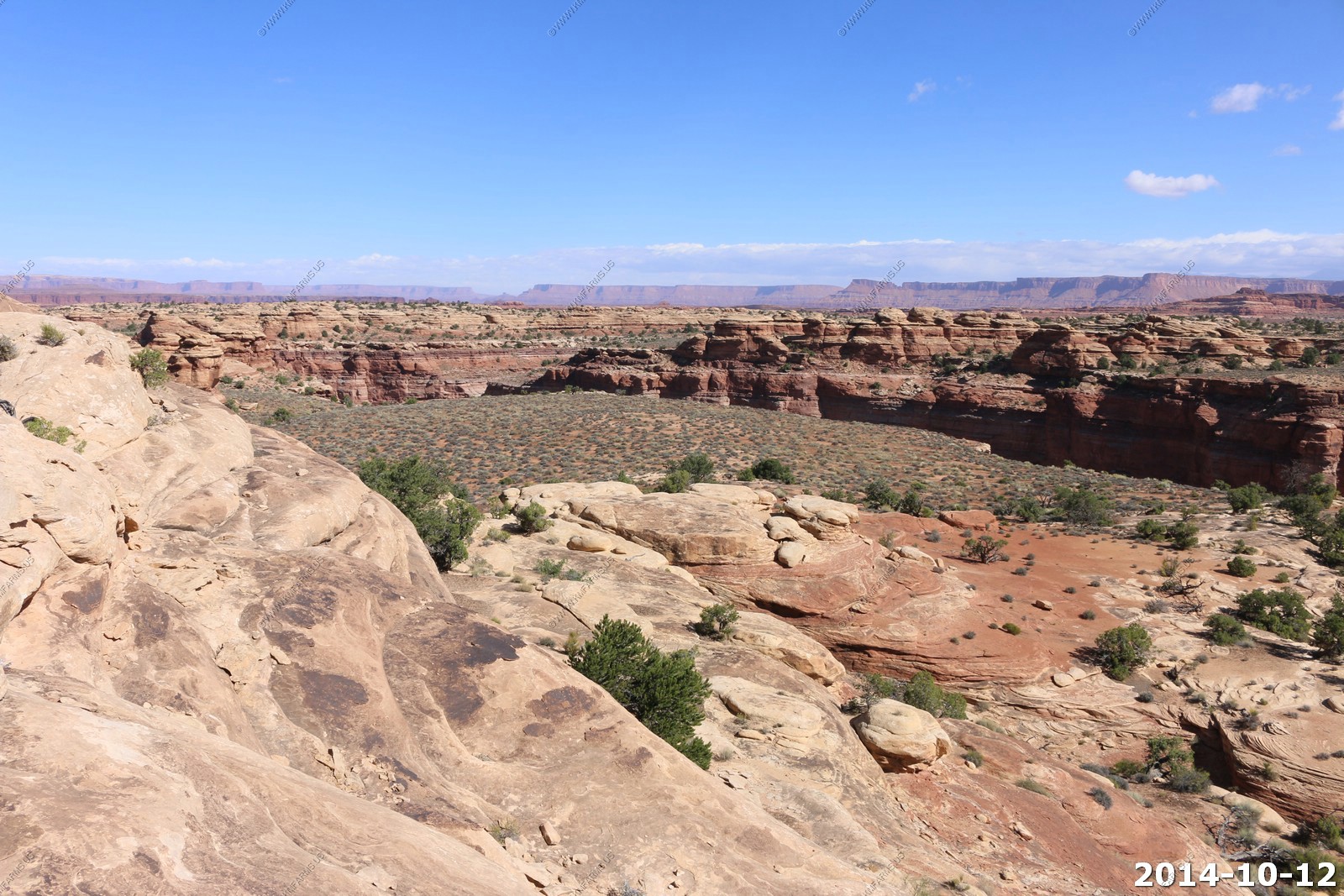
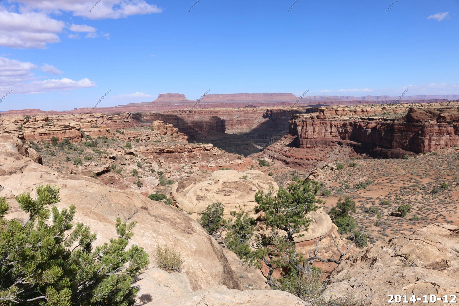
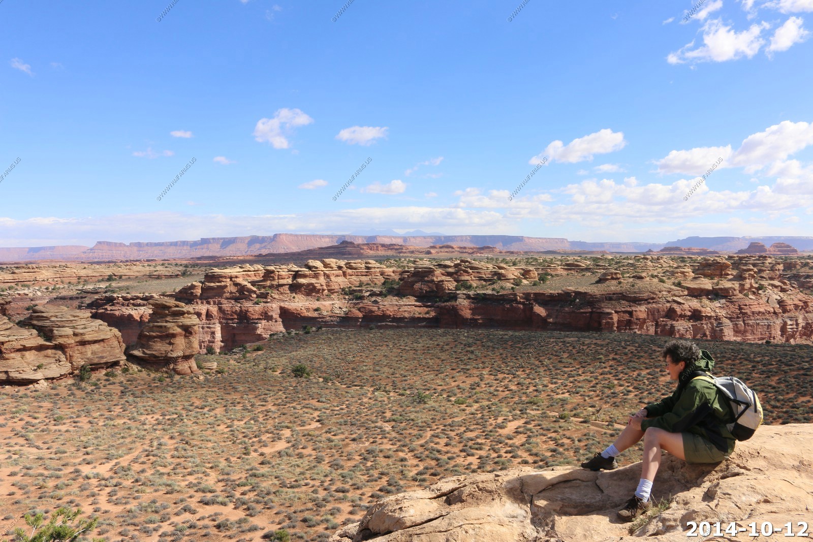
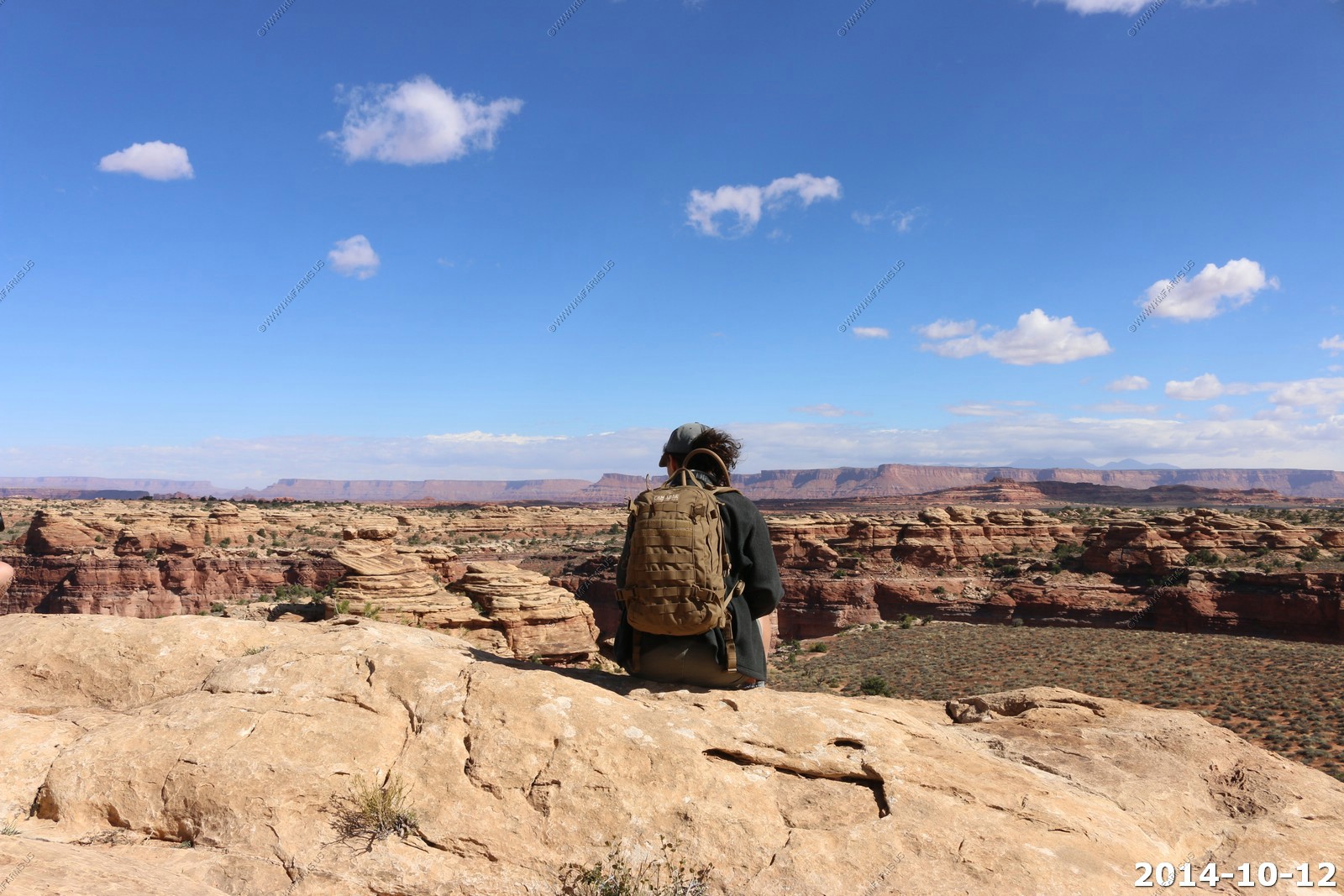
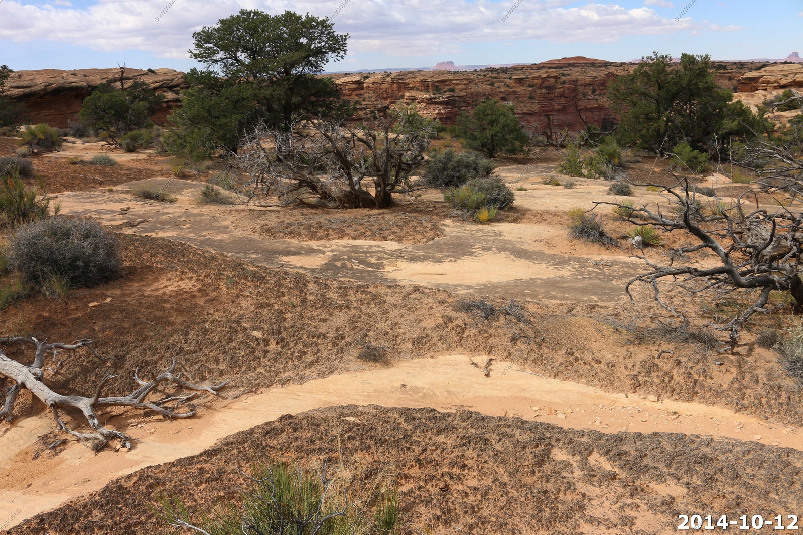
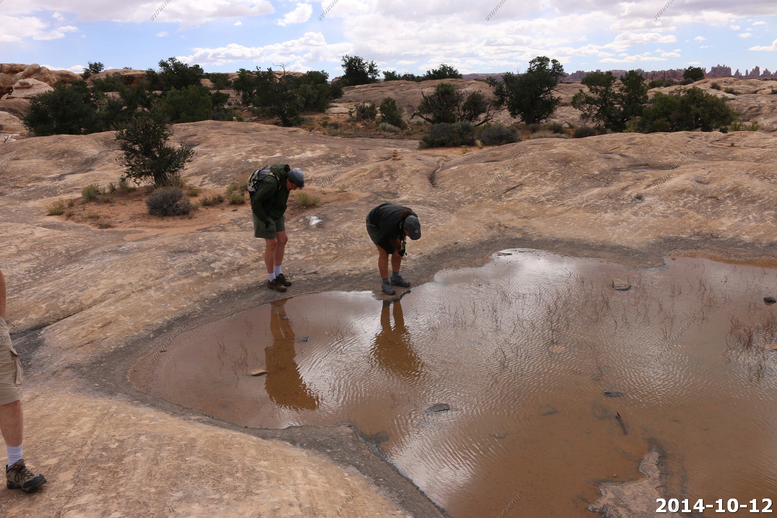
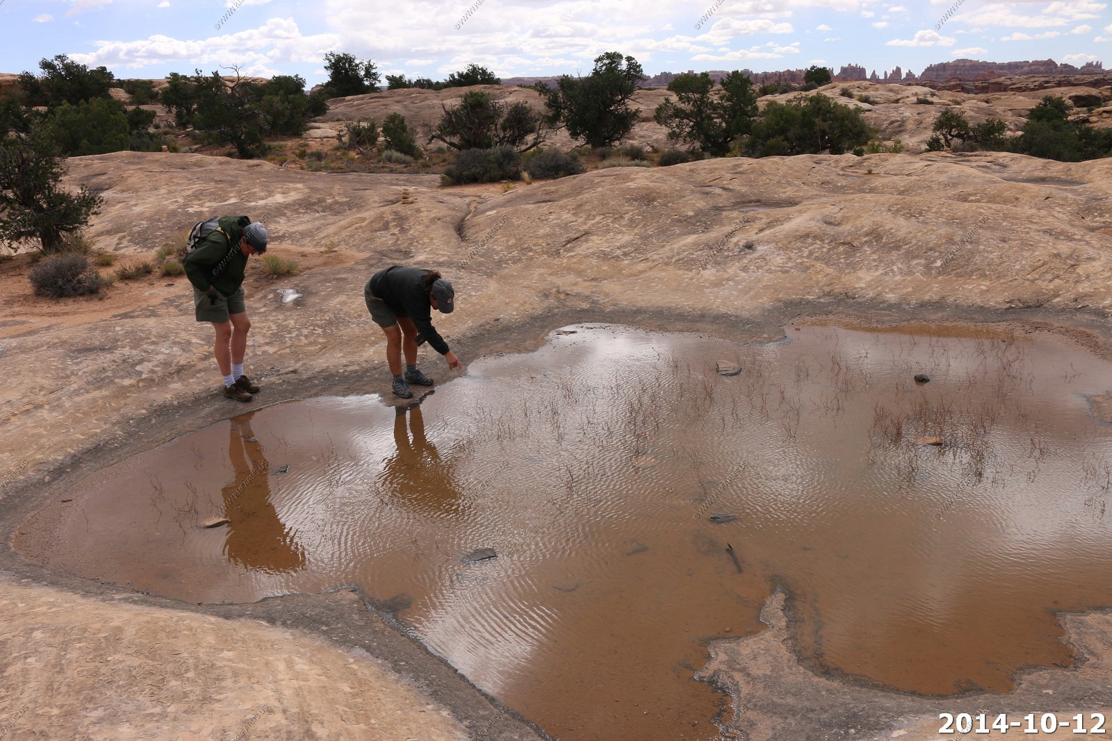
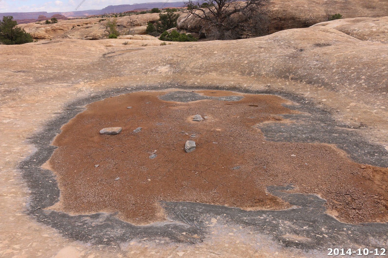
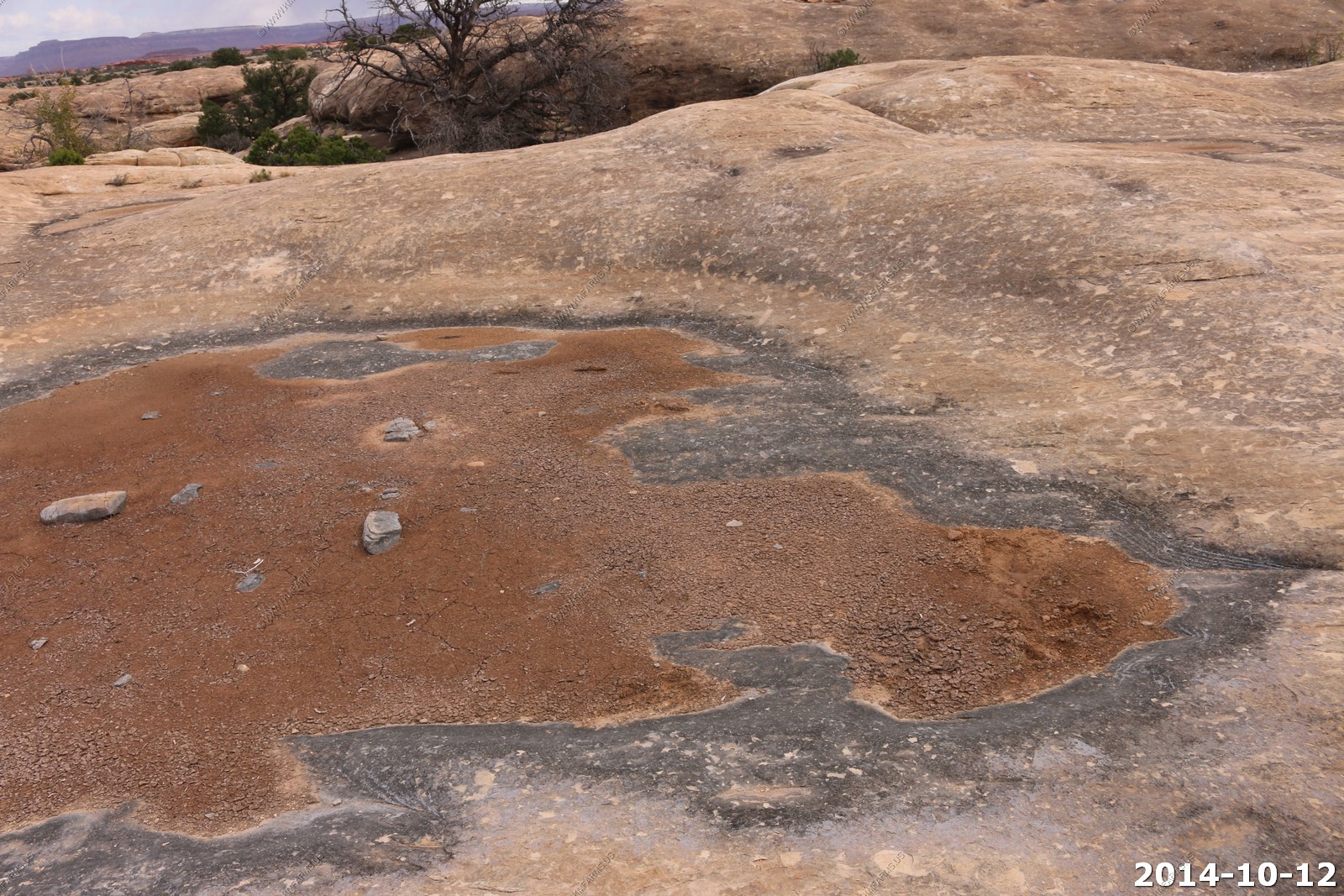
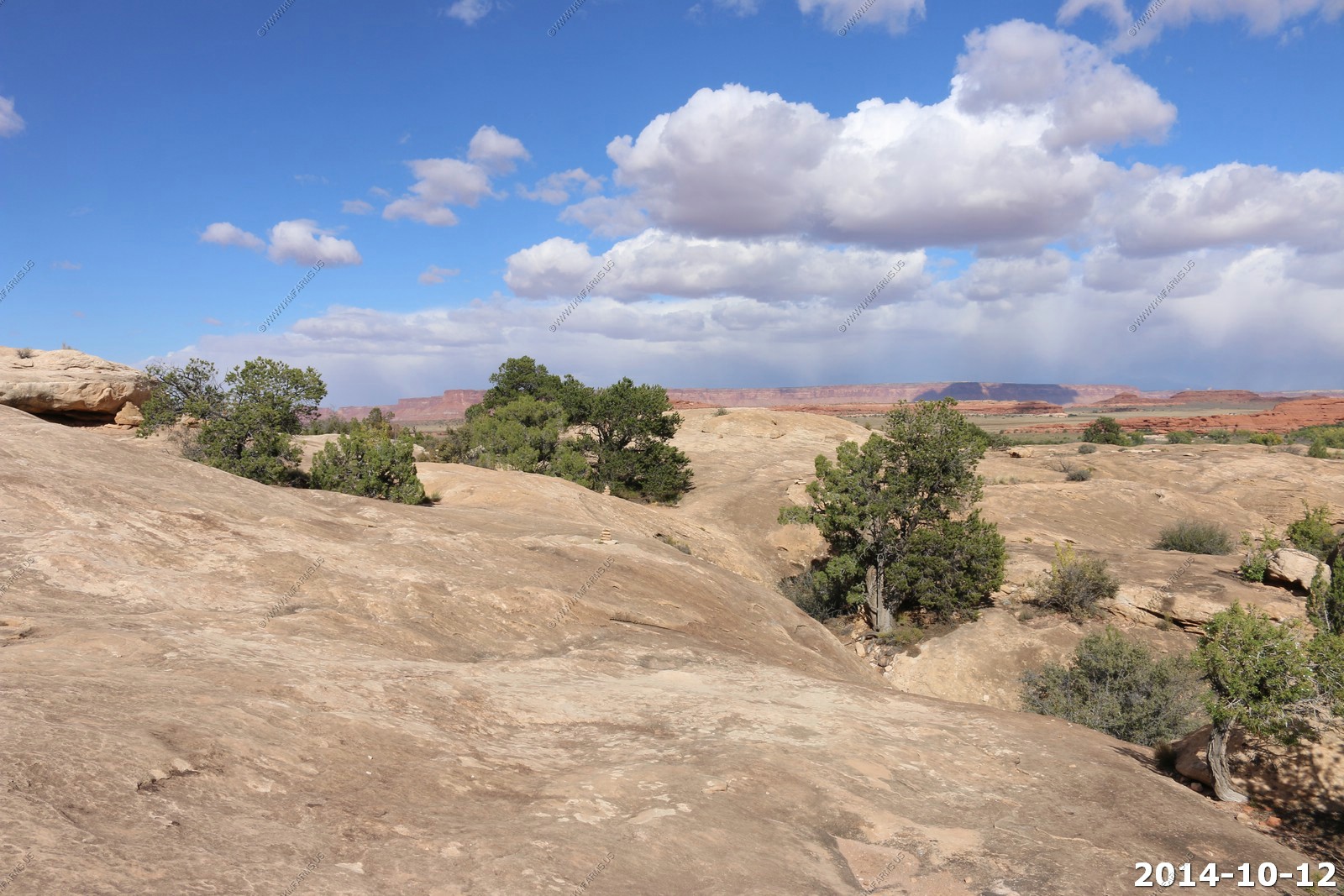
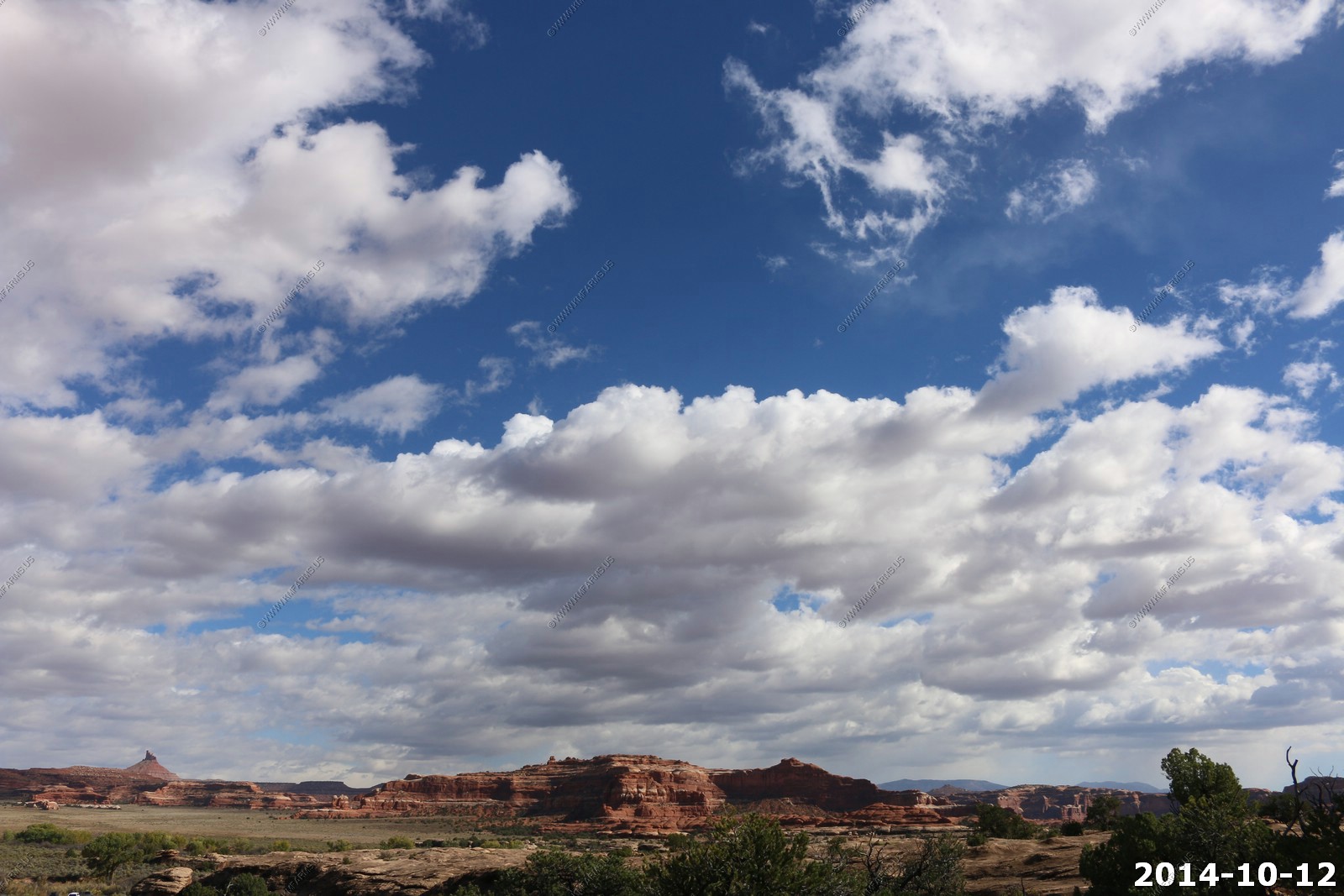
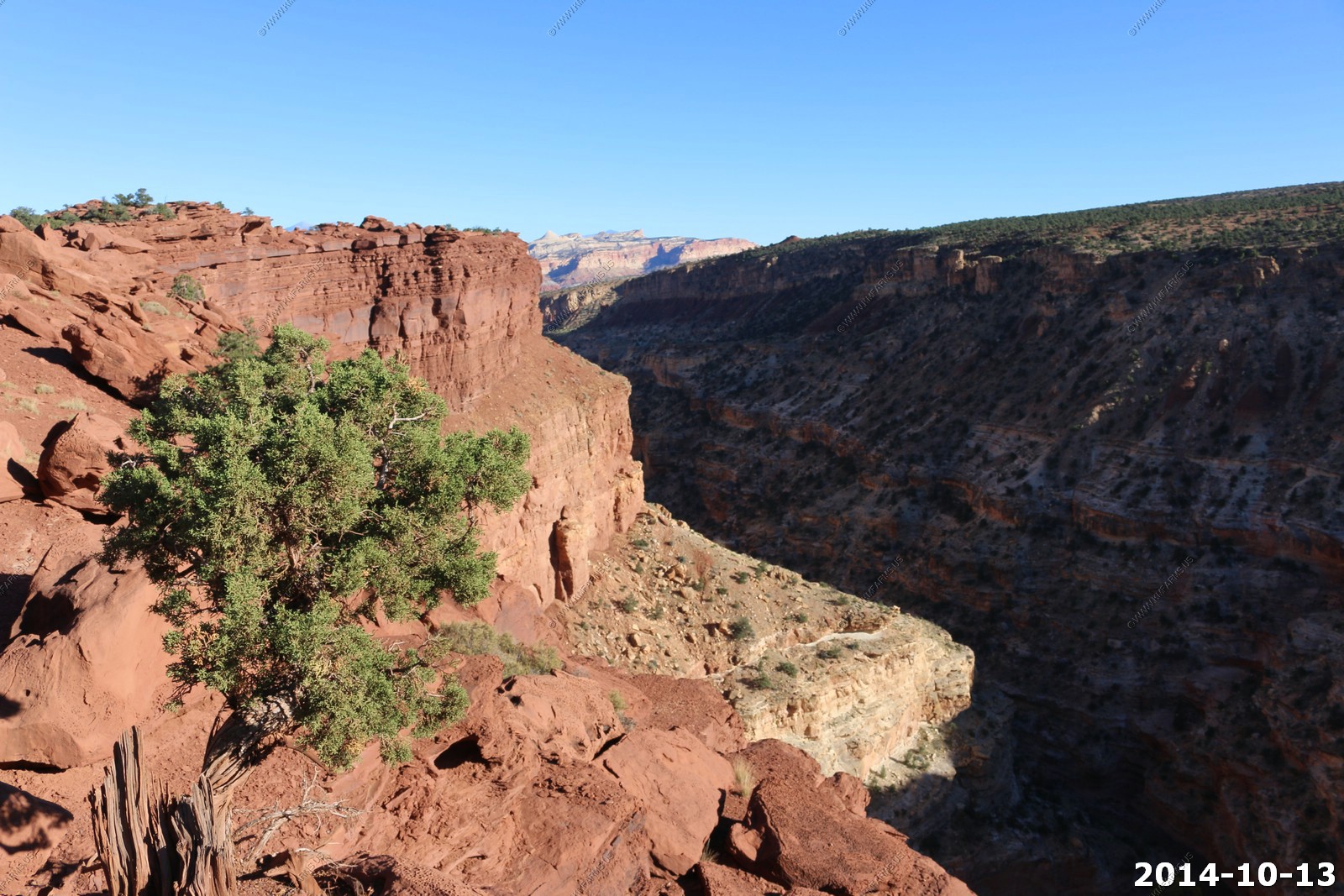
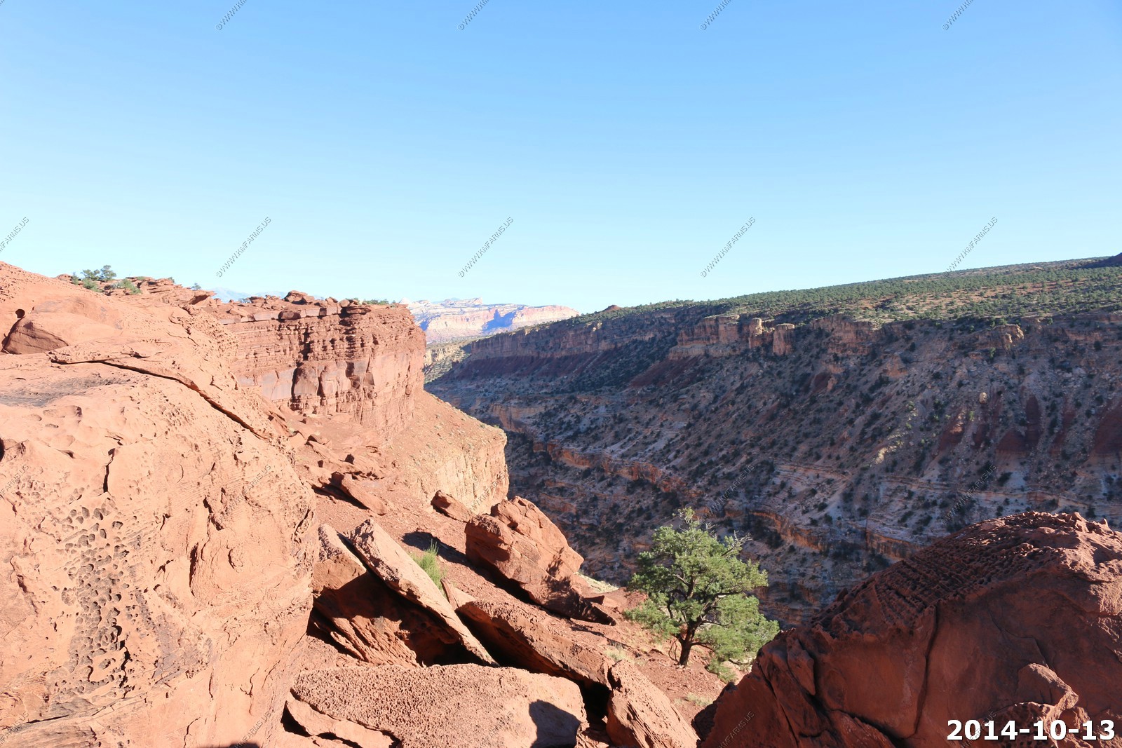
The Slickrock Foot Trail is a well cairned route in the Needles District of Canyonlands National Park. As the name suggests, most of this hike takes place on sandstone slickrock. The trail heads north from the roadside pullout into a slickrock jungle in the Cedar Mesa Sandstone. The trail starts out sandy but you quickly make a small ascent into the slickrock, and then it's all about following the cairns. From the brochure, you will see the trail makes a loop, with 4 designated "viewpoints" along the way. Assuming that you go in a counter-clockwise motion, the first three viewpoints overlook Little Spring Canyon, while the fourth overlooks Big Spring Canyon. Being slickrock, the area is sparsely vegetated so you really have good views for the entire hike, the "viewpoints" just let you peek into the nearby side canyons. Being in a broad valley, most of the landmarks look pretty far off. Landmarks in view include Island of the Sky, Junction Butte, Mollies Nipple, Six Shooter Peak, the La Sal Mountains, the Abajo Mountains and the Needles. Hidden from view, the Colorado River is only a mile or two north of the slickrock. At viewpoints 2 and 3, you can see a riparian zone in Little Spring Canyon that indicates the location of the actual spring. Potholes are copious throughout the hike, sometimes dry and sometimes with water in them.
This hike is very exposed to the elements due to the lack of vegetation. Beware of the heat in the summer, bring lots of water.
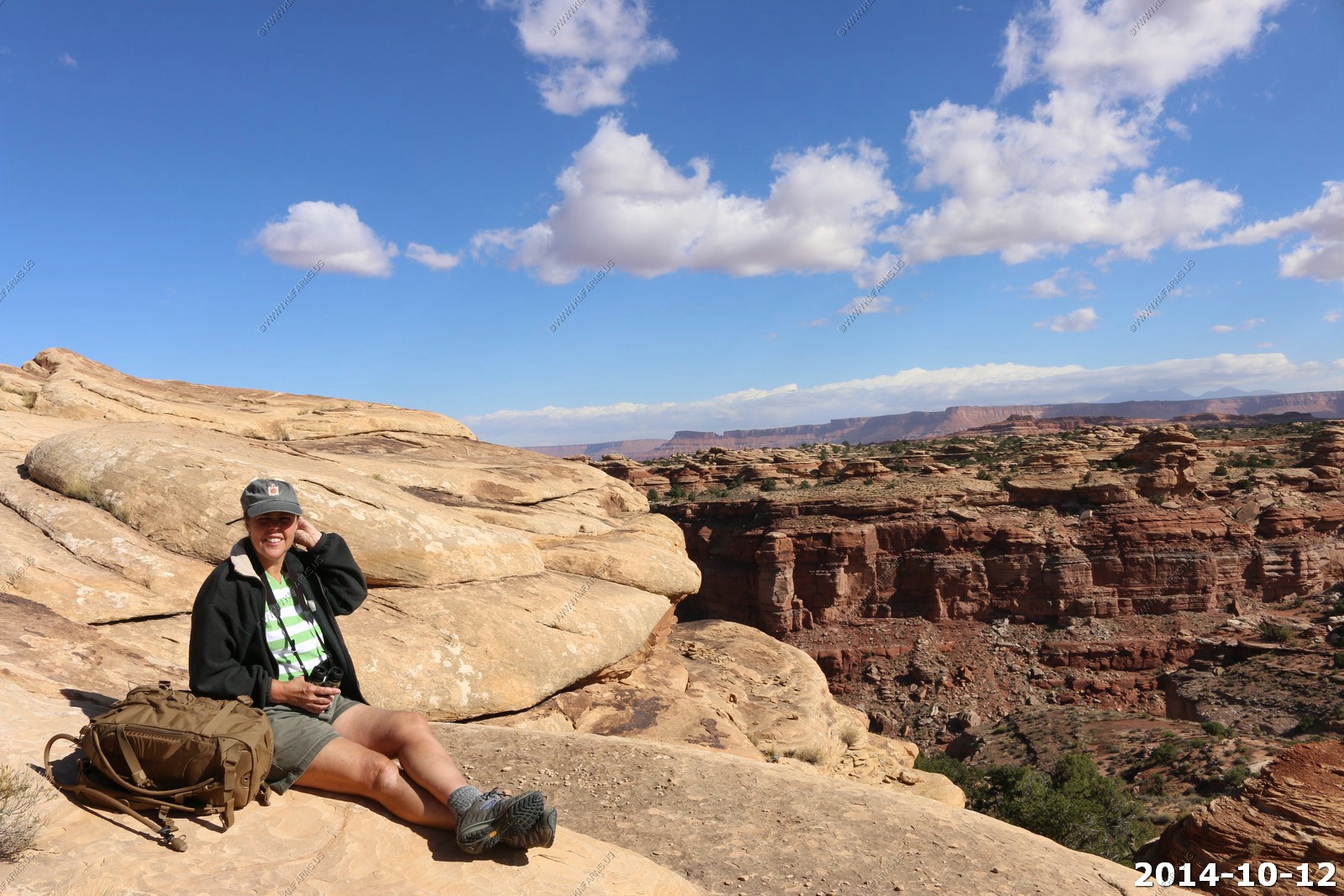
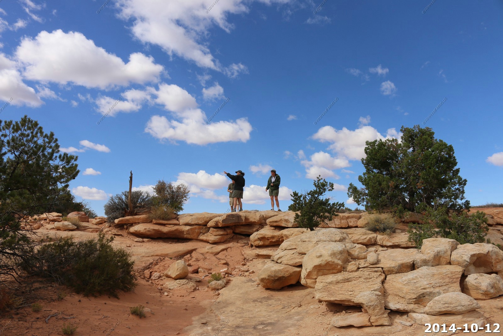
We found a trail guide.
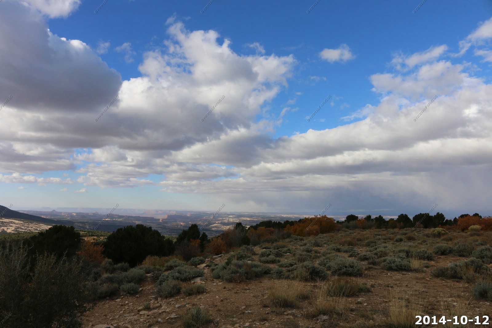
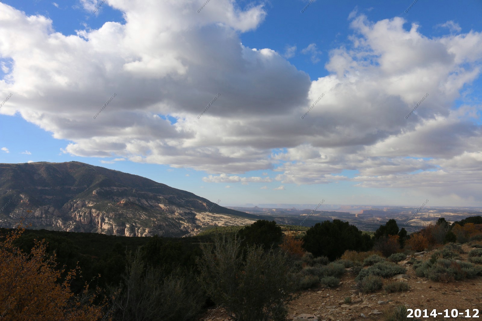
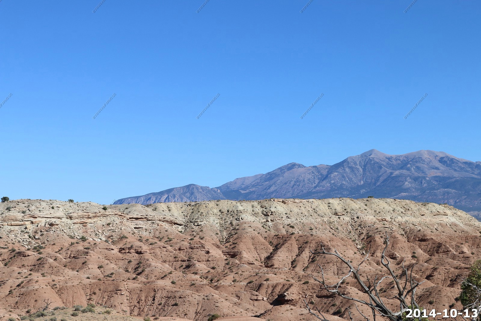
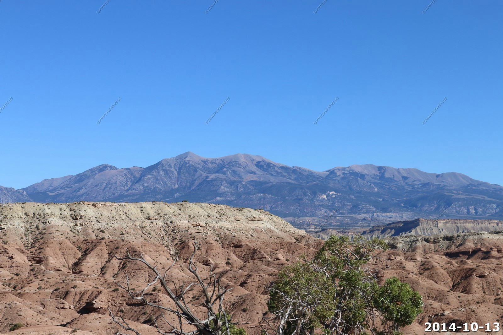
Since we are now lower its harder to see the La Sal's off to the east.
Looking across the Colorado to where we were sitting on Friday at the White Rim Overlook Trail & Viewpoint up on Island in the Sky.
You can see something shiny along the Grand View Point Overlook up on Island in the Sky.
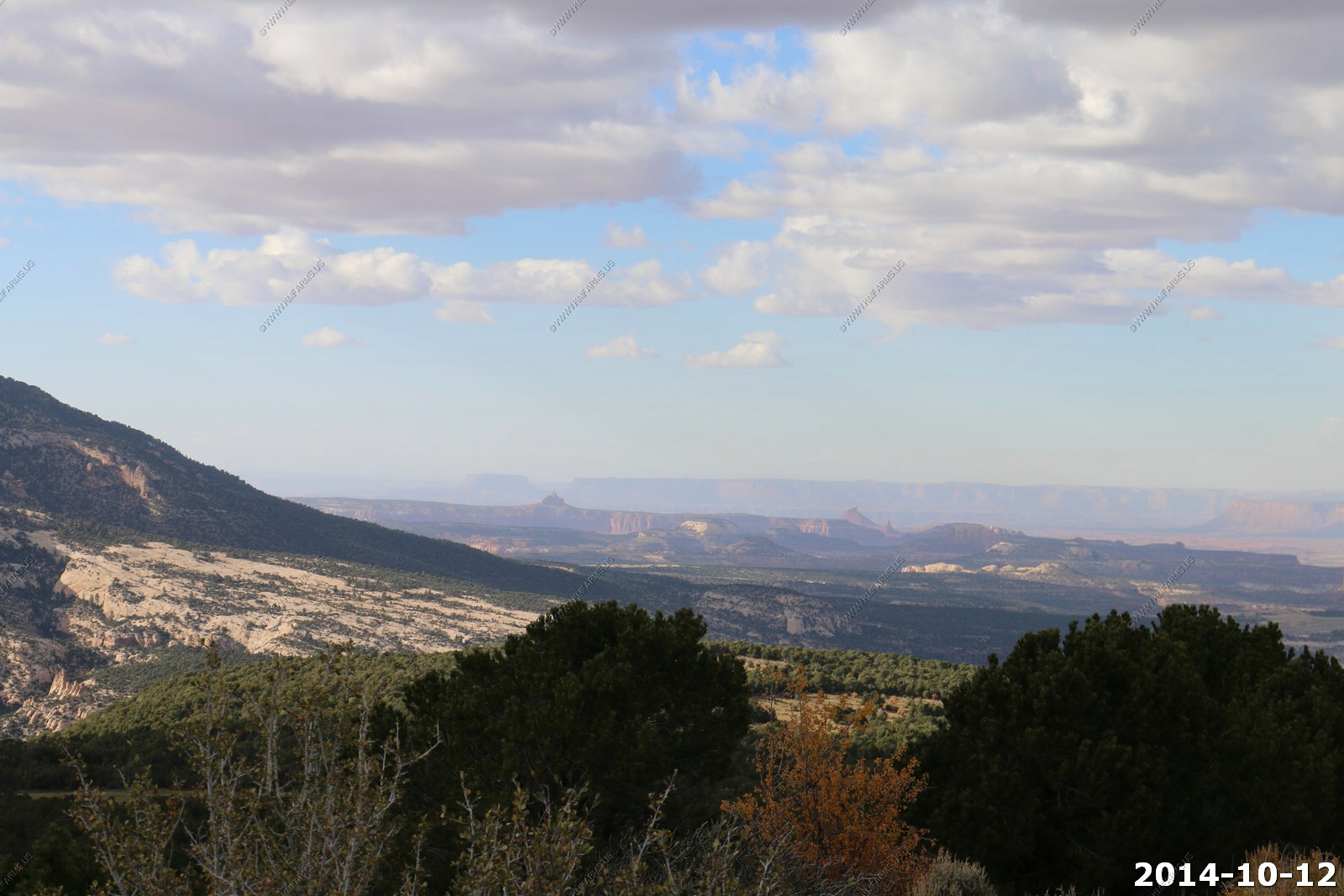
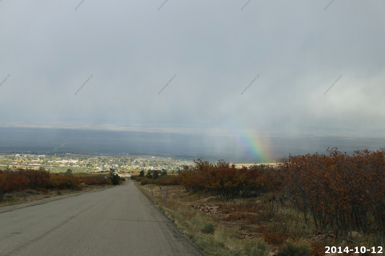
Dead Horse Point state park from Needles area 22 miles to the north. Everything is so close.

Ken & Mary in the wind.
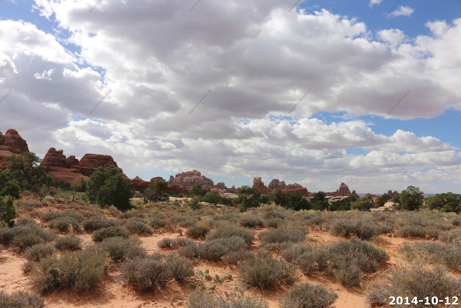
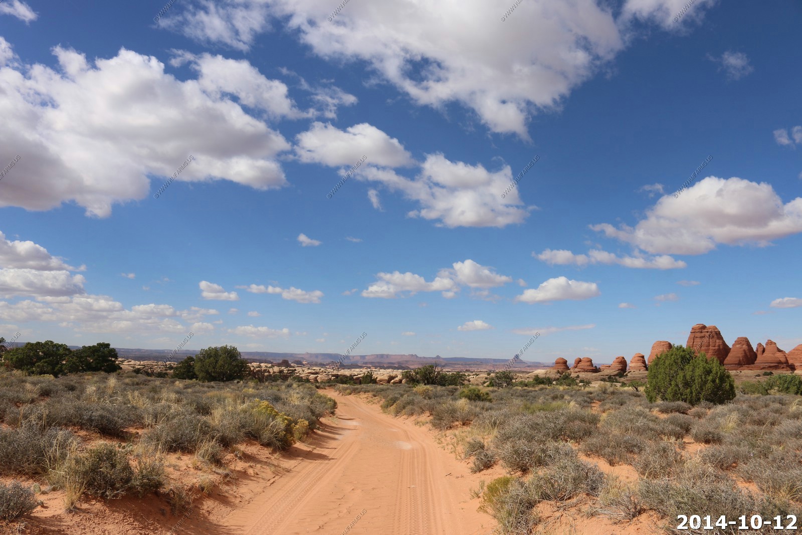
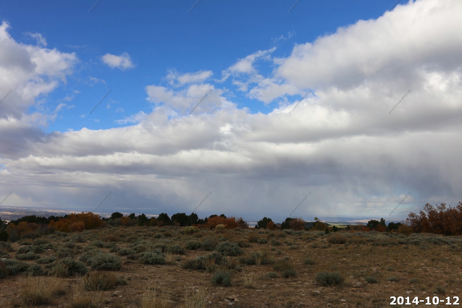
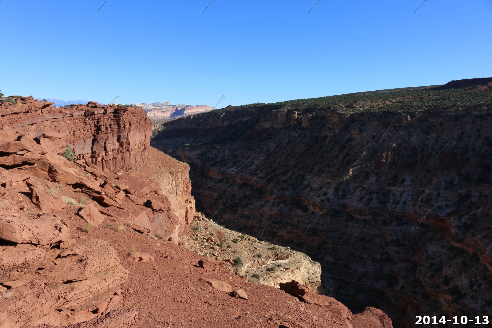
Looking over into the Needles area. The weather was not that good so we did not go on one of the longer hikes into this area.
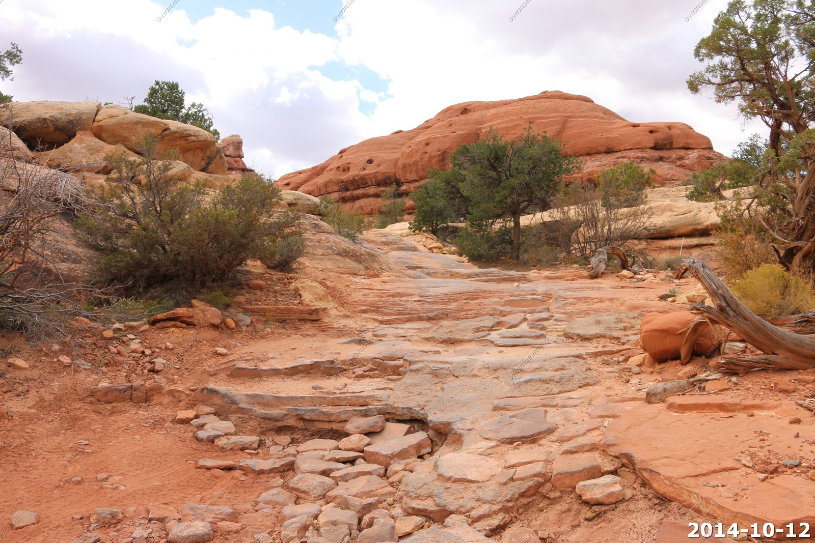
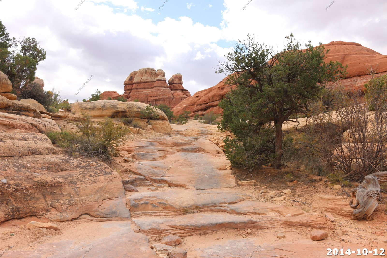
Views along the trail.
Ken trying to change the park. We will never tell if he was successful!
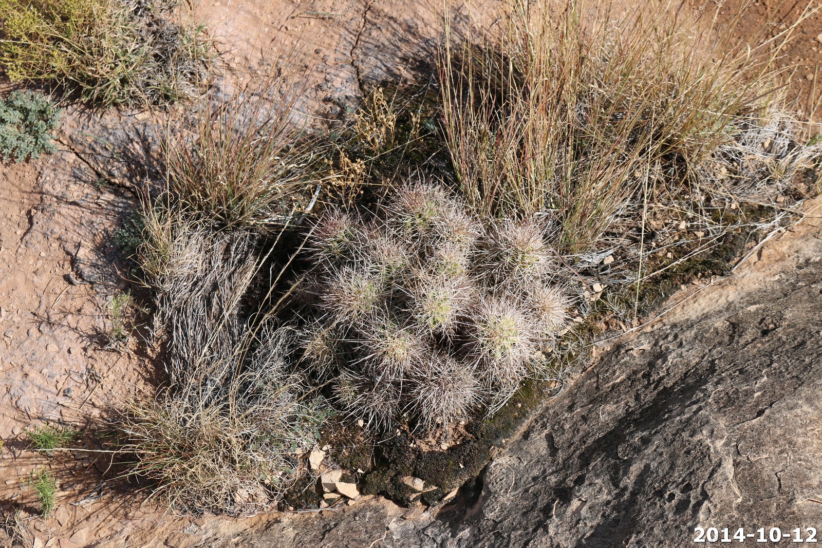
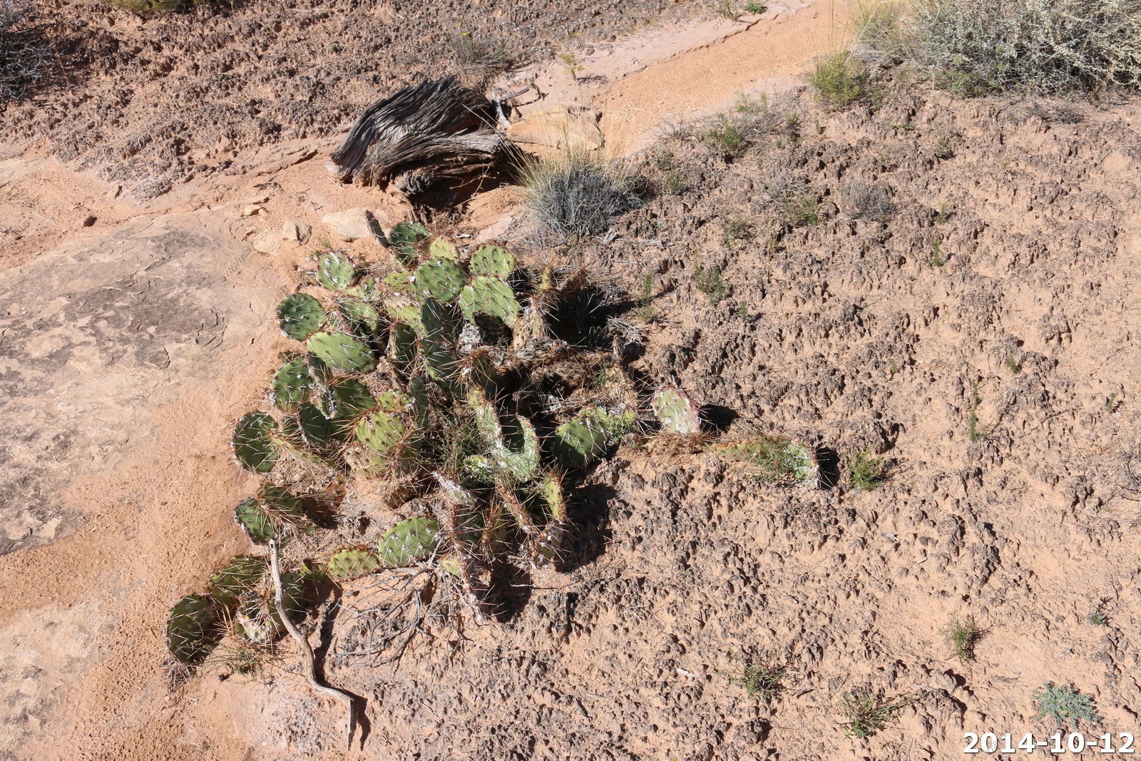
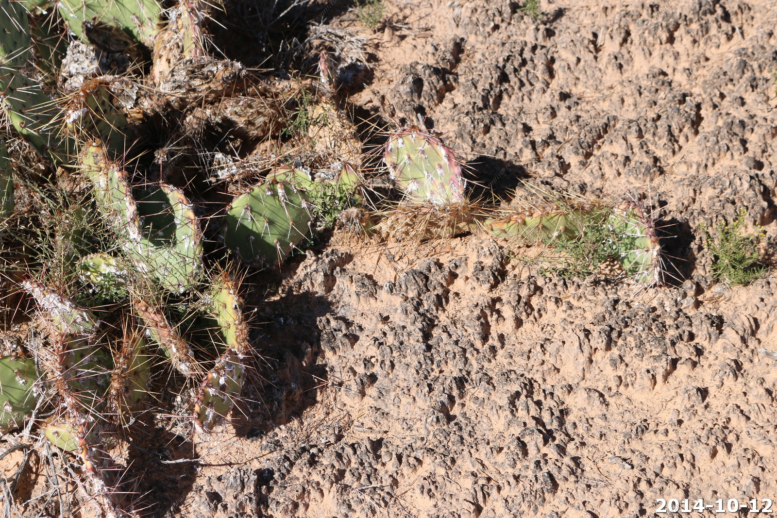
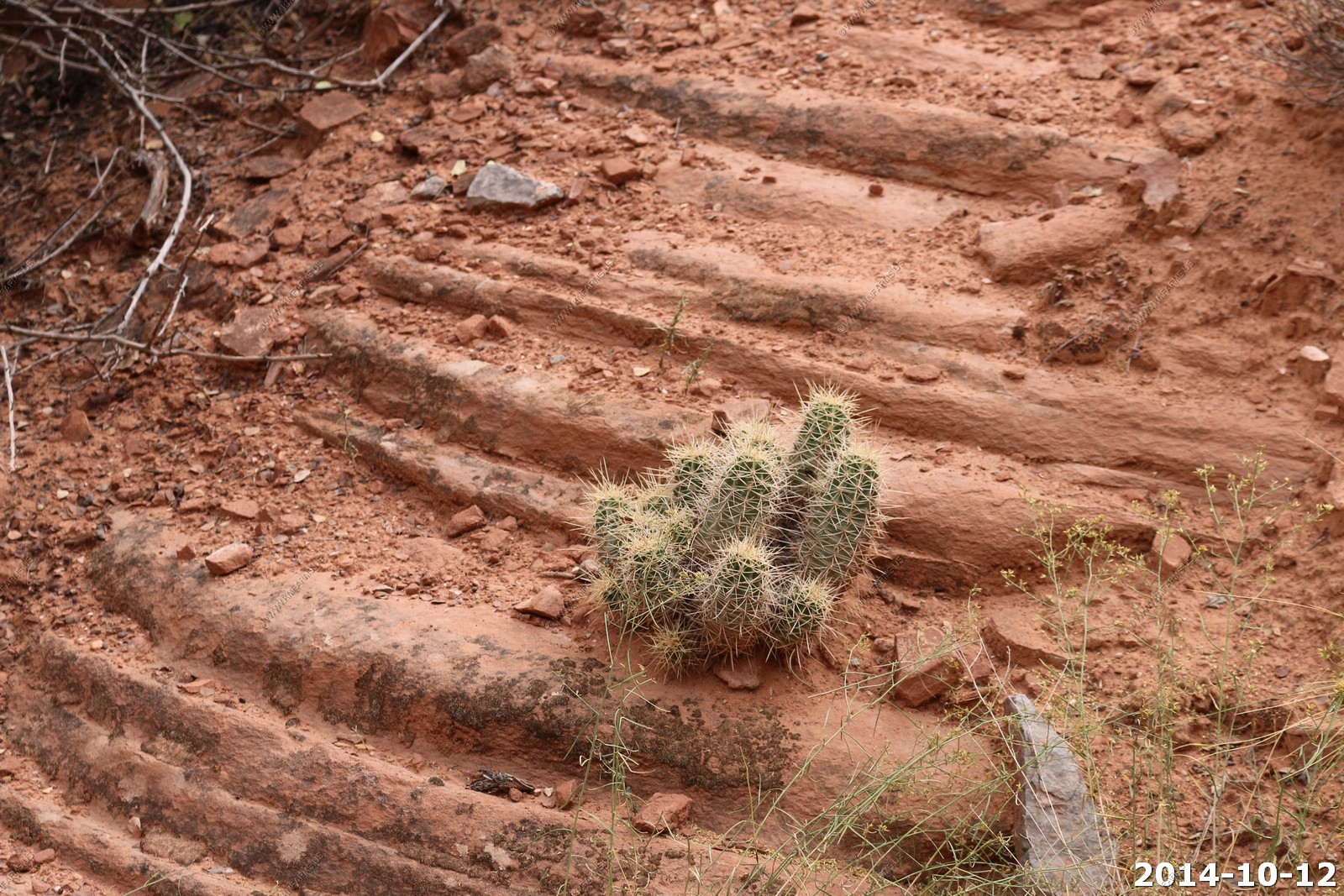
Cacti and the Cryptobiotic crust.
The trail continues.
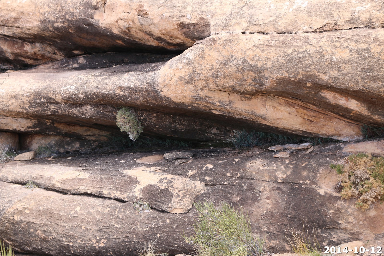
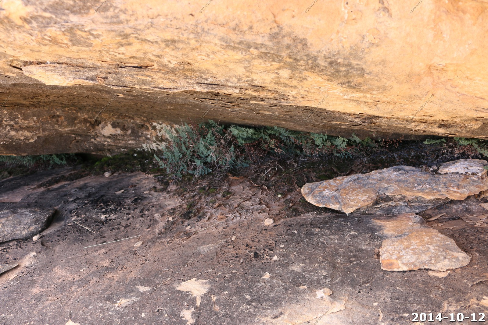
All sorts of plants under the cliffs where there is more water.
We are basically hiking on the white rim. You can see the same flat rocks here that we looked down onto when we were in Island in the Sky
Cryptobiotic crust everywhere.
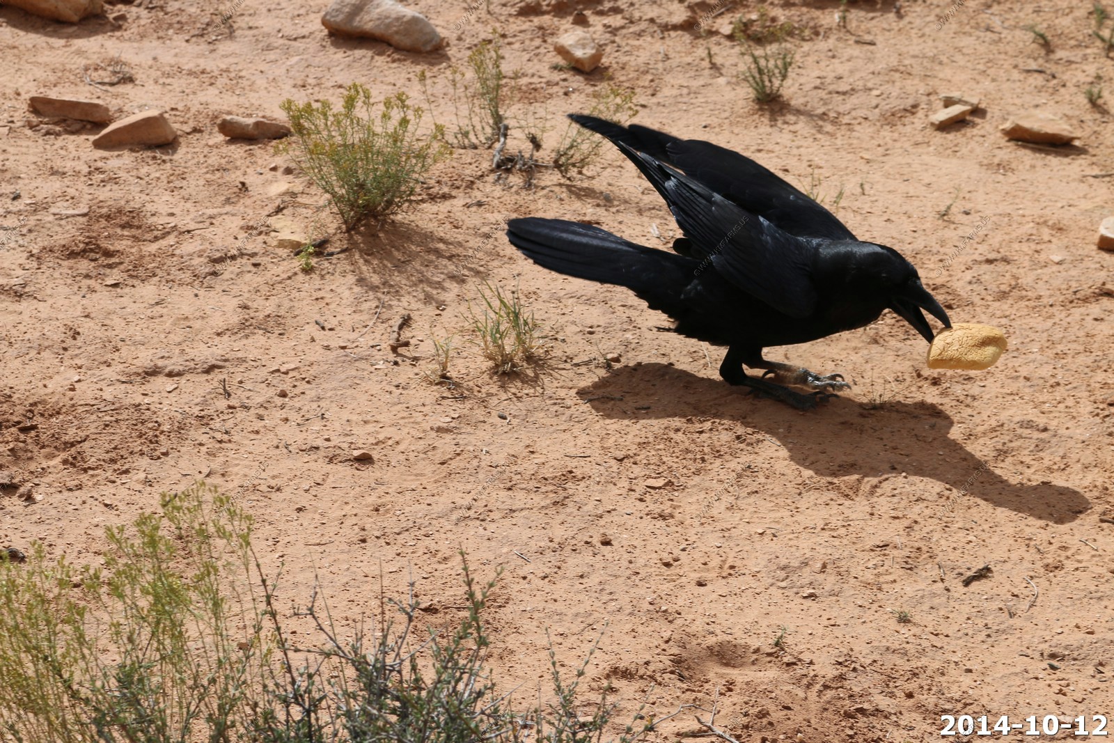
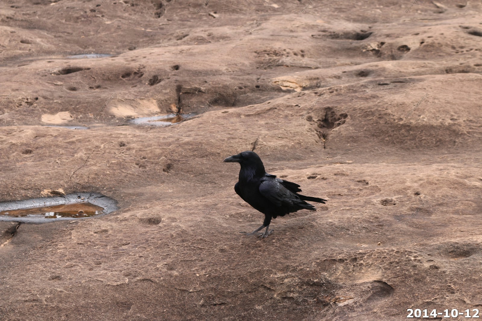
So we got back to the start of a trail. Ken fed one of the ravens a combo and the chase was on.
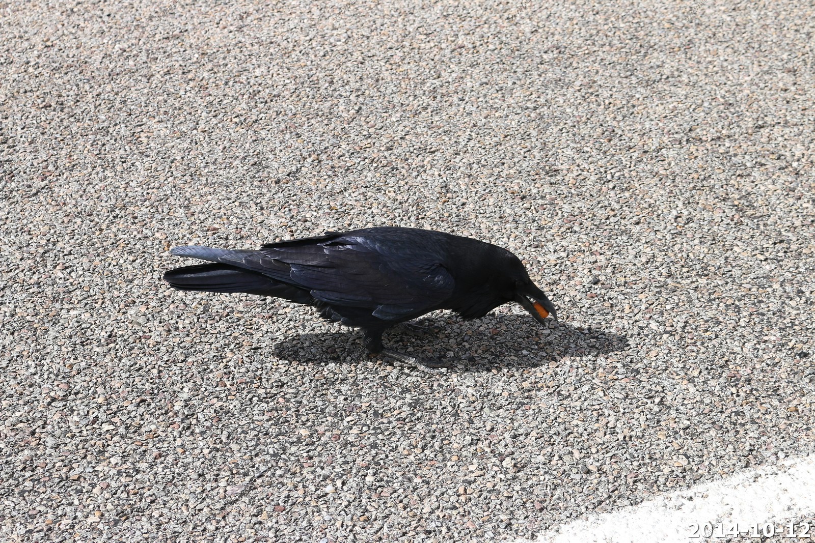
We drove a couple of miles up to a pavilion for lunch. The ravens ended up following us for lunch.
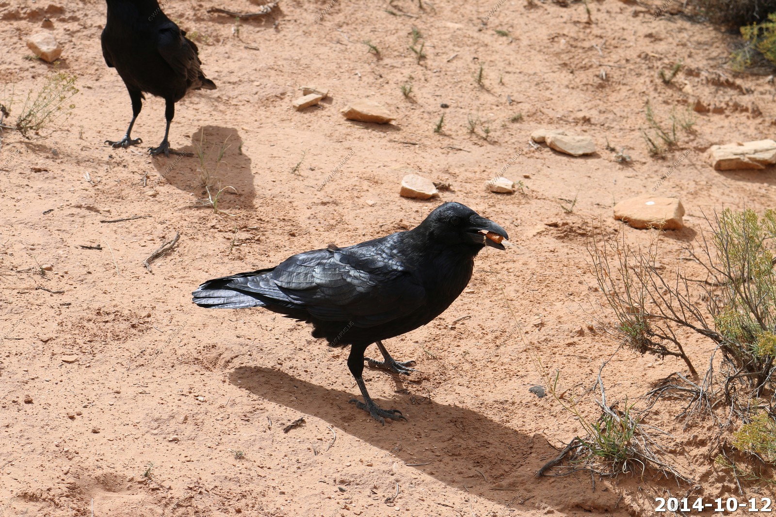
As a joke I had brought a Martins Potato Roll that I had kept to see if it would ever get moldy. It was 5+ months old and still looked fine. My plan was to toss if off of a cliff but this seemed to be a good use for it.
The Ravens took it and flew off with the bun. I am sure it's up in some pine tree to last forever in the desert air.

A very windy lunch.
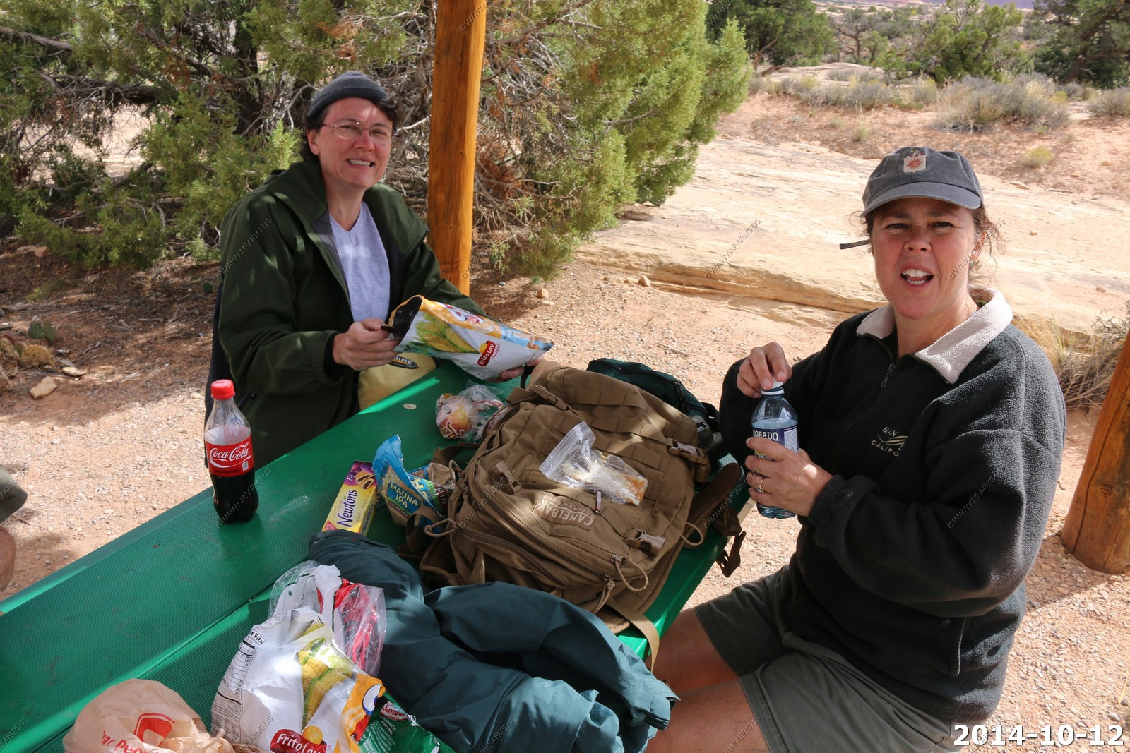
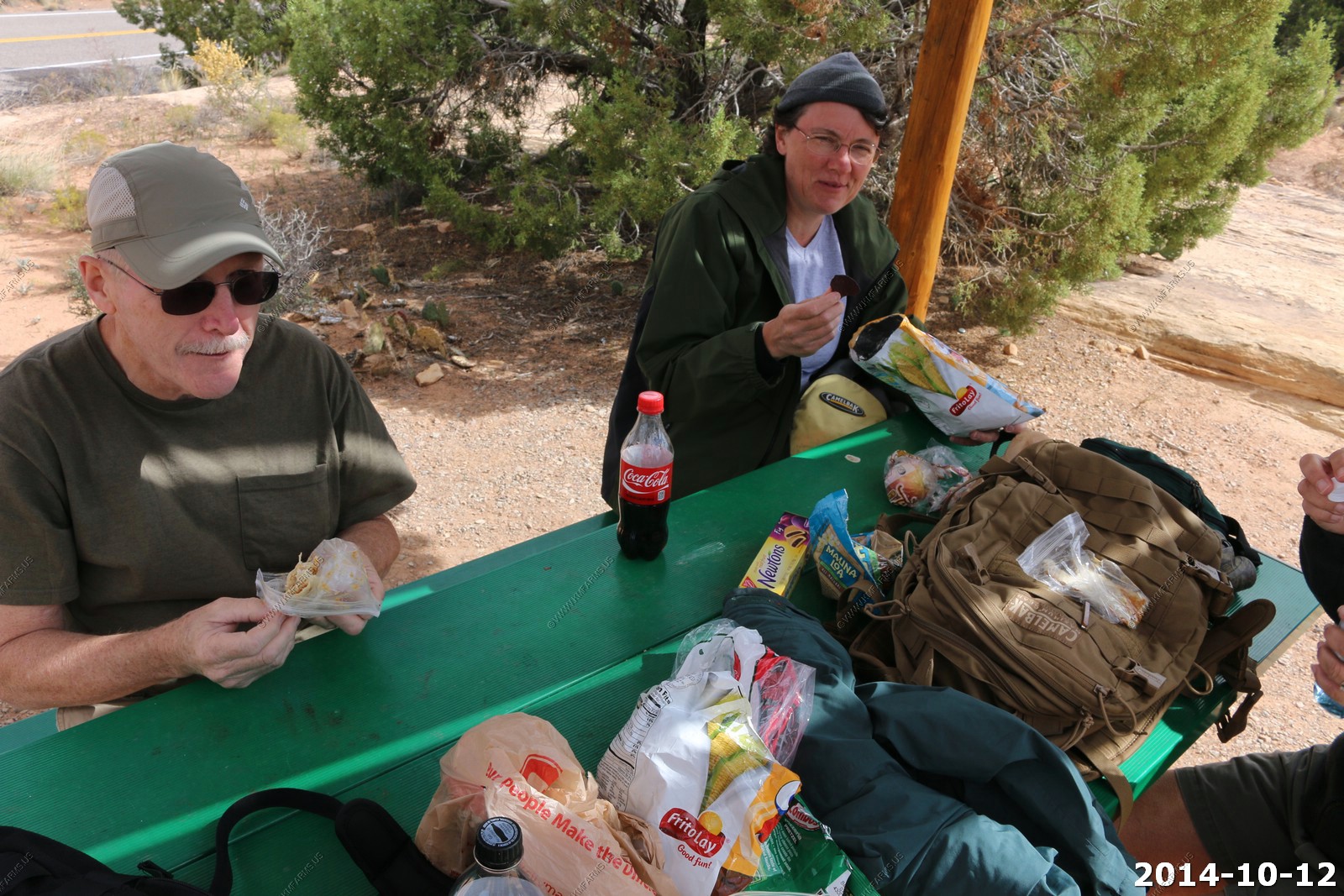
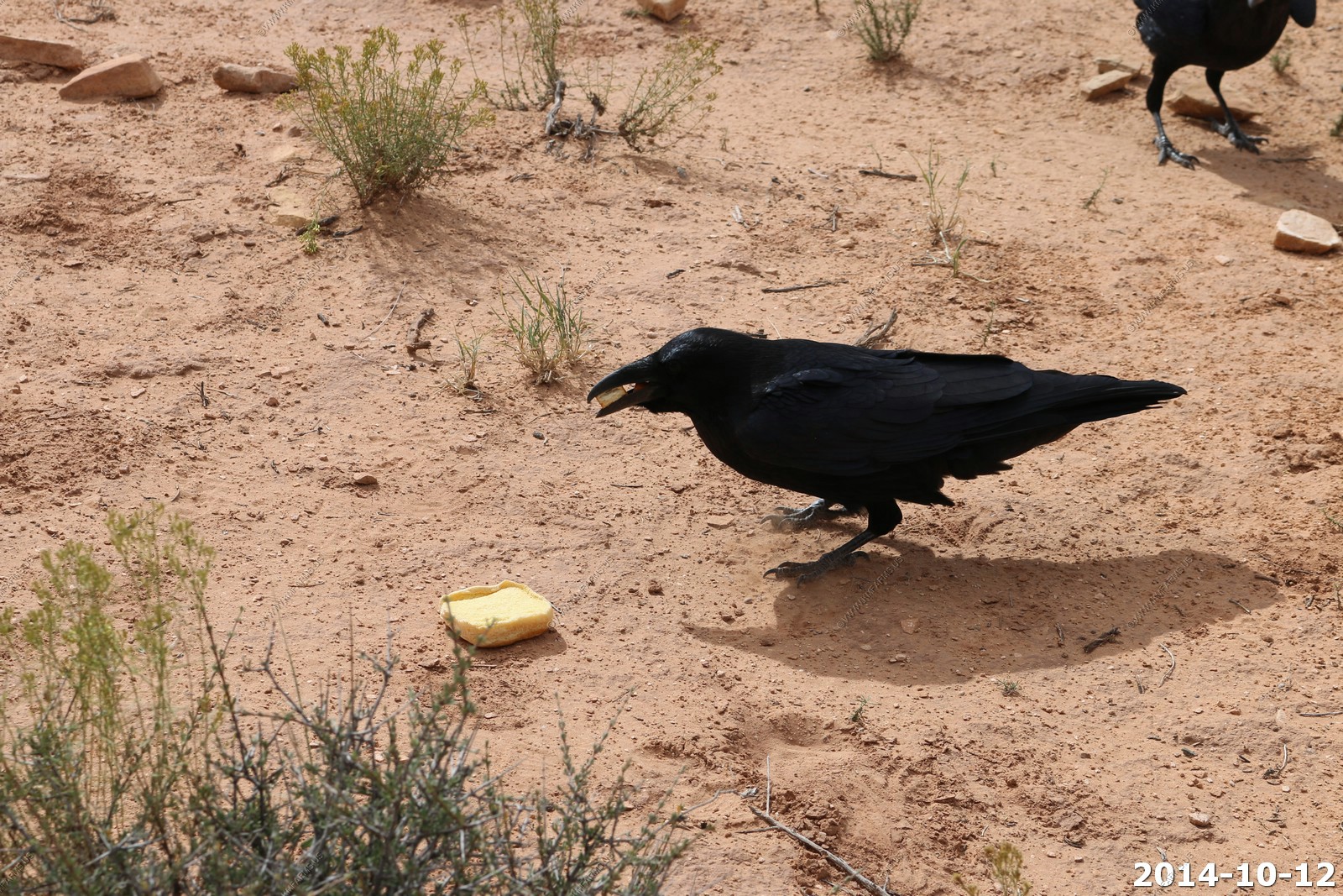
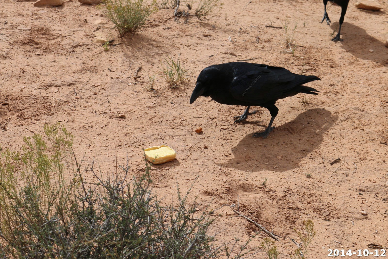
Ravens like PB too..
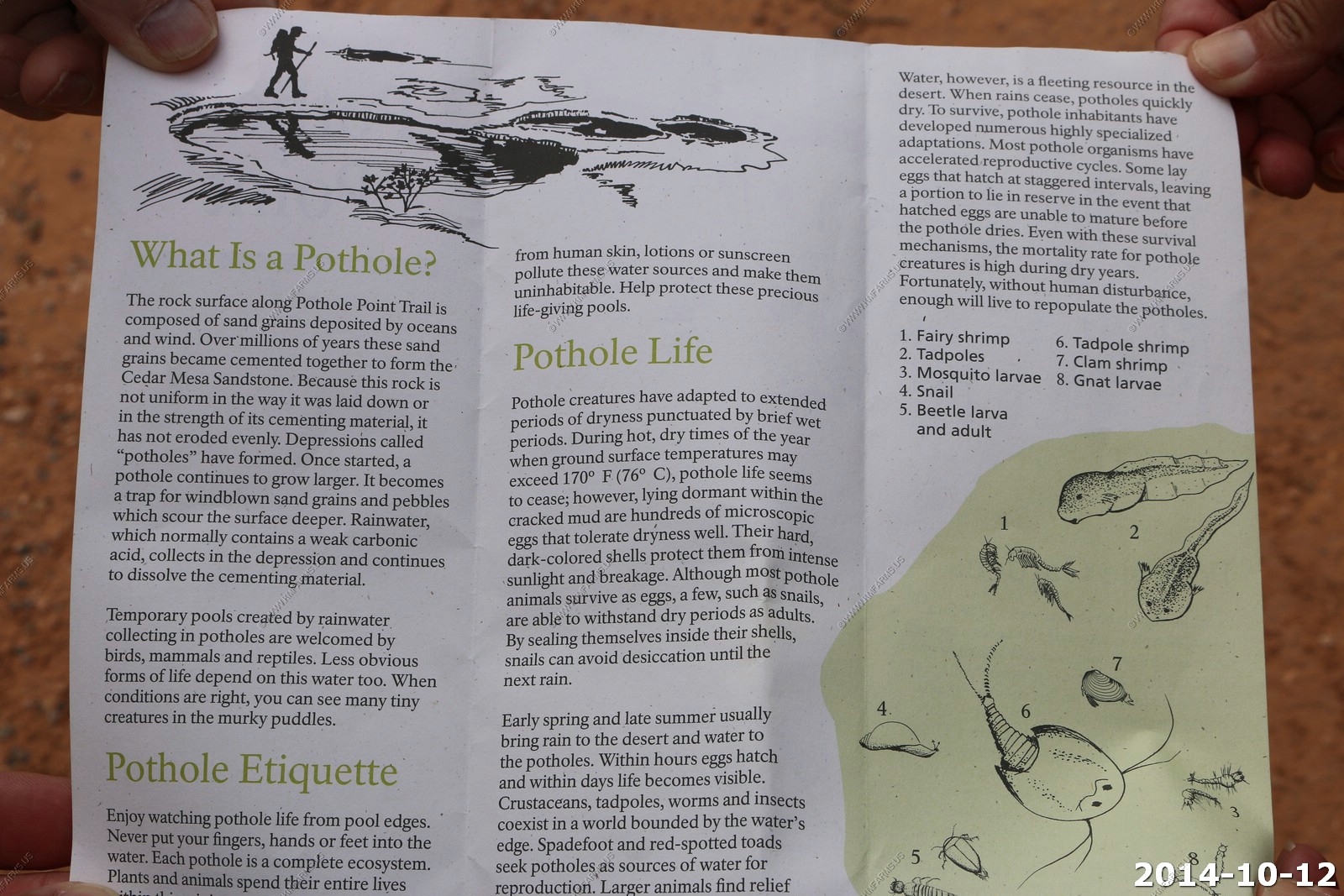
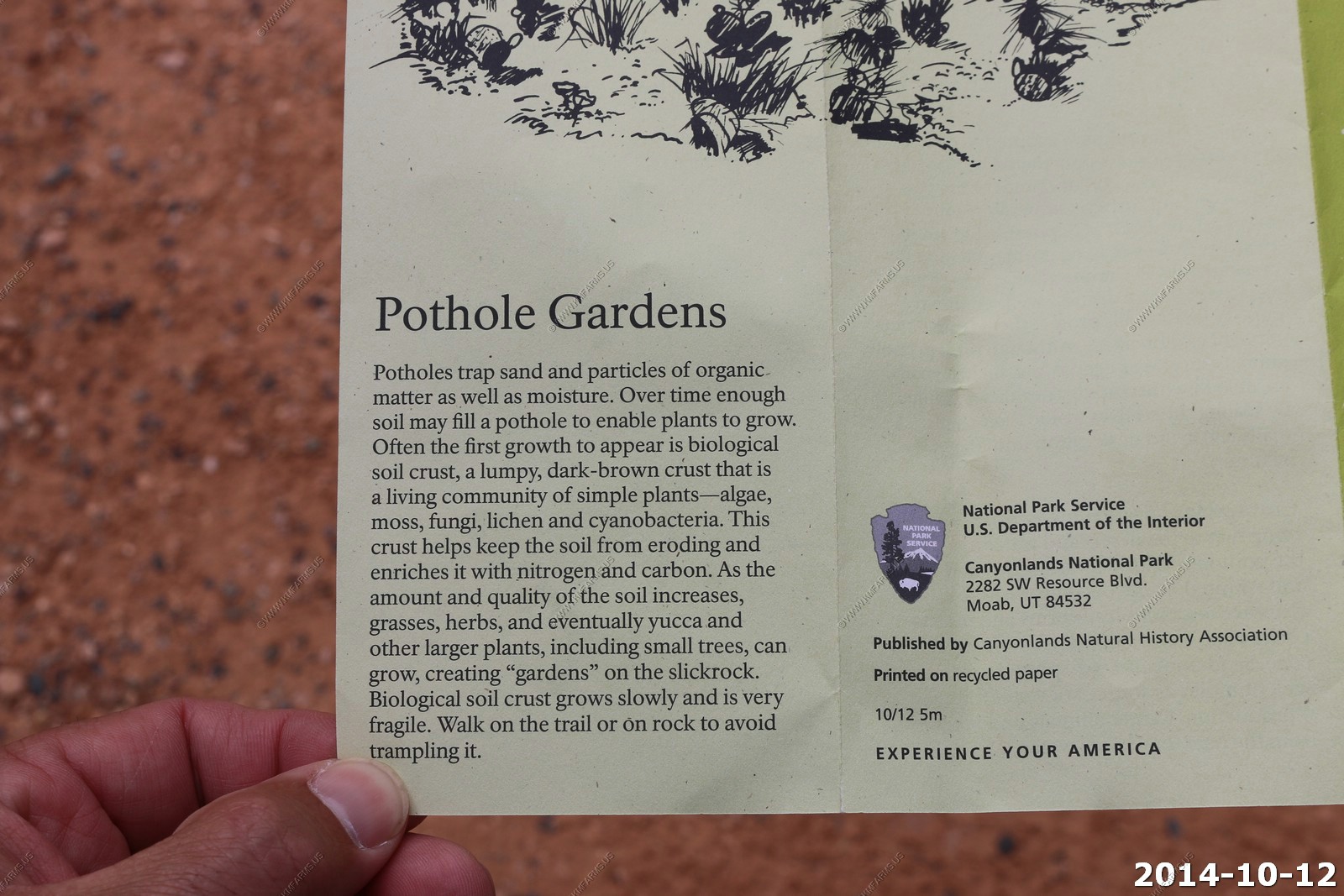
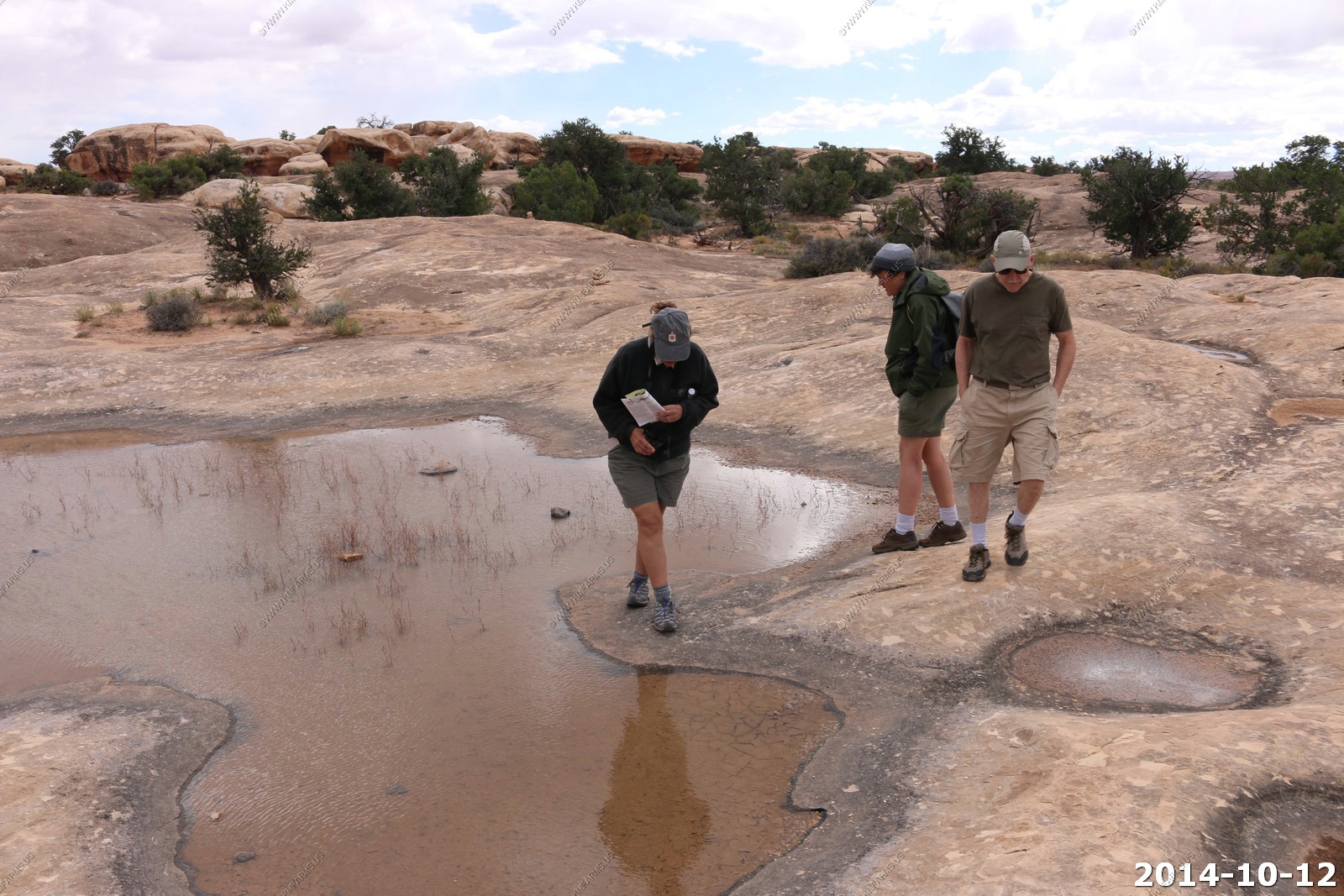
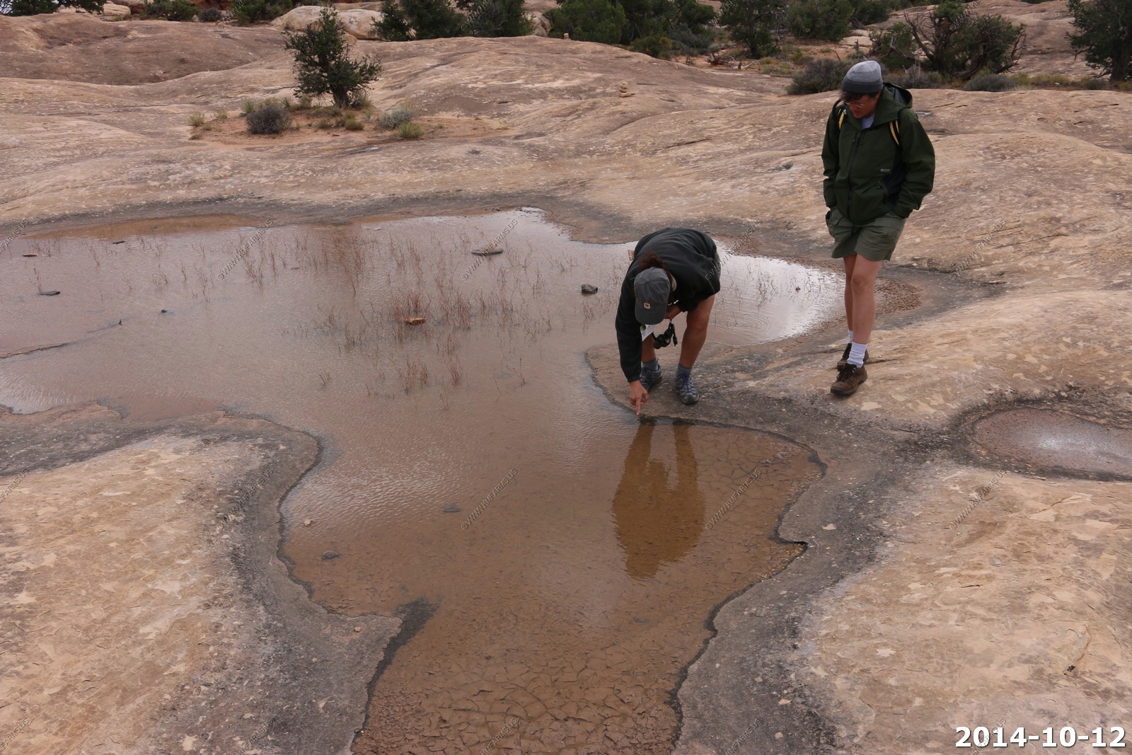
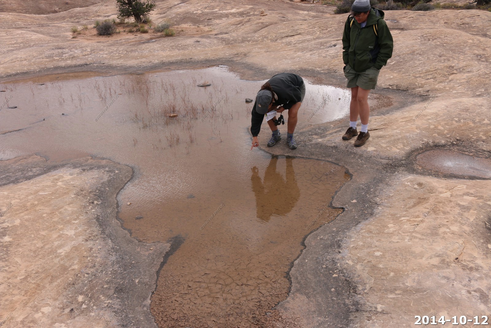
So we drove over to the Pothole Point Trail - Found a guide here too.
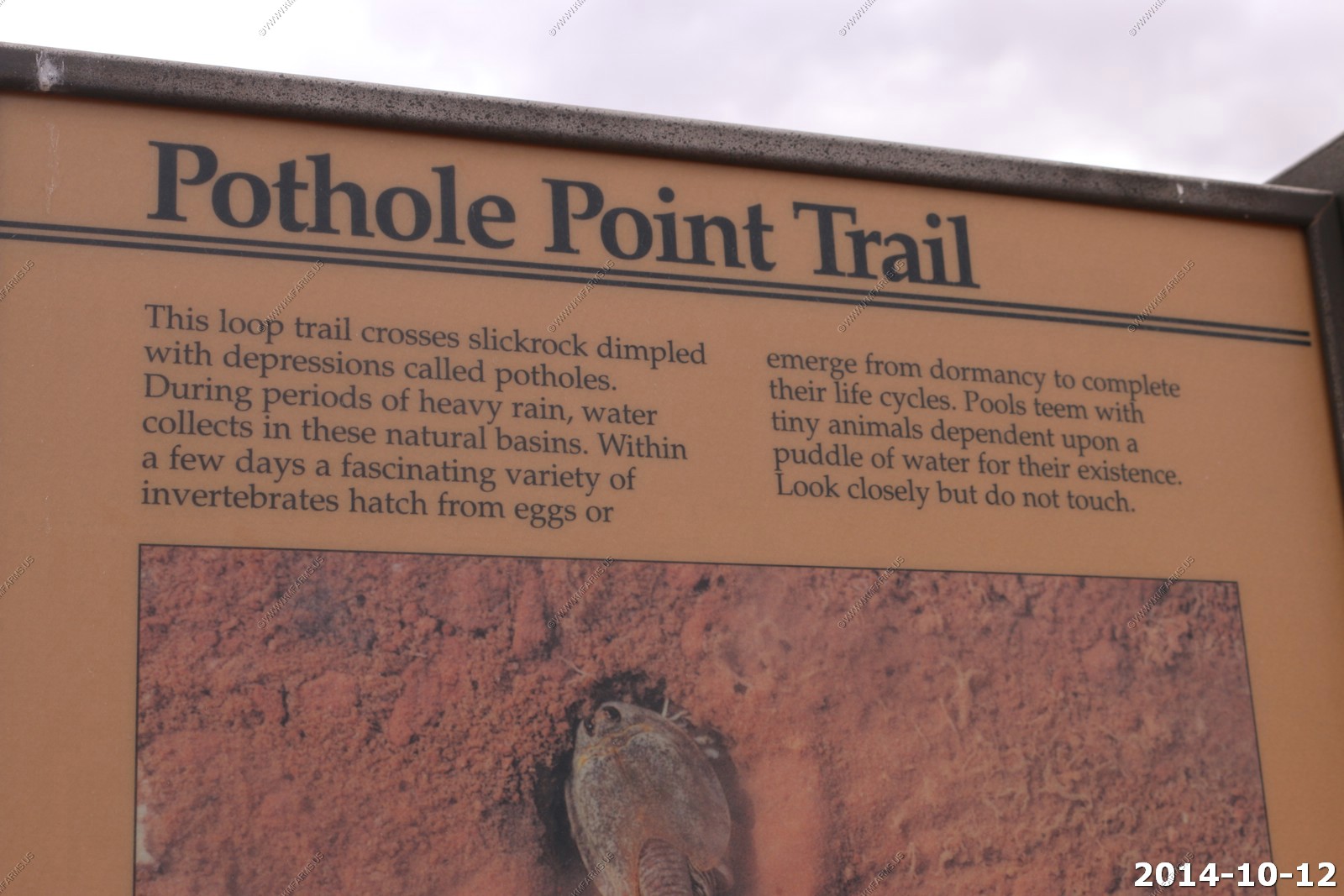

The Raven followed us over here too.
Very flat - the clouds are burning off.
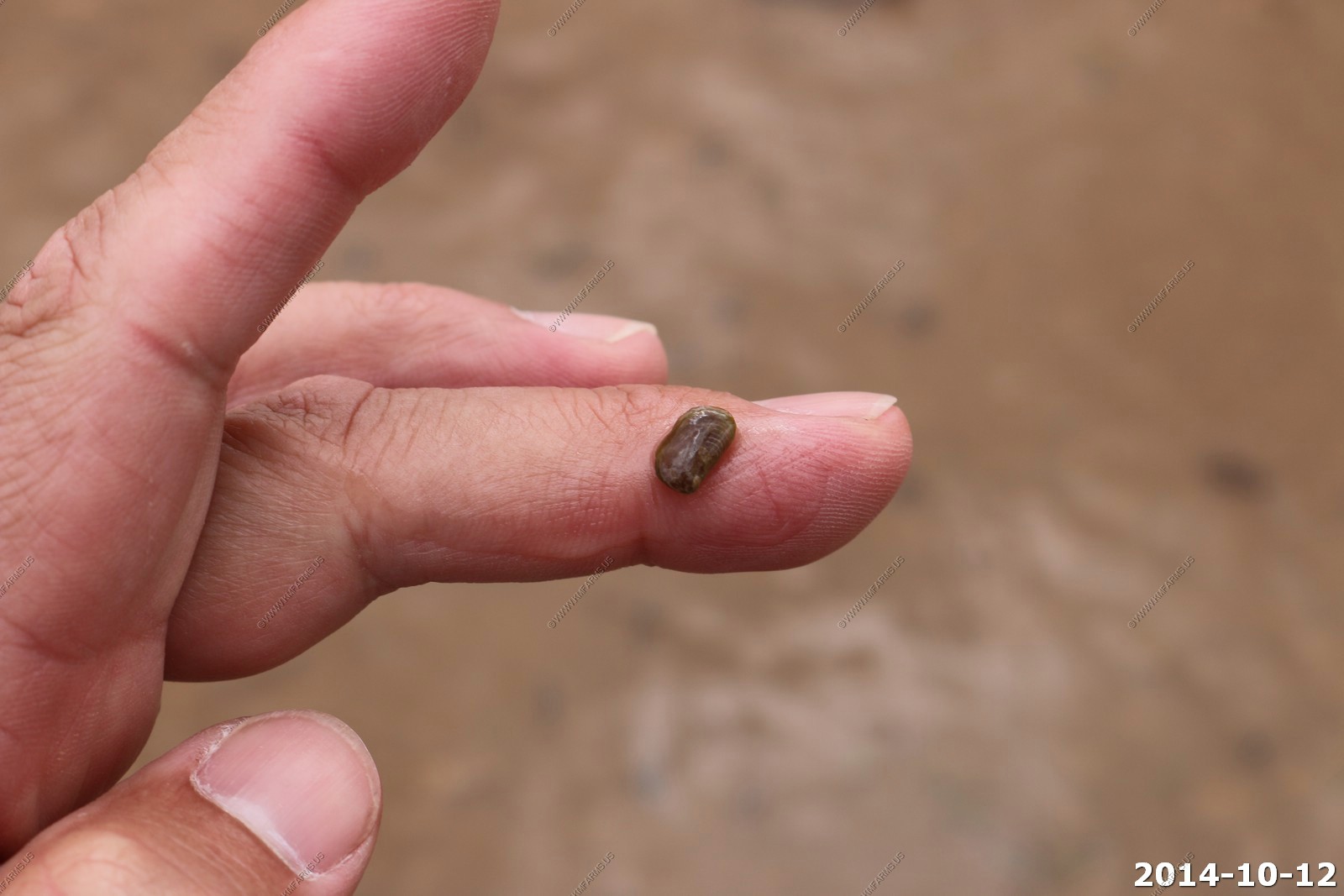
Shrimp and other critters in the cold water of the pothole.
Having fun pointing to things in the pothole !
We should have brought some extra water.
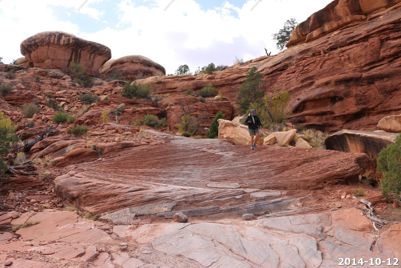
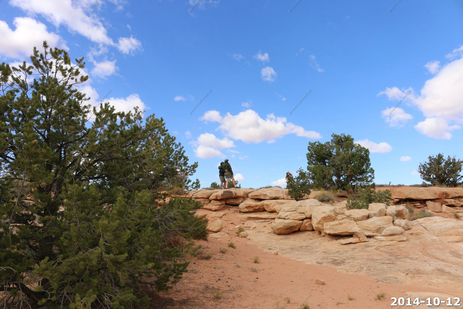
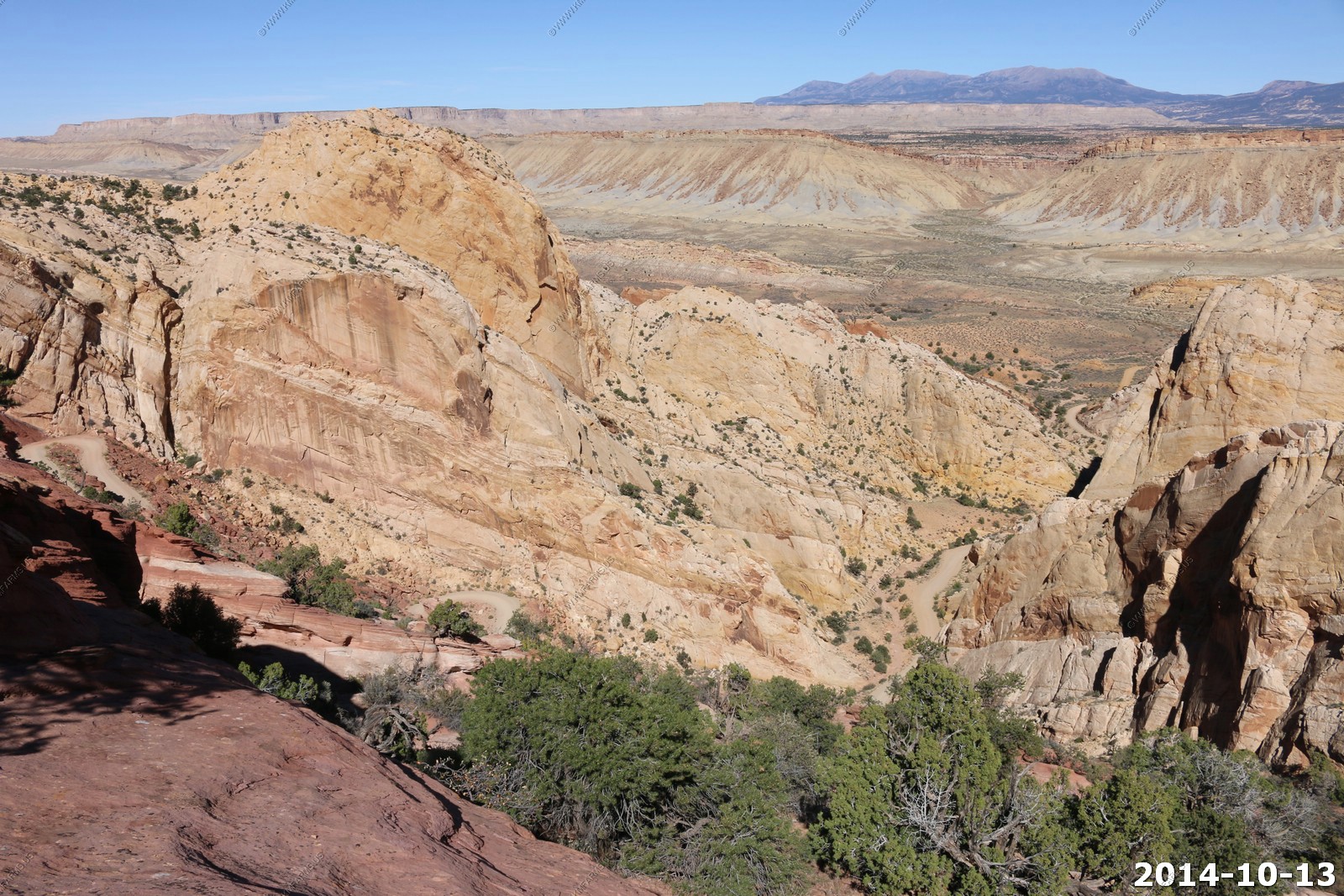
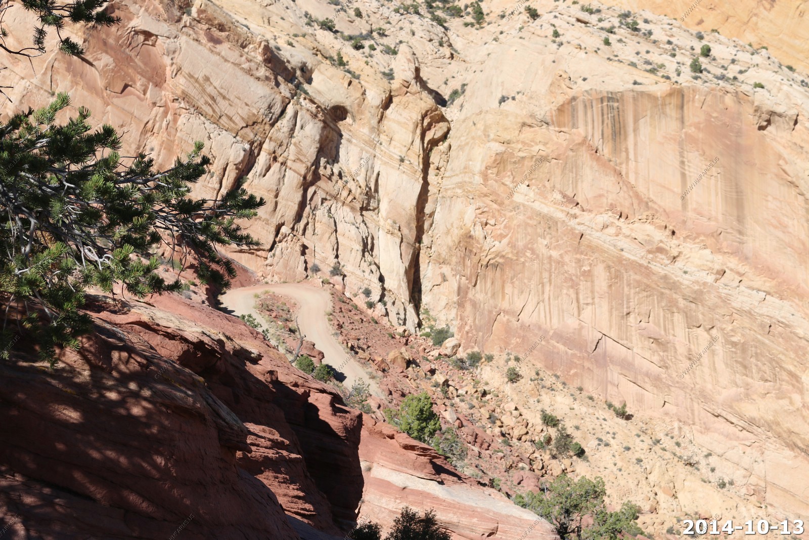
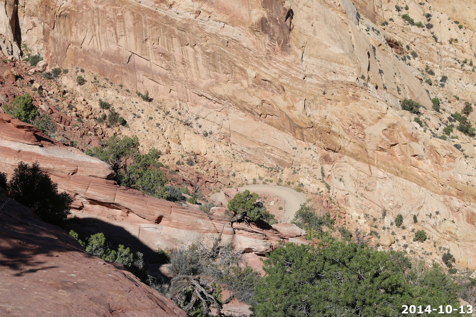
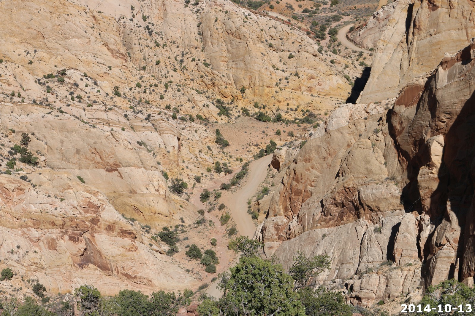
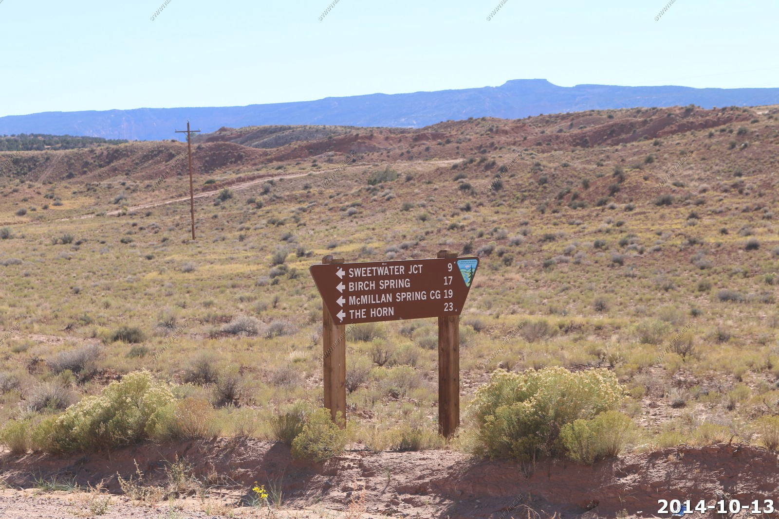
We drove over into the Needles area to the Elephant Hill Parking area and 4x4 trail. Next time we are here we want to hike in this area.
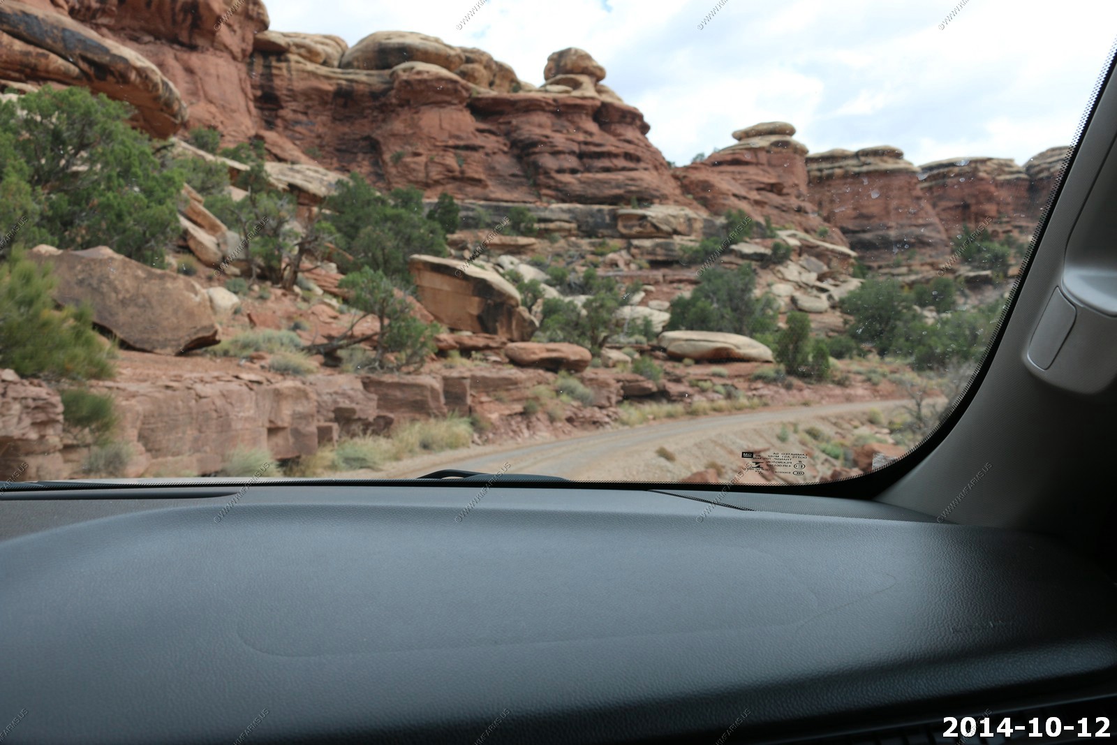
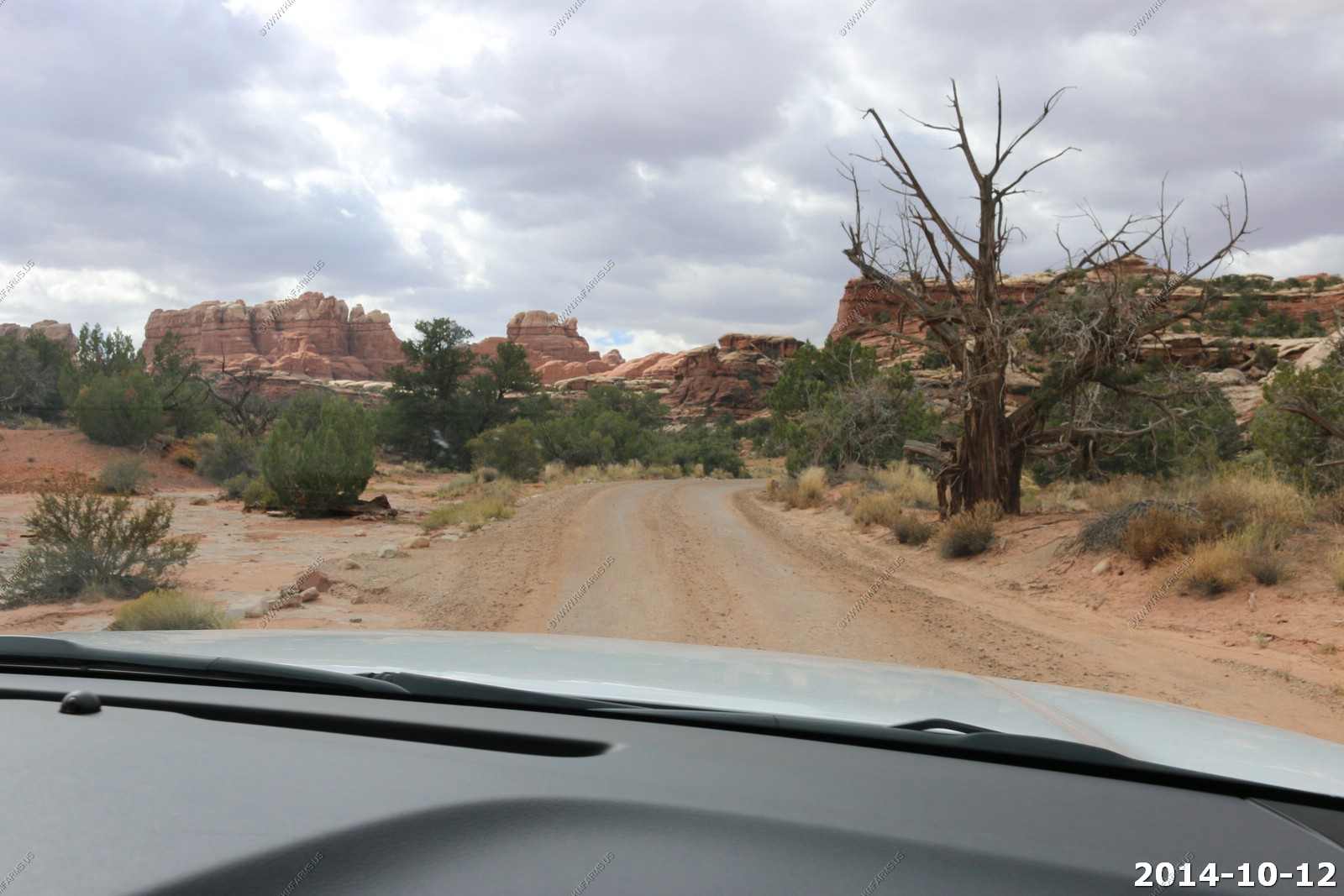
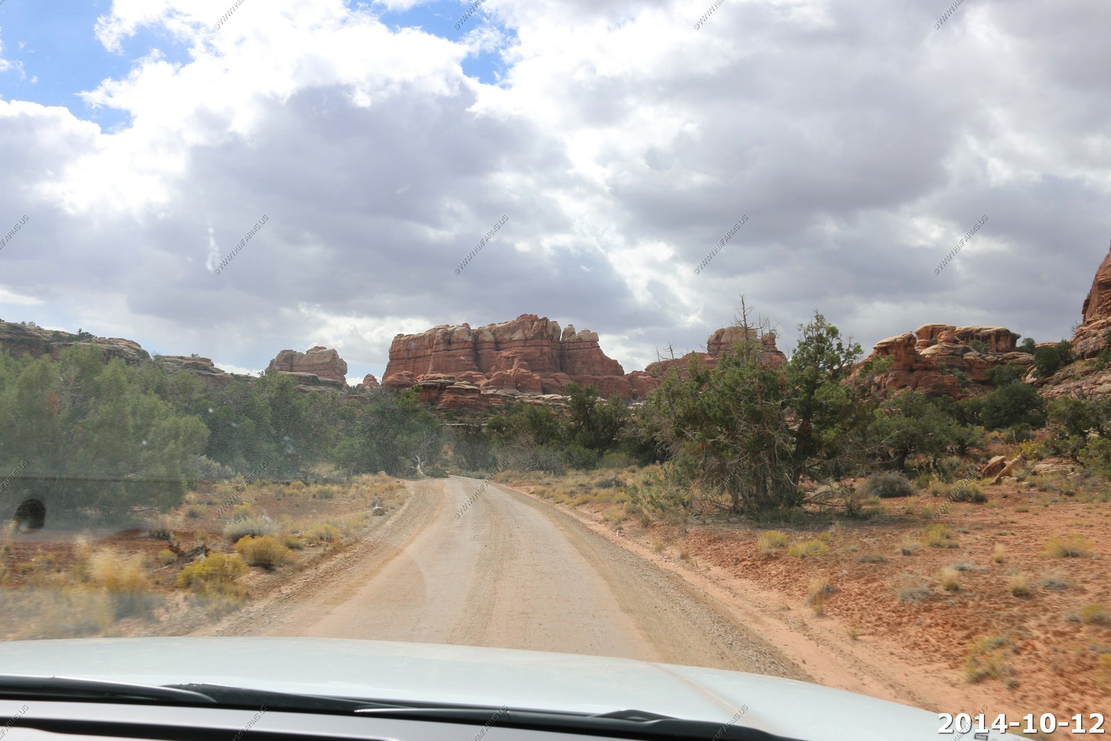
Elephant Hill 4wd road - Enterprise Rental Car Company would not have been very happy if we continued on.
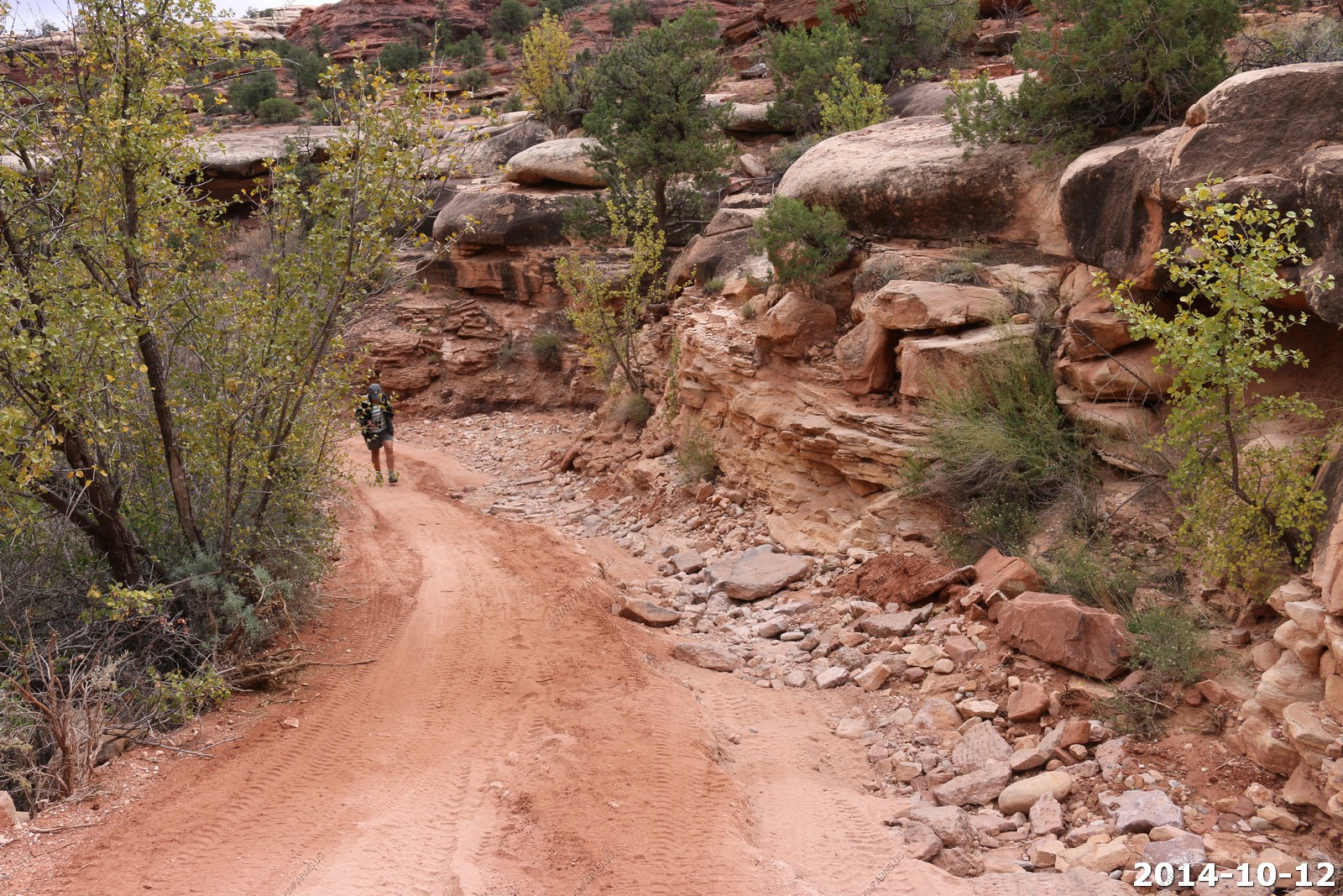
We hiked up the road to see what it was like.
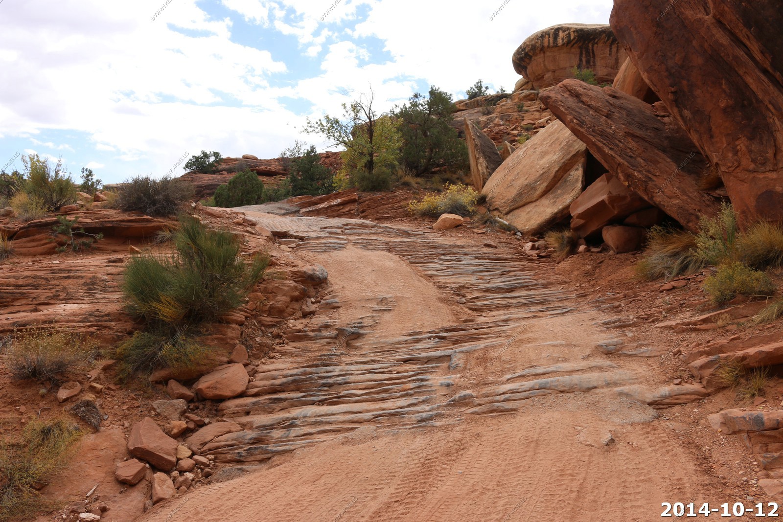
Interesting sandstone patterns - wonder if they were waves ?
Interesting road conditions.
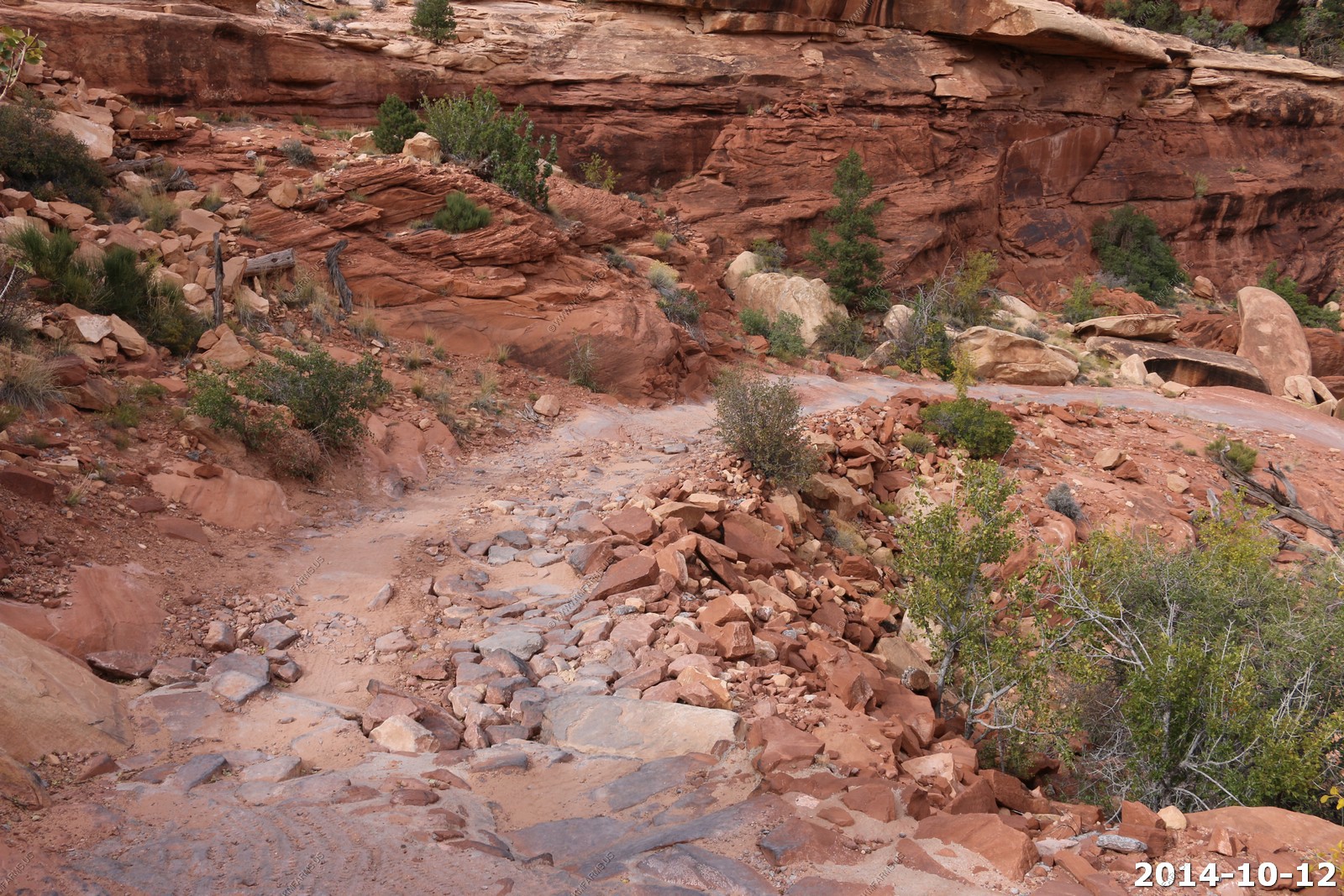
One of the very sharp switchbacks.

Looking down on the parking area and the La Sal's in the background
It levels off at the top of the hill and becomes all sand.

Mary doing a nature lecture.
Not sure what the hell is going on
We will do these hikes on the next trip here.
Weather getting nicer.
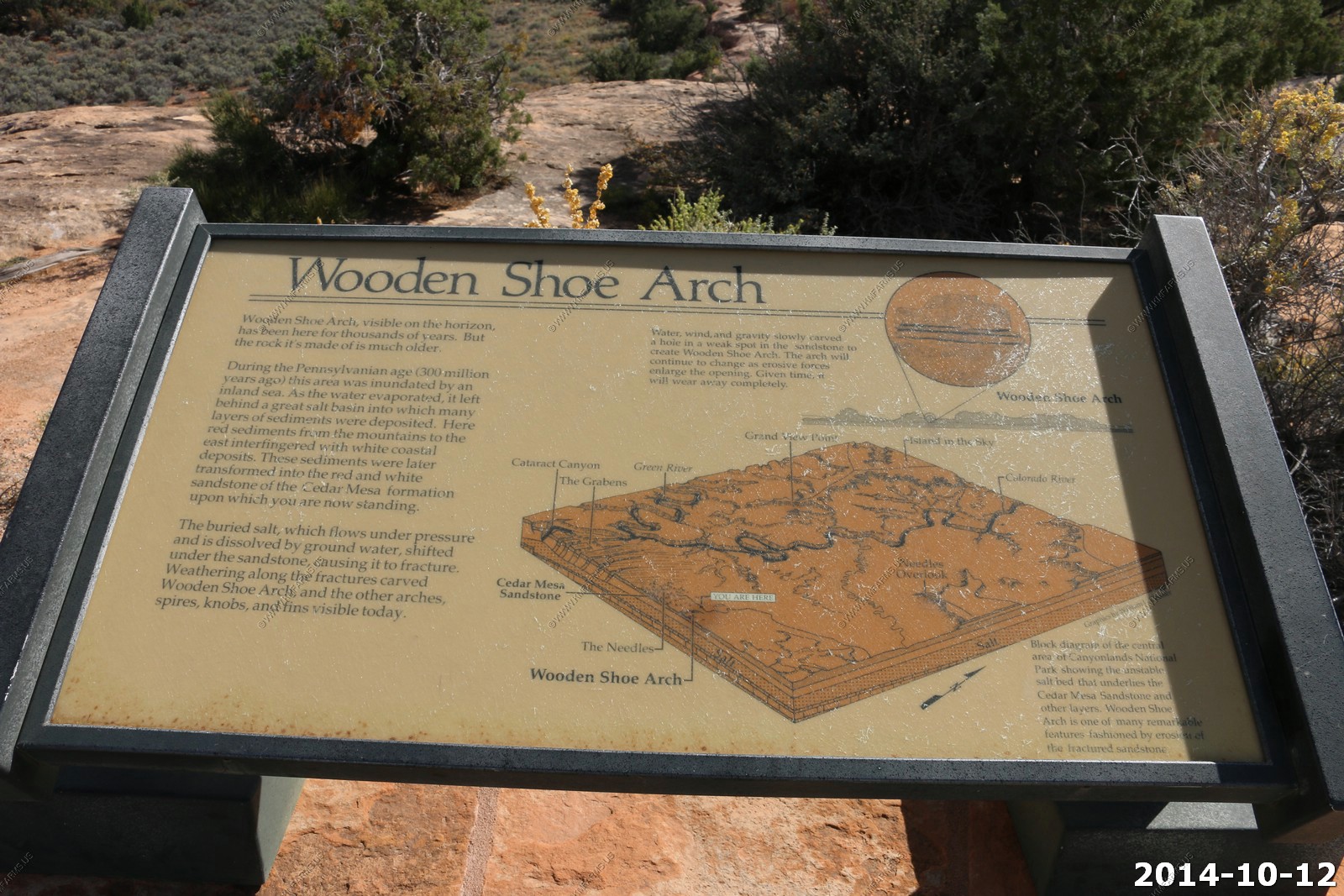
Wooden Shoe Arch.
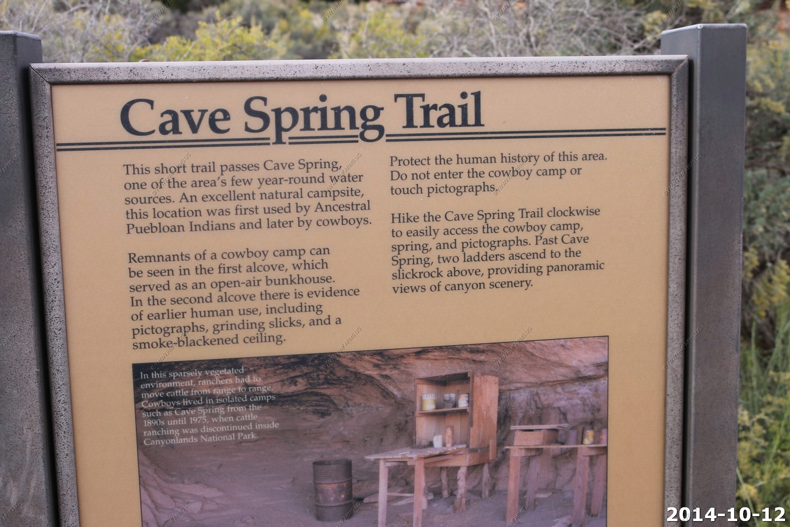
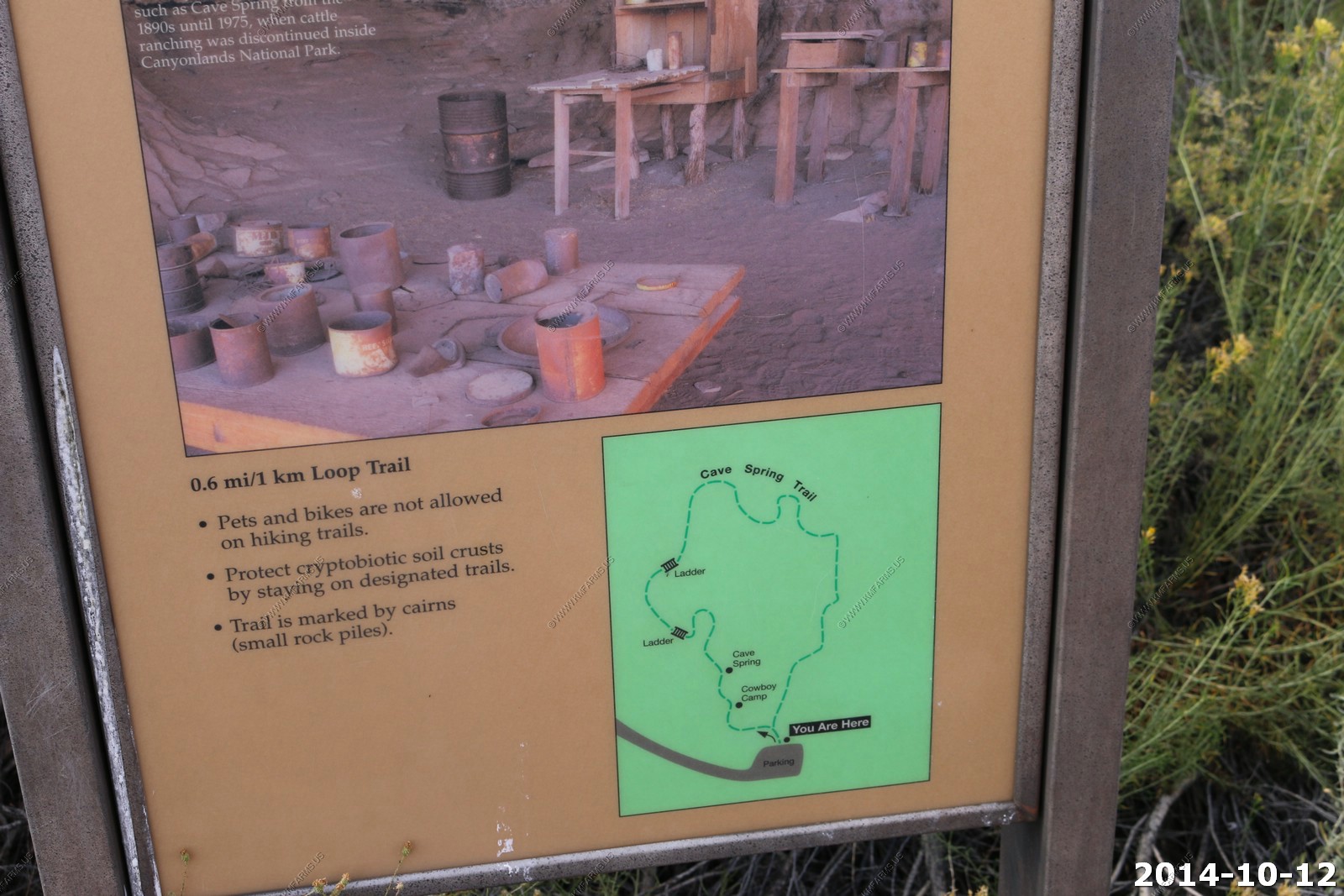
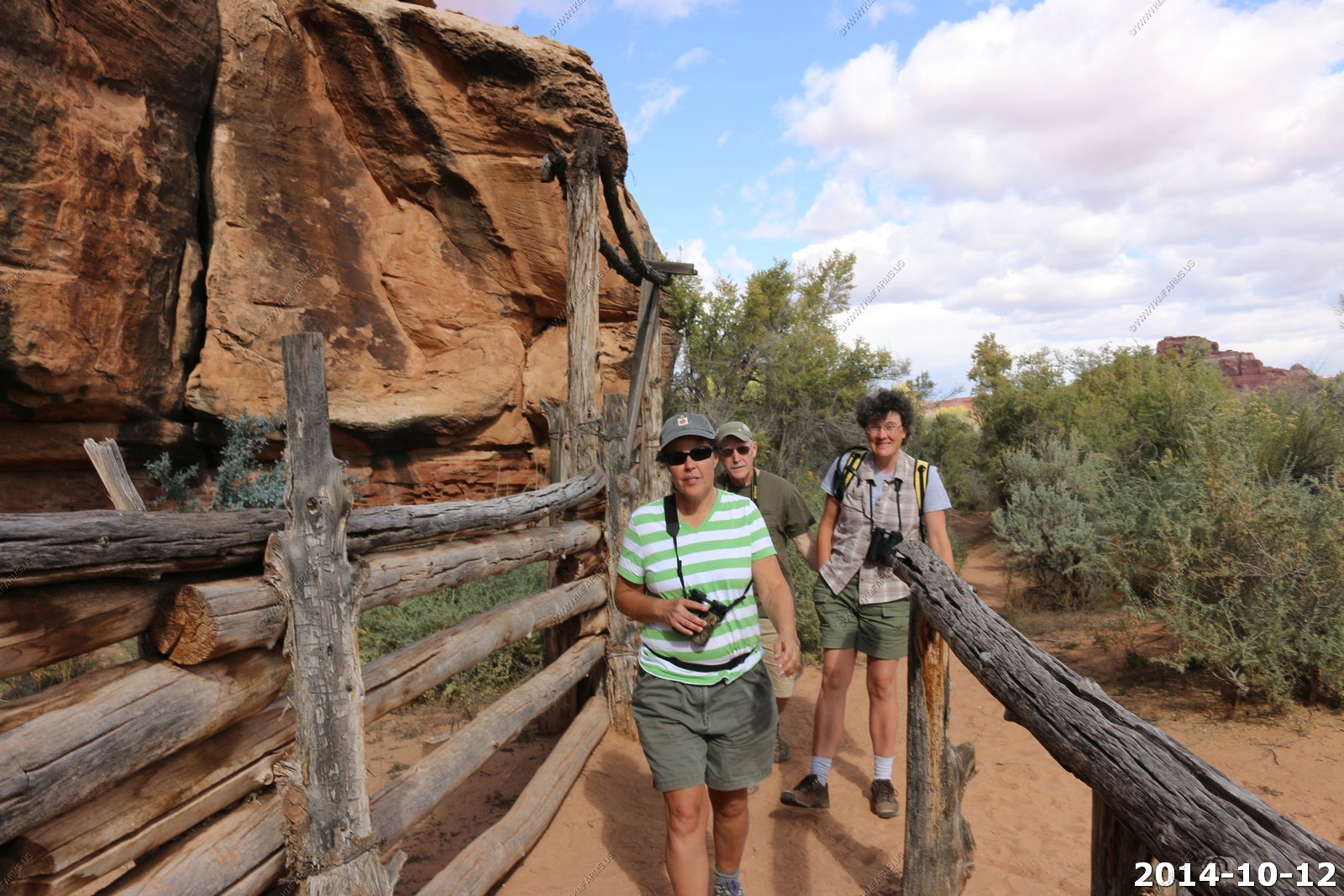
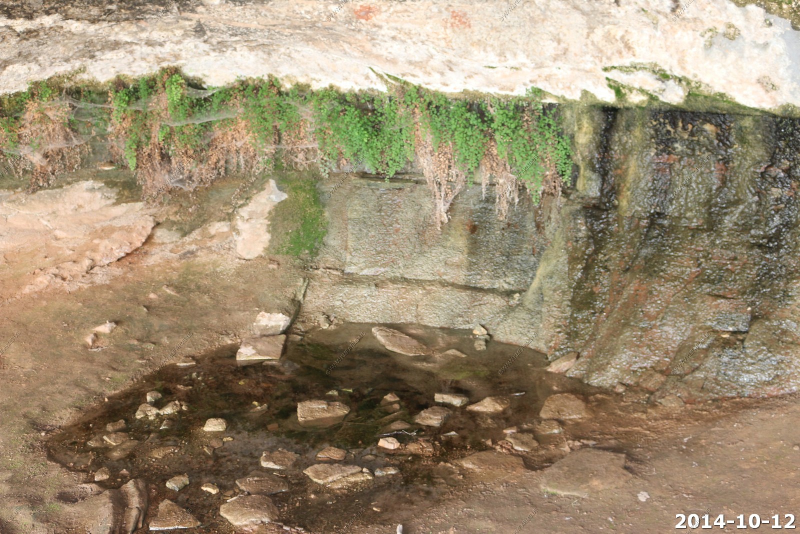
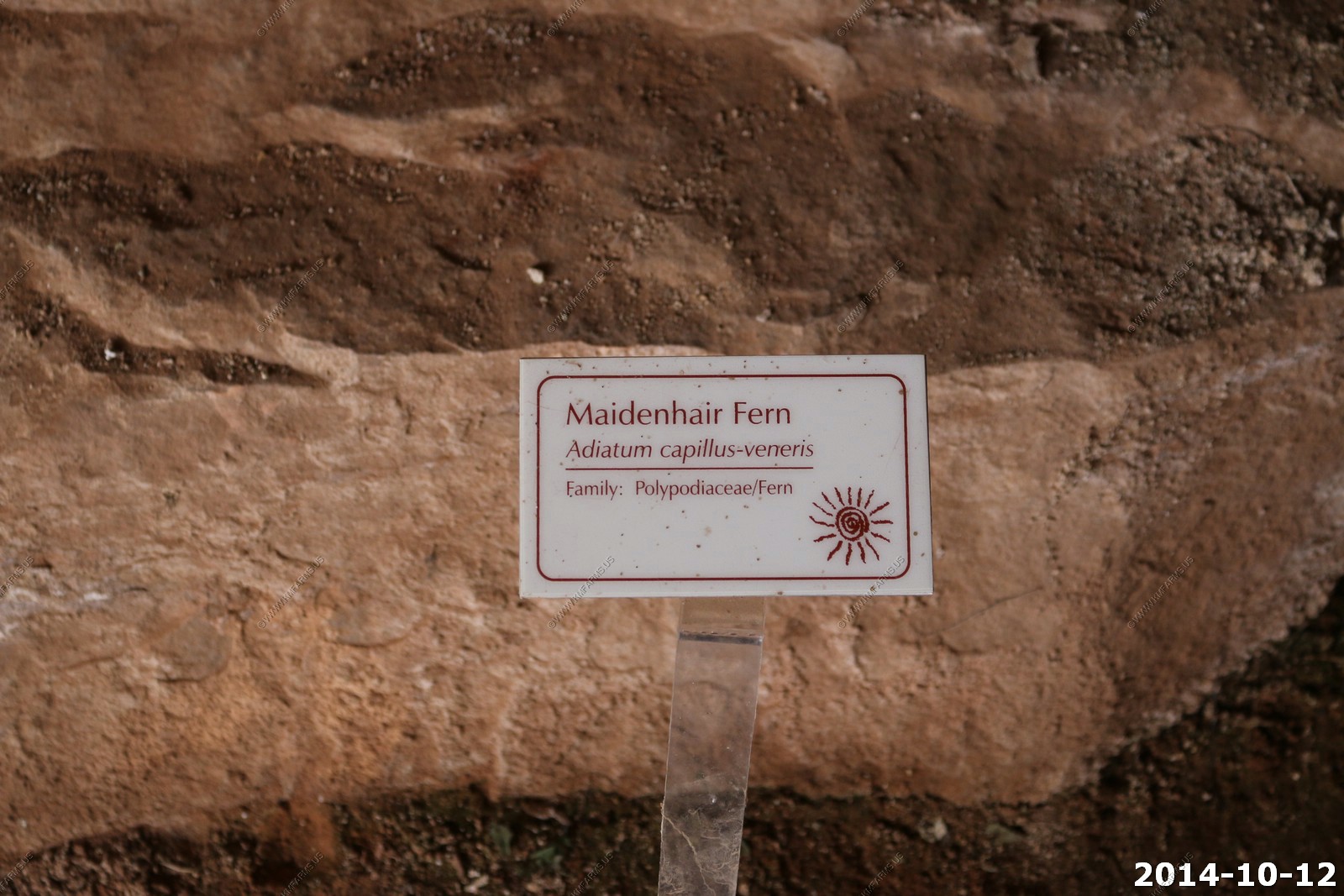
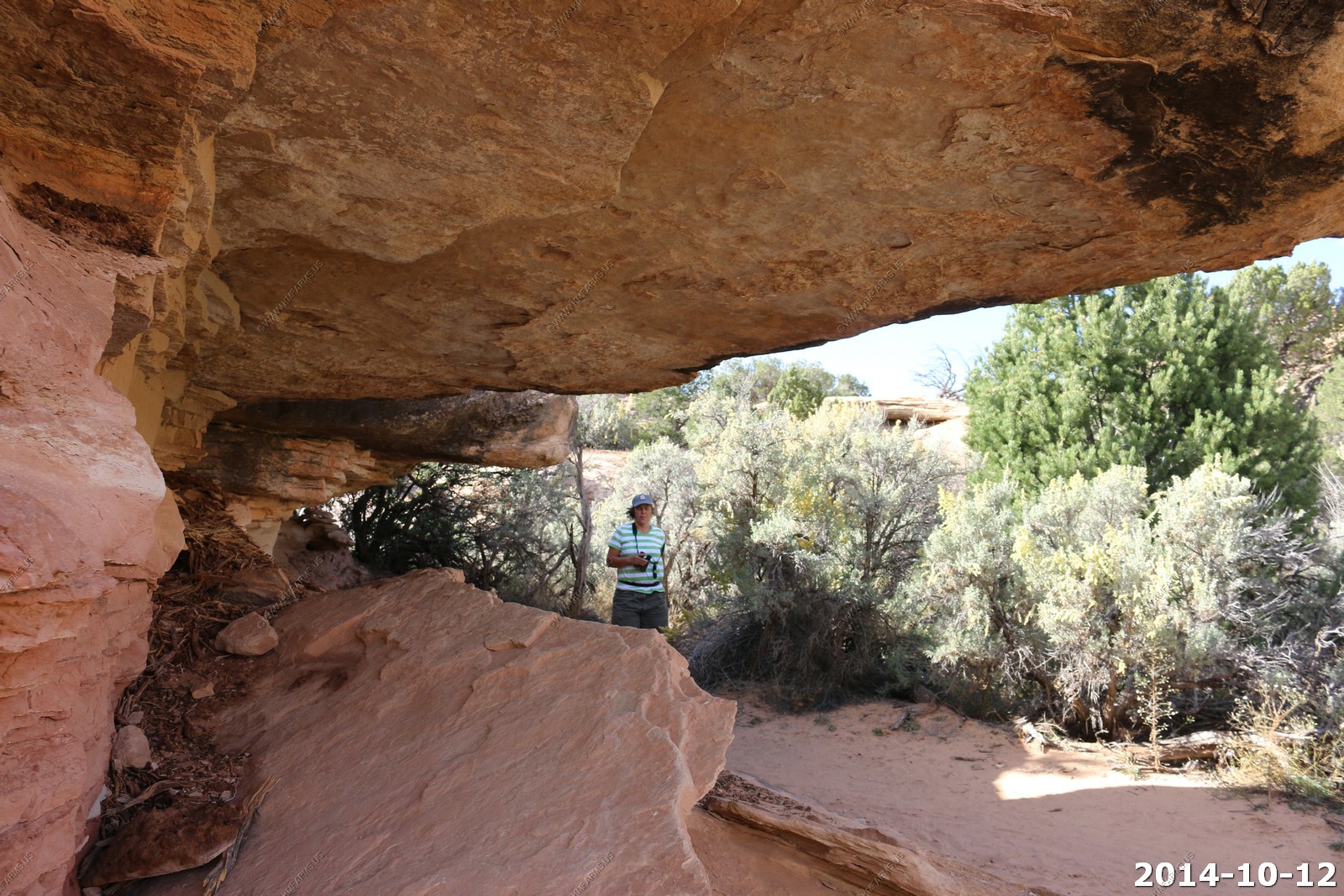
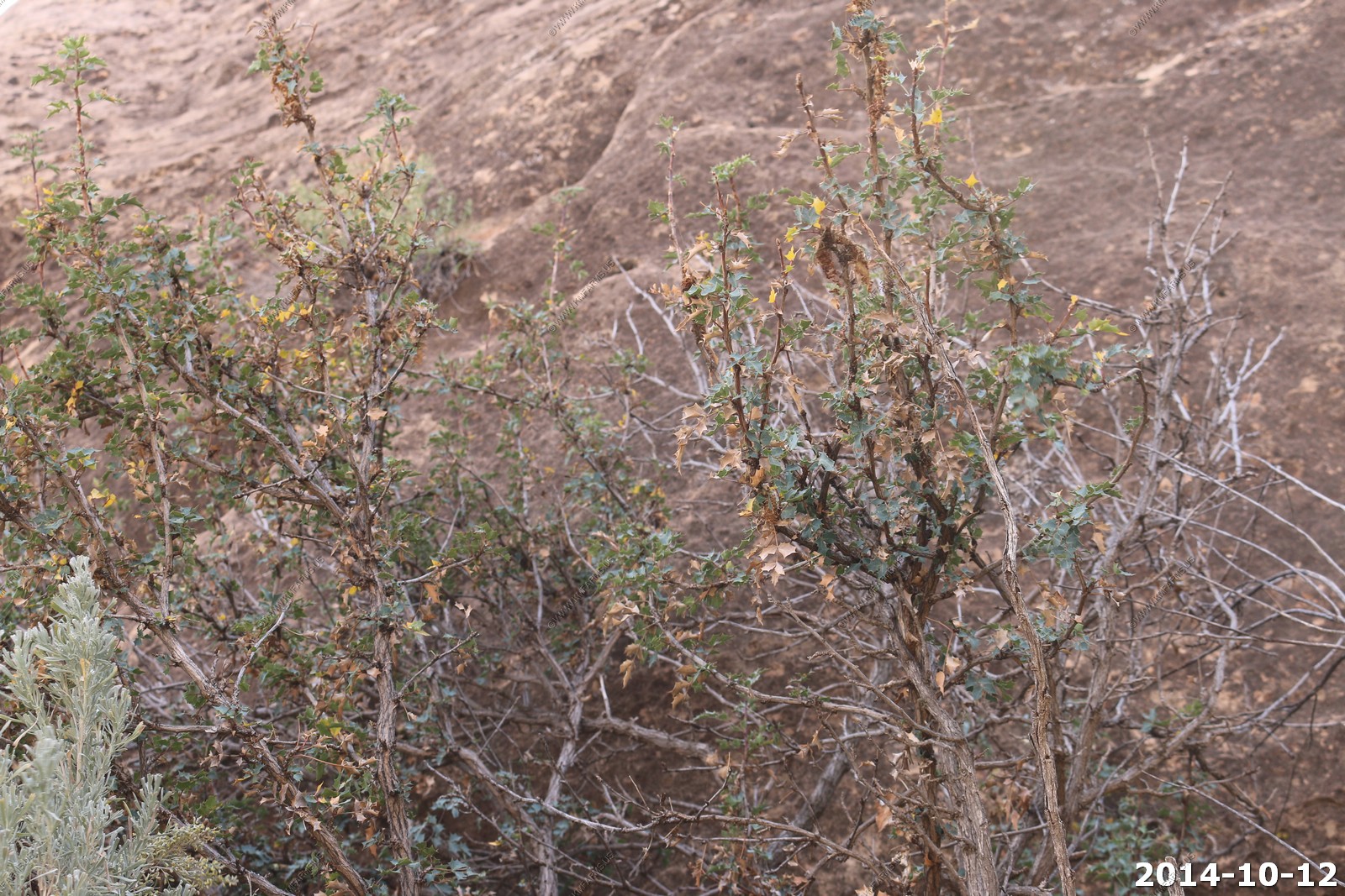
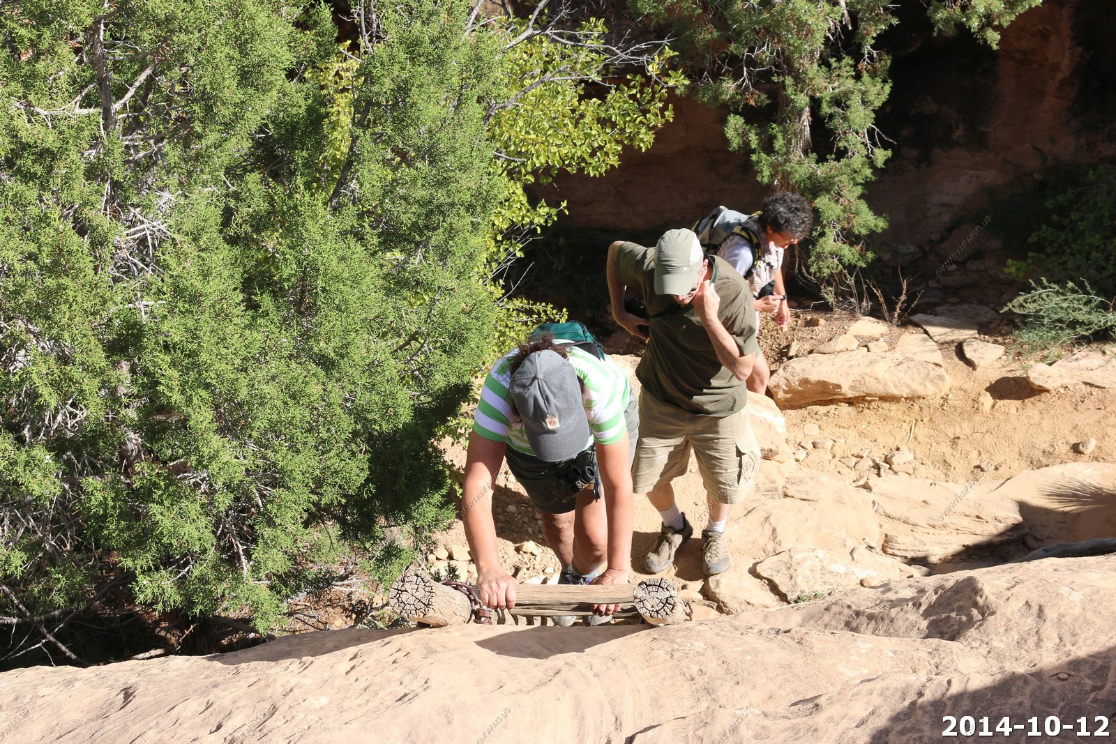
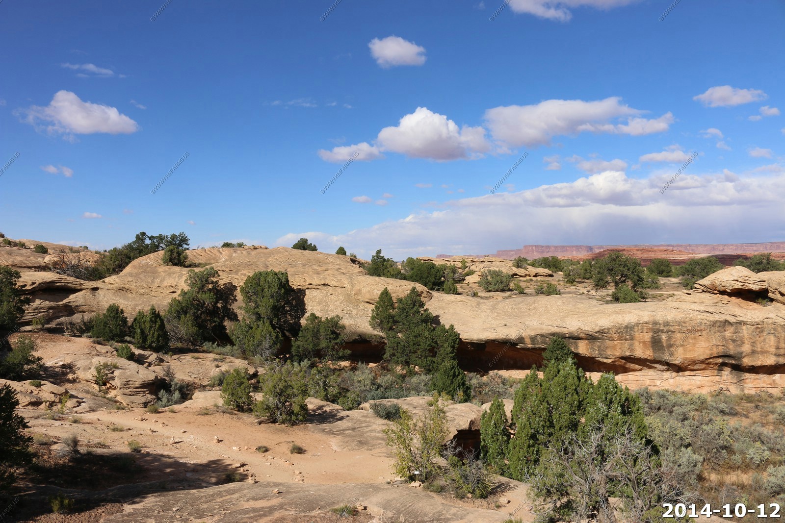
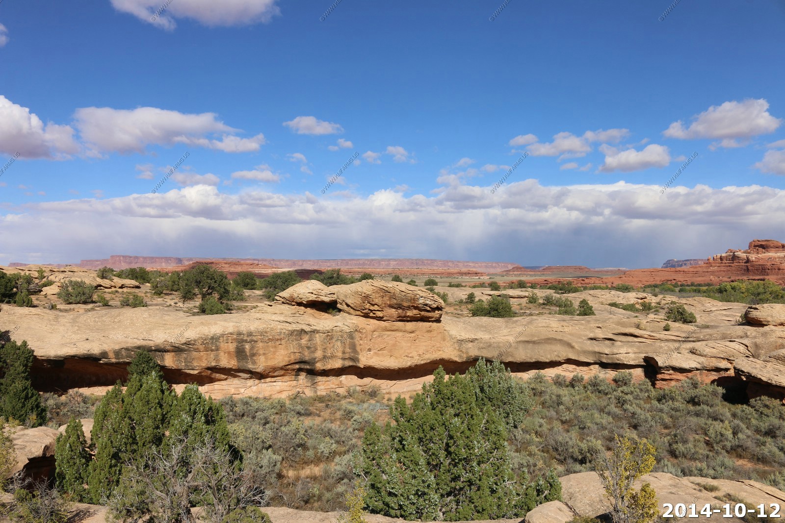
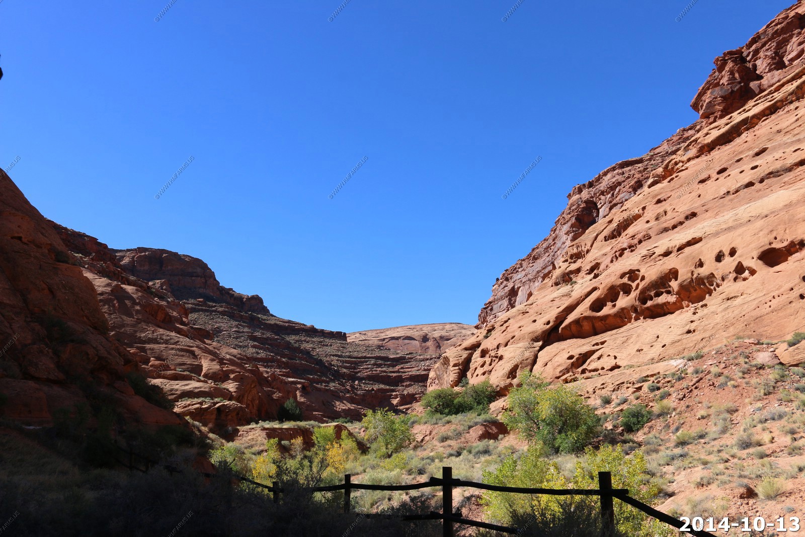
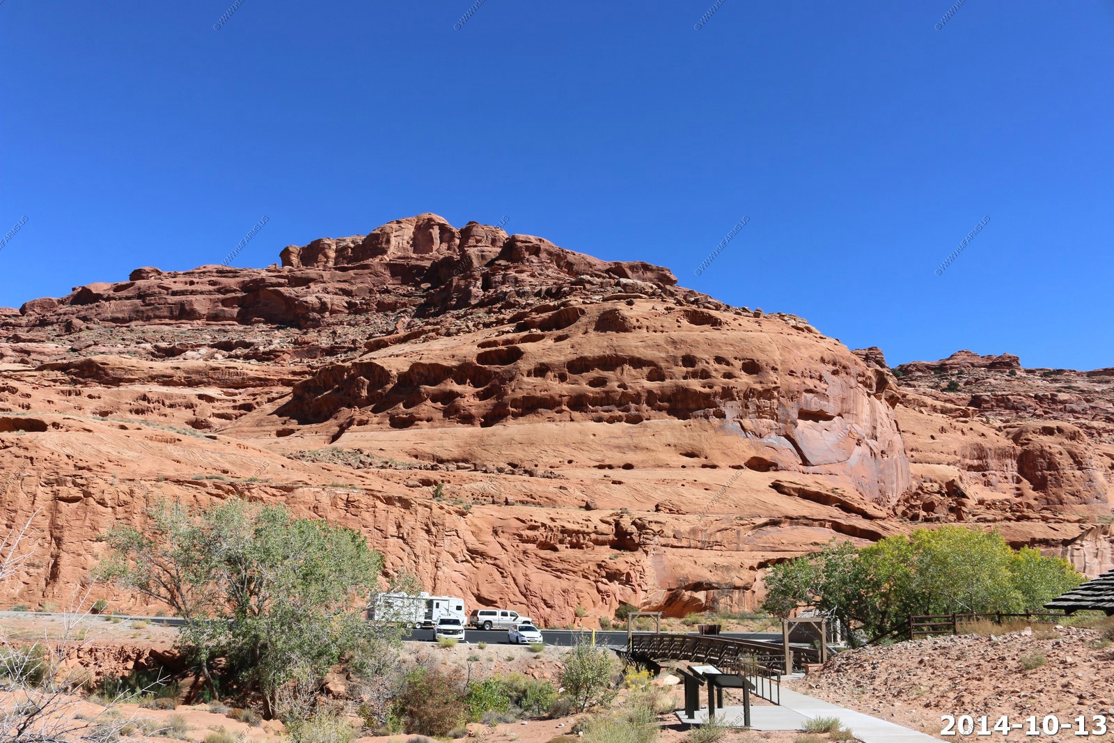
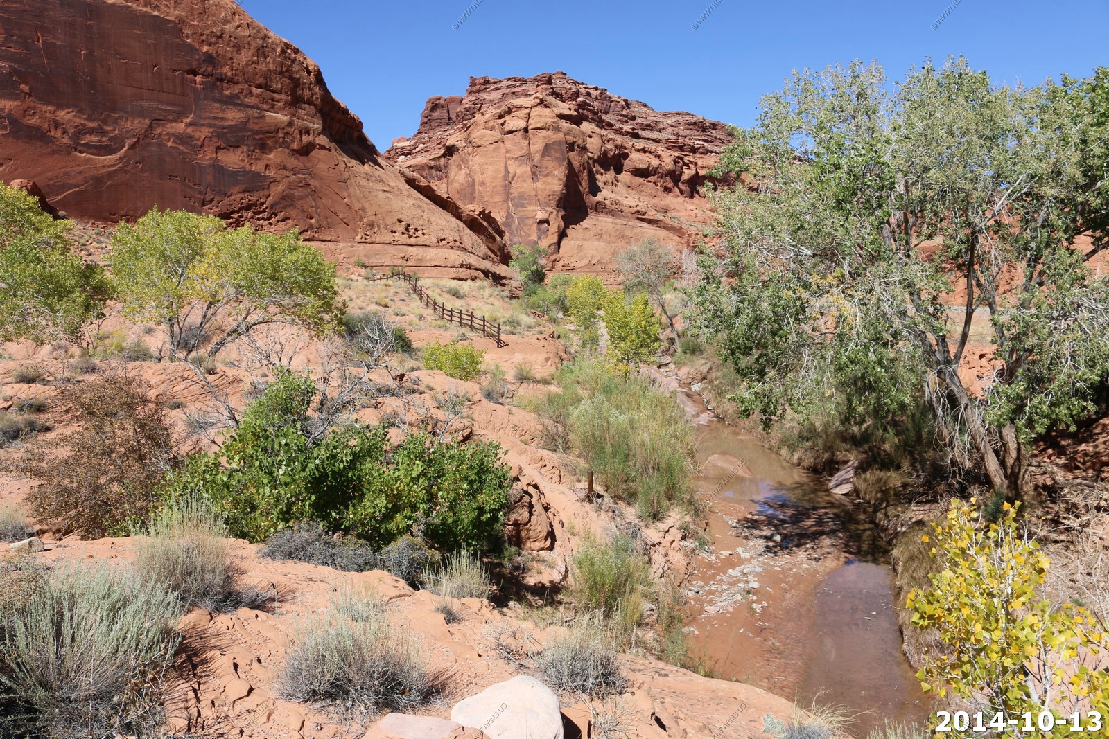
We did the Cave Spring Trail.
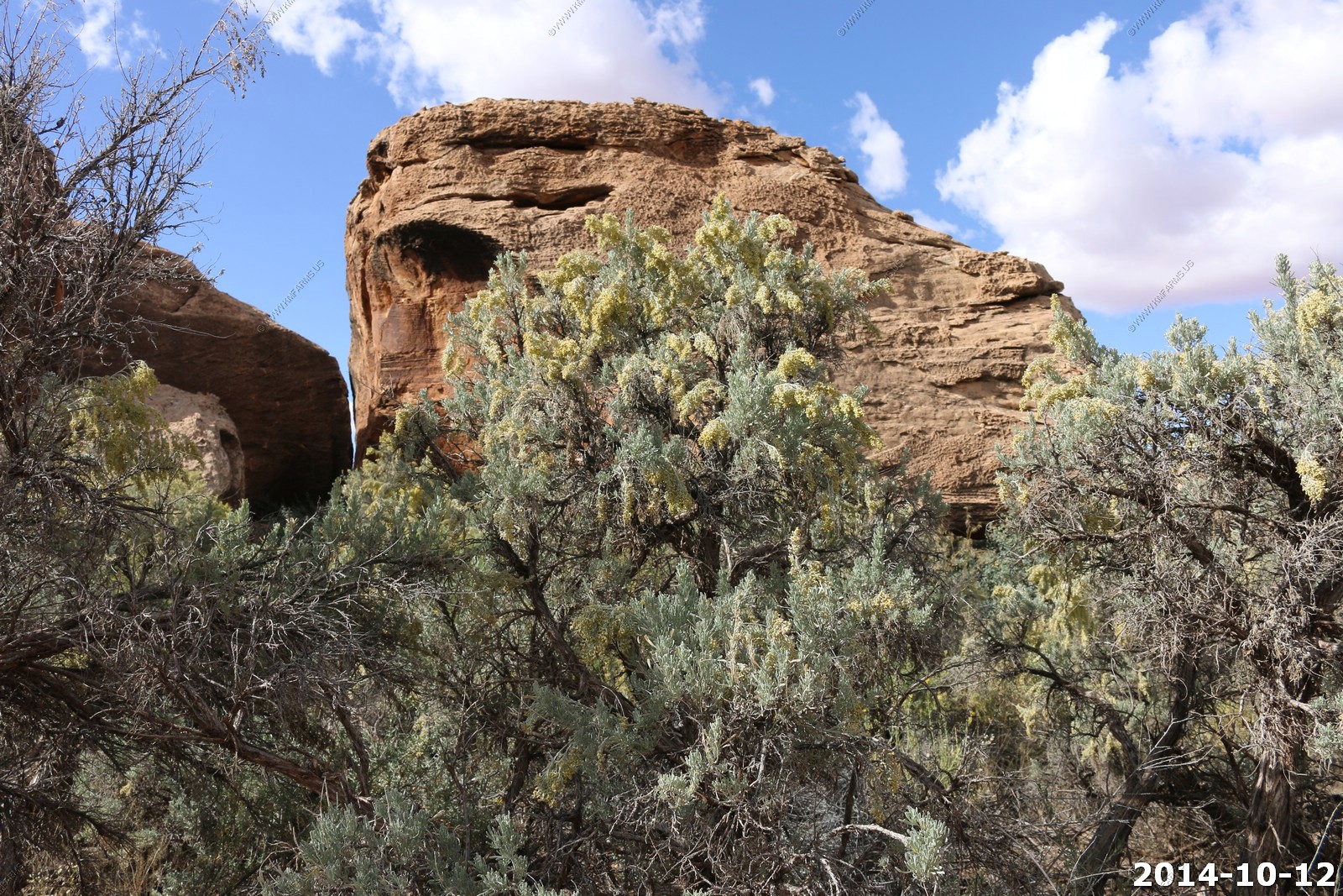
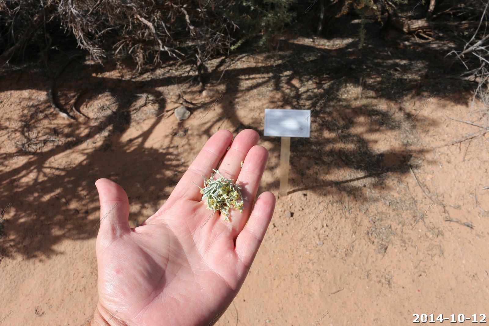
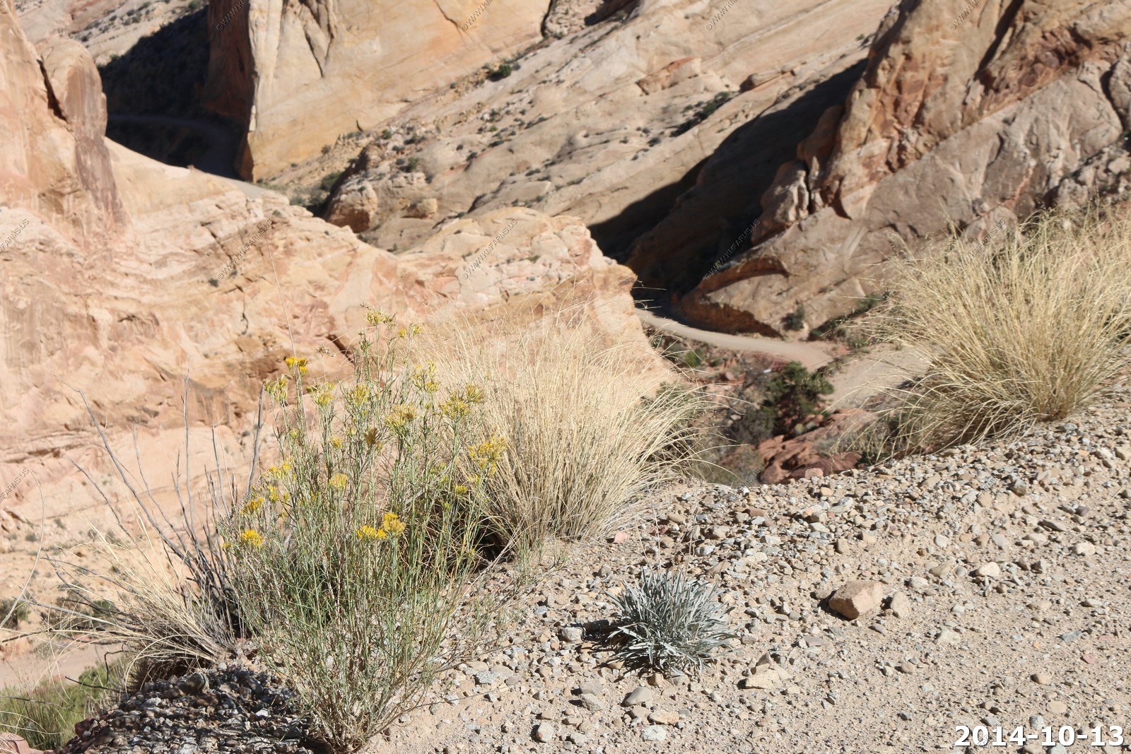
The Big Sagebrush (Artemisia tridentata) It was blooming... I can still smell it ! Artemisia tridentata, commonly called "big sagebrush" or "sagebrush", is an aromatic shrub from the family Asteraceae, which grows in arid and semi-arid conditions, throughout a range of cold desert, steppe, and mountain habitats in the Intermountain West of North America.
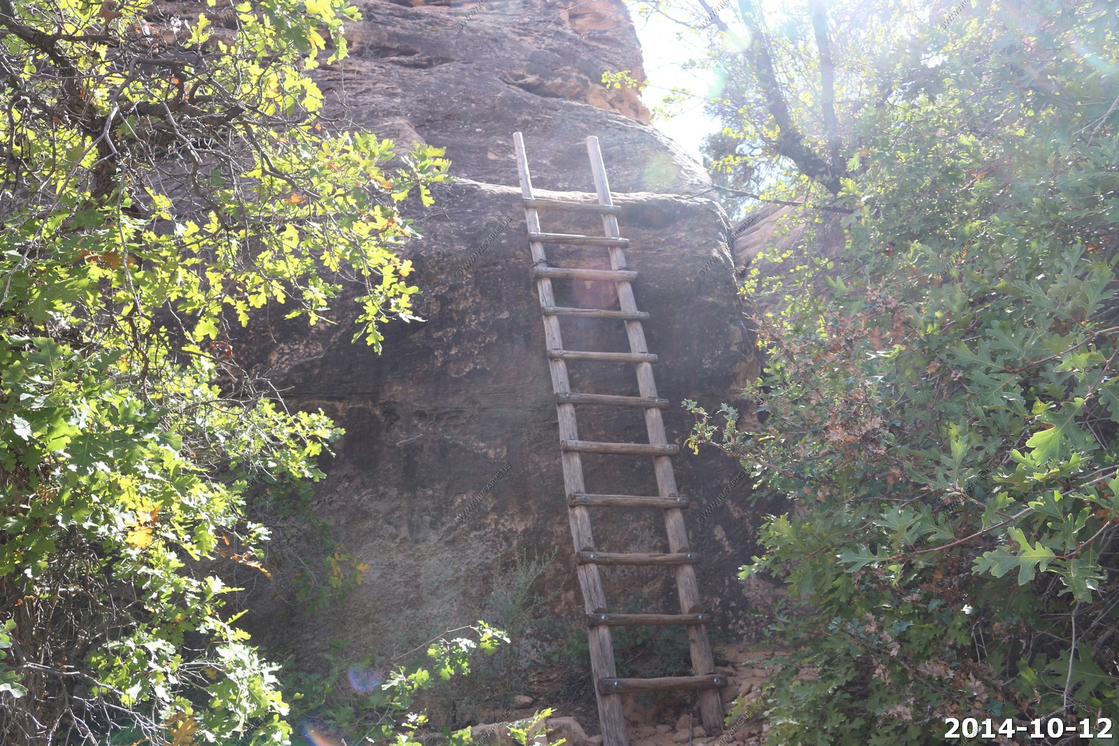
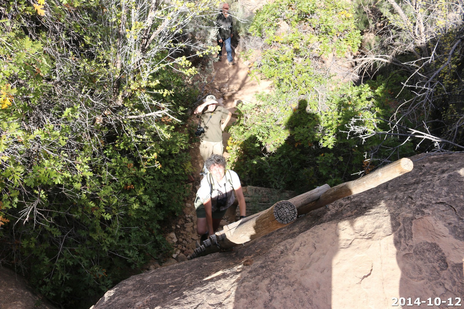
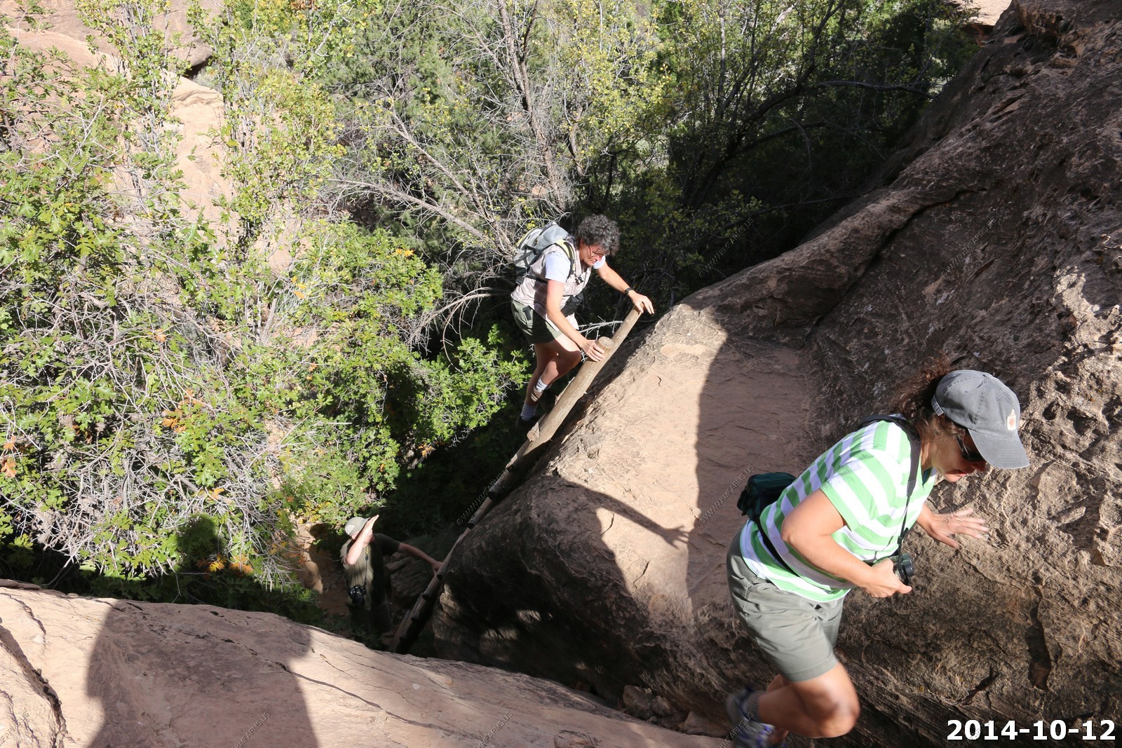
This is a interesting trail except for the two ladders that you must climb.
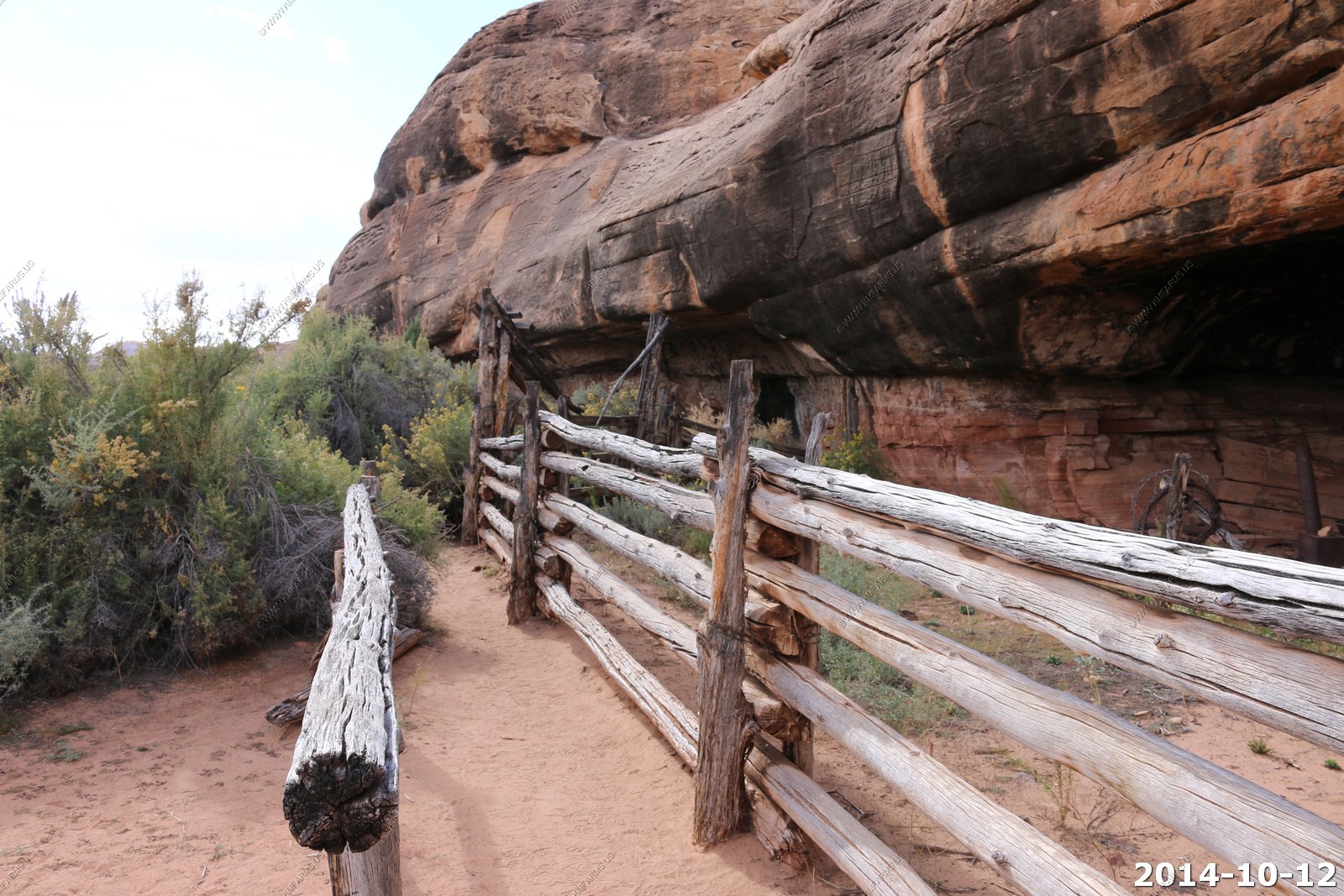
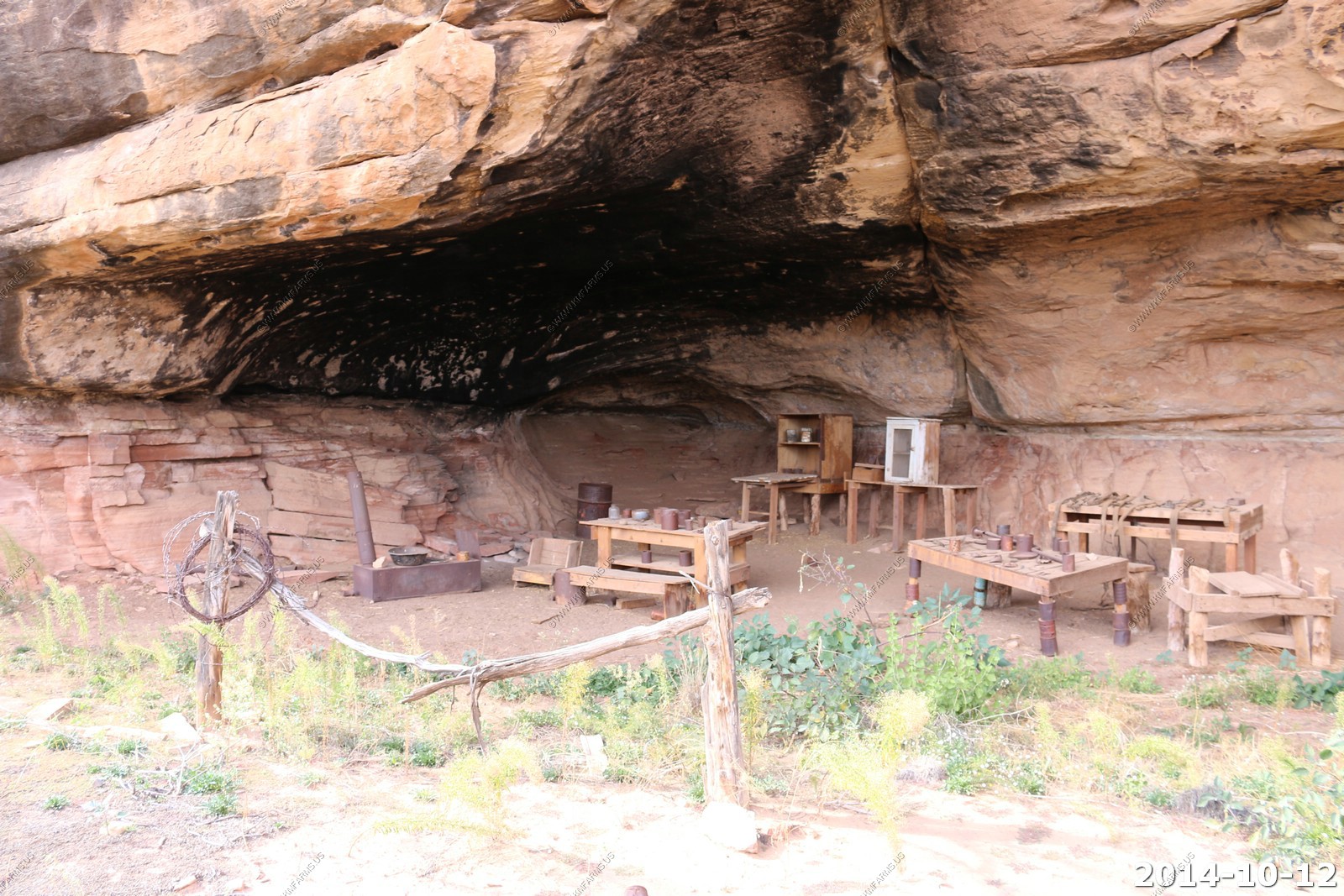
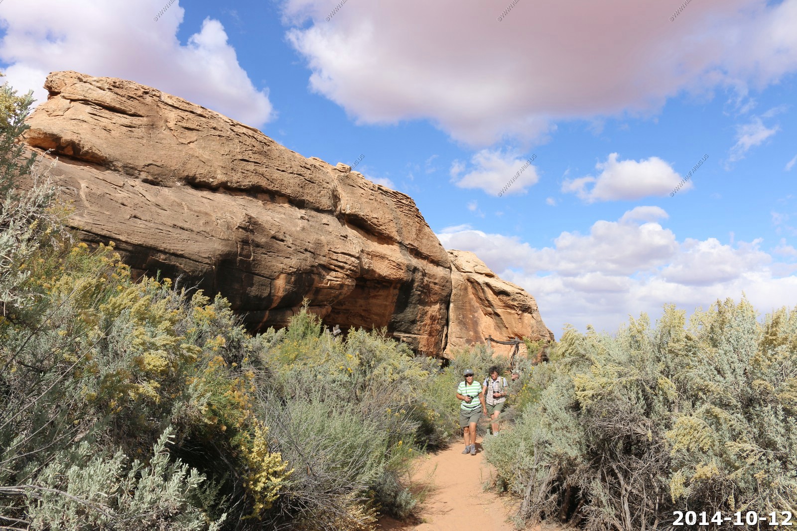
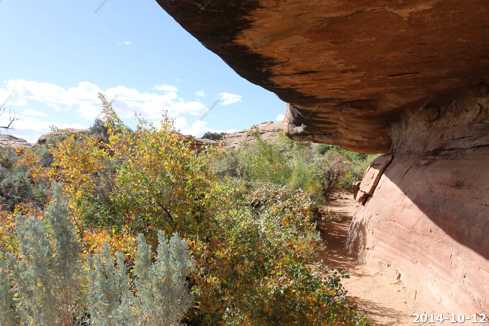
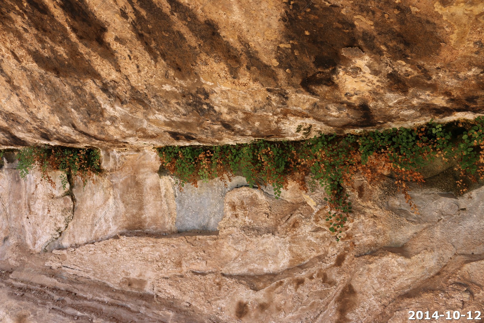
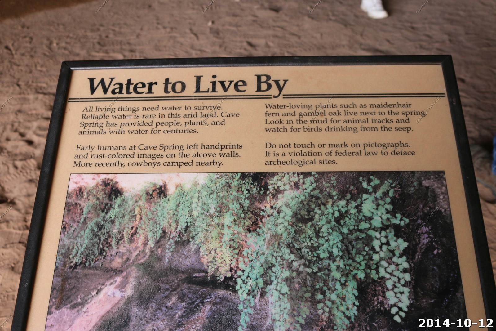
Cave Spring - Not much but out here it's enough to live on.
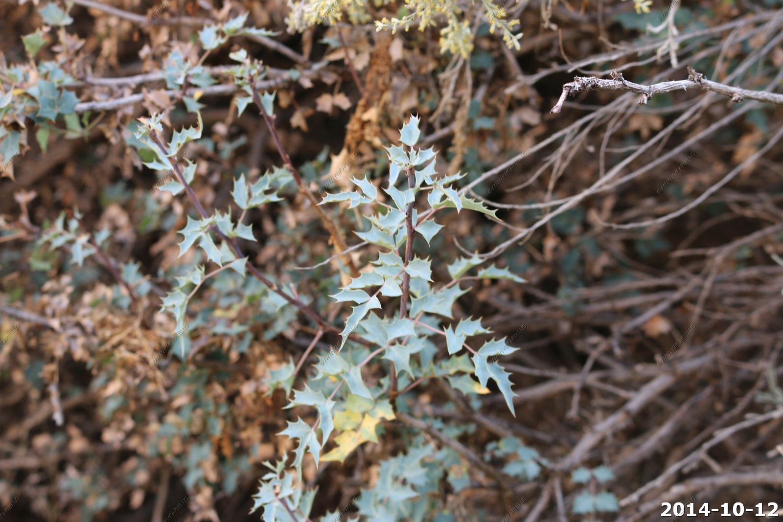
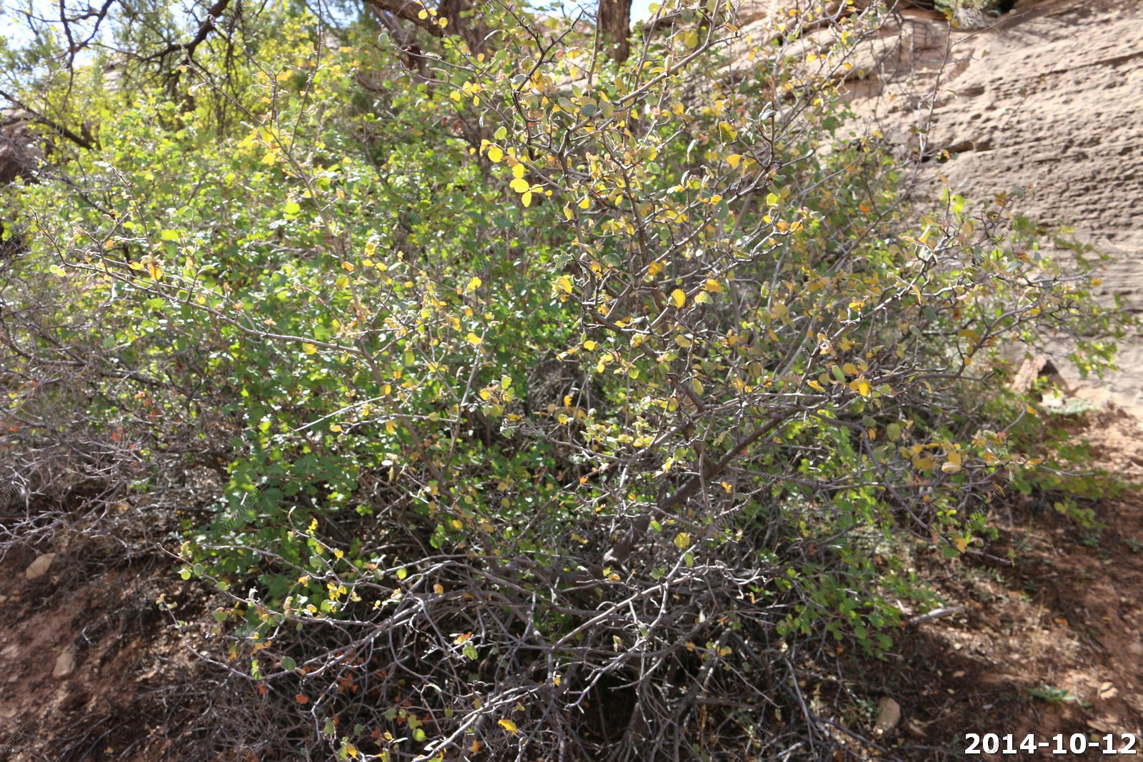
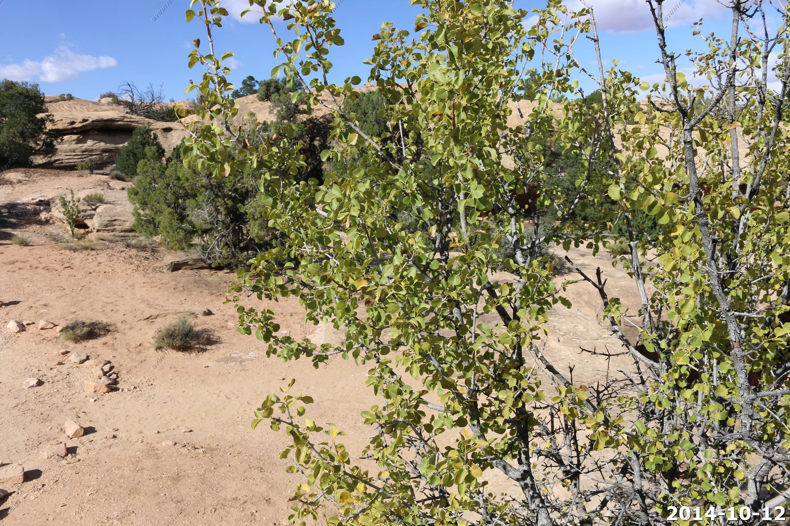
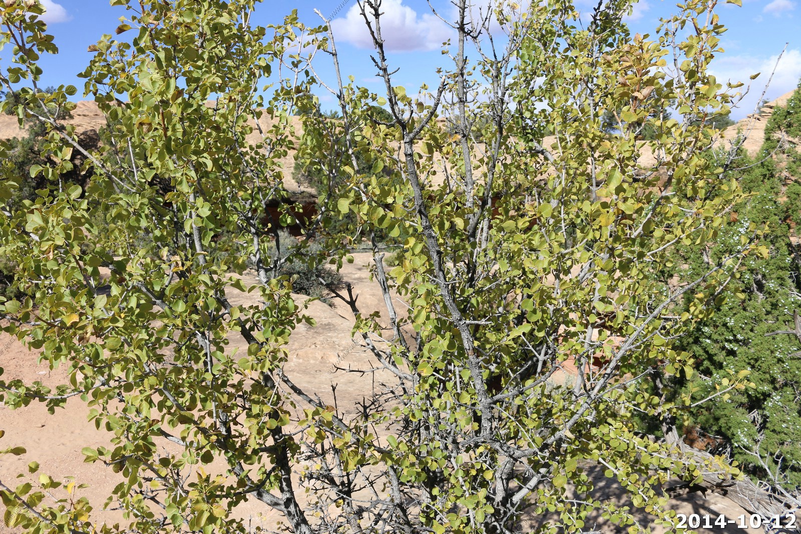
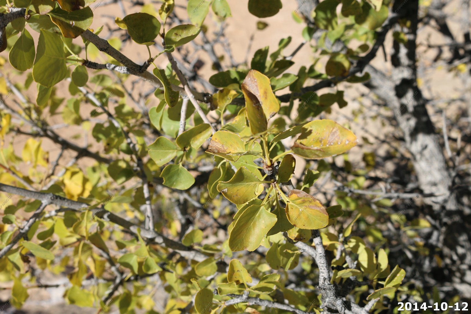
Fremont Mahonia (Berberis fremontii).
Mahonia fremontii is an erect evergreen shrub growing up to 4.5 meters tall. The leaves are several centimeters long and are made up of several holly-leaf-shaped leaflets, each about 2 centimeters long and edged with spiny teeth. The leaves are purplish when new, green when mature, and greenish blue when aged.
The abundant inflorescences each bear 8 to 12 bright yellow flowers, blooming generally in the spring but sometimes in the fall. Each flower is made up of nine sepals and six petals all arranged in whorls of three. The fruit is a berry up to 1.5 centimeters wide, ranging in color from yellowish to purple to nearly black.
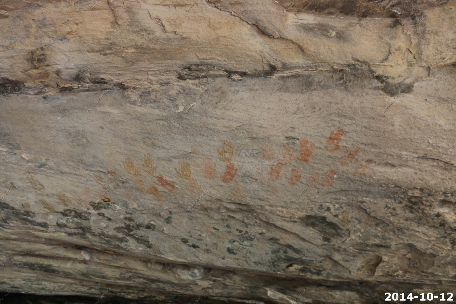
Petroglyphs
Ladder #1 - Easy but you would not want to fall.
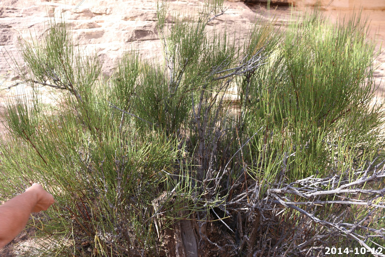
Mormon Tea (ephedra viridis).
Ephedra viridis, known by the common names green Mormon tea, green ephedra, and Indian tea, is a species of Ephedra. It is indigenous to the Western United States, where it is a member of varied scrub, woodland, desert, and open habitats. It grows at 3,000 - 7,500 ft. elevations.
The drug ephedrine, an antidepressant and decongestant, is made from this and other Ephedra species. A tea can be made by boiling the stems, explaining the common name "green Mormon tea".
Serviceberry (Amelanchier utahensis).
Amelanchier utahensis, the Utah serviceberry, is a shrub or small tree native to western North America. This serviceberry grows in varied habitats, from scrubby open slopes to woodlands and forests.
The Utah serviceberry is browsed by desert bighorns, elk, and mule deer, as well as many birds and domesticated livestock.
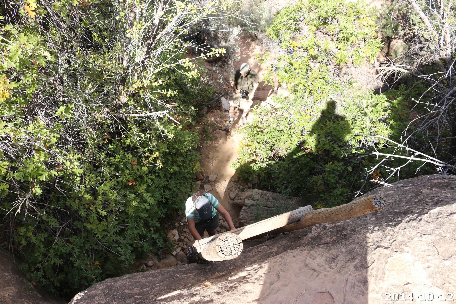
Ladder #2
Looking over the sage filled Cave Spring area.
Singleleaf Ash (Fraxinus anomala).
Fraxinus anomala is a species of ash tree known by the common name single-leaf ash. It is native to the southwestern United States and northern Mexico, where it grows in a number of habitats including desert scrub and chaparral. It is unusual in the genus in that some (though not all) specimens have simple leaves instead of the pinnate leaves more characteristic of the group.
Four Wing Saltbrush (Atriplex canescens).
Fourwing saltbush, is a species of evergreen shrub in the Amaranthaceae family, which is native to the western and mid-western United States.
Among the Zuni people, an infusion of dried root and blossoms or a poultice of blossoms is used for ant bites. Twigs are also attached to prayer plumes and sacrificed to the cottontail rabbit to ensure good hunting
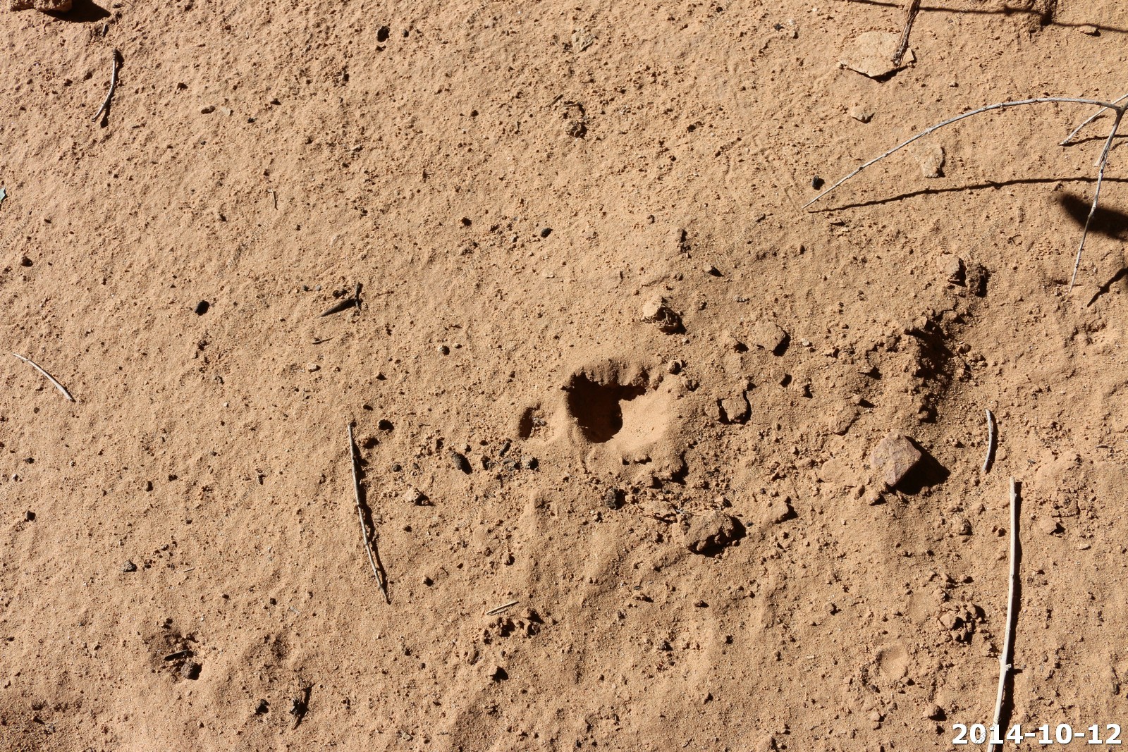
Antlions
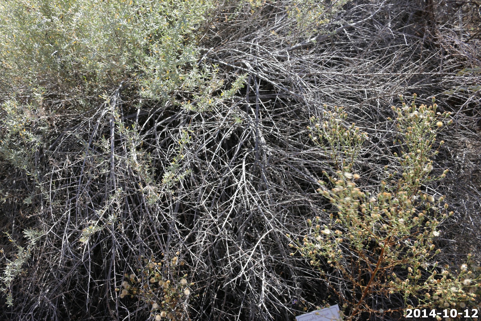
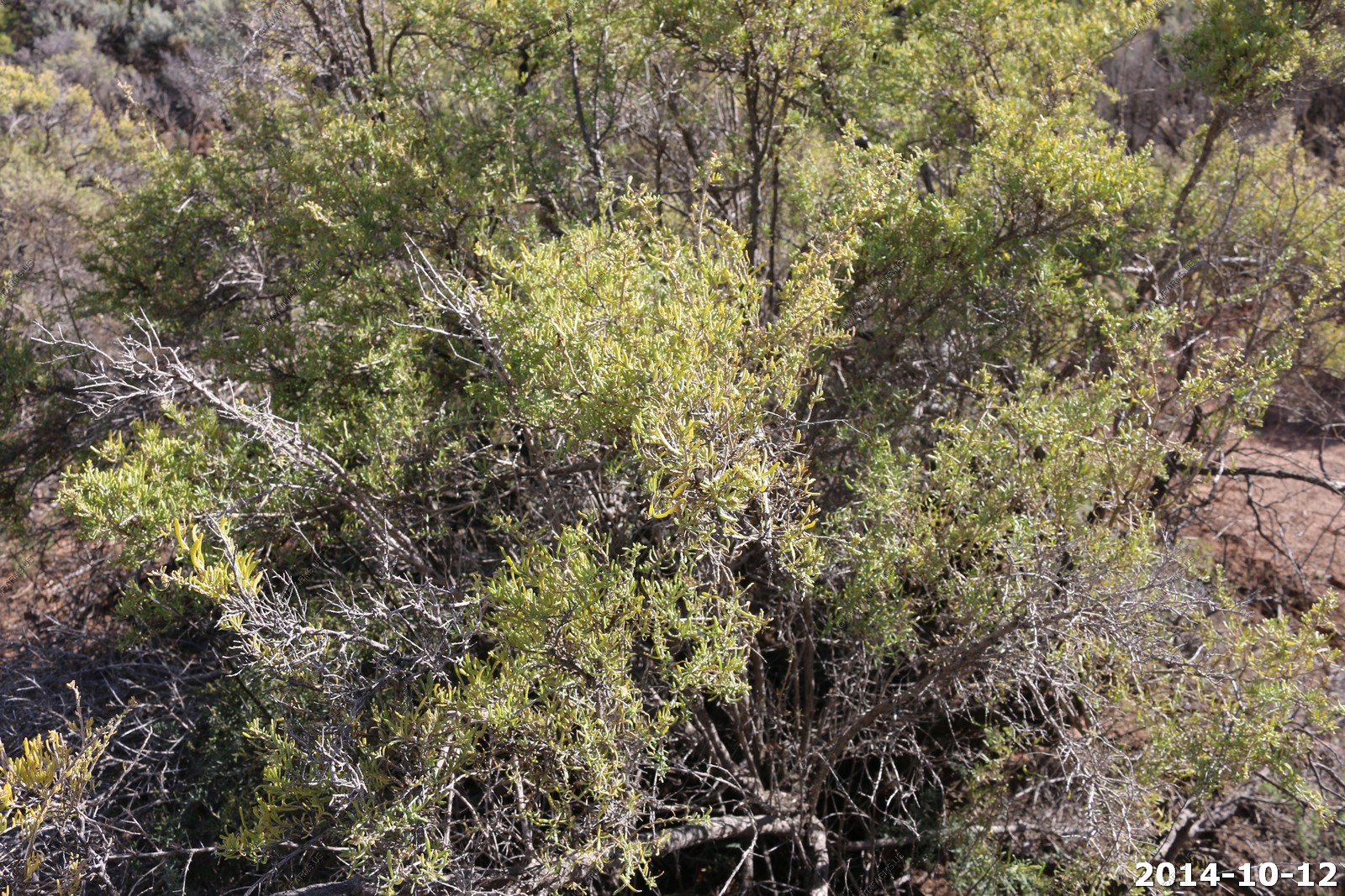
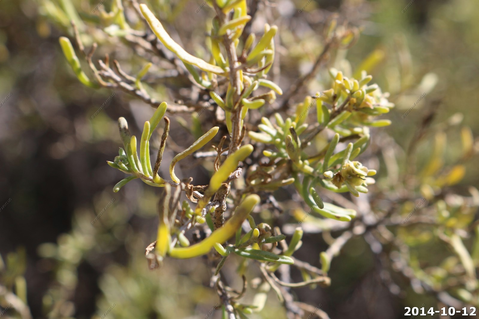
Greasewood (Sarcobatus vermiculatus).
The species reproduces from seeds and sprouts. S. vermiculatus was discovered in 1806 by the Lewis and Clark expedition's westward exploration of North America.
Although it can be grazed by animals that are adapted, grazing of greasewood by sheep and cattle can result in oxalate poisoning resulting in kidney failure. The active agent can be either sodium oxalate or potassium oxalate. Sheep are the most vulnerable. Greasewood was commonly used for firewood by Native Americans and early settlers. The wood is yellow, very hard and tough.
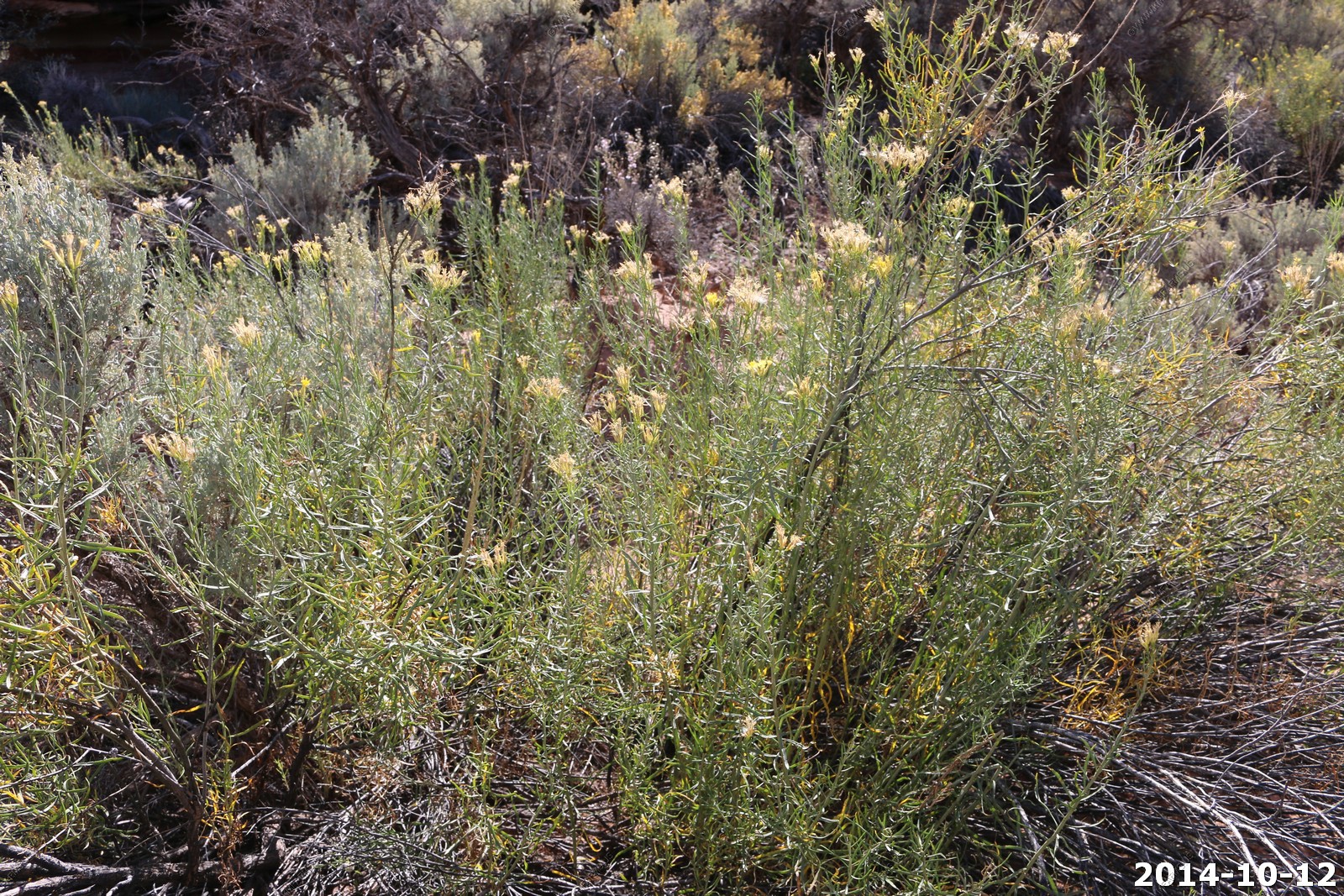
Rubber Rabbitbrush (Ericameria nauseosa (formerly Chrysothamnus nauseosus)).
The Zuni people use the blossoms bigelovii variety of the nauseosa subspecies to make a yellow dye.They use the stems to make baskets.
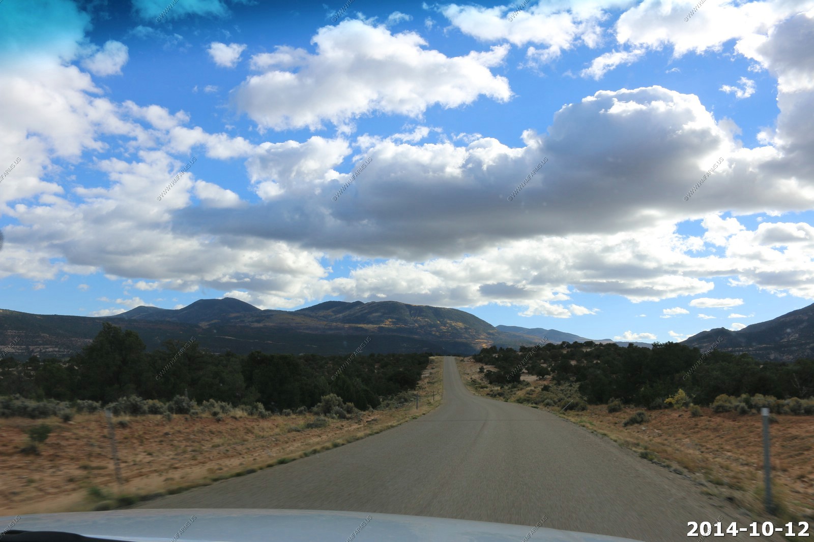
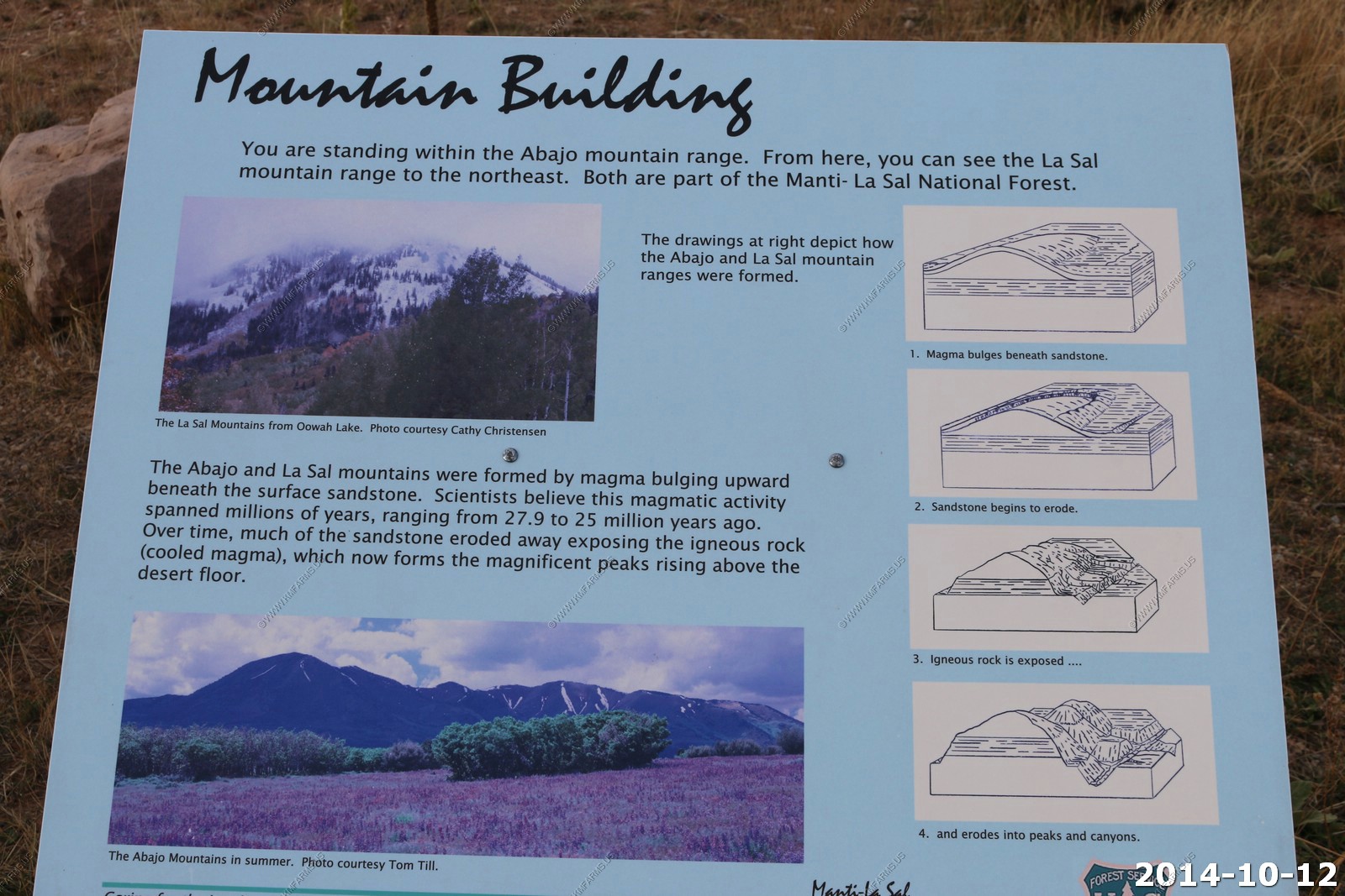
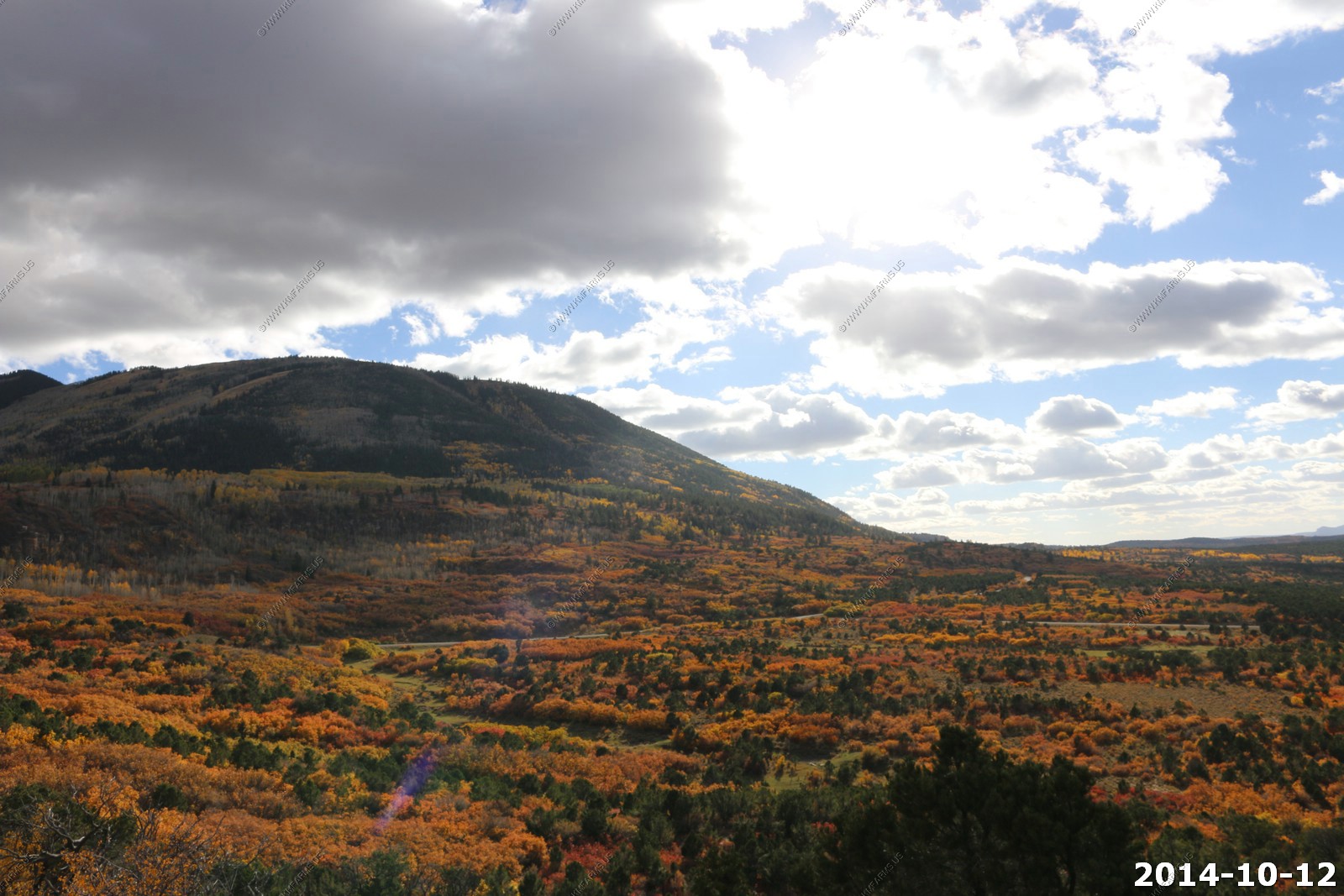
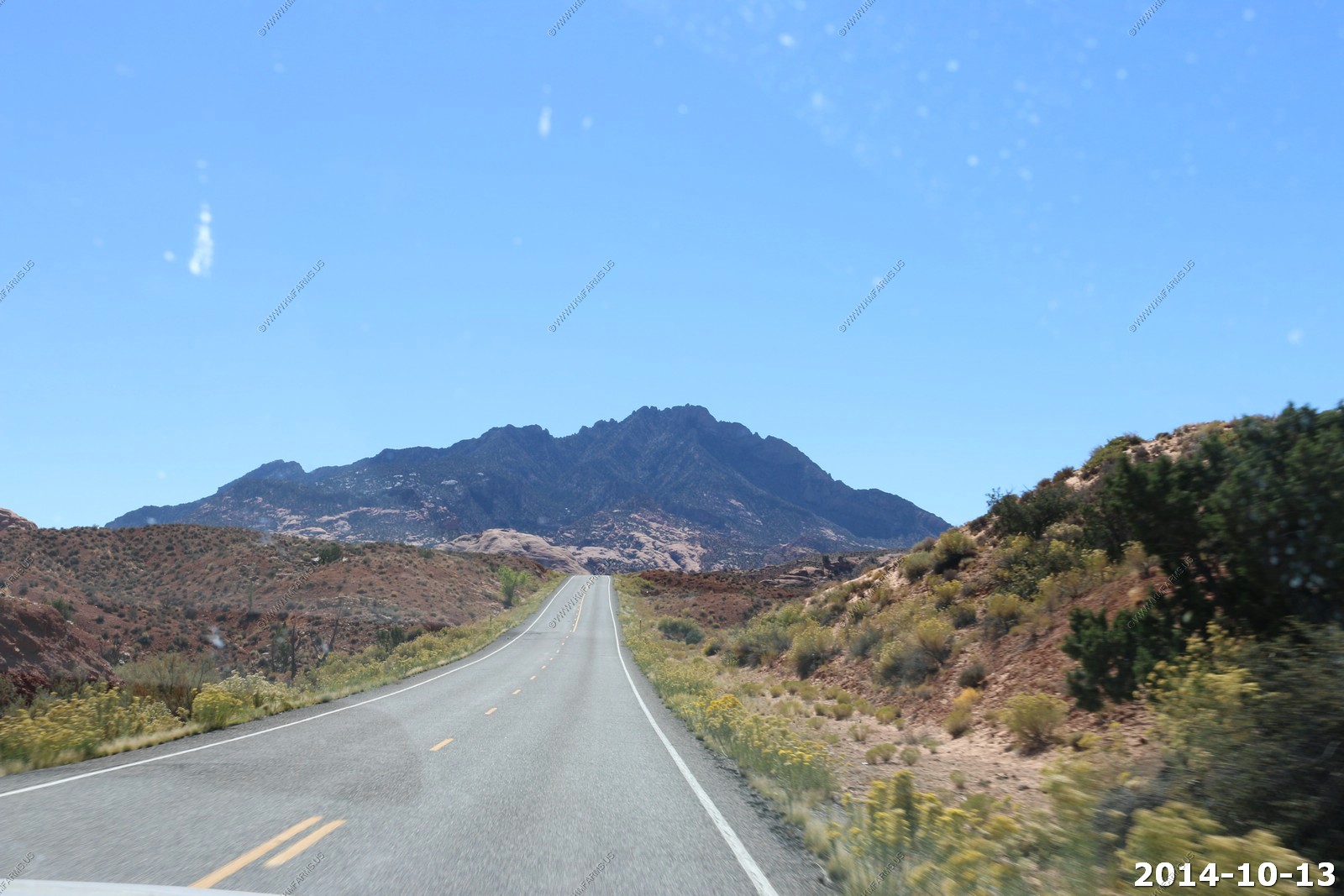
So it was time to head to our next destination - A cabin north of Blanding. We had a choice here as we could go back to US-191 or cut across the Abajo mountain range in the Manti-La Sal National Forest. I decided the back road way was the path.
So up we go
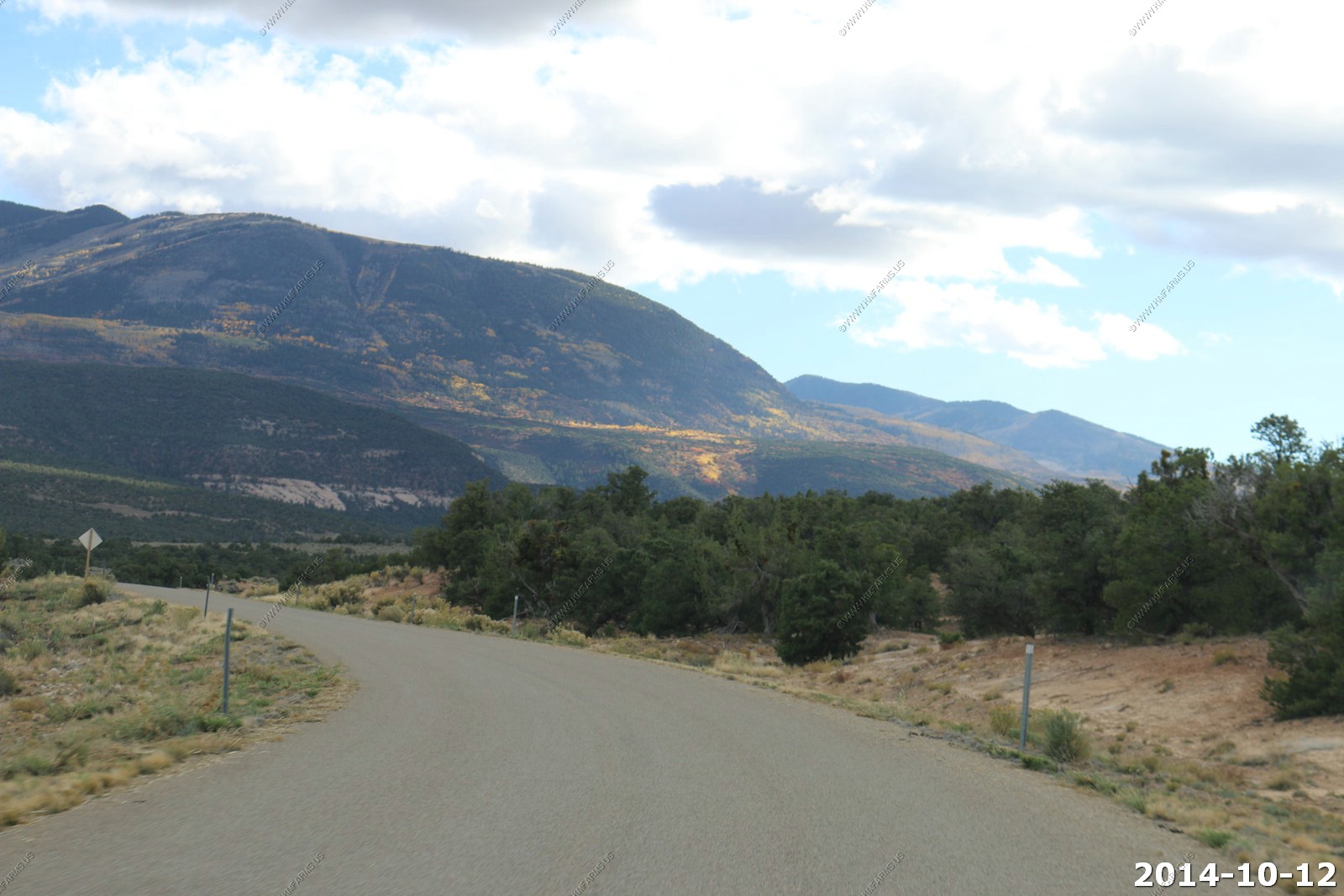
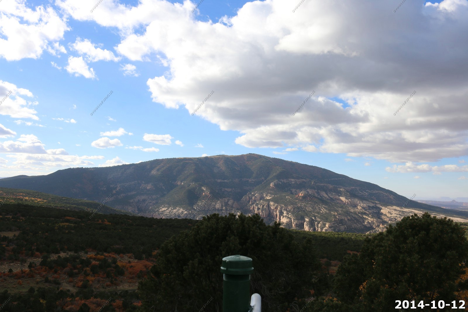
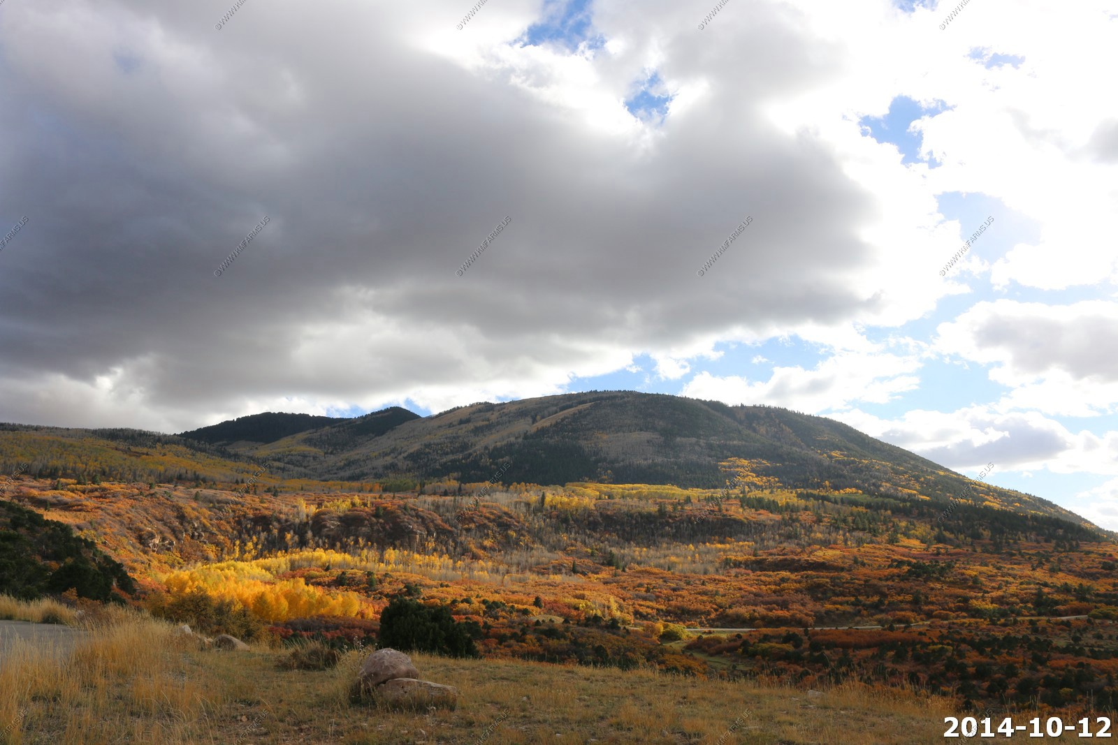
We stopped at a northern facing viewpoint over 9,000 feet. The Aspen was at its fall peak. You could look north over Canyonlands.
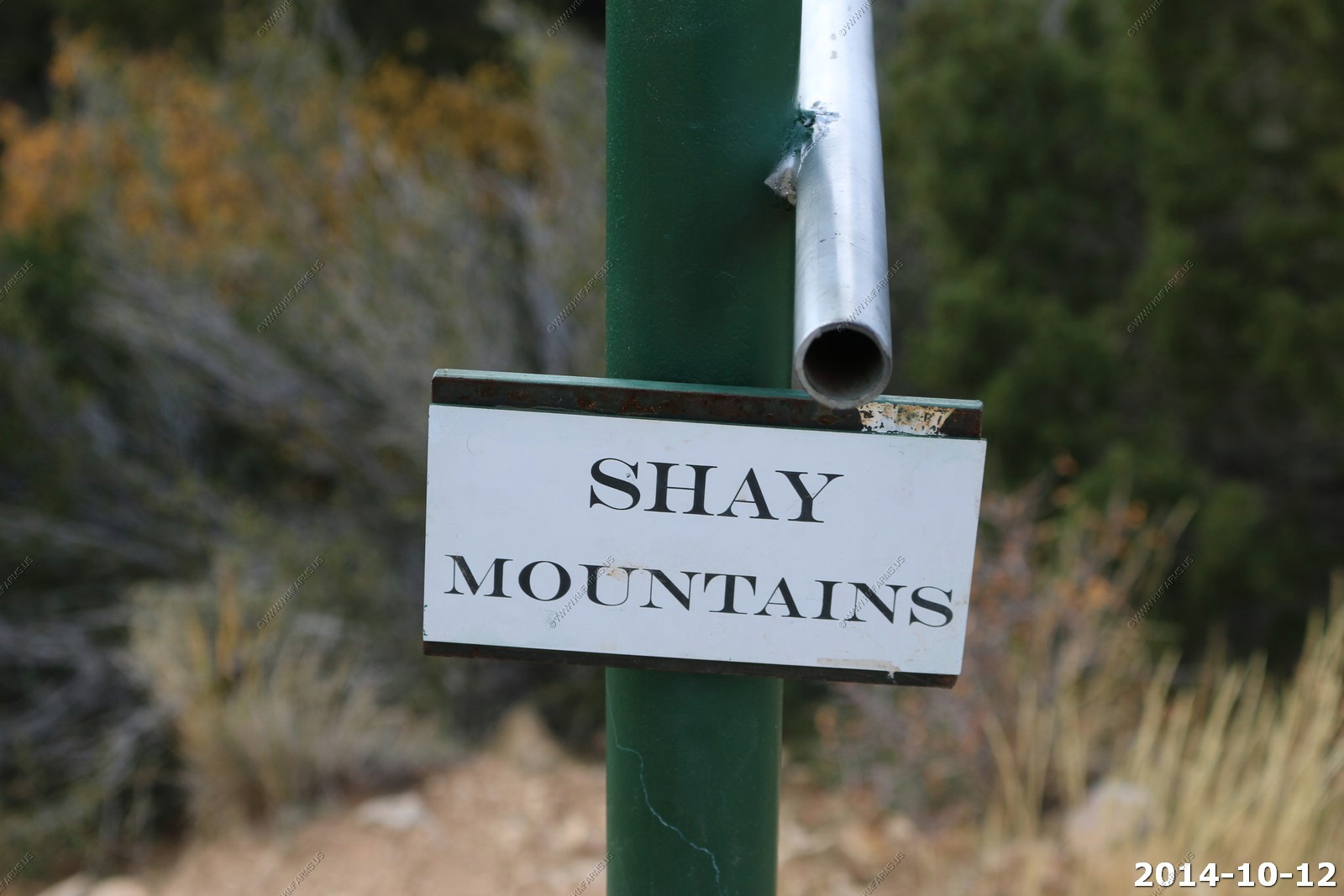
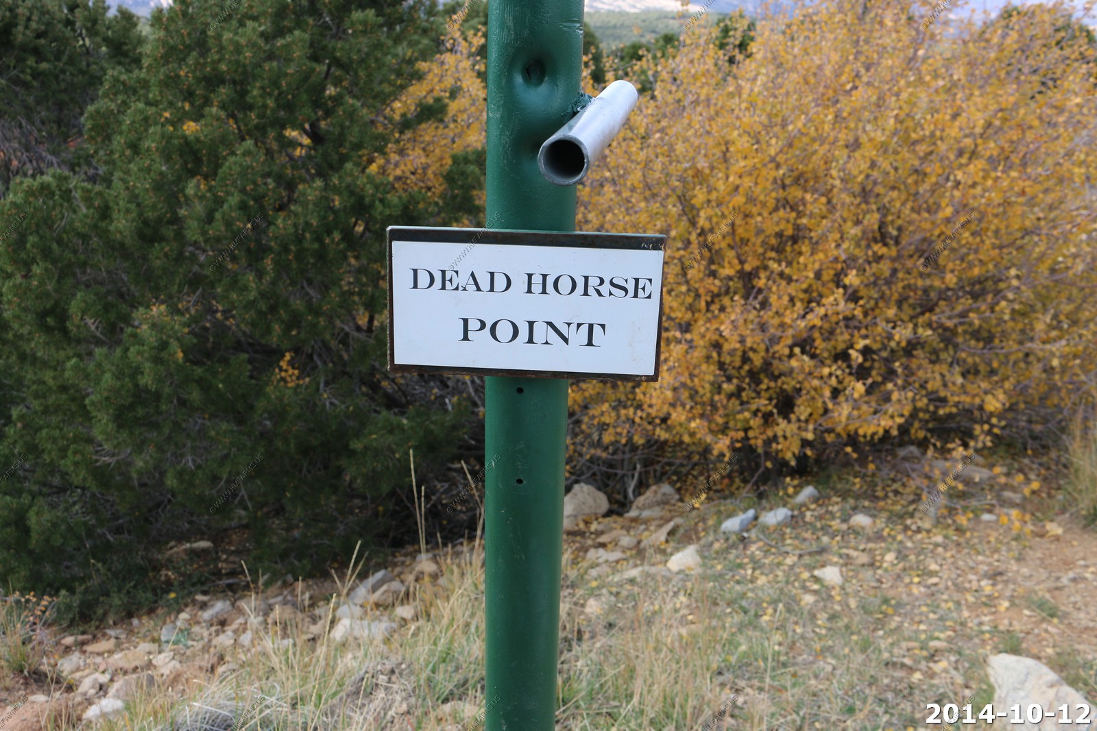
They had sight pipes to help you find various points of interest. This would be our last good look at the La Sal's
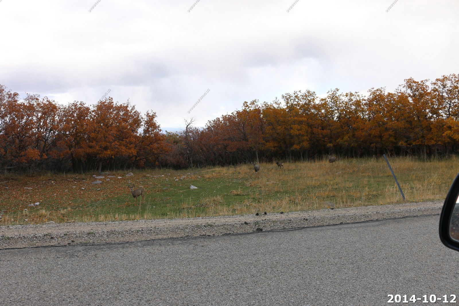
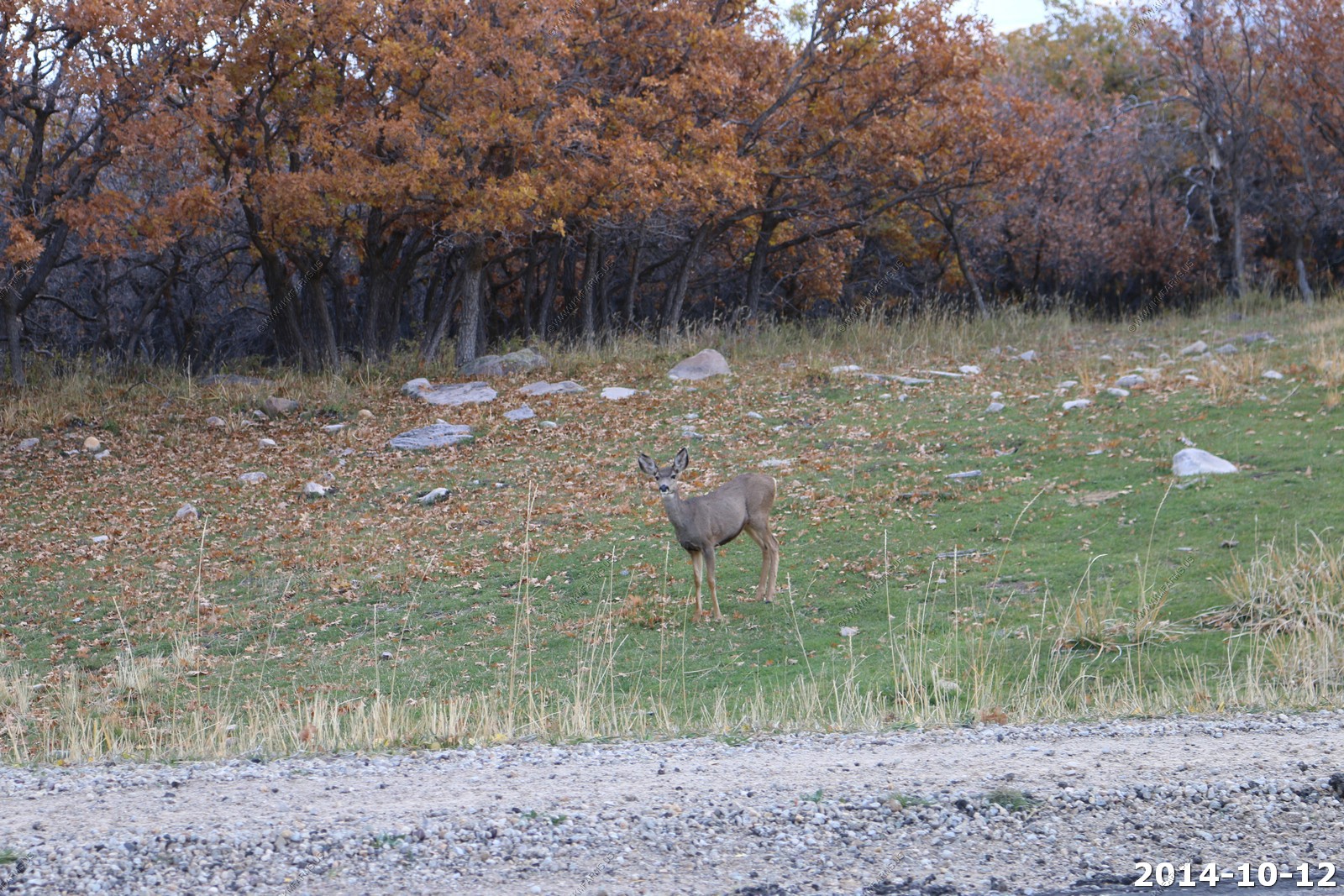
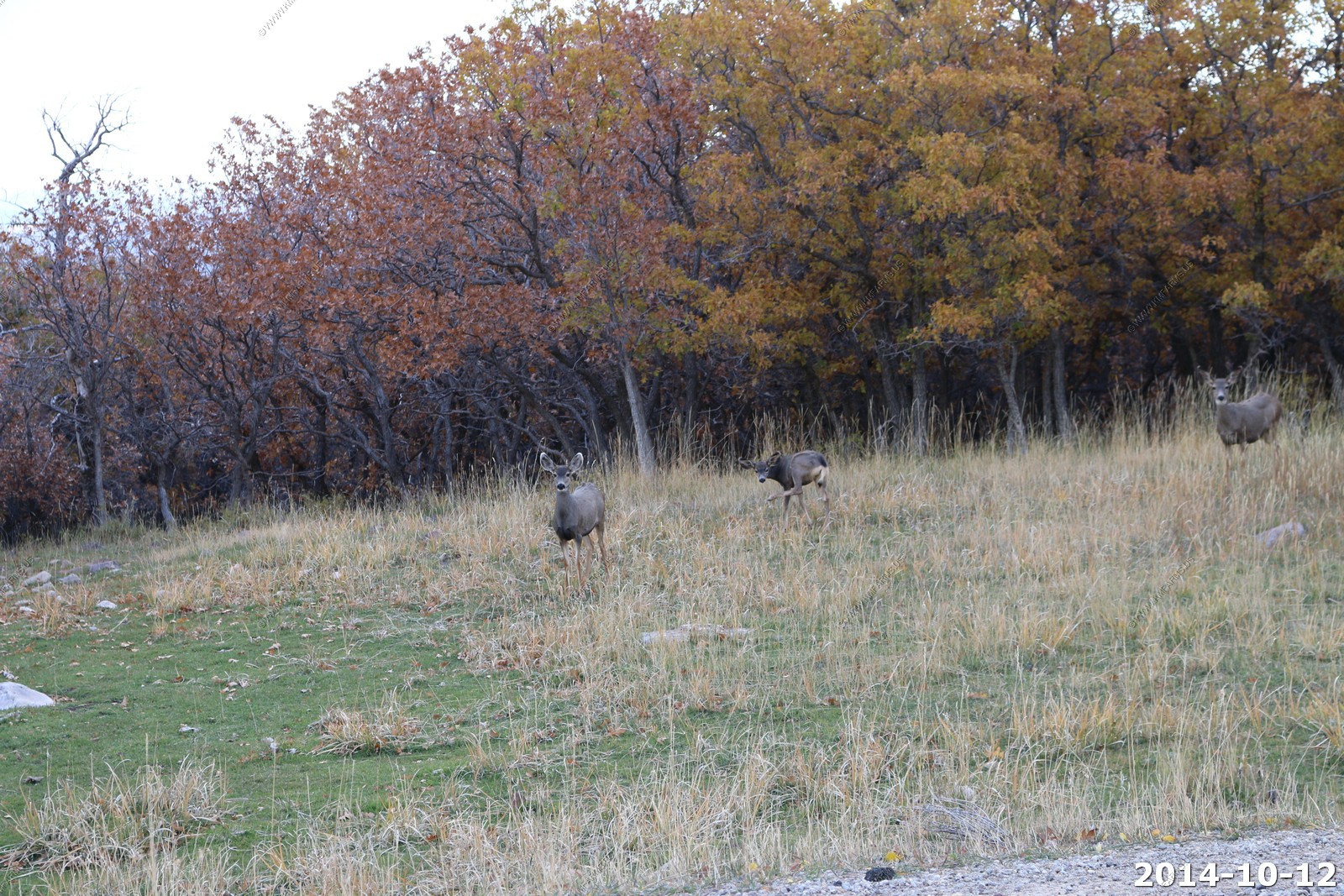
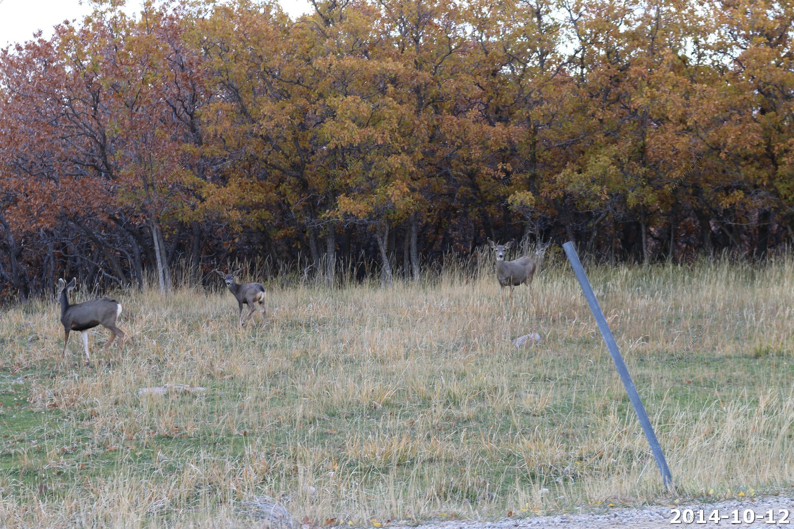
Heading south out of the Abajo mountain range we encountered Mule Deer all over the place.
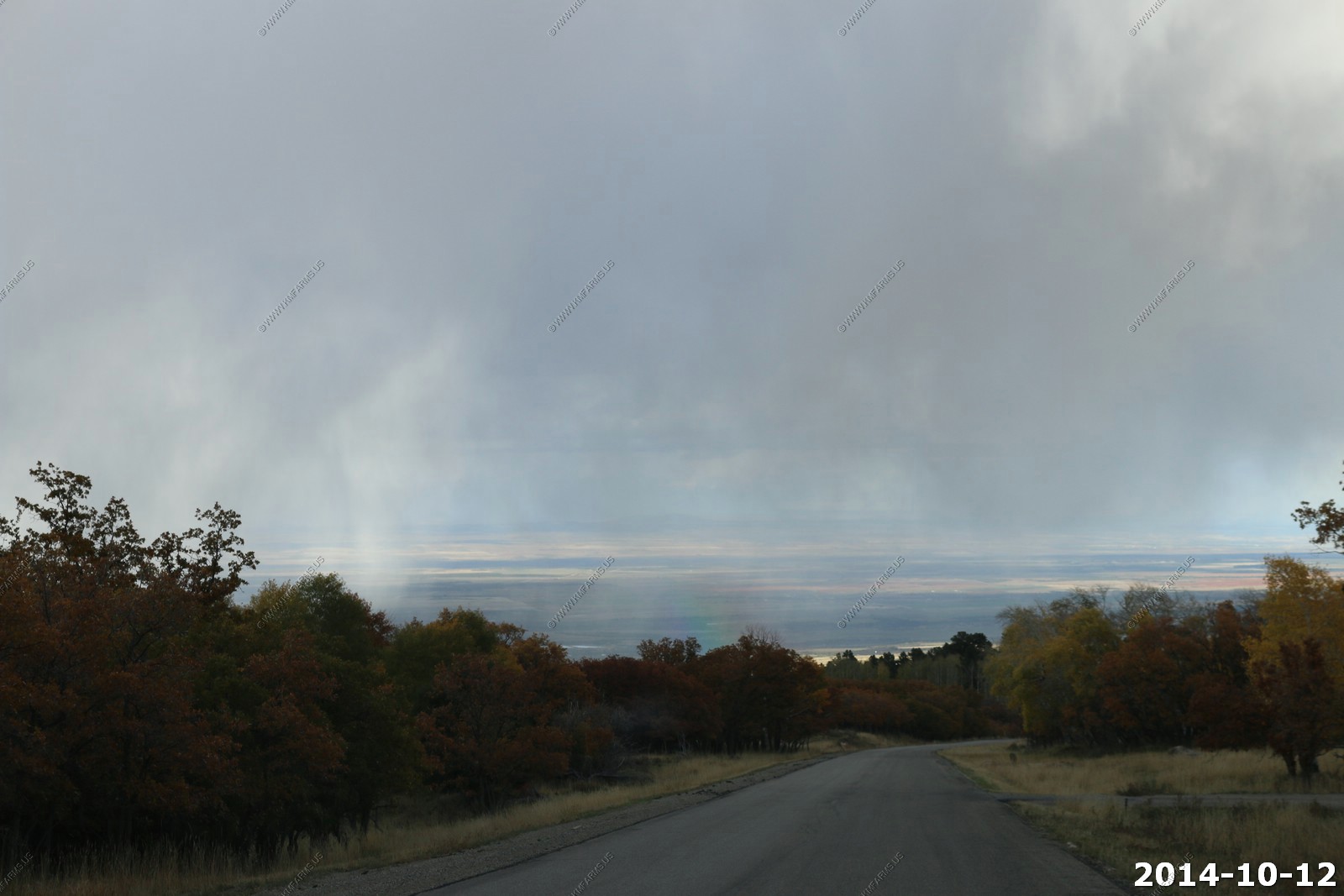
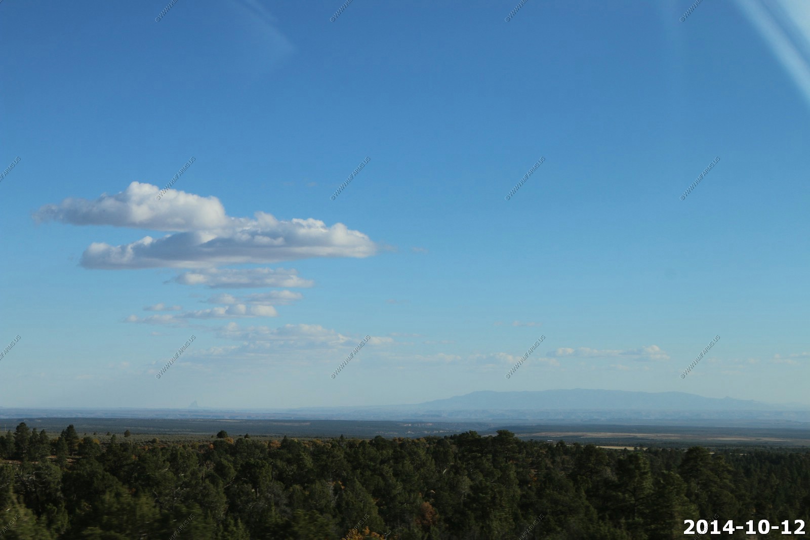
Incredible views as we came down out of the Abajo mountain range. Will have to come back here someday when it is clear.
Coming into the town of Monticello, UT.
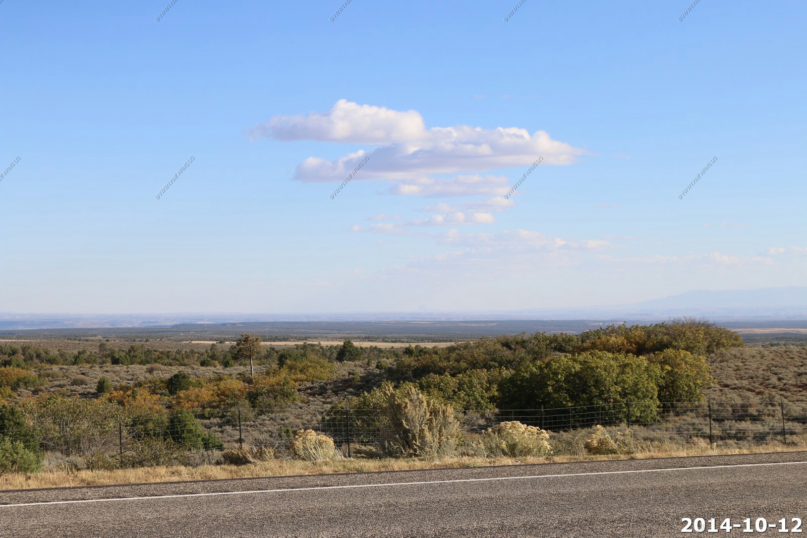
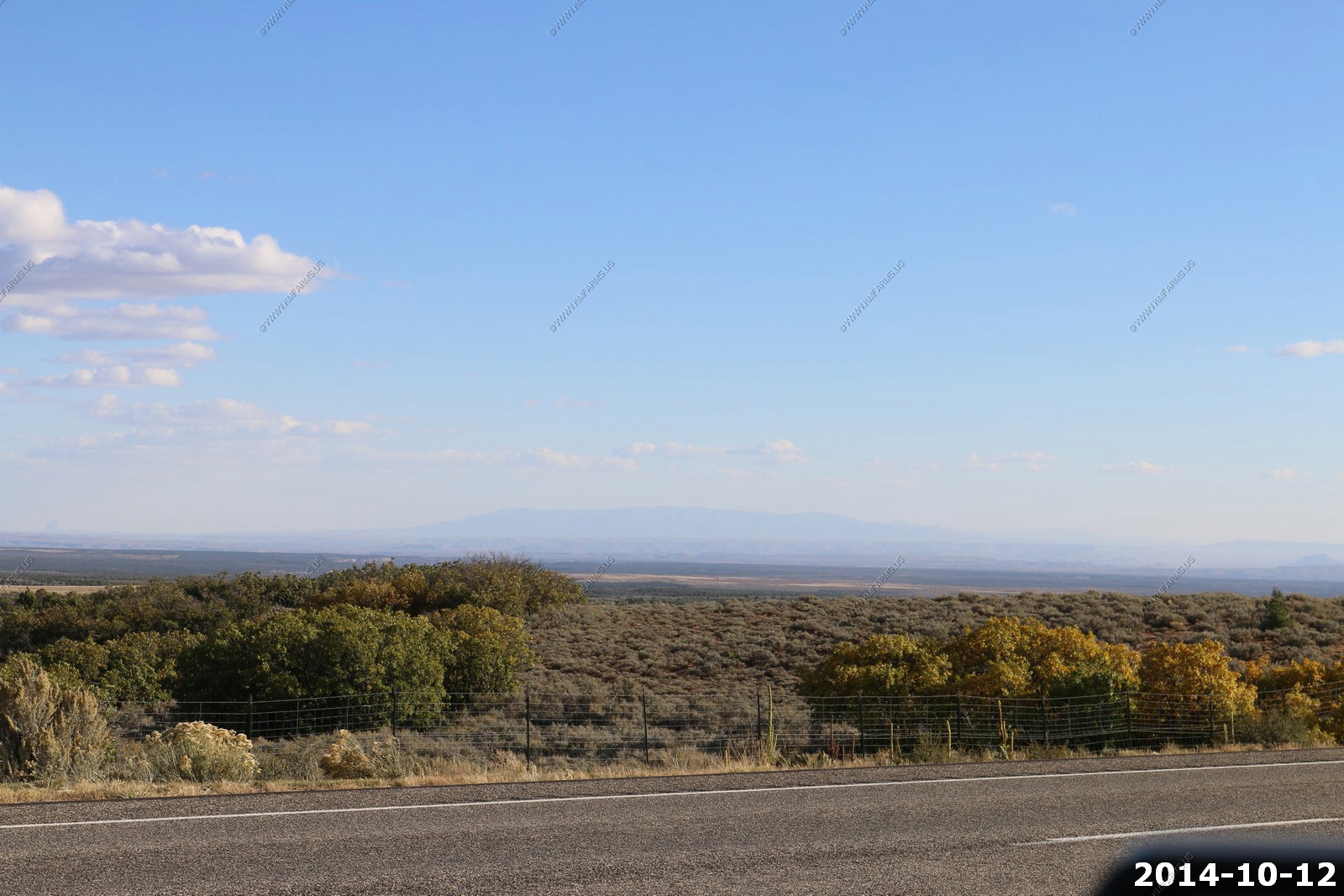
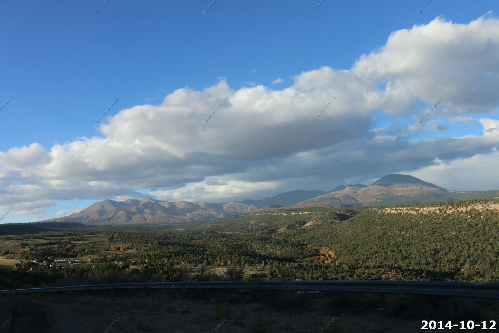
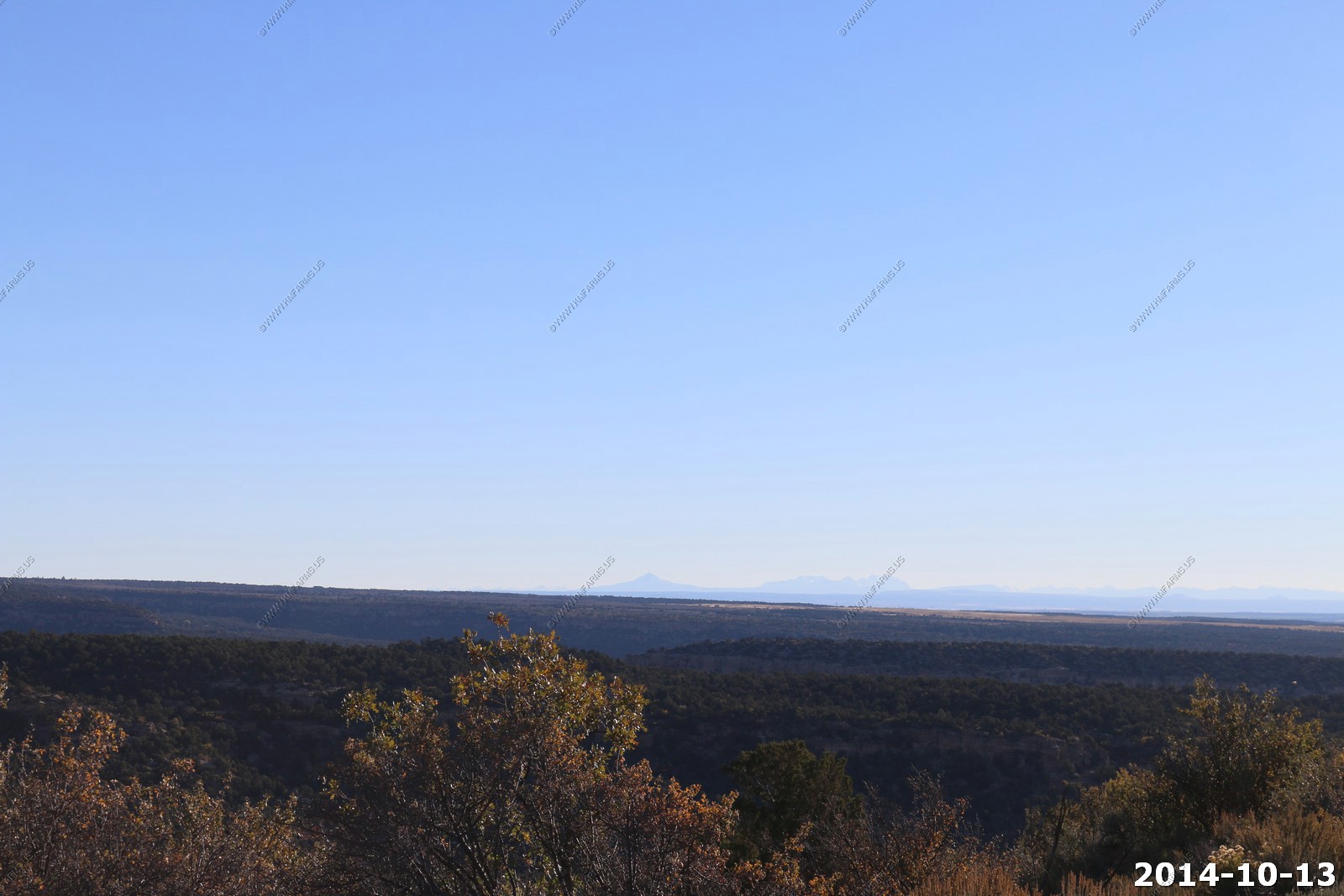
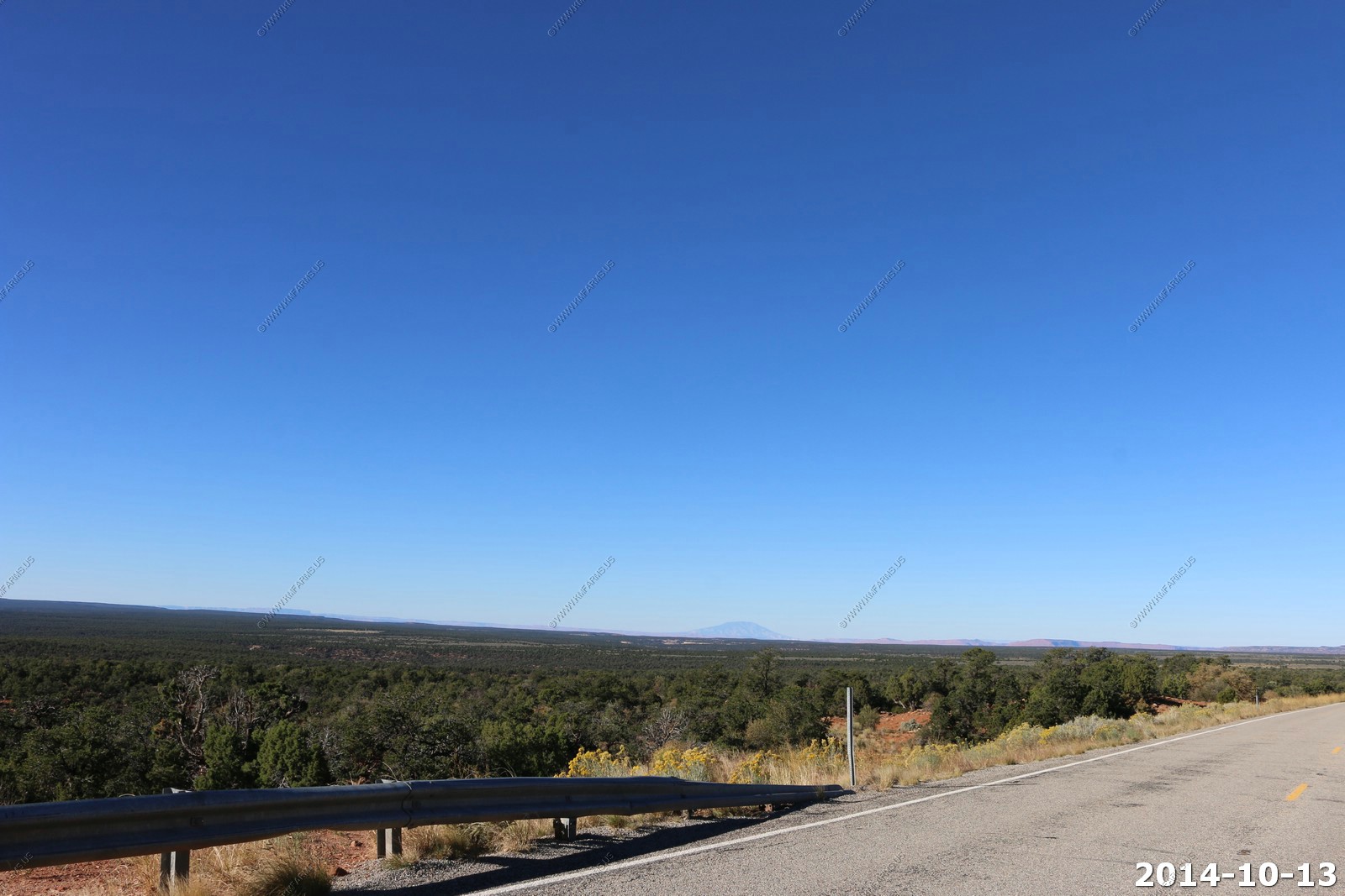
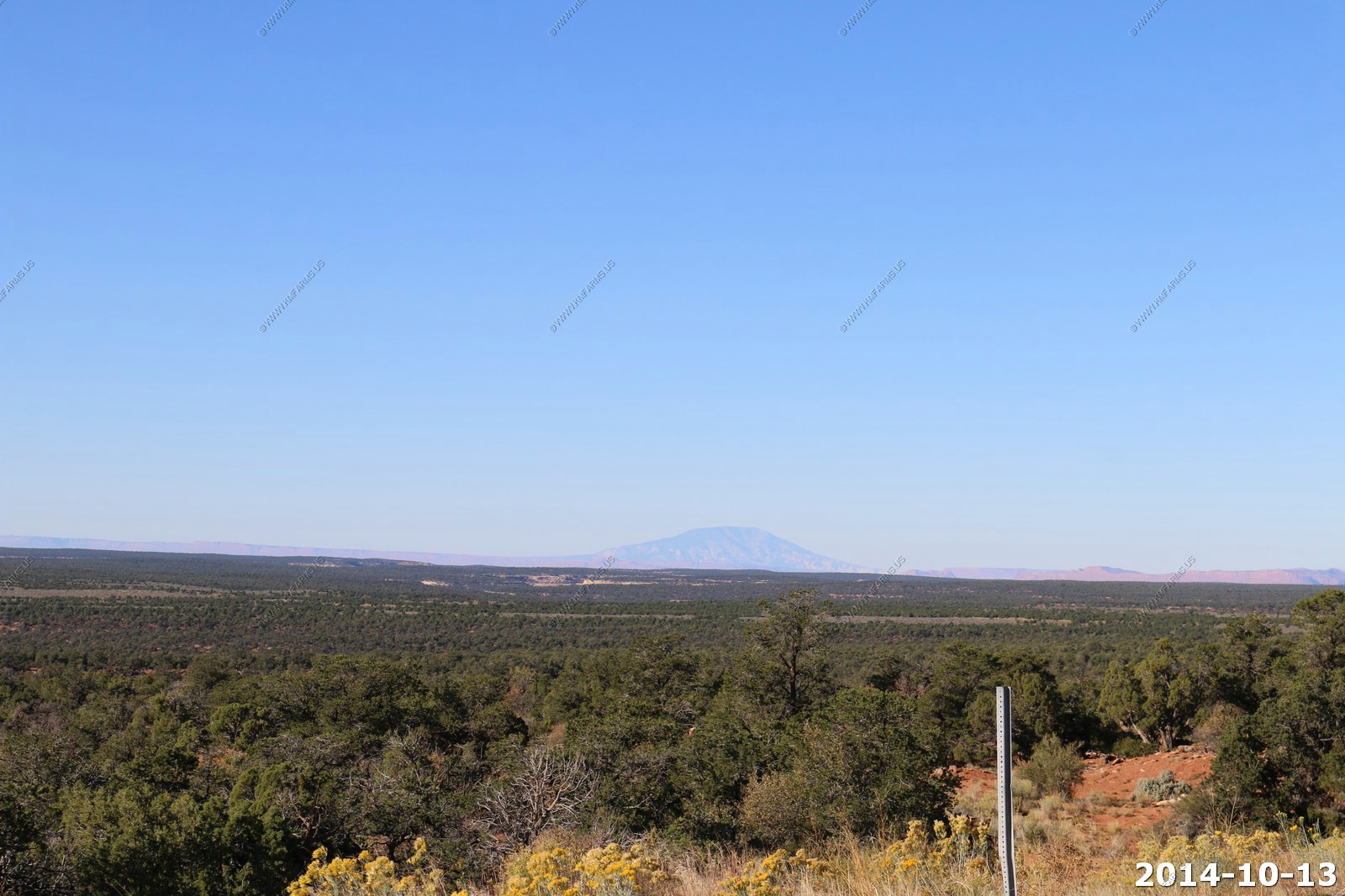
As we continued south on US-191 between Monticello, UT and Blanding, UT I was amazed at the views. To the east you could easily see well into Colorado. To the south you could see Shiprock, New Mexico, and in Arizona the Carrizo Mountains and Pastora Peak (el. 9,413). I assume you could see the Black Mesa to the South West in Arizona if it was really clear.
Shiprock, NM - Center.
Carrizo Mountains in Arizona - Pastora Peak (el. 9,413).
Sleeping Ute Mountain is a 9,978 ft. peak and the highest among several peaks that comprise the Ute Mountains in southeastern Colorado.
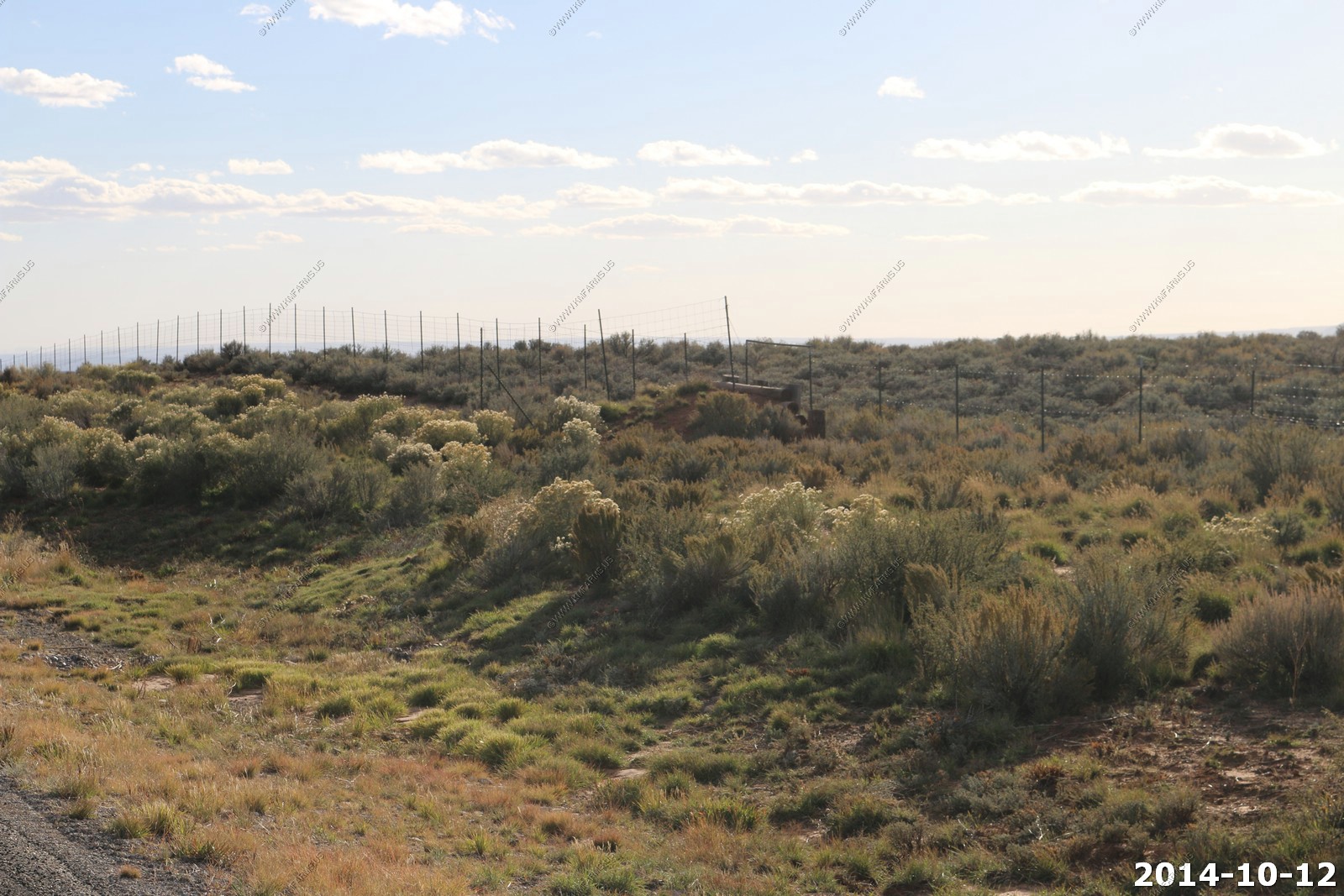
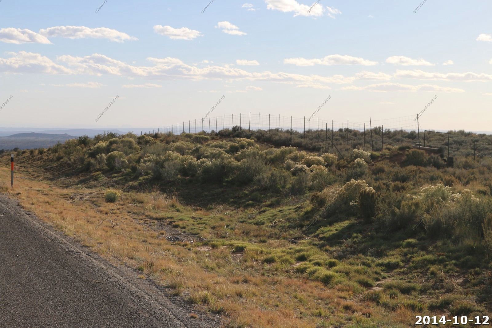
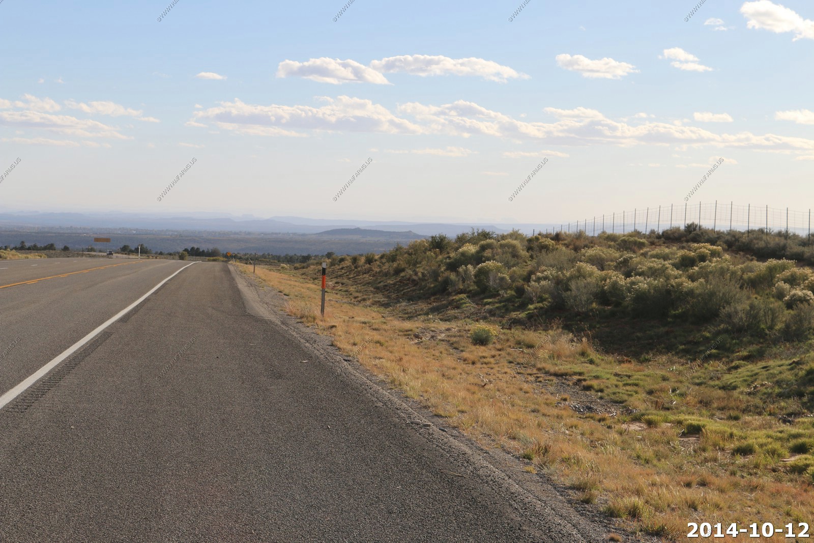
Game fences along US-191.
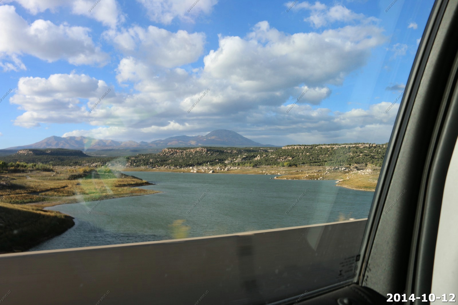
Recapture Reservoir along US-191 with the Abajo mountain range in the background.
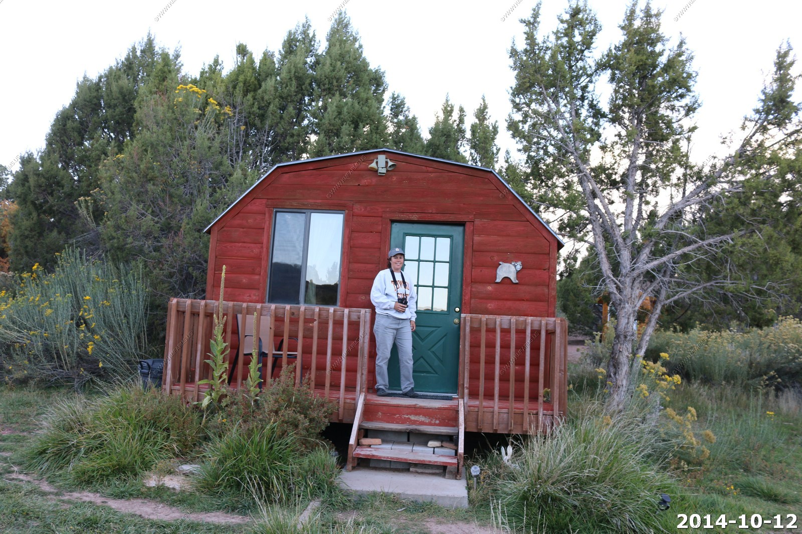
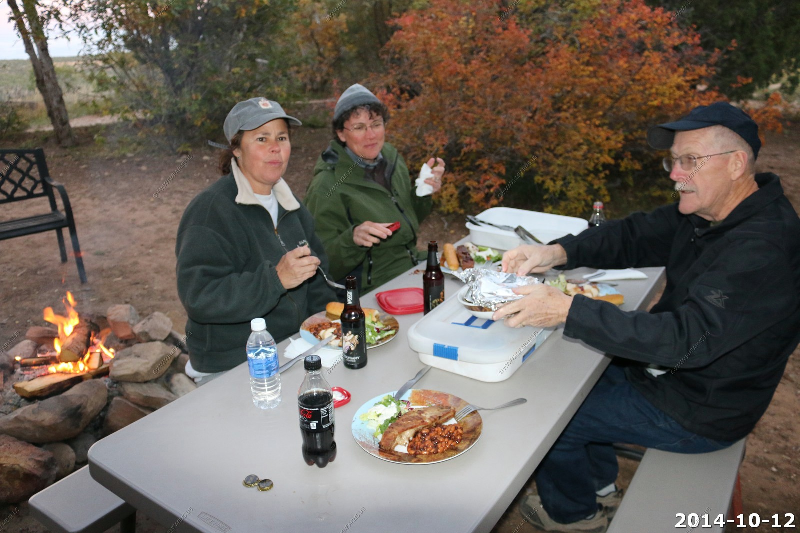
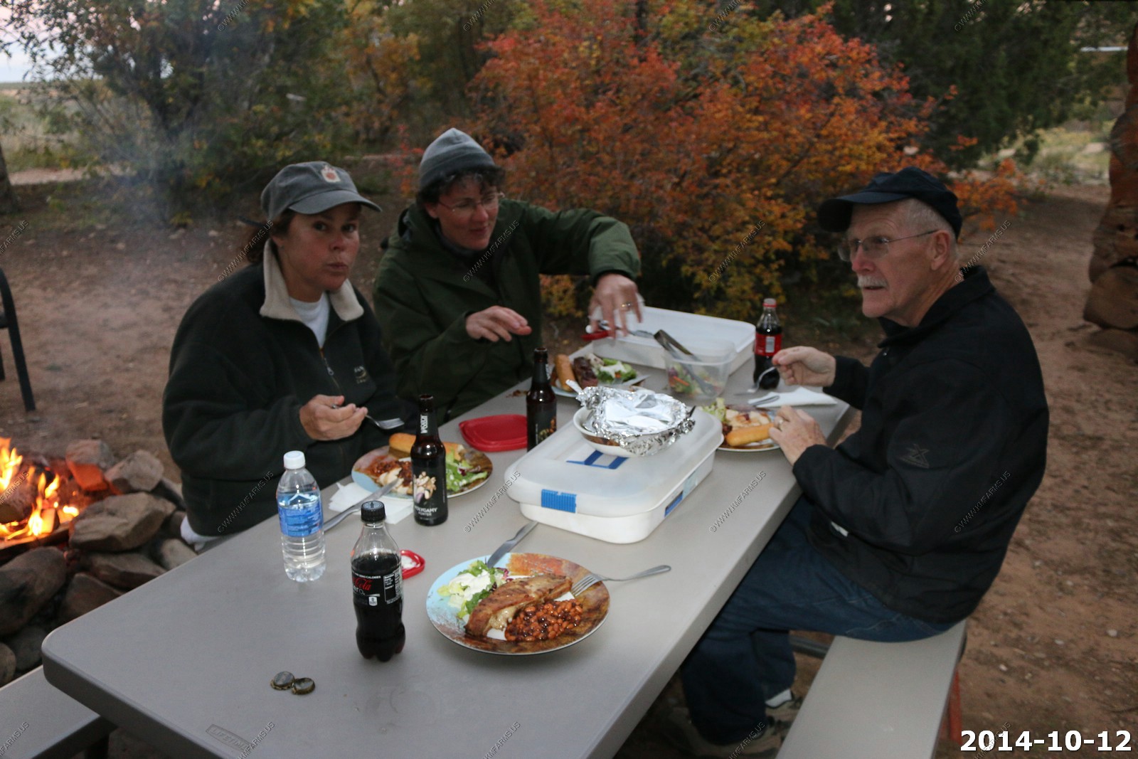
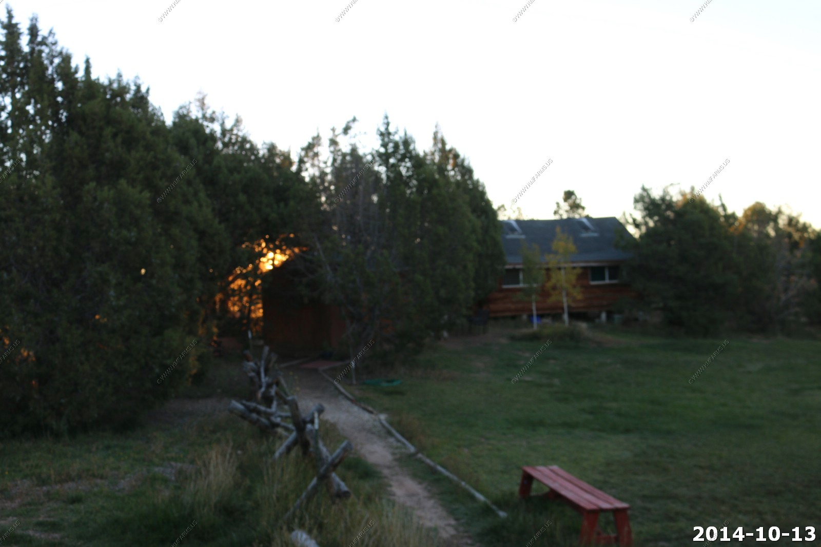
So Mary booked a night at Abajo Haven guest cabins. To be honest I was not happy about this. No heat... No TV.. Shower was 150ft from our cabin. We ate dinner & breakfast outside in the dark with no heat and I froze my ass off.
But, it's funny... Now that the trip is long over I think about this night the most. It was fun !
Also, I was not happy as I would not have internet. But, ATT cell service was very good at this location. Not sure why but I had no issues connecting to the web
The view from our Cabin of the Abajo Mts.
Our cabin
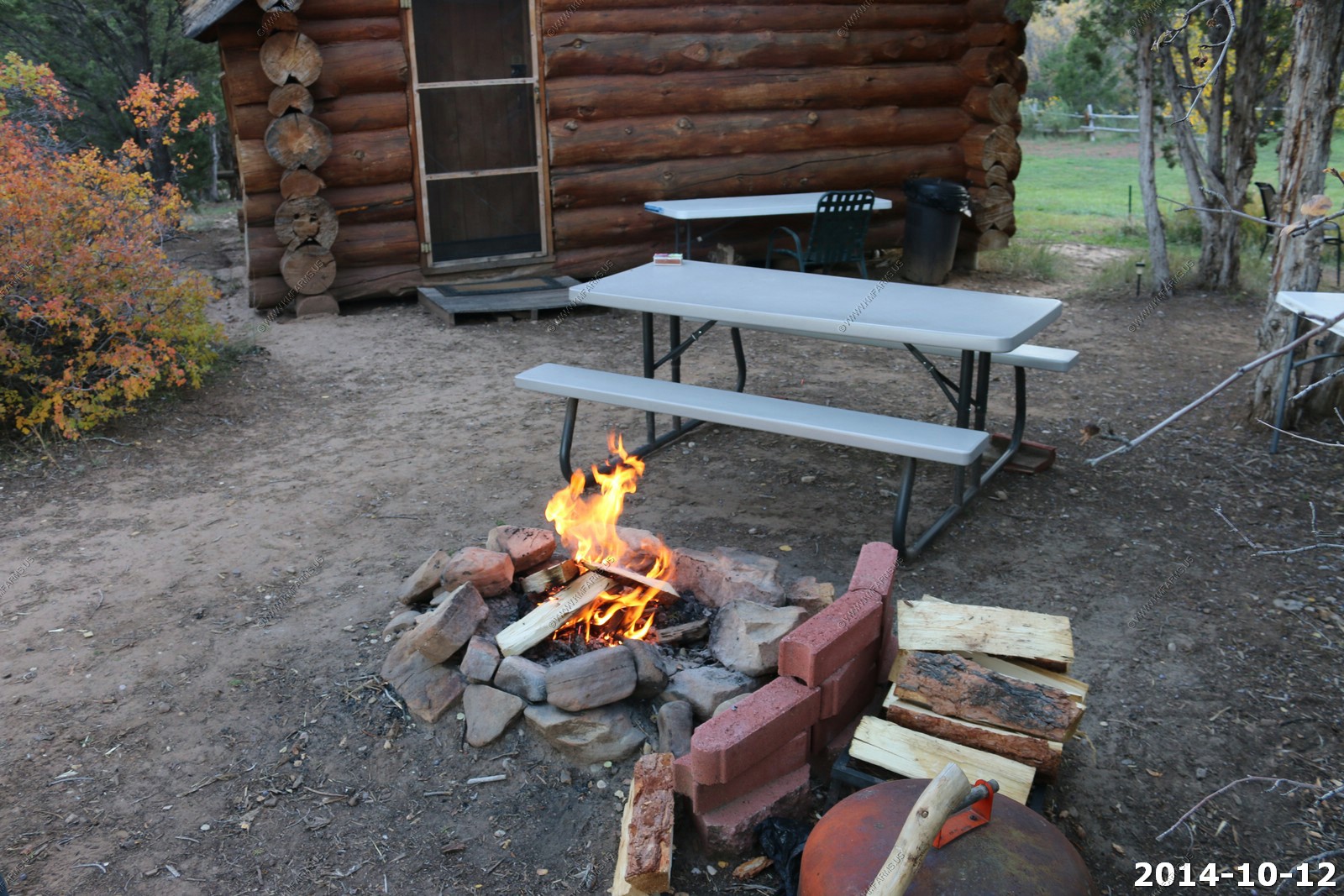
Fire and our 40 degree dinner. But, it tasted very good !
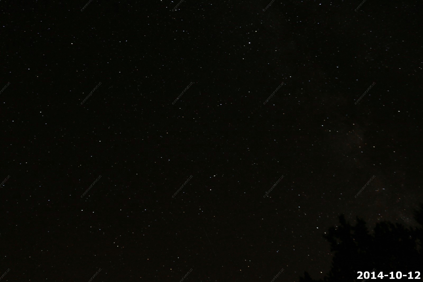
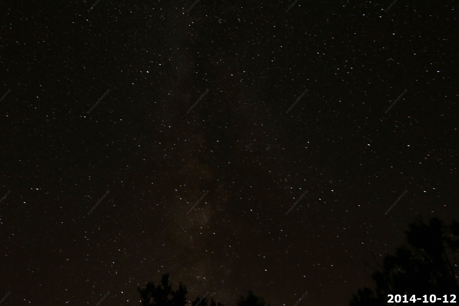
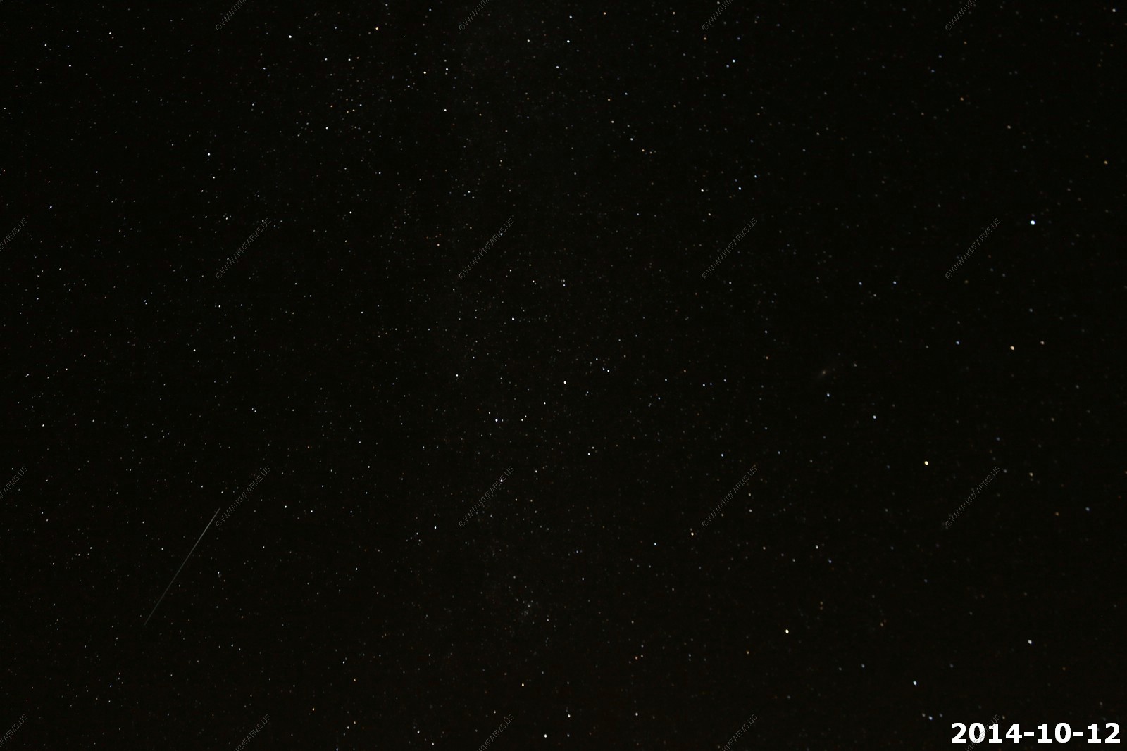
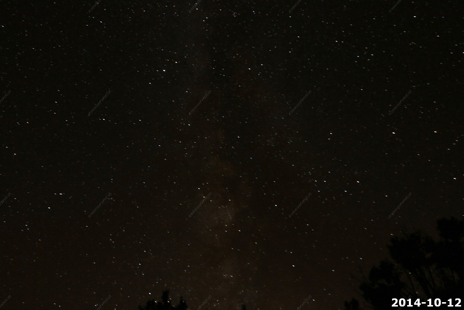
It was very dark here. And I set up my camera to take some long exposure photos. But, It was too darn cold to get into it !
These were on the bathroom wall. Not sure if they were real or not.
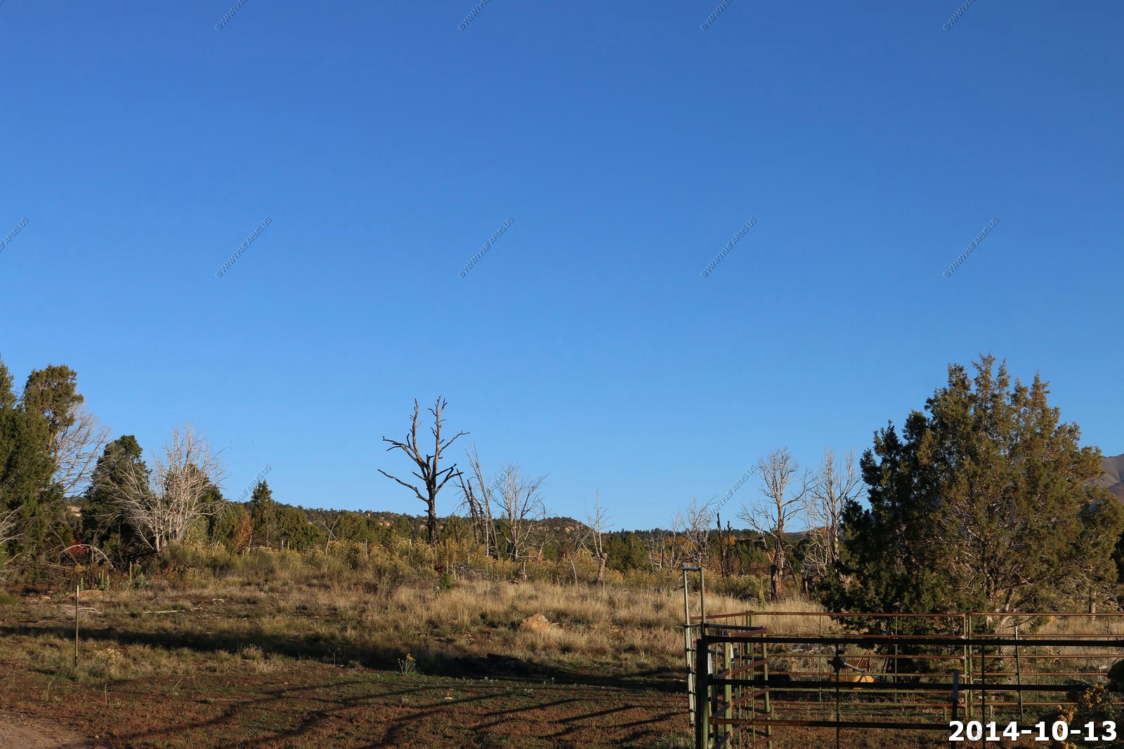
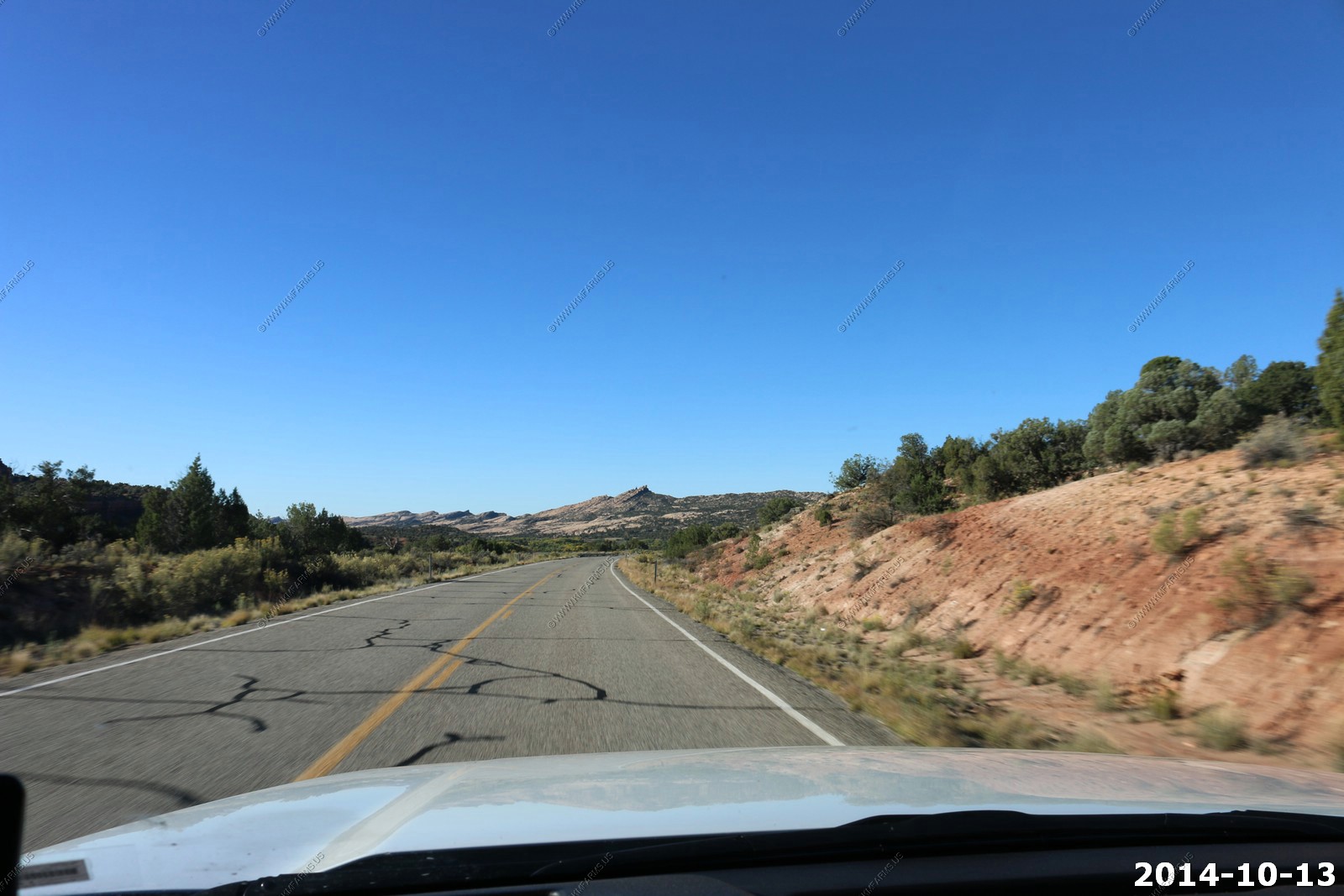
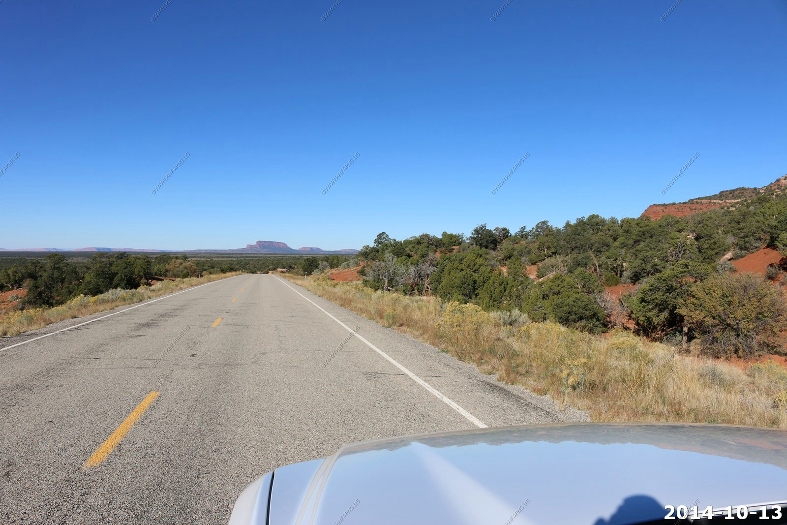
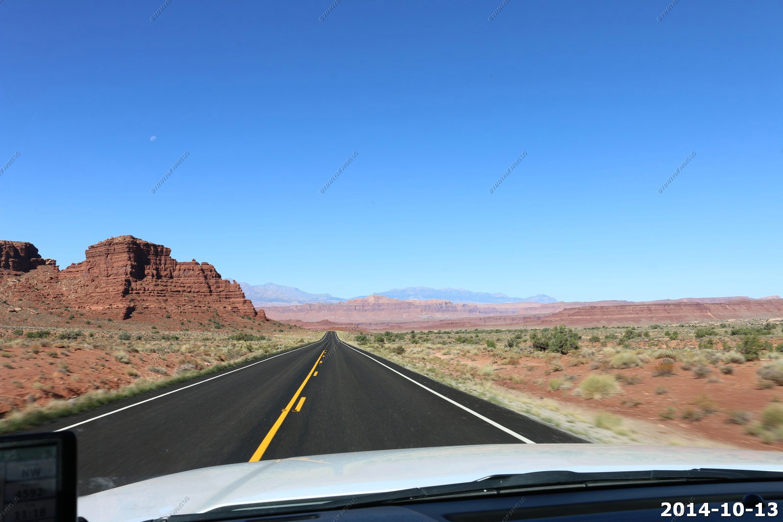
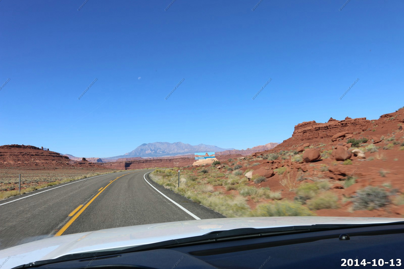
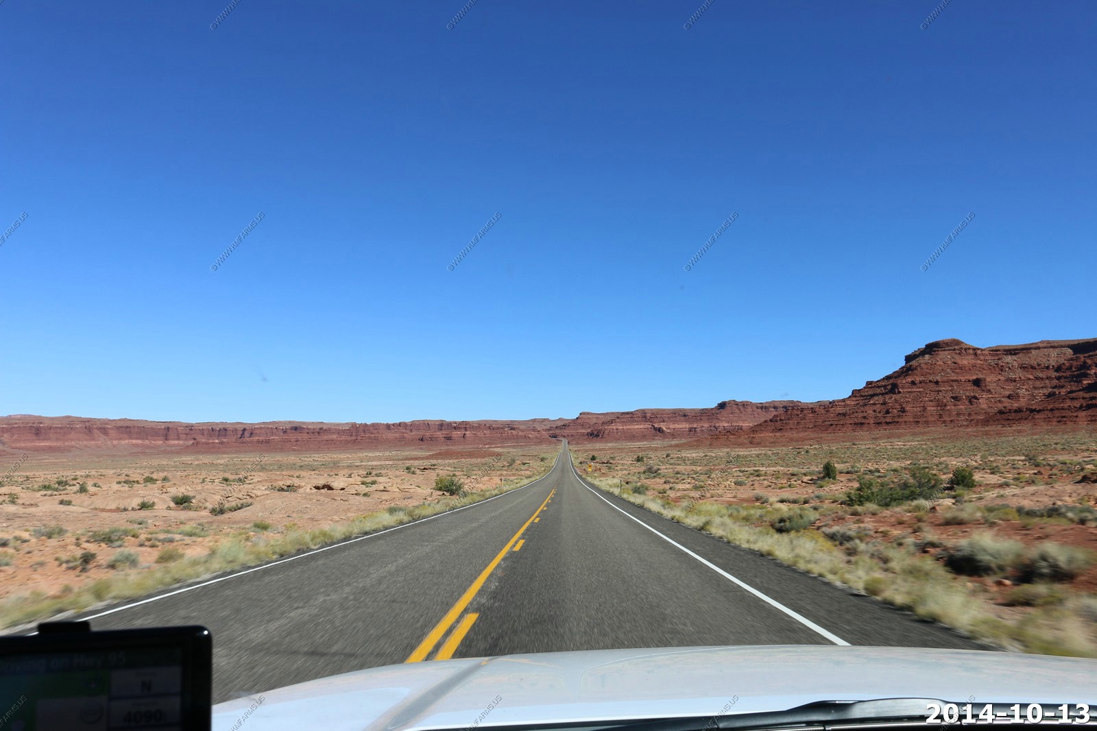
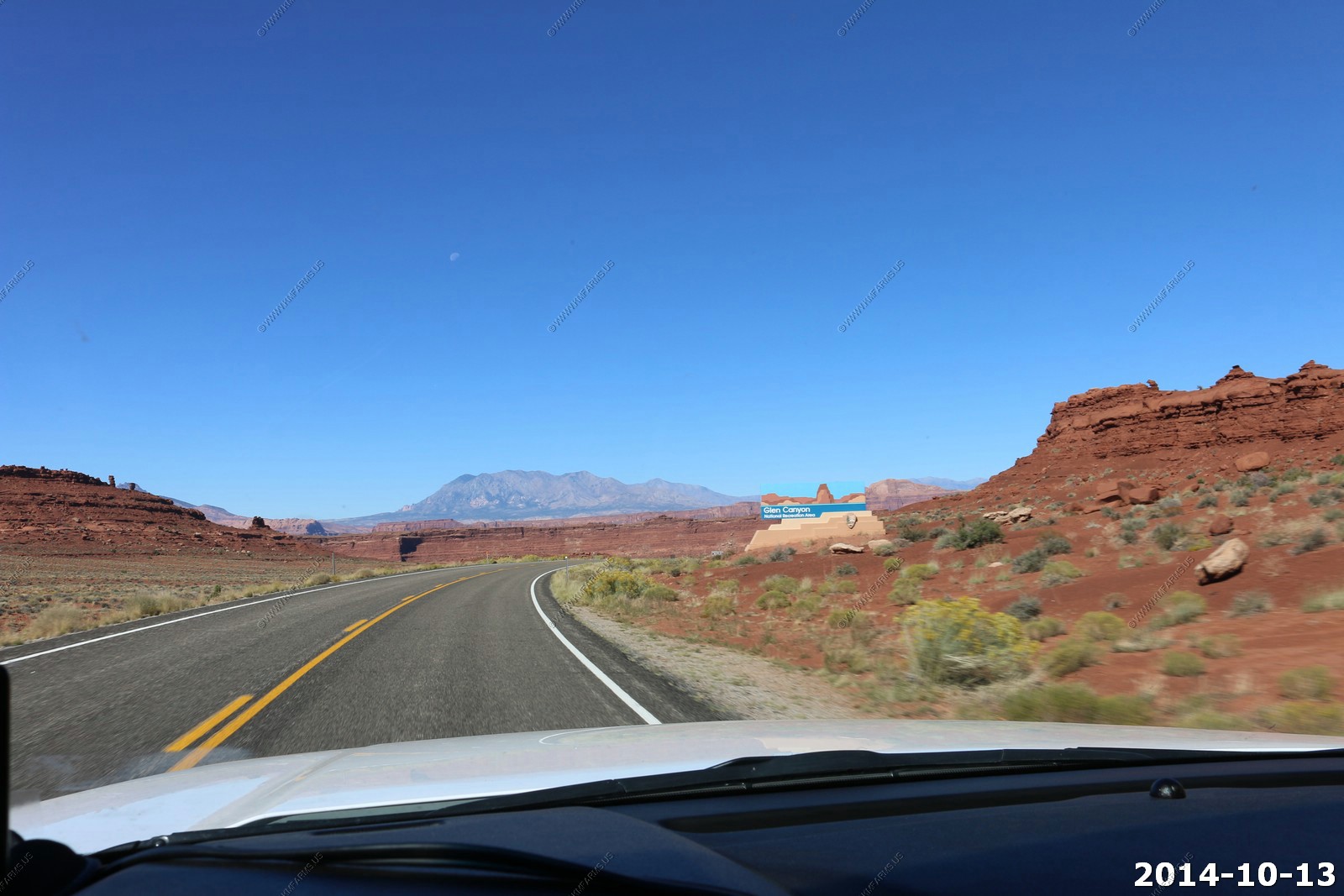
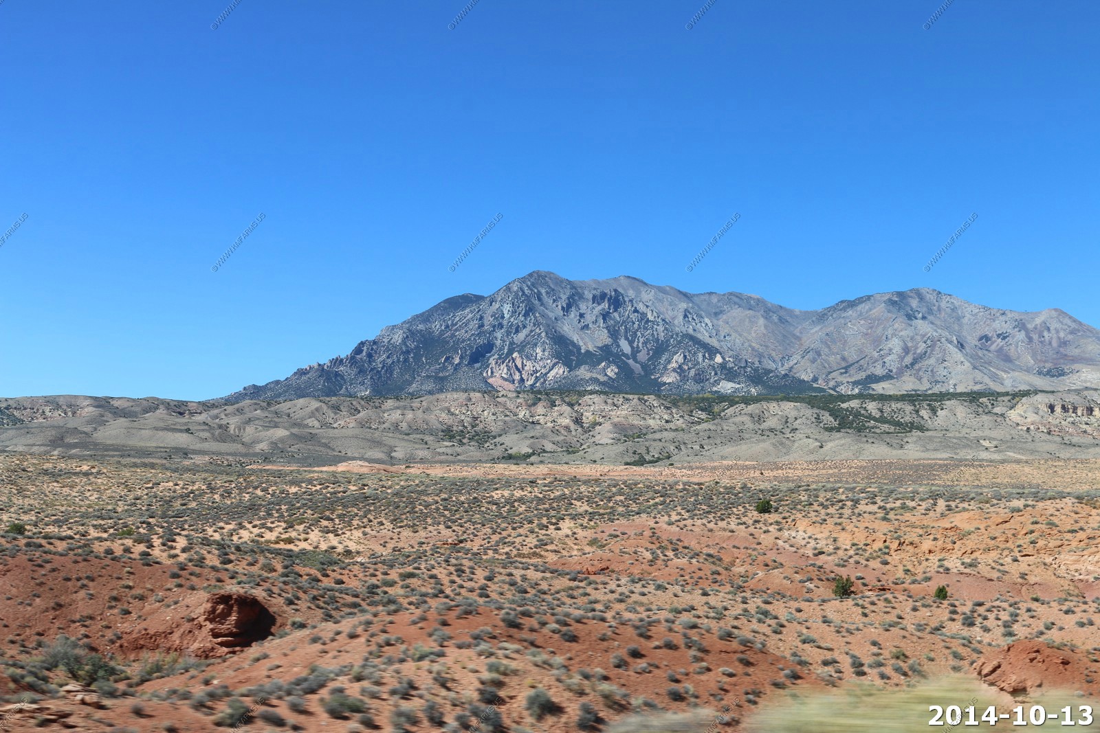
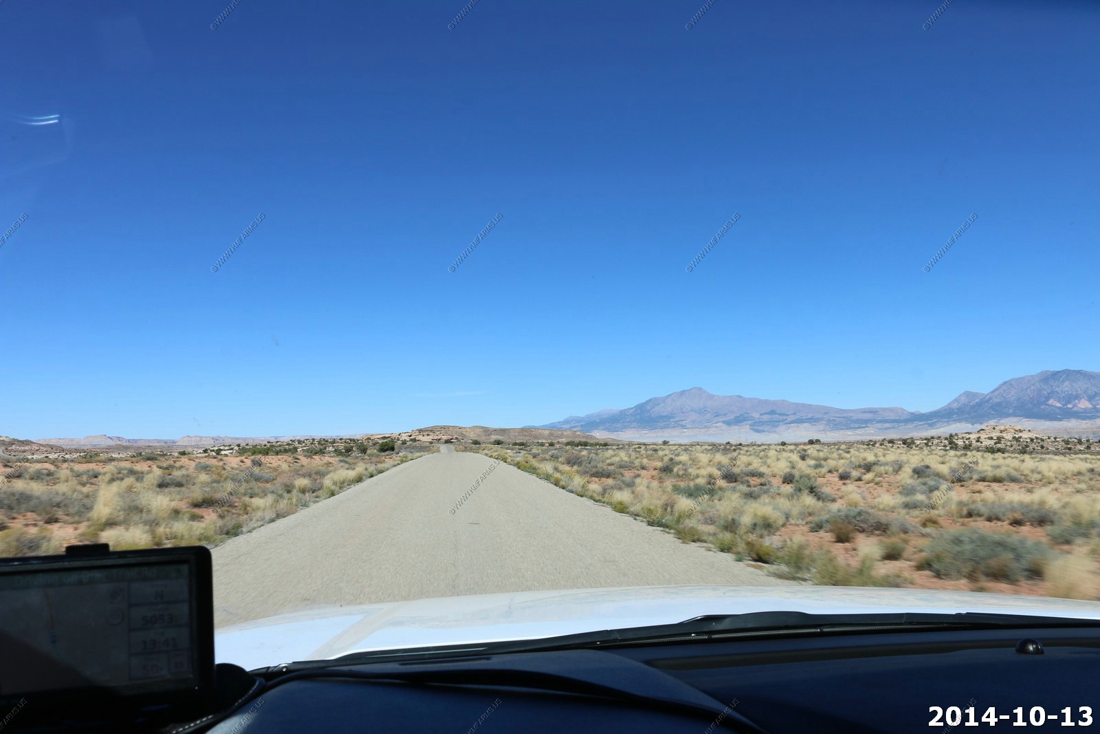
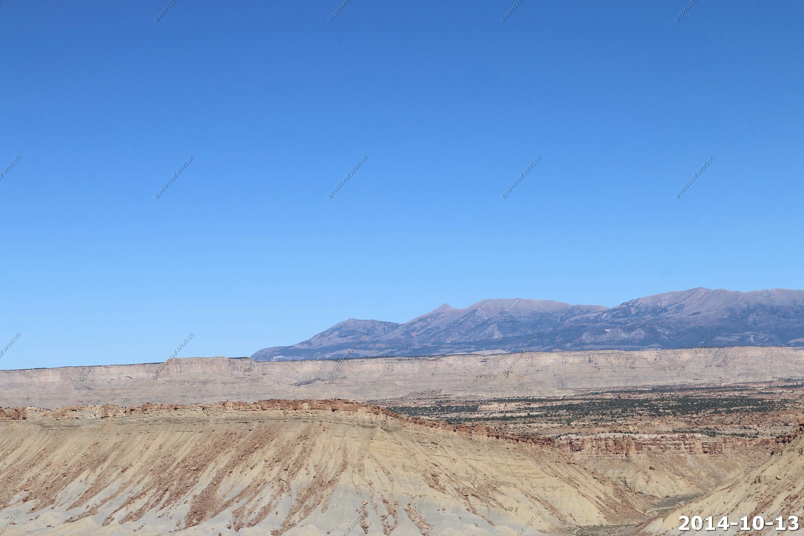
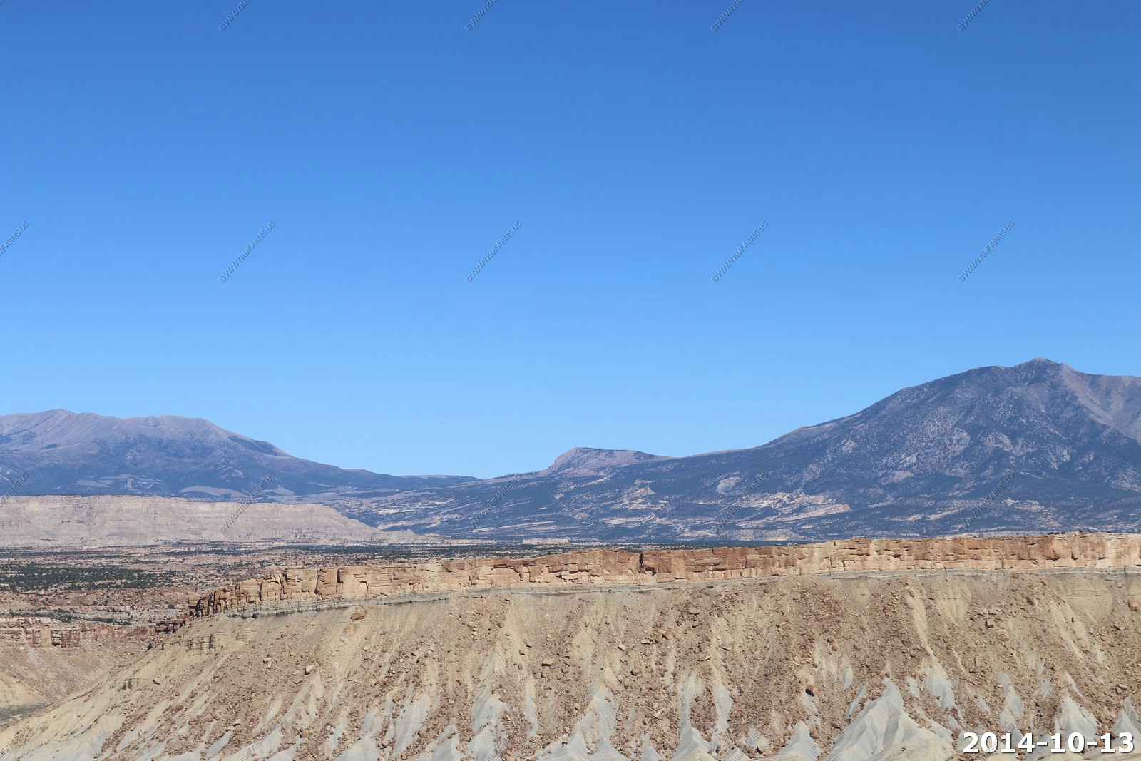
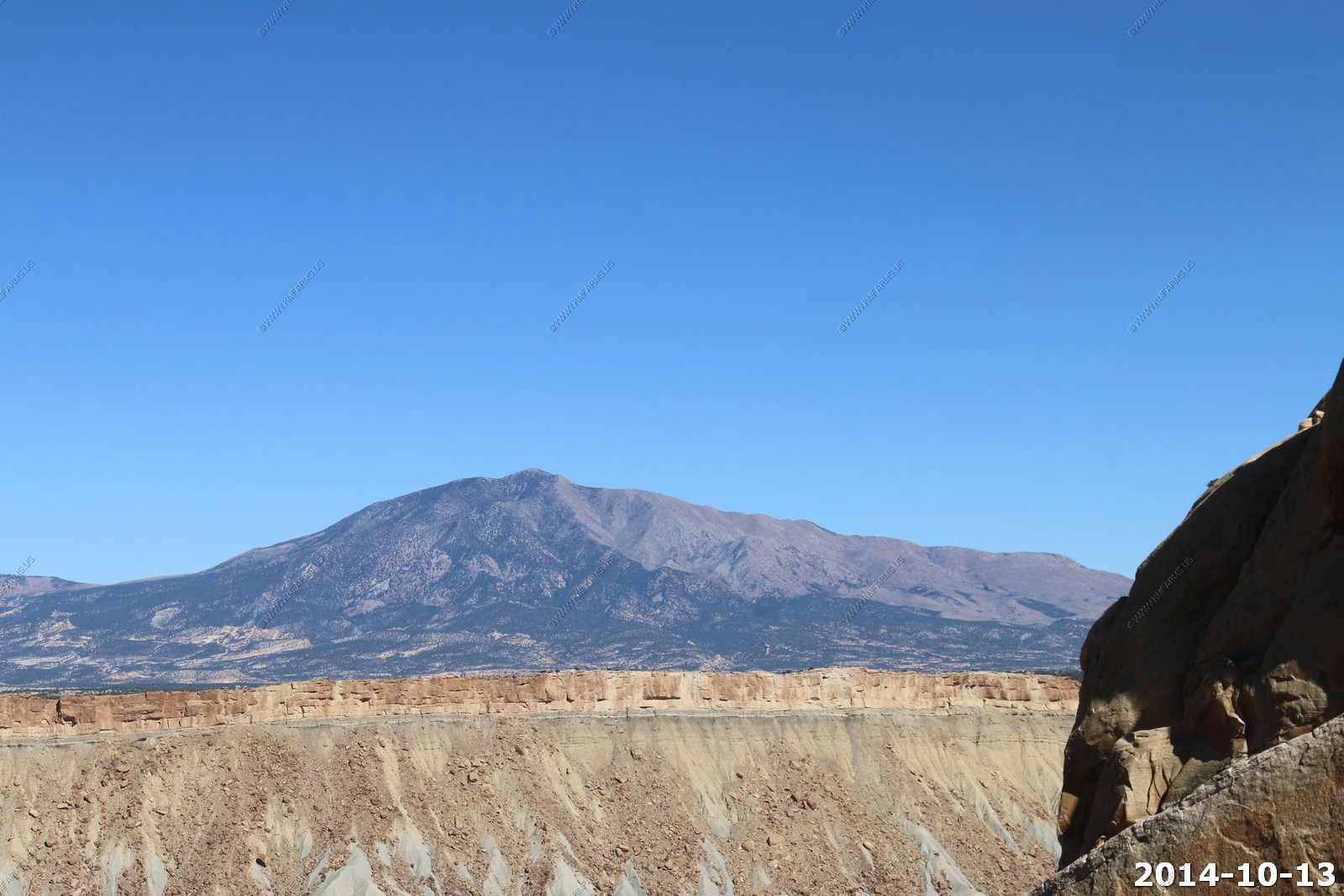
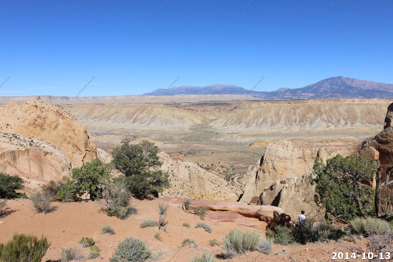
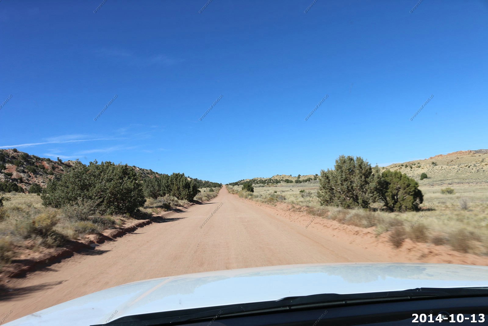
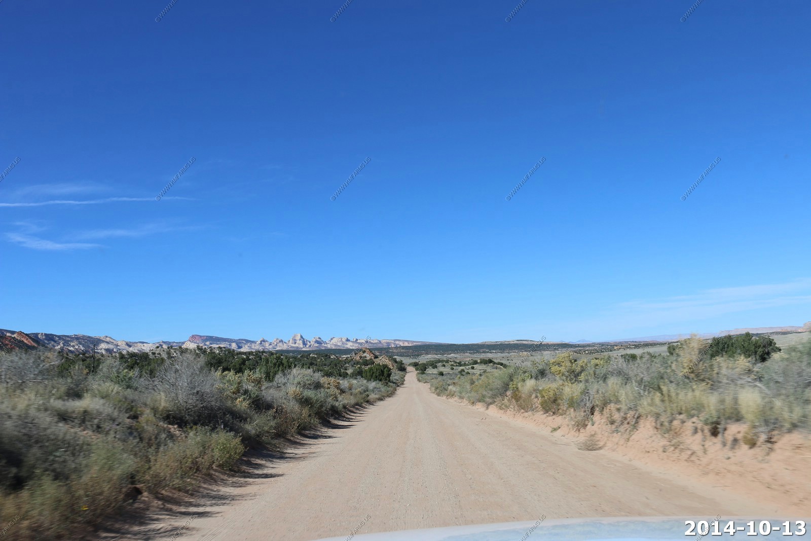
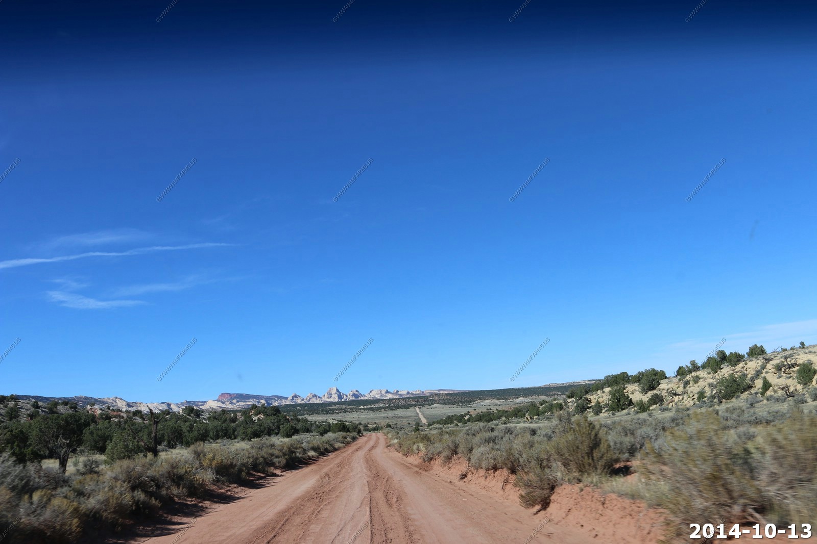
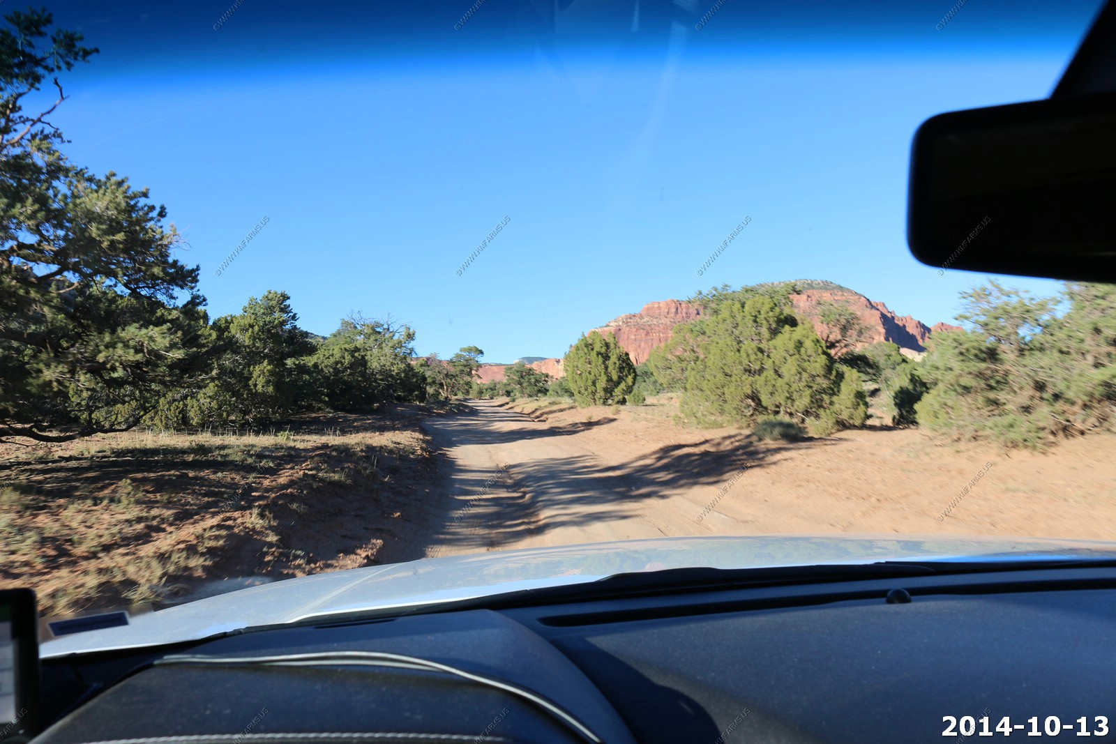
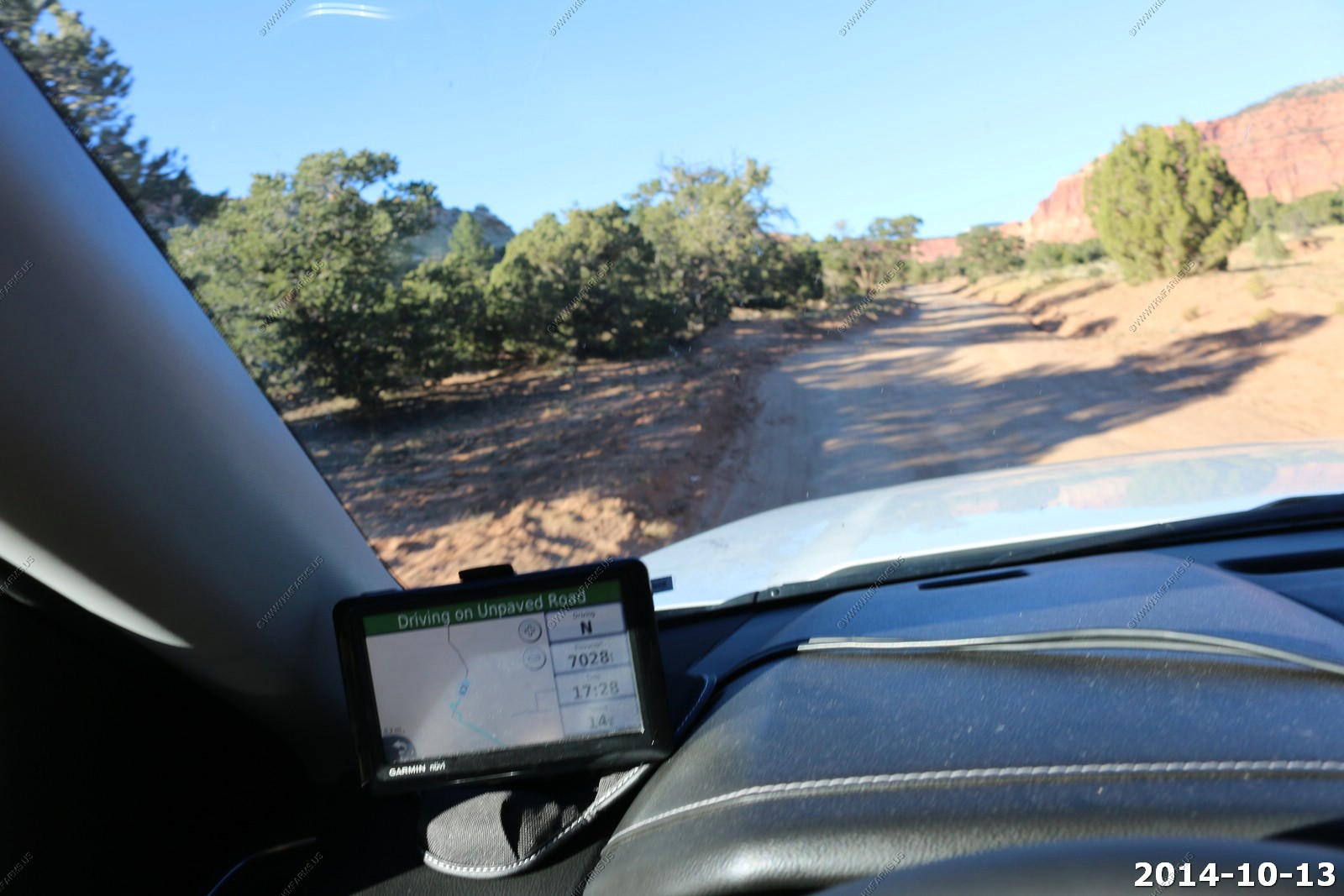
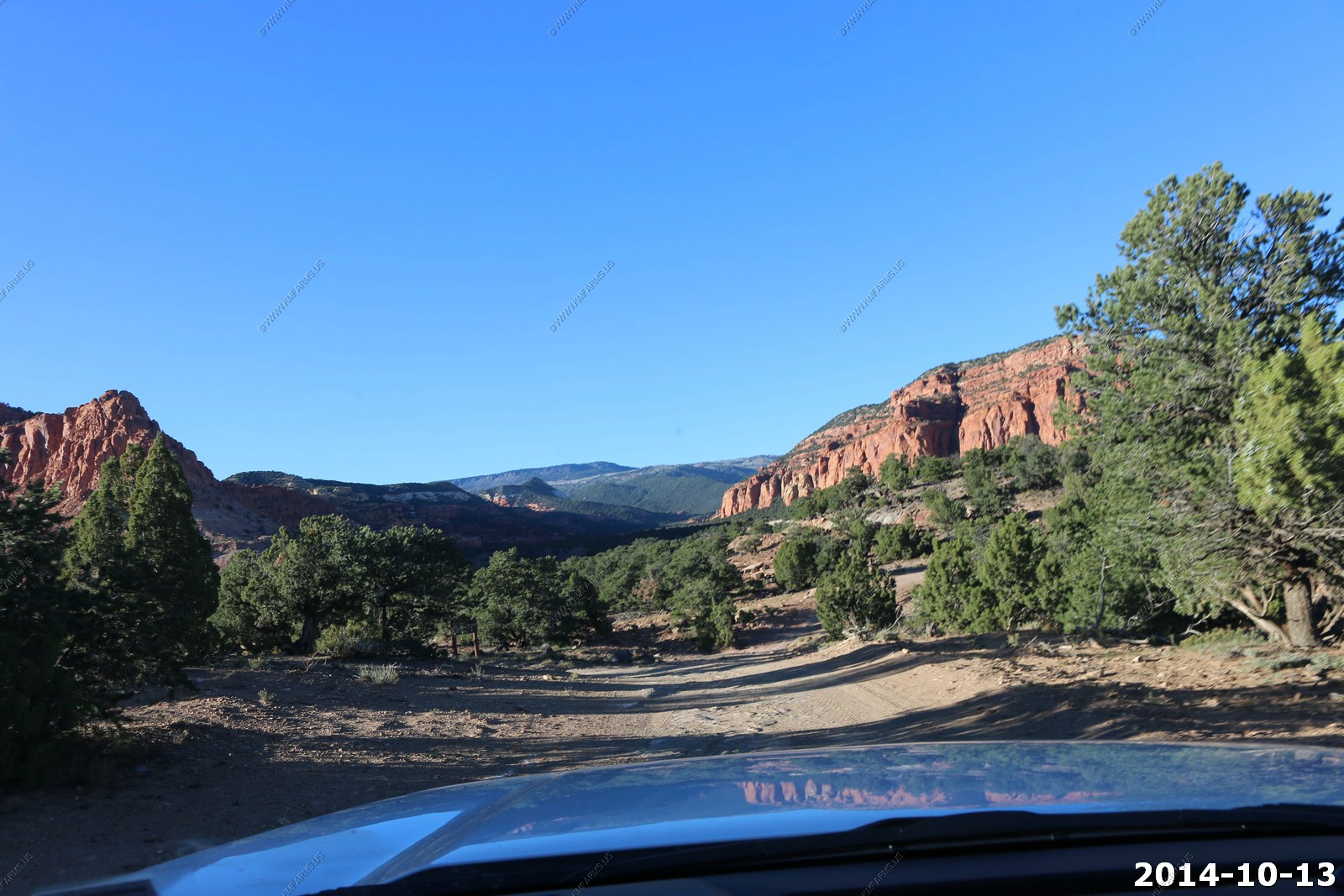
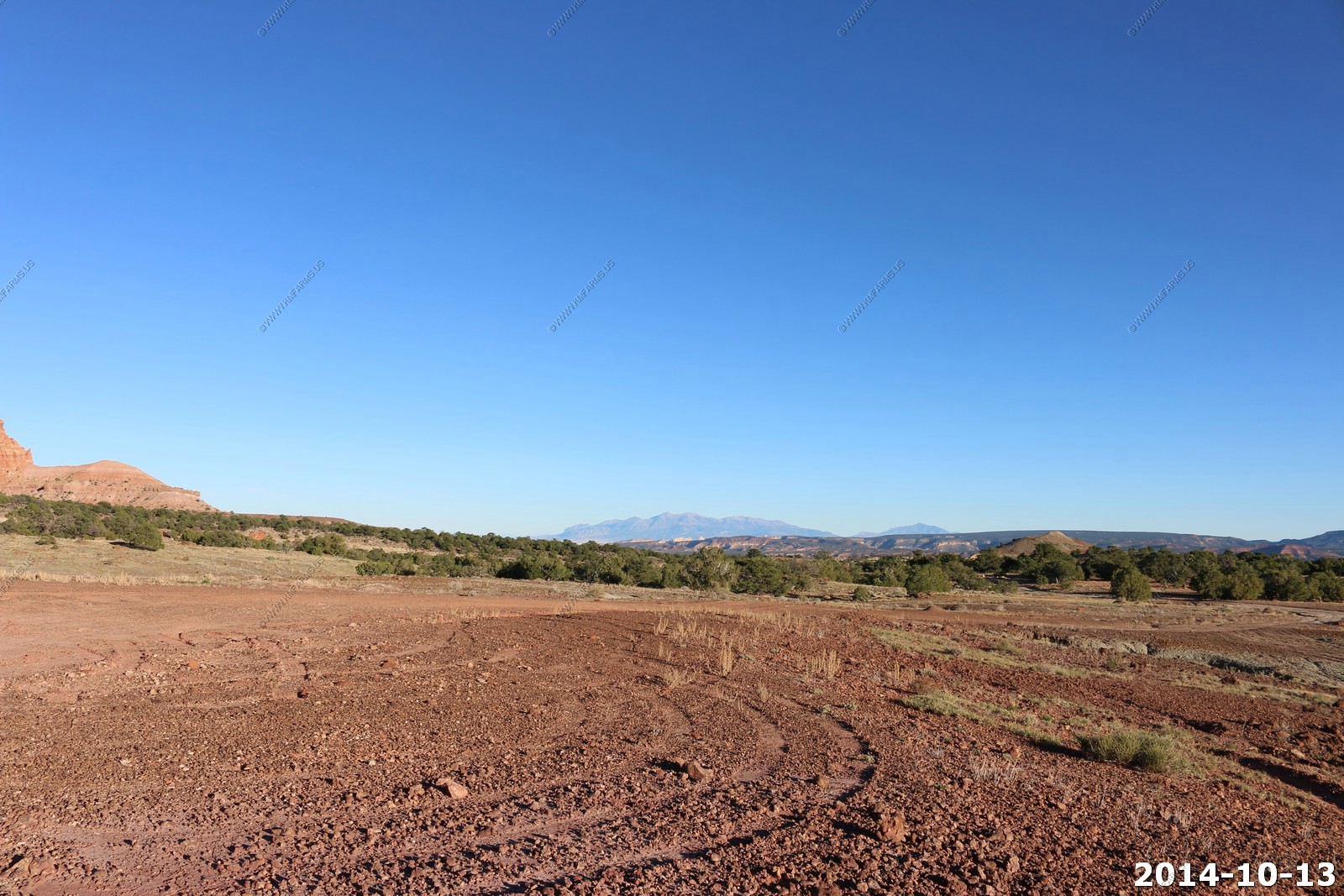
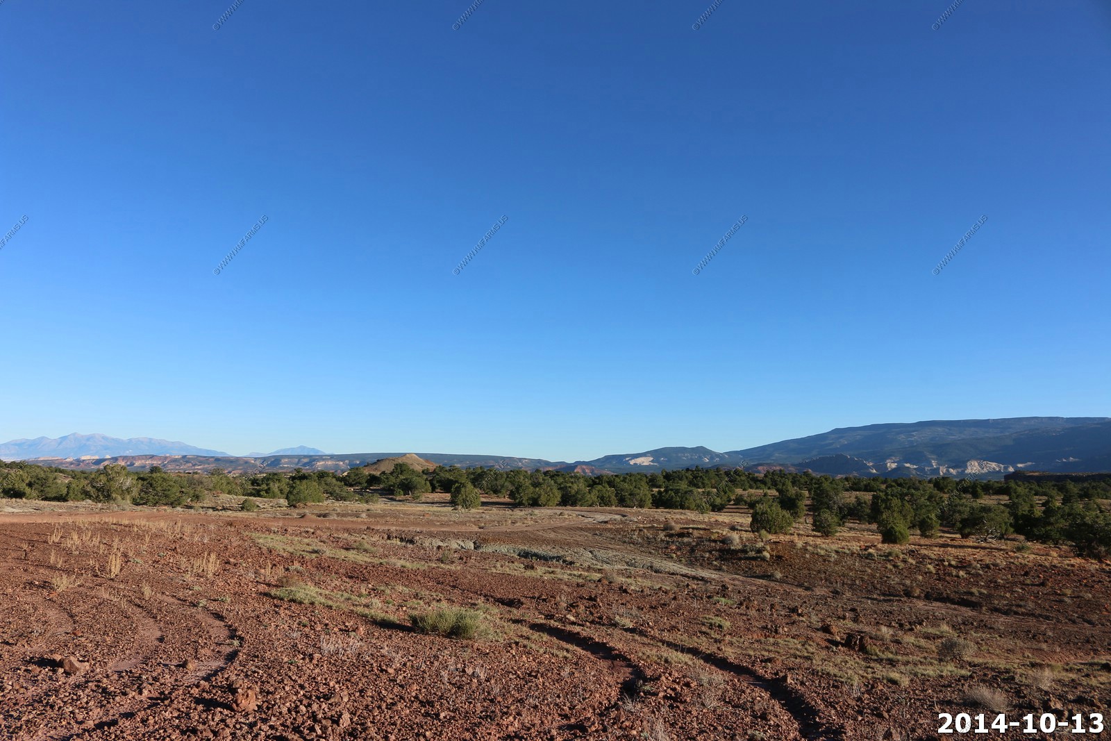
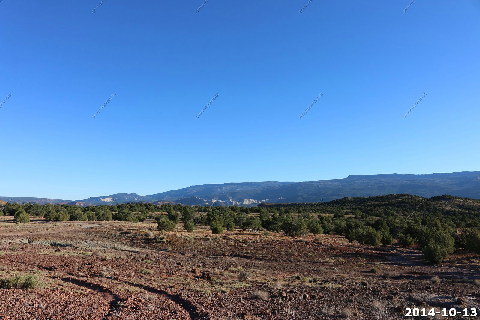
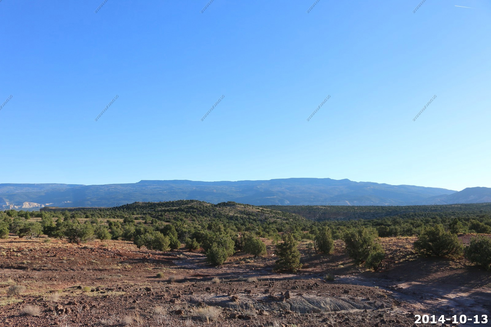
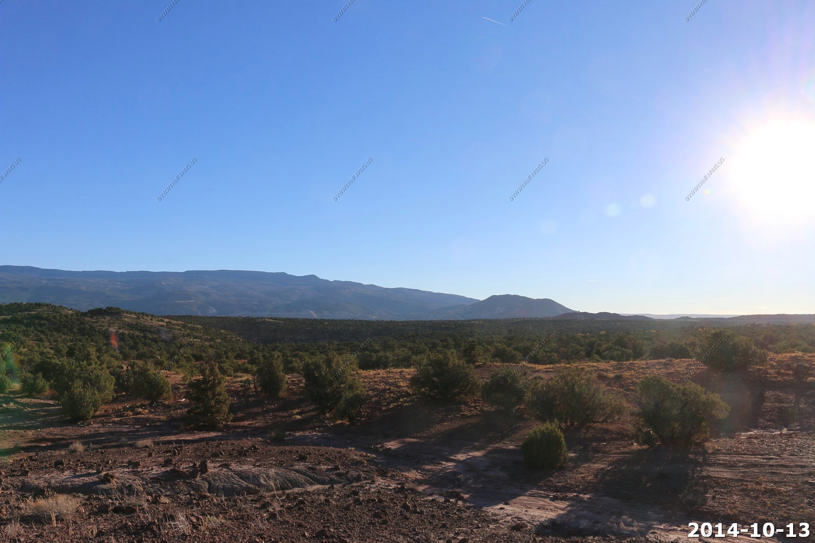
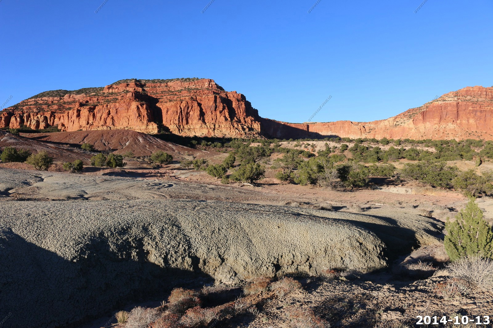
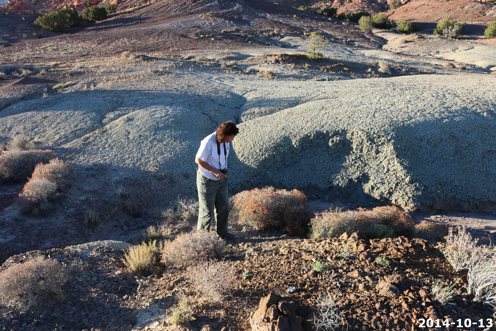
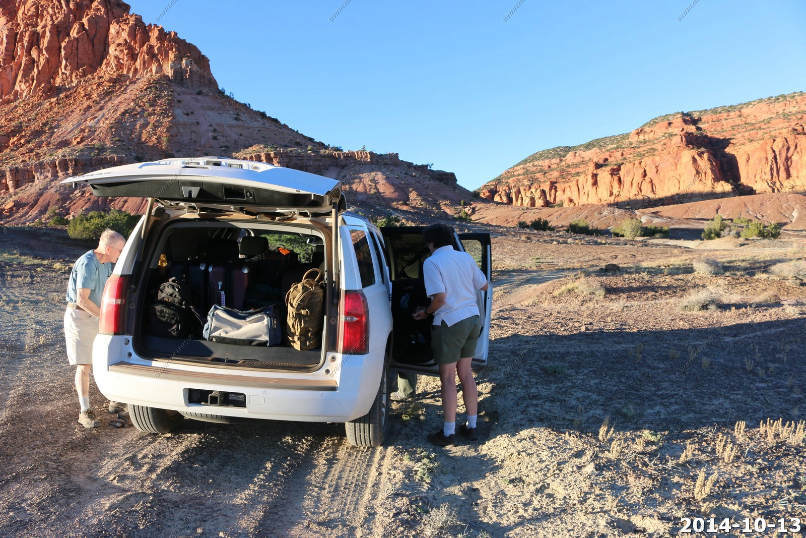
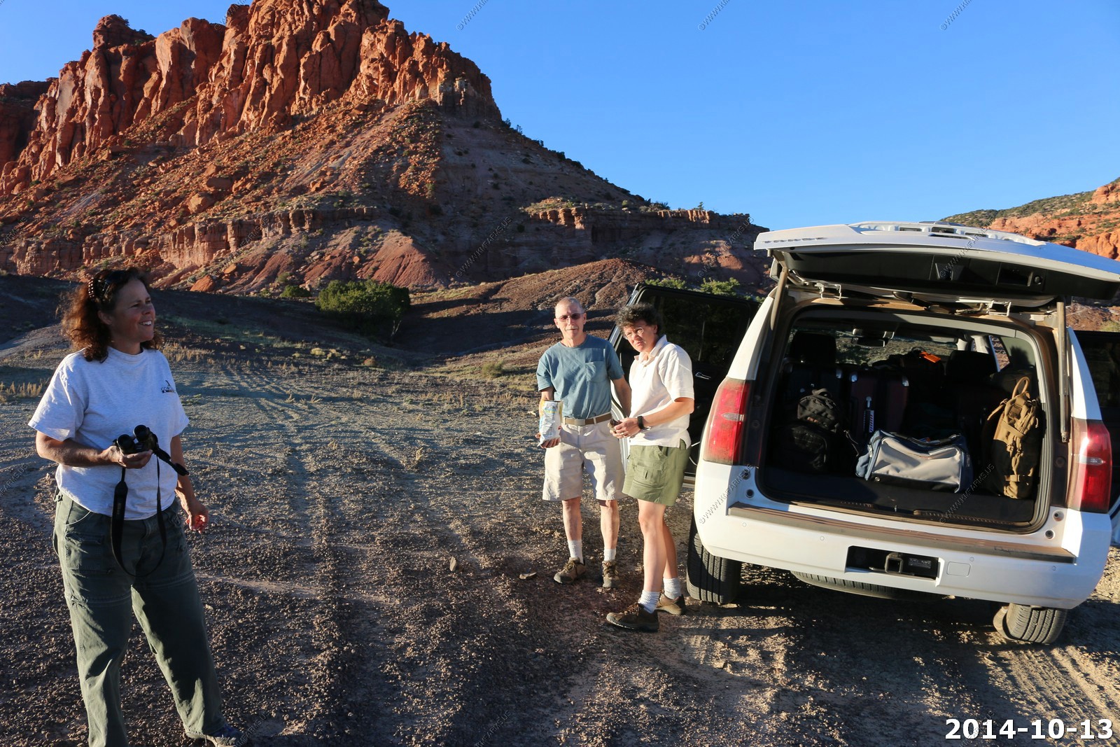
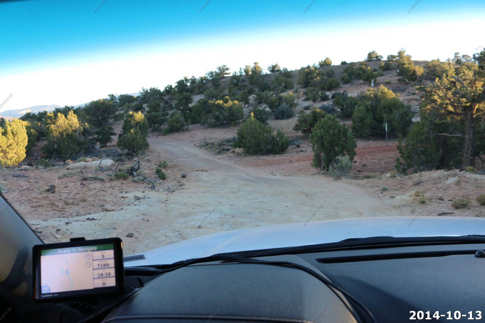
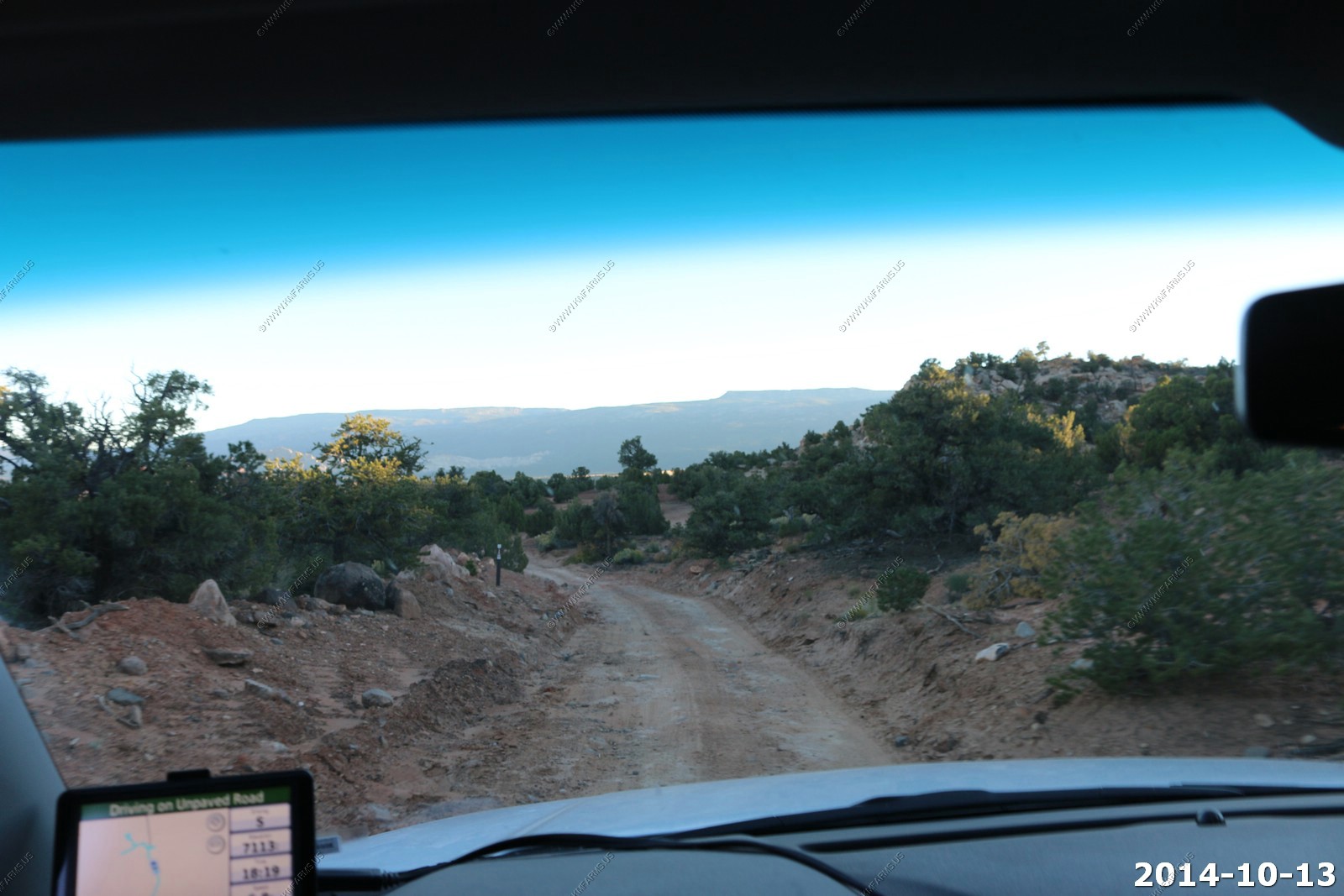
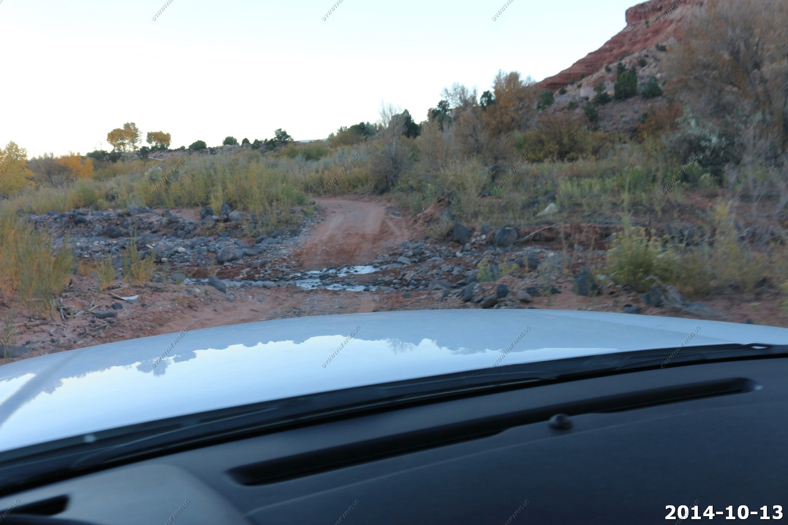
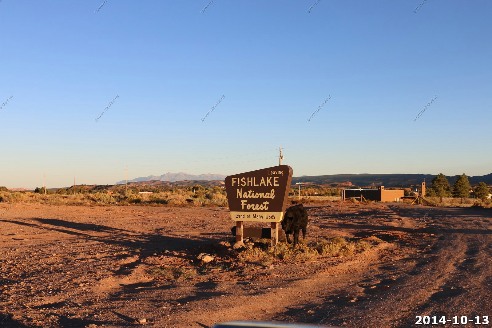
Monday - OCT 13 2014
Abajo Haven wake-up
We survived the night and it was probably the best sleeping of the trip. It was 33.9 and around 55 in the un-heated cabin.
Looking back my regret was that we did not stay here for a couple of nights. We did not have the time on this trip but if we are back this way we will stay again.
The distance to the bathroom.
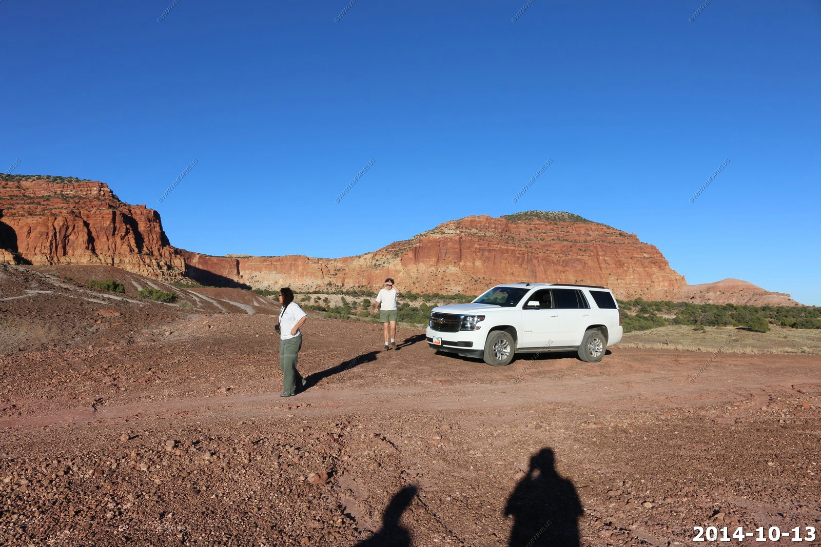
Abajo Haven views in the early AM.
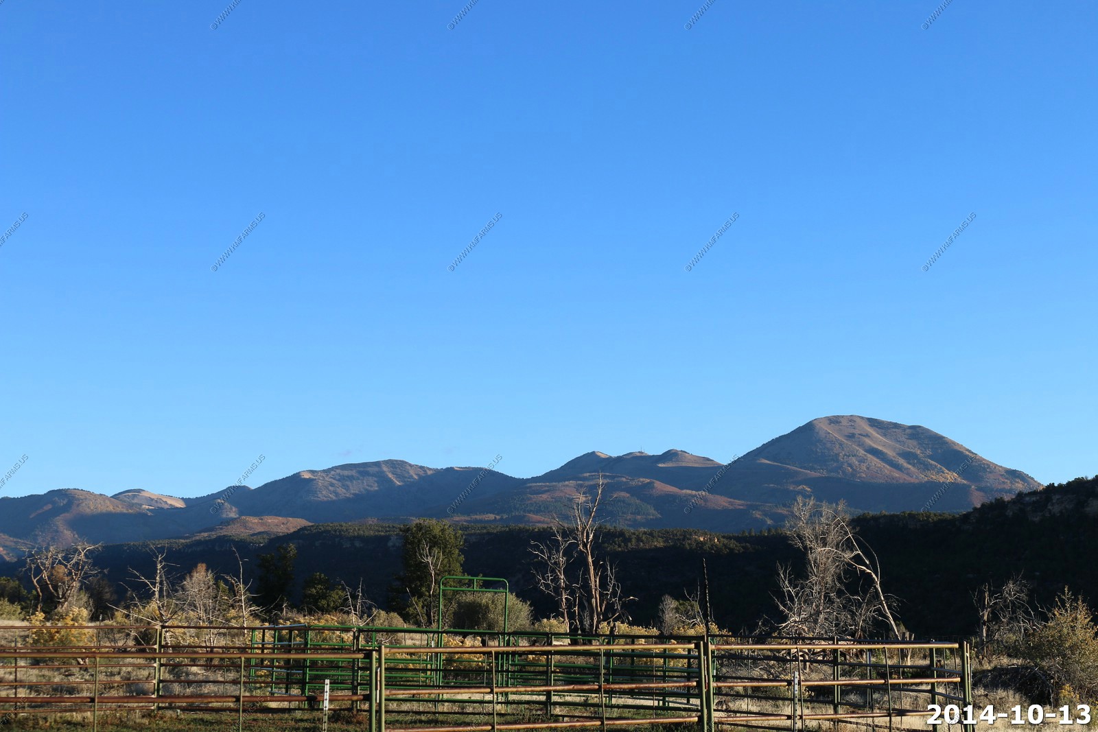
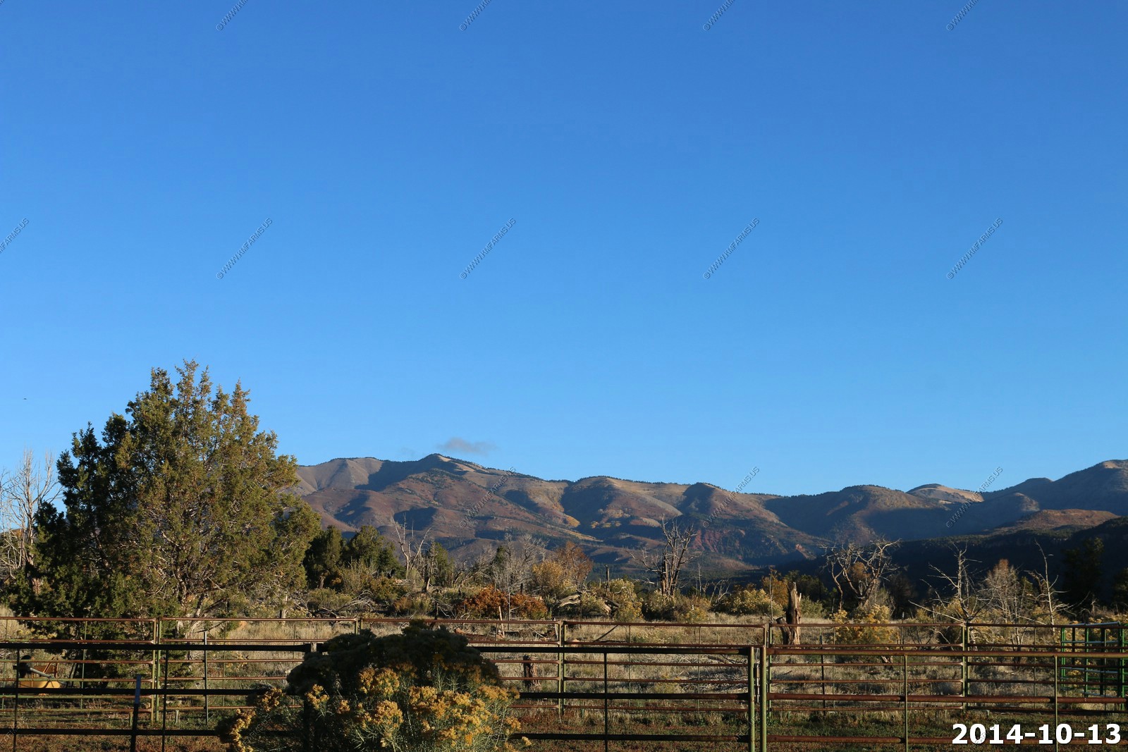
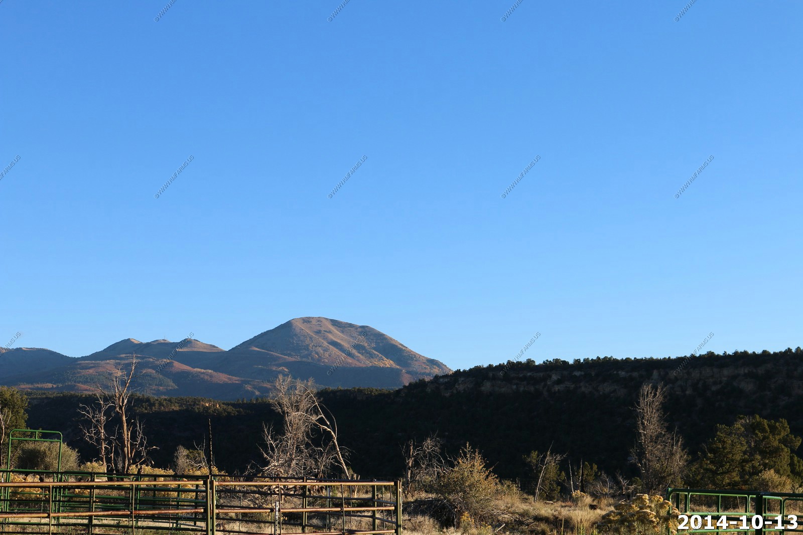
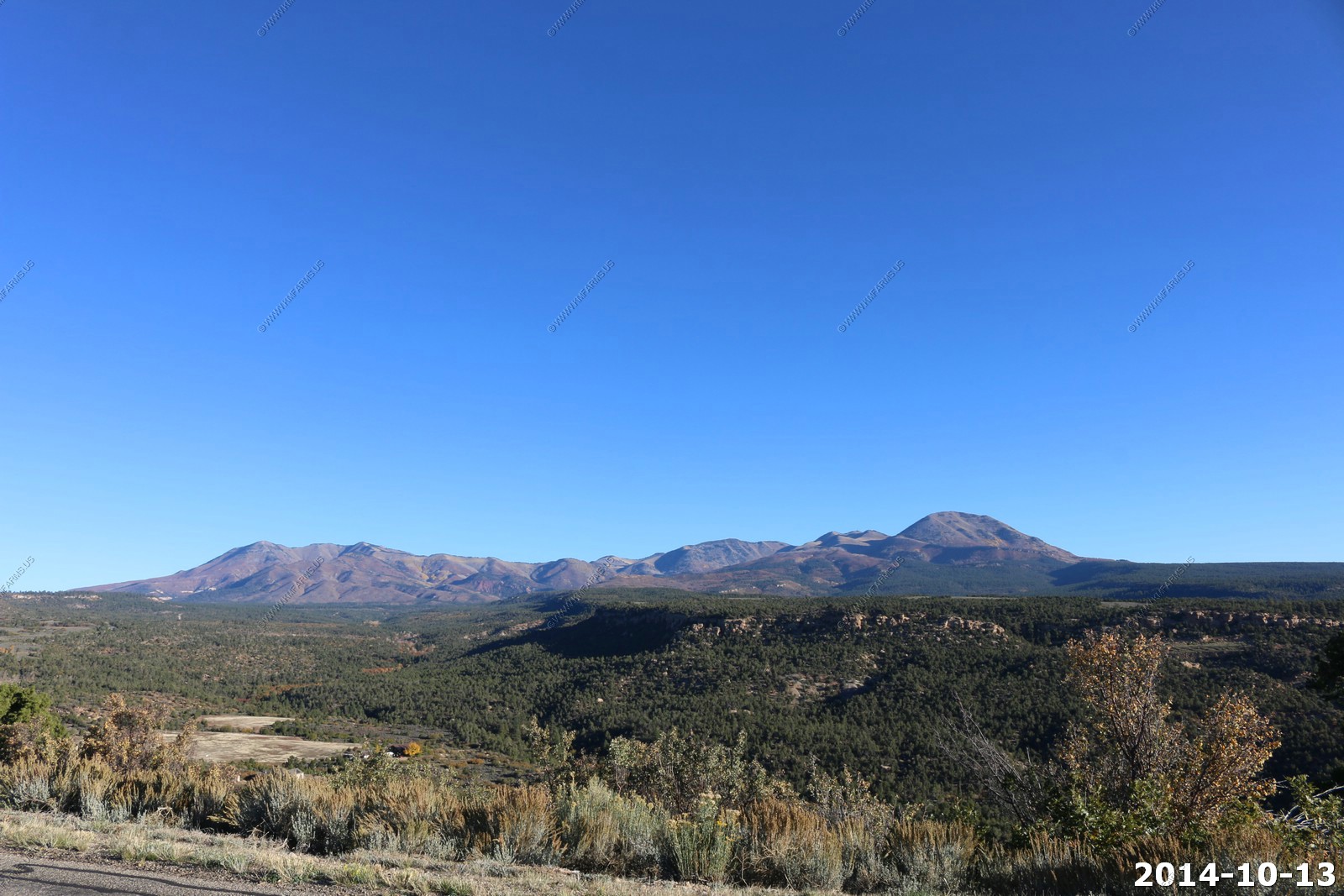
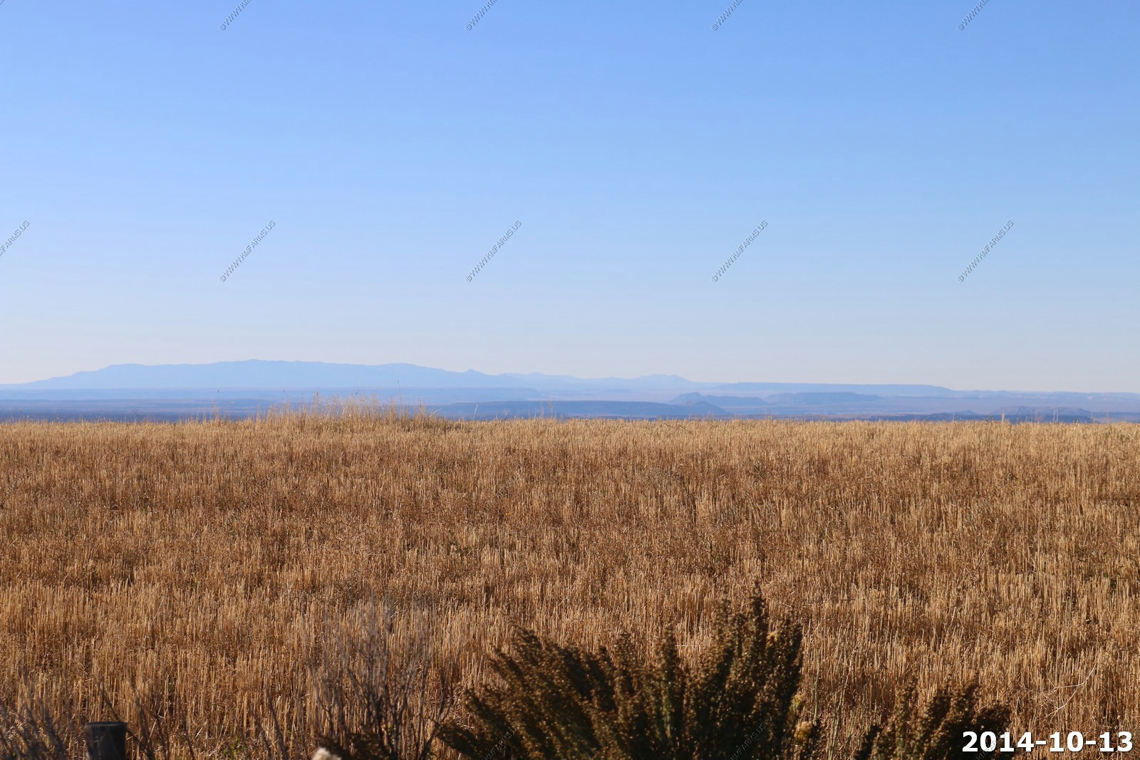
As we departed we stopped on the mesa above Abajo Haven and enjoyed the clear views. Sleeping Ute Mountain in Colorado.
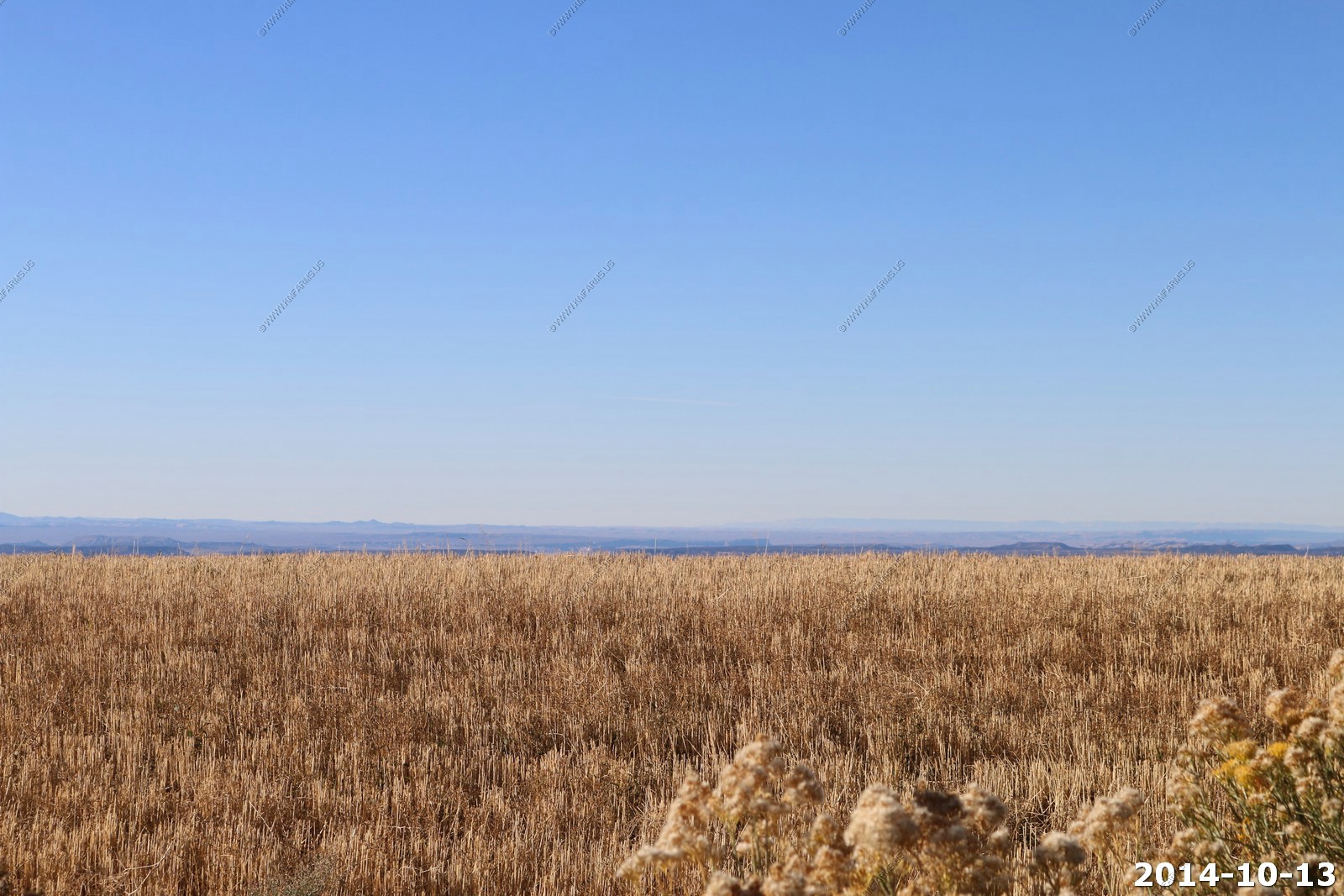
Carrizo Mountains in Arizona - Pastora Peak (el. 9,413).
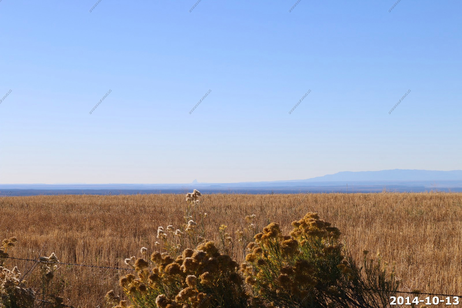
Looking further west of the Carrizo Mountains in Arizona - Looking for San Franscio Peaks north of Flagstaff.
Shiprock, New Mexico
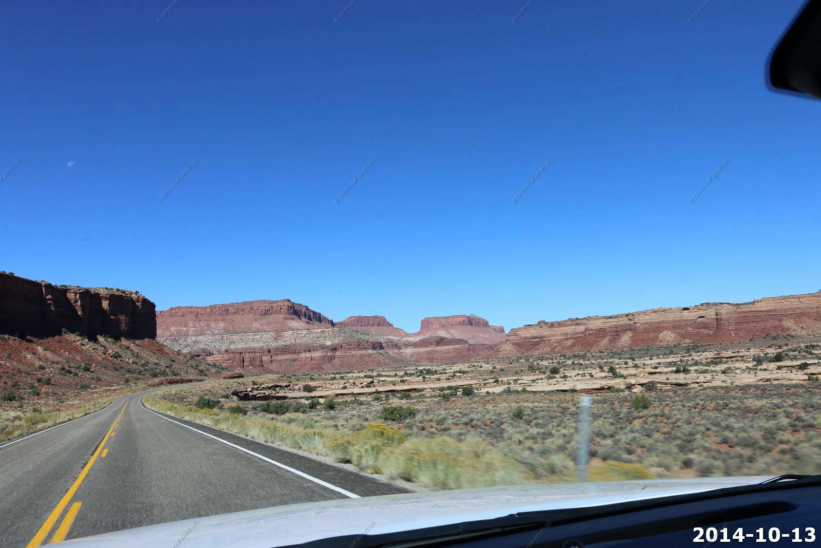
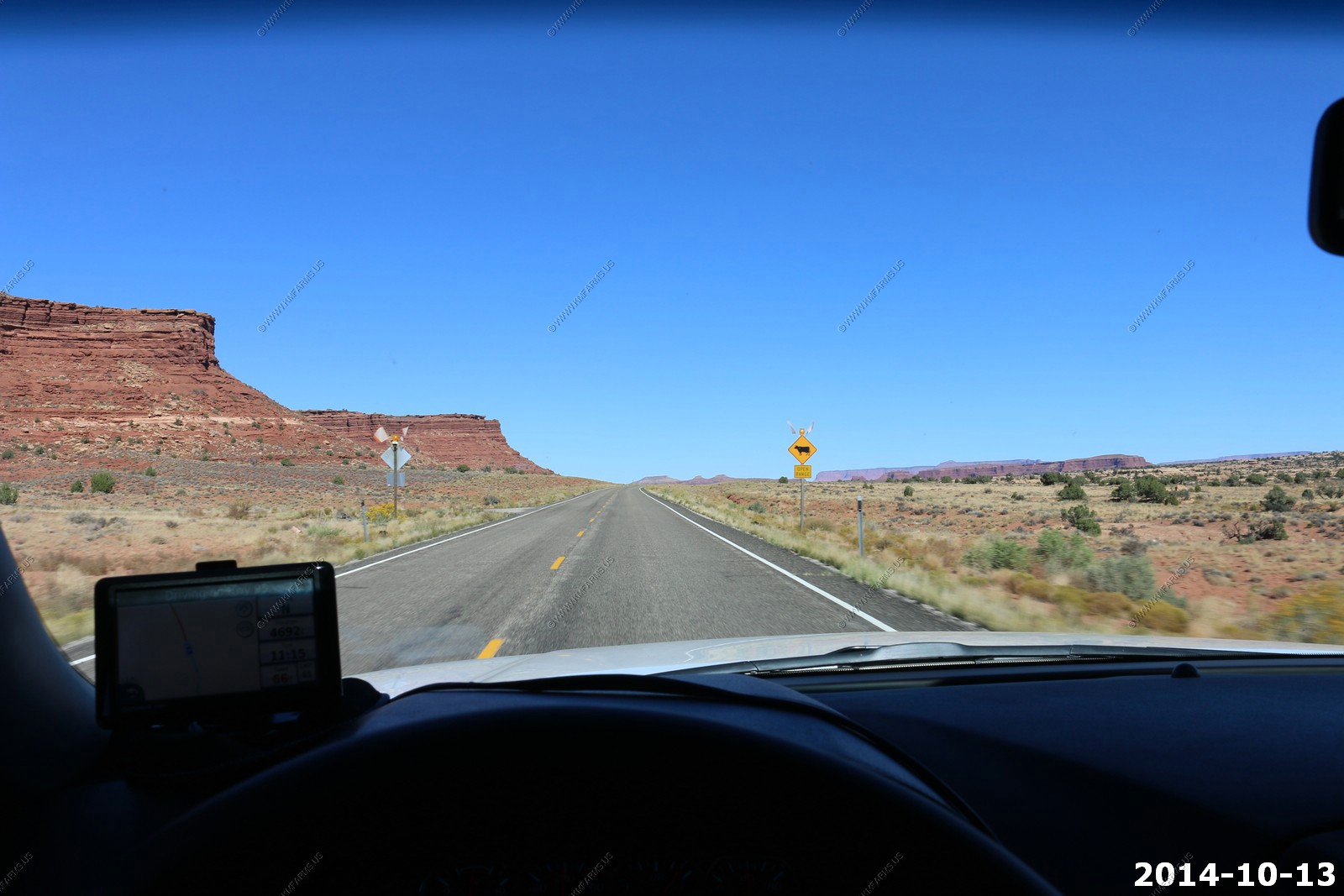
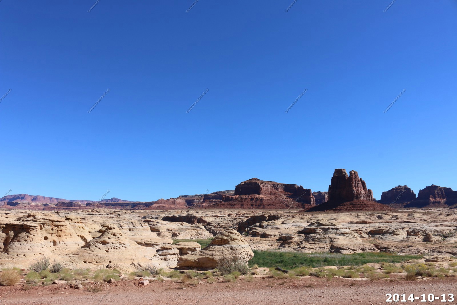
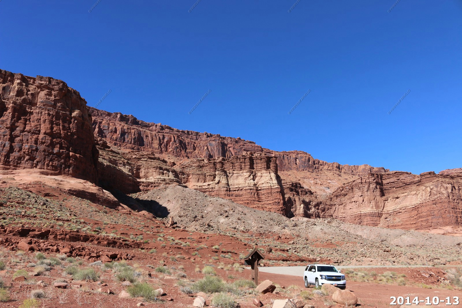
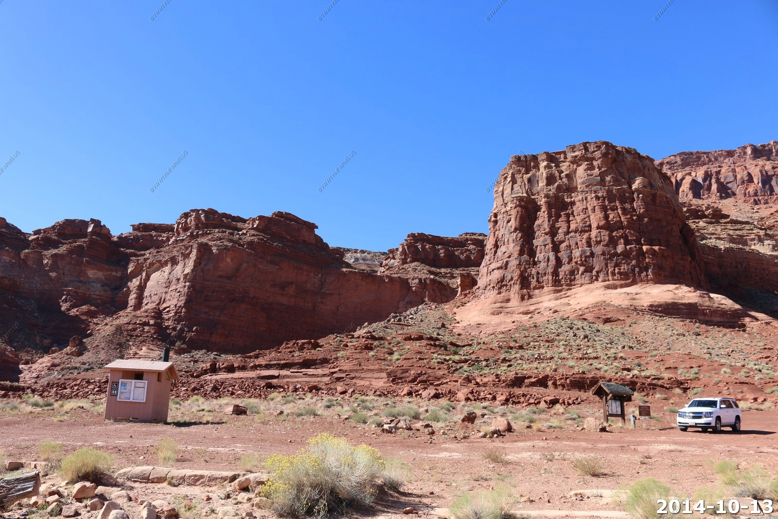
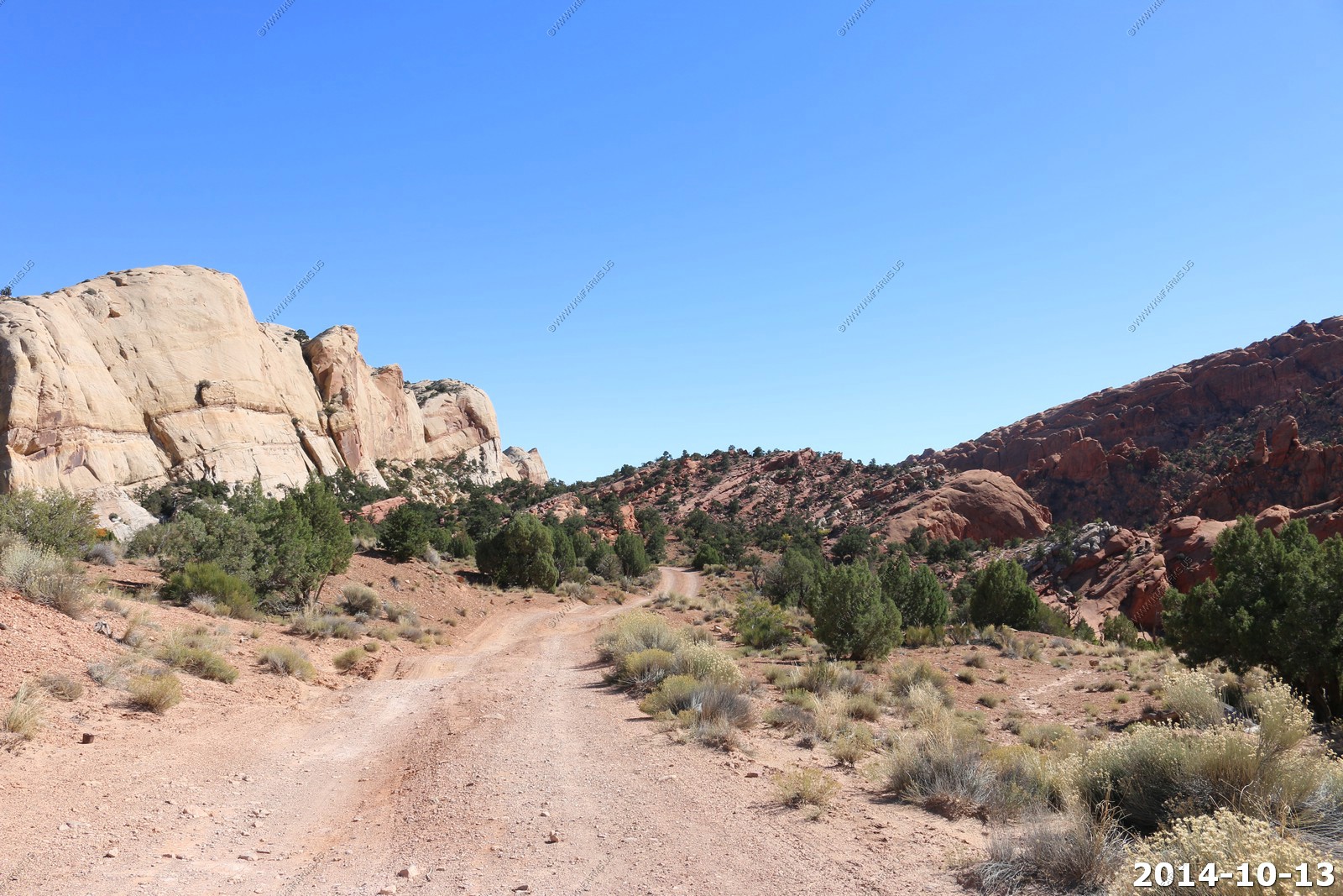
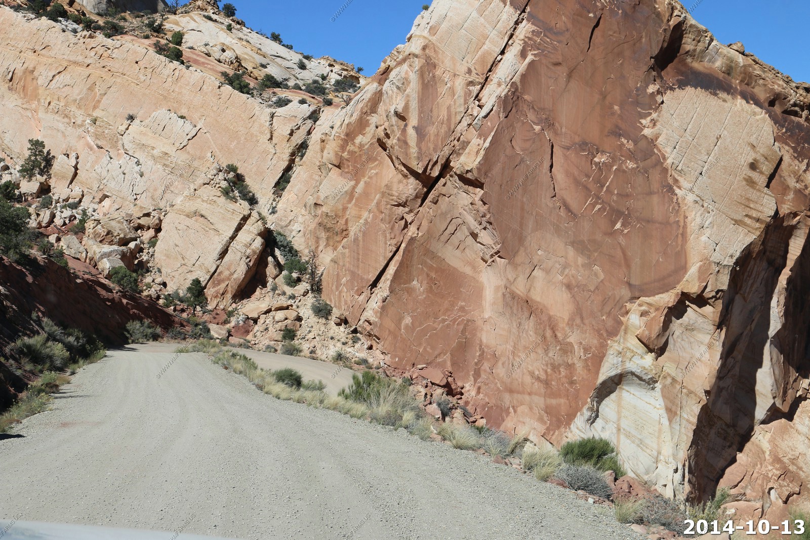
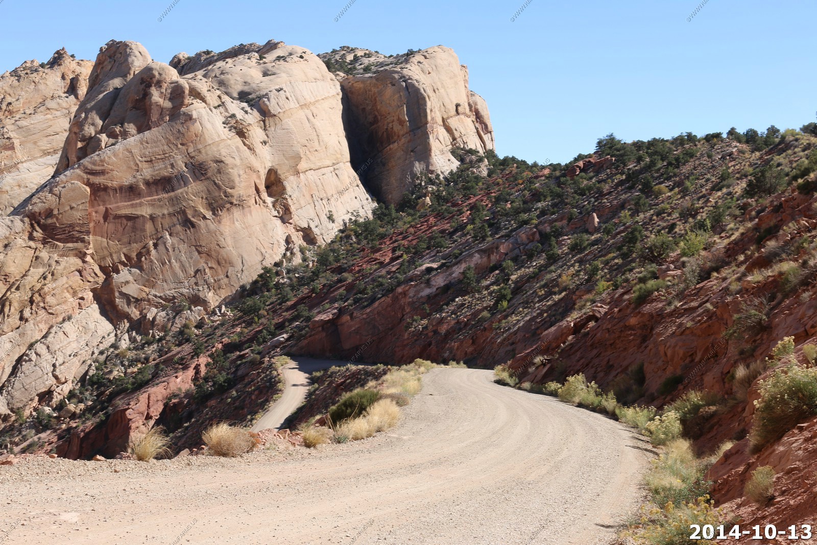
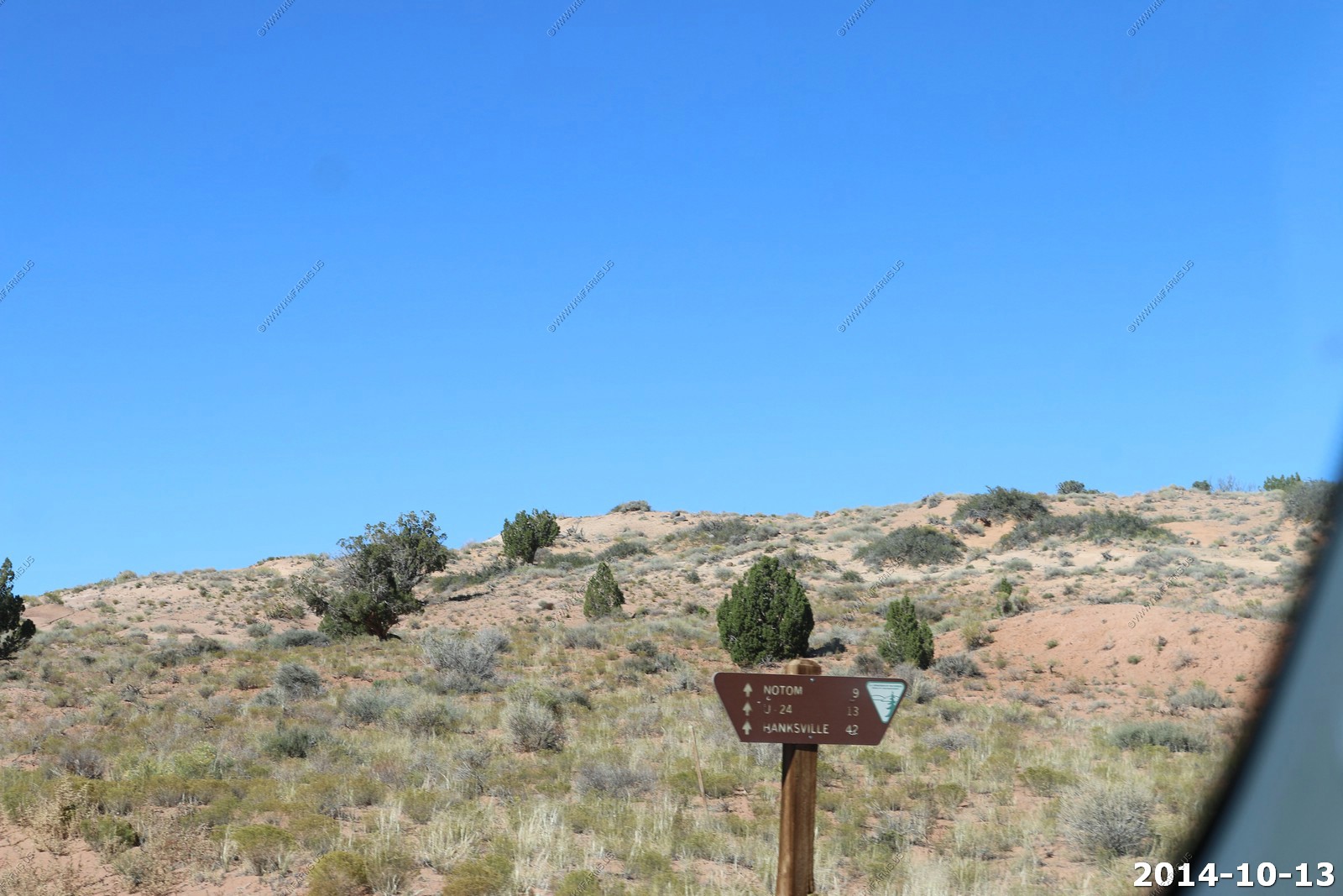
So we went thru Blanding, UT again and it was off to Natural Bridges National Monument.
Navajo Mountain (el. 10,348ft) is a peak in San Juan County, Utah, with its southern flank extending into Coconino County, Arizona. It holds an important place in the traditions of three local Native American tribes. The summit is the highest point in the Navajo Nation.
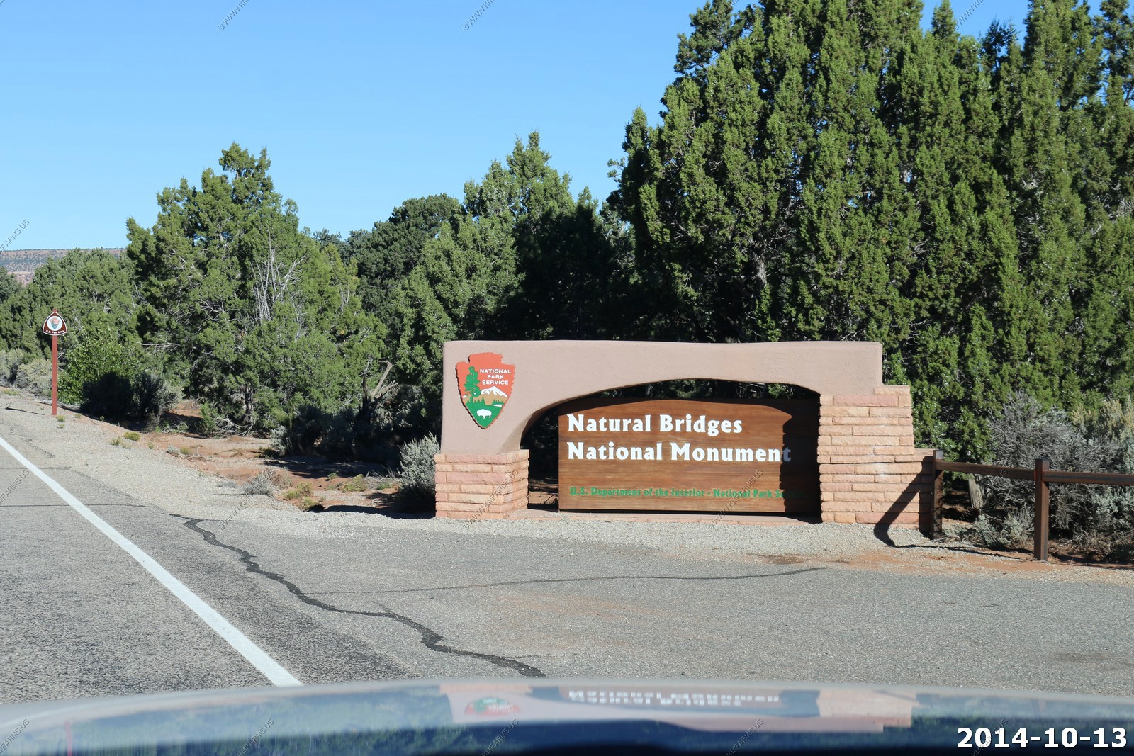
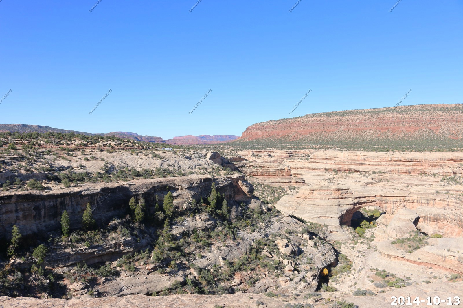
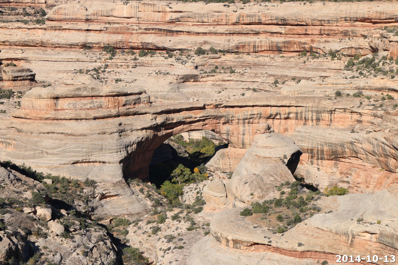
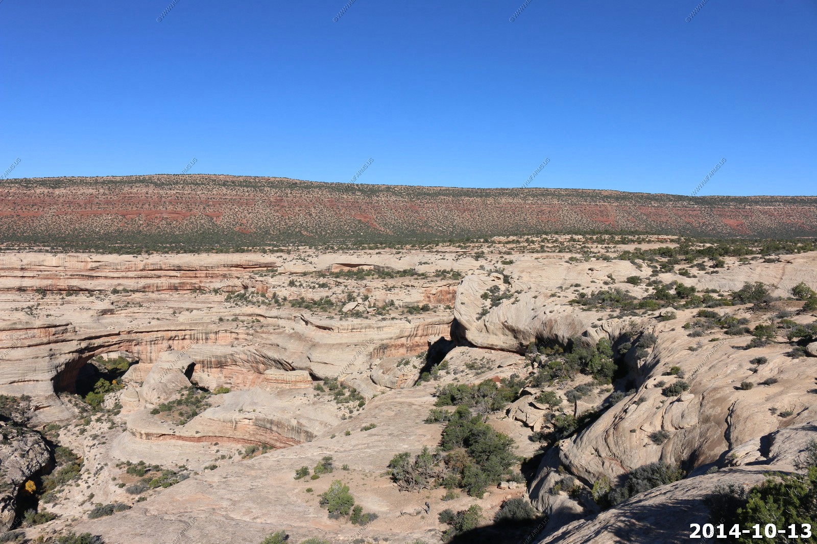
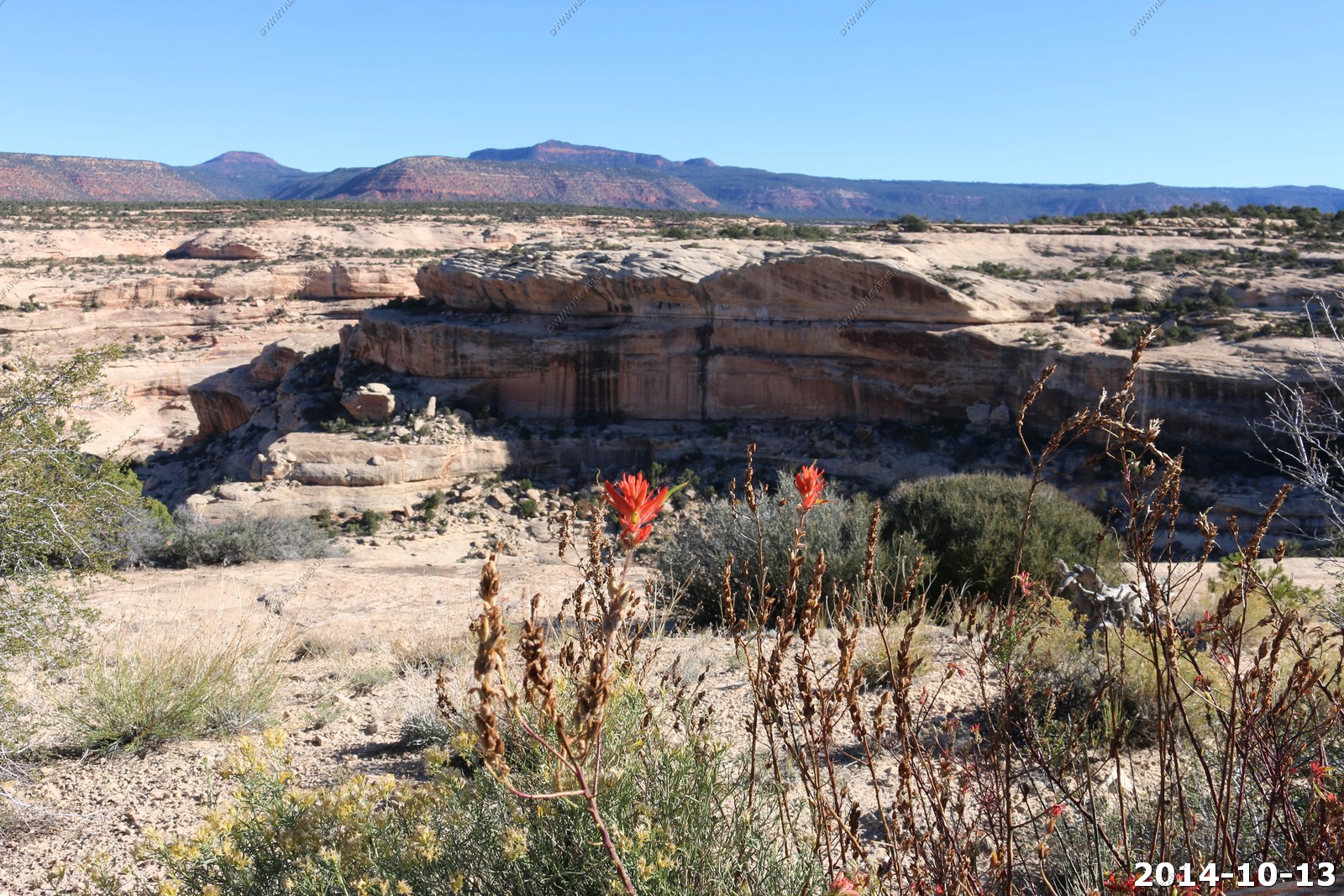
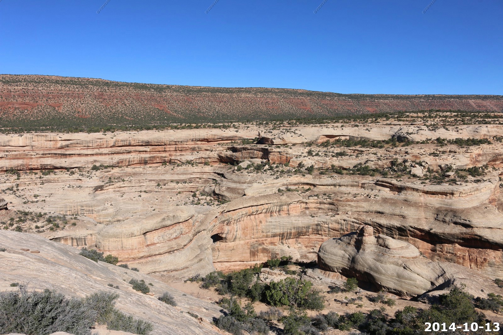
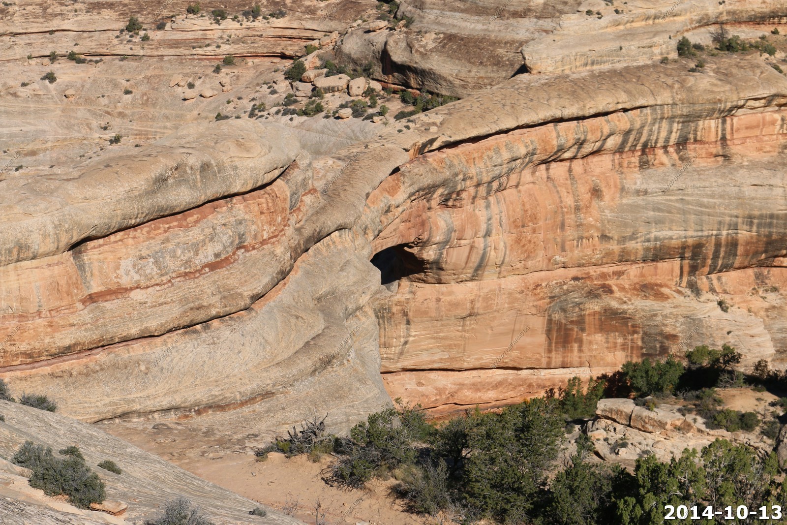
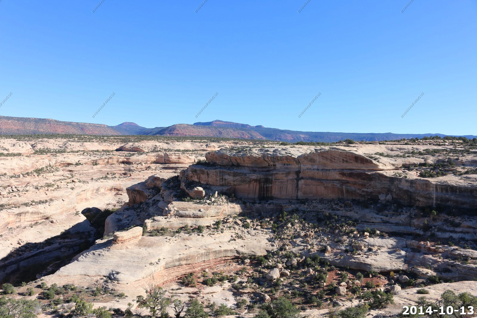
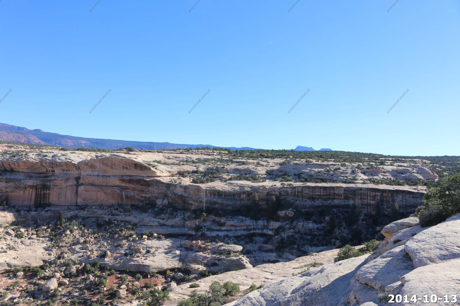
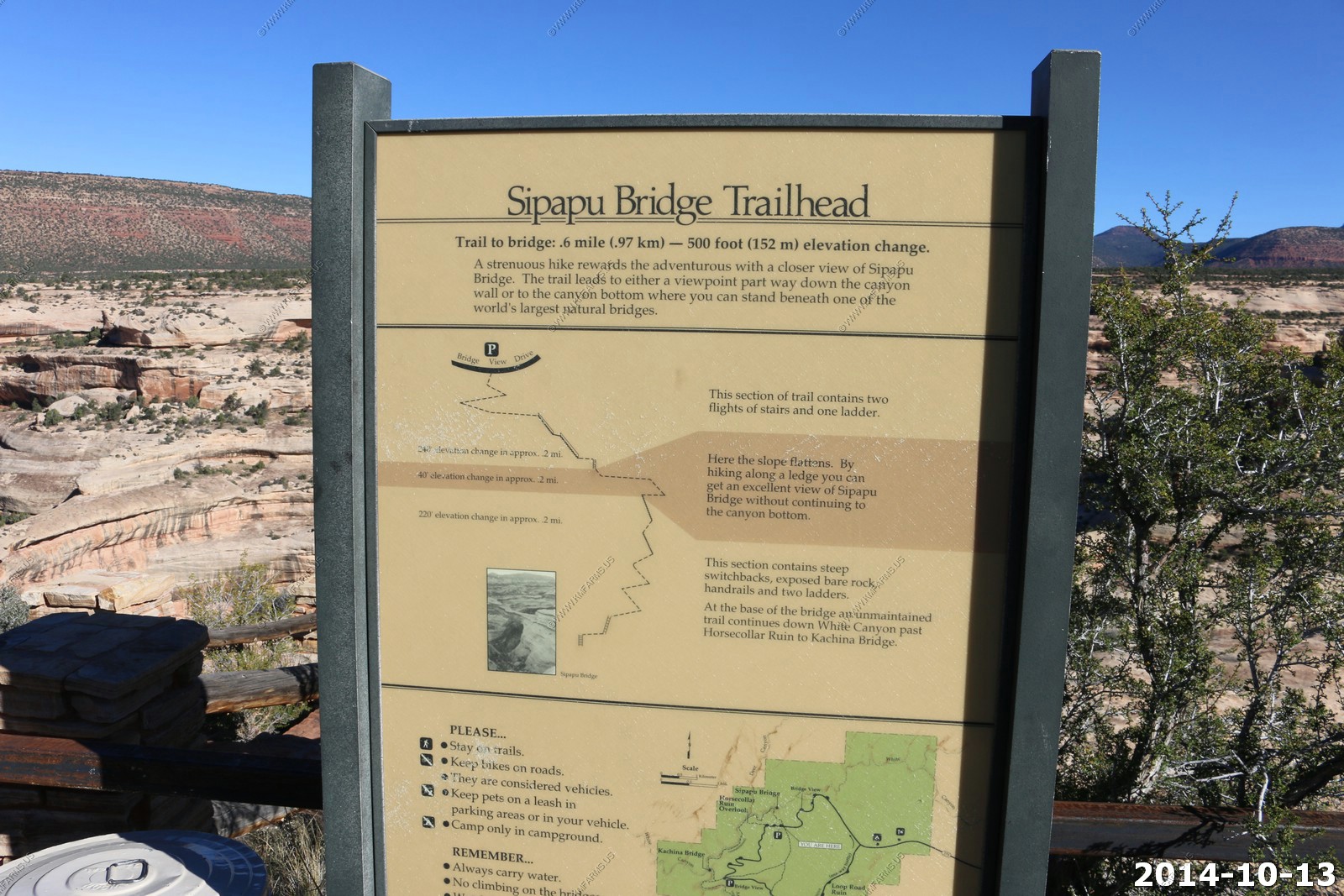
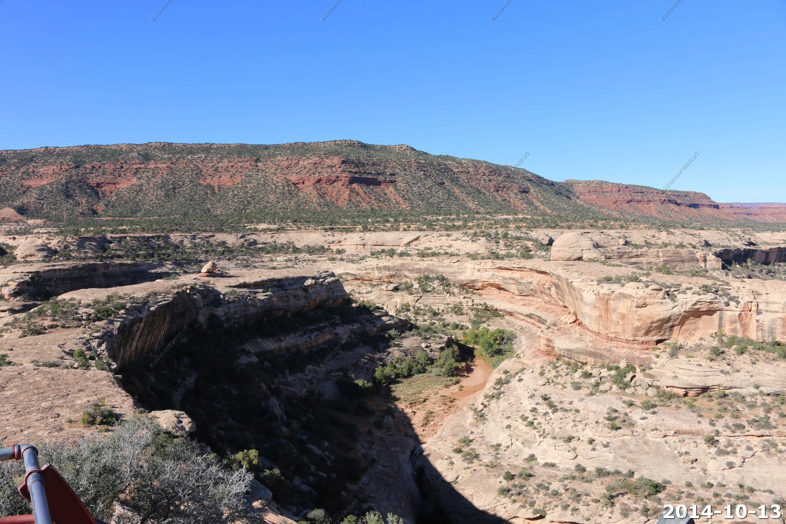
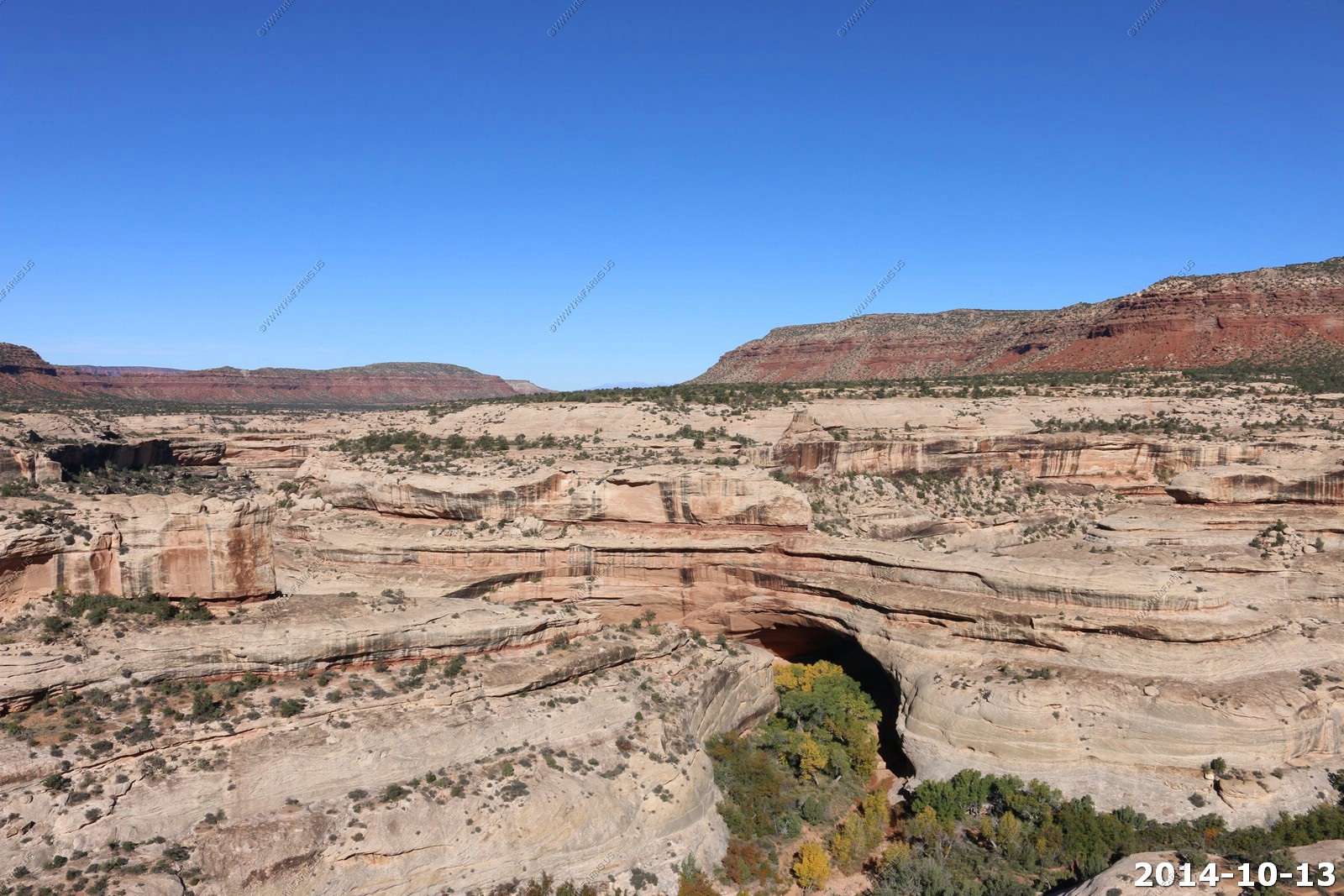
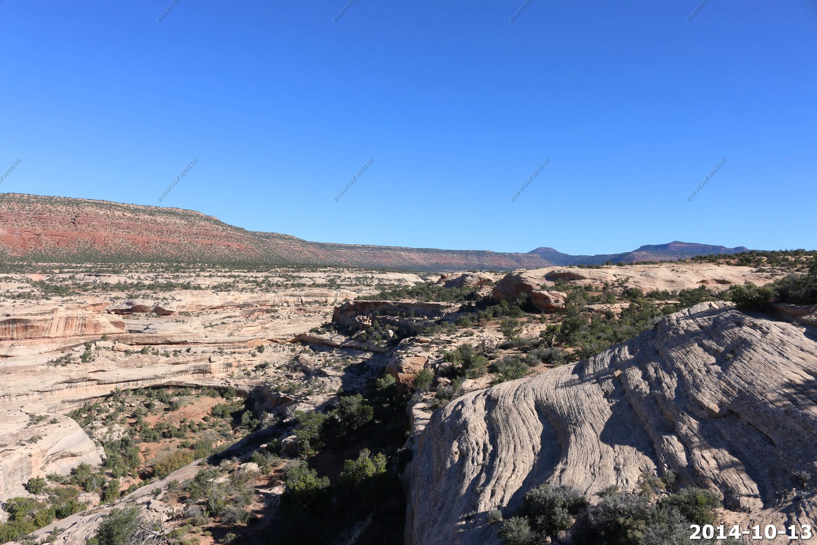
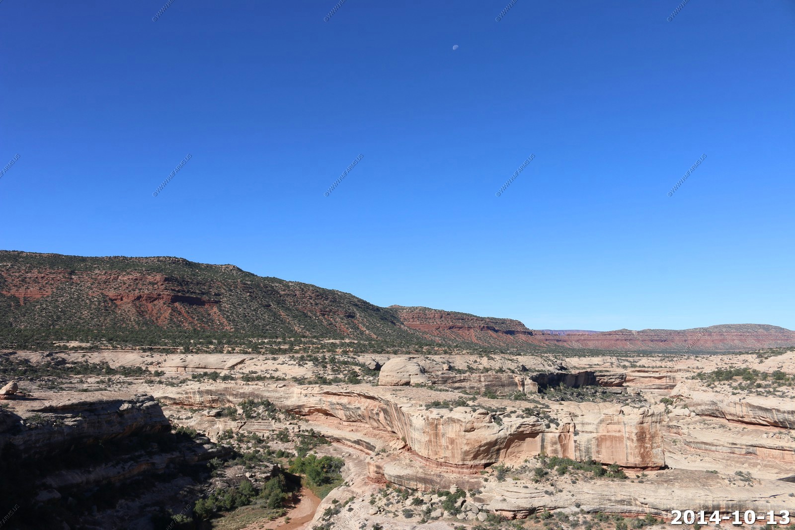
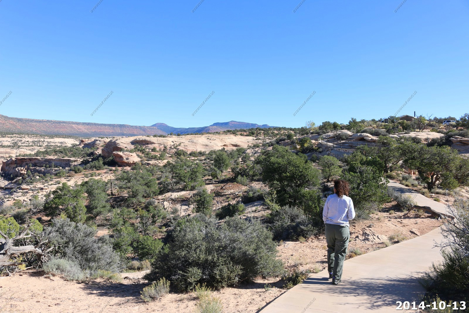
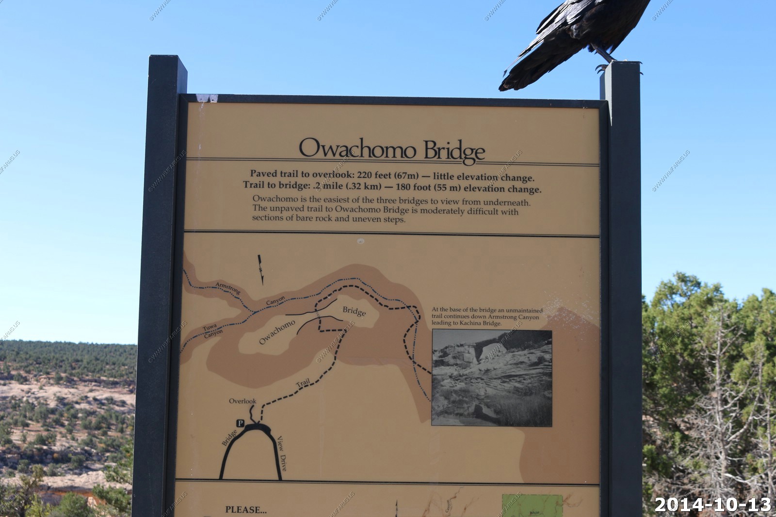
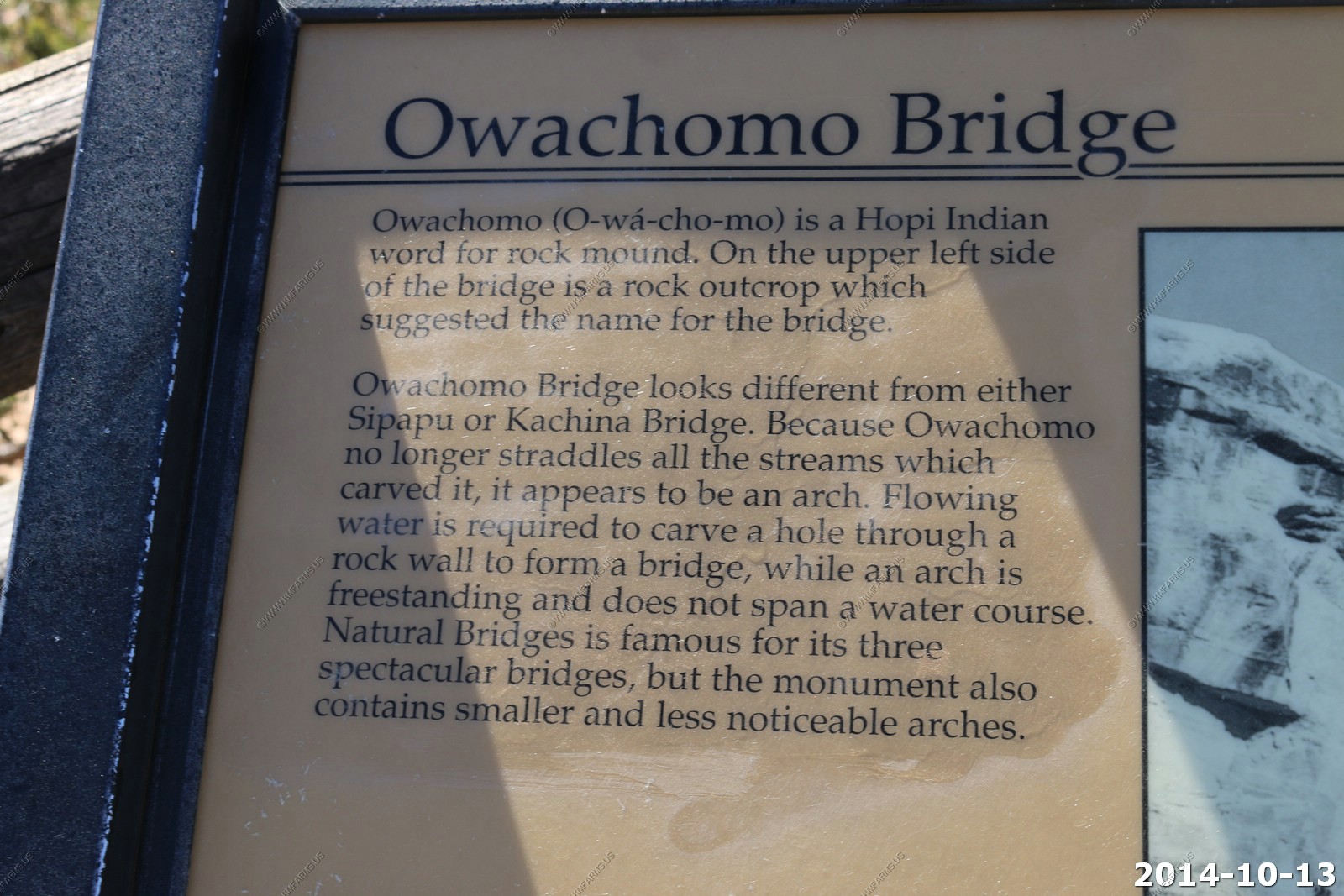
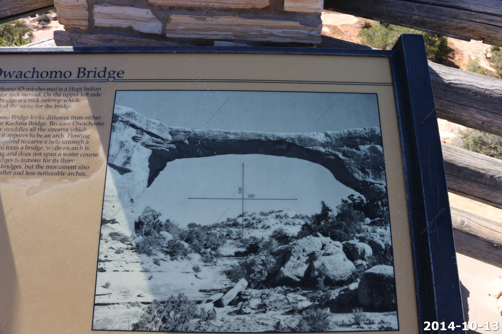
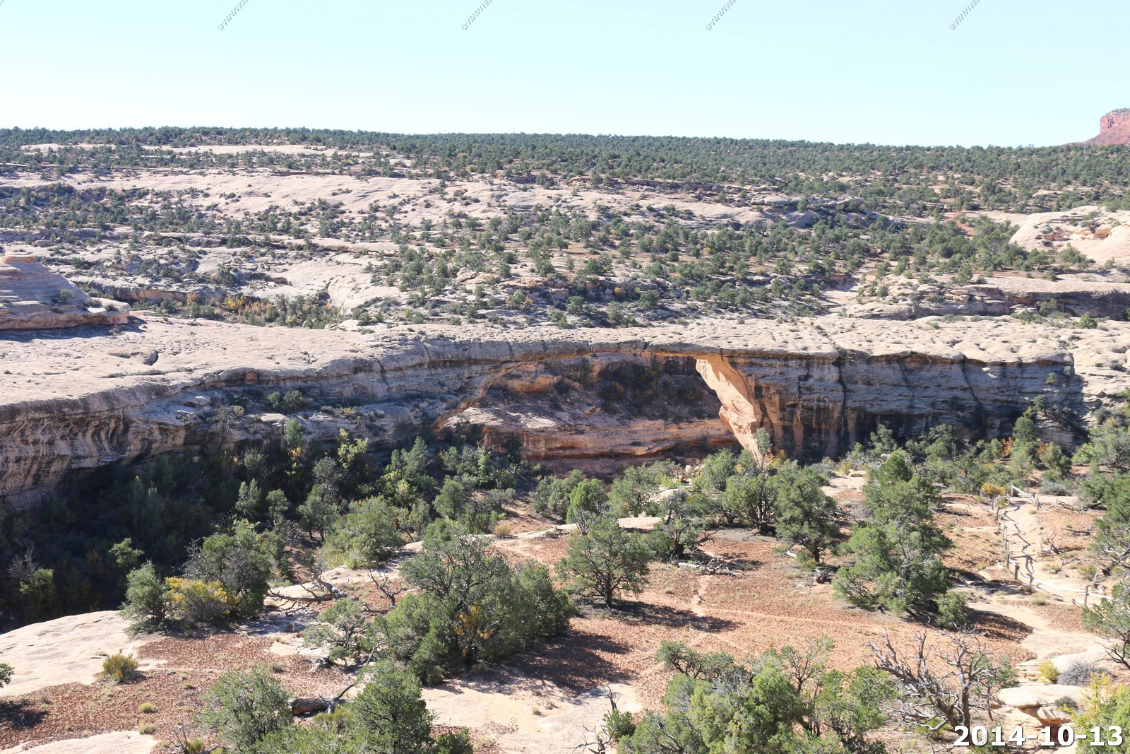
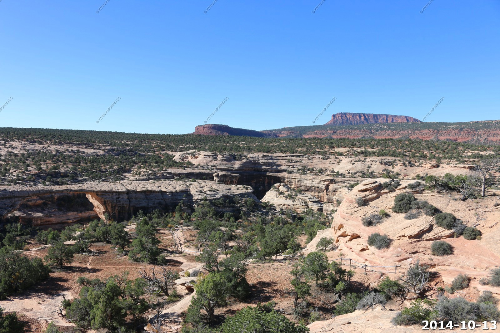
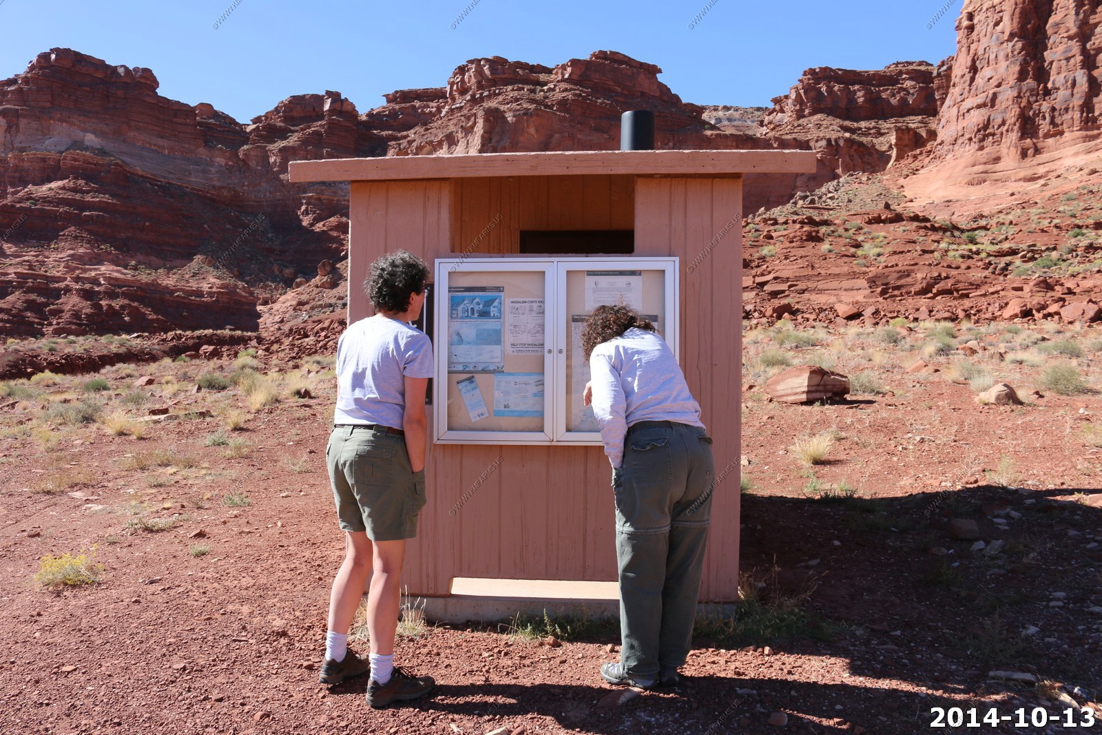
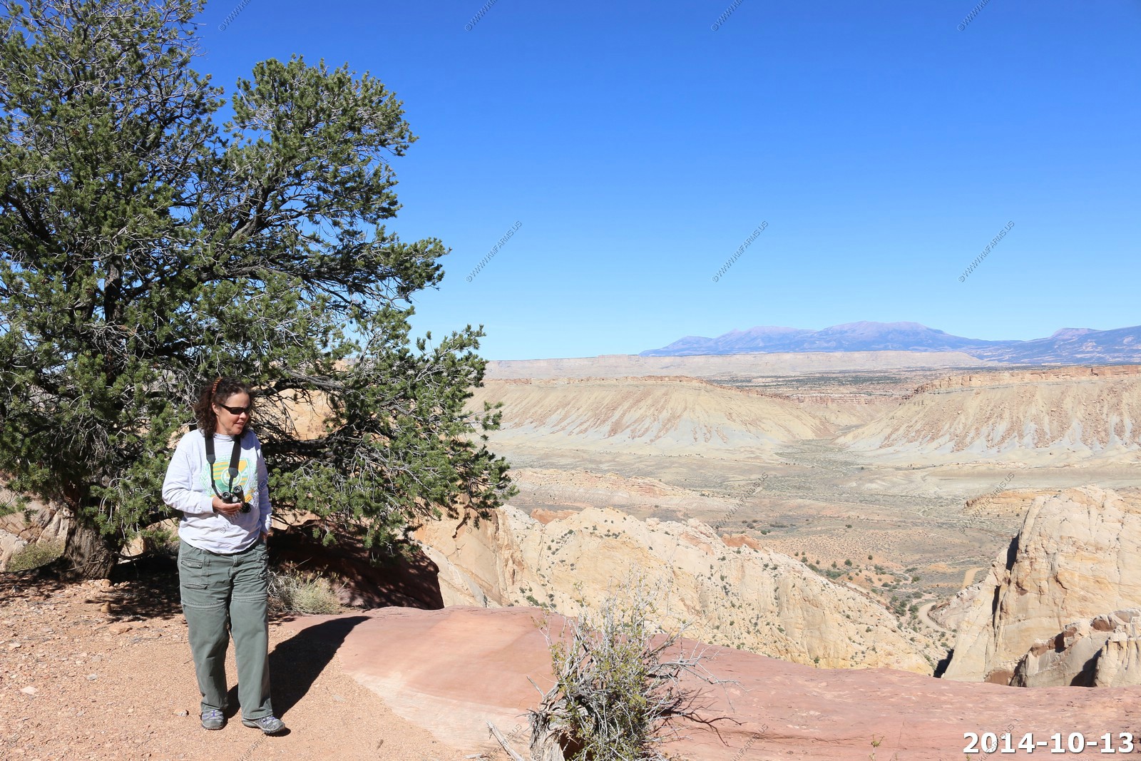
Natural Bridges National Monument
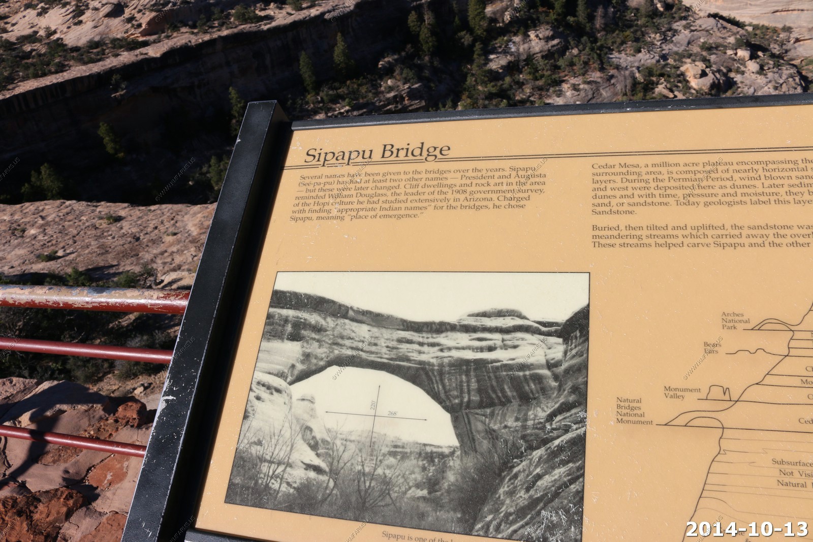
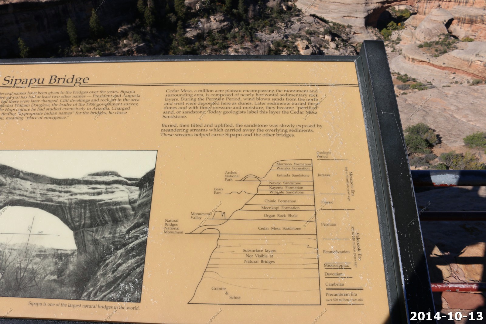
This was our first visit here. We have been around this monument a number of times but it's so far out of the way we never made it. A Natural Bridge is really an arch but if it has water flowing under it then it's called a bridge.
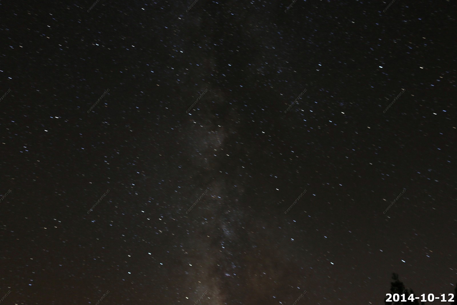
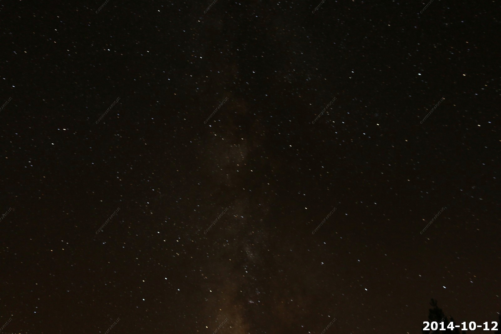
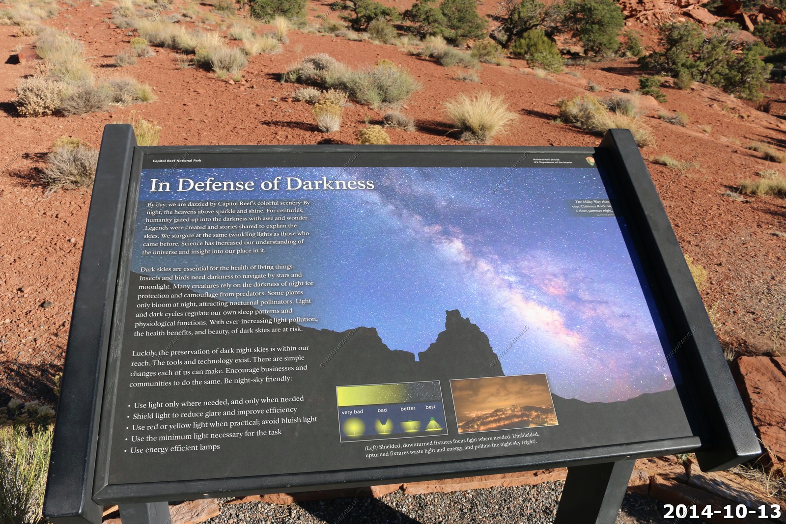
Natural Bridges was named the world's first international dark-sky park. Natural Bridges is one of the darkest national parks in the country according to a comprehensive study of night sky quality conducted by the National Park Service.
Just how dark is it? "It's the only Bortle class 2 sky they've documented," said Chris Luginbuhl of the U.S. Naval Observatory in Flagstaff, Arizona., and a board member of the International Dark-Sky Association. "In plain English that means it's the darkest or starriest sky they've seen while doing these reviews. The Bortle system is a 10-level scale with one and two being the darkest skies and 10 having the most light pollution."
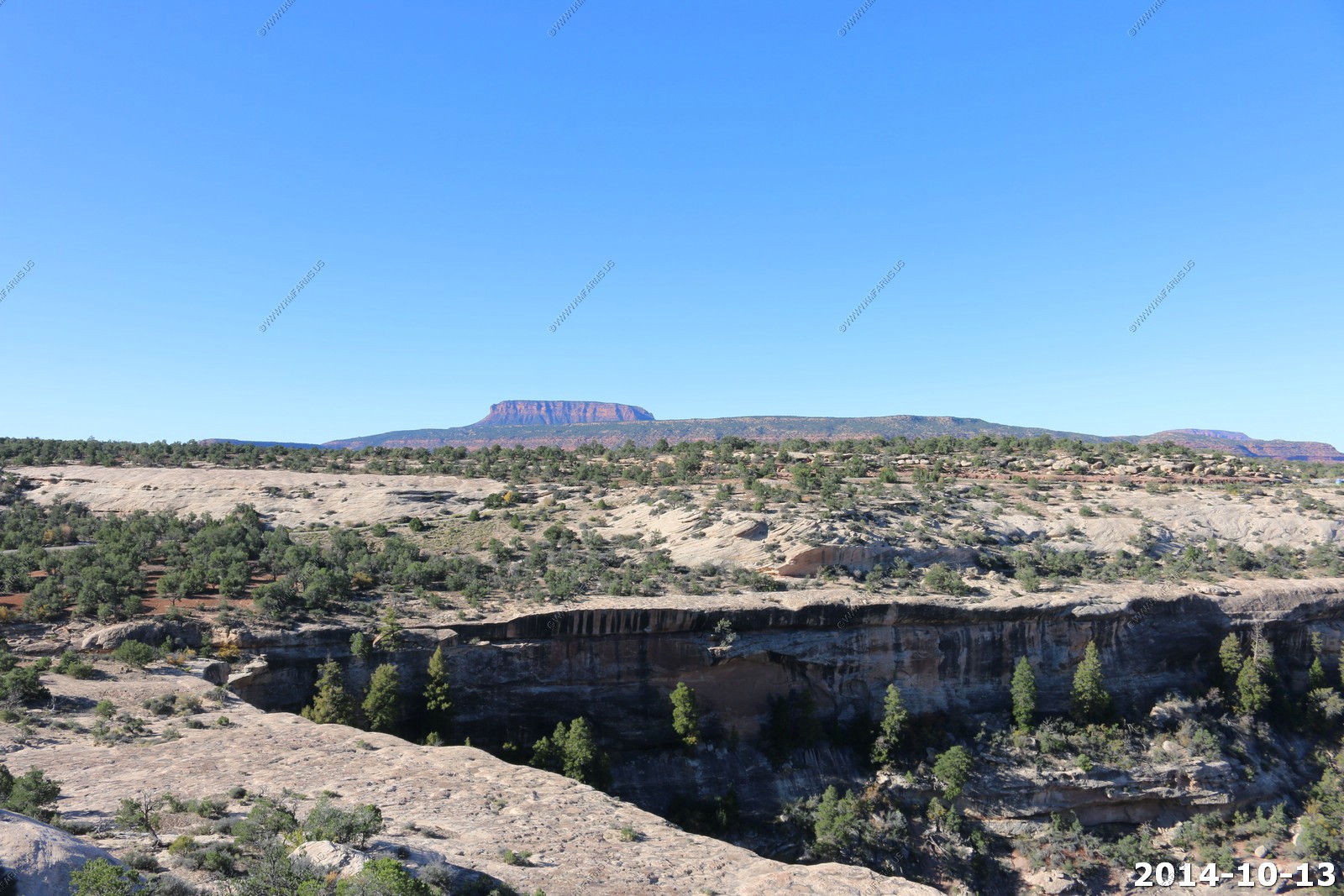
This is one of those quick parks that you can see it all in an hour or less.
Sipapu Bridge
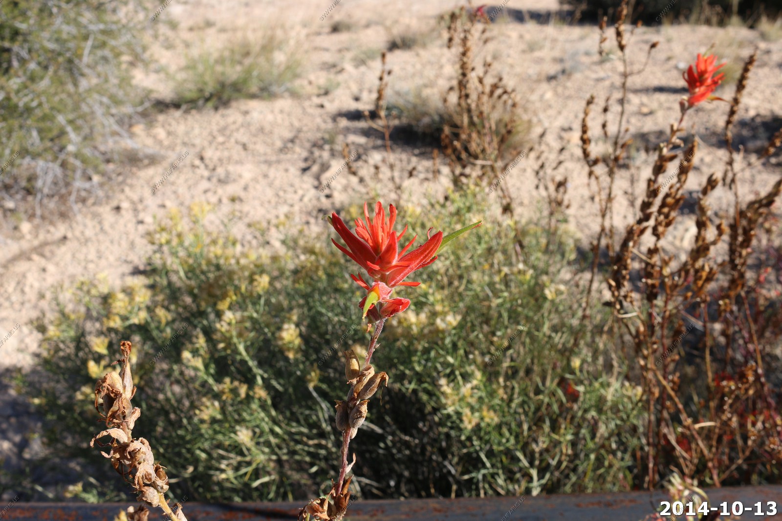
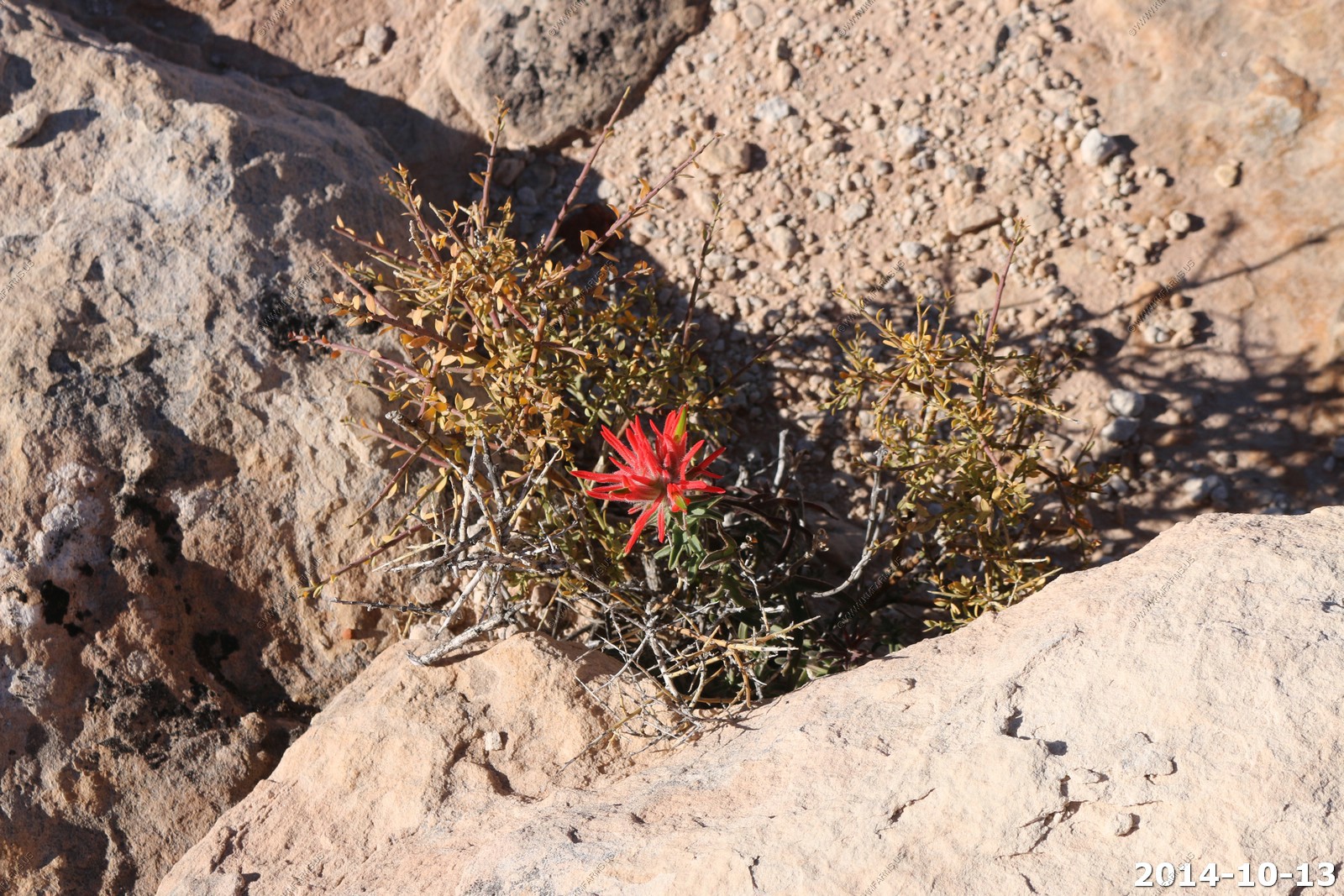
Indian paintbrush (Castilleja). The flowers of Indian paintbrush are edible, and were consumed in moderation by various Native American tribes as a condiment with other fresh greens. These plants have a tendency to absorb and concentrate selenium in their tissues from the soils in which they grow, and can be potentially very toxic if the roots or green parts of the plant are consumed. Highly alkaline soils increase the selenium levels in the plants. Indian paintbrush has similar health benefits to consuming garlic if only the flowers are eaten in small amounts and in moderation.
Various views
Looks like an interesting trail - Next time.
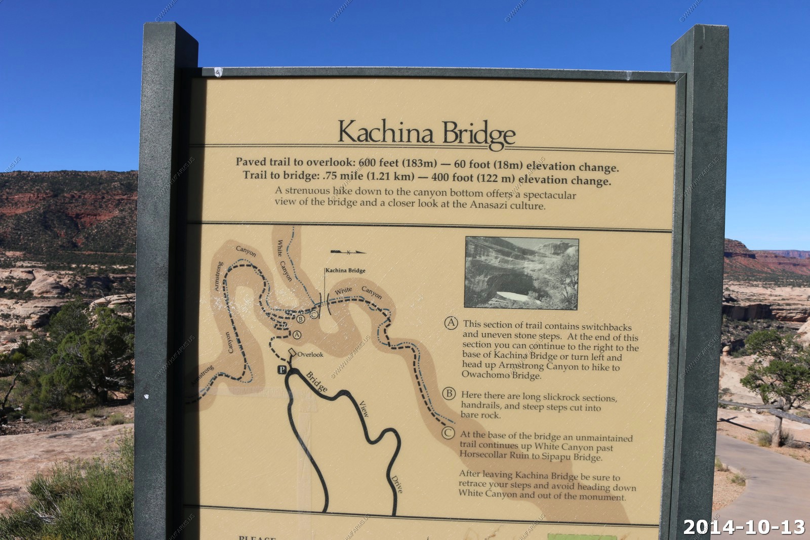
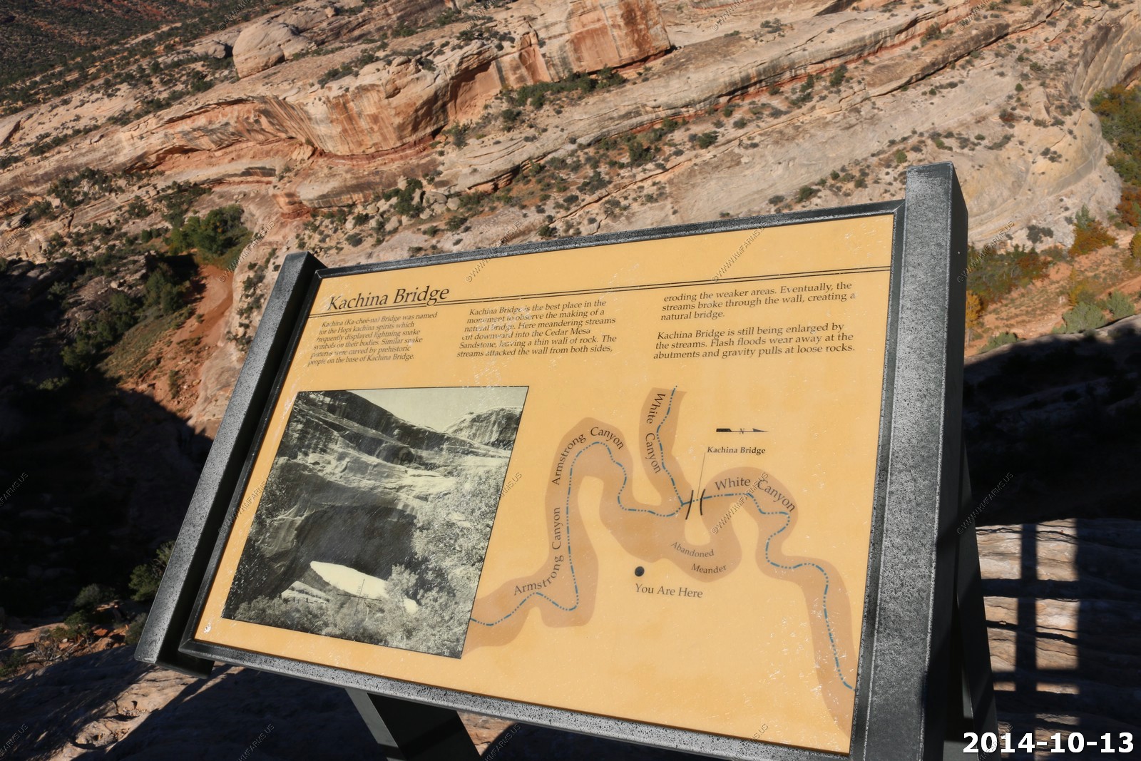
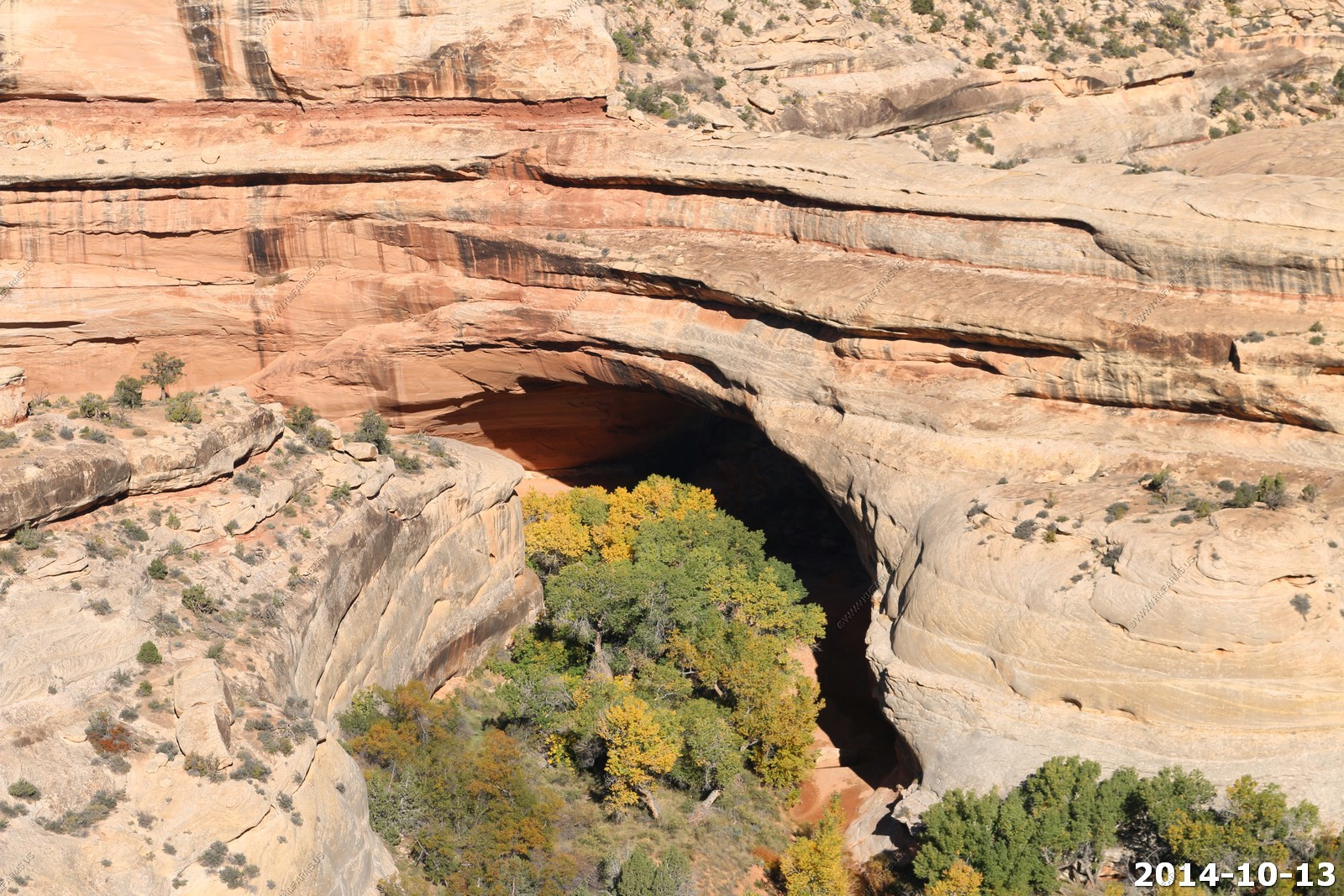
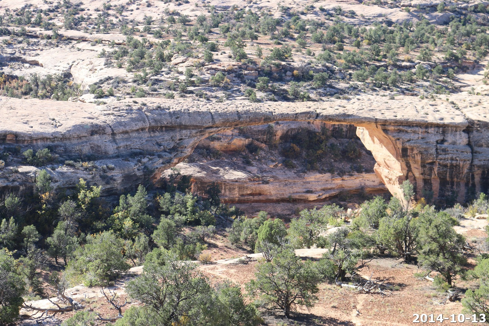
Kachina Bridge
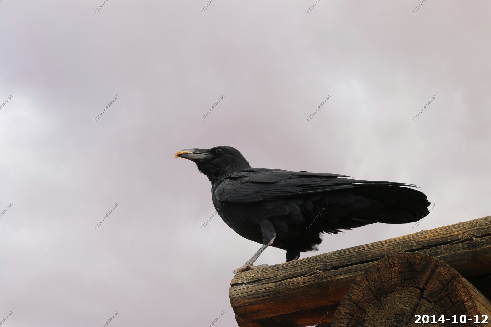
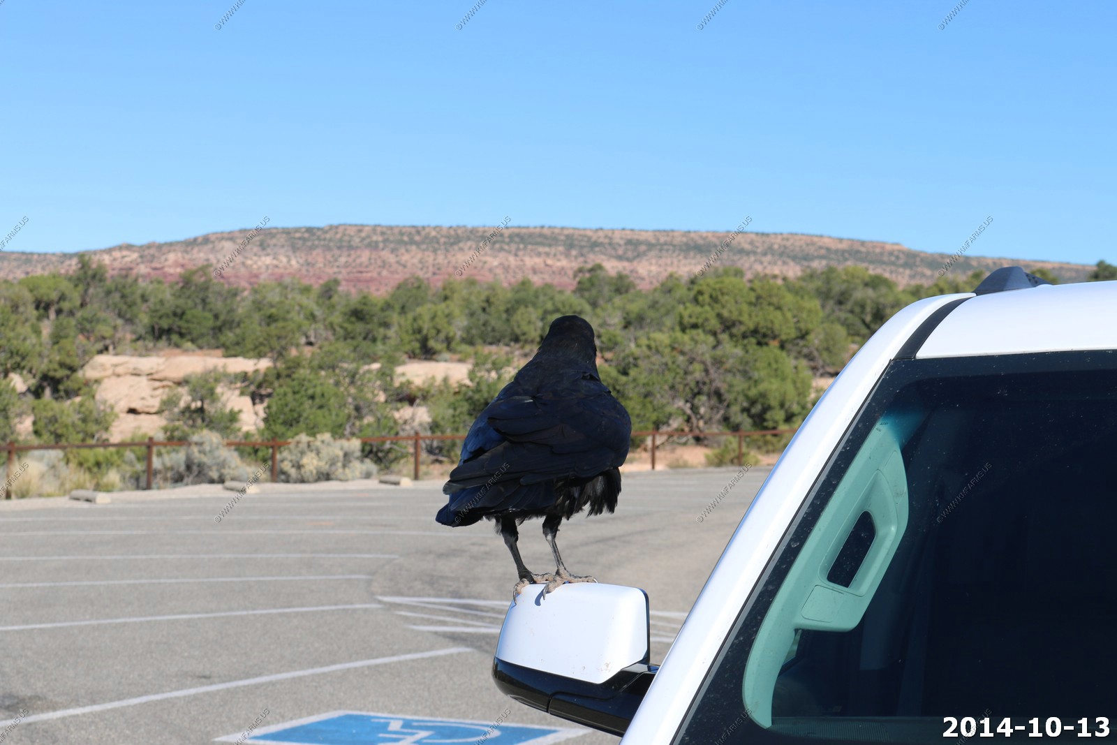
Owachomo Bridge - with a raven.
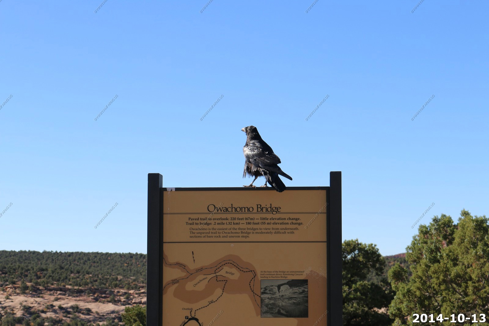
The raven was attacking our truck mirror.
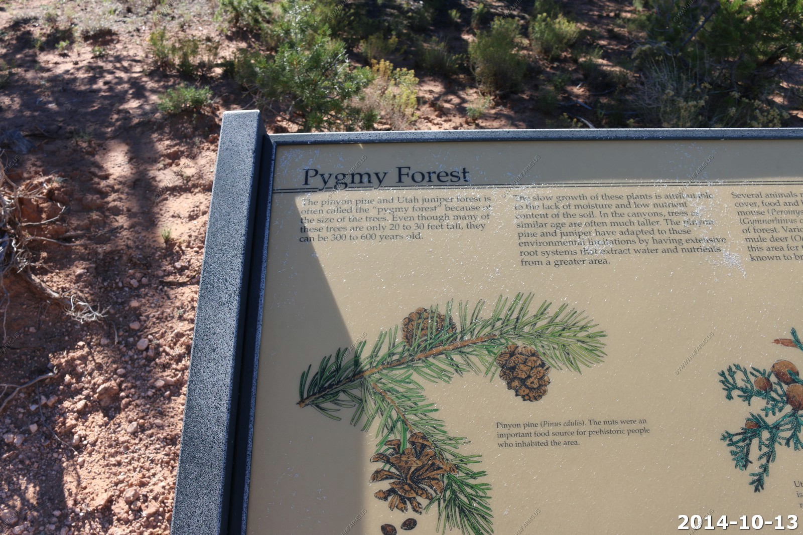
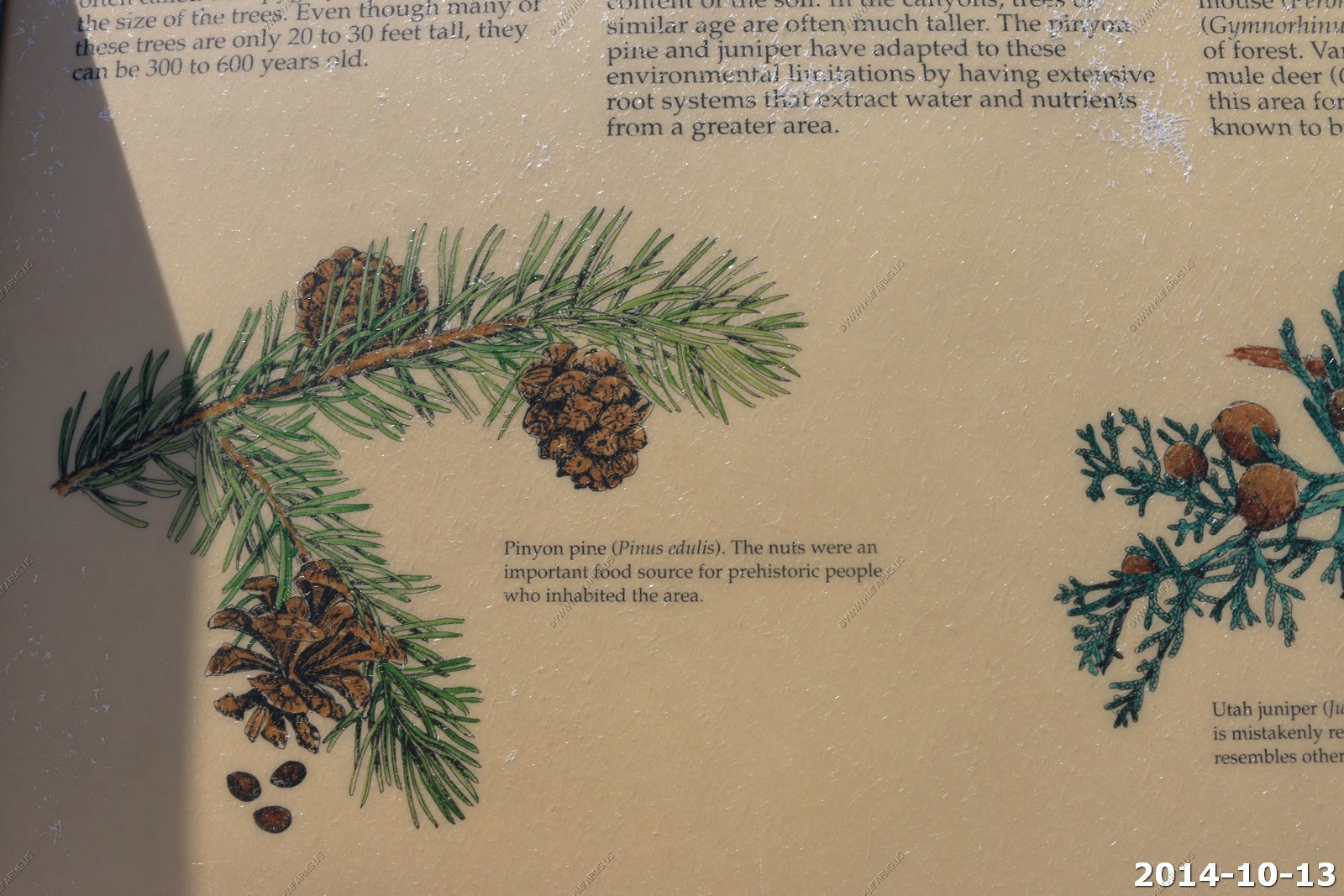
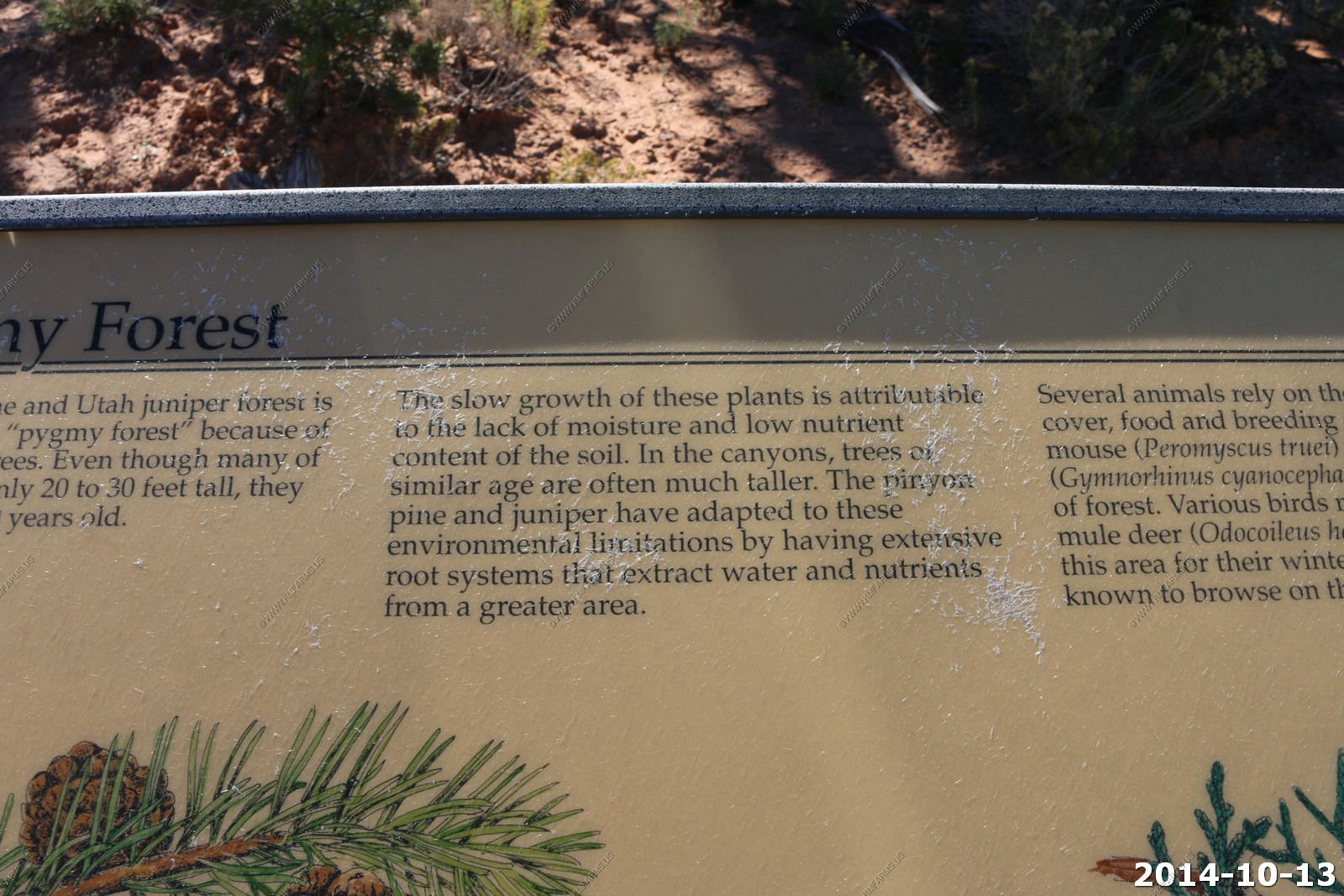
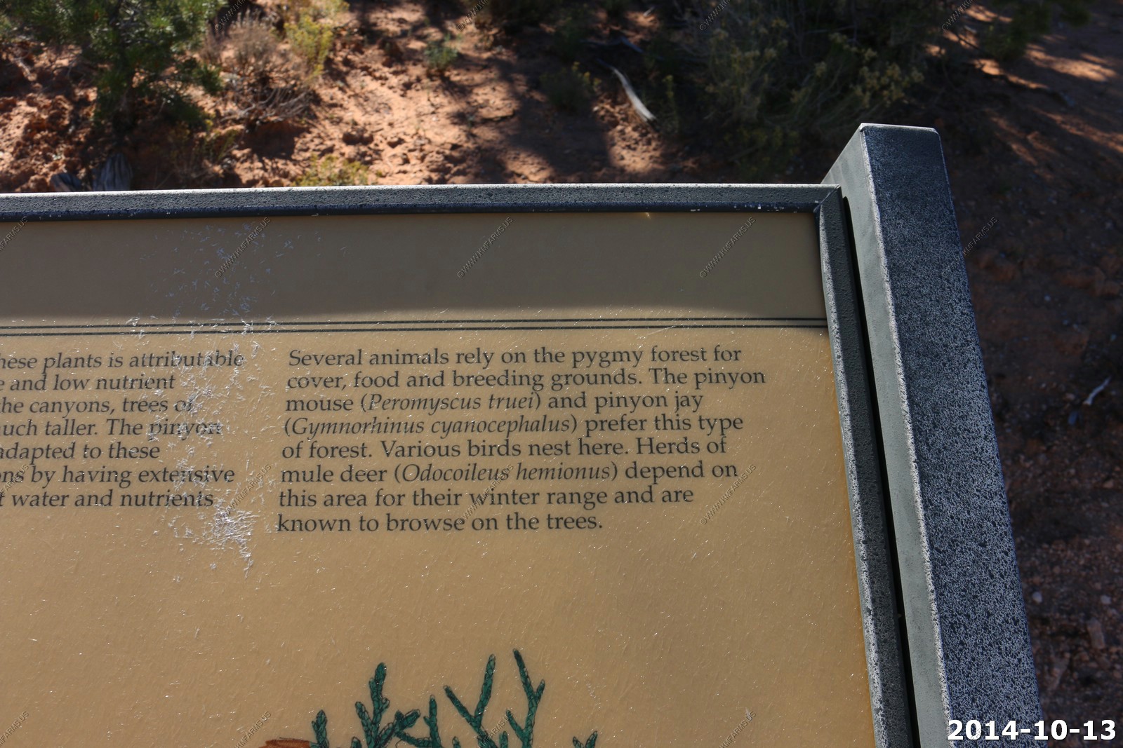
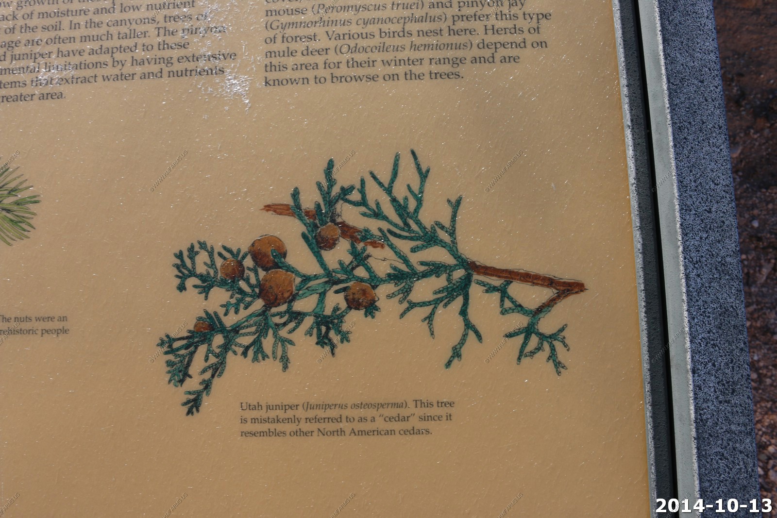
Information on the Pygmy Forest - Pinyon Pine & Utah Juniper.
Our next destination - The Henry Mountains.
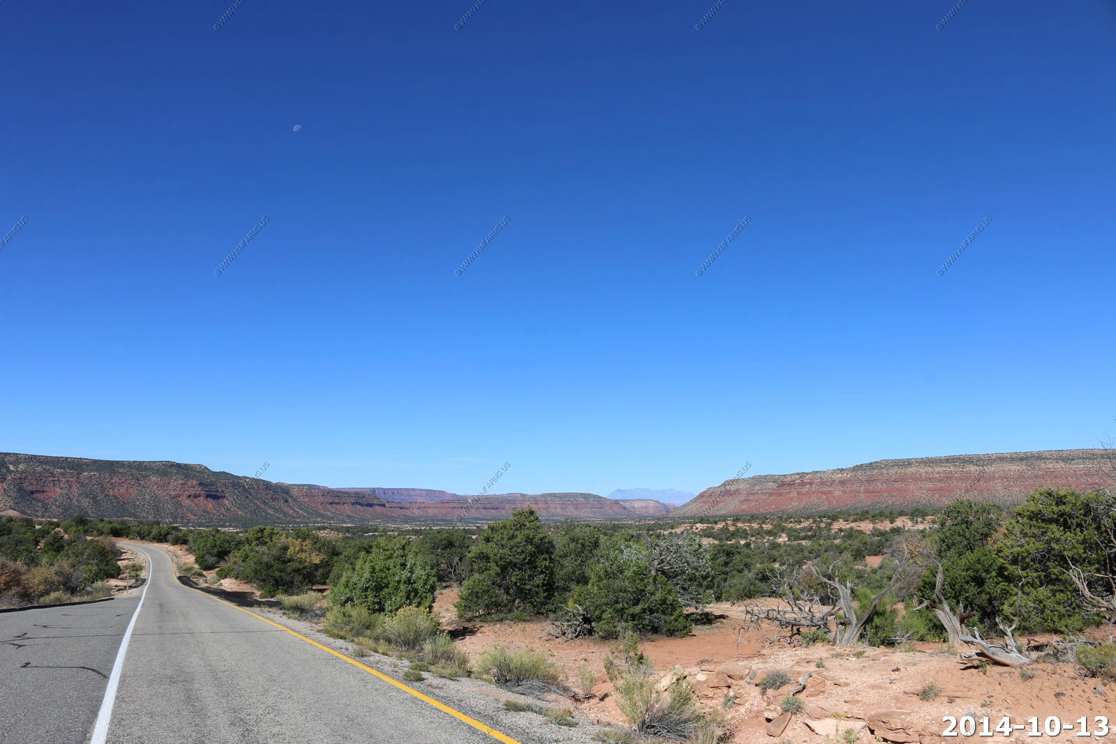
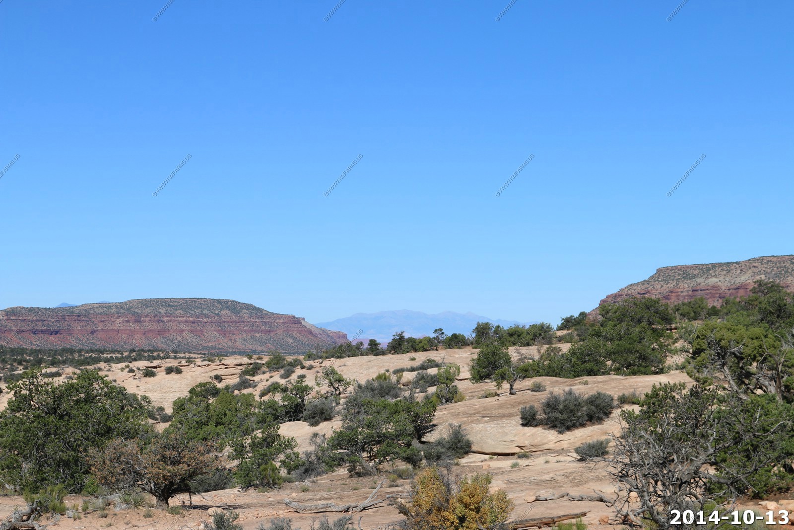
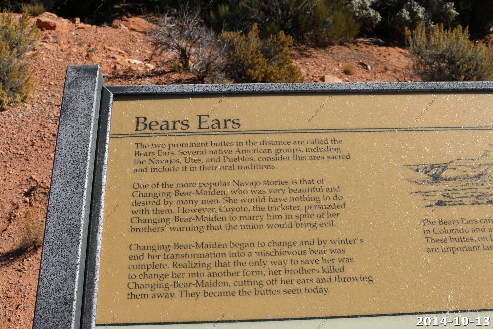
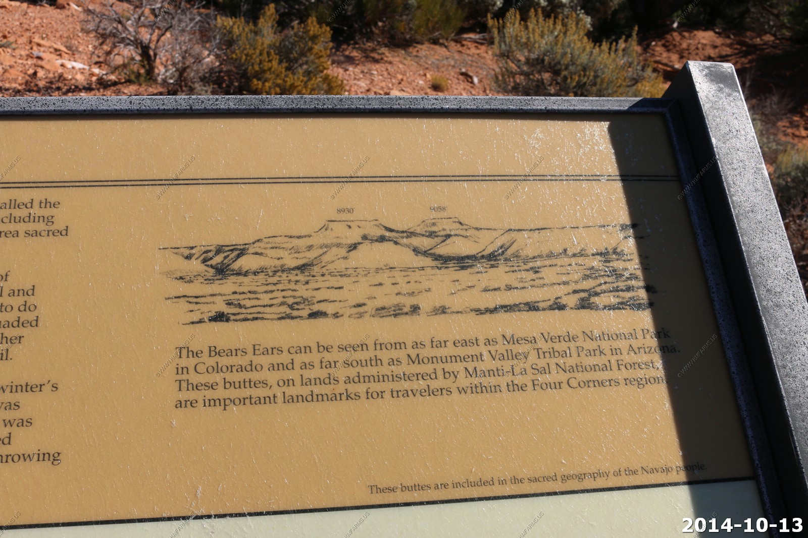
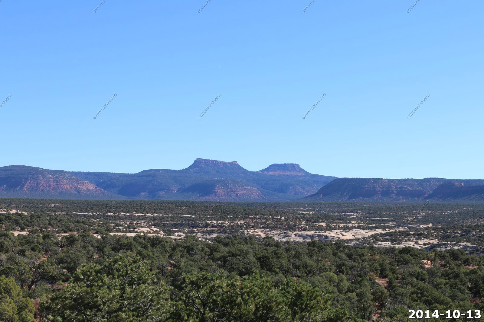
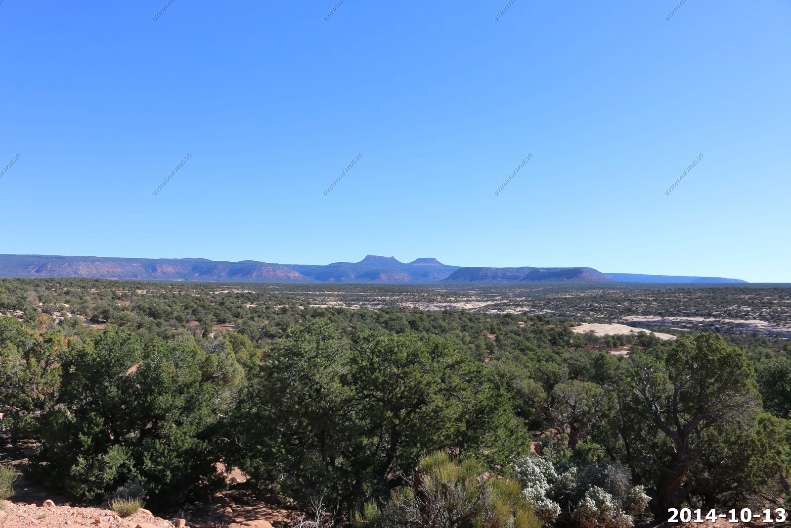
Bear Ears - Bears Ears, rising up over 8,700 feet in elevation. It's here where a transition zone begins. The Bears Ears mark the southern boundary of the Dark Canyon Plateau and the high elevation Manti-La Sal National Forest.
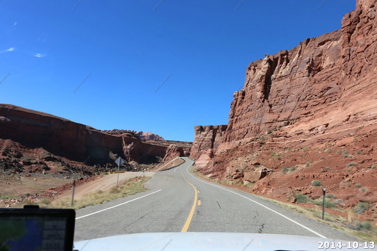
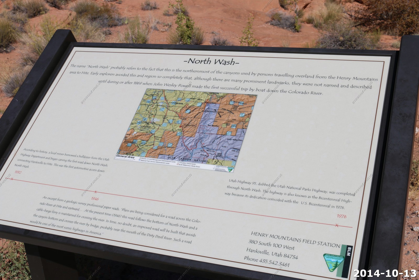
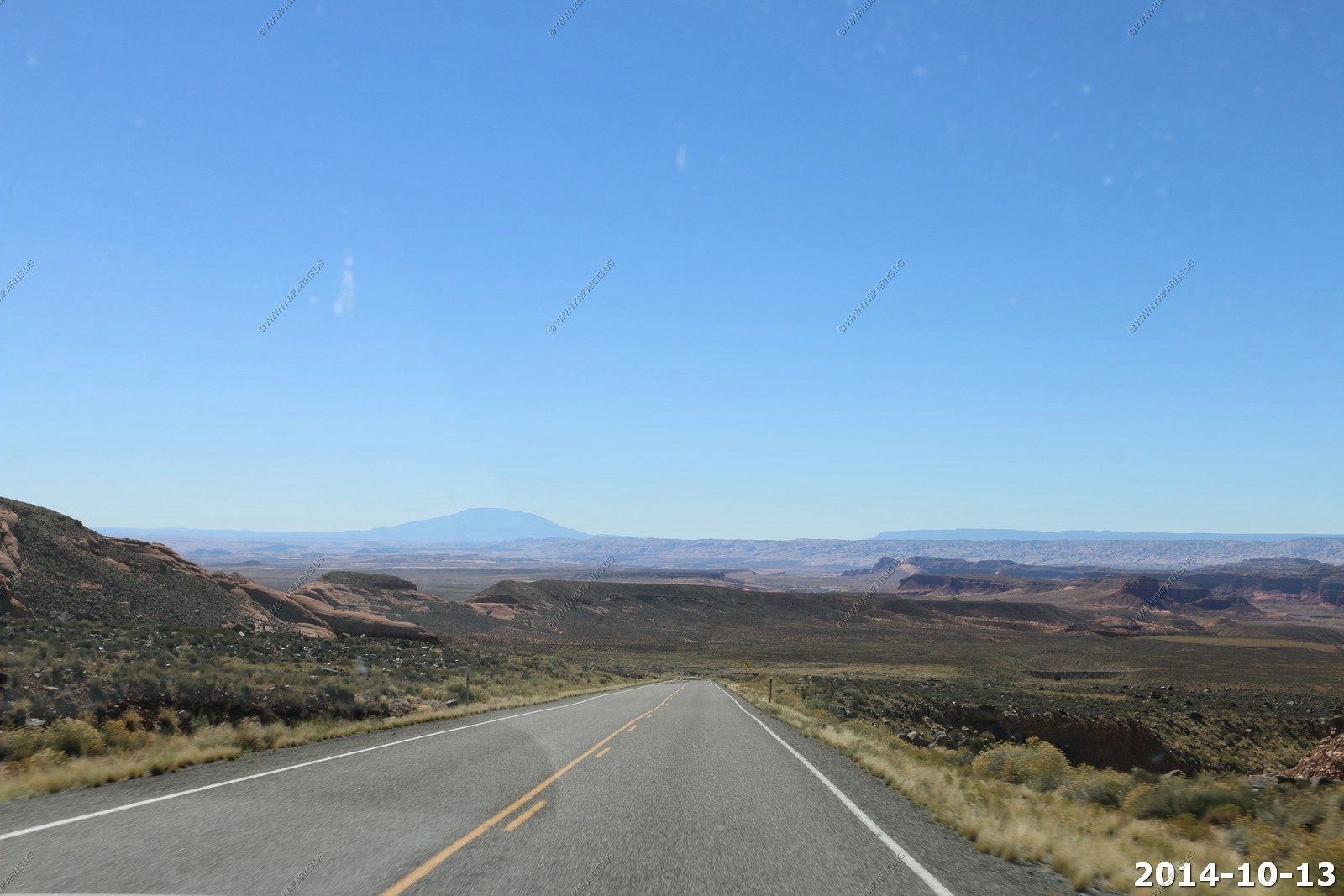
Our final destination today is Torrey, Utah appx. 200 miles away. But we have some of the most remote & scenic country to travel over. Heading north on Utah State Highway 95
Just so much traffic !
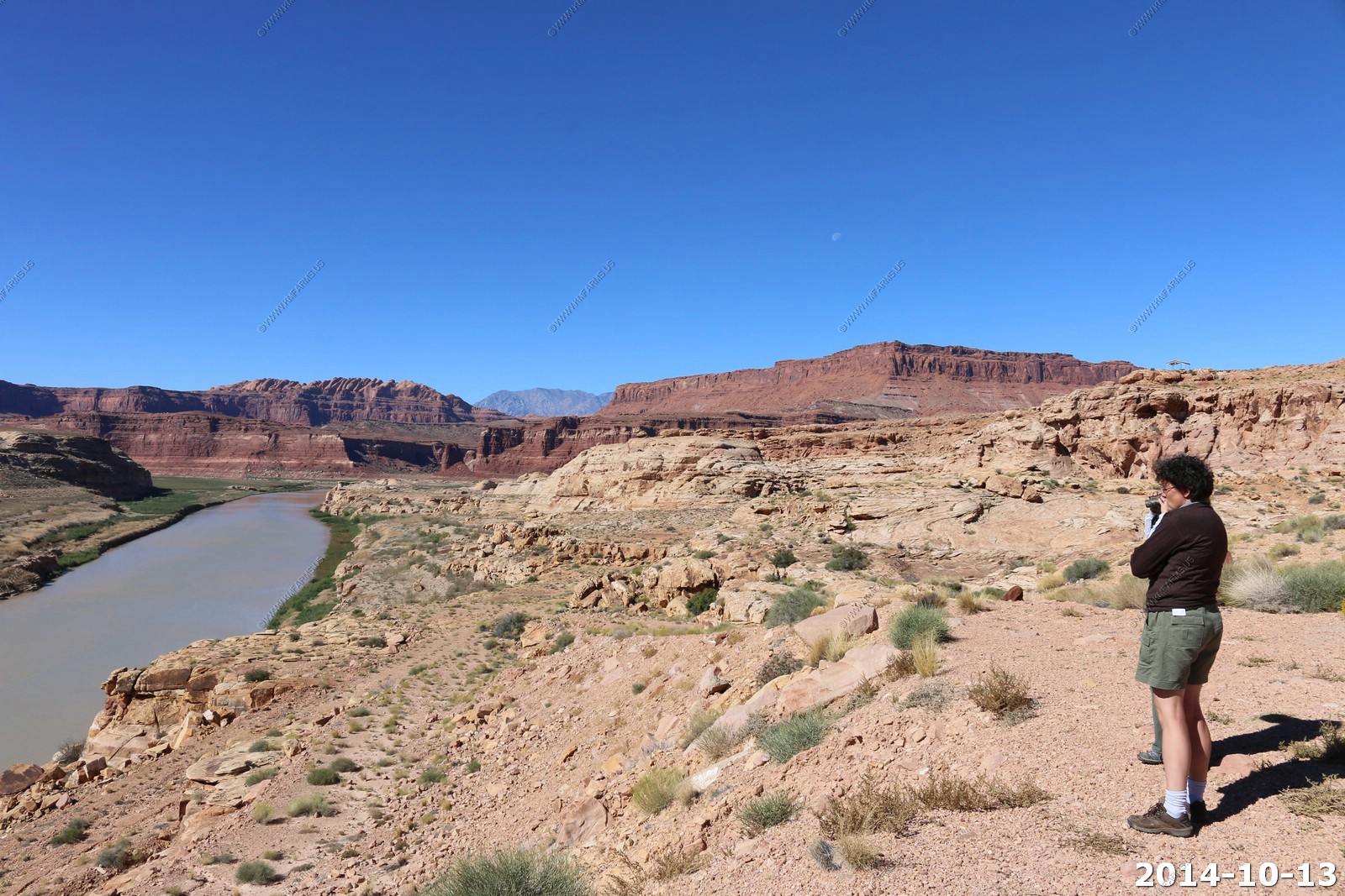
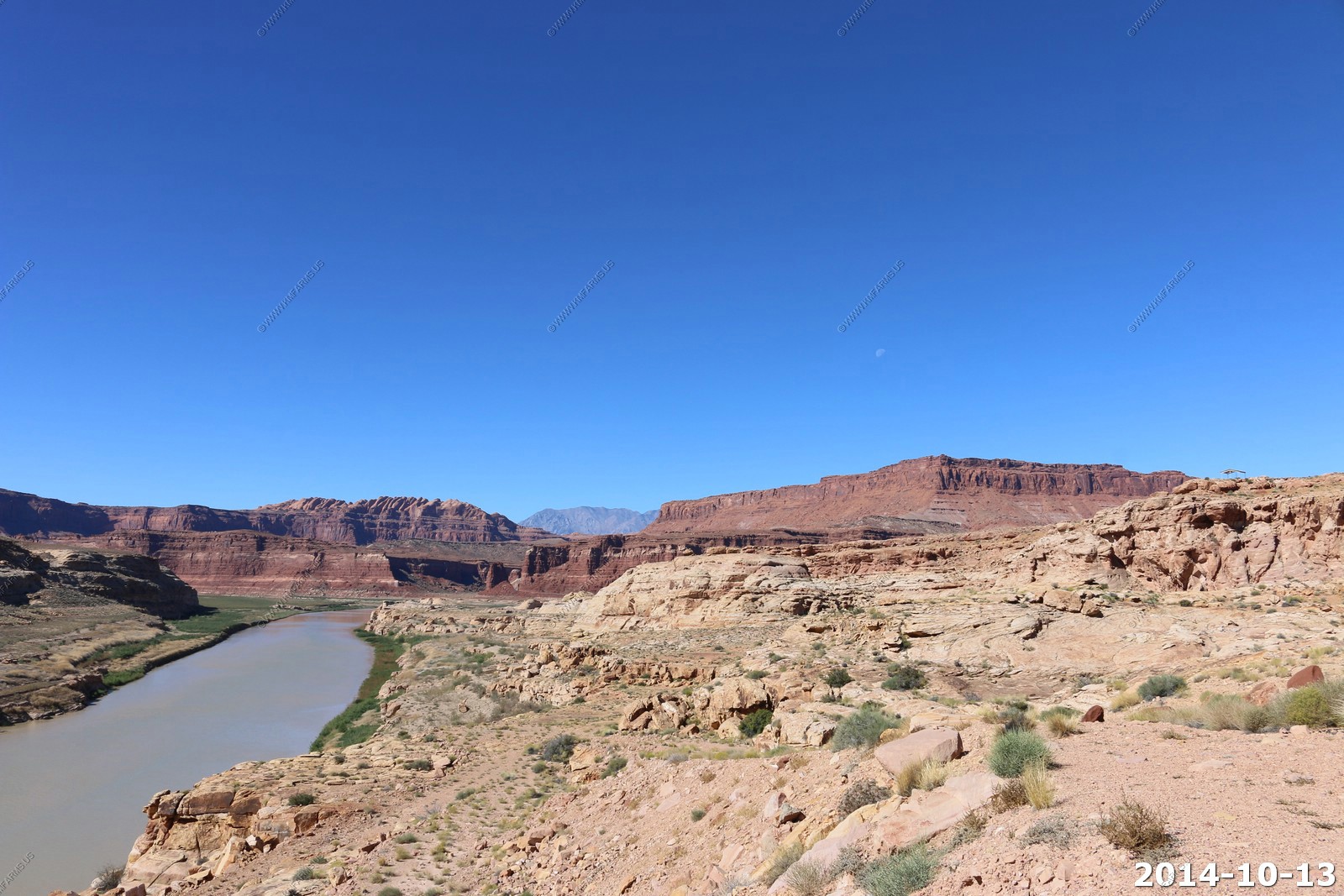
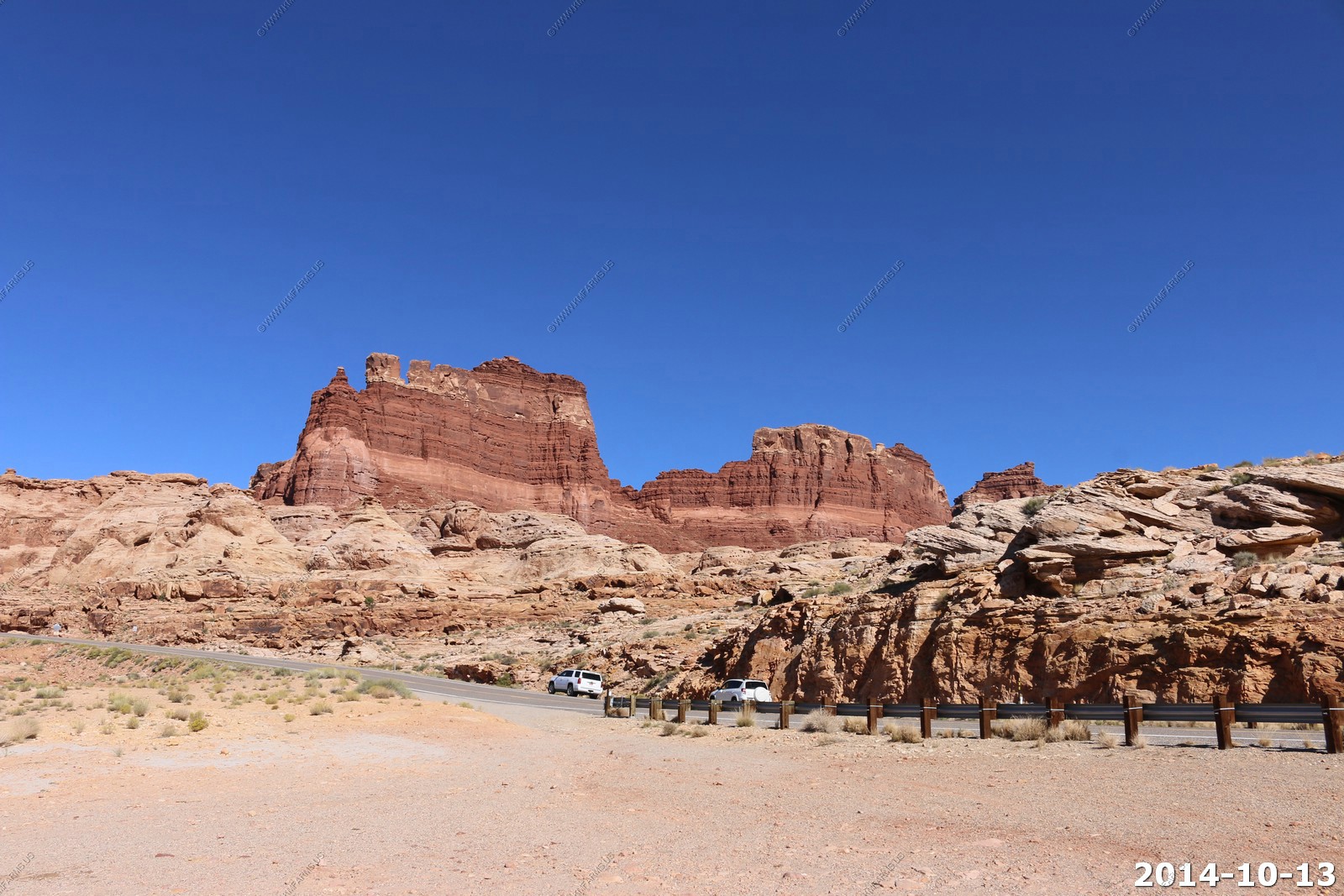
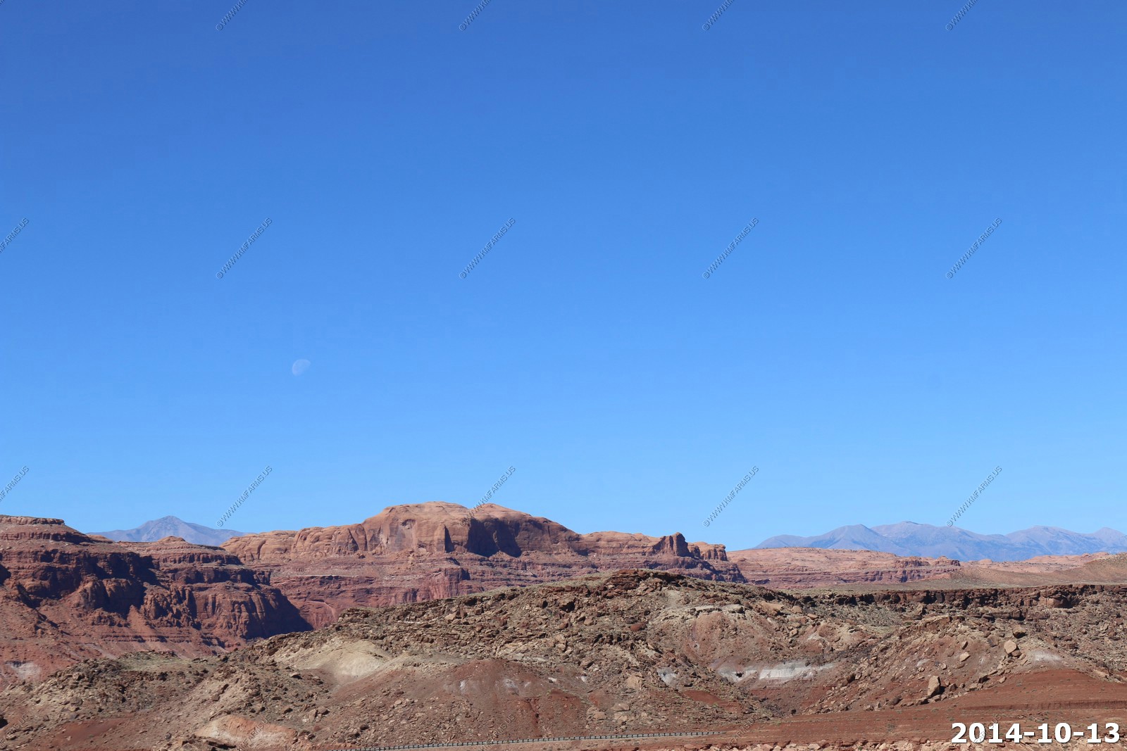
Entering Glen Canyon National Recreation Area with the moon setting over the Henry's.
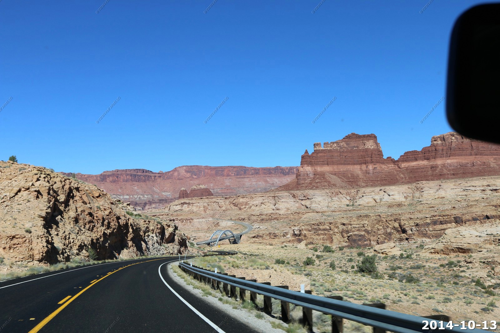
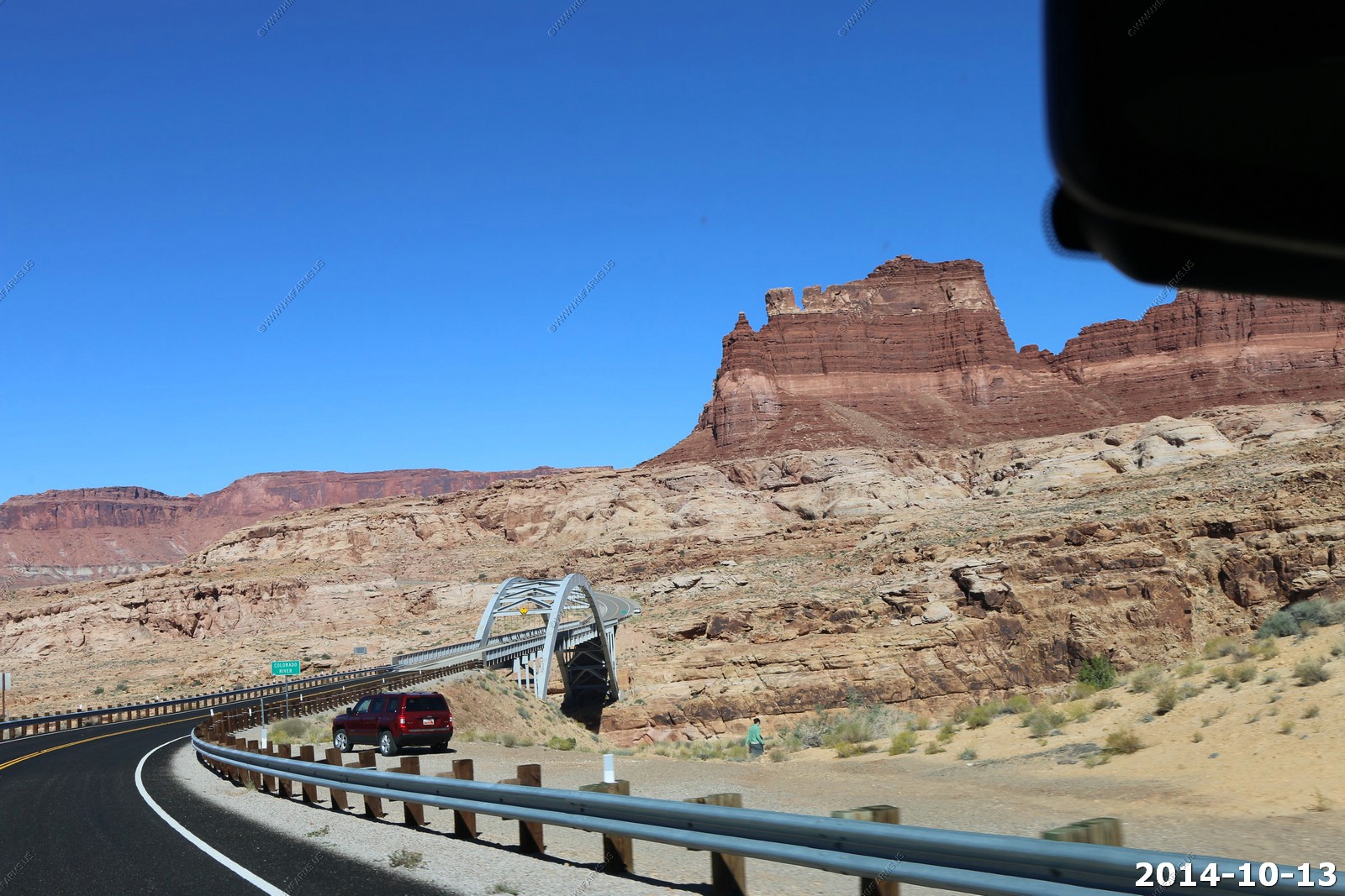
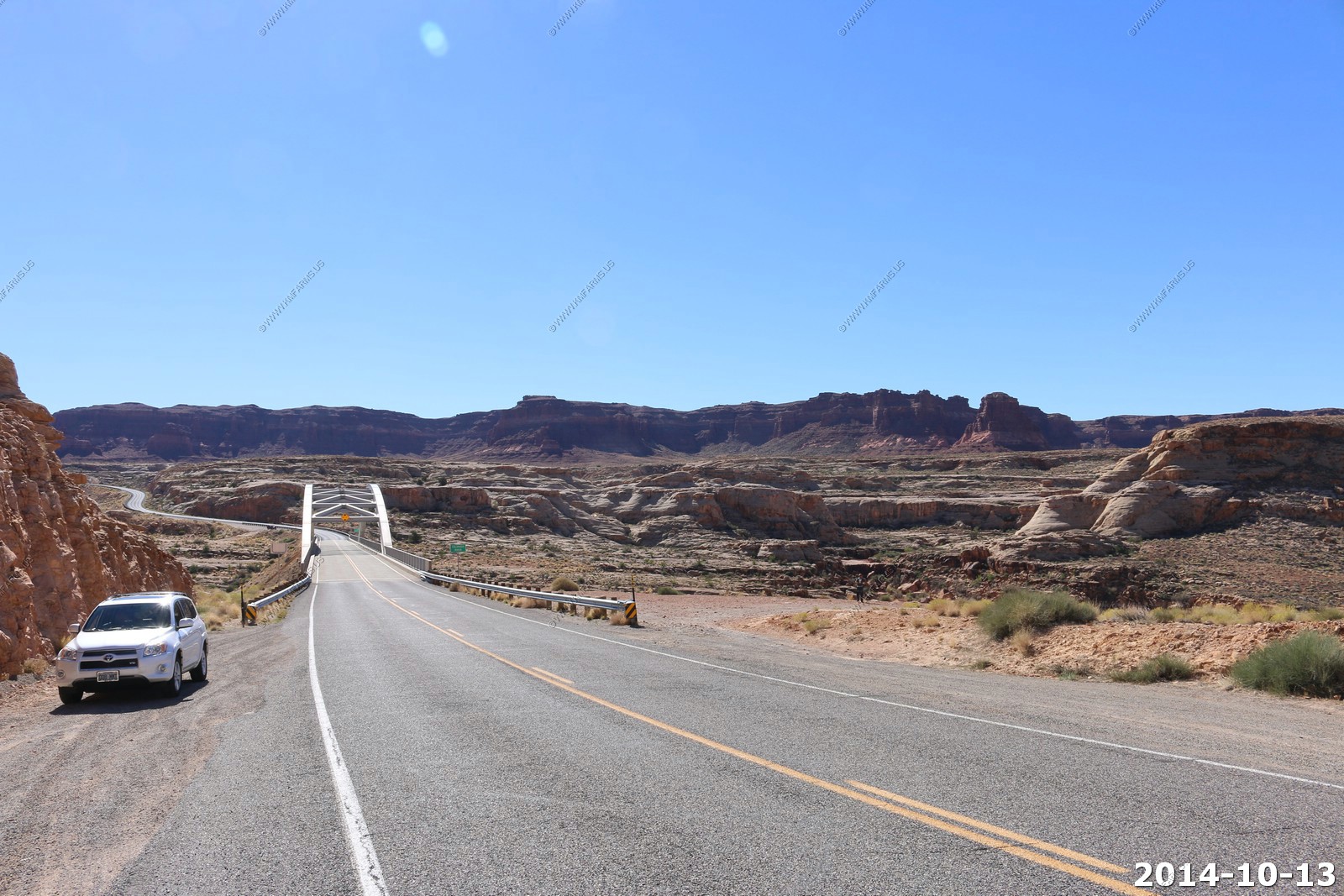
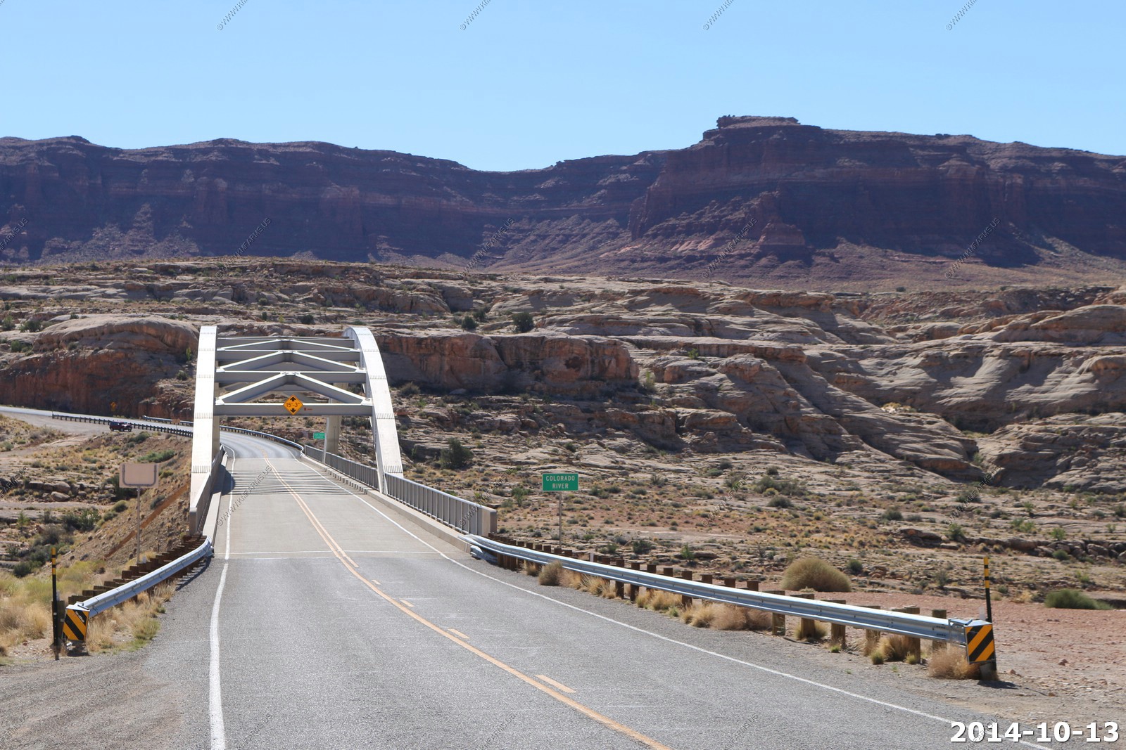
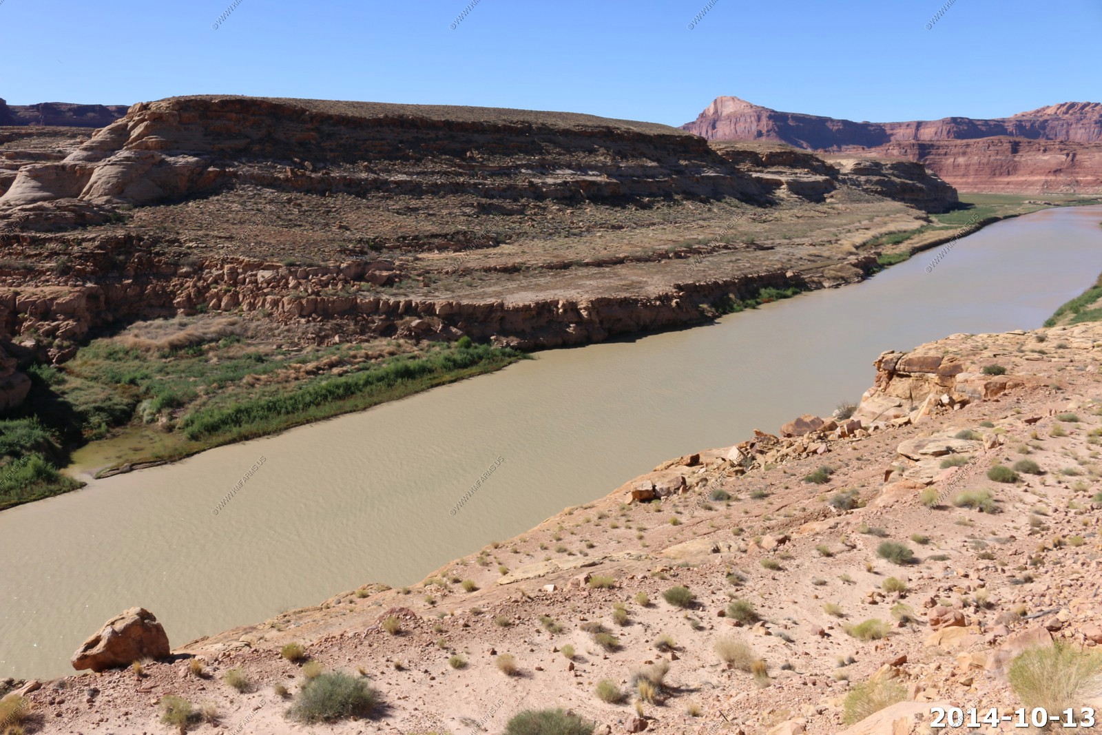
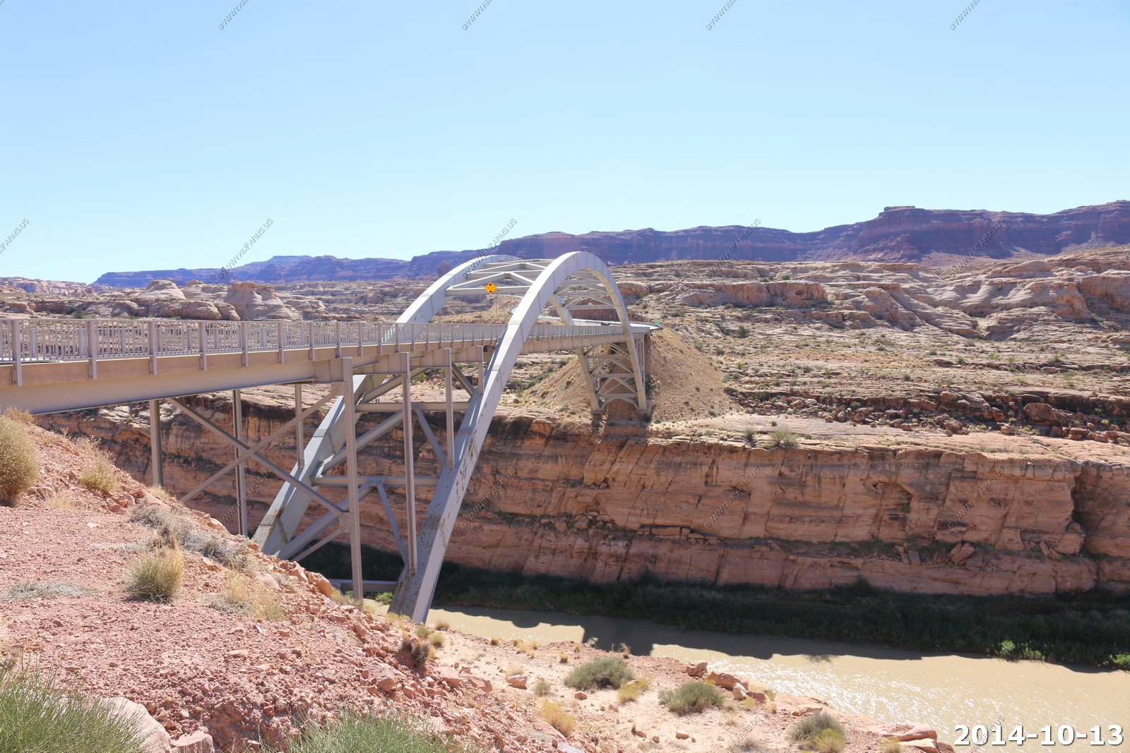
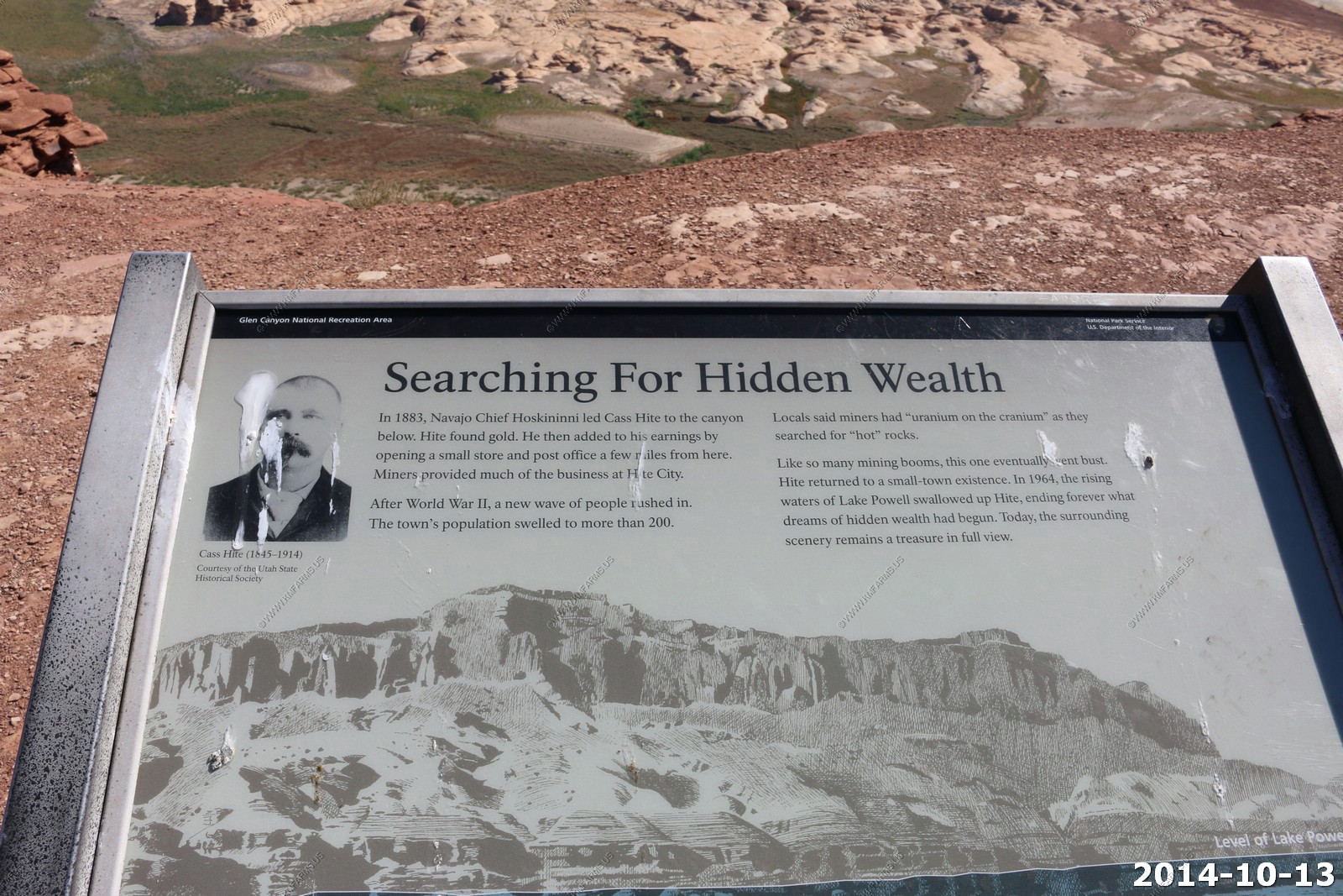
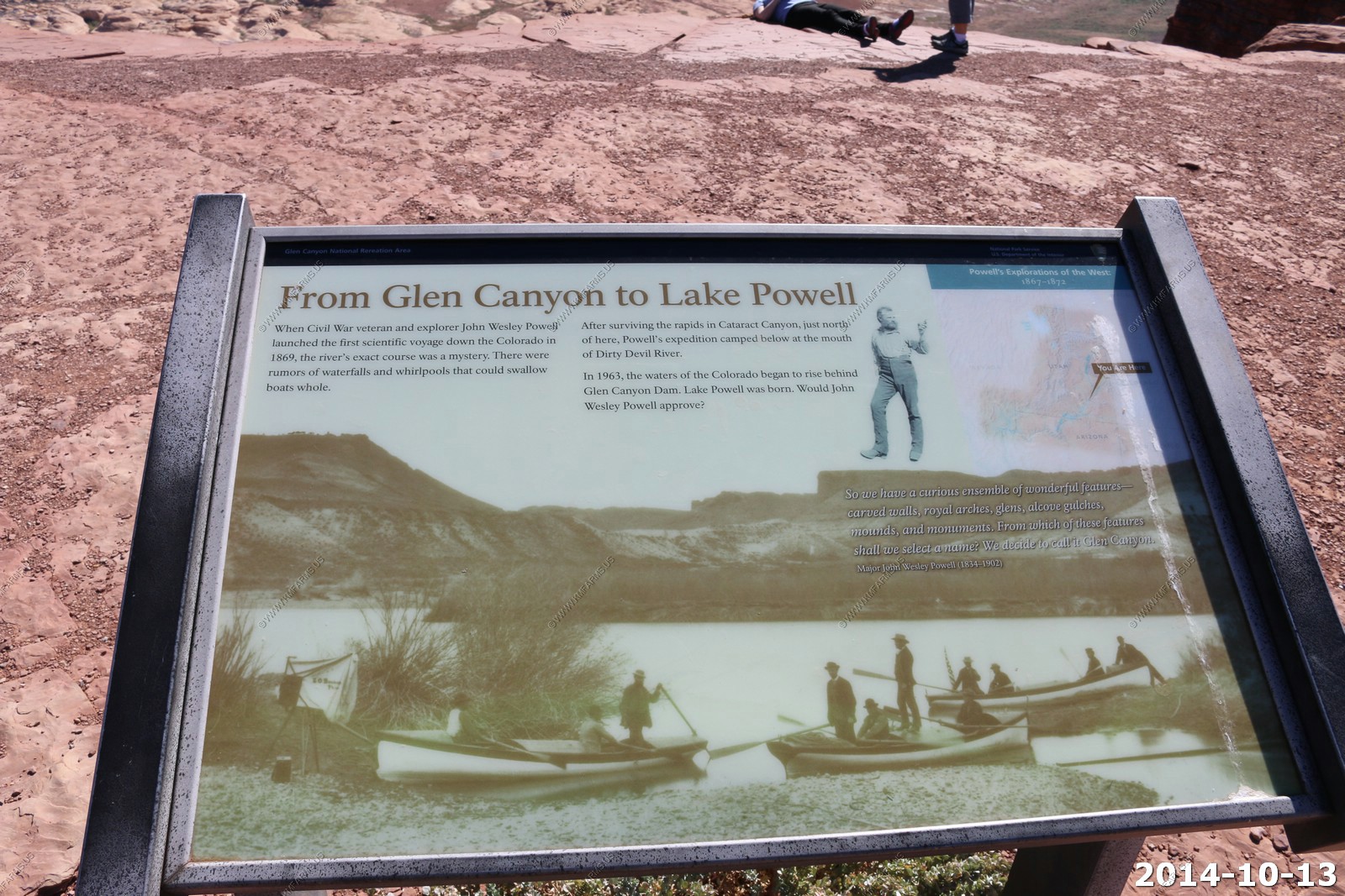
Glen Canyon Hite Crossing
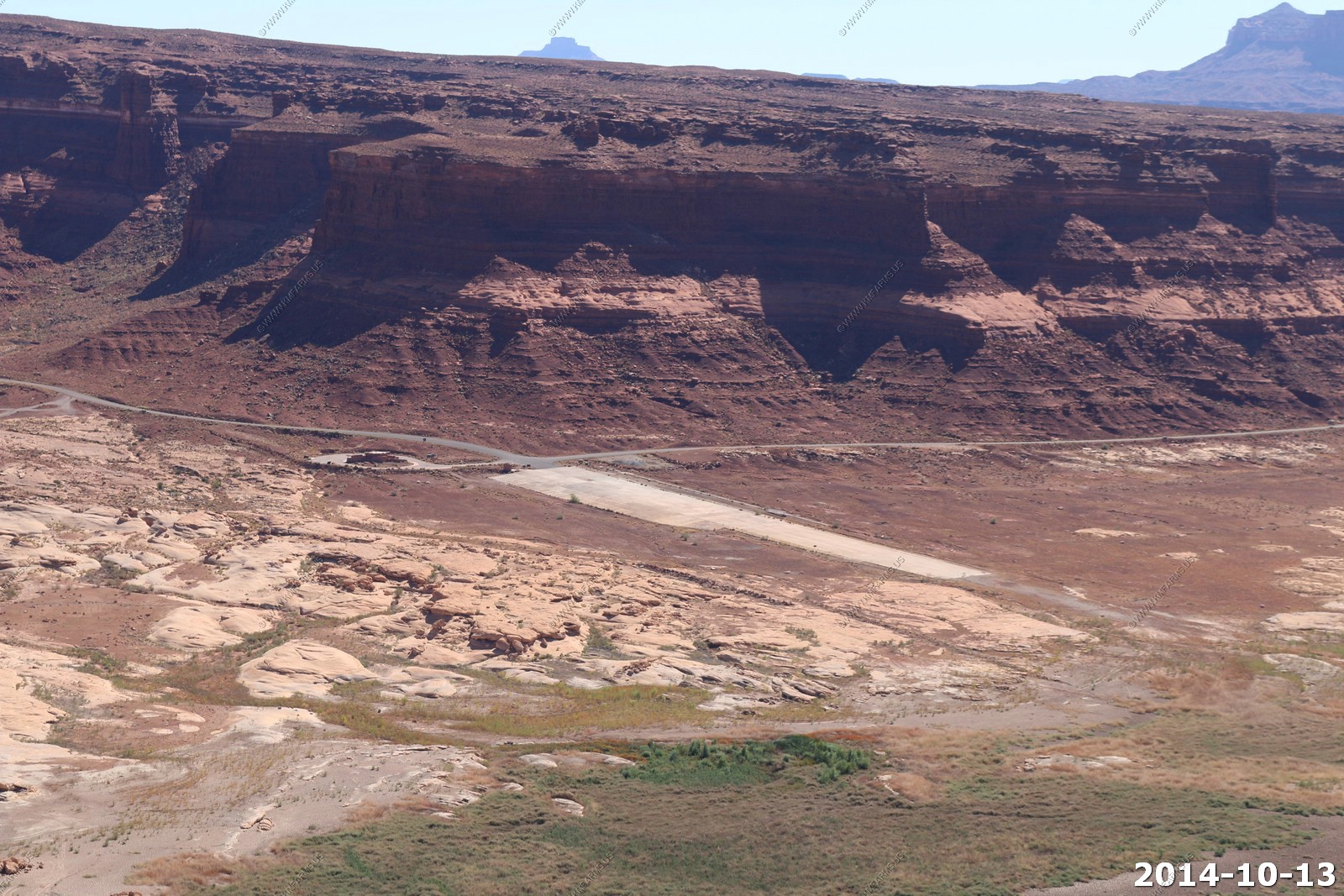
Hite Crossing Bridge - is an arch bridge which carries Utah State Route 95 across the Colorado River northwest of Blanding, Utah, United States. The bridge informally marks the upstream limit of Lake Powell and the end of Cataract Canyon of the Colorado River, but when the lake is at normal water elevation, the water can back up over 30 miles (48 km) upstream into Cataract Canyon.[1] The bridge is the only automobile bridge spanning the Colorado River between the Glen Canyon Bridge, 185 miles (298 km) downstream near the Glen Canyon Dam and the U.S. Route 191 bridge 110 miles (180 km) upstream near Moab. The bridge is near Hite Marina on Lake Powell, and a small airstrip is immediately adjacent to the north side of the bridge.
The bridge was completed as part of the realignment of State Route 95, which was approved in 1962 due to the construction of Glen Canyon Dam and Lake Powell's subsequent flooding of the original roadway alignment and the original river crossing in Hite.
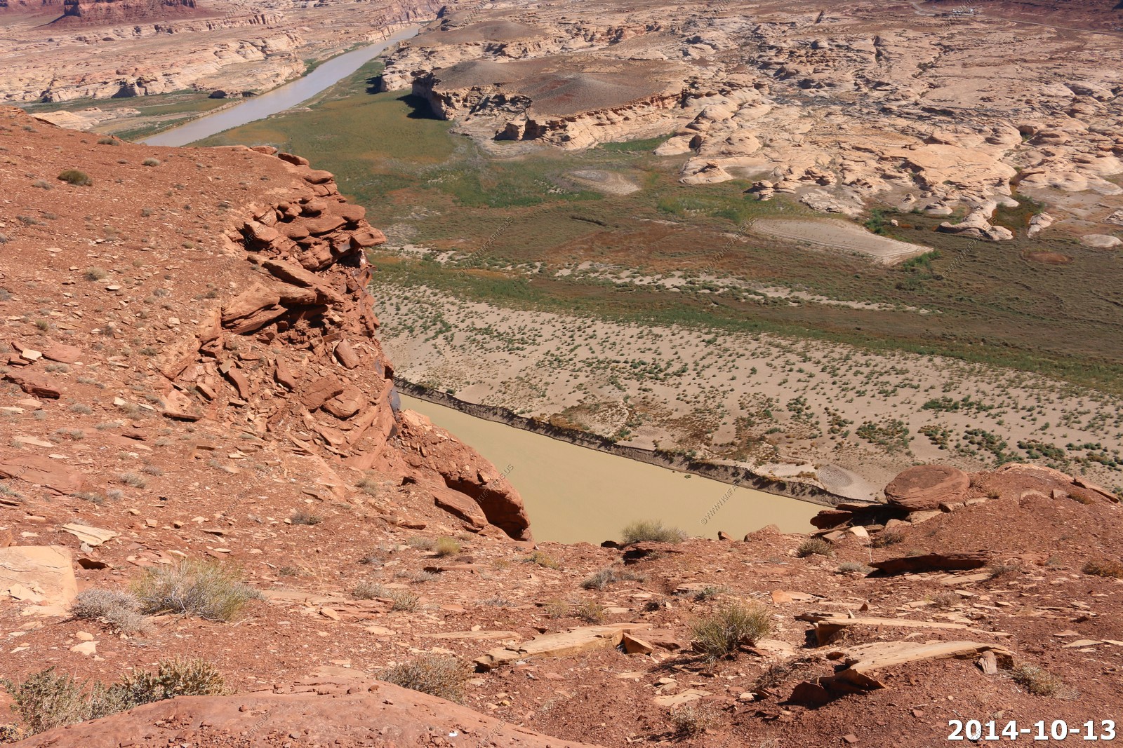
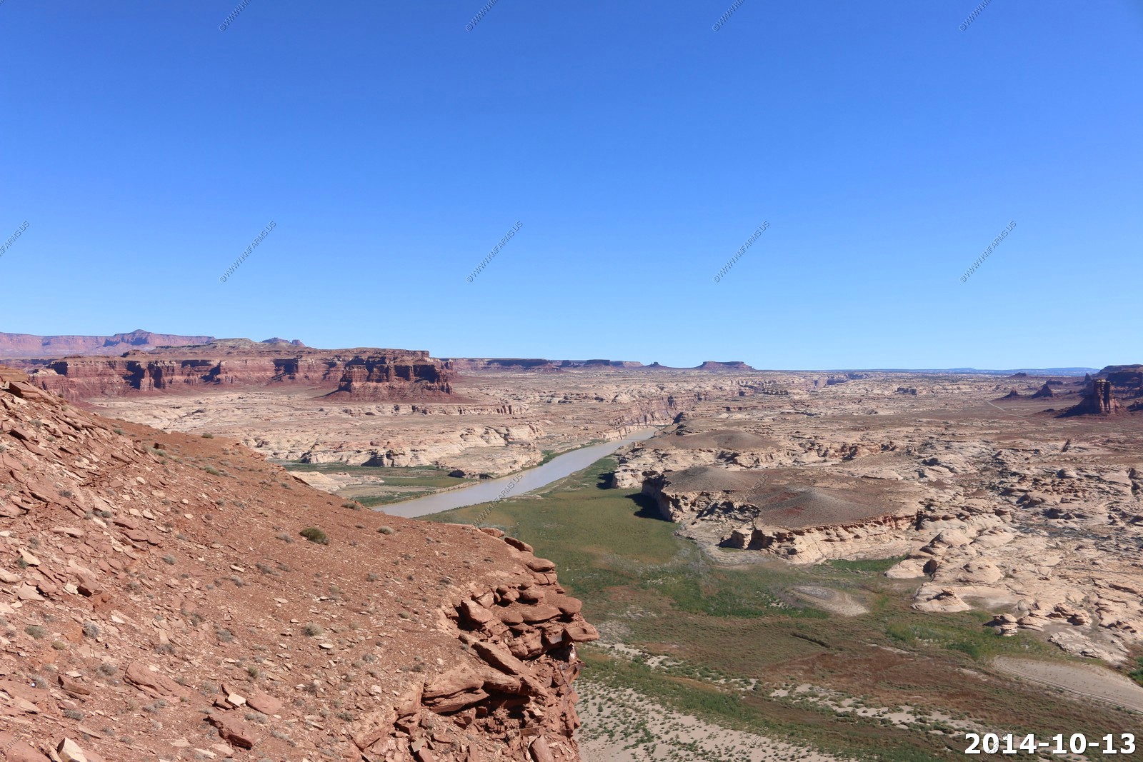
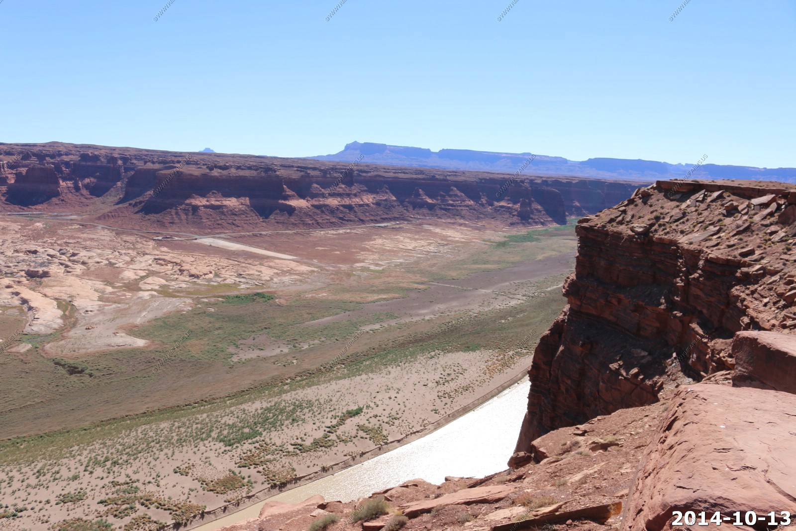
Crossing / walking on the bridge looking NW at the Henry's & the river.
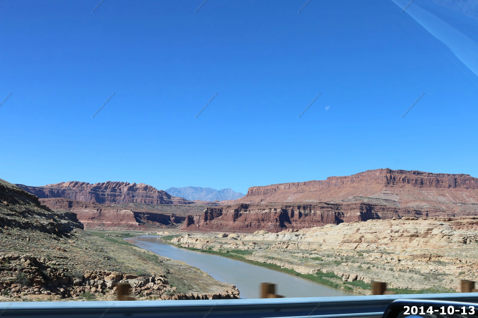
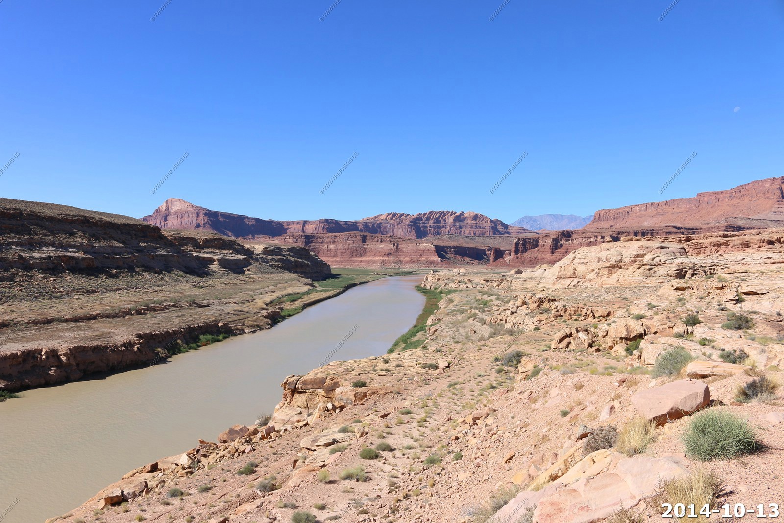
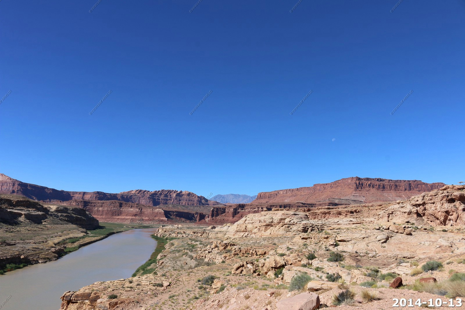
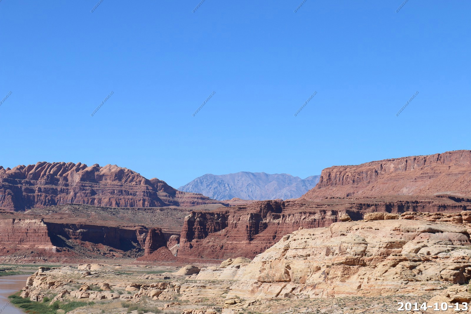
The sky is so blue.

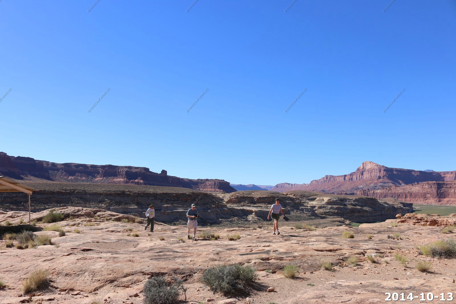
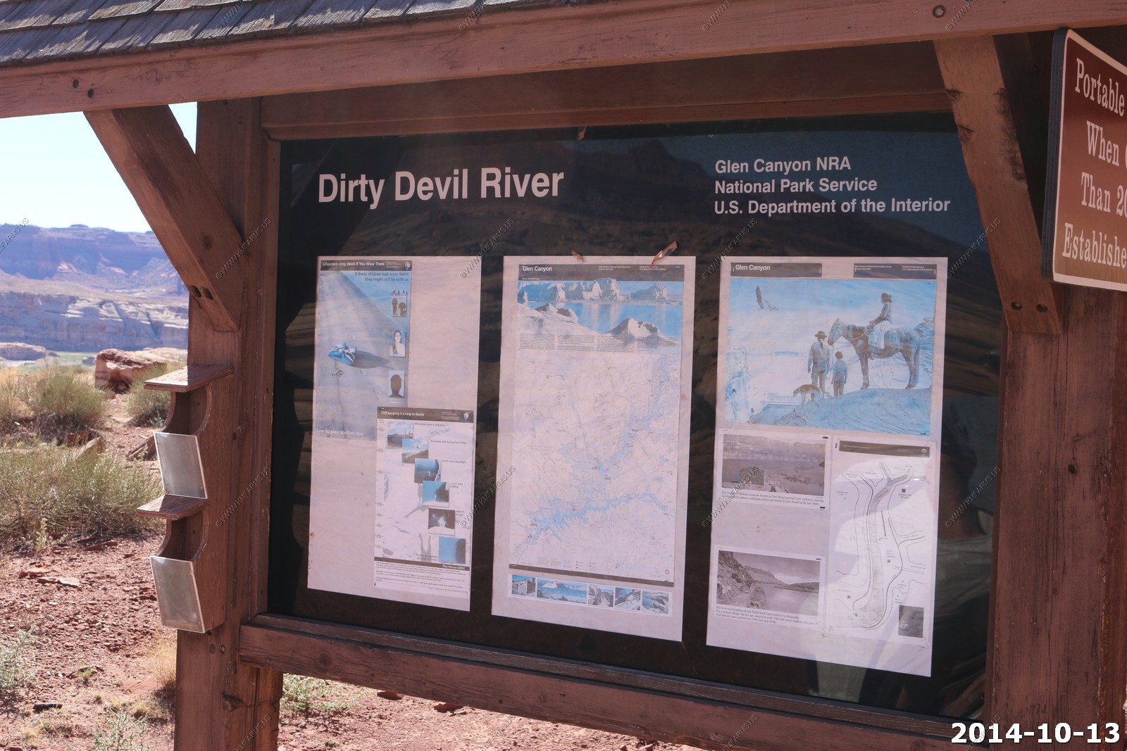
Quick stop at Dirty Devil River parking area - We all took advantage of a wilderness crapper !
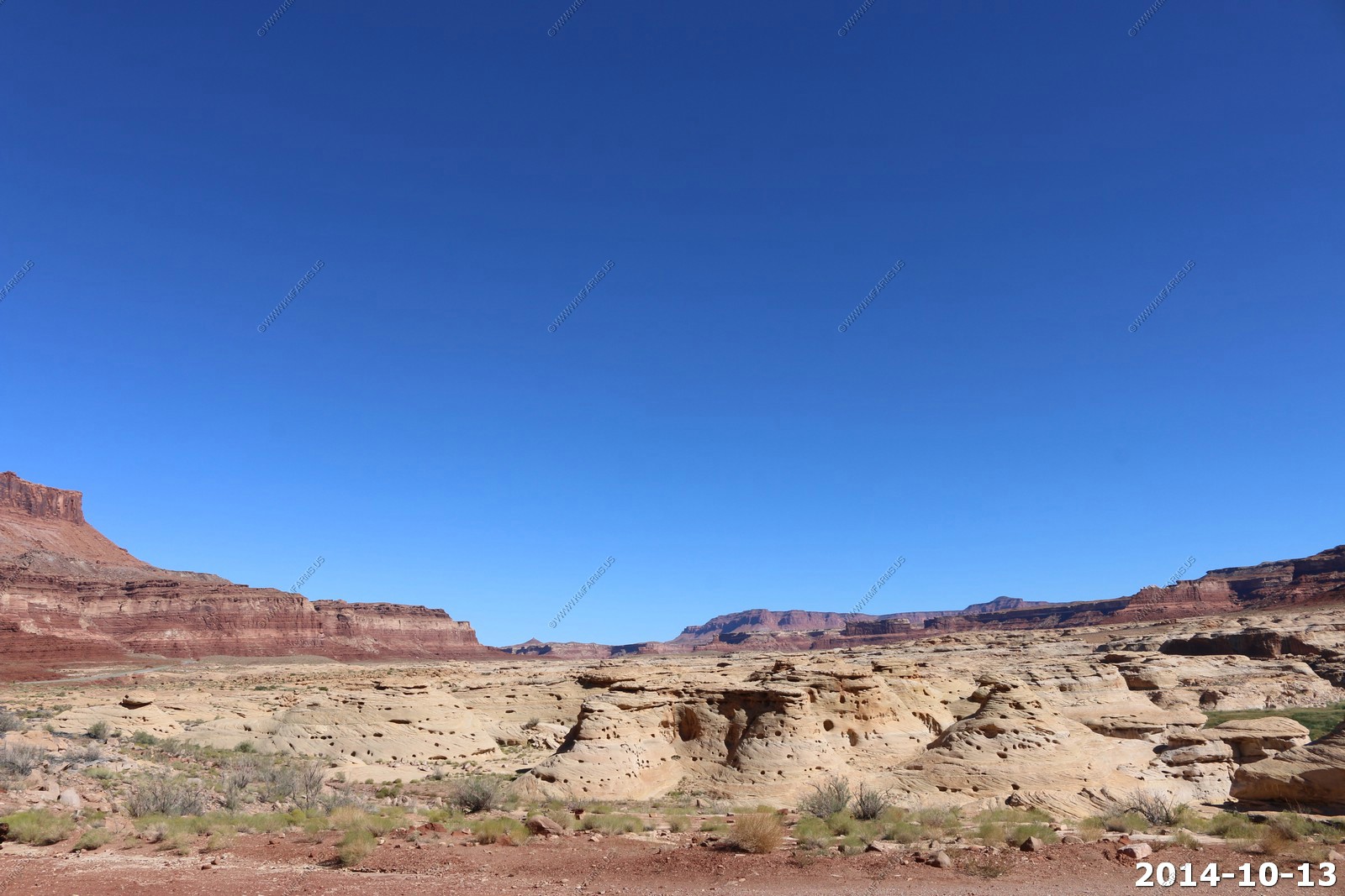
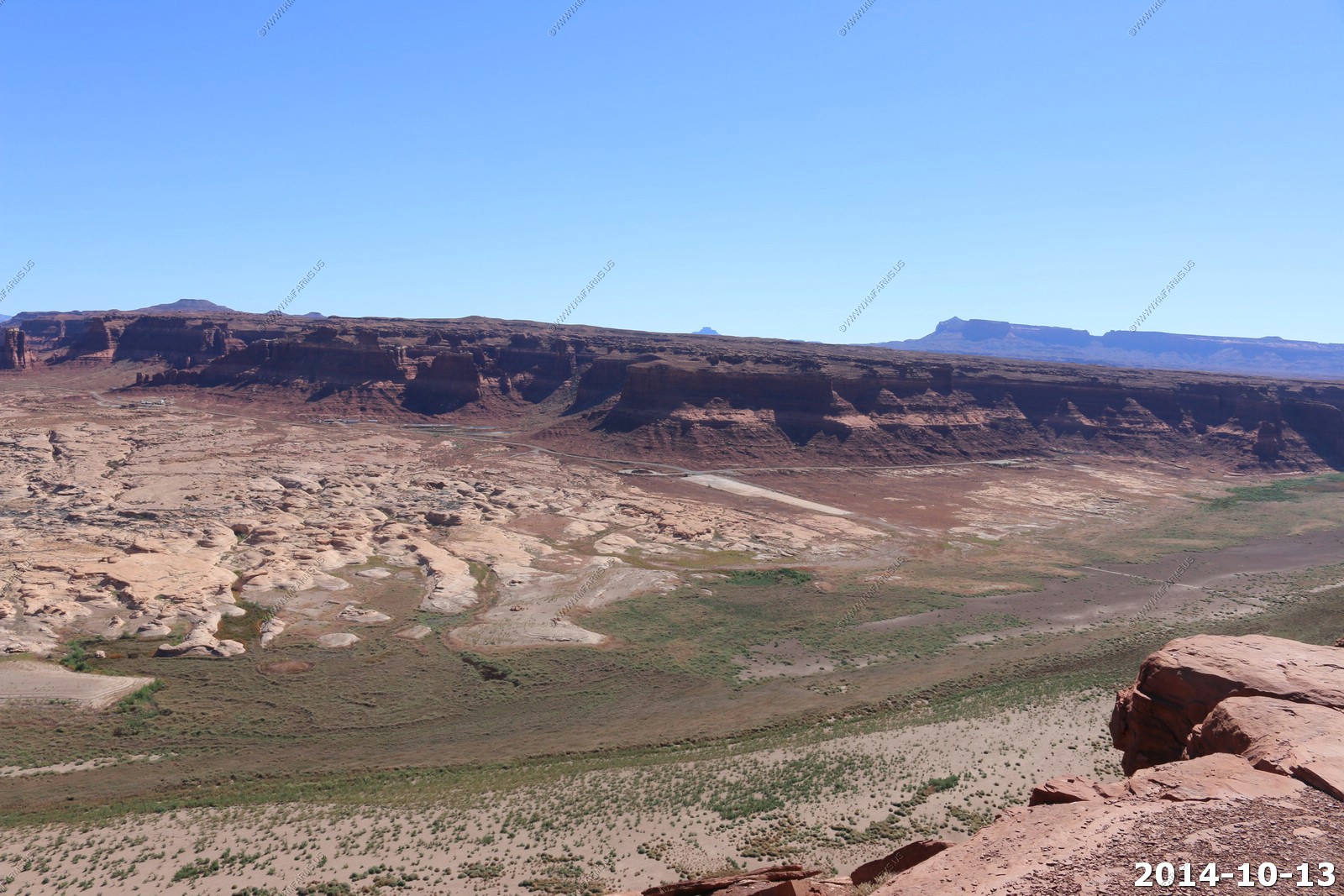
We stopped at Hite Crossing overlook - Extreme danger along the edges as it was just gravel on a 500ft ledge.
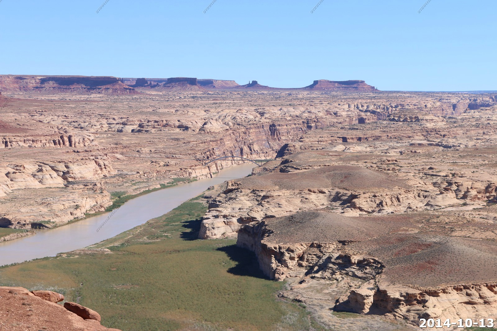
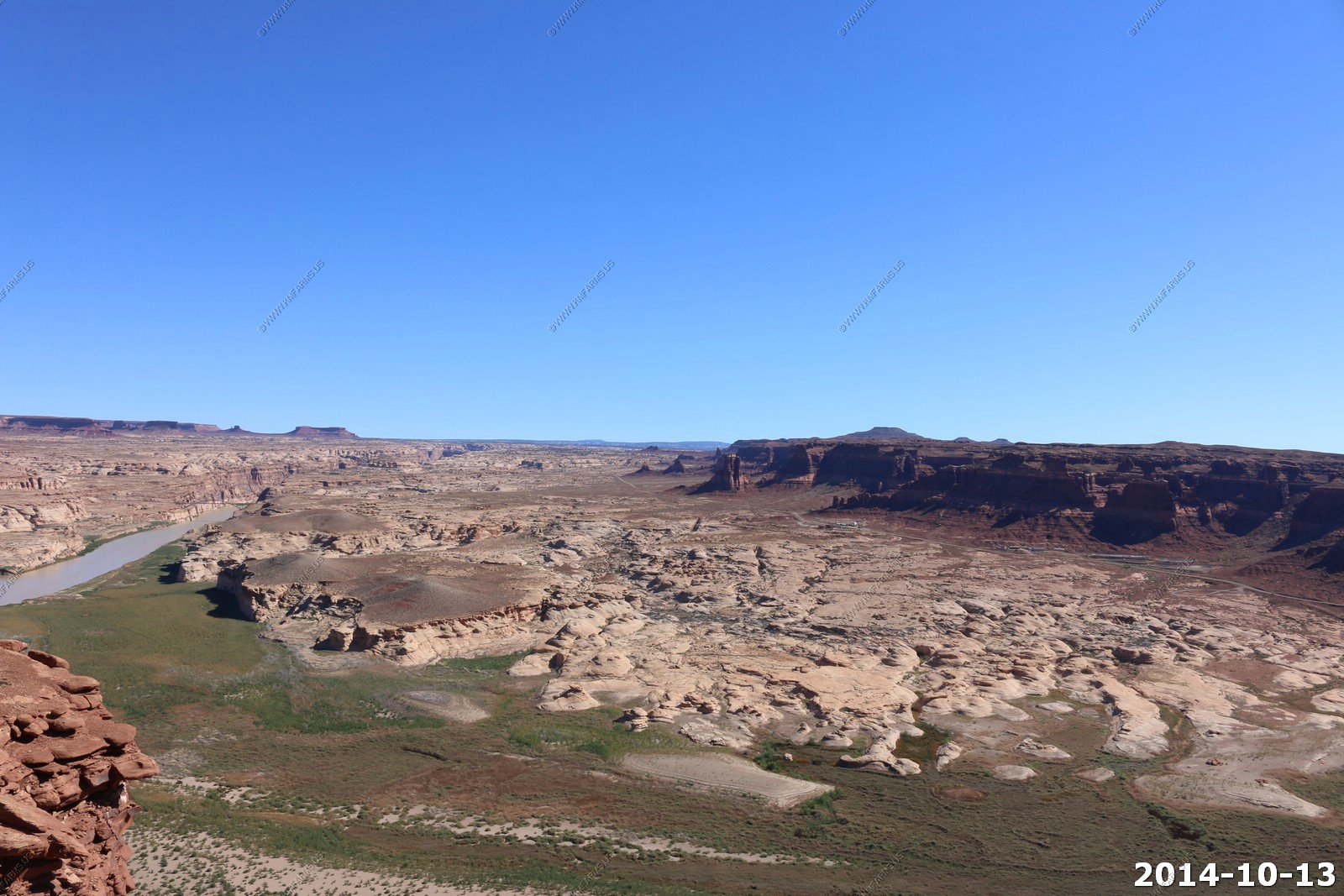
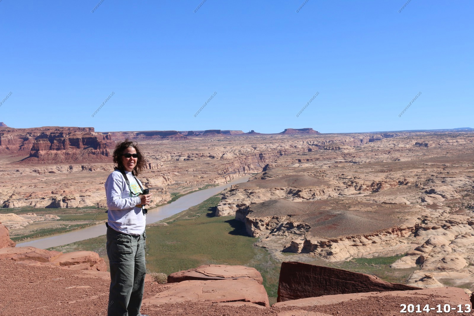
The water level is so low that the concrete boat ramp is far from the river.
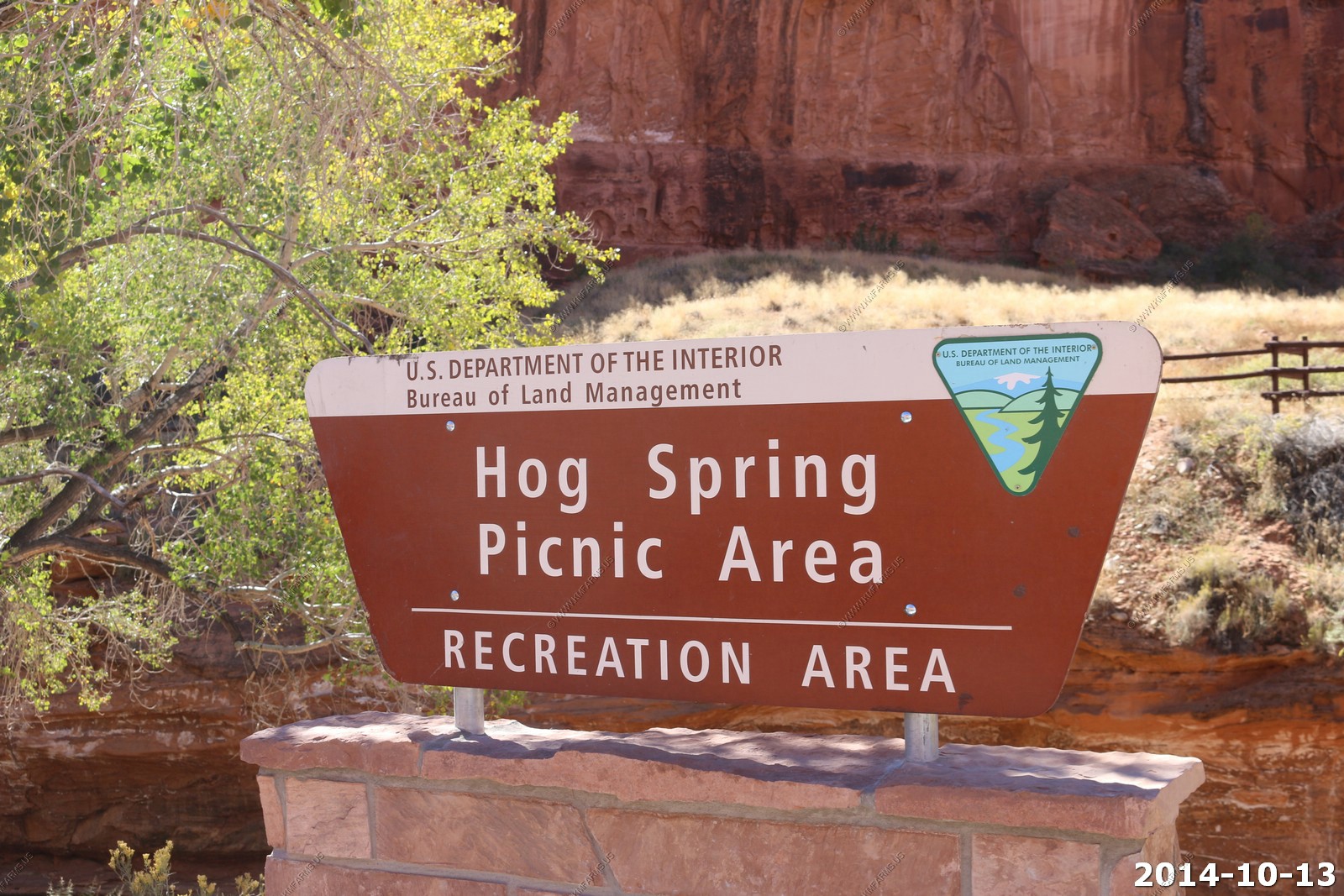
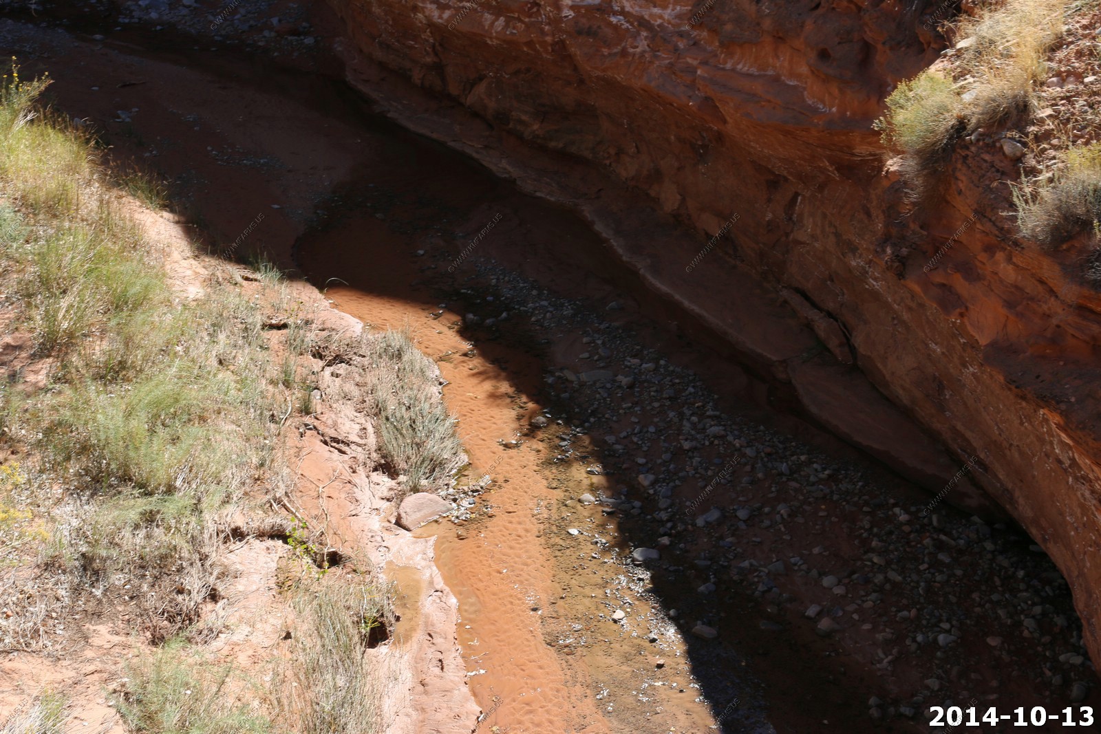
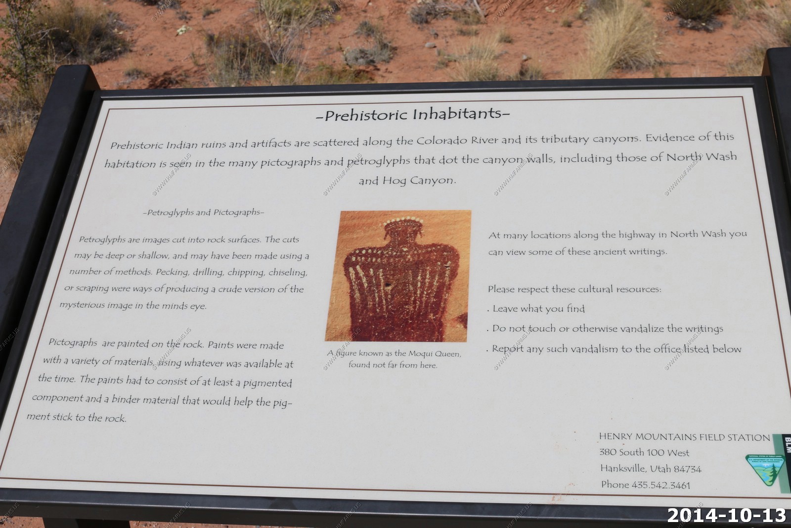
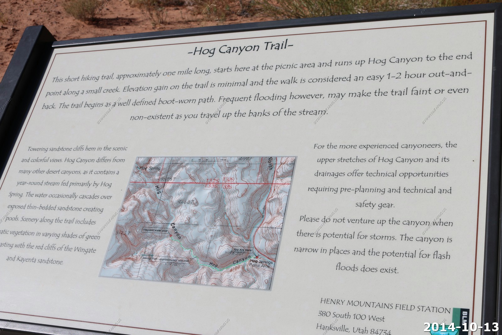
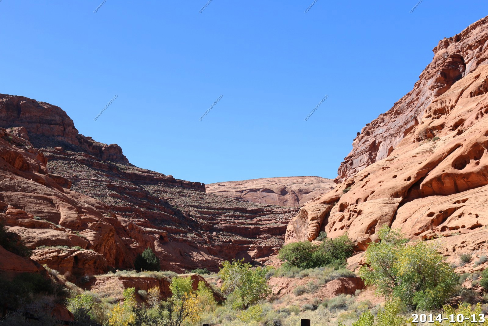
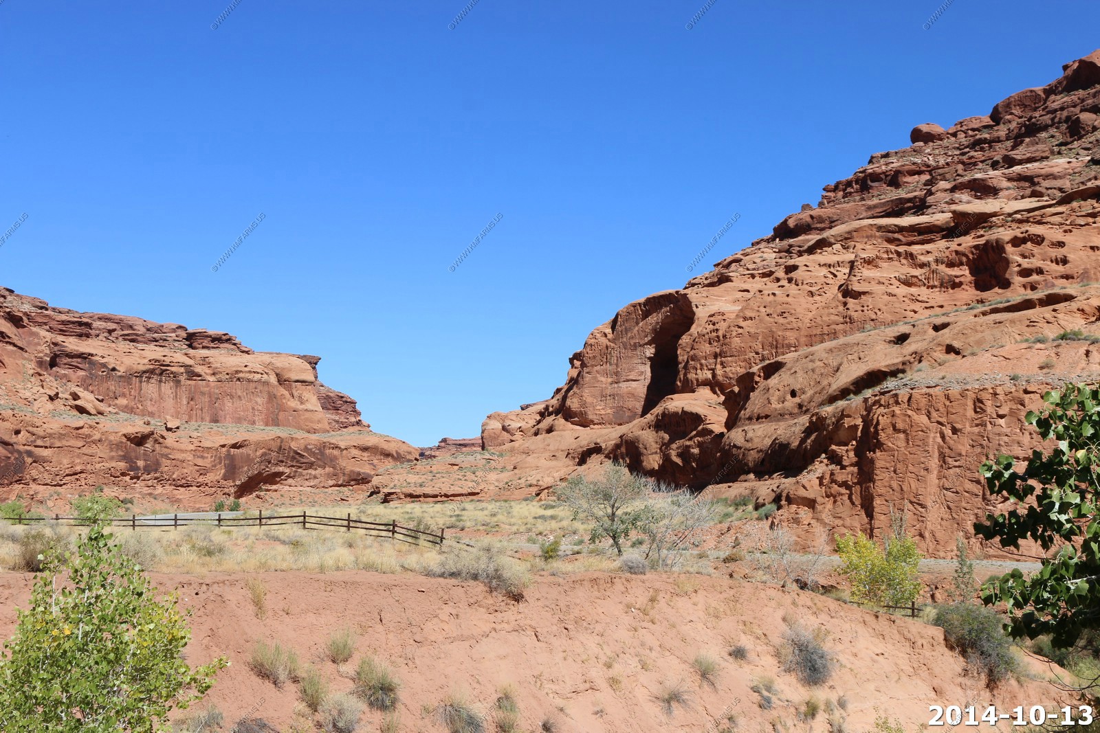
Hog Spring Picnic Area
As I sit here researching the location, we should have walked 30 min up the canyon as the spring and Native American rock art would have been cool to see.

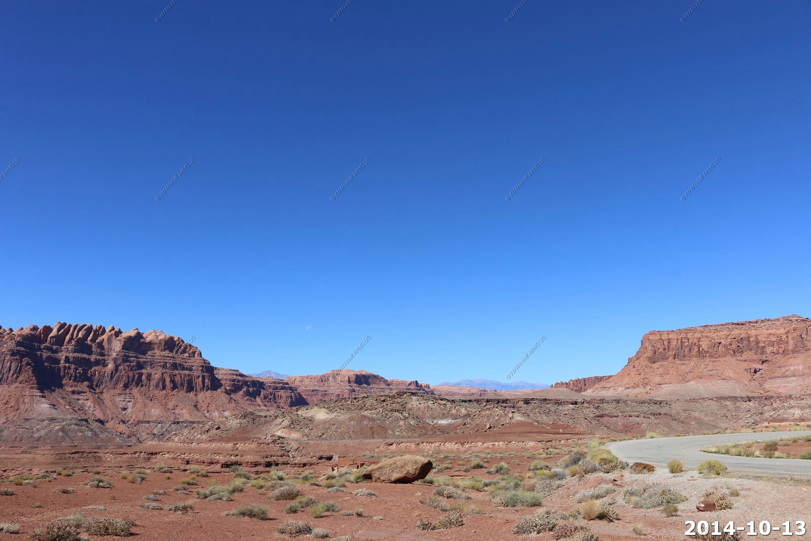
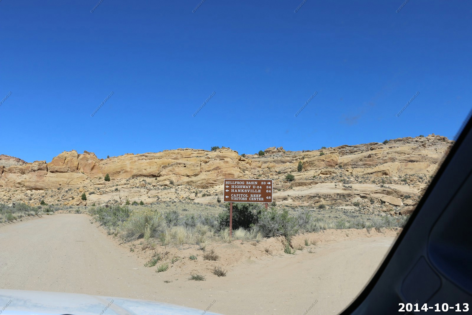
Decision time. I had planned on crossing the Henry's over some really remote roads but was not able to find out the condition of these roads. The problem is that the worst part is on the west side so it would be possible to go 50 miles up a dirt road only to have to come back 50 miles and still be 150 miles away from our destination. So I decided to head south on Utah 276 towards Bullfrog and then go north on the Burr Trail.
Heading south on UT276 These mountains are called the little Rockies. Mt. Holmes (El. 7998) is straight ahead.
The southern end of the Henry's Mt. Hillers (El. 10,737).
Coming down the hill from the Little Rockies / Henry's saddle. The hump is Navajo Mountain (El. 10,388 on the Utah Arizona line and the gray mesa is 50 mile Mountain.
Perhaps a mine located at: (37.712499N 110.691706W) Hopefully a uranium mine.
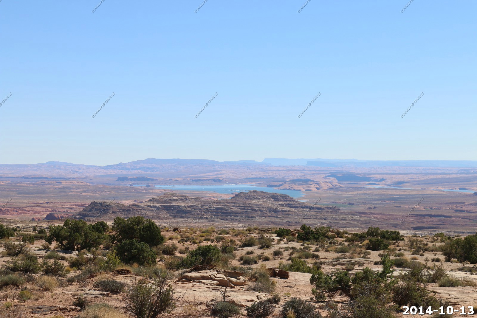
Looking down at Lake Powell at Bullfrog Basin.
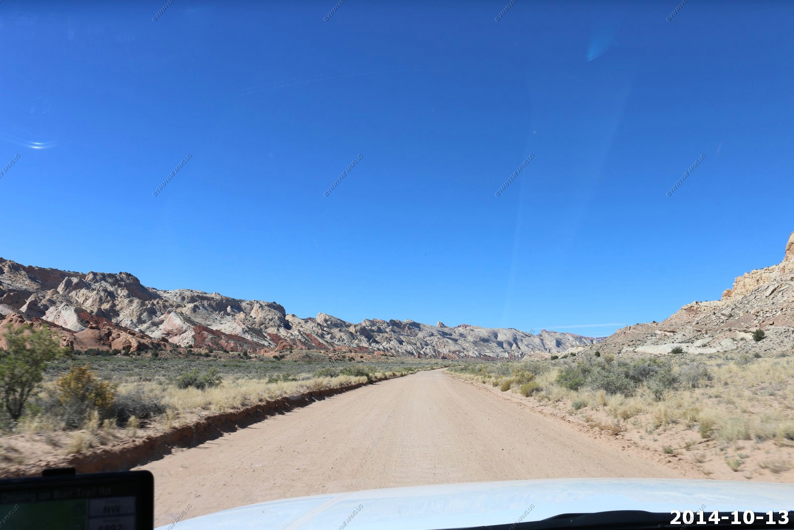
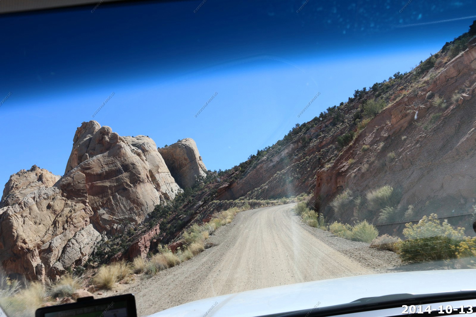
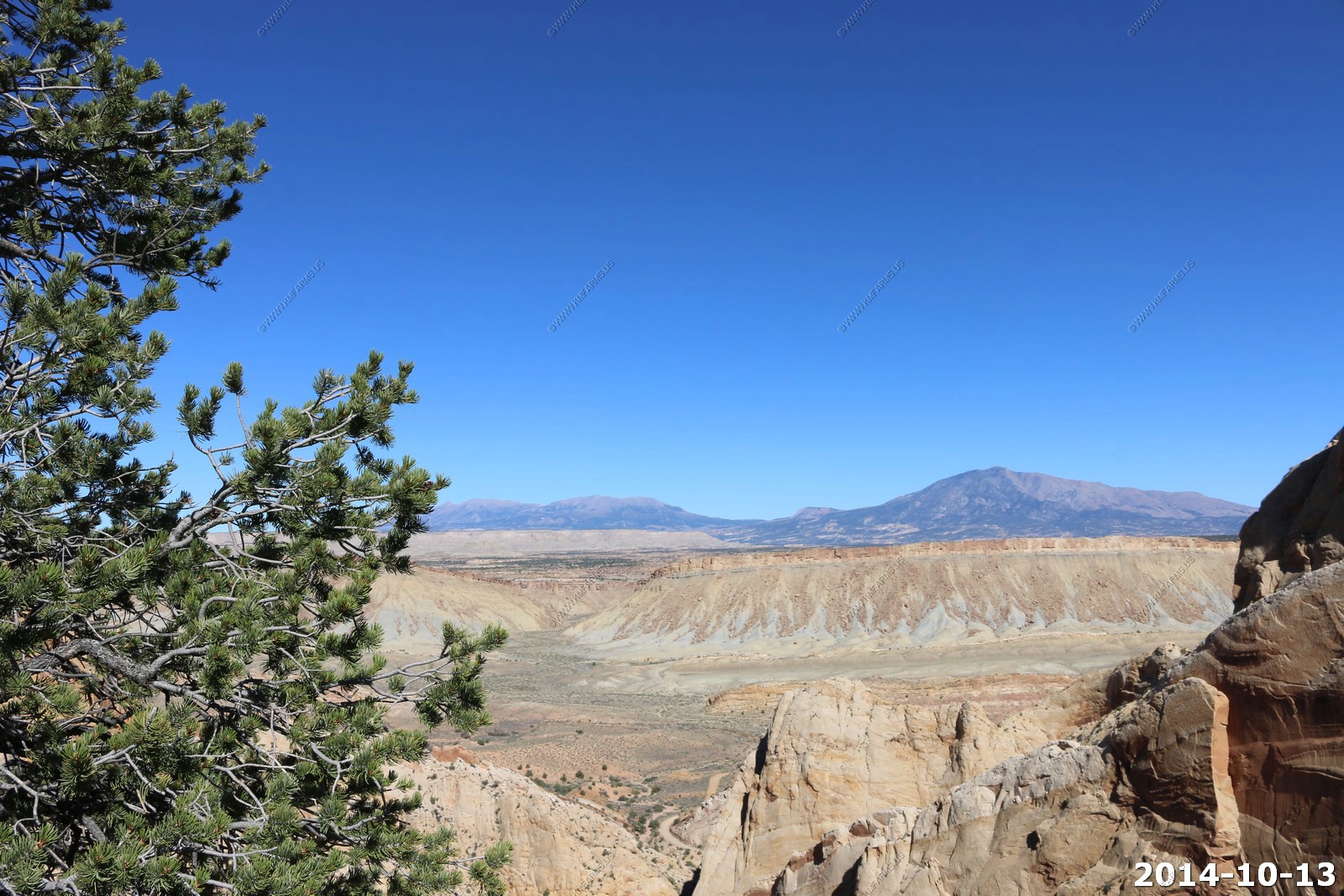
Now heading north on Burr Trail. The Henry's on now on our right and will be for the next 100 miles.
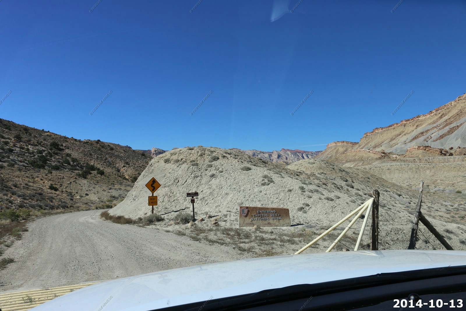
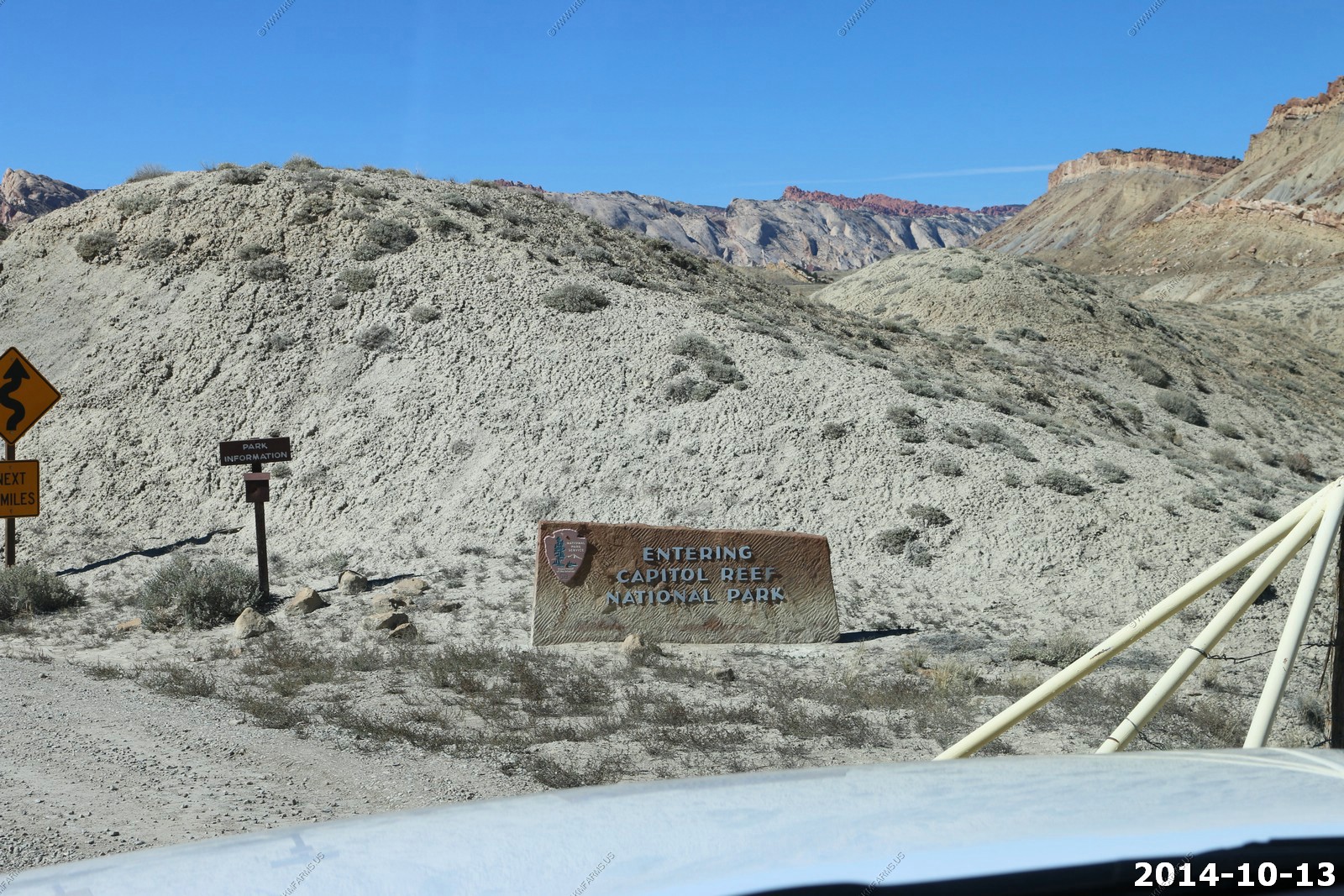
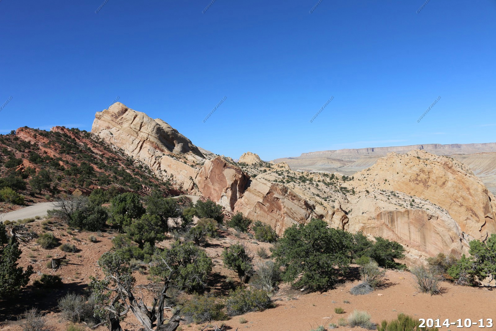
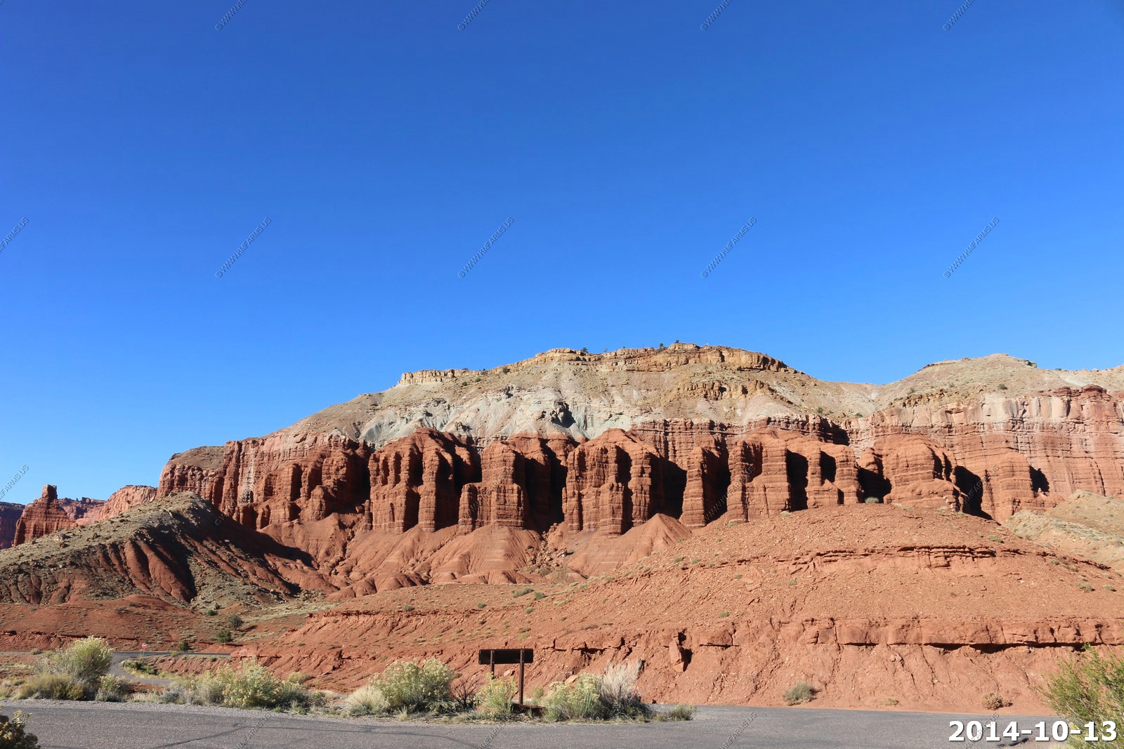
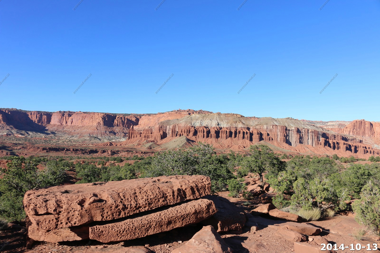
Capitol Reef National Park
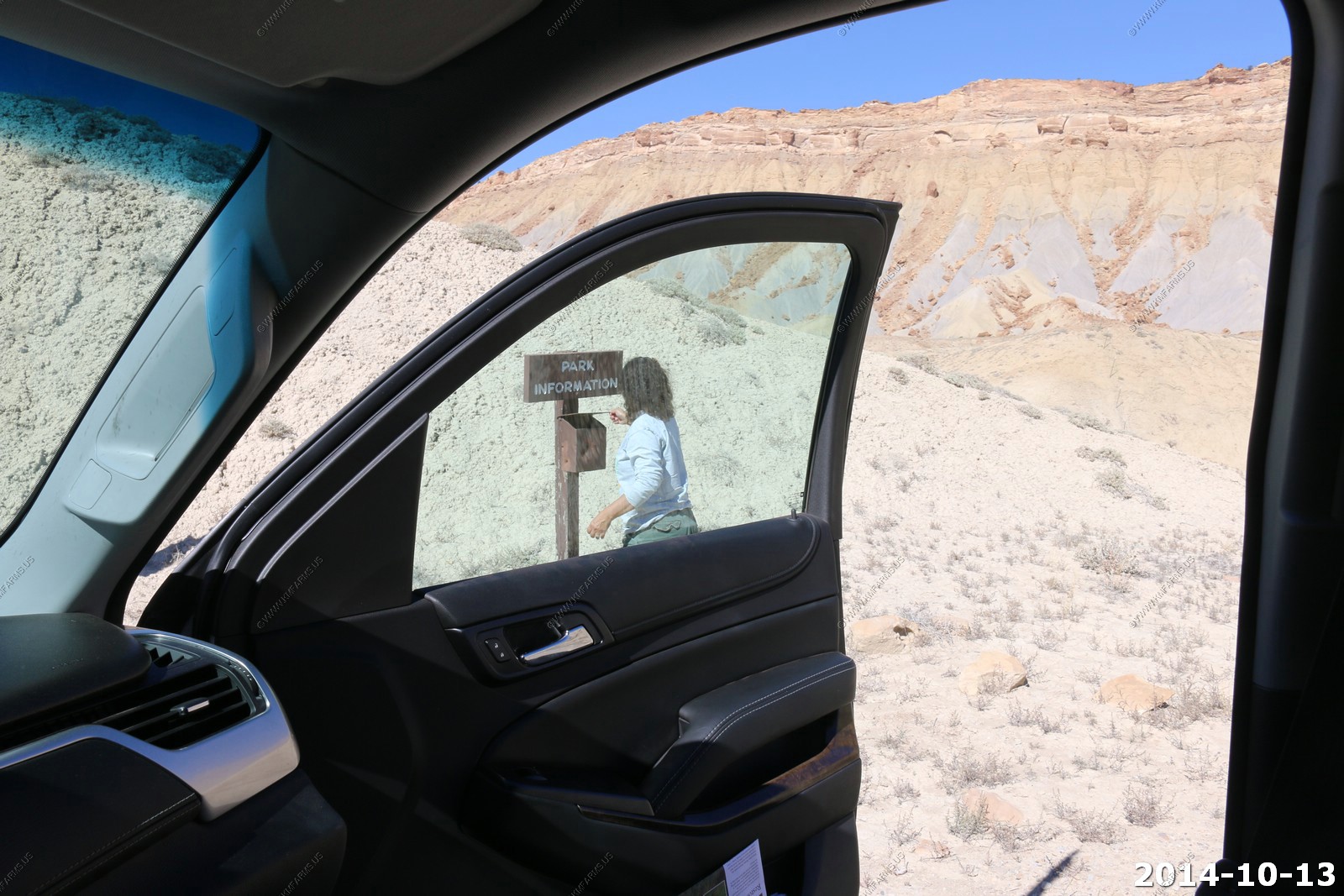
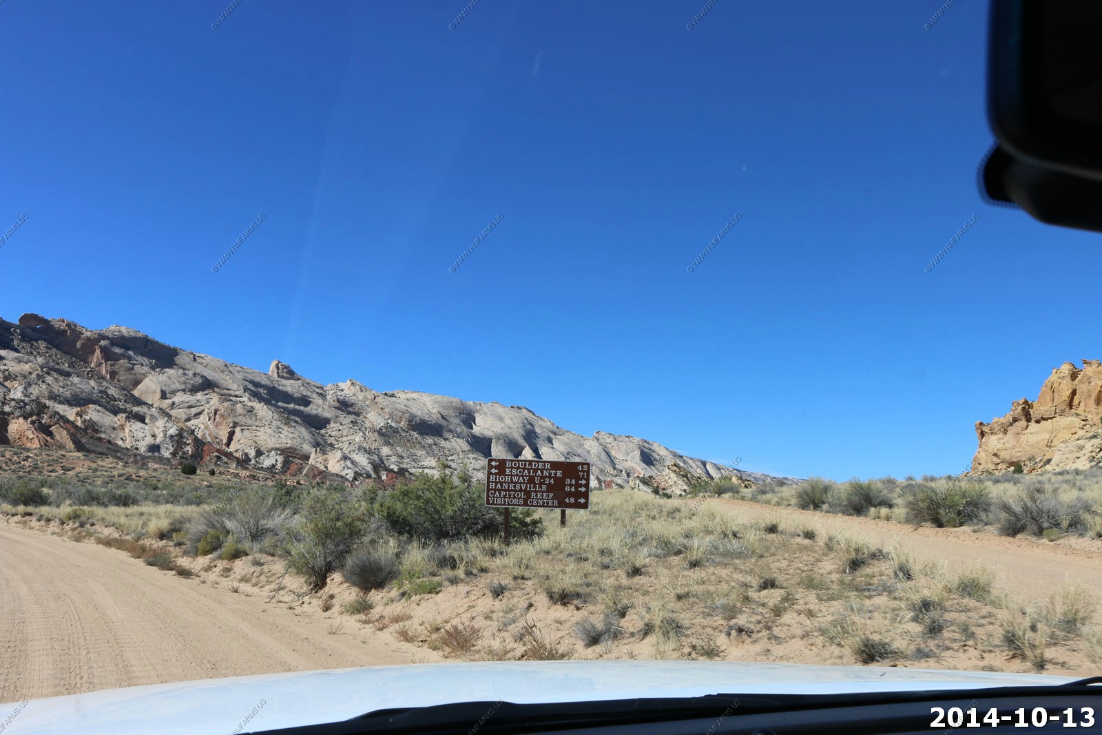
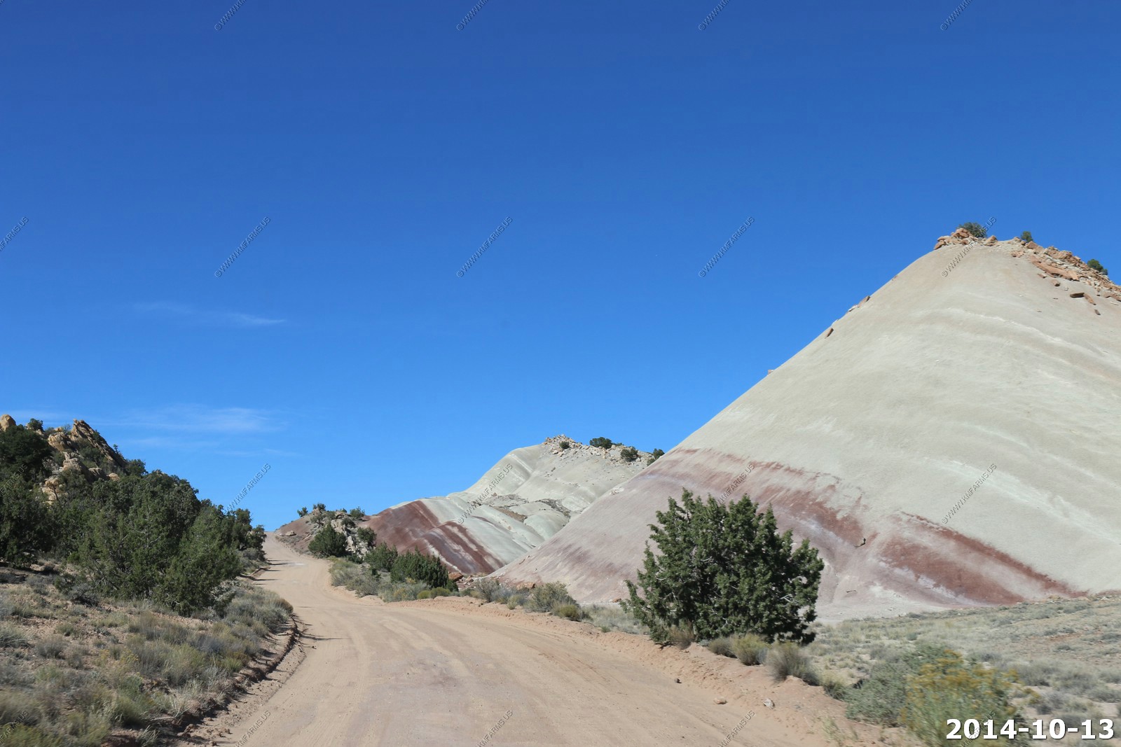
What a waste of money for these signs out on these back roads. The park info box was empty.
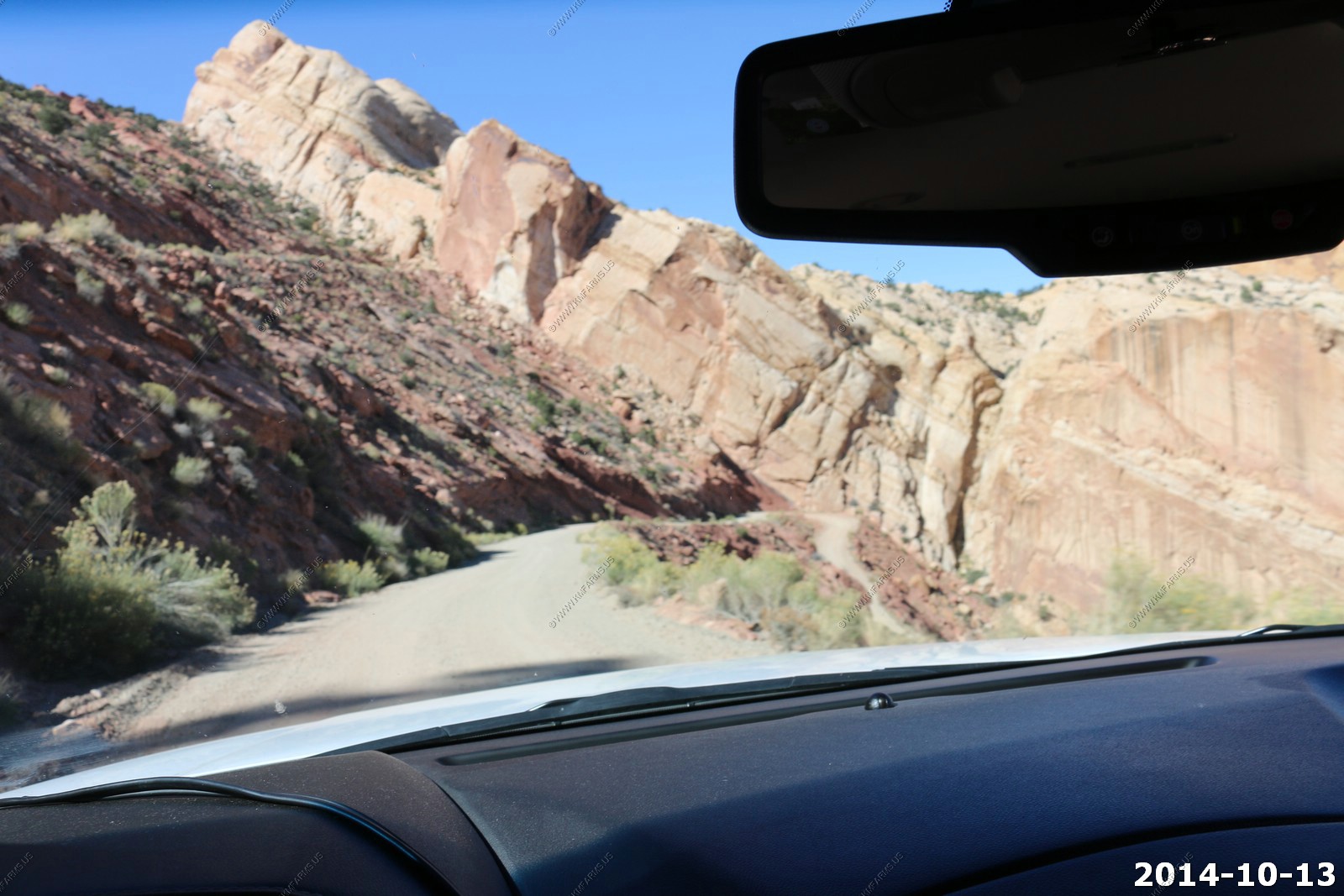
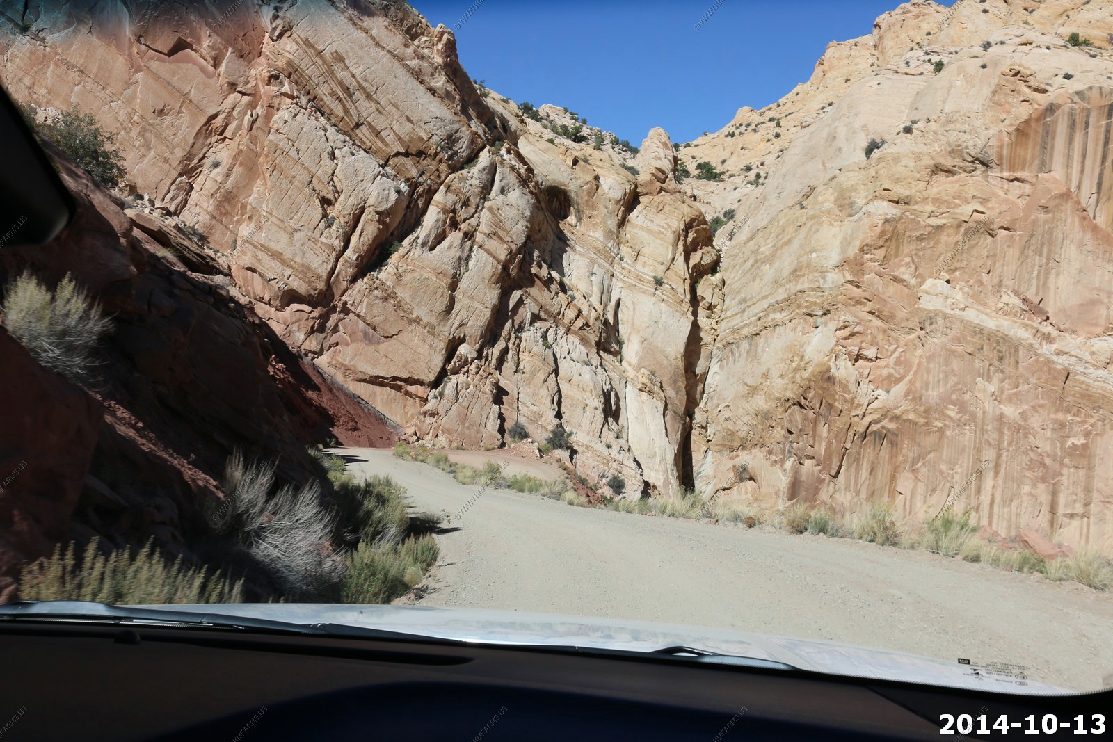
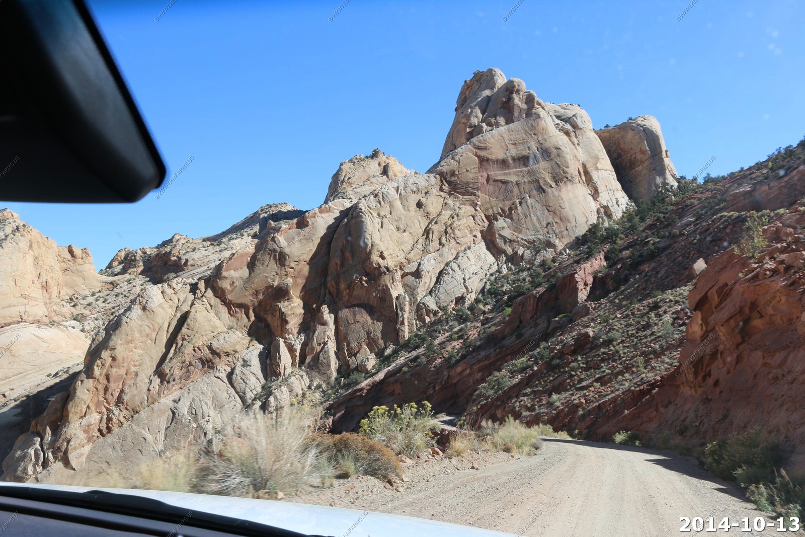
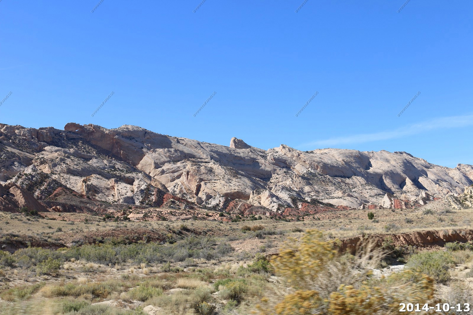
No problems as the road was in great shape. On the left you can see the colors of the Waterpocket fold.
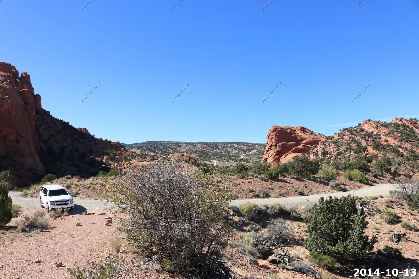
The intersection of Notom Road and Burr Trail. Lots of miles on dirt roads here.
Looking up at the Burr Trail switchbacks. These are nothing after doing the Shafer trail ones a few days ago.

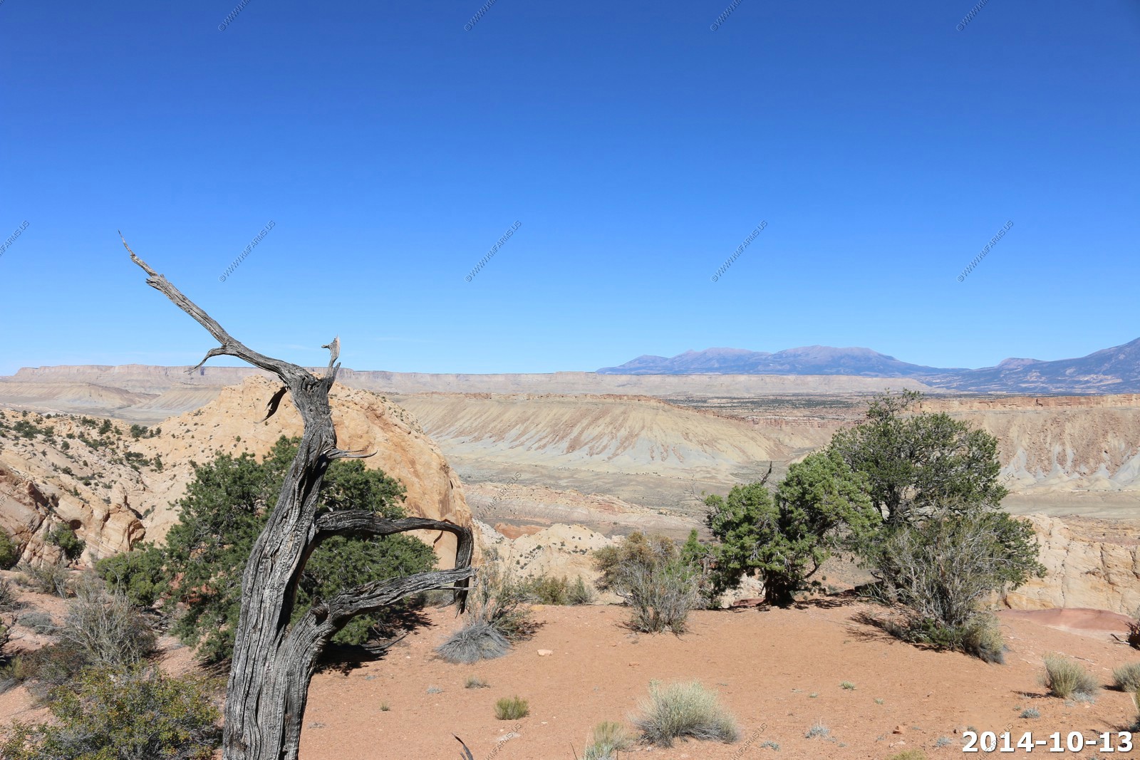
Views of the upper Henrys from the top of the Waterpocket fold.
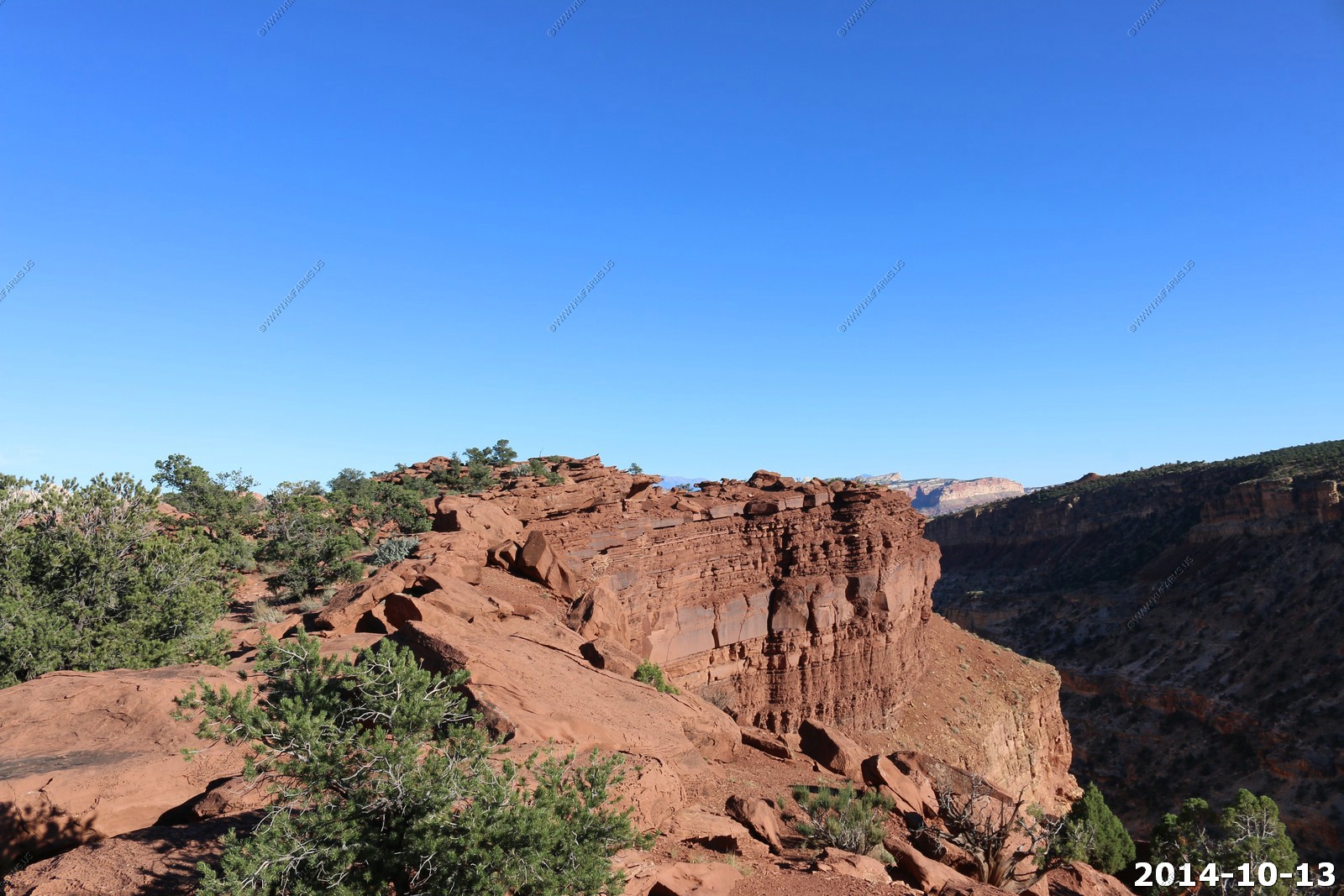
The Waterpocket Fold is a geologic landform that defines Capitol Reef National Park in the western United States. This monoclinal fold extends for slightly over 100 miles in the semi-arid plateau of central Utah. This area is prized for its scenic hiking.
Looking back down on the switchbacks
The Henry Mountains
This mountain range will dominate our views for the next two days.
The Henry Mountains are located in the southeastern portion of the U.S. state of Utah and run in a generally north-south direction, extending over a distance of about 30 miles (50 km). They were named by Almon Thompson in honor of Joseph Henry, the first secretary of the Smithsonian Institution. The nearest town of any size is Hanksville, Utah, which is north of the mountains. The Henry Mountains were the last mountain range to be added to the map of the 48 contiguous U.S. states (1872), and before their official naming by Powell, were sometimes referred to as the "Unknown Mountains." In Navajo, the range is still referred to as Dzil Bizhi' Adini ("mountain whose name is missing")
The range is clustered into two main groups, with Highway 276 dividing the two portions. The northern group is by far the taller of the two with Mount Ellen: 11,522 feet above sea level; Mount Pennell: 11,371 feet; and Mount Hillers: 10,723 feet. The southern group is much lower in elevation. The southern group has two peaks: Mount Ellsworth: 8,235 feet and Mount Holmes: 8,000 feet. The southern group is also known as the "Little Rockies".
The Henry Mountains are home to approximately 500 American bison. The Henry Mountains Bison Herd is believed to be one of only four free-roaming and genetically pure herds on public lands in North America. The other three herds are in Yellowstone National Park, Wind Cave National Park in South Dakota and on Elk Island in Alberta, Canada.
Mt. Pennell (El. 11,408)
Various views from the top.
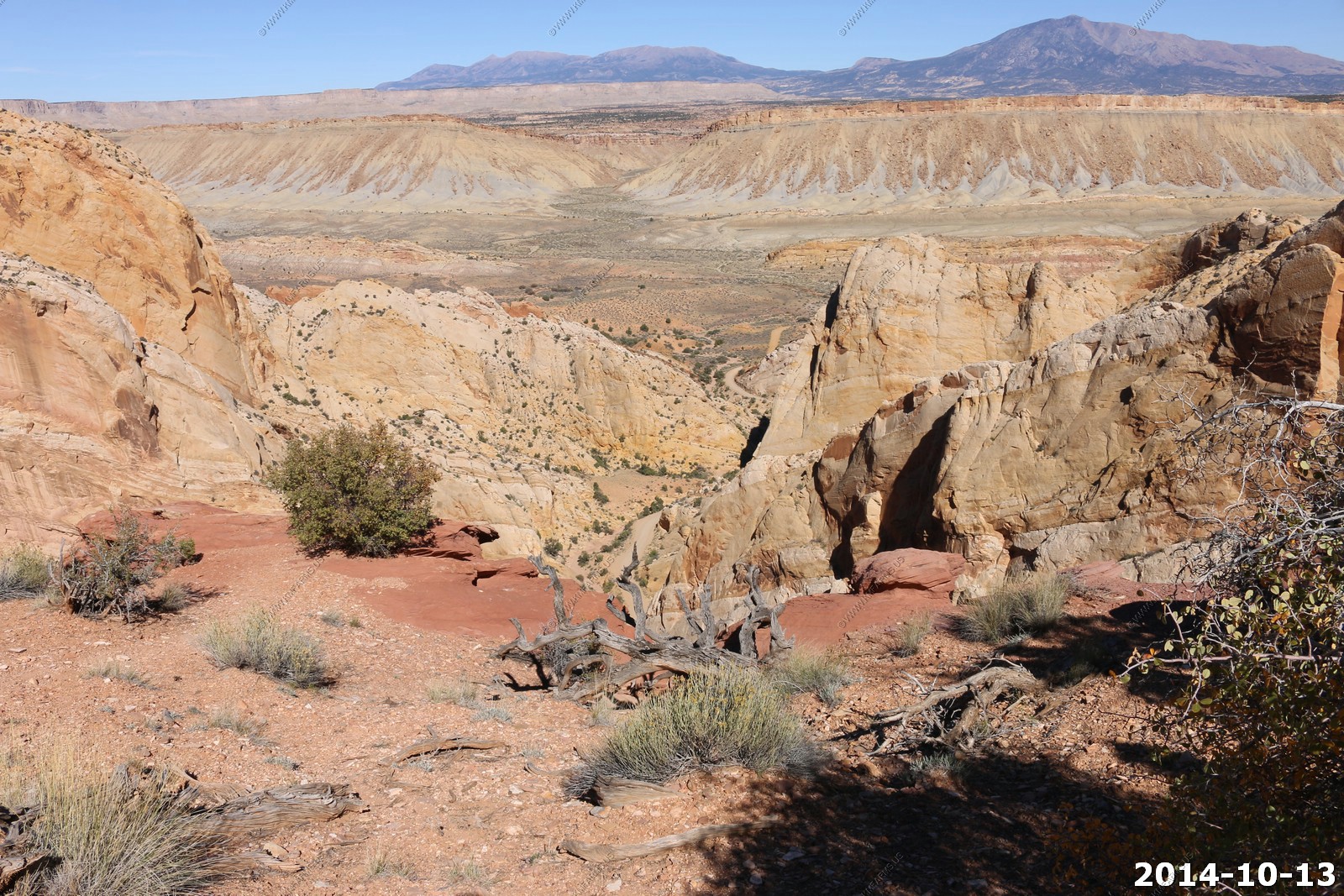
Back down the switchbacks.

Back to the intersection of Notom Road and Burr Trail. Lots of miles on dirt roads here.
Along the Notom Road, Not a good place to be if it's wet.
Need to research these places.
Looking back down the fold that we just came up.
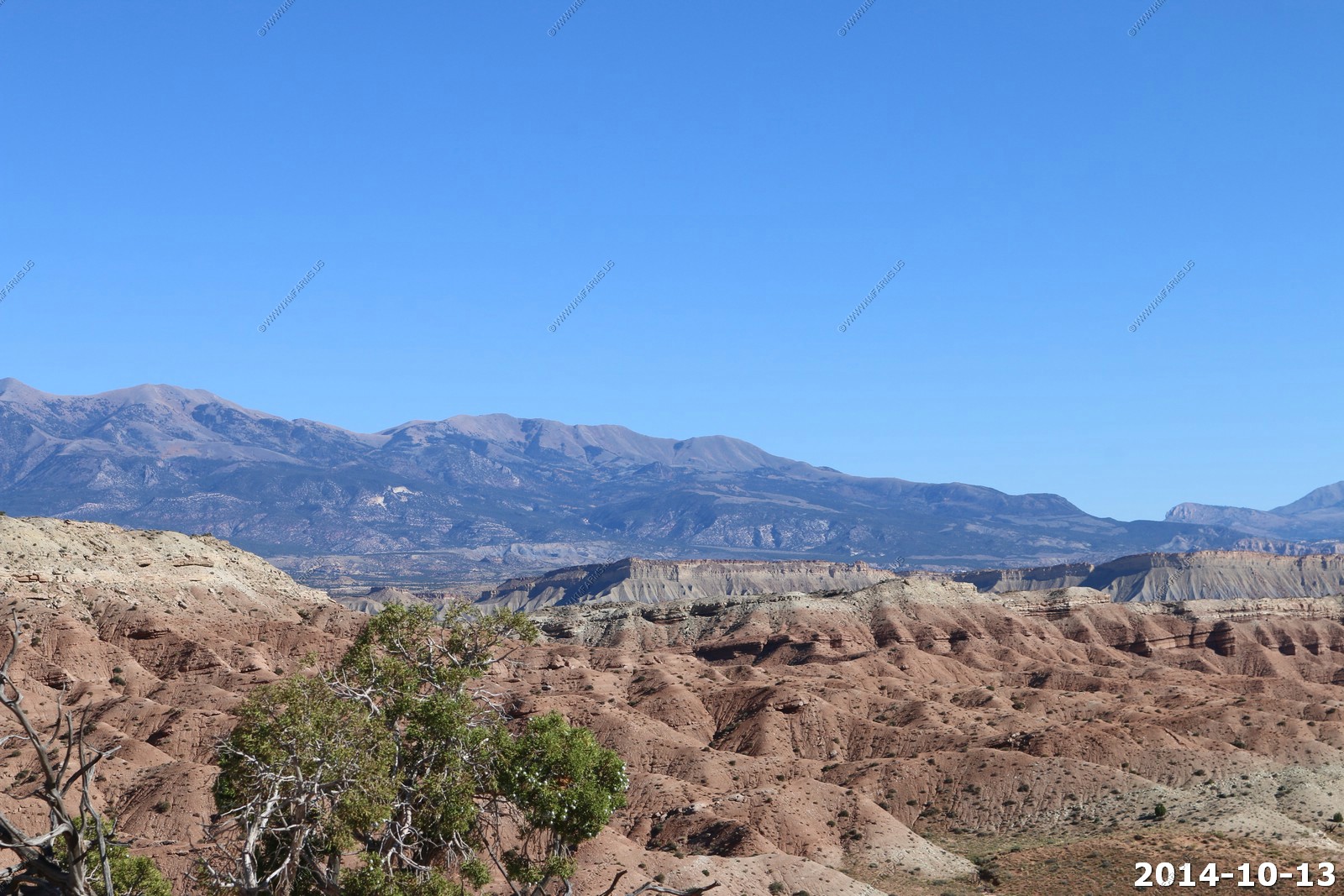
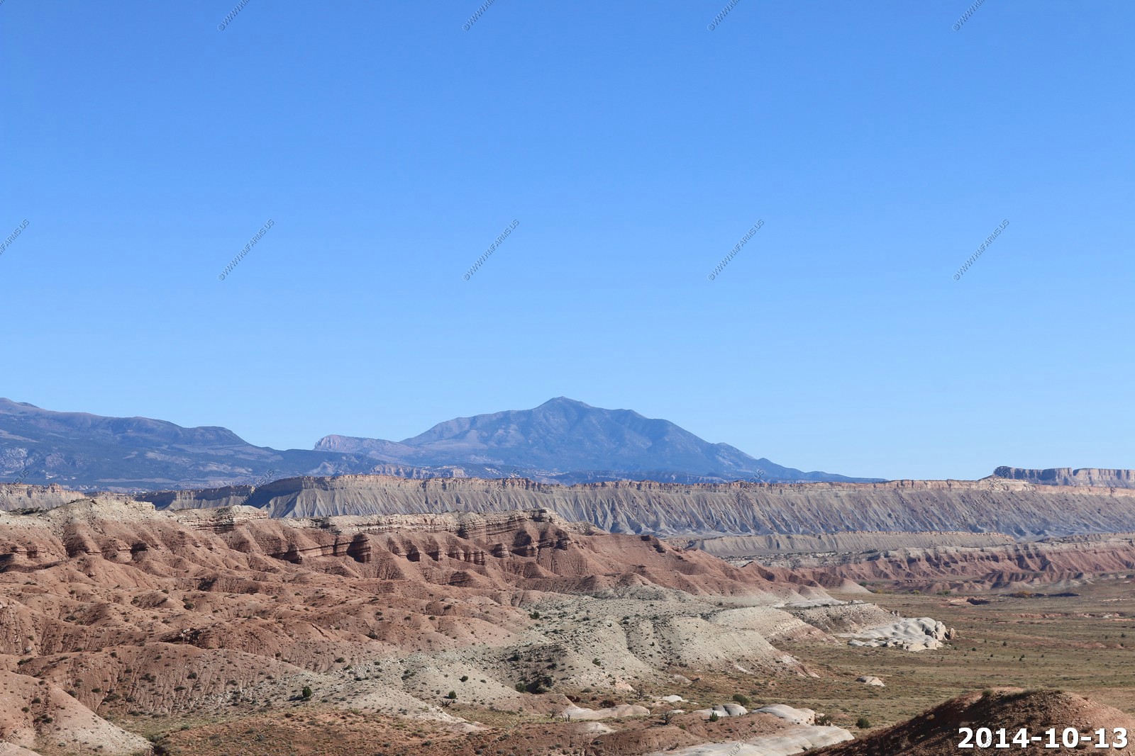
More Henry photos - just so clear today.
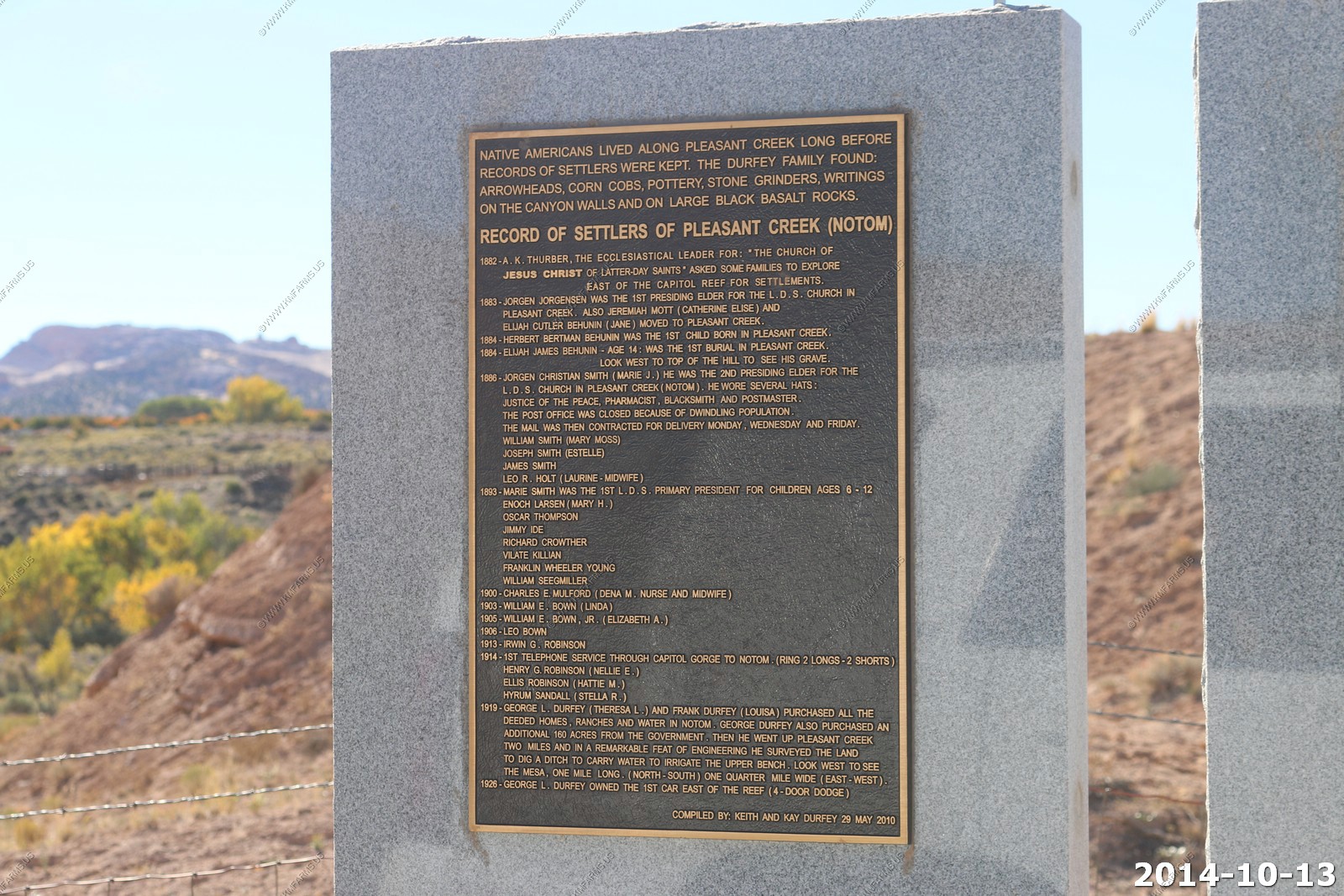
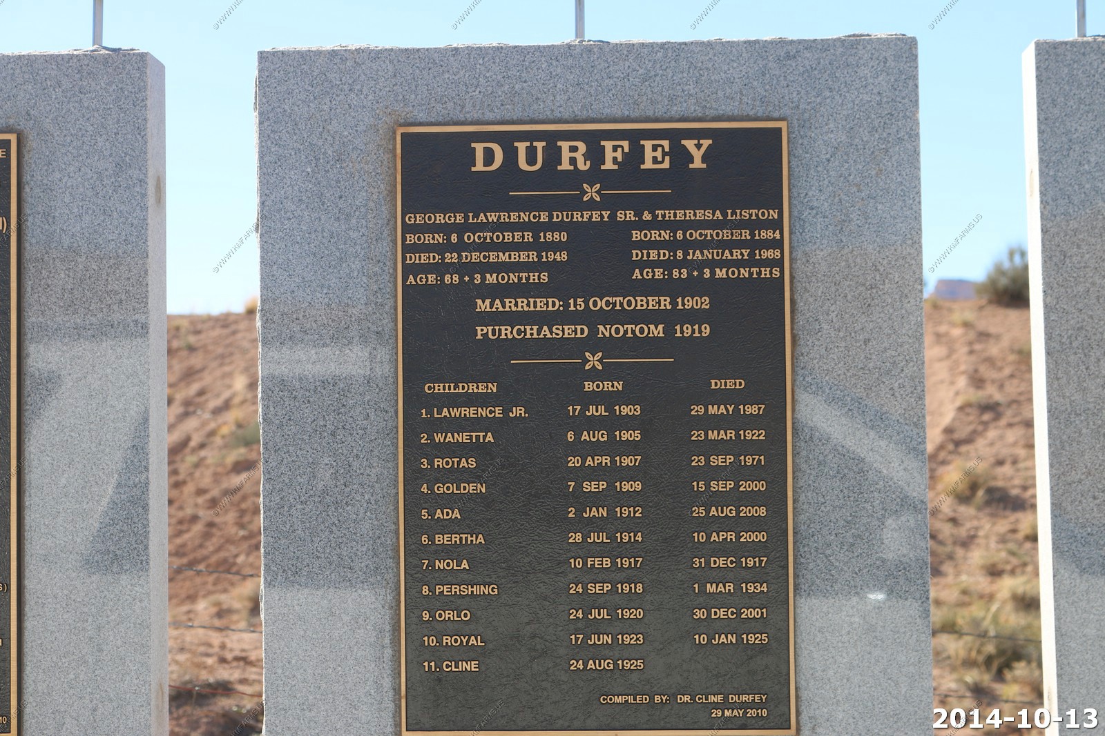
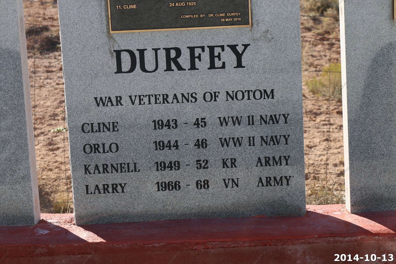
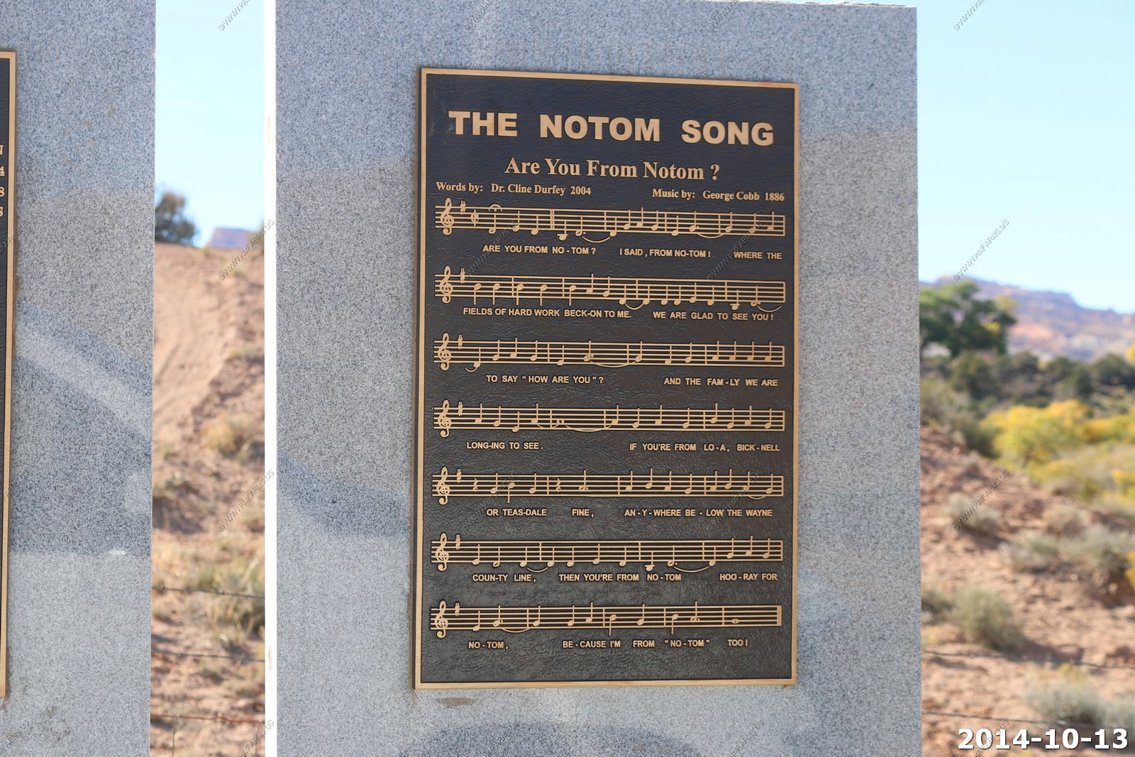
This was new - Notom history monument.
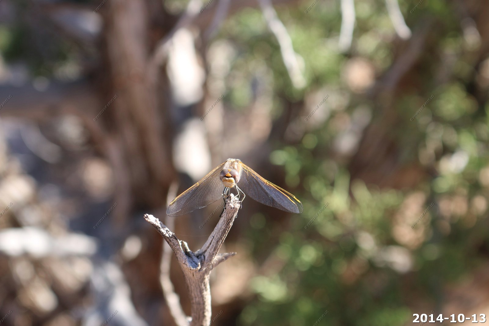
Dragonfly in a juniper tree (shot with the 255mm lens).
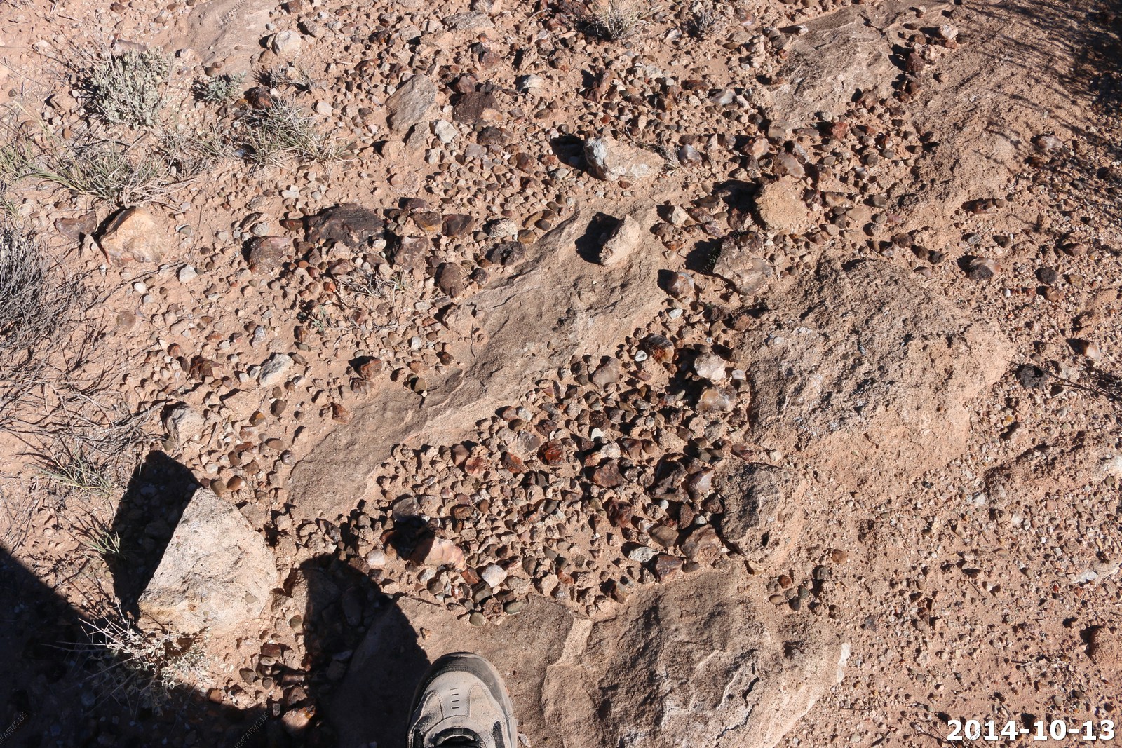
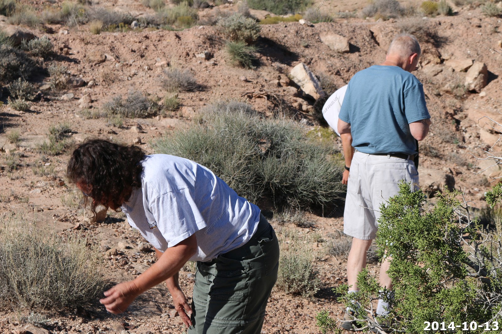
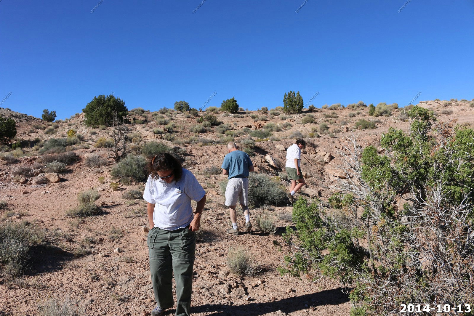
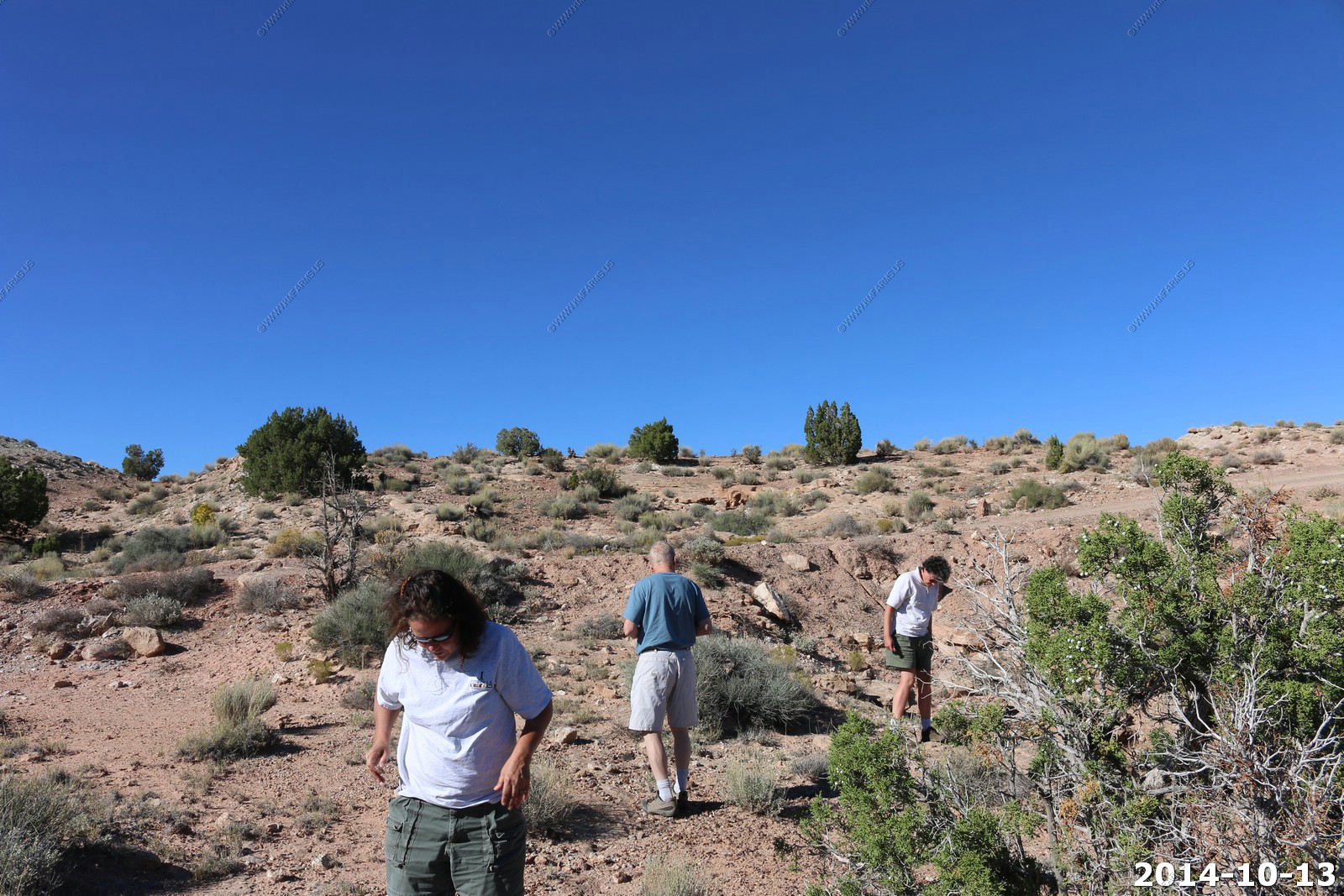
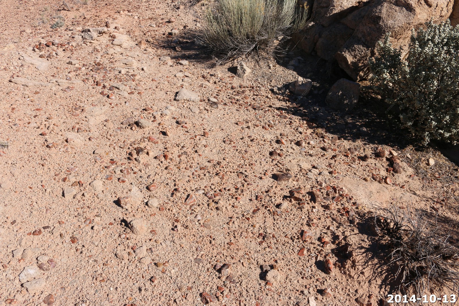
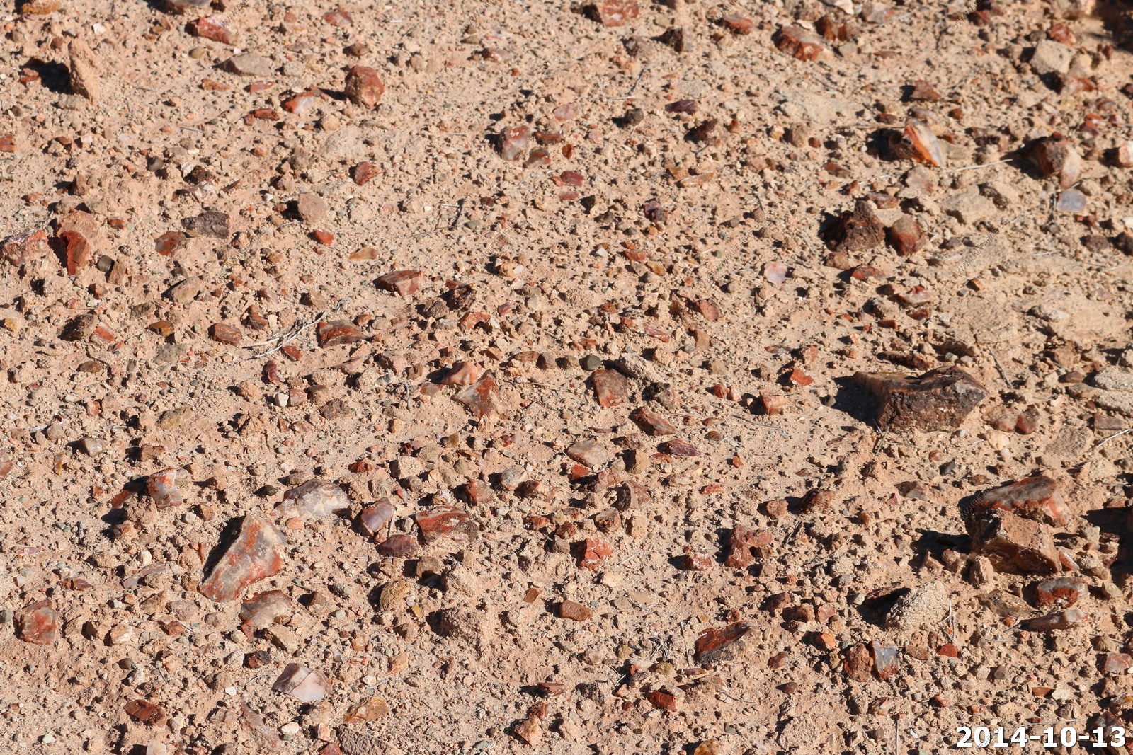
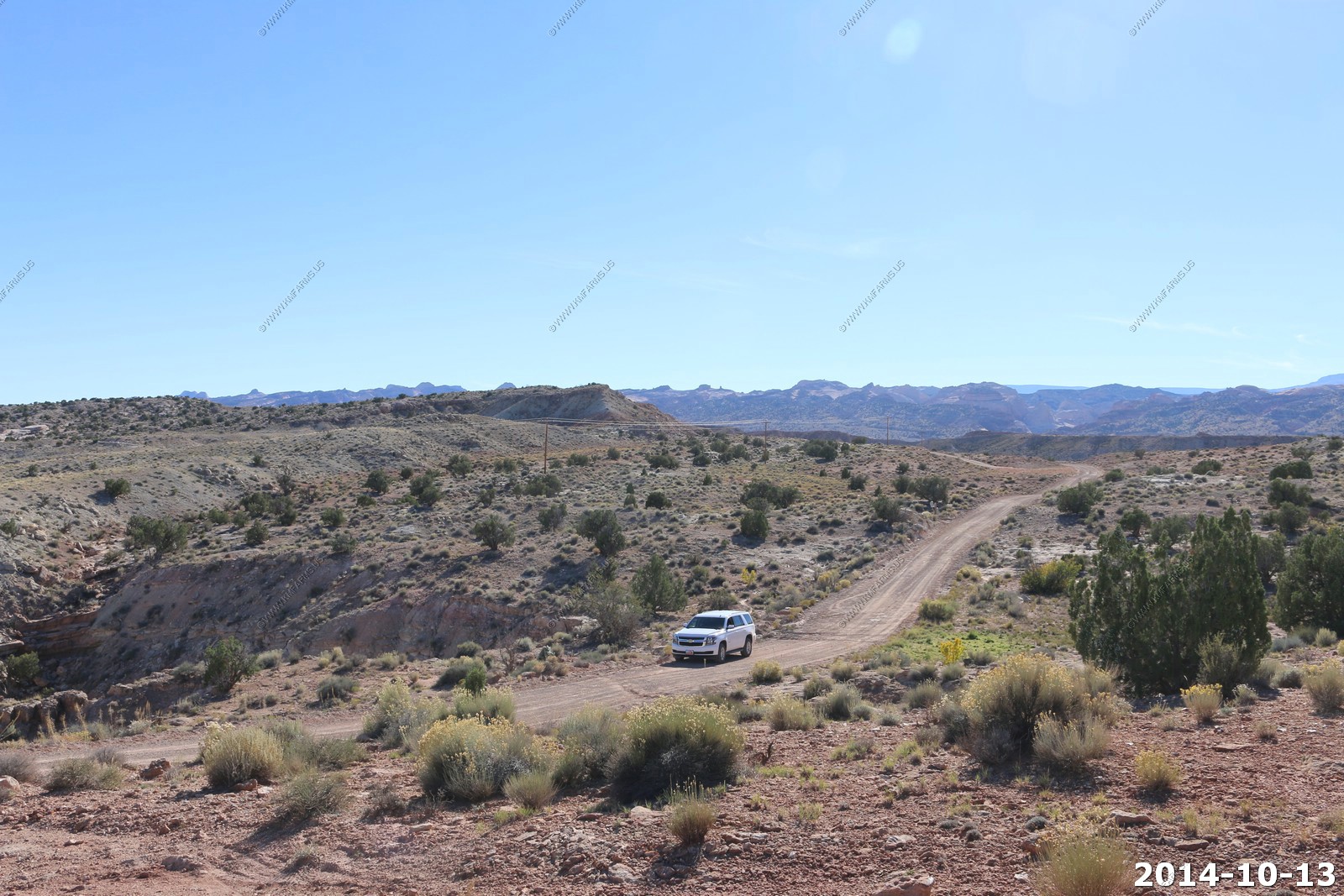
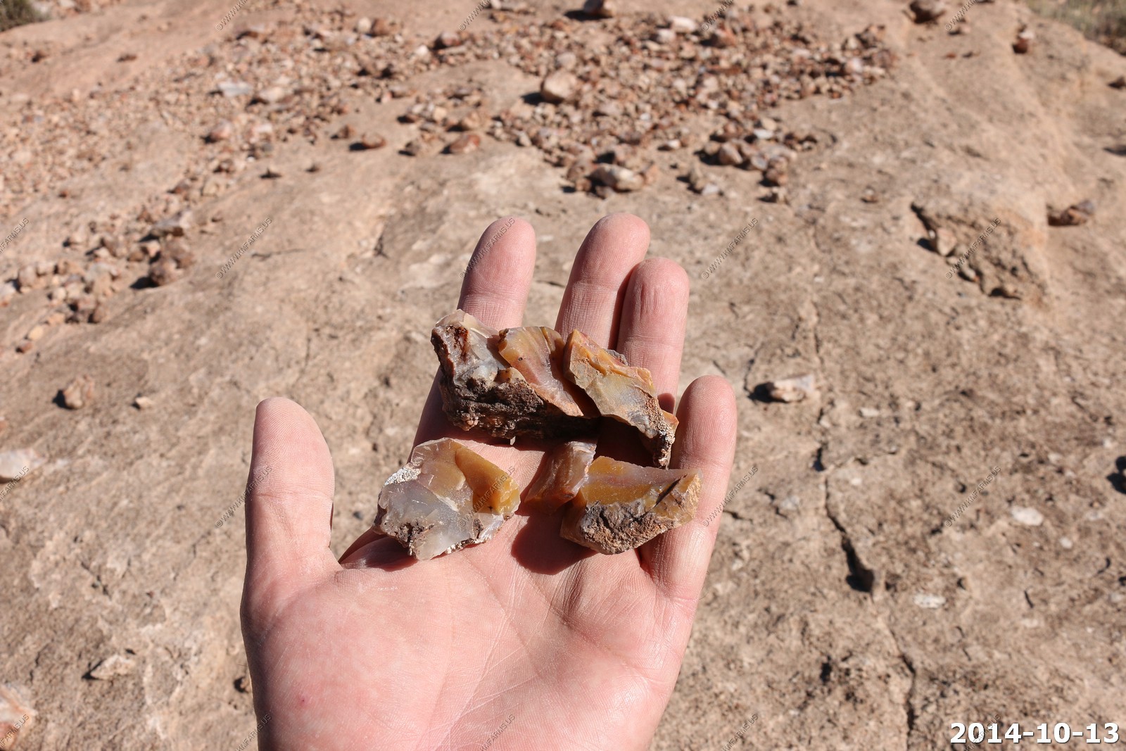
This is the second time we have visited this location for Agate. Last time, in 2003, I had the truck and we took a couple of hundred pounds home.
It's everywhere
Agate is a cryptocrystalline variety of silica, chiefly chalcedony, characterized by its fineness of grain and brightness of color. Although agates may be found in various kinds of rock, they are classically associated with volcanic rocks and can be common in certain metamorphic rocks.
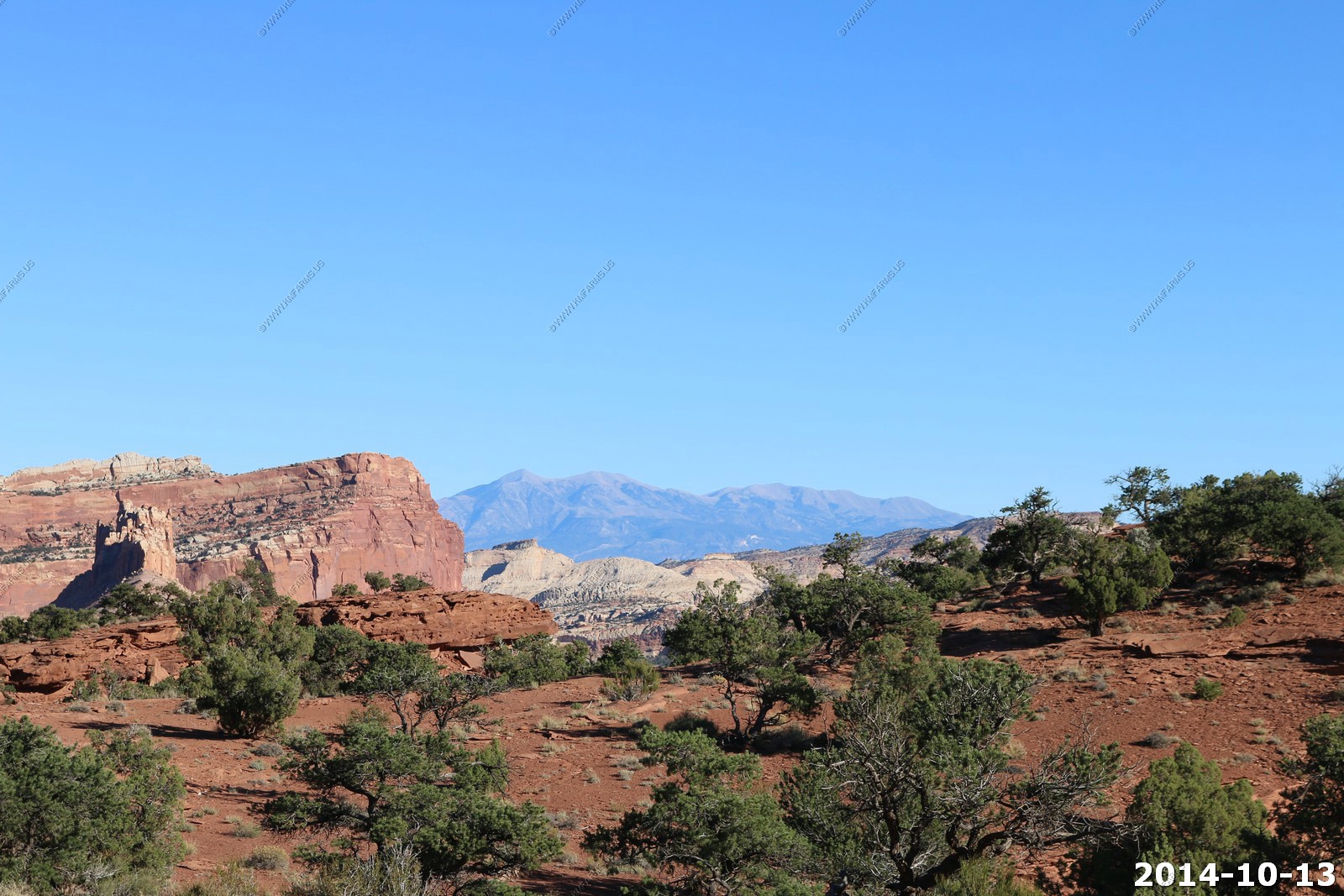
Main part of Capitol Reef National Park
After Notom we headed up to US24 and continued west thru the Waterpocket Fold.
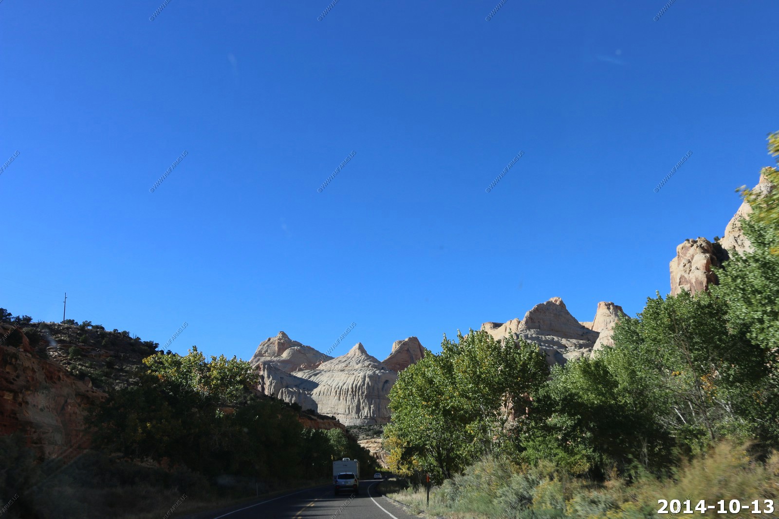
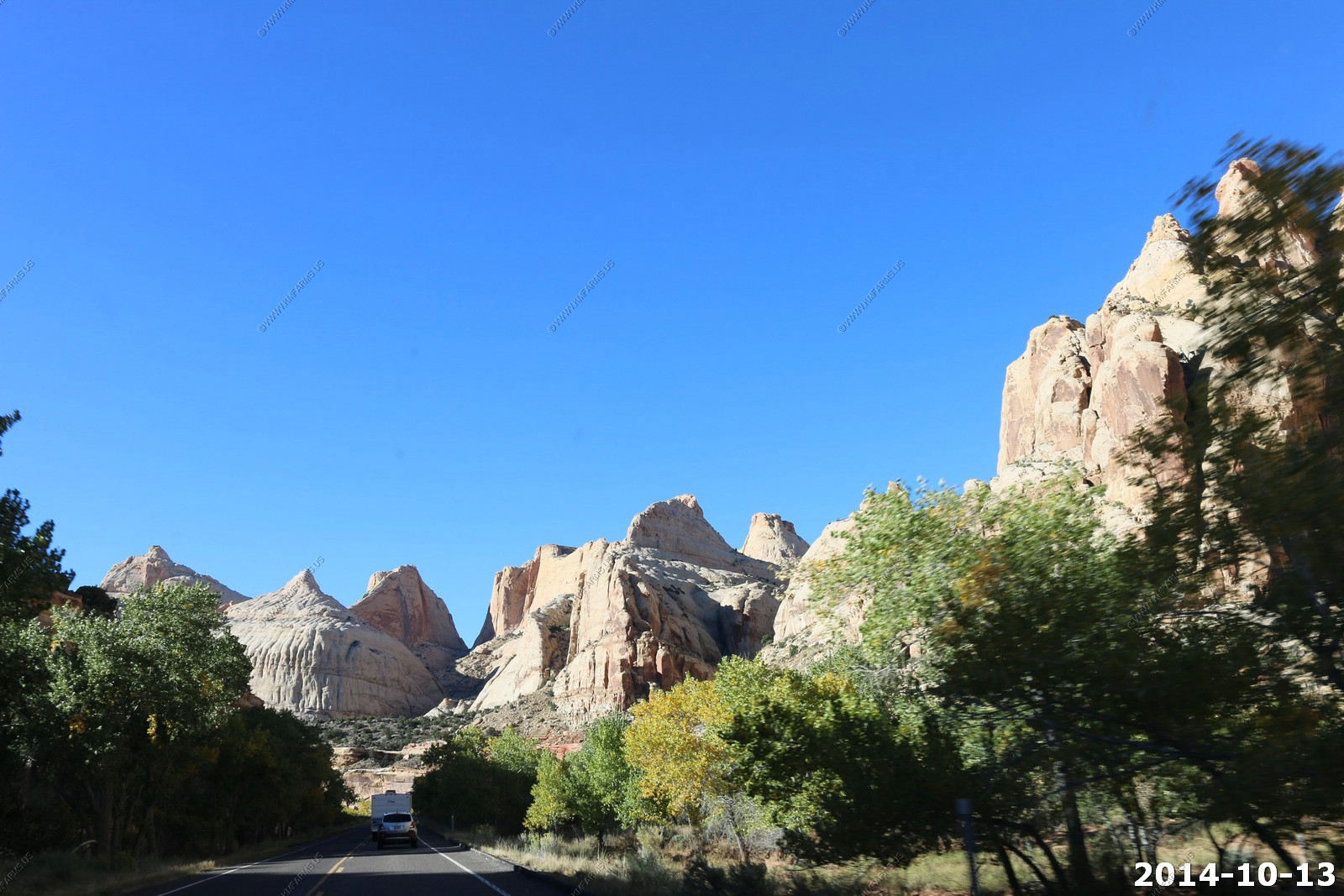
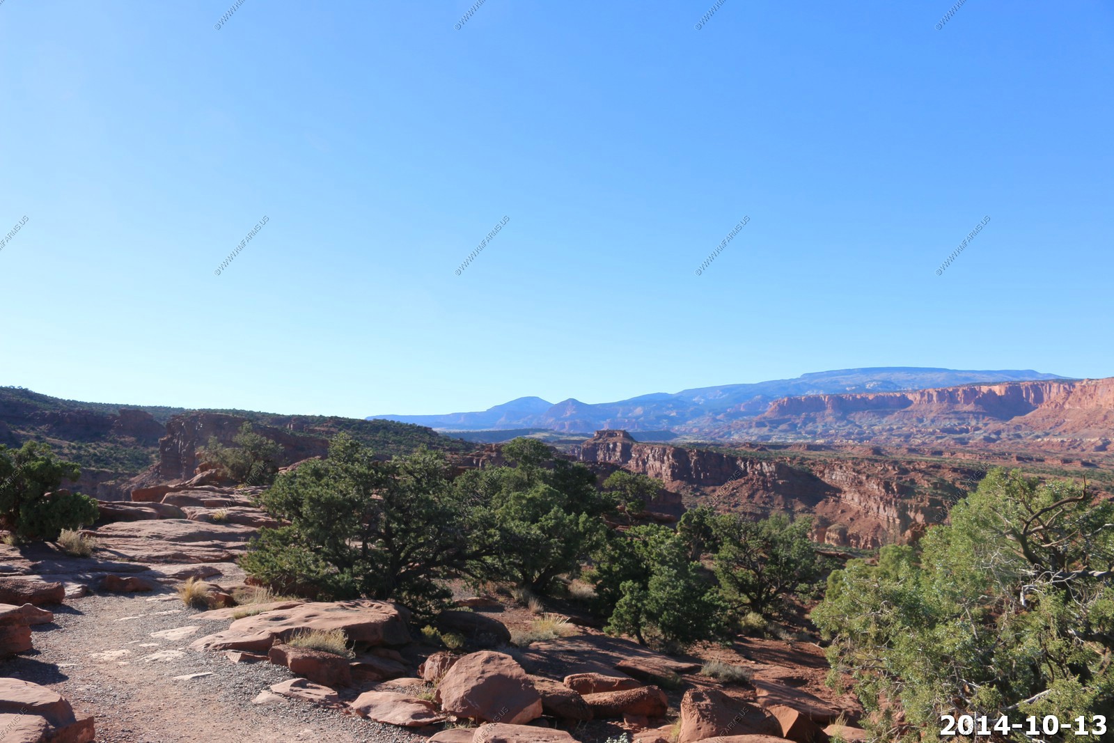
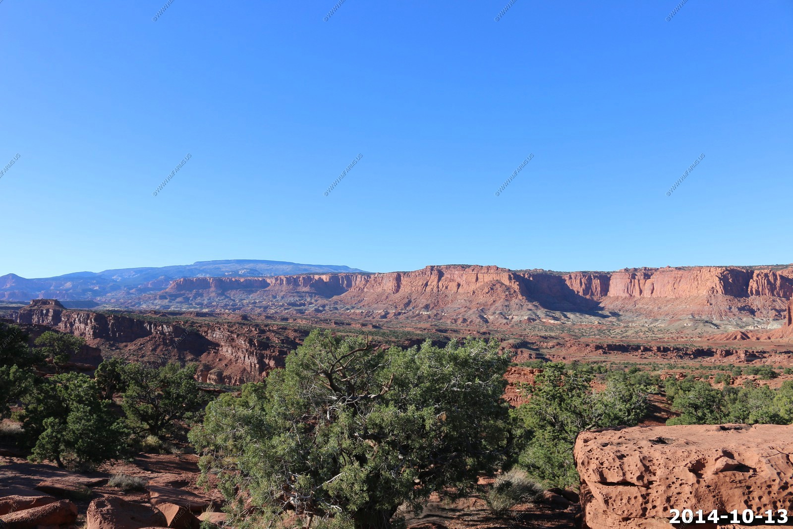
Quick stop at Panorama Point Capitol Reef National Park.

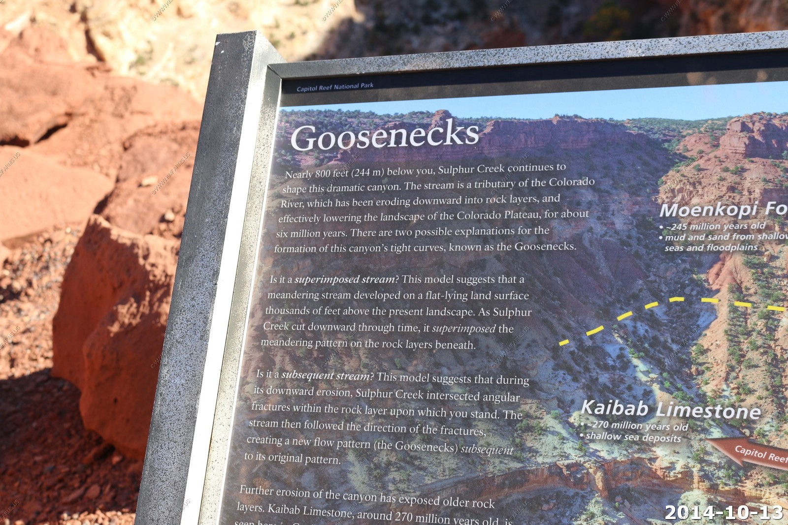
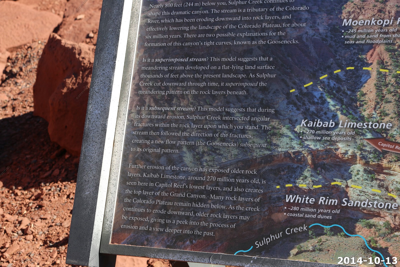
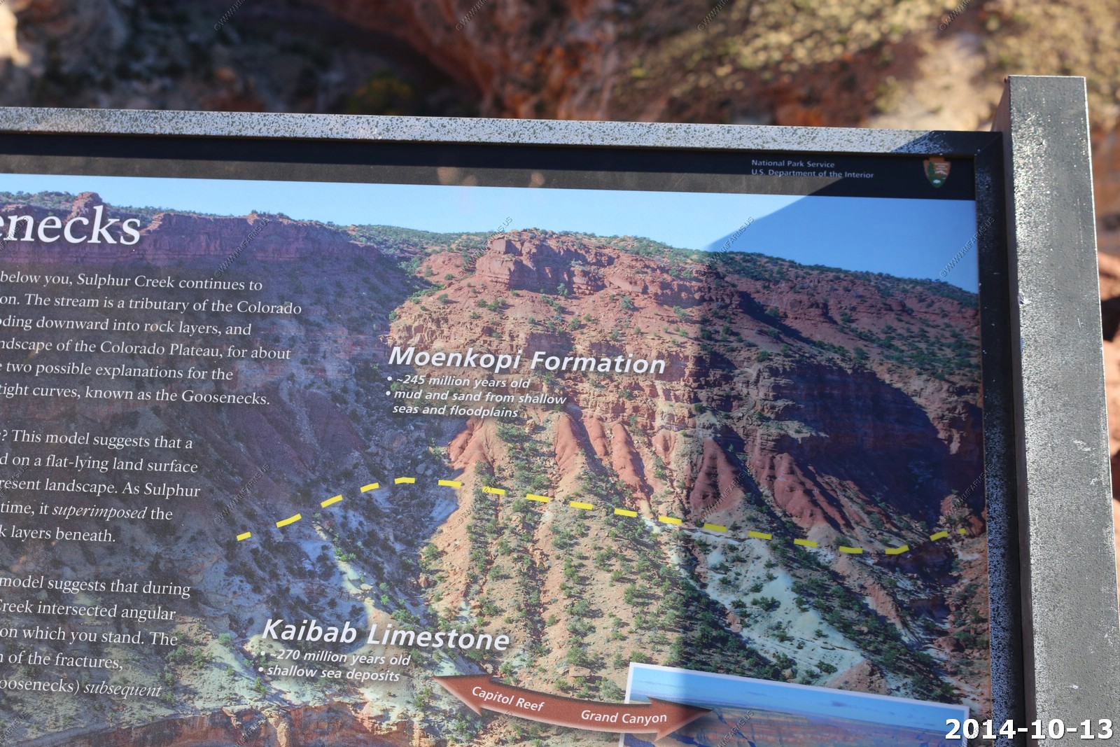
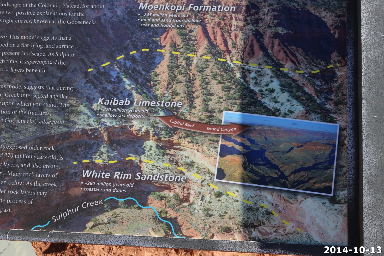
We checked out Goosenecks Overlook as we never went back the short dirt road before.
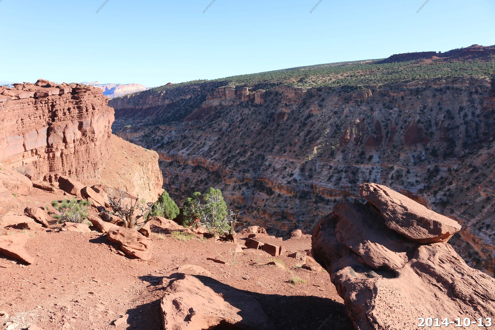
Impressive canyon carved by Sulphur creek. 800 ft. drop.
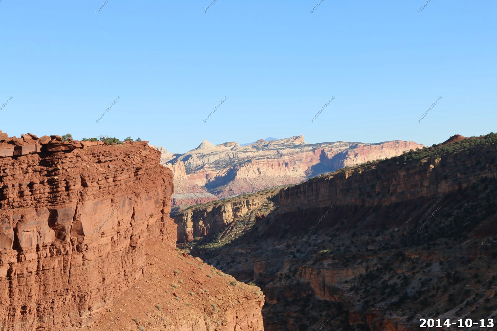
The White Rim sandstone.. It continues to be in all the parks we visit.
Looking northwest at Thousand Lake Mountain-Flat Top (El.11,306ft) We explored this area back in 2003.
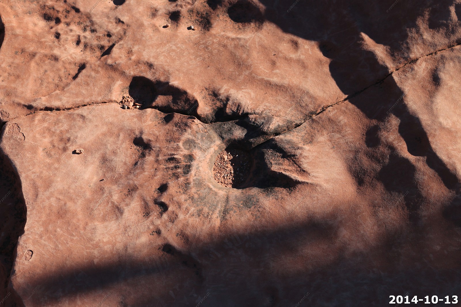
Interesting depression in the rock.

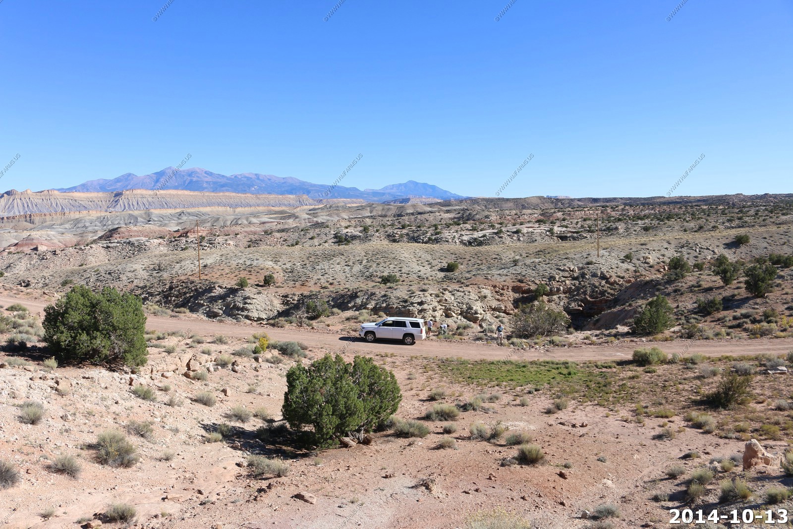
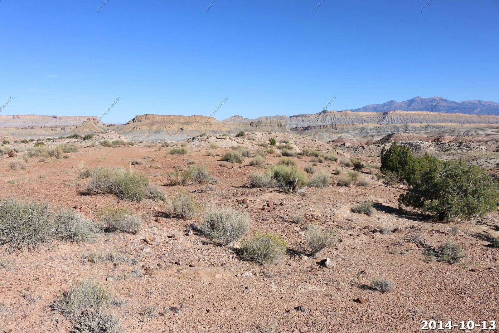
We wanted to go back to the BLM land to collect petrified wood. But, this is a hard place to find back on some rough roads.
The GPS was a great help saying "driving on unpaved road". I had saved this location of this before but it was in another GPS that I had in 2003.
Thousand Lake Mountain-Flat Top (El.11,306ft) straight ahead 4,000 ft. above us.
So, we parked where I figured the wood was but in the end I was 300 ft. to the west... Its in very specific layers.
This is a cool place with some interesting views. The Henry range off to the east.
The Waterpocket Fold between the Henrys (left) and the Boulder Mountain (El. 11,320) on the right. We would drive up thru this area tomorrow.
Boulder Mountain (El. 11,320) - Boulder Mountain makes up half of the Aquarius Plateau of South Central Utah in Wayne and Garfield counties. The mountain rises to the west of Capitol Reef National Park and consists of steep slopes and cliffs with over 50,000 acres of rolling forest and meadowlands on the top. It is the highest timbered plateau in North America and is part of the Dixie National Forest.
Utah Scenic Byway 12 traverses the eastern side of the mountain from Torrey through Boulder and on to Escalante. A series of unpaved backcountry roads and jeep trails provide access to the top during the brief snow free time, which is usually only a few months from July to September.
Really scenic area.
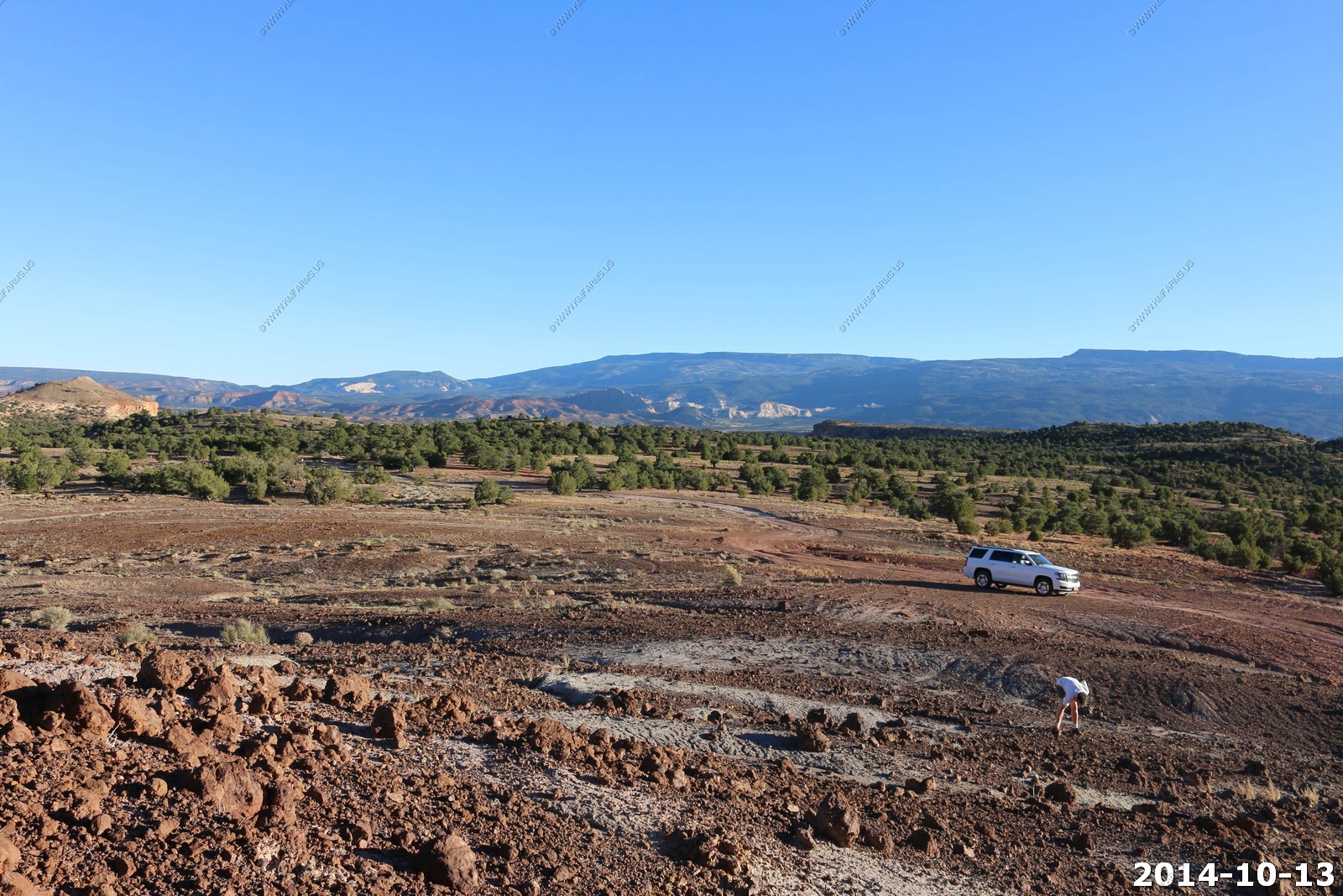
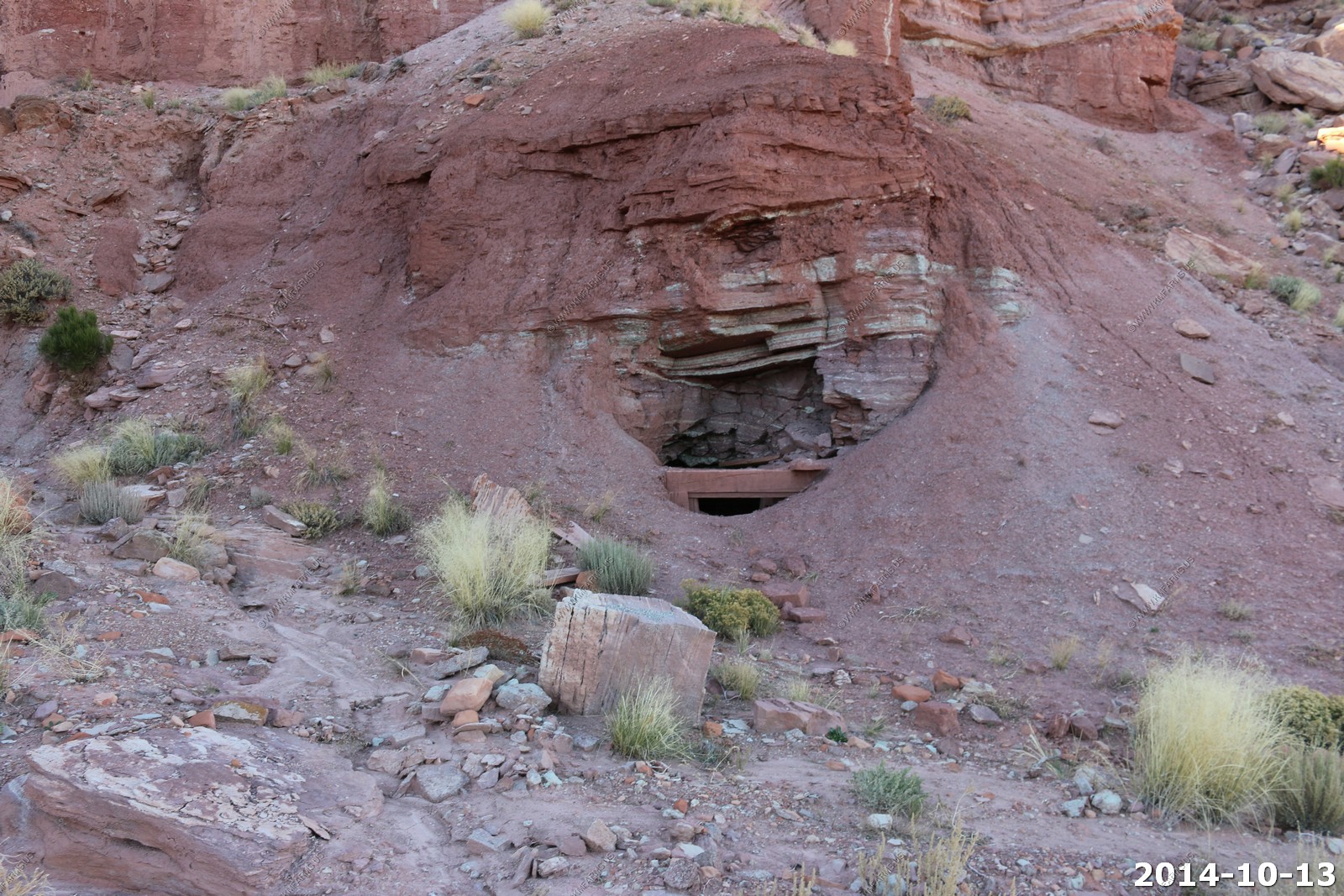
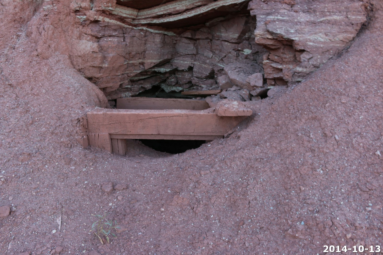
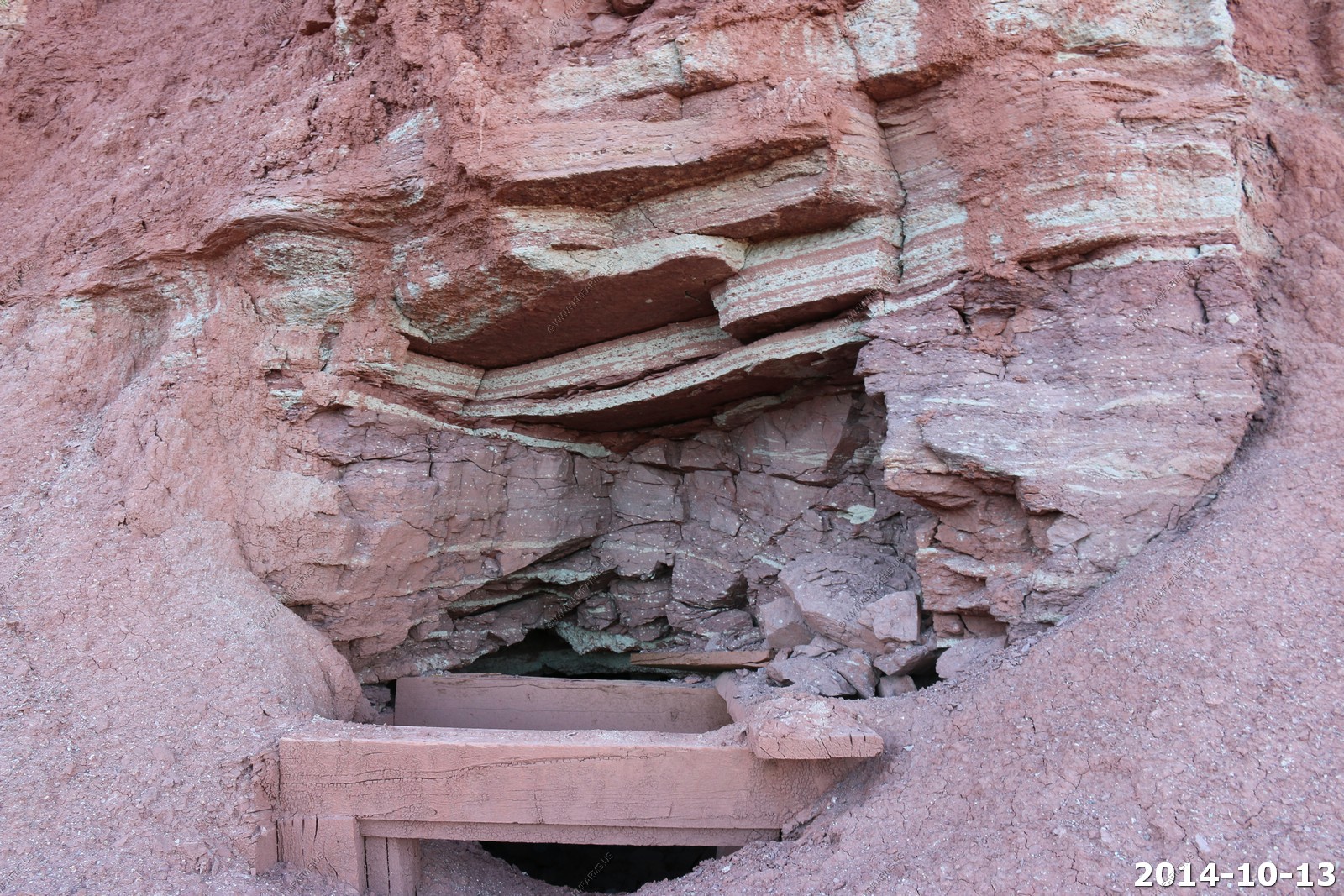
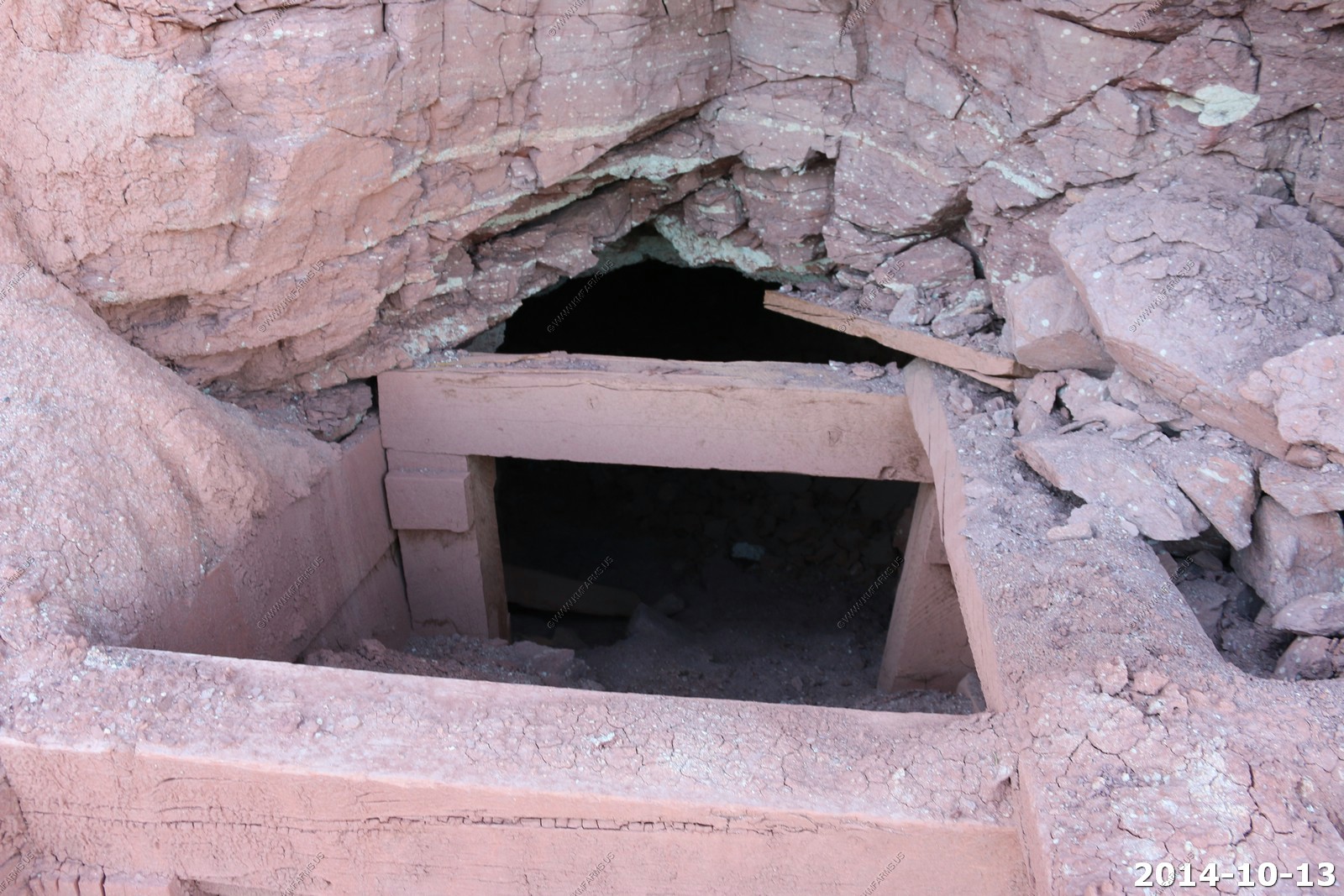
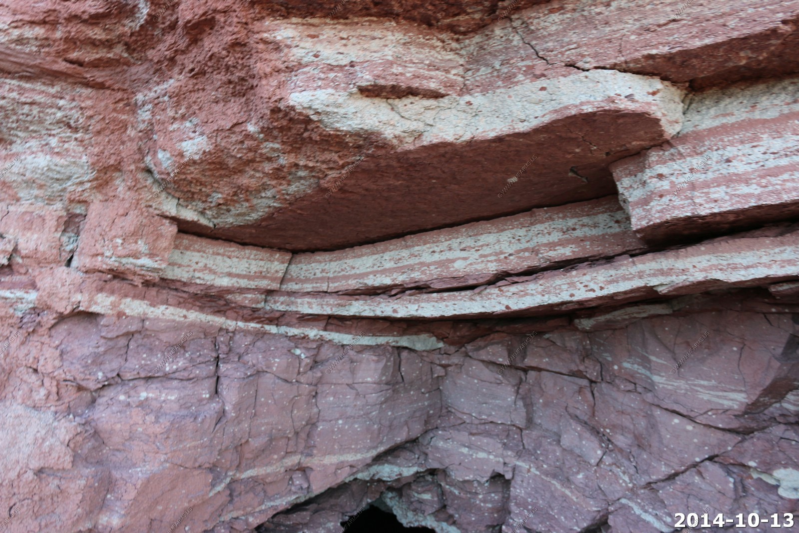
One of the old uranium (or other radioactive minerals they were going for) mines in this area.
It was funny as I collected rocks from these radioactive areas. I placed them in a aluminum foil lined Milano cookie bag and they were in my carry on bag. TSA idiots took my peanut butter.. But, left me take the radioactive rocks on the plane, oh well... The minerals I got here were hot on my geiger counter. Hotter than the rocks that I collected at the radioactive posted mines in Capitol Reef (tomorrow).
The green layers were the alpha emitter areas. Way above background.
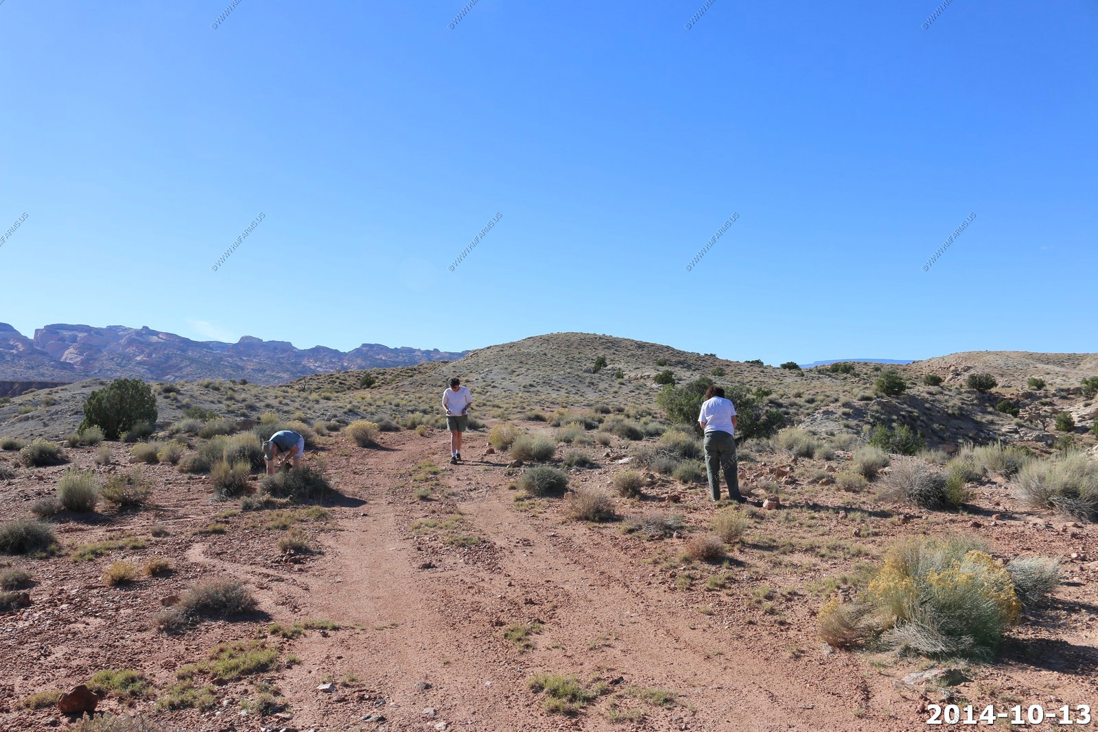
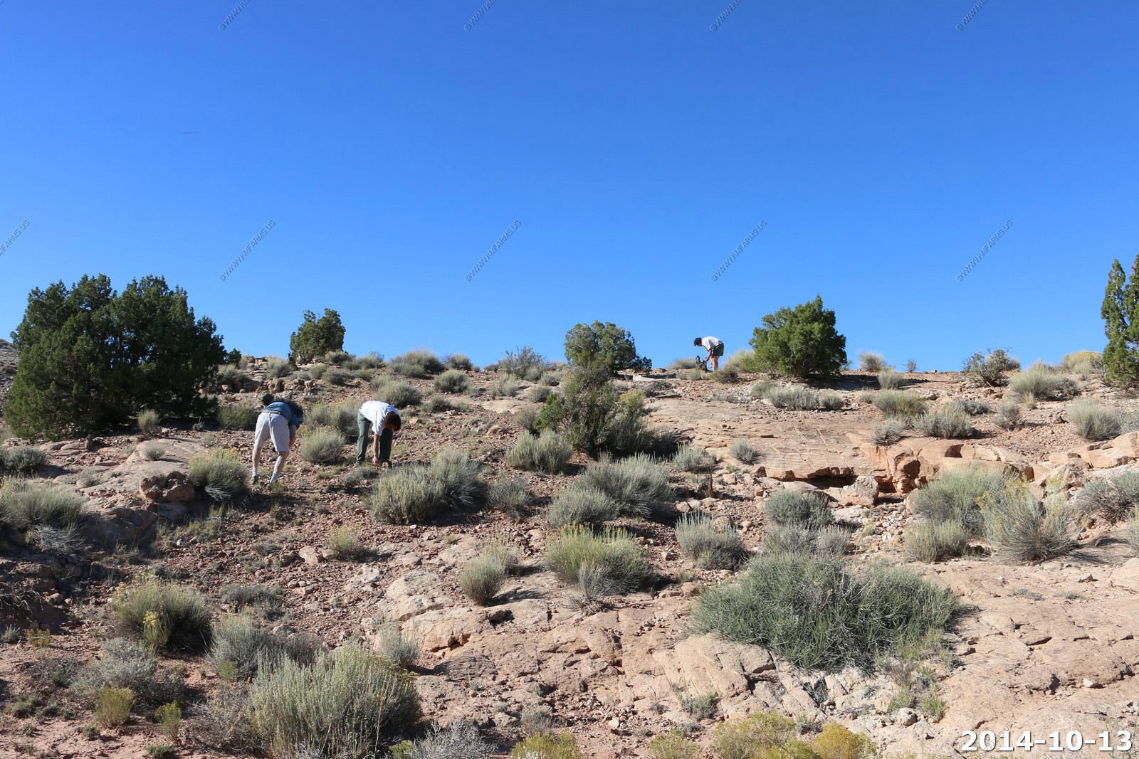
We found the right area as Dave is lining up the petrified wood.
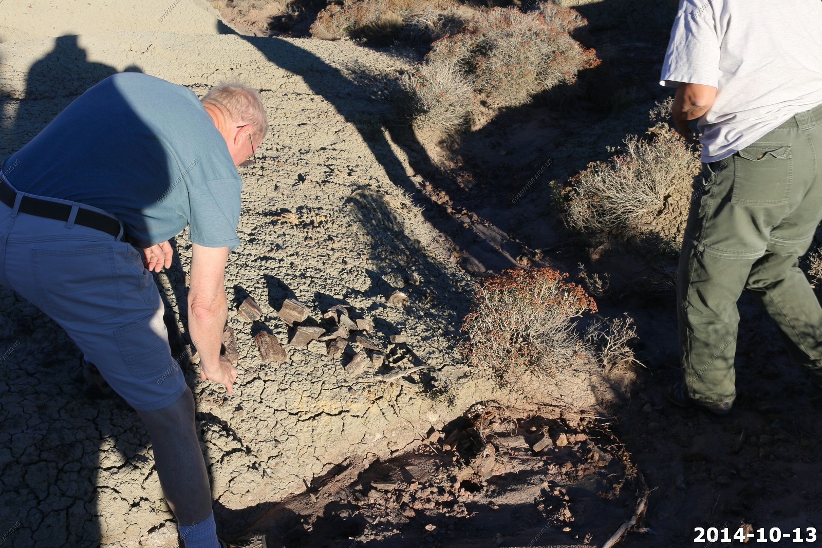
It's in the gray / green layer and where the water has cut the layer.

I moved the truck over to the right area.
Debating the take - flying home we have to watch how much we take
Heading back to Torrey - the road is bad but the view is great.
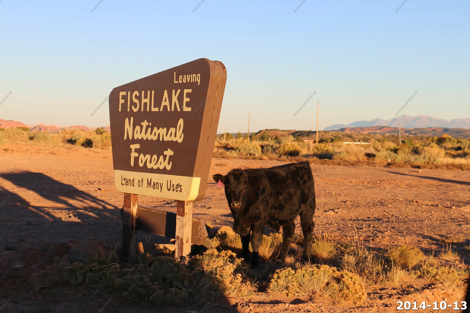
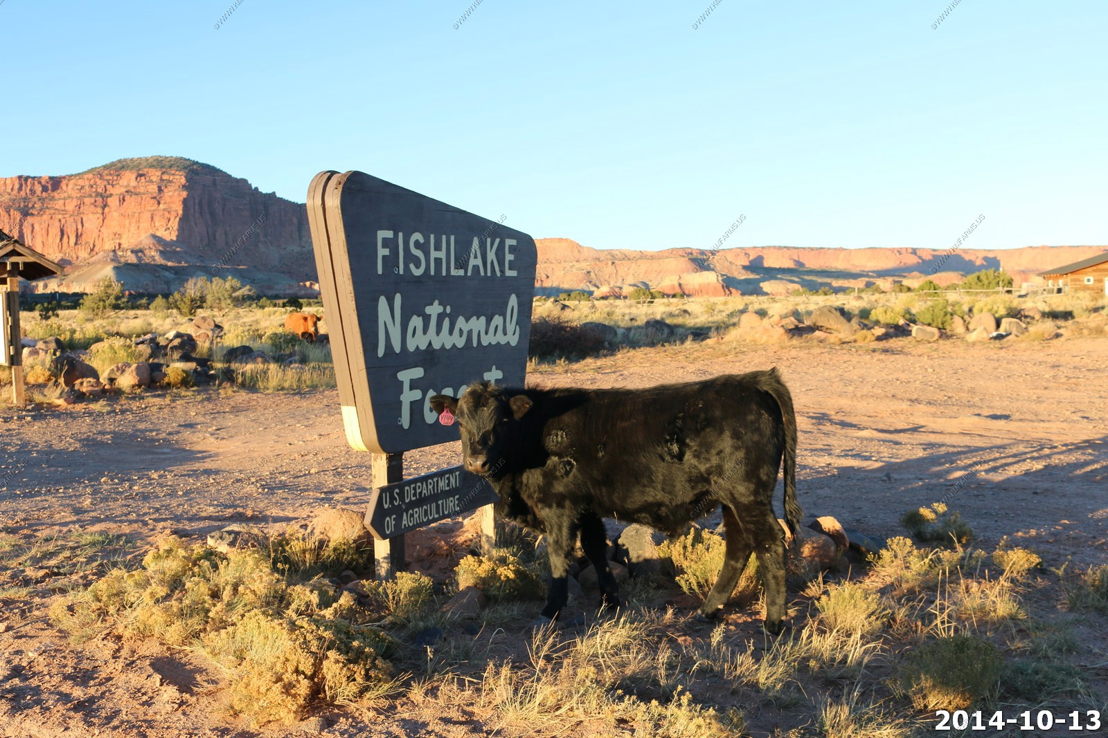
Friendly range cow chewing on the National Forest sign.
Sunset with the Henrys
We ate dinner at Rim Rock Inn & Restaurant. This was the 3rd time we ate here and like the other two times 11 years ago, it was very good.
We stayed over at Red Sands Hotel which was upgraded since the last time we were here. It was clean and quiet.