Last Updated: 23-JAN-2018
Tuesday OCT 06th
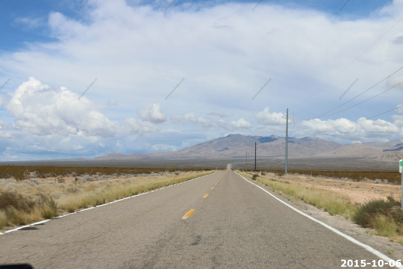
Left I-15 in Littlefield, AZ and headed up old highway 91. Lots of traffic
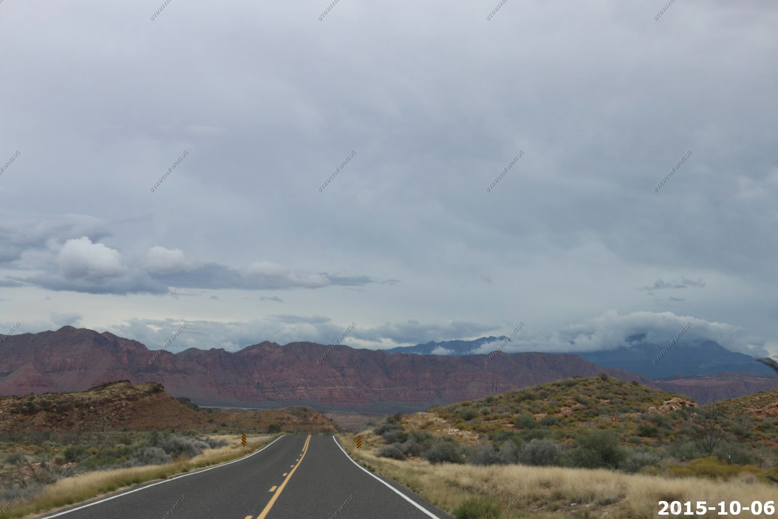
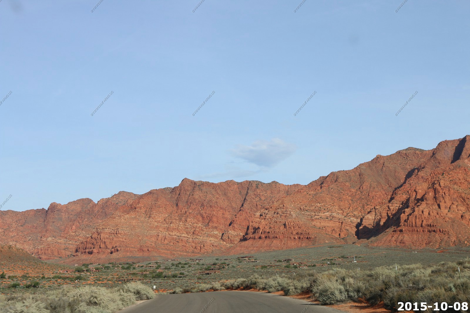
Now in Utah and looking at the red cliffs above Kayenta and Ivins, UT. Pine Valley Mountains are in the clouds. These Mountains would be in our view every day on this trip.
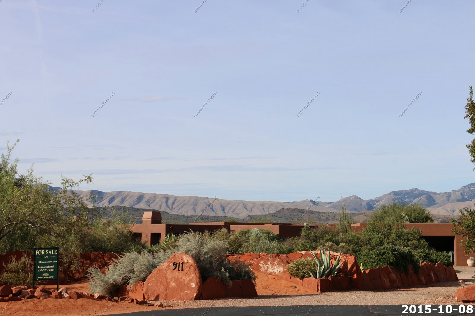
We had time to kill so we drove thru Kayenta and stopped at the real-estate office - Then we drove thru St. George
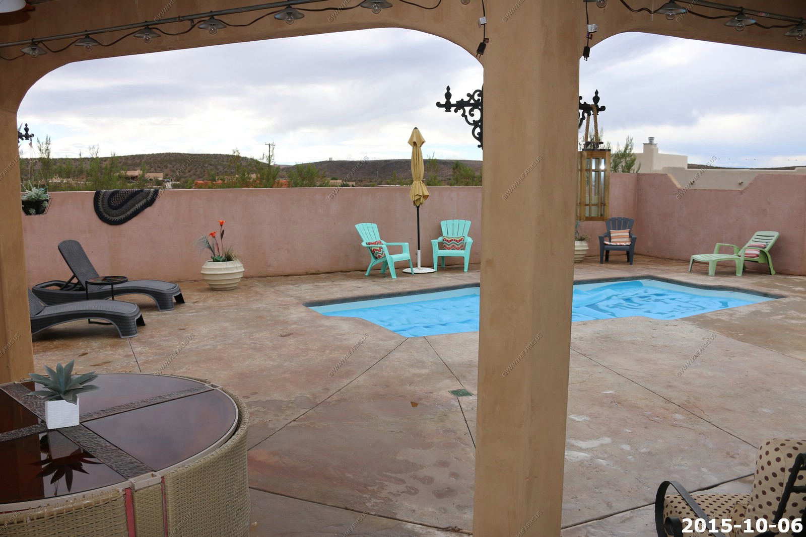
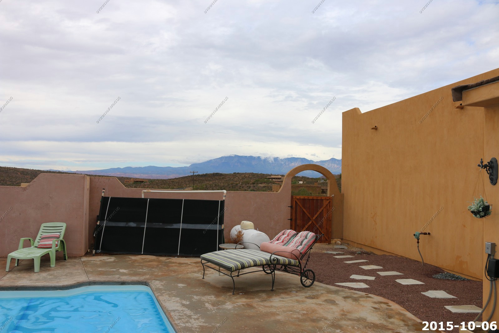
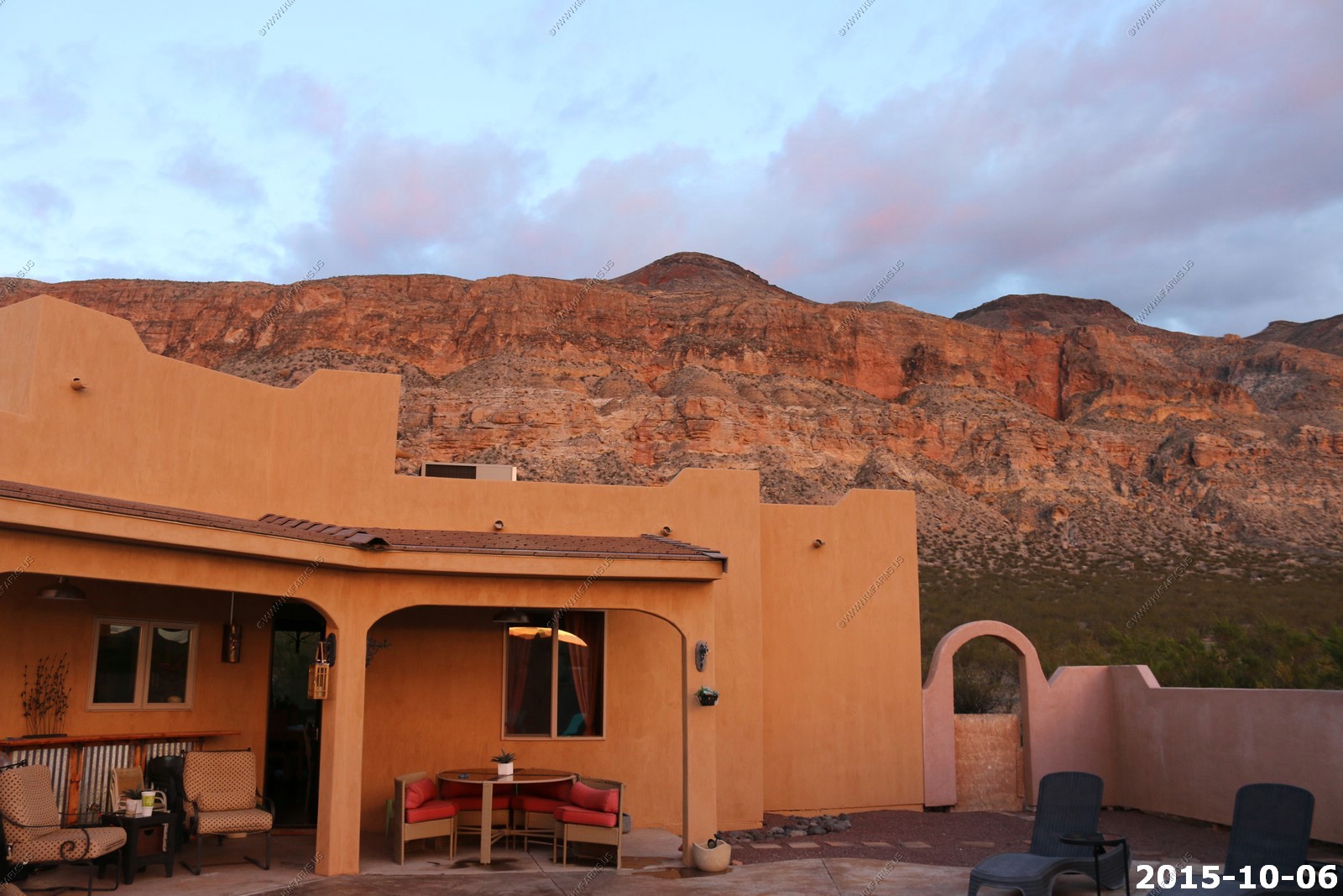
We got to the rental and we were happy with the place but the pool was cold.
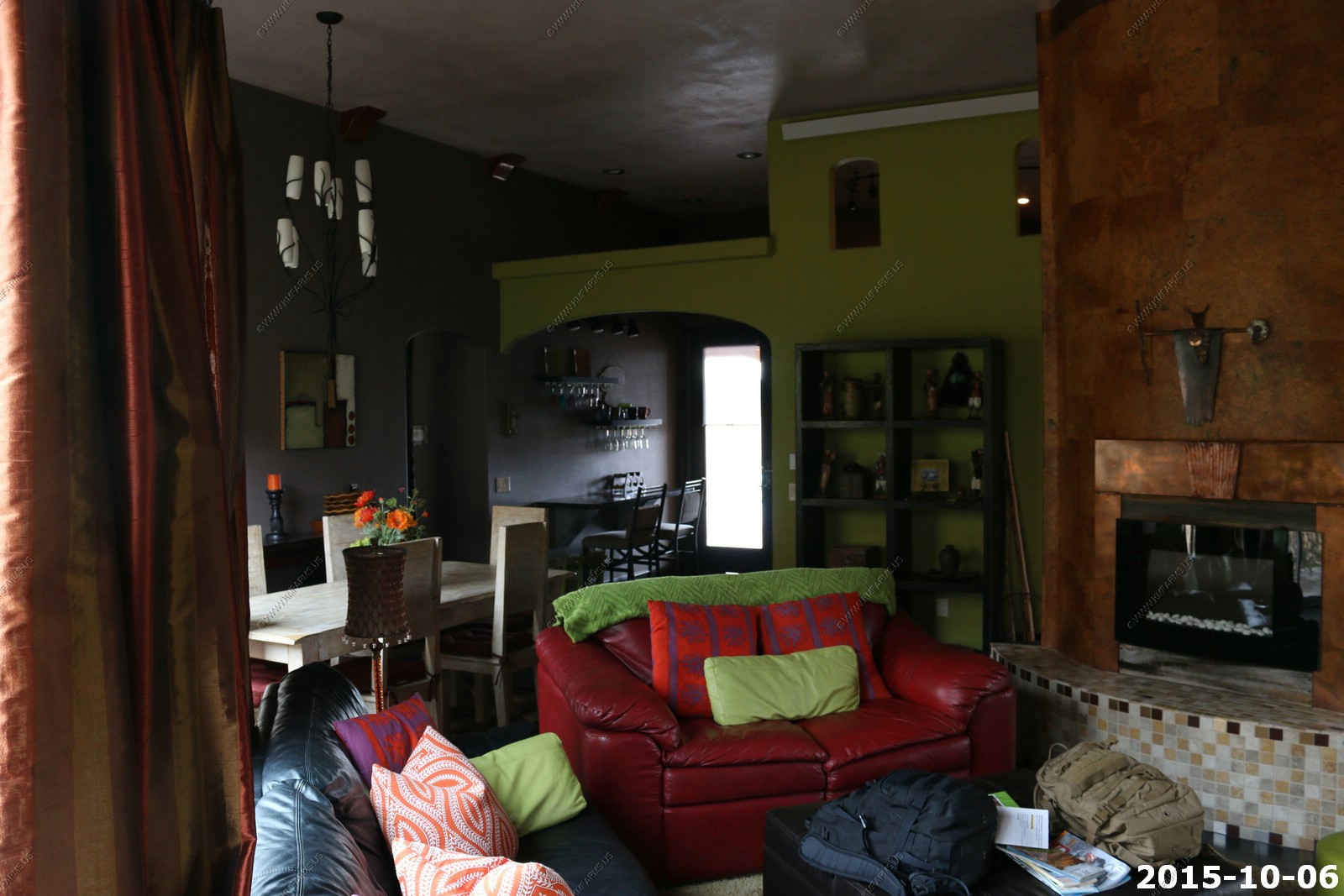
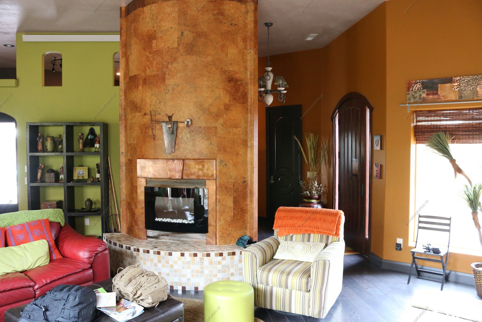
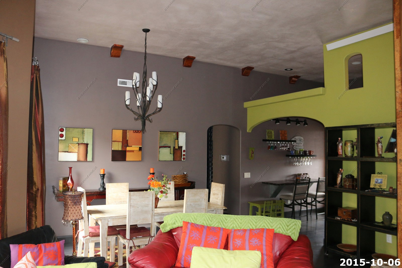
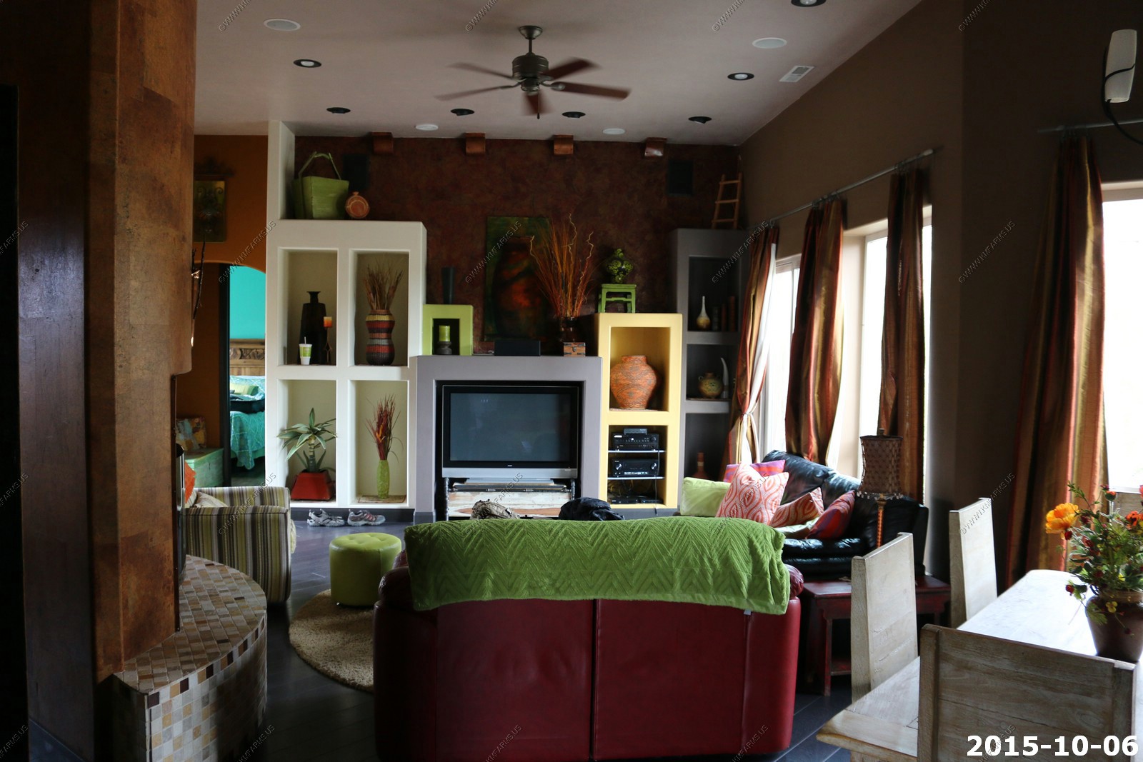
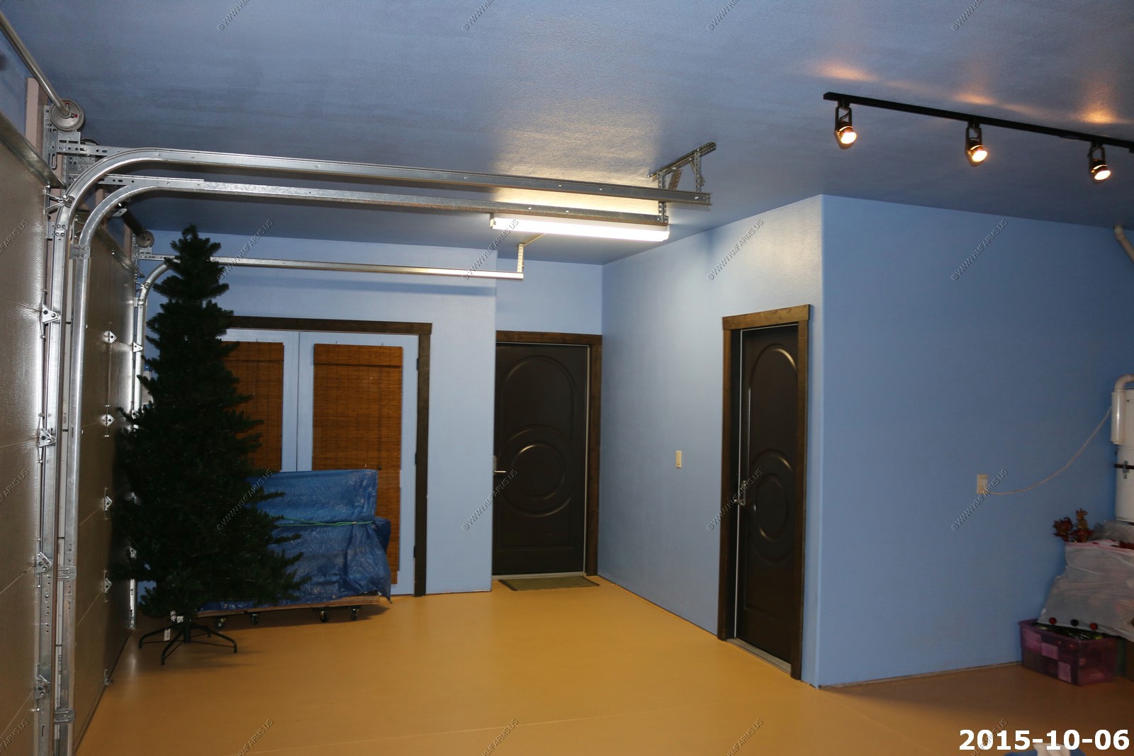
First look at the house - Livingroom
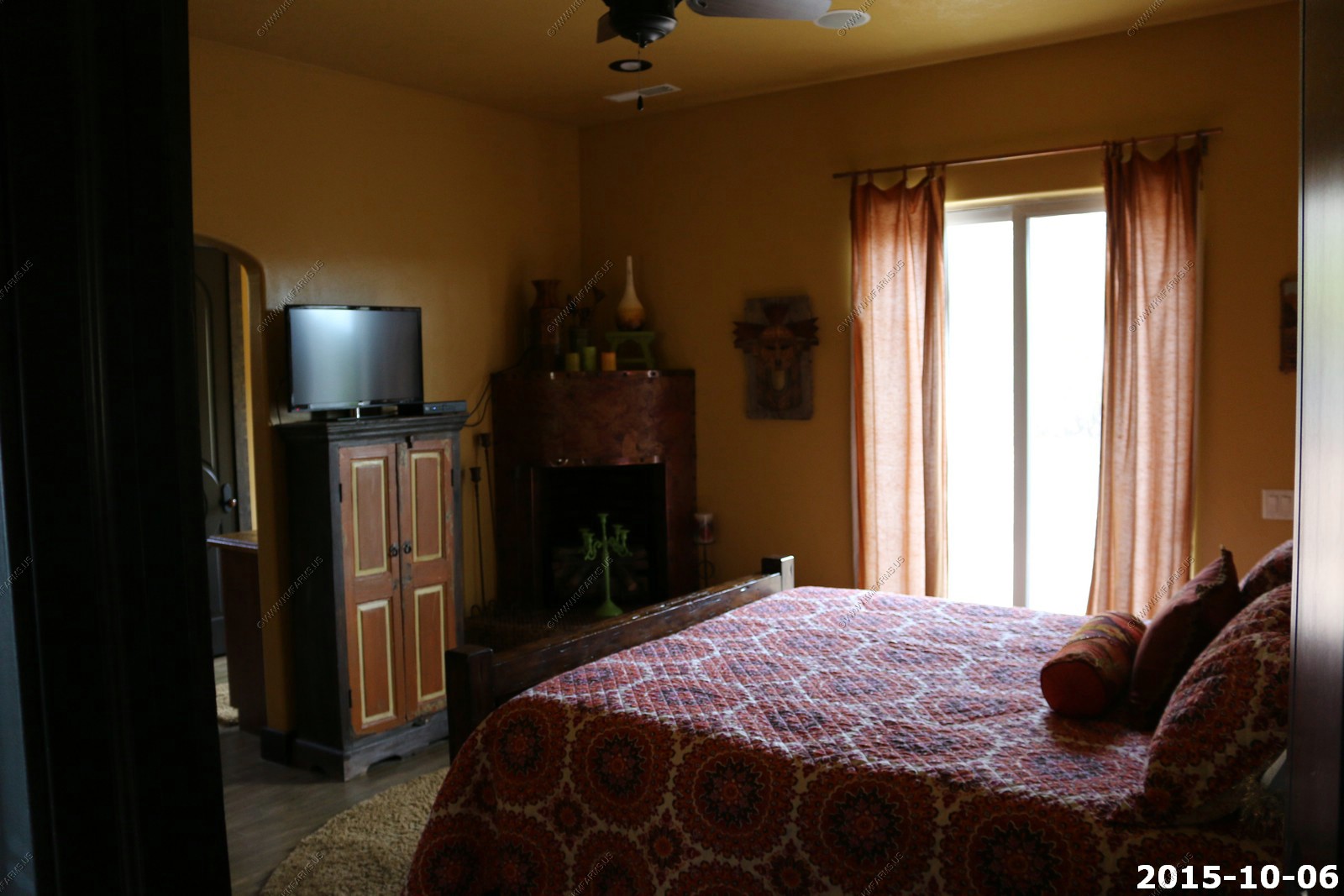
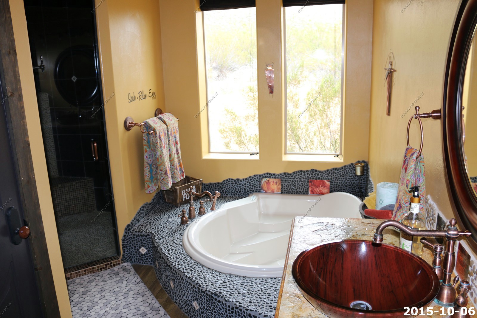
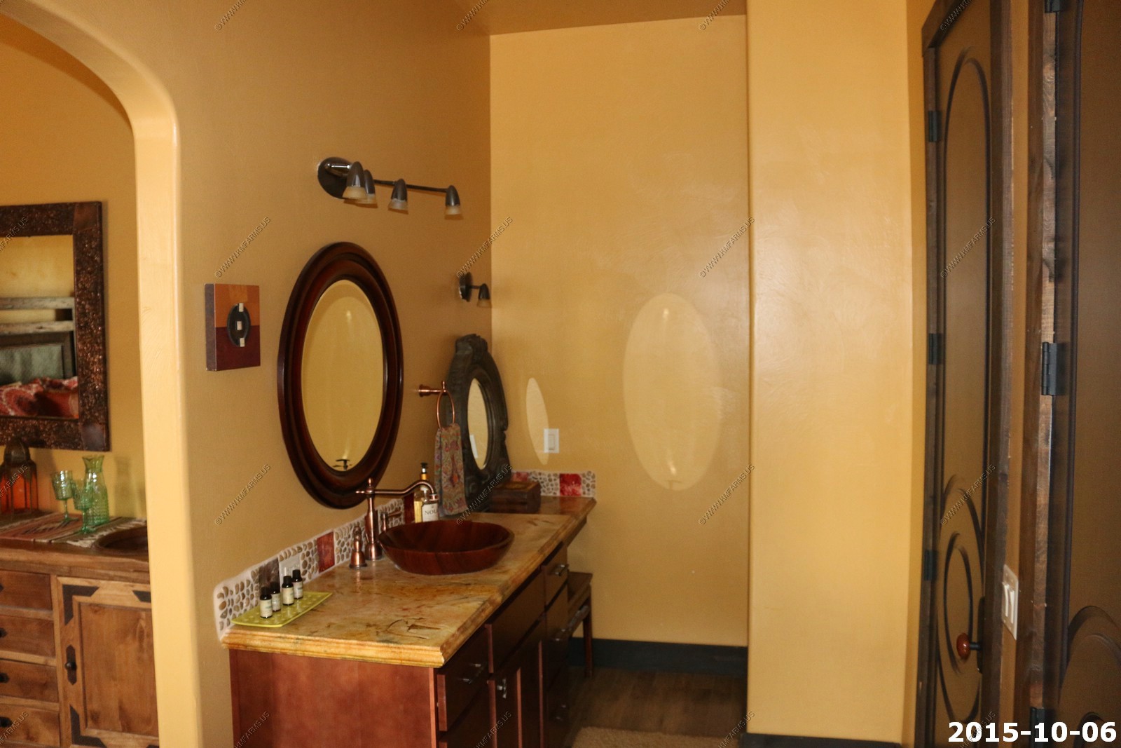
Master - Bedroom / Bath
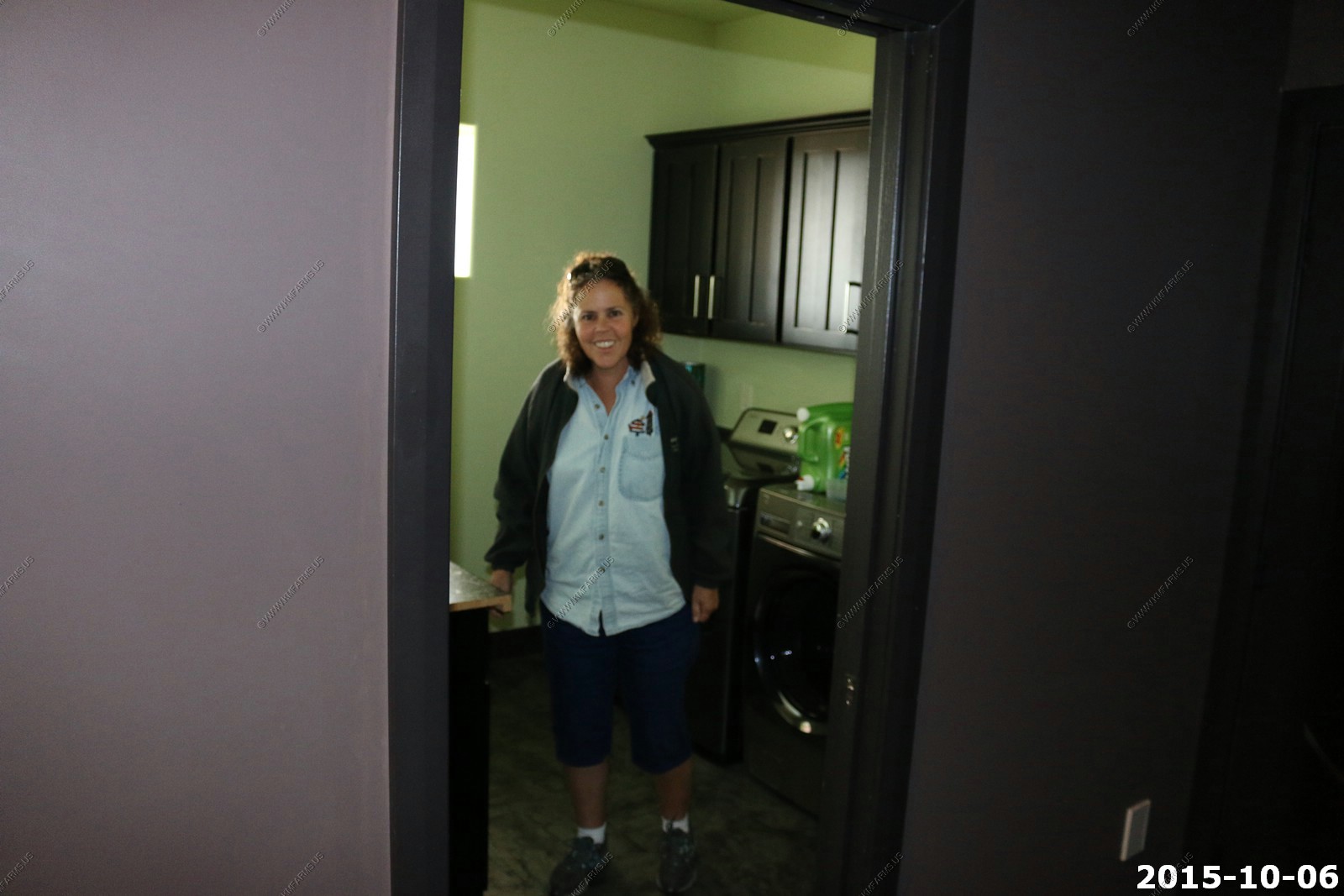
Mary in the laundry room
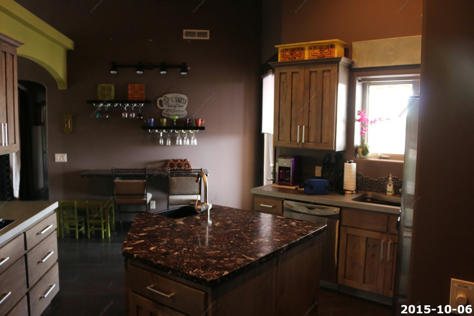
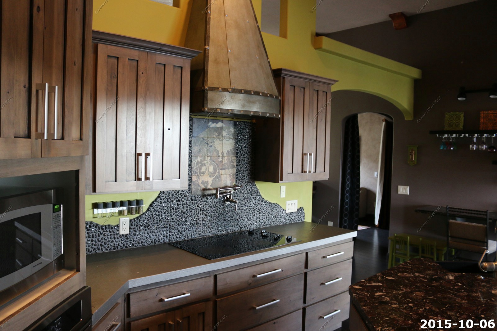
Kitchen
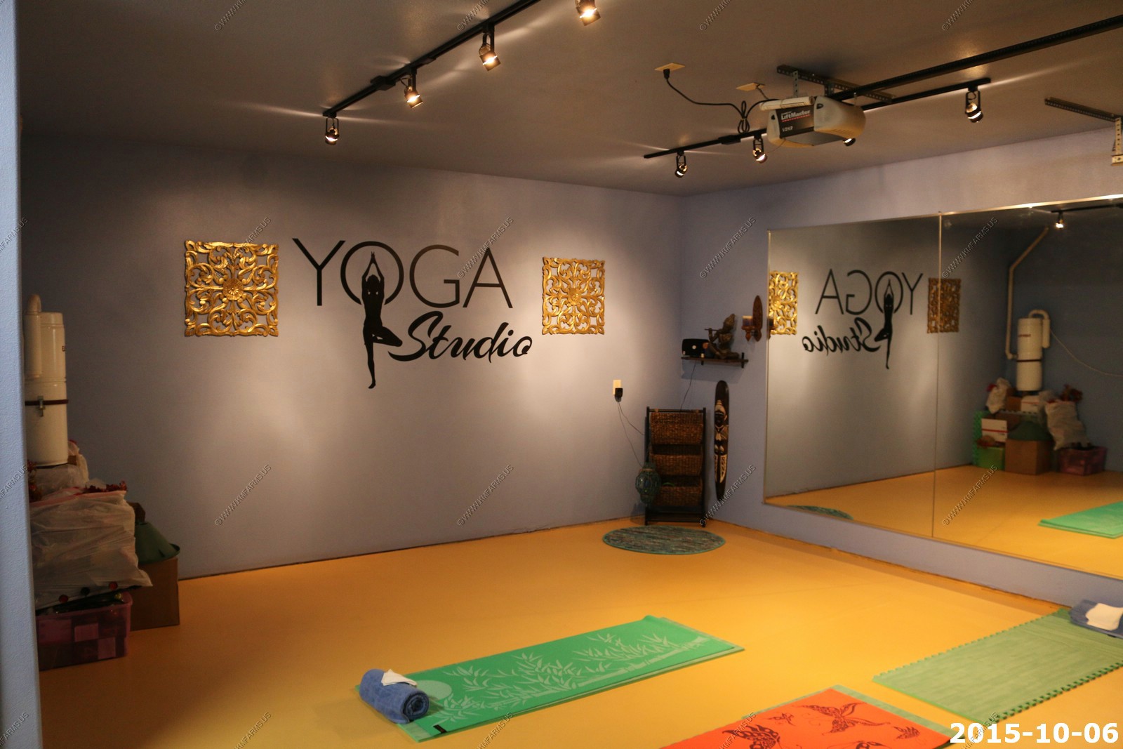
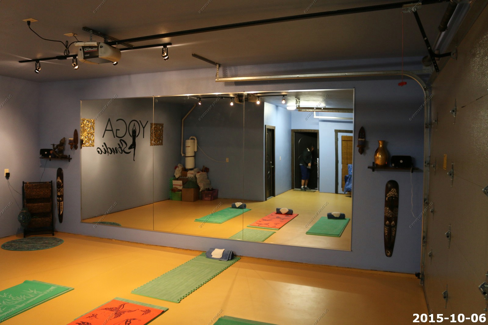
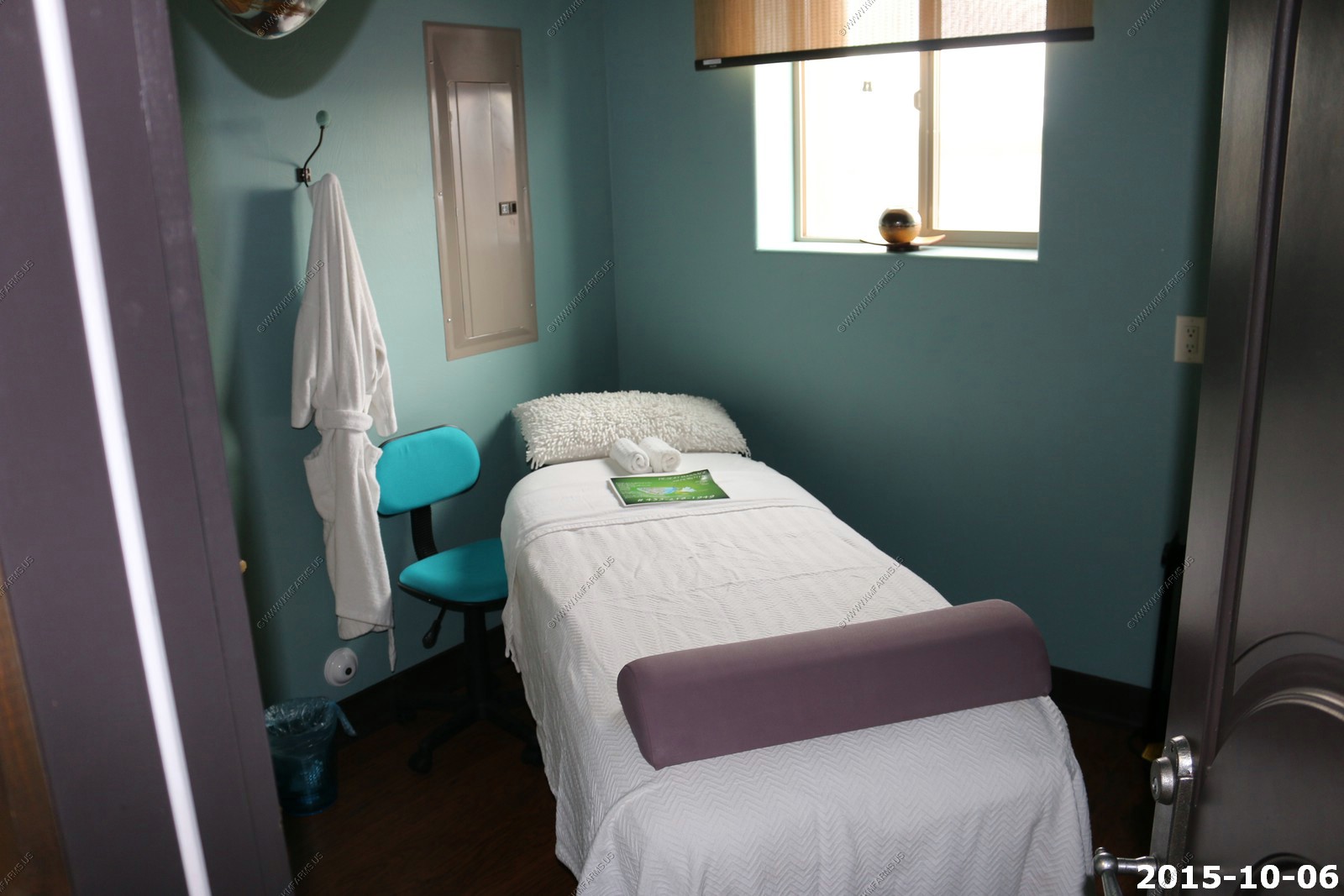
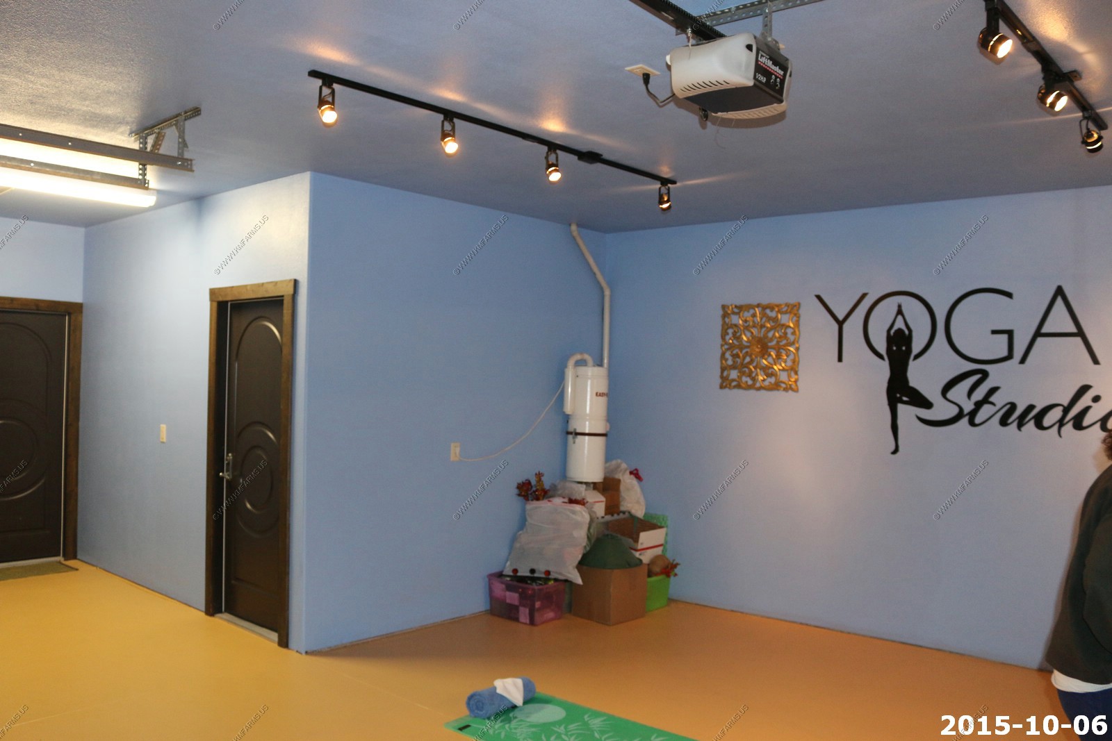
The garage was turned into a Yoga Studio with a massage room. We did not use this.
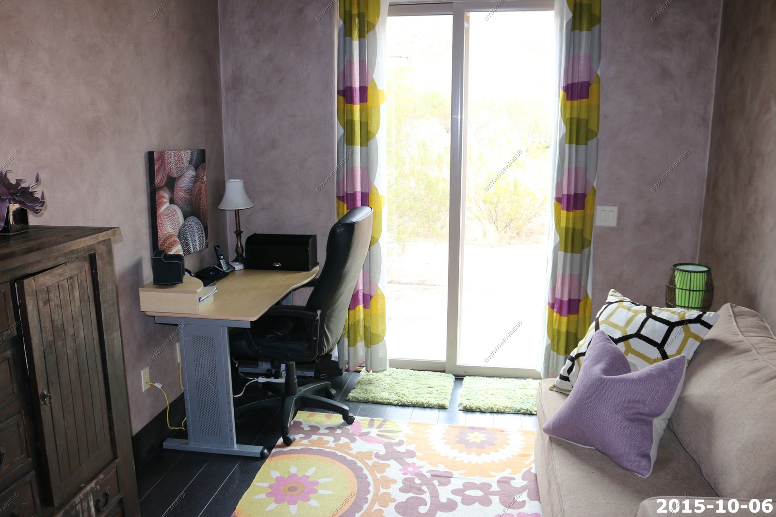
Small office
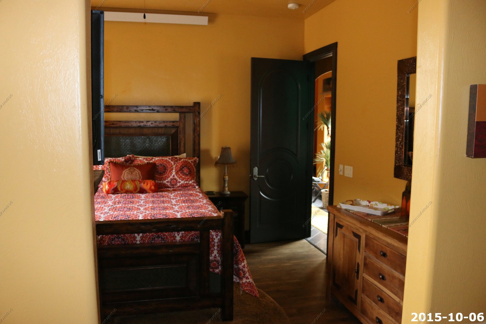
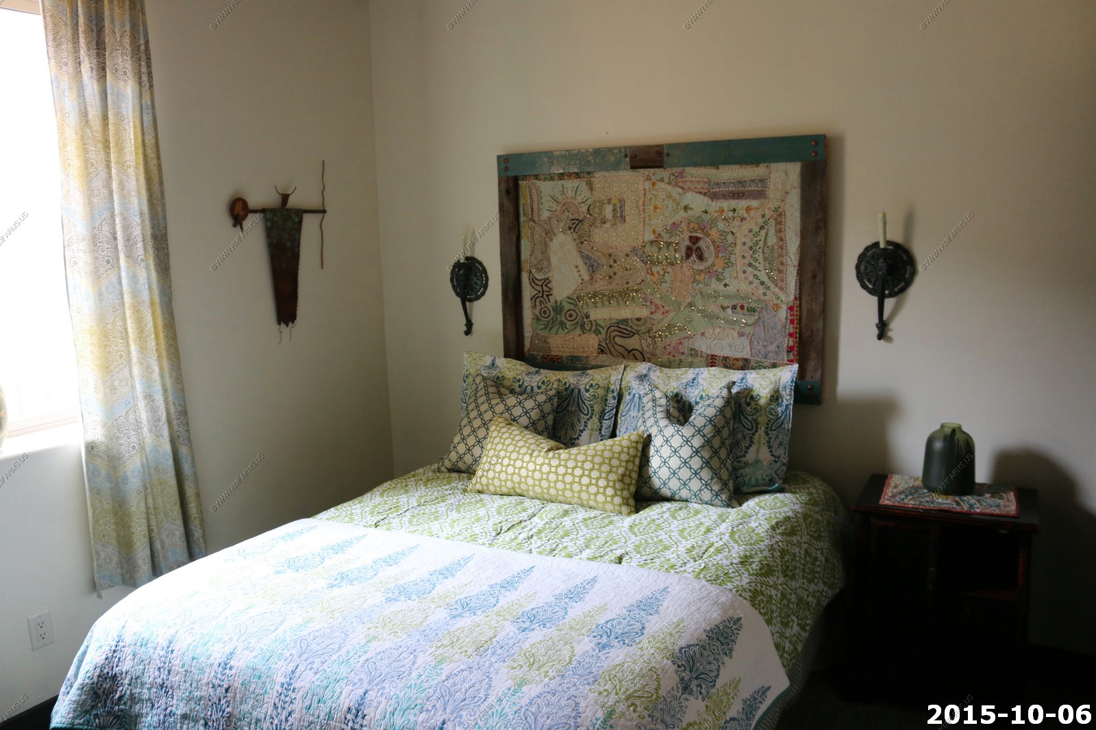
Another bedroom
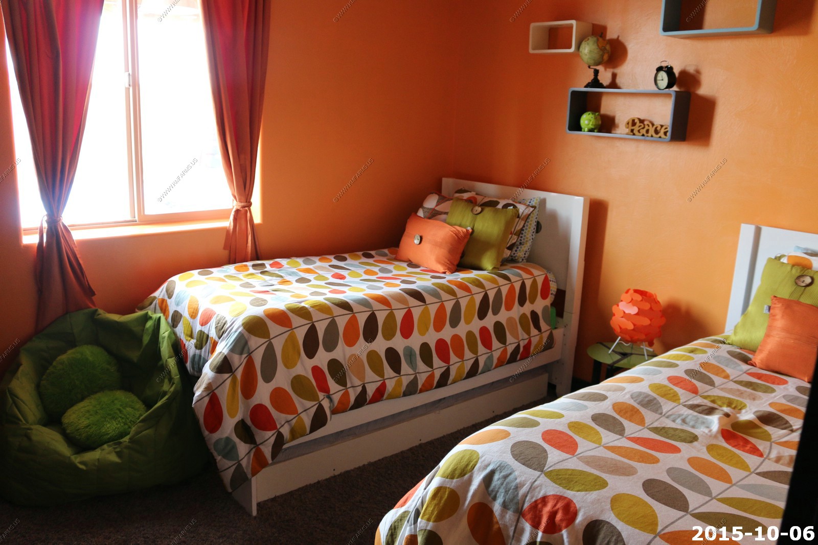
And the kids room
On to one of the main reasons we rented this house. The pool area

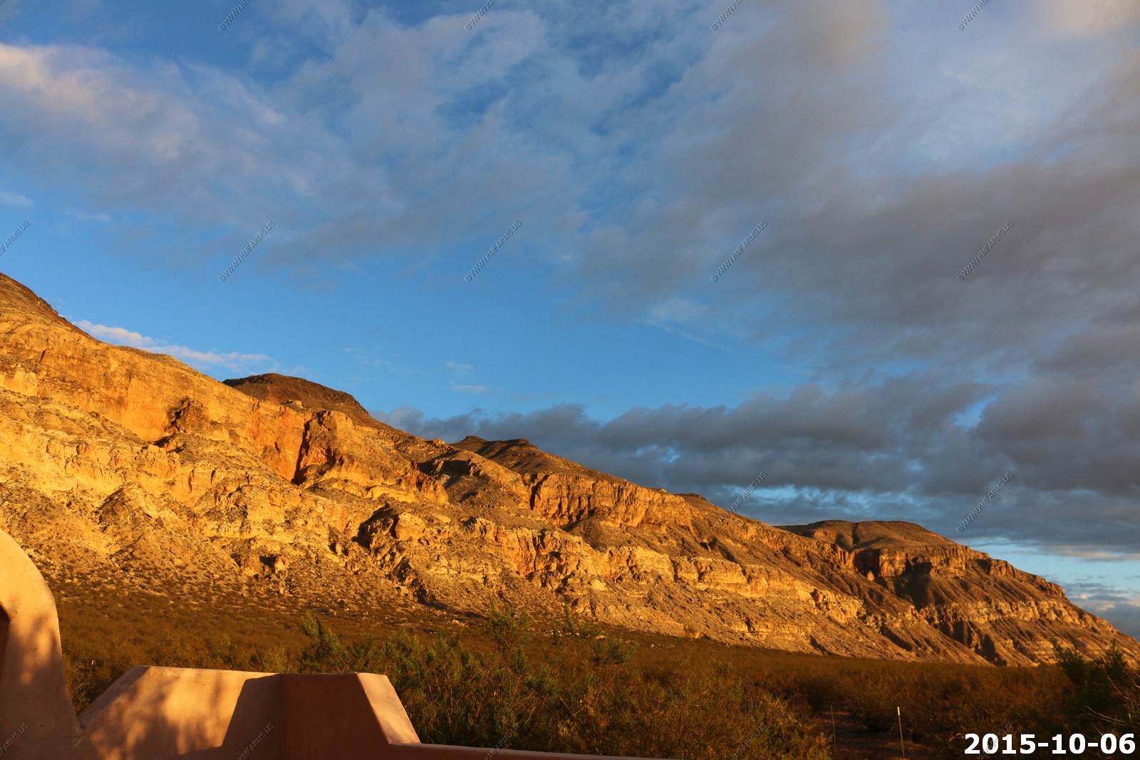
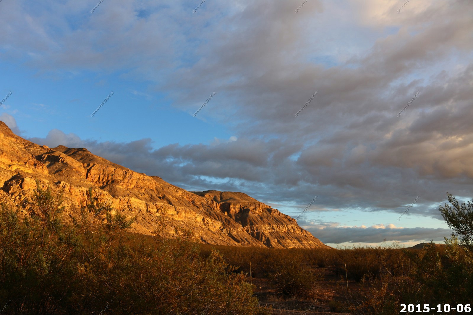
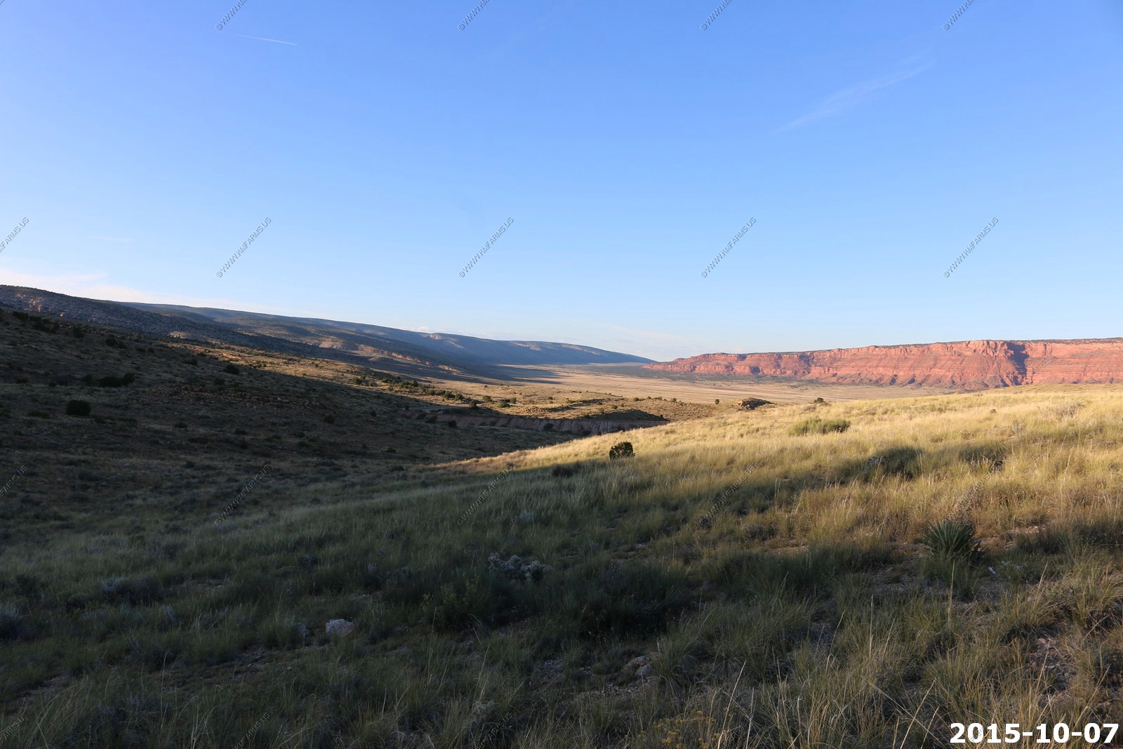
Sunset on the Hurricane Cliffs. The Hurricane Cliffs of southwest Utah and northwest Arizona are a red, limestone geographic feature, sets of cliffs along the western, eroded edge of the Kaibab Limestone; the cliffs are about 135-mi long and begin at the north-northwest of the Grand Canyon. The Hurricane Cliffs are part of the landforms on the southwest perimeter of the Colorado Plateau, specifically the High Plateaus section; the High Plateaus are transitional to the Great Basin northwest, the Mojave Desert west, and the Arizona transition zone, southwest and south of the Coconino Plateau.
We look at this as a cliff but in reality its a major Fault which as produced some strong earthquakes in the past.
During our week here we did not feel anything
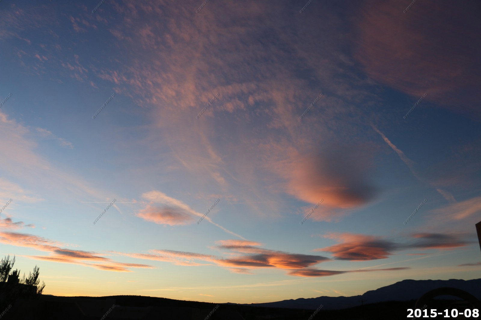
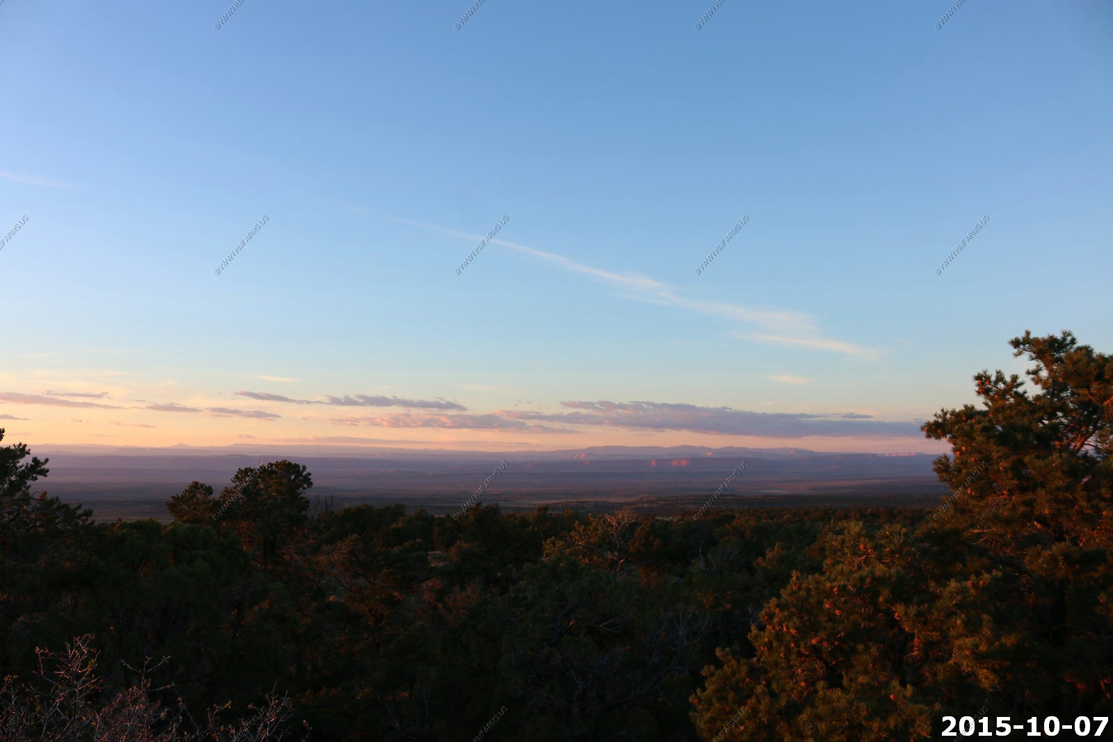
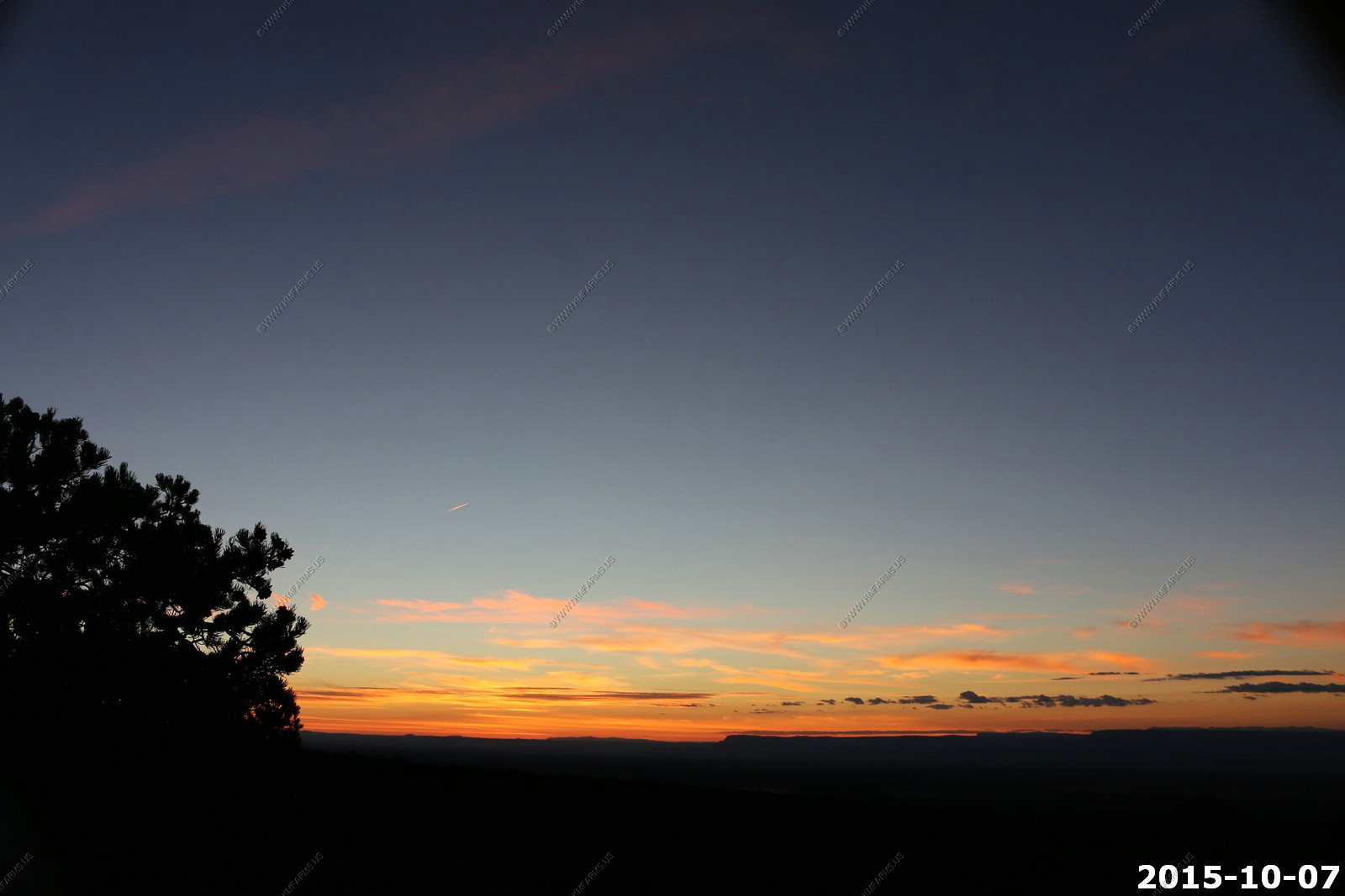
Sunset time
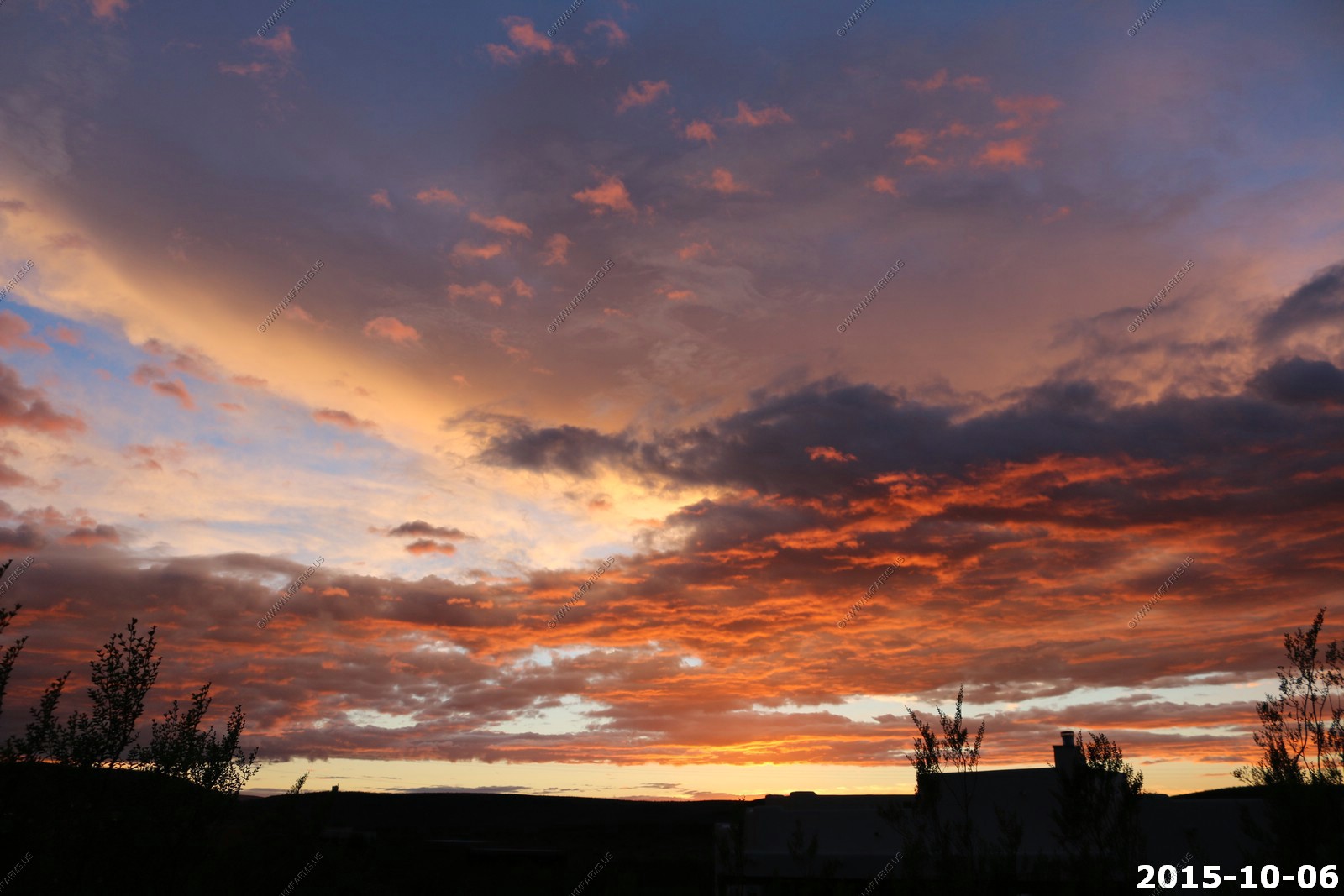
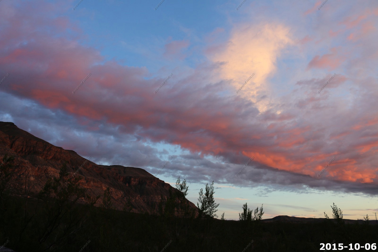
Sunset over the Pine Valley Mountains
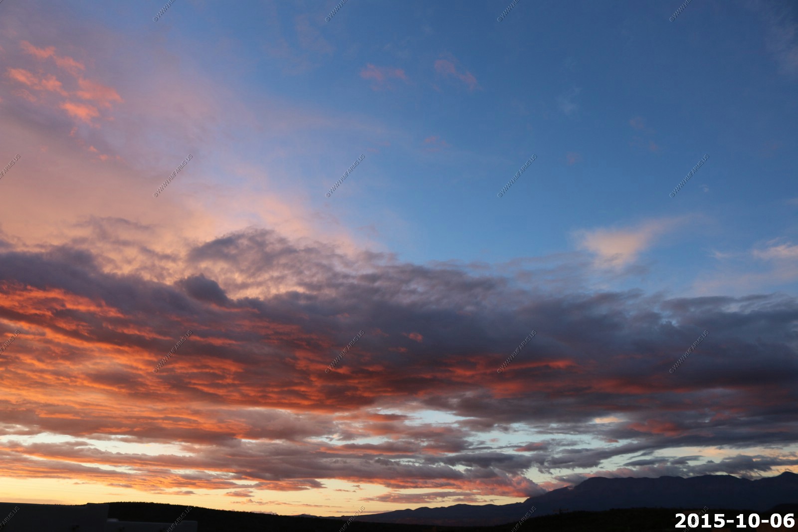
This first day had the most clouds and one of the better sunsets. The other funny thing here was how quiet it was at night. I was sitting by the pool and eating almonds and I was concerned that the entire neighborhood could hear me chewing. We did hear coyotes a few nights.
Wednesday OCT 07th
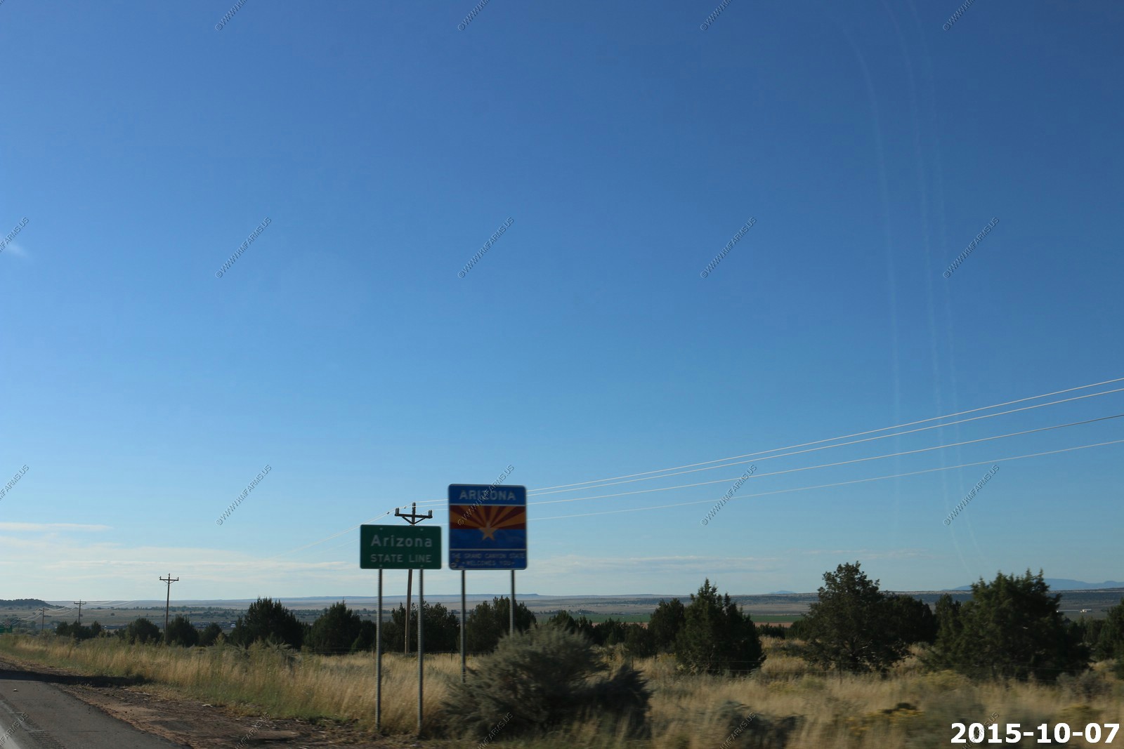
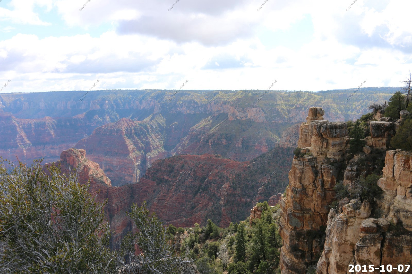
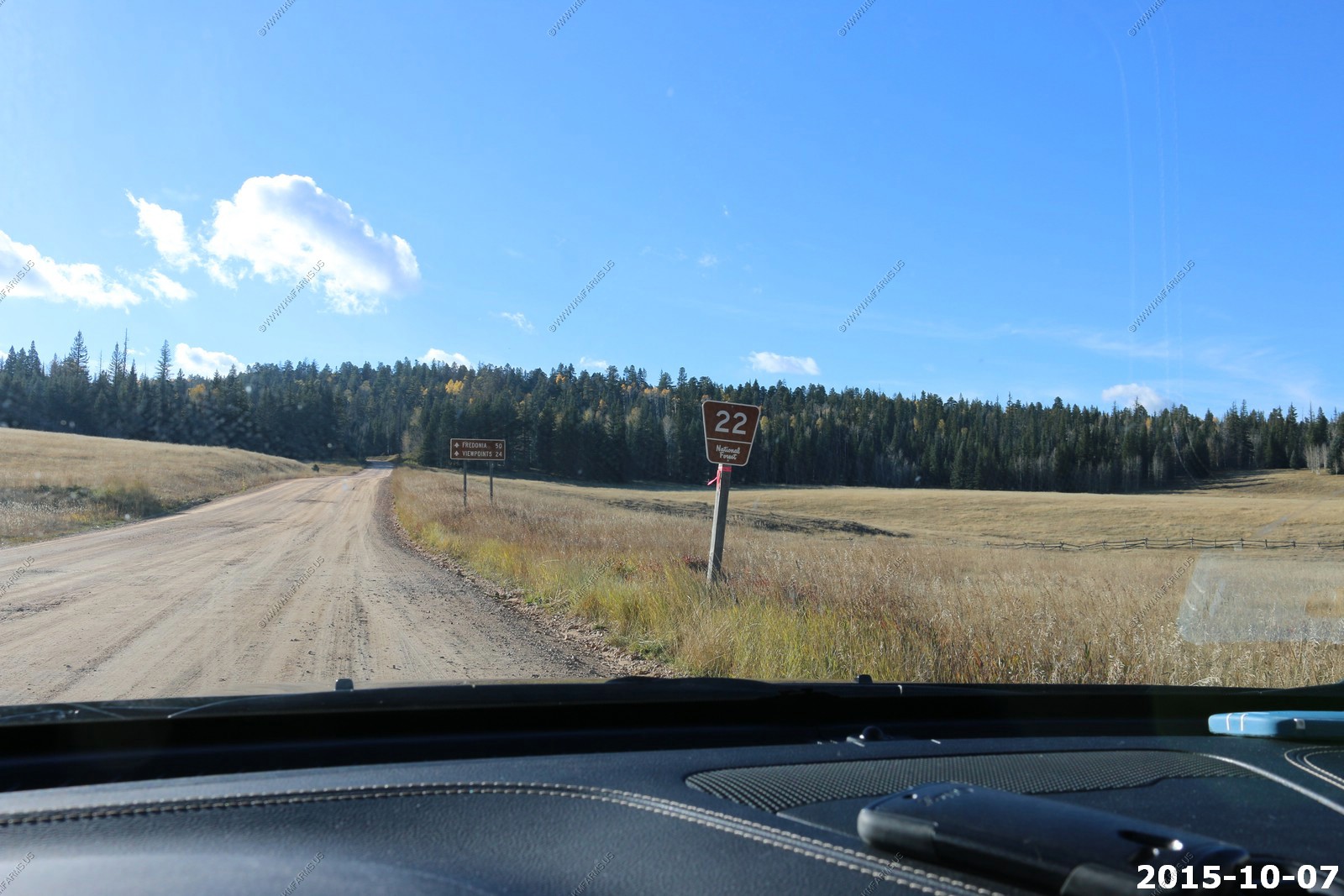
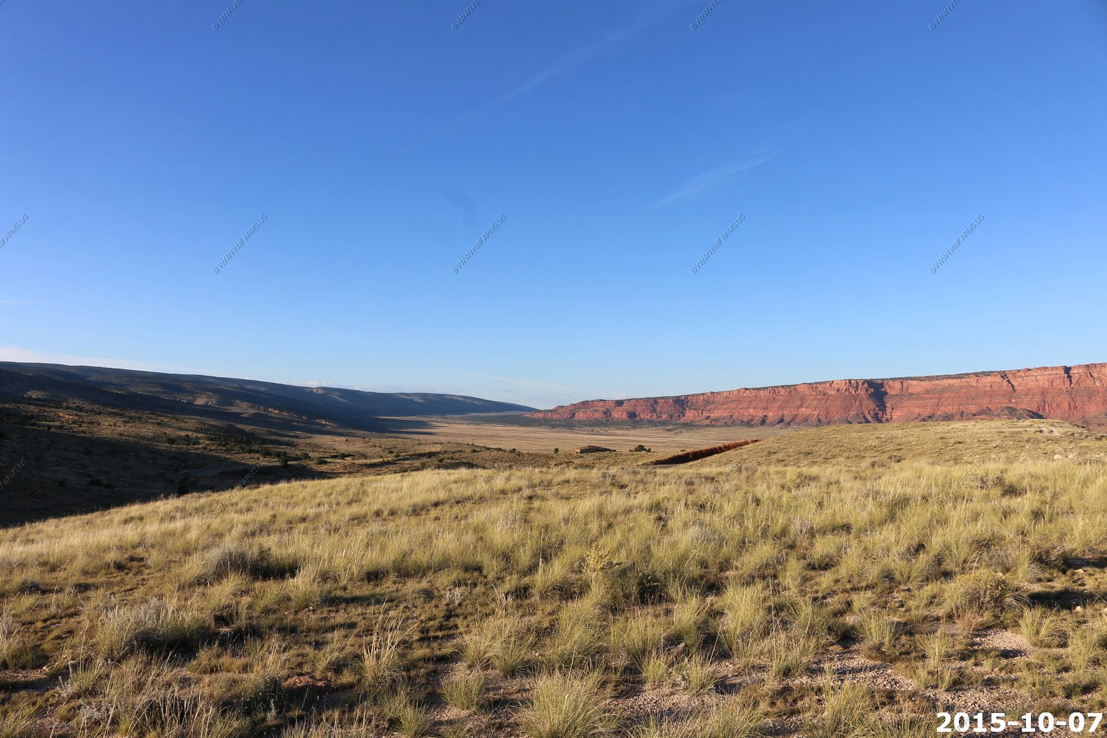
Today was a trip to the Grand Canyon (North Rim). Its appx. 130 miles and less than 3 hours away. Also, the North Rim services (Lodge) would be closing in another week so it was late in the season to visit. We were last in this area 12 years ago in SEP 2003 and before that we were here the day we got married in the fall of 1998.
Welcome To Arizona
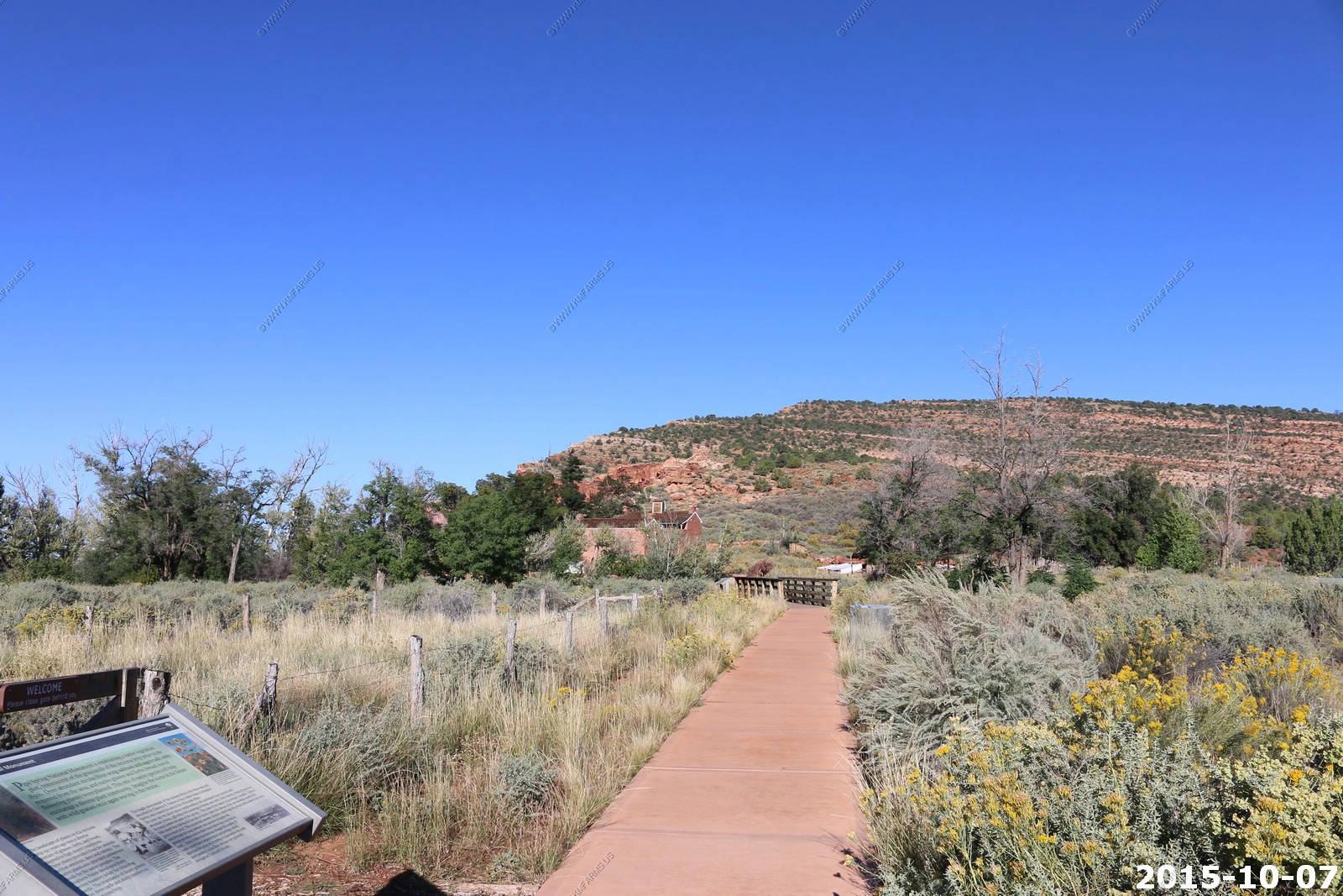
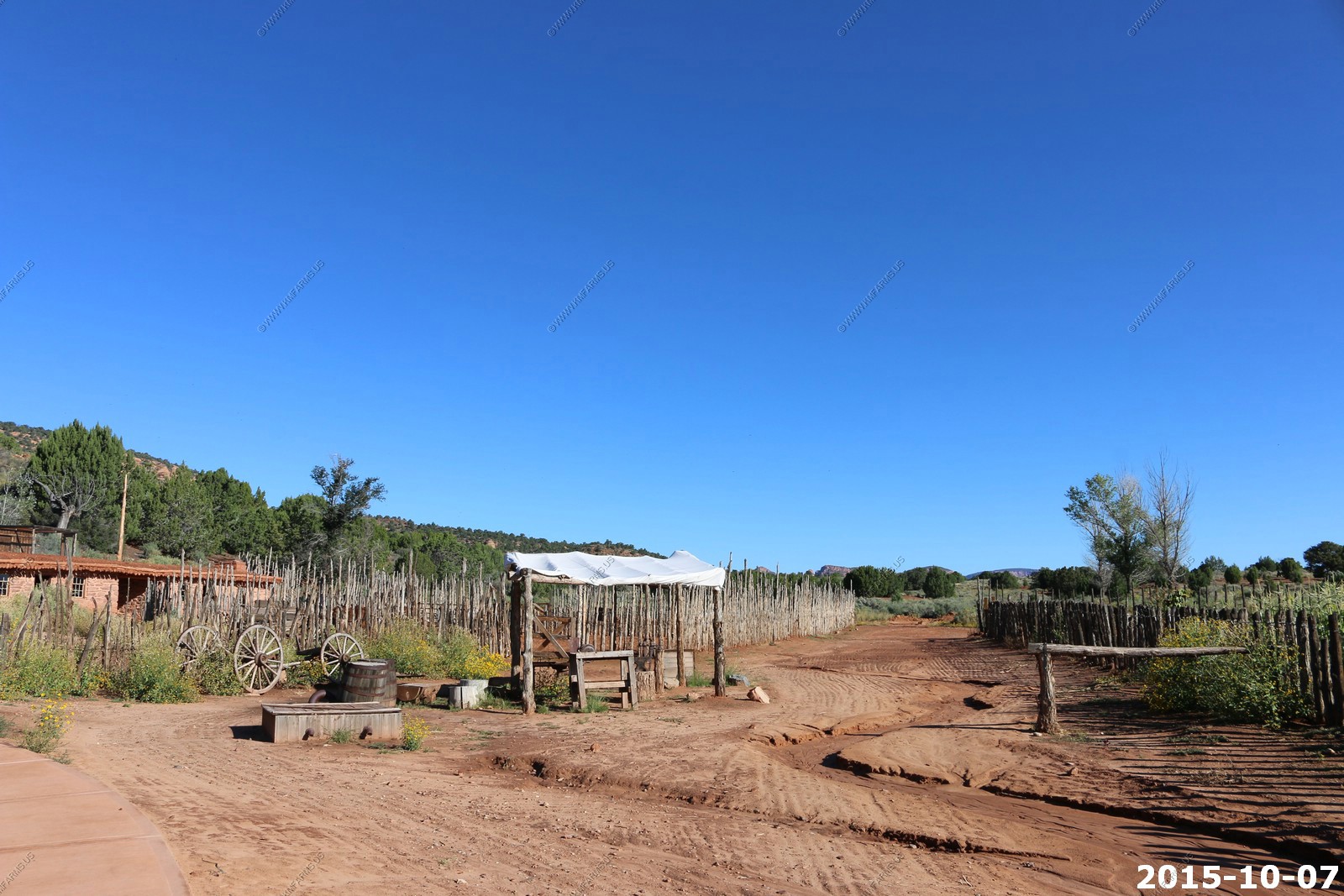
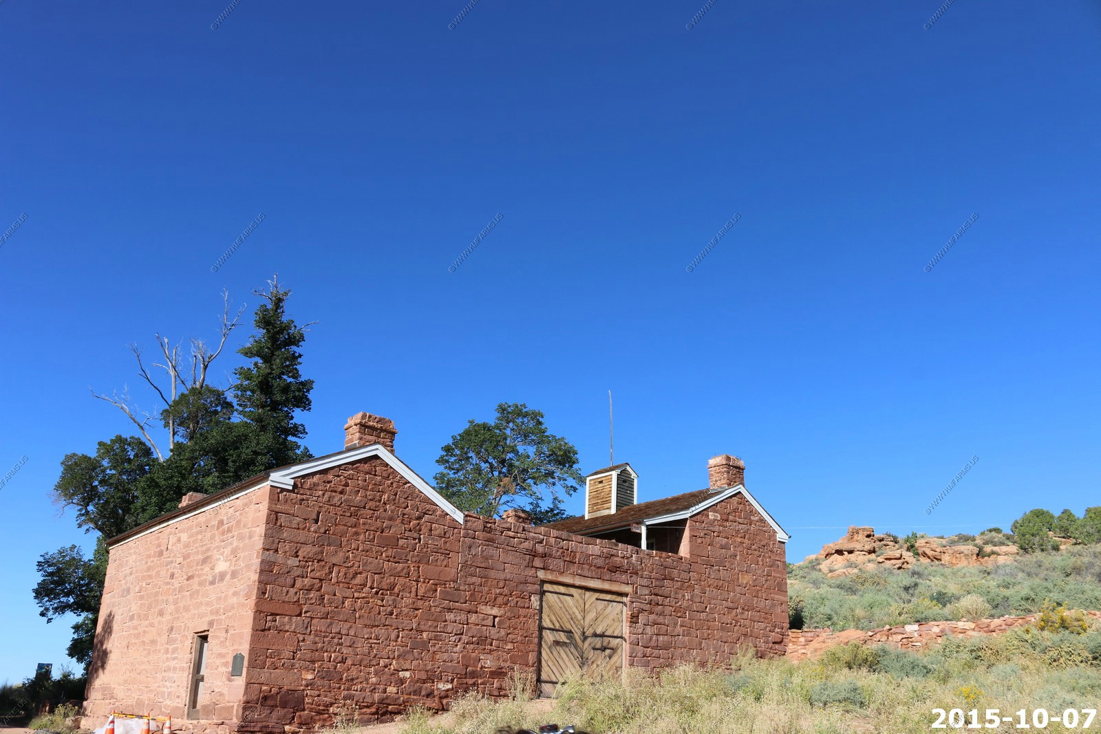
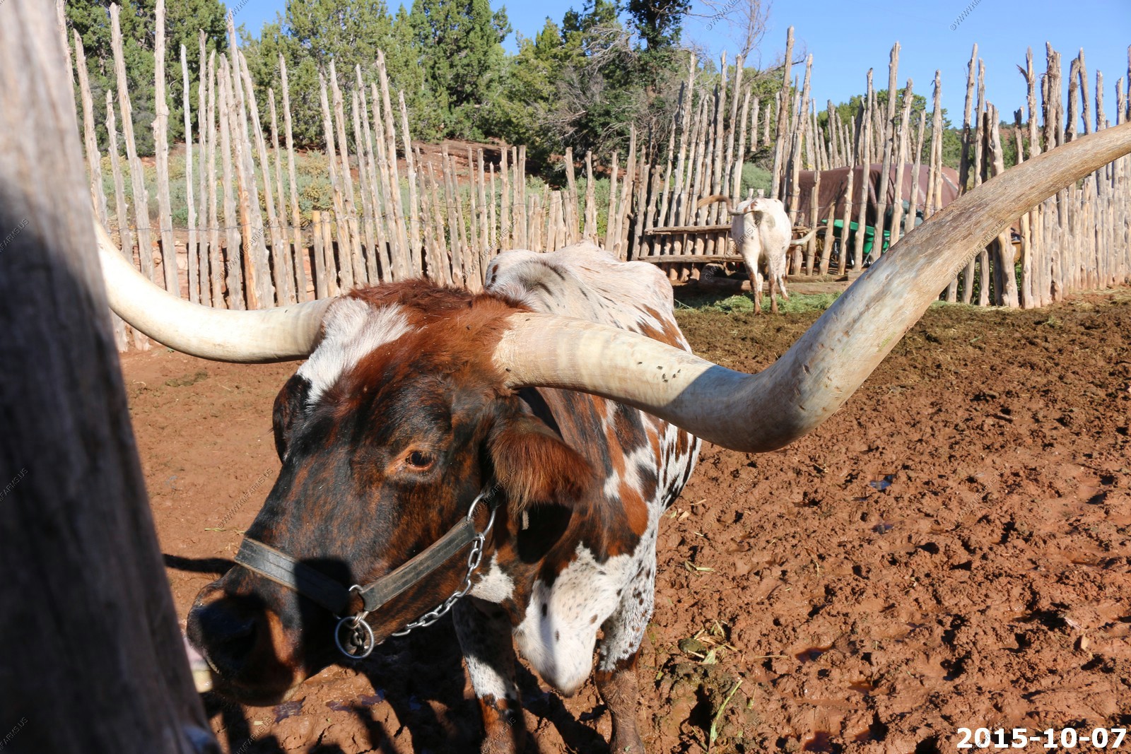
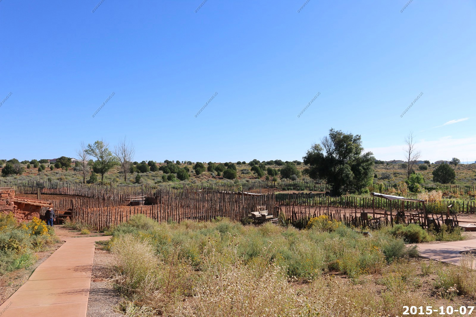
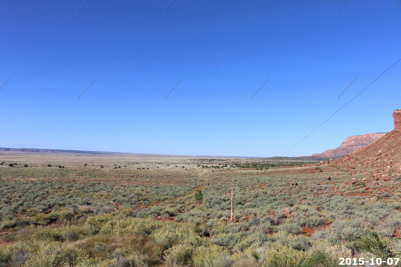
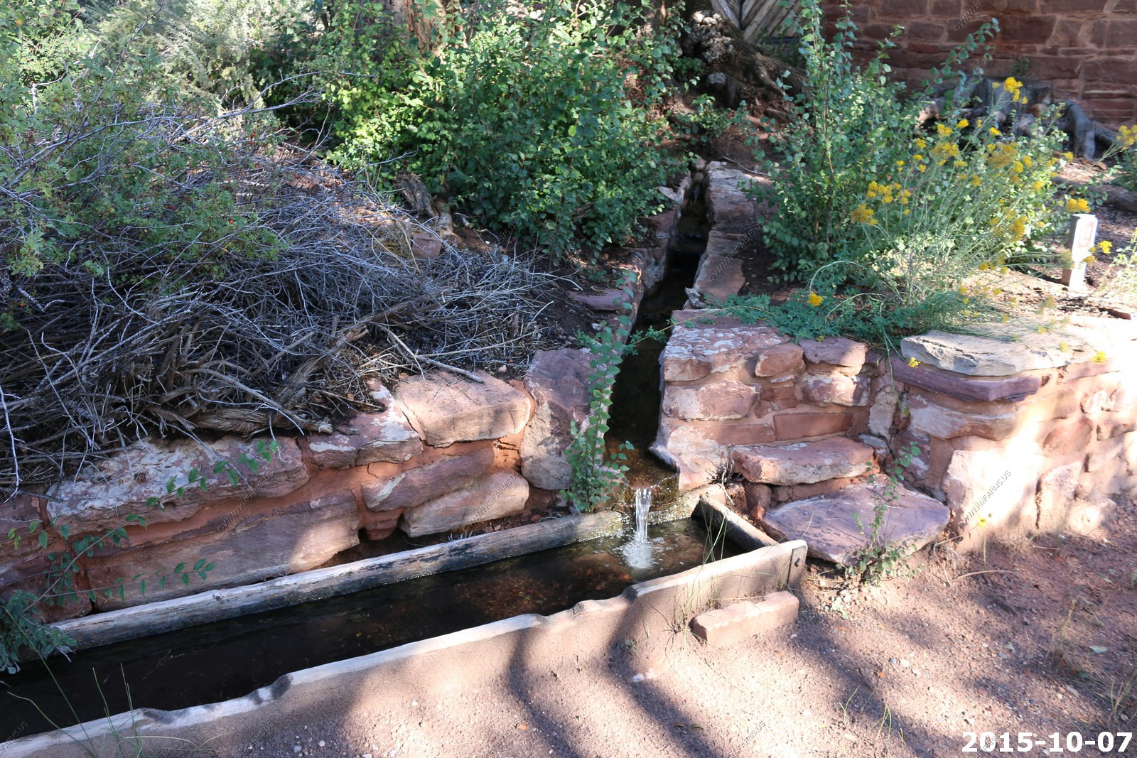
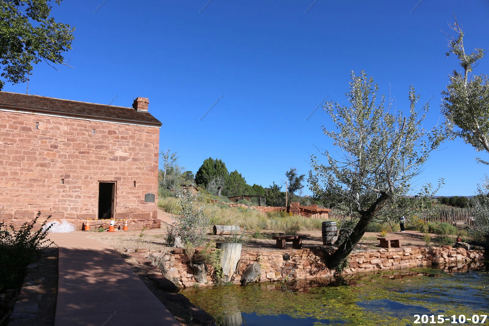
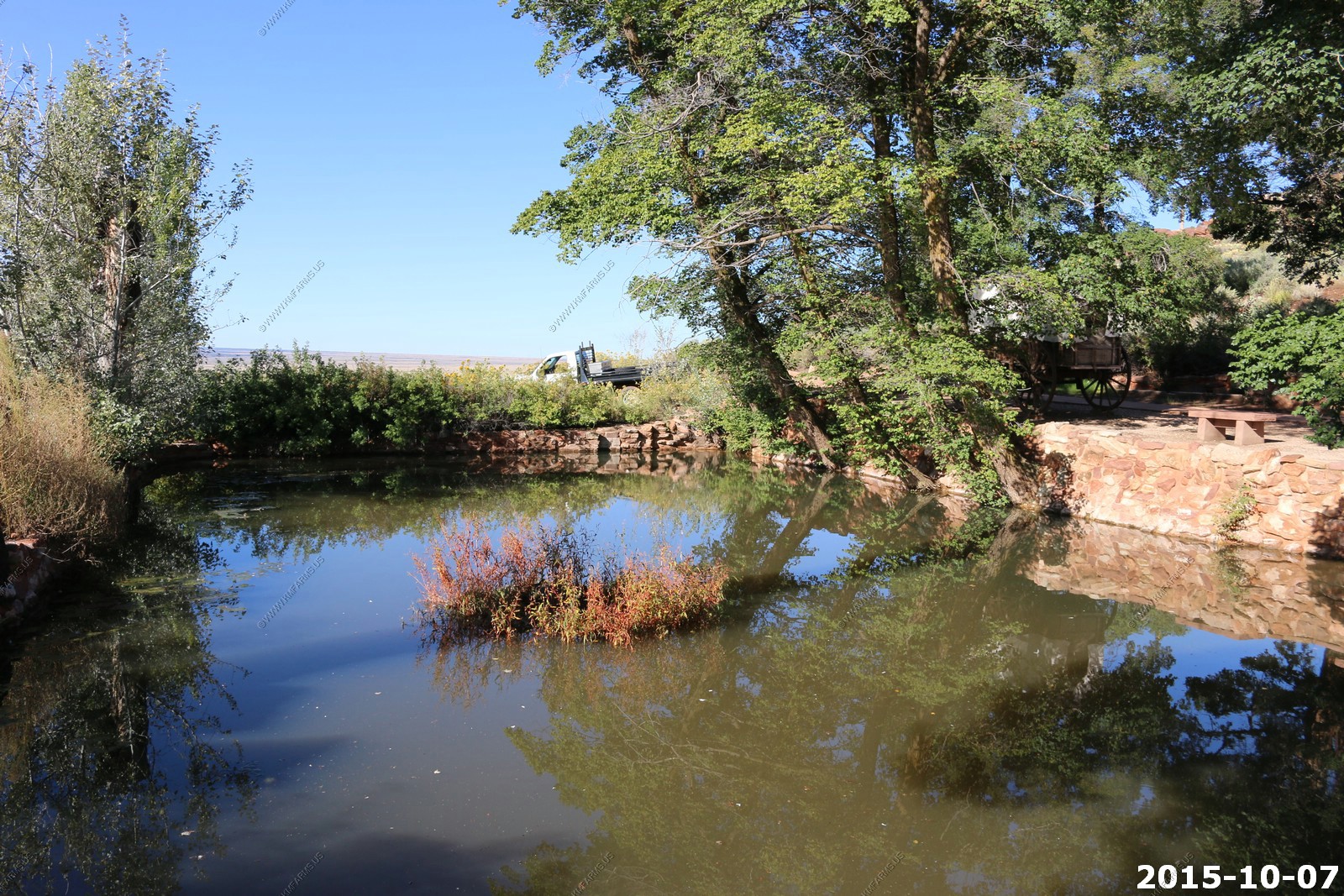
A quick stop at Pipe Spring National Monument - The water of Pipe Spring has made it possible for plants, animals, and people to live in this dry desert region. Ancestral Puebloans and Kaibab Paiute Indians gathered grass seeds, hunted animals, and raised crops near the springs for at least 1,000 years.
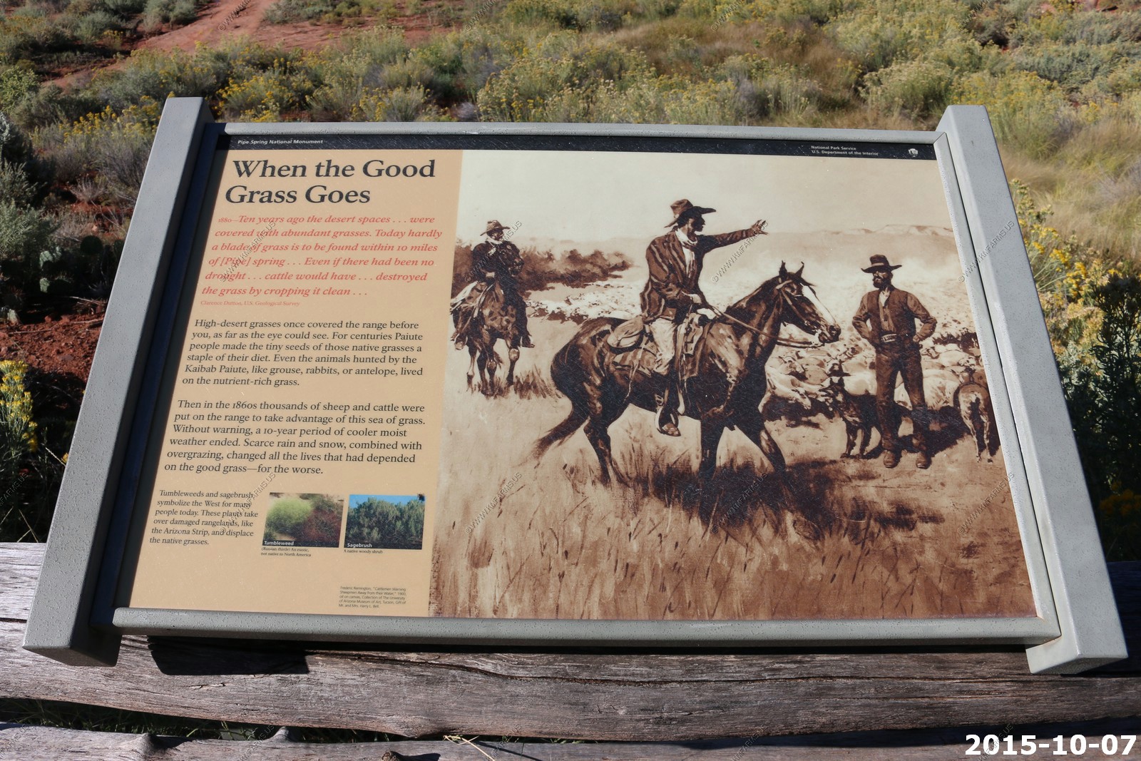
Pipe Spring National Monument is the least well-known of over 20 National Park Service units in Arizona, due in part to its isolated location at the edge of the wide, empty Antelope Valley in the Arizona Strip, cut-off from the rest of the state by the Grand Canyon.
Mary used her senior pass here and we spent a good bit of time talking to one of the National Park contractors about living in this area.
This photo reminded me of the group (IAD) that I worked in from 2011 to 2015. You know who you are !
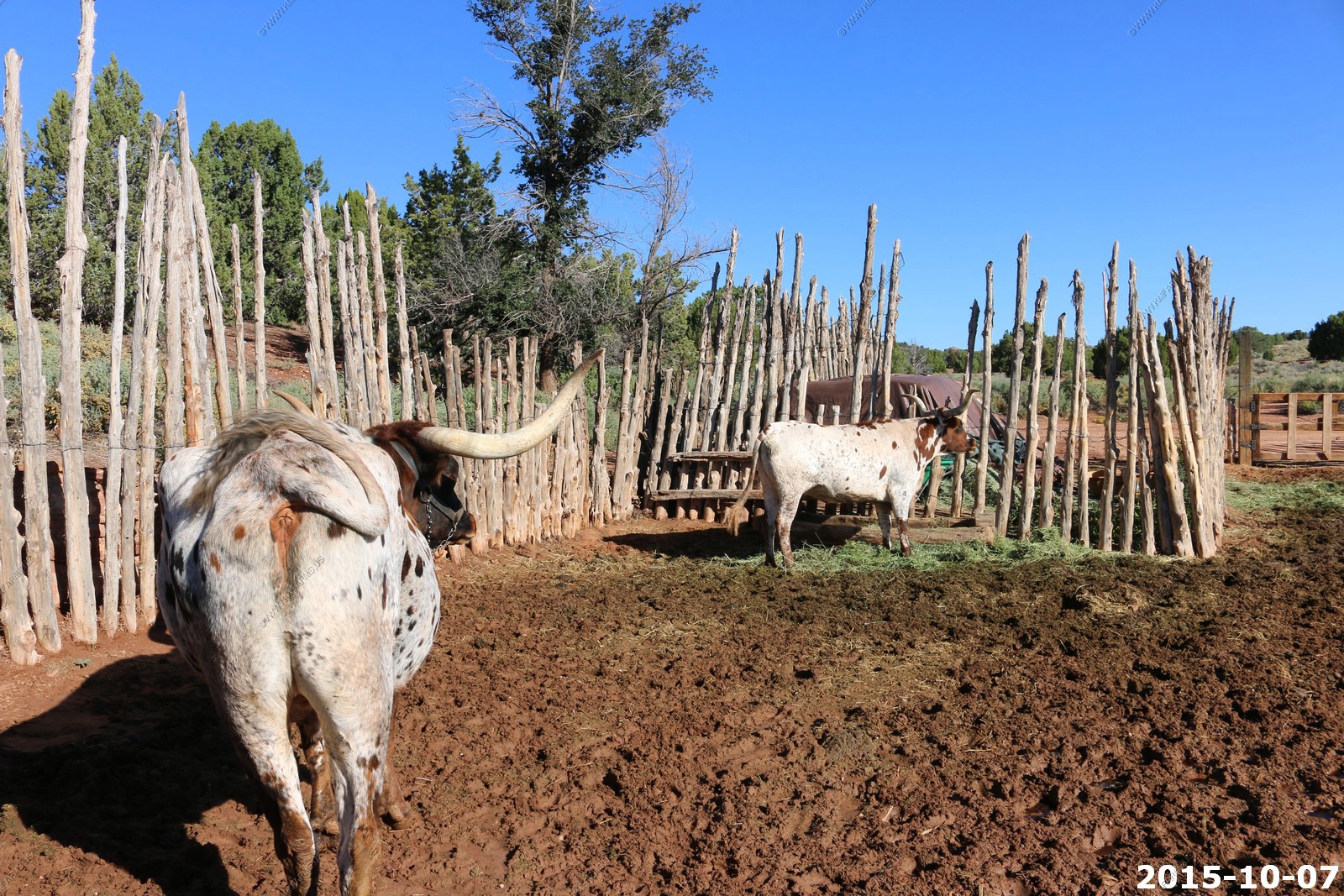
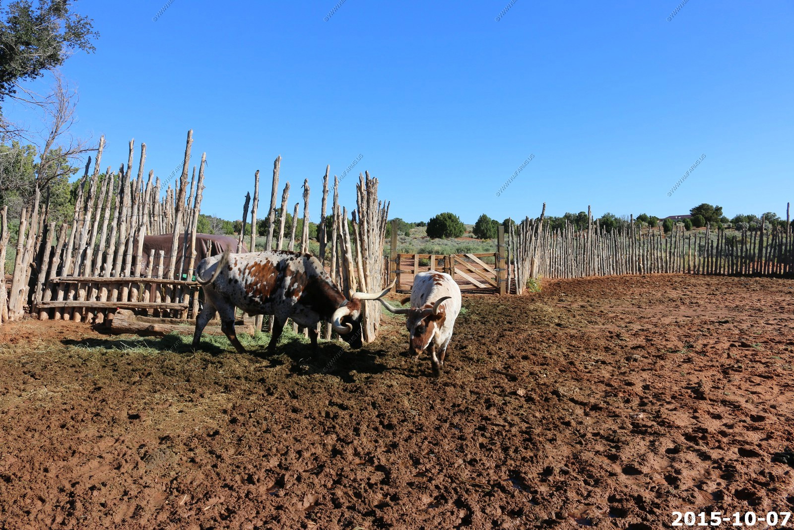
The keeper of these longhorns was showing us how friendly they were.
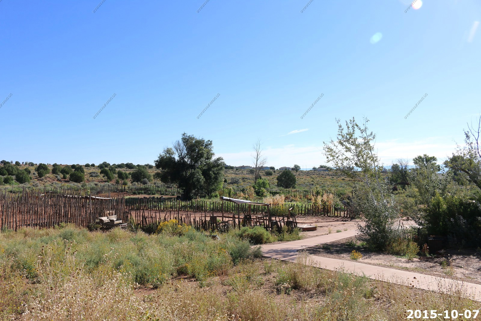
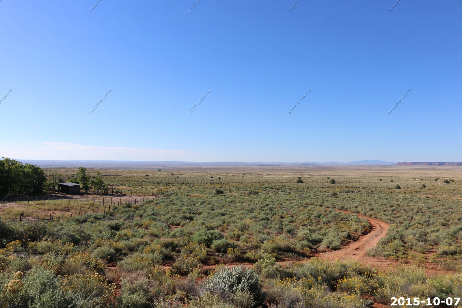
Various monument views

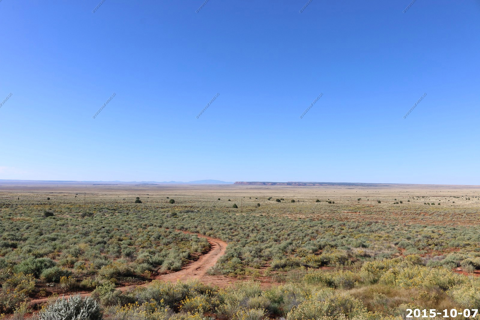
The wide, empty Antelope Valley.
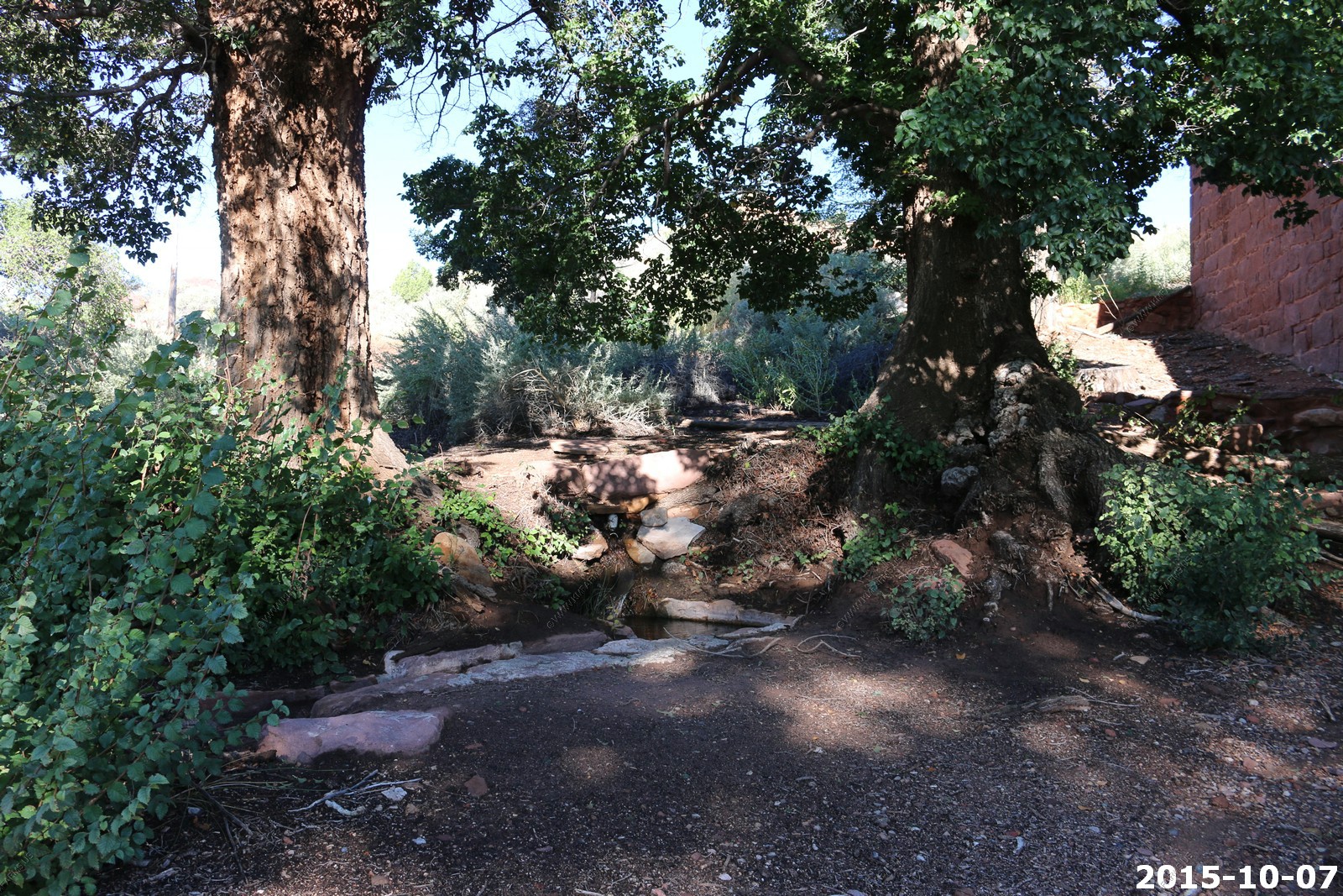
The actual Spring - Not much
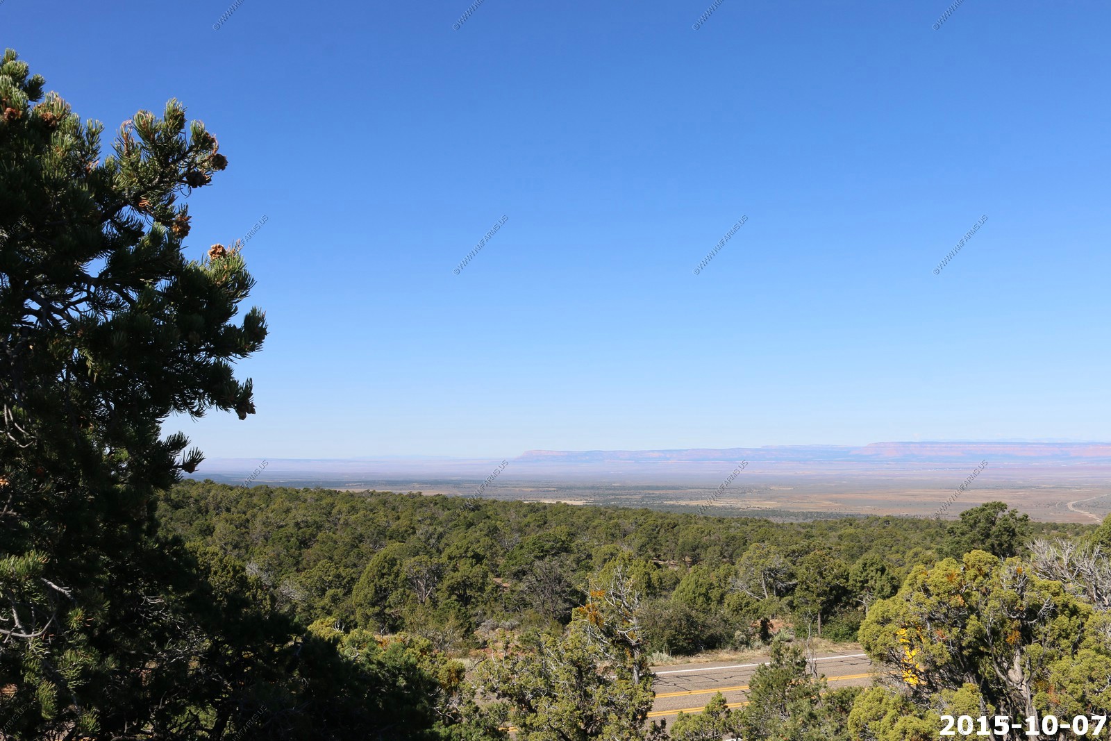
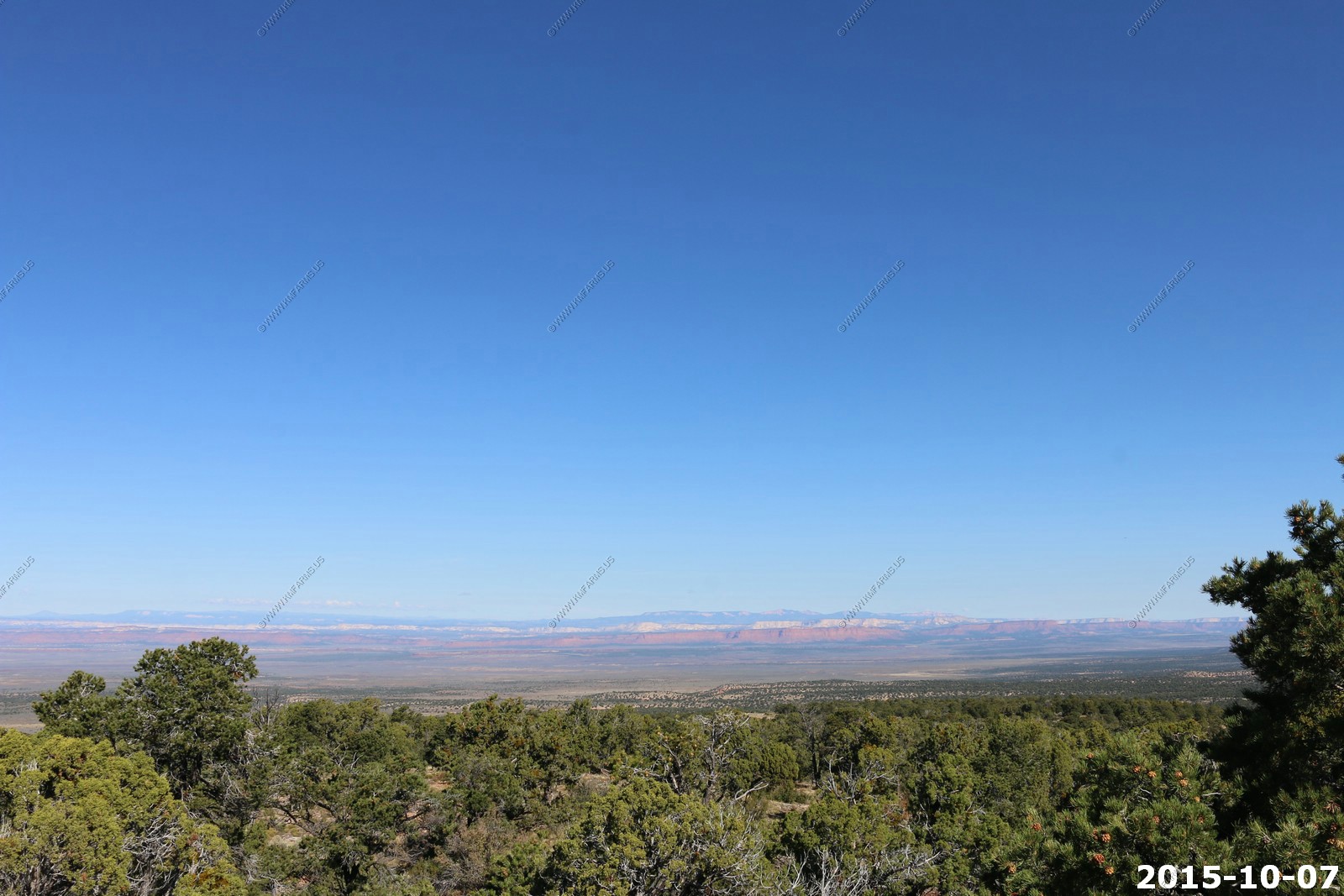
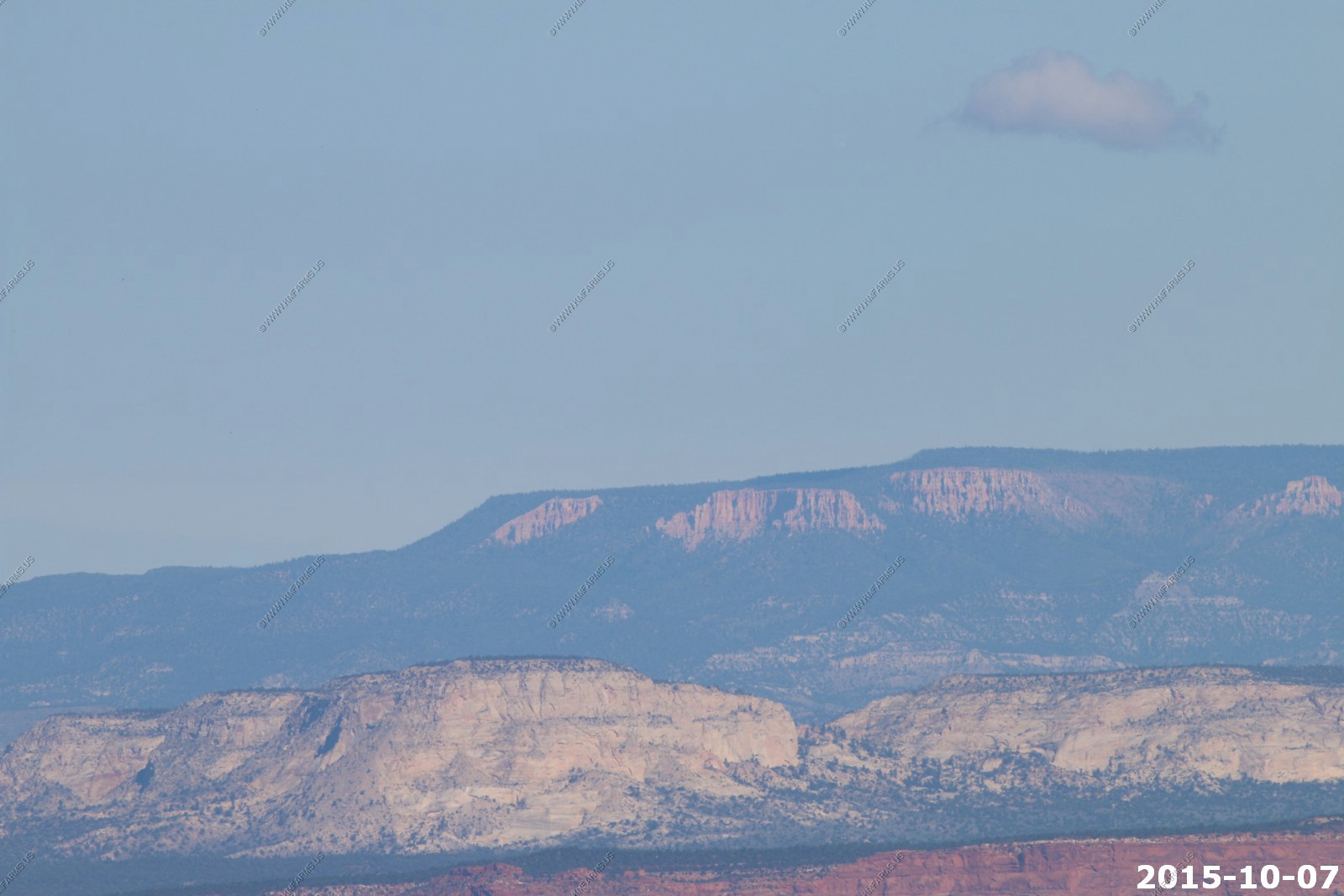
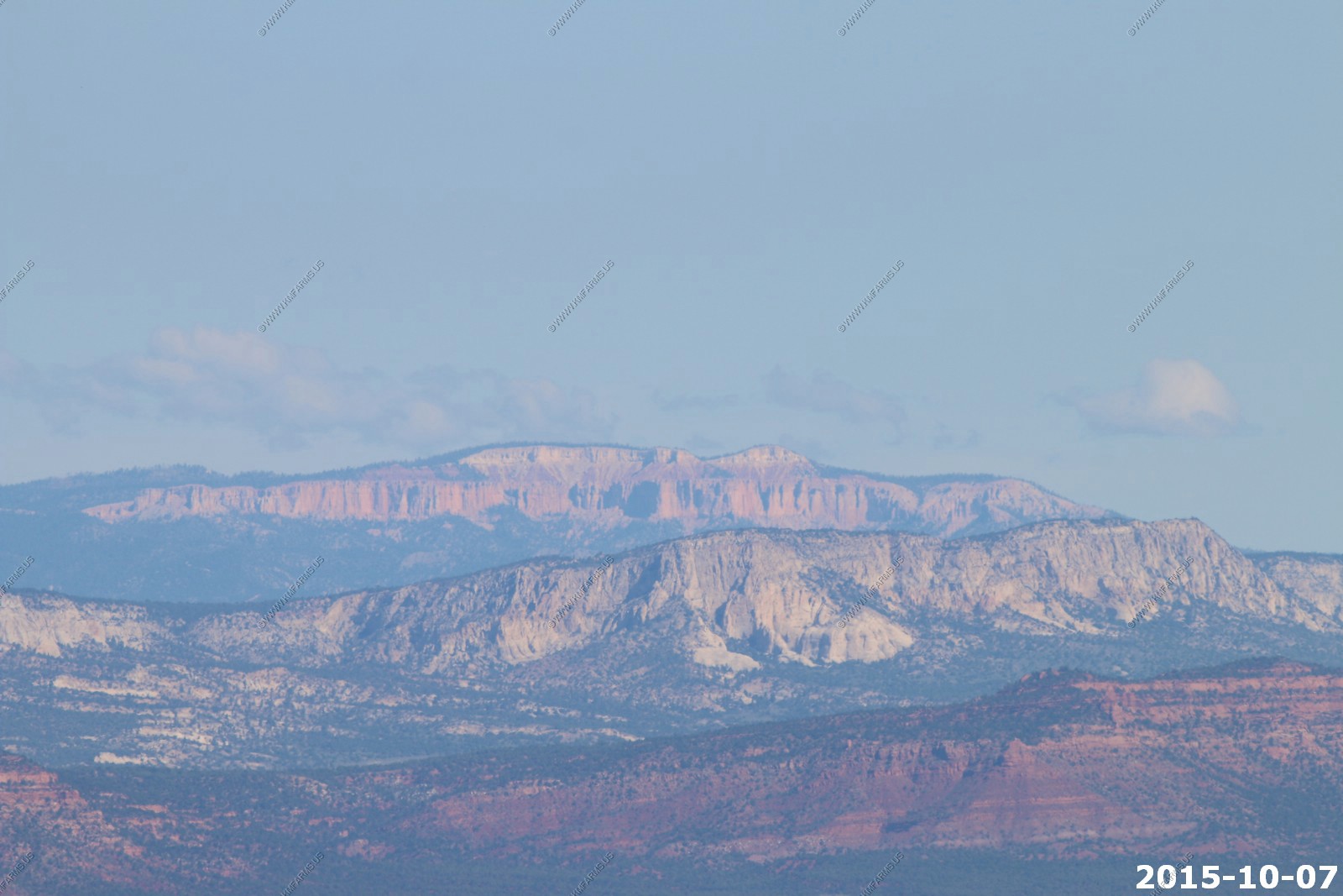
We continued on with our next stop at the Le Ferve Overlook El. 6,700. This is an excellent viewpoint for seeing Zion, Bryce Canyon and various geologic features of southern Utah
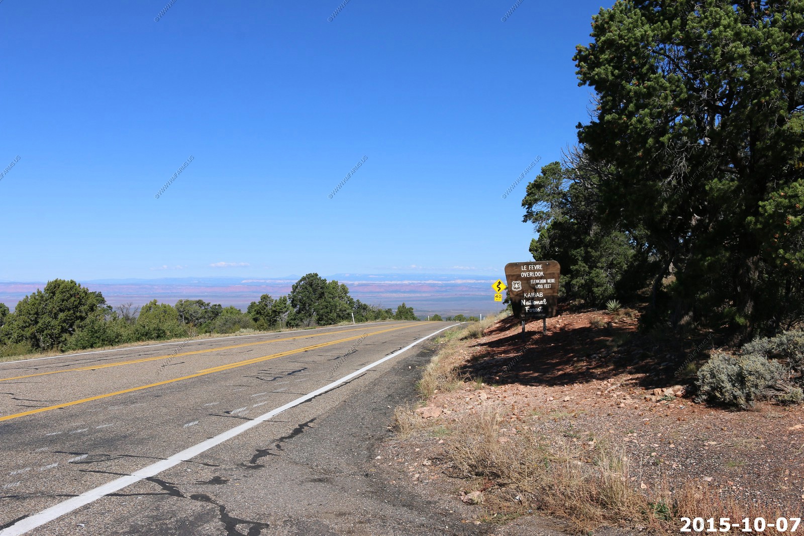
Looking west and I could see the Pine Valley Mountains on the horizon to the left of the cliffs 77 miles away.
Looking north I could see Powell Point north of Tropic, UT 62 miles away. This was up in the area where we were in OCT 2014.
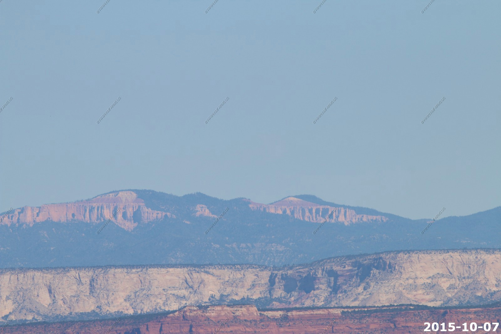
Various views of Bryce Canyon NP (400 mm lens) 44 miles away. This is the Rainbow Point area.
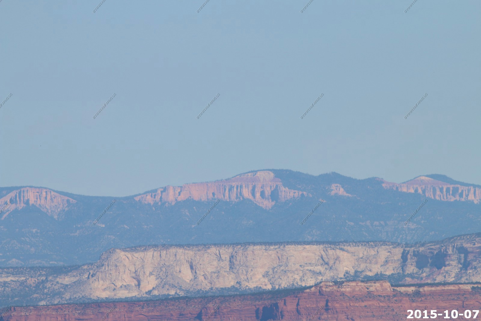
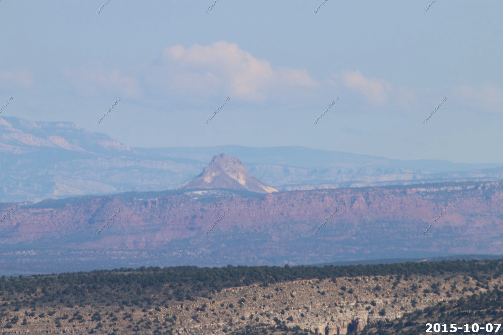
Mollies Nipple El. 7,271 which is 32 miles away.
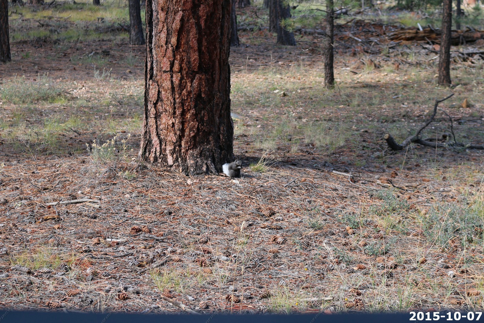
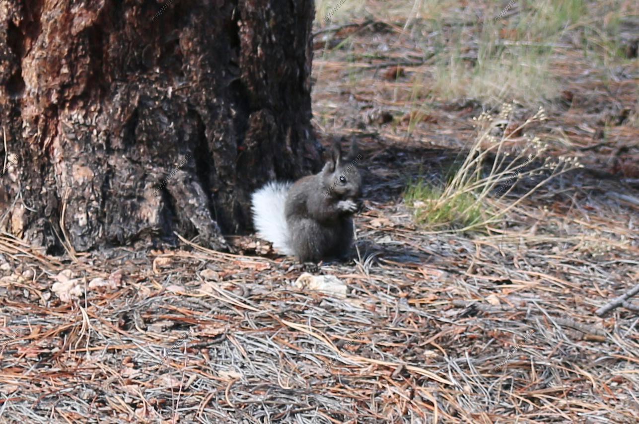
Kaibab squirrel - A tassel-eared squirrel that lives in the Kaibab Plateau in the Southwest United States, in an area of 20 by 40 miles. The squirrel's habitat is confined entirely to the ponderosa pine forests of the North Rim of Grand Canyon National Park and the northern section of Kaibab National Forest.
We lucked out and saw one. We were in Jacob Lake, Arizona and it was just sitting along the road.
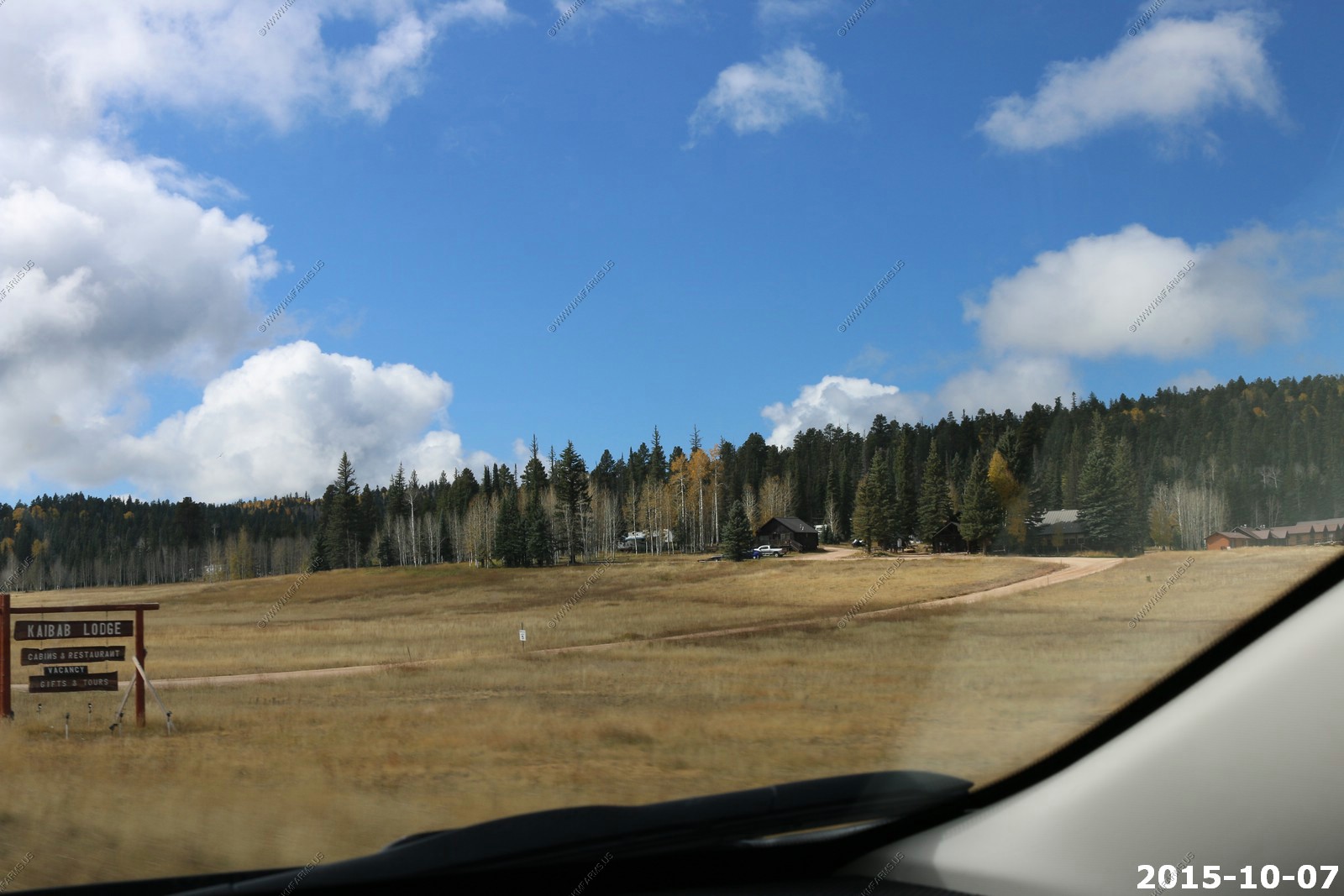
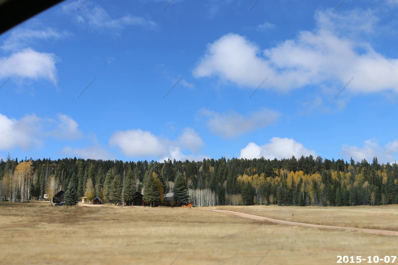
Kaibab Lodge where I stayed long ago
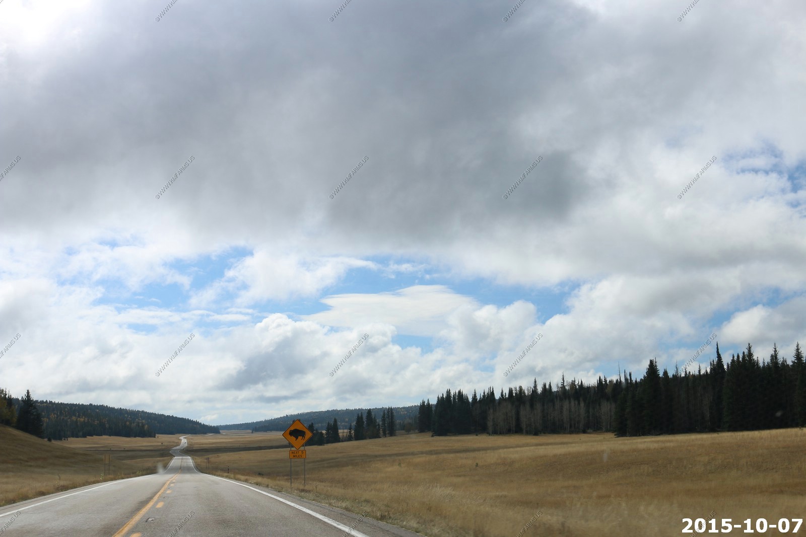
Buffalo warning - We never saw any
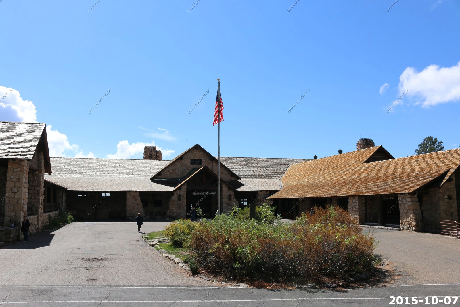
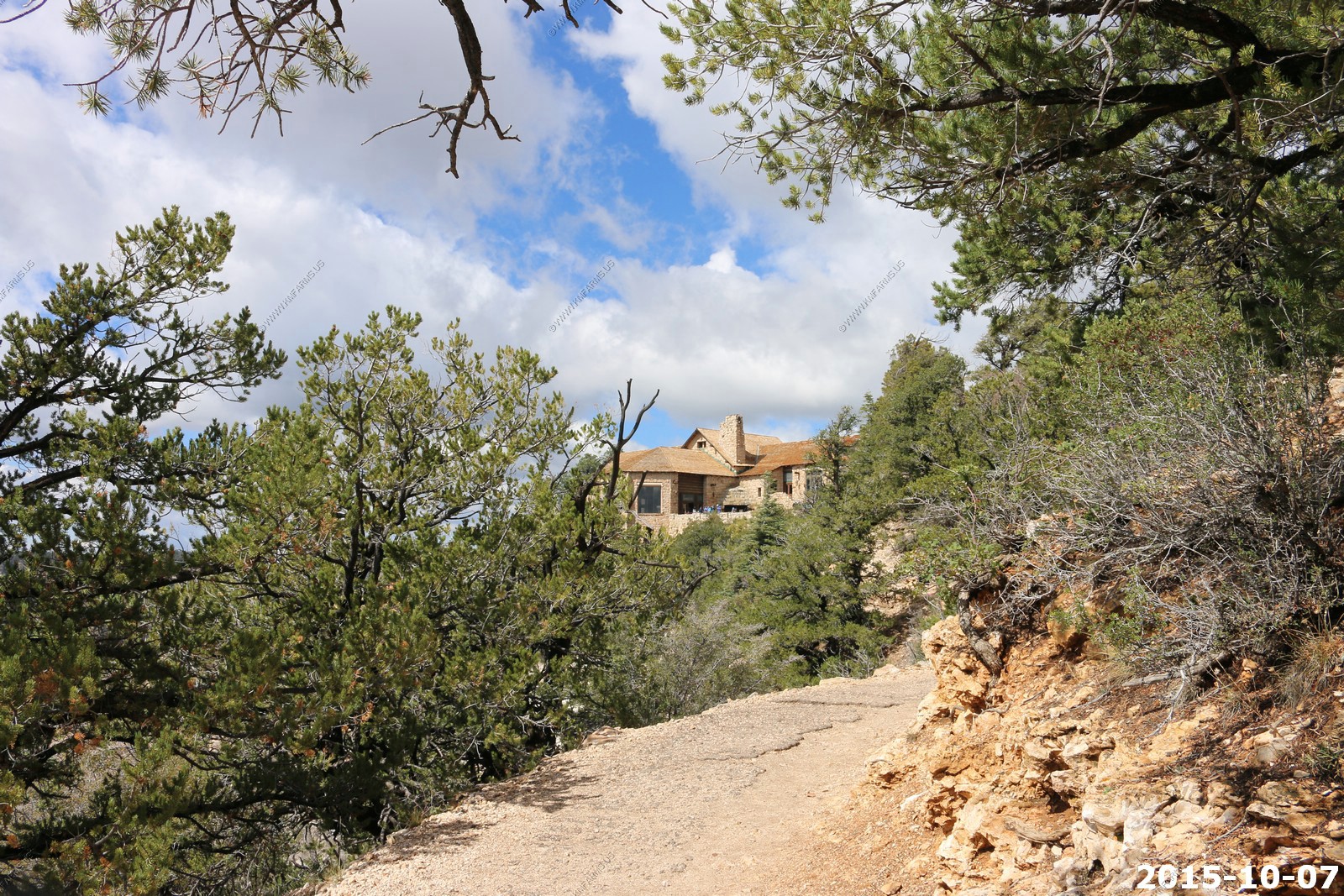
Grand Canyon Lodge
Historic hotel and cabin complex listed on the National Register of Historic Places (NRHP) as a historic district.
Built: 1927-1928; rebuilt 1936-1937 after a fire
Architect: Gilbert Stanley Underwood
Buildings: main lodge; 23 deluxe cabins; 91 standard cabins
Areas of significance: Architecture; Tourism
Area: 8.62 acres
Date added to NRHP: 9/2/1982
Other designations: U.S. National Historic Landmark; U.S. Historic District
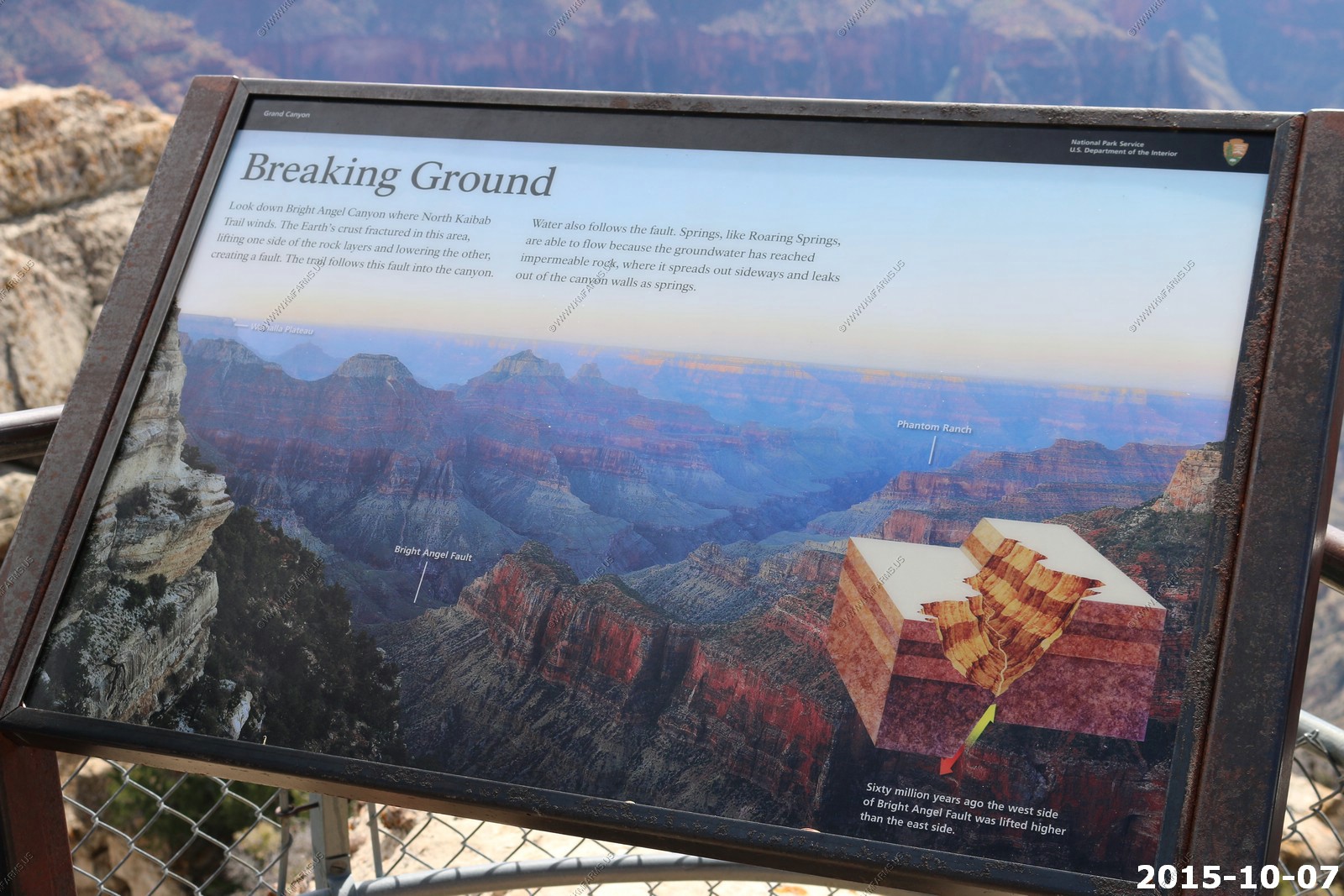
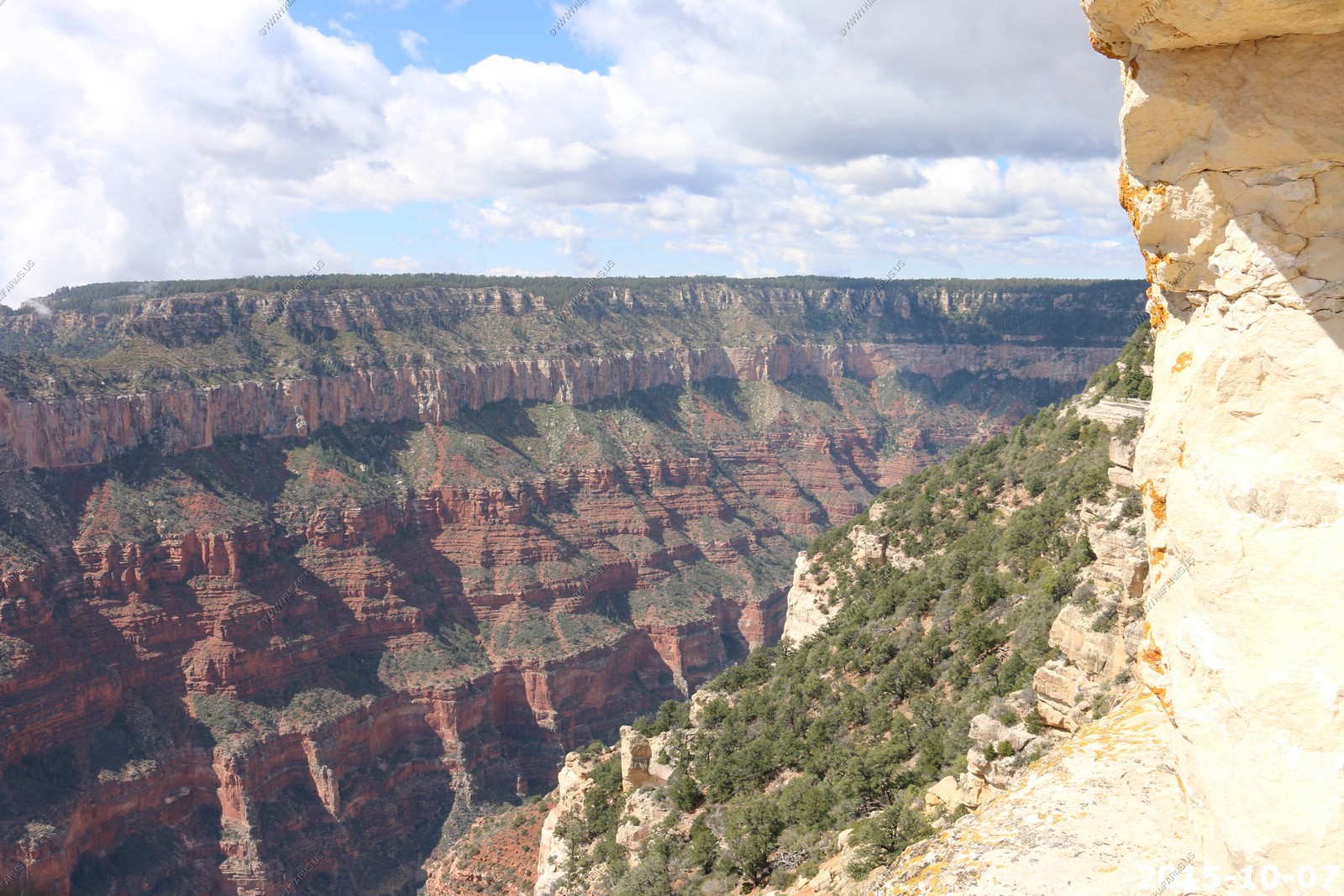
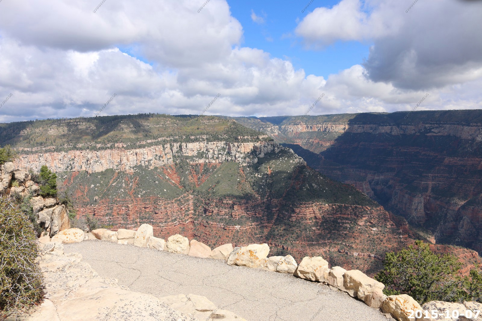
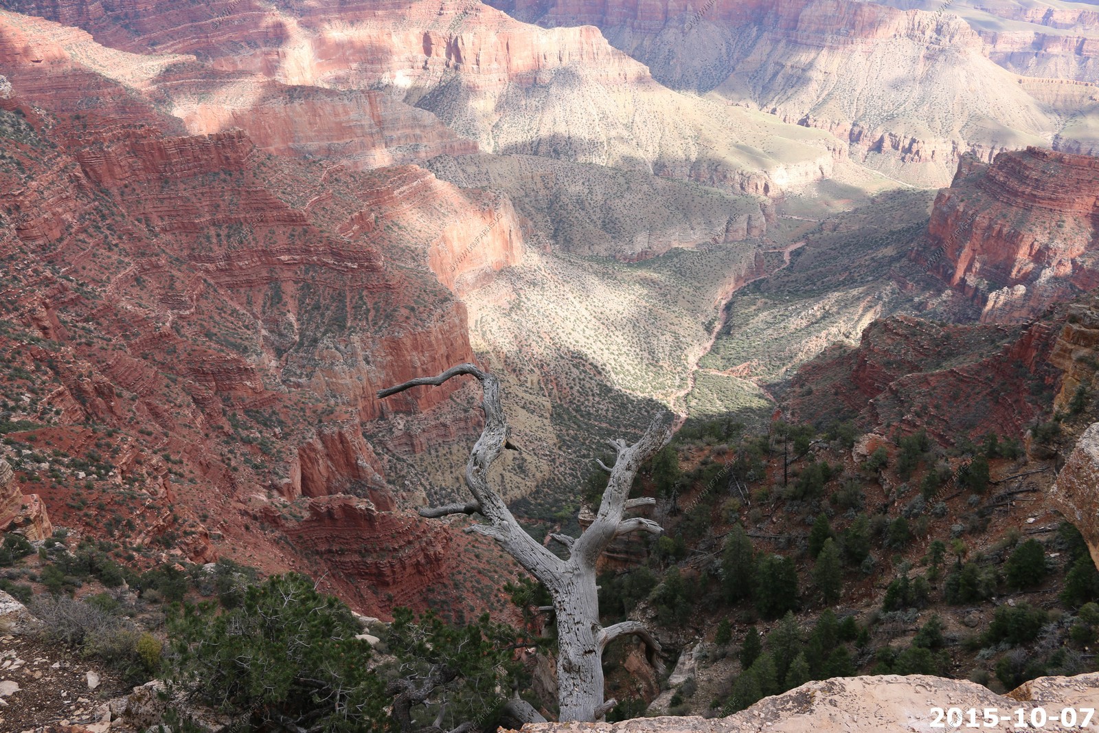
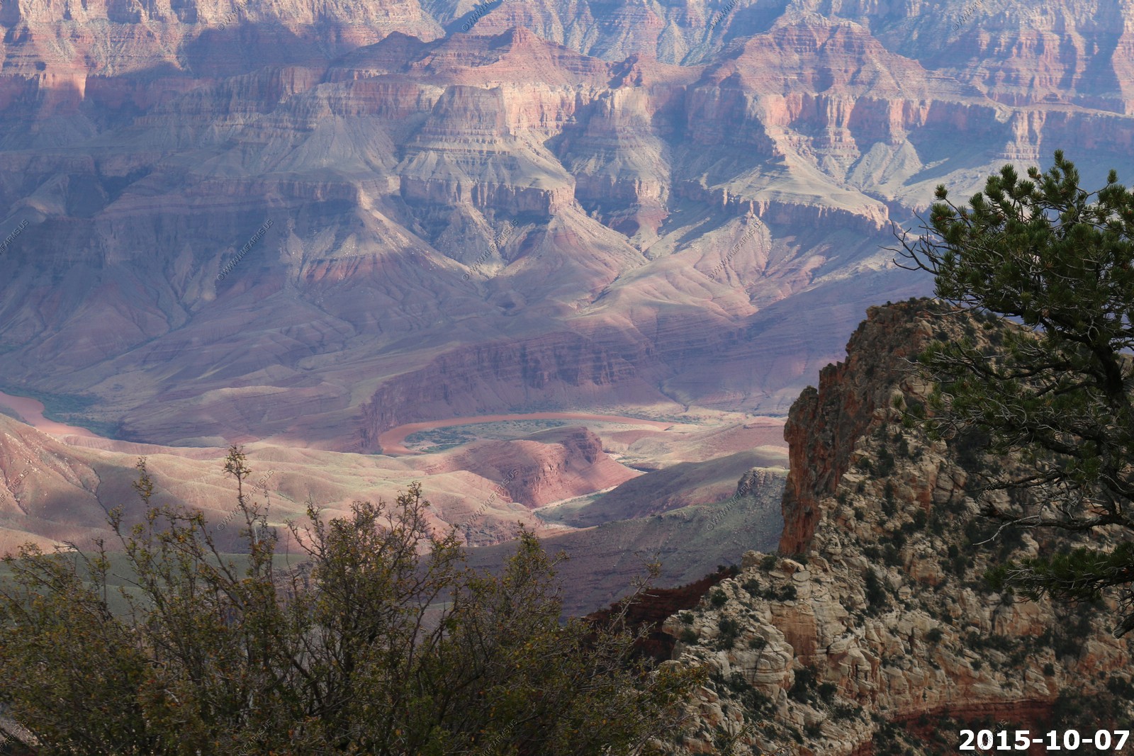
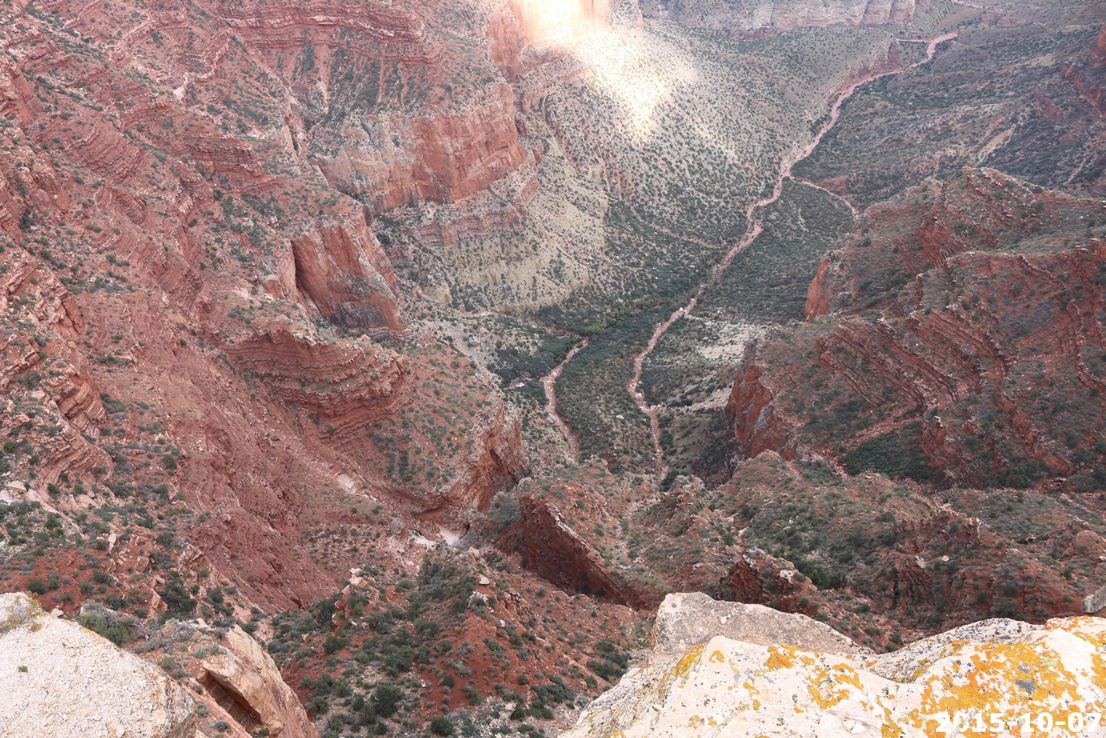
Looking south to the South Rim down the canyon created by Bright Angle fault and now creek and Roaring Springs Canyon.
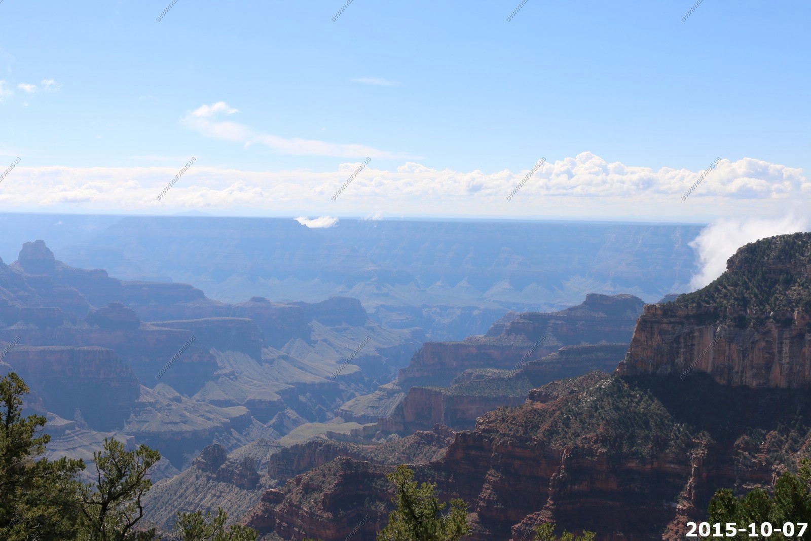
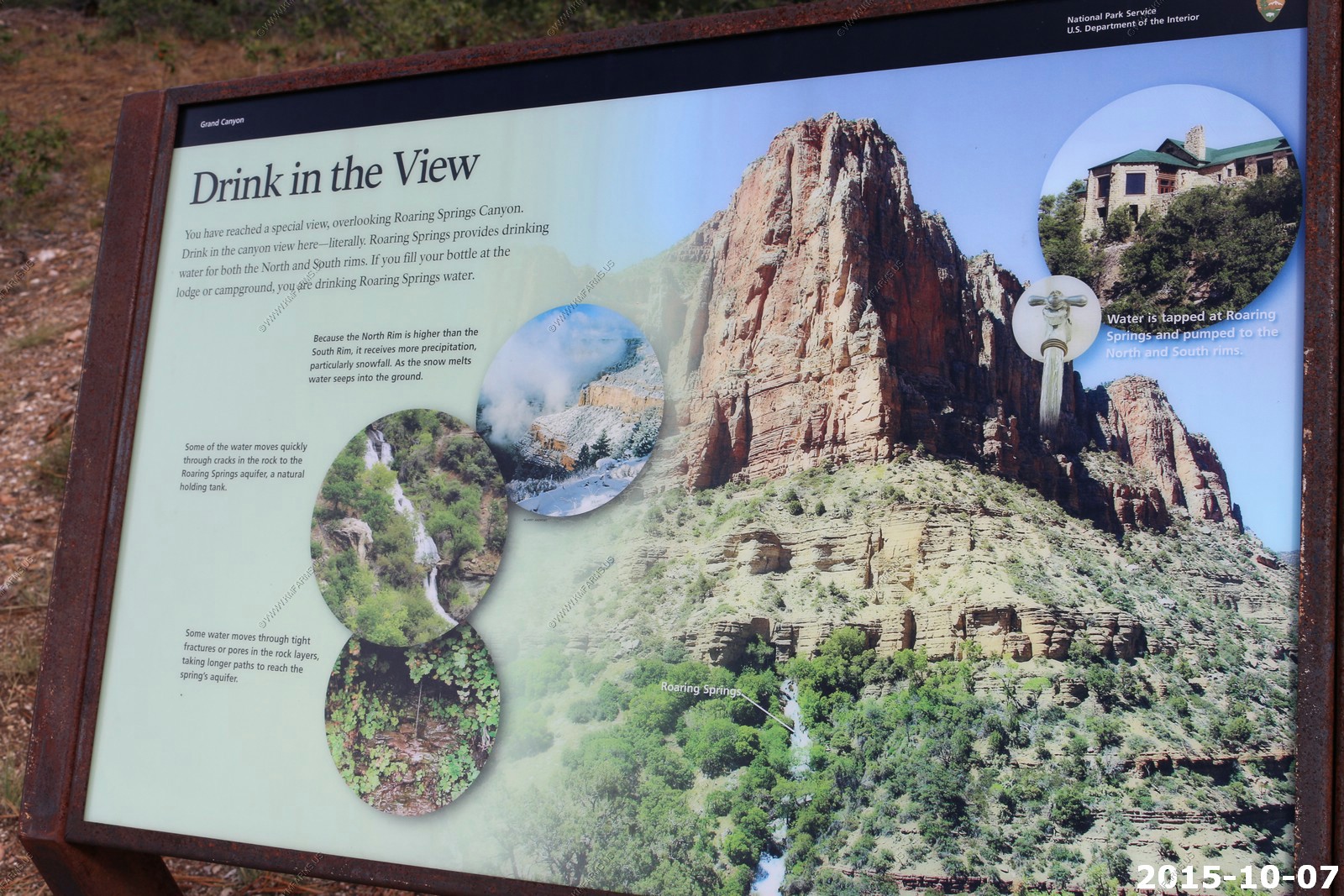
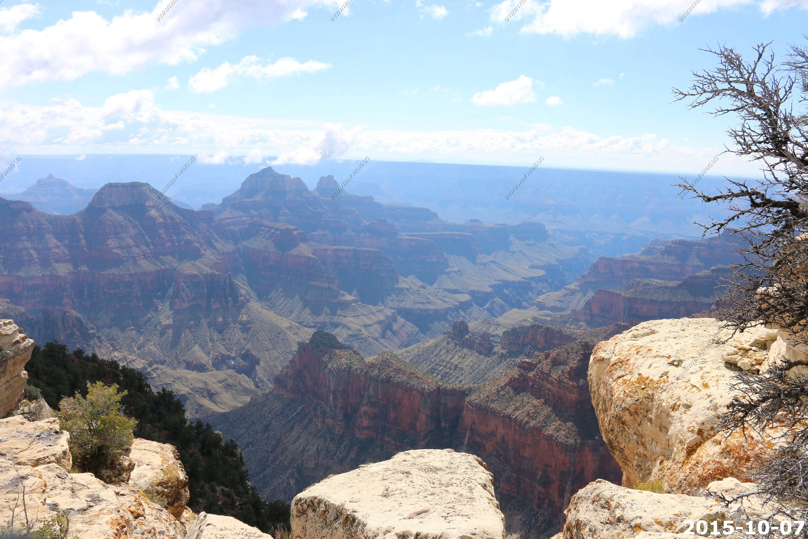
Trees, rocks & clouds - Power lines going down to the pump house at Roaring Springs
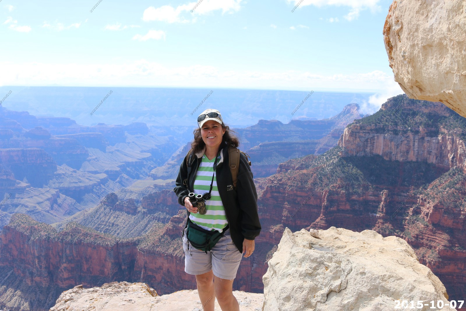
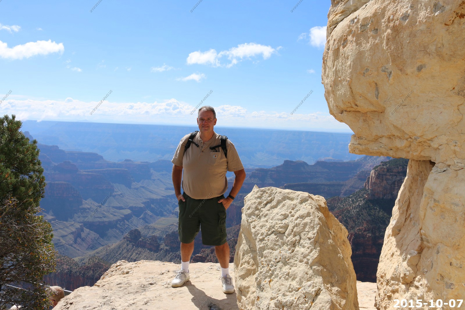
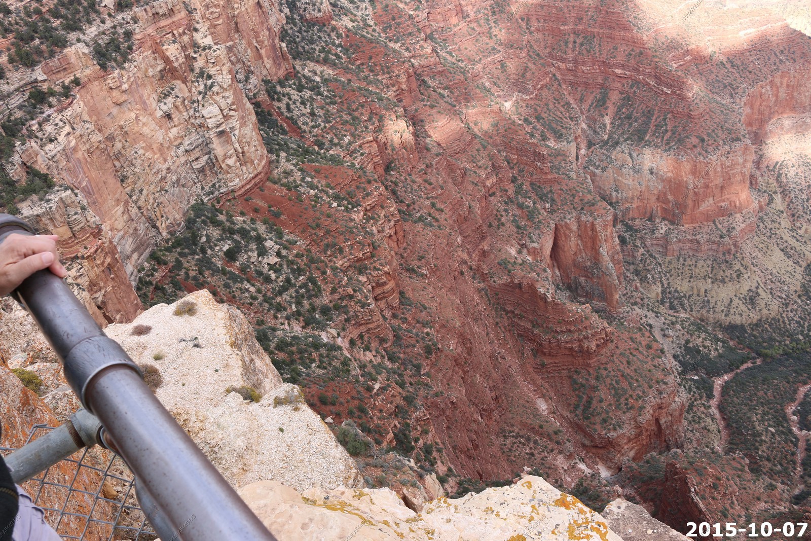
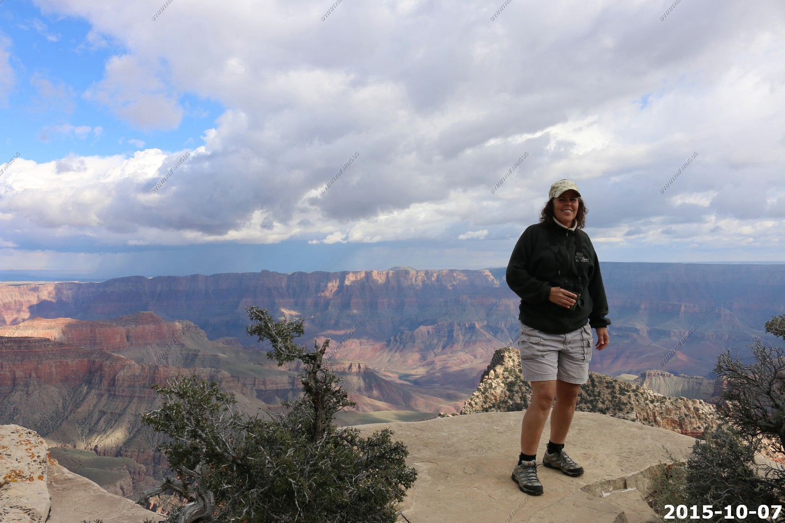
Mary and Ken along Bright Angel Point trail
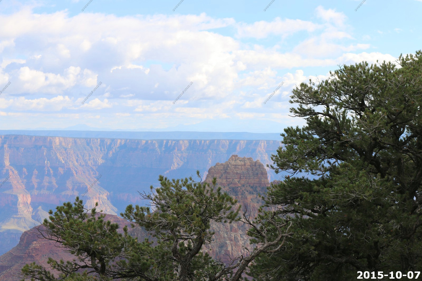
Looking west from Bright Angel Point
Looking south across the canyon at the San Francisco Peaks north of Flagstaff, AZ 62 miles away. This is the highest point in Arizona: 12,633 feet (3,850 m)

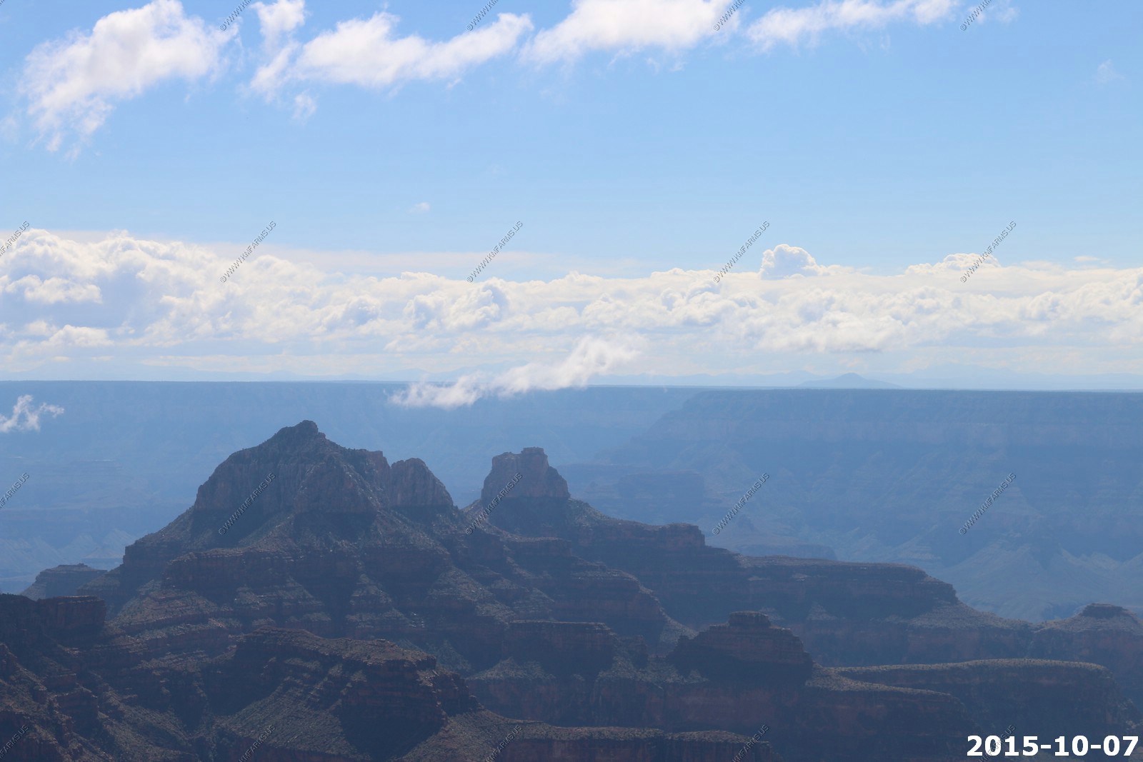
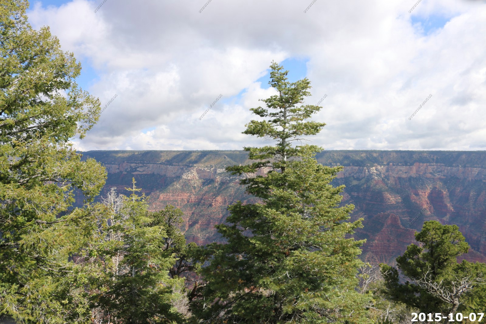
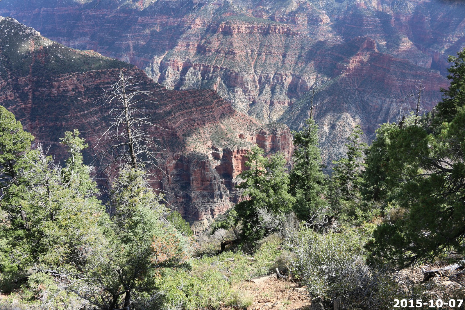
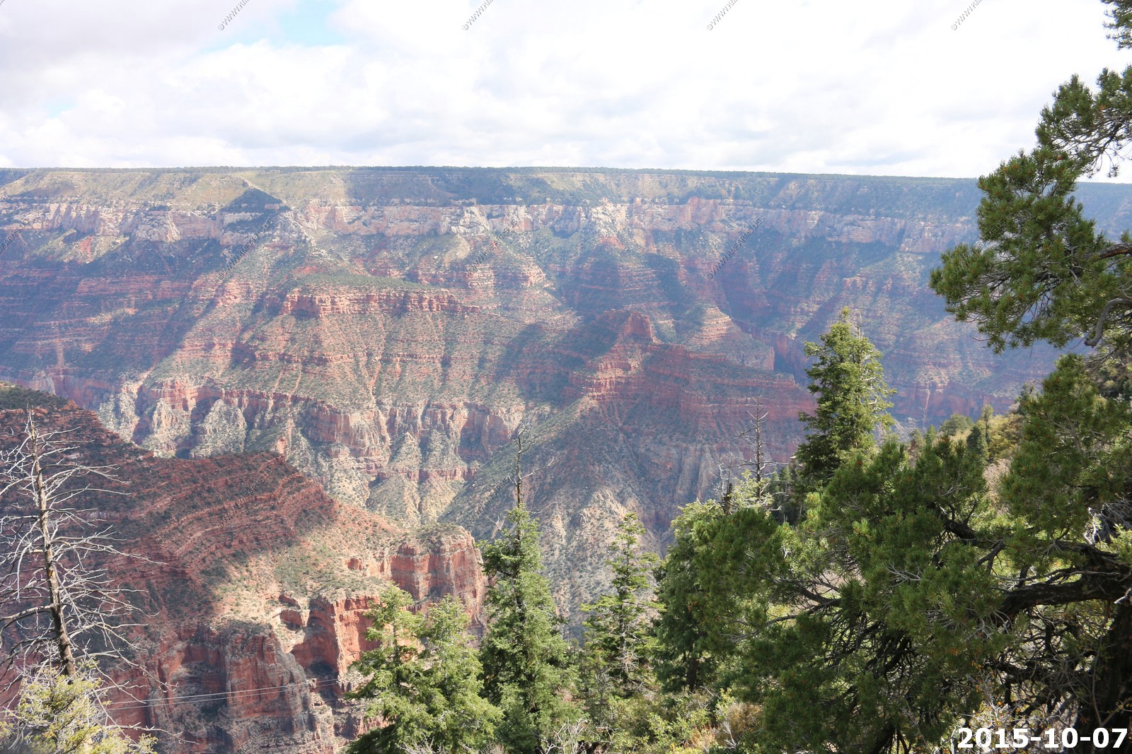
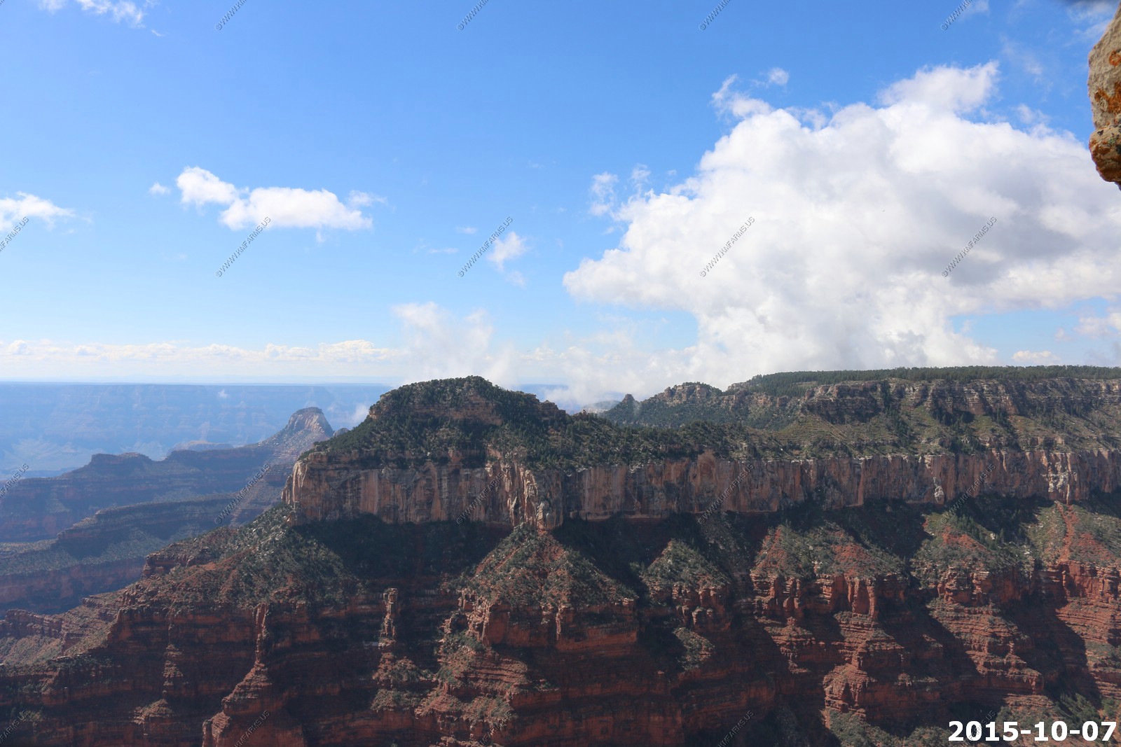
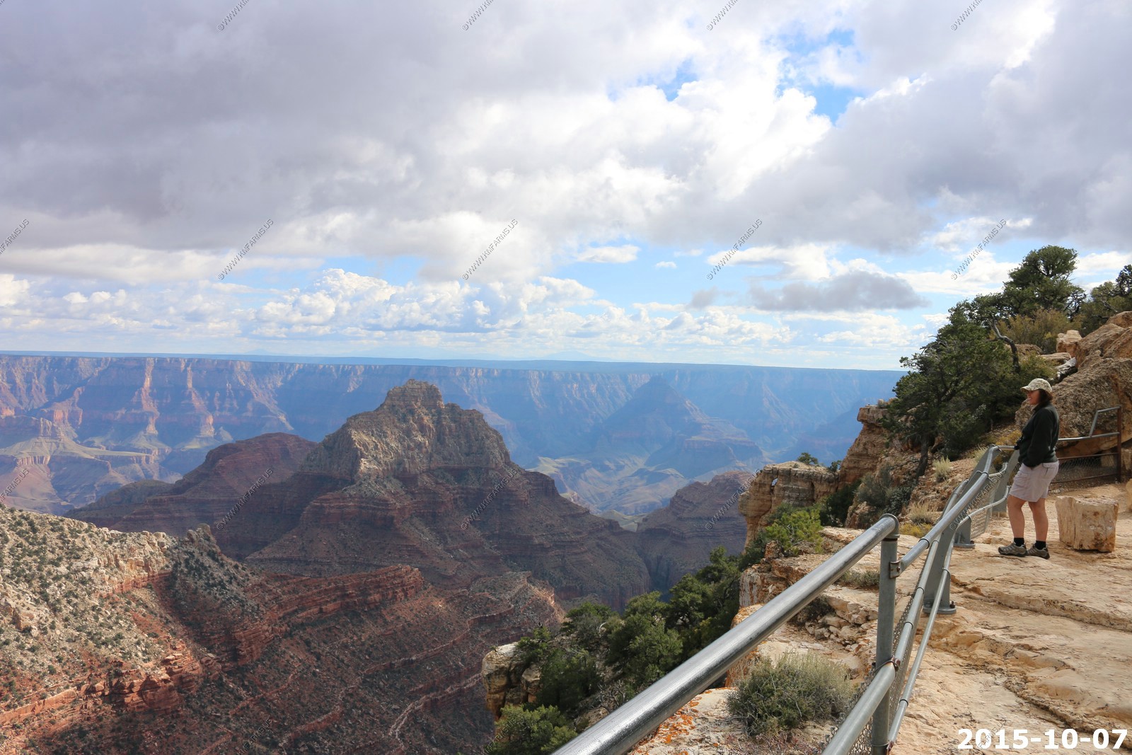
Views along Bright Angel Point trail

Mary walking up the trail

Grand Canyon Lodge
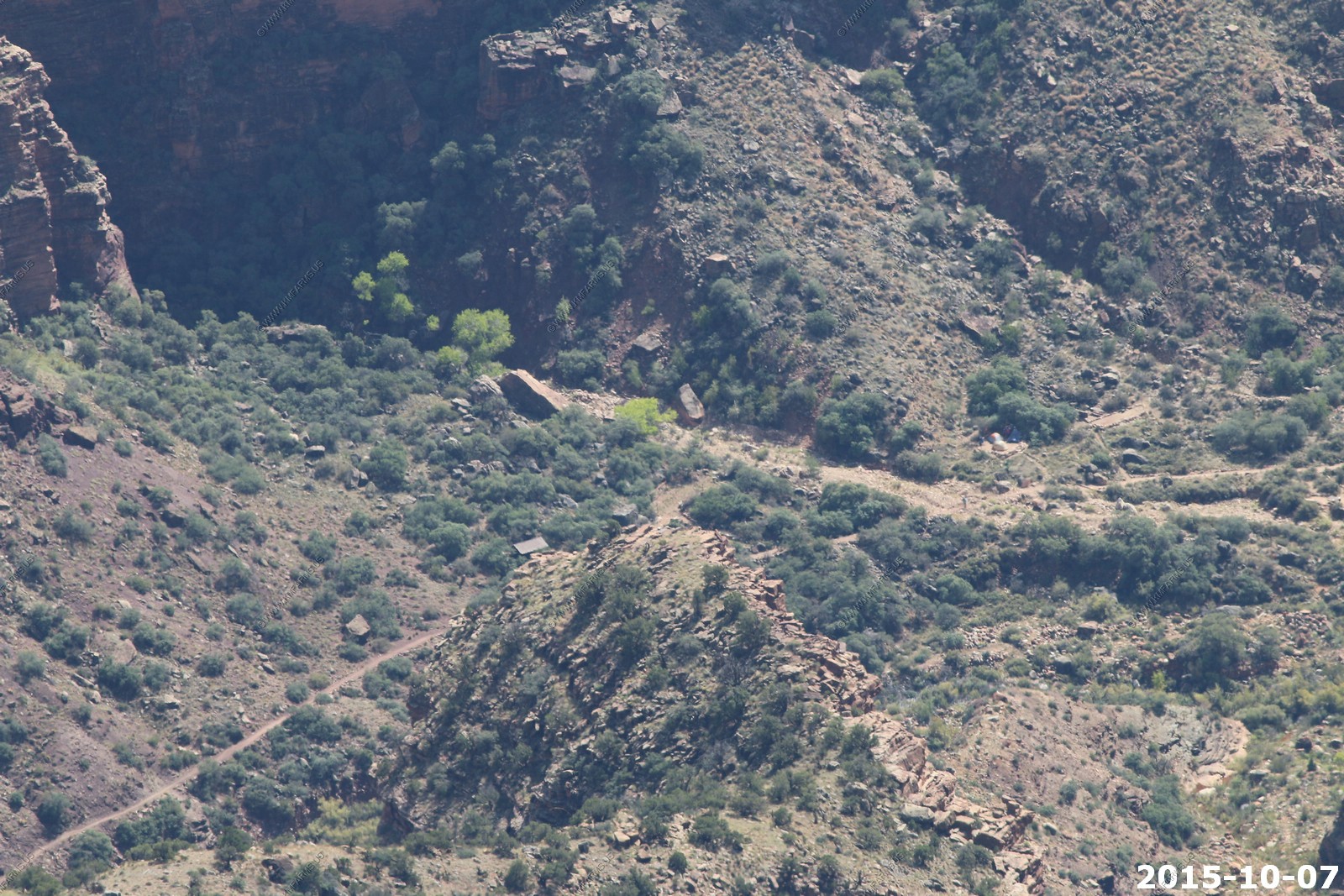
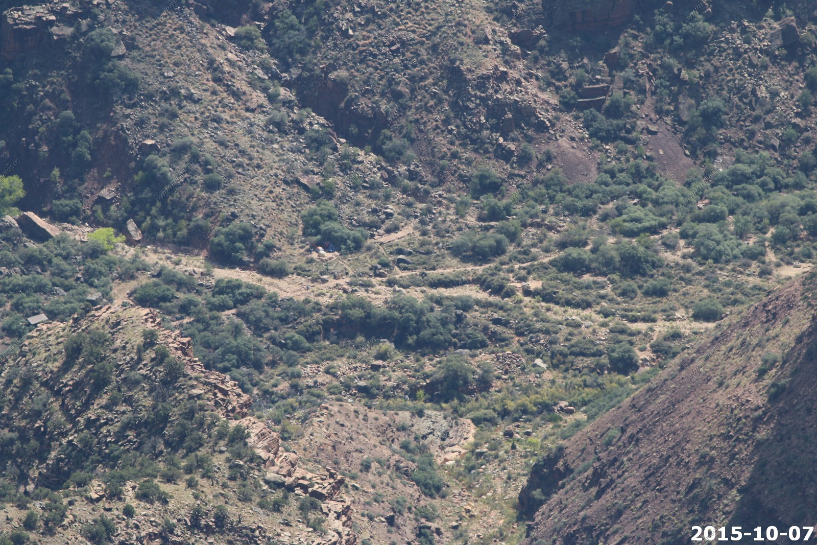
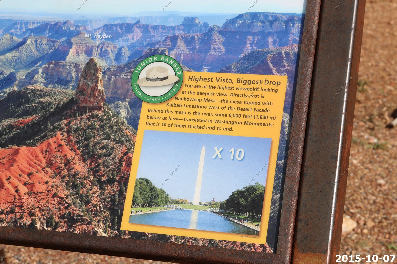
Using the 400mm lens, looking down on the North Kaibab Trail just north of Cottonwood Camp. You can see one person on the trail and 4 tents on a pad. This is located at (36.170817 -112.039510)
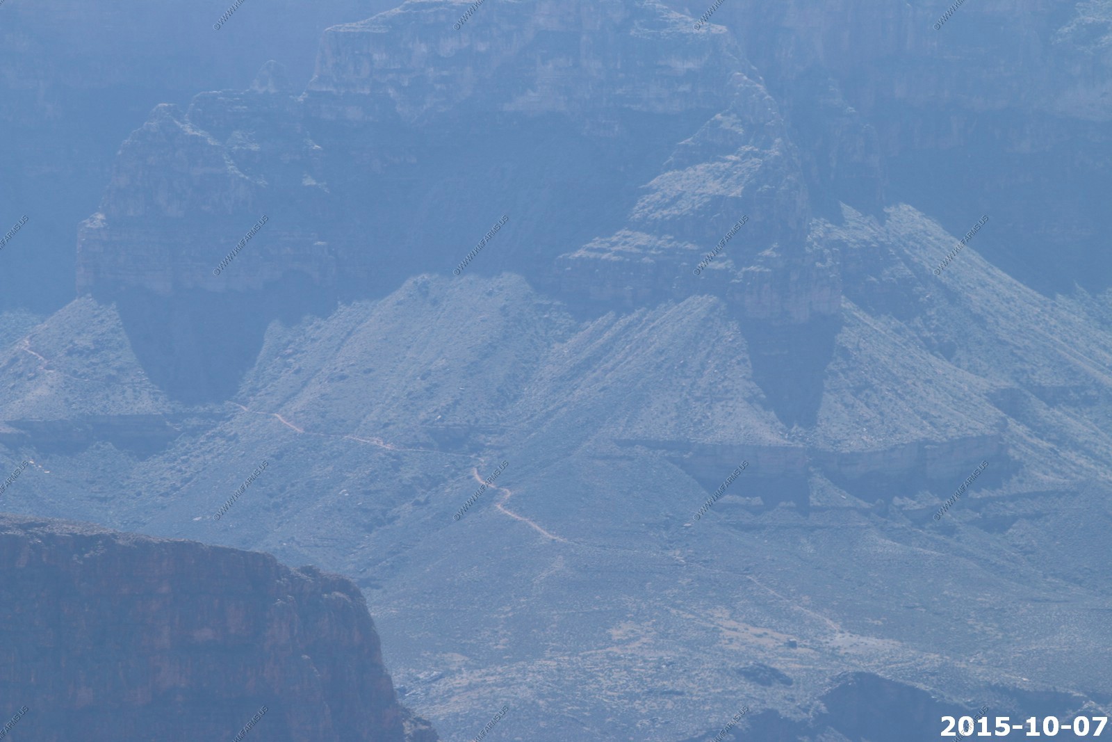
Looking 7.6 miles across the canyon to the South Kaibab Trail which climes from the Colorado river to the South Rim. The structure (lower center) is located at: 36.090398 -112.088310 and I am not sure what it is. I was using the 400mm lens.
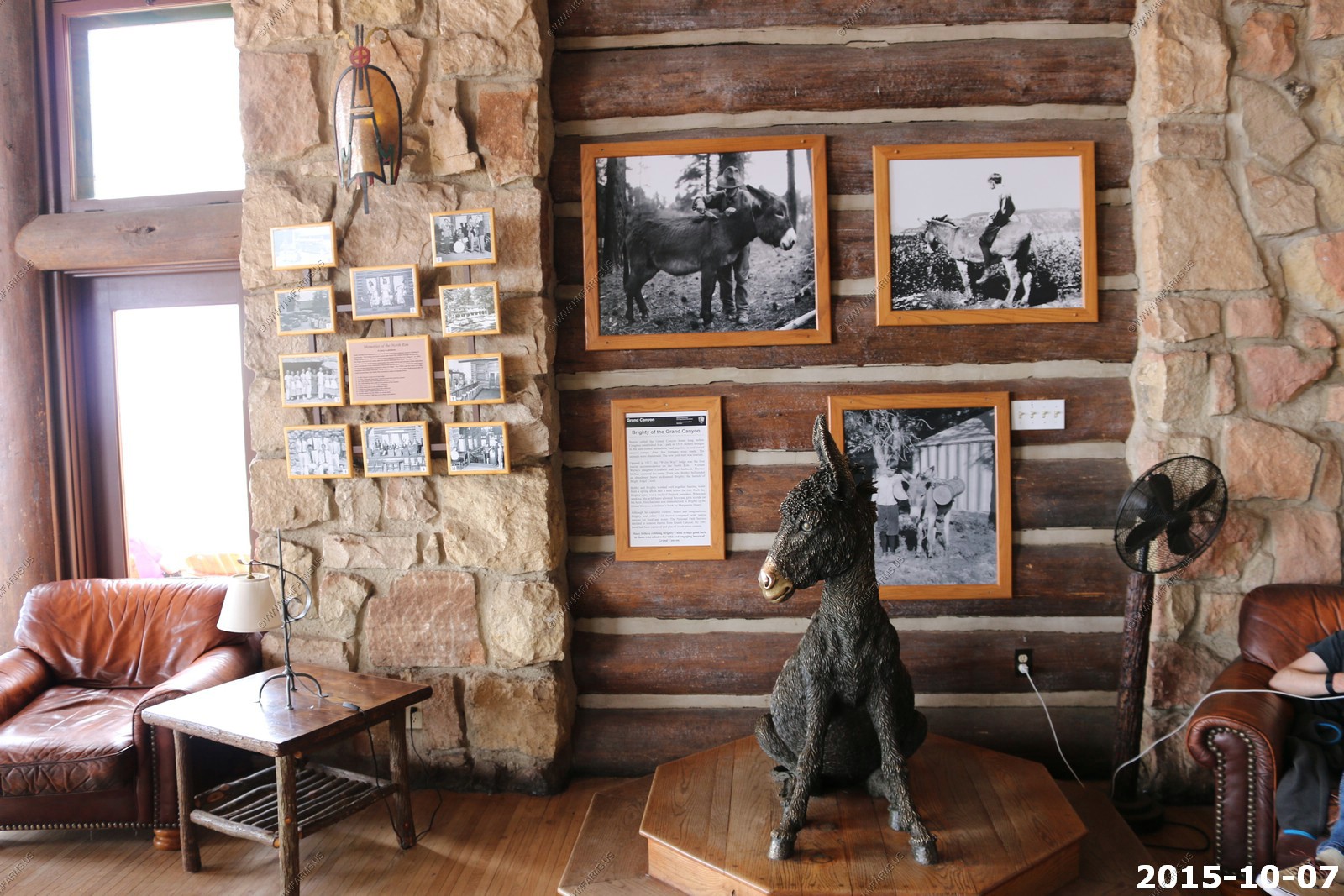
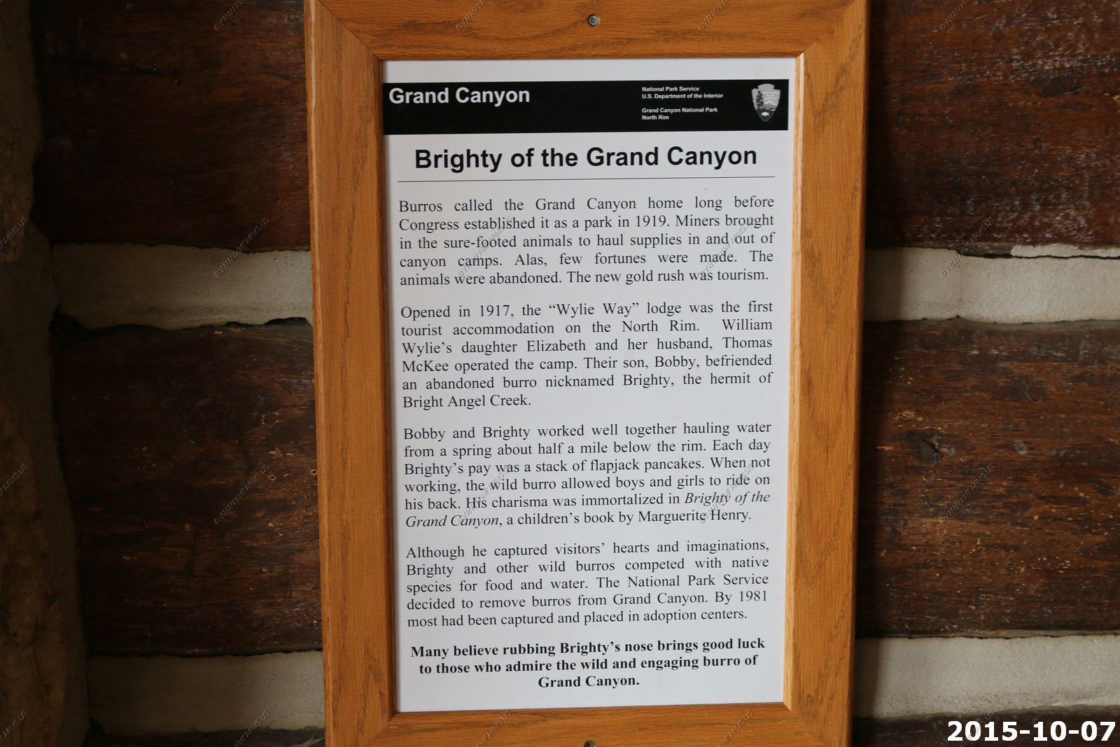
Brighty of the Grand Canyon - a real-life burro named "Brighty", who lived in the Grand Canyon of the Colorado River from about 1892 to 1922. A number of books were written about the burro.
Of course the National Park Service had to mess this all up and remove the burros.
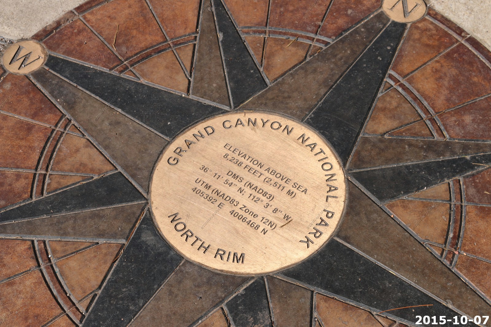
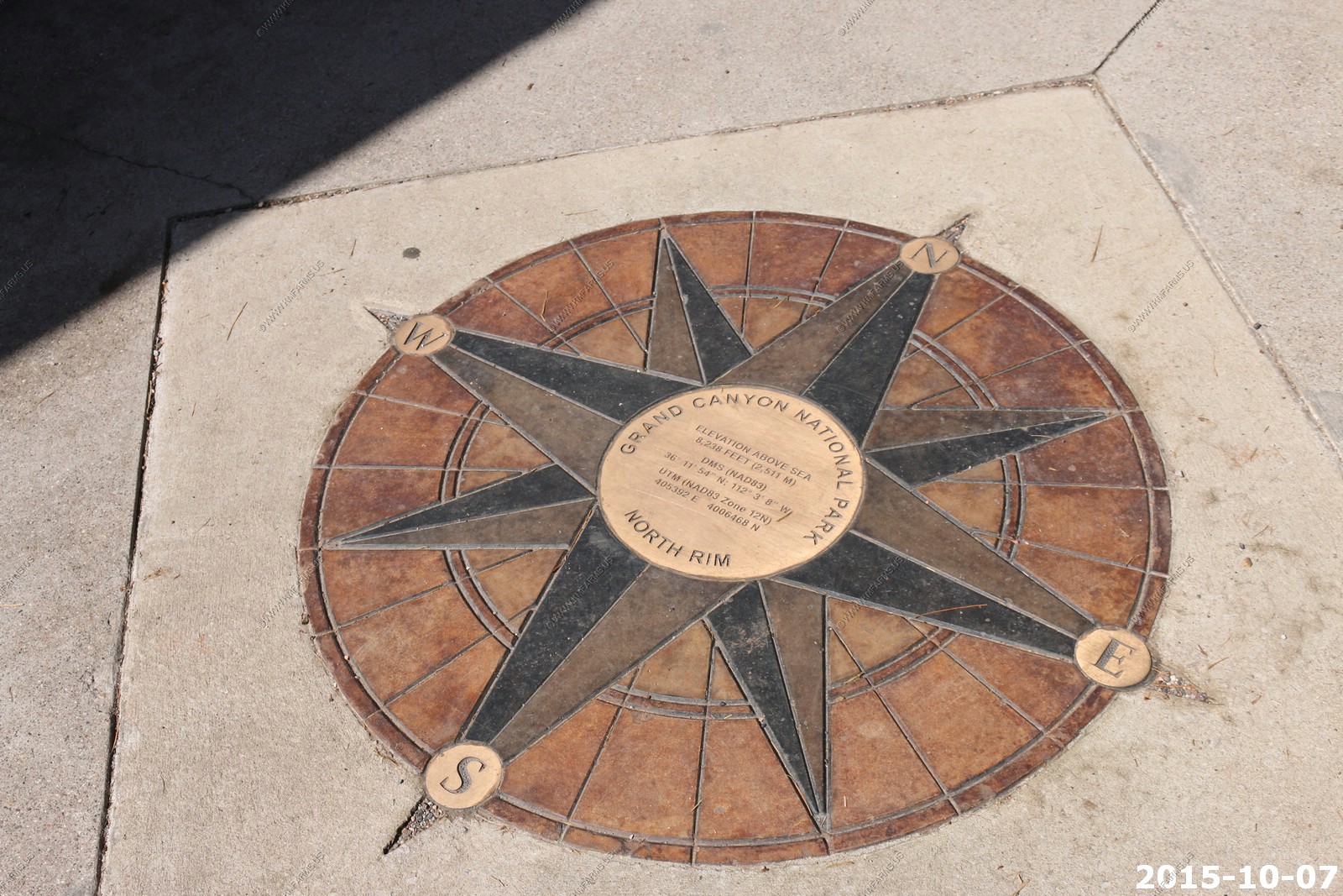
A easy benchmark to find. 8,238 feet
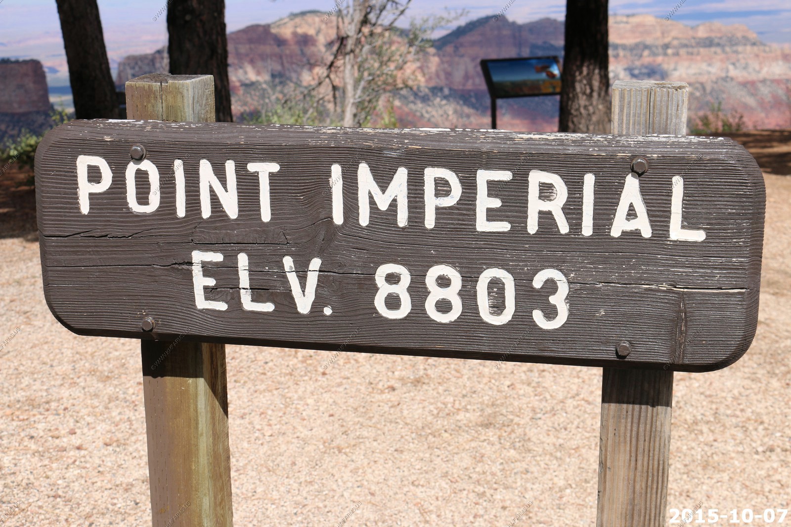
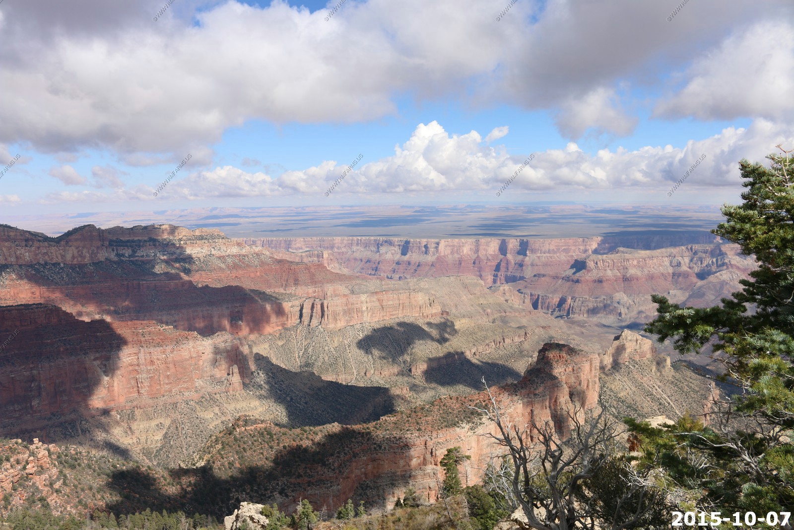
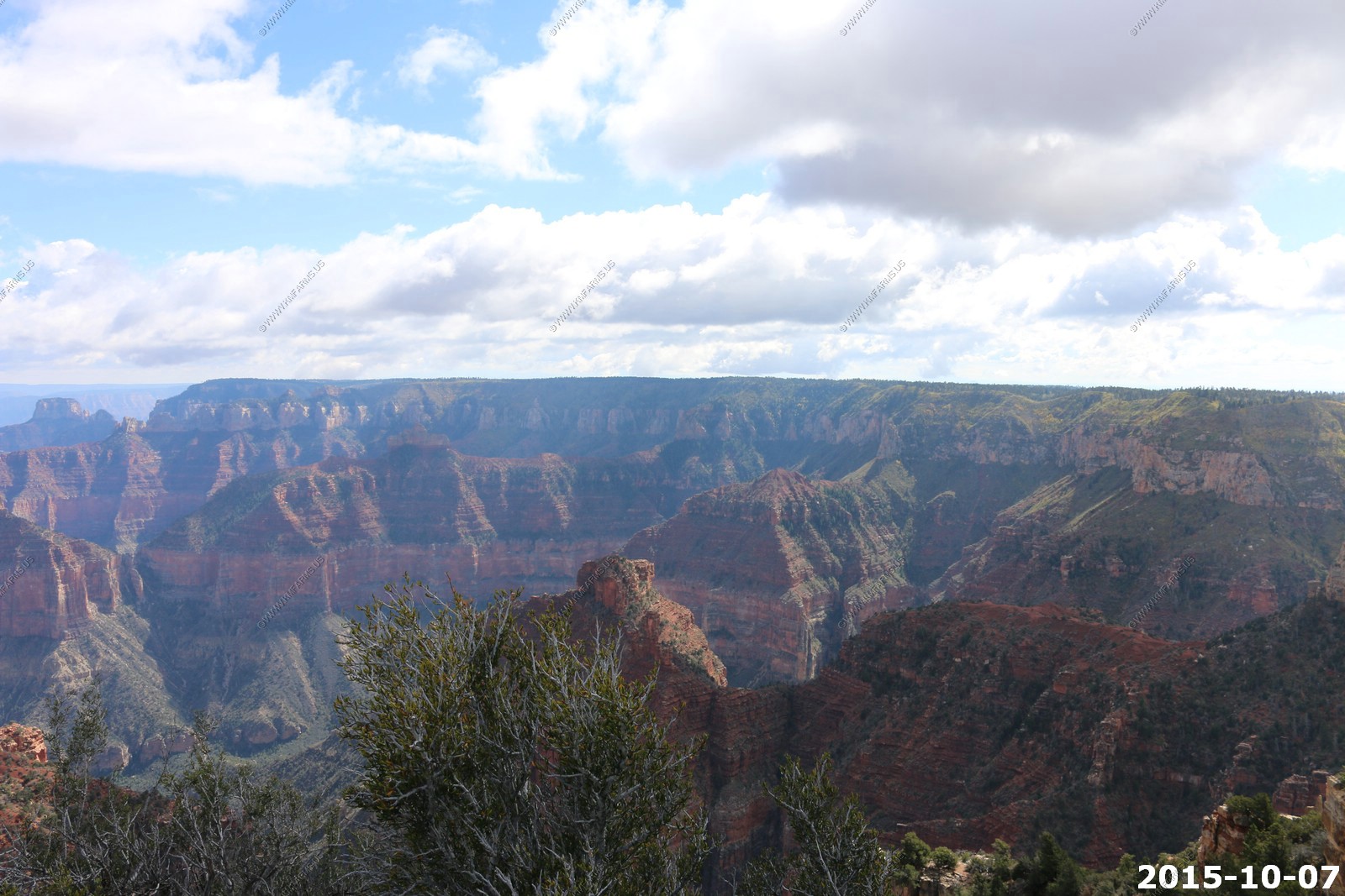
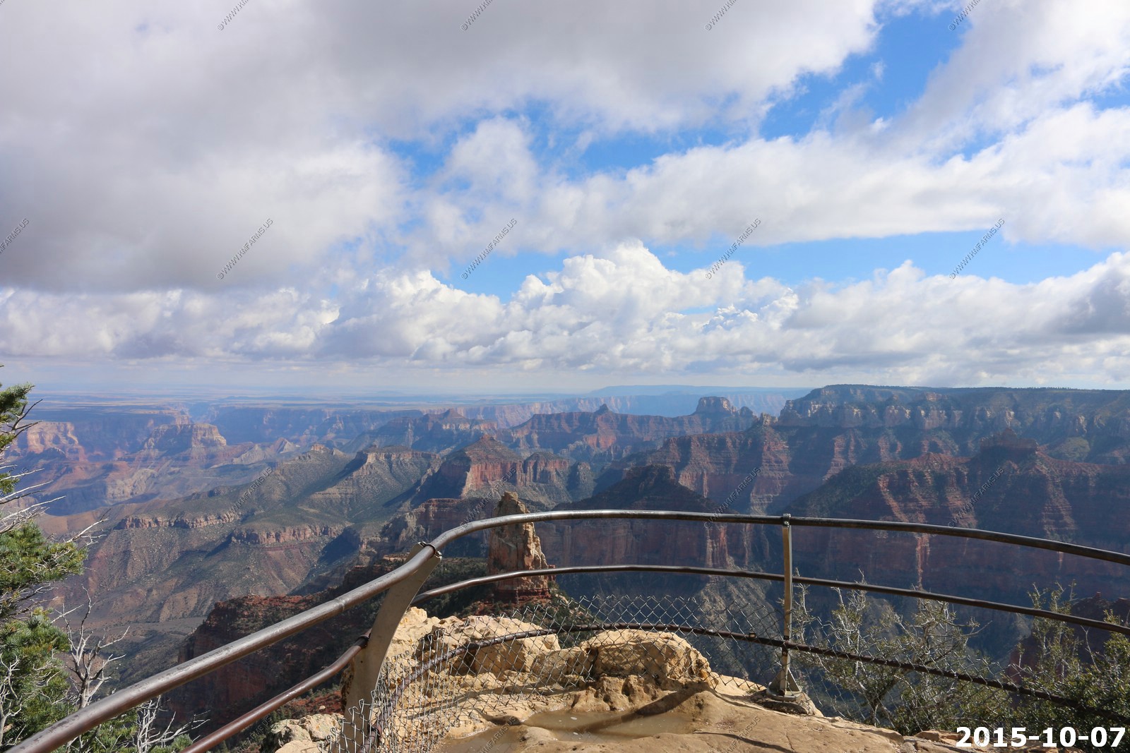
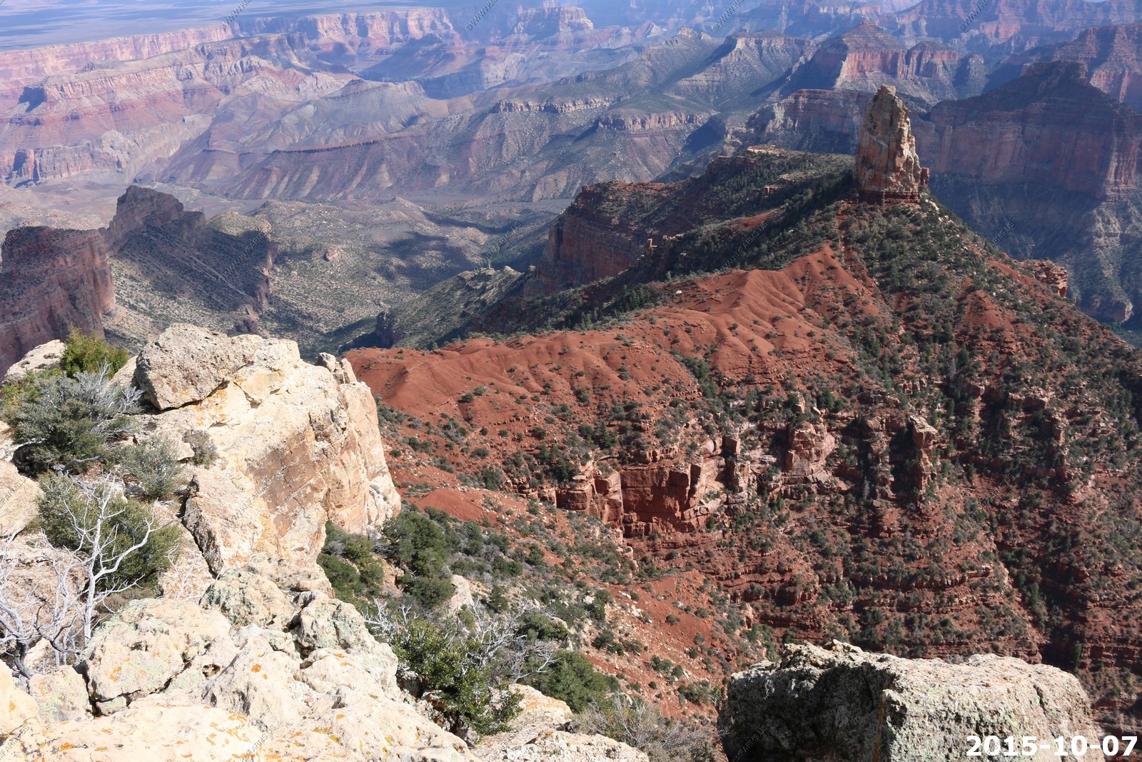
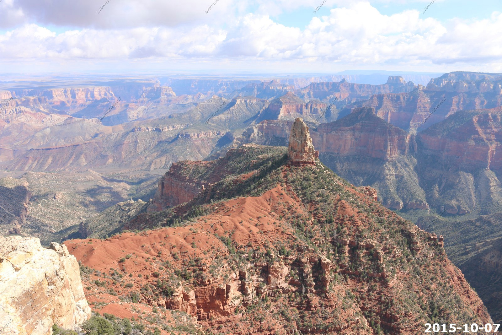
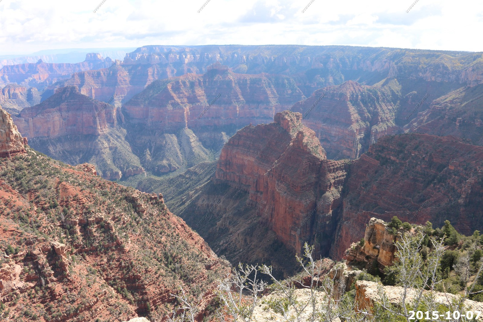
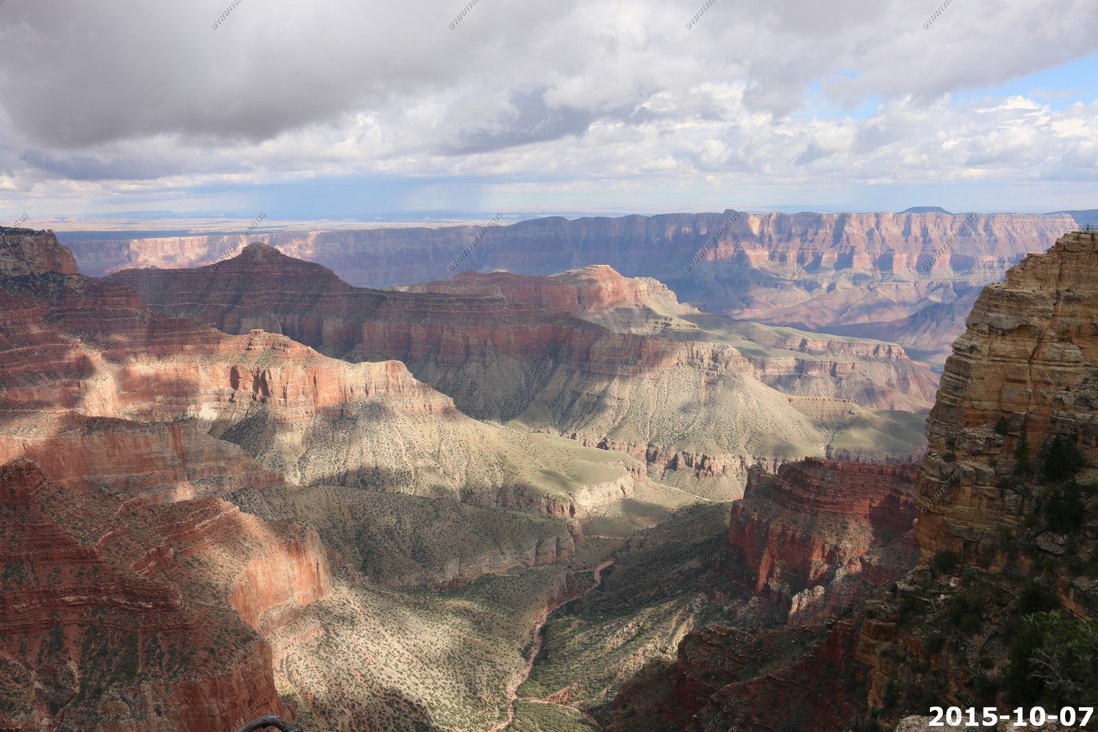
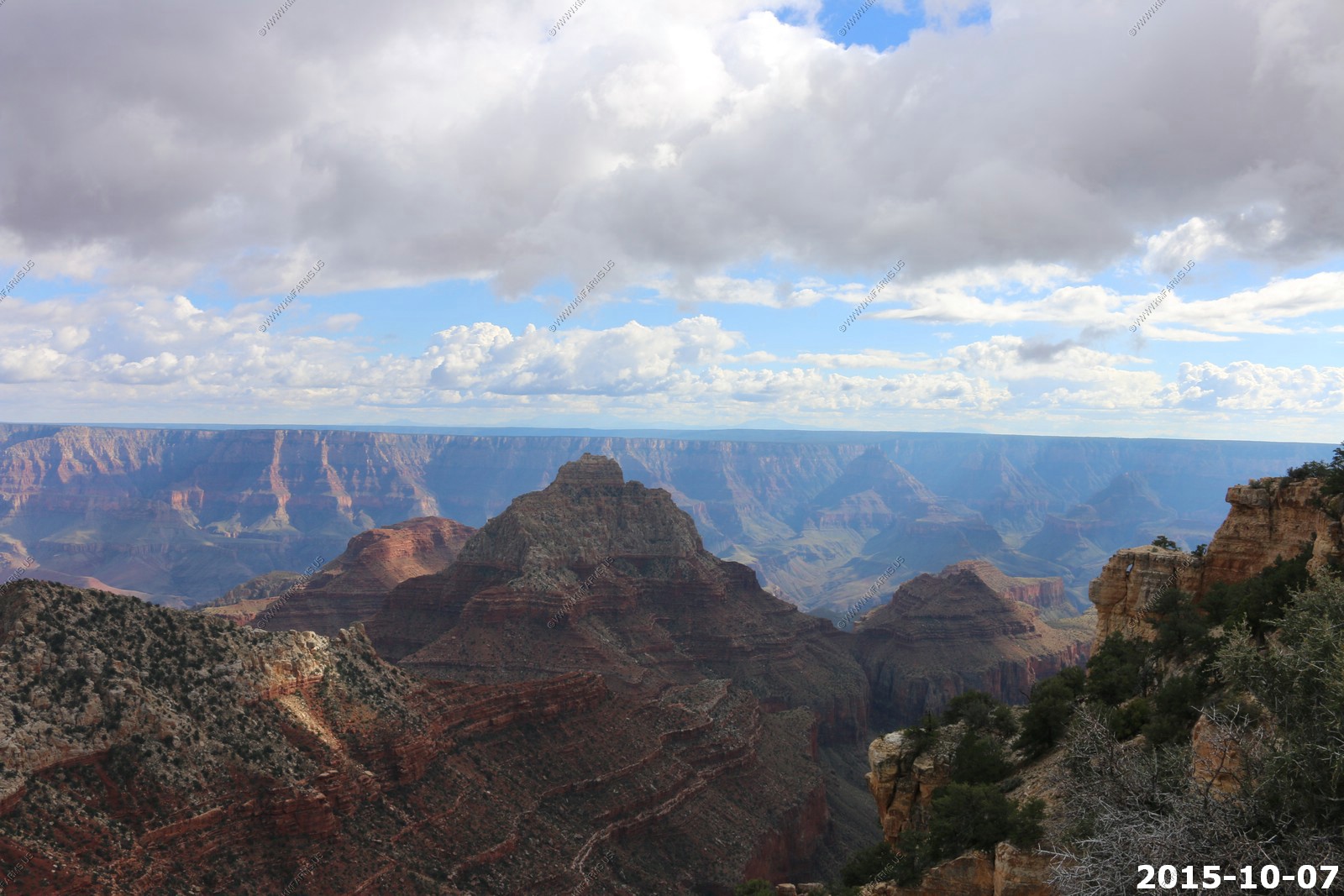
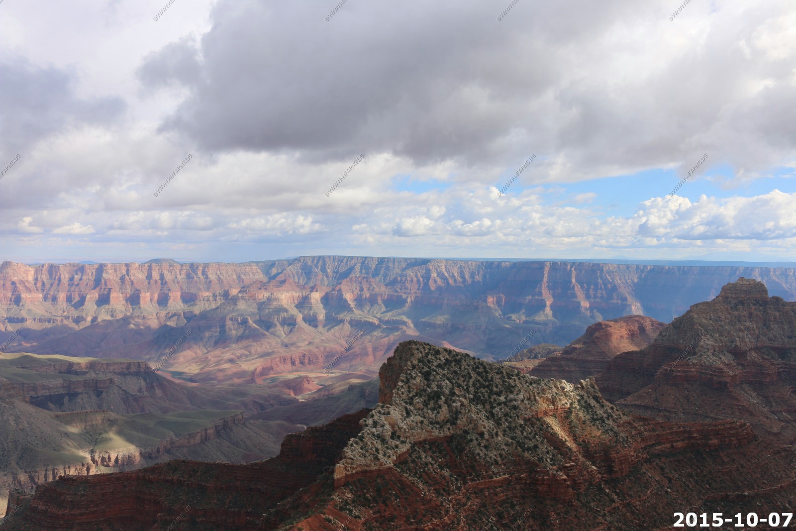
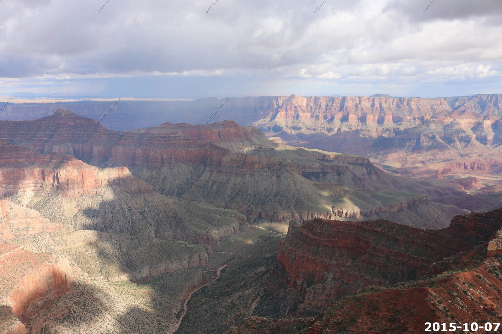
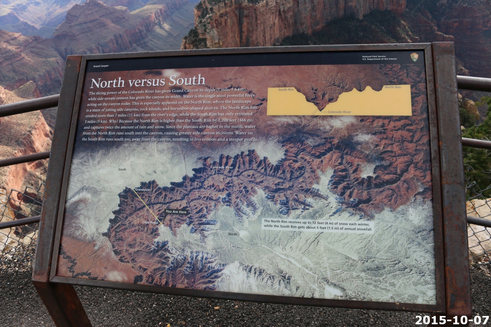
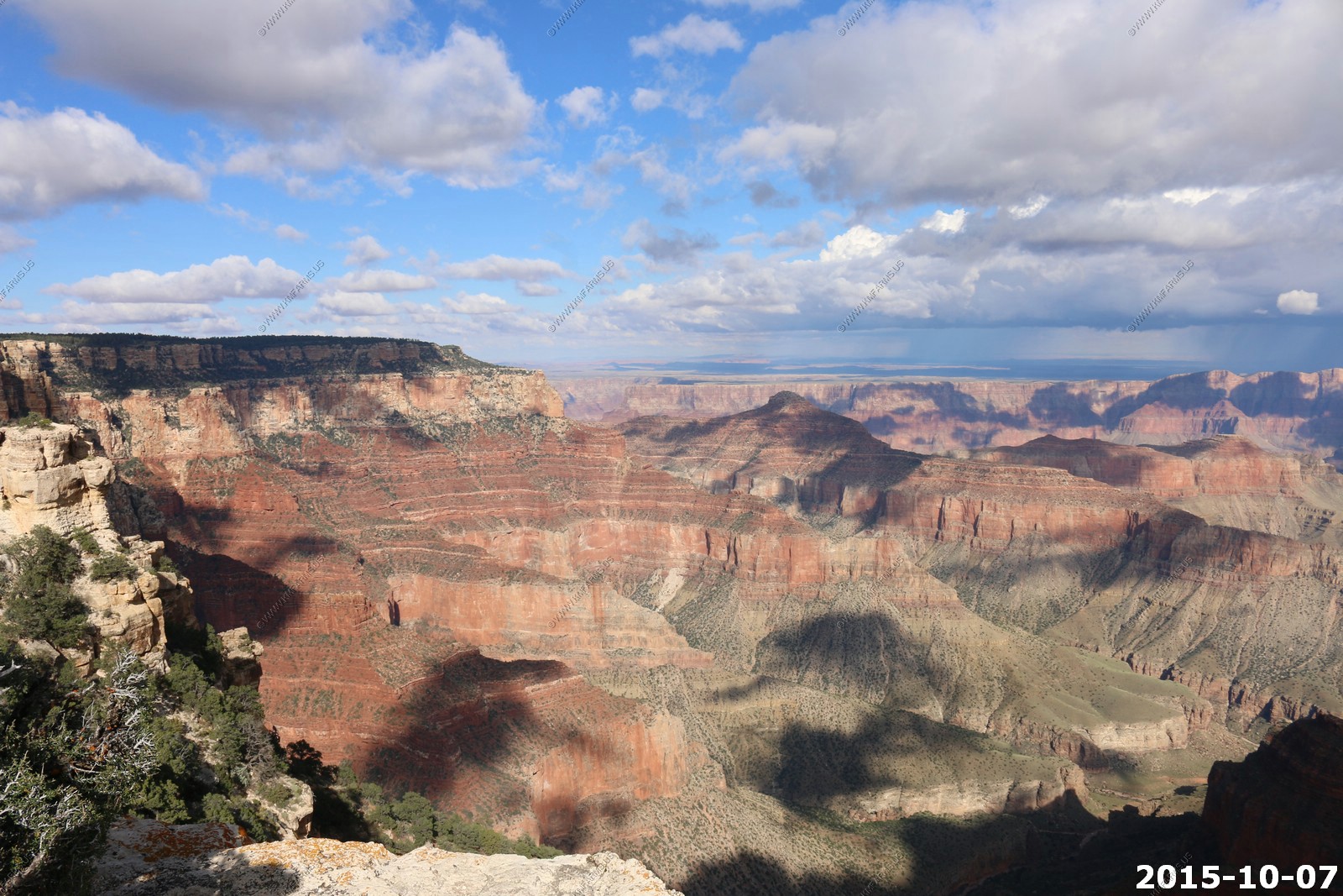
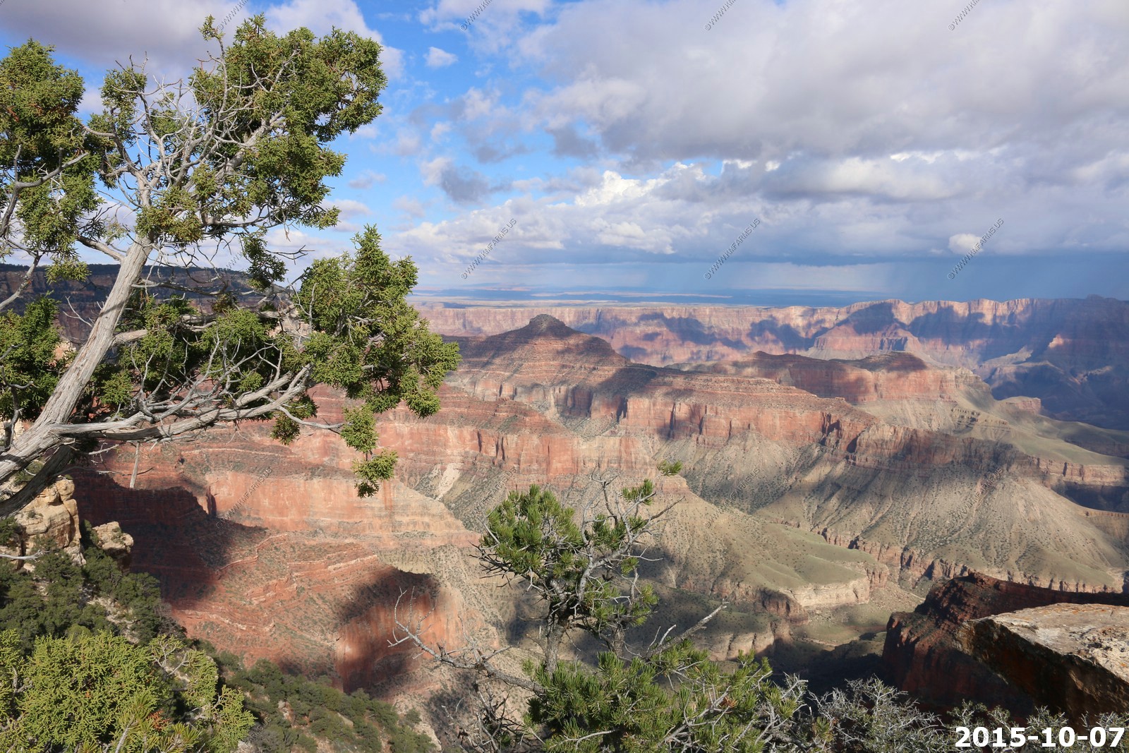
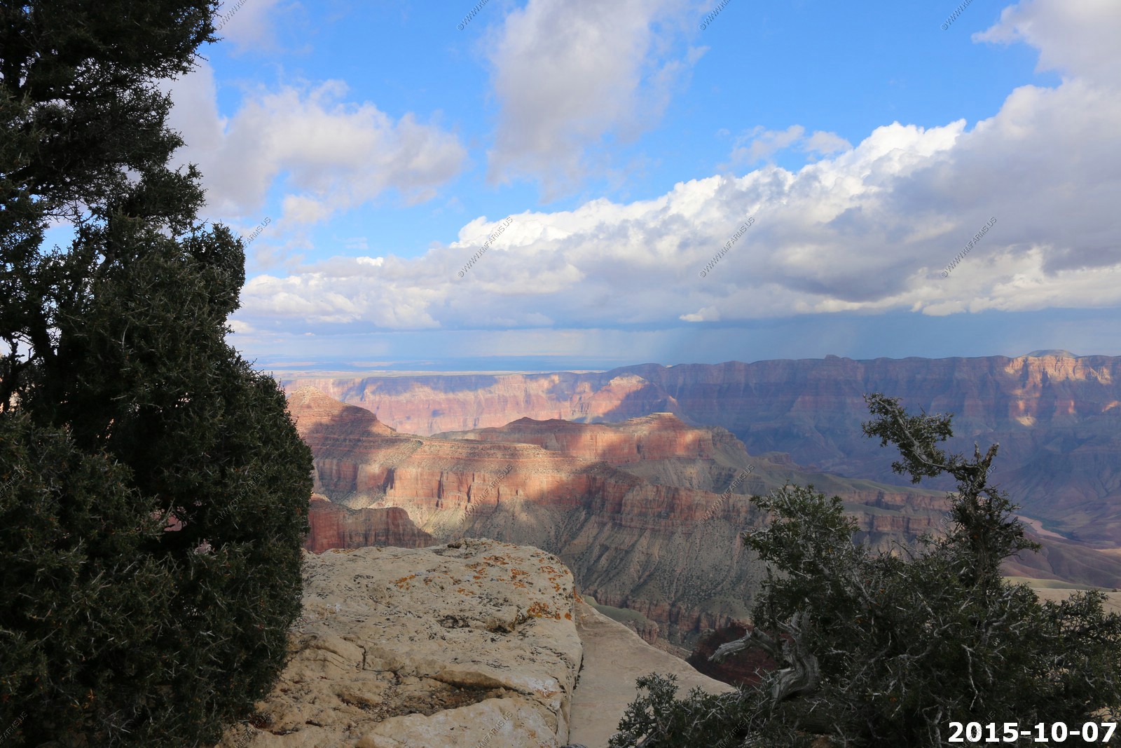
So we headed over to Point Imperial (El. 8,803)
At 8,803 feet, Point Imperial is the highest of the North Rim overlooks, and the northernmost, presenting a rather different panorama than that from the other two popular viewing locations further south (Cape Royal and Bright Angel Point). Imperial sits high above the region where the Grand Canyon first takes on its characteristic wide, branched appearance, since just to the north, the cliffs either side of the Colorado are relatively close (a mile or less), and from here 50 river miles north to the official start of the canyon at Lees Ferry, the gorge is mostly unbranched and more conventional in dimensions.
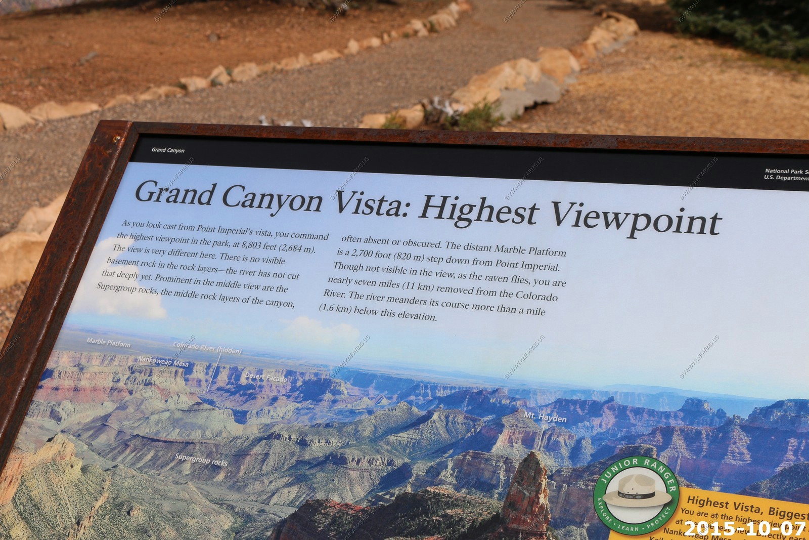
If its clear this is an amazing place to be as you can see all the way back up (100 miles) to the view point along UT12 on the eastern edge of boulder mountain. Today we were only seeing around 50 miles to Lee's Ferry, AZ.
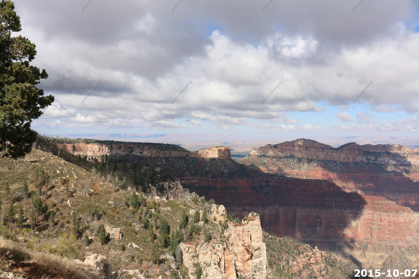

Looking north at Vermilion Cliffs. More on these when we head back to St. George.
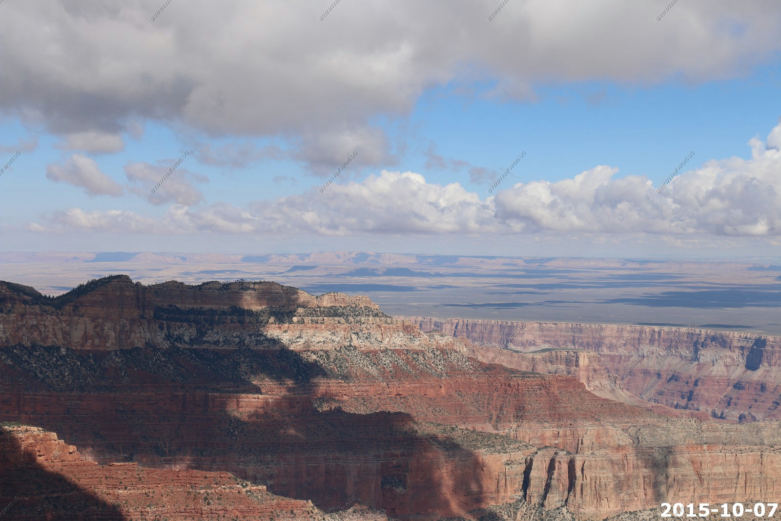
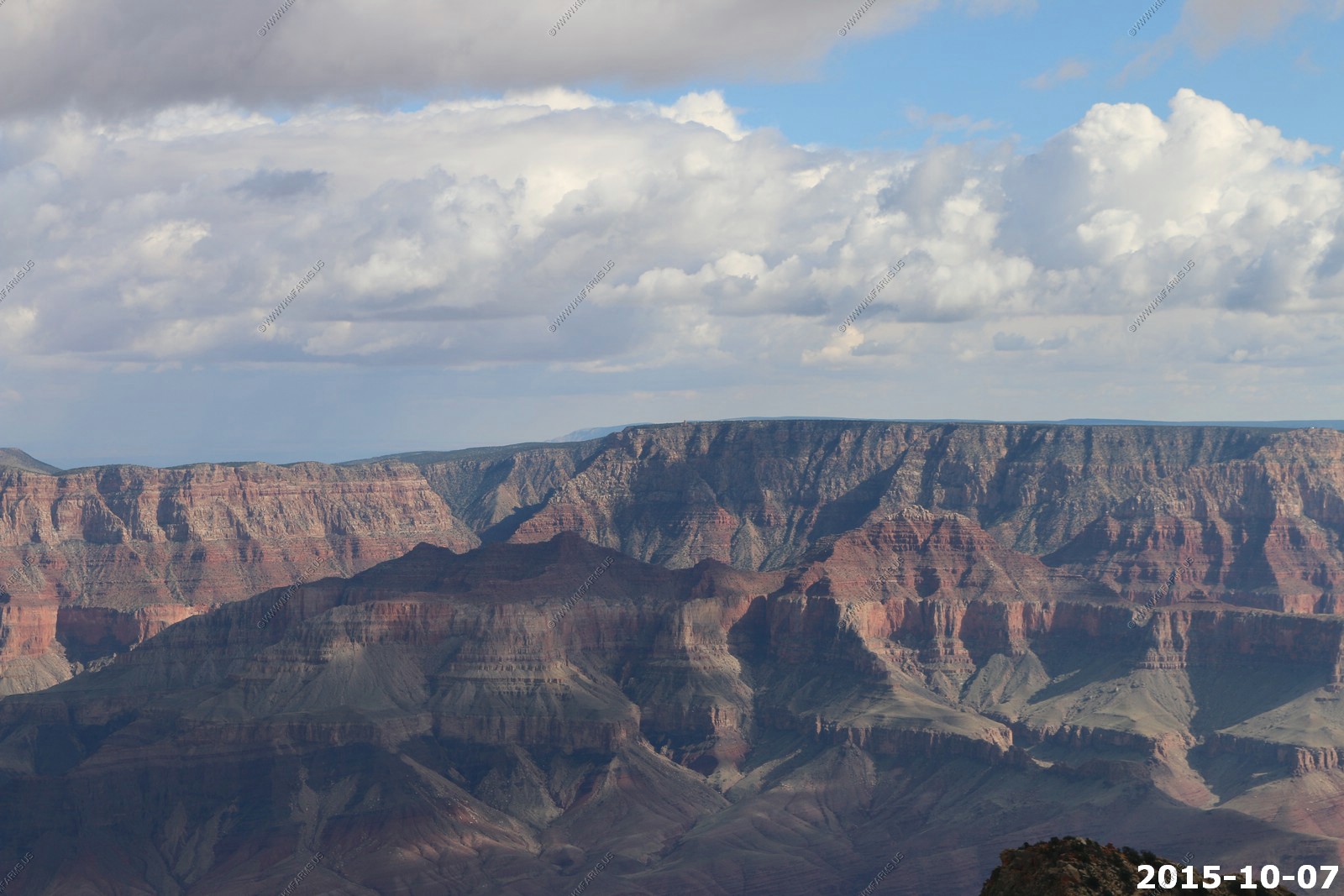
Various Point Imperial views
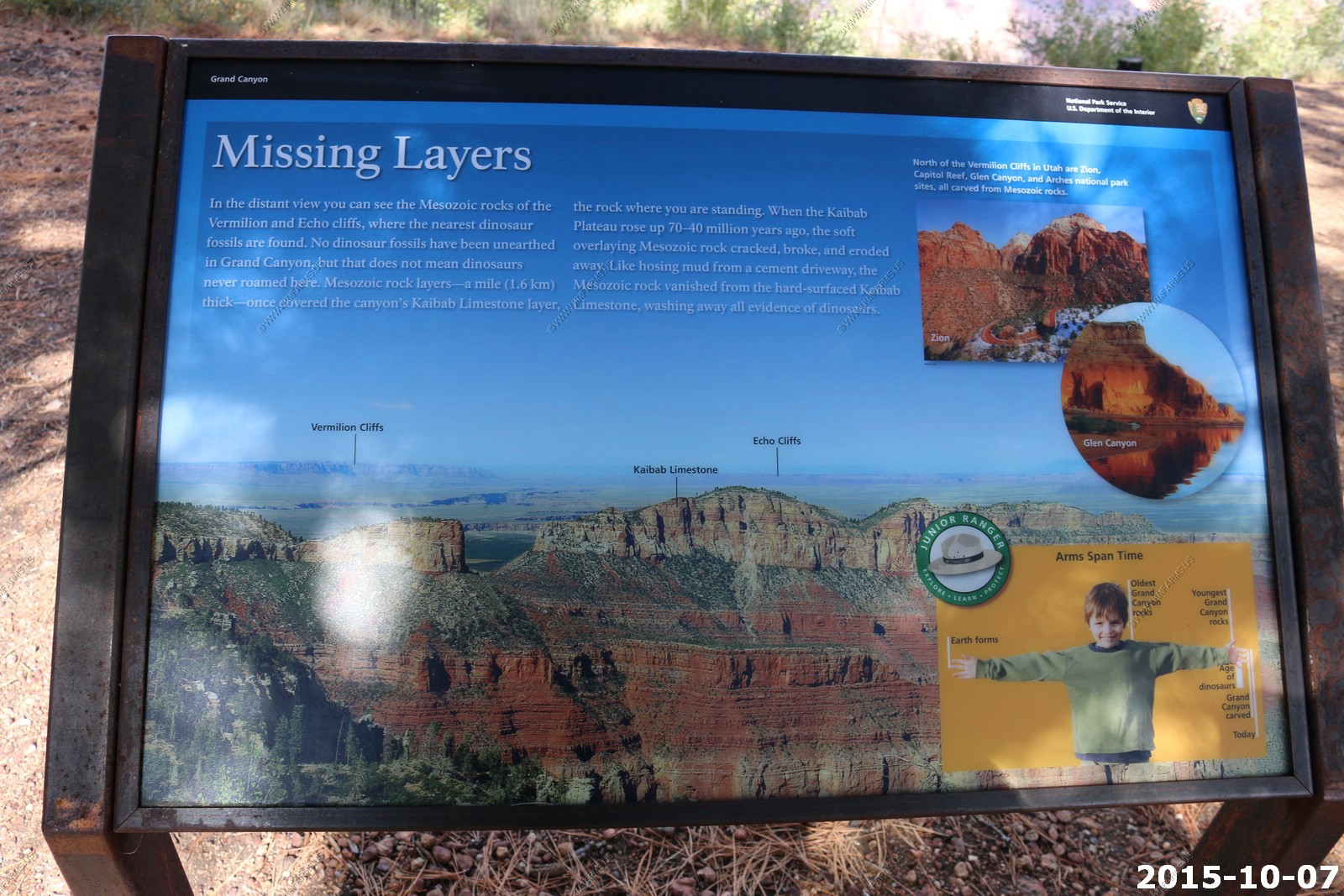
Missing layers
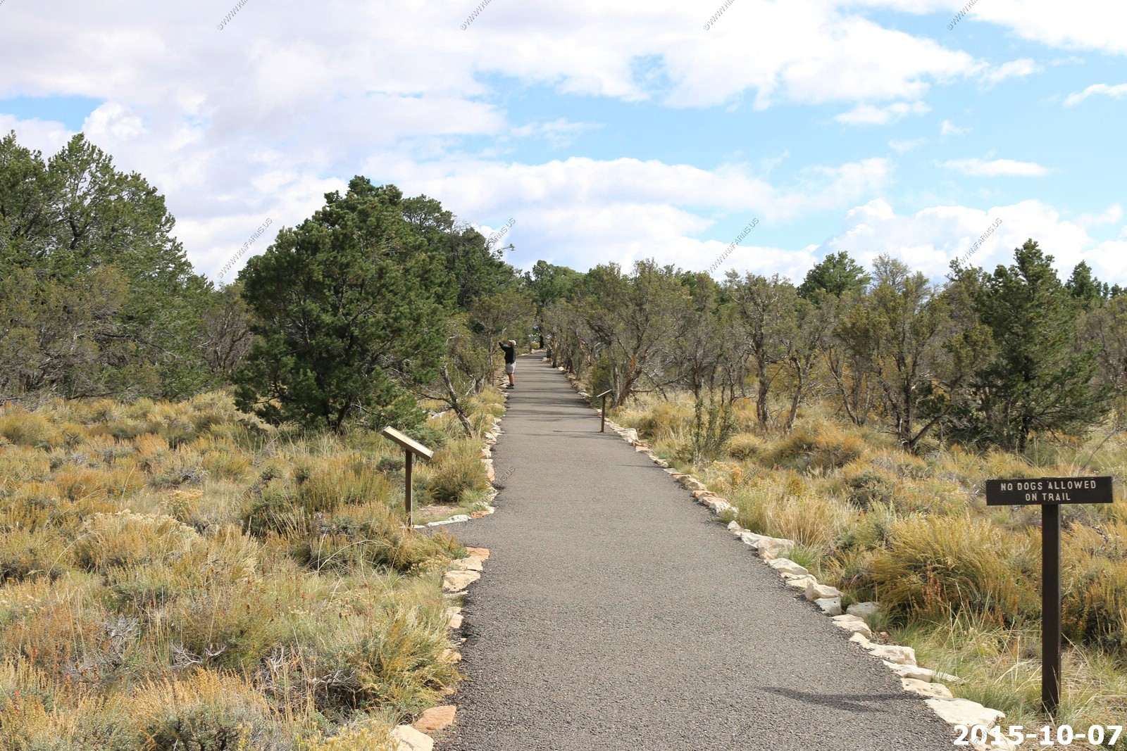
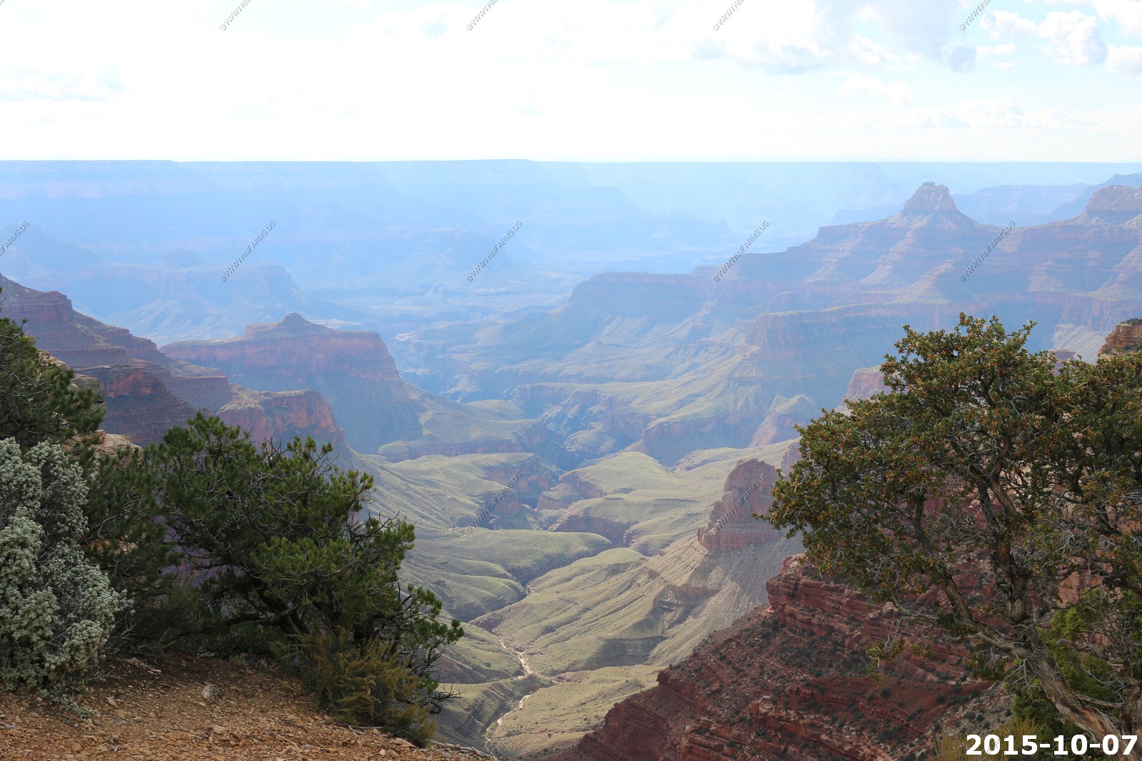
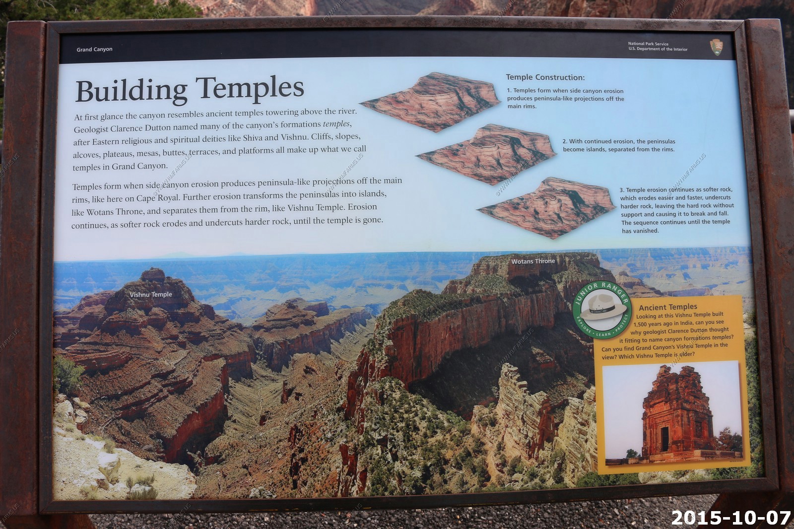
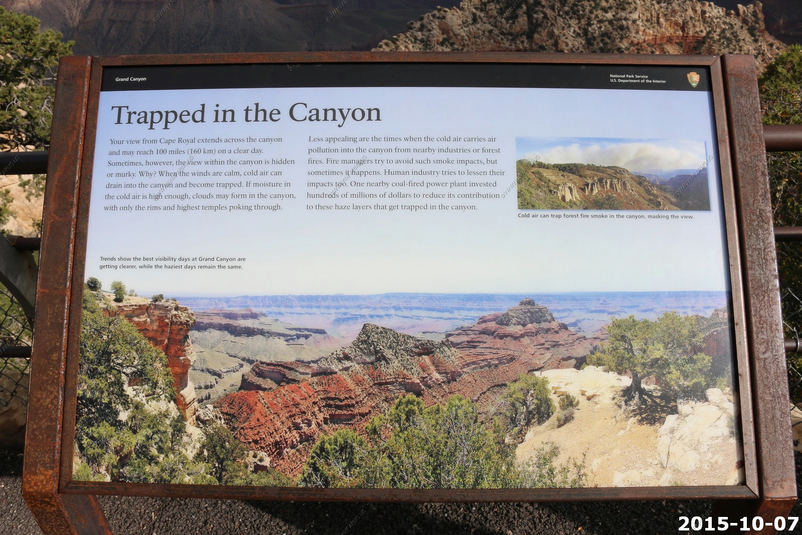
Cape Royal
Cape Royal is the southernmost viewpoint on the North Rim, and it has the widest panorama of any Grand Canyon overlook - the great gorge occupies about 270 degrees of the horizon, from Marble Canyon in the north, south over Palisades of the Desert, and westwards for many miles towards the main South Rim visitor area around Garden Creek. Quite a long drive is needed to get there, as the point lies 53 miles south of Jacob Lake and the US 89 junction, and 15 miles from the north rim visitor center at Bright Angel Point; this latter section is along a road that is quite narrow and winding in places as it climbs a wooded valley and passes over undulating land linking the Kaibab Plateau with the Walhalla Plateau. After a pleasant last few miles through the thick pine woodland, the road ends in a loop around a large gravel parking area without any visitor facilities, just a paved, mostly flat trail that leads south towards the viewpoint, at the furthest edge of the north rim landmass.
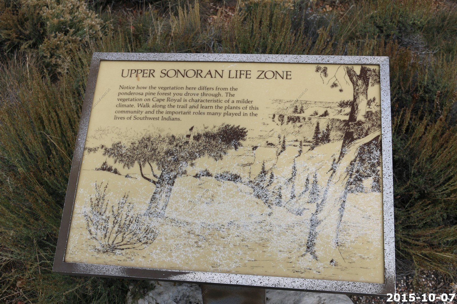
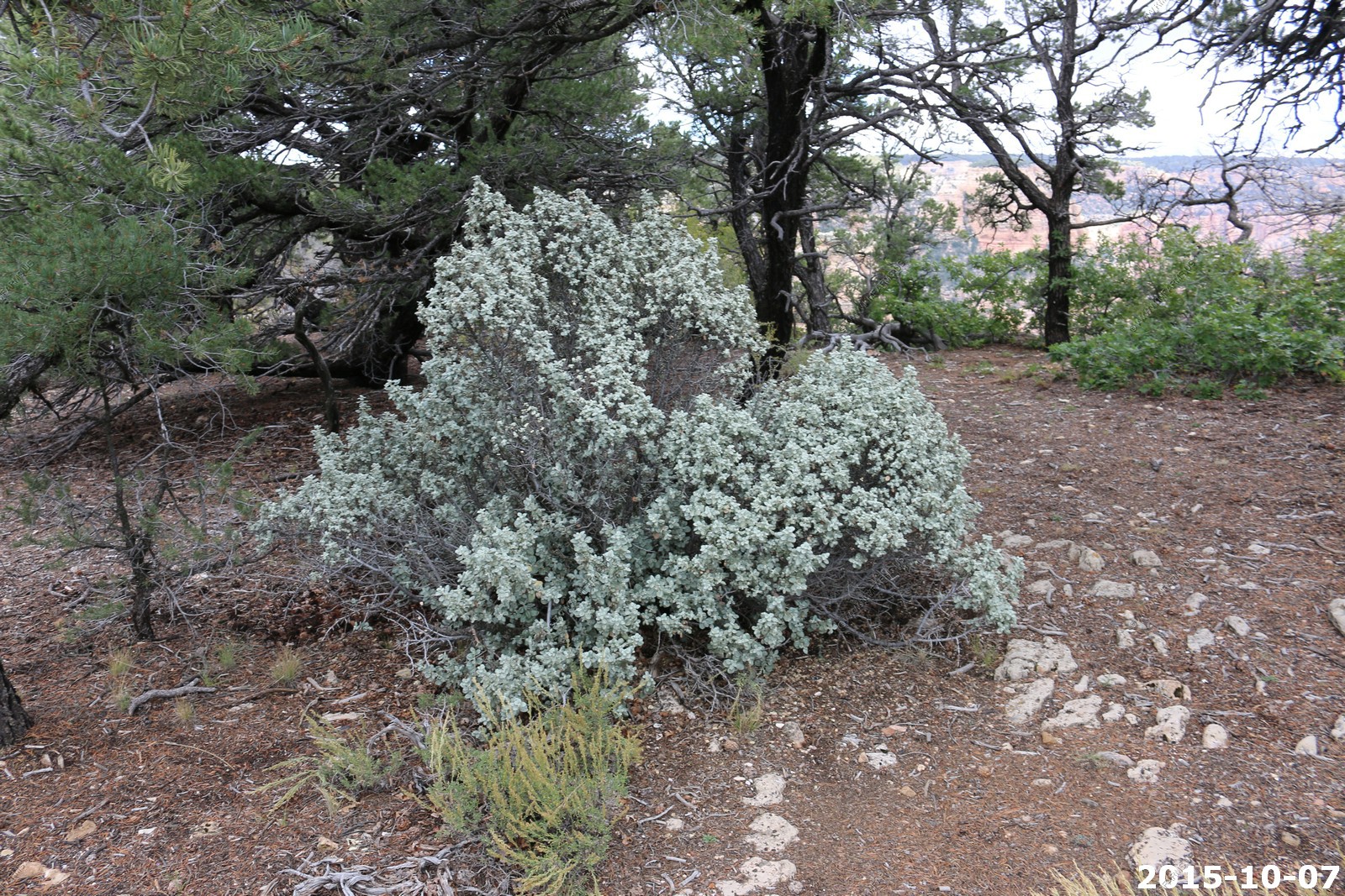
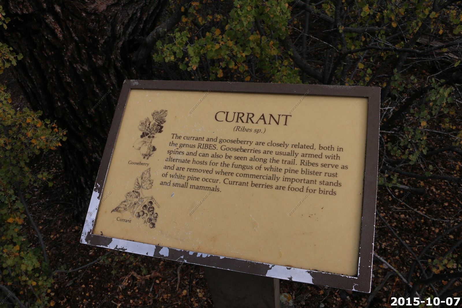
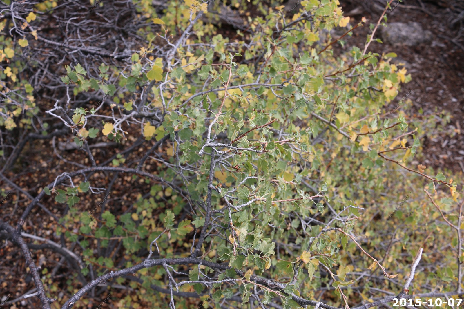
Interpretive signs along the 0.3 mile trail identify some of the common plants of this location, and there are plenty of viewpoints of the canyon to the east.
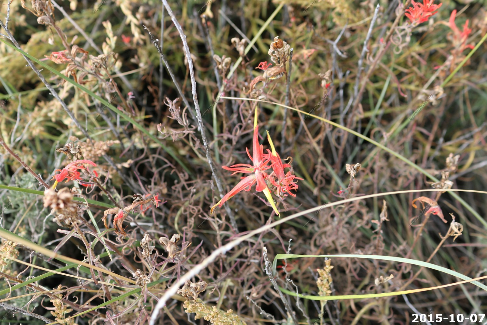
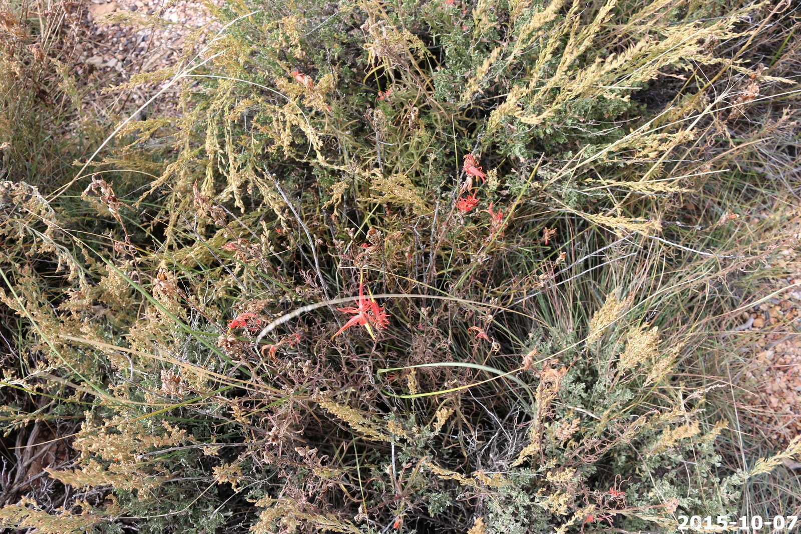
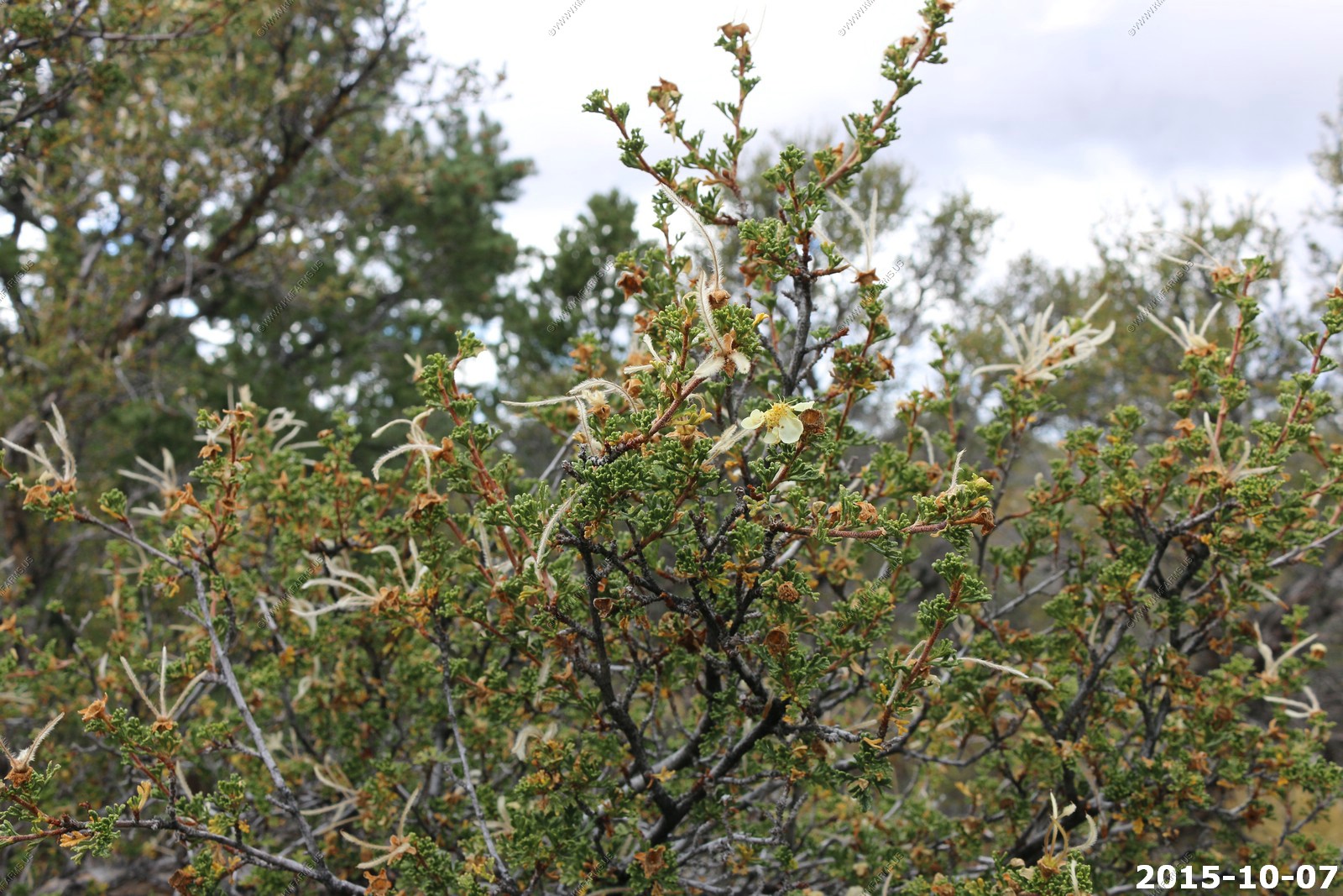
Currant - Berries are food for birds and small mammals.
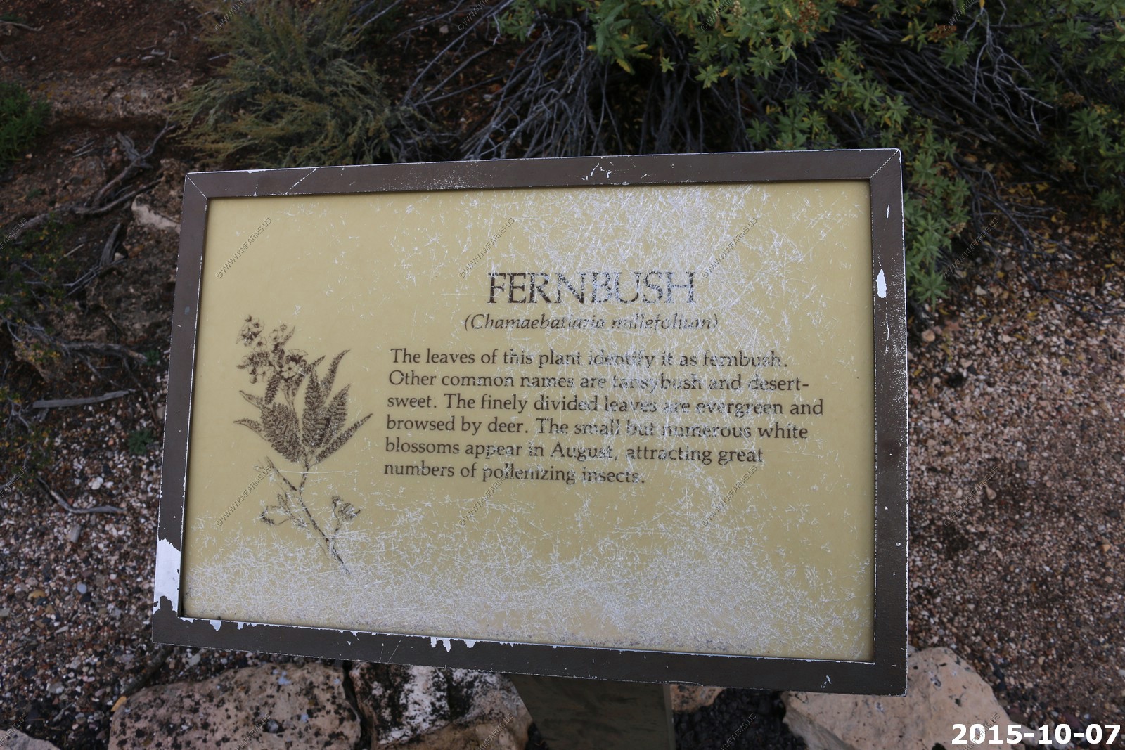
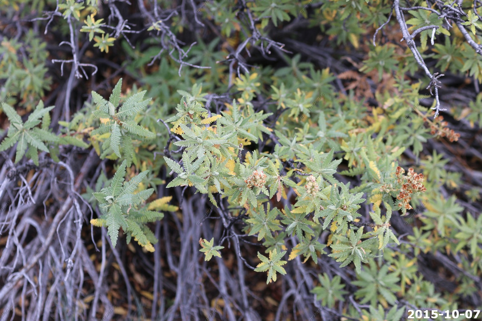
Fernbush - Chamaebatiaria is a monotypic genus of aromatic shrub in the rose family containing the single species Chamaebatiaria millefolium, which is known by the common names fern bush and desert sweet.
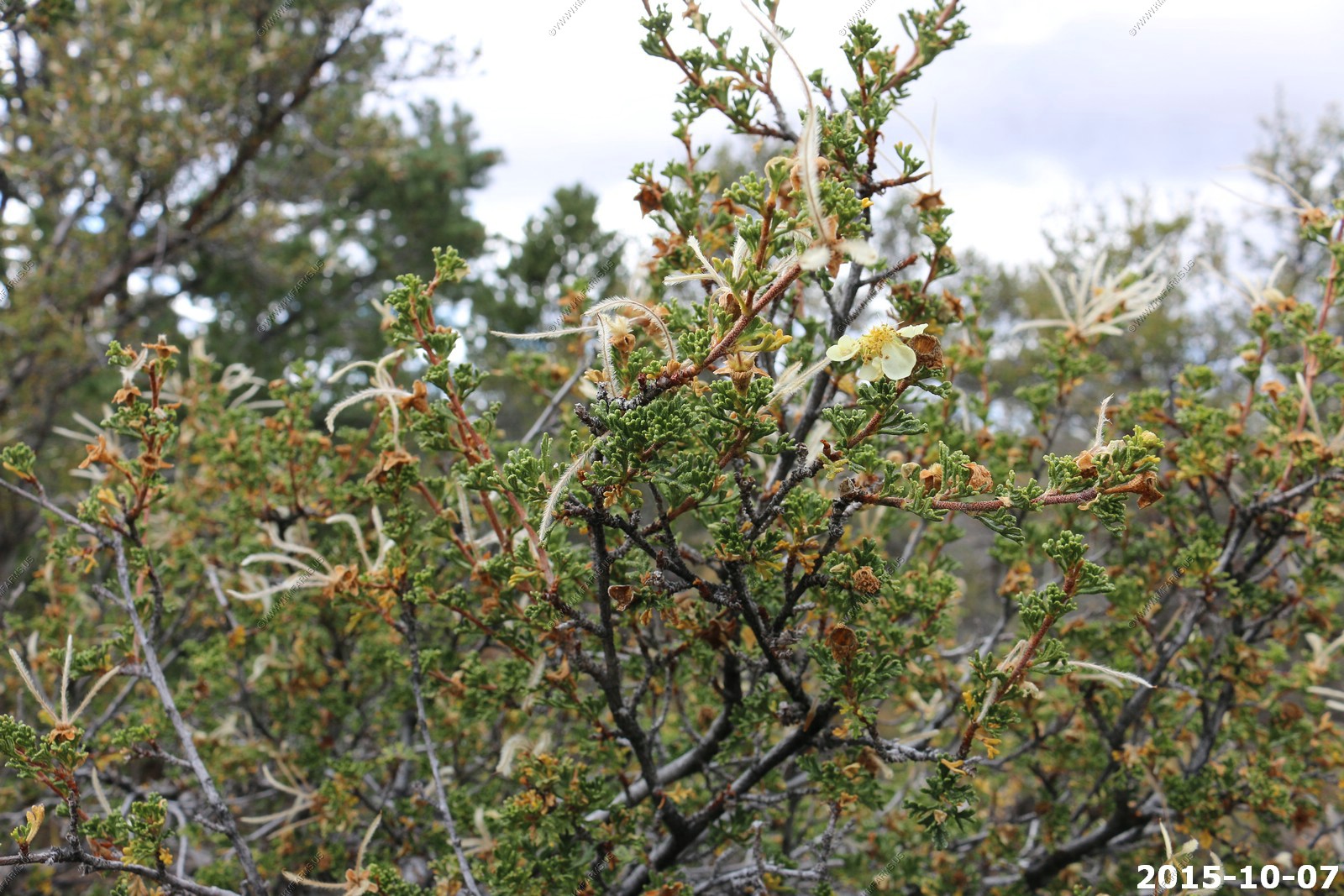
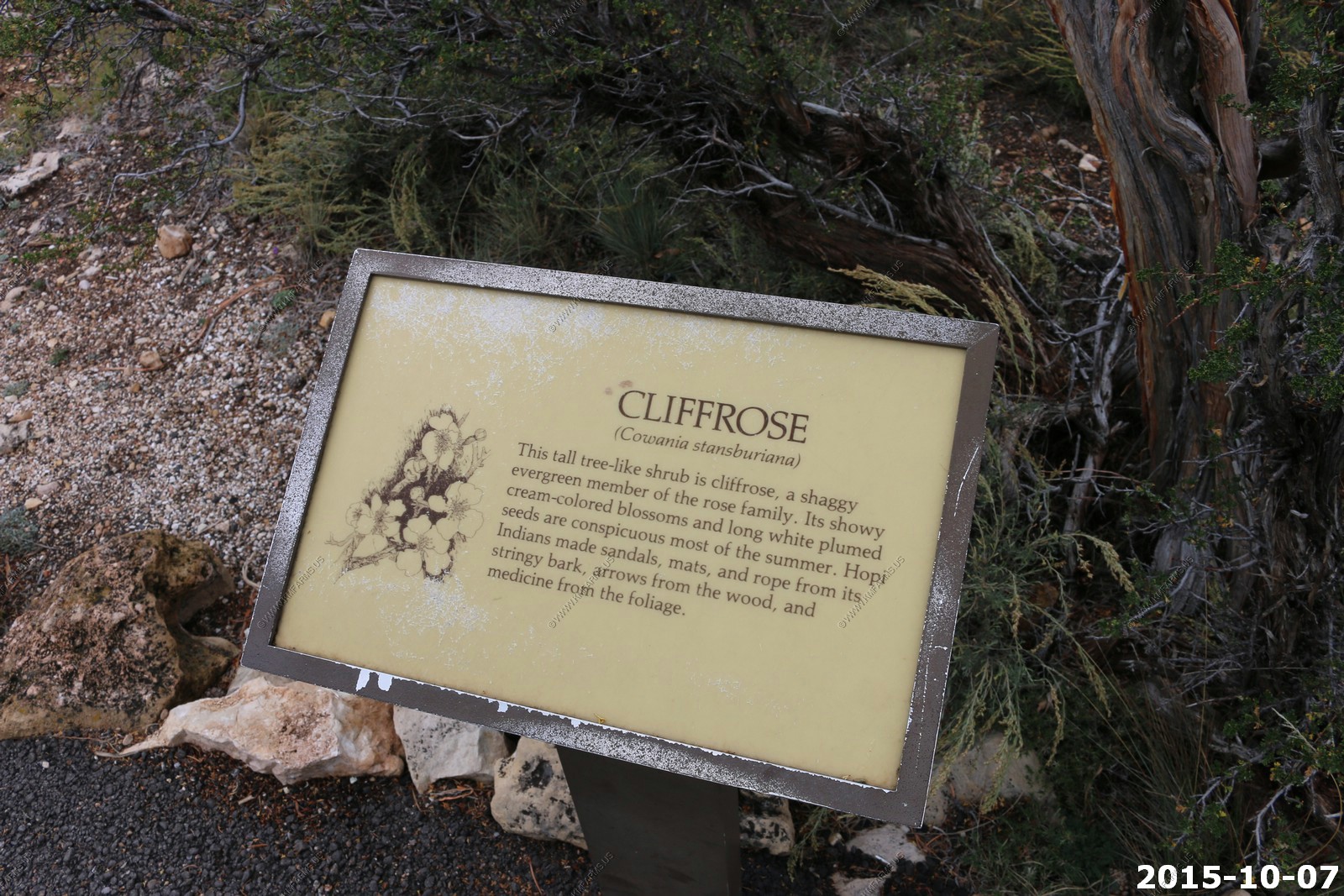
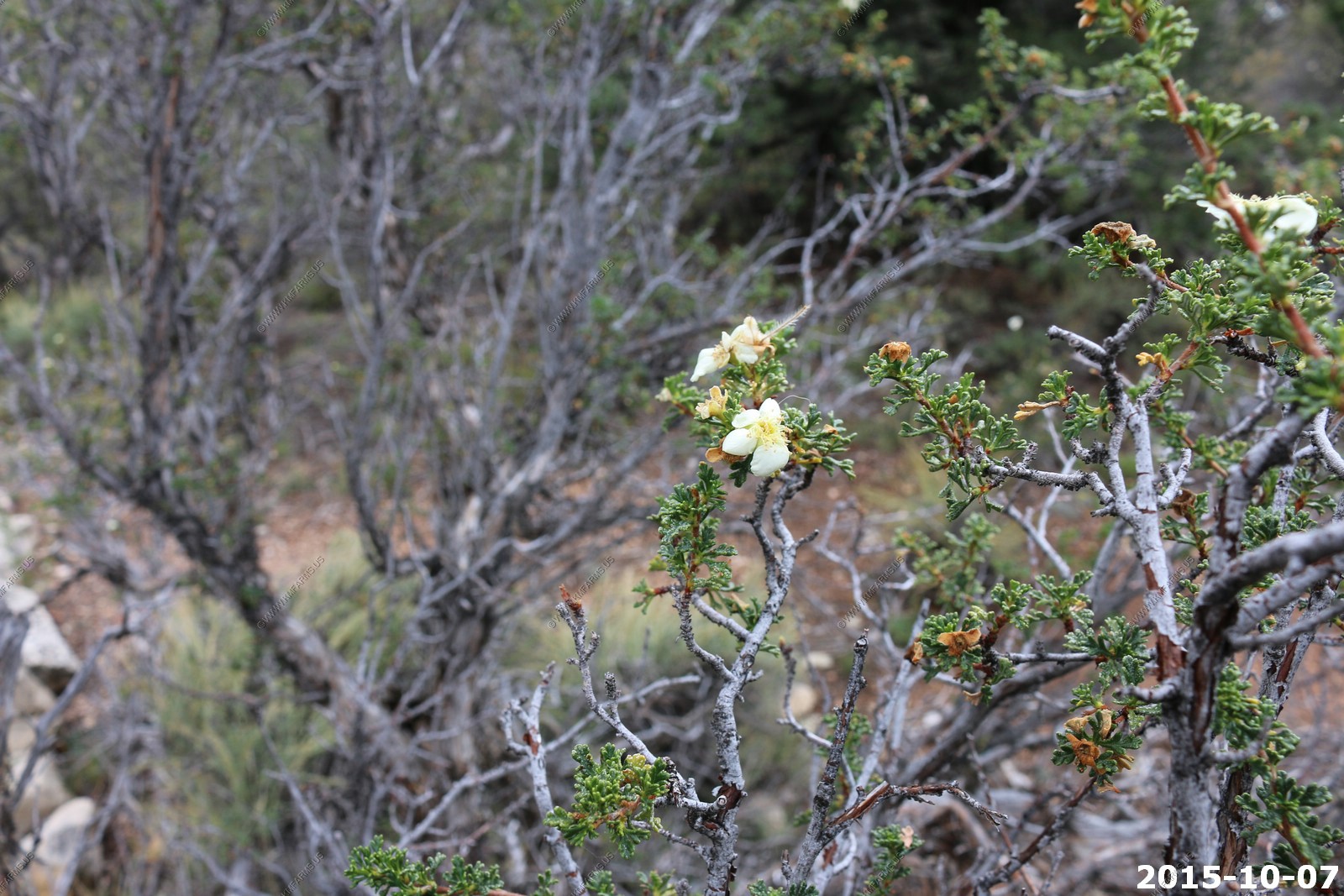
Cliffrose - Cliffrose is a many-branched shrub that grows up to 8 feet tall most often found between 3,500 and 8,000 feet. The name Cliffrose comes from the fact that this member of the rose family is often seen growing in rocky or cliff
Various Cape Royal views
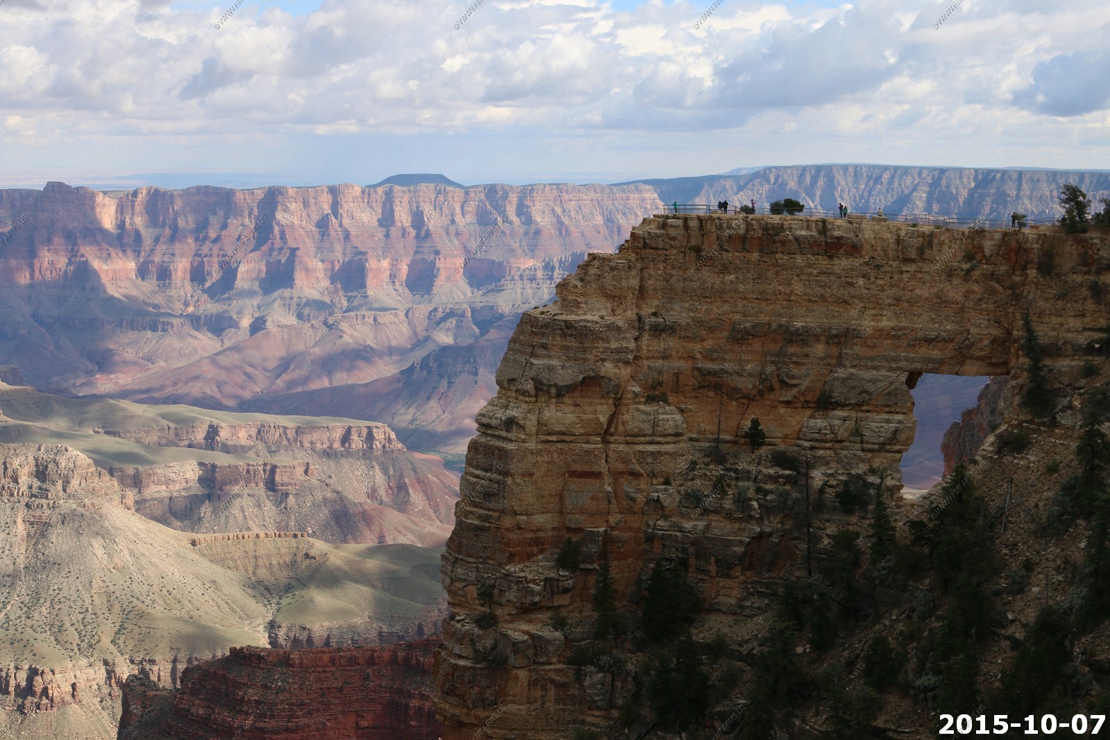
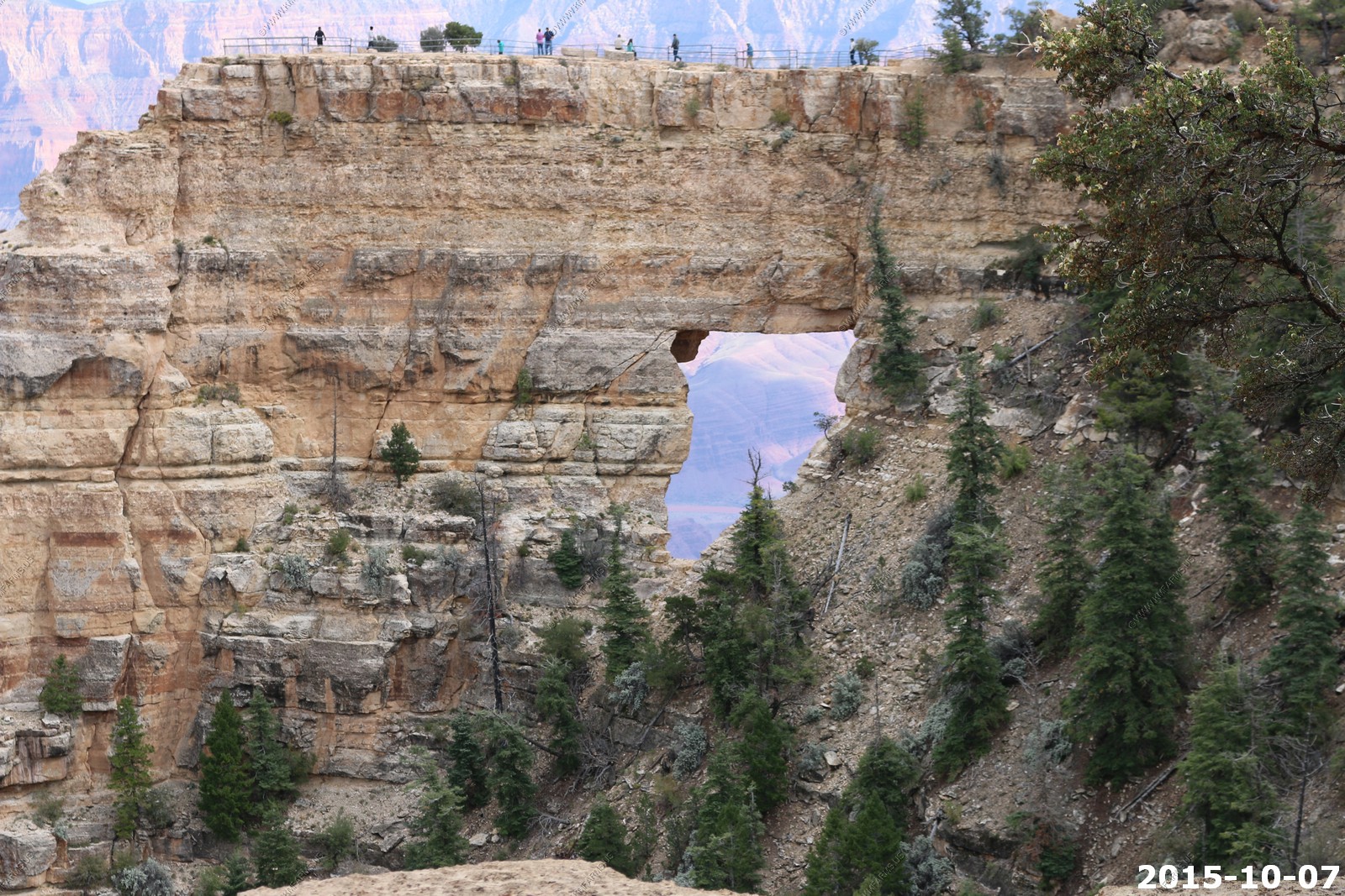
Angels Window, a natural arch in the Kaibab limestone which frames a little section of the Colorado River, 5,000 feet below and 6 miles distant. A short, railing protected side path leads across the narrow neck of land on top of the window, stopping at a fine viewpoint right at the edge of the cliffs.
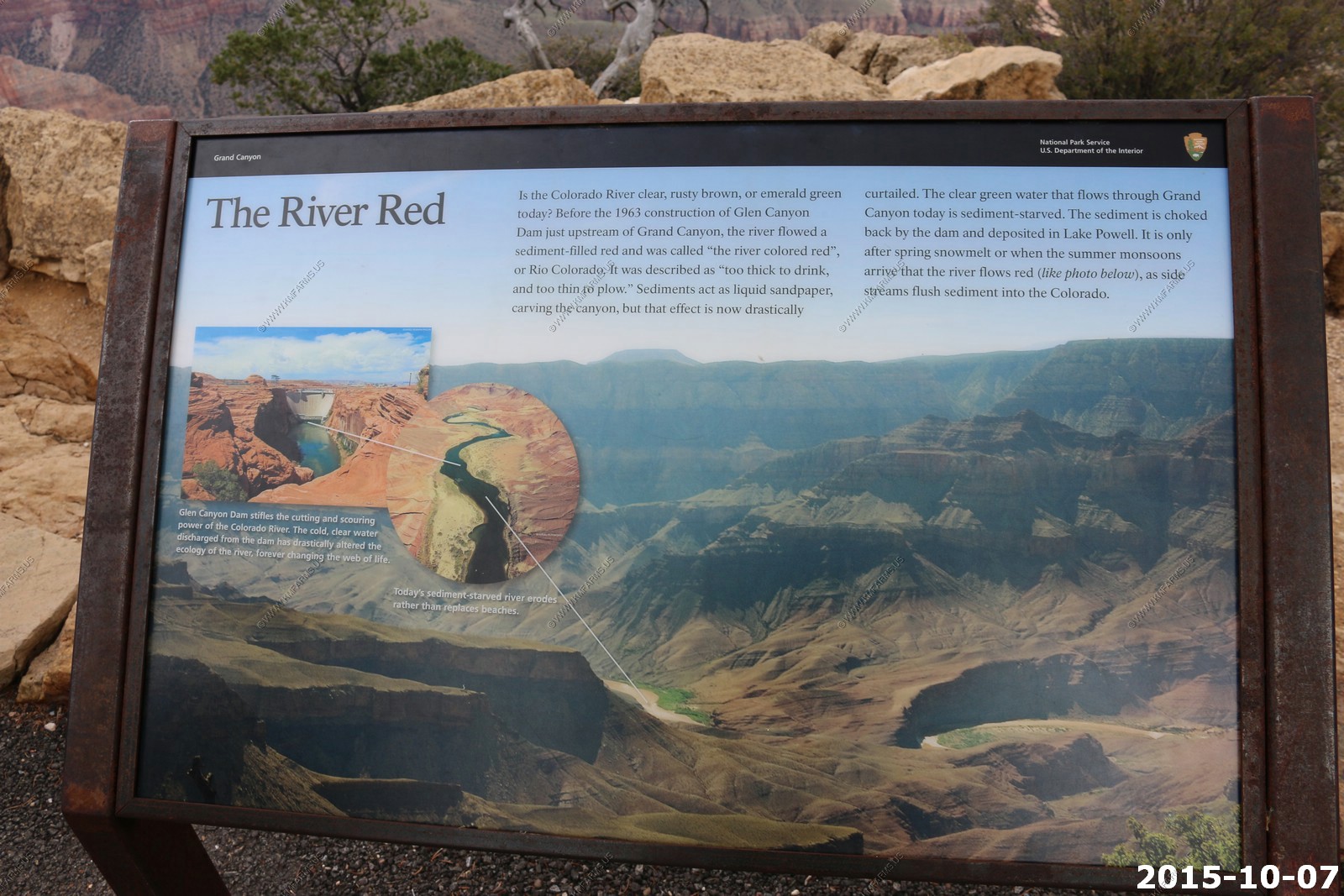
The Colorado River
Quiet.. Nope. Even here we had too many people around us. Sad...

Looking south across the canyon at the San Francisco Peaks north of Flagstaff, AZ 55 miles away. It's a bit closer than Bright Angel Point trail as we are further south now.
Desert View Watchtower - 8 miles to the south across the canyon on the south rim.
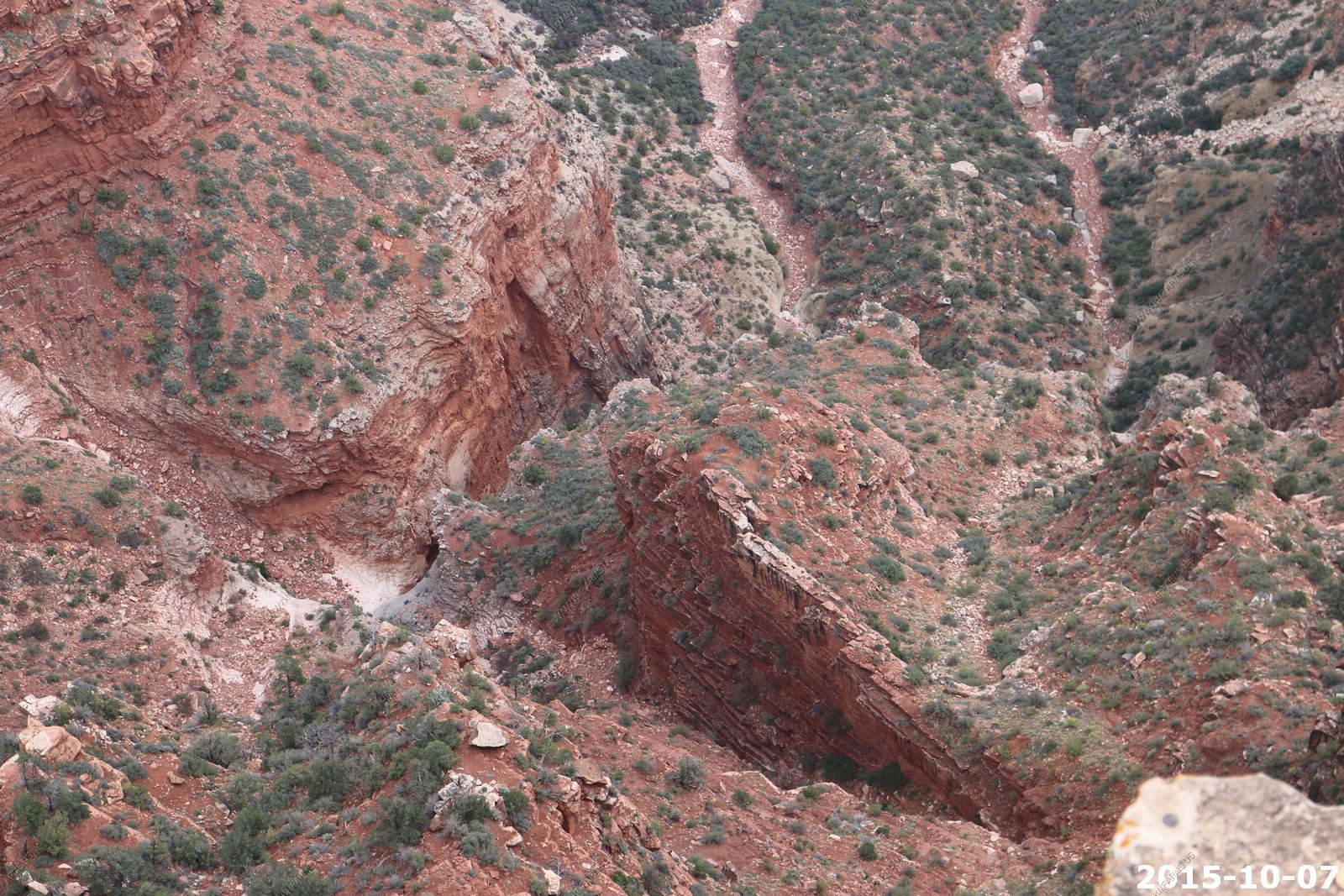
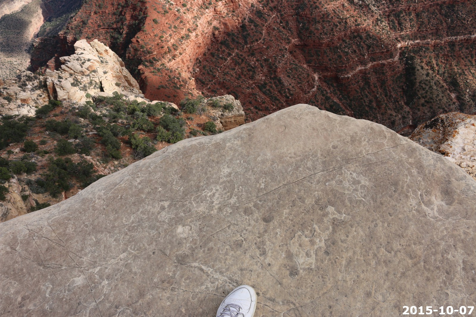
Views down from the Angels Window, a natural arch trail. I must say that I am always a bit concerned as this is so cracked and looks to be ready to fail at any moment. Still worth a quick look.

So simple to build I need these for my farm.
From Cape Royal, the Colorado River is just visible in the east, at the lower end of Unkar Creek, while the main feature due south is Wotans Throne, an isolated, wooded mesa at the same height as Cape Royal but surrounded by vertical cliffs and so completely inaccessible. Freya Castle is a similar, smaller butte a little way east. Features directly opposite on the south rim include Sinking Ship, Horseshoe Mesa and Grandview Point, though many miles of the rim are visible, from Palisades of the Desert across to Mather Point.
One more step would be bad
Mary at Cape Royal
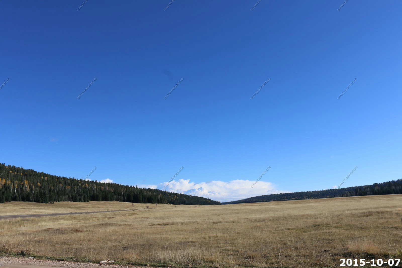
Heading back north from the rim and its 53 miles back to Jacob Lake. Lots of critters can be seen in these meadows. This year we did not see any.
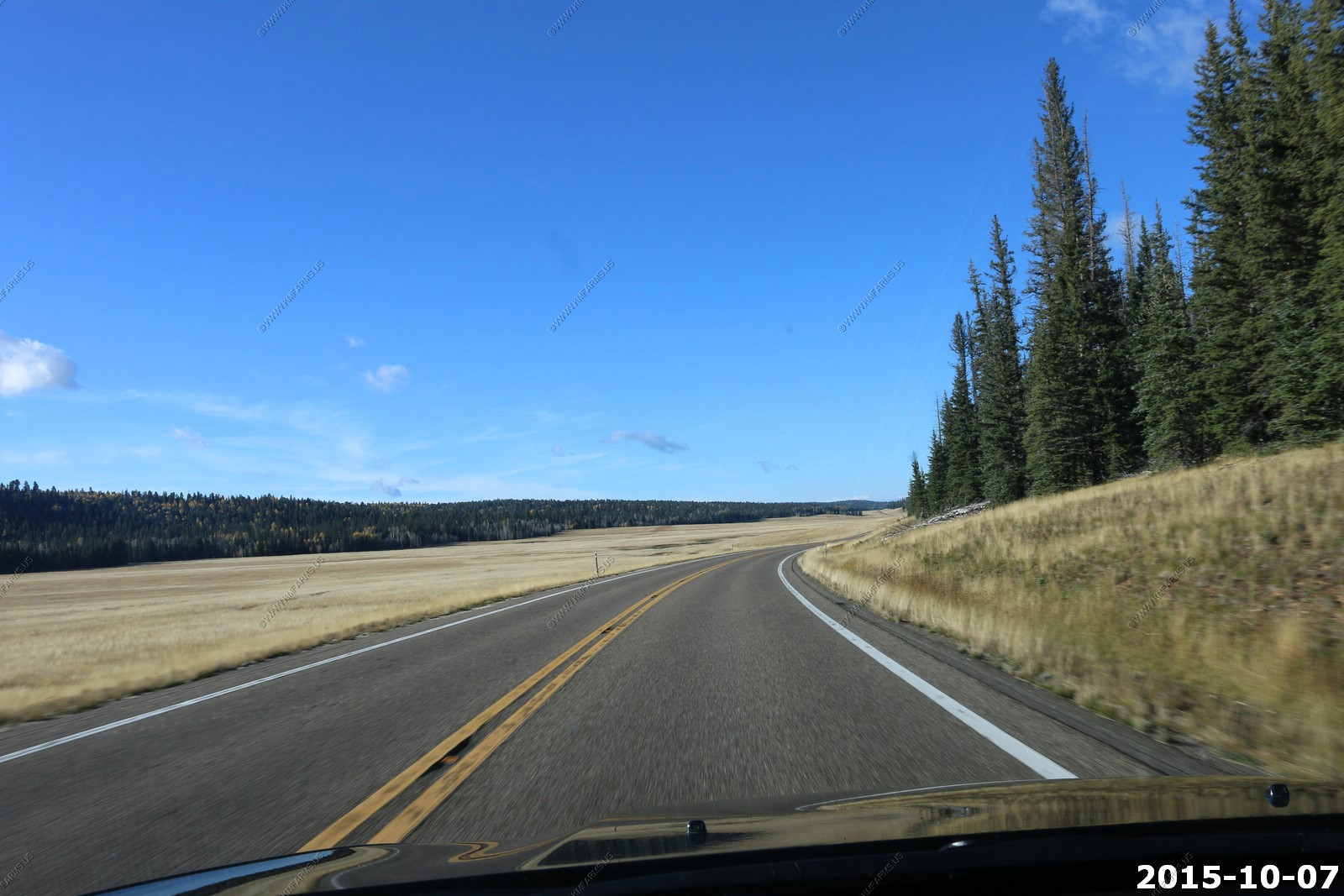
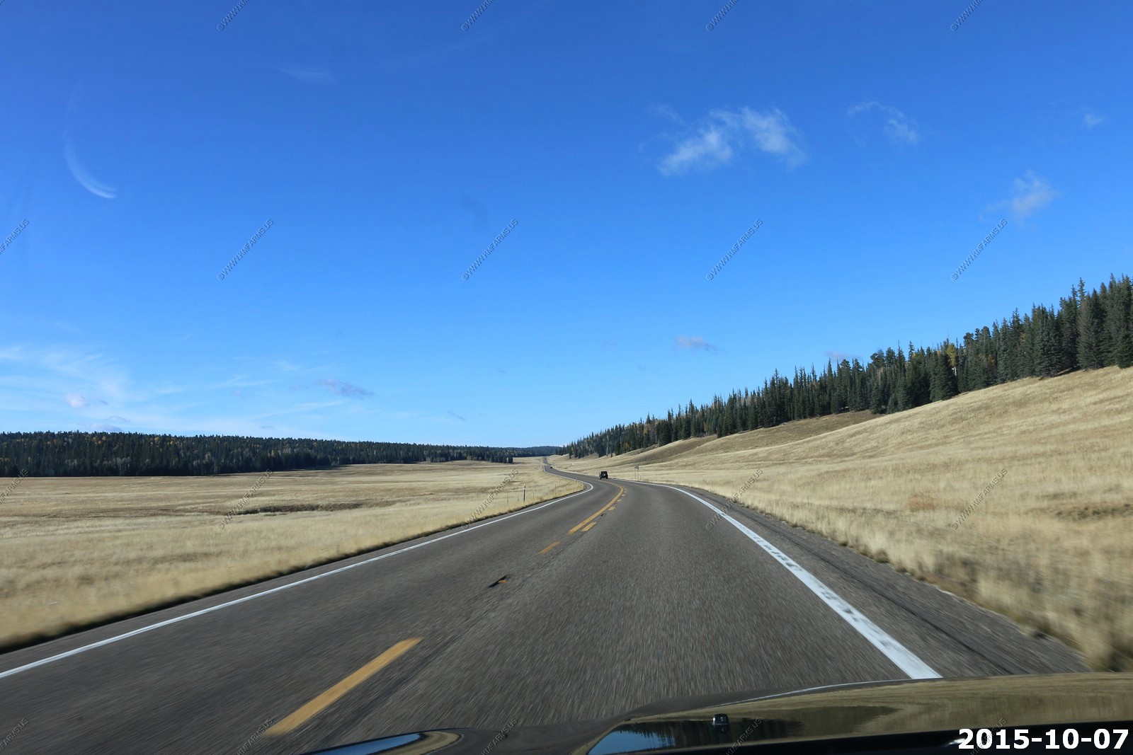
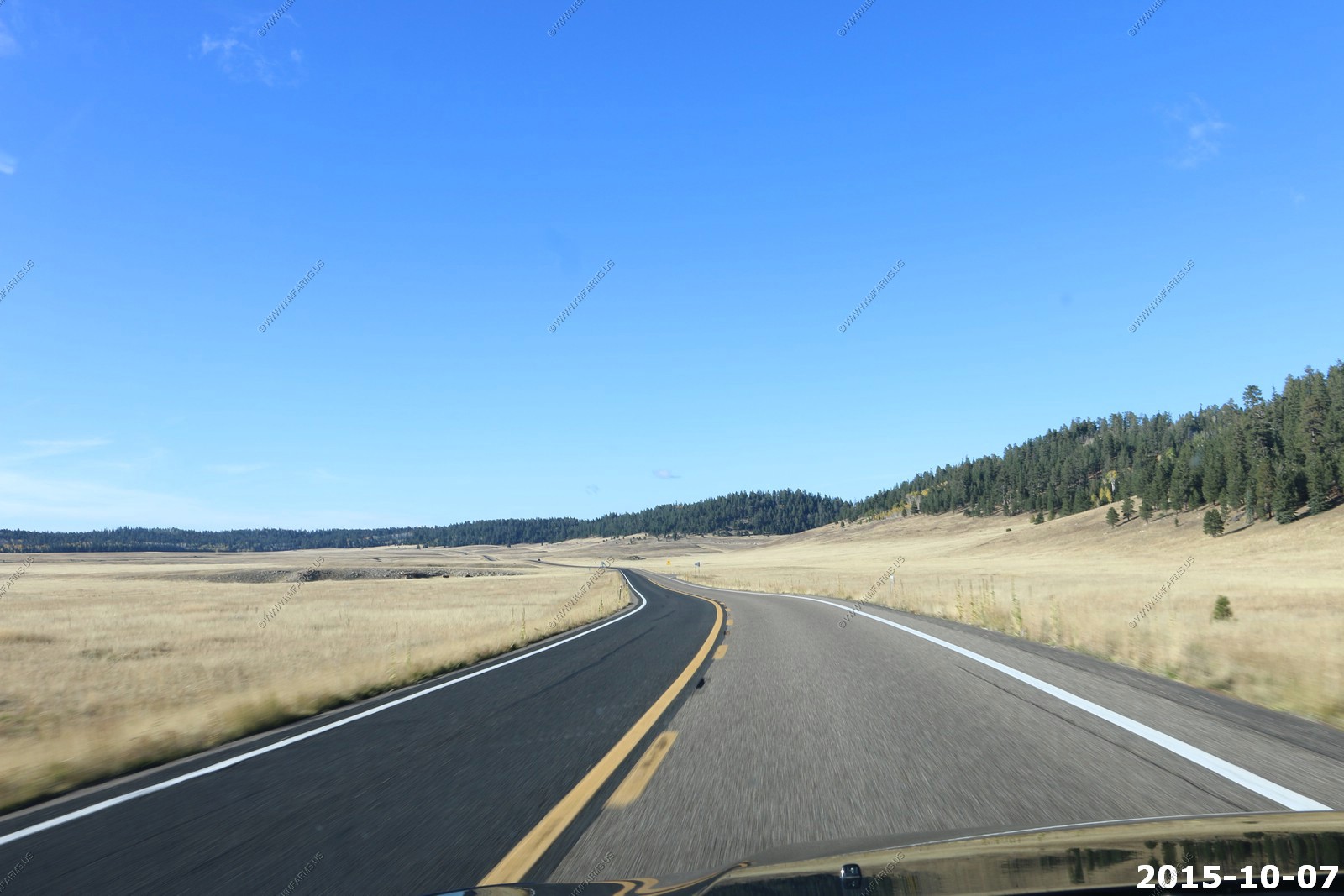
One of these days we are going to drive these back roads.
Thunderstorms in Central Arizona
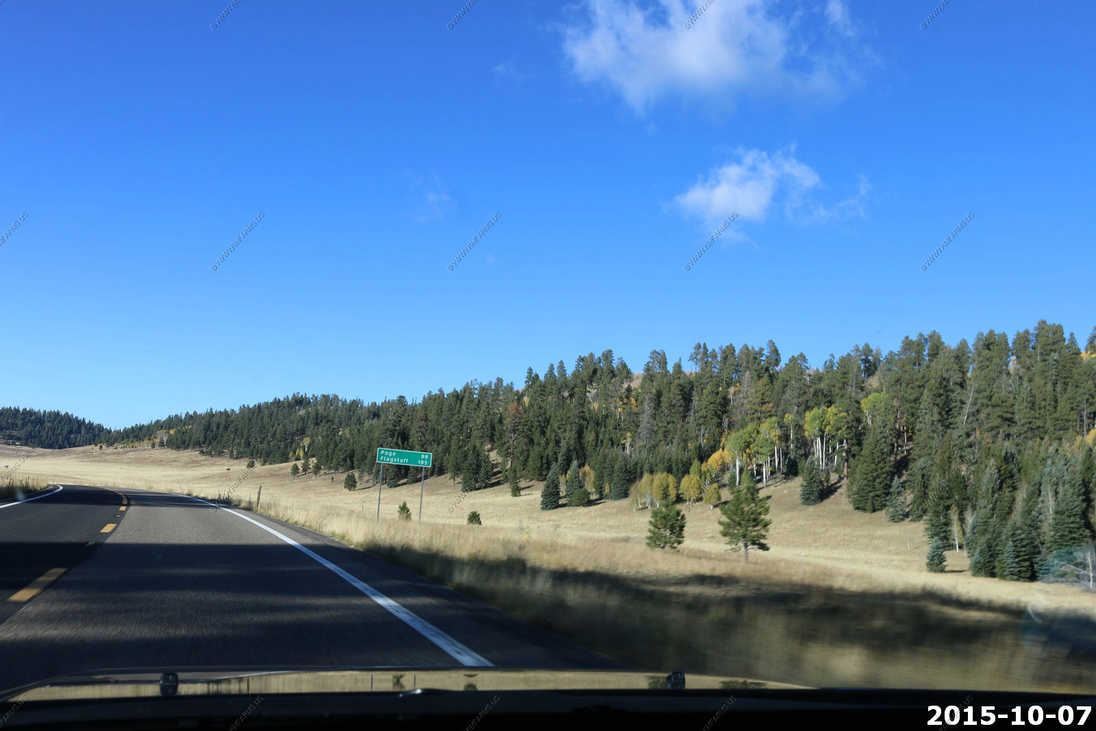
Nice. Page 99 miles and Flagstaff 185 miles. Generally nothing in between !
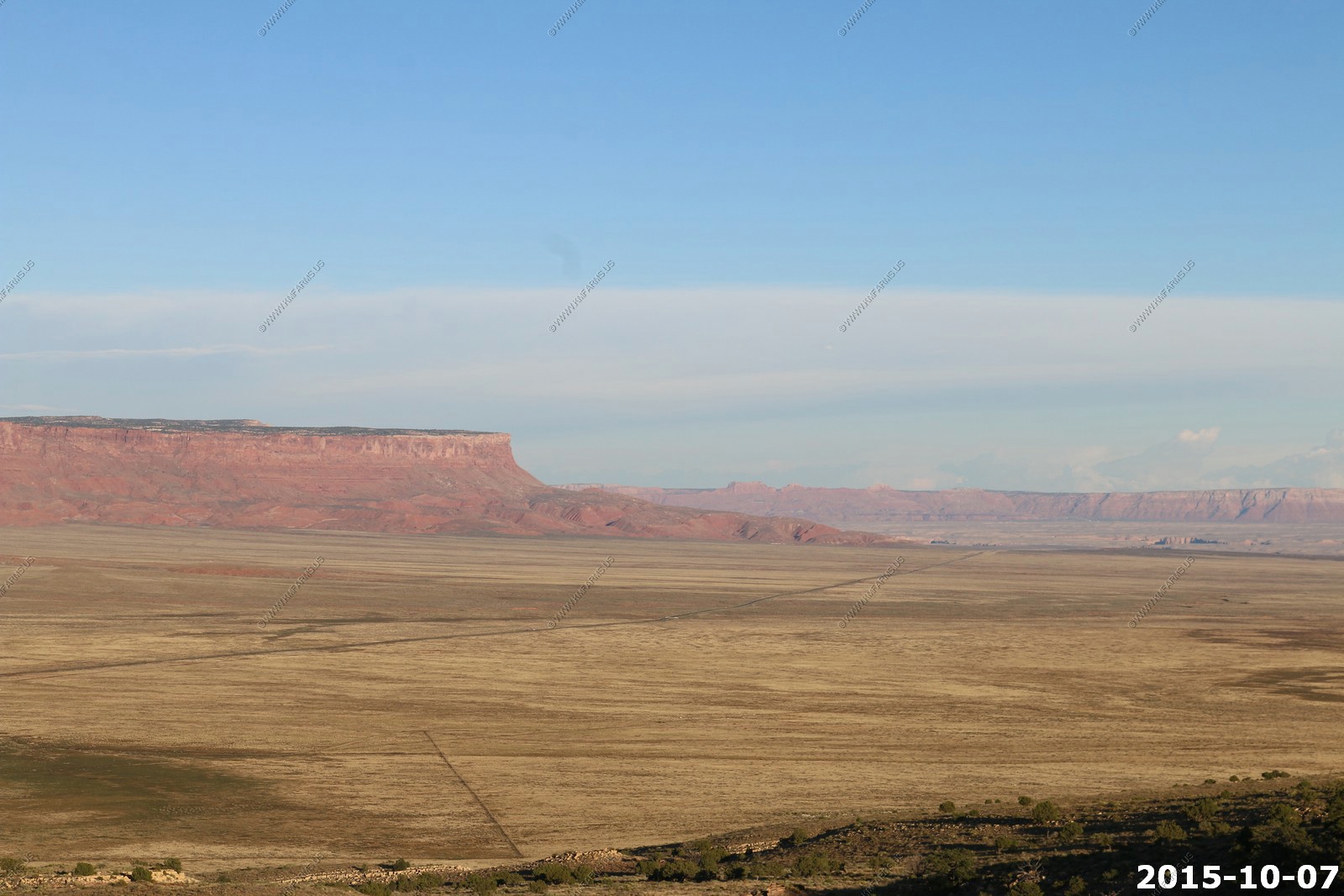
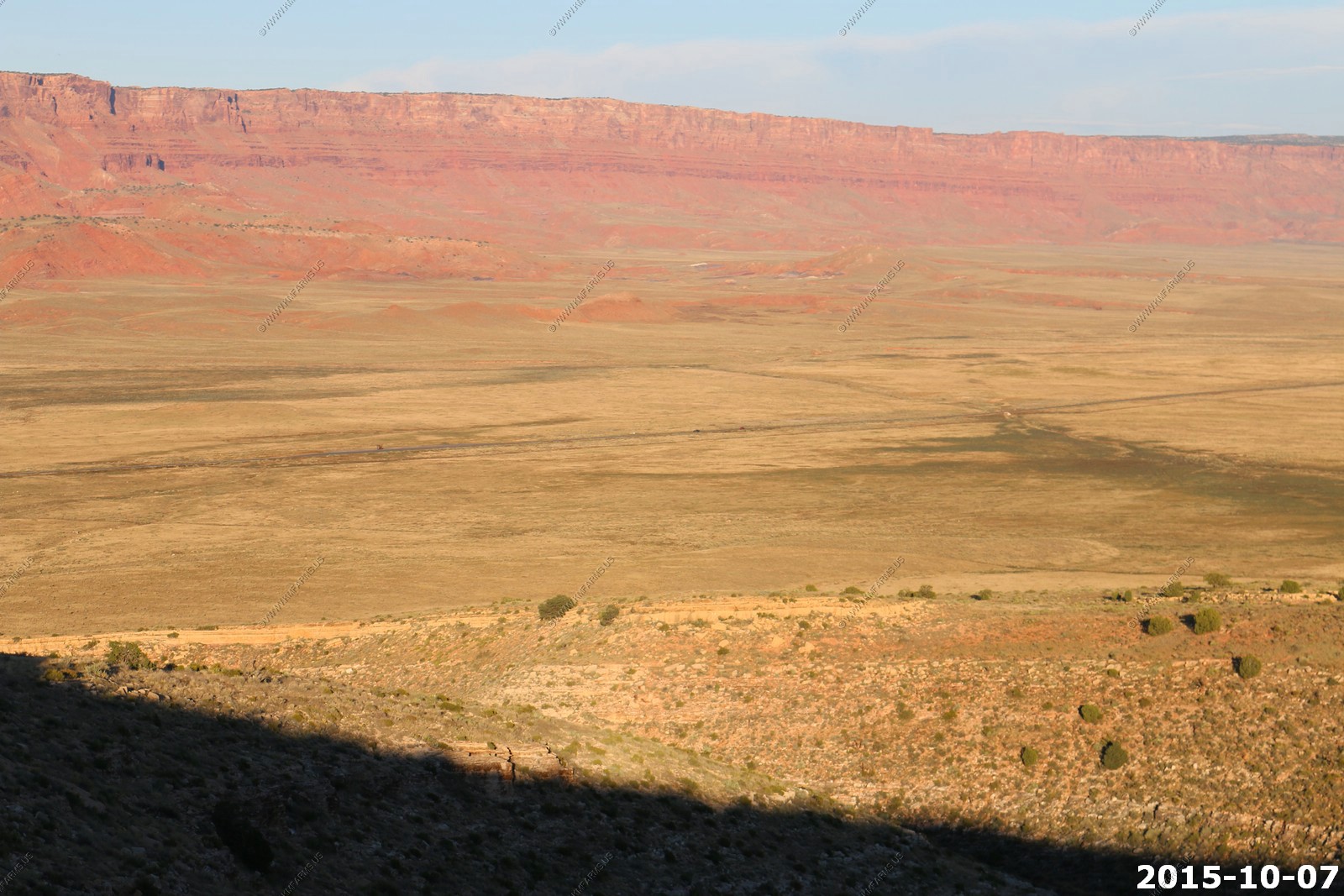
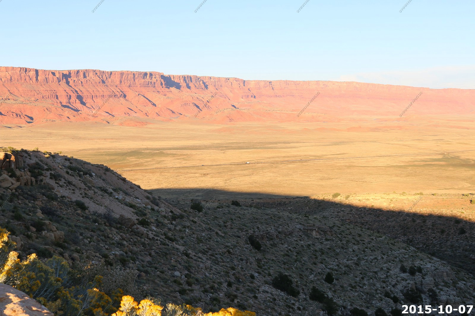
Back on US-89A just east of Jacob Lake, AZ. Cliff Dwellers - 32 miles, Marble Canyon - 44 miles (where 89A crosses the Colorado), and Flagstaff - 162 miles. We were making a quick ride over to one of Kens favorite viewpoints

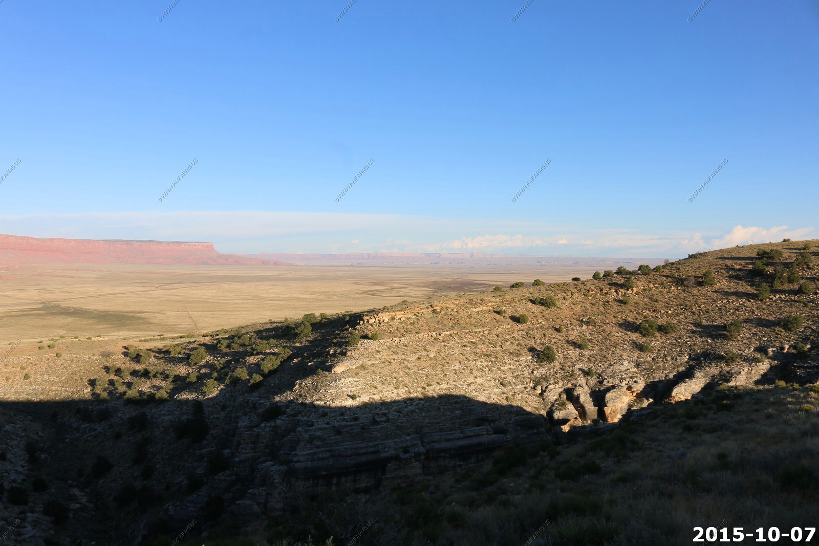
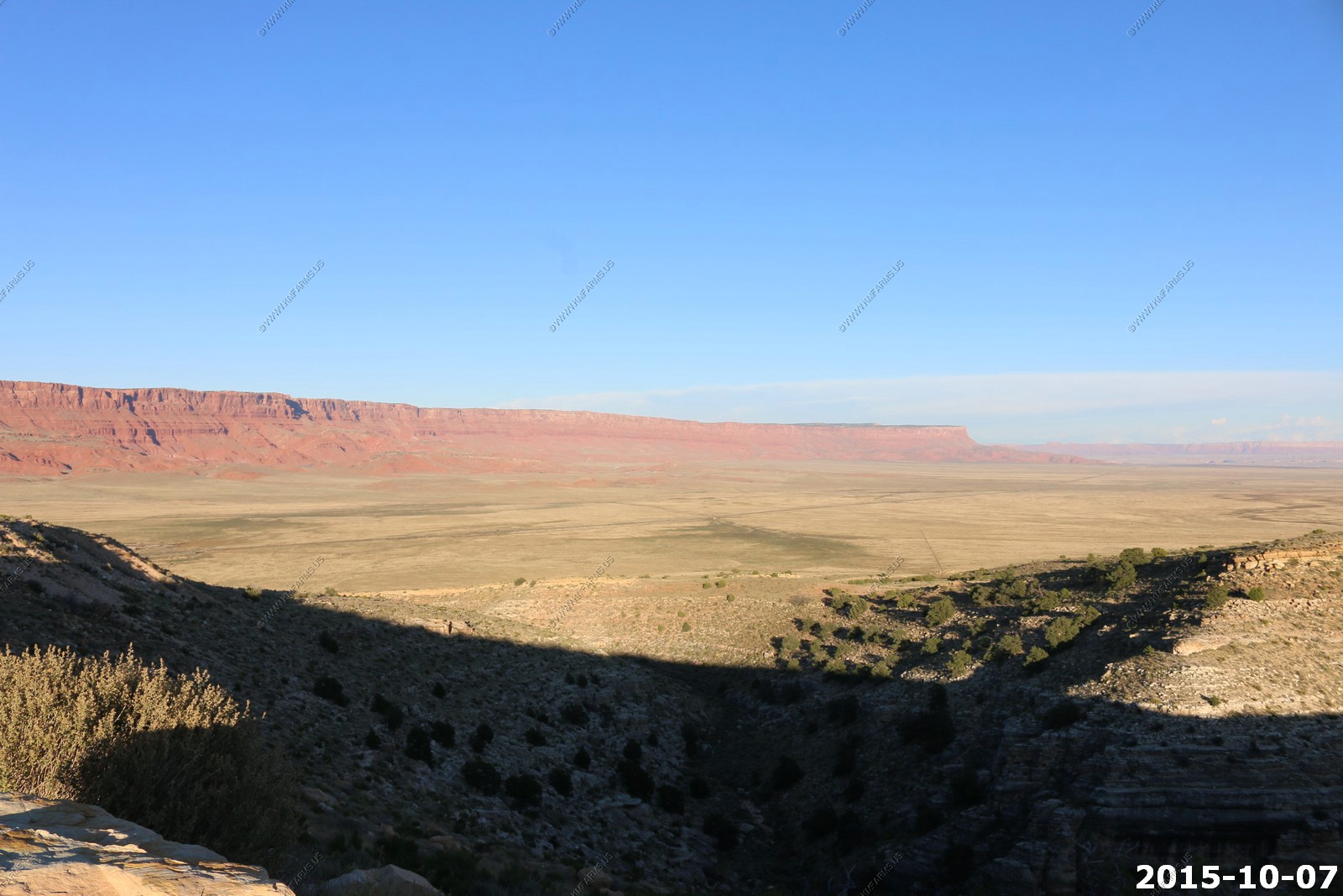
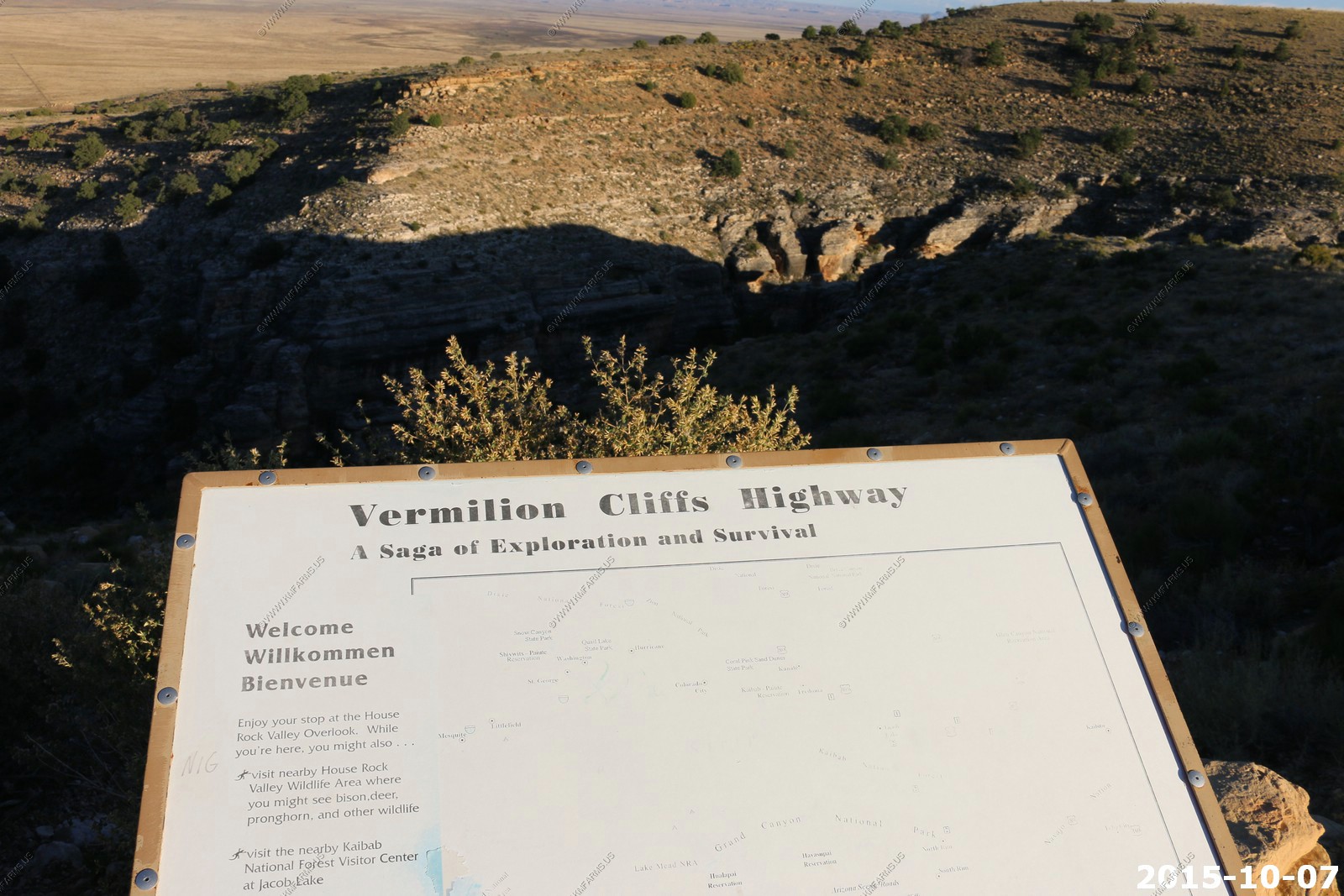
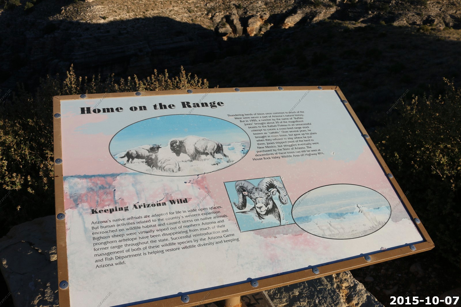
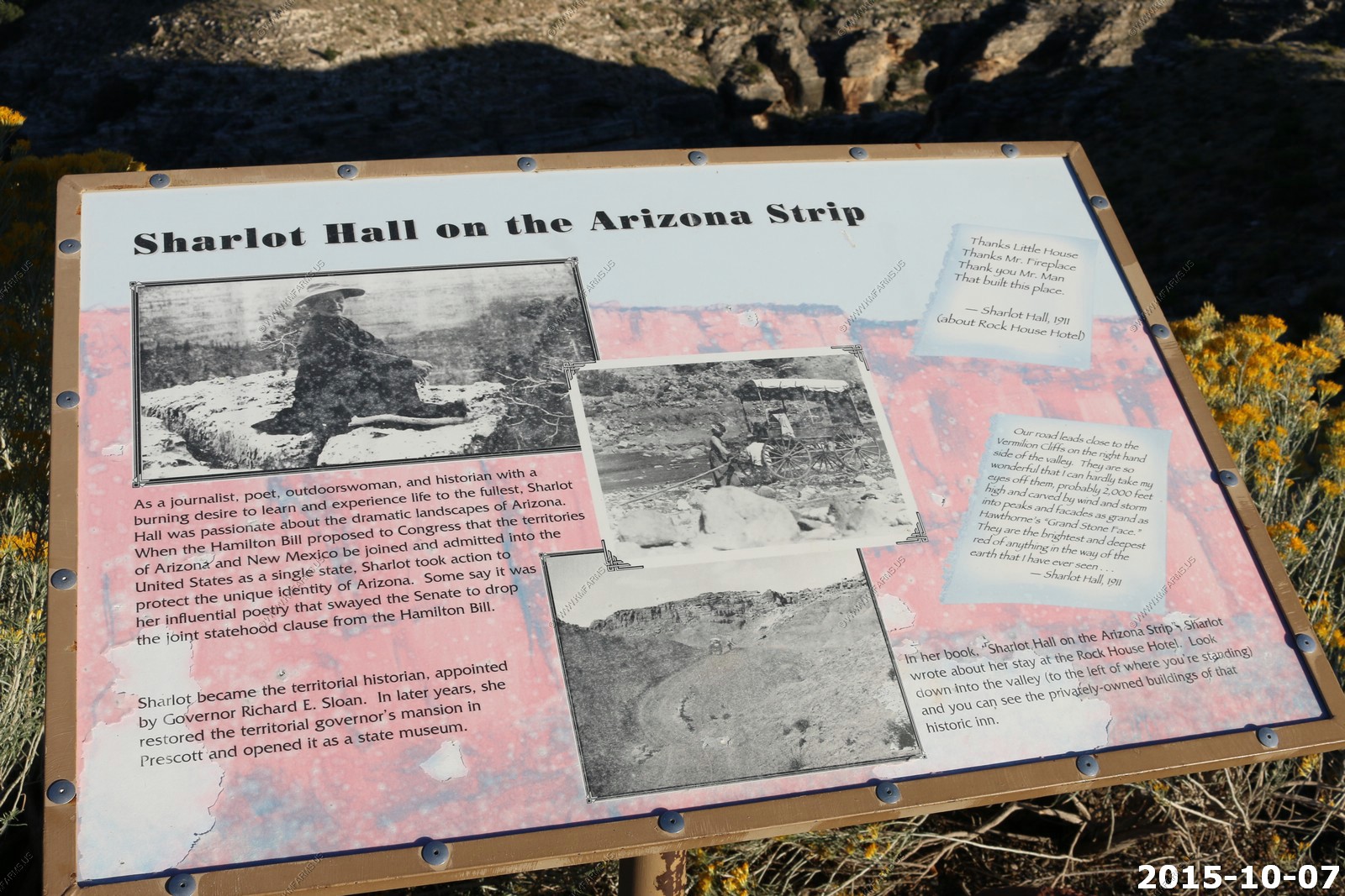
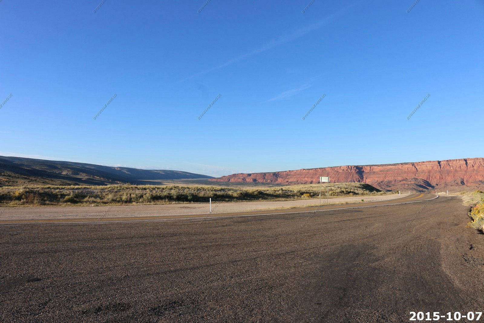
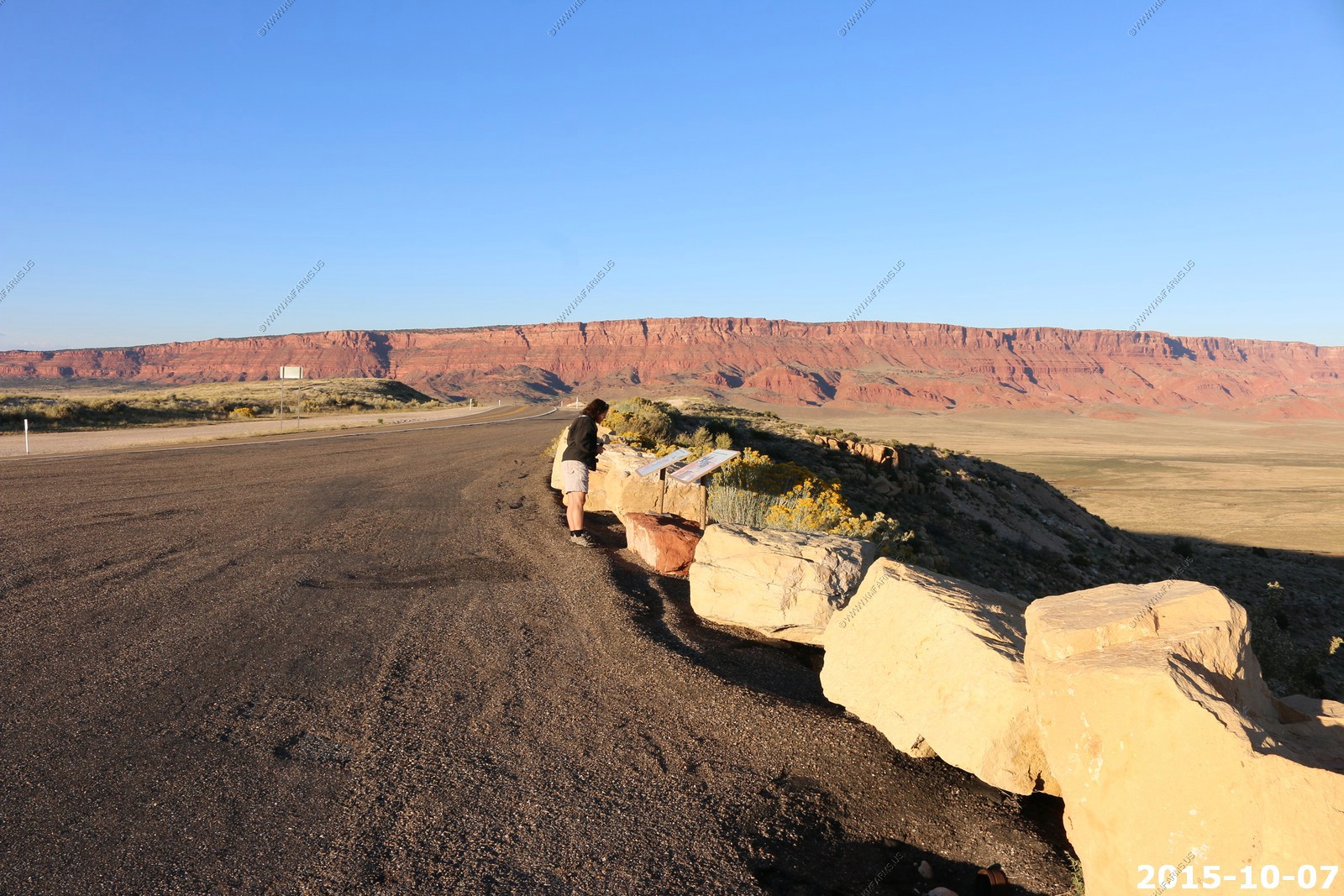
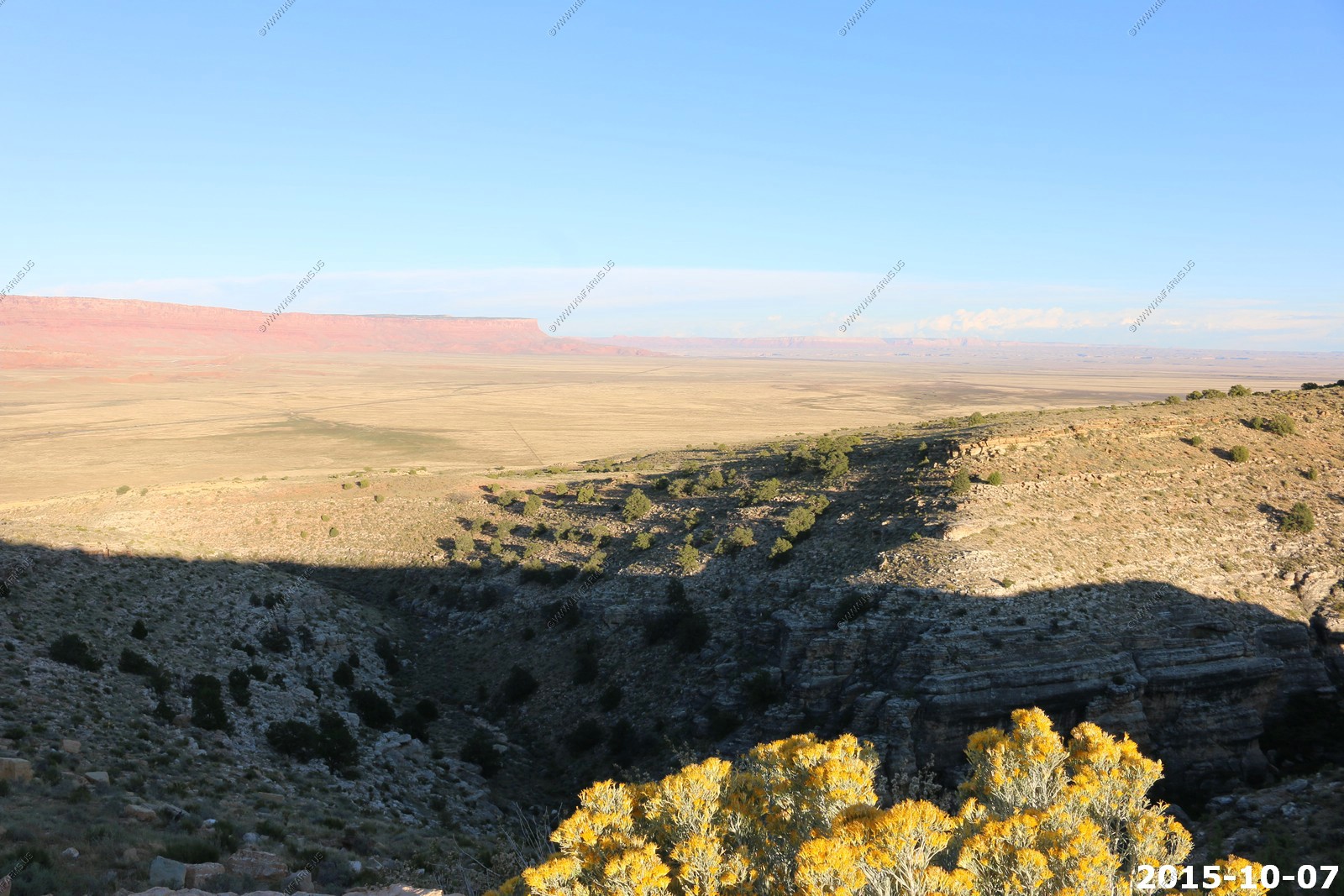
Along US-89A in Arizona is House Rock Valley Overlook located at (36.722882-112.060279) where you drop from the Kaibab Plateau. The view of Vermilion Cliffs here is impressive as they head off to the east where they intersect with Echo Cliffs at Lees Ferry. One sign was calling 89A Vermilion Cliffs Highway. This is one of Ken's favorite places.
The Vermilion Cliffs are steep eroded escarpments consisting primarily of sandstone, siltstone, limestone, and shale which rise as much as 3,000 feet (910 m) above their bases.
This is where the Indians set up stands to sell stuff and Mary found some jewelry here.
We had to fight for a spot
Mary reading the signs
Zoming in on the cars & trucks on 89A to give you a sense of the scale of this area.
Looking up House Rock Valley Road (BLM Road 1065). The Wave is located up along the AZ, UT at the end of House Rock Valley Road.
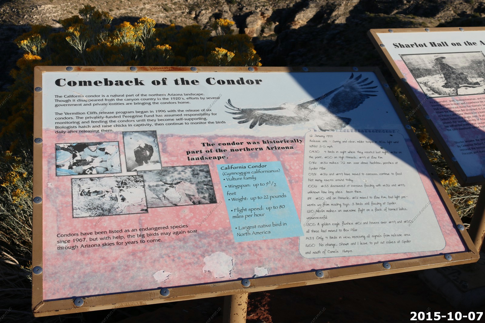
This is a very rugged and remote area. Approximately 75 condors reside in the Vermilion Cliffs National Monument. Today, the region surrounding the monument is relatively unspoiled with virtually no permanent inhabitants remaining and limited road access.
The last time we drove down this valley was Sept. 1998 the day we got married as we were driving from Page, AZ to the North Rim. It looks the same.
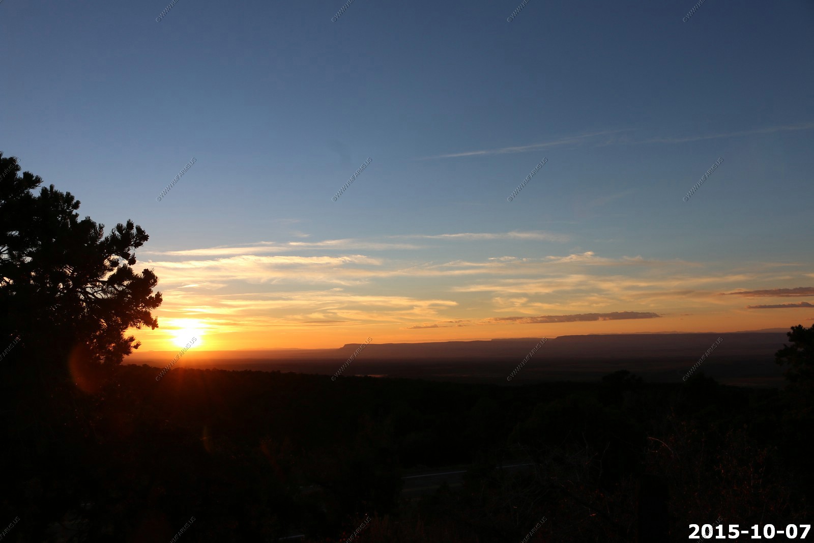
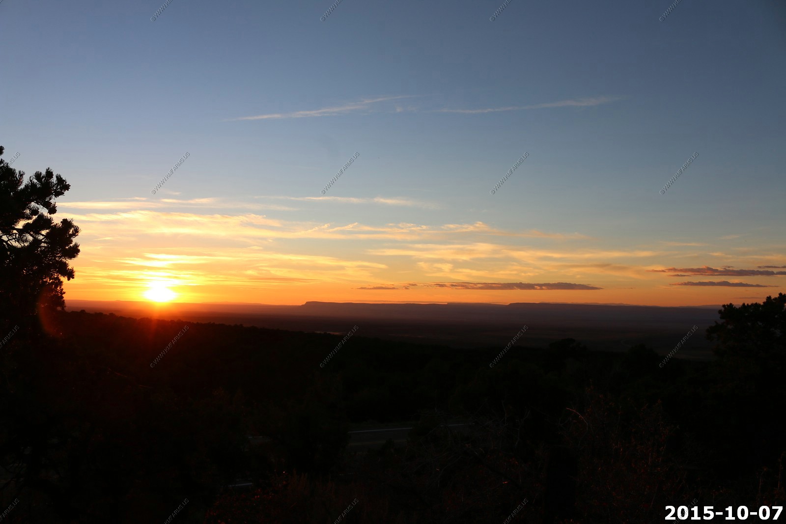
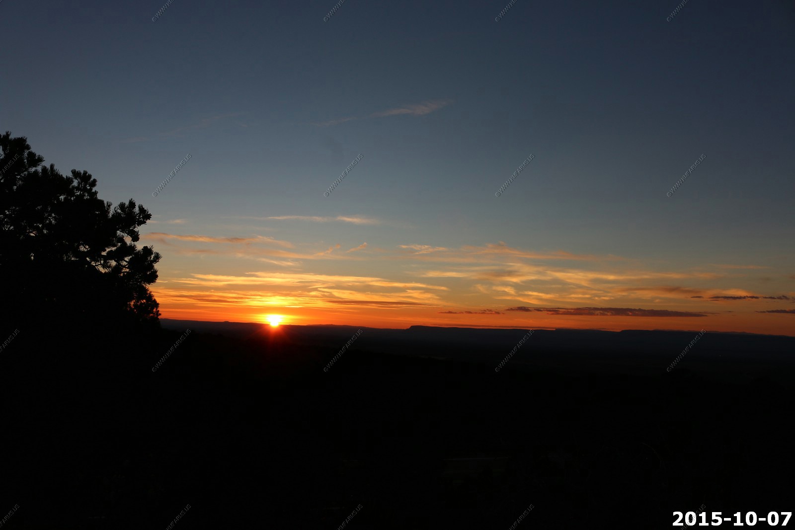
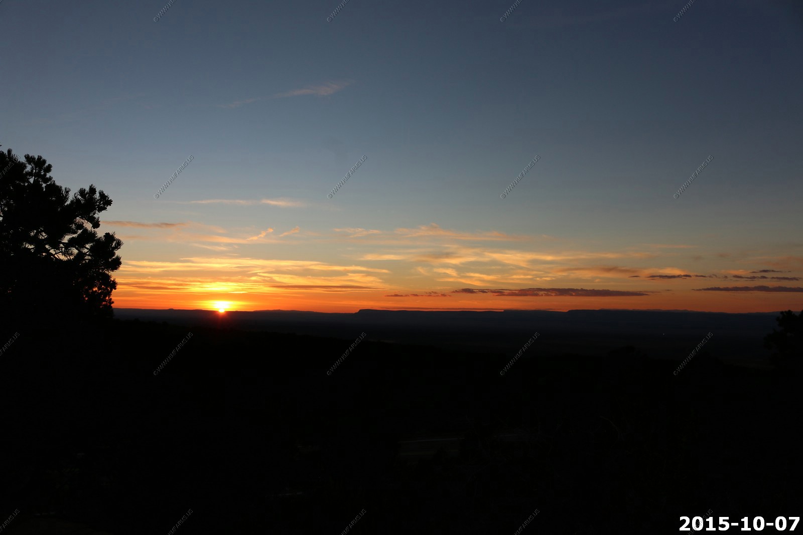
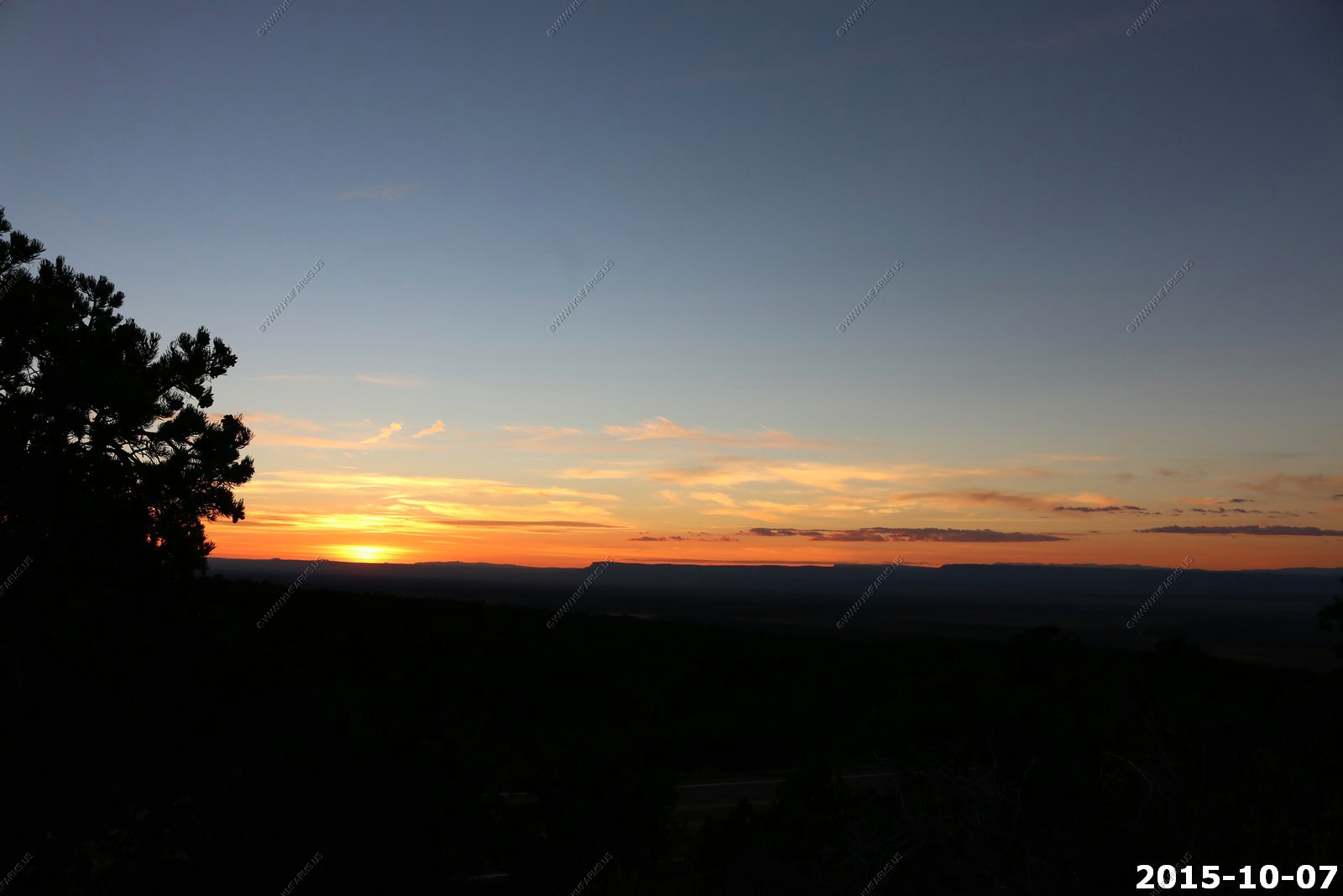
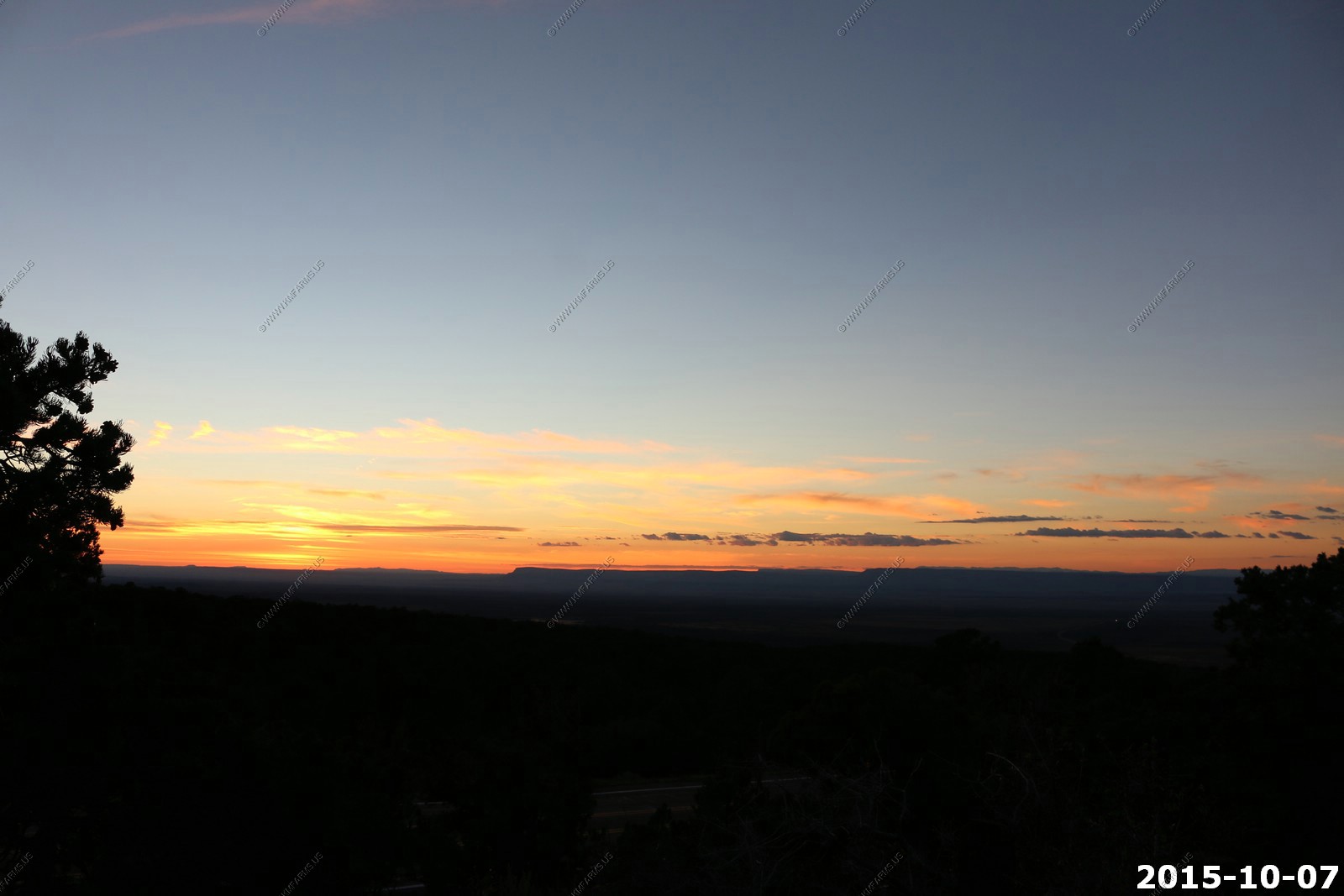
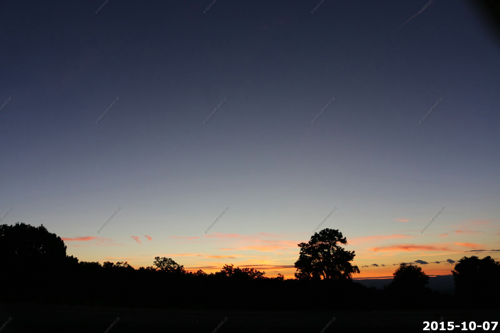
We stopped back at Le Ferve Overlook El. 6,700. To watch the sunset.
The sun is just to the left of the Pine Valley Mountains located north of St. George, UT. 77 miles away.

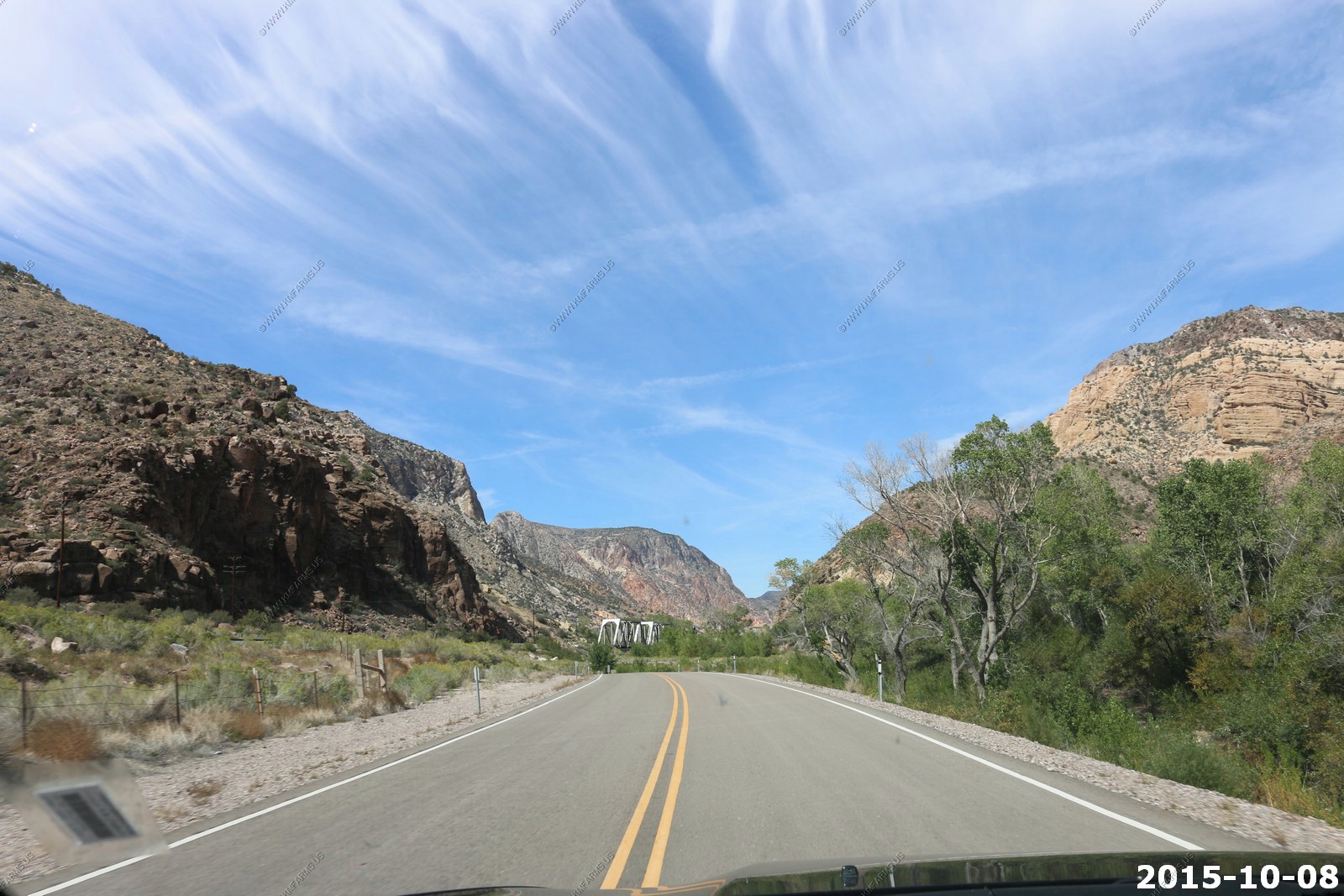
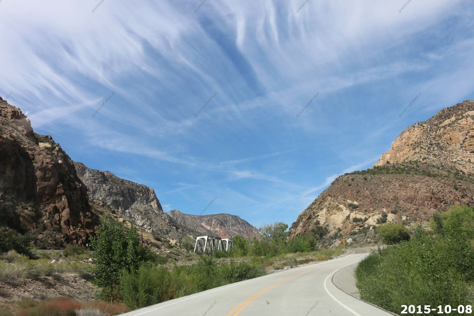
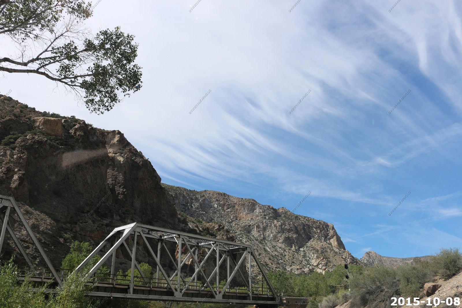
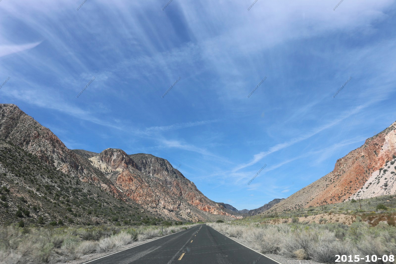
Thursday OCT 08th
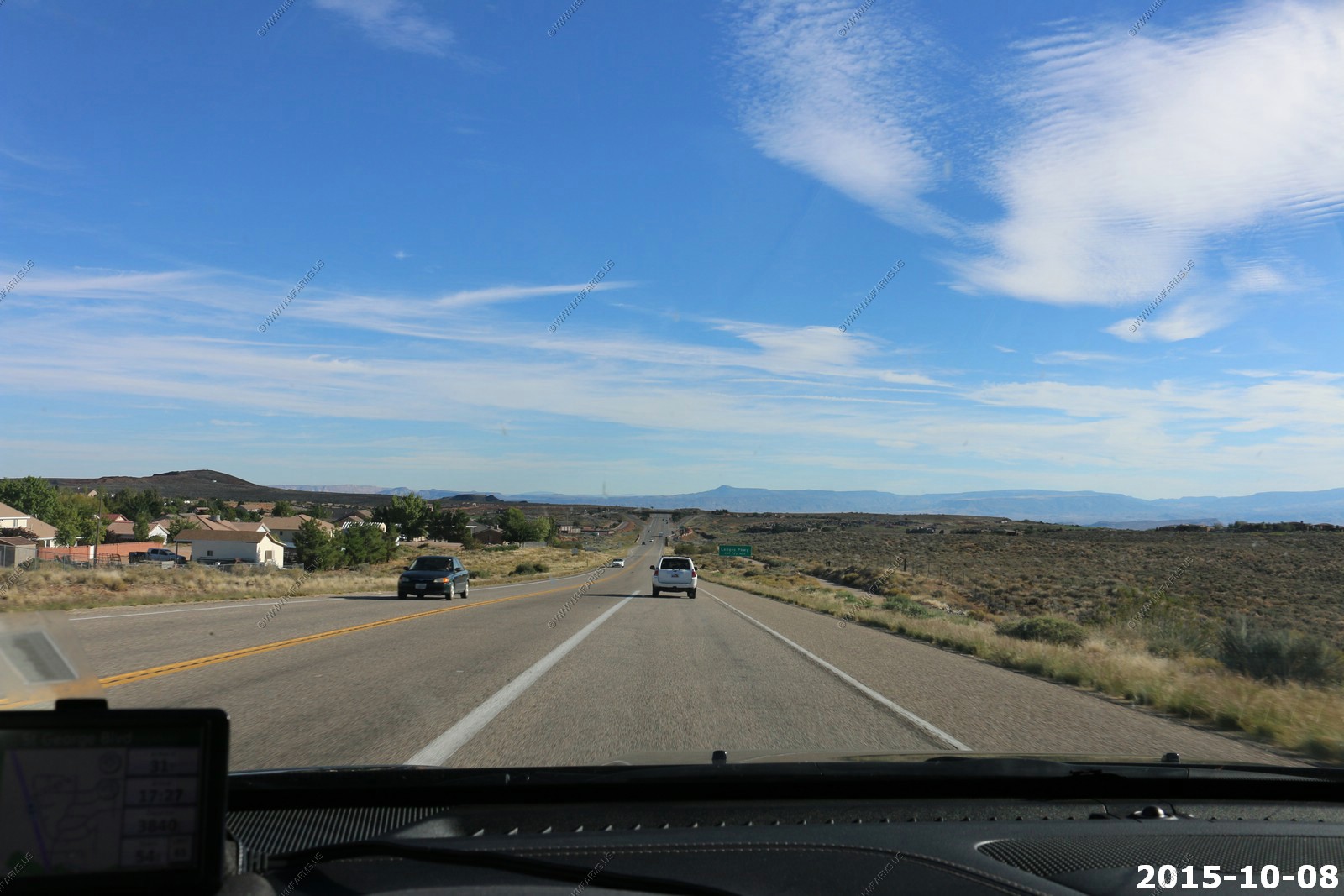
Today was going to be another big adventure day as we were going to another ride thru St. George as we drove from Hurricane west. We also spent more time in Kayenta and even stopped people walking to ask what they liked about the area. and the biggest complaint was that it's too quiet. We then continued west into Nevada to explore some extremely remote areas in the rental car.
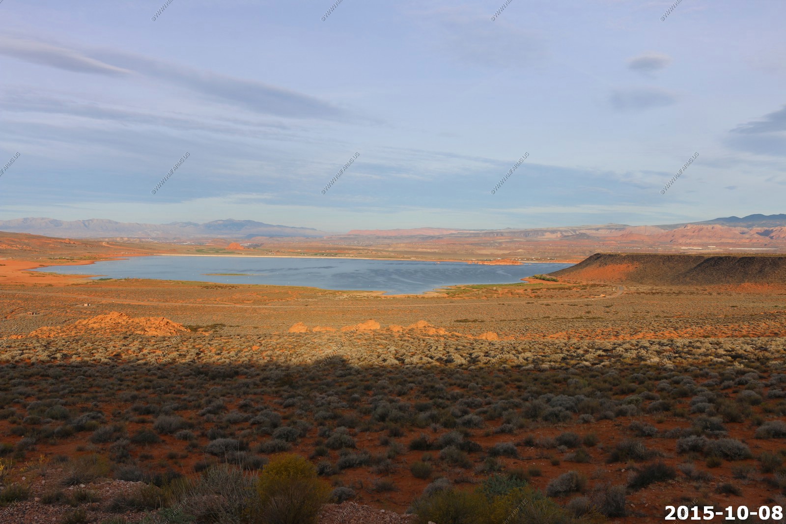
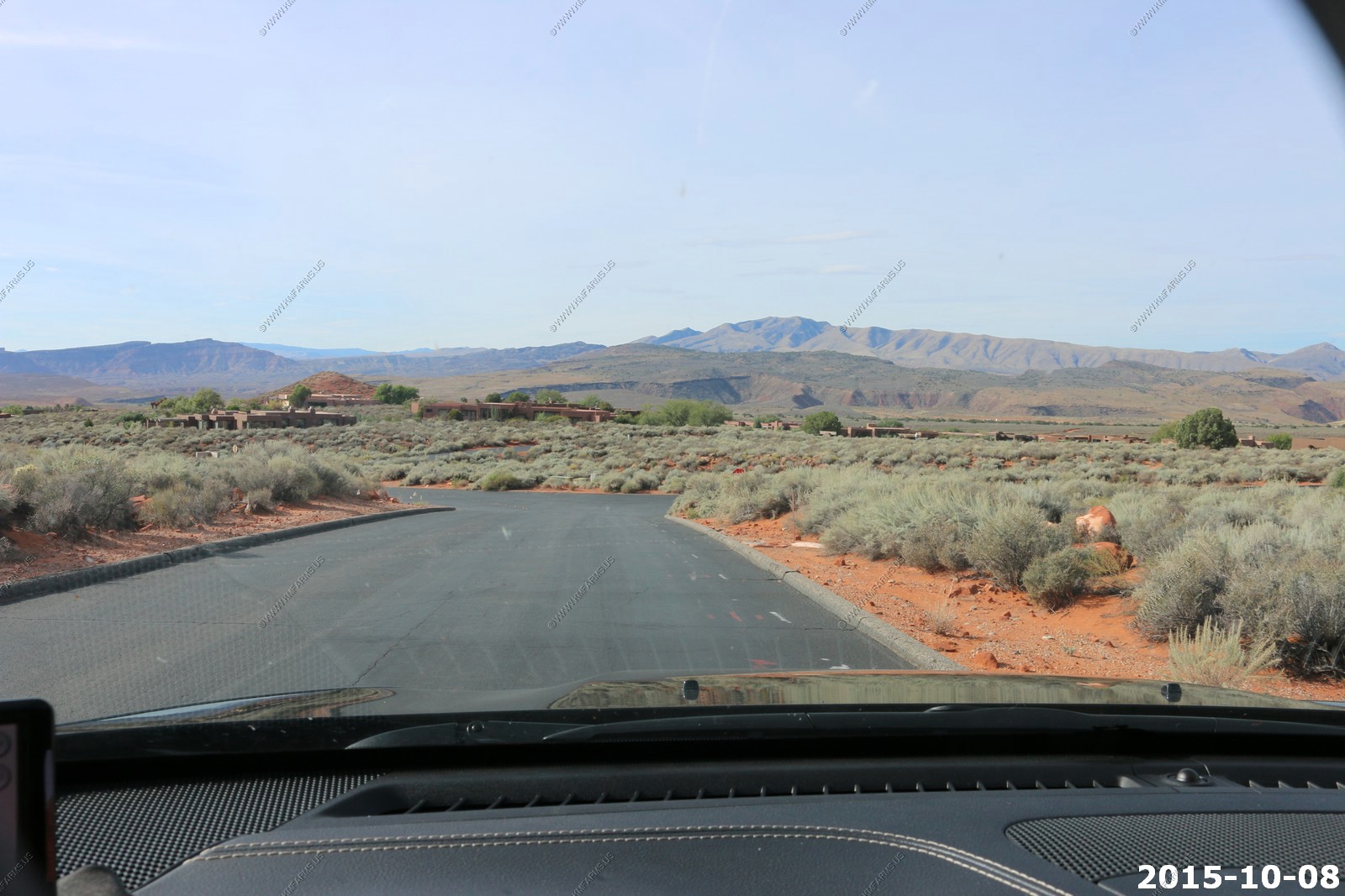
As we drive in the area we go different ways. This time we headed west on Southern Parkway and passed near Sand Hollow Reservoir (Sand Hollow State Park). We did not go into the park as we are cheap and it costs money. But, when we move out this way we will get a state pass.
Pine valley Mts. in the background. They rise over 10,000 feet. Signal Peak (UT) info about the range.
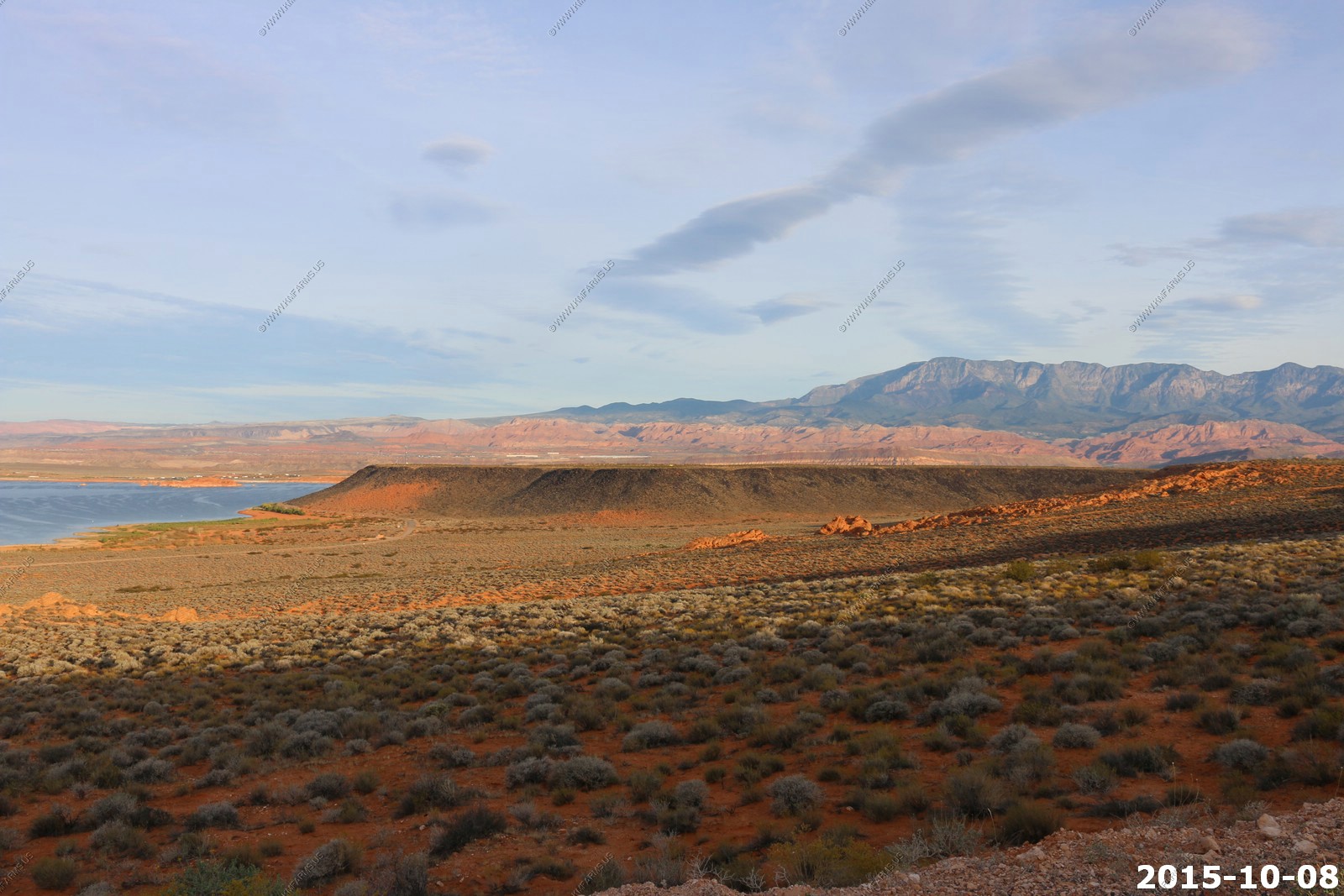
West Mountain Peak (El.7,680) The highest in the Beaver Dam mountain range. Between the red cliffs and these two ranges you will know where you are in the St. George, Ivins area. West Mountain Peak (UT) info about the range.
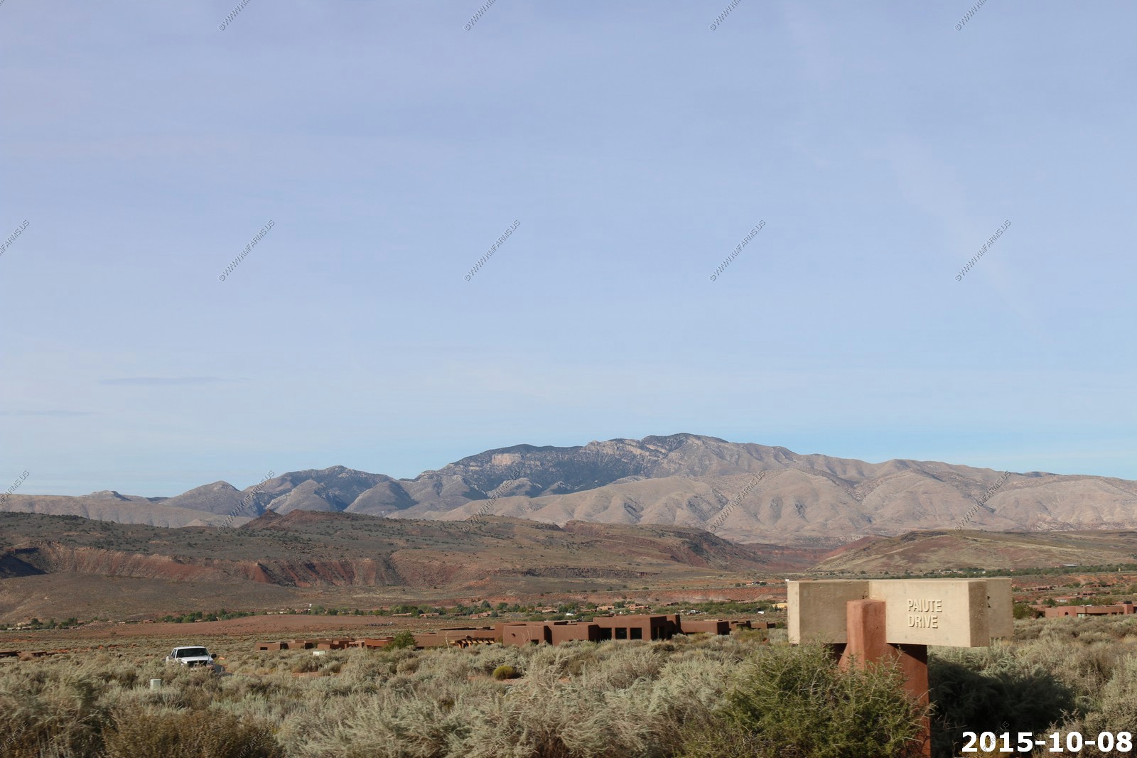
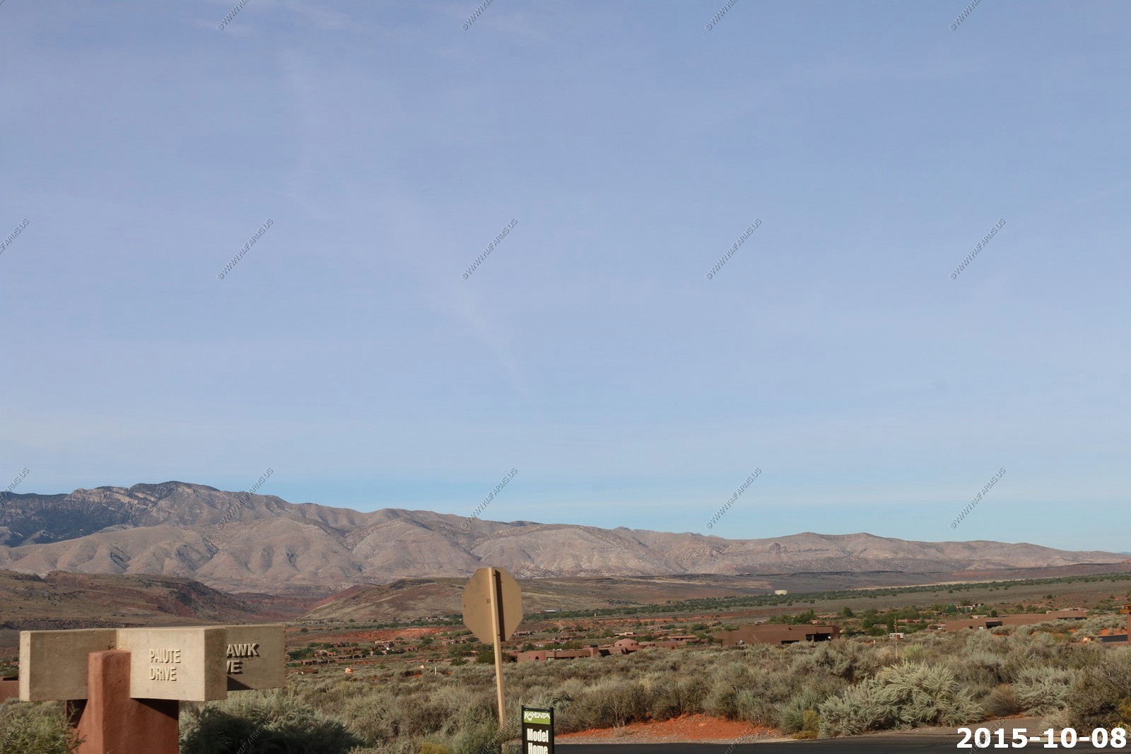
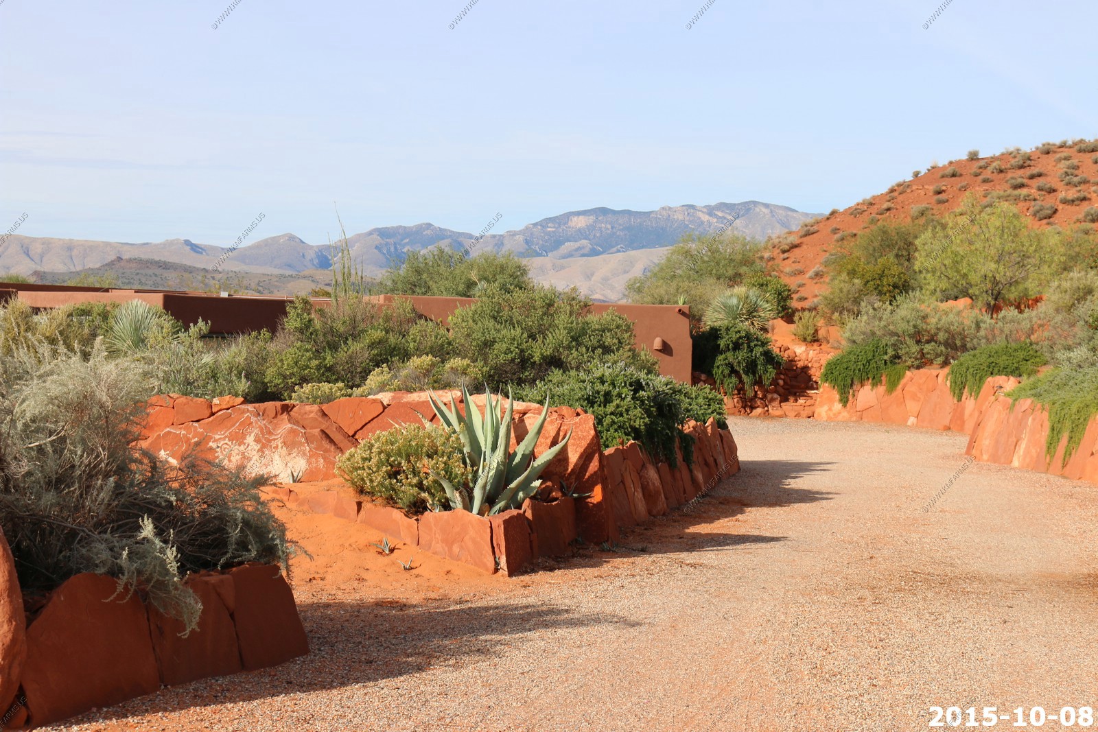
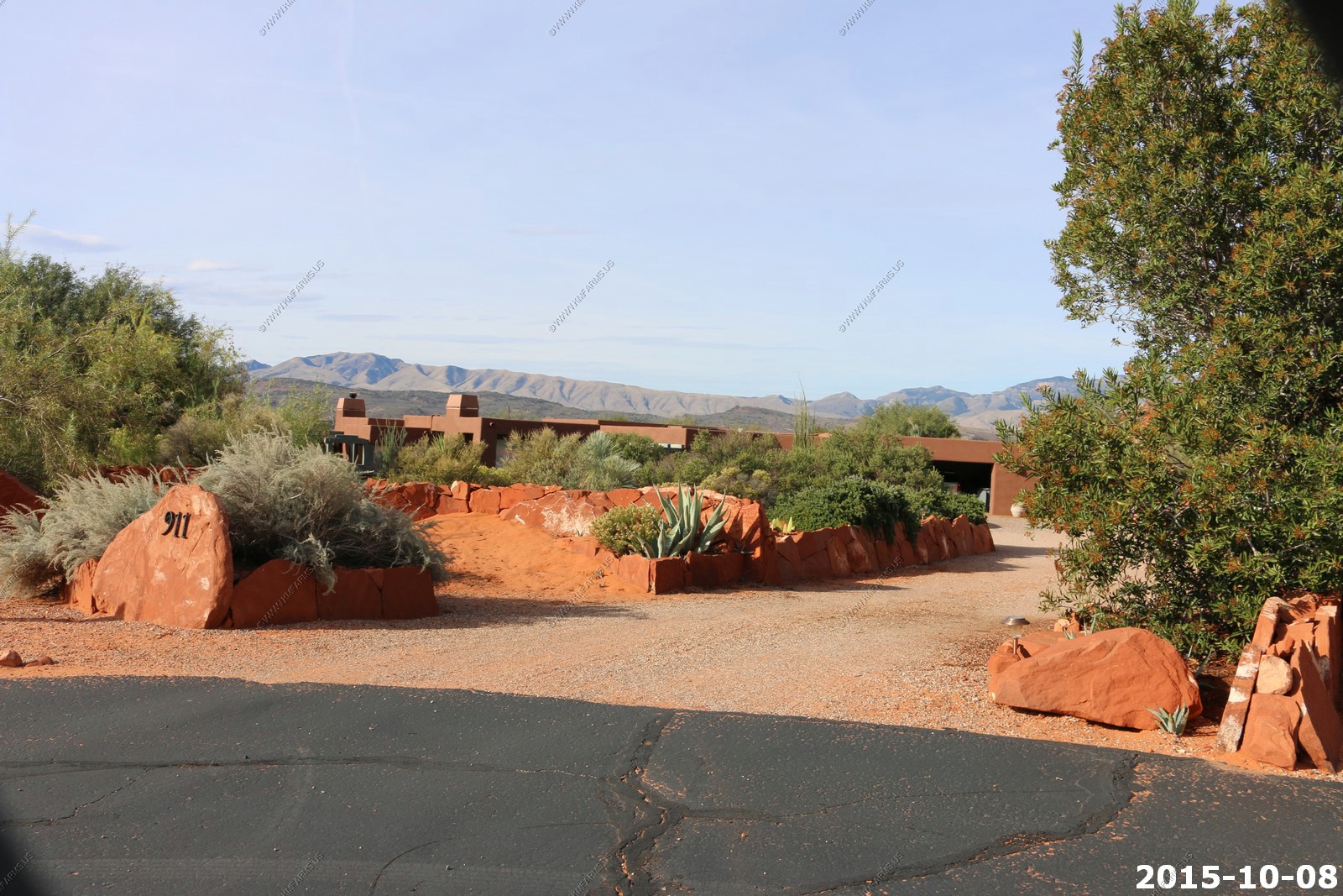
So we started riding around Kayenta. Again we like the low profile aspect of the homes here and being on the west side of St. George as its very dark here. The streets are narrow.
we took a street view look at one of the houses we had been watching online. Nice..

We took old highway 91 thru the Shivwits Indian Reservation which is just west of Ivins / Kayenta. Normally I would not want to live anywhere near a reservation but this is so small I don't see much of a risk associated with it. The Indians have a few houses and operate a convenience store along 91 and that's about it.
We got a kick out of the dental signs in Southern Utah. Did not matter how remote you were as you would find a dental advertisement.
Up over Beaver Dam Mountains and thru some huge burn areas.
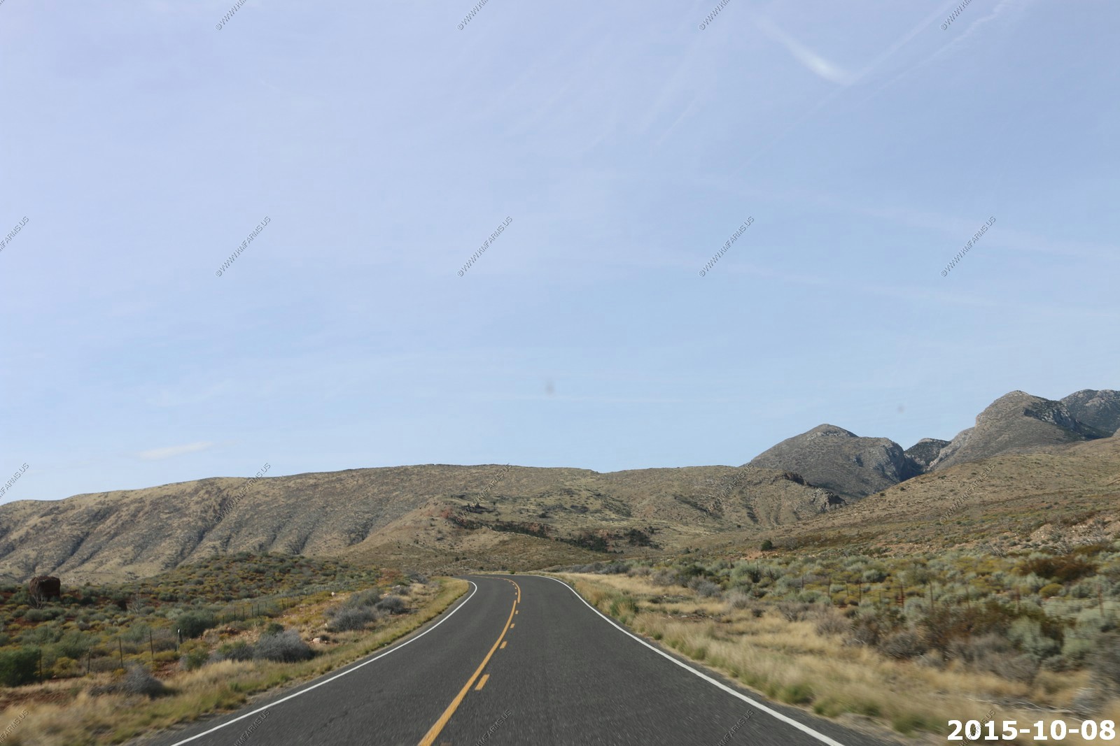
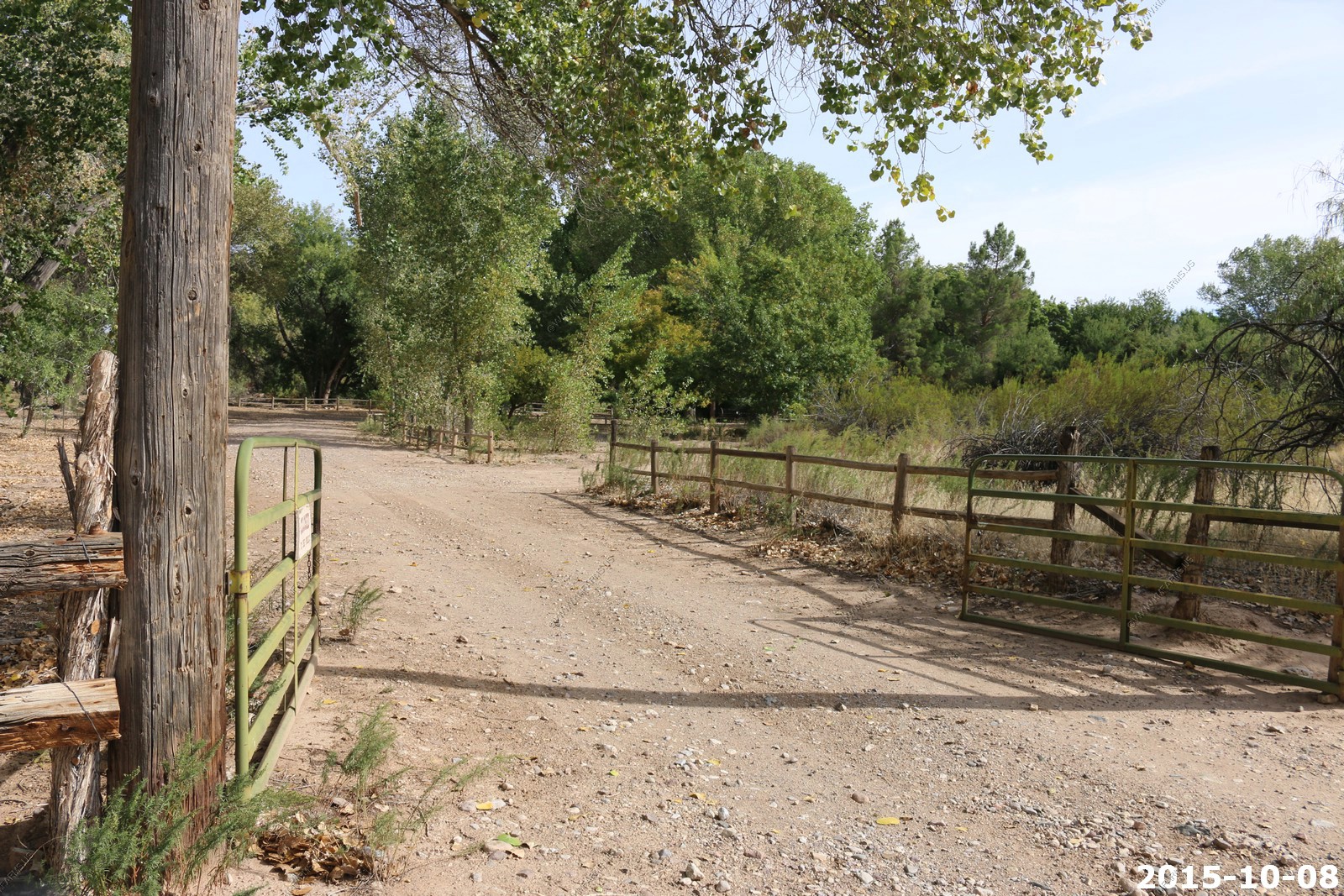
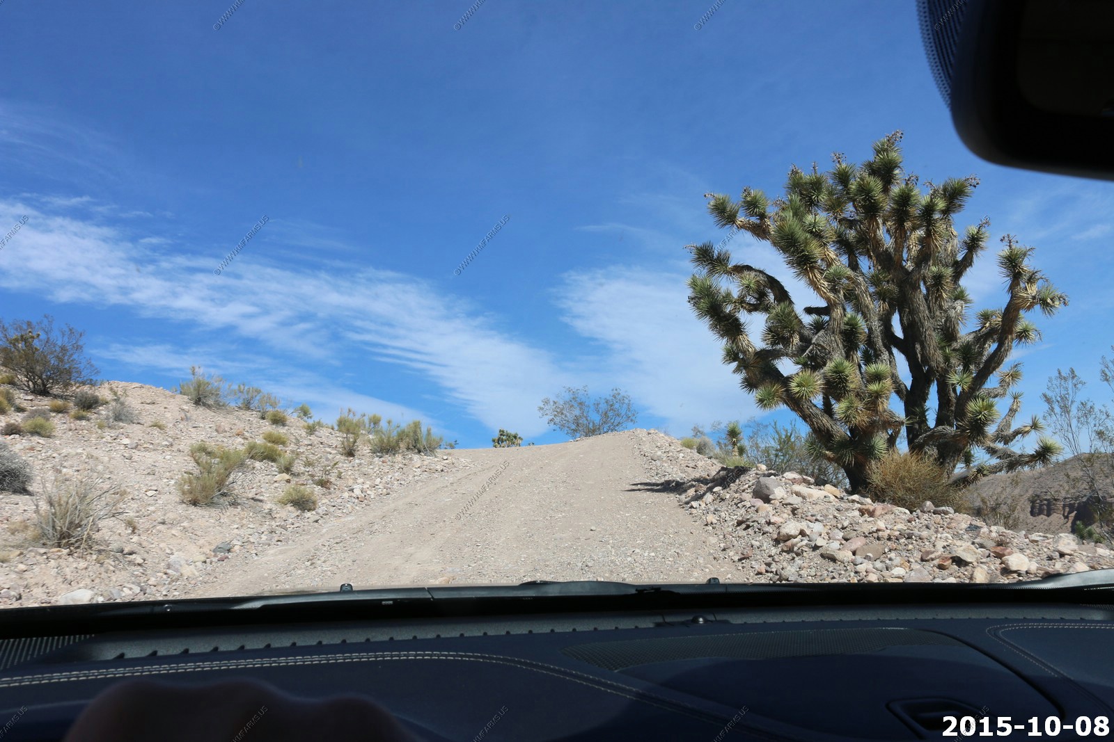
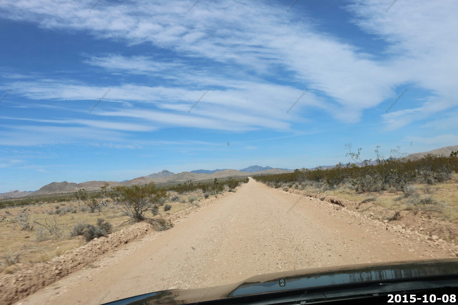
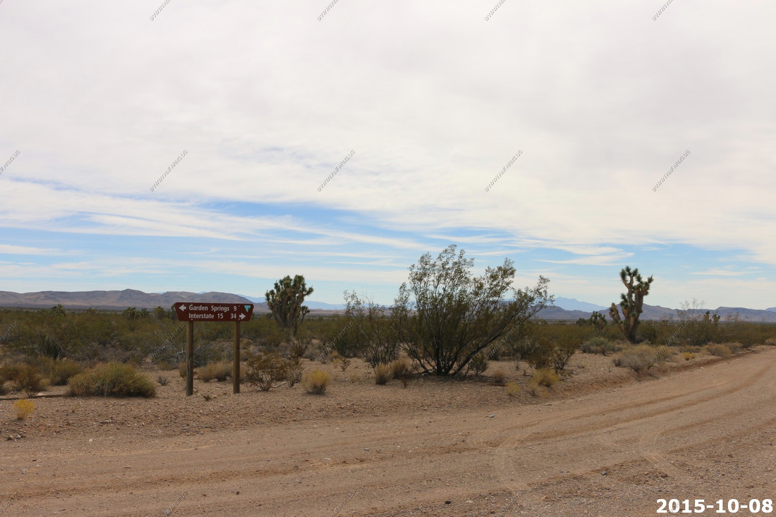
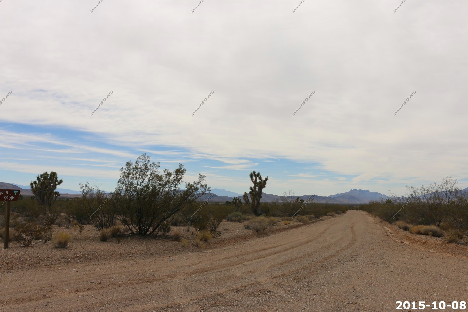
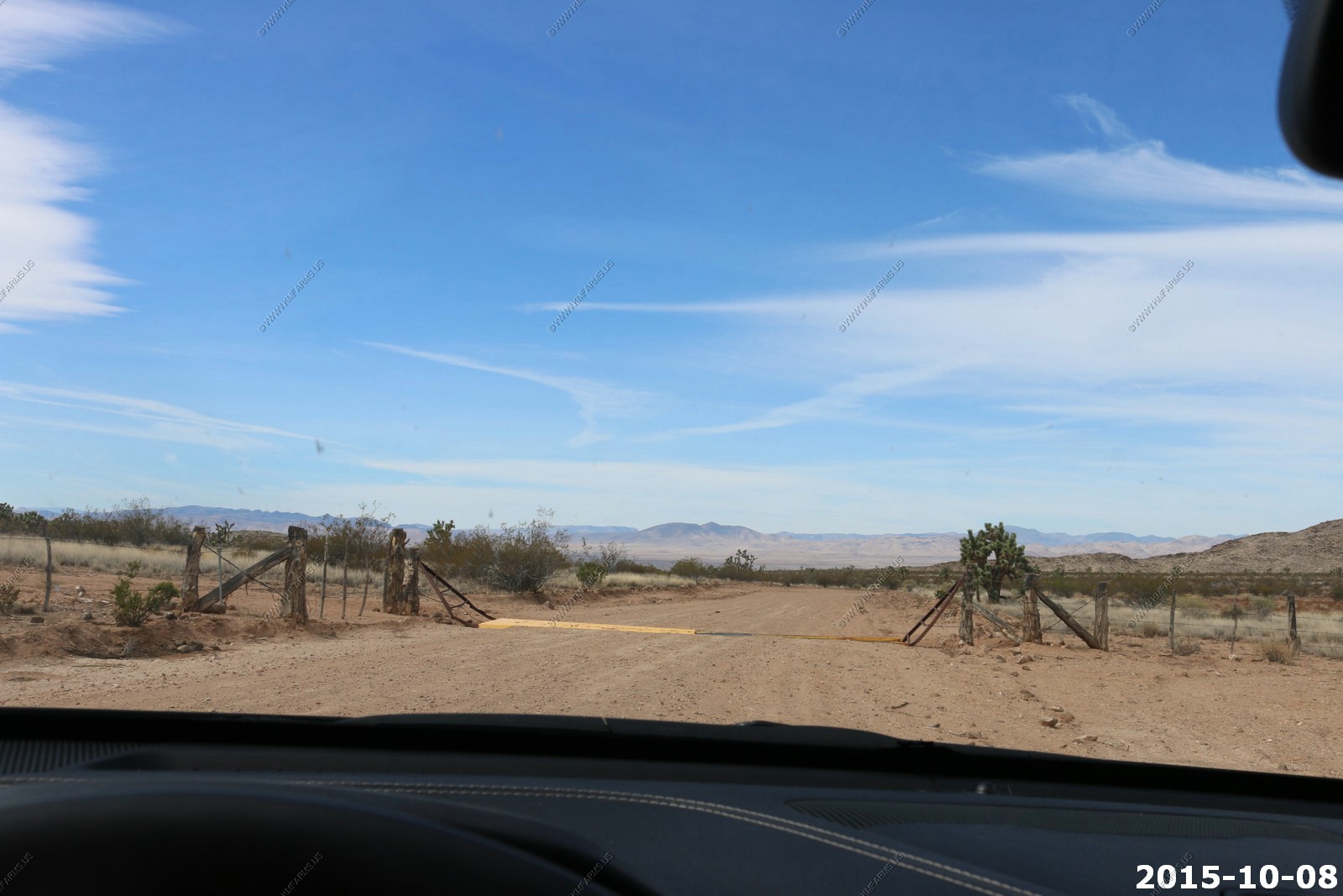
The turn we were looking for was marked with a Big Cottonwood Game Ranch sign. This is the end of pavement for us until we get up towards Elgin, Nevada 55 Miles away.
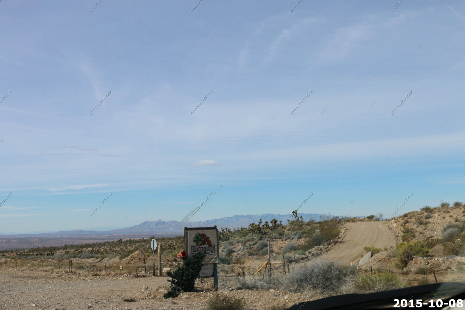
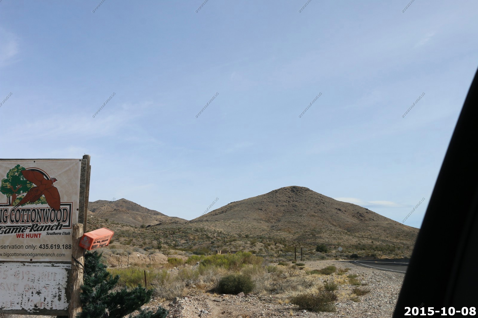
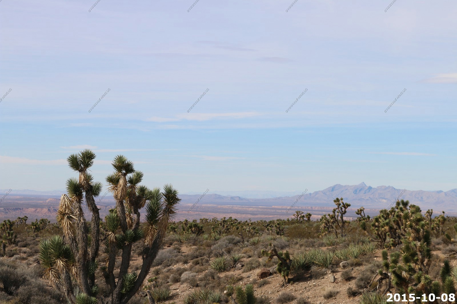
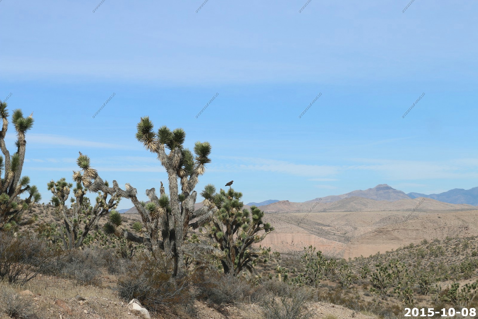
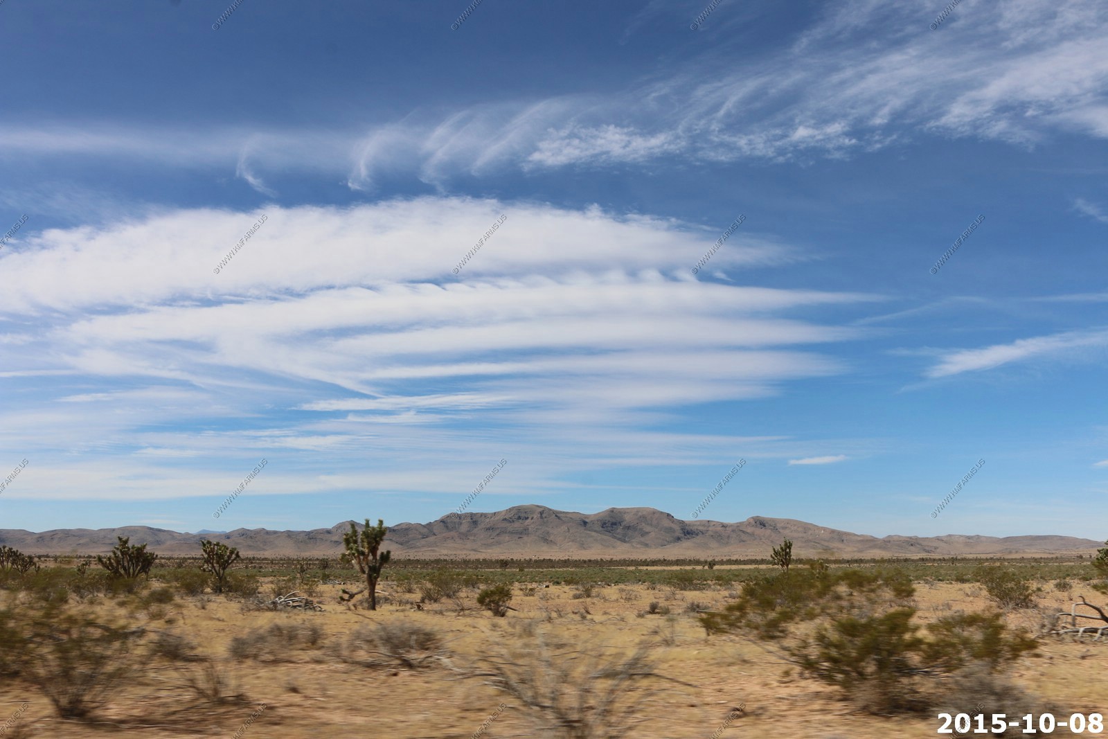
Lots of joshua trees
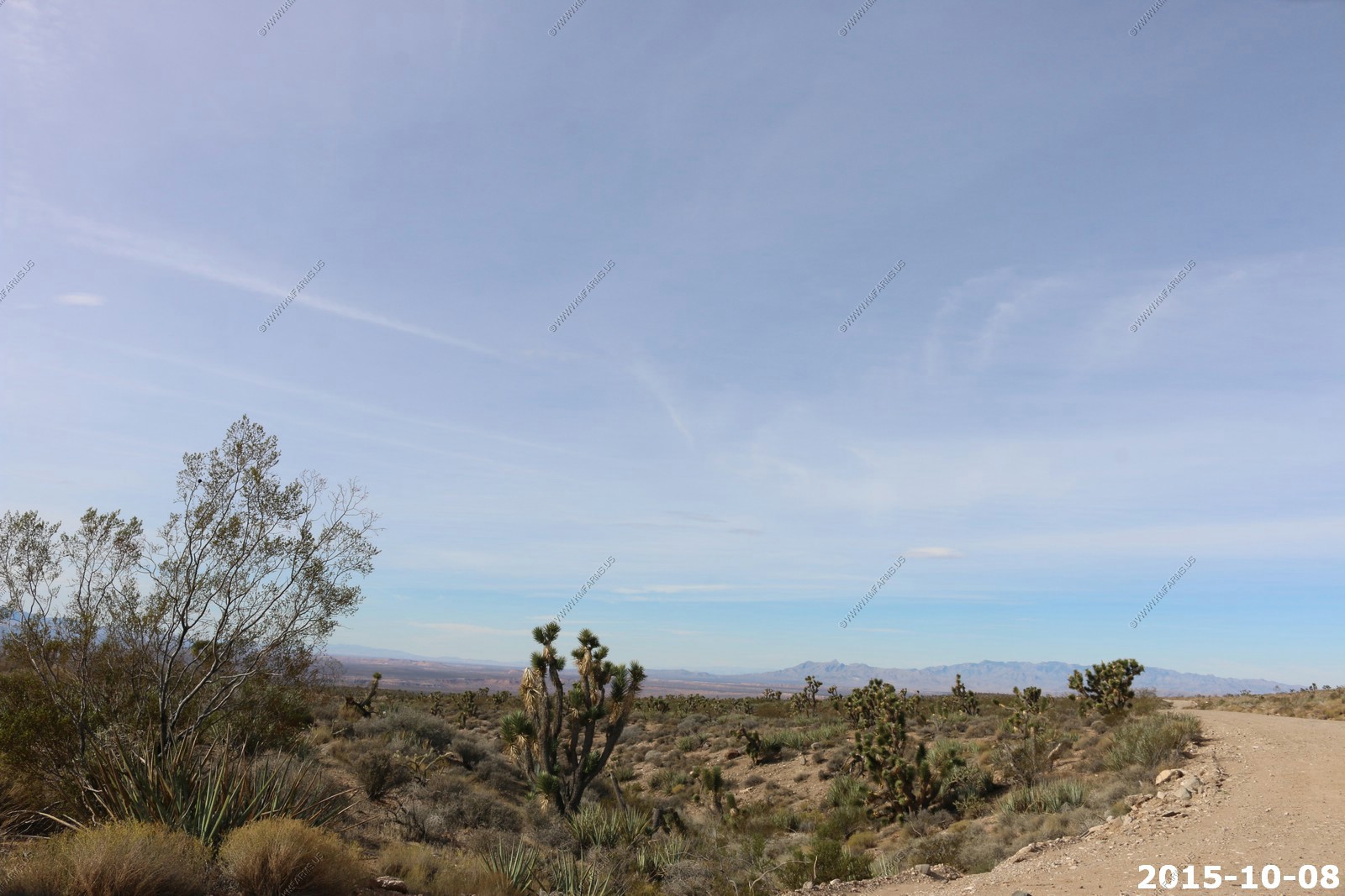
The road was in good shape
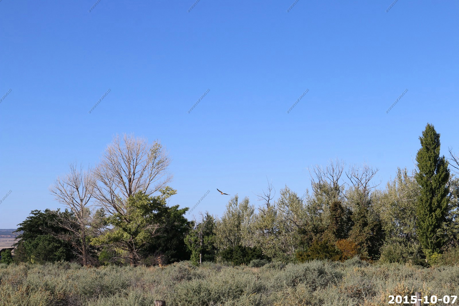
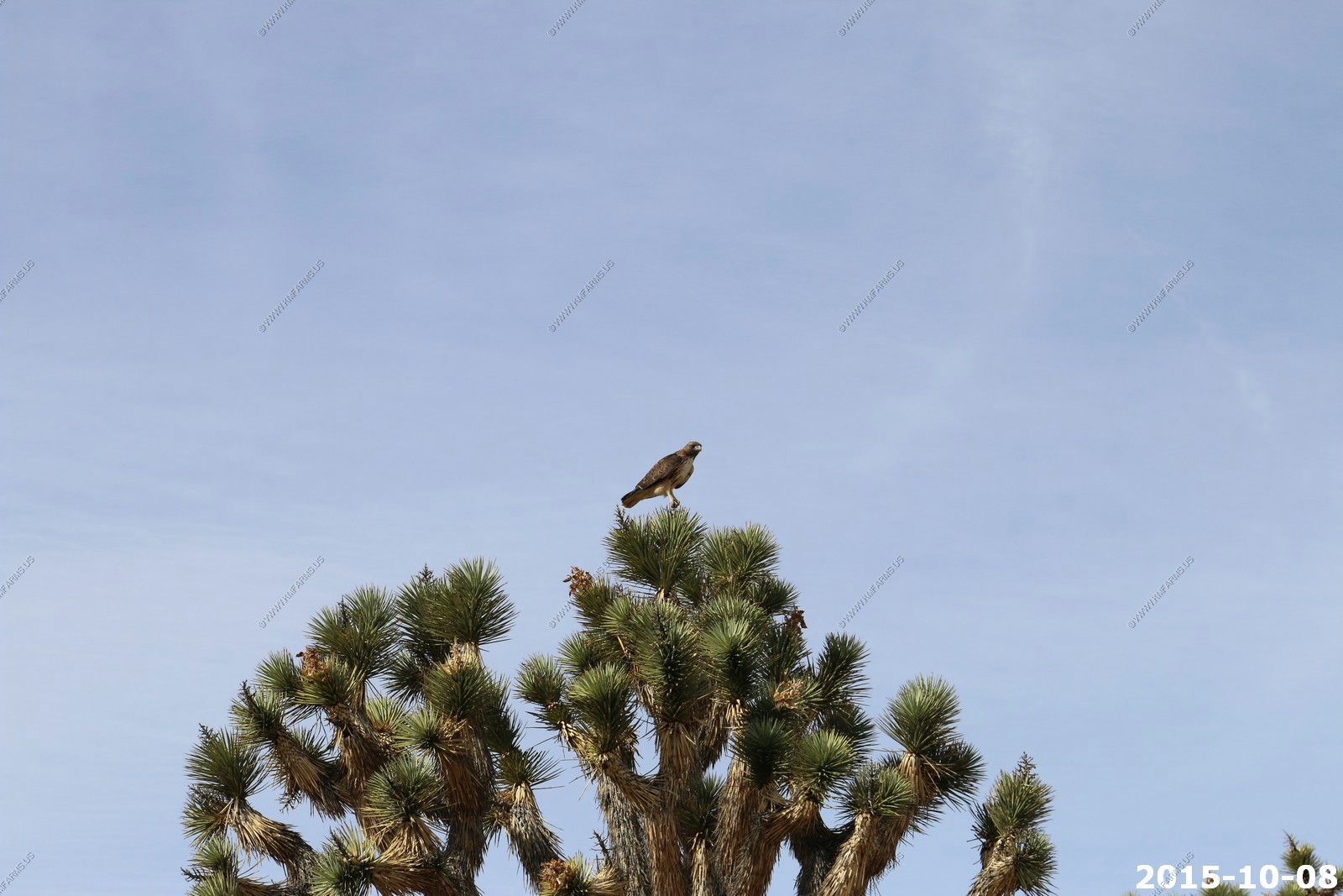
Hawk
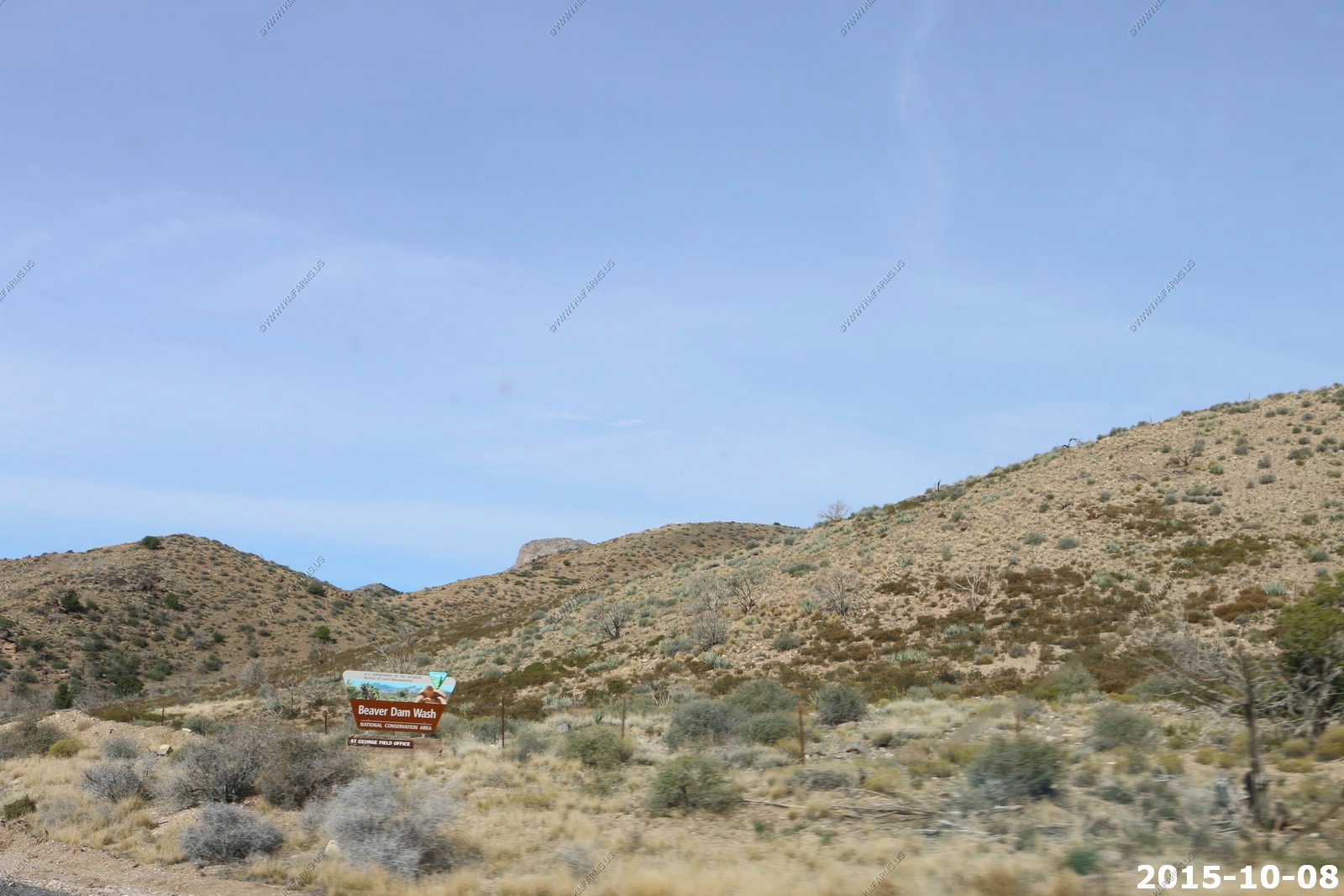
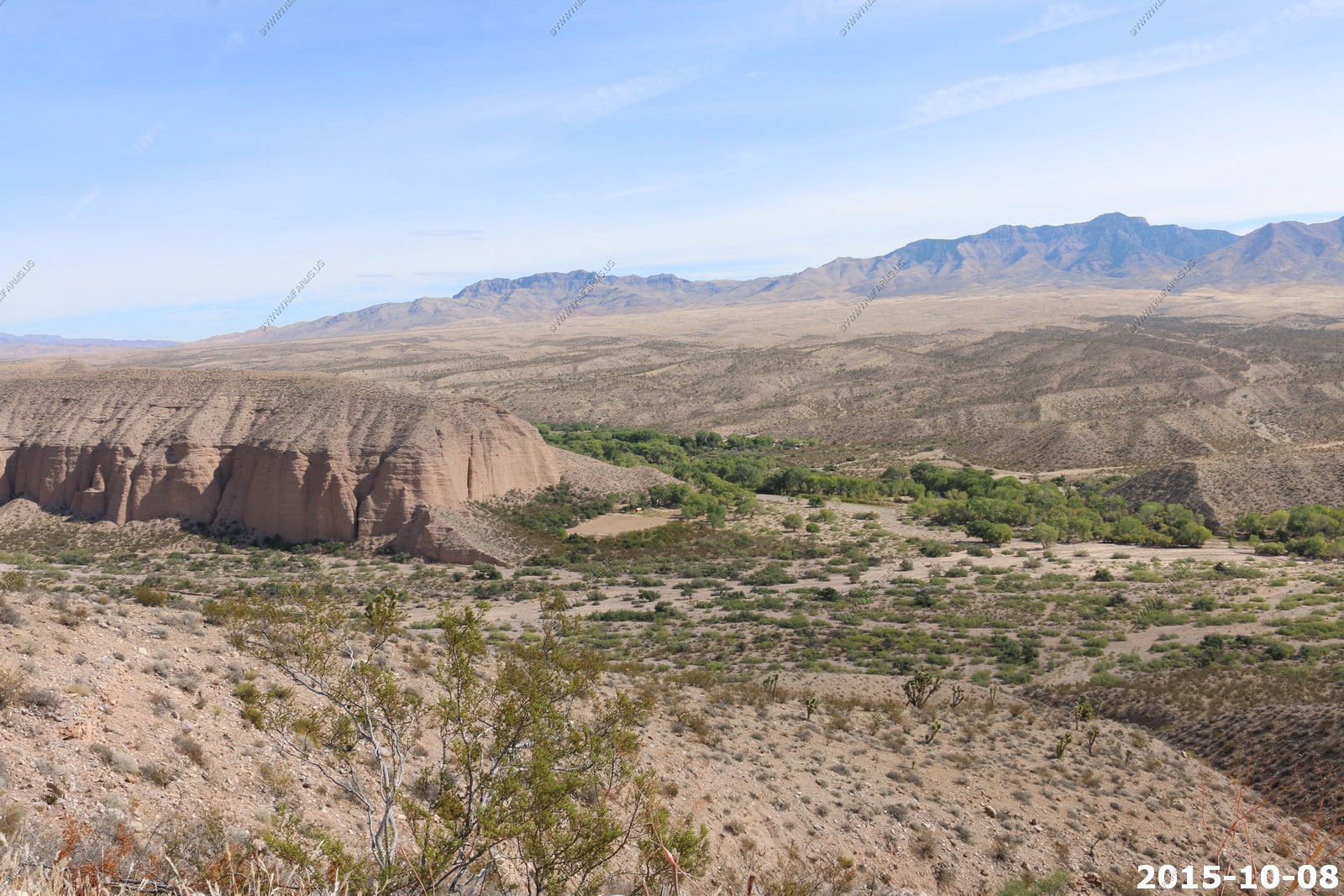
Our first place to check out - Beaver Dam Wash This area is currently in a land rights battle between the BLM and the people of Southern Utah.
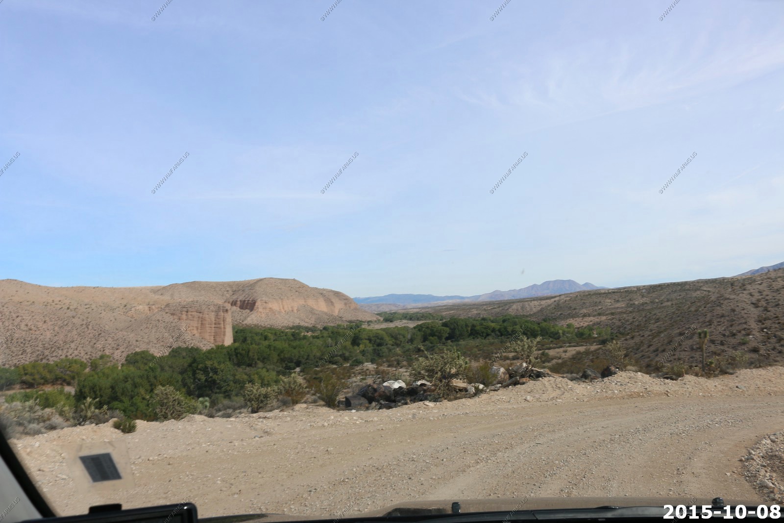

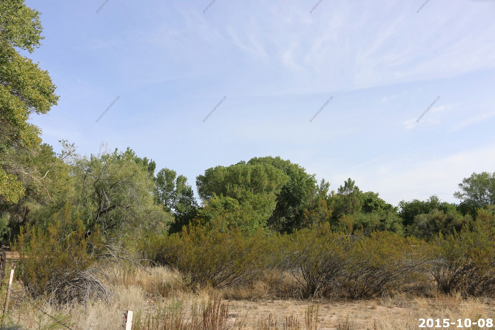
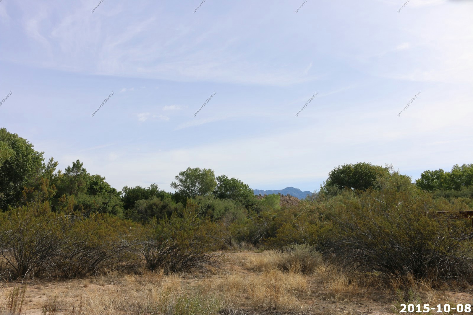
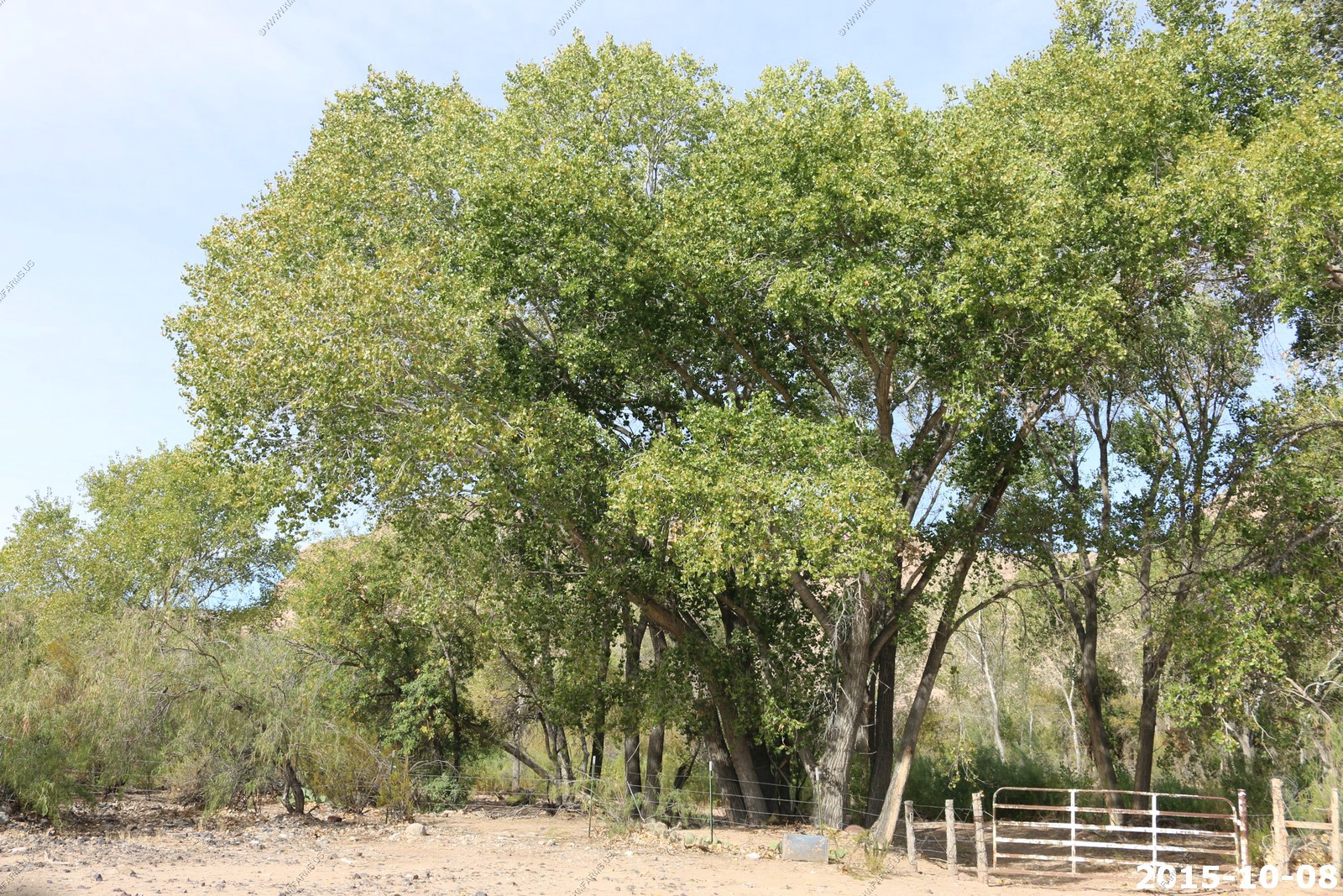
Lytle Ranch is an oasis in the deserts of Southwestern Utah.
Permanent springs flow here in the Beaver Dam Wash's otherwise intermittent course. The property is an oasis in the Mojave desert that sustained early pioneer families and supports numerous rare species today. For centuries, the desert oasis hosted itinerant use by indigenous peoples. The areas unique weather patterns and setting make it home to numerous species found here, but nowhere else in Utah. The Conservancy purchased the property in 1985, and in 1986 resold the land to Brigham Young University, establishing it as a field research station and wildlife preserve.
There are three main desert vegetation floristic zones, named for the dominant plants in each: cottonwood-ash riparian, catclaw acacia-mistletoe-desert willow terrace and Joshua tree-cholla-blackbrush-ambrosia upland. You can also find wild petunia and desert shrub. Lytle Ranch supports a wealth of wildlife, including the great blue heron, Virgin River spinedace, speckled spindace and desert sucker. You can also see desert tortoise, gila monster and night lizard. More than 20 species at Lytle Ranch are found nowhere else in Utah except in Washington County.
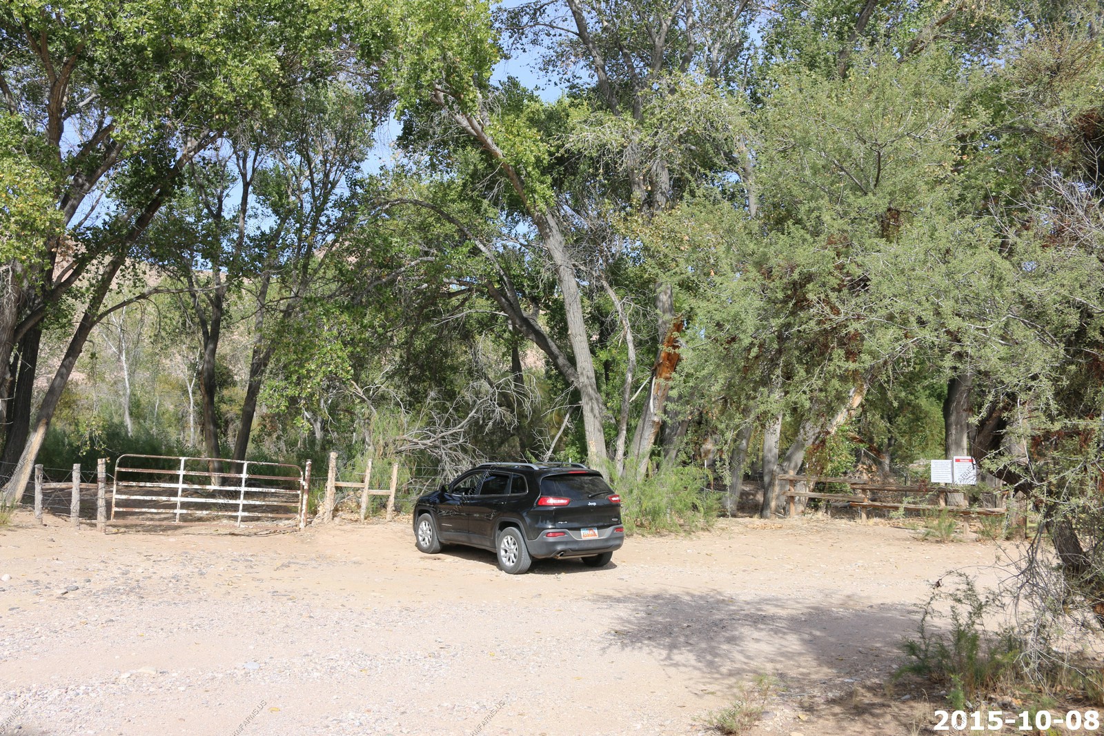
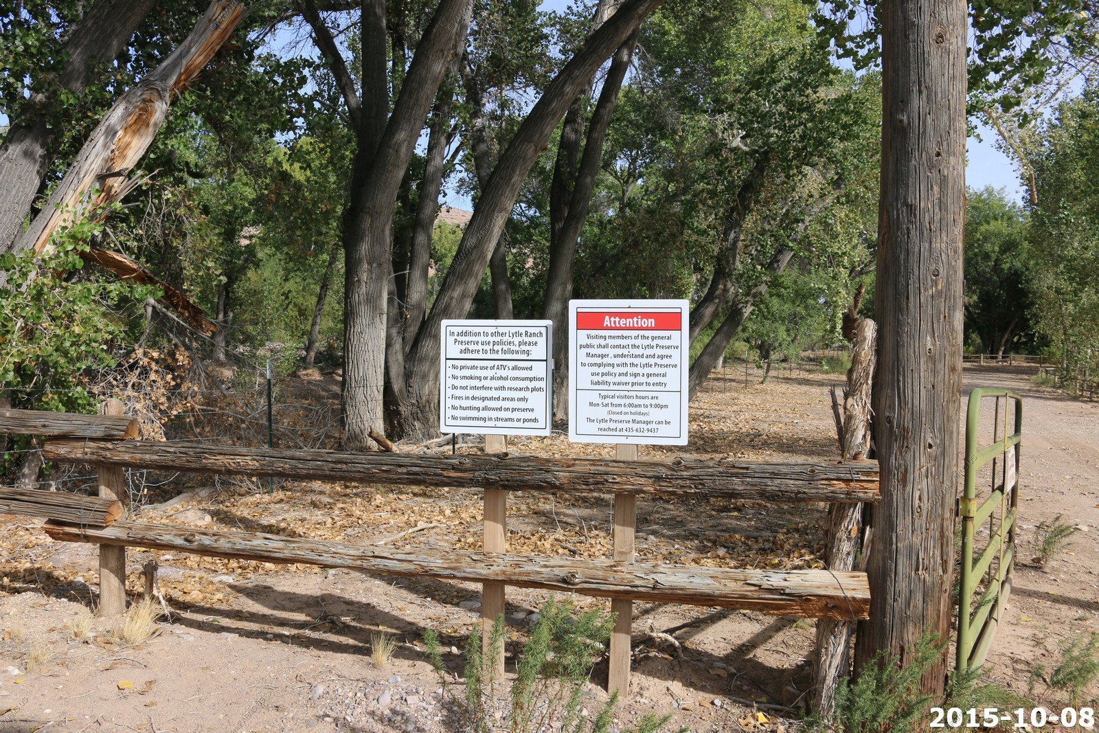
We did not realize you had to call first. Perhaps next time.
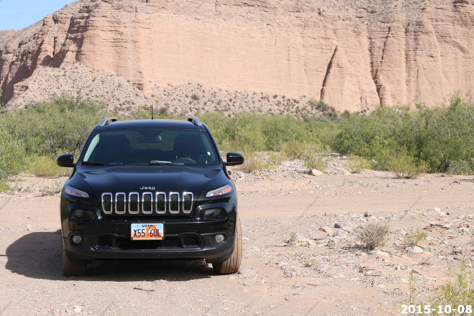
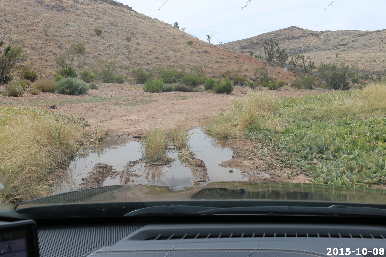
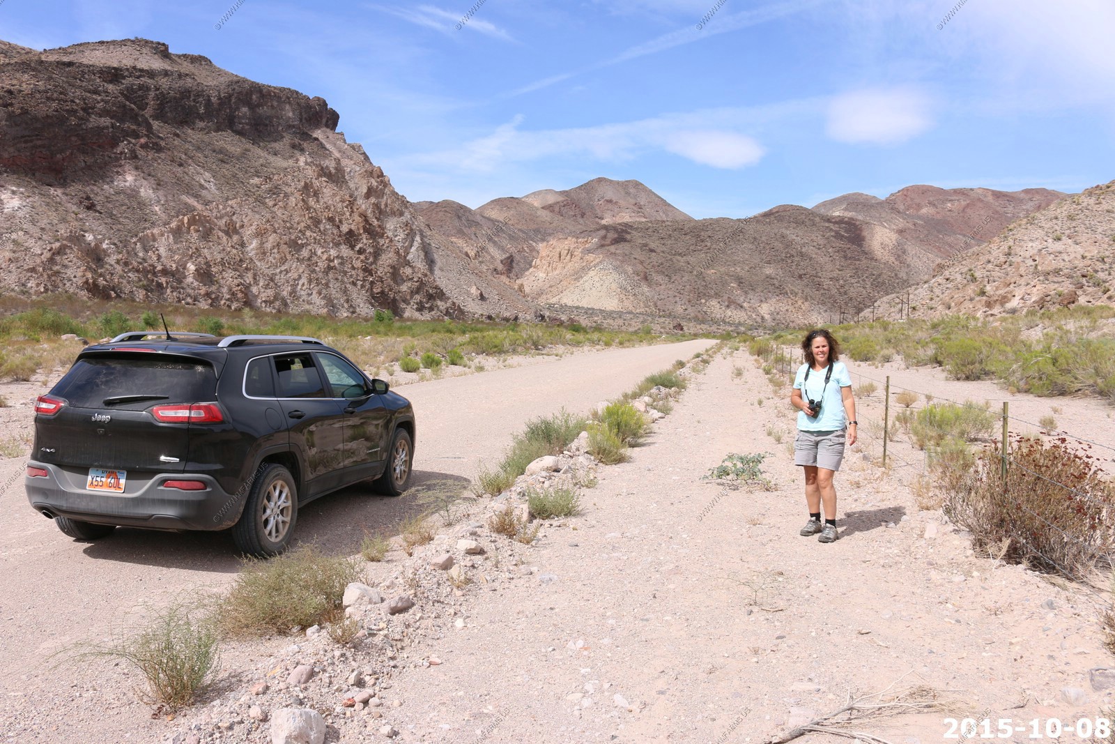
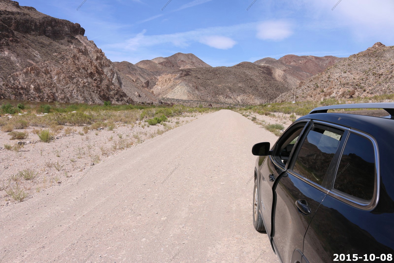
The rental jeep which is capable on these roads but it has car tires which can be a problem.
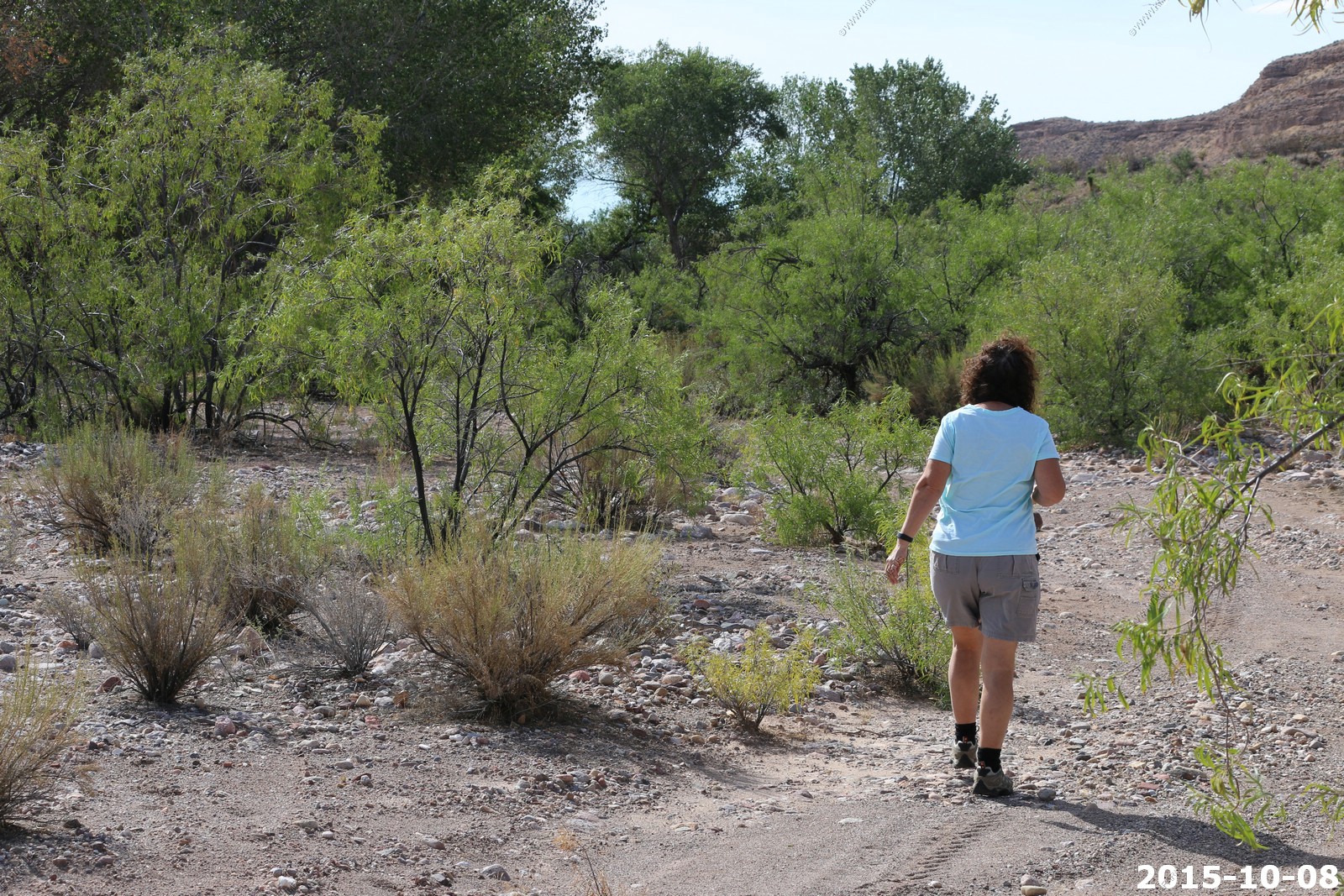
Wash walking
Tarantula hawk

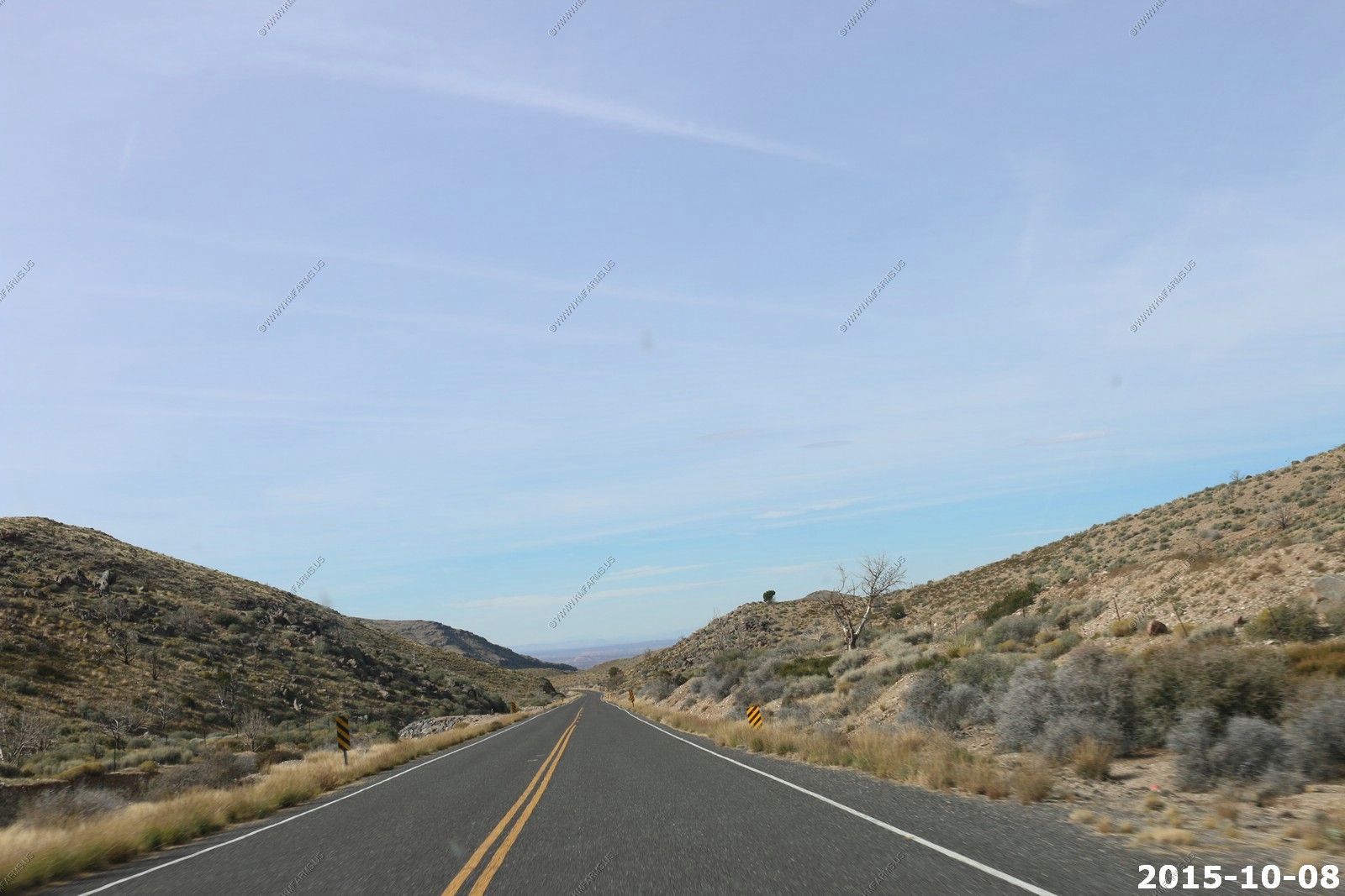
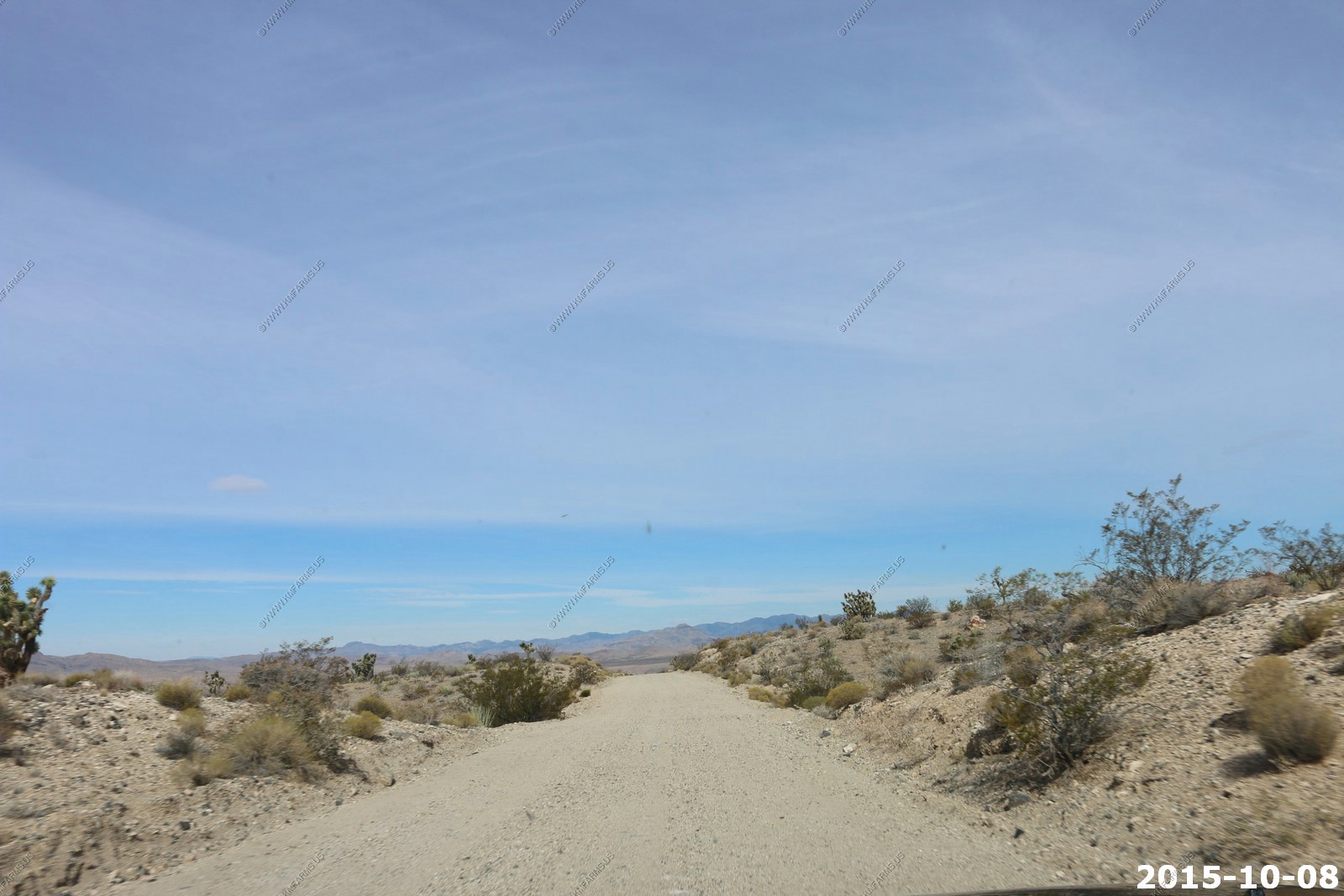
So we continued west and climbing out of the Beaver Dam Wash the road was very steep
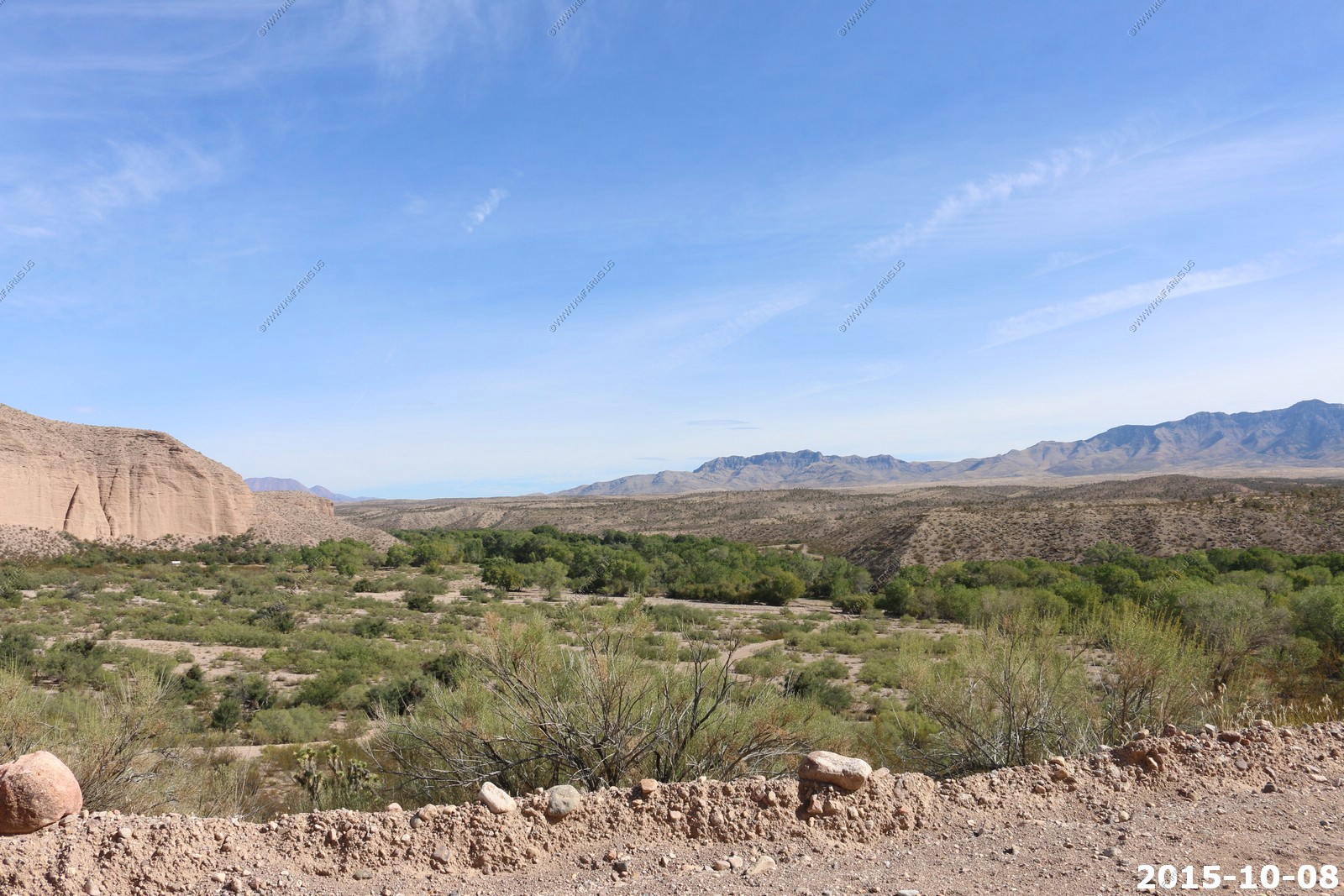
Looking east back down at Beaver Dam Wash
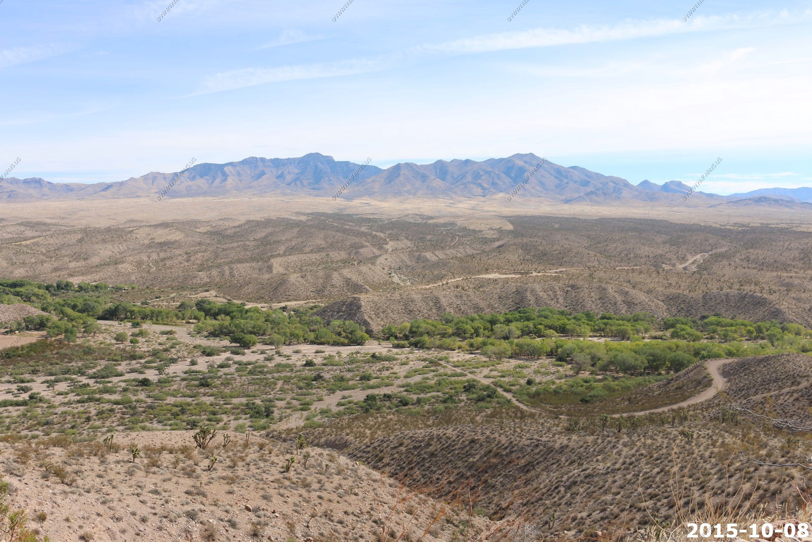
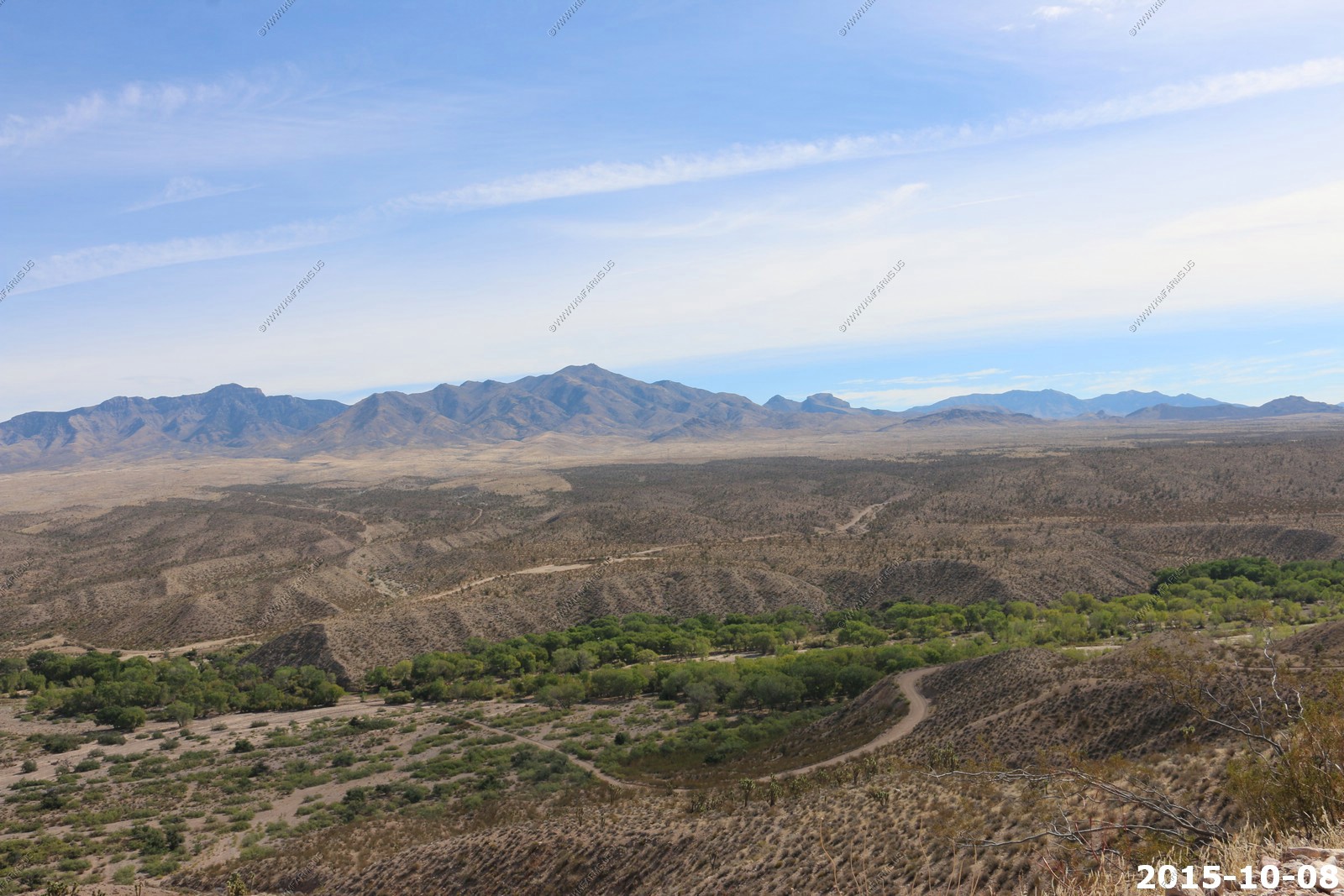
Road still good but that will soon change
Cool clouds
The Nevada / Utah State line.
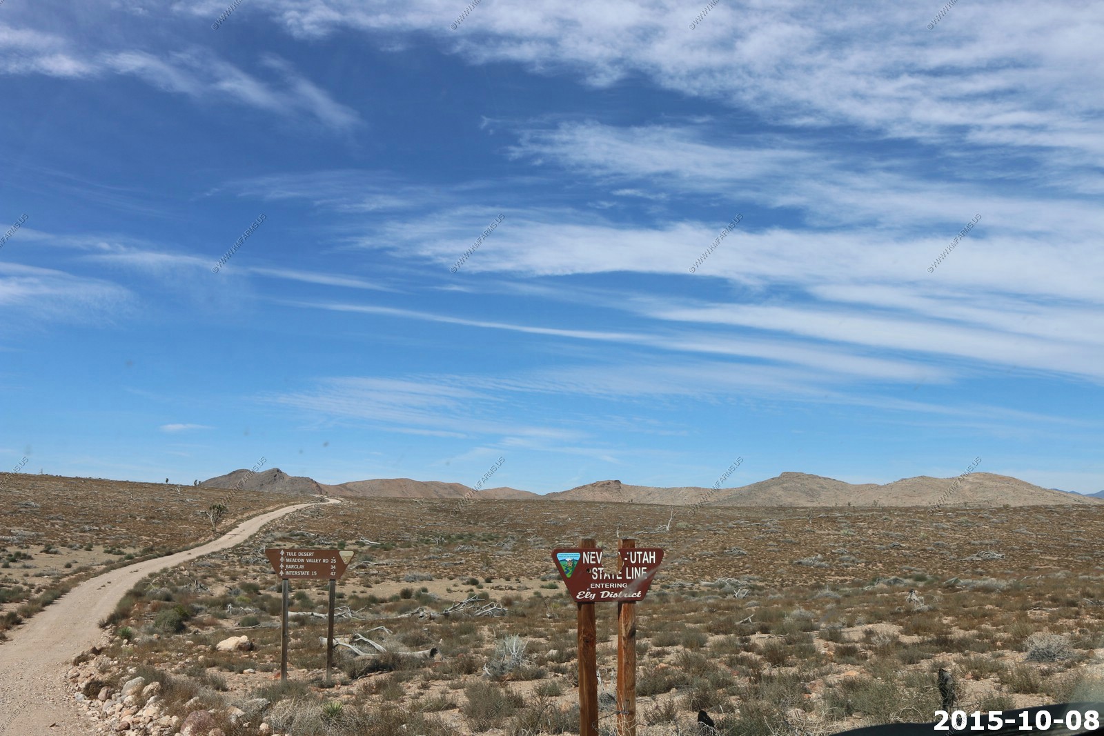
We are in the Tule Desert. The next intersection is Meadow Valley Road only 25 miles away.

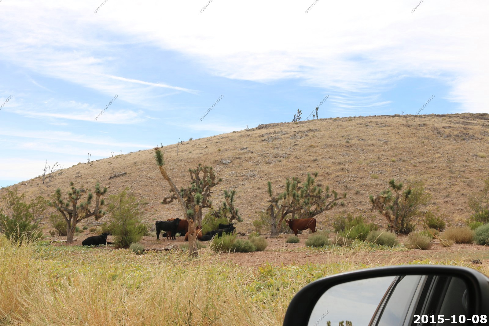
Looking south. The mountains in the distance are Mt. Bangs (El. 8,012) & Virgin Peak (El. 8,071) These are prominent peaks in the Virgin Mountains in Arizona
Water ! A muddy area near a cattle station located at 37.17N 114.12W
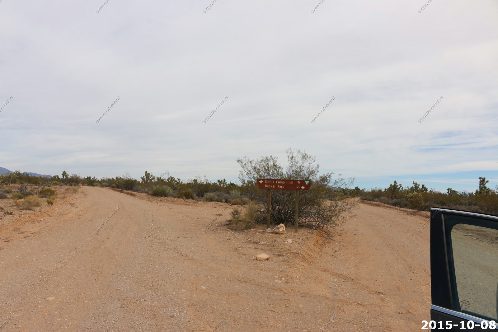
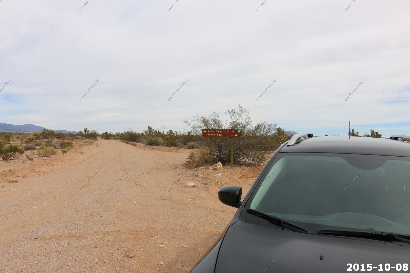
Intersection at 37.17N 114.23W. Sams Camp Well is 9 miles north and where we were coming from Bunker Pass 34 miles.
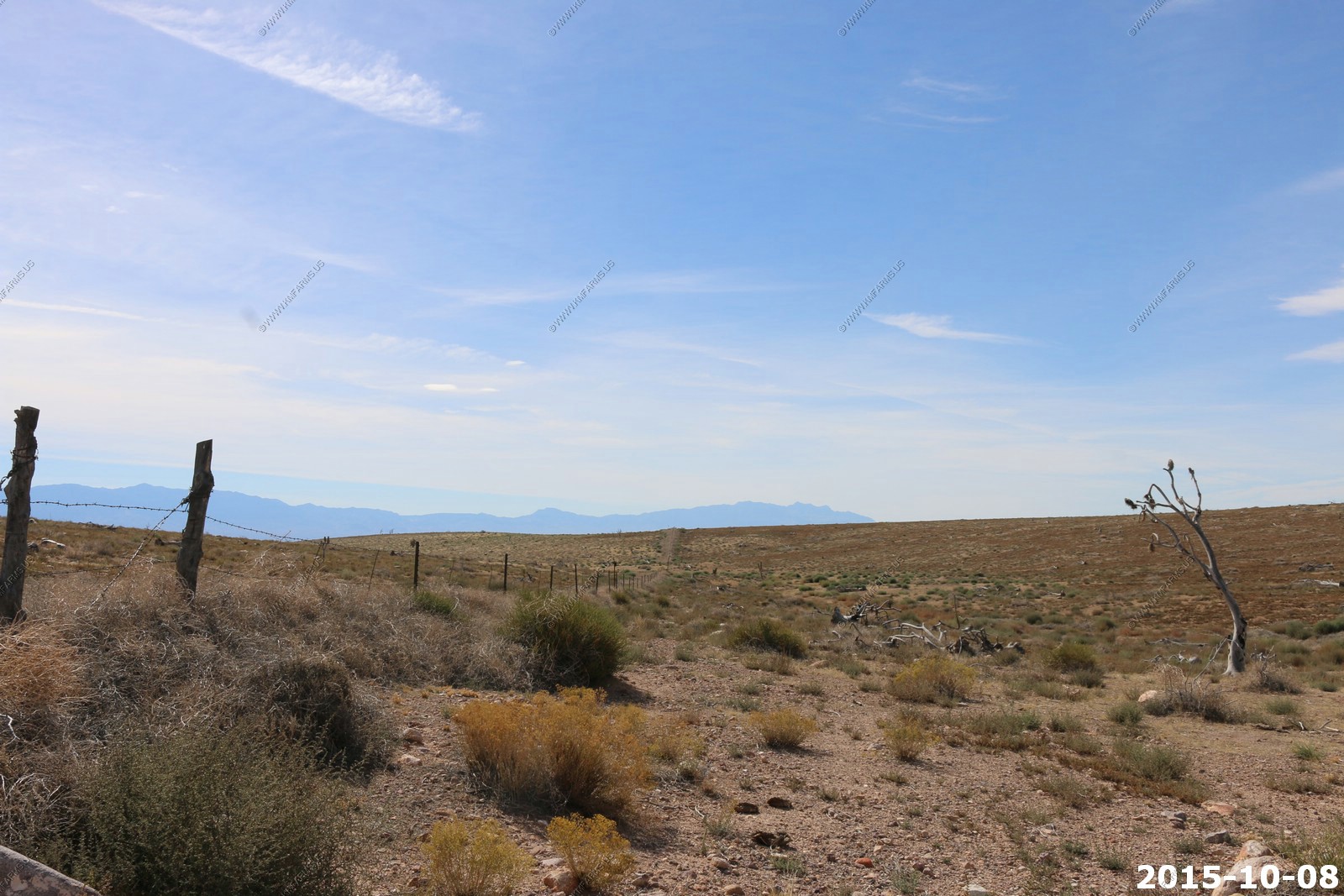
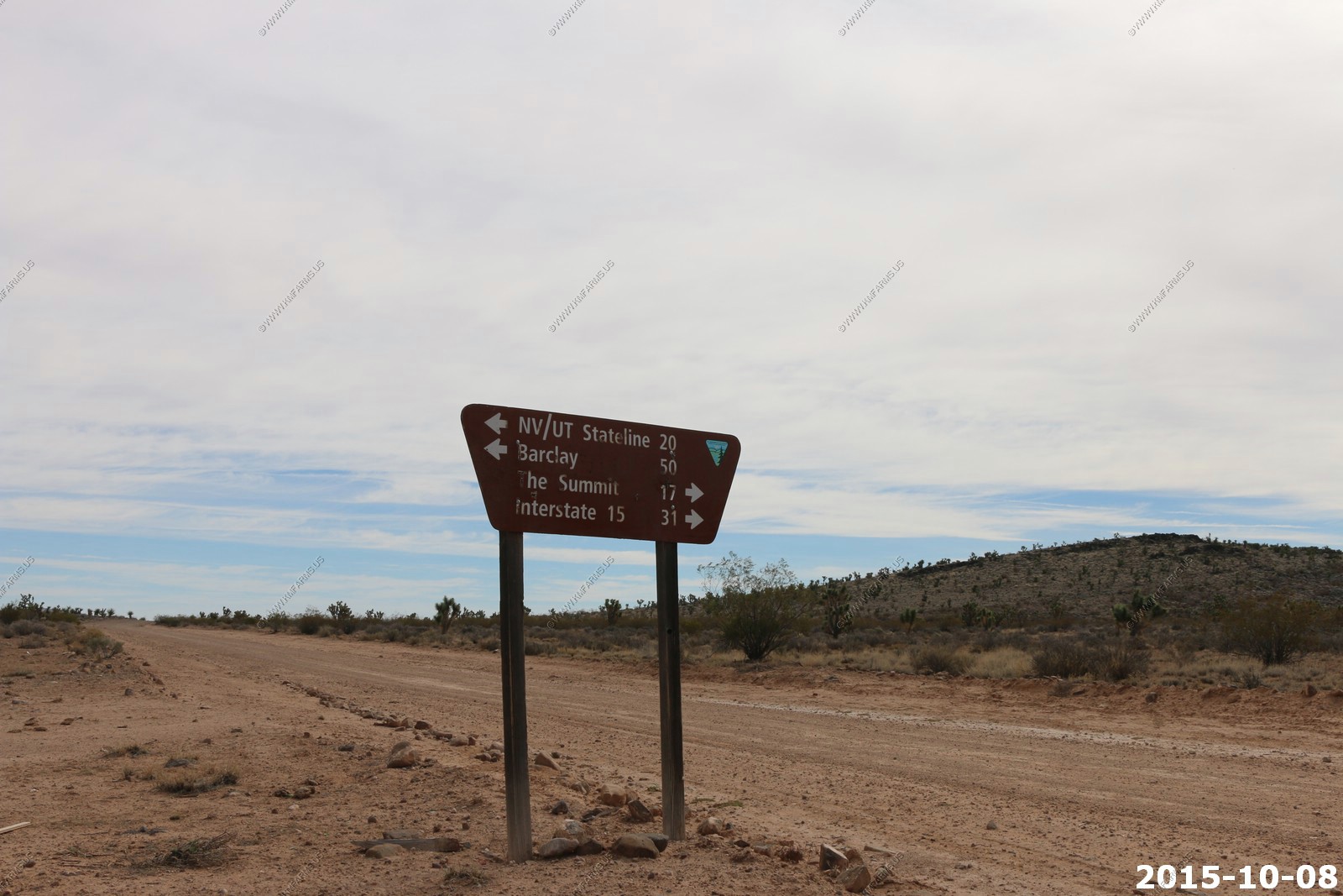
So we continued. The next intersection was now 20 miles past the state line and 50 miles back to Barclay. The summit was 17 miles south and I-15 is 31 miles south
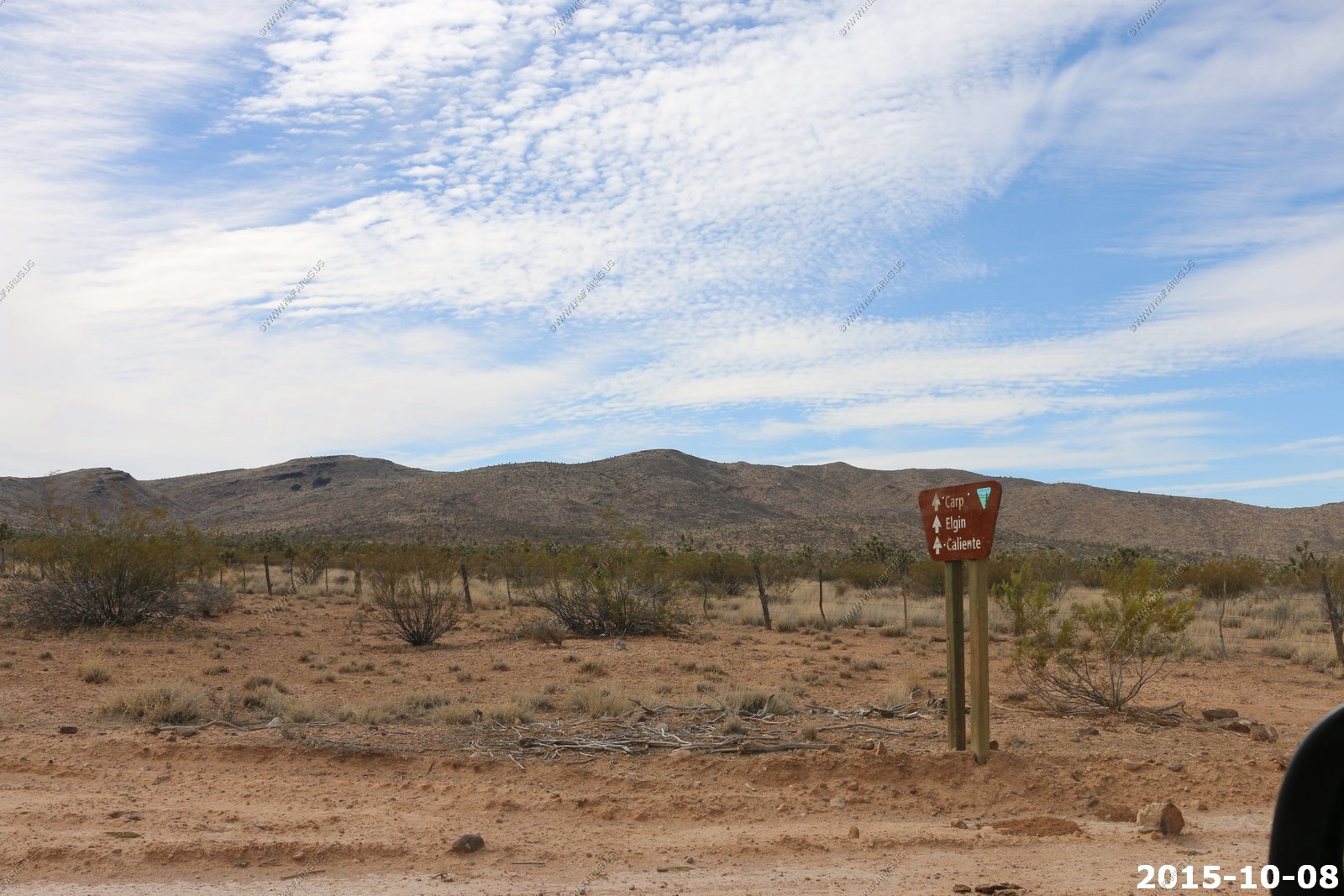
Our goal was Caliente which had no mileage. We would pass thru Carp & Elgin too. Its now been hours since we saw anyone else.
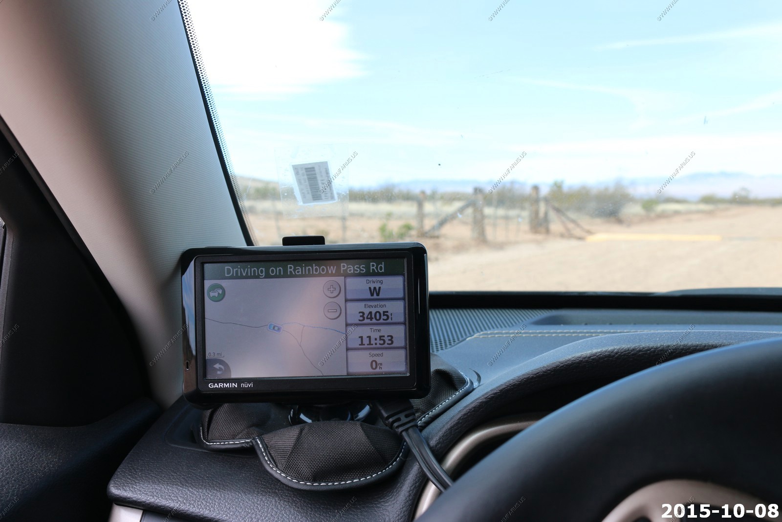
We can now see down into the Meadow valley where the UP tracks run from Las Vegas to Salt Lake City. We were sitting on Rainbow Pass. This was taken at 37.14N 114.38W
This area is unique as The Meadow Valley Wash is a southern Nevada stream draining the Meadow Watershed that is bordered on 3 sides by the Great Basin Divide.
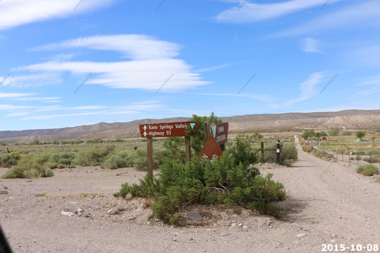
Lyman Crossing - Also called "Green Gates" by the locals because of the green railroad gates. 37.15N 114.46W
This is a shortcut to the wildlife refuges to the west (Pahranagat Lake) along US-93 and Area 51 of the test site
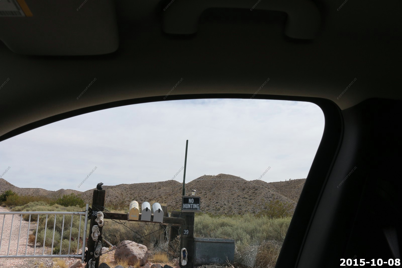
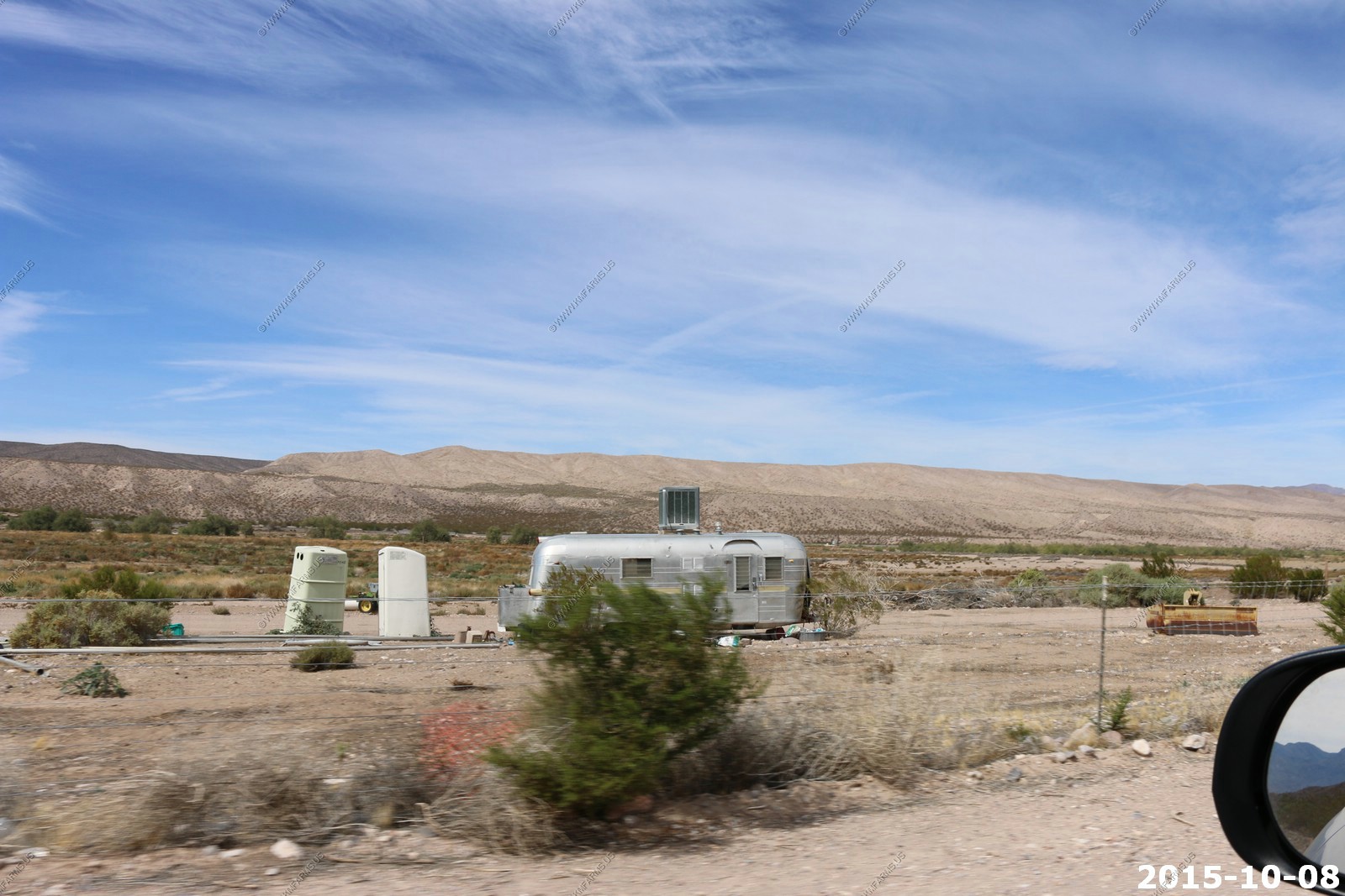
3 houses ??? And shoes ? Swamp cooler and outhouse in Lyman
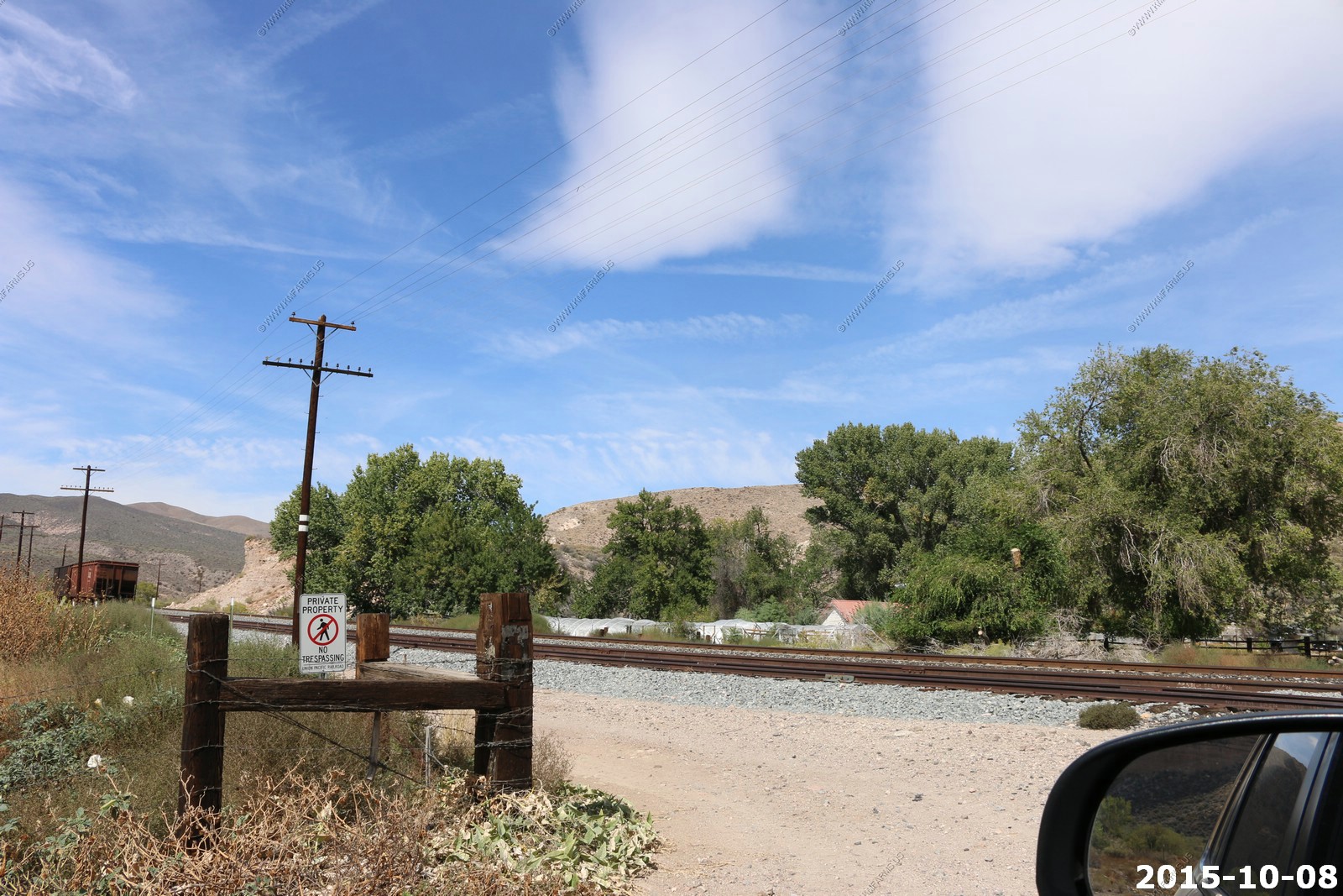
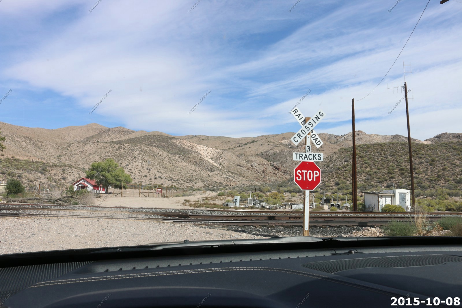
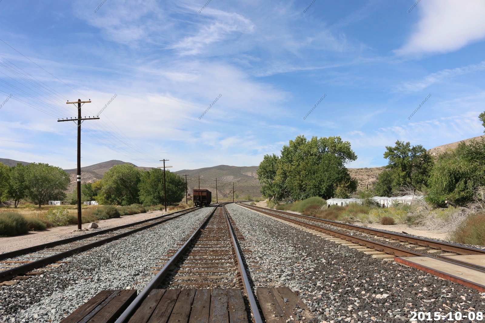
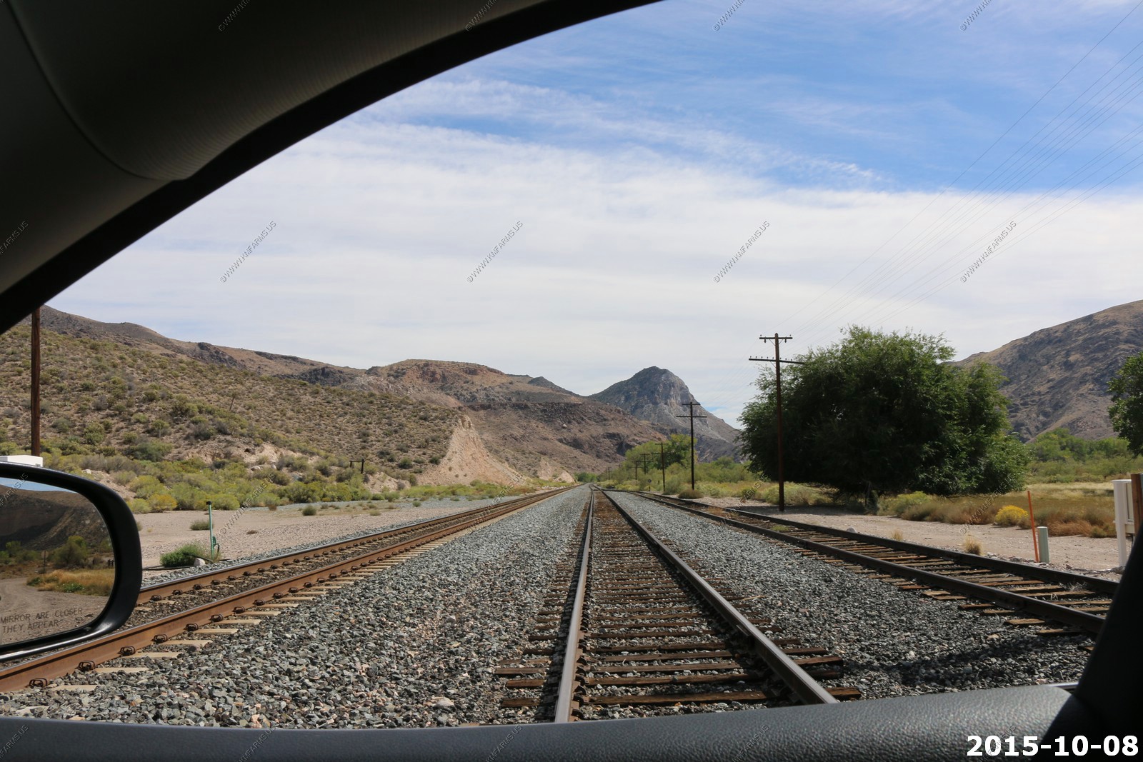
Besides the remote aspect of this area Ken wanted to do some train watching. So, at this point we had over 30 miles of running next to the Union Pacific main line.
We are following the Los Angeles and Salt Lake Railroad which was completed in 1905. Nearly the entire route of the railroad traversed rugged and largely unpopulated
desert terrain. There were no major population centers between the railroad's endpoints until the city of Las Vegas began its rapid growth in the mid-twentieth century
Lots of crossings
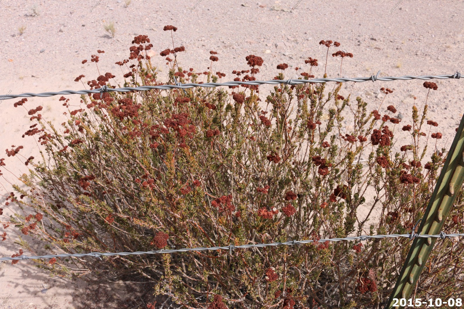
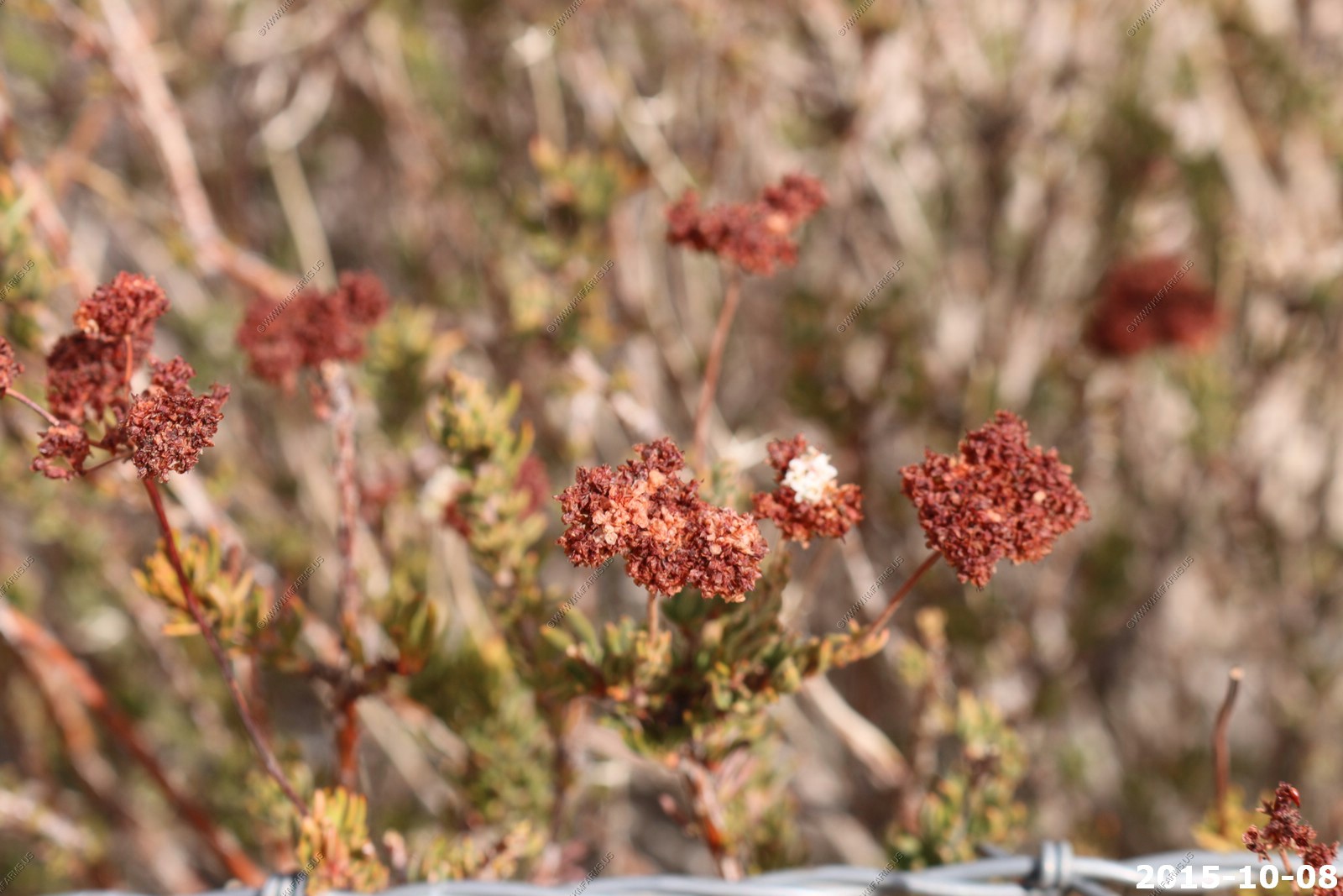
Interesting dryed flowers ??
Looking along the road. Still have not seen another person for many hours. Nice!
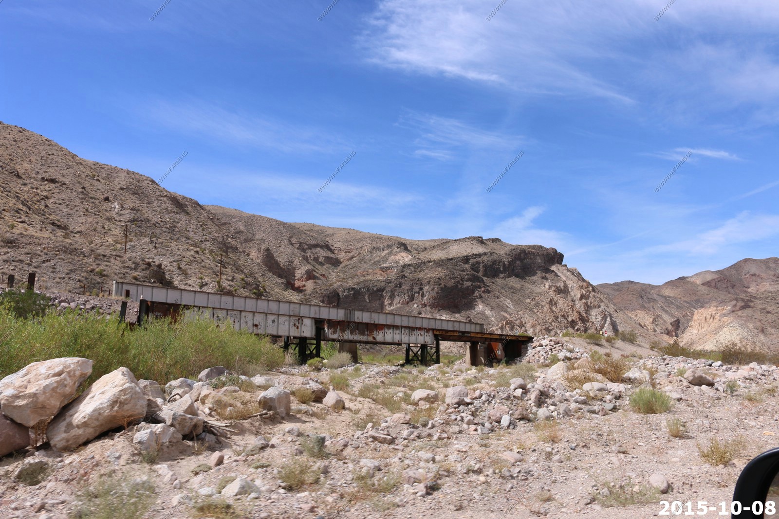
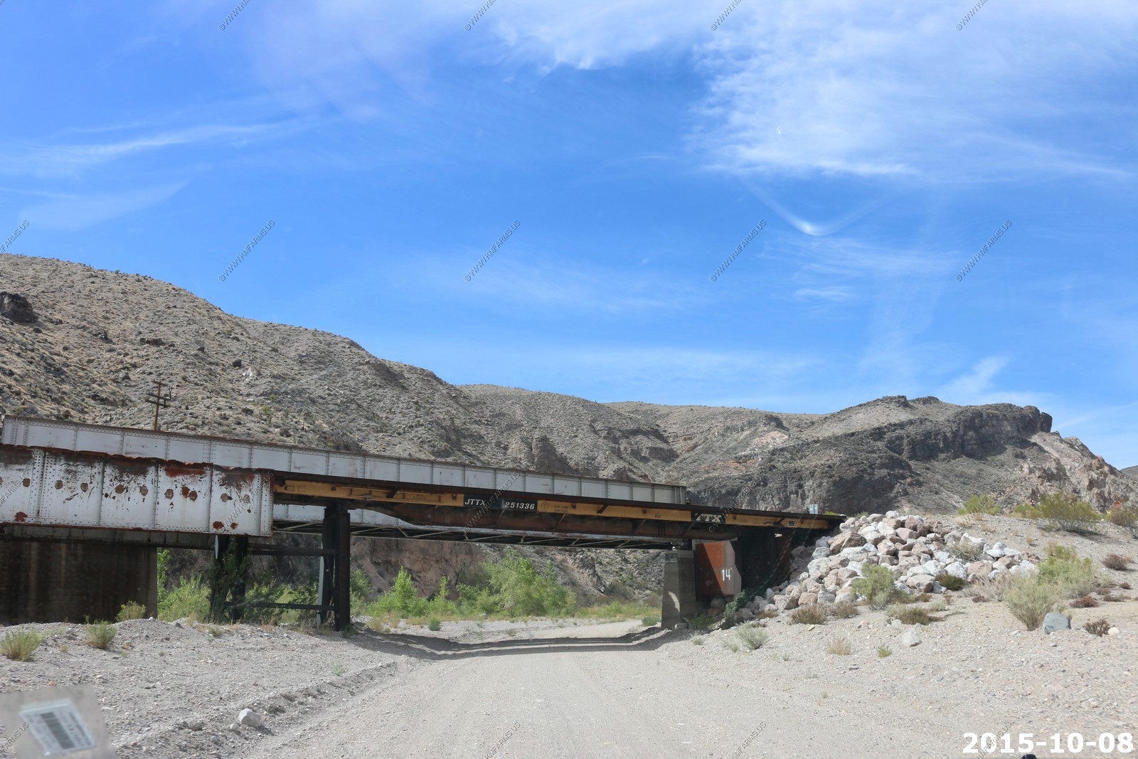
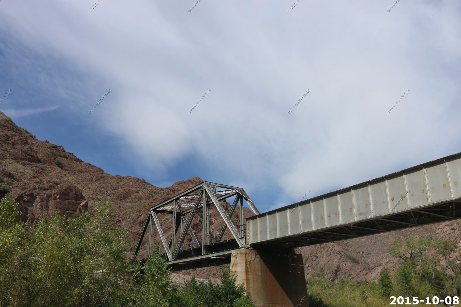
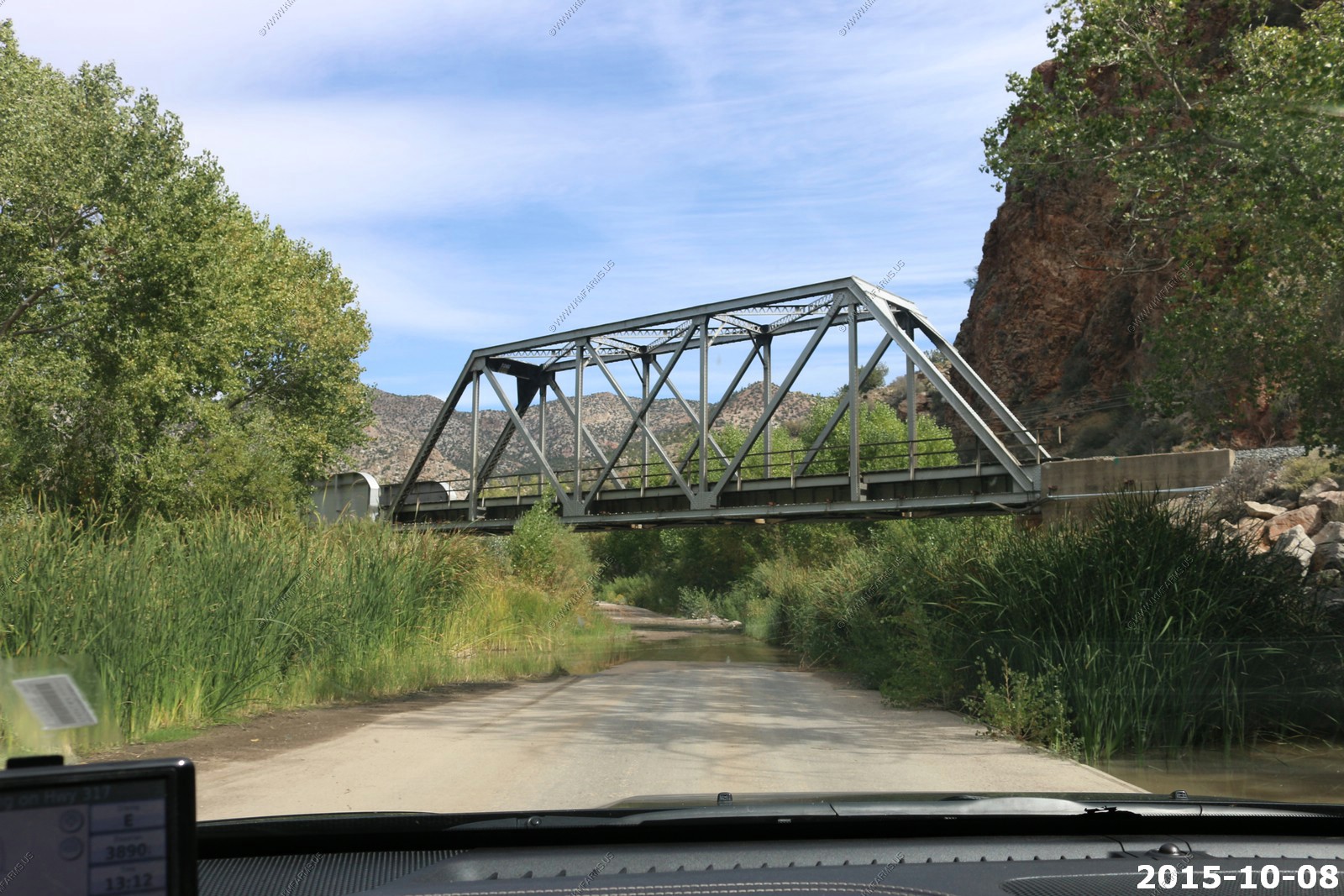
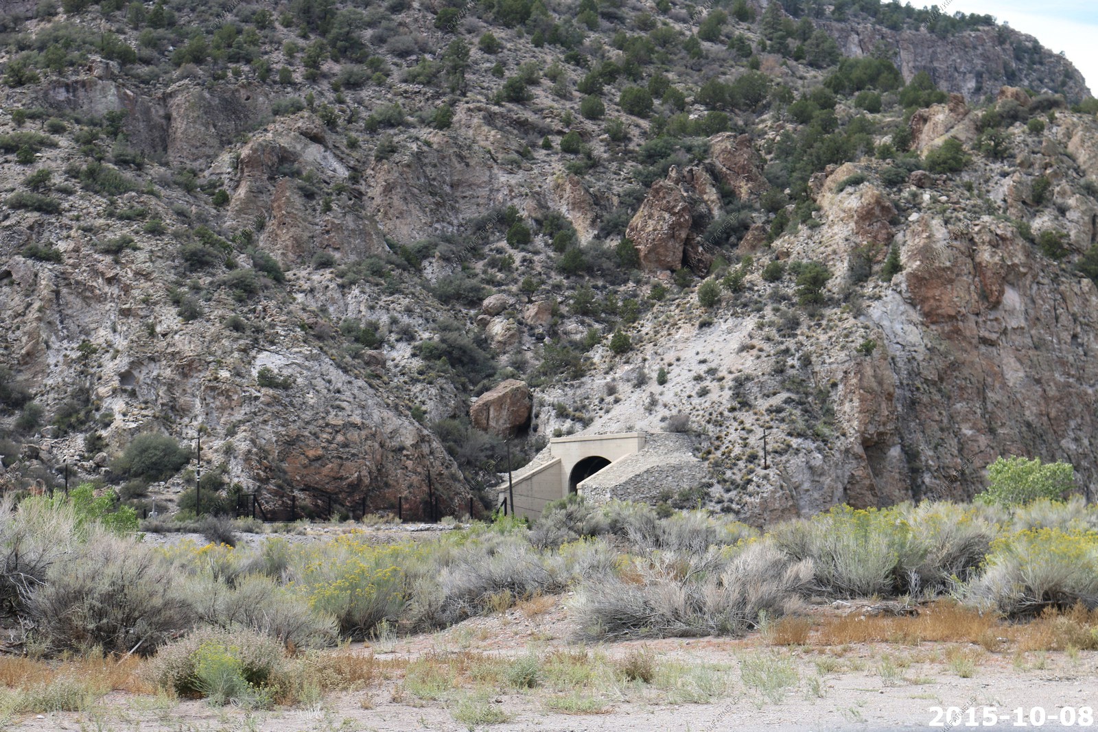
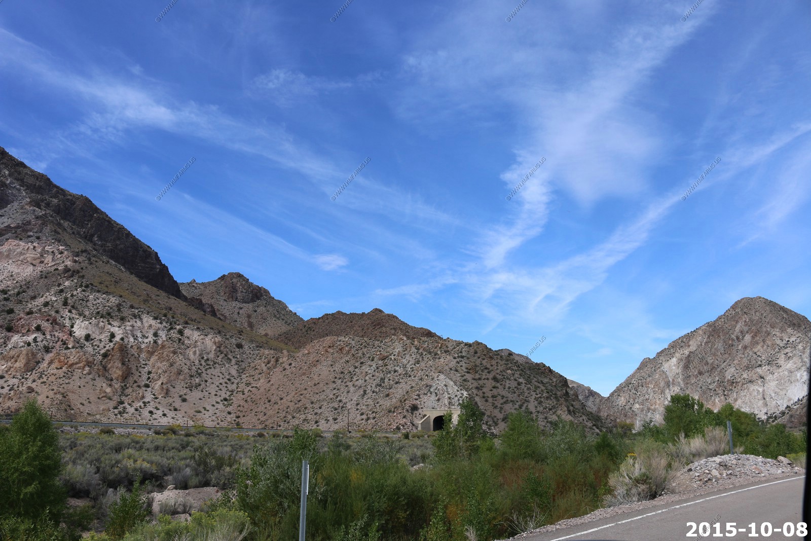
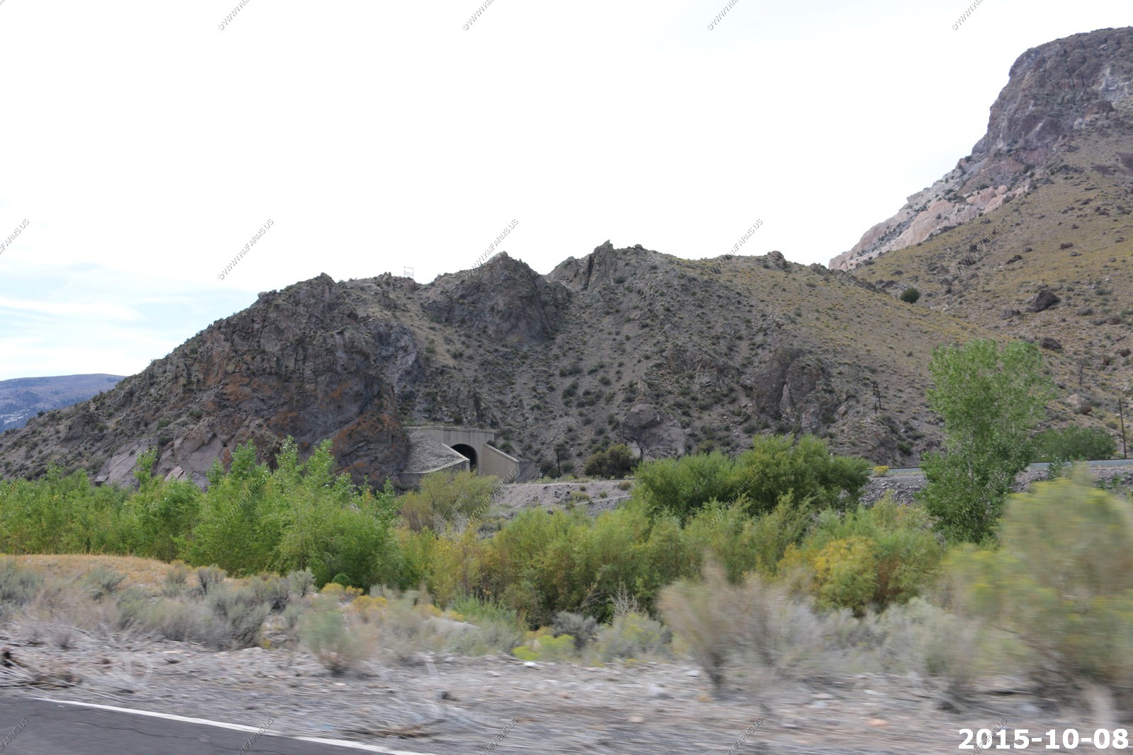
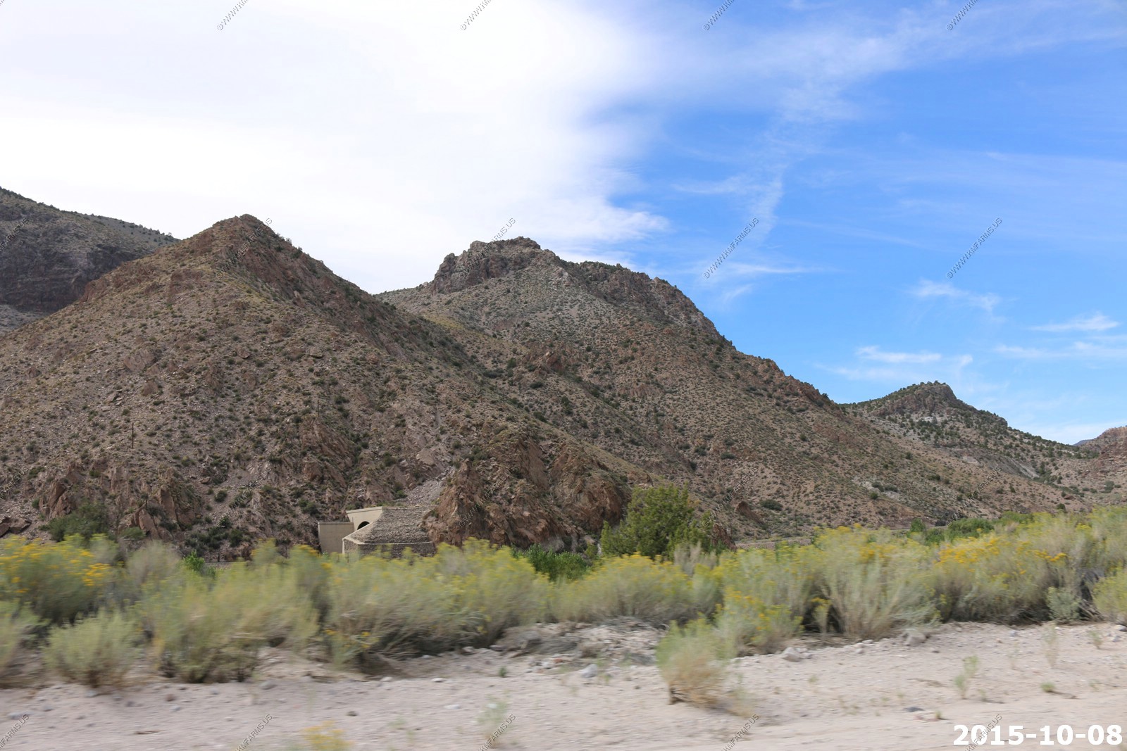
Bridges and tunnels
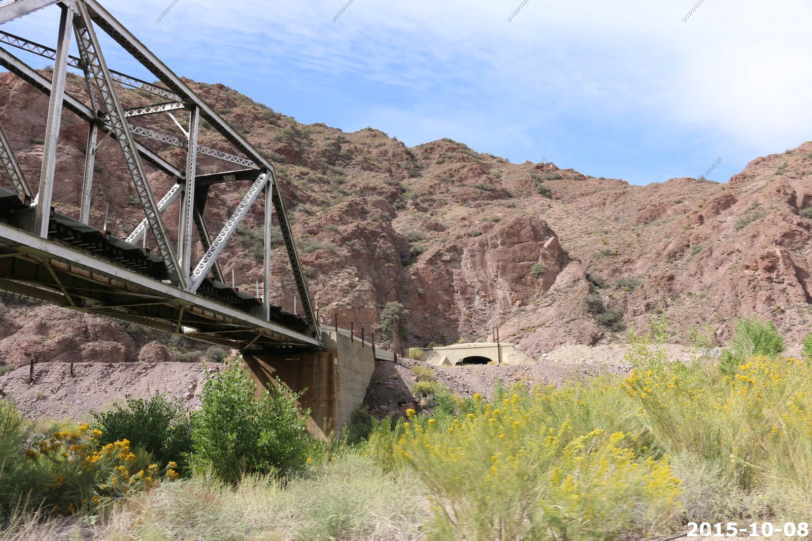
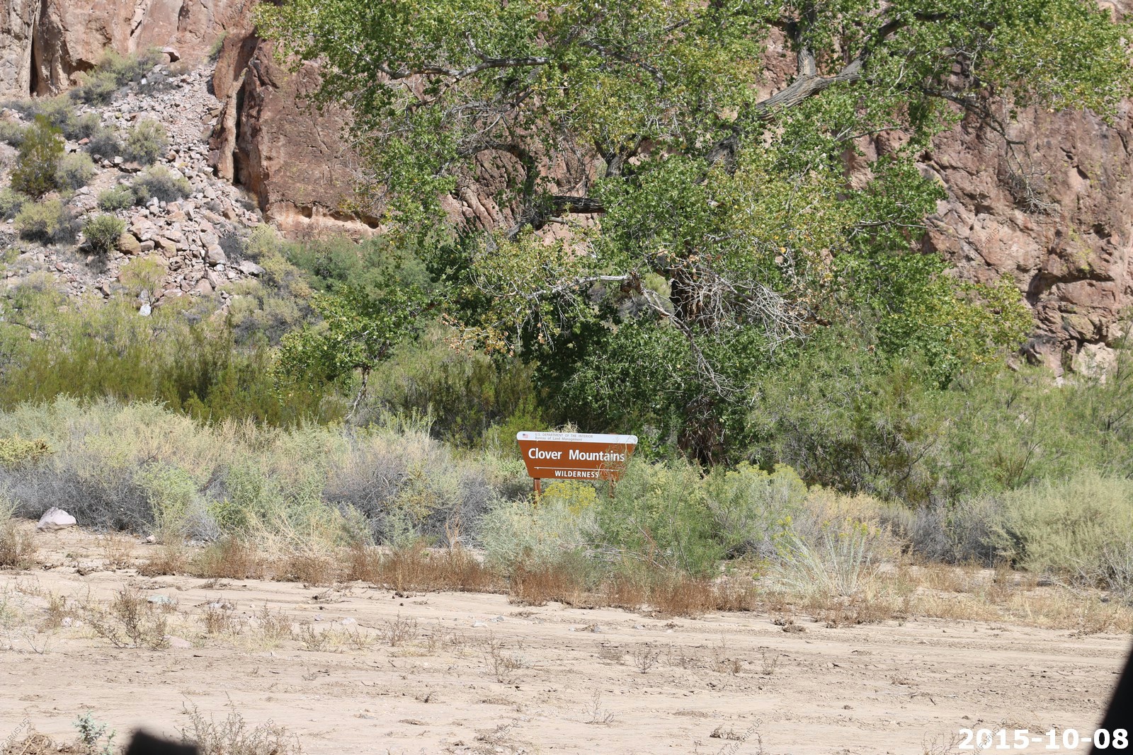
Clover Mountains wilderness - will be back to explore someday
The Clover Mountains Wilderness area lies south-southeast of Caliente and is an ancient volcanic center. The geologic events have created rock outcrops of rhyolite in natural hues of pink, yellow, red, orange, and brown with twisting canyons and perennial waters. High in the mountains old-growth stands of ponderosa pine and quaking aspen can be found, which are uncommon to this part of Nevada. One of the longest year round streams in southern Nevada, Cottonwood Creek, is located in this area. Ash, cottonwood, and quaking aspen, thrive along Cottonwood Creek due to the consistent waters. The southern portion of the wilderness area extends into the Thule Desert and is vegetated with sagebrush, joshua trees, and other yuccas.
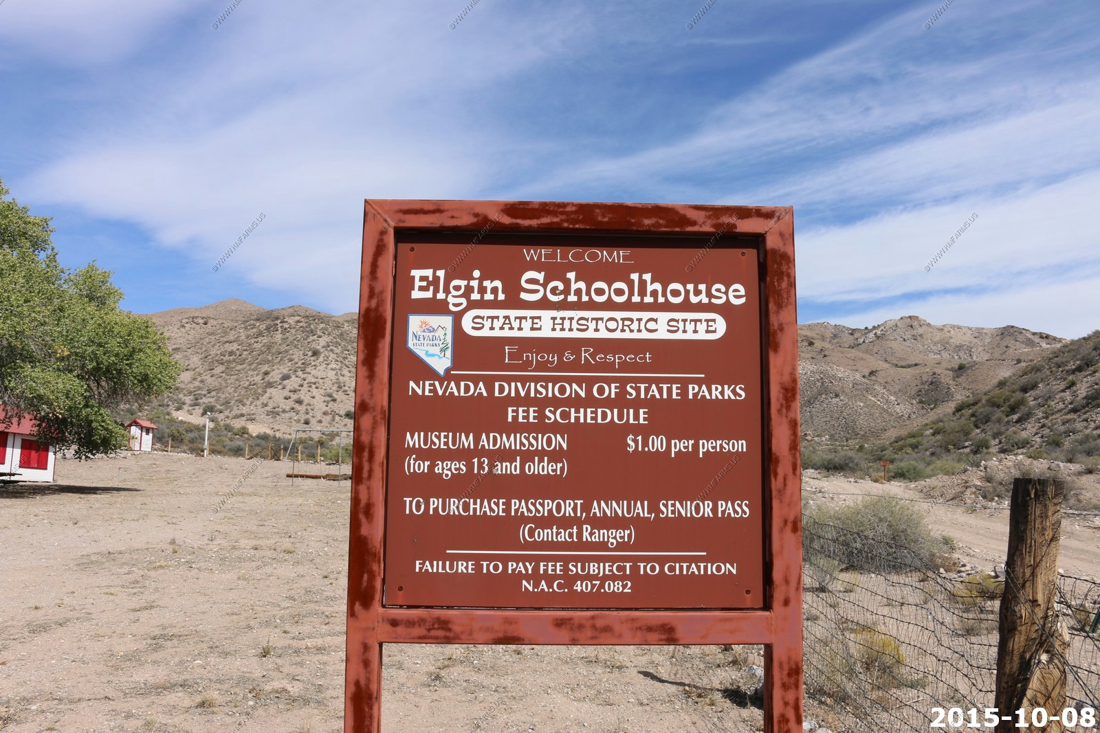
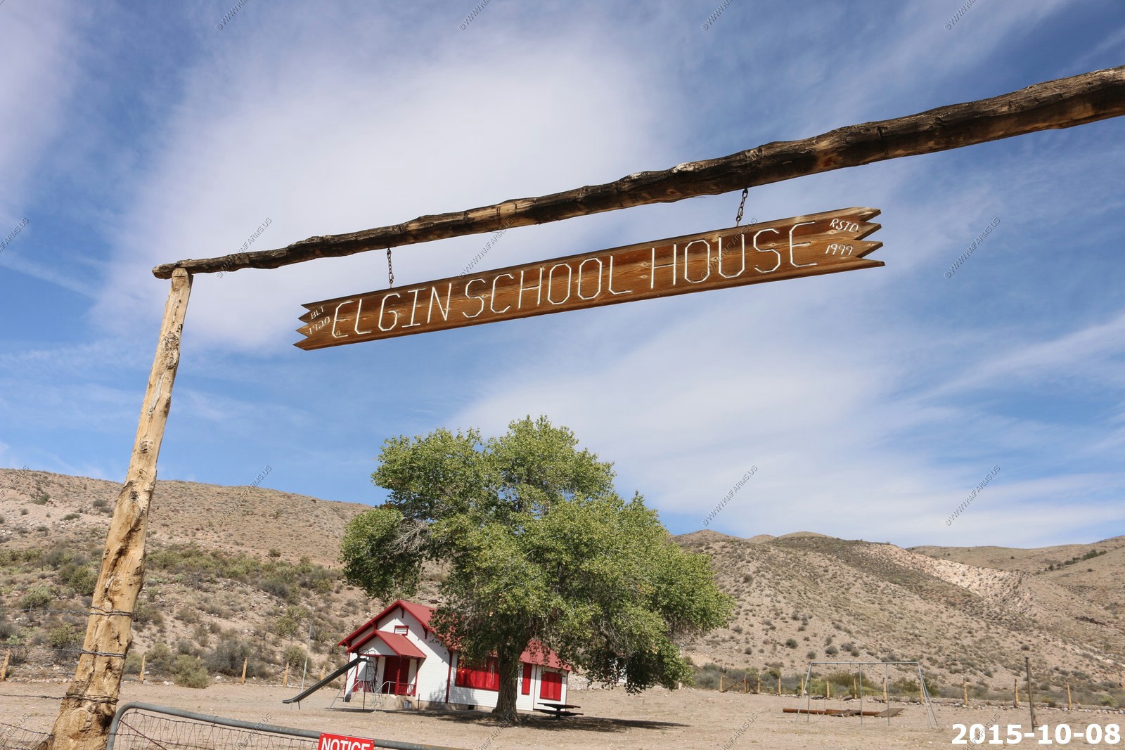
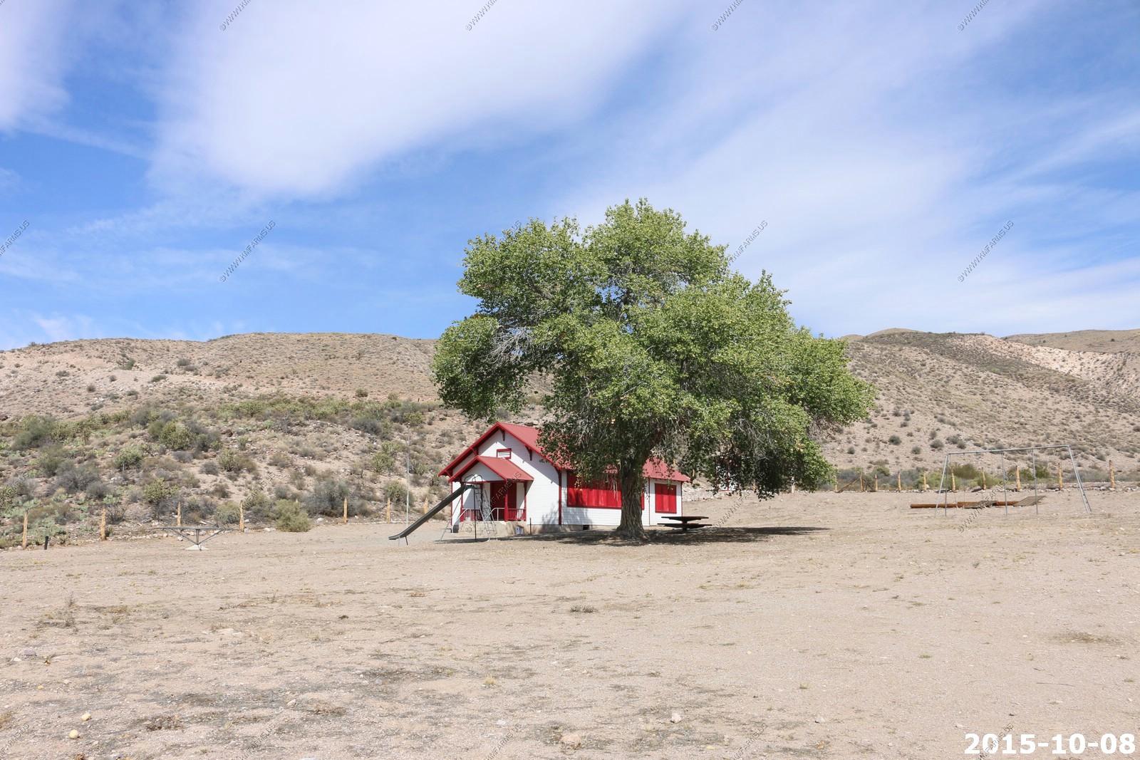
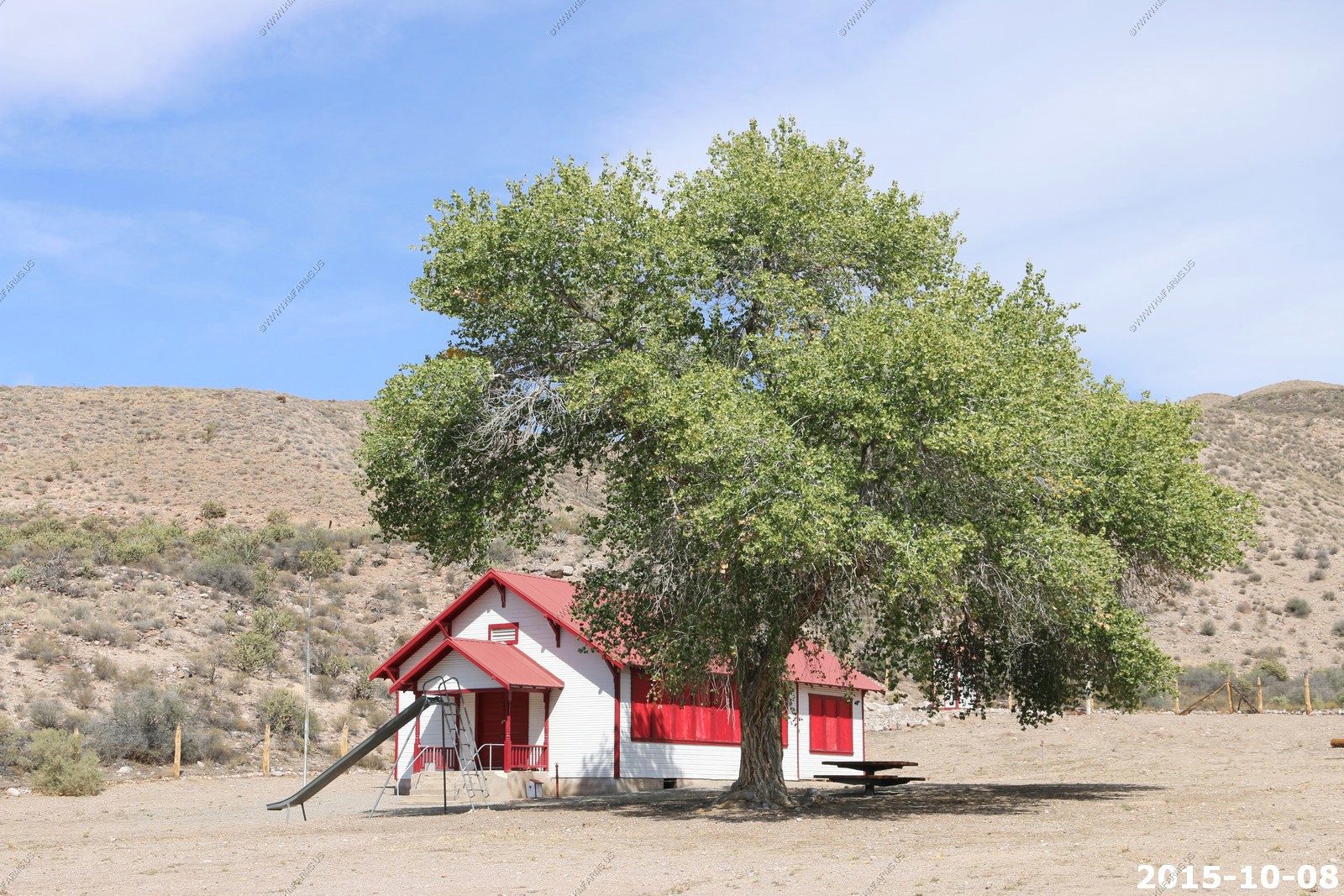
Elgin, NV is a ghost town located between Caliente and Carp, Nevada. Originally a railroad town, it is now the home of a one-room schoolhouse, which had been in use from 1922 to 1967. The schoolhouse is now a museum with an apple orchard nearby and was declared a State Historic Site in 2005.
Elgin is located on the eastern banks of the Meadow Valley Wash off of Nevada State Route 317.
Looking North
Looking South
Elgin Schoolhouse
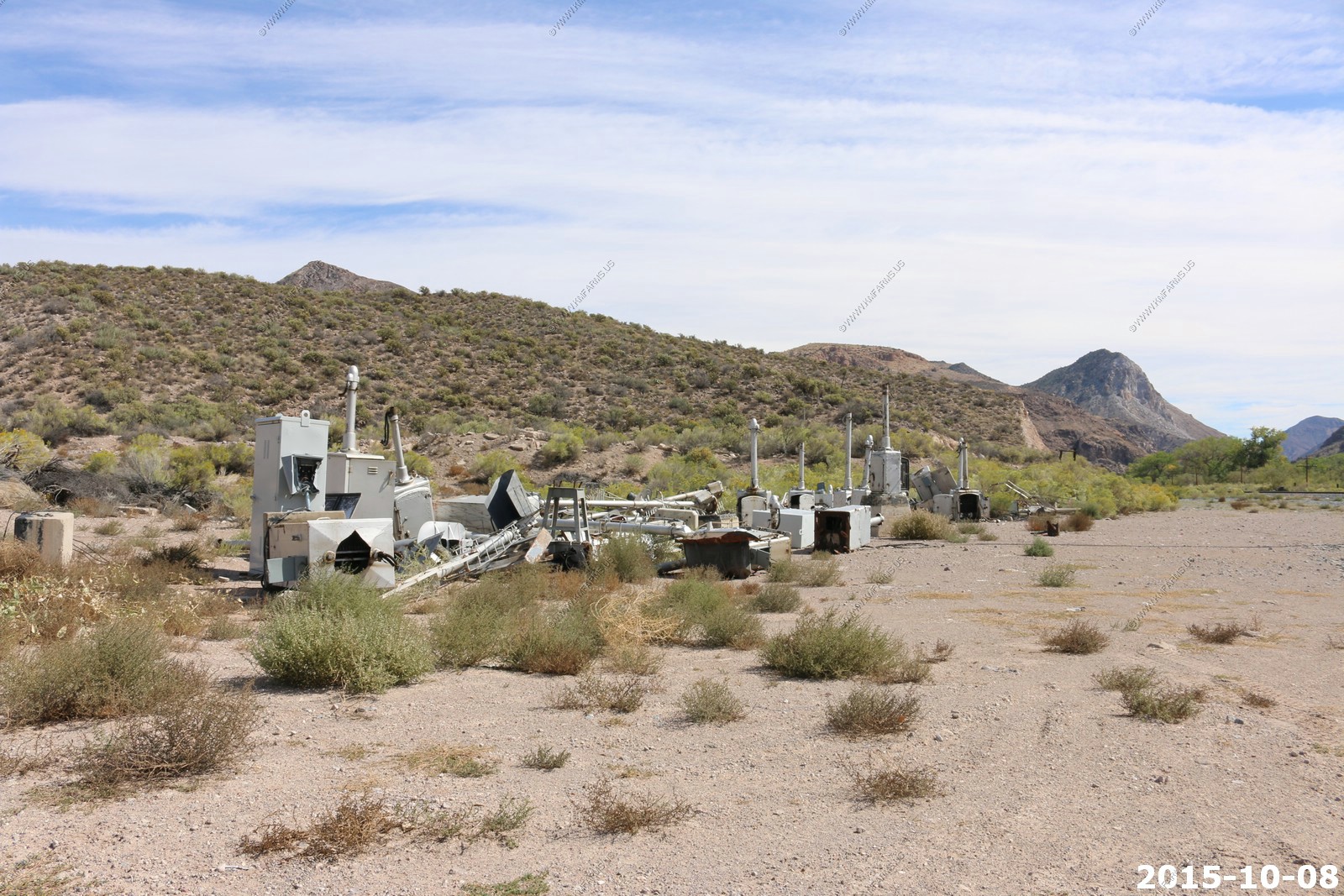
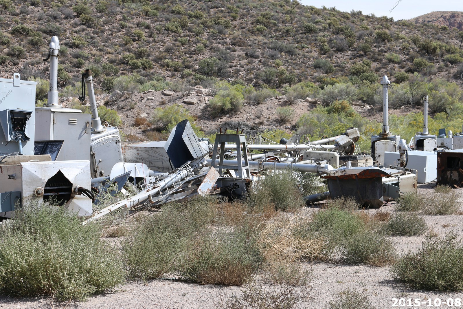
This looks like the place to get used RR signal equipment
Sad the road is paved now. Still, many hours since we saw another person.
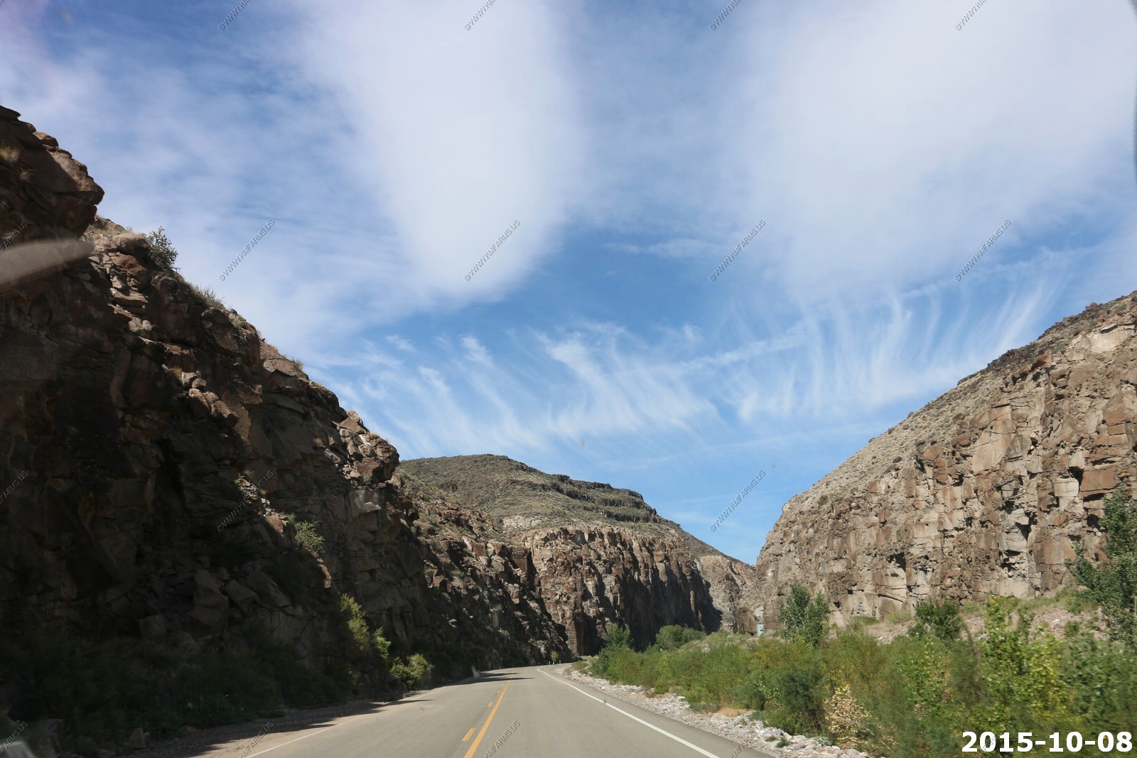
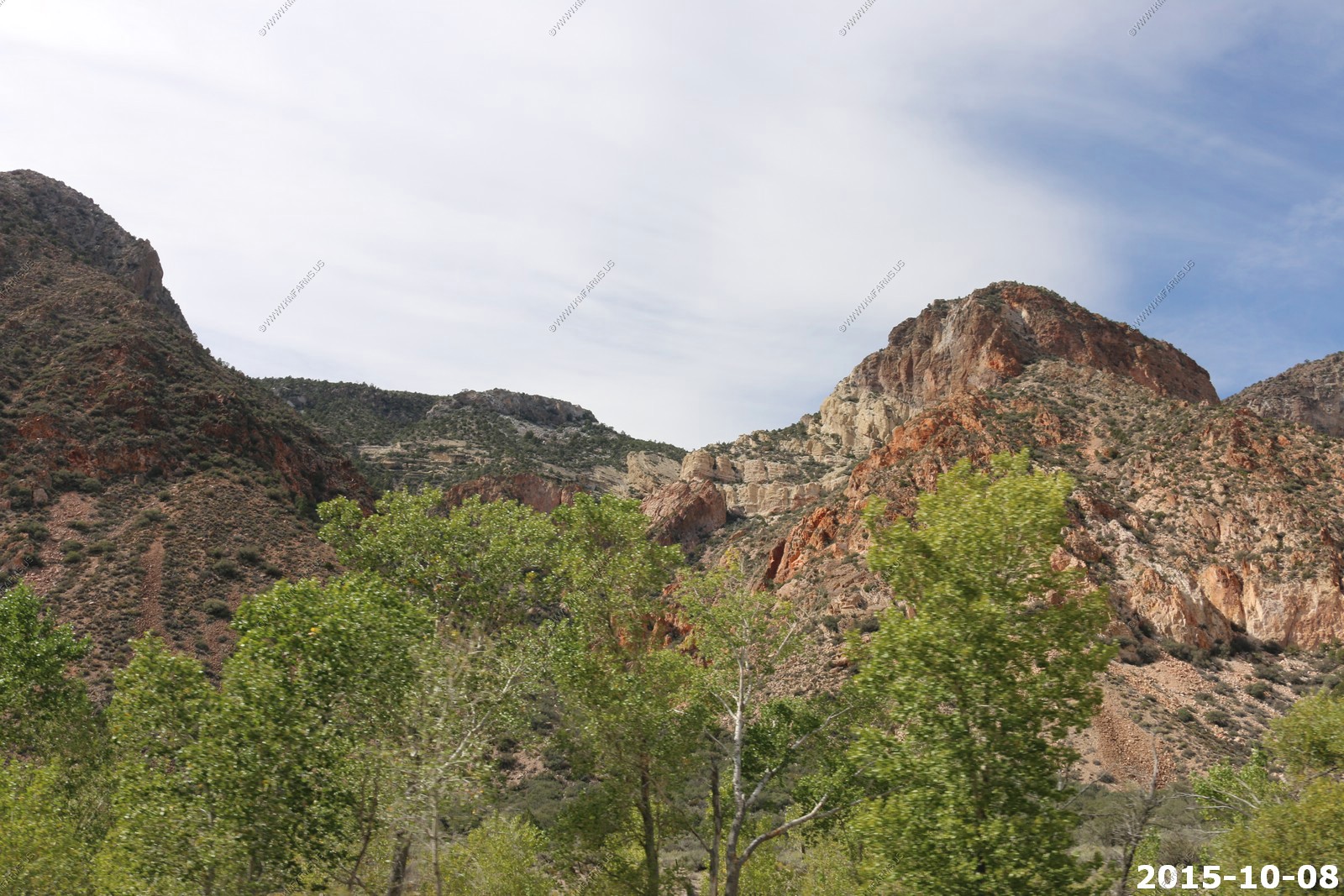
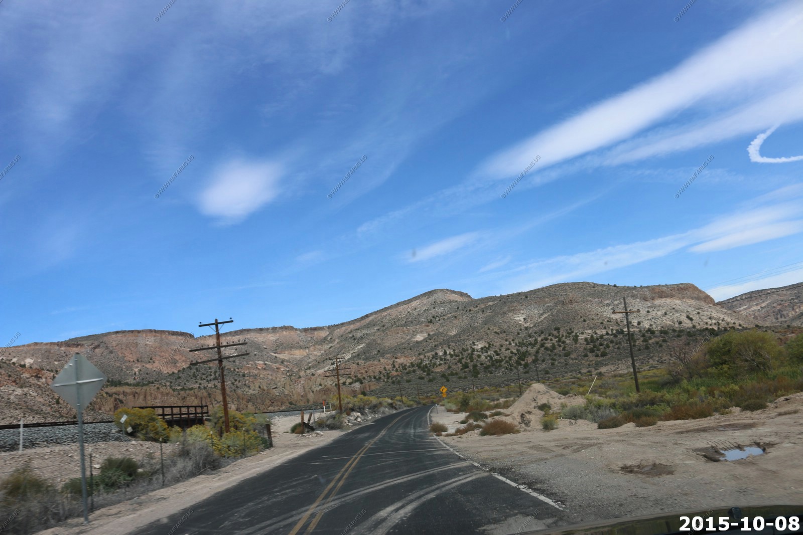
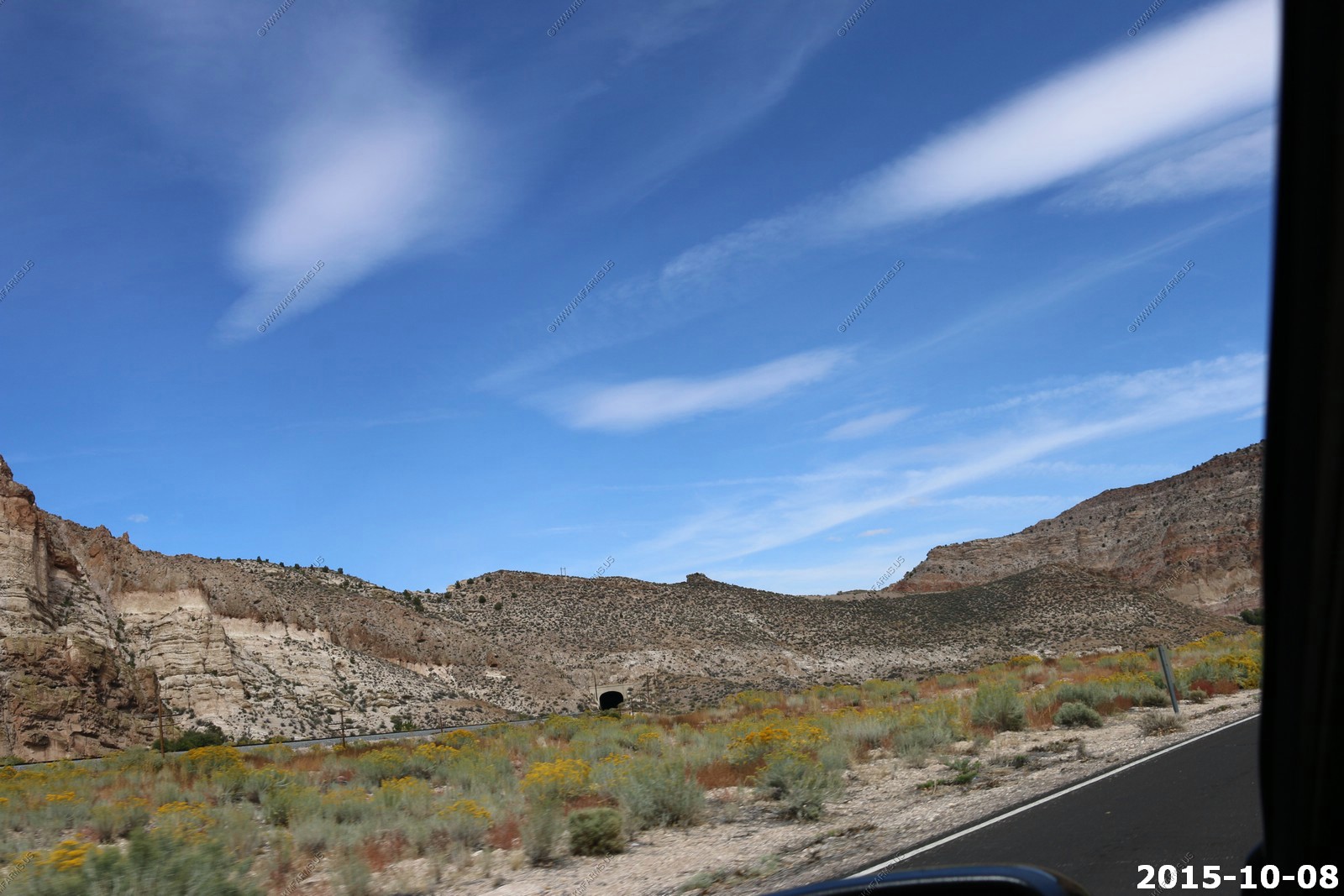
Various views of road, bridges, tunnels, rocks as this was a beautiful remove area along Meadow Valley Wash

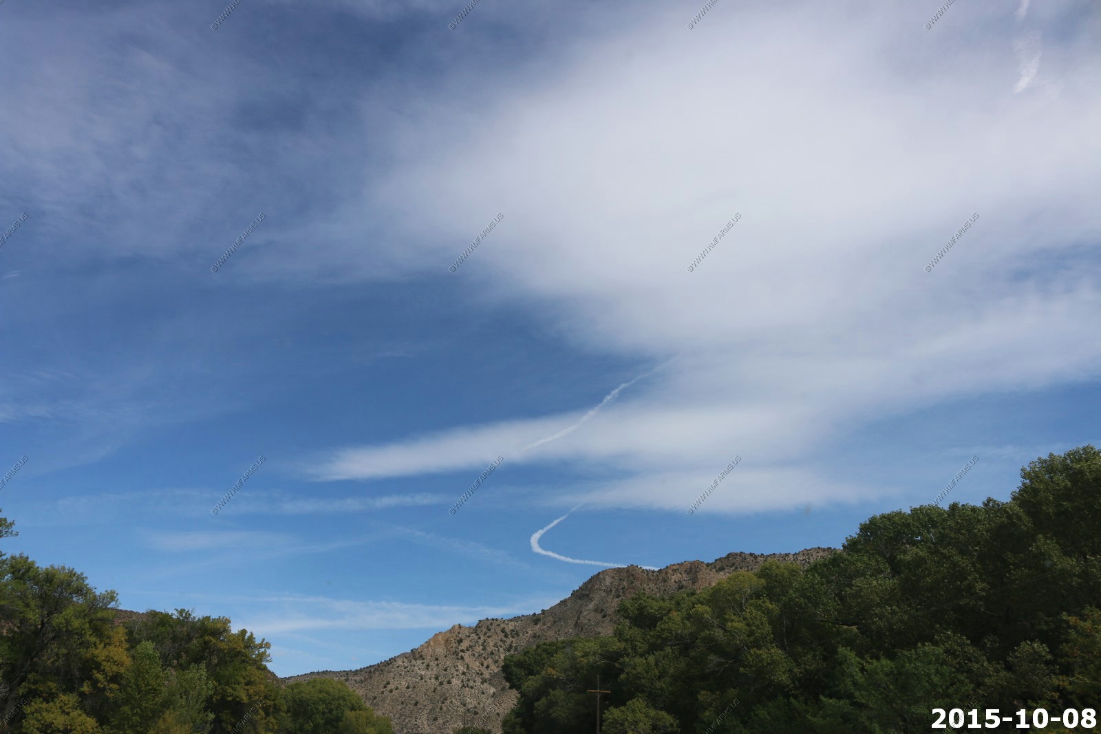
Starting to see contrails east of Area 51
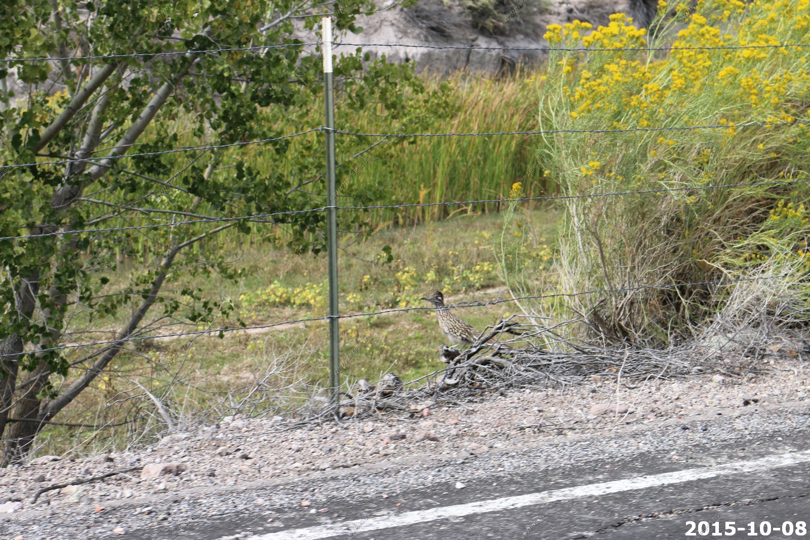
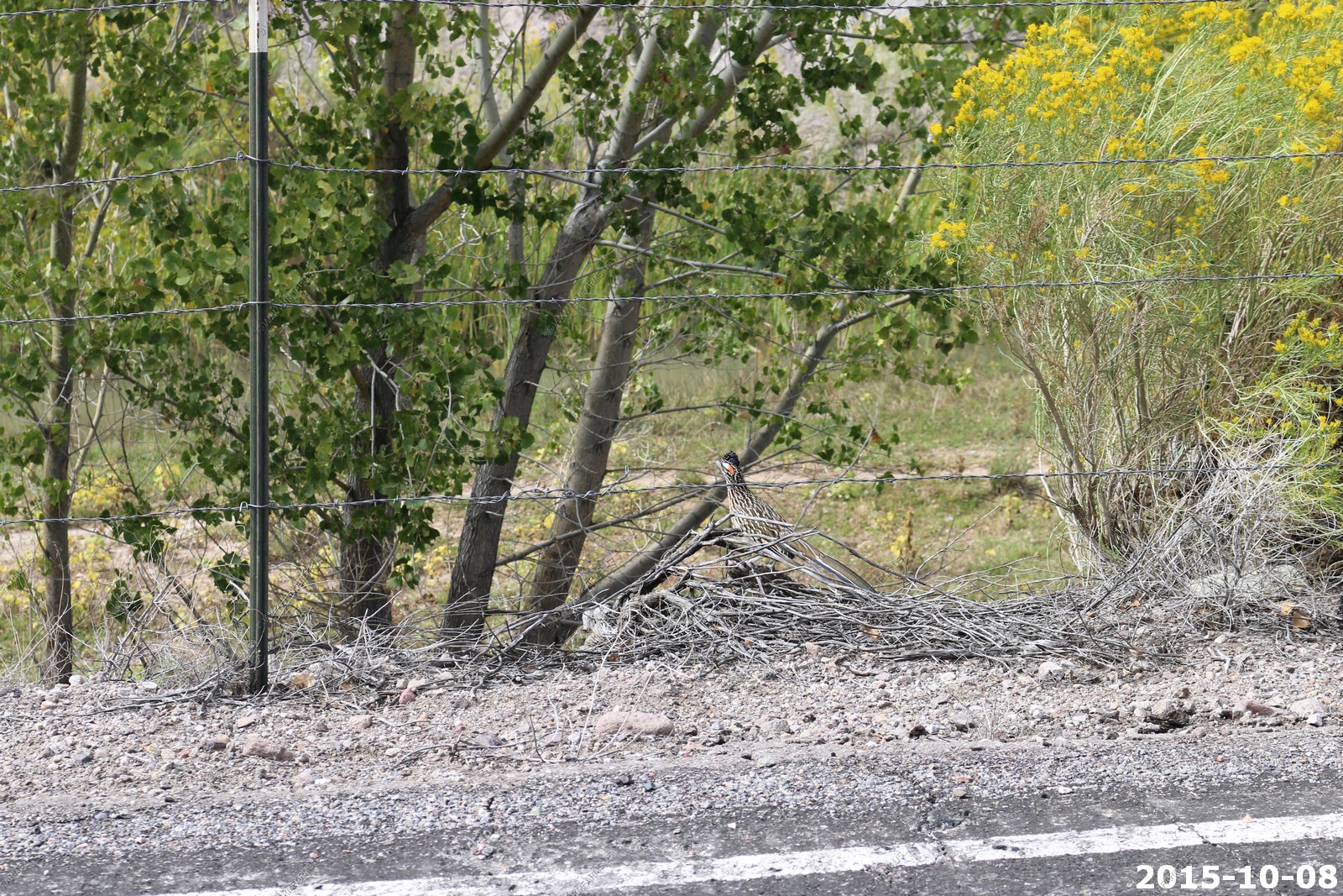
Road Runner
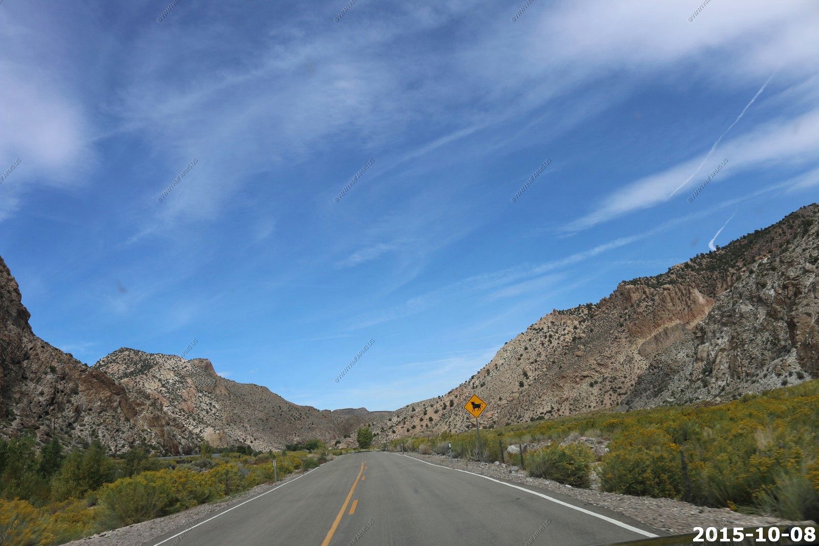
More road & contrail views
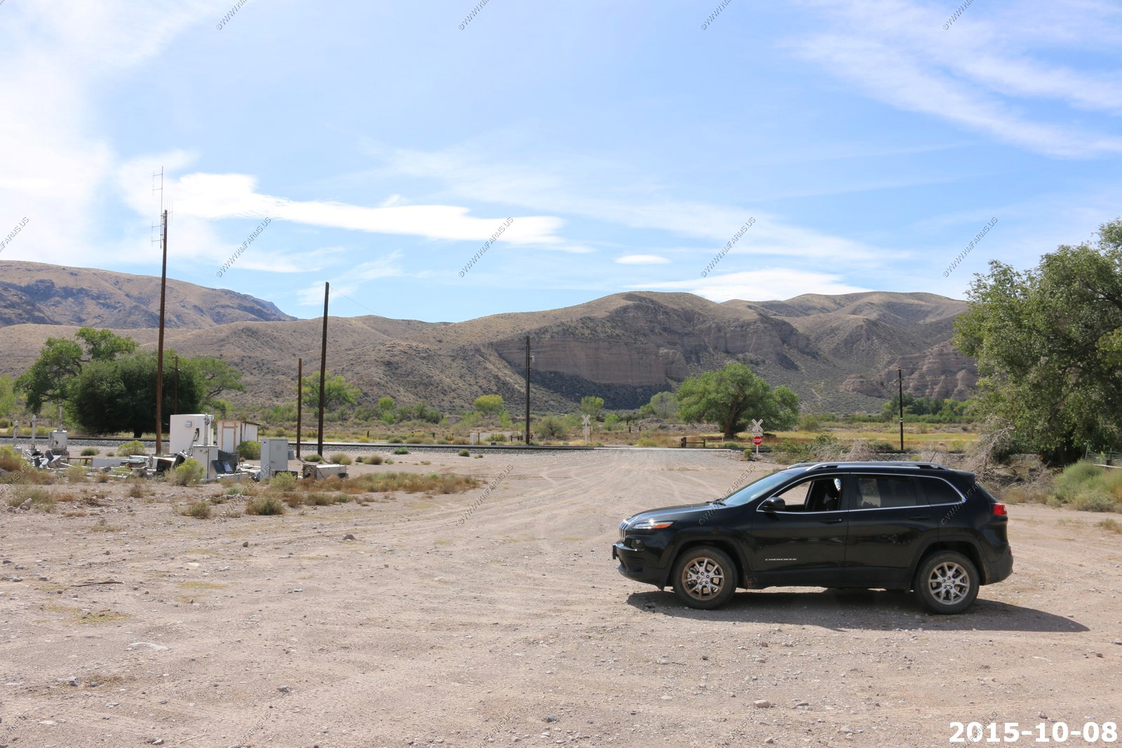
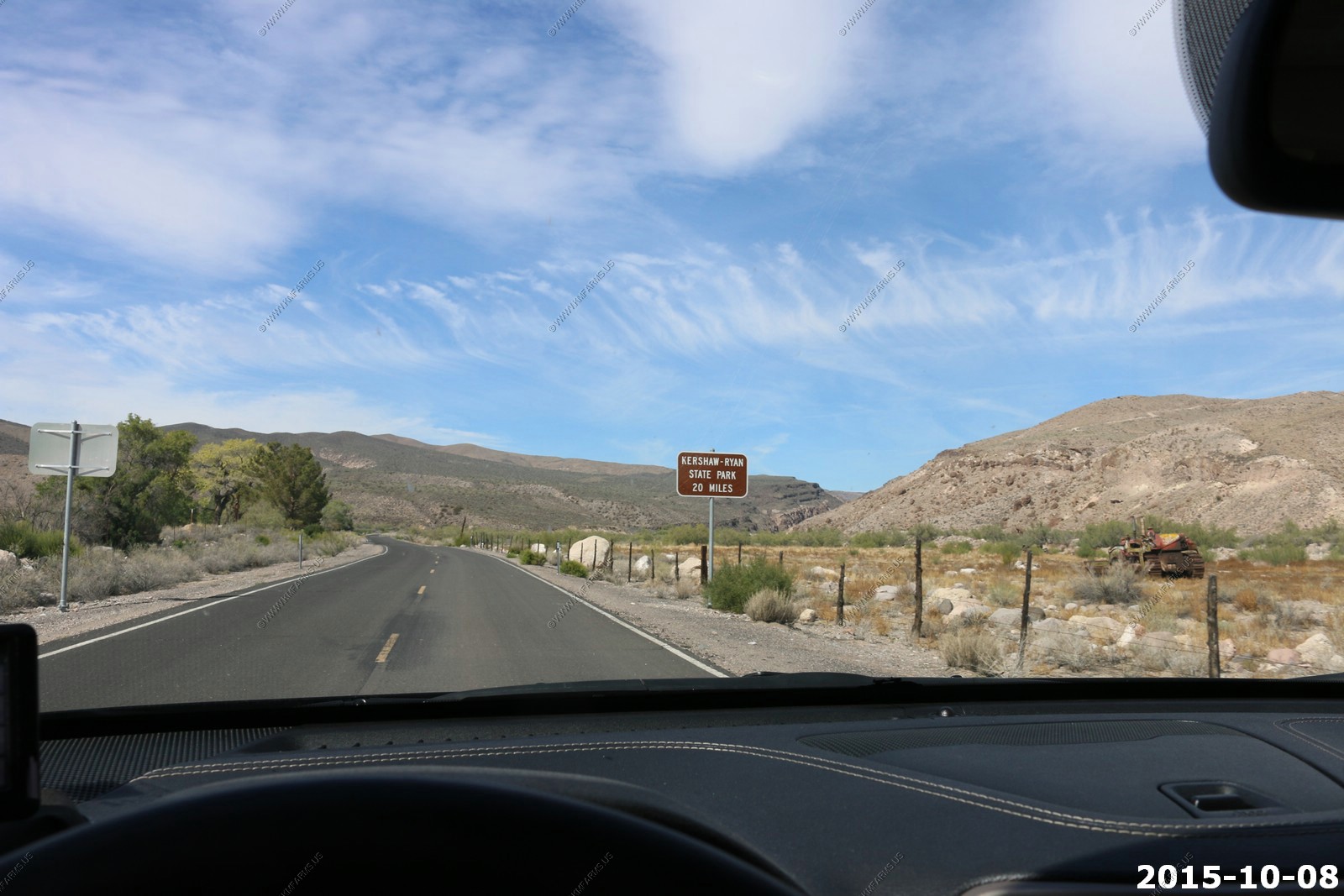
Kershaw-Ryan State Park south of Caliente, NV We stopped at the entrance as again we are cheap. Lots of fighter activity above us by the contrails and you could hear them but could not see them. I figured this was a good place to train watch.
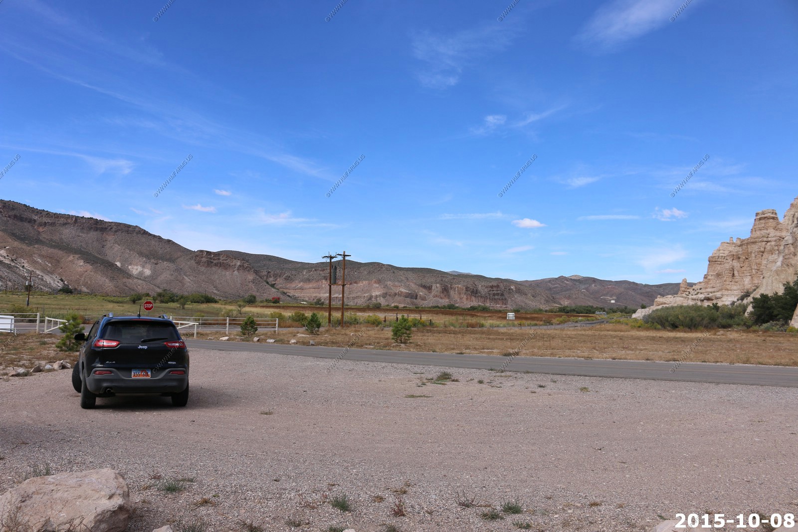
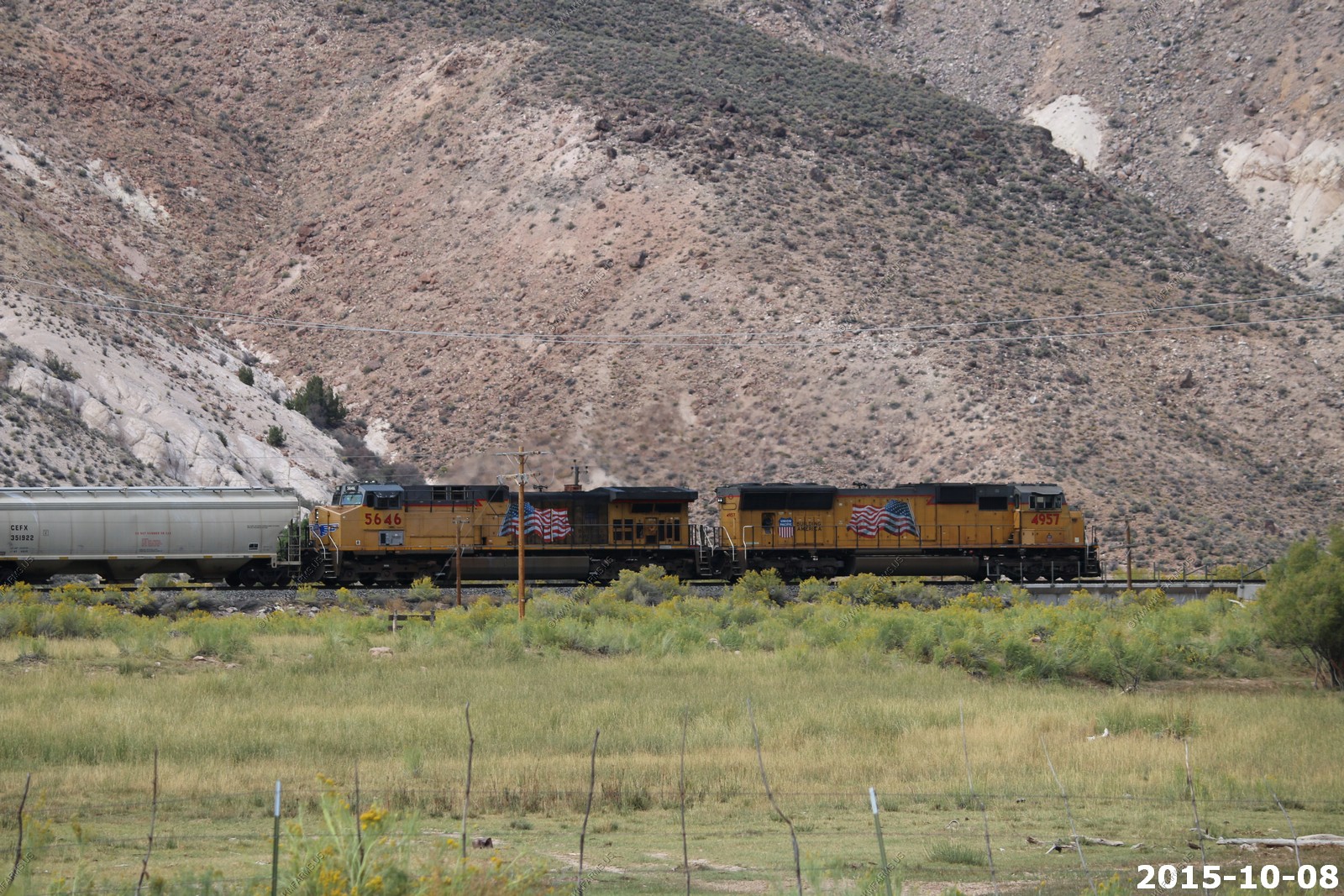
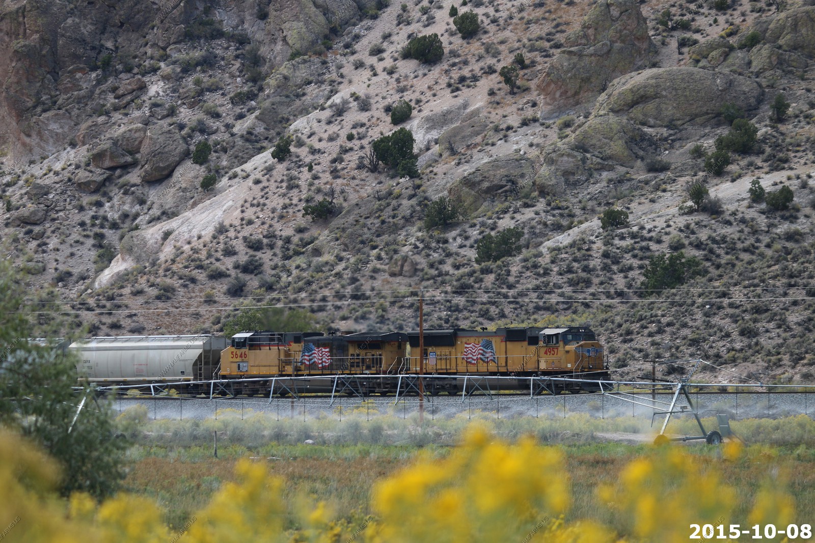
FINALLY a train. A Union Pacific mixed freight heading south. This would be the only train we would see along this line. 5 engines in the front and 2 in the rear. Impressive.
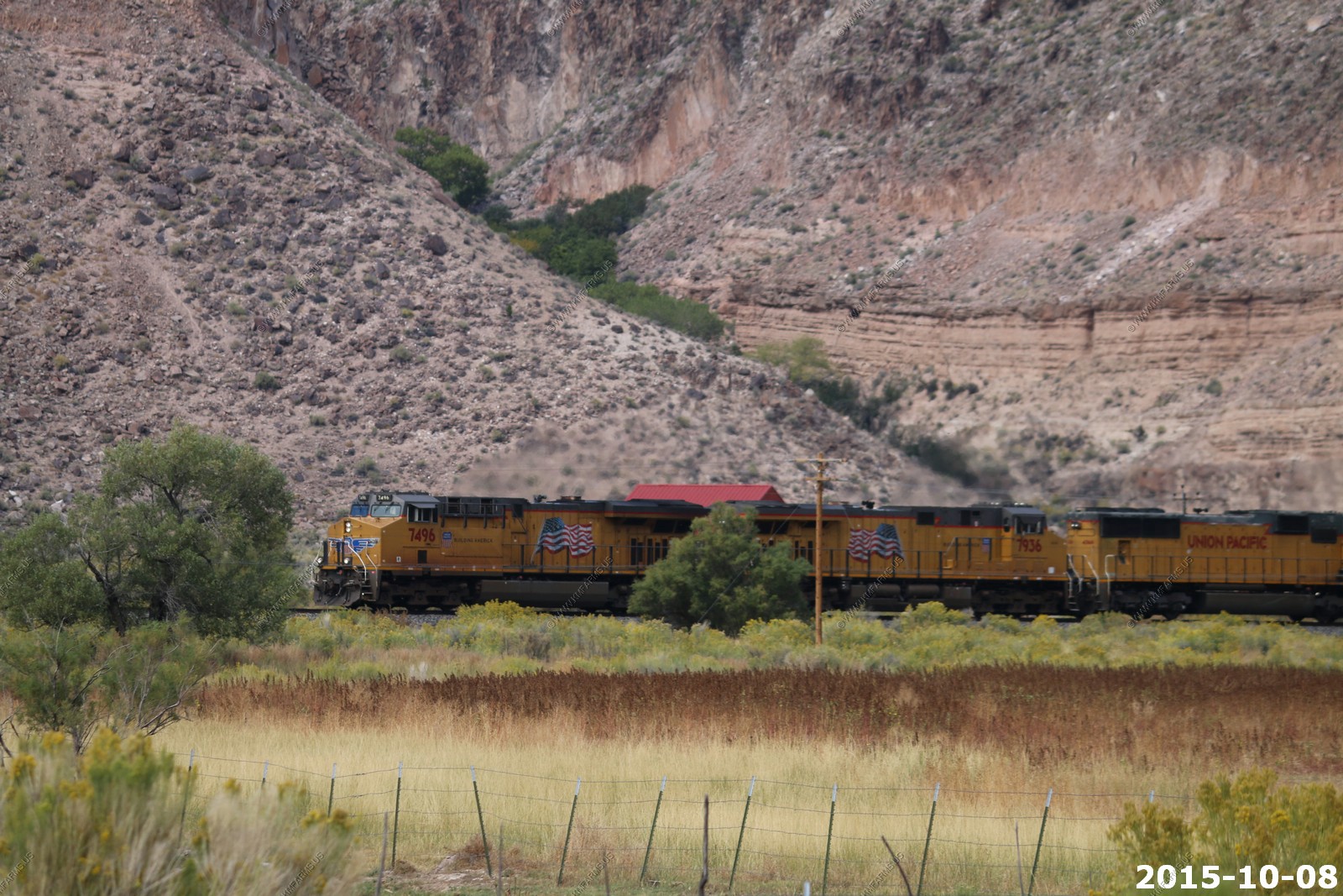
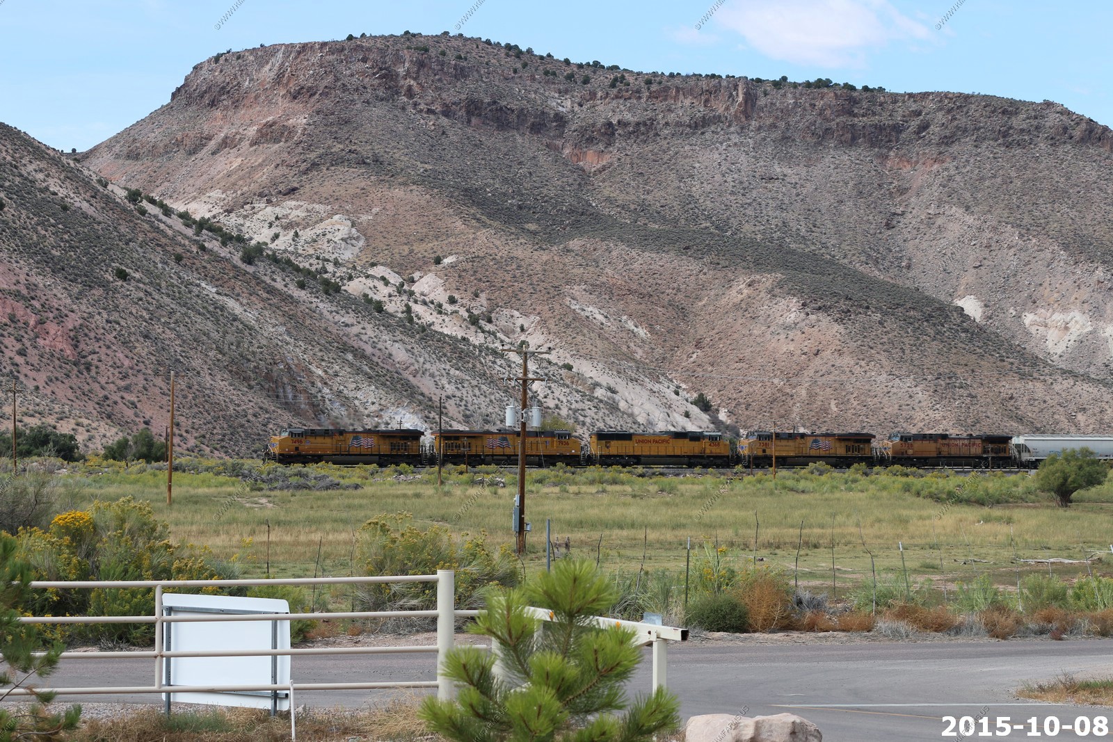
The two end units
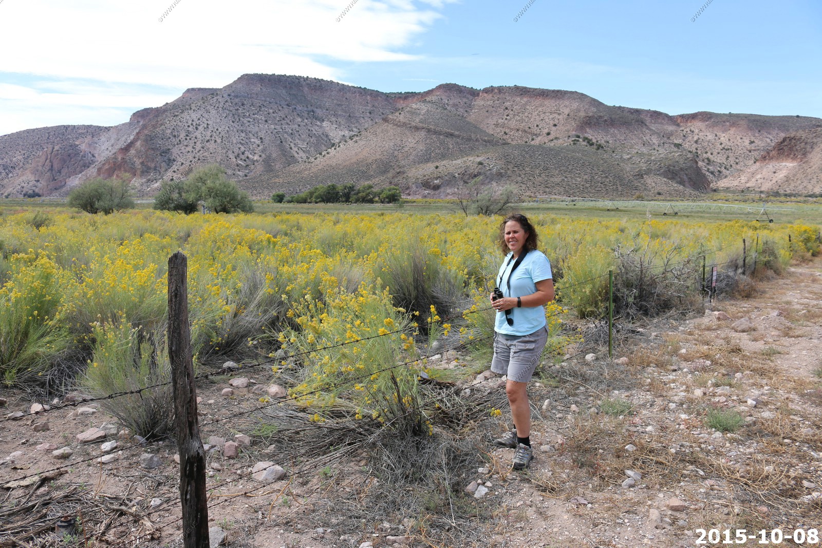
Mary looking at the sage
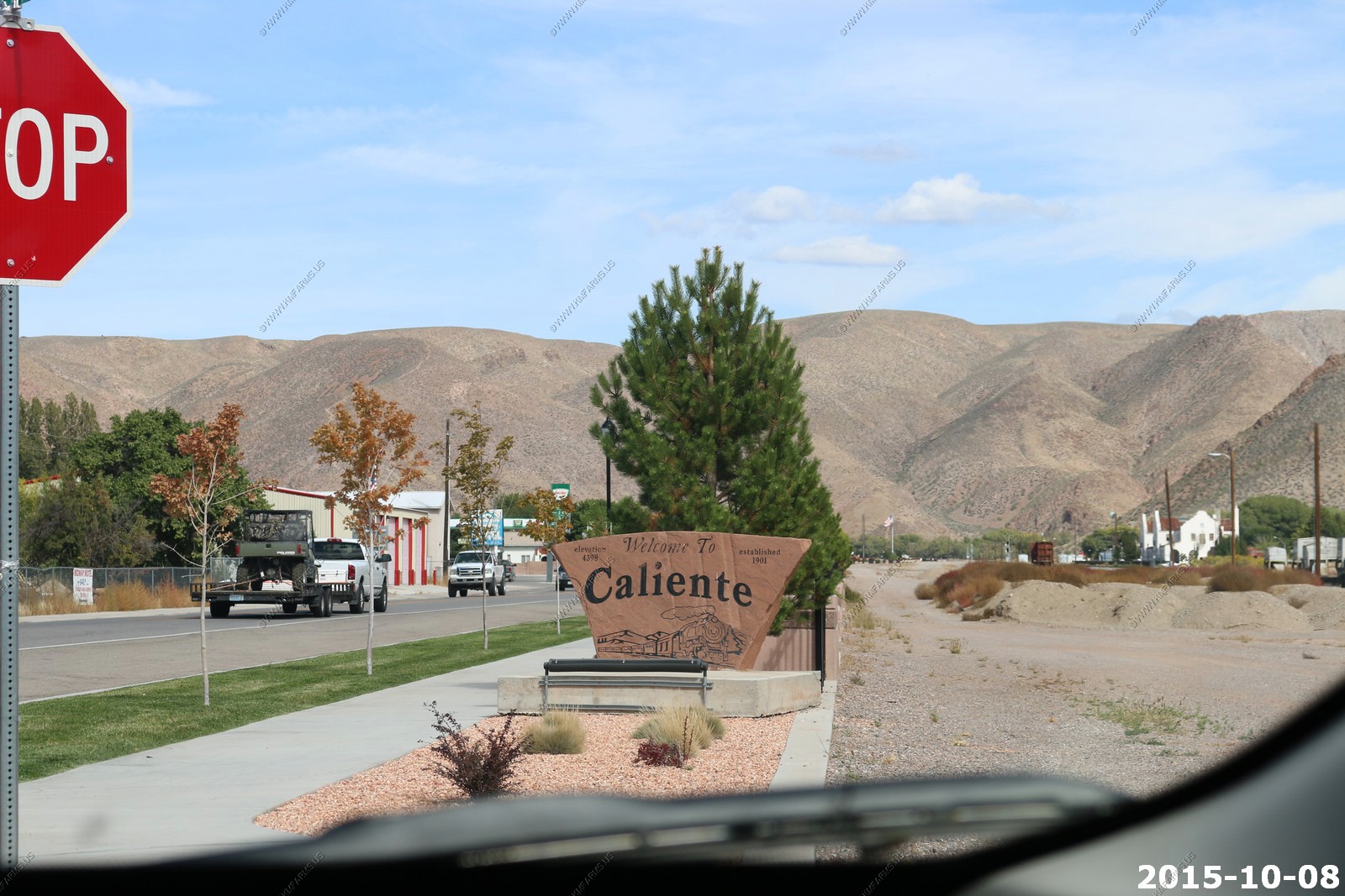
Caliente Nevada formerly known as Culverwell and Calientes, is a city in Lincoln County, Nevada, United States. Its elevation is 4,300 feet (1,310 meters). The population was 1,130 at the 2010 census. The city's name originated from the nearby hot springs, as "caliente" is the Spanish word meaning "hot. The town once reached a peak of over 5,000 residents, but its population continually declined
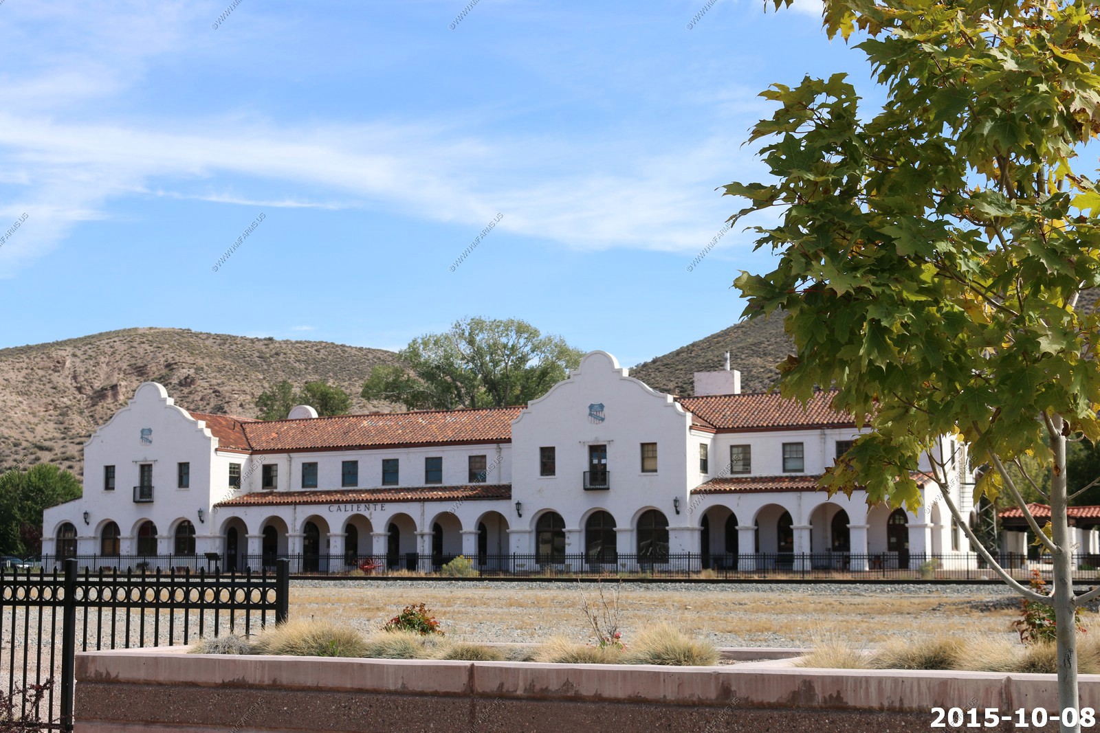
The LA&SL was known for its depot buildings, many of which were imposing structures in the Mission Revival architectural style. Landmark LA&SL stations in Caliente survive today. The Depot is listed on the National Register of Historic Places, and is Nevada Historical Marker number 249. The depot is a two story wood frame stucco building. The first floor held the passenger waiting room, station agent's office and other railroad offices. The second floor was used as a hotel. The division point at Caliente served as a maintenance facility and was a base for helper locomotives. In the 1950s, as diesel locomotives replaced steam, the railroad no longer needed to use the Caliente site. Maintenance of the locomotives was moved to Las Vegas in 1948. Until 1993, the station saw service on Amtrak's Desert Wind.
70 mph on rural roads with lots of turns makes it interesting
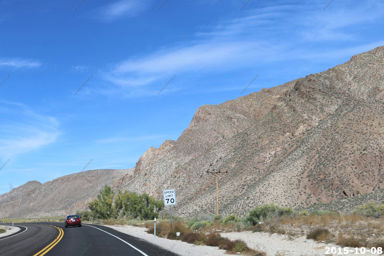
Heading east on Nevada state highway 319 The views to the north were very expansive as you could see to the Wilson Creek Range which is extremely remote.
Back in Utah and its now UT56. 61 miles back to Cedar City and we are along the UP tracks again.

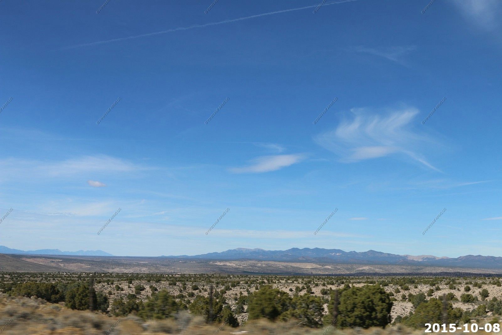
The drive from Panaca, Nevada thru Enterprise, Utah was wide open spaces and no traffic at all.
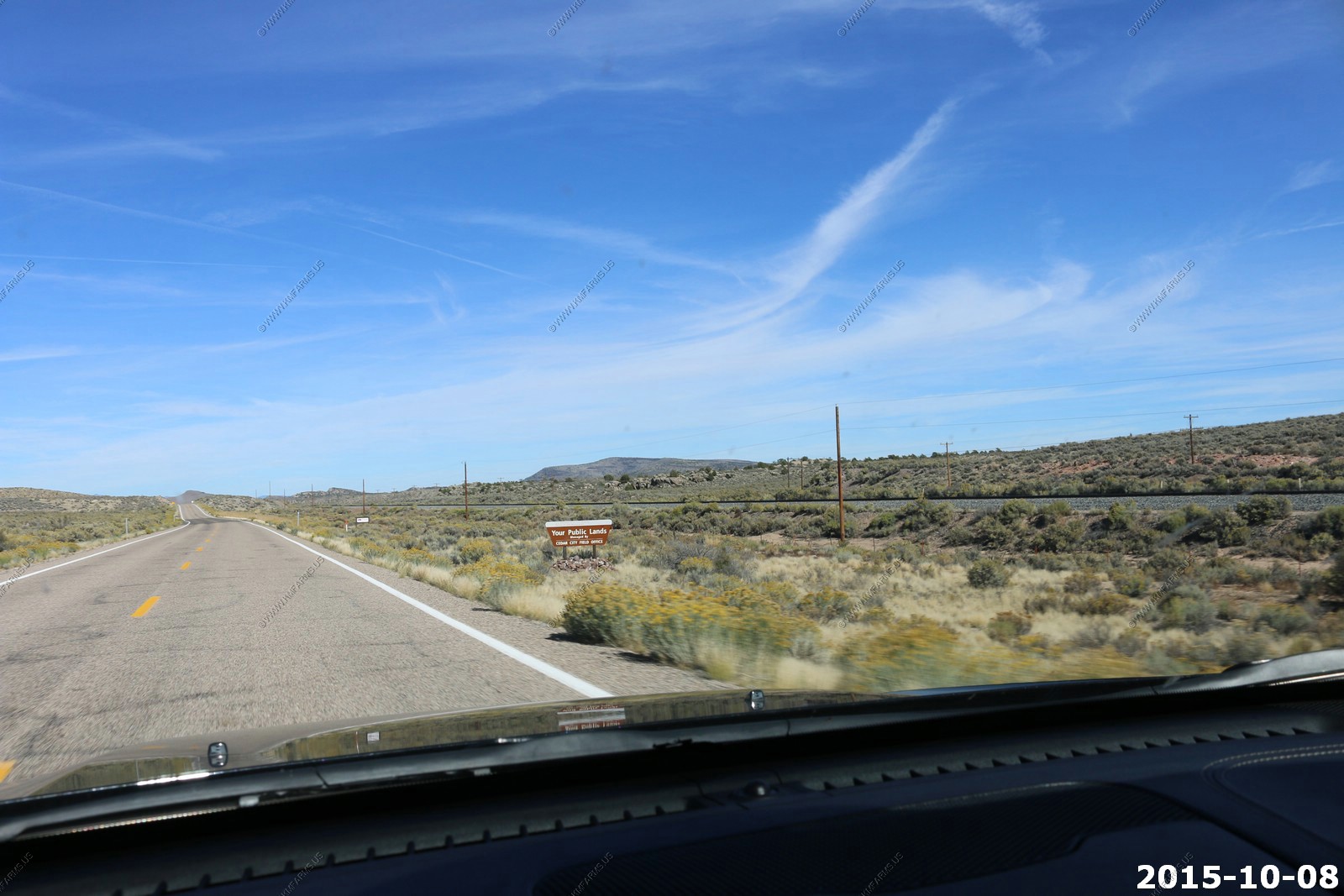
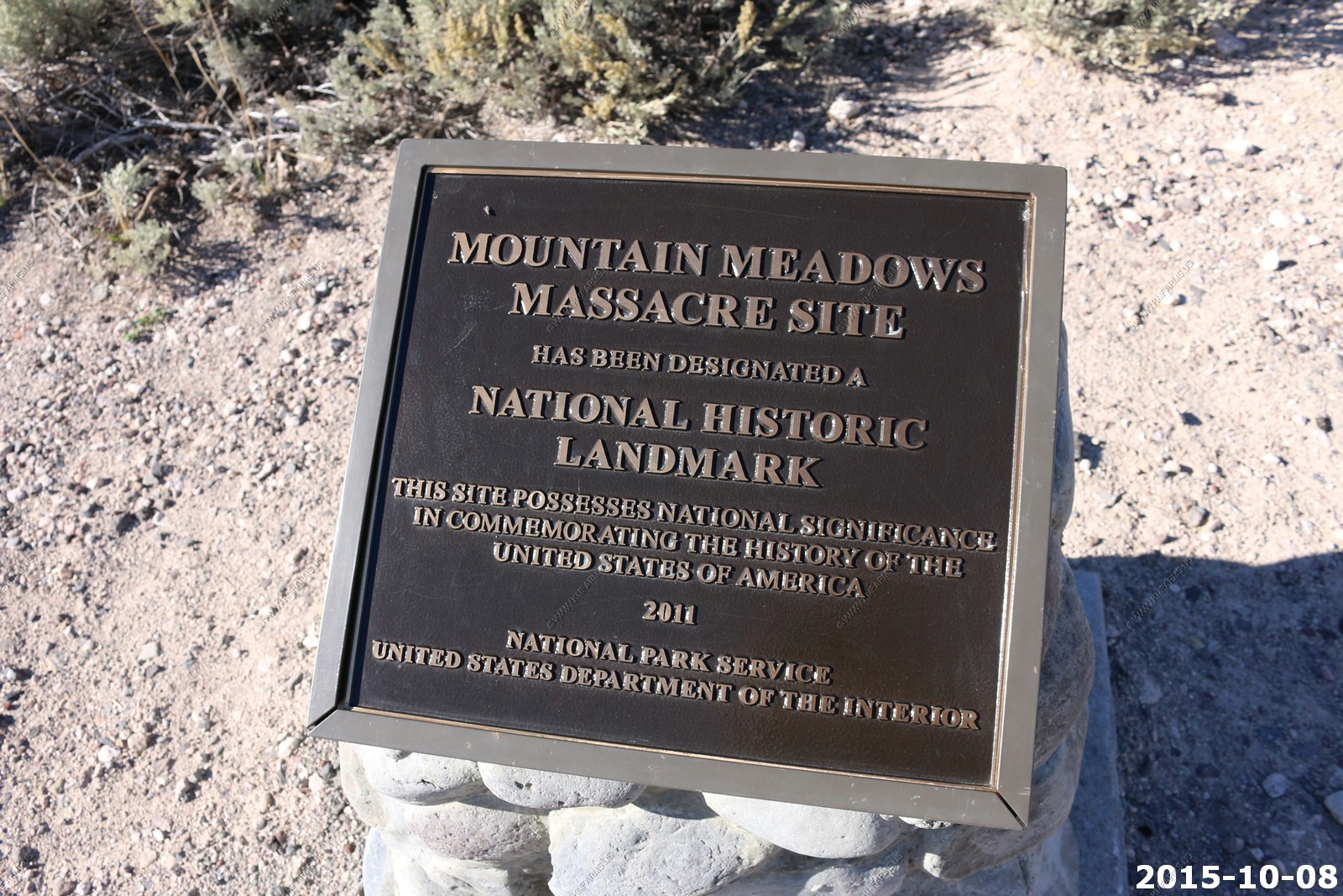
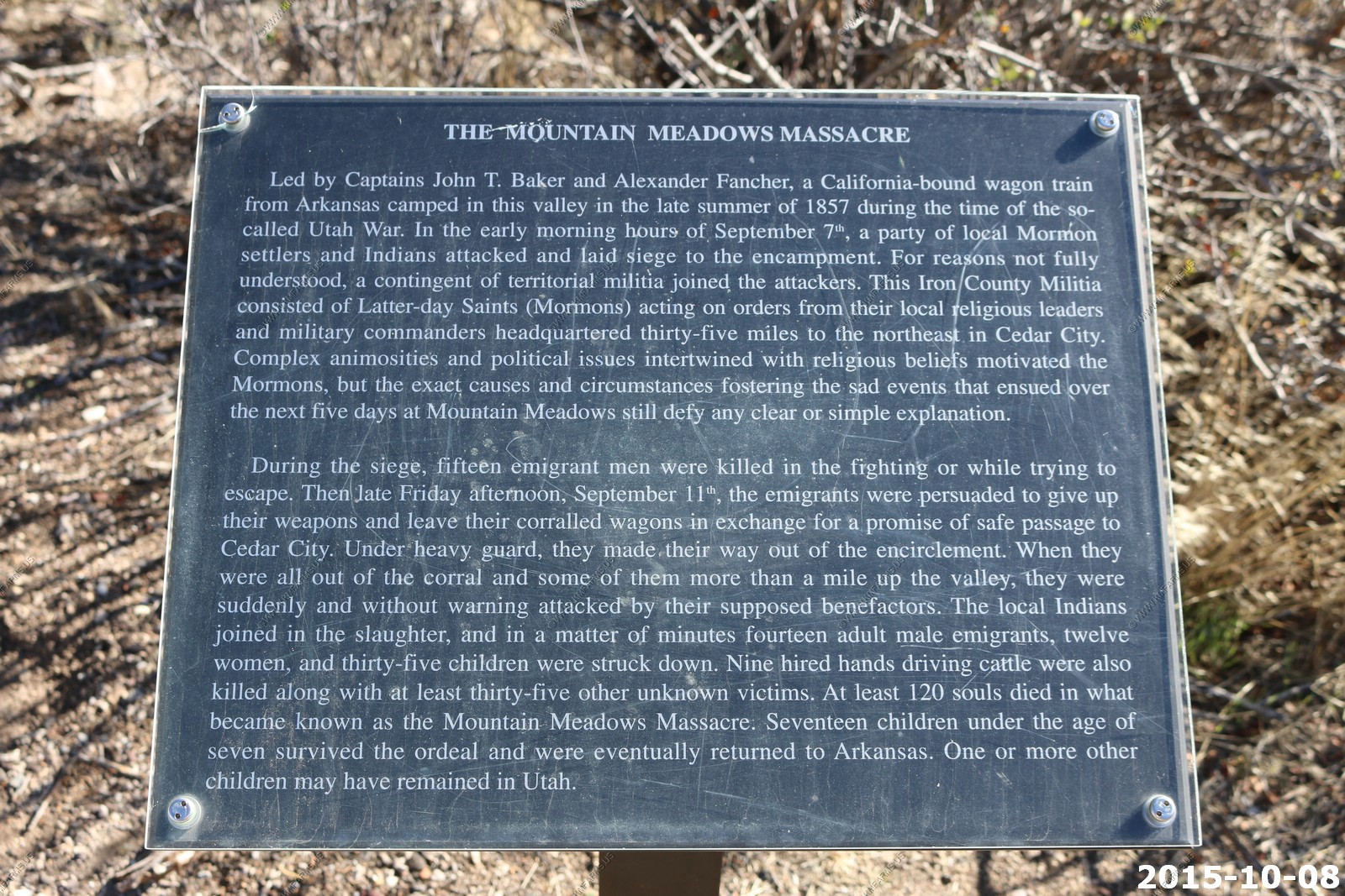
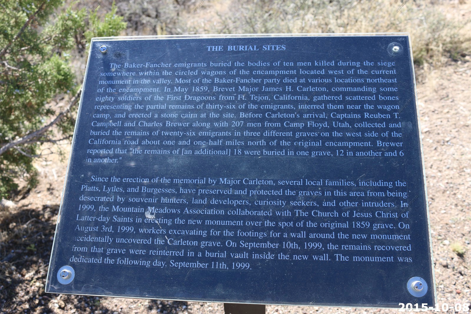
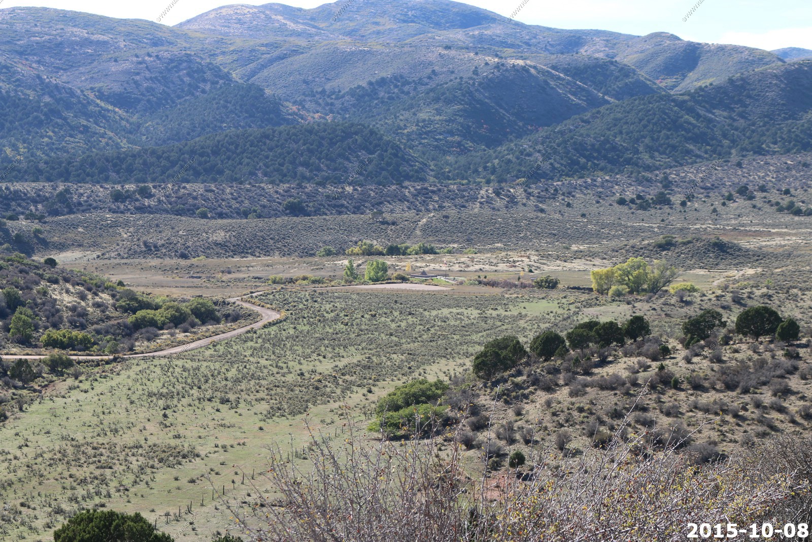
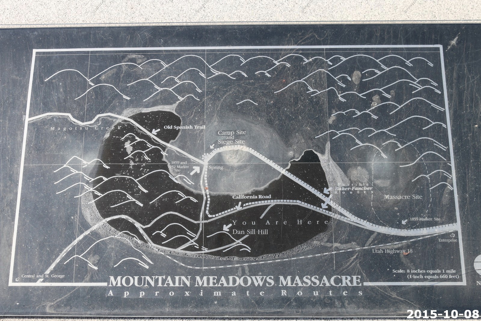
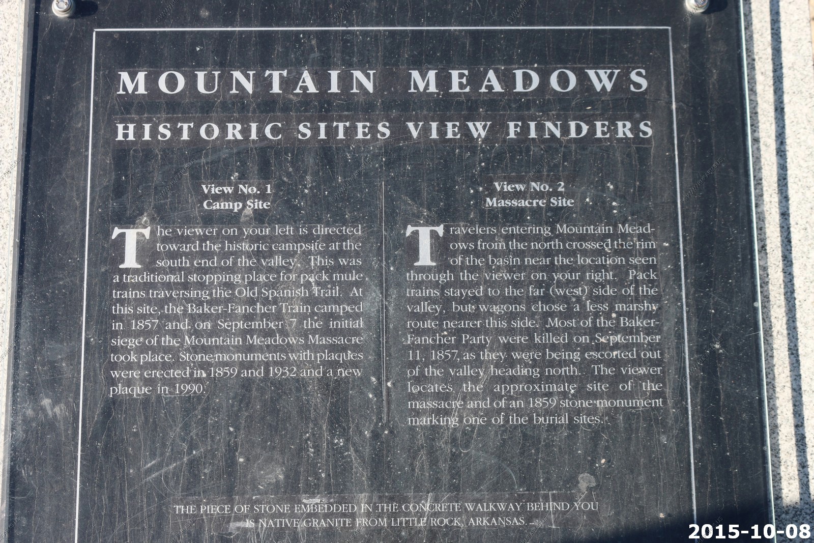
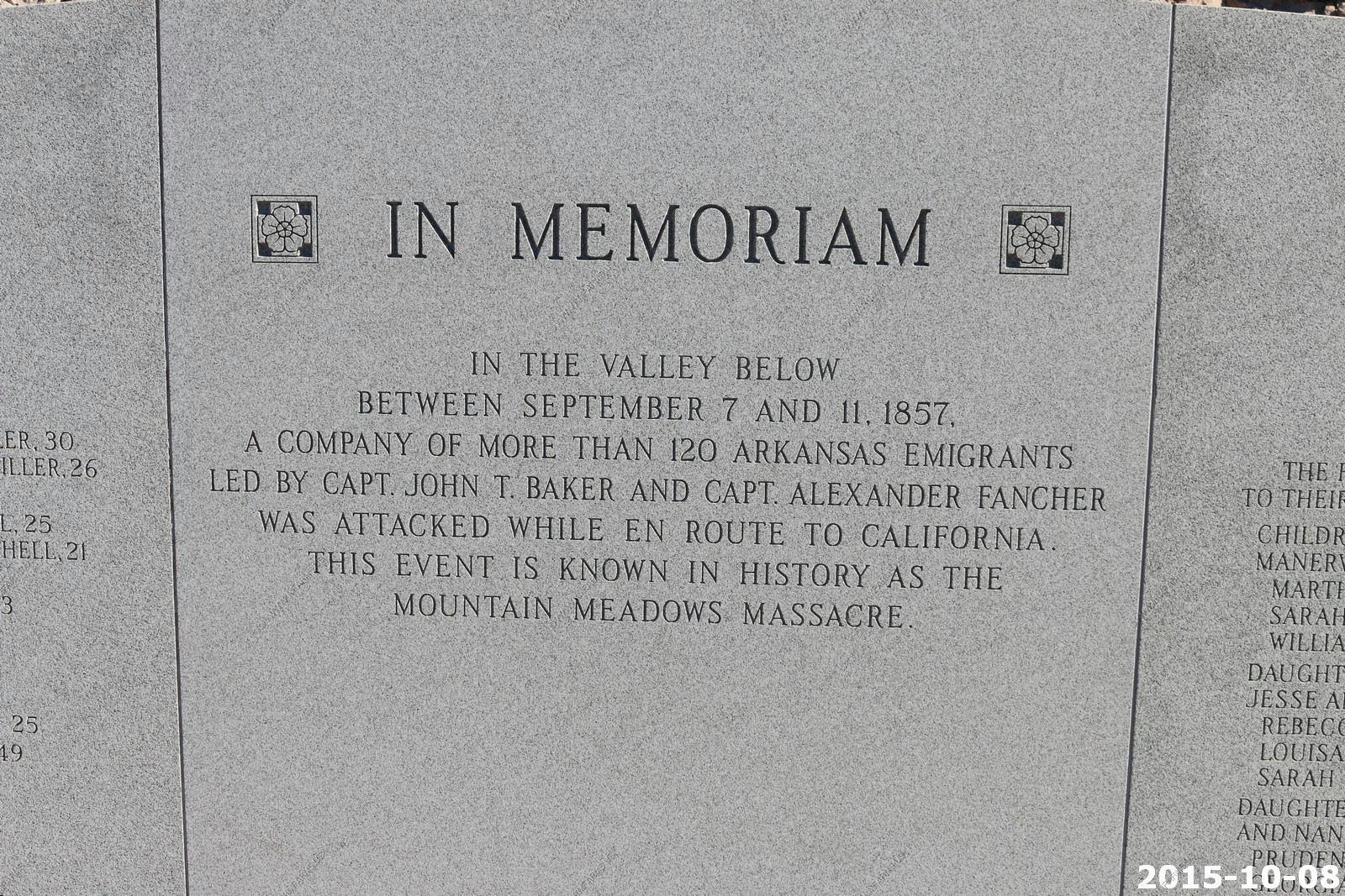
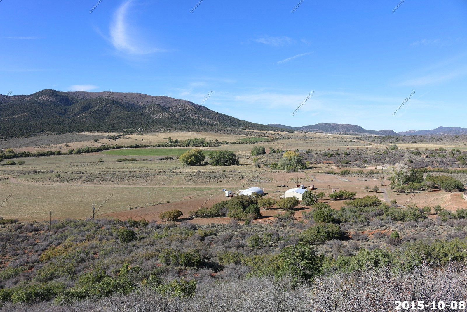
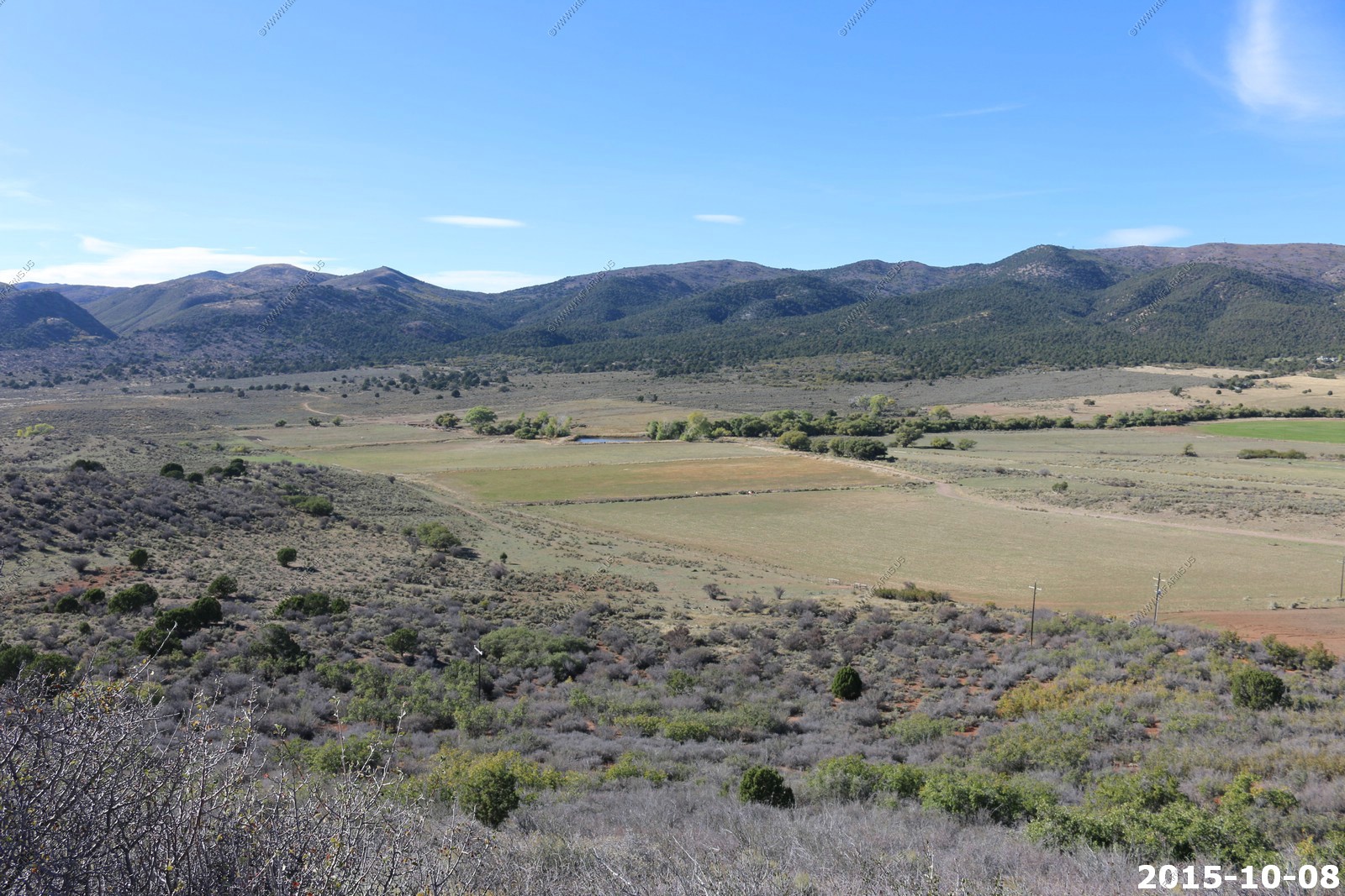
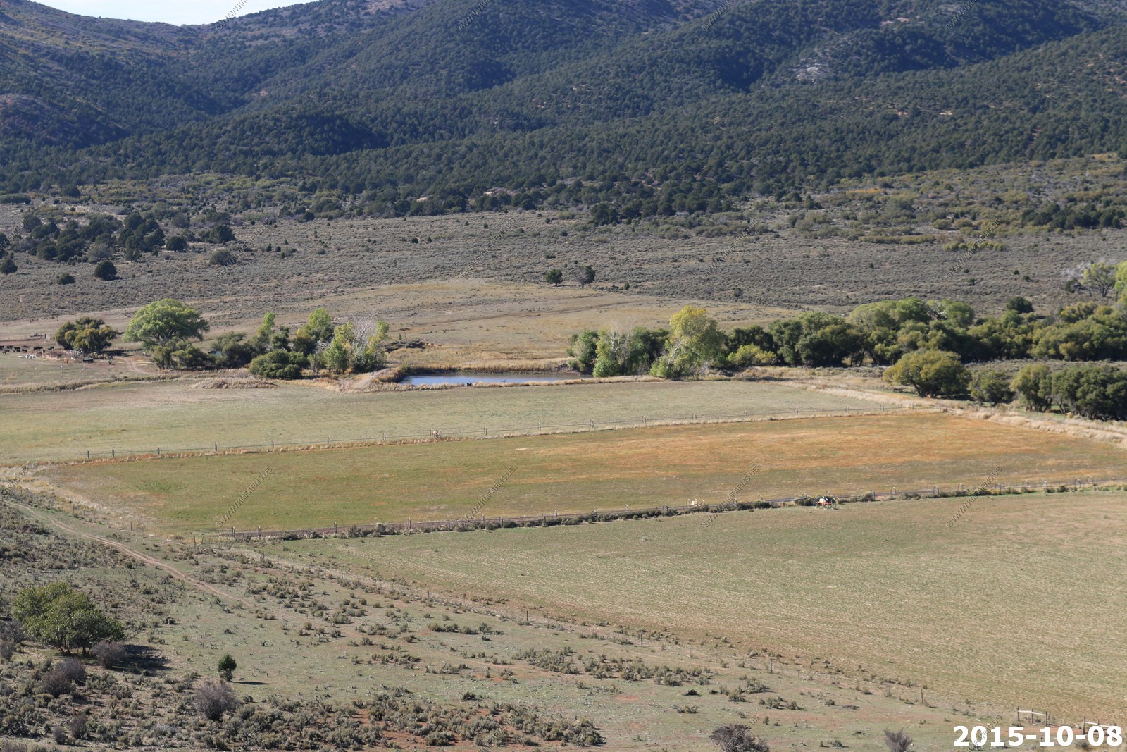
Our next place to check out was Mountain Meadows Massacre Site
Mountain Meadows, is an area in present-day Washington County, Utah. It was a place of rest and grazing used by pack trains and drovers, on the Old Spanish Trail and later Mormons, Forty-niners, mail riders, migrants and teamsters on the Mormon Road on their way overland between Utah and California.
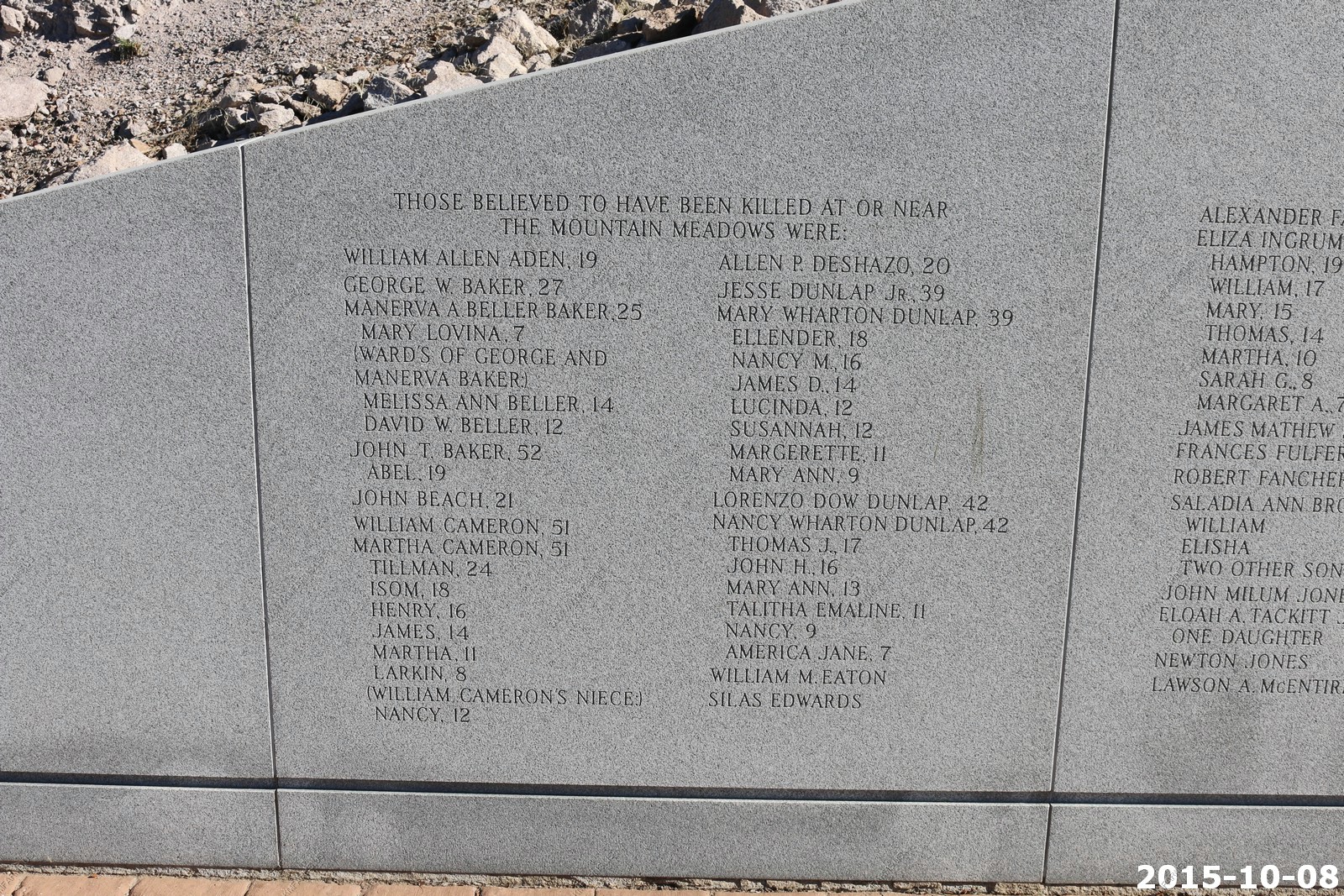
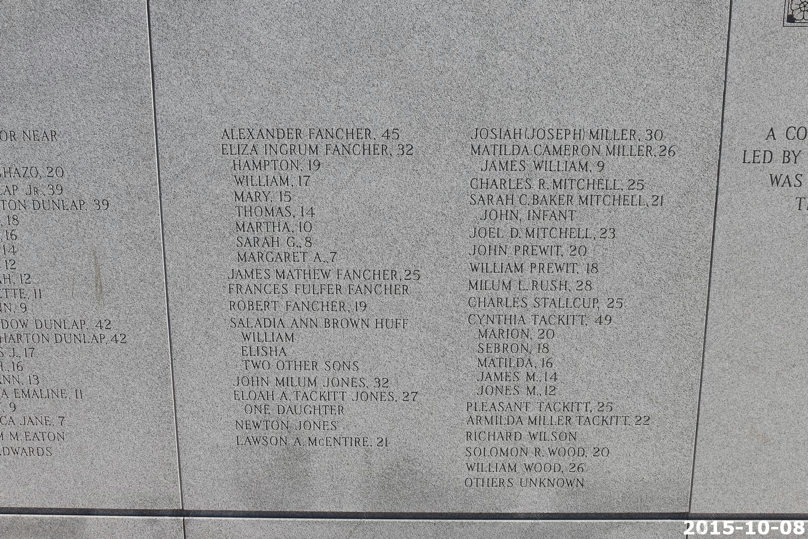
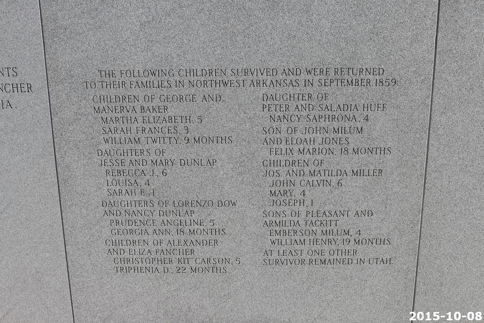
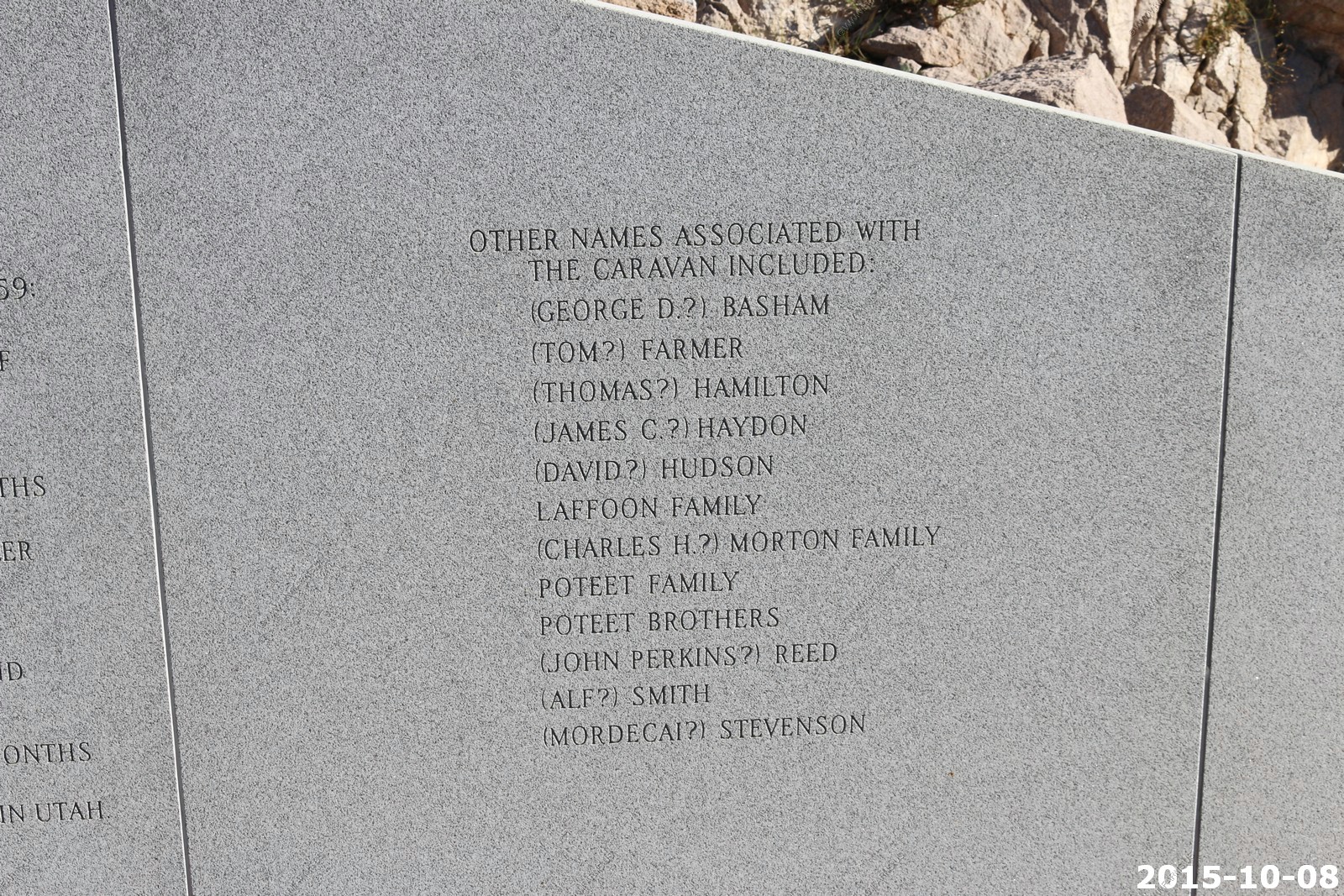
The Mountain Meadows massacre was a series of attacks on the Baker-Fancher emigrant wagon train, at Mountain Meadows in southern Utah. The attacks began on September 7 and culminated on September 11, 1857, resulting in the mass slaughter of most in the emigrant party by members of the Utah Territorial Militia from the Iron County district, together with some Paiute Native Americans. Intending to leave no witnesses and thus prevent reprisals, the perpetrators killed all the adults and older children-about 120 men, women, and children in total. Seventeen children, all younger than seven, were spared.
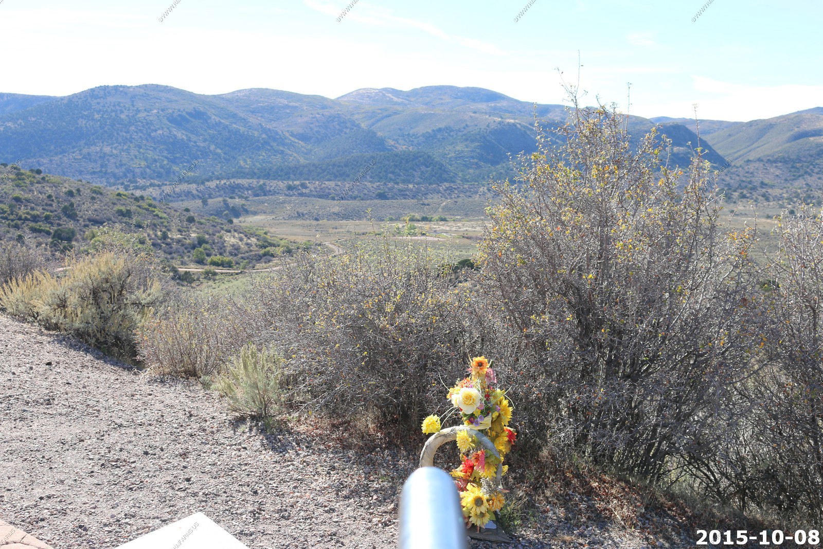
An interesting place to visit
Fighting for parking

Down in the valley is where the actual massacre occurred.
Nice monument
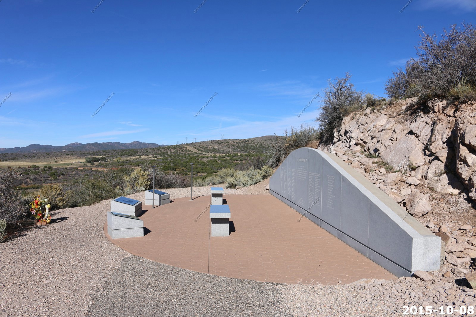

List of names
Scenic area
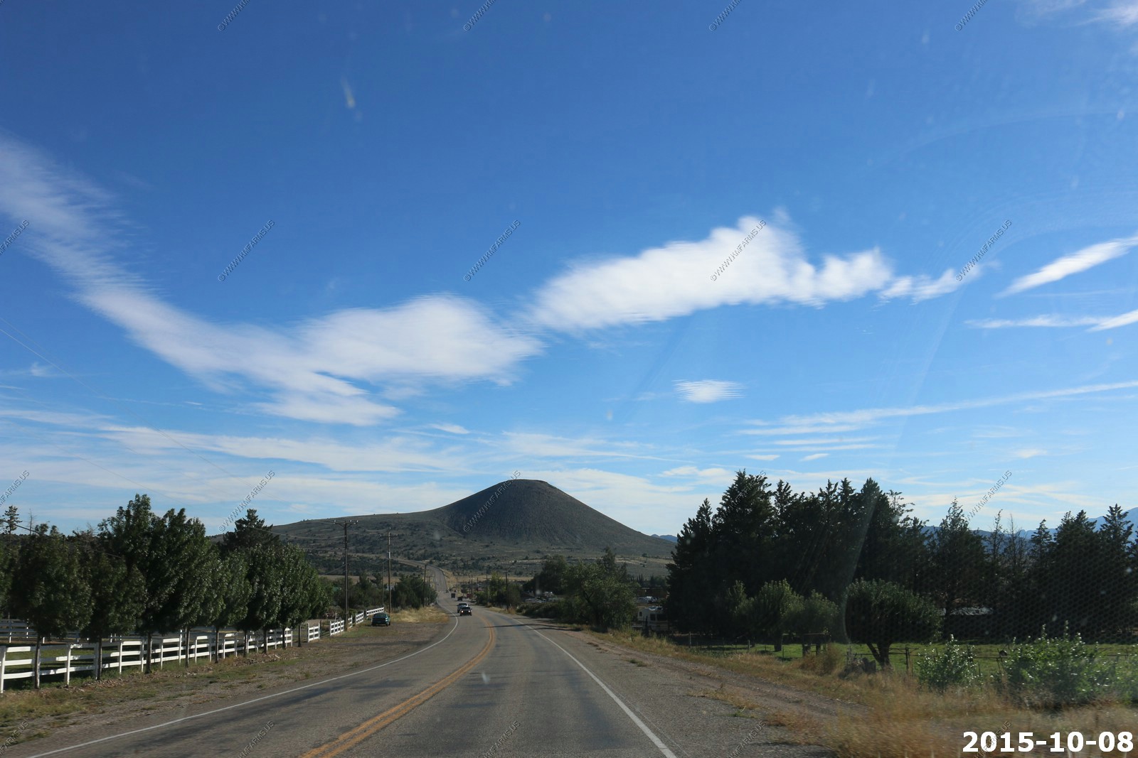
We headed to St. George via UT-18 thru Veyo & Dammeron Valley, Utah and a number of Extinct Volcanos are located in this area.
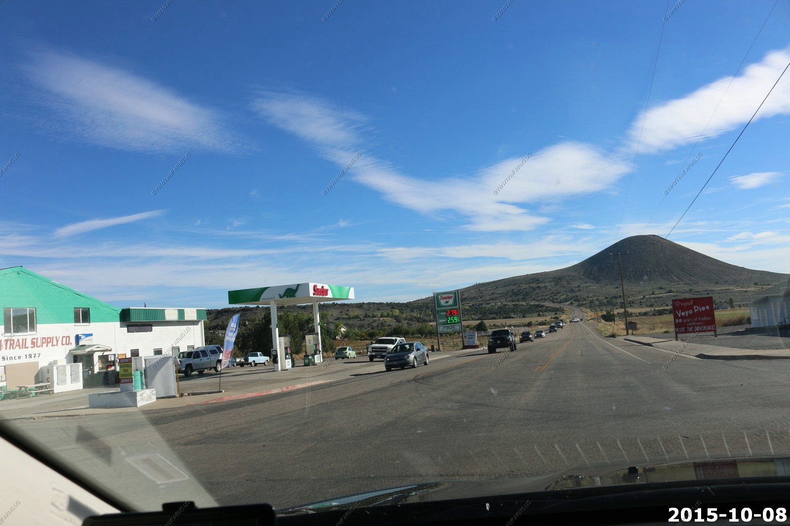
Further along UT-18 at rush hour. Nice traffic load
Back on UT-9 east of I-15 and coming across the fault
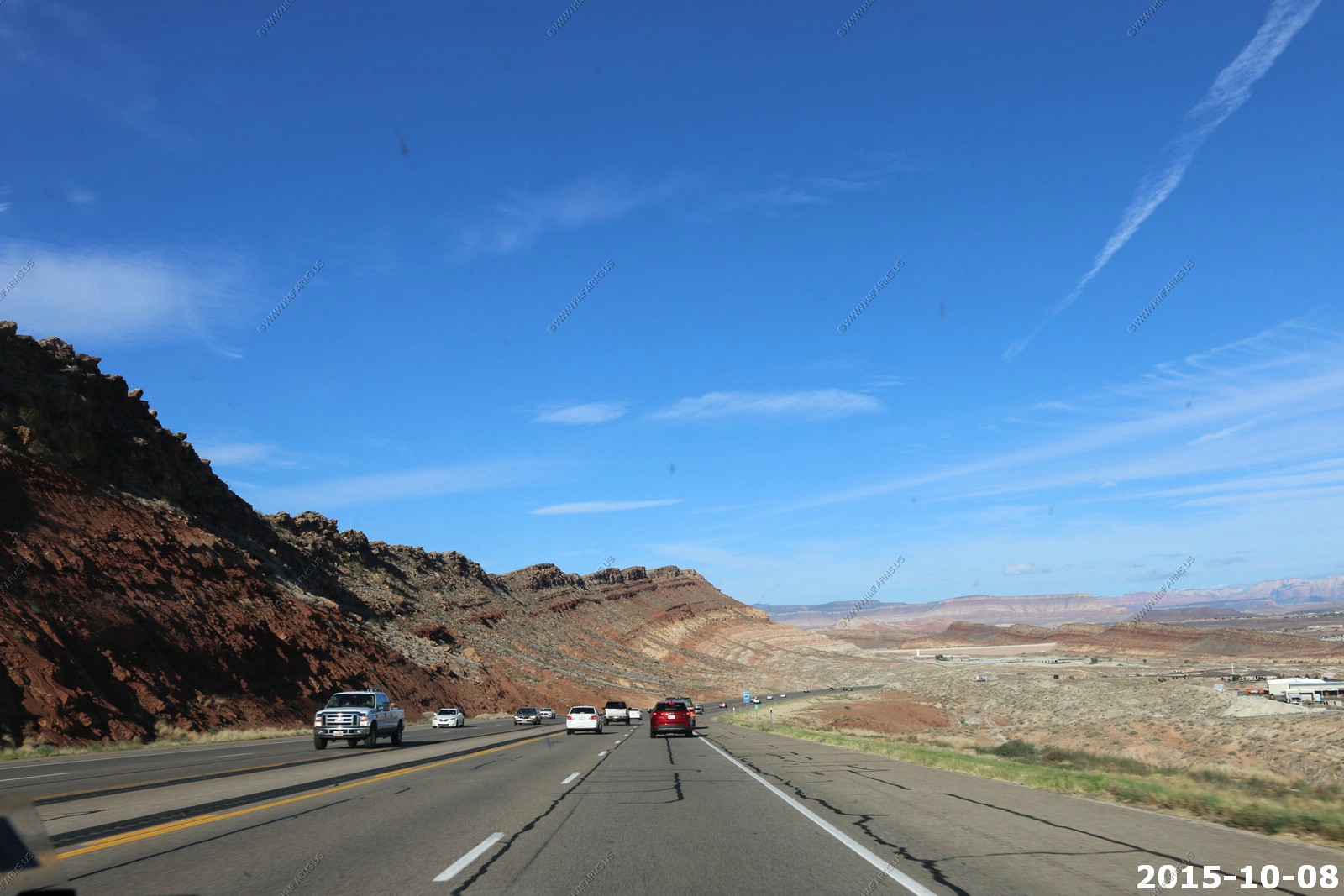
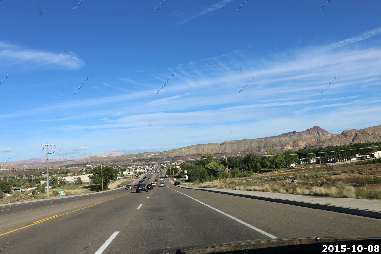
Heading east into Hurricane on UT-9. Again a Thursday evening rush hour pace. You can see Zion NP off in the distance. (middle left)
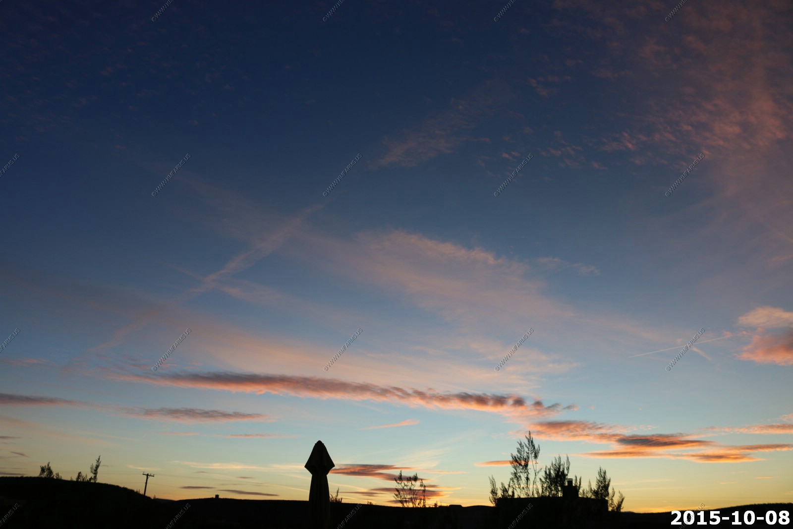
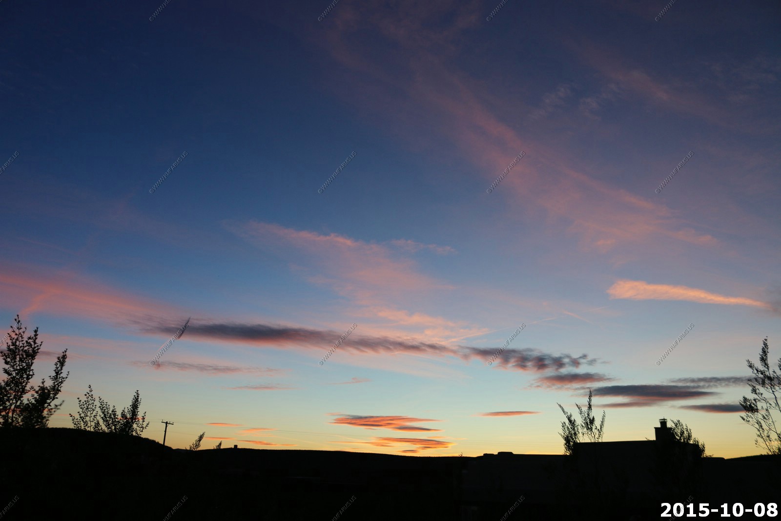
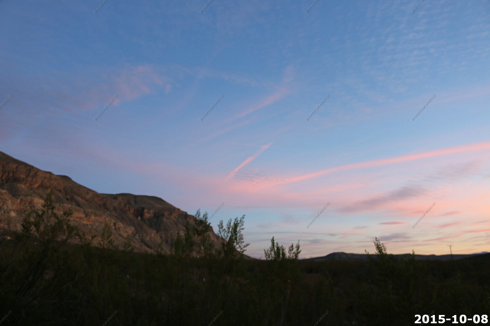
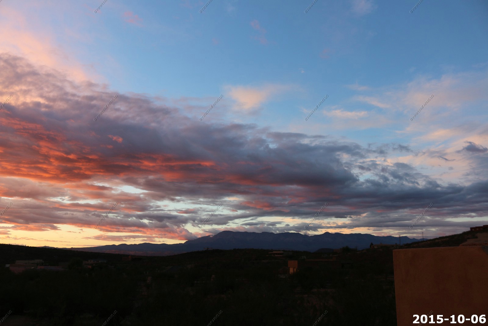
Sunset from the house