Last Updated: 10-FEB-2020
Itinerary
Day 01 - SEP 10, 2019 - TUE - Pick up rental SUV - Packing
Day 02 - SEP 11, 2019 - WED - Drive 243 miles to New Kensington, PA - Arrive lunchtime - explore with family and stay over SpringHill Suites by Marriott Pittsburgh Mills, PA
Day 03 - SEP 12, 2019 - THU - Drive 910 miles to Blue Earth, MN.  Stay at AmericInn by Wyndham in Blue Earth
Day 04 - SEP 13, 2019 - FRI - Drive 411 miles to Badlands Inn - Badlands National Park, SD
Day 05 - SEP 14, 2019 - SAT - Explore Badlands National Park, SD - Drive 132 miles to Double D cabins south of Custer, SD
Day 06 - SEP 15, 2019 - SUN - Full day exploring Black Hills area - Stay Double D cabins south of Custer, SD (Jewel Cave National Monument)
Day 07 - SEP 16, 2019 - MON - Full day exploring Black Hills area - Stay Double D cabins south of Custer, SD (Devils Tower)
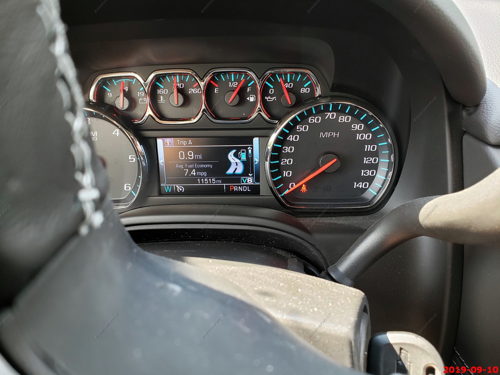
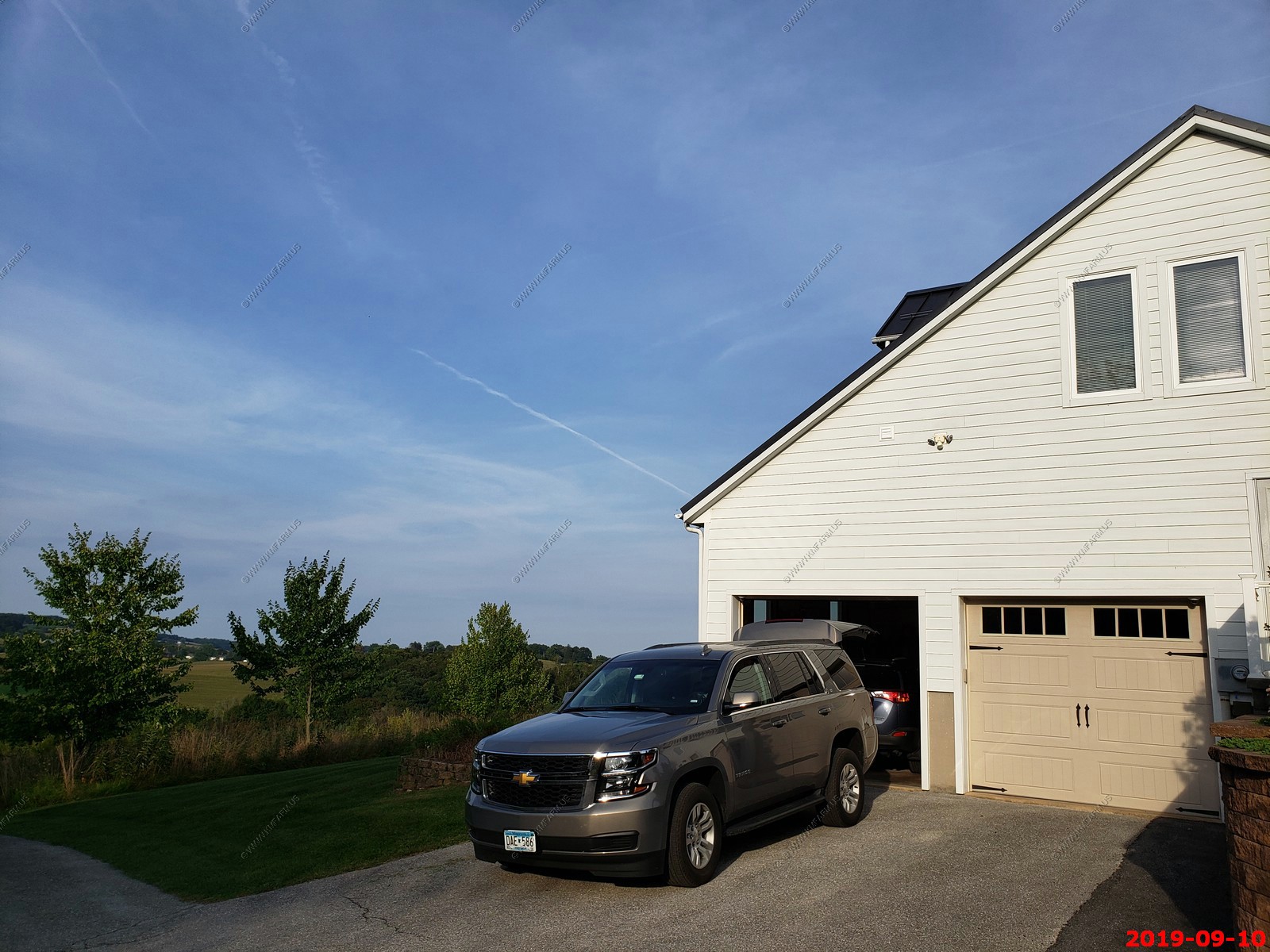
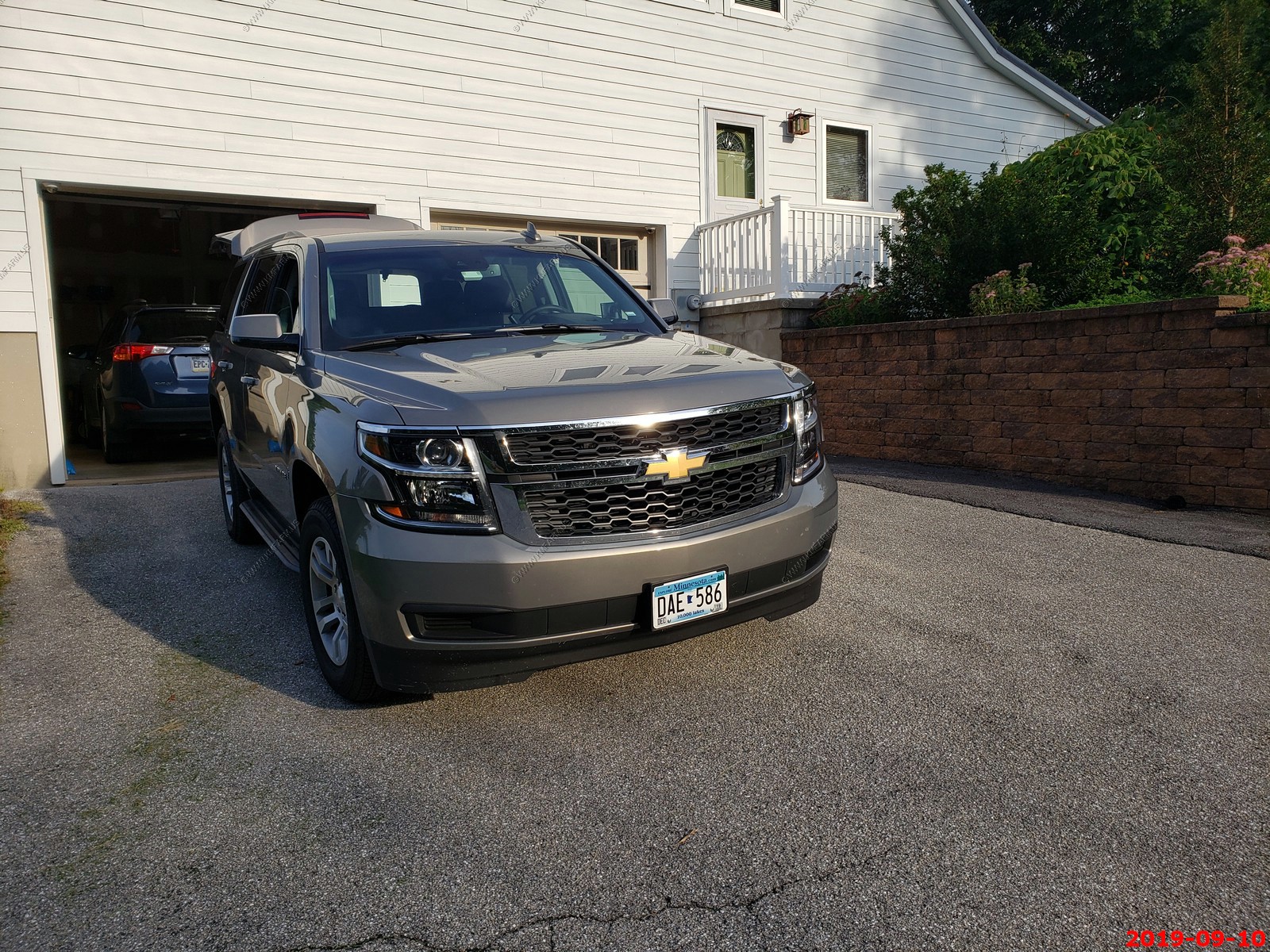
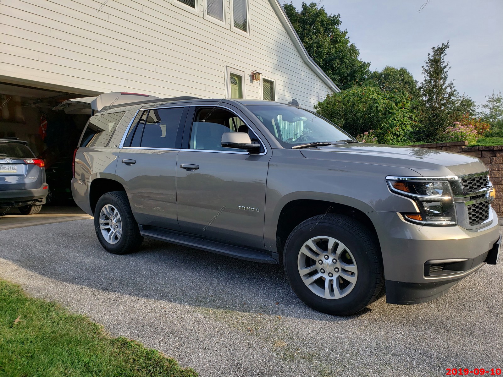
Picked up very new rental Tahoe from Enterprise - Packing
Drive to New Ken. We arrived at lunchtime and stayed over Marriott. - Spent time with family exploring Pittsburgh, PA
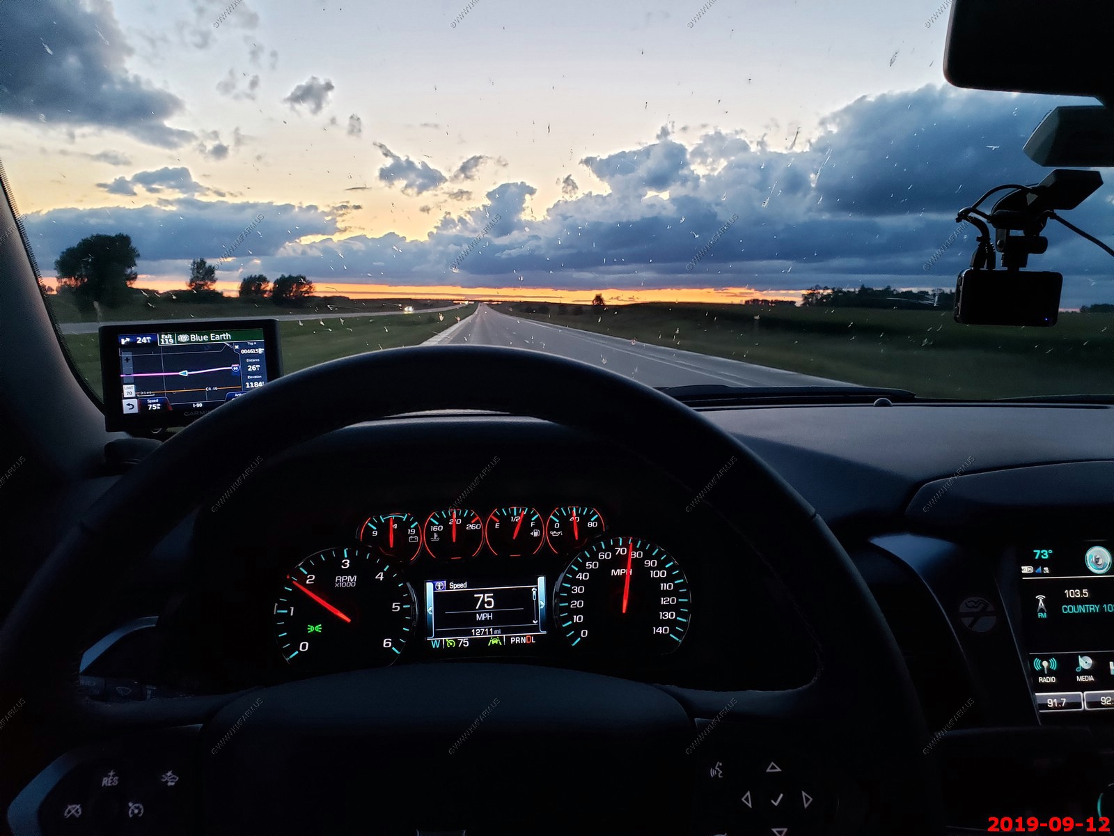
The plan was to drive from New Ken to AROUND Onalaska, WI (748 miles 11h 21 min) less one hour time difference. BUT we ended up doing a 910 mile day taking 13 hr 30 min. and stayed over in Blue Earth, Minnesota. This would end up being a good move due to the flooding we would encounter on Friday.
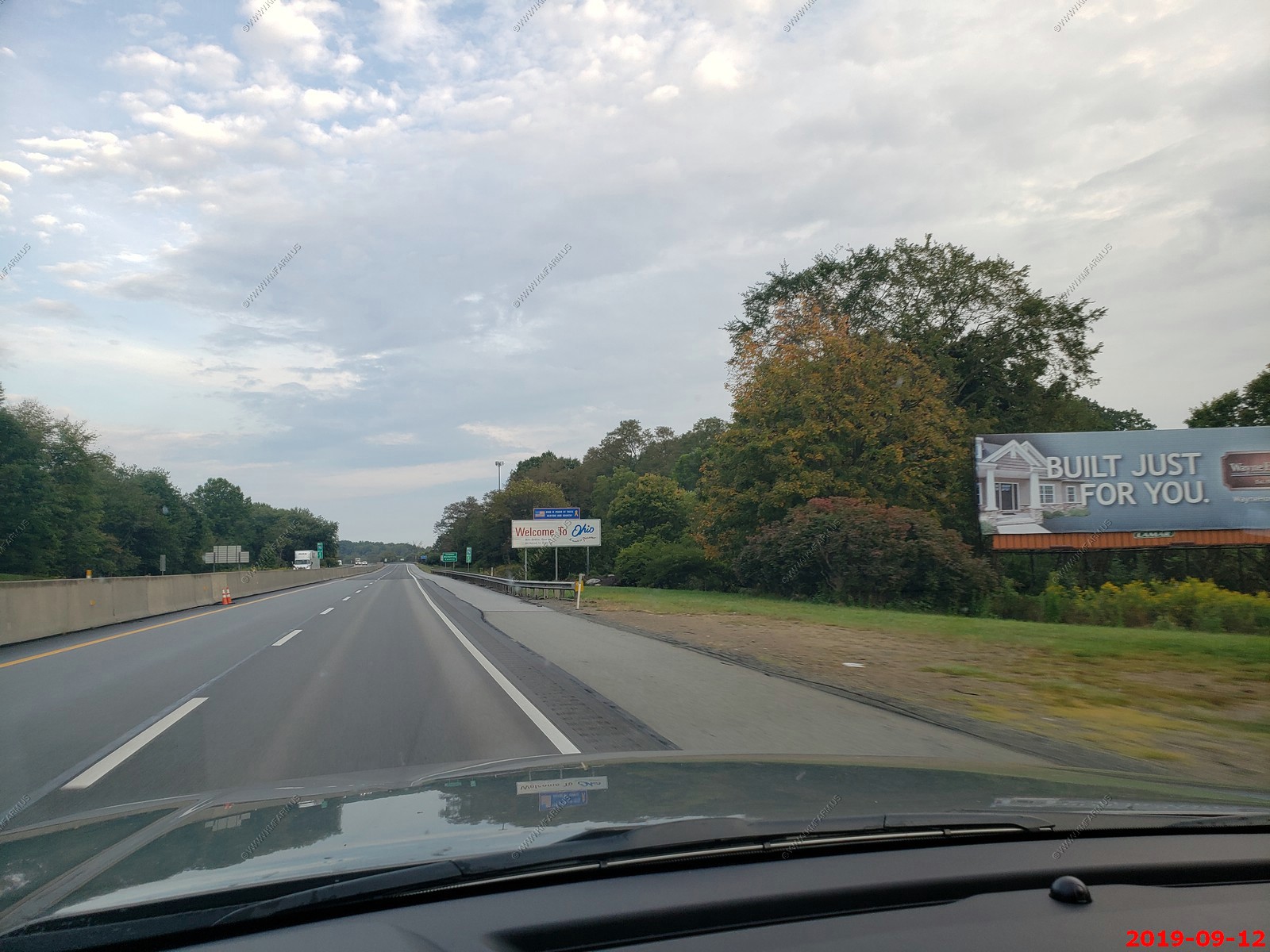
Heading west Ohio state line at 8:02 AM.
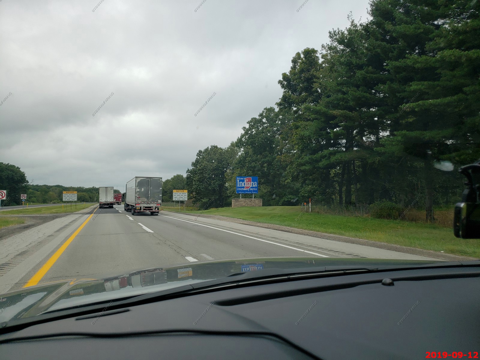
Indiana state line at 11:41.
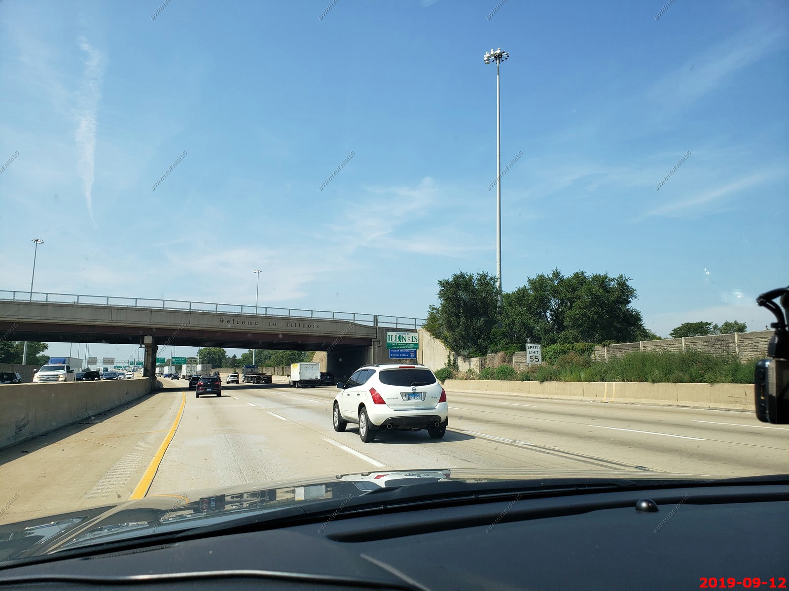
Illinois line at 12:45.
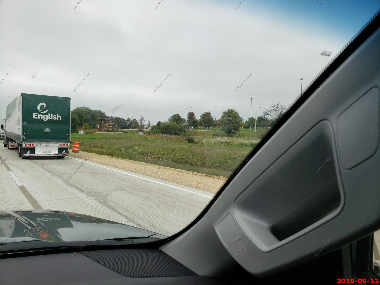
Wisconsin state line at 14:37.
Fun day. Amazing amount of construction and dealing with metro Chicago (really not that bad) then lots of rain across Wisconsin & Minnesota
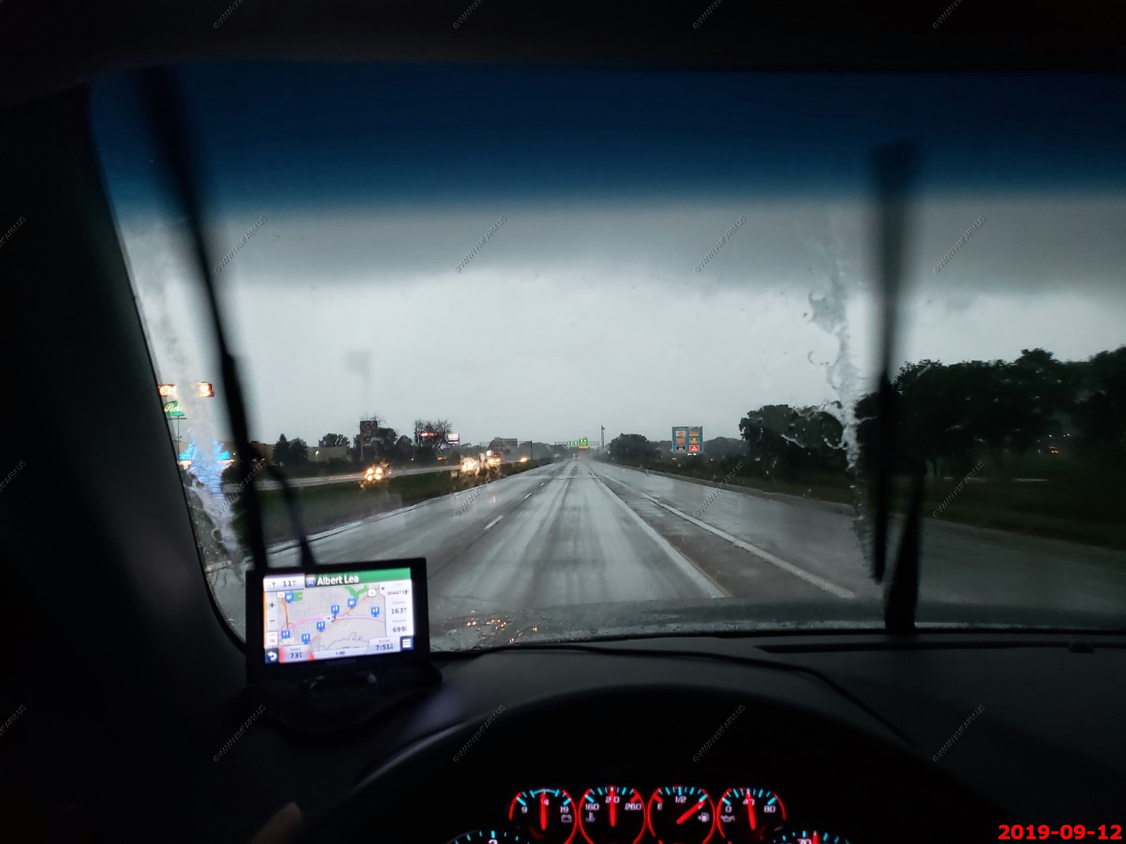
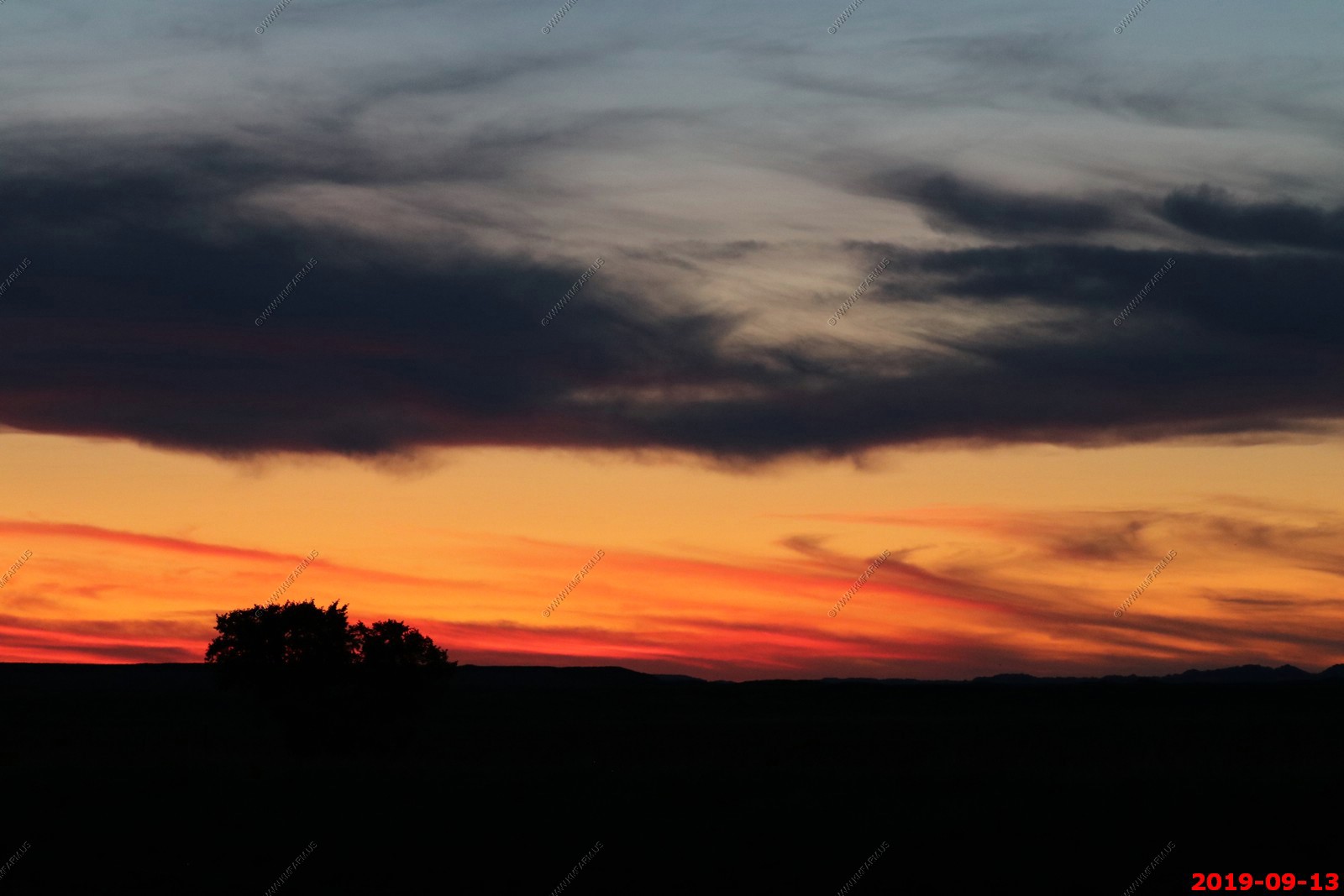
Sunset over southern Minnesota. Only 24 miles to go to Blue Earth. A very long 910 mile day taking 13 hr 30 min.
We stayed at AmericInn by Wyndham, Blue Earth which we reserved a couple of hours out. Strange hotel and I would not stay here again. But it was across the street from a Pizza Hut and Ken needed pizza & beer after 13+ hrs. of driving so it worked out.
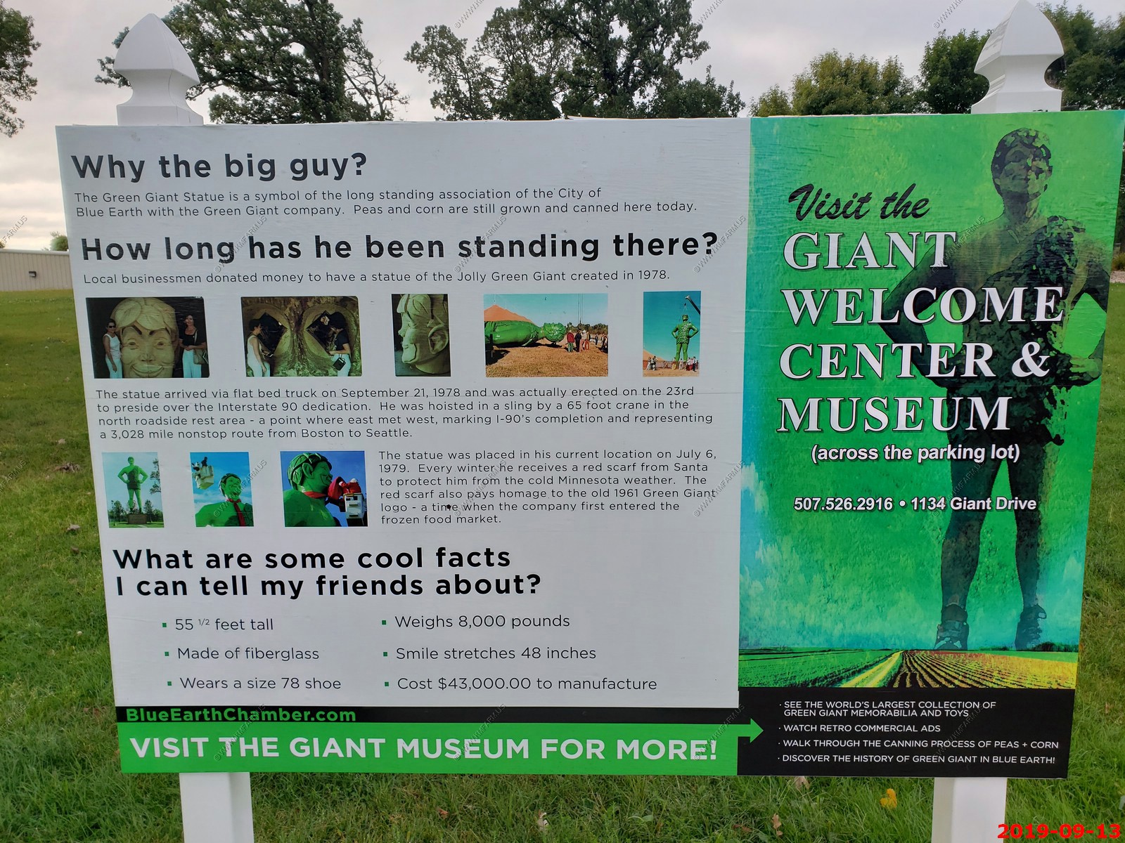
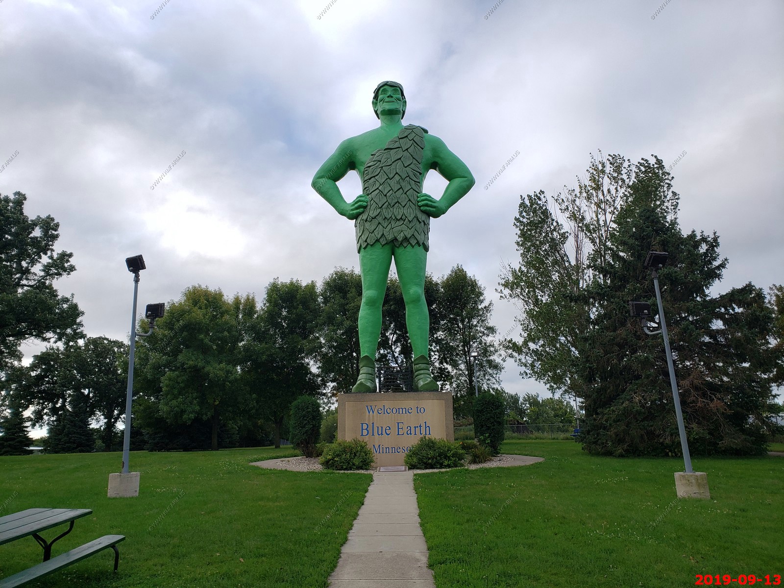
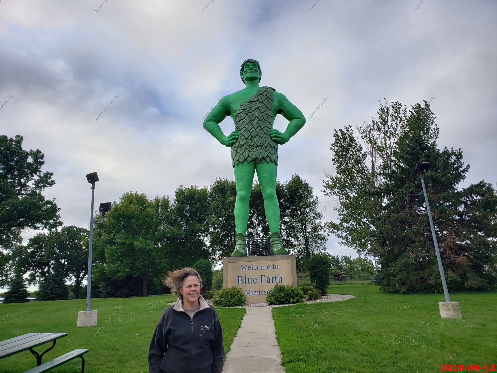
We had to check out the Jolly Green Giant statue as we stayed only a few hundred feet away. Its 8,000 pounds of sculpted green fiberglass. It was erected on July 6, 1979. It was one of those things that because we were here, we checked it out. I would not go out of your way for this.
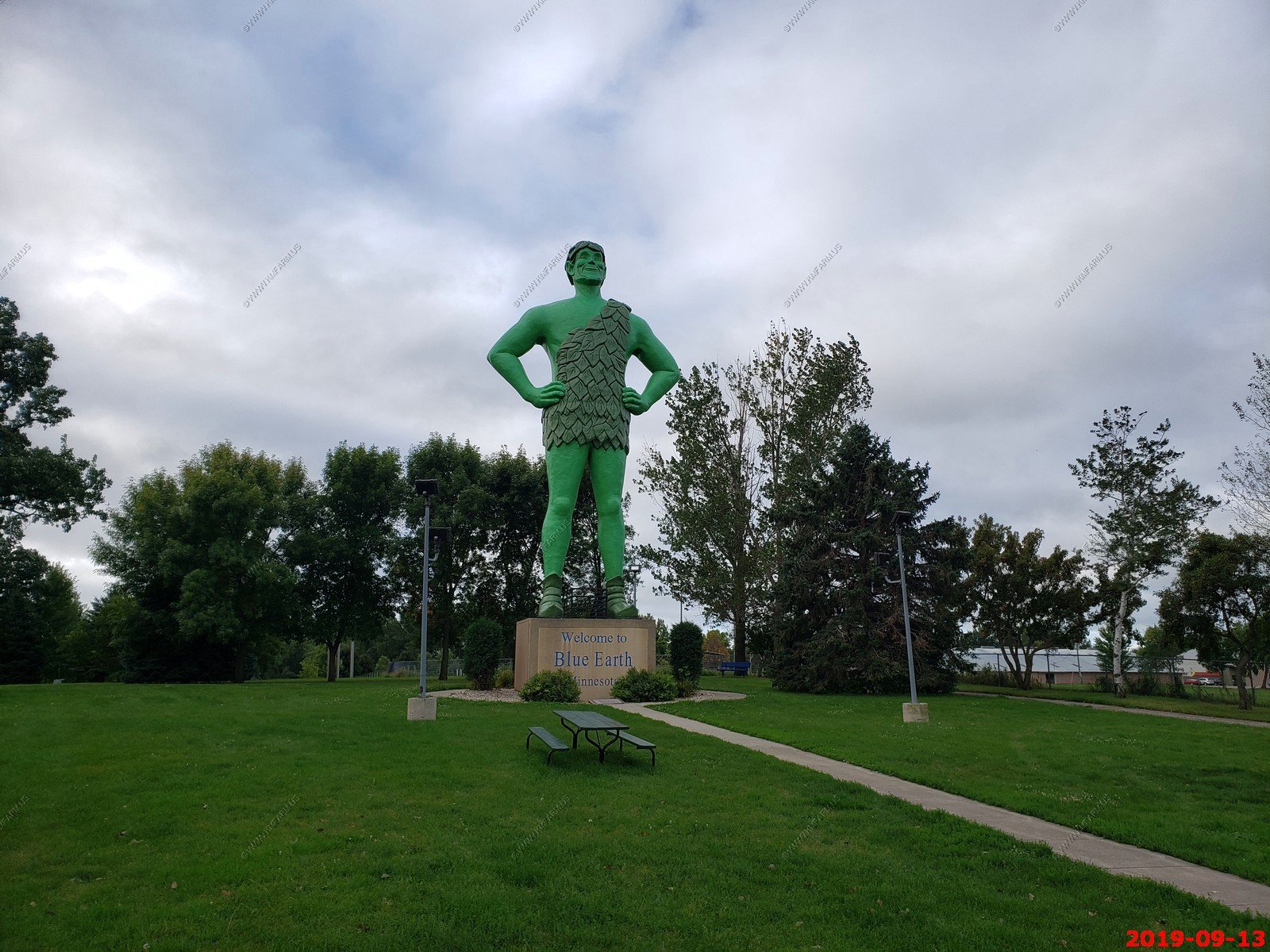
It was cold and windy. Interesting to see but happy we only went a half mile out of our way to see this.
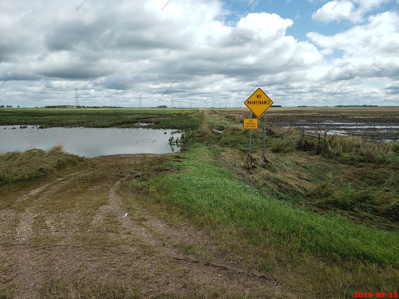
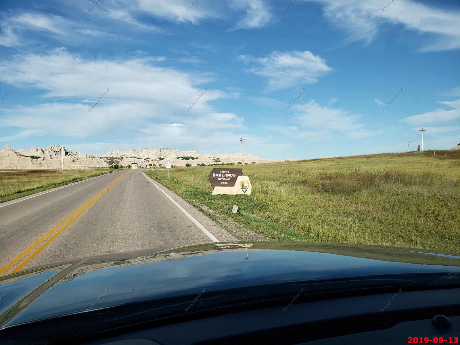
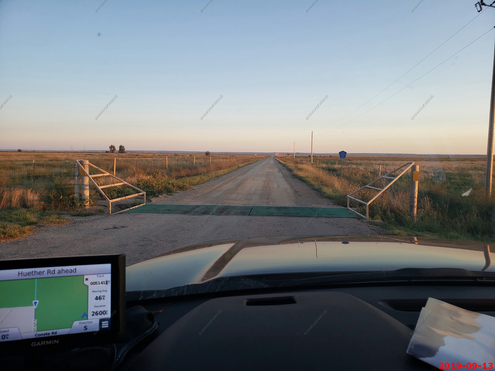
Now in South Dakota and west of Sioux Falls and it's time to deal with the flooding. I-90 was closed and we had to figure out the back roads west.
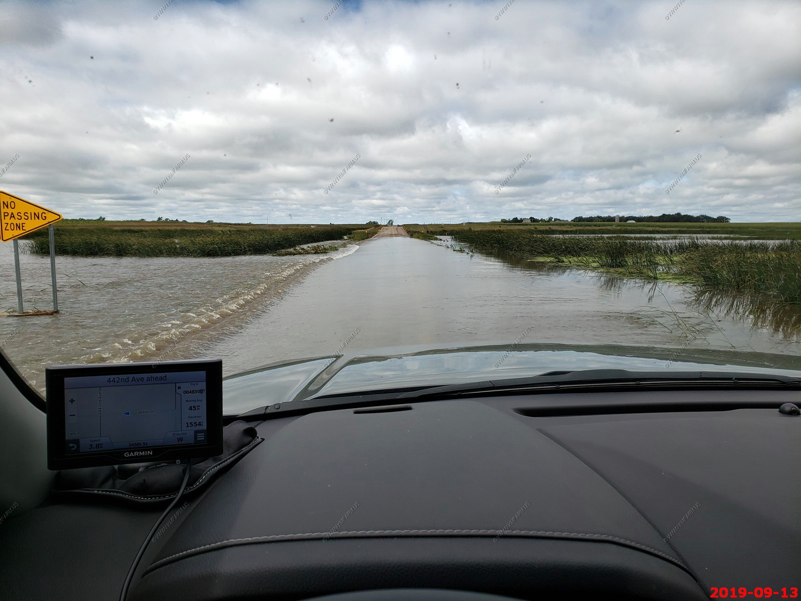
Yes, this was actually a road.
We finally get far enough north & west and start making progress.
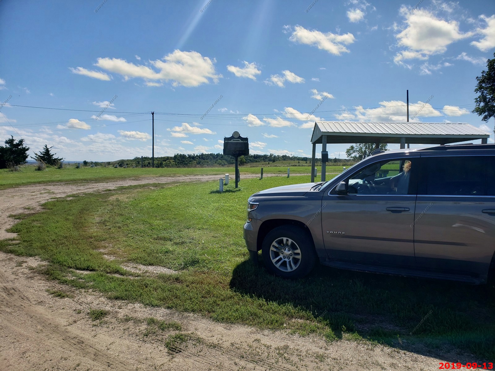
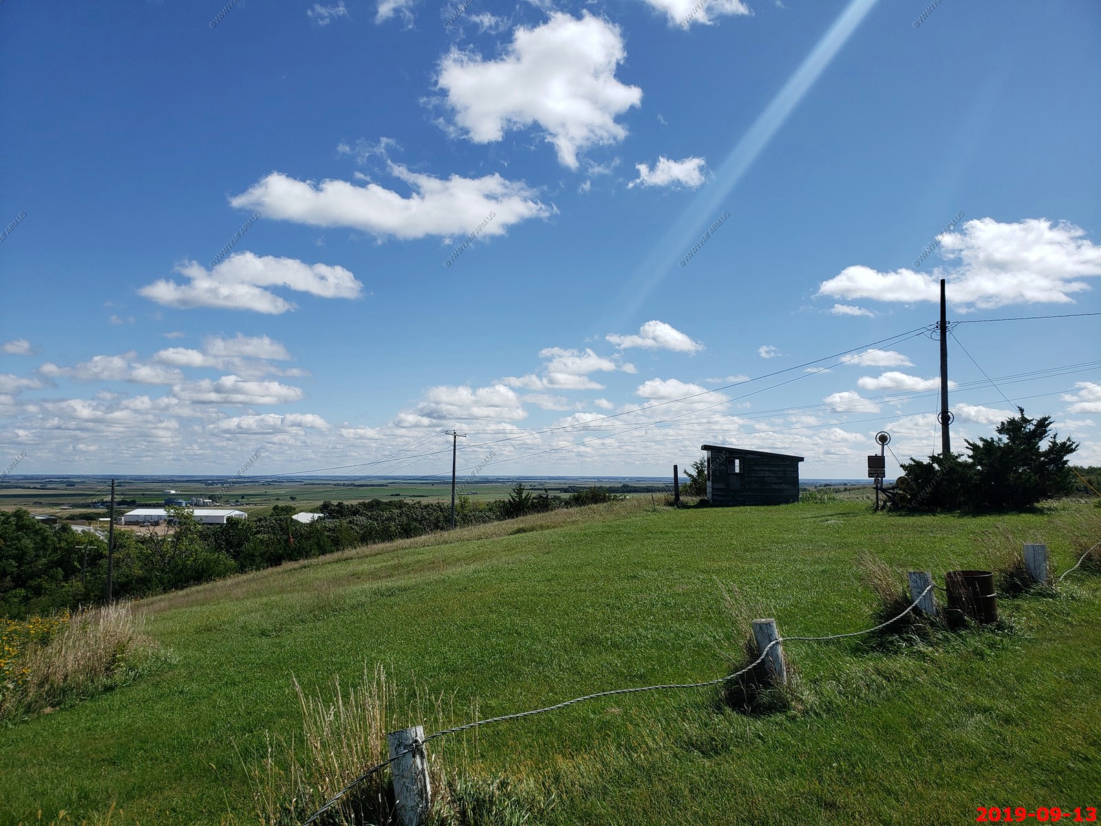
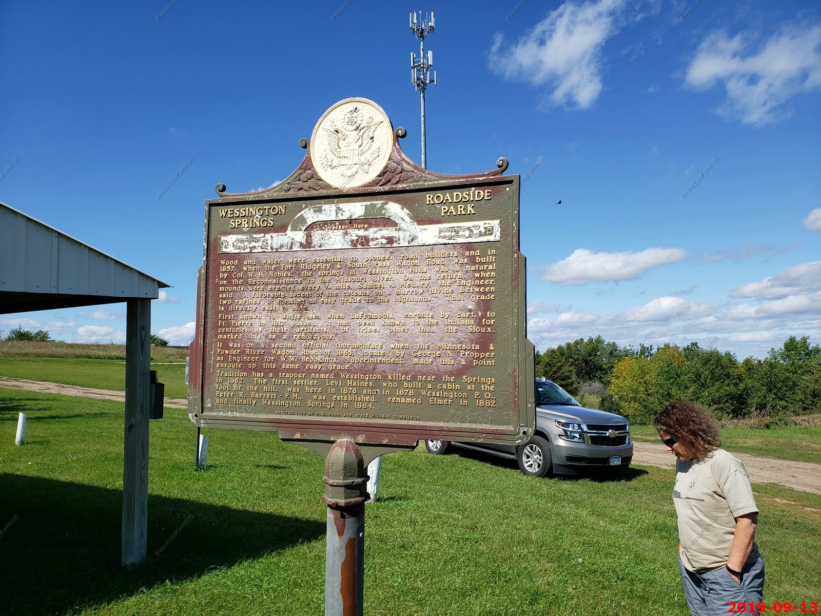
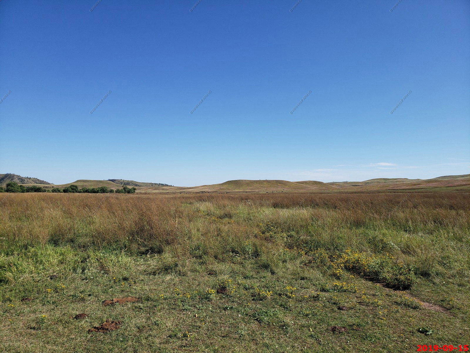
We stopped at a park just west of Wessington Springs. This was one of the first noticeable increases in elevation (up to 1,700 feet) and you could see considerable distance to the east.
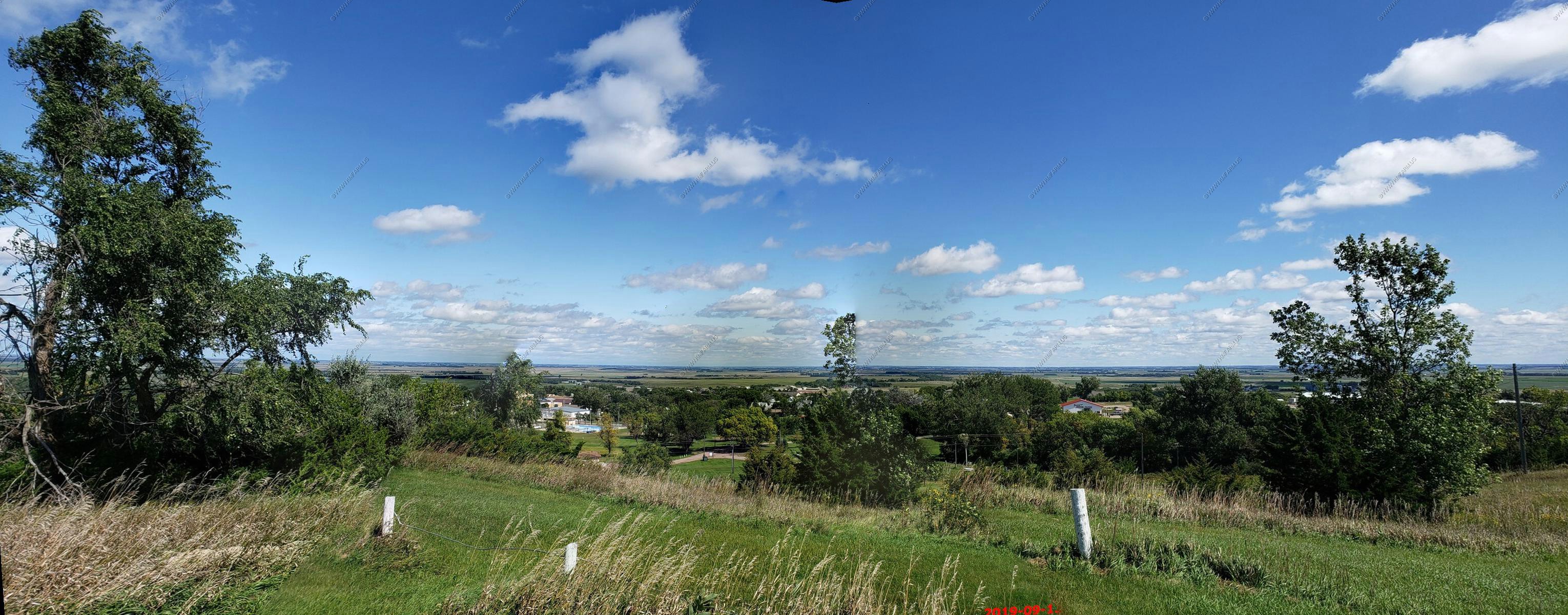
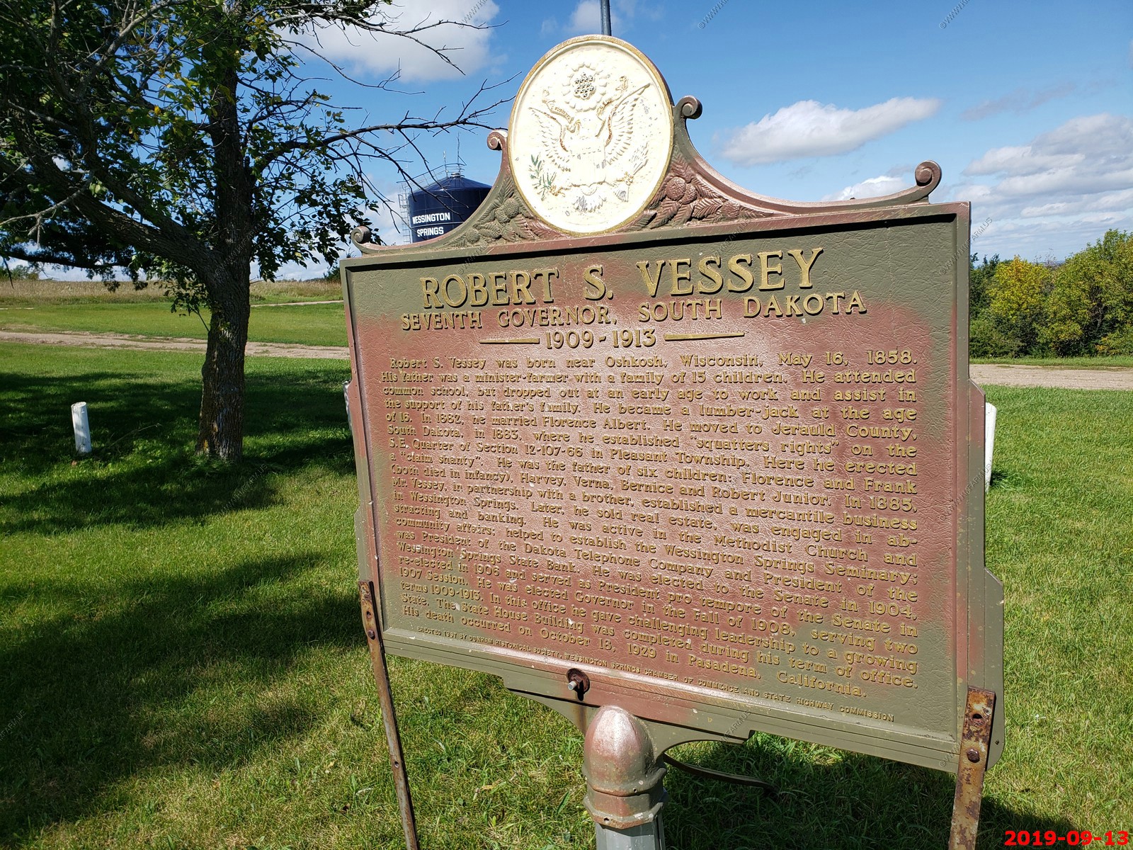
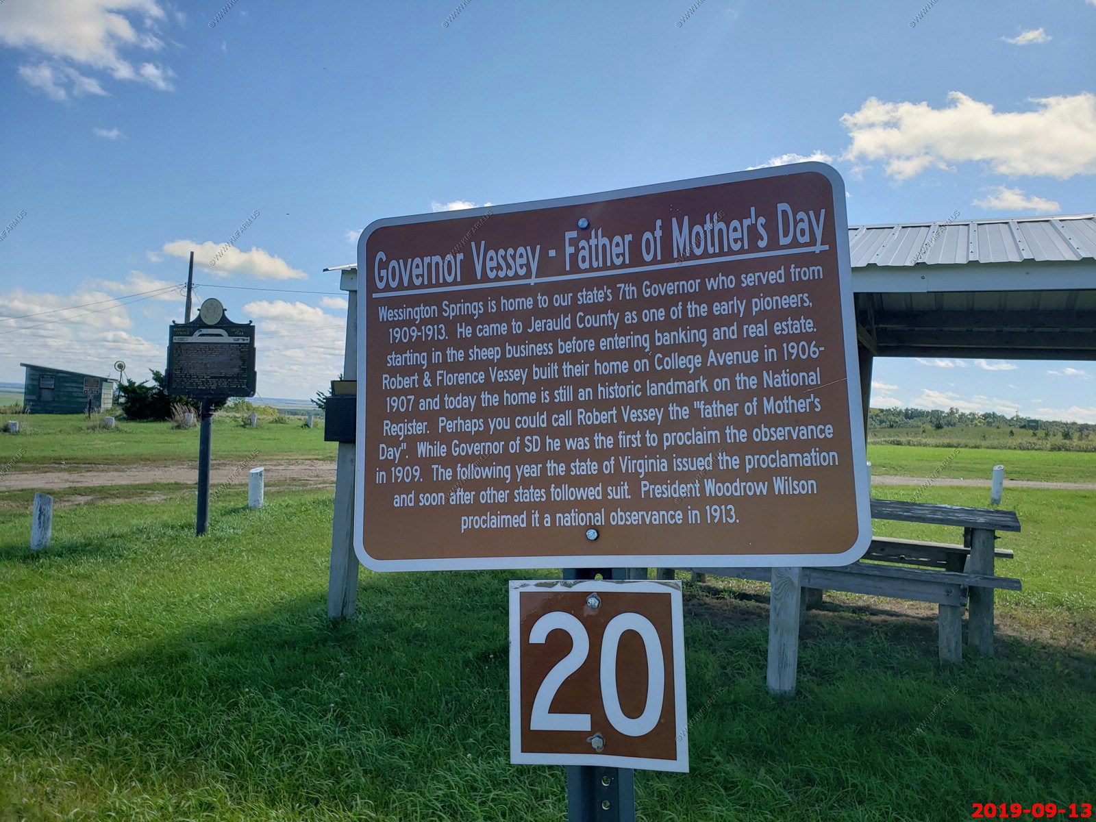
Various info. Will type up someday. Looks like this is where Mother's Day started.
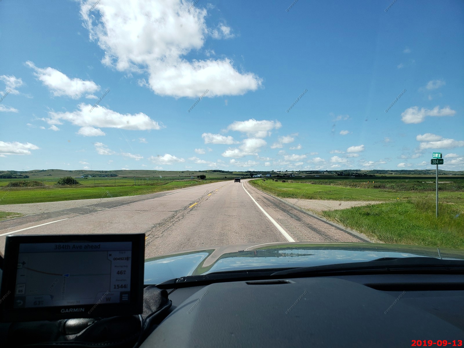
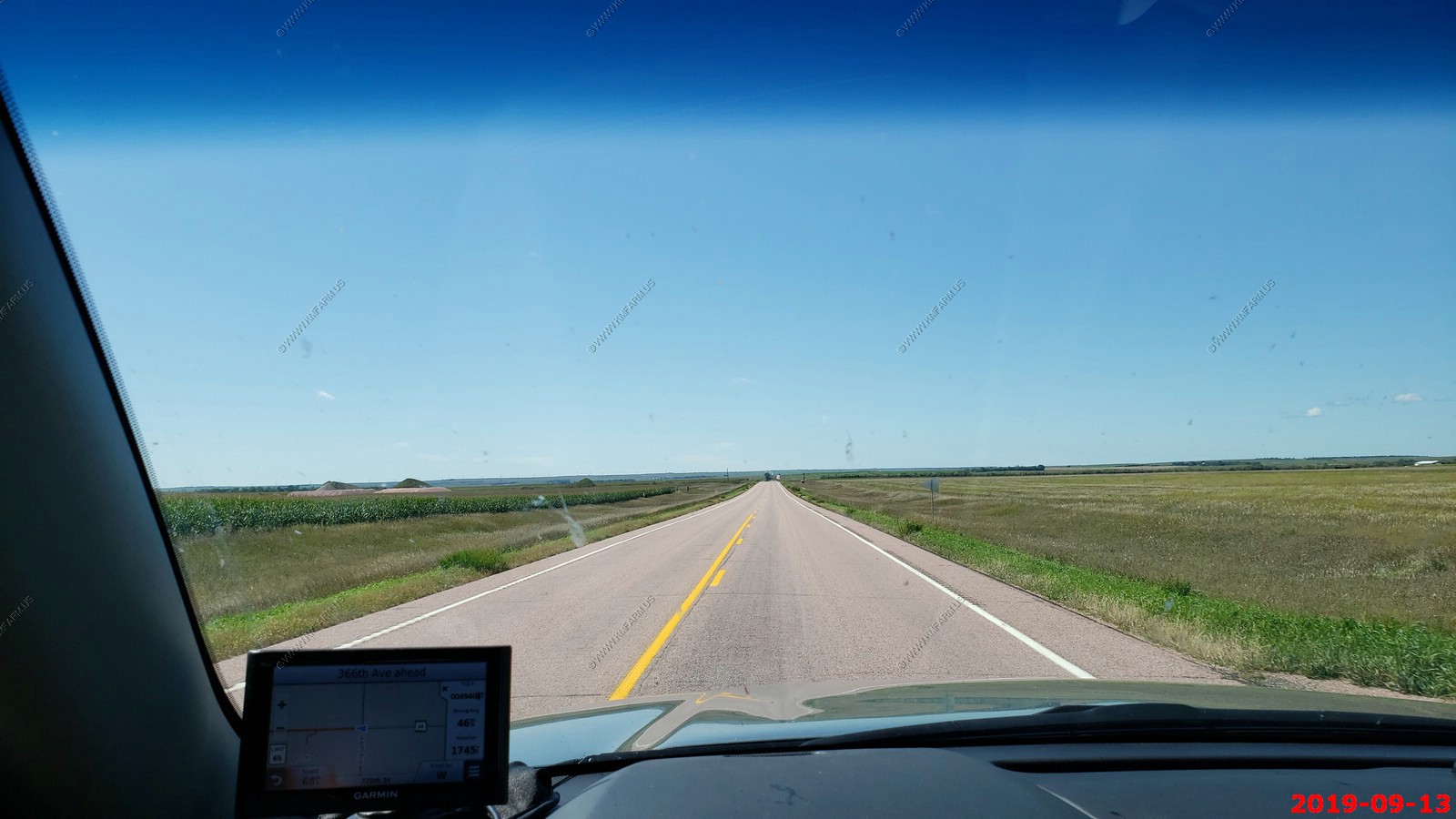
Getting flatter - SD-34 West between Wessington Springs and Fort Thompson, SD.
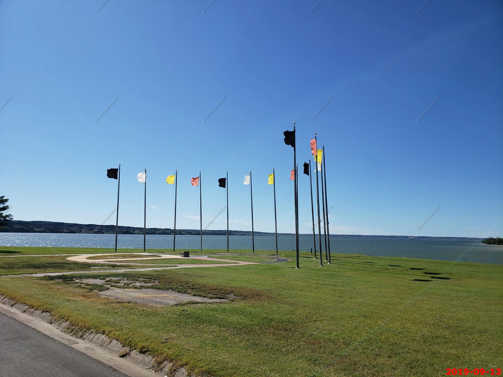
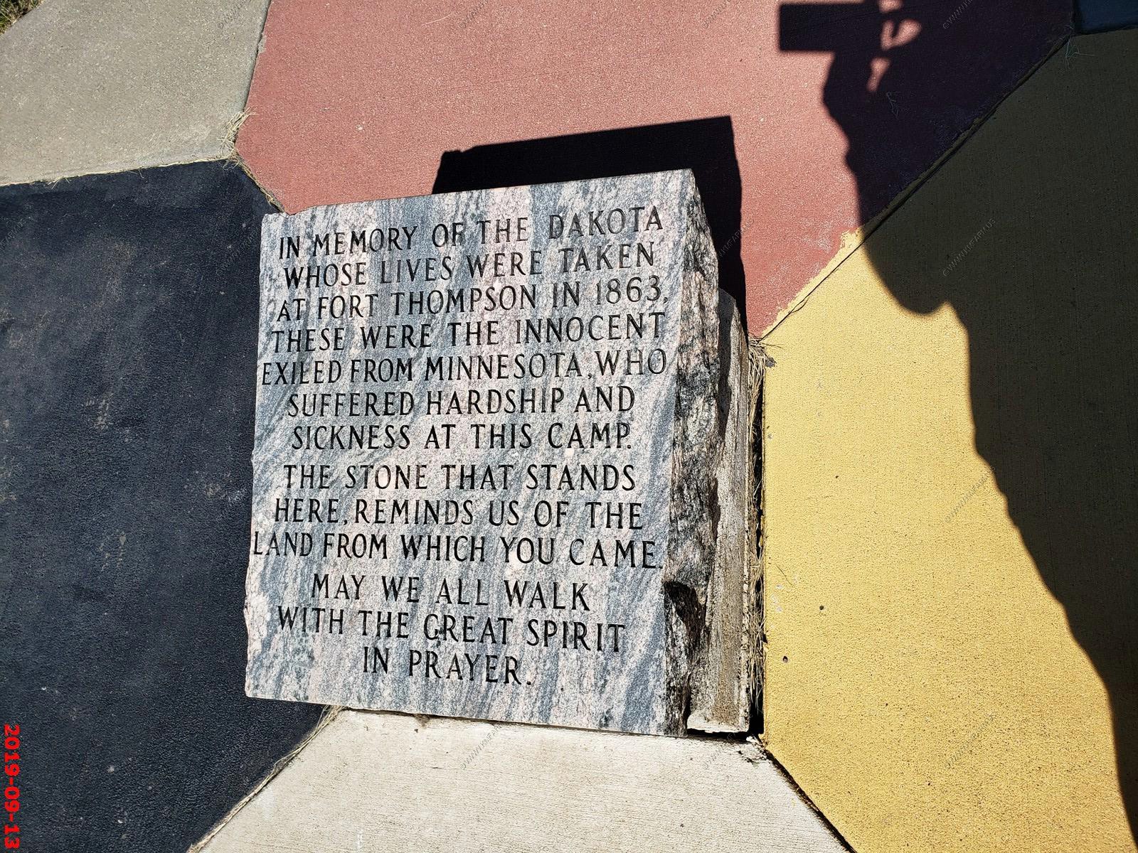
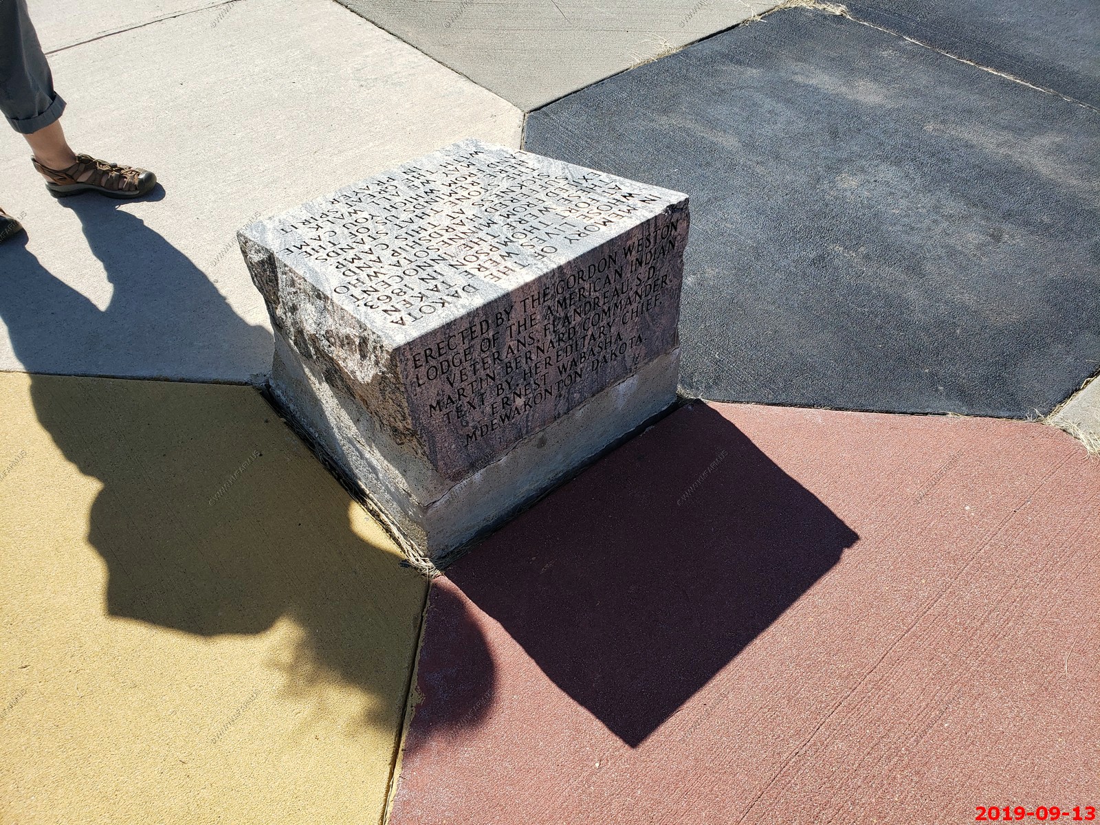
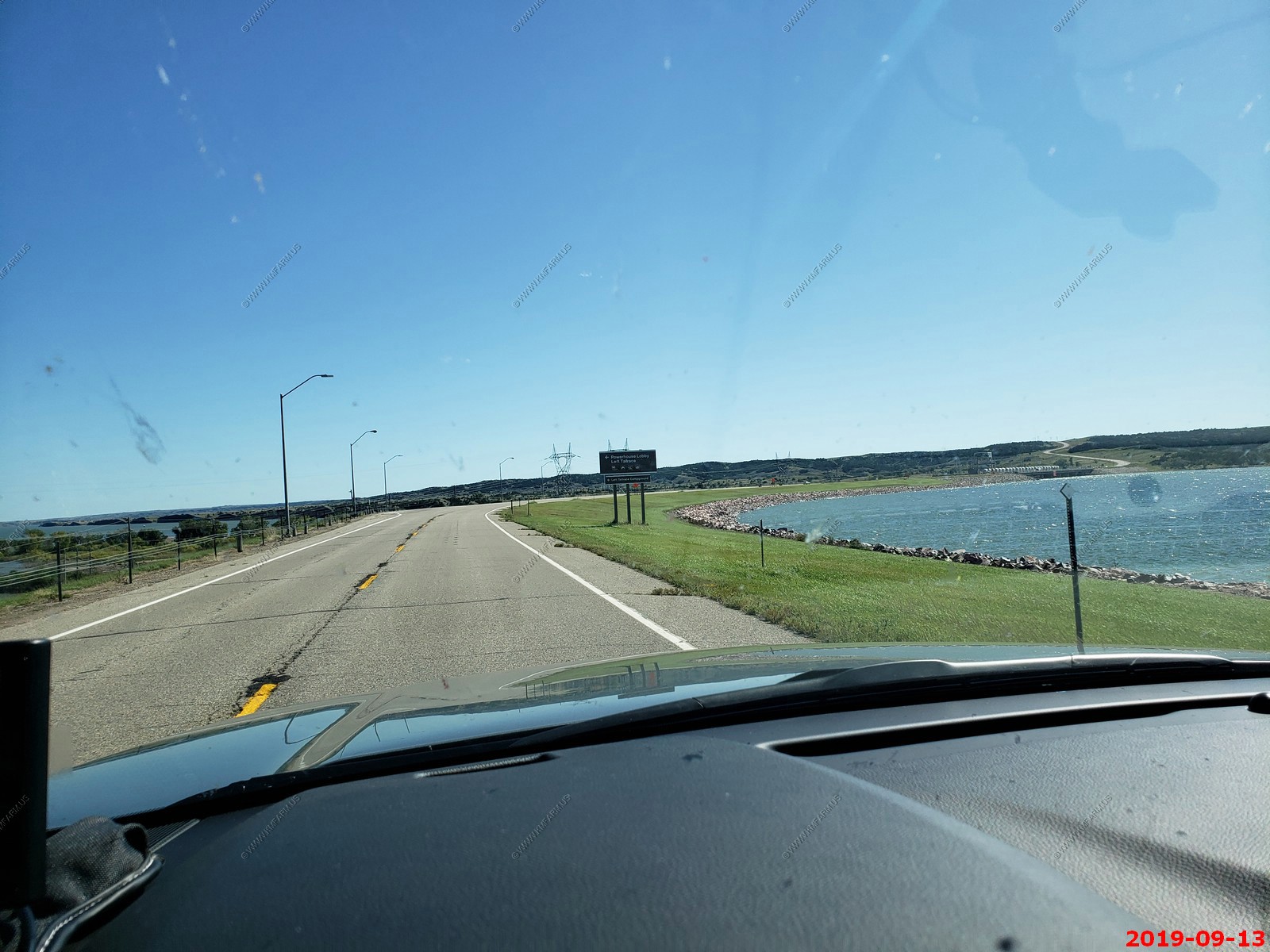
We crossed the Missouri River at Fort Thompson Recreation Area. Fort Thompson is one of the poorest places in the United States. 70% of the population here lives below the poverty line.
I am not a big fan of Indian Reservations so it was nice to make it across the Crow Creek Reservation with no issues.
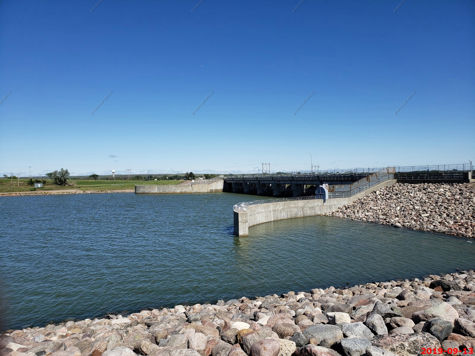
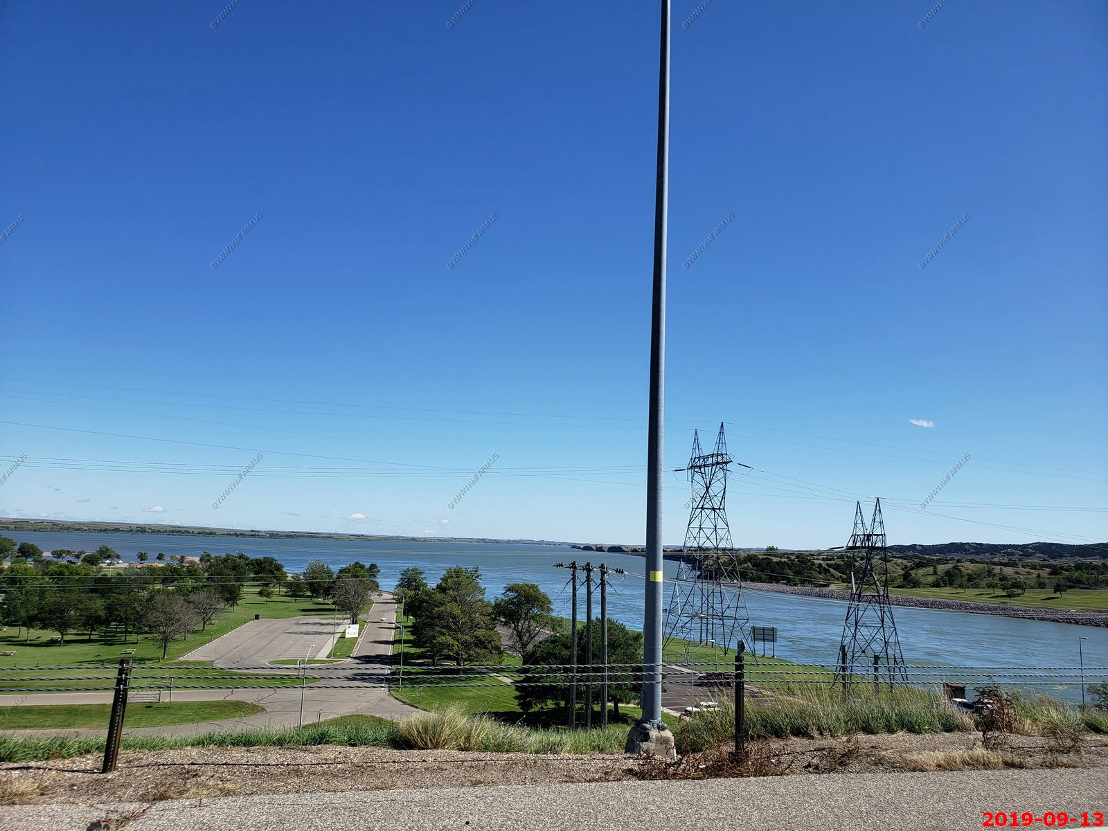
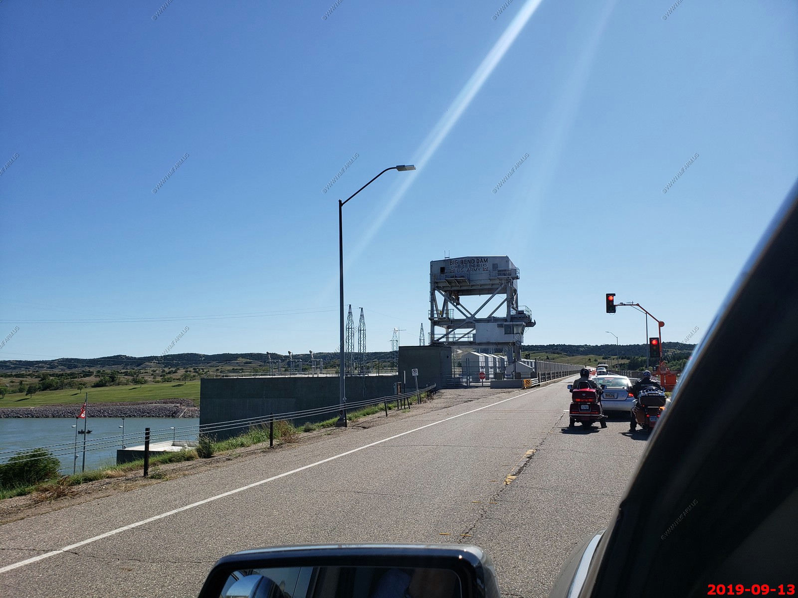
Big Bend Dam - is a major embankment rolled-earth dam on the Missouri River in Central South Dakota, United States, creating Lake Sharpe. The dam was constructed by the U.S. Army Corps of Engineers
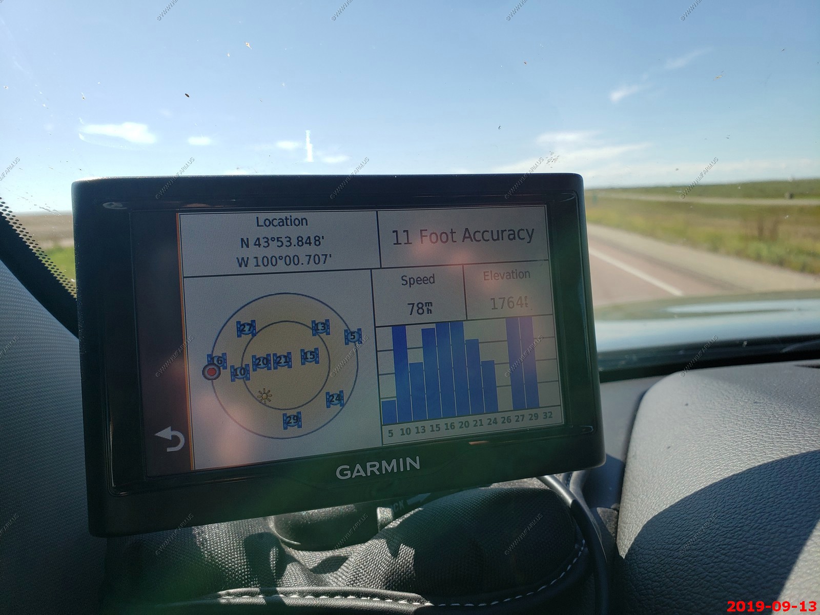
Passing longitude 100 west so Ken is now out west. Elevation is still only 1,700 feet.
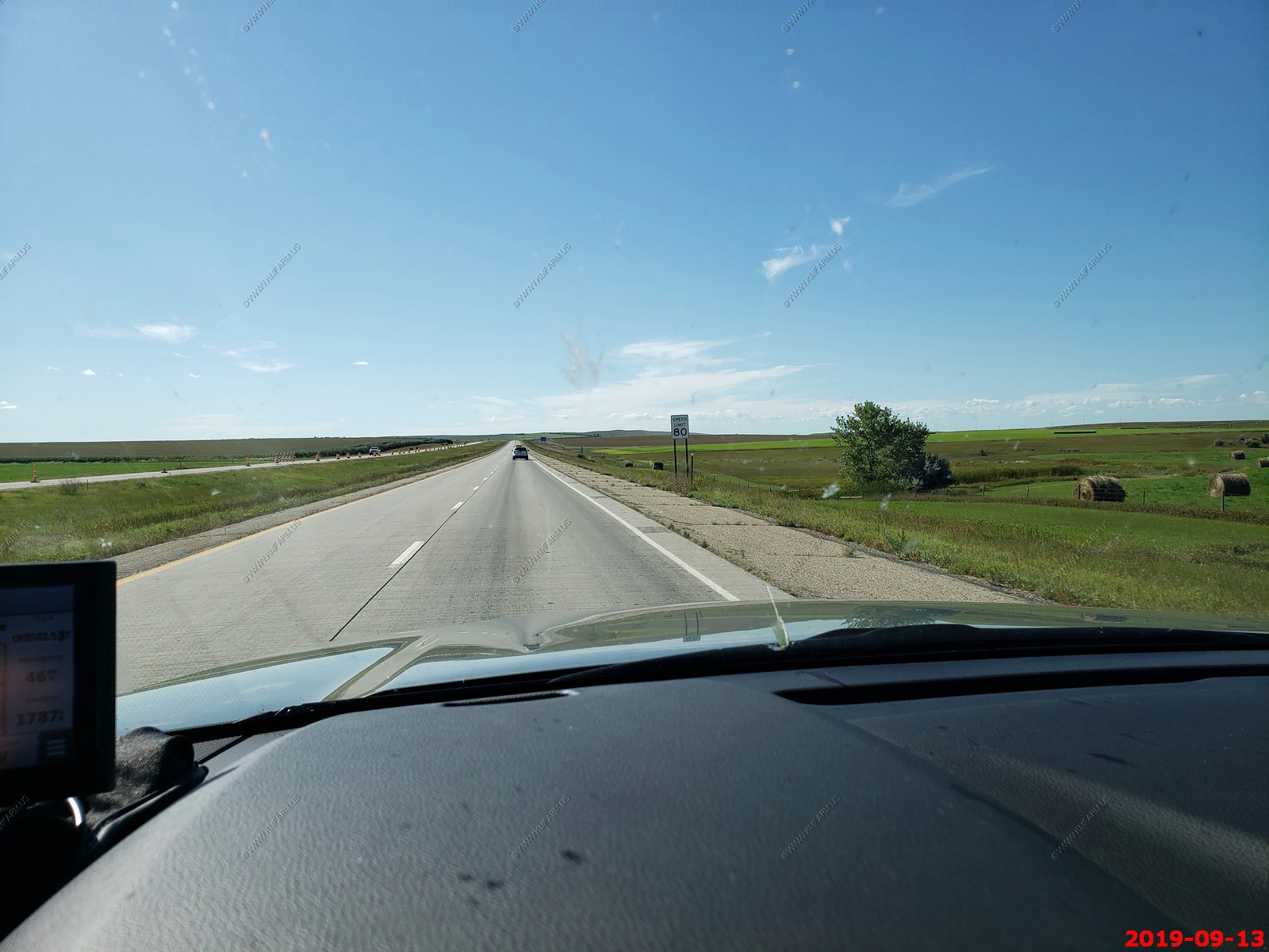
Back on I-90 with the flooding issues are now many miles behind us. Speed limit is 80 so time to make up some time.
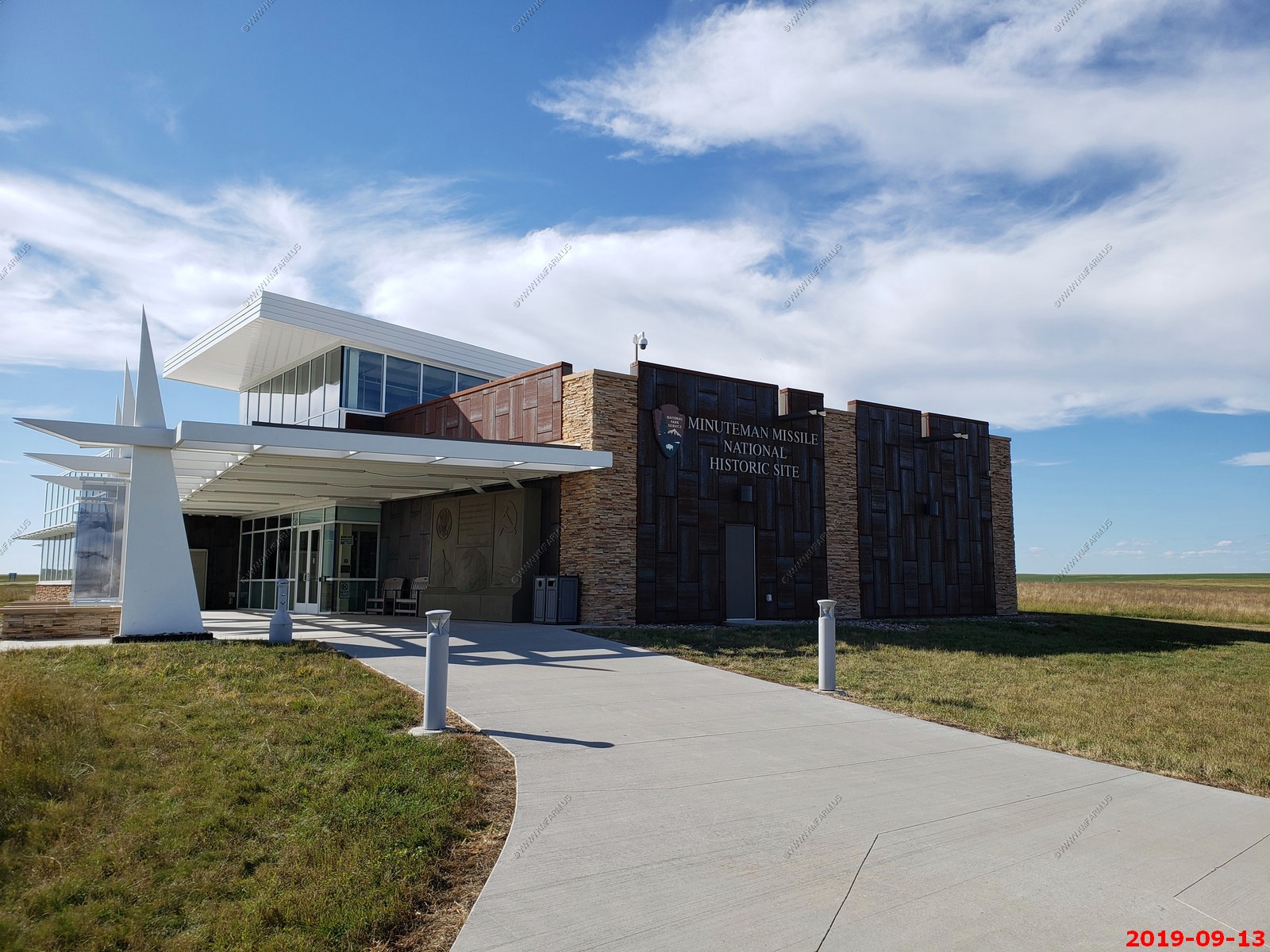
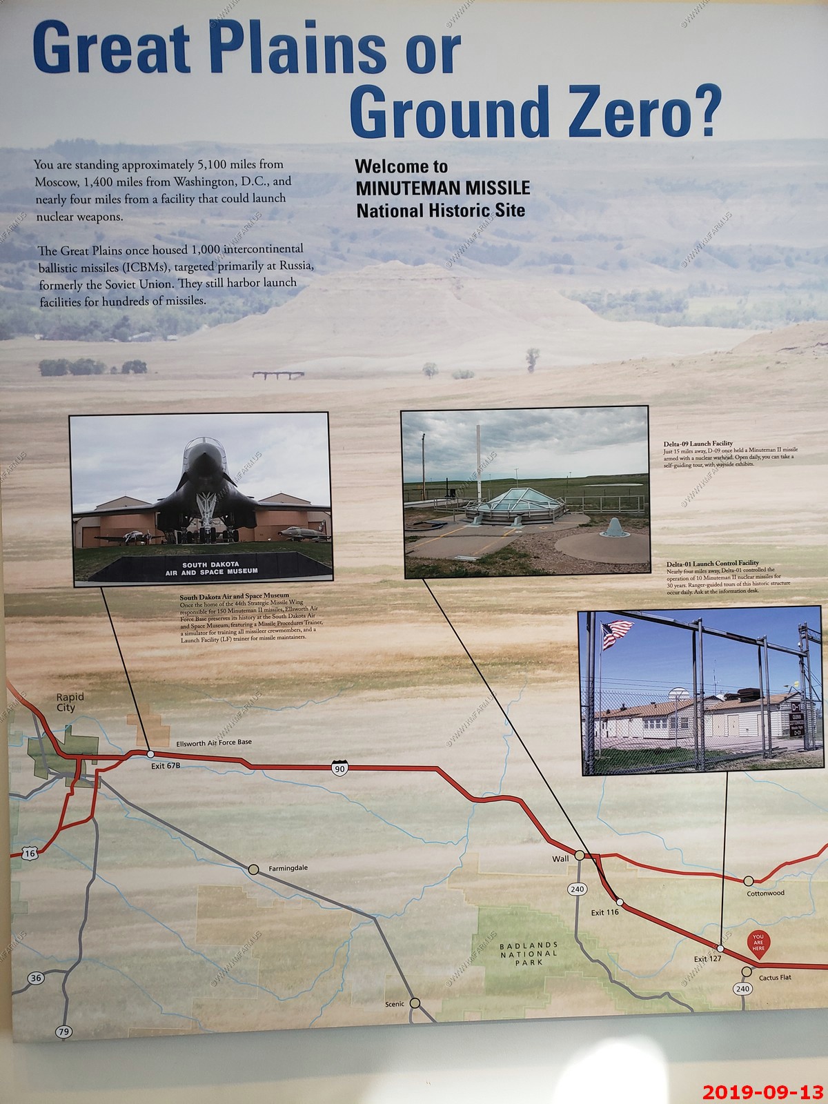
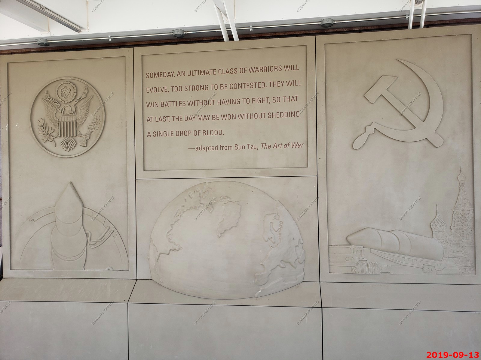
A very quick stop at the Minuteman Missile National Historic Site. Wish I would have had more time but we got here 15 minutes before it closed.
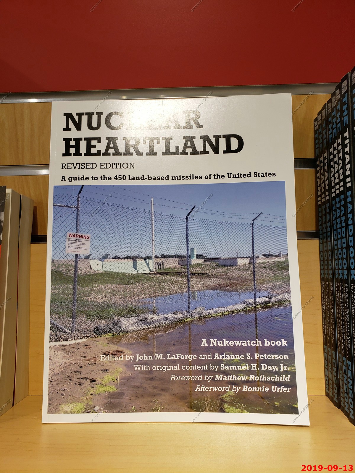
Some interesting books that I will have to order from Amazon.

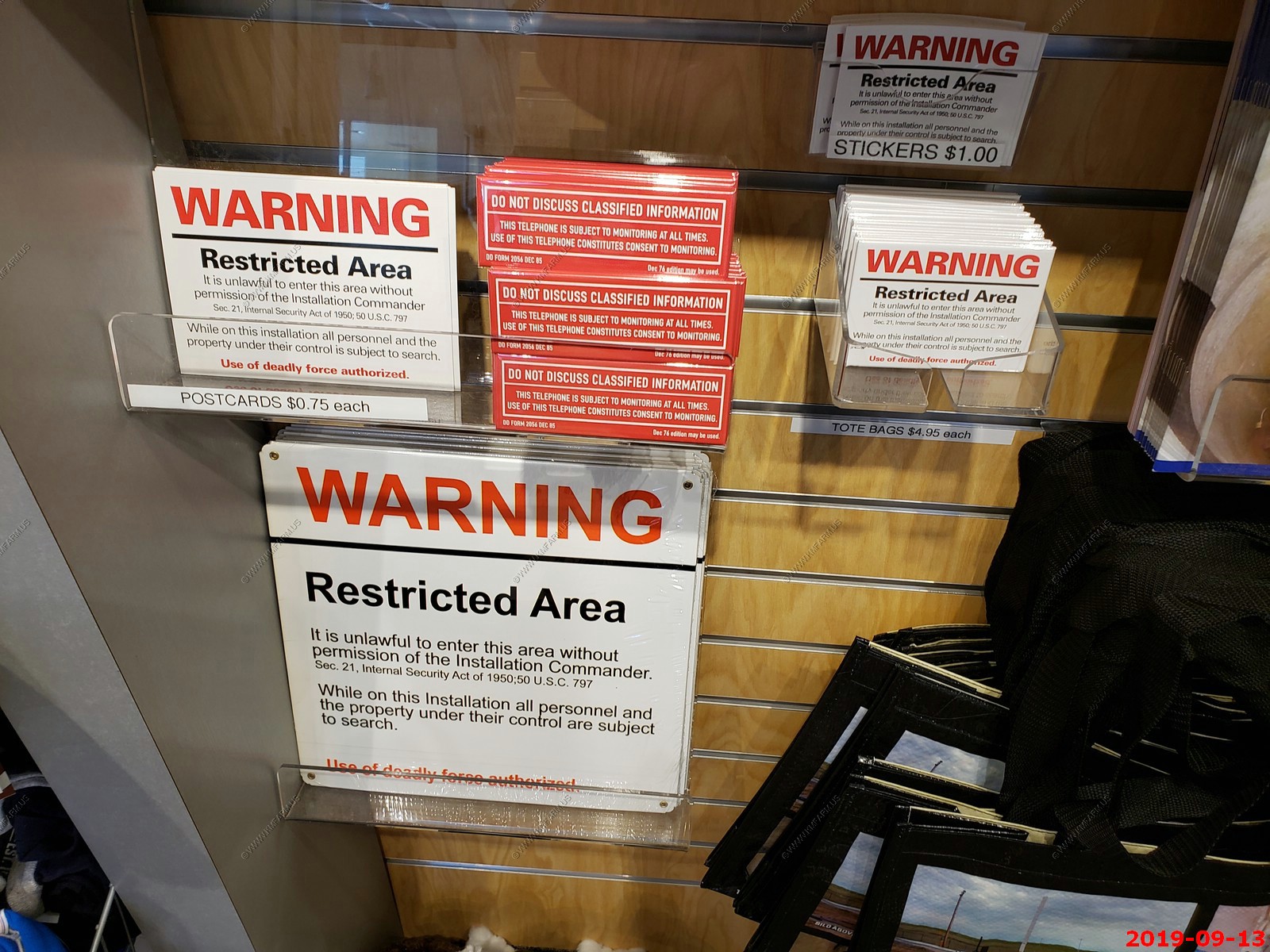
Shocked that they sold these signs and phone stickers. I could post my farm as an Air Force installation and hopefully stop paying local taxes.
Select publications
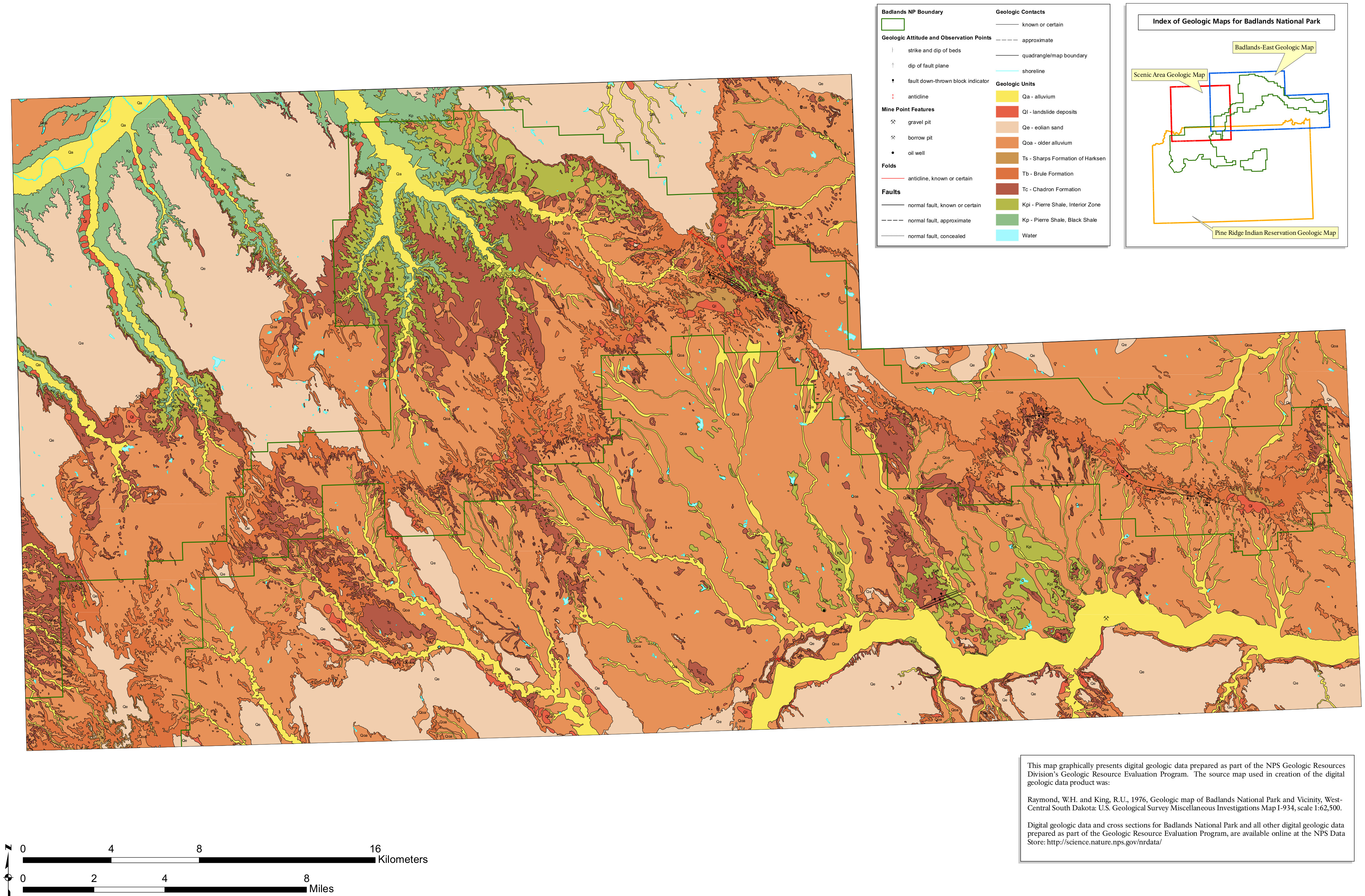
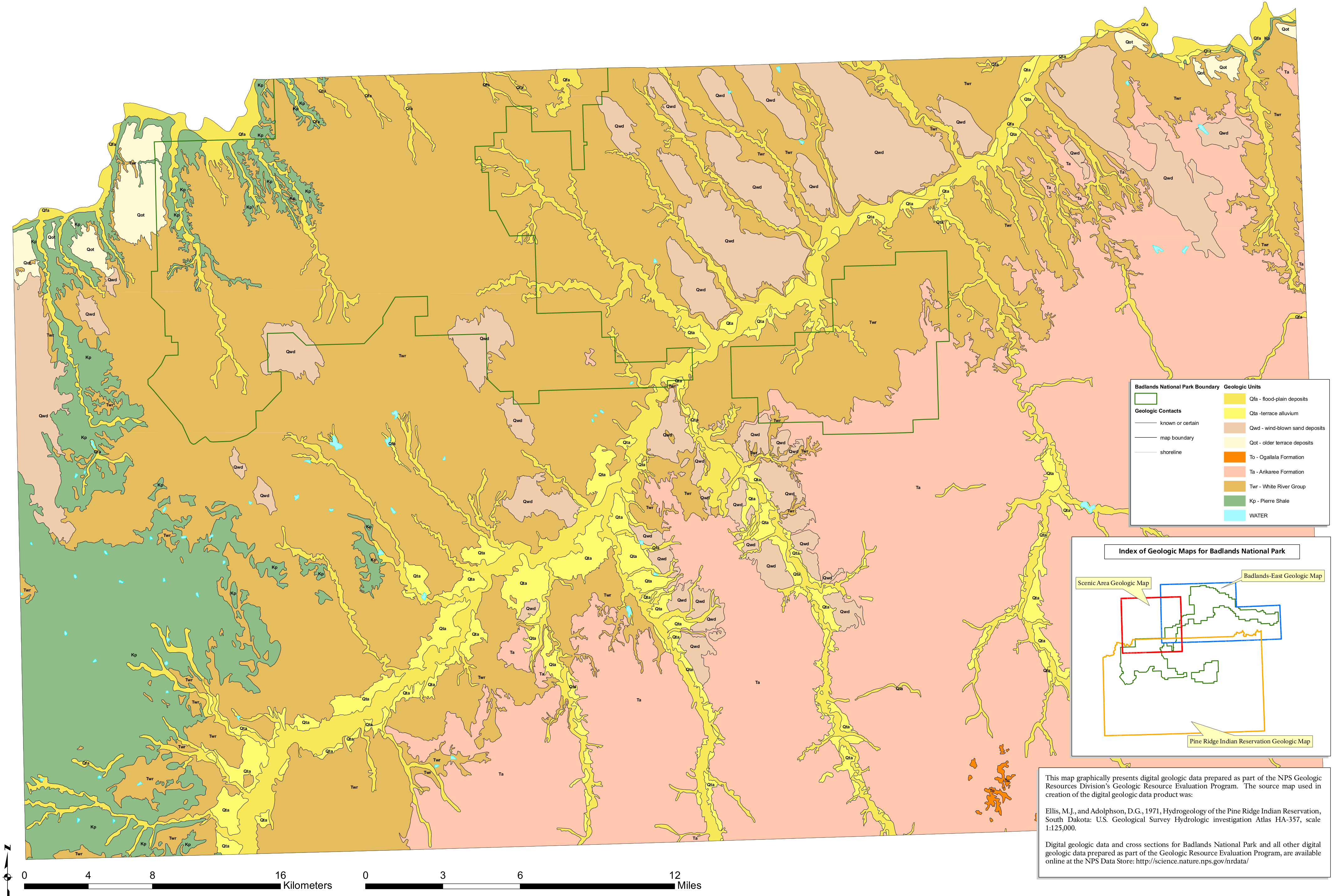
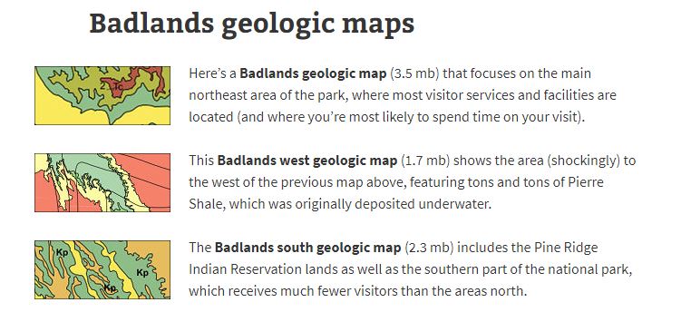
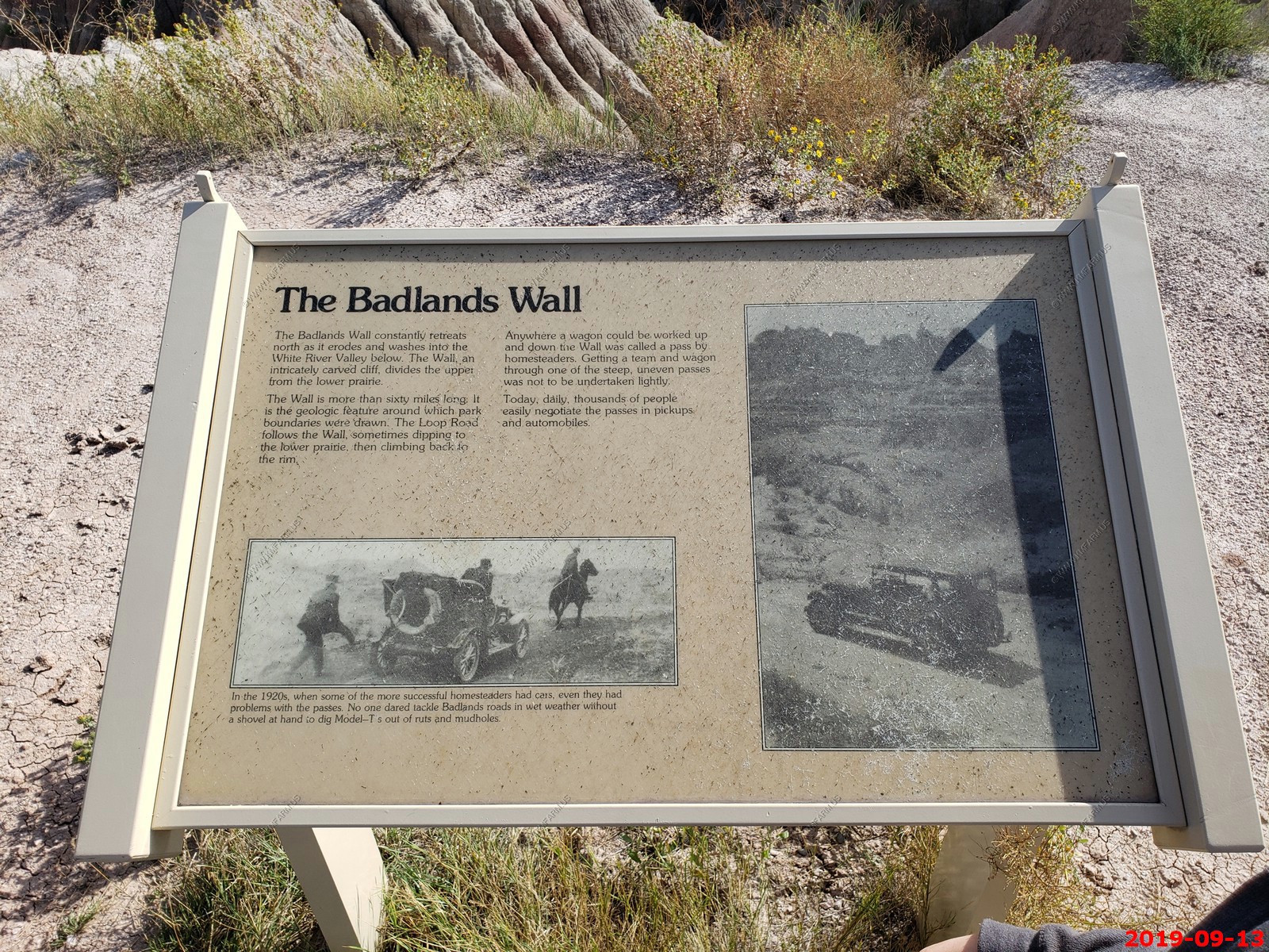
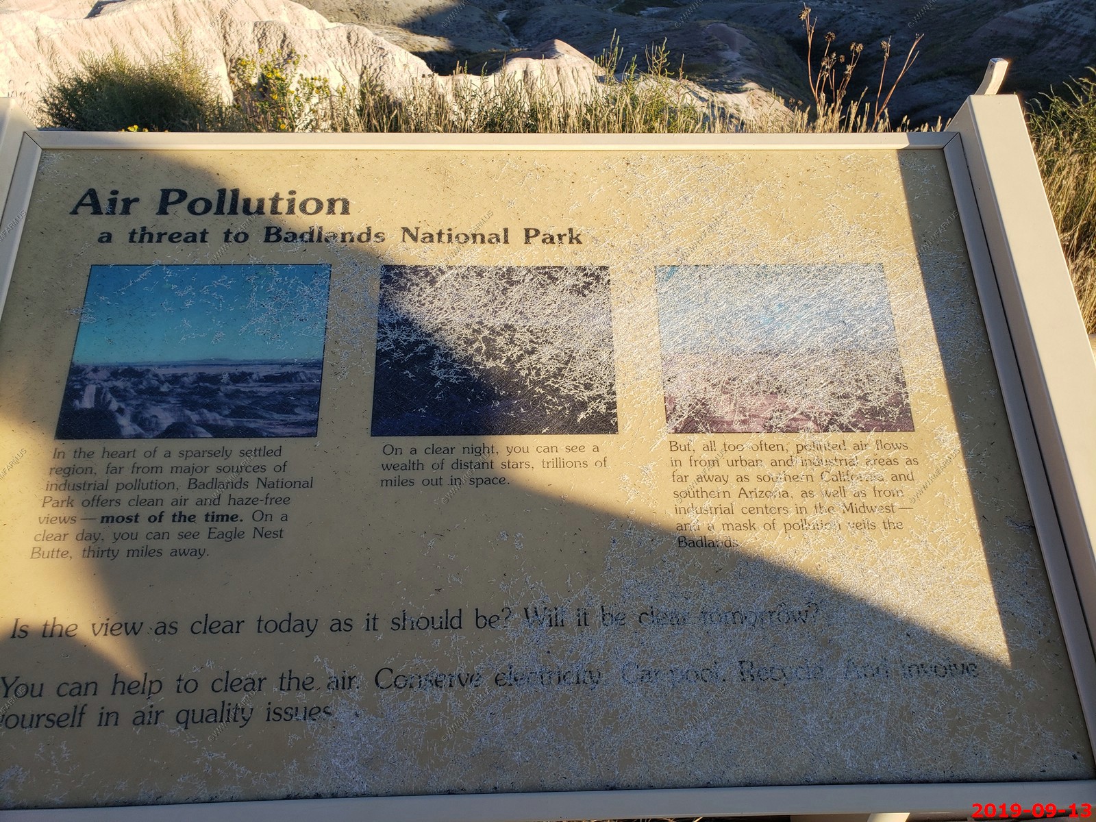
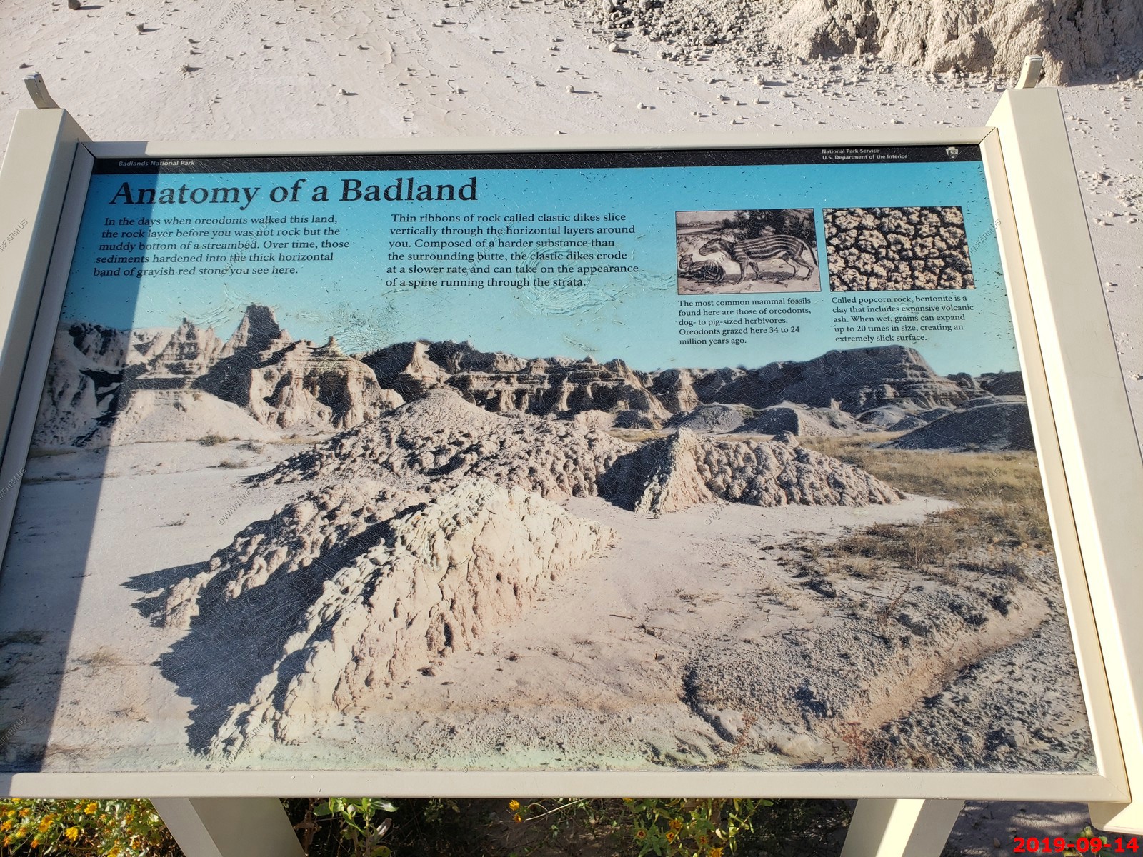
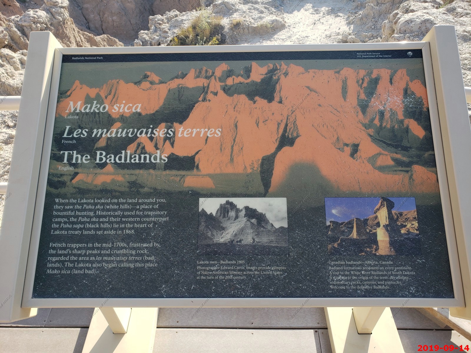
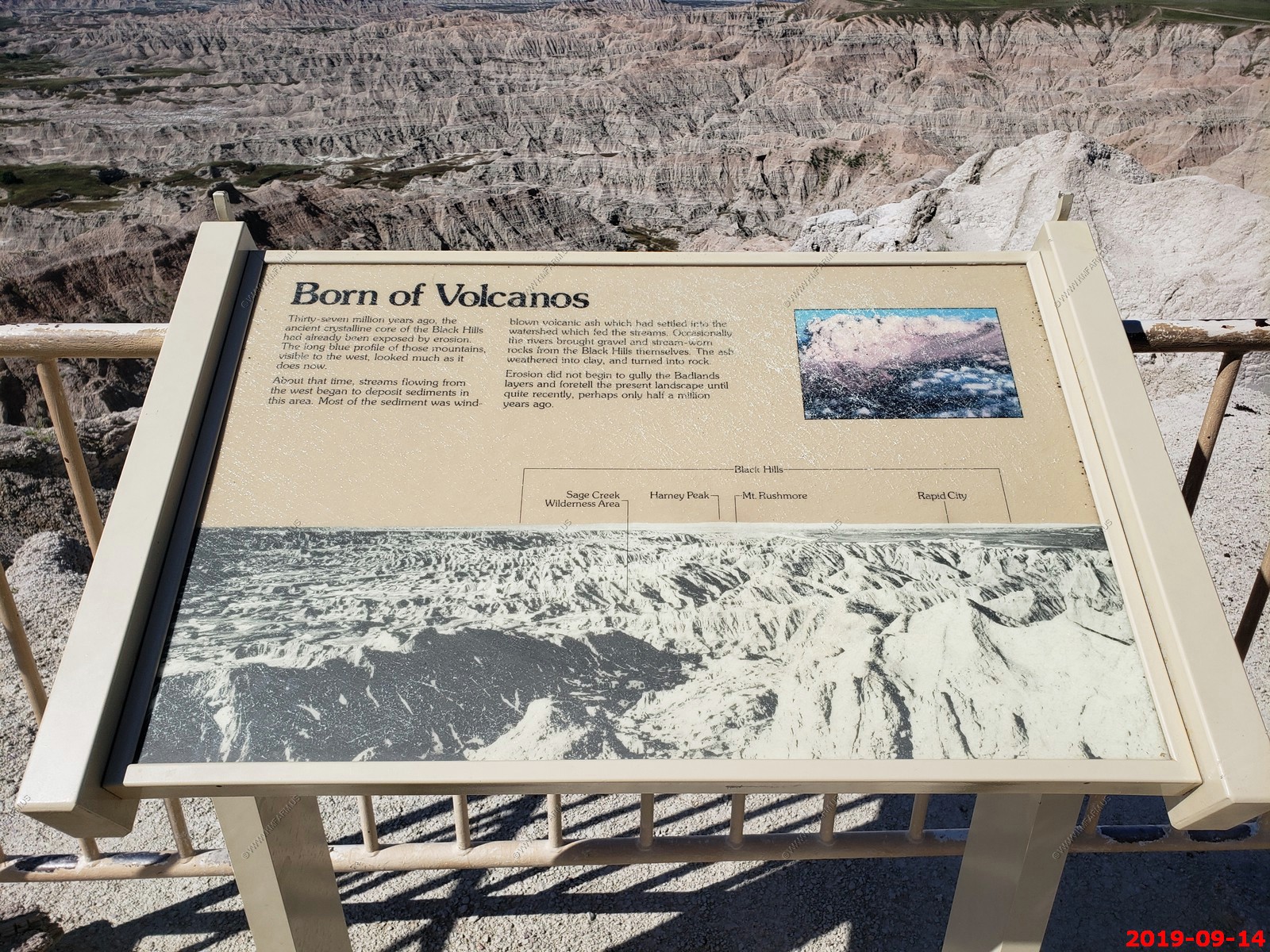
Badlands Geologic Maps
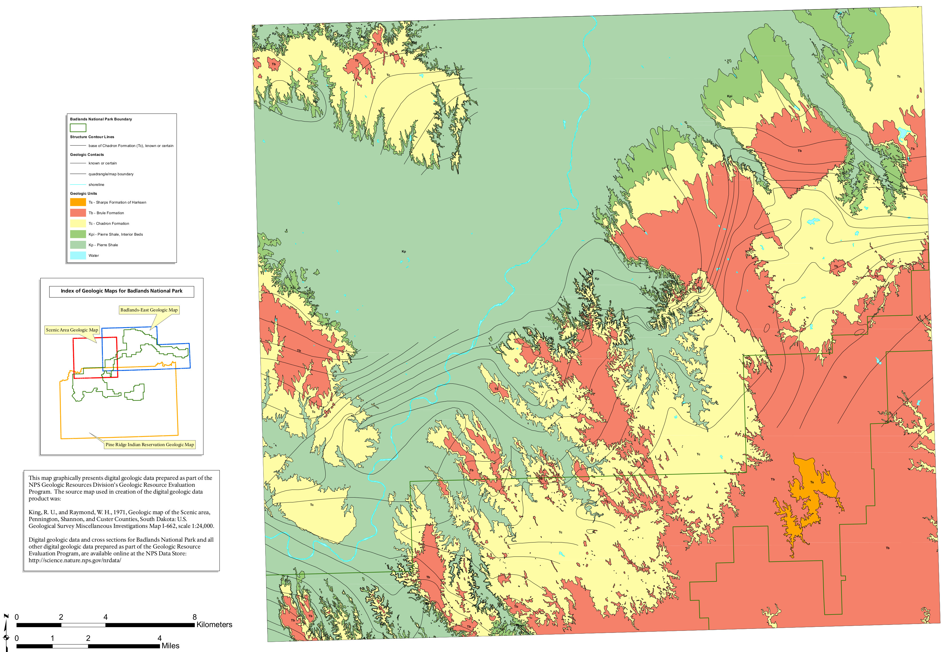
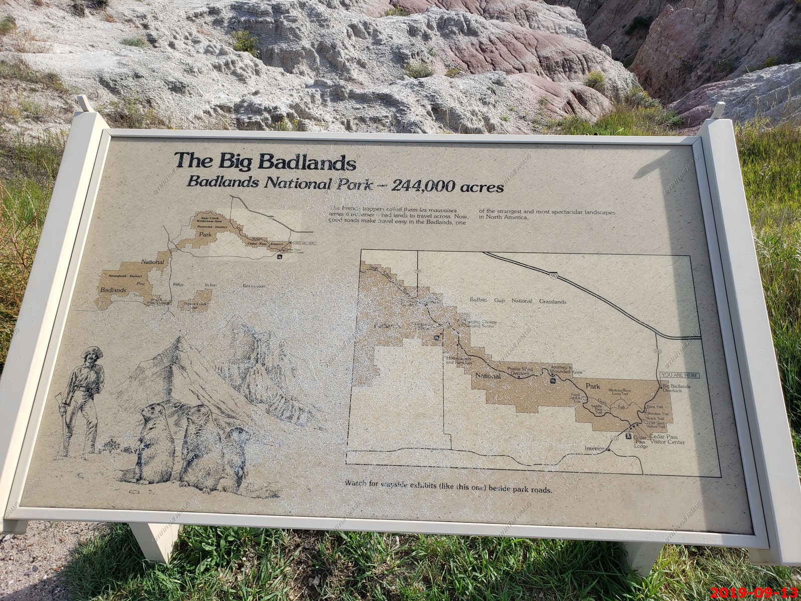
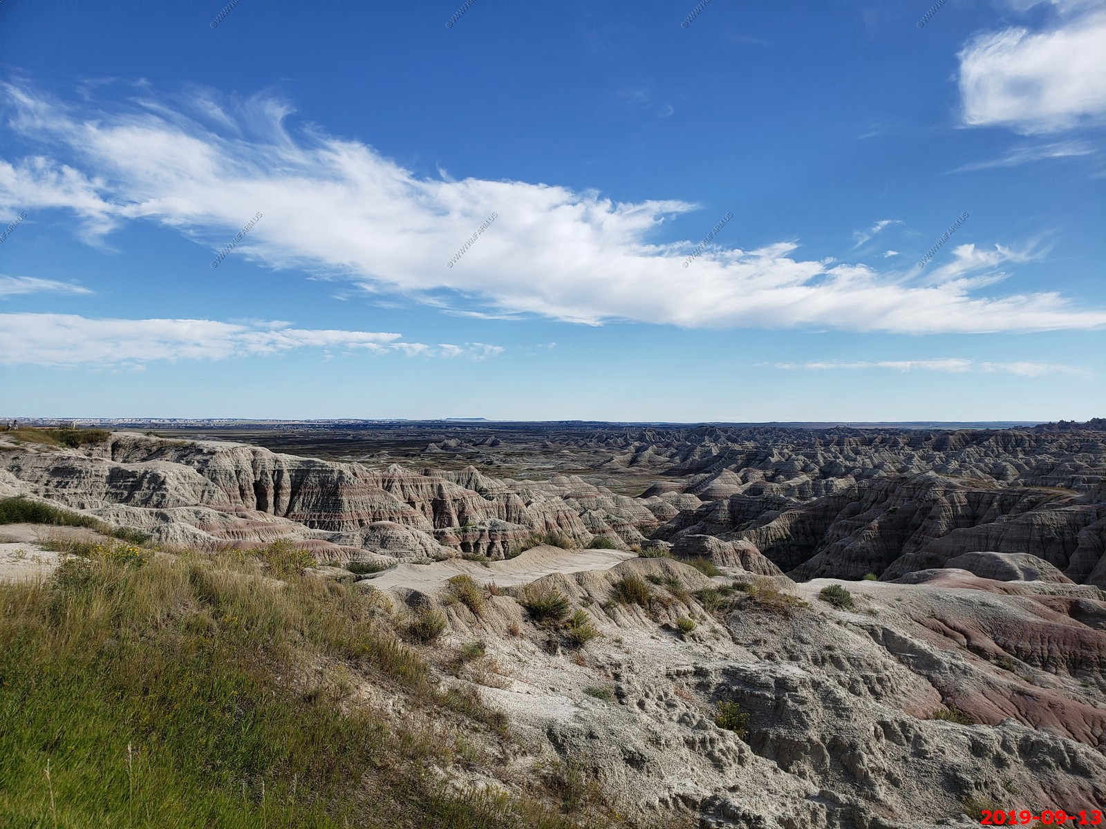
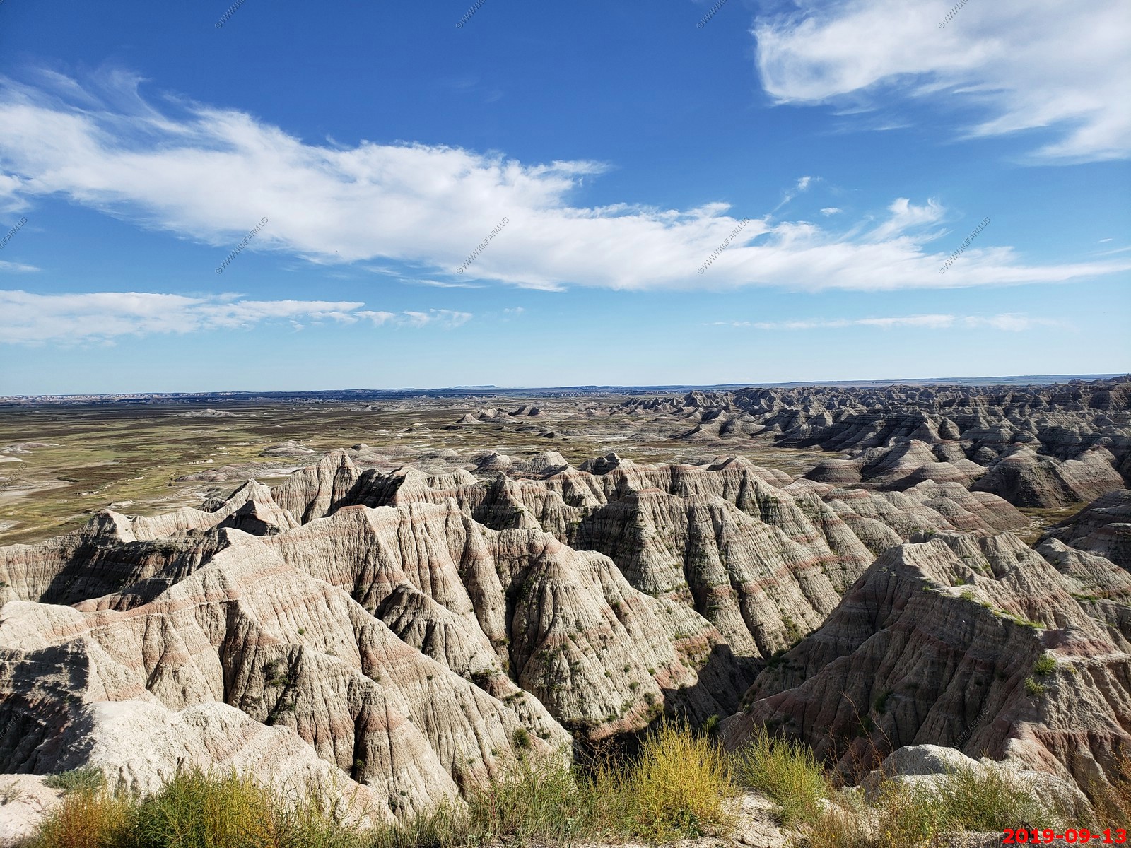
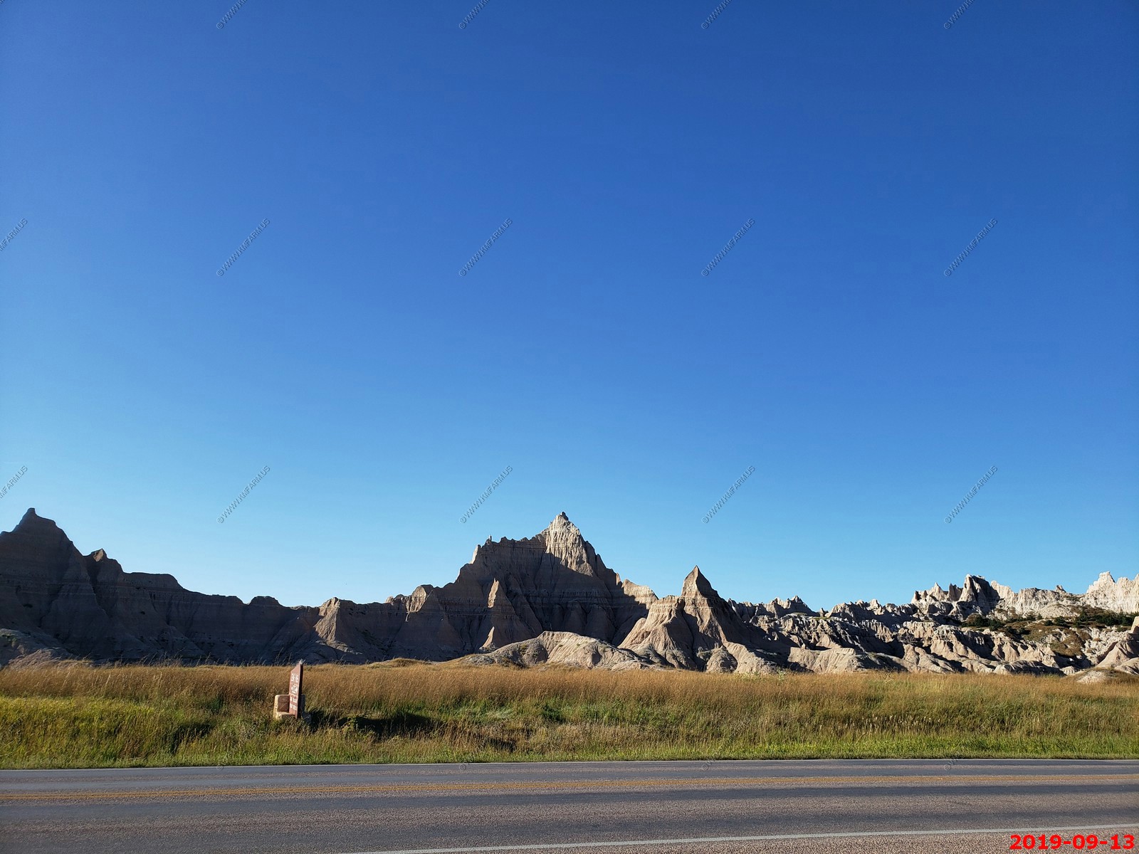
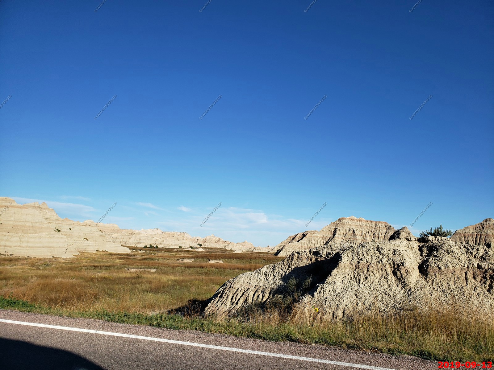
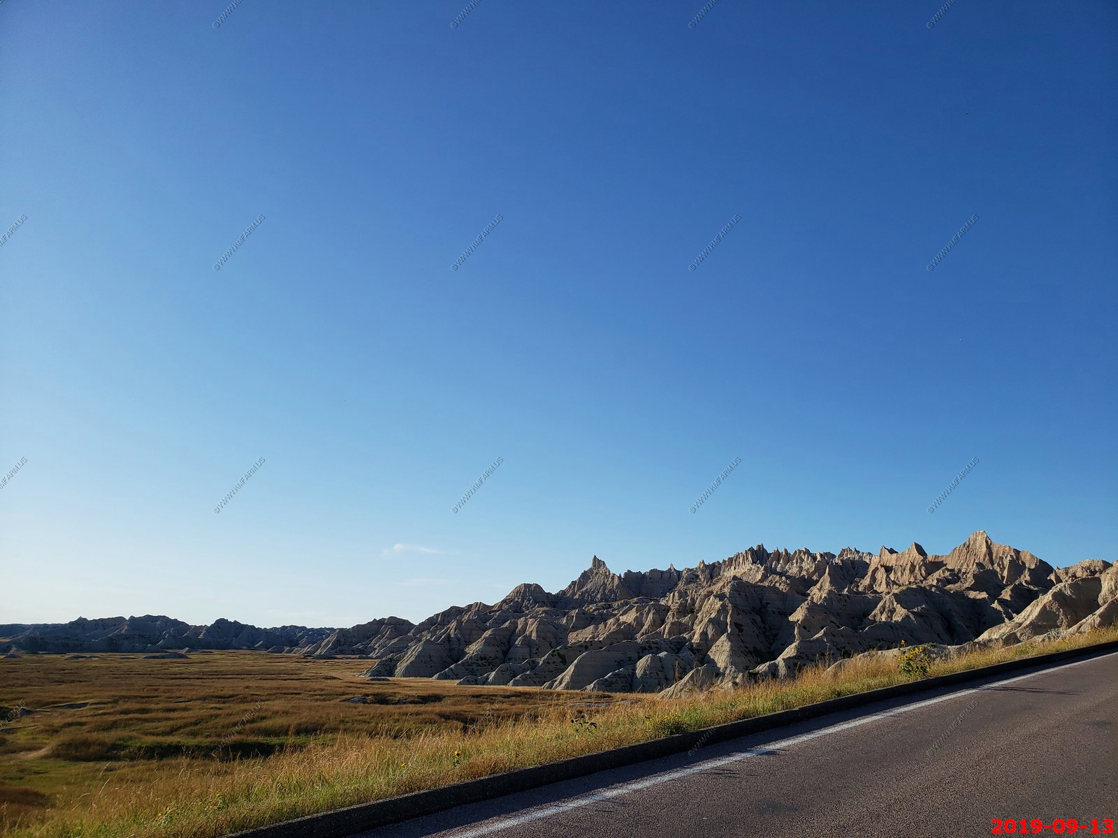
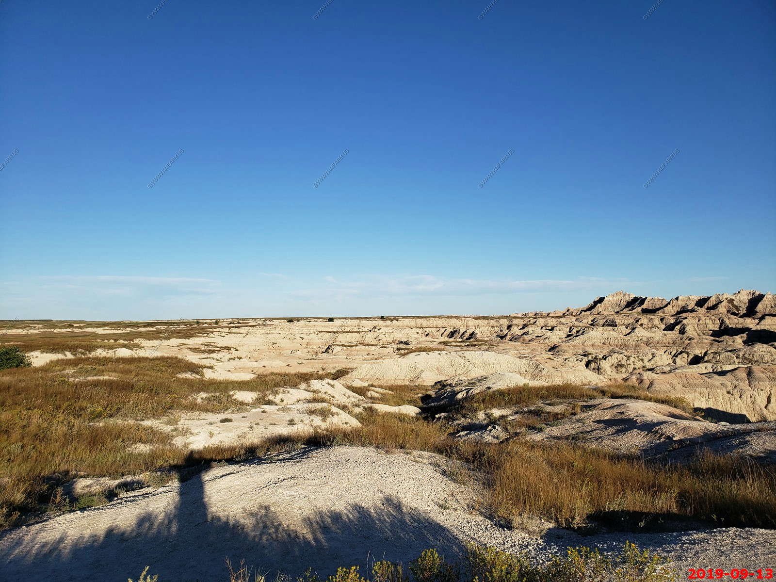
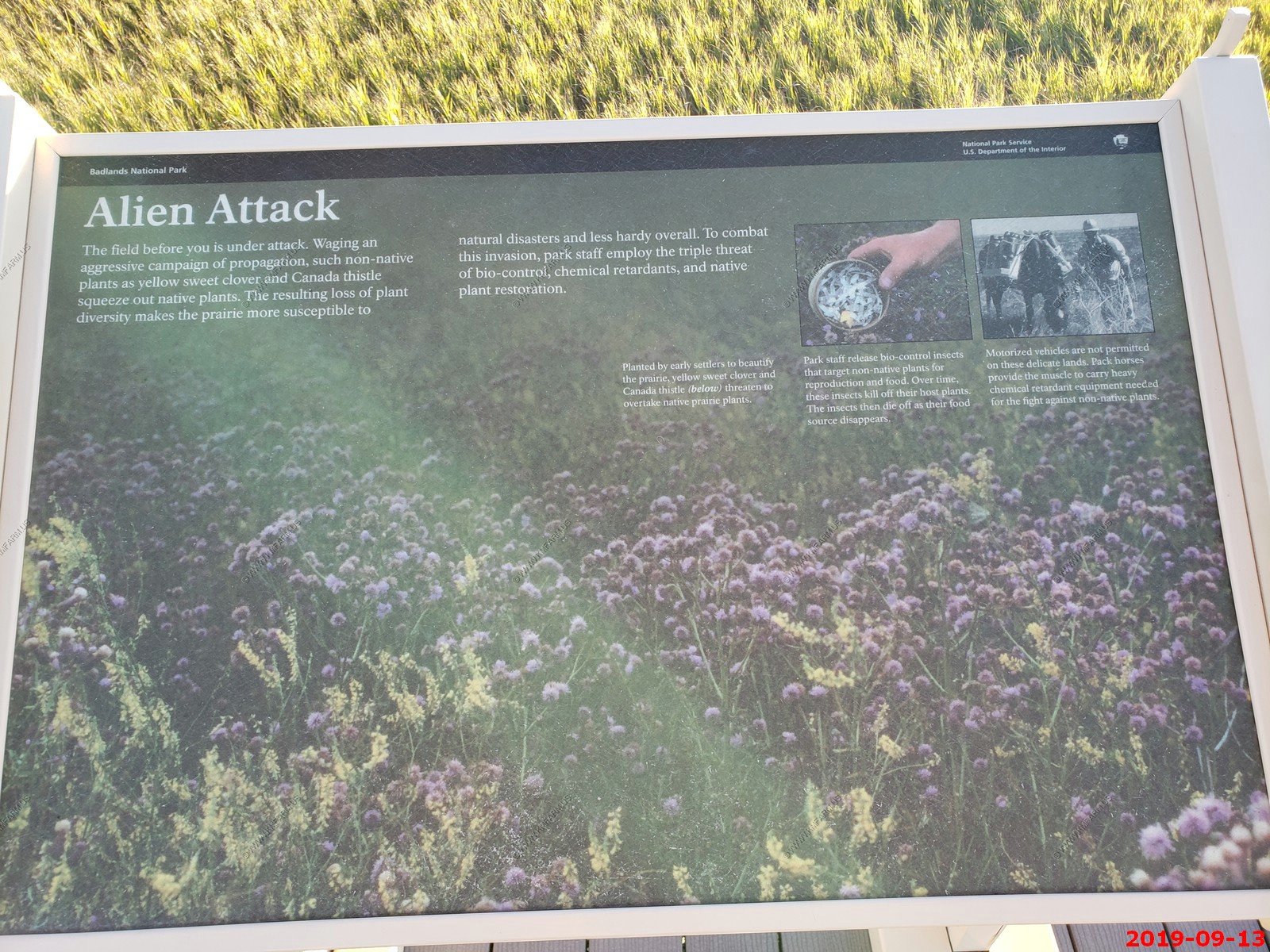
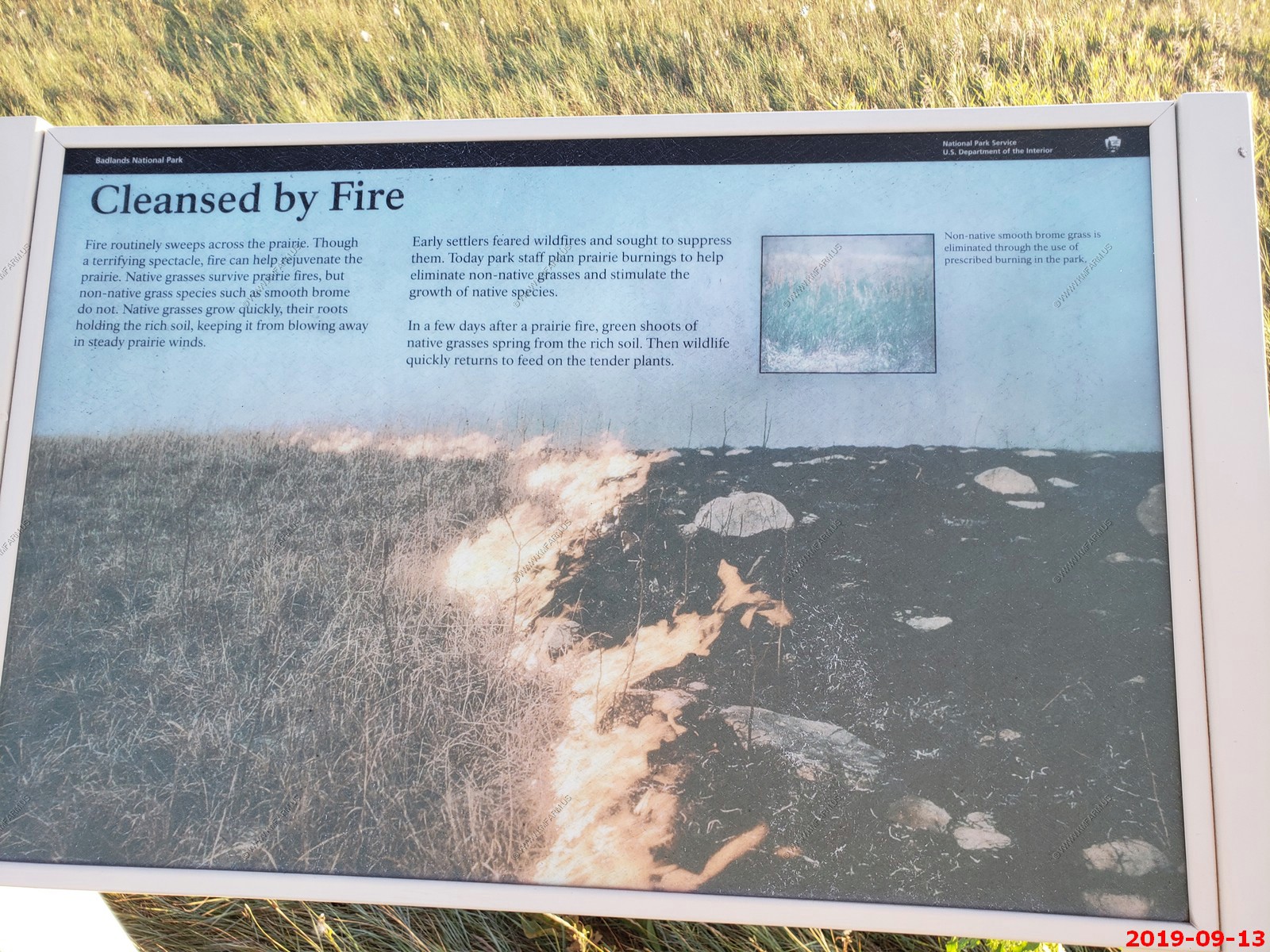
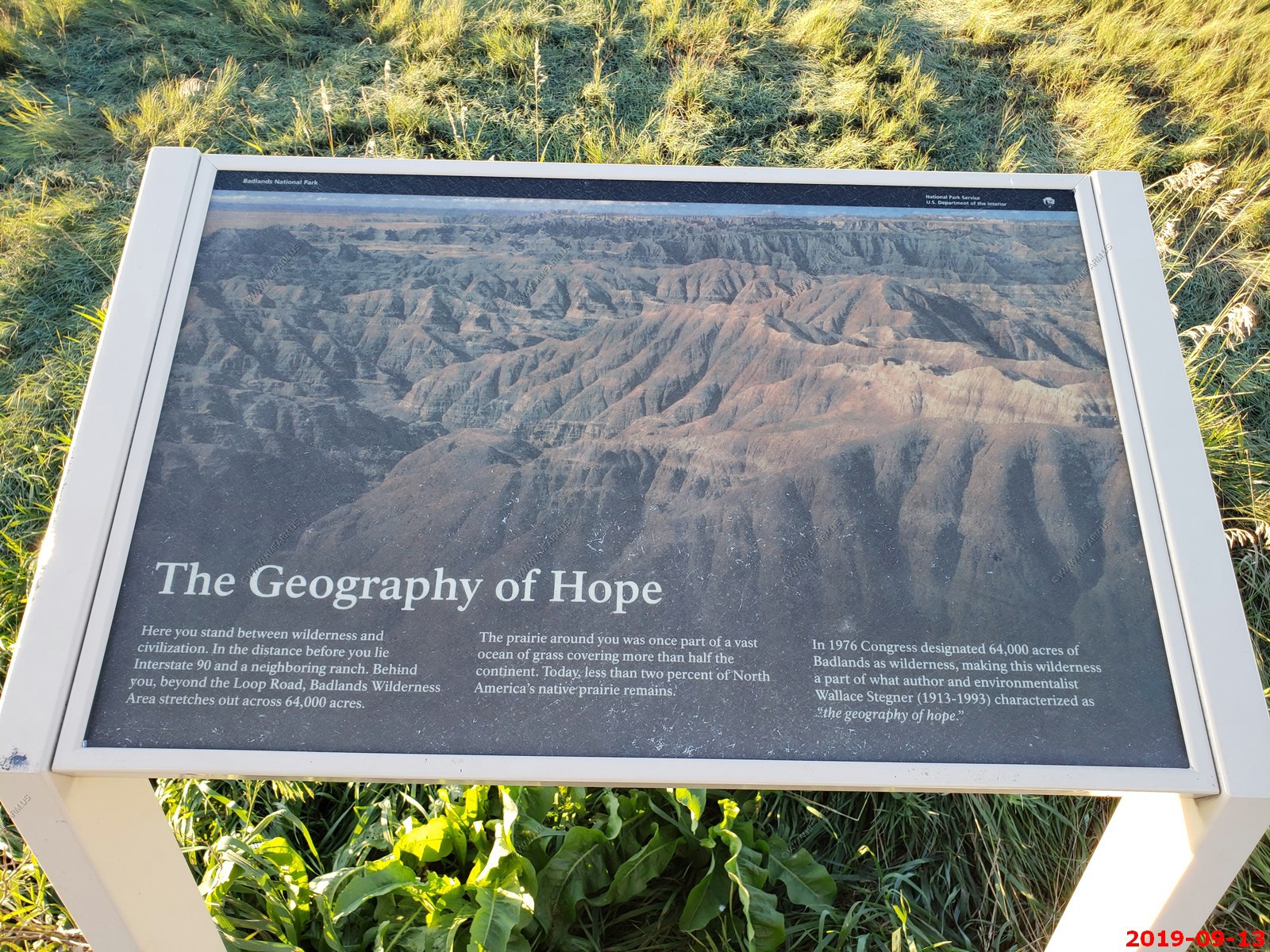
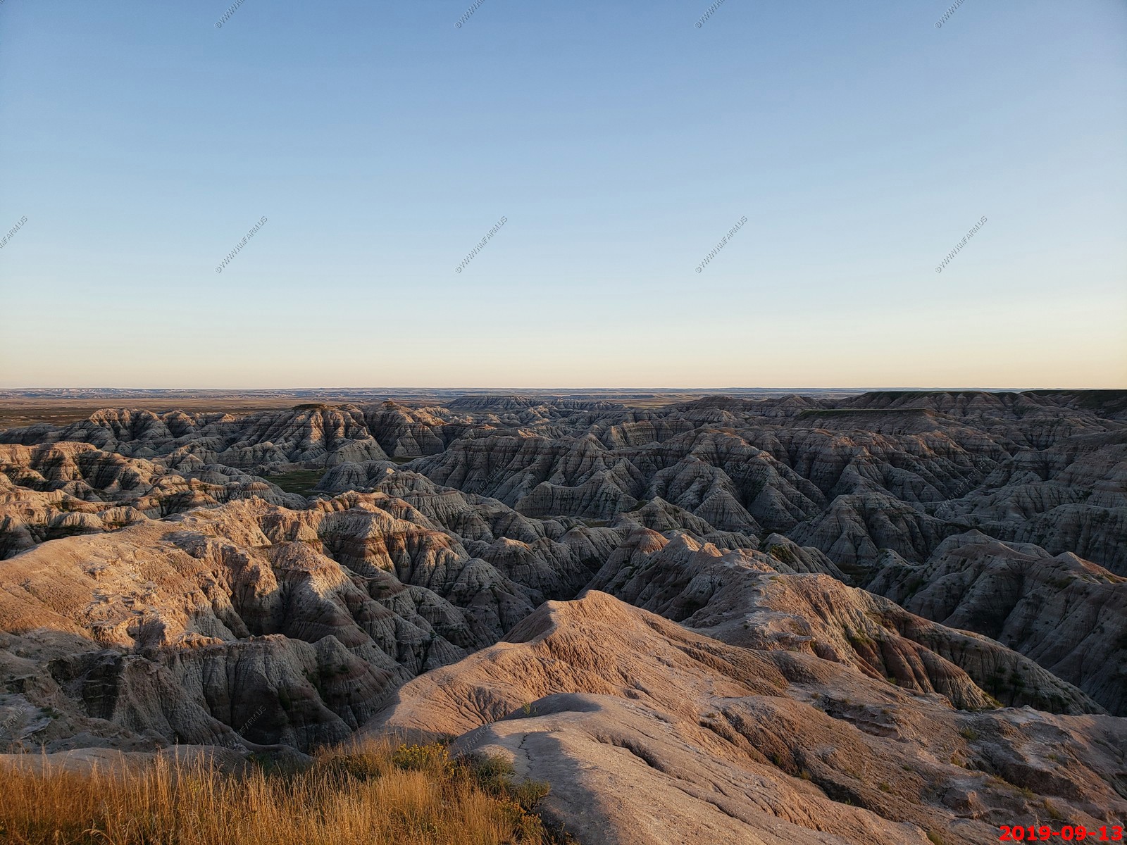
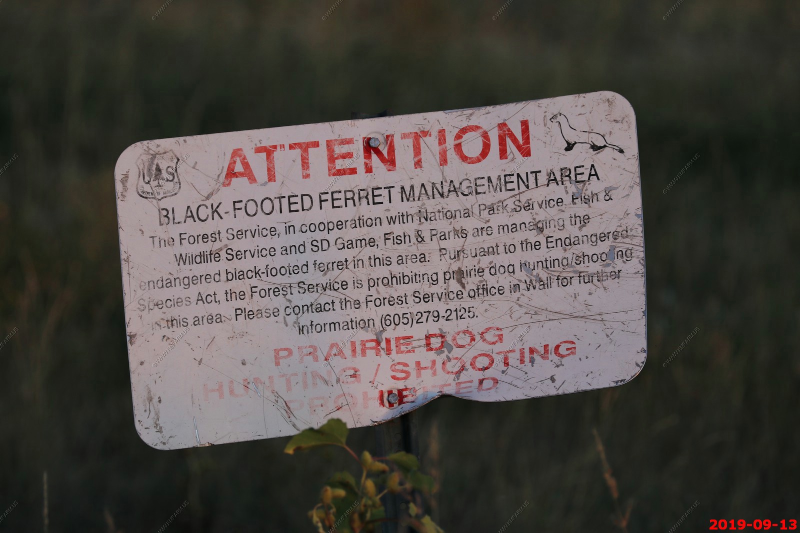
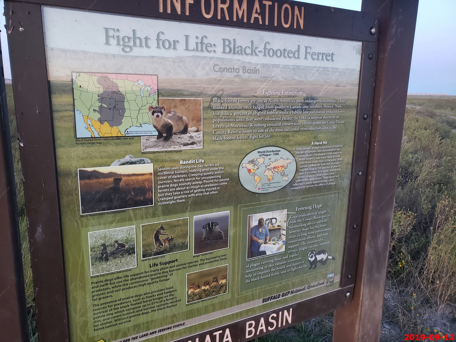
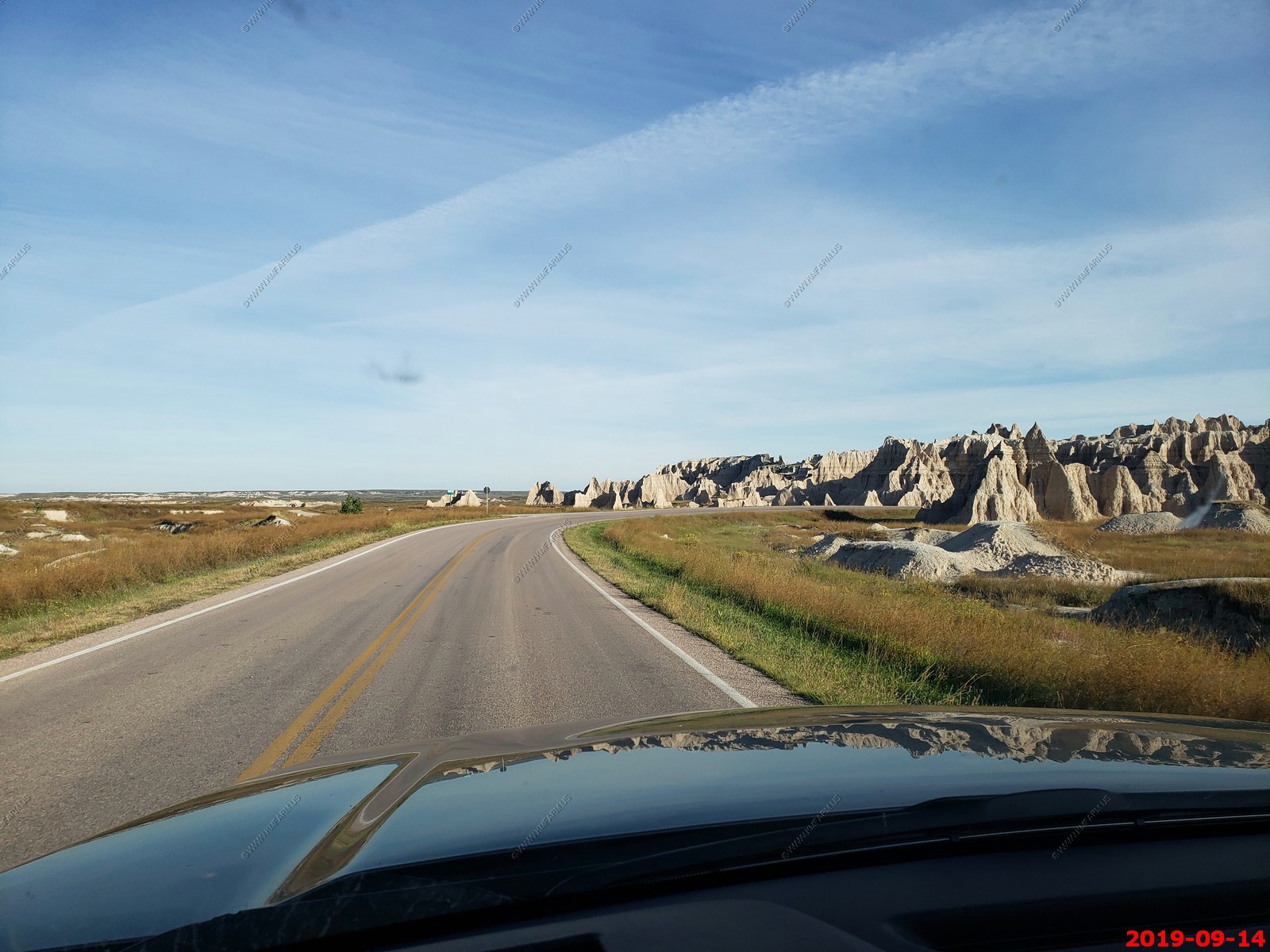
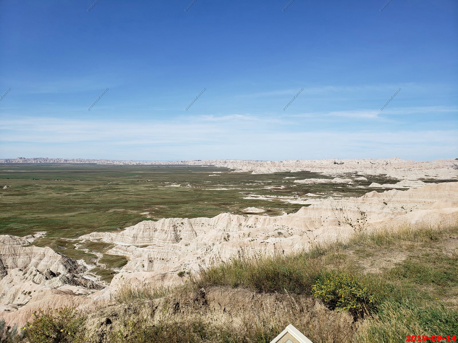
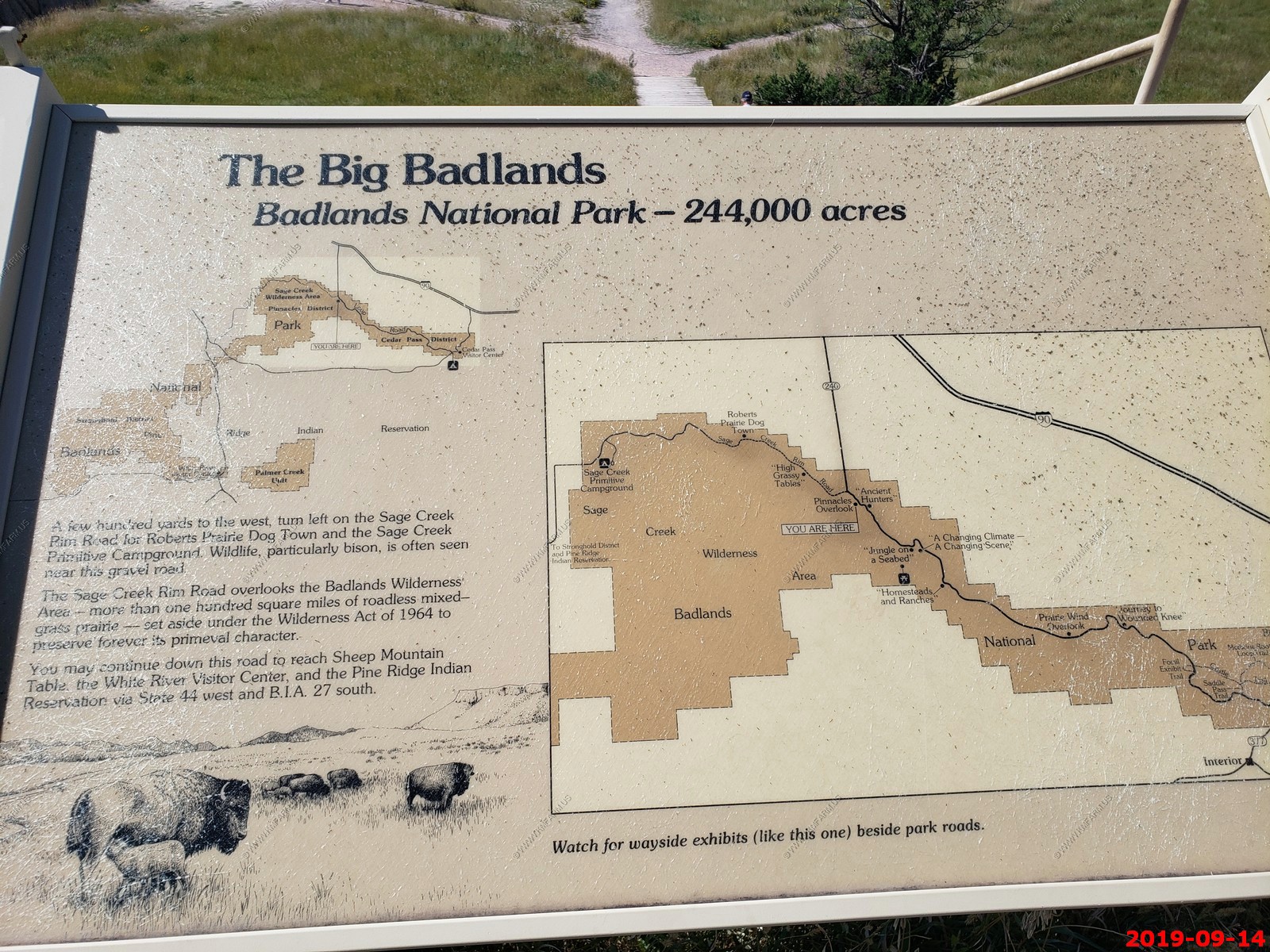
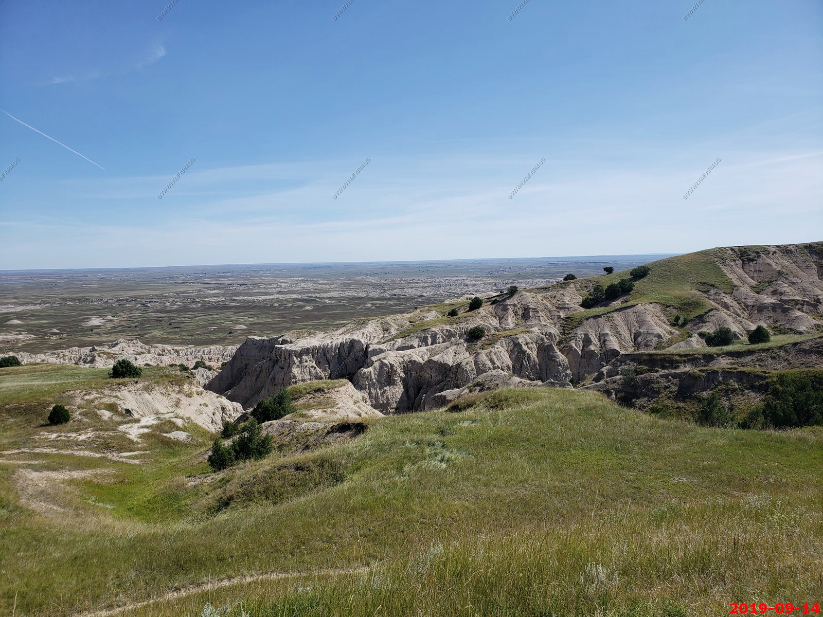
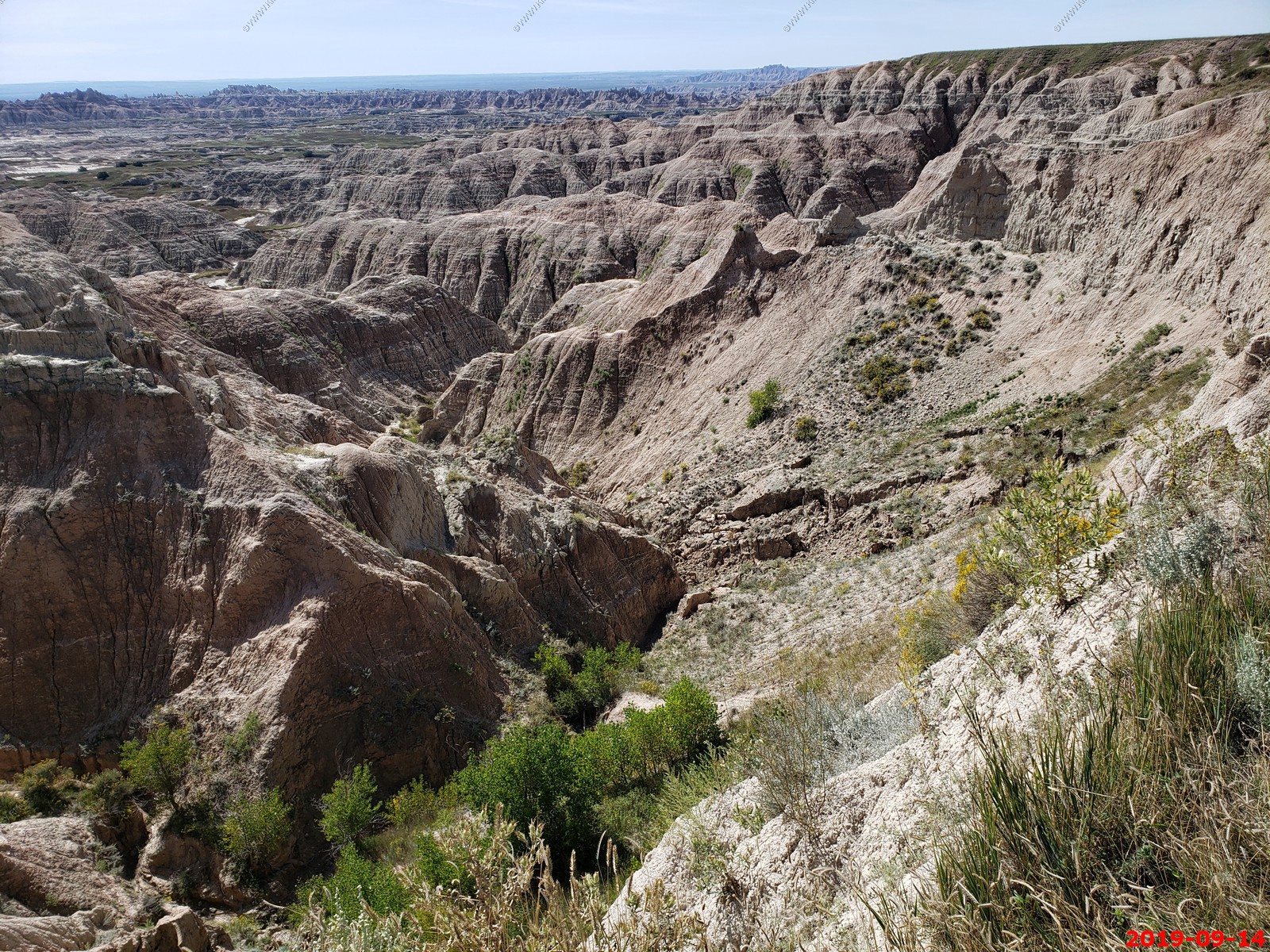
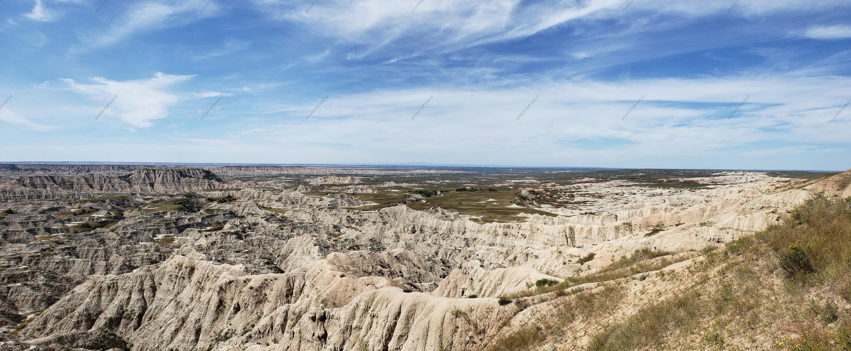
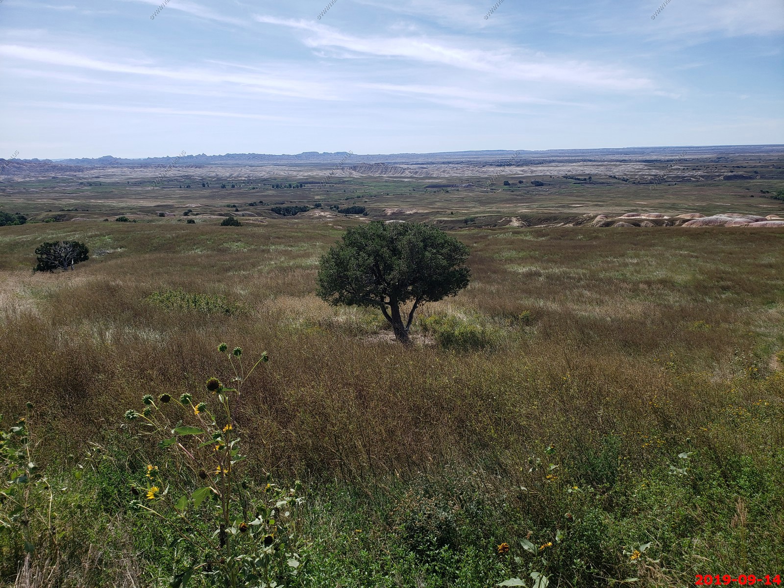
The park protects 242,756 acres of sharply eroded buttes and pinnacles, along with the largest undisturbed mixed grass prairie in the United States. It contains the Badlands Wilderness which protects 64,144 acres of the park and is one site where the black-footed ferret, one of the most endangered mammals in the world, was reintroduced to the wild. The park is generally flat as the park's highest point is at 3,340 feet, which is low by western standards.
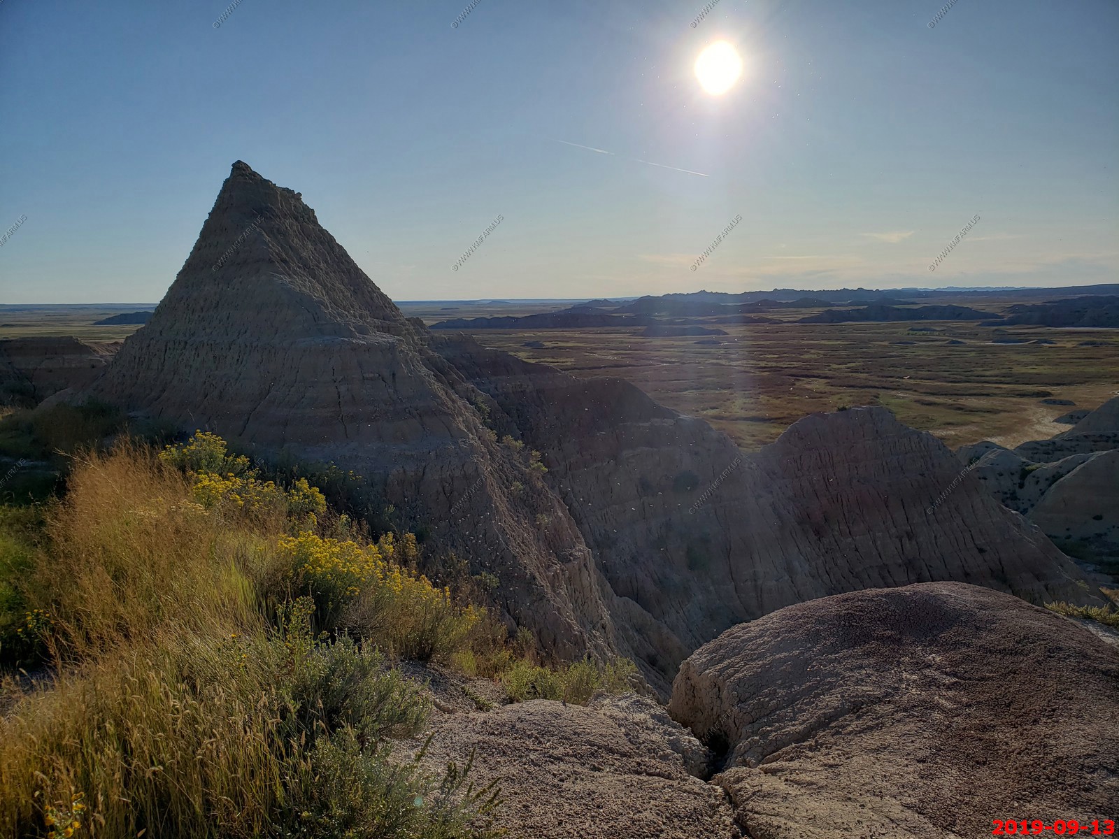
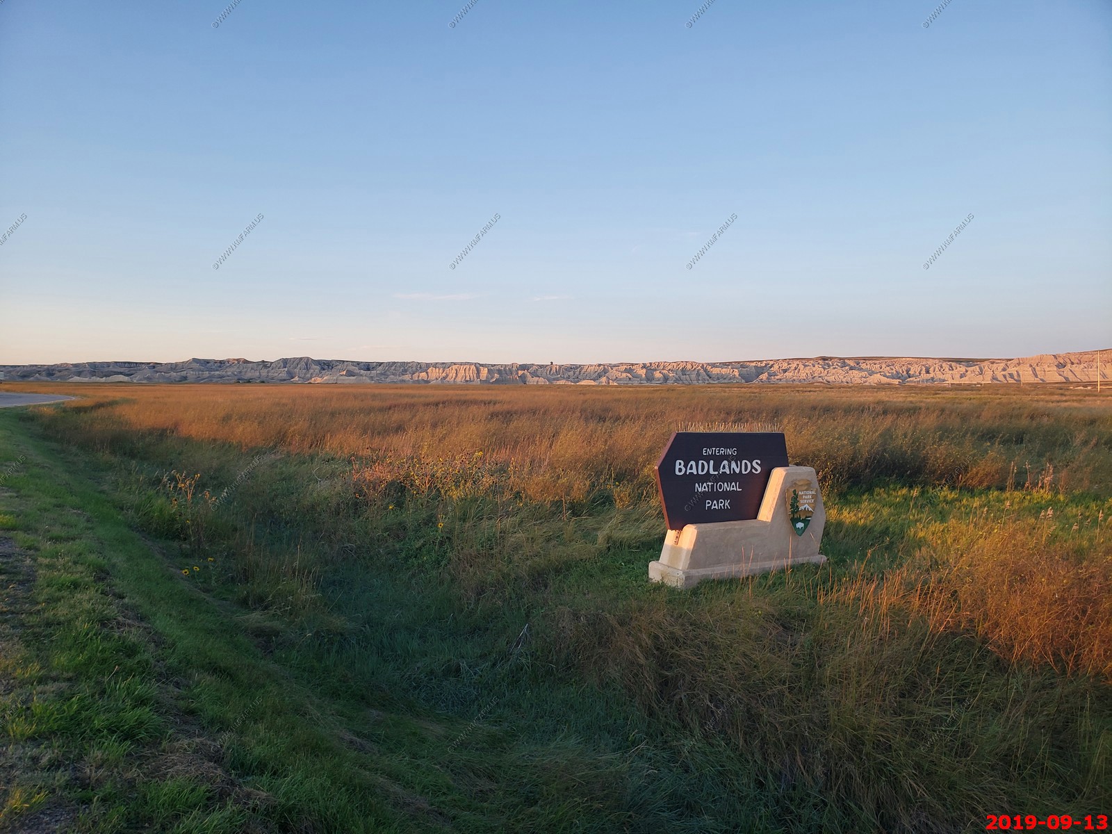
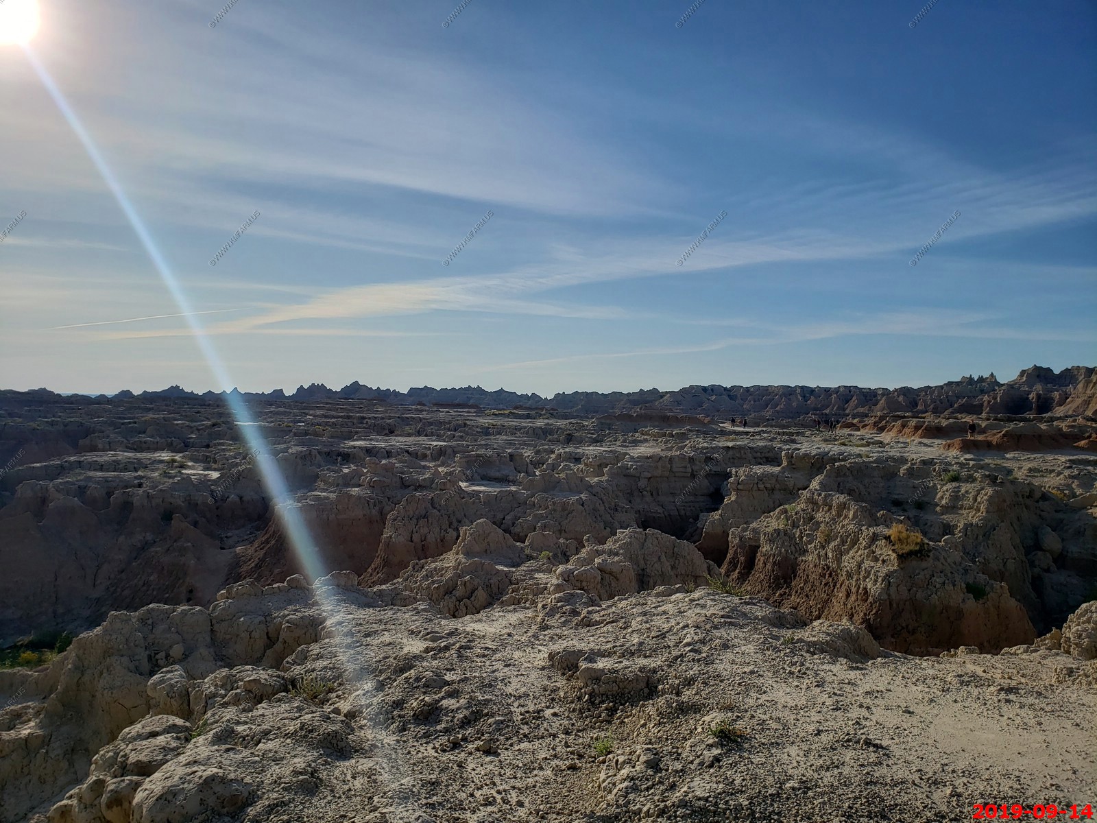
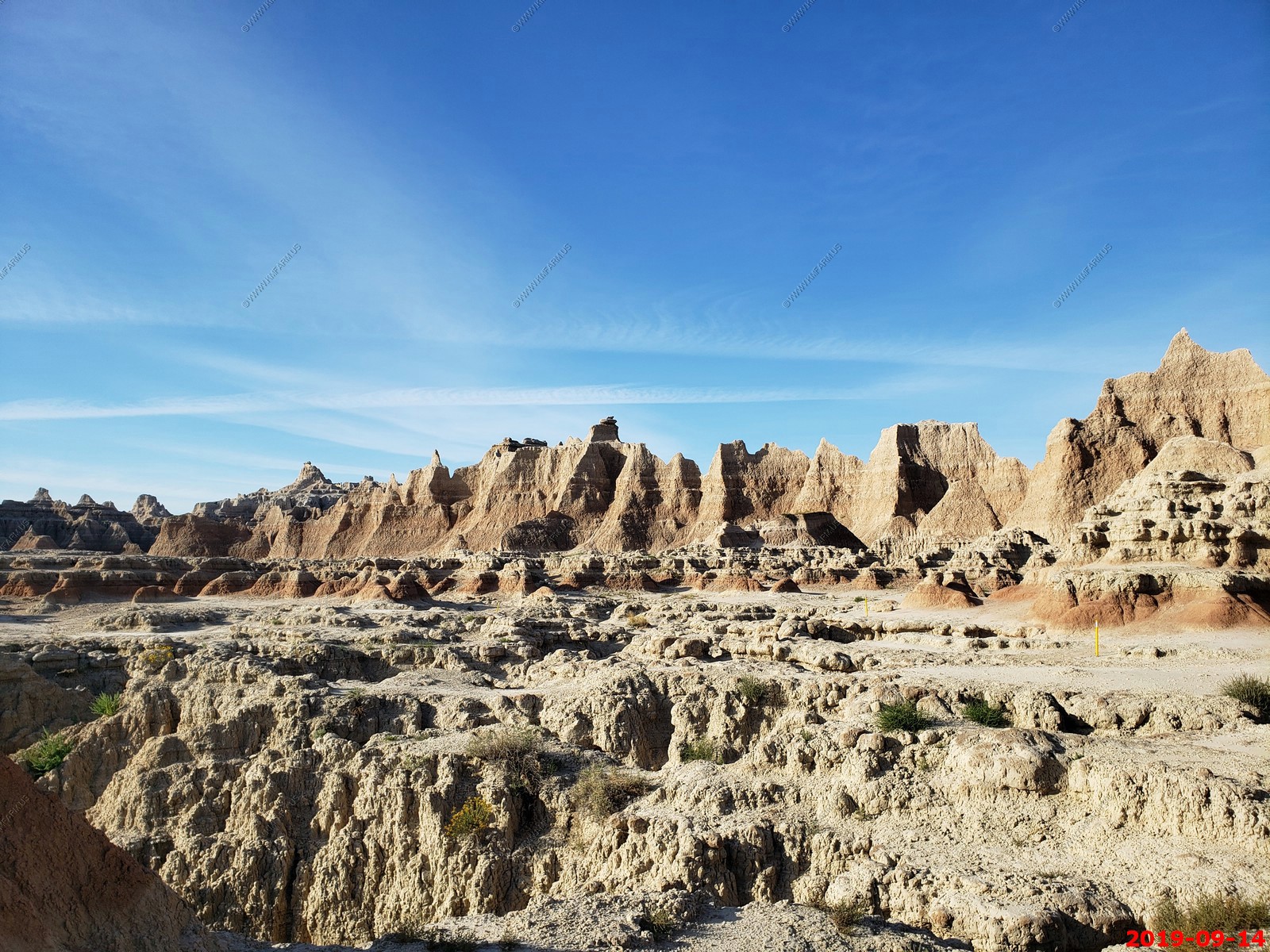
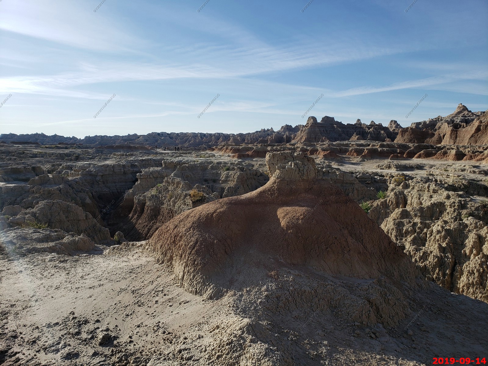
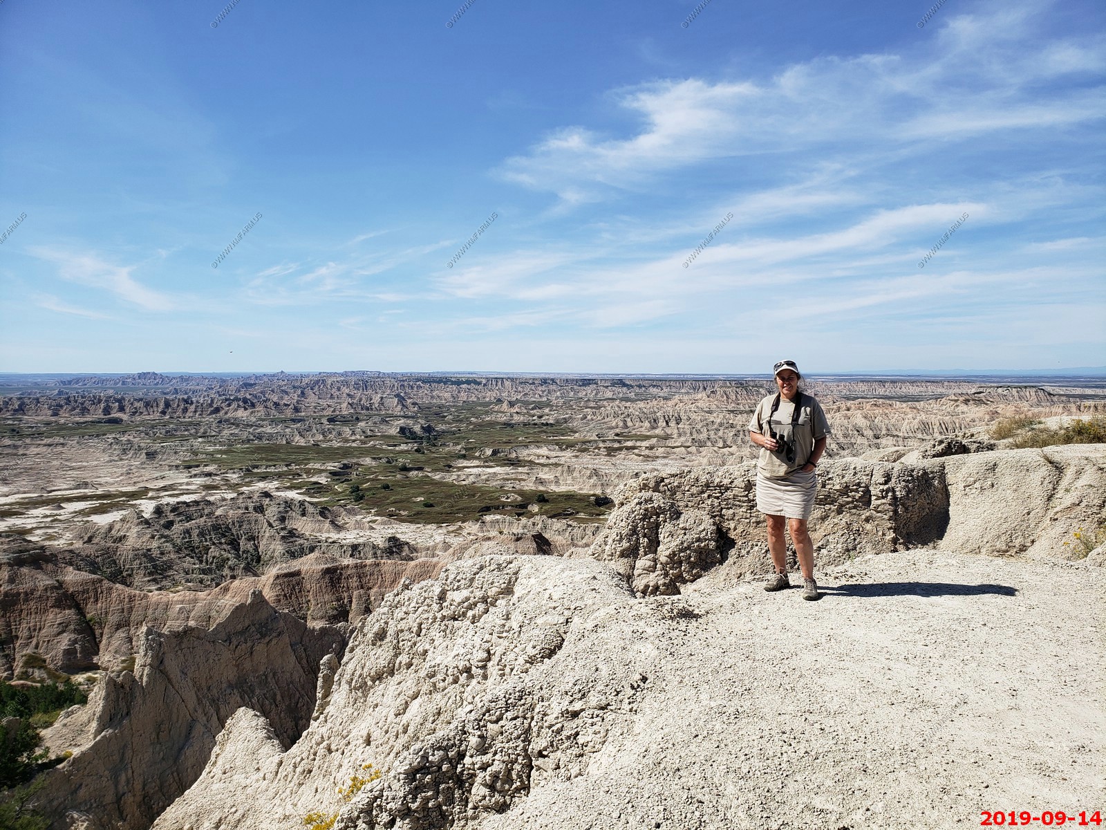
We would spend the next day exploring this area.
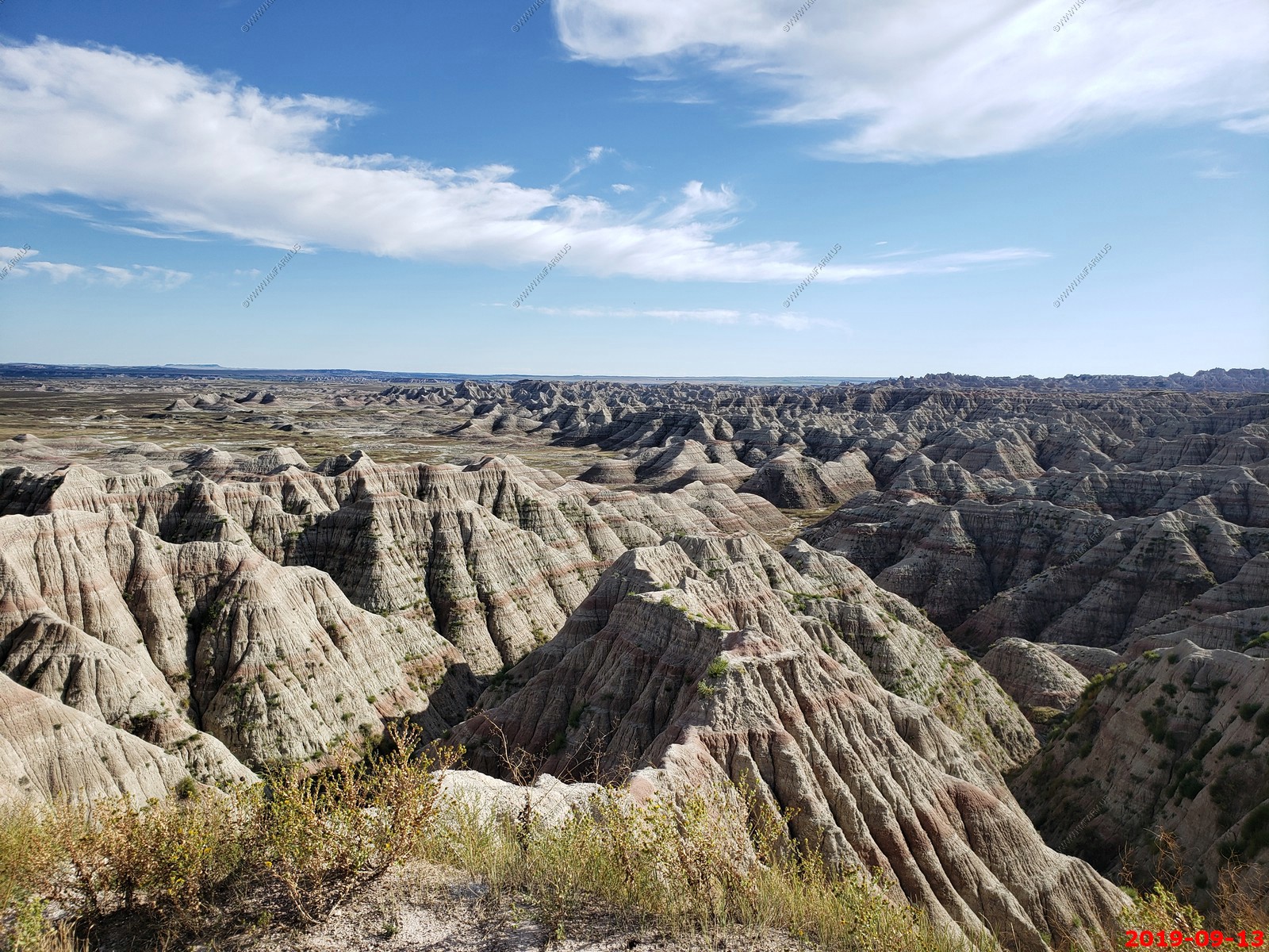
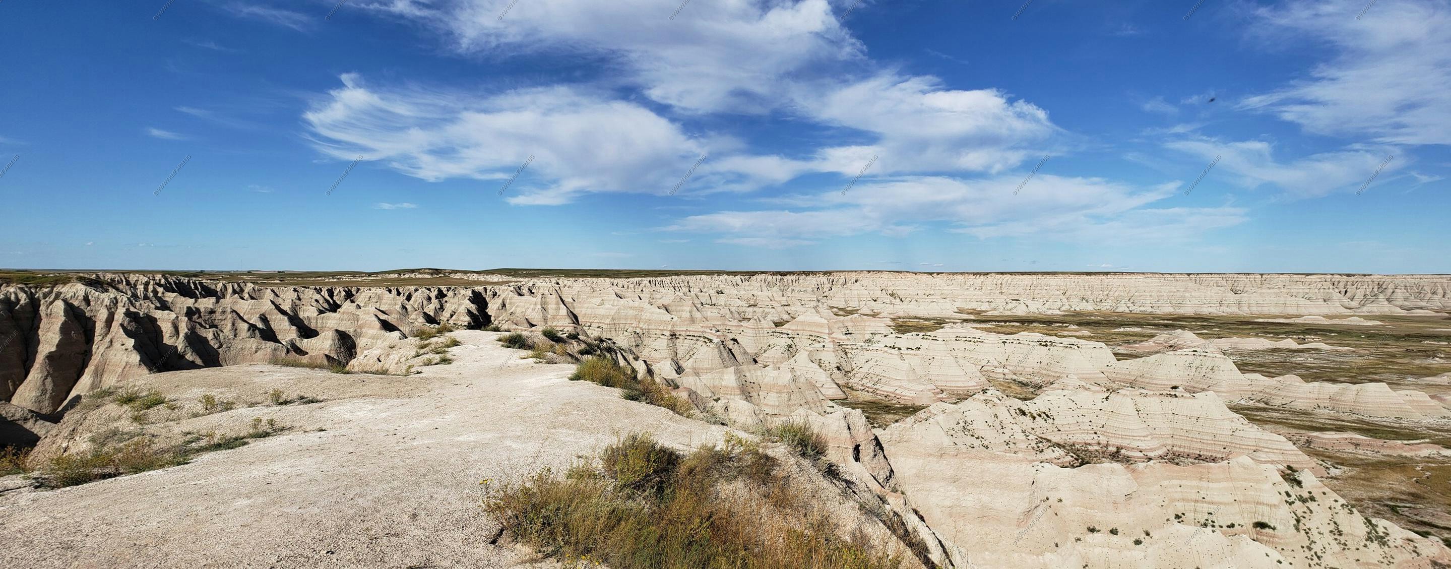
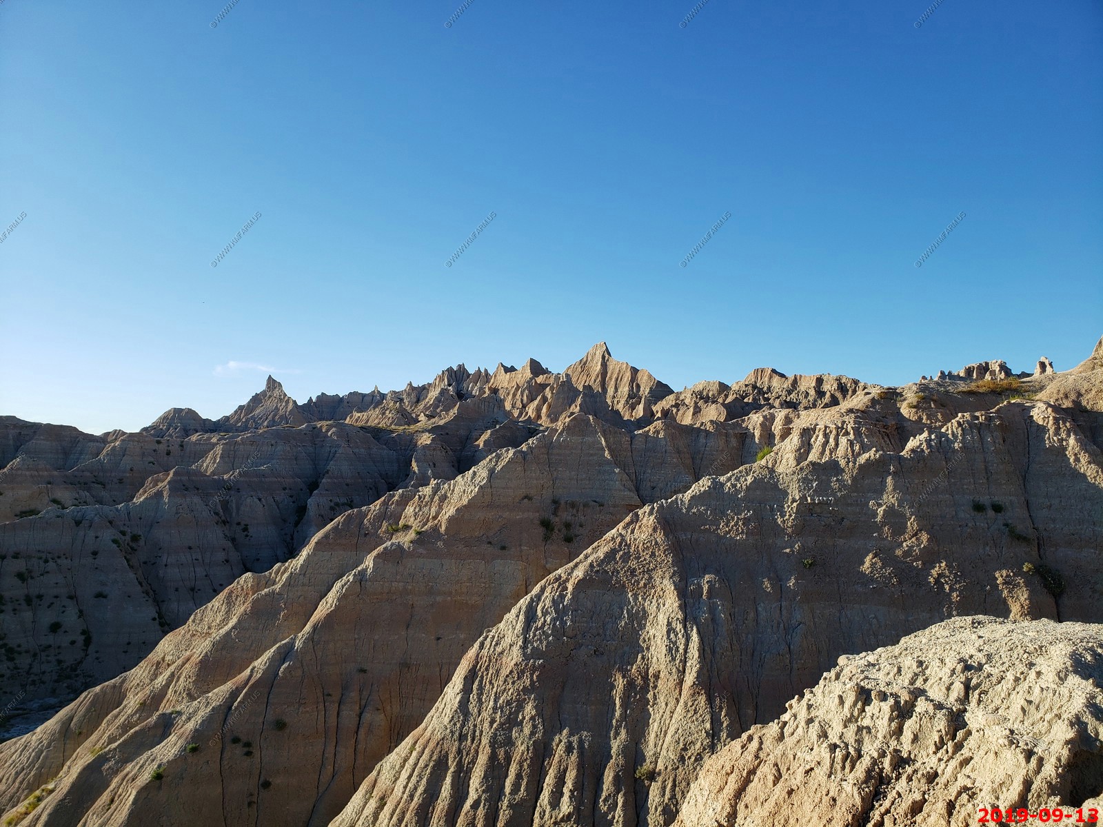
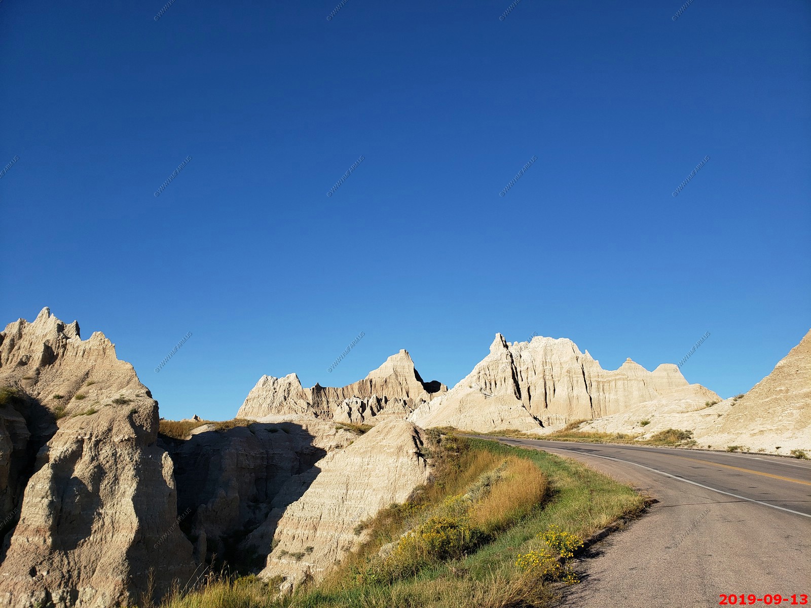
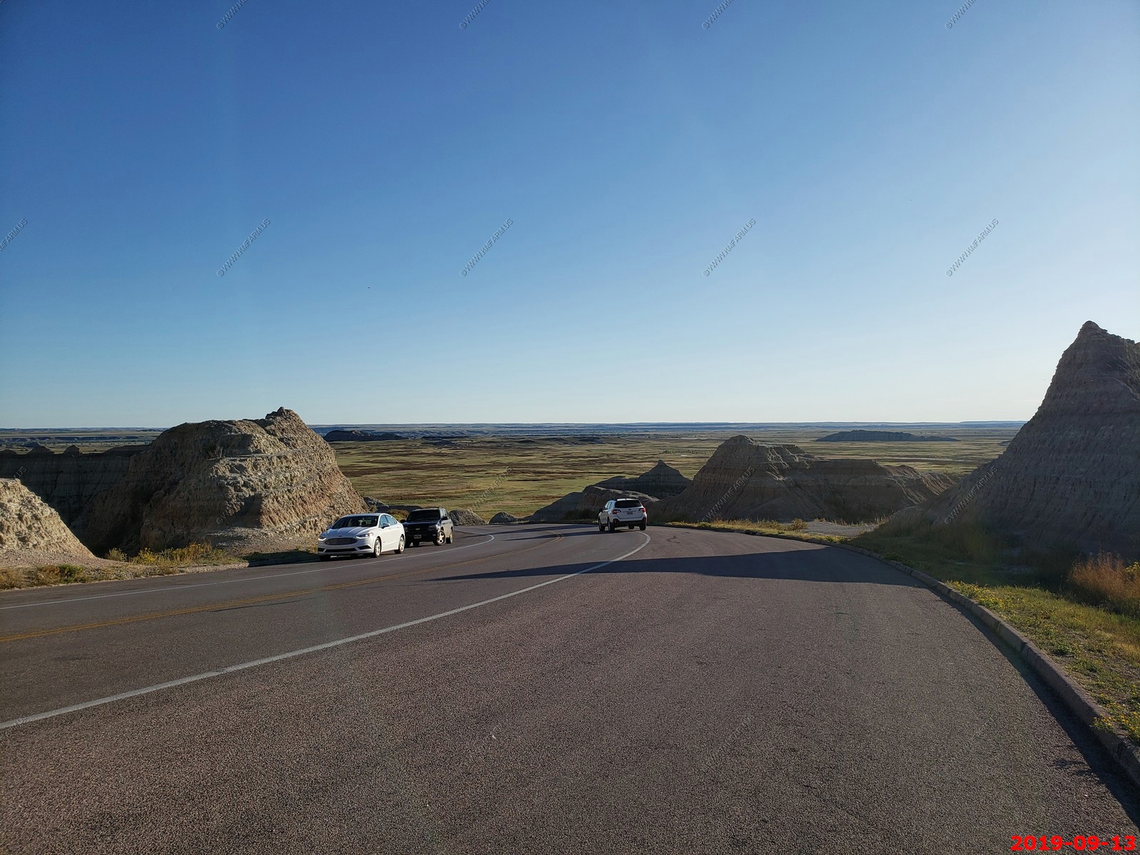
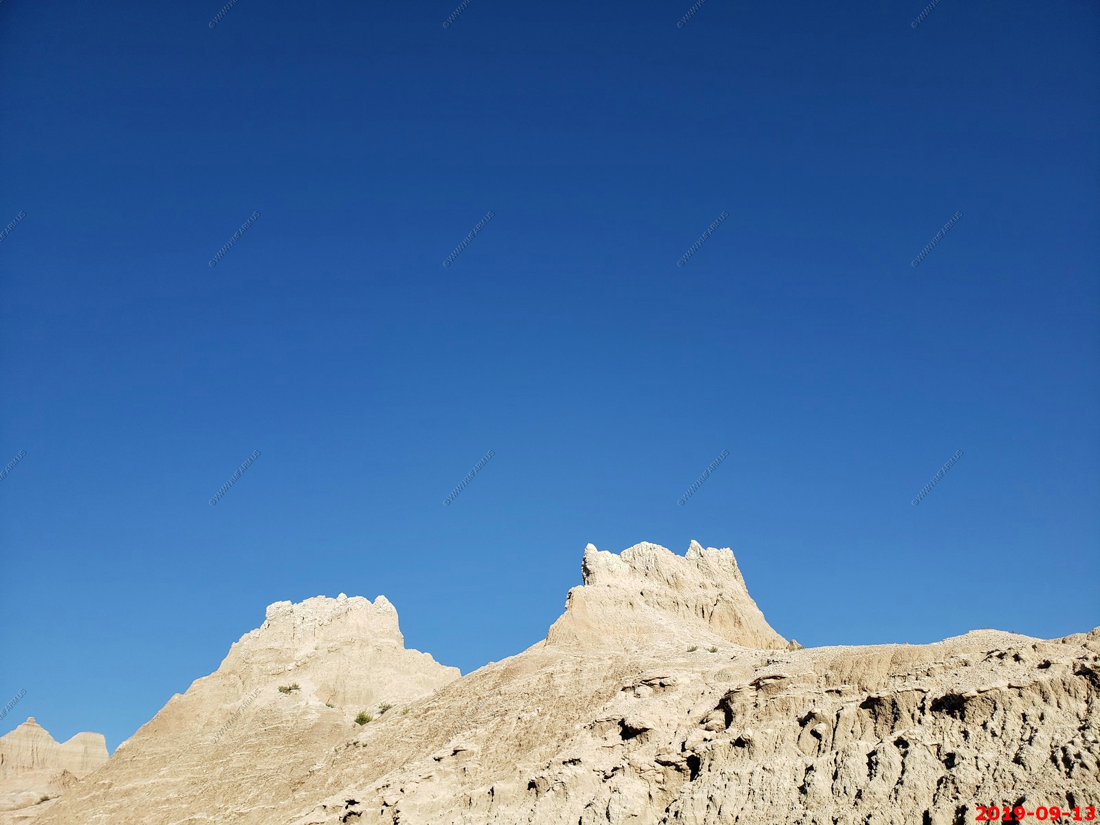
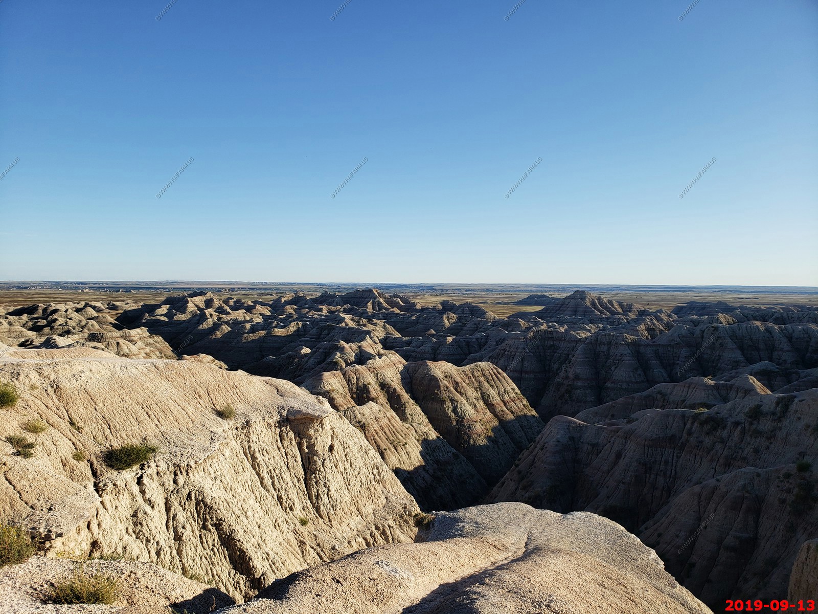
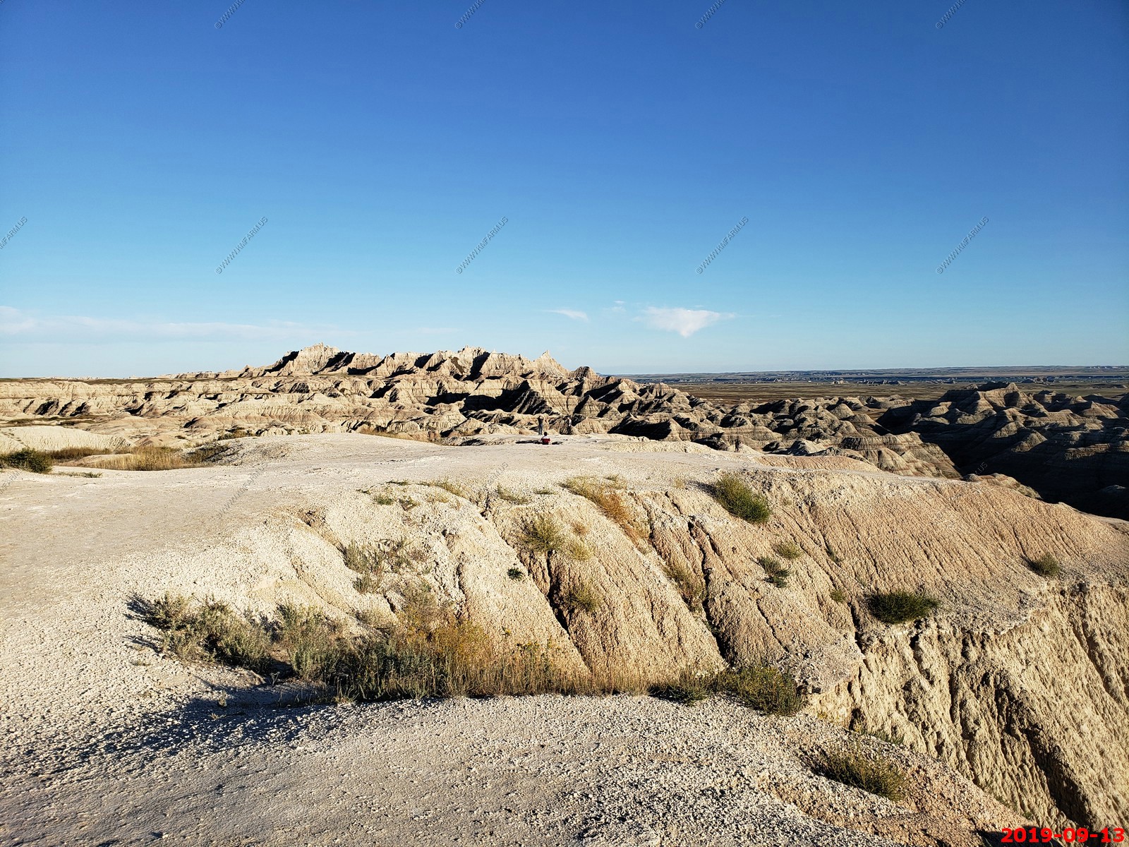
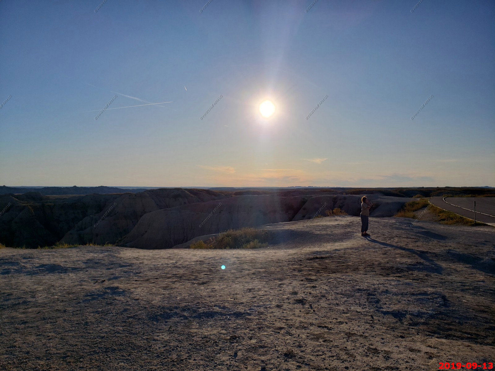
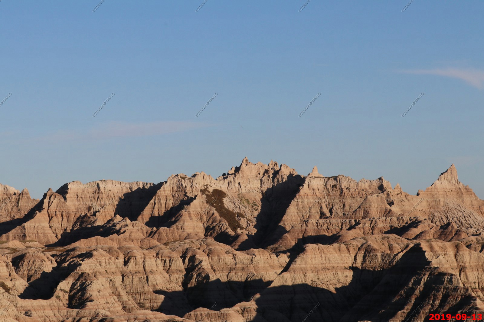
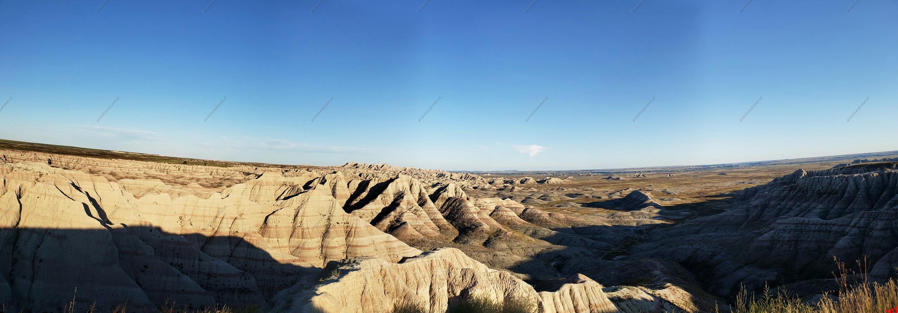
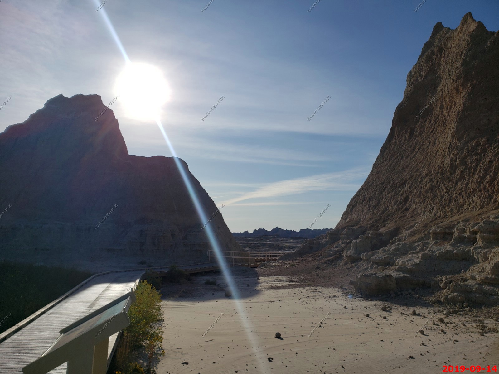
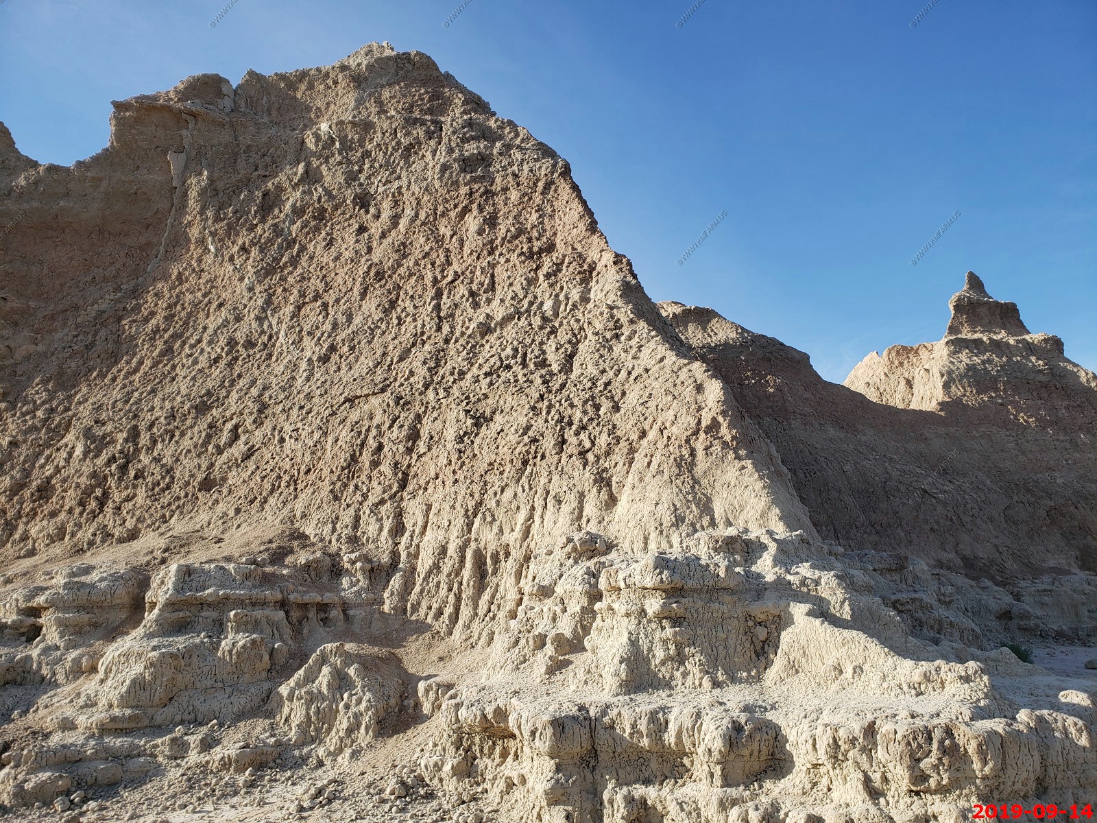
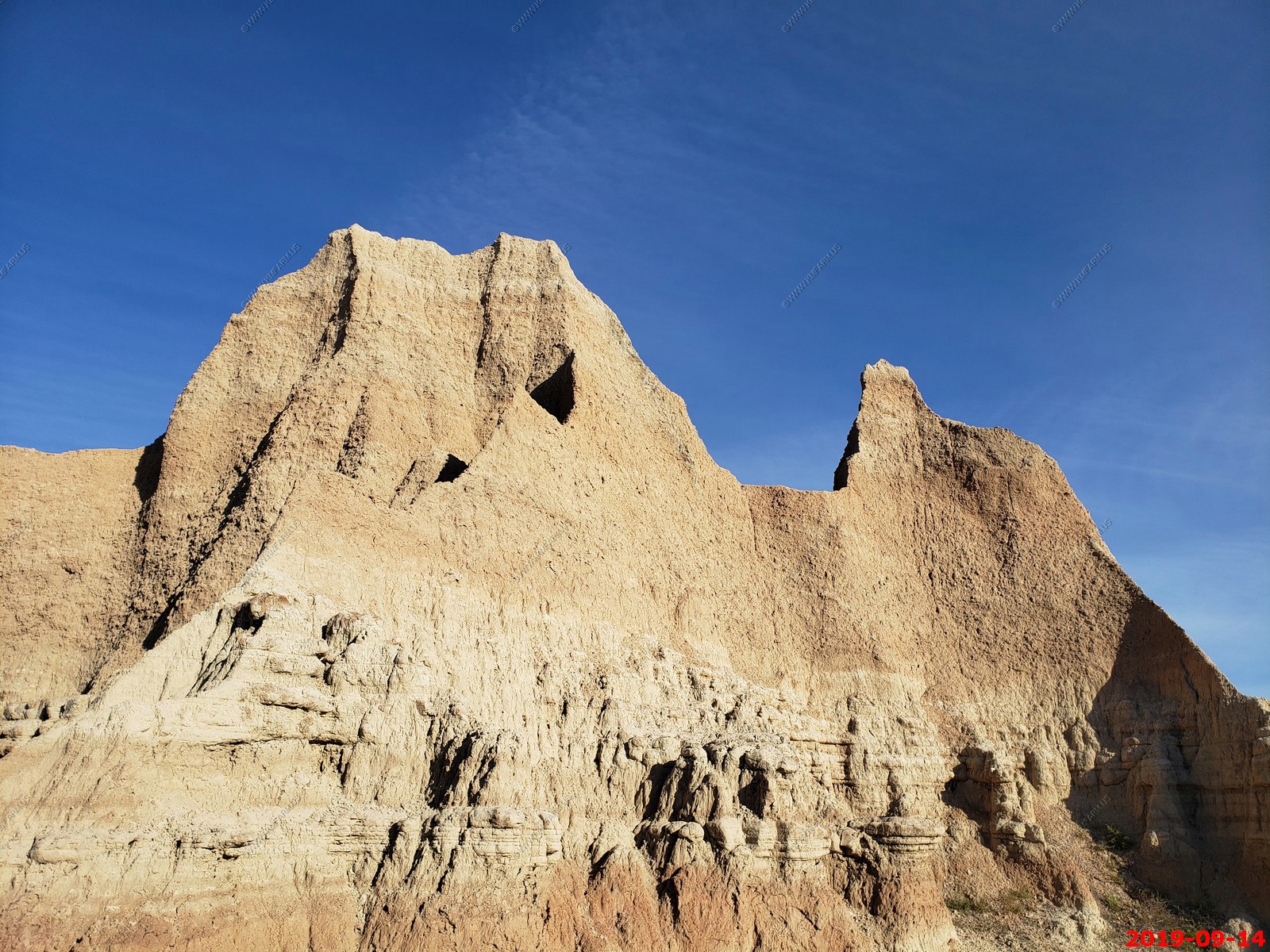
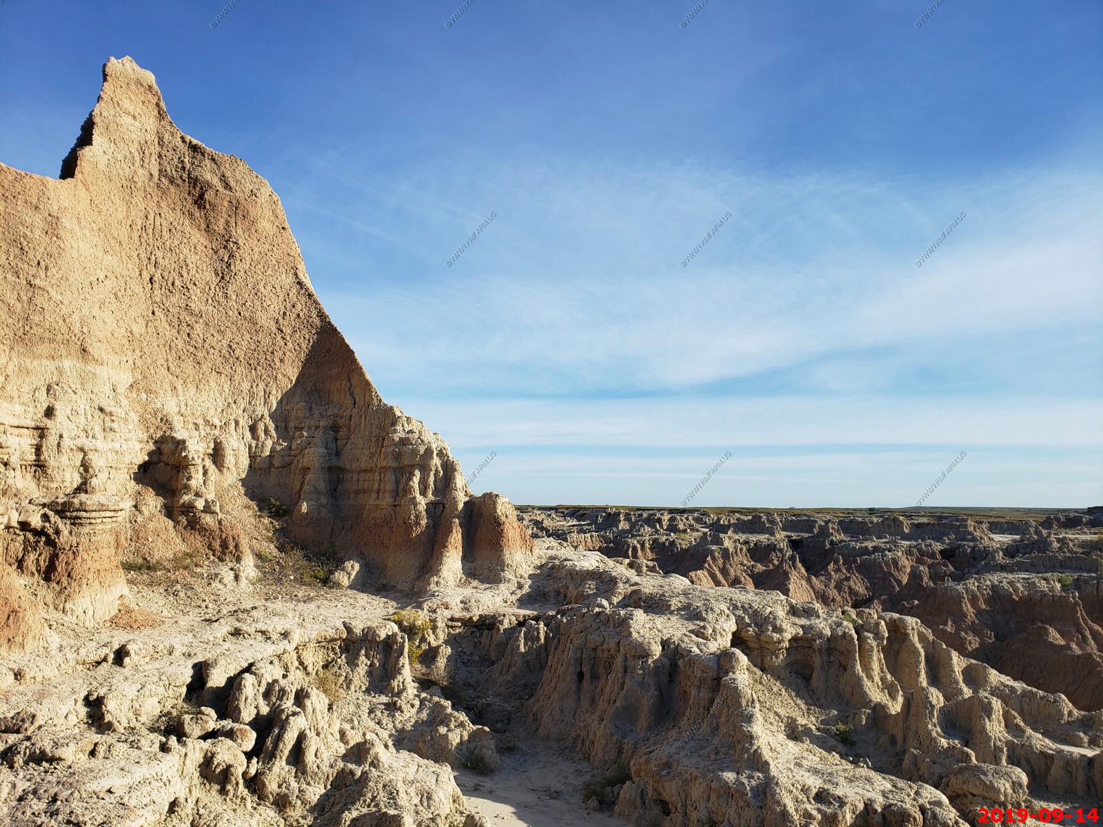
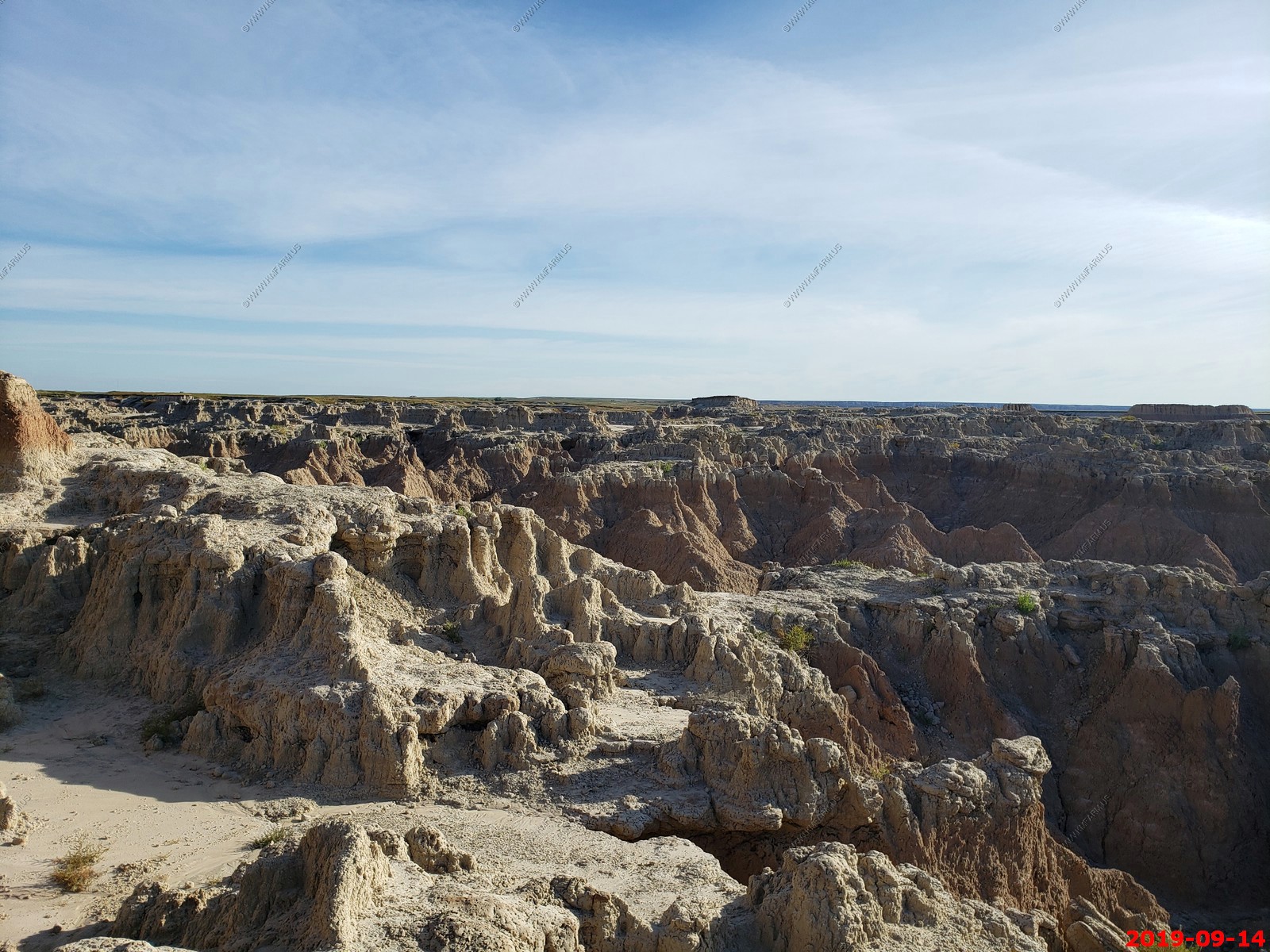
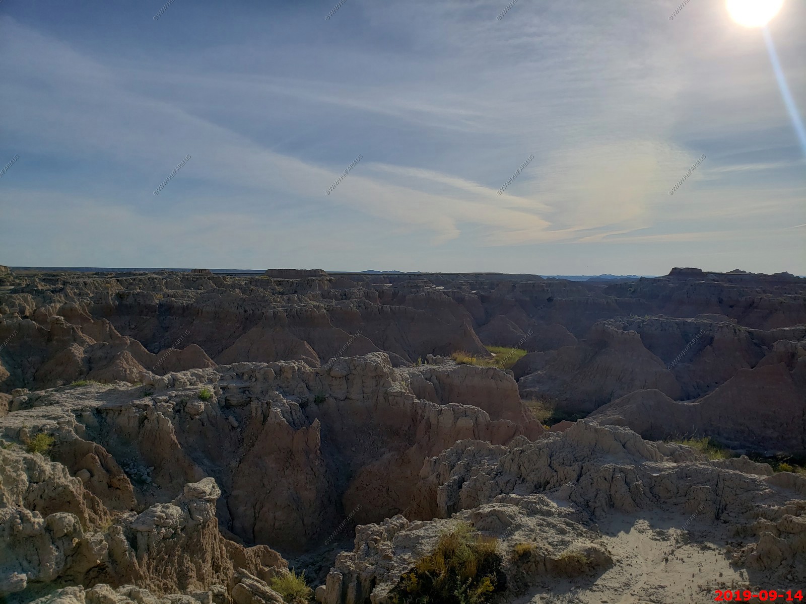
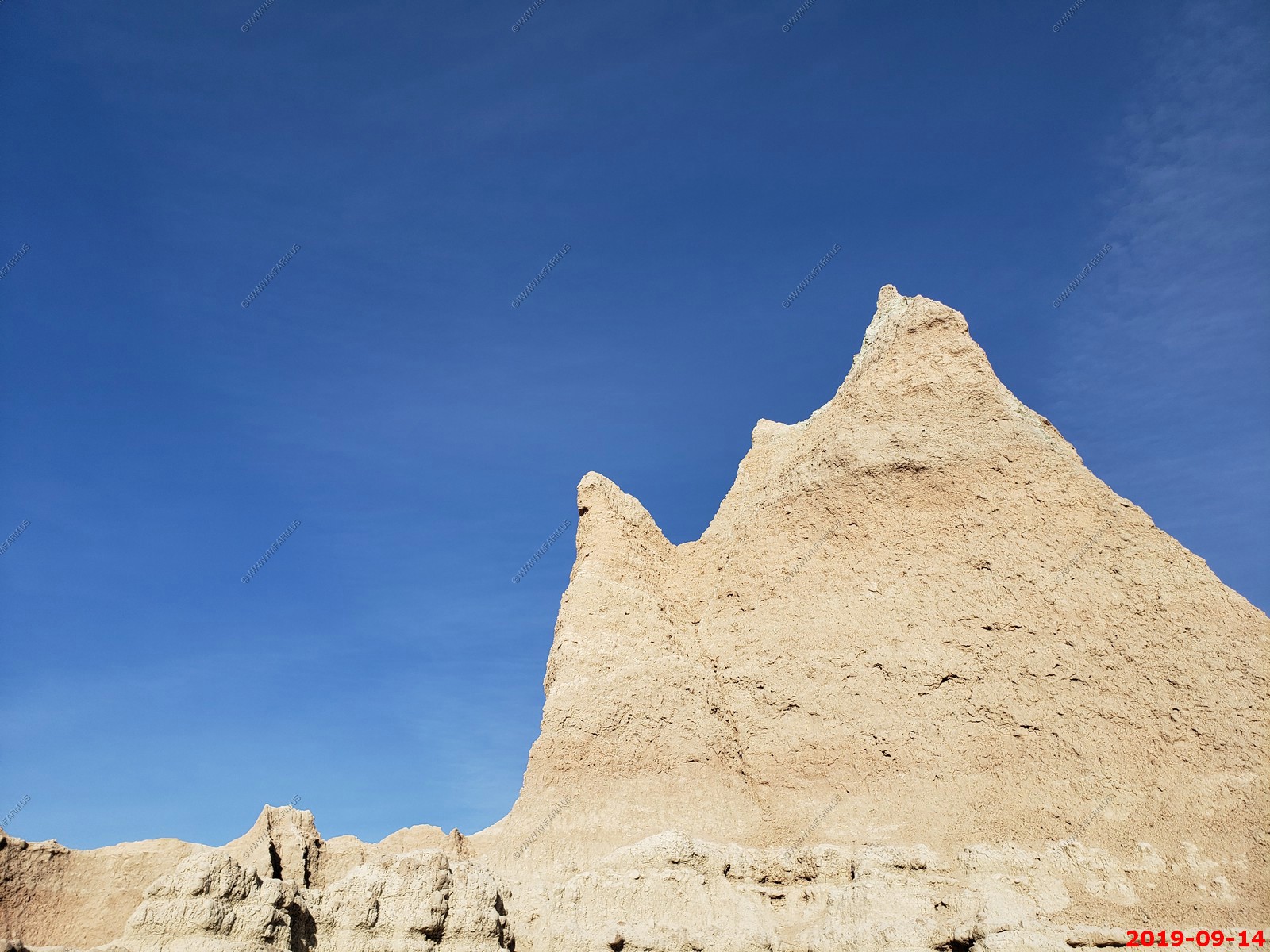
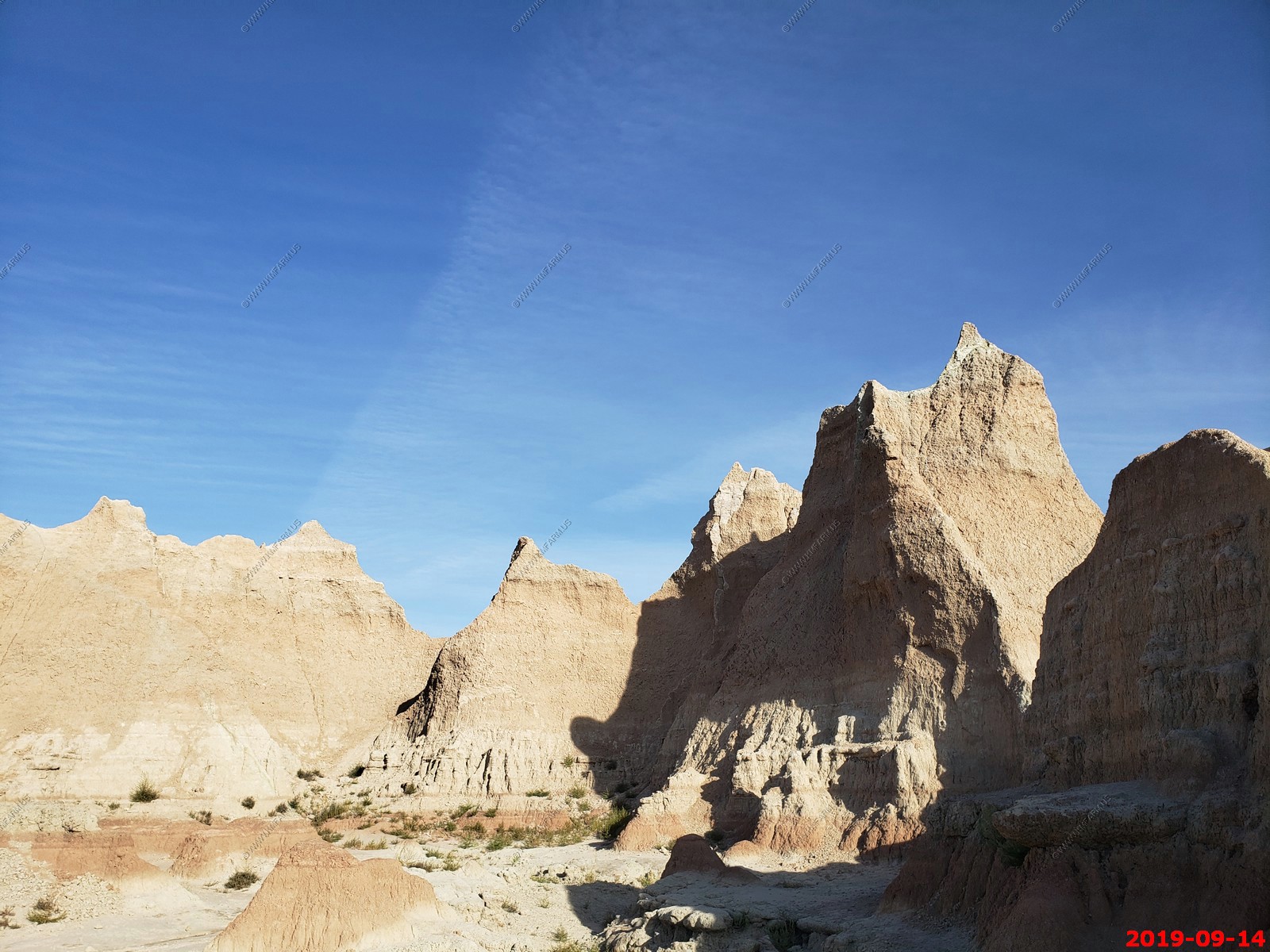
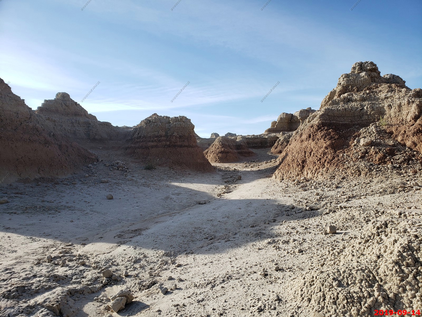
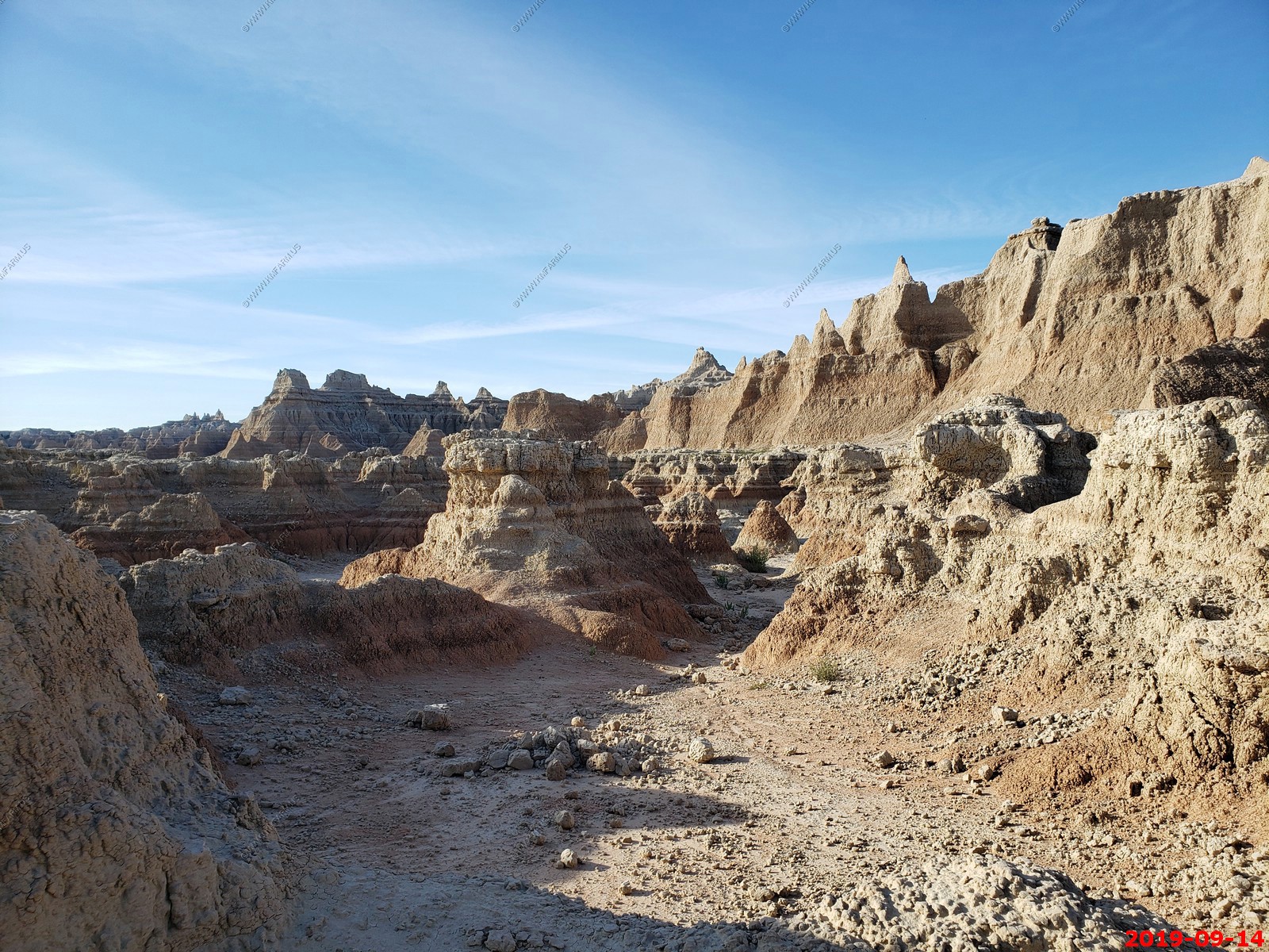
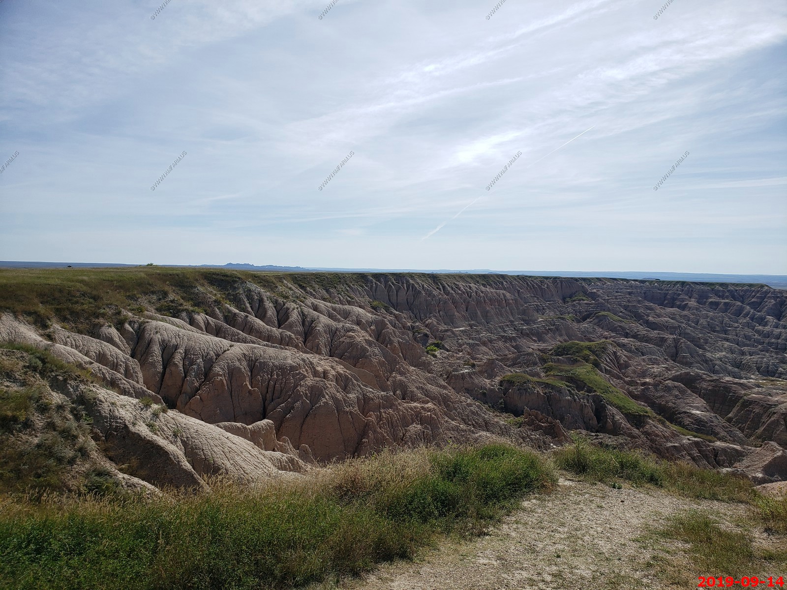
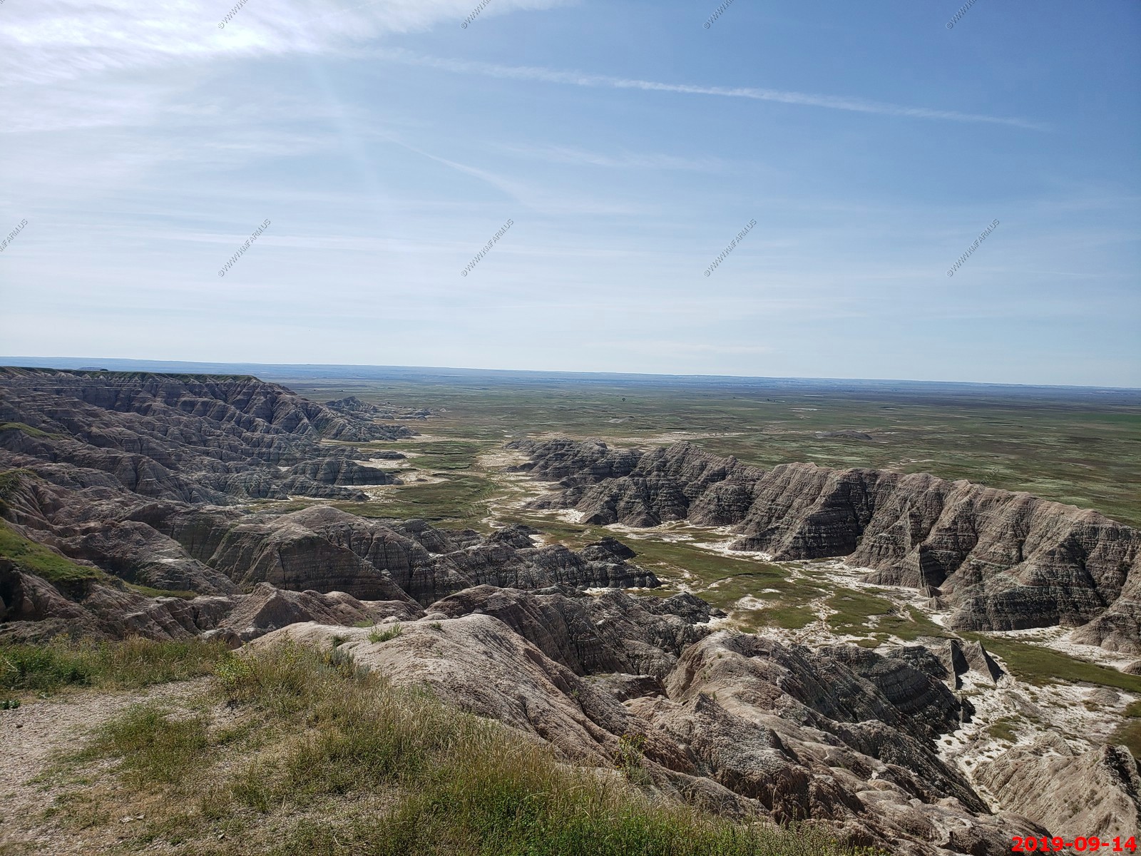
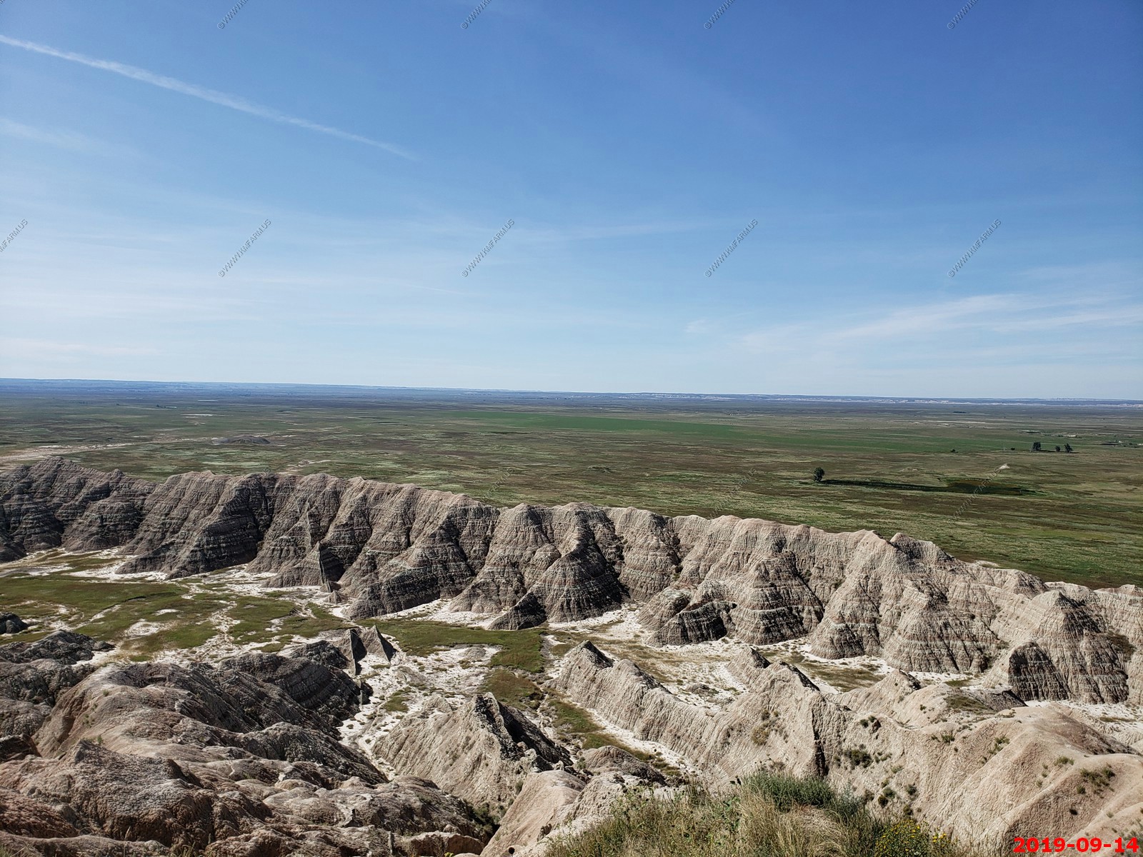
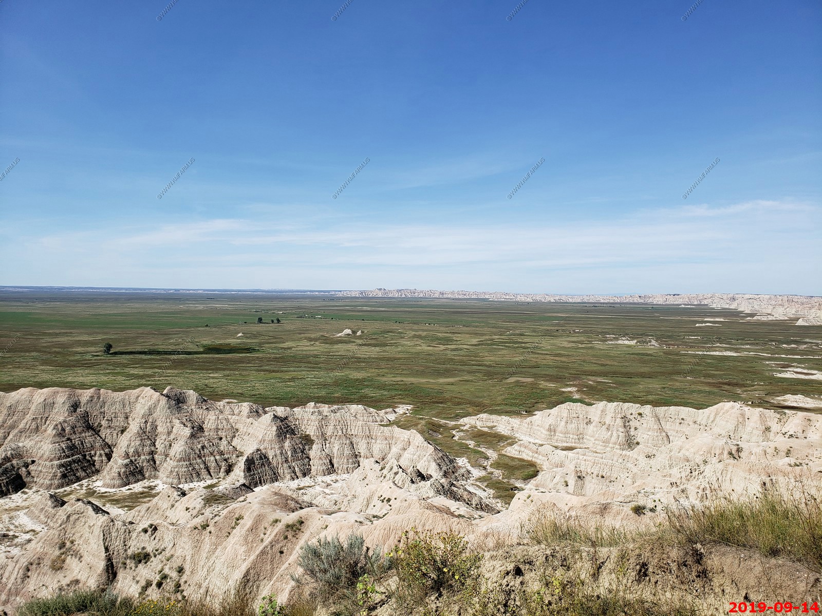
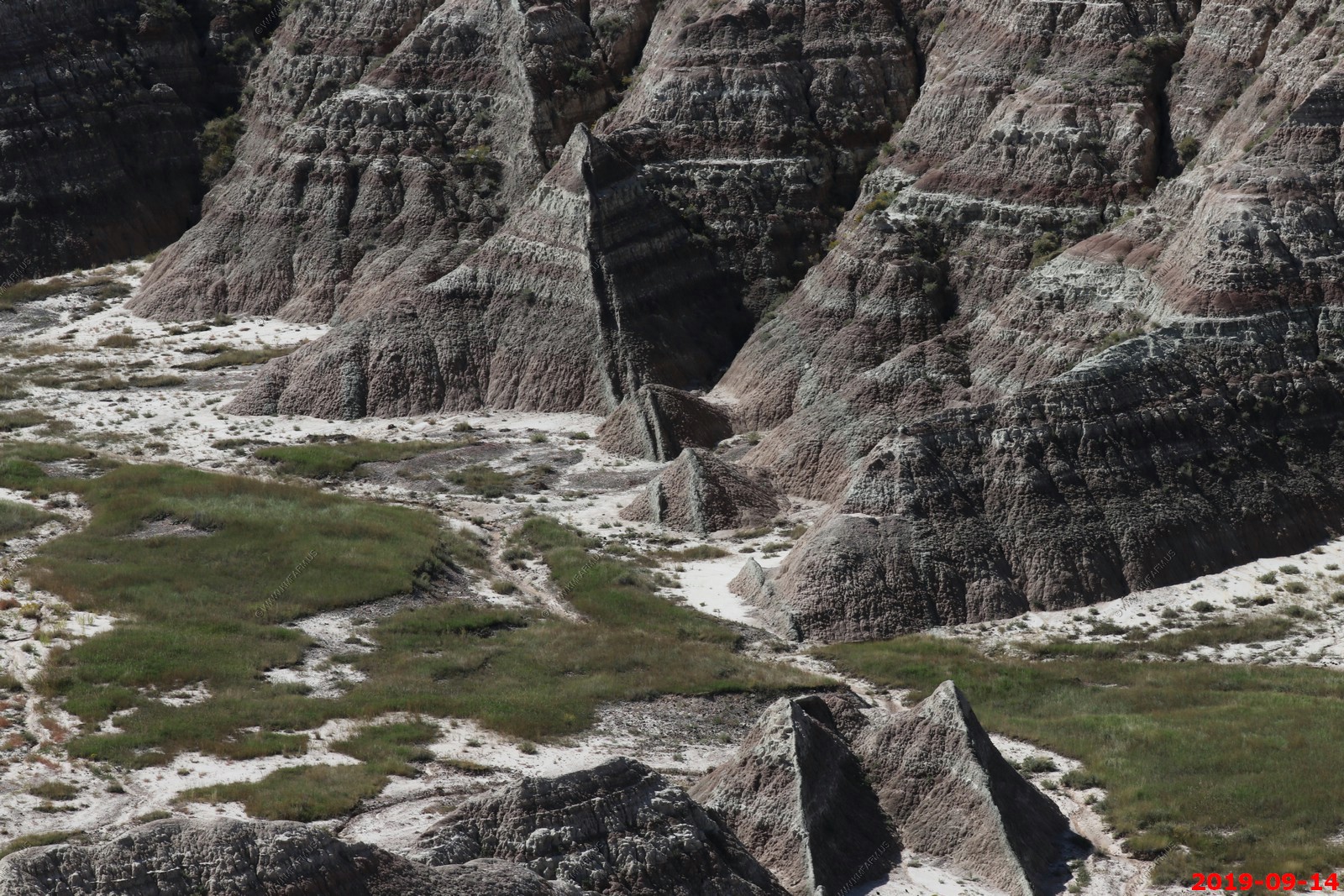
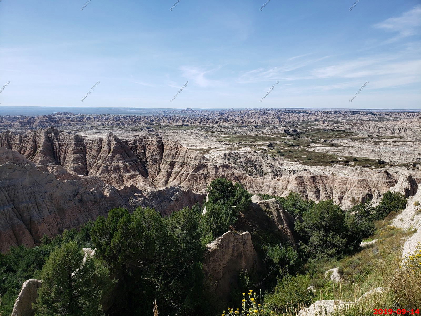
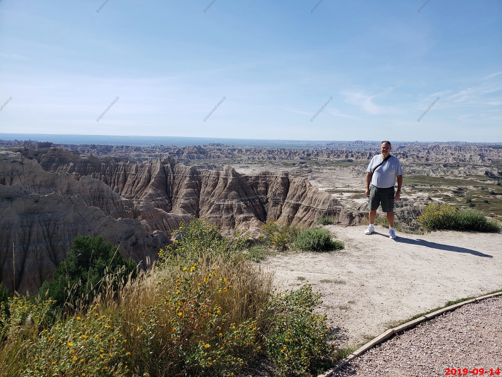
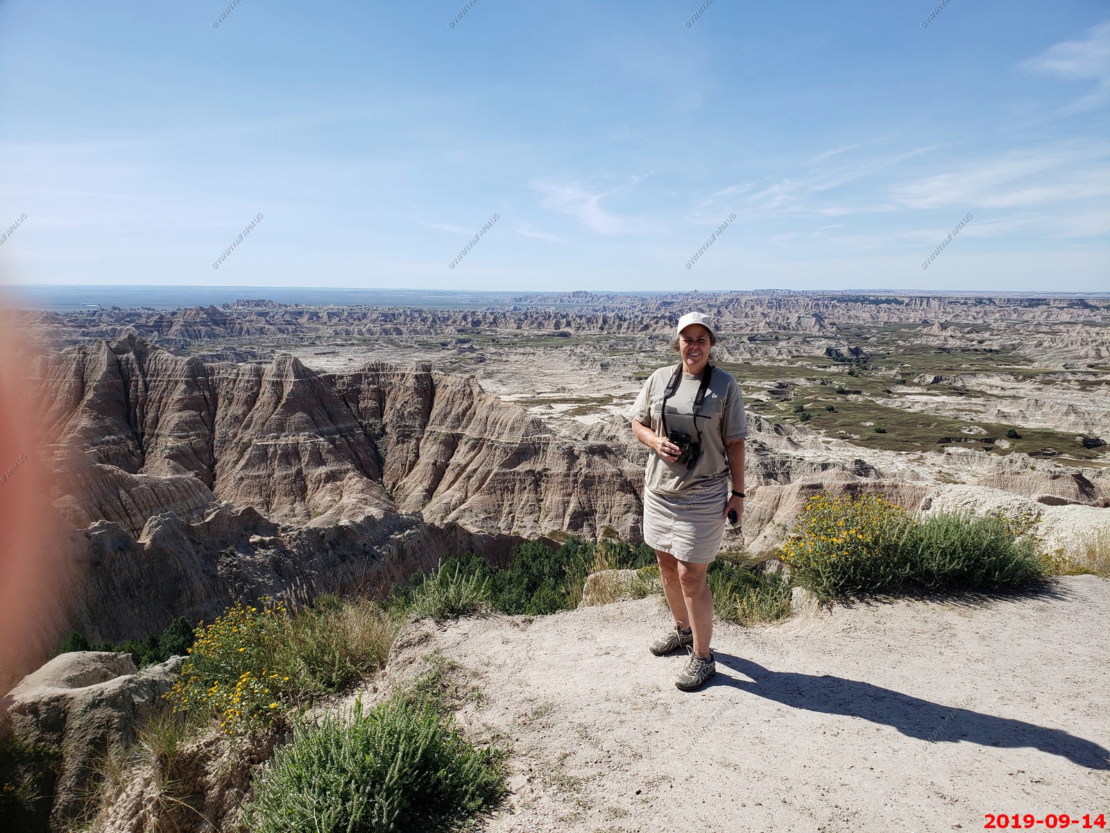
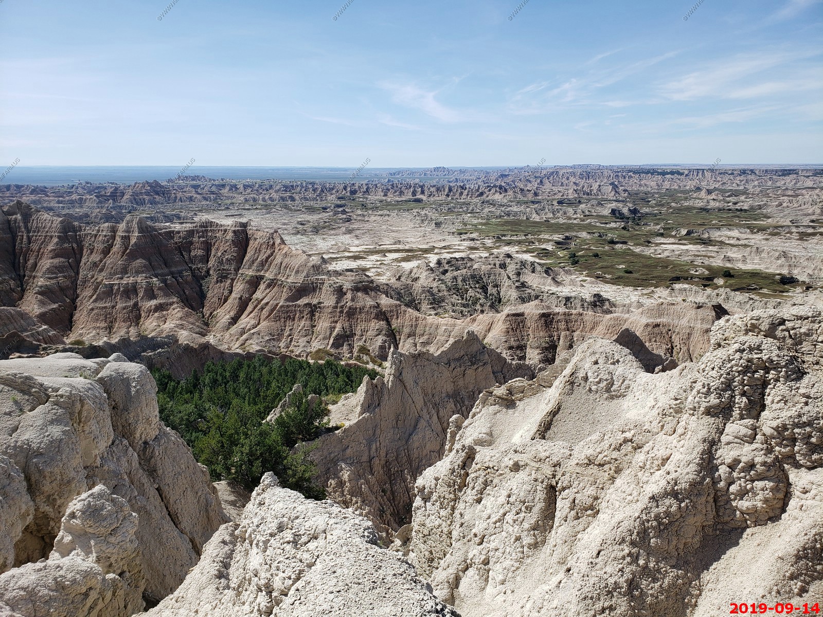
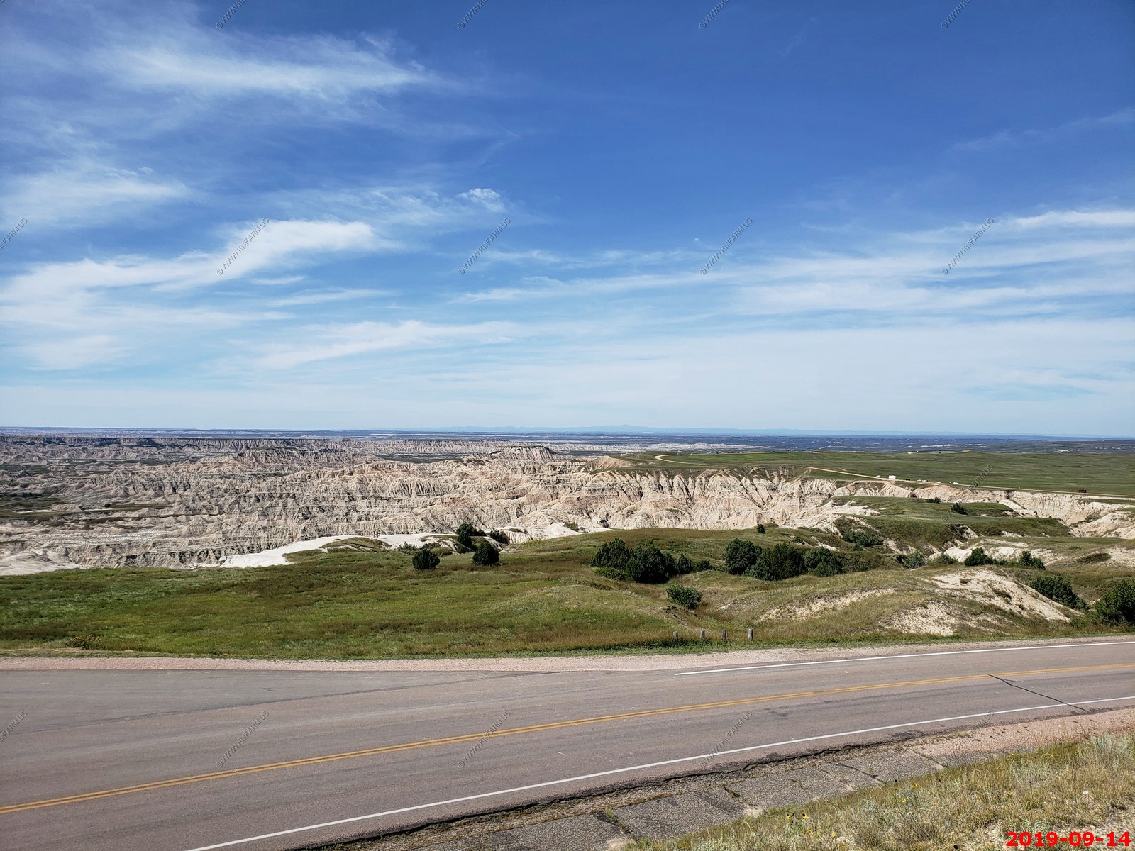
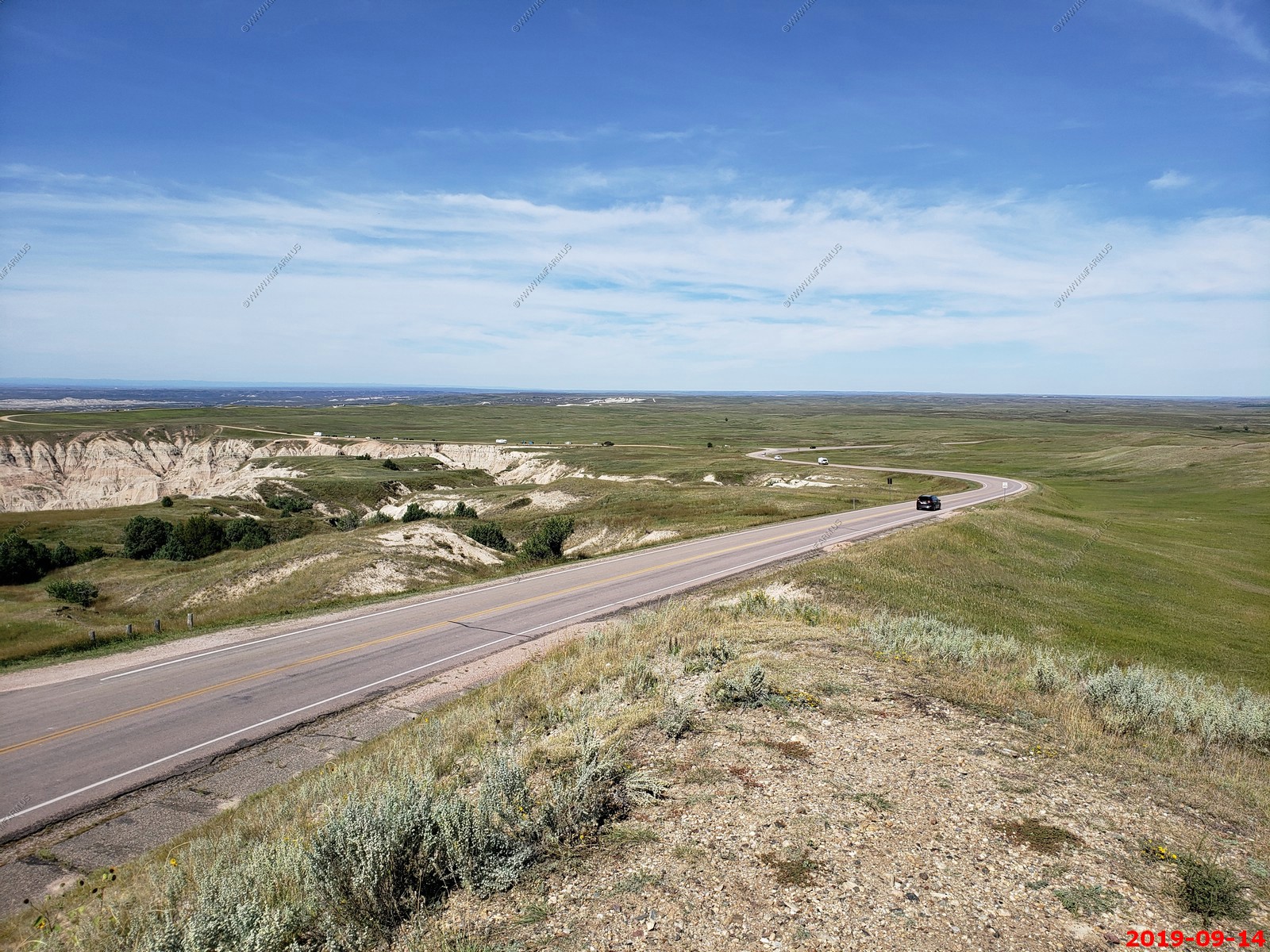
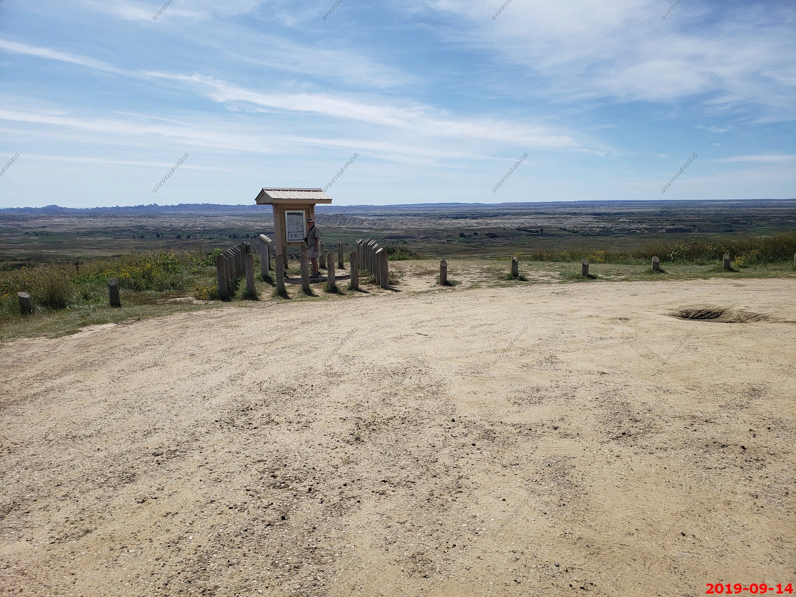
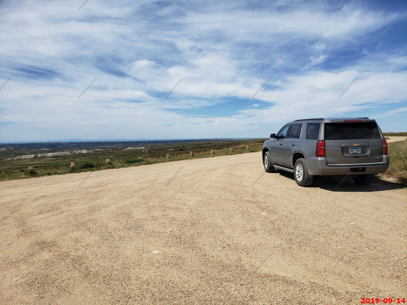
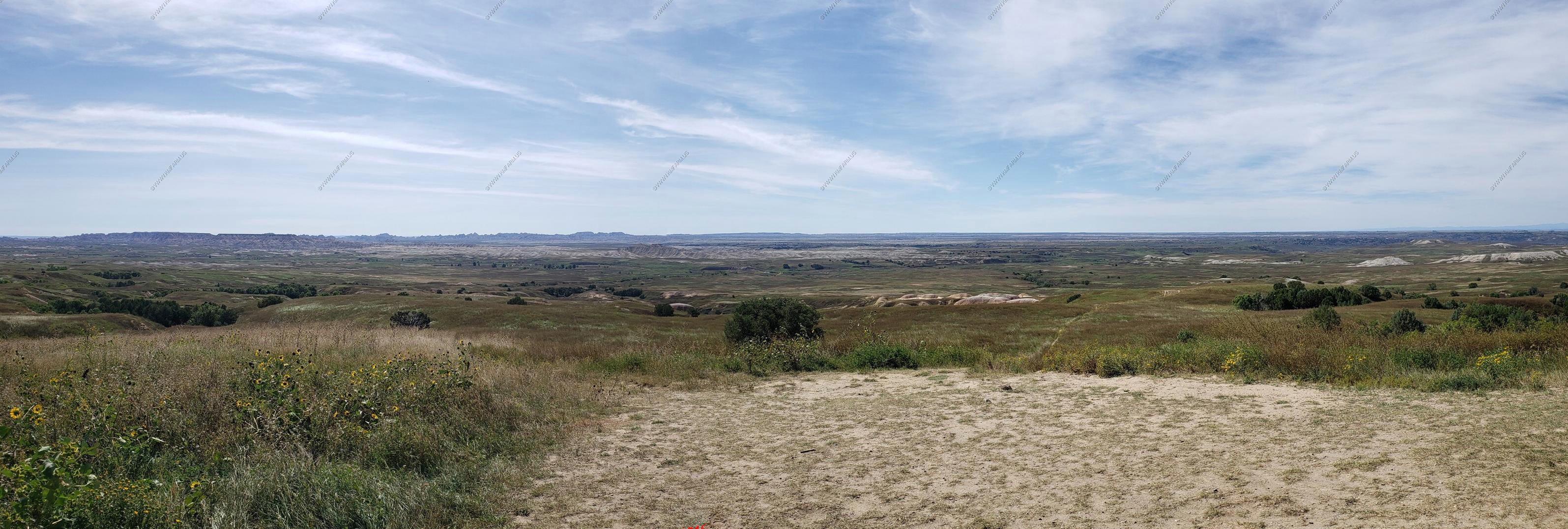
Various views.
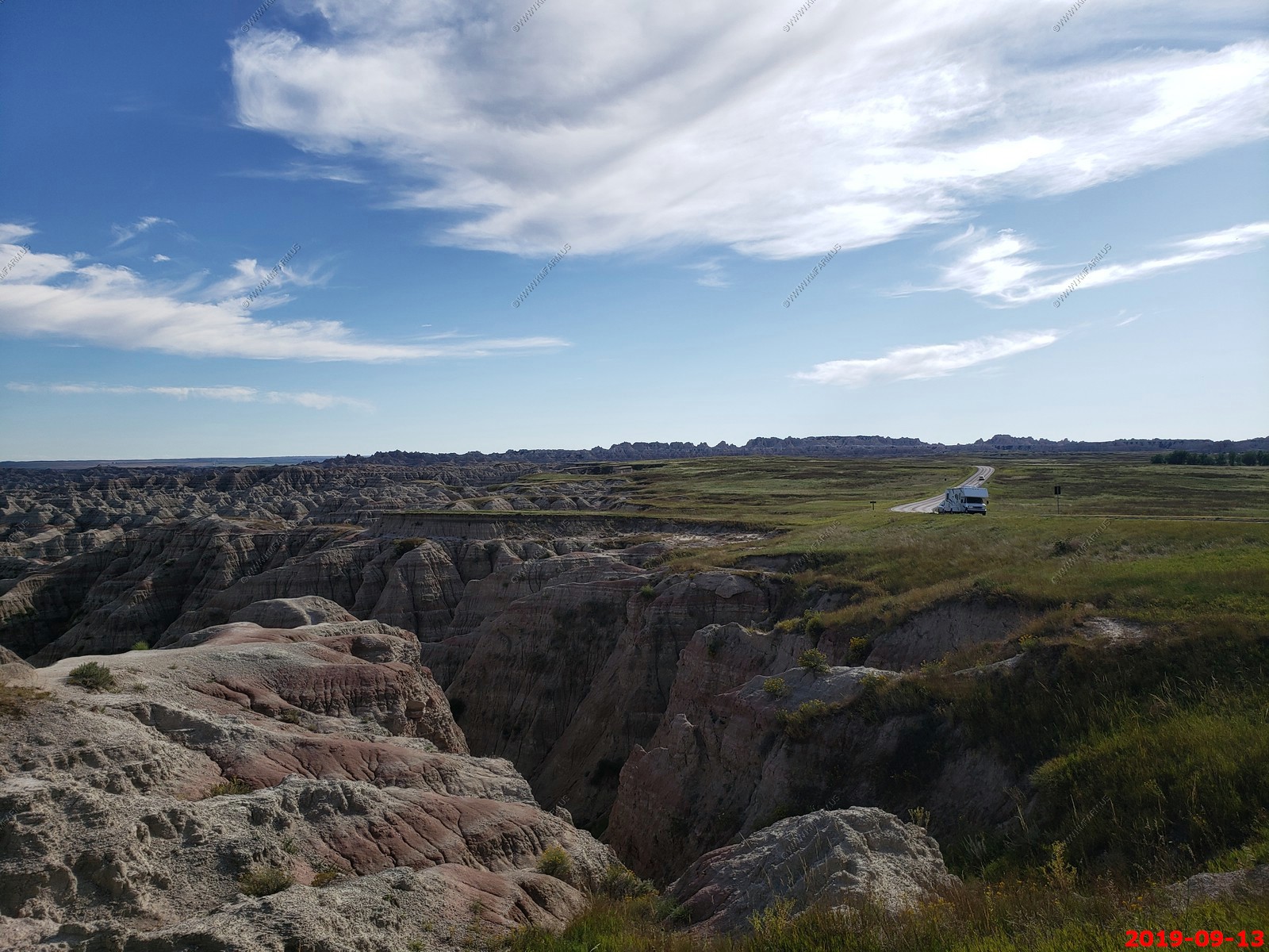

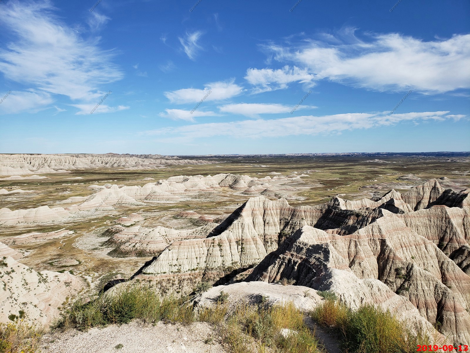
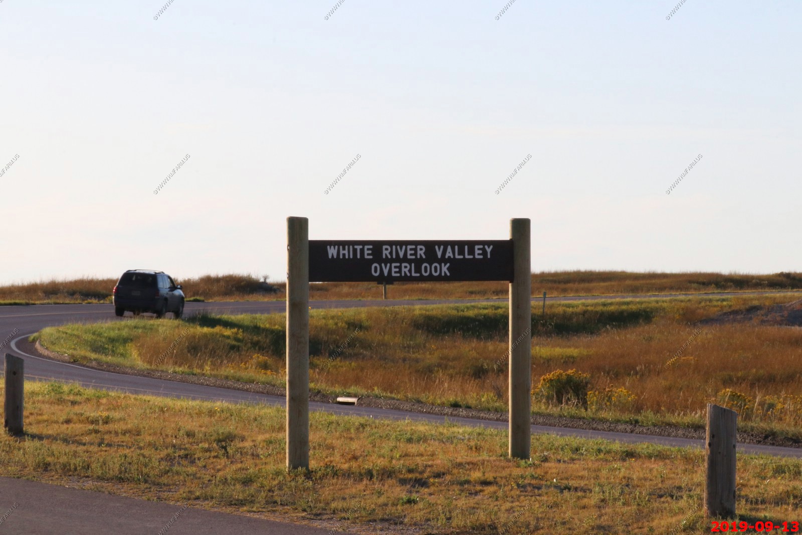
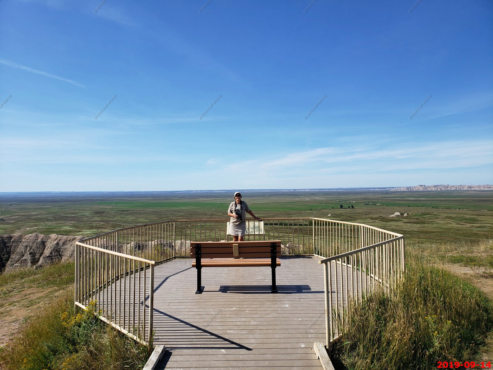
White River Valley Overlook.
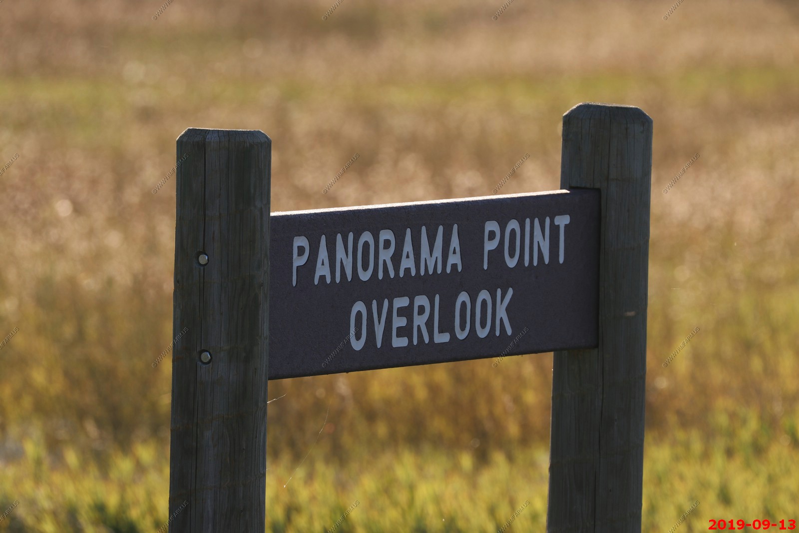
Panorama Point Overlook.
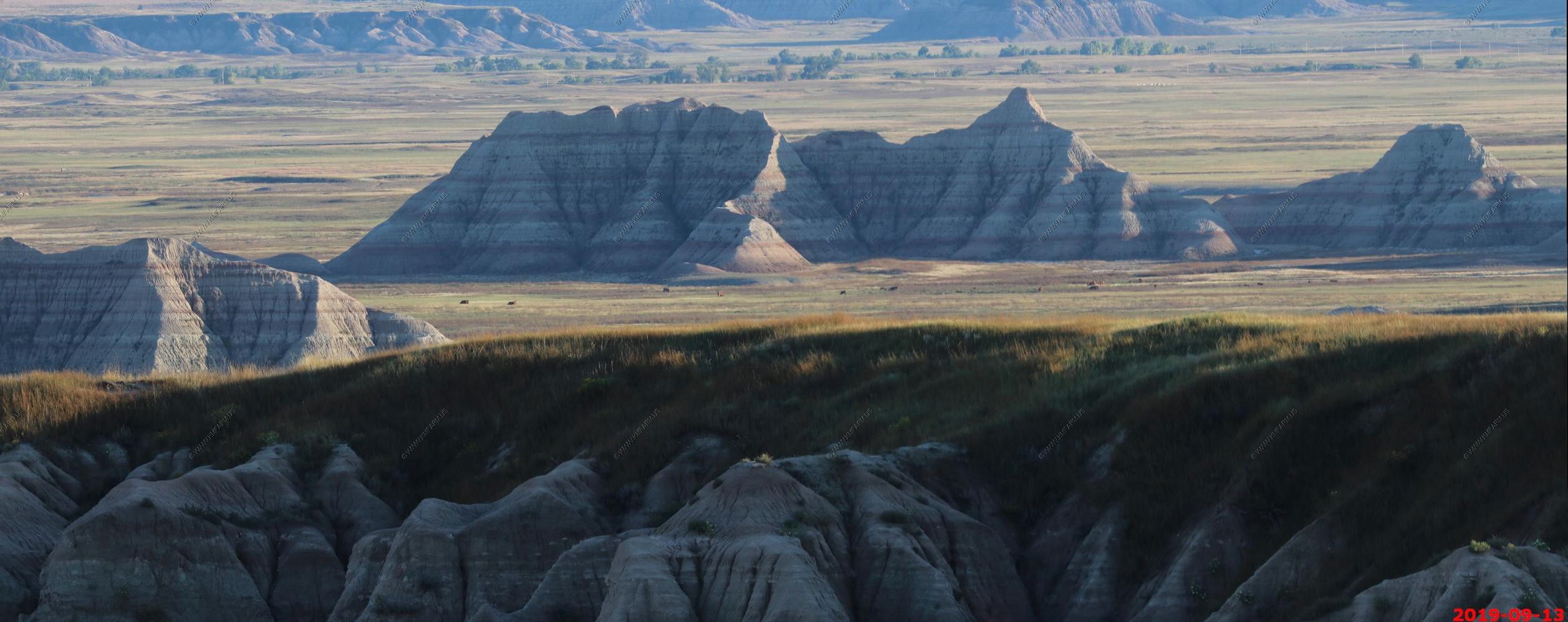
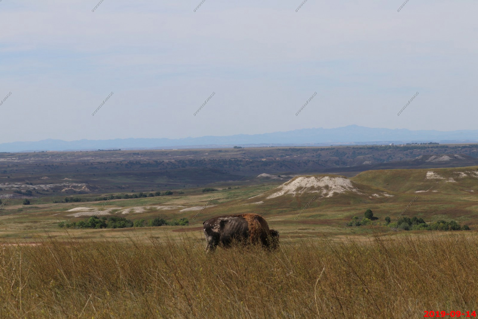
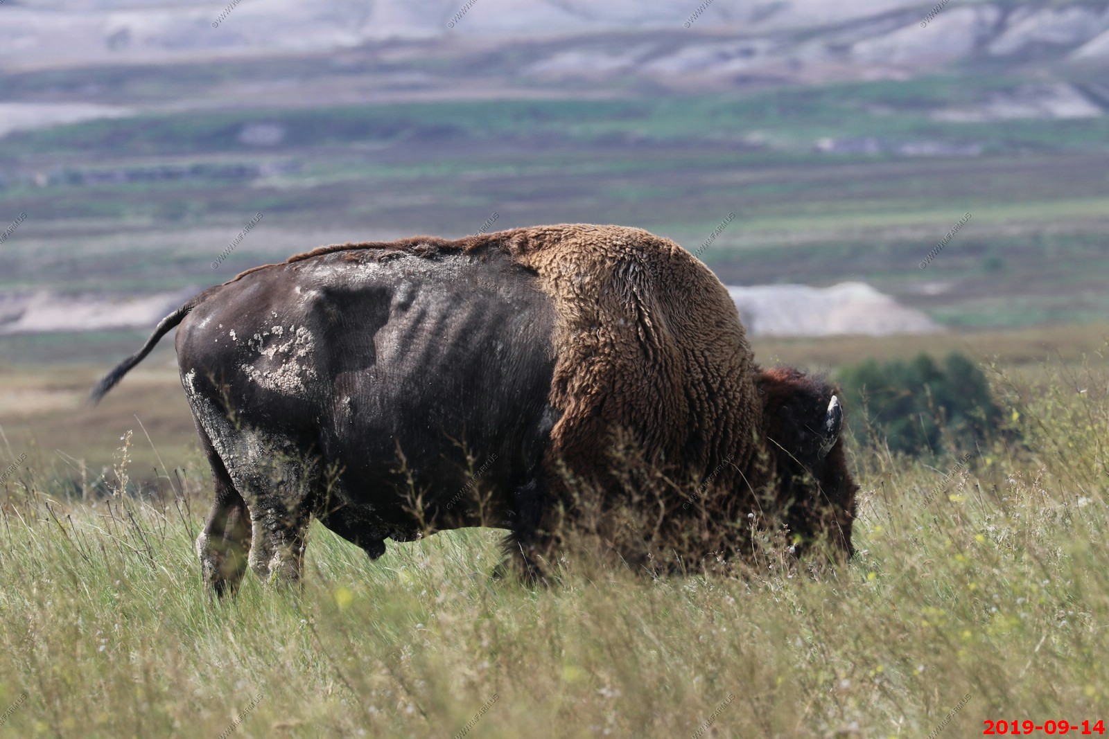
Buffalo & cattle off in the distance.
This area has very limited dinner options so we went for a drive after eating a early dinner at the Cedar Pass Restaurant, a casual place which is part of the Cedar Pass Lodge. Ken had a buffalo burger which was good but they are always dry due to the lower fat content.
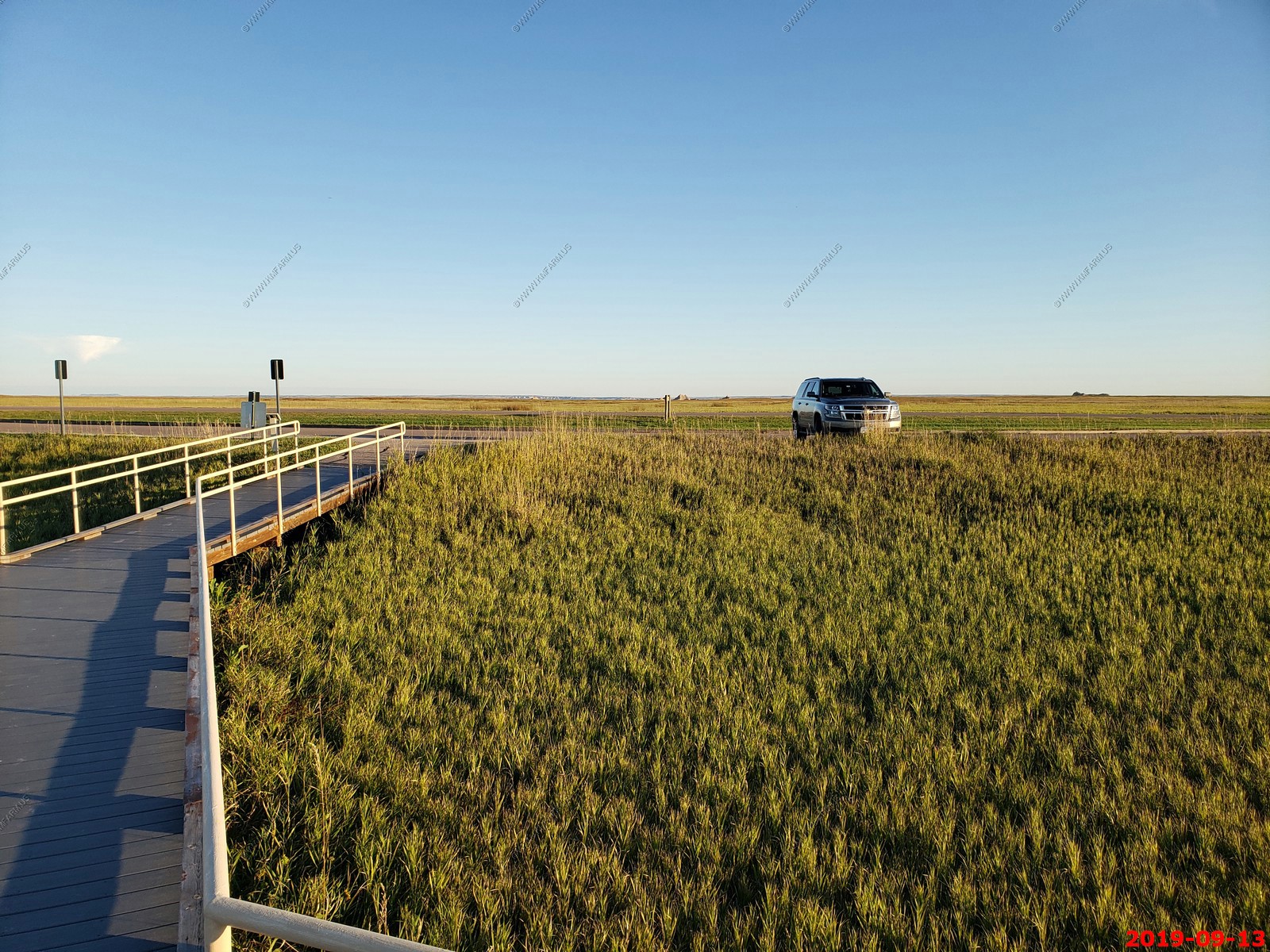
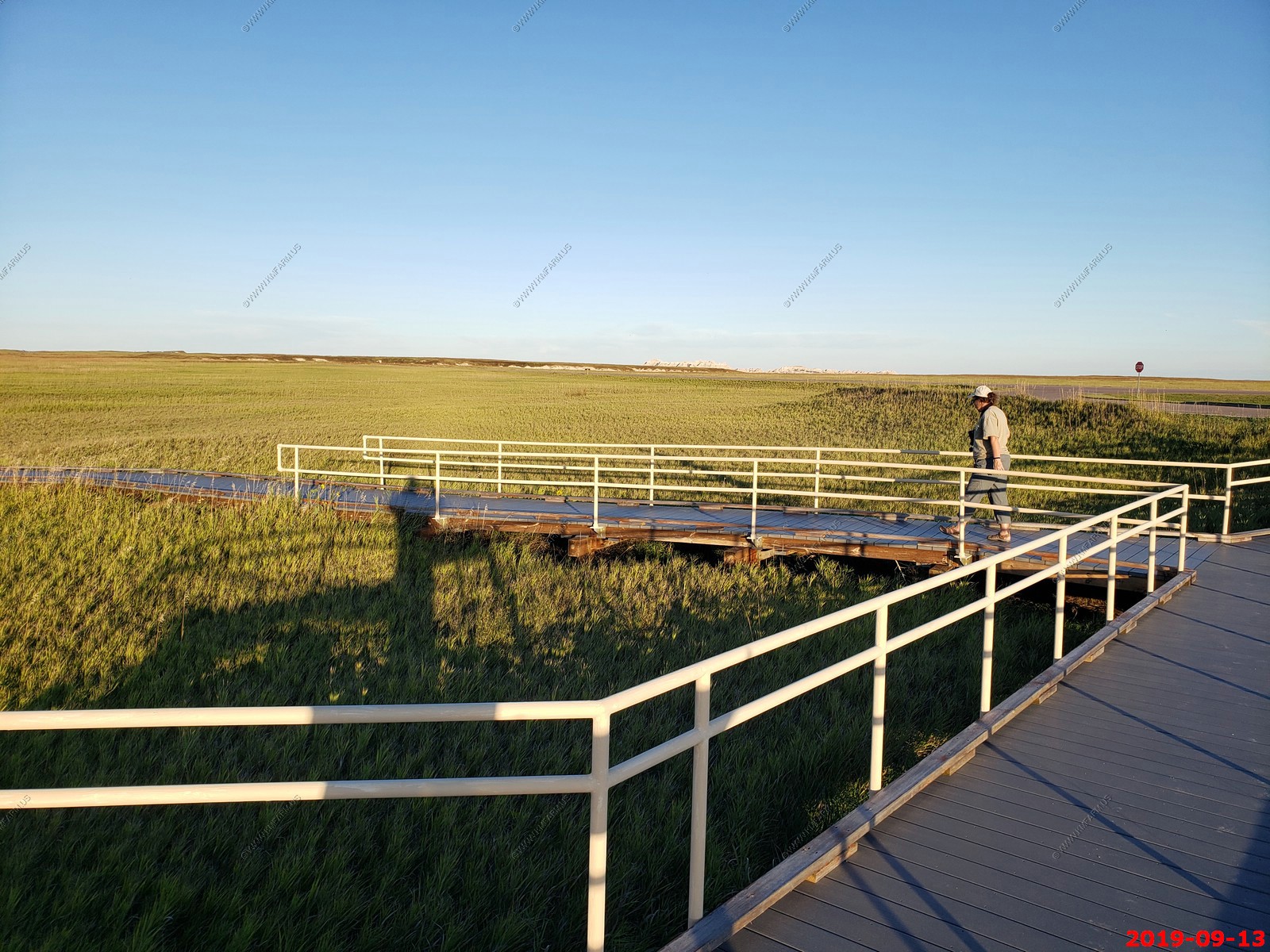
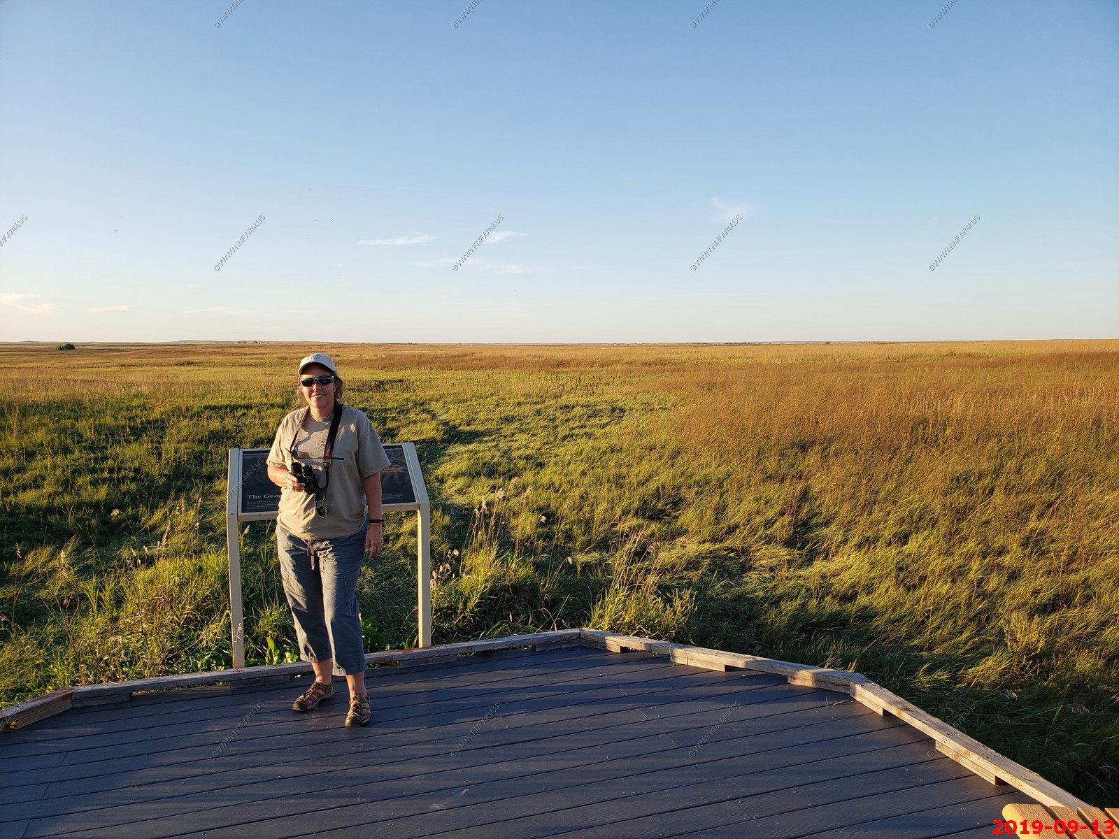
After dinner we drove up to the Prairie Wind Overlook and had this prairie boardwalk all to ourselves.
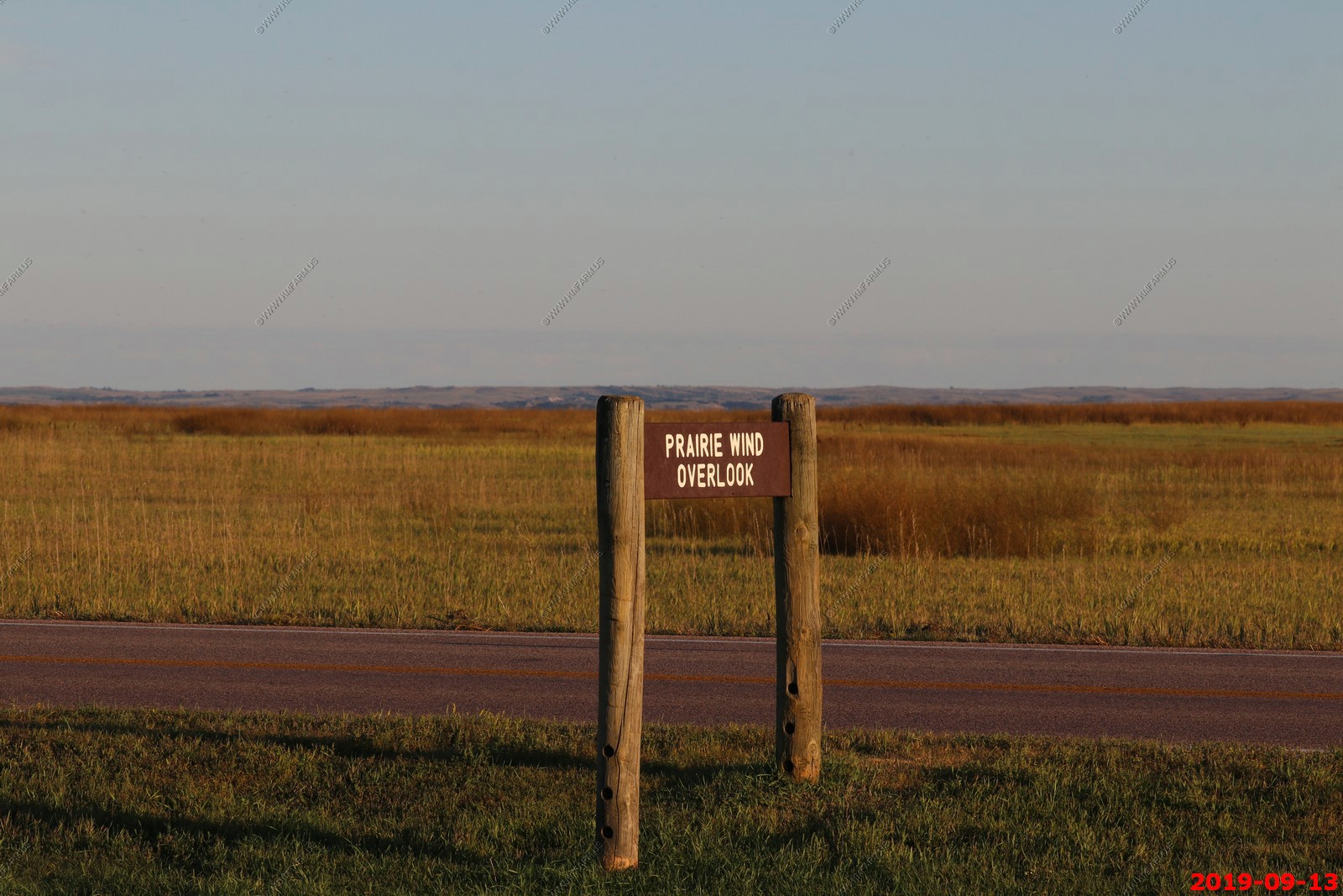
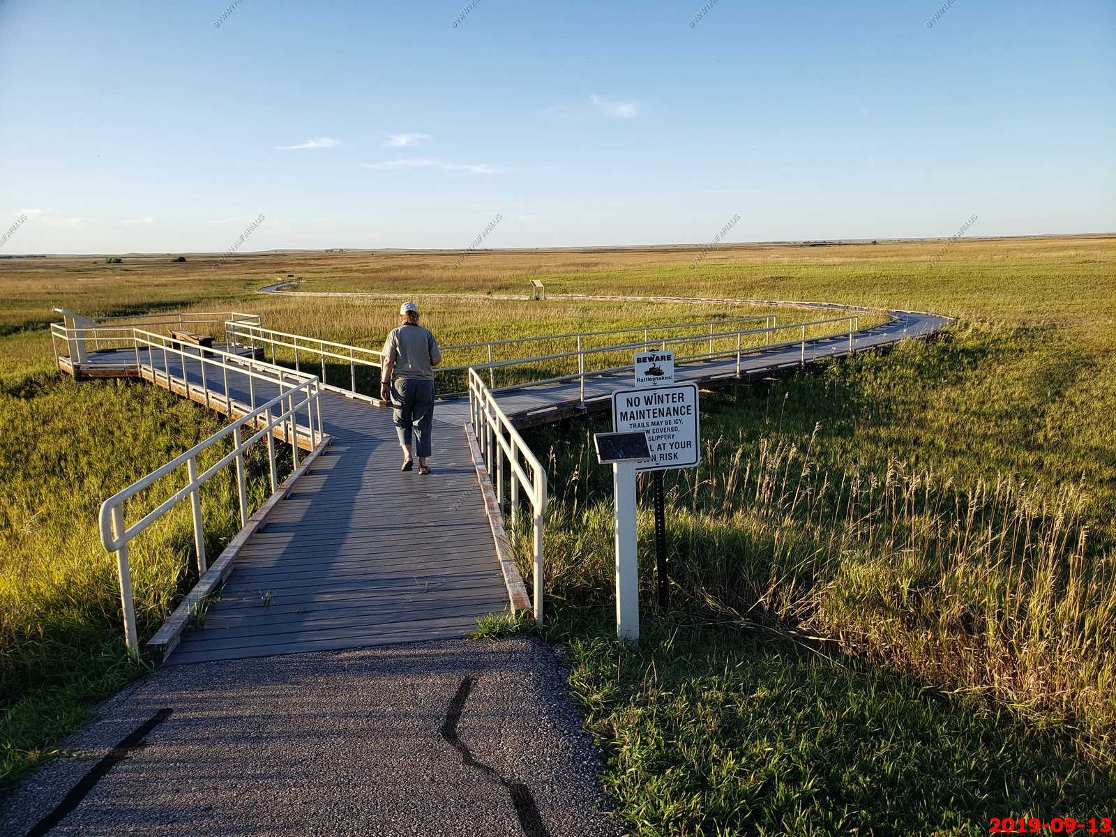
You could see truck traffic on I-90 appx. 10 miles to the north.
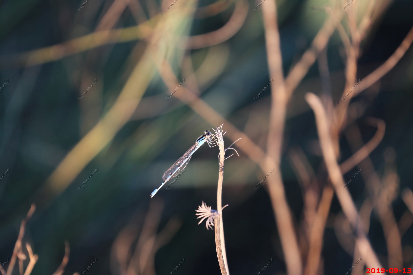
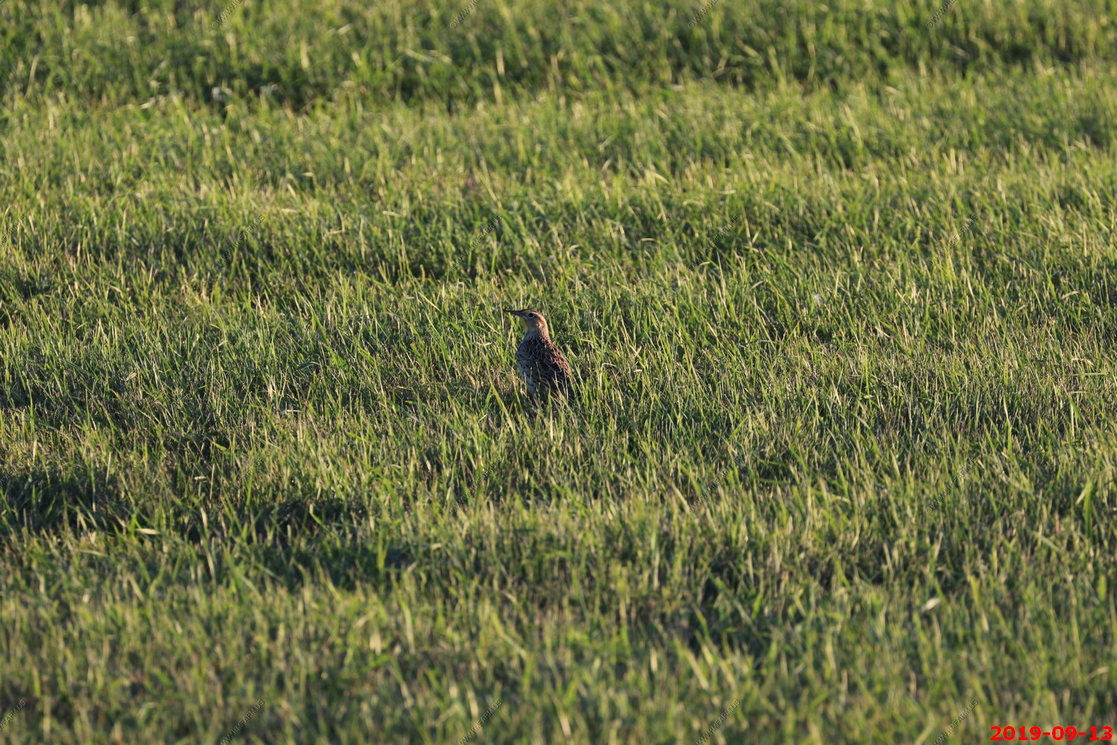
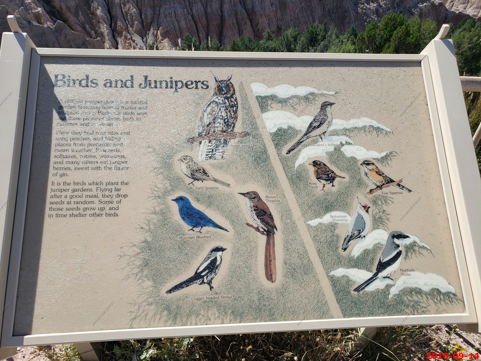
Birds in this area. Looks like some type of flicker.
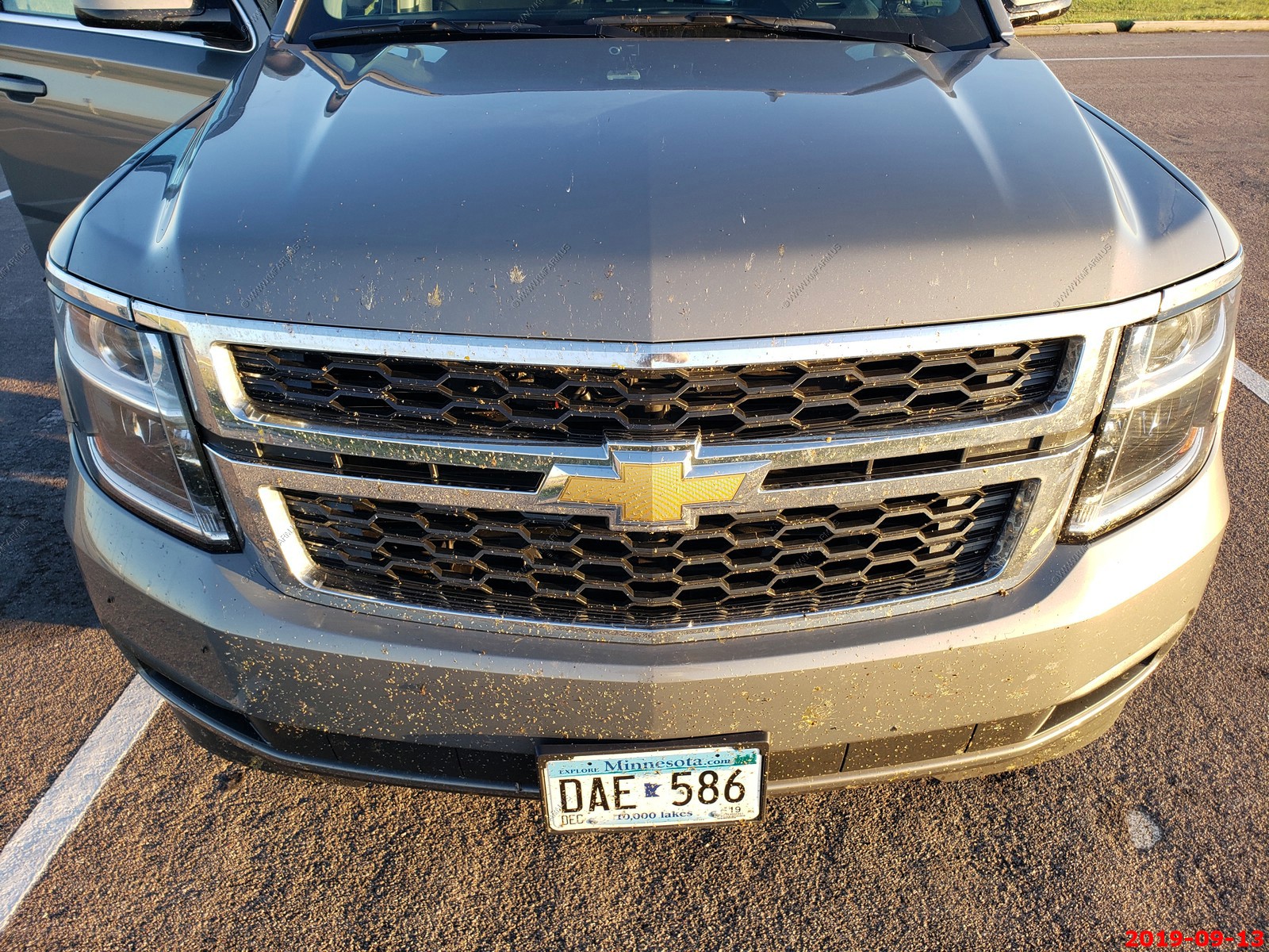
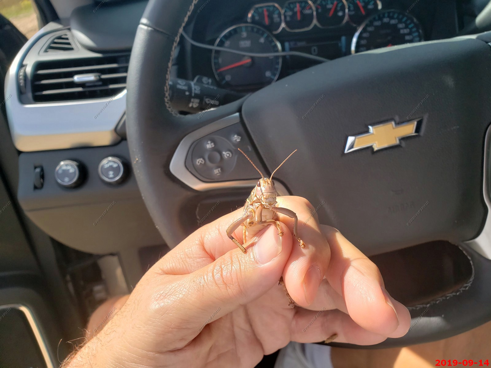
Our increasing vehicle bug collection. It would get much worse. I liked having a Minnesota rental vehicle license plate as it made us a local.
Quick stop at the Conata Basin Overlook.
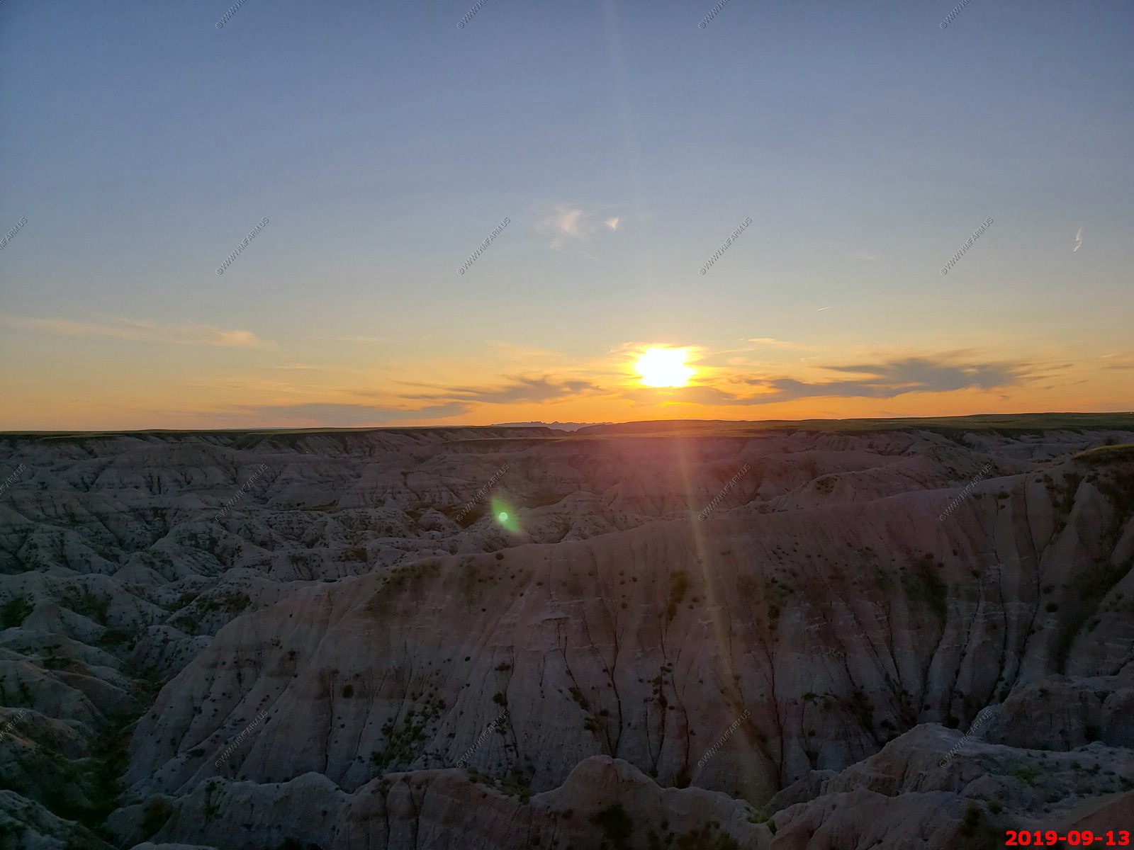
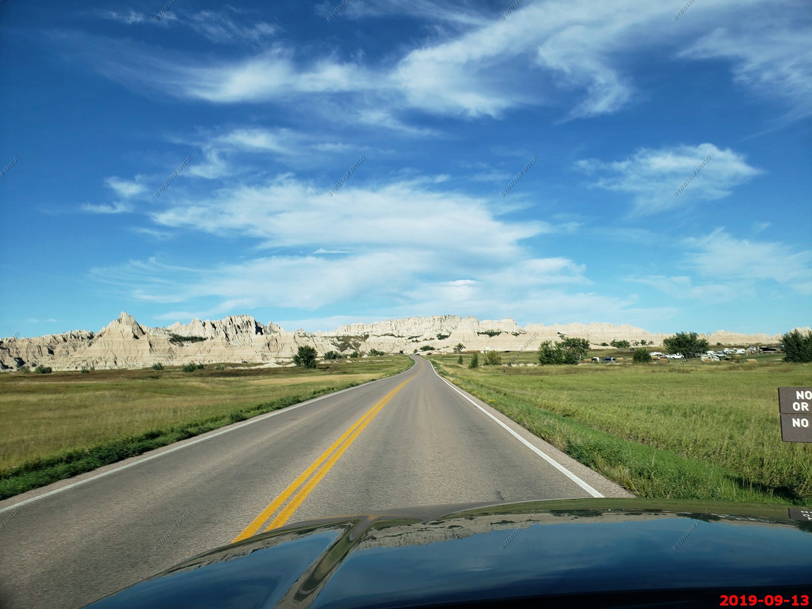
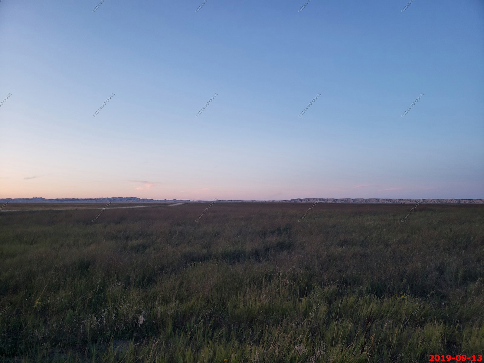
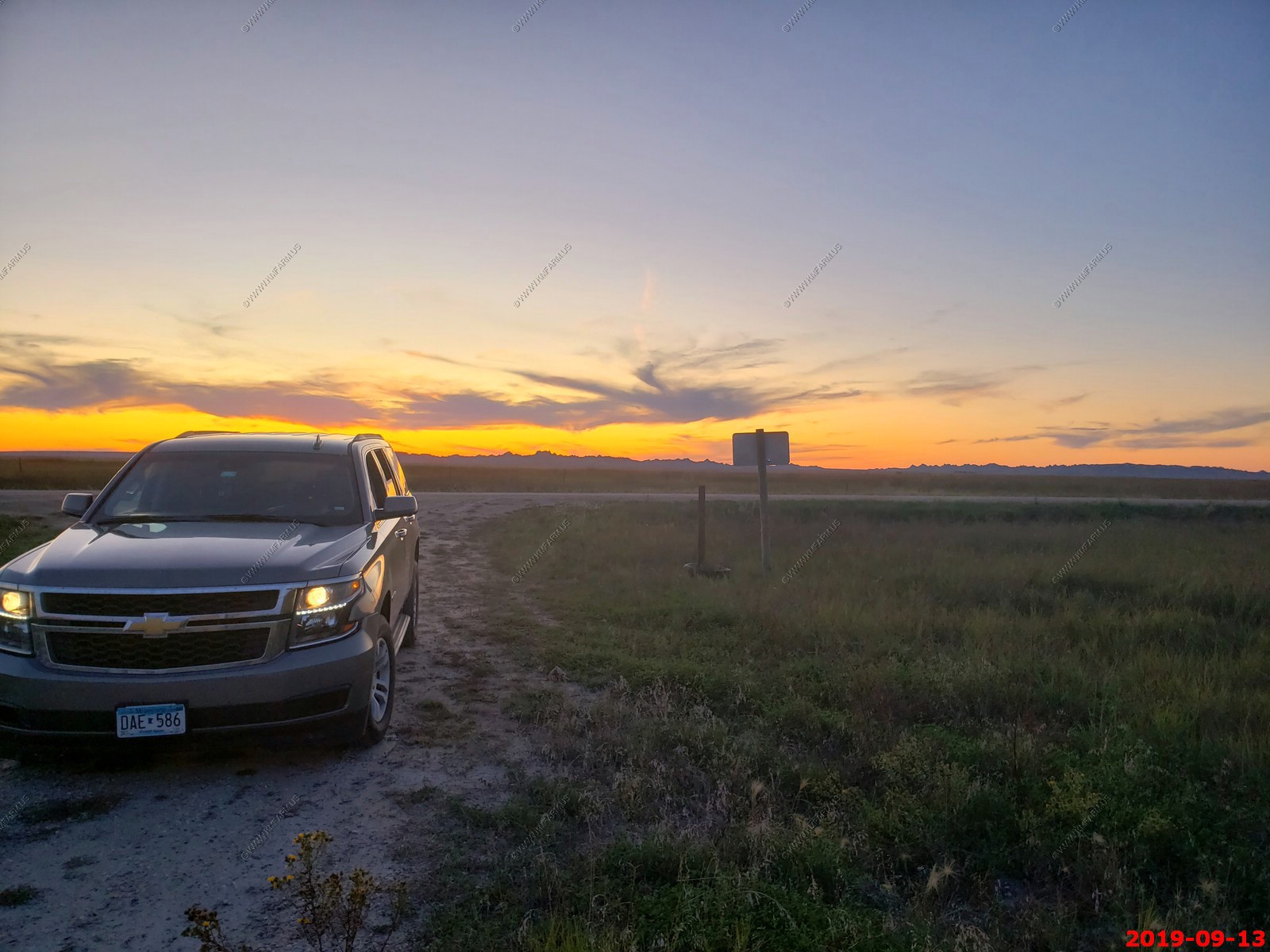
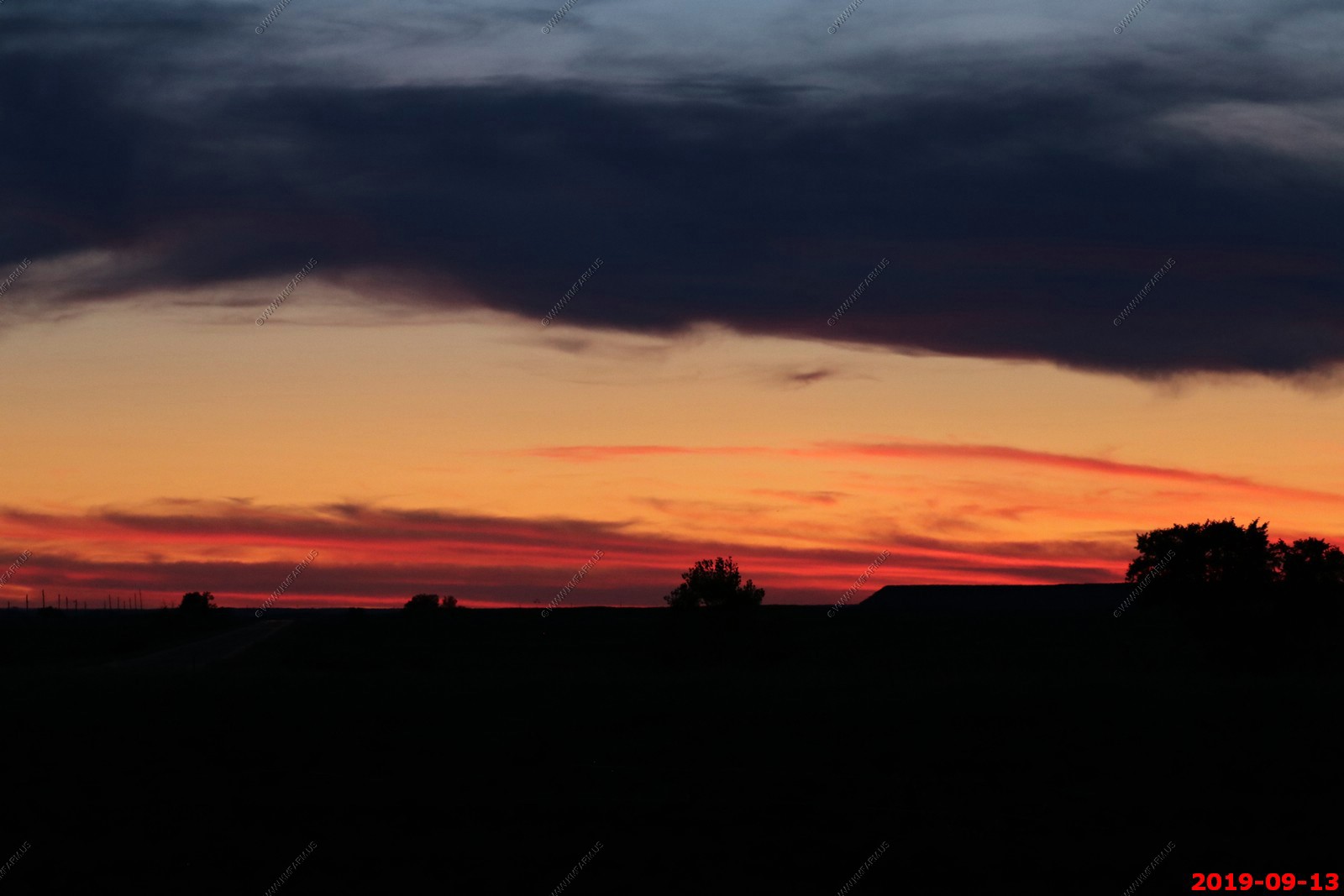
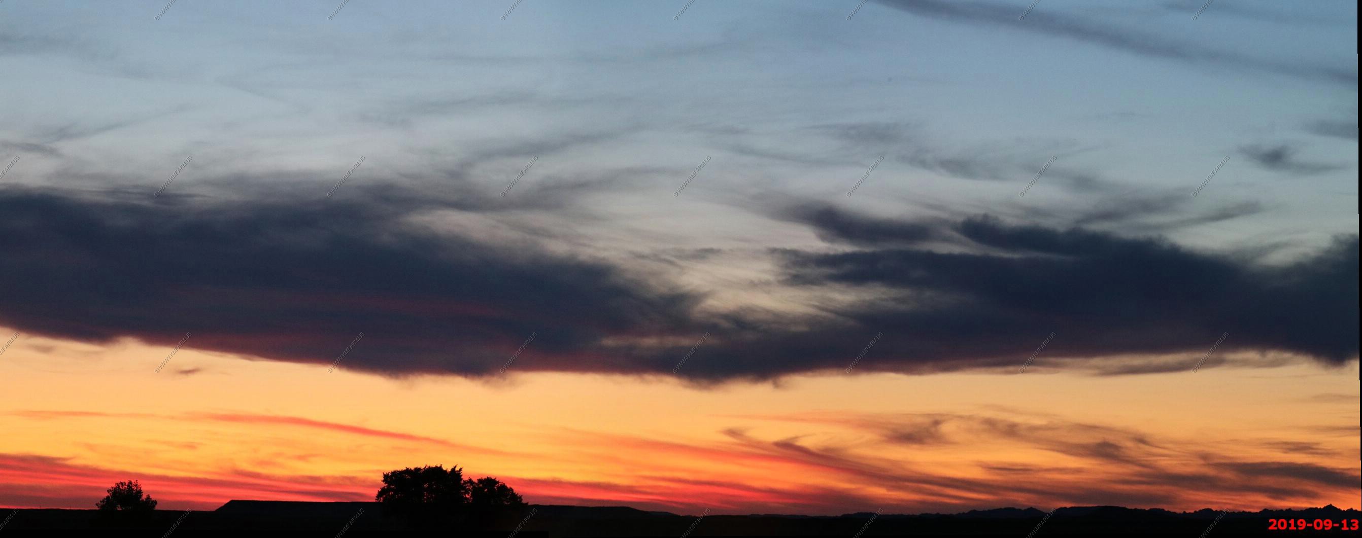
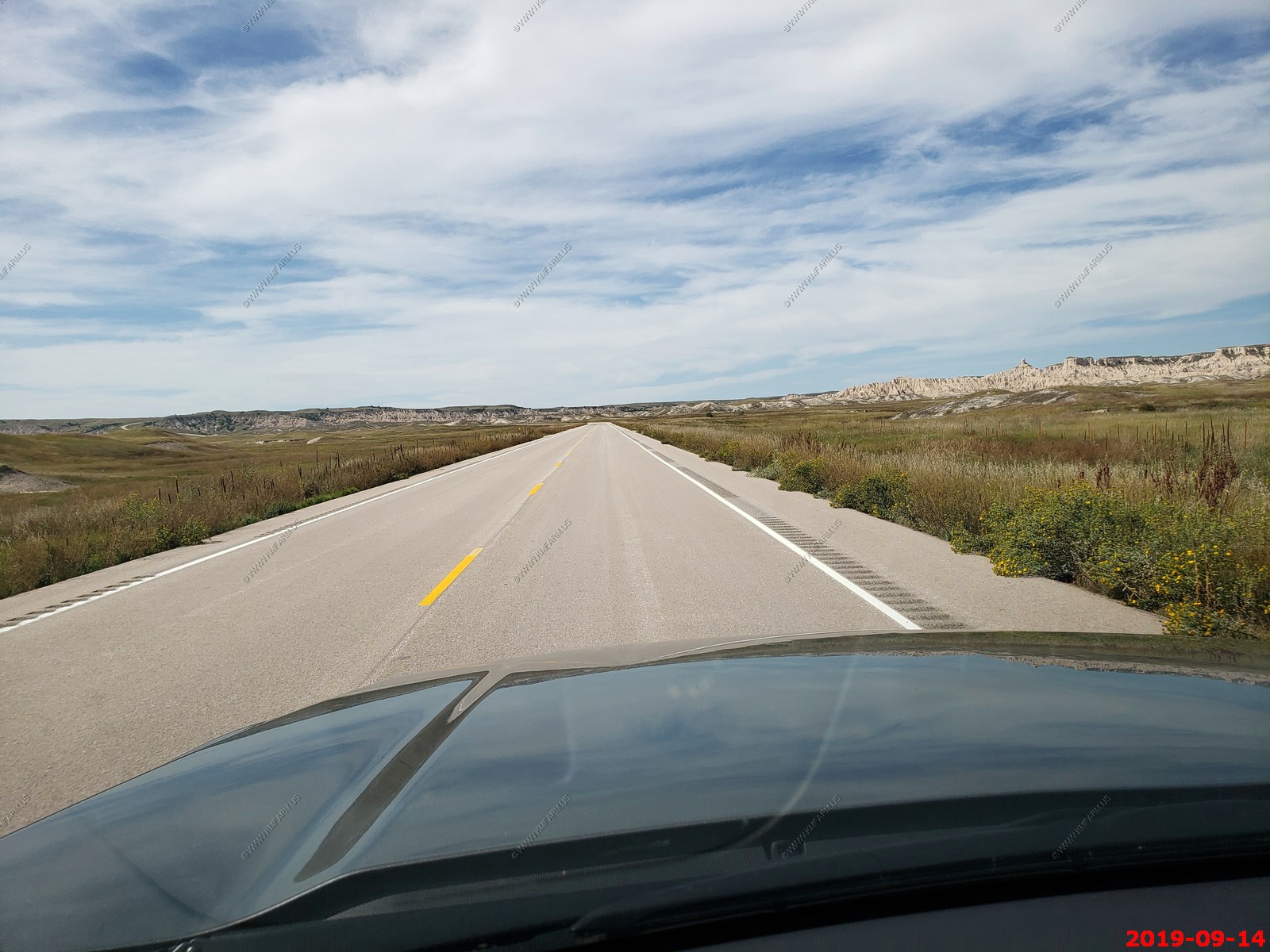
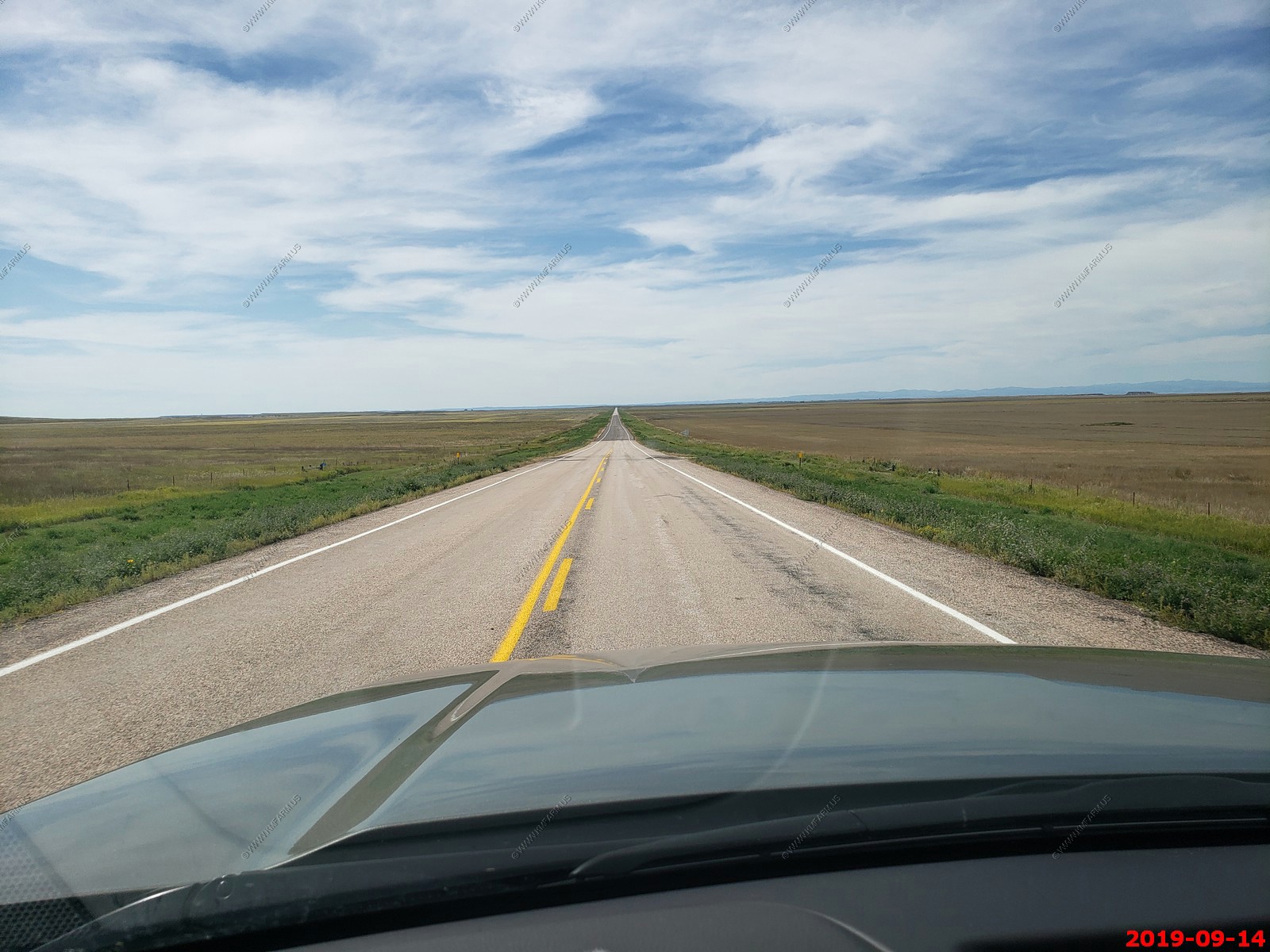
Because we were running out of daylight we headed south out of the park to Conata, SD. This was a really cool road and we had no other people around us as we watched the sun set.
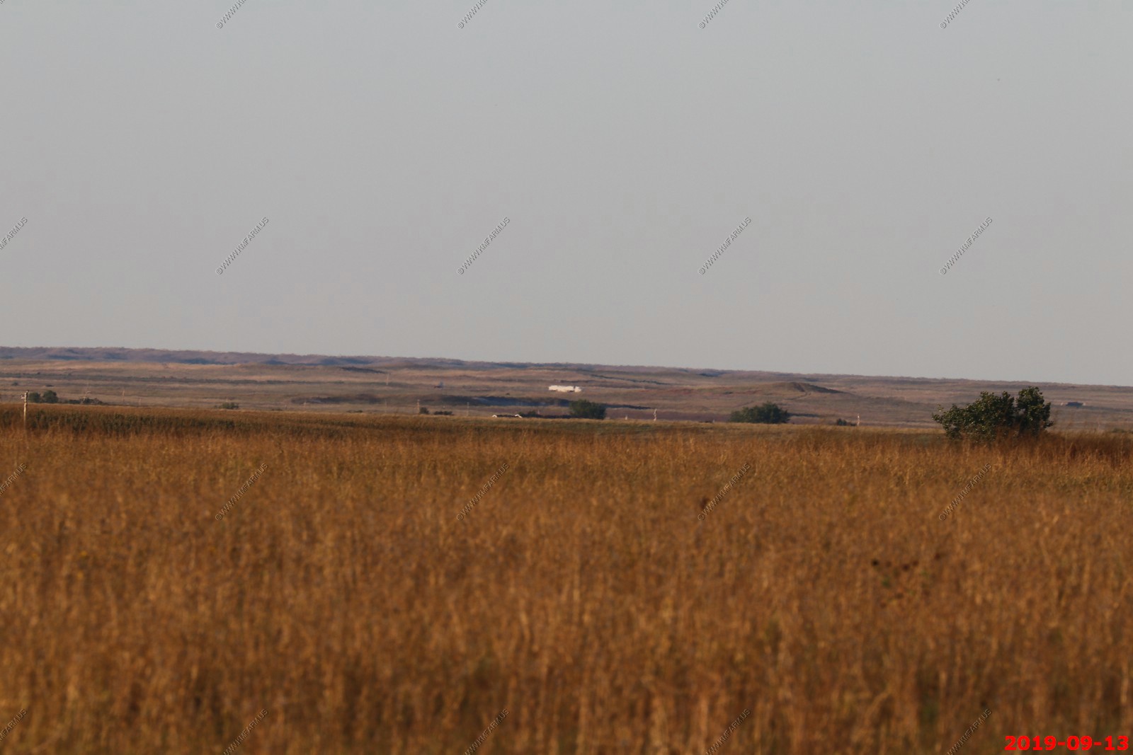
Nothing for many miles to the west.
Nice.. We need to bring this to Baltimore and the rest of Maryland.


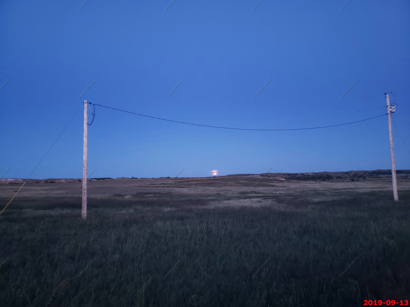
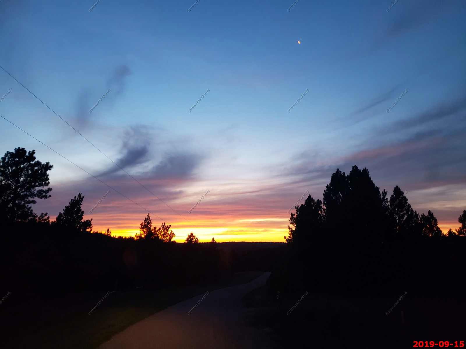
Full moon rising.
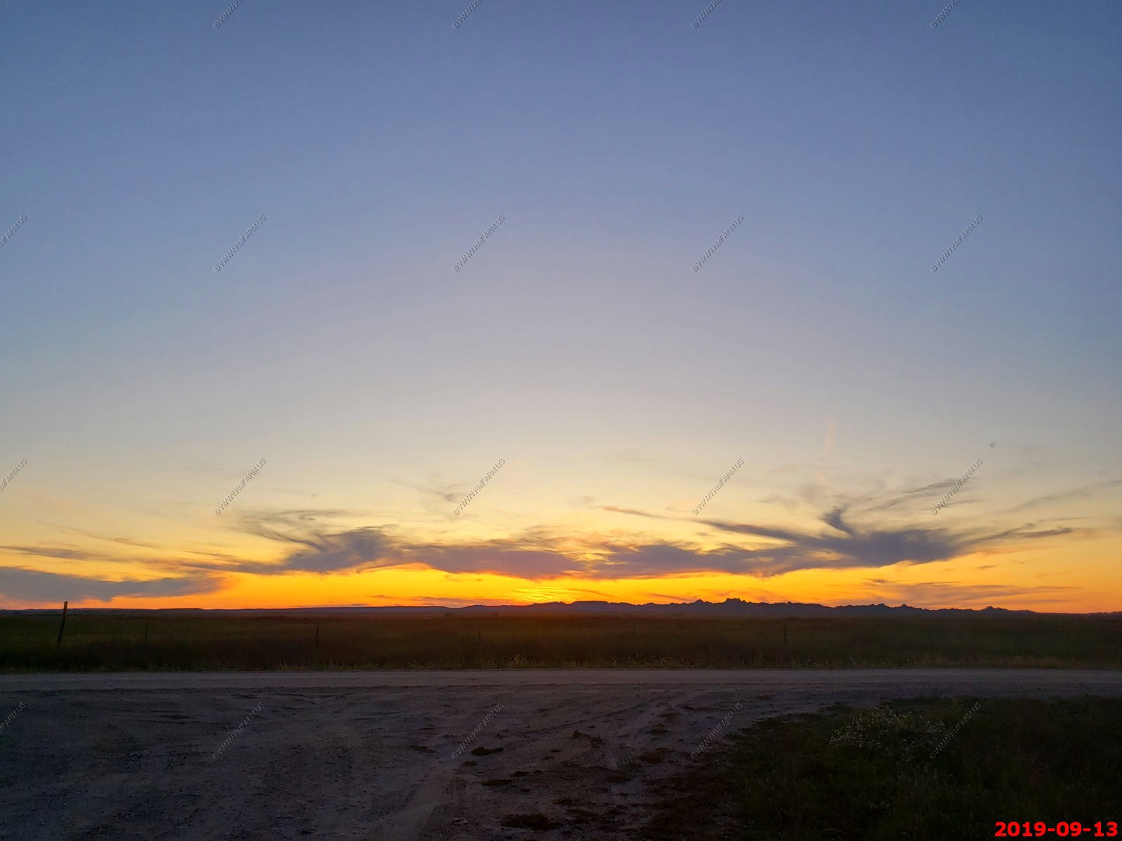
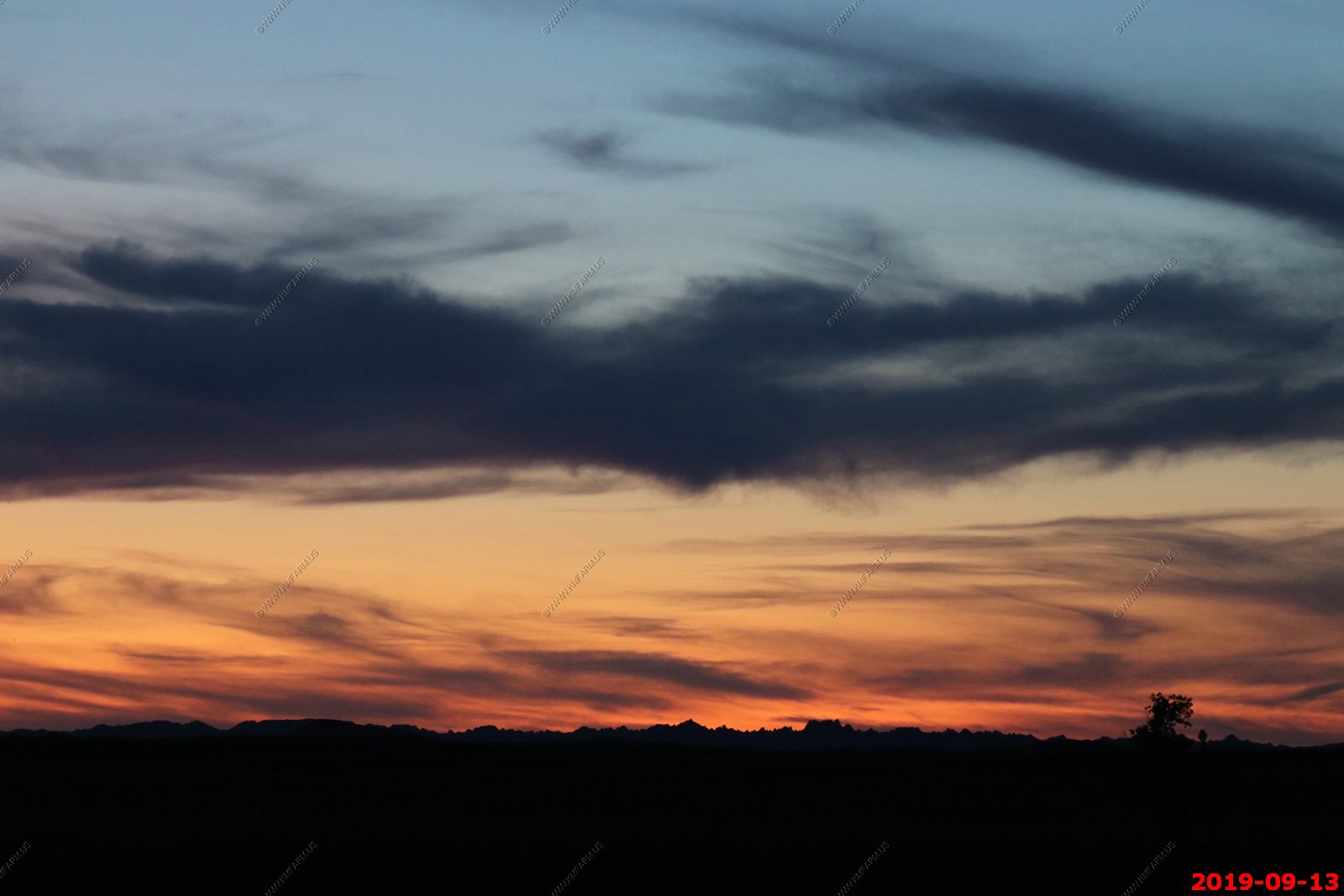
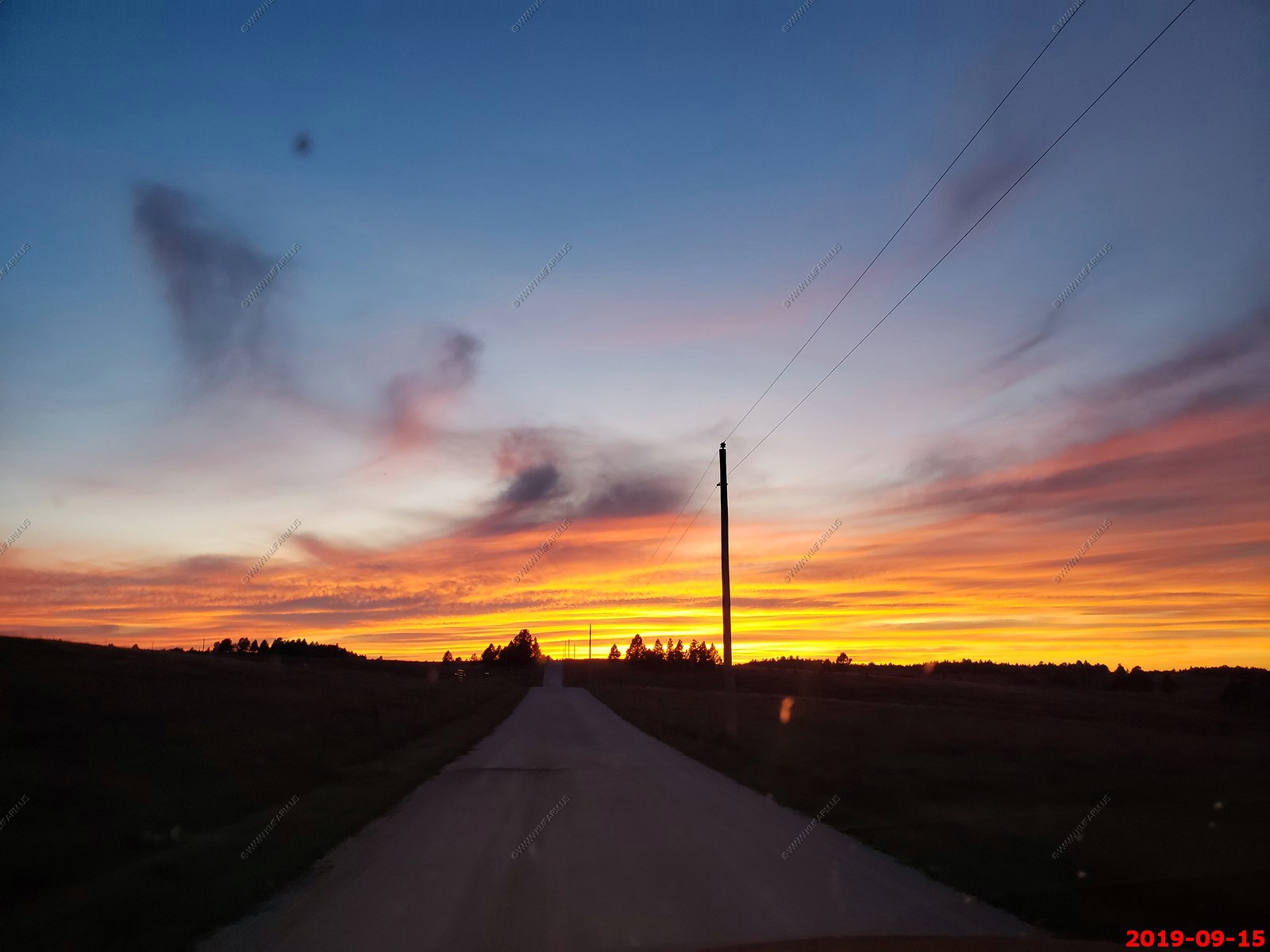
Nice wide open sunset.
Full moon

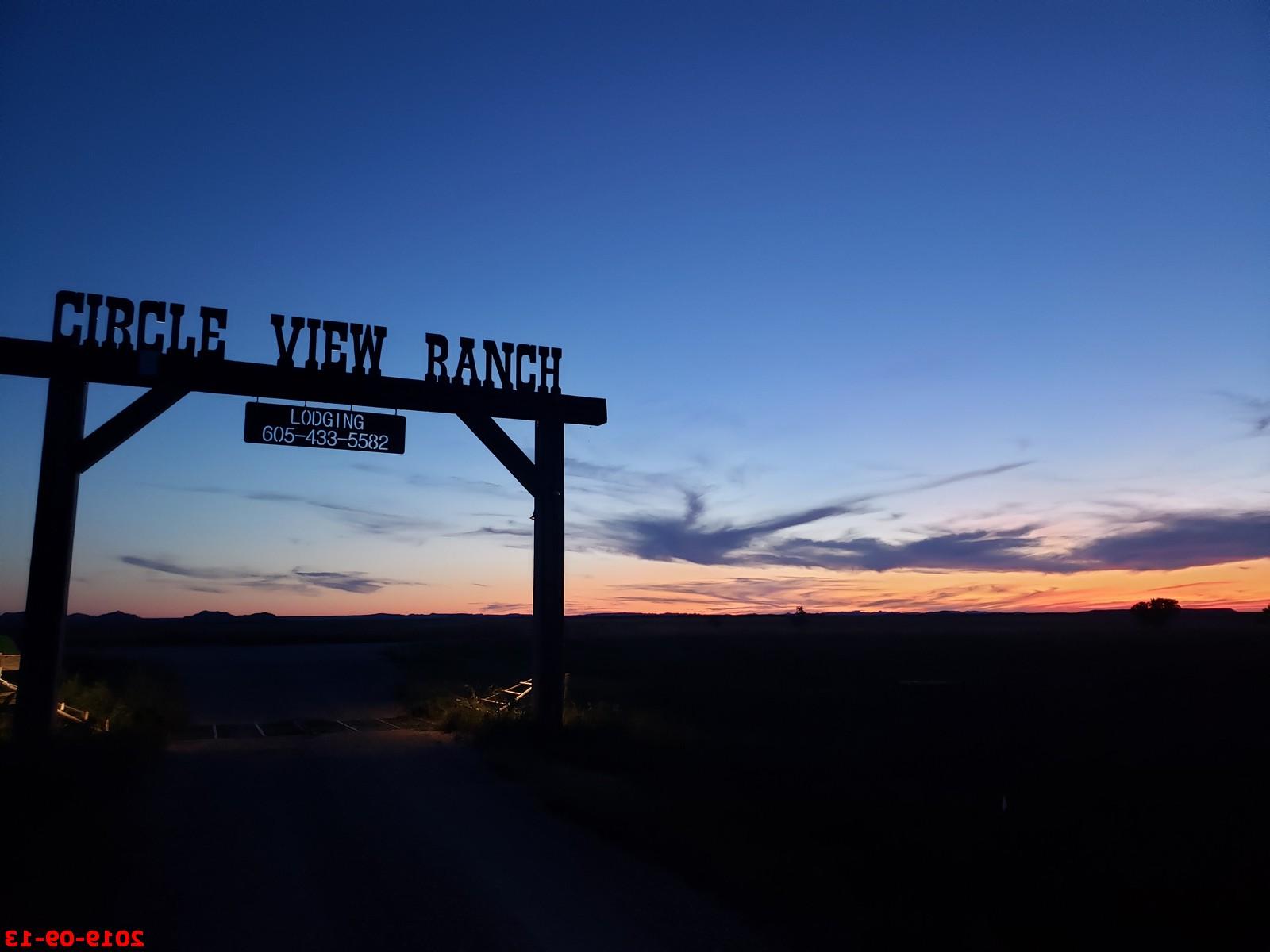
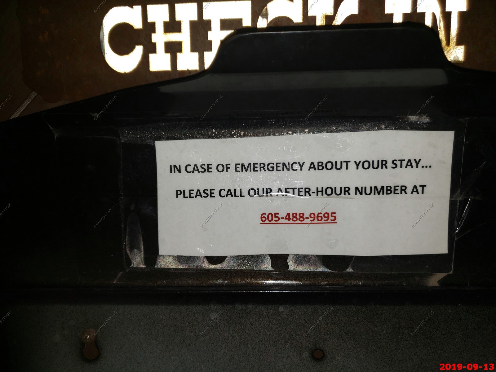
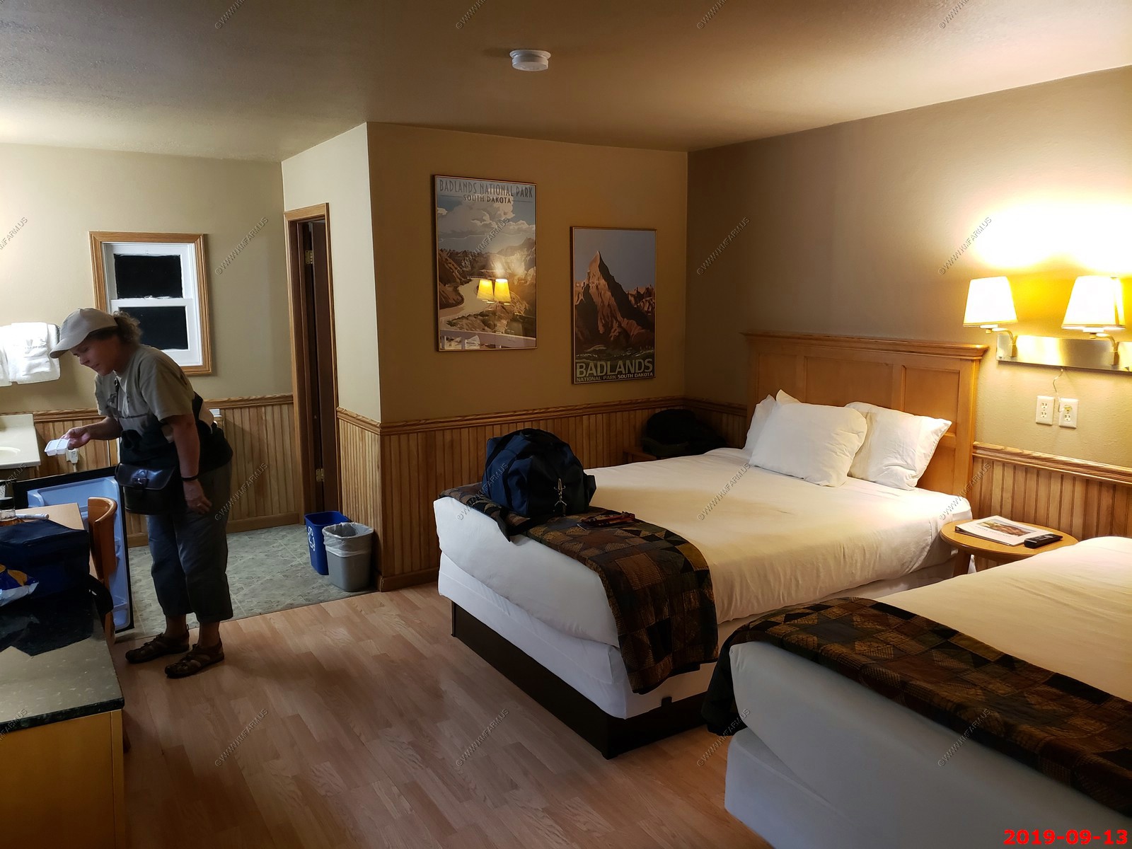
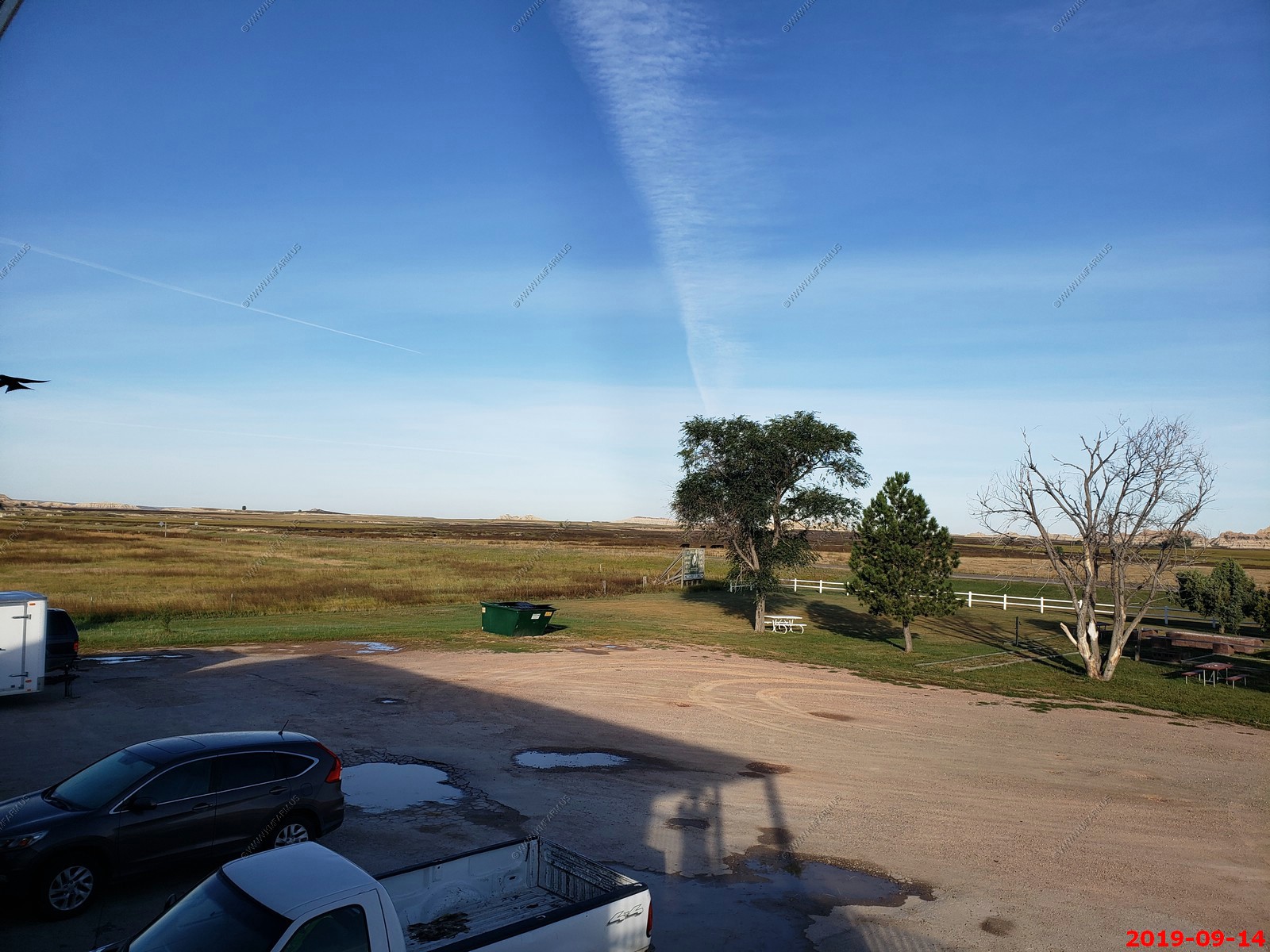
We tried to stay at Cedar Pass Lodge, which is in the park and very nice. But it was booked so we ended up at Badlands Inn. There were no lights on the building when we arrived and we had to wait until 10 PM to get in our room as it was not ready. This was due to it being off season and their staff went back to college.
They gave us a discount when we mentioned the fact that we had no ice etc. and we had a nice buffet breakfast at the Cedar Pass Restaurant.
Funny as you generally don't have cell service here so hard to call.
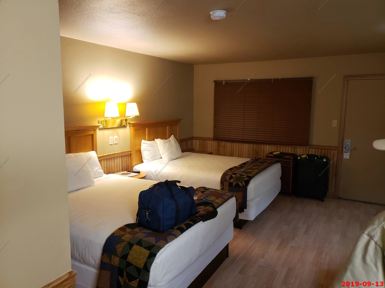
Our room. Nice but very dated. We may have been alone in the hotel which was strange considering they did not have any of the rooms ready.
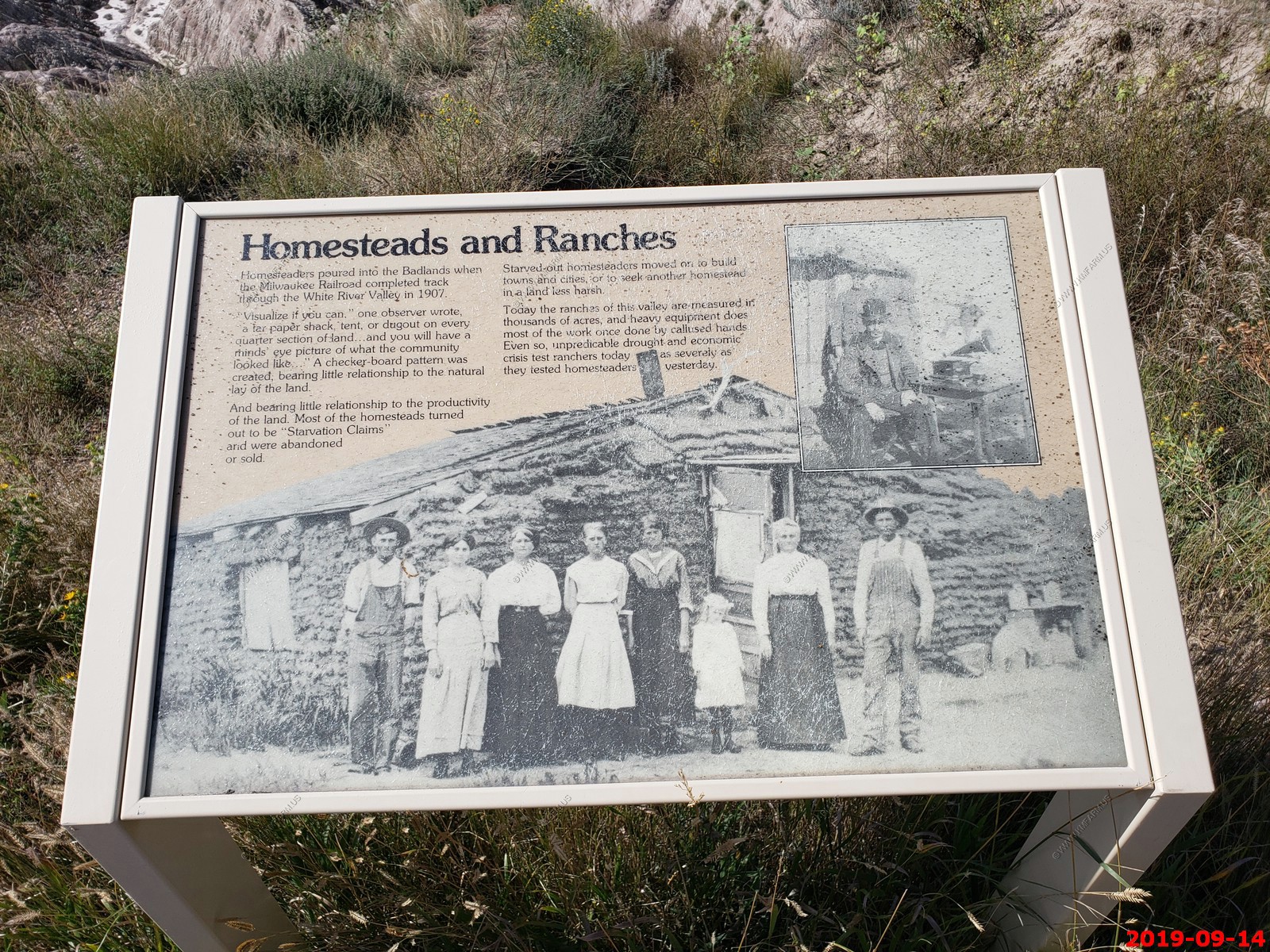
Today we had to drive 132 miles / a bit over 2 hrs. to Double D cabins south of Custer, SD. The plan was to go thru Hot Springs which is in the banana belt of South Dakota and is on Ken's retirement town list. NO interstate today but we will be crossing part of Pine Ridge Indian Reservation which is a really bad place.
We survived the night in our very dark & quiet hotel. We did hear some coyotes howling off to the east.
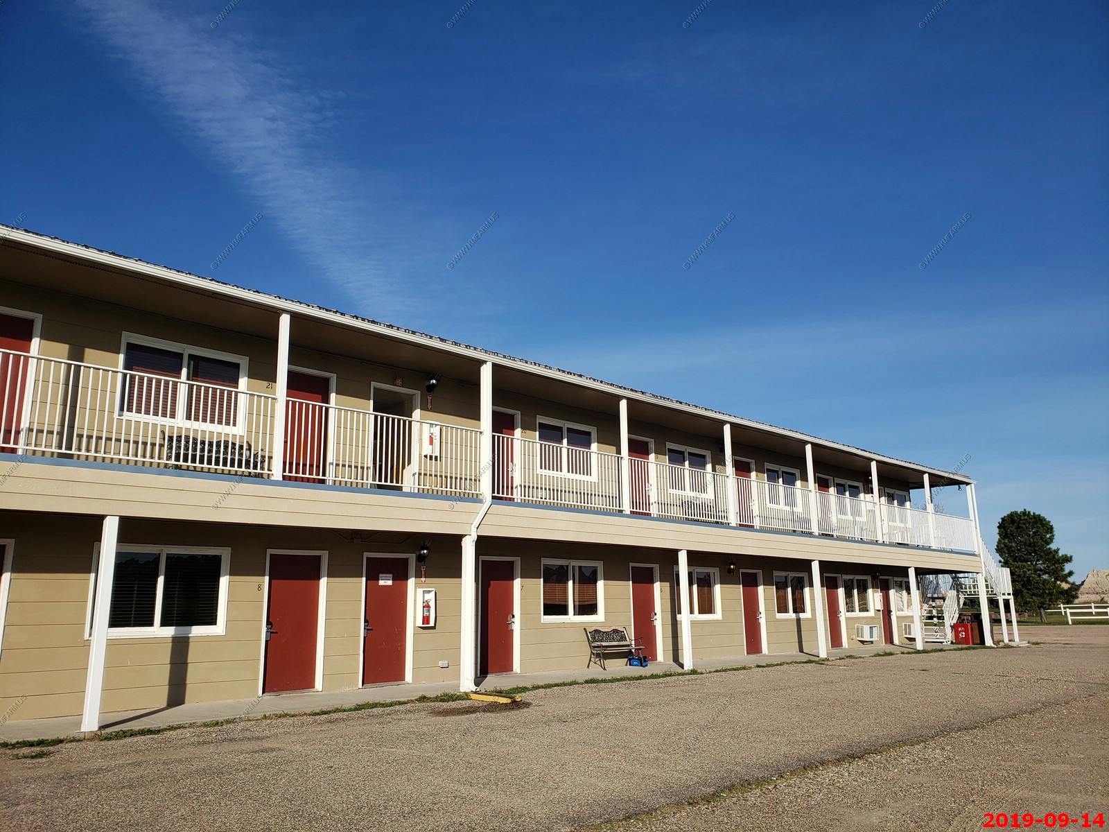
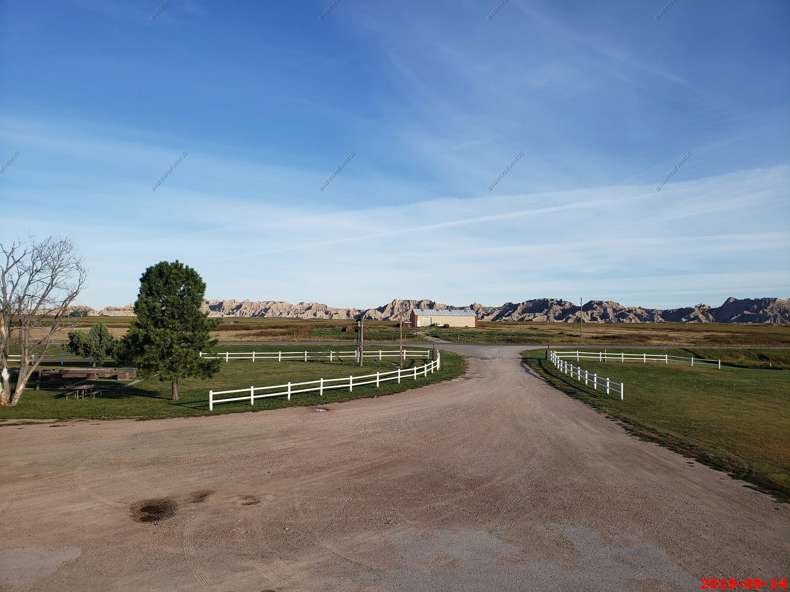
You really can't complain as you are right next to the park.
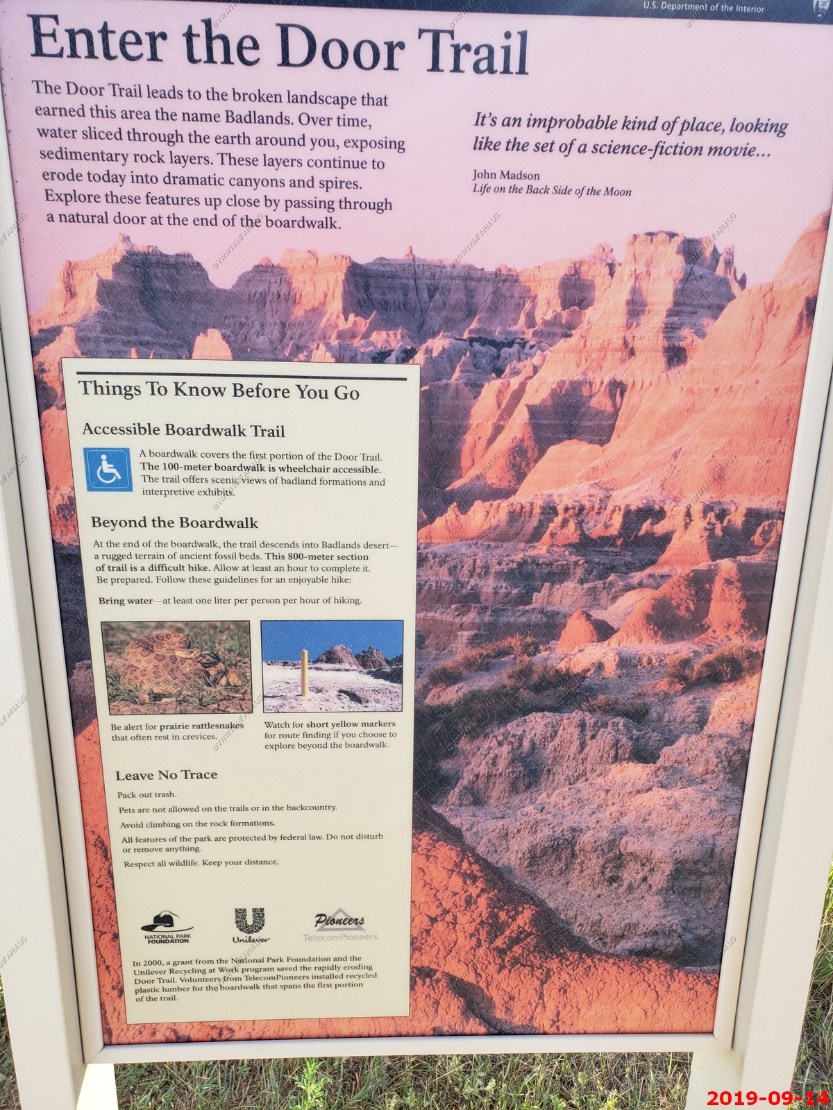
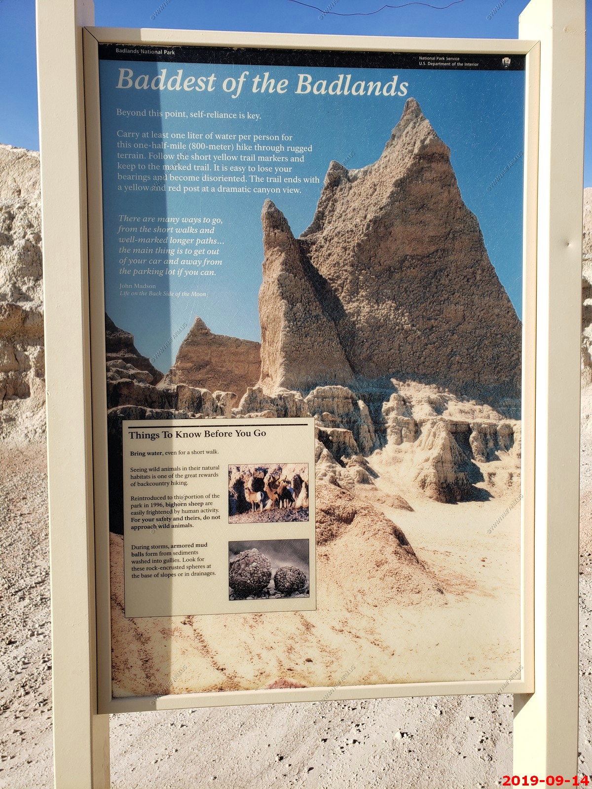
Mary and I went on a NPS Geology Walk - DESCRIPTION - Wondering what made the beautiful badlands formations you see throughout the park? Journey back in time with a ranger-led walk down Door Trail and learn about Badlands geologic history over the past 75 million years. The walk begins at the trailhead for Door Trail
It was fun and interesting.
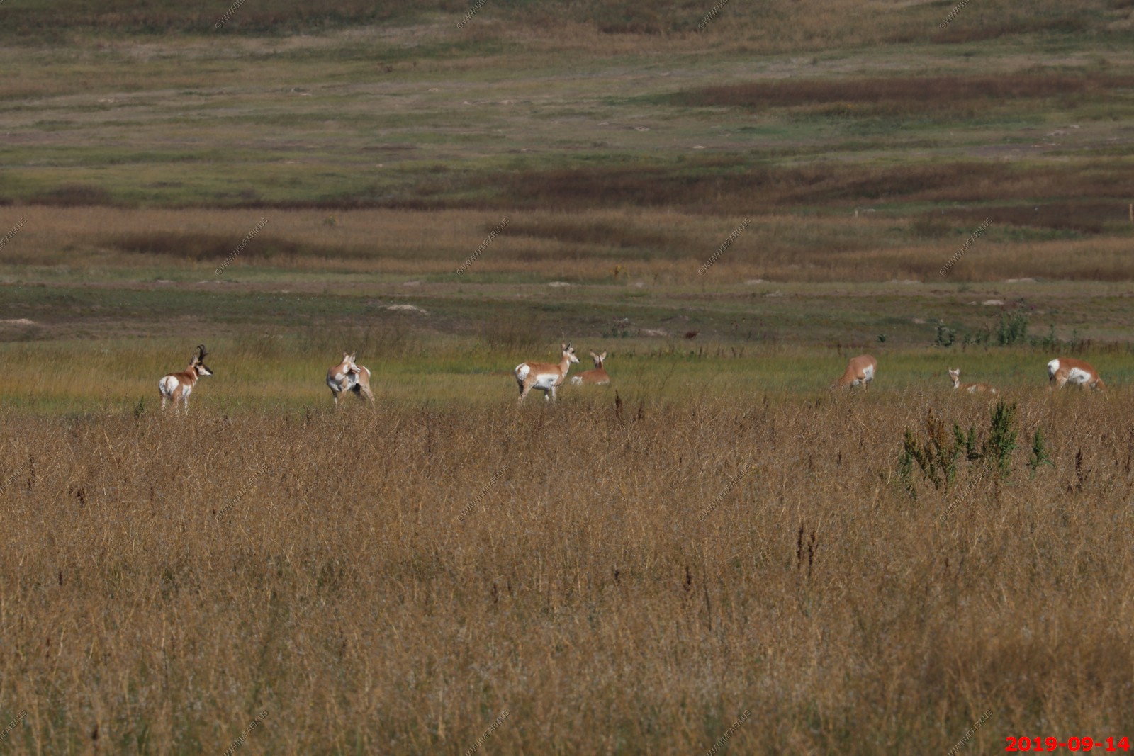
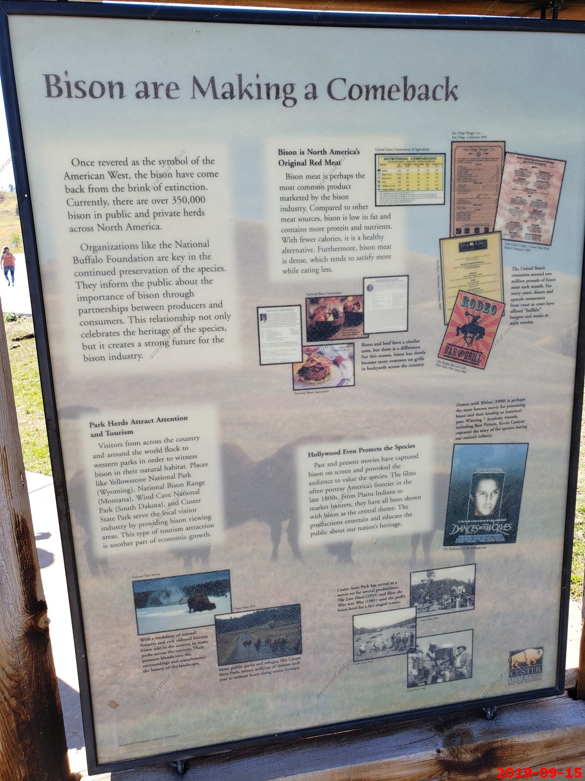
Pronghorn, often called antelope, are extremely fast runners capable of sprinting as fast as 60 miles per hour. The mixed-grass prairie is home to many species of animals. In Badlands National Park, scientists have observed 39 mammal species, 9 reptile species, 6 amphibian species, 206 bird species, and 69 butterfly species.
It looks like a male on the left. Pronghorn breed in late summer or fall depending on their location. Those in the southern part of the range tend to breed earlier. Males have breeding territories with a group of females that they defend against other males.
Both sexes of the pronghorn have forked horns. However, female horns are underdeveloped or the growth is stunted. Moreover, males have lyre-shaped horns that curve inwards whereas females usually have straight horns. Male pronghorns show black marks on the face, starting below the eyes all the way up to their nose. A female pronghorn is known as a "doe" and a male is called a "buck." The outer material on a pronghorn's antlers is shed and regrown each year. Pronghorn have very large eyes and can see 320 degrees around. When a pronghorn is startled, they raise the hair on their rump and the white patch can be seen for miles.
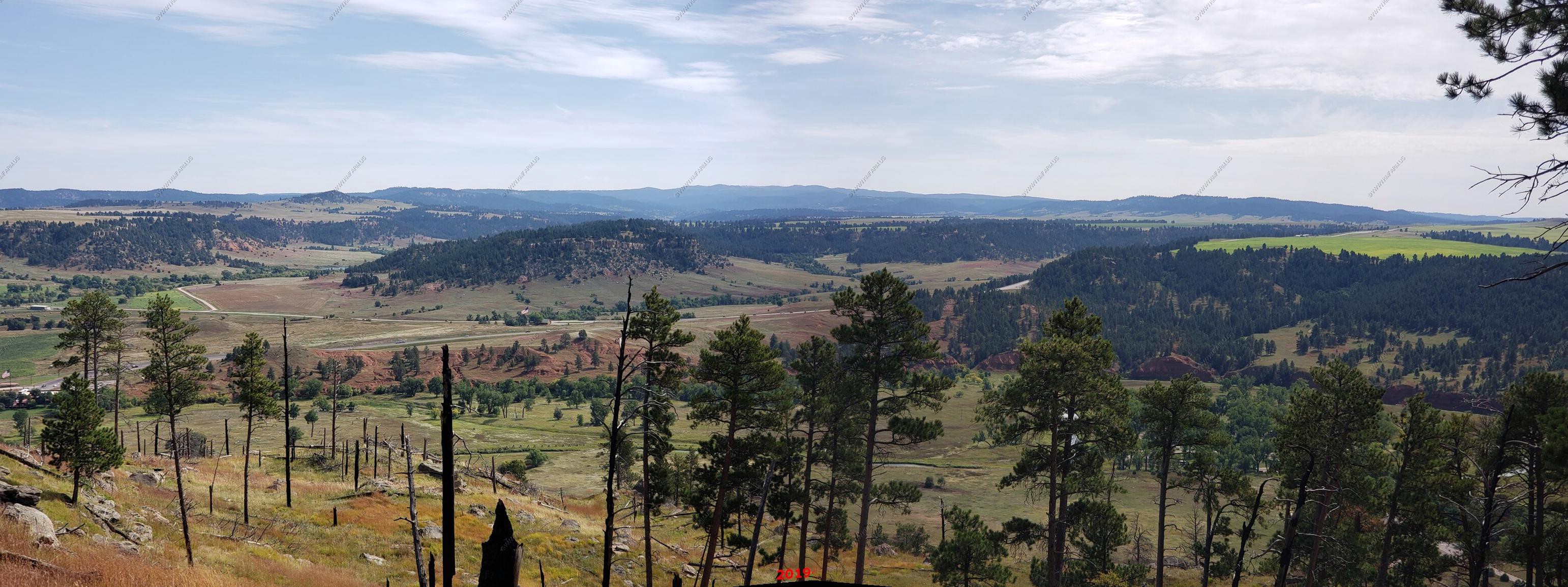
Another platform with a great view to the south & west.
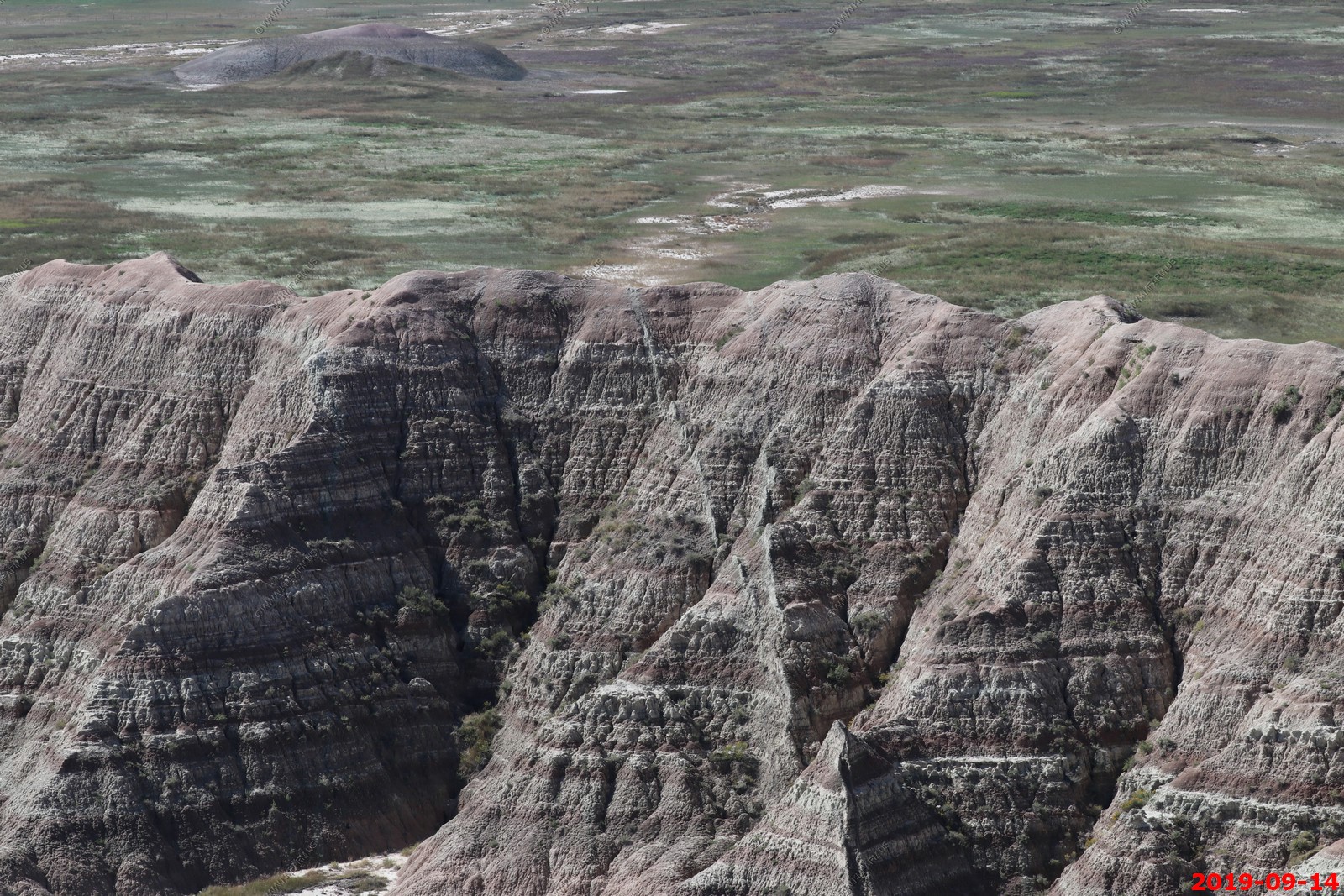
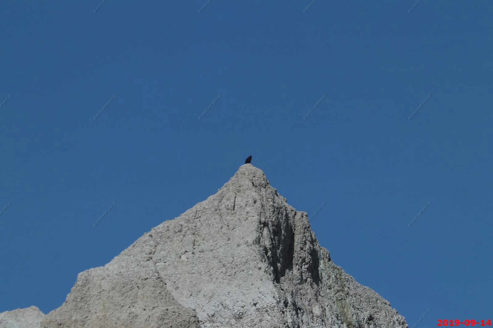
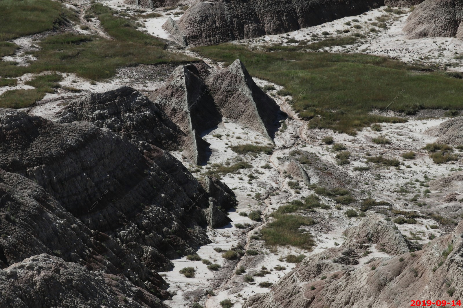
Intrusion of some sort that is taking longer to wear down.
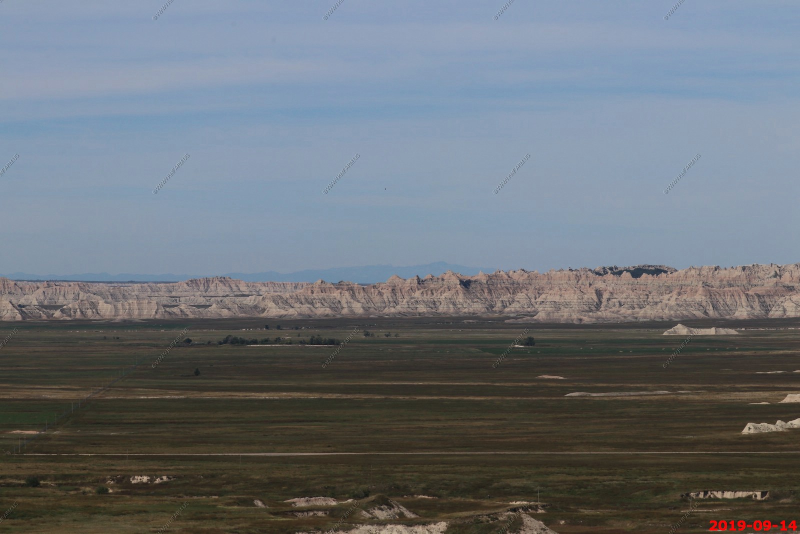
Our first look at the Black Hills appx. 40-60 miles away.
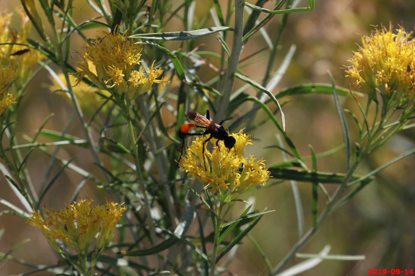
Great Golden Digger Wasp (Sphex ichneumoneus) on goldenrod. Despite its vivid alarm coloration, this wasp is not aggressive.
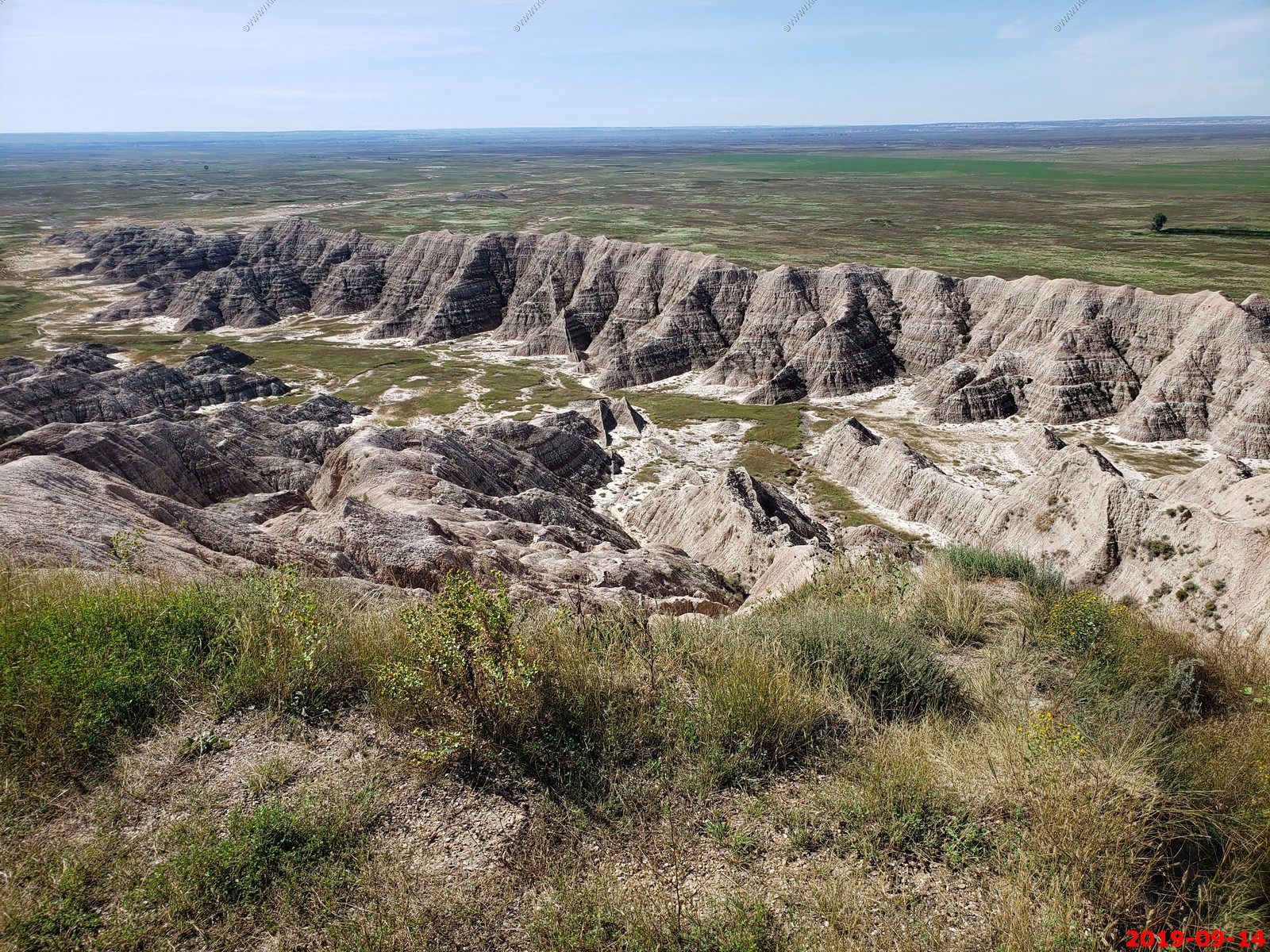
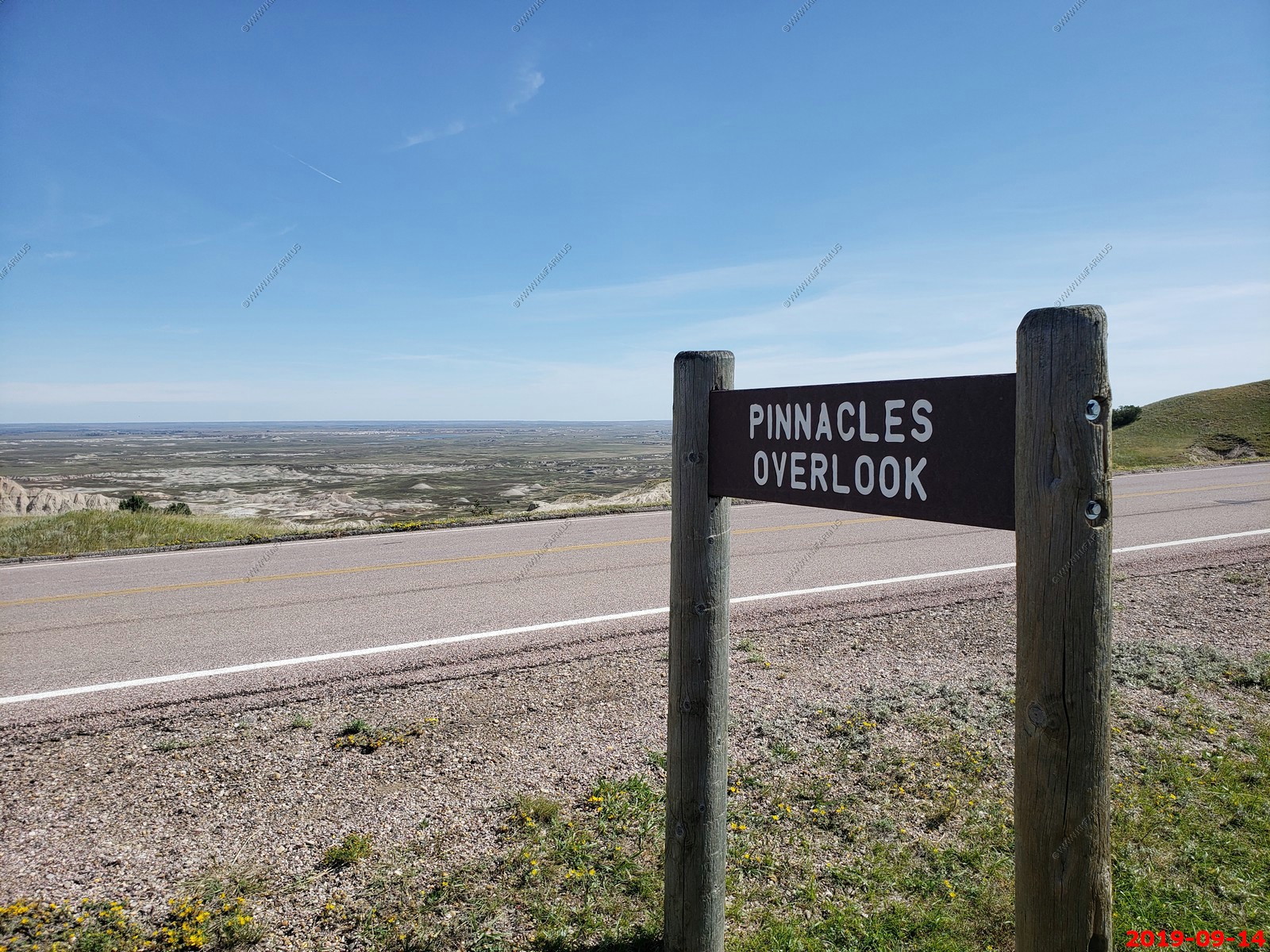
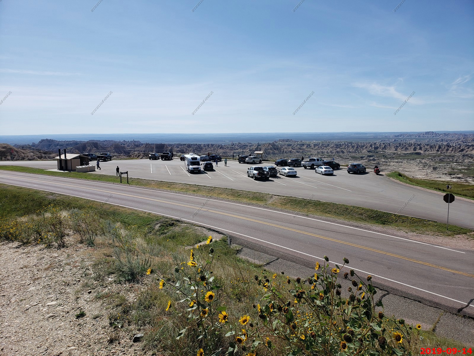
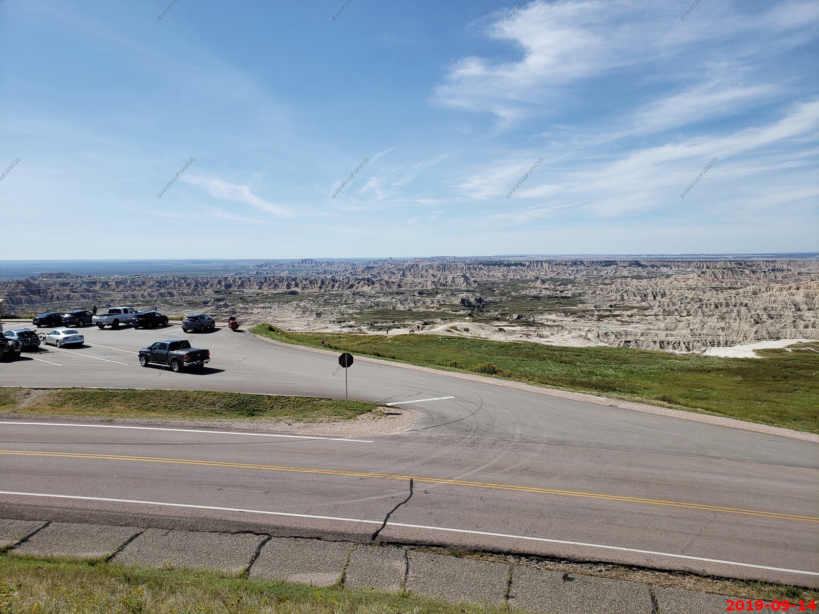
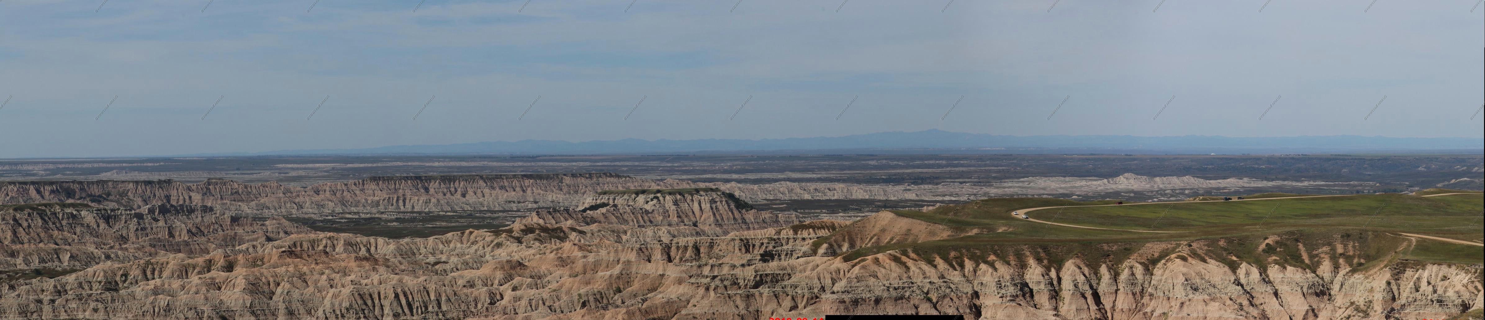
Pinnacles Overlook - The Big Badlands - 244,000 acres.
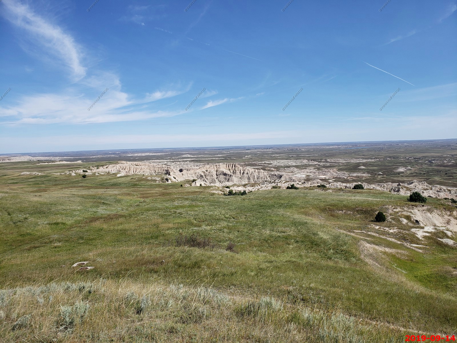
Looking west.
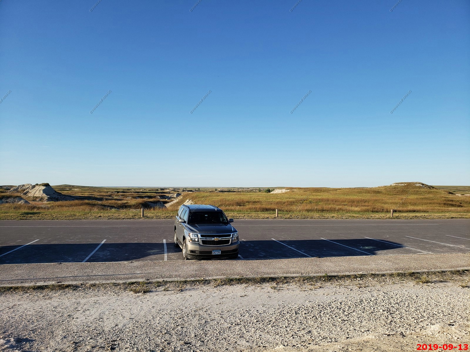
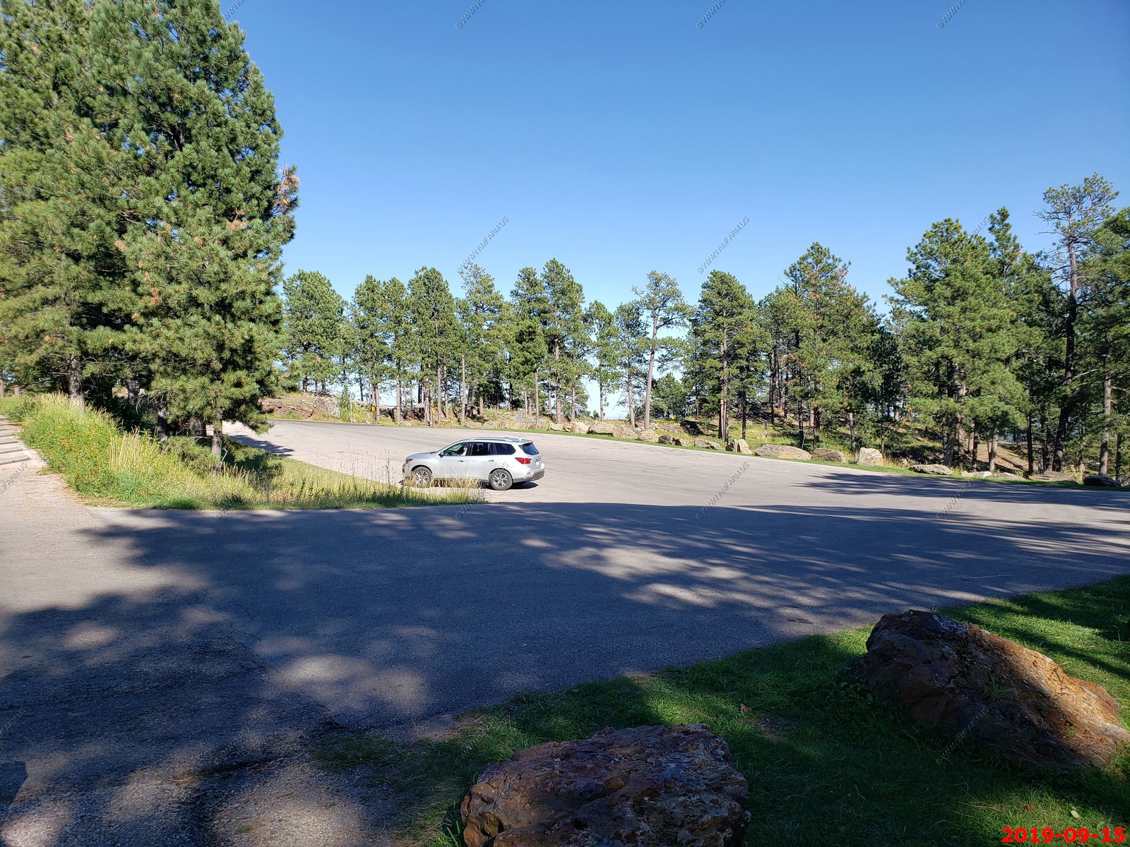
Pinnacles Overlook parking area
Looking west at the black hills. (4 photos stitched together)
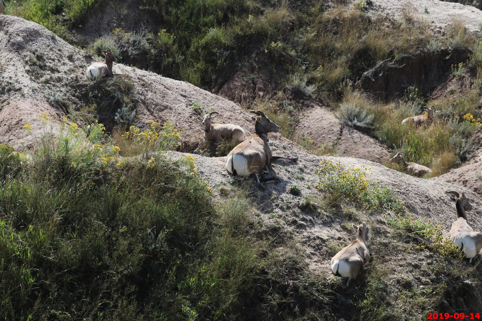
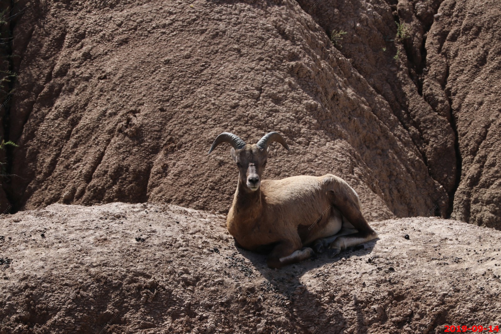
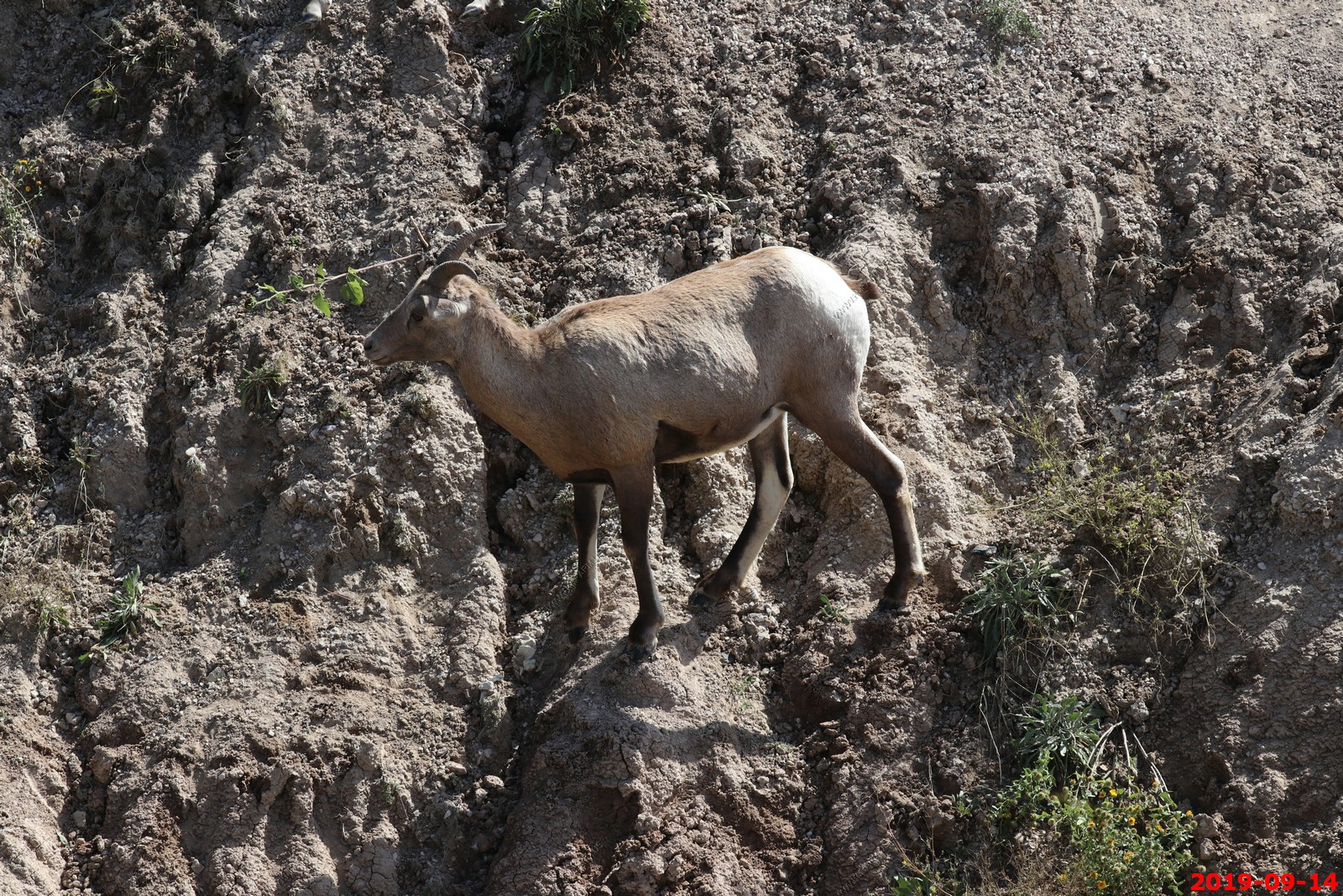
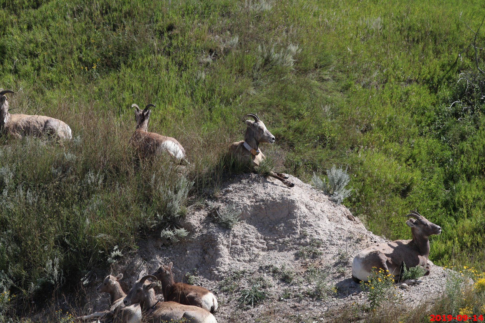
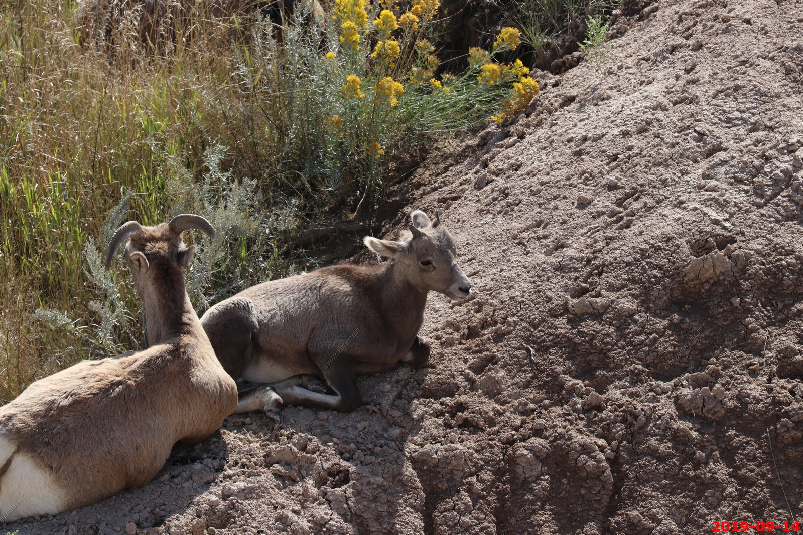
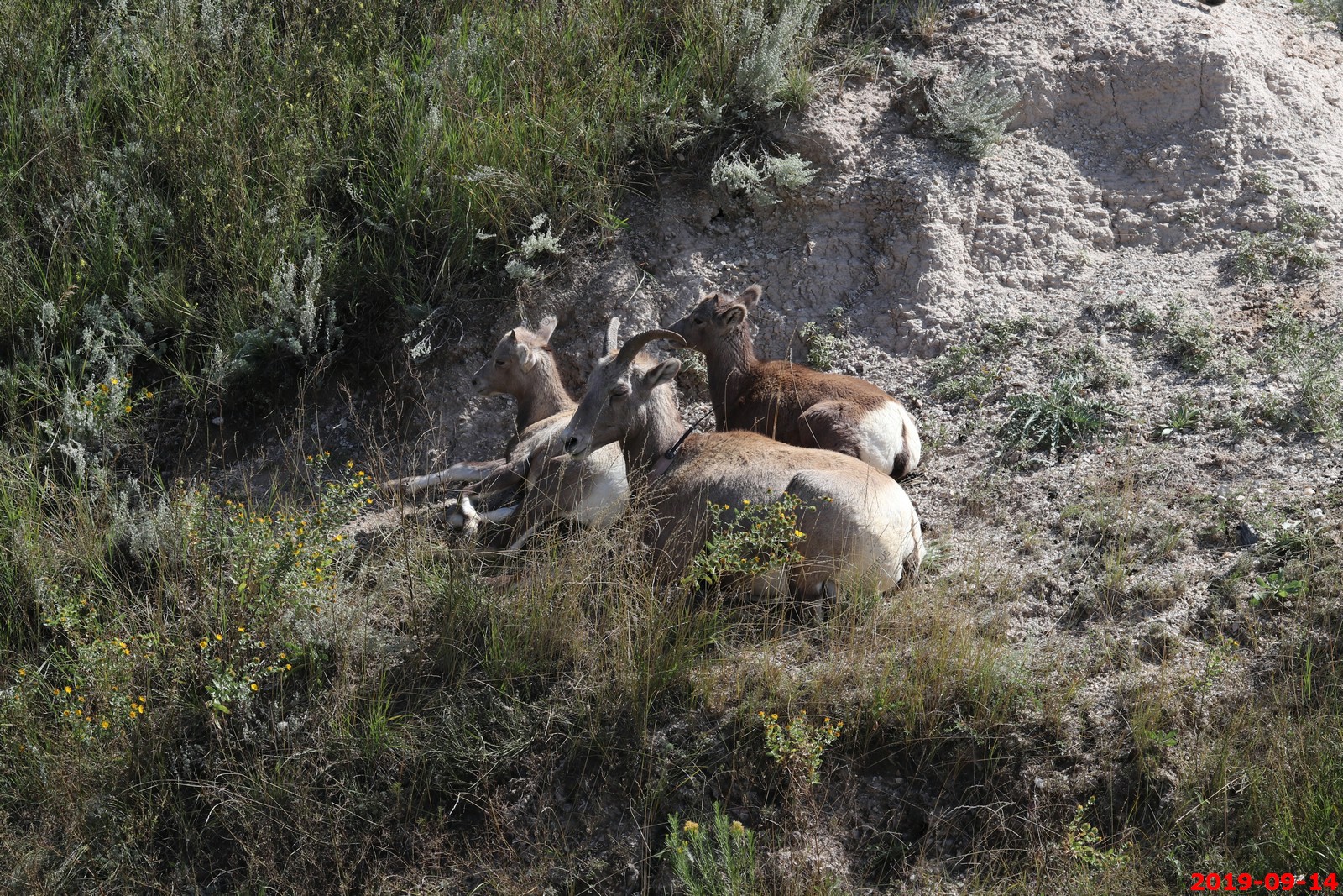
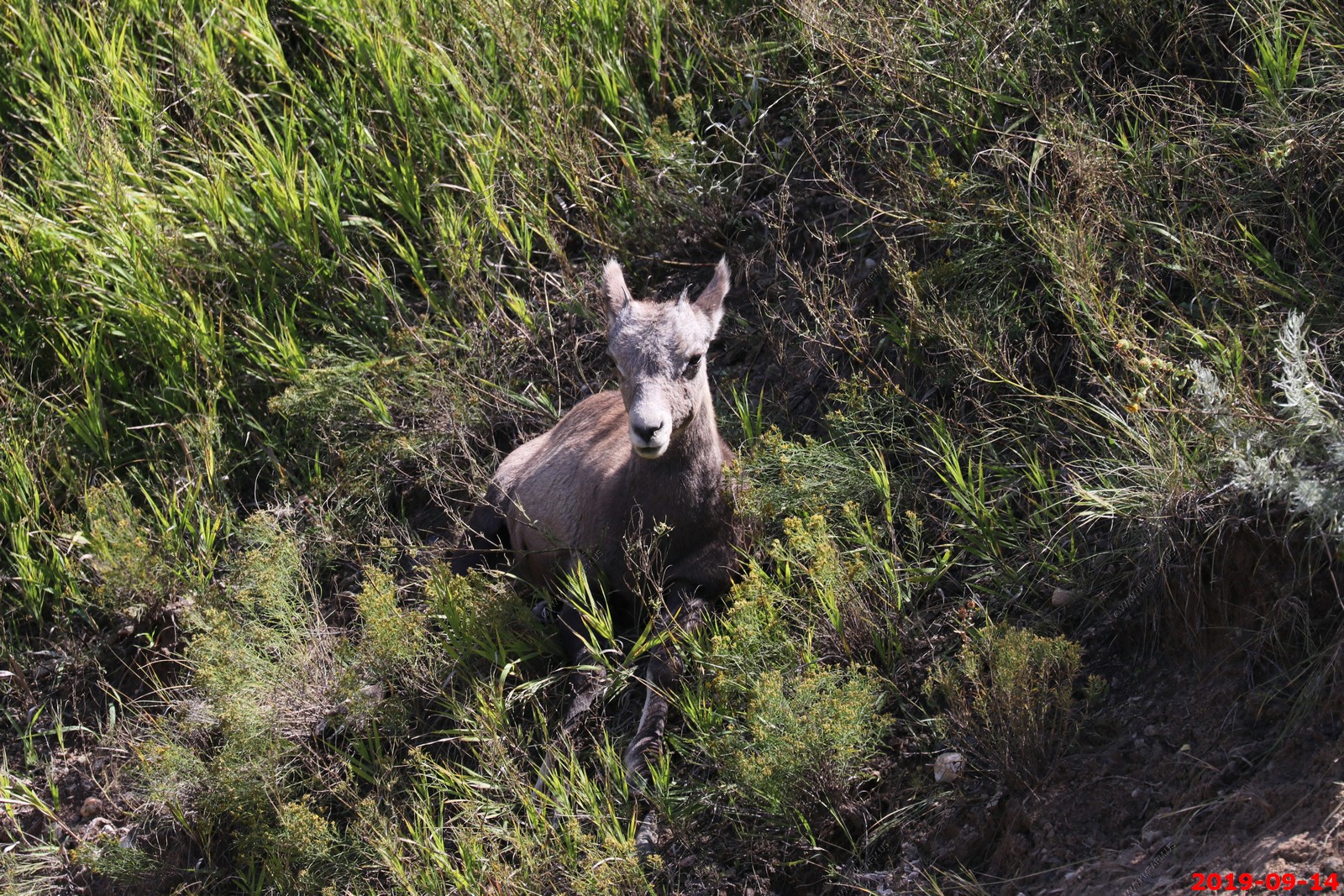
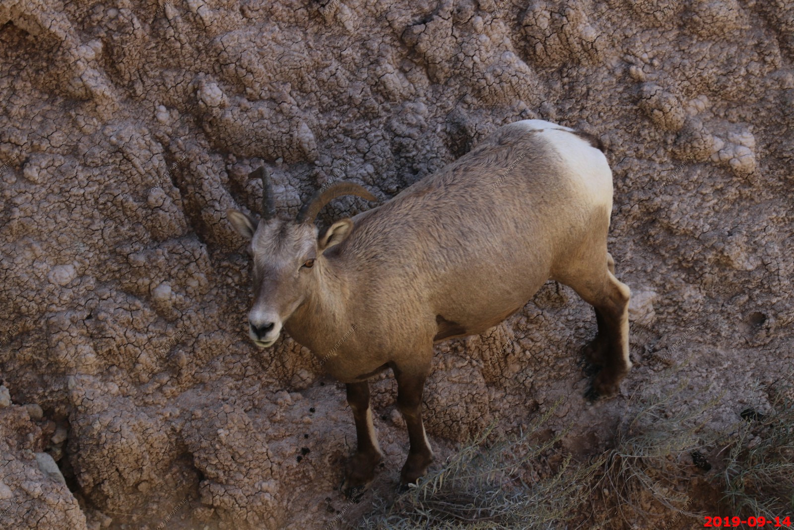
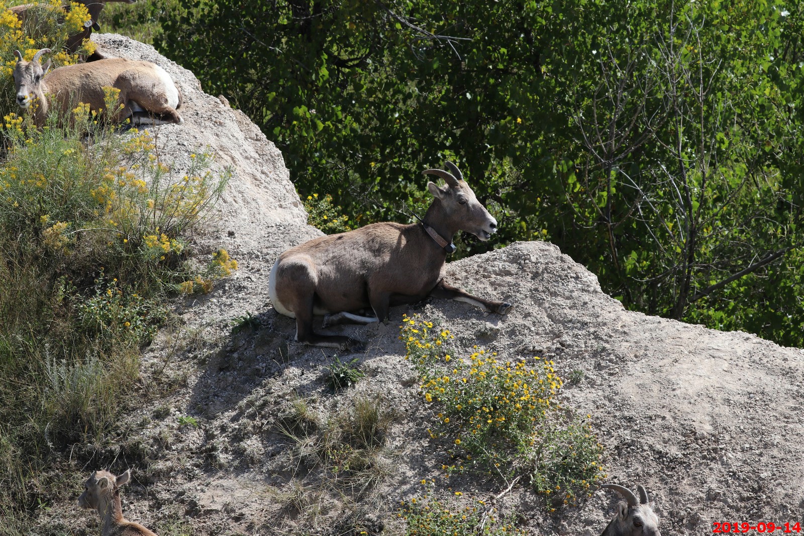
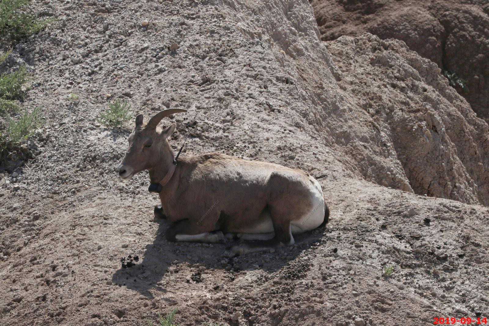
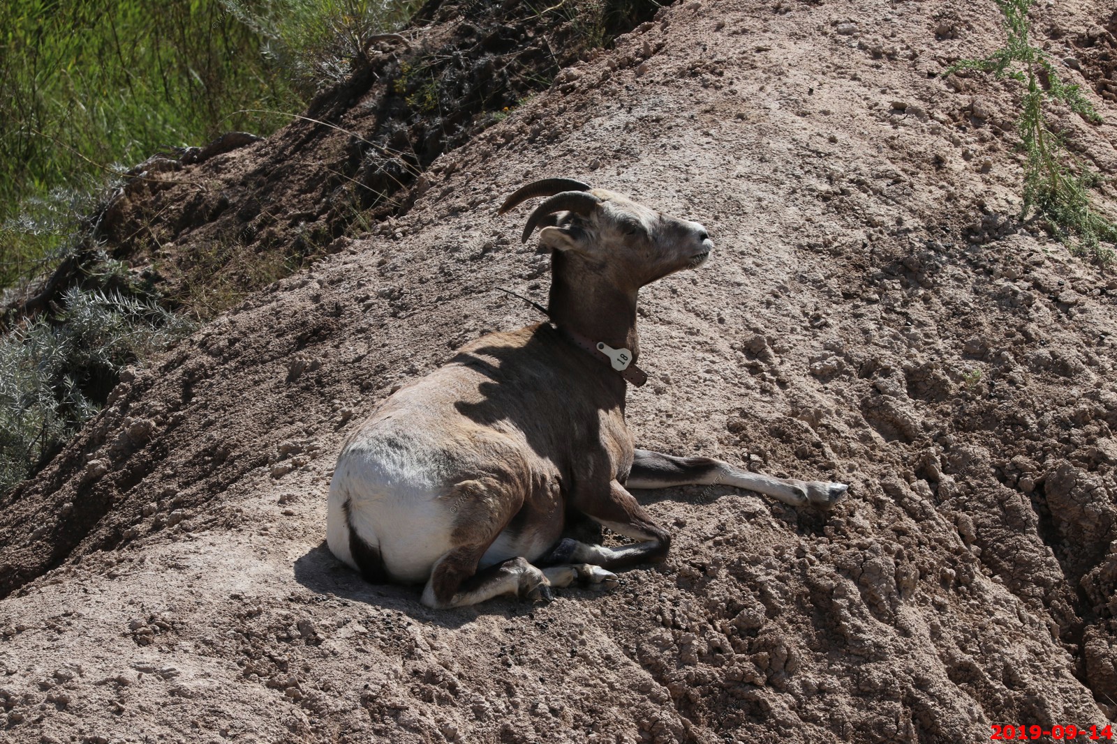
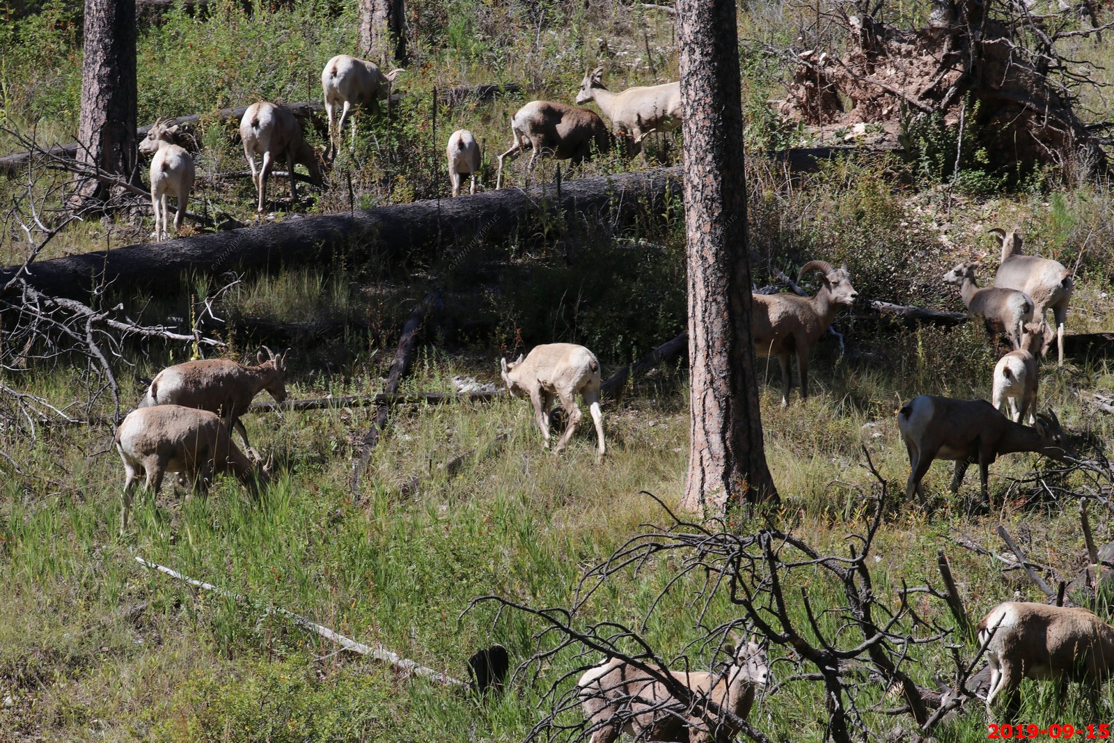
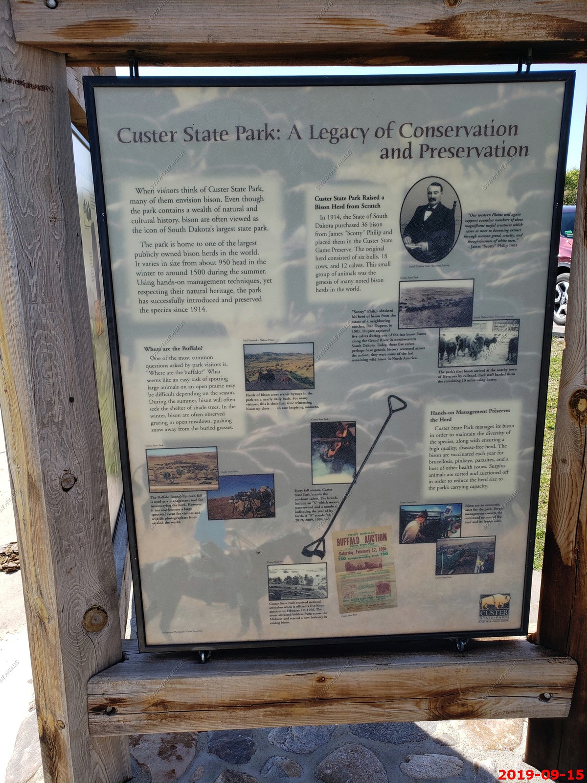
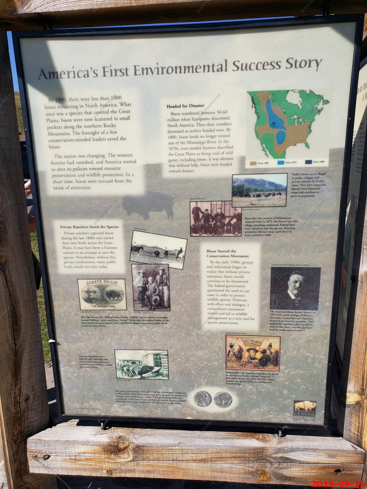
We saw this group of bighorns in Badlands NP. - Bighorn sheep were likely common in the Black Hills and Badlands of South Dakota before European settlement. In 1922 eight Rocky Mountain bighorns for release into Custer State Park. This herd grew and maintained a population until their demise for unknown reasons in the late 1950s. Without bighorn sheep once again, South Dakota began a series of translocations in the 1960s to reintroduce bighorns in sheep habitat. Translocation efforts have continued as populations have fluctuated over time and the most recent effort included bighorns from Alberta being released in the Deadwood area of the Black Hills. Custer SP has been adding ewes to their population in the last few years because pneumonia killed a number of the sheep.
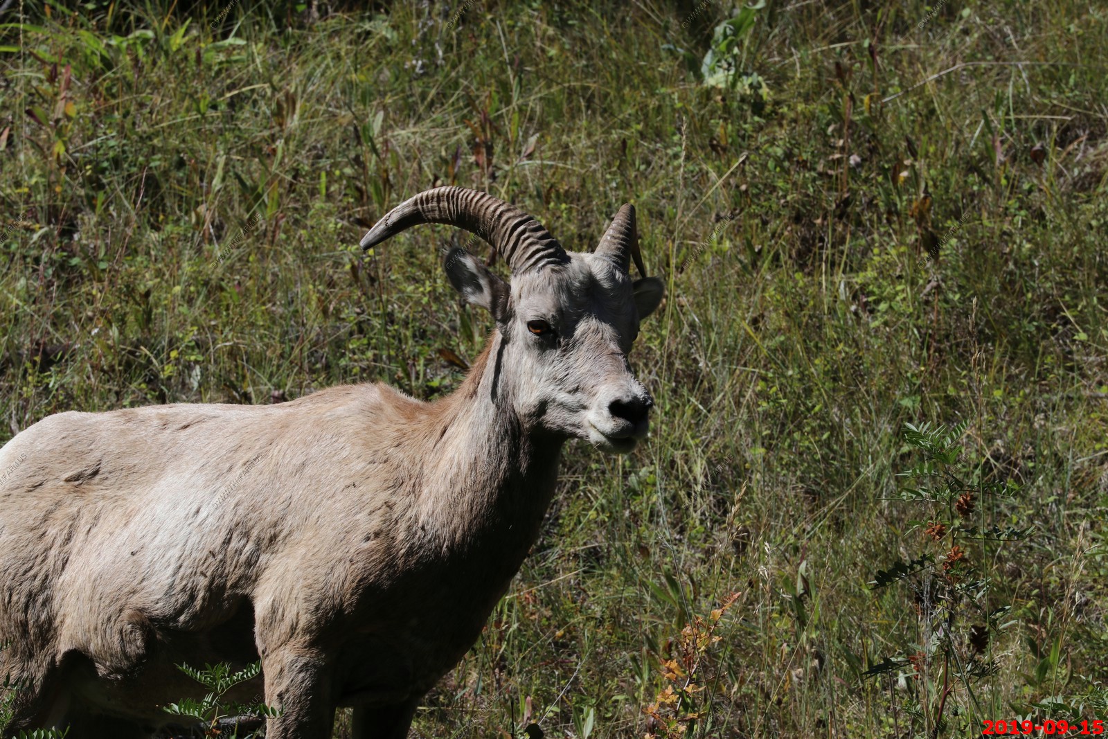
The Rocky Mountain bighorn sheep is most notably distinguished by its large curved horns. These horns continue to grow in length and circumference during the life of the animal and are not shed annually like the antlers of deer and elk. Both sexes of sheep have horns, with the male or ram having the largest horns. They average over 43 inches long and almost 16 inches in circumference , and weigh up to 29.9 pounds per pair. Female, or ewe, sheep horns are much smaller, and do not have the strong curl displayed by males.
These were on the north end of Sagecreek Rim road. Happy I had the 400mm lens.
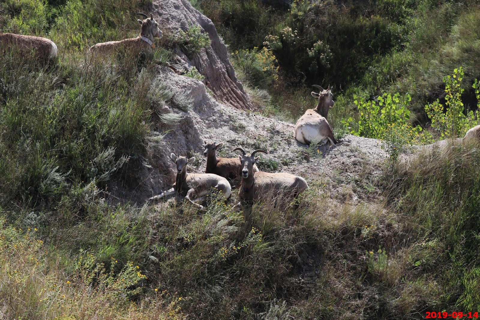
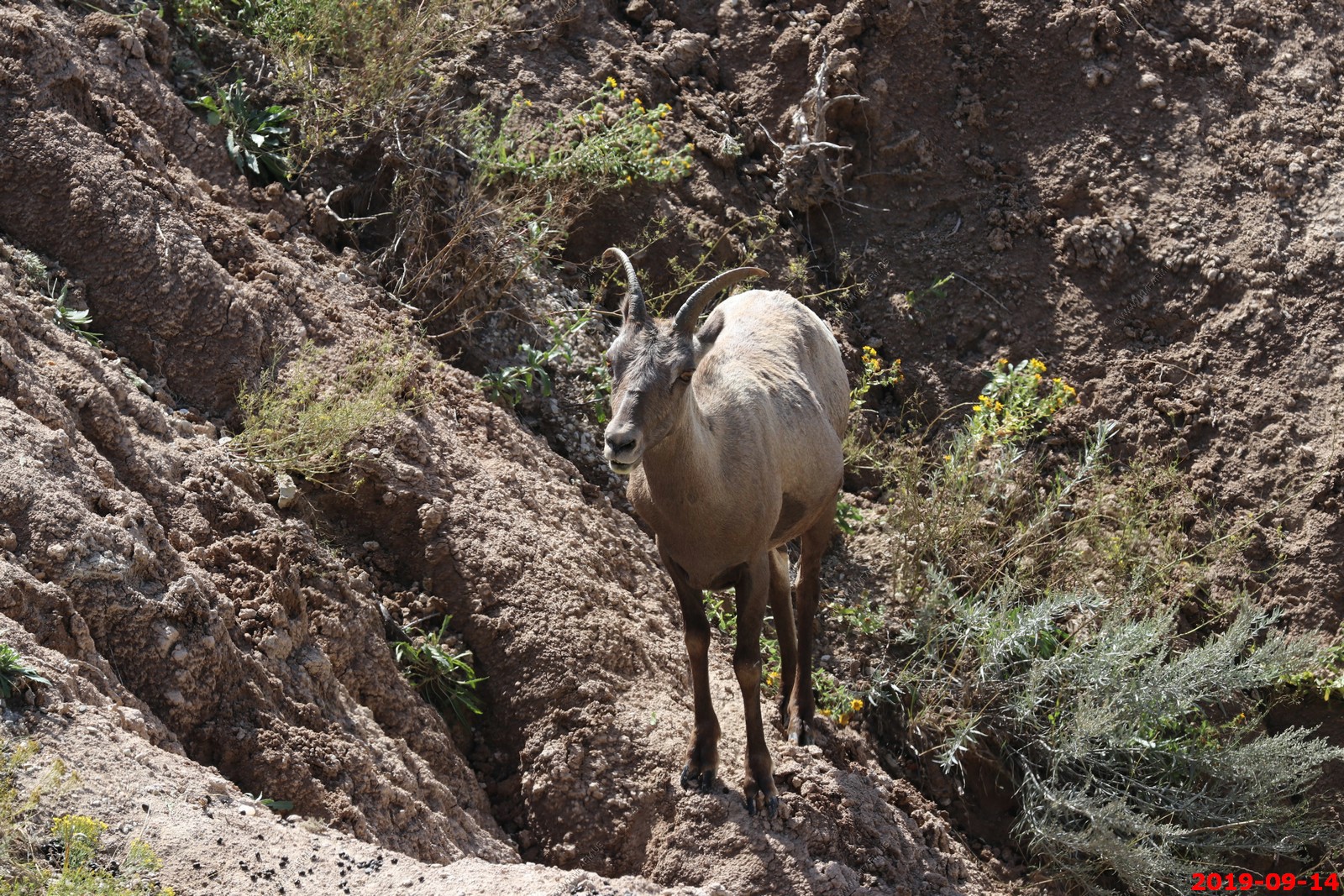

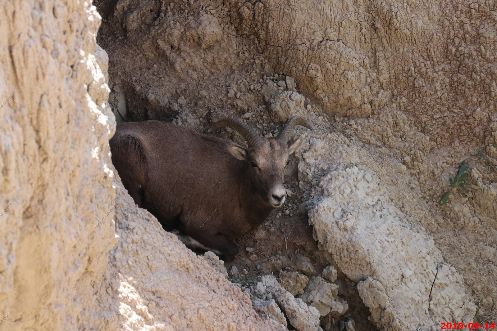
The very rugged area where Rocky Mountain bighorn sheep were.
GPS or radio collar on a few of them.
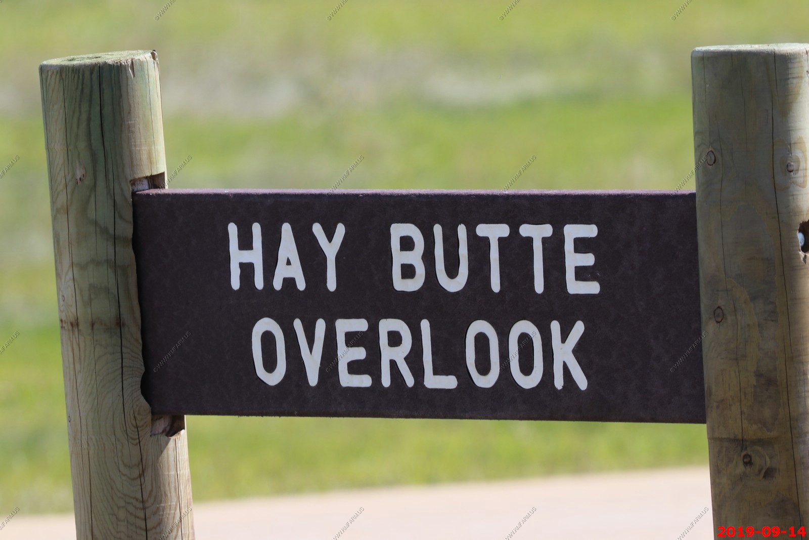
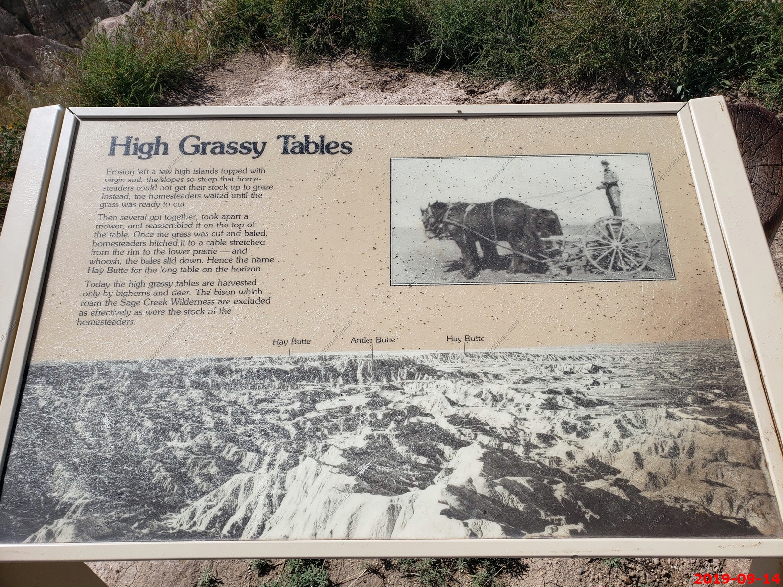
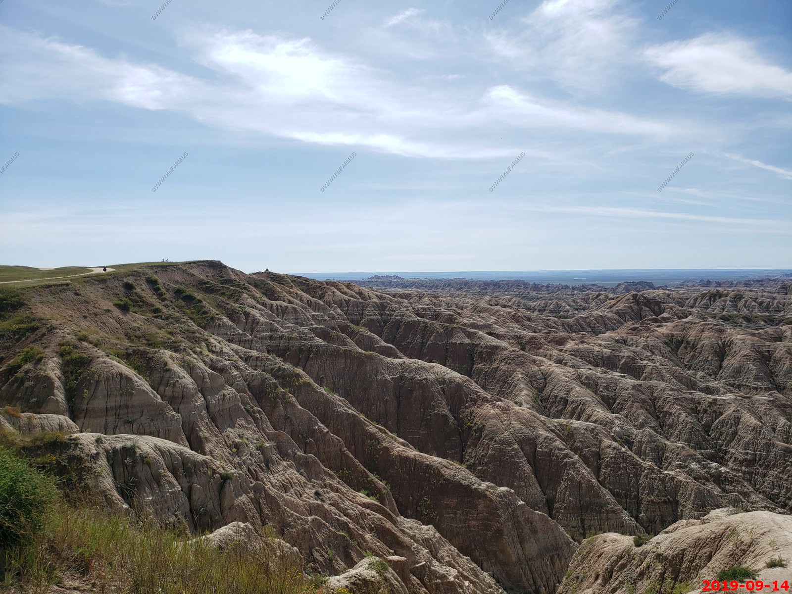
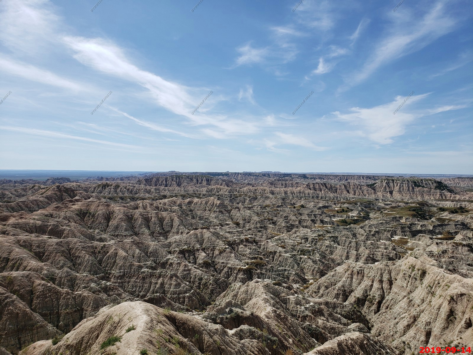
Hay Butte Overlook - is located along the dirt Sagecreek Rim Road in Pinnacles section of Badlands National Park.
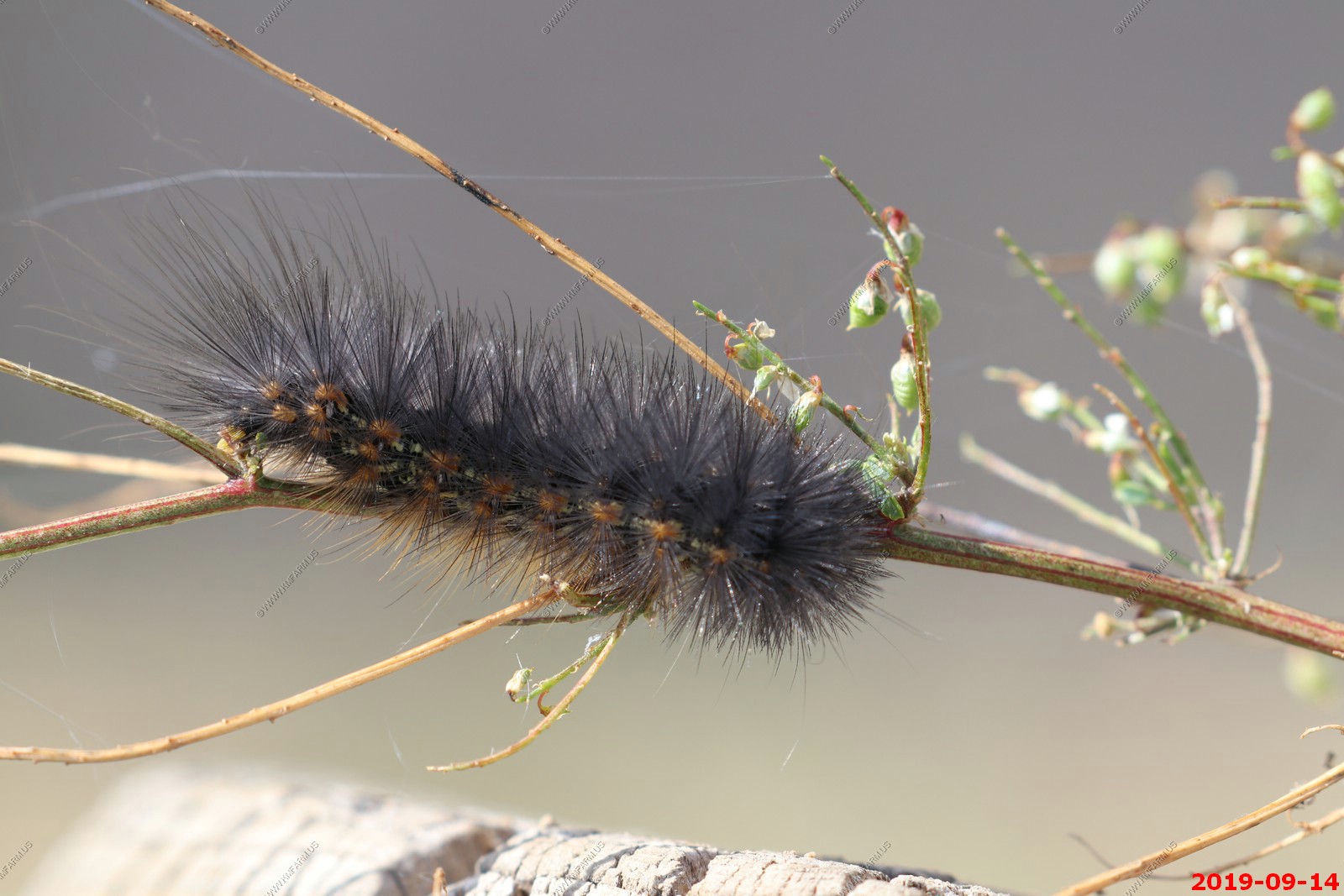
It was windy here and spiders were ballooning through the air by releasing one or more gossamer threads to catch the wind.
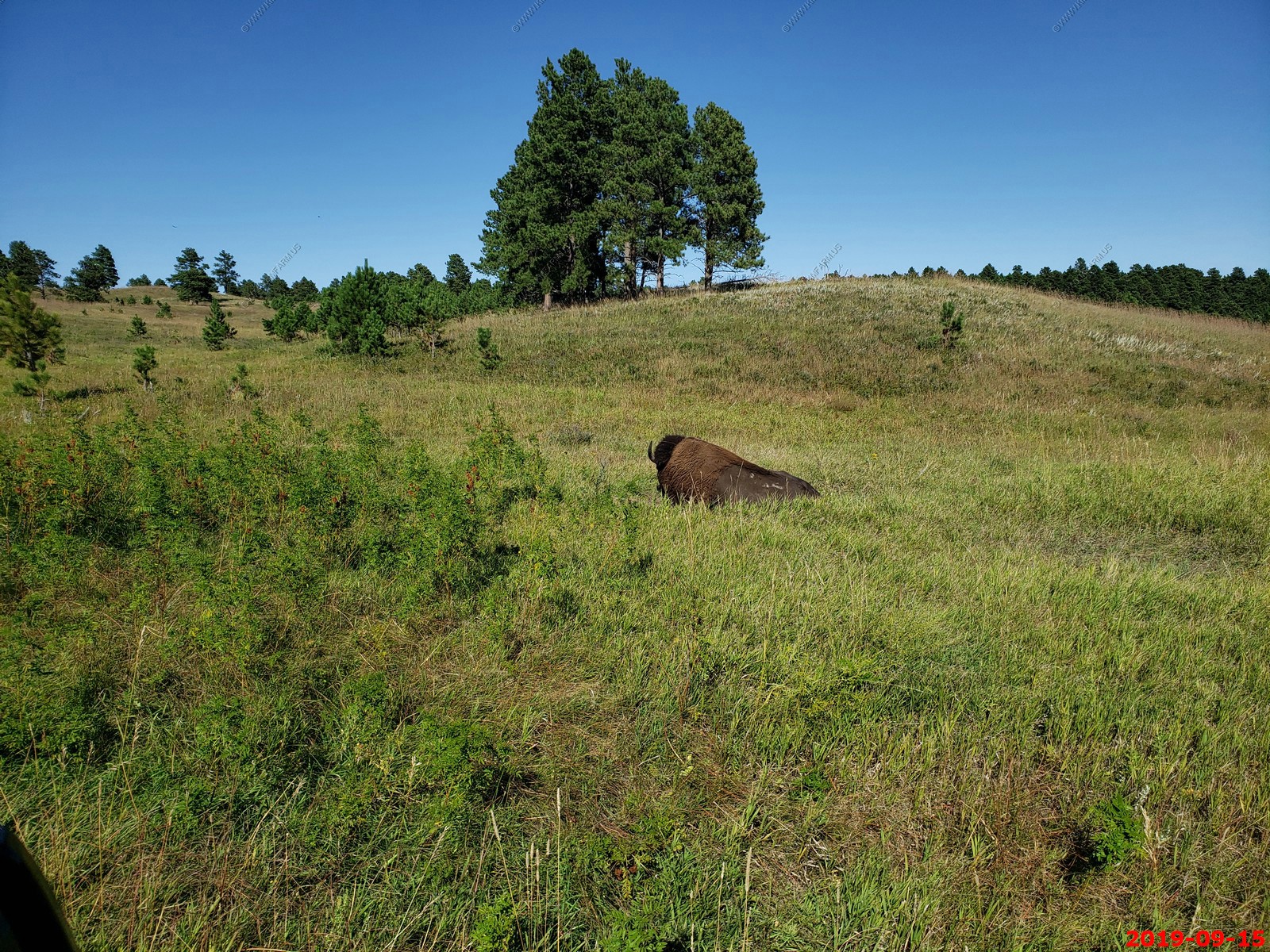
A Buffalo with the Black Hills in the background.
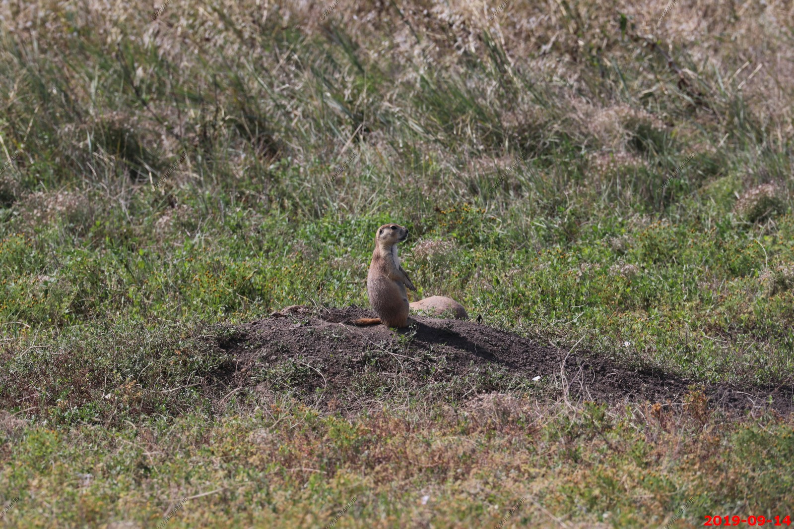
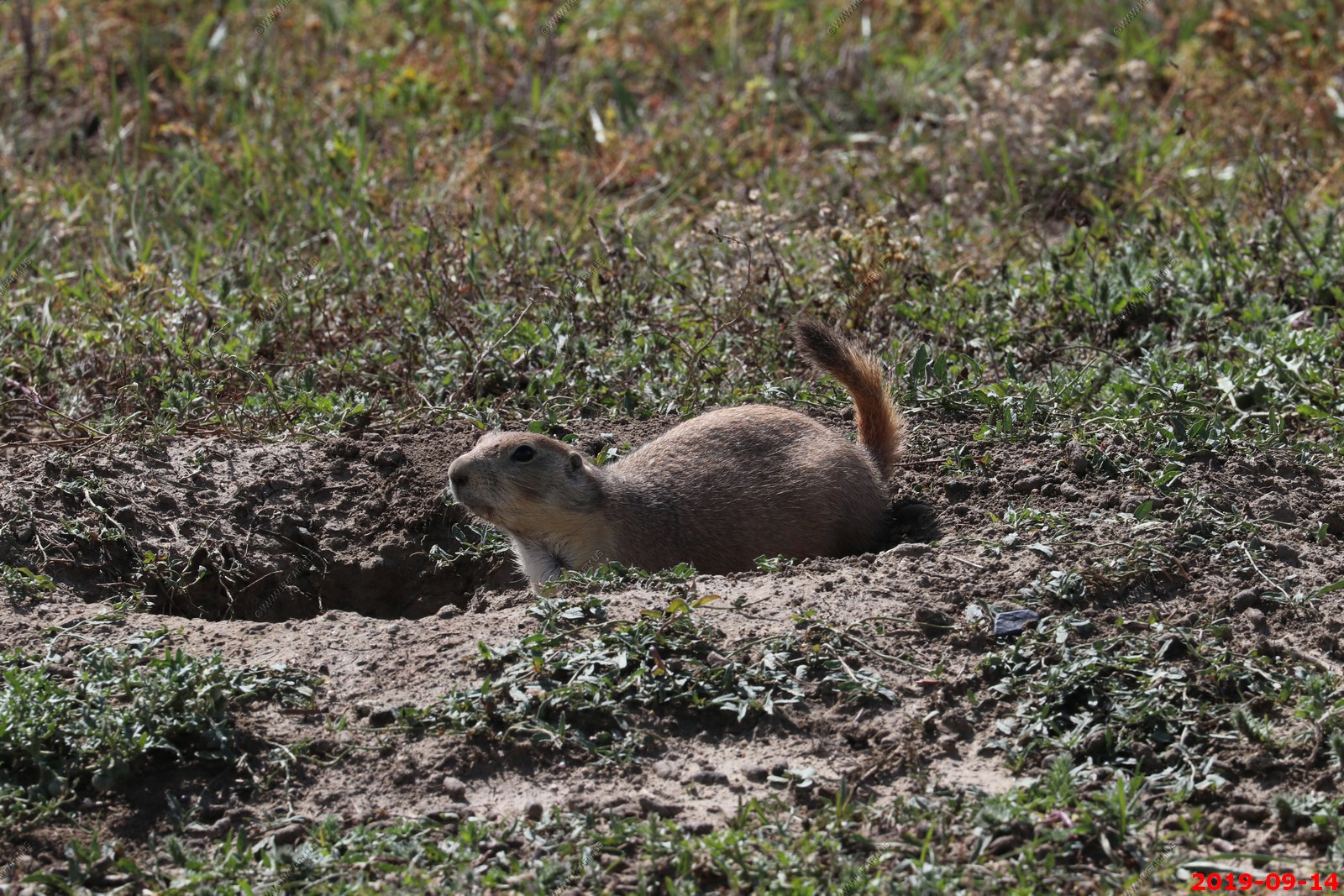
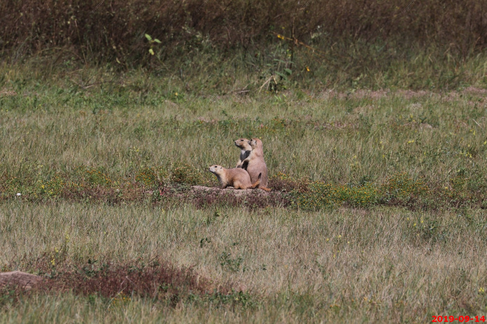
Prairie dog's They were everywhere on this trip.
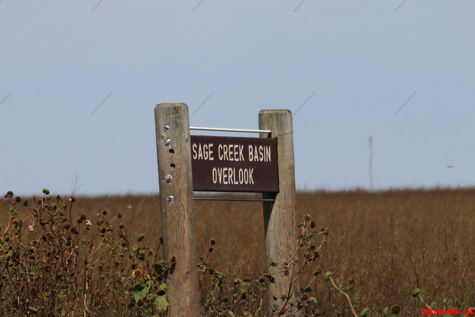
Stopped at Sage Creek Basin Overlook - We were all alone at this overlook.
Looking south and back east at the Badlands.
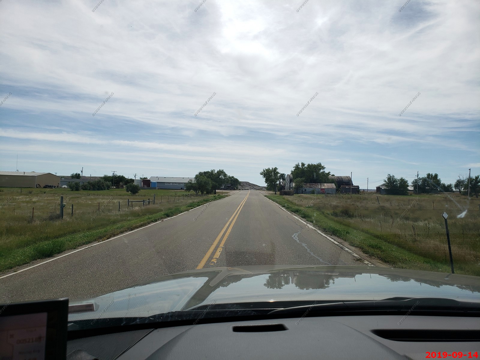
Driving along Main Street in Scenic, South Dakota. In July 2011, the 12-acre town and surrounding area about 46 acres total was listed for sale at $799,000. The sale includes the post office (ZIP code 57780), Longhorn Saloon, a dance hall, bunkhouse, museum, and two stores. It also includes a train depot that is on an abandoned line that was part of the Chicago, Milwaukee, St. Paul and Pacific Railroad and is the subject of a 104-mile rails-to-trail project between Rapid City and Kadoka.
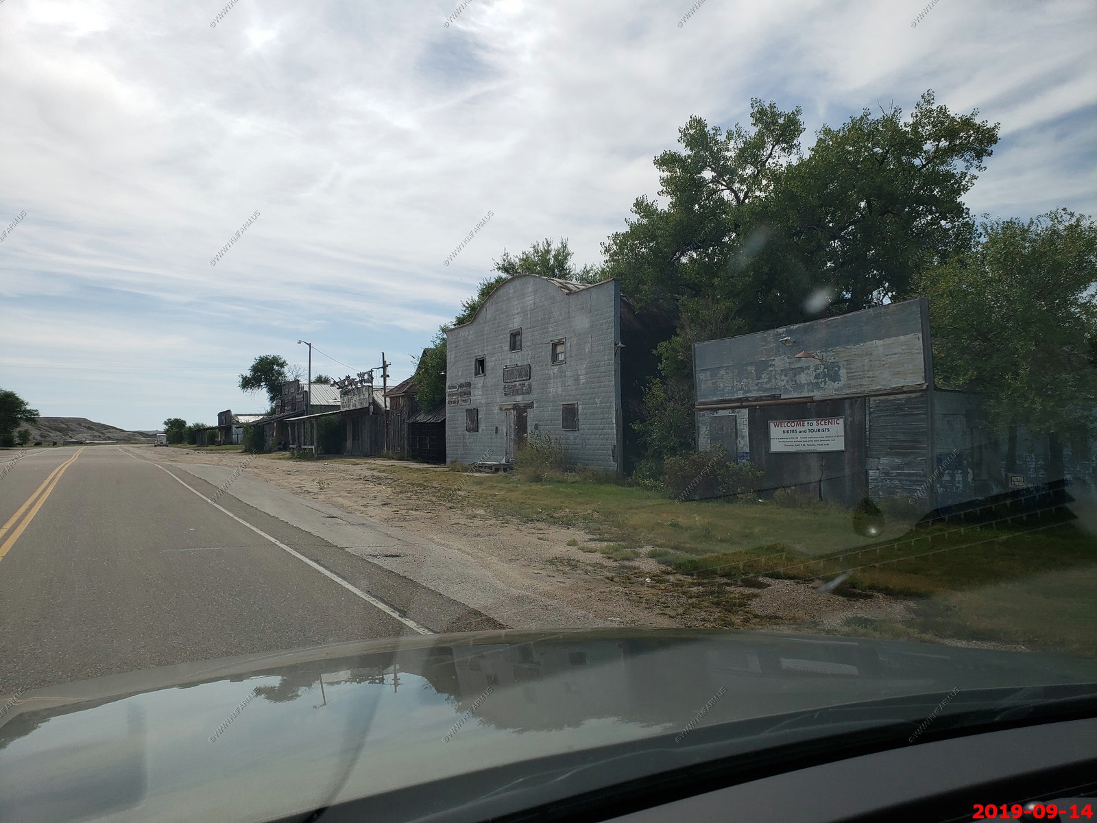
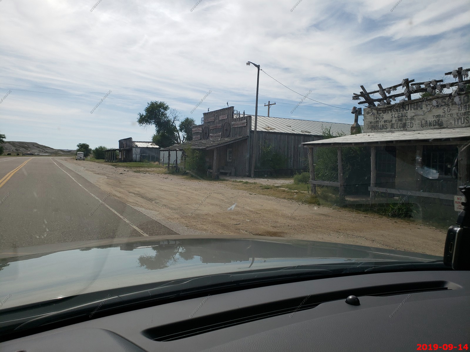
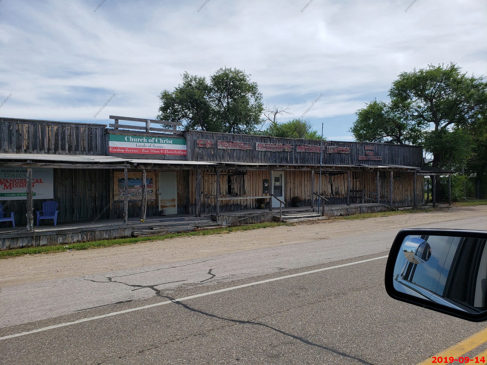
In August 2011, the Iglesia ni Cristo (INC, English: Church of Christ), an independent, nontrinitarian Christian denomination based in the Philippines, bought the property for nearly $800,000, Pennington County records show. The church never disclosed why it acquired the property. In 2014, Daniel Simmons Ritchie of the Rapid City Journal wrote that the INC "has done little with the town since its purchase."
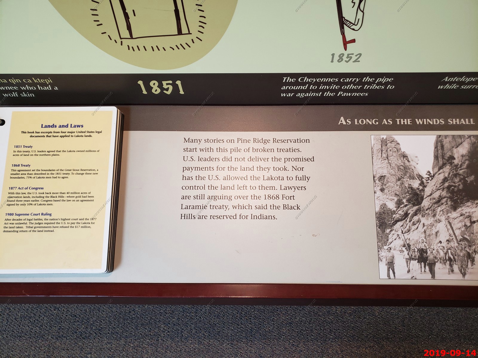
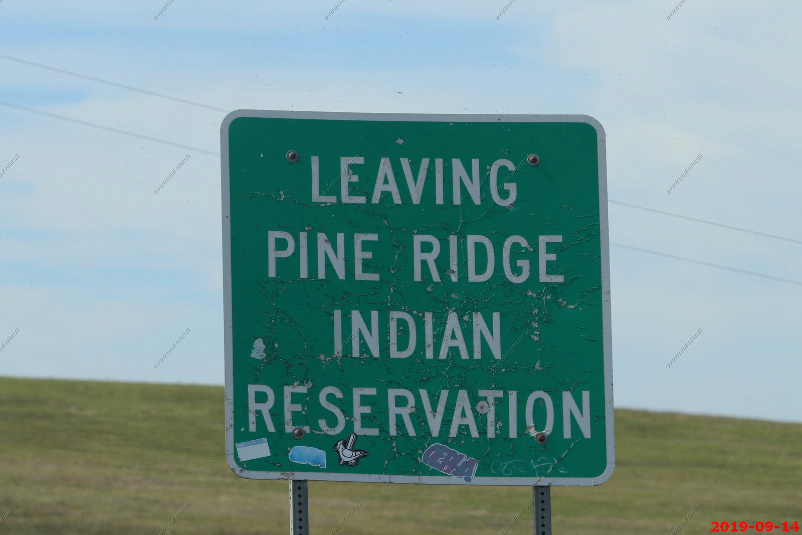
We stopped at the White River Visitor Center which is on / next to the Pine Ridge Indian Reservation. Its staffed by Lakota's and they were NOT friendly. But, we used the bathrooms and continued on. Indians were selling stuff on the visitor center grounds which is federal property ??
This was a bombing range in the past. Probably a good thing for the future too.
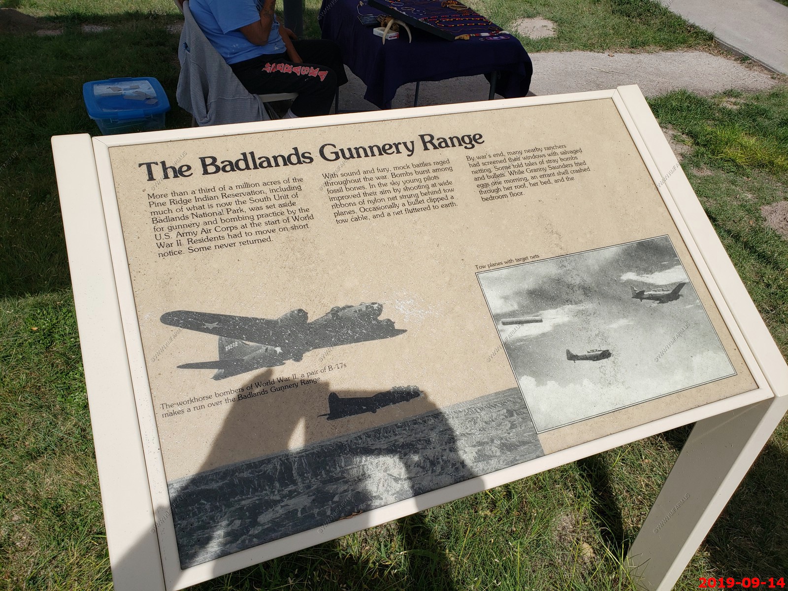
PC stuff. You lost so you need to get over it! This is why I don't support the National Park Service 100% anymore. Pine Ridge is a disaster. Got some time, you should read about Whiteclay, Nebraska & Pine Ridge.
Wide open spaces.
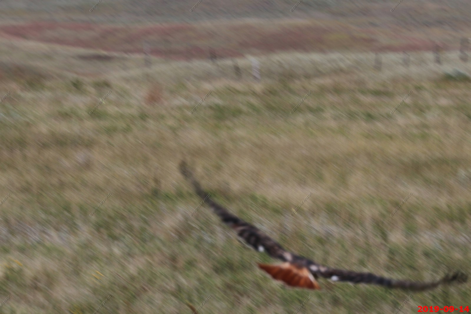
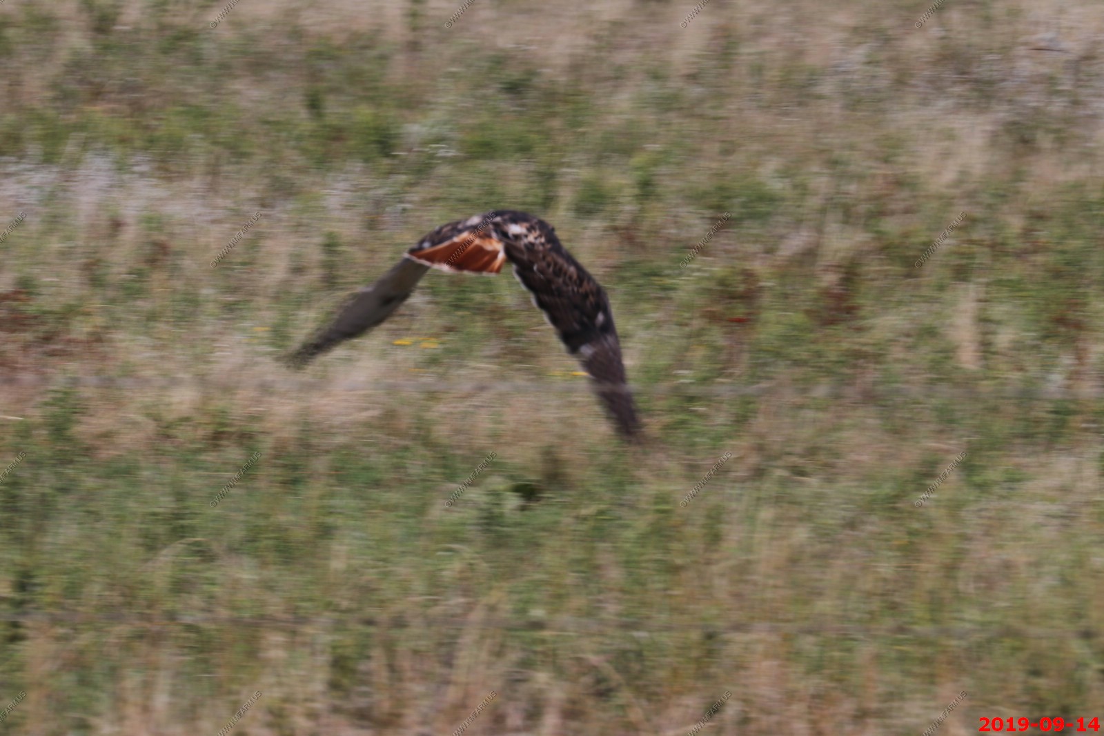
Bad photos of a Red Tailed Hawk?.
We went well over a hour without seeing anyone else which is good. The Black Hills are getting closer. This was Between Rockyford and Buffalo Gap, SD.
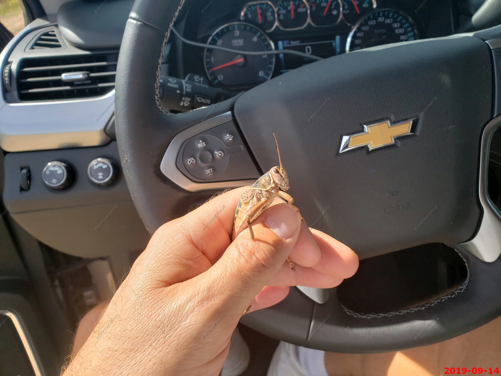
Large Grasshoppers along this stretch. Its bad luck to run them over.
We made it! Without being robbed, mugged, shot, killed, or arrested.
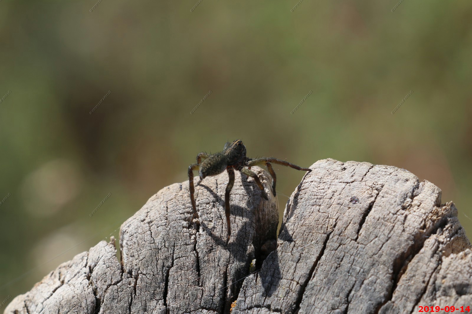
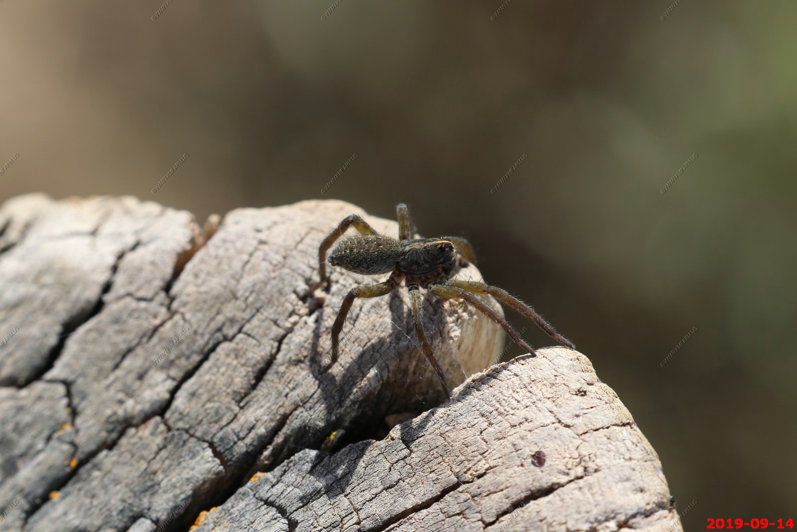
Large amount of spider webs were along the south side of the road. I did not see the spiders.
I would hate to go off the road and crash into this.
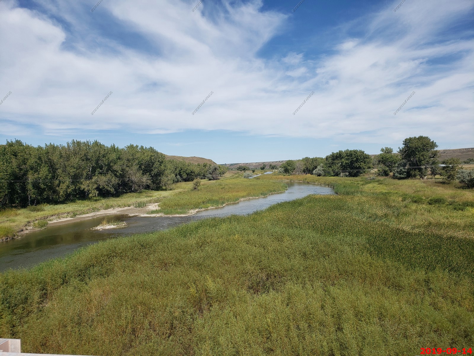
Crossing the Cheyenne River - is a tributary of the Missouri River in the U.S. states of Wyoming and South Dakota. It is approximately 295 miles. Snowmelt from the Black Hills provides the major source of river water. Because of the proximity to the Black Hills and its mining industry, the Cheyenne historically picked up large quantities of zinc, arsenic, and cyanide. Those pollutants are no longer a major threat due to water quality regulations. The Cheyenne River is still higher in dissolved mineral content than any other South Dakota major river.
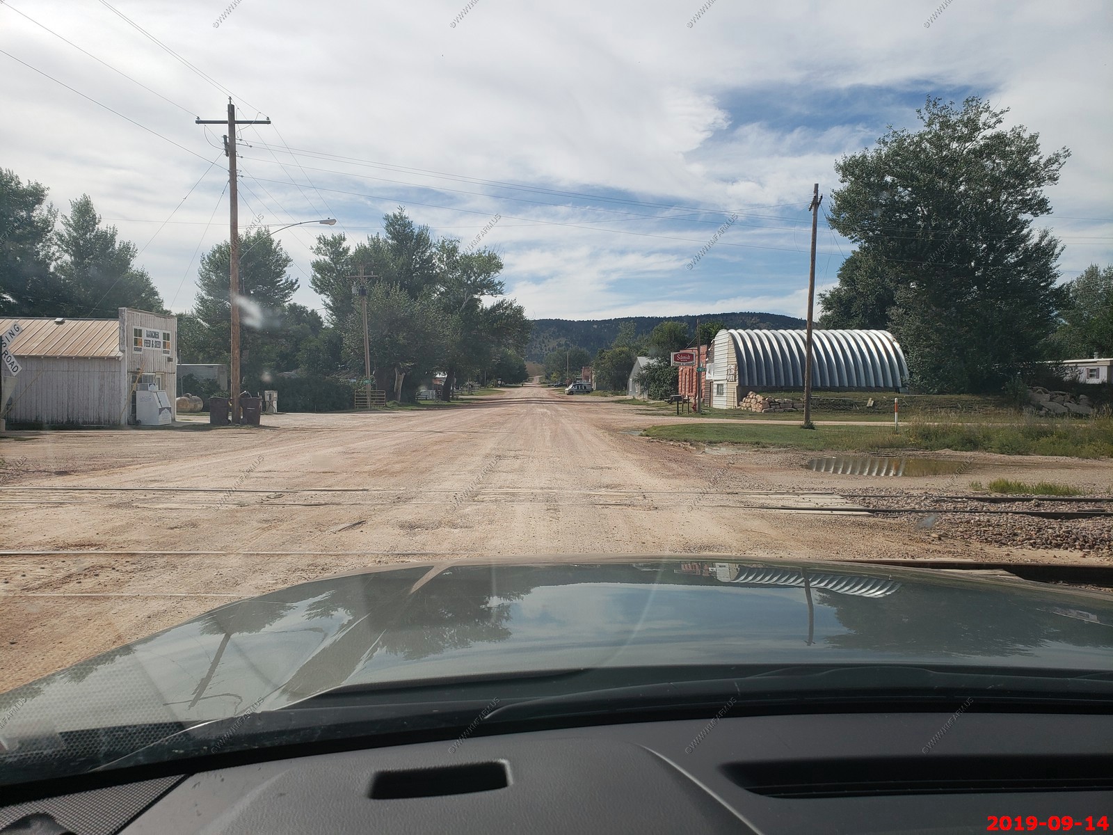
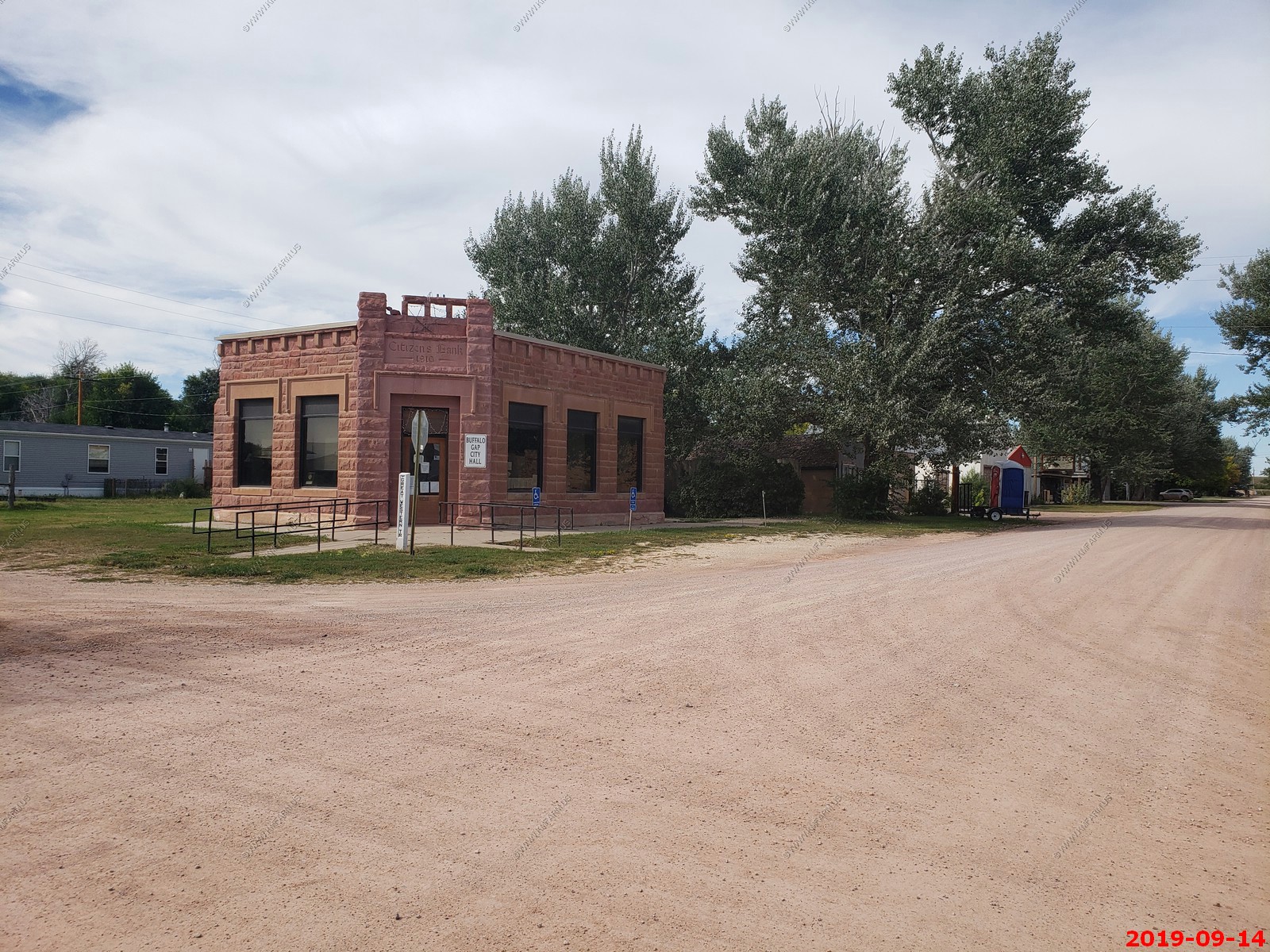
Coming into the big town of Buffalo Gap, SD. This was the first town we encountered since the White River Visitor Center.
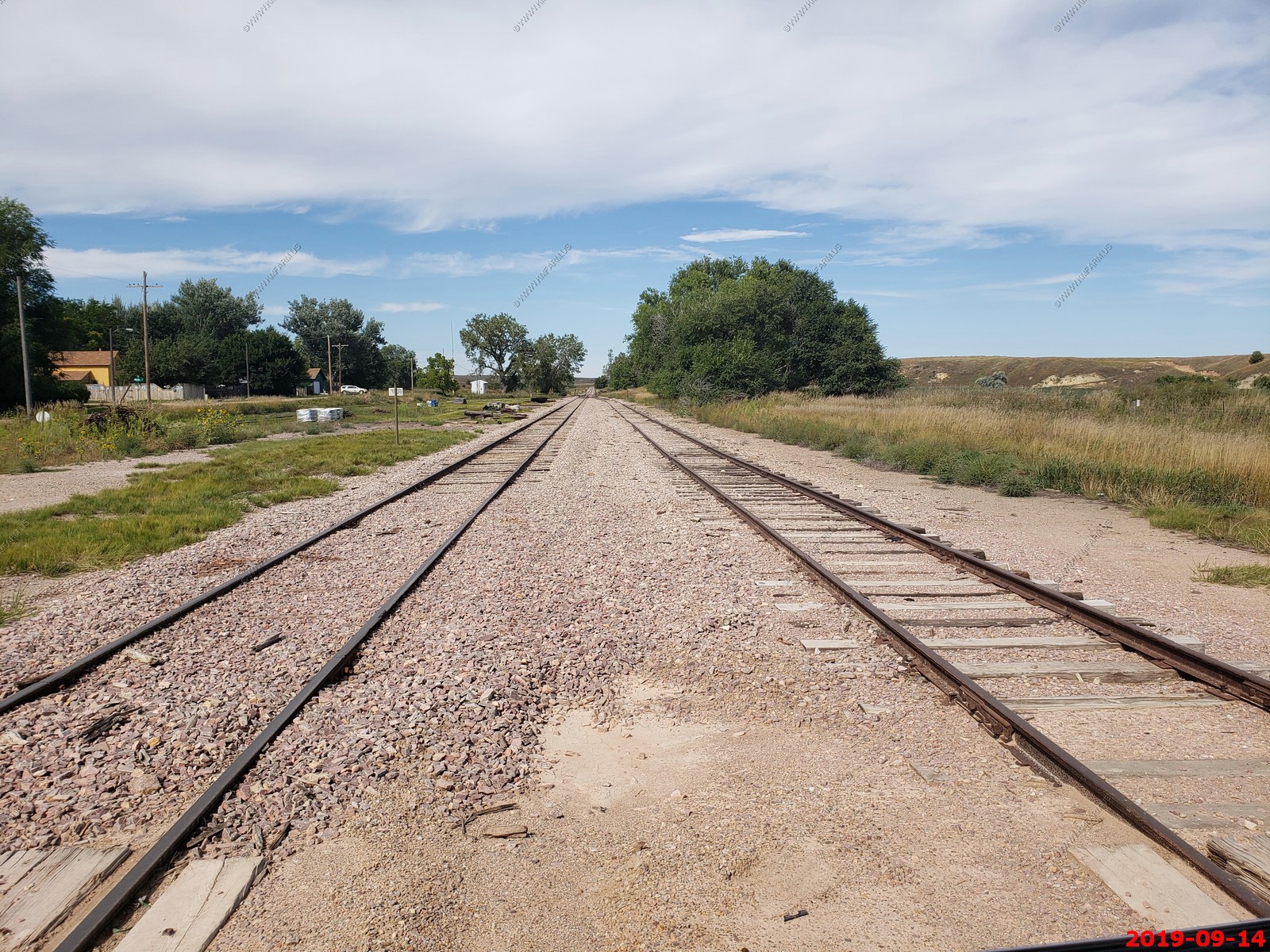
Looking north on the RR tracks. This is not a main line but its maintained. My RR map of the Continental US states that this line is owned by Dakota Minnesota and Eastern railroad
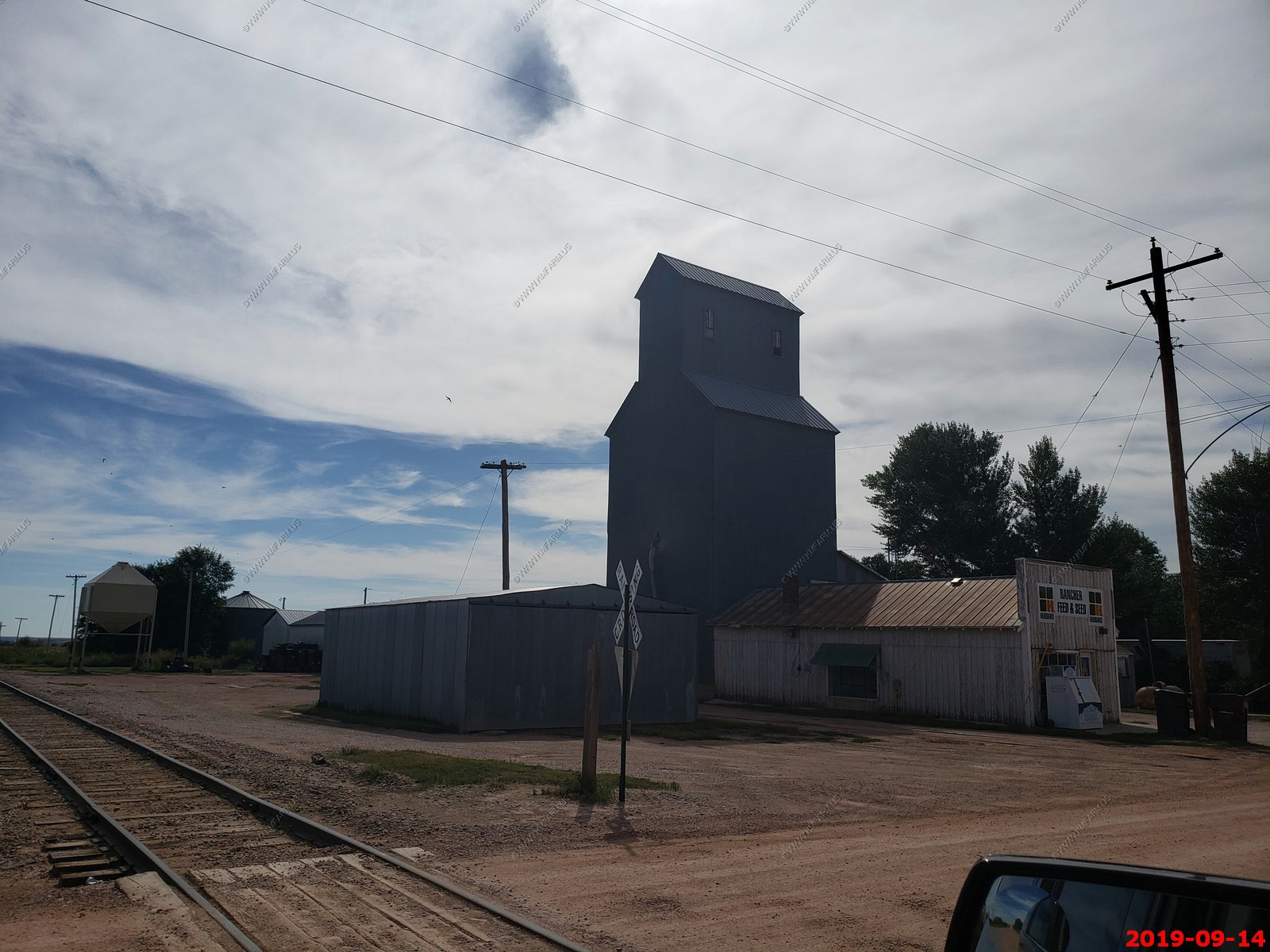
Looking south into the sun at the Rancher Feed & Seed silo.
Buffalo Gap City Hall - 1910 Citizens Bank sandstone building.
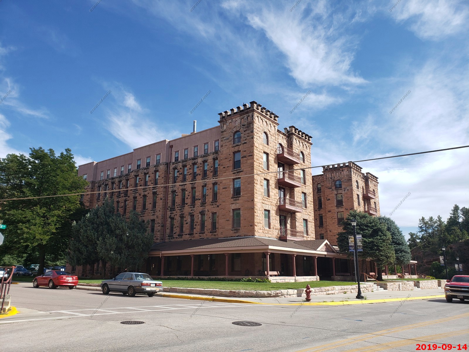
Hot Springs, SD.
We are now in the Black Hills. You will see this map everywhere and it covers the Black Hills well.
We would drive for miles along this great rail-trail. We may come back just to ride it.
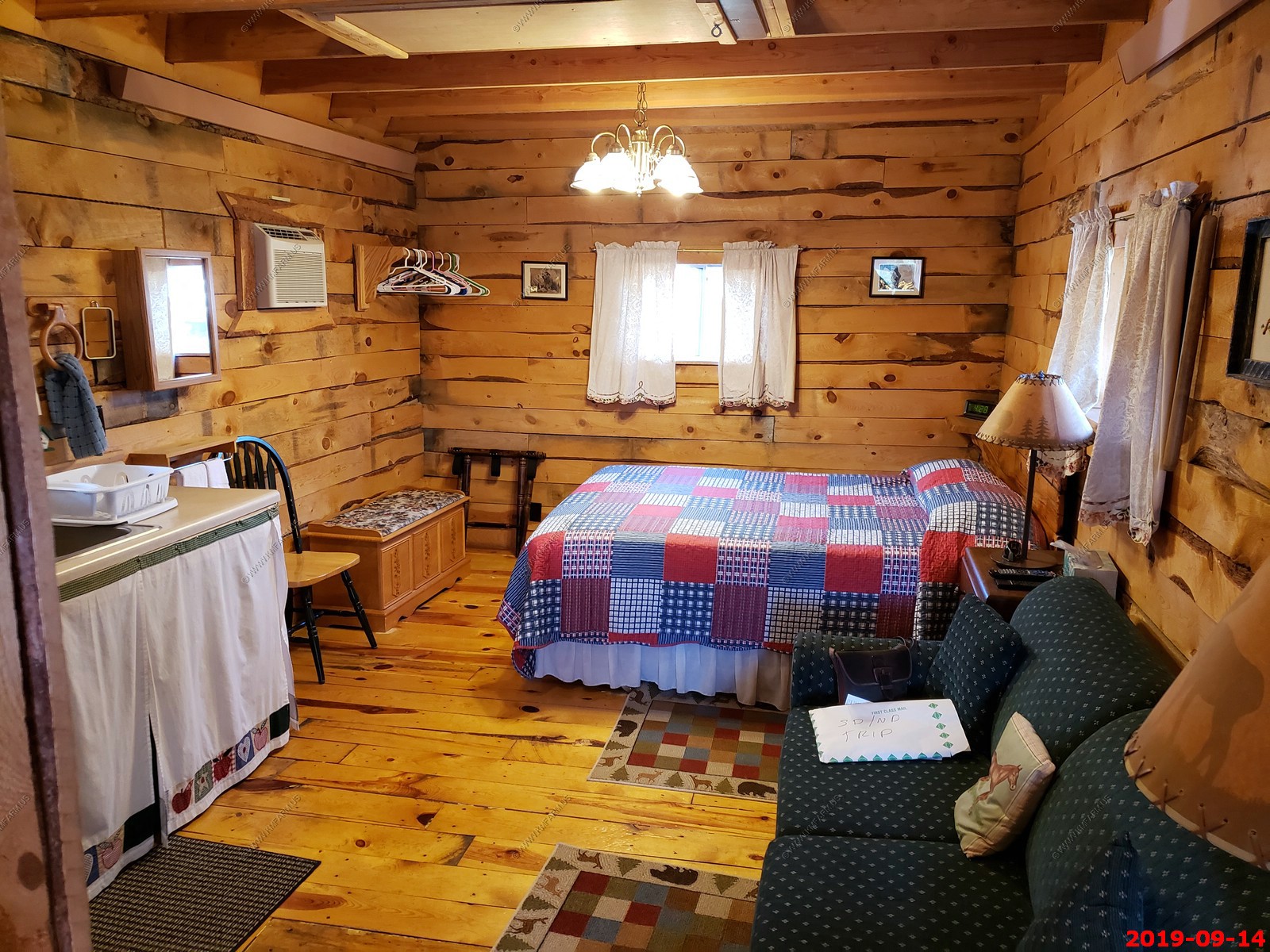
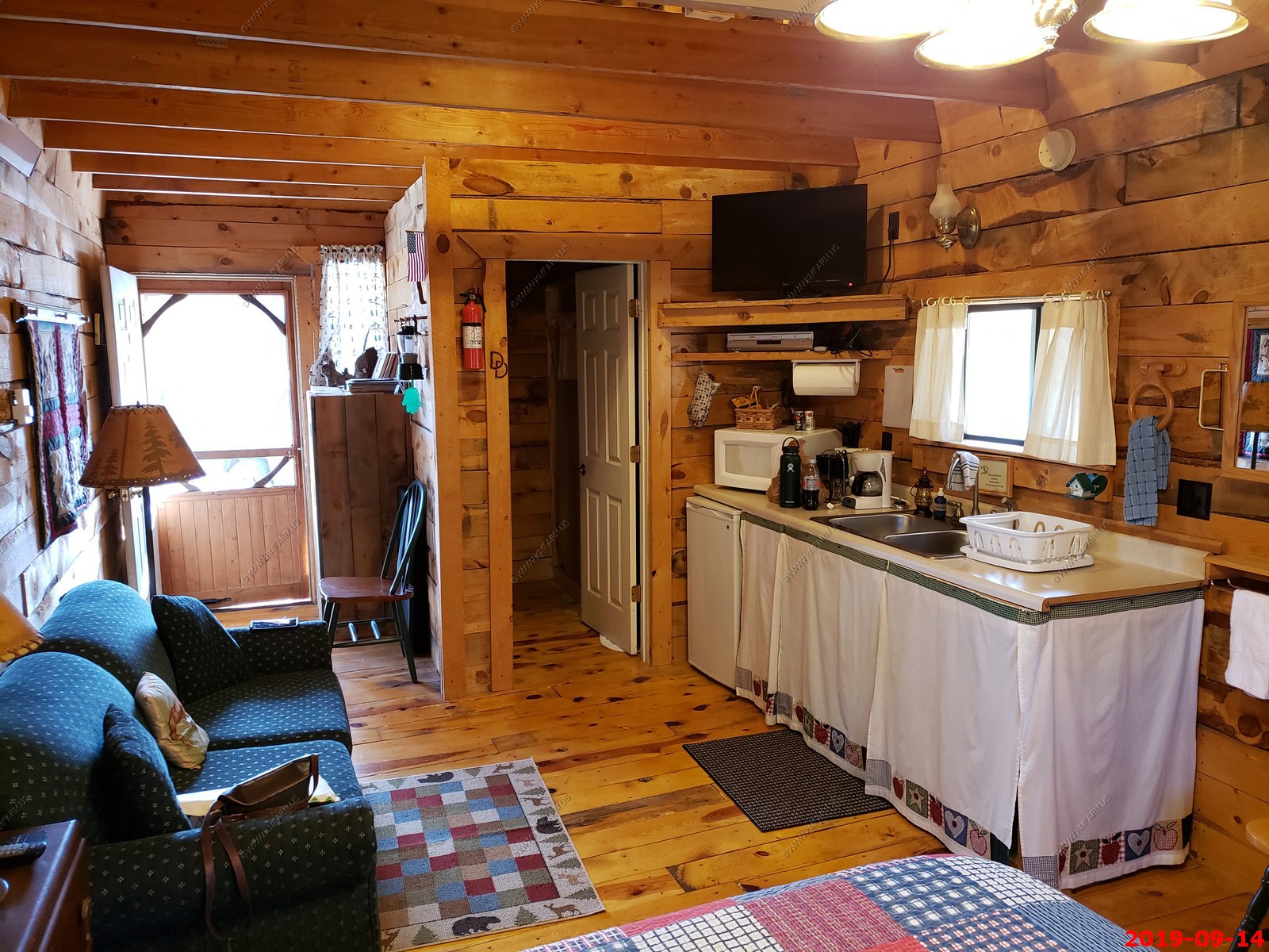
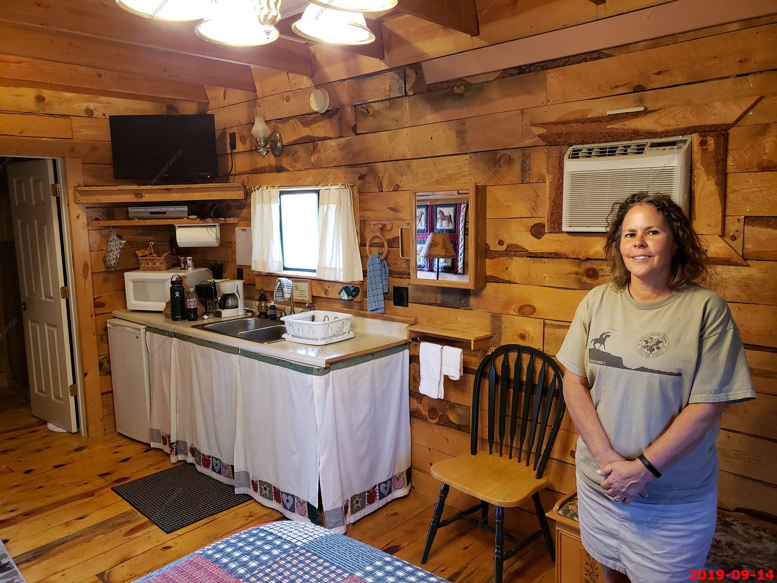
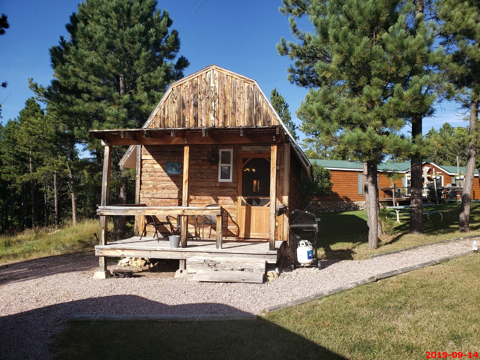
Double D B & B cabins
Double D Bed and Breakfast Cabins 26575 Jack Pine Road Custer, SD 57730
One of the reasons we chose these cabins were the location. Not far from what we wanted to see over the next four days.
Devils Tower - 127 miles - 2 hr 20 min
Deadwood - 76 miles - 1 hr 38 min
Custer State Park (varies) - 25 miles - 30 min
Mt. Rushmore National - 40 miles - 52 min
Wind Cave National Park - 14 miles - 18 min
Jewel Cave National Monument - 32 miles - 38 min
Hot Springs, SD - 23 miles - 27 min
We stayed 4 nights here because we wanted dark skies and peace and quiet. This was accomplished! We wanted to spend most of our time exploring Custer State Park and Devil's Tower and saw a lot of things as we travelled through the Black Hills. The cabin was cozy and the double bed was an adventure for us since we had just bought a King bed. But we tired ourselves out so much we ending up sleeping well. Stony made us a wonderful breakfast each morning.
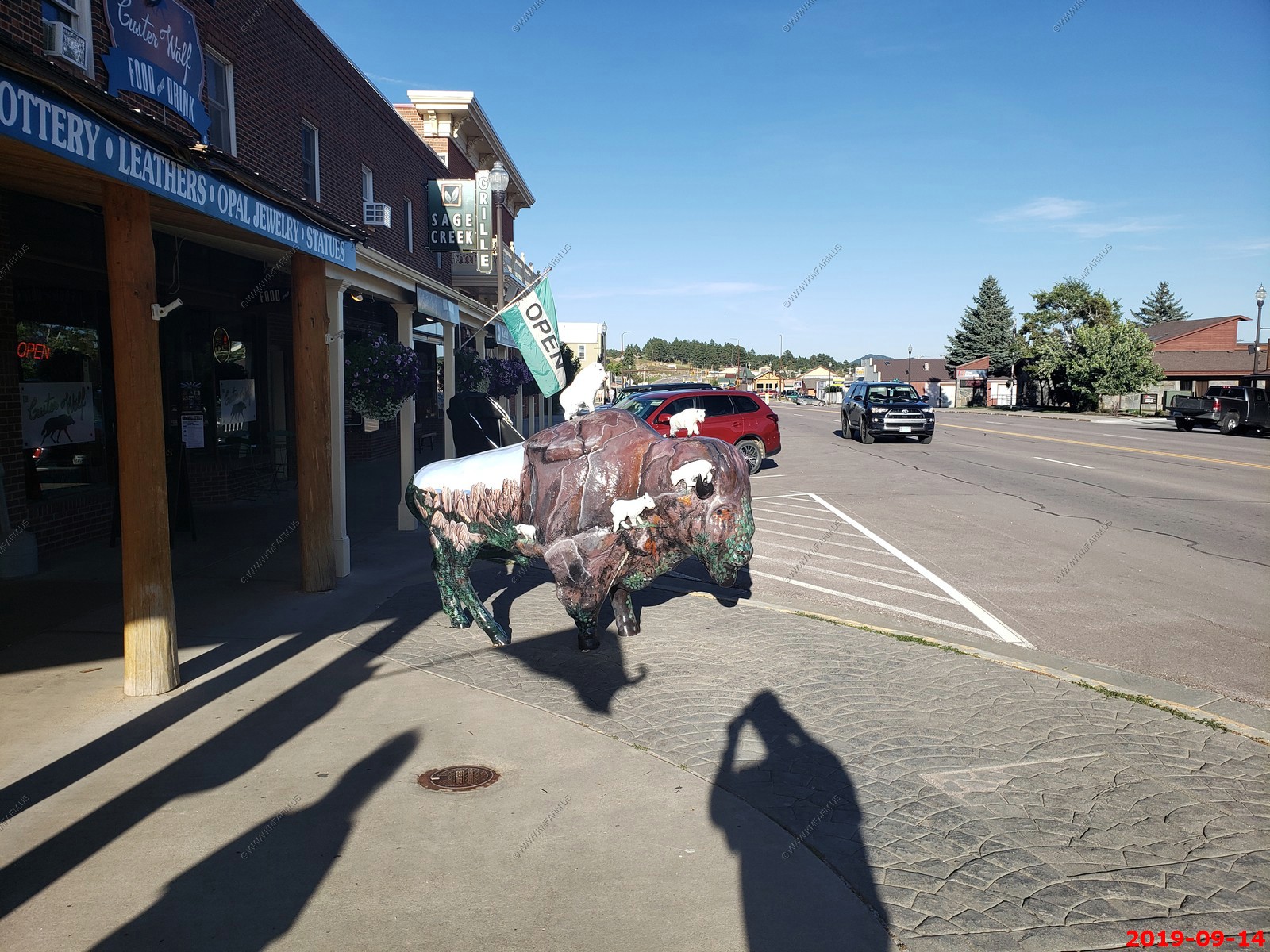
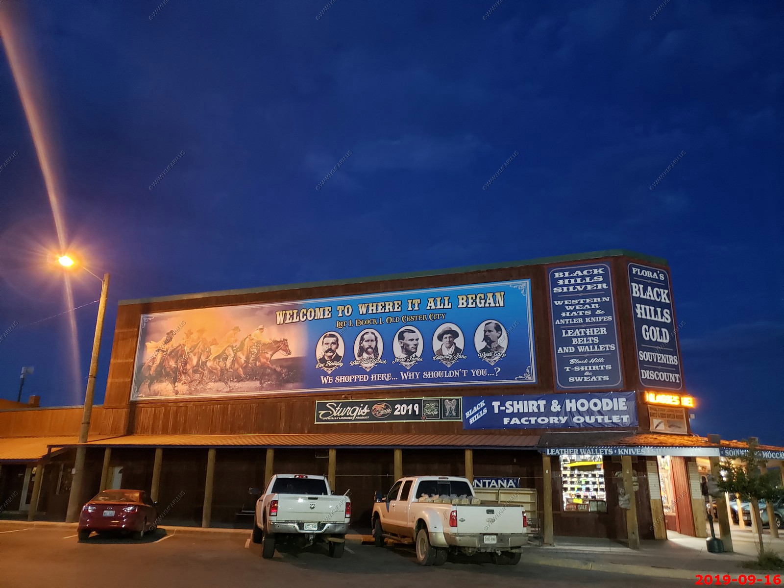
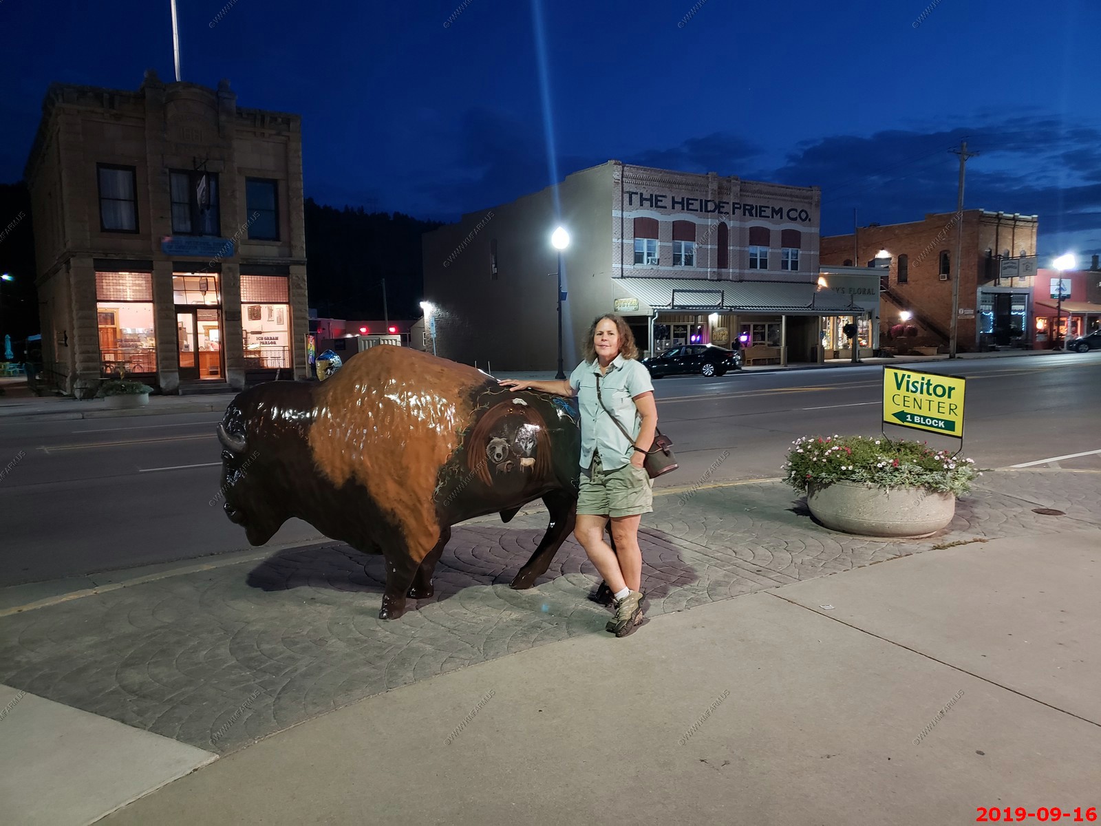
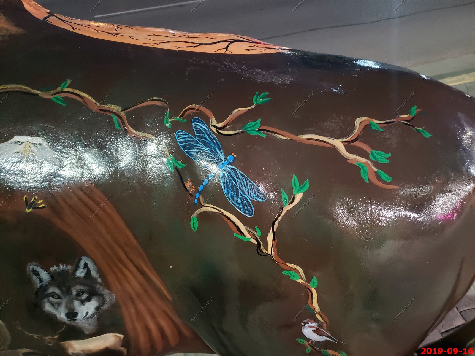
We ended up eating dinner in Custer, SD most of the evenings. These bison statues (all different) are on every corner and the meals were very good. The Custer Wolf was our favorite.
Nestled between free-roaming buffalo of Custer State Park, granite mountain carvings, 1.2 million acres of national forest, and some of the world's largest underground caves, the city of Custer is a welcoming hub in the center of the Black Hills of South Dakota.
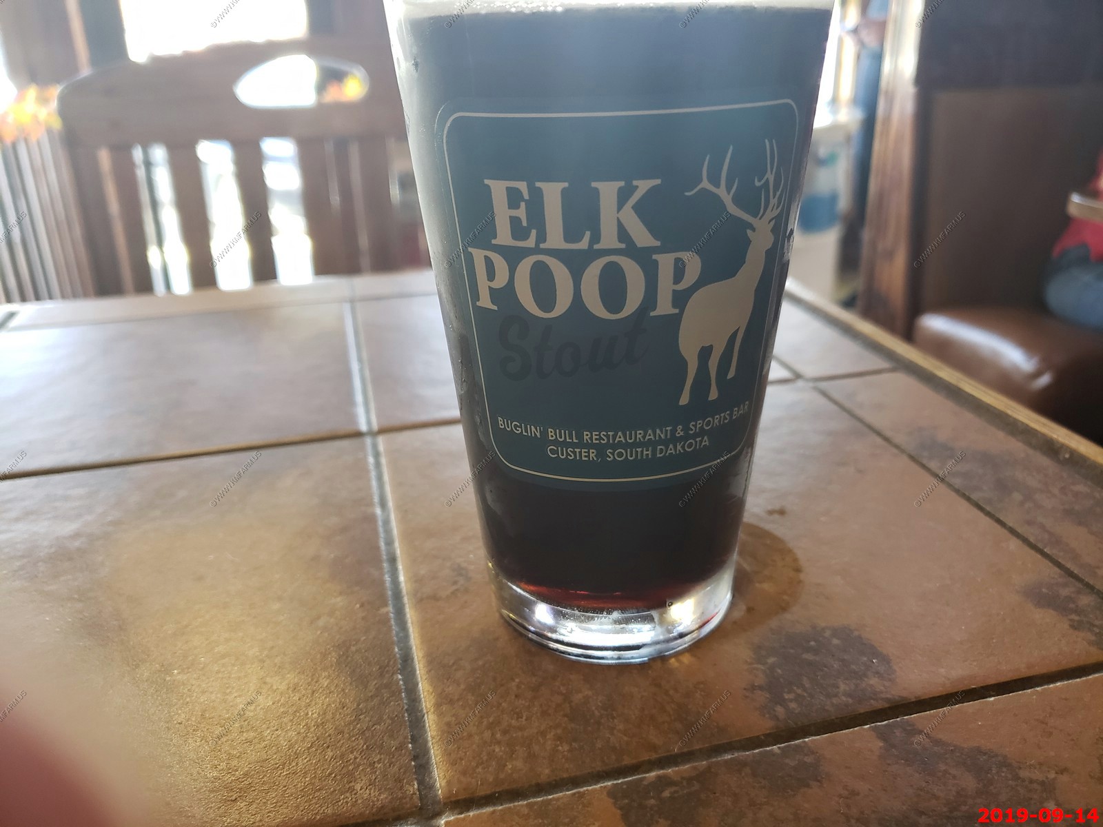
We enjoyed the Elk Poop Stout we had at Buglin' Bull.
The first night we went to hear the elk bugling (evening program) at Wind Cave. It was fun, we heard the elk and we used our Gen-3 night vision and FLIR Systems LS-XR Compact thermal night vision Monocular to watch the elk & buffalo on the adjacent hills.
We also saw elk on the side of SD-89 south of Pringle on our way back to the cabin.
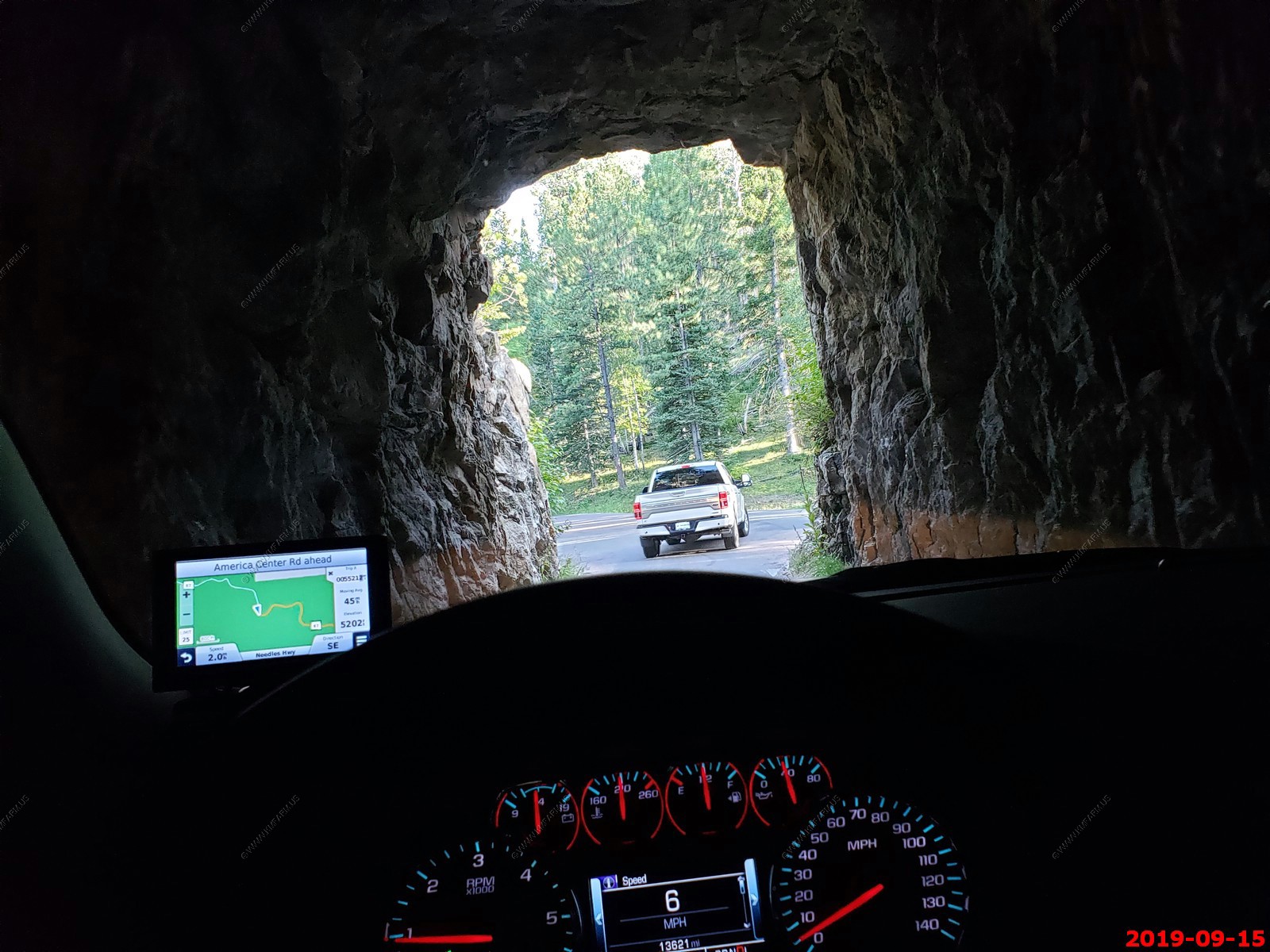
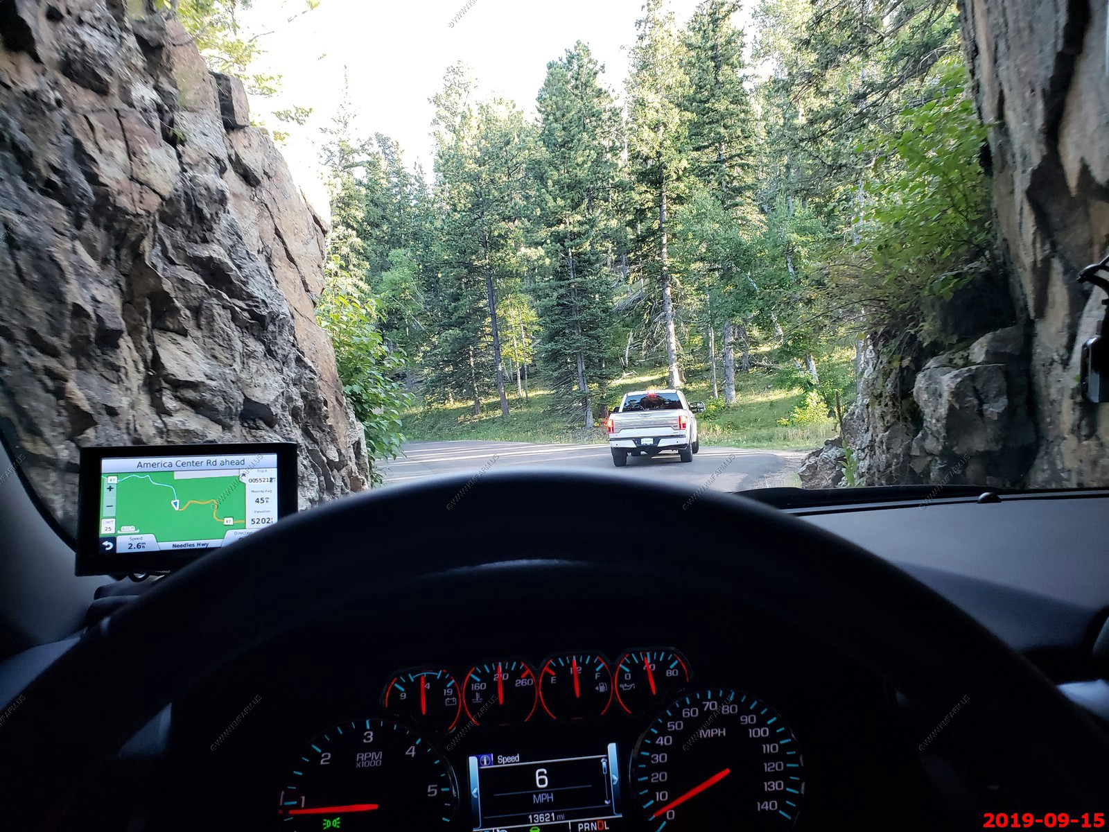
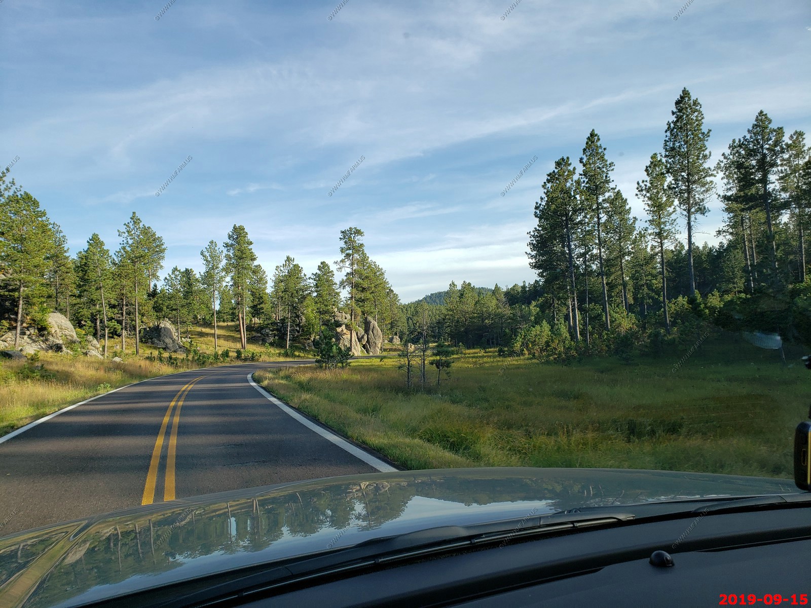
Started the day from - Double D Bed and Breakfast Cabins 26575 Jack Pine Road Custer, SD 57730
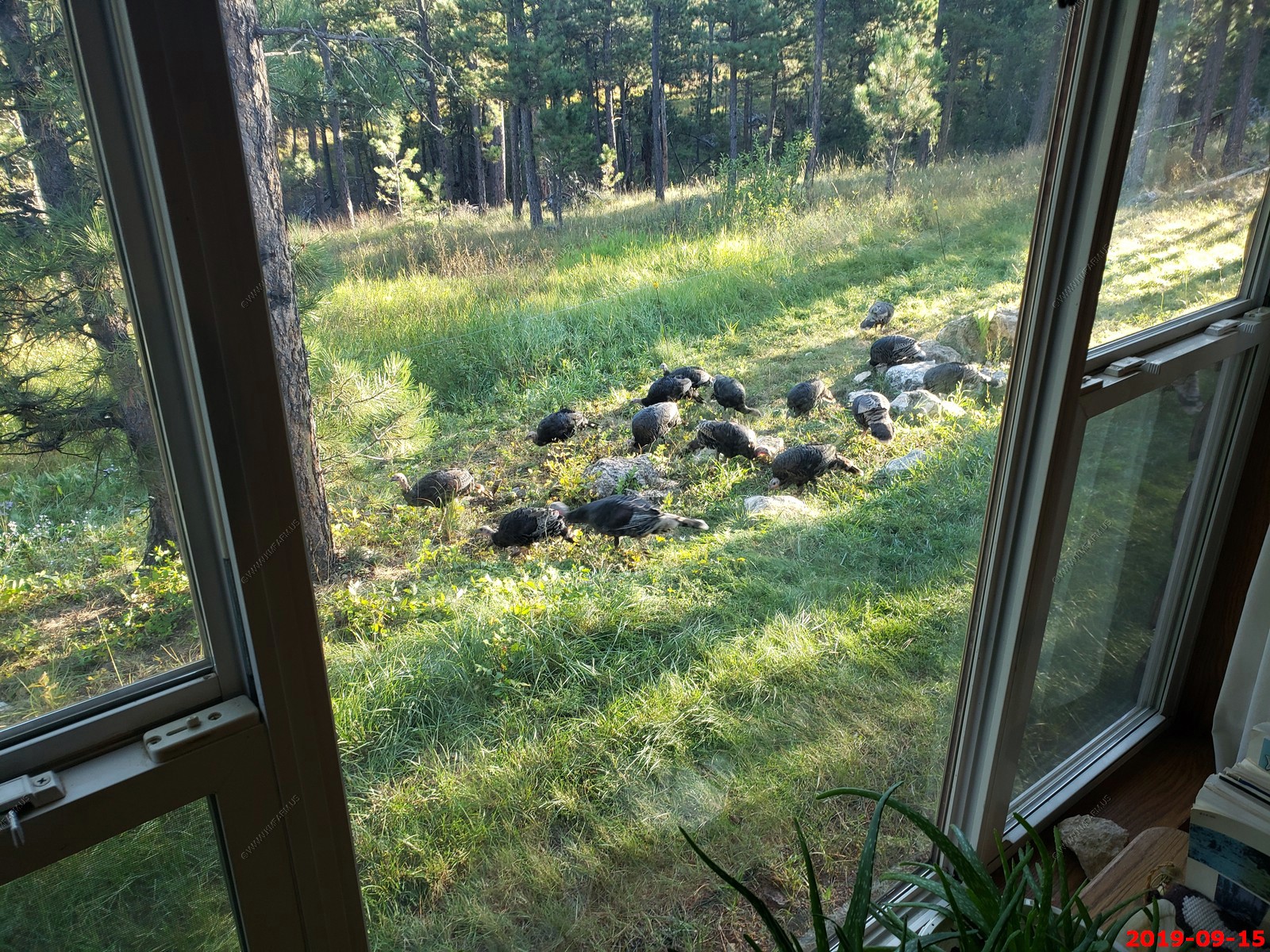
Lots of turkeys here. We would see them every day.
Select publications
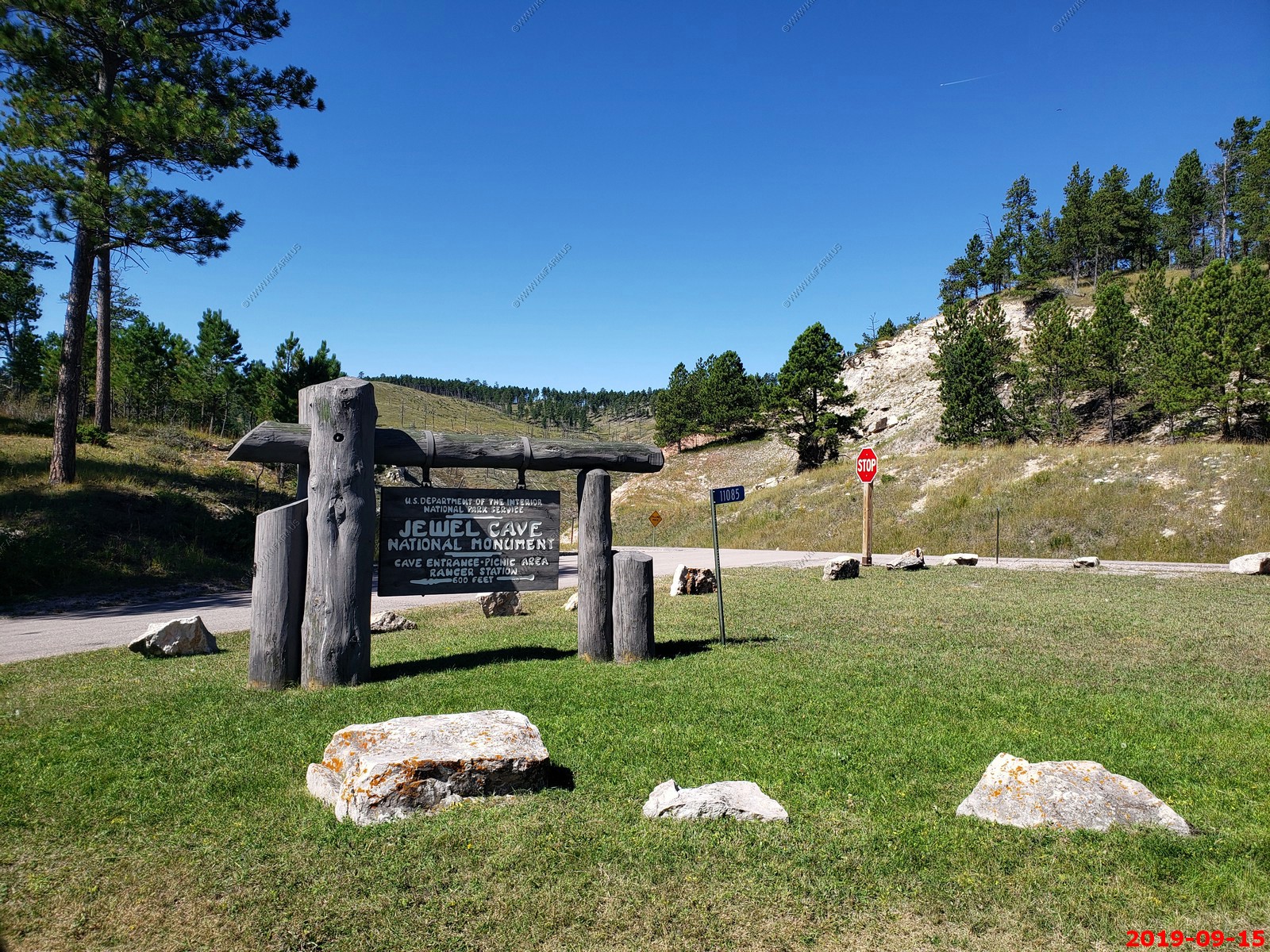
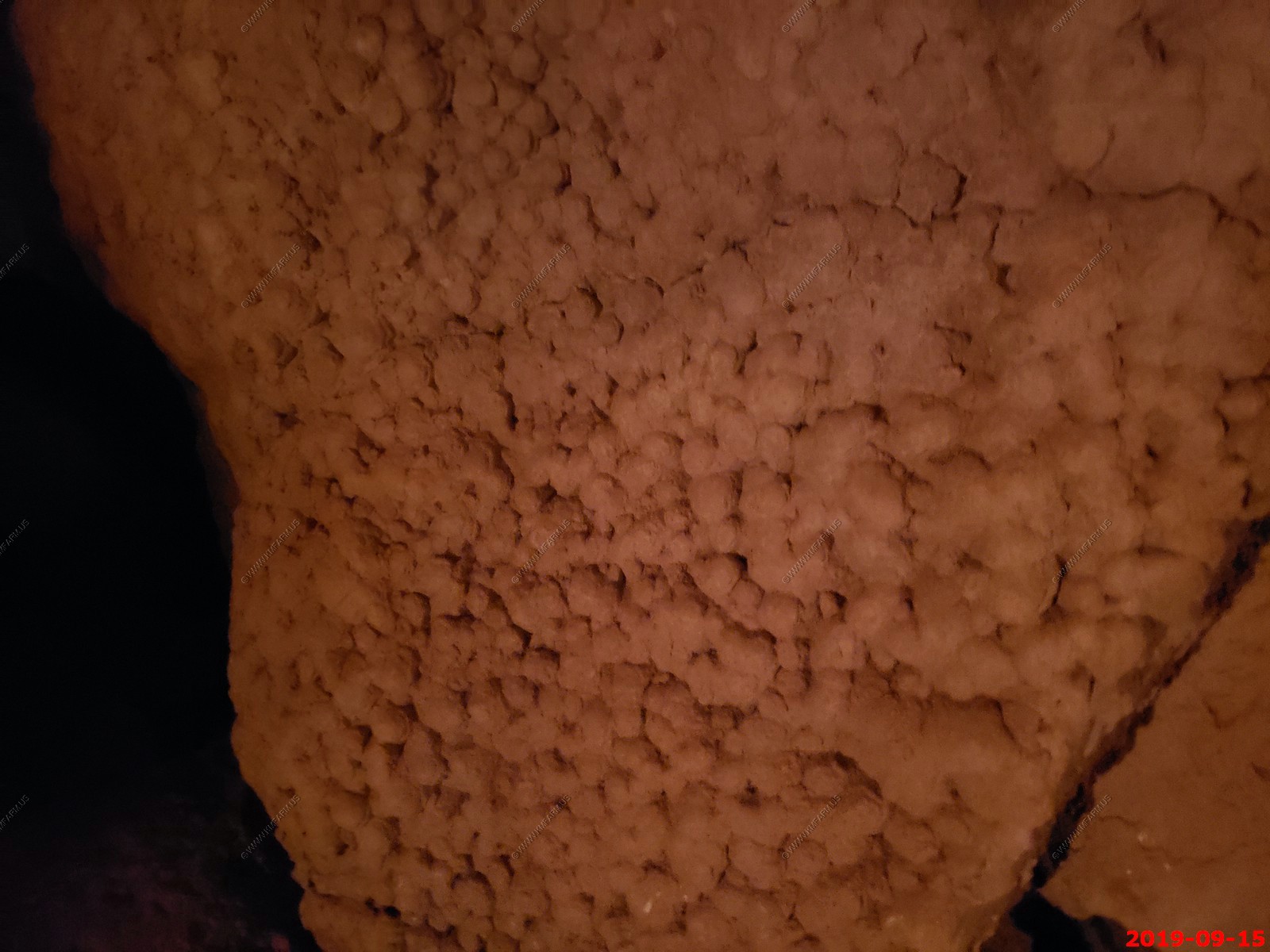
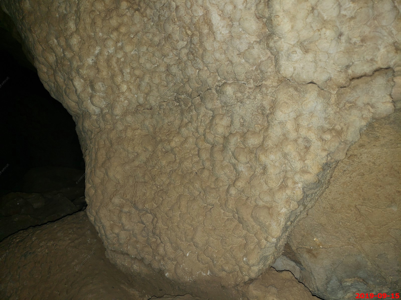
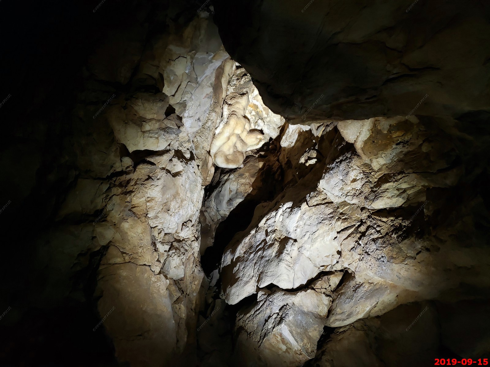
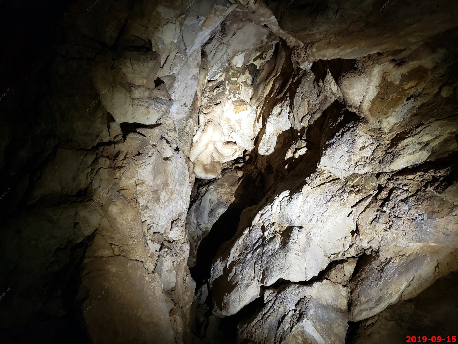
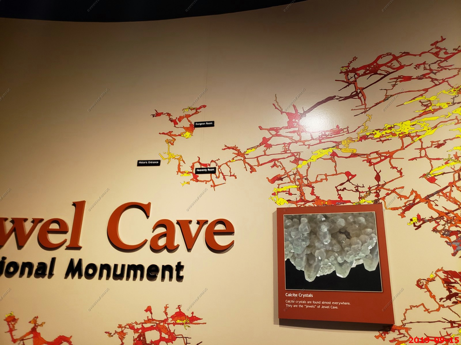
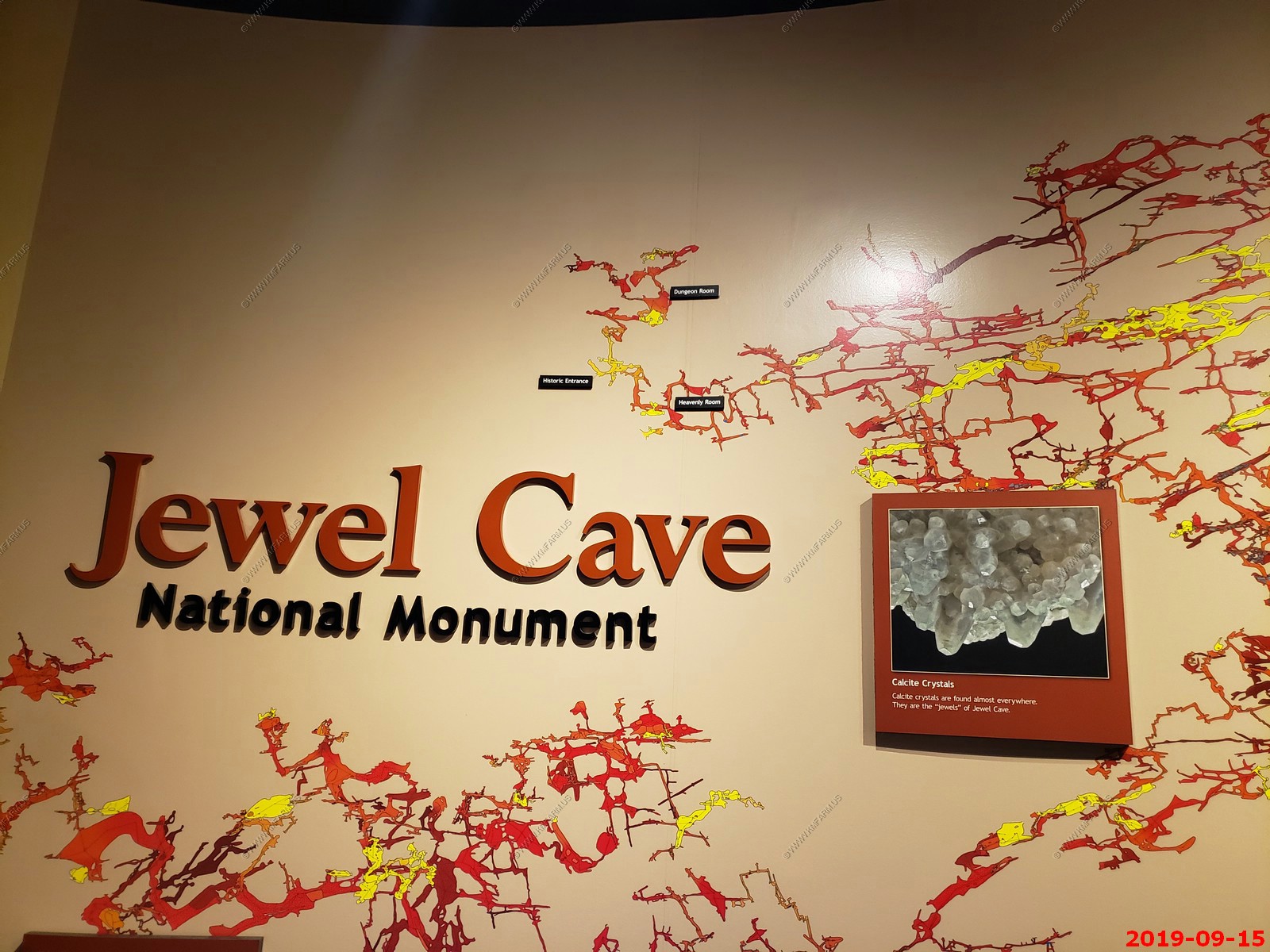
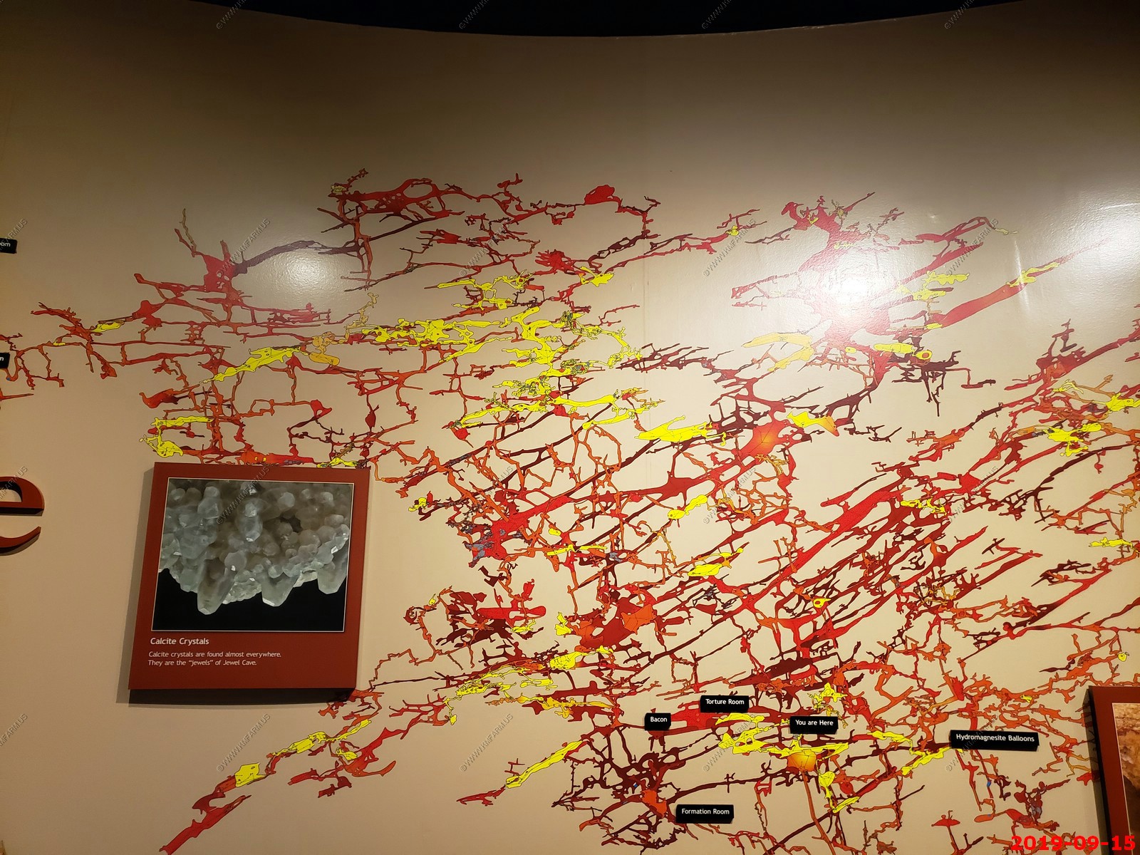
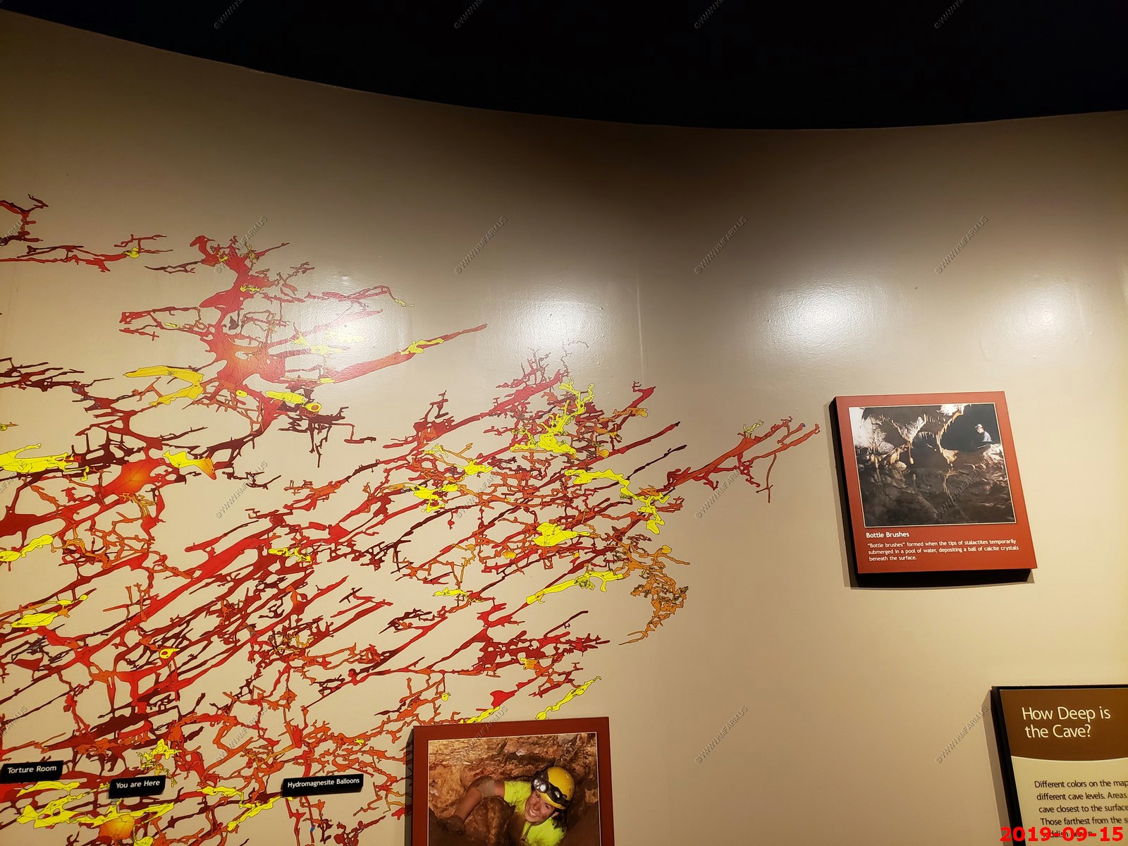
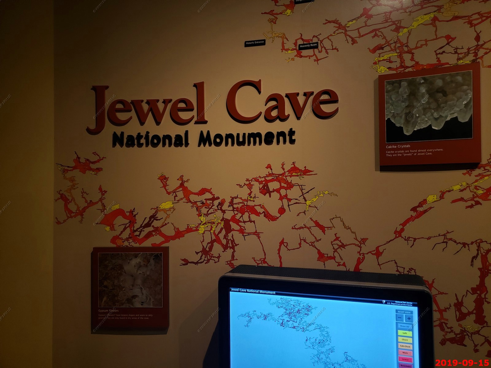
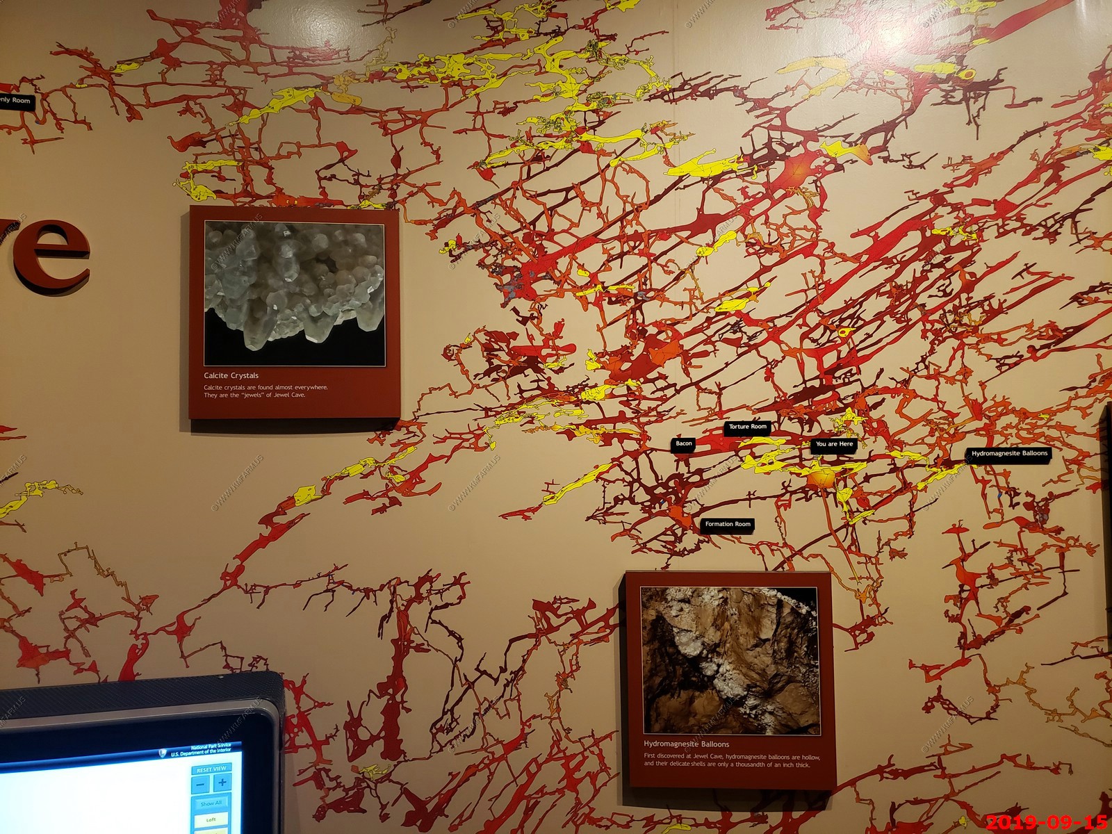
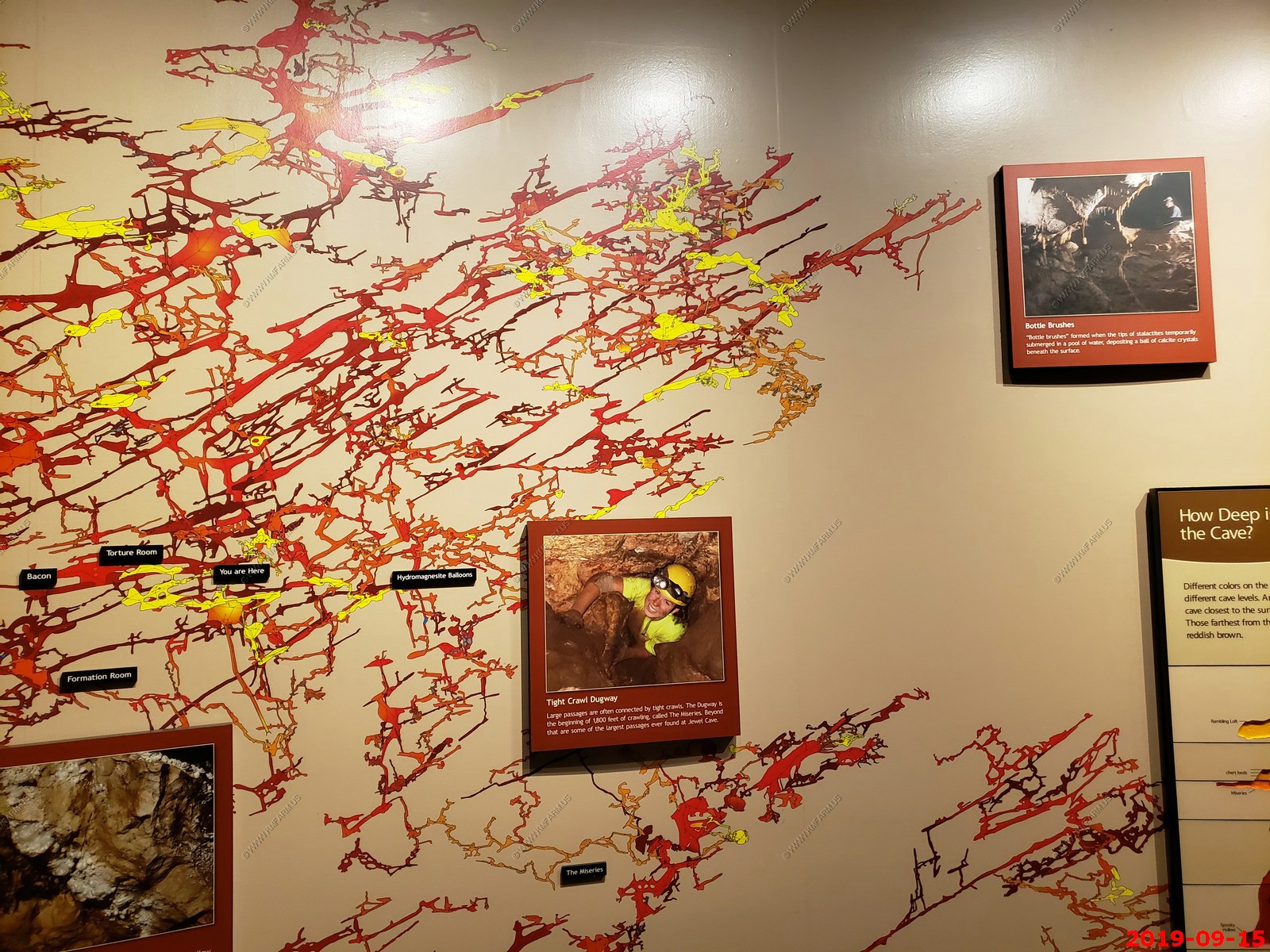
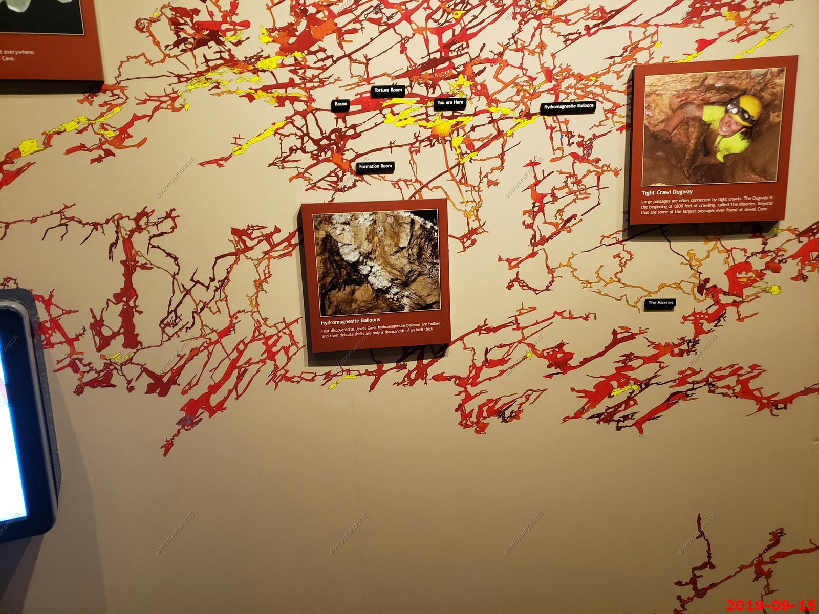
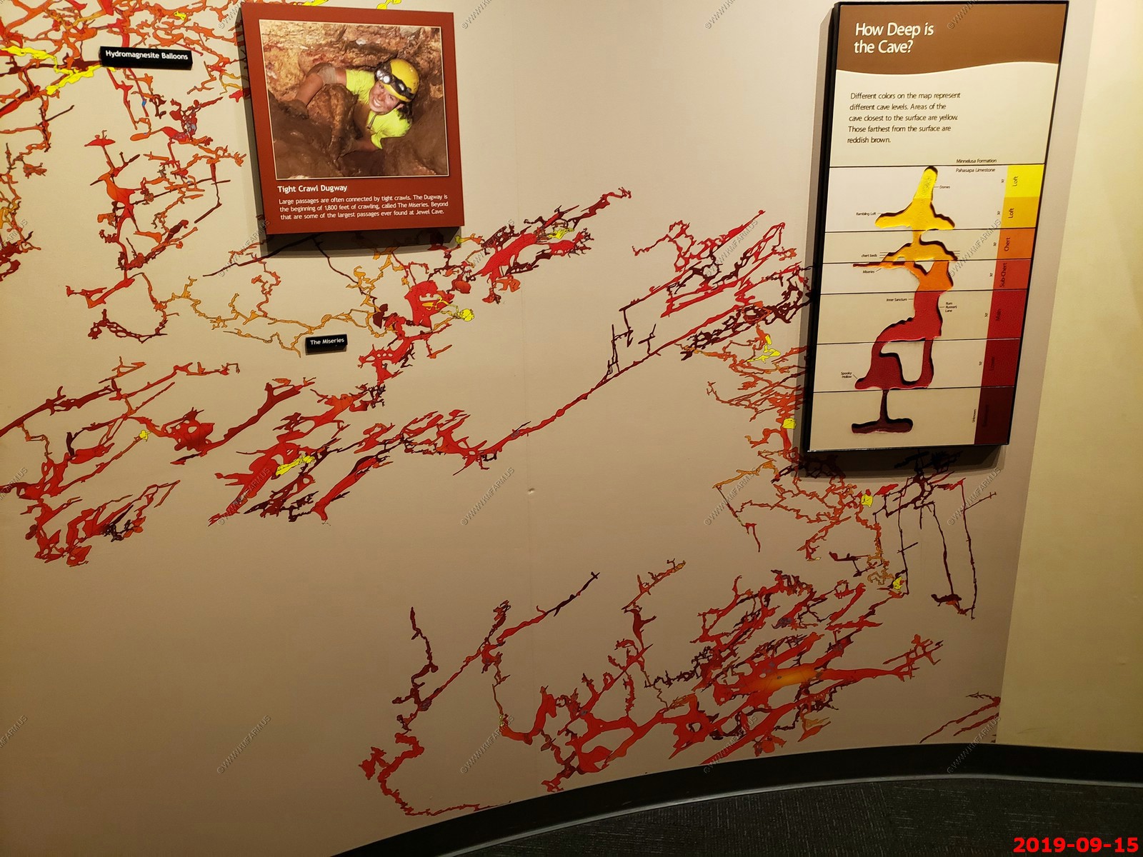
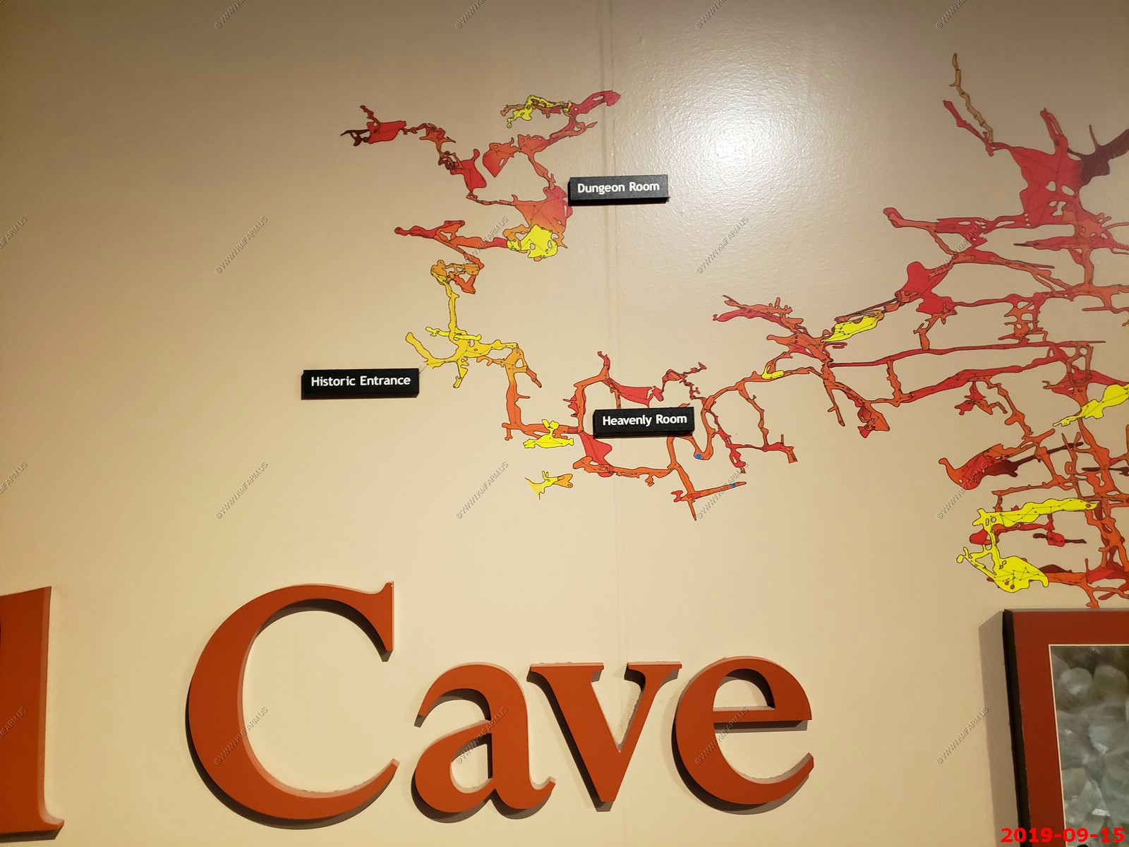
Jewel Cave National Monument - Currently the third longest cave in the world, with 200.3 miles of mapped passageways. It is located approximately 13 miles west of the town of Custer in Black Hills of South Dakota. It became a national monument in 1908. In August 2000, an 83,000 acres forest fire burned 90% of the monument and the surrounding area. The visitor center and historic buildings were spared.
Jewel Cave passages follow a pattern of joint development. The faults and joints are associated with the uplift of the Black Hills approximately 58 to 54 million years ago. After main cave dissolution, a thick layer of calcite lined the walls about 2.5 million years ago.
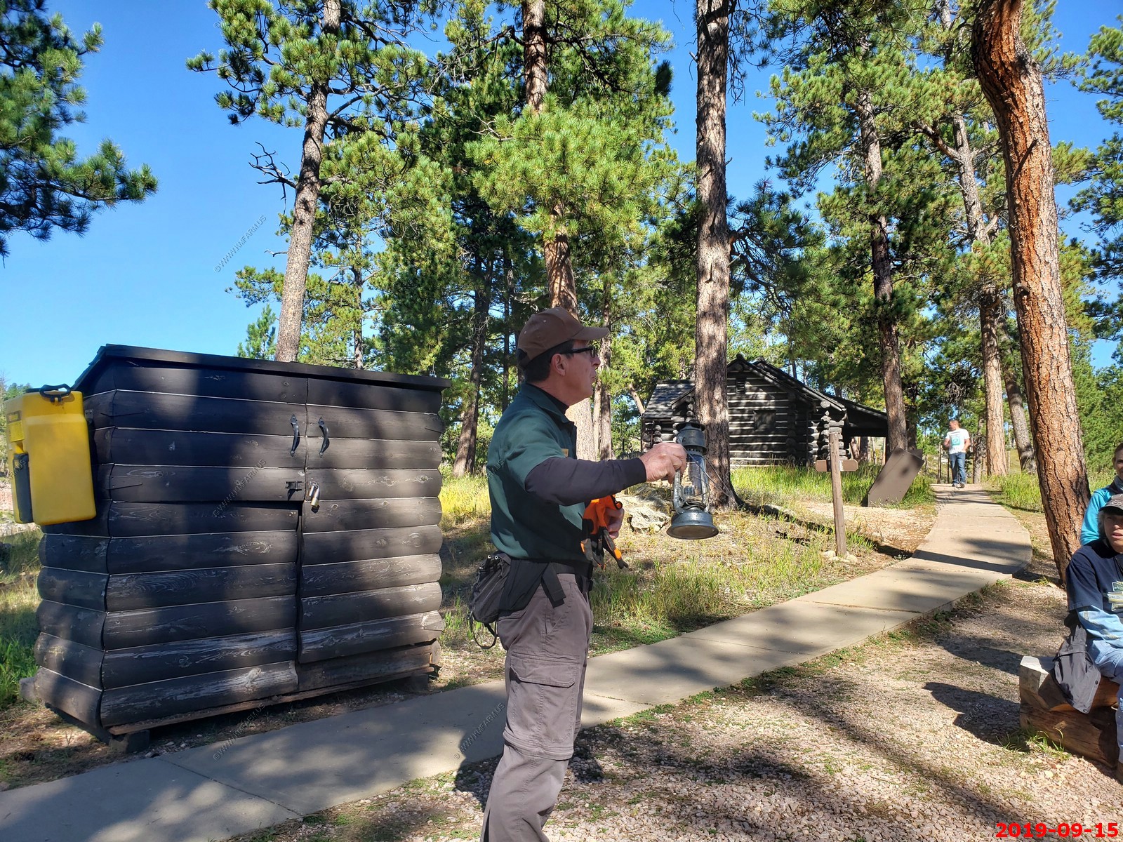
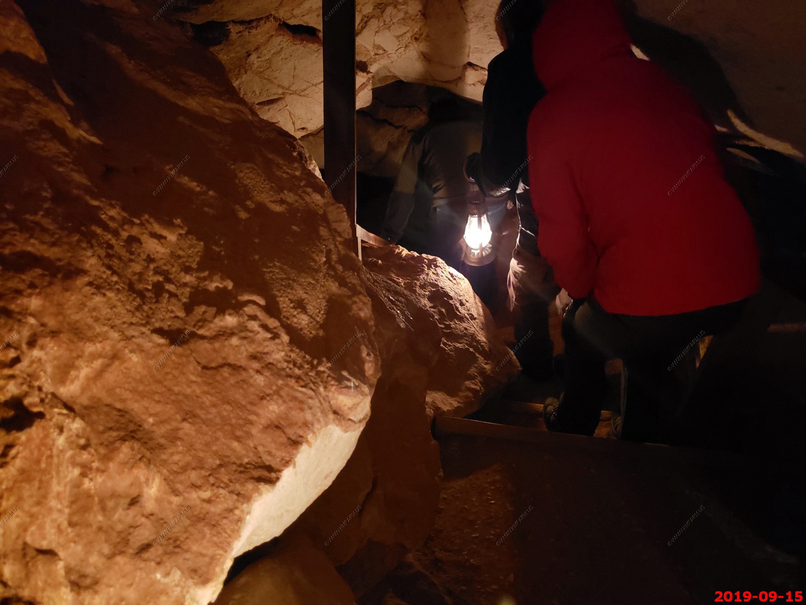
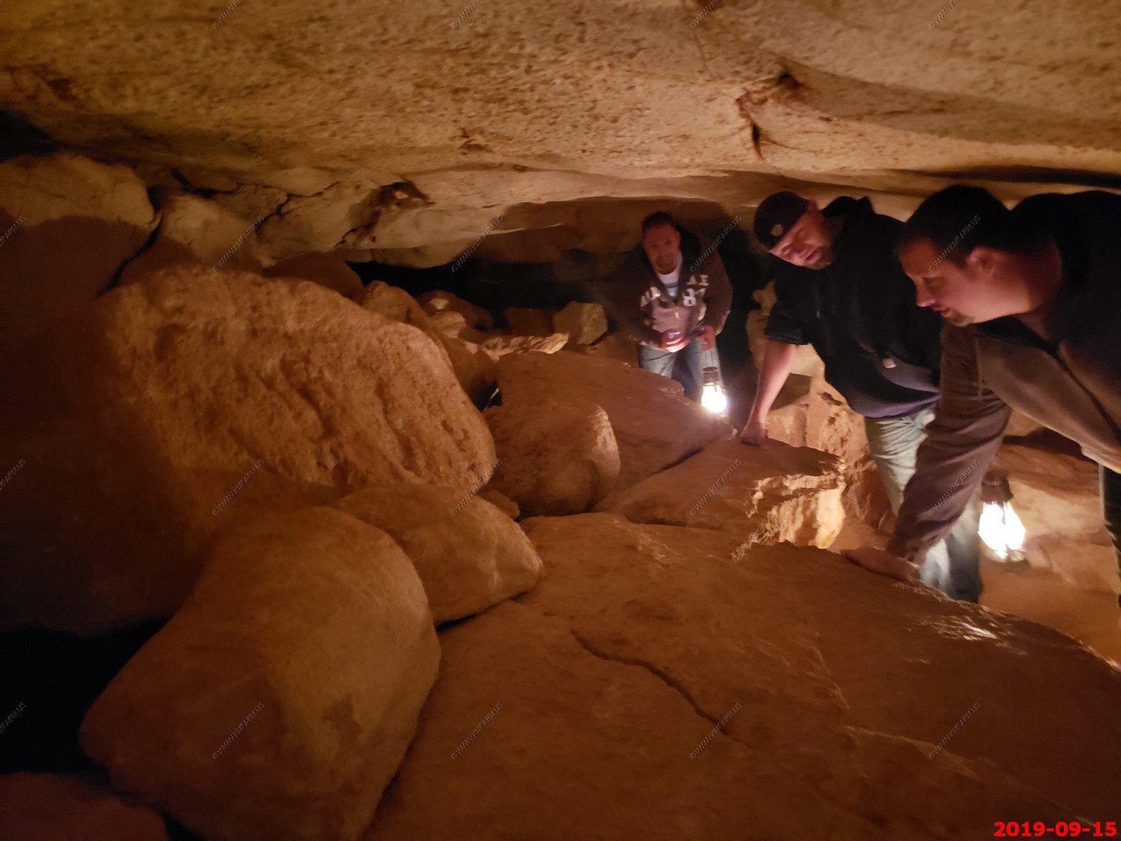
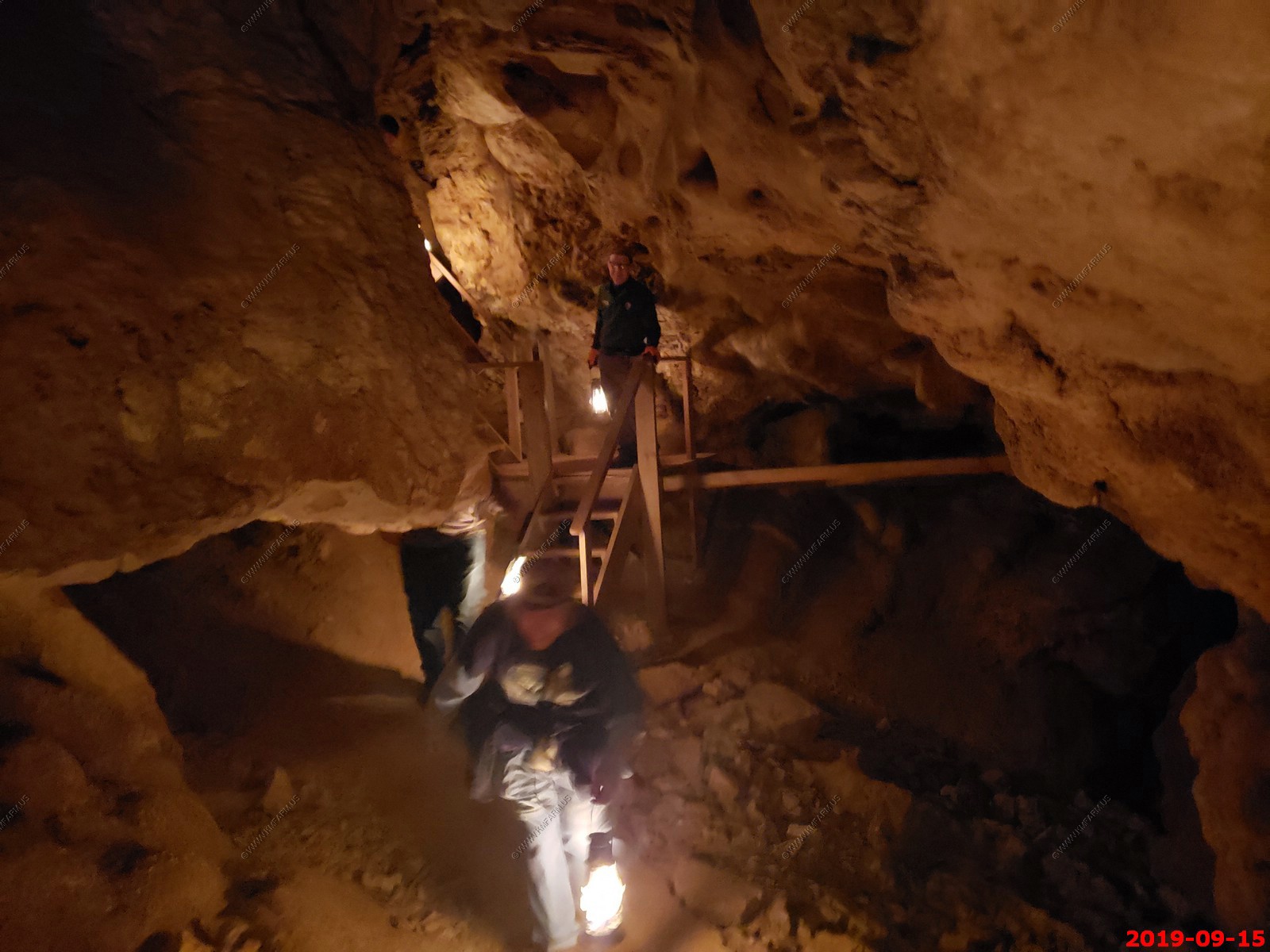
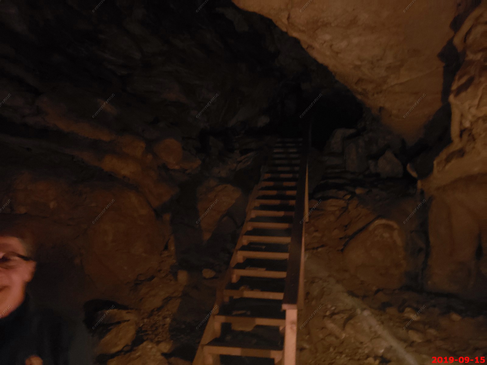
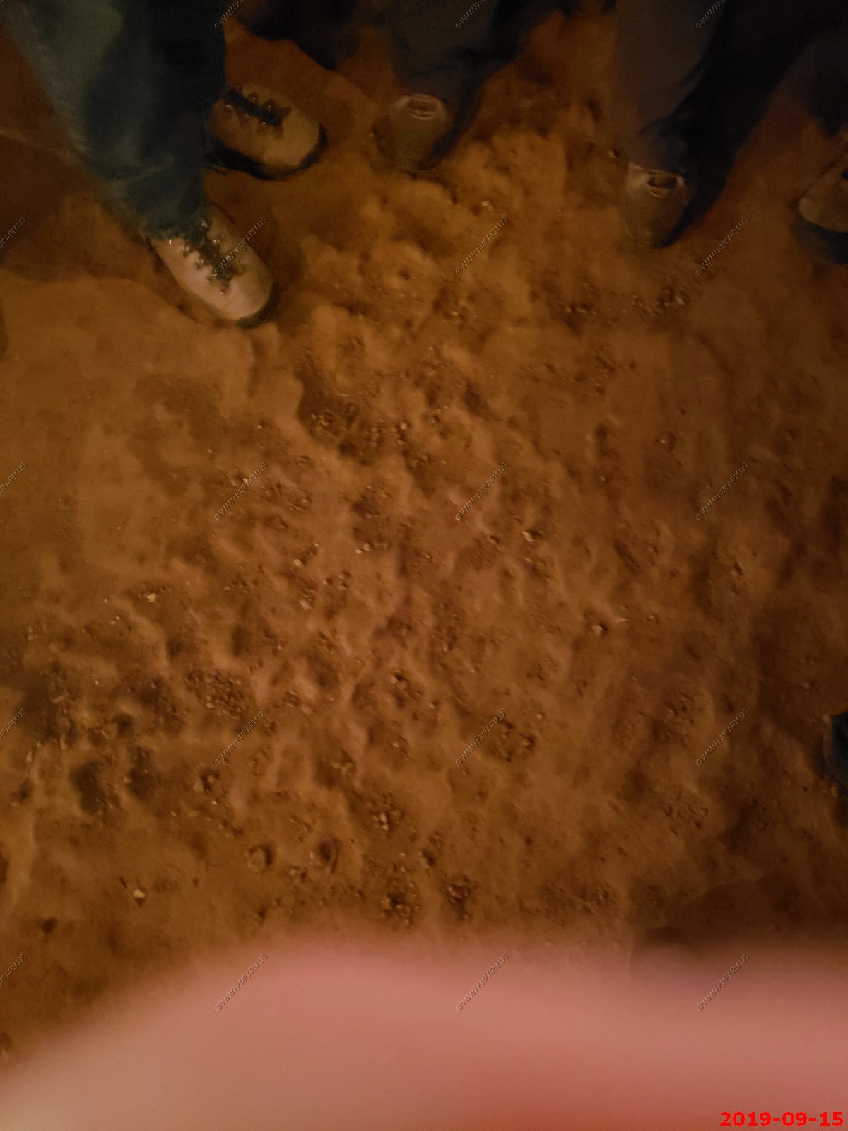
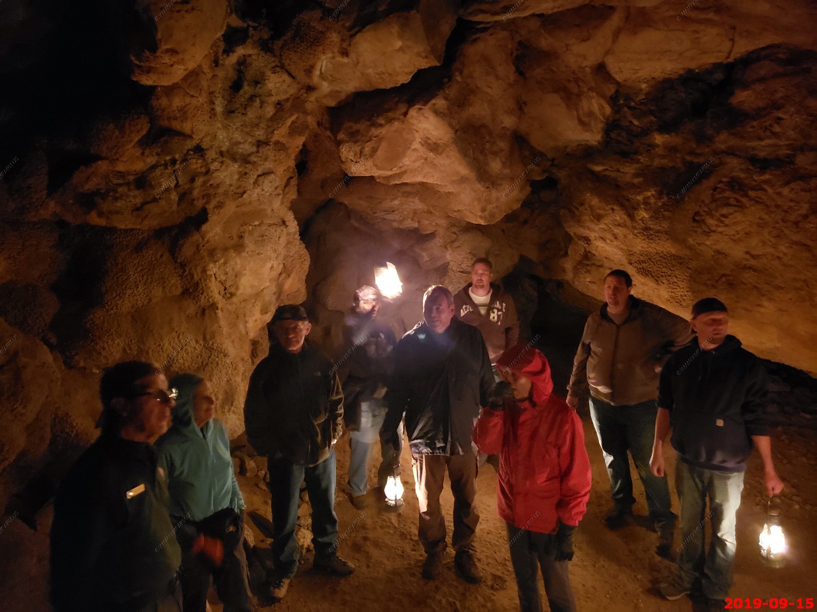
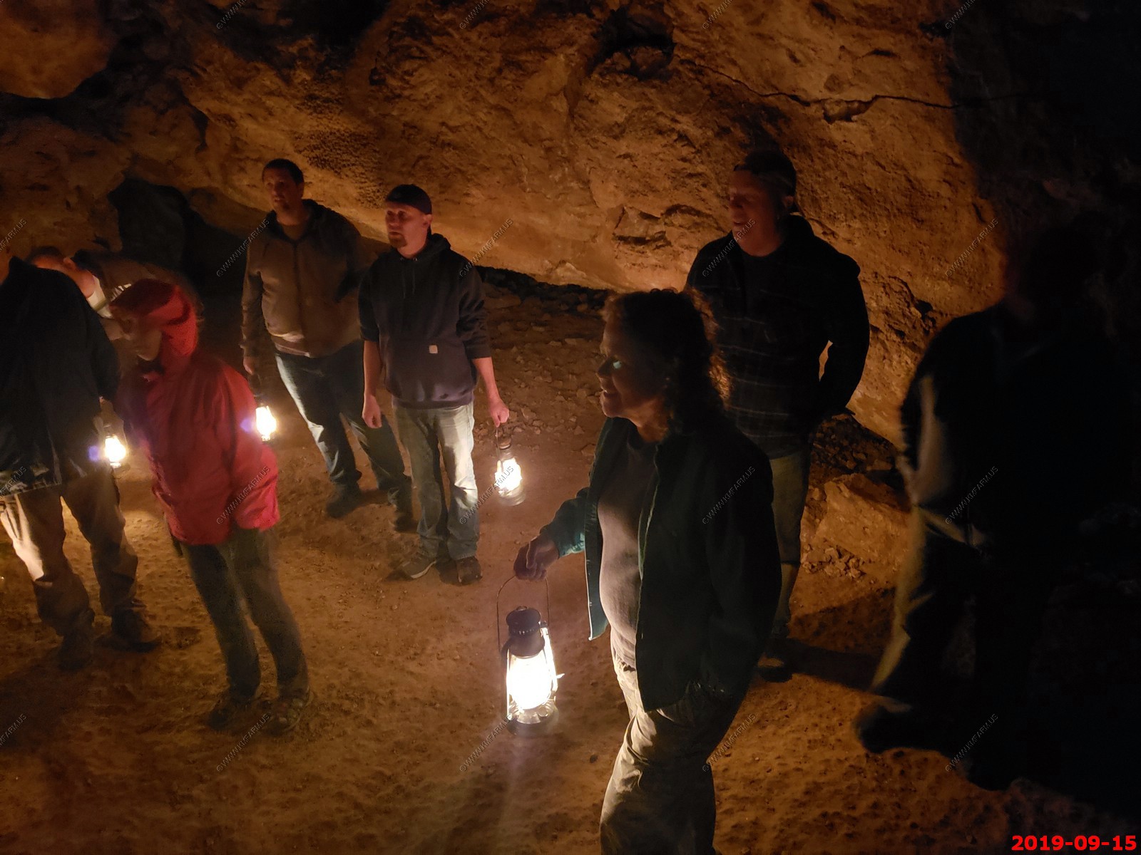
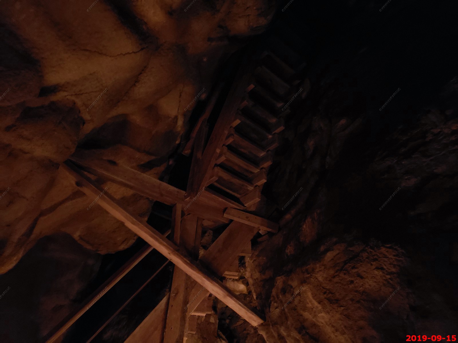
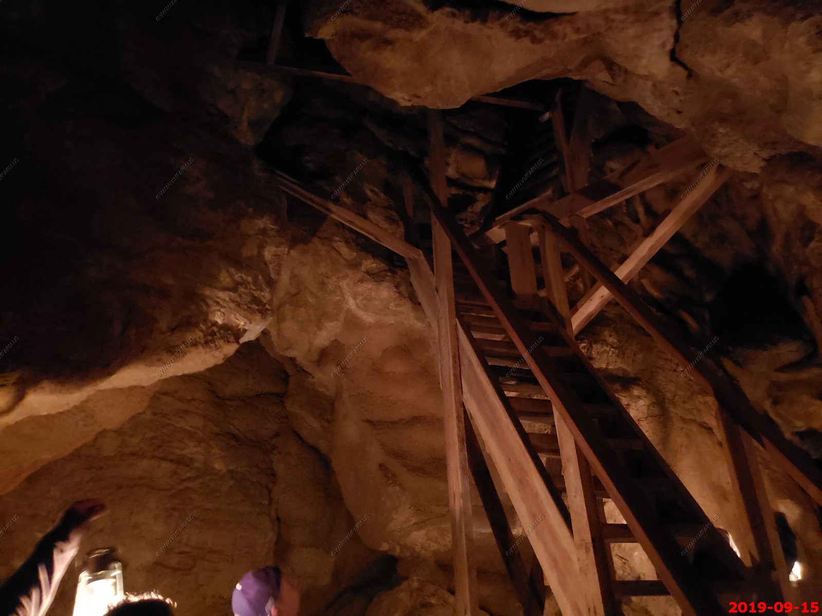
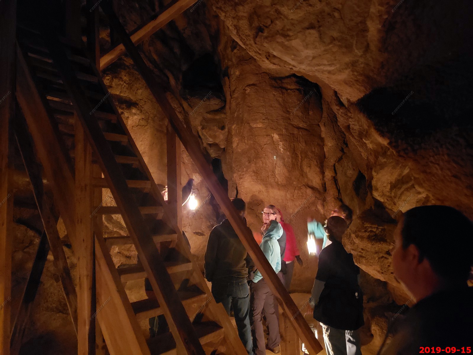
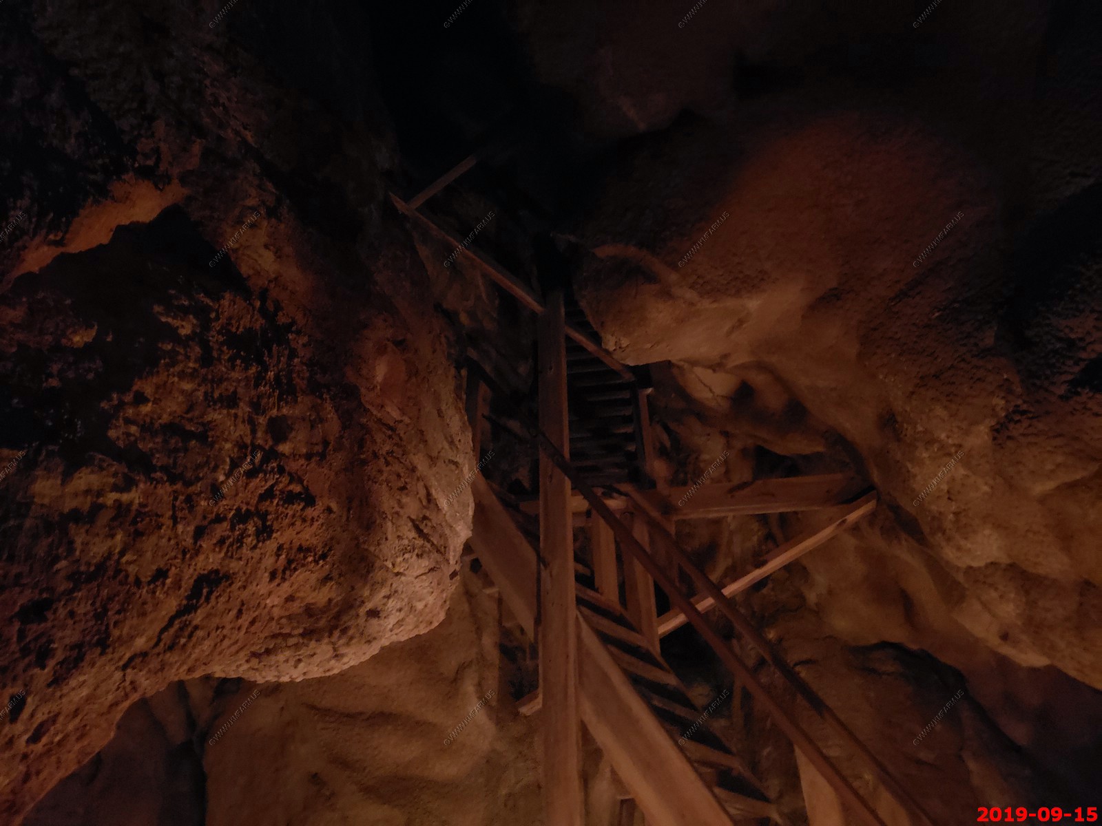
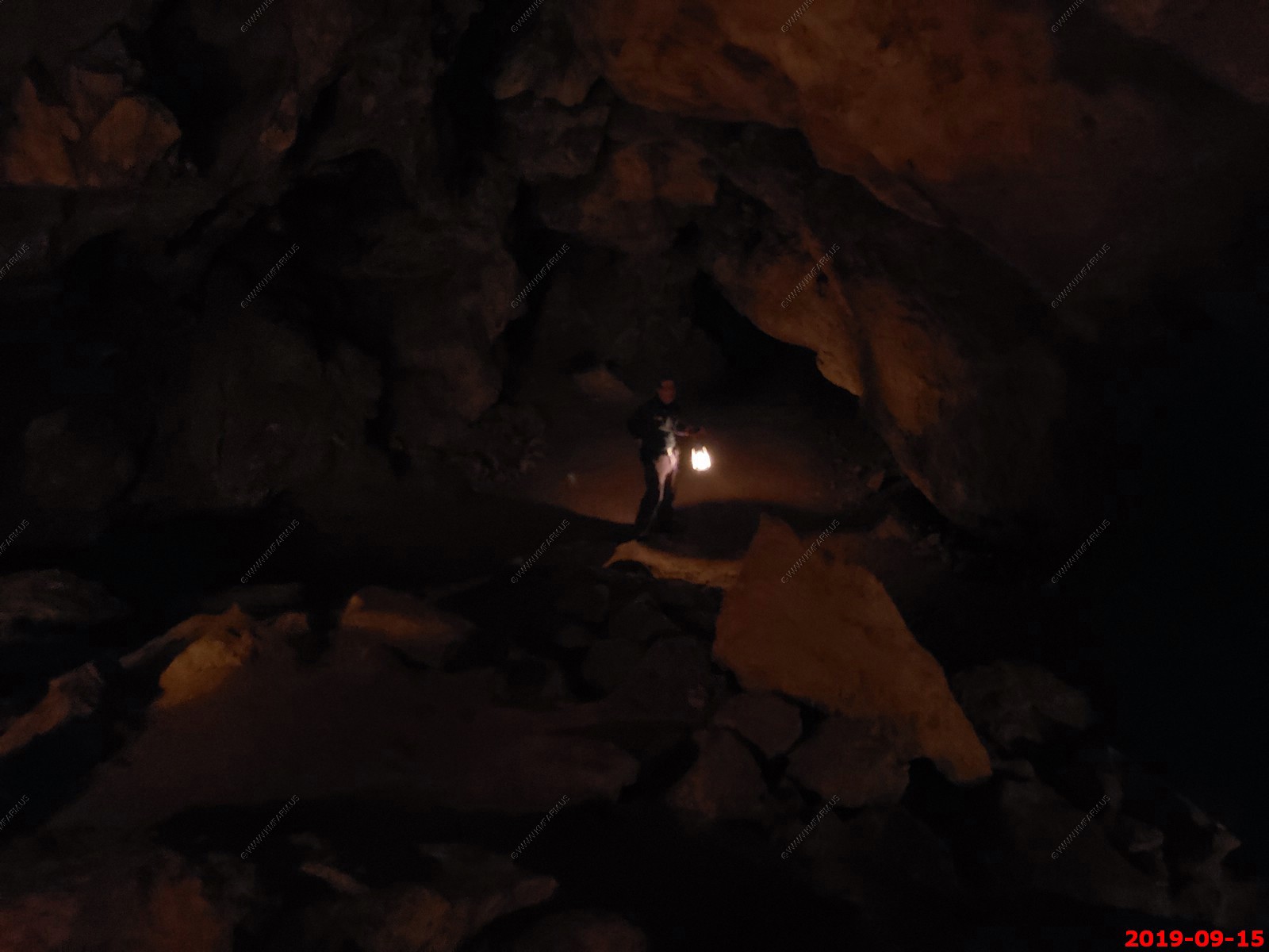
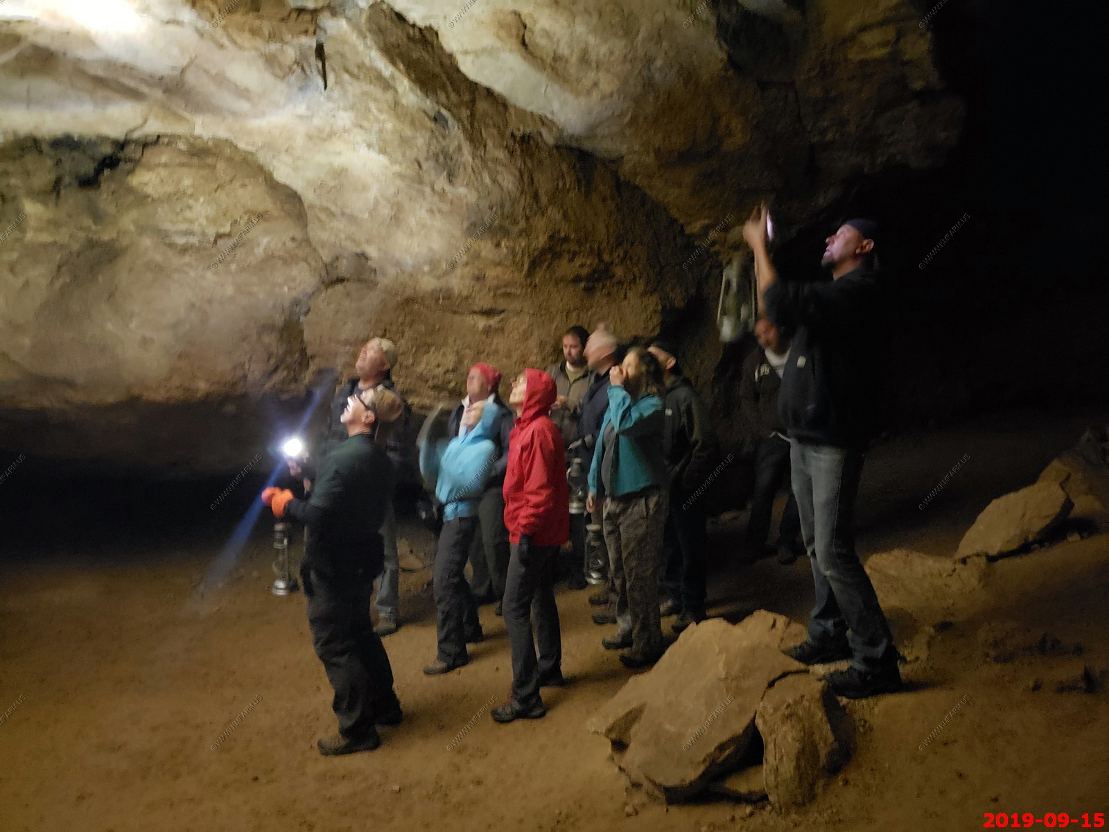
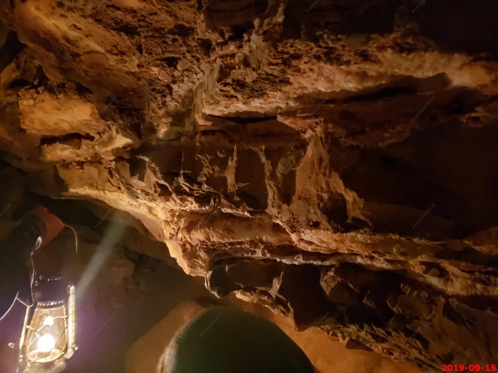
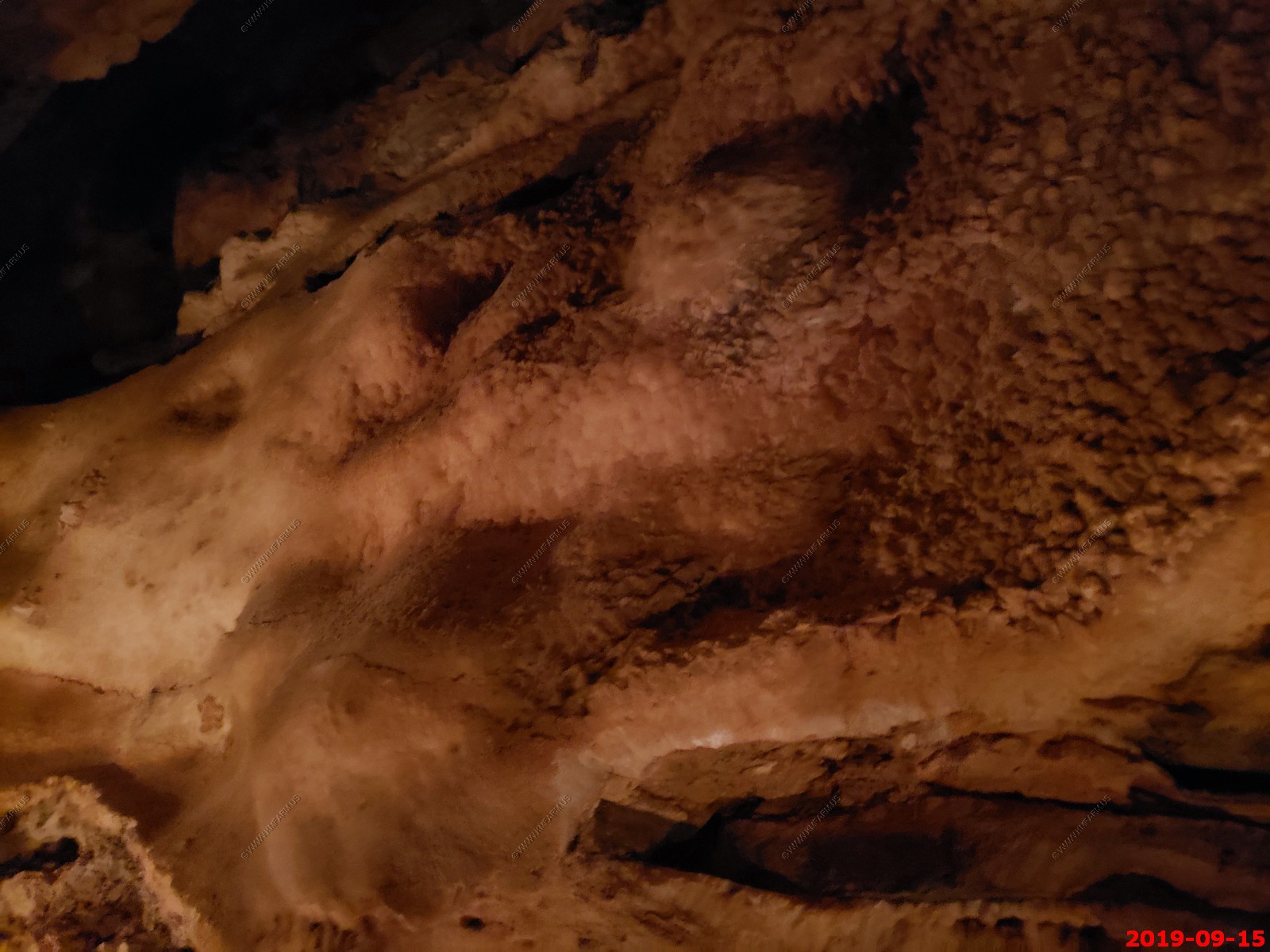
We took the Historic Lantern Tour - The Historic Lantern Tour is an adventurous tour into Jewel Cave.
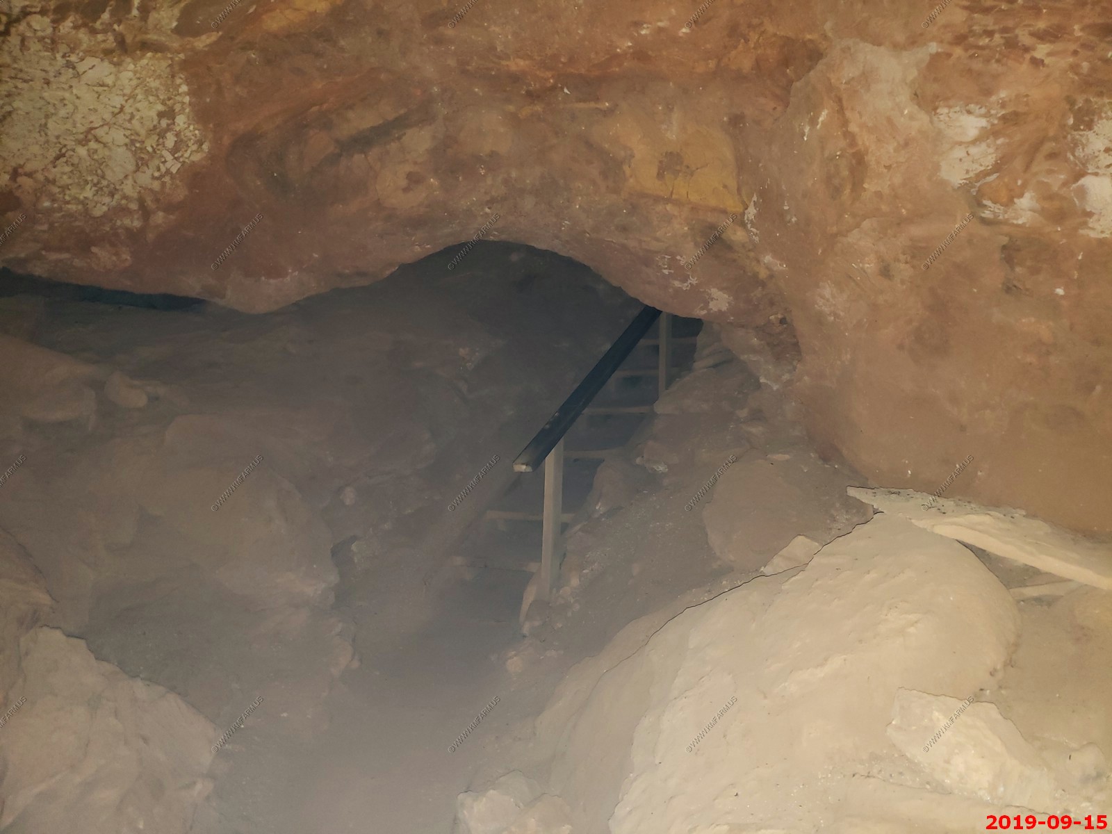
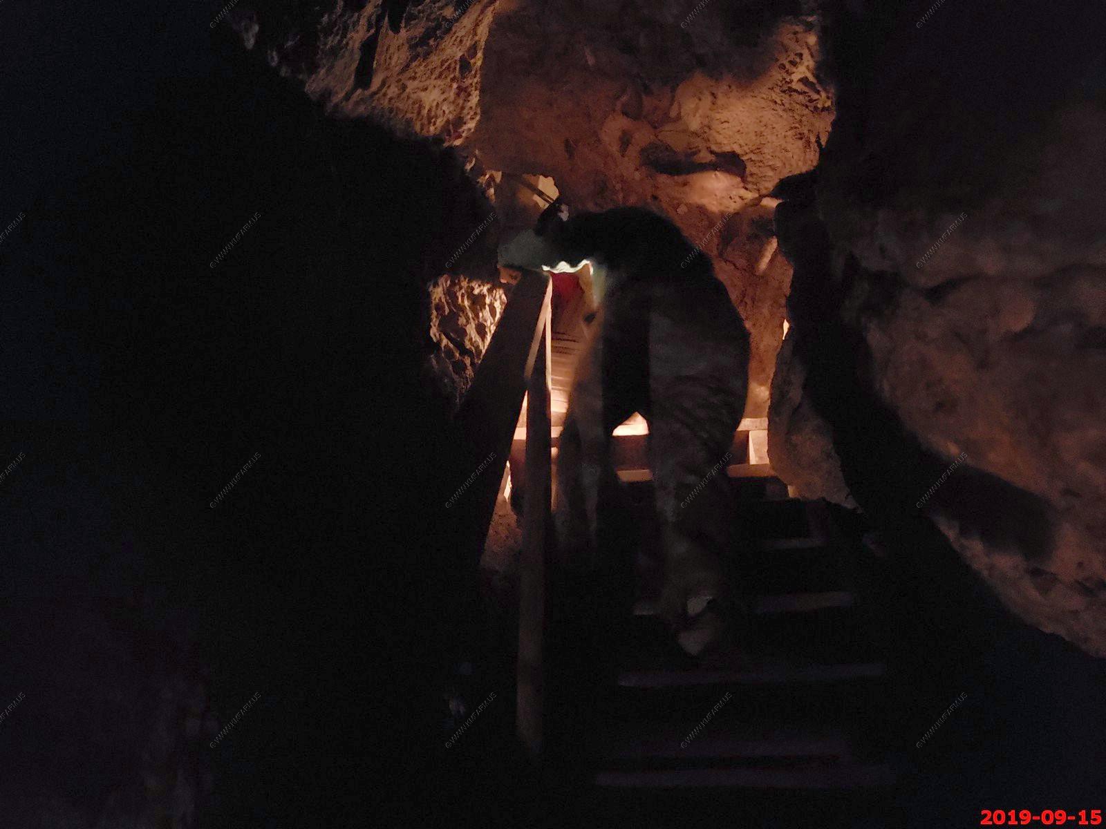
Step back in to the past on the Historic Lantern Tour where your Park Ranger is dressed in a 1930s-style uniform. This adventure gives you a sense of what it was like to tour the cave in earlier days. Visitors enter and leave the cave through the historic entrance using an unpaved trail. The only light is provided by a lantern most tour participants carry and you will visit passages to the Dungeon Room or the Heavenly Room. This tour is considered strenuous and lasts about 1 hour and 45 minutes.
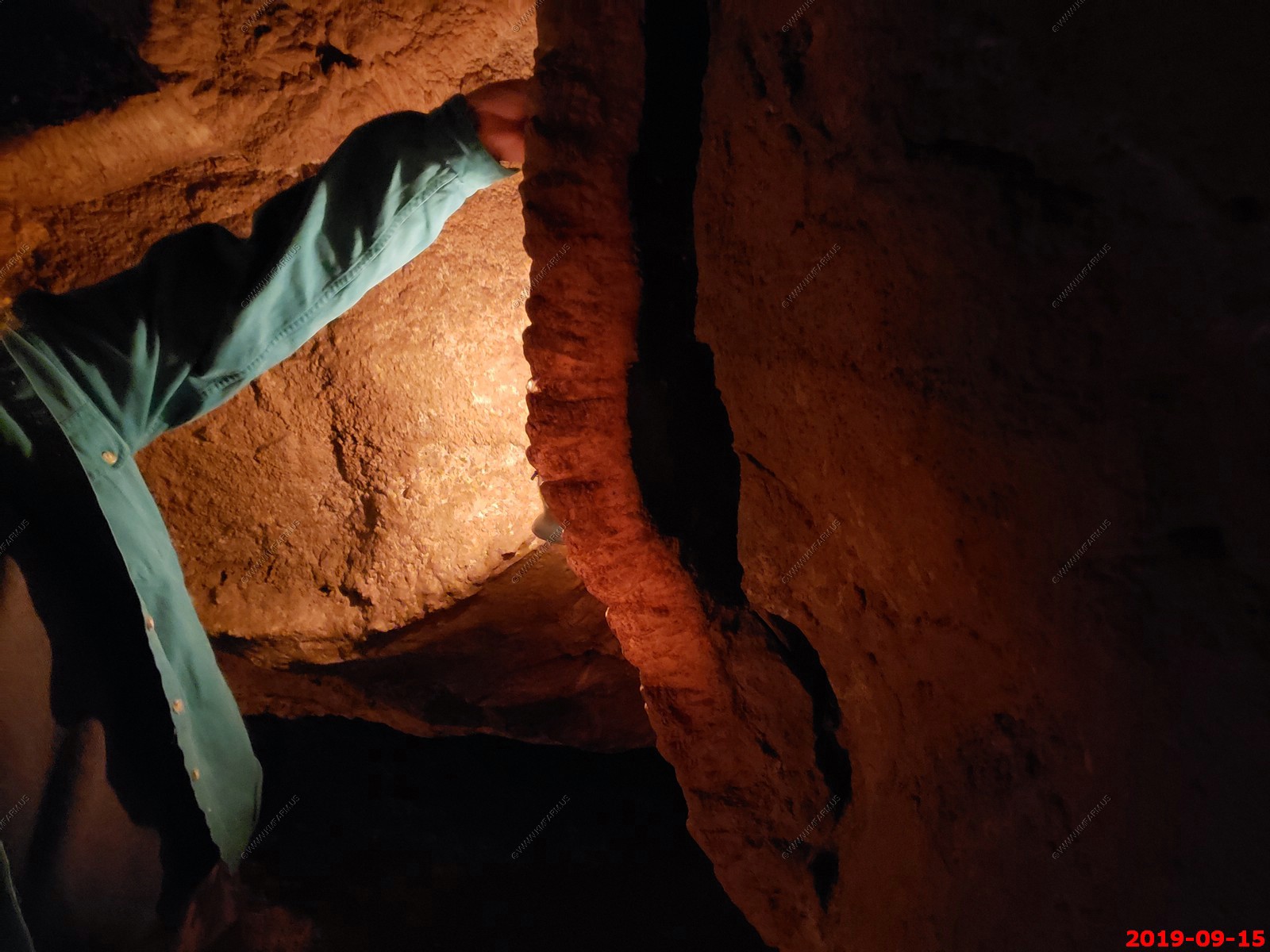
The tour route is approximately 1/2 mile long through low, narrow passages, and includes roughly 600 steep wooden steps (ladder-like stairs). This tour requires some bending, stooping, and duck walking along an unpaved, rocky trail. There is an age requirement, which is strictly enforced for safety reasons, youth must be 8 years old or older.
Come prepared: wear long pants and a jacket or sweatshirt. The cave temperature is a constant 49 degrees. For safety reasons: sturdy, low-heeled, rubber-soled shoes such as sneakers, tennis shoes, or hiking boots are required to take part in an Historic Lantern Tour. Due to the uneven, rocky terrain of the cave, open-toed shoes and close-toed sandals (including Crocs, Teva footwear, and KEEN hiking sandals) are prohibited. Persons who have heart or respiratory conditions, back or lower joint problems, have recently been hospitalized or have a fear of closed-in spaces, should talk with a park ranger before selecting this tour. Due to the rugged nature of the cave and for personal safety, please leave cameras, bags, and other items secured in your vehicle.
Please Note: All participants will be screened for White Nose Syndrome (WNS), which is a bat disease. To prevent the spread of WNS, all shoes, clothes, or gear worn in Jewel Cave may not be allowed in any other caves or mines. This includes private caves and mines within South Dakota and around the world. Furthermore, clothing and footwear used in Jewel Cave will NOT be allowed on the Candlelight Tour or the Wild Cave Tour at nearby Wind Cave National Park. The reason for this is because Jewel Cave has been identified as a WNS-positive site.
Each Historic Lantern Tour allows for a maximum of 20 participants. This tour is offered during the second full week of June through Labor Day Monday in September. Tickets are sold on a first come, first served basis on the day of the tour (same day tickets) at the ticket kiosk near the visitor center parking lot and purchased at least 20 minutes before tour time. Participants must be at the Historic Area, which is one mile west of the visitor center, at least 15 minutes before the tour time and prepared for the cave tour.
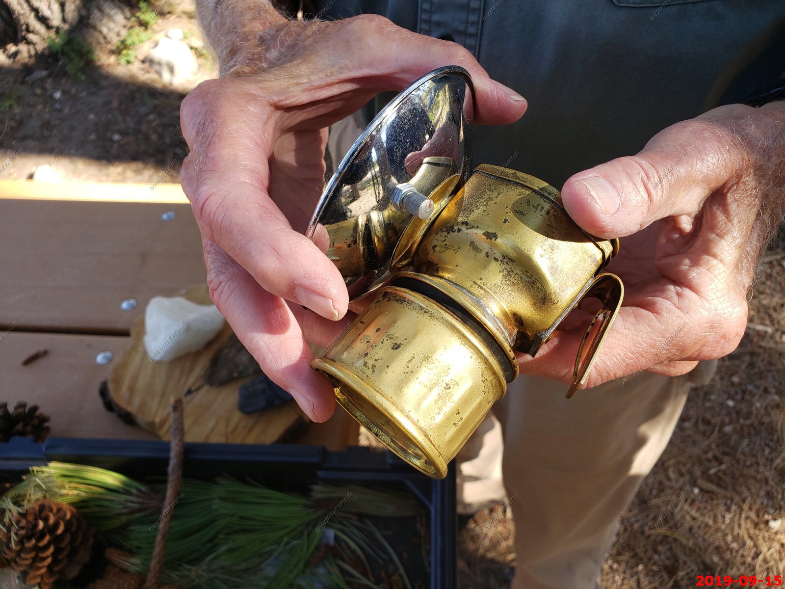
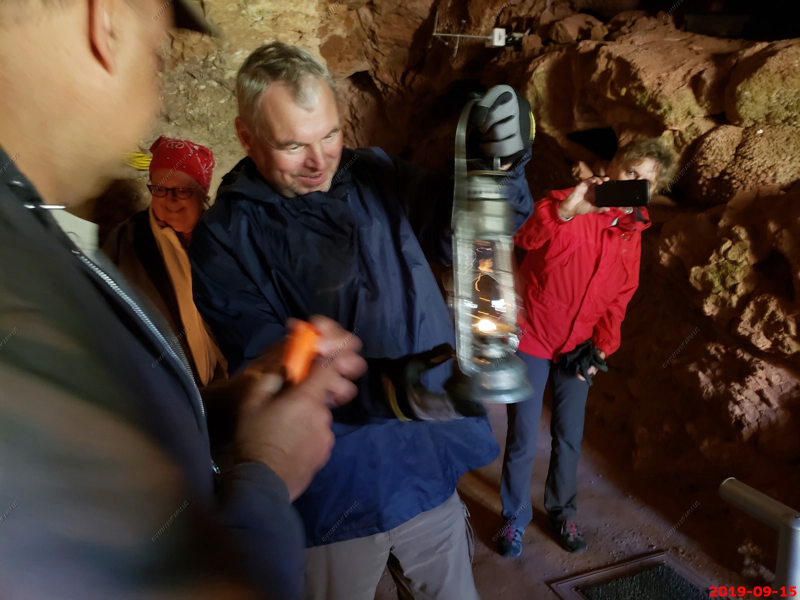
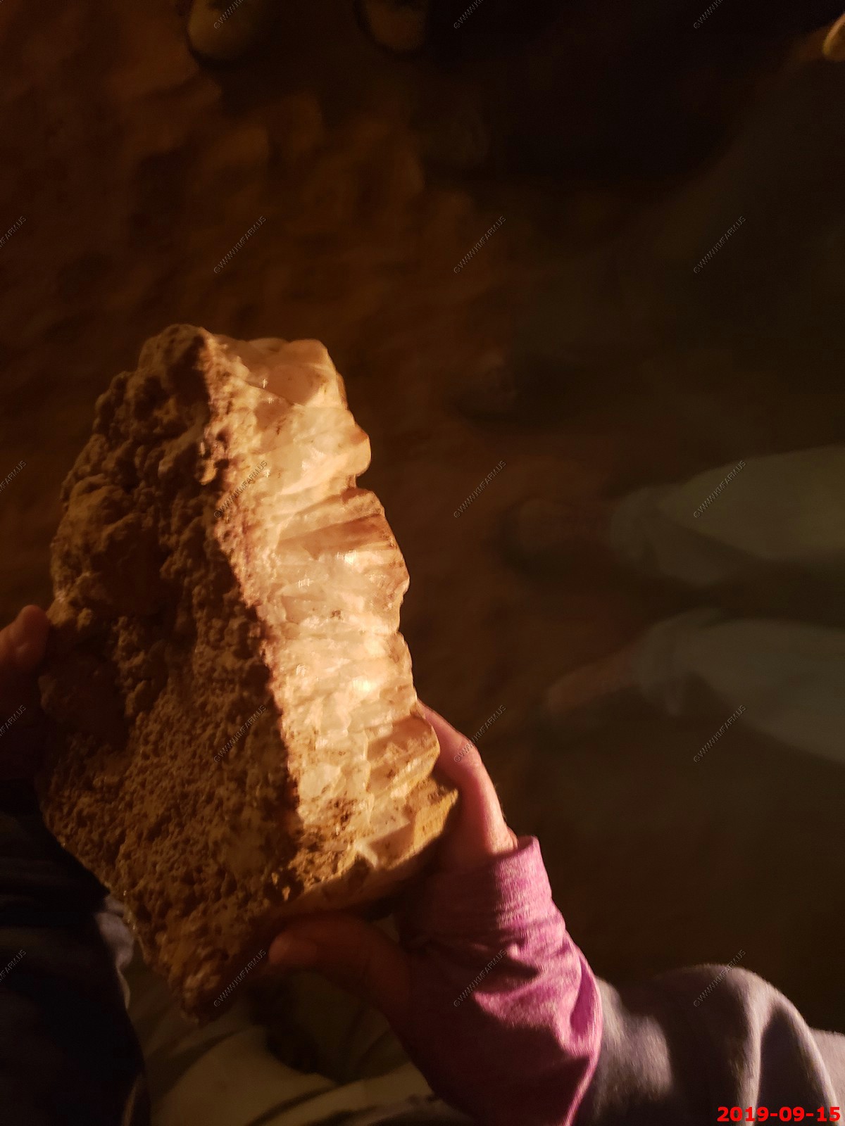
Carbide lamp.
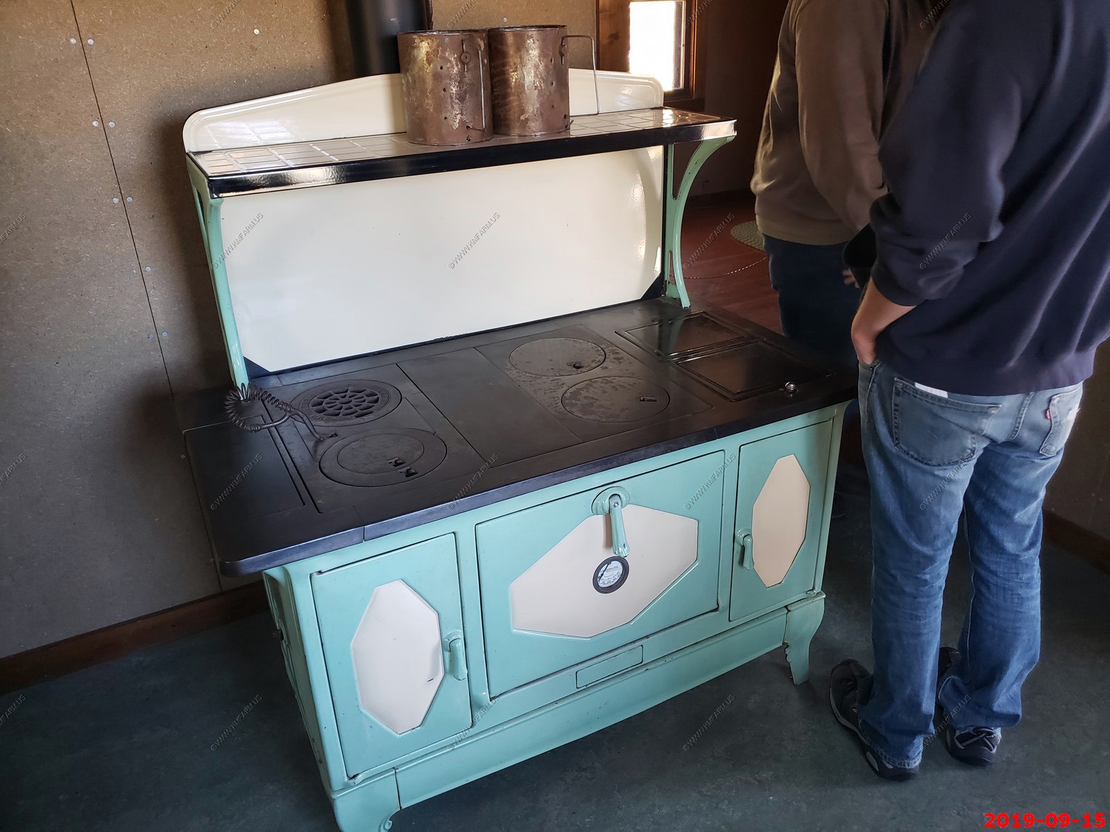
Cool old stove.
Our cave guide explaining the lamps.
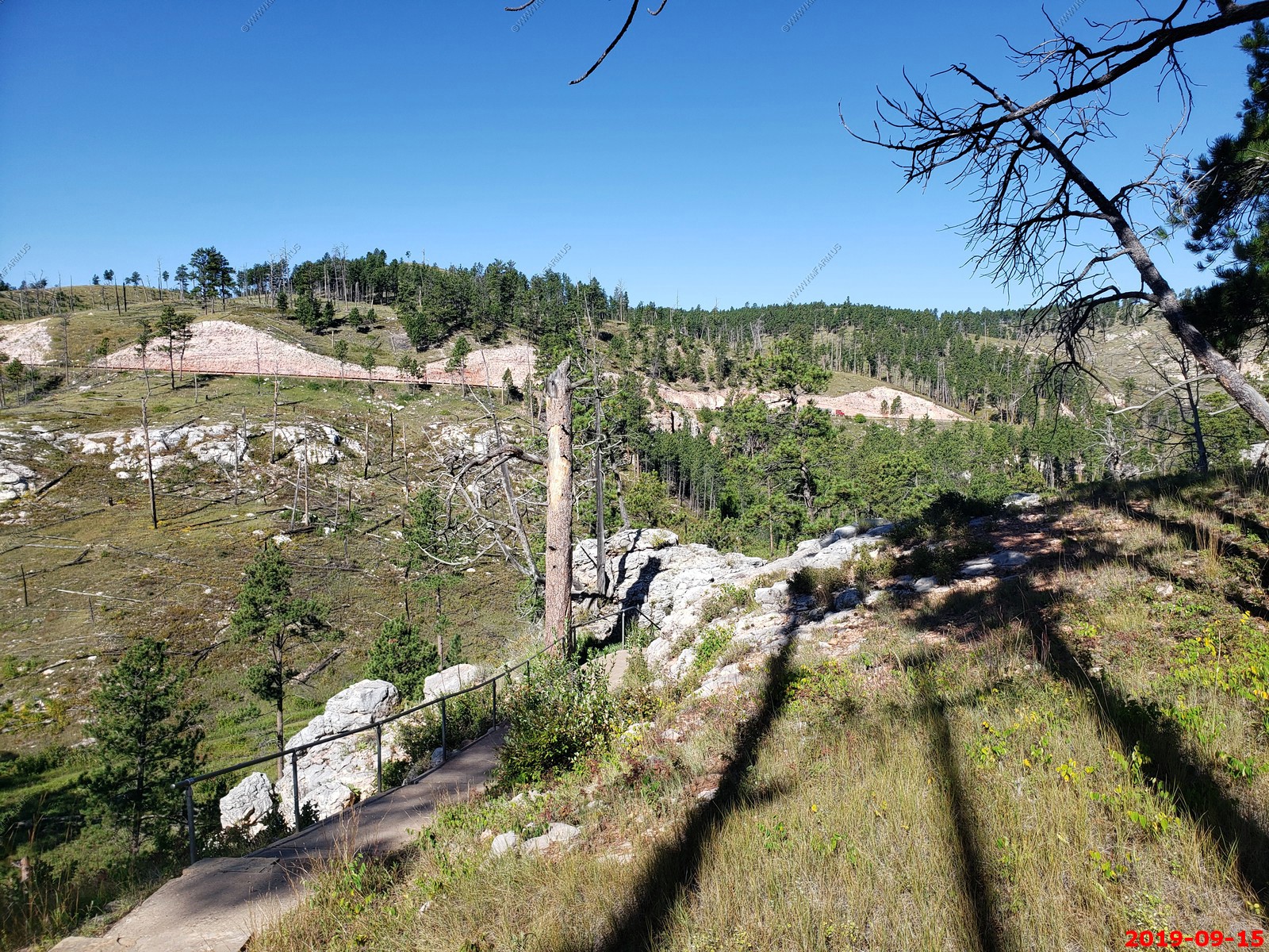
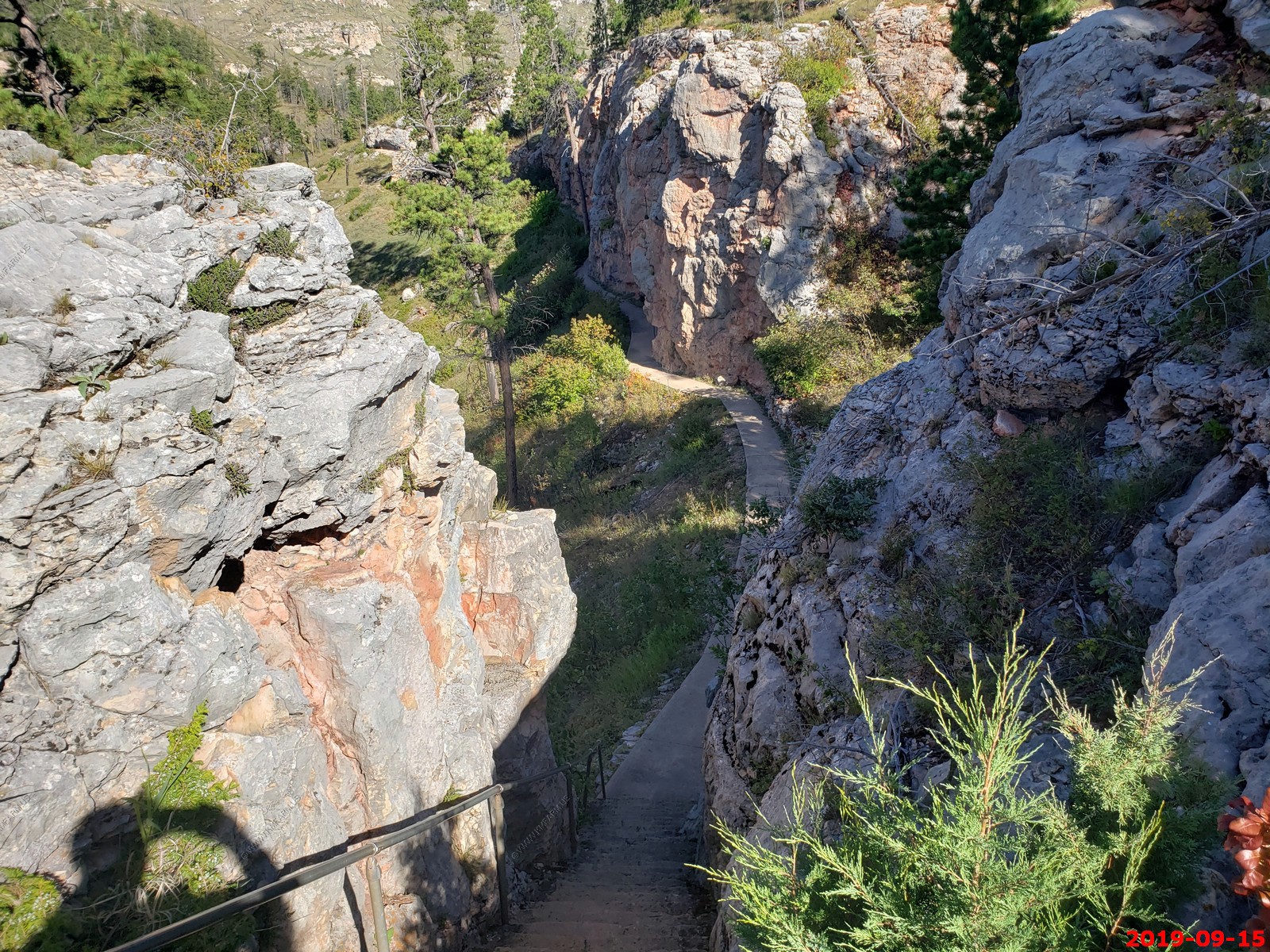
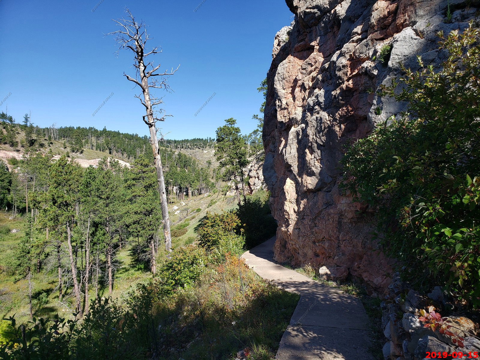
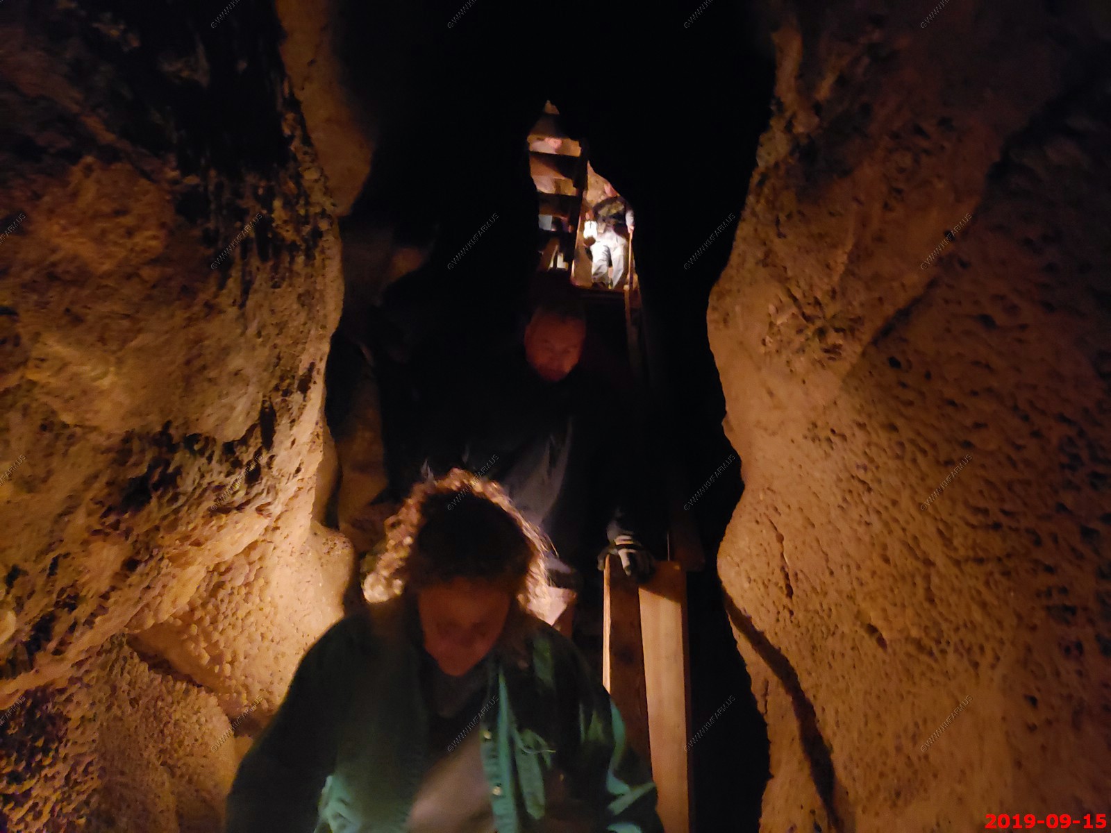
Trail to cave & fire damage.
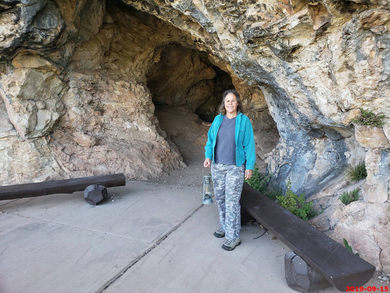
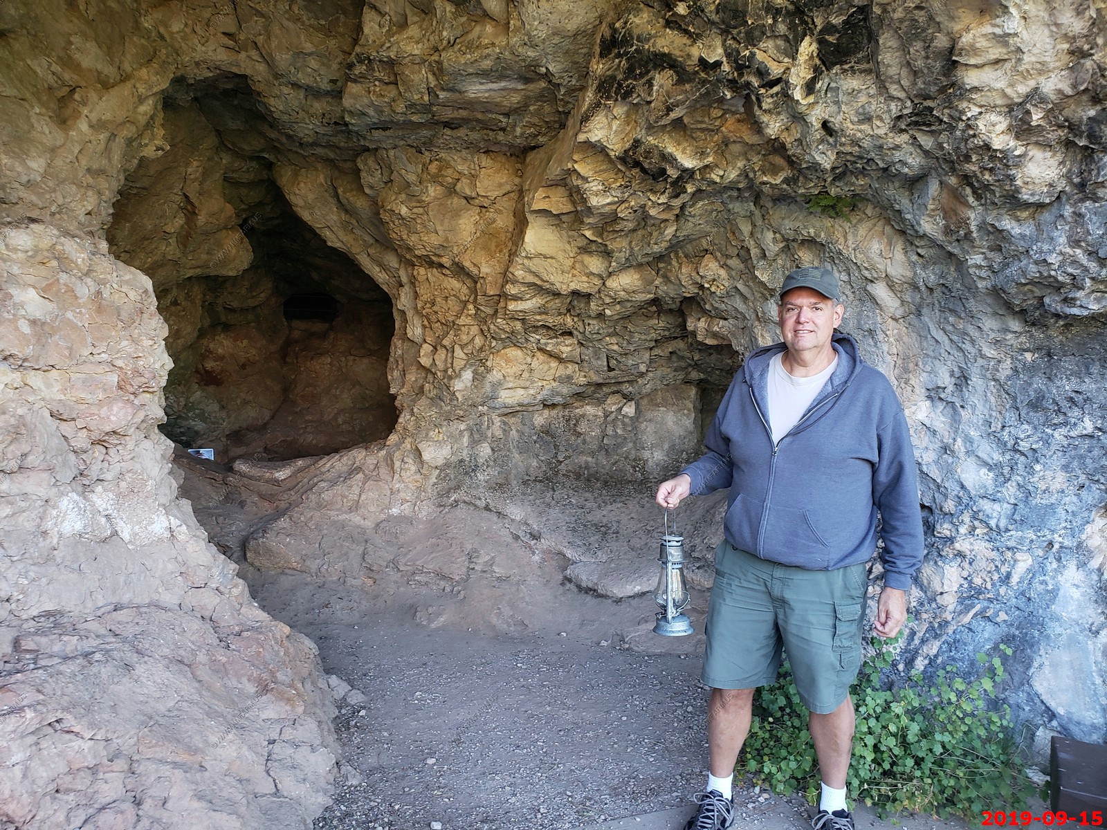
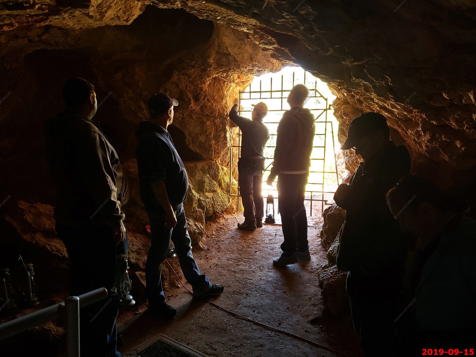
Ken & Mary at a entrance but not "the" entrance.
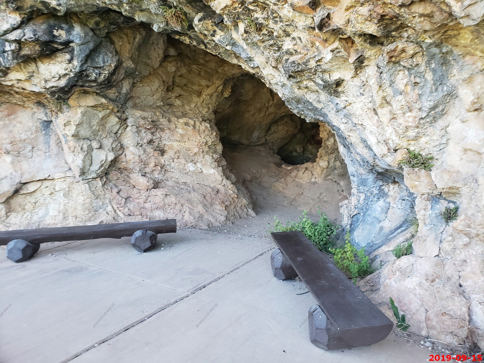
Unlocking the entrance. They also had a security camera here.
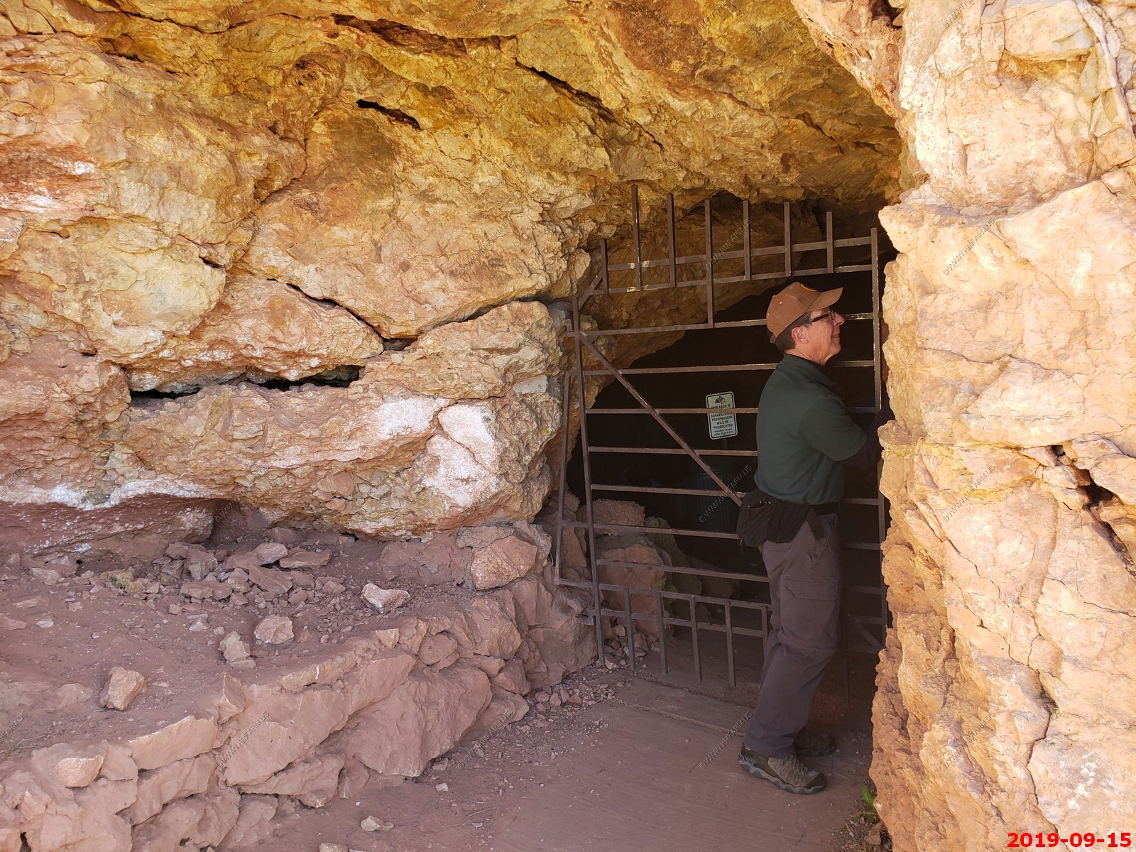
Locking up after we are inside.
Lighting the lamps.
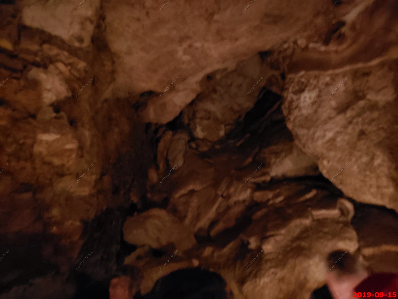
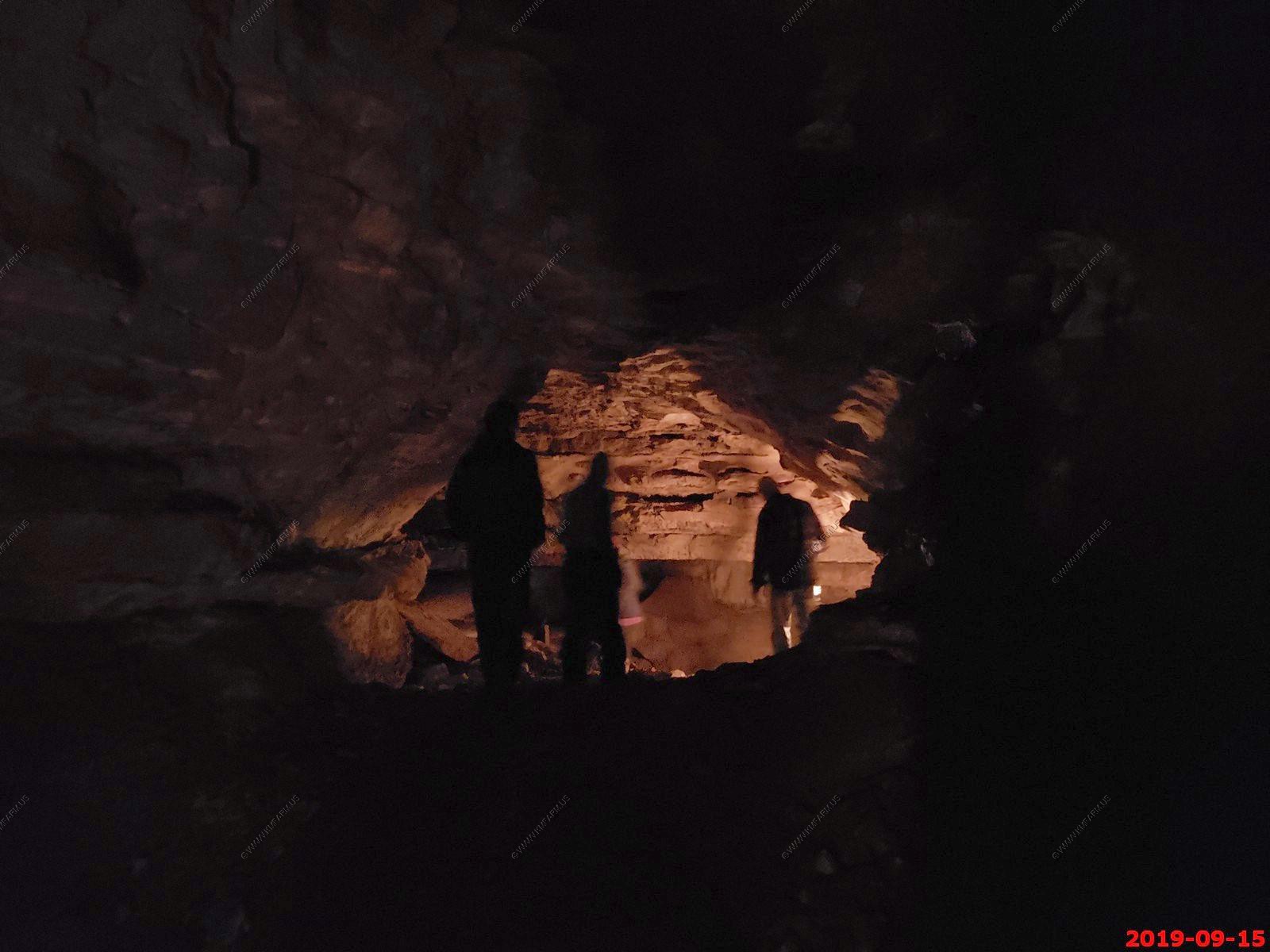
This was quite intense and I was amazed that they offer this to the general public. Having smaller shoe size as in my feet would have helped... Various views.
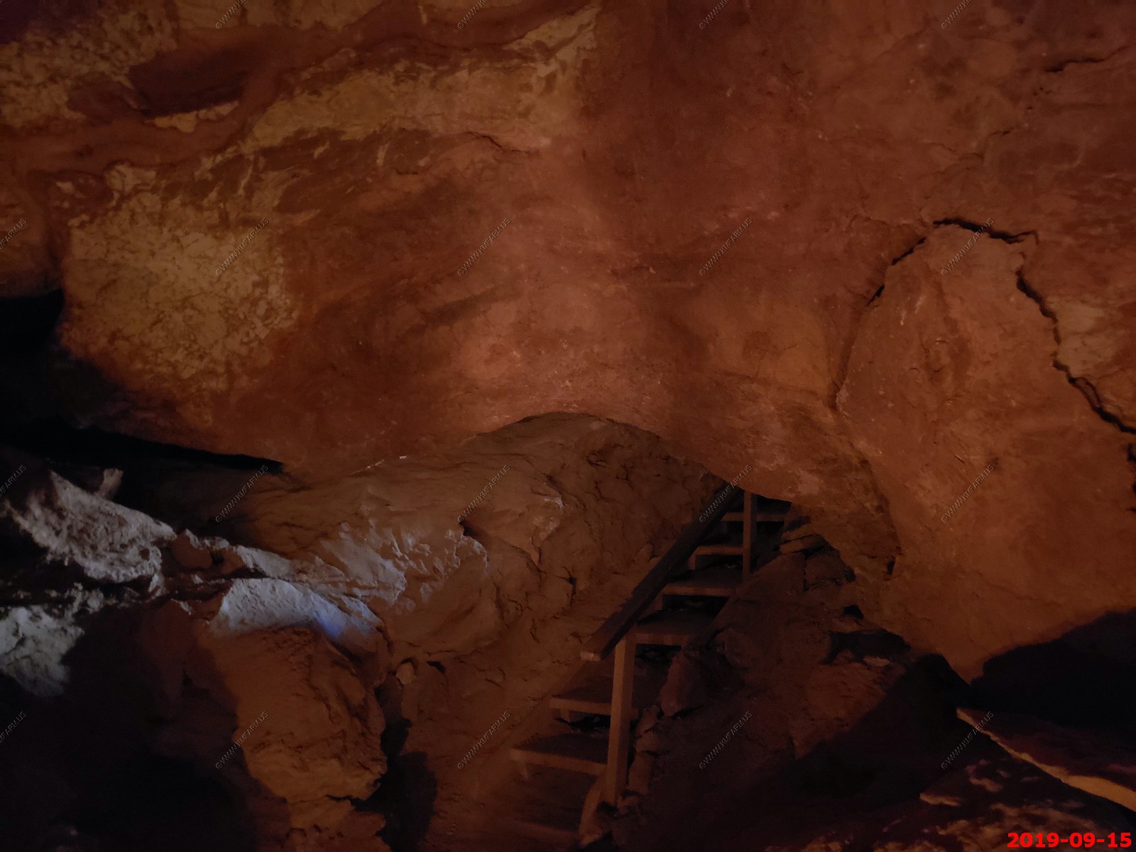
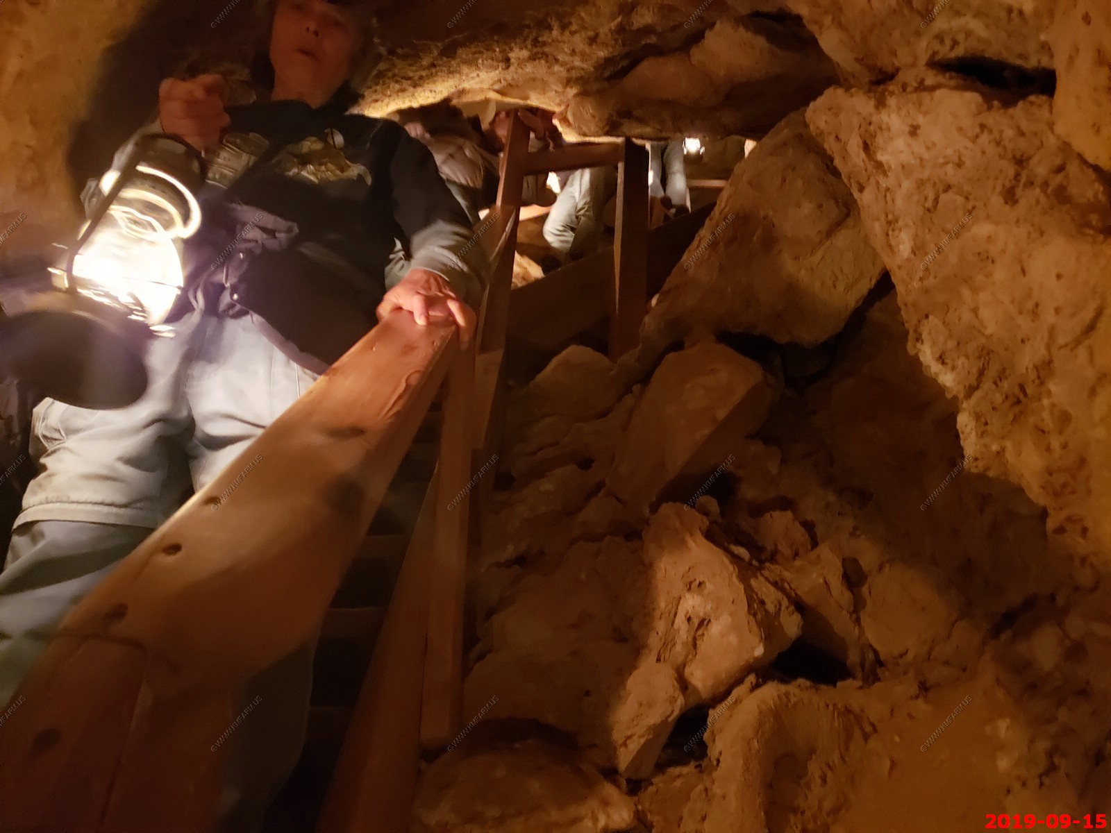
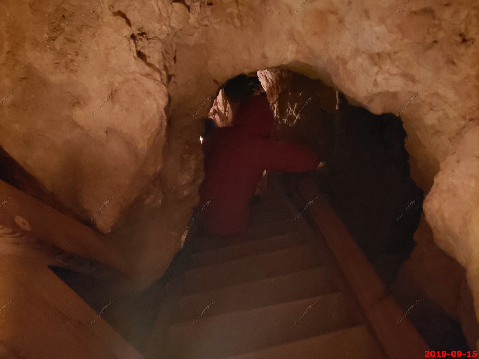
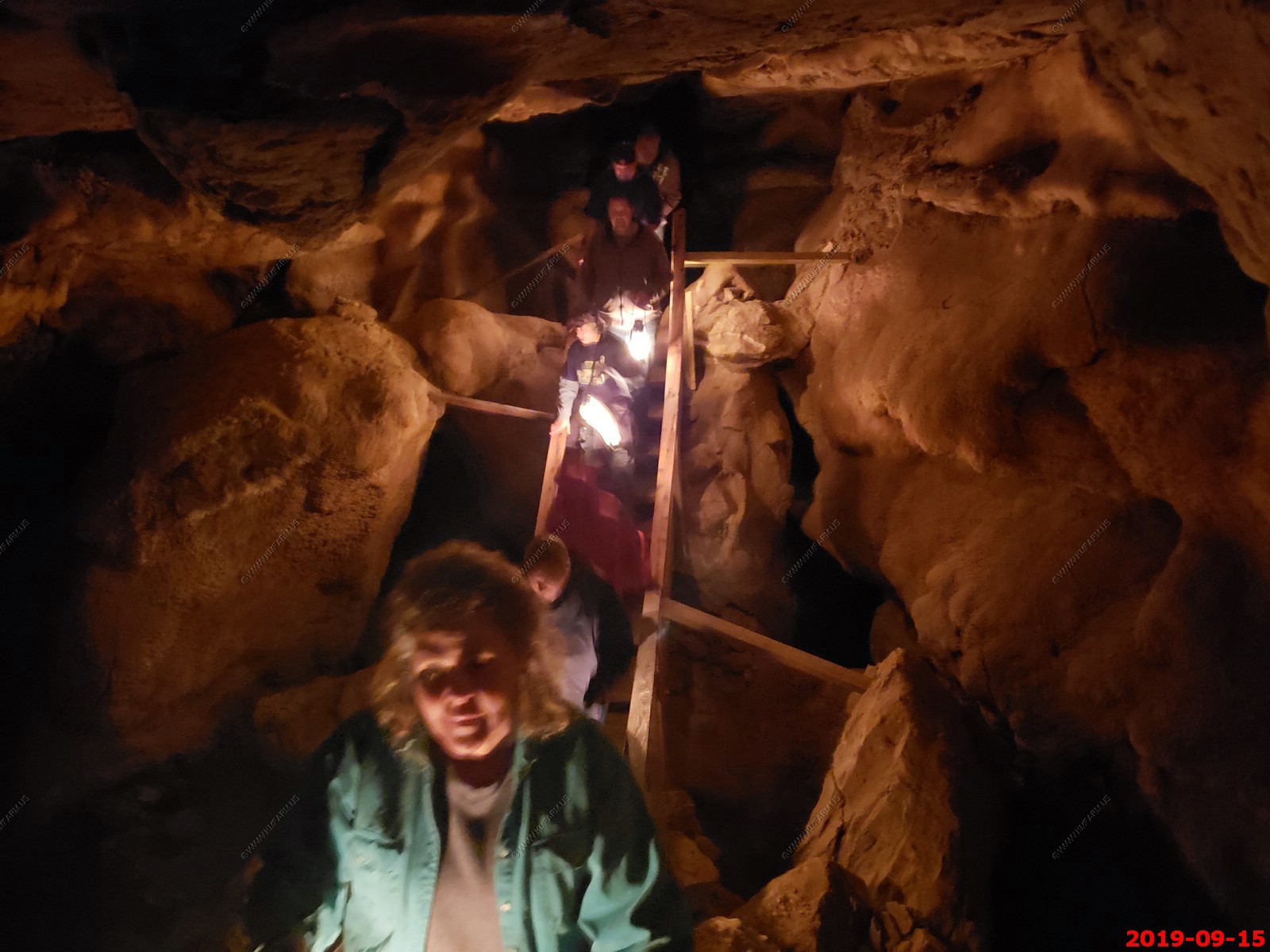
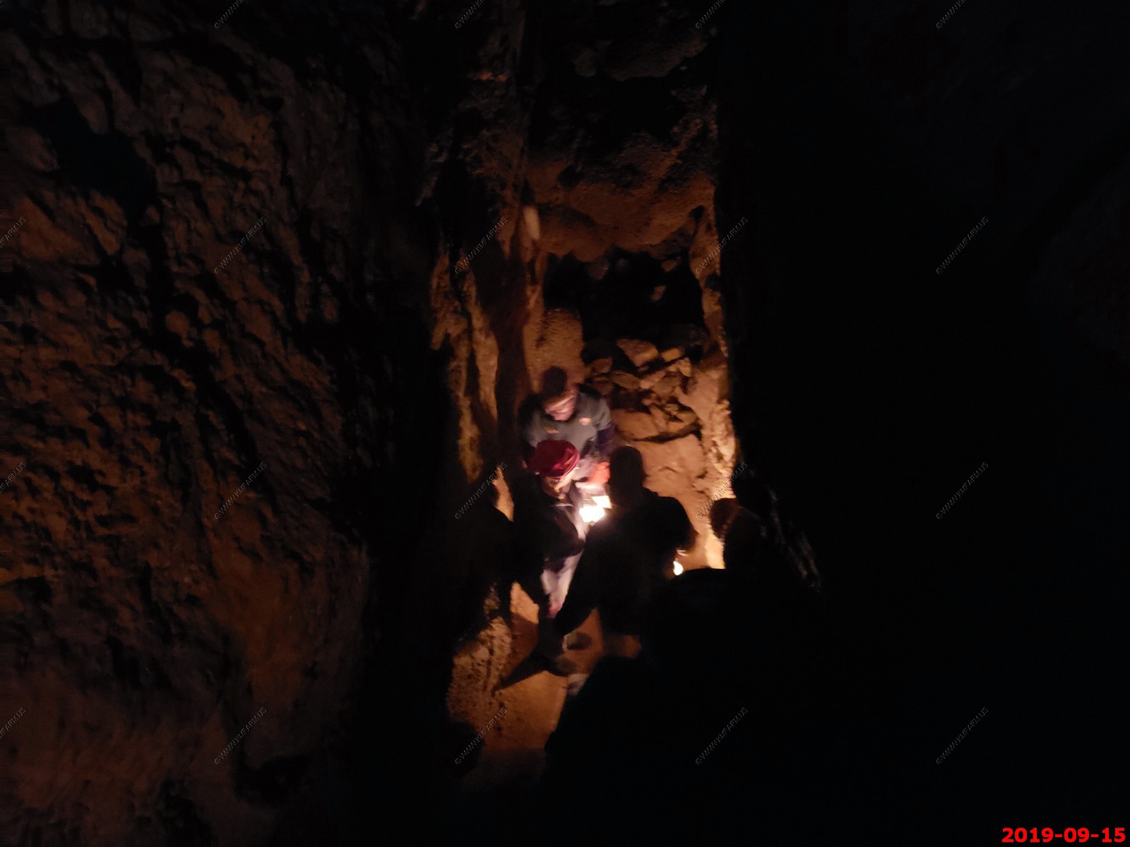
Mary going up the steep steps.
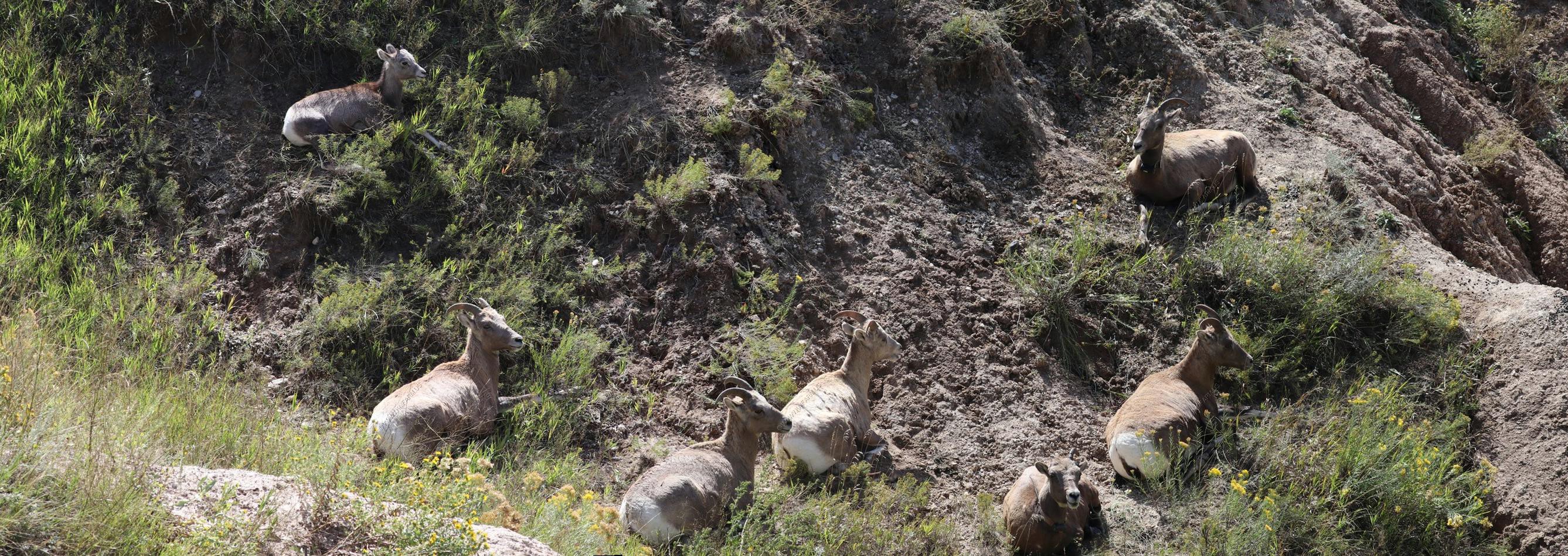
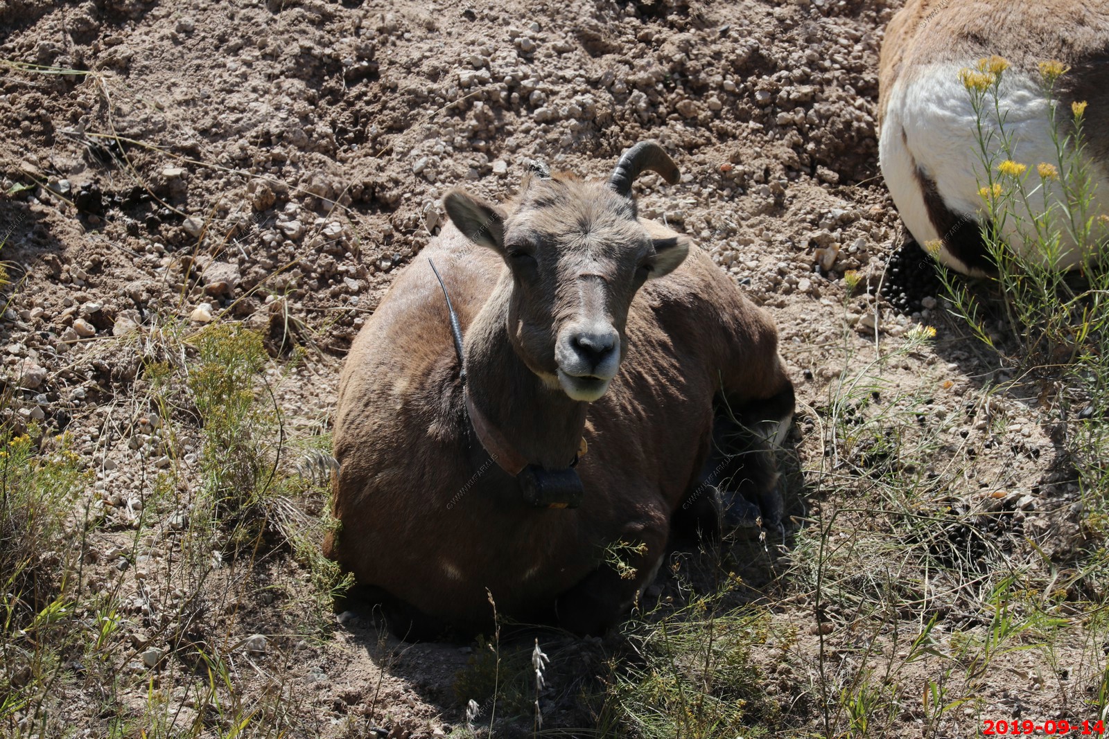
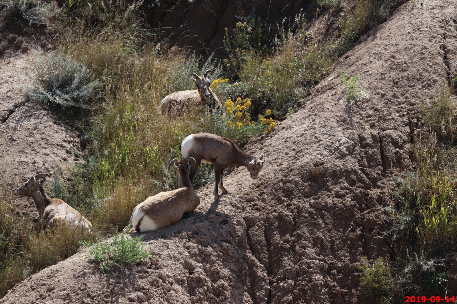
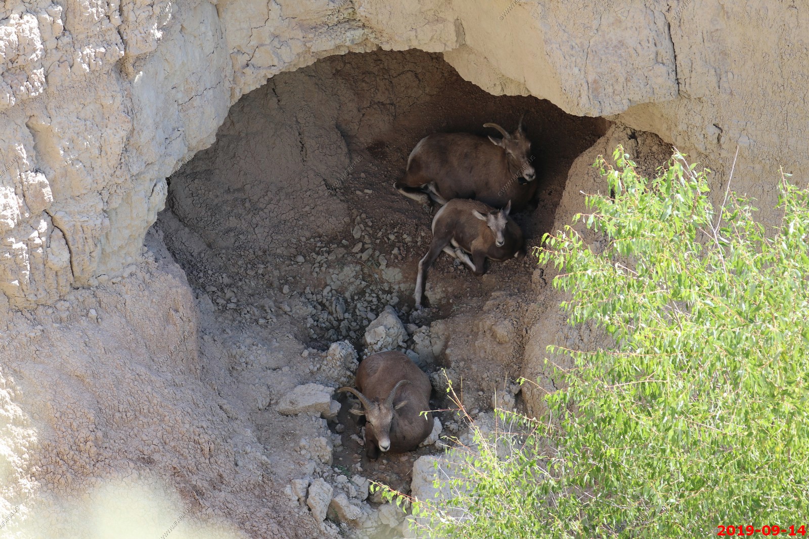
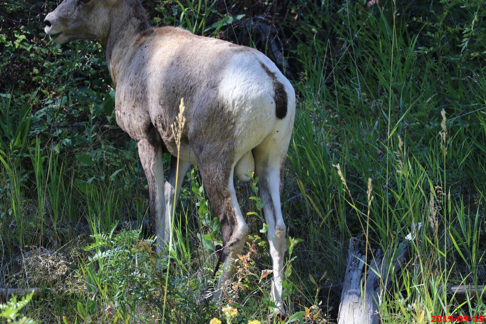
We saw this group of bighorns grazing on a grassy hill higher in elevation as we walked to the cave. When we finished the cave tour they were much closer.
Bighorn sheep live in social groups but rams and ewes usually only meet to mate. Rams live in bachelor groups and ewes live in herds with younger lambs. Lambs are born in the spring and walk soon after birth.
Mature males spend most of their year in bachelor flocks apart from groups of females and young sheep. Young females generally remain in their mother's group (led by an older ewe) for life. All ewes are subordinate to even young rams with bigger horns.
Males depart their mother's group around two to four years of age and join a group of rams. This is sometimes a tough time of wandering until the young rams find a male group, and they will sometimes take up with other species out of loneliness.
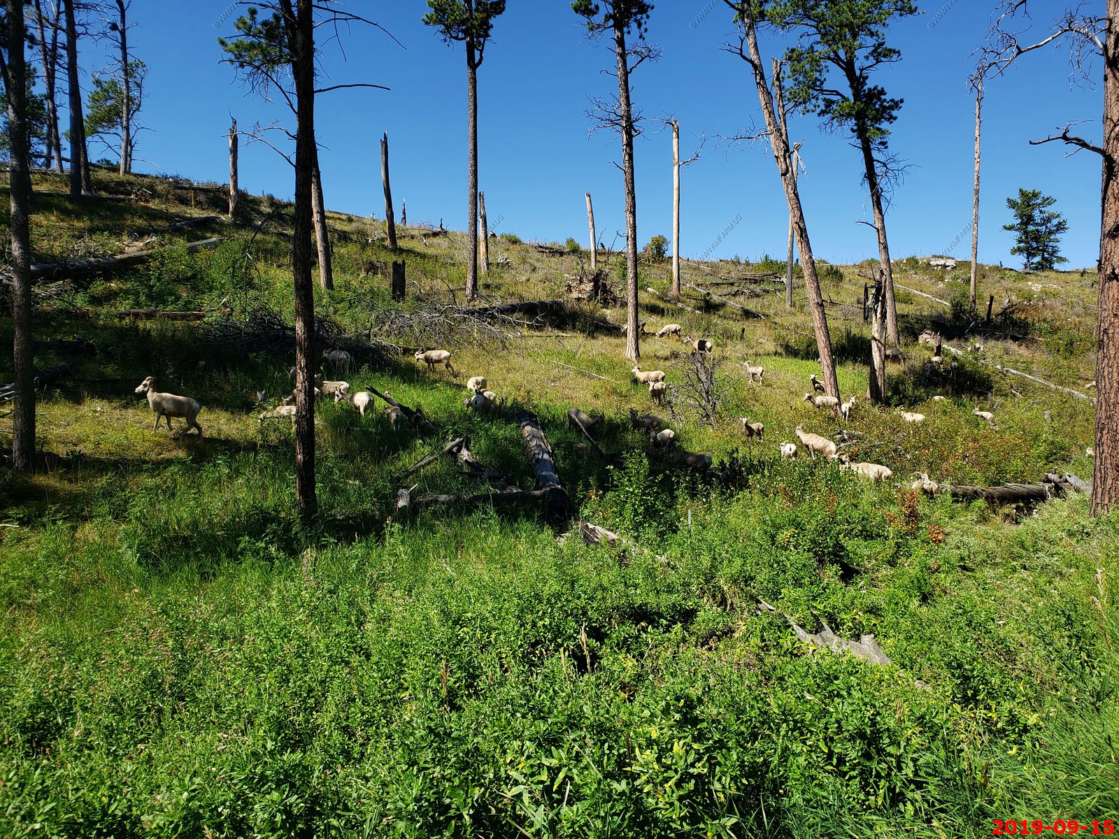
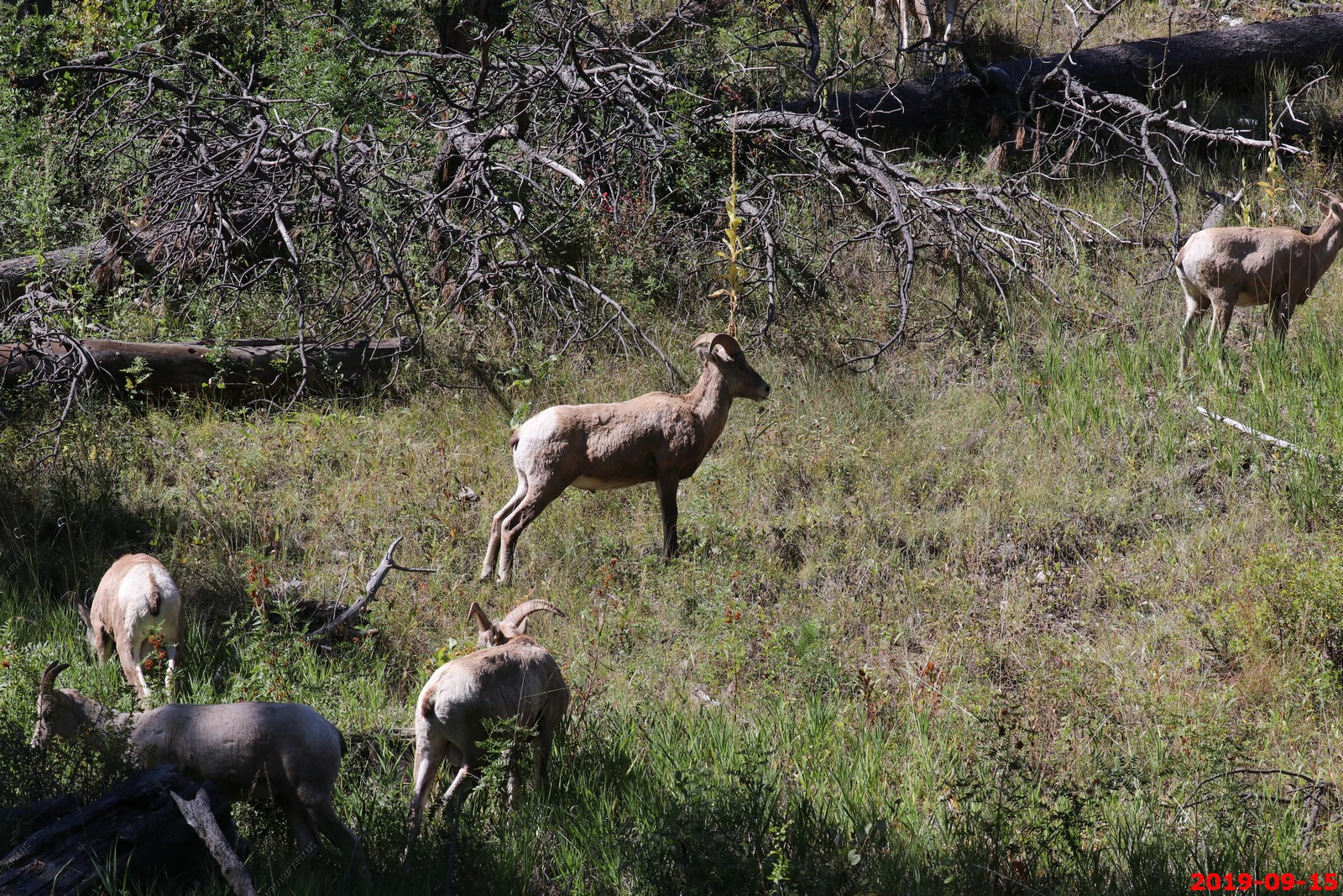
This herd of sheep has males and females. This is an confirmed male. It may be that these are young males in a mixed hard.
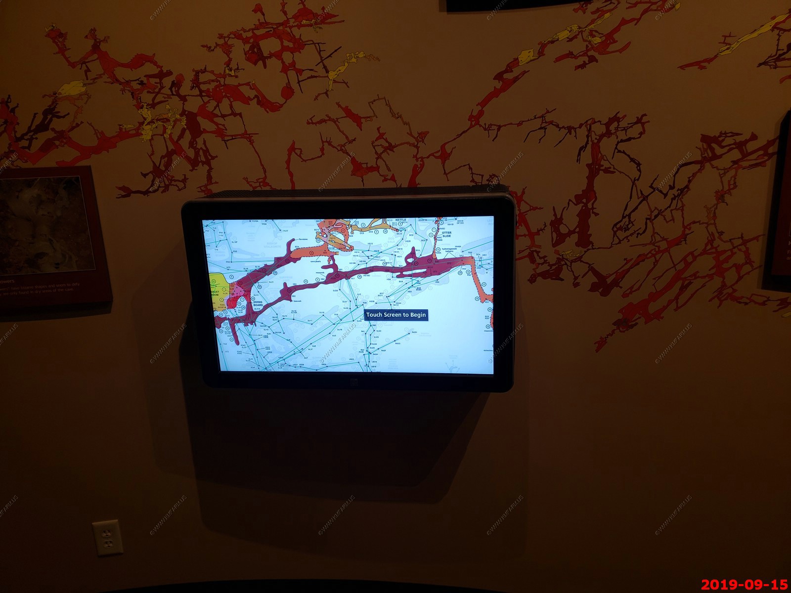
In the visitor center they had a current map of the passages found so far.
Select publications
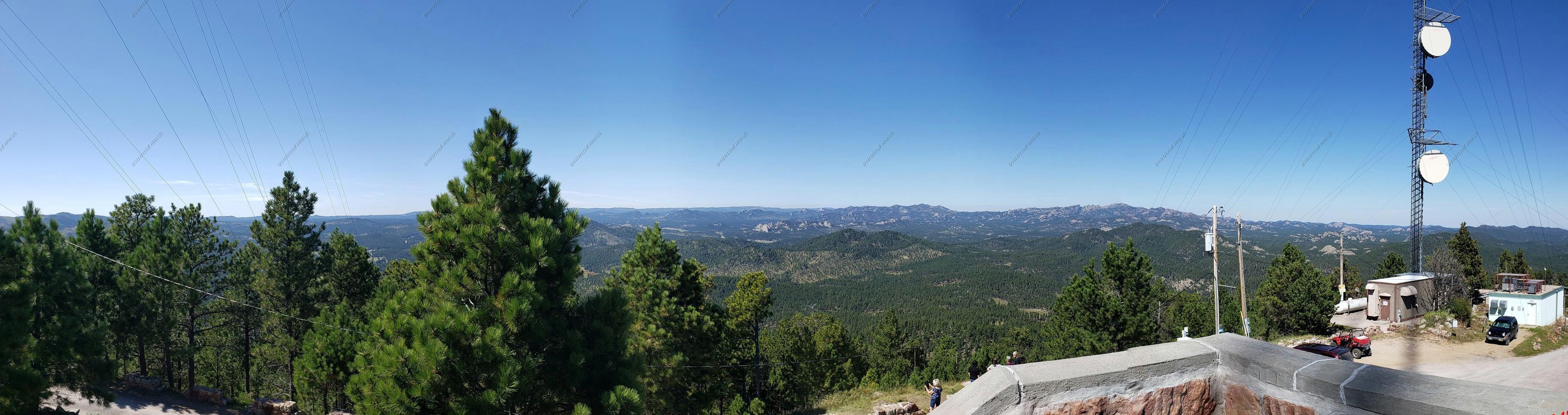
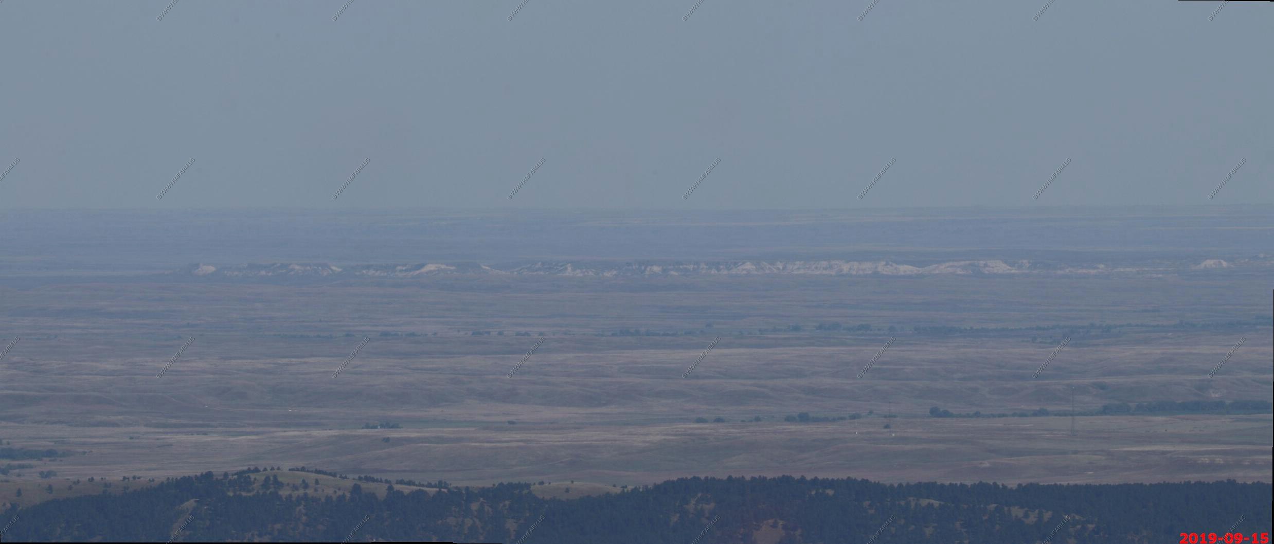
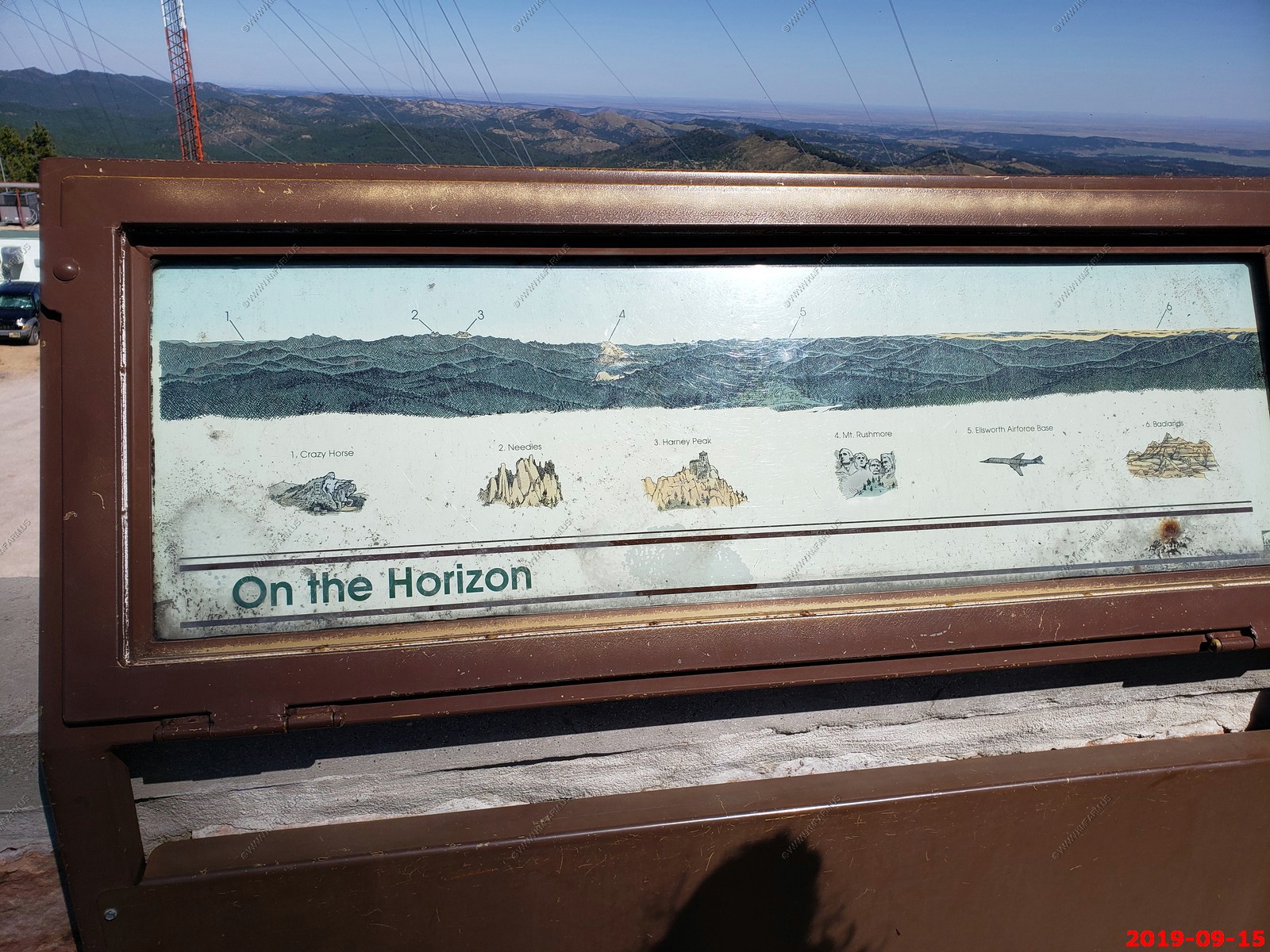
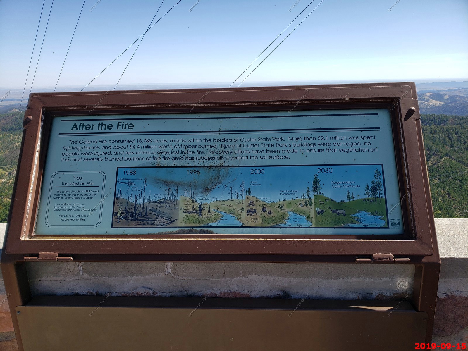
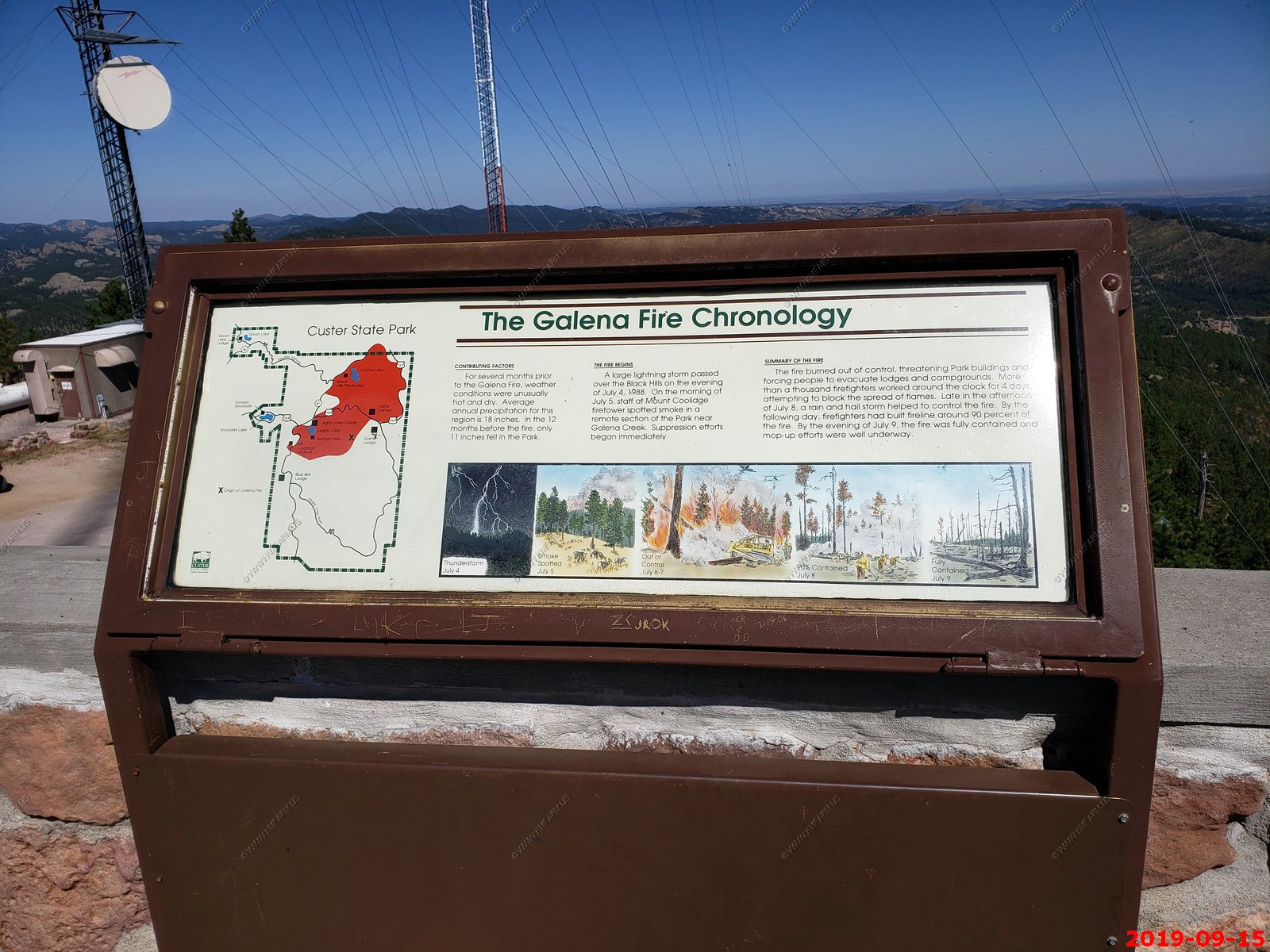
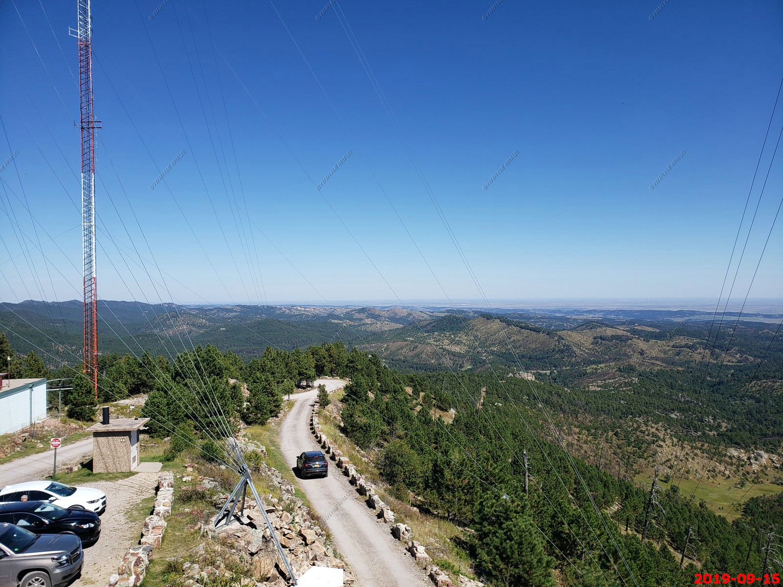
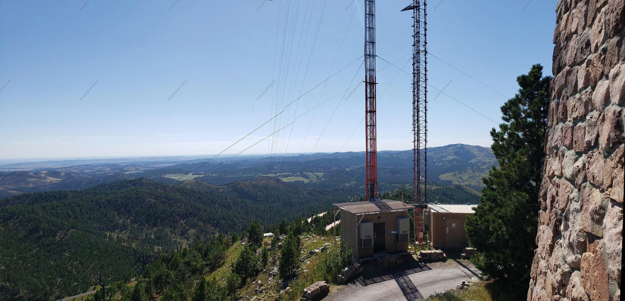
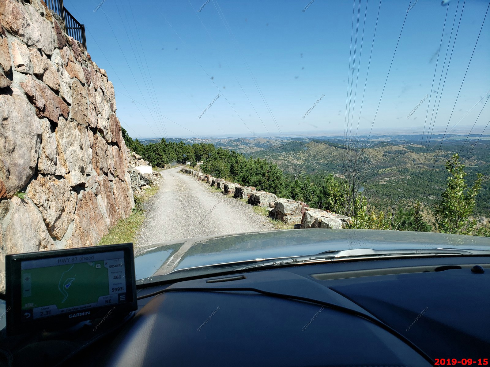
We decided to head over to Custer State Park. Our first stop was Mt. Coolidge Lookout - The Mount Coolidge Lookout and Fire Tower was built in 1940 by the Civilian Conservation Corps. It rests atop a 6,023 foot peak and is used for communications and spotting fires. The elevation is 6,023 Ft.
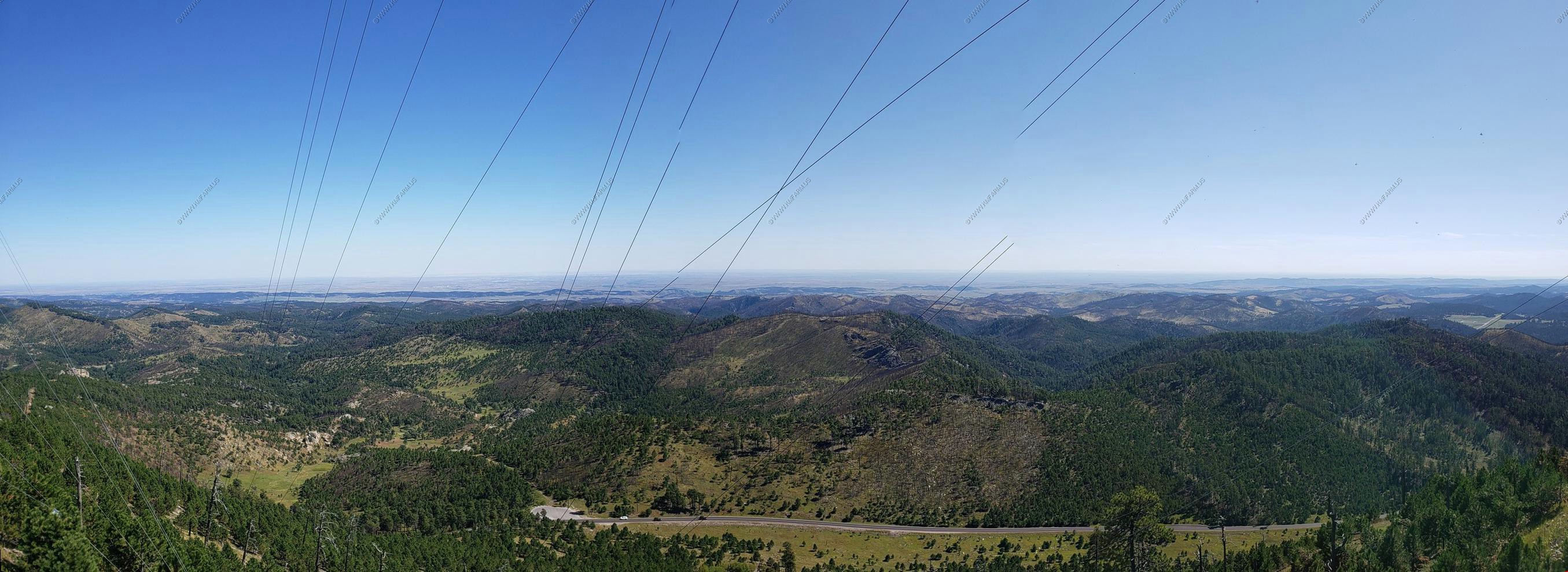
The turnoff is located on SD87. A 1.7 mile gravel road leads visitors to the top of the mountain, but large vehicles and motorhomes should avoid making the trip, as the road is narrow and winding. From the top, visitors can see as far away as the Badlands 60 miles away.
Beautiful clear day
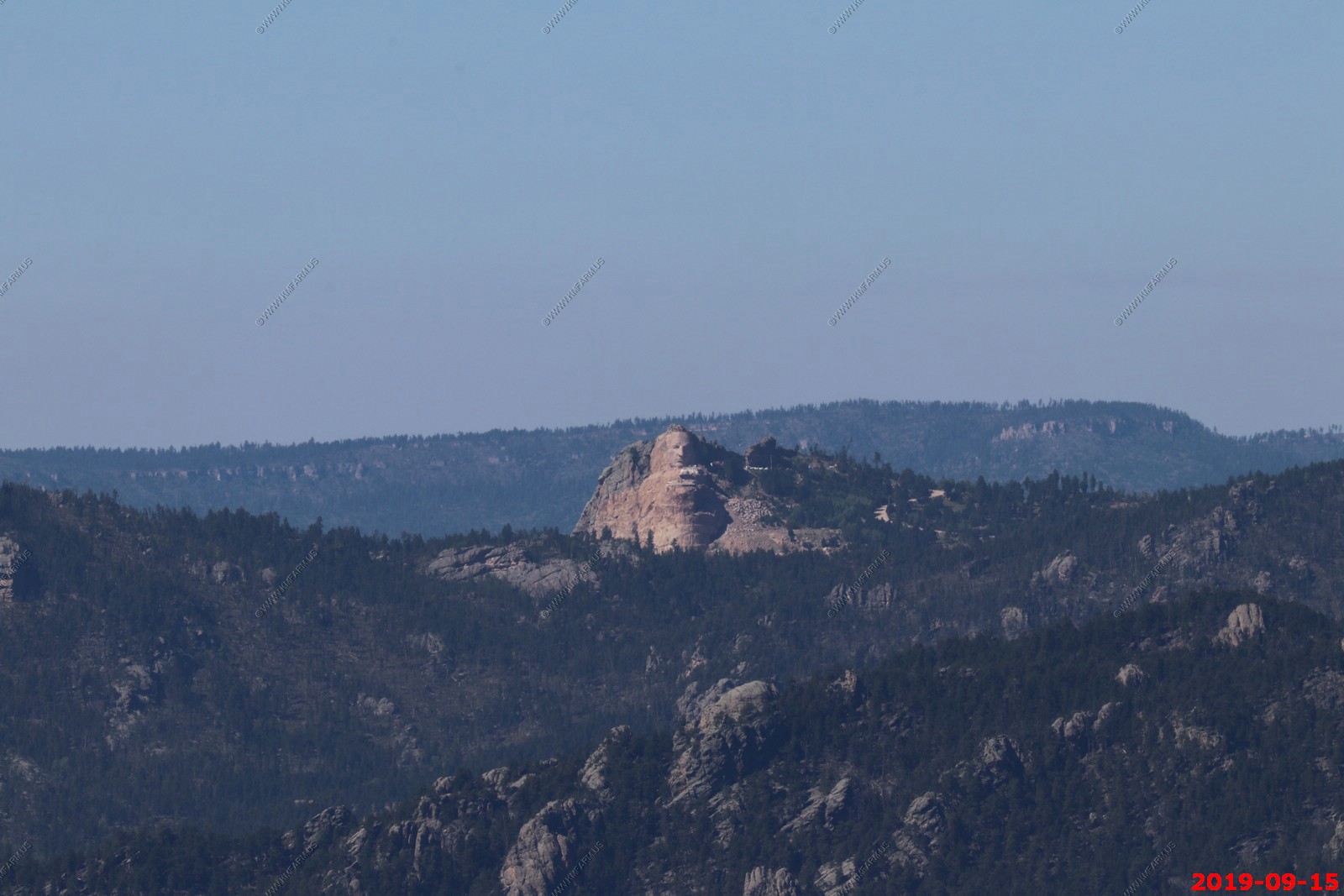
Crazy Horse Memorial - Sad that they are defacing the mountain for this. Just think it should be left natural. This was appx. 9.5 miles away.
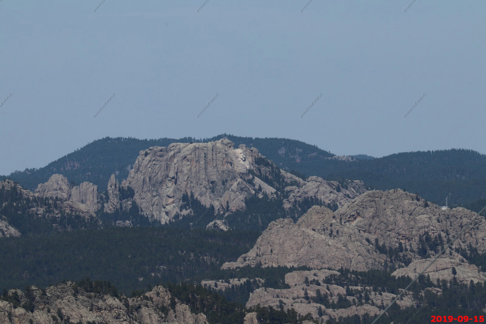
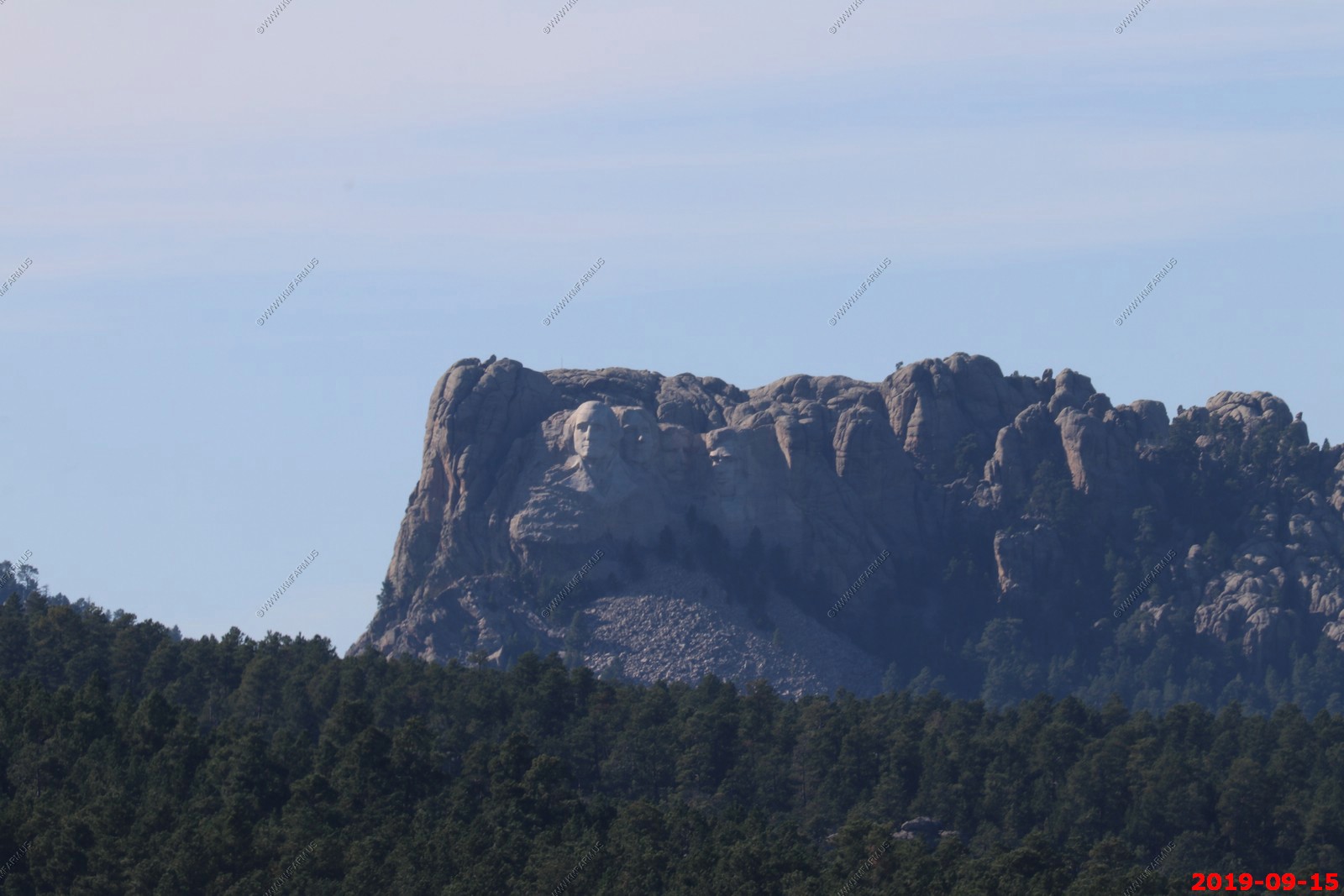
You can see George Washington at Mount Rushmore National Memorial appx. 9.2 miles away.
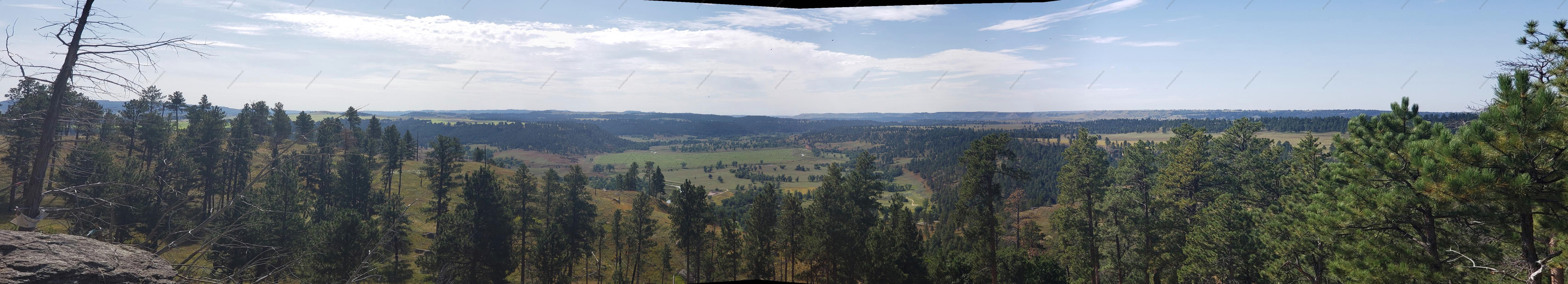
Four photos stitched looking West to North.
Looking up in the Needles Highway area.
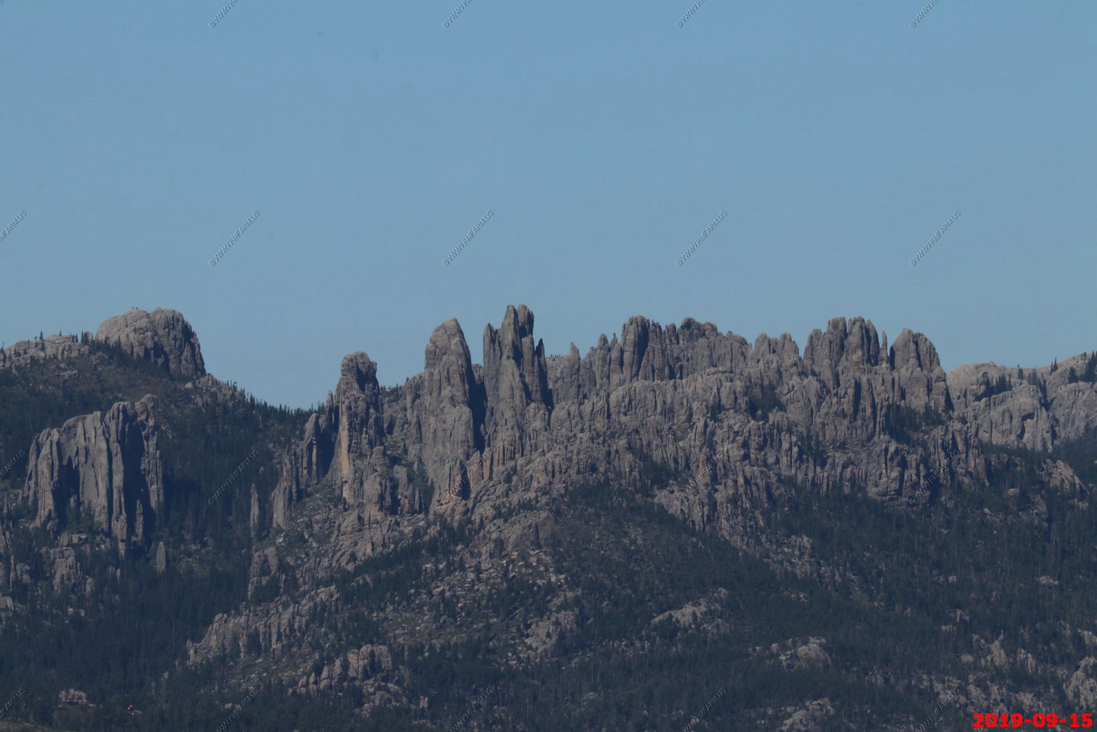
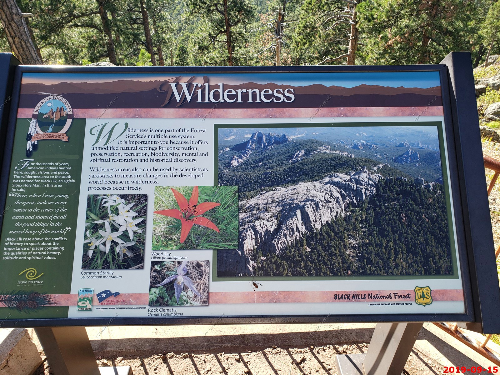
The highest point in South Dakota (El. 7,242) Harney Peak (They now PC call it Black Elk Peak) It has a stone fire tower on the summit. It can be reached with a 7 mile strenuous hike from Sylvan Lake. Harney Peak was easily seen from all over the black hills.
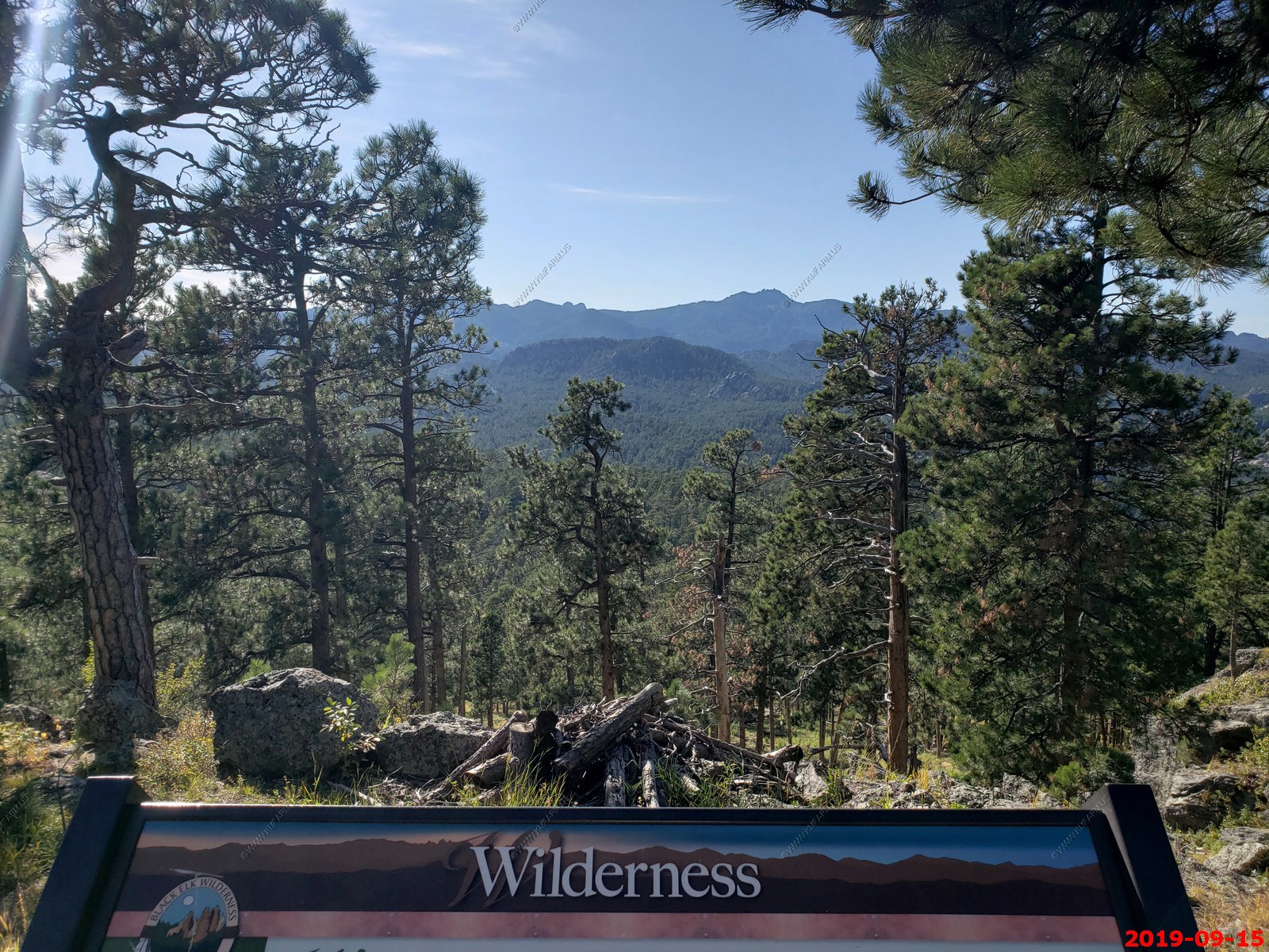
Looking east at the Badlands 60+ miles away.
Information on what you can see.
Not much parking and Rapid City appx. 25 miles to the North.
Looking East.
Looking South East.
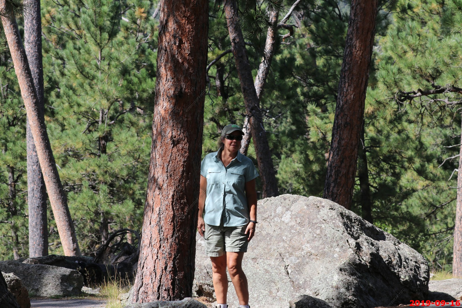
Mary enjoying the view.
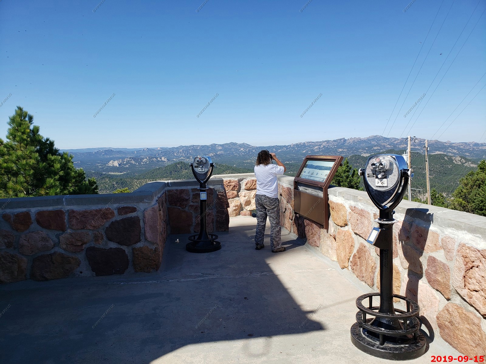
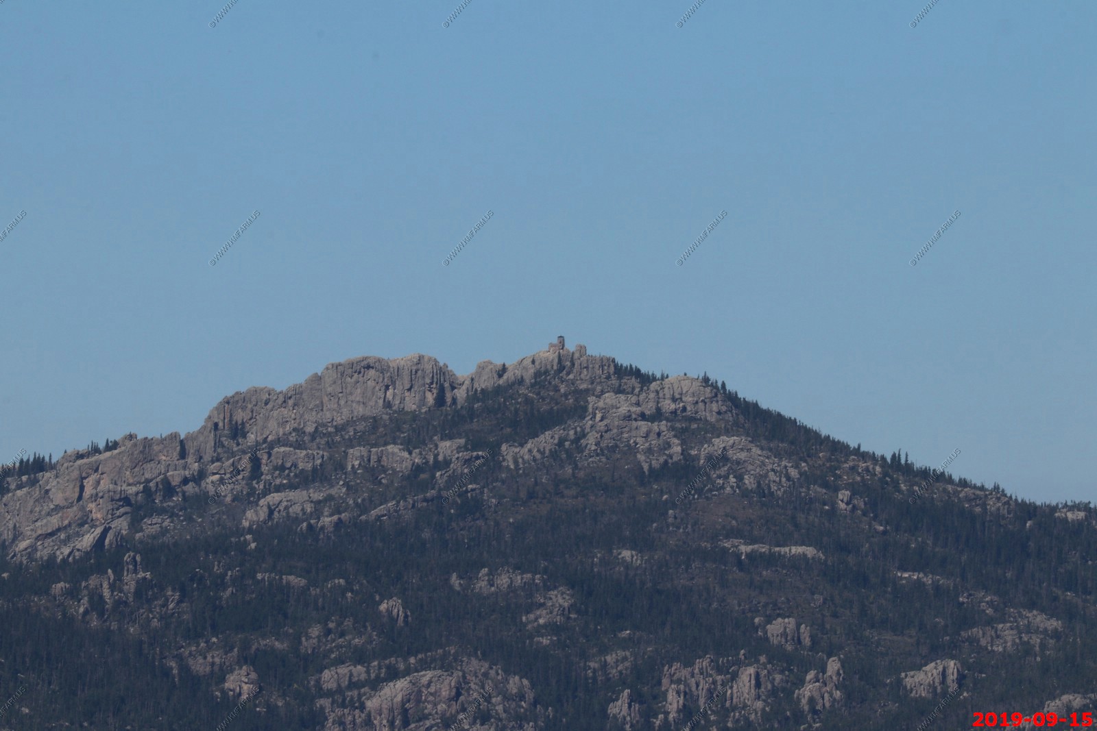
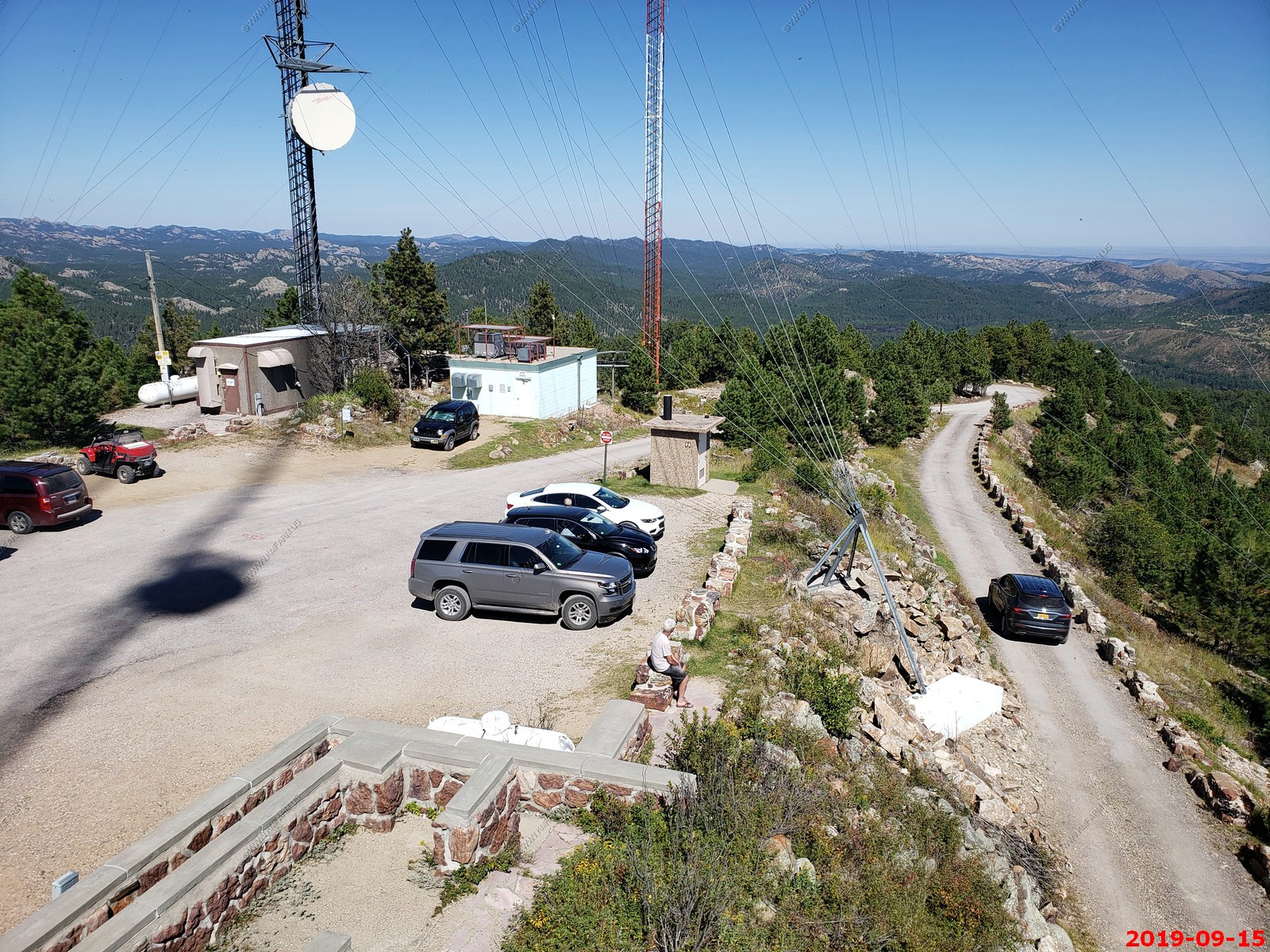
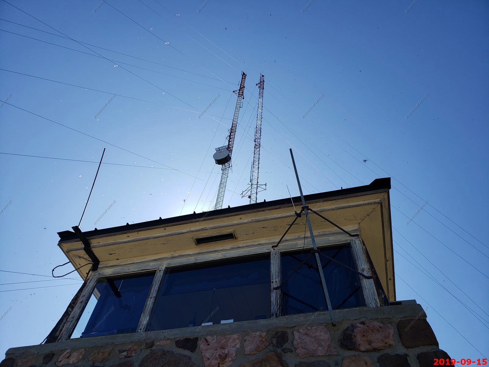
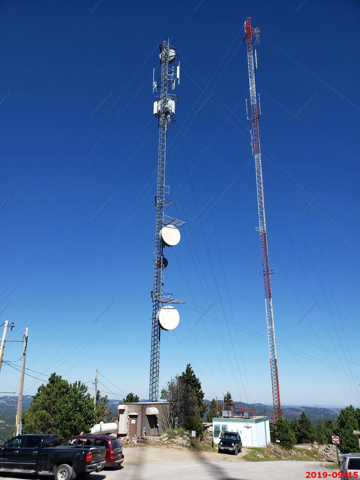
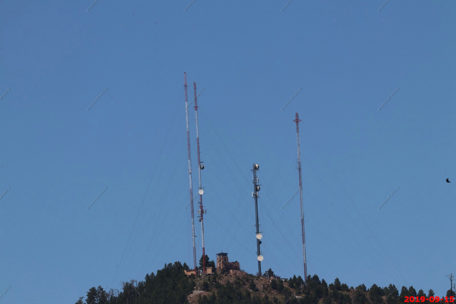
Fire watch area & Antennas. The cell site here (antenna on left) gave is really good coverage in the central part of the Black Hills.
Narrow road leading to / from Mt. Coolidge Lookout.
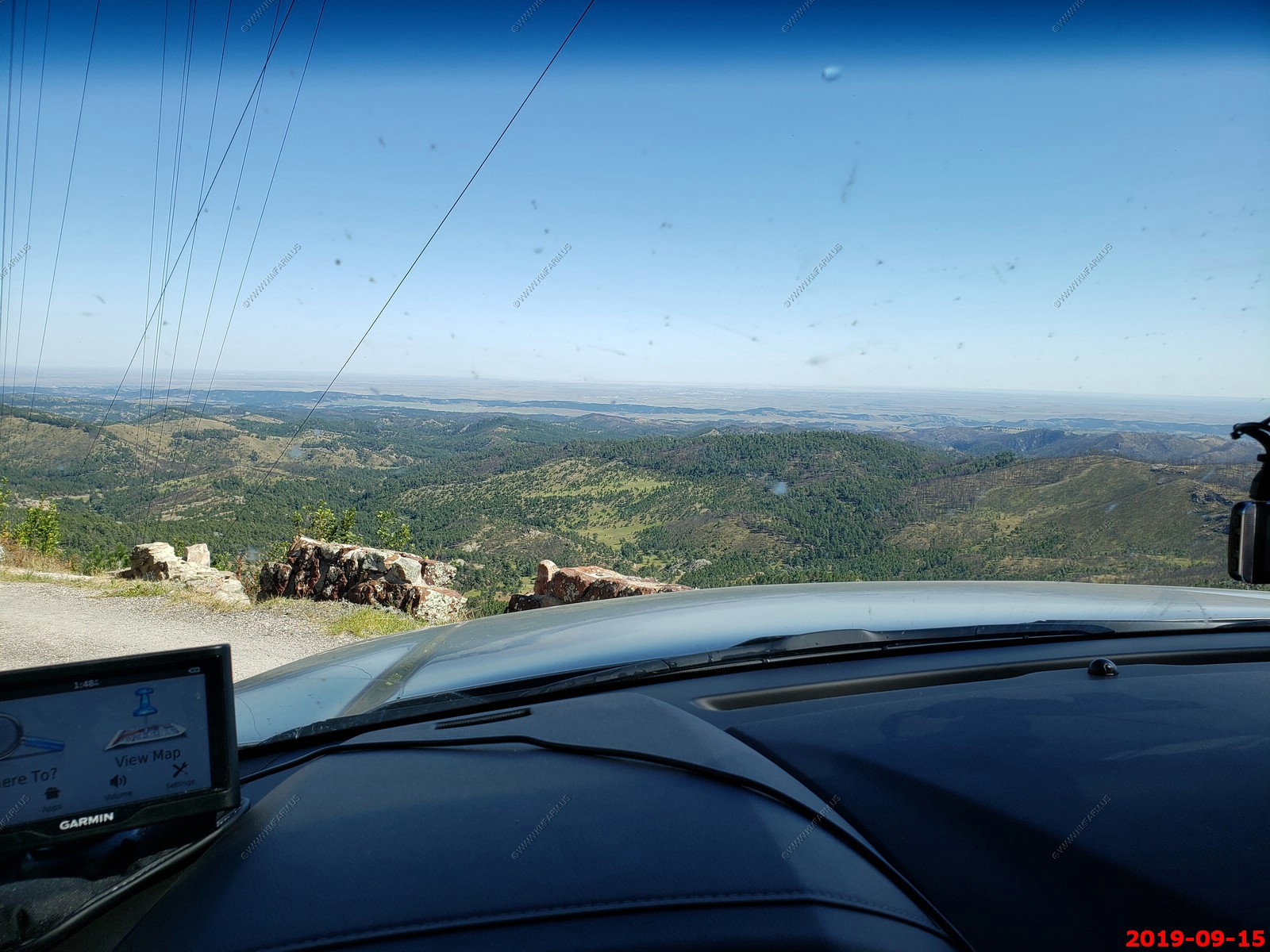
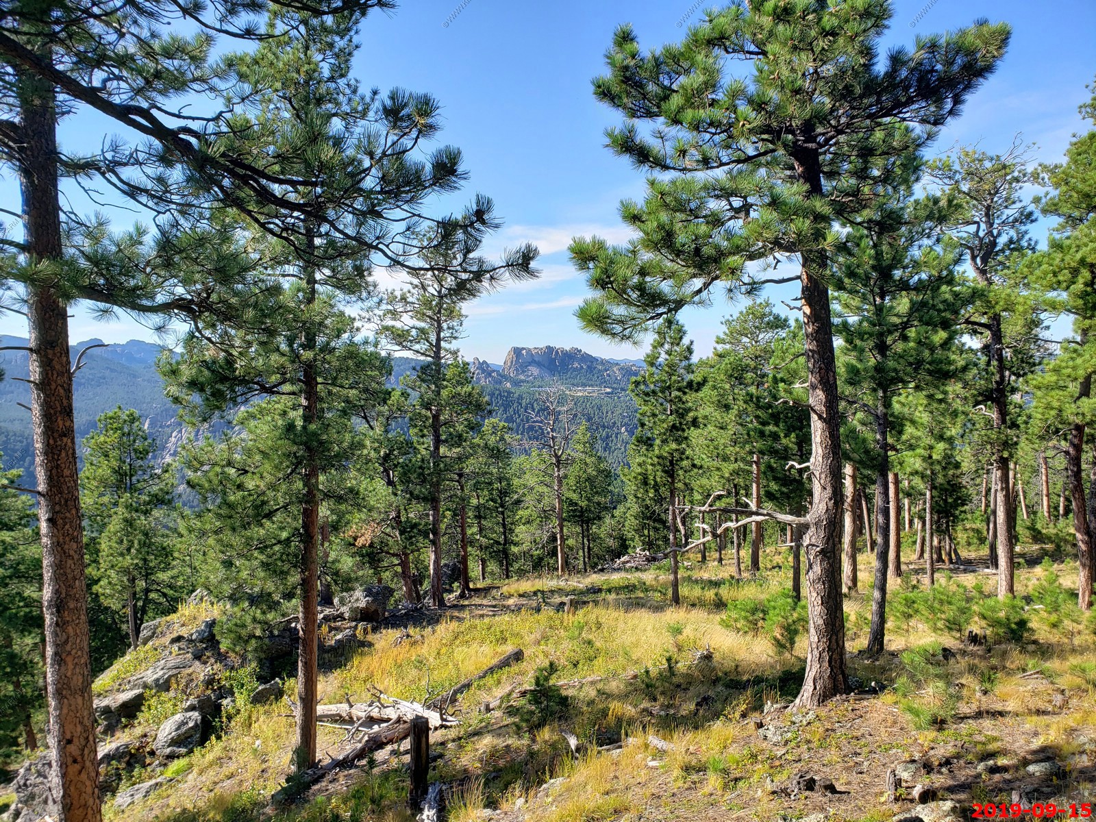
Looking back up at Mt. Coolidge.
Custer State Park
So, our next destination was the Wildlife Loop Road travels through 18 miles of open grasslands and pine-speckled hills.
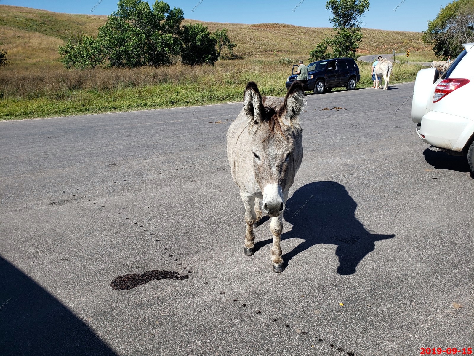
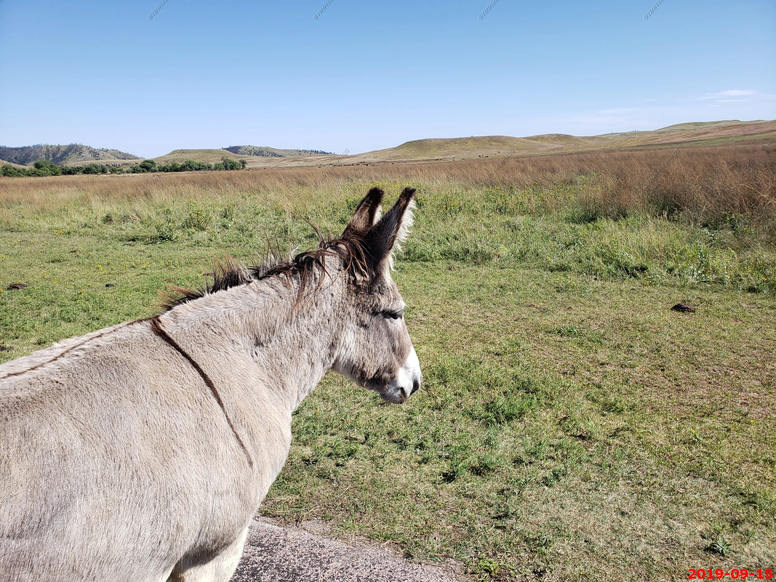
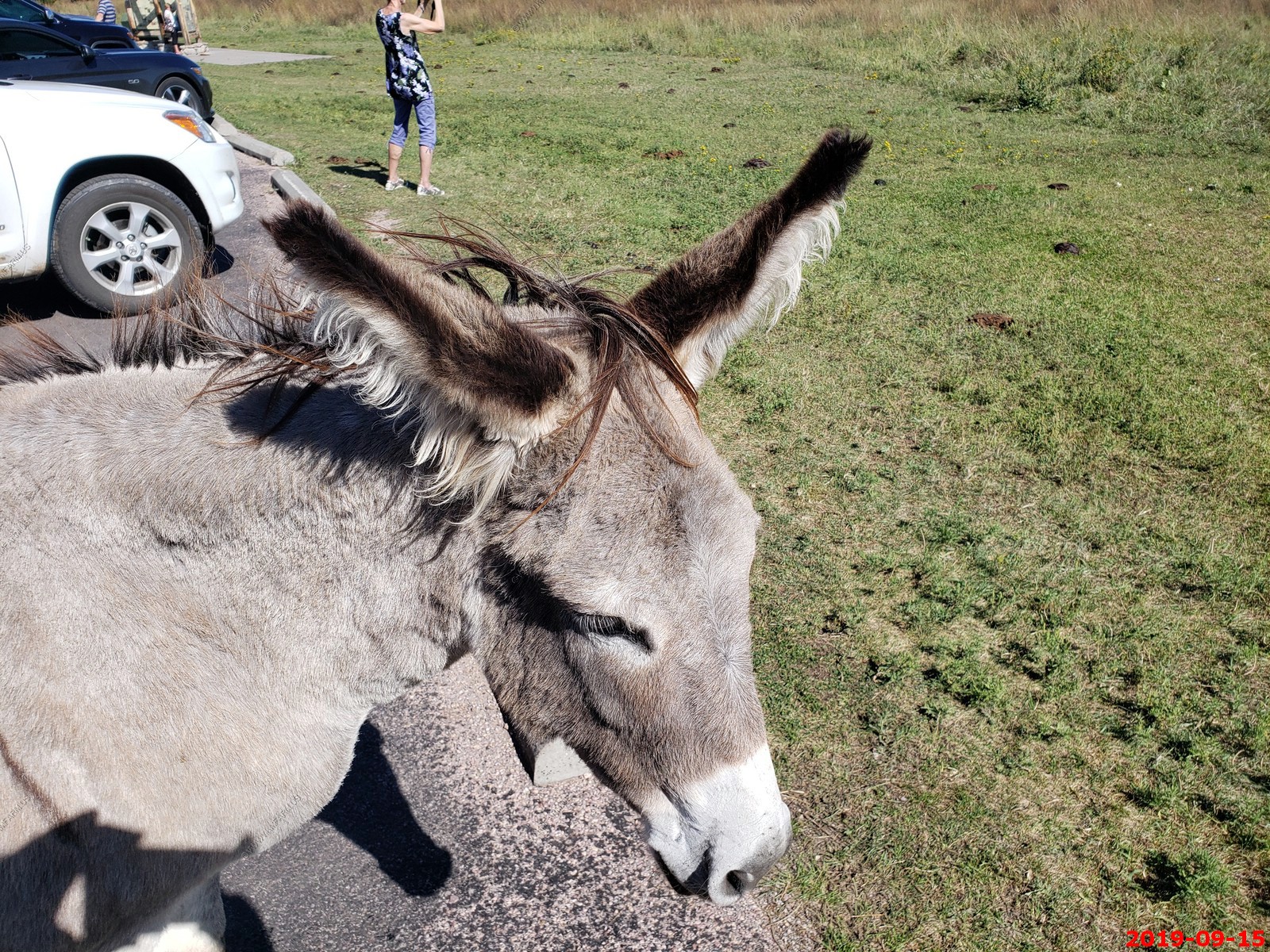
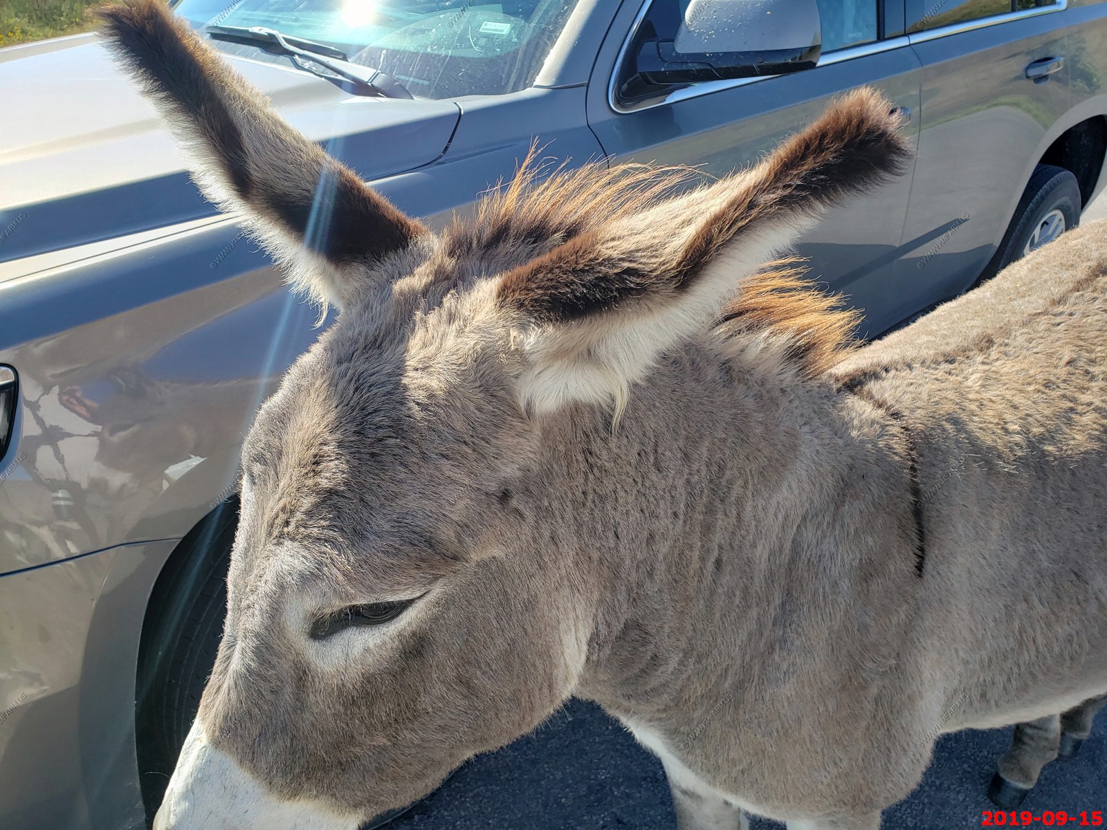
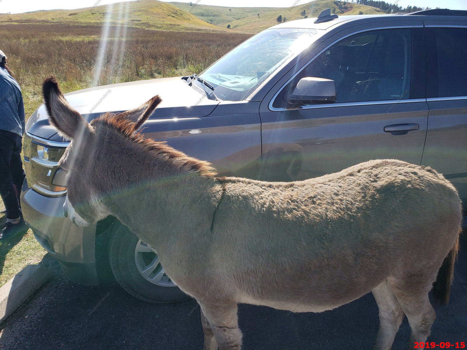
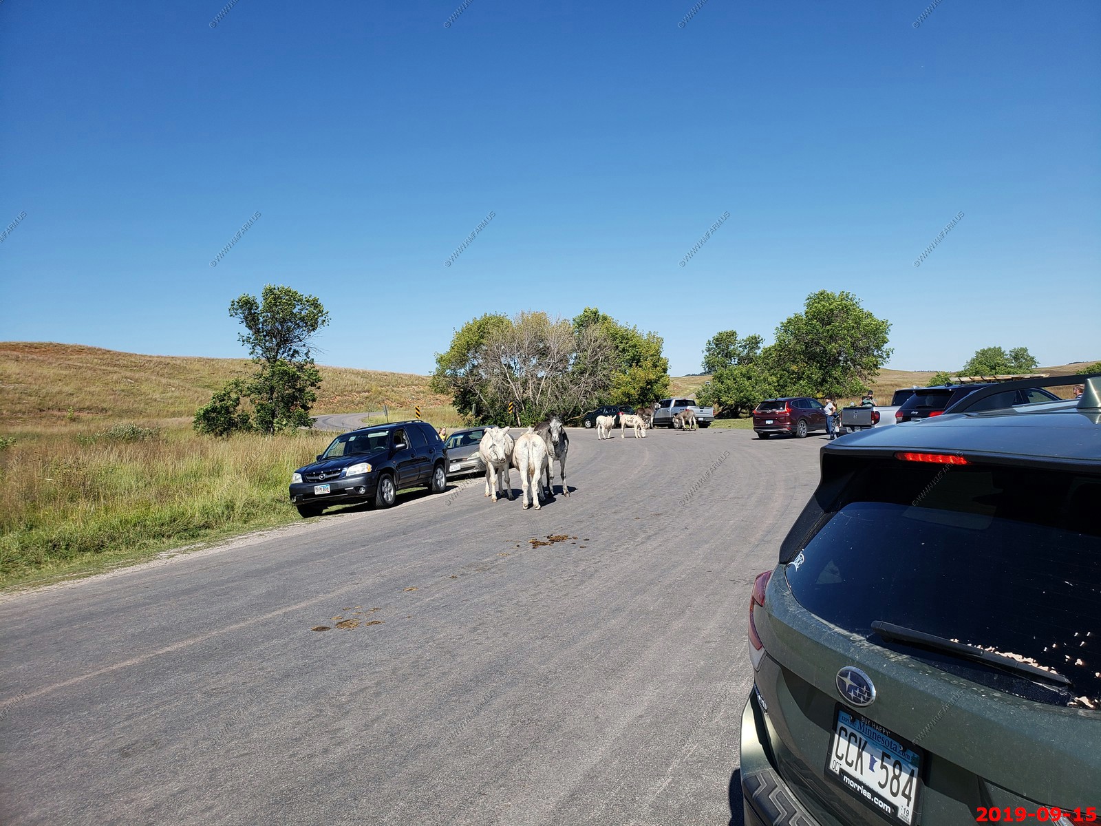
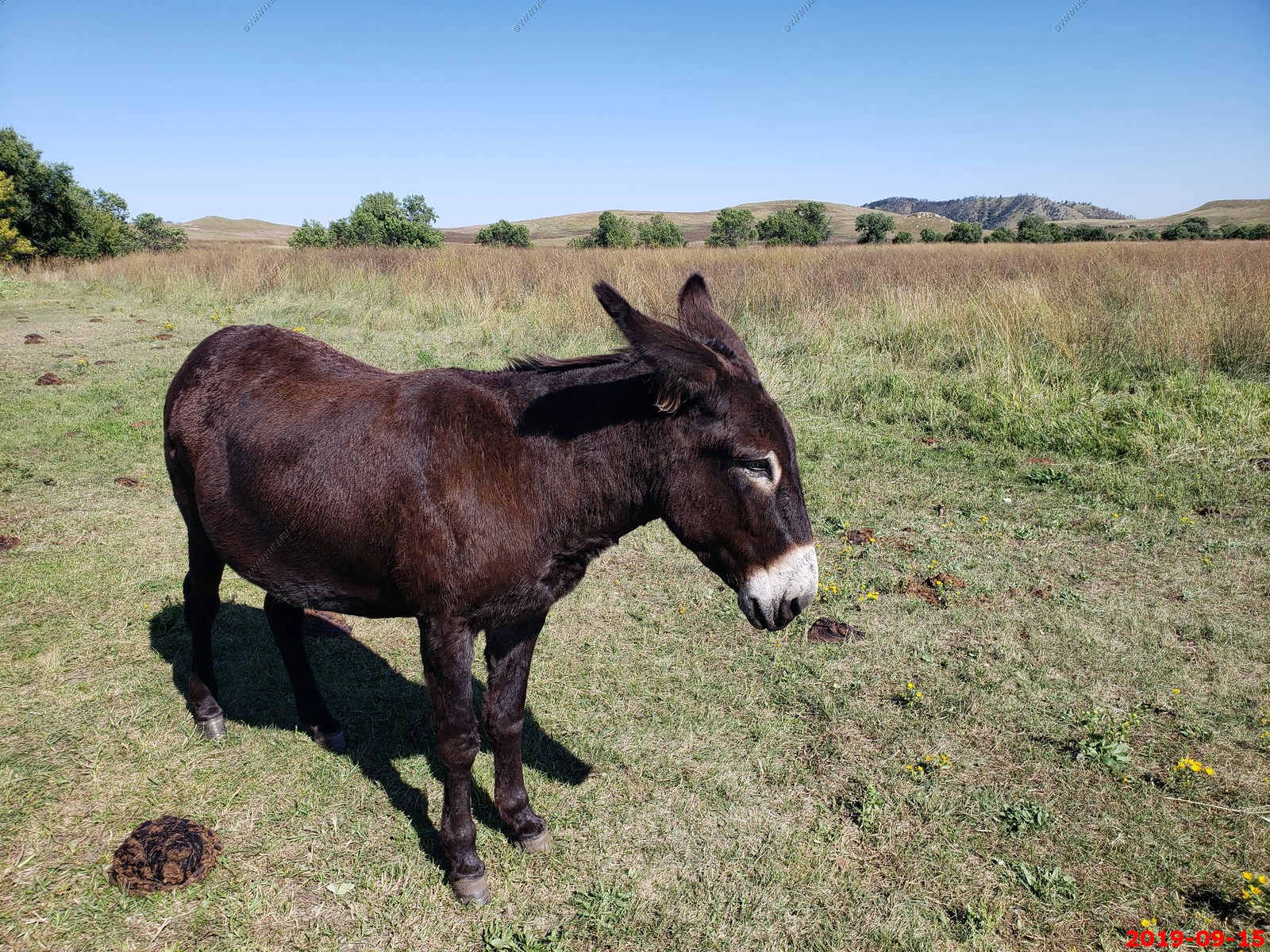
A bunch of Burros were hanging out along the road.
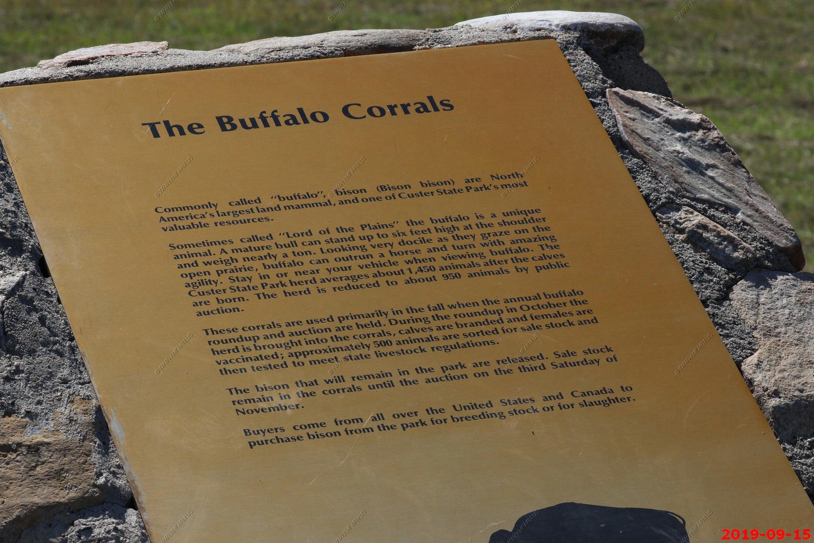
The information at this location which I think was Buffalo Roundup South Parking.
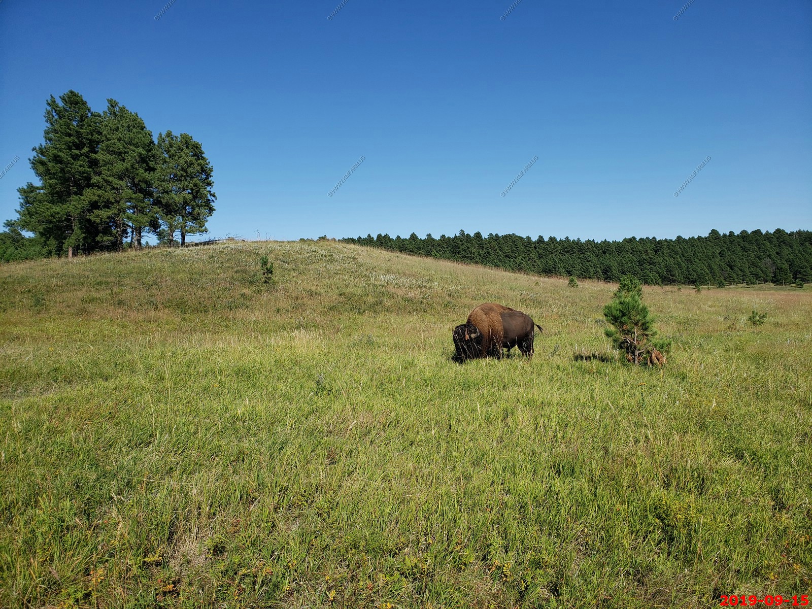
Buffalo off in the distance
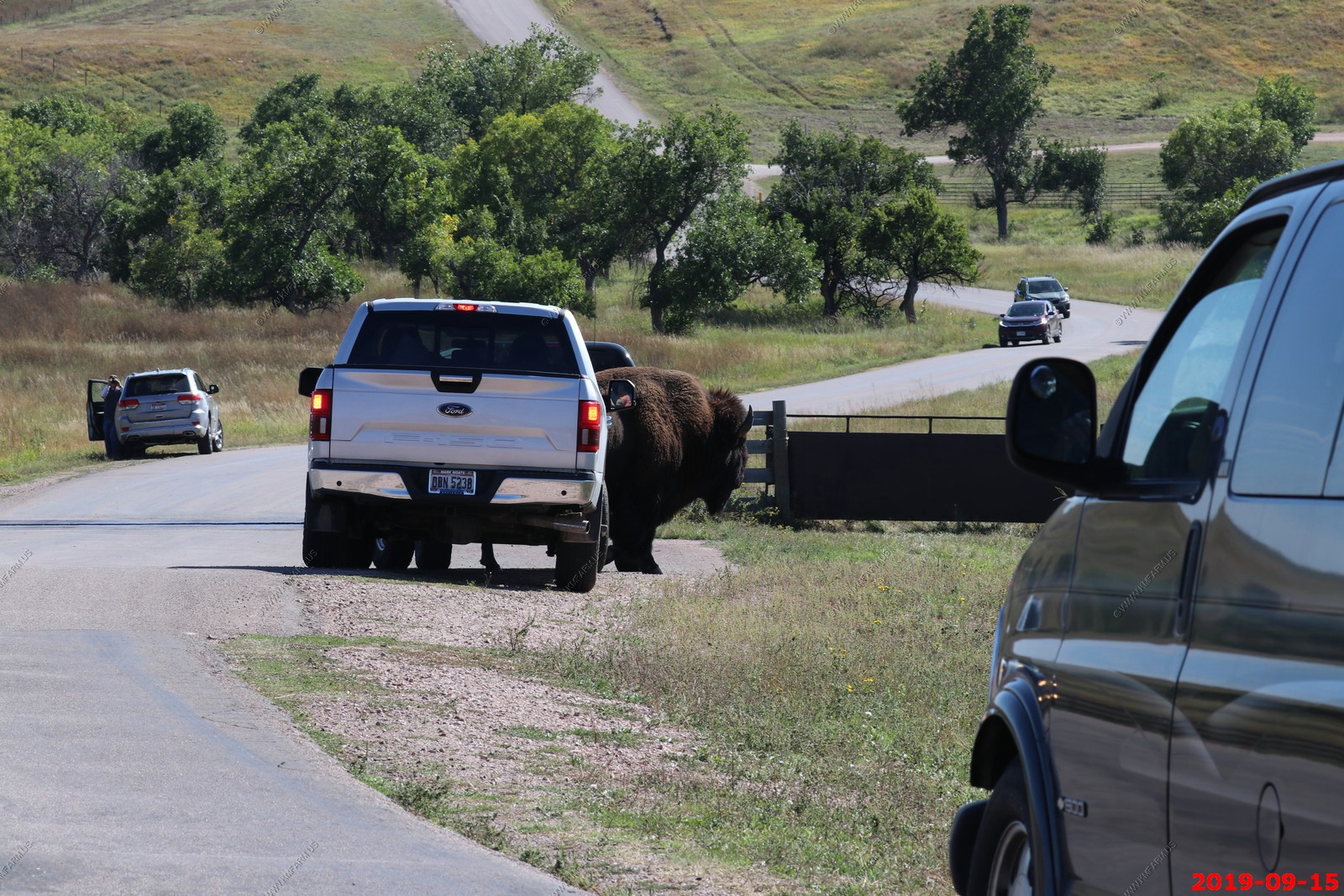
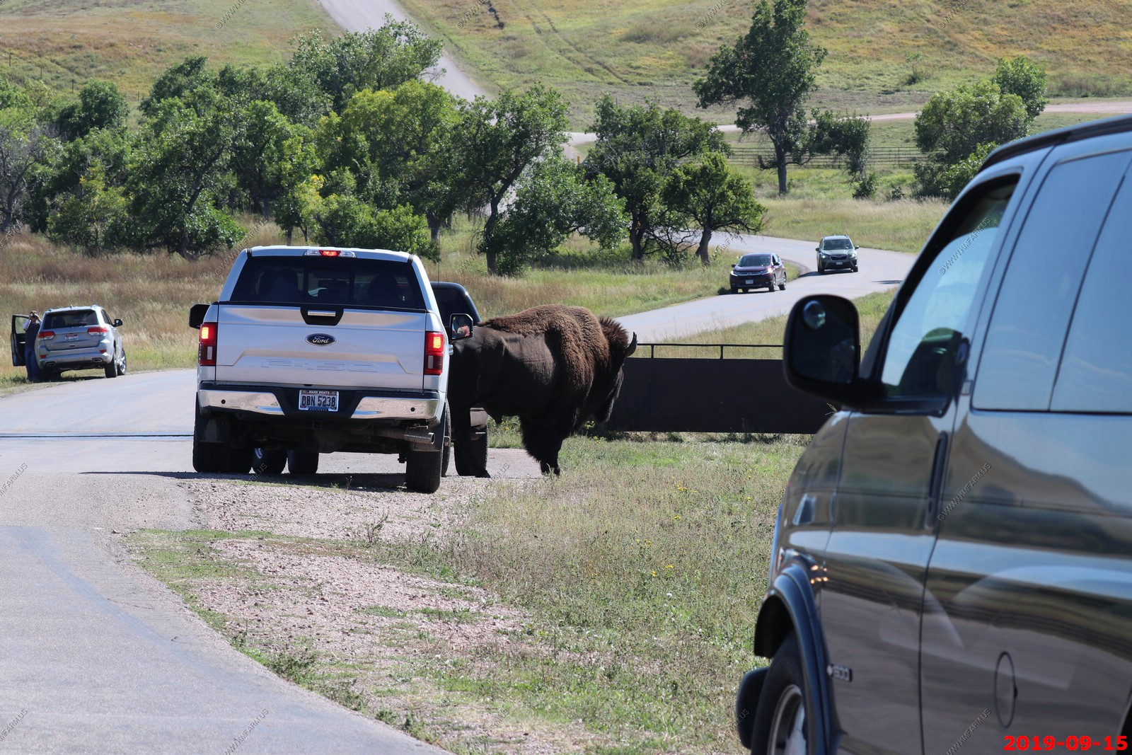
So we continued on and I noticed a rather large buffalo walking along a fence that would force it to cross the road. Mary stayed in the car and I was able to get some great face shots as it walked towards me. I never was closer than 200 feet.
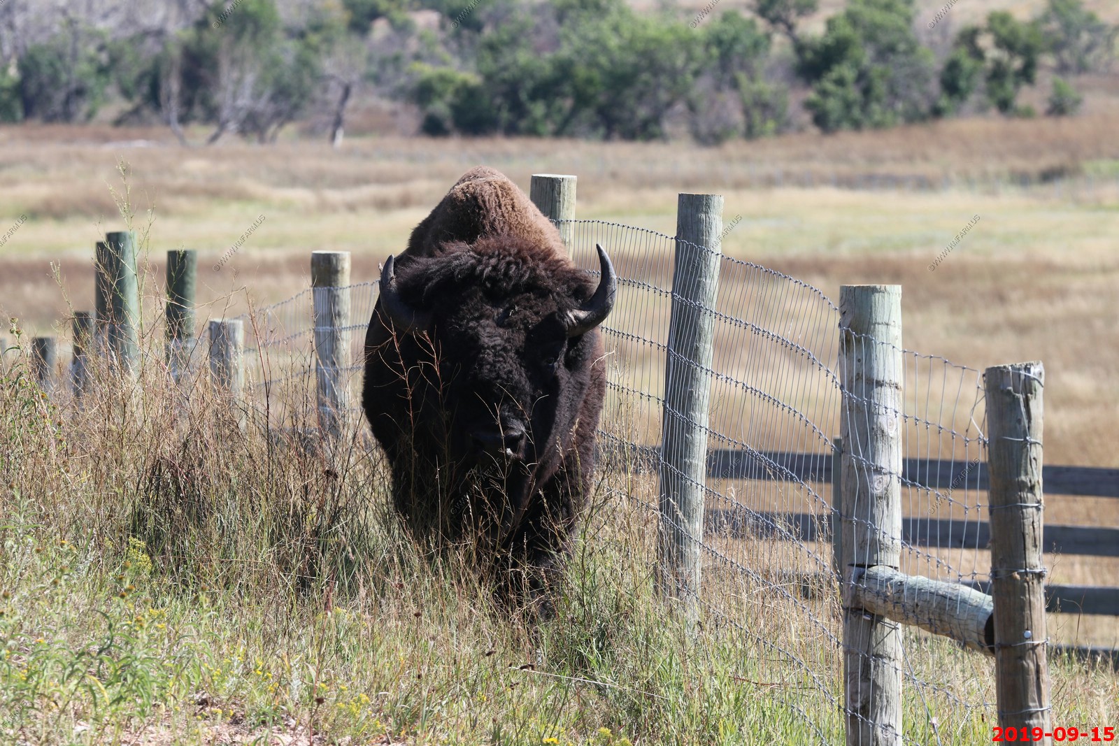
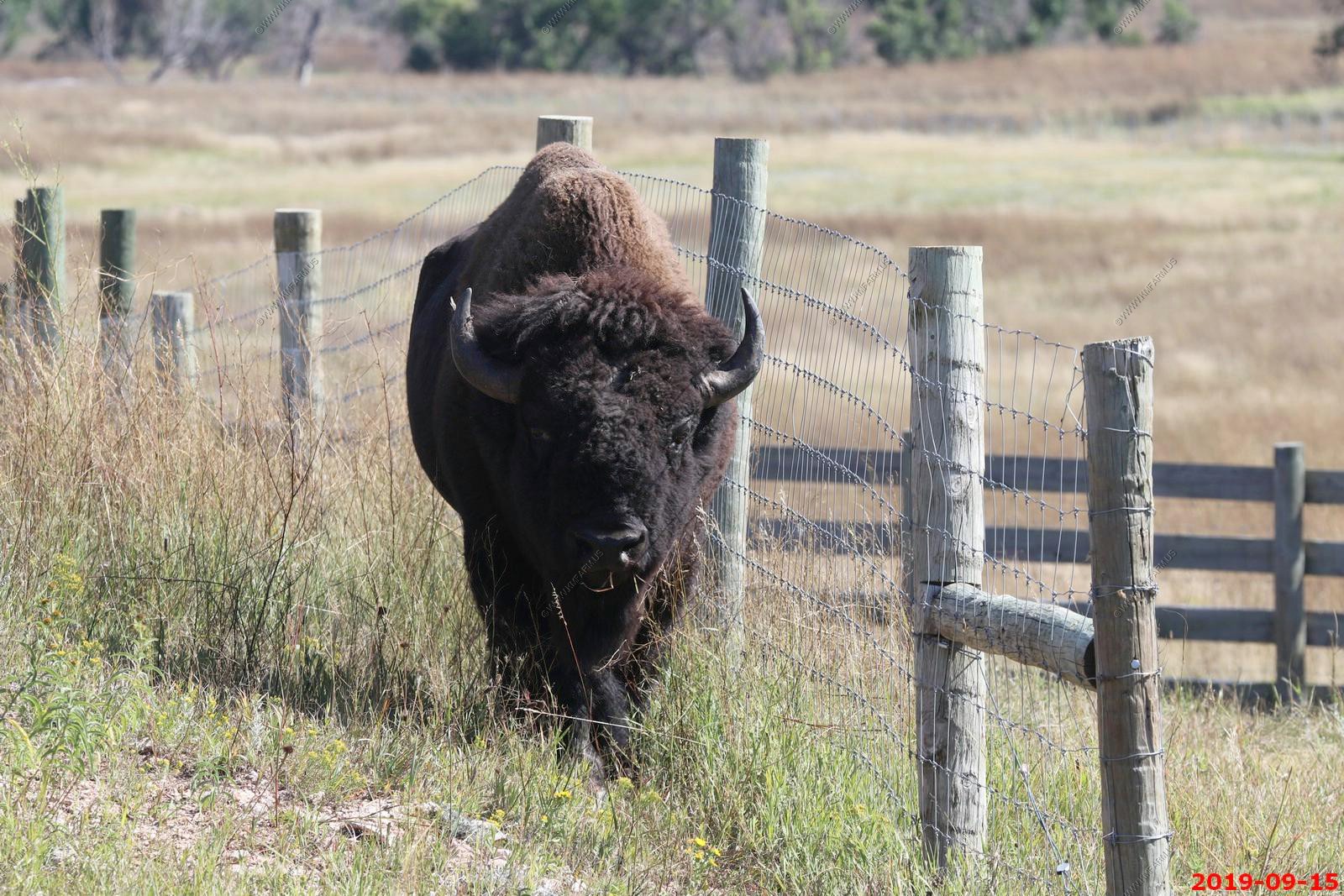
When he got to the road he started walking around the cars that parked in the area in anticipation of him crossing. I moved the vehicle up a hundred feet or so as I did not want to have any issues with him and my rental.
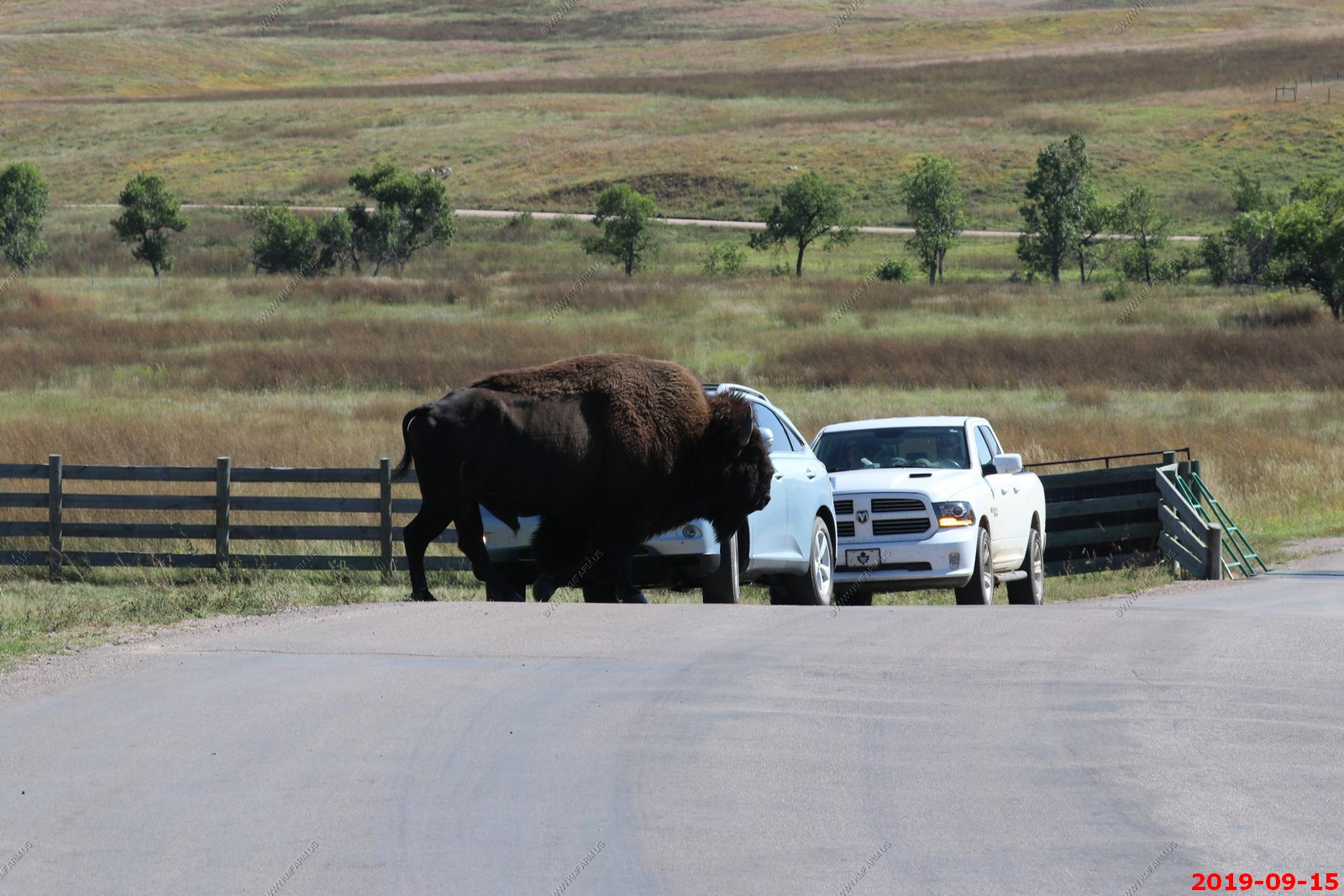
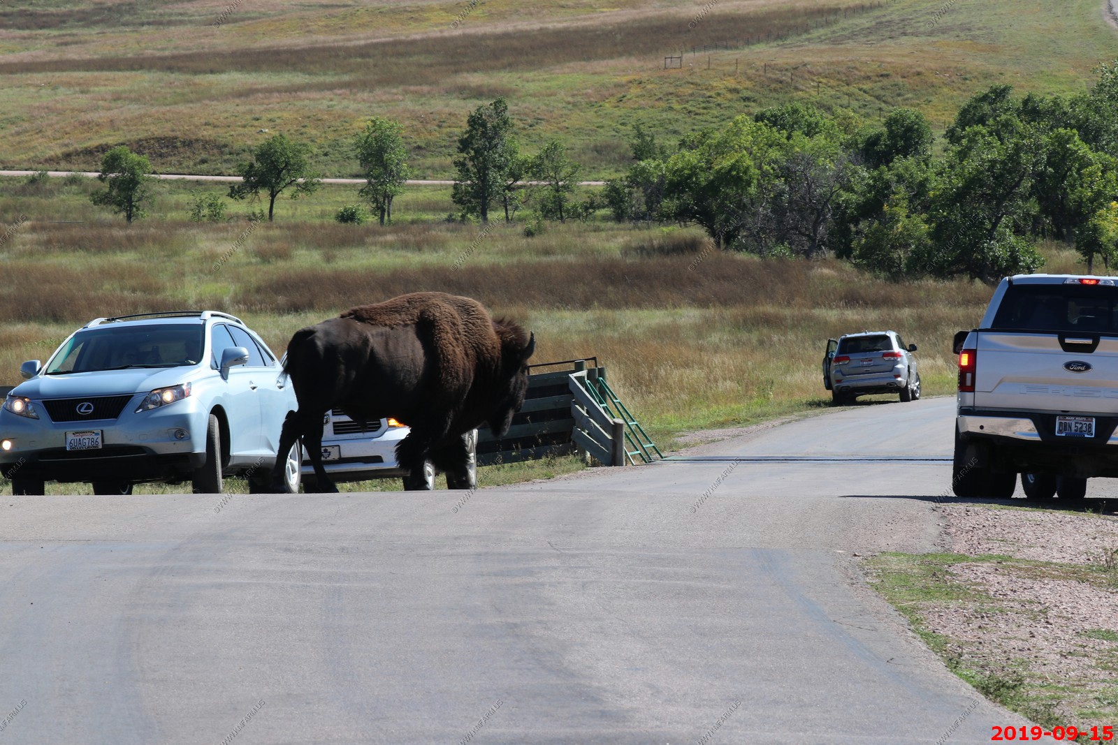
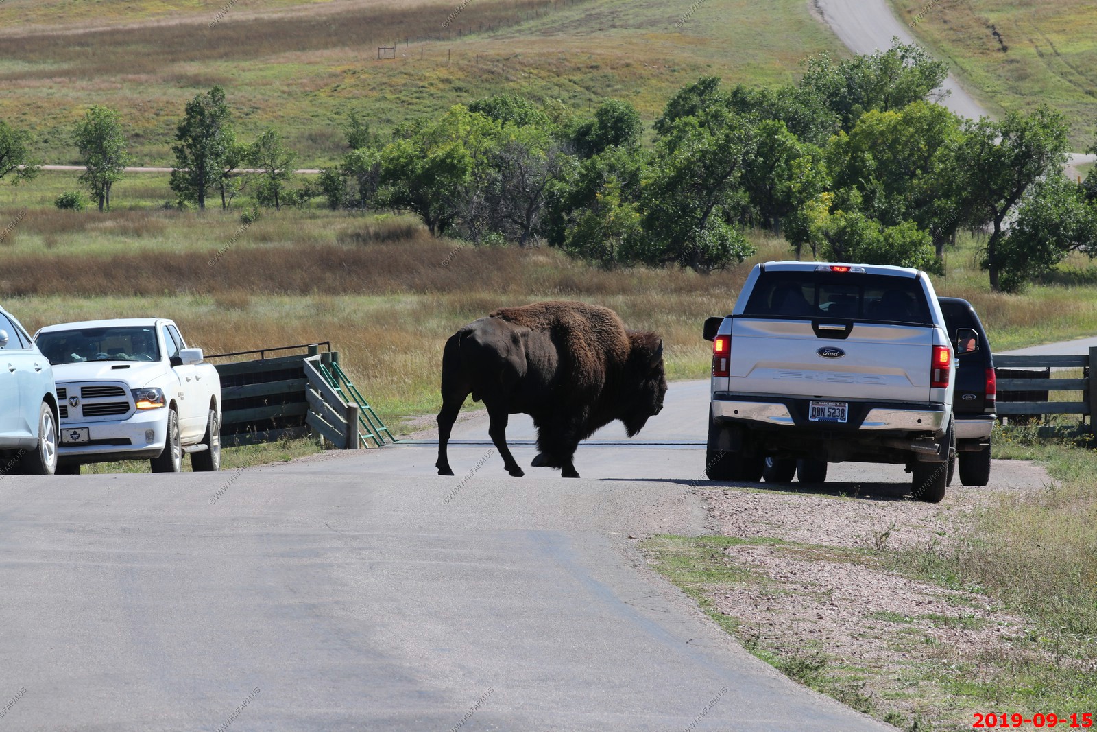
He went in between these two pickups and just stood there looking around.
This is where the roundup occurs.
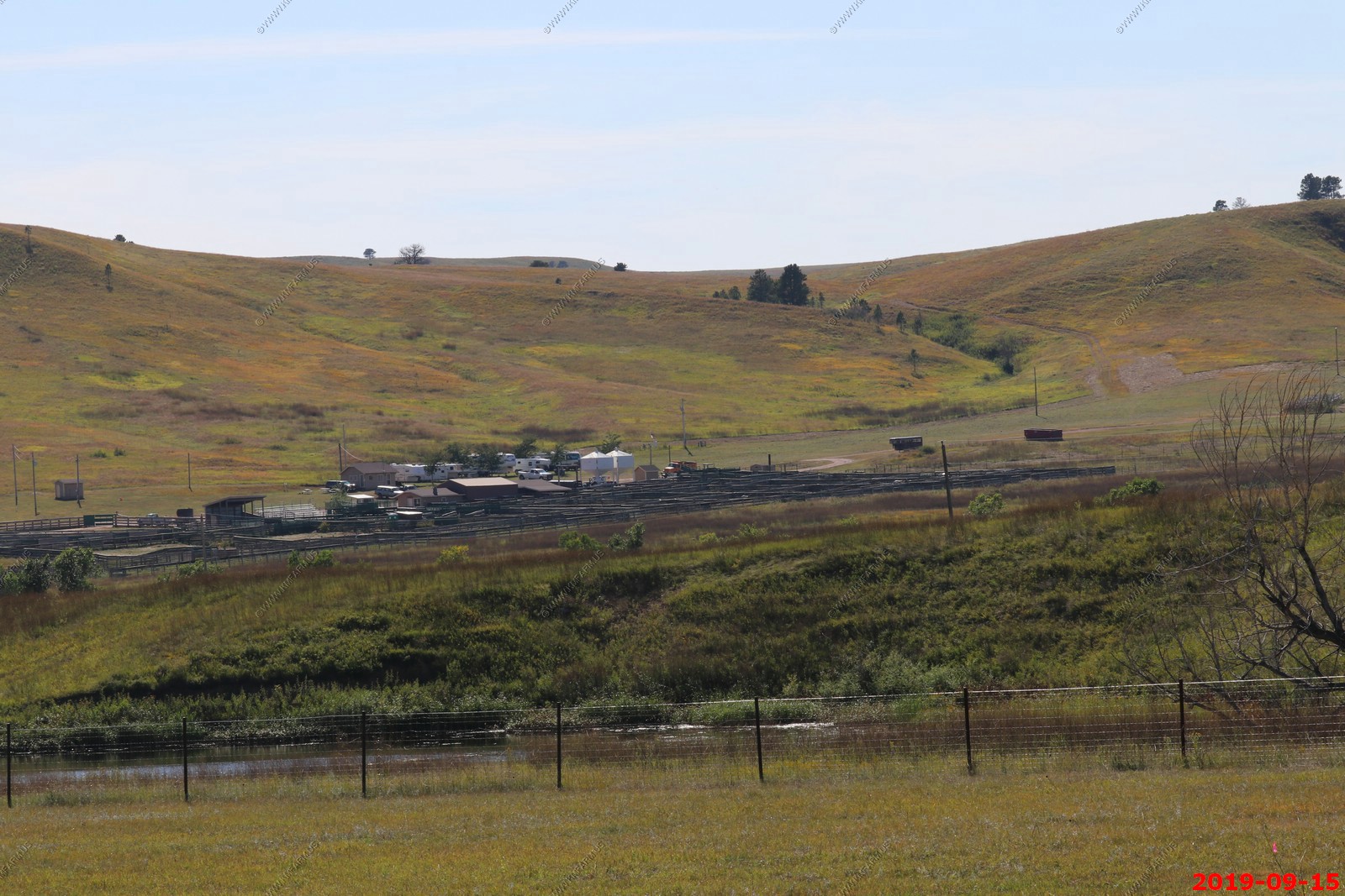
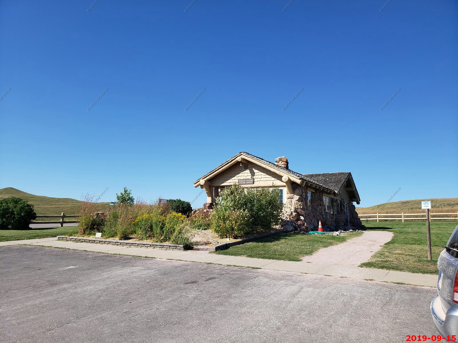
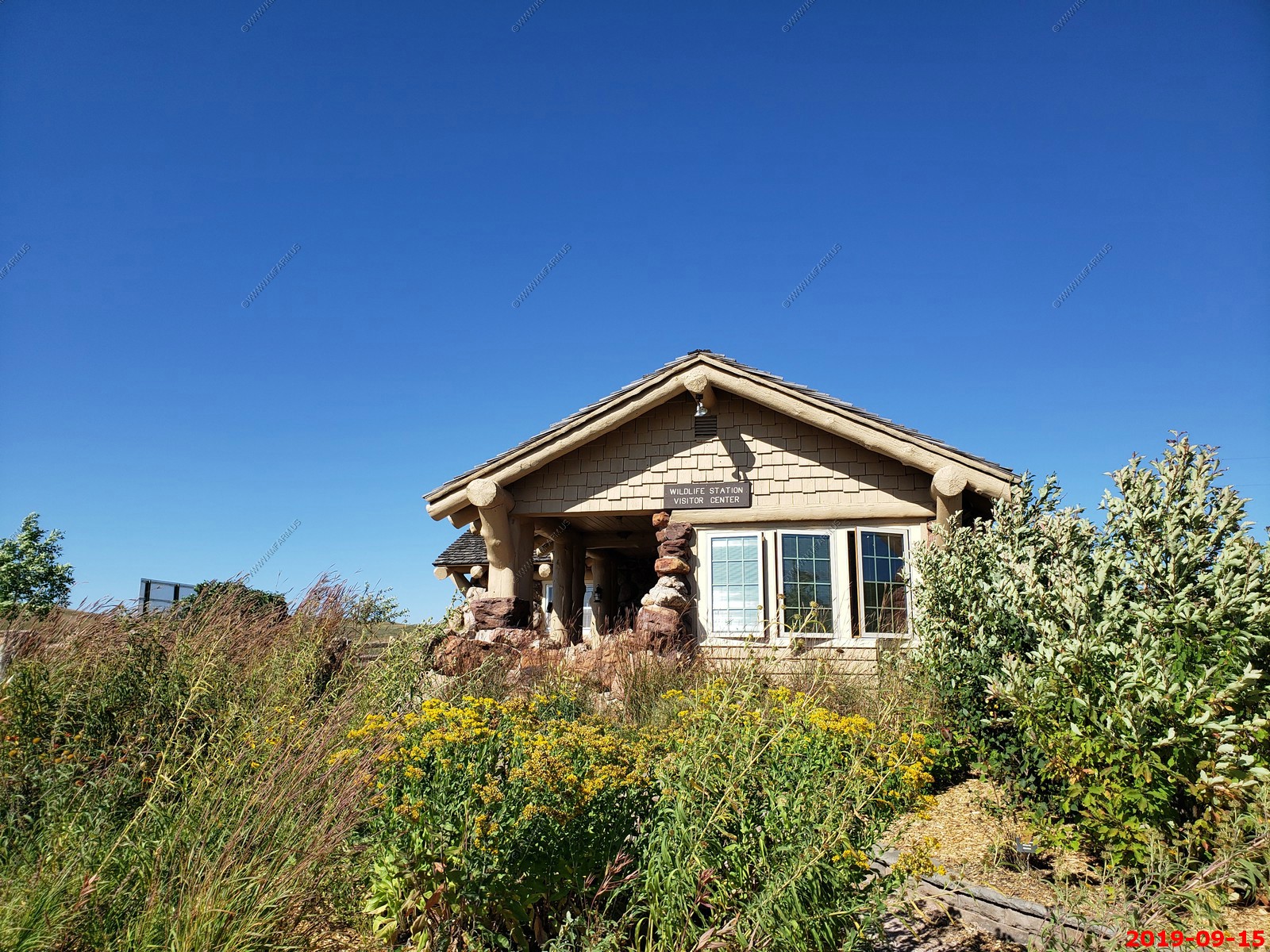
Wildlife Station Visitor Center - Cool place with friendly rangers and plenty of information.
More buffalo. We got to the point we really did not look at them as there were so many.
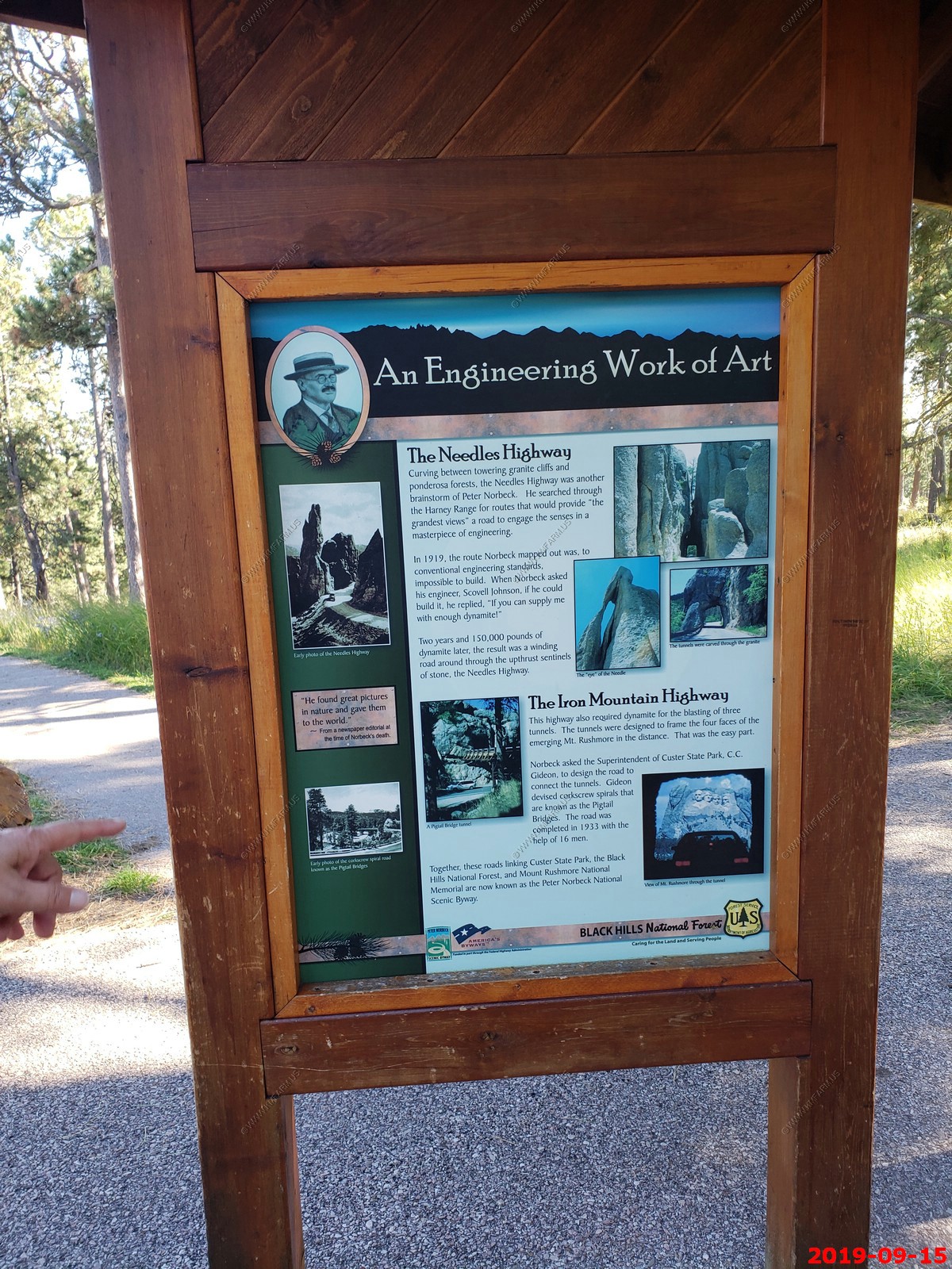
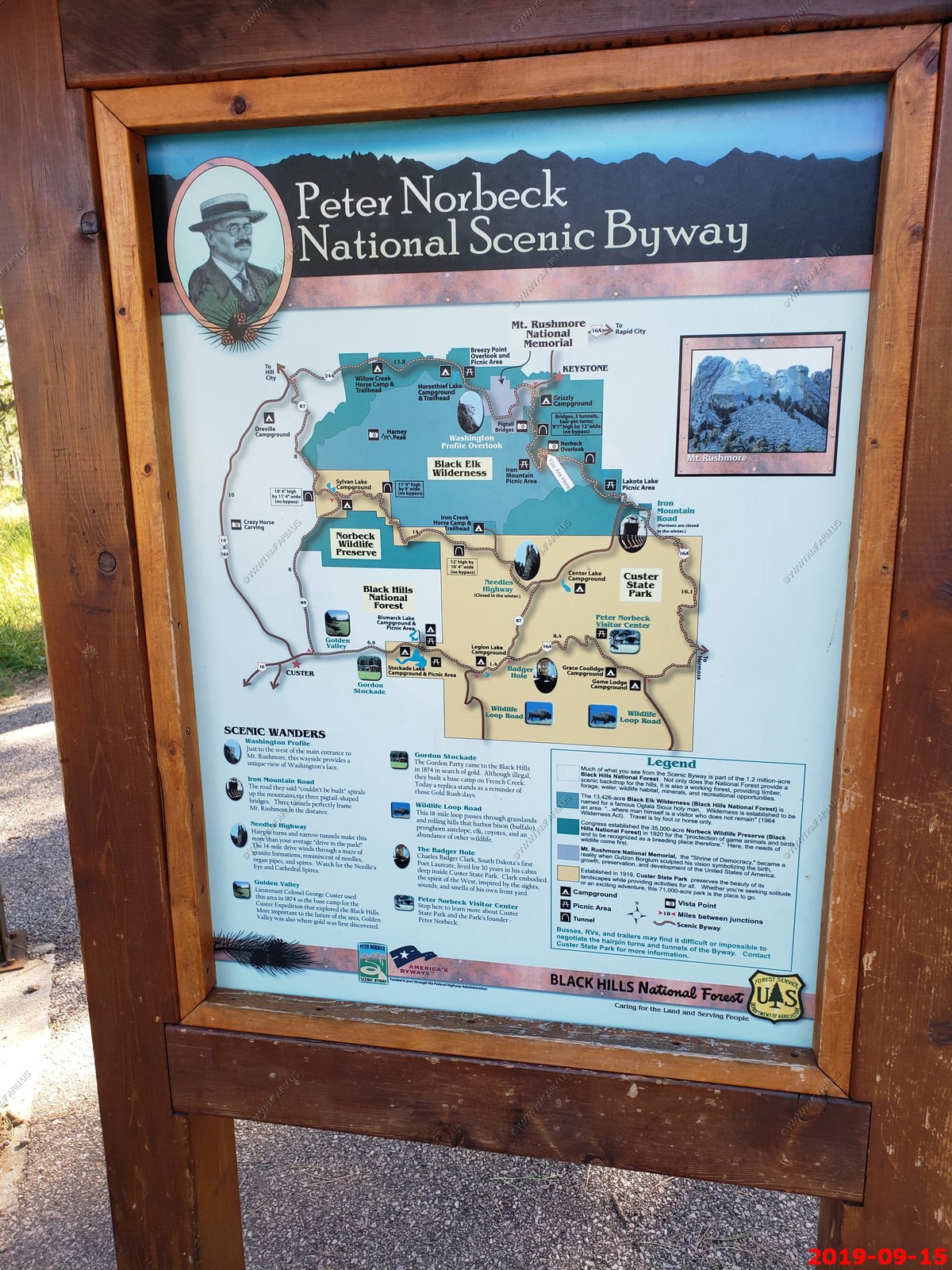
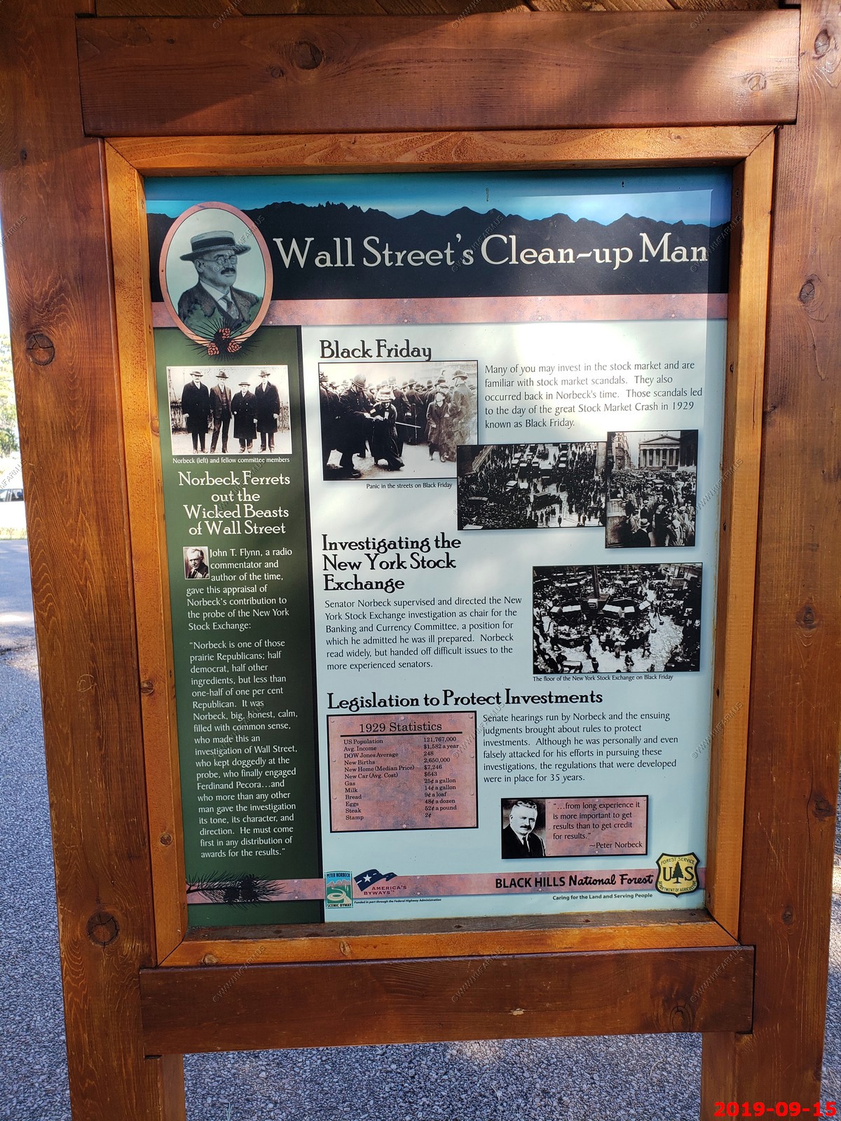
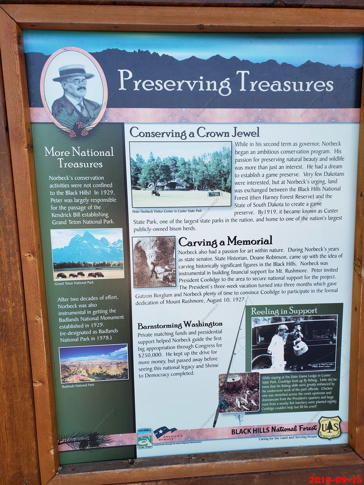
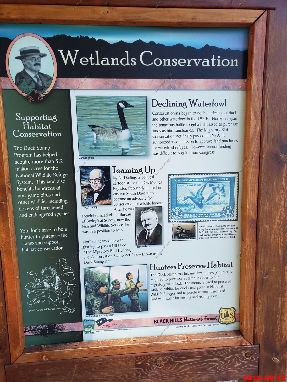
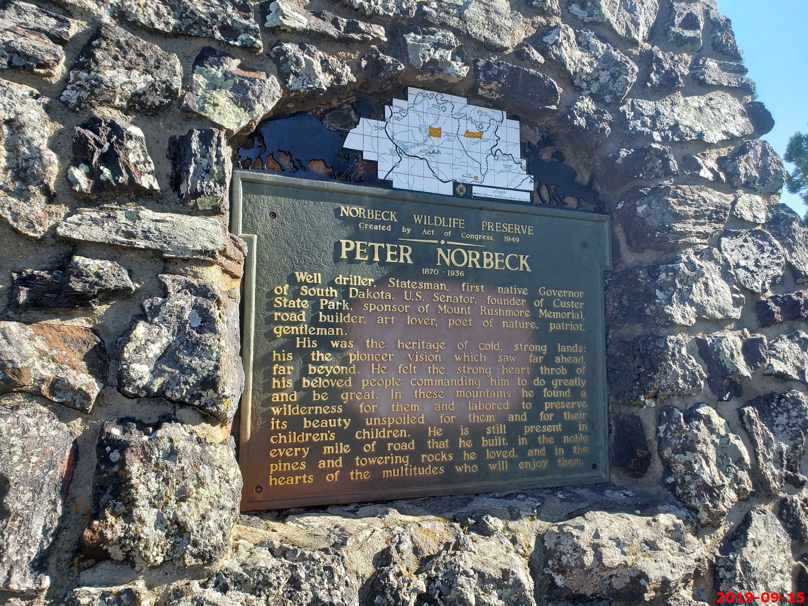
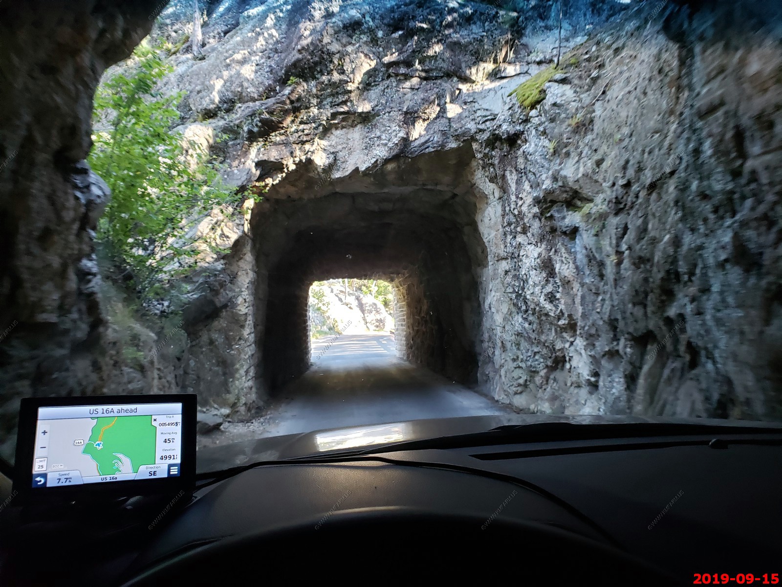
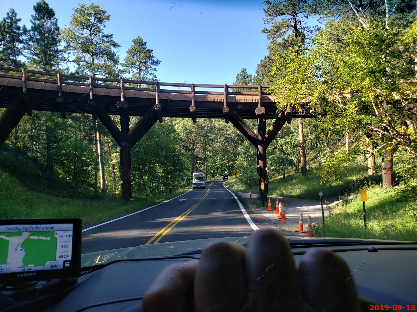
Peter Norbeck National Scenic Byway
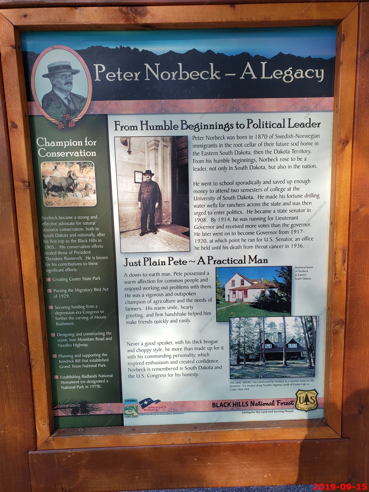
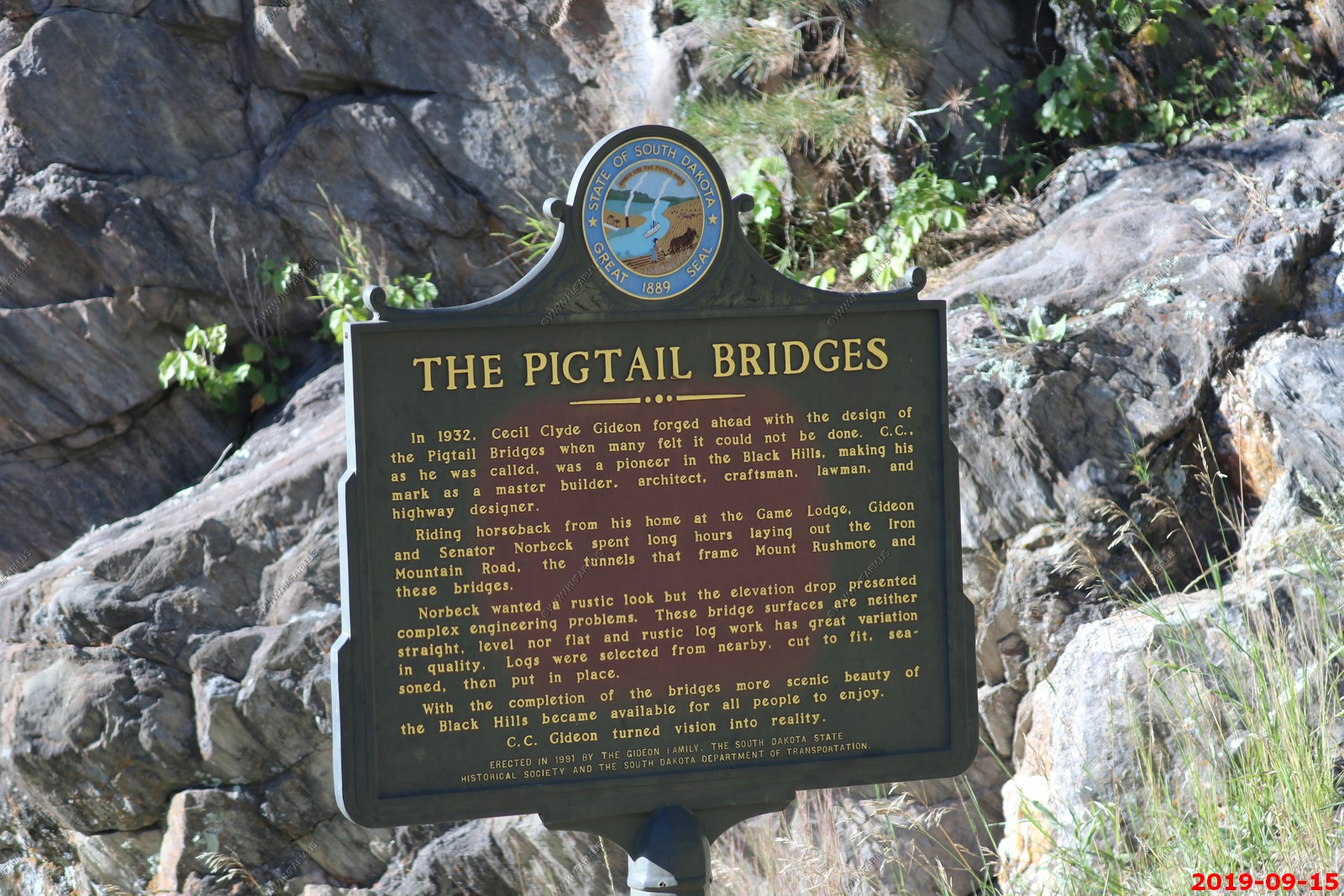
Peter Norbeck was a visionary Senator and Governor for South Dakota. He personally chose the layout of the Iron Mountain Road in the 1930s and persisted in building it, even after being told it couldn't be done. A masterpiece of artistic engineering, this 70-mile byway includes spiraling bridges, hairpin curves, granite tunnels and awe-inspiring views. No wonder it was named one of the 10 Most Outstanding Byways in America.
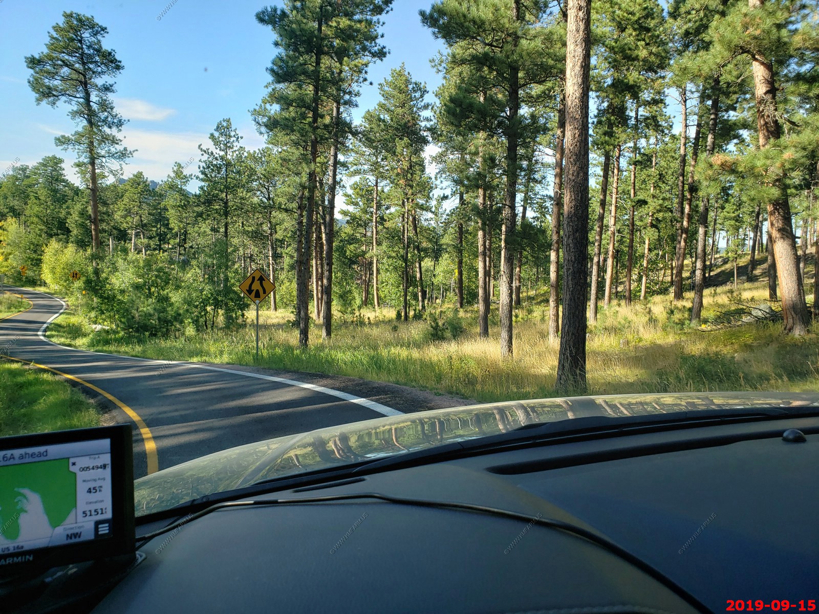
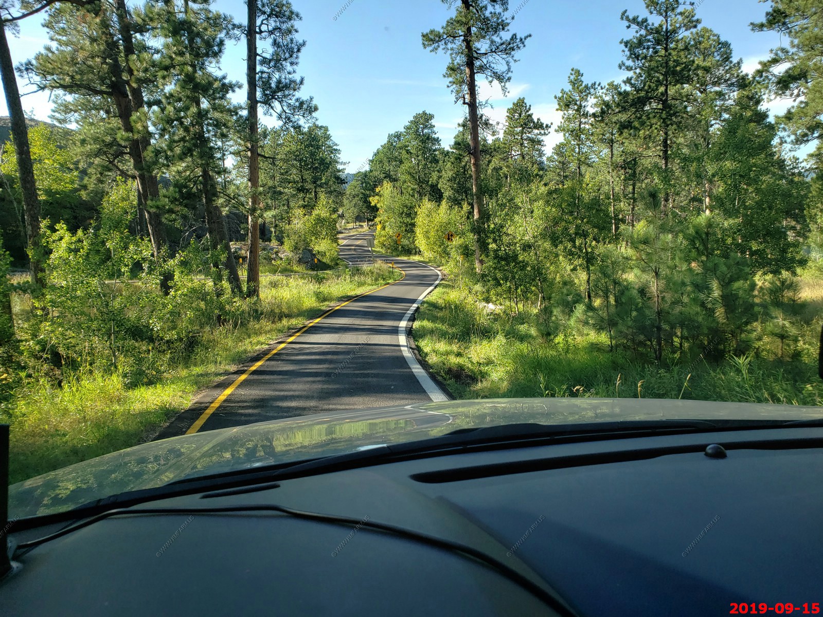
Roughly a figure-eight route, the byway travels through portions of Custer State Park, the Norbeck Wildlife Preserve, near Mount Rushmore National Memorial and the Black Elk National Wilderness Area. Highways 16A, 244, 89 and 87 combine to create the route.
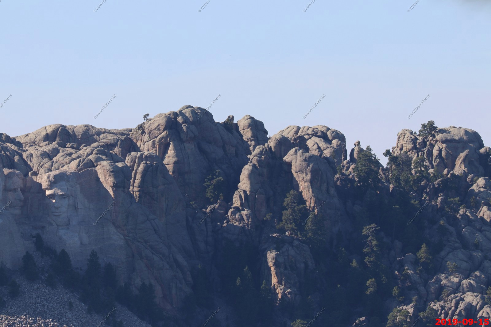
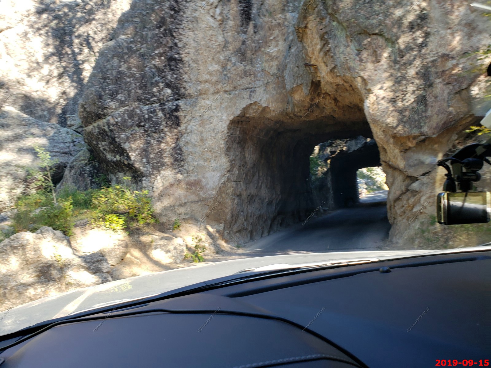
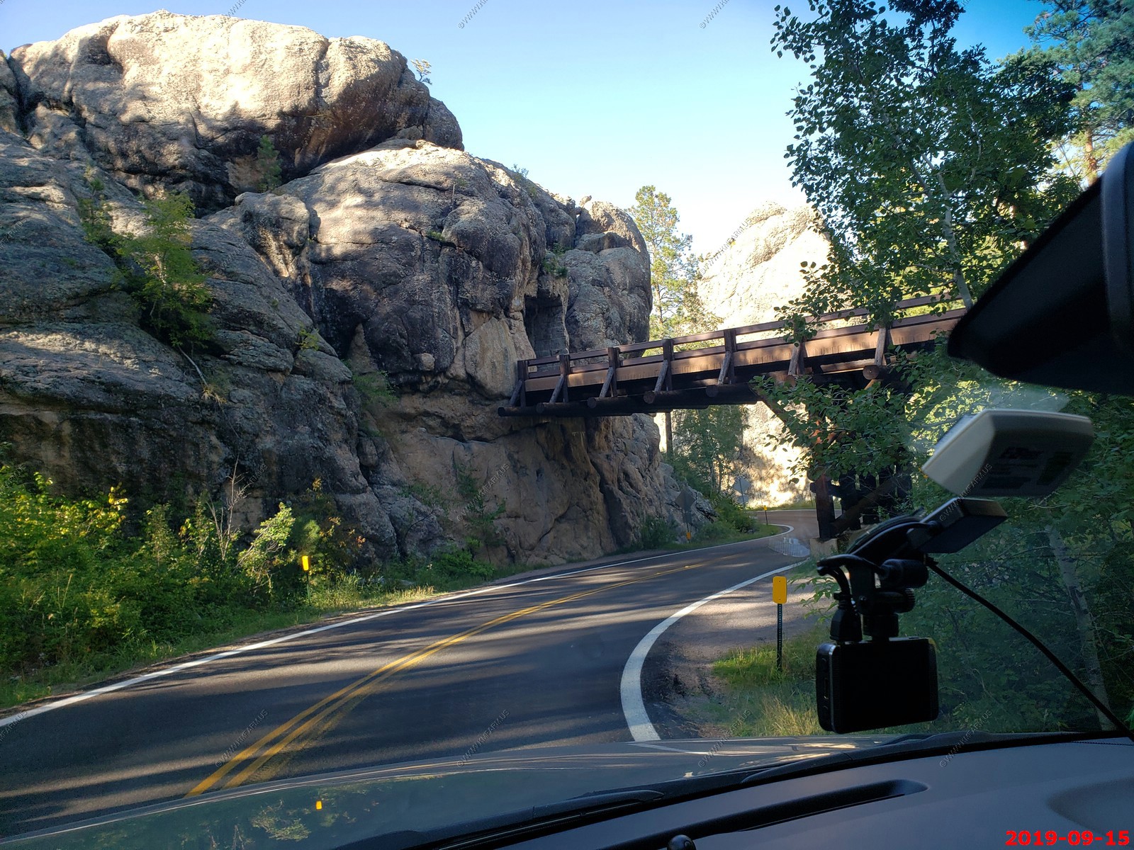
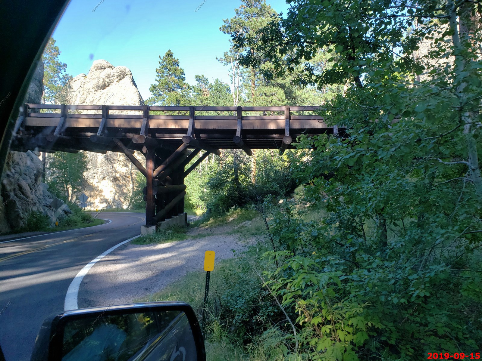
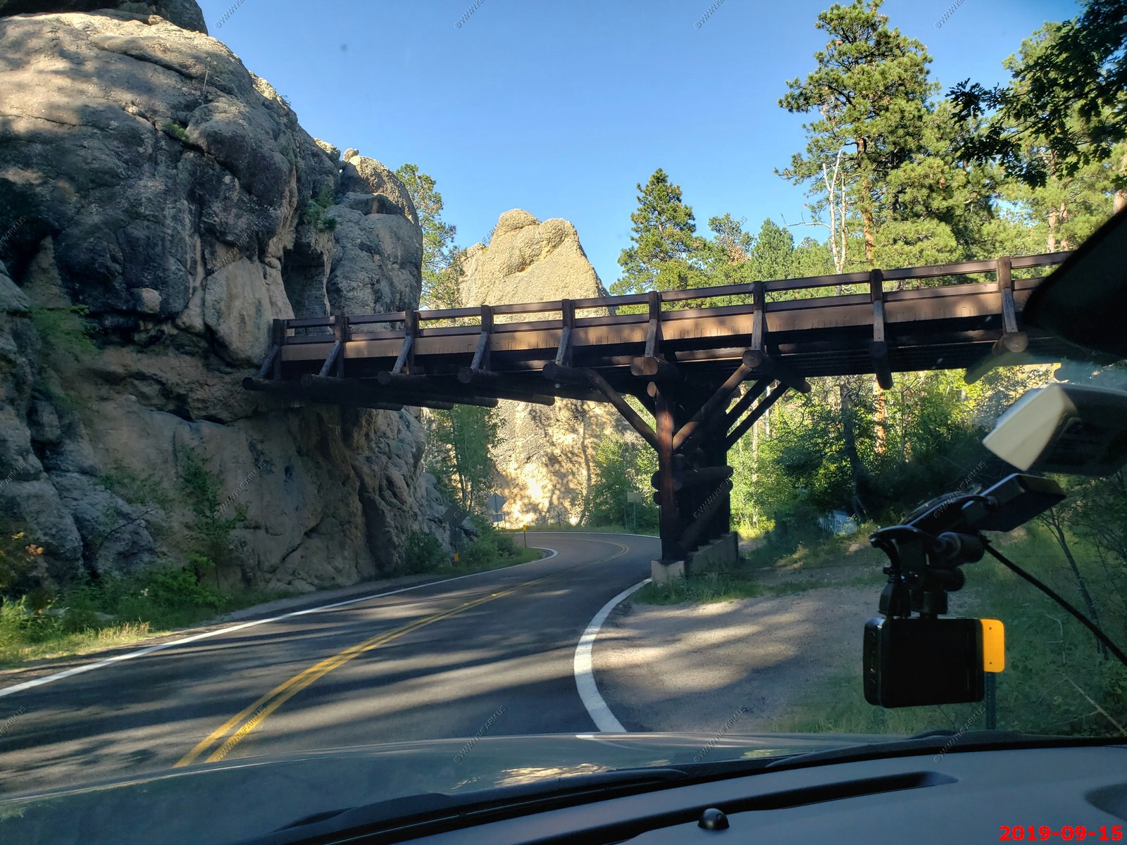
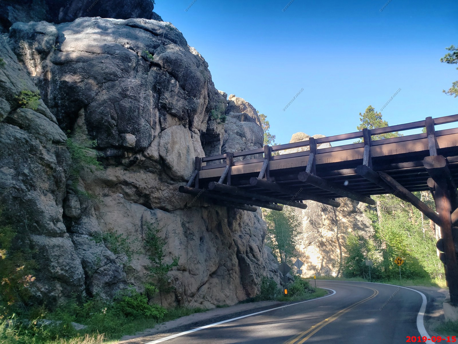
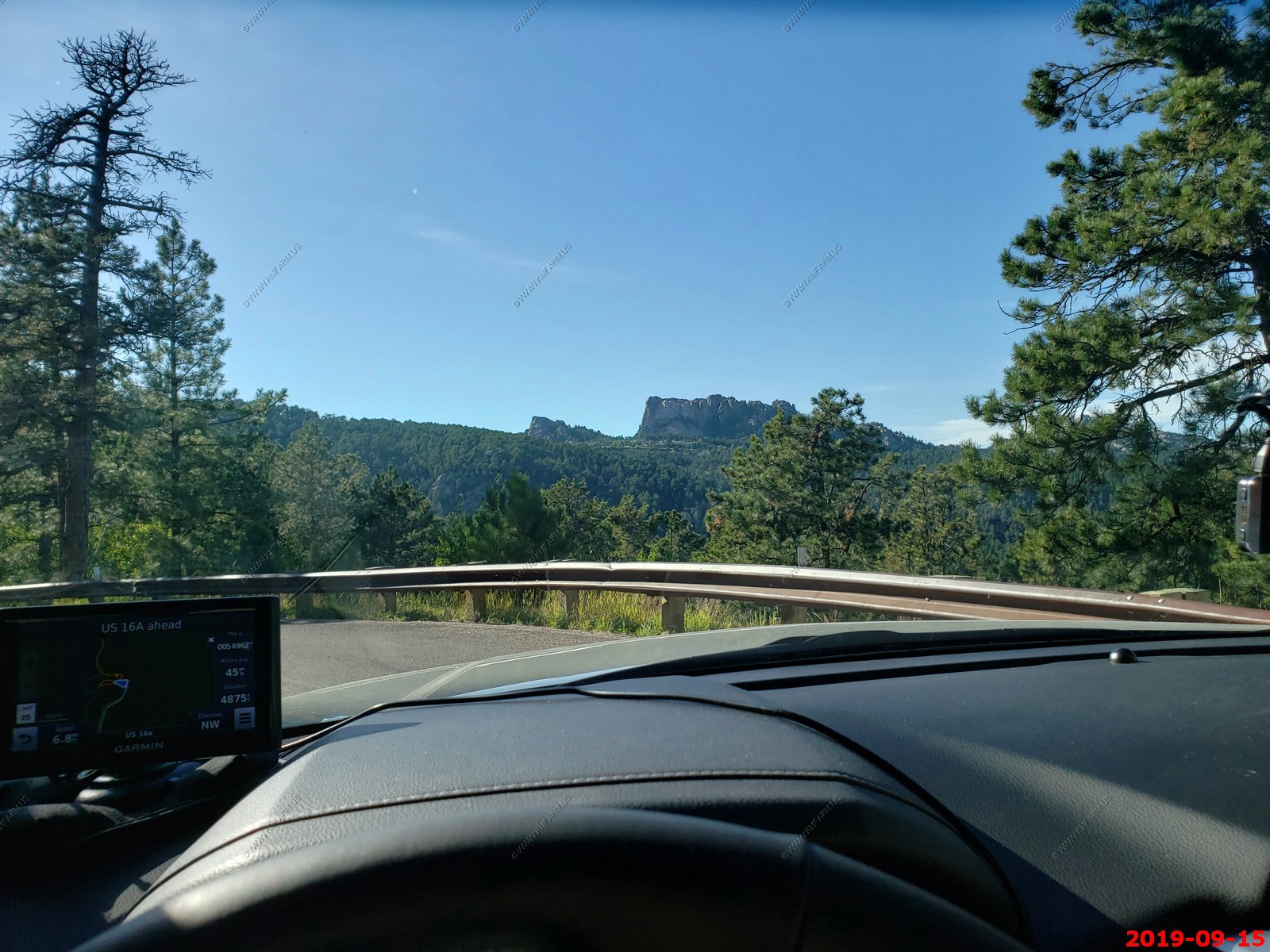
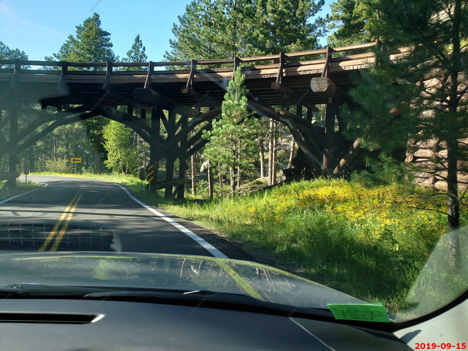
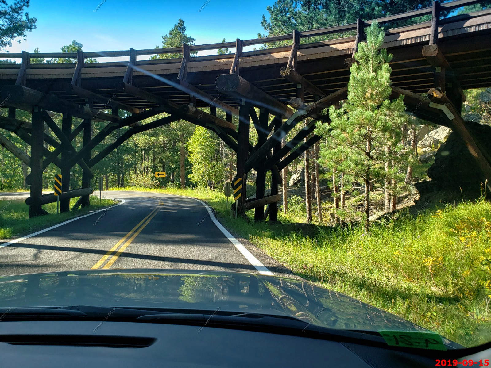
Our first ride on this three part road was to go north on Iron Mountain Road, the route leads you around impressive wooden "pigtail" bridges. Several tunnels carved through the granite mountain not only provide a transportation passage, but artistically frame the four faces on Mount Rushmore in the distance.
Our First (blurry) look at Mount Rushmore National Memorial from Iron Mountain Road.
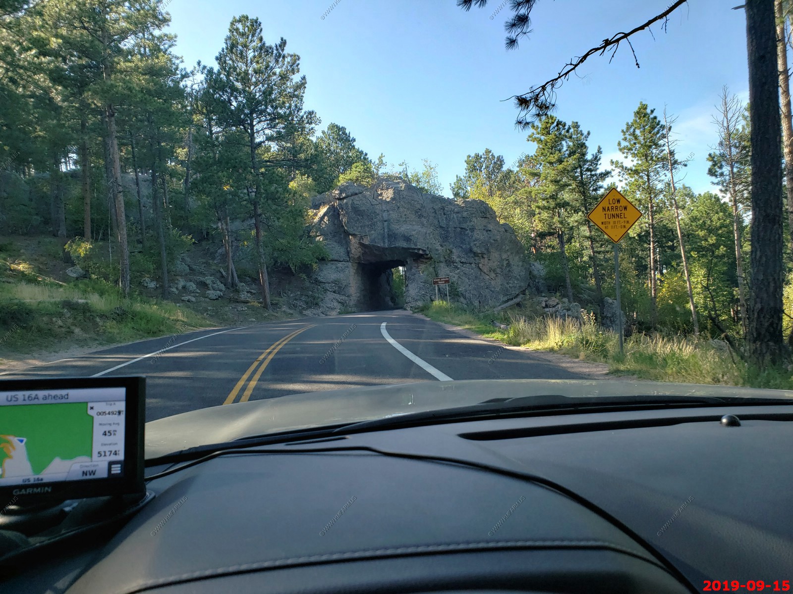
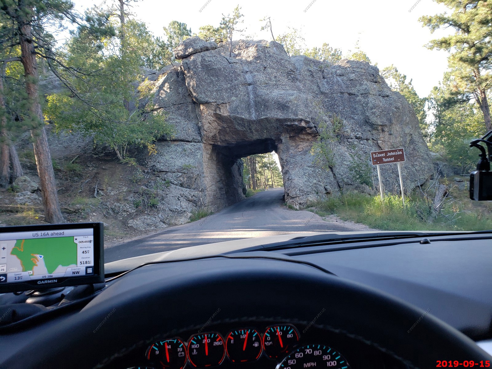
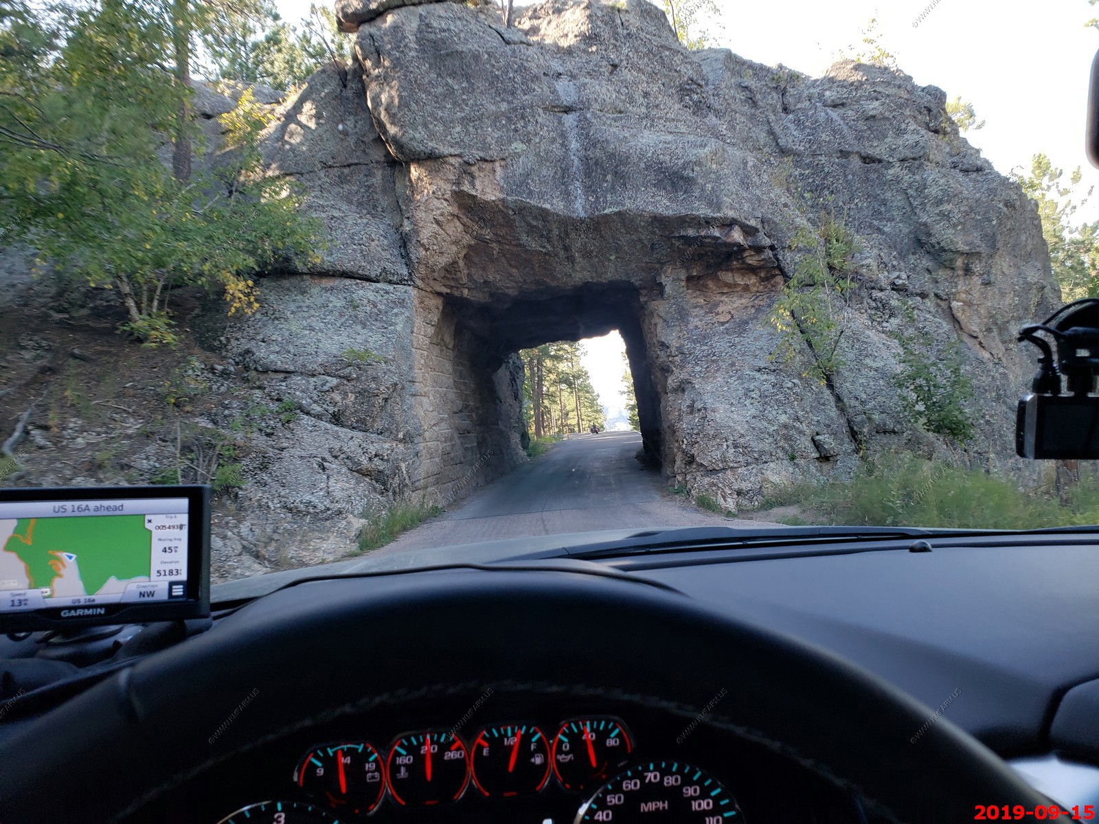
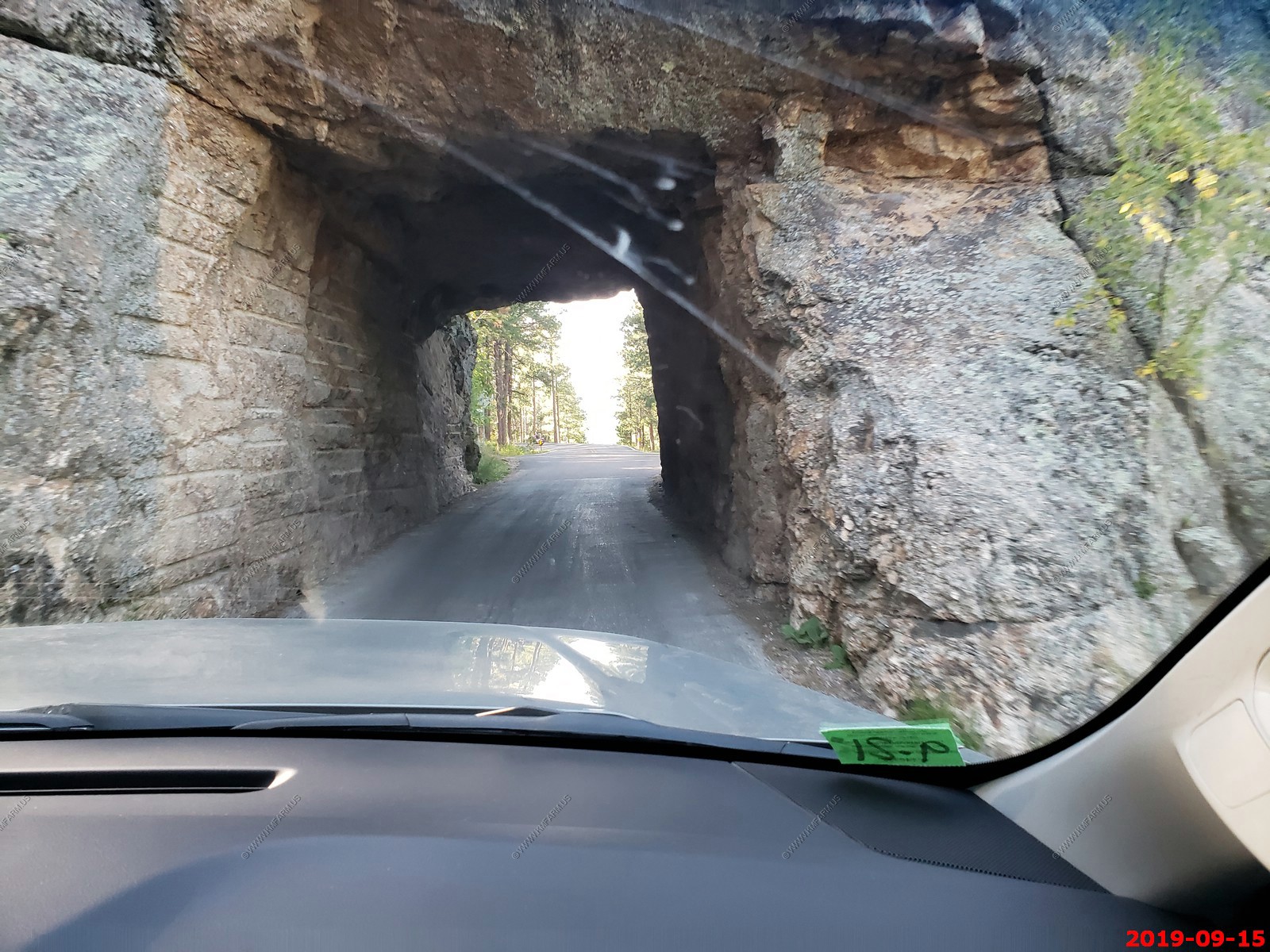
Approaching Scovel Johnson Tunnel (El. 5,183ft). They have some serious vehicle size restrictions on these roads.
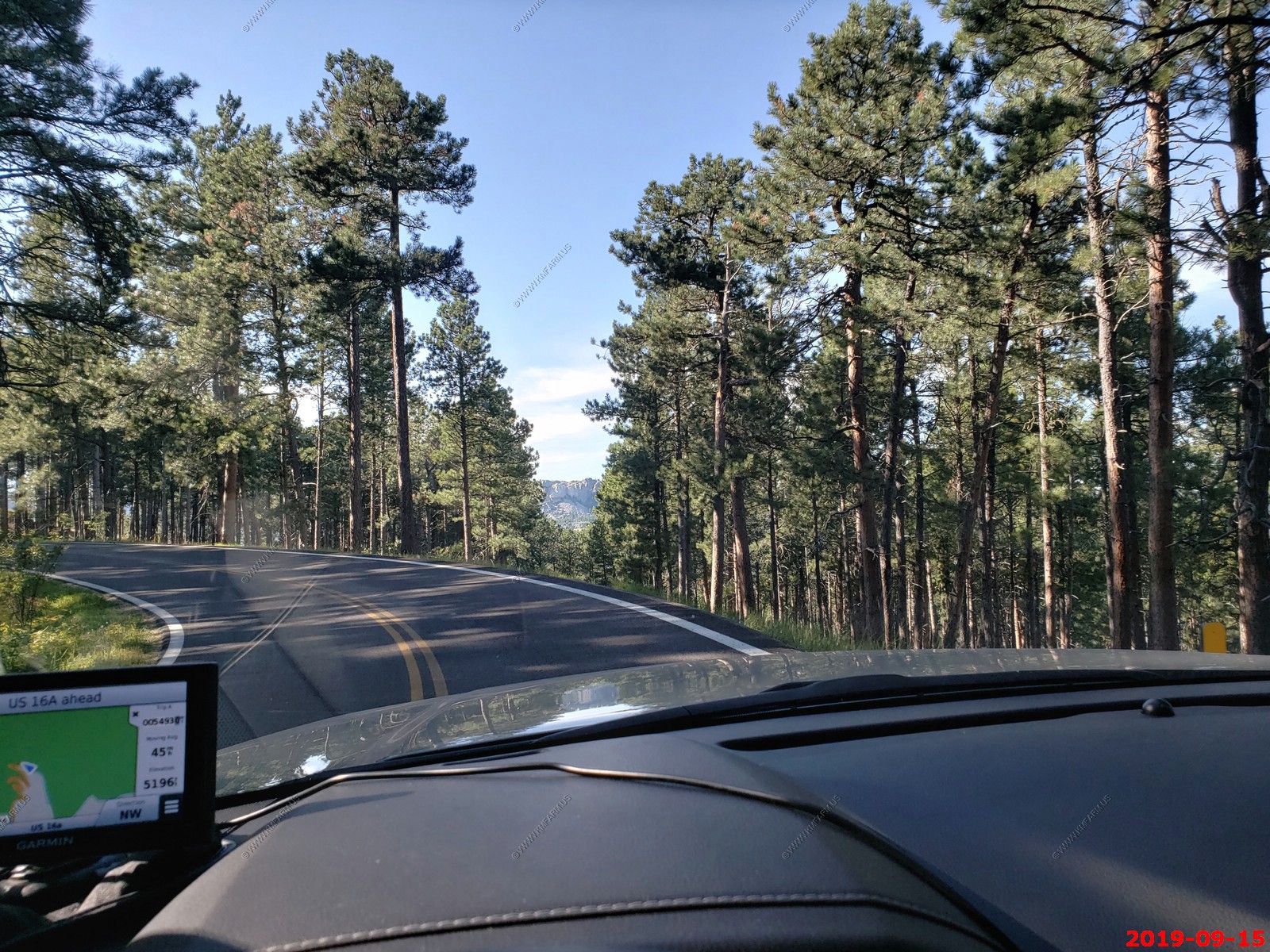
Trees cut so you could see Mount Rushmore.
Norbeck Overlook
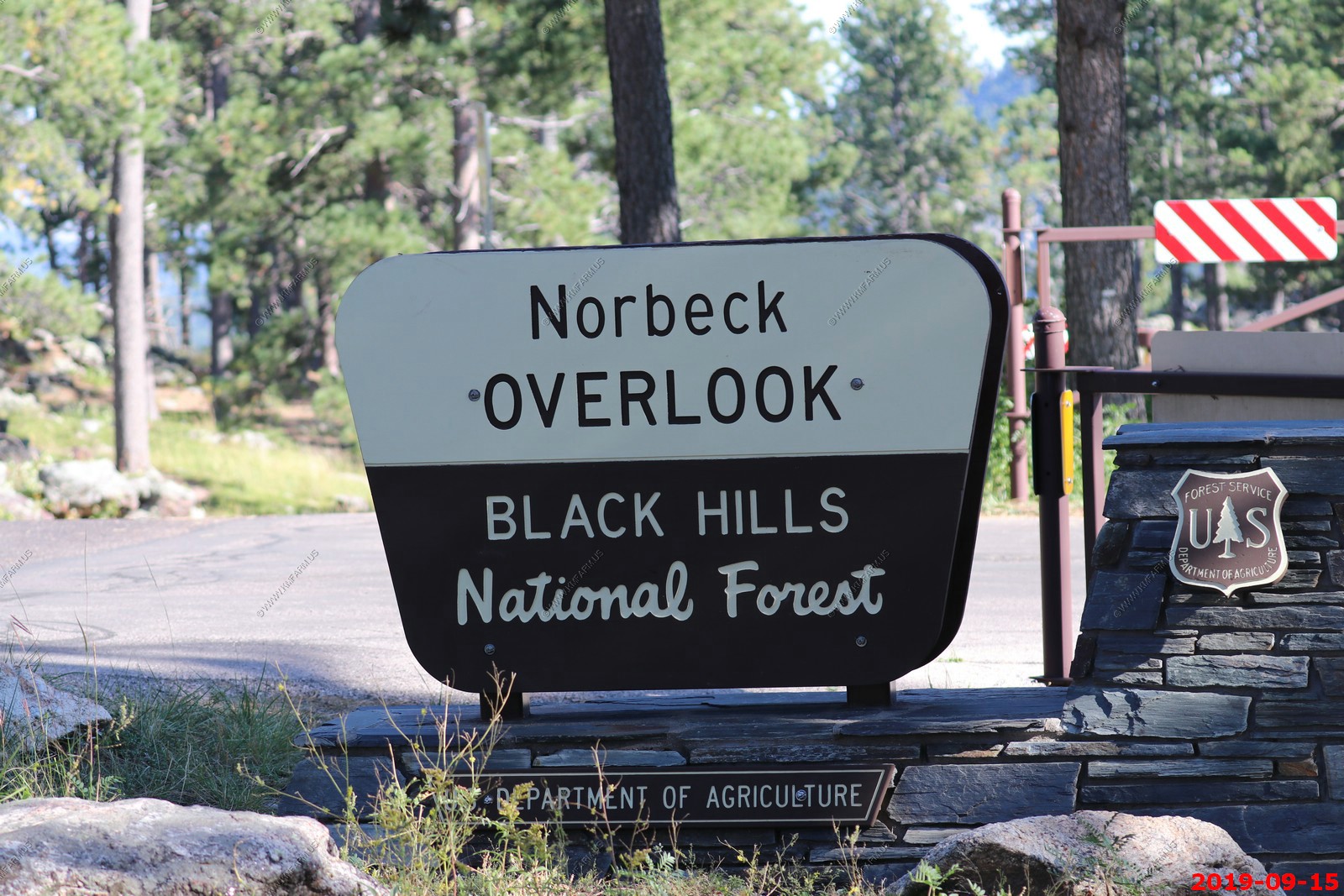
The numerous information signs.
This place was packed. Three cars in addition to ours and this was a Sunday.
Looking over the Norbeck Wildlife Preserve.
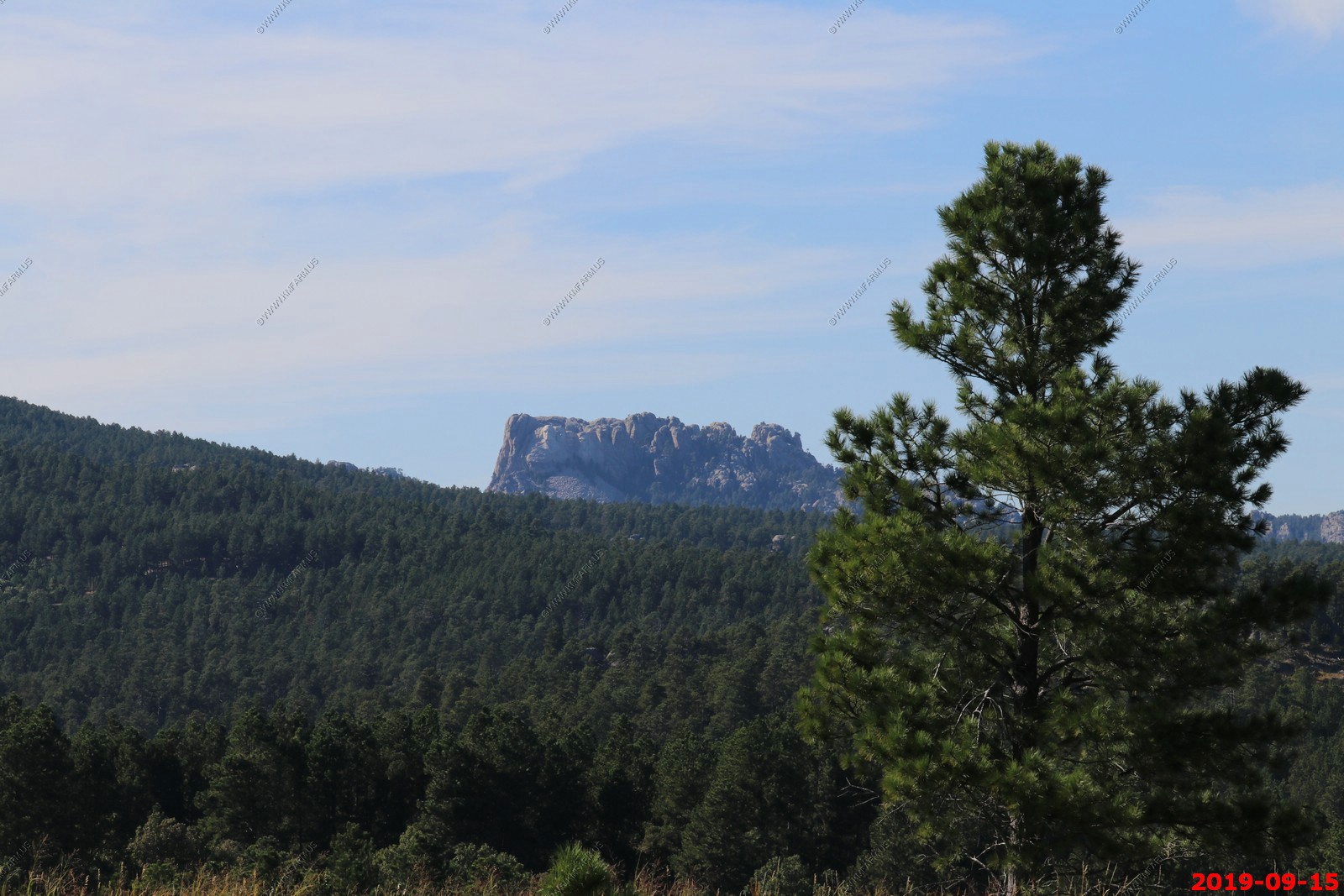
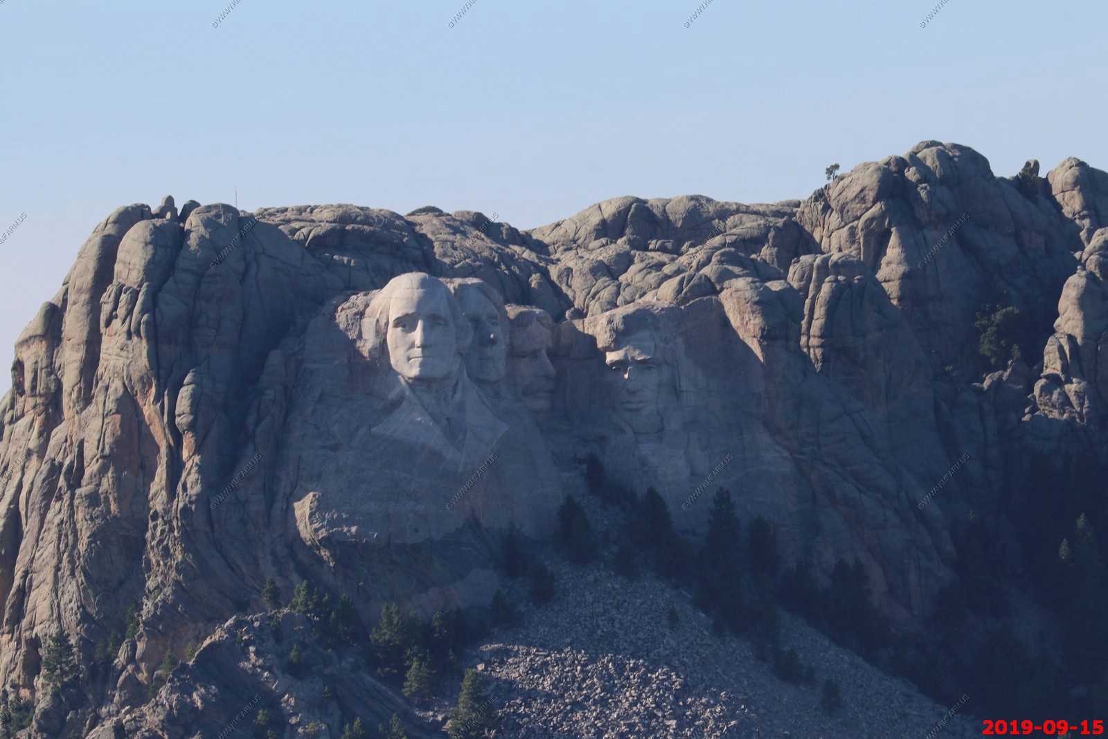
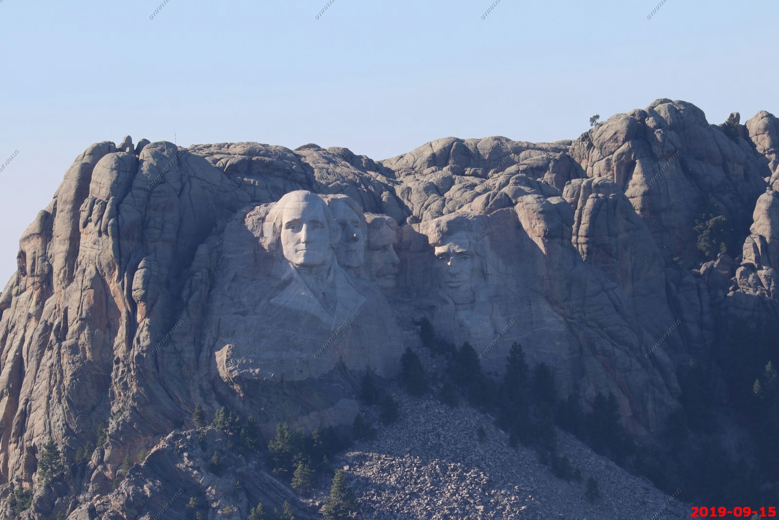
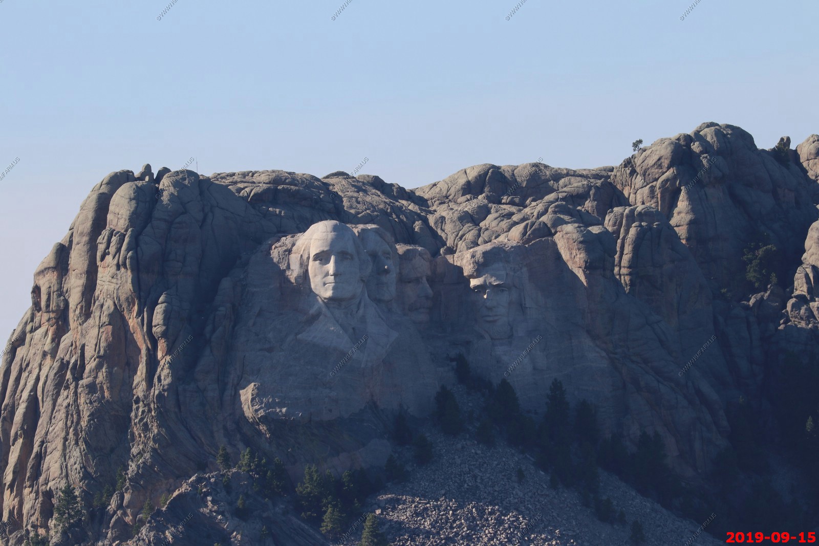
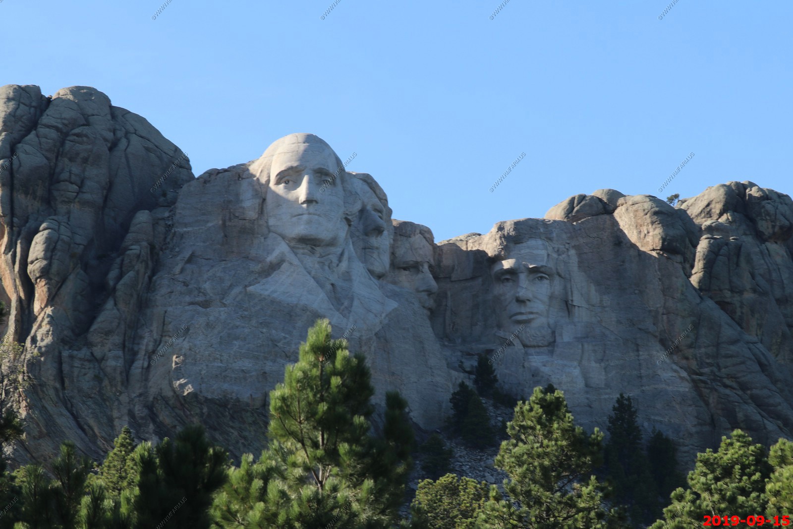
Mount Rushmore National Memorial from Norbeck Overlook. We decided NOT to visit for a few reasons. First it is just too commercialized for us. The parking and observation areas were under construction and we could see all we wanted to see from Norbeck Overlook. Perhaps next time, but probably not, as we are not into developed sites like this.
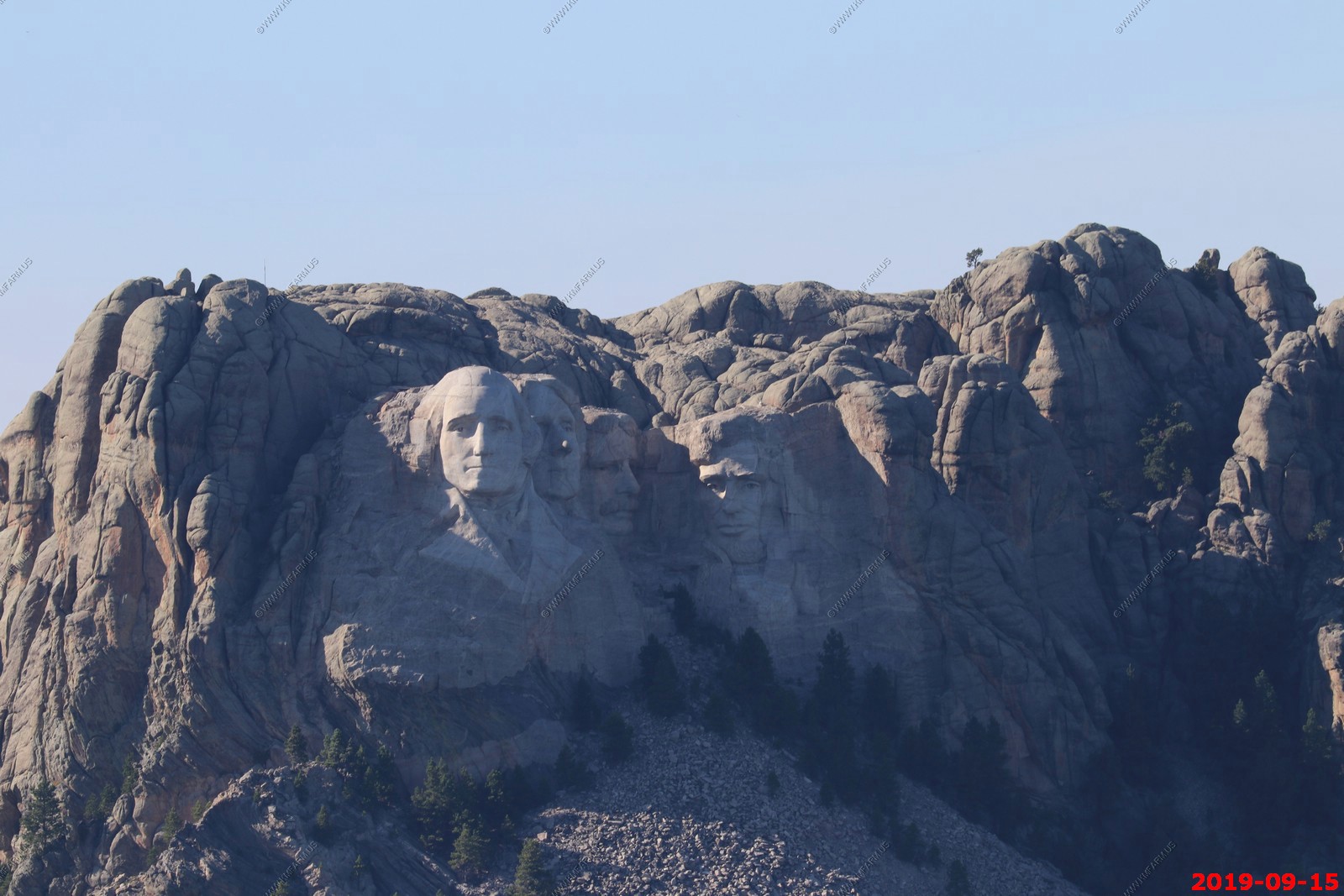
Looking at Mount Rushmore with the EOS-80D and the Canon EF 100-400mm f/4.5-5.6L IS II USM Lens at 400mm. Not bad. (Duplicates not removed)
These were taken around 4PM with a 7:03 pm sunset so the shadows are getting long.
More on Peter Norbeck.
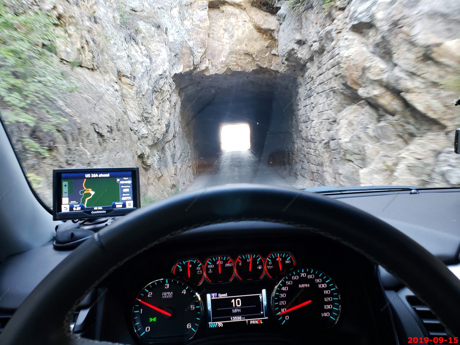
In places the road was only one lane in each direction.
Another cool tunnel. The CC Gideon Tunnel - named it for the the man who designed, among other things, the State Game Lodge, the Pigtail Bridges. He and Senator Peter Norbeck mapped out the Iron Creek Road. This was a double tunnel. (Duplicates not removed)
Right out of the tunnel you go into one of the spiraling bridges.
Single lane road again.
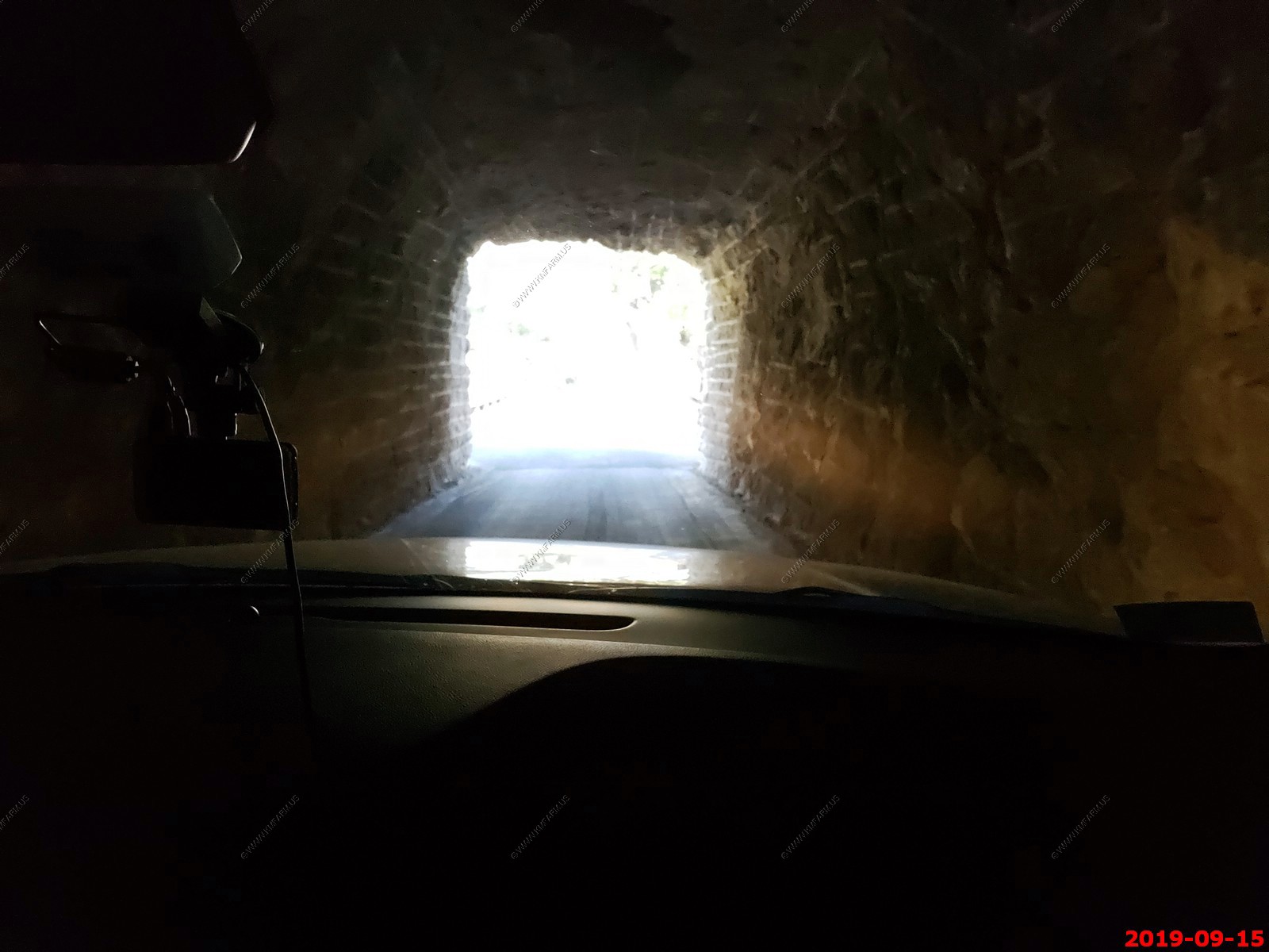
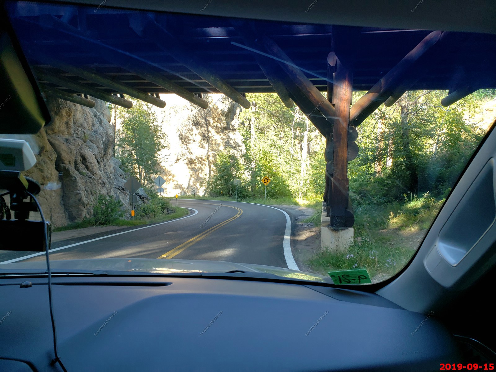
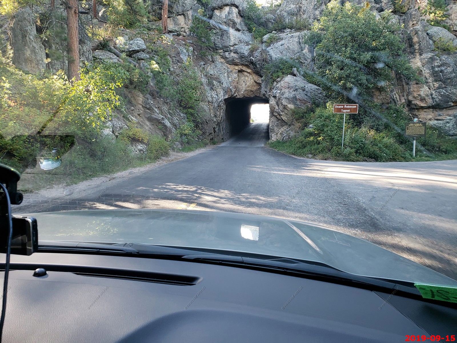
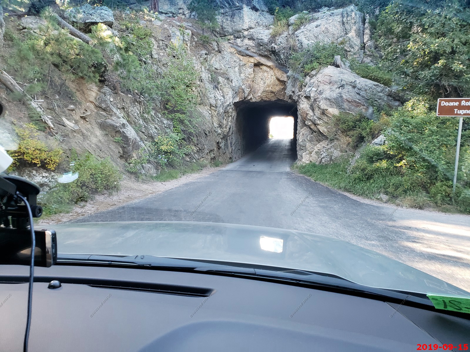
Approaching Doane Robinson Tunnel - This tunnel frames the Mount Rushmore carving.

Funny. I am not sure the Tahoe will fit.
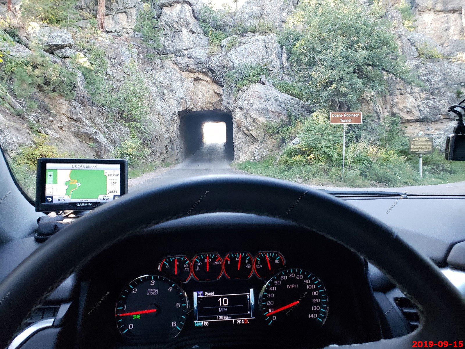
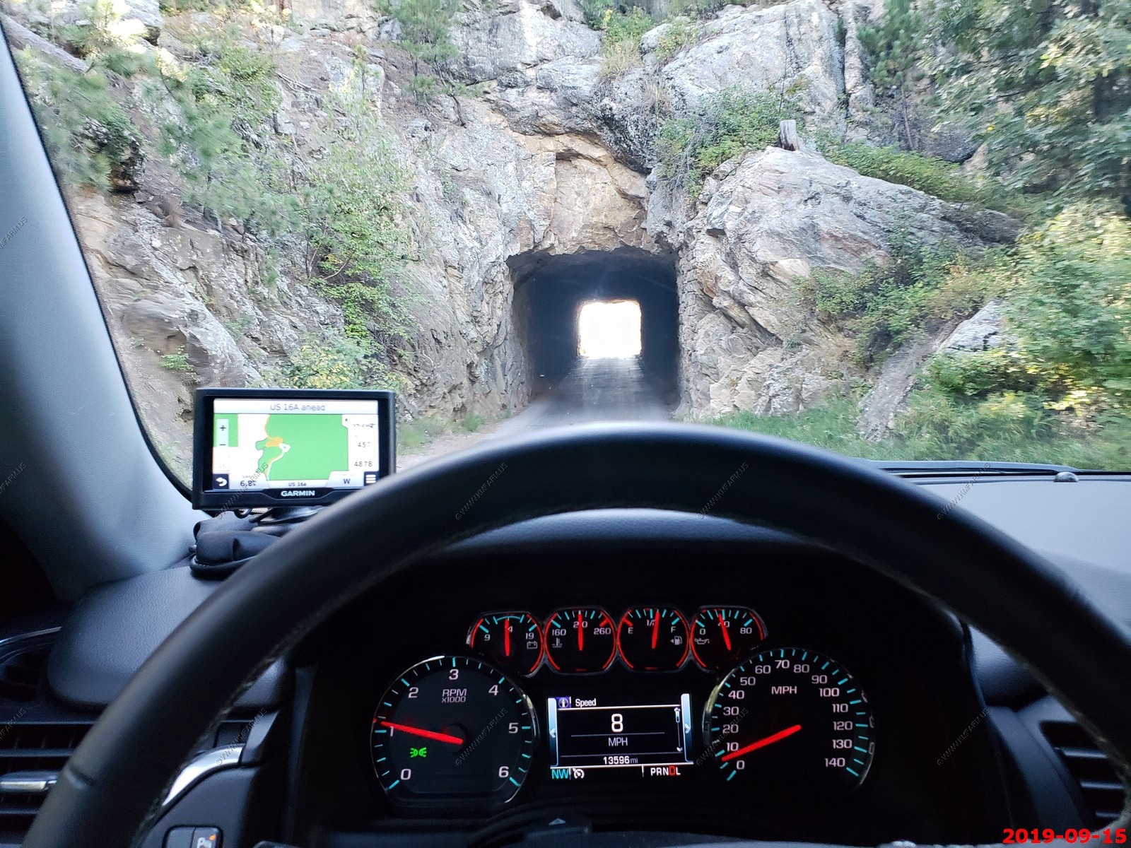
Doane Robinson Tunnel - framing Mount Rushmore at the north exit.
The Pigtail Bridges - was introduced in 1932 by Cecil Clyde Gideon, the self-taught superintendent of Custer State Park turned highway designer. He called them "spiral-jumpoffs". During the planning for Iron Mountain Road, there was a need to negotiate sudden elevation drops while preserving natural features for this scenic highway; the corkscrew design allowed for a spectacular "albeit expensive" solution to this problem. In order to blend the bridges with their surroundings, natural materials such as local timber were used.
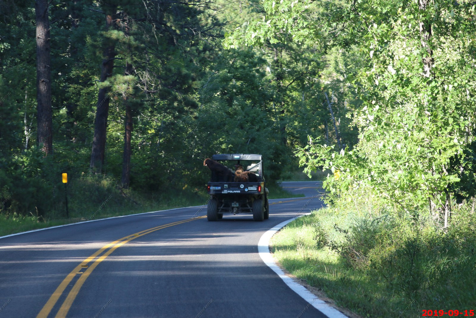
You can drive anything on the roads here. Two big dogs in the back of the side-by-side utility.
Getting closer.
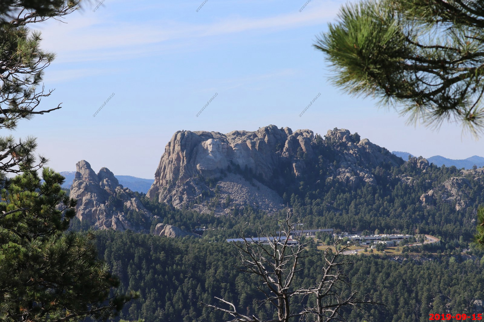
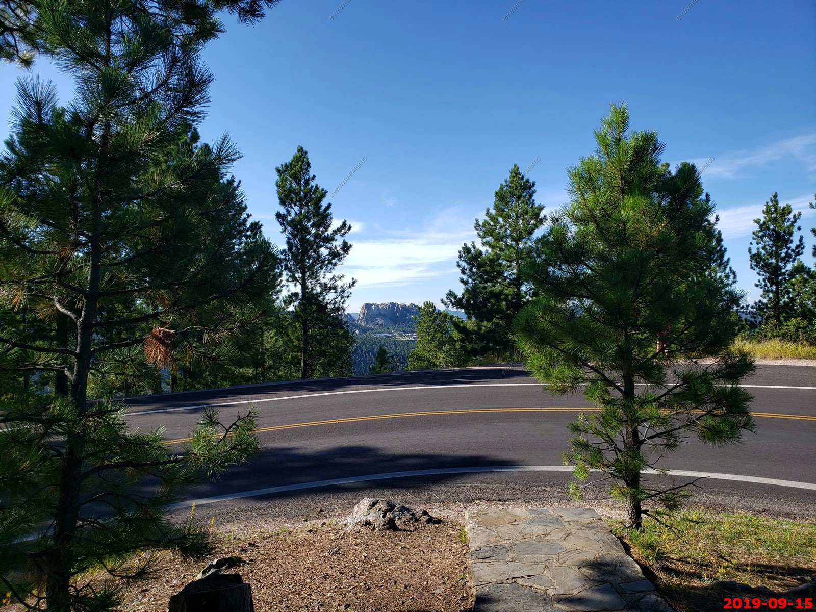
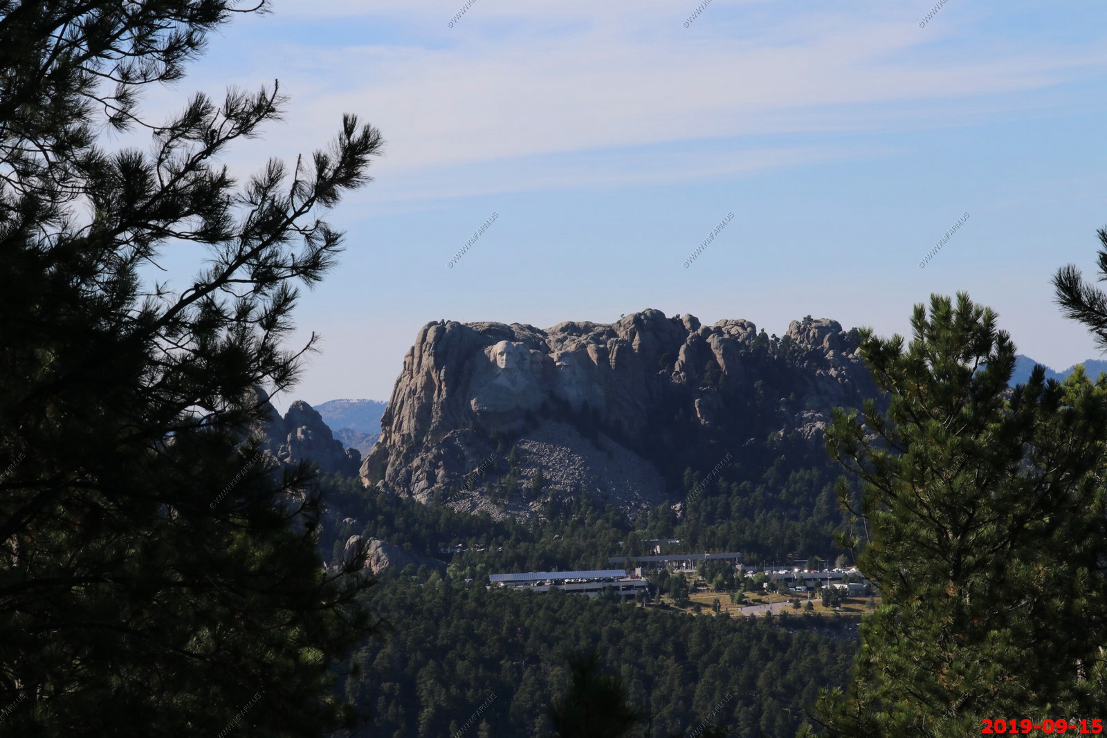
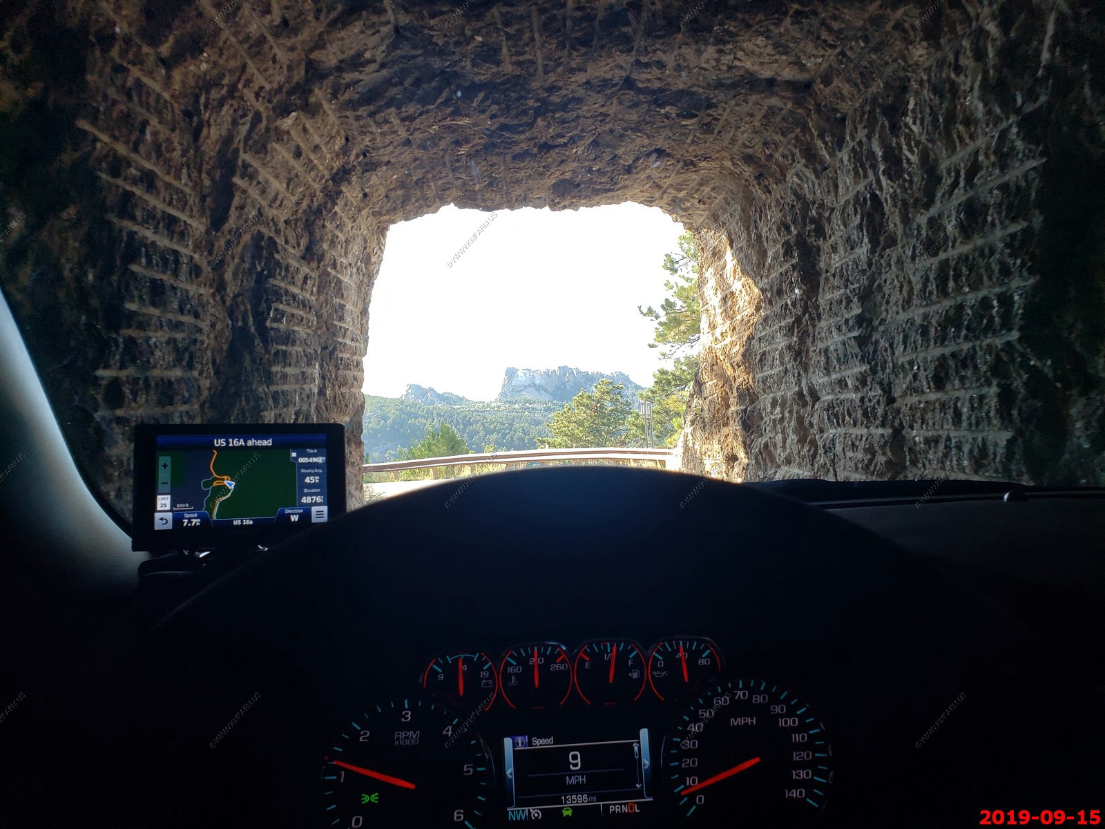
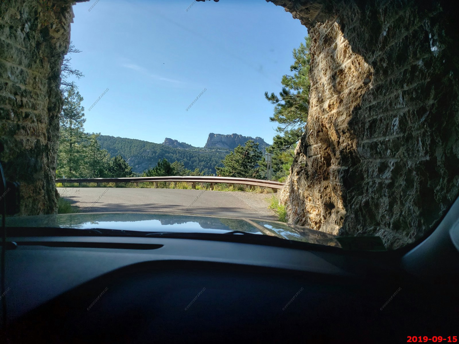
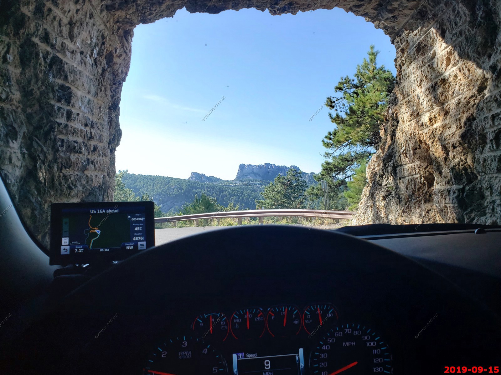
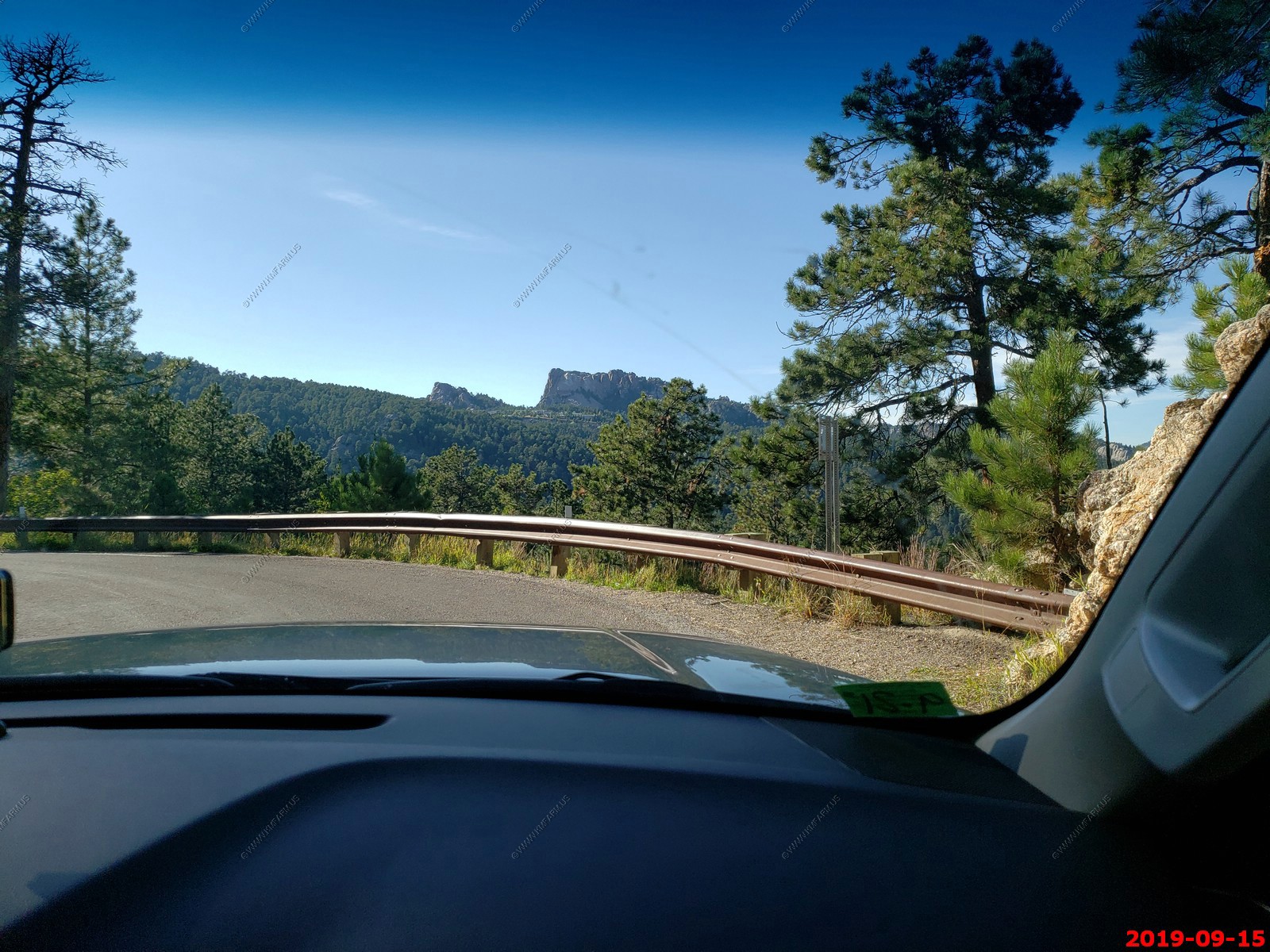
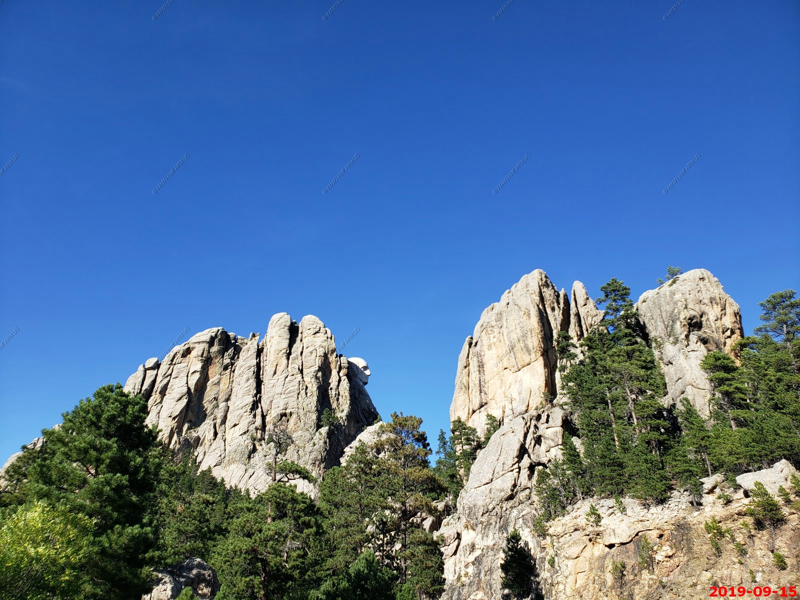
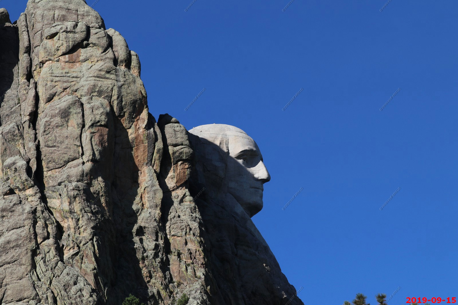
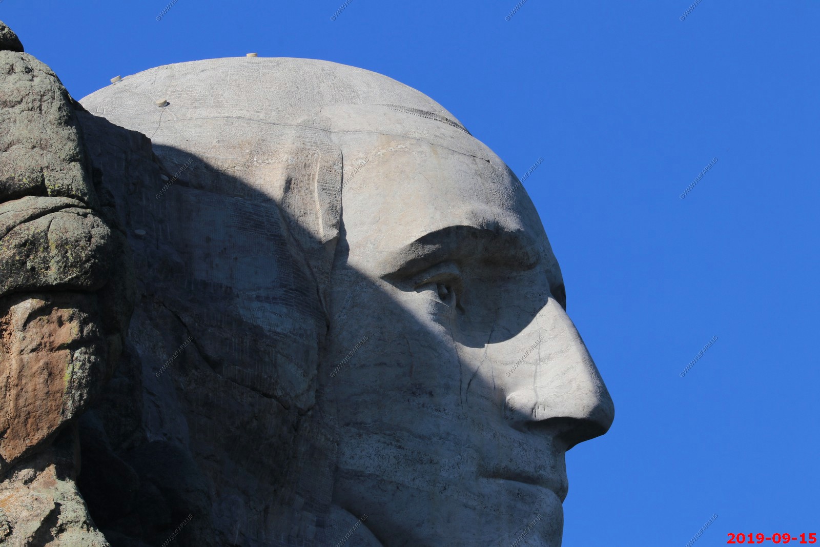
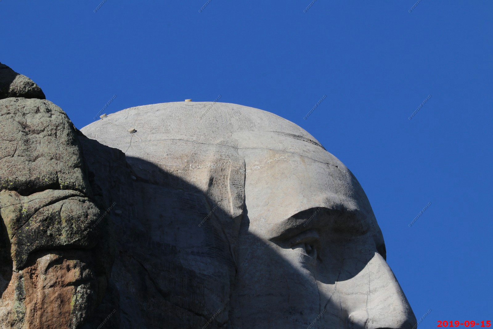
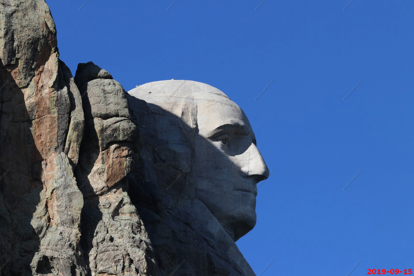
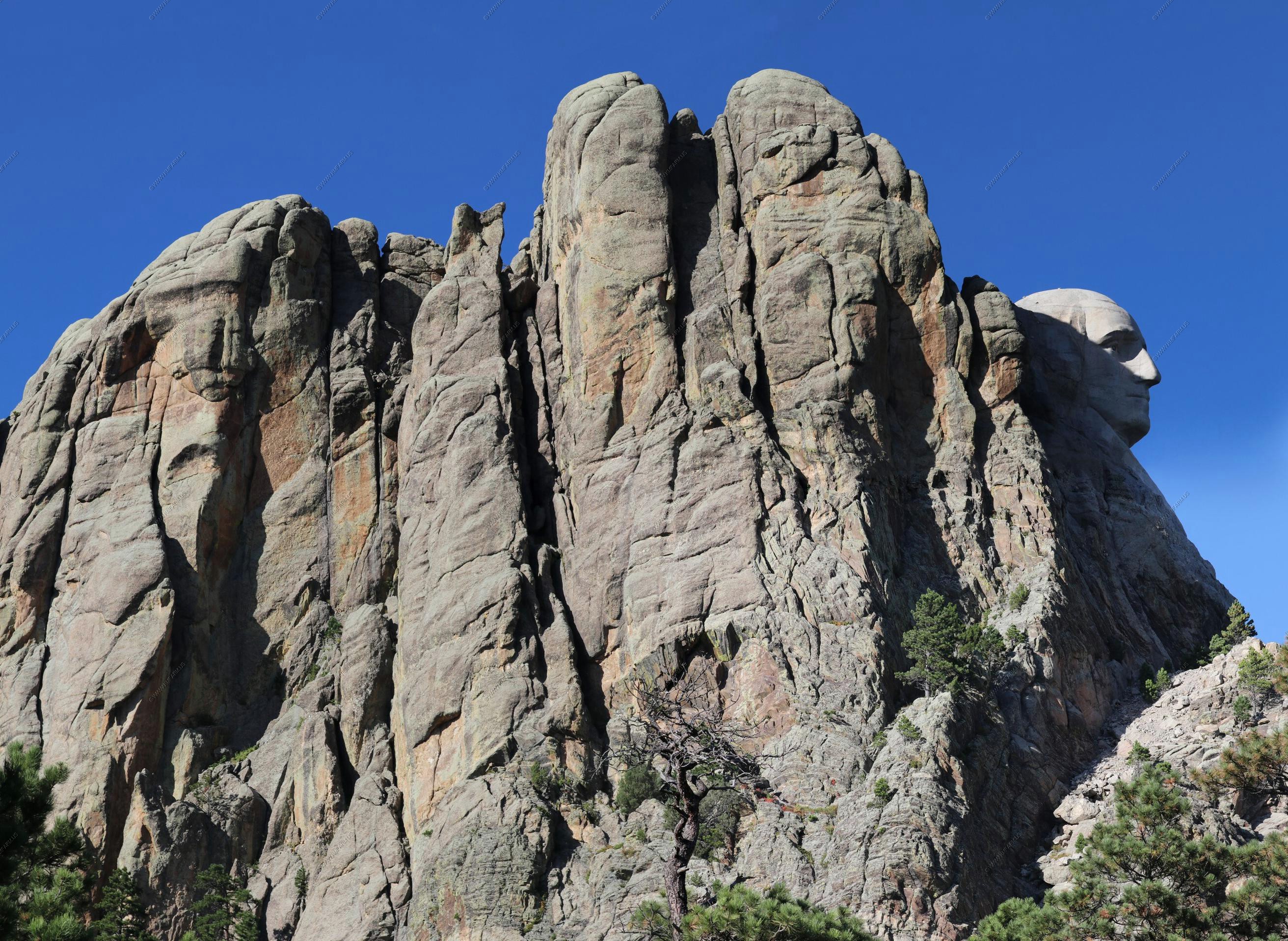
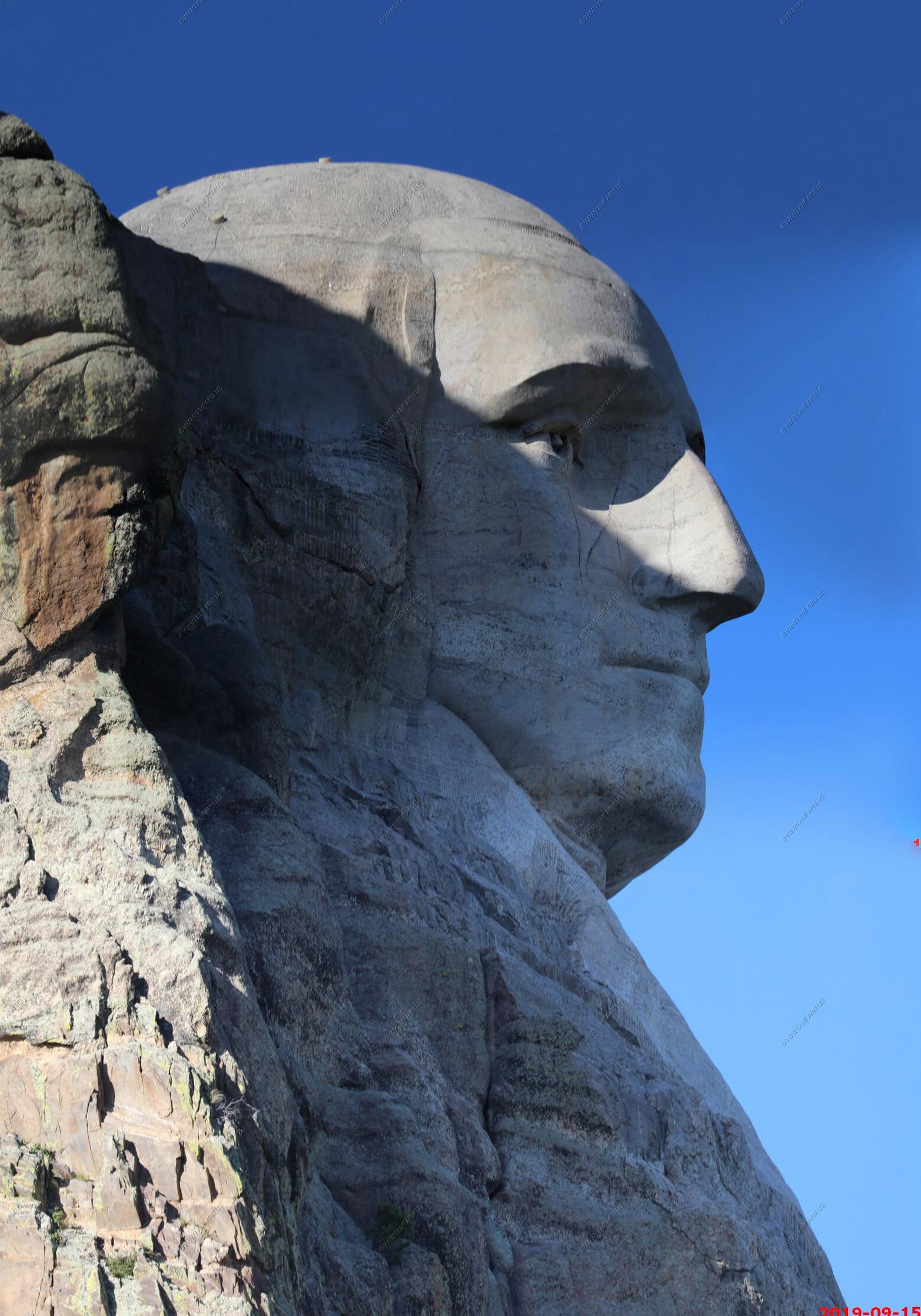
We took SD-244 north which passes just to the west of Mount Rushmore. We pulled off to get a profile of George Washington in the sun.
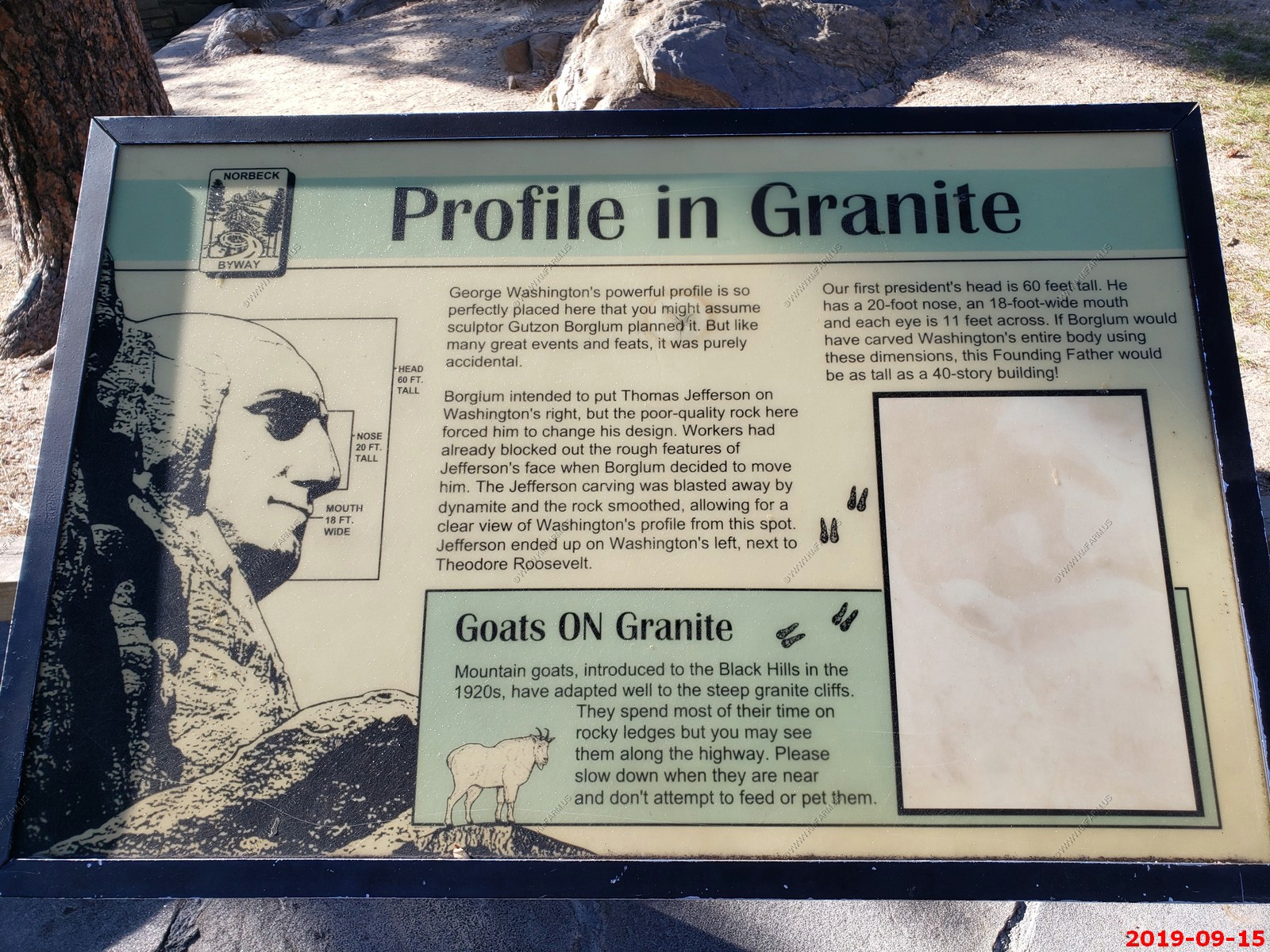
No zoom - George is so small.
Various shots.

Rock wall stitched four photos.
George stitched two photos vertical.
Back on the Peter Norbeck National Scenic Byway
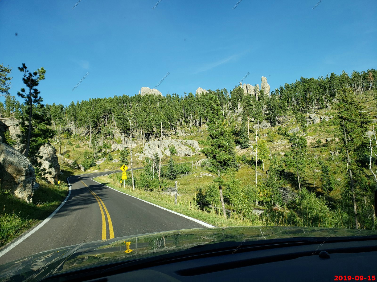
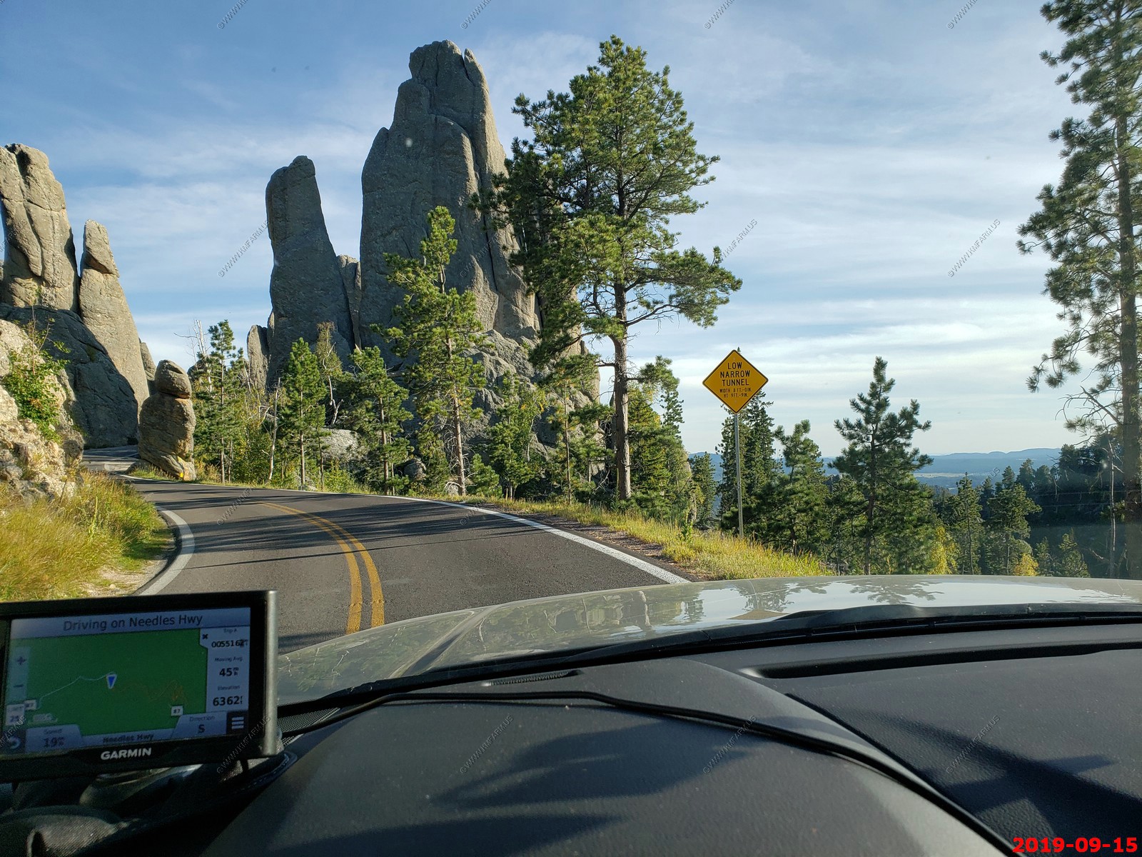
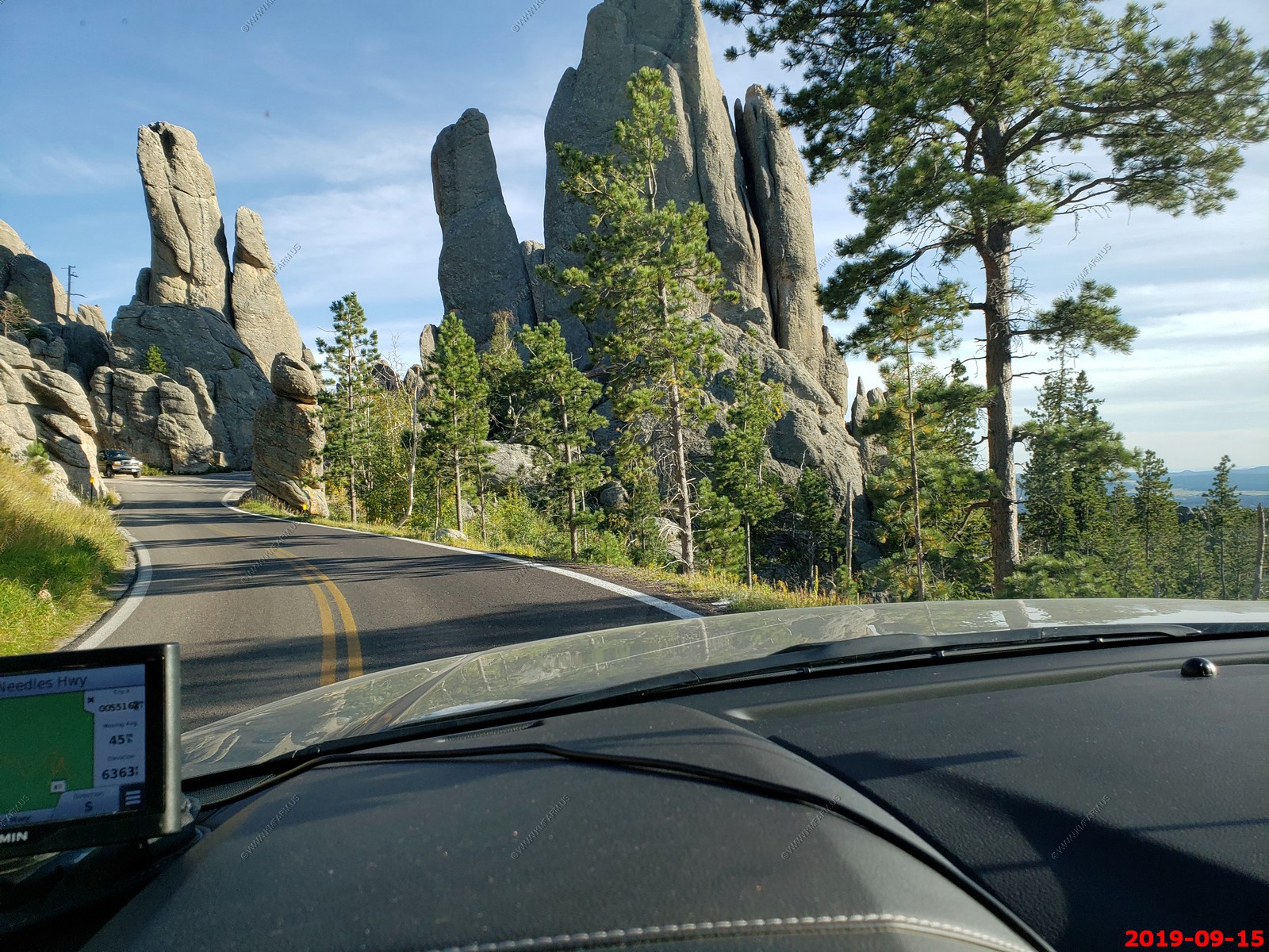
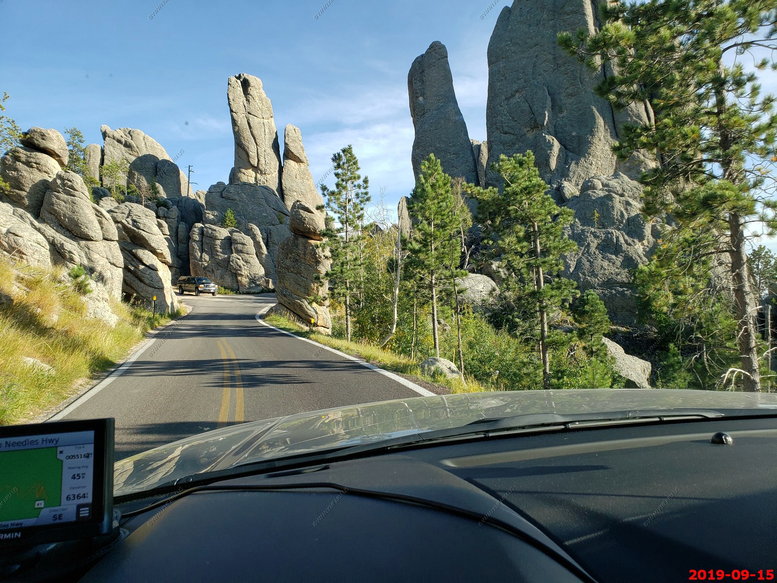
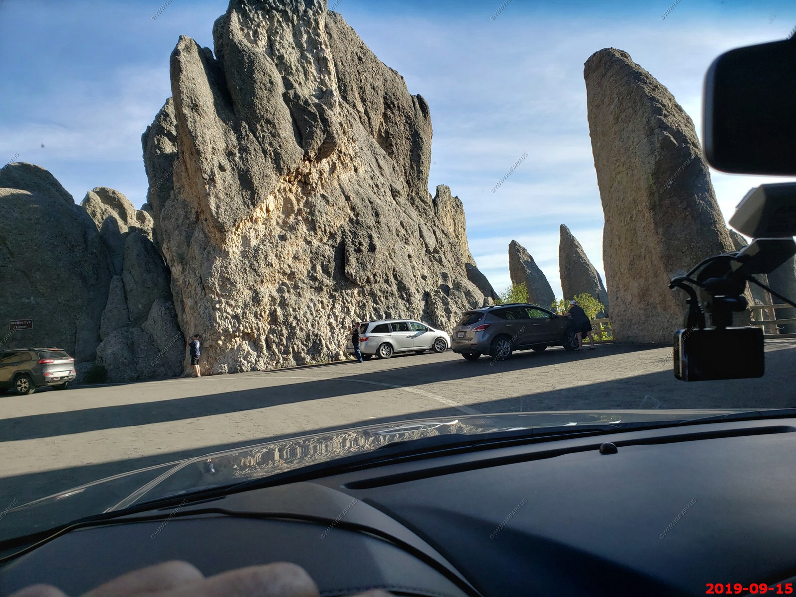
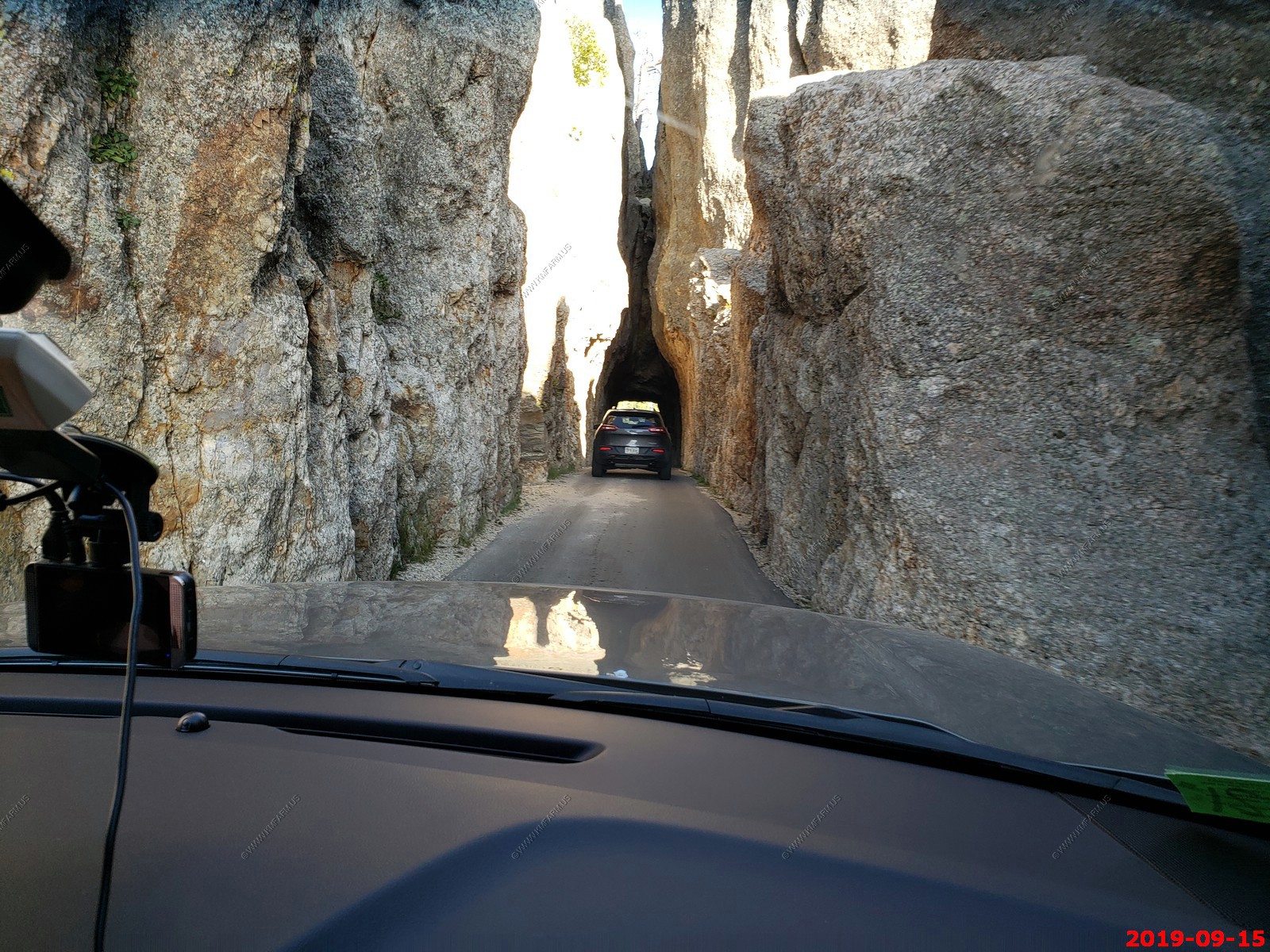
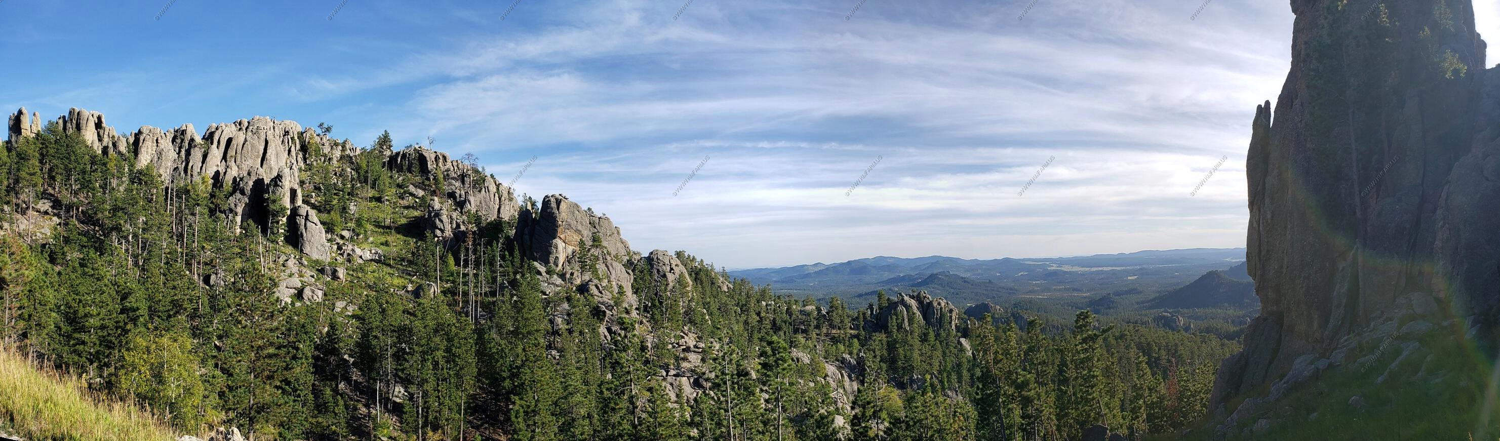
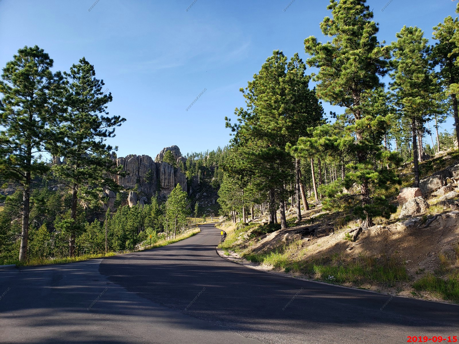
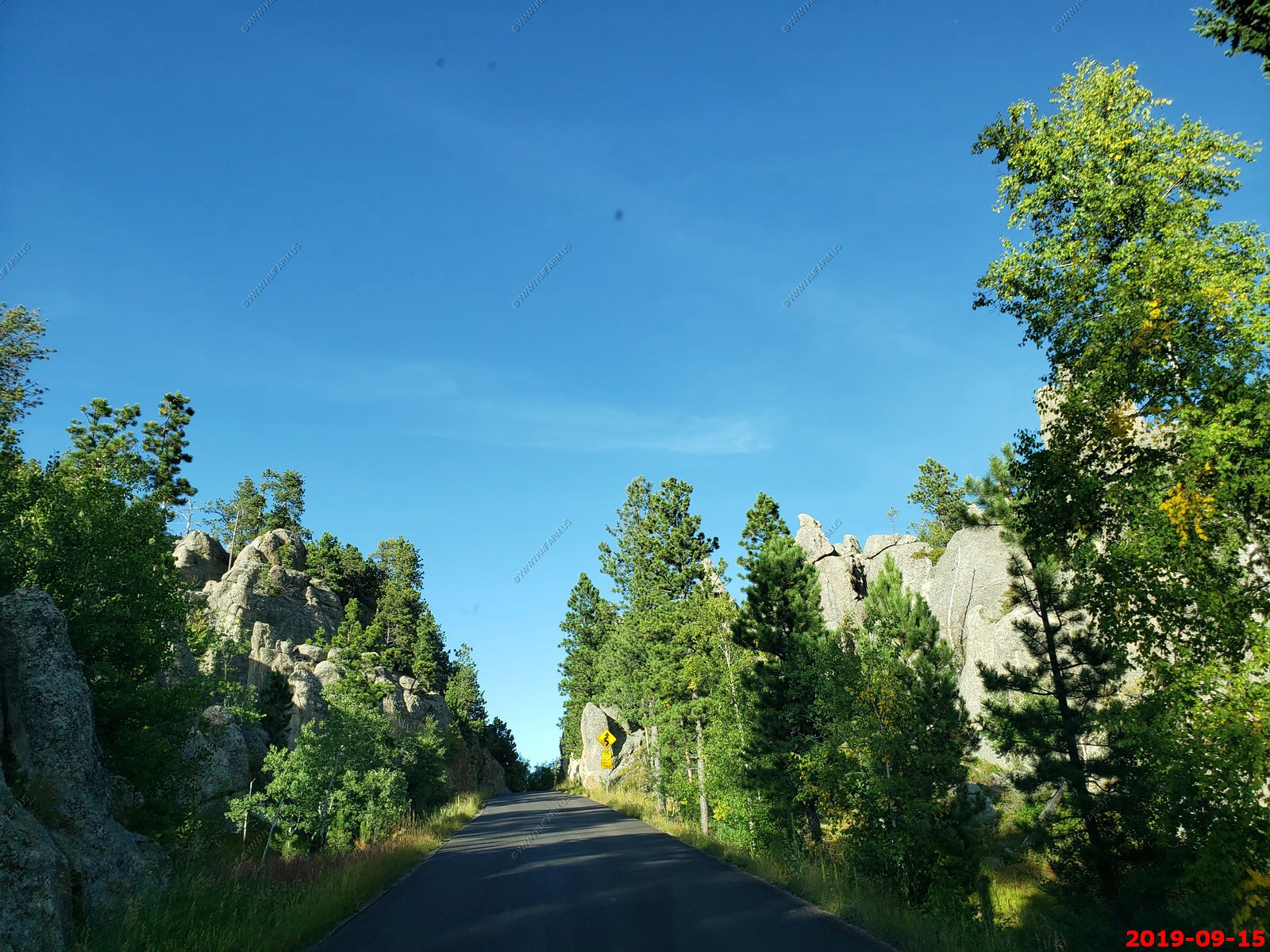
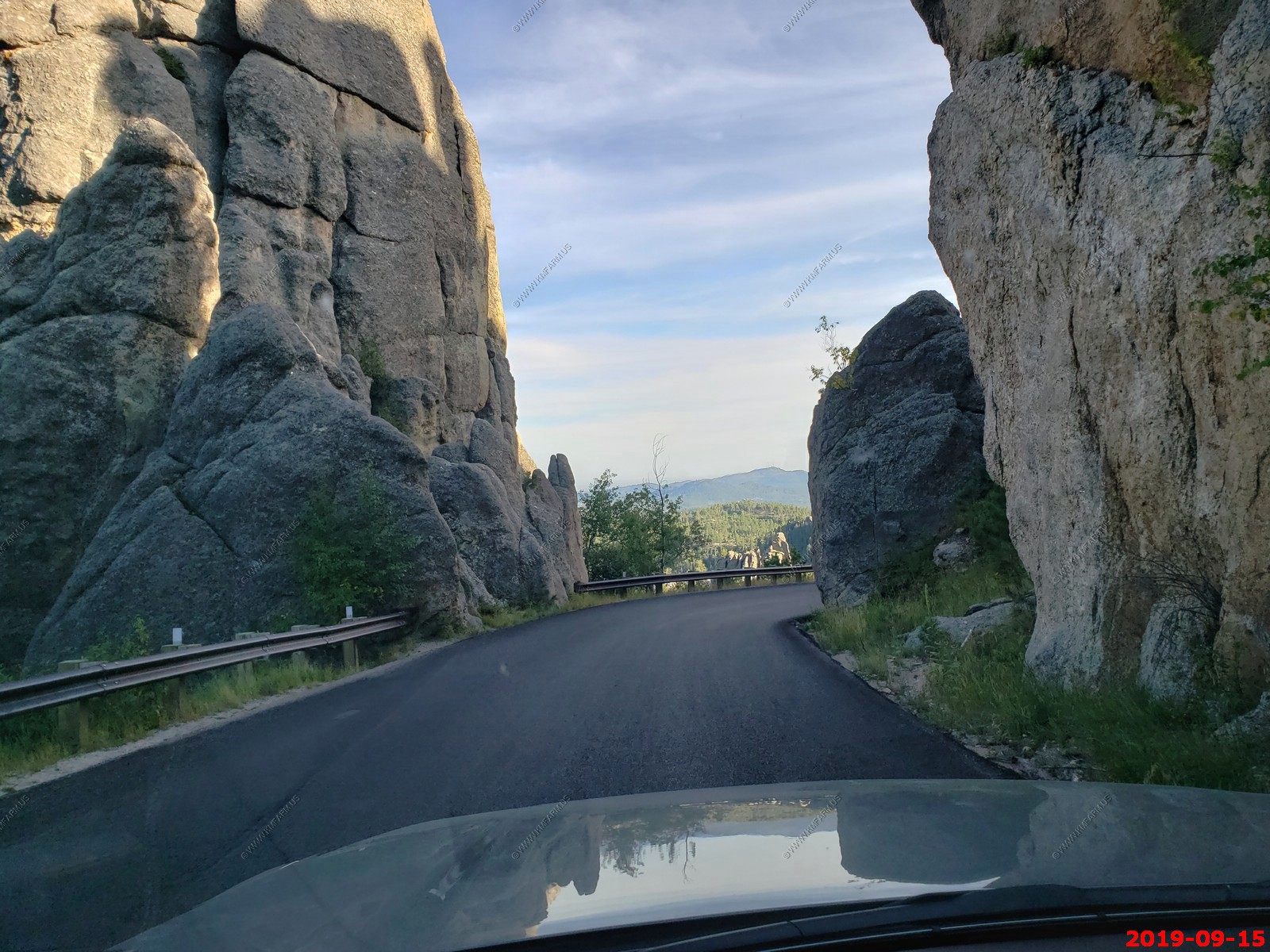
Highway 87, also known as the Needles Highway. Here the road climbs around fantastic granite pinnacles that are a favorite with rock climbers from across the globe. Twisting and turning between the Needles and through a tight tunnel/crack in the rock, this portion of the byway leads to picturesque Sylvan Lake. From here, drivers can choose to turn south and then east to visit more of Custer State Park, or continue north and east back to Mount Rushmore. Beautiful mountain lakes and rocky terrain greet you around every turn.
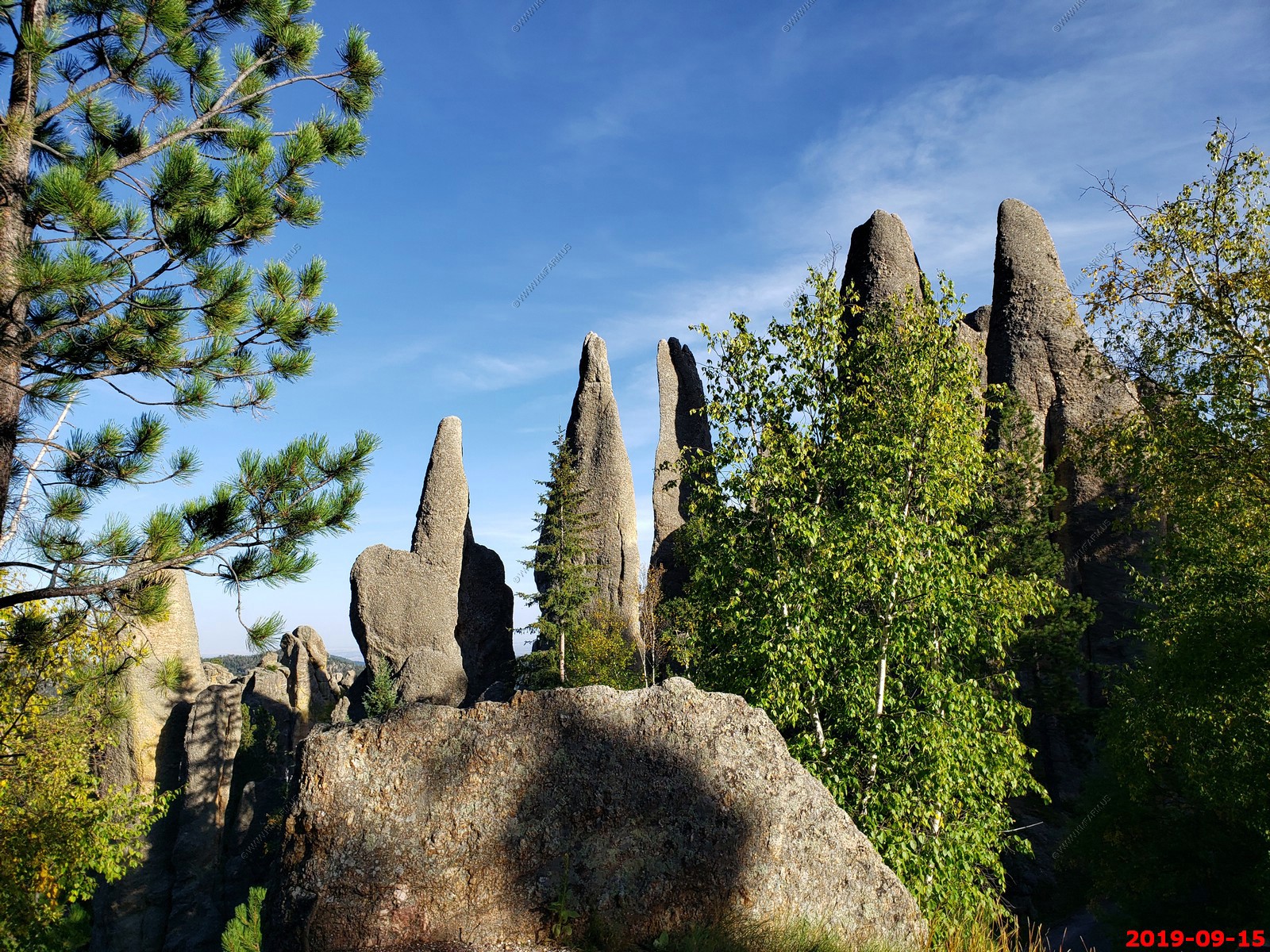
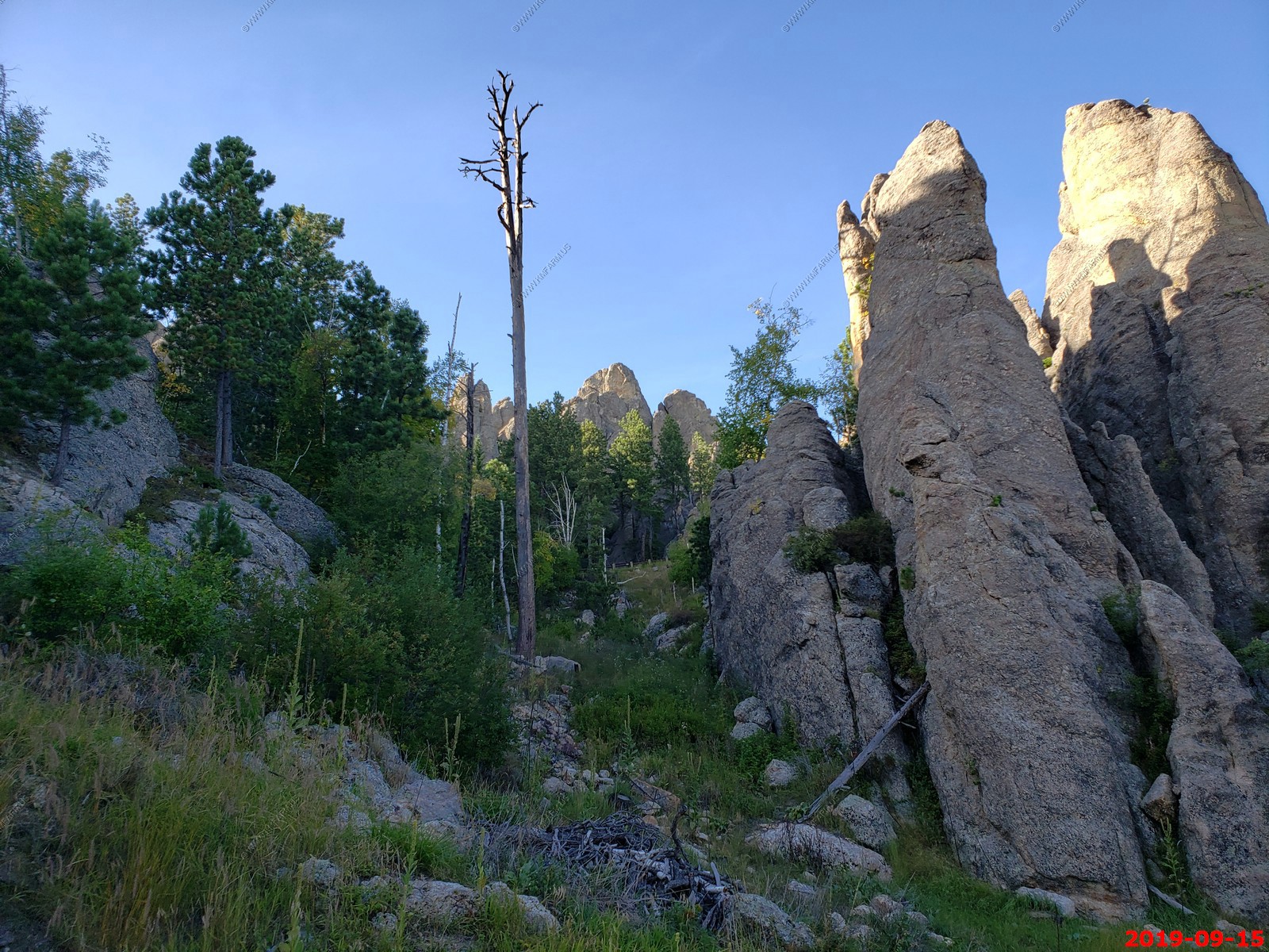
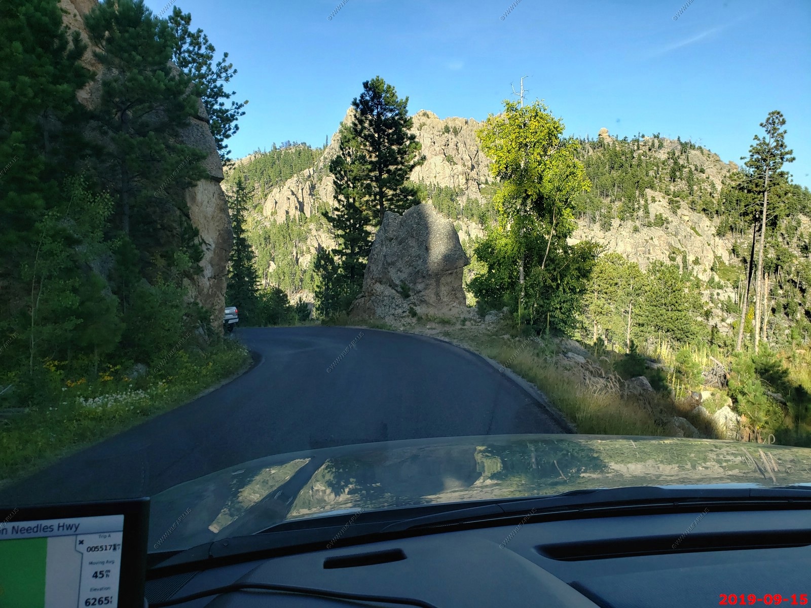
The Needles Highway winds through spectacular Black Hills scenery. This 14 mile stretch of highway was completed in 1922. The terrain is dotted with other-worldly granite rock pinnacles. While driving this highway, you'll have a better appreciation of the formidable challenge construction crews must have faced trying to make this road happen!
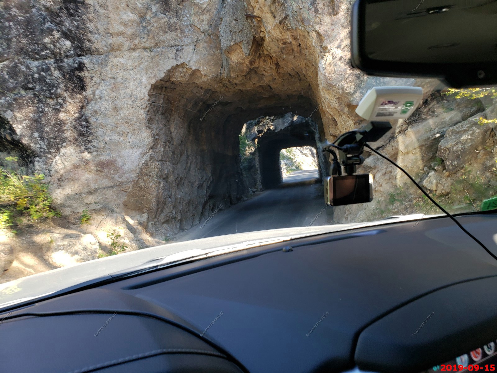
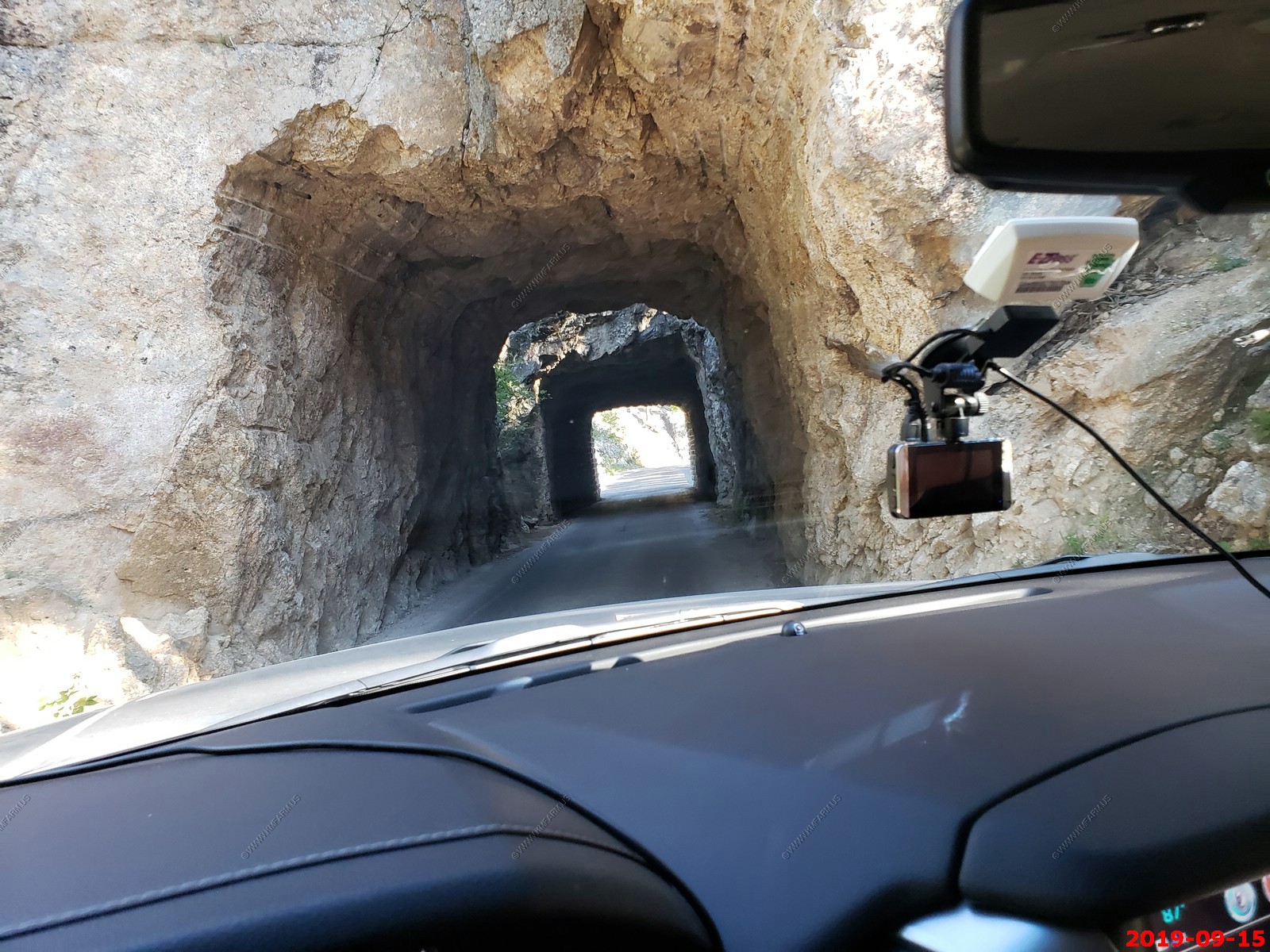
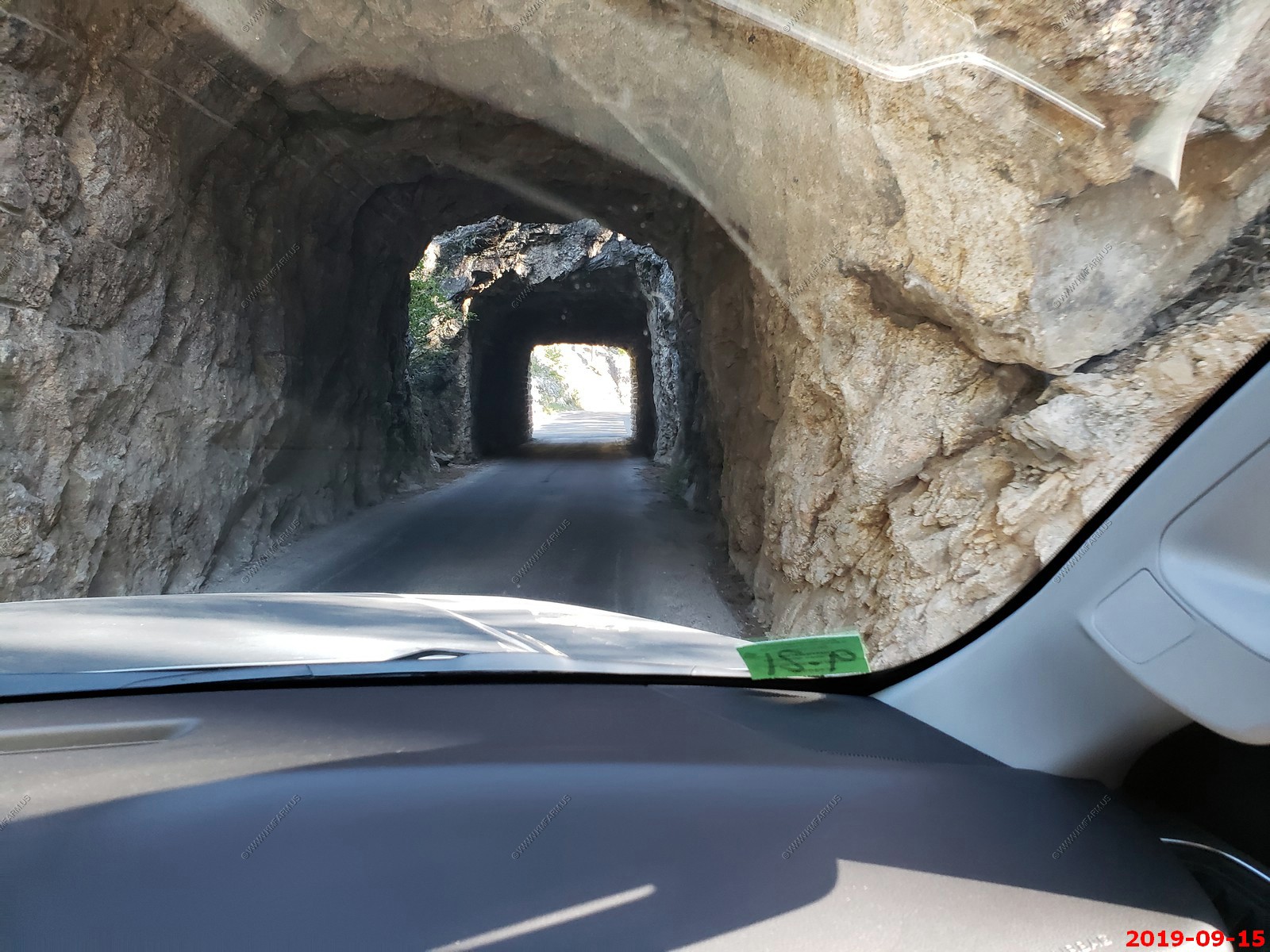
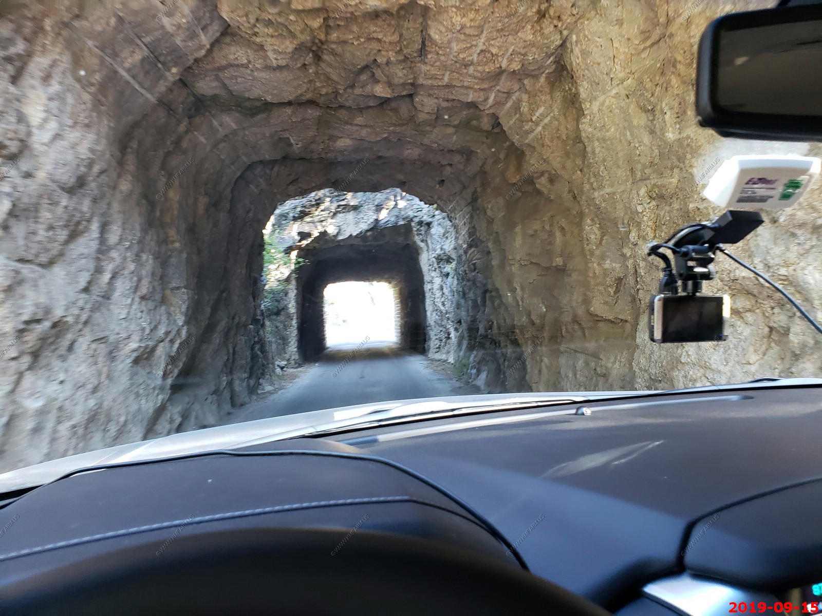
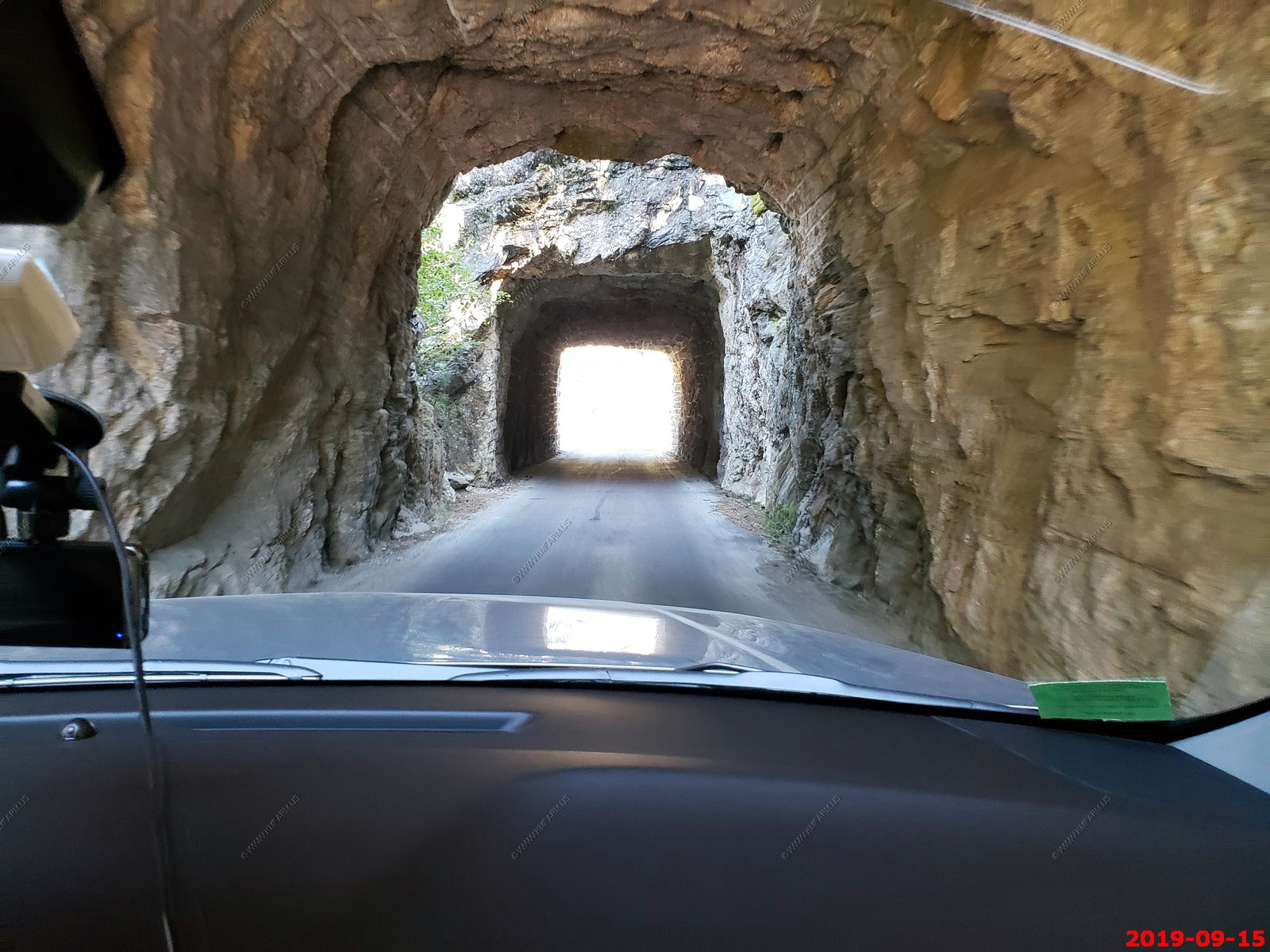
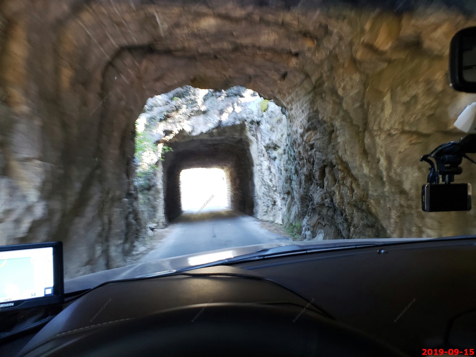
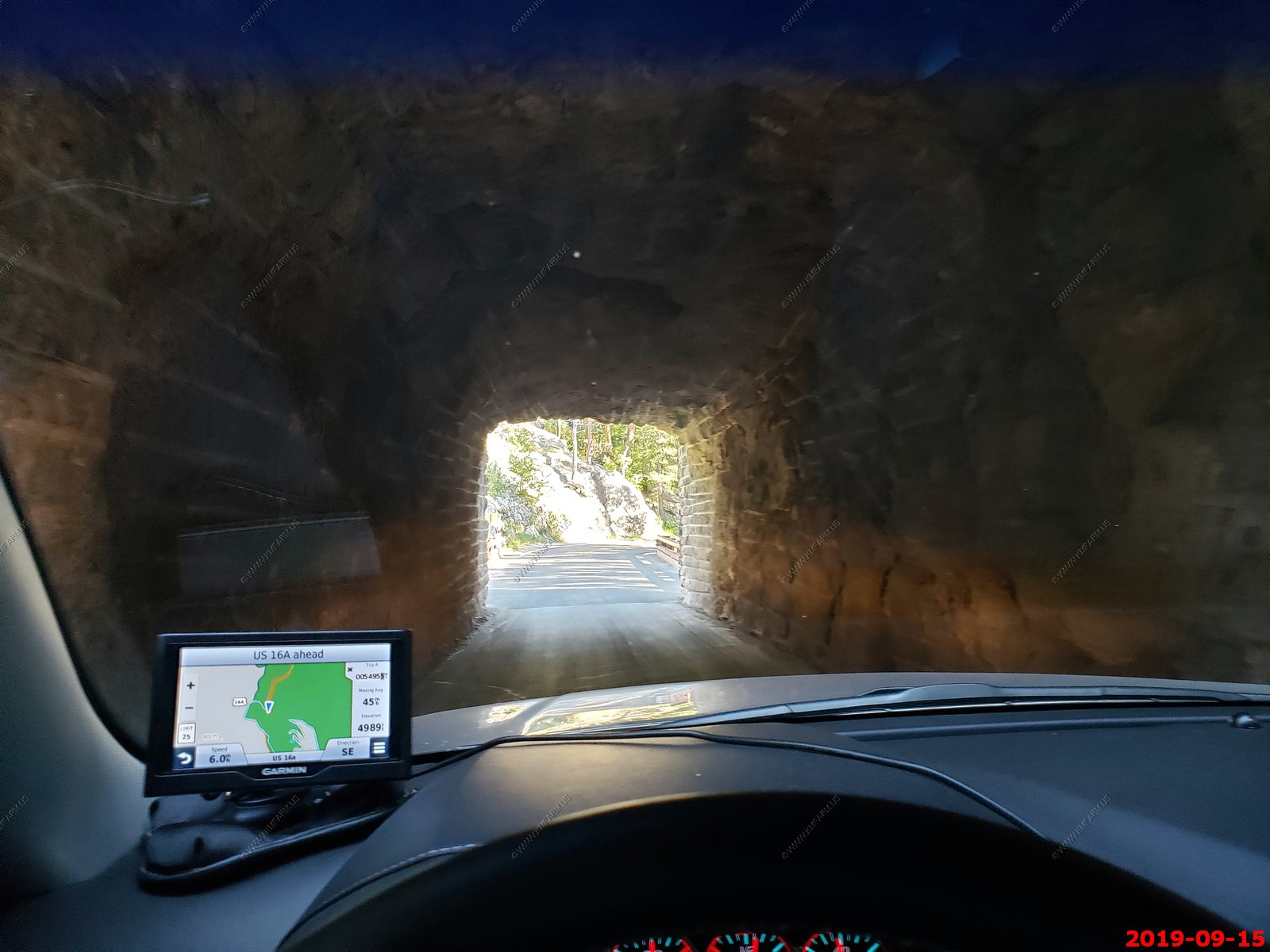
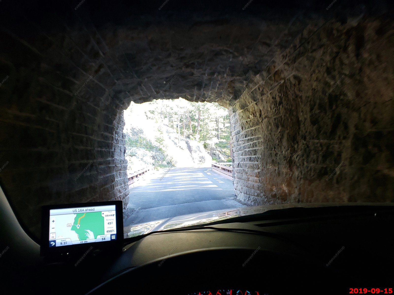
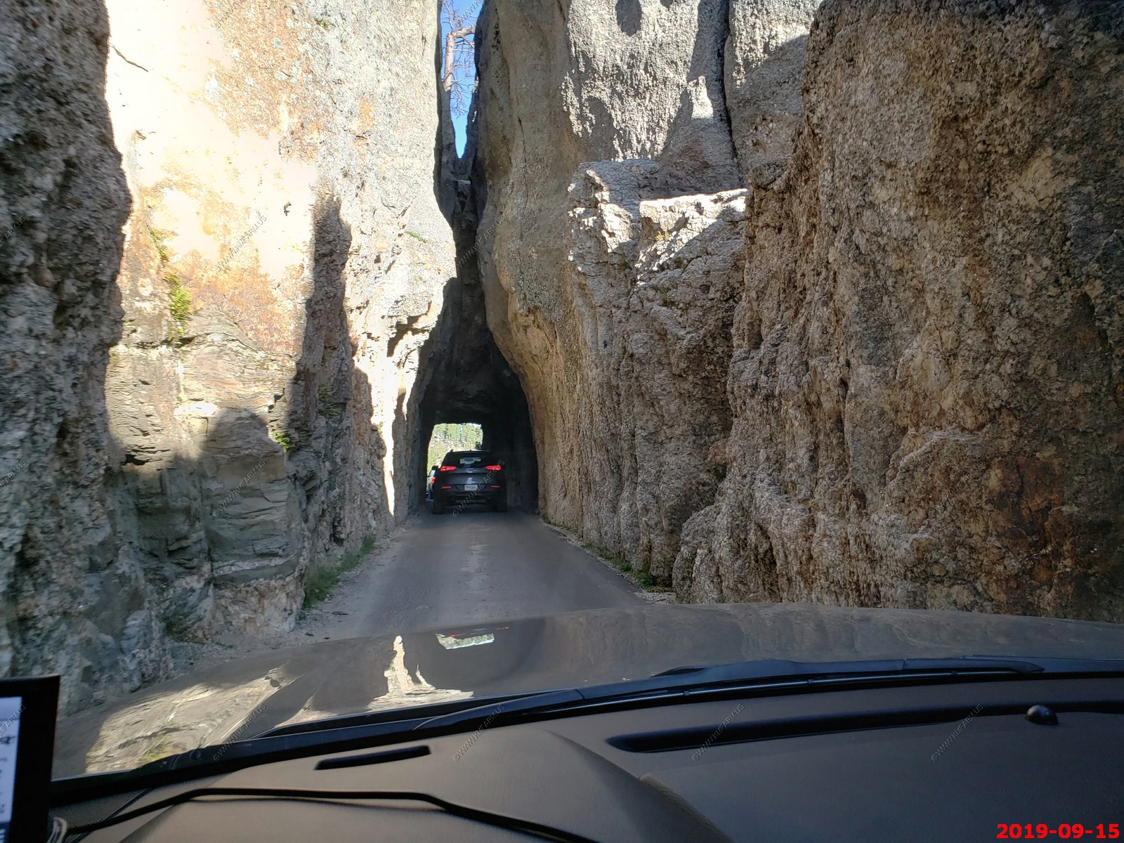
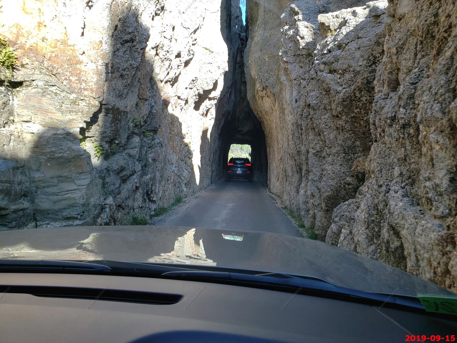
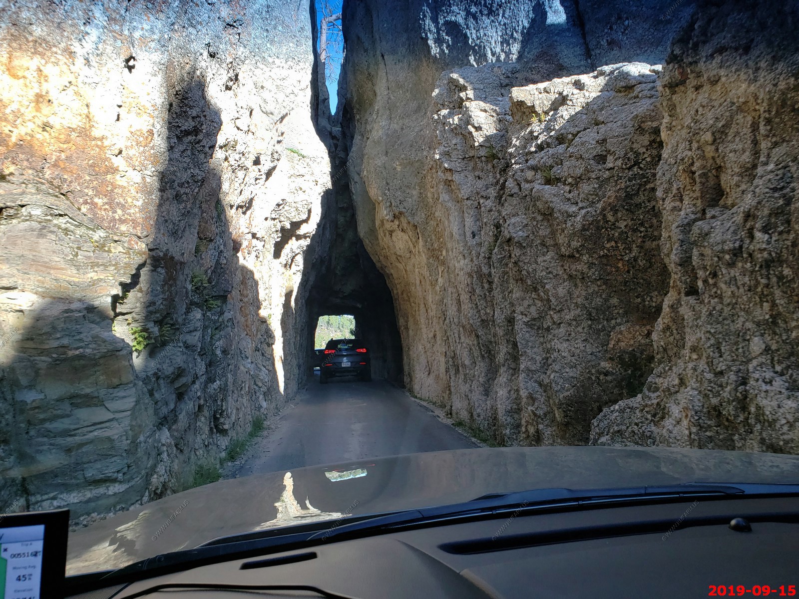
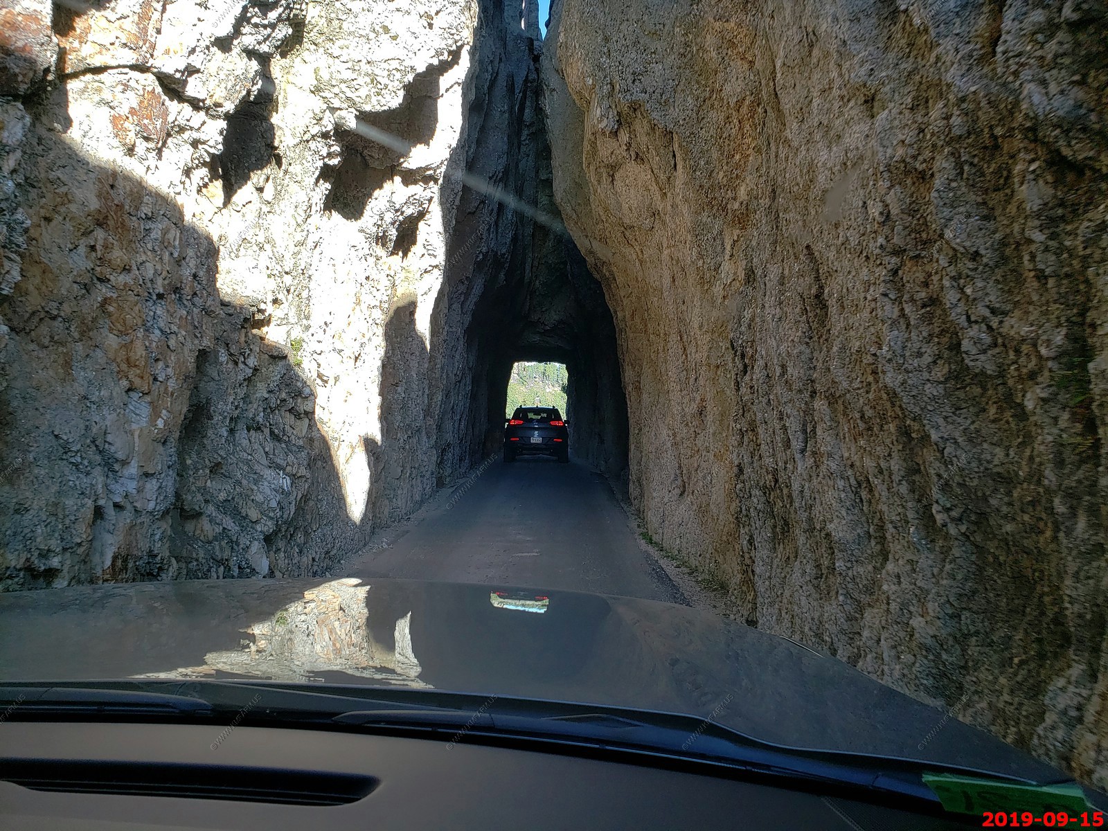
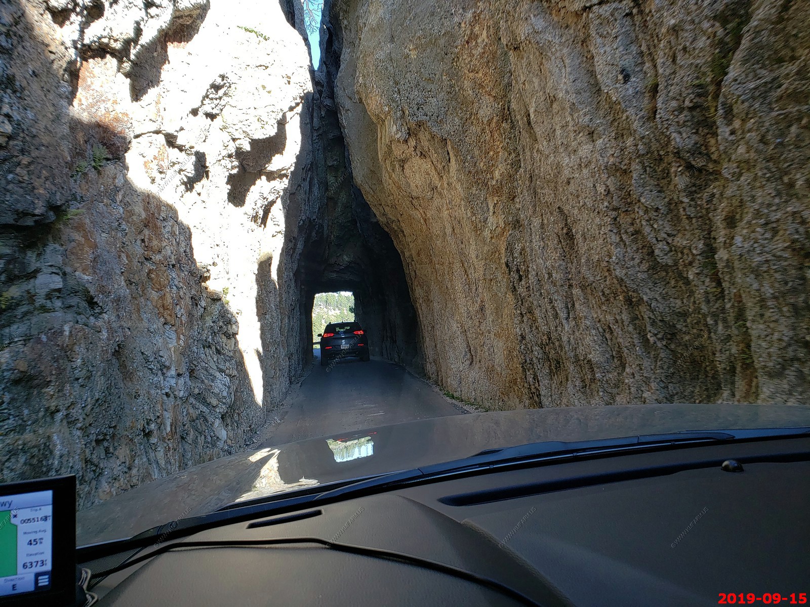
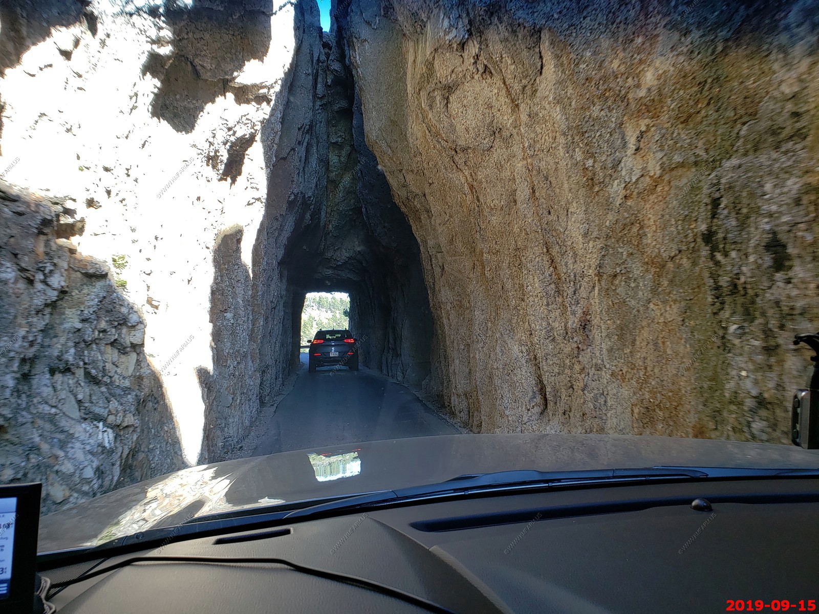
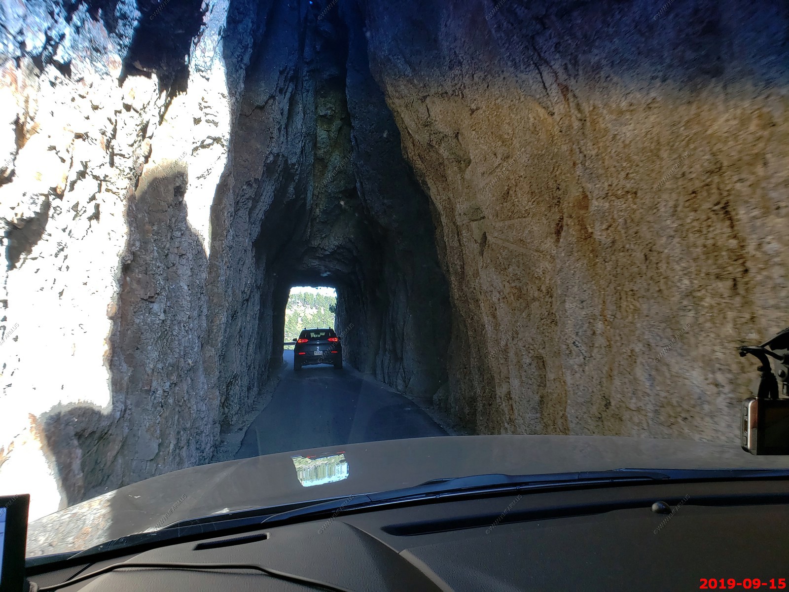
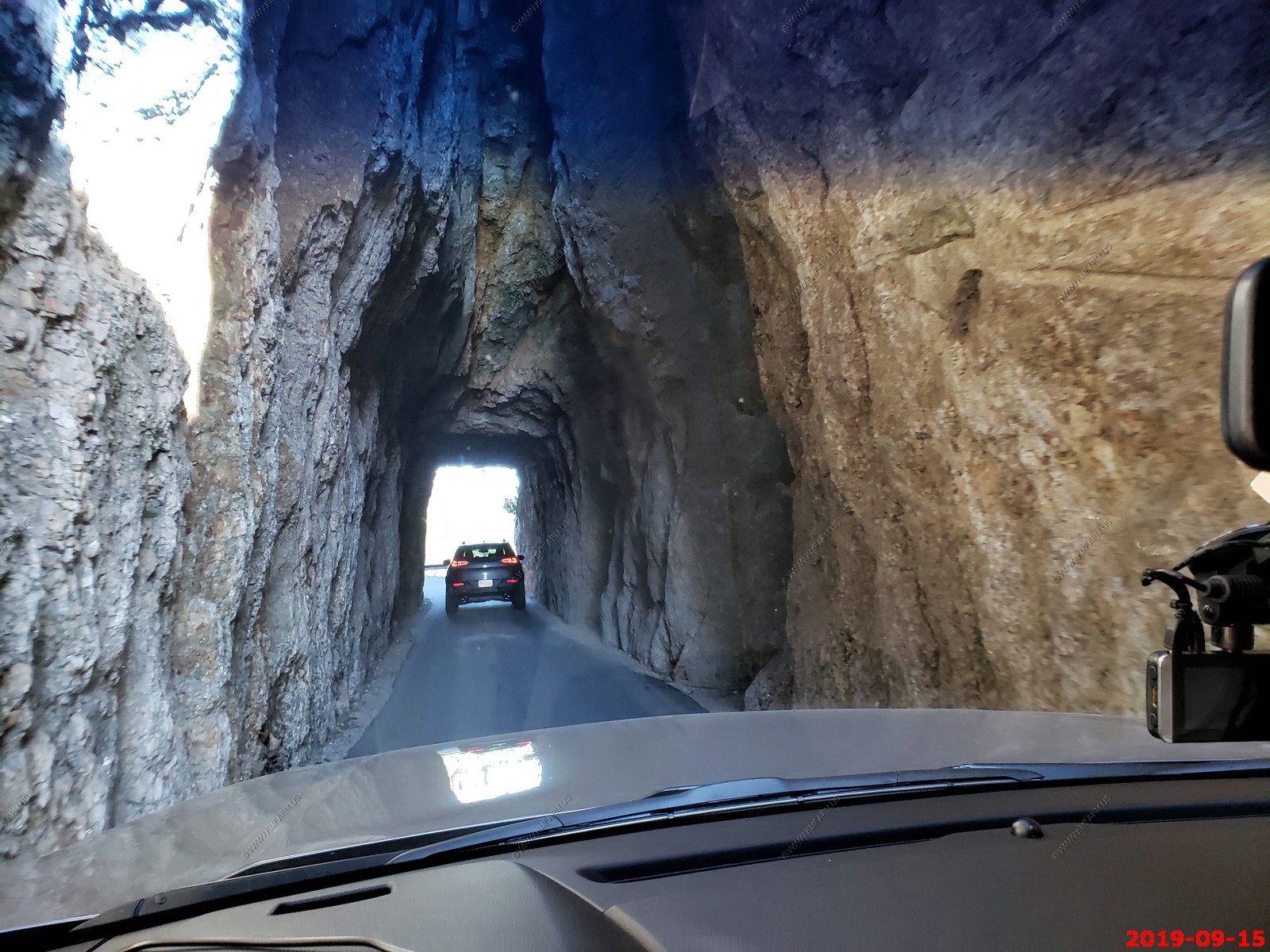
Hood Tunnel - Our first tunnel going south on Needles Highway.
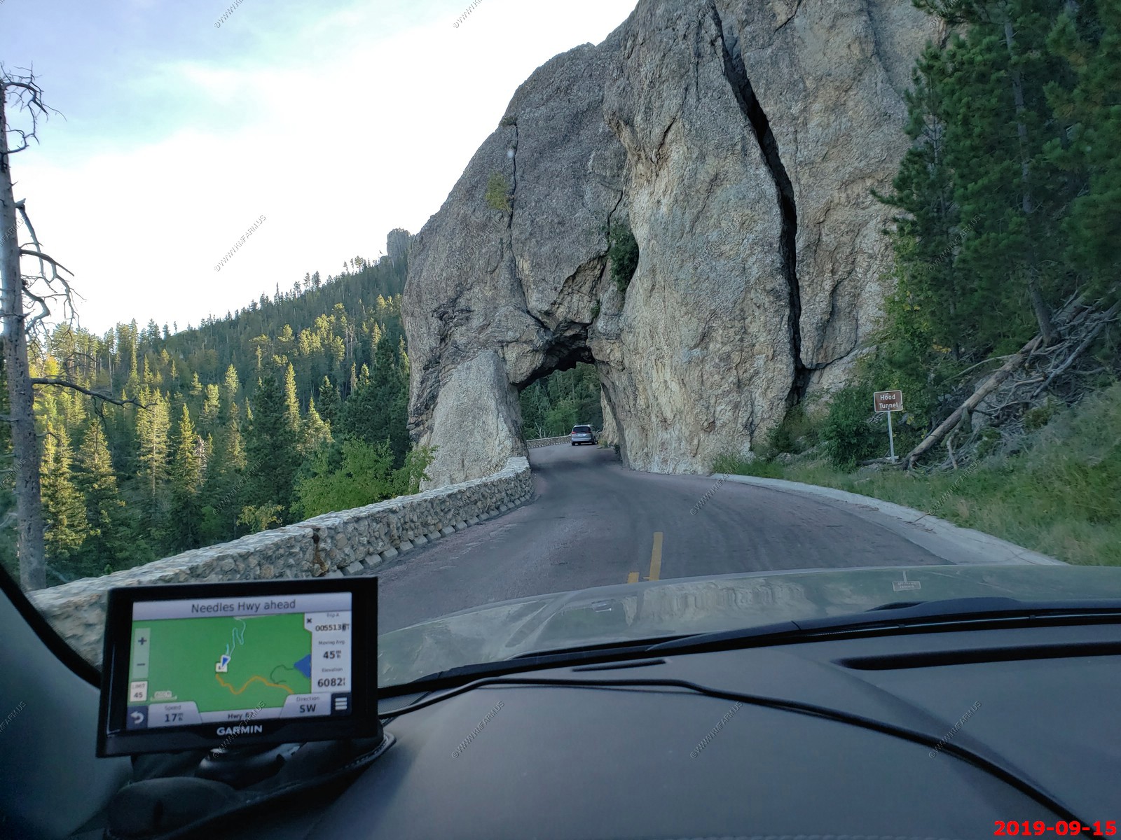
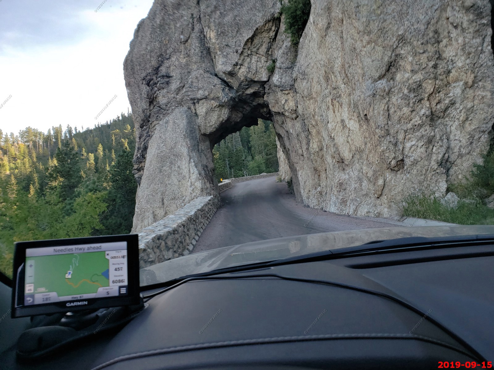
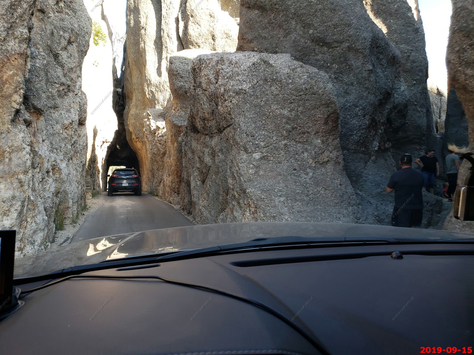
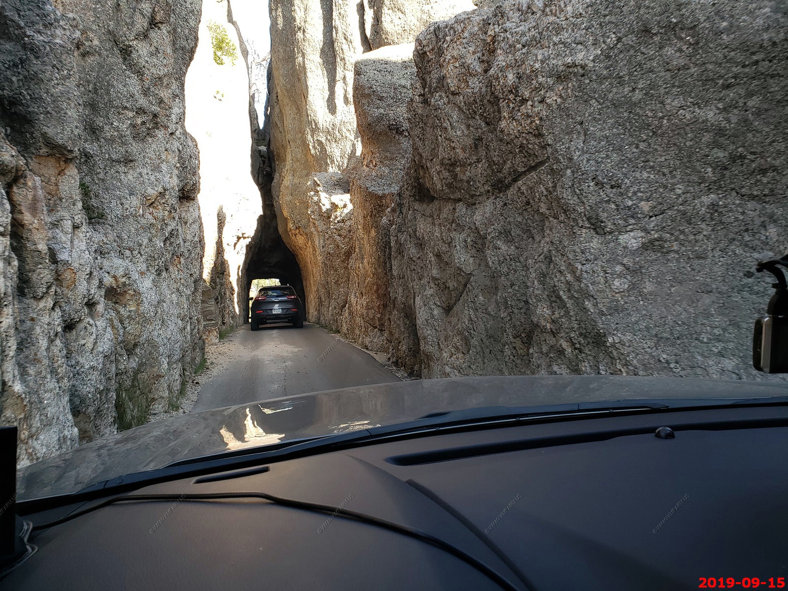
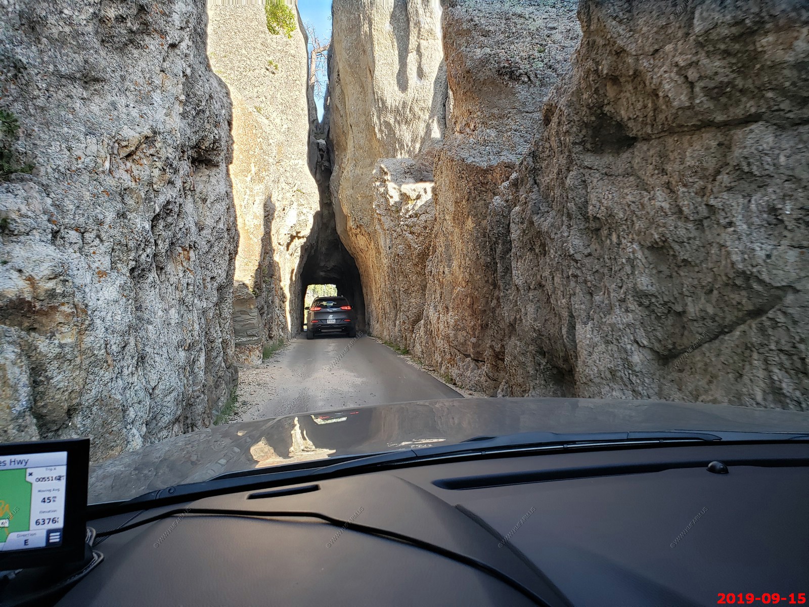
Approaching the Needles area.
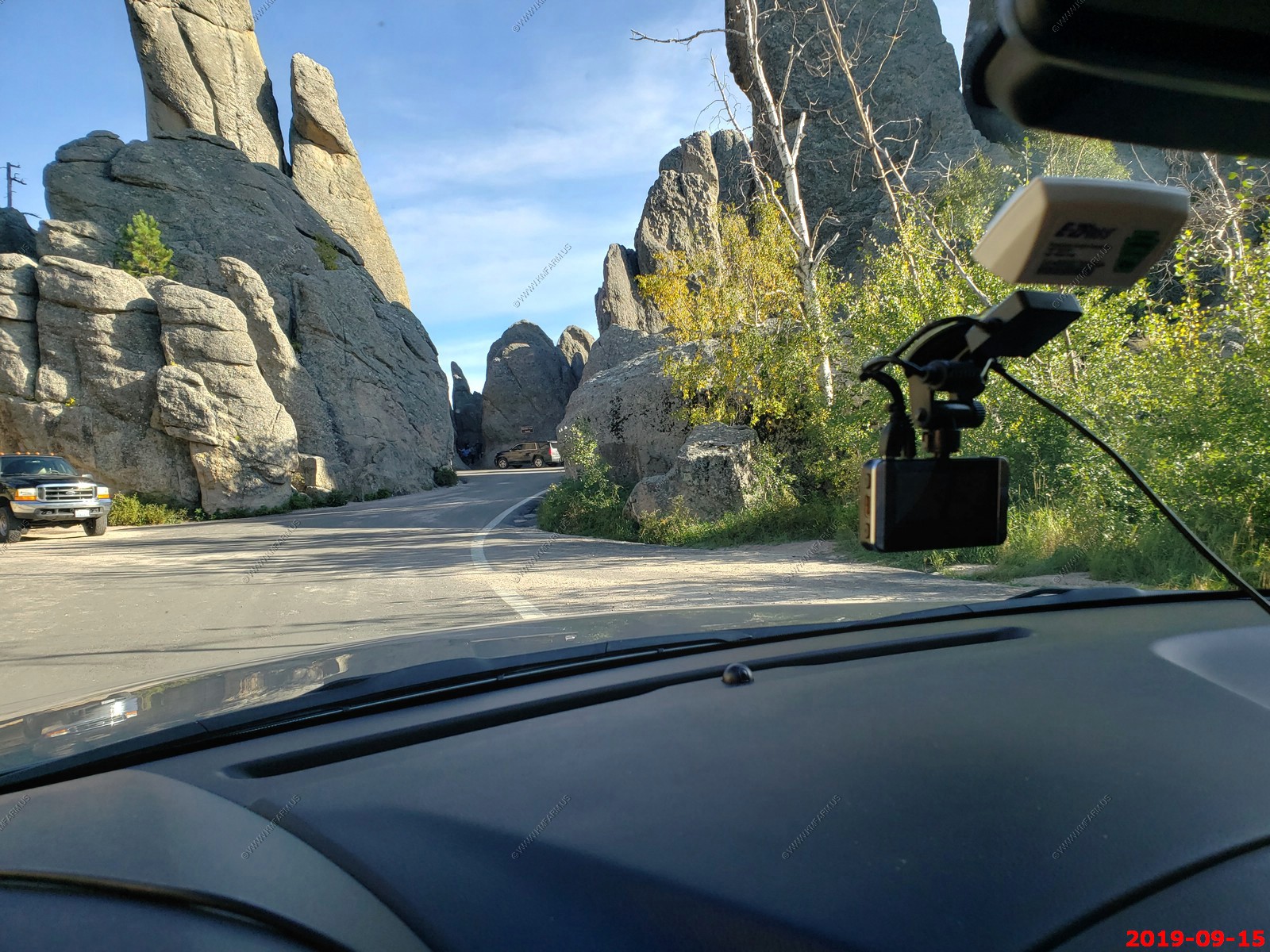
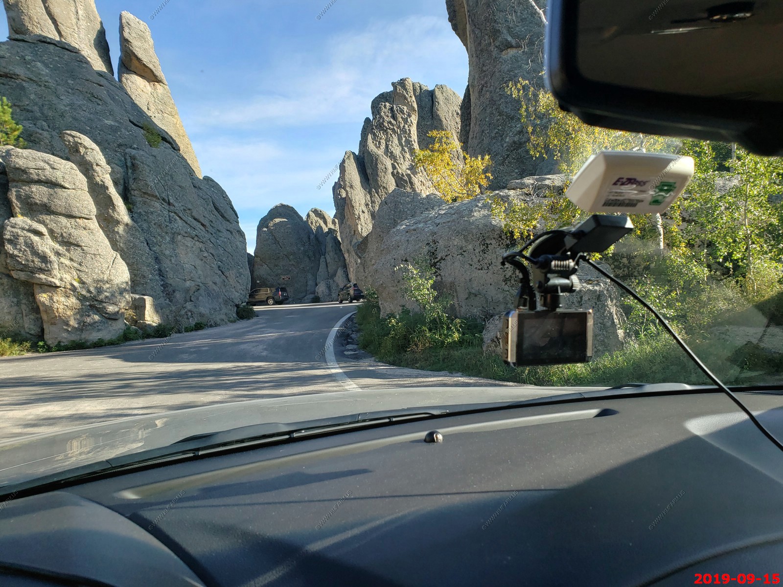
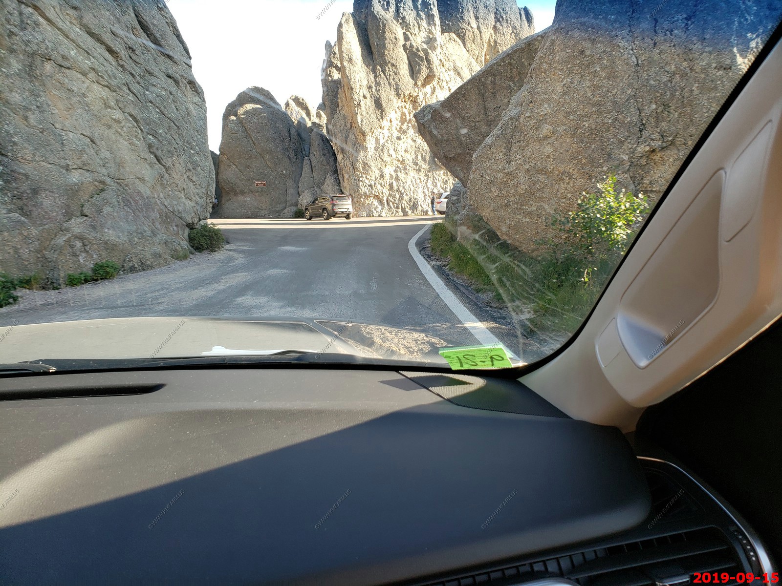
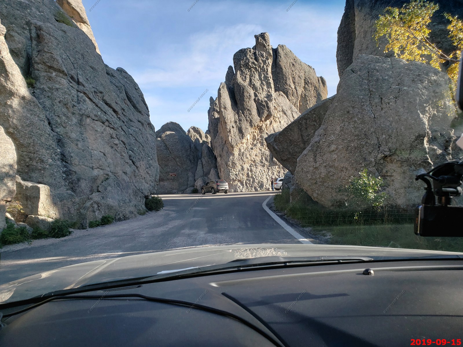
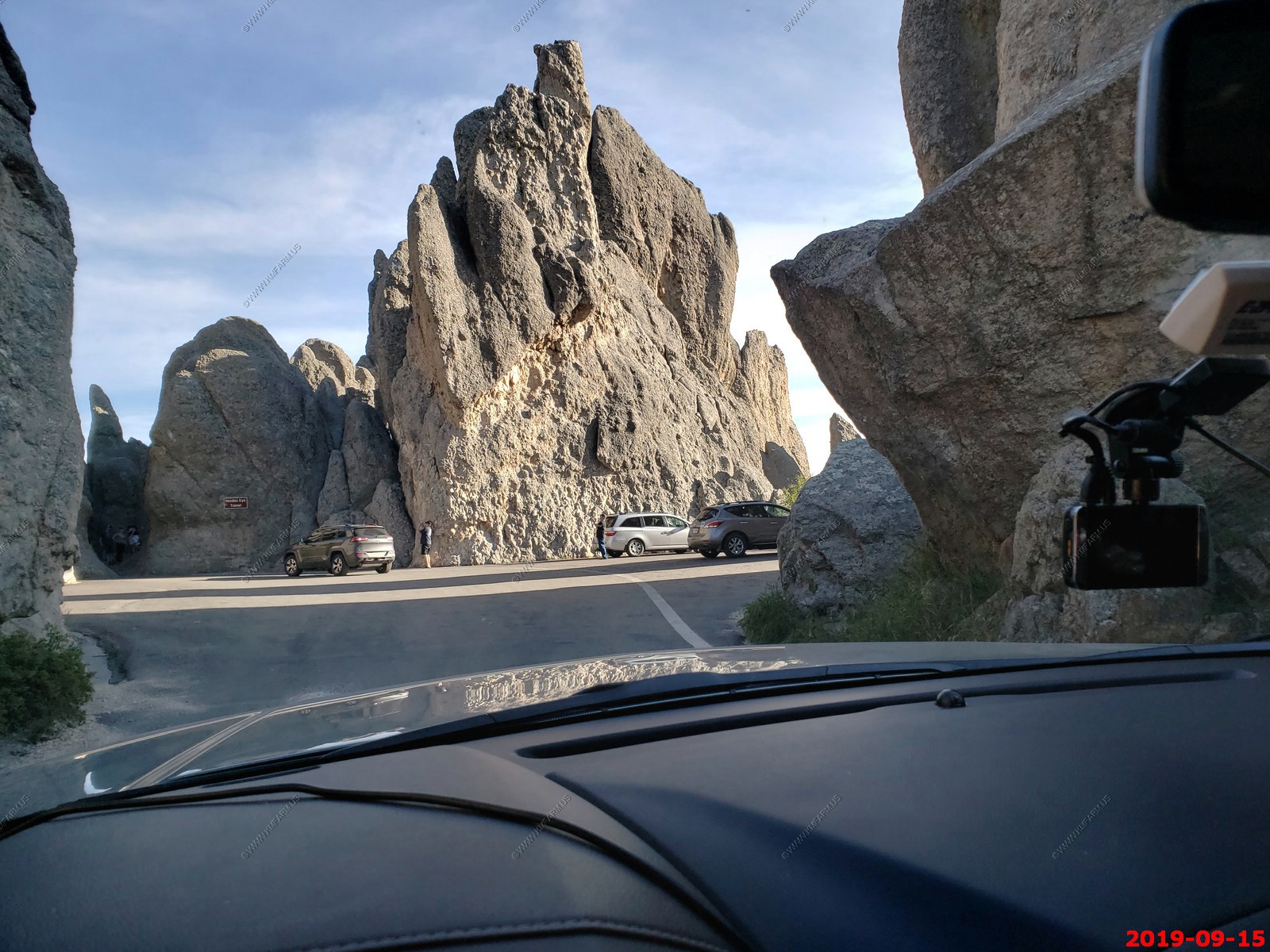
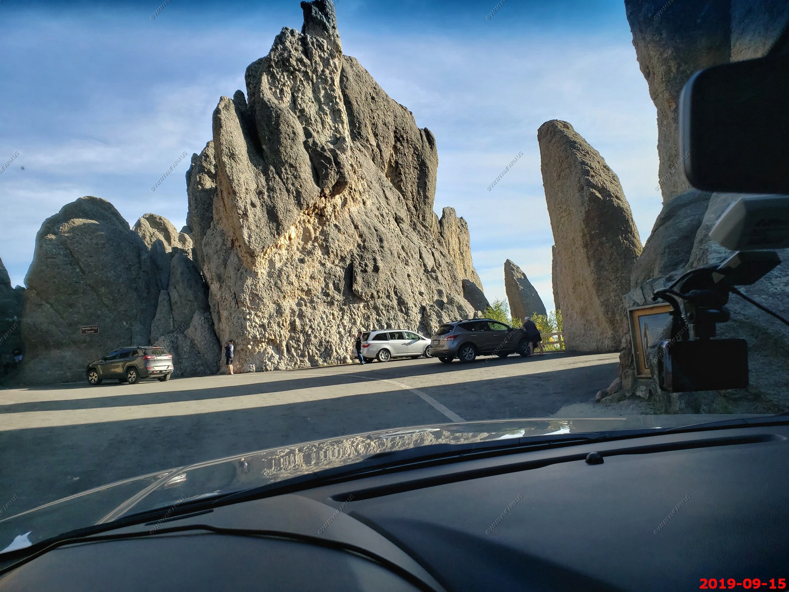
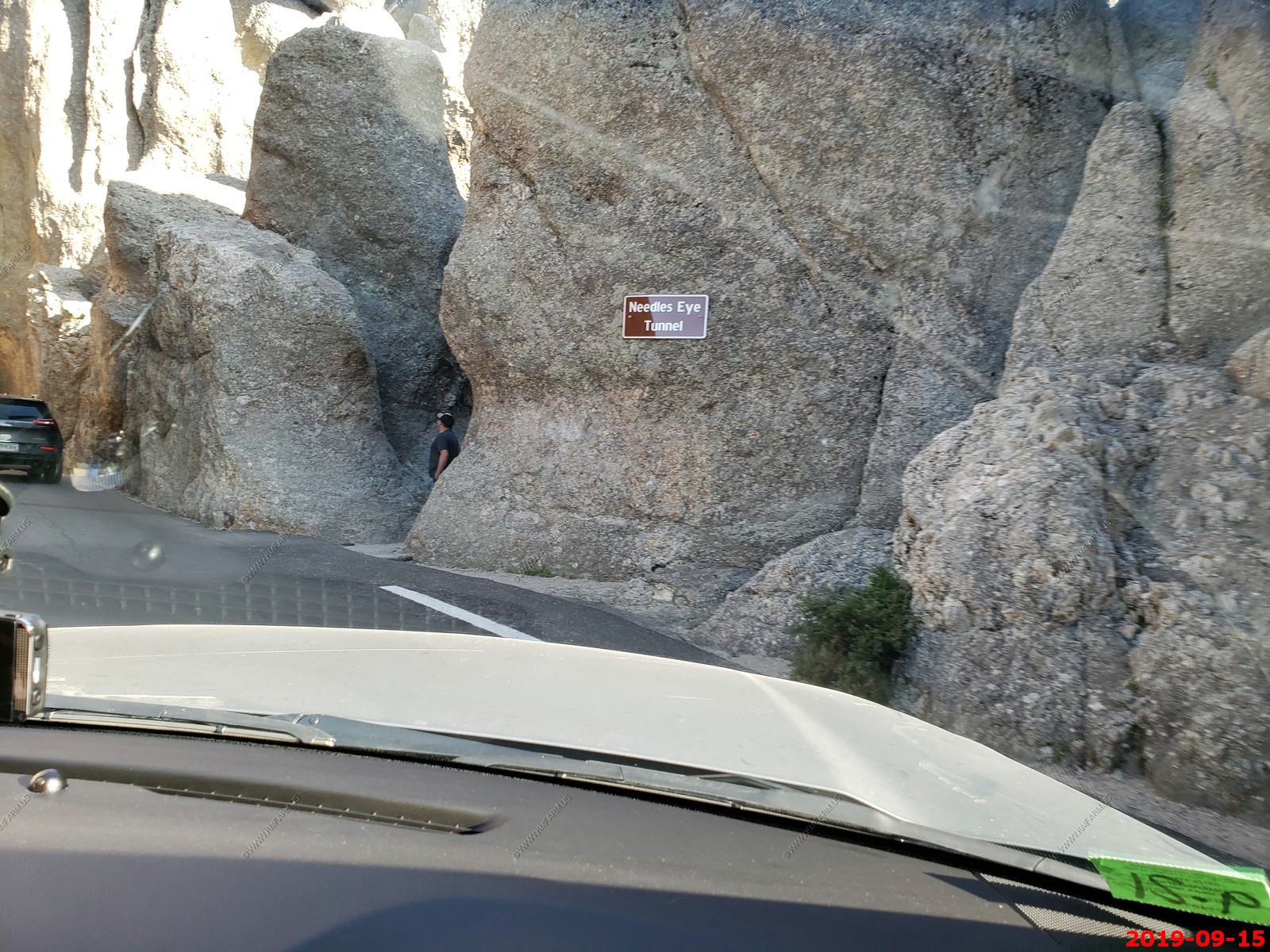
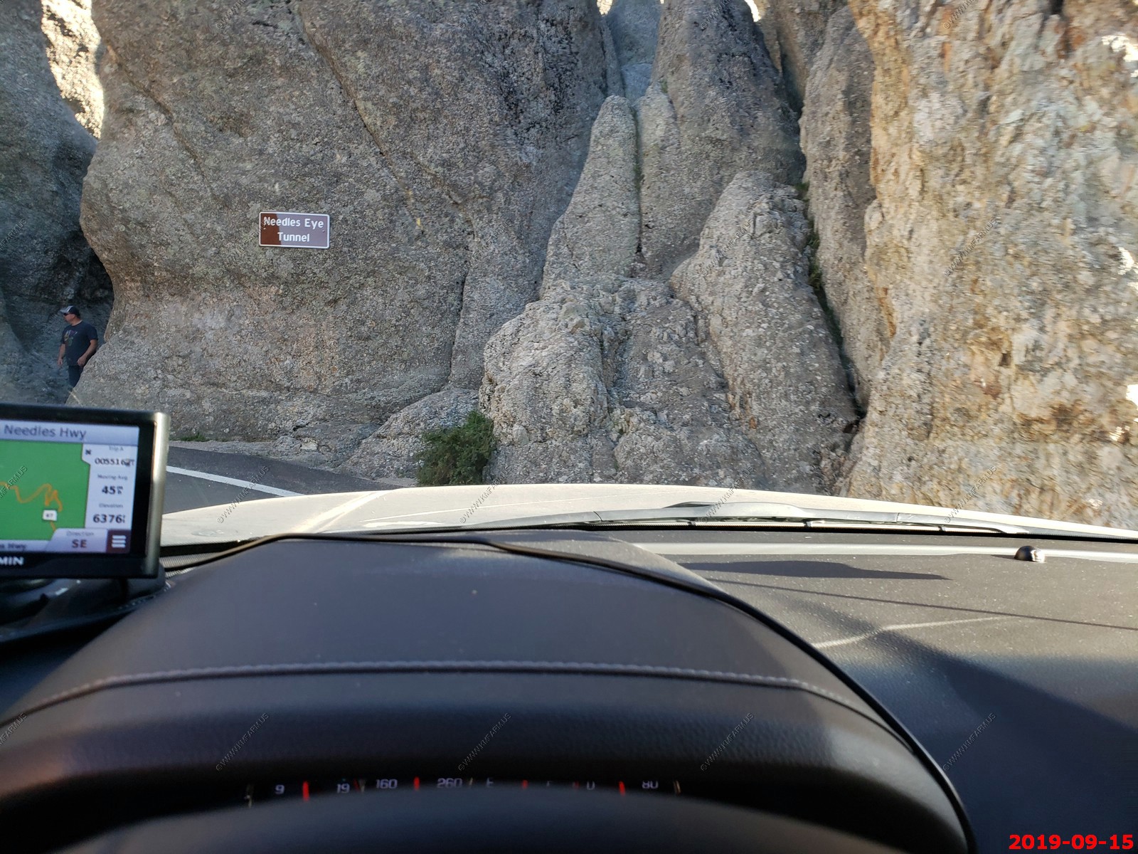
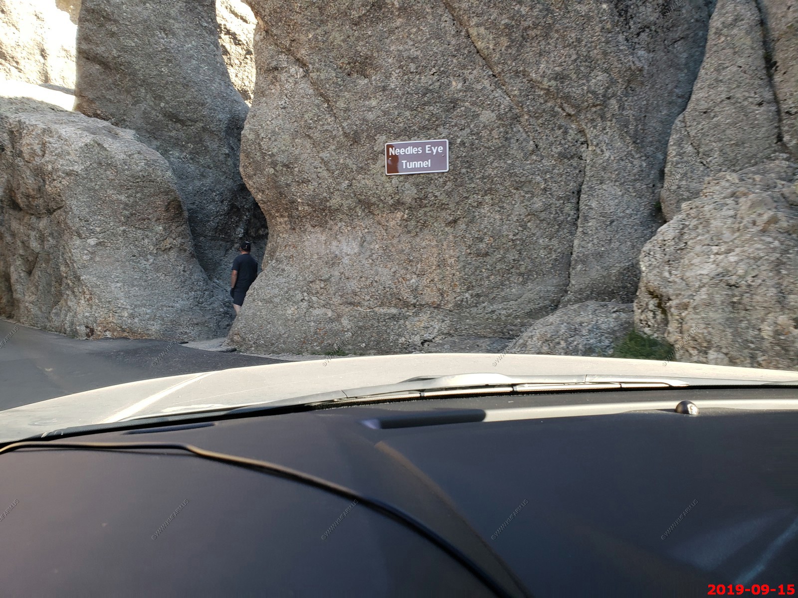
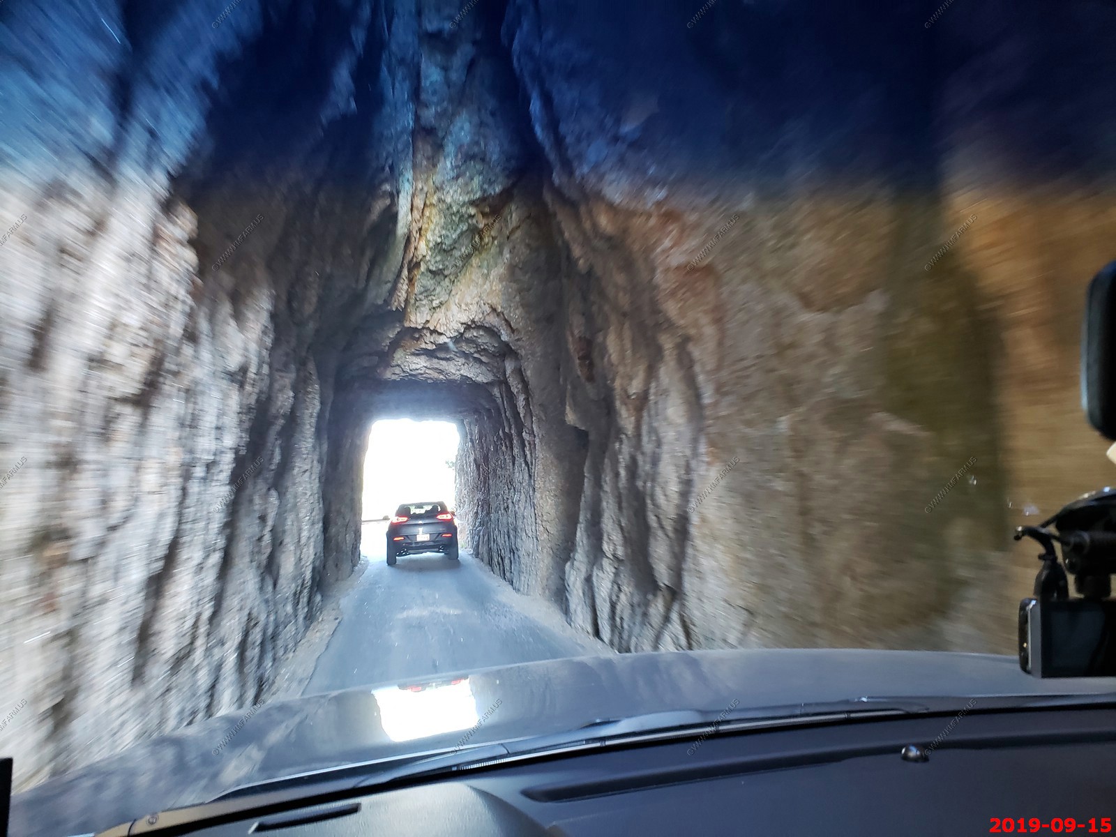
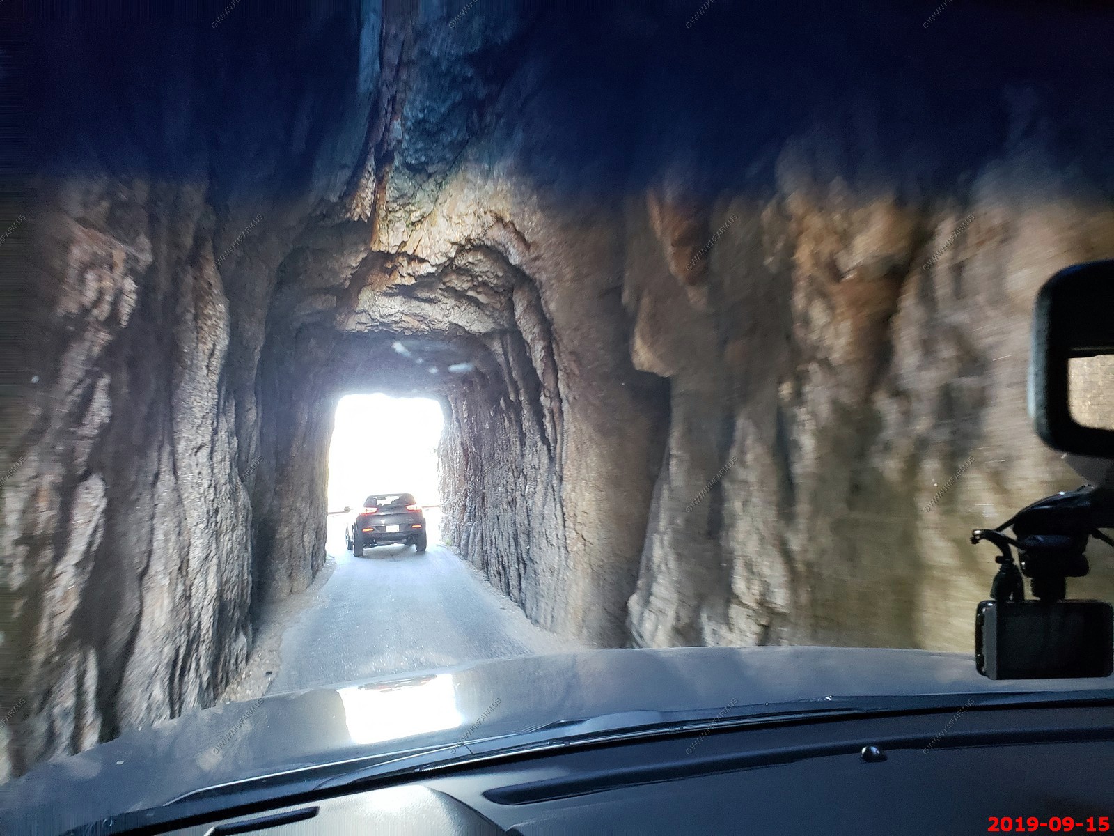
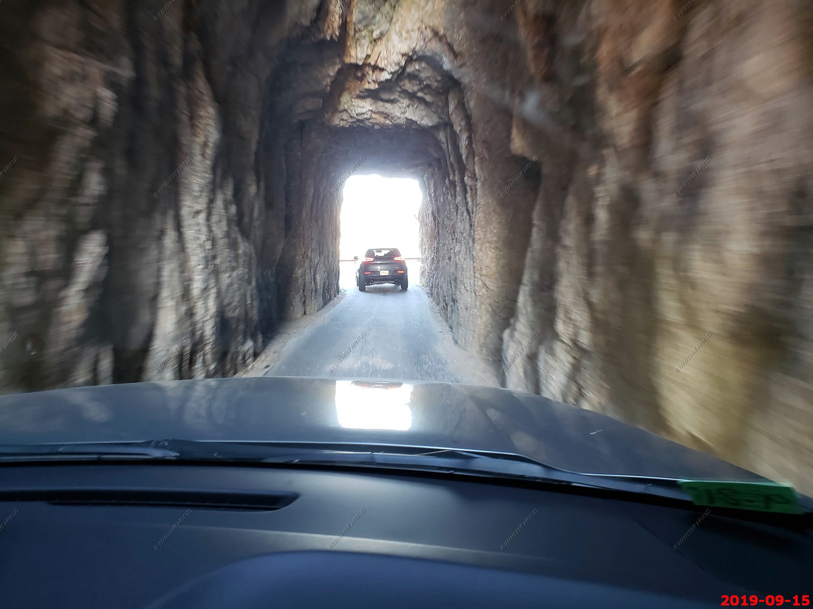
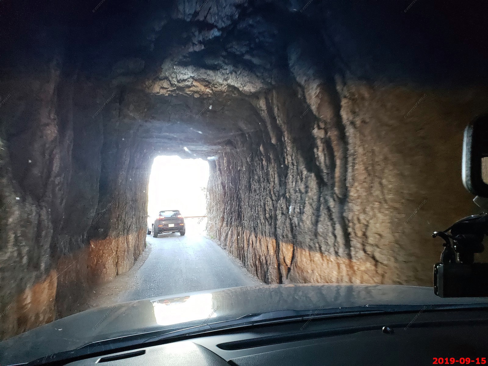
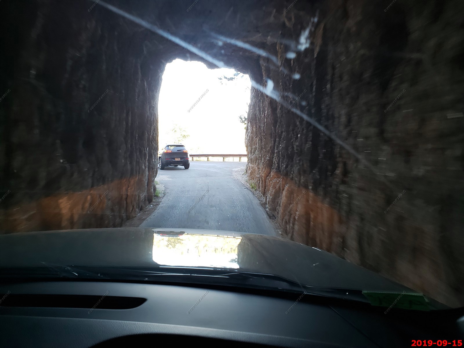
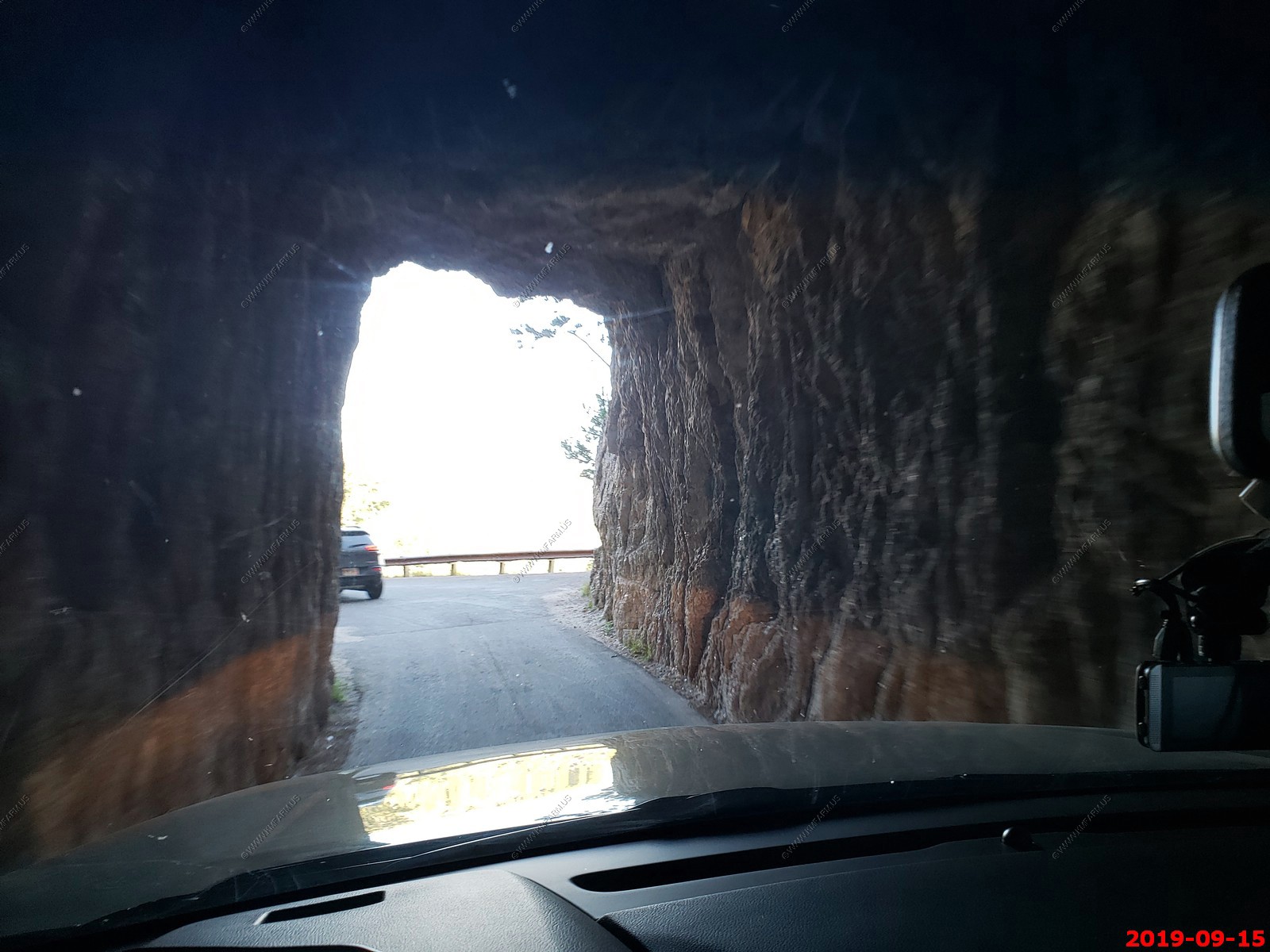
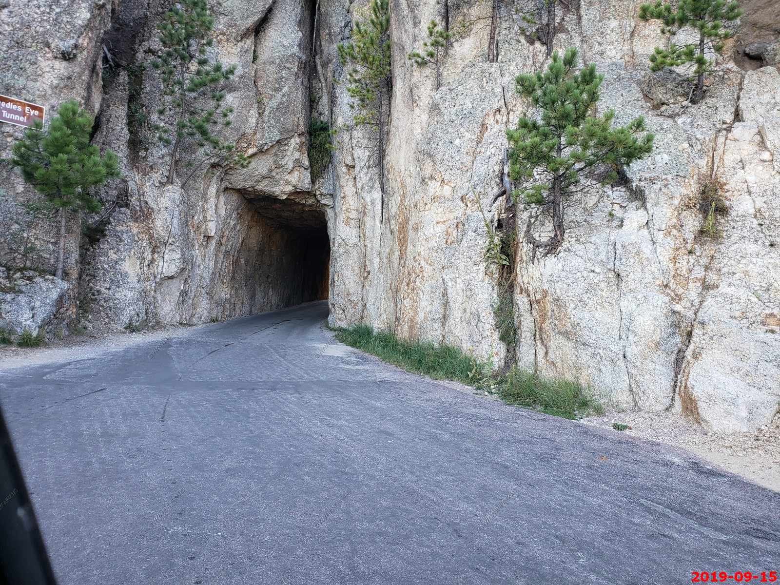
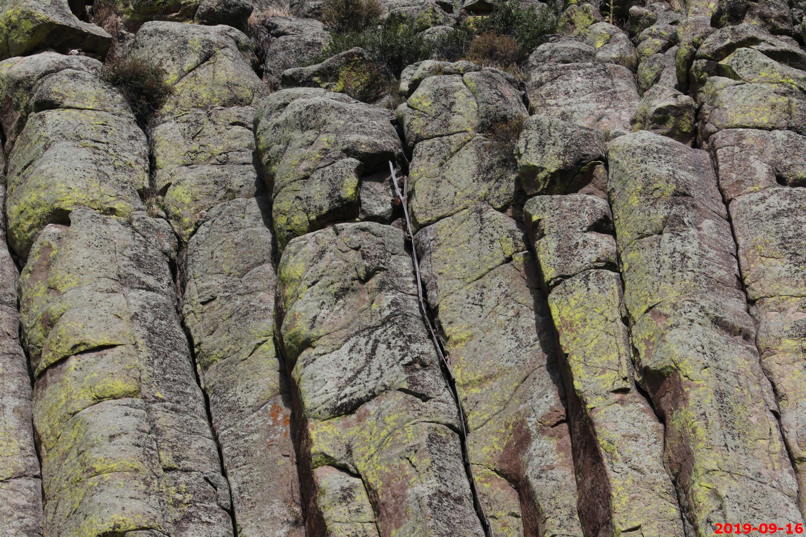
Needles Eye Tunnel - (El. 6,376 Ft.) These are Igneous rocks that formed the "Needles" - Most, if not all, Igneous rocks in the Black Hills were formed (crystallized) at depth and as such are coarsely granular.
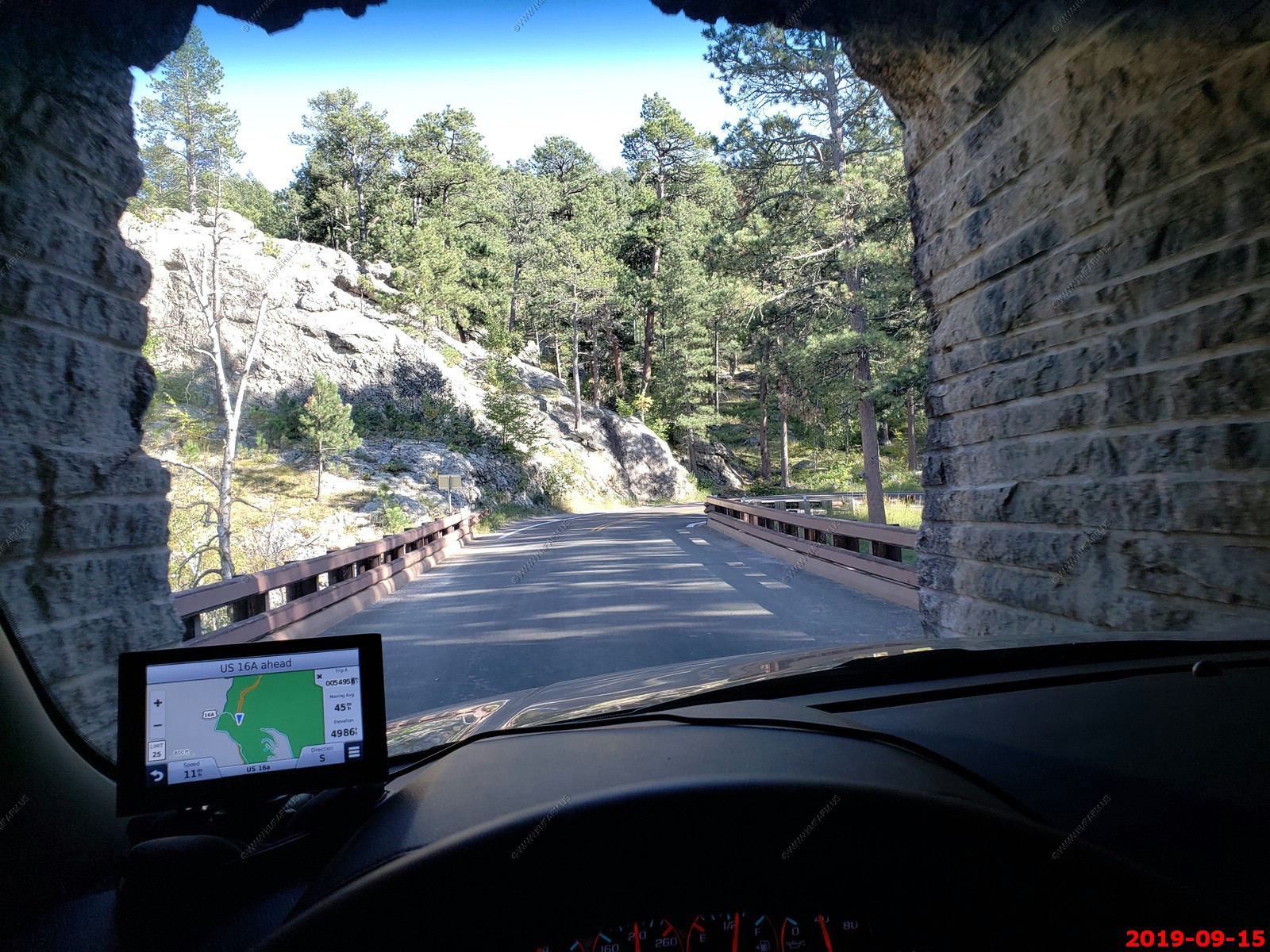
I did not remove duplicates. The road was only 8 feet wide here.
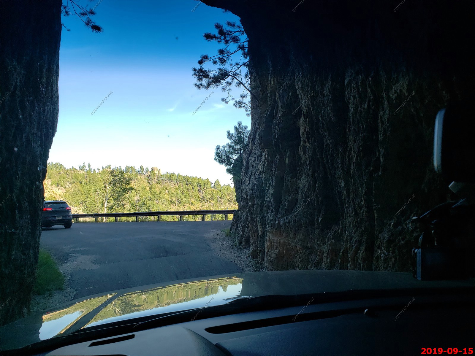
Looking back. We would go north on this road in a few days when we would head to North Dakota.
Looking south from a pullout near the tunnel.
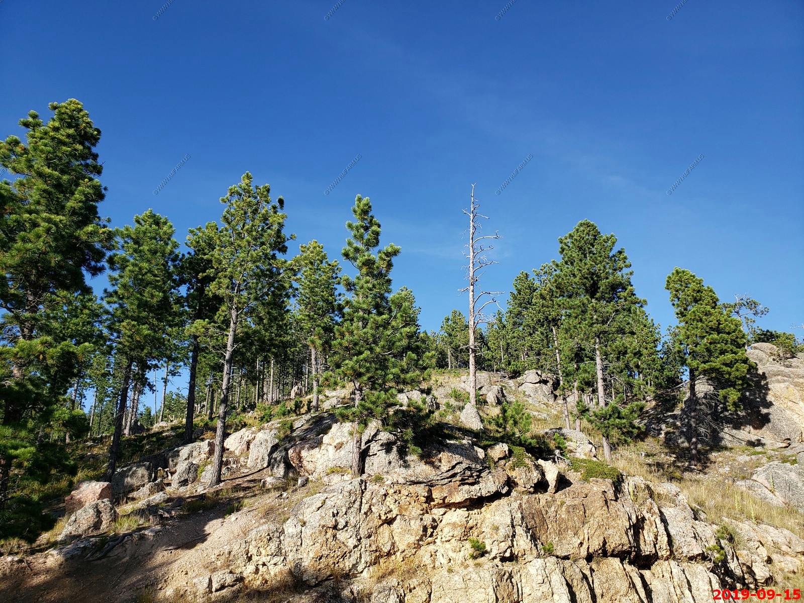
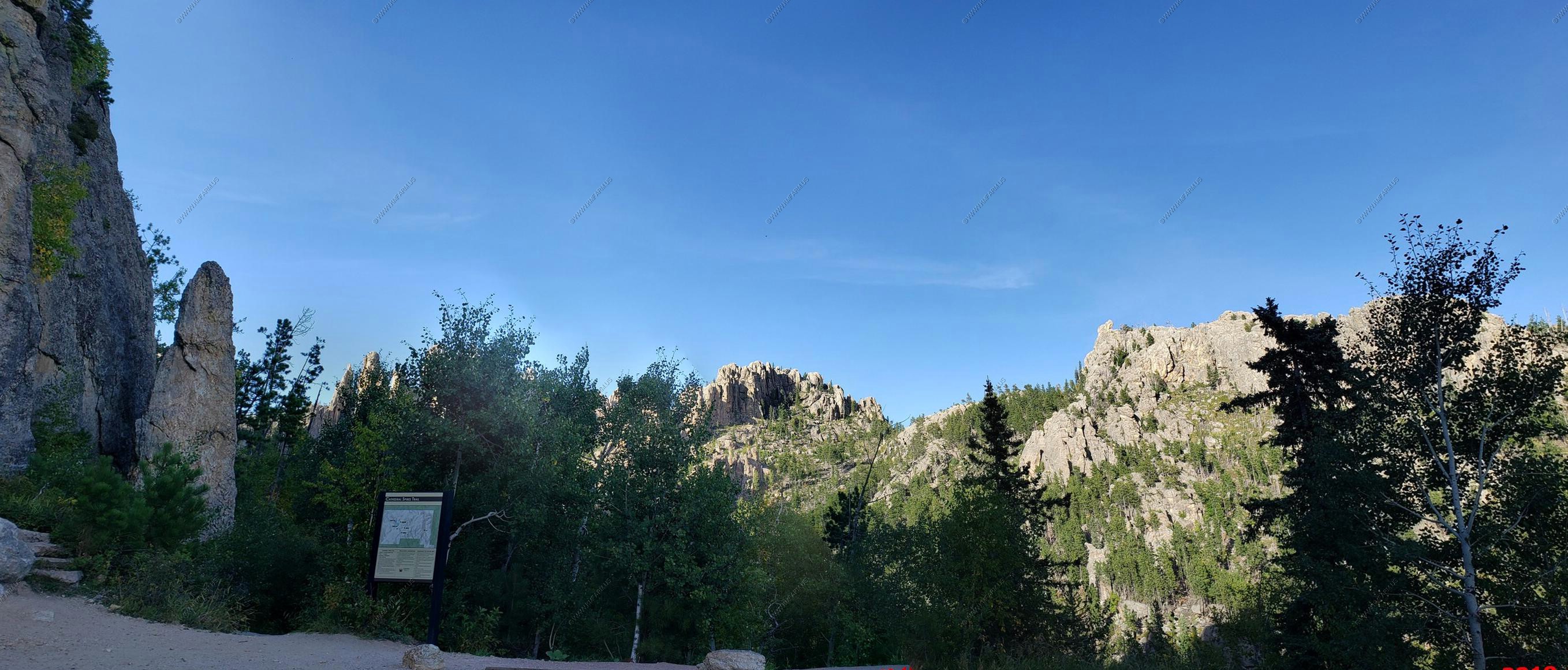
Various views along the Needles Highway near Cathedral Spires Trailhead.
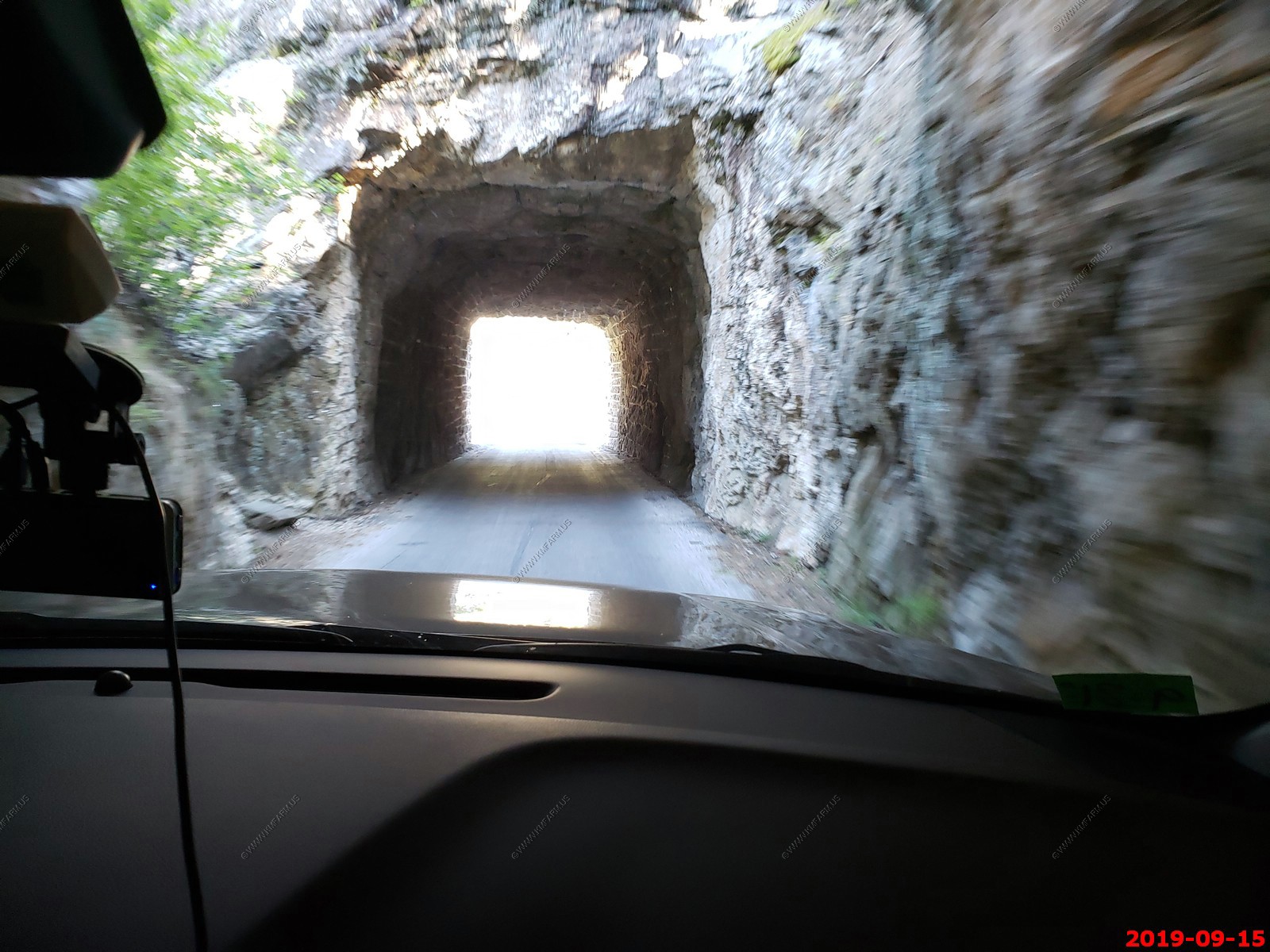
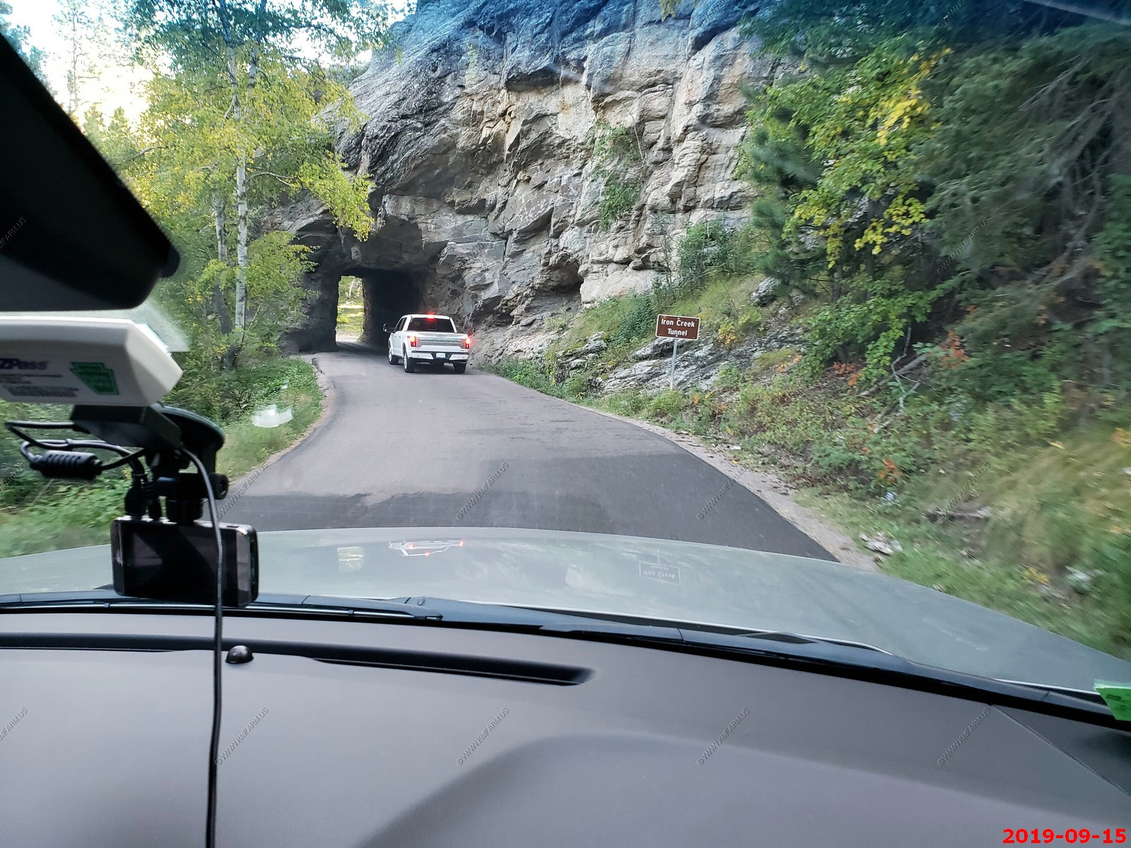
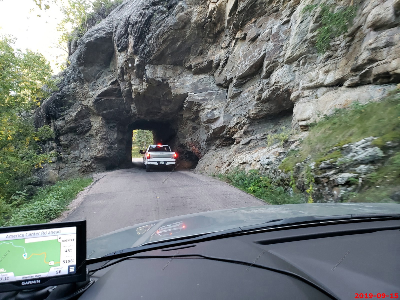
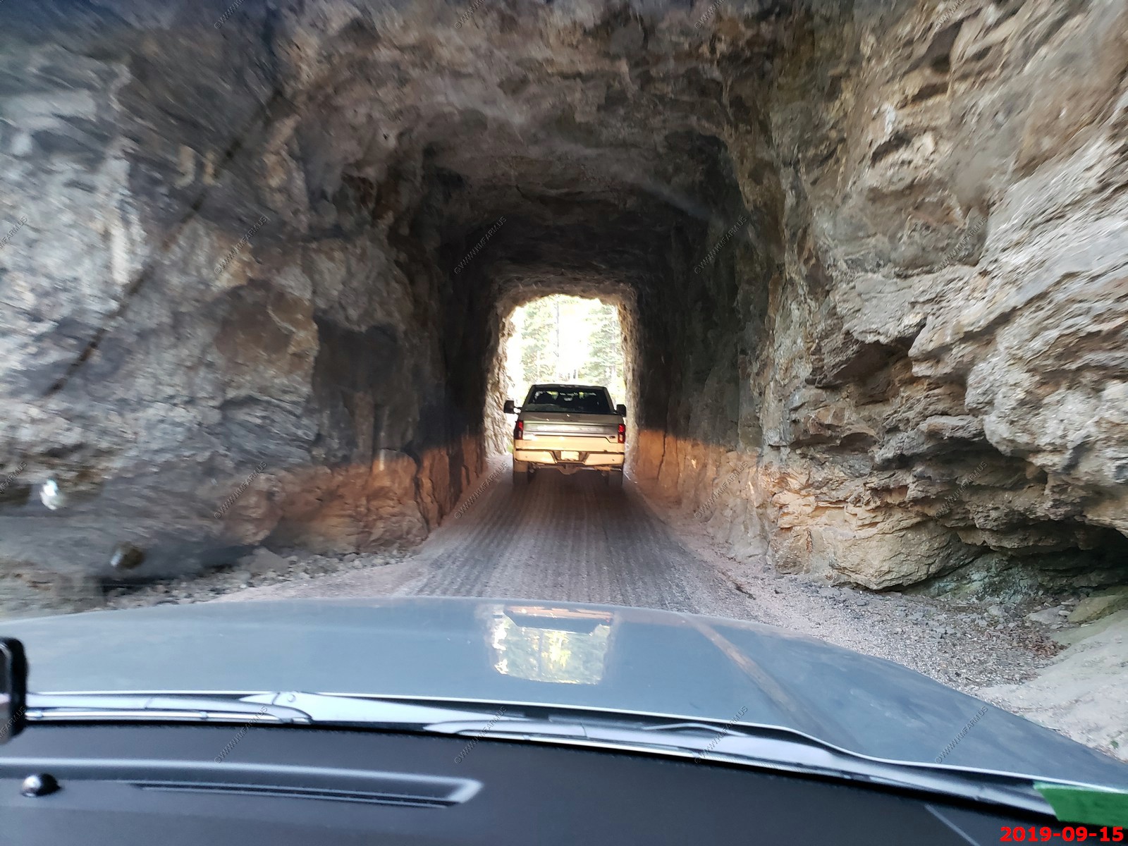
Iron Creek Tunnel (El. 5,202 ft.)
Along the Needles Highway.
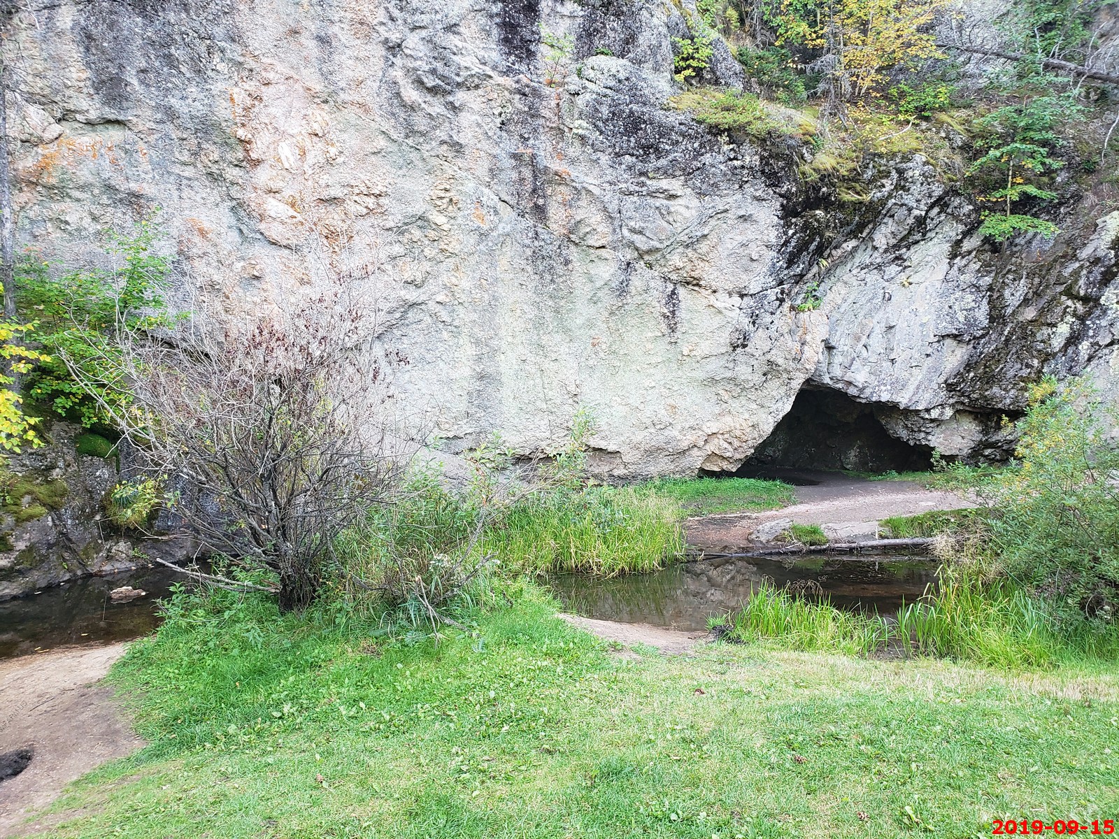
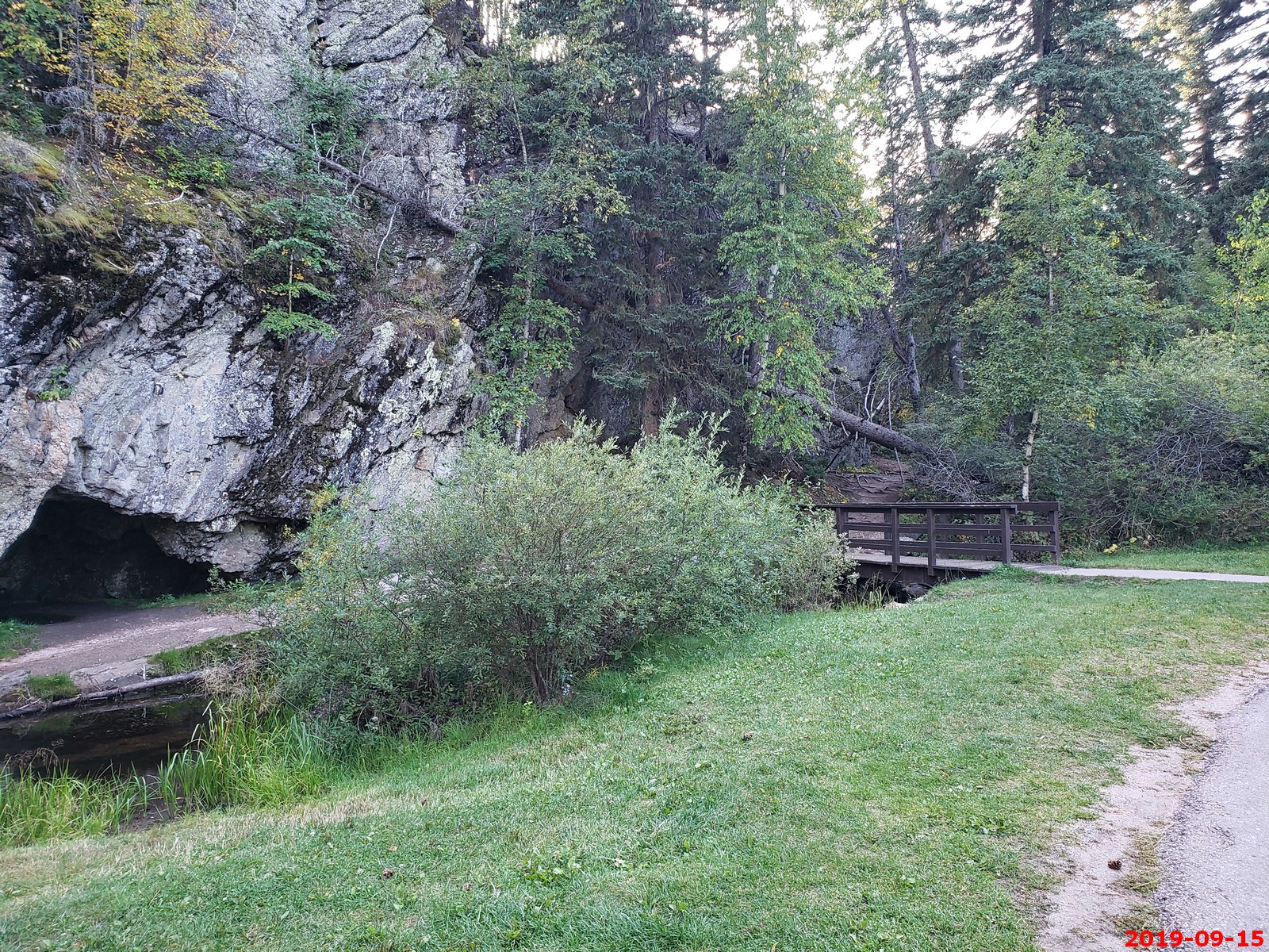
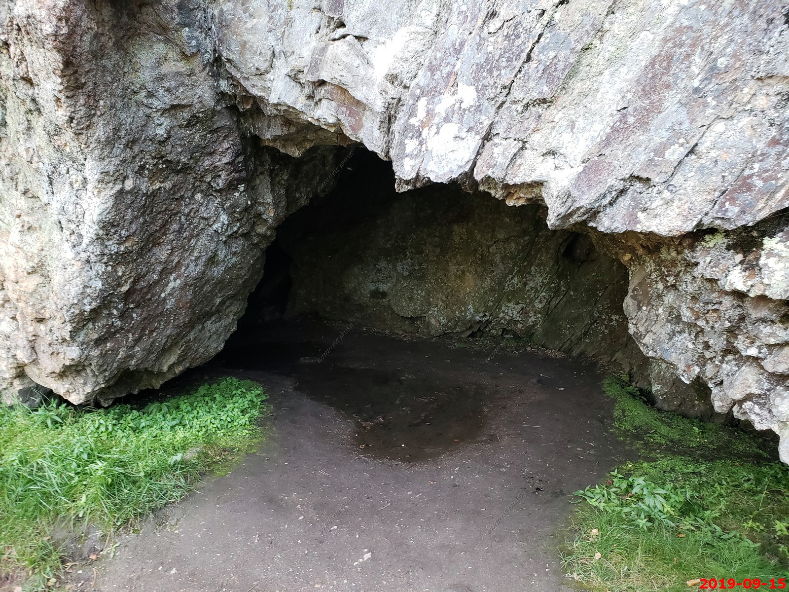
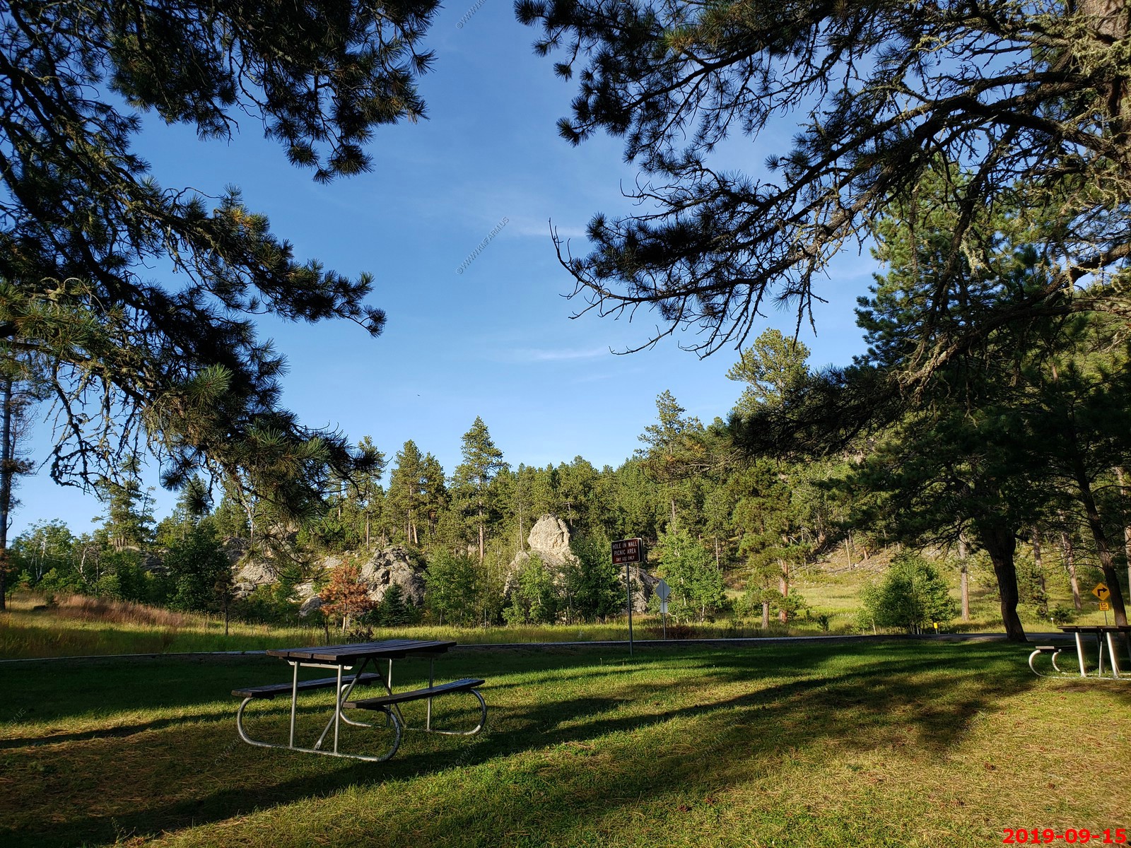
The name of the Hole In Wall Picnic Area tells you exactly what you'll find here: a rock wall, with a hole in it. This small cave is across the creek from the parking area (no real hike required). Again we had the place to ourselves.
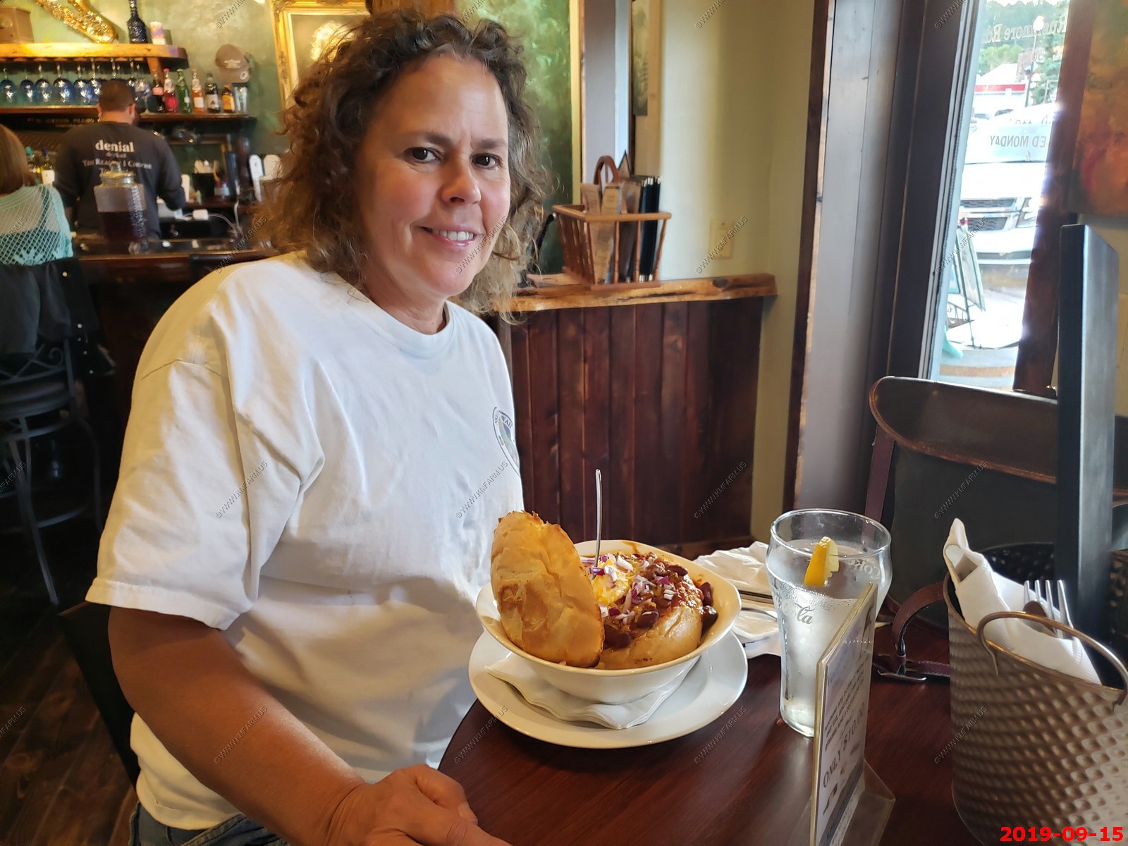
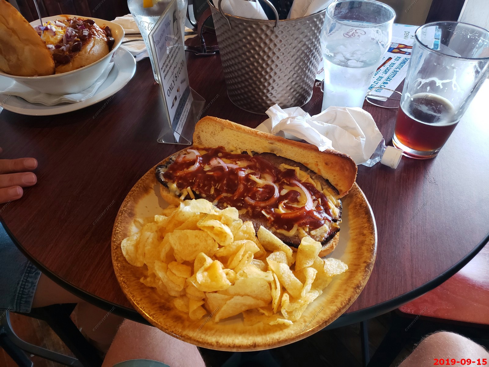
We ate at Denial in Custer. It was ok. Ken's brisket sandwich was too salty, but being hungry was good. Mary had beefalo chili in a bread bowl and it was good.
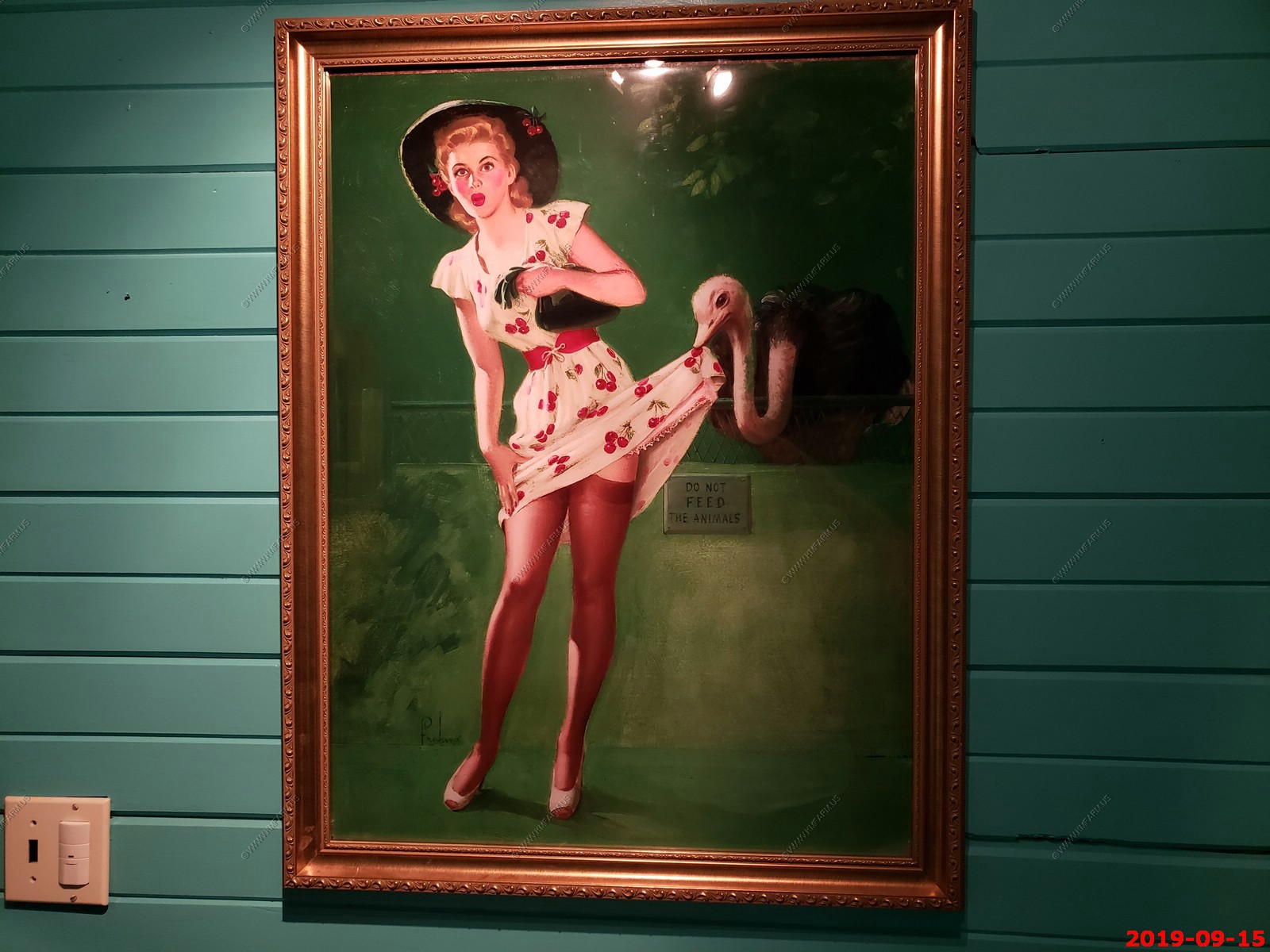
Painting in the men's room.
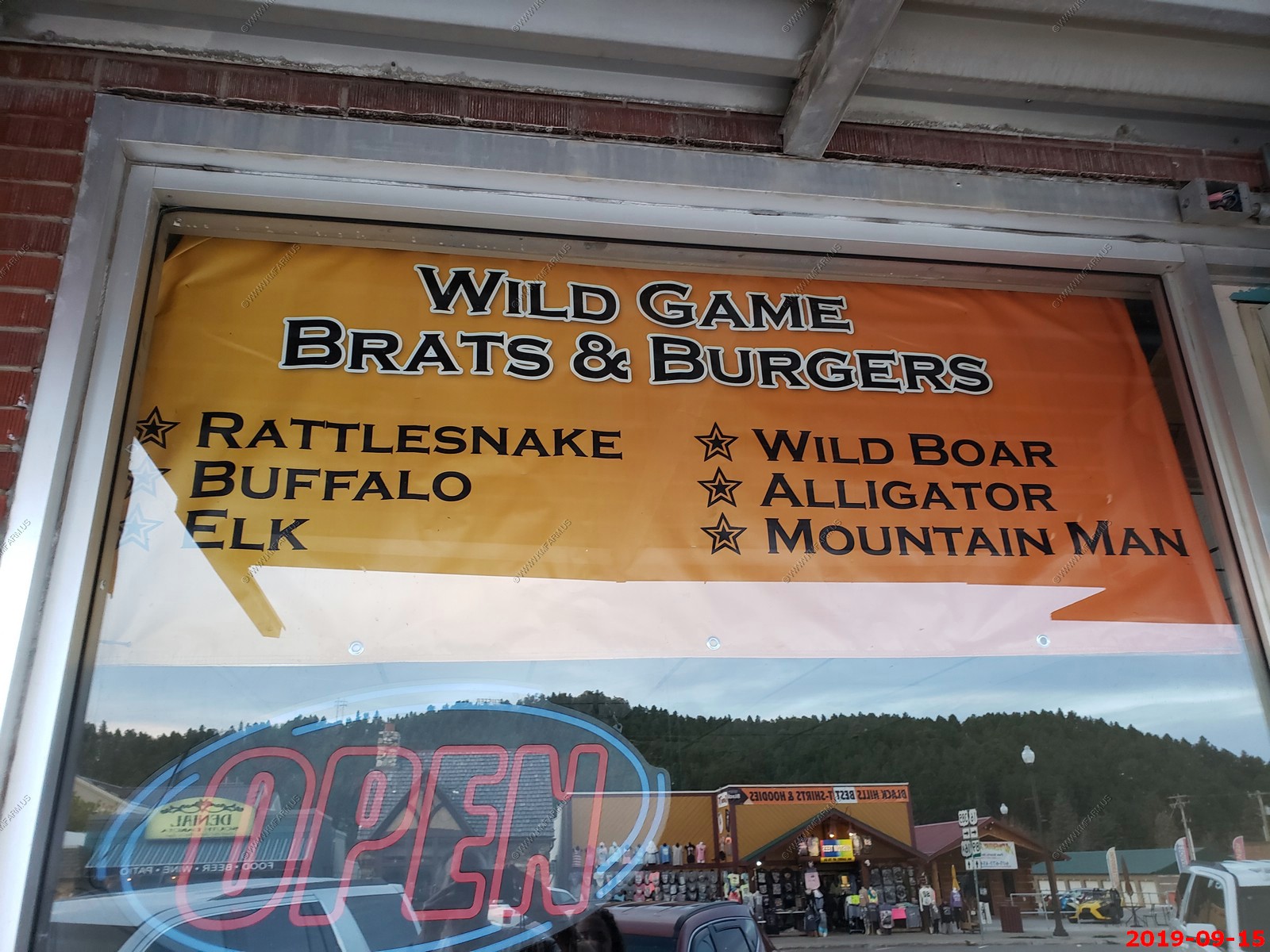
I think that this was in the Dakota BBQ window. We were curious about the "Mountain Man" listed on the sign.
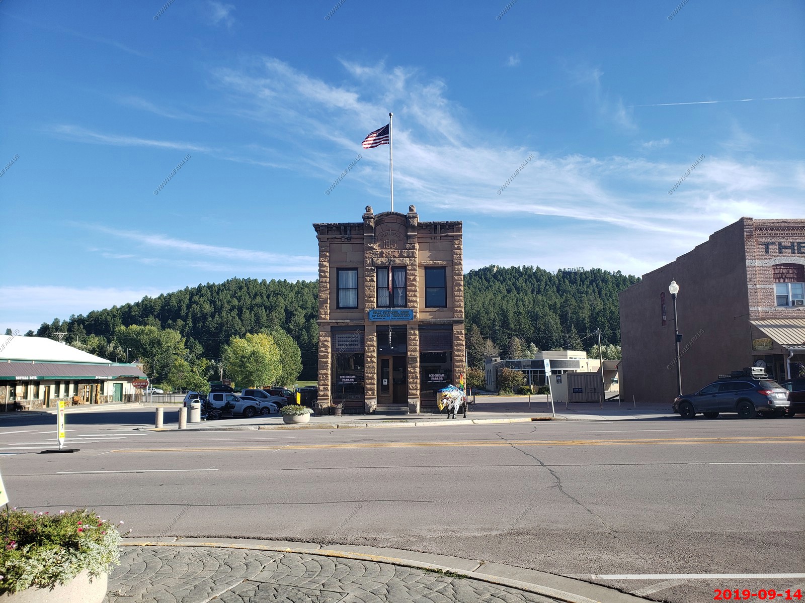
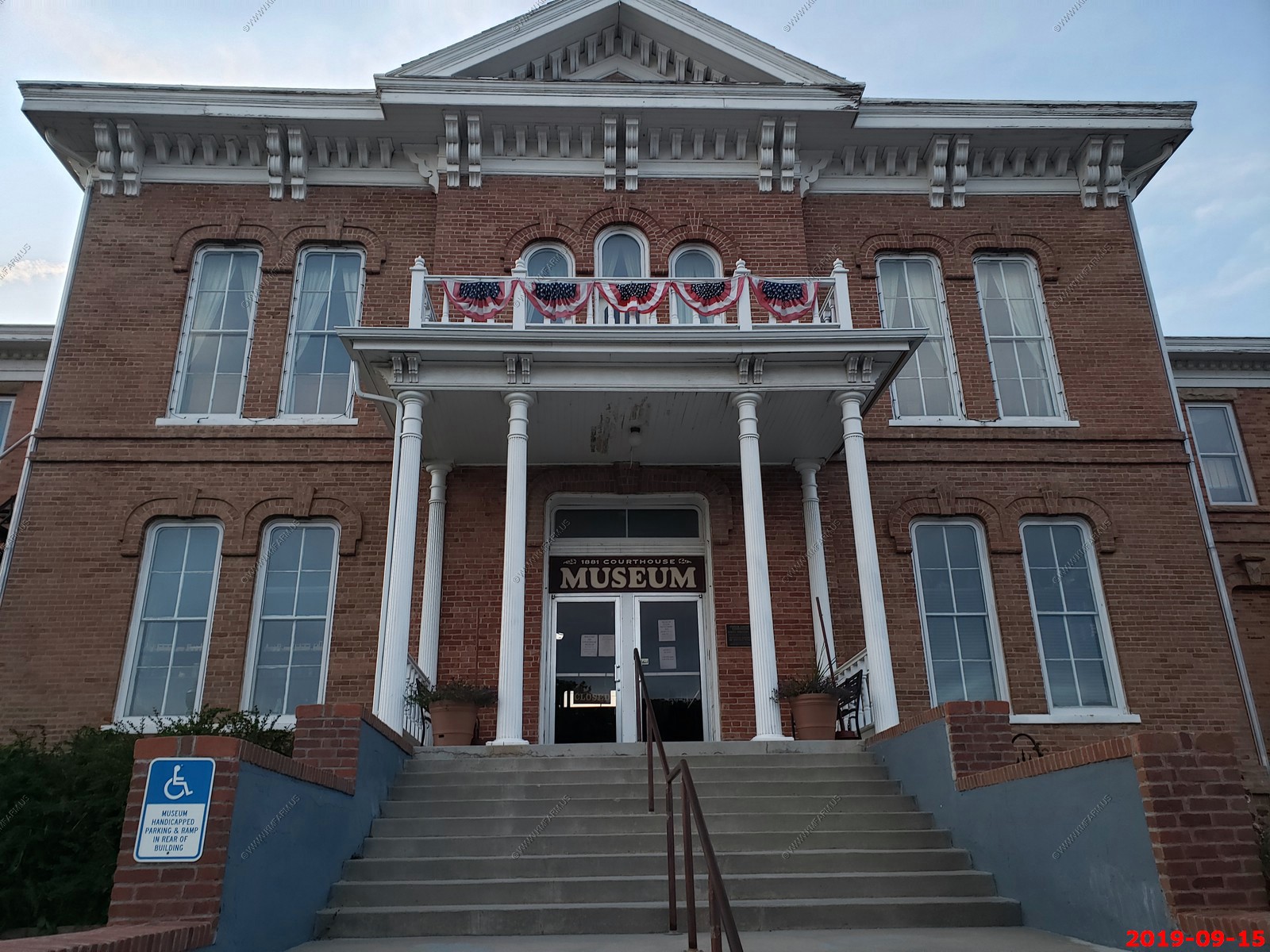
Custer County 1881 Courthouse now a museum - The 1881 Courthouse Museum is an American historical museum located in Custer, South Dakota. The museum is housed in the original Custer County Courthouse which served as a center for government in Custer County and the Dakota Territory from 1881 to 1973
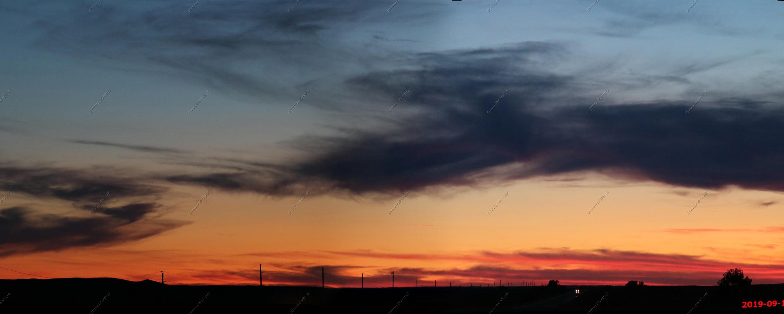
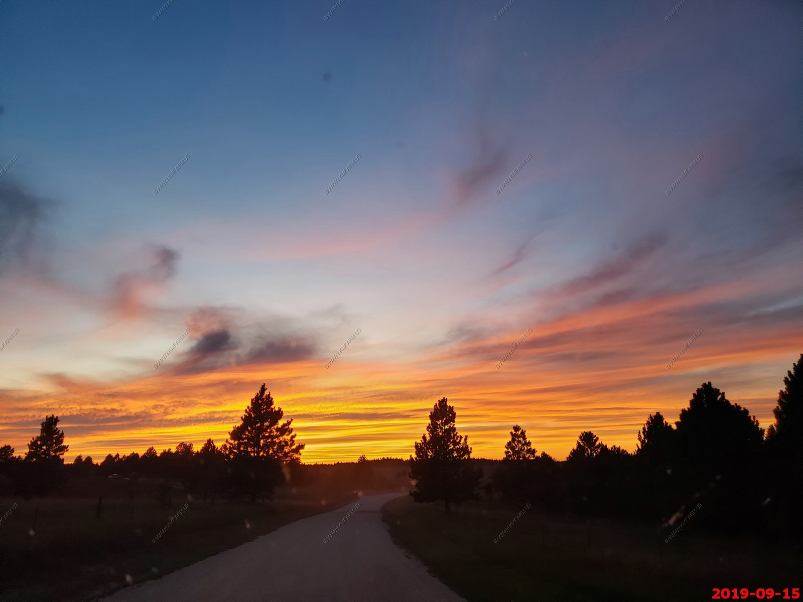
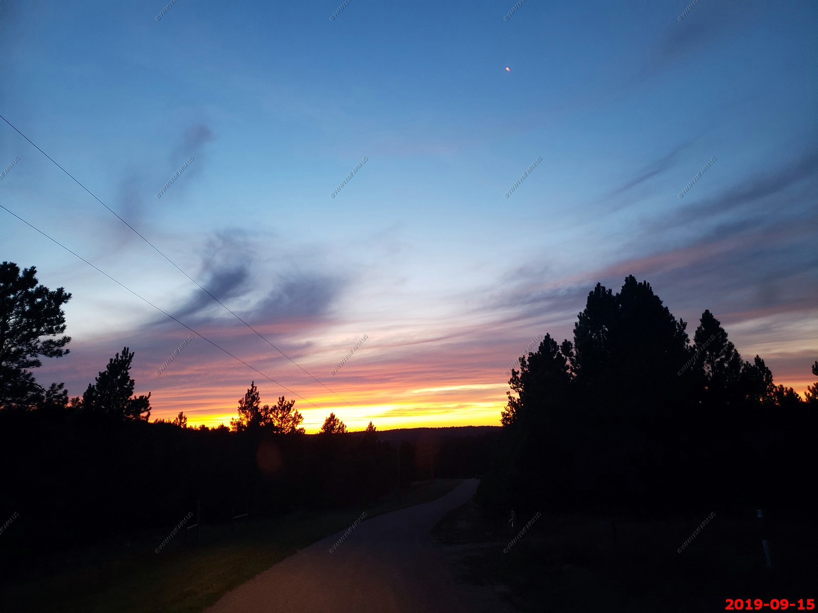
Sunset from South SD-89 below Pringle.
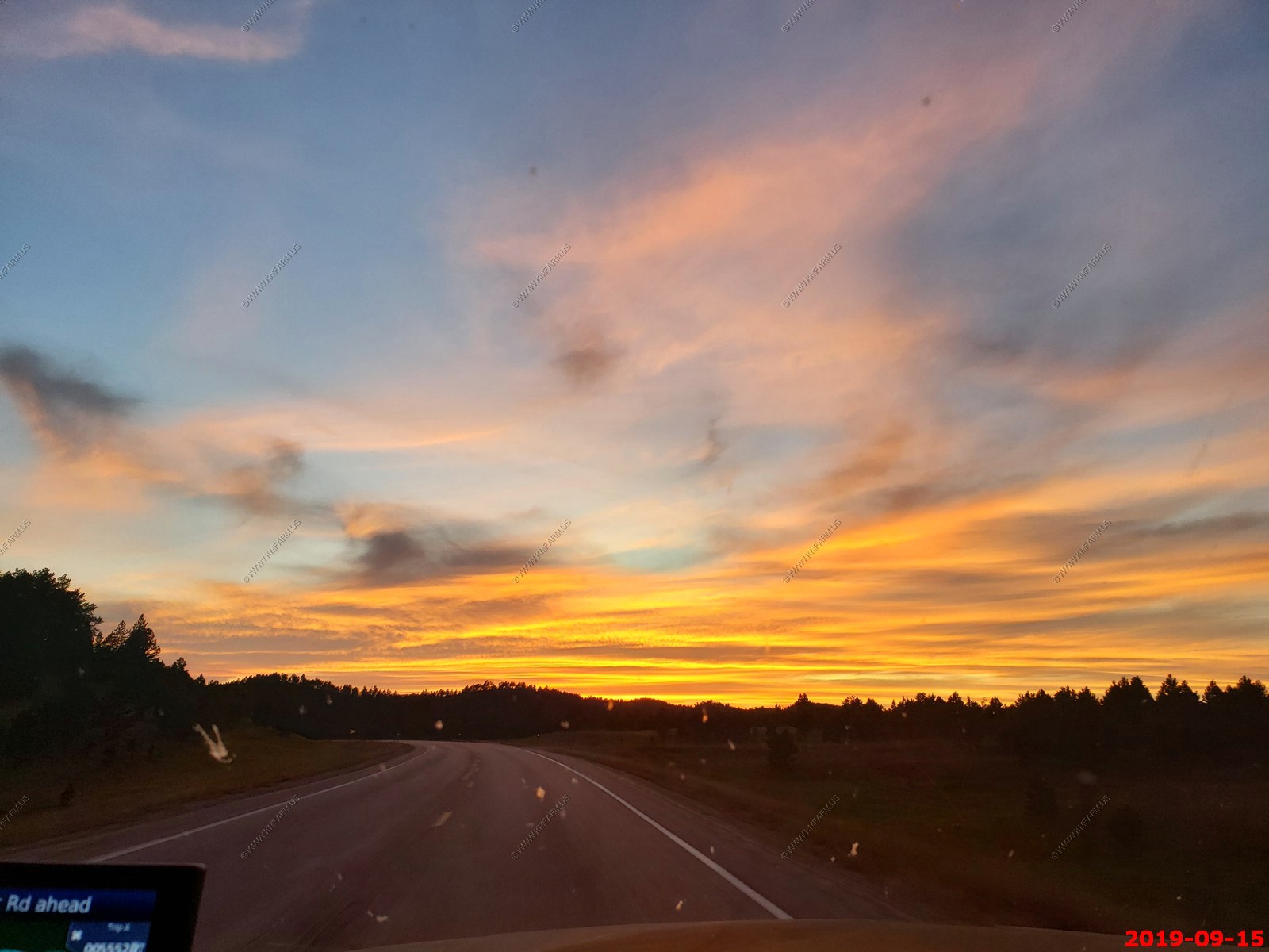
Sunset heading west on West Argyle Road & Jack Pine Road.
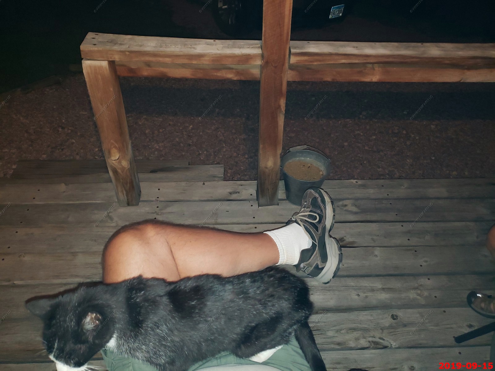
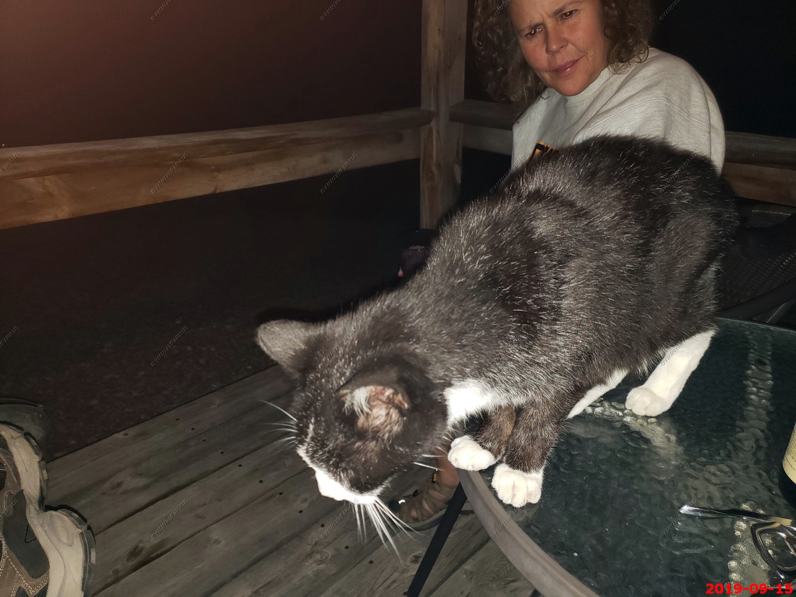
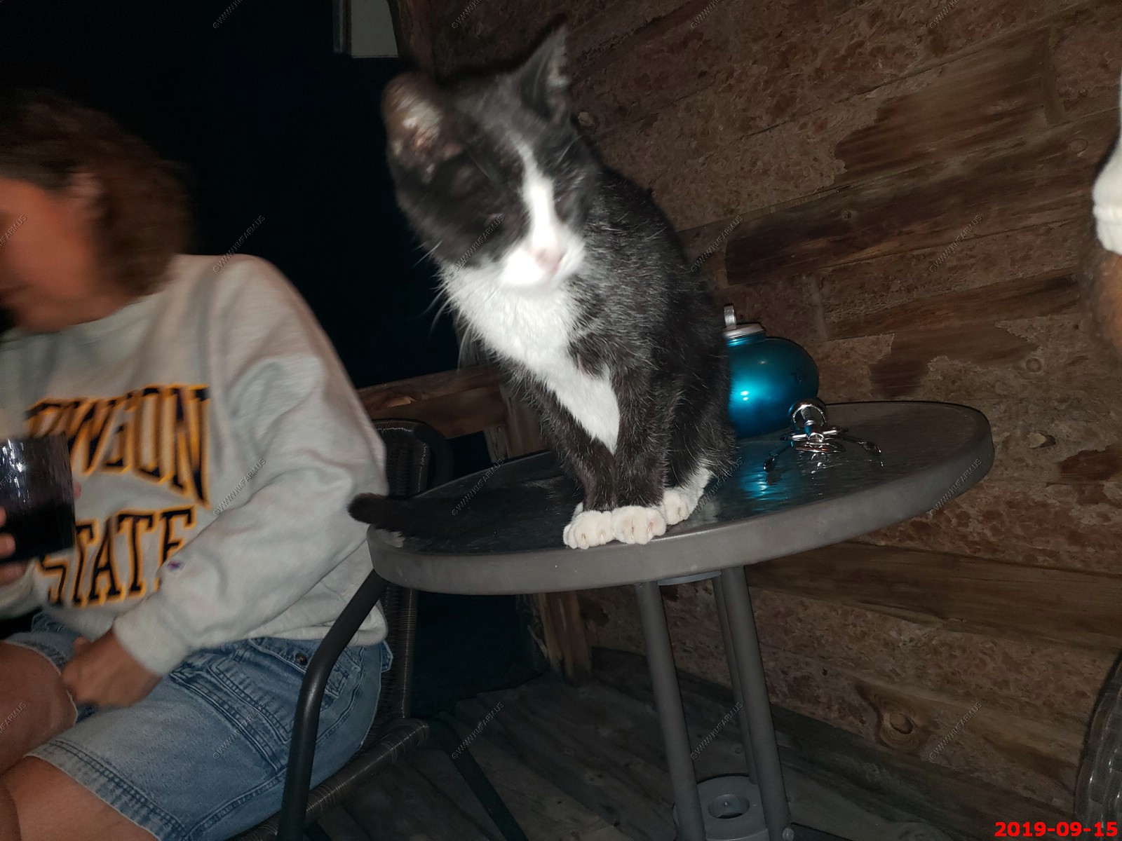
Enjoying wine on our porch at the Double D cabins. We were happy that it came with a cat with the name of BT (Borrowed Time) who if you wanted, he would keep your lap warm. Since we are cat people, this is was a good thing.
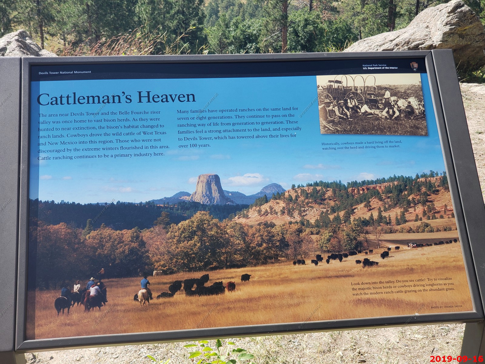
Today is a big day. Driving over to Devils Tower, WY then thru Spearfish Canyon and checking out the Deadwood area.
Another night at:
Double D Bed and Breakfast Cabins 26575 Jack Pine Road Custer, SD 57730
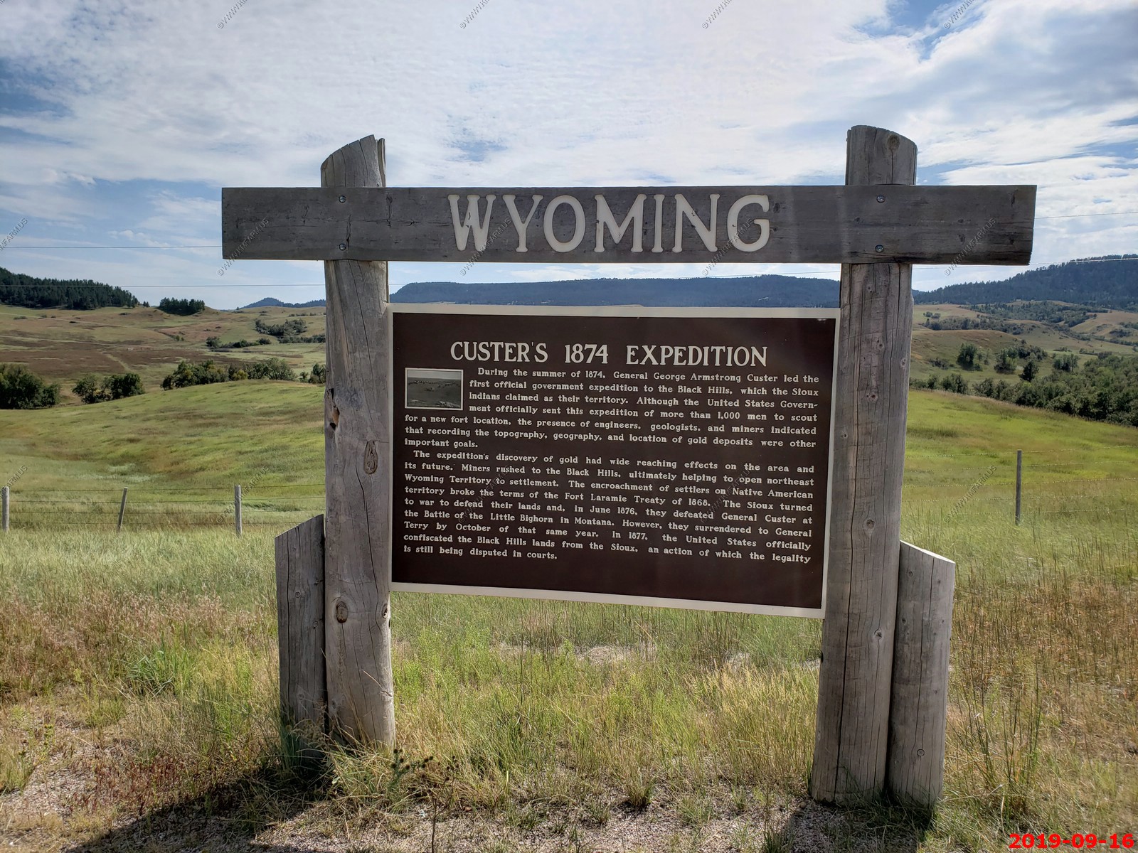
Welcome to Wyoming. It's been 20 years since we were in this amazing state.
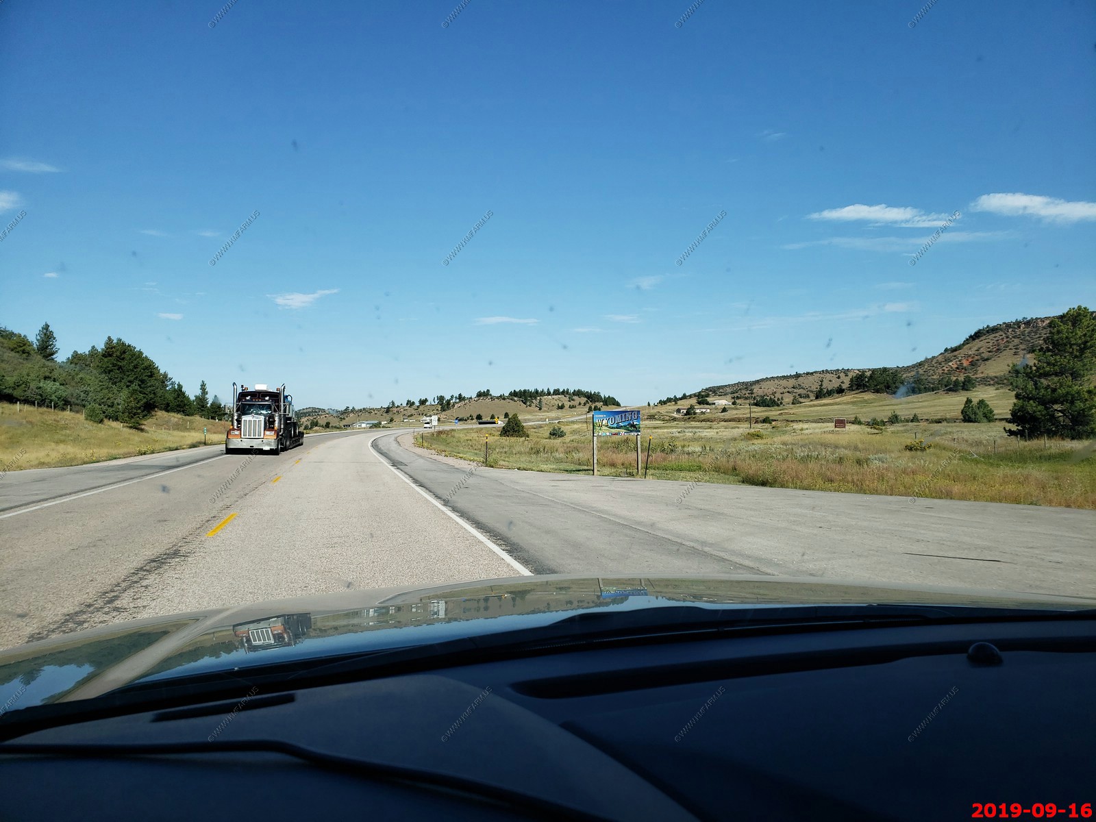
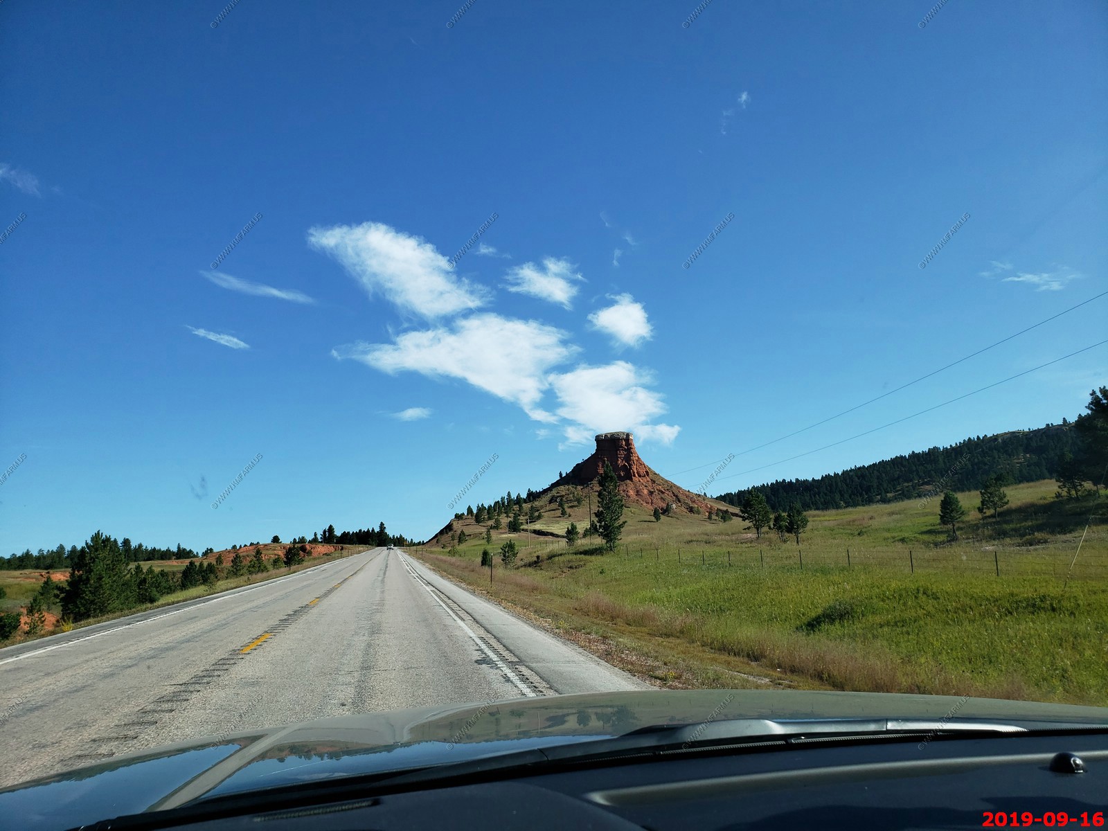
Mini Devils Tower along the road.
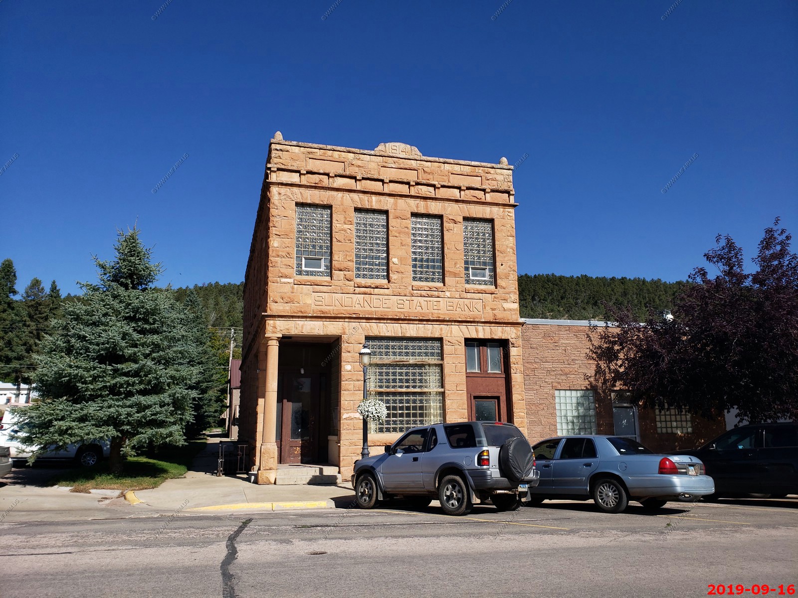
Sundance State Bank Building - was built in 1914 on Main Street in Sundance, Wyoming. It is unusual as a stone building in an era where brick construction was more popular. It was built of local sandstone taken from nearby Reuter Canyon.
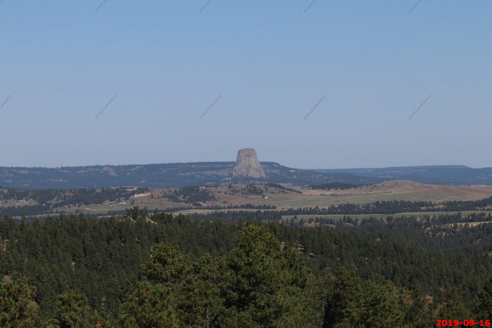
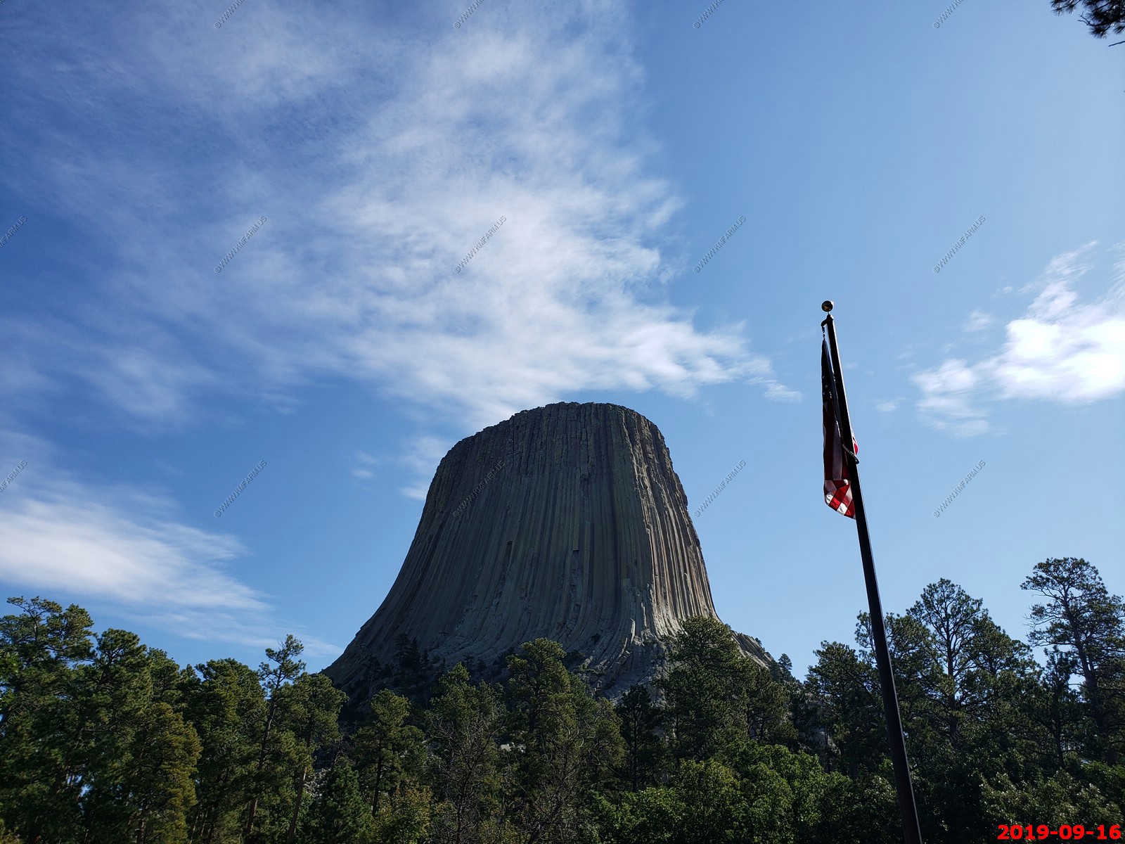
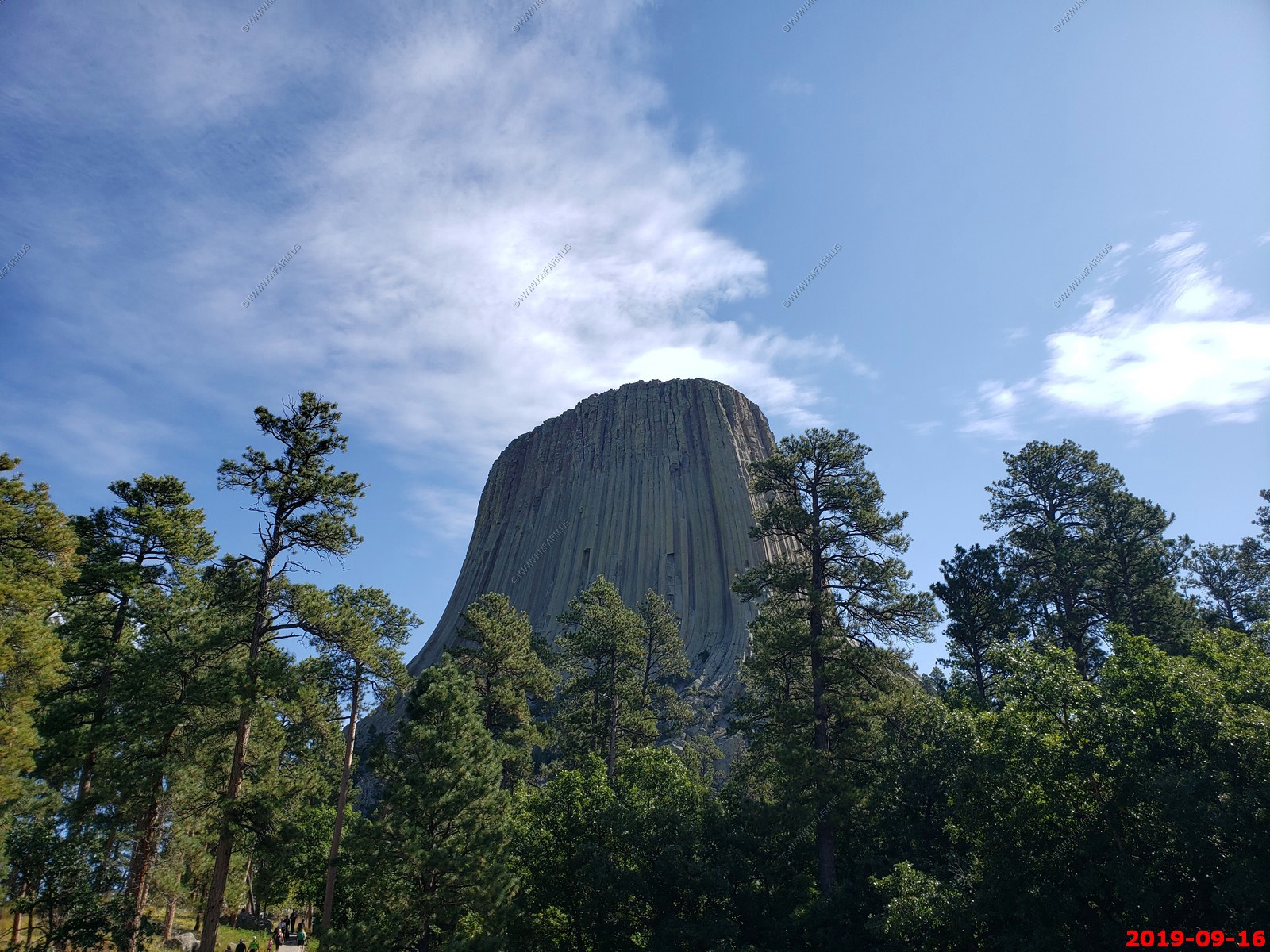
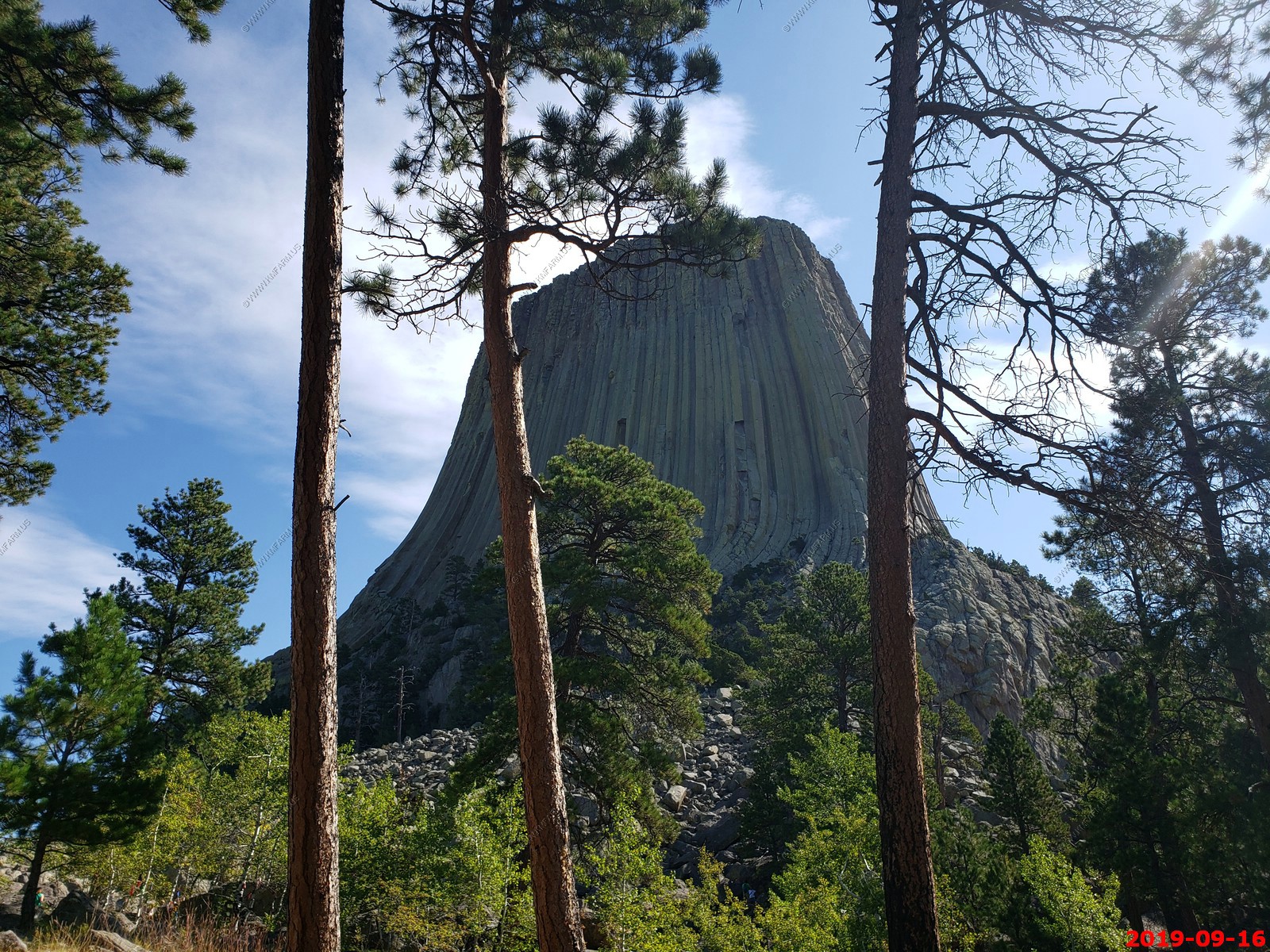
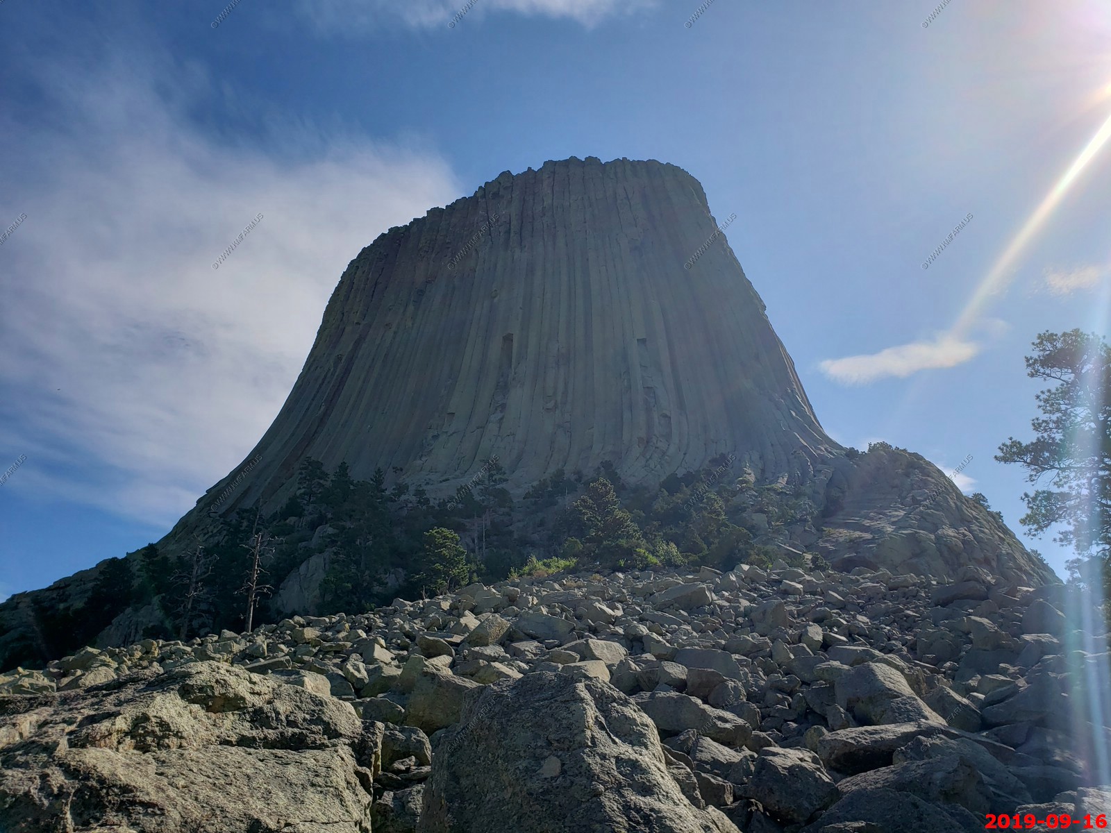
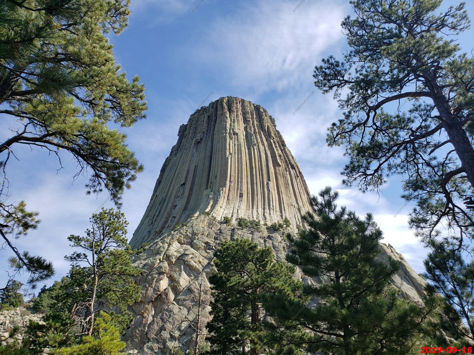
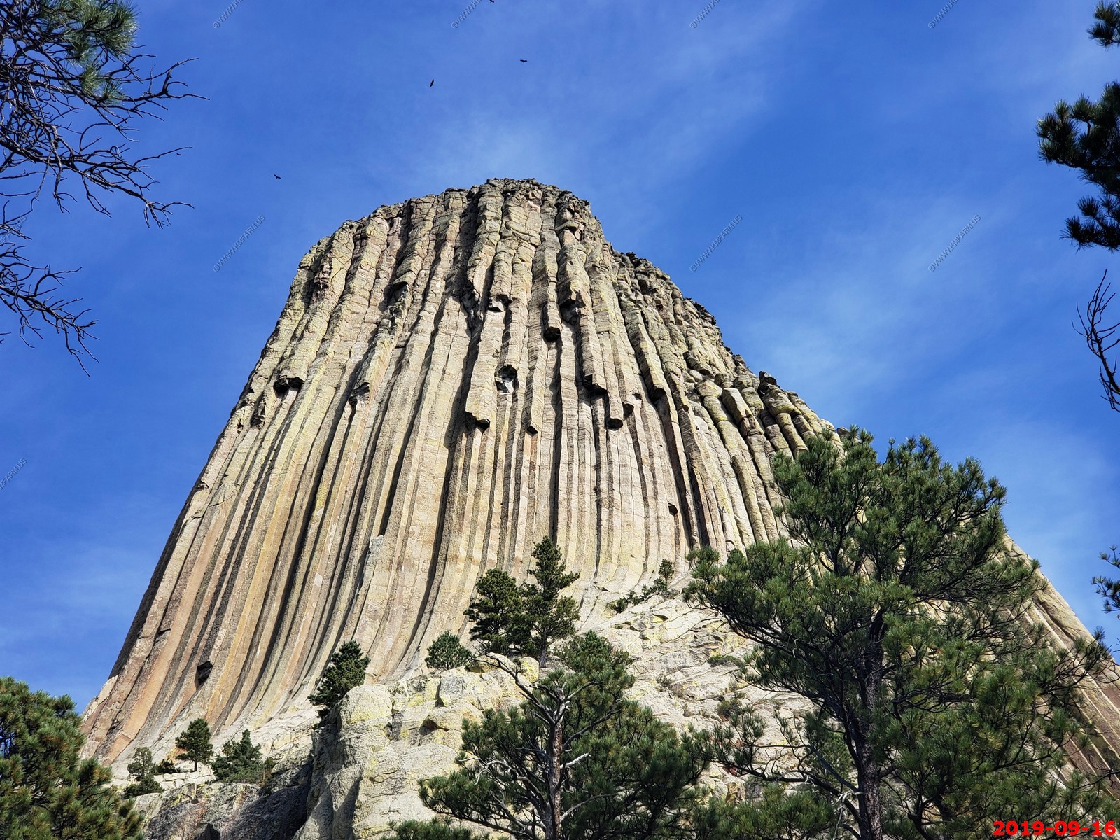
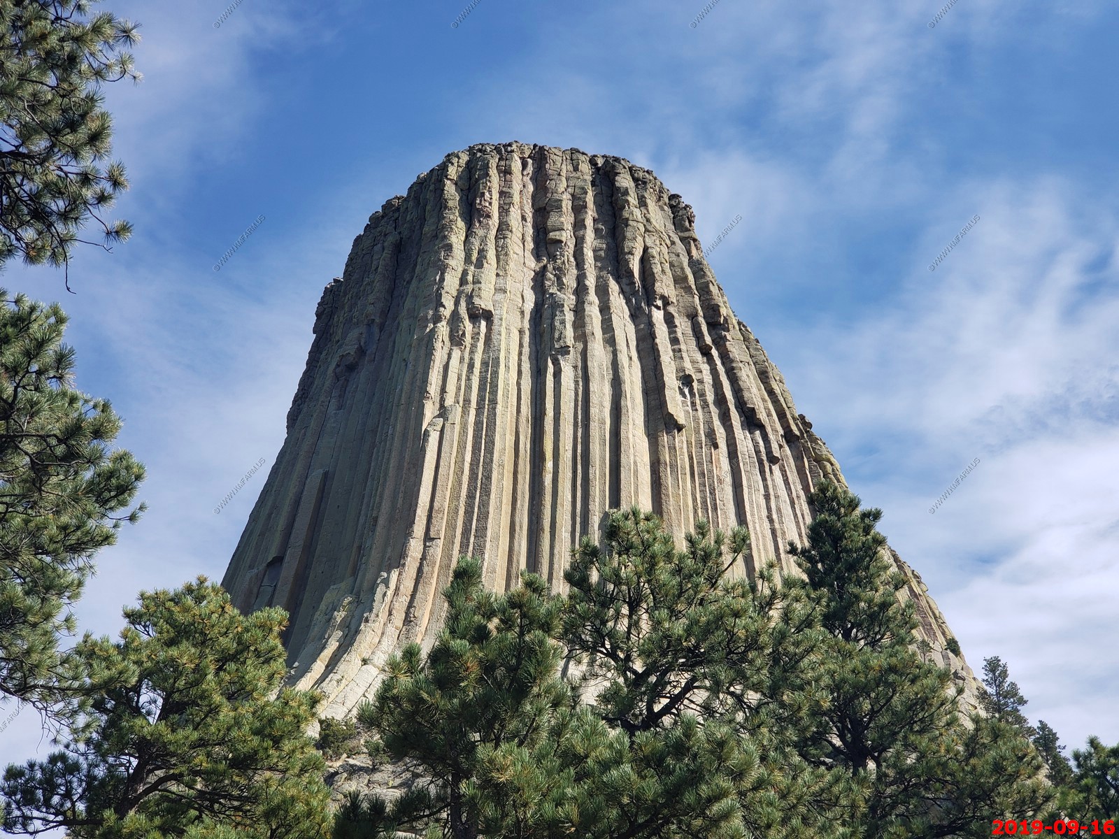
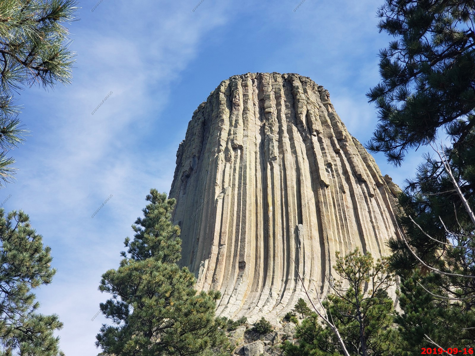
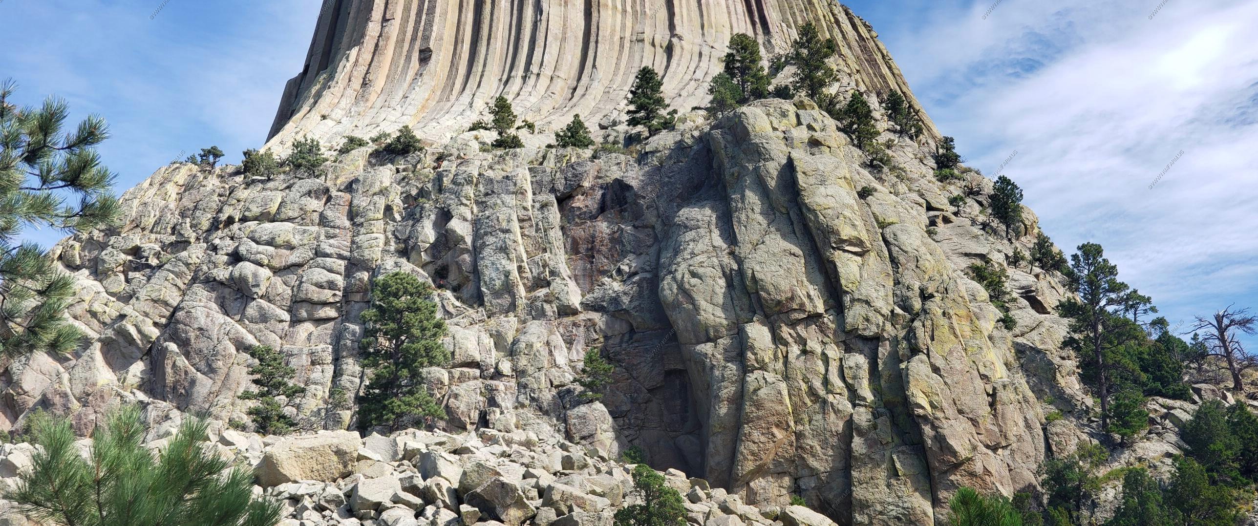
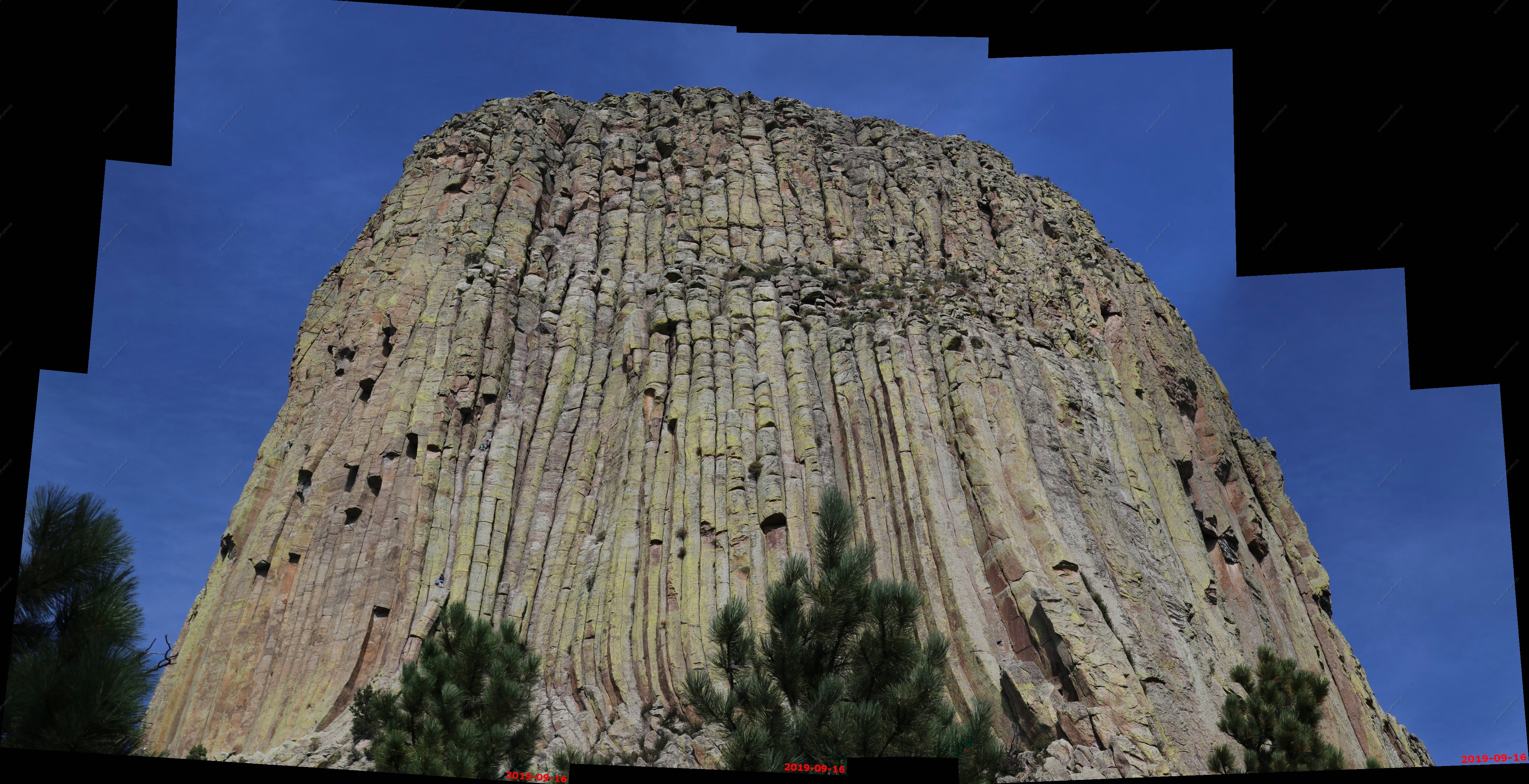
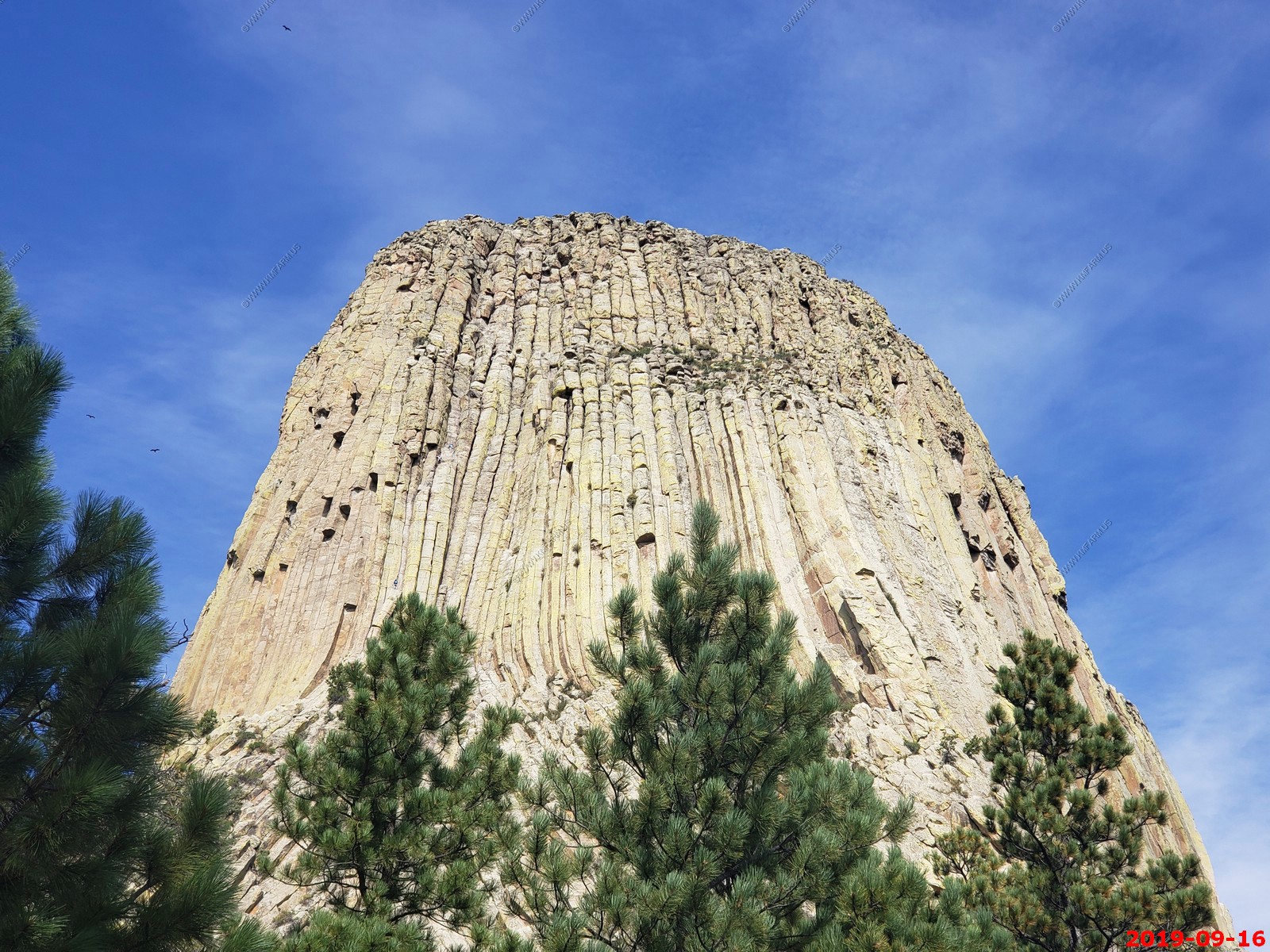
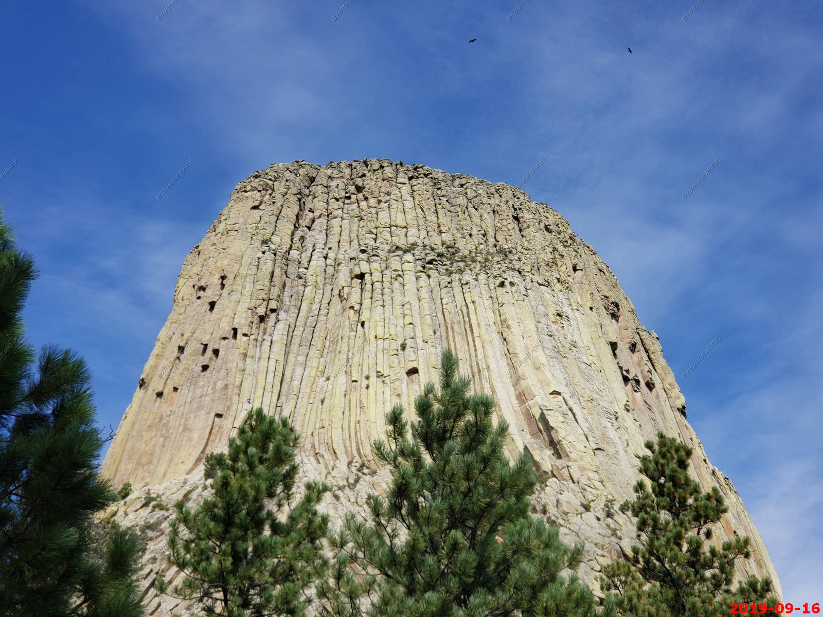
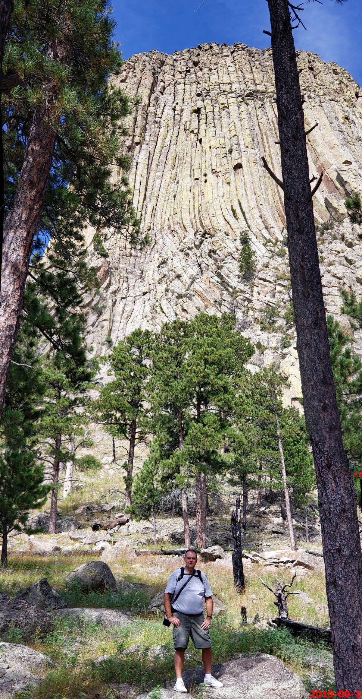
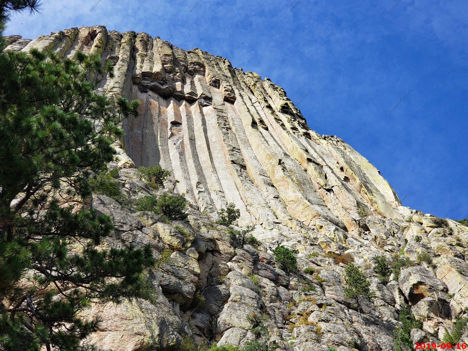
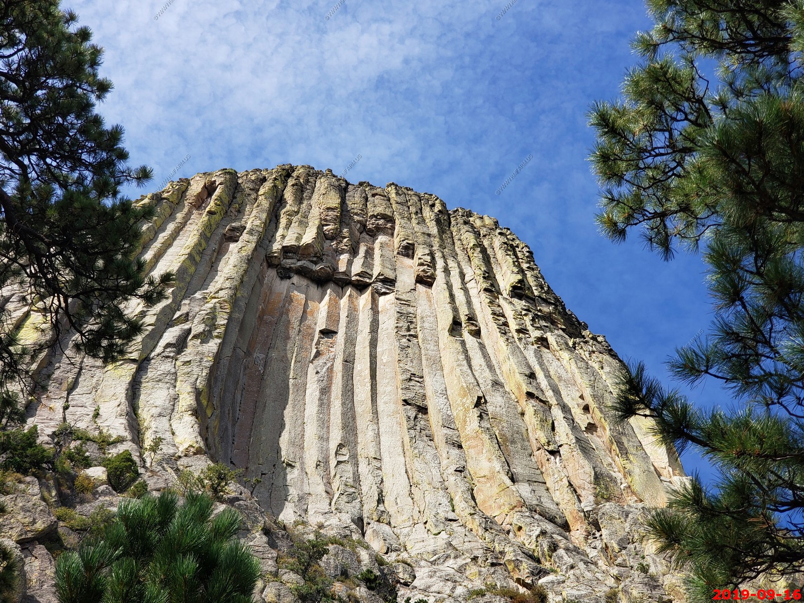
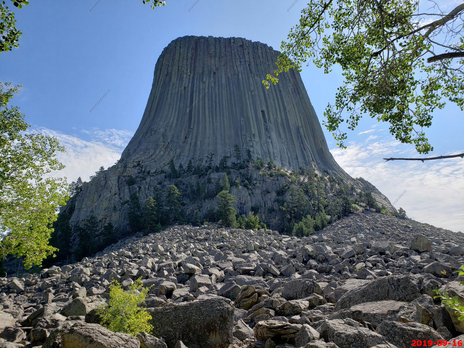
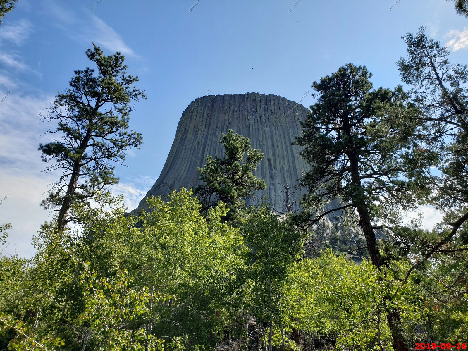
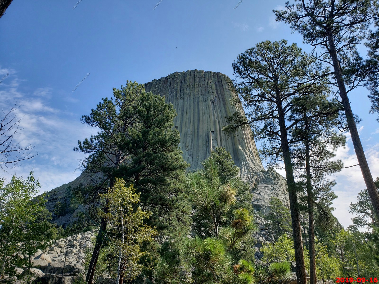
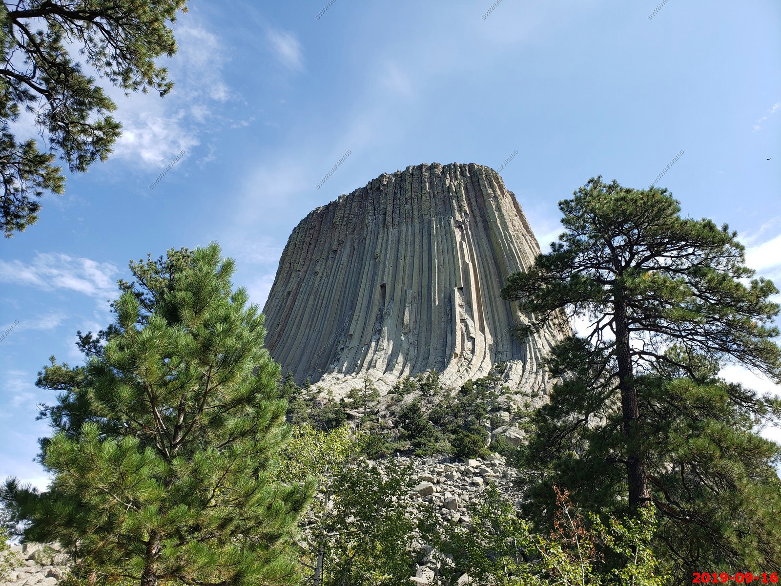
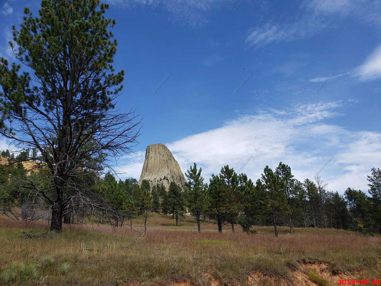
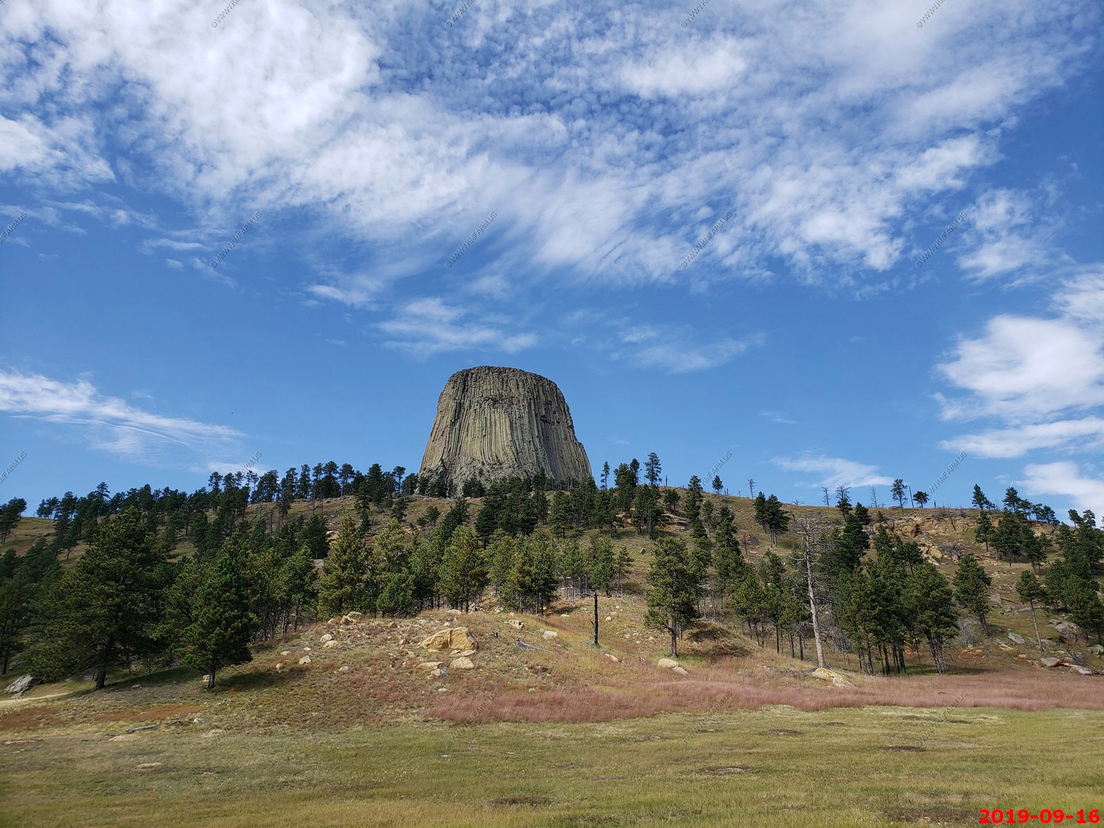
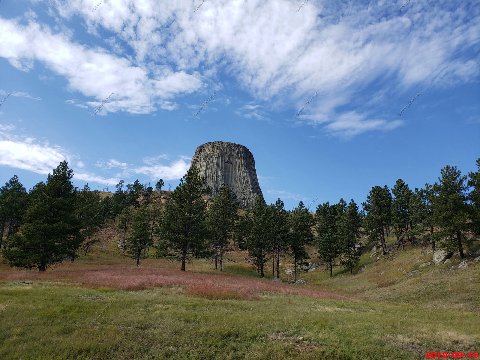
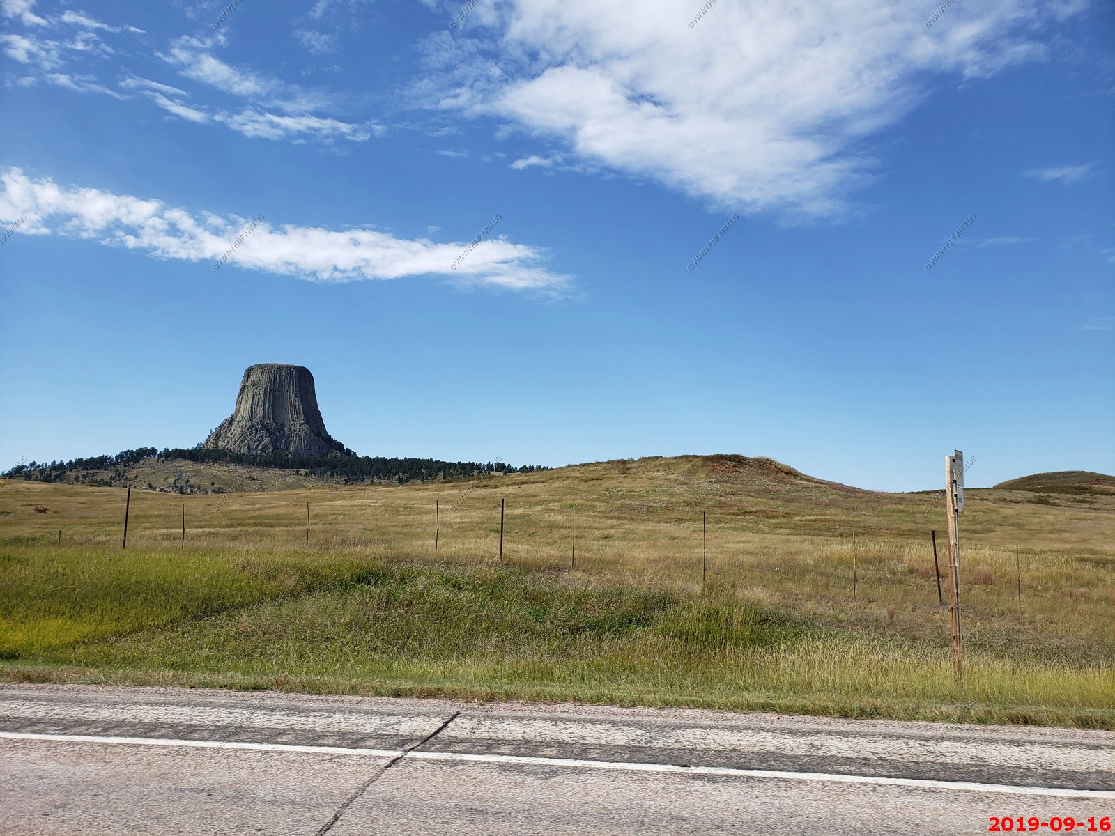
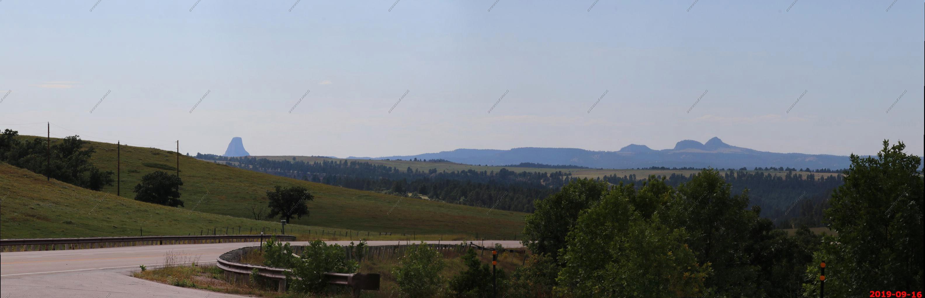
Our first good look at Devils Tower approaching from the south on WY-24. No zoom and 400mm zoom. (not sure why the shots are not clear)
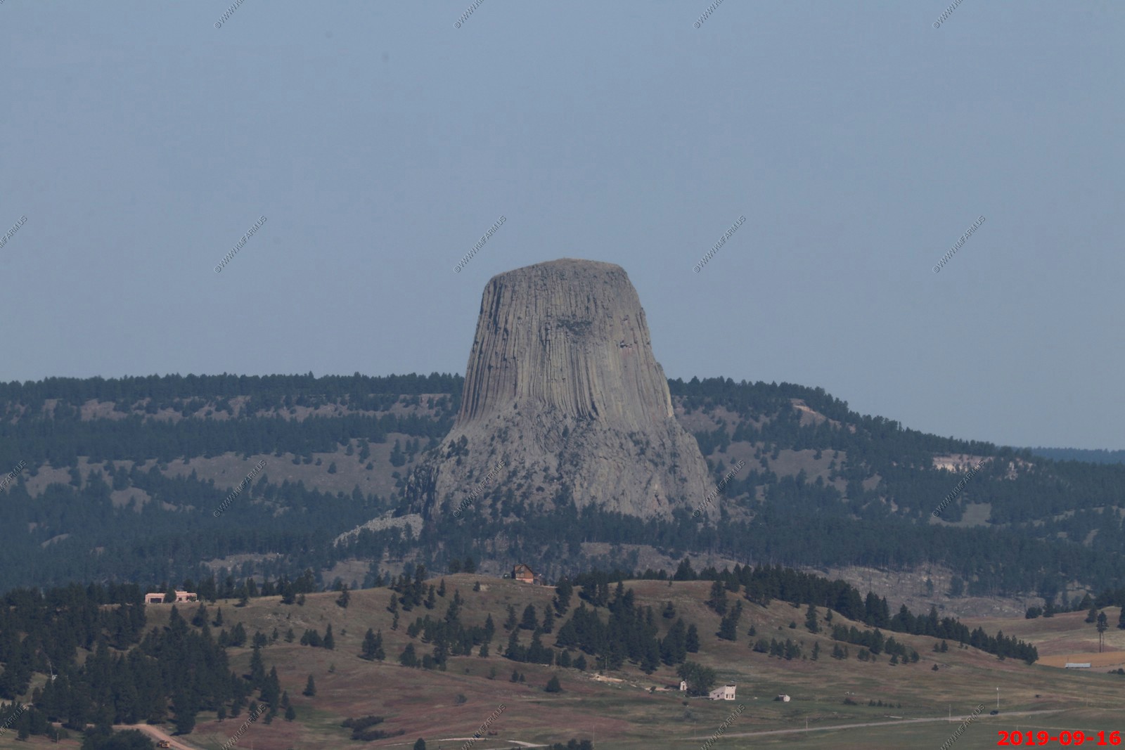
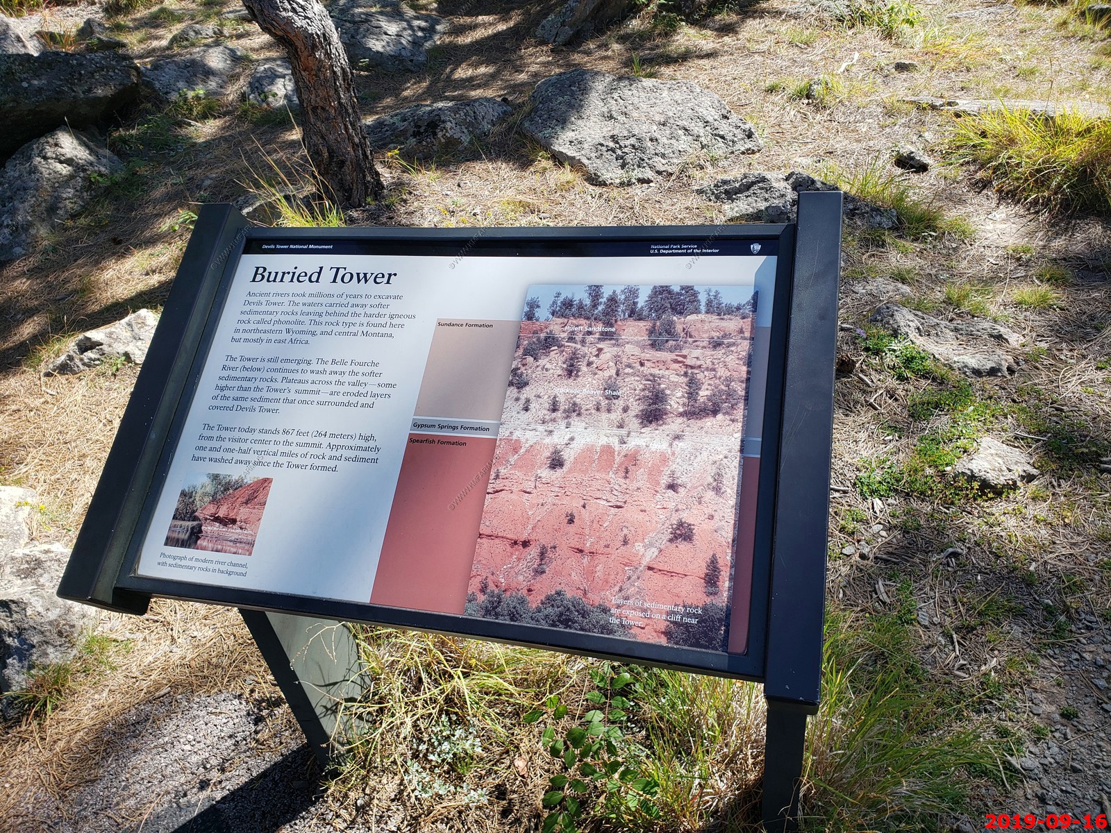
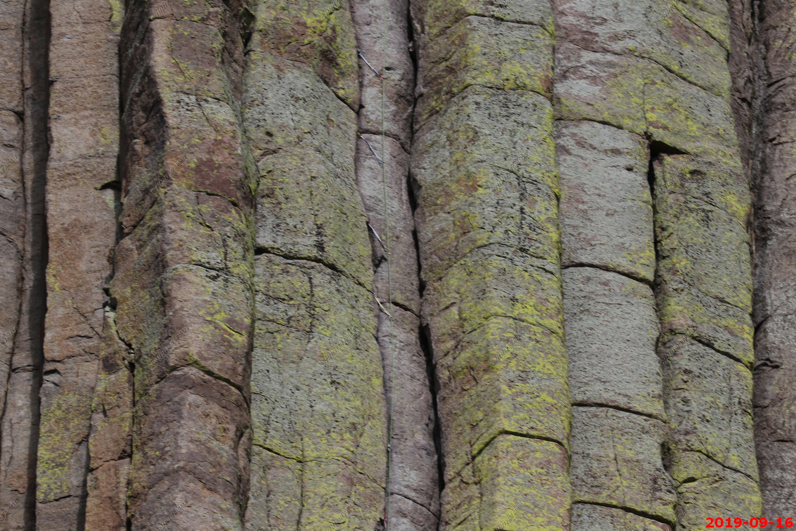
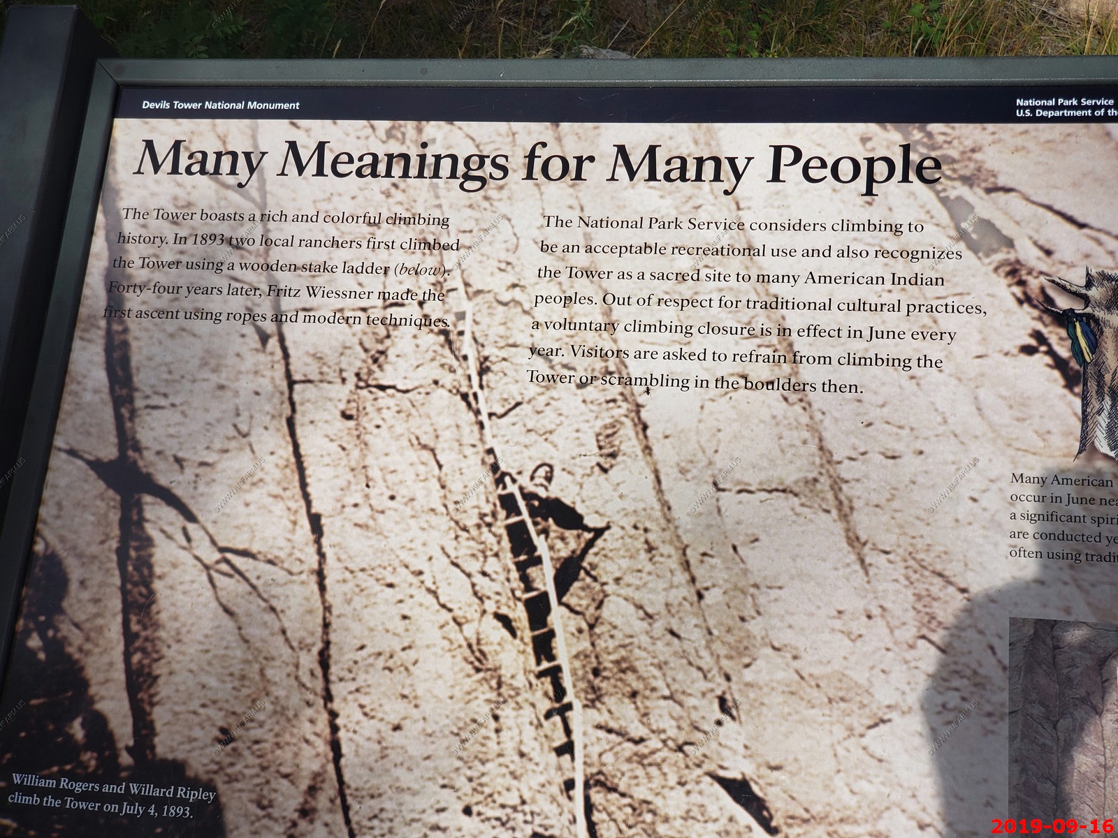
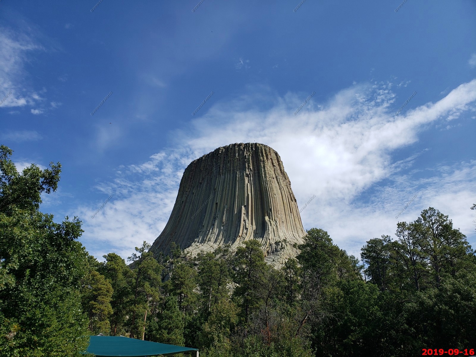
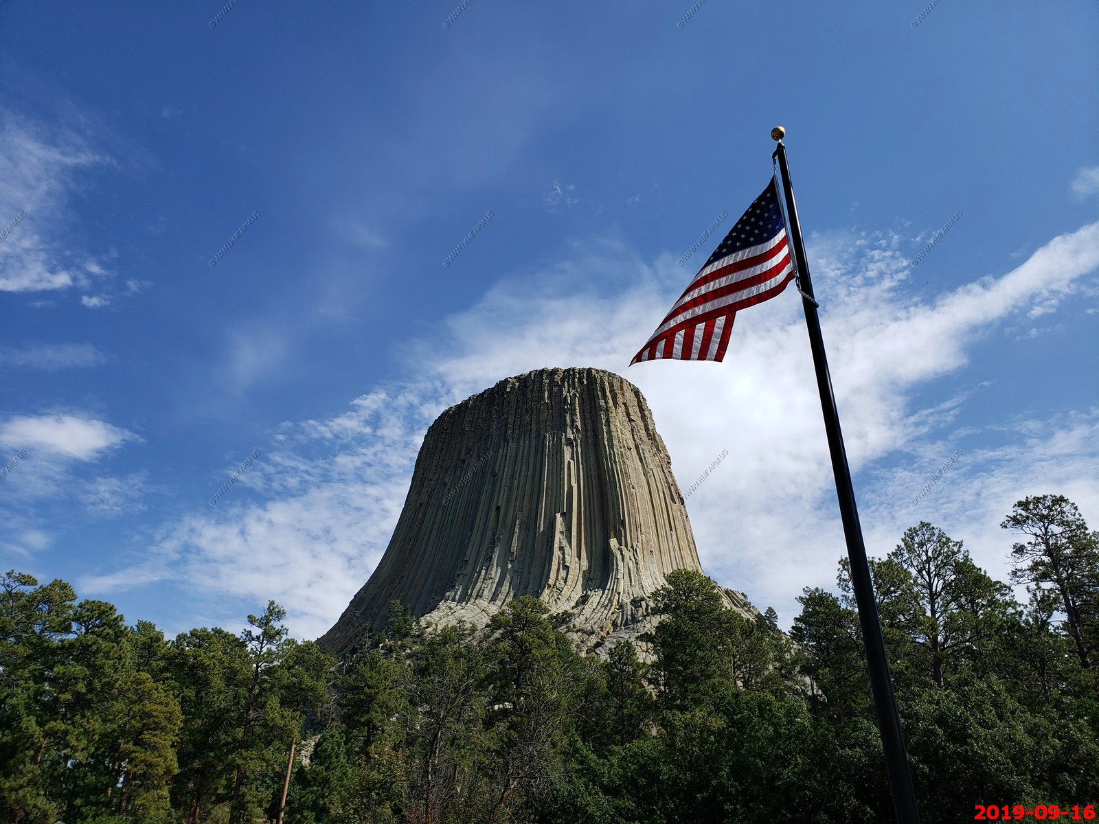
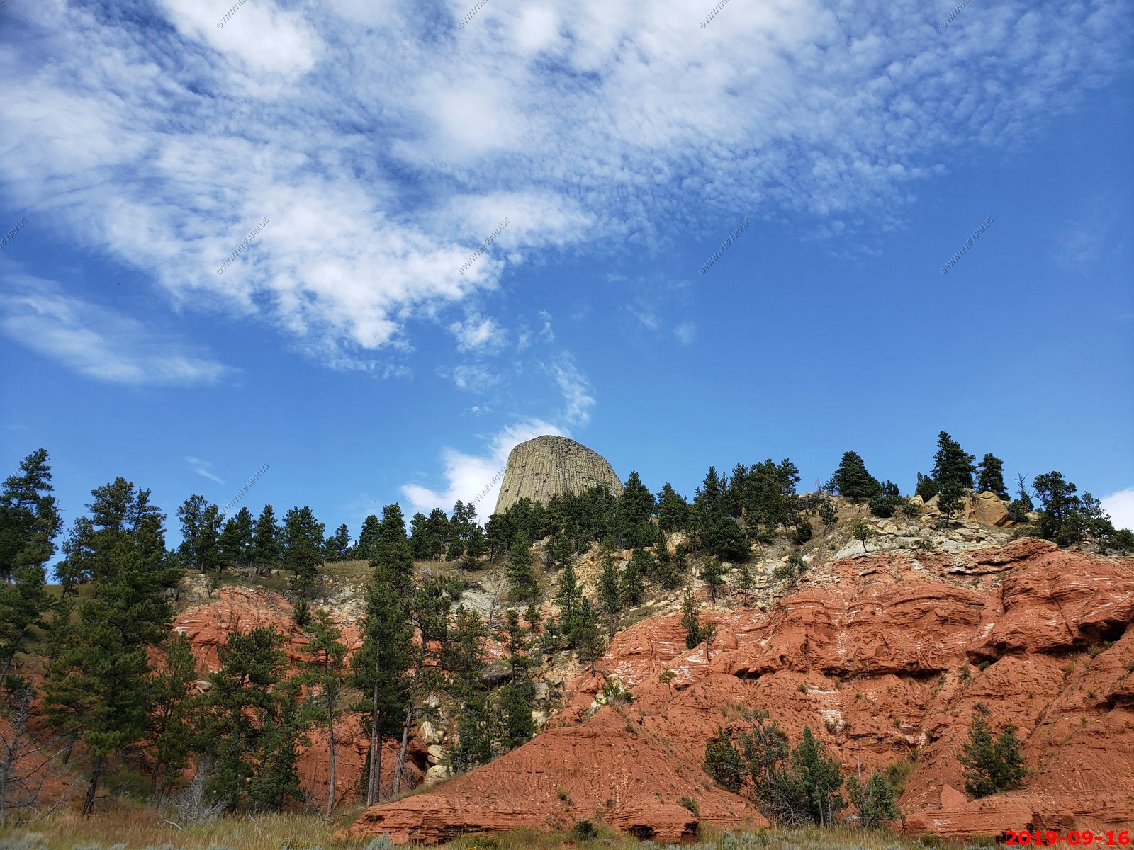
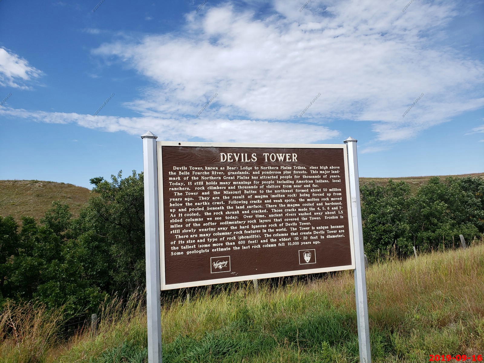
Devils Tower - is a butte, possibly laccolithic, composed of igneous rock in the Bear Lodge Ranger District of the Black Hills, near Hulett and Sundance in Crook County, northeastern Wyoming, above the Belle Fourche River. It rises 1,267 feet above the Belle Fourche River, standing 867 feet from summit to base. The summit is 5,112 feet above sea level.
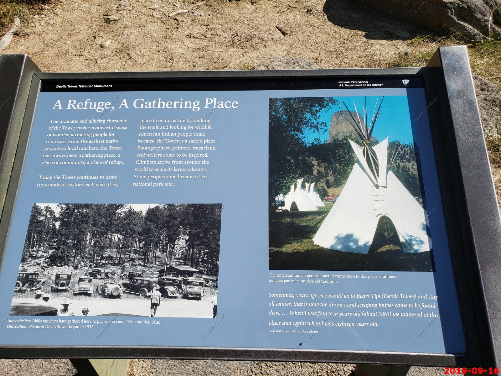
Devils Tower was the first United States National Monument, established on September 24, 1906, by President Theodore Roosevelt. The monument's boundary encloses an area of 1,347 acres.
In recent years, about 1% of the monument's 400,000 annual visitors climbed Devils Tower, mostly using traditional climbing techniques.
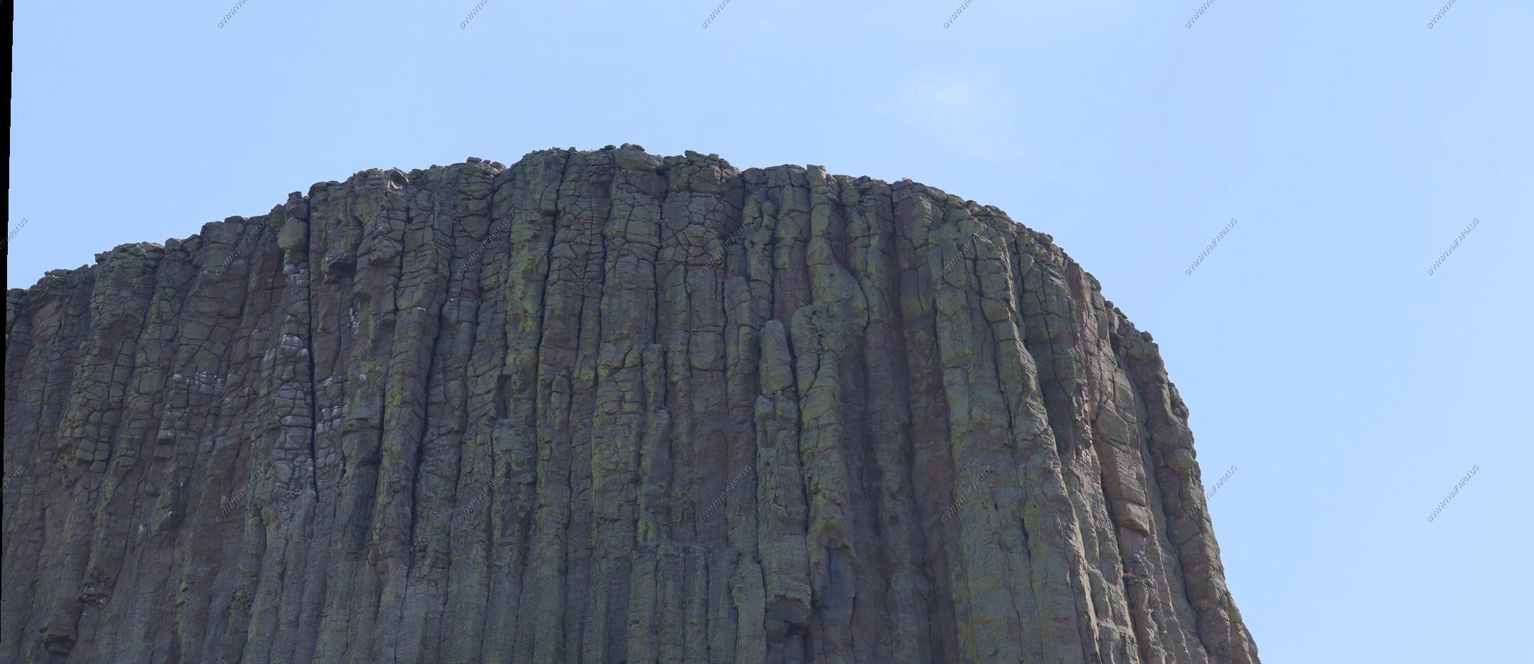
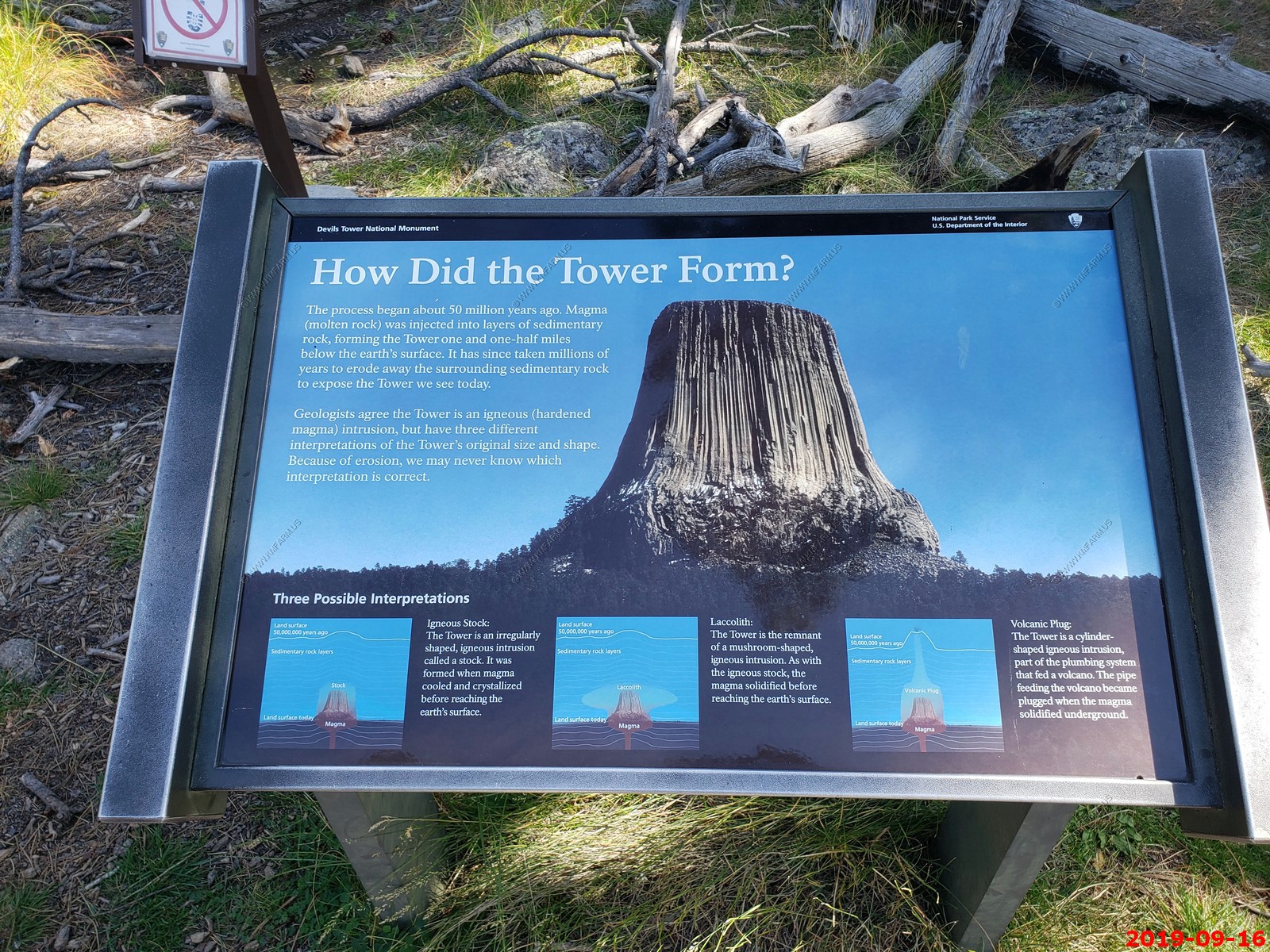
Geologists Carpenter and Russell studied Devils Tower in the late 19th century and came to the conclusion that it was formed by an igneous intrusion. Modern geologists agree that it was formed by the intrusion of igneous material, but not on exactly how that process took place. Several believe the molten rock composing the Tower might not have surfaced; others are convinced the tower is all that remains of what once was a large explosive volcano.
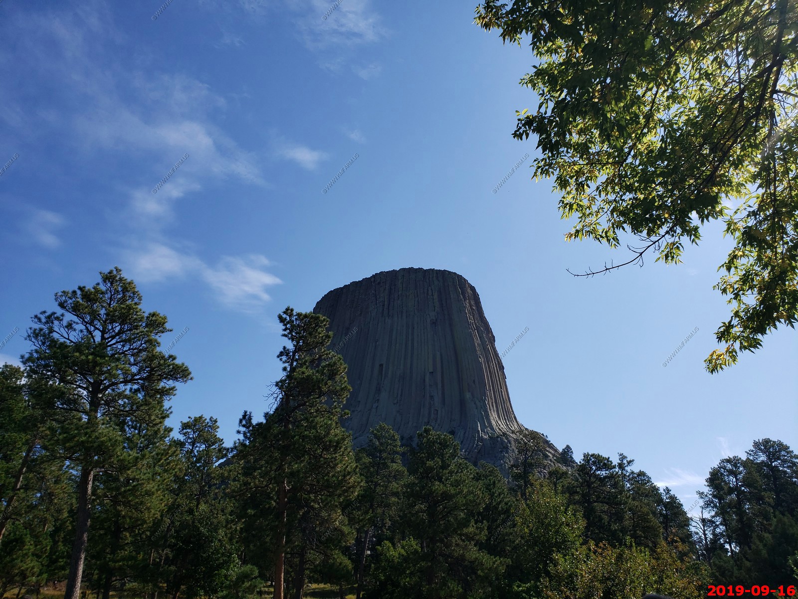
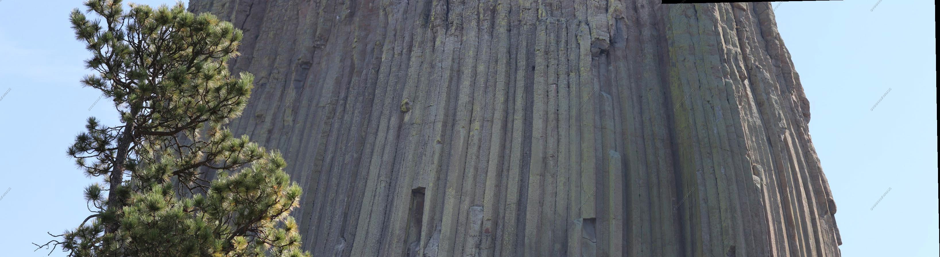
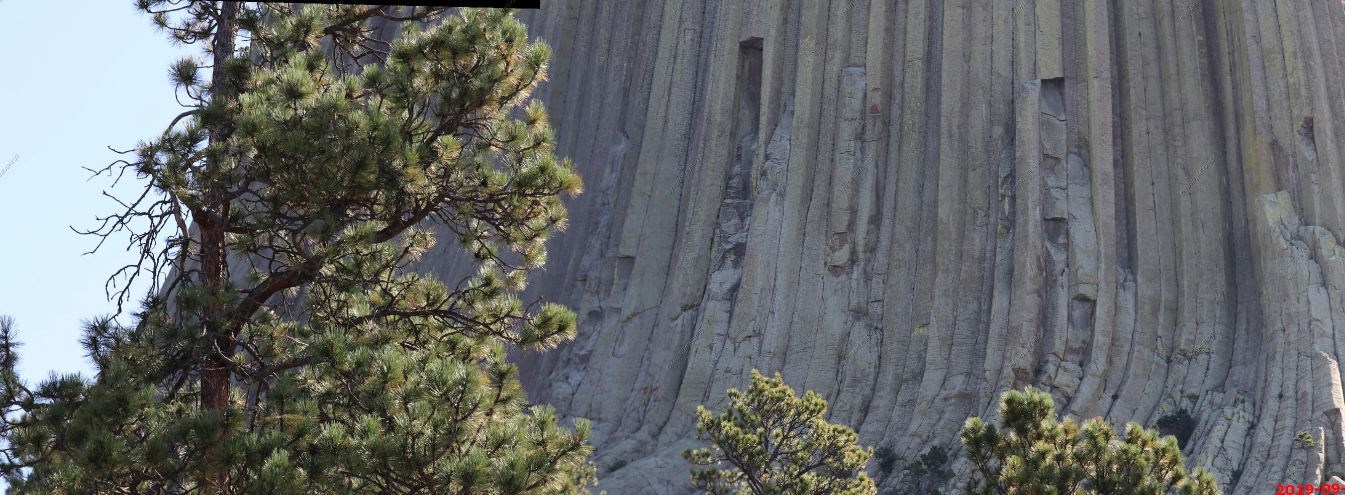
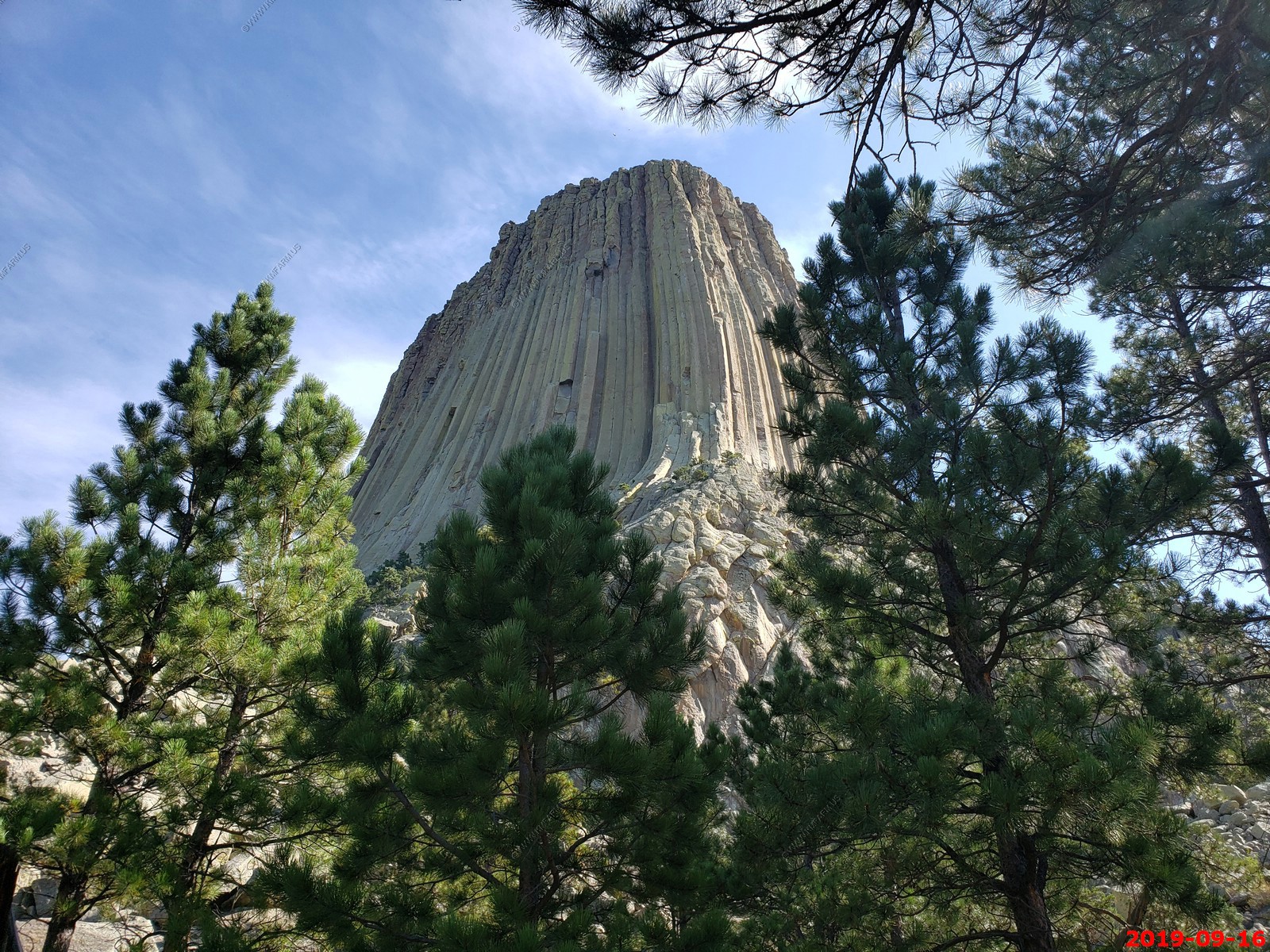
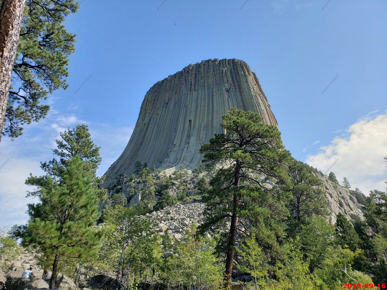
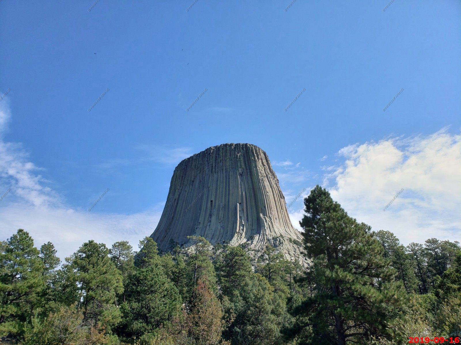
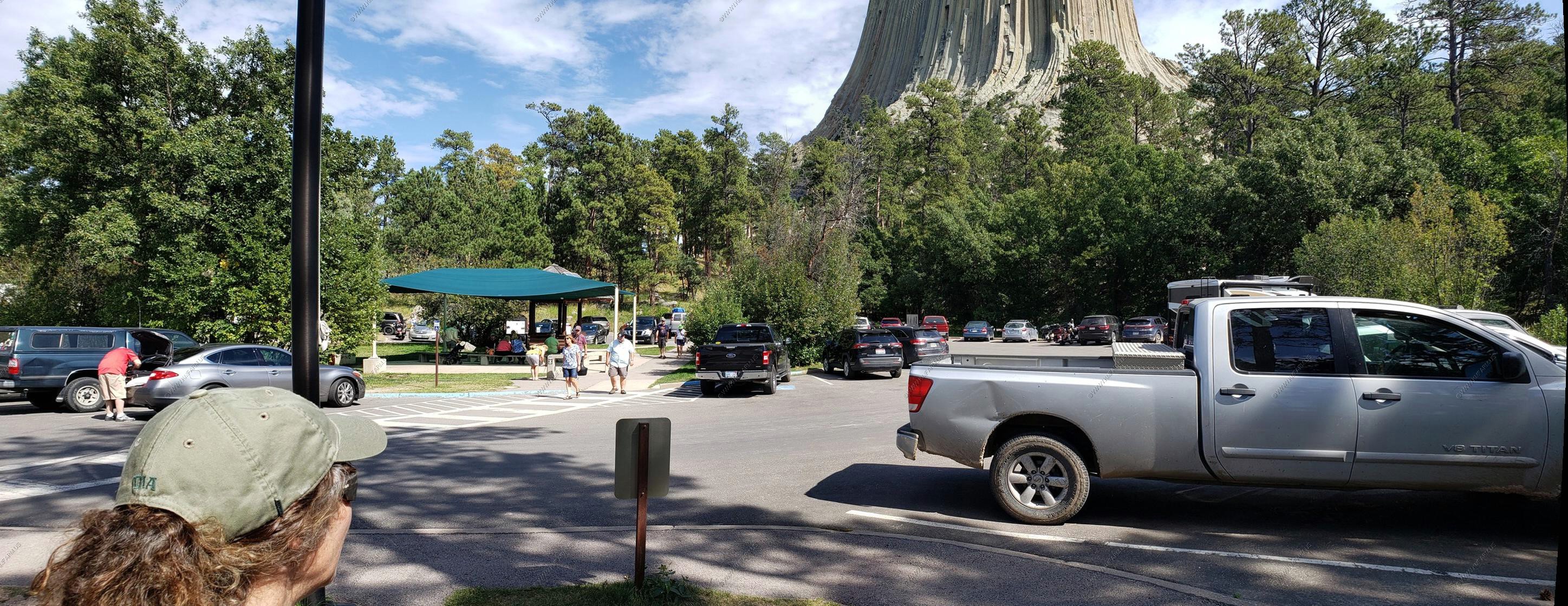
Very hard to take photos of this as you are so close and it's so big.
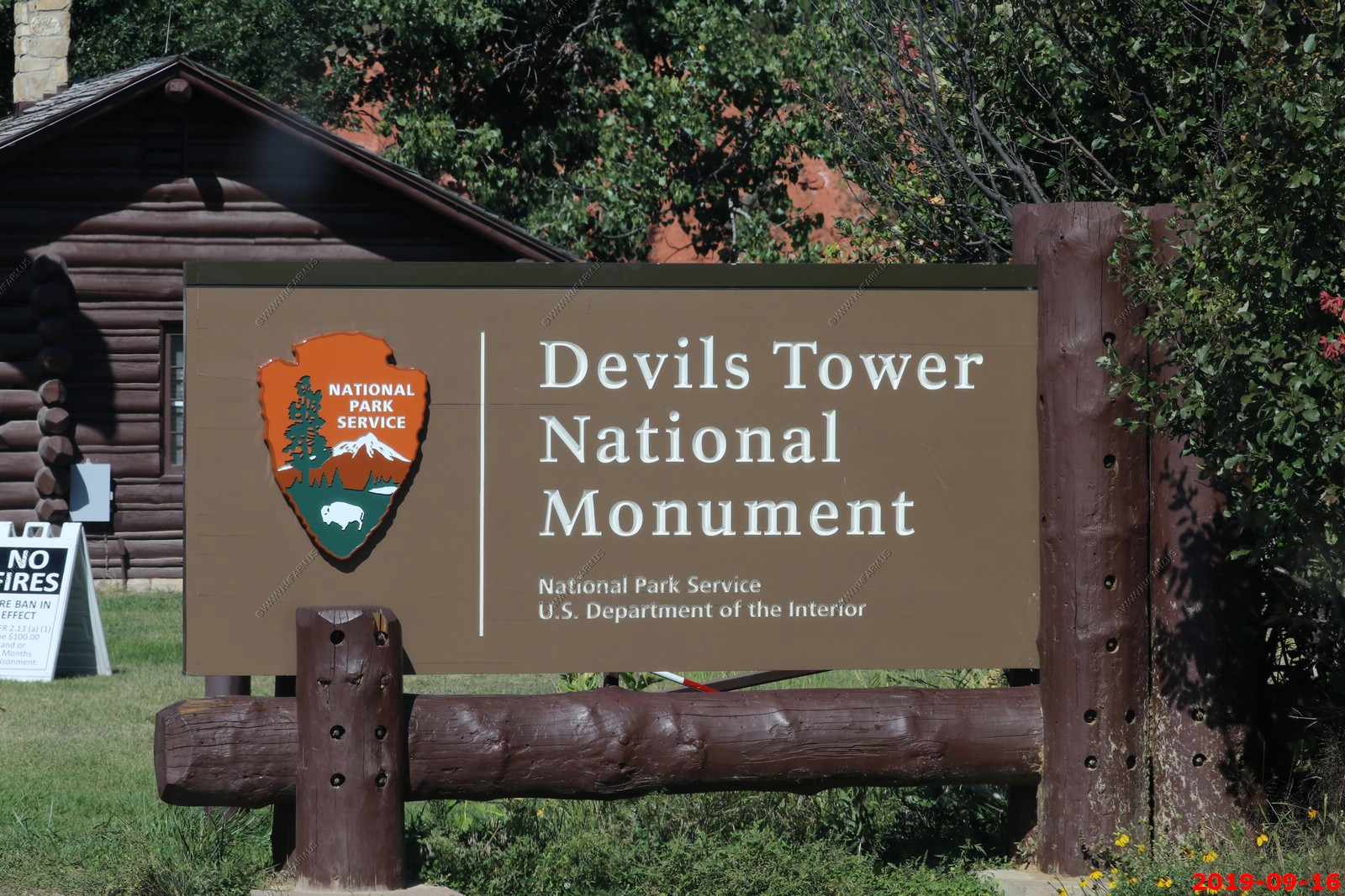
Visitor Center (El.4,250 ft.)
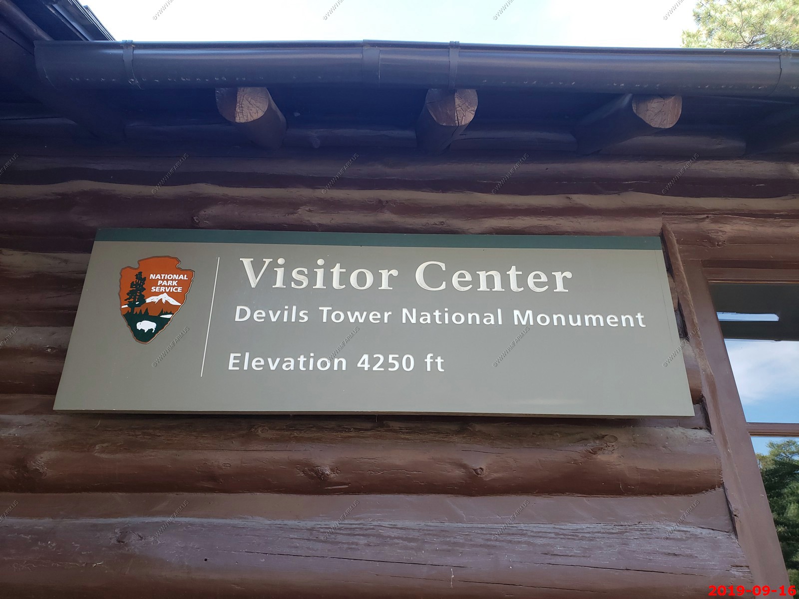
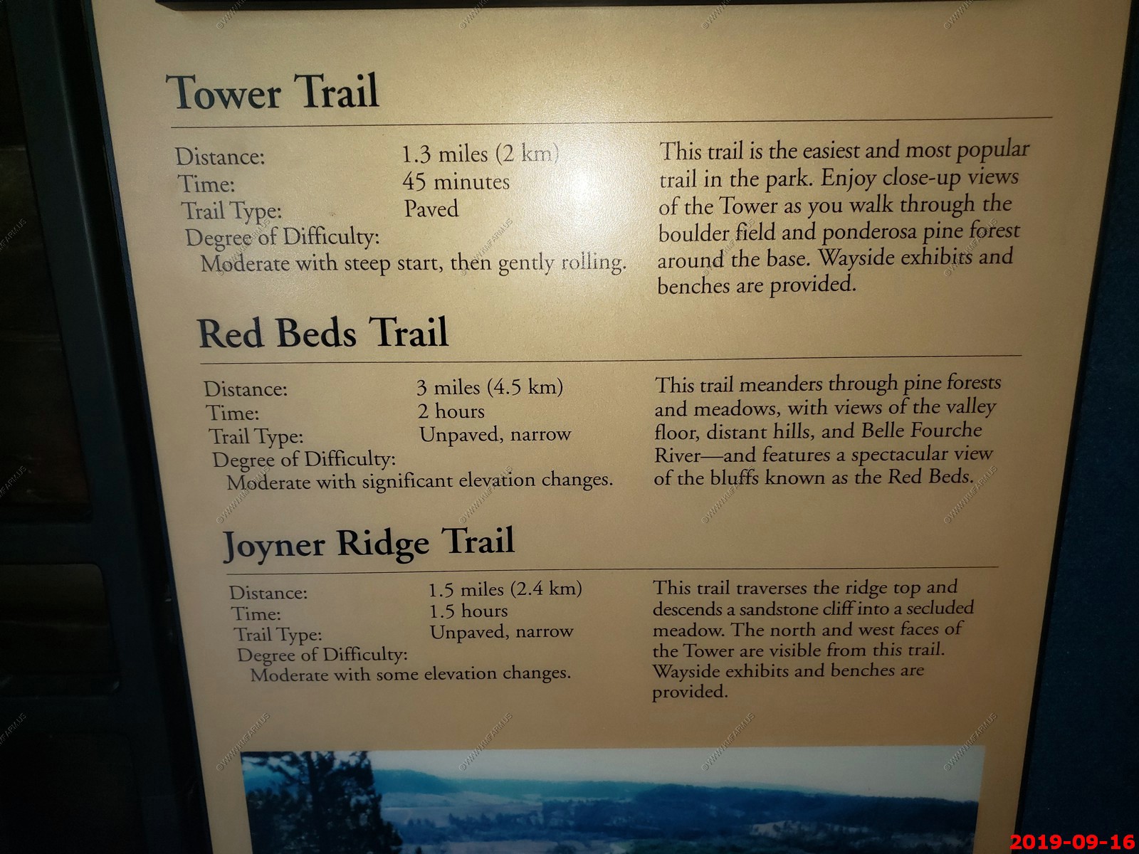
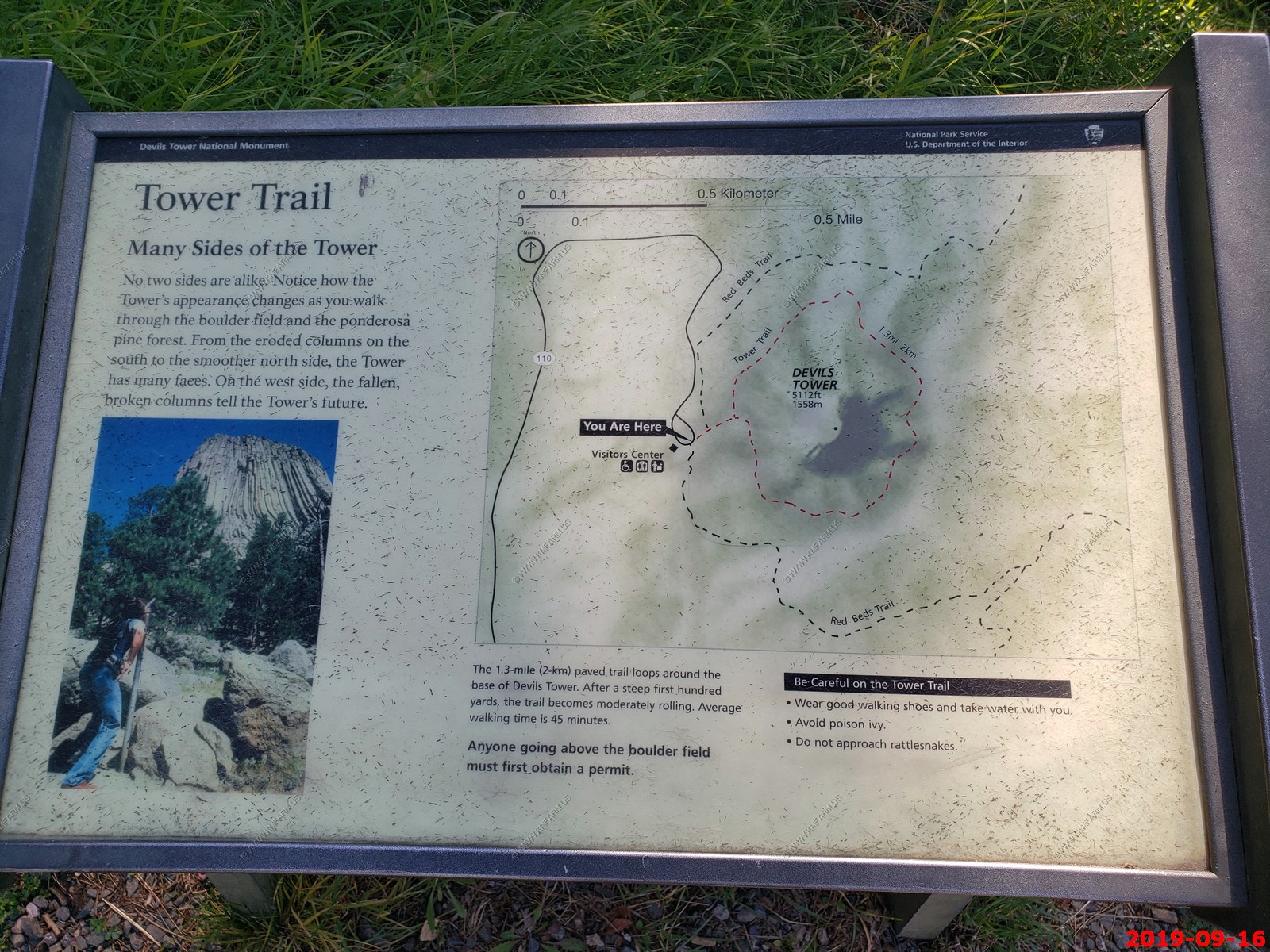
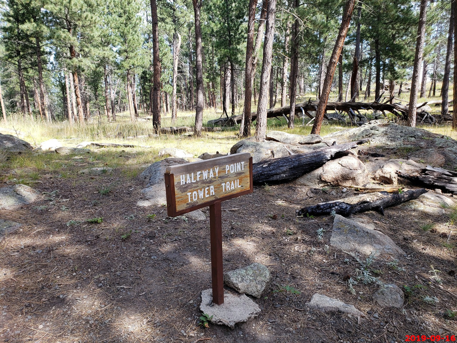
Photo Tips and Trail information. We took the Tower Trail counter clockwise.
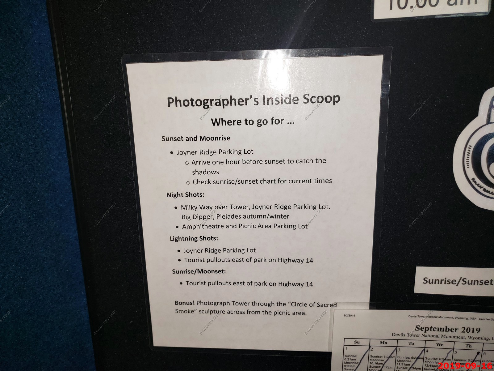
From the visitor Center
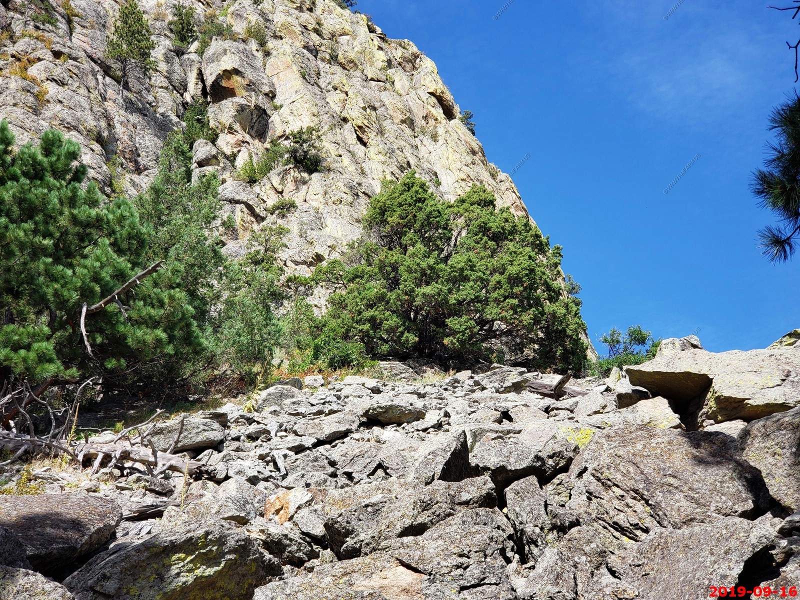
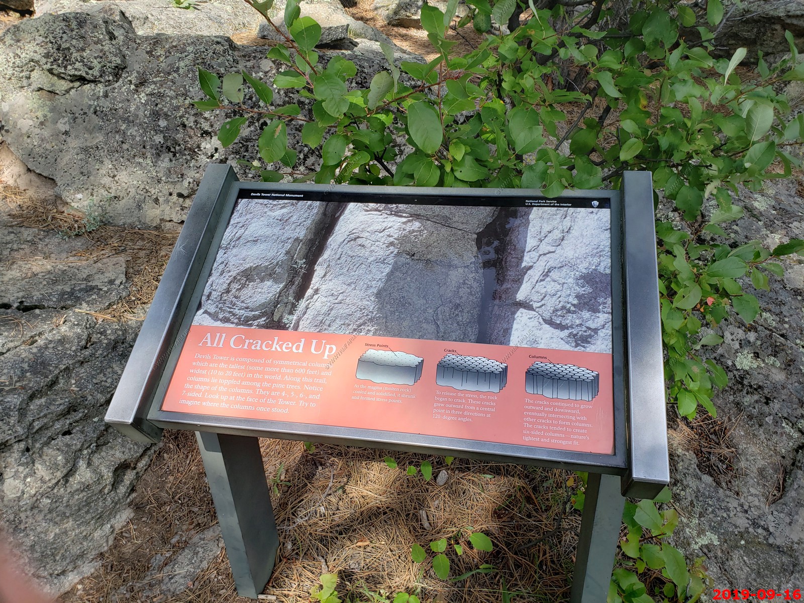
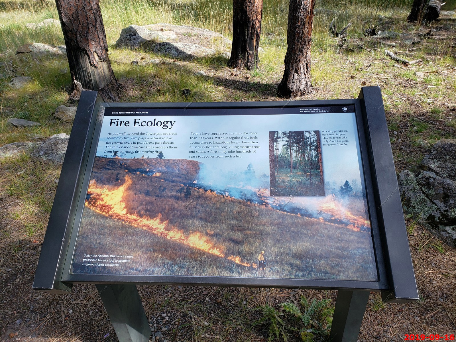
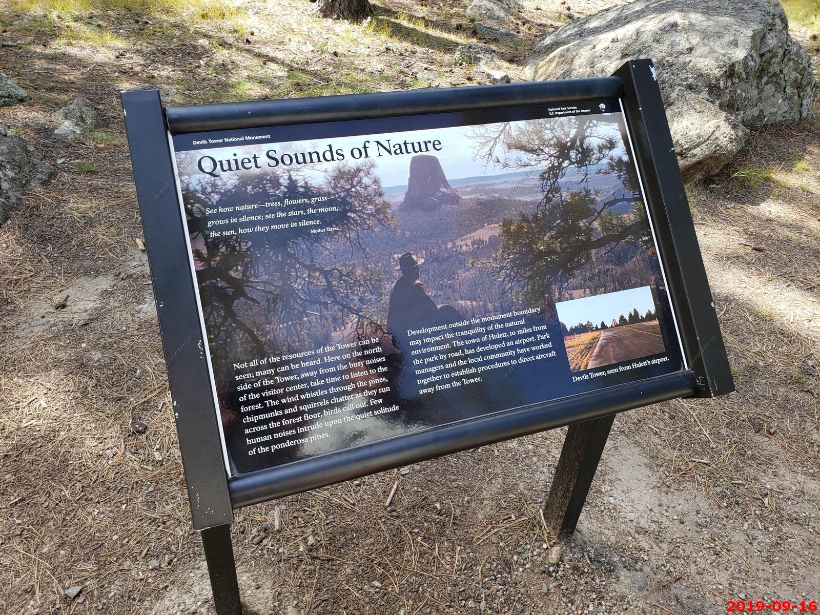
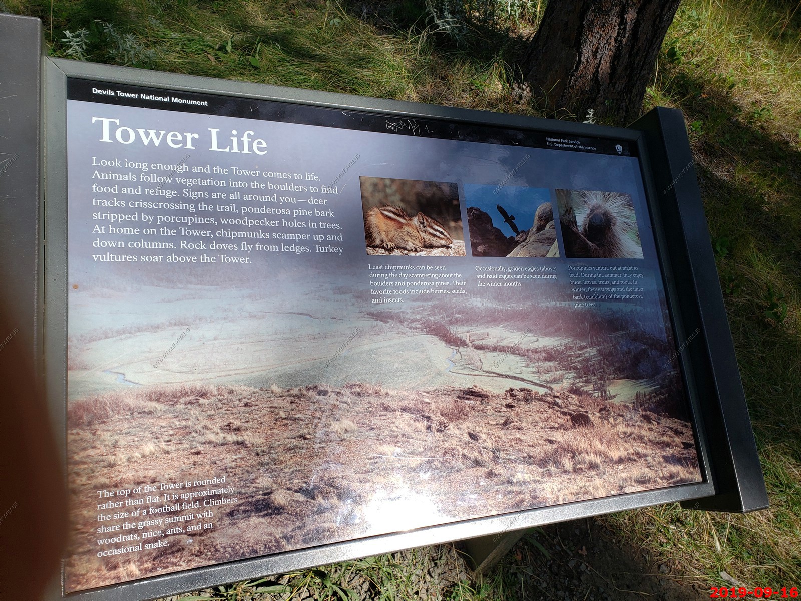
Tower Trail - The most popular hike in the park is the paved, 1.3-mile Tower Trail. It starts across the parking area from the Visitor Center. A short, steep section leads to you a junction that you can take either way to walk around the base of the Tower. The trail goes through ponderosa pine forest and the boulder field. Interpretative signs explain some of the geology and ecology of Devils Tower National Monument. You will find benches along the path to enjoy views of the Tower.
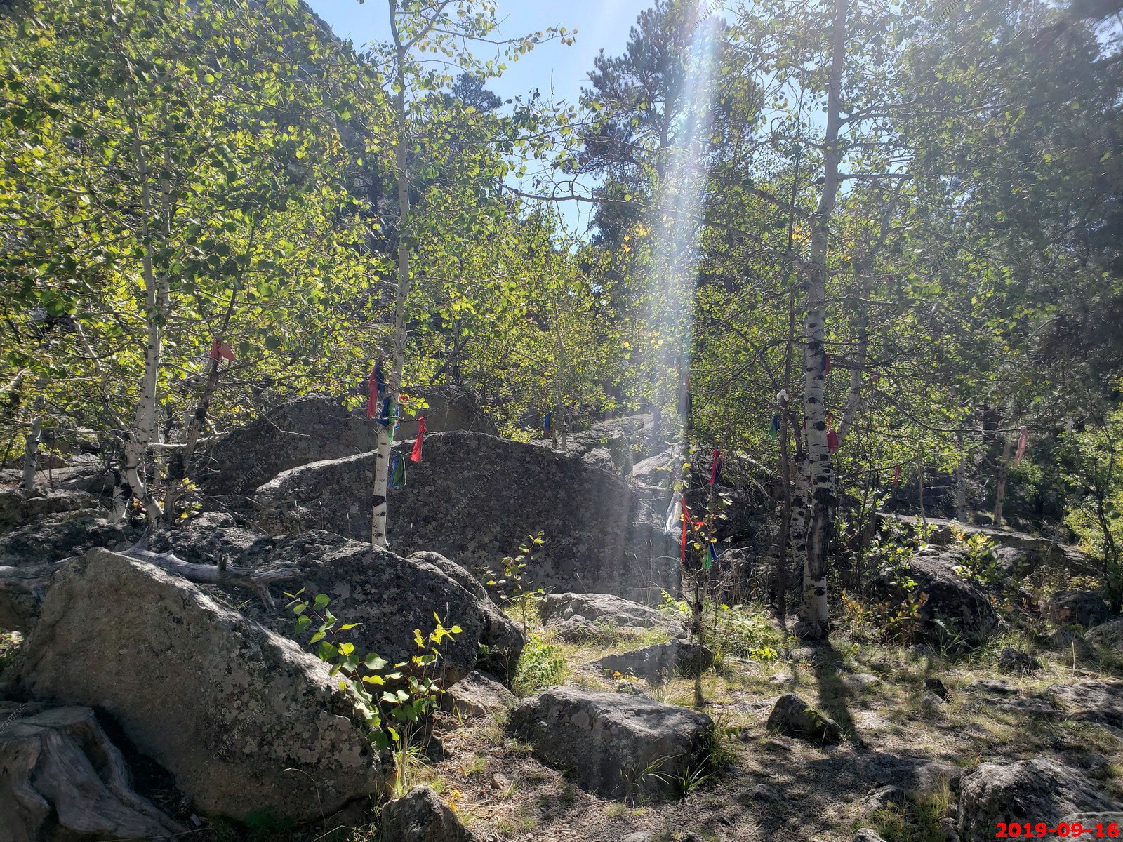
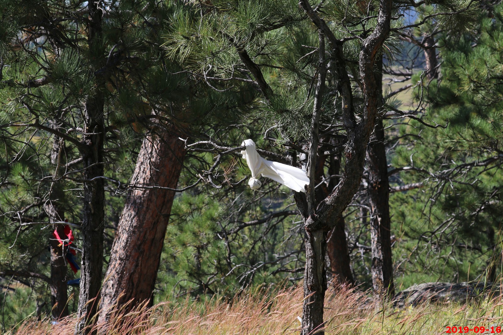
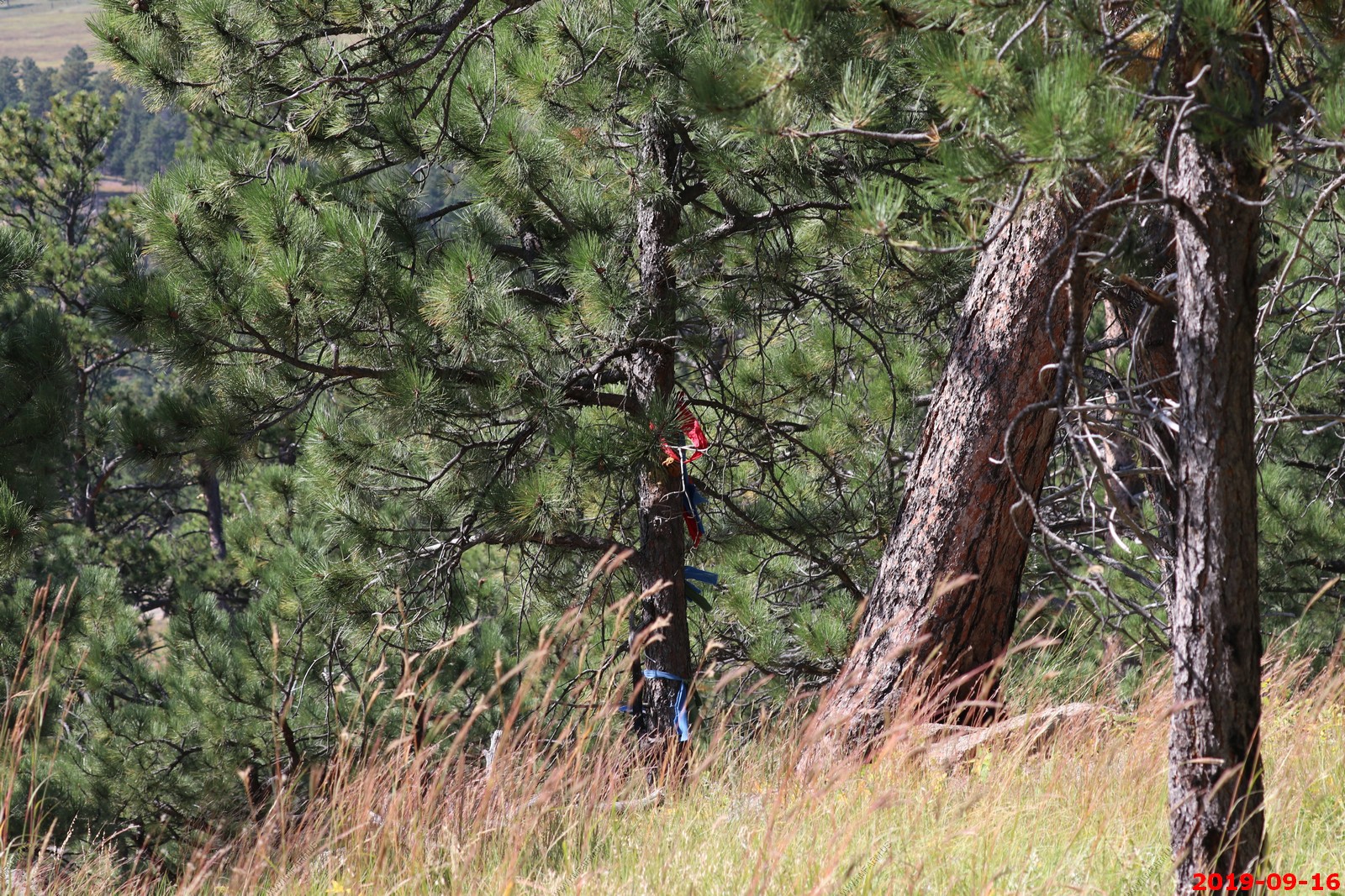
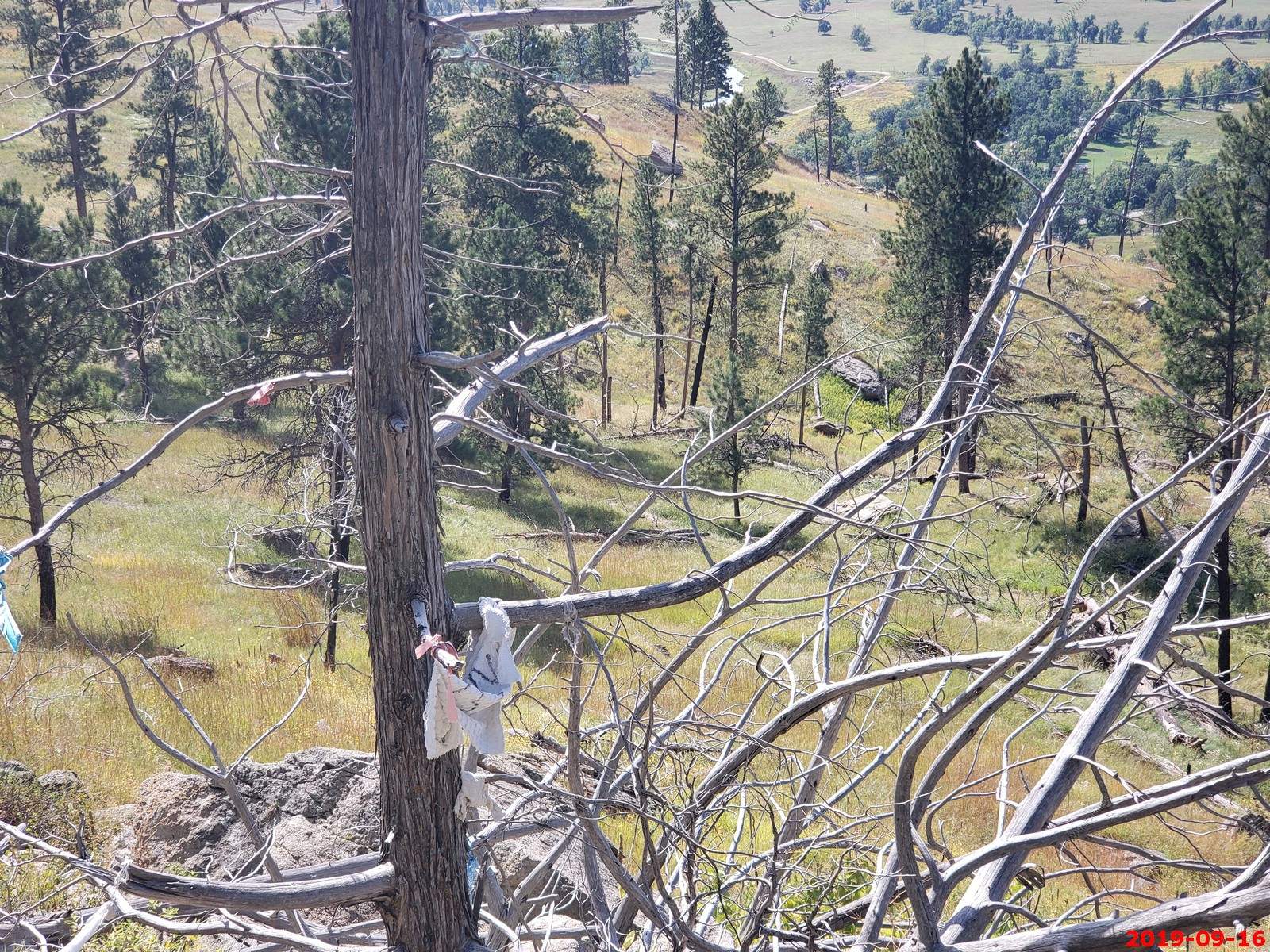
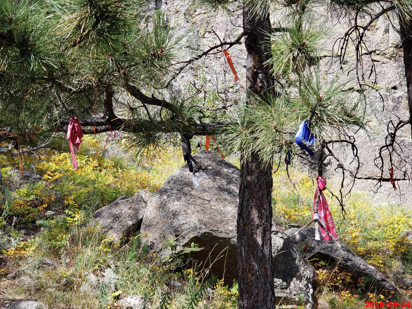
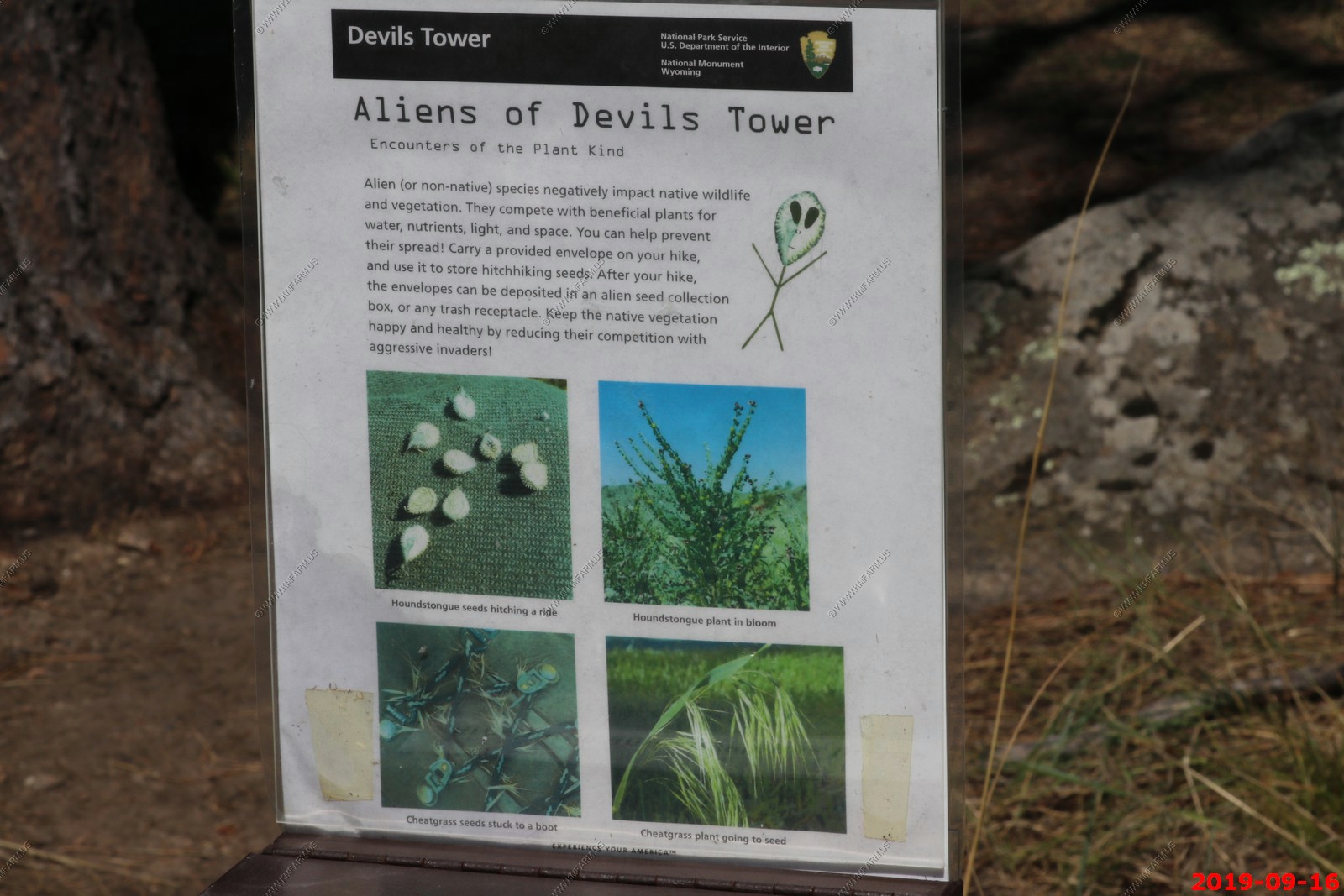
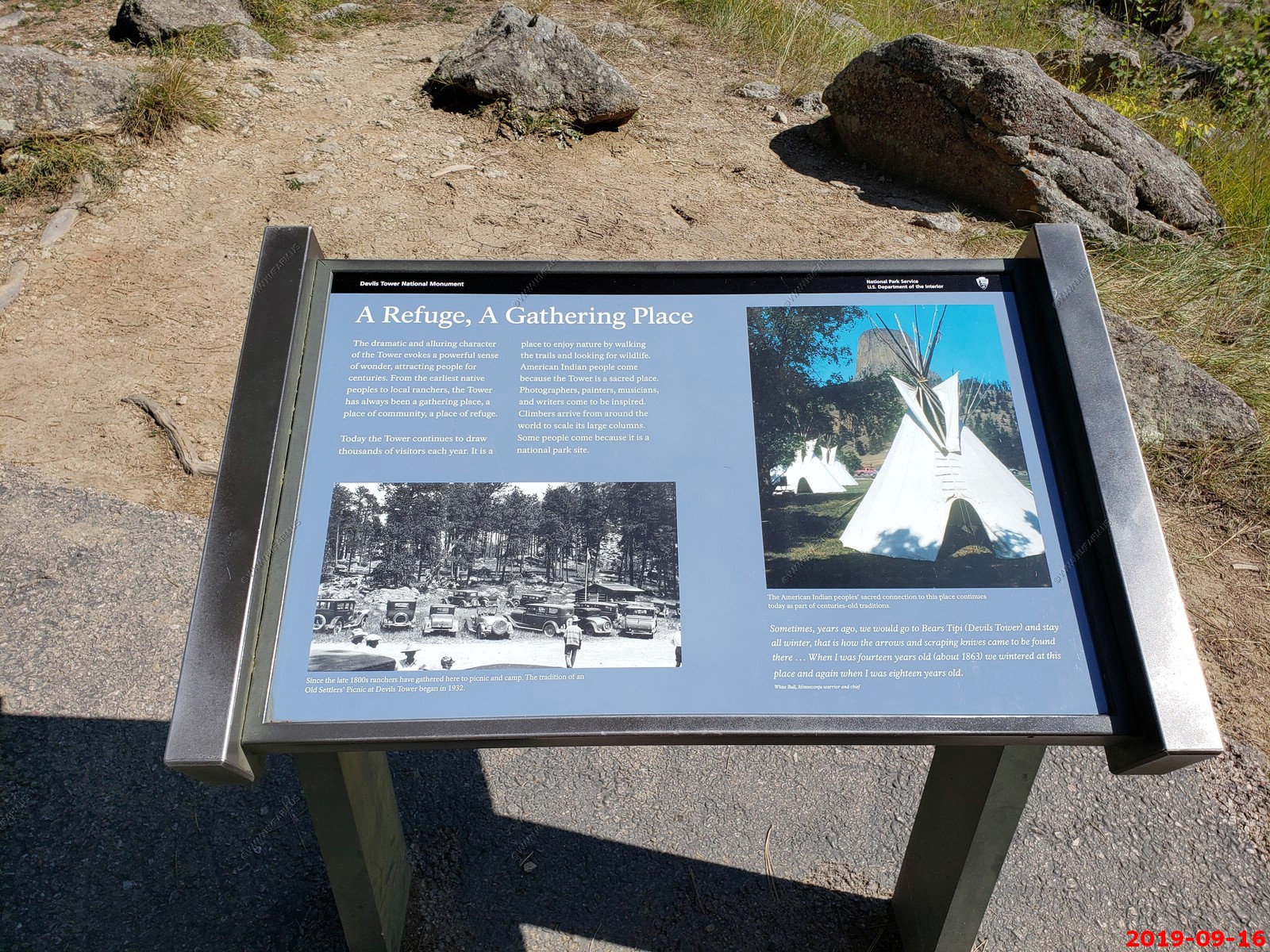
The local Indians tie these items to the trees. They were all over the place at the beginnig of the Tower Trail - As you walk the Tower Trail, you will notice cloths or small bundles attached to the trees. These are Native American prayer cloths, and represent the spiritual connection many tribes have with the Tower.
Oh well - Some consider it culturally insensitive to photograph these prayer cloths. It was a bit much in some places as it looked like litter.
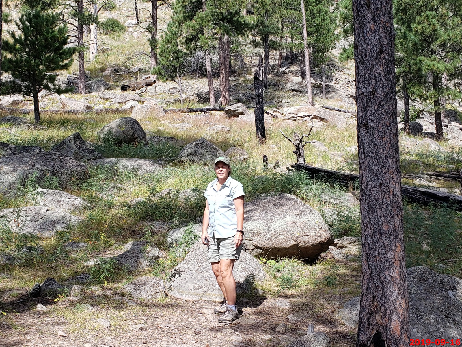
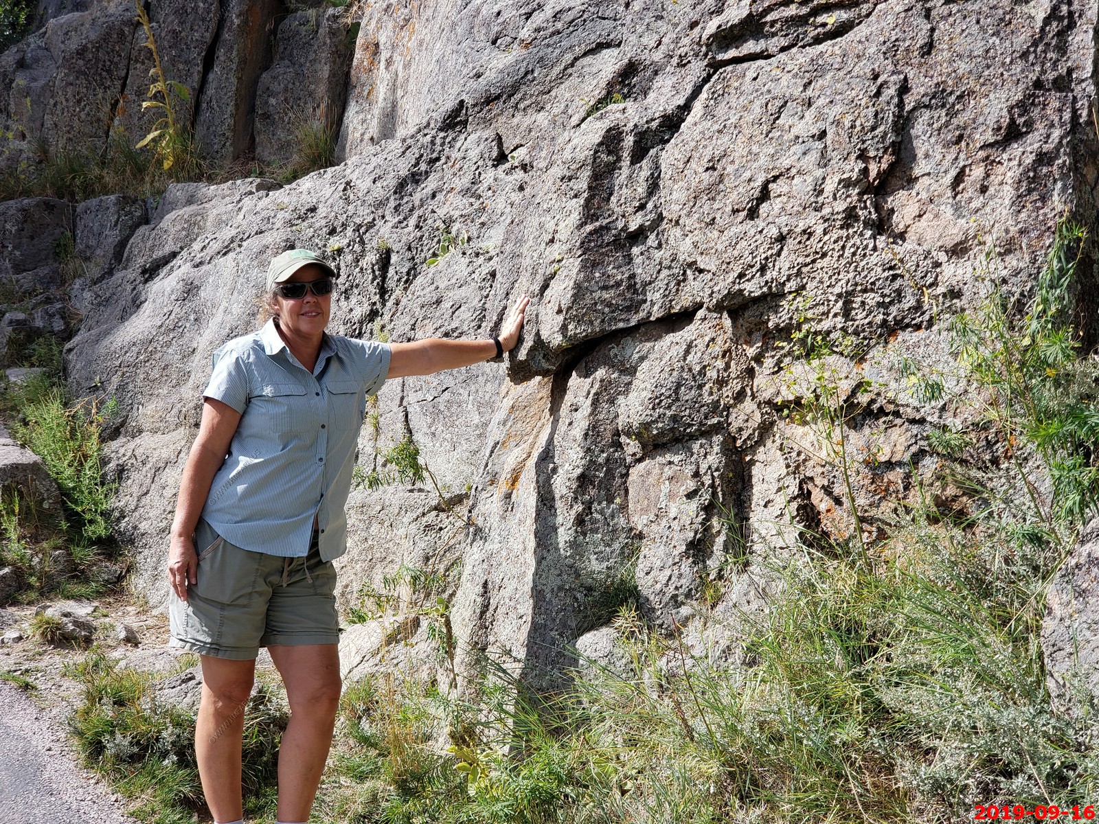
Various views along the beginning of the Tower Trail.
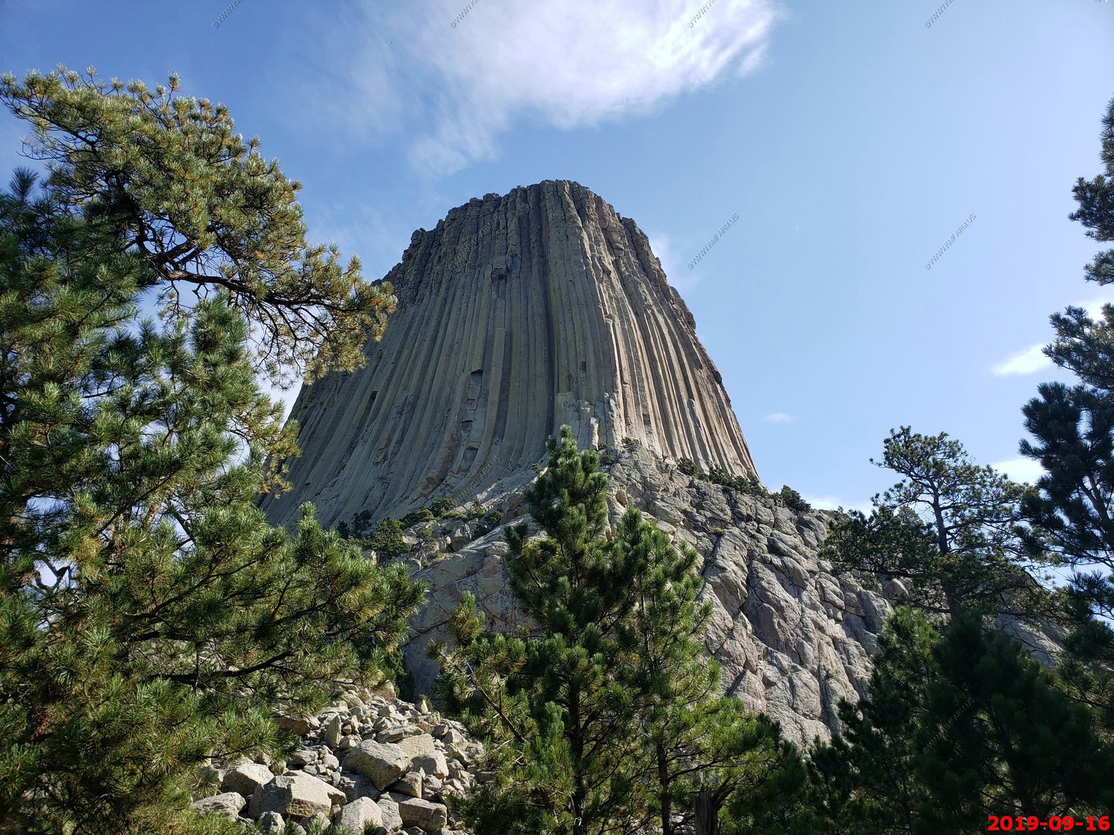
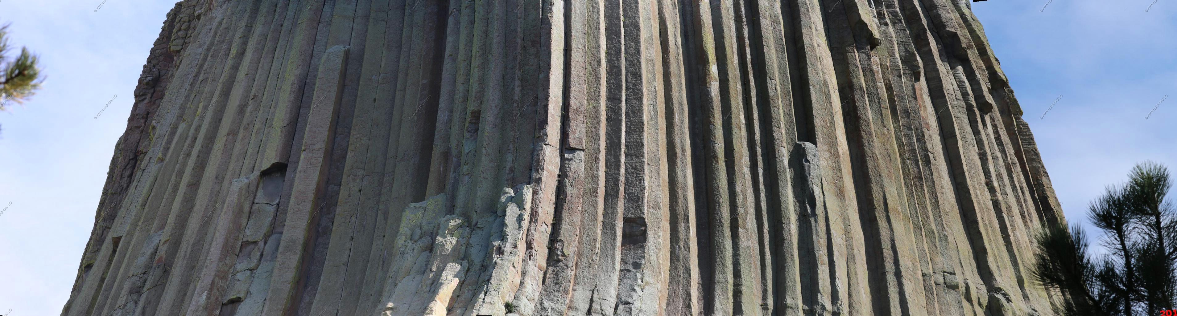
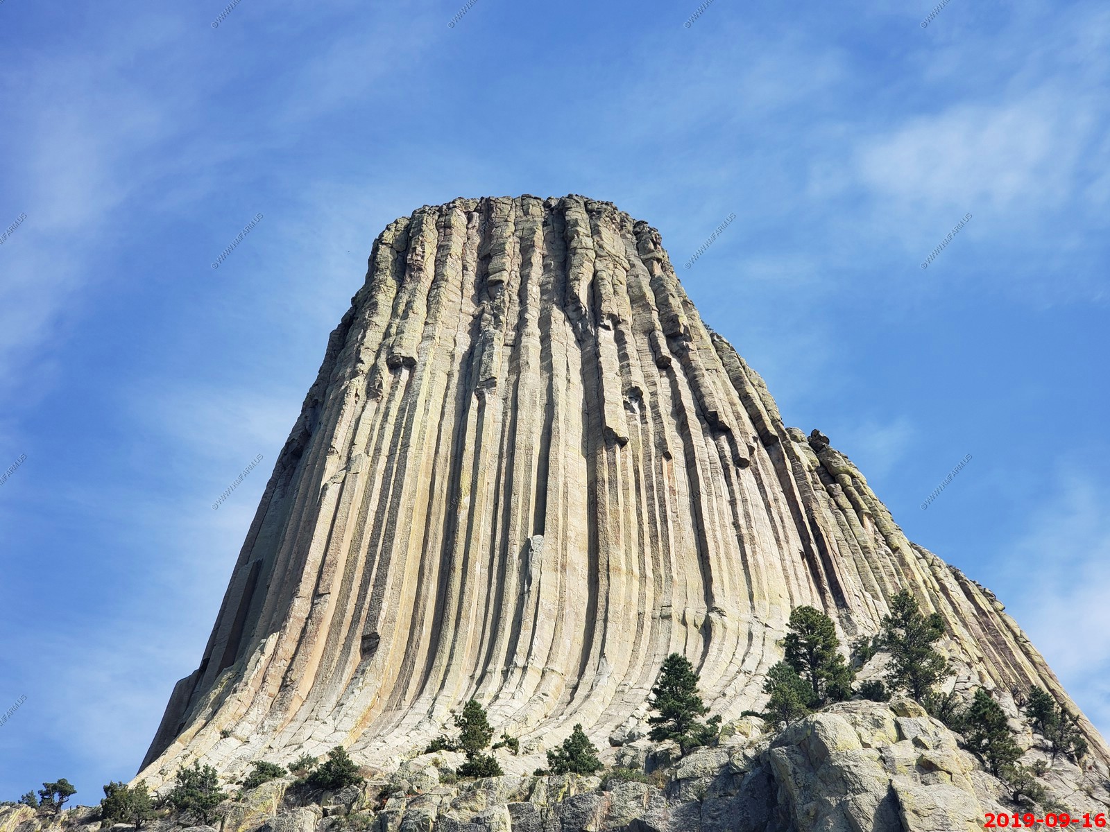
Again, hard to photograph. 4 photos stitched together.
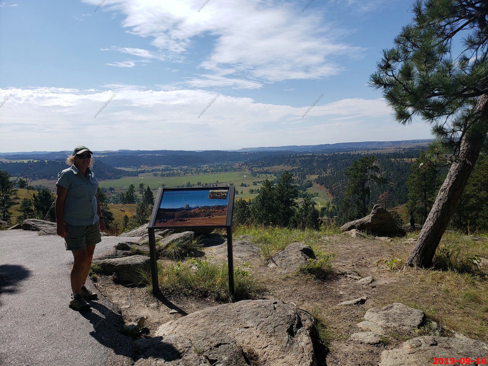
Viewpoint on the tower trail looking southeast.
Looking at the entrance area.
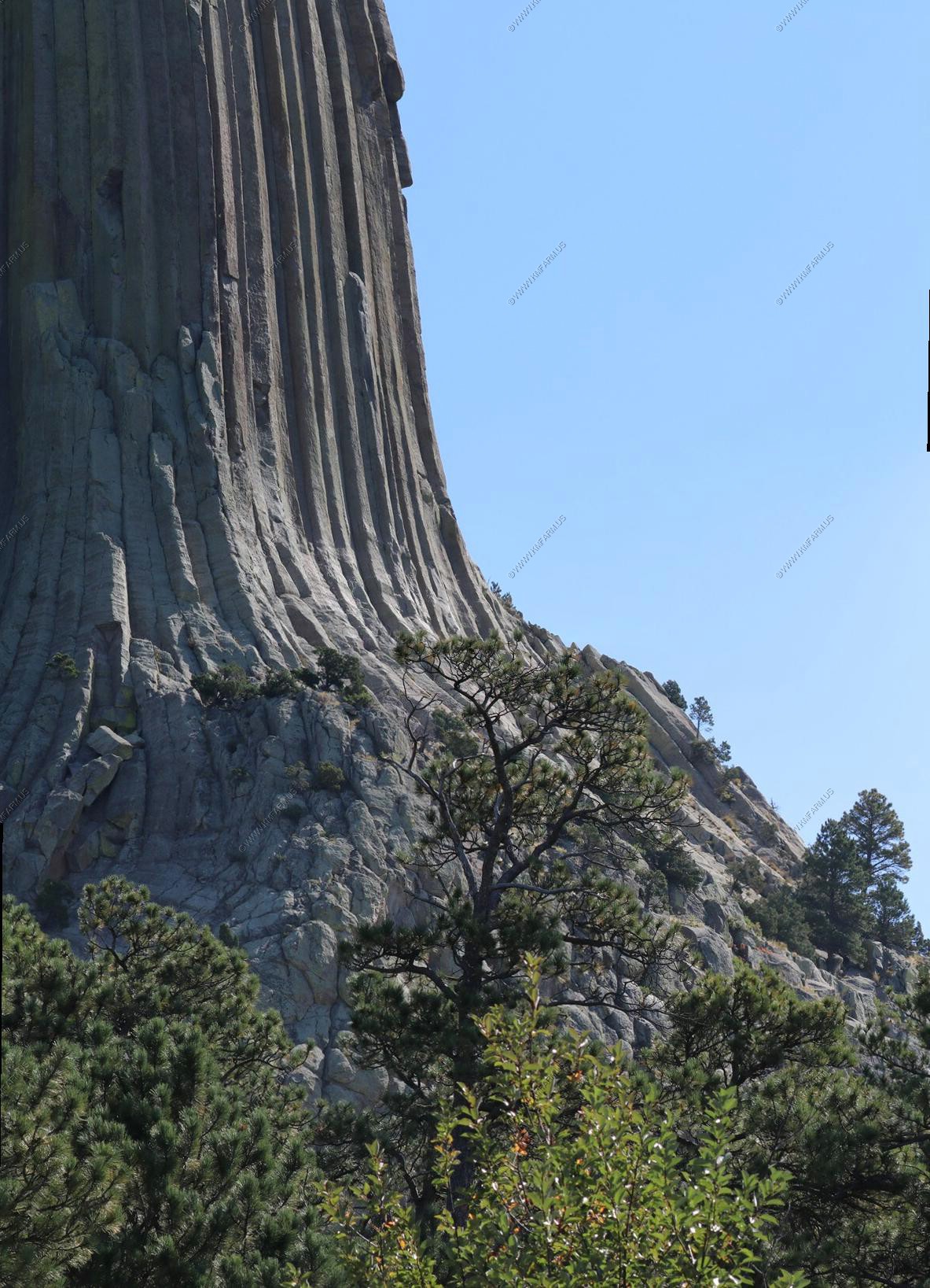
More views from a bit off the base.
This is where the "close encounters of the third kind government base" would have been located. They cleaned up the site very well as we saw no evidence at all.
Rock climbers.
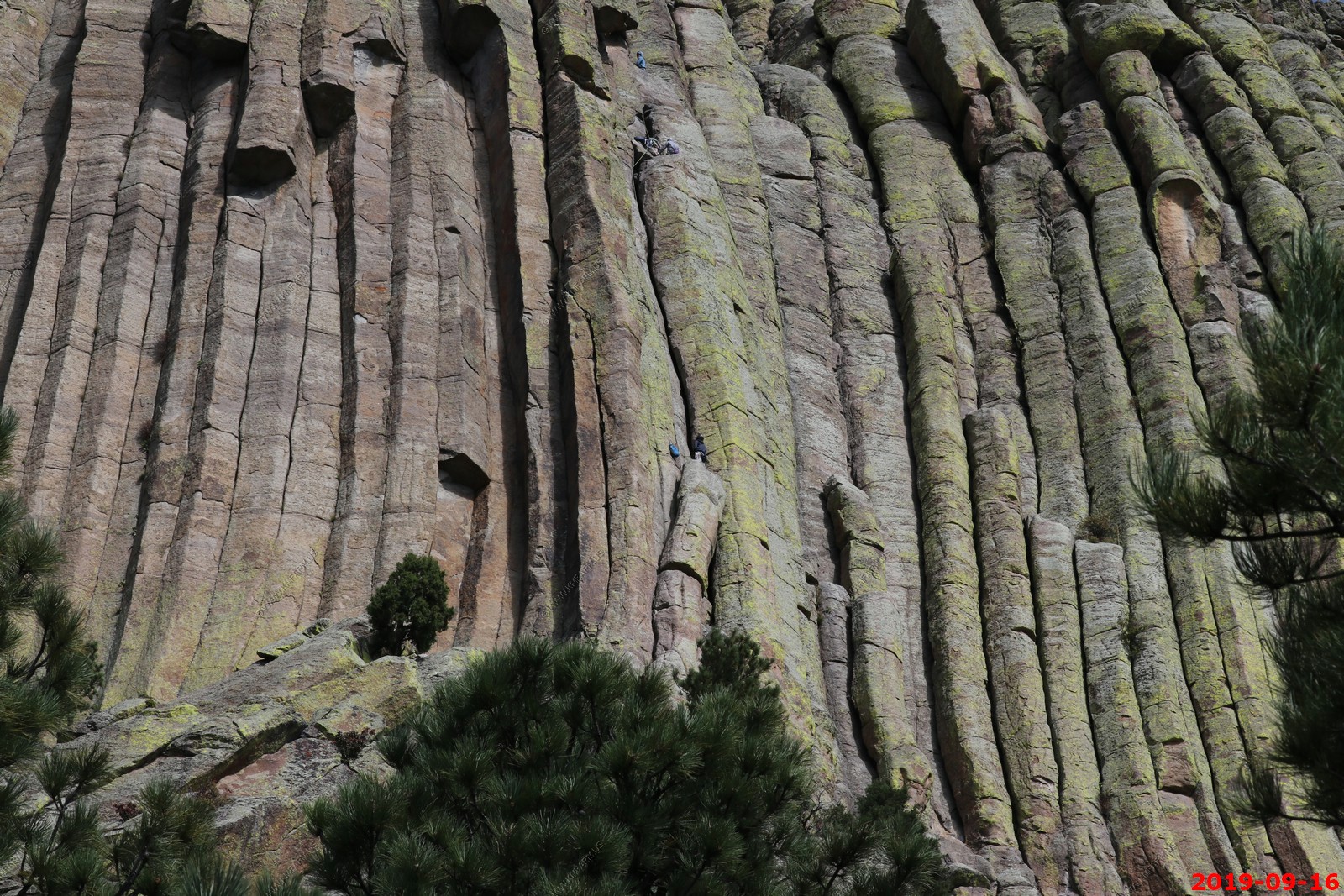
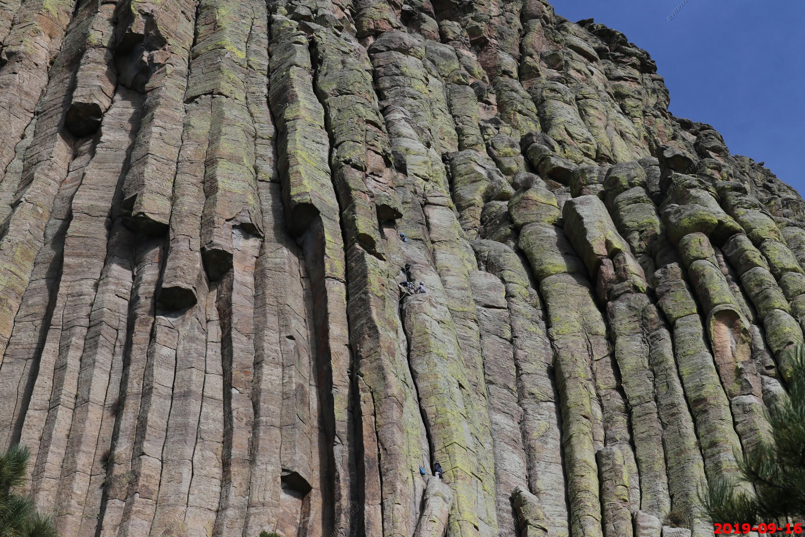
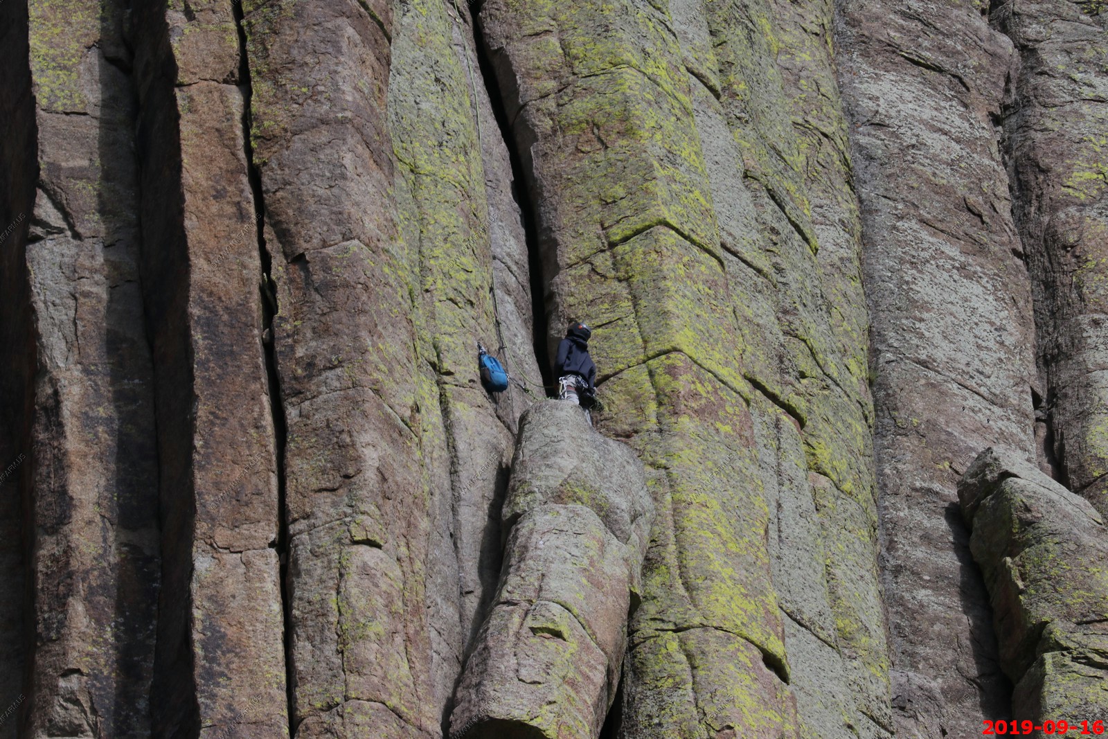

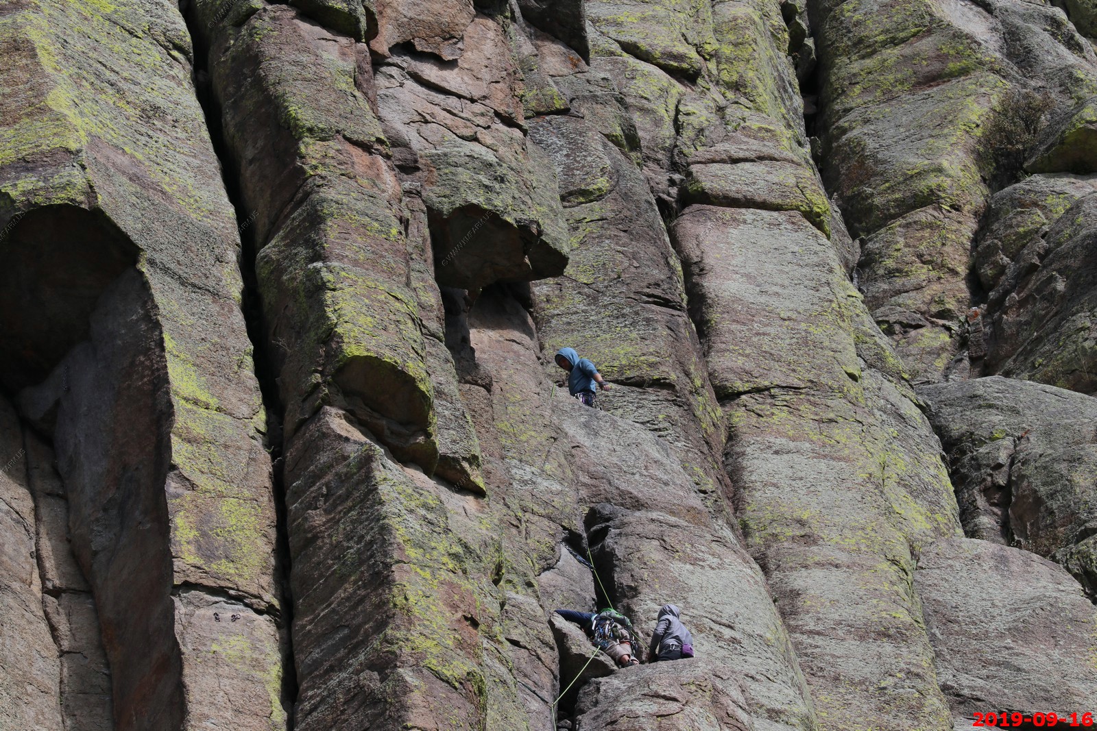
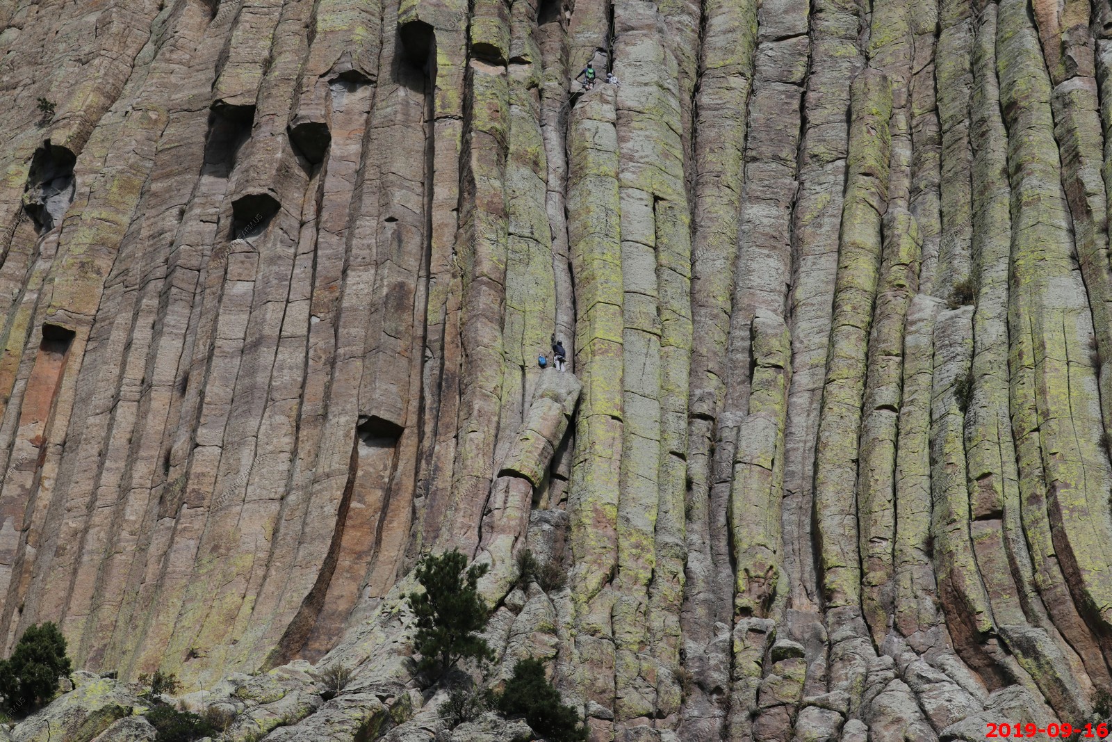
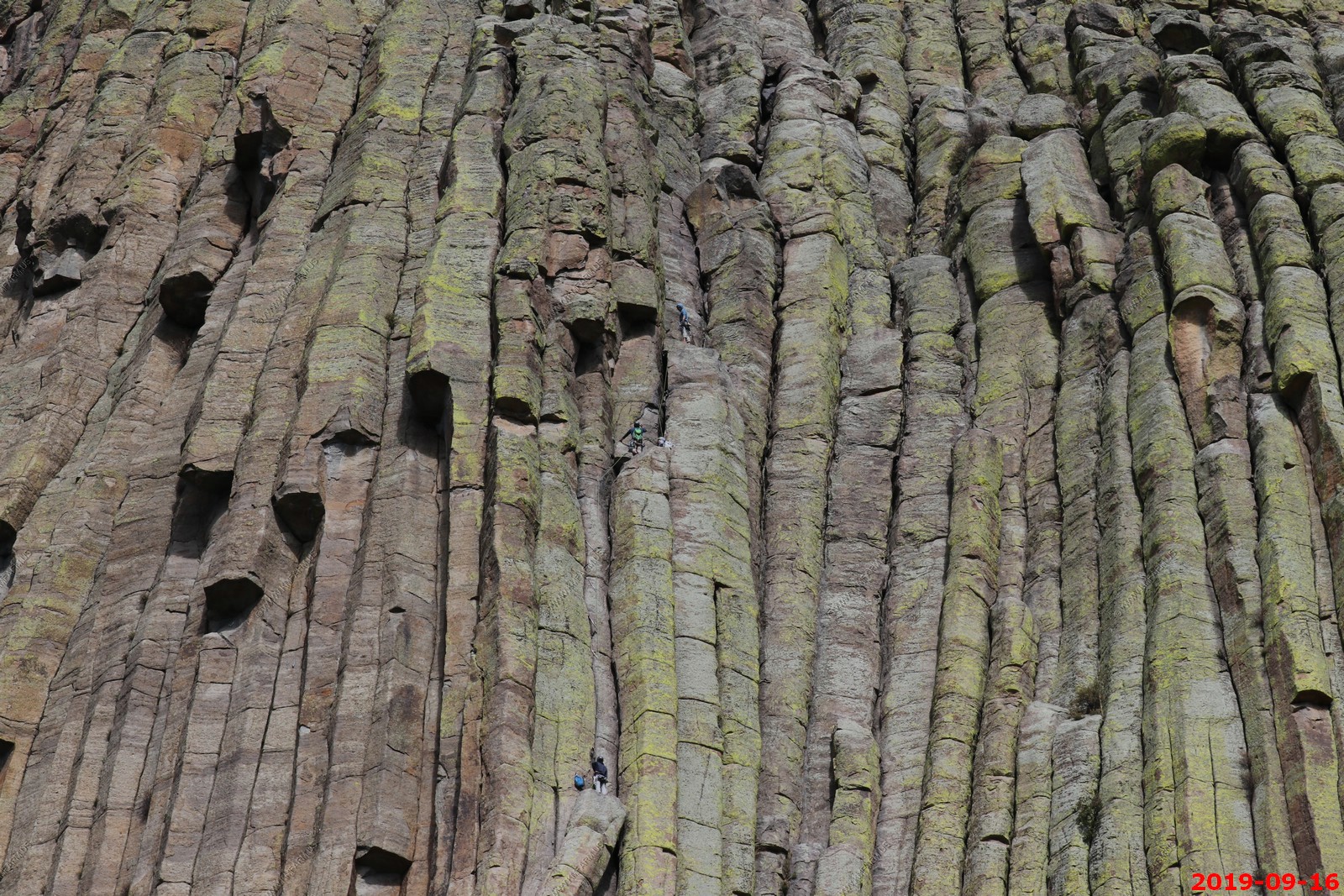
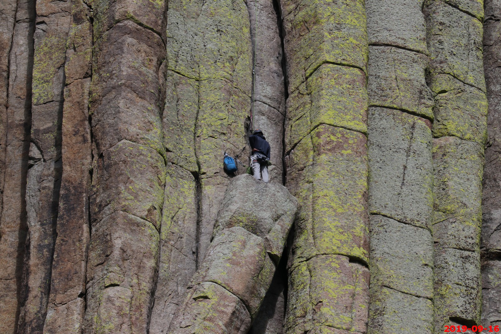
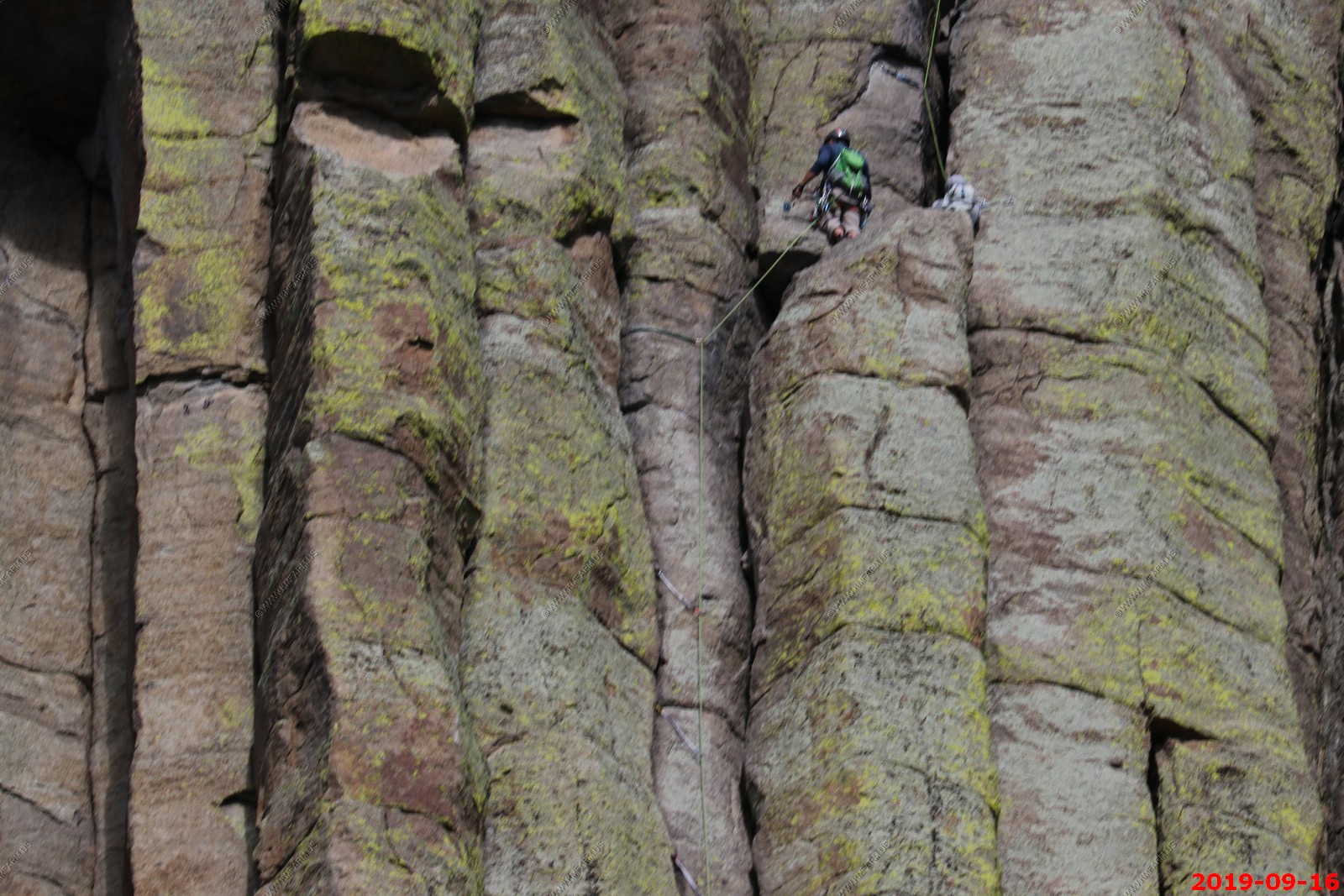
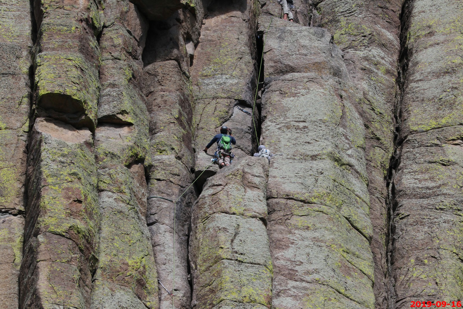
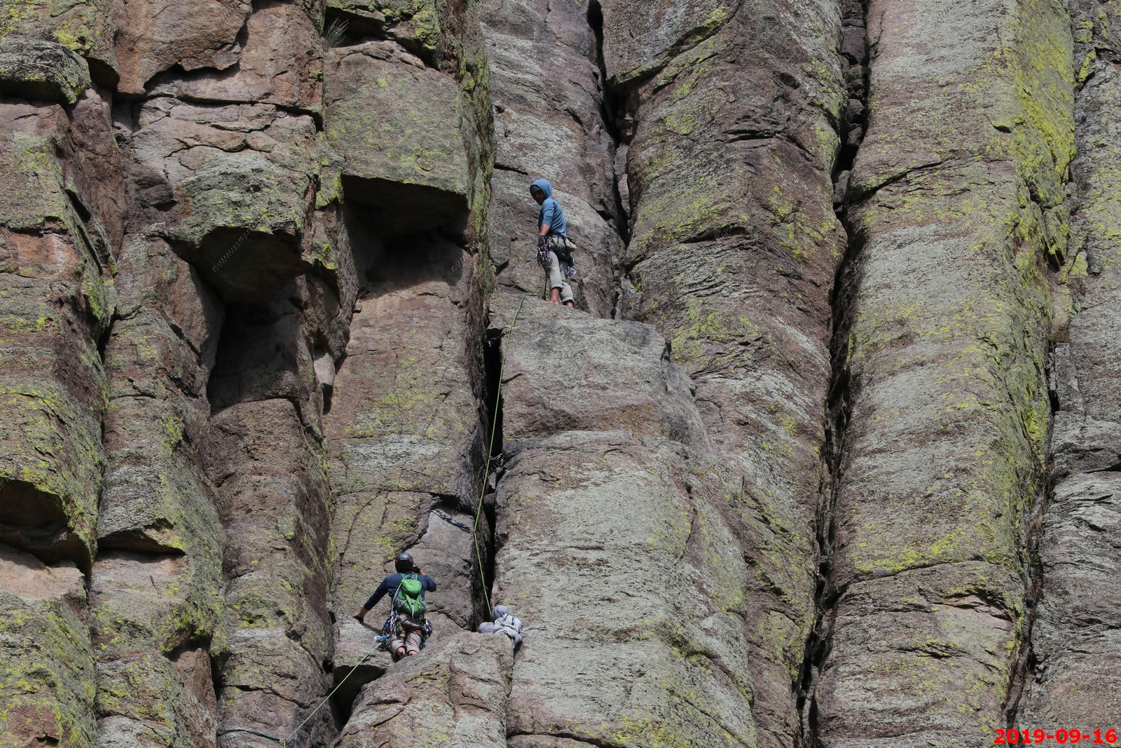
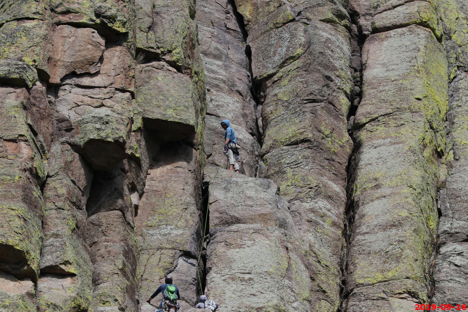

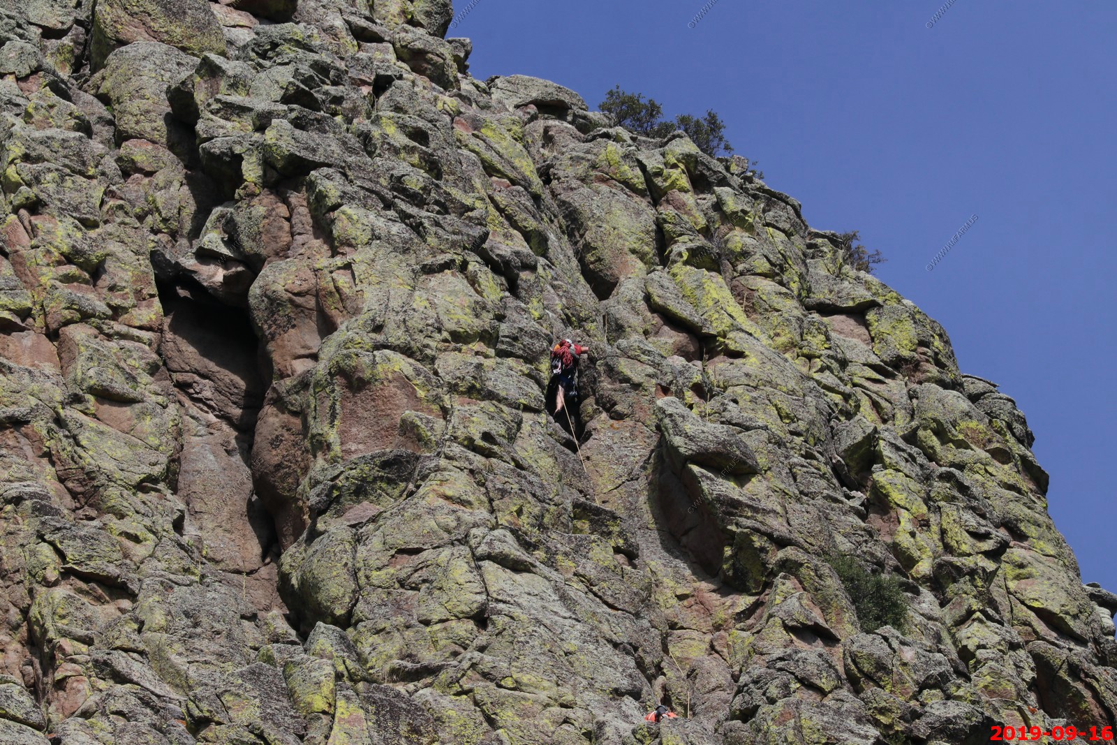
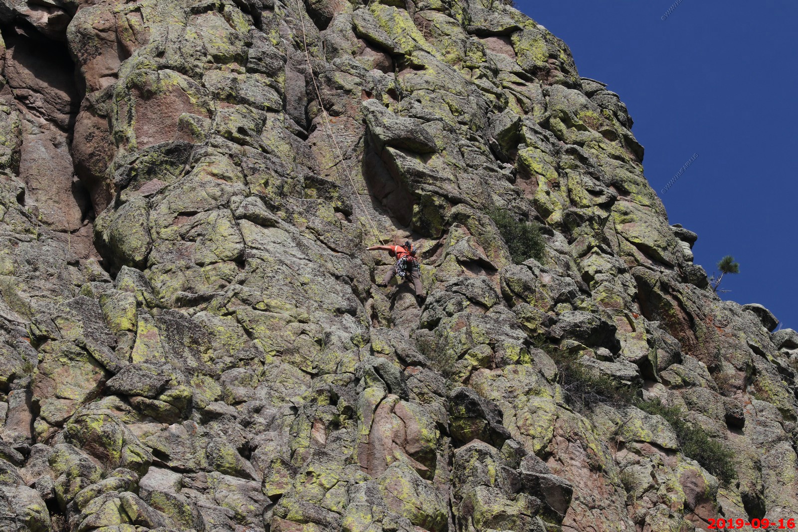
Taken from the east side. 11 photos stitched together. You can see a number of rock climbers in various locations.
This was hard to find but I found it. The 1893 wooden stake ladder.
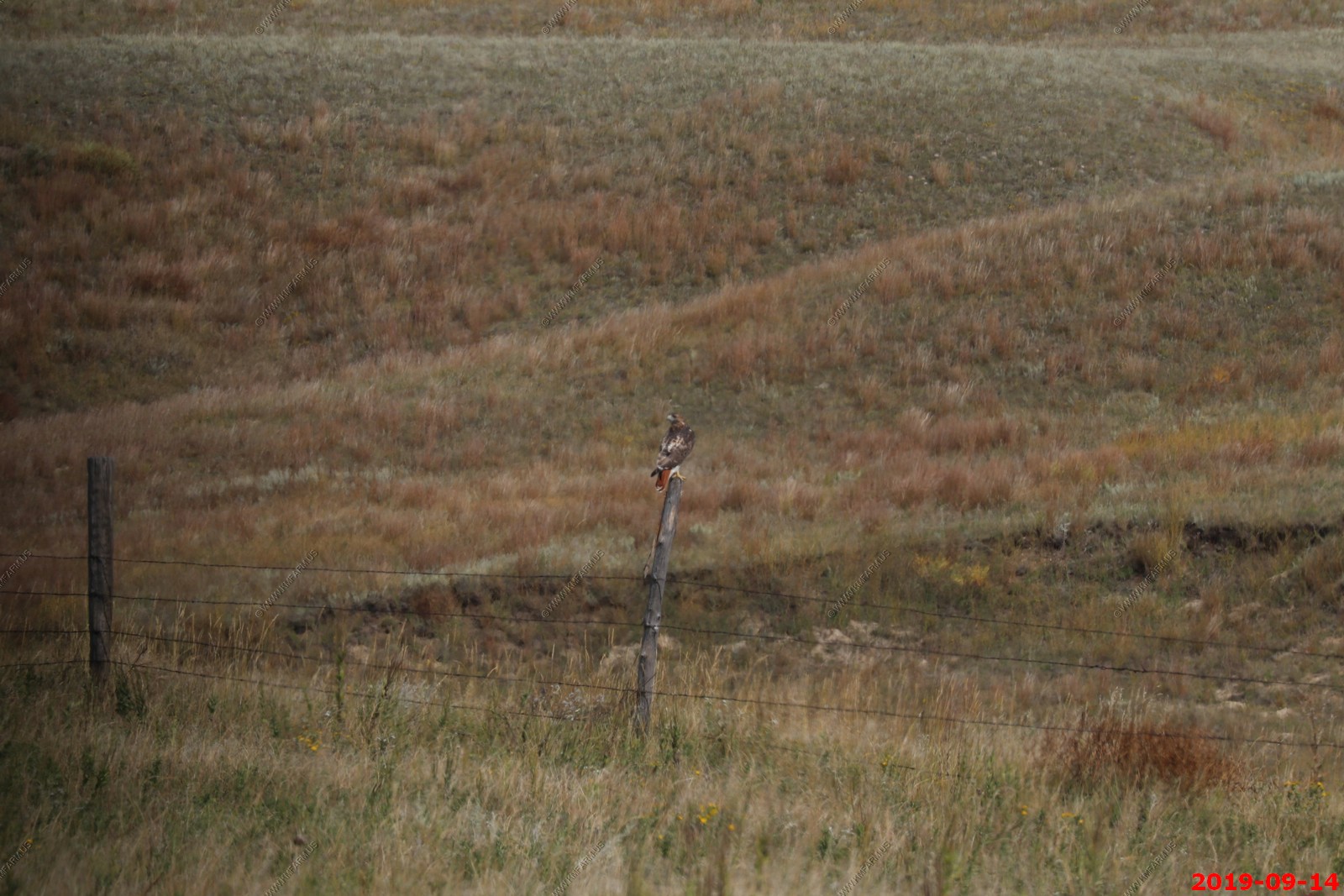
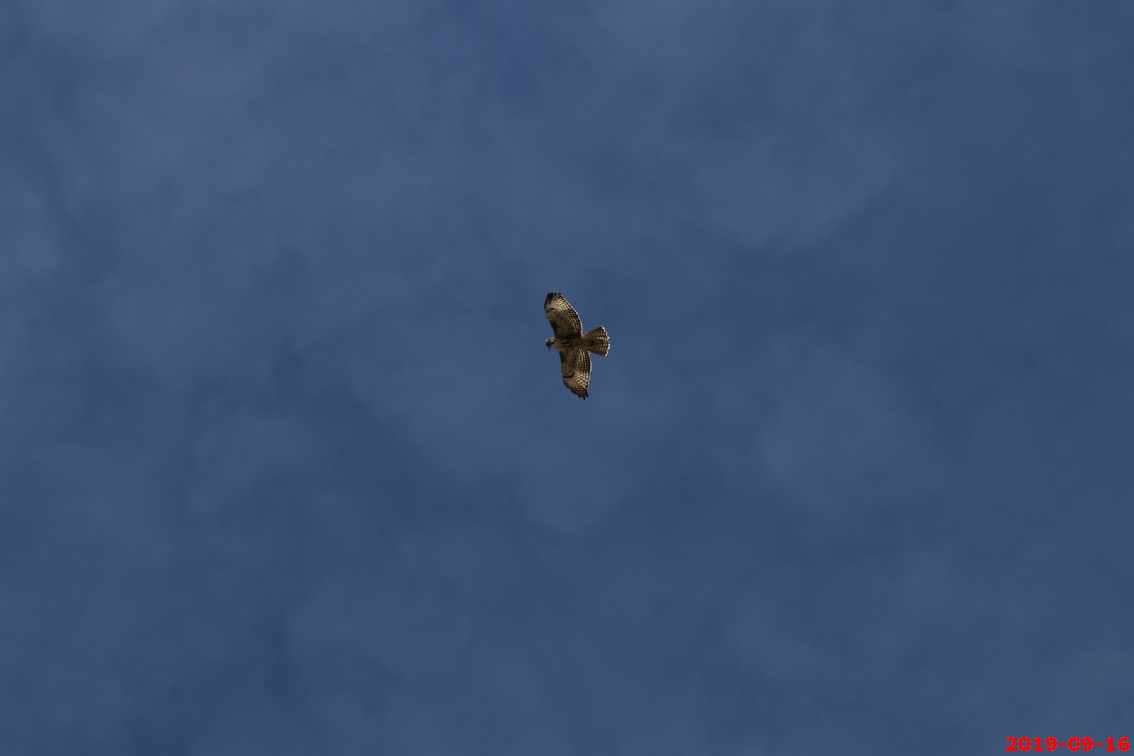
Hawk
East side area.
This area is right up against the tower.
It really opens up on the west side of the tower (Various views).
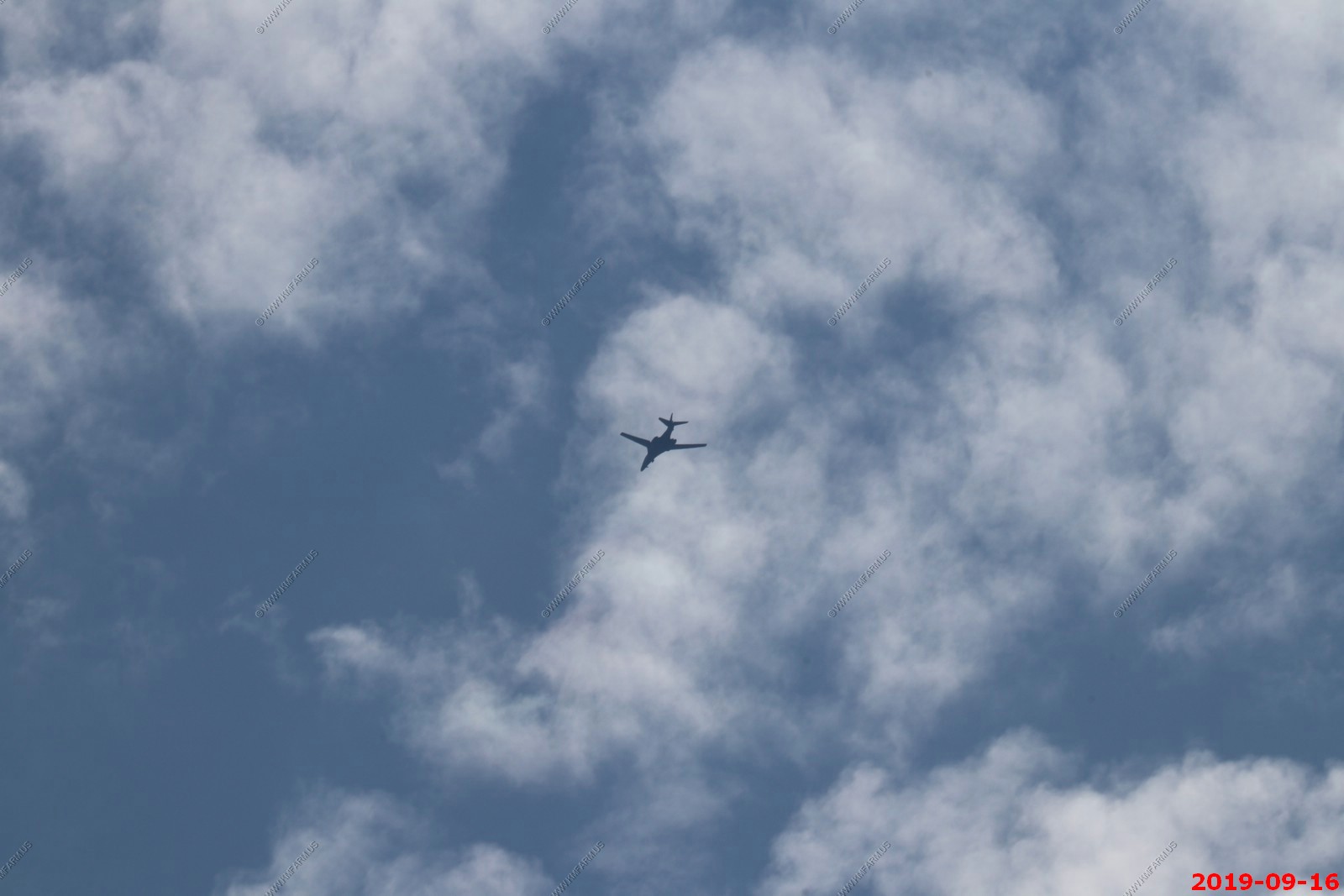
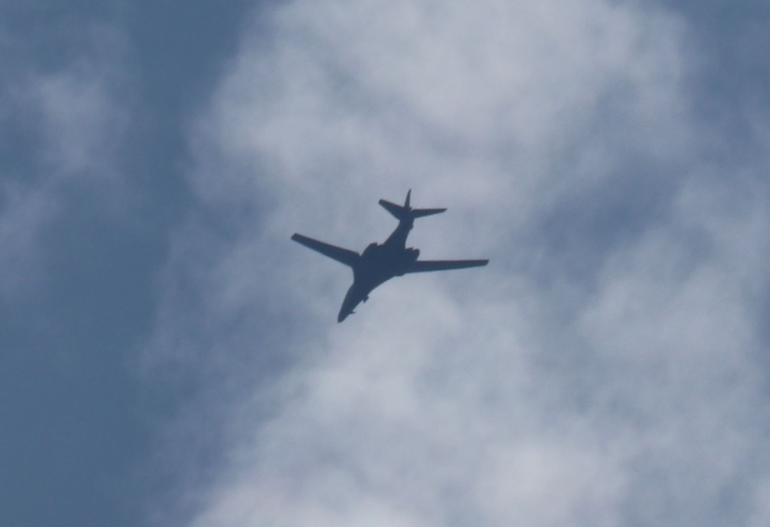
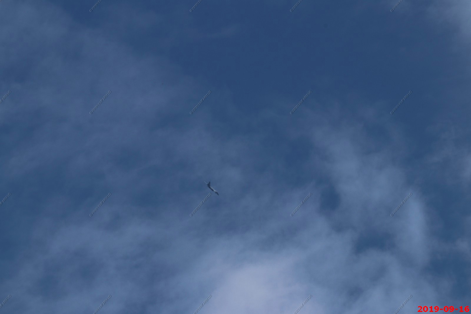
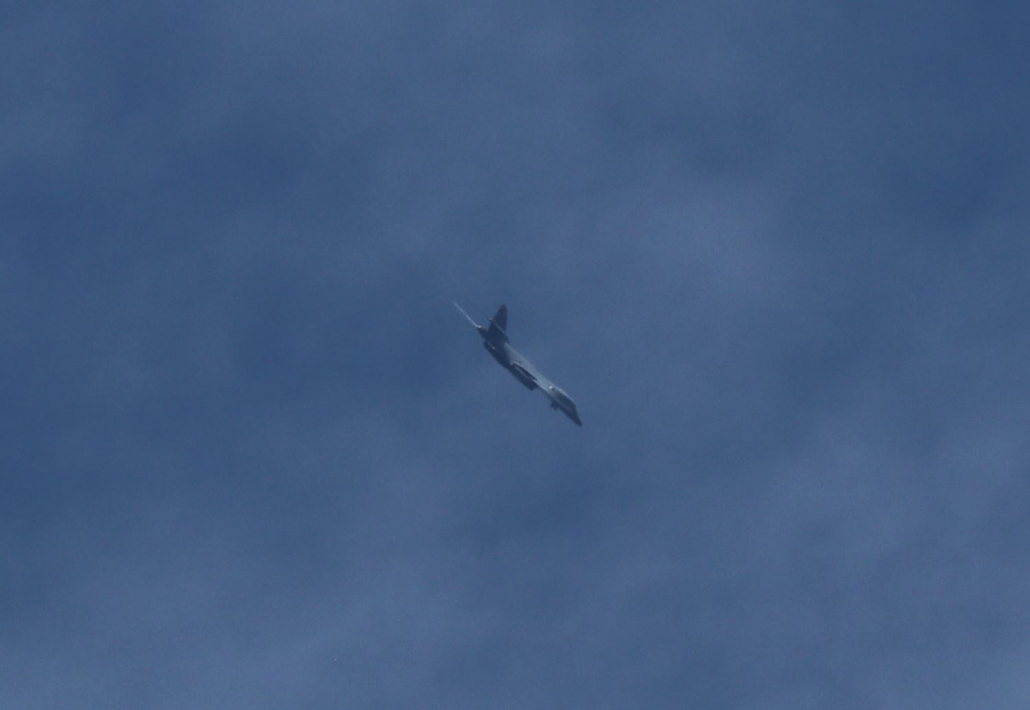
Very cool. A B-1 Lancer flew over a couple of times.
Back at the visitor center. It was busy but not that bad.
This view as we were leaving shows that it's not as symmetrical as you would believe from the visitor center.
Various views as we were leaving.
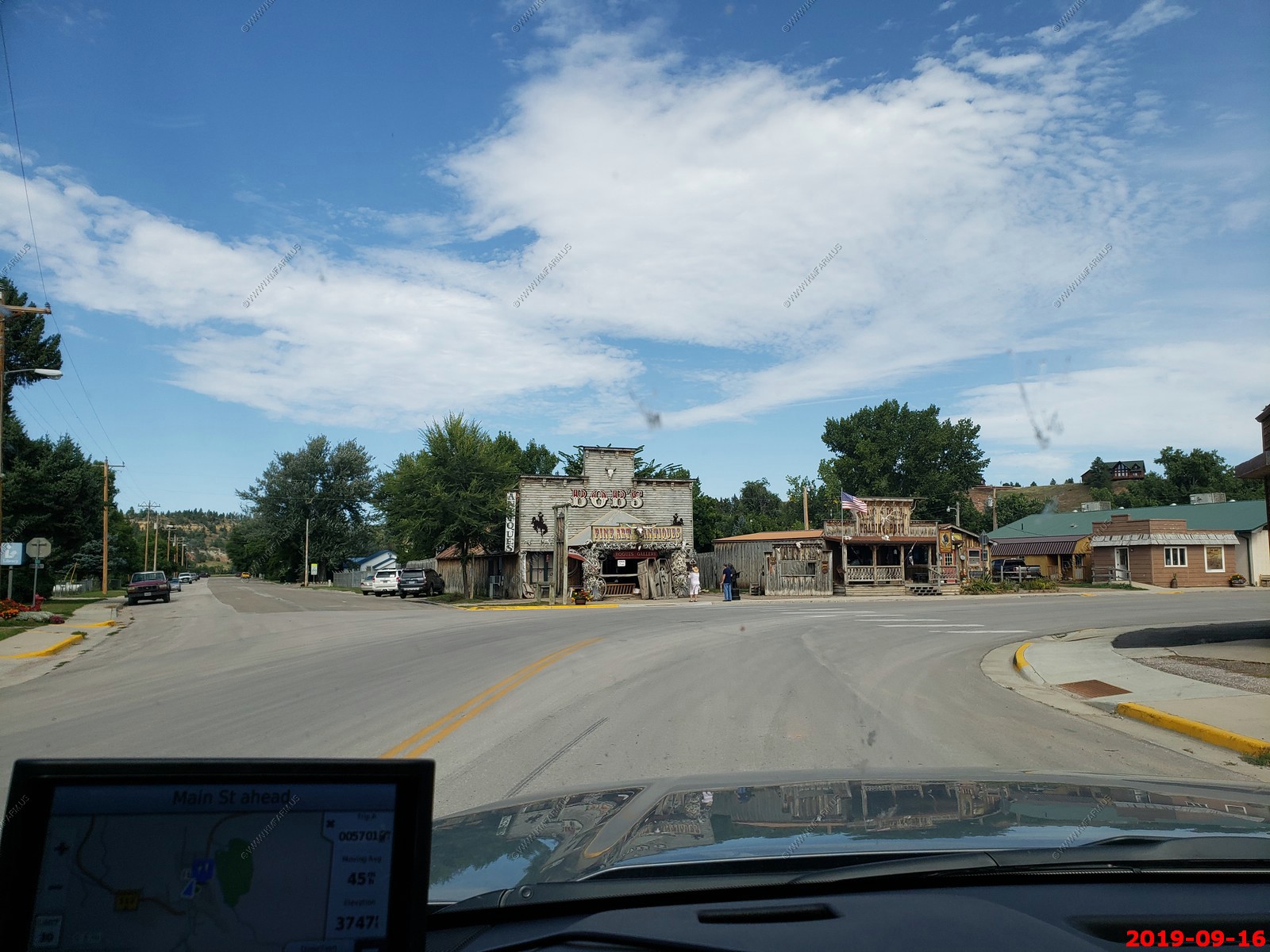
Driving thru Hulett, Wyoming along WY-24.
Looking back west at the last view of Devils Tower along WY-24. This was near 44.7011497N, -104.4847714W. You could see the Missouri Buttes to the west and north of Devils Tower.
Interesting very large hay bales along WY-24.
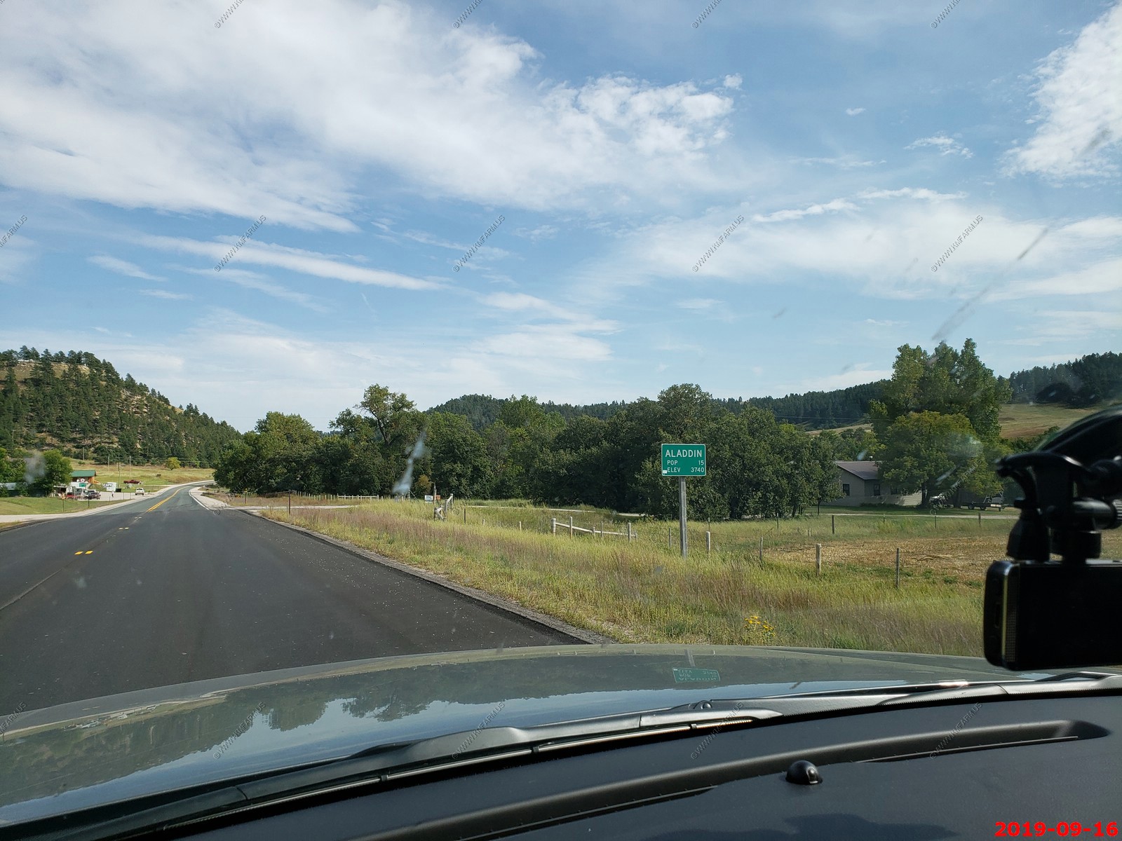
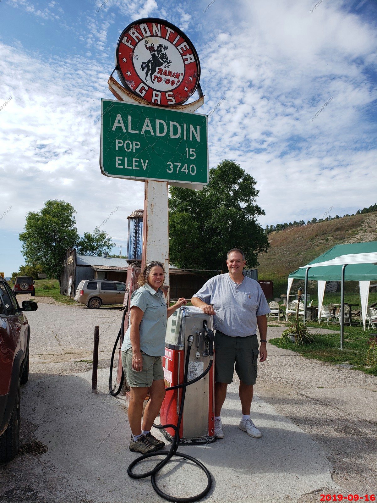
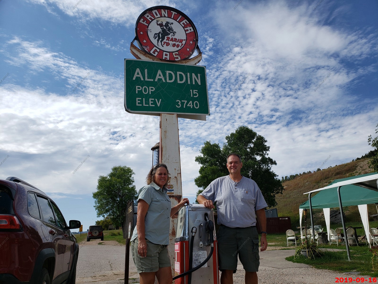
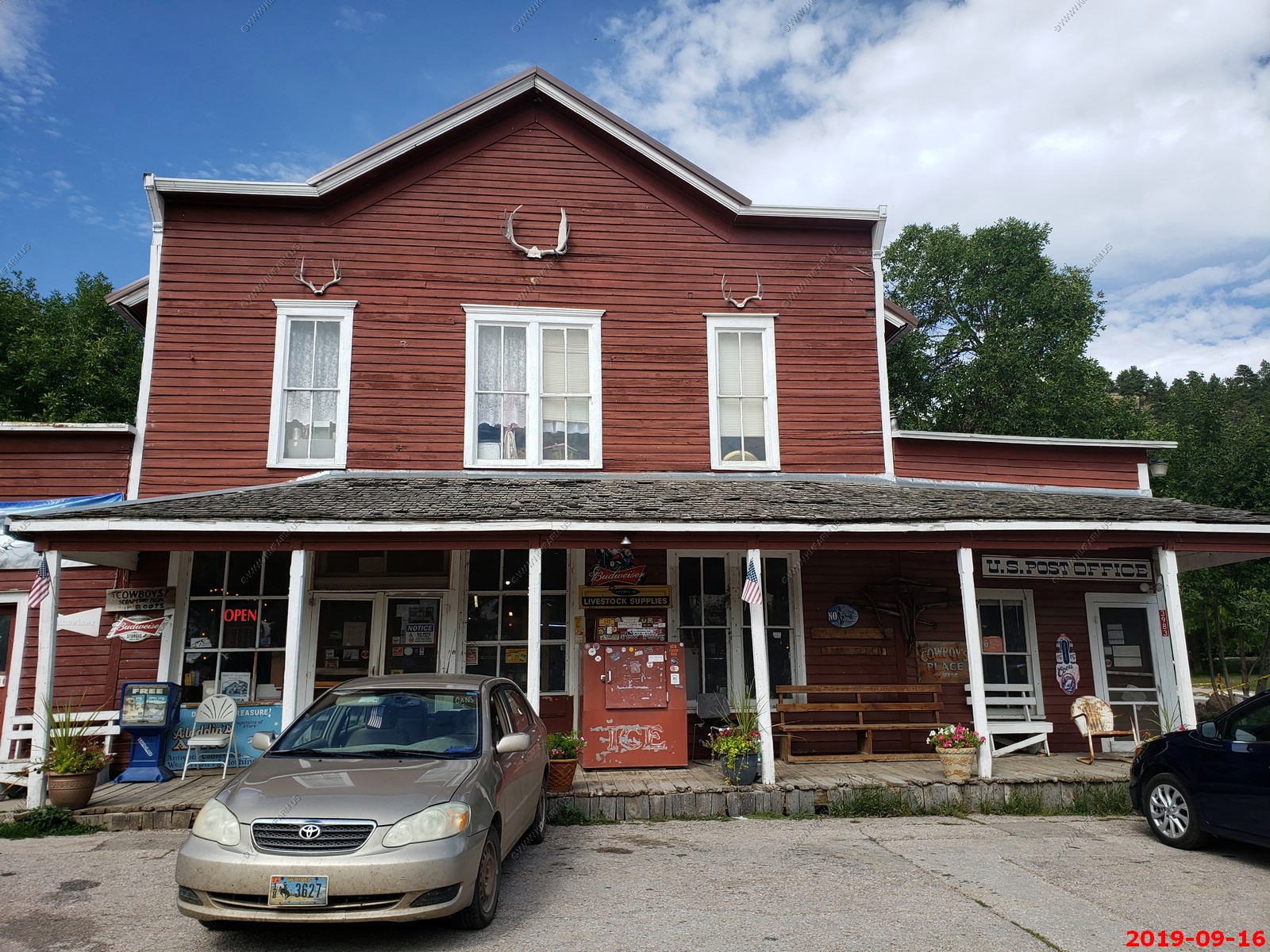
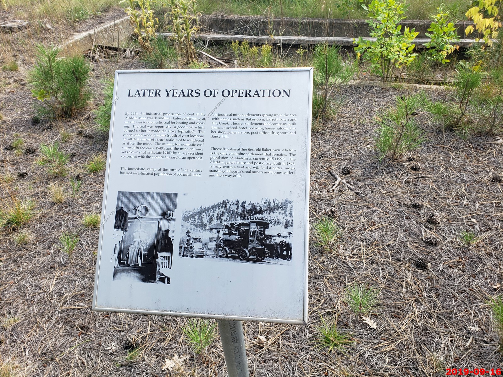
We stopped in Aladdin, Wyoming El. 3,740 dt. Population - 15. Aladdin is unincorporated, it has a post office, with the ZIP code of 82710 the post office is located in the town's general store, which was established in 1896, serving as a commissary for local coal workers.
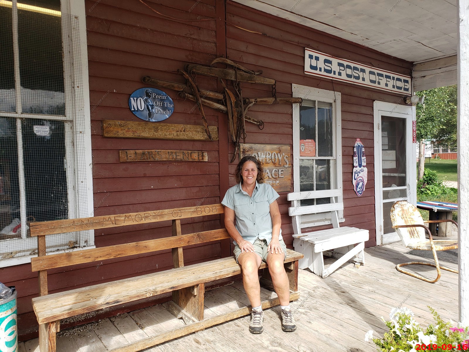
Cool place. I wanted to pee off the porch & the bench was in memory of Bob.
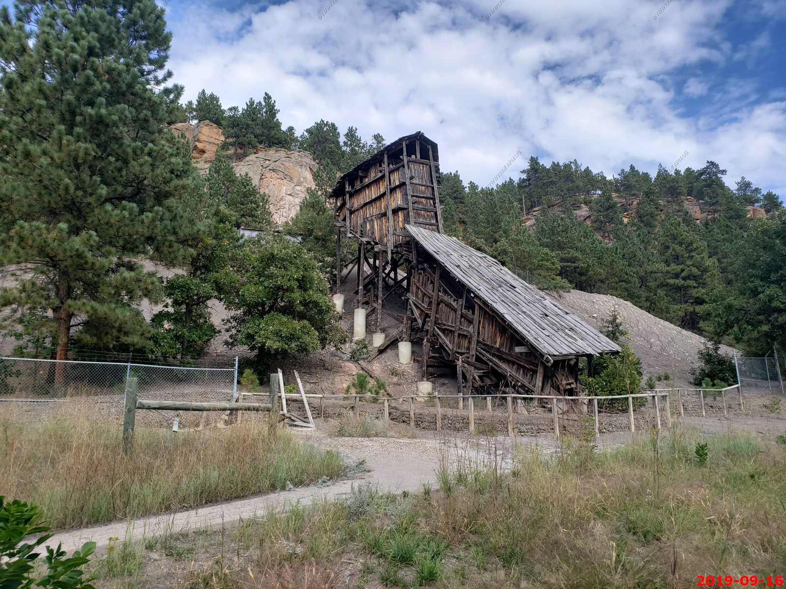
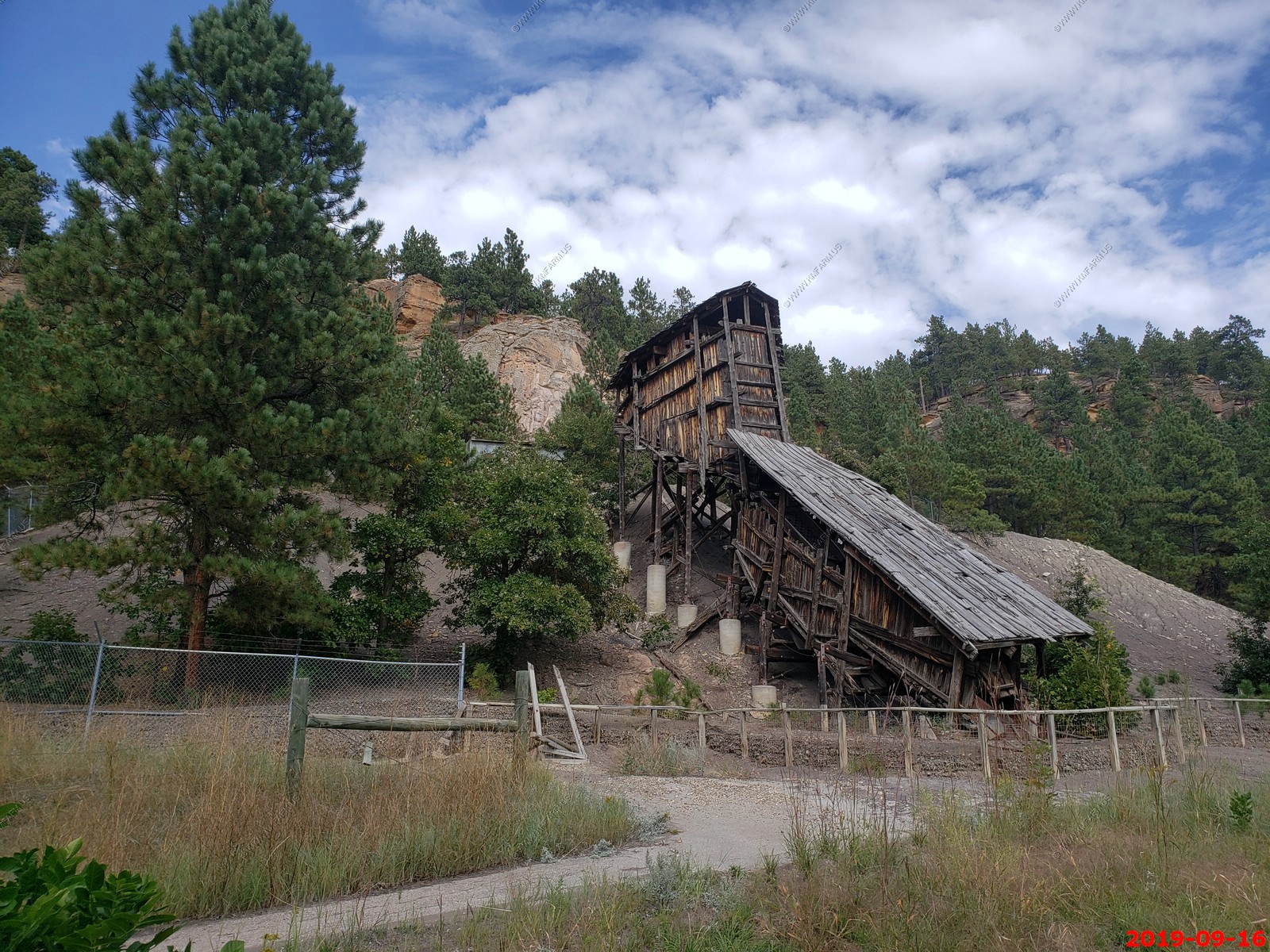
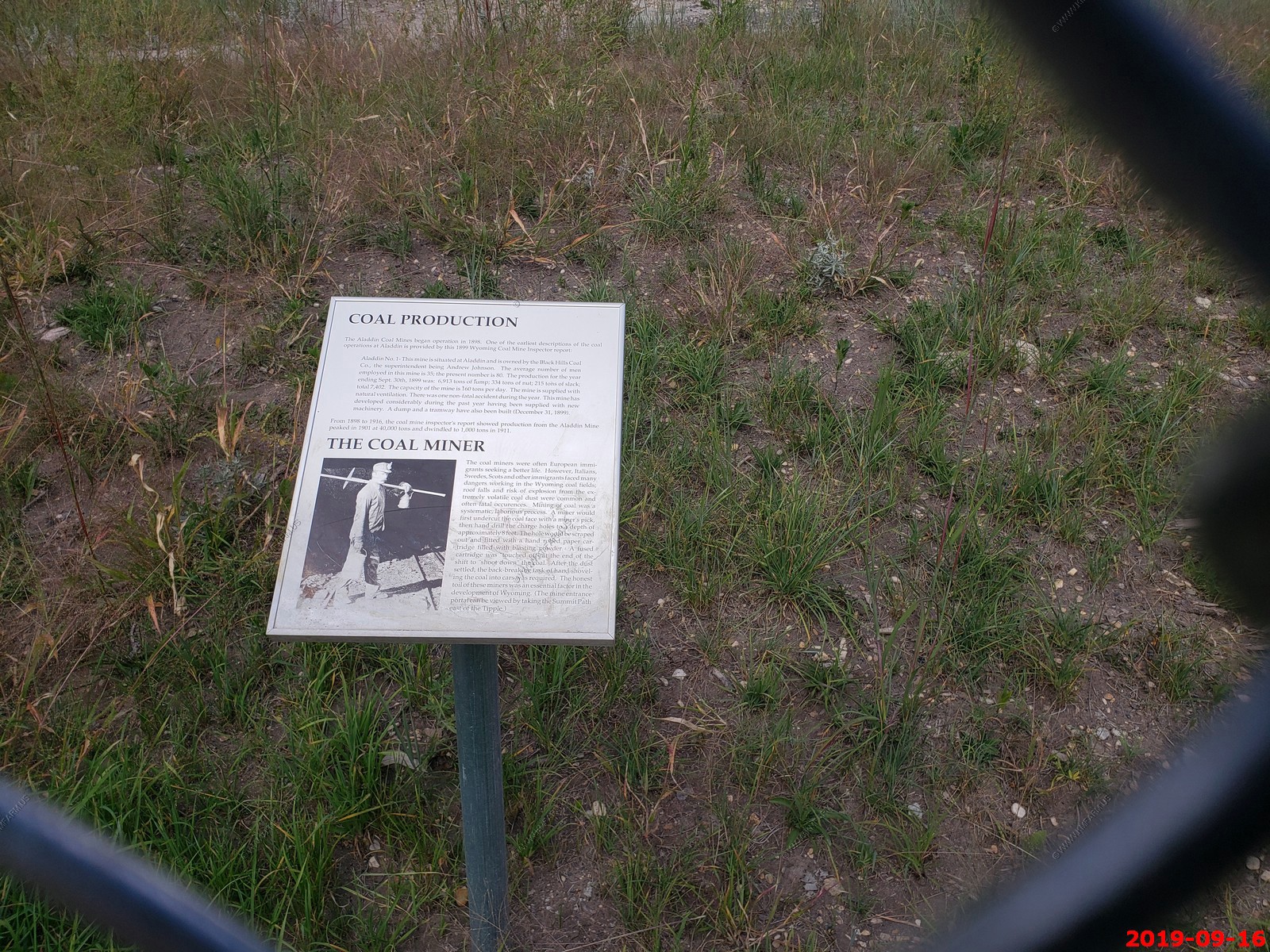
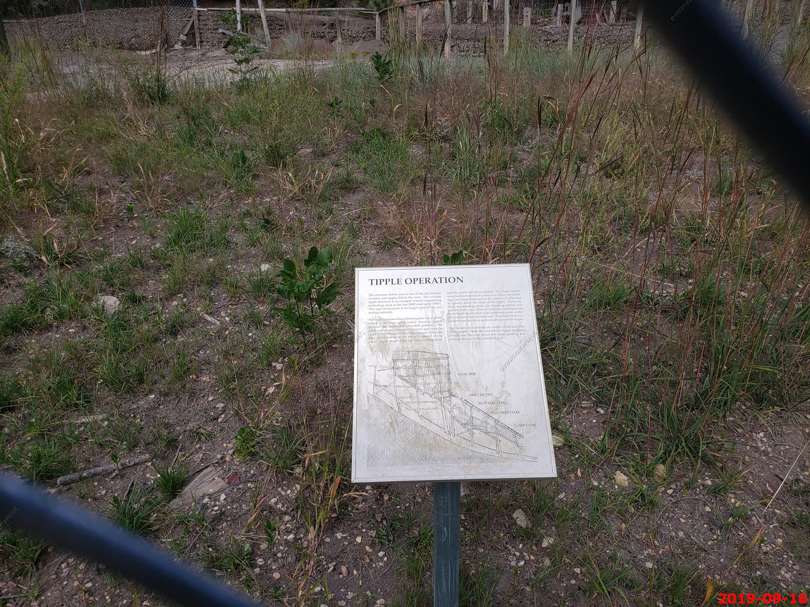
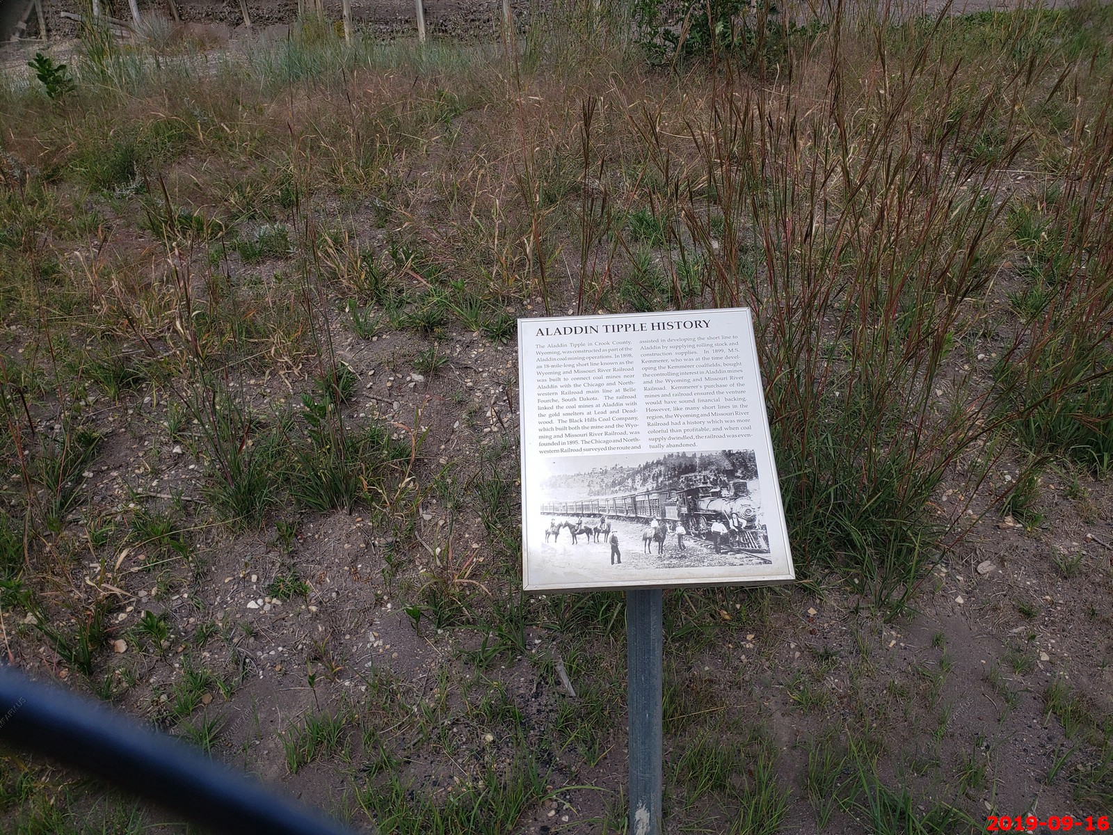
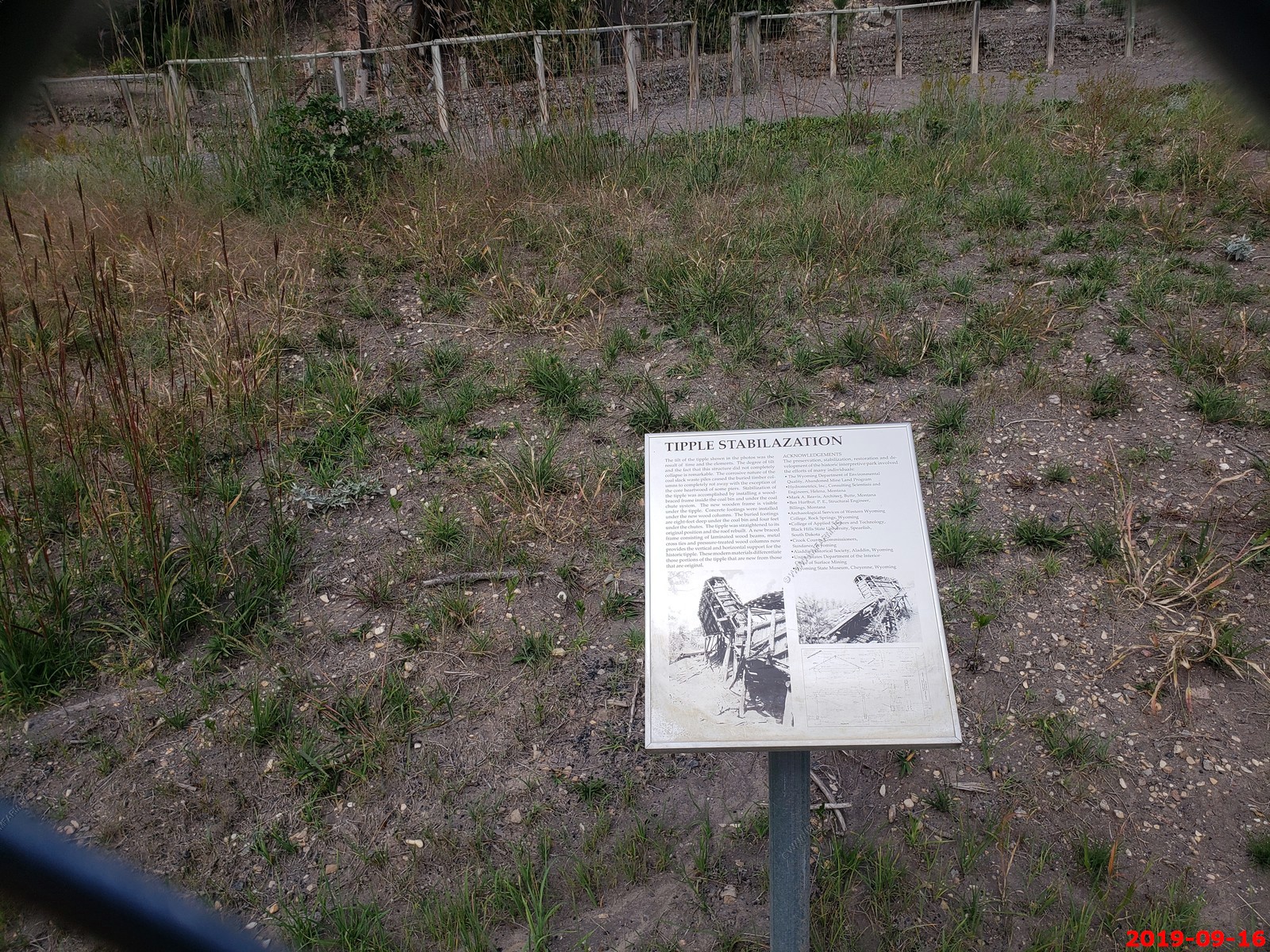
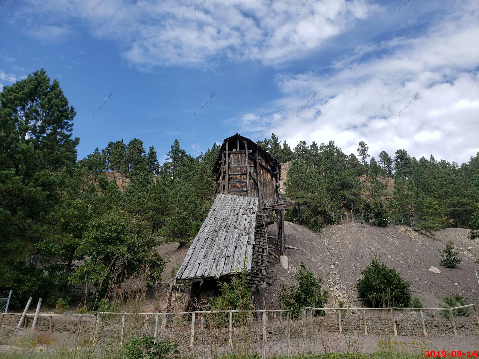
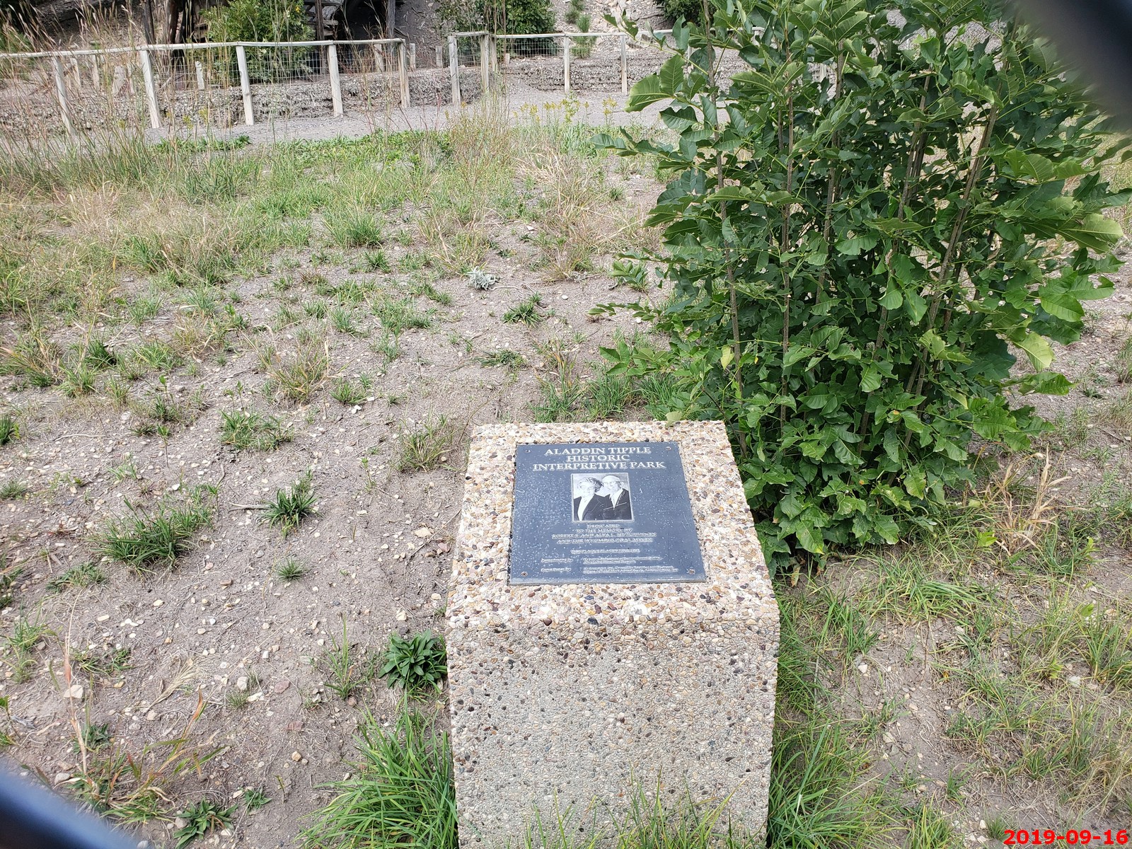
We made a quick stop at Aladdin Tipple - Historical Interpretive Park.
The Aladdin Tipple in Crook County, Wyoming, was constructed as part of the Aladdin coal mining operations. In 1898, an 18-mile-long short line known as the Wyoming and Missouri River Railroad was built to connect coal mines near Aladdin with the Chicago and Northwestern Railroad main line at Belle Fourche, South Dakota. The railroad linked the coal mines at Aladdin with the gold smelters at Lead and Deadwood. The Black Hills Coal Company, which built both the mine and the Wyoming and Missouri River Railroad, was founded in 1895. The Chicago and Northwestern Railroad surveyed the route and assisted in developing the short line to Aladdin by supplying rolling stock and construction supplies. In 1899, M.S. Kemmerer, who was at the time developing the Kemmerer coalfields, bought the controlling interest in Aladdin mines and the Wyoming and Missouri River Railroad. Kemmerer's purchase of the mines and railroad ensured the venture would have sound financial backing. However, like many short lines in the region, the Wyoming and Missouri River Railroad had a history which was more colorful than profitable, and when coal supply dwindled, the railroad was eventually abandoned.

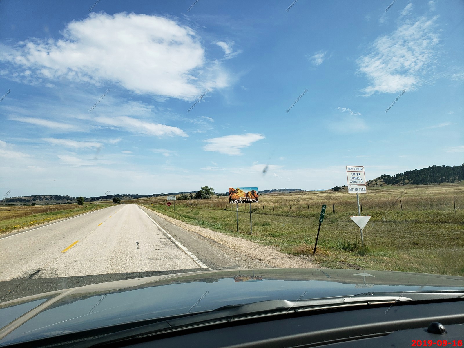
Back to South Dakota (SD-34) from Wyoming (WY-24).
Nice day today. 99 degrees and no humidity.
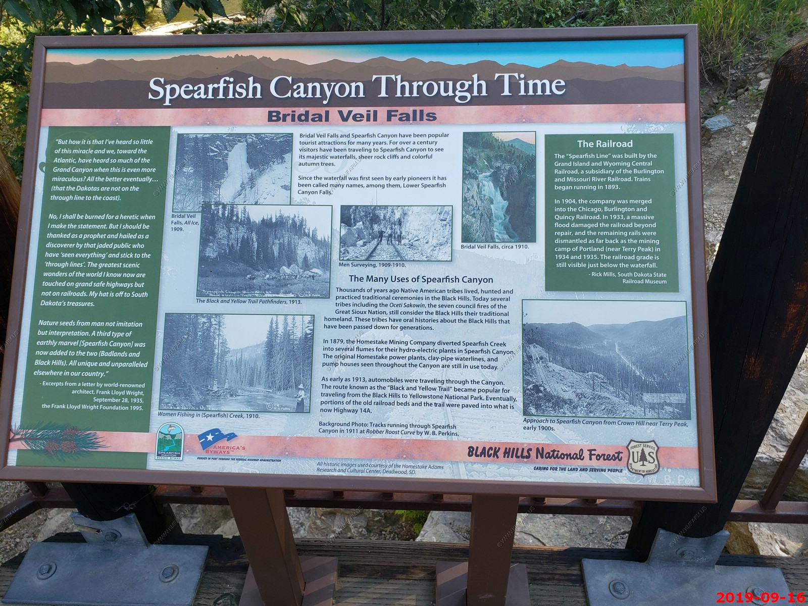
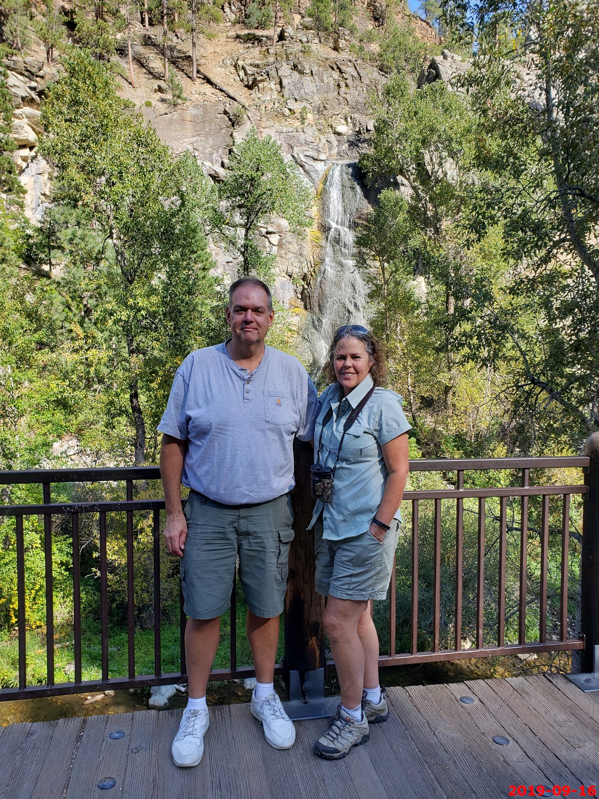
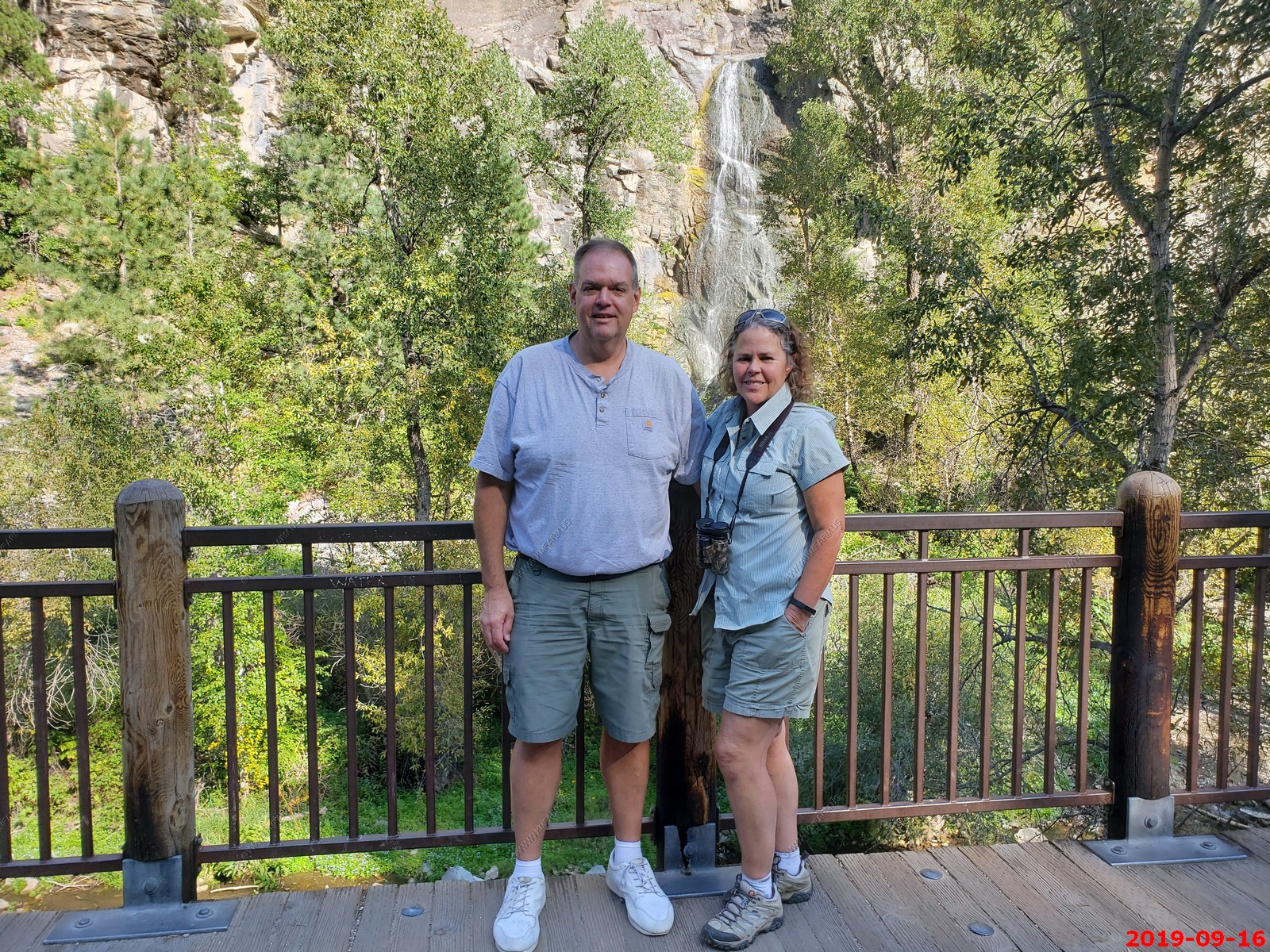
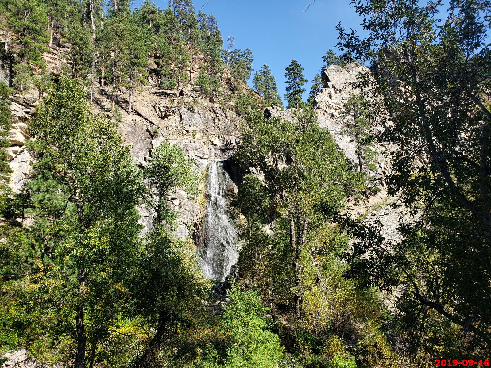
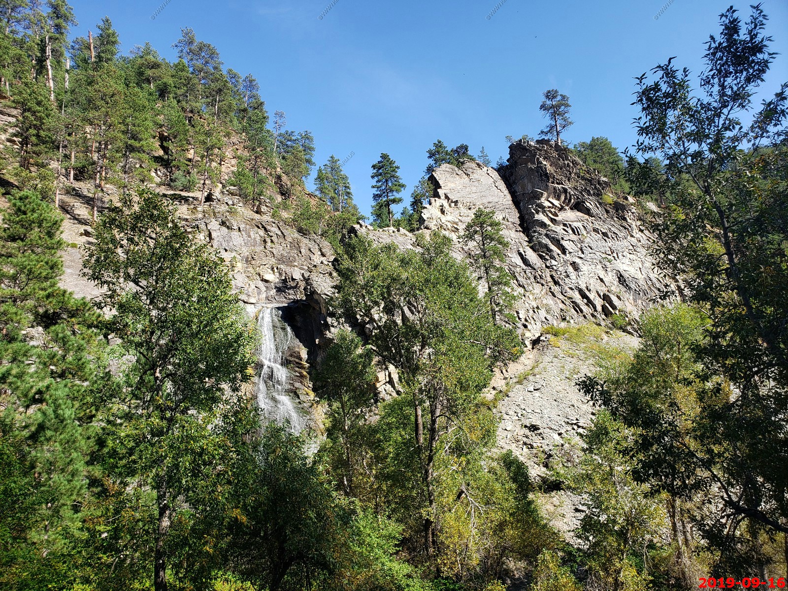
So heading back we took the Spearfish Canyon Scenic Byway - Thousand-foot-high limestone palisades in shades of brown, pink and gray tower to the right and left of Highway 14A as it twists through the 19-mile gorge.
We stopped at Bridal Veil Falls and it really was not that impressive at this time of year.
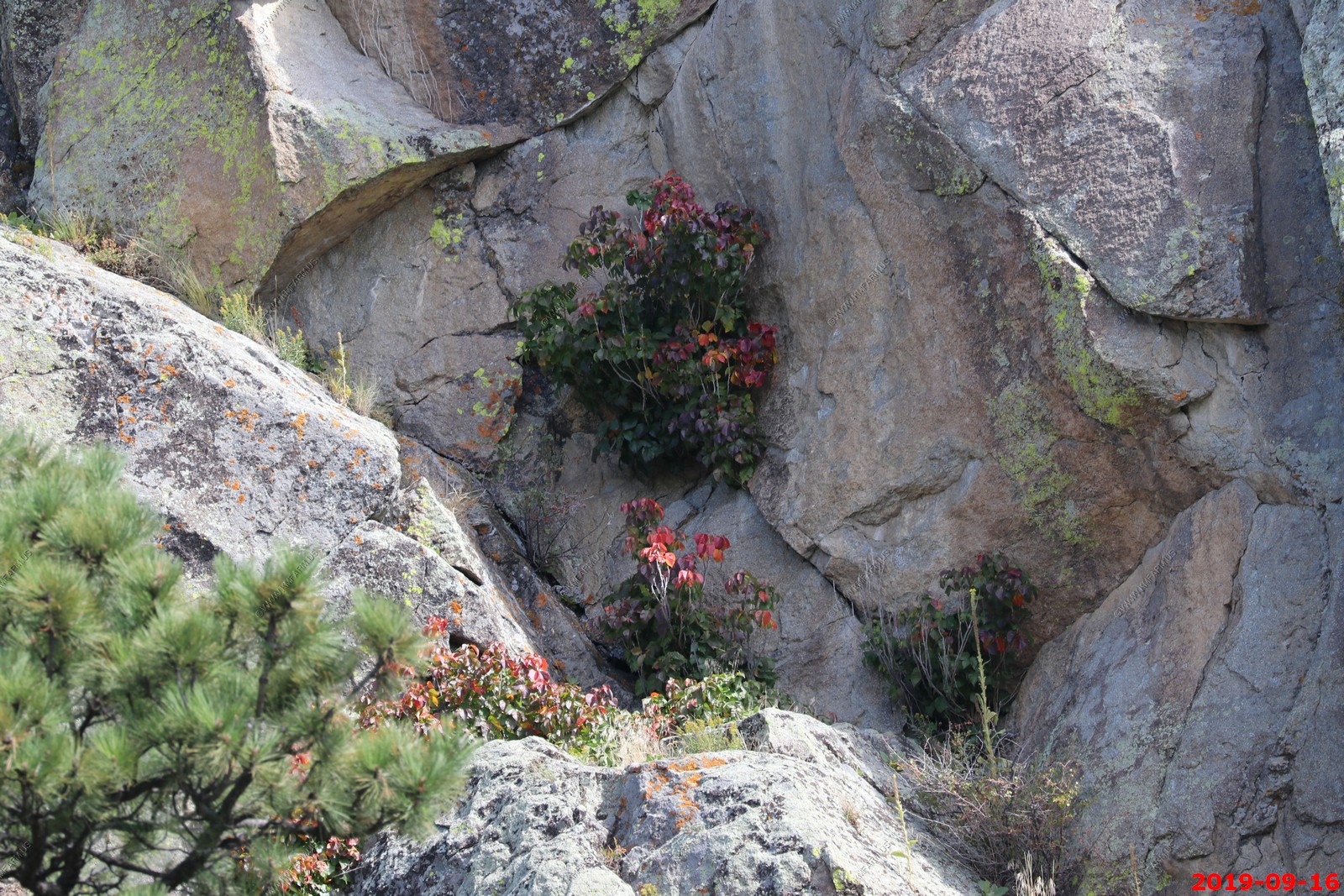
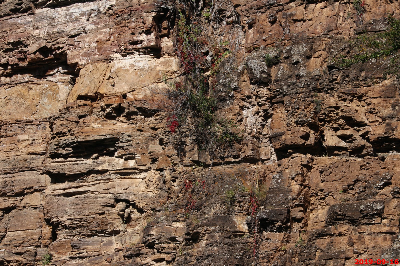
Red flowers on the cliff walls.
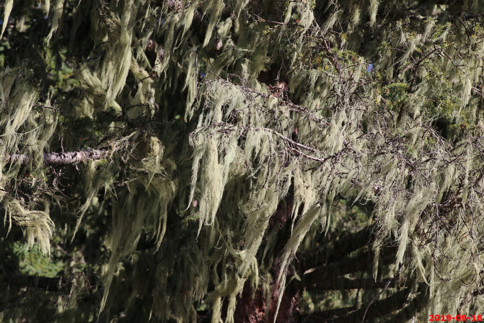
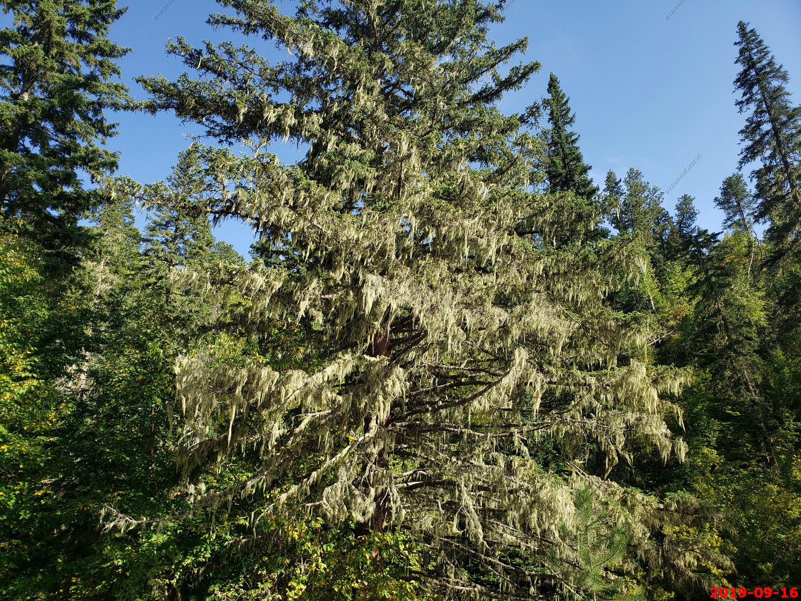
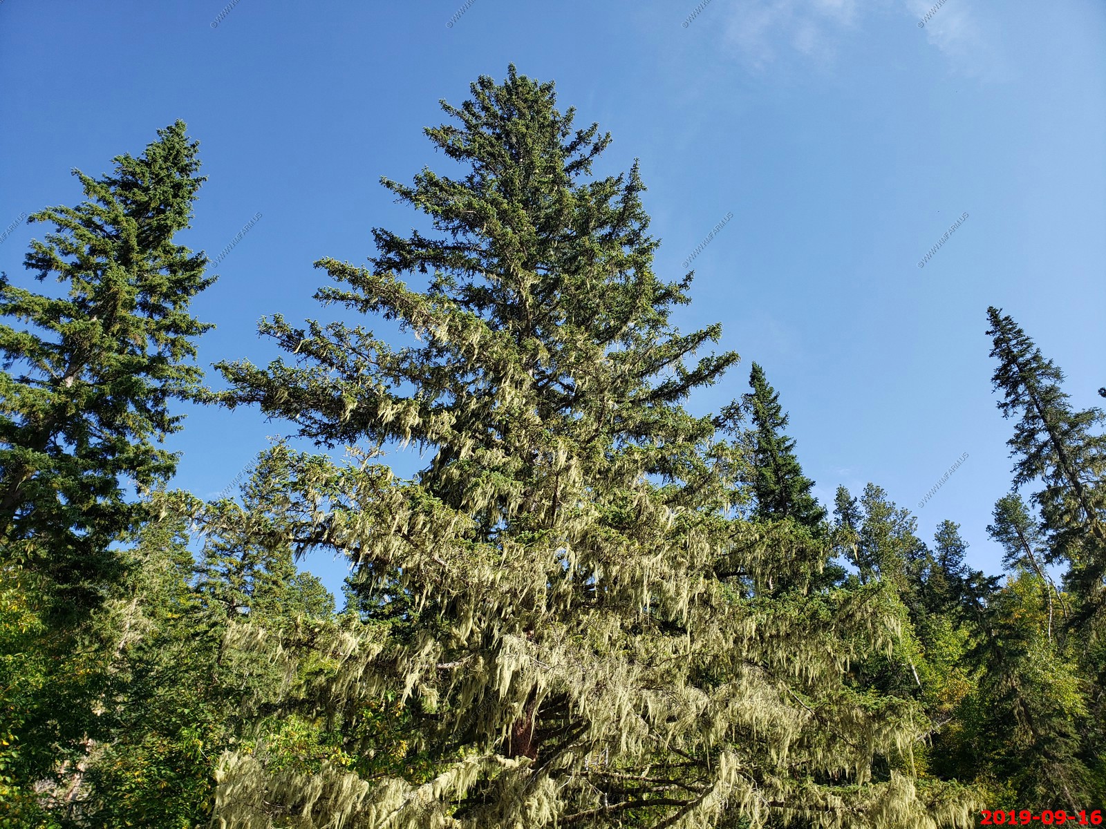
Looks like we are in Florida. Moss on the evergreen trees.
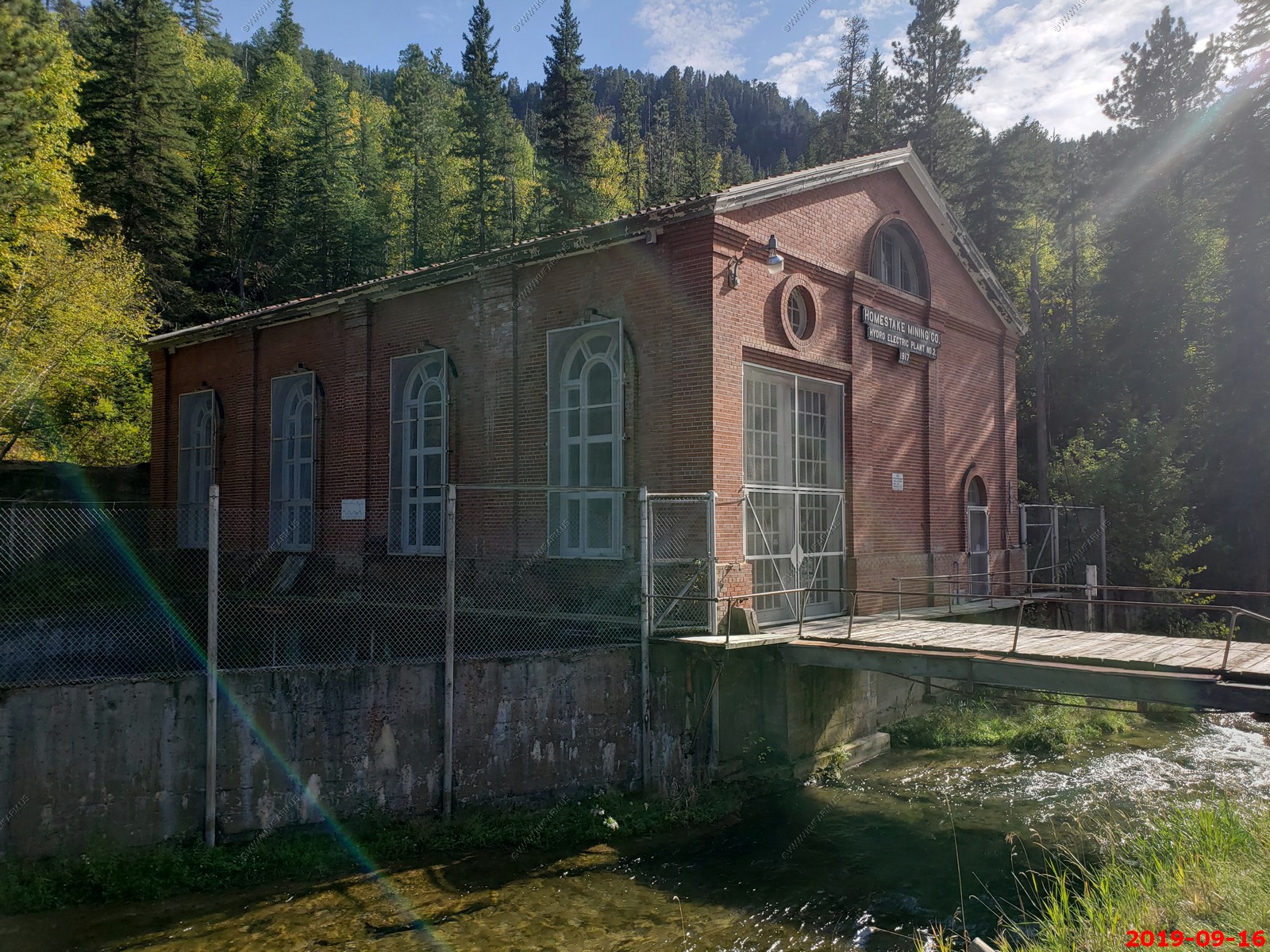
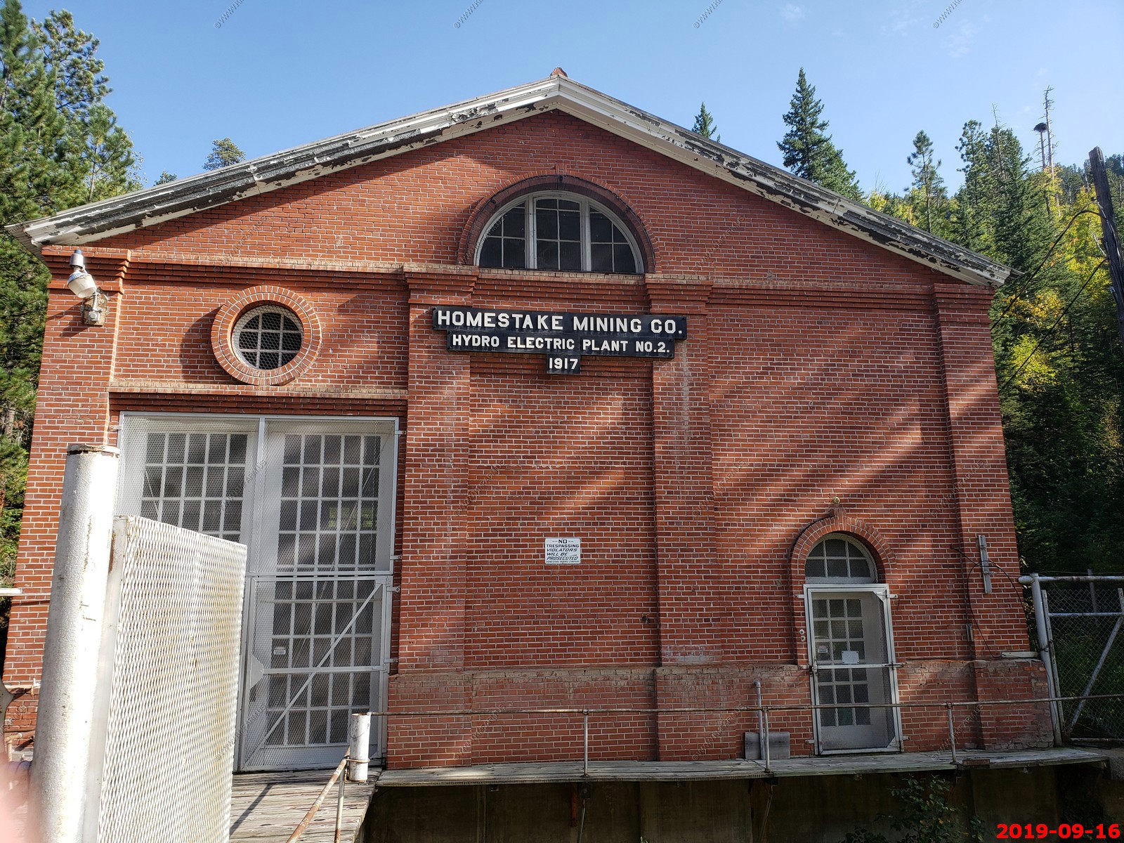
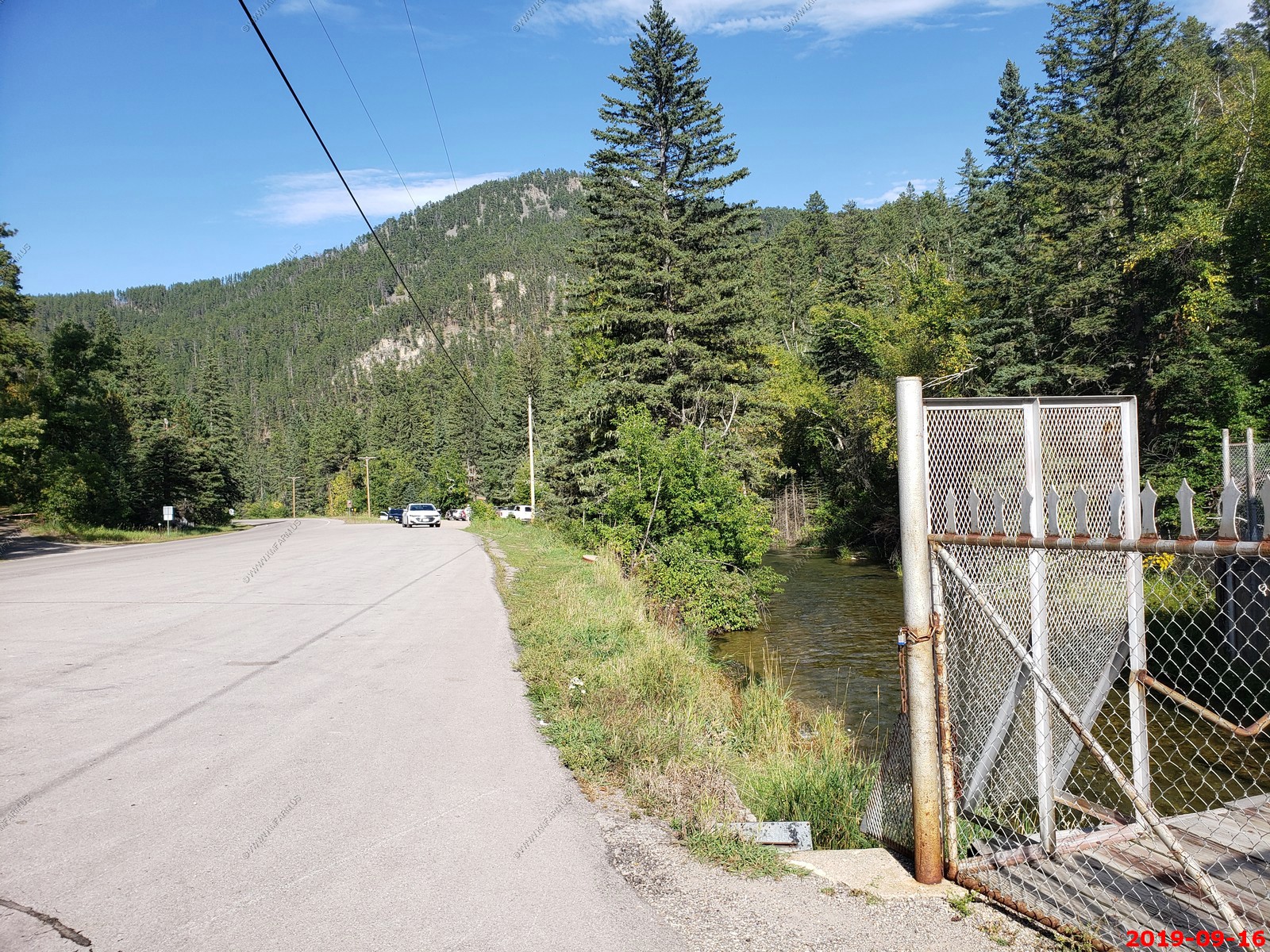
We walked around The Homestake Mining Company Hydro Electric Plant No. 2 was constructed in 1917 to supplement the power of Plant No. 1 which was built in 1910. They both contained turbines that provided power for the Homestake Mining Company's gold mining operation in Lead, South Dakota. The pipes that diverted the water to the plant were made of redwood and later lined with concrete. In 1947, a landslide damaged the conduit of the Hydro Electric Plant No. 2 and it was shut down. Plant No. 2 is now owned by SD Game, Fish and Parks. Plant No. 1 is still running and is owned by the City of Spearfish.
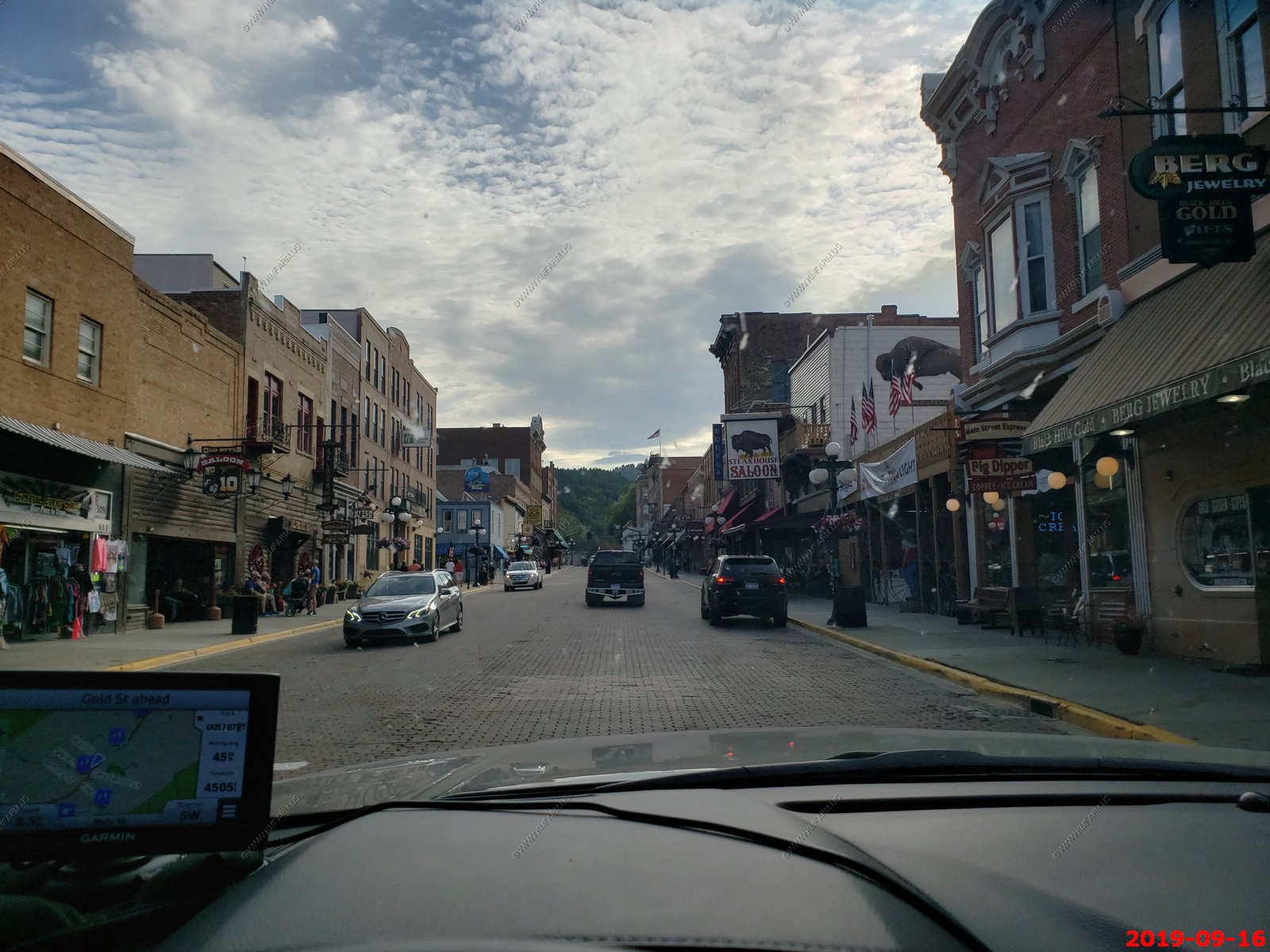
A ride down Main Street in Deadwood, South Dakota We did not walk around. Will do that on the next trip.
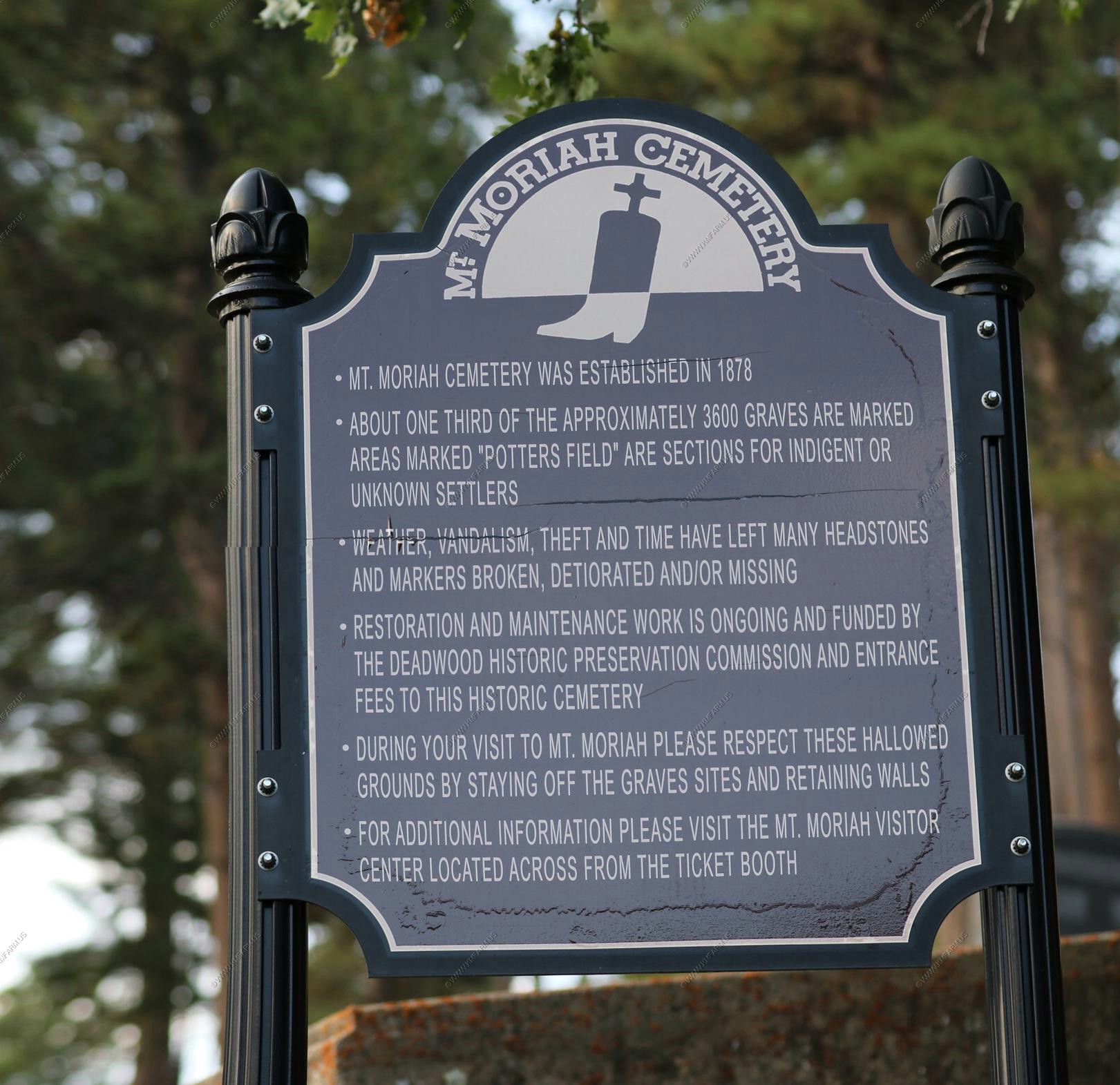
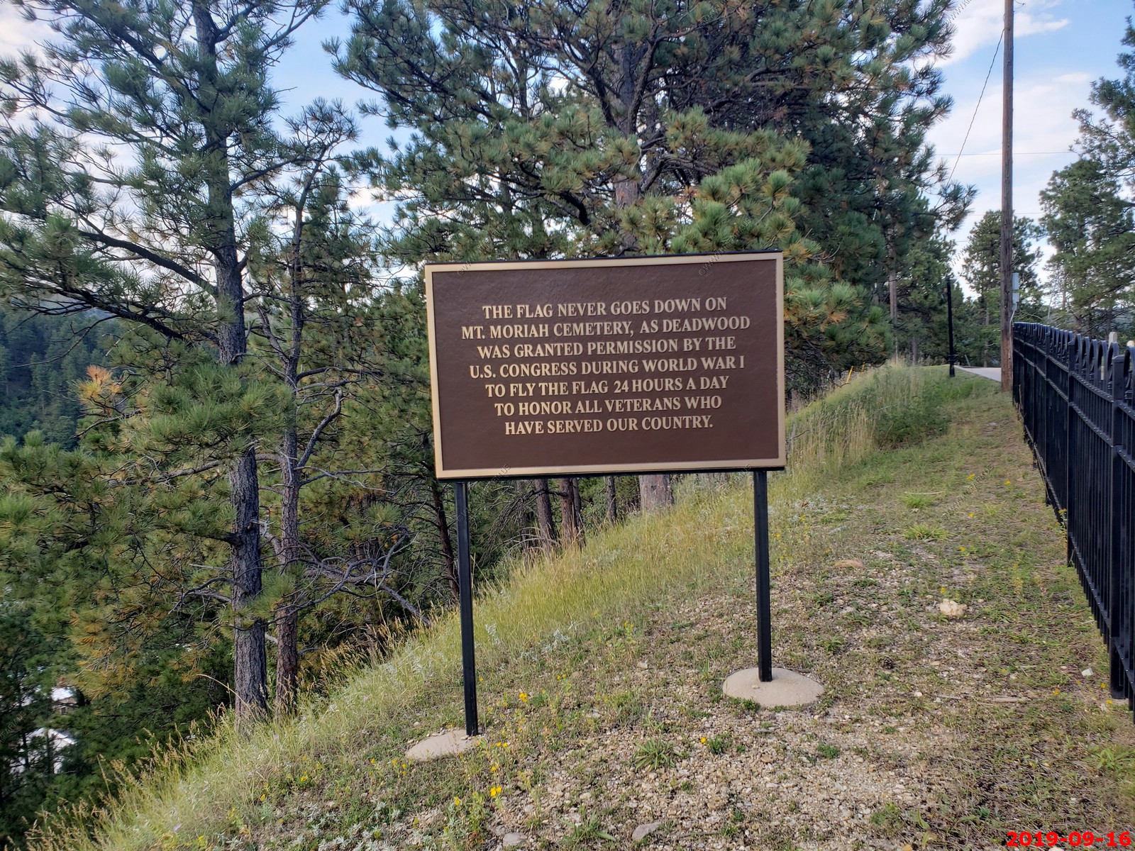
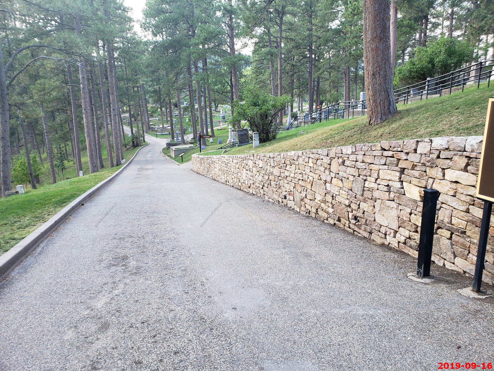
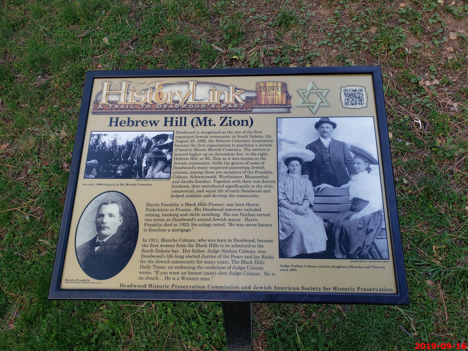
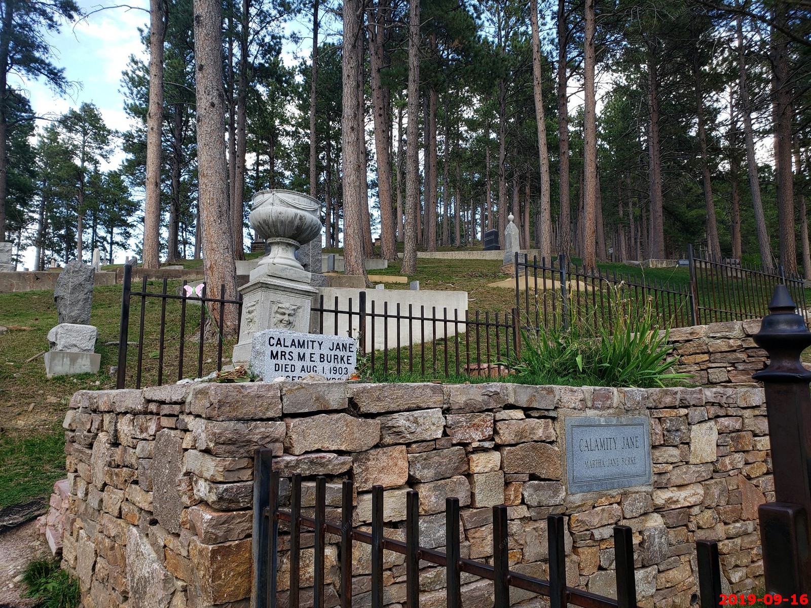
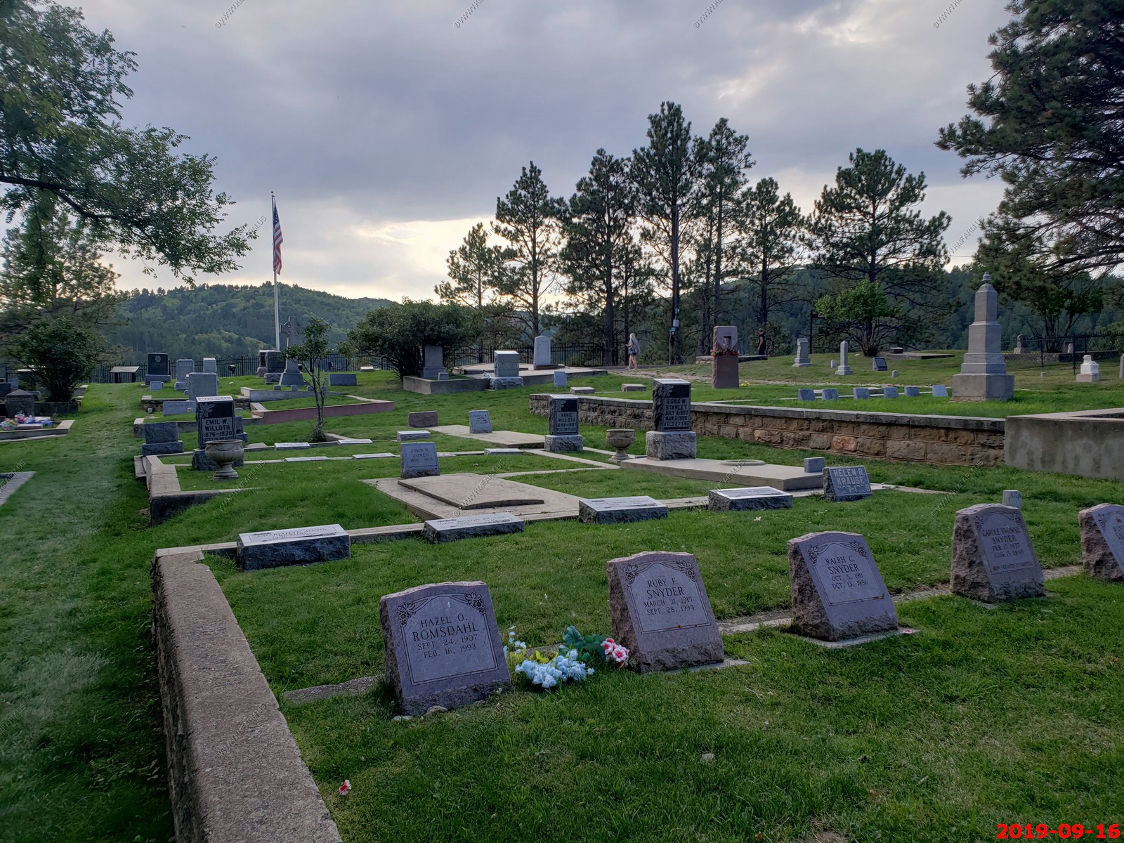
Mount Moriah Cemetery - on Mount Moriah in Deadwood, Lawrence County, South Dakota is the burial place of Wild Bill Hickok, Calamity Jane, Seth Bullock and other notable figures of the Wild West. By tradition, the American flag flies over the cemetery 24 hours a day, rather than merely from sunrise to sunset
In the early years of Deadwood, there were two graveyards: The Ingelside Cemetery, which was part of the way up Mount Moriah and was filled quickly in the first few years it was open, and the Catholic Cemetery. Many prospectors, miners, settlers, prostitutes and children were buried within the Ingelside Cemetery, alongside Wild Bill Hickok and Preacher Smith.[2]
In the 1880s it was determined that the land where Ingelside Cemetery was located could be better used for housing. Most of the bodies there were moved up the mountain to Mount Moriah and re-interred. However, since many graves were unmarked or unknown some were not moved. Today it is not uncommon for people working in their garden or remodeling a basement or shed to find human bones as a leftover from the Ingelside Cemetery days.
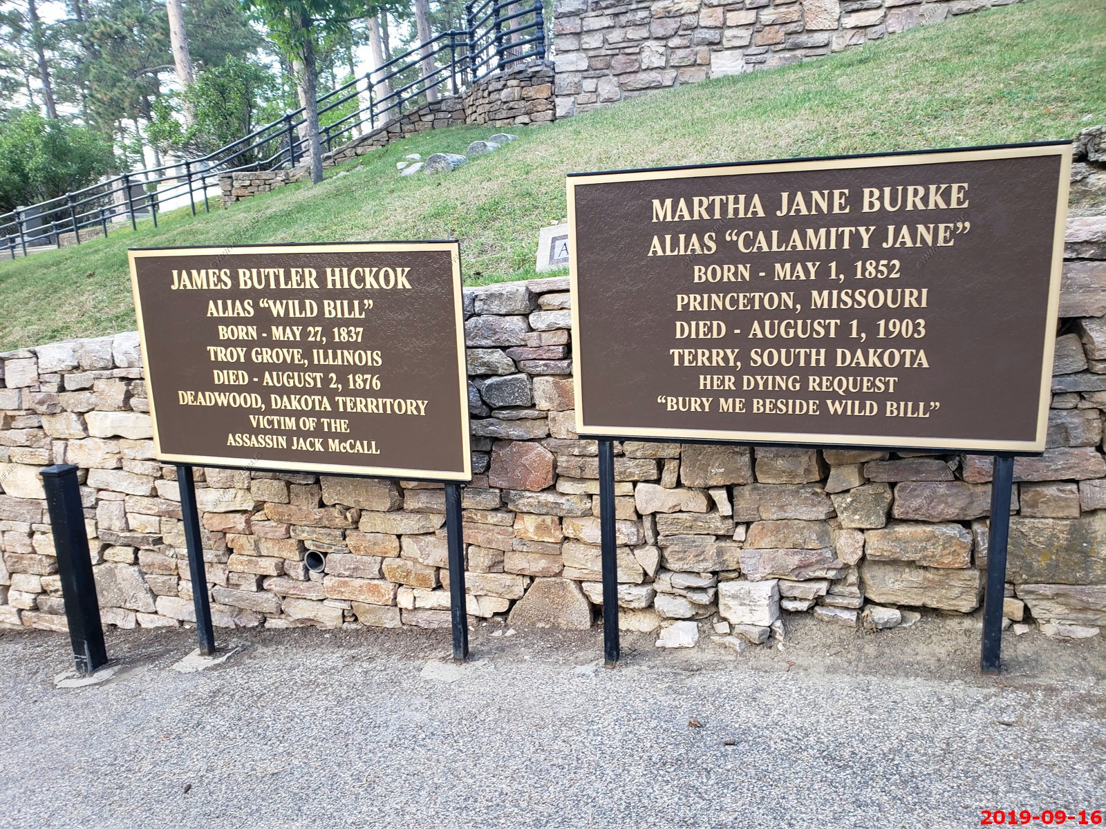
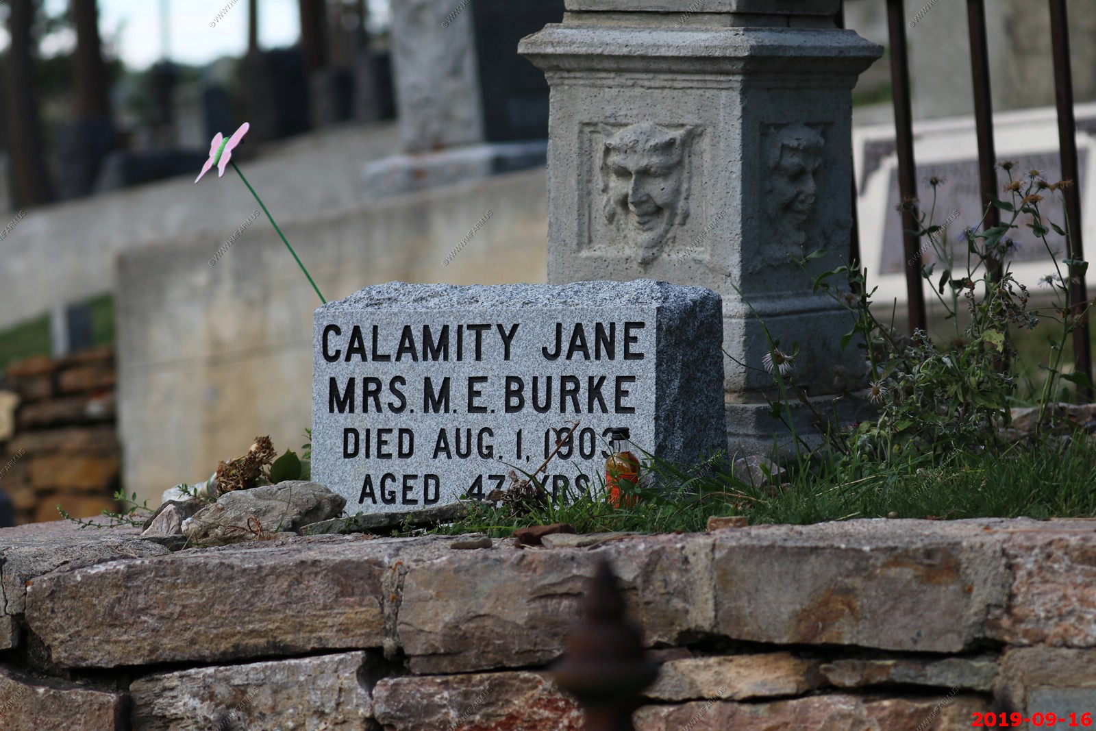
Mount Moriah's main attraction is Wild Bill's gravesite. Calamity Jane and Potato Creek Johnny are buried next to him.
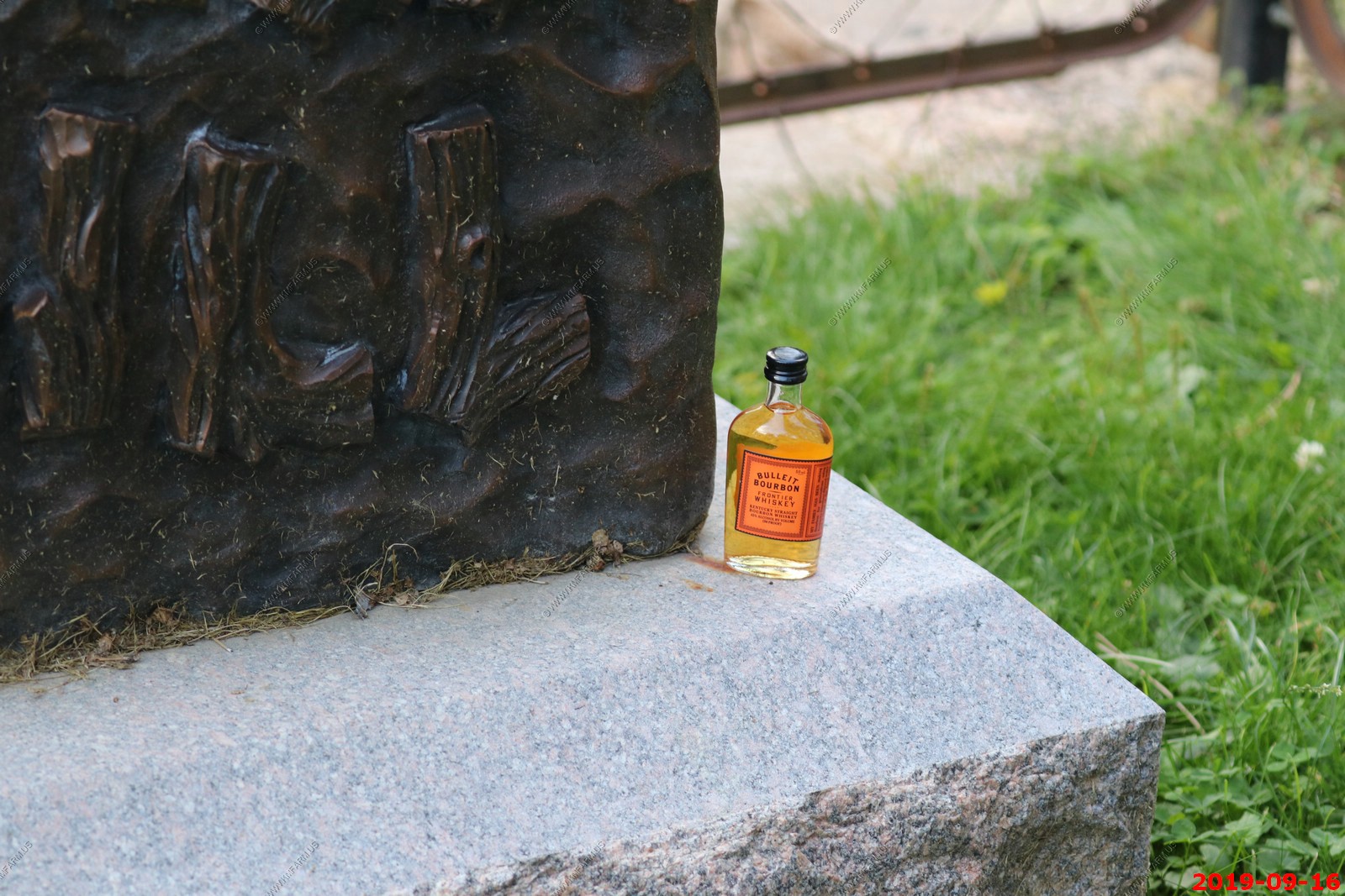
The gravesite of Wild Bill Hickok, Calamity Jane. Interesting that people were leaving bottles of Bulleit Bourbon at the grave.
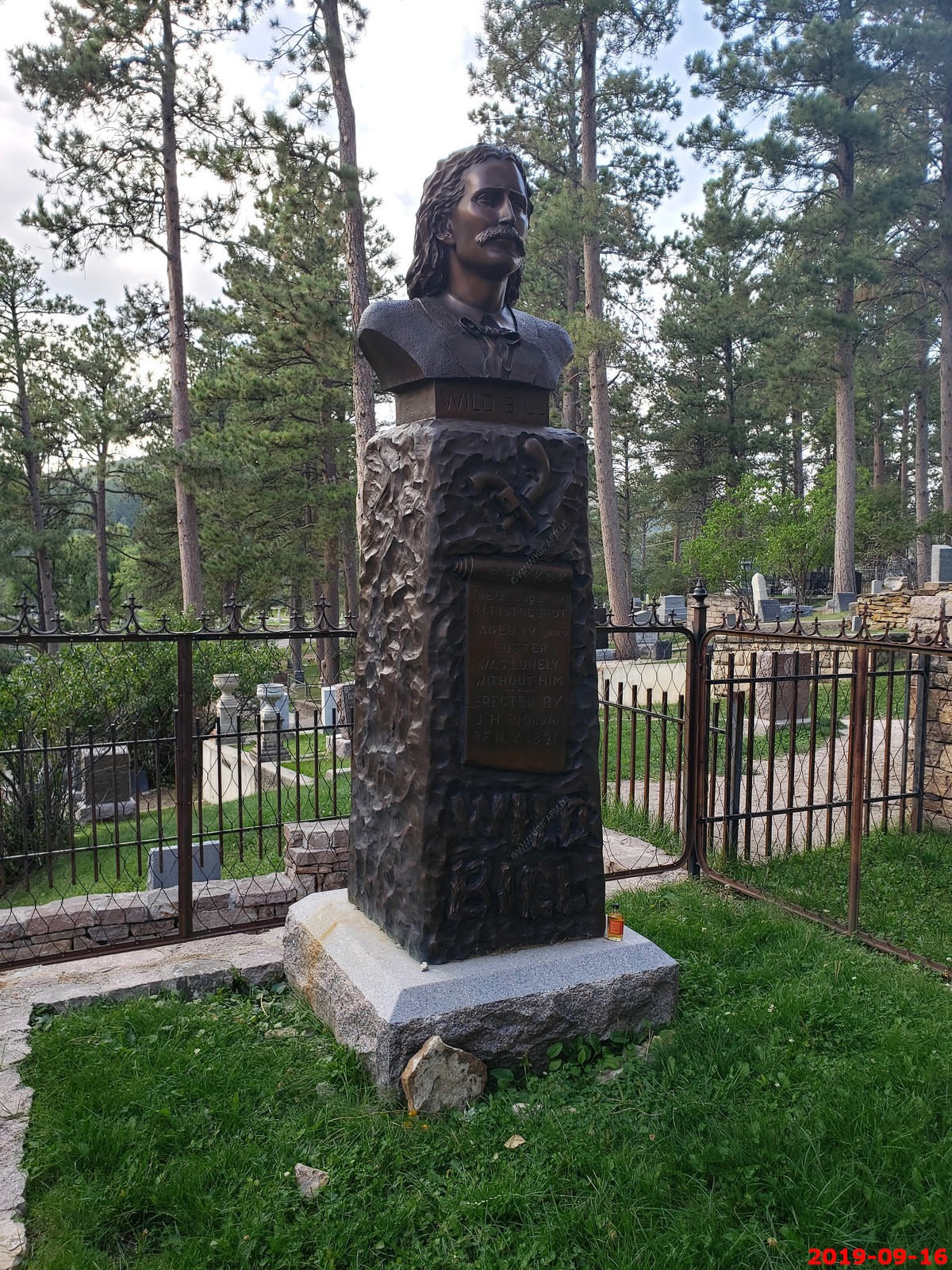
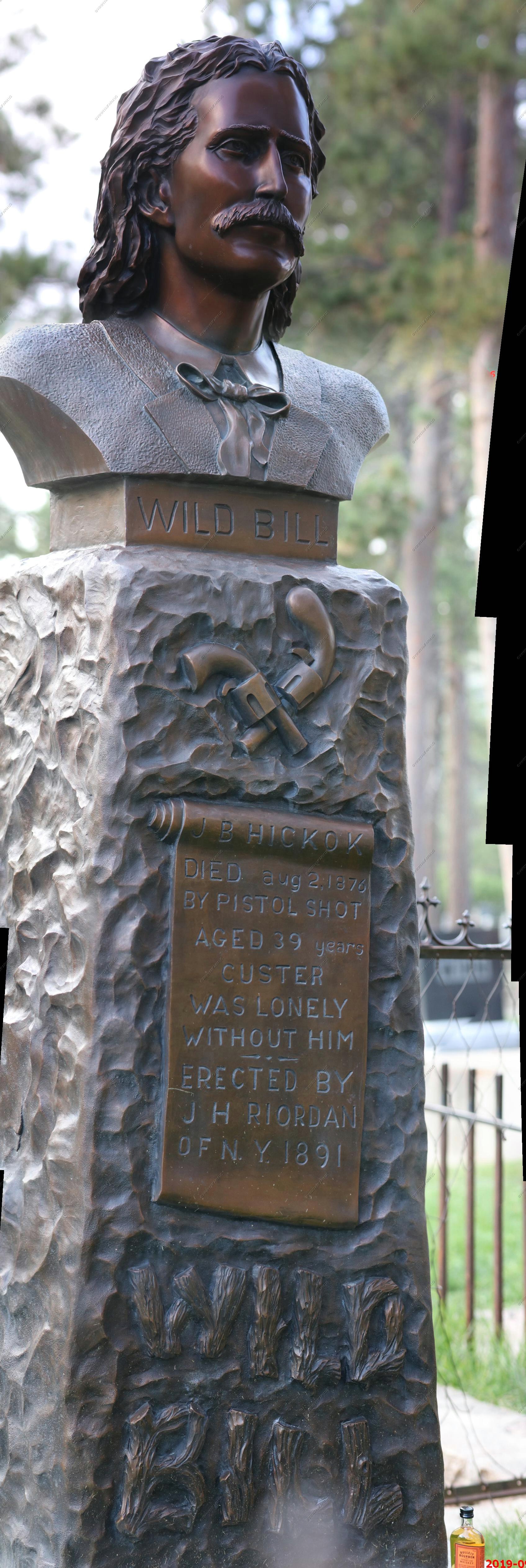
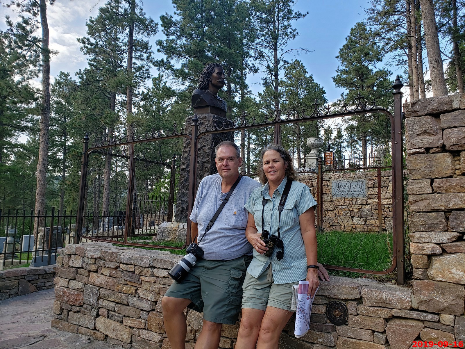
Ken & Mary at Wild Bill Hickok's grave.
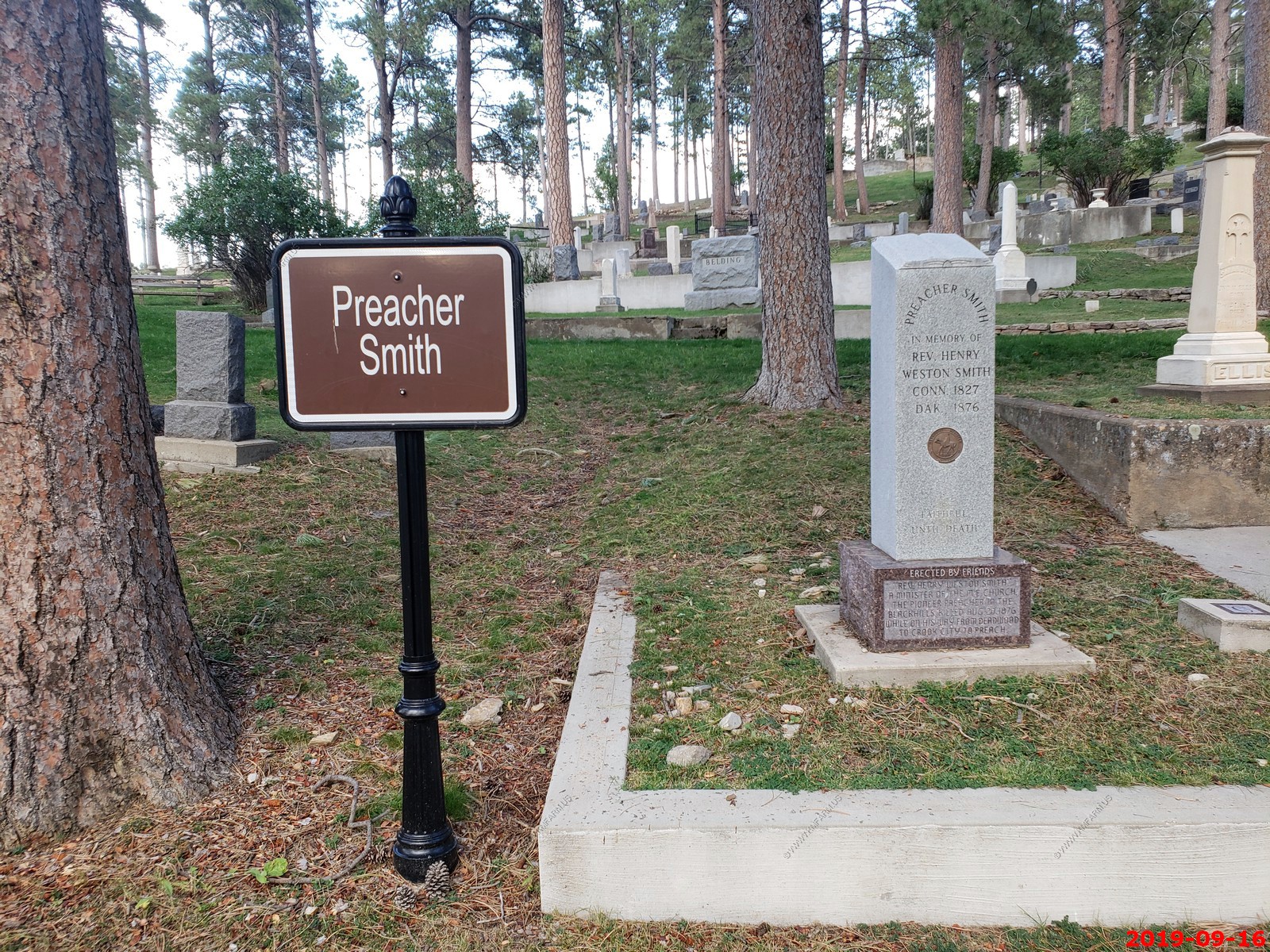
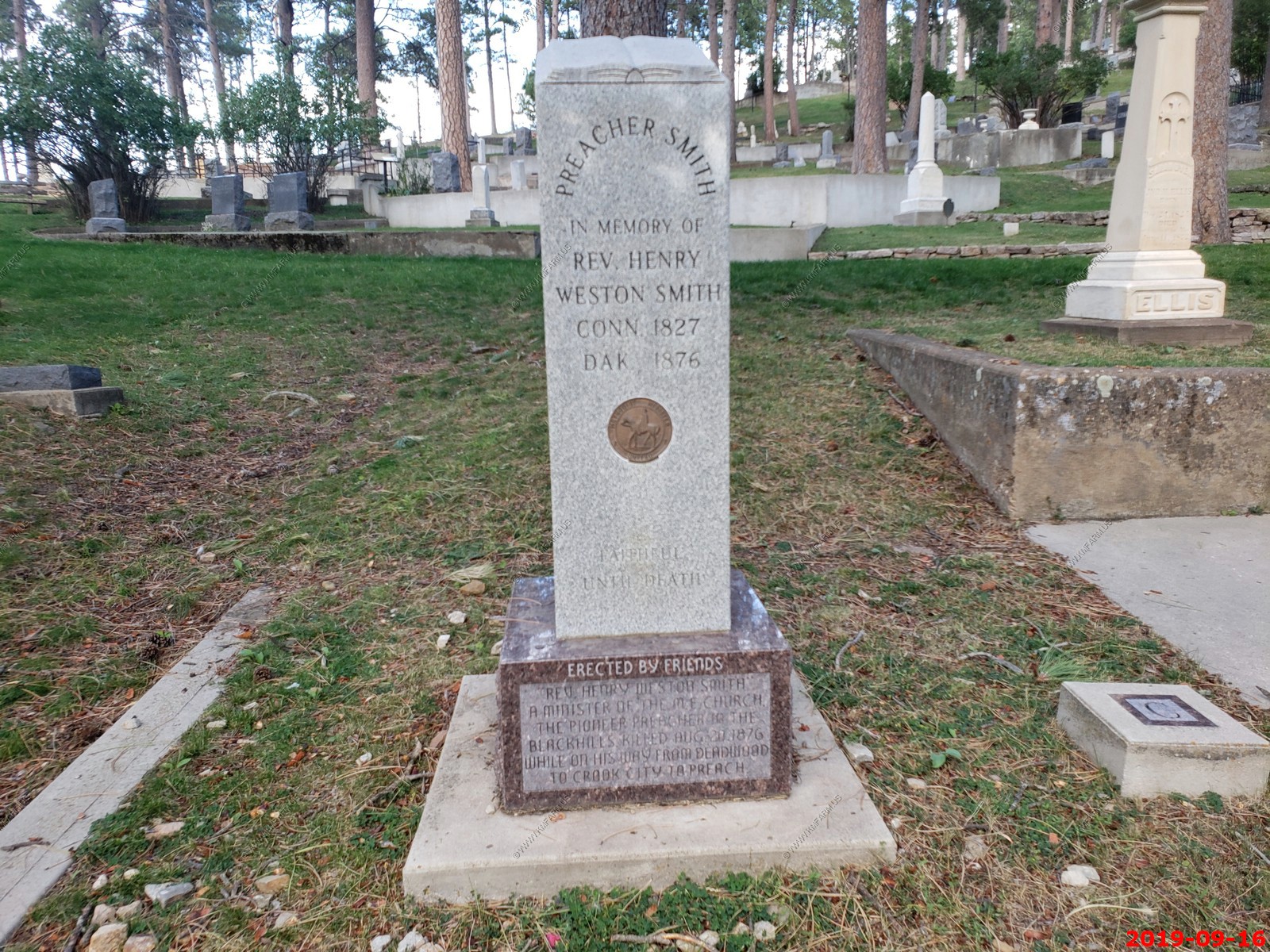
Preacher Smith - The Reverend Henry Weston Smith (January 10, 1827 - August 20, 1876) was an American preacher and early resident of Deadwood, South Dakota. Unlike most of the residents of the time, he was not interested in material riches; instead, he was the first preacher, of any denomination, in the Black Hills Gold Rush camps.
On Sunday, August 20, 1876, Smith left a note on his cabin door after his Deadwood service, saying "Gone to Crook City to preach, and if God is willing, will be back at three o'clock." Friends concerned about the danger of Indians or thieves had warned Smith against walking alone and unarmed, but he is remembered as replying, "The Bible is my protection. It has never failed me yet." Unfortunately, Smith was murdered as he walked to Crook City, his body found alongside the road by a local resident, the exact location no longer remembered. He had not been robbed, causing his death to be generally attributed to Indians, although some still believed he was killed by thieves. Another theory, however, held that he was murdered by a person or persons representing the saloons, brothels, casinos, and other 'vice dens' of Deadwood, who feared that his preaching would cut into their income.
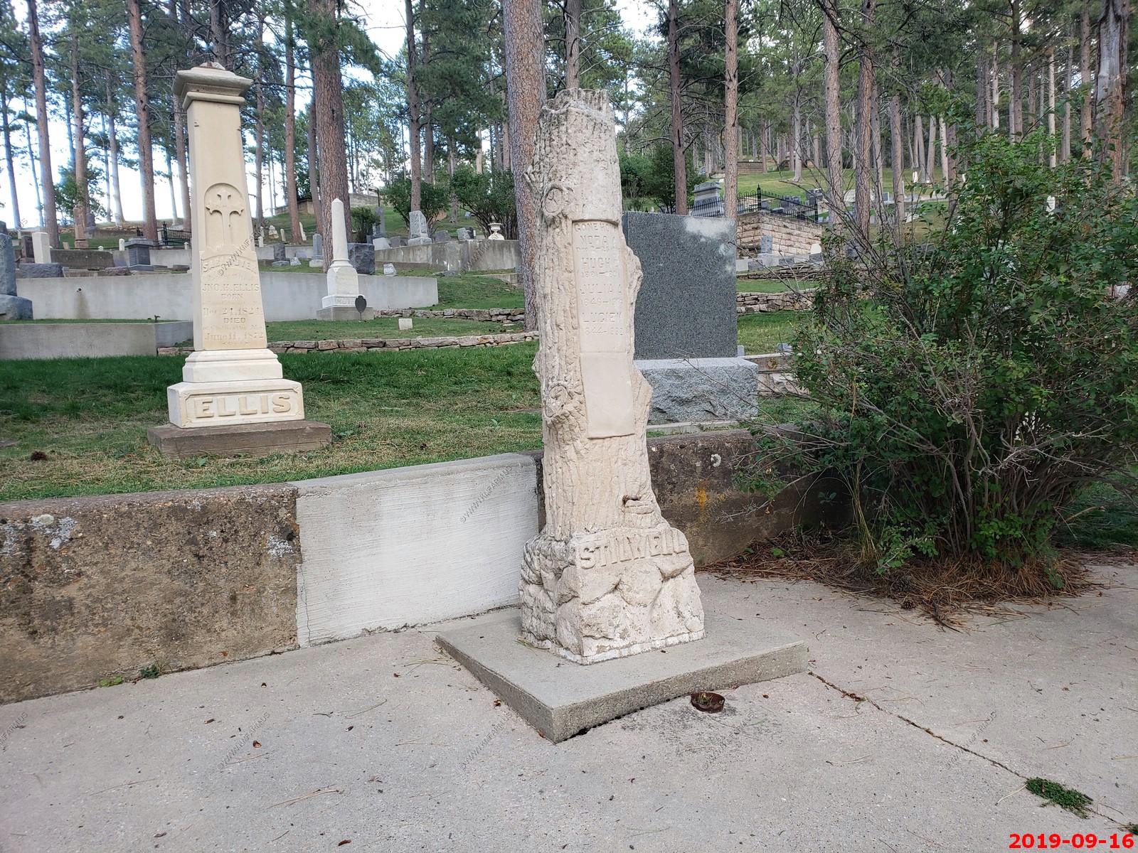
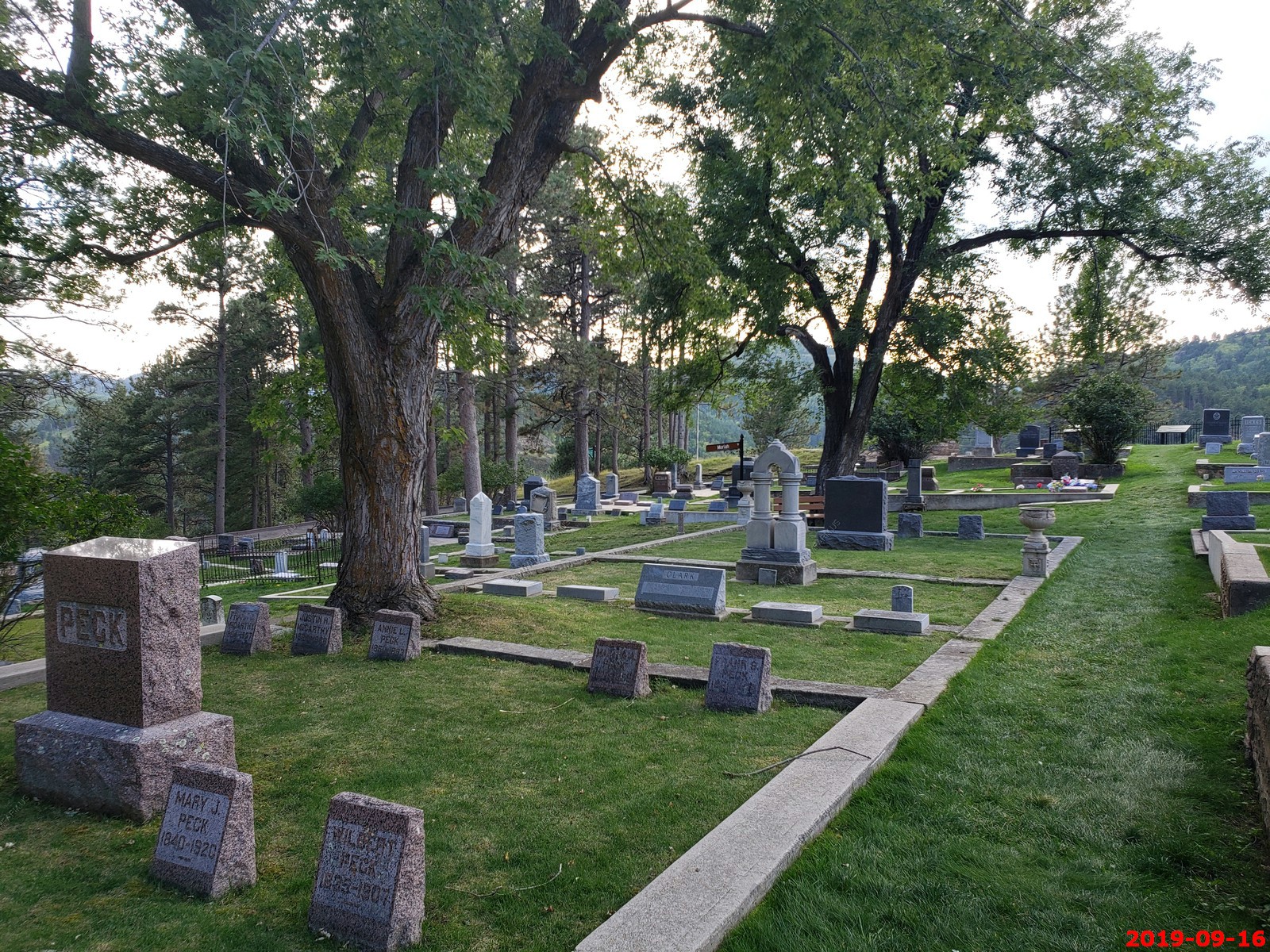
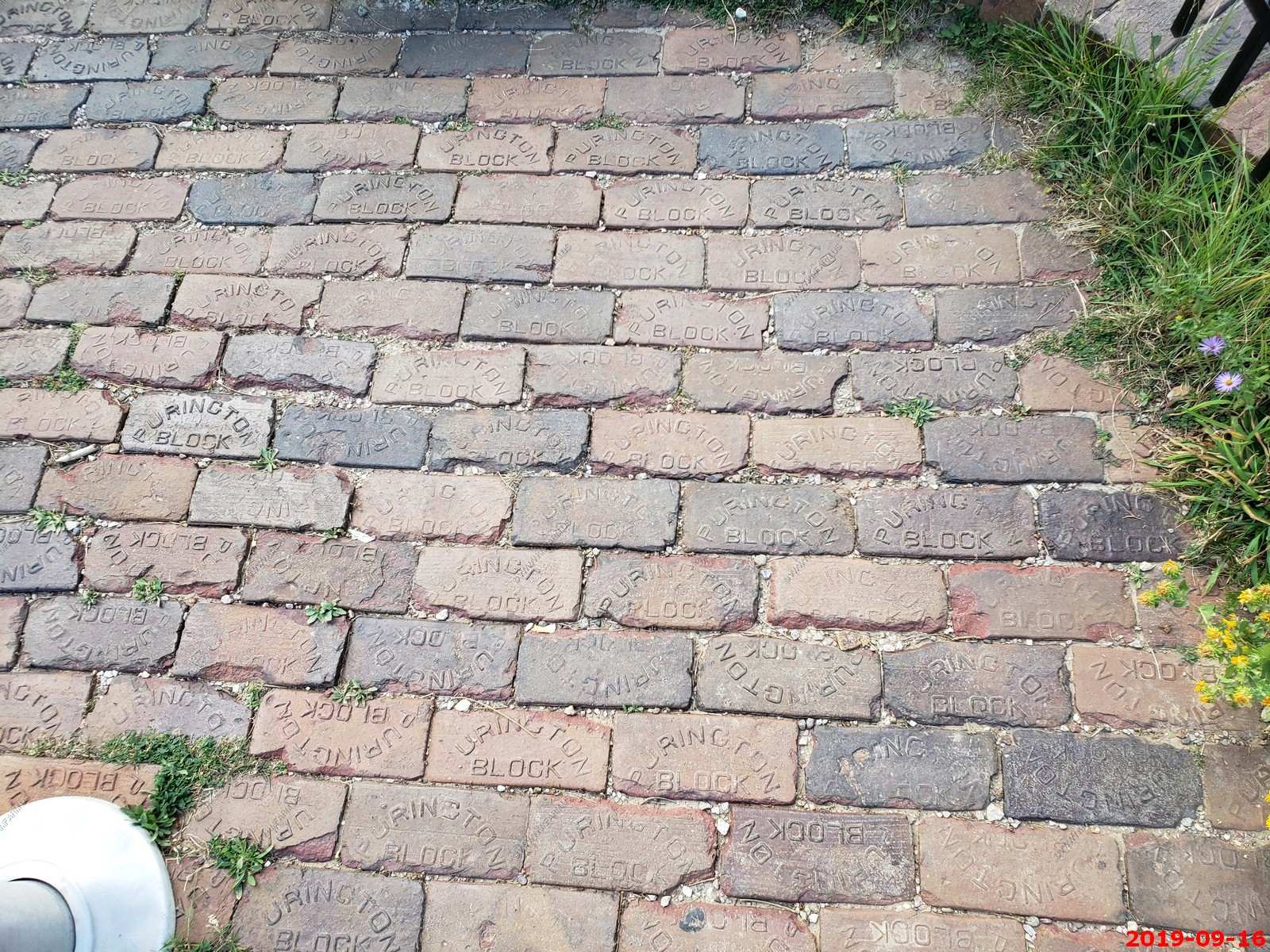
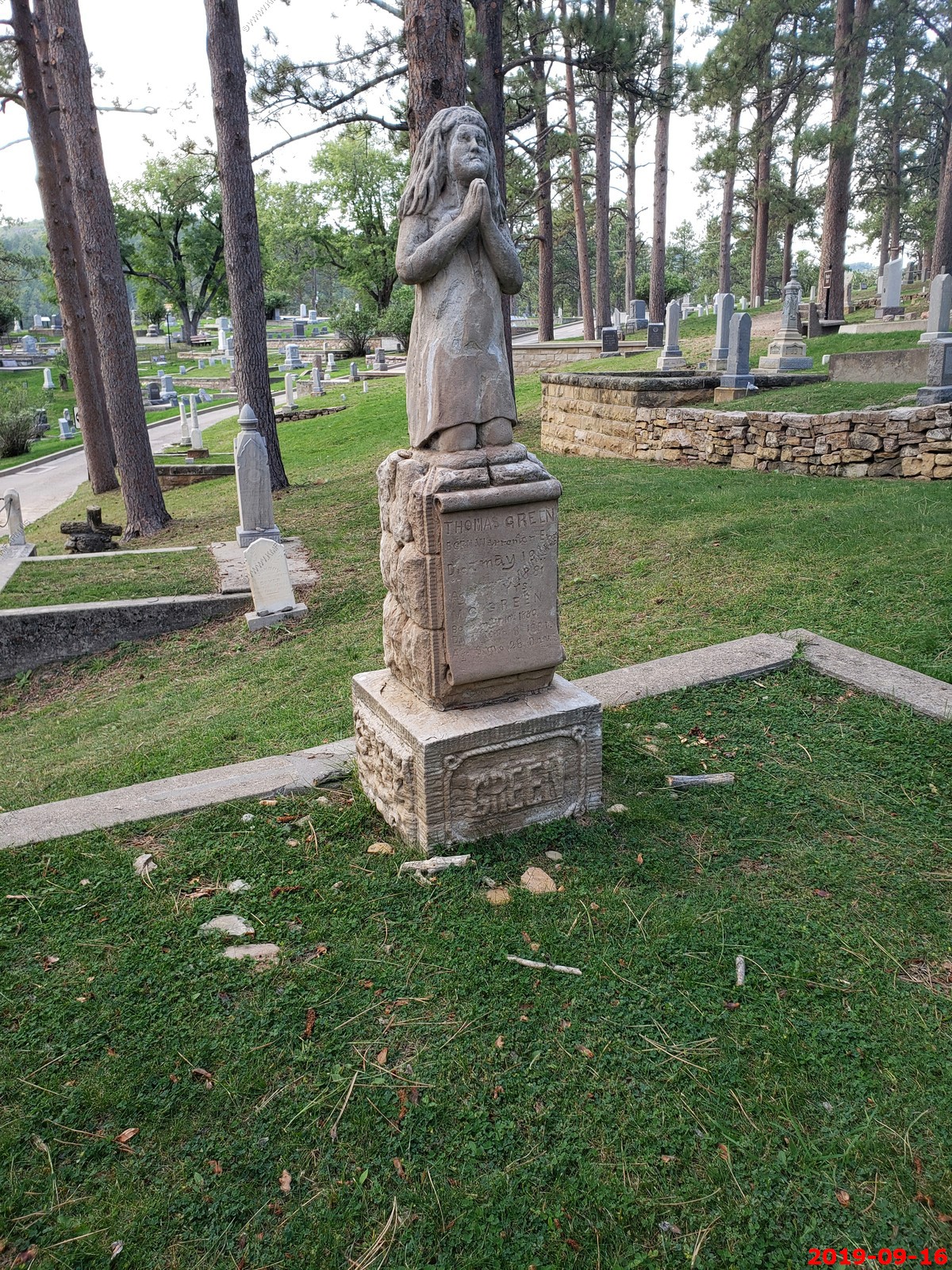
Various views - cool bricks.
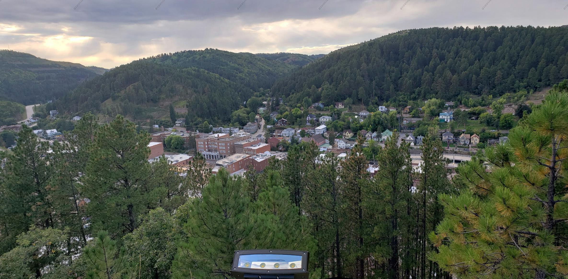
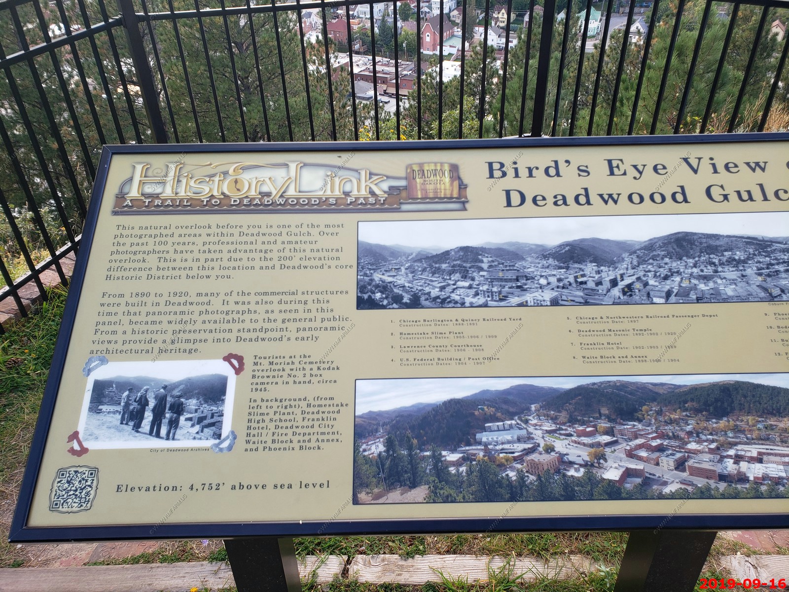
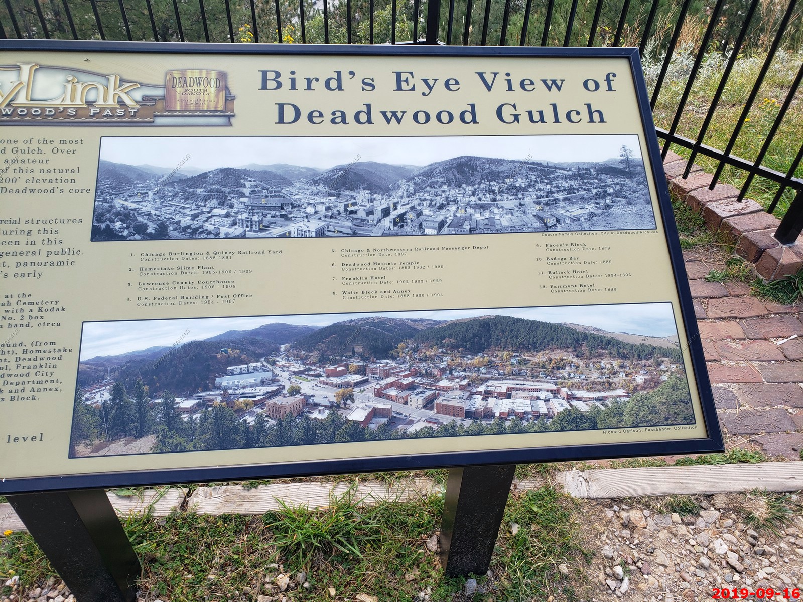
Looking down at Deadwood from Mount Moriah Cemetery (El. 4,752 ft.)
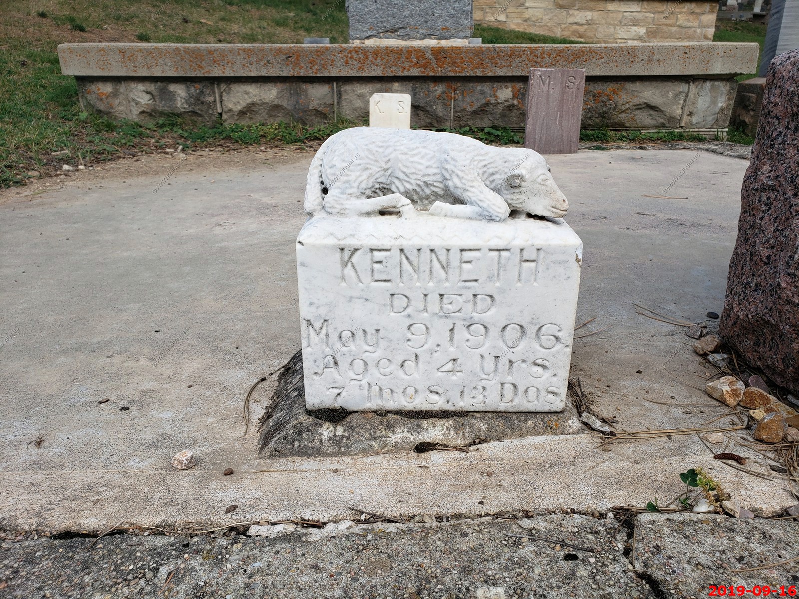
Kenneth died. This is not good.
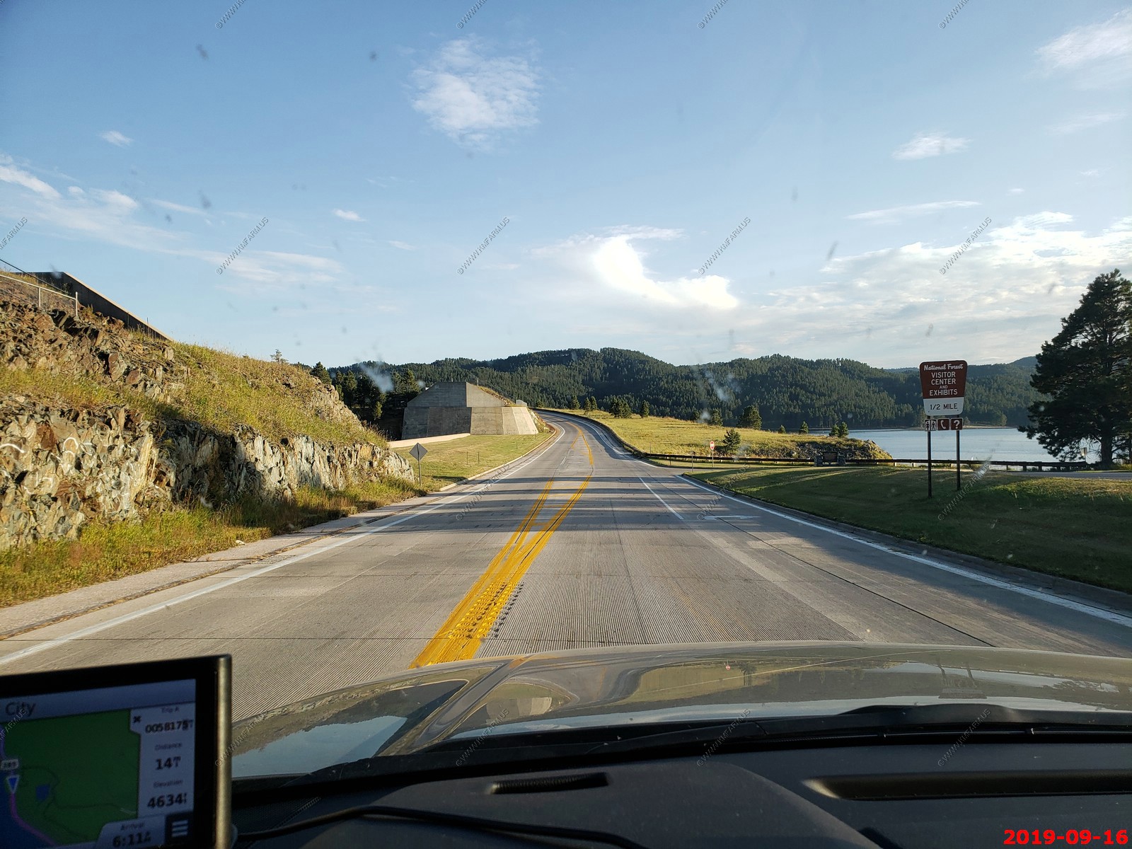
Crossing over the dam on US-385 forming the Pactola Reservoir - It's the largest reservoir in the Black Hills of South Dakota, United States; it was created by the construction of the Pactola Dam. It was started on 25 November 1952. The elevation is 4,655 ft. above sea level at the top of the spillway.
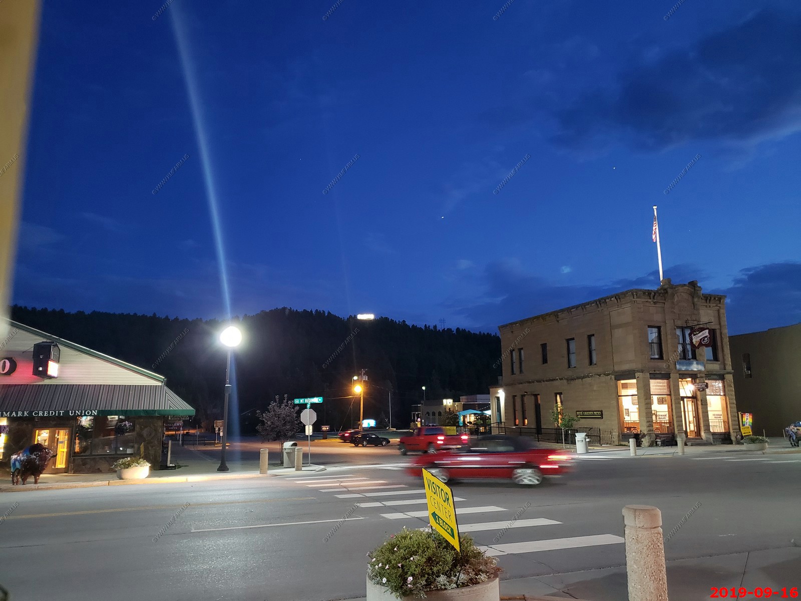
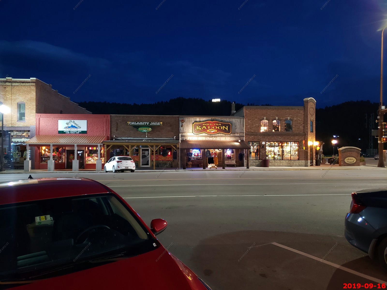
Back in Custer for dinner. Tonight we ate at The Custer Wolf - Food & Drink and it was very good. We walked around Custer looking at the buffalo.
On to Part 2 - Sept-17 Hot Springs, SD / Custer State Park -> SEP-22 Home
14 days - South & North Dakota, Western Wyoming and home thru Central Minnesota, Northern Wisconsin & UP Michigan