Last Updated: 04-FEB-2020
Sunday October 20 - DAY 03
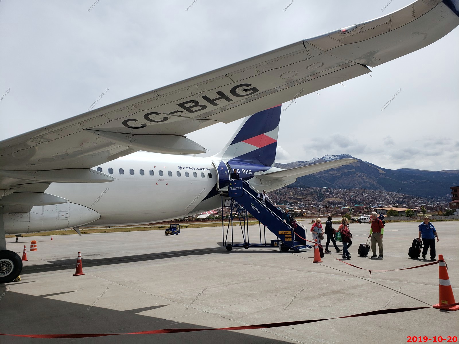
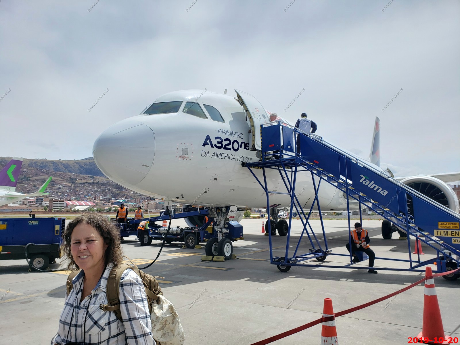
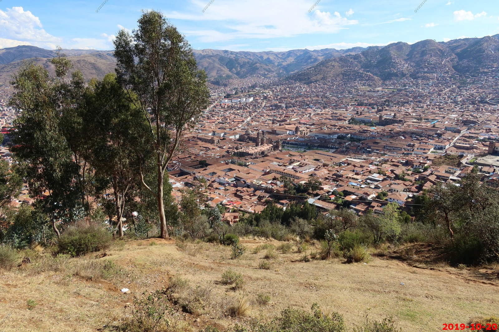
DAILY WRITE UP - We were up at 4 today in Lima Peru then off to the airport for a hour+ flight south to a mountain town of Cusco Peru. It's on the western slope of the Andes mountains appx. 200 miles from the Pacific Ocean and Bolivia. Amazed that 700,000 people live in a small valley at 11,000+ feet with the mountains going up over 14,000.
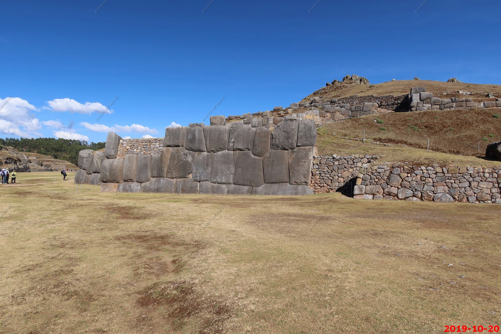
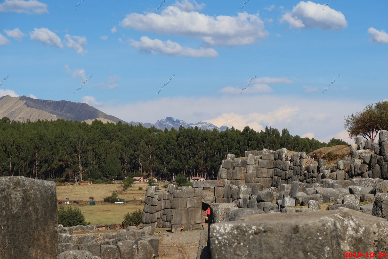
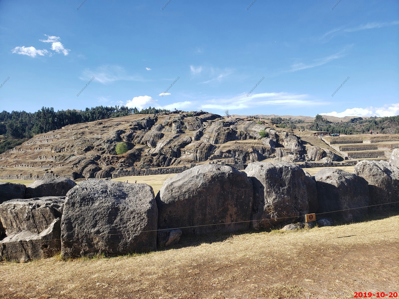
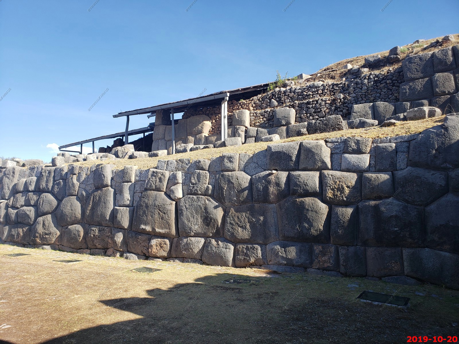
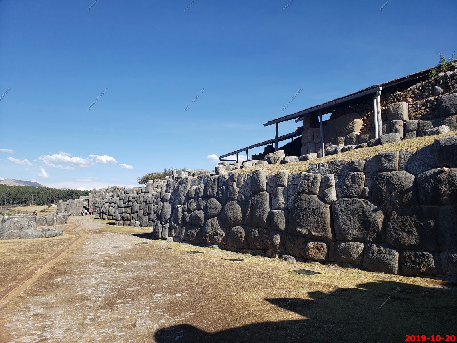
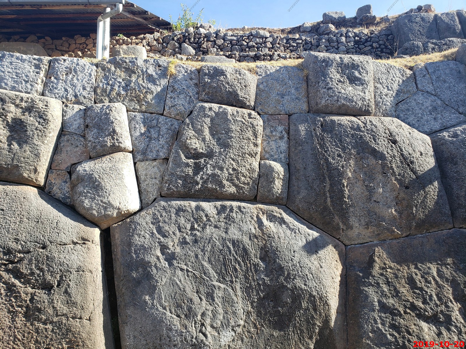
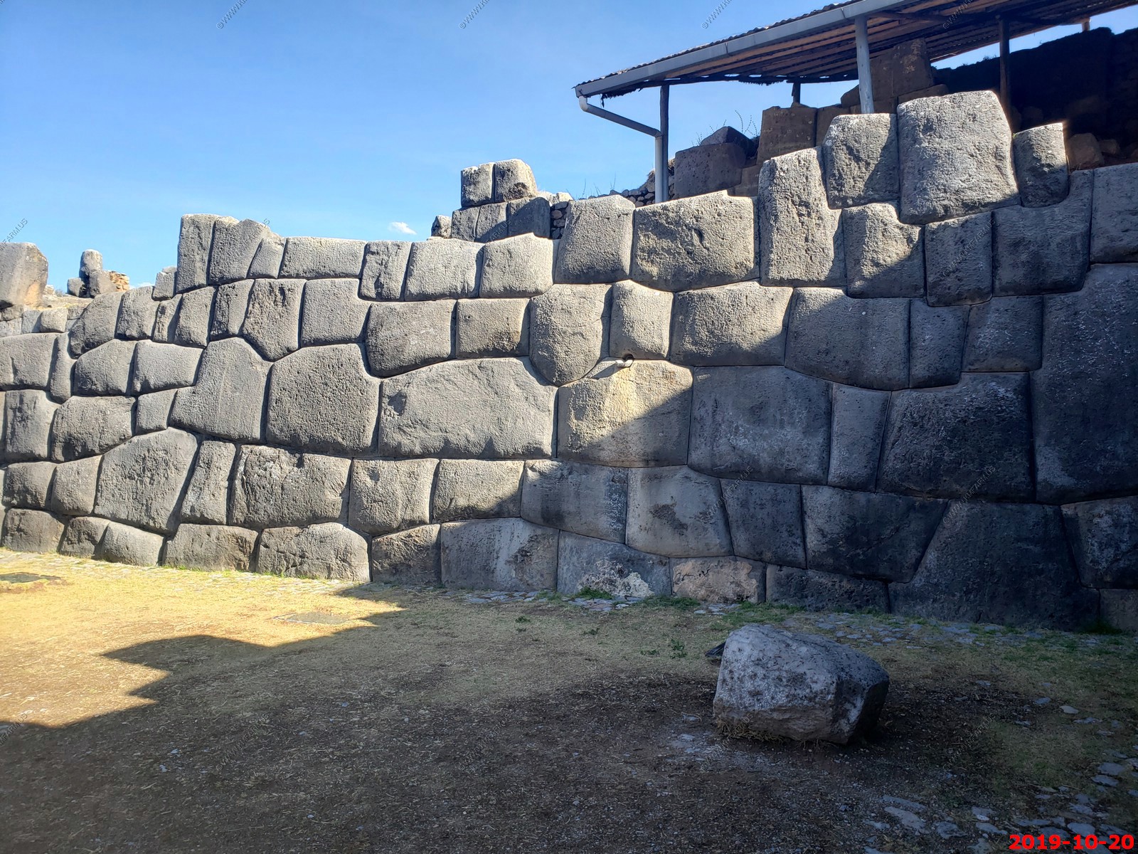
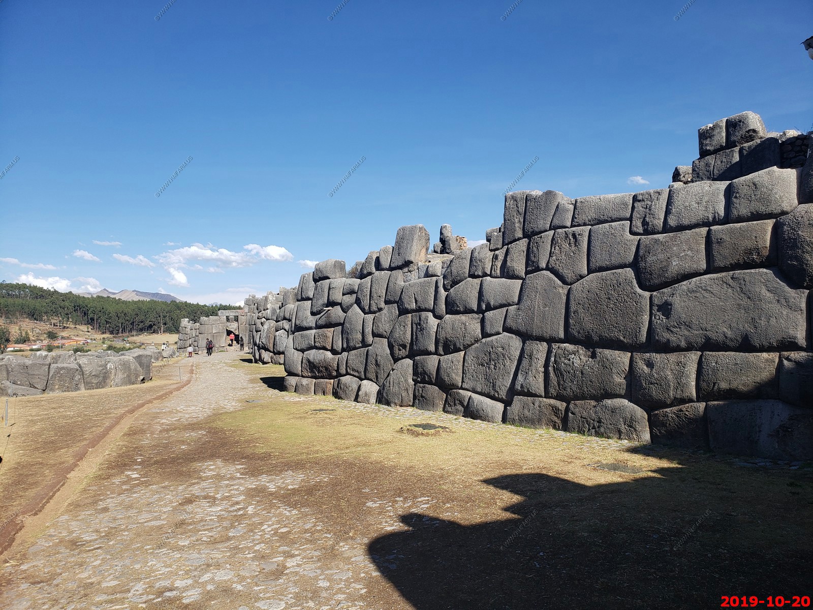
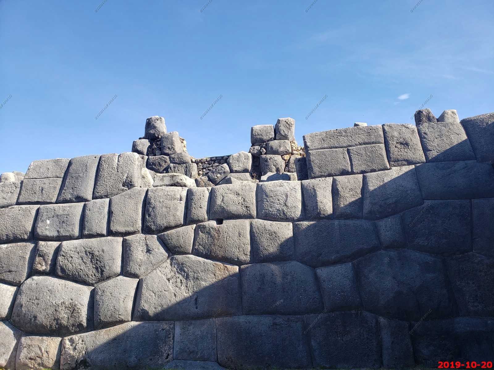
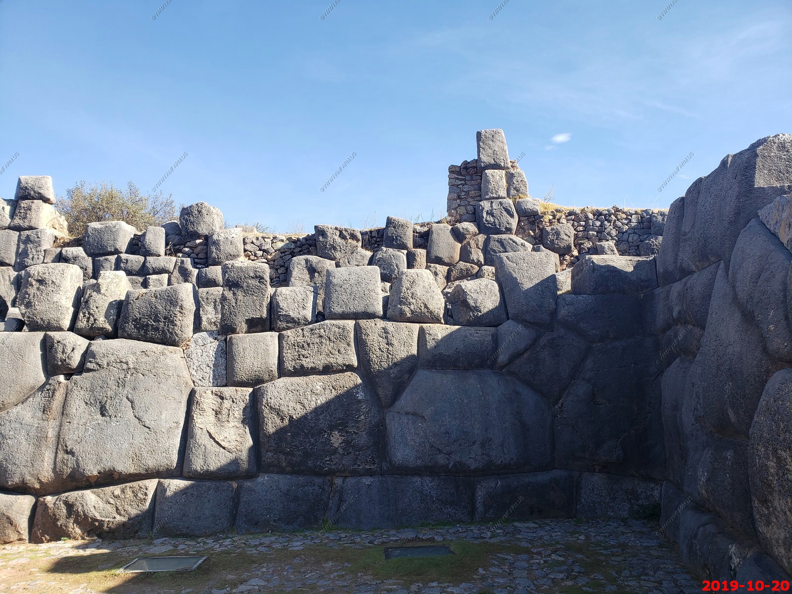
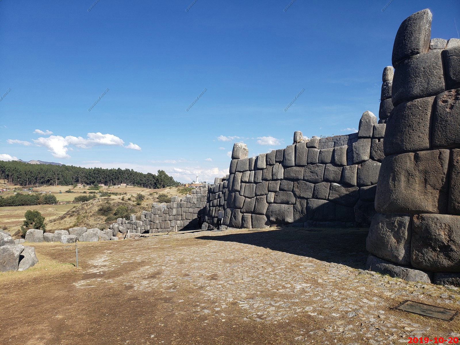
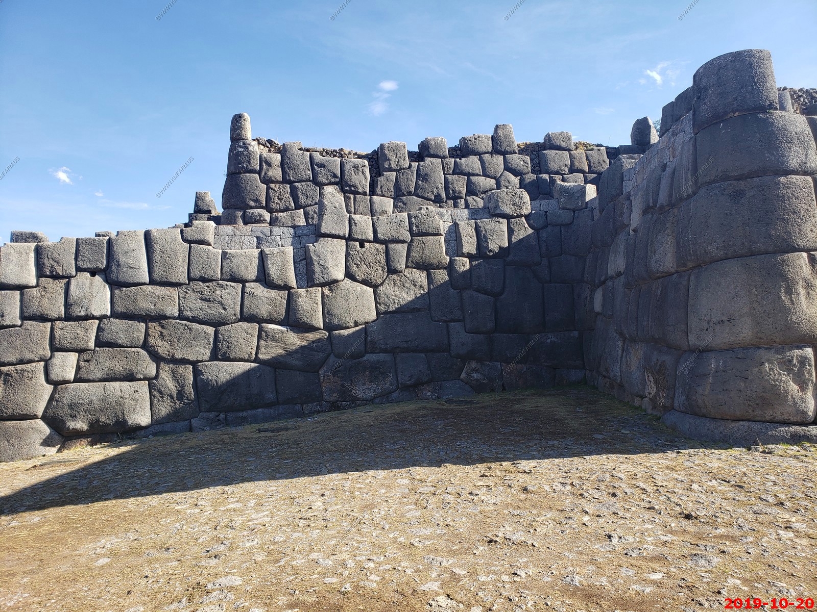
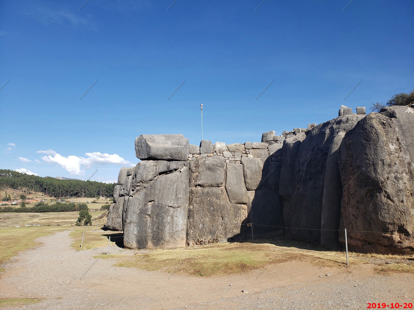
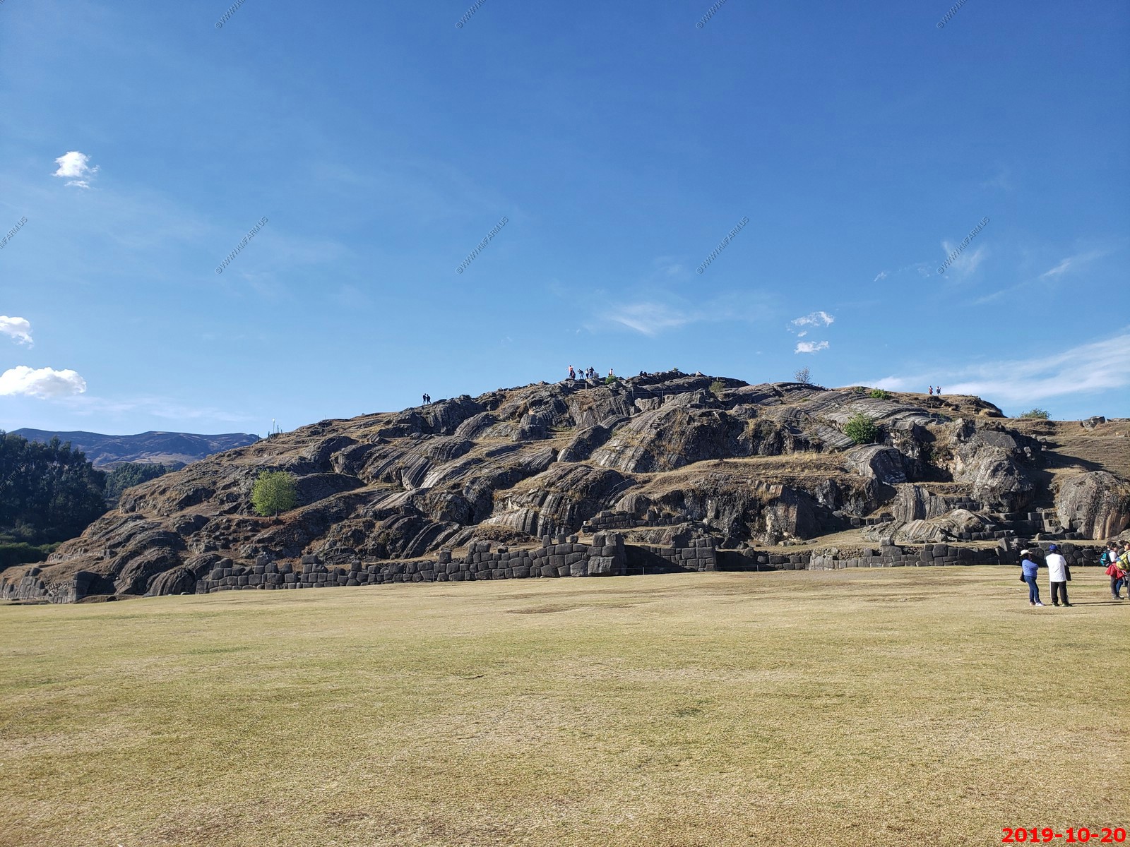
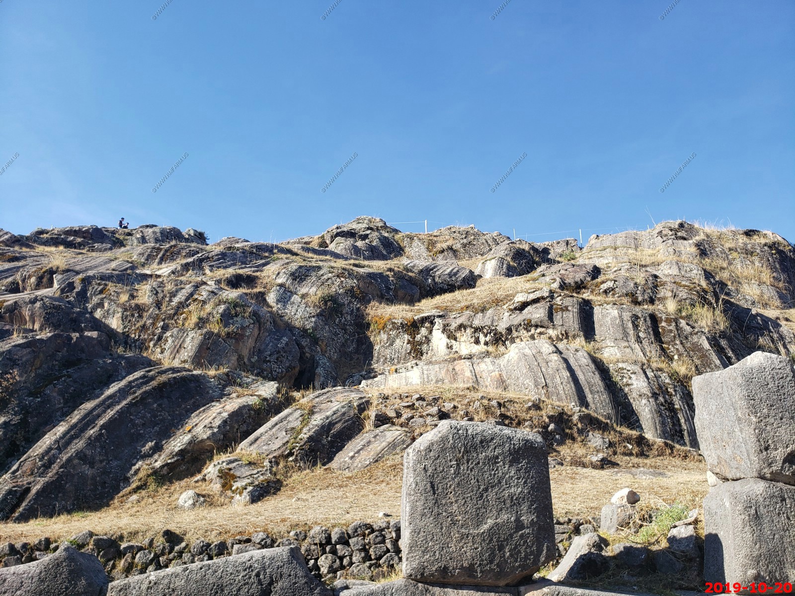
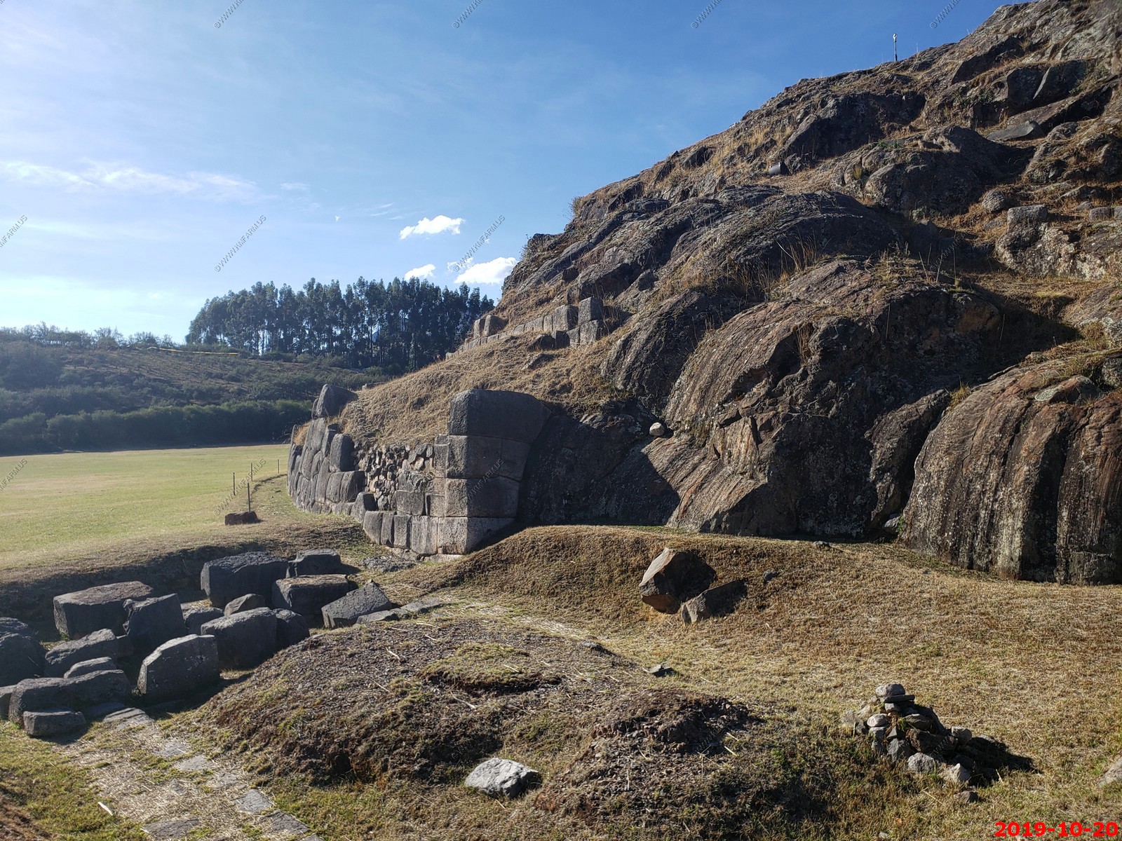
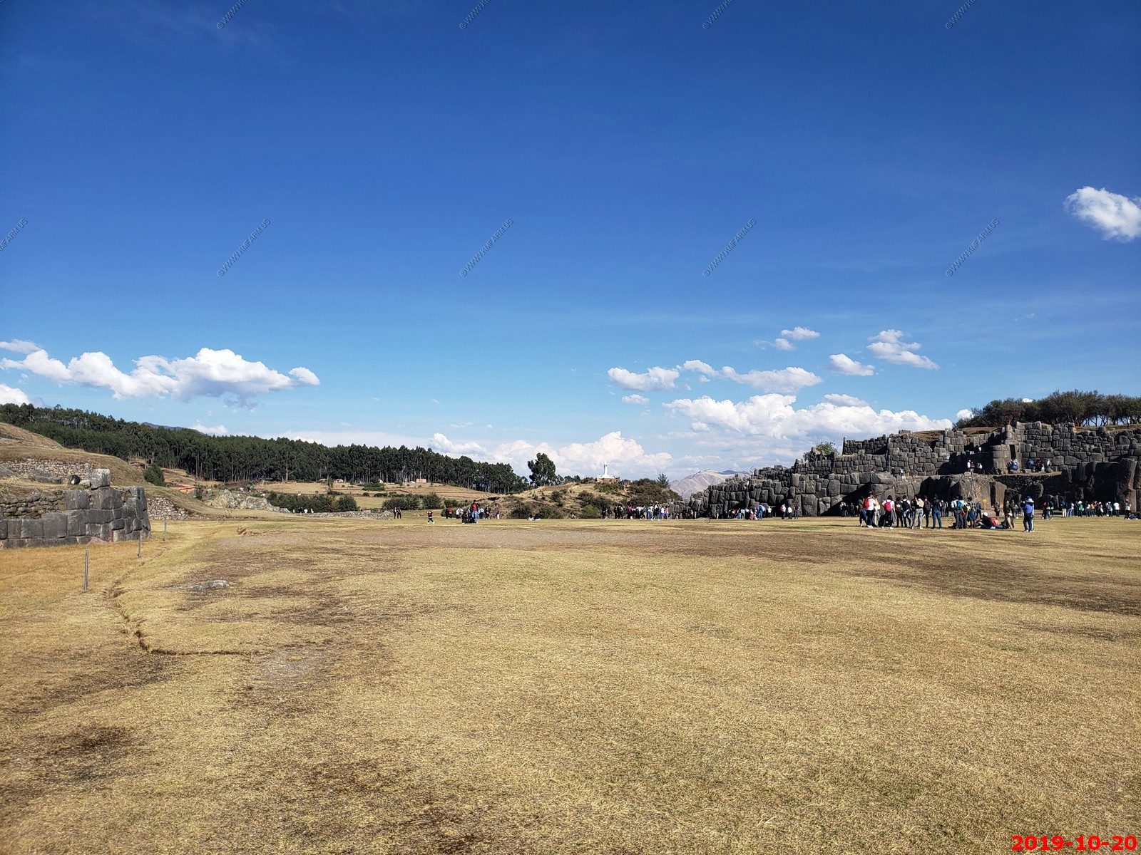
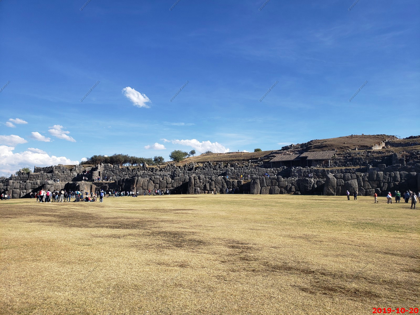
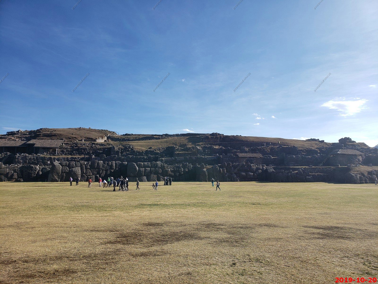
The weather was sunny and 60's. We roamed around a couple of 500 year old churches and had lunch at a Chinese/ Peruvian restaurant and then set off for our first Inca ruin. Sacsayhuaman is a fort with huge rocks from miles away that were cut with laser precision at twelve thousand feet. They have no idea how they made it.
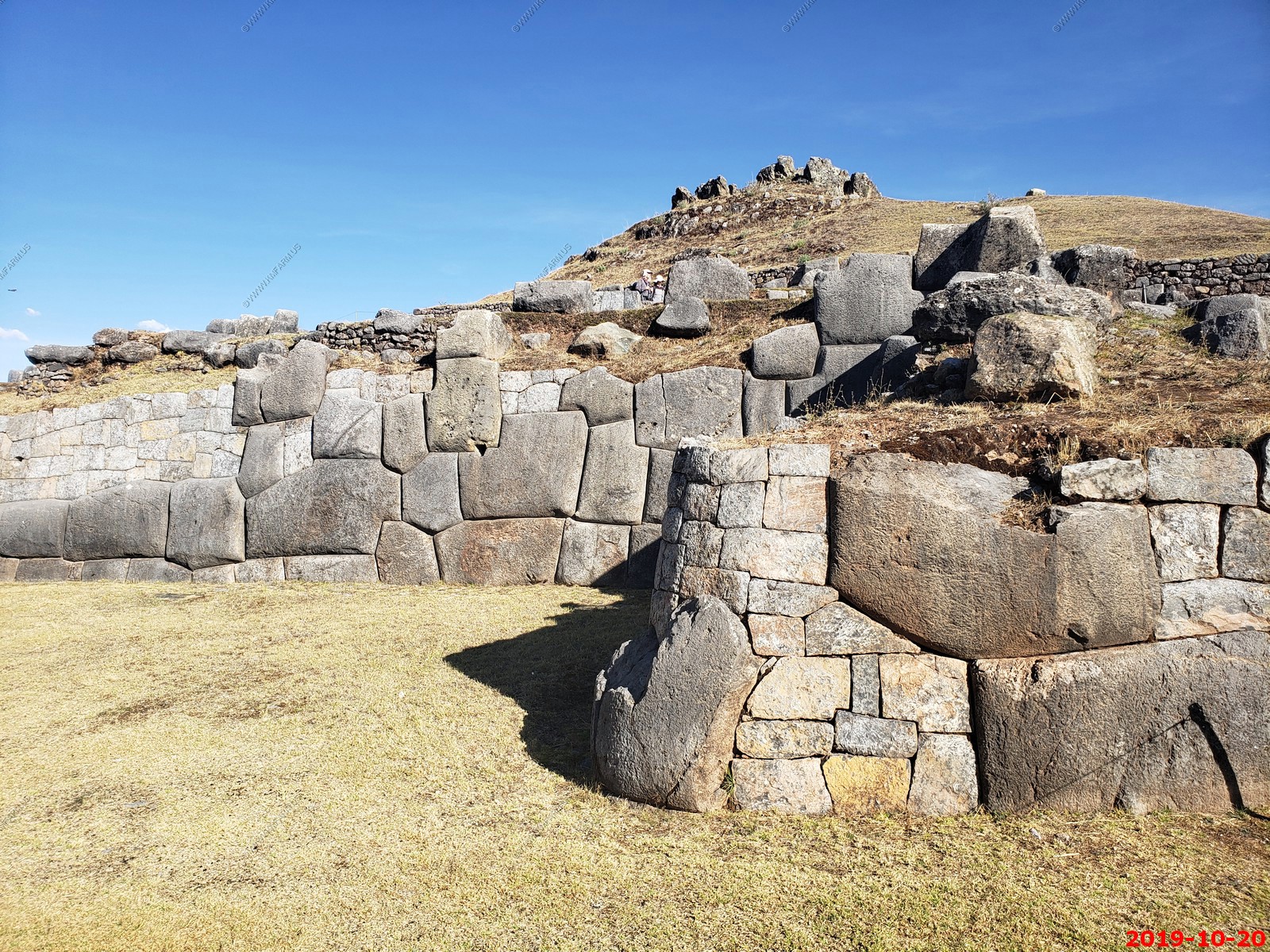
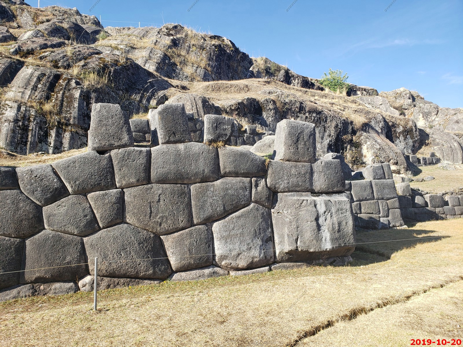
Sacsayhuaman - "on top of a hill they [the Inca] had a very strong fort surrounded with masonry walls of stones and having two very high round towers. And in the lower part of this wall there were stones so large and thick that it seemed impossible that human hands could have set them in place...they were so close together, and so well fitted, that the point of a pin could not have been inserted in one of the joints."
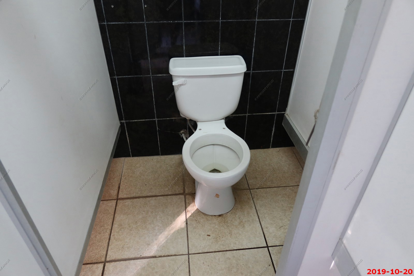
One thing that was funny about this place is the restrooms you had to have your own toilet paper and the toilets were missing a seat, so you have to bring that too. I guess I'm happy I only had to pee.
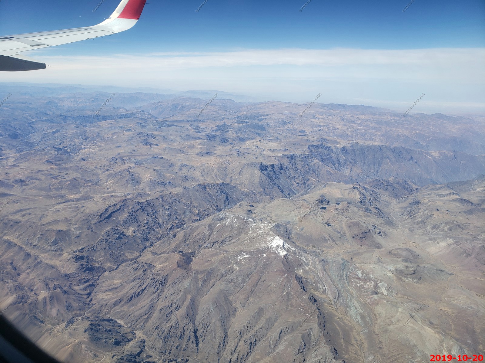
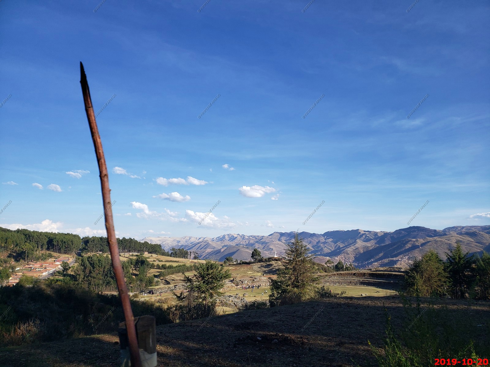
We spent probably two hours there then we continued East up over mountain range that just to the east had a number of 20,000+ foot peaks with glaciers which is quite amazing considering we're not far from the equator. The steepness of the mountains is shocking as I'm not sure I've ever seen anything as impressive as this range. These roads had no guardrails but paved with sheer multiple thousand foot drops and of course we are in a medium size bus. The driver did very well. What's interesting is that we crossed the Continental Divide of South America and now we are in the Amazon River drainage along the Urubamba River. This area was not mapped till 1934. This river continues into very remote parts of the Amazon basin.
We're staying two nights in a small town of Yucay, Peru (El. 9,380) at a hotel chain that's run by a Colombian company. I'm not sure how old it is but it has the 1940's feel of a cabin, no refrigerator no air conditioning with large Gardens in plazas. It's a very impressive Hotel.
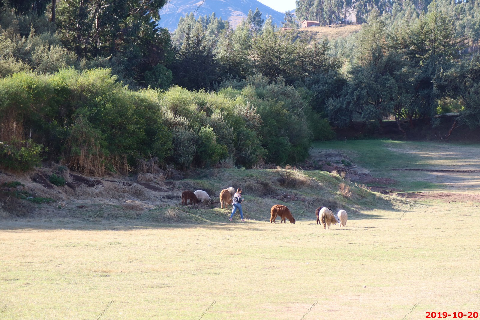
I think it goes into the low 50s here every night, with no humidity . So it's quite comfortable. We had an excellent dinner, an alpaca selection was on the menu but I passed and just had beef. We're going to see a lot of alpacas again tomorrow and I didn't want to feel guilty
It's funny we generally don't know what we're doing the next day but tomorrow we don't start our day till 9:30 in the morning which is nice. I want to walk down along the river. It's strange there's no bugs here all on the outside lights and we were walking around trying to find something interesting but I think it's just because we're so high. They're growing corn all over the place
Another thing that's strange it's essentially end of April early May here so everything is coming out, not that they have much of a winter but it still mid to late spring here. It really messes with you.
So far so good we're very impressed with the company that we went with. Everything is set up in advance, we even had priority going through the airport. The security here was much easier than TSA and they even allowed you to take water through security. We have three flight segments down and 5 to go so I'm sure I'll be very tired about airports when this is all over
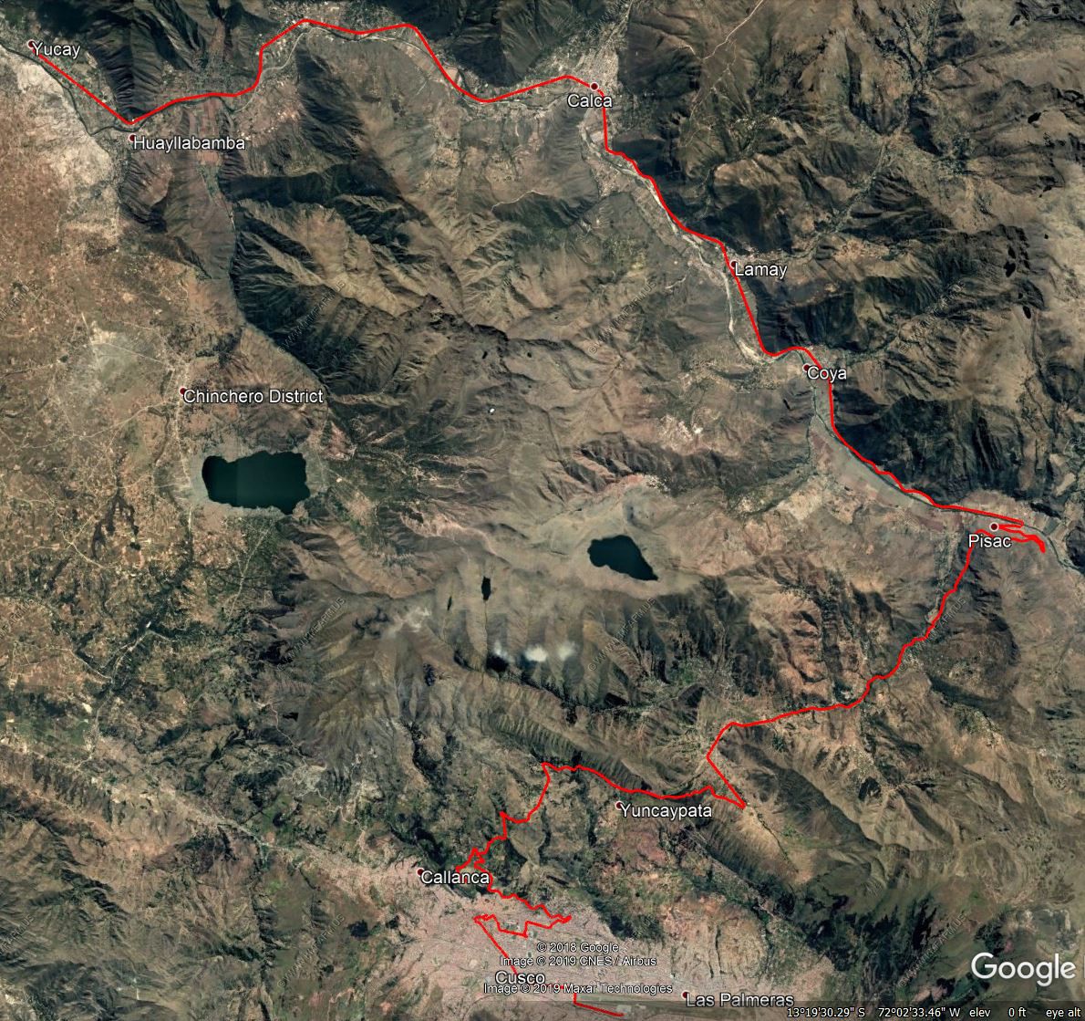
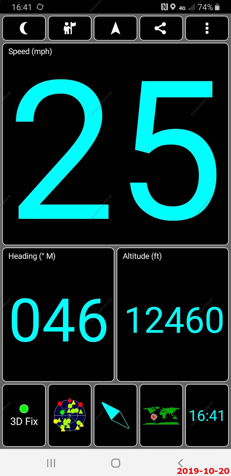
Using a GPS tracking software to see exactly where we traveled each day. Here it is overlayed onto Google Earth. We traveled from Cusco to Yucay.
ROAD SCHOLAR WRITEUP -- Fly to Cusco, Plaza de Armas, Sacsayhuaman, Sacred Valley
Urubamba Valley
B,L,D
Sonesta Posada del Inca - Sacred Valley - Yucay Hotel
Activity note: Driving approx. 50 miles total throughout the day; about three hours combined, with stops for field trips. Flight is about 1.5 hours. Walking up to two miles; periods of standing up to one hour at a time at the Sacsayhuaman ruins; unpaved paths, cobblestone streets, uneven curbs, some stone steps without railings. Walking and standing for 45 minutes at where the terrain may be rough and uneven.
Breakfast: At the hotel.
Morning: After an early check-out from the hotel, transfer to Lima Airport and board the flight to Cusco. Upon arrival in Cusco, the capital city of the Incas and now itself a UNESCO World Heritage Site, we will transfer to the Plaza de Armas. Led by our local expert, observe the layers of history where colonial architecture rests atop Incan foundations.
Lunch: At a local restaurant, enjoy a plated meals with coffee, tea, water included; other beverages available for purchase.
Afternoon: Over coffee after lunch, a local expert will provide a lecture on the rise and fall of the Incan Empire to help set more of the groundwork for our journey. Next, transfer by bus for an independent walking exploration of the ruins of Sacsayhuaman where extremely large stones are seamlessly built into walls and terraces providing views of the valley to the southeast, and were once used as a protective fortress guarding the city. Continuing, we will transfer to explore the Qoricancha, the Inca ruins of a prominent 15th-century temple. Afterward, we will complete our scenic mountain transfer by motor-coach to the Sacred Valley, where we will check in to our hotel upon arrival.
Dinner: At the hotel, enjoy a 3-course plated meal from a select menu with coffee, tea, water; other beverages available for purchase.
Evening: At leisure.
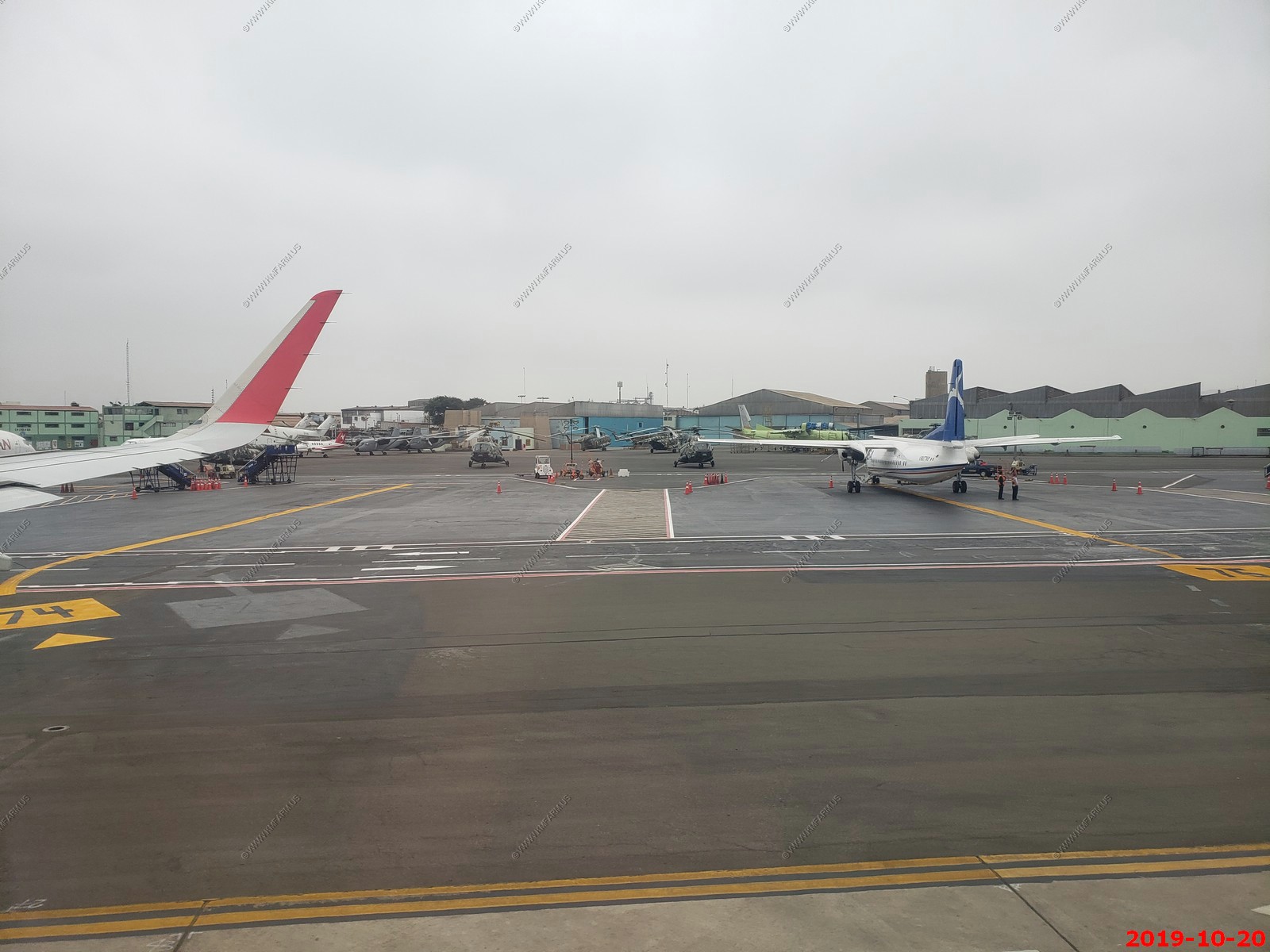
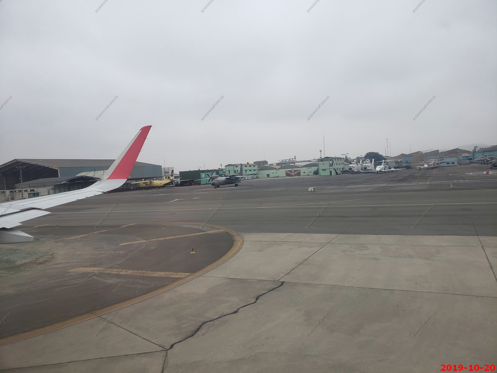
Flight from Lima to Cusco, Peru. - Military hardware at the Lima airport
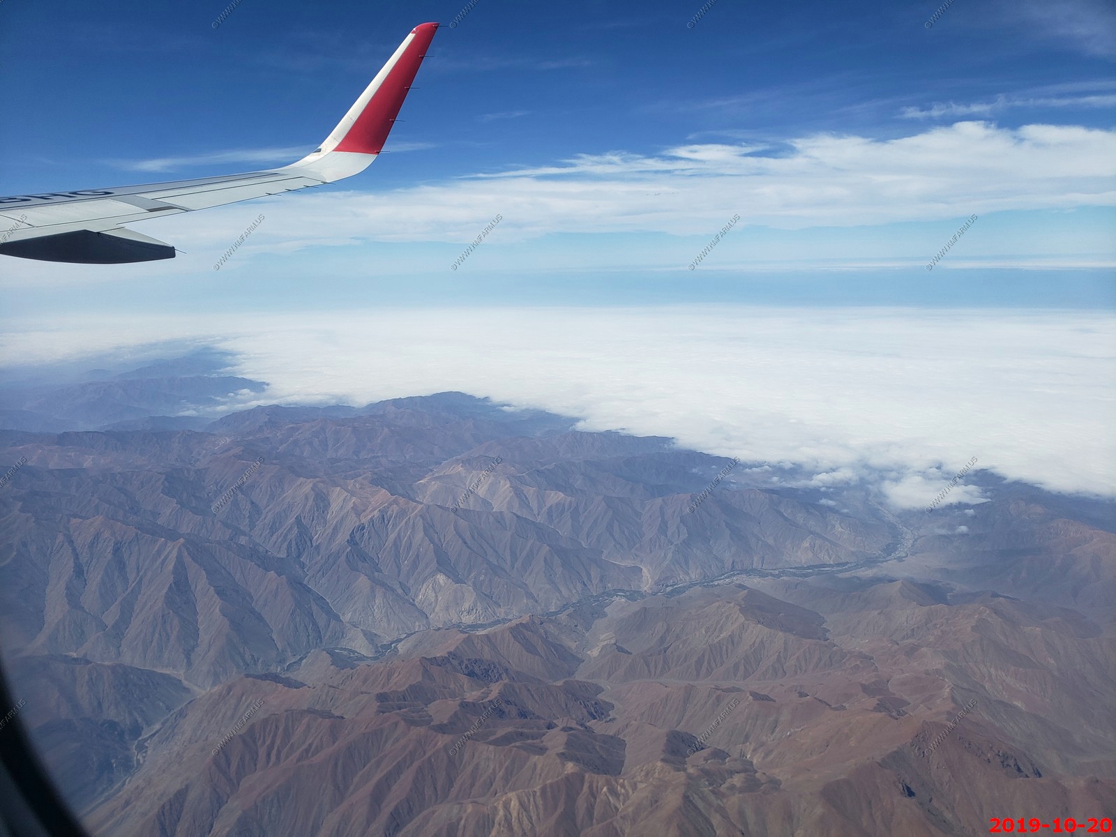
Coastal fog up to the mountains
Snow or hail
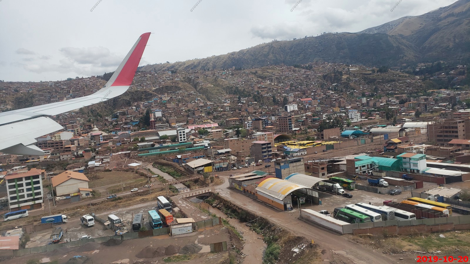
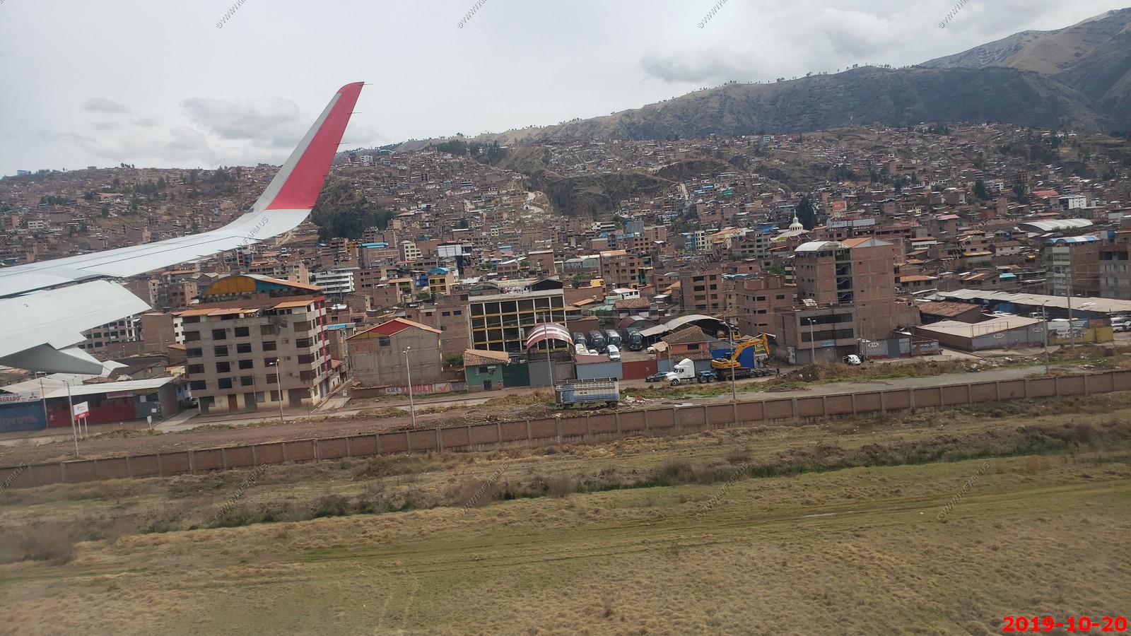
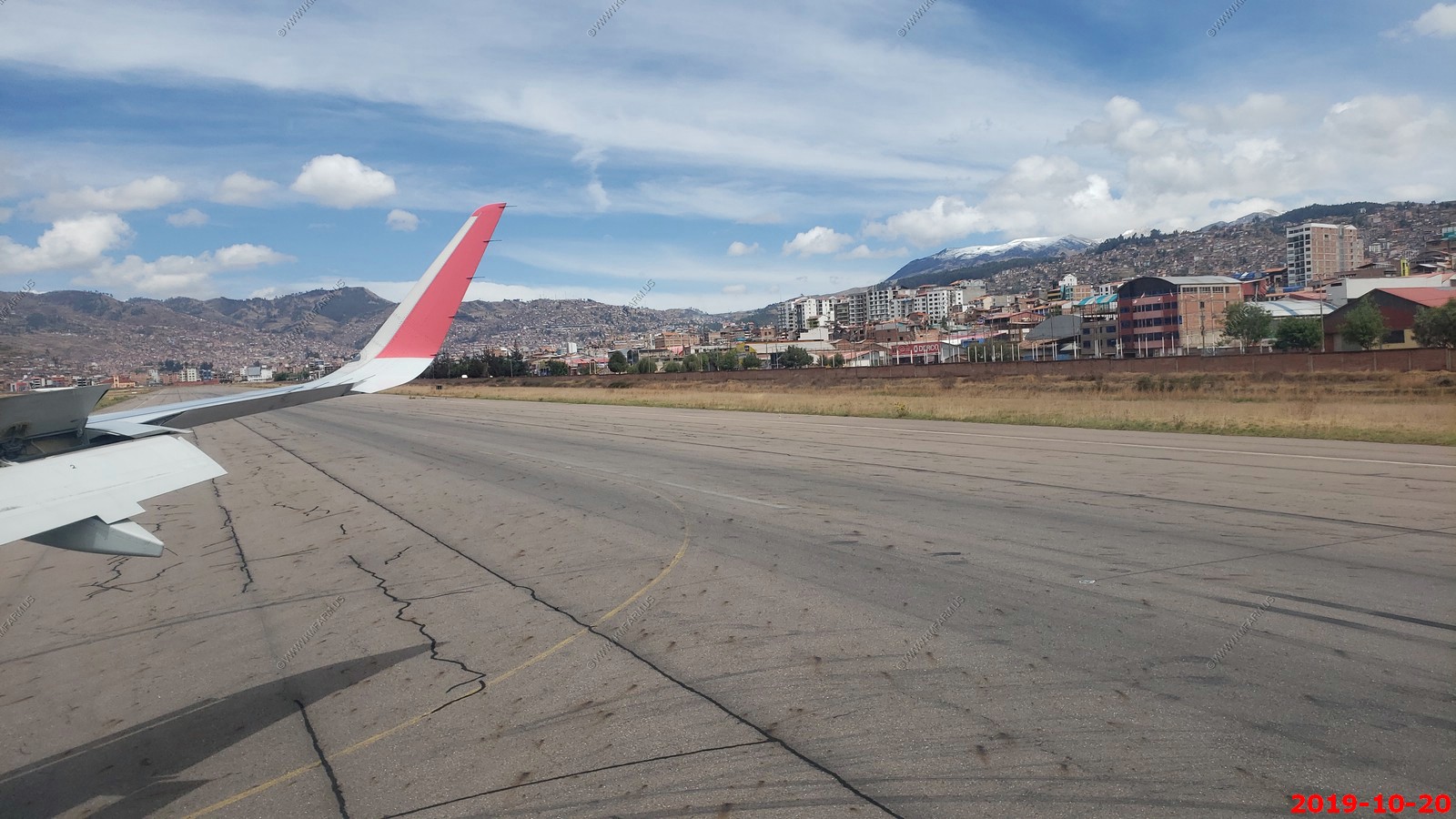
Cusco (Cuzco) approach
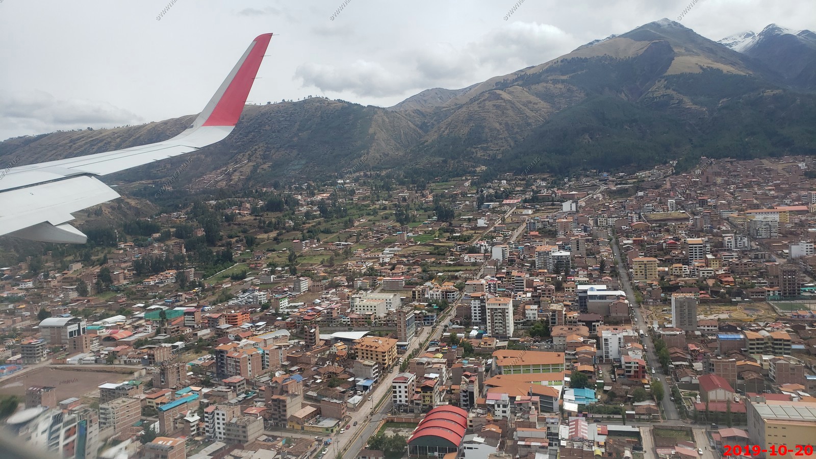
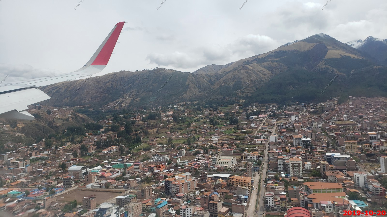
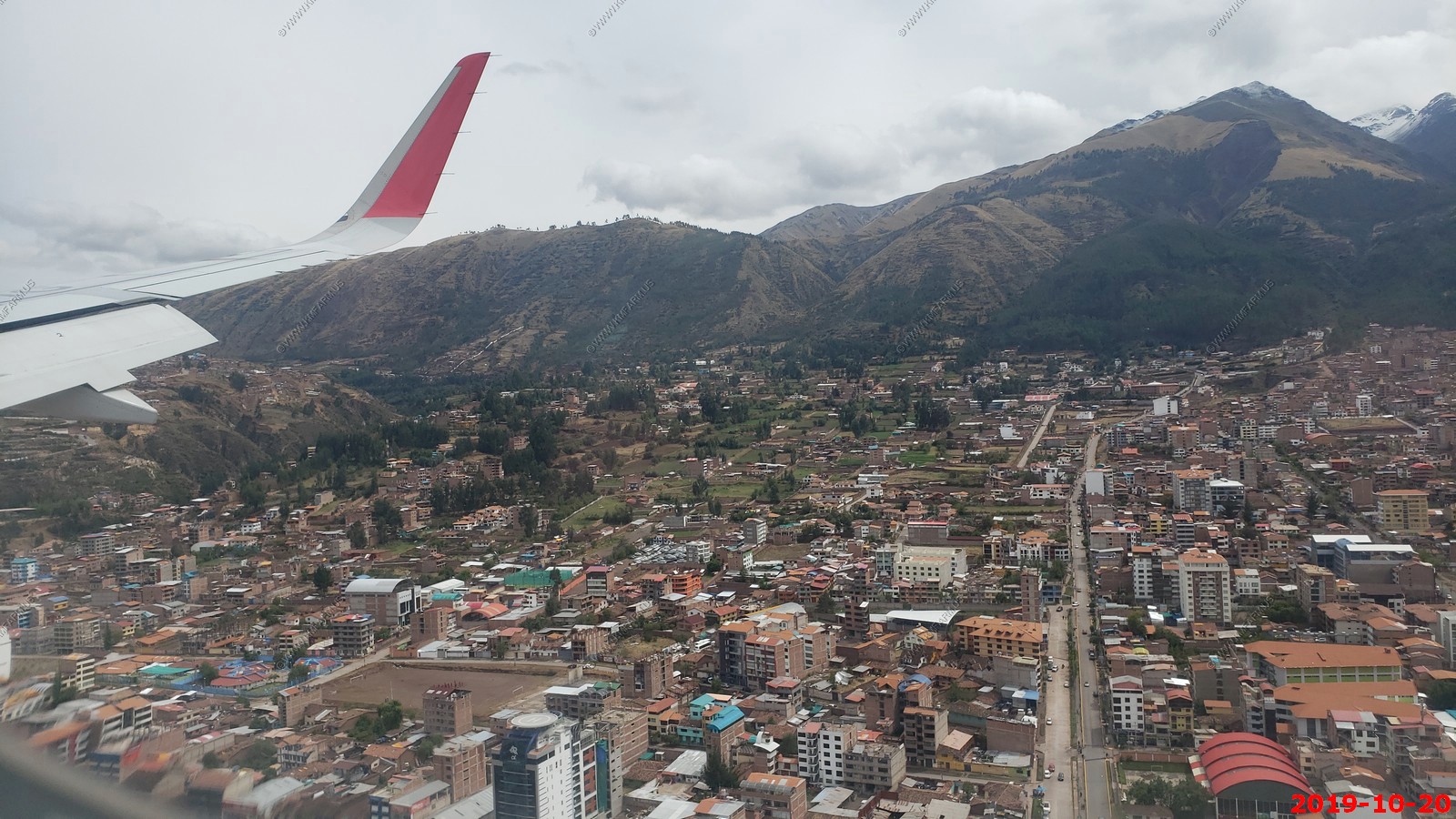
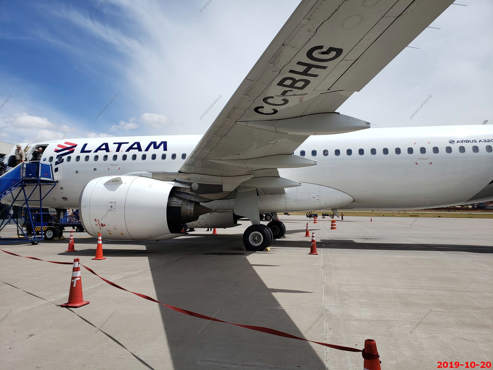
This is a small airport and had no jetways.
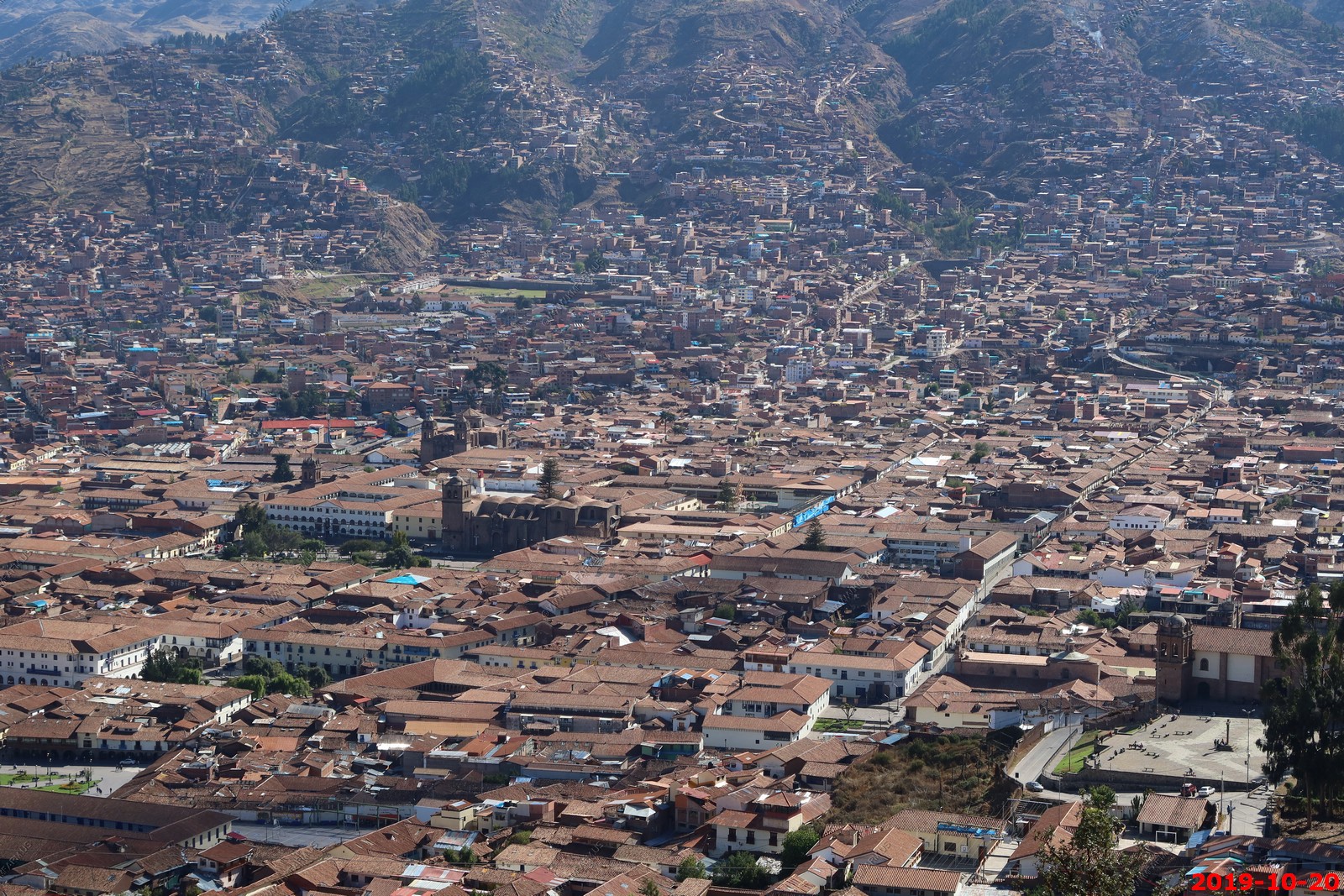
Cusco, Peru The capital of the Incan Empire, before they were driven out into Machu Picchu and beyond to Vilcabamba. Taken over and rebuilt by the conquistadors. Beautiful and interesting. Impressive Inca ruins in the surrounding hills. In 2017, the city had a population of 428,450. Located on the eastern end of the Knot of Cuzco, its elevation is around 11,200 ft.
A major earthquake on 21 May 1950 caused the destruction of more than one third of the city's structures. The Dominican Priory and Church of Santo Domingo, which were built on top of the impressive Qurikancha (Temple of the Sun), were among the affected colonial era buildings. Inca architecture withstood the earthquake. Many of the old Inca walls were at first thought to have been lost after the earthquake, but the granite retaining walls of the Qurikancha were exposed, as well as those of other ancient structures throughout the city. Restoration work at the Santo Domingo complex exposed the Inca masonry formerly obscured by the superstructure without compromising the integrity of the colonial heritage. Many of the buildings damaged in 1950 had been impacted by an earthquake only nine years previously
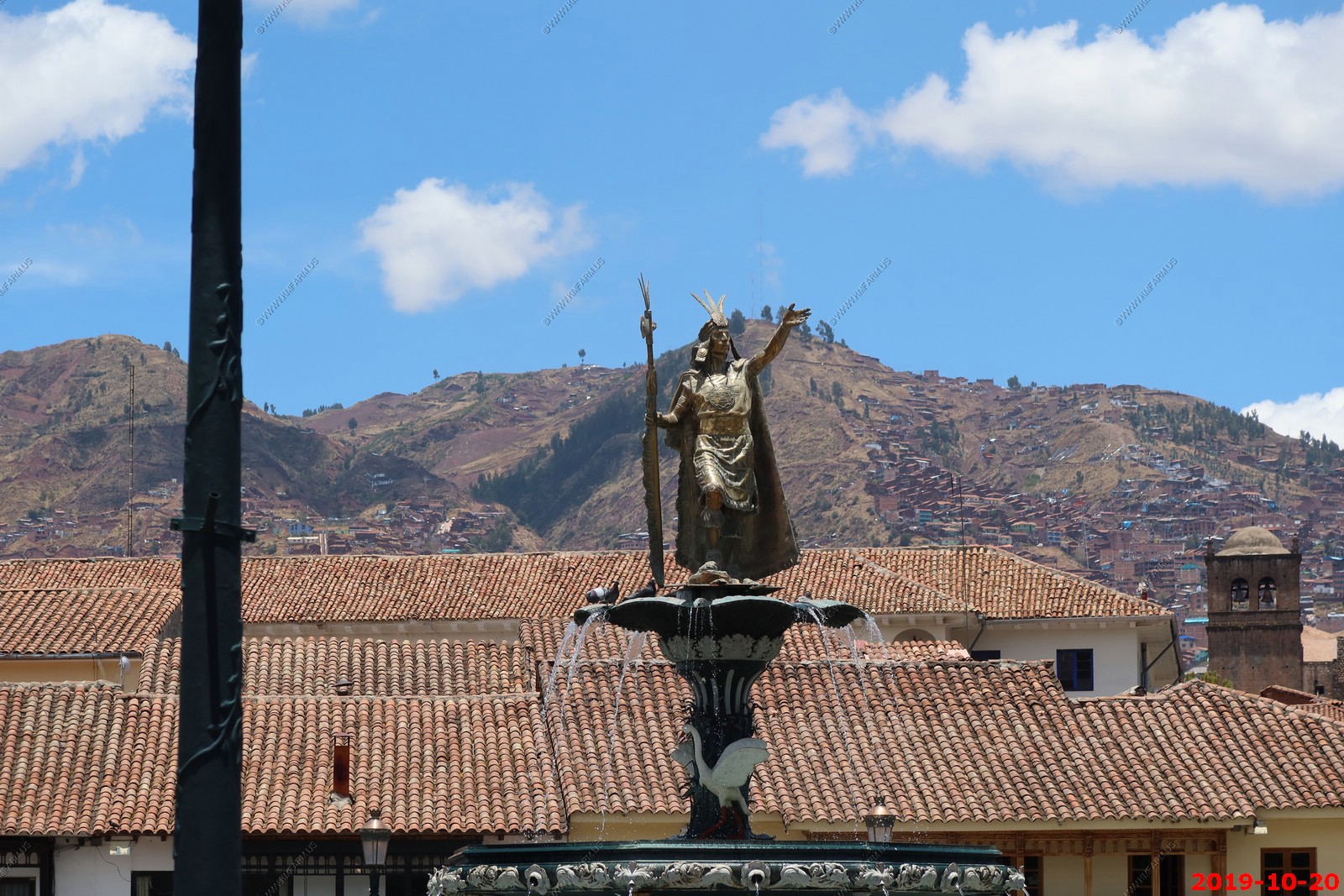
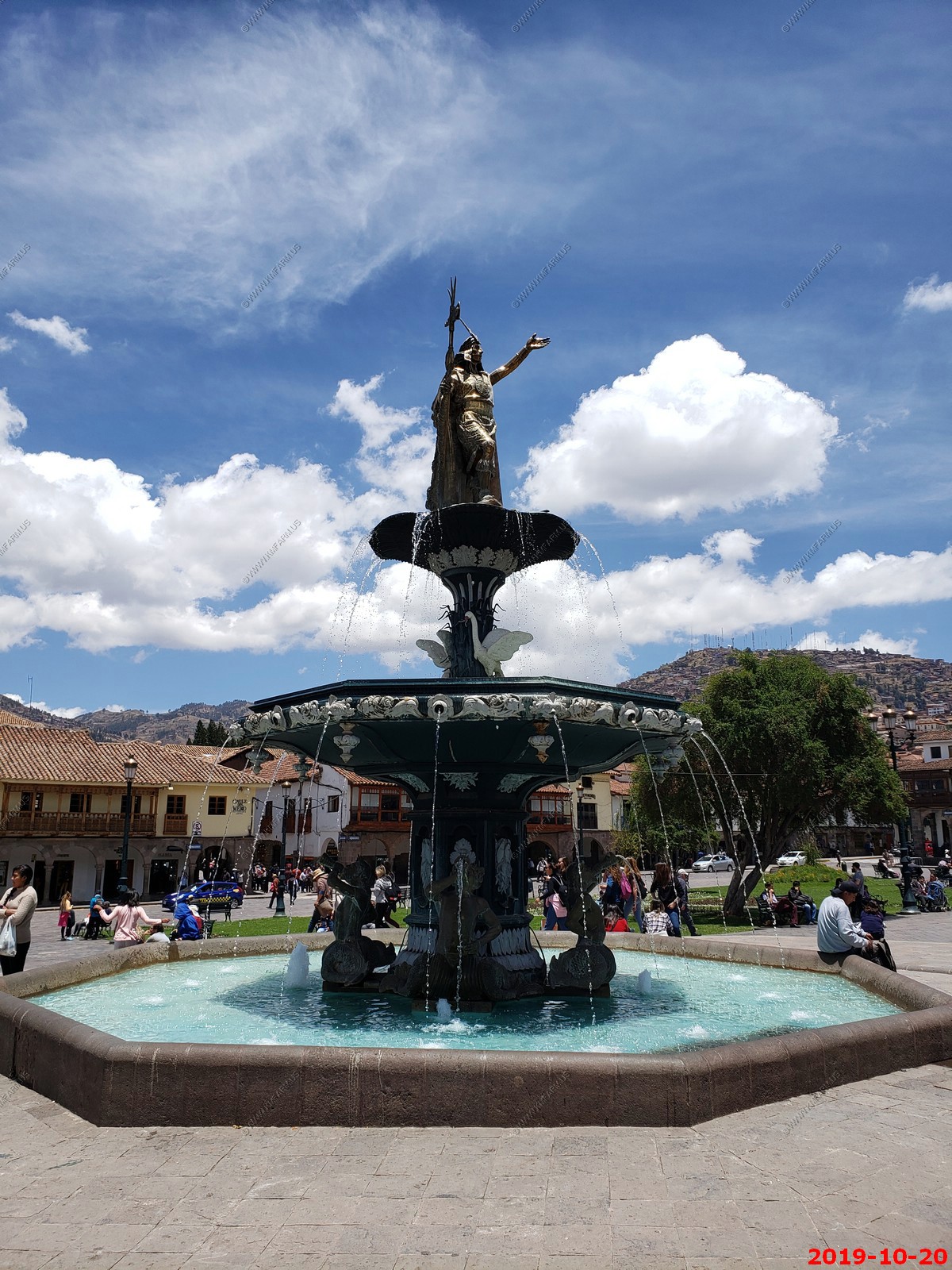
Inca King Pachacutec on top of fountain. Pachacuti Inca King was the 9th Inca ruler (r. 1438 - 1471 CE) who founded their empire with conquests in the Cuzco Valley and beyond. Pachacuti is also credited with founding the site of Machu Picchu.
Pachacuti rebuilt much of Cuzco, designing it to serve the needs of an imperial city, and indeed as a representation of the empire. There was a sector of the city for each suyu, centering on the road leading to that province; nobles and immigrants lived in the sector corresponding to their origin. Each sector was further divided into areas for the hanan (upper) and hurin (lower) moieties. The Inca and his family lived in the center; the more prestigious area. Many of the most renowned monuments around Cuzco, such as the great sun temple of Coricancha or the "fortress" of Sacsayhuaman, were constructed during Pachacuti's reign. Pachacuti died in 1471 due to a terminal illness. When Pachacuti died in 1471 the empire stretched from Chile to the south and Ecuador to the north also including the modern countries of Peru and Bolivia as well as most of northern Argentina.
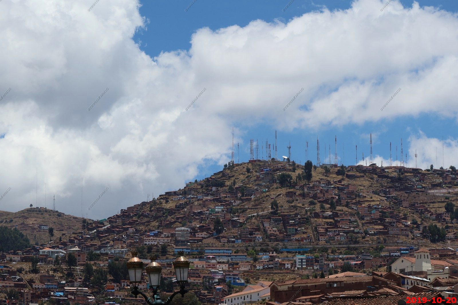
Lots of antennas on the mountains around Cusco
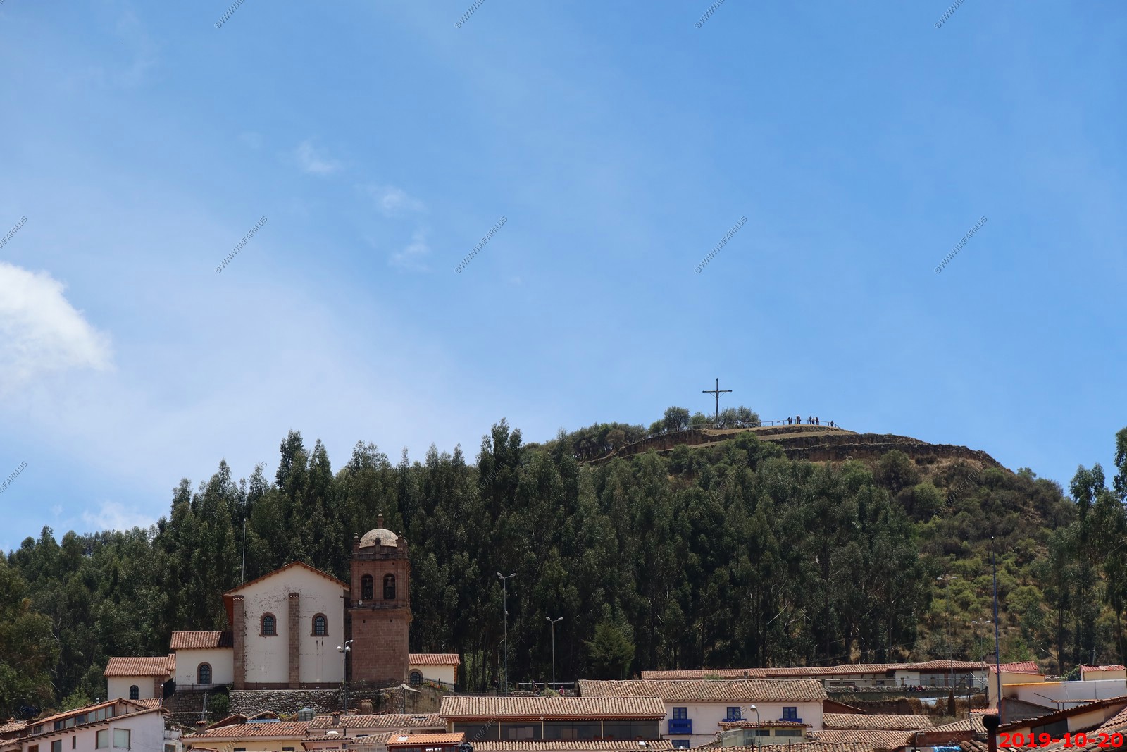
Giant white statue of Christ overlooking Cusco
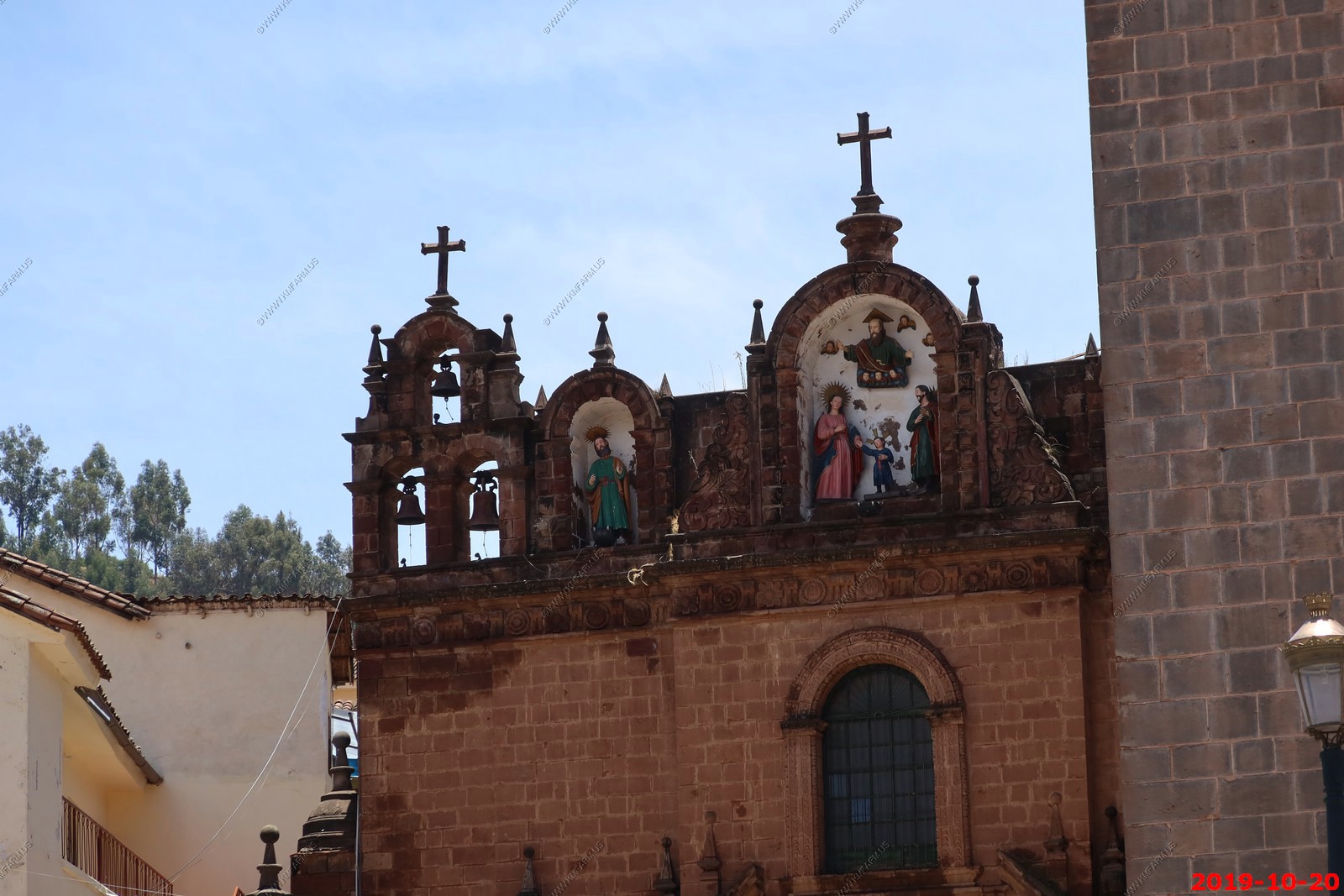
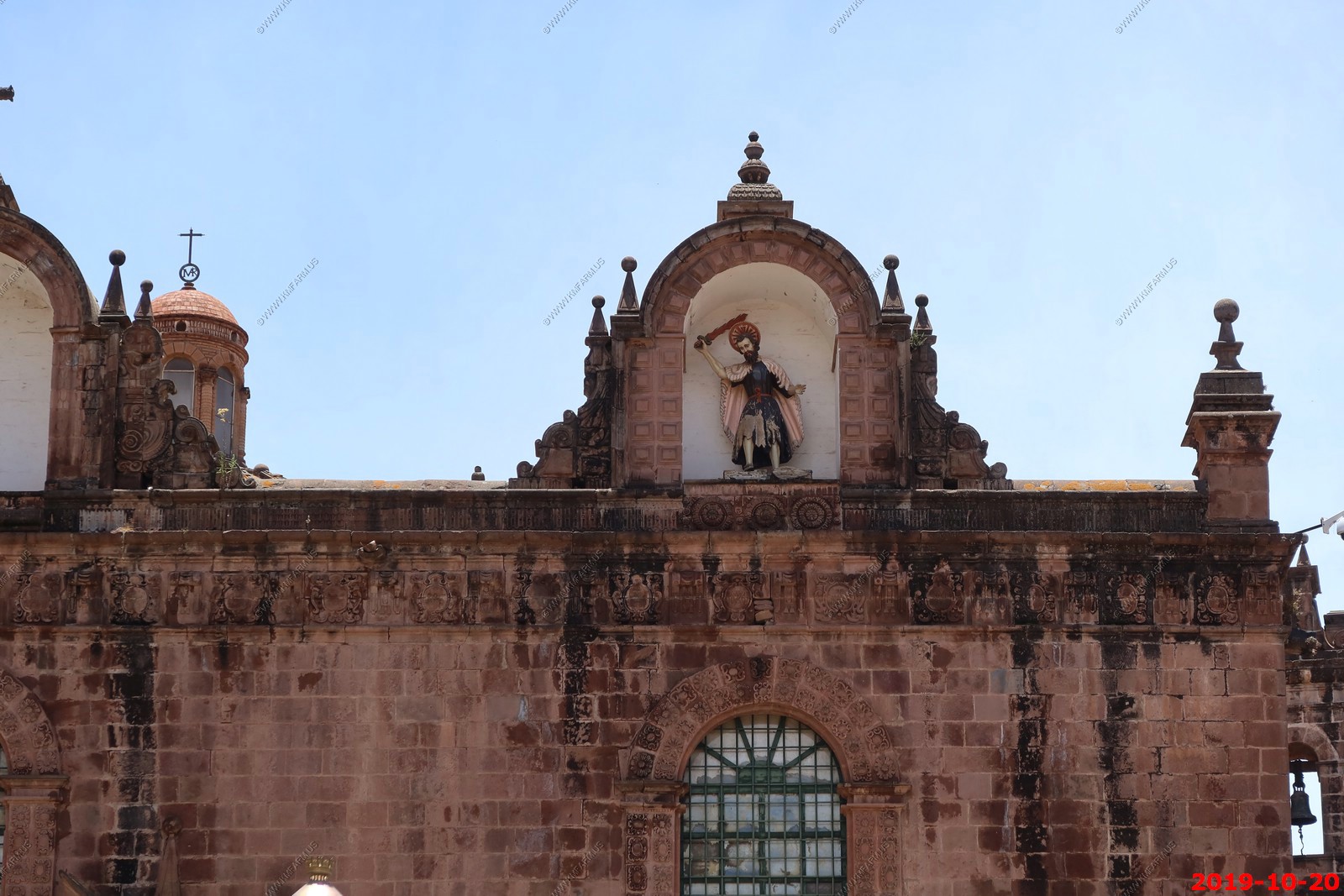
Along the top front of Iglesia El Triunfo (Cusco)
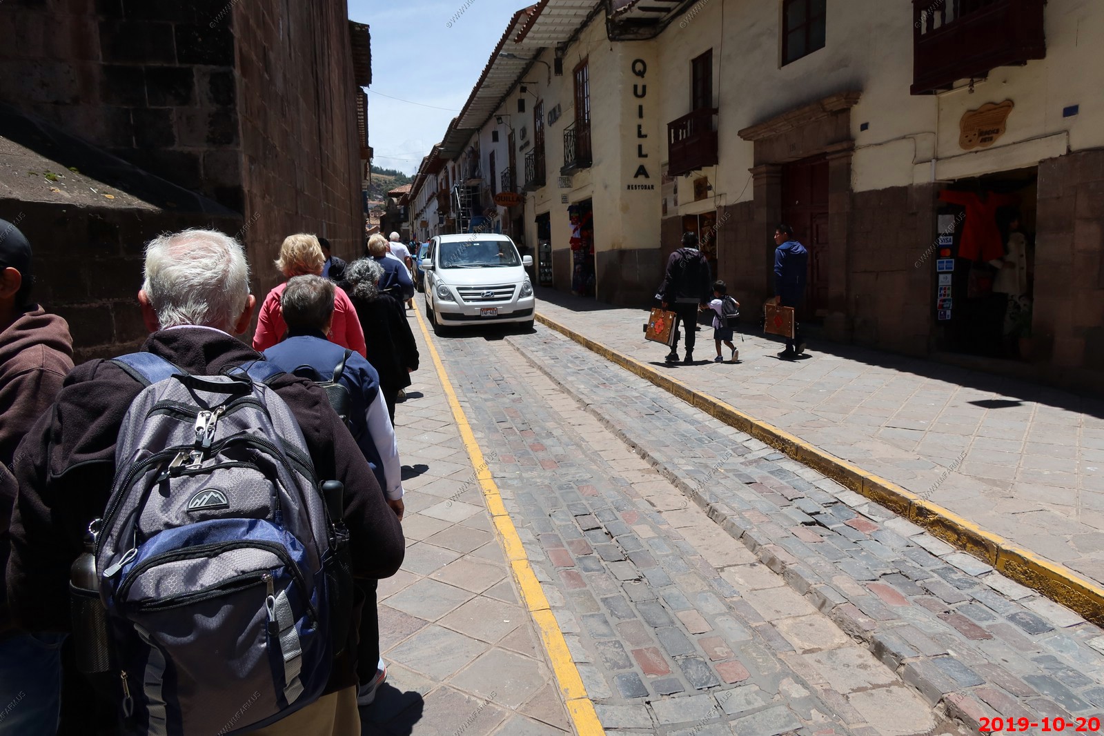
Narrow streets
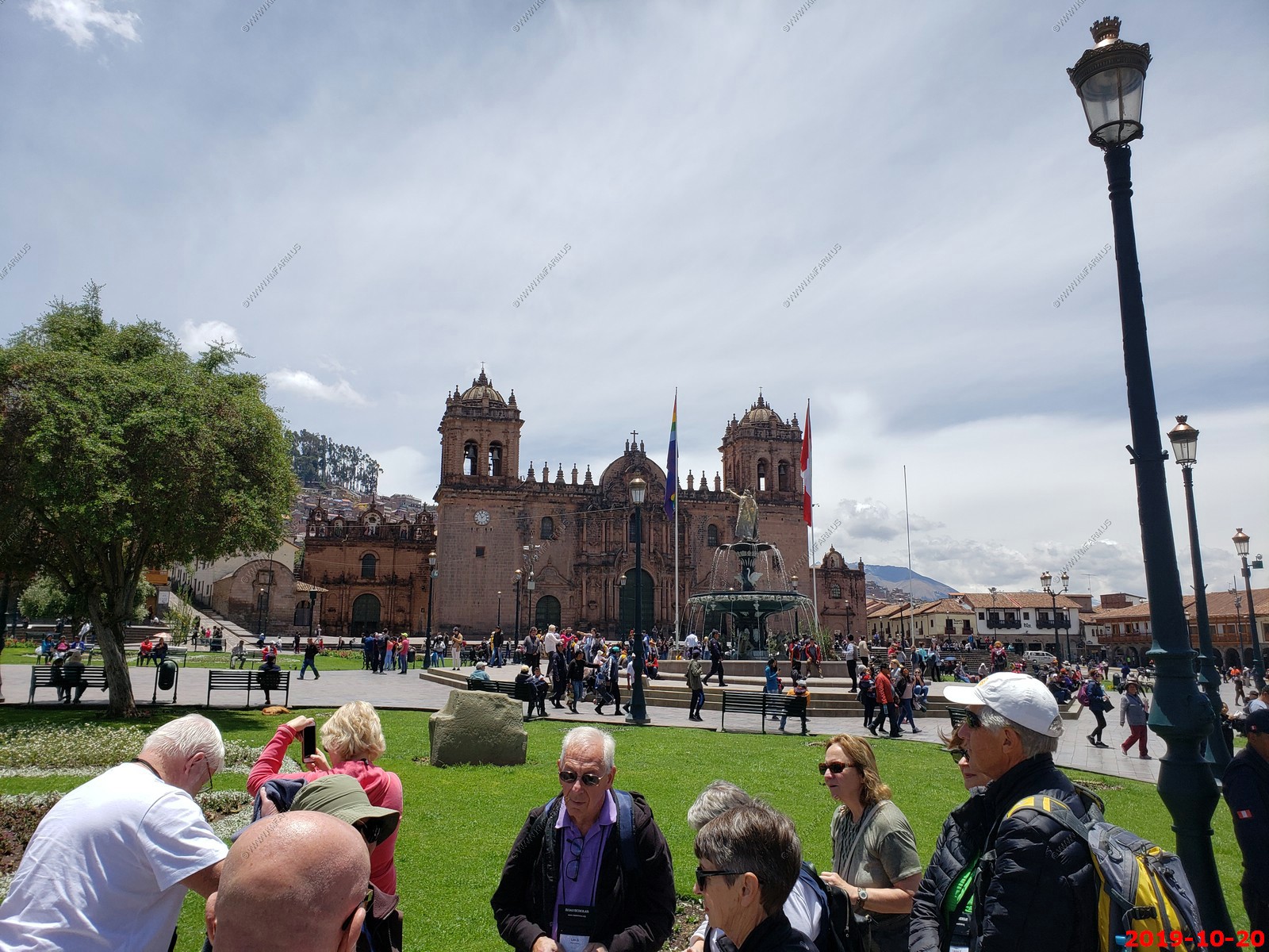
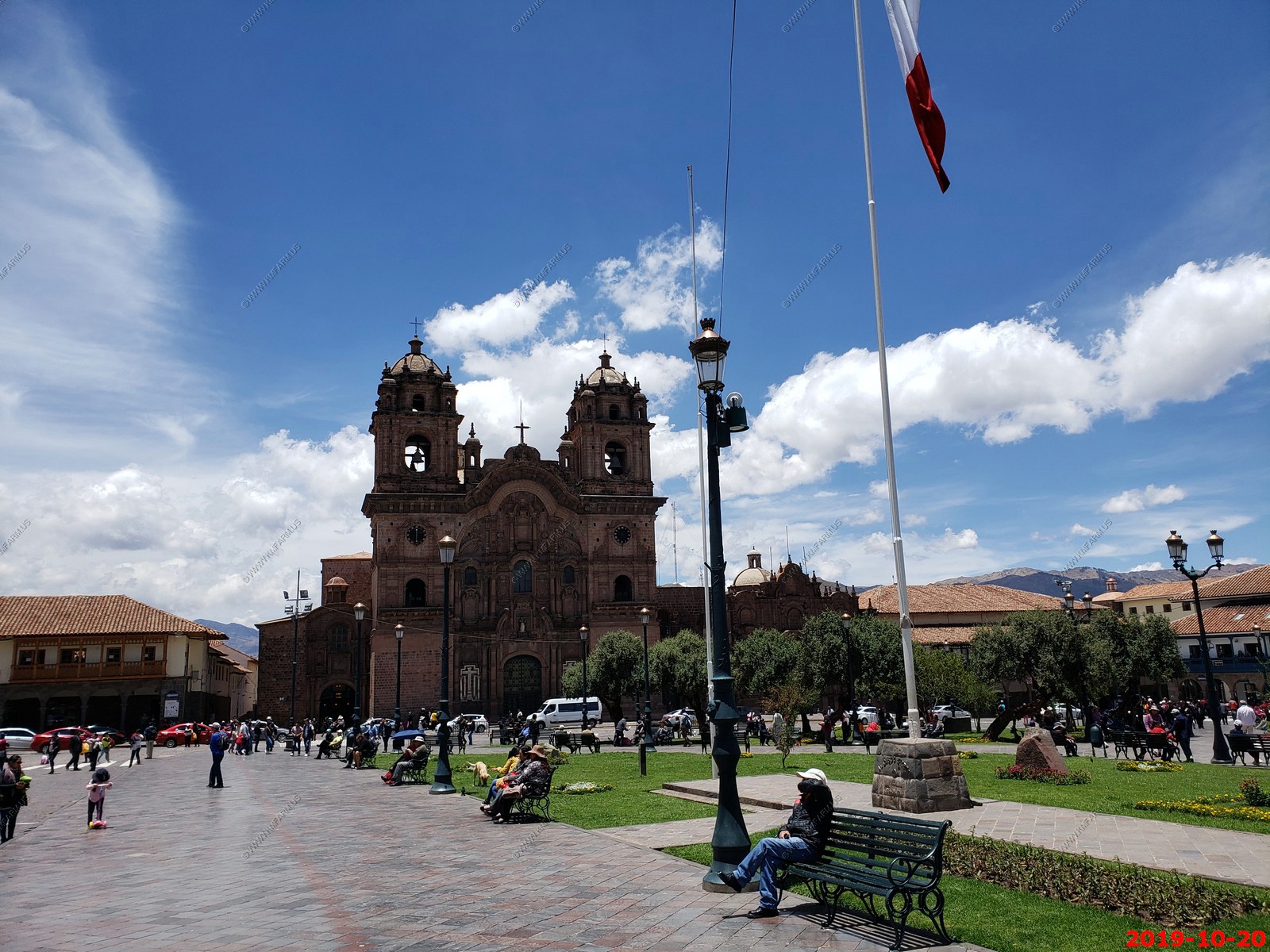
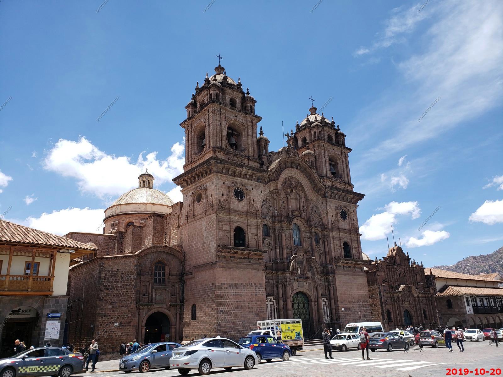
Our group in the Plaza de Armas del Cuzco in front of the Cathedral of Cusco
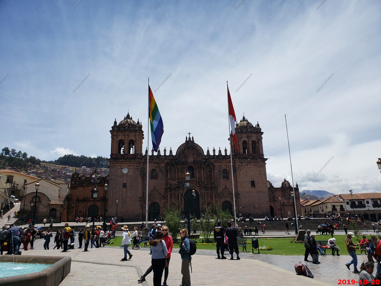
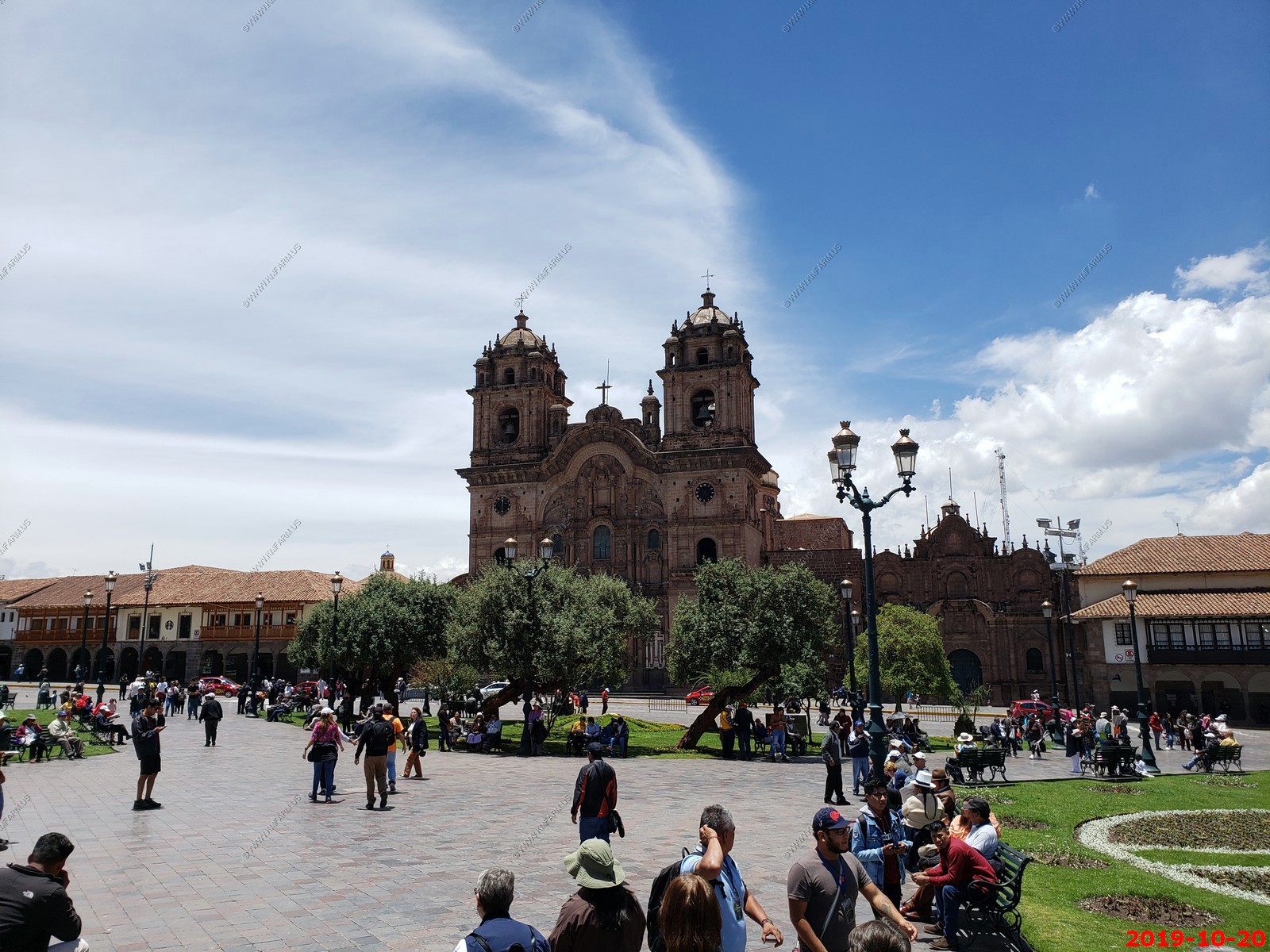
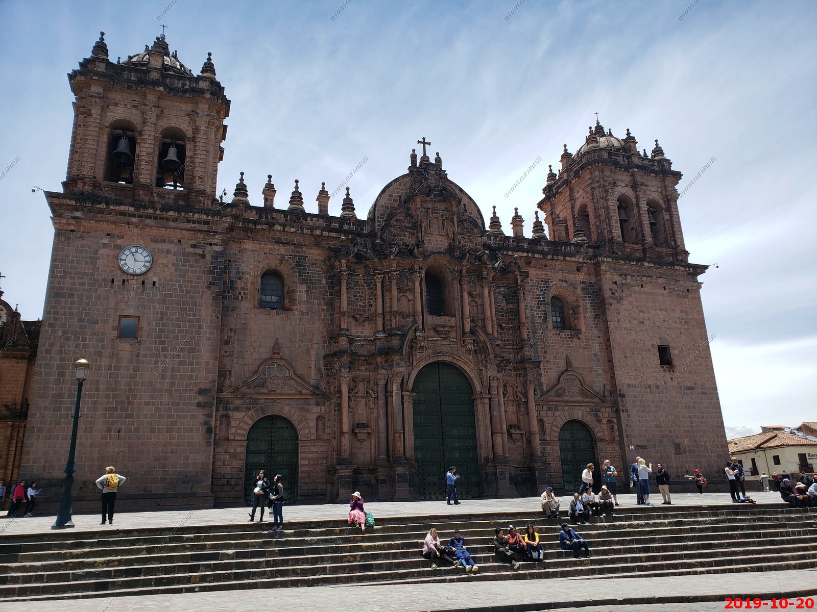
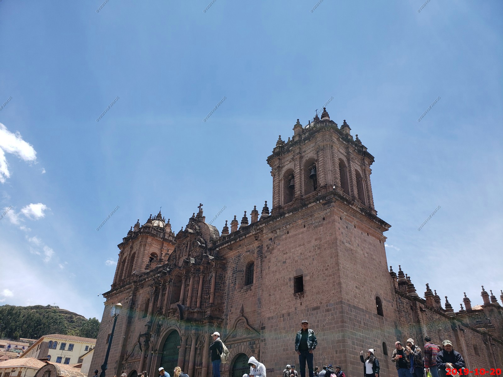
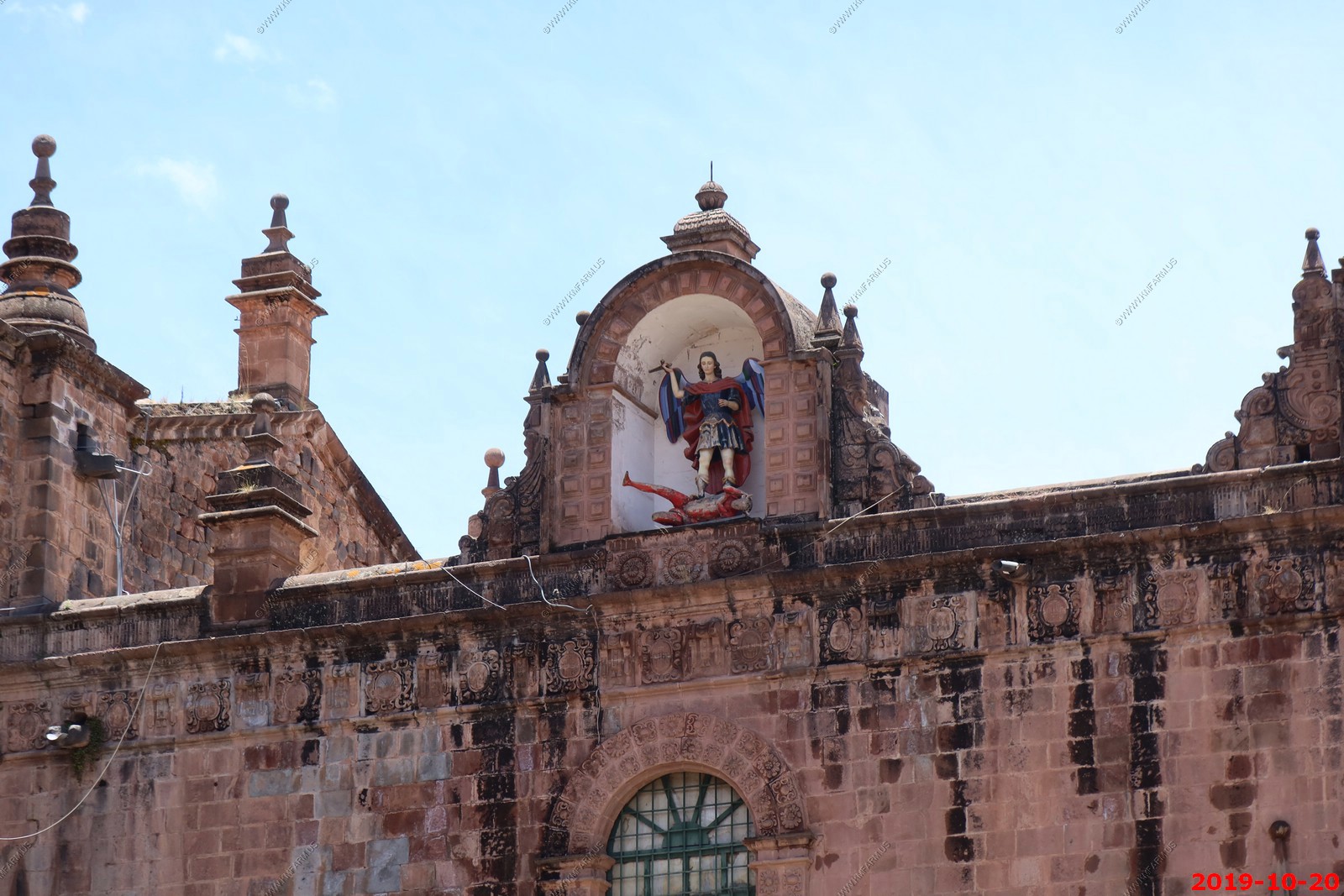
Looking at Compania de Jesus (Jesuit) Church in Cusco from the Plaza de Armas del Cuzco
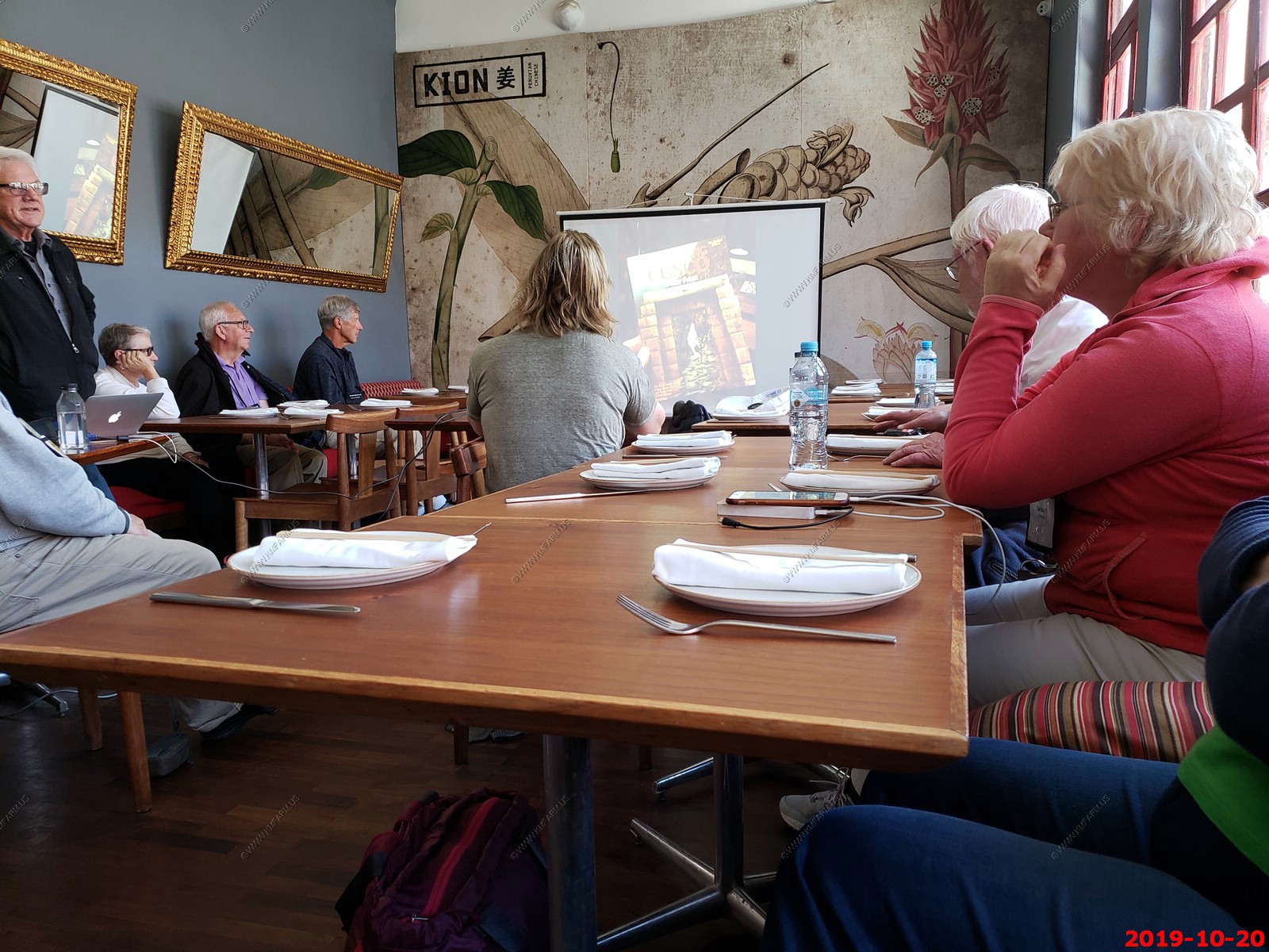
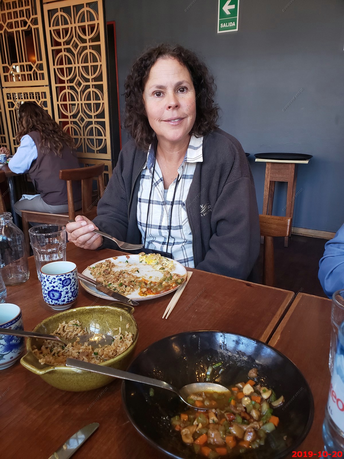
We had a good (but SLOW) lunch at a Chinese / Peruvian restaurant. Also had a brief on what we would see over the next few days from Peter Frost. We picked up his book and I regret not reading this BEFORE this trip. His book "Exploring Cusco" is very good and I learned a good bit about some of the sites AFTER we visited. His book has made me ponder flying back down to the sacred valley, renting a car and spending more time at some of the sites.
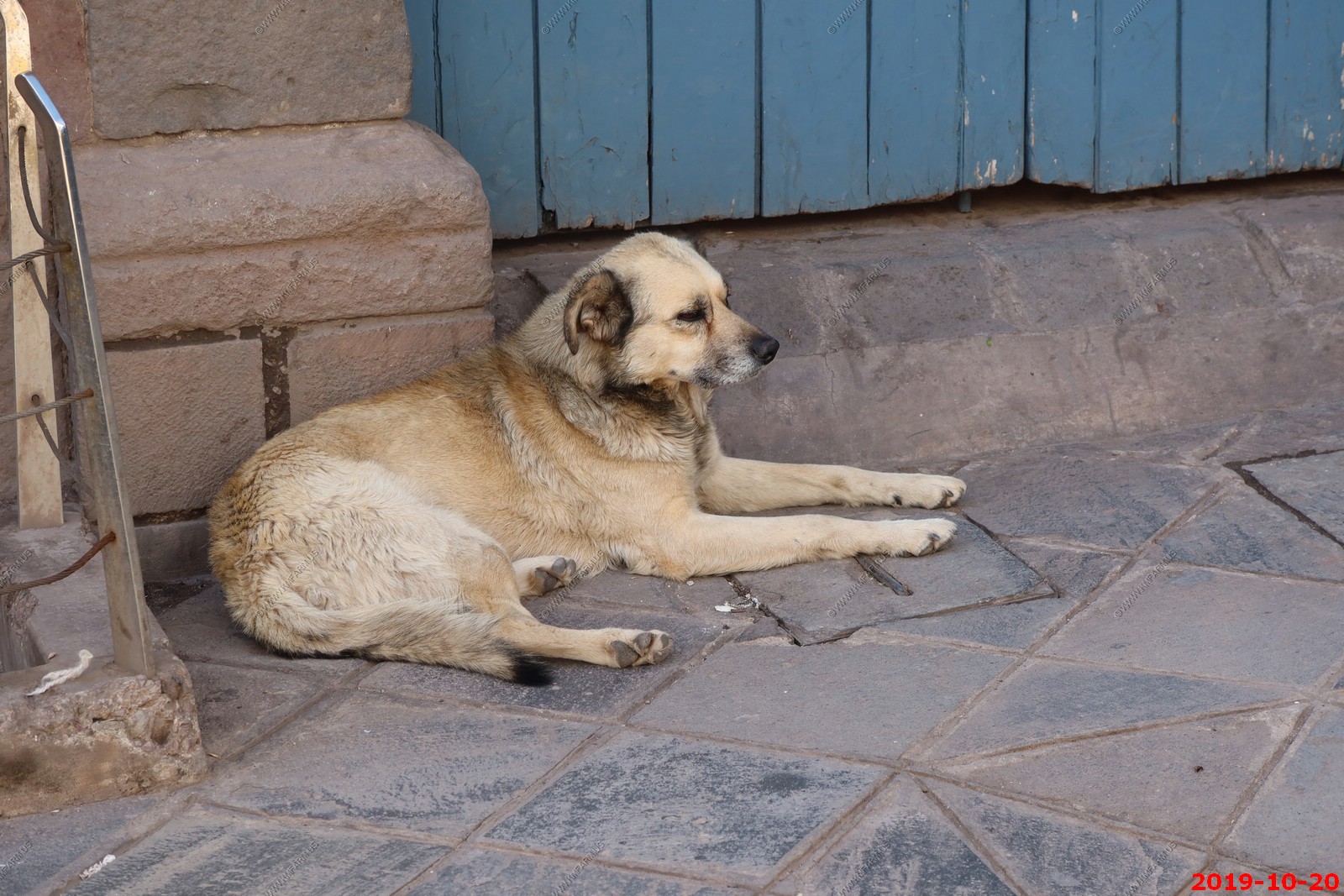
Street dog
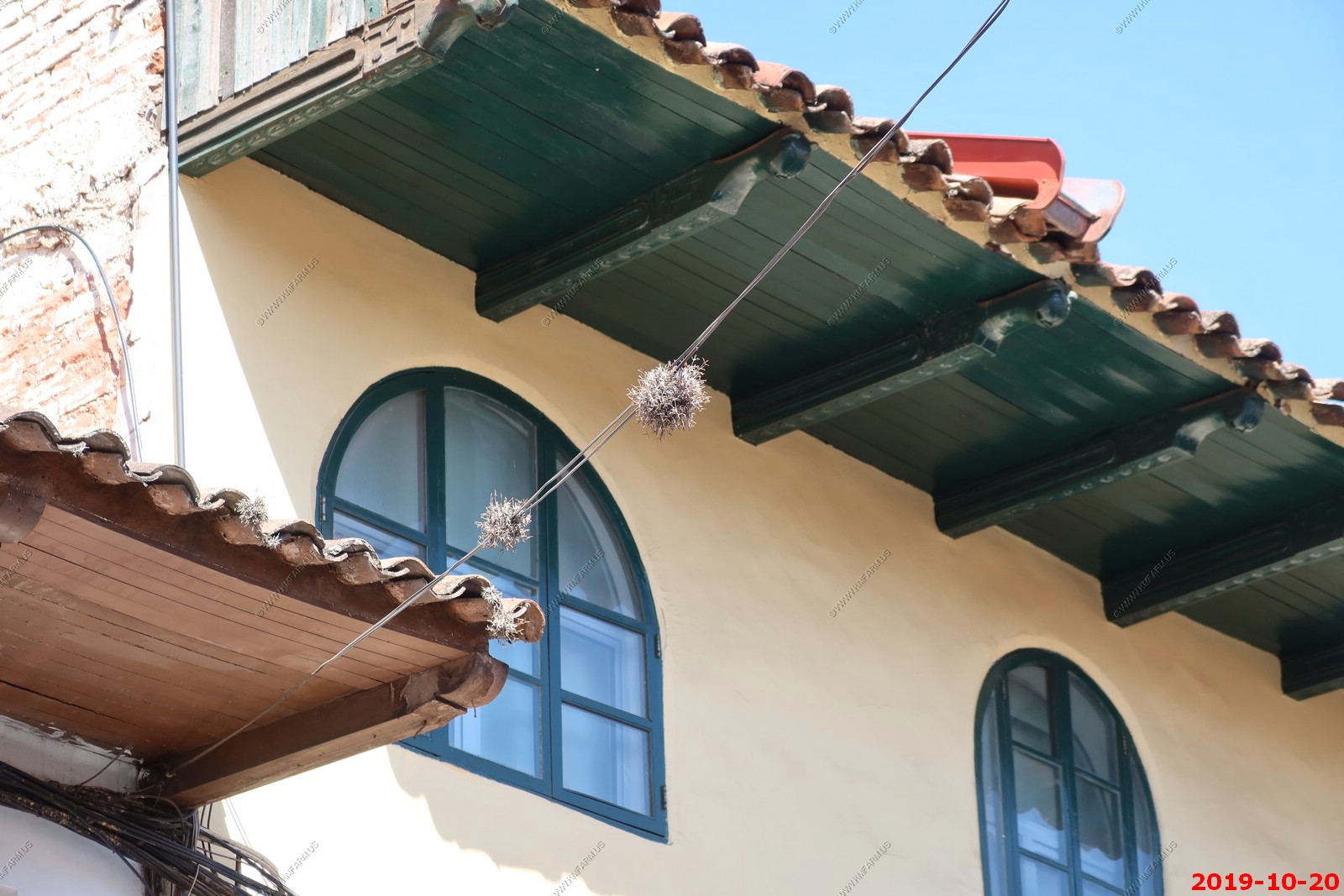
we would see these growing all over the place around here. Some type of parasite like Mistletoe.
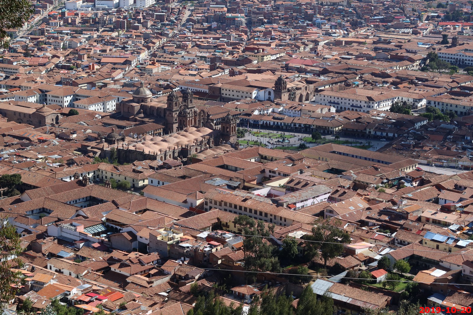
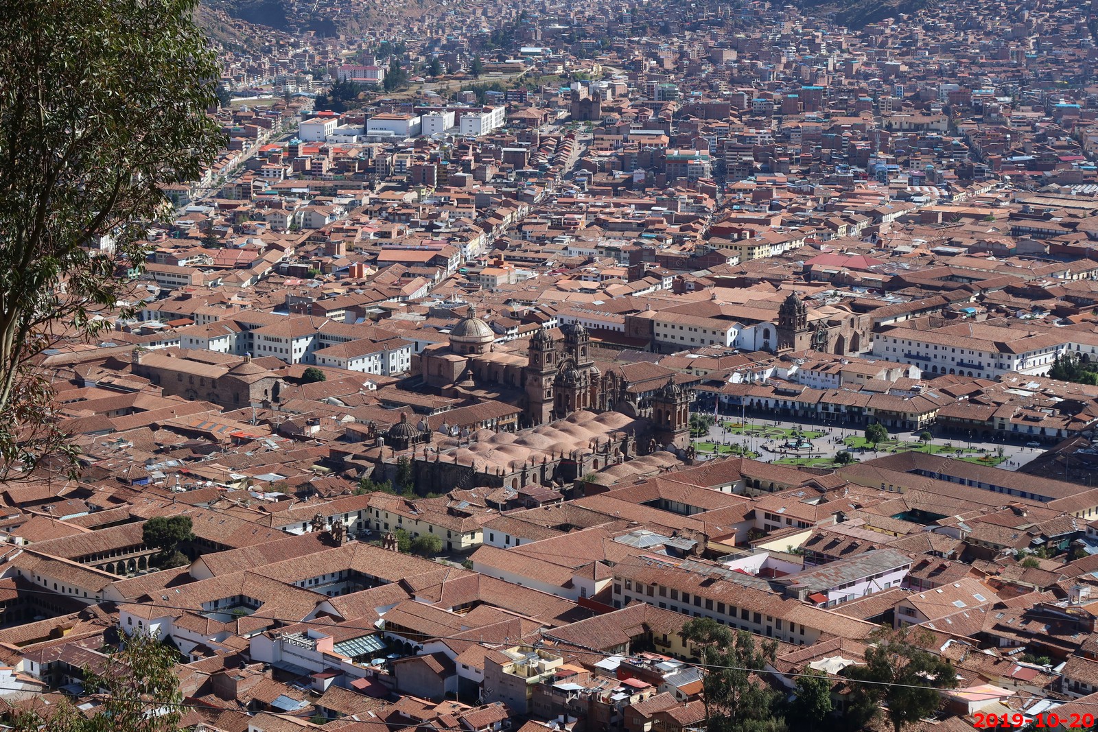
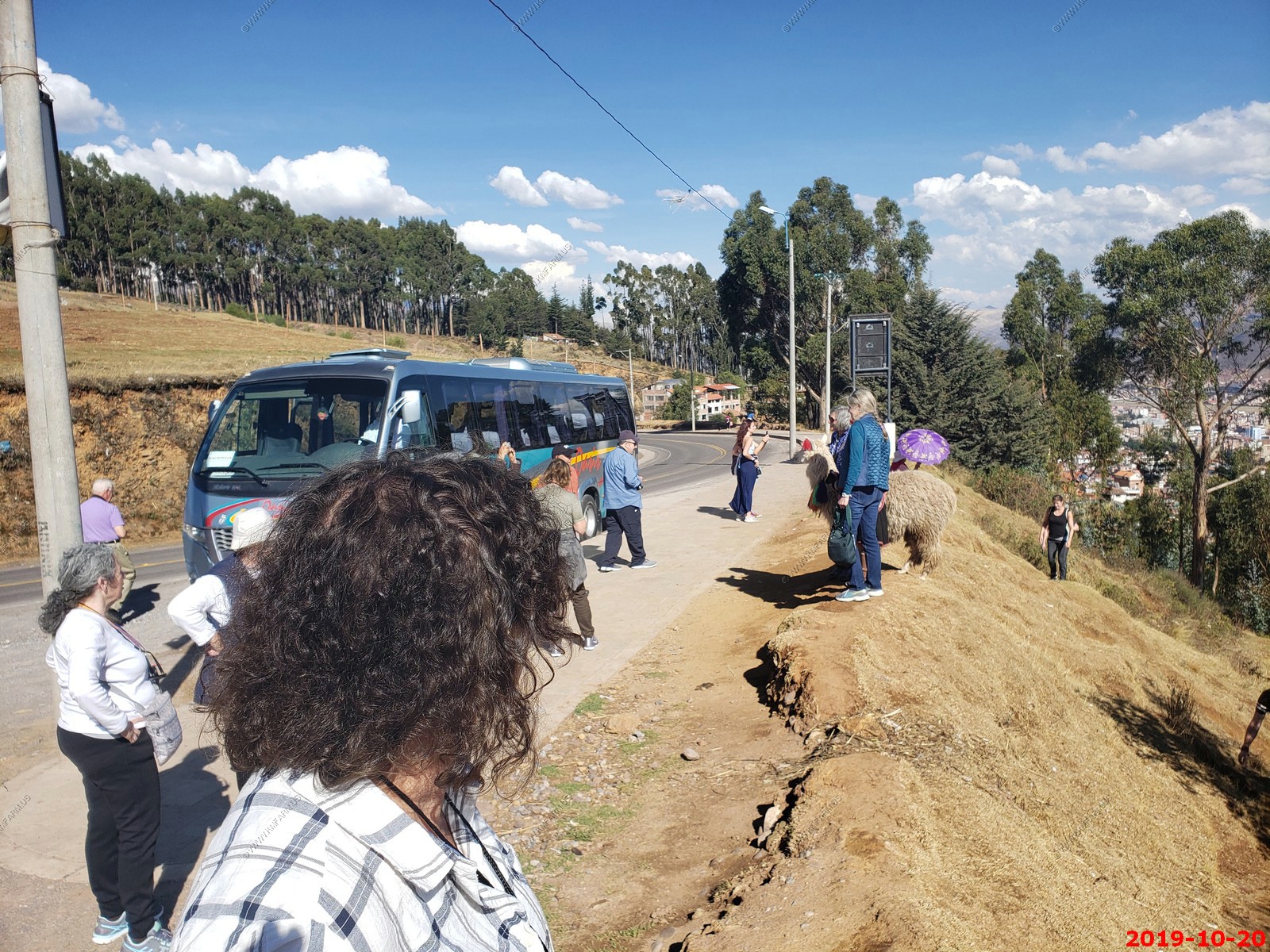
Looking down at Cusco from the road to Cristo Blanco & Sacsayhuaman. At 12,000 feet near here so a good view of the city.
You can see the church & town square
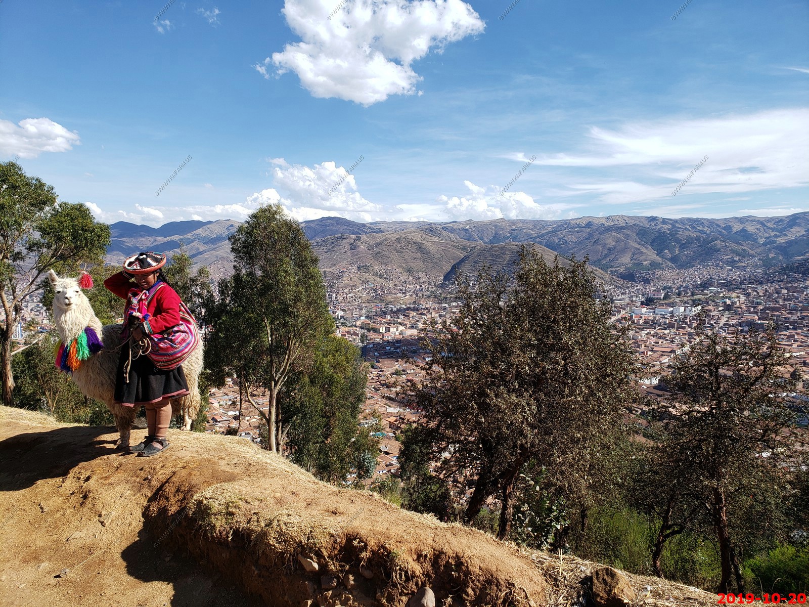
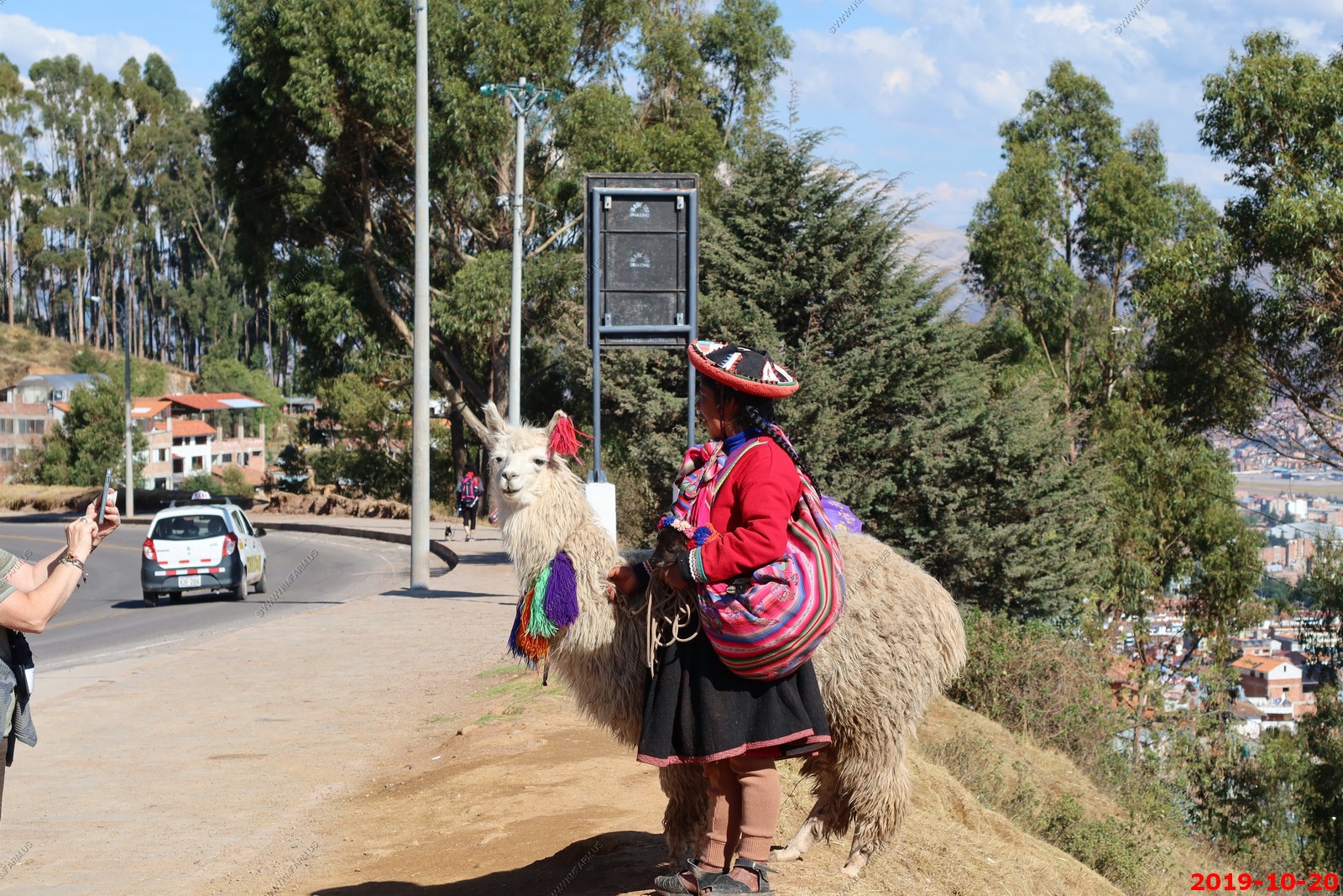
A woman with her Llama with Cristo Blanco in the background.
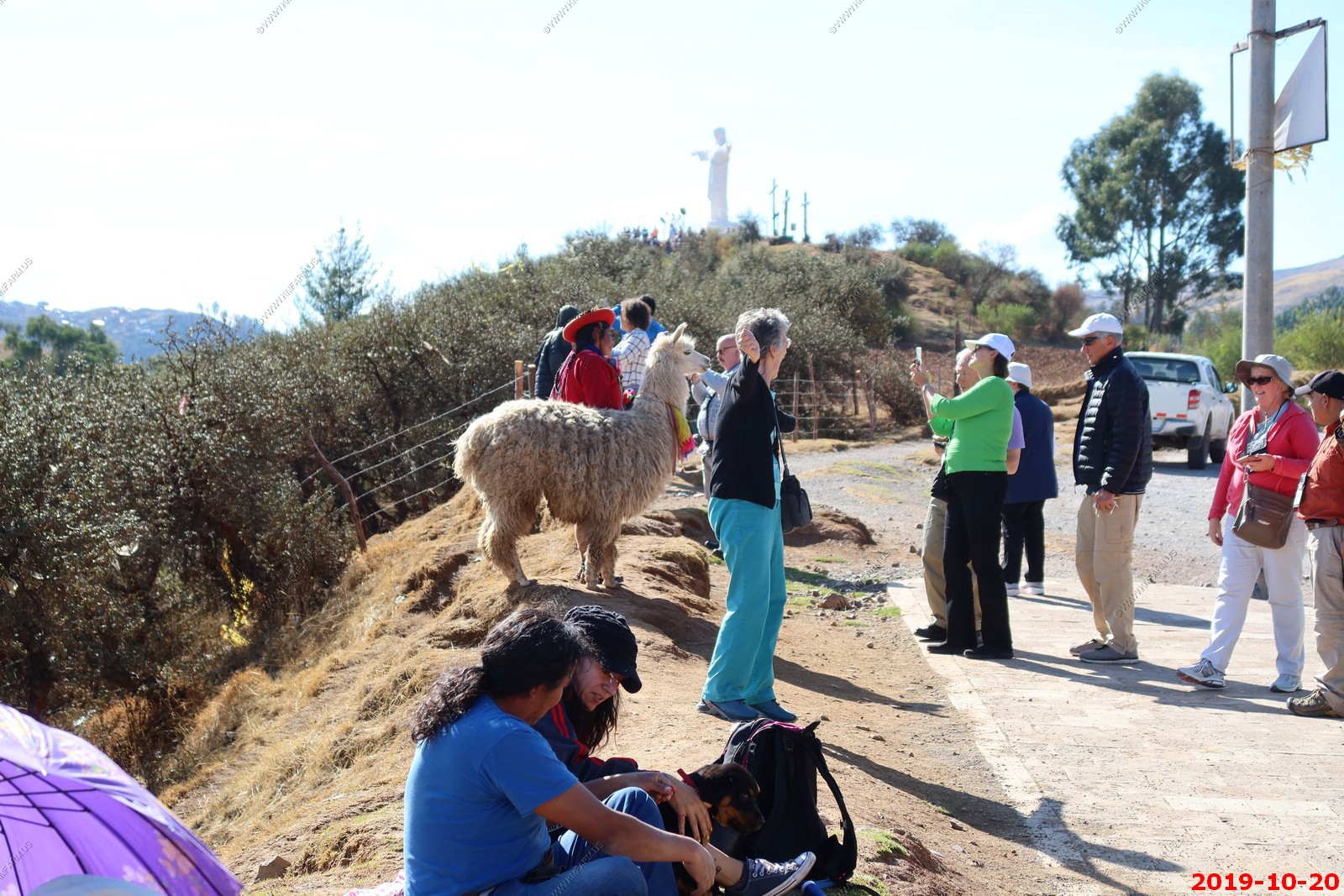
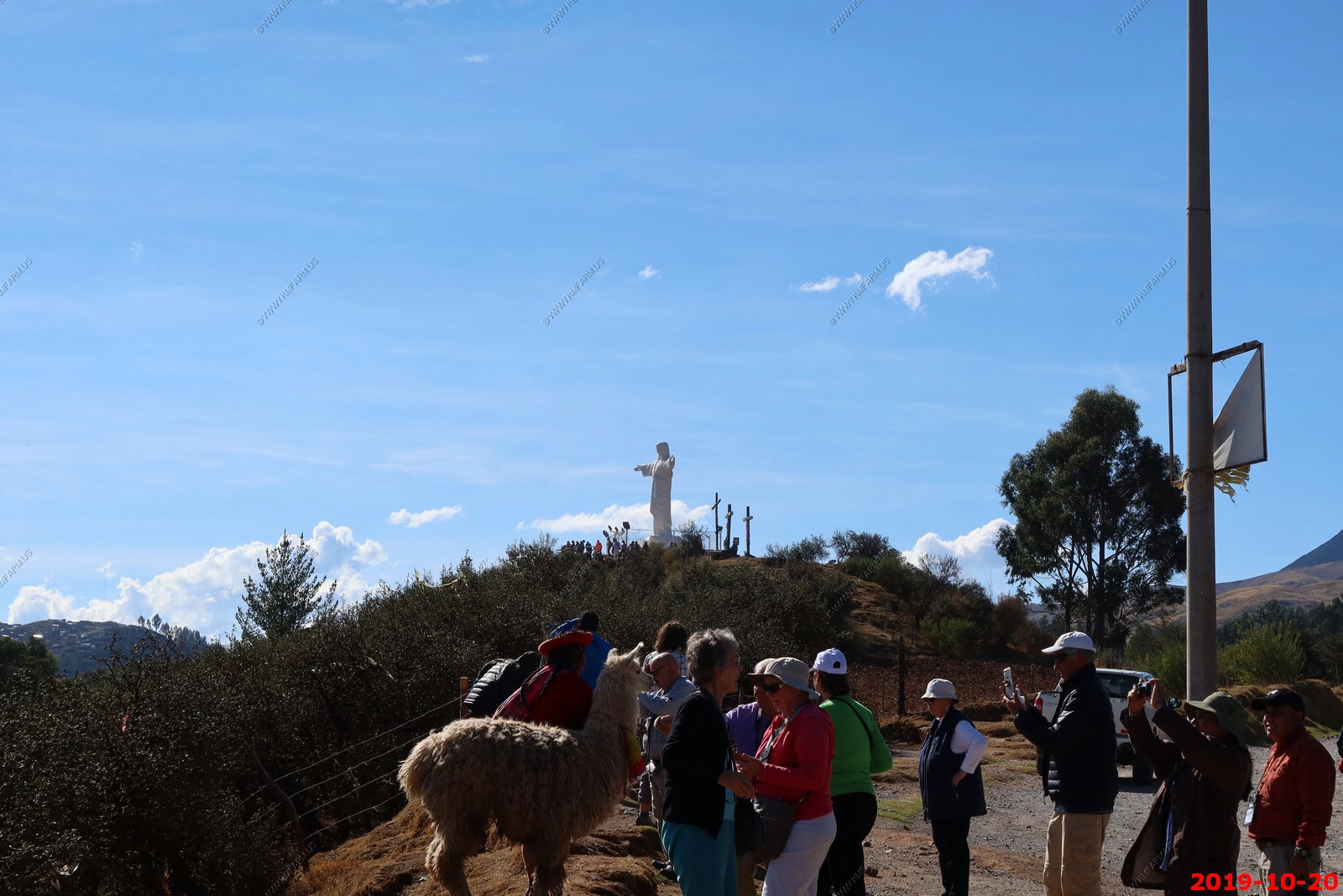
Catching a shot without paying. The Llama saw me.
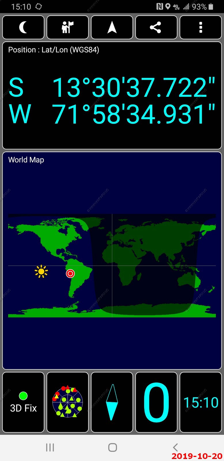
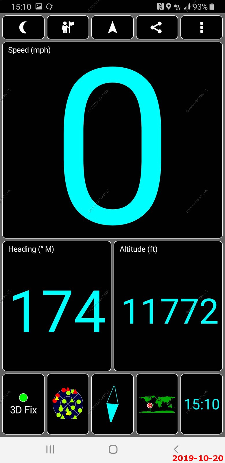
Where we are and our elevation
The traditional dress worn by Quechua women today is a mixture of styles from Pre-Spanish days and Spanish Colonial peasant dress. What is considered traditional today is a combination of the two influences. Women wear bright embroidered skirts, little jackets and cardigans, capes or shawls, and little Andean hats, creating a fusion of traditional and modern wear.
The colors of the llicllas (a Quechua word for a shawl-style rectangular cape that the Quechua women wear around their backs) vary, but they will usually be very bright, with designs woven into them. They aren't just used for show, or to keep warm; the shawls are also used to carry children or baby alpacas or goats in, as well as items that they may be selling on the streets, such as alpaca sweaters, scarves, or other handmade items.
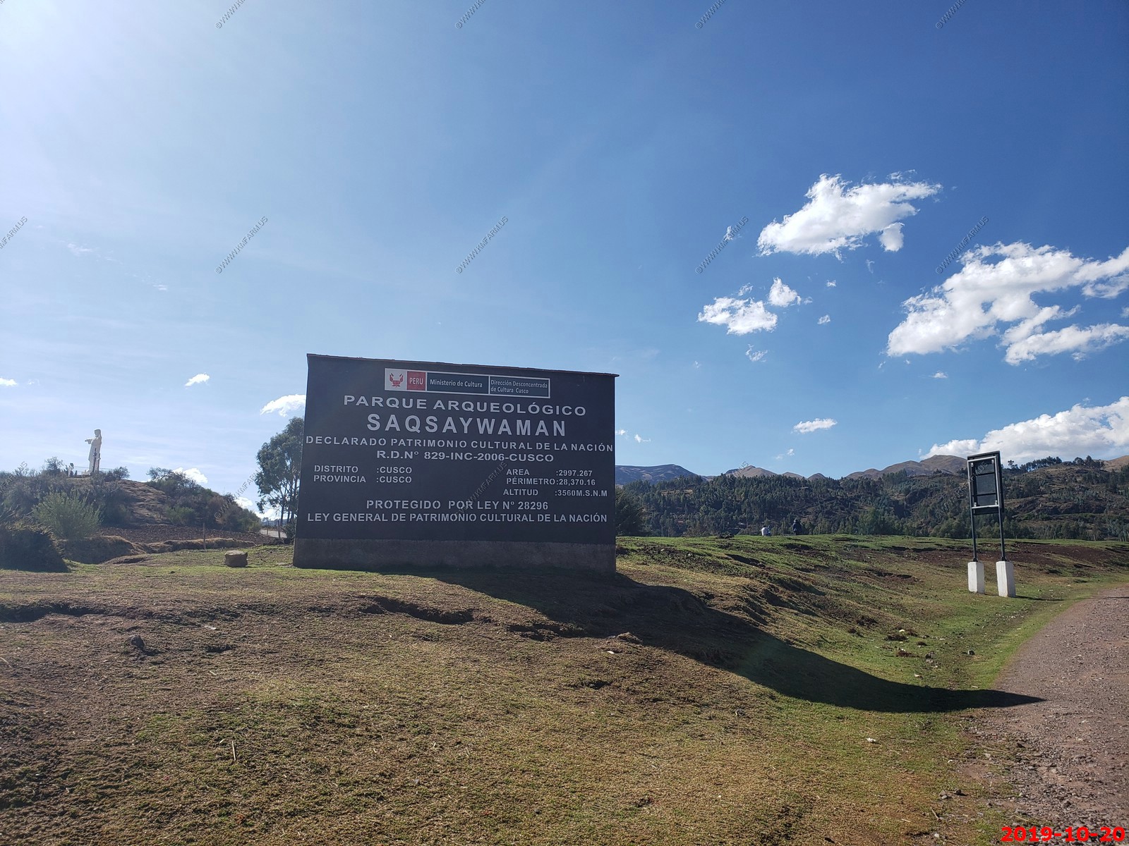
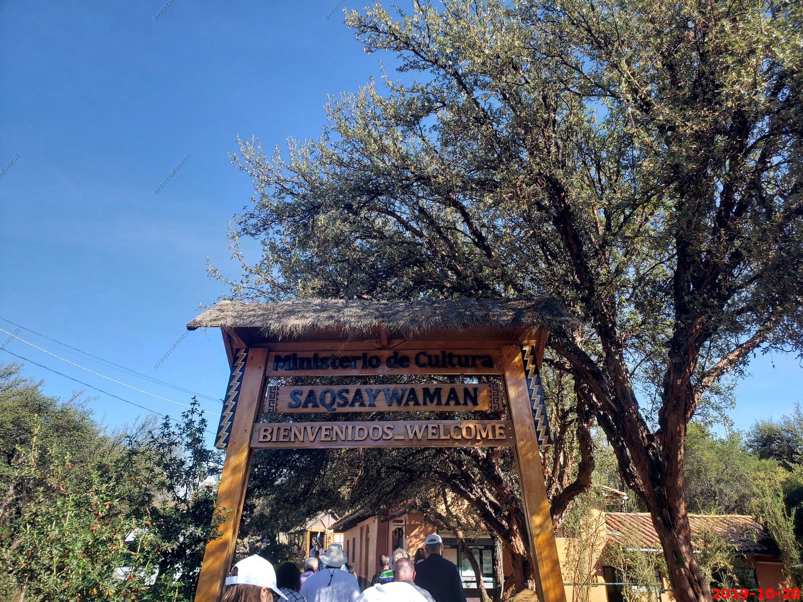
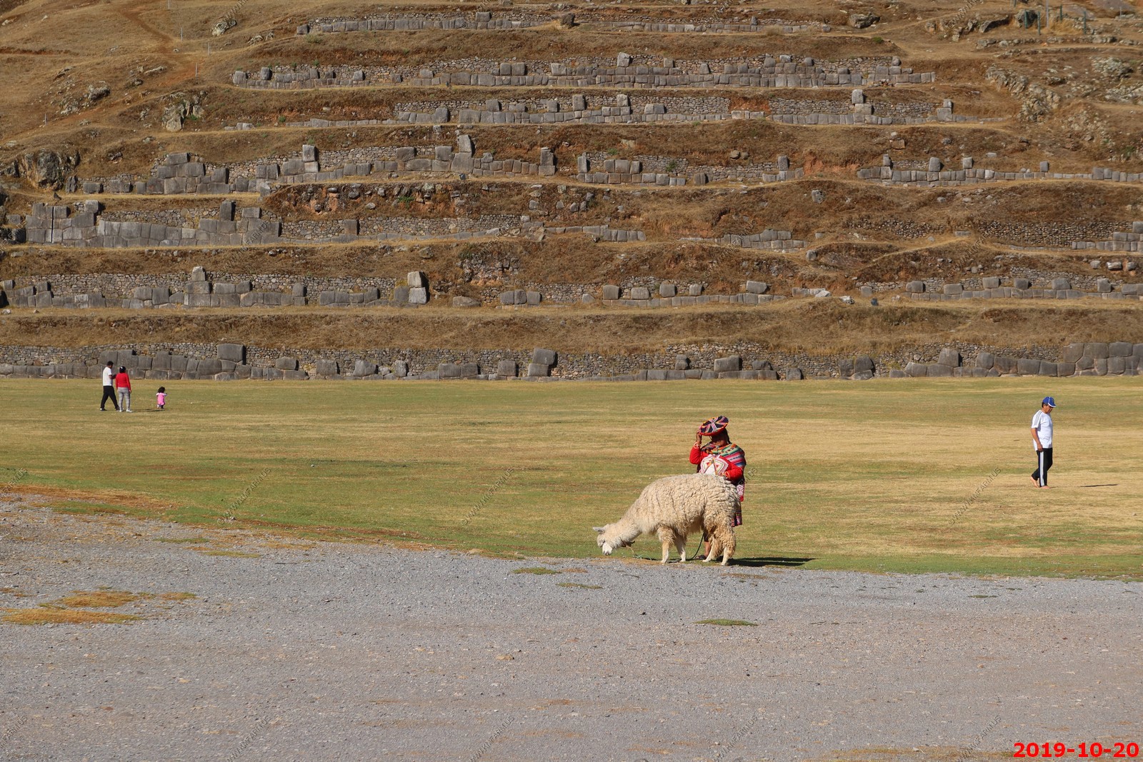
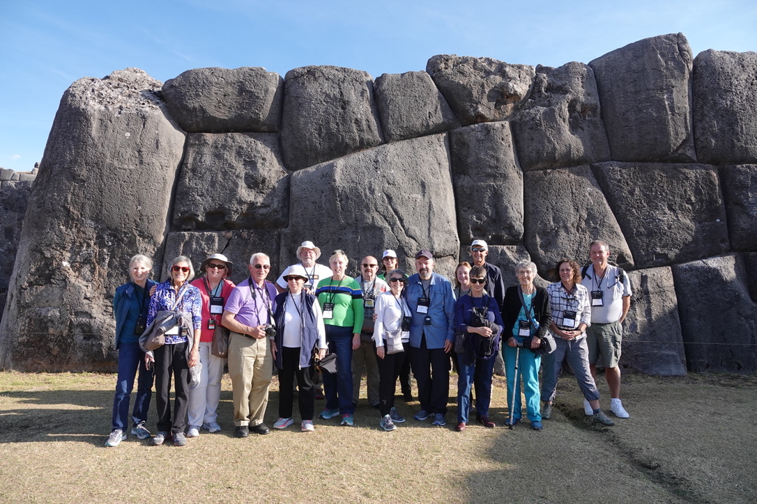
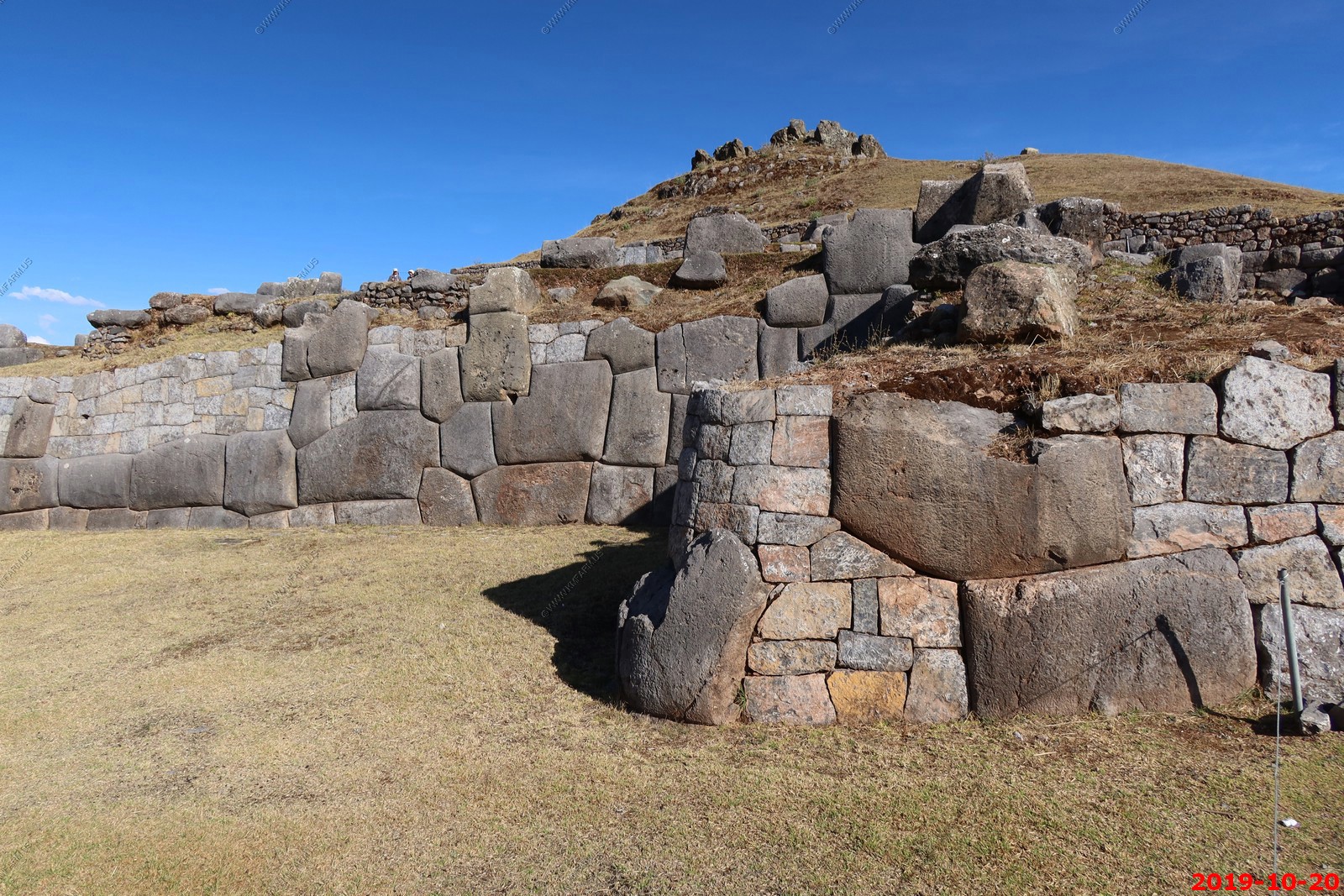
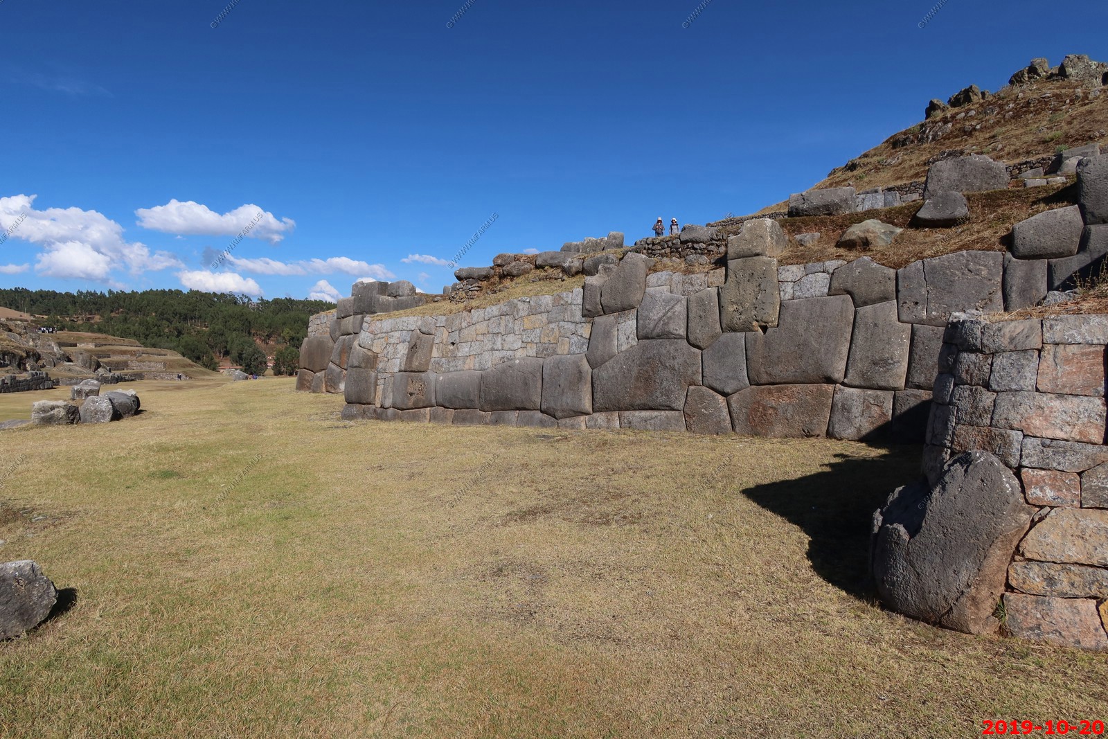
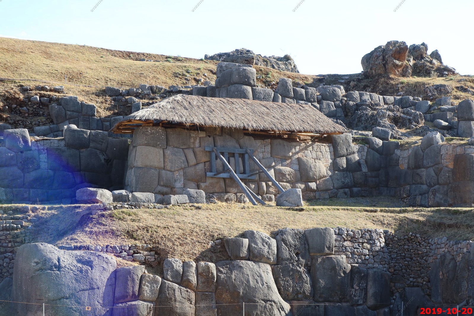
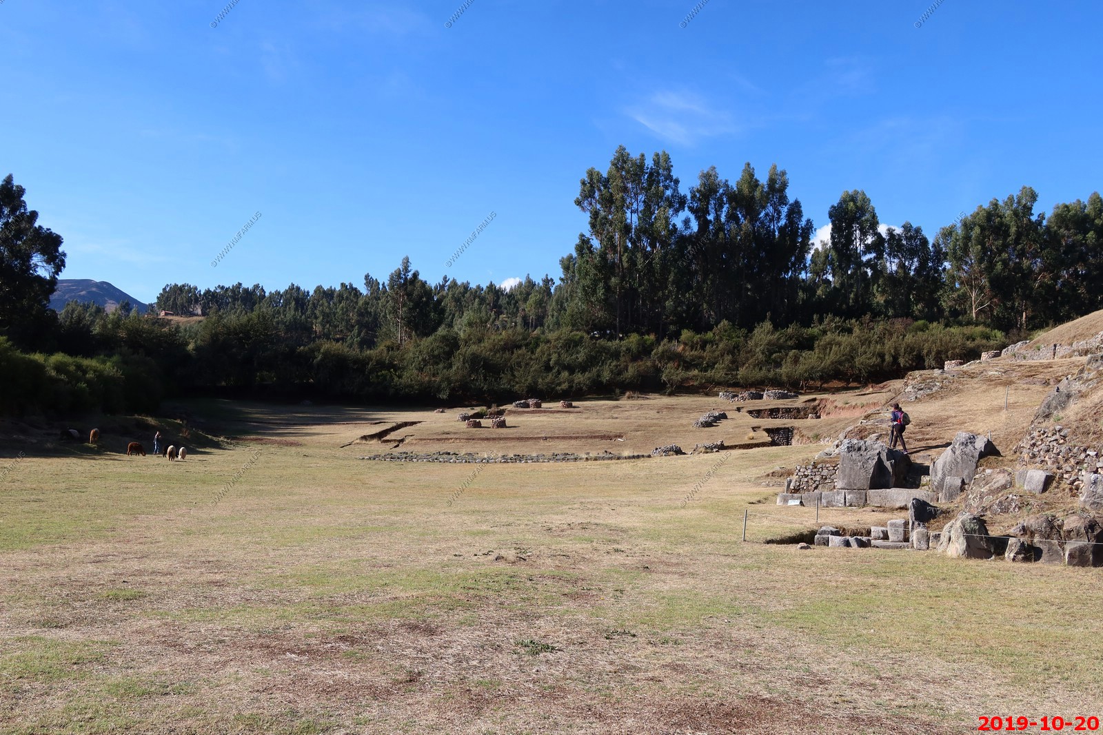
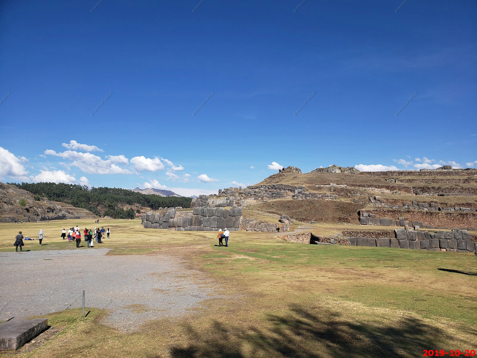
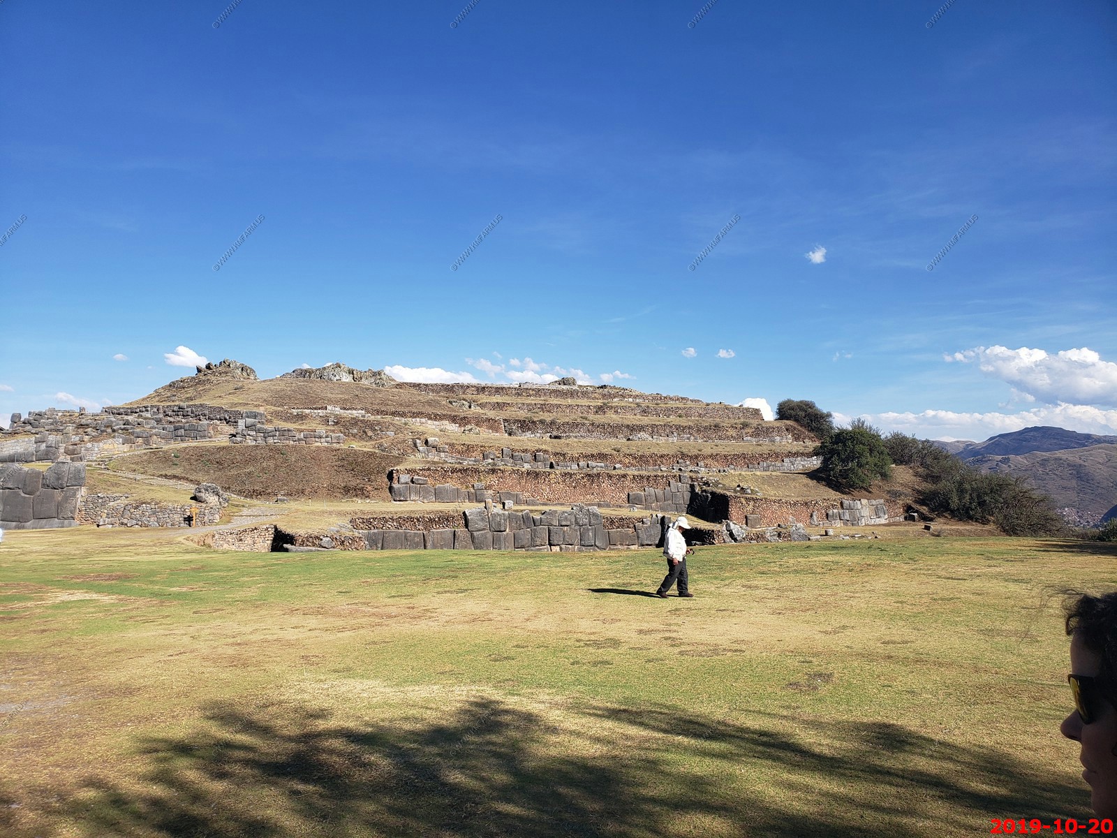
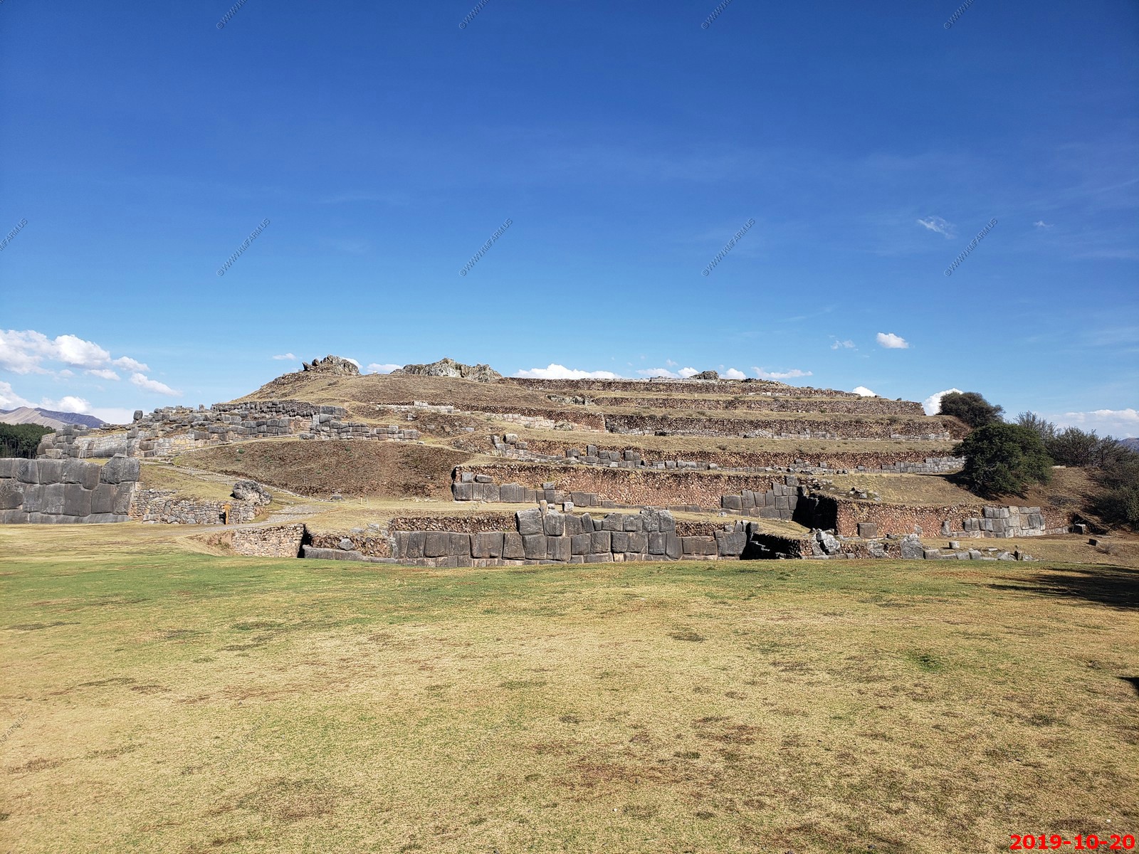
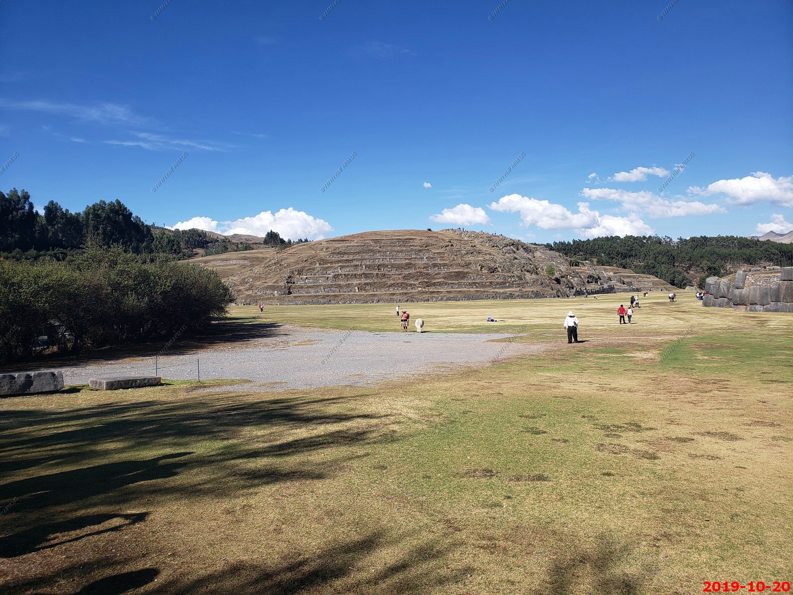
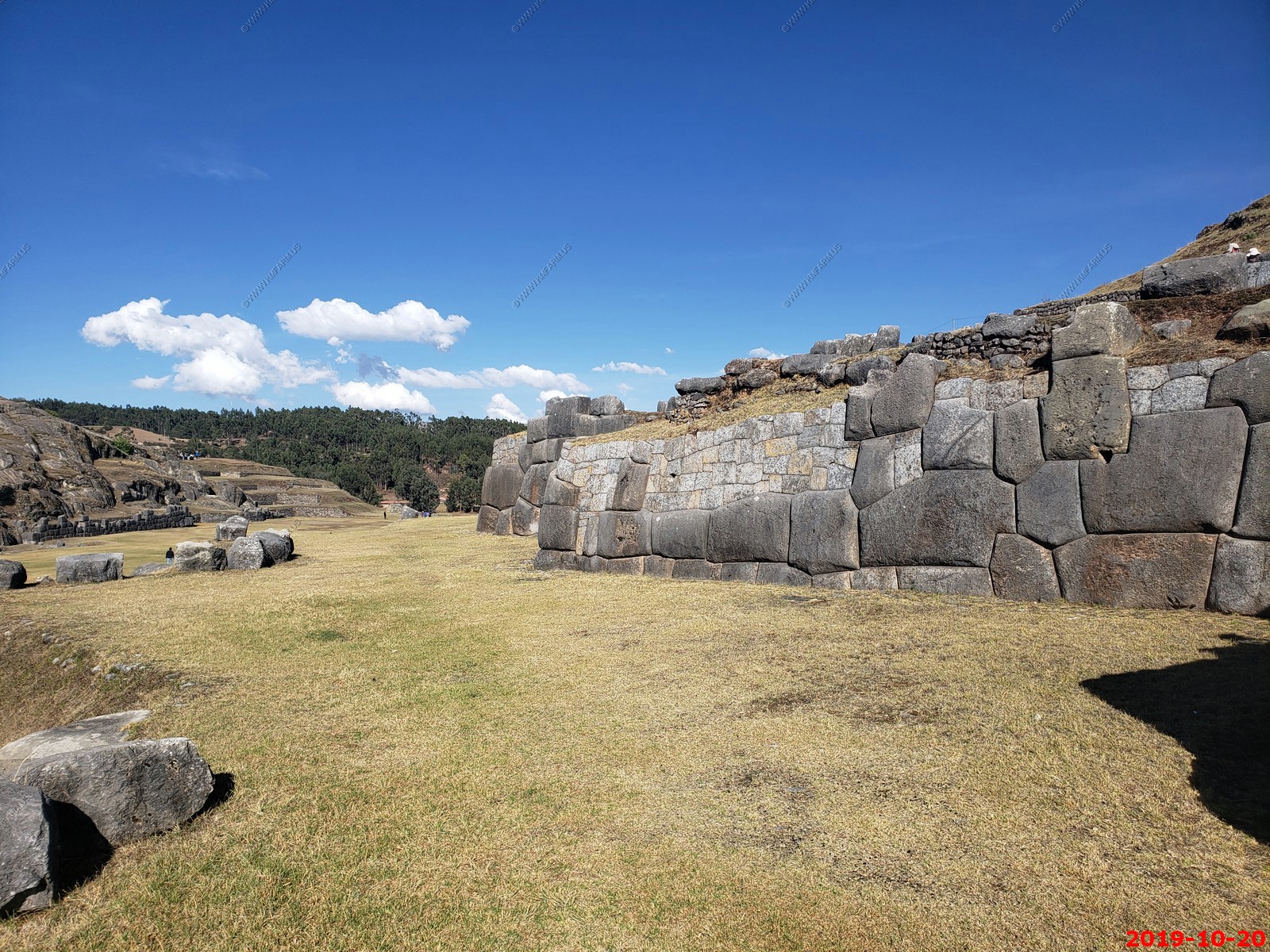
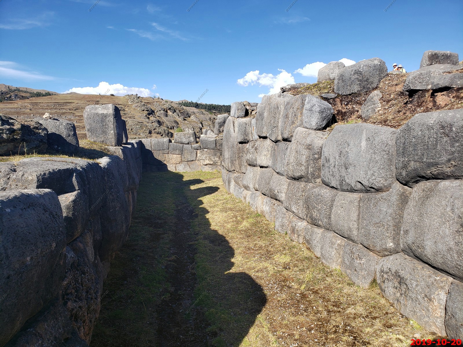
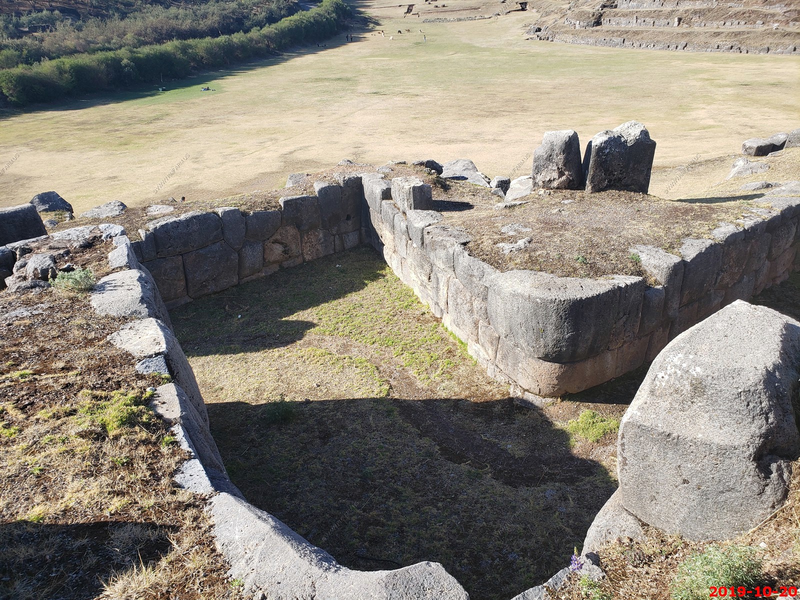
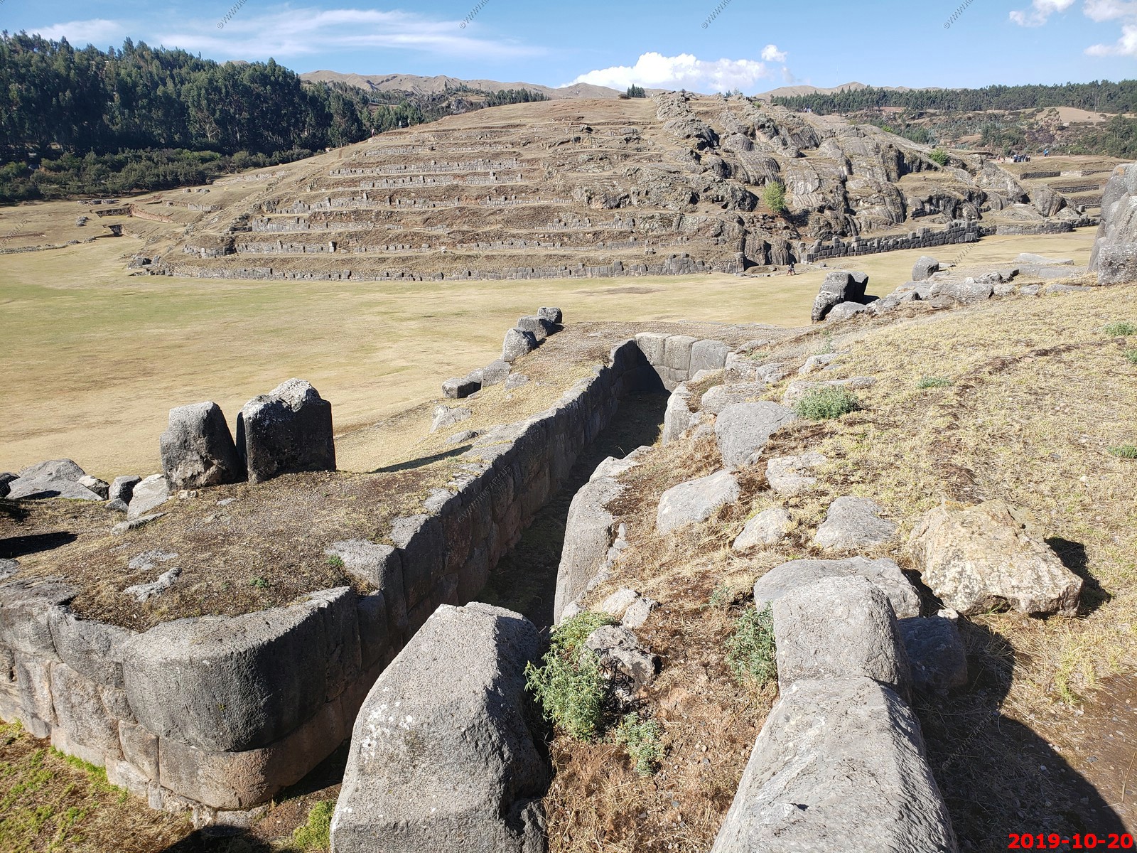
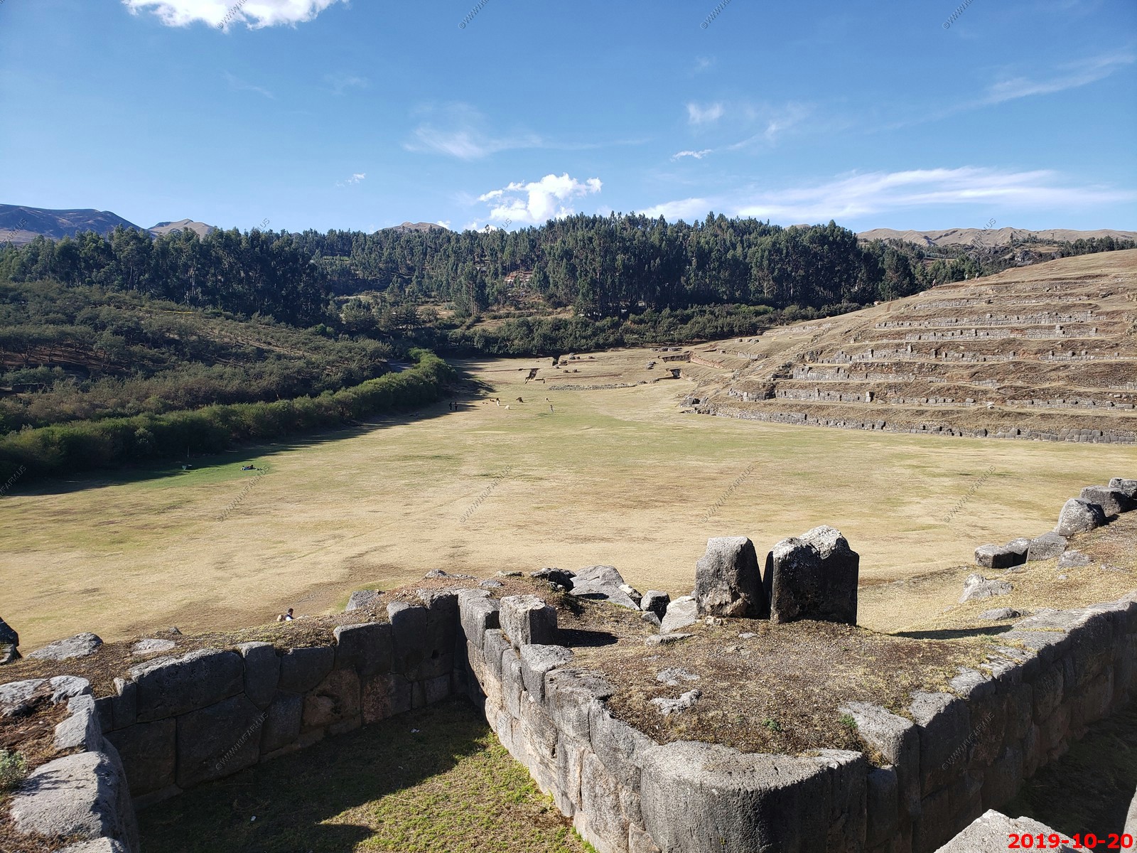
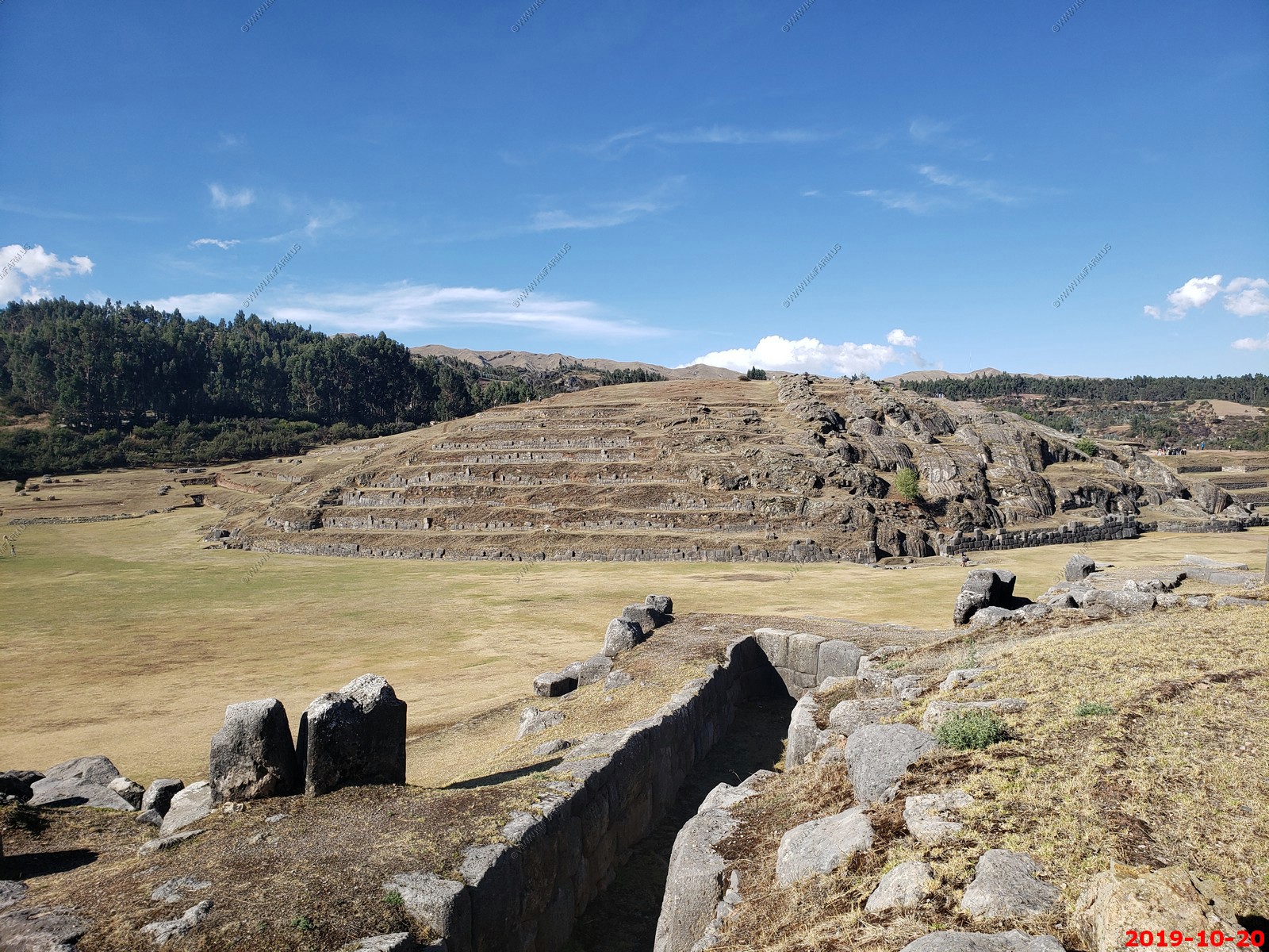
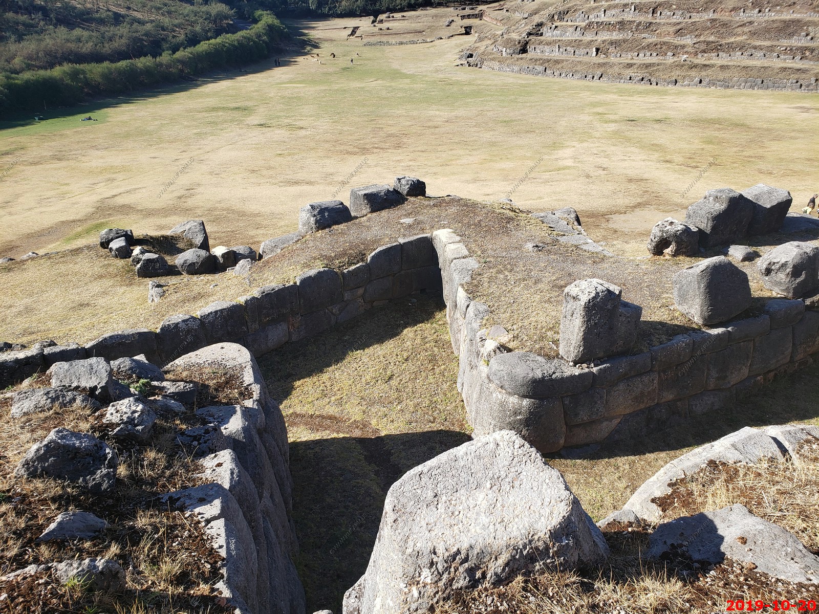
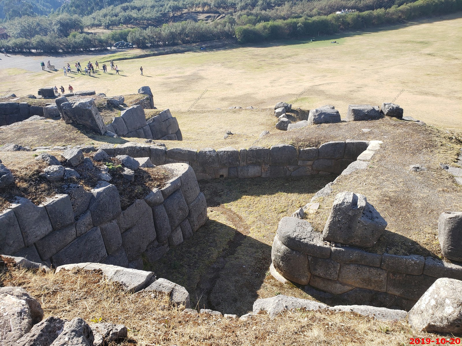
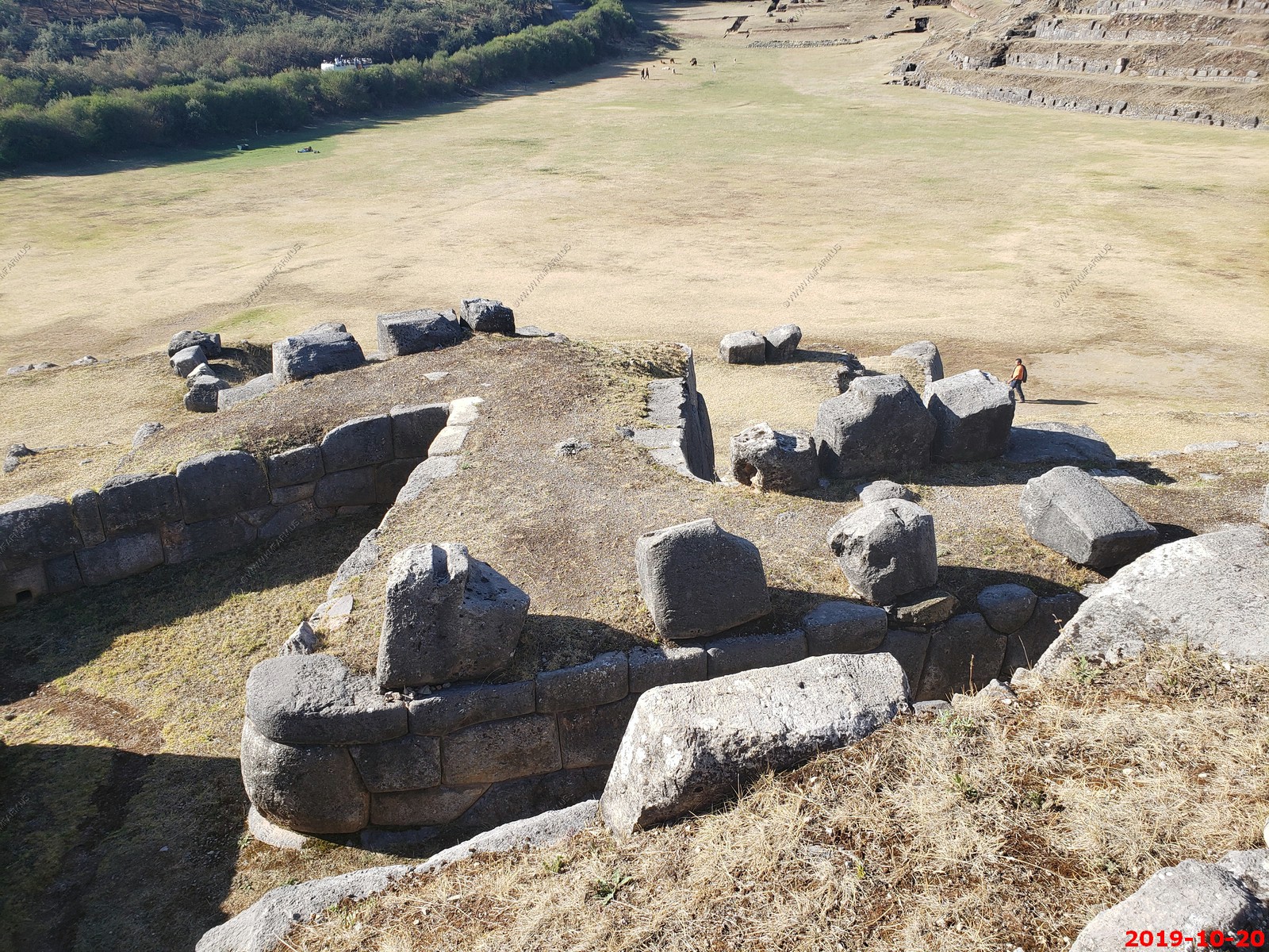
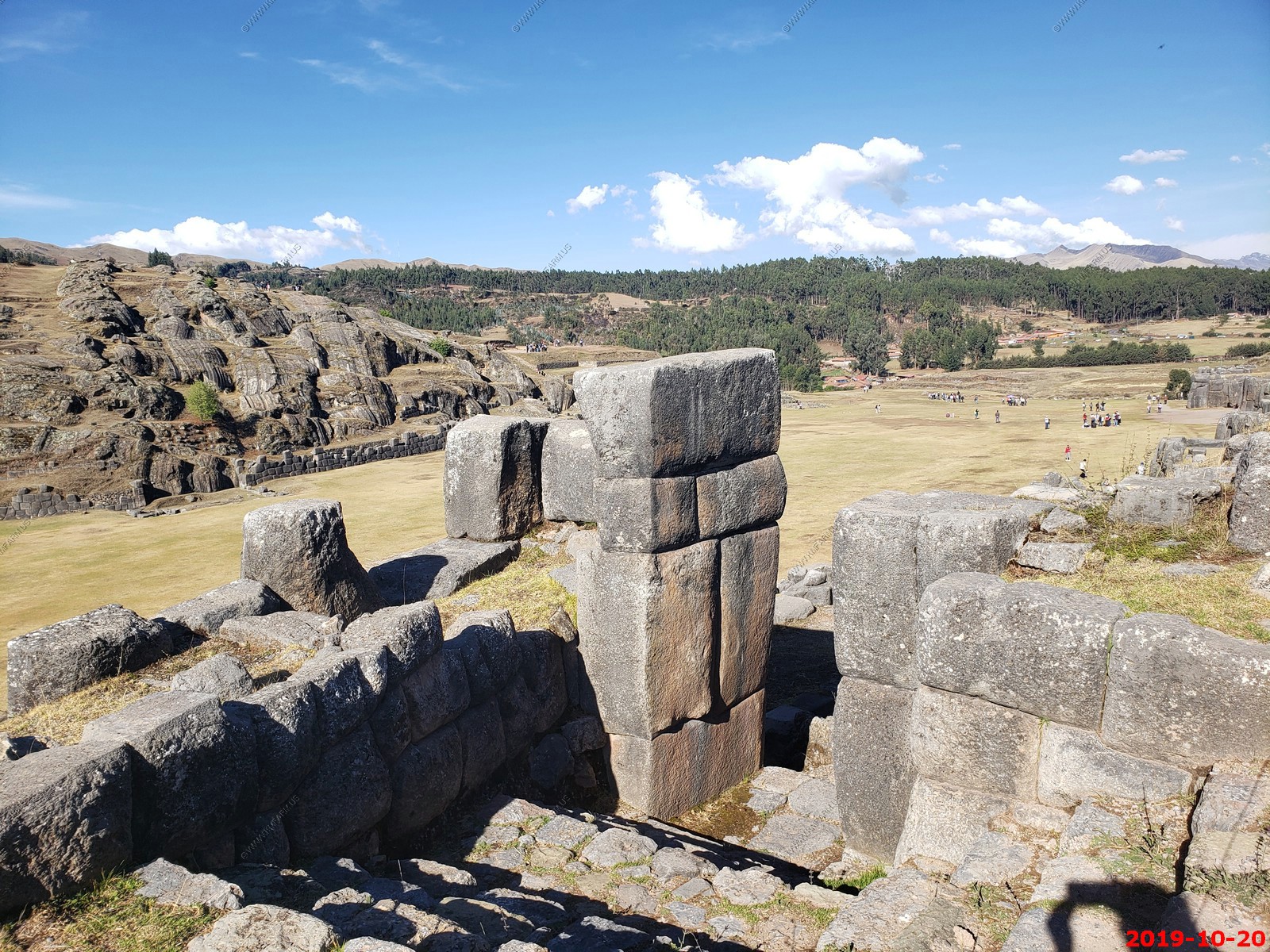
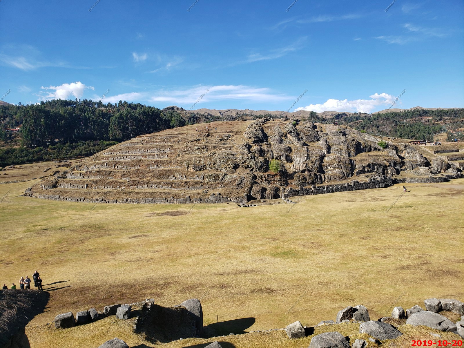
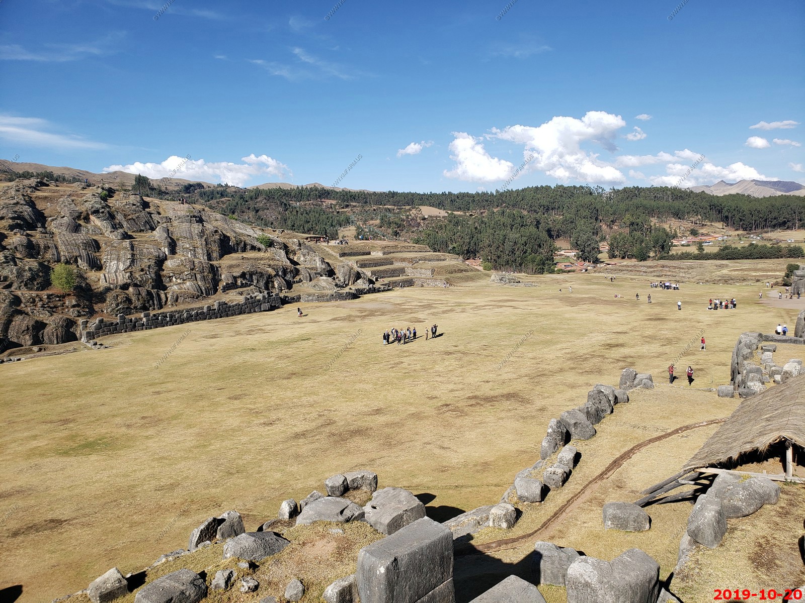
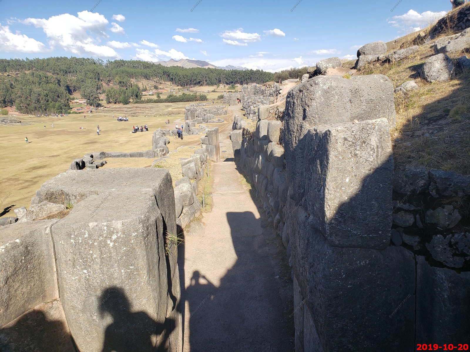
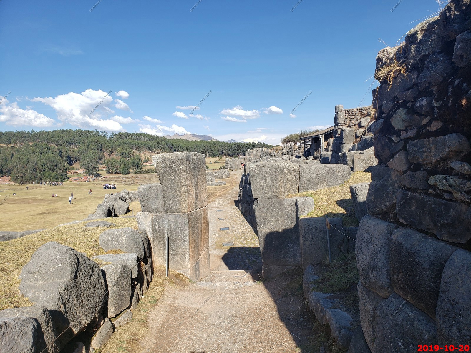
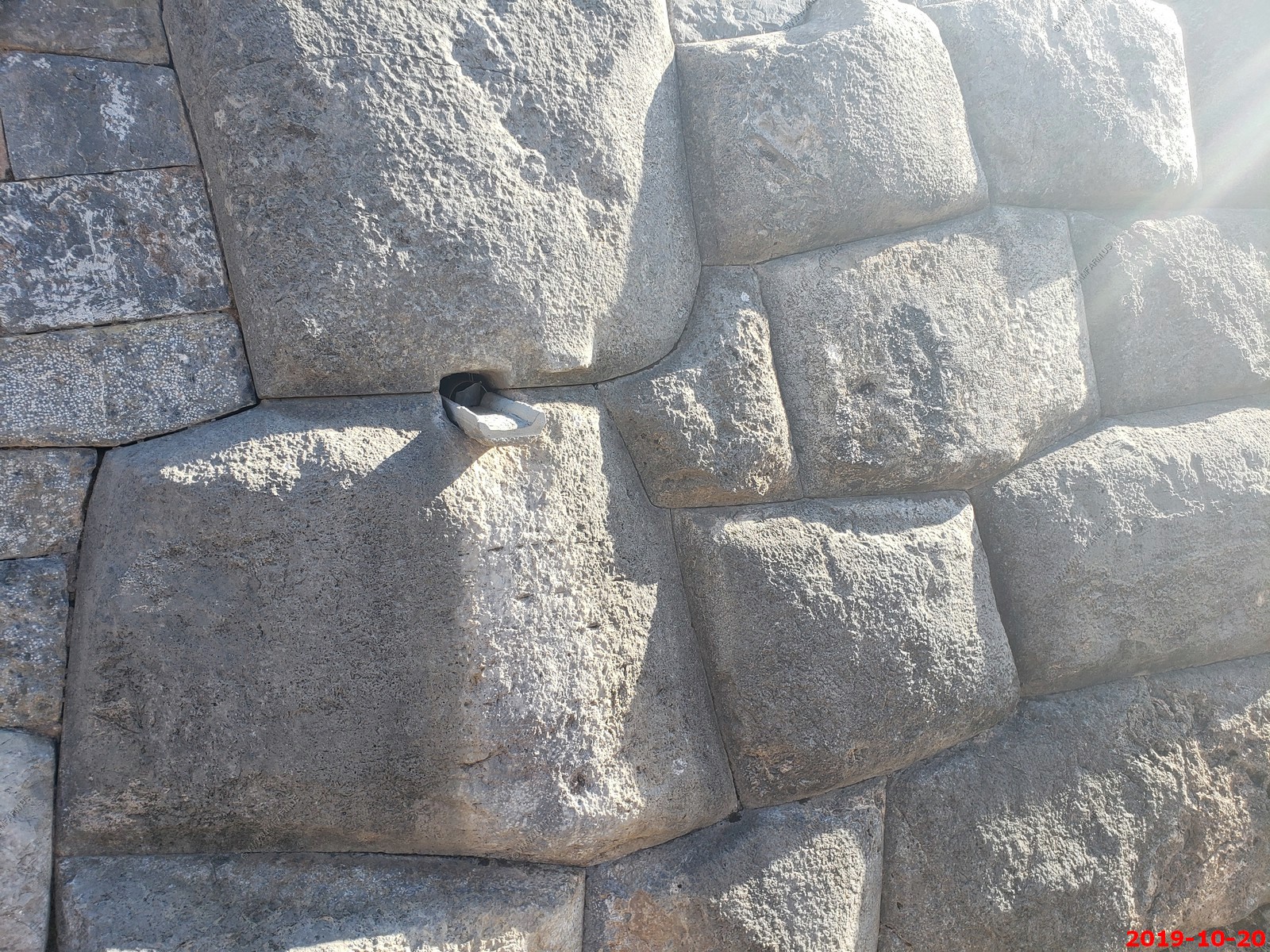
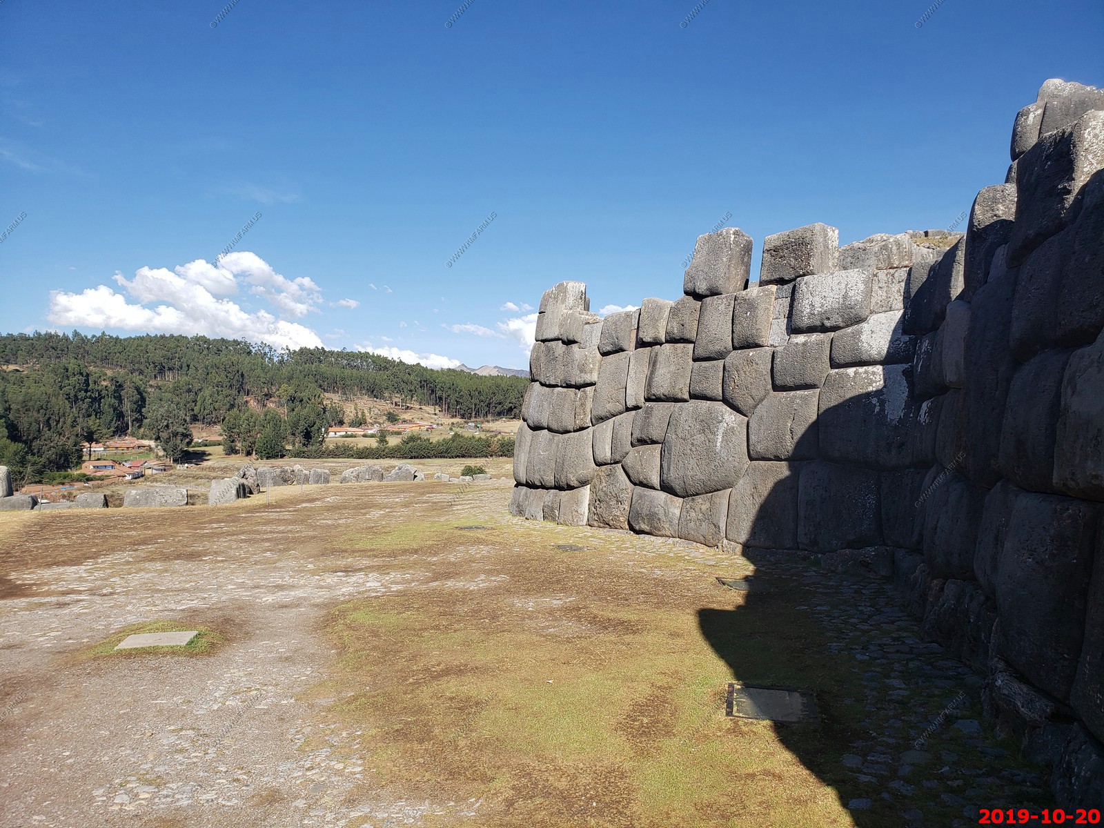
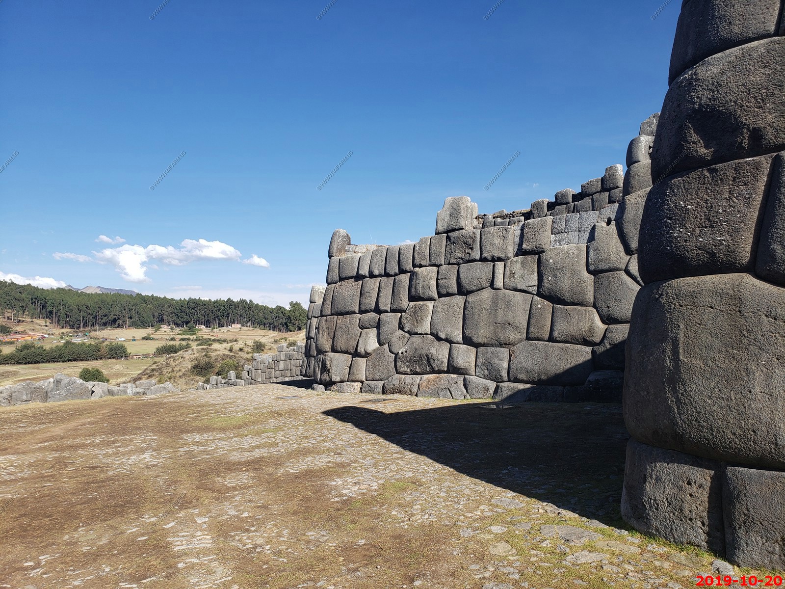
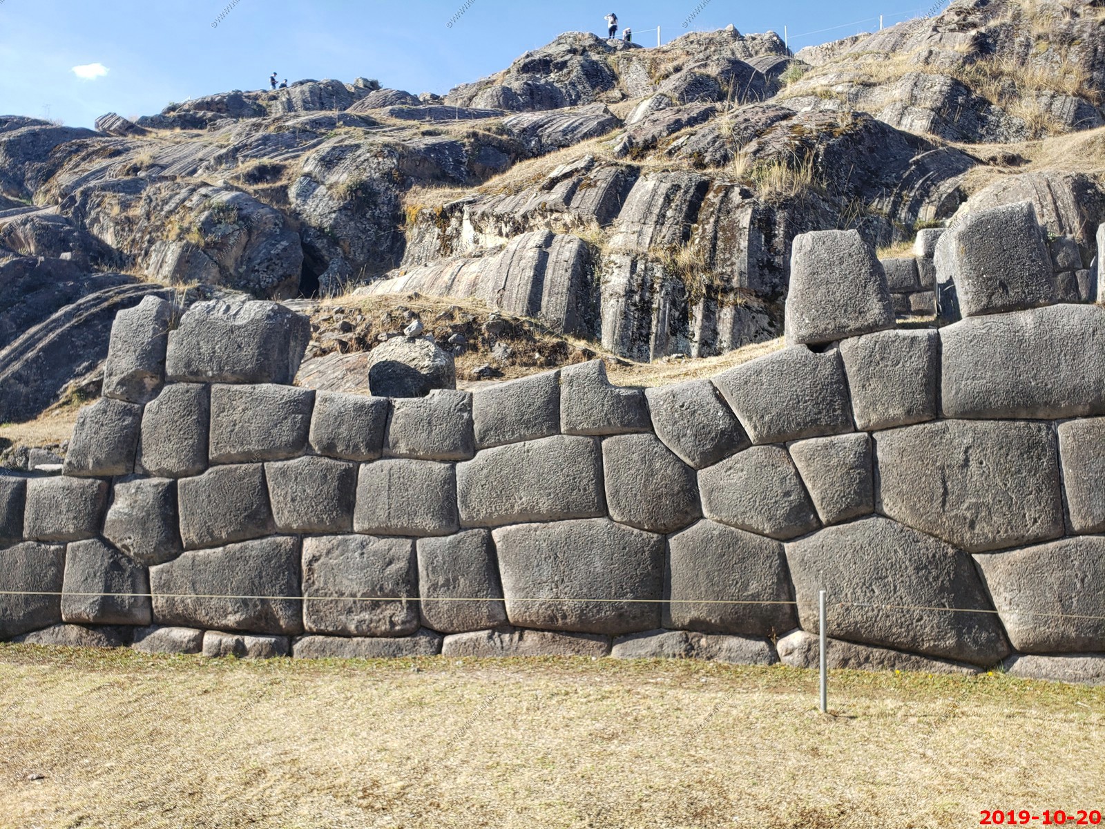
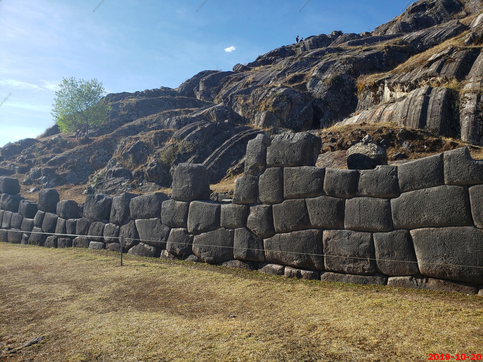
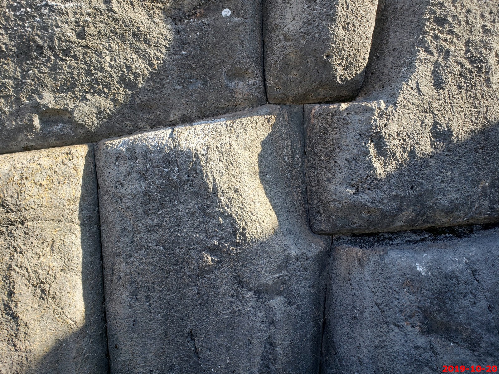
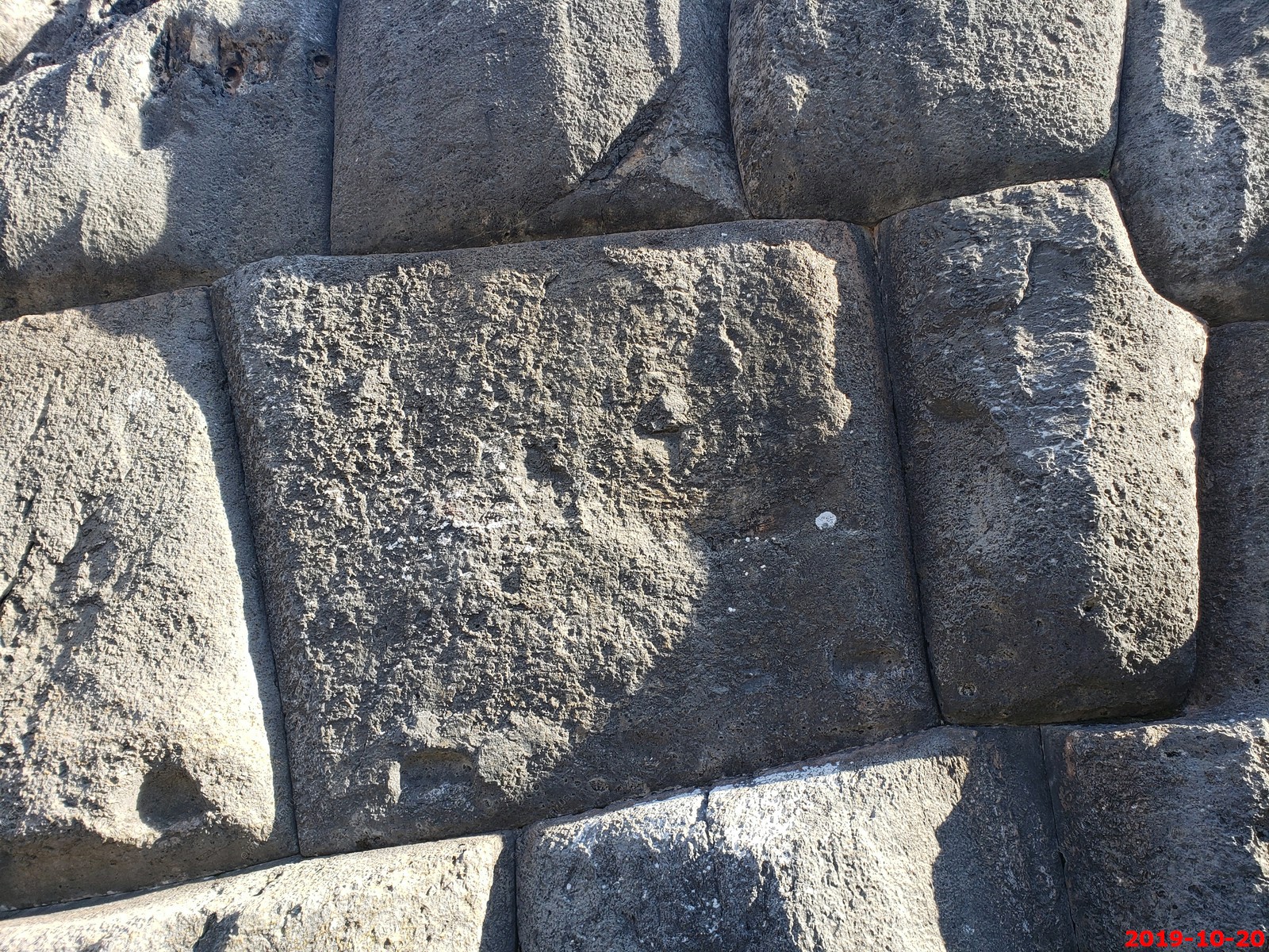
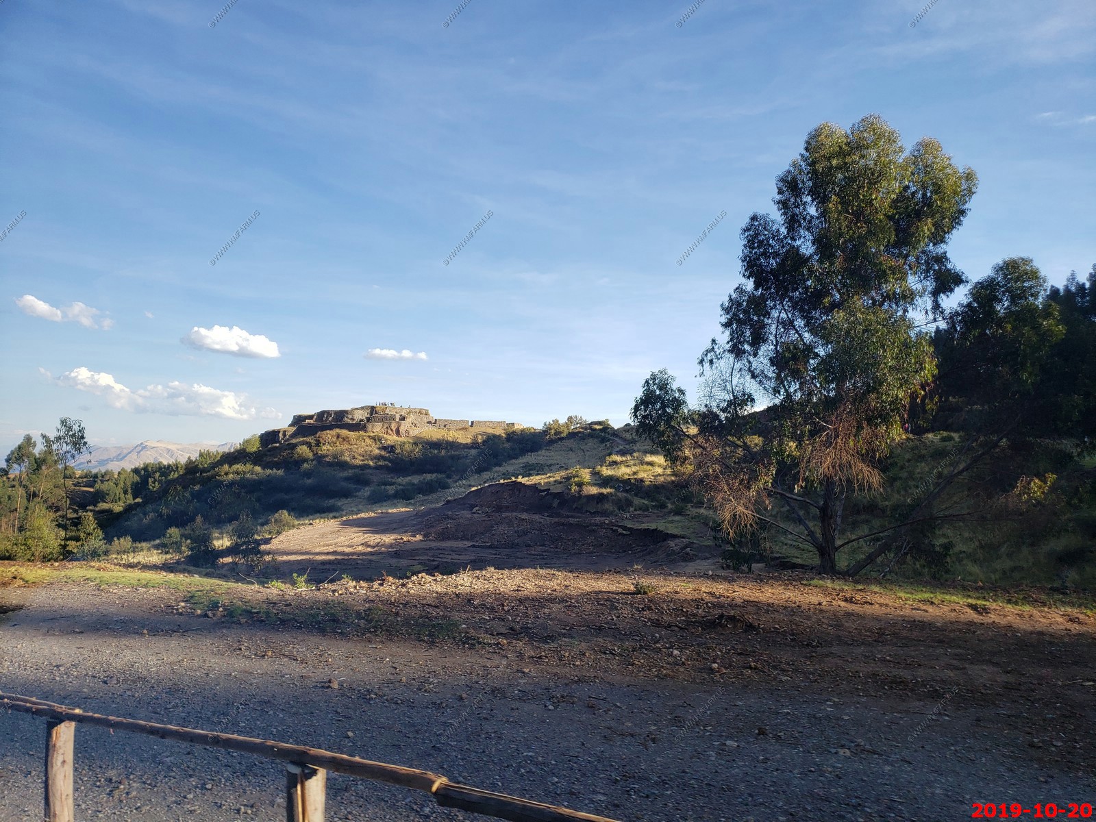
Saqsaywaman: Lying on the northern outskirts of the city of Cusco in Peru, lies the walled complex of Saksaywaman. The site is famous for its remarkable large dry stone walls with boulders carefully cut to fit together tightly without mortar. The stones used in the construction of the terraces at Saksaywaman, which weigh up to 200 tons, are among the largest used in any building in prehispanic America, and display a precision of fitting that is unmatched in the Americas. The stones are so closely spaced that a single piece of paper will not fit between many of the stones. This precision, combined with the rounded corners of the blocks, the variety of their interlocking shapes, and the way the walls lean inward have puzzled scientists for decades.
The method used to match precisely the shape of a stone with the adjacent stones has been the focus of much speculation and debate. Various theories put forward include: stone softening using a mysterious liquid derived from a plant, mineral disaggregation from the heat generated from large sun mirrors, and even extra-terrestrial intervention. However, John McCauley, retired Architect and Construction Manager, who has been engaged in research on ancient construction techniques for over 40 years, has a different hypothesis, and it lies simply in the ingenuity and wisdom of ancient people.
"We have to remind ourselves that the steady rise in mankind's mastery of technology has taken place over thousands of years of trial and error; mastery of a successful technique in moving heavy stones, or in carving them, has only occurred because of the knowledge passed on through the failure and success of countless ancient engineers who were willing to experiment with a new thought, and have at their disposal a seemingly endless field of labor to execute their ideas," wrote Mr. McCauley.
Mr. McCauley has carried out an extensive investigation of the Saksaywaman site in Peru, reviewing many possible methods for transporting the 25-200 ton stones and has concluded that the lighter stones were dragged over carefully prepared natural soil beds, while the heavier stones were transported on timber sleds. This has resulted in the estimation that the heaviest stones could have been moved by no more than 1,000 men.
The stones may have been shaped using very heavy "pounders" and countless hours of labor to create the magnificent megalithic walls that can still be seen to this day. Each blow of a diorite boulder, he explained, would remove a small amount of stone until the final shape was attained, "This would take days and weeks, if not months of toil depending on how much material had to be removed."
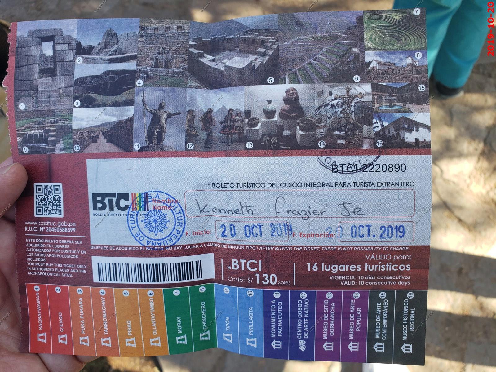
The ticket that we used to get into a number of these sites. We are at #1
Three photos stitched together of the entrance area
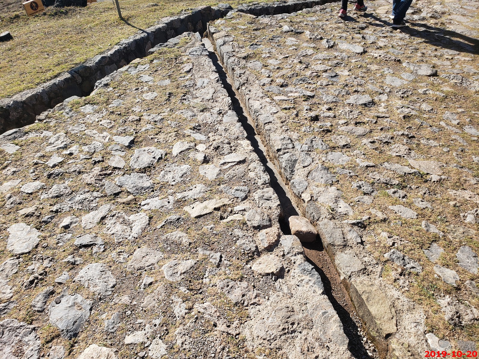
Walls everywhere (4 photos combined)
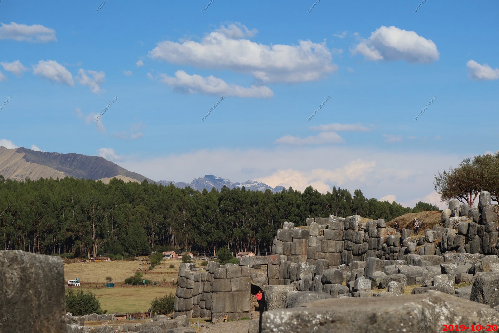
Looking back at Cusco
Various views
Mary for scale
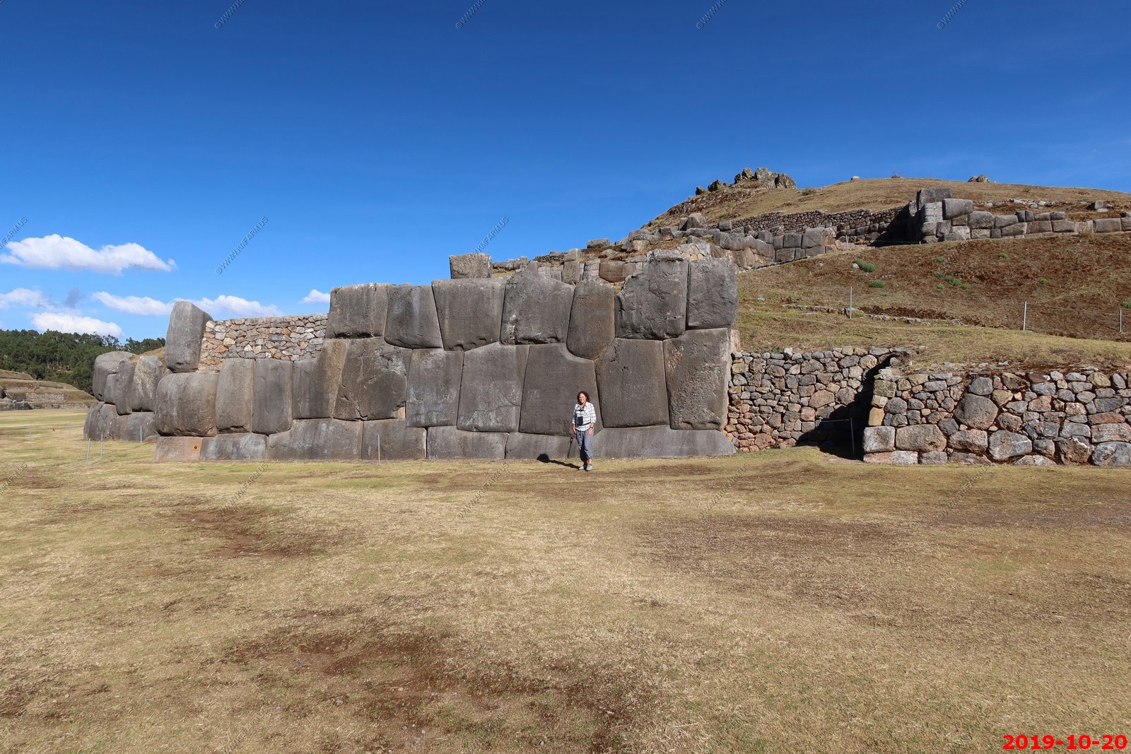
Mary & Ken at the entrance
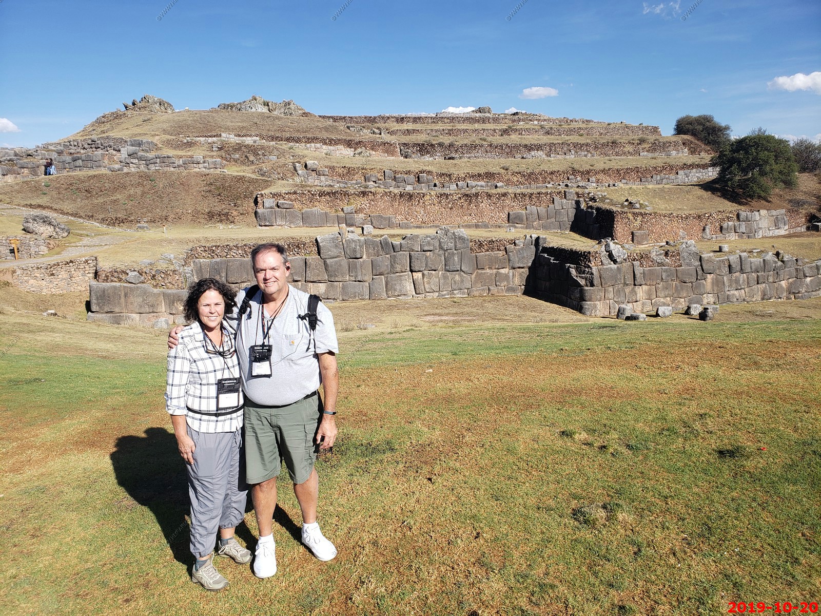
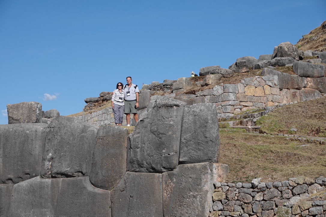
Steve took this of Mary & Ken up on the site
Group photo taken by Steve at Saksaywaman.
Various photos. Sure I could have deleted many of these but why.
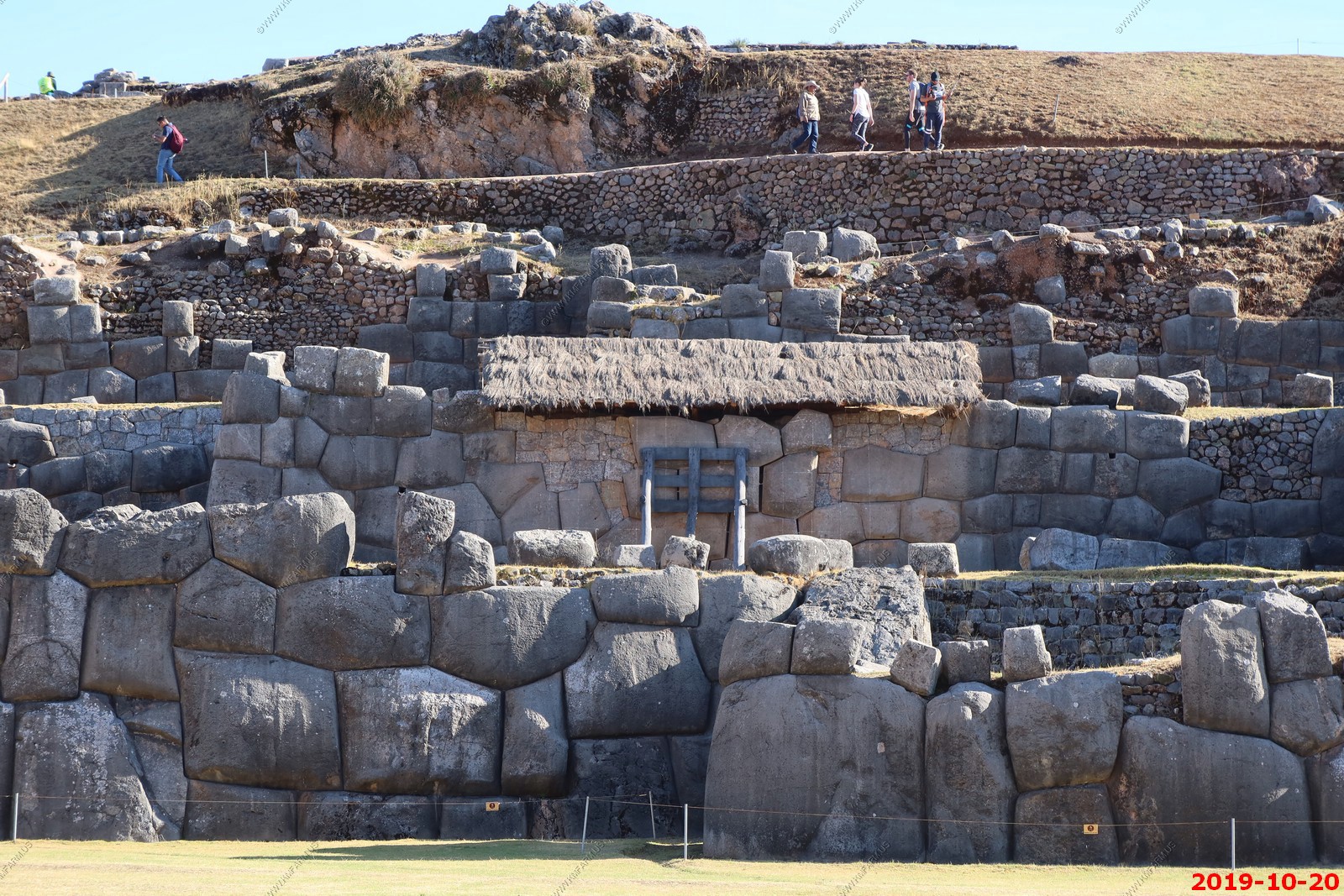
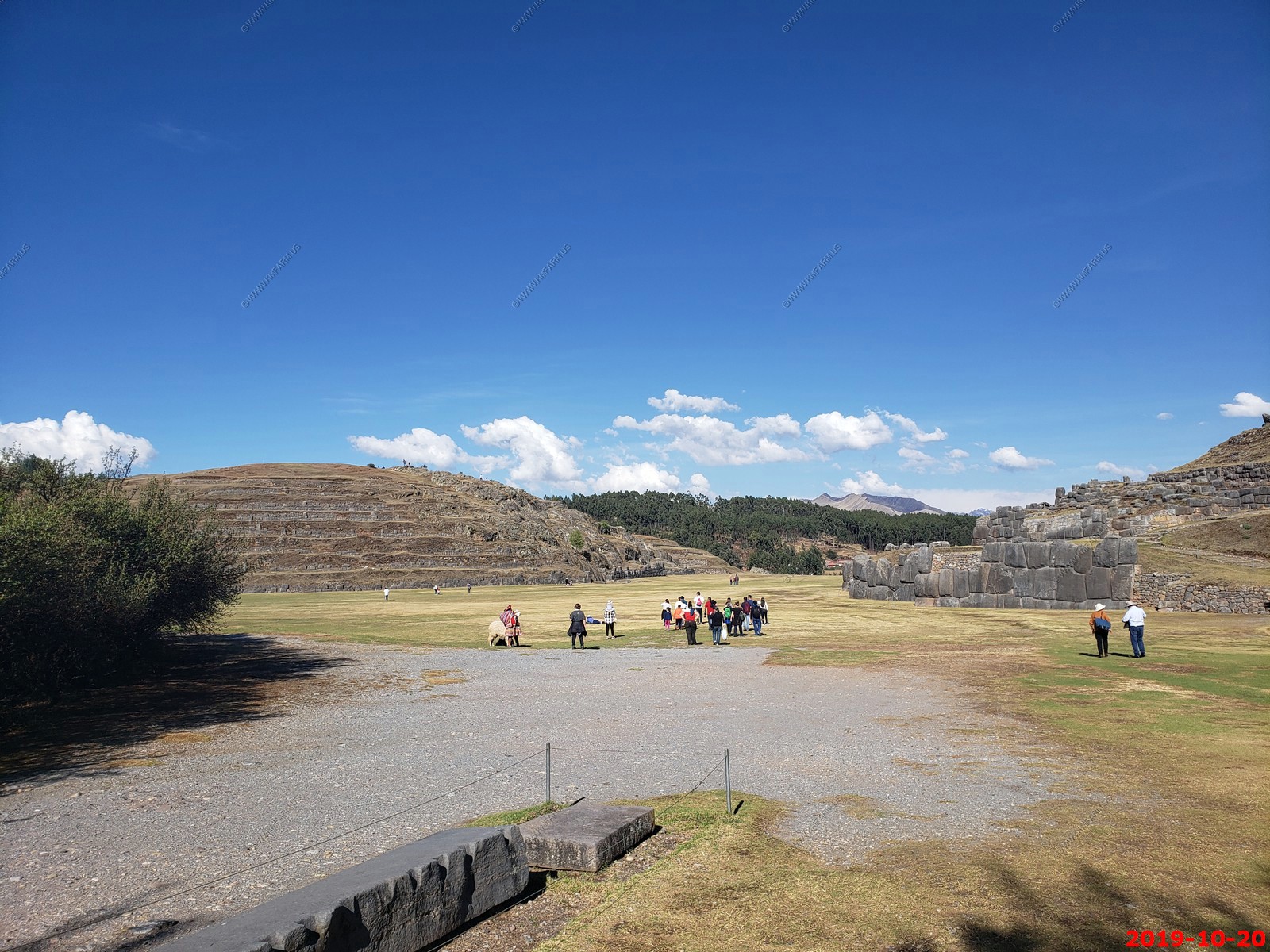
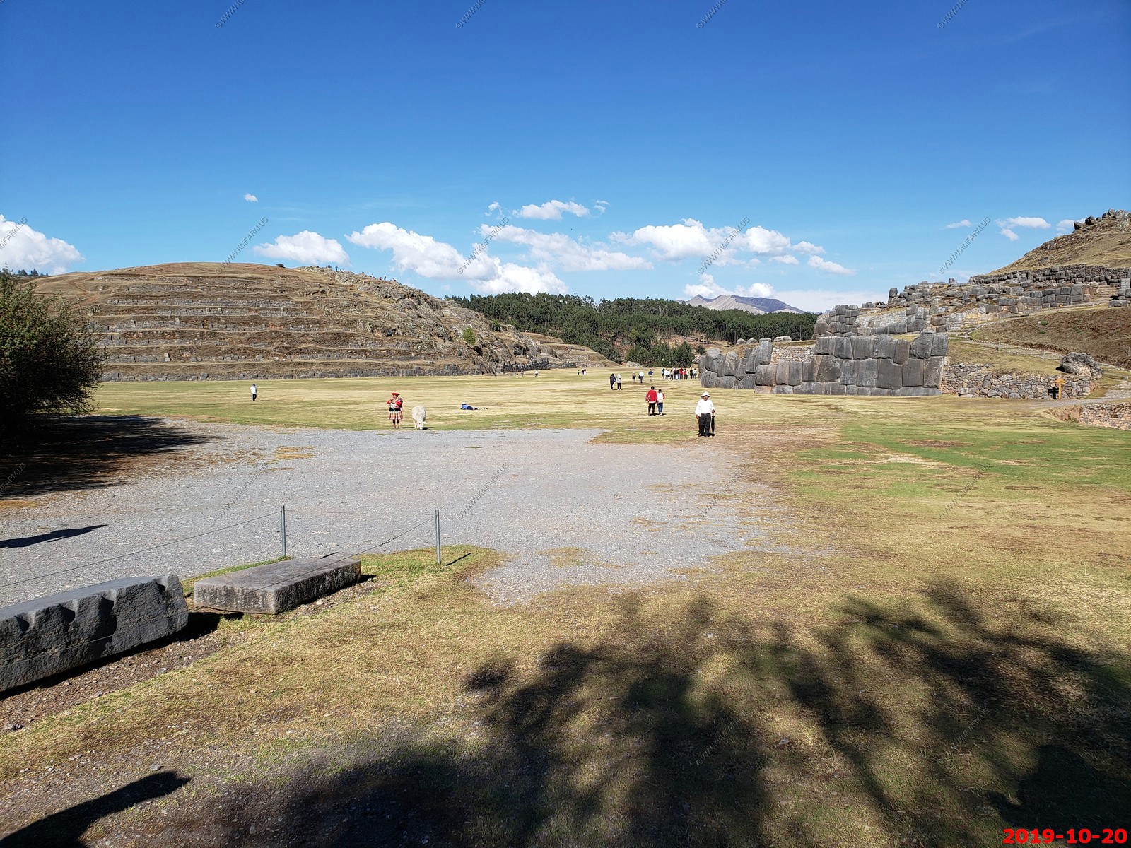
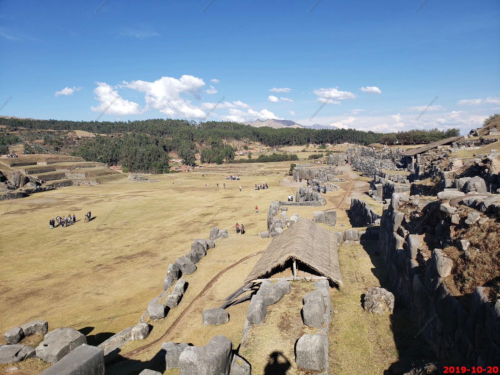

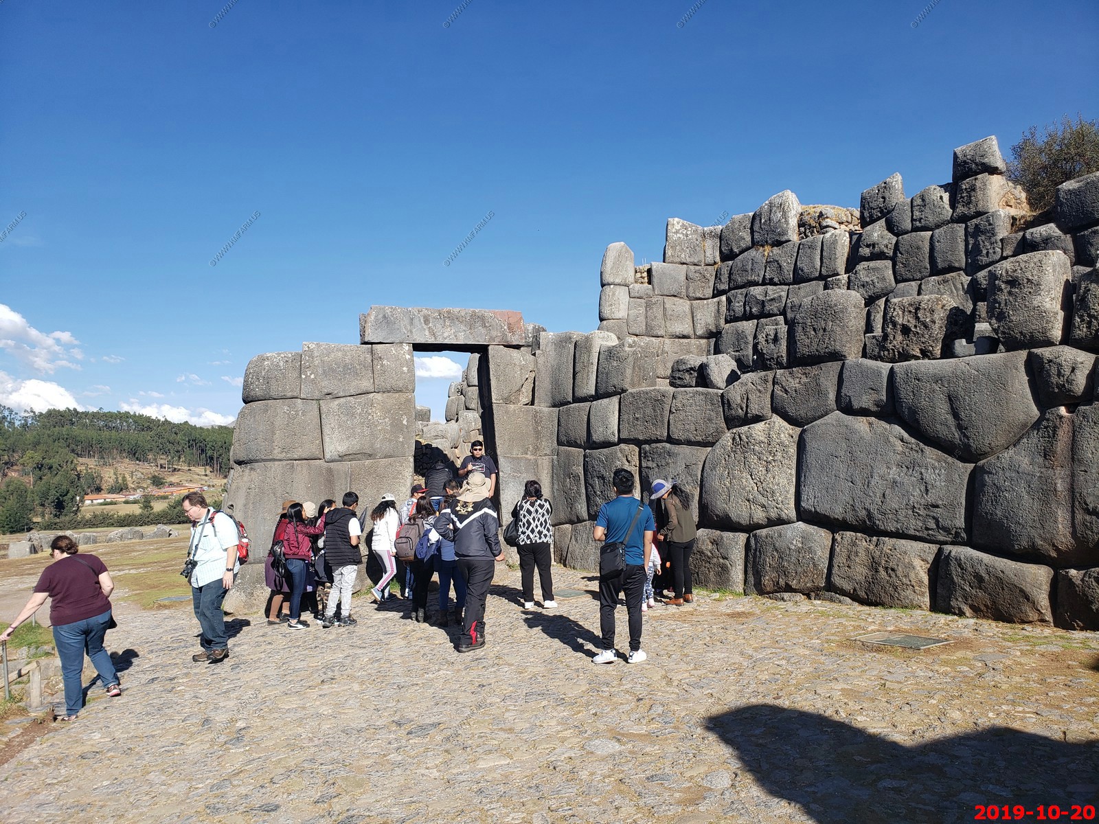
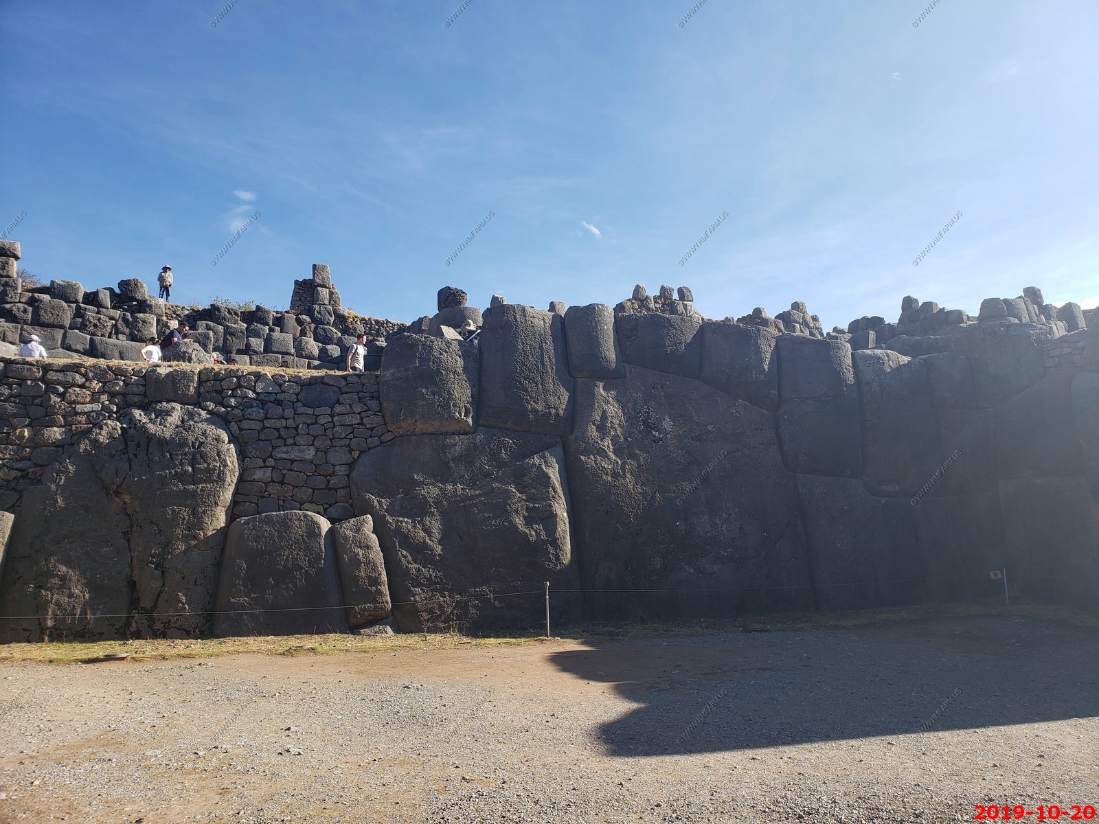
Lots of people now
One last look
So here they had no toilet seat or paper
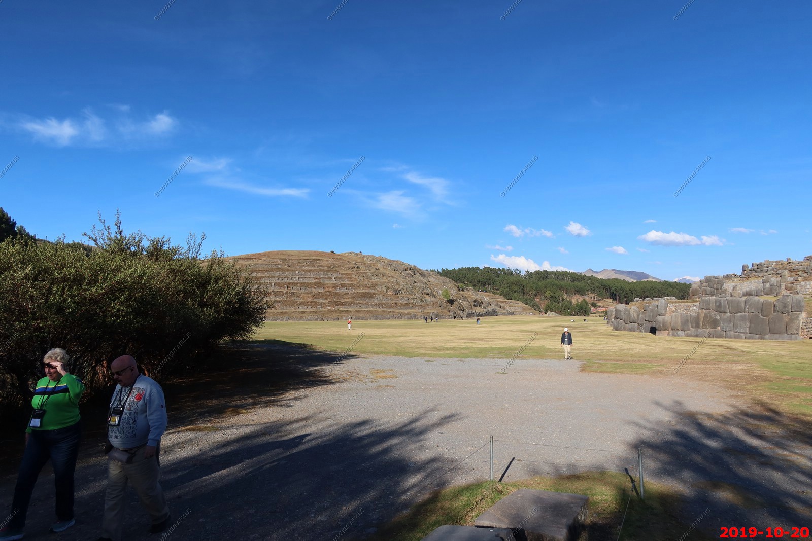
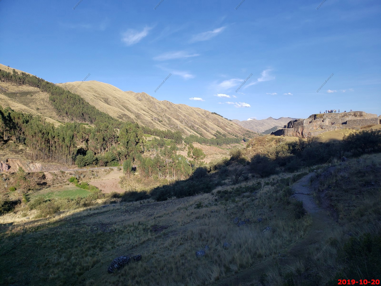
So we left Saqsaywaman and continued east over the pass to Pisac.
We could look over Saqsaywaman and see Cusco in the background
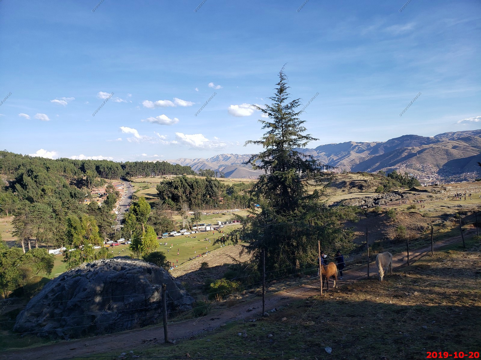
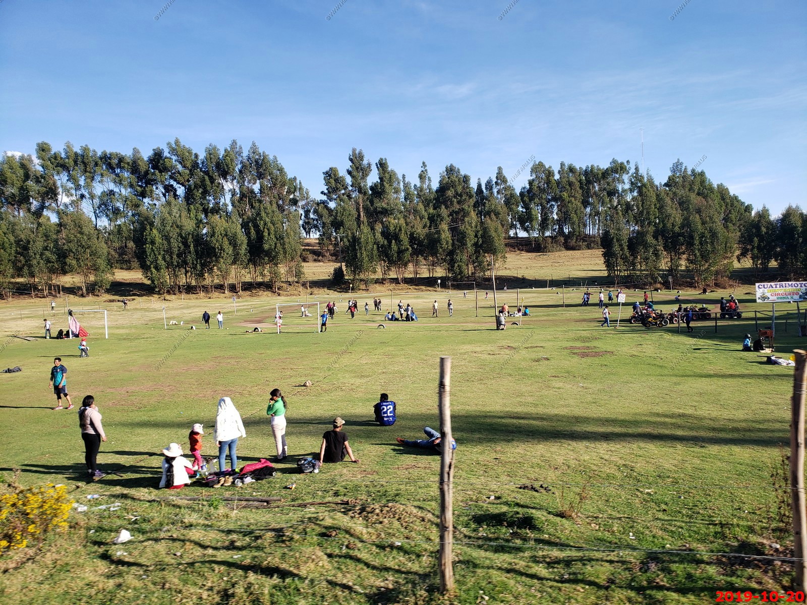
I was amazed at all athletic fields up here at 12,400 feet.
We noticed rooftop ornaments on many of the houses around Cusco, as shown in this photo on each building. They are the Puccara Bulls, pottery bulls with brown, green and ochre decorations.
These bulls were originally made as a ritual element and appeared in the early years of the Spanish colony. The bull figure was also a jar and was used to hold a beverage made of fermented corn (chicha) which was mixed with the blood of cattle and drunk by the high priest conducting the cattle-branding ceremony with the purpose of protect their cattle.
Nowadays, the bulls are still used but with a different purpose. It's believed by the locals that they keep the house safe with a blessing to the "Apus" (the Inca mountain gods) and ensure health, wealth, and unity for the occupants of the house.
The bulls are combined with a ladder and a cross to allow easy passage to heaven when the final call comes.
We drove by Pukapukara ruins and we did not stop. Sad as it was #3 on our ticket. If we would have spent LESS TIME at lunch we would have easily been able to visit this site. This would become a recurring problem and more on this later.
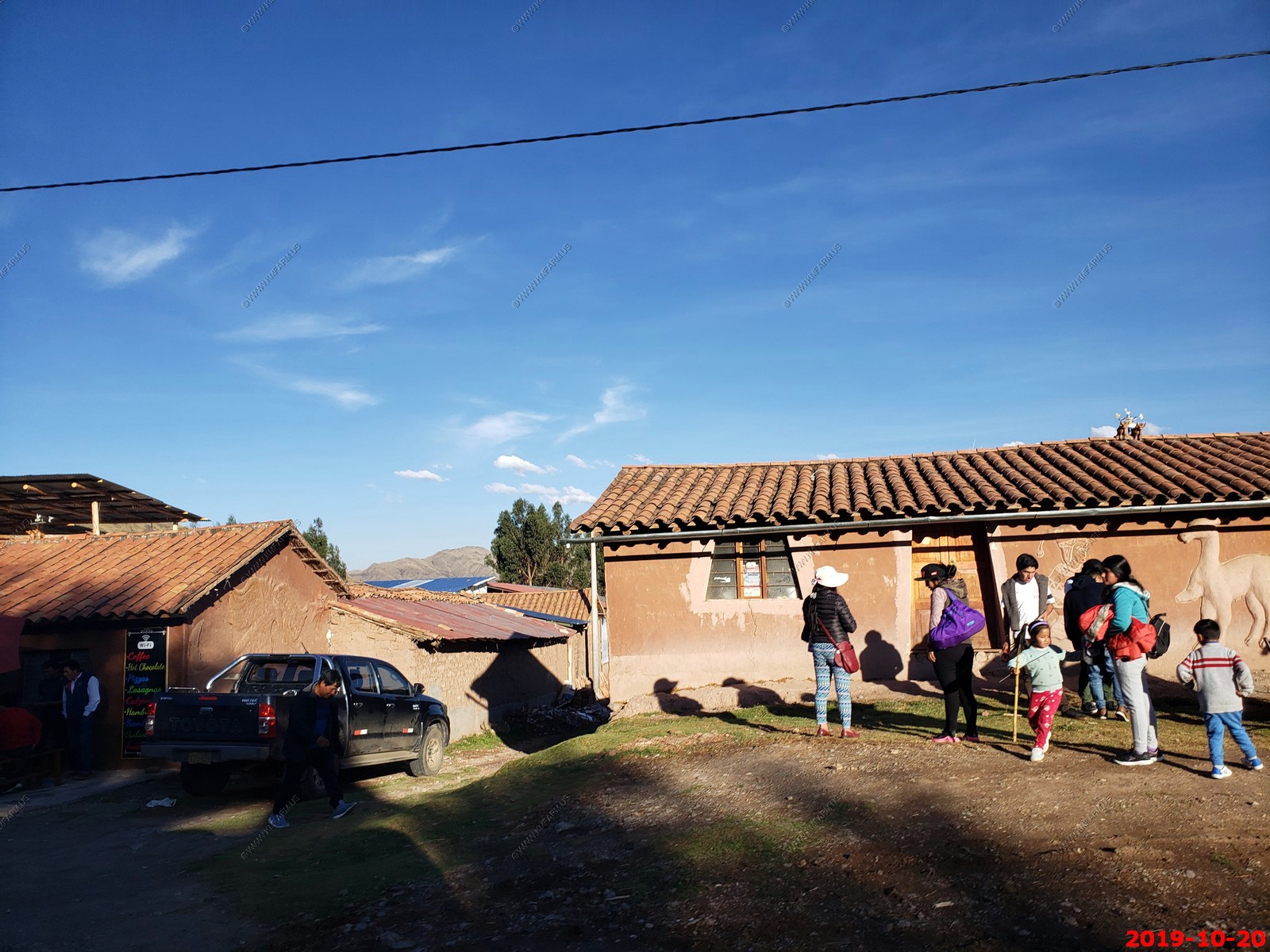
We would see people sitting outside eating all over the place. It was not warm but seemed to be the norm.
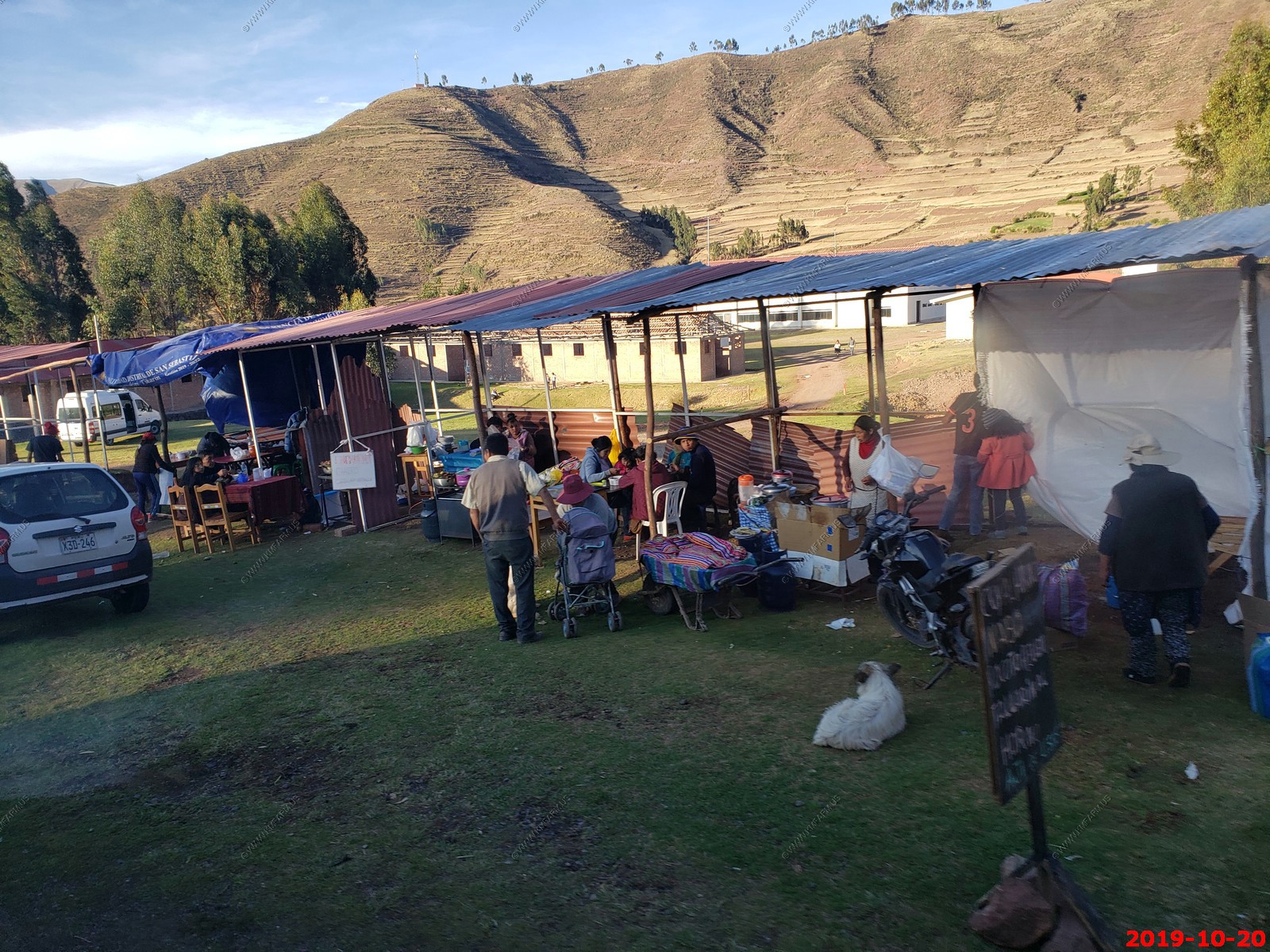
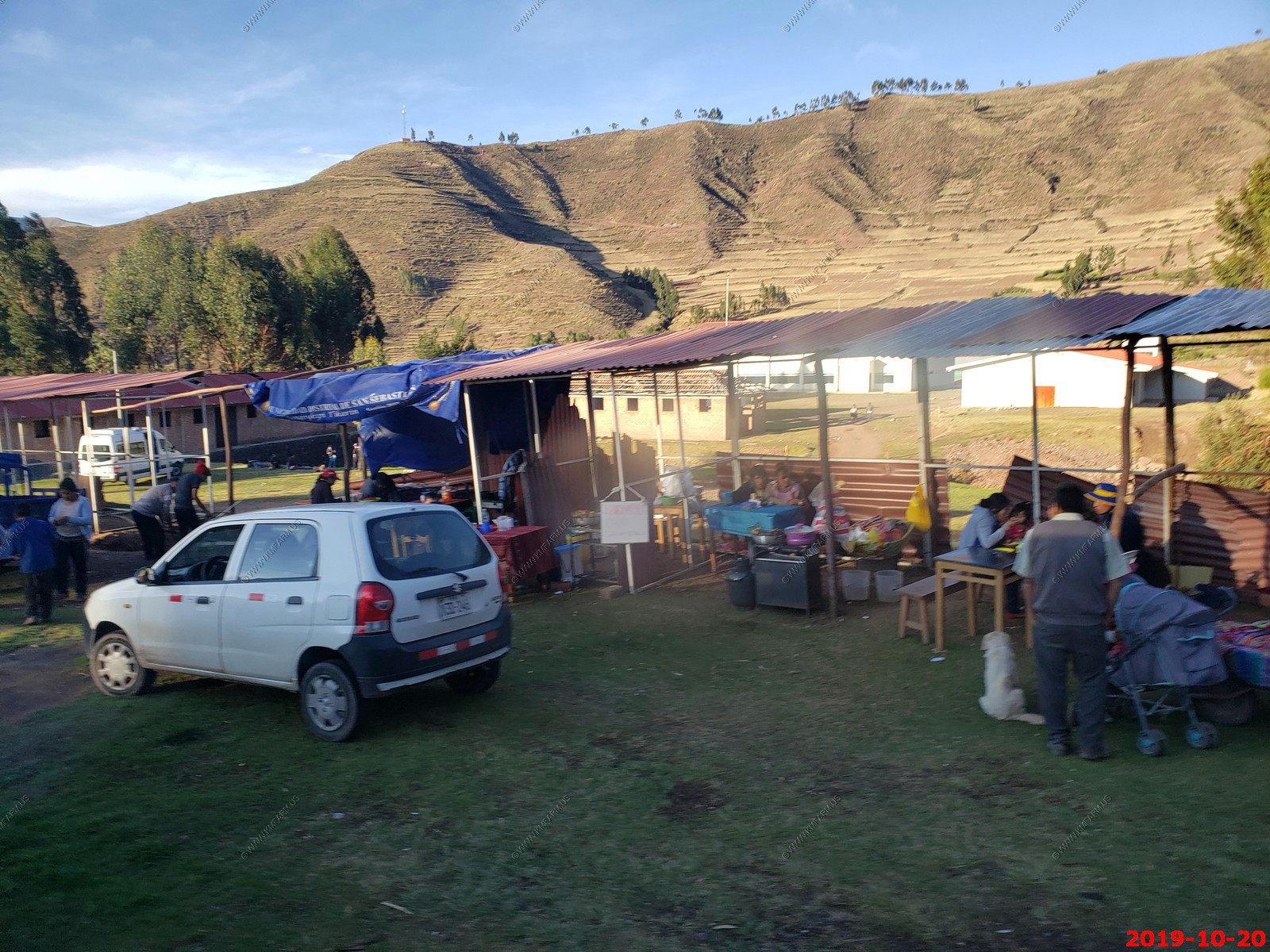
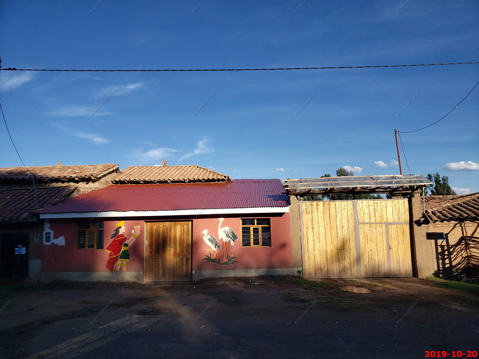
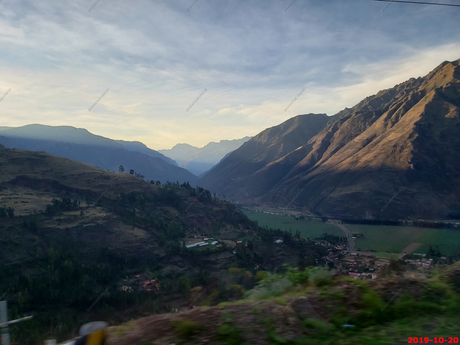
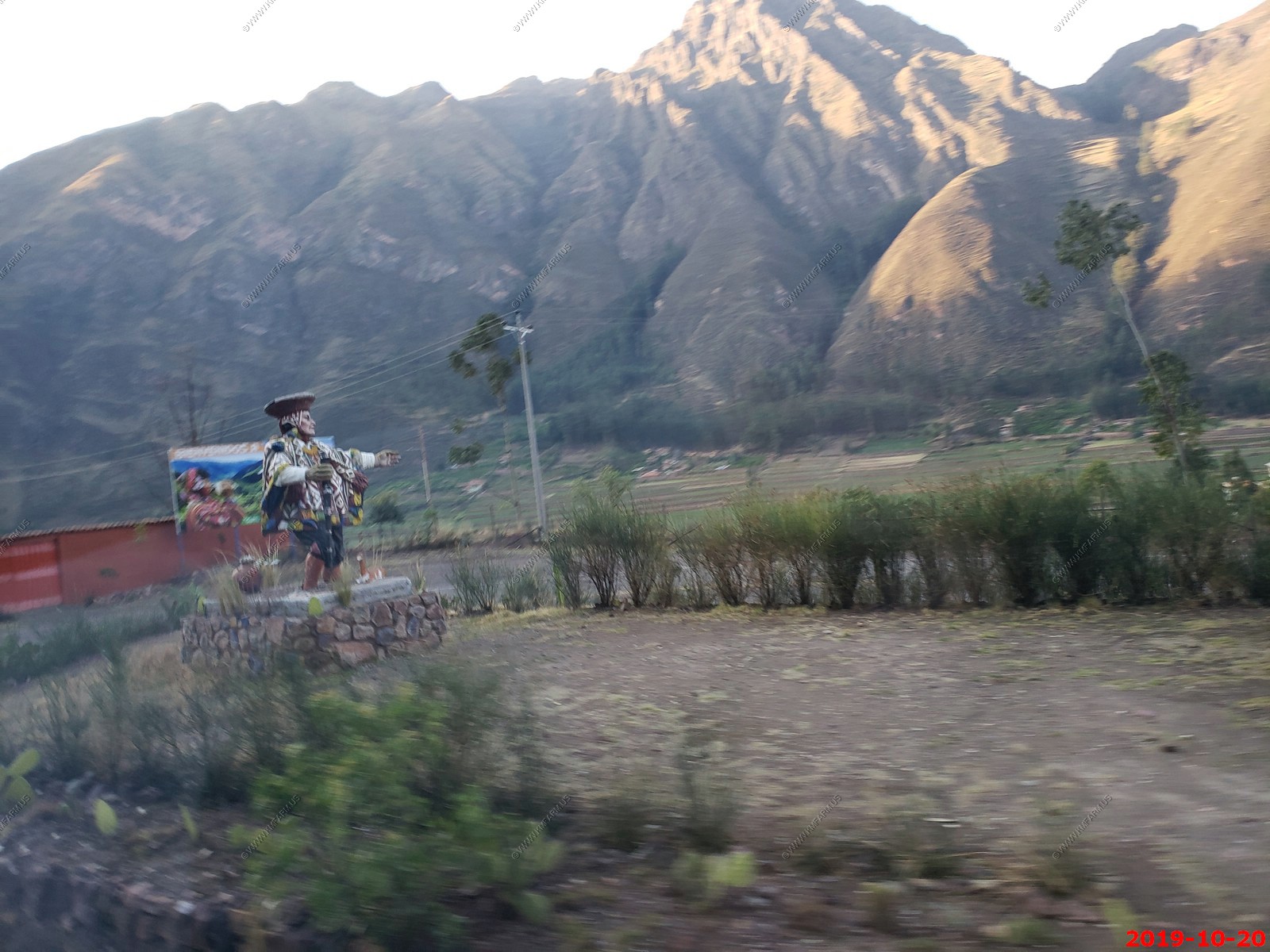
Views along the way to our first night in the Sacred Valley.
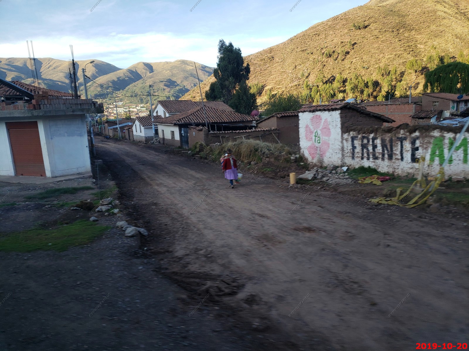
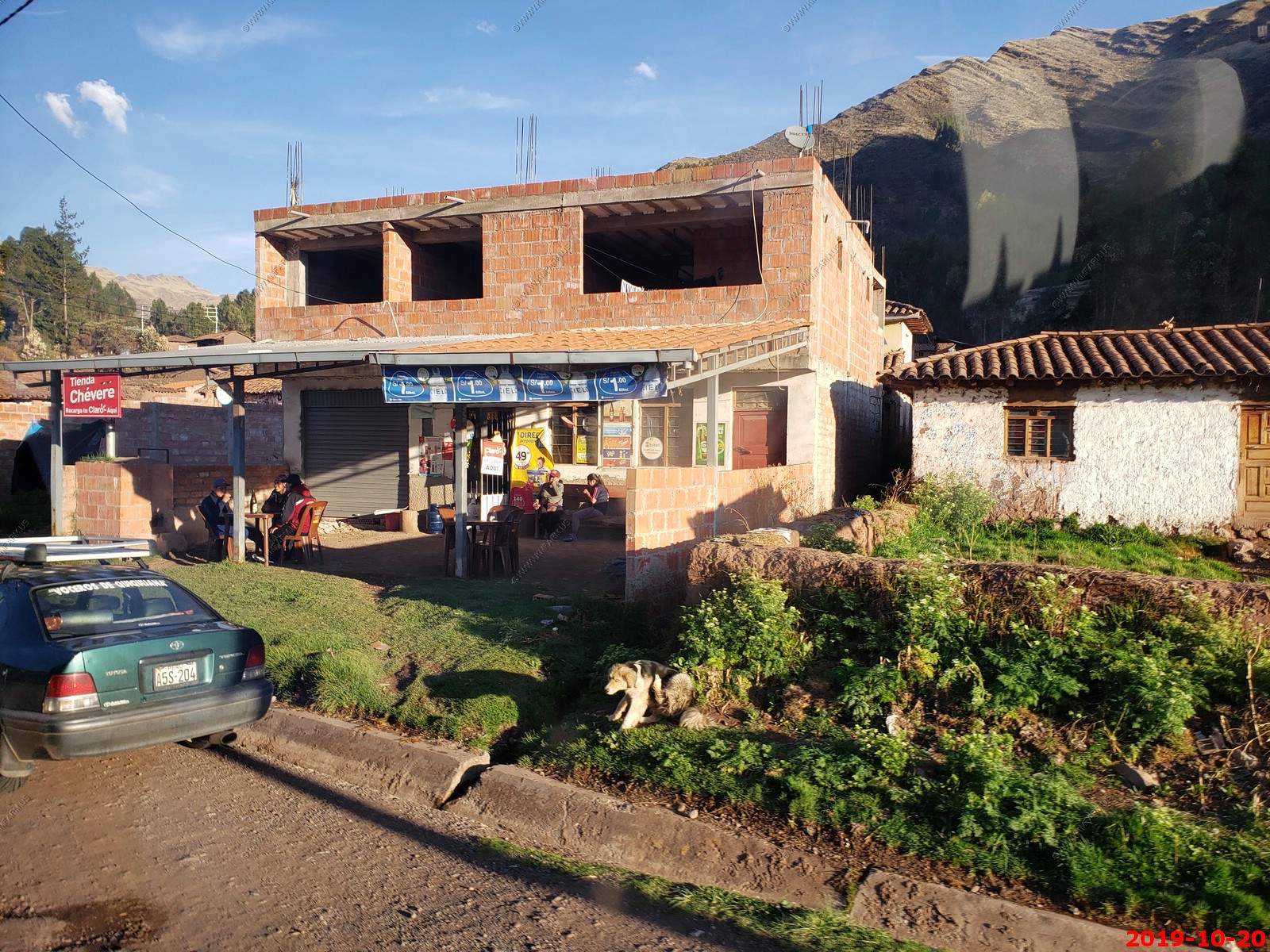
In 1990, a new President, Fujimori took office and to help the homeowners, a new policy did away with property taxes while homes were being constructed. This was done to encourage construction, which would provide jobs for workers and finished homes for residents.
While this might have worked in a few cases, the abundance of half-finished homes clearly demonstrates it wasn't really successful. The law was ripe for abuse. Peruvians could finish their homes just enough to be comfortable to live in but not all the way, so they can avoid taxes. That is why most of the buildings remain unfinished to this day.
Dropping down into the Sacred Valley on the switchbacks above Pisac.
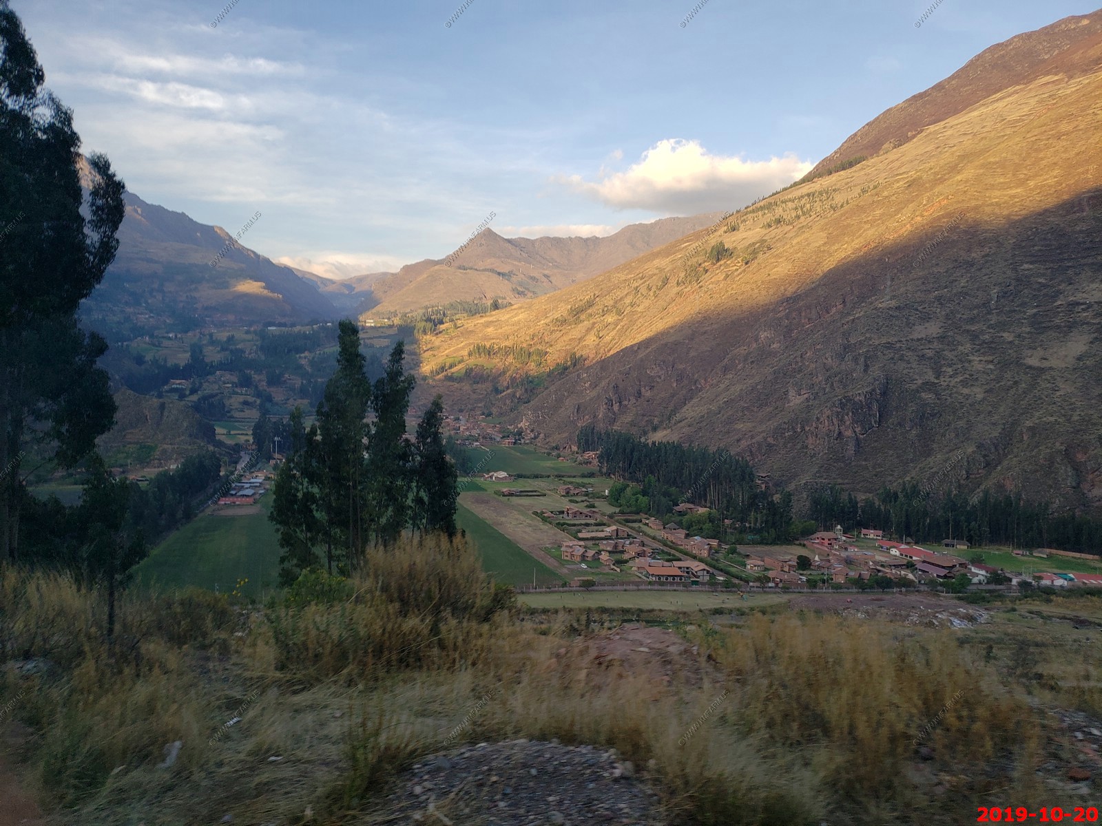
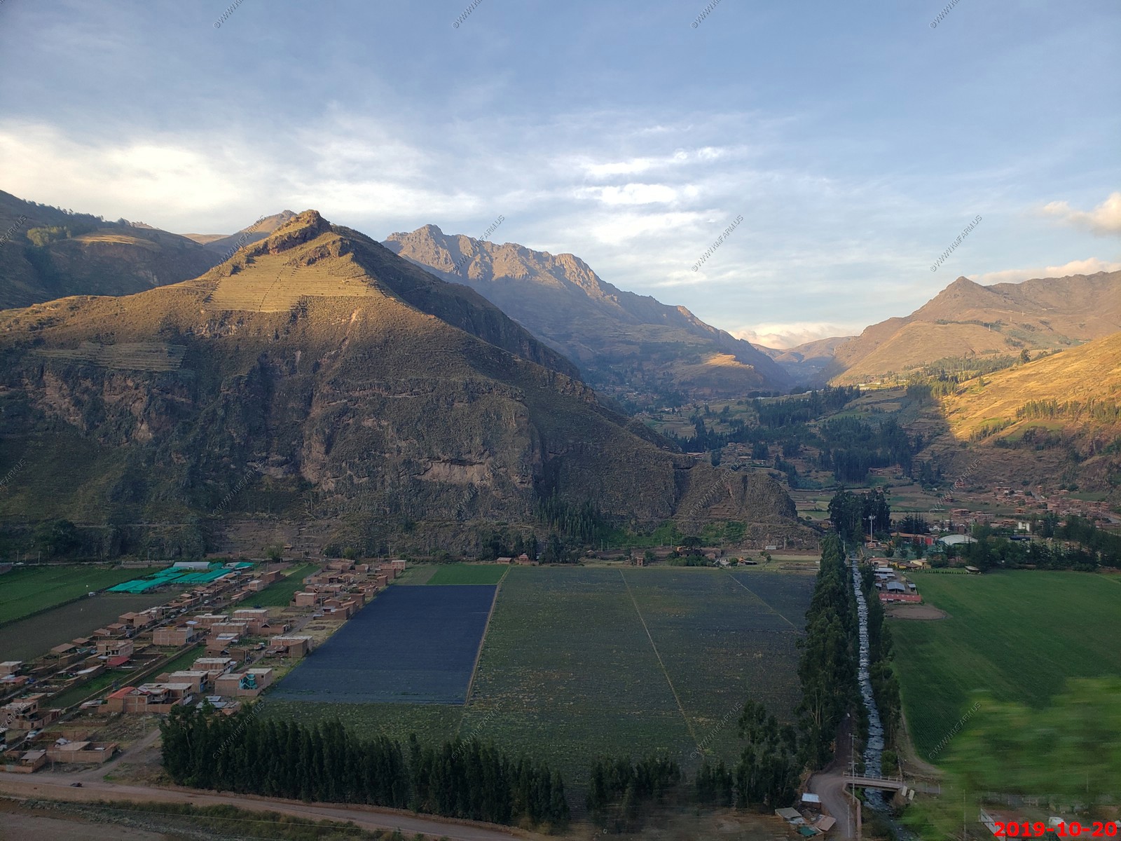
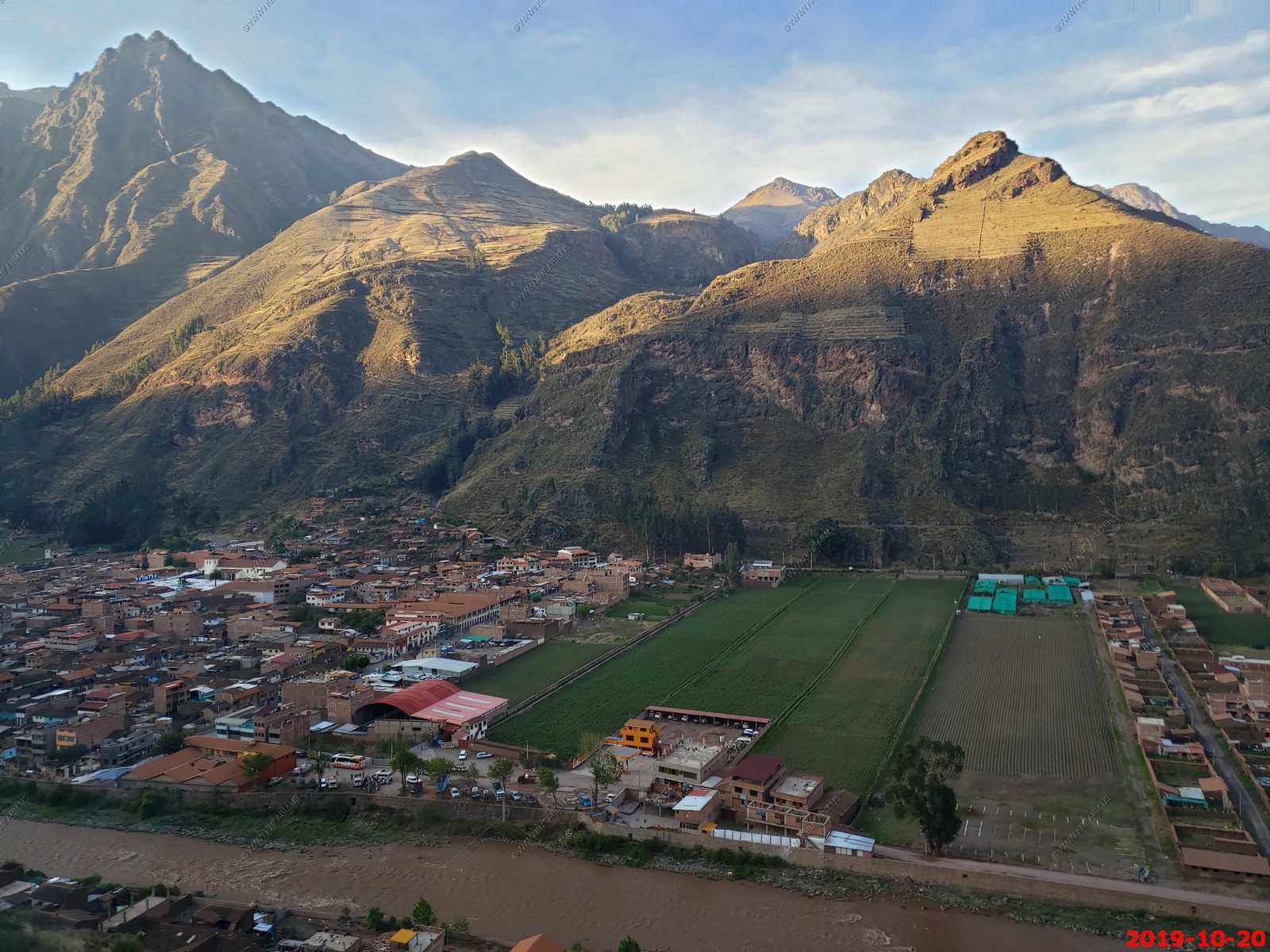
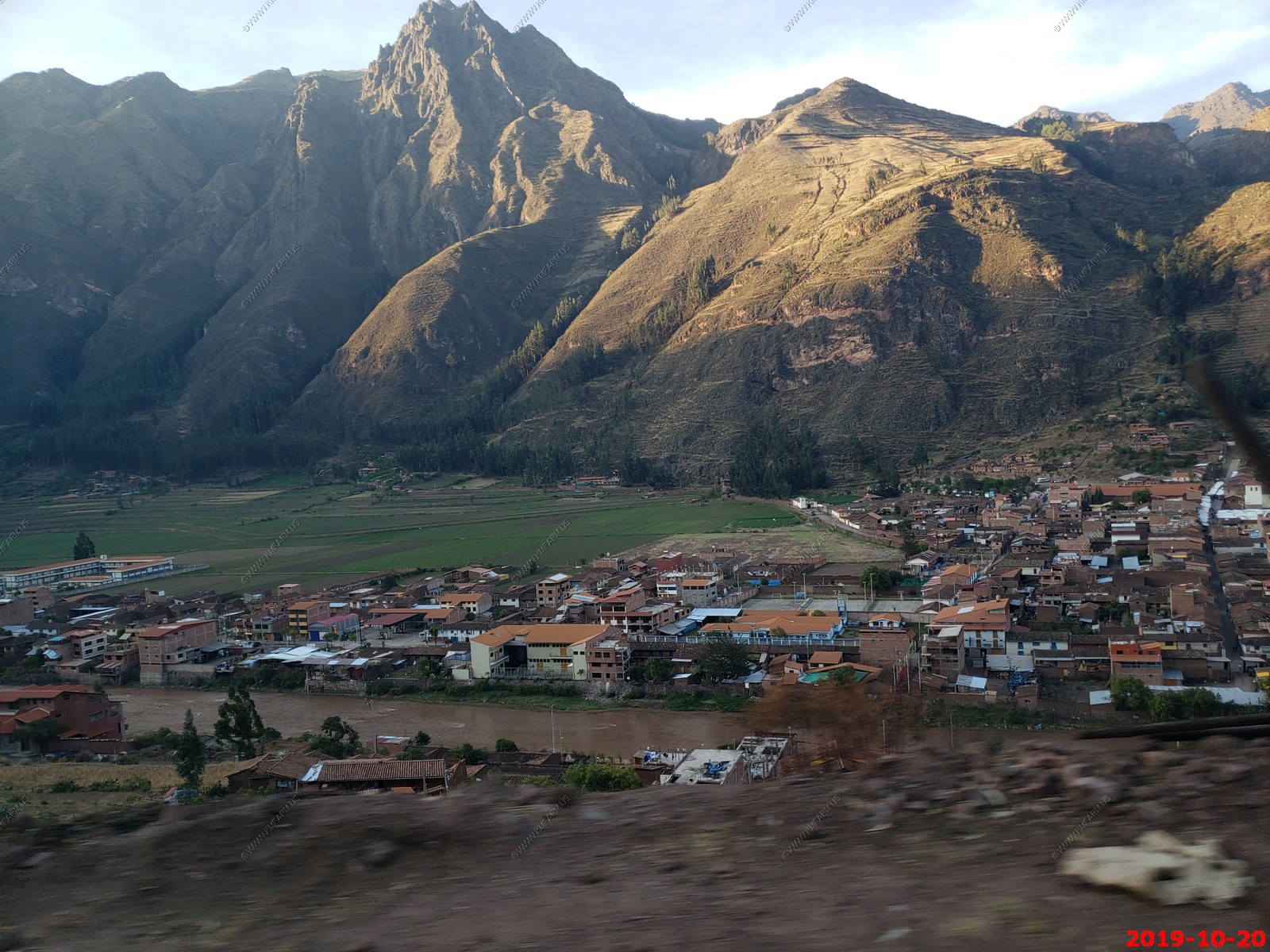
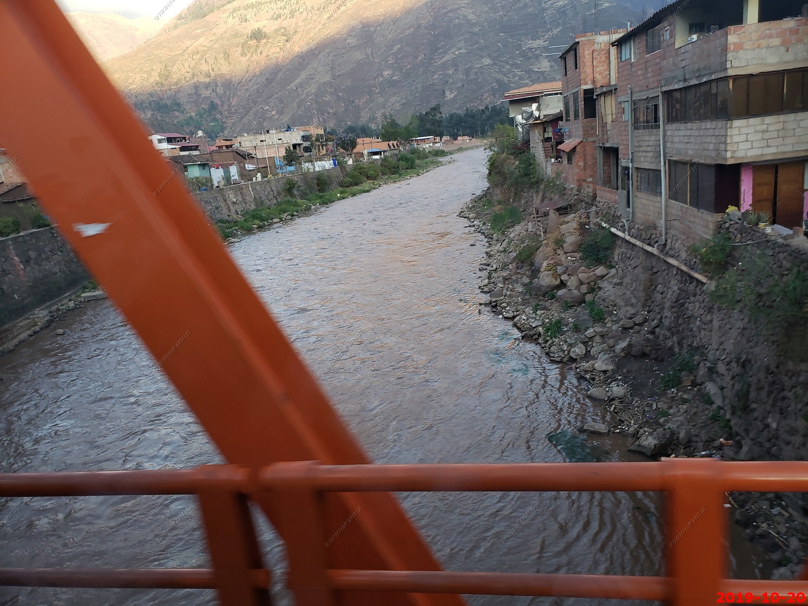
Crossing the Urambamba River. We would spend the next three days along this river which is a tributary of the Amazon River.
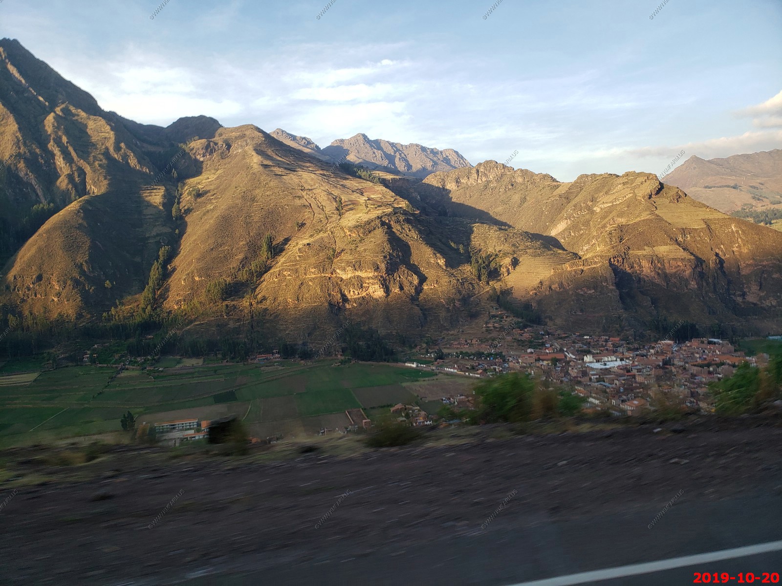
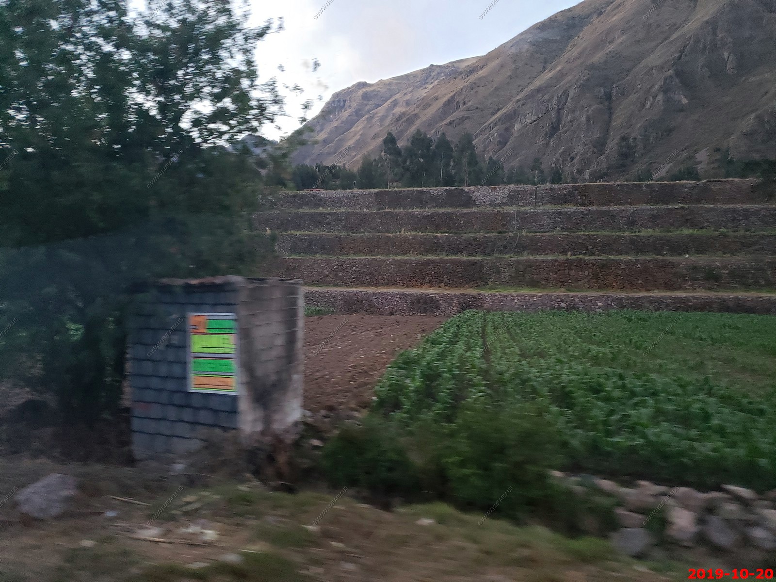
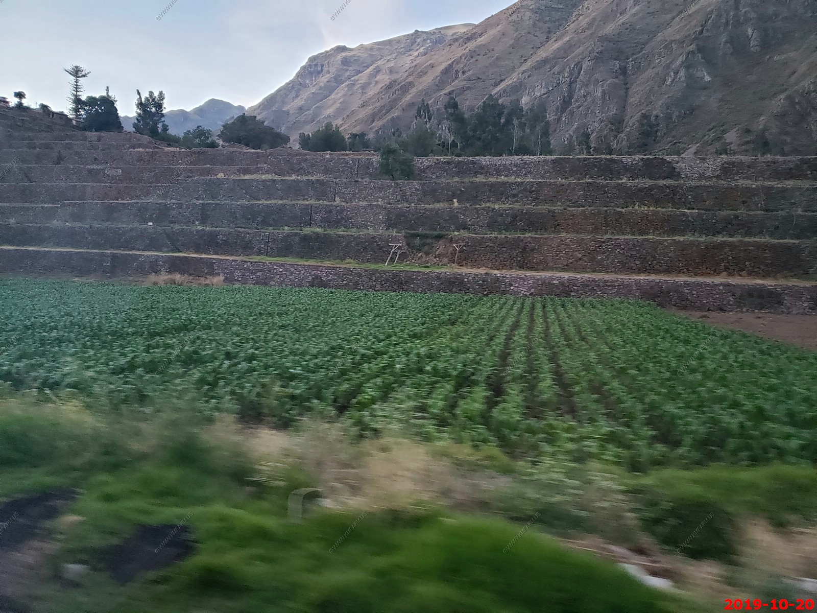
Terraces on the north side of Calca
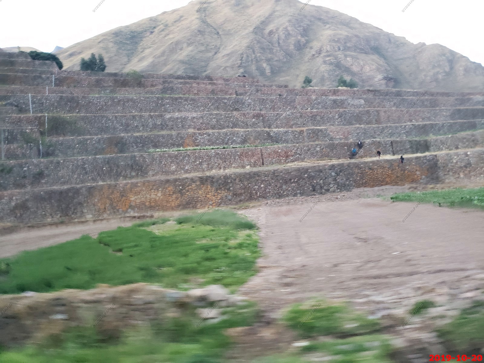
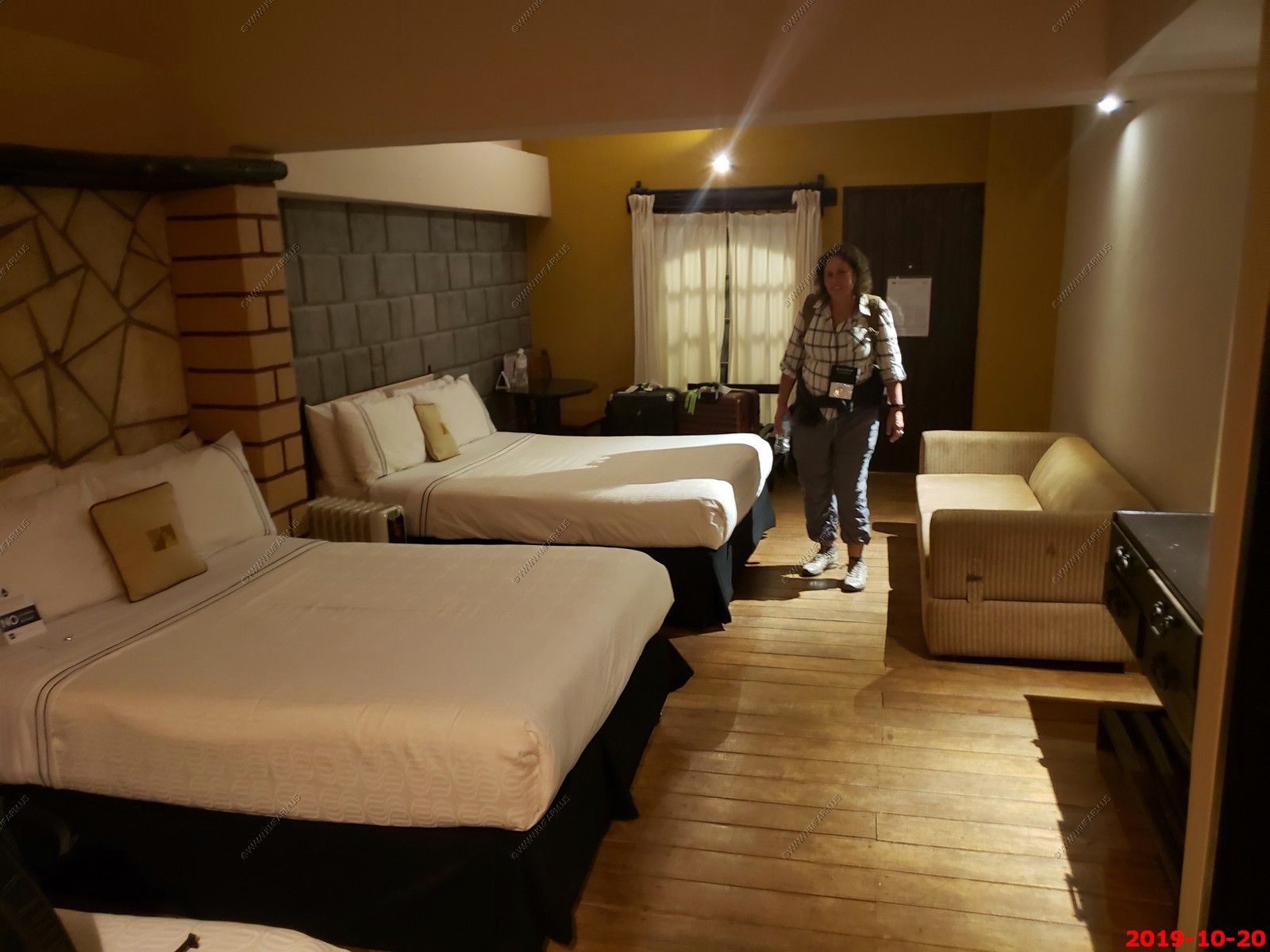
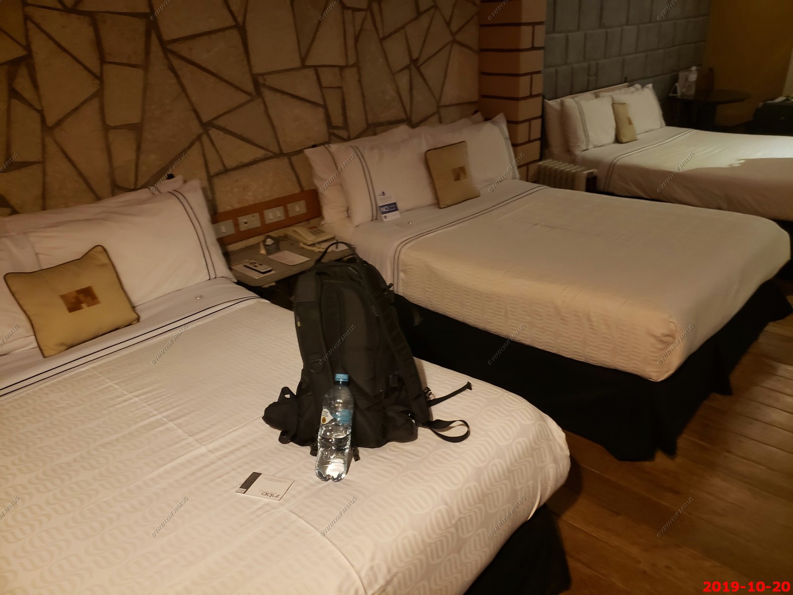
Our hotel at Yucay. Located in the heart of the Sacred Valley of the Incas and surrounded by beautiful gardens, the Sonesta Posada del Inca Yucay is a former 18th century colonial-style monastery. This charming 87-room hotel is a one-hour drive from the ancient Inca capital of Cusco. Yucay is a town in southern Peru. It is the capital of the Yucay District, which is near the center of Urubamba Province. Urubamba Province is in the Cusco Region of southern Peru. The area in which Yucay is located is commonly called the Sacred Valley of the Incas. It is at 9,373 feet in elevation and we slept well here.
Strange as it had three beds,
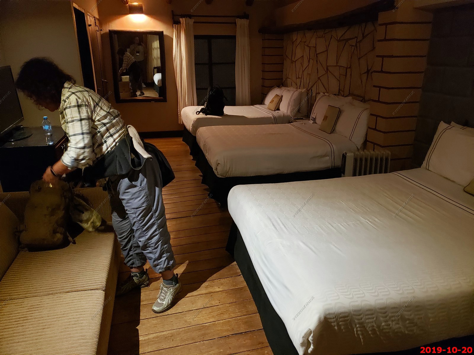
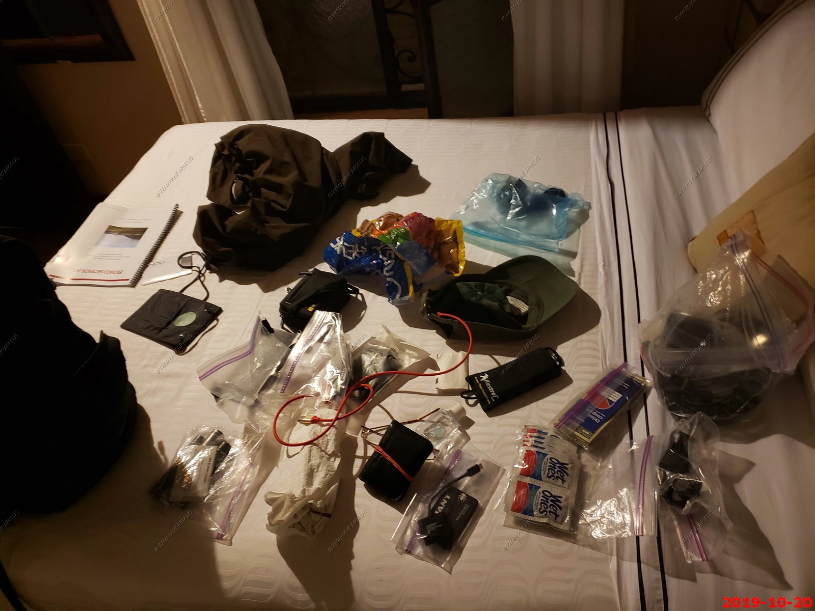
What Ken carries in his military backpack.
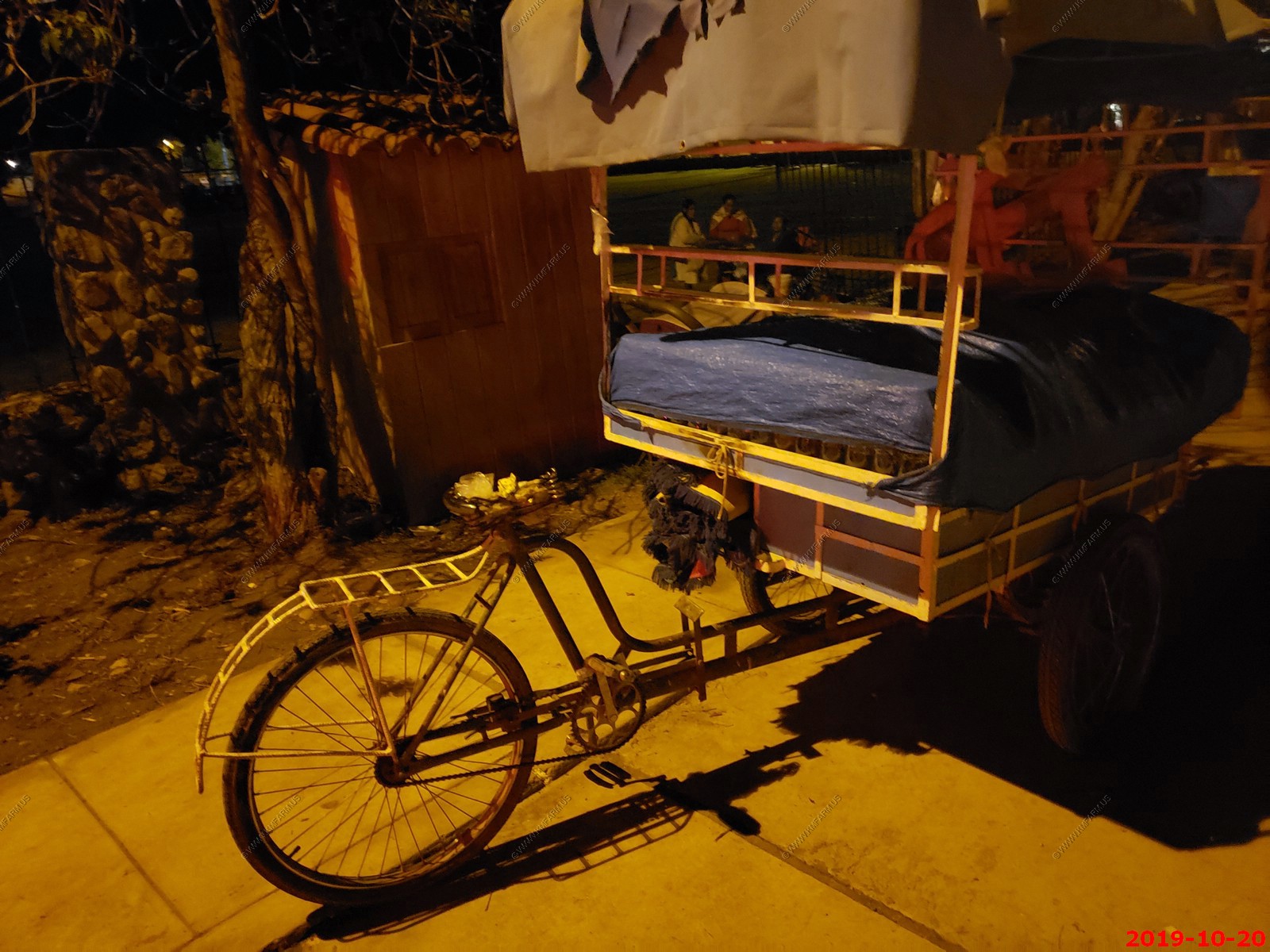
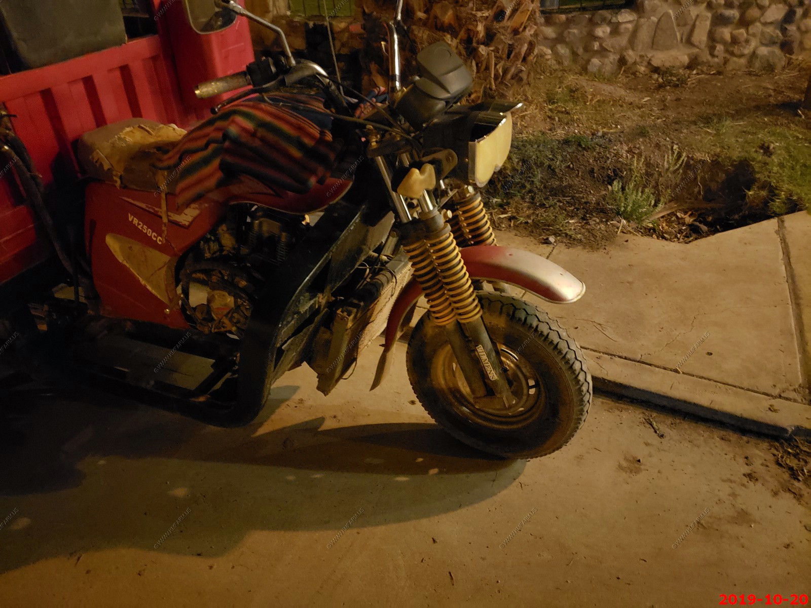
These interesting half motorcycle, half pickup truck
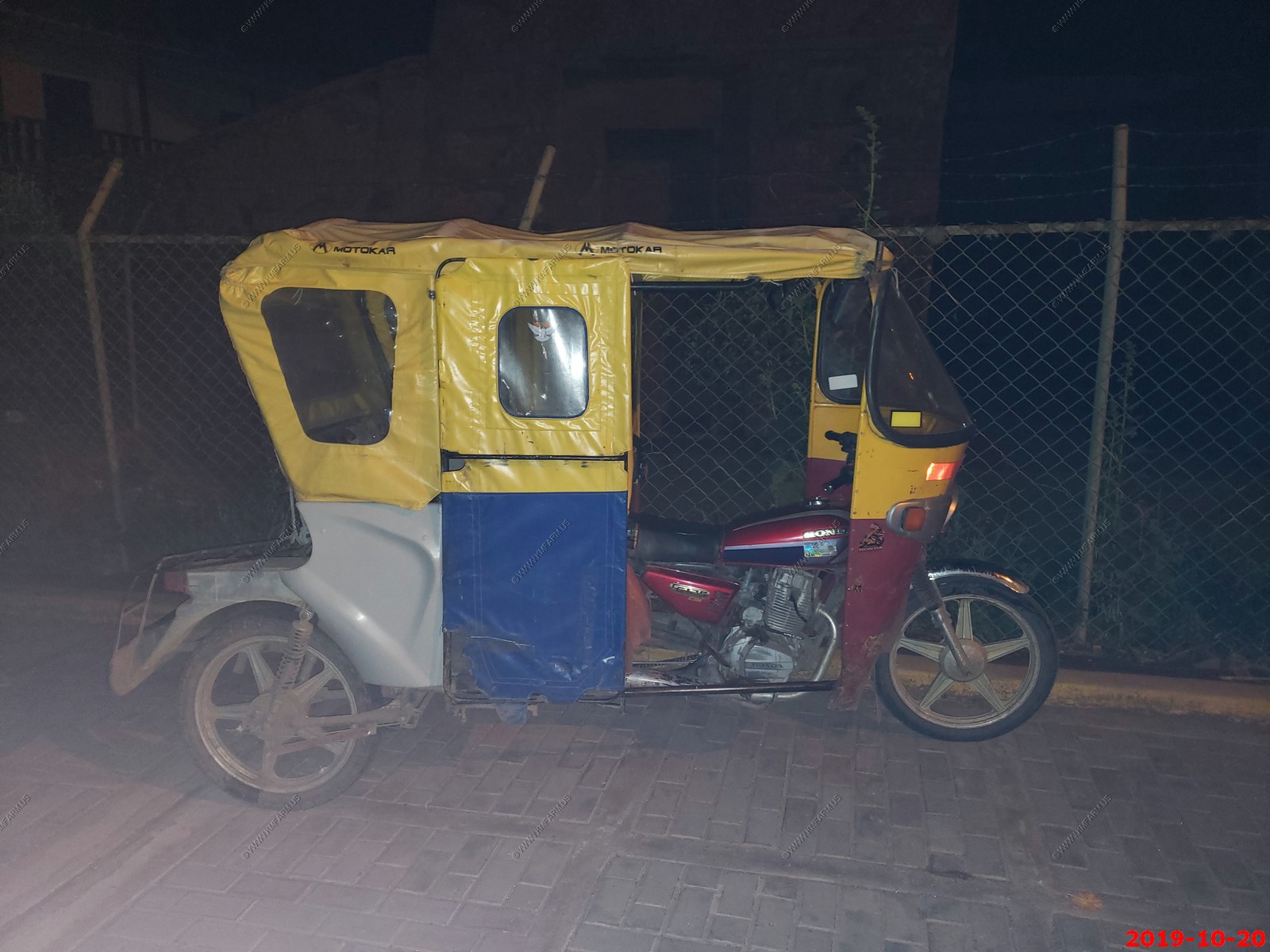
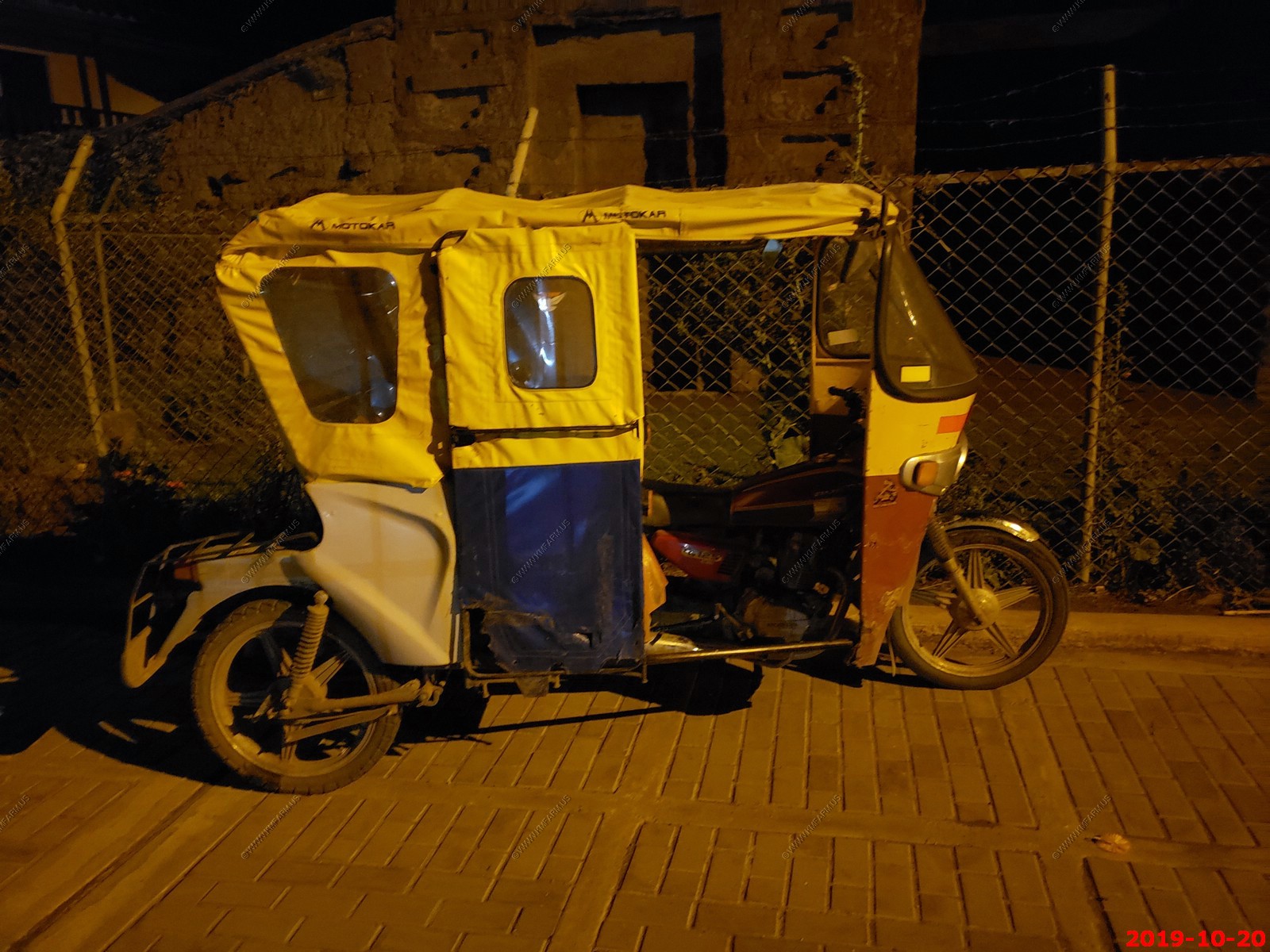
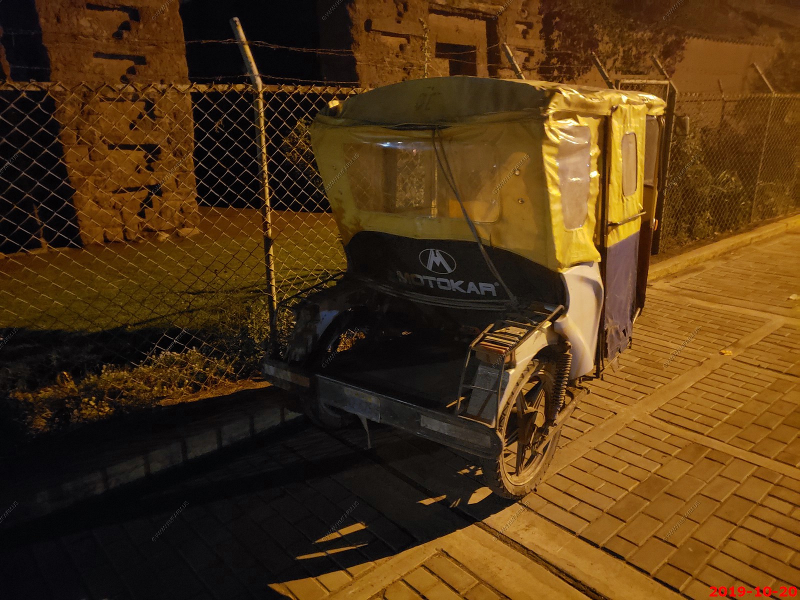
Looks like a UFO coming down the road
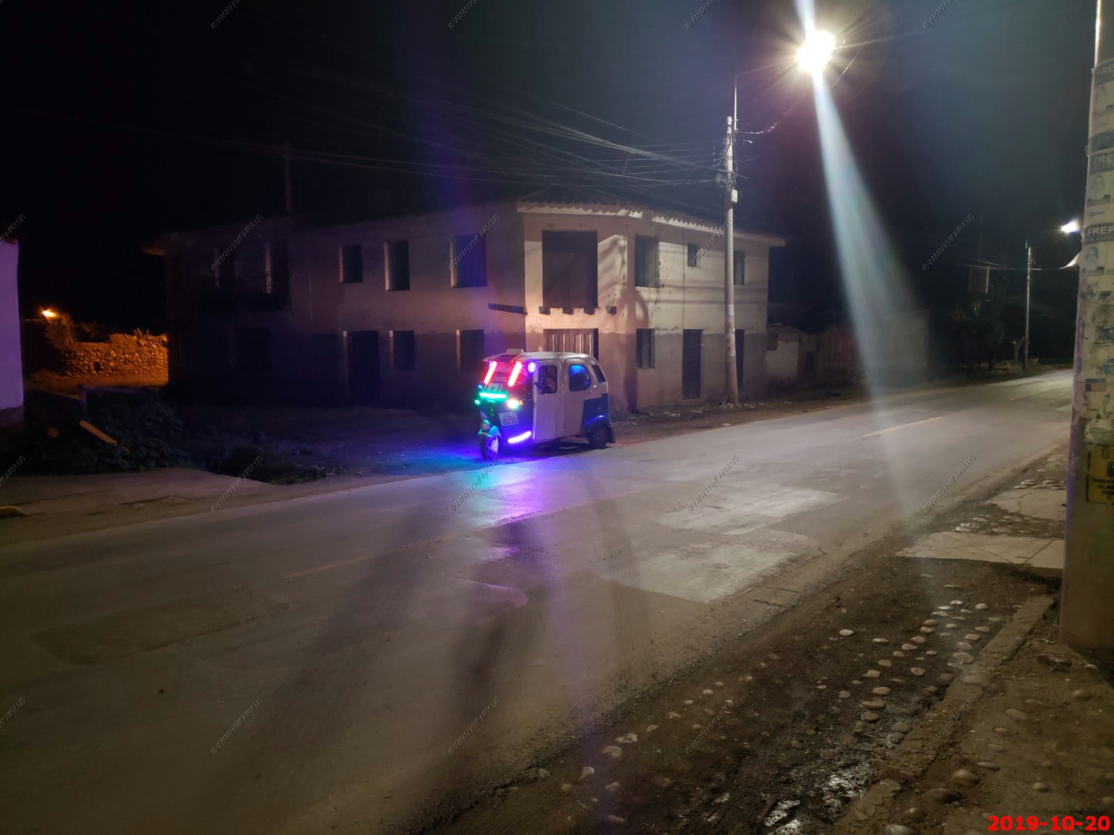
We tried to figure out how you steer this. Looks like you hold onto the bar above the tarp. The seat looks a bit uncomfortable.
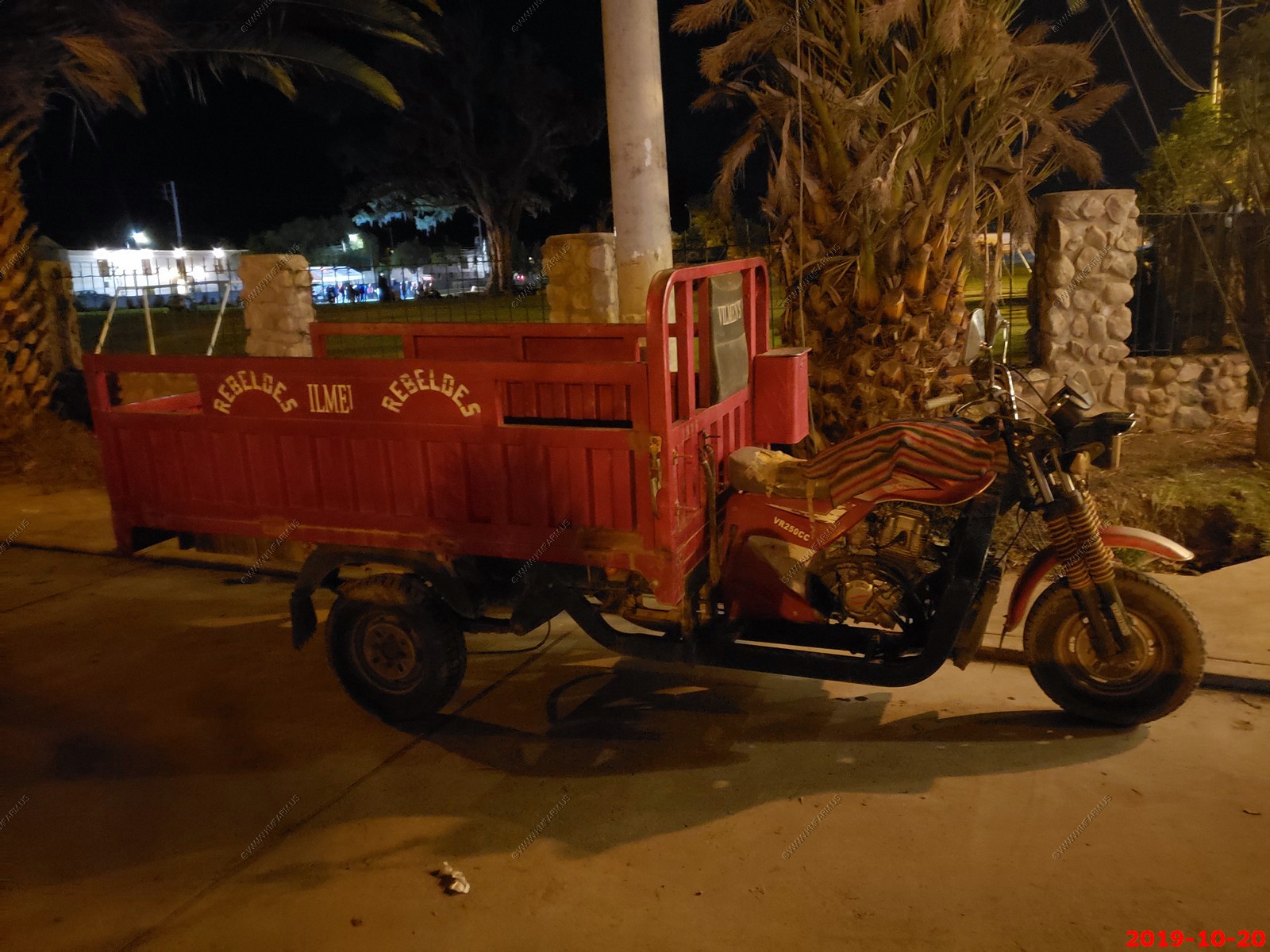
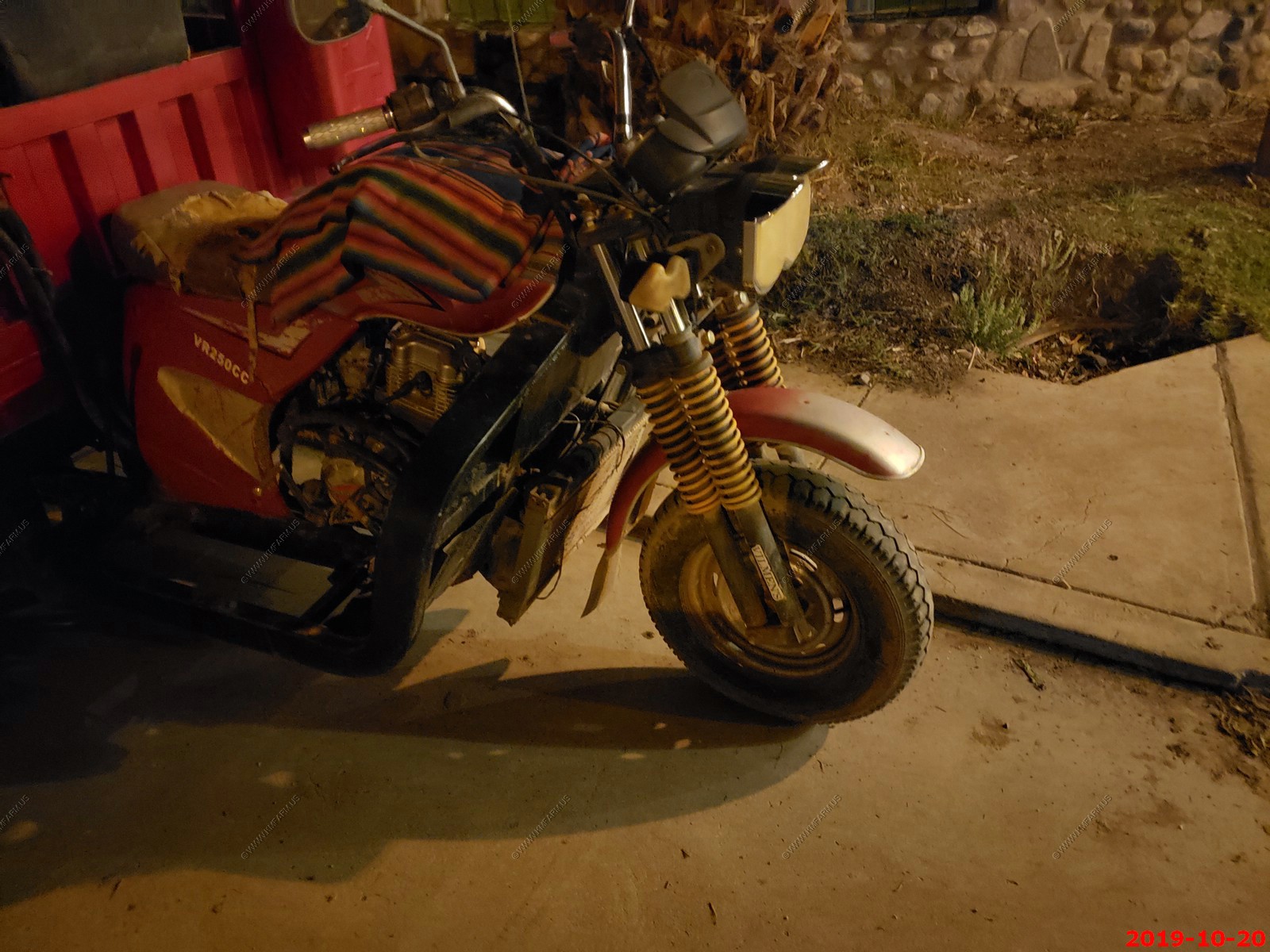
Heavy duty motorcycle pickup.
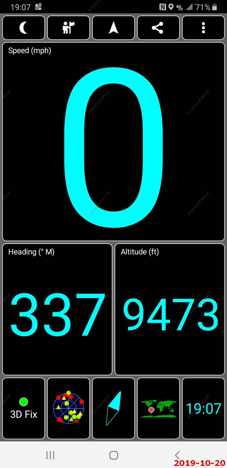
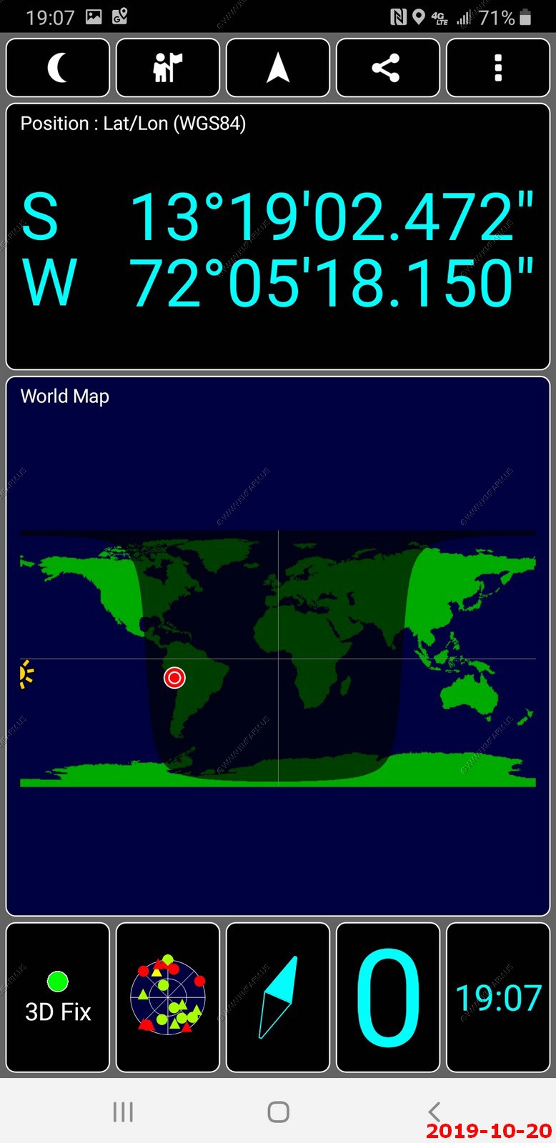
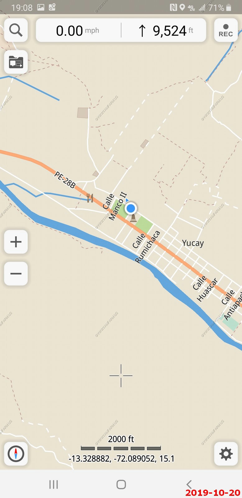
We did not know where we were the first night here. The elevation, location and google map of the hotel.
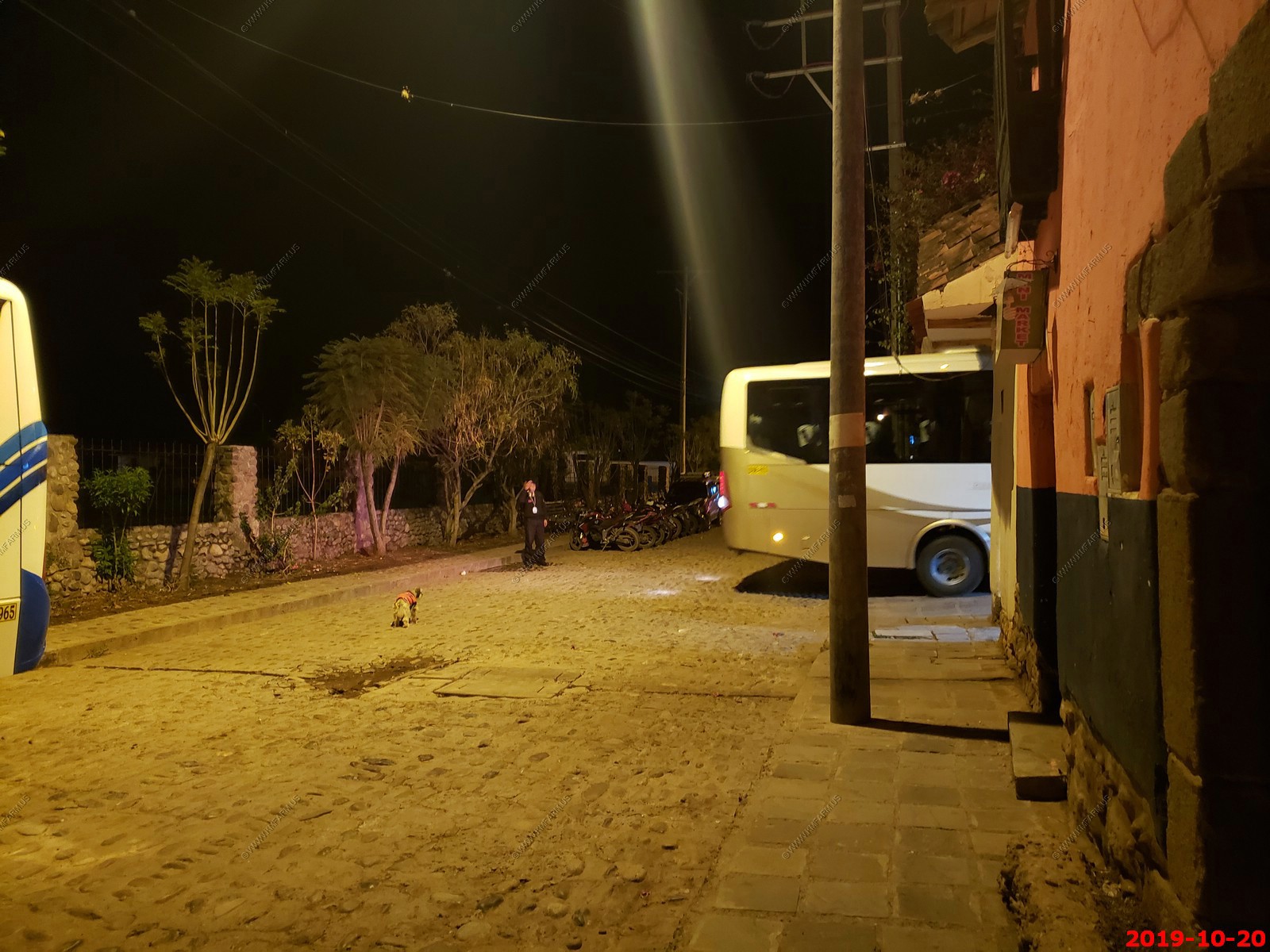
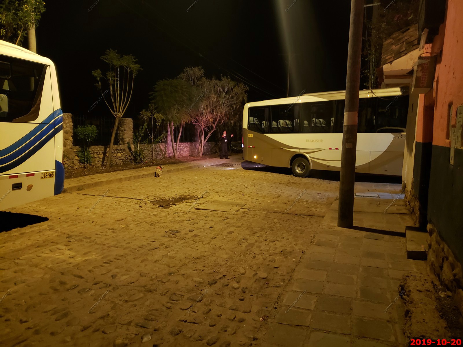
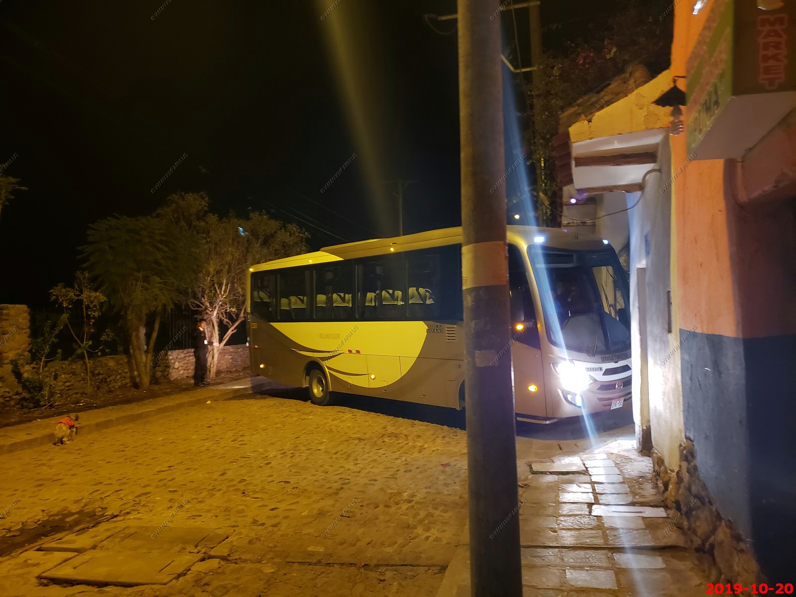
The turn into the hotel was very difficult for the bus. The security dog in the street wearing his coat.
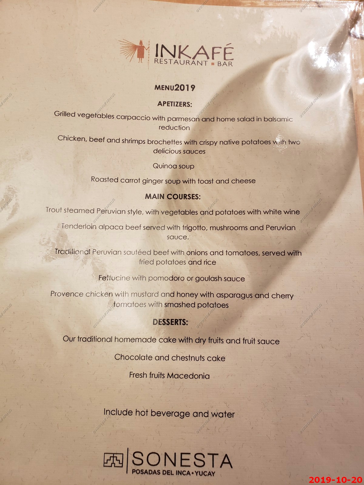
Dinner at the Inkafe Resturant Bar - Sonesta Posadas Del Inca in Yucay.
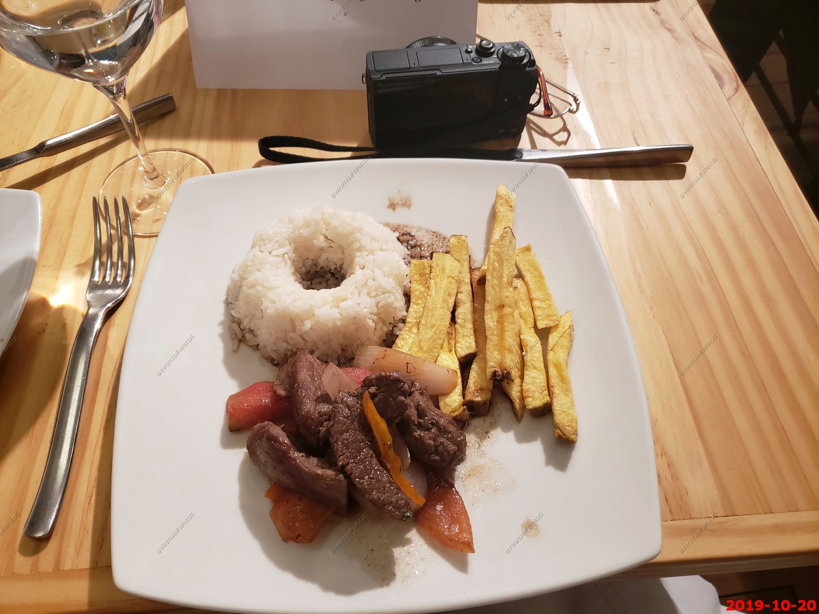
Ken's meal - The rice was good but in the shape of a donut so I was short-changed
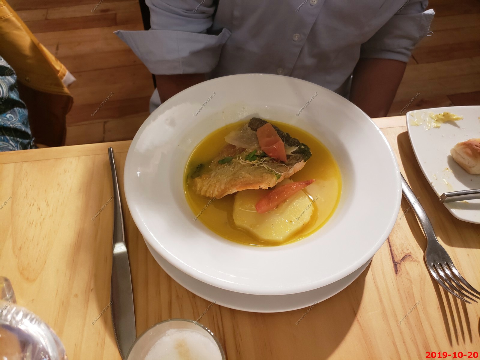
Mary's meal - Fish.
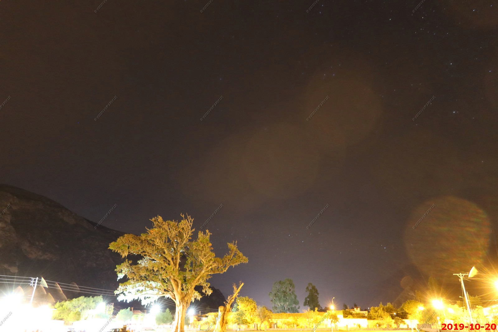
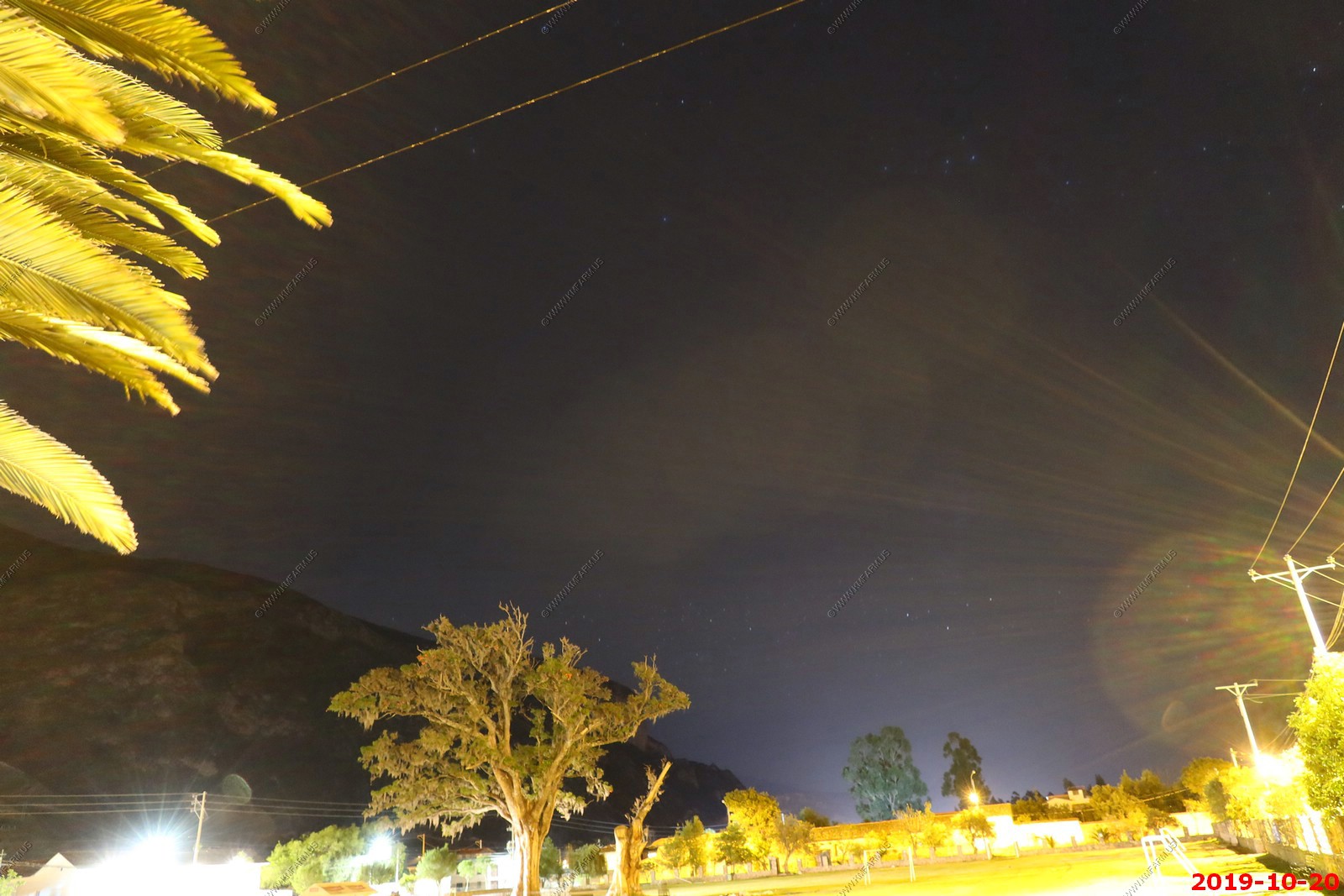
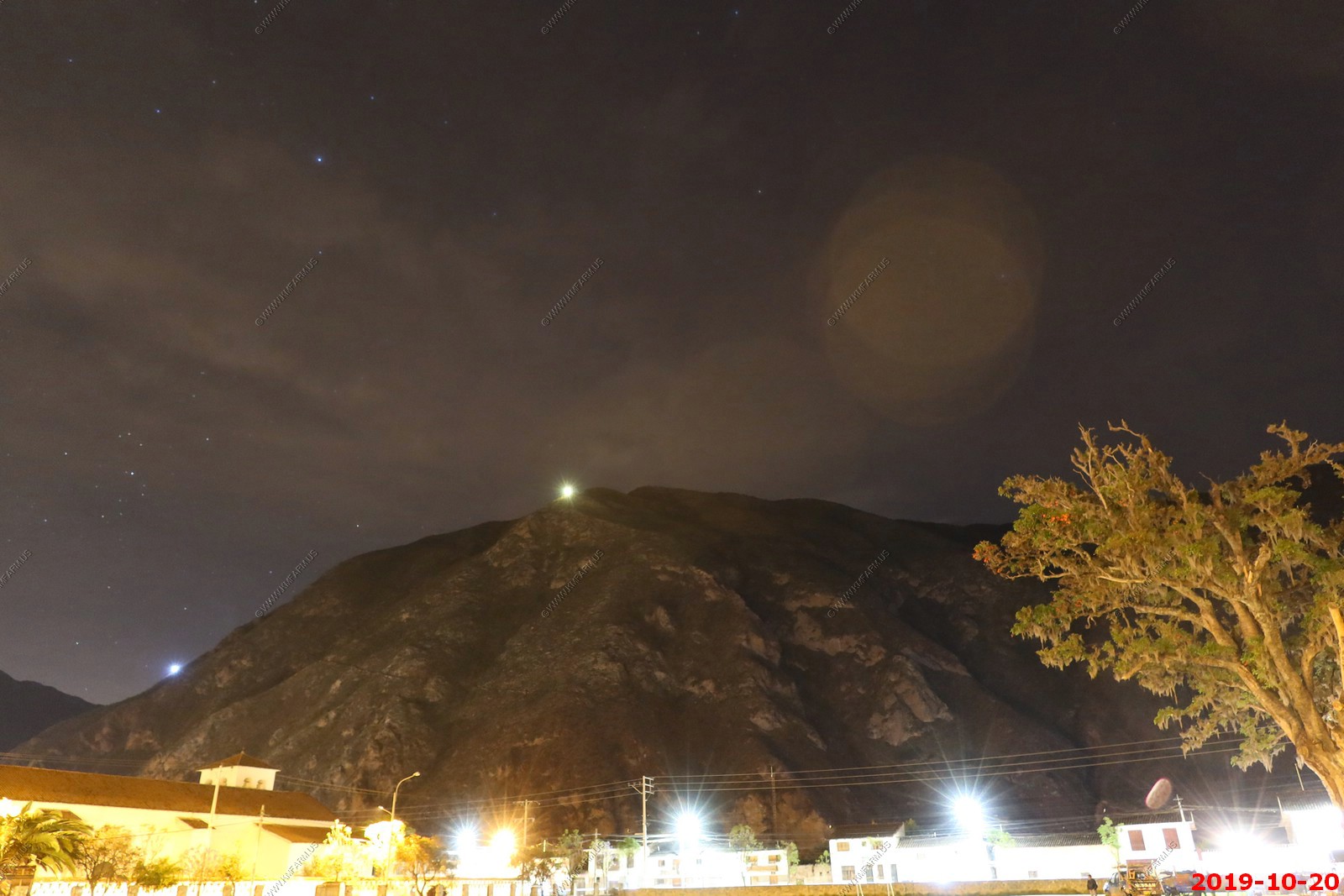
Manual astro-photos with the Canon PowerShot G5X Mark 2. It did very well but the problem was we were so tired I could not stay up to take more.
The (two) crosses high on the mountain across the river.
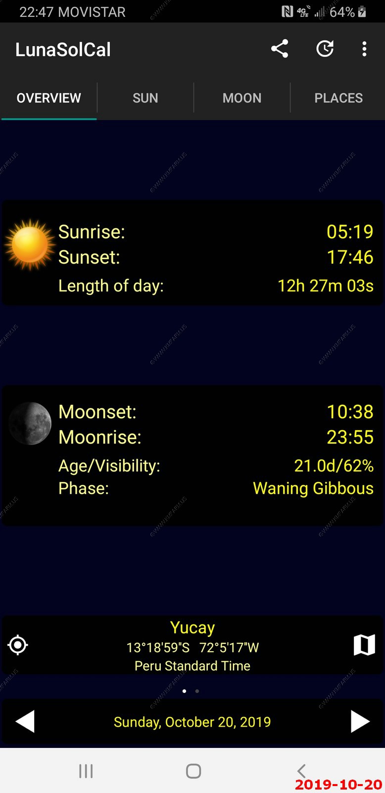
Our location with sunrise / sunset times
On to Day 4 - Sacred Valley, Pisac Ruins, Ollantaytambo
Return to Machu Picchu & Rapa Nui: Discovering Two Mysterious Civilizations front page