Last Updated: 29-NOV-2019
Monday October 21 - DAY 04
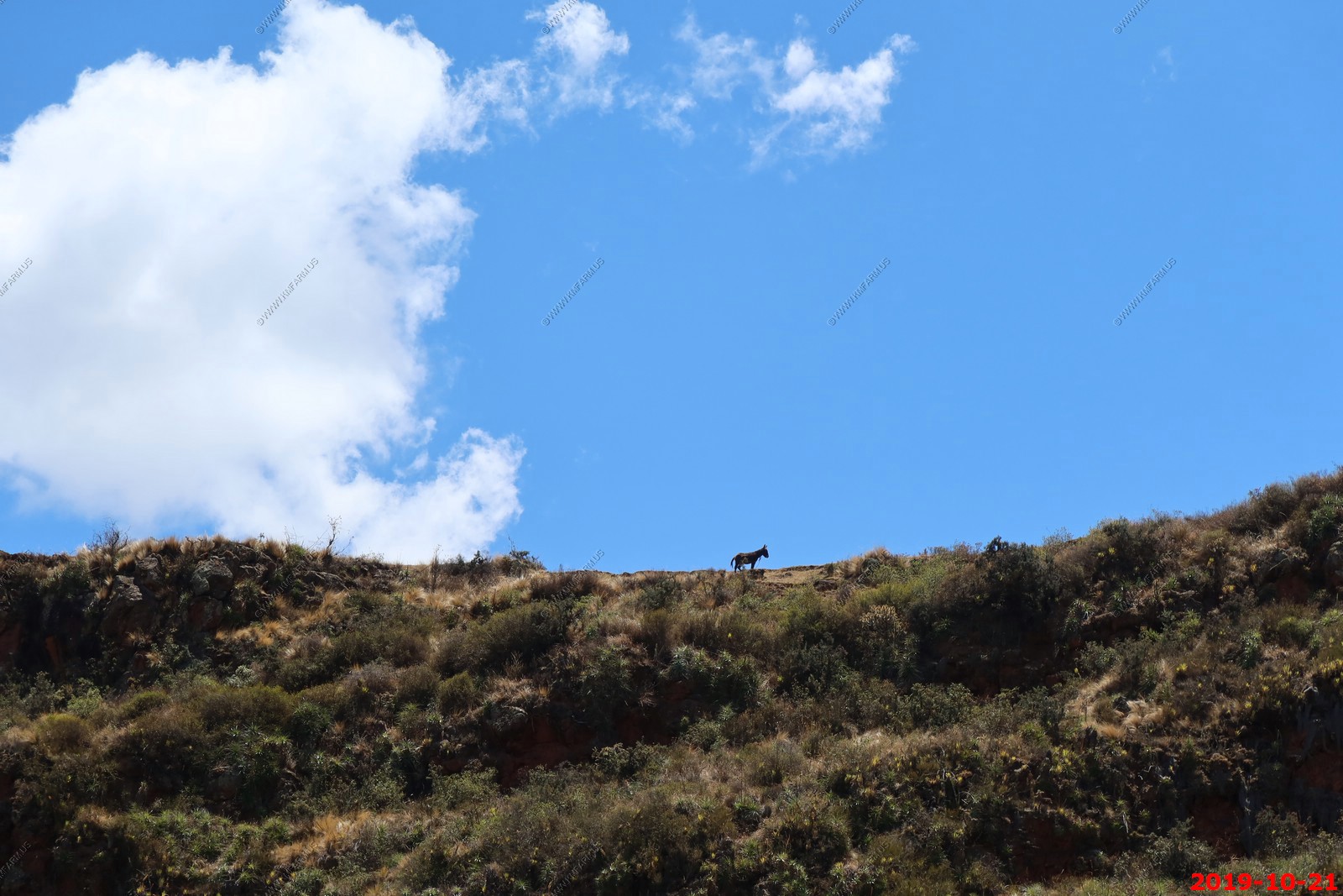
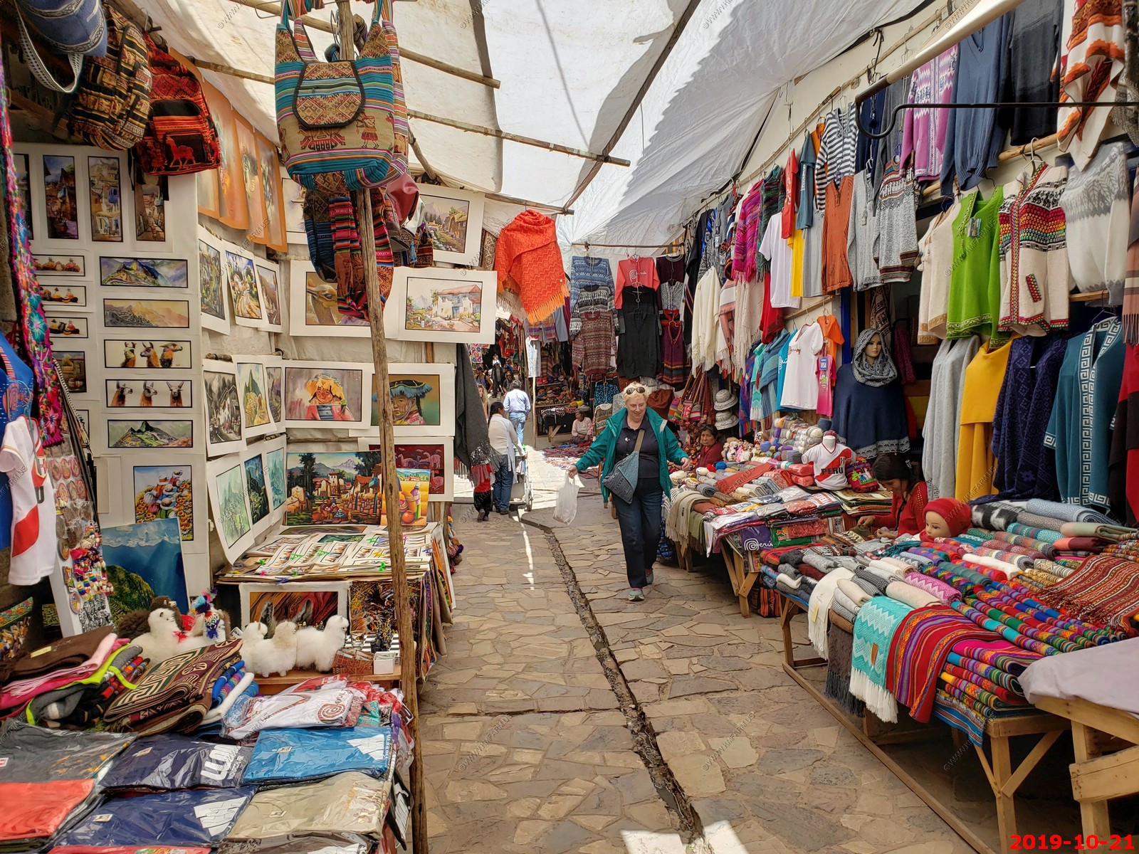
DAILY WRITE UP - Today was a very intense day. We went to two big ruins, the Pisac Inca ruins which are gigantic terraced areas probably extending three to five thousand feet up to side of a number of large valleys. We hiked a good bit here then went to Pisac, Peru that has a huge market and walked around there for a while. It was kind of sad cuz they had cages of guinea pigs and they were friendly but yet they were about ten feet away from a big oven. Down here guinea pigs are not pets.
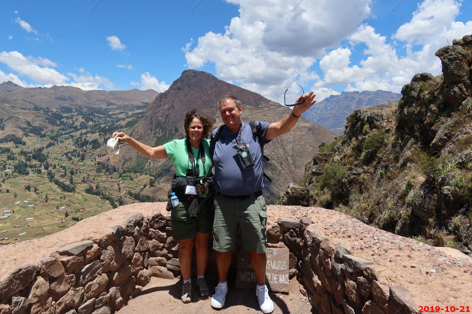
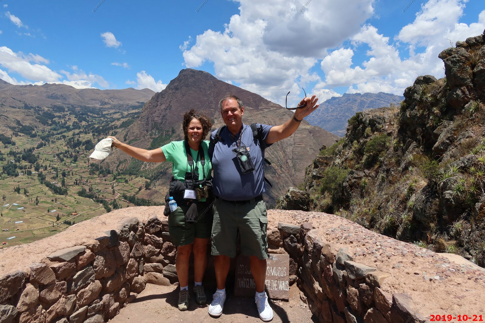
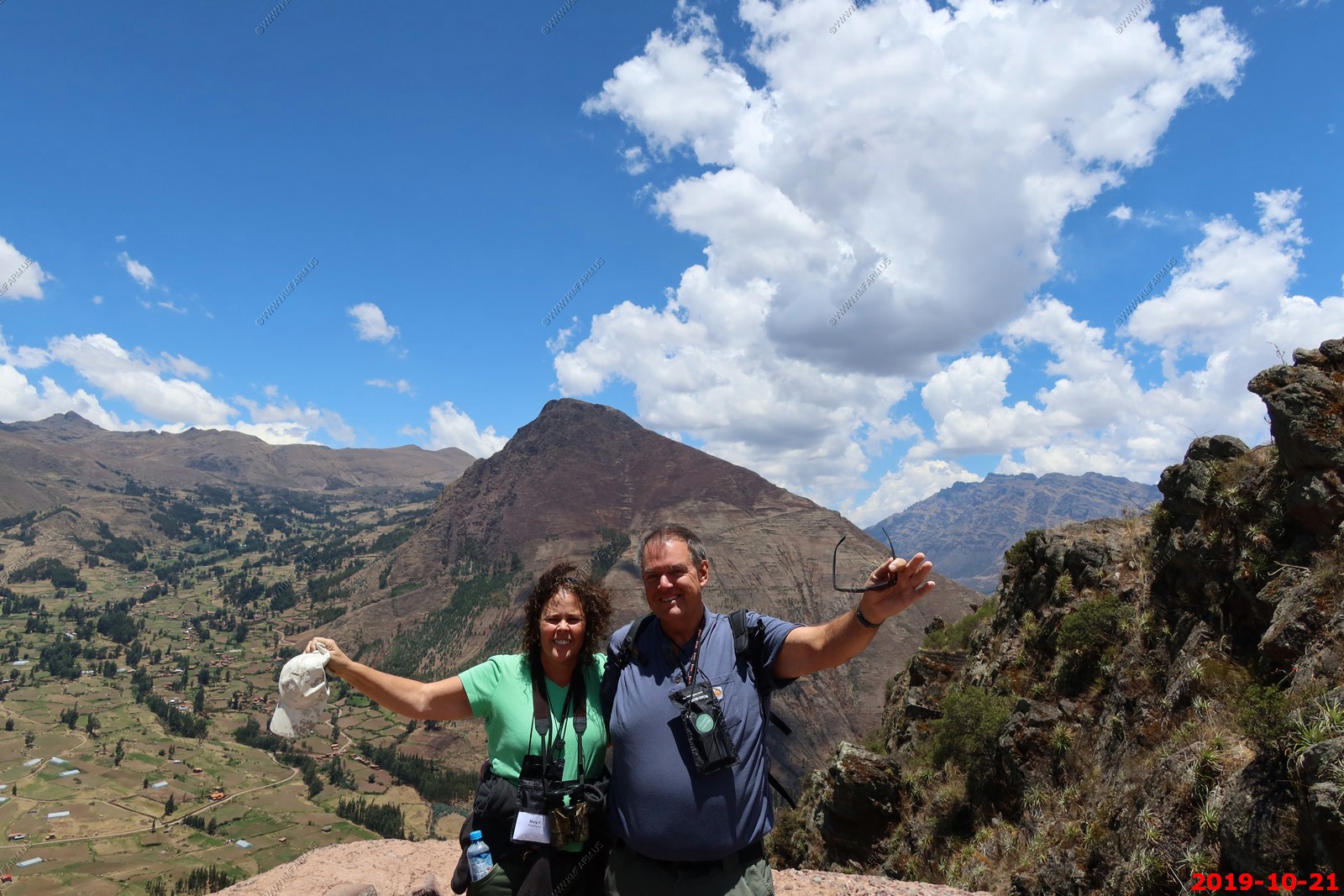
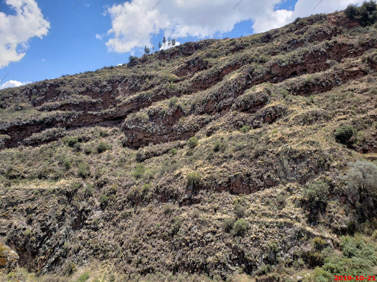
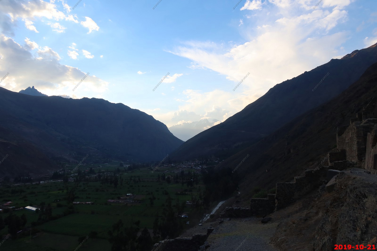
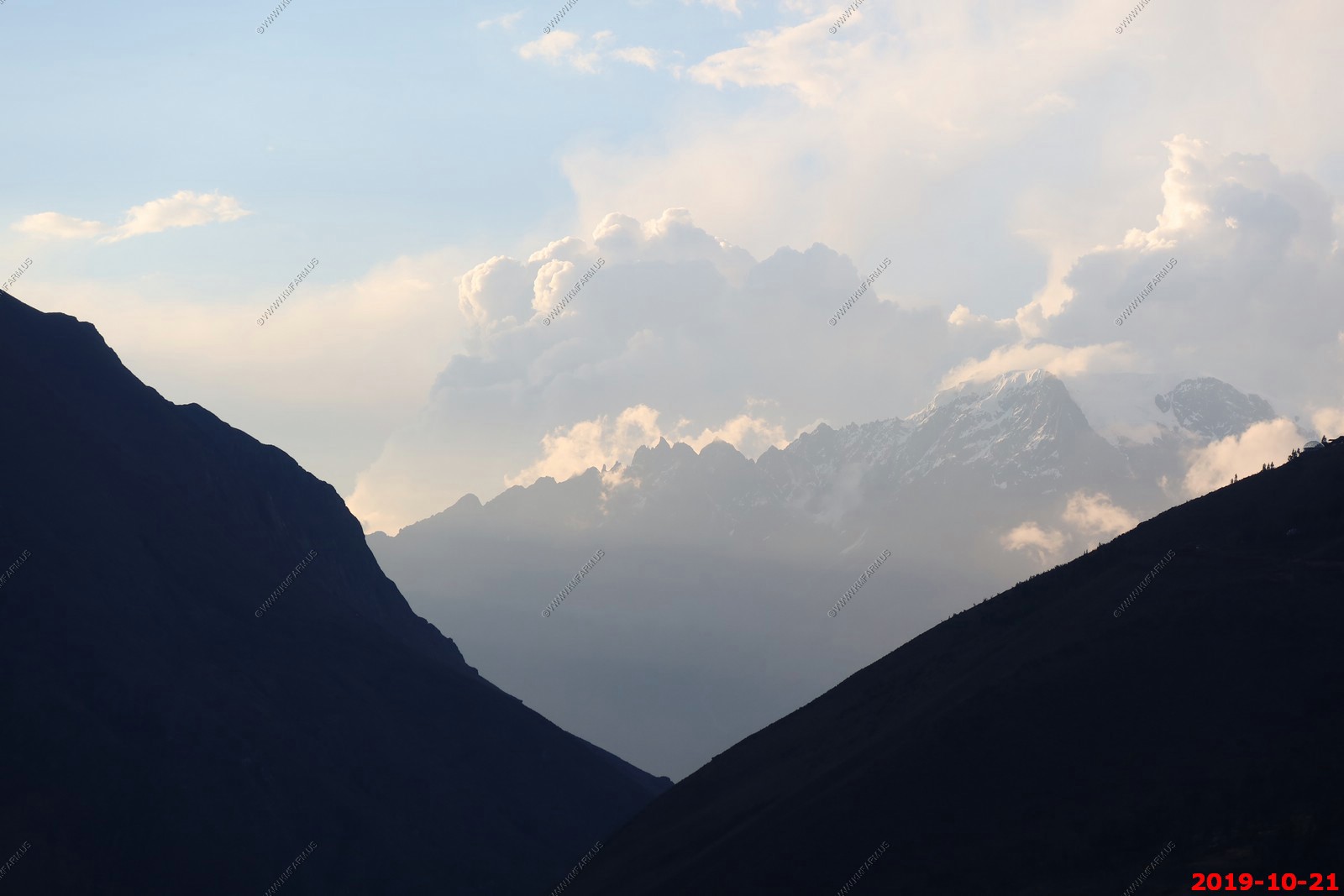
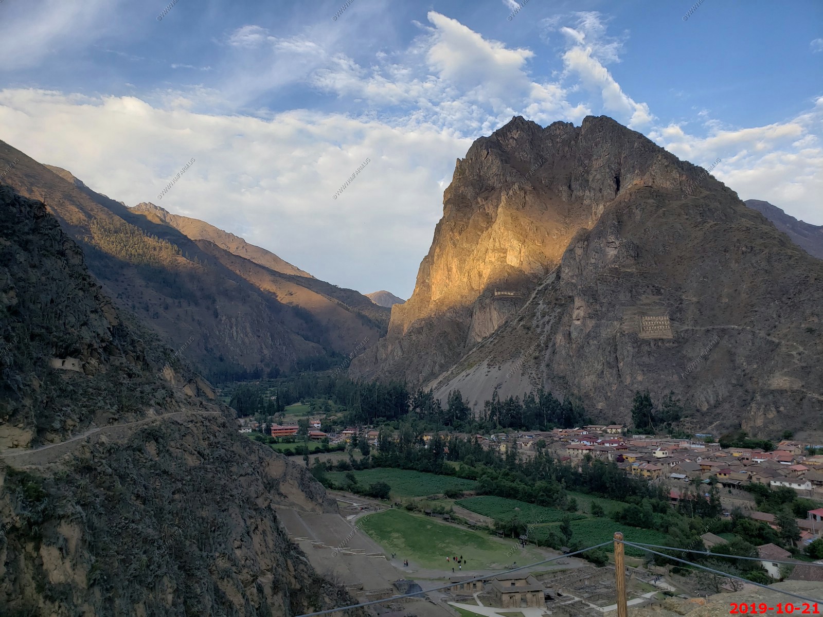
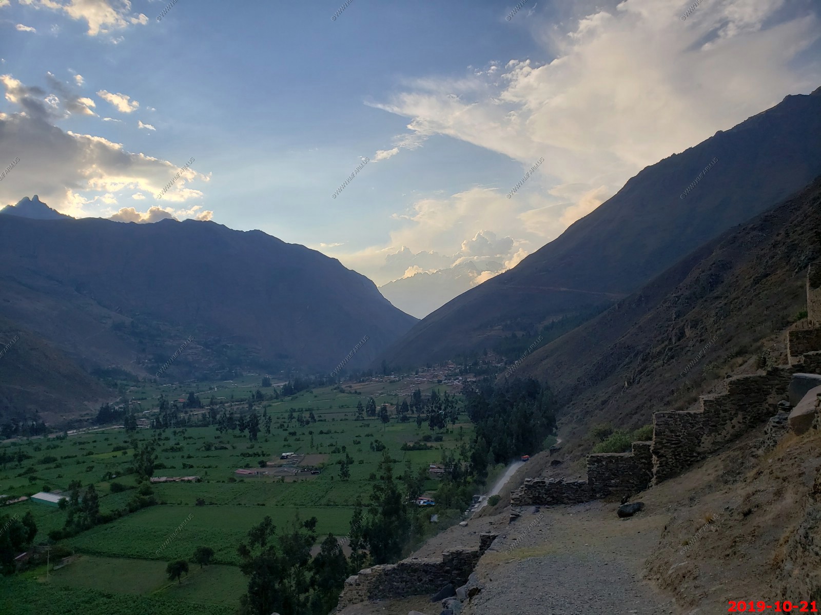
Then we went to a town about 30 miles north on extremely bumpy roads which had the town and Ollantaytambo ruins. In fact this was Ken's number one Inca ruins site that he wanted to see as it has the Temple of the Sun and in the photos is the 150-ton Rock that somehow they lifted 1500 feet out of the valley and then put it all together with amazing precision. (note: Ken does not smile in photos) The funny thing is the guide said they did it with ropes and a ramp but I don't think we have the technology to do this today with ropes and the climb up to this was so steep that only a few people out of our group even attempted it. The other cool thing about the platform where this rock was, you had a very good view of the Nevado Bonanta Range 17,388 ft. down the valley covered with glaciers. I took lots of photos of this very cool place and we were there as it was starting to get dark so the Shadows were really interesting.
It was a very long day. We didn't get back to the hotel till about 9 and we ate dinner at the hotel restaurant, with both of us almost falling asleep during dinner. We then walked around in the Yucay, Peru town park looking at the Milky Way and there were heavy thunderstorms Over the Horizon around us. The sky was lighting up. Very interesting 25,000 step Fitbit day.
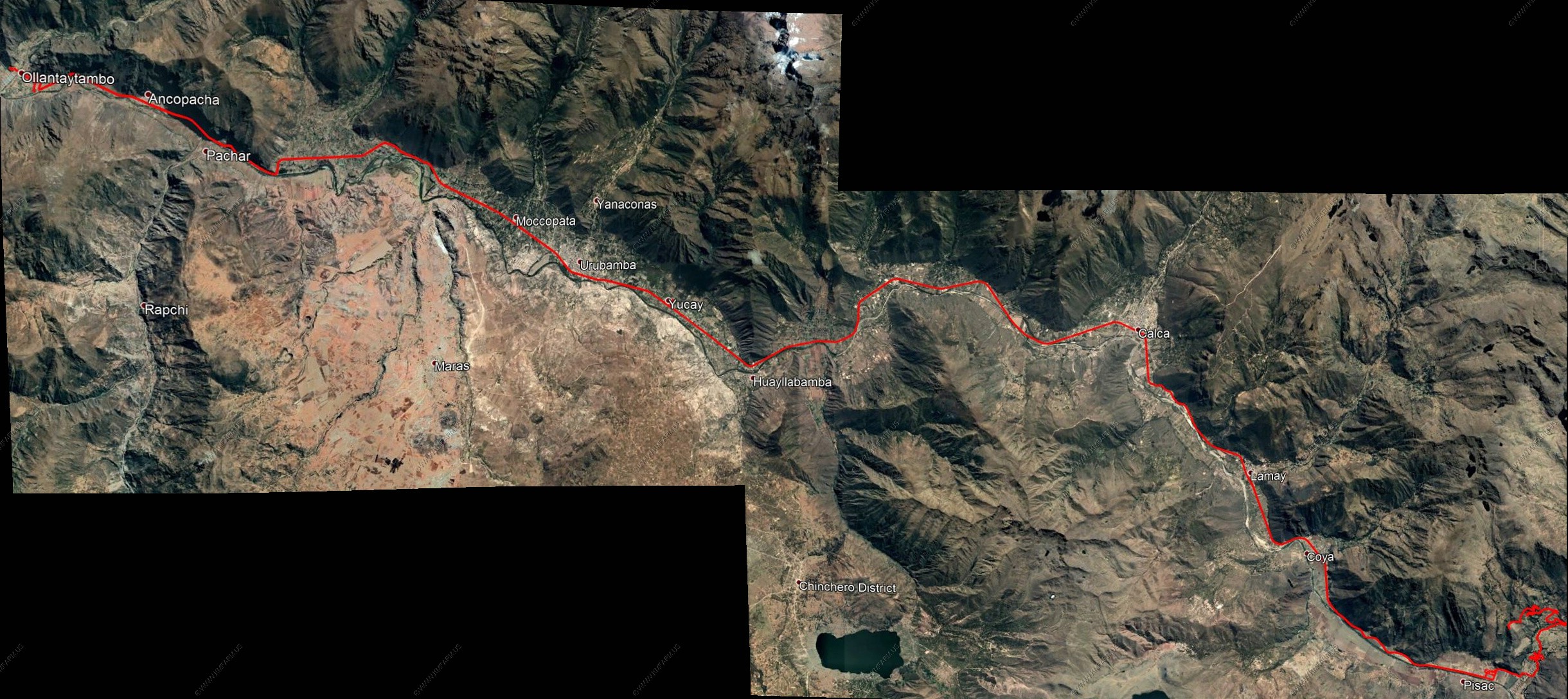
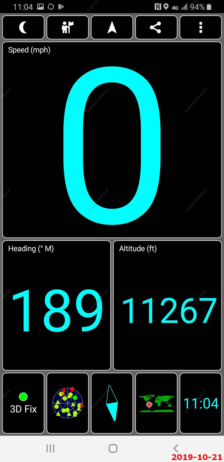
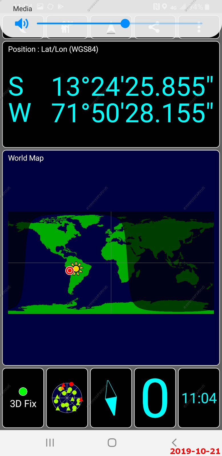
Using a GPS tracking software to see exactly where we traveled each day. Here it is overlayed onto Google Earth. We traveled from Yucay to Pisco to Ollantaytambo to Yucay.
ROAD SCHOLAR WRITEUP -- Sacred Valley, Pisac Ruins, Ollantaytambo
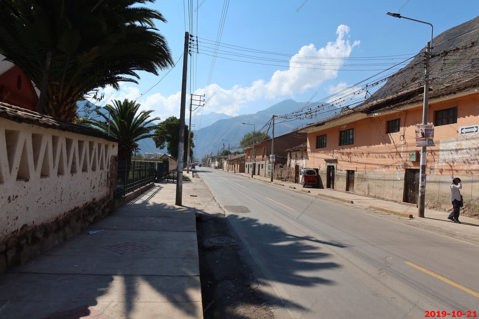
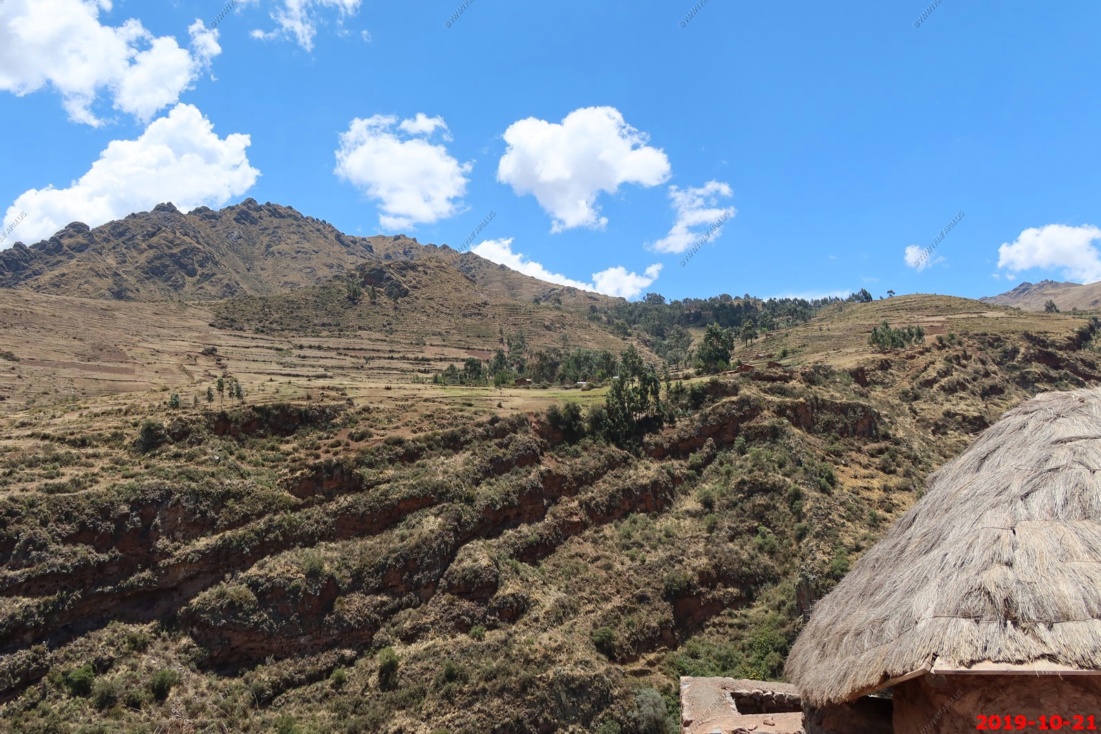
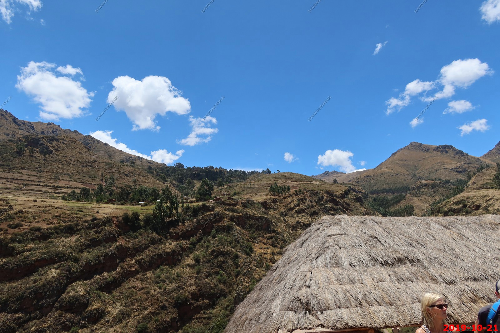
Urubamba Valley
B,L
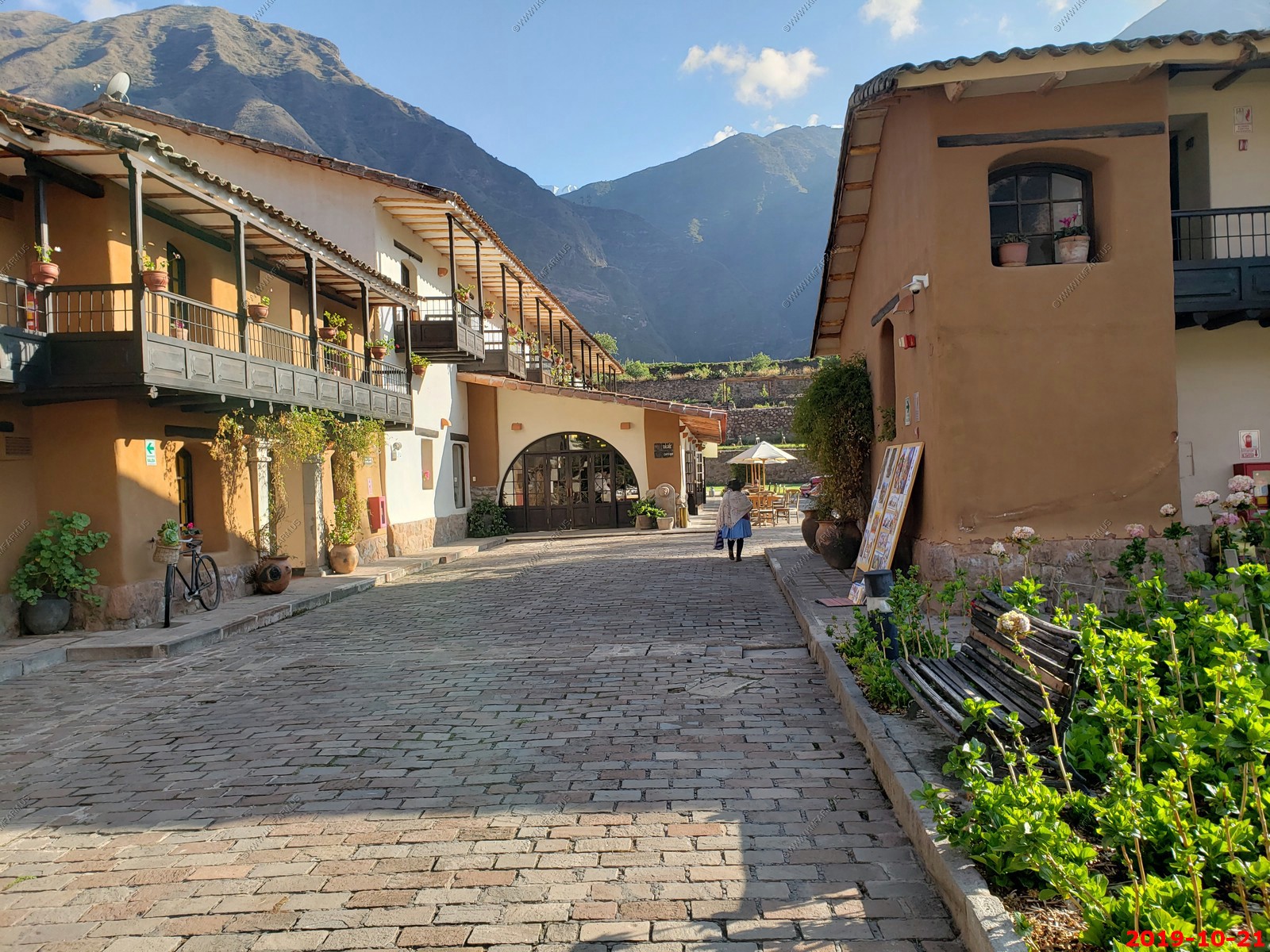
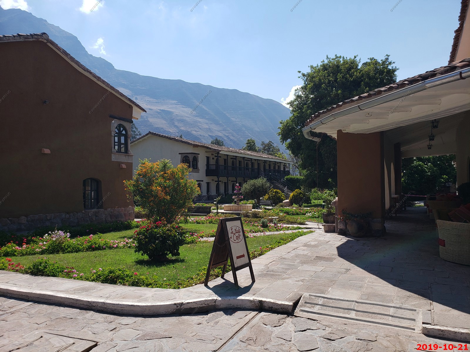
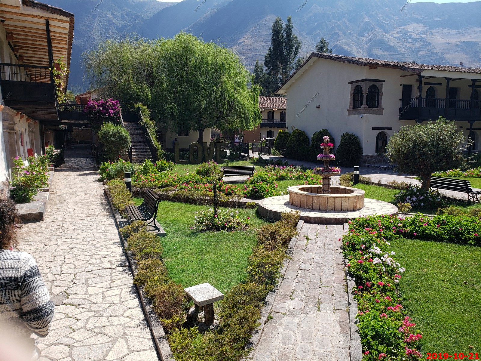
Sonesta Posada del Inca - Sacred Valley - Yucay Hotel Activity note: Driving approx. 83 miles total throughout the day; about three hours combined, with stops for field trips. Walking up to two miles total over the course of the day; periods of standing; approx. three hours spent on our feet; rocky terrain with steps sans railings; elevation change of approx. 250 feet and a maximum of roughly 9,507 feet above sea level.
Breakfast: At the hotel, enjoy a breakfast buffet featuring a variety of hot and cold items, plus milk, juice, coffee, tea, water.
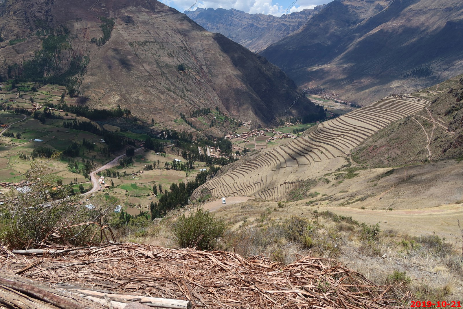
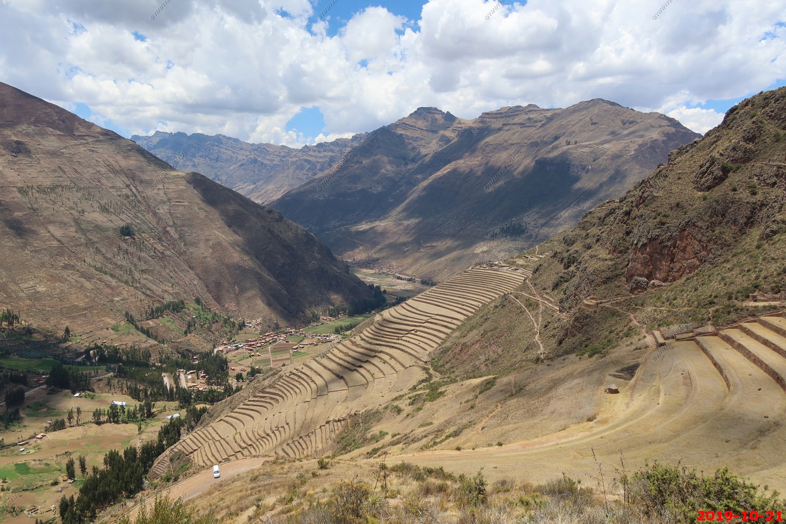
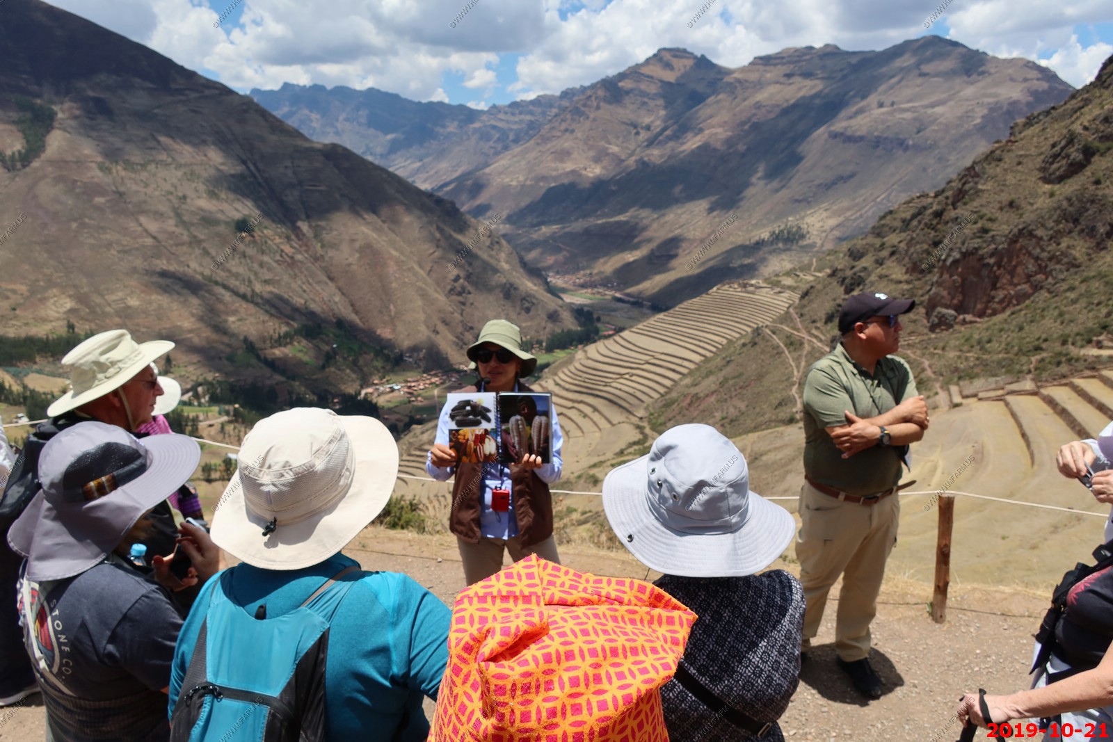
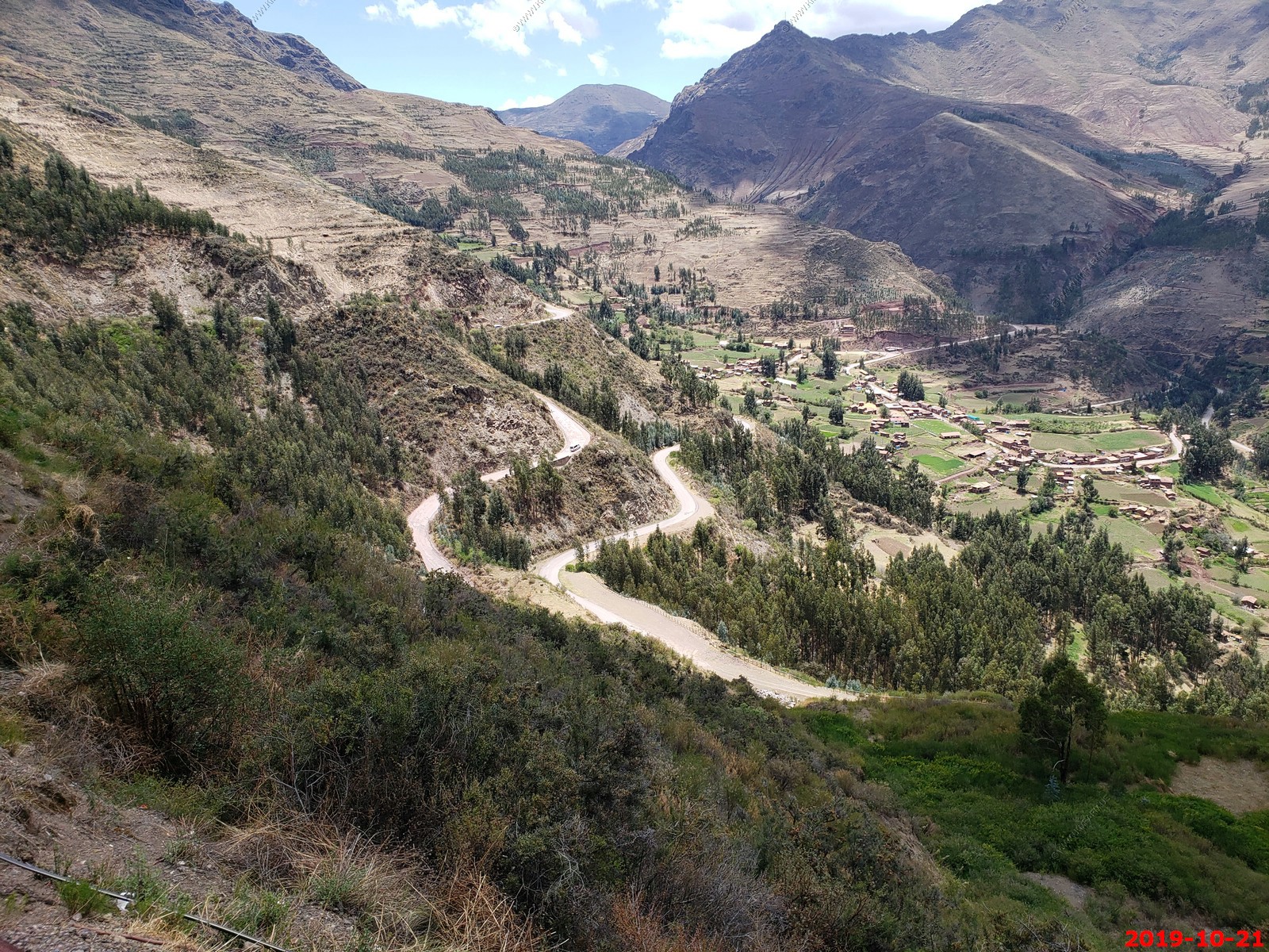
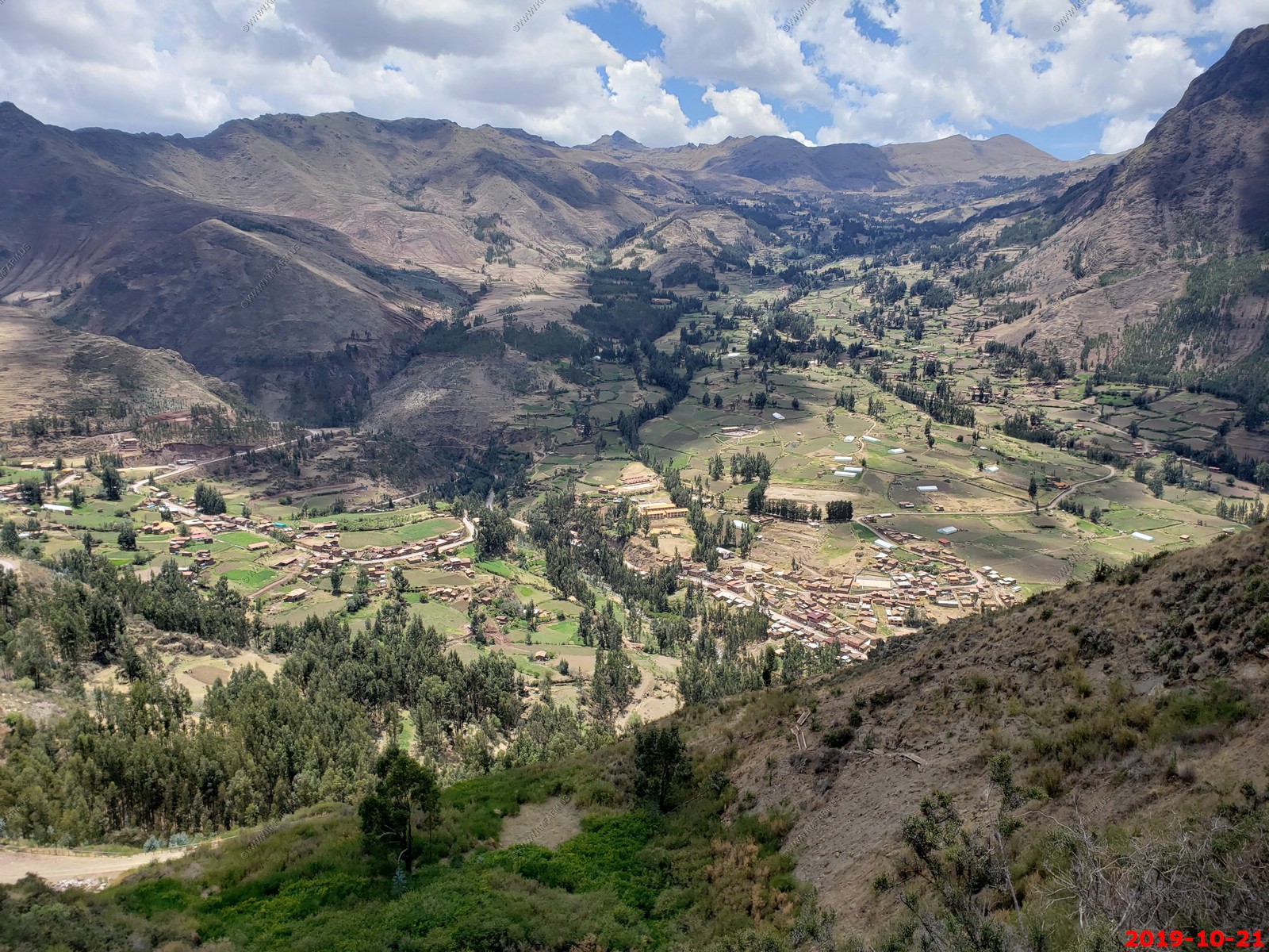
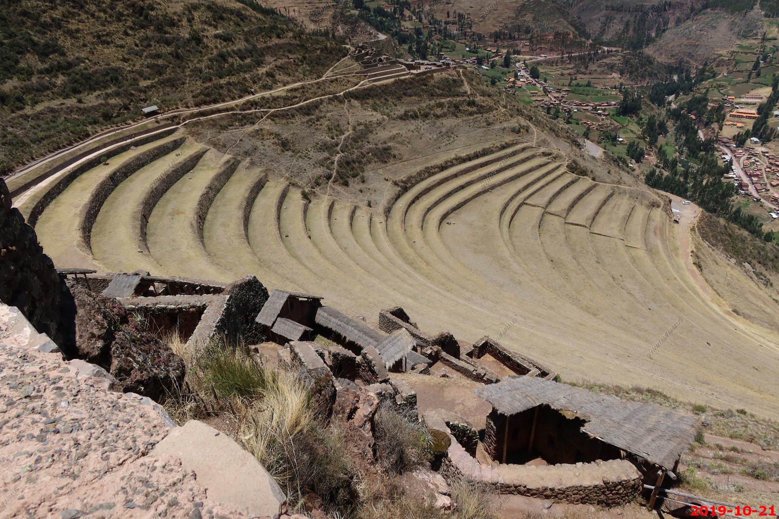
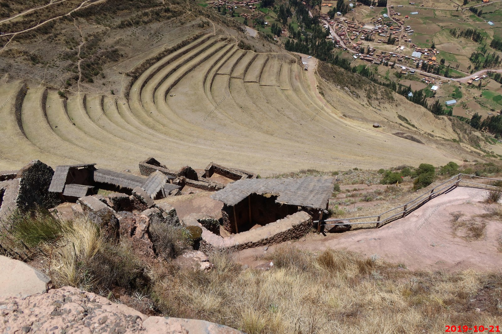
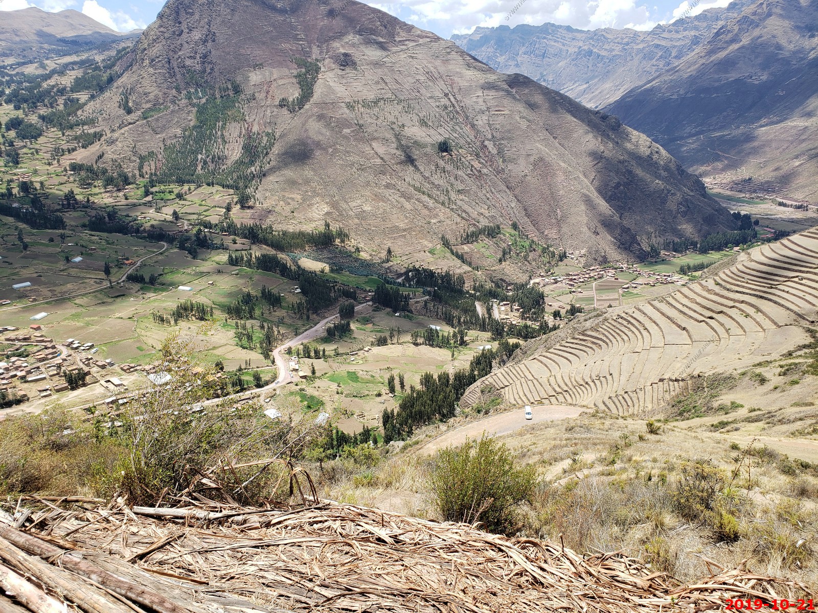
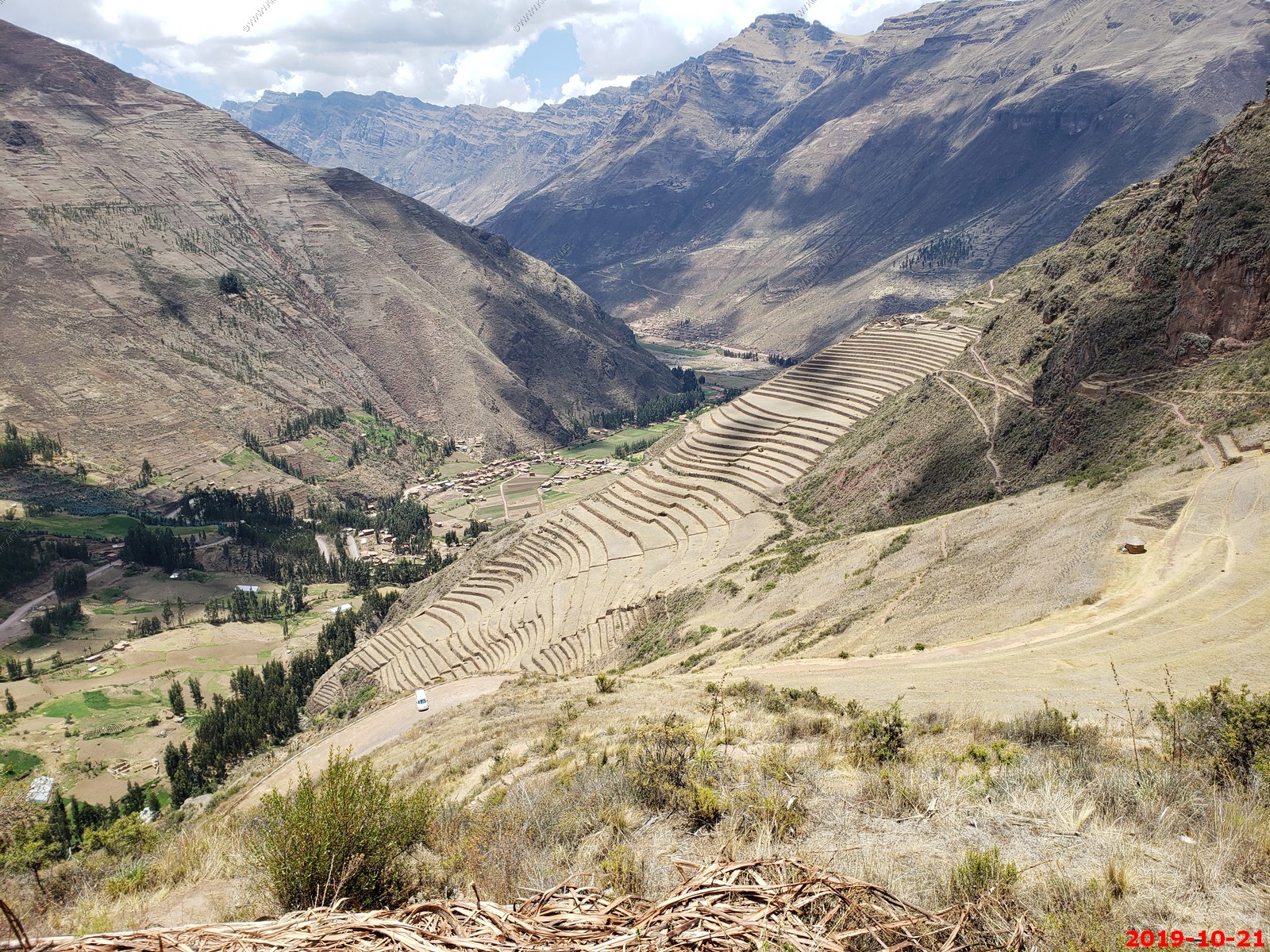
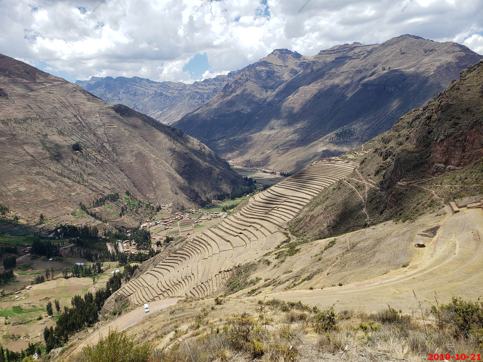
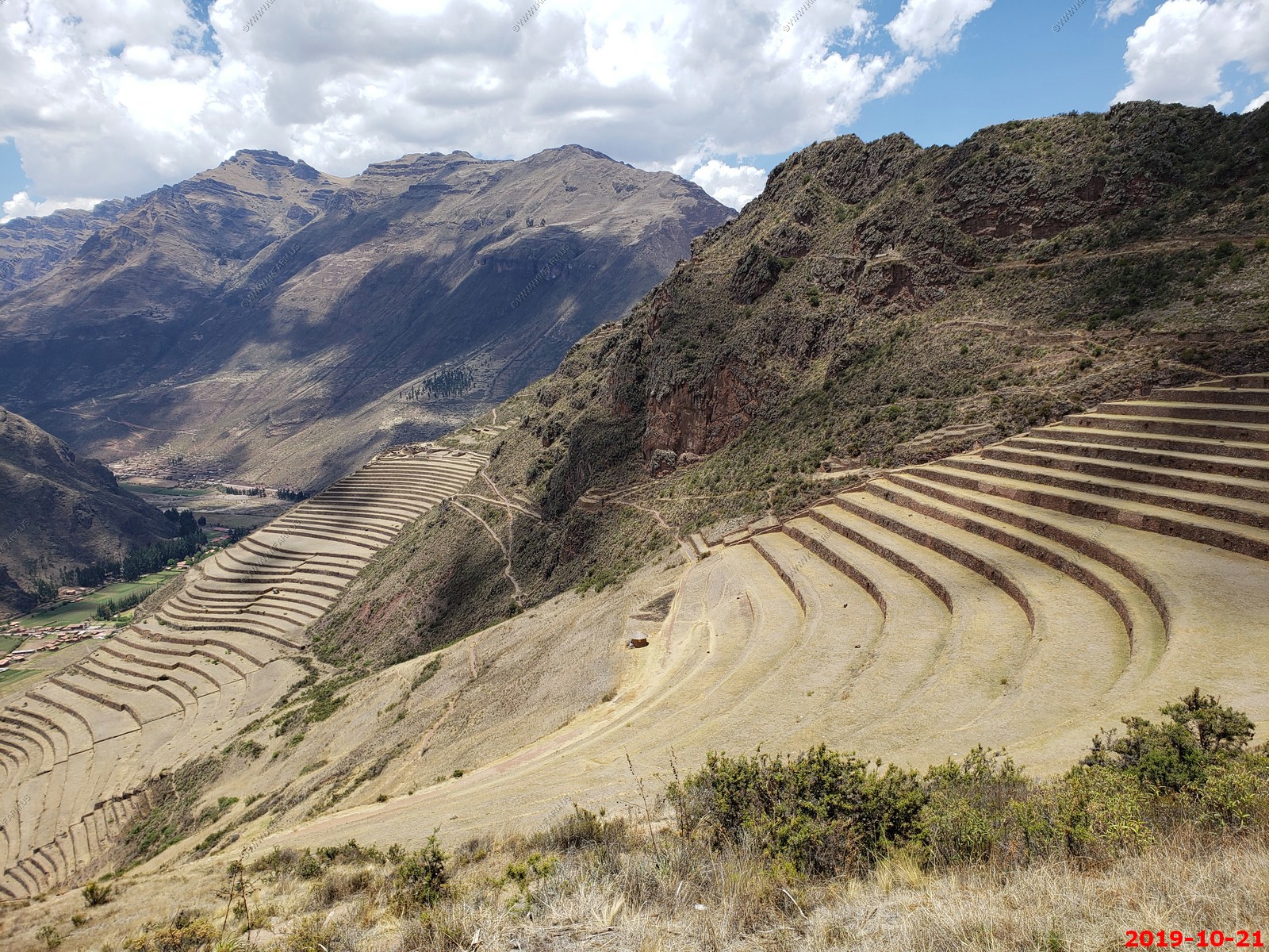
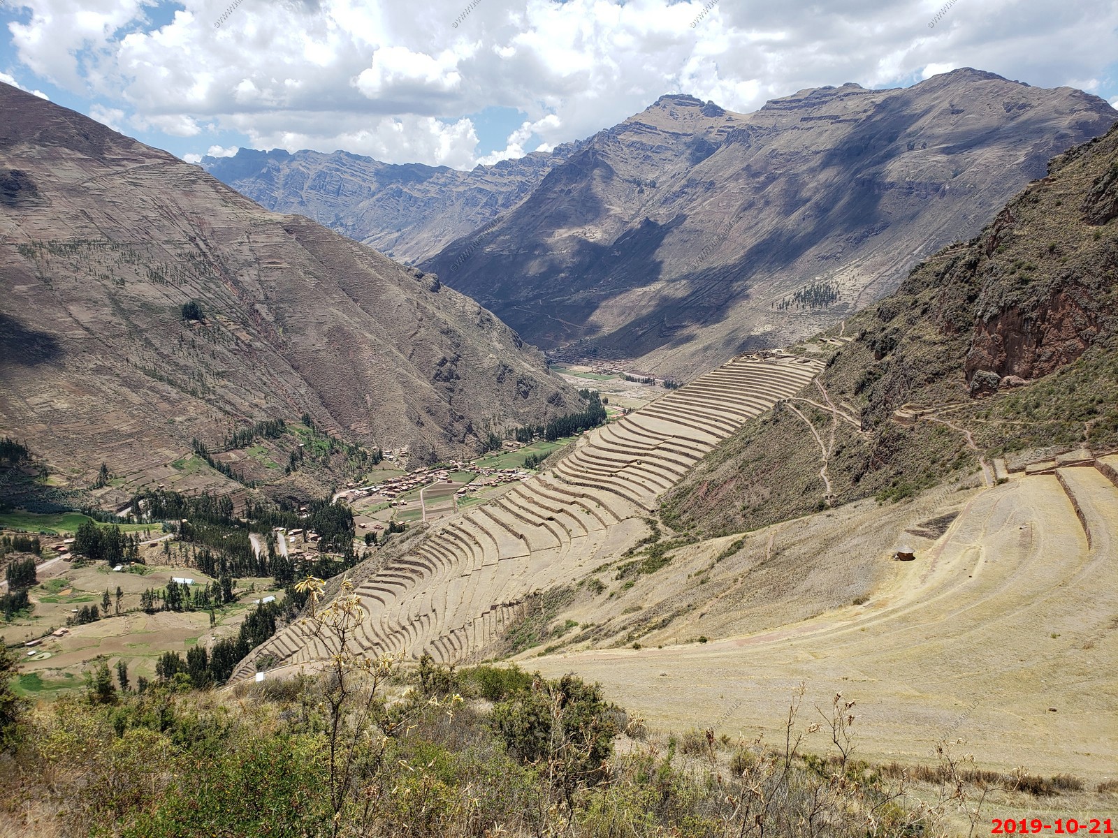
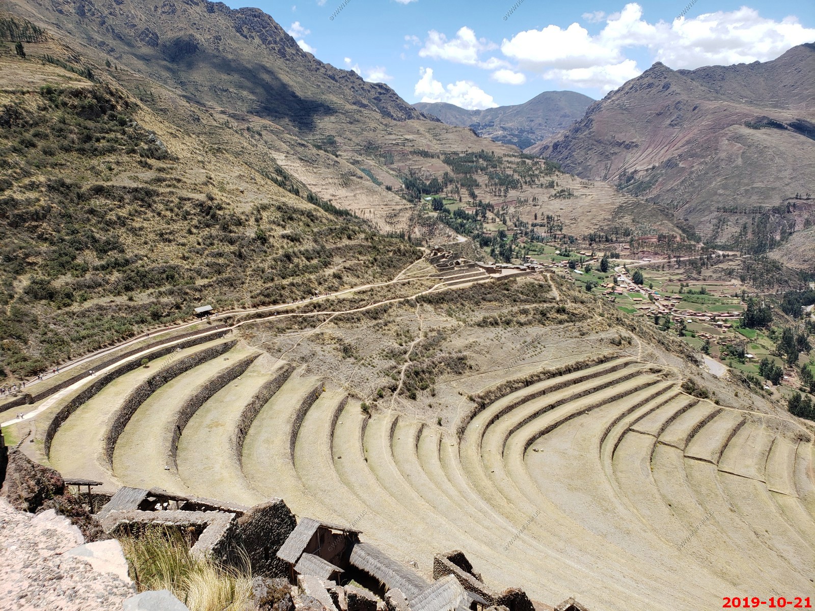
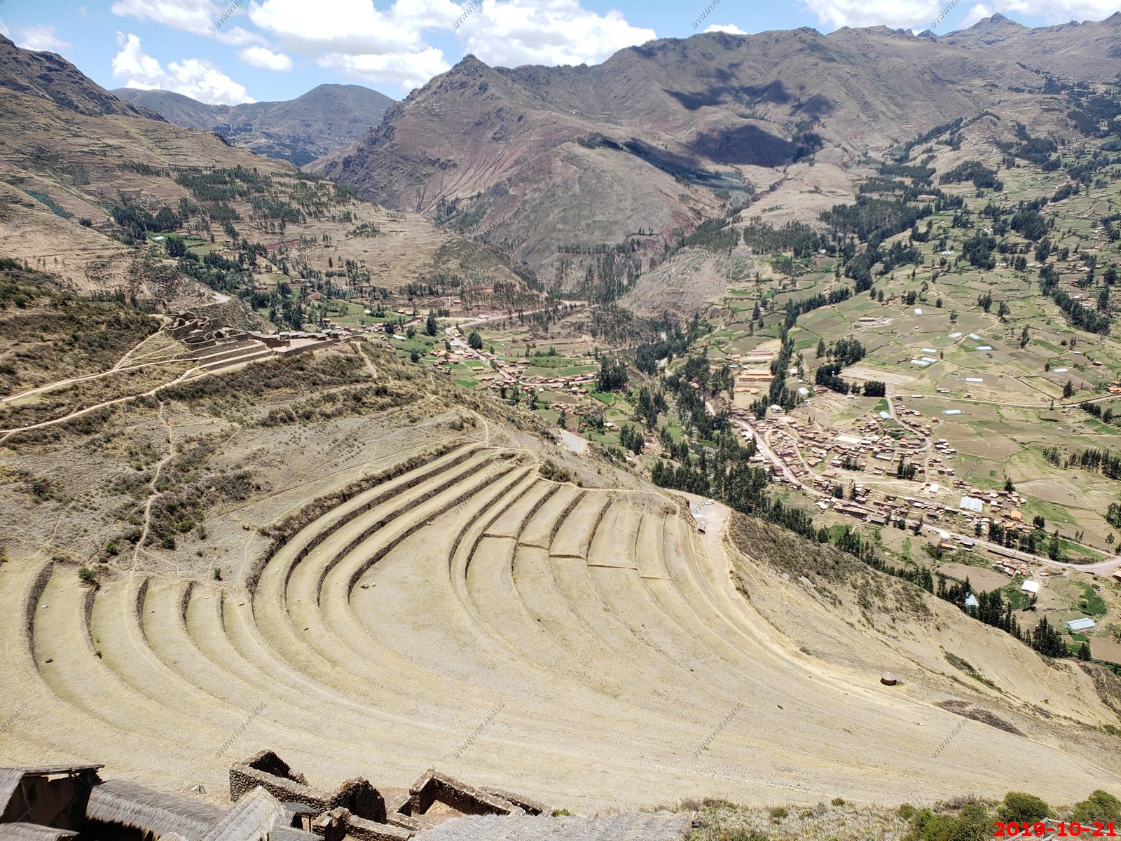
Morning: Setting out from the hotel, we will drive through the valley to the ruins of Pisac. The original site of this Inca city was larger than Machu Picchu and home to 8,000 inhabitants until the 1600s when the Spanish forced rebellious inhabitants down into the valley below. The views over the remains of this impressive site encompass the valley, mountains, and the new town of Pisac far below. With our local expert, we will walk around the archaeological site as well as the market of Pisac. We will then transfer to Ollantaytambo.
Lunch: At a local restaurant in the square, we will have 3-course plated meals with lemonade and water included; other beverages available for purchase.
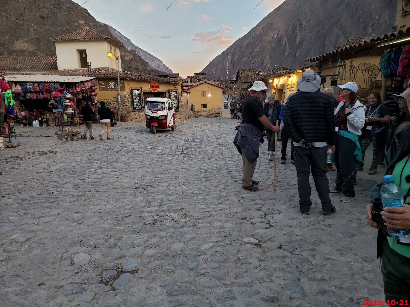
Afternoon: We will head to the Sacred Valley Project, an educational initiative that provides local female students from low income families with board and opportunities to further their schooling. While here, we will visit with the dorm mother and director of the project to learn about the work they are doing. Our next stop will be the ruins of Ollantaytambo, which hug a mountainside at the end of the Sacred Valley and are one of the few Incan sites not built over by the Spanish. Climbing the steps to the summit reveals the geography of the Sacred Valley and the experience explains the importance of this location, which is at the crossroads of the three major Incan routes: to the jungle, to Machu Picchu, and to Cusco. Stroll through the streets of the town - one of the only actual Inca towns in all of South America with Inca-style houses still virtually unchanged since the 1500s - and step inside one of the houses to learn from our local experts about the family's heritage. We will afterward return to the hotel. Dinner: On your own to enjoy what you like. The Group Leader will be happy to offer suggestions.
Evening: At leisure. Be sure to prepare for check-out and transfer in the morning.
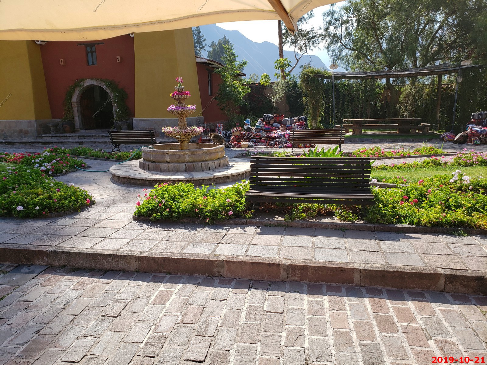
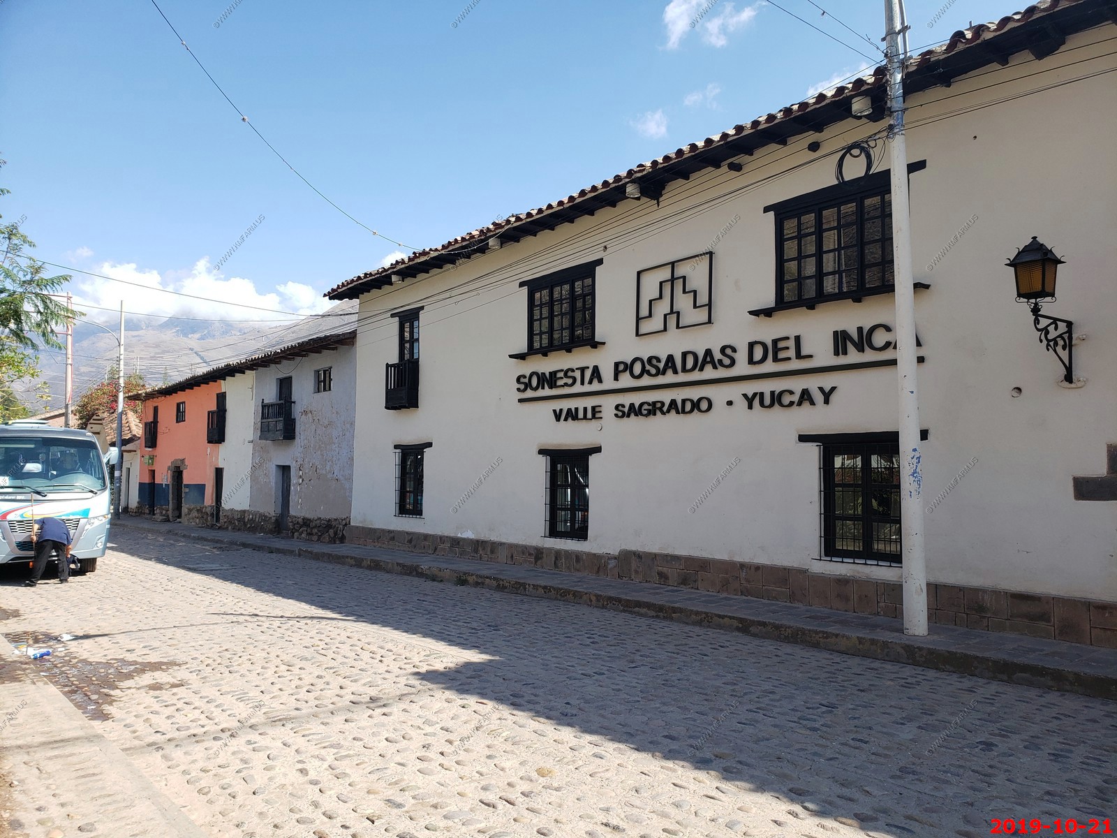
Sonesta Posada del Inca hotel.
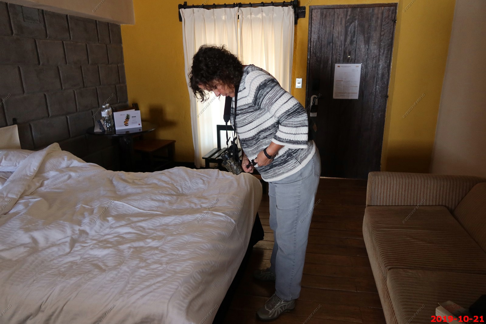
Mary dressing like a nerd
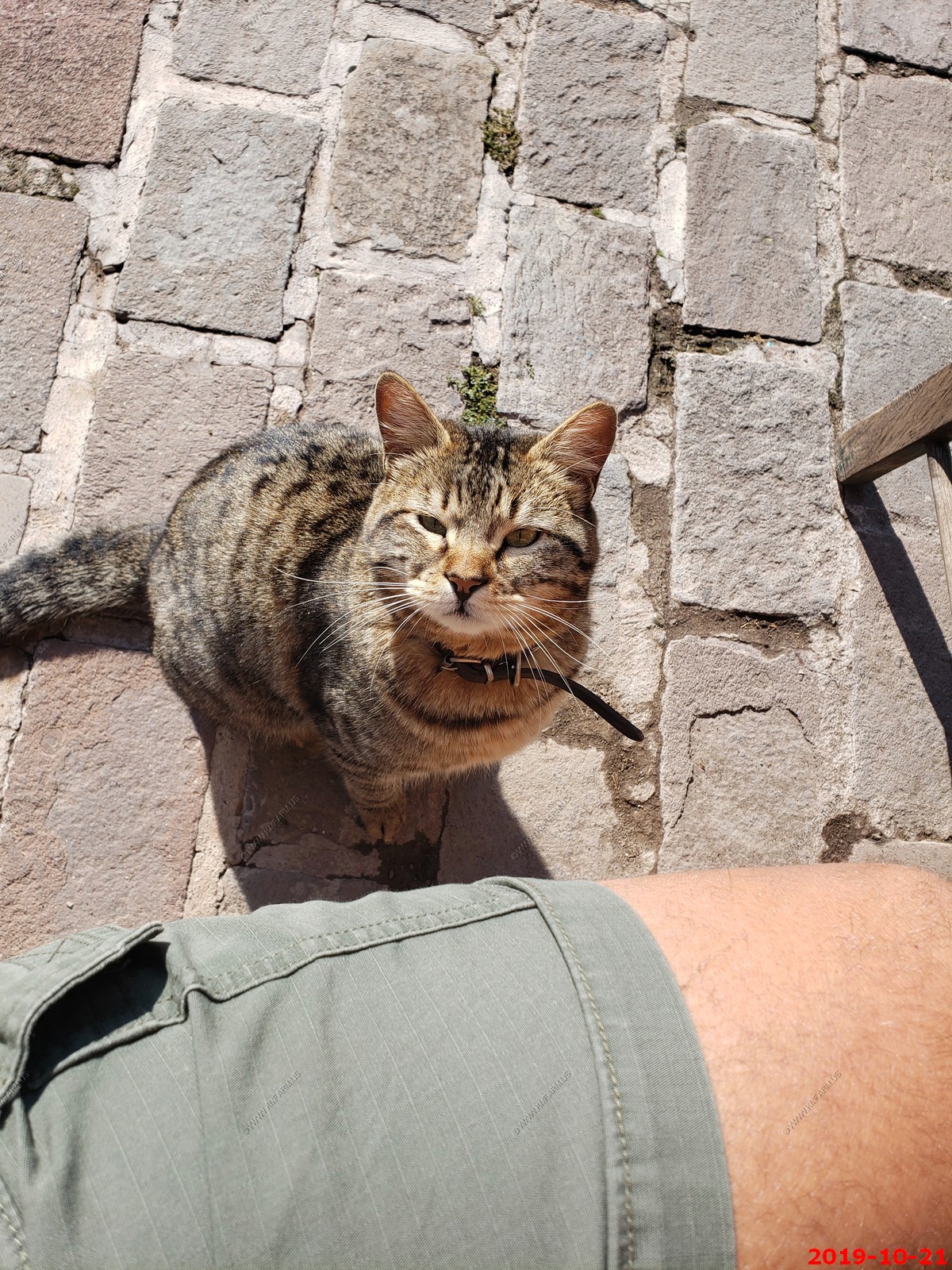
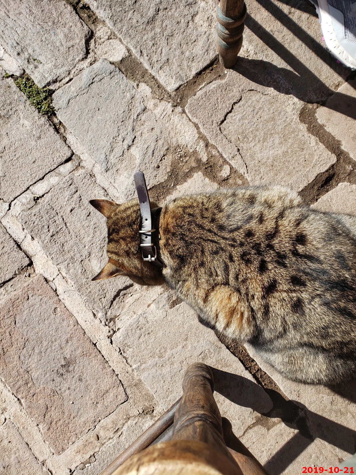
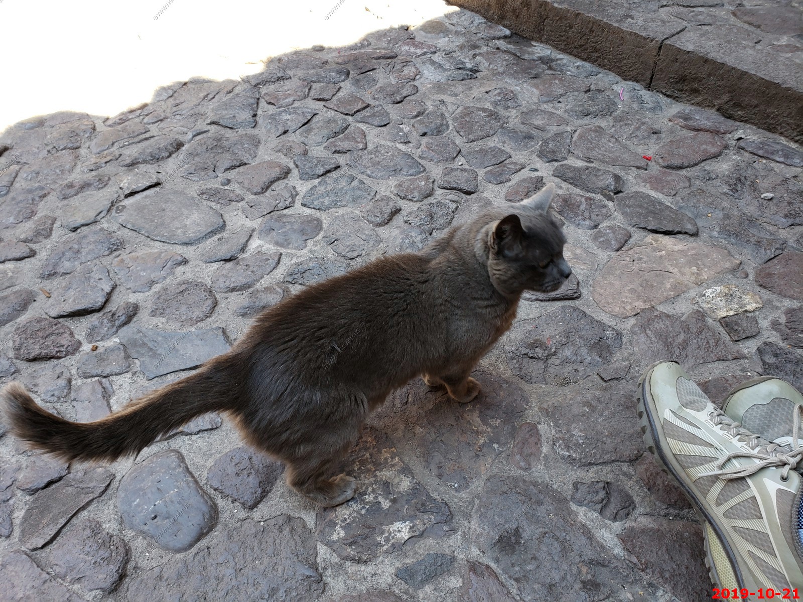
Breakfast kitty with heavy dog collar
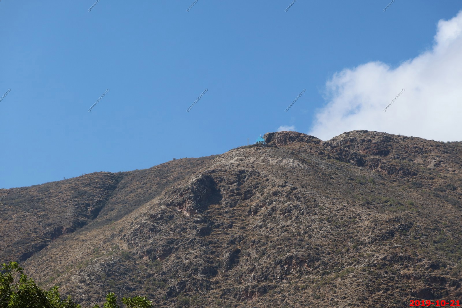
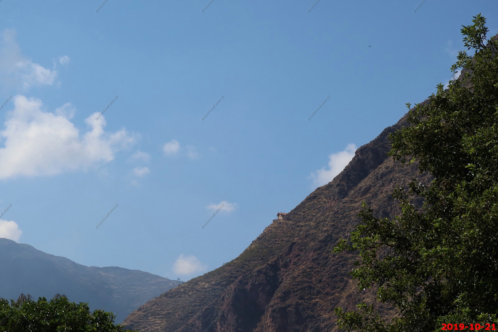
The church(s) up on the mountain that was lit up at night
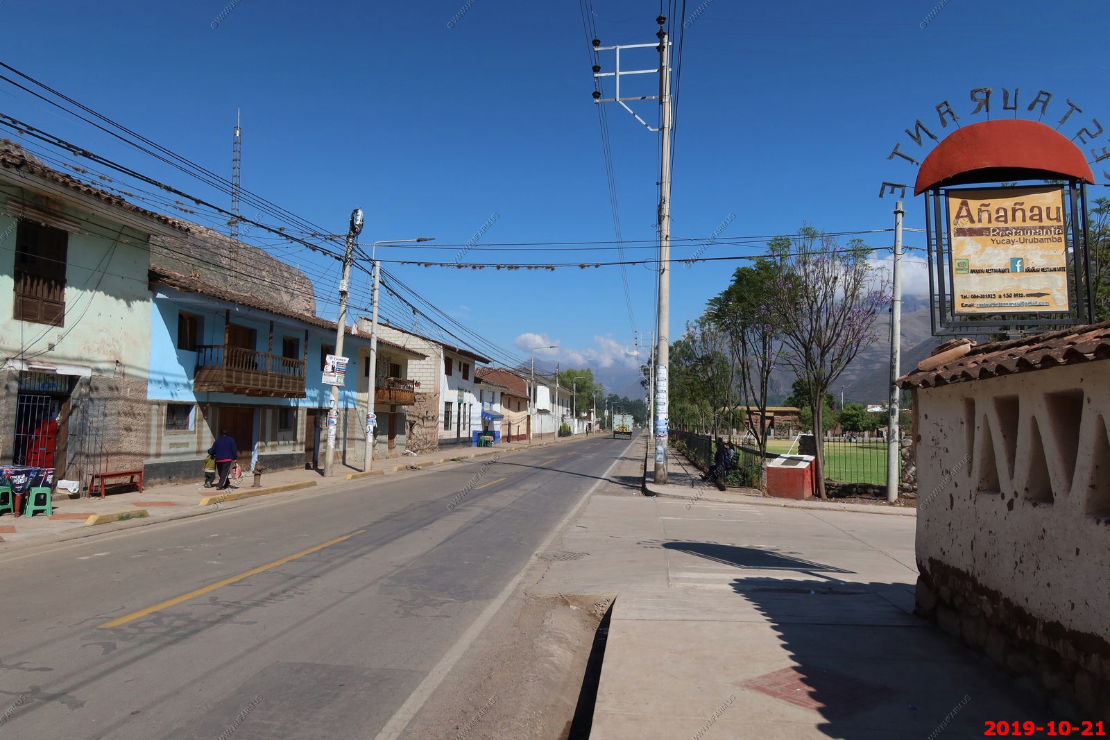
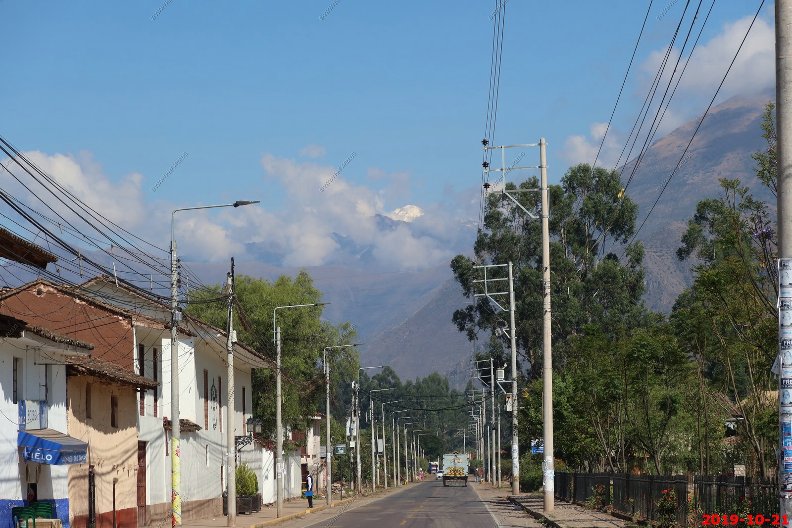
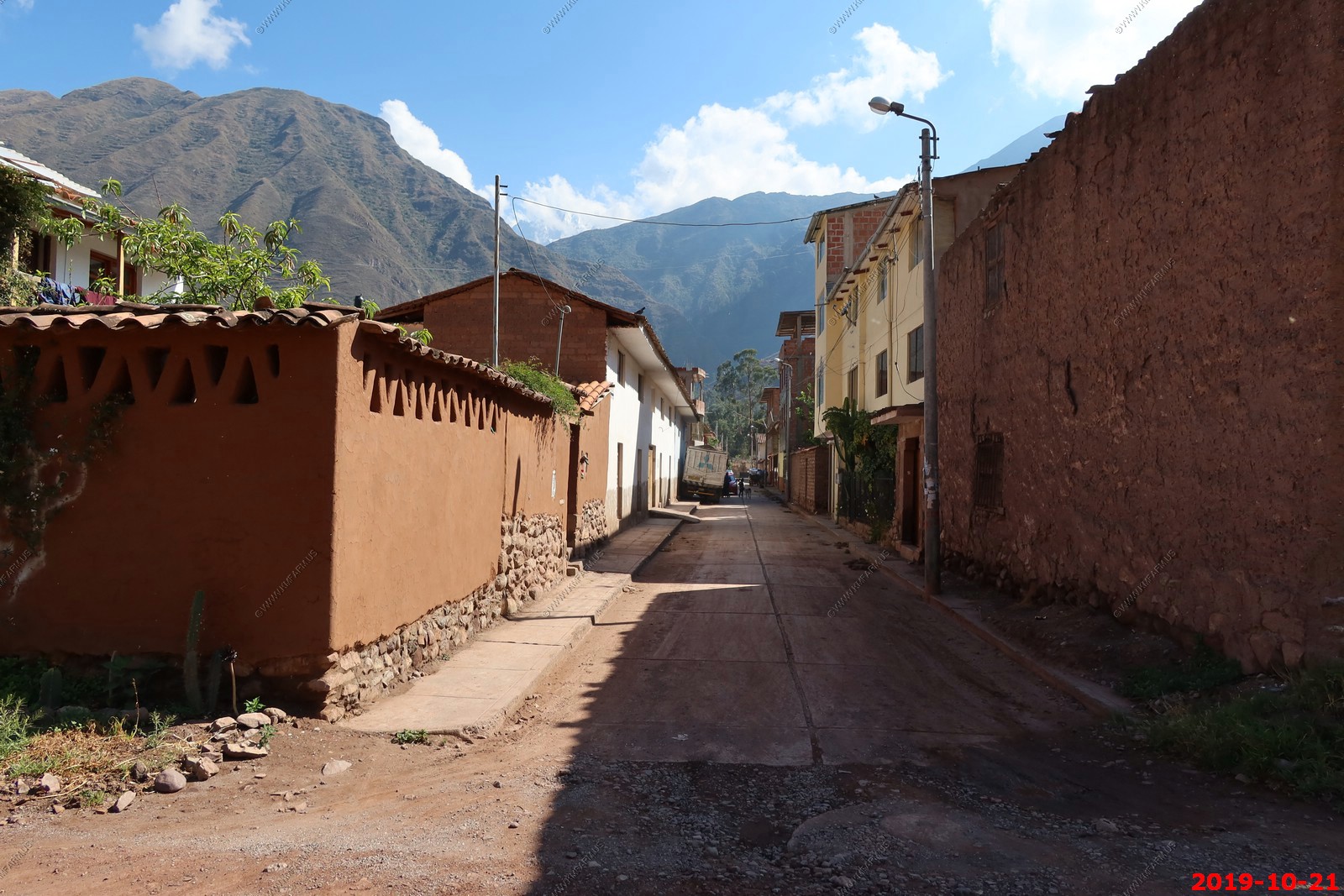
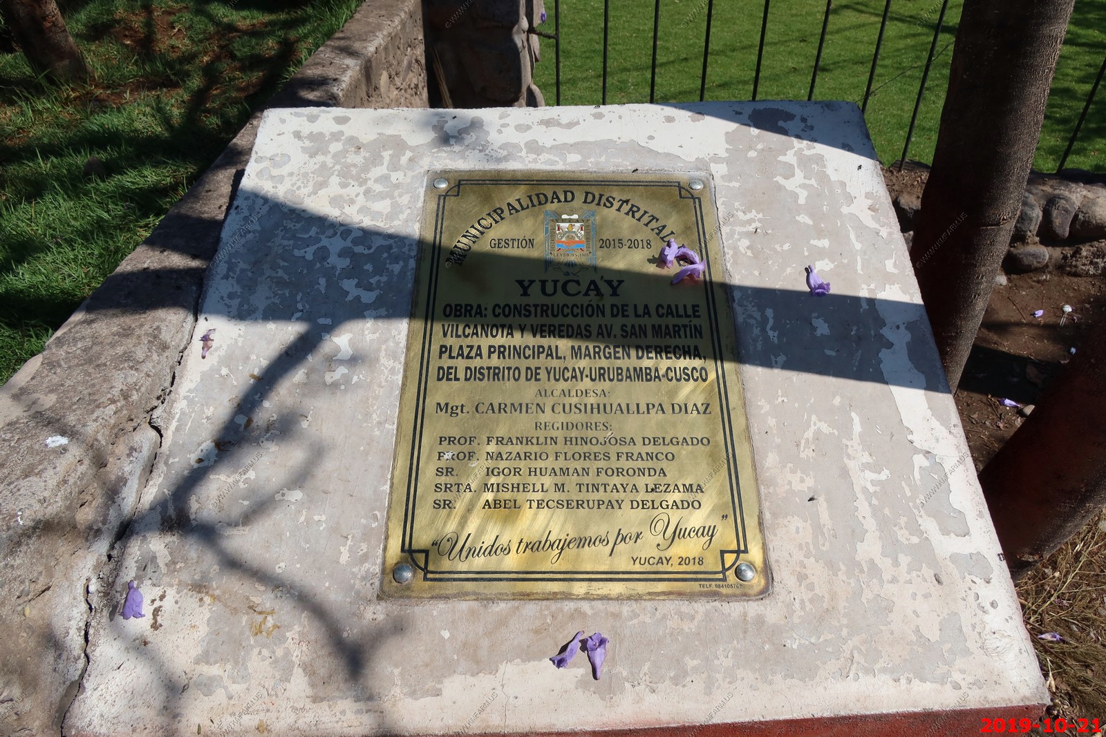
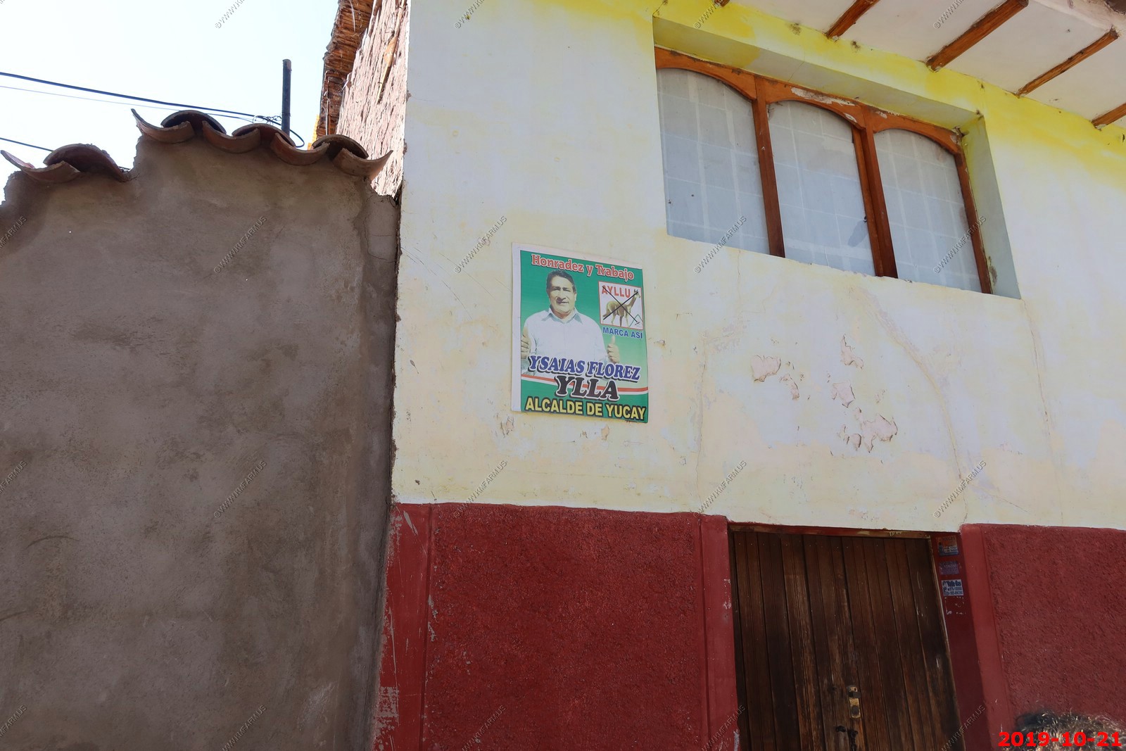
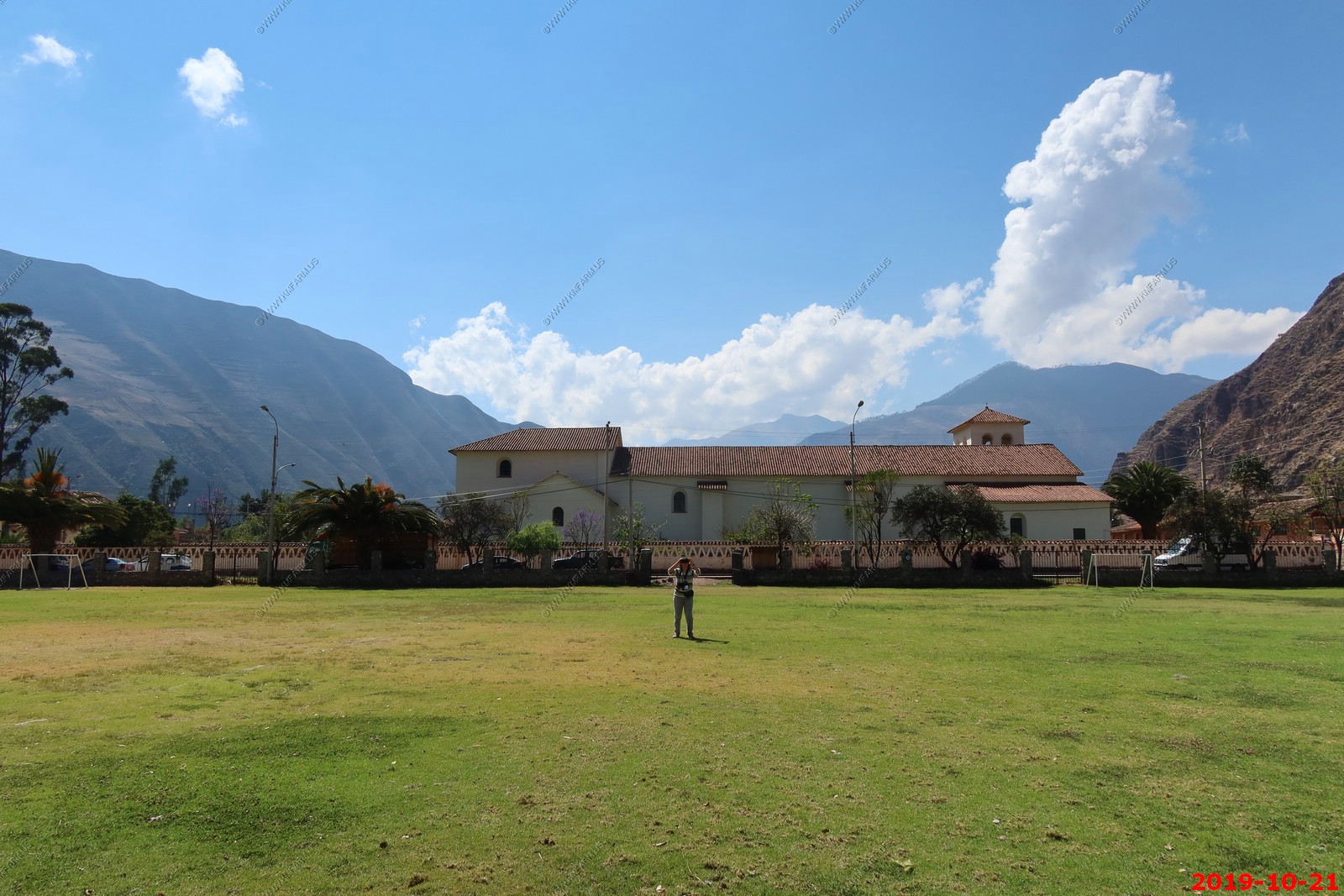
Yucay, Peru
Voting sign ?
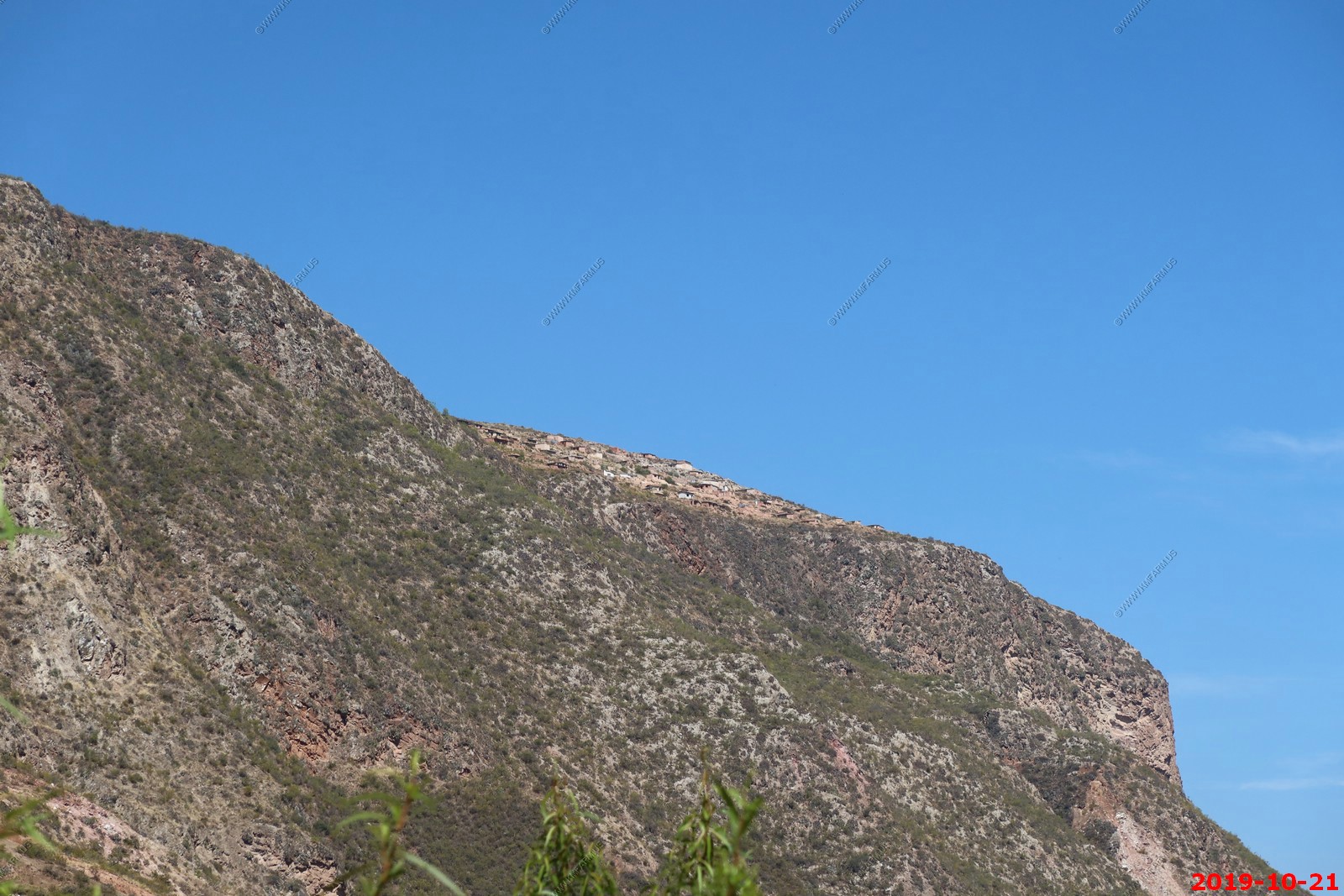
It was interesting to see the town so high up on the mountain (totally dark at night) but in 2 days we would drive in this area so it was not as remote as it looked.
Interesting spiders that I did not see till I processed this photo at home.
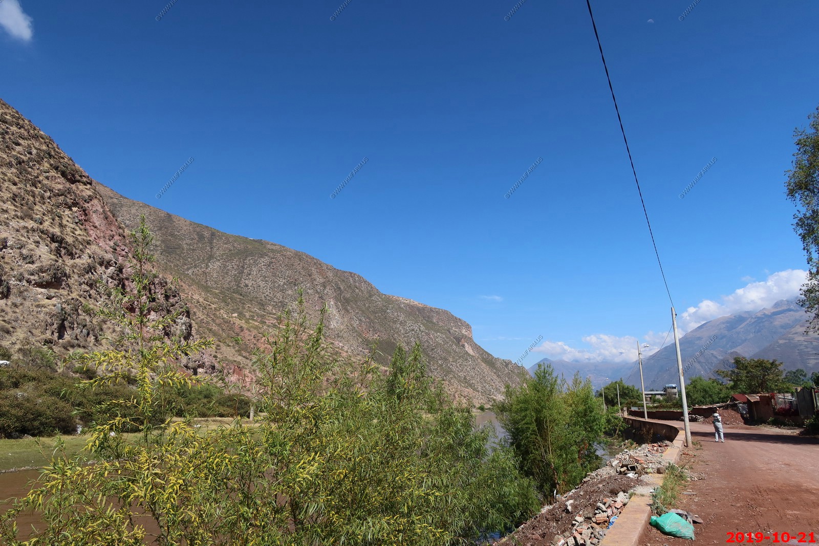
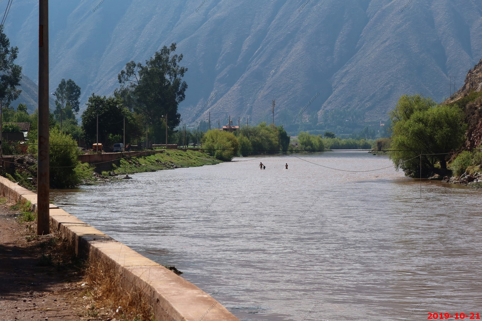
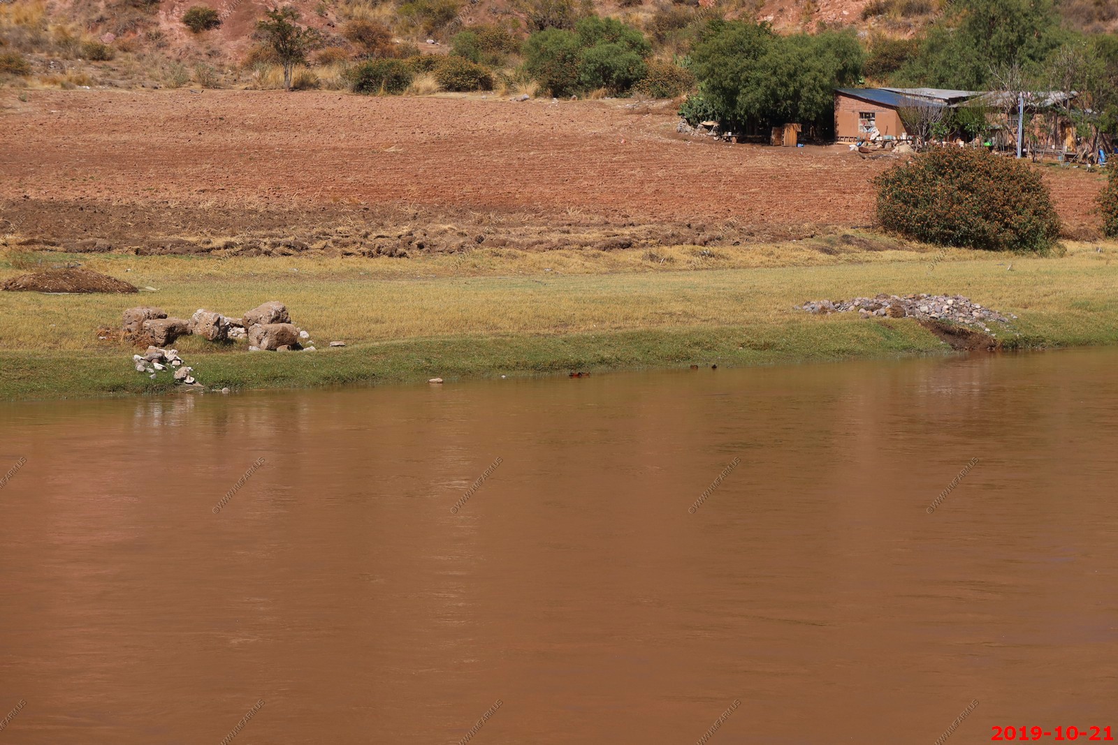
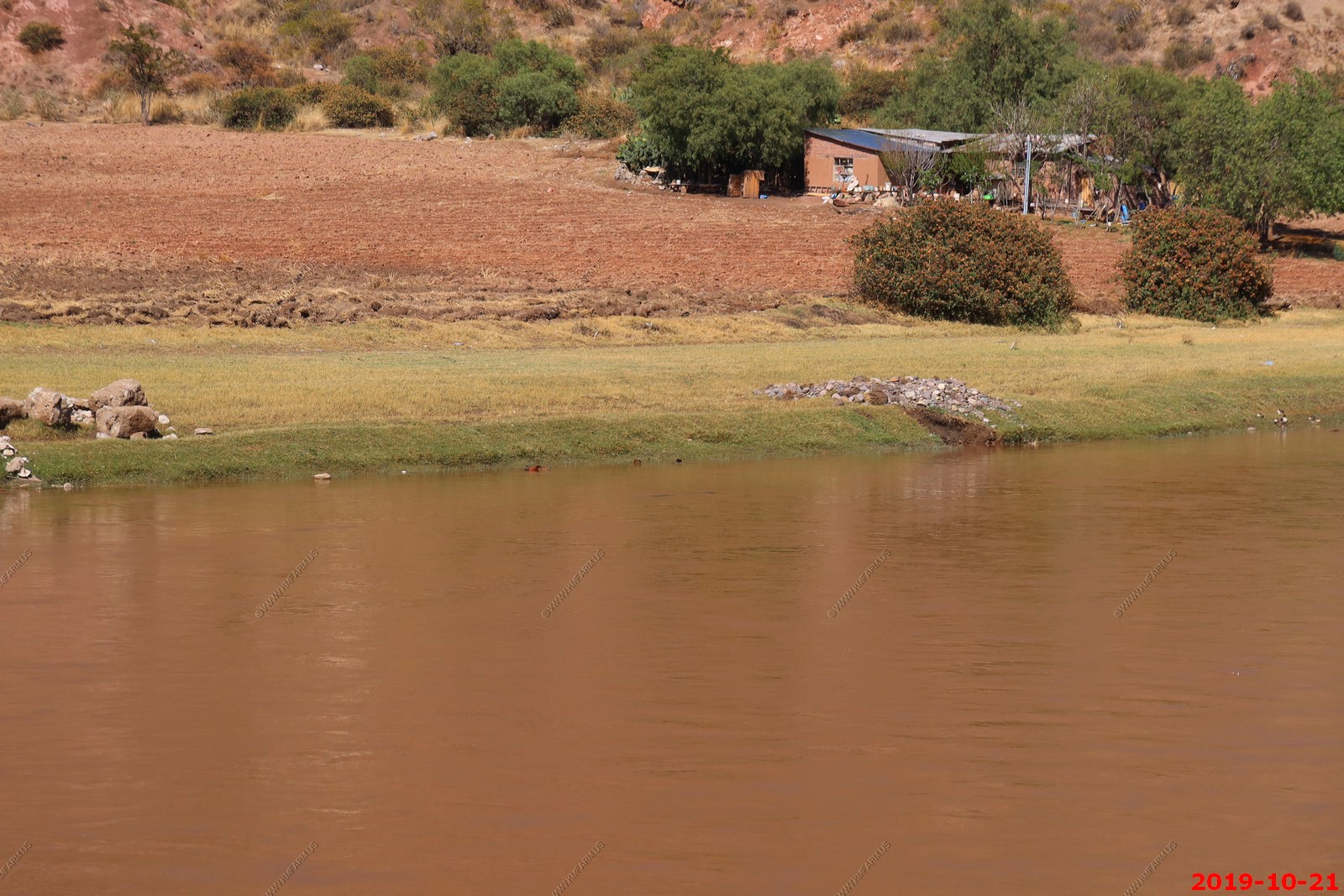
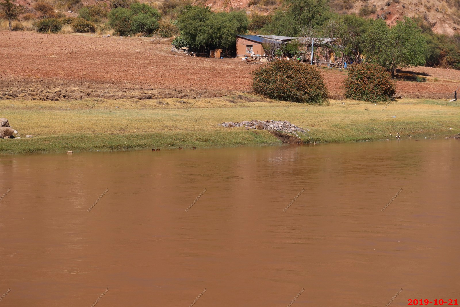
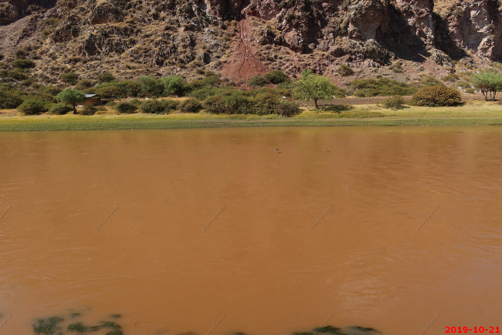
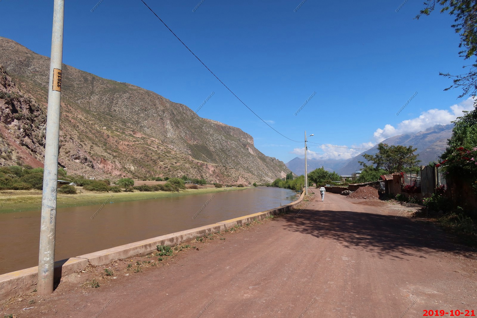
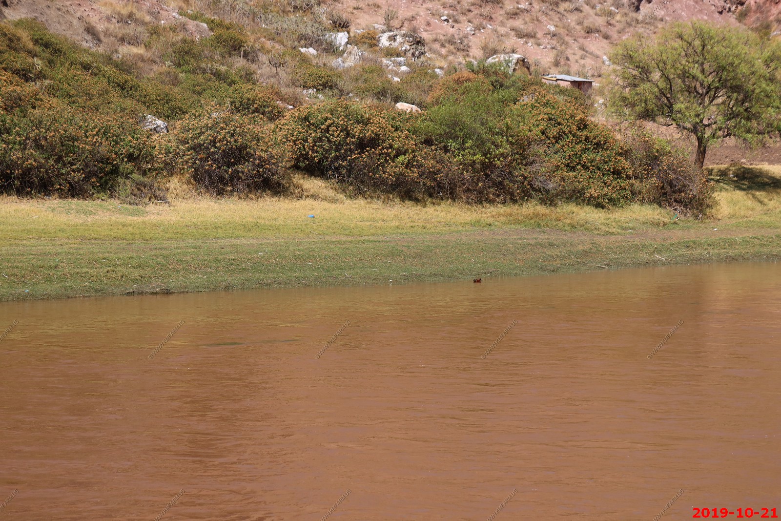
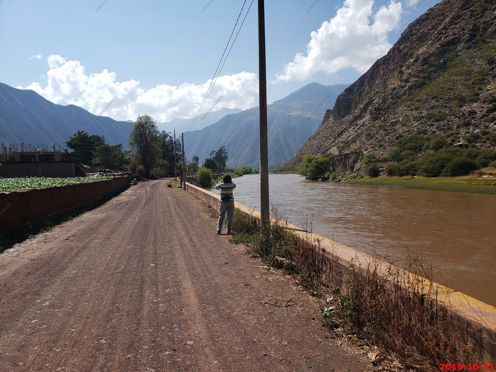
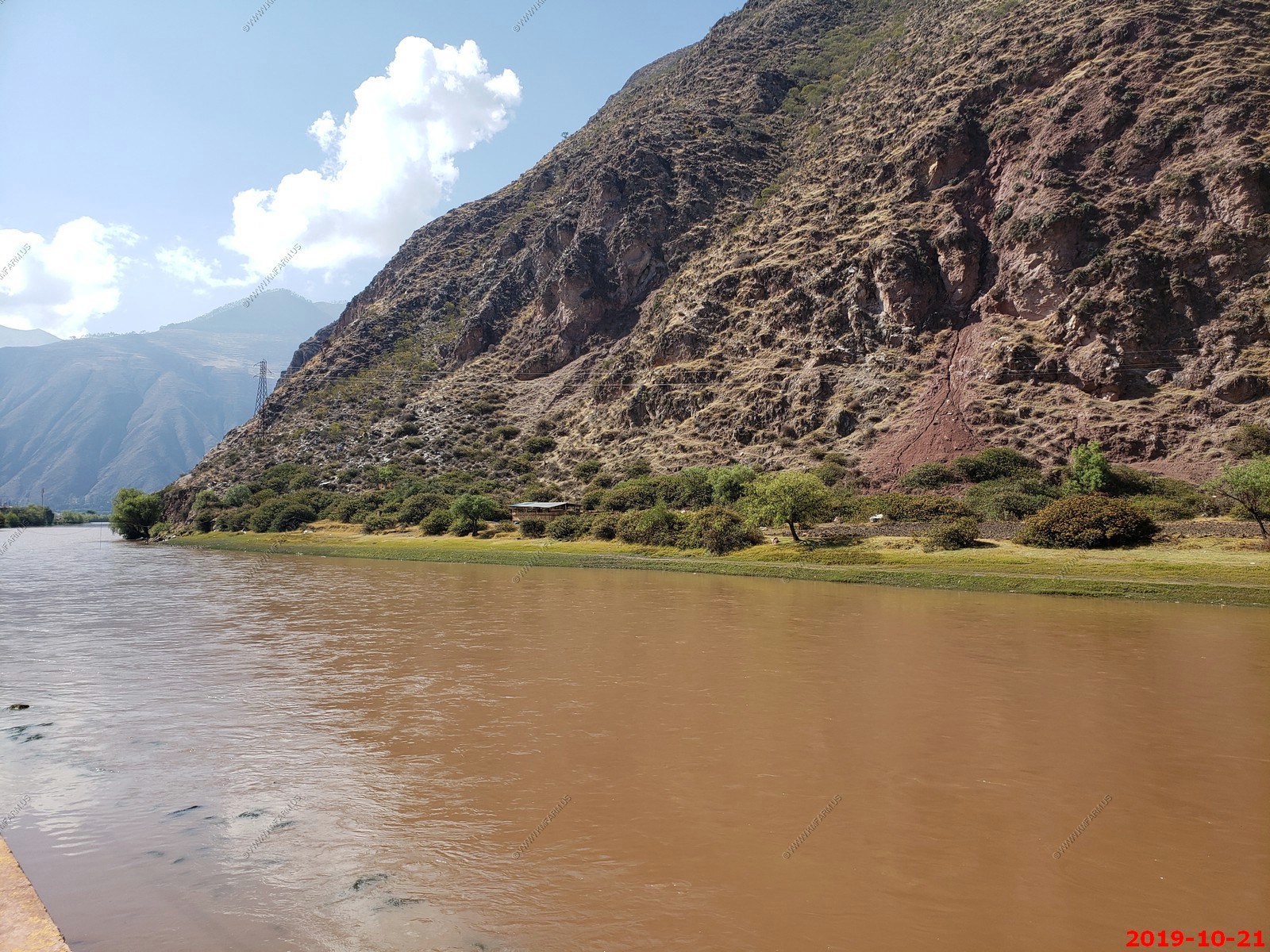
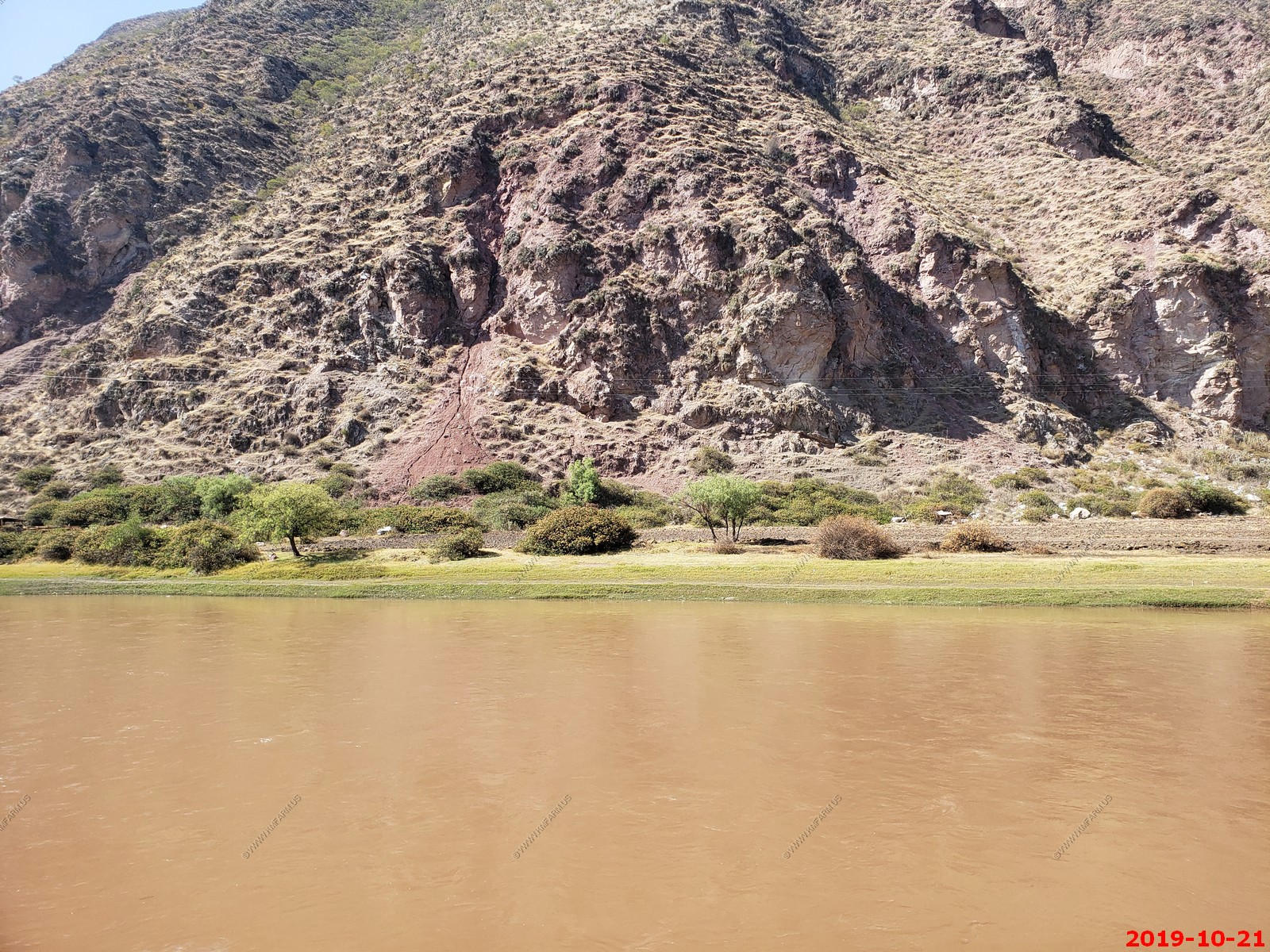
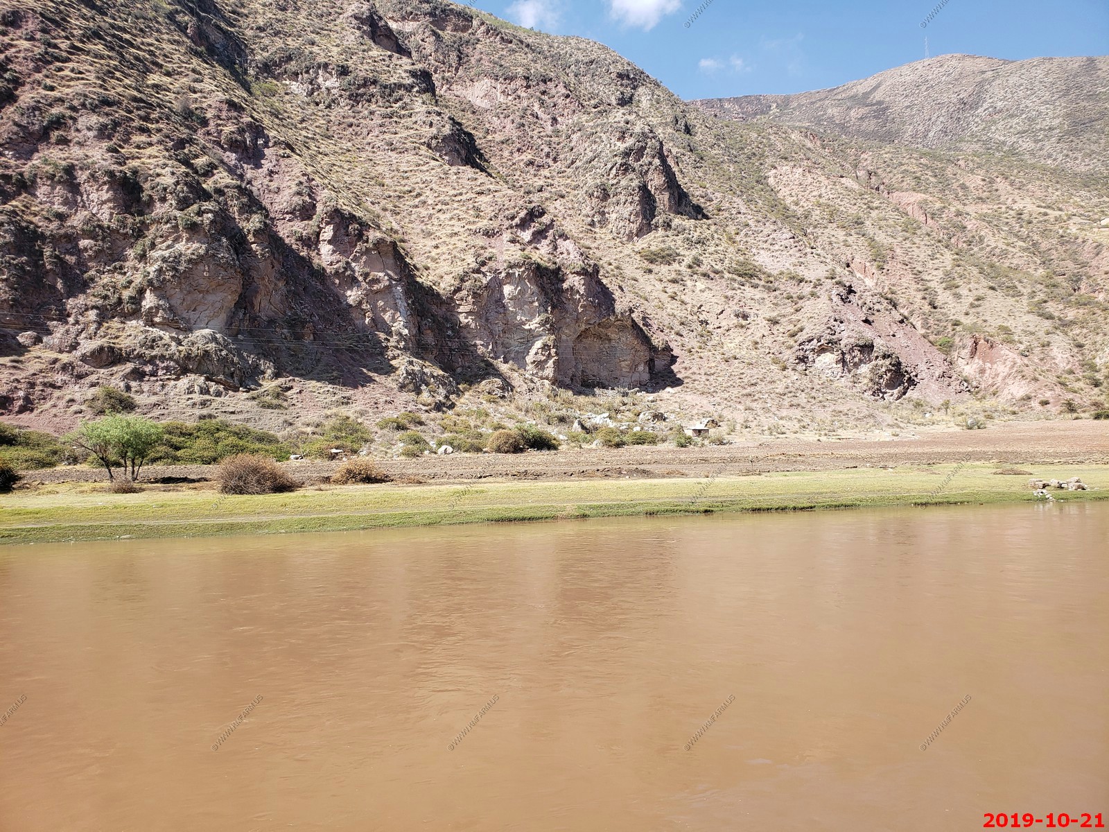
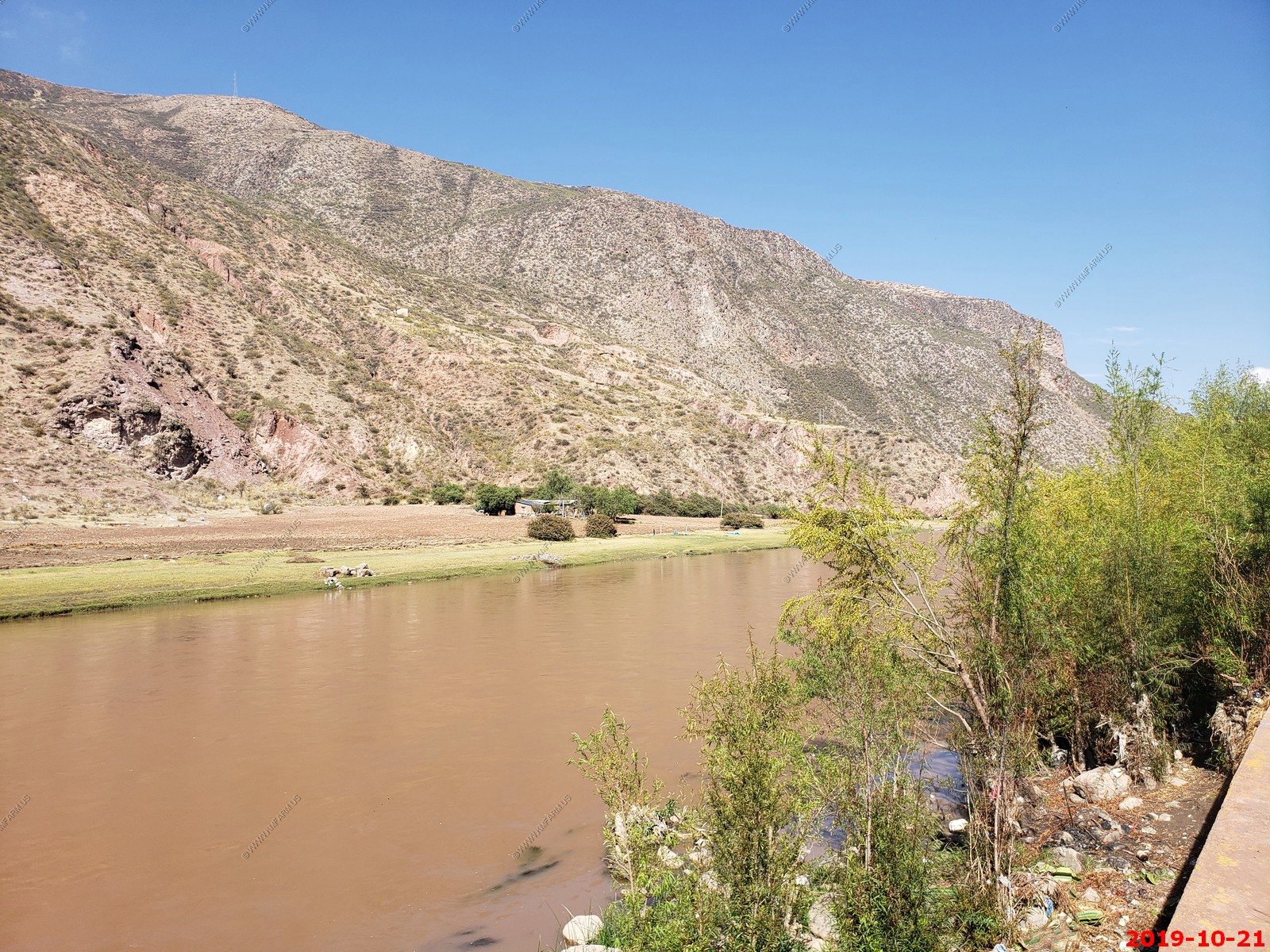
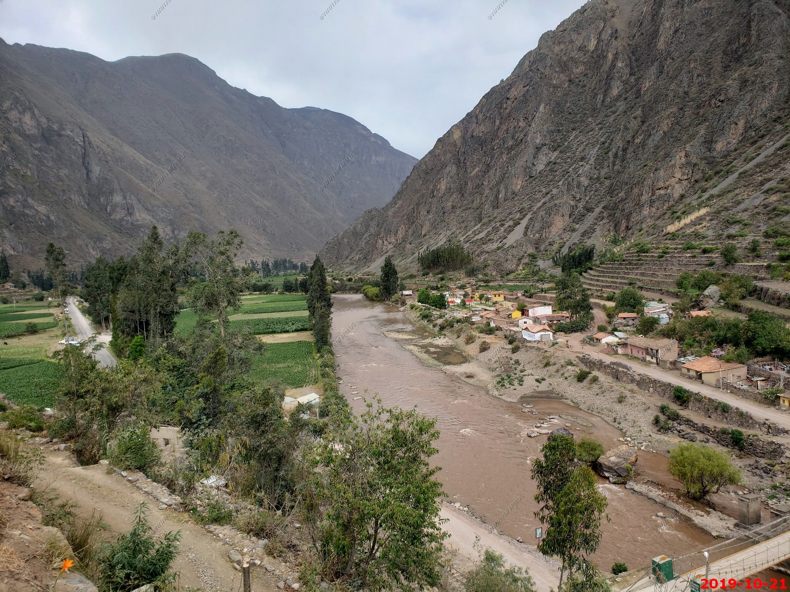
Walking along the Urubamba River in Yucay, Peru (El. 9,380)
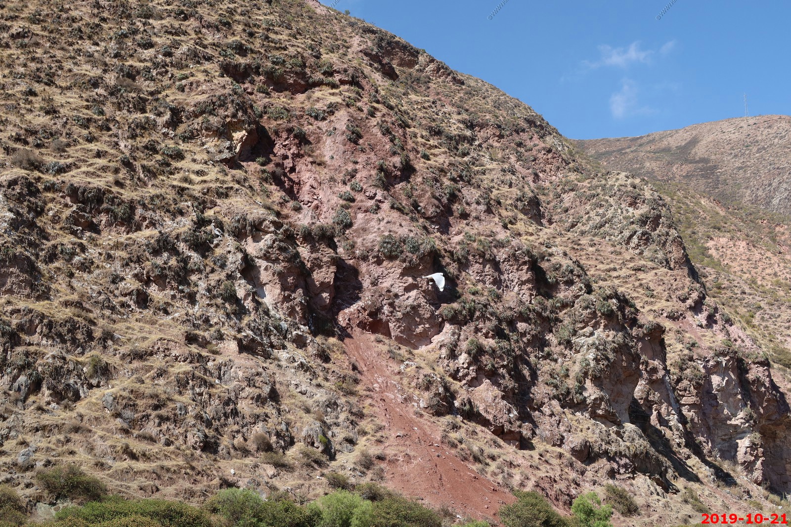
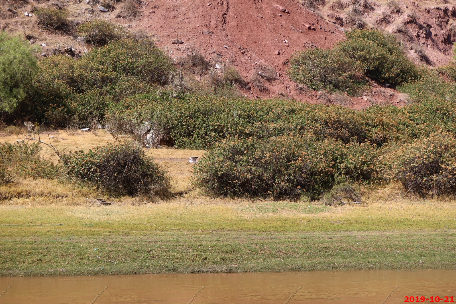
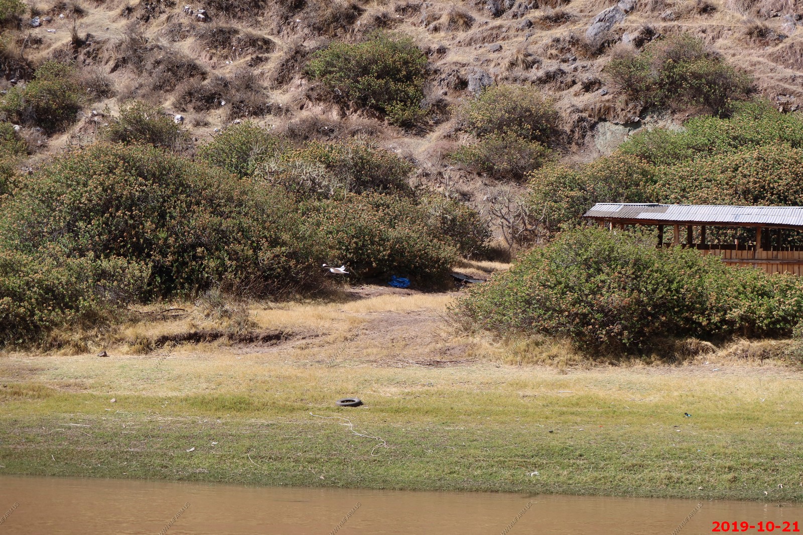
Birds - wish I had my 400mm lens
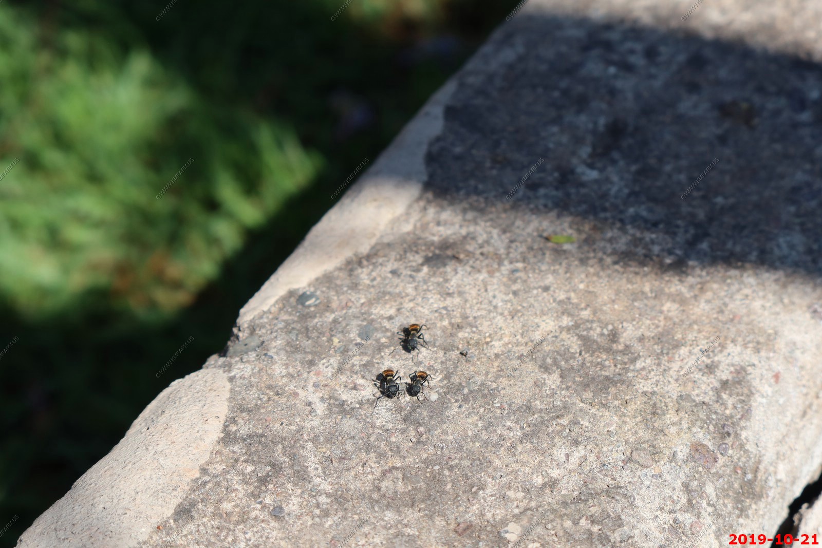
Interesting ants. Mary stopped me from touching them.
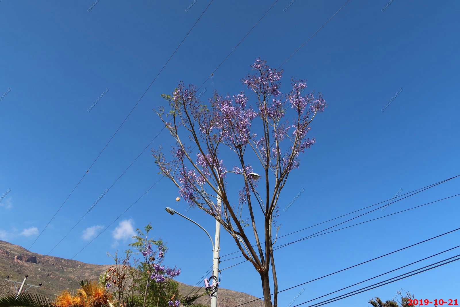
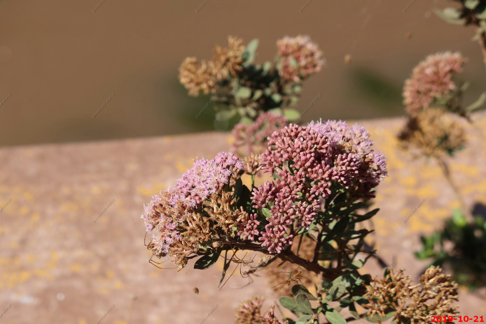
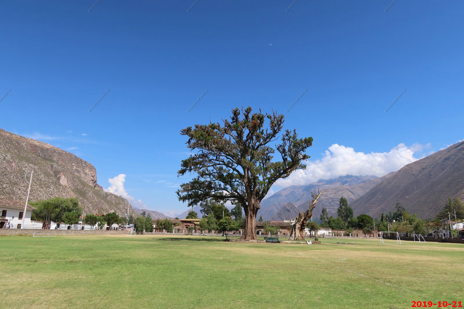
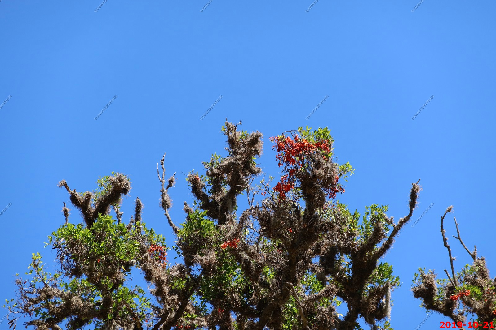
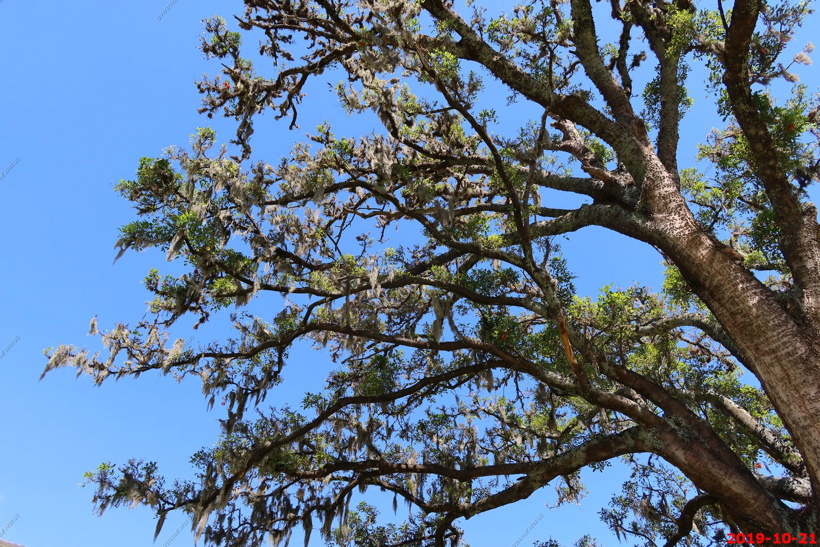
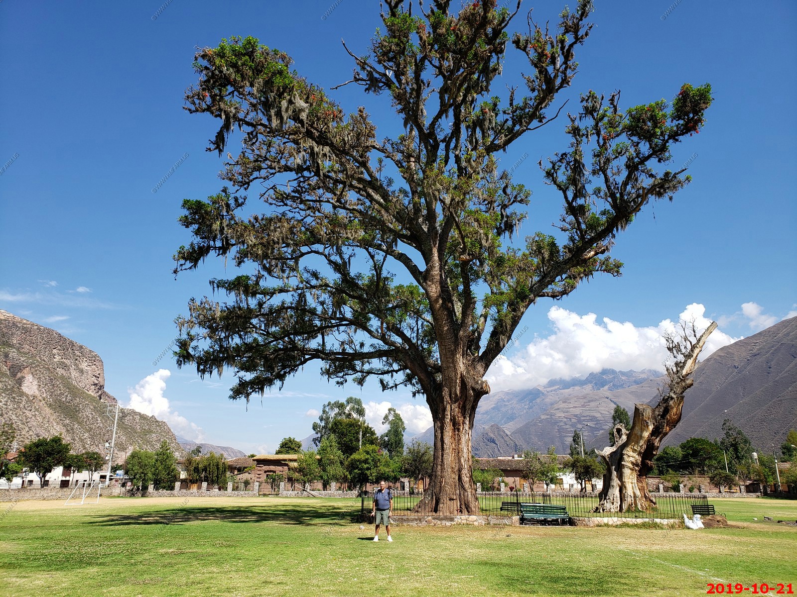
Pisonay trees in Yucay - The Pisonay (Erythrina Edulis) tree is known as the "Red Cedar" for its height and the red flowers.
These Pisoany trees are several centuries old. It is said that the hosts of Manco Inca rested under its shade during the rebellion against the conquistador Francisco Pizarro
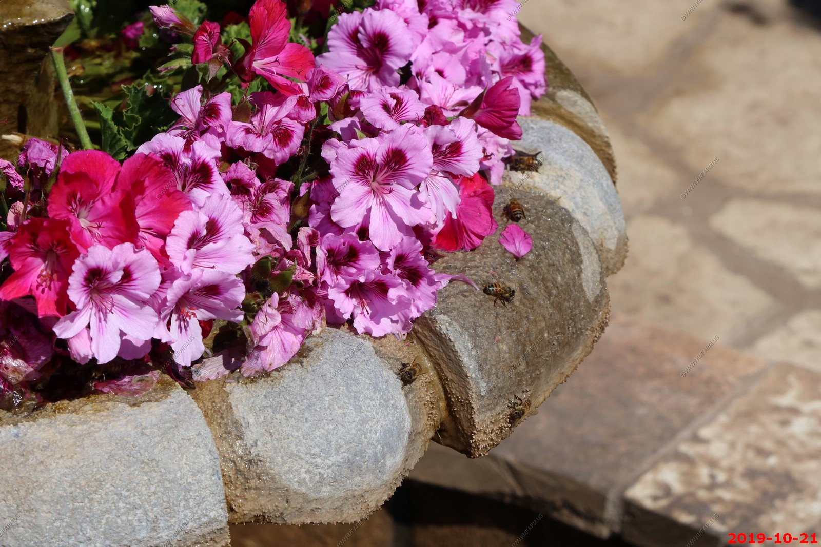
Killer bee's ?
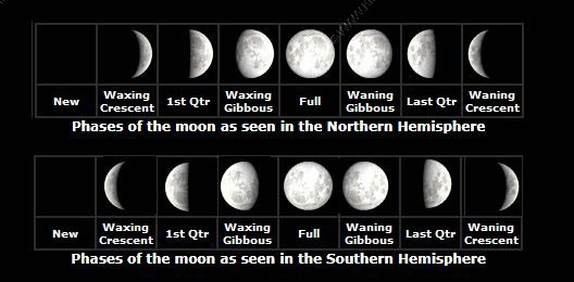
I need to see if the moon looks different. Southern vs. northern hemisphere. It does. Now I am really confused.
The Urubamba River or Vilcamayo River is a river in Peru. Upstream it is called Vilcanota River. Within the La Convencion Province the naming changes to Urubamba. A partially navigable headwater of the Amazon River, it rises in the Andes to the southeast of Cuzco. We would follow this river while on the train to Machu Picchu pueblo.
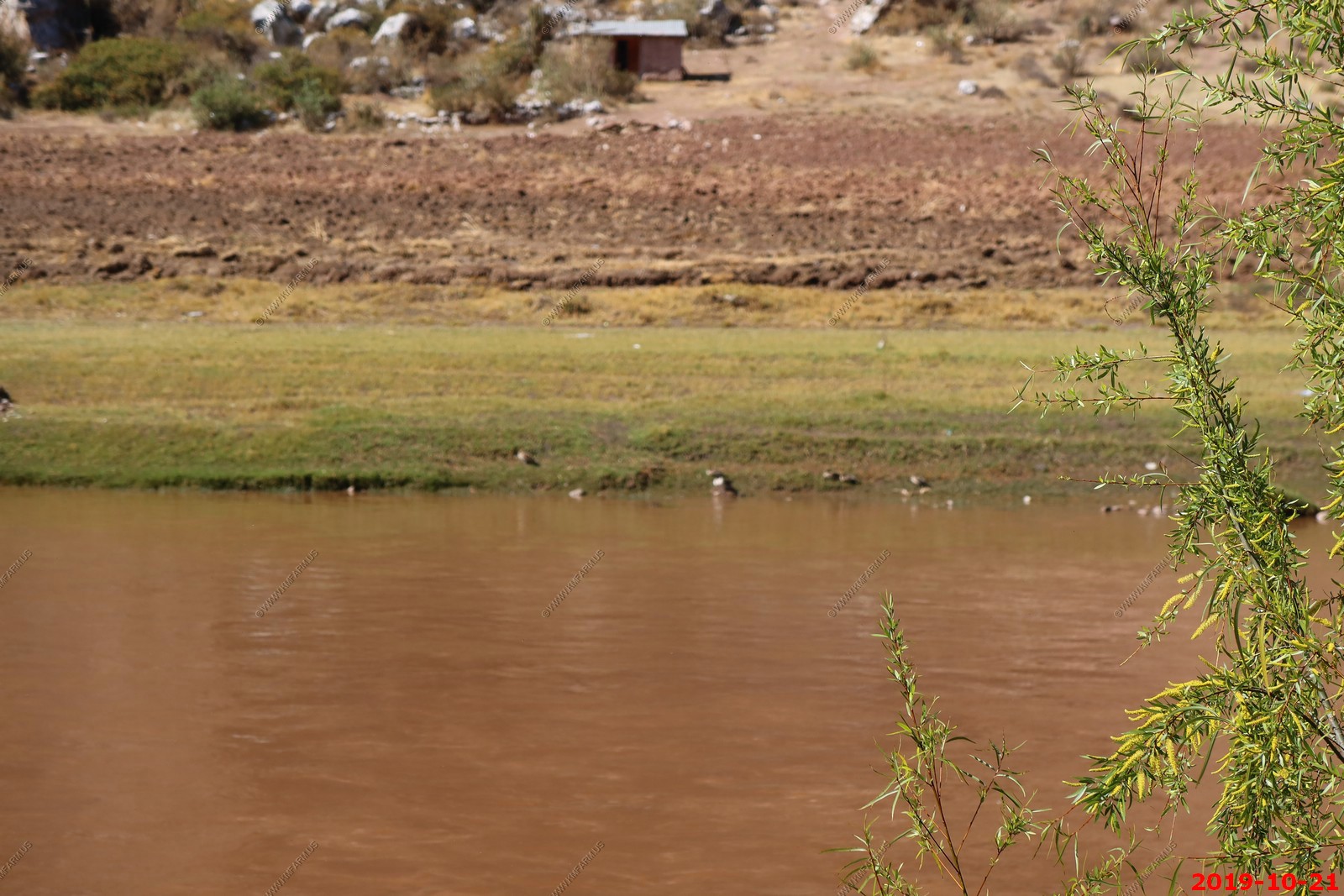
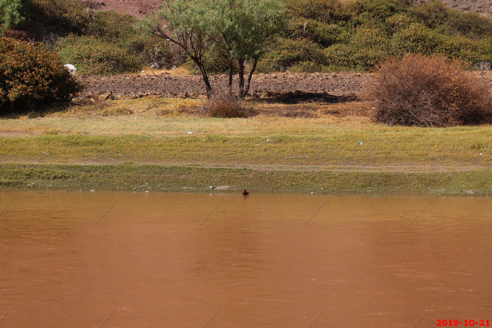
I think we saw female torrent ducks, which is a resident breeder in the Andes of South America, nesting in small waterside caves and other sheltered spots. It holds territories on fast flowing mountain rivers, usually above (4,900 ft). It is a powerful swimmer and diver even in white water, but is reluctant to fly more than short distances. It is not particularly wary when located.
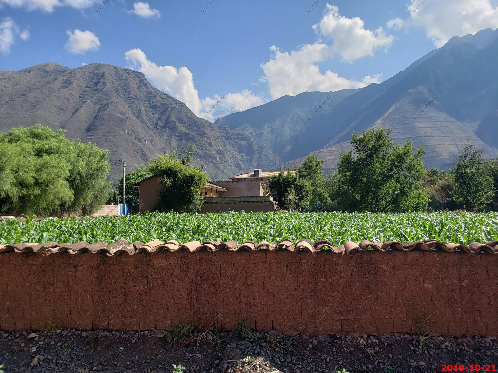
Corn growing behind adobe walls with a roof of tile to reduce erosion.
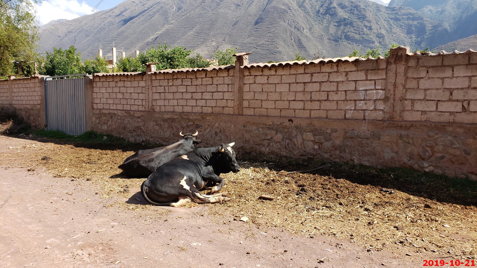
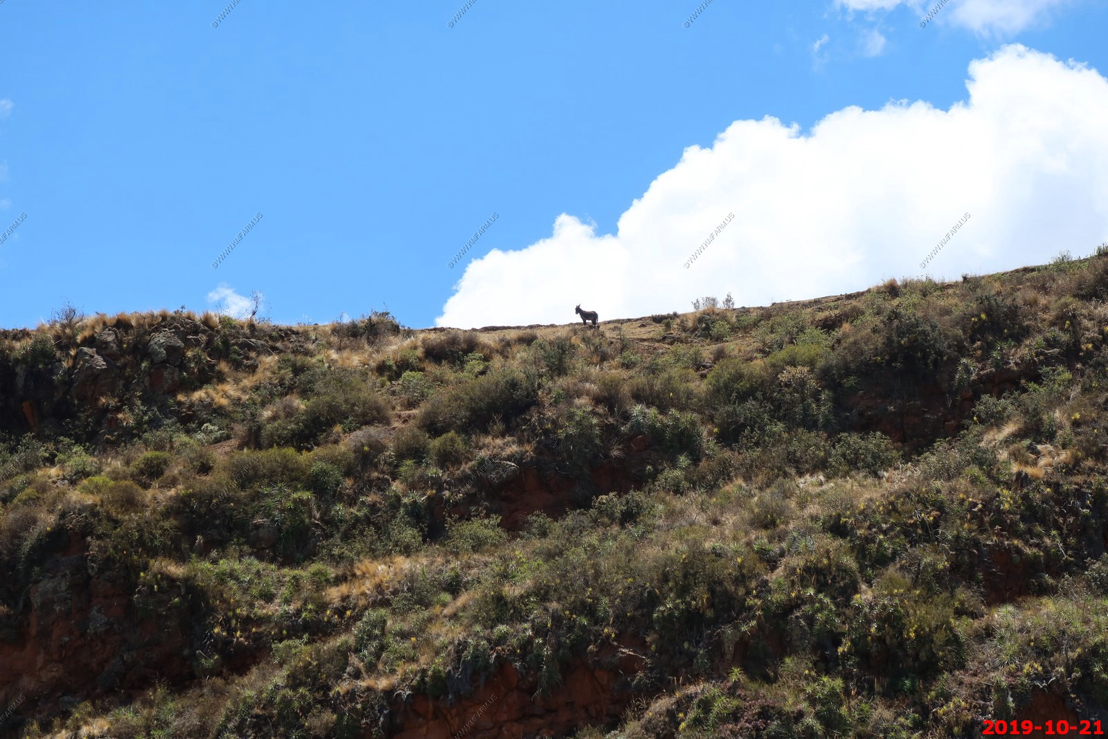
Happy cows
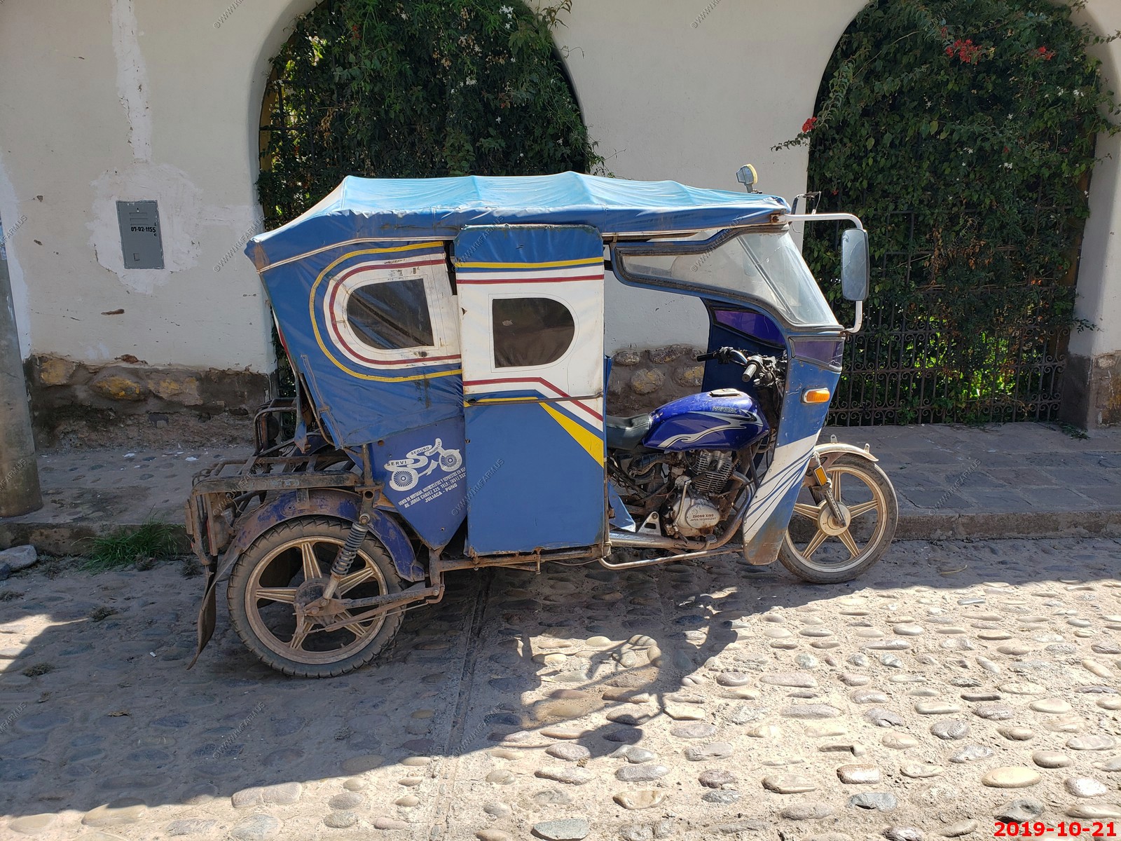
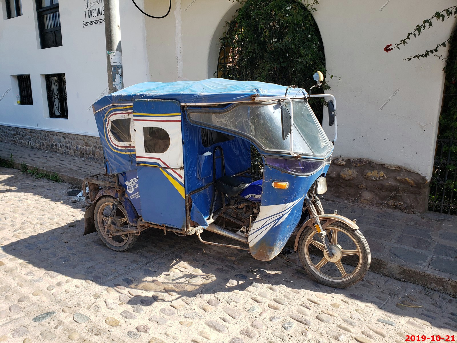
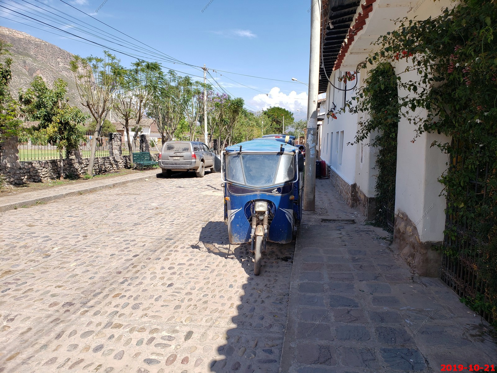
Motorcycle / car
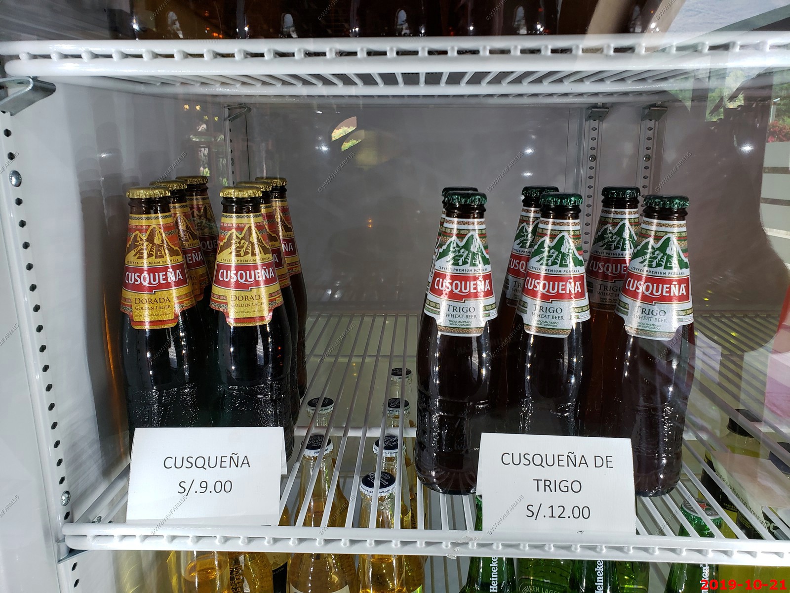
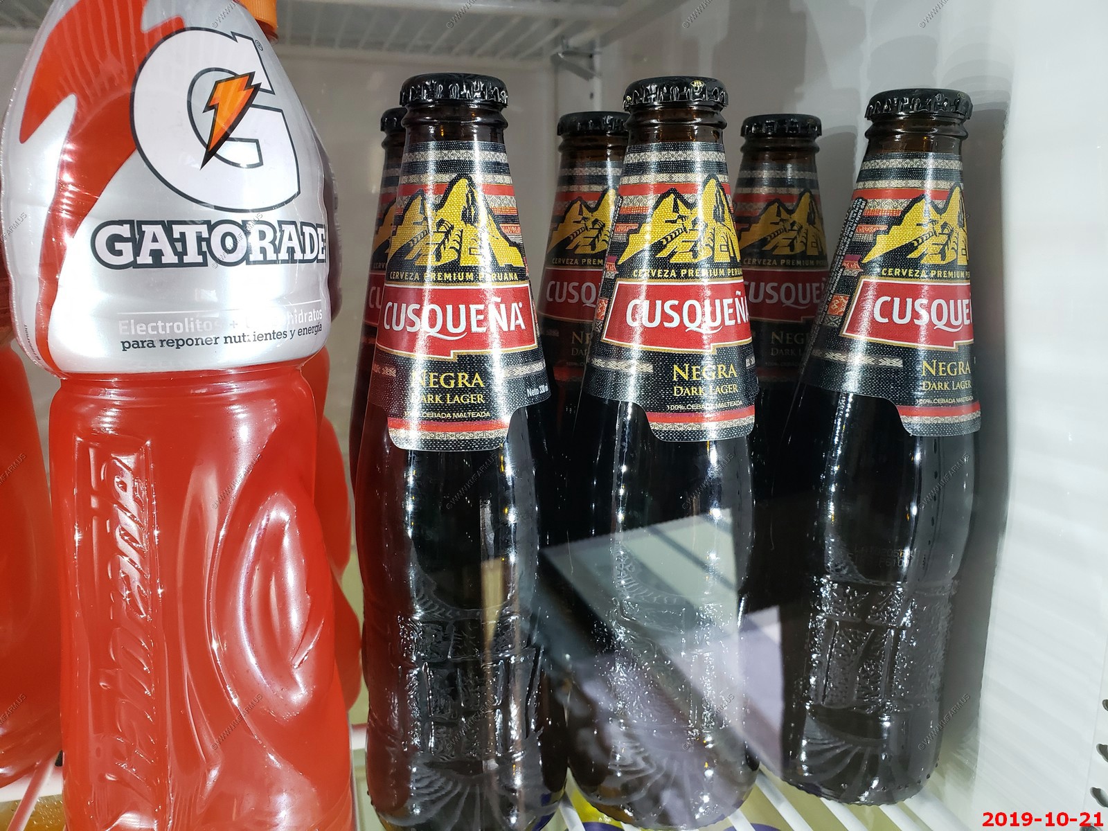
The three types of Cusquena beer that we saw. Wheat, Golden & Negra
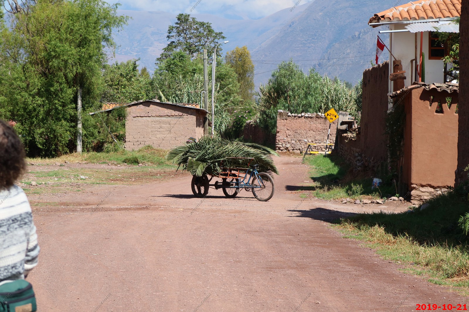
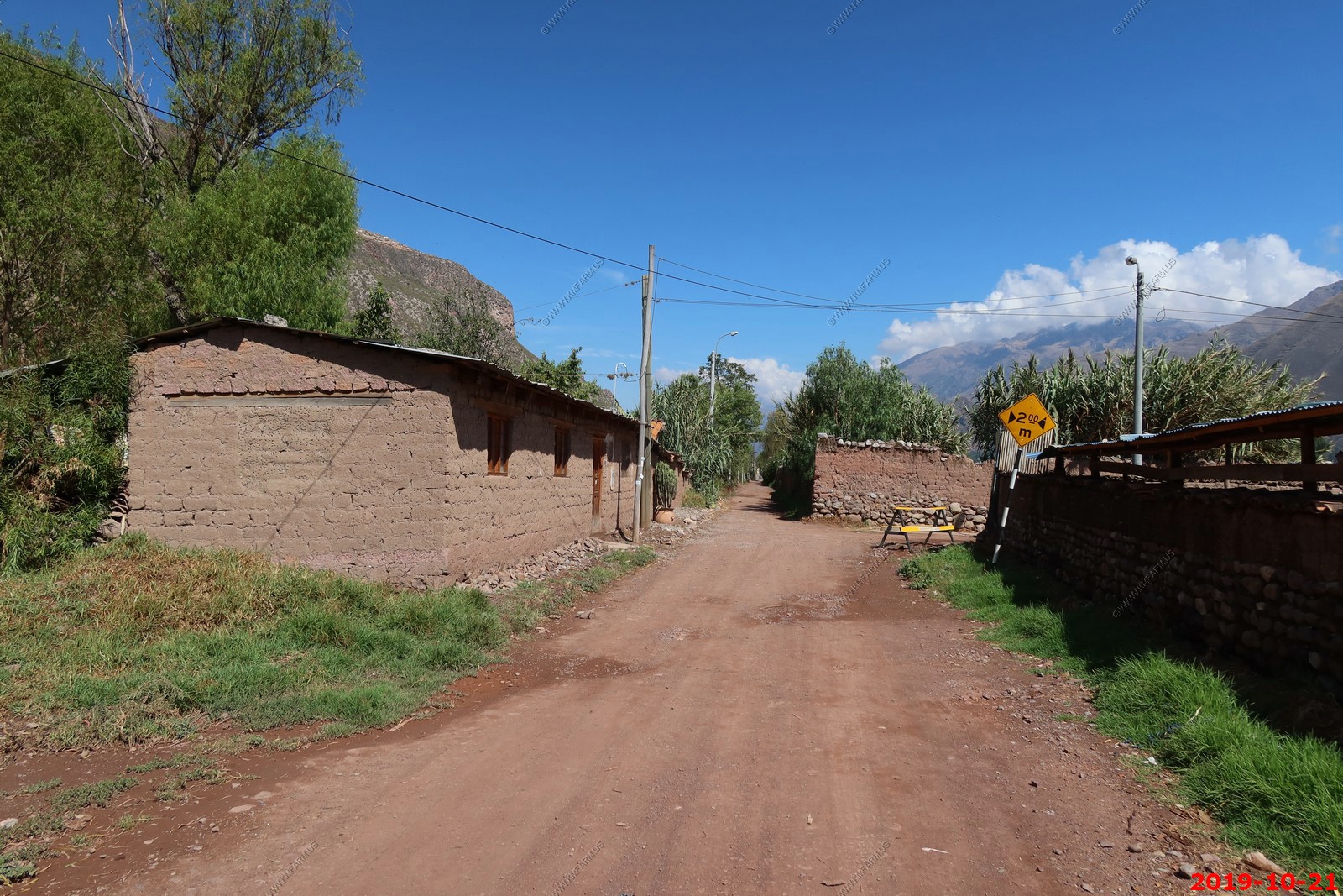
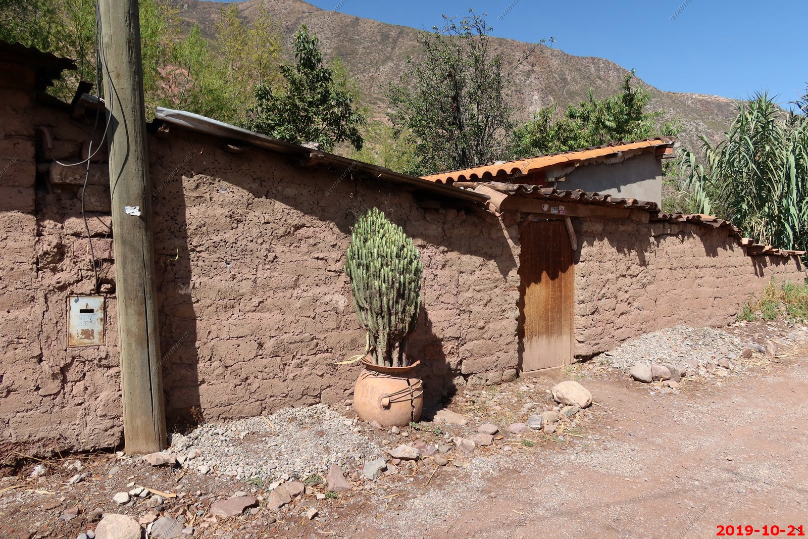
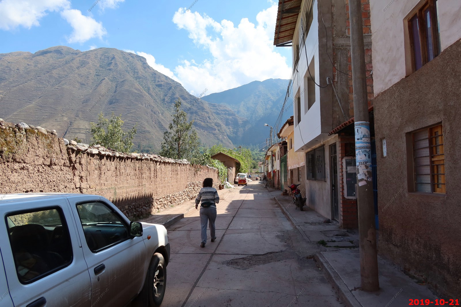
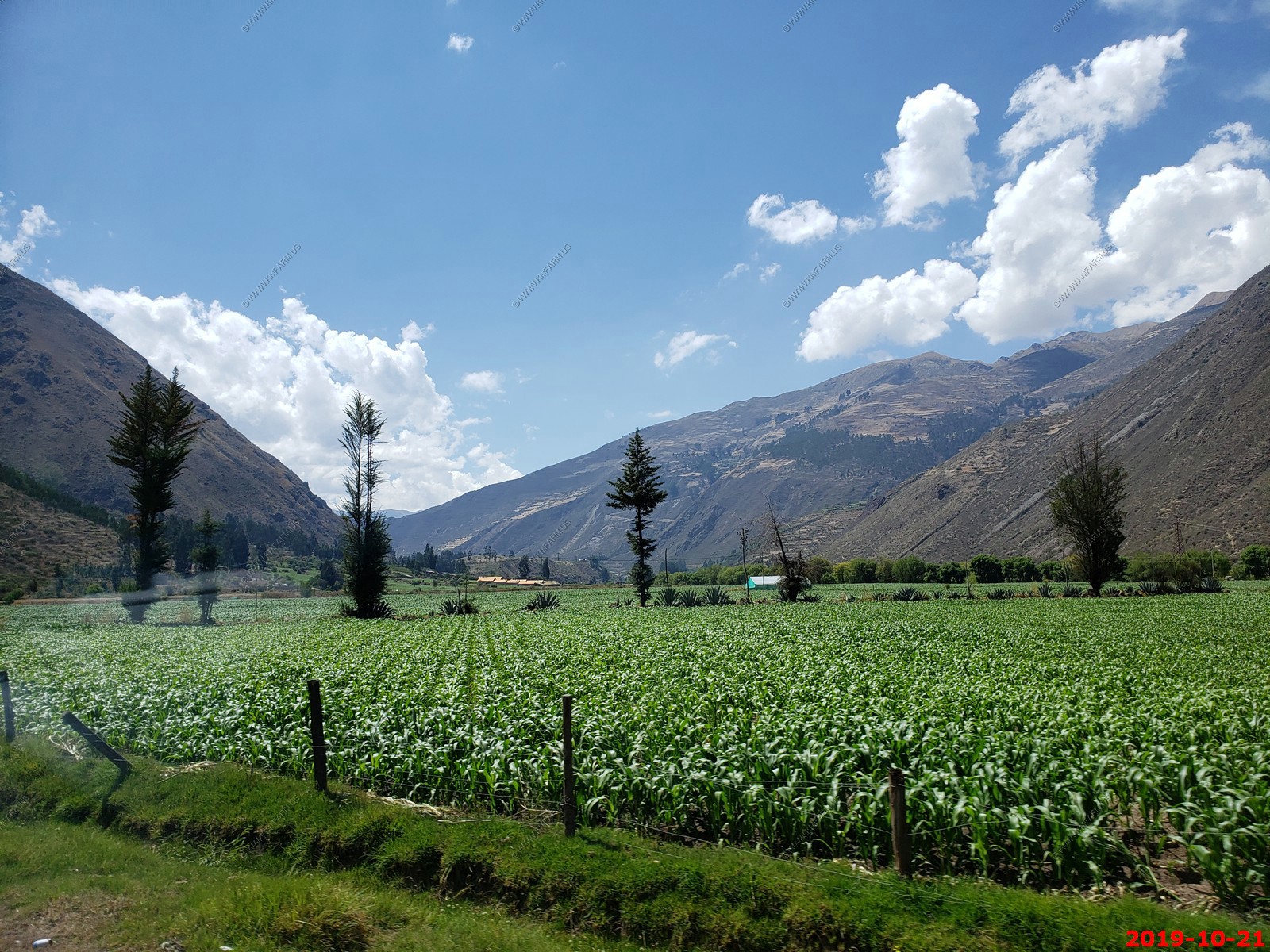
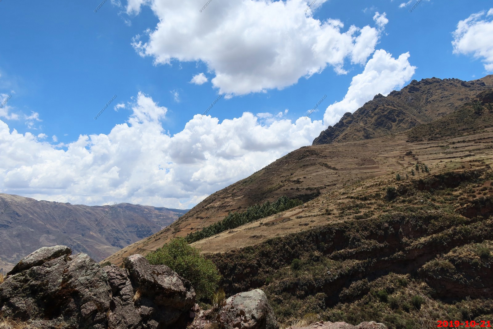
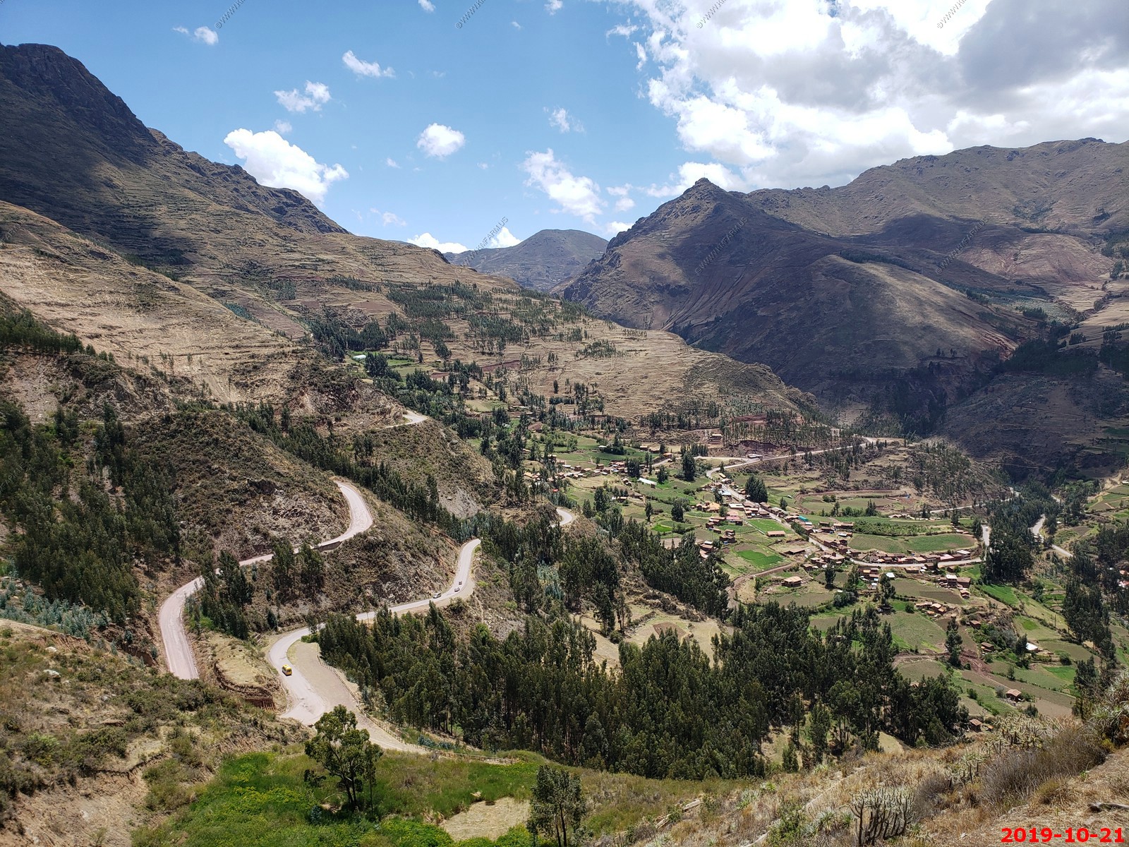
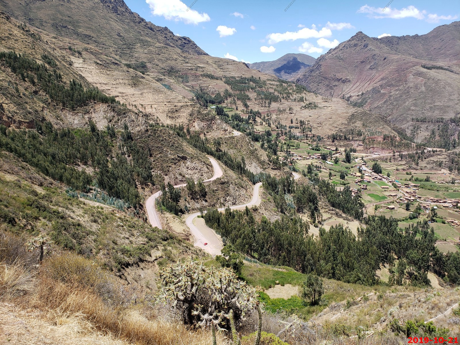
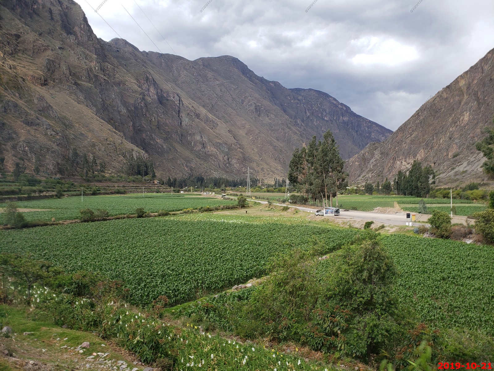
Driving through the valley to the ruins of Pisac. Lots of corn.
In the sacred valley the most common representations of animals are three: the condor, the puma and the snake. These 3 creatures represent heaven, earth and the world of the dead. Today, the Inca trilogy is present in the crafts and paintings of the Wonder of World.
The cougar for the Incas:
The puma is a symbol of strength, wisdom and intelligence. It represents the 'Kay Pacha', Quechua word that means 'the world of the living'. Its characteristics are patience and strength. The Andean puma is the subspecies of the puma that inhabits the territories of South America. The puma adapted to the tropical areas as well as to the rugged terrains of the Ande. It is characterized by its strength and agility. For the Incas it was a divine animal that represented the power of the world. It is believed that Cusco, the capital of the empire of the Incas, has the shape of a puma. The head of this animal is found in the fabulous fortress of Sacsayhuaman. The line is in the temple of Coricancha.
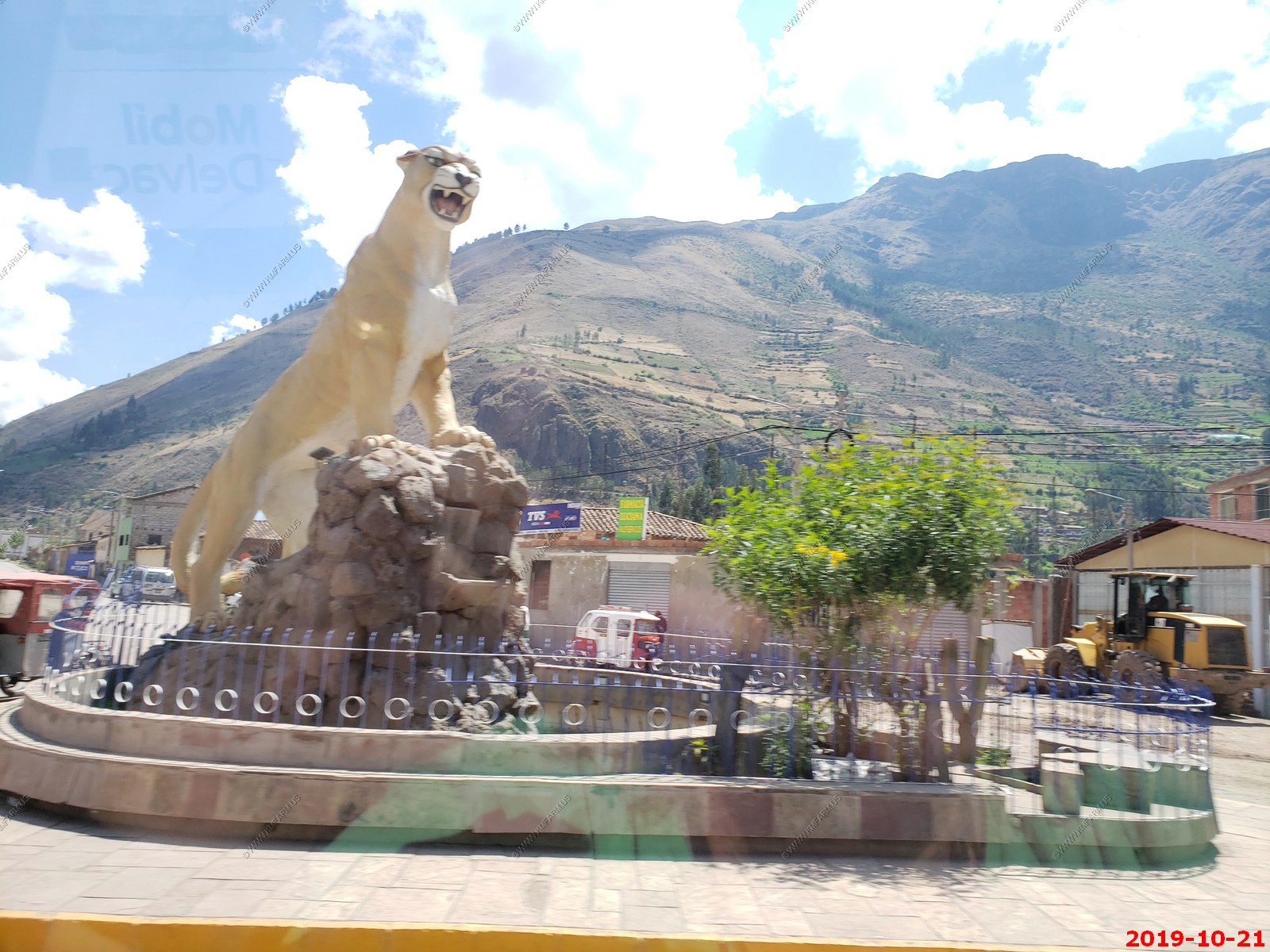
The Puma statue in Calca, Peru (shot from the bus)
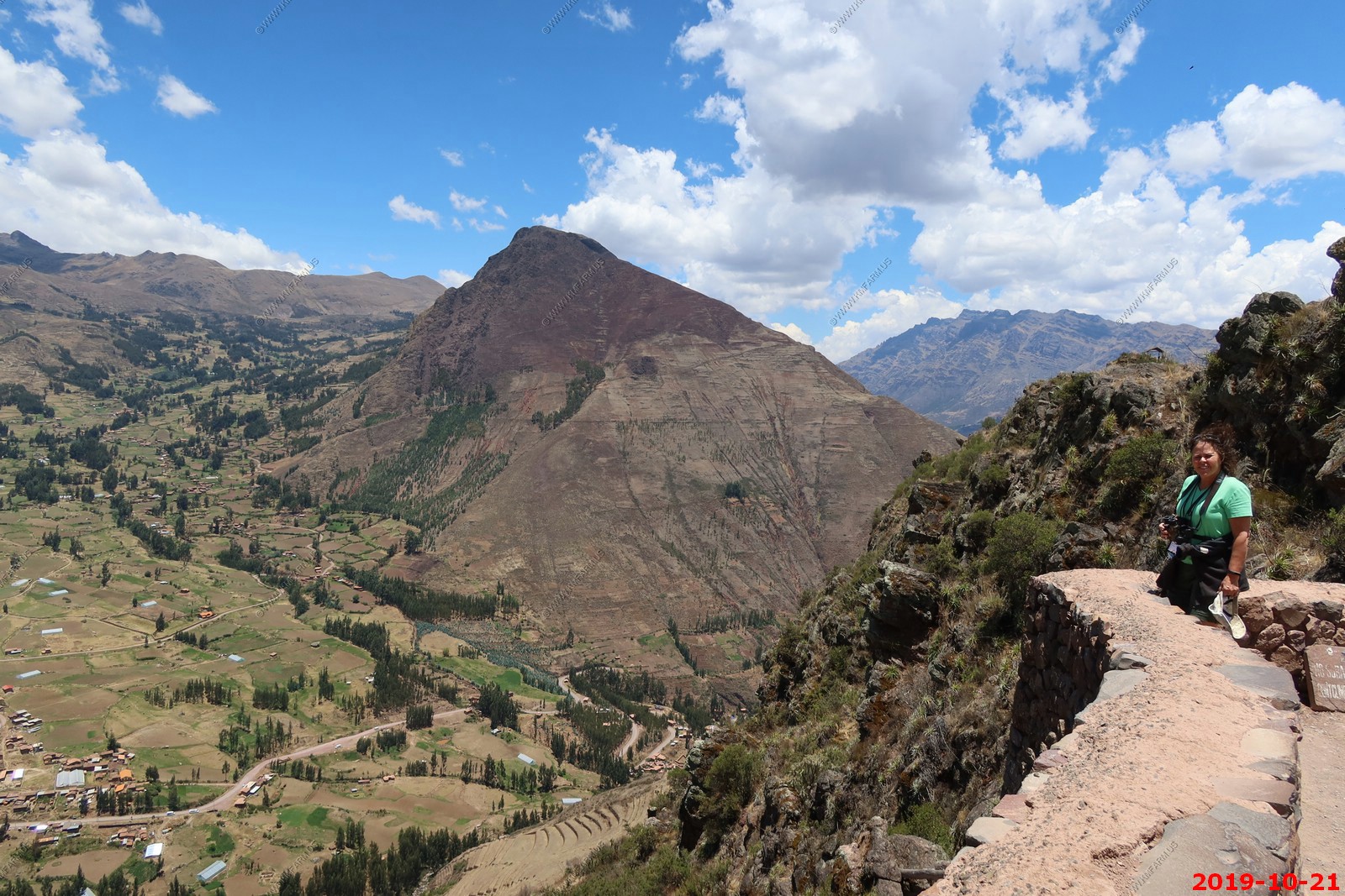
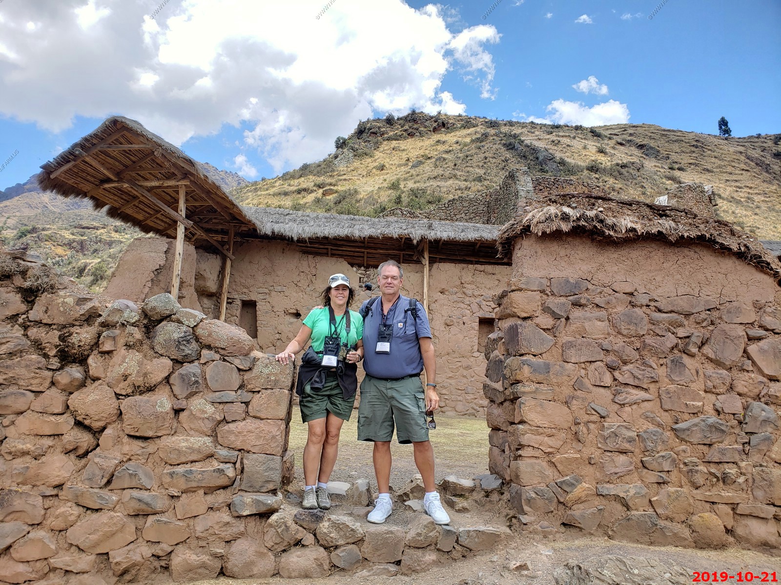
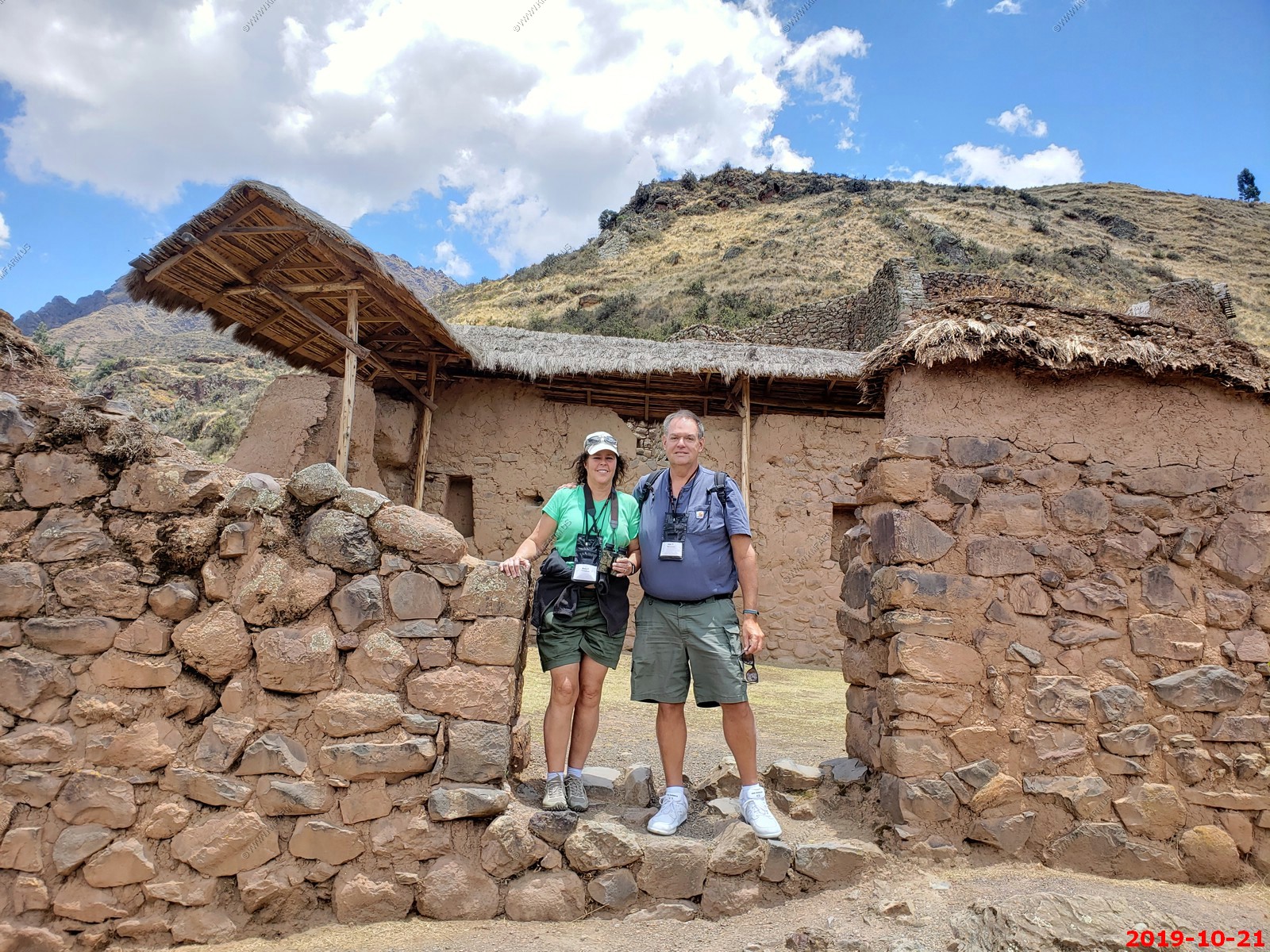
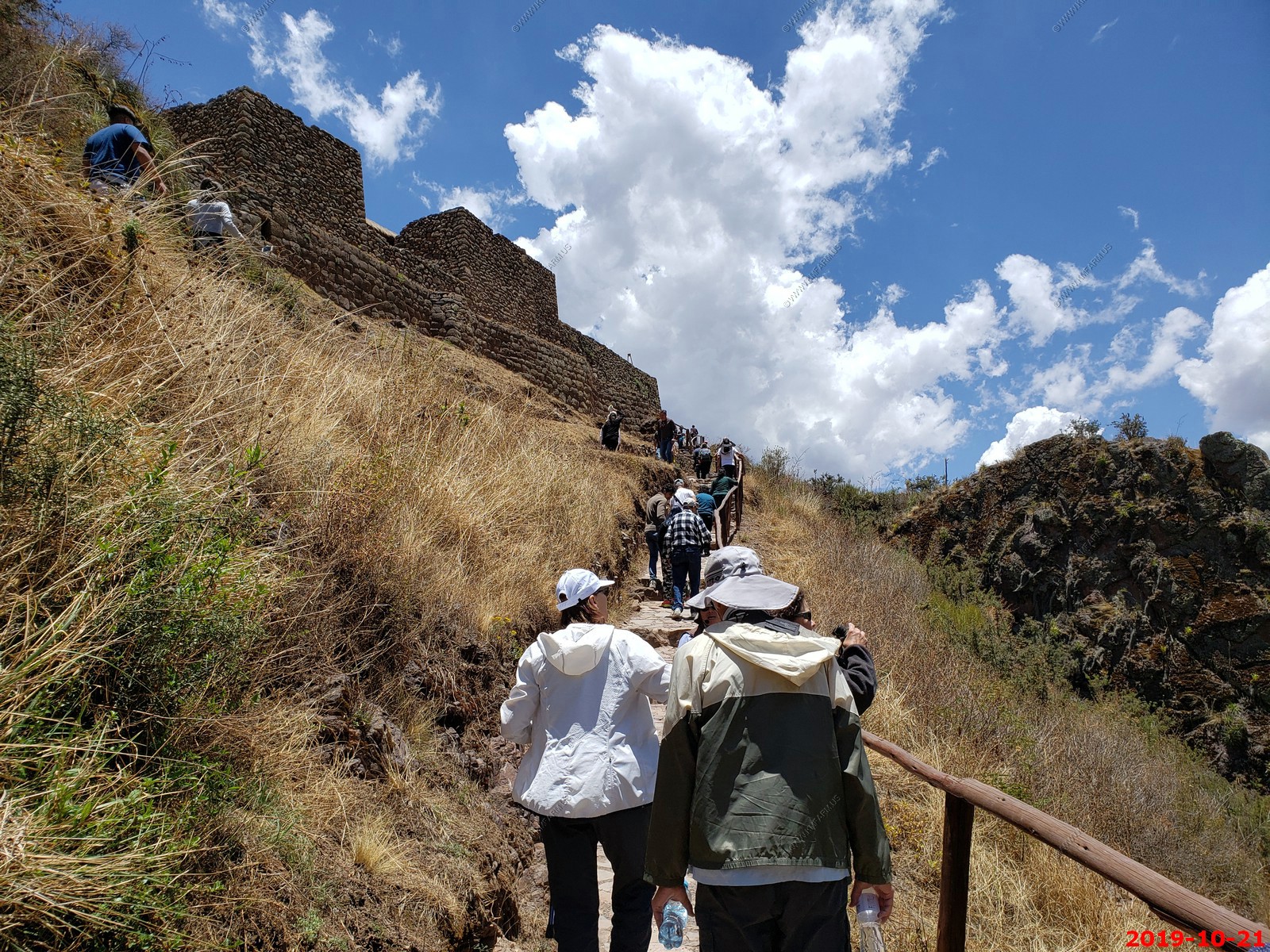
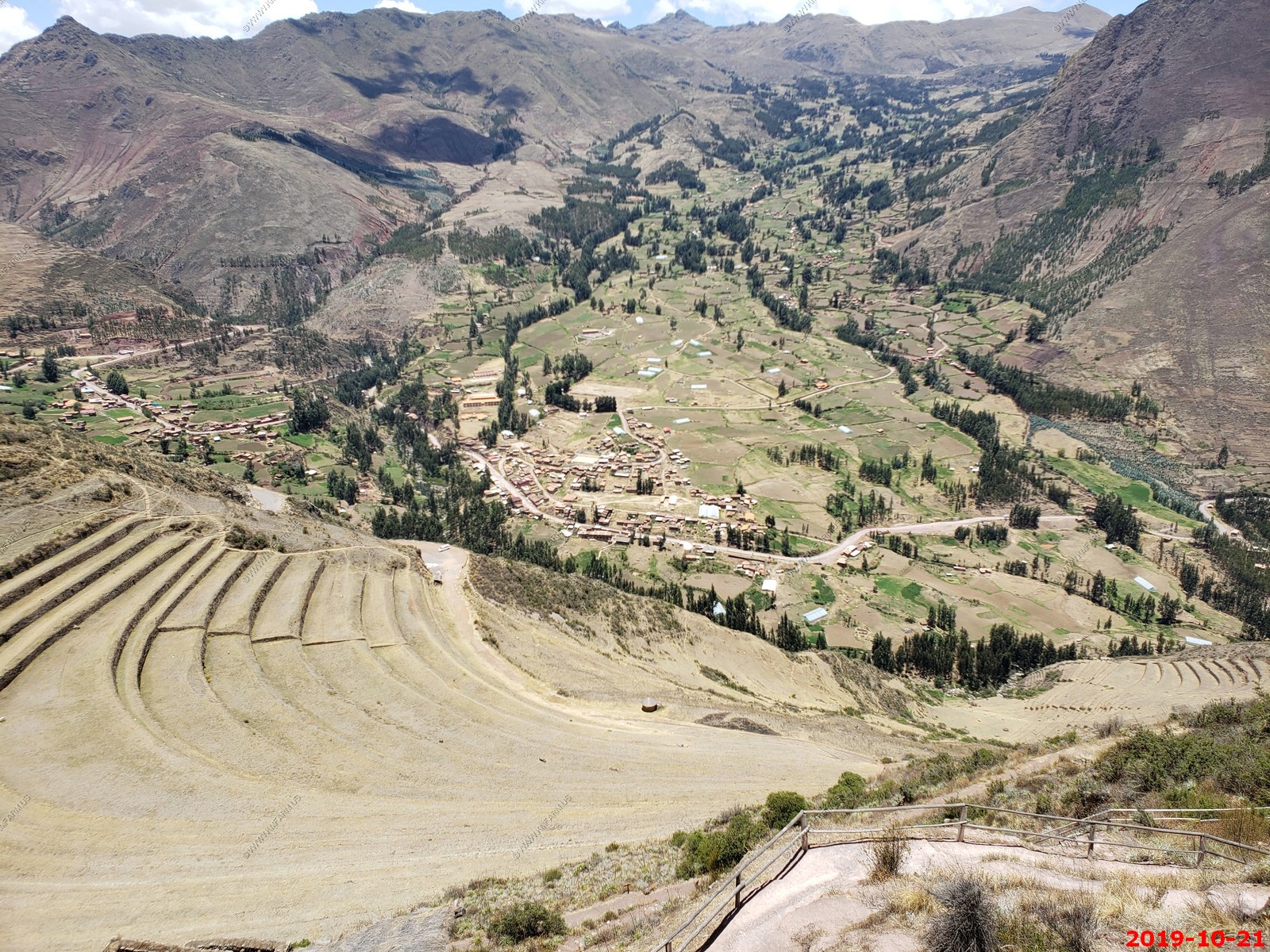
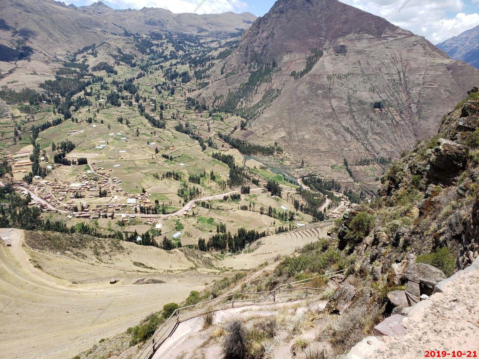
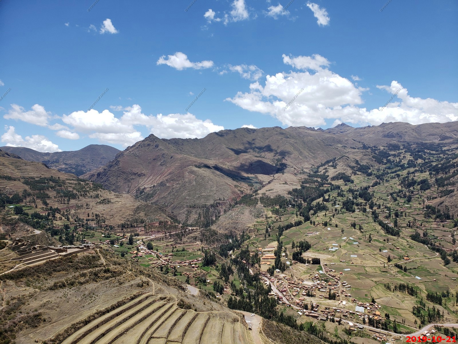
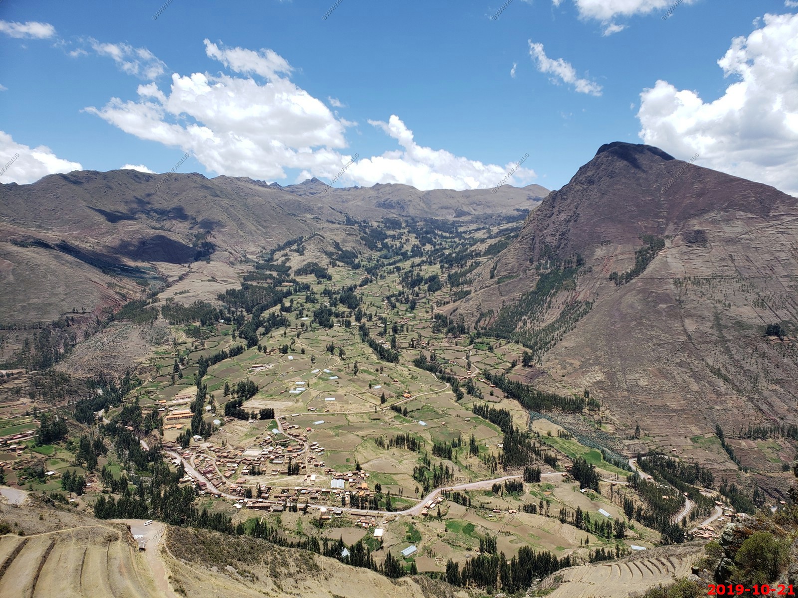
Climbing up to the Pisac site
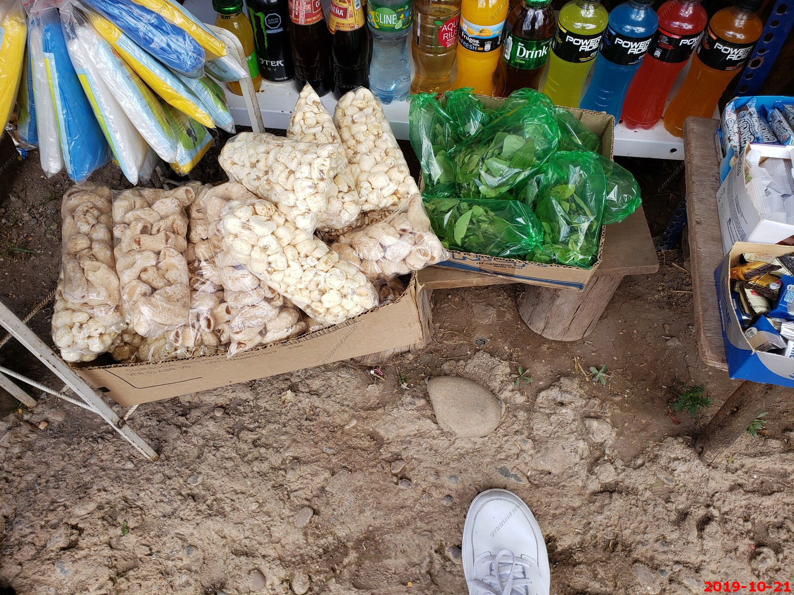
We stopped at a small store near the entrance. They sold the strange large puffed corn and of course the coca leaves in the green bags.
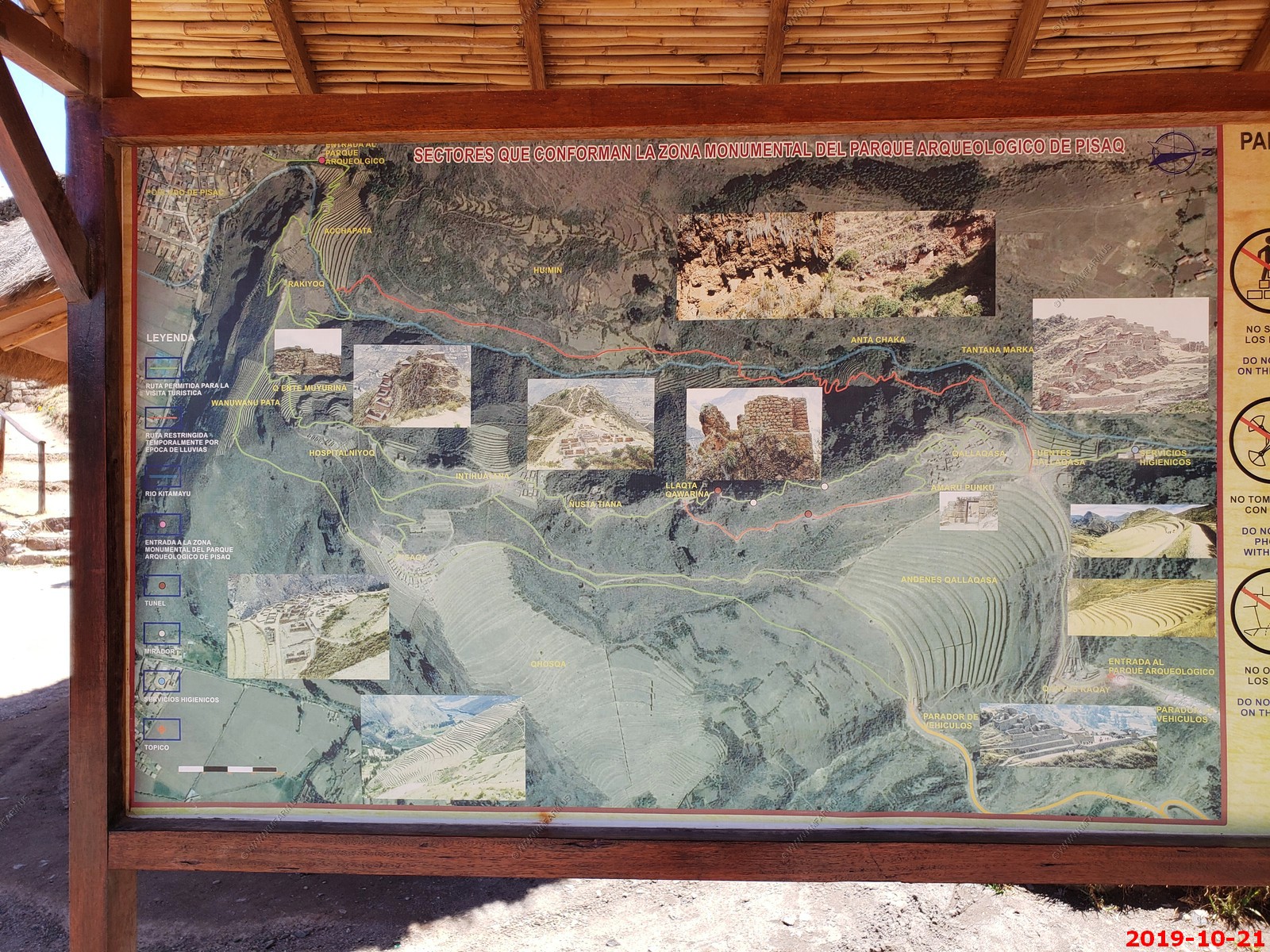
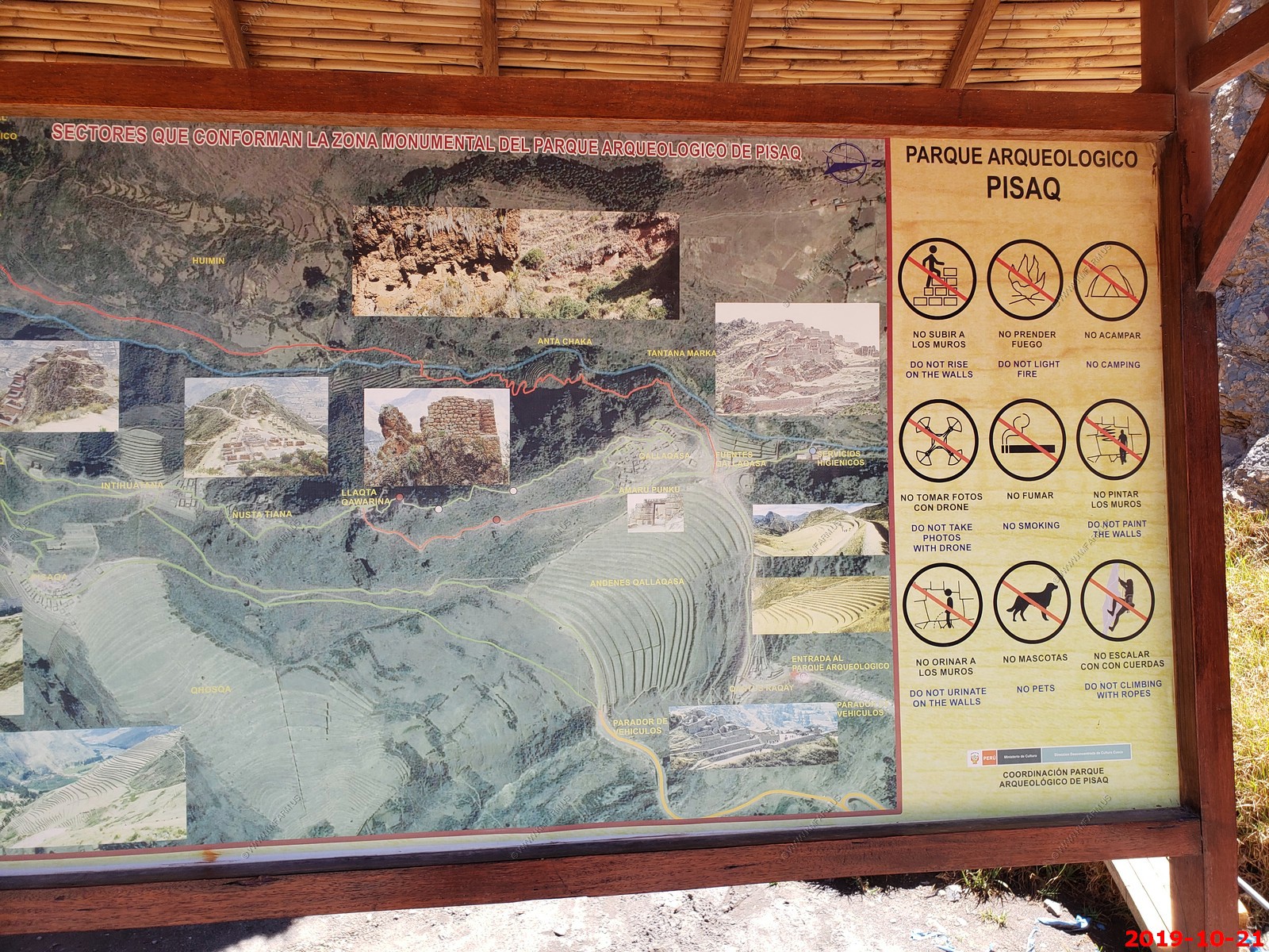
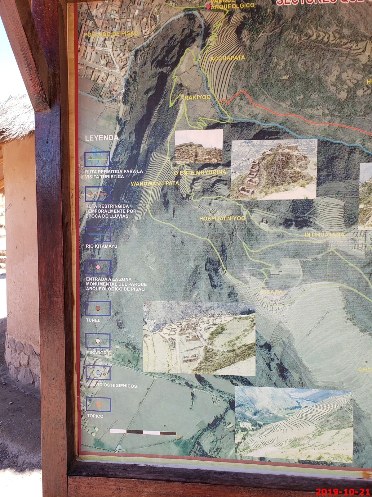
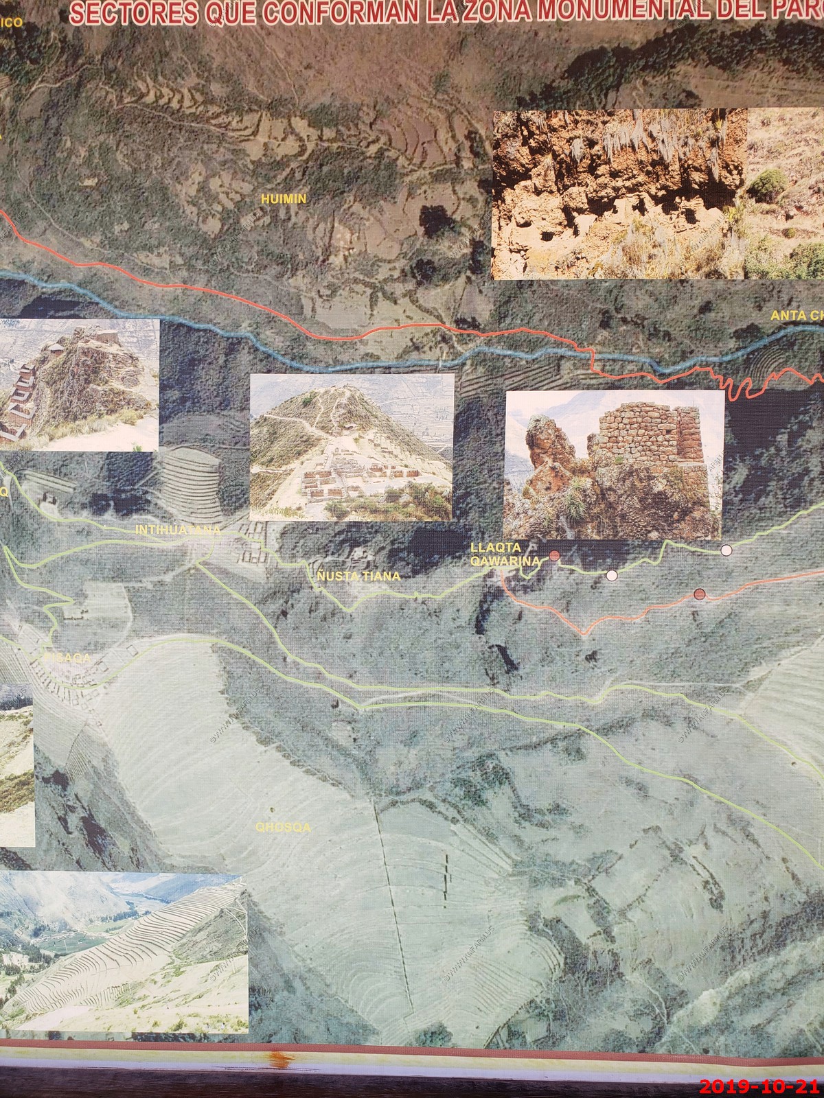
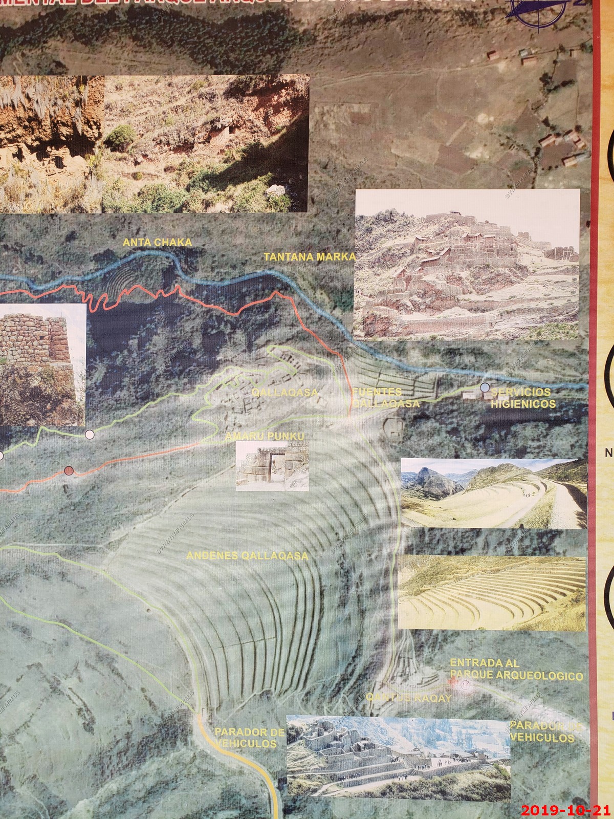
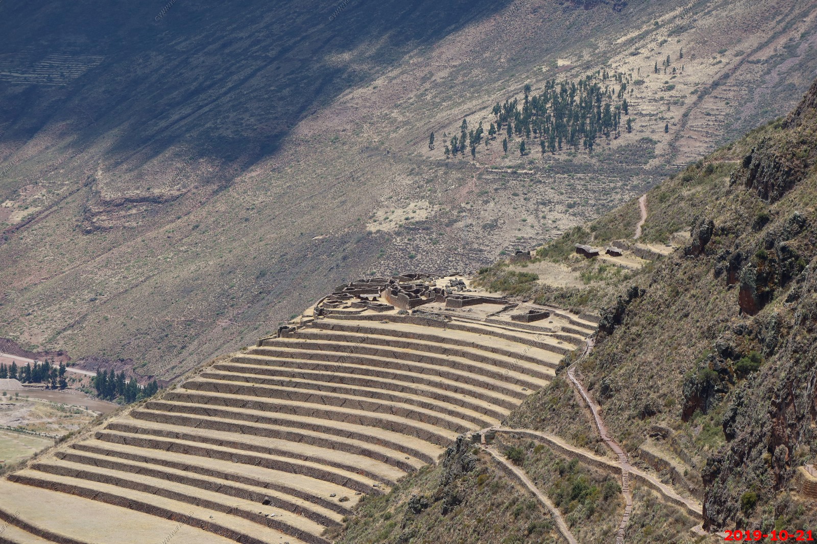
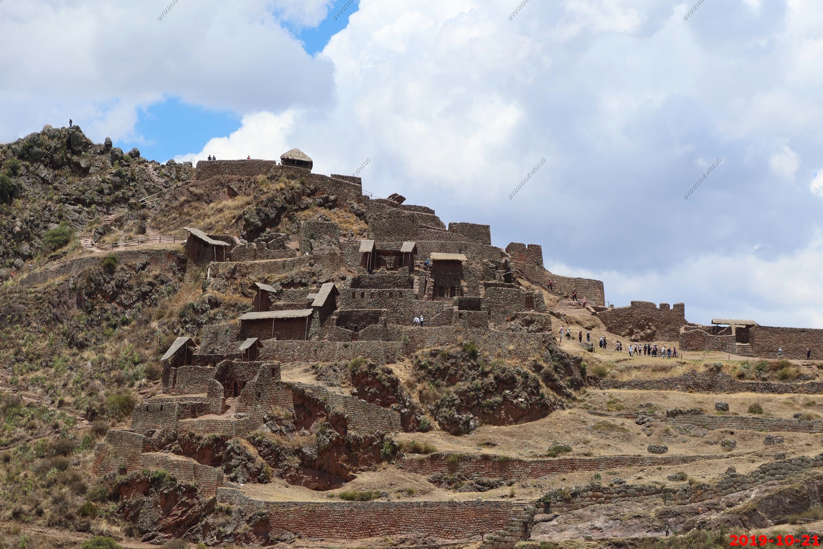
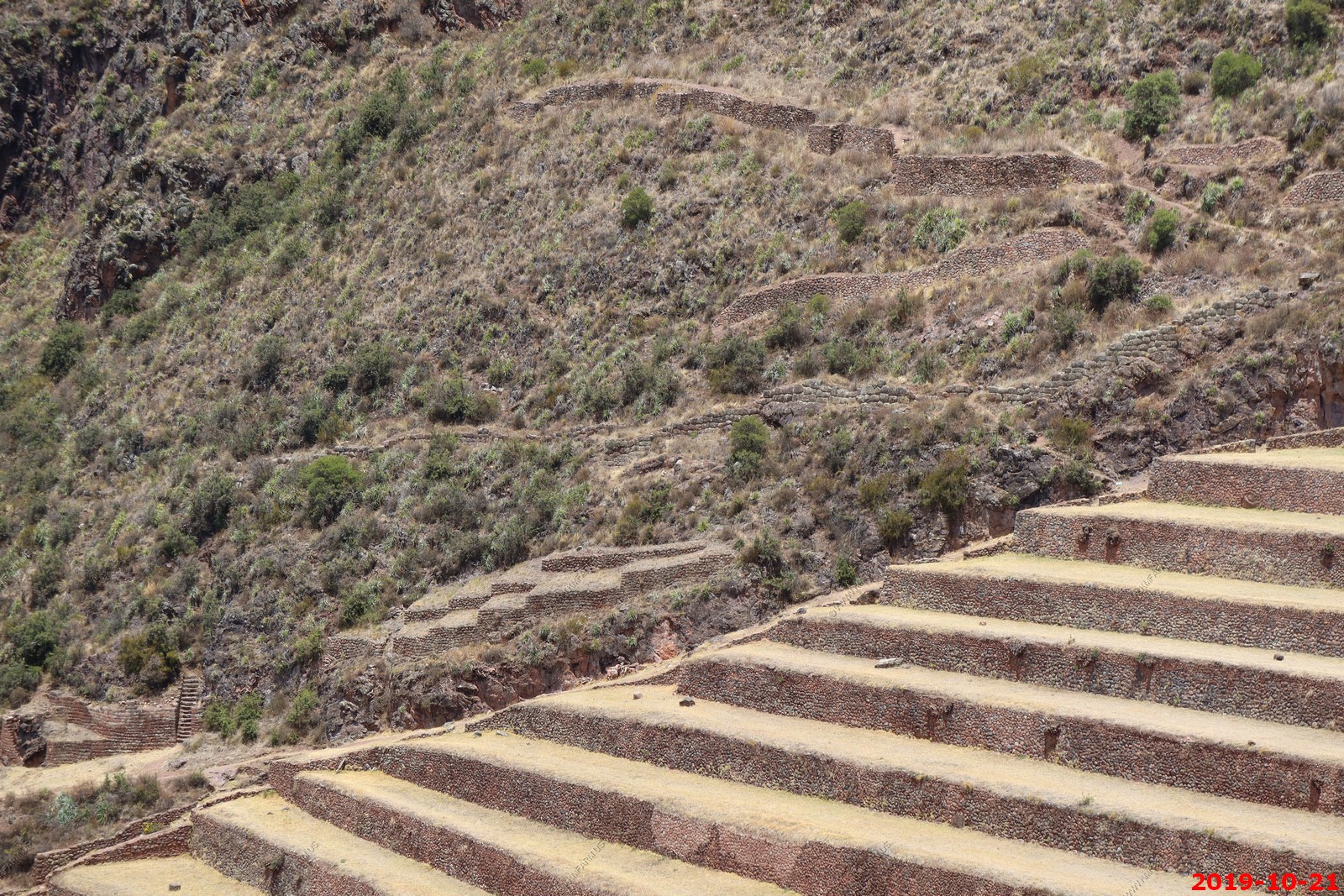
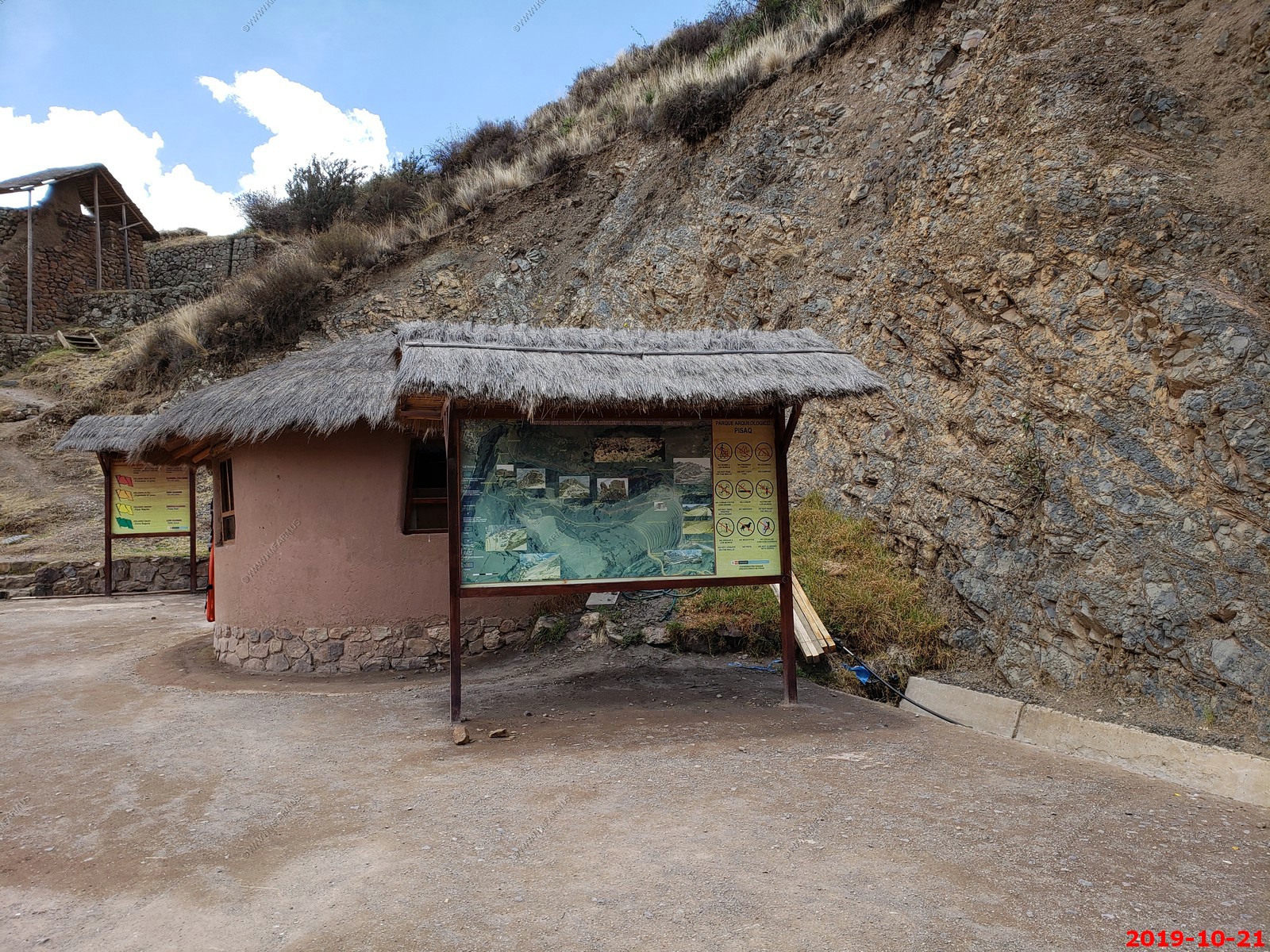
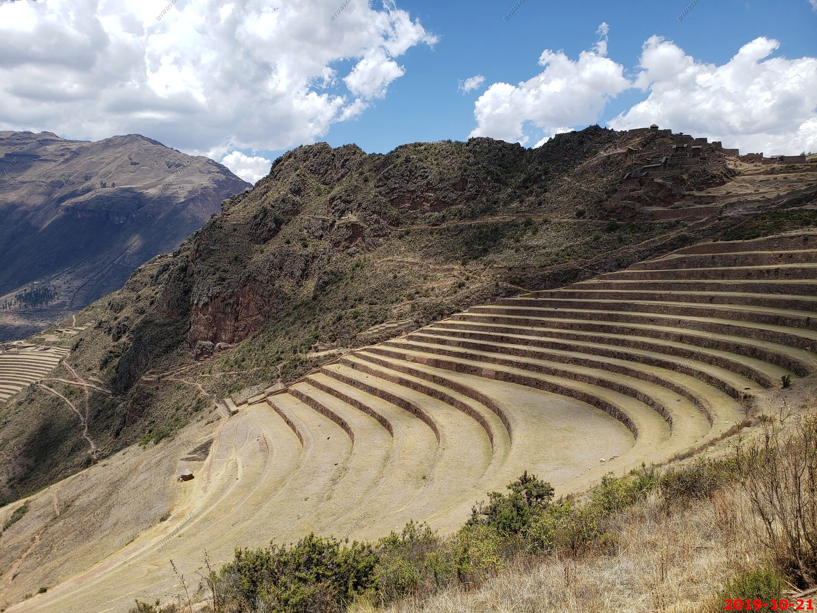
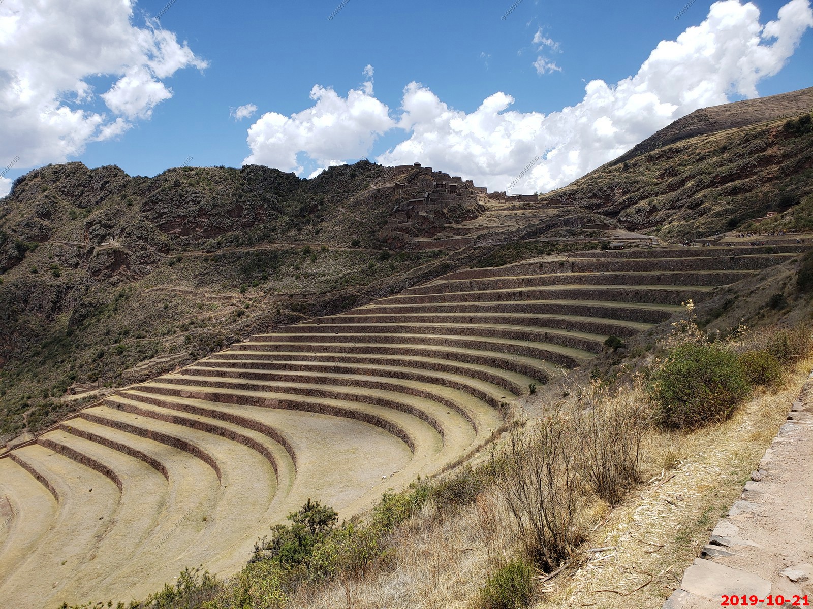
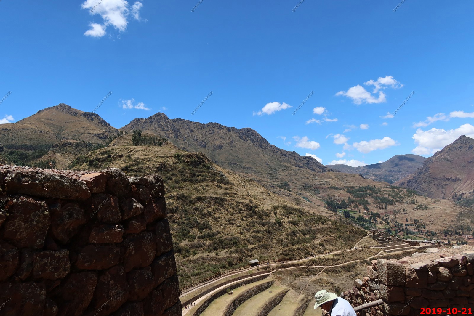
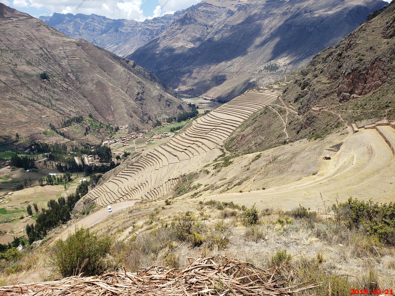
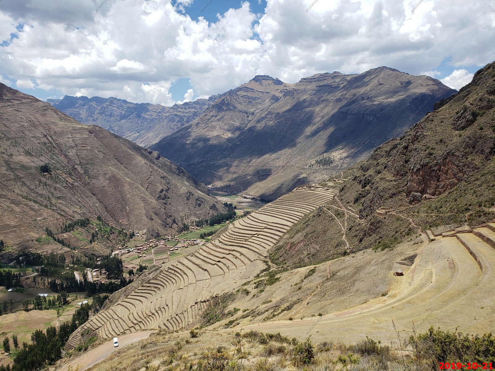
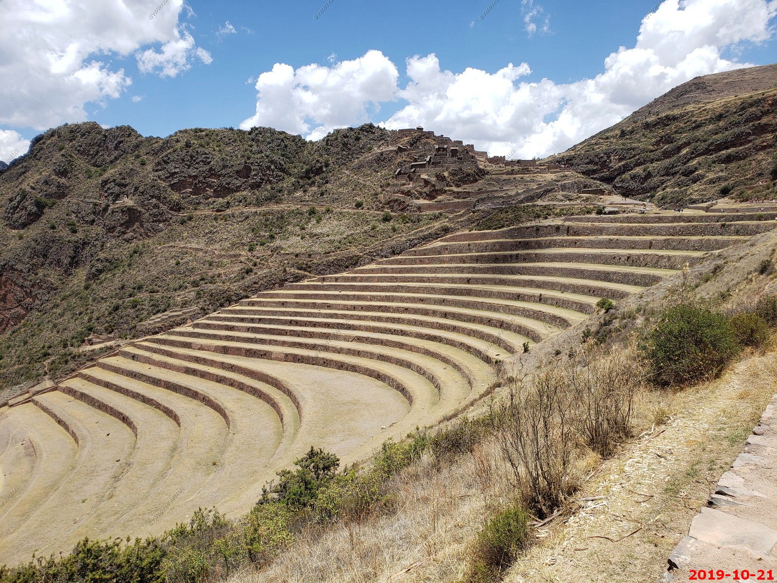
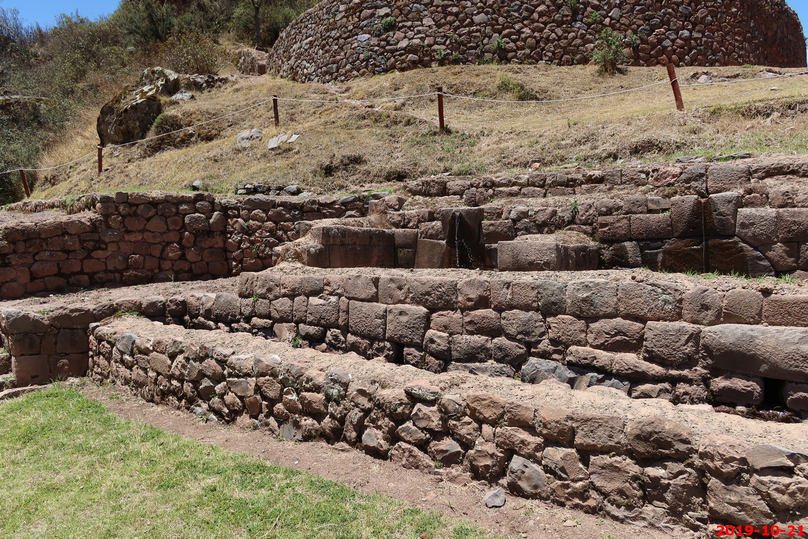
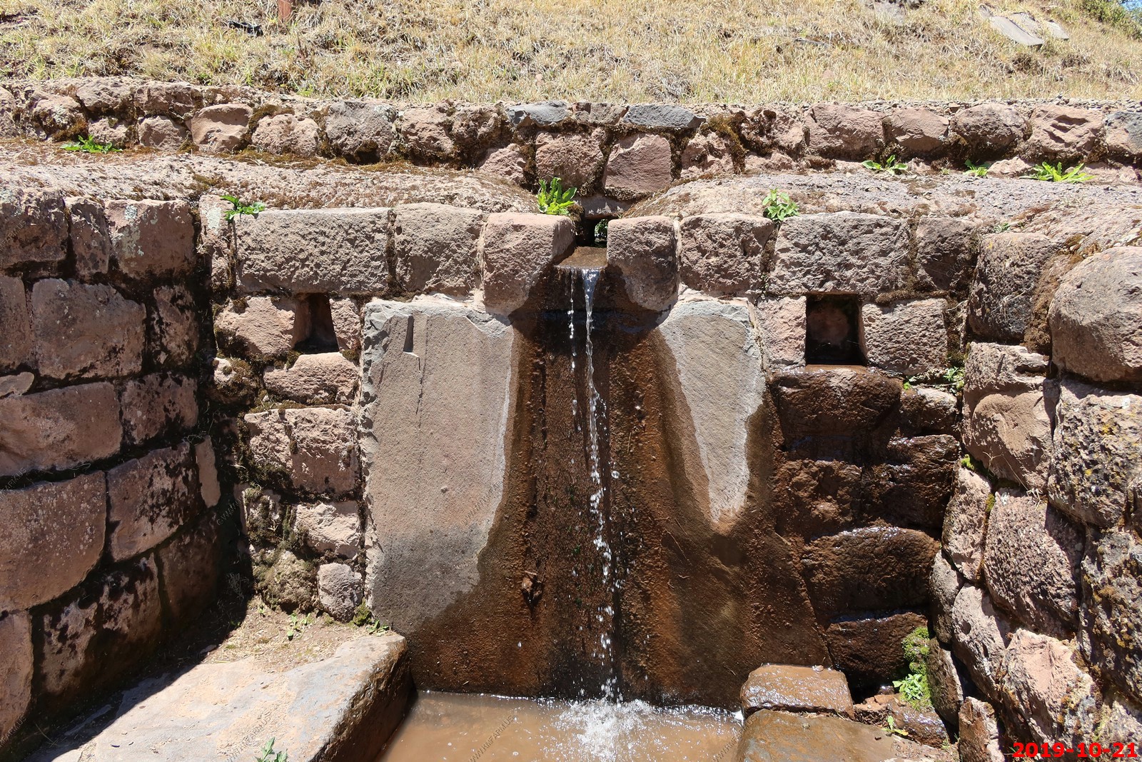
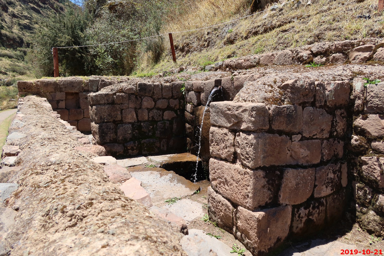
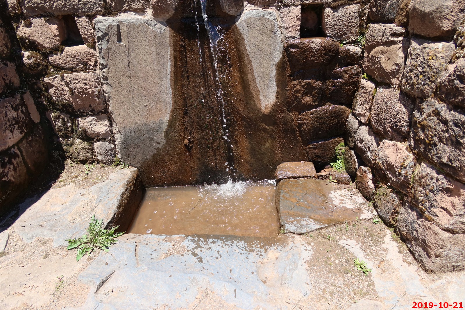
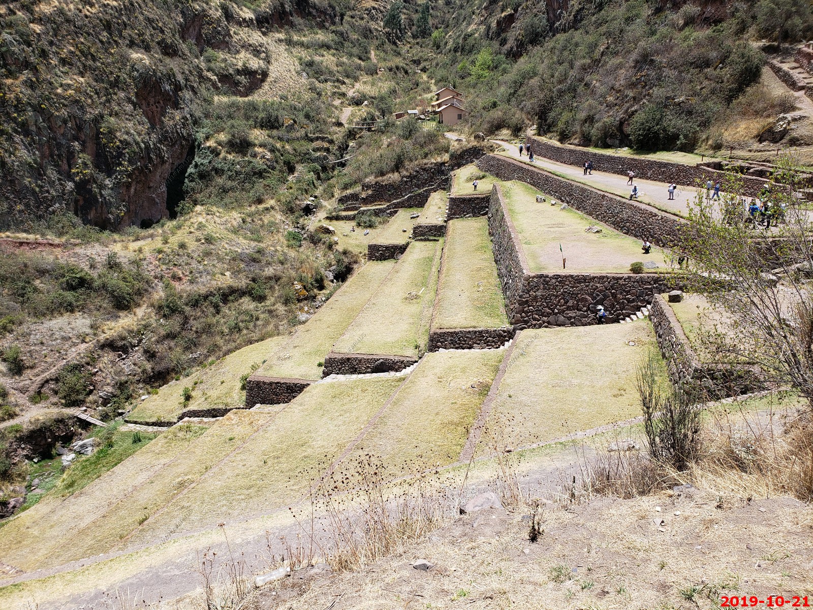
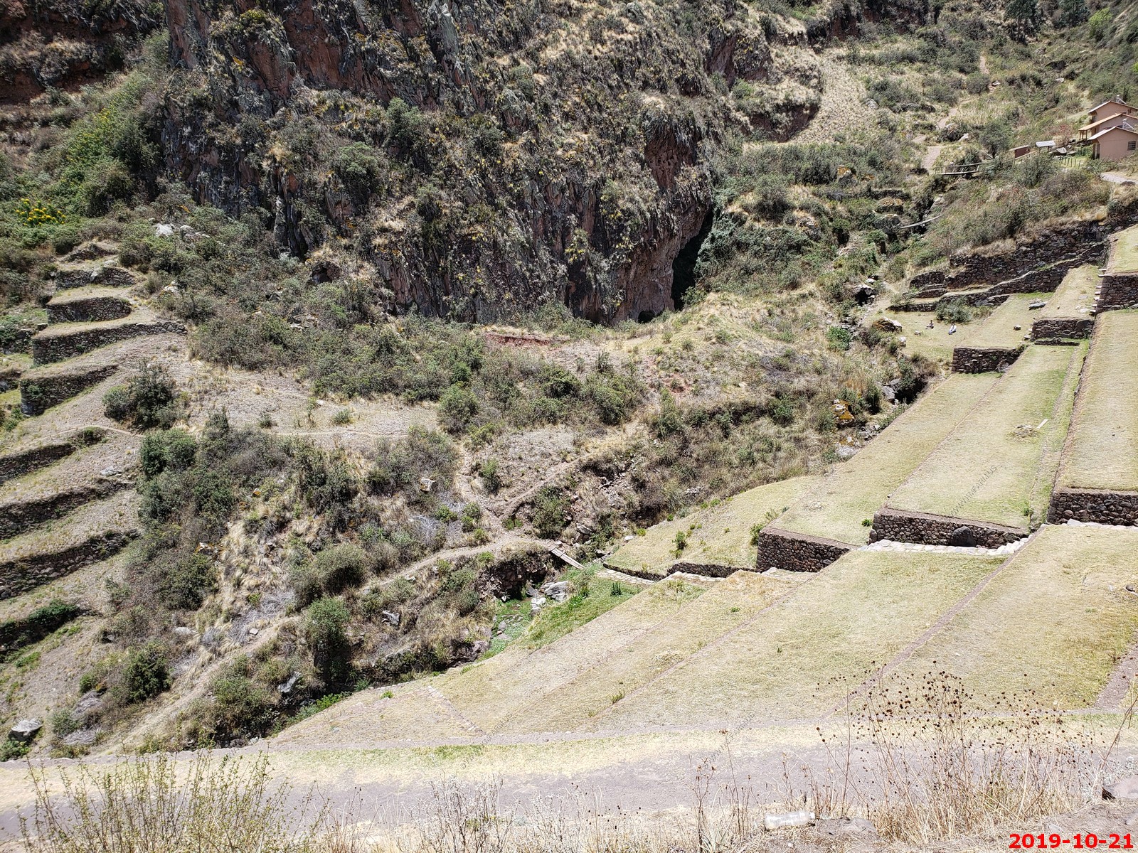
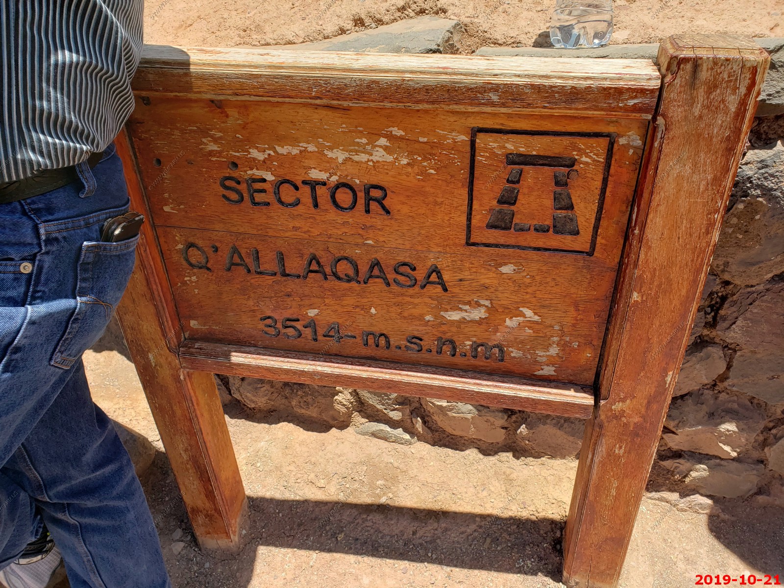
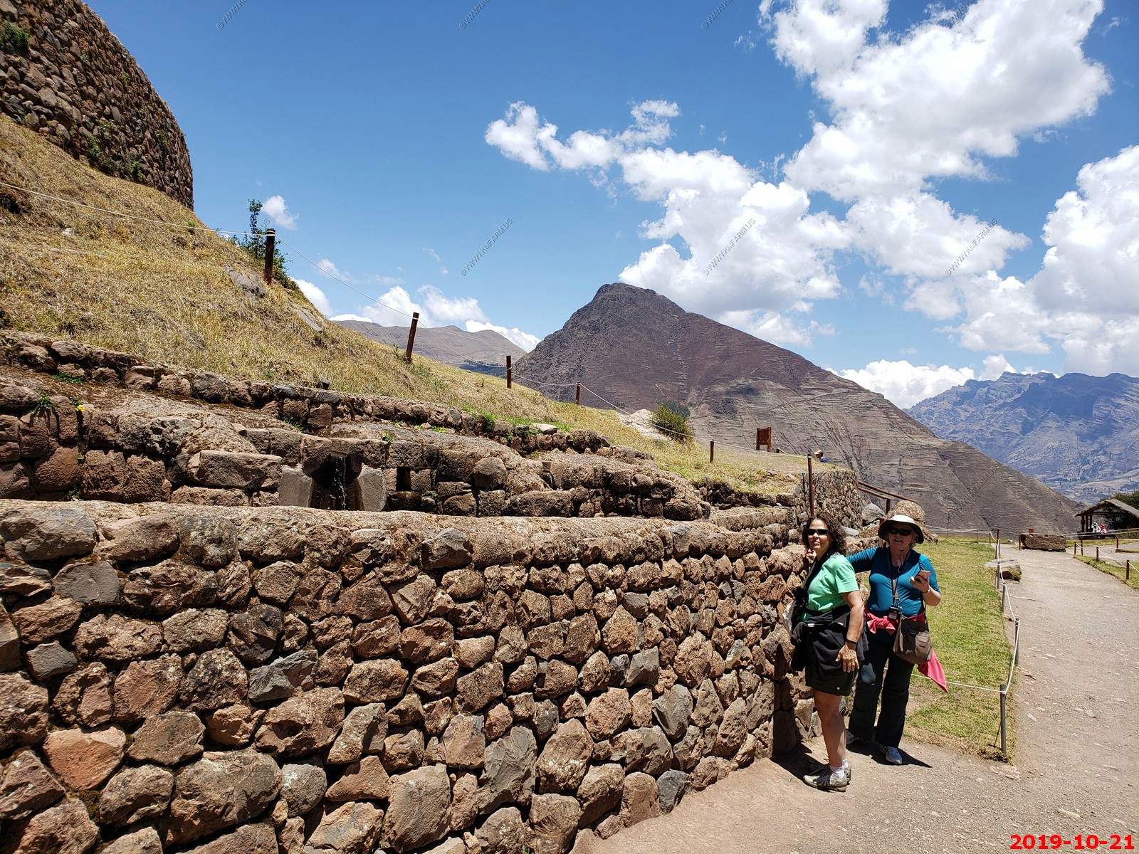
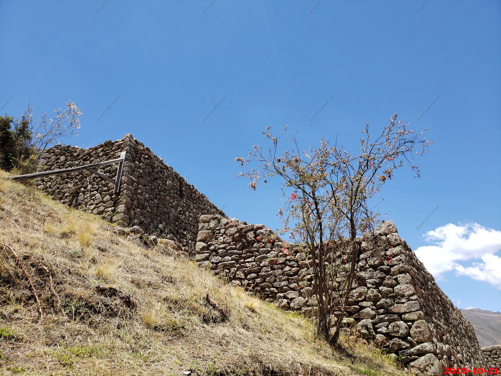
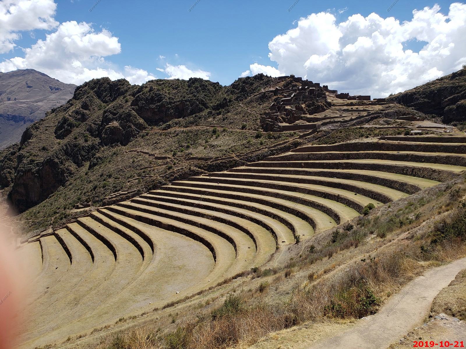
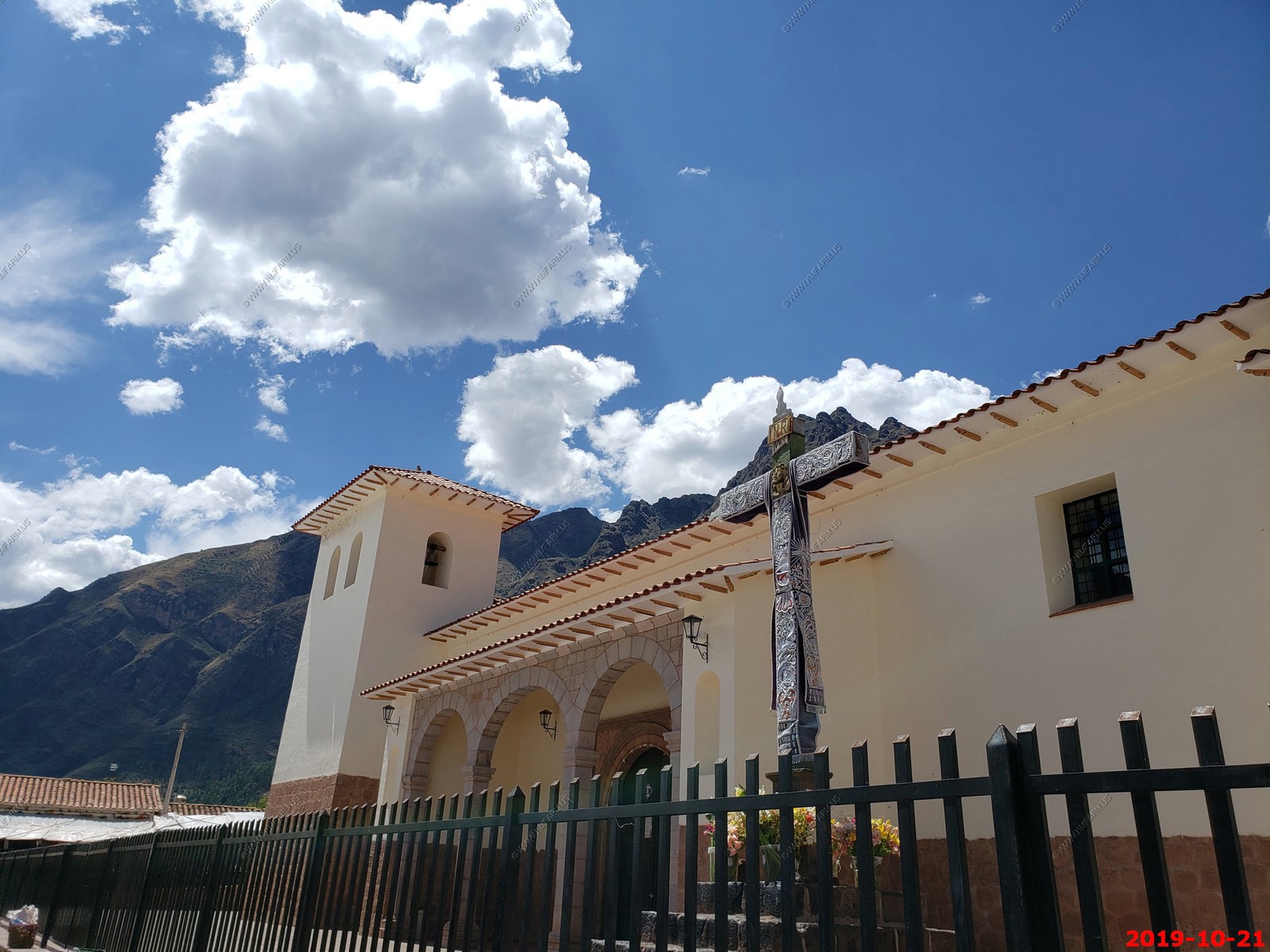
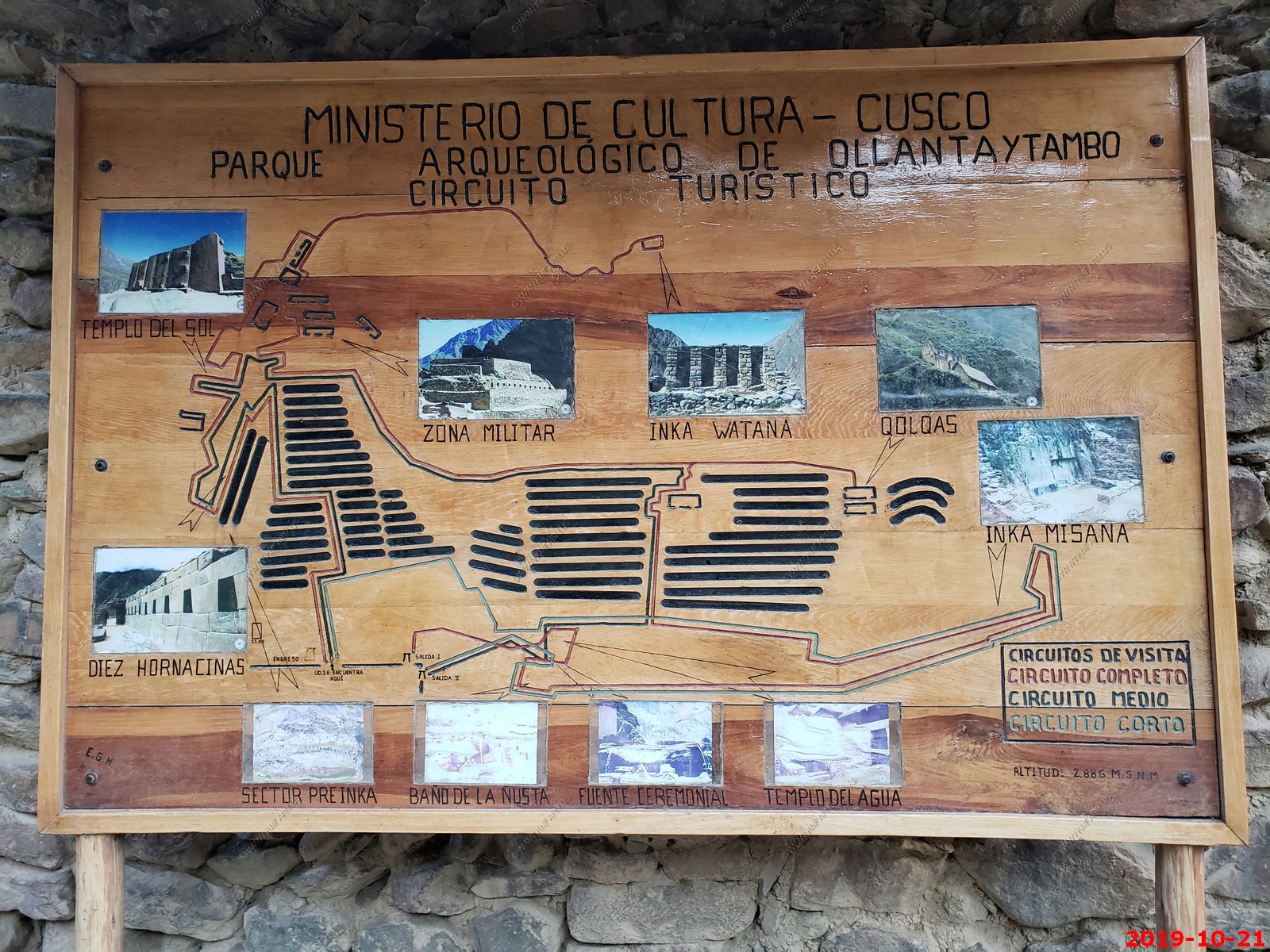
PISAC
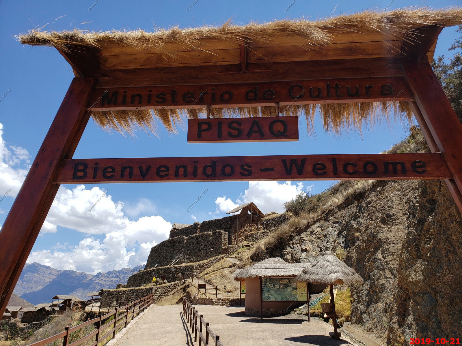
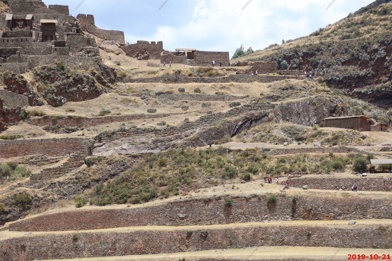
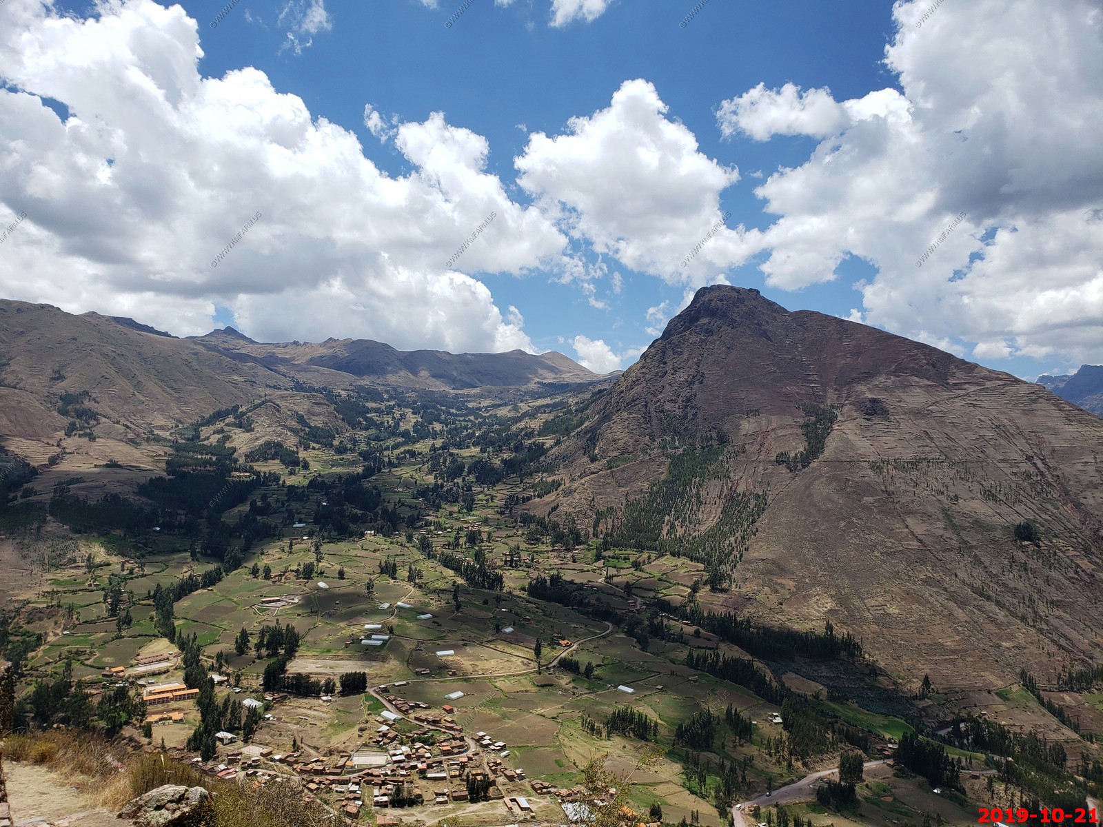
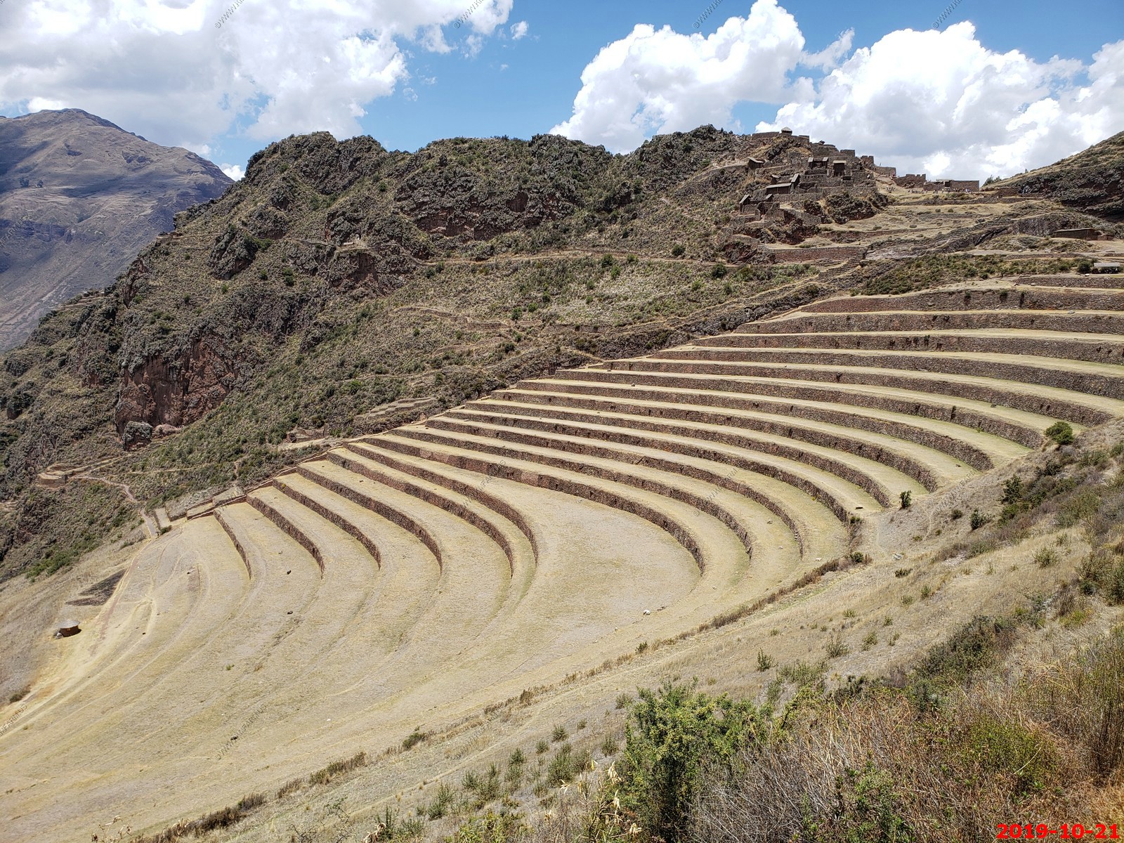
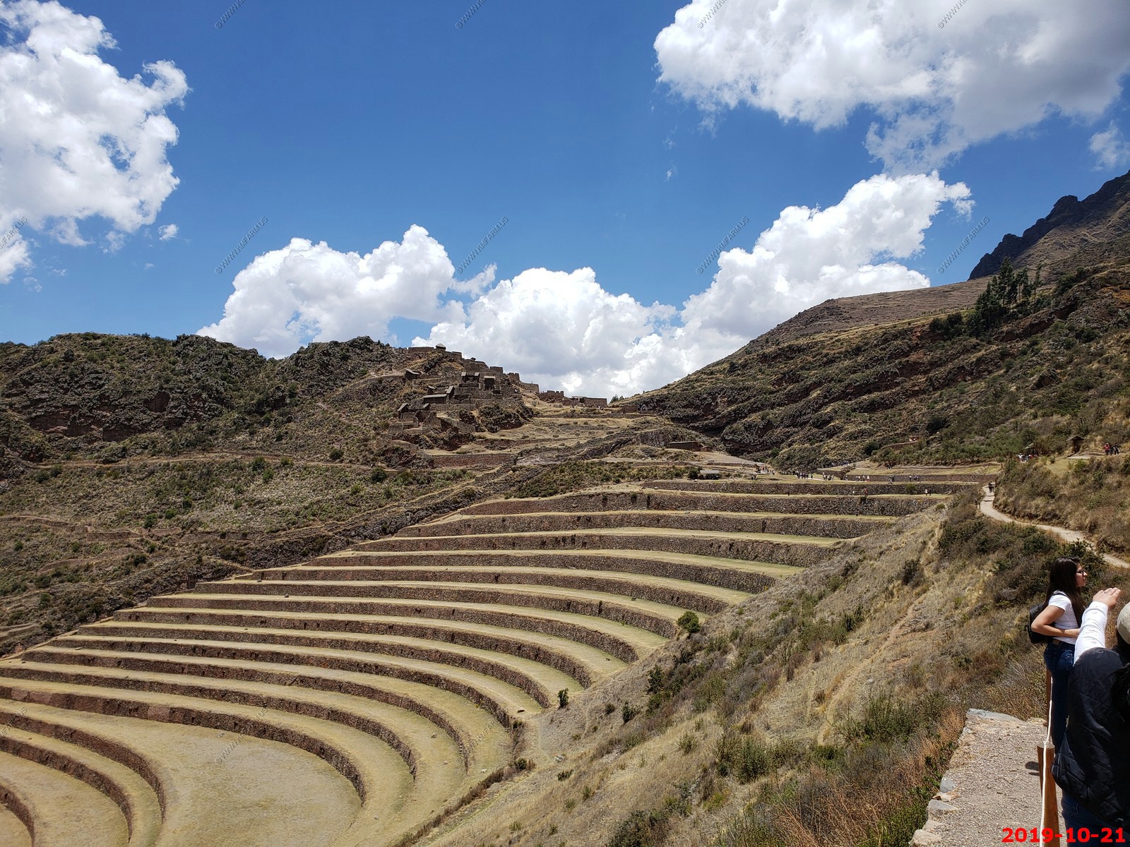
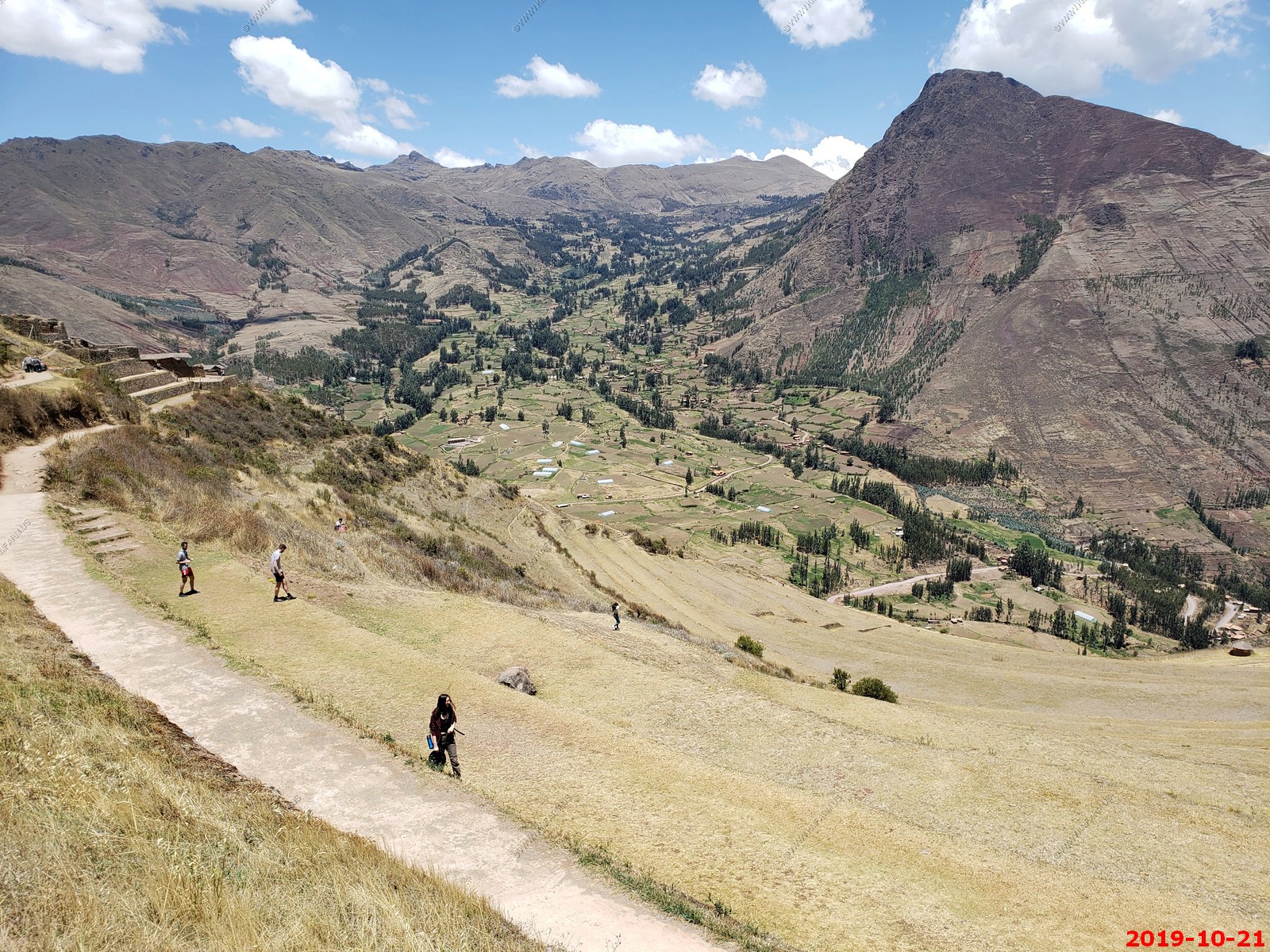
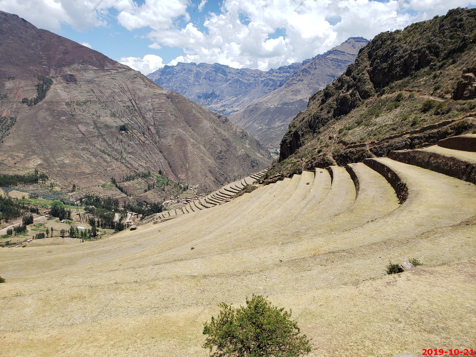
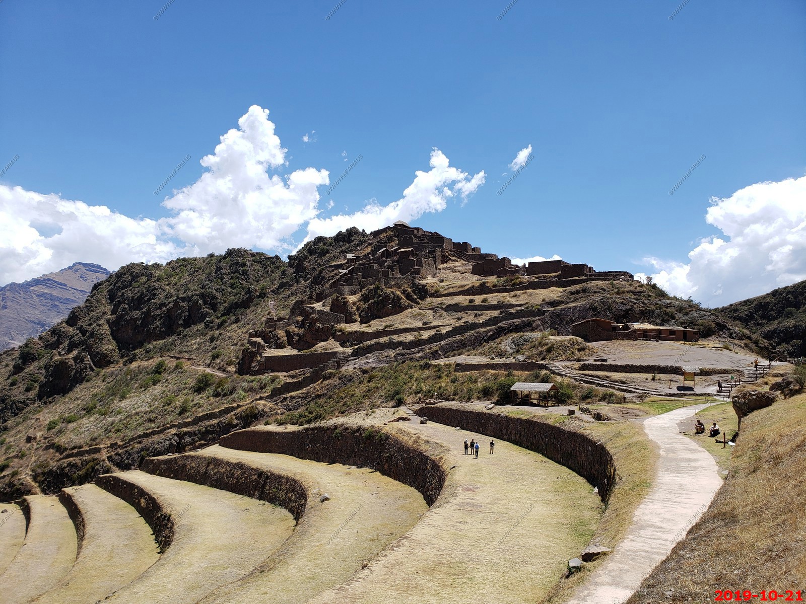
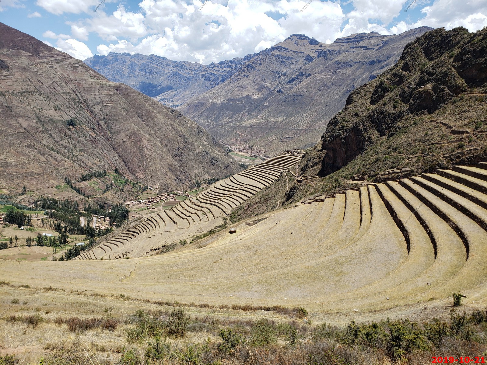
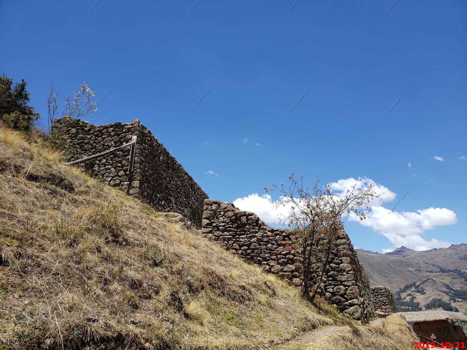
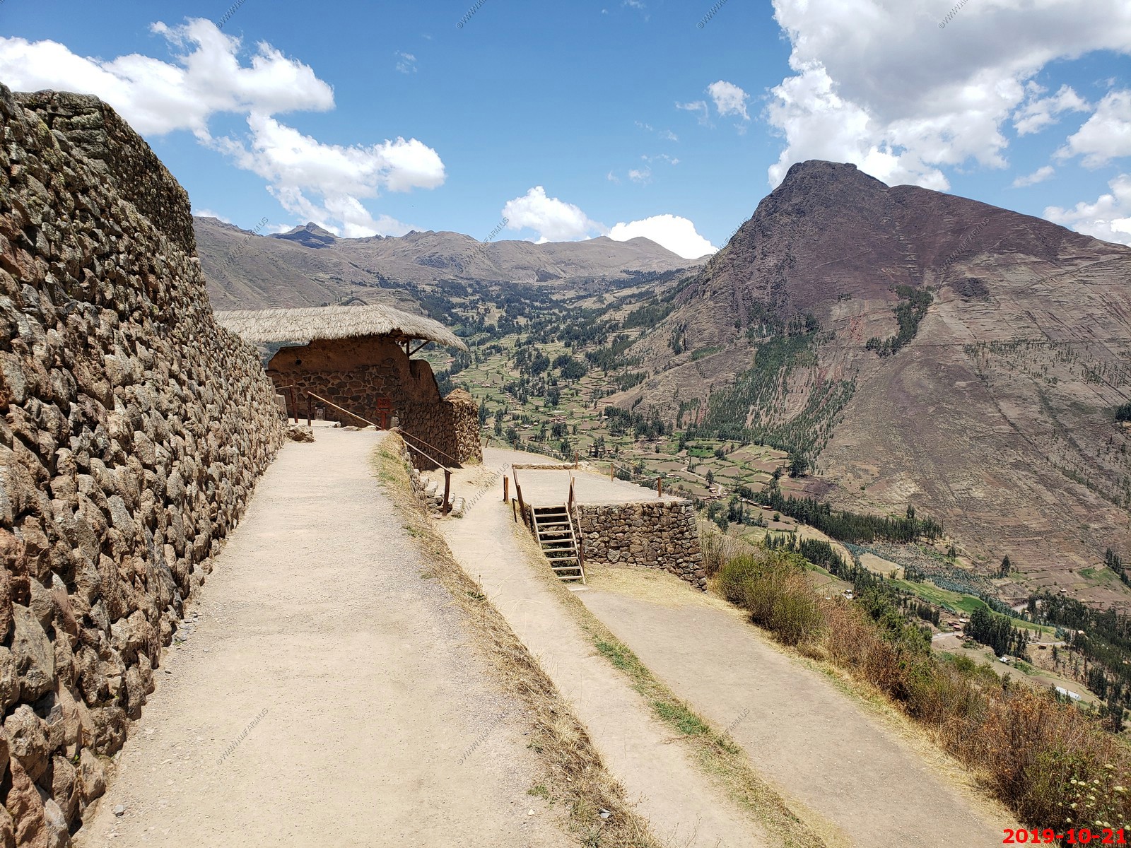
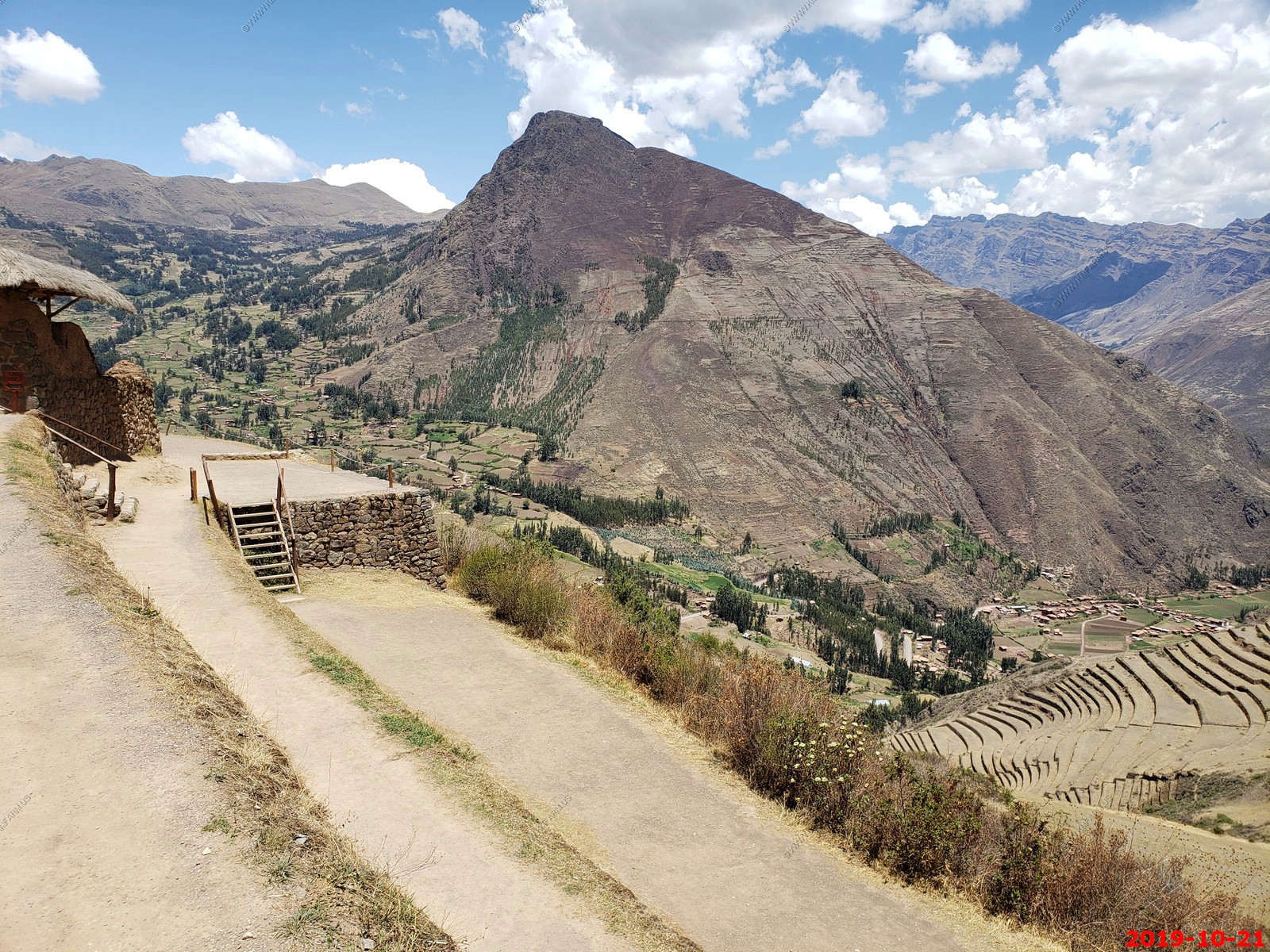
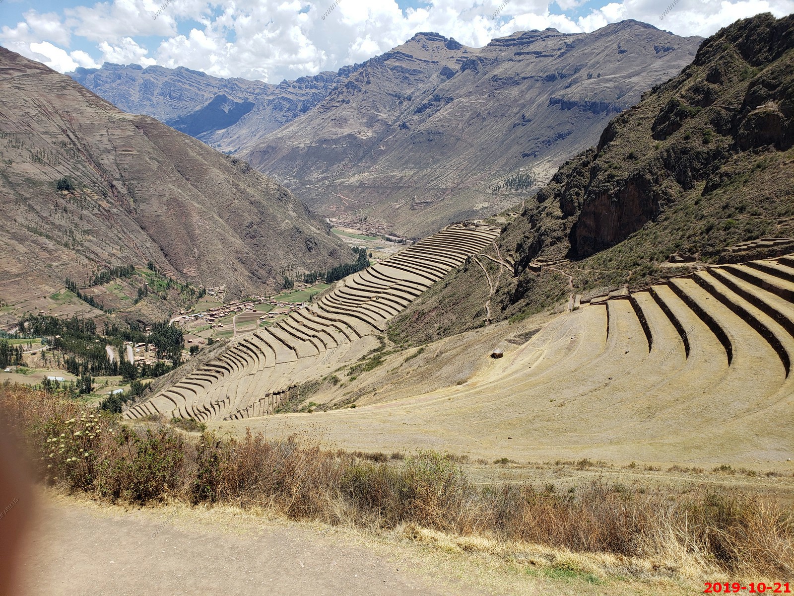
The Pisac ruins are among Peru's most intact ancient sites, and a perfect example of ingenious Inca architecture. They are built on top of a mountain that towers over the small town of Pisac; the views of the countryside are spectacular and the ruins.
Pisac is a village in southern Peru's Sacred Valley region. It's known for its lively handicrafts market in the main square. A path winds from the square past agricultural terraces up to Pisac Archaeological Park, a hilltop Incan citadel with ancient temples, plazas and the Intihuatana, a stone structure thought to have been a sundial.
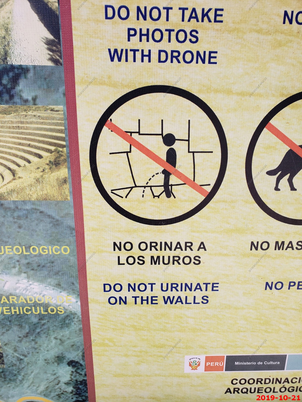
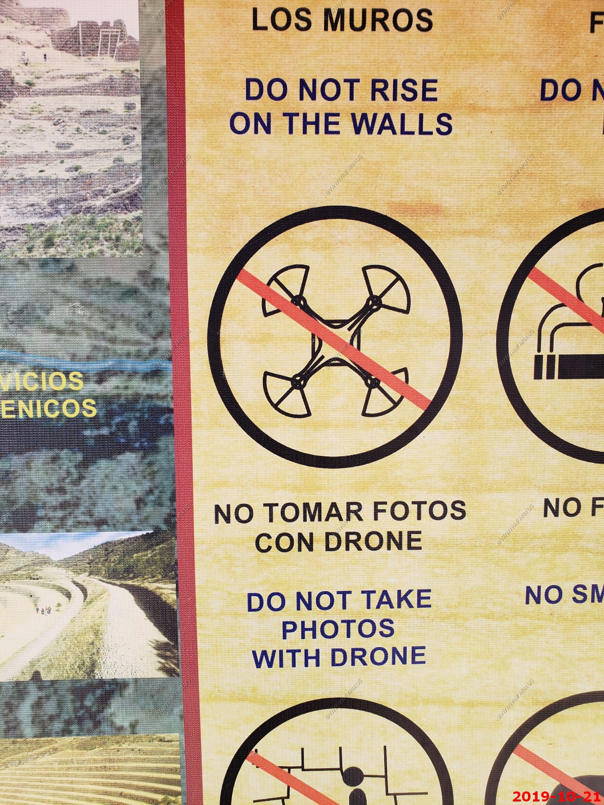
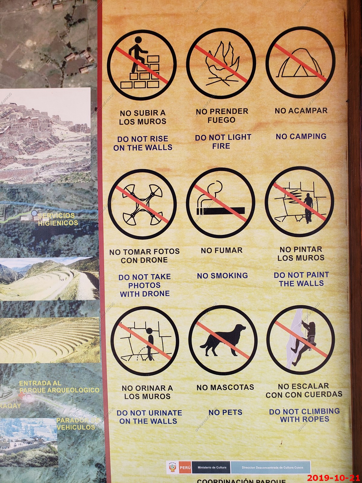
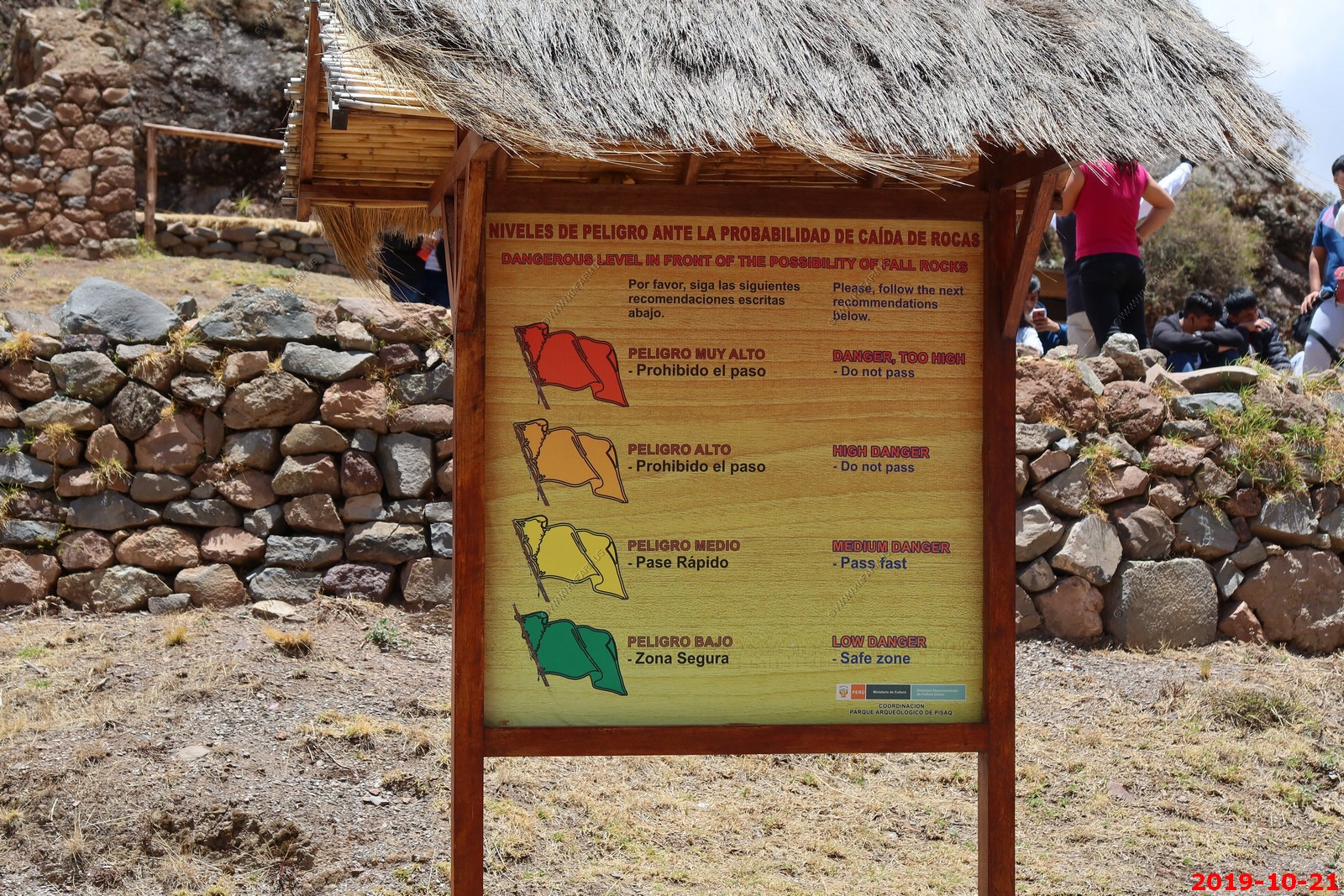
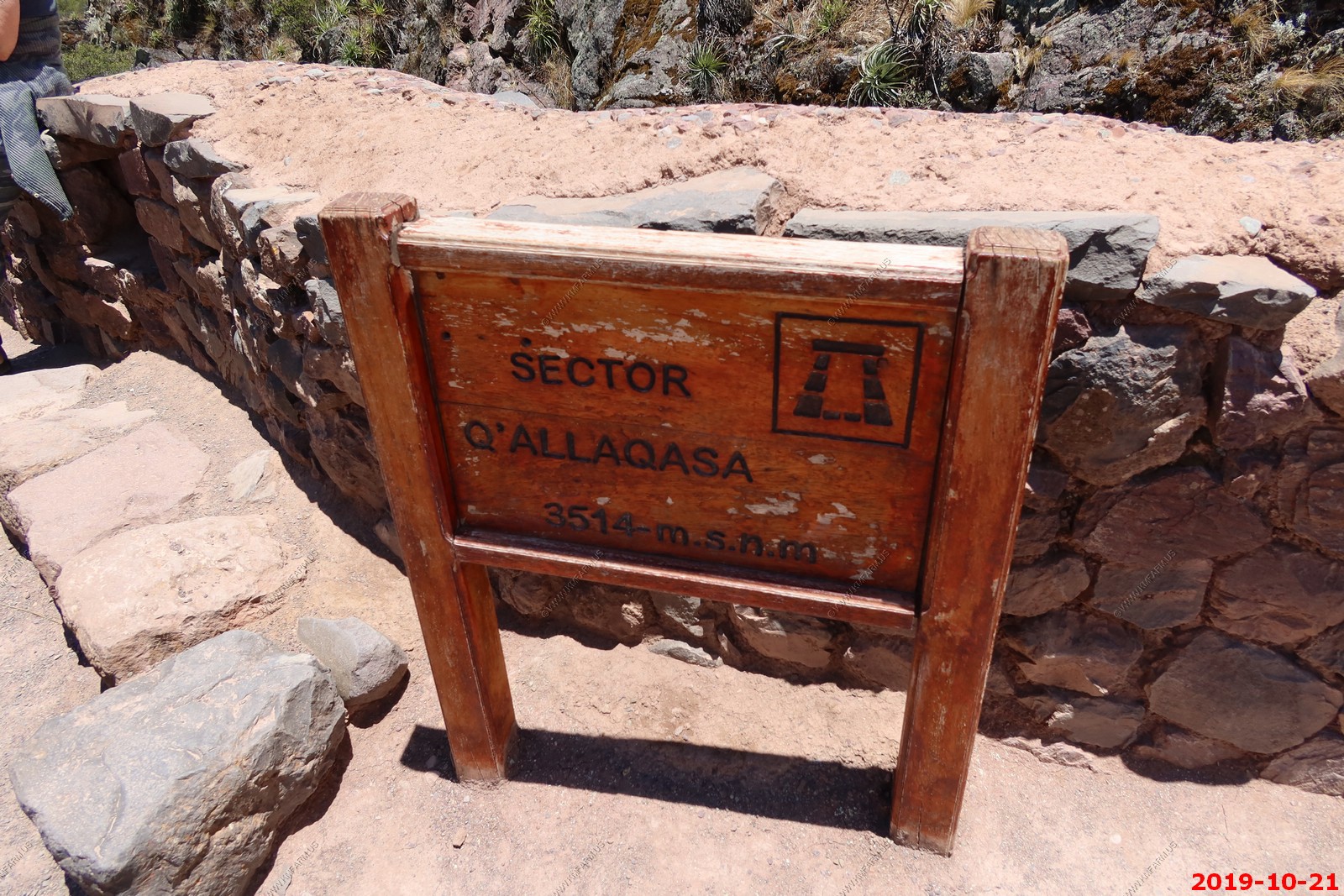
Info Signs at the entrance to Pisac
Various views (I am not deleting duplicates to save time processing)
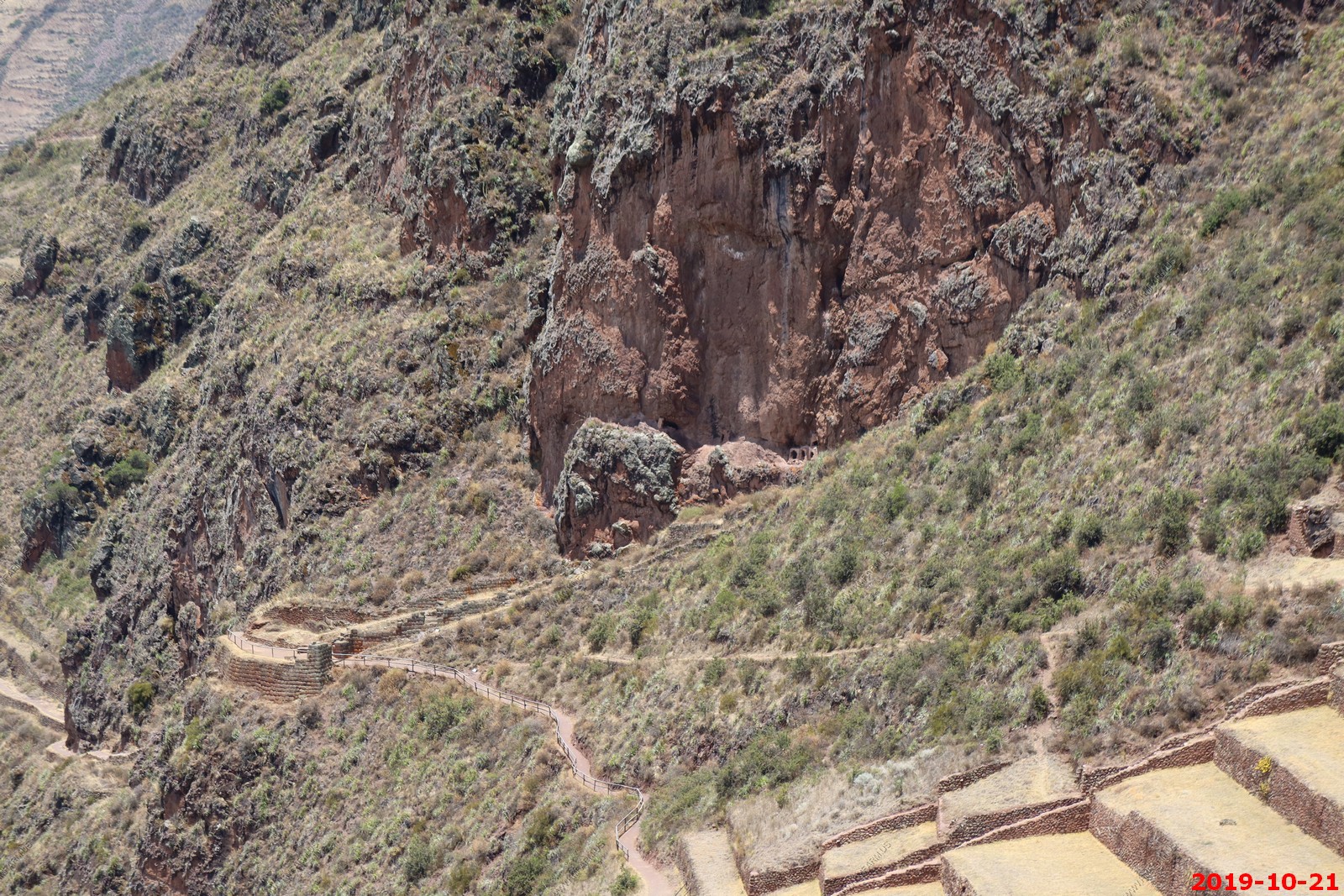
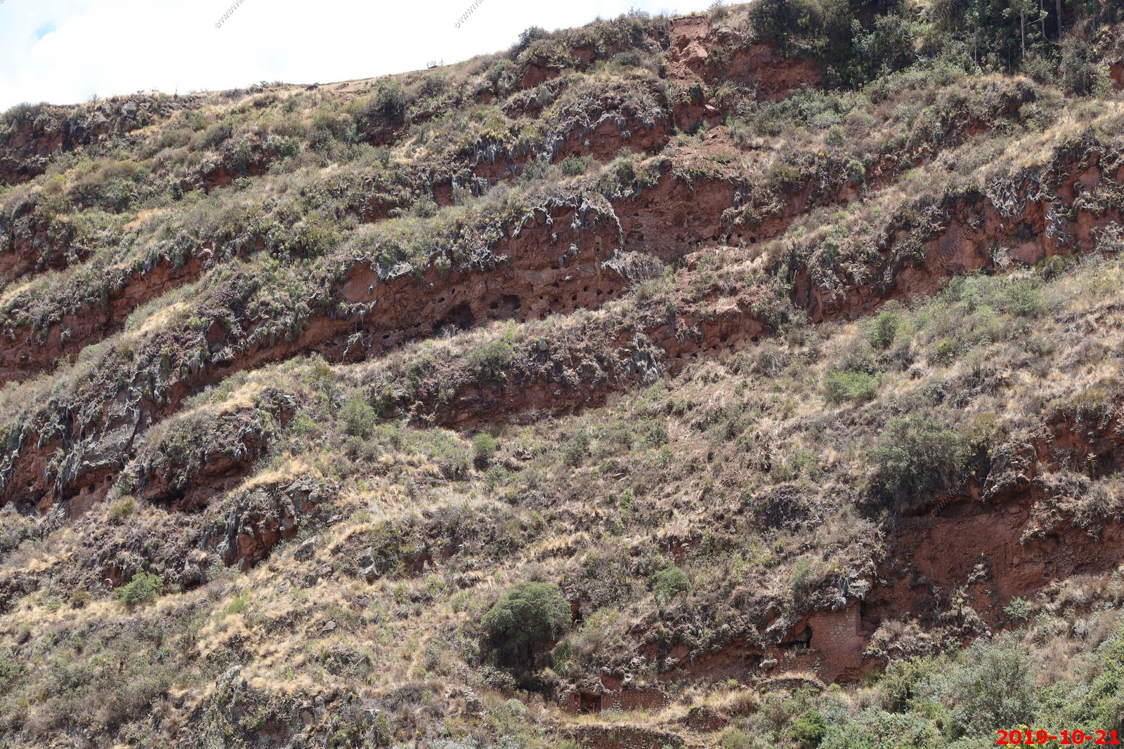
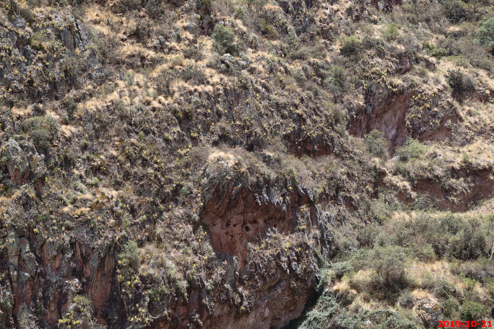
Graves were placed on the cliffs. They were all robbed.
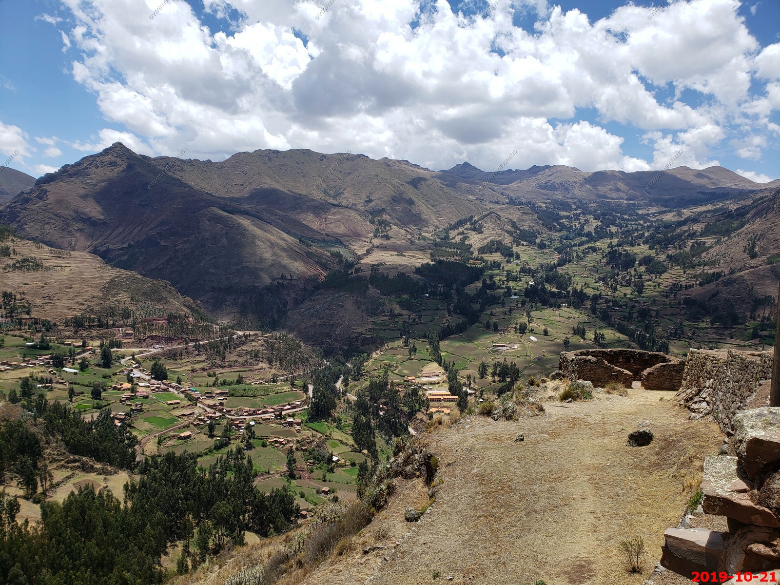
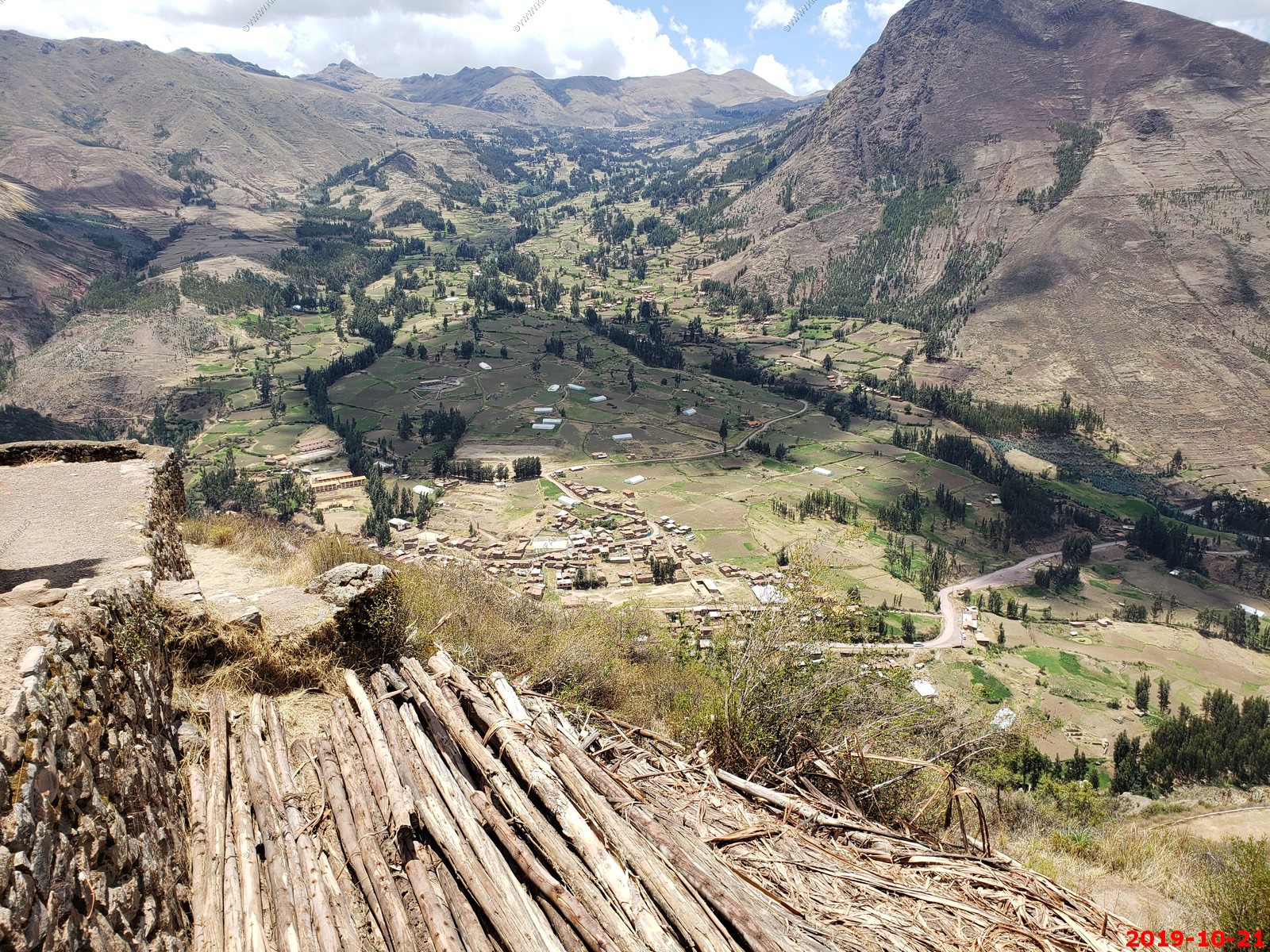
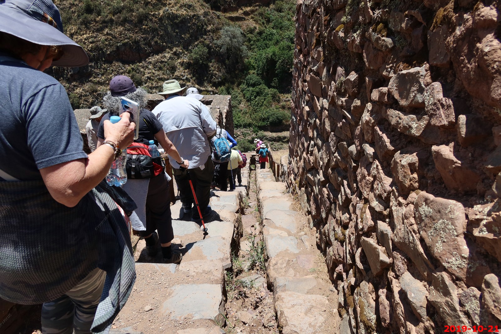
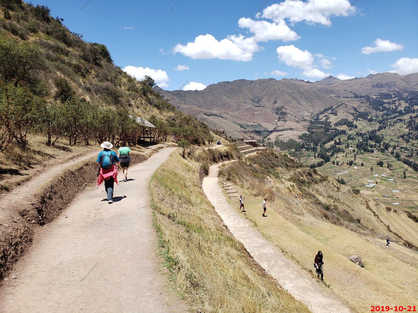
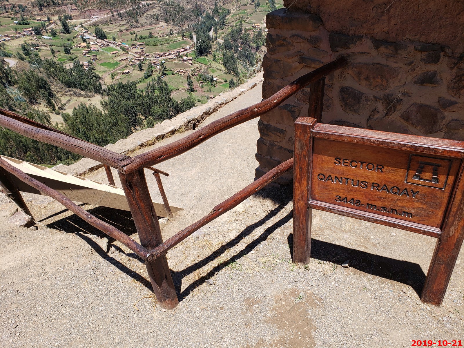
We hiked up to the top of the ruins. Elevation / location.
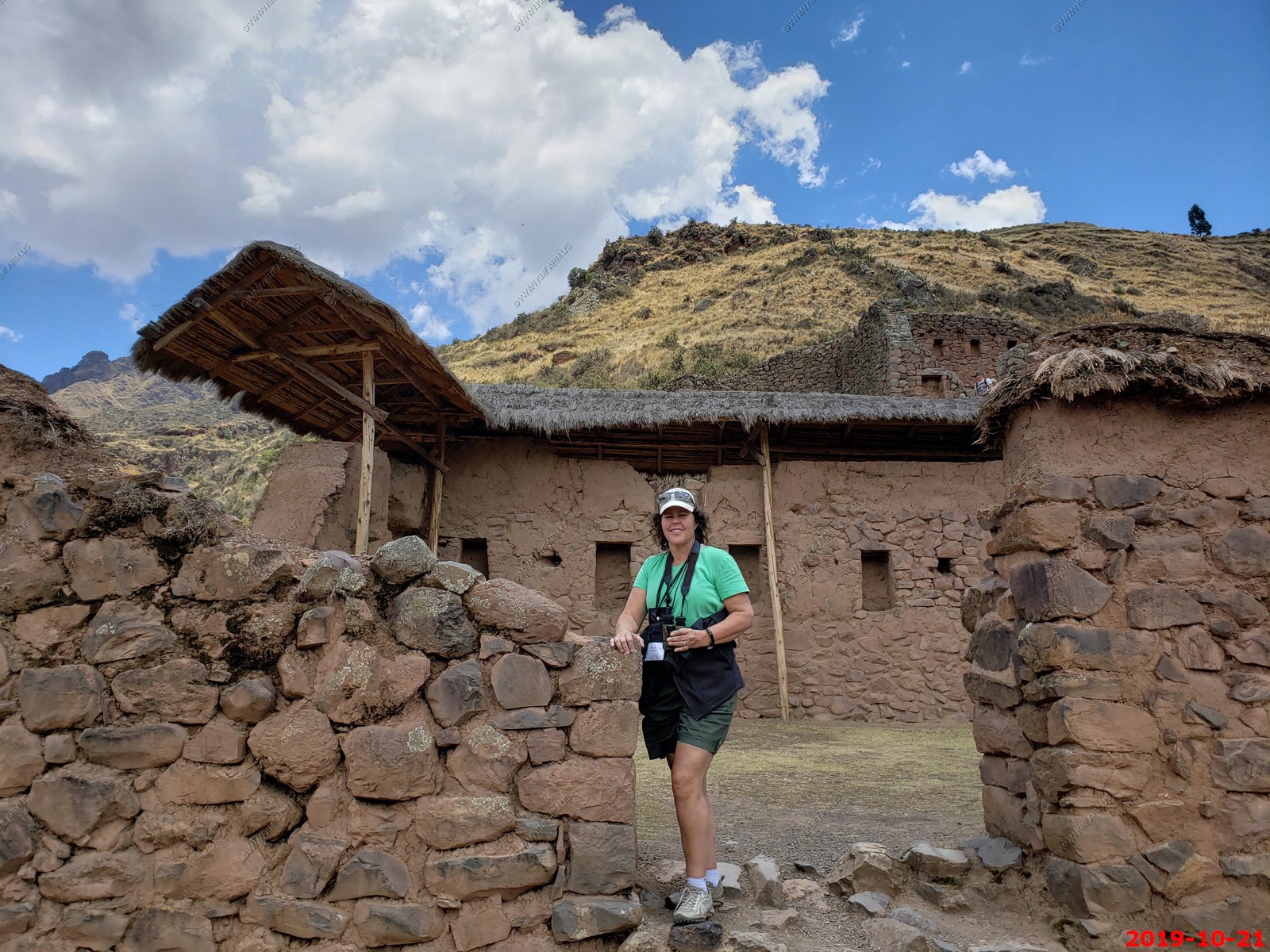
Various views (I am not deleting duplicates to save time processing)
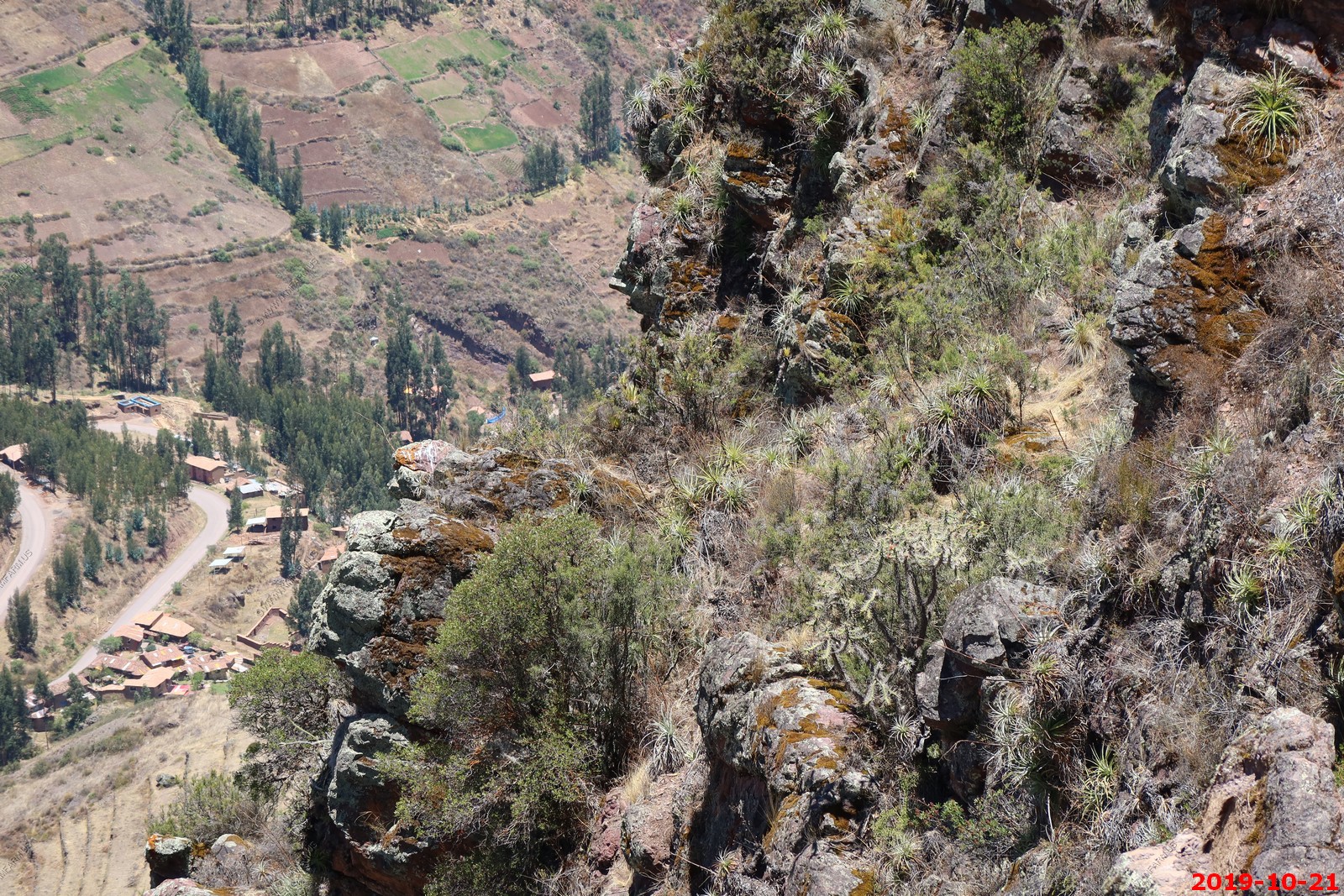
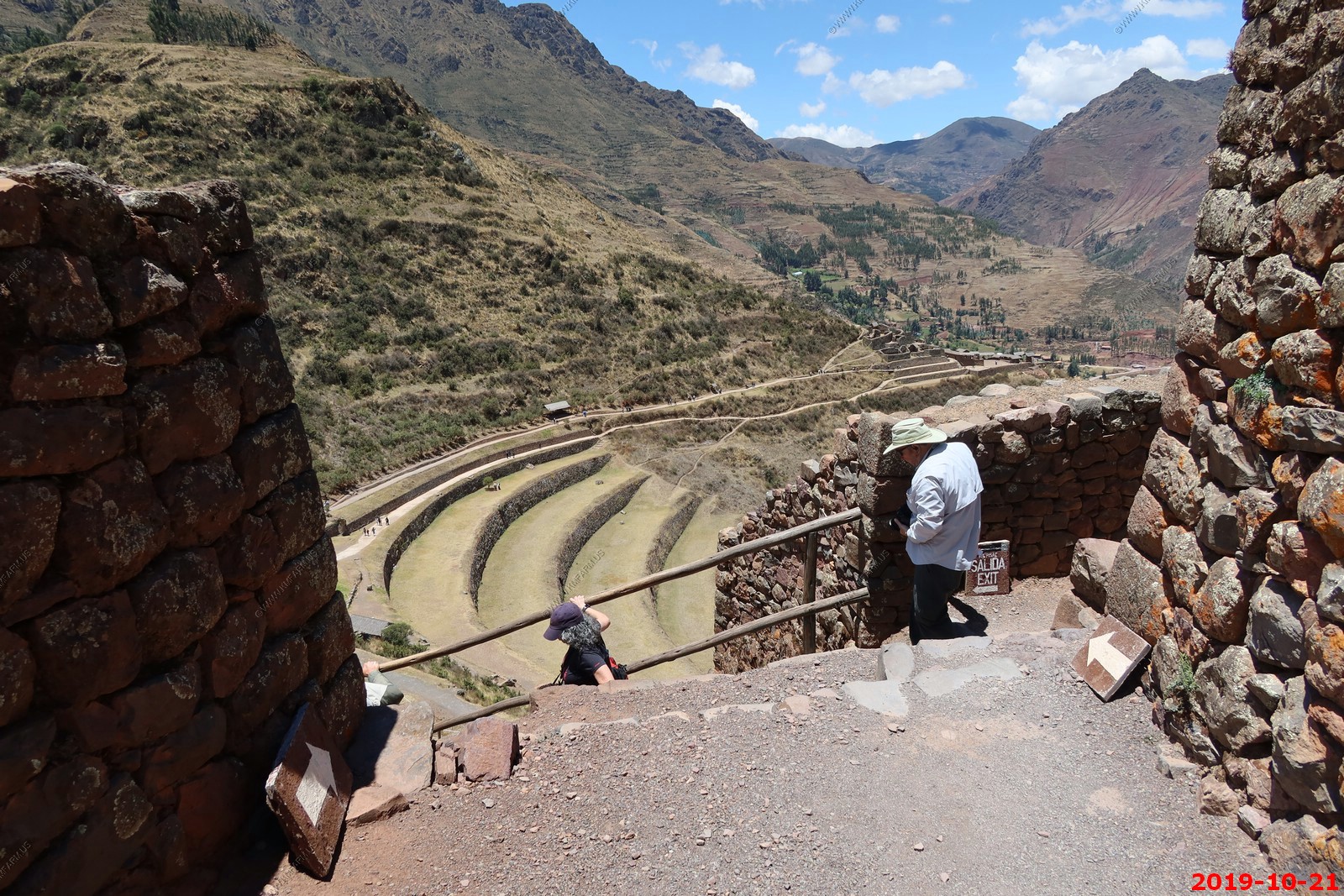
Steep in places. Our group going down - Various views (I am not deleting duplicates to save time processing)
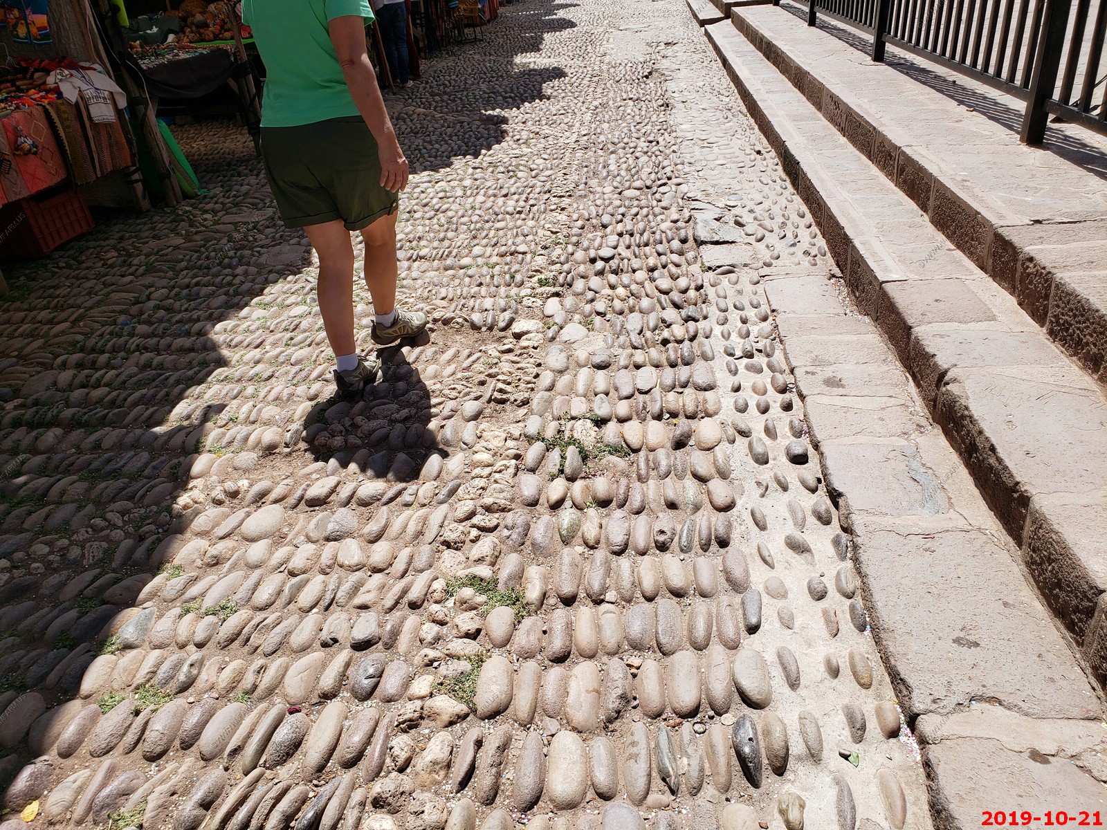
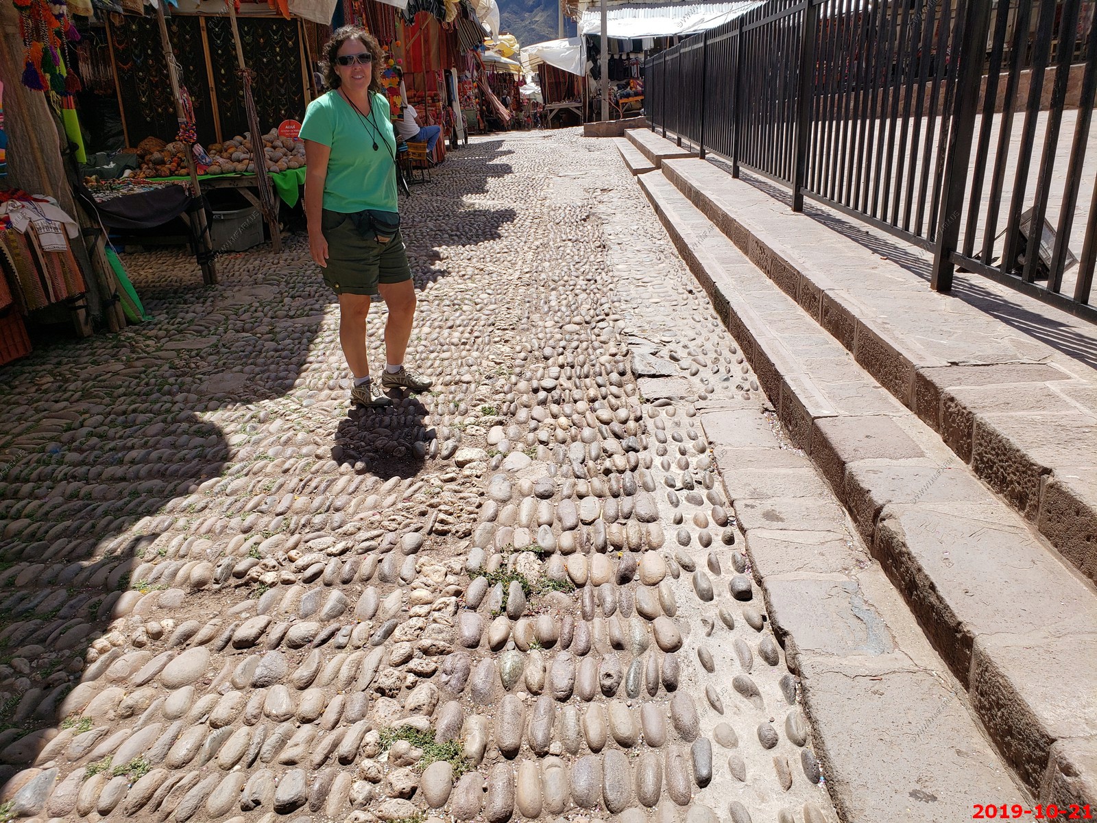
Pisac Market
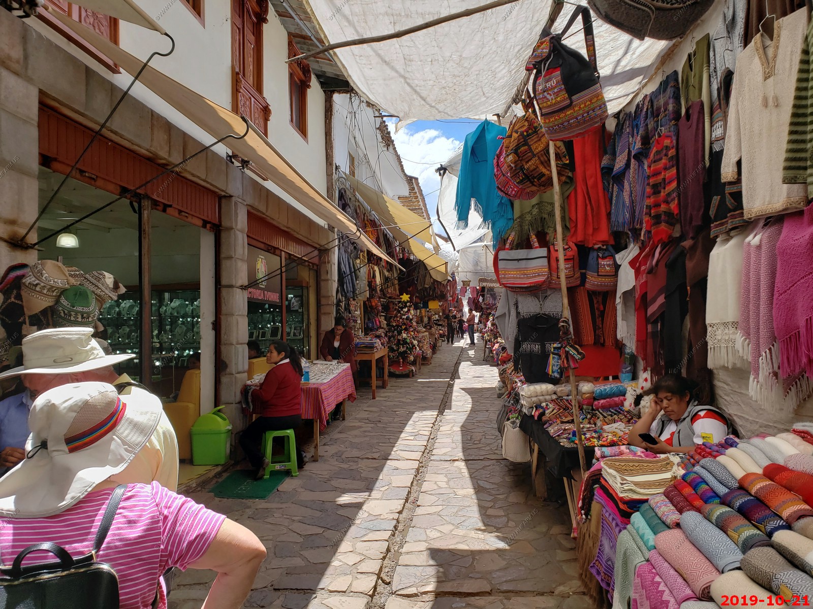
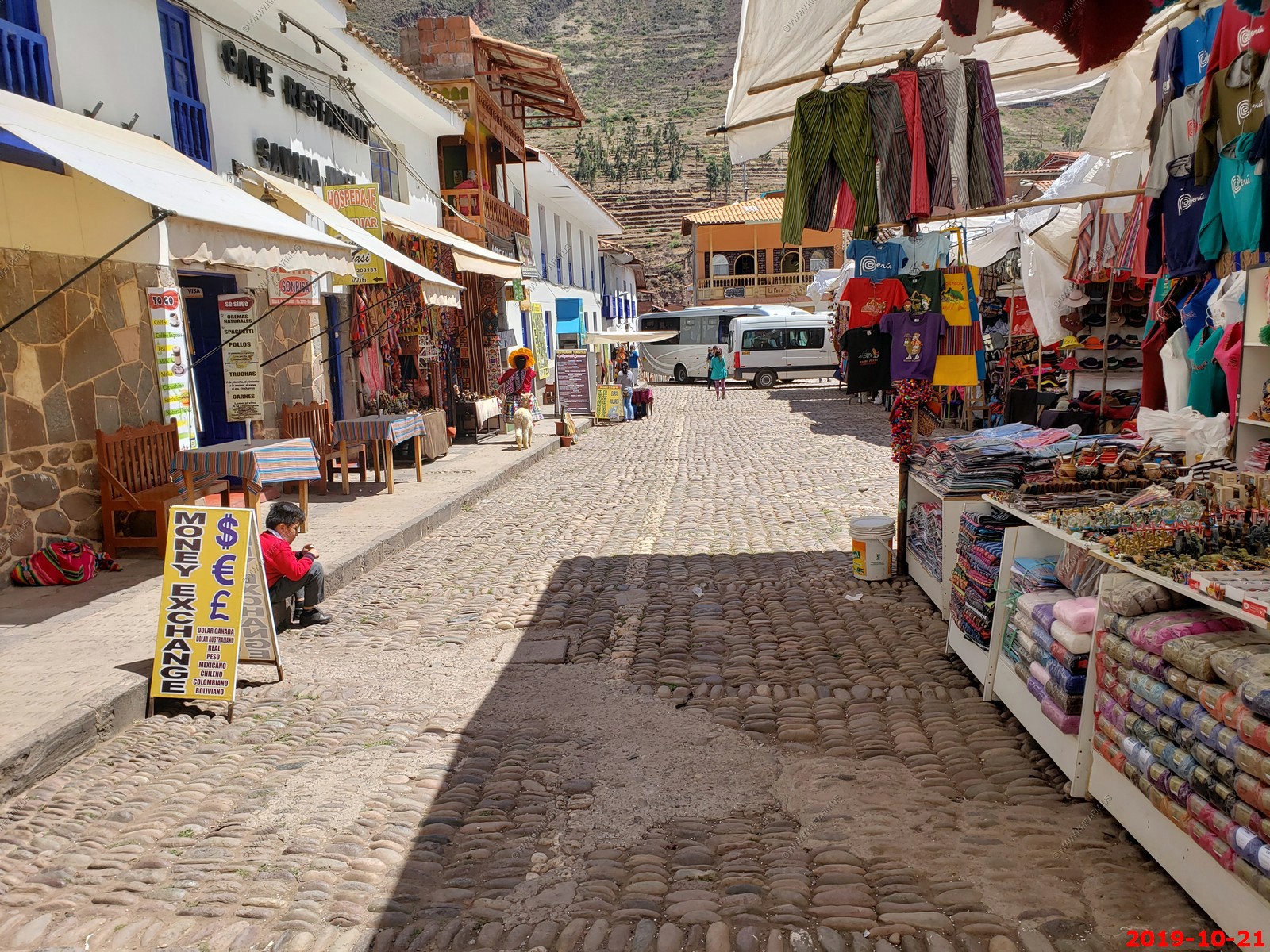
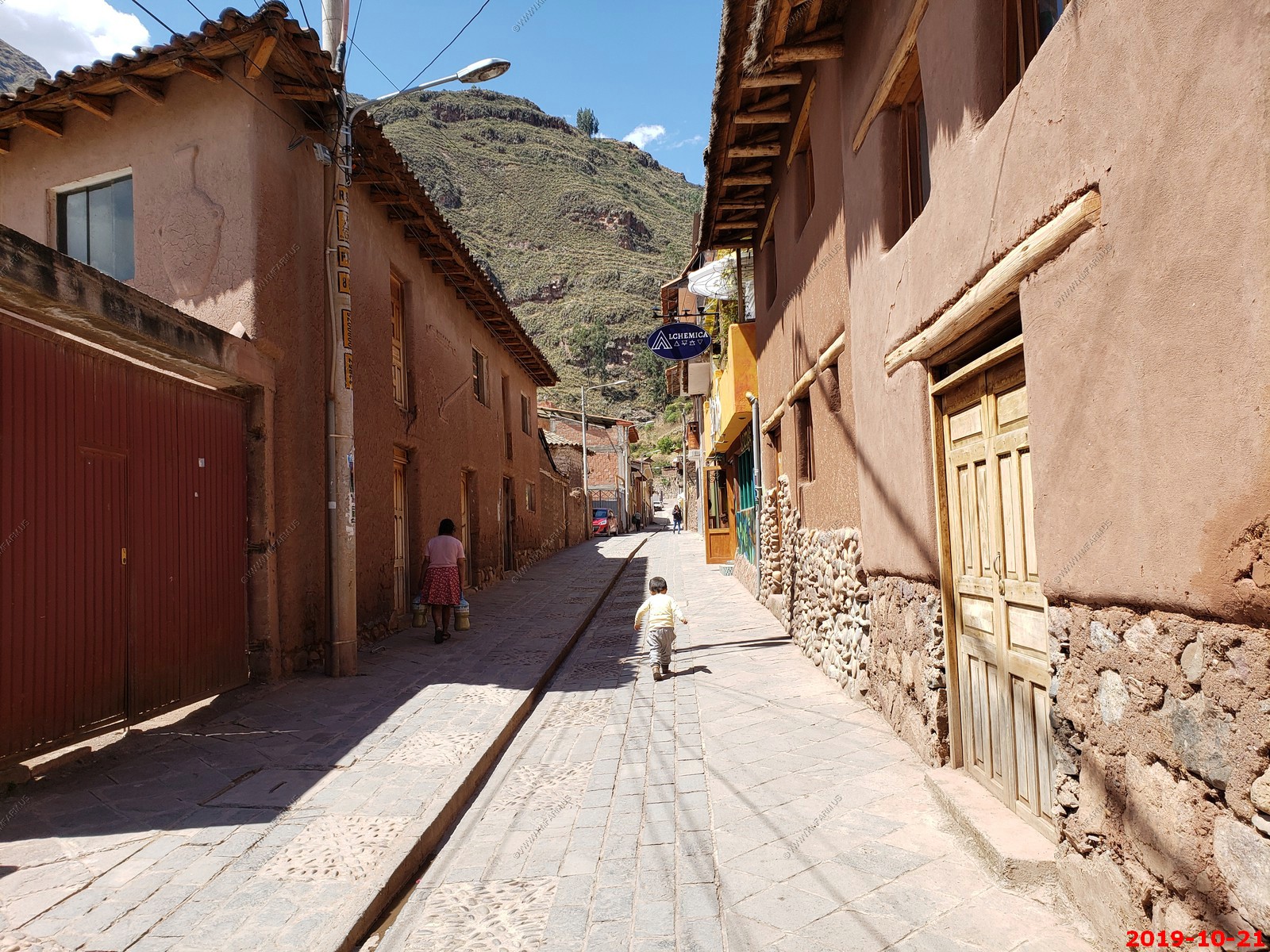
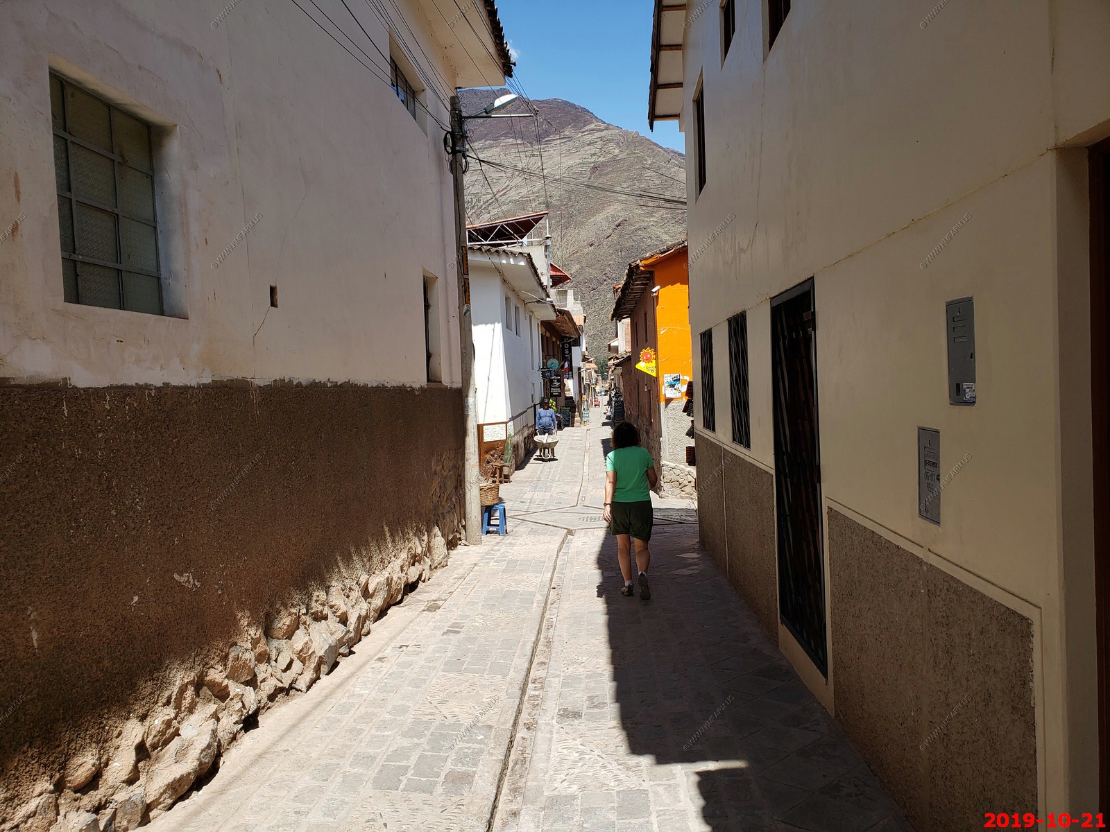
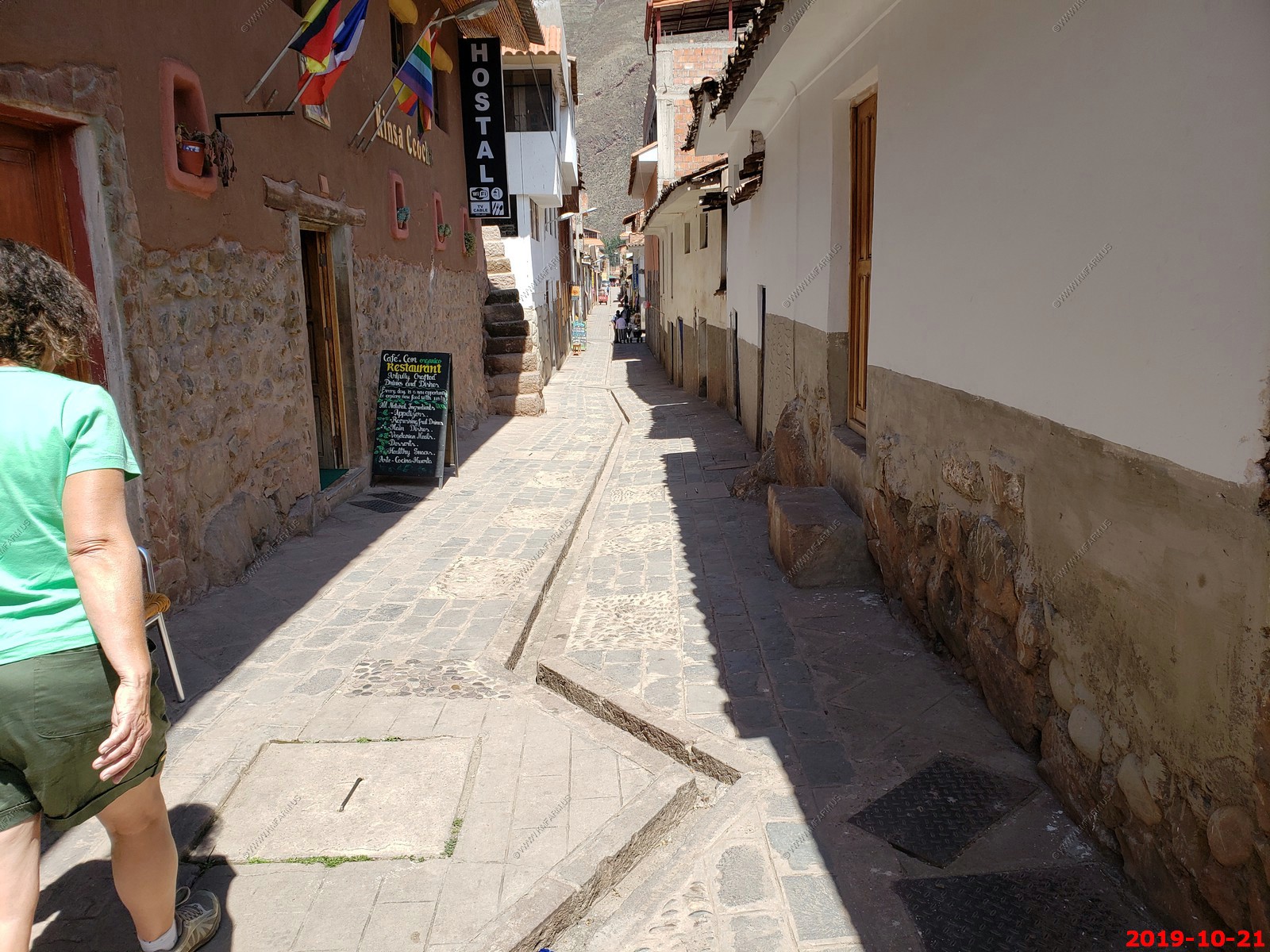
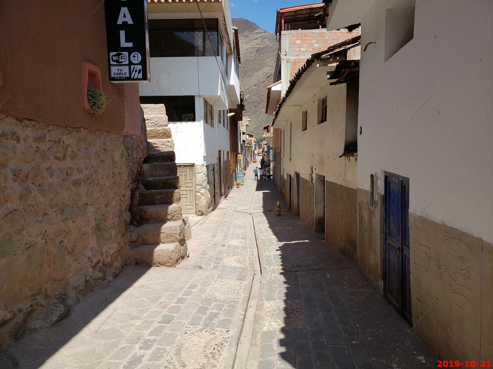
Very old bumpy streets with ankle breaking drainage
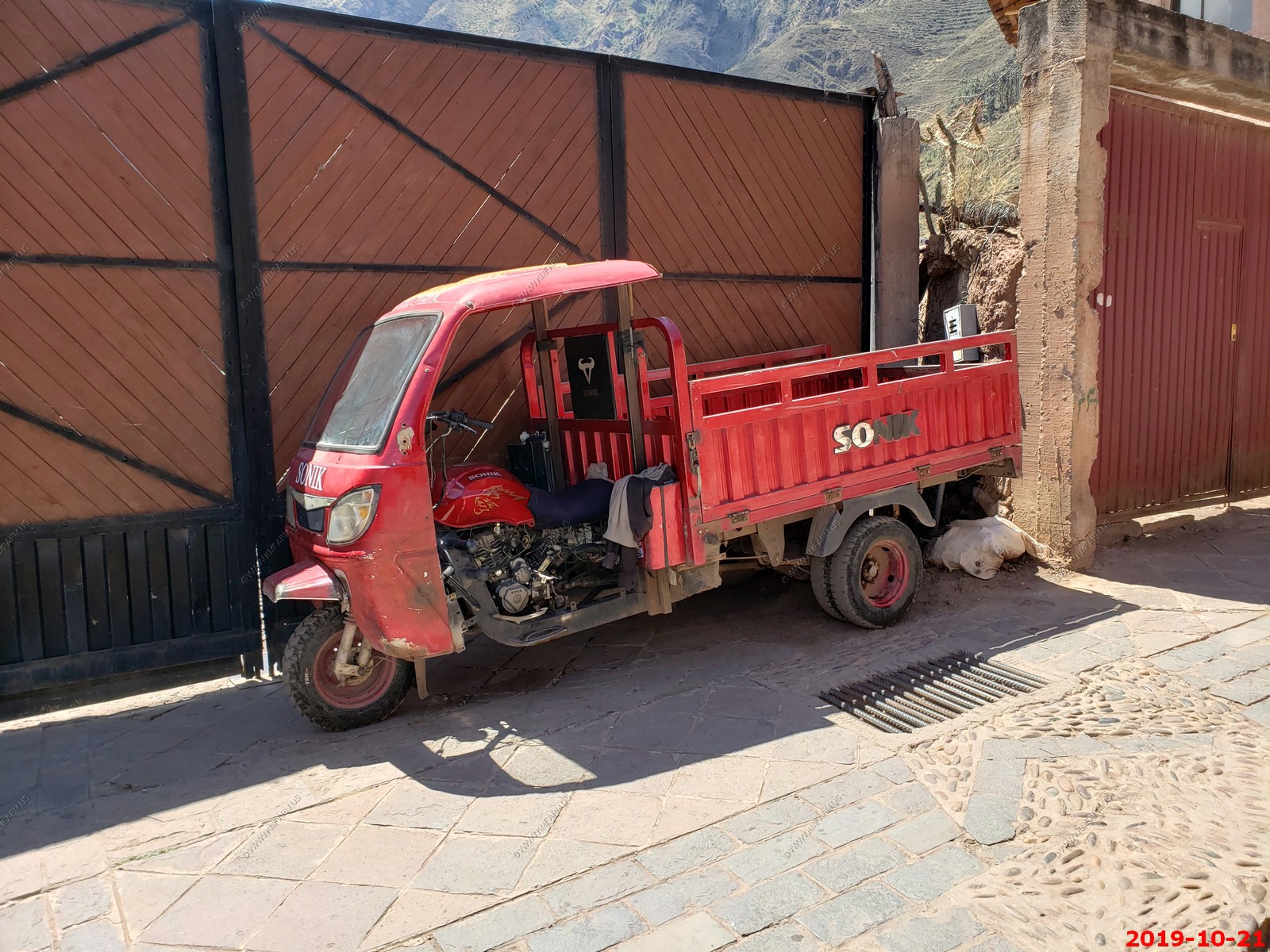
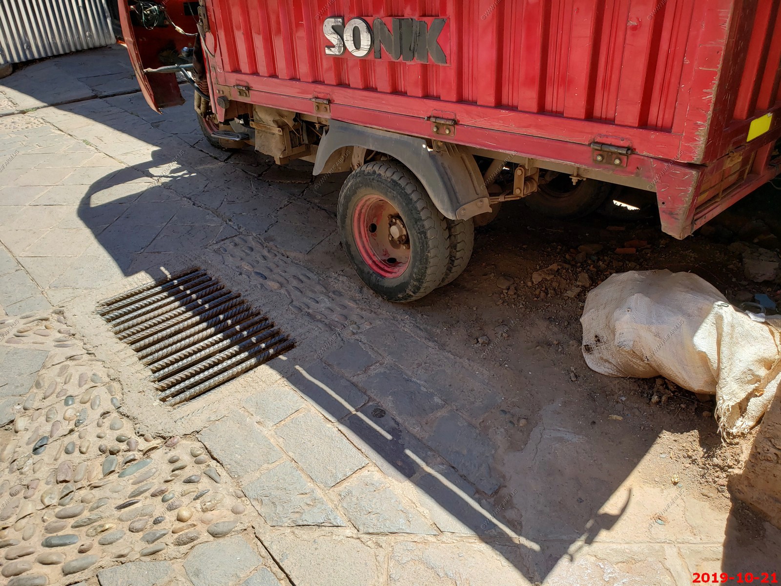
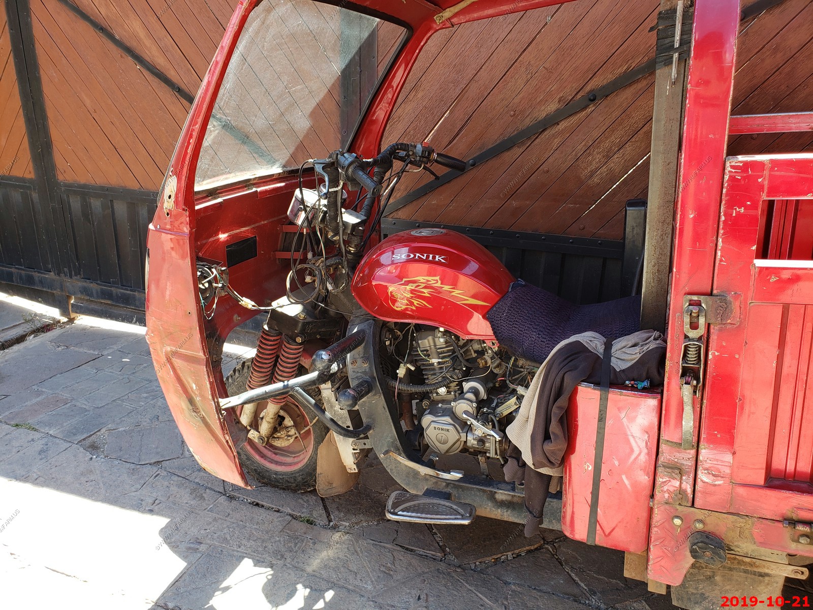
Another motorcycle converted to a truck and this one is a dual axe
More very old bumpy streets with ankle breaking drainage
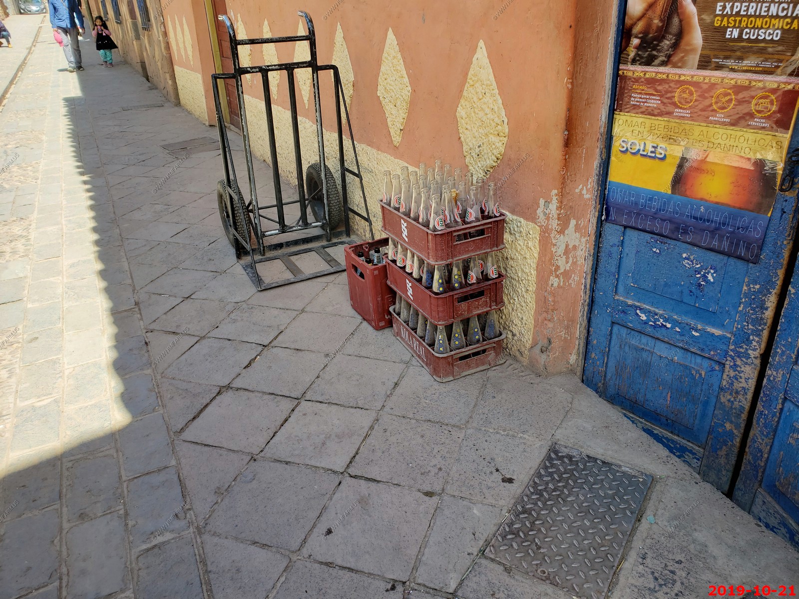
Returnable bottles
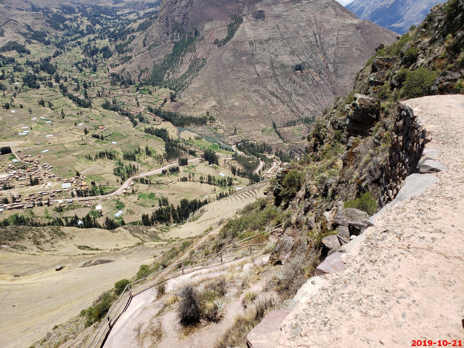
Looking up thousands of feet to some of the Pisac ruins
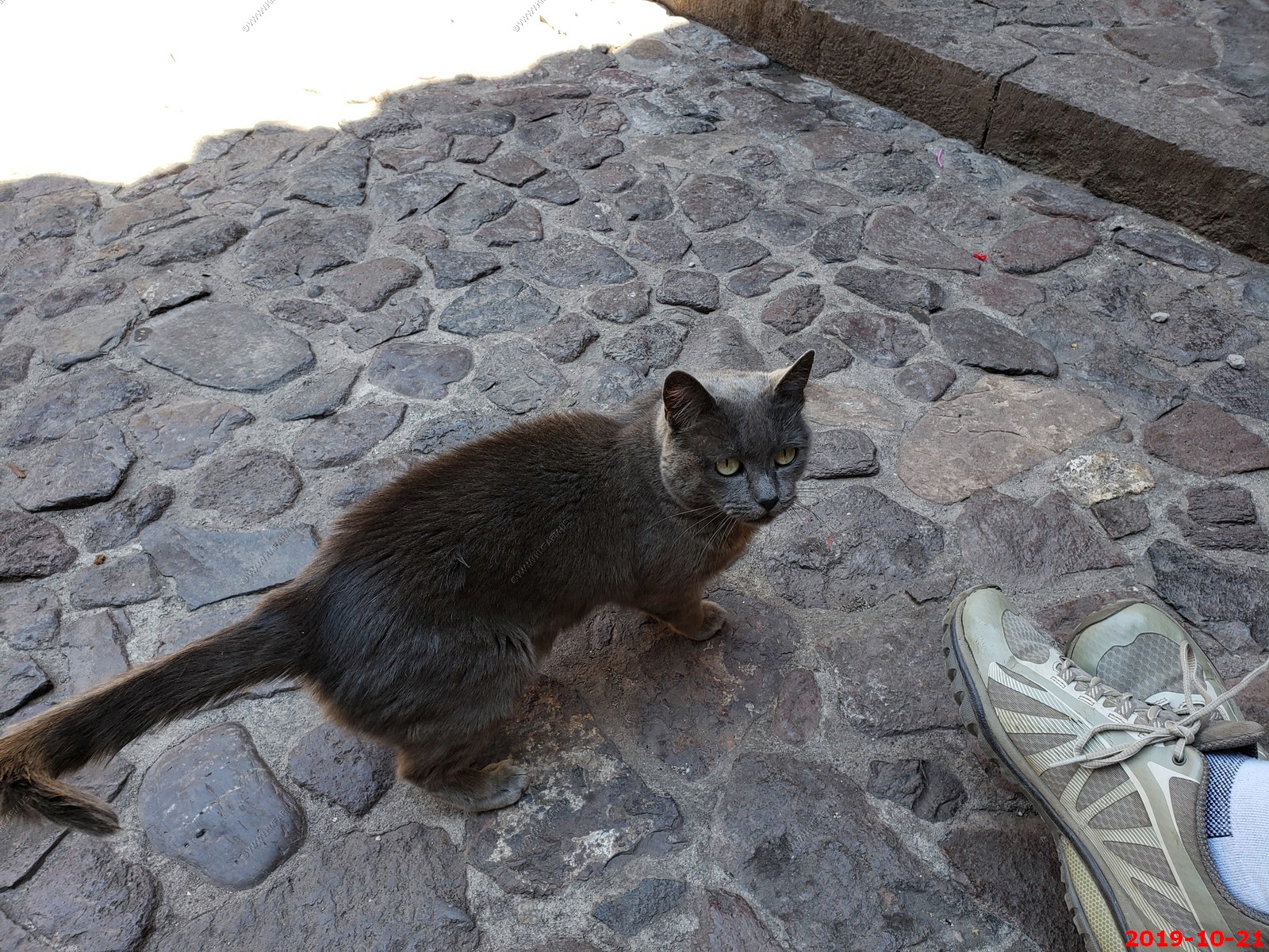
Kitty near the Guinea Pig cooking area
SAD -- Guinea Pig waiting for its turn in the oven
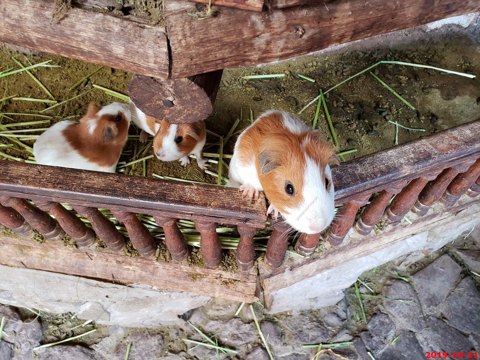
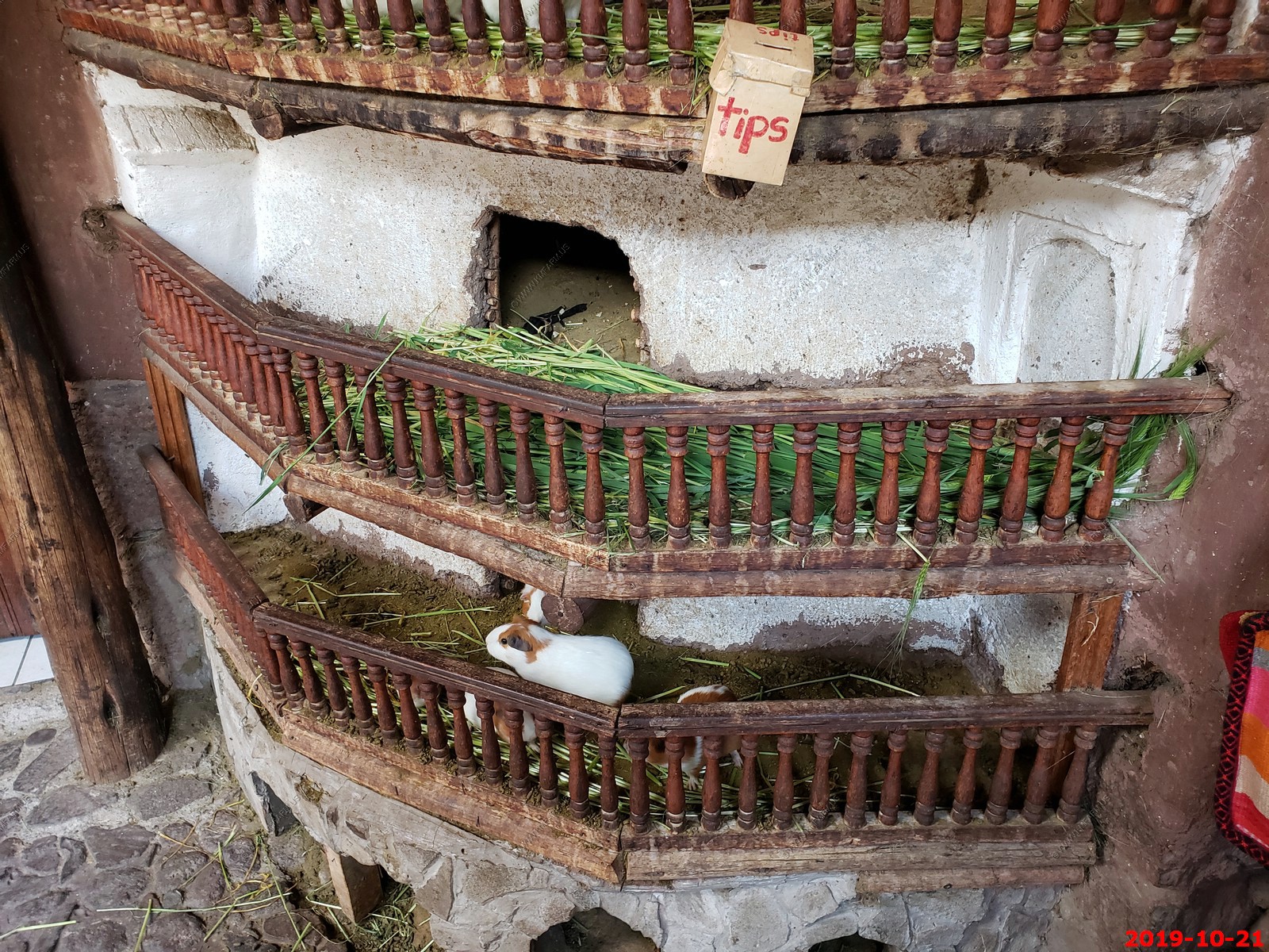
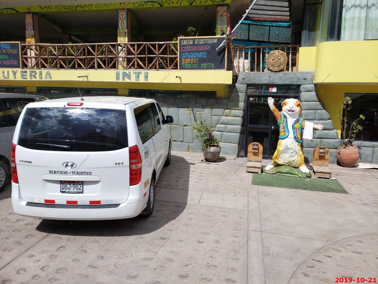
Guinea Pig statue indicating that they cook them here
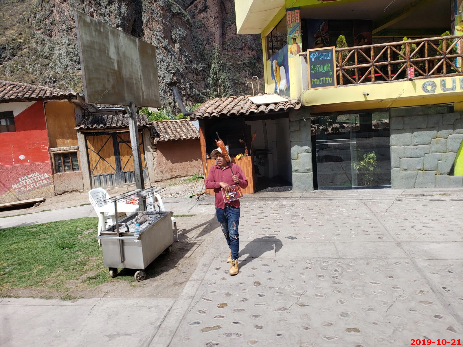
Piggy on a stick on our drive from Pisac to Ollantaytambo.
Looks like a cave. You can see stalactites
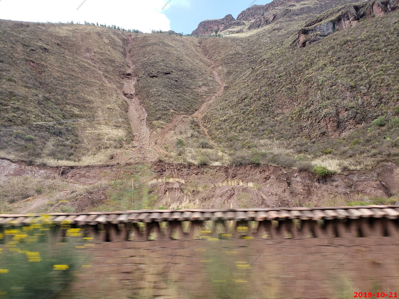
Looks like they were sliding tree trucks from the high country to the valley floor
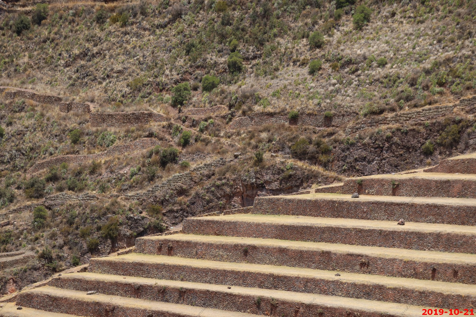
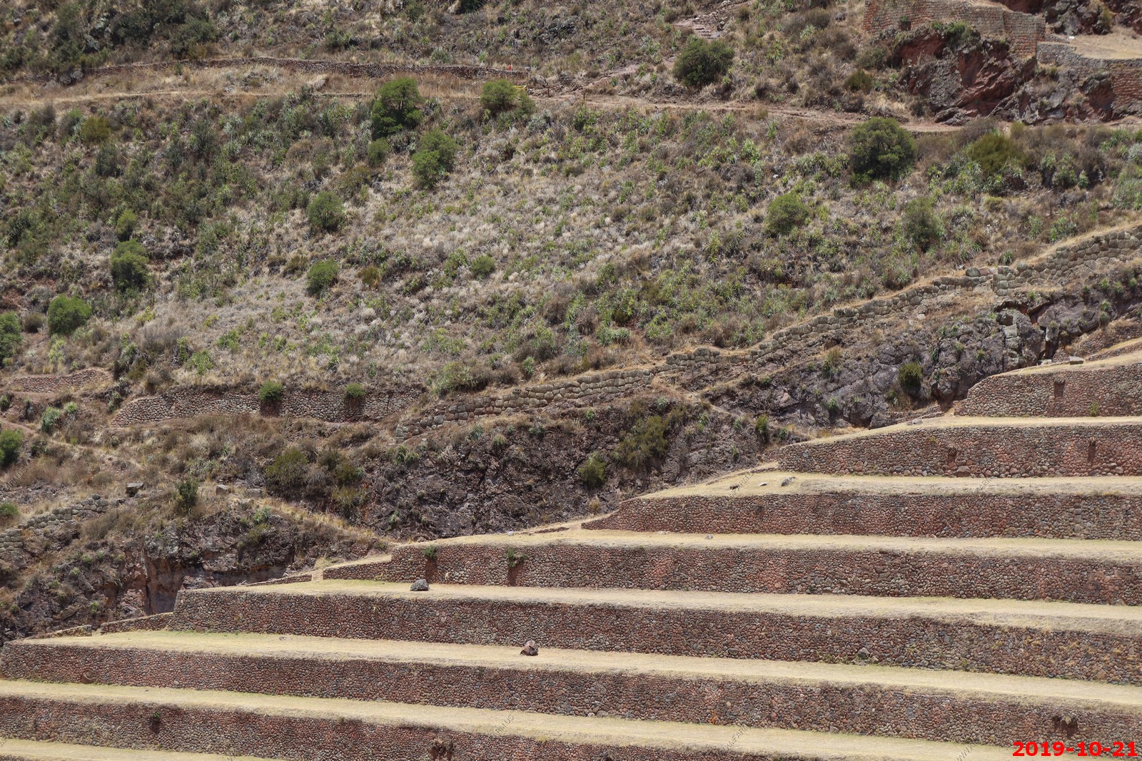
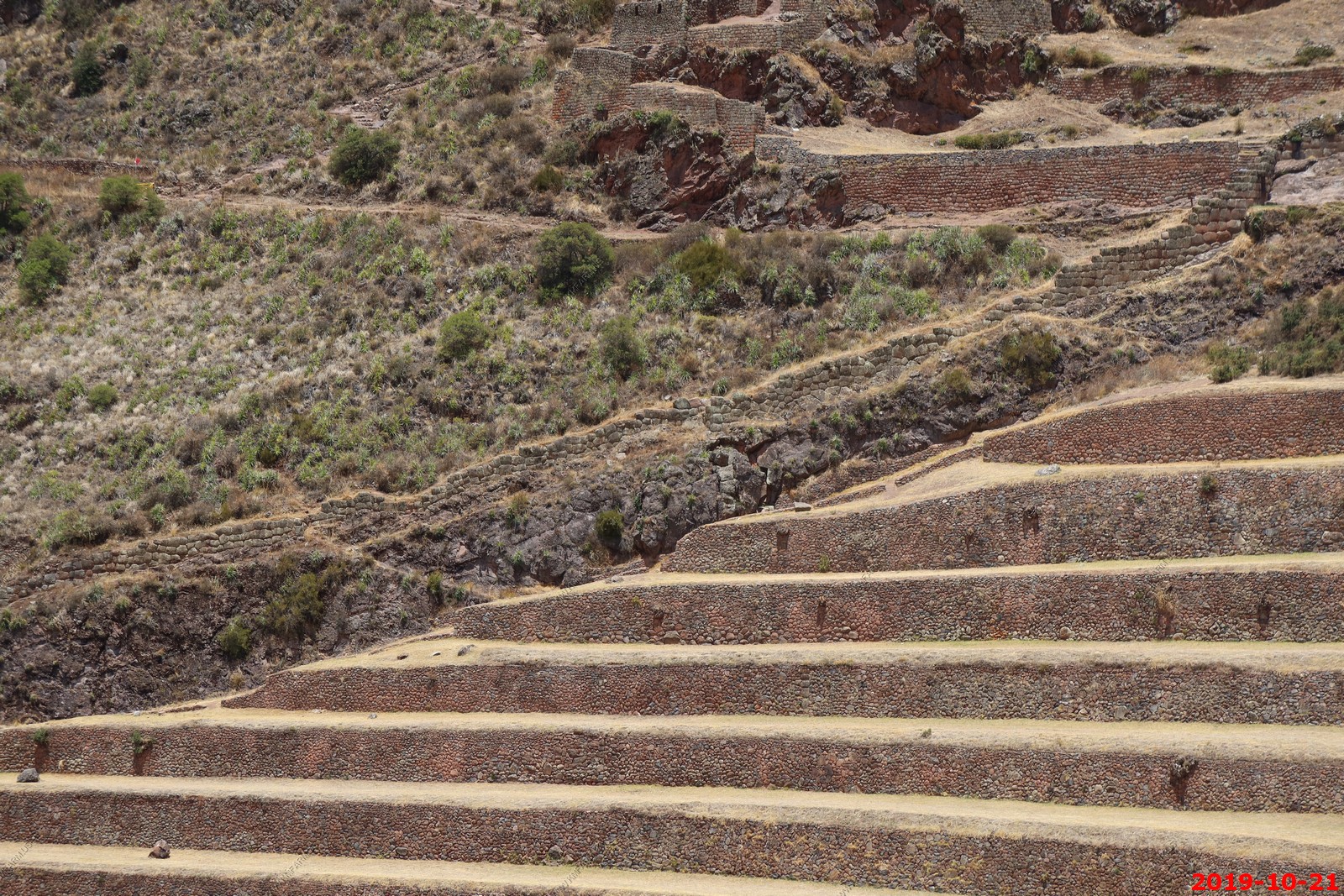
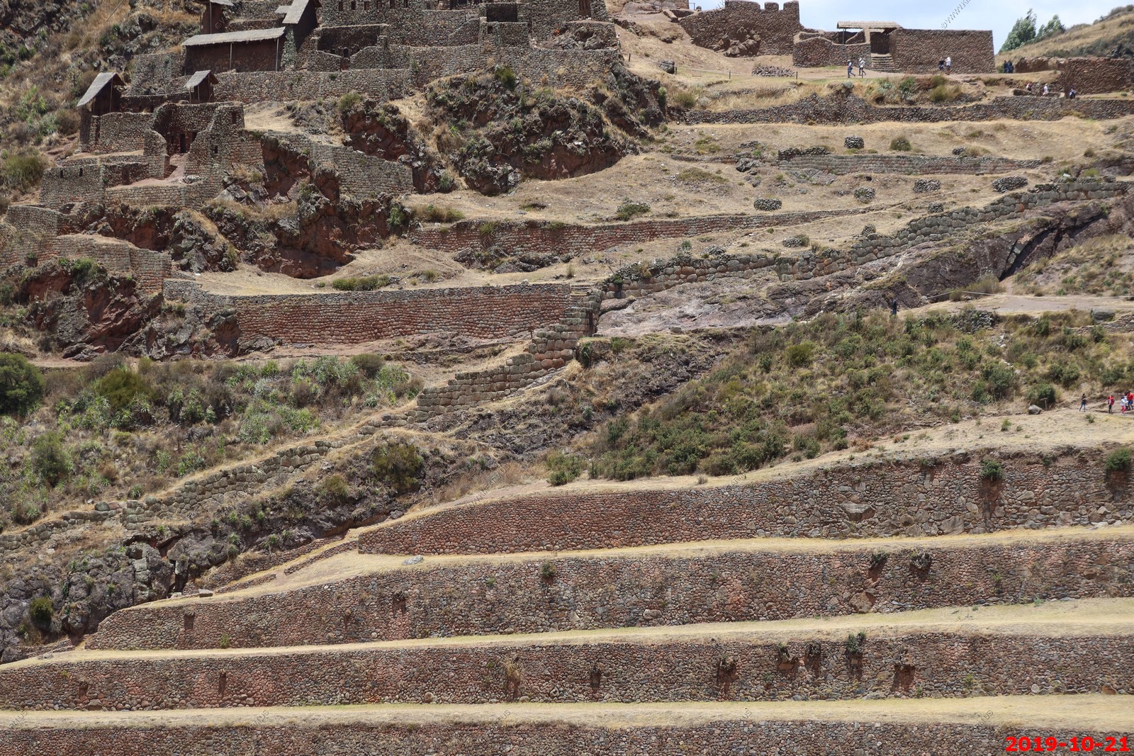
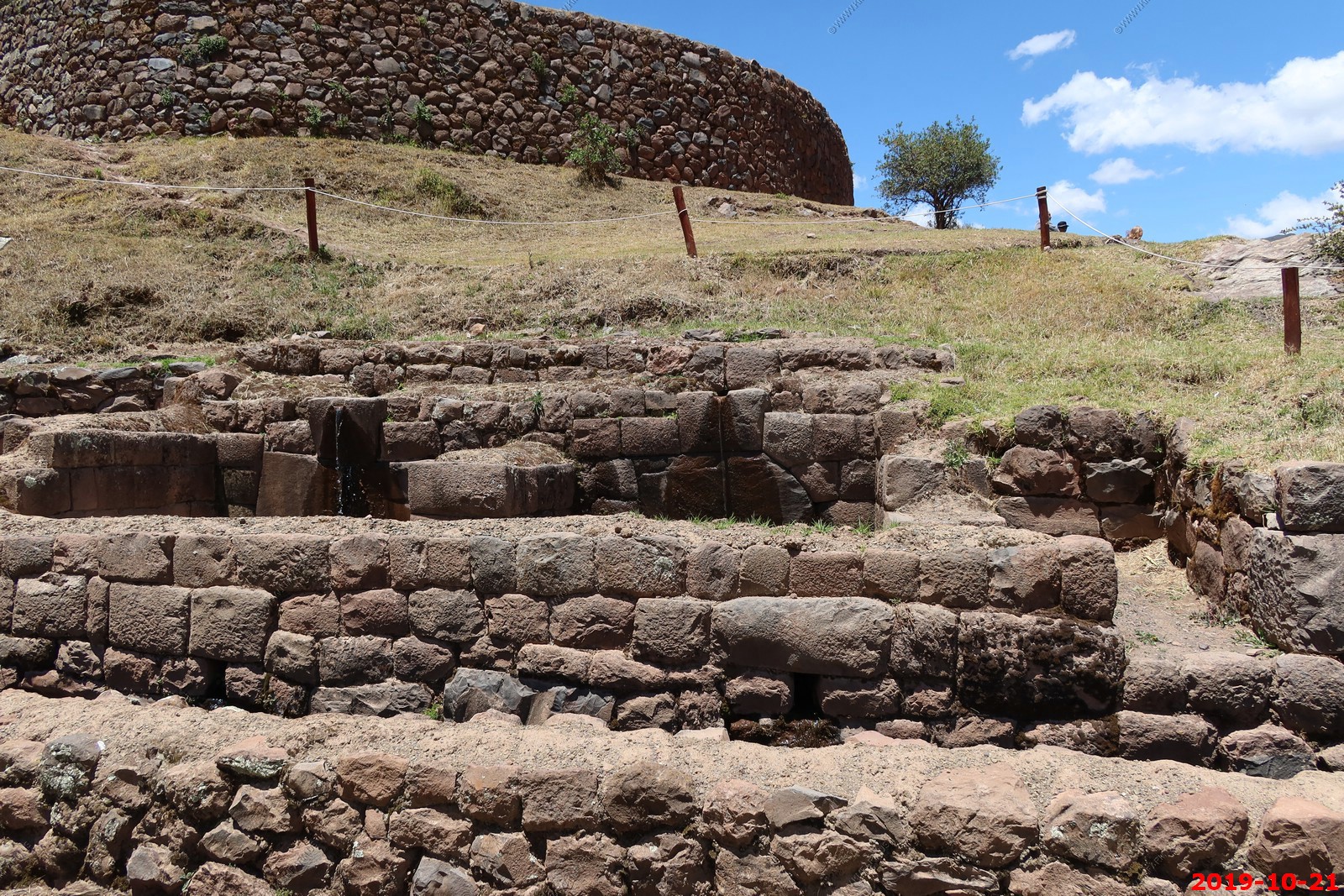
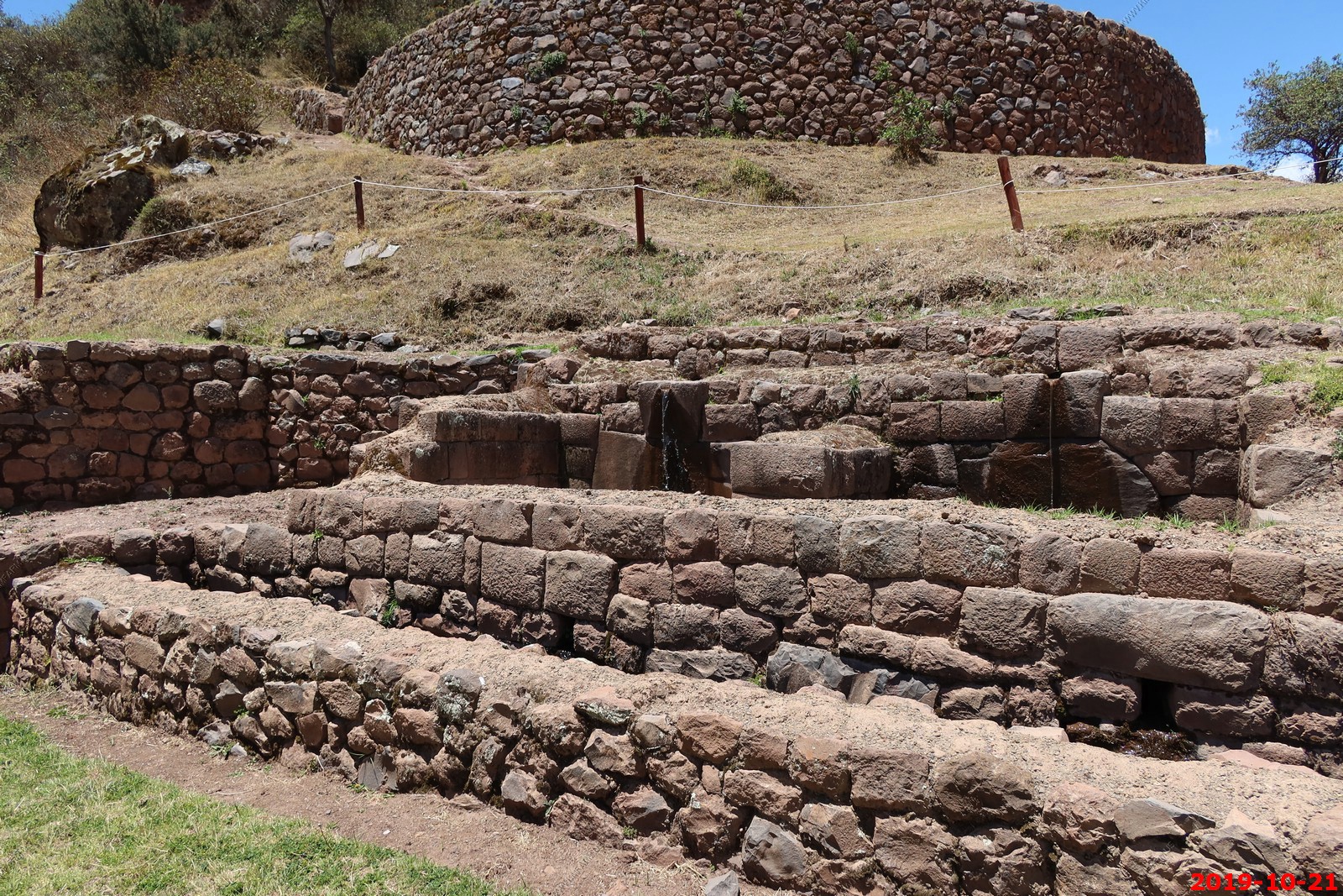
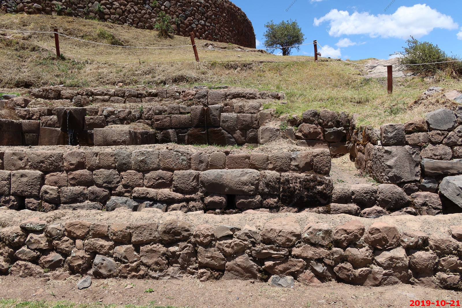
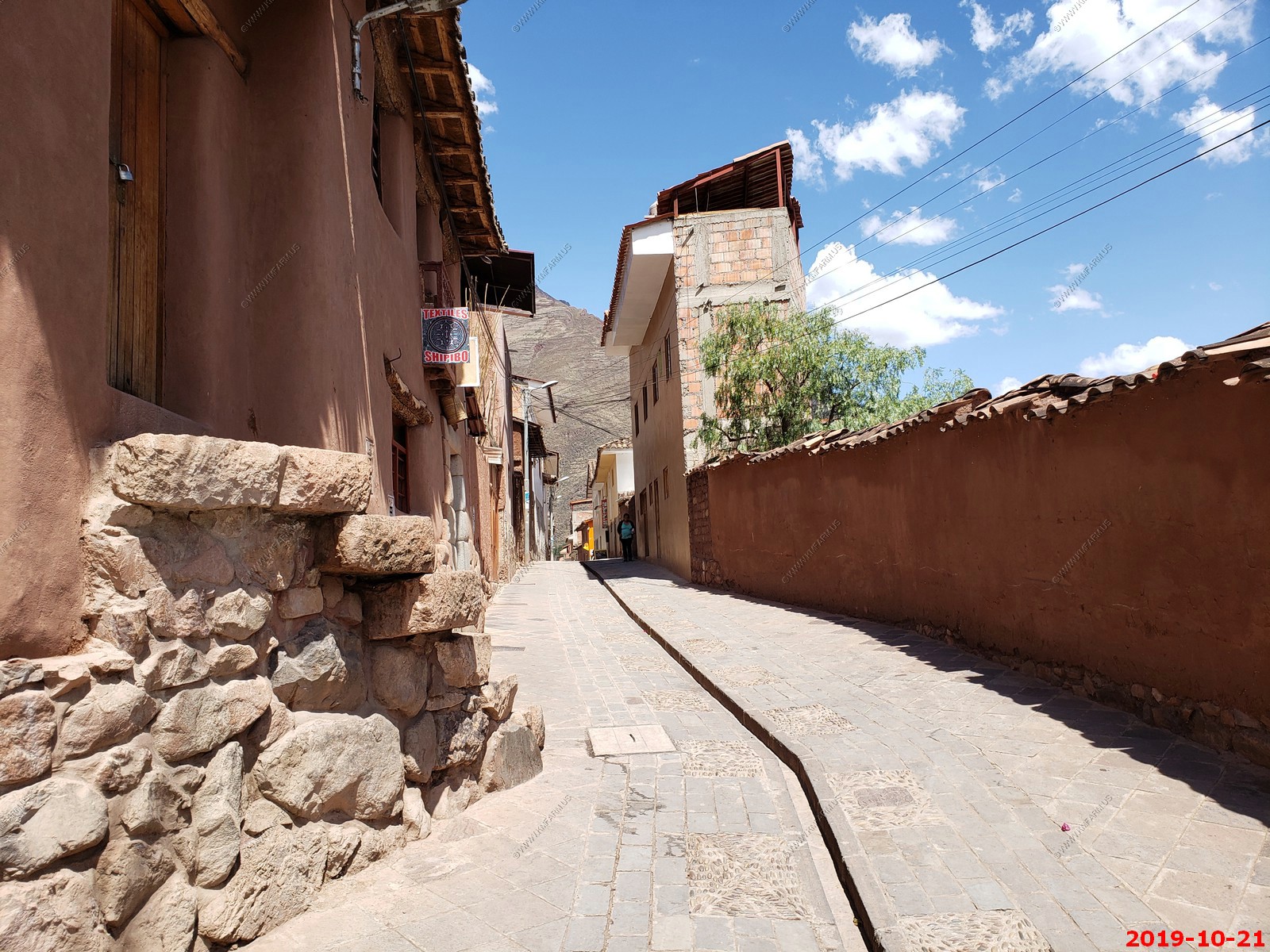
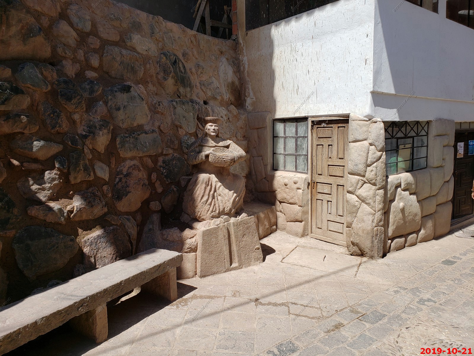
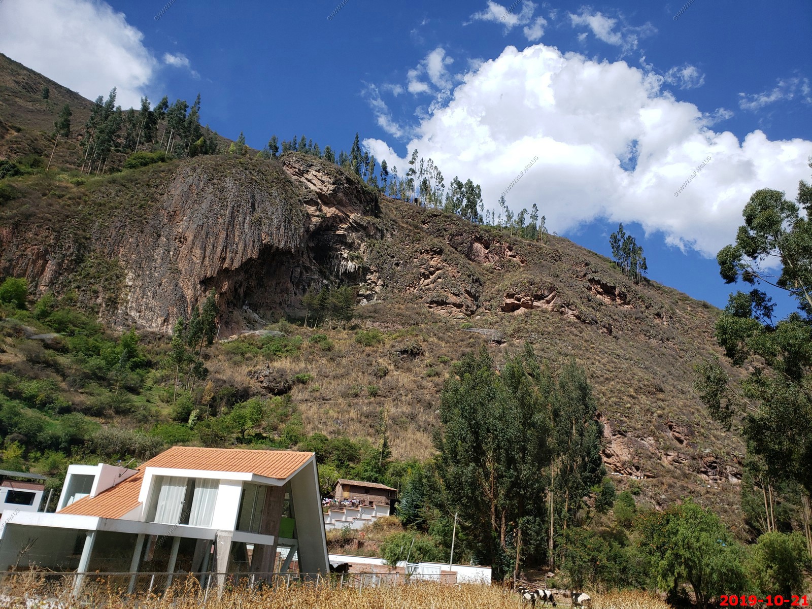
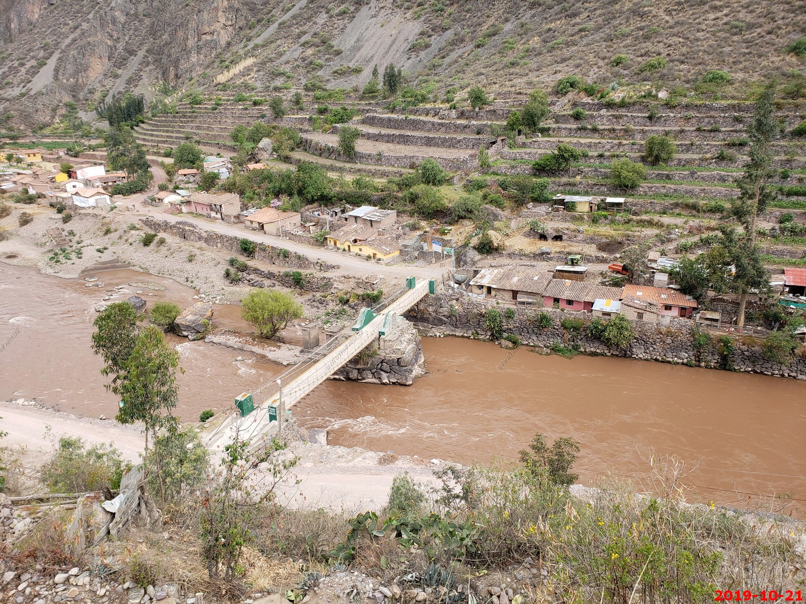
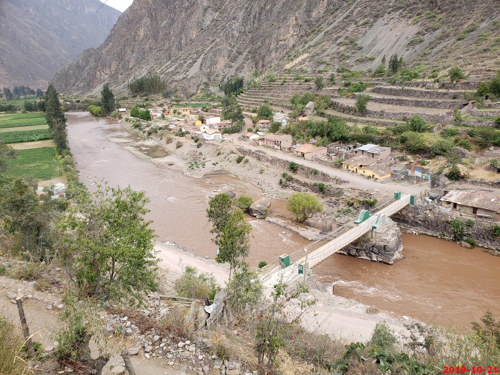
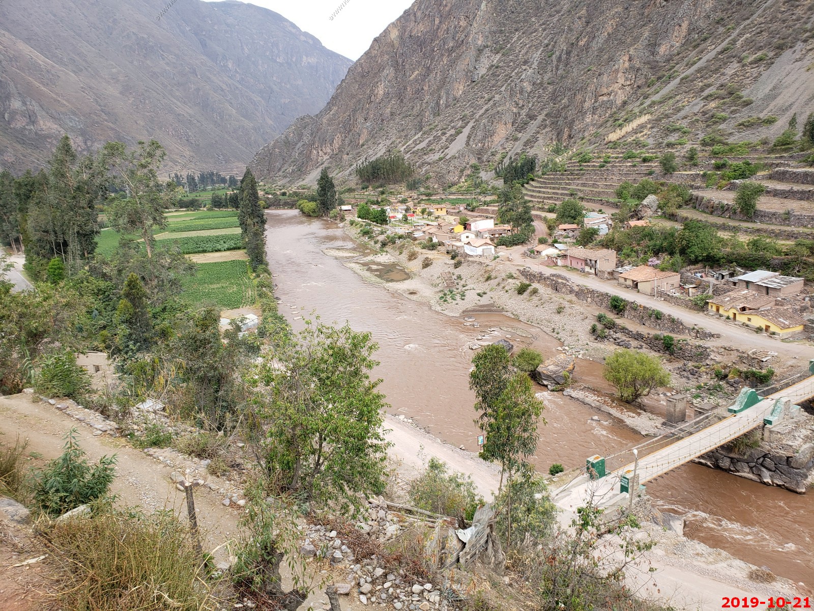
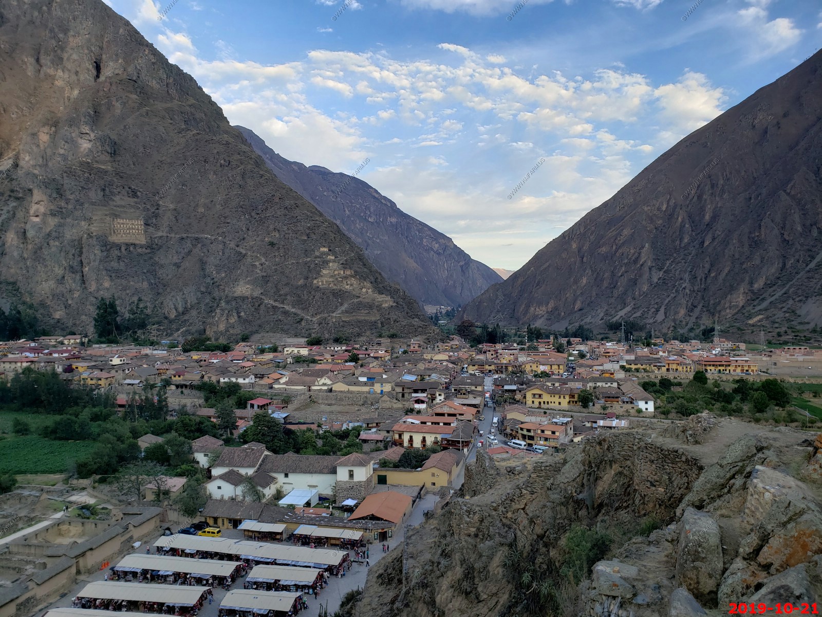
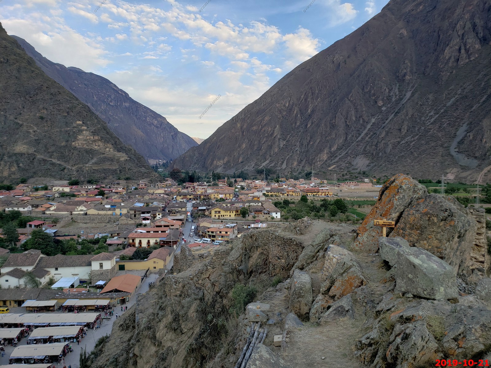
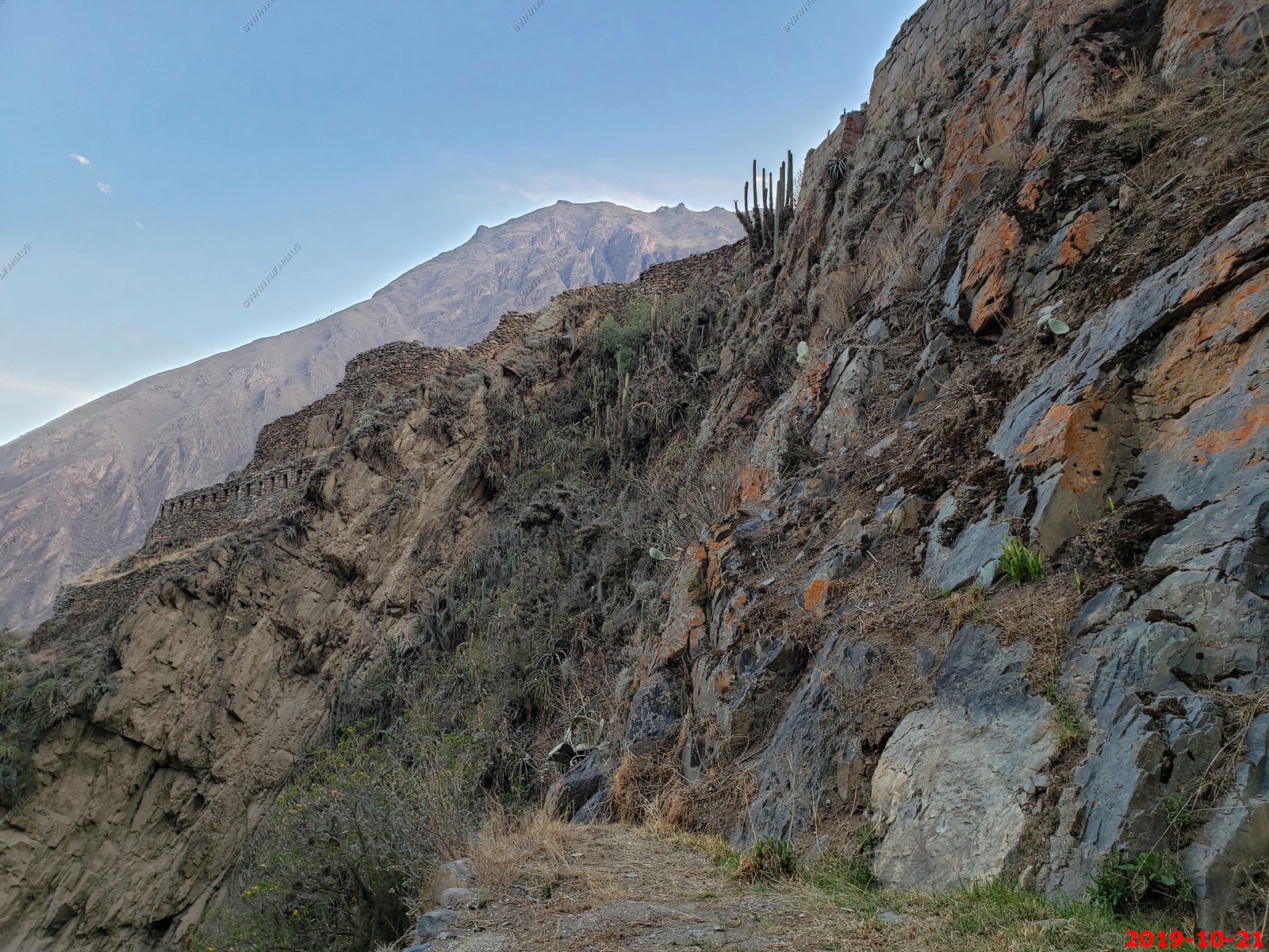
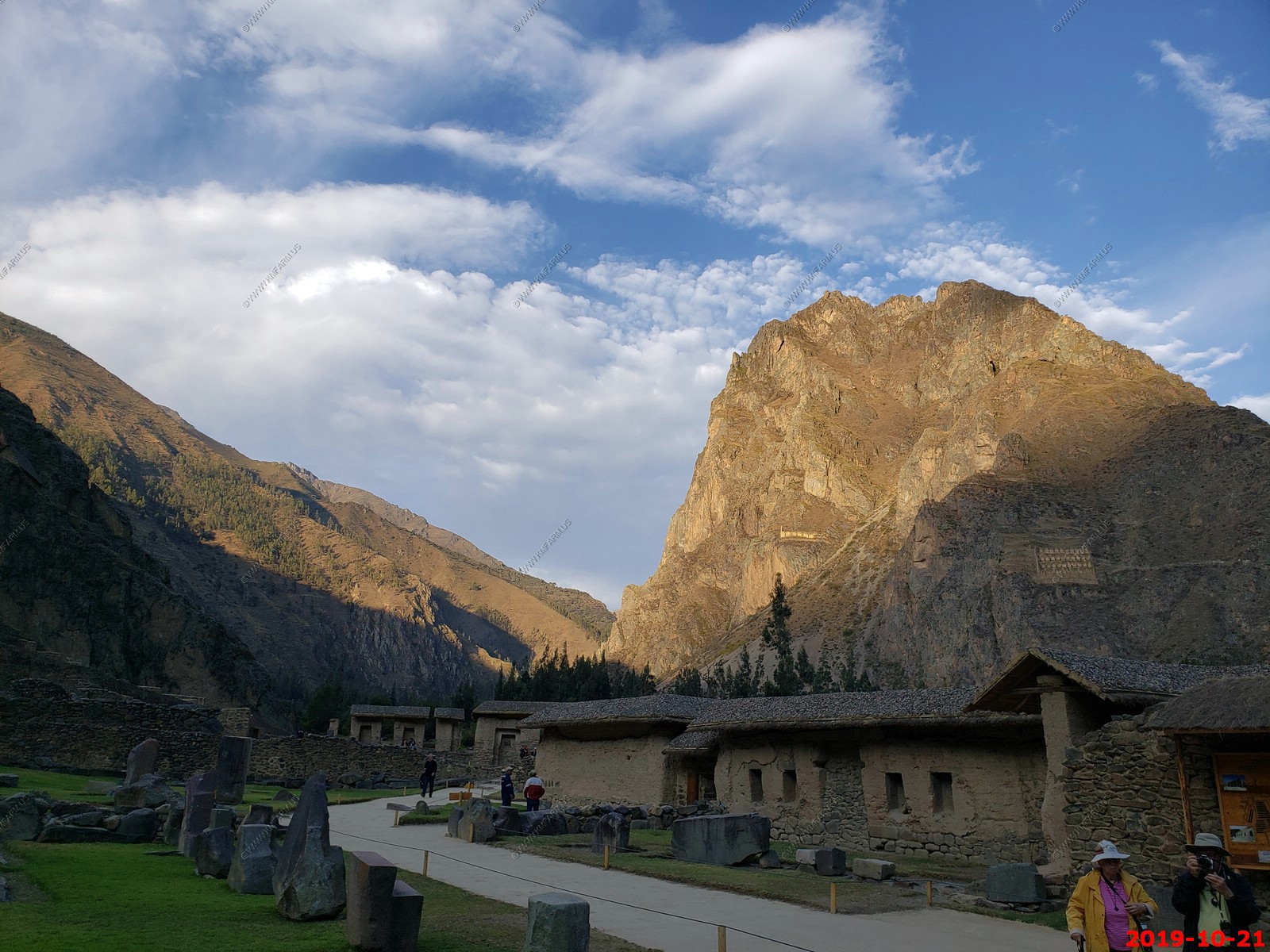
Ollantaytambo area
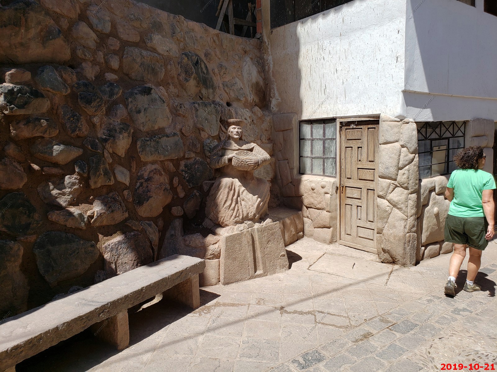
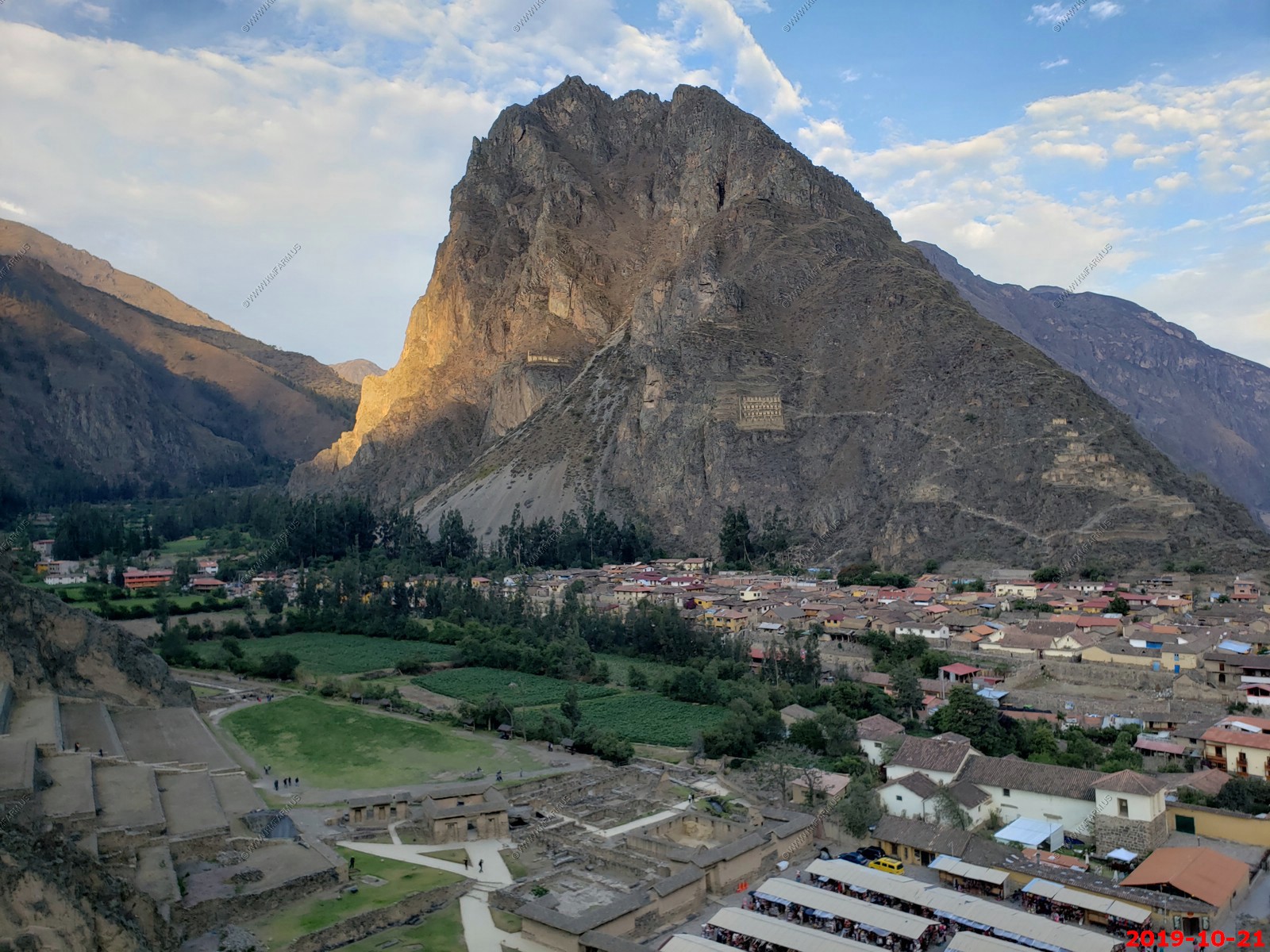
Ollantaytambo (Quechua: Ullantaytampu) is a town and an Inca archaeological site in southern Peru some 45 miles by road northwest of the city of Cusco. It is located at an altitude of 2,792 m (9,160 ft) above sea level in the district of Ollantaytambo, province of Urubamba, Cusco region. During the Inca Empire, Ollantaytambo was the royal estate of Emperor Pachacuti, who conquered the region, and built the town and a ceremonial center. At the time of the Spanish conquest of Peru, it served as a stronghold for Manco Inca Yupanqui, leader of the Inca resistance. Ollantaytambo dates from the late 15th century and has some of the oldest continuously occupied dwellings in South America.
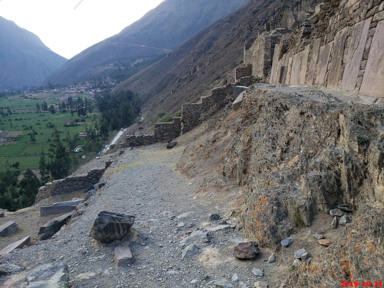
The valleys of the Urubamba and Patakancha Rivers along Ollantaytambo are covered by an extensive set of agricultural terraces or andenes which start at the bottom of the valleys and climb up the surrounding hills. The andenes permitted farming on otherwise unusable terrain; they also allowed the Incas to take advantage of the different ecological zones created by variations in altitude. Terraces at Ollantaytambo were built to a higher standard than common Inca agricultural terraces; for instance, they have higher walls made of cut stones instead of rough fieldstones. This type of high-prestige terracing is also found in other Inca royal estates such as Chinchero, Pisaq, and Yucay.
An Inca brige was at this location. The more modern bridge is using the same piers
Nevado Bonanta Range 17,388 feet
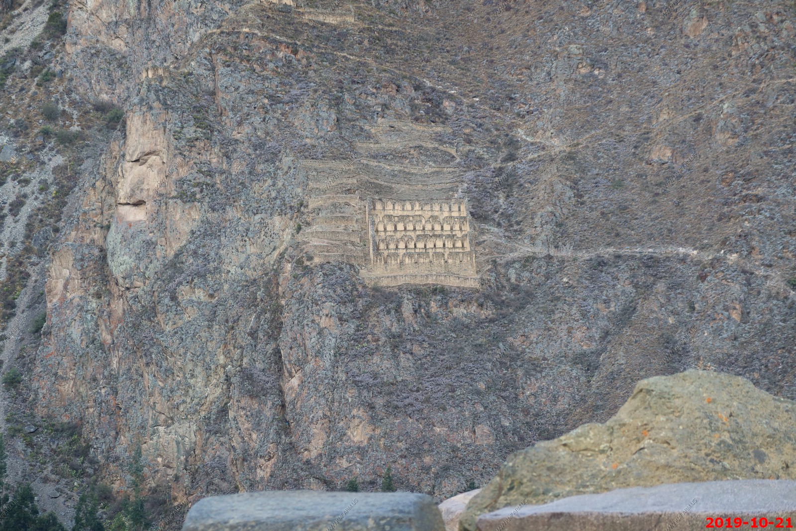
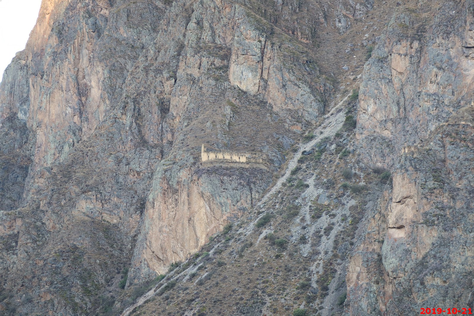
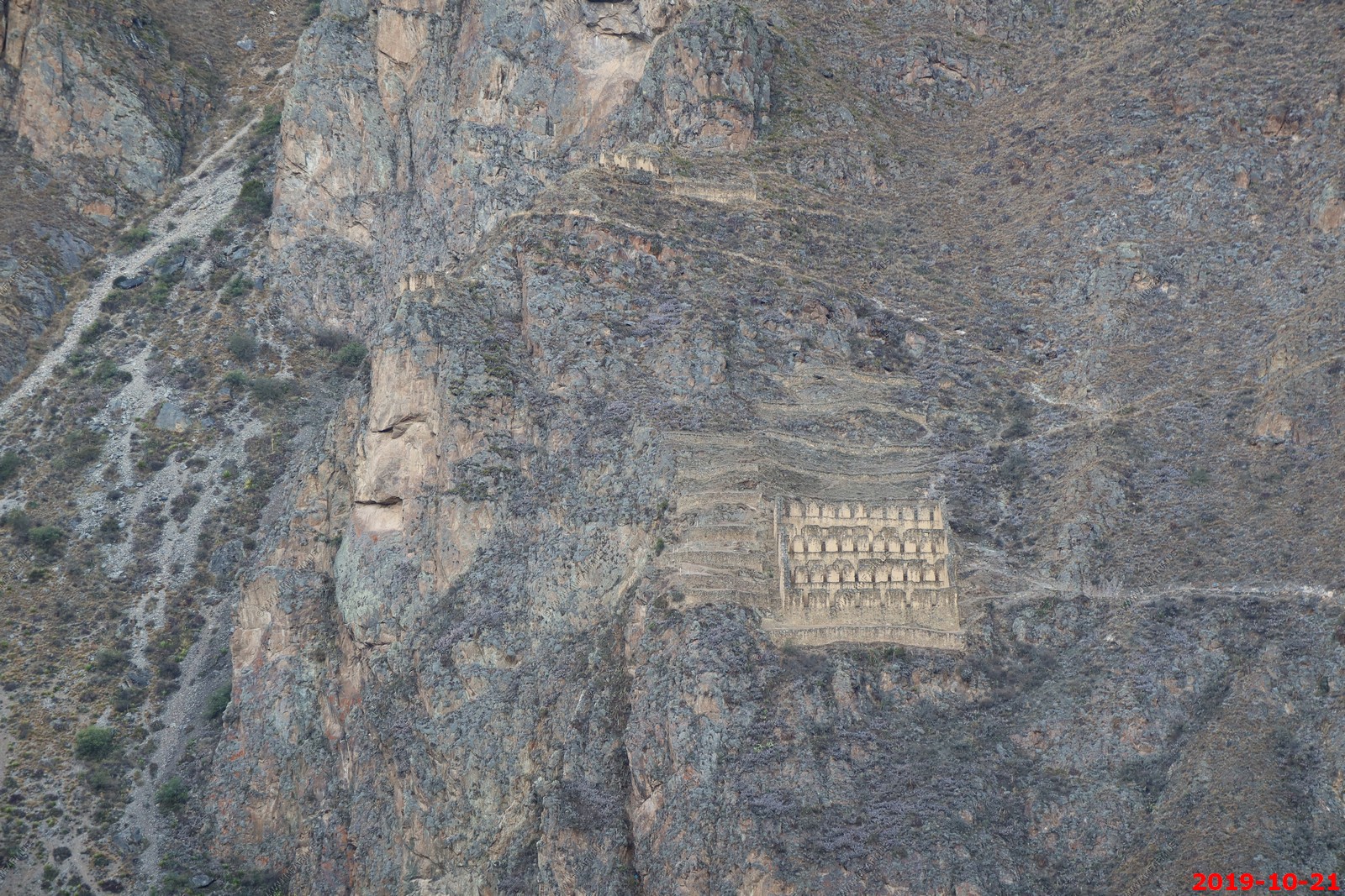
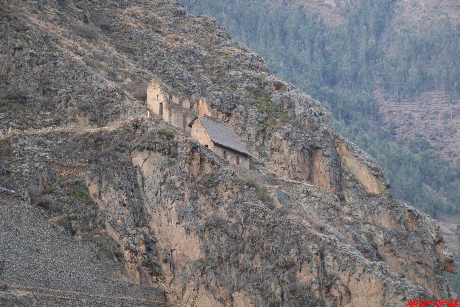
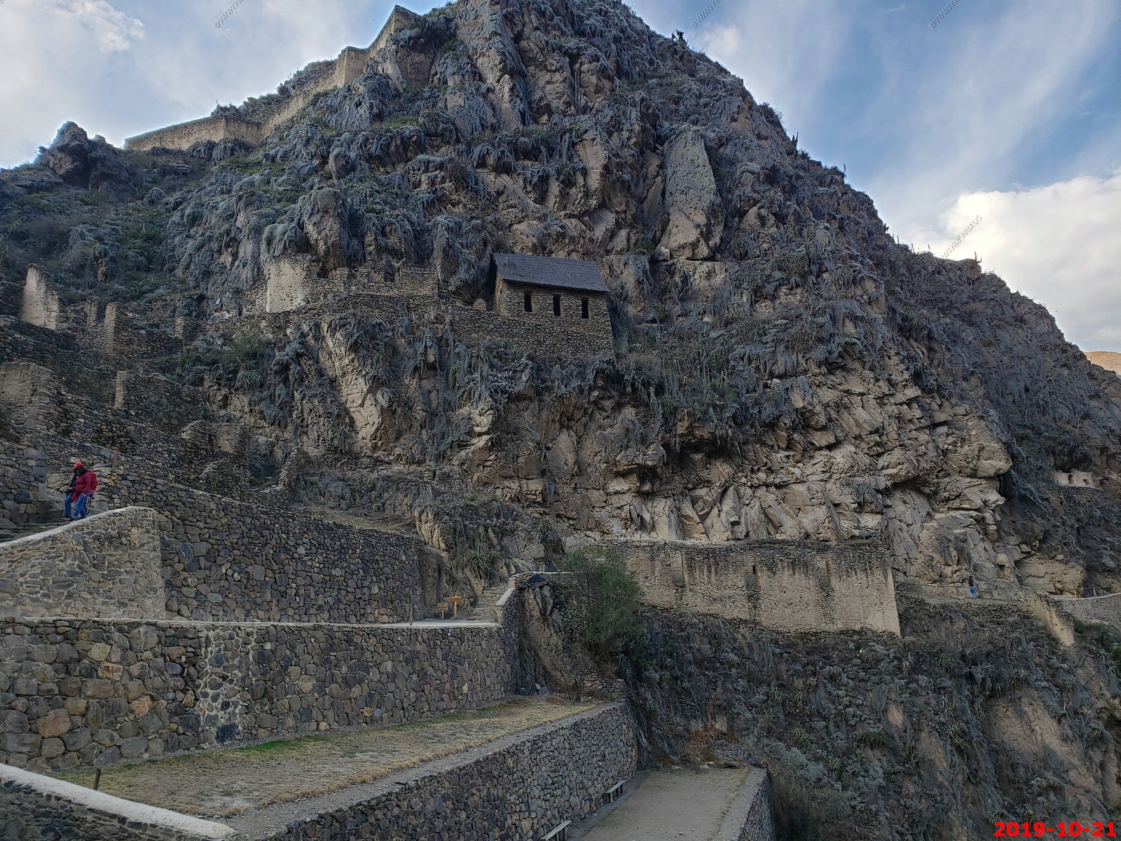
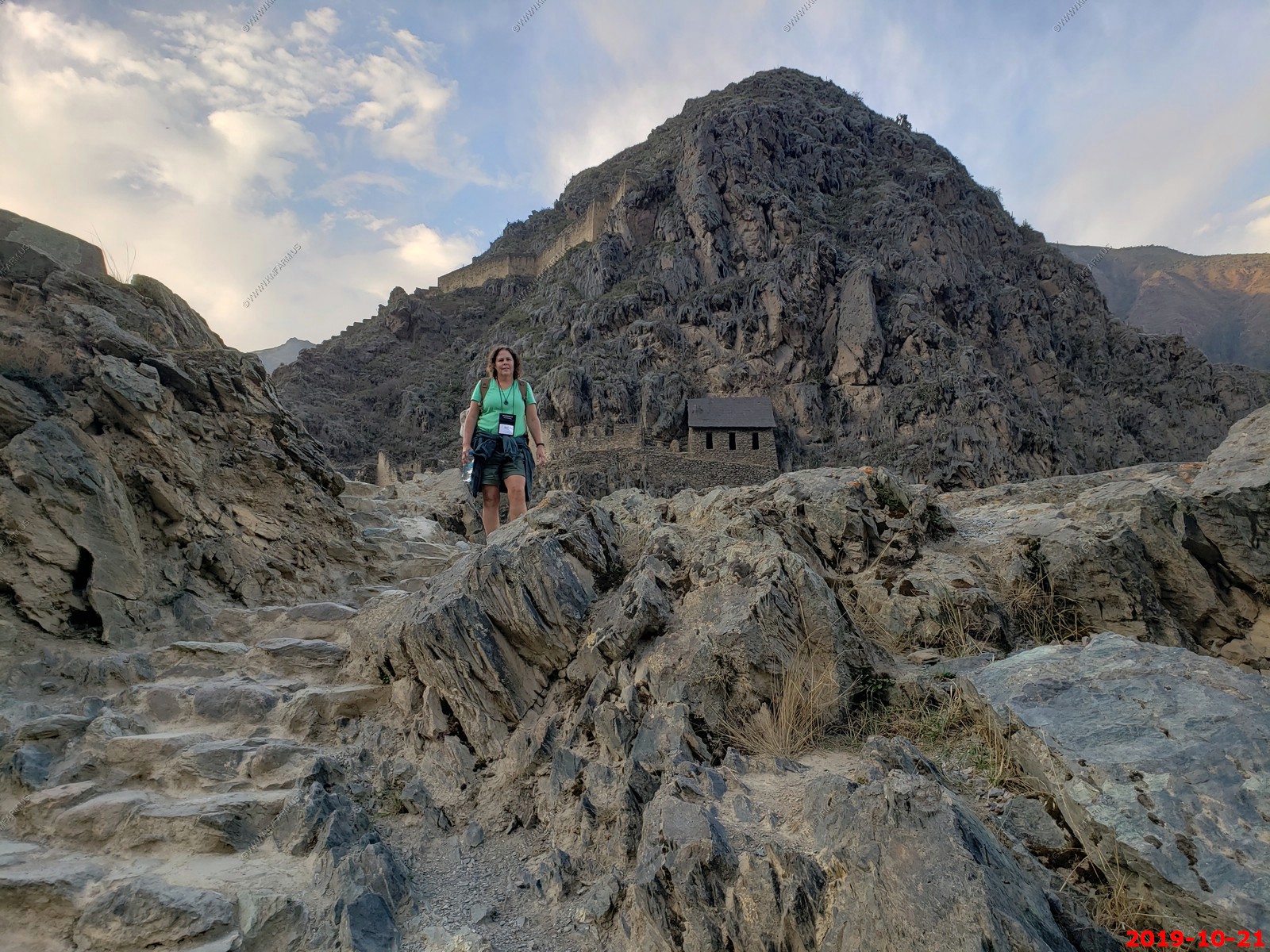
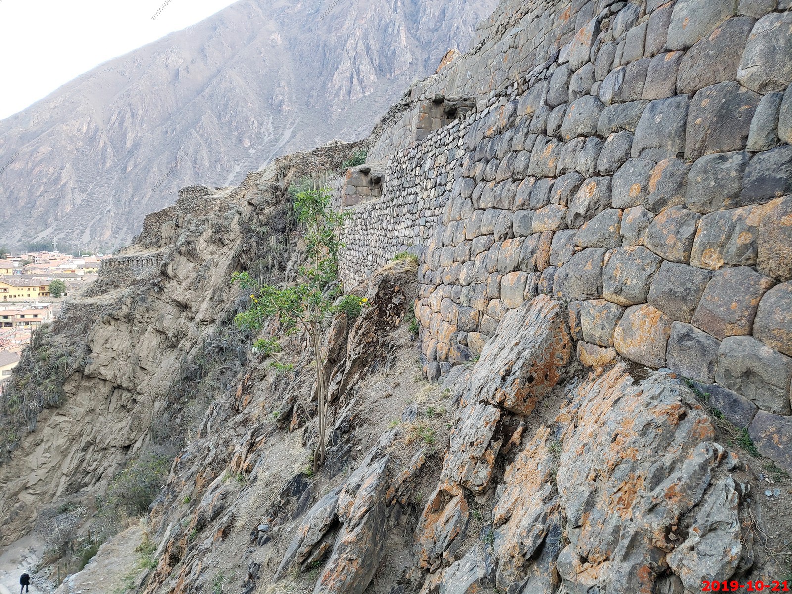
This is our first view of the granaries above the town. You can hike to these but we didn't have time and it is a difficult hike.
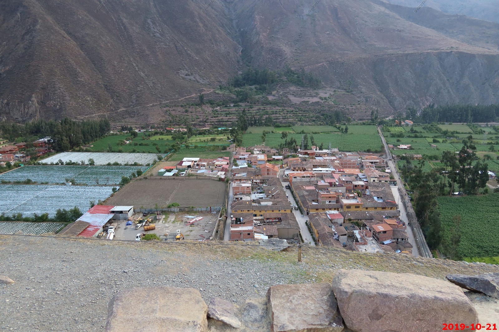
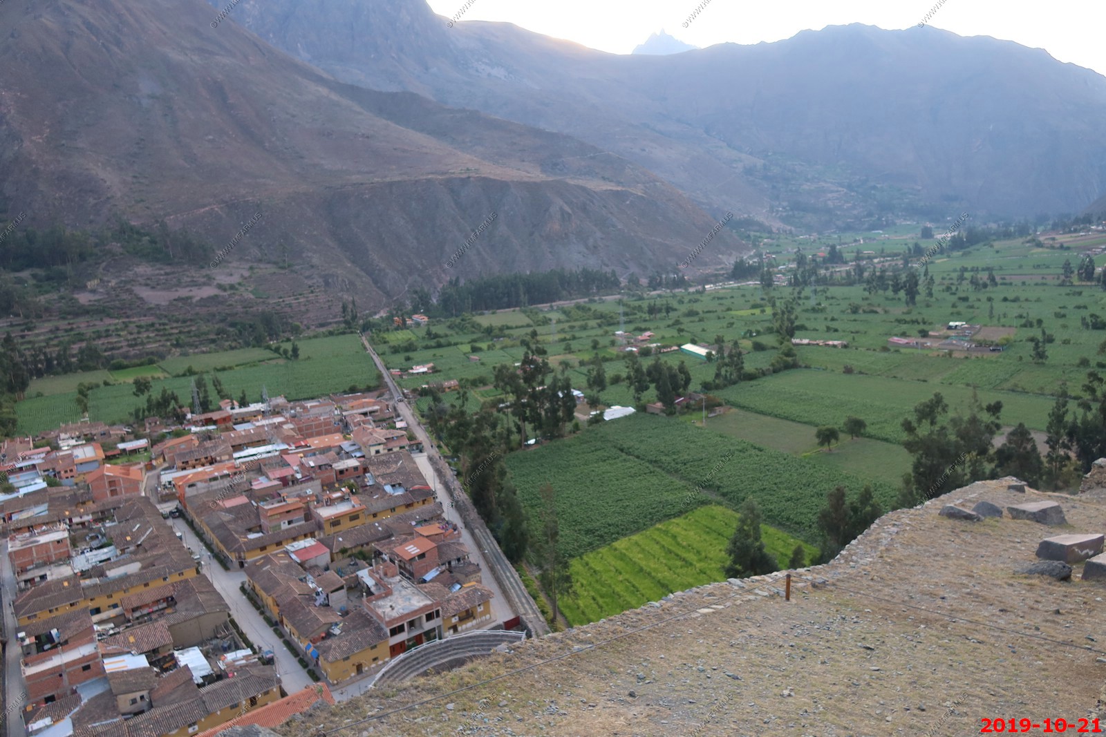
Looking down at the village of Ollantaytambo. We think they are growing strawberries in some of the fields
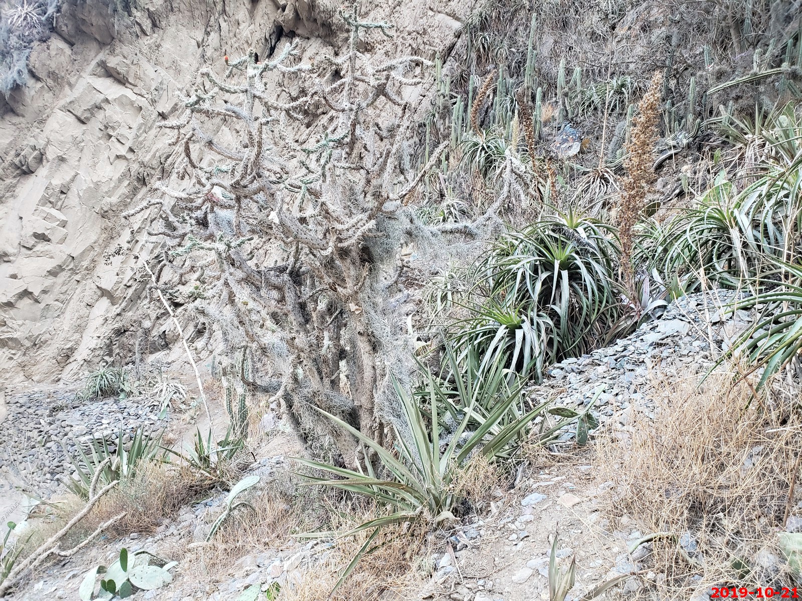
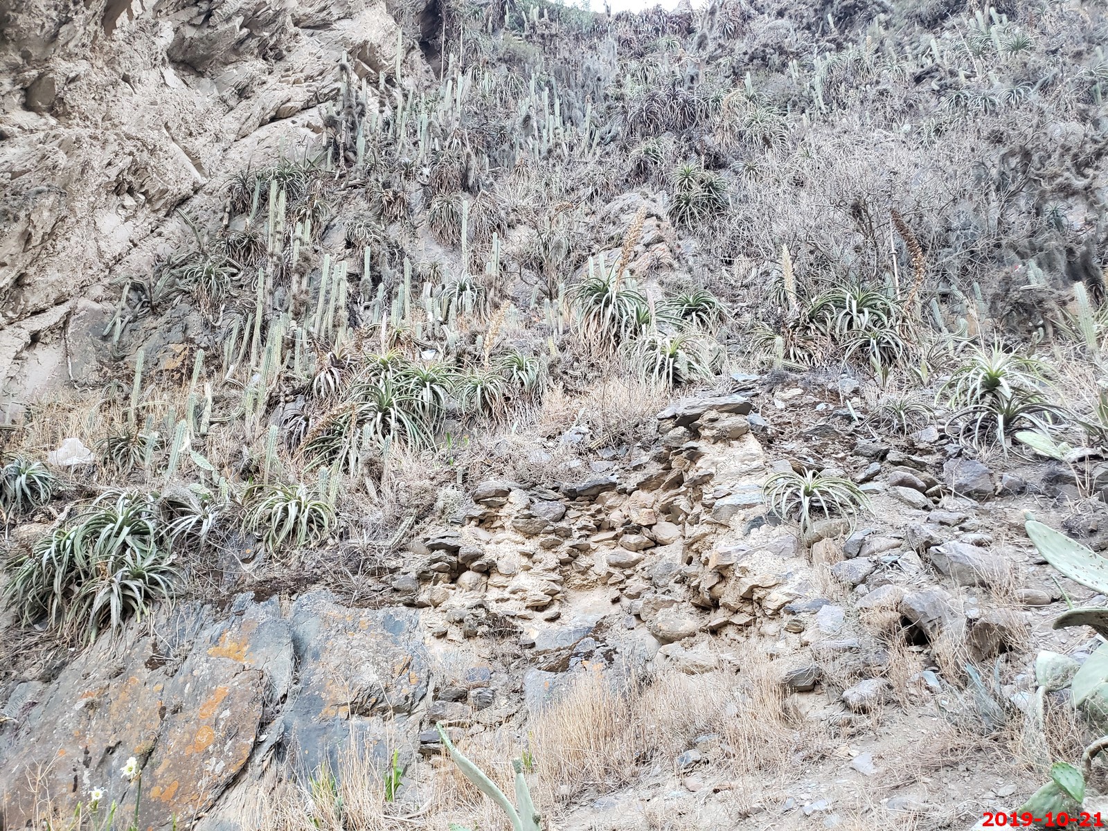
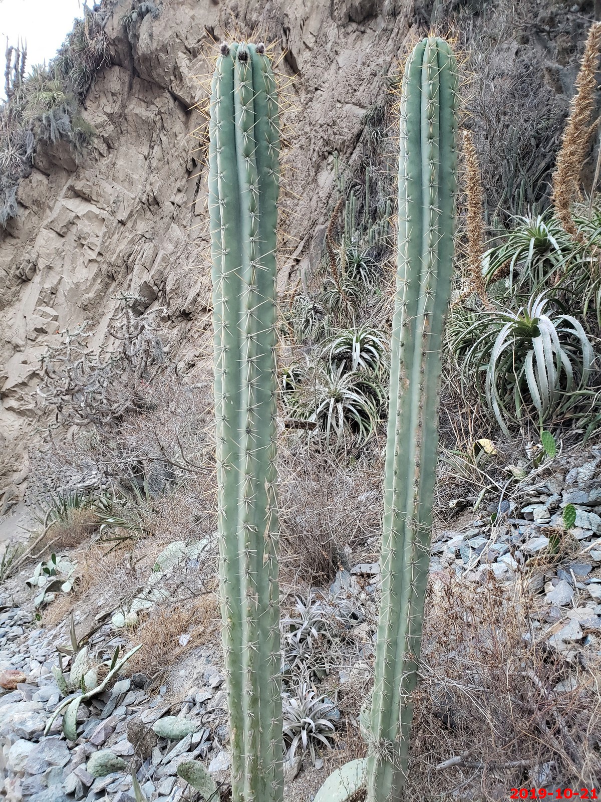
Micro-climates...Cacti growing on the hills
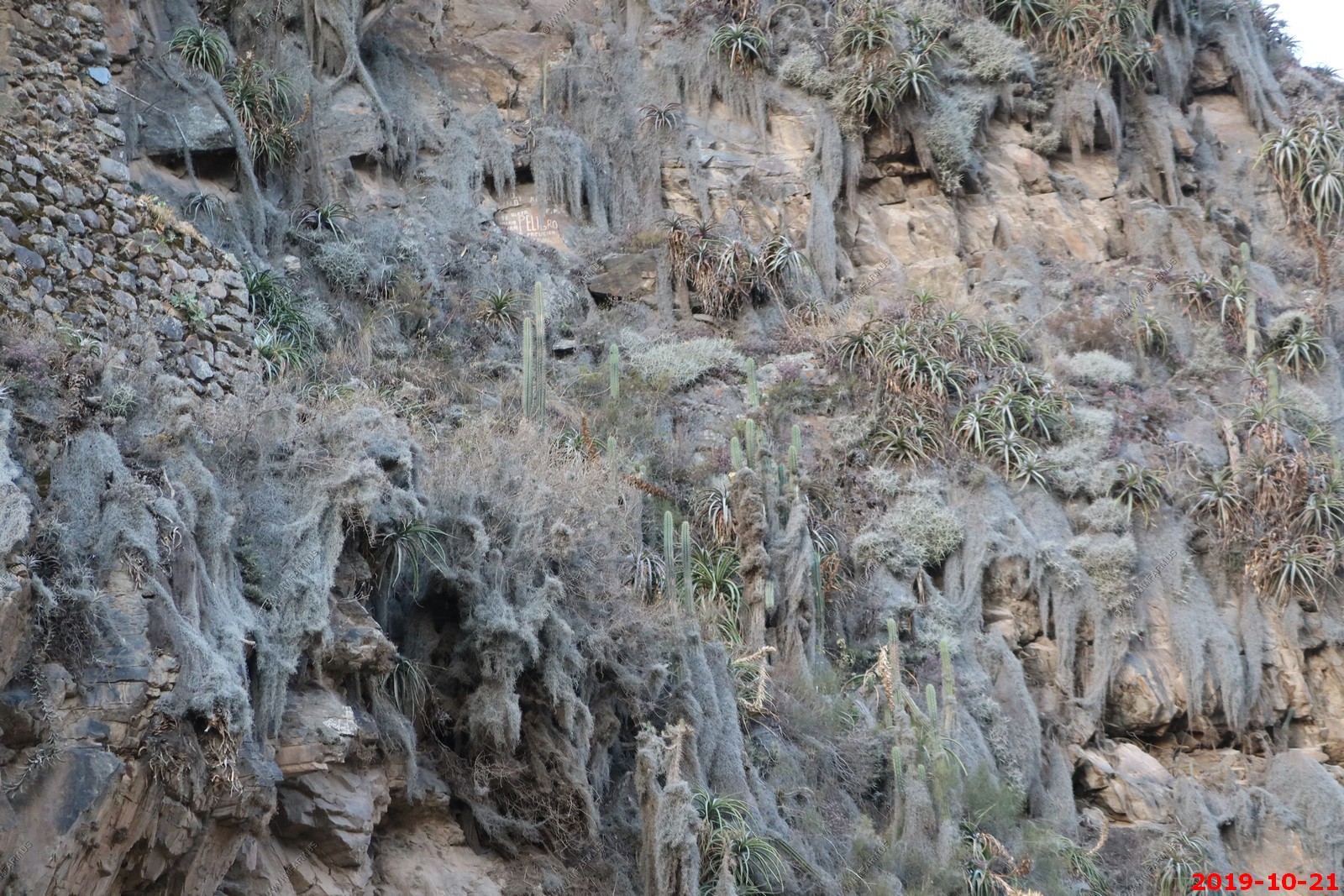
IF WE HAD MORE TIME --- We would have hiked up to this area
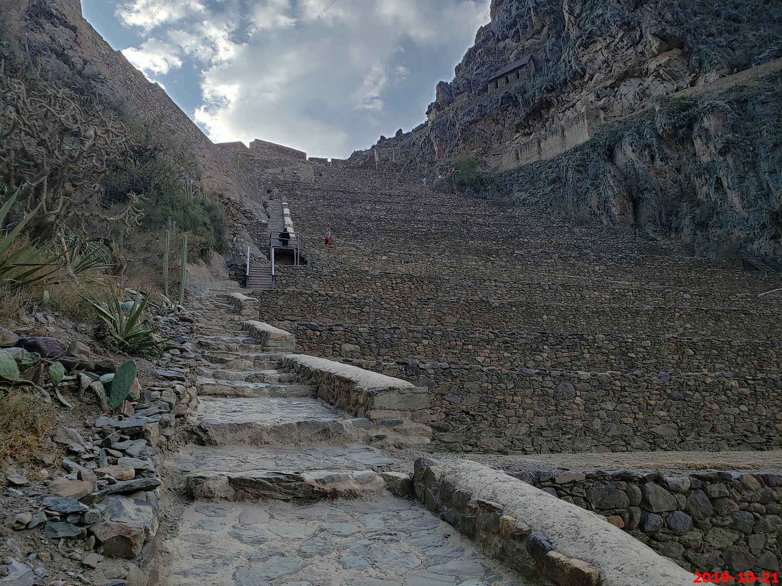
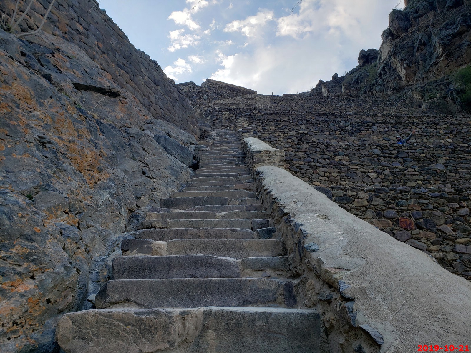
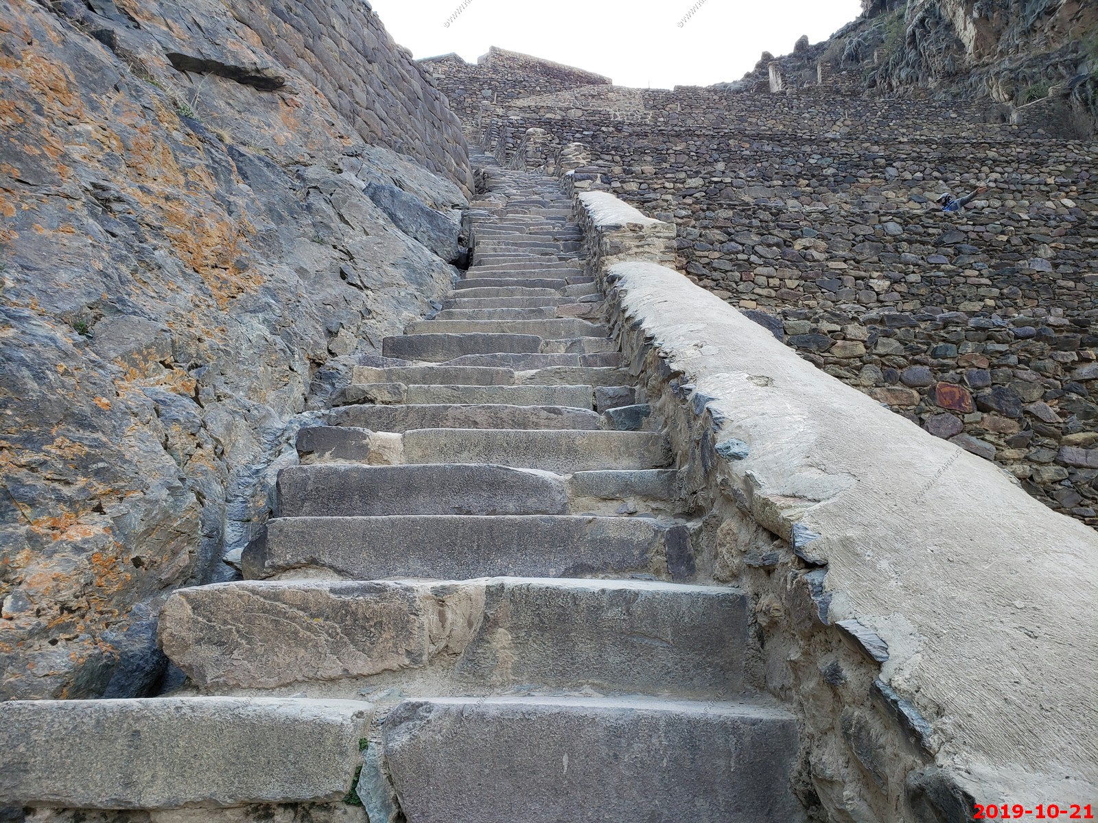
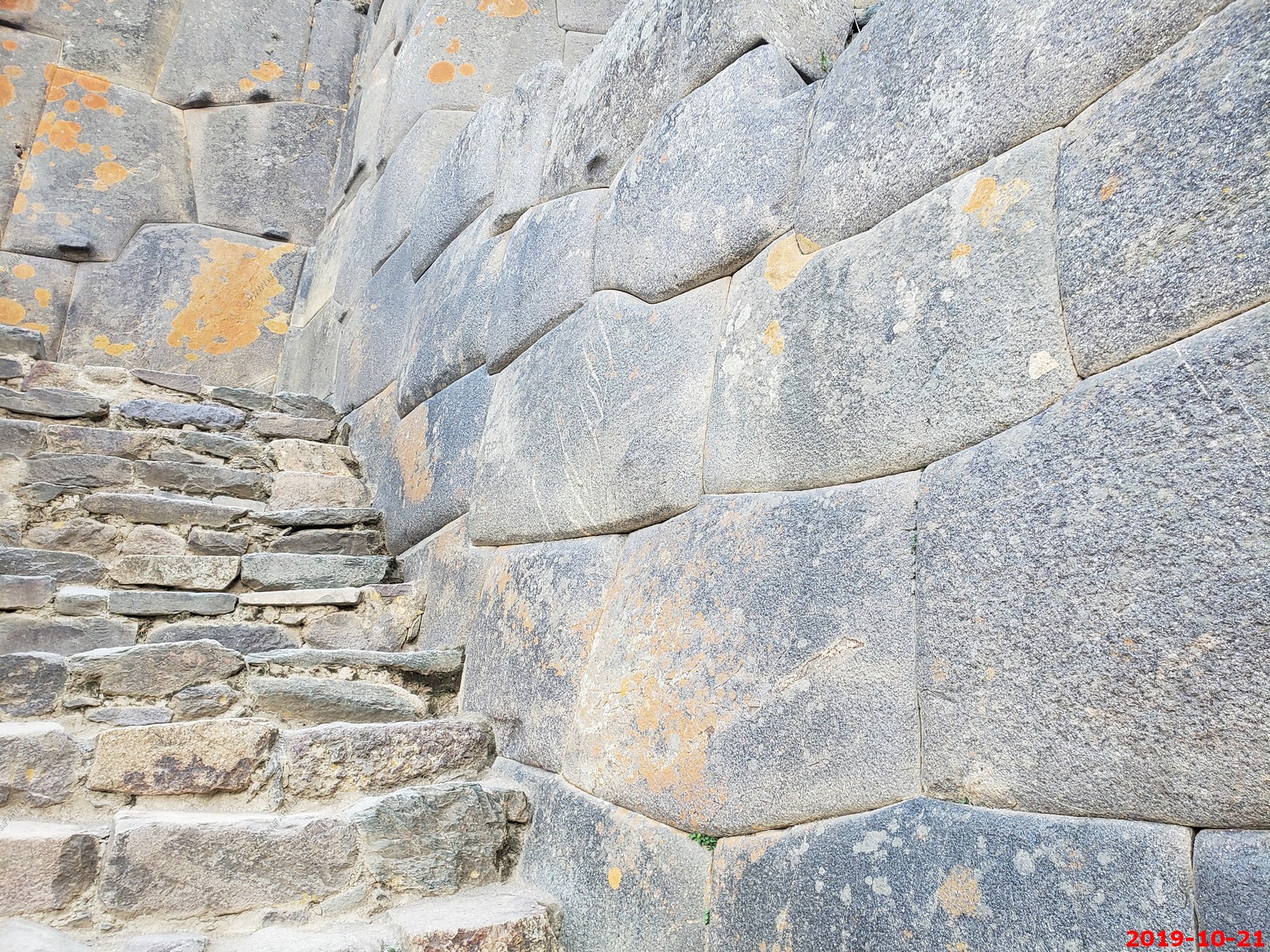
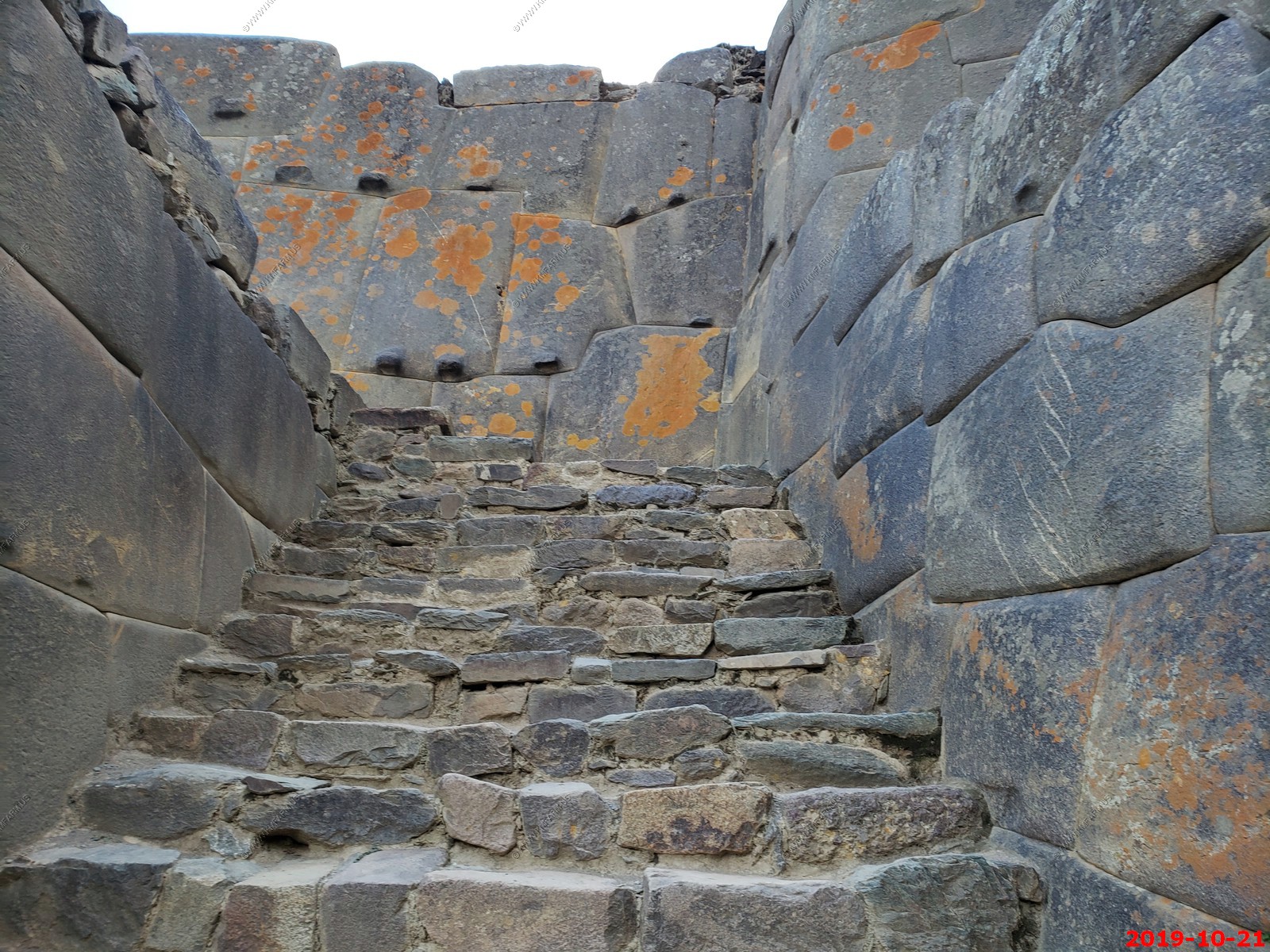
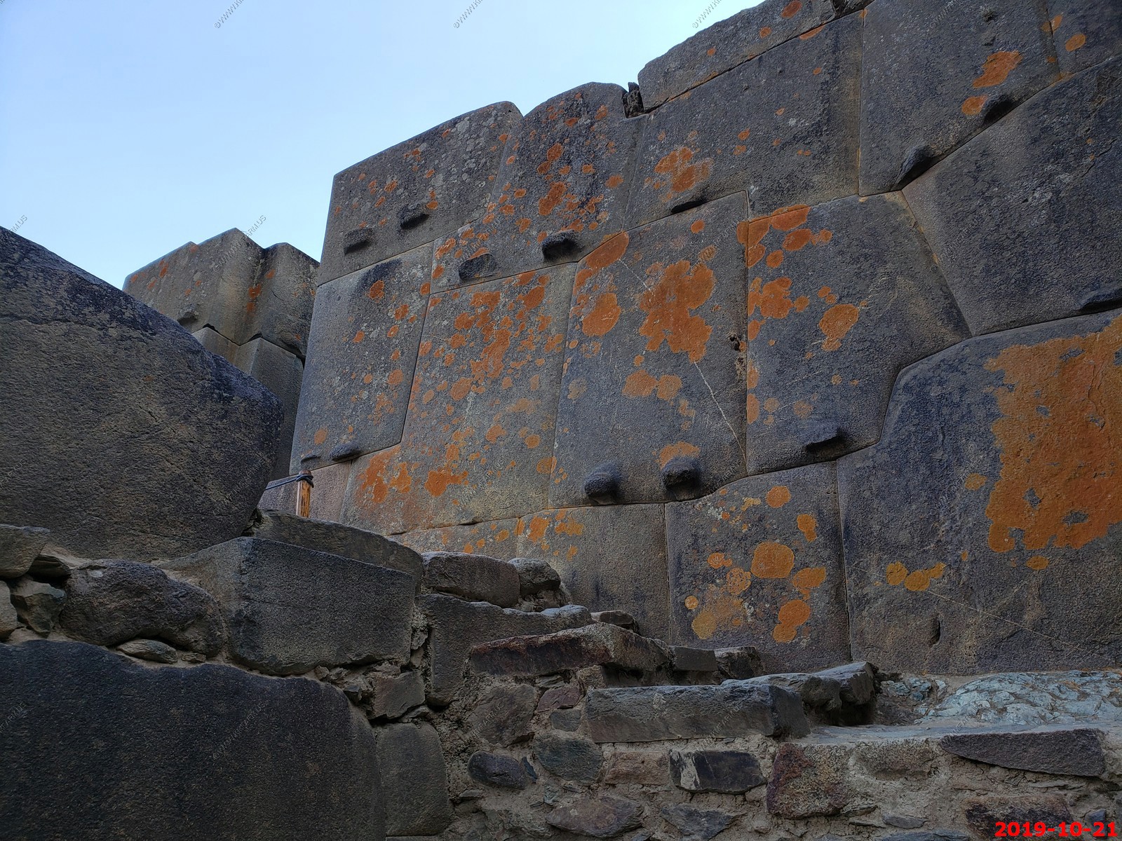
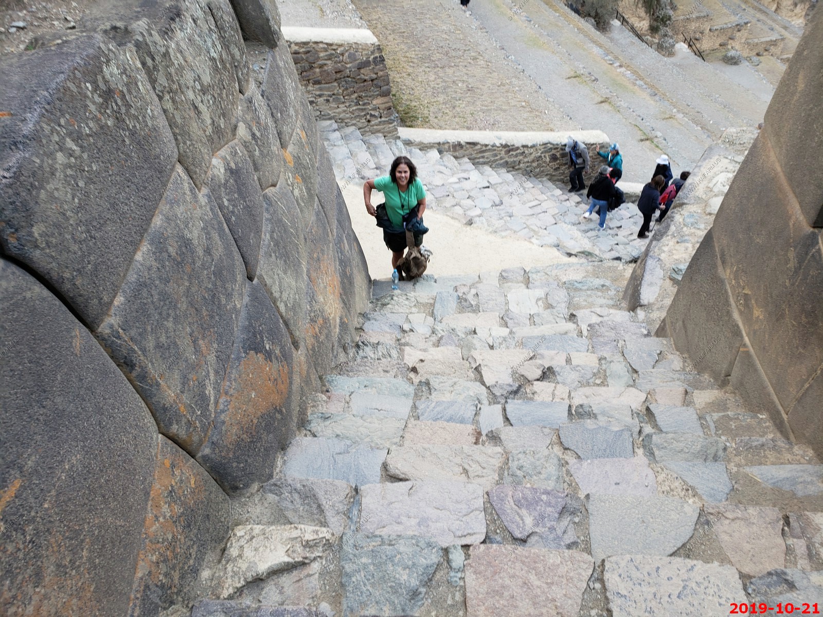
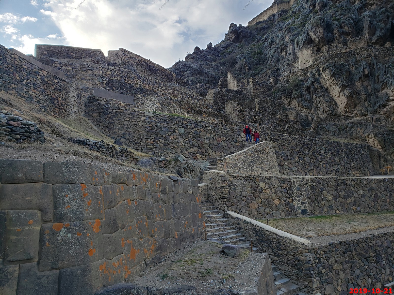
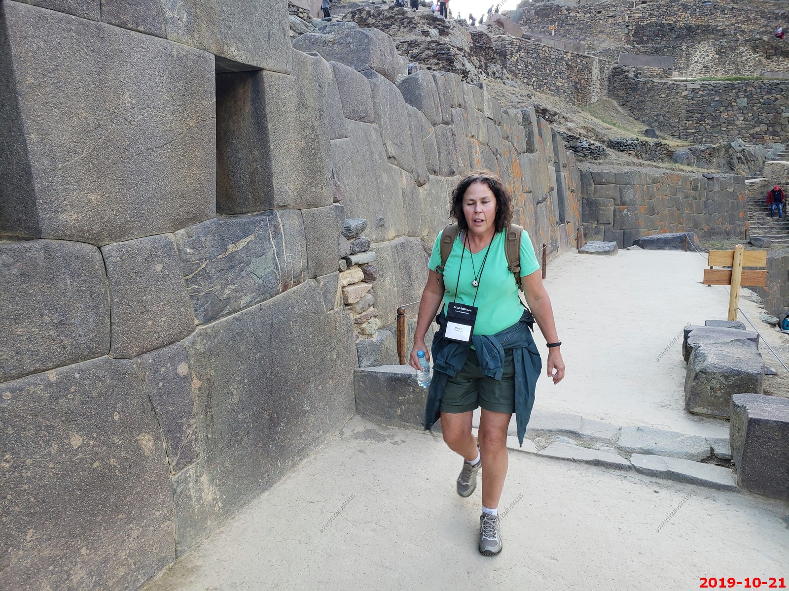
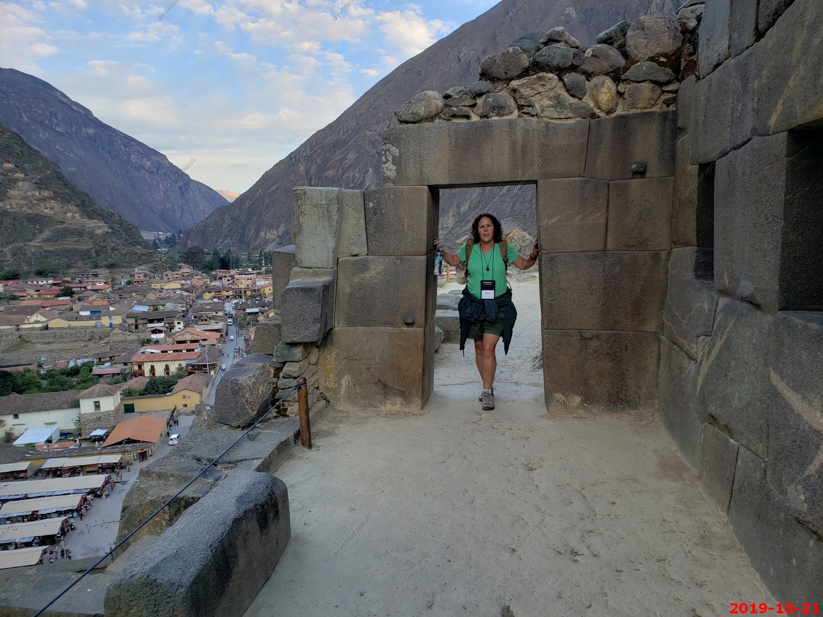
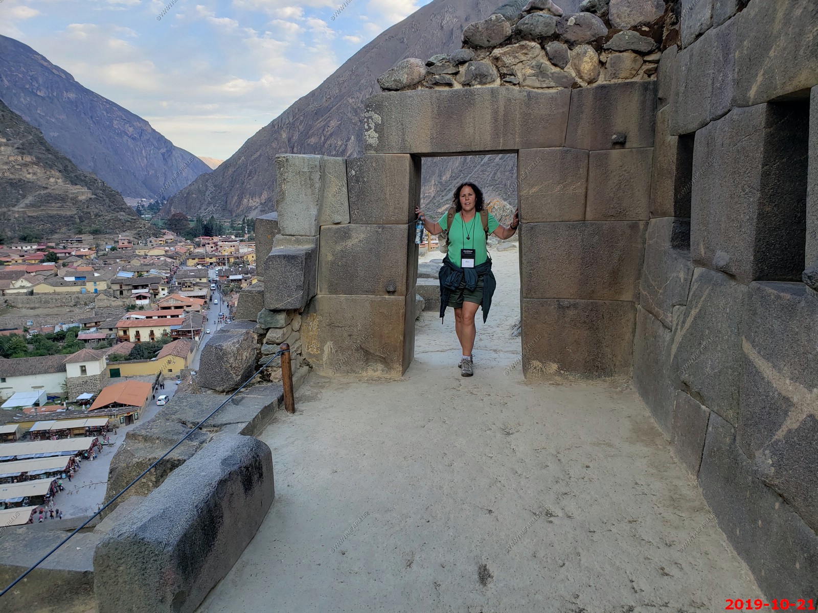
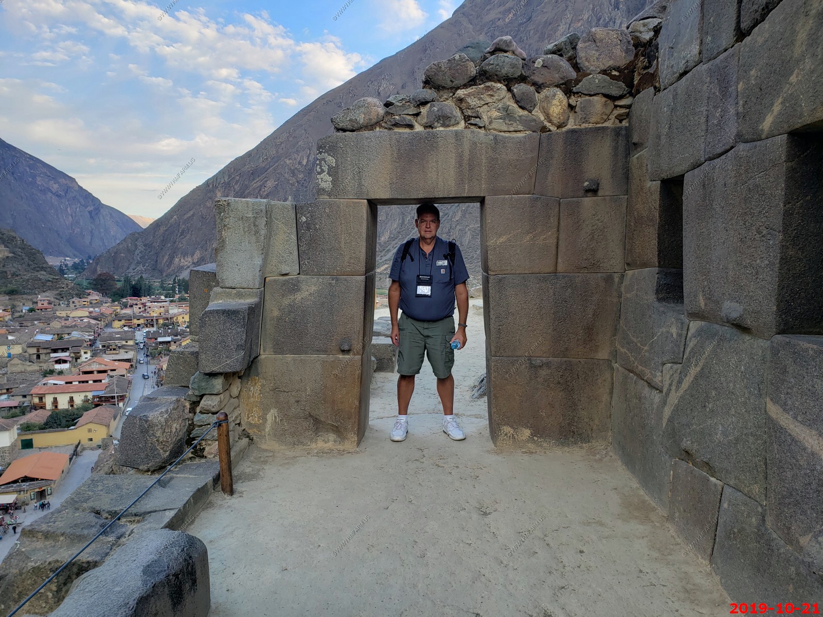
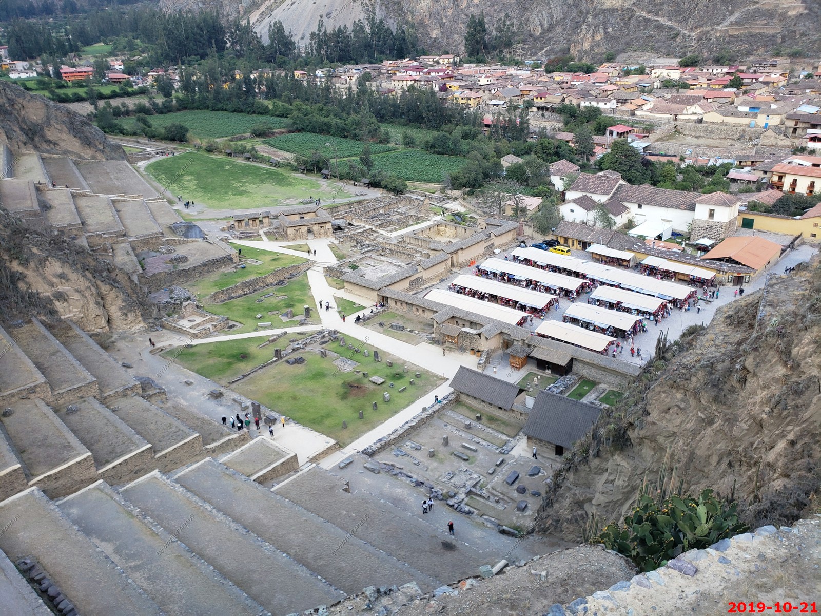
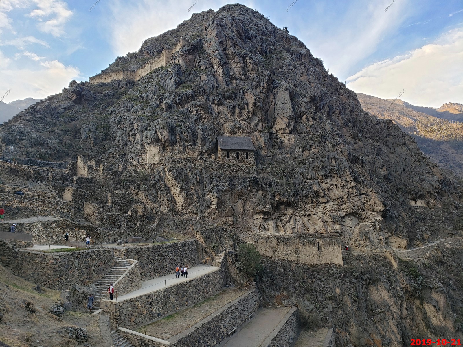
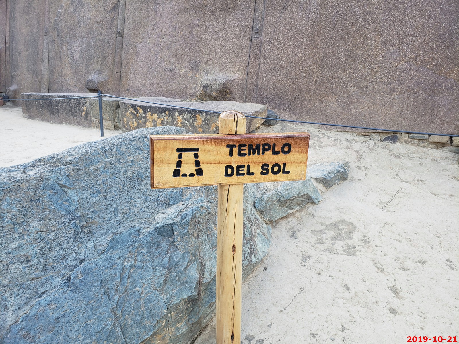
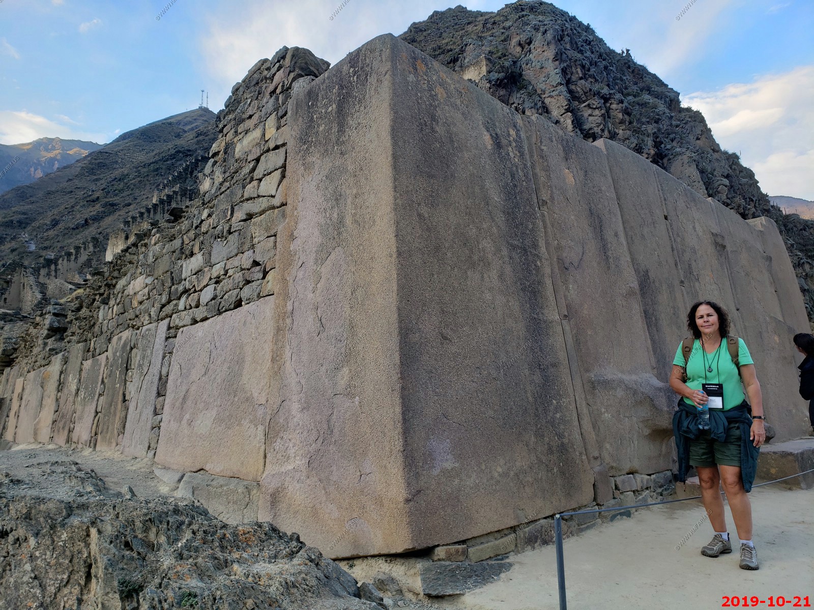
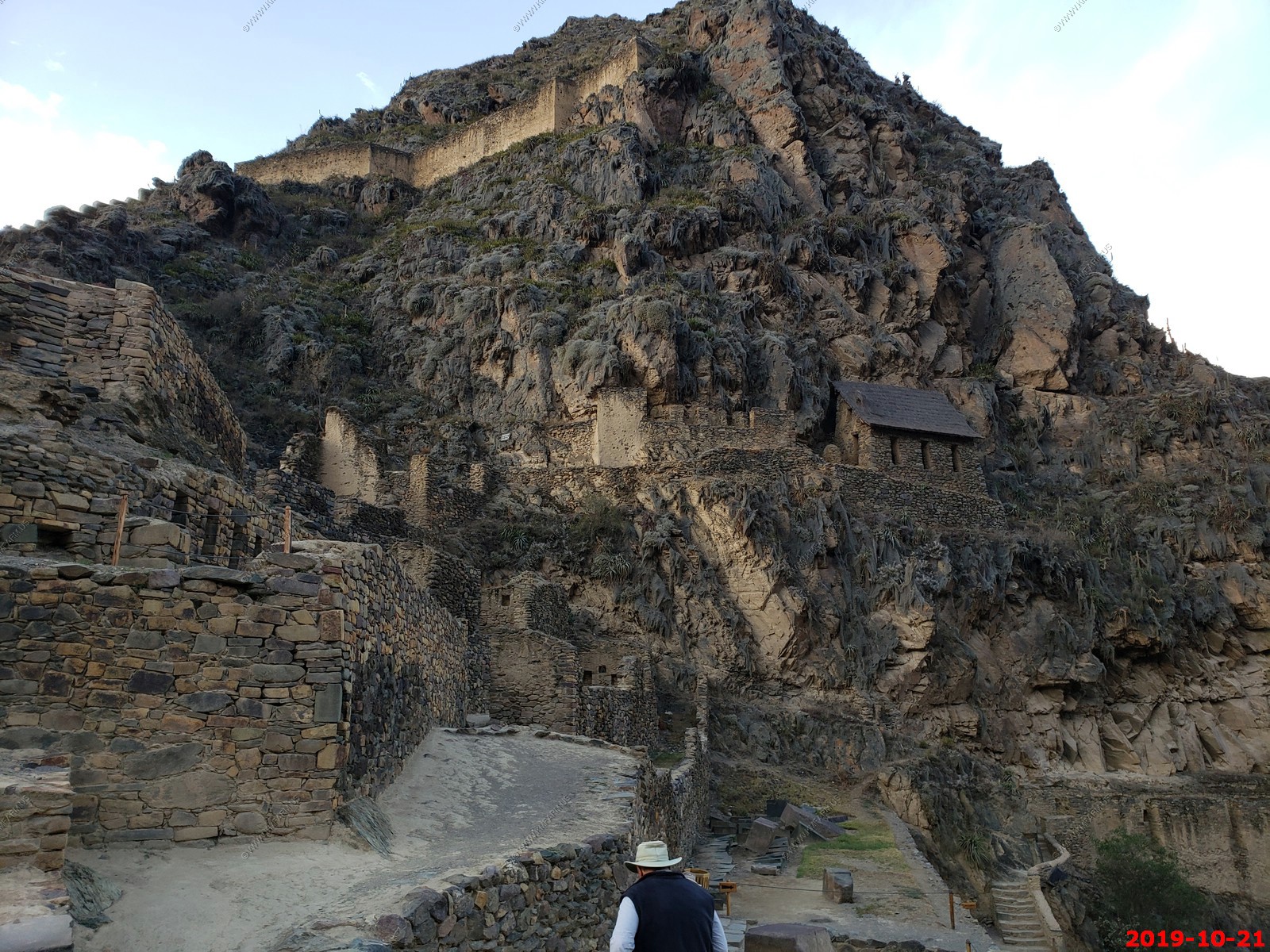
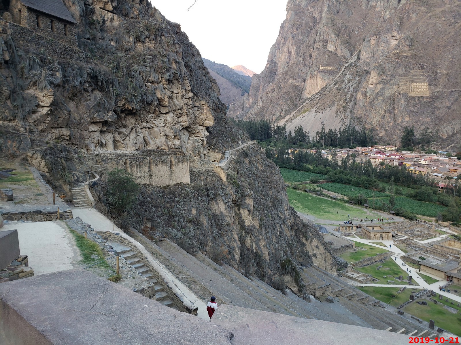
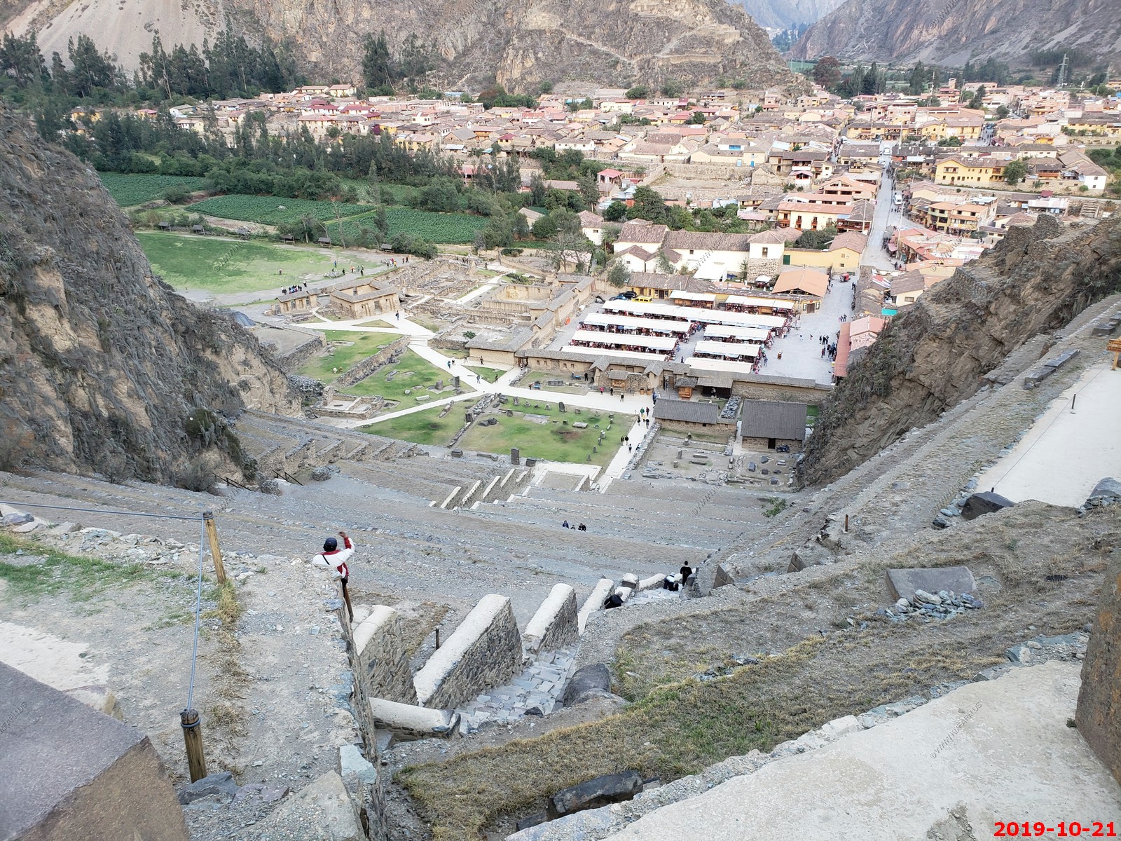
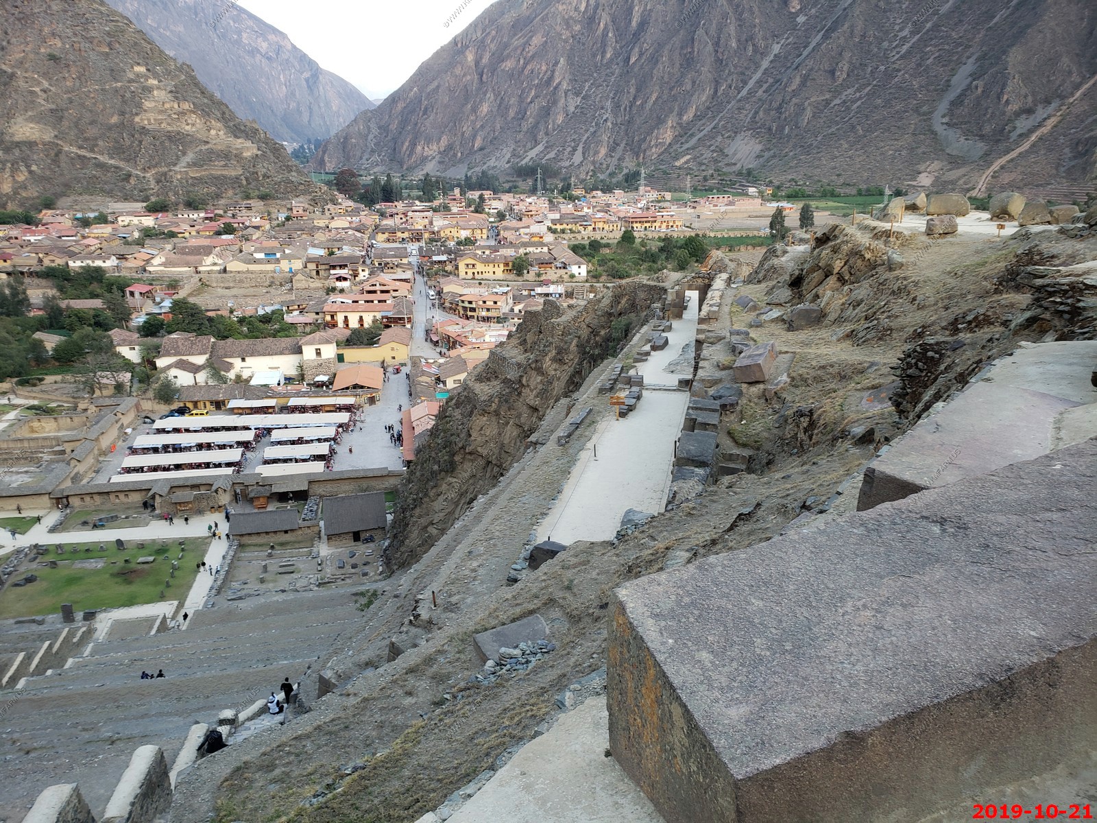
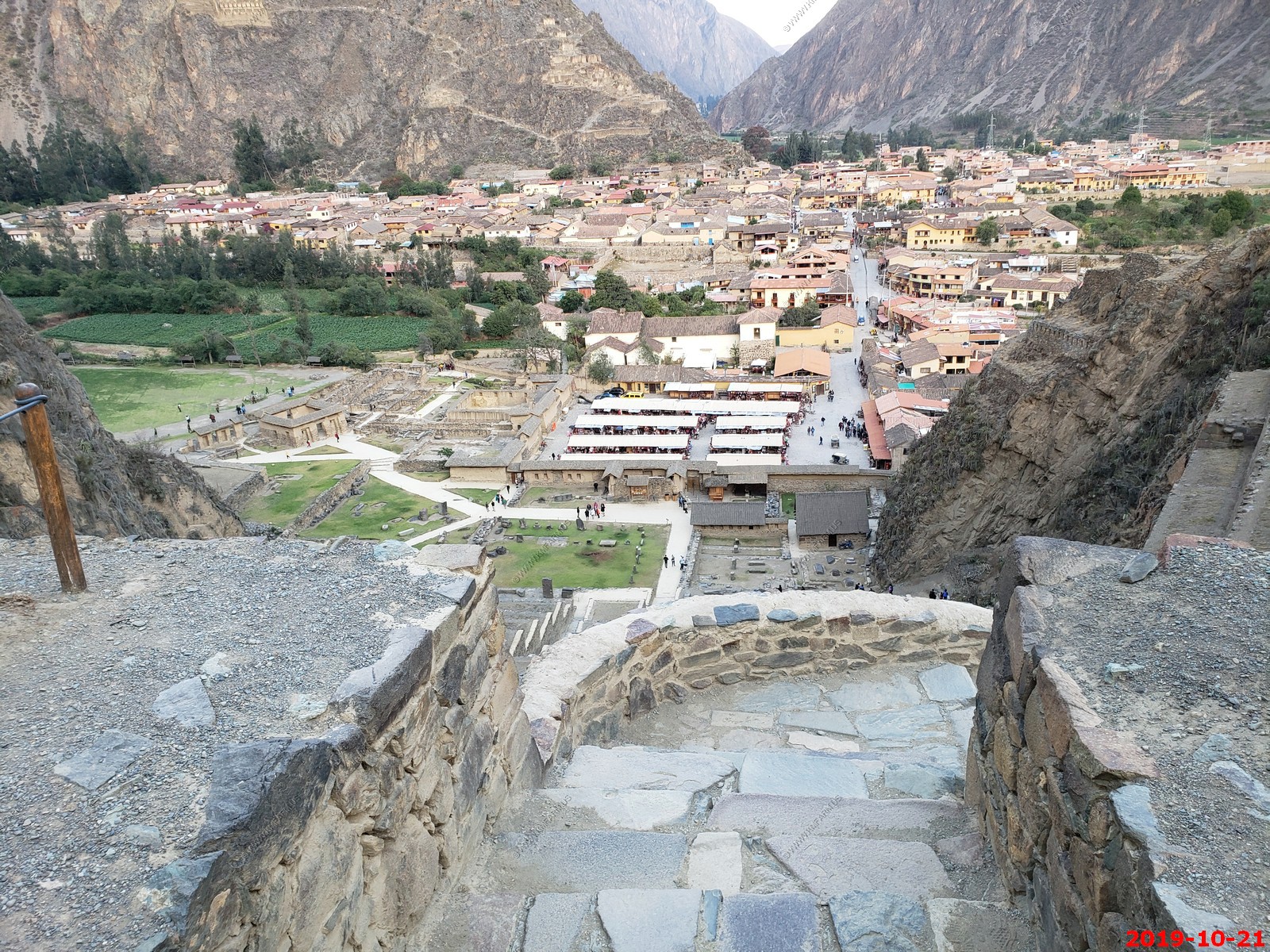
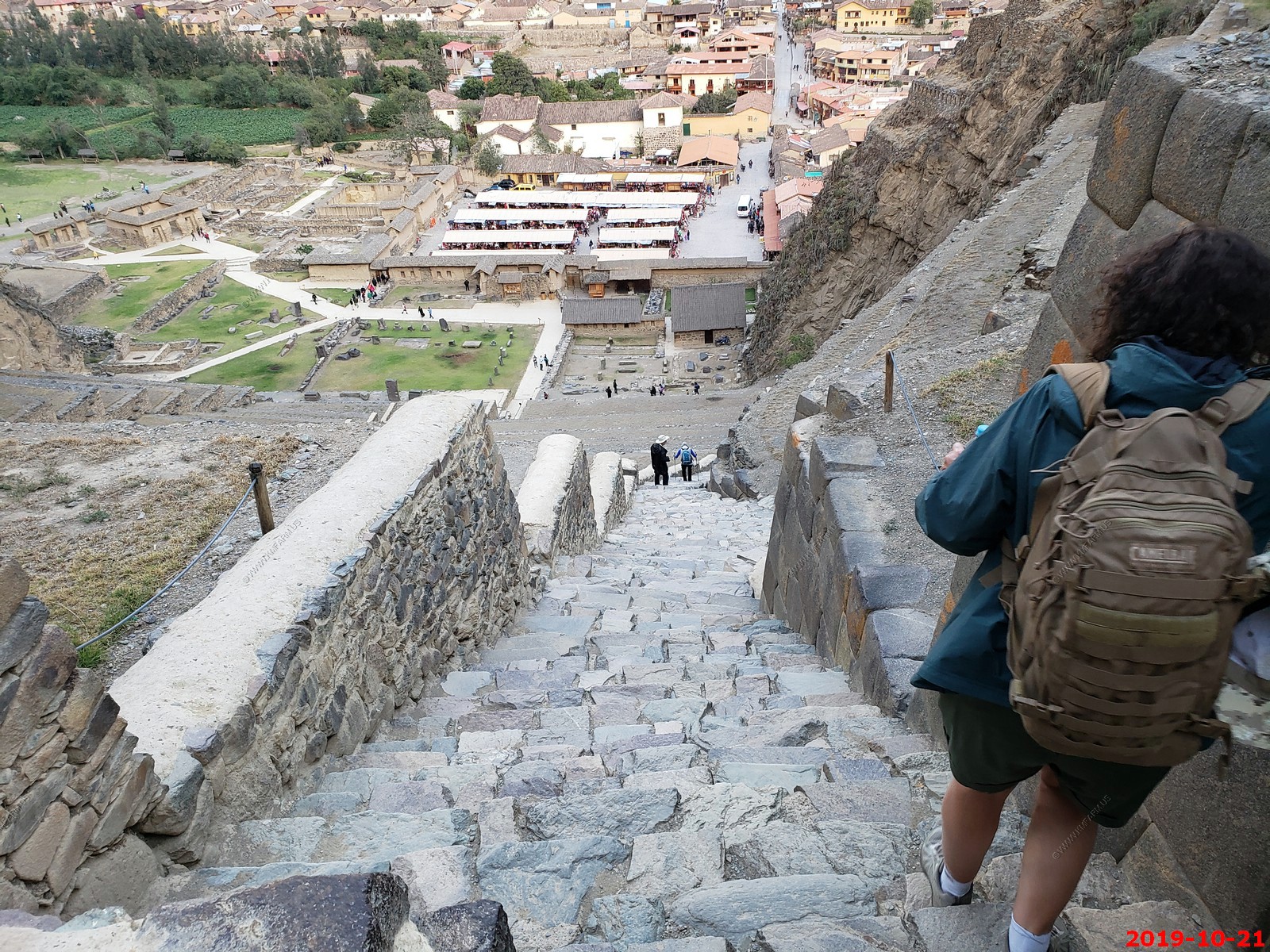
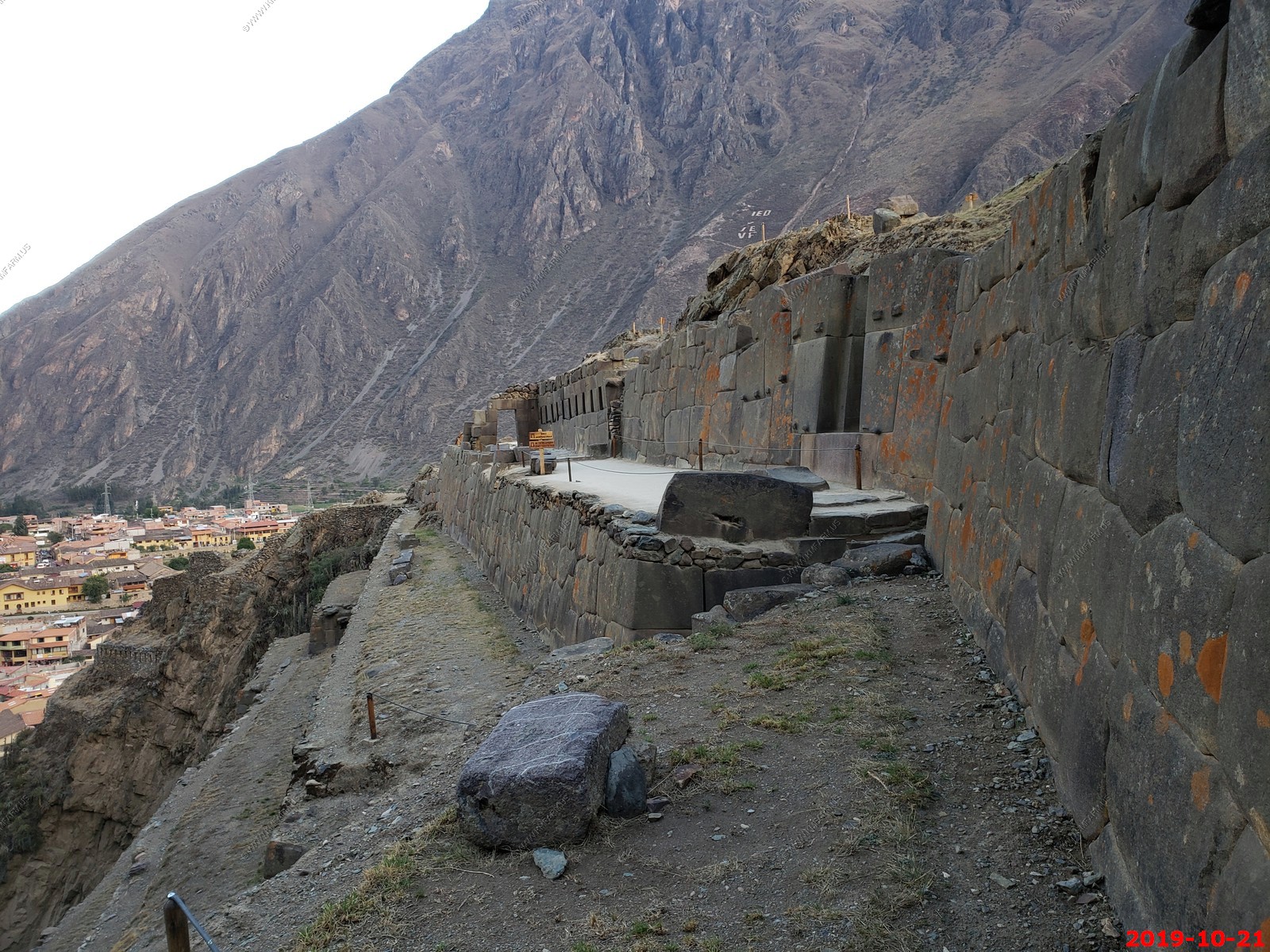
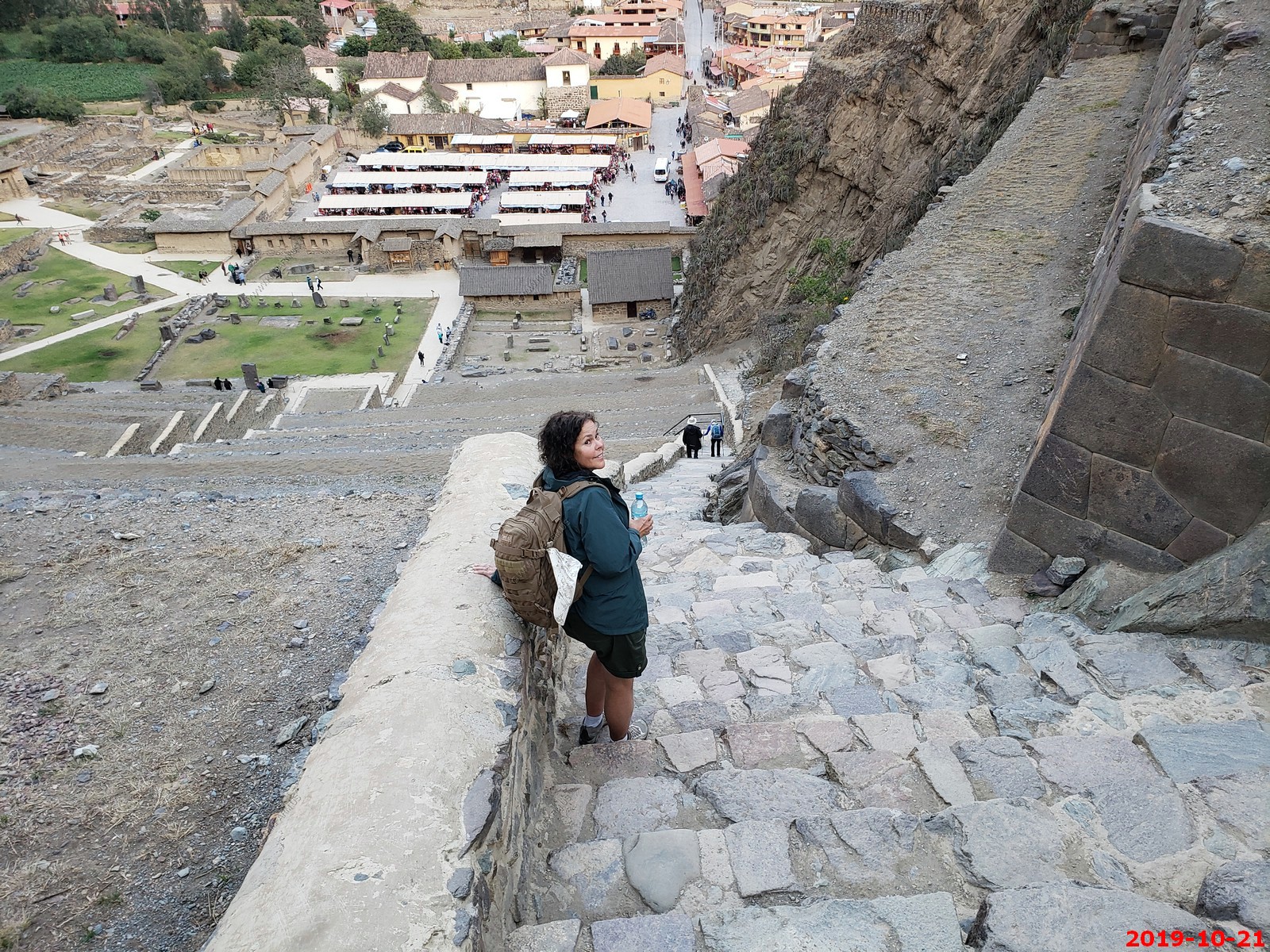
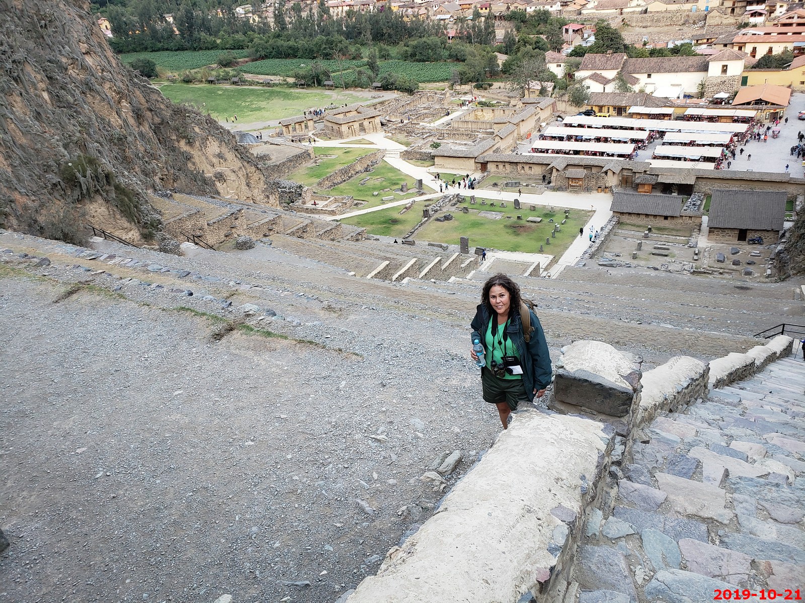
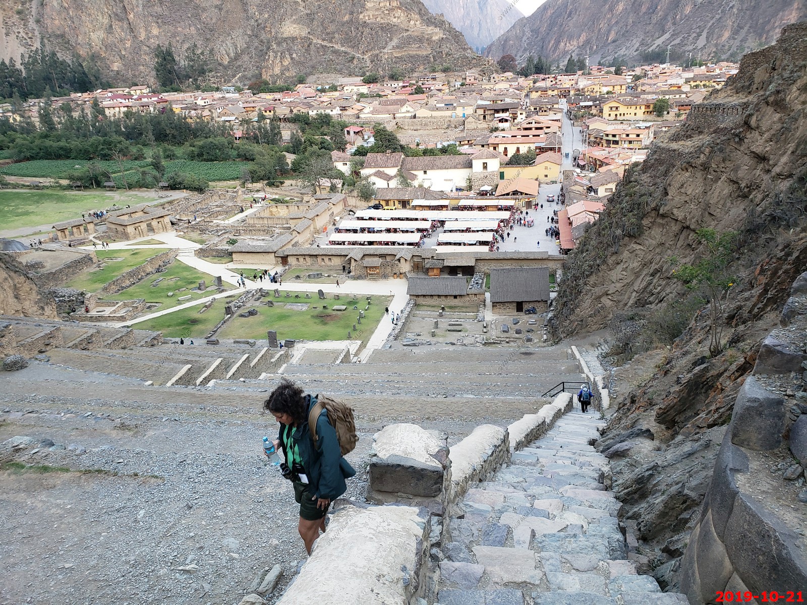
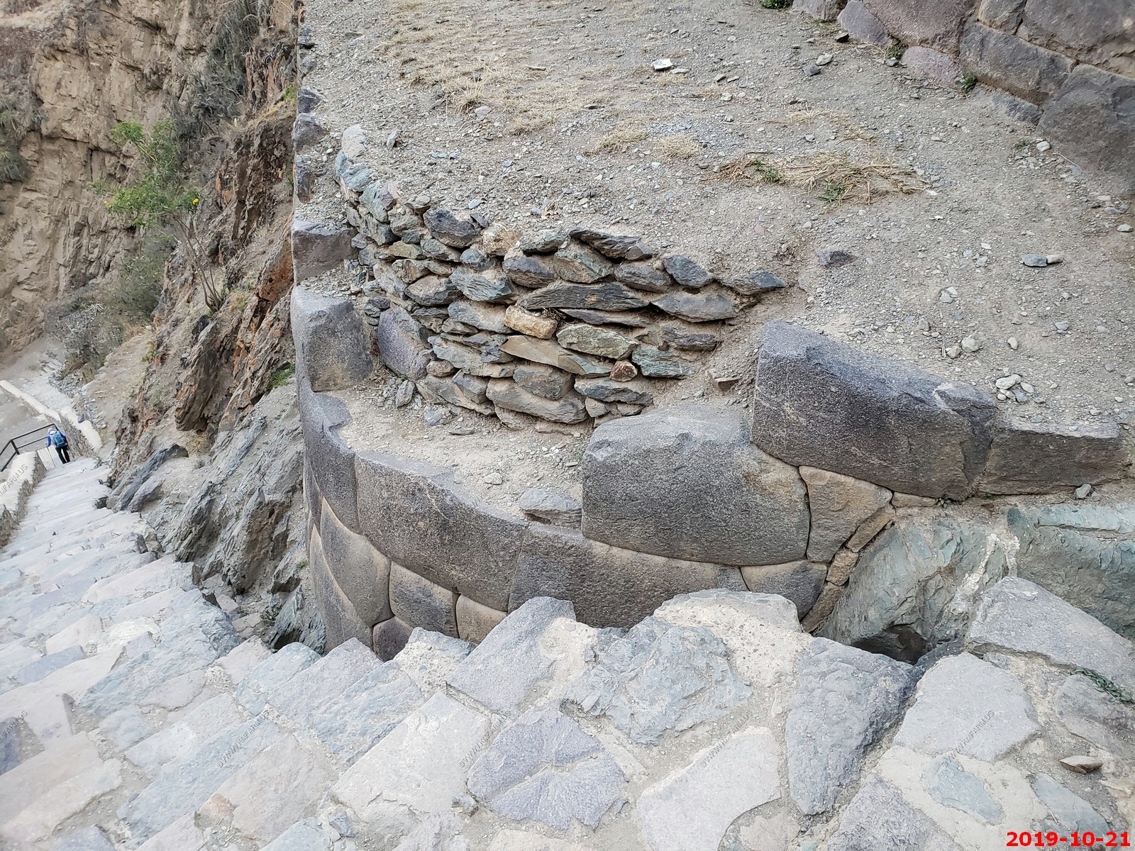
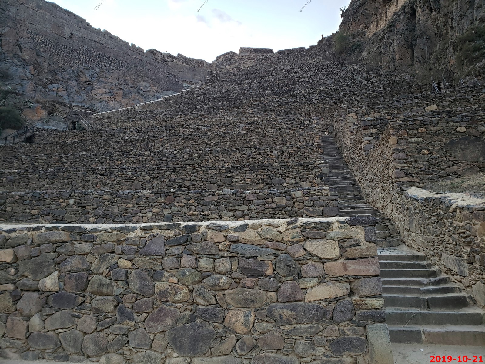
Walking up the stairways at Ollantaytambo. We got to this site an hour before it closed. Seeing the Temple of the Sun was Ken's #1 reason to go on this trip. We had wished for more time but the good thing about arriving at sunset is the lack of people.
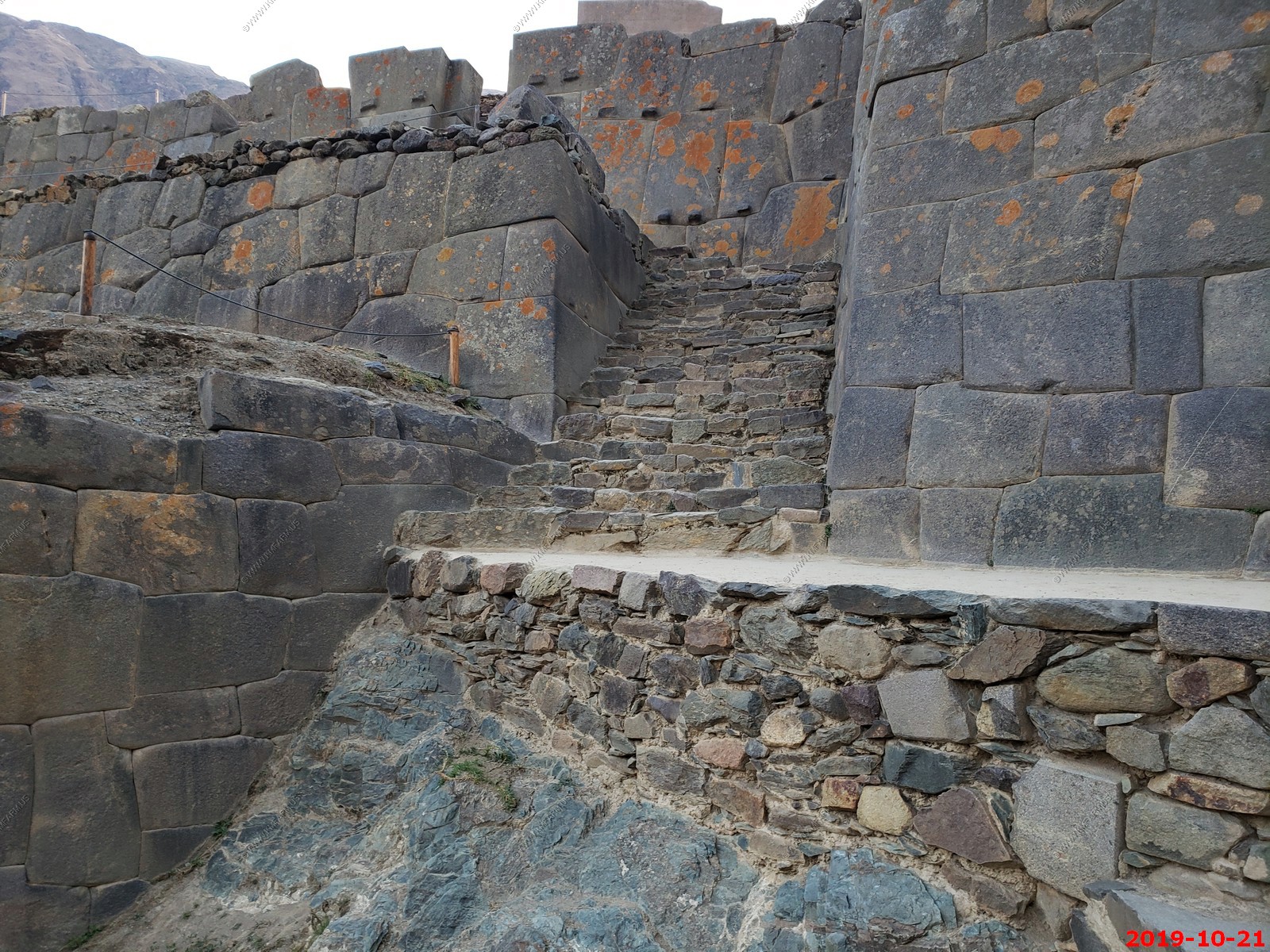
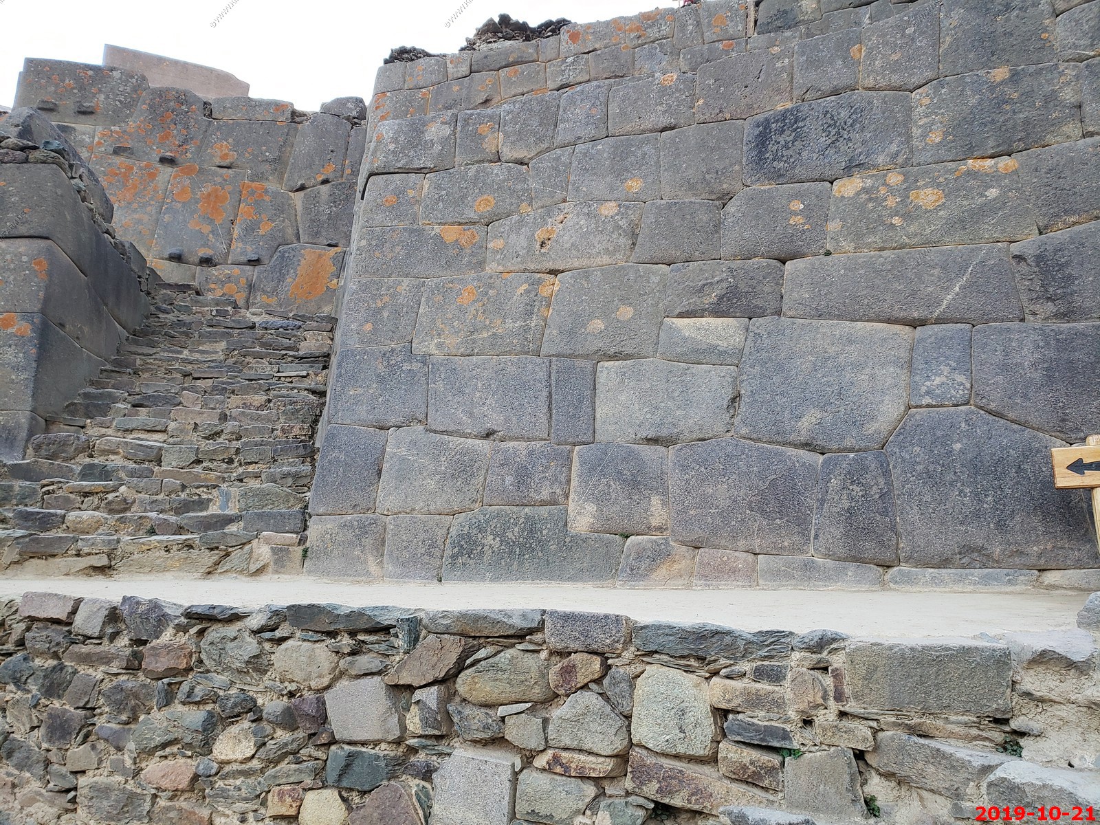
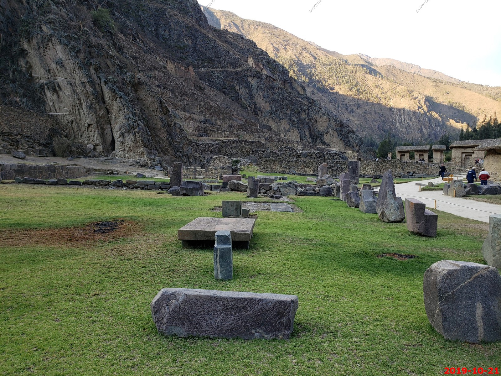
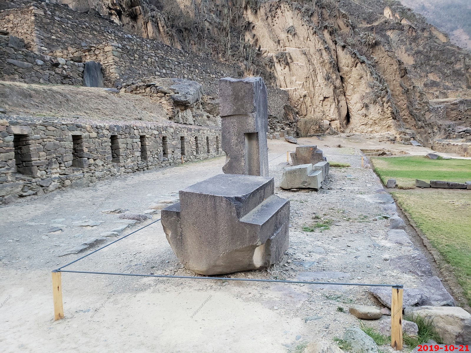
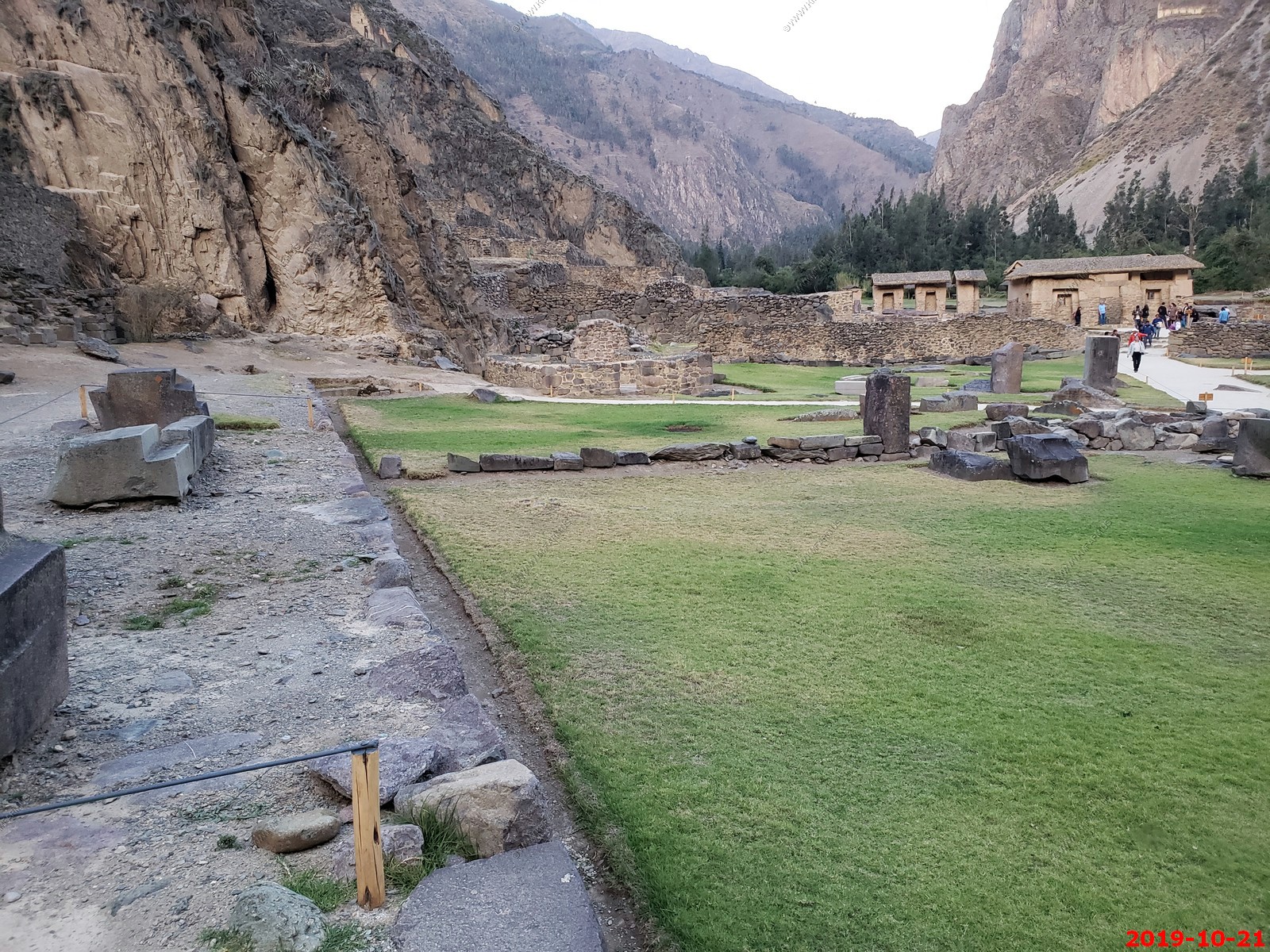
Inca temple complex of Ollantaytambo - Various views (I am not deleting duplicates to save time processing)
Almost to the top and the Temple of the Sun
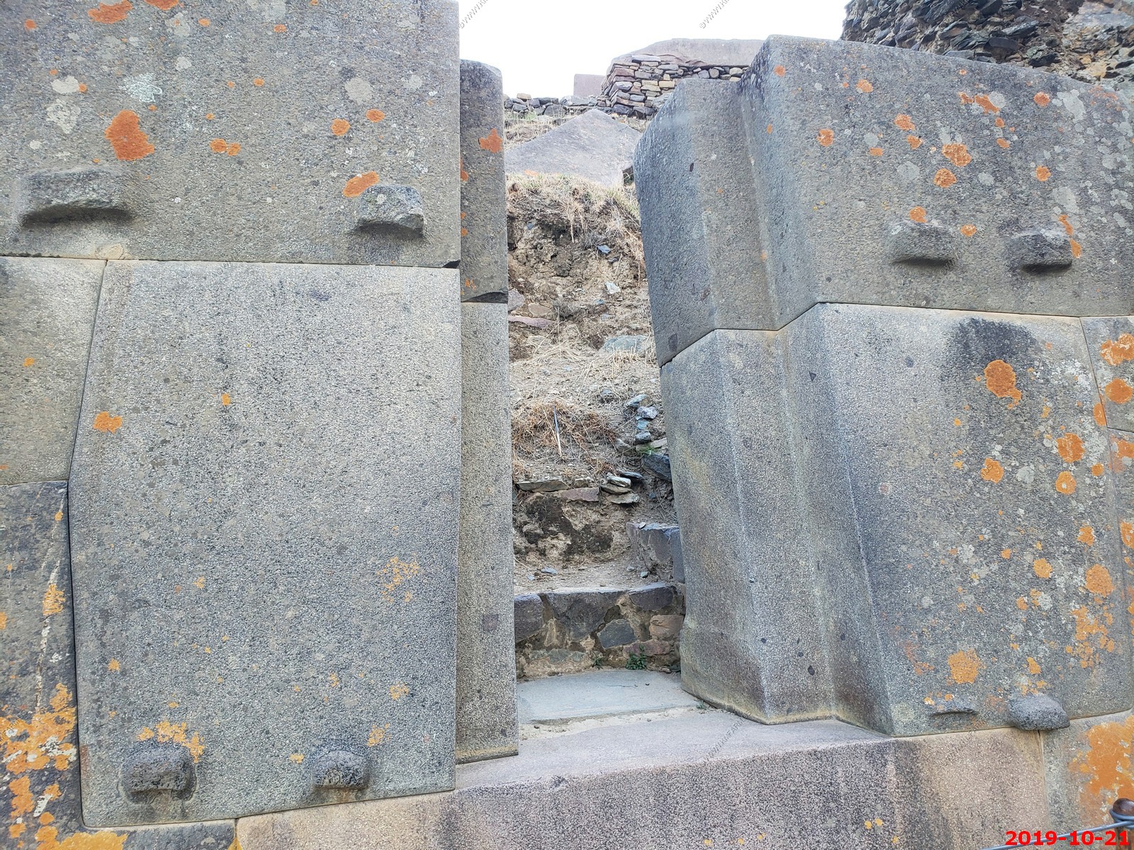
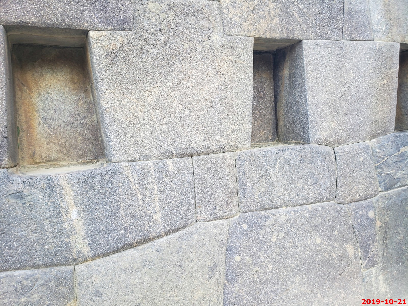
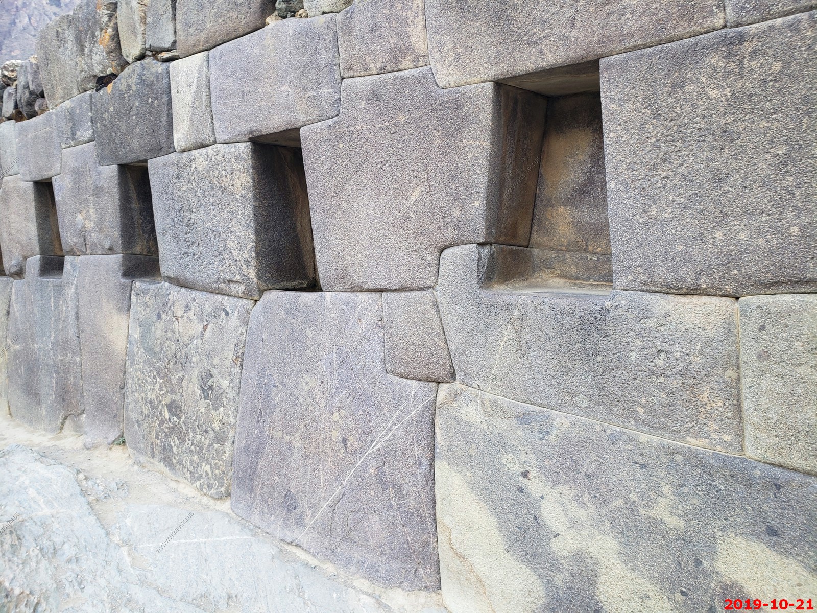
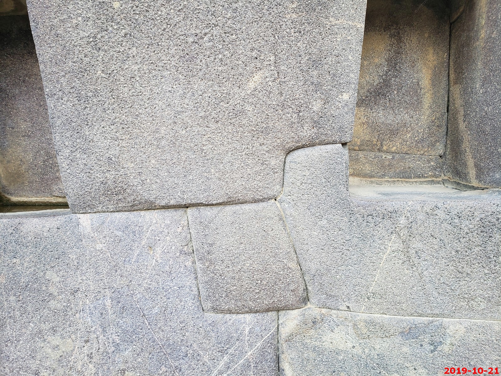
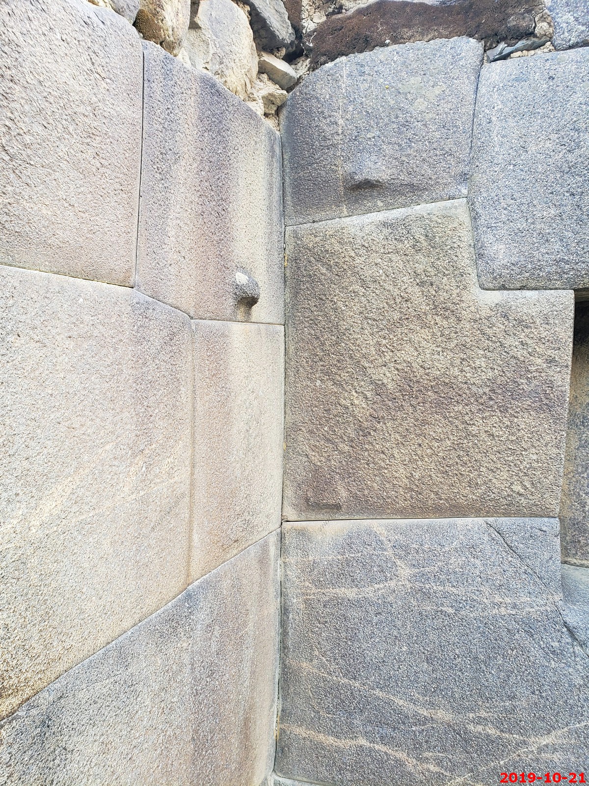
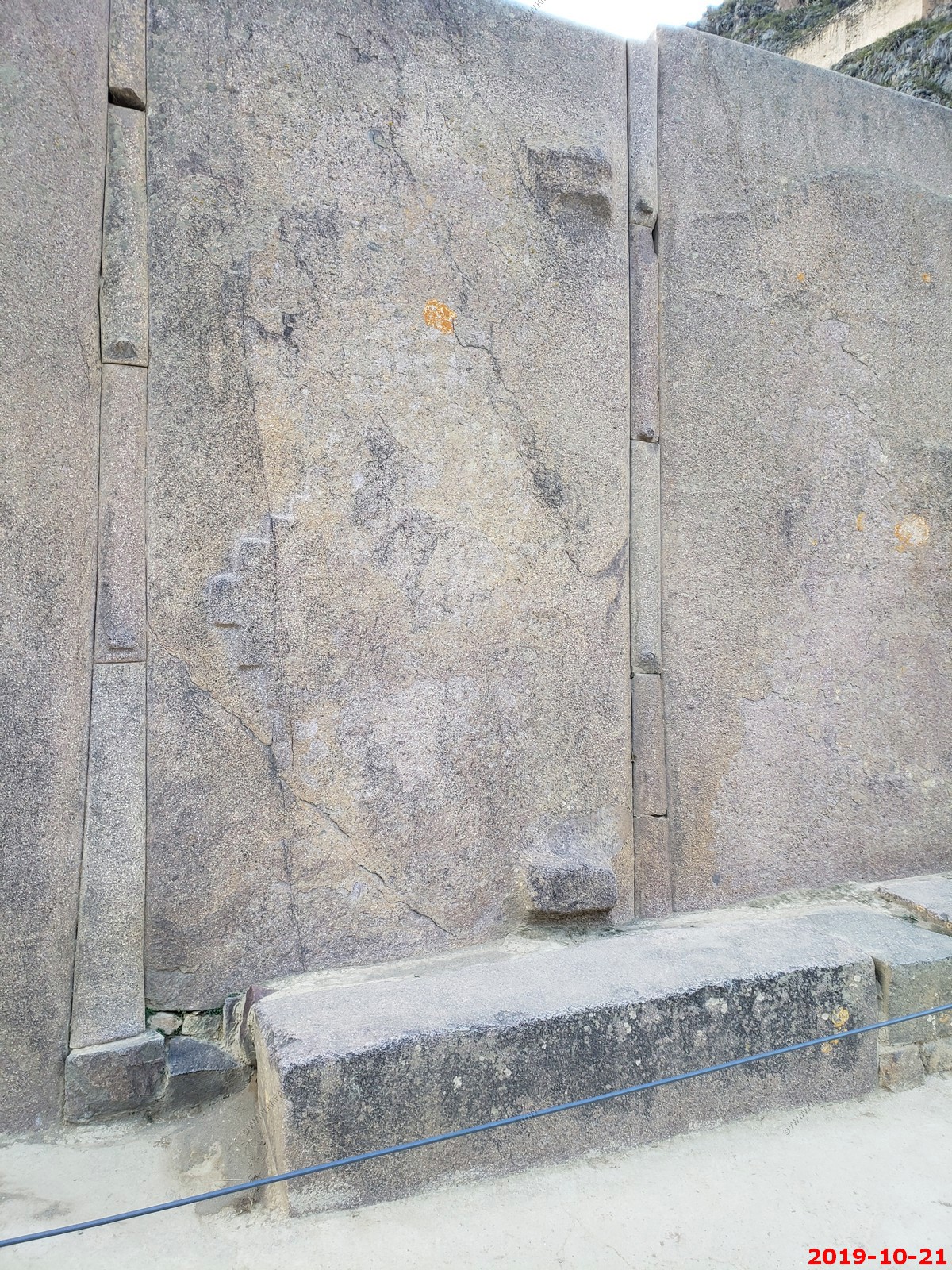
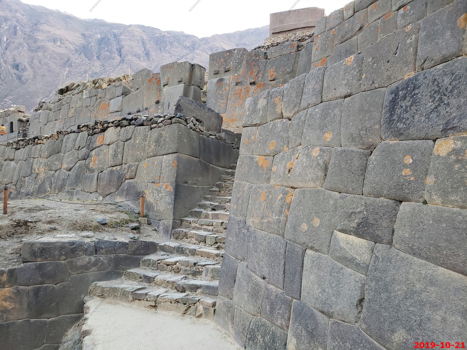
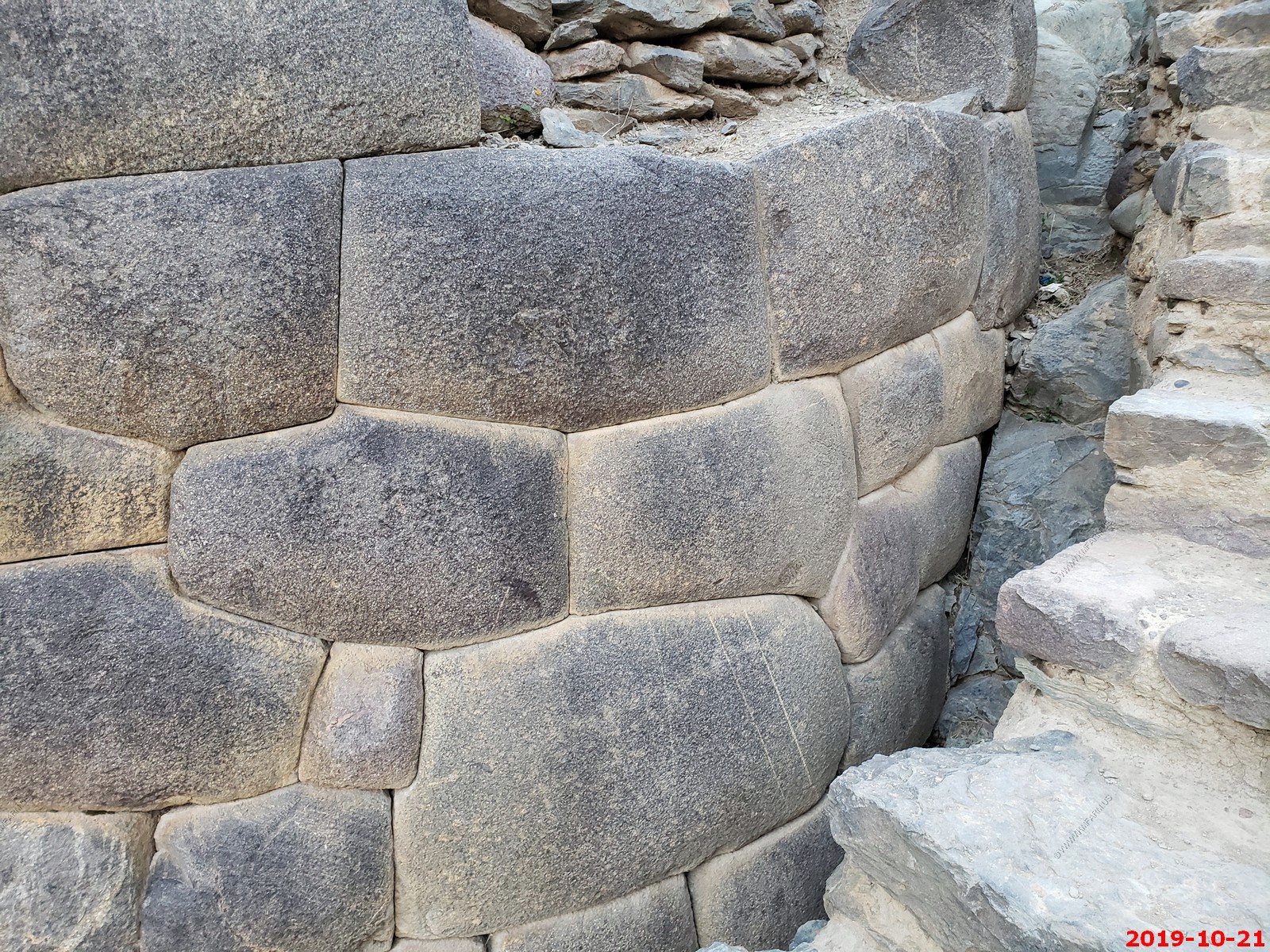
Inca doors at the temple of the sun. Very cool
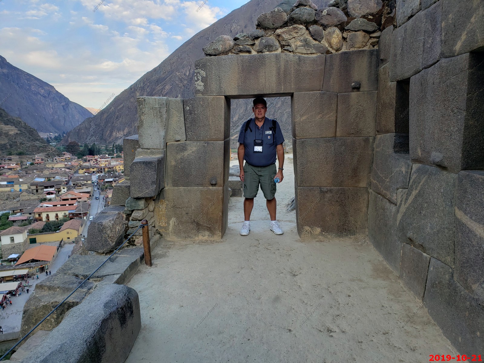
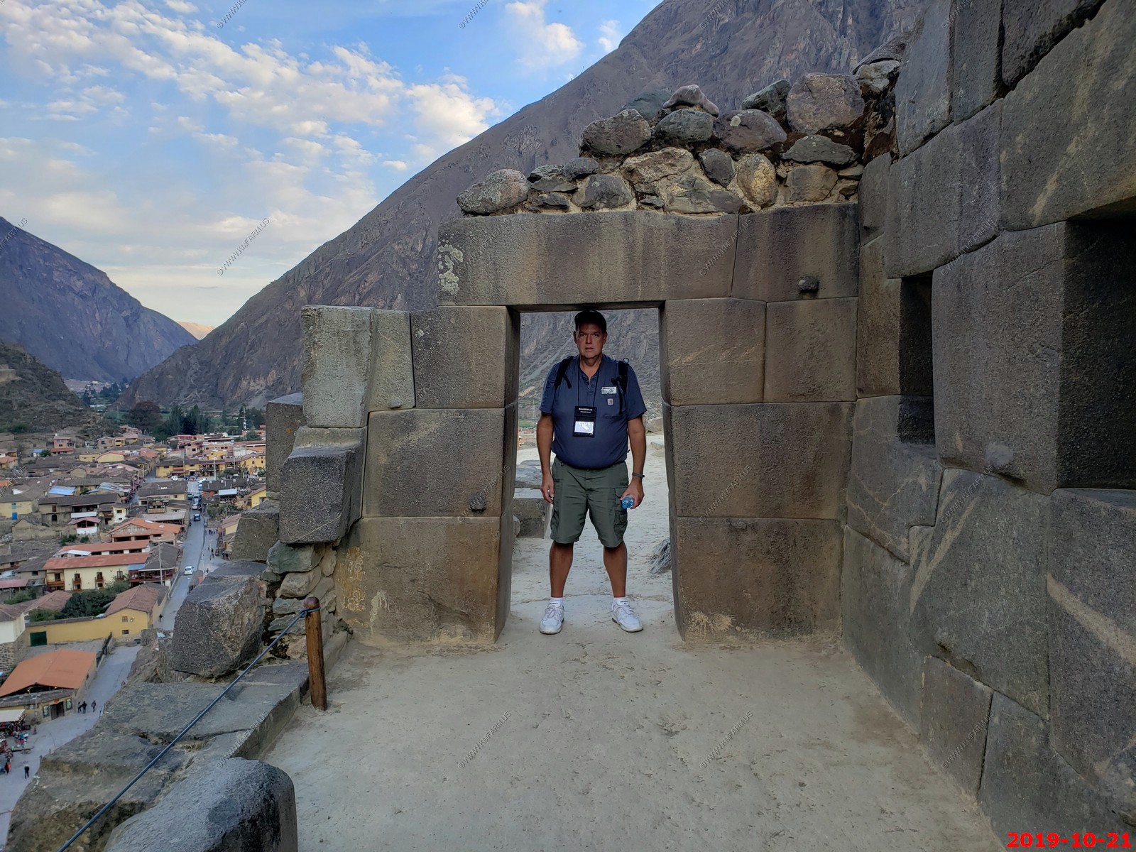
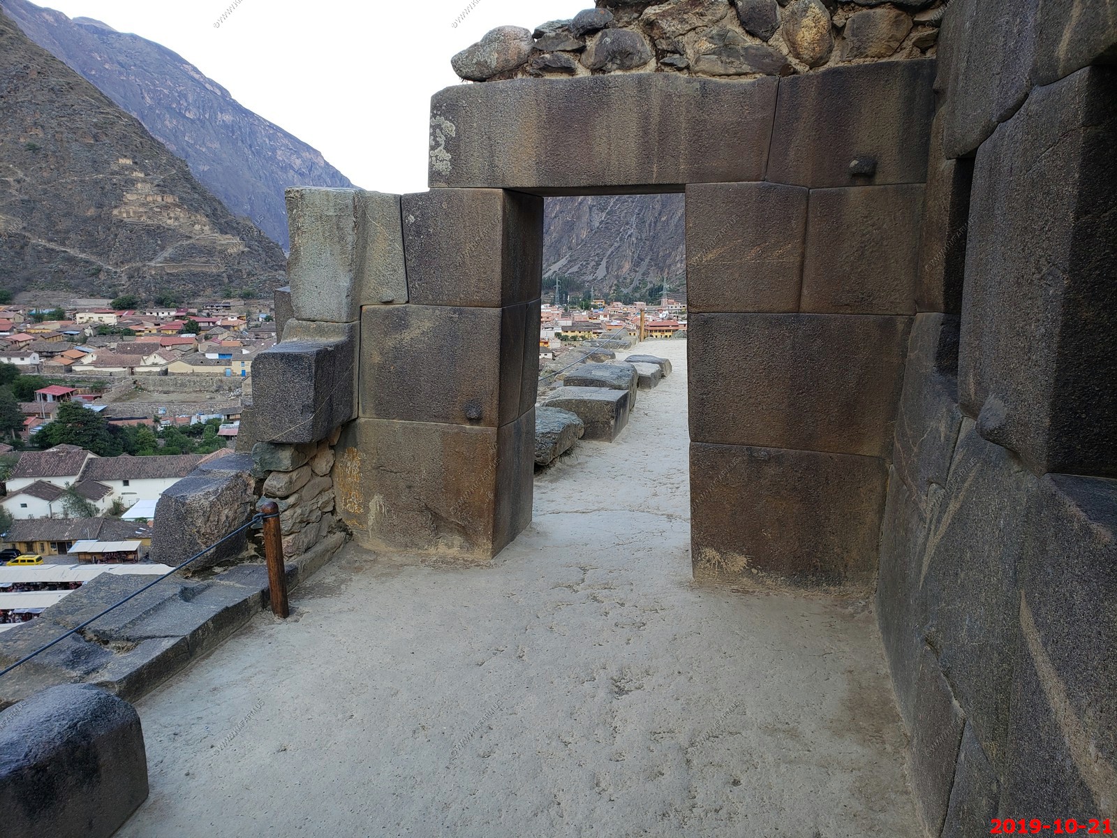
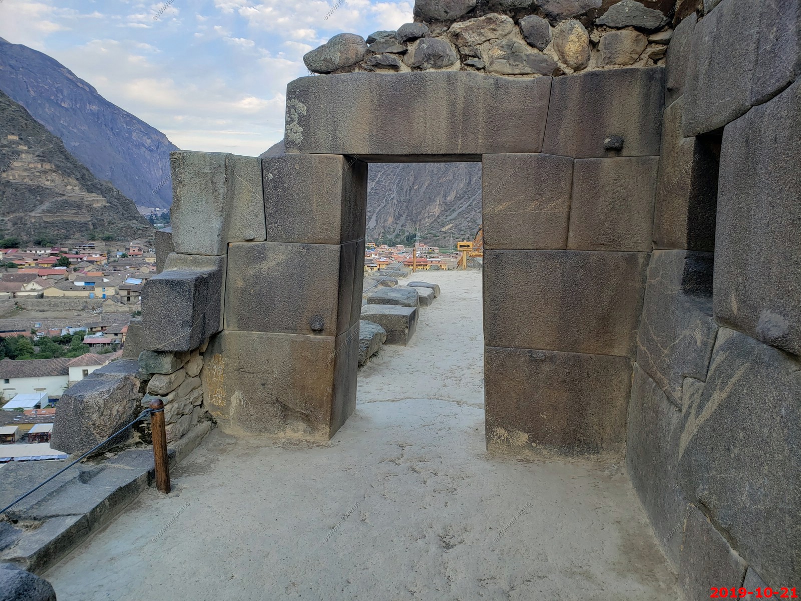
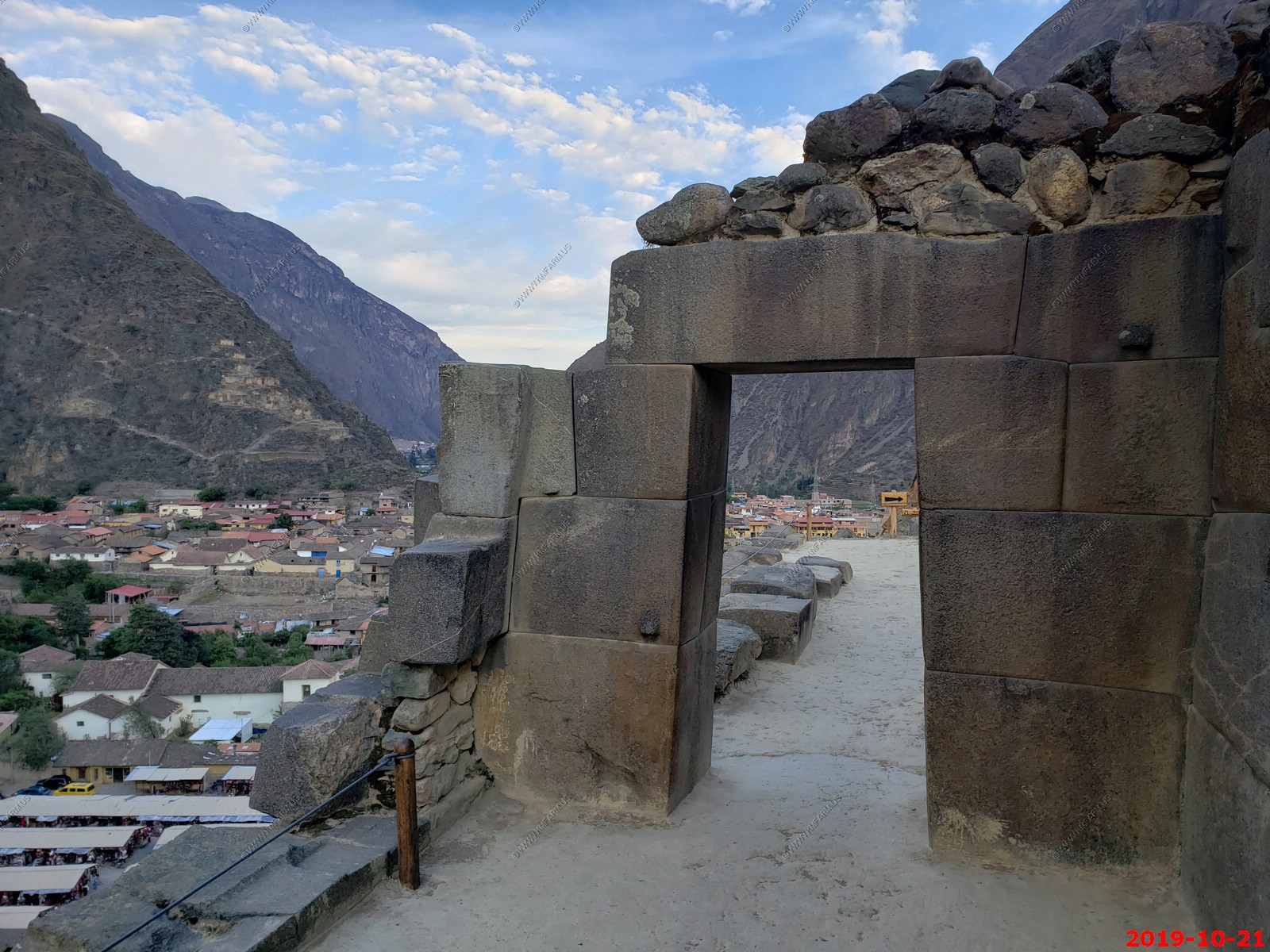
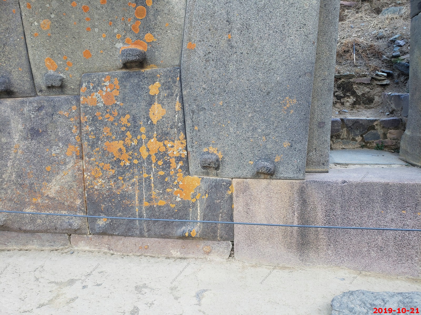
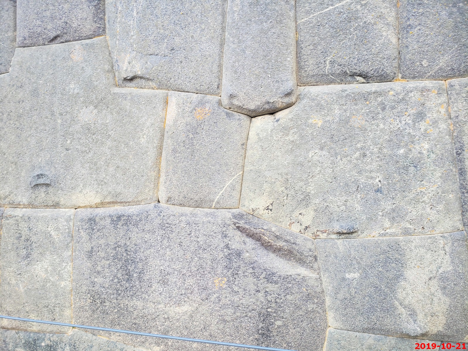
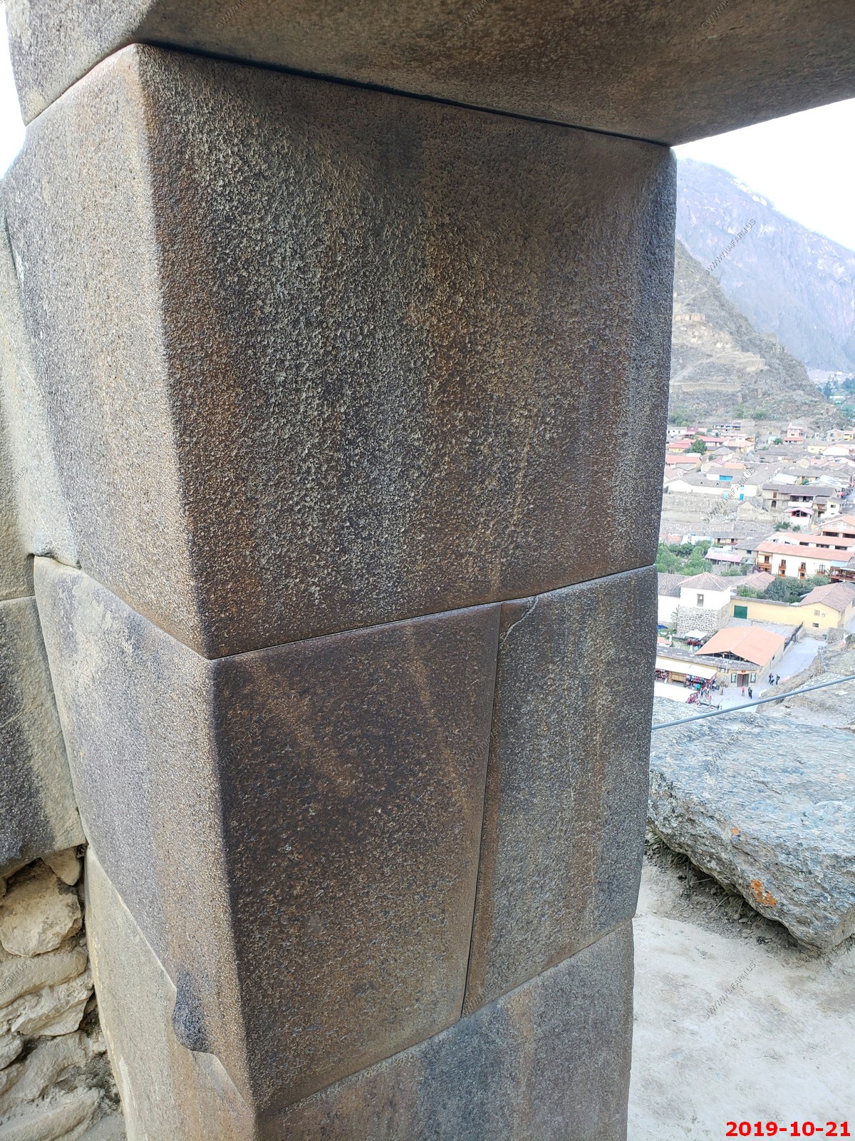
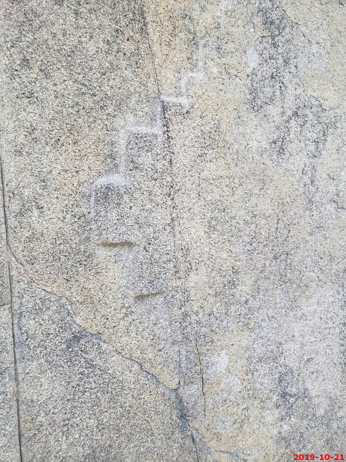
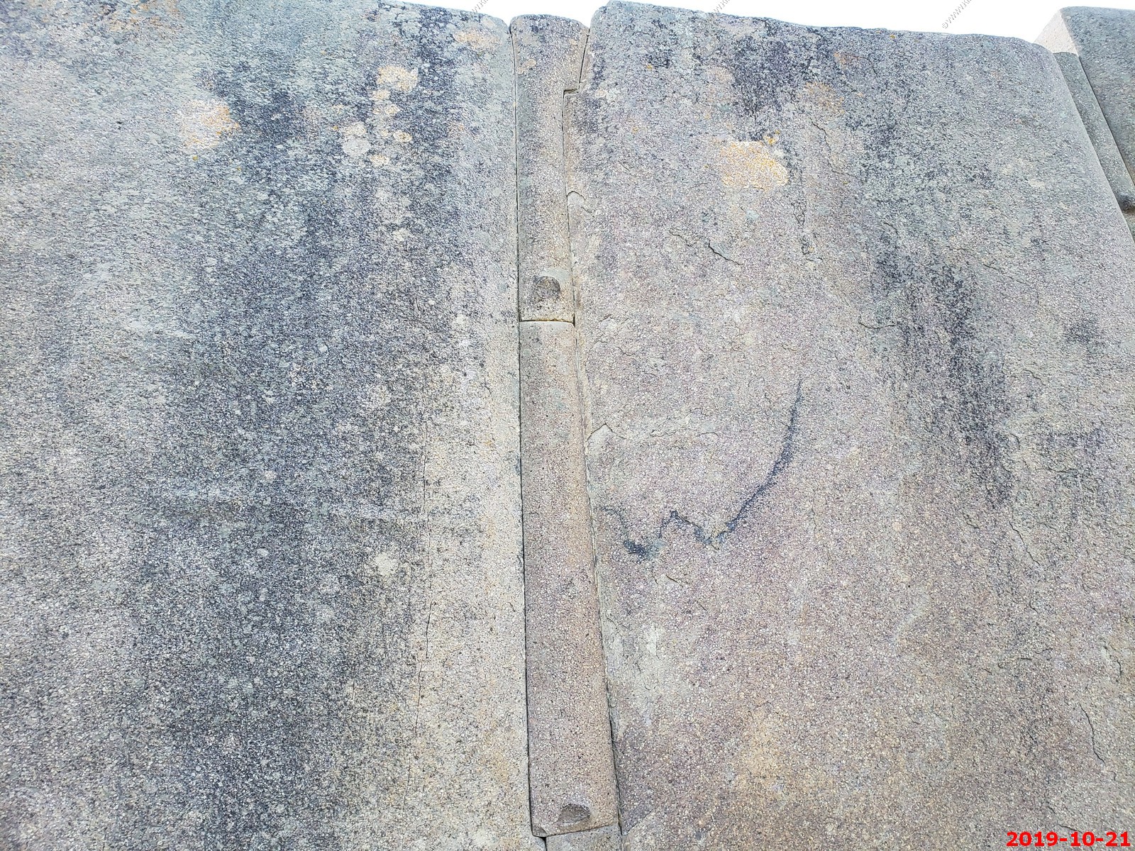
Stonework in the doorway - The seams are exceptional
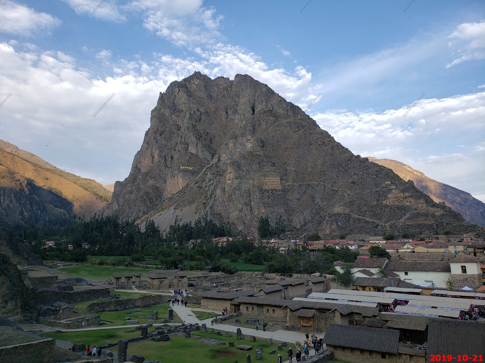
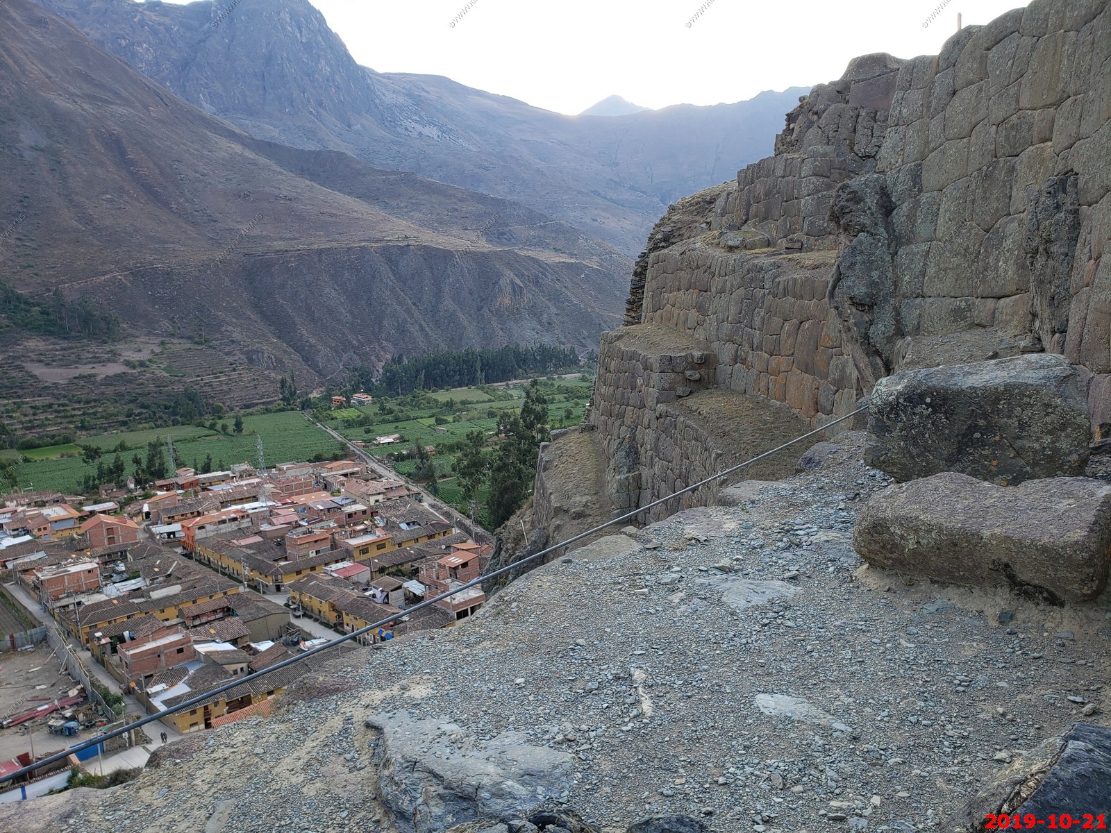
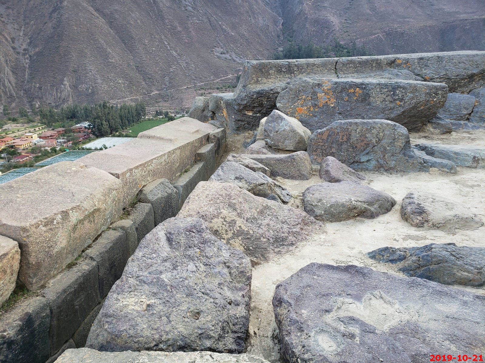
Looking down on the town of Ollantaytambo. The houses have the most amazing foundations and every so often you see the locals going about their business in the cool courtyards within. I read that these were the oldest, continuously inhabited buildings in South America.
Inca temple complex of Ollantaytambo - Various views (I am not deleting duplicates to save time processing)
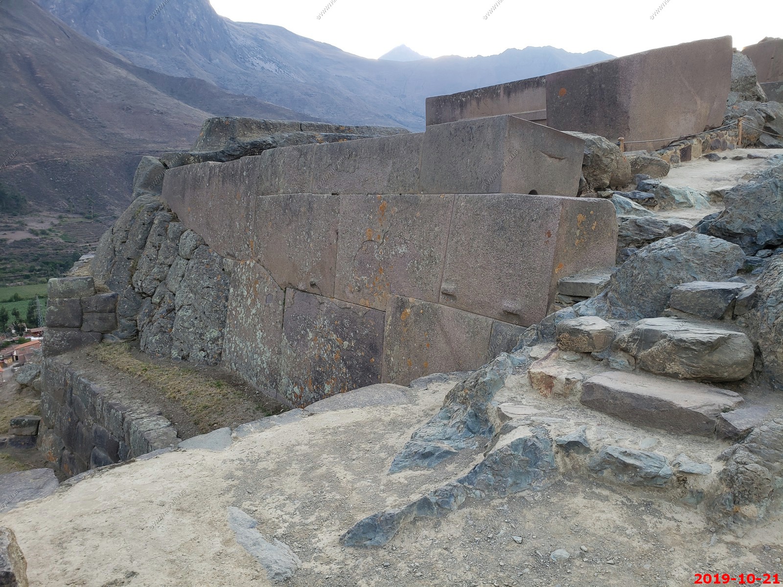
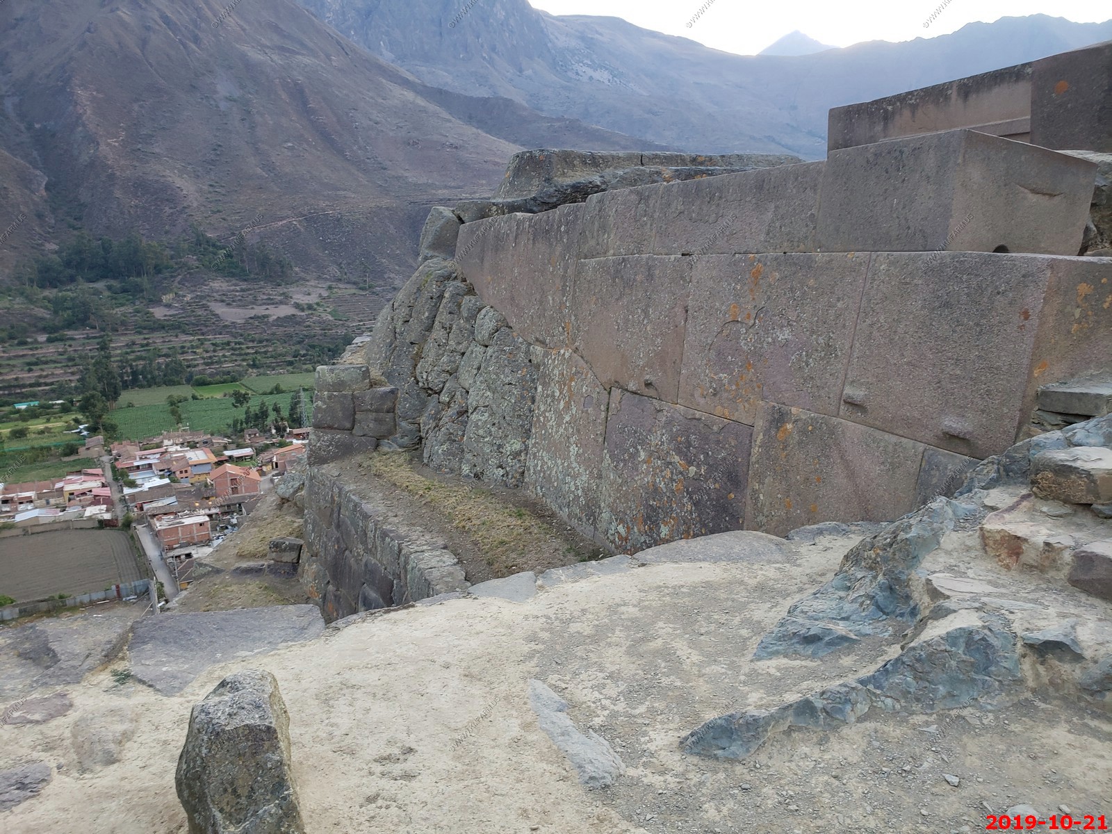
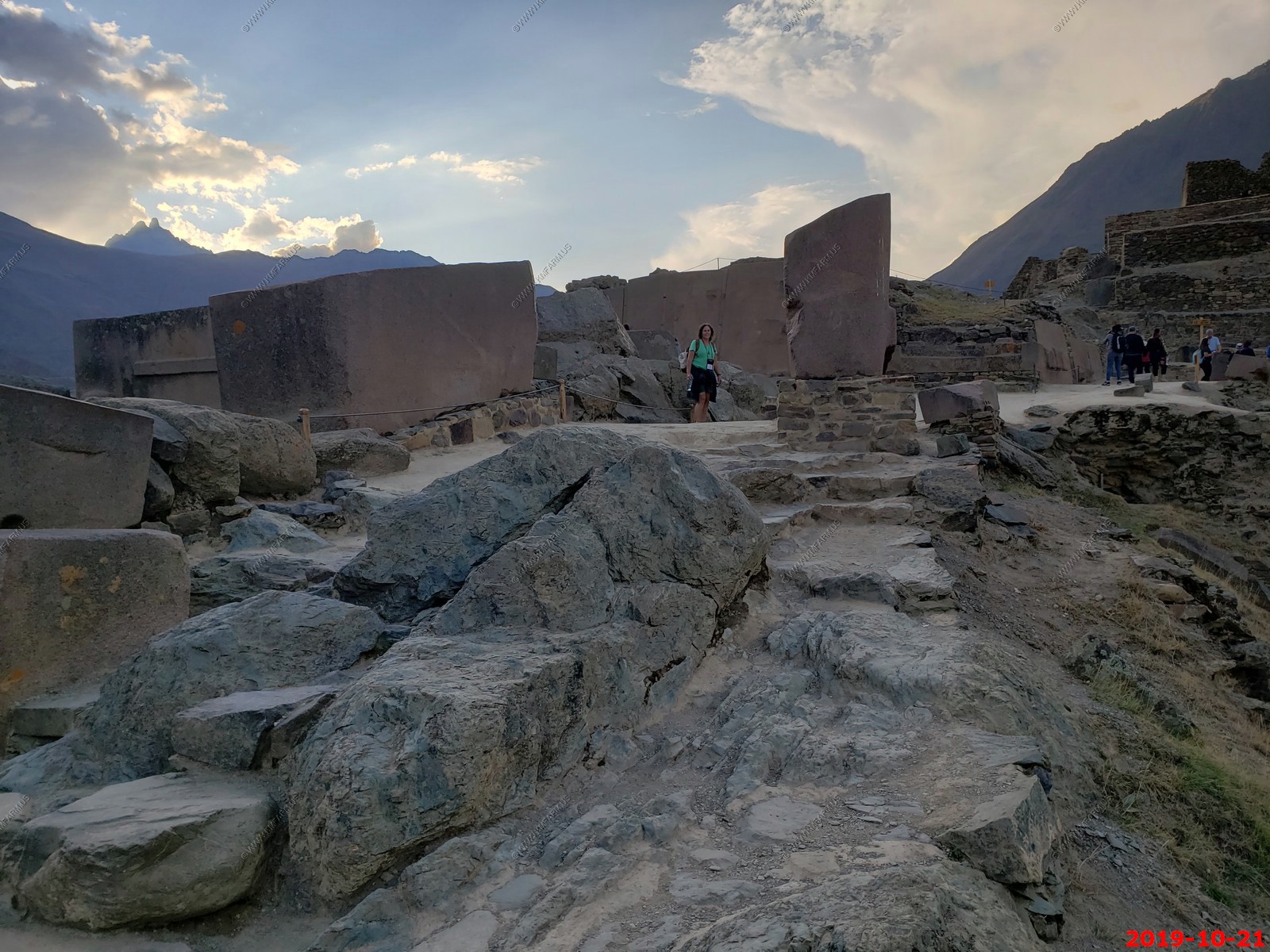
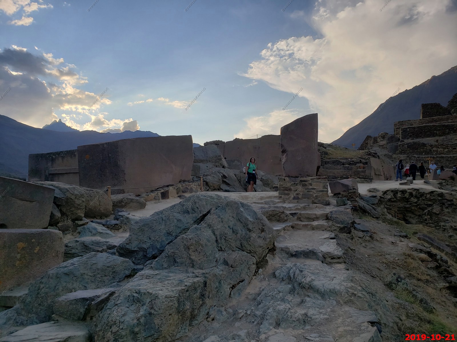
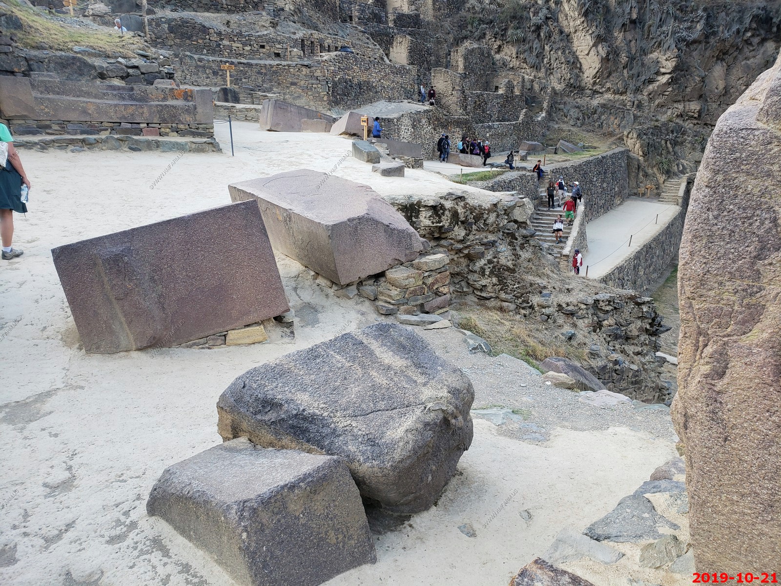
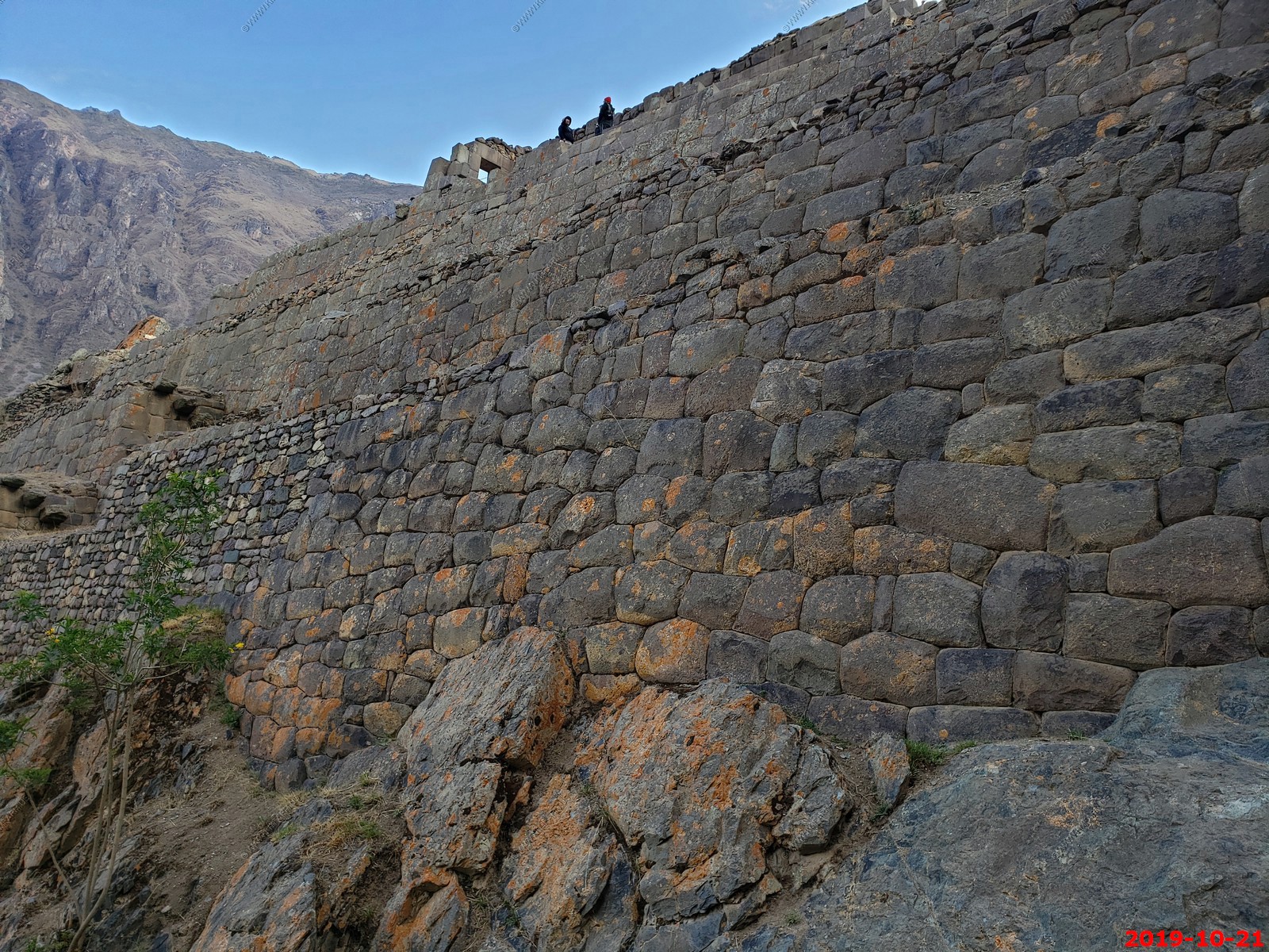
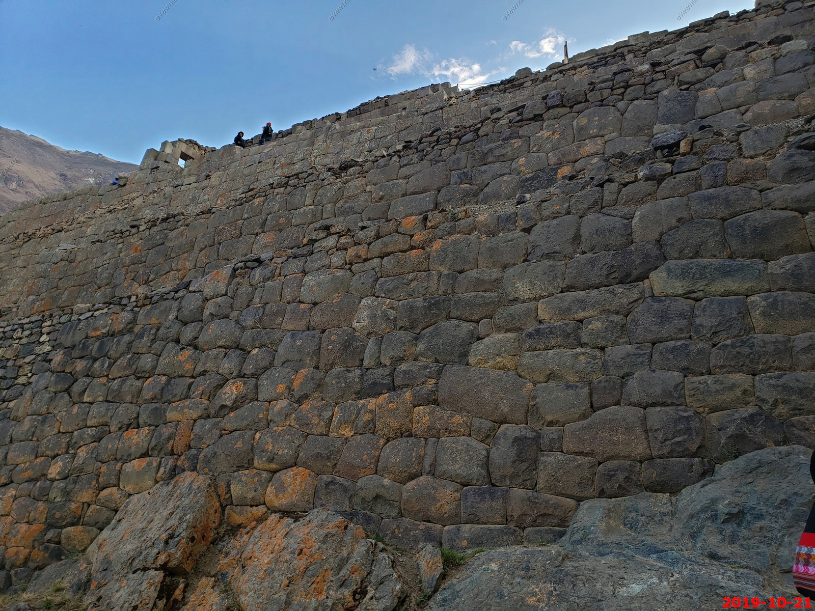
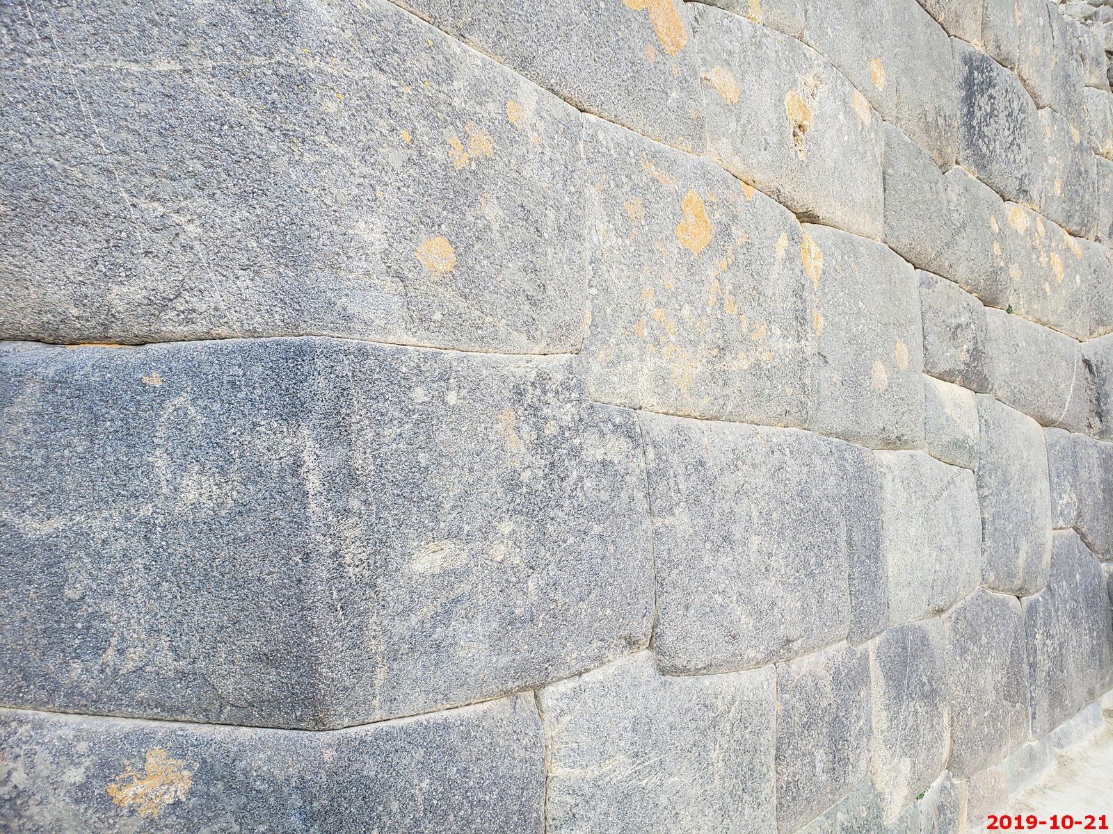
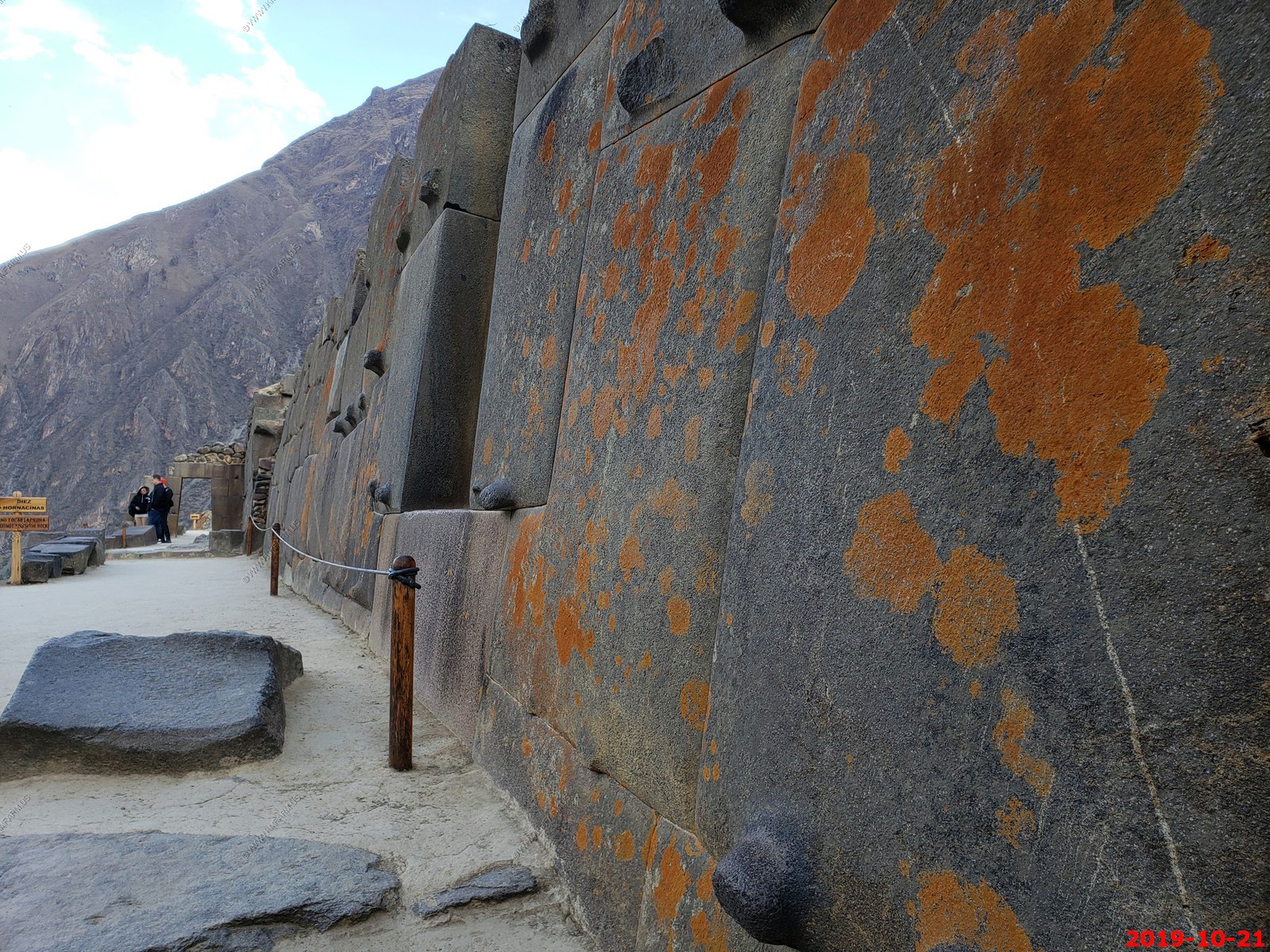
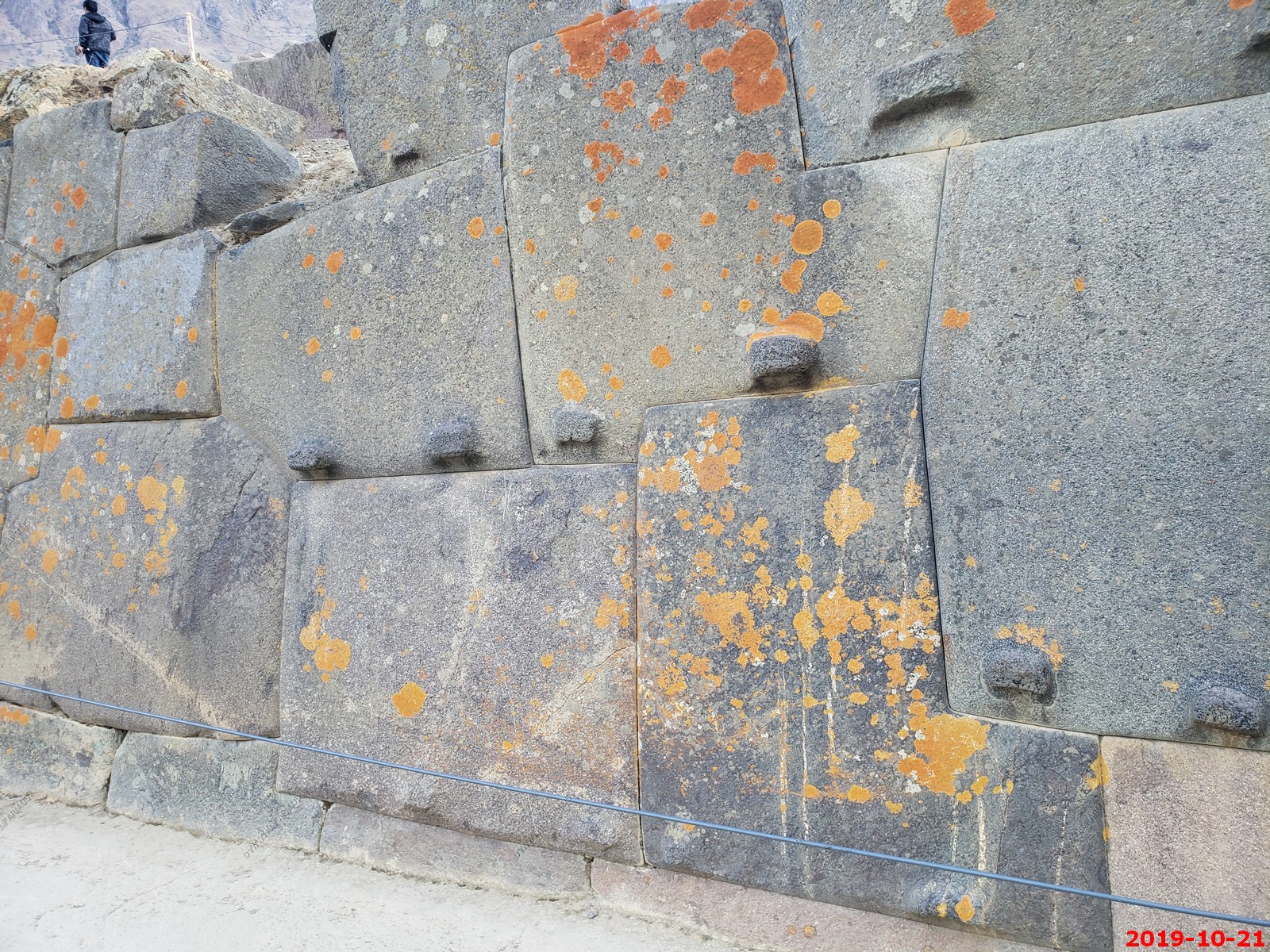
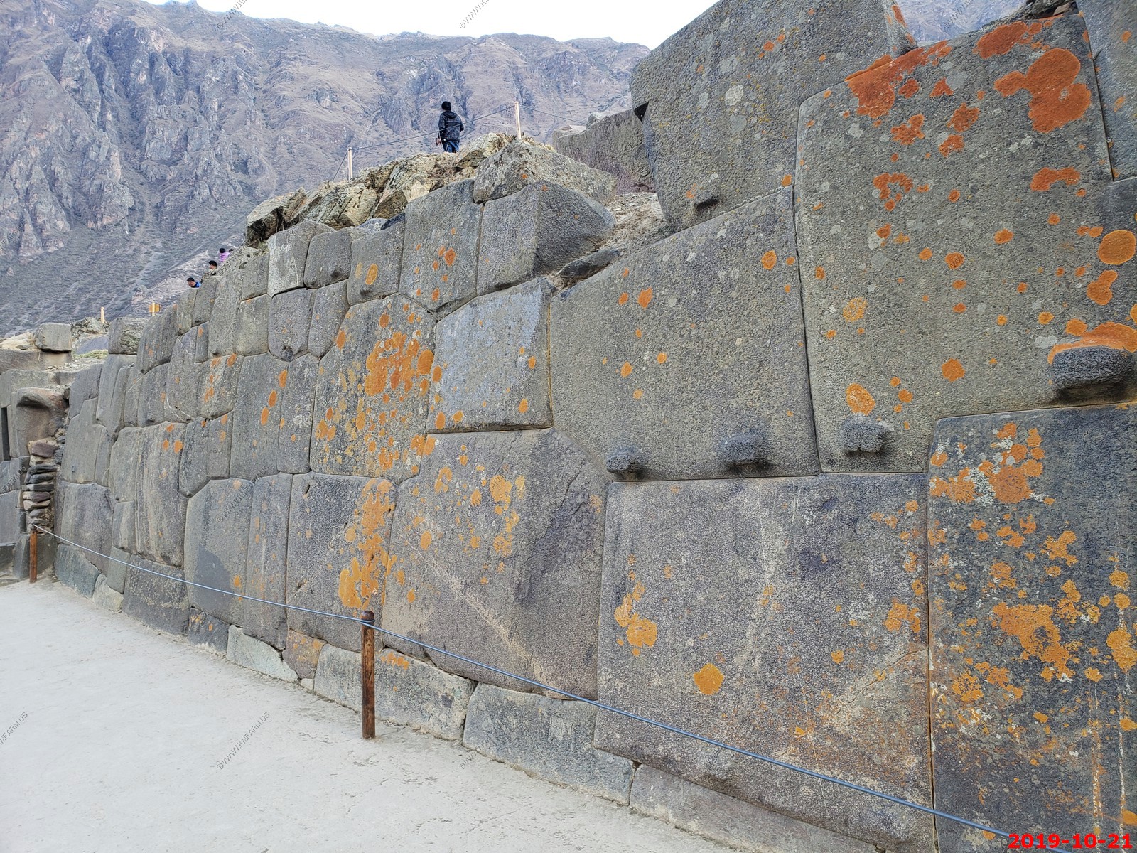
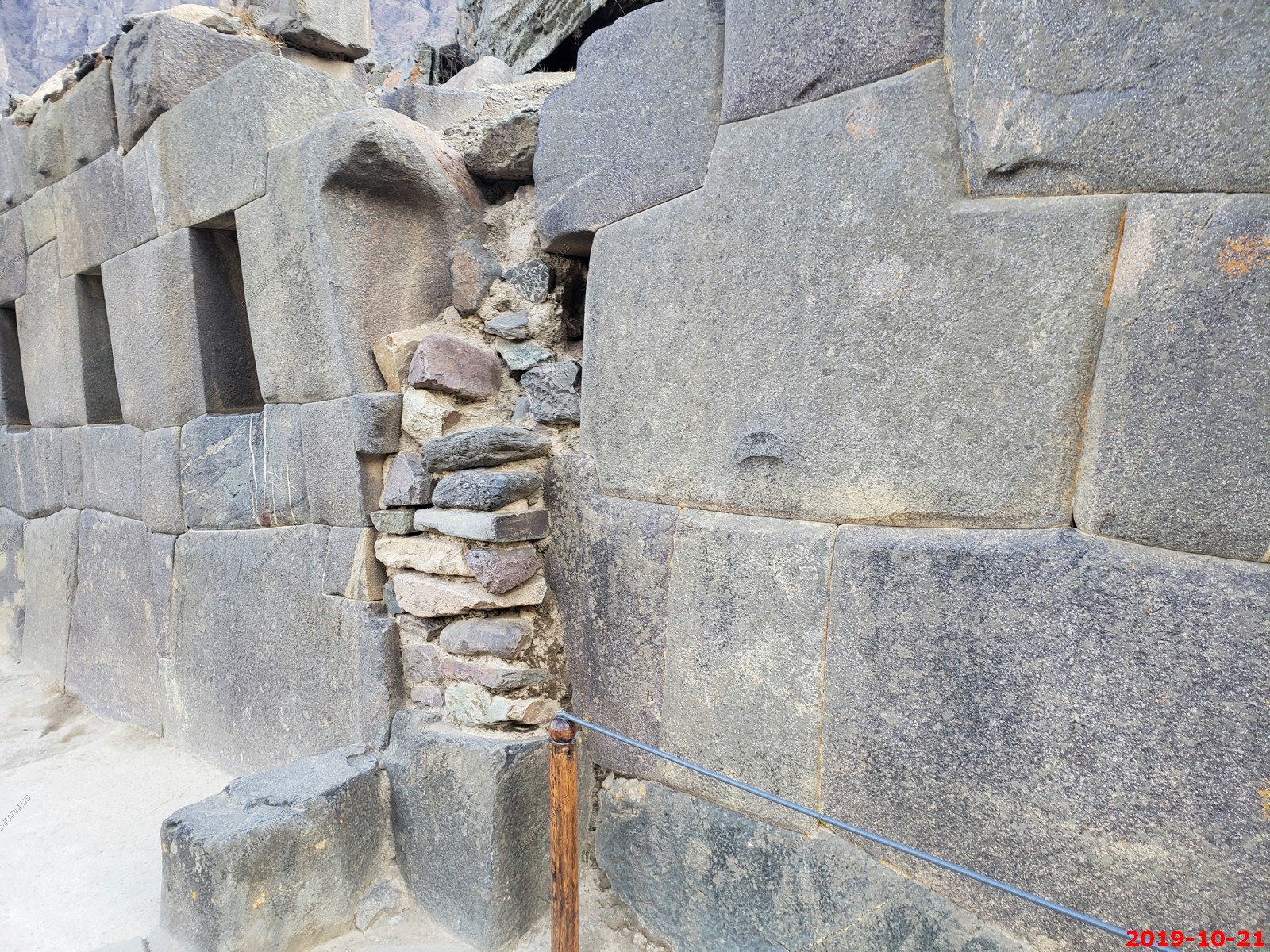
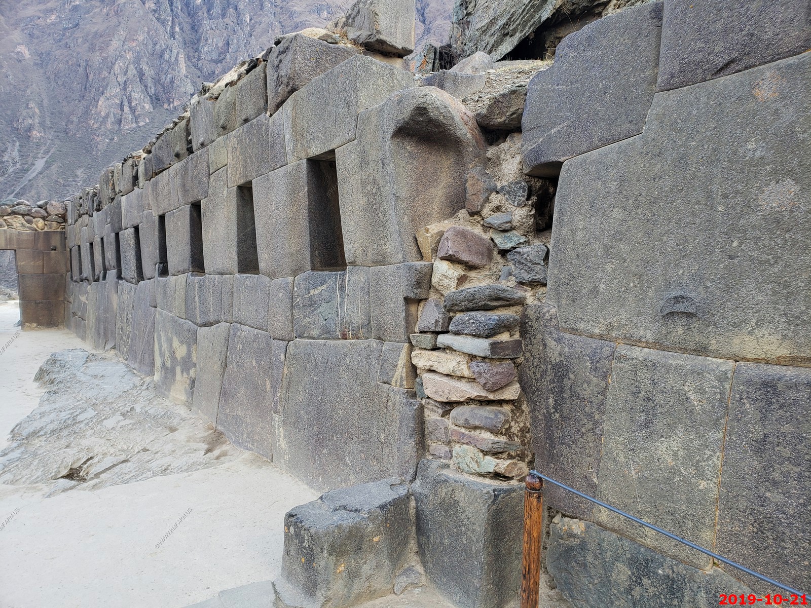
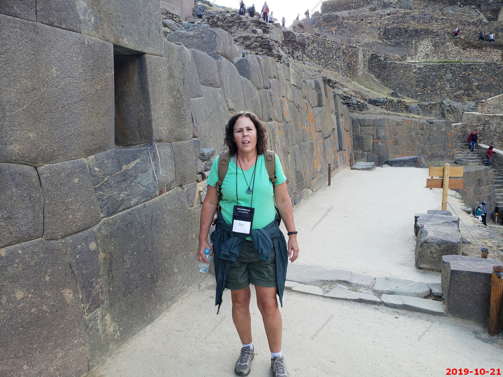
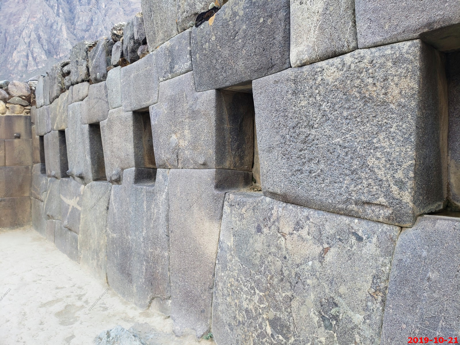
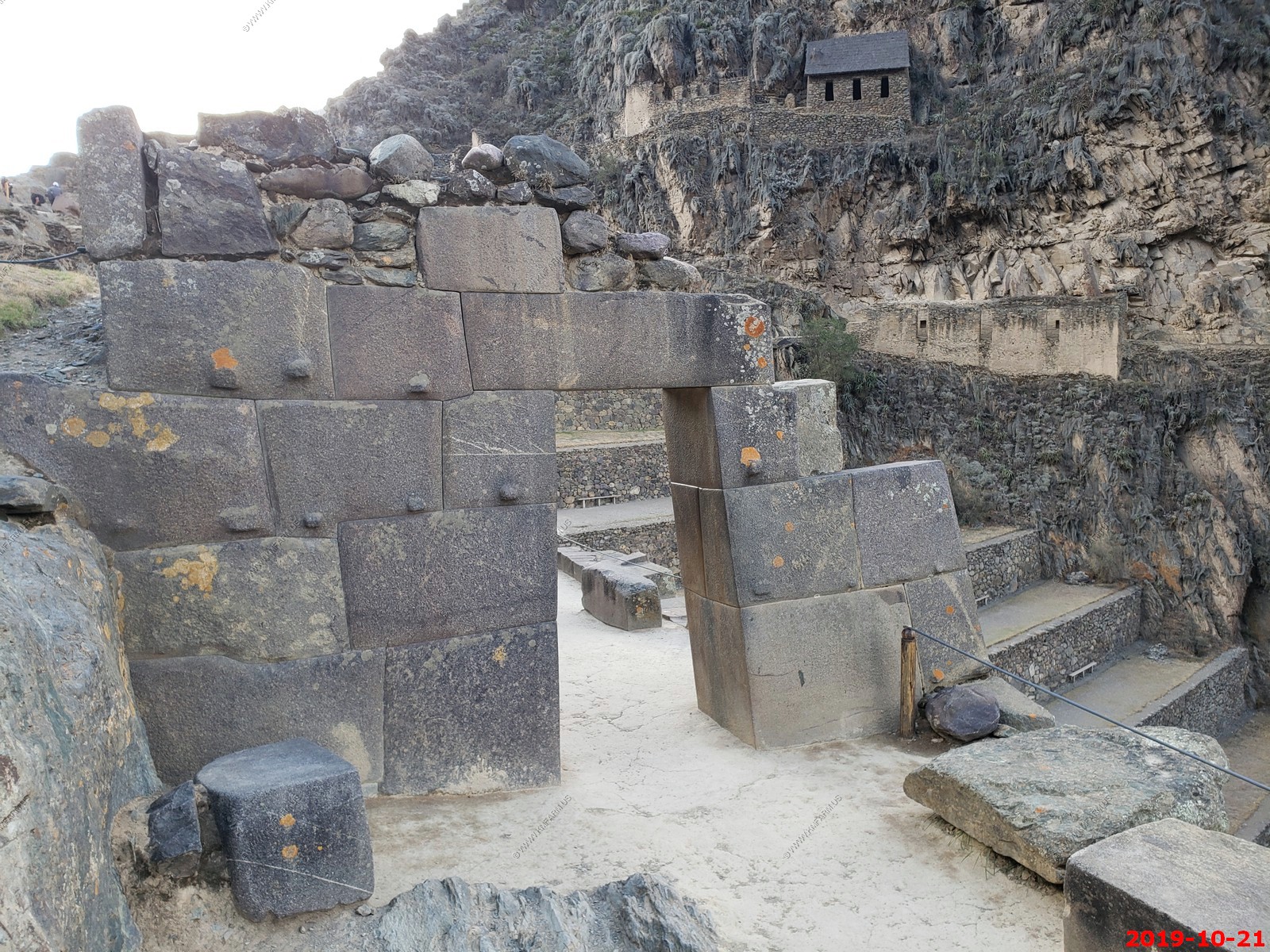
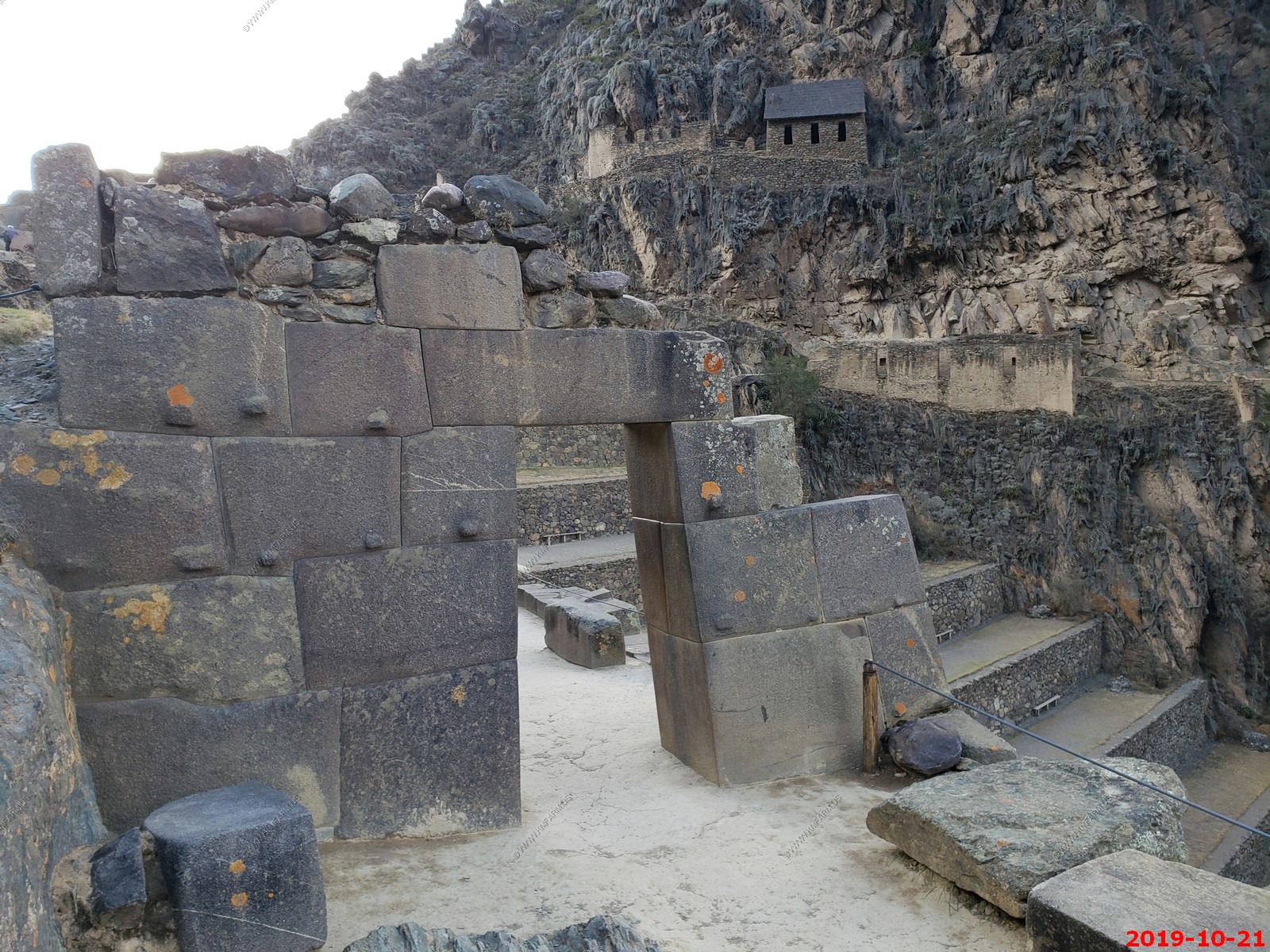
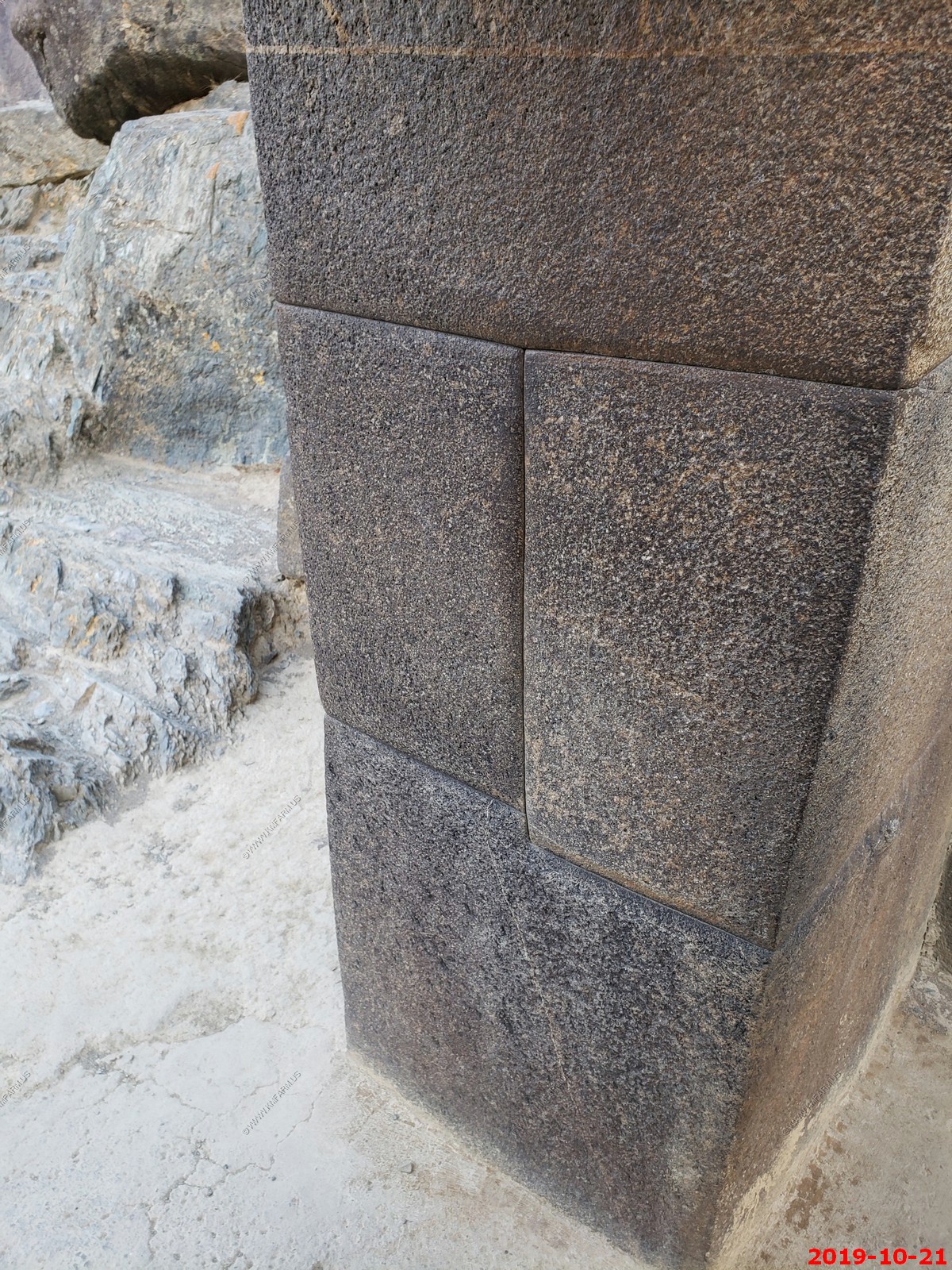
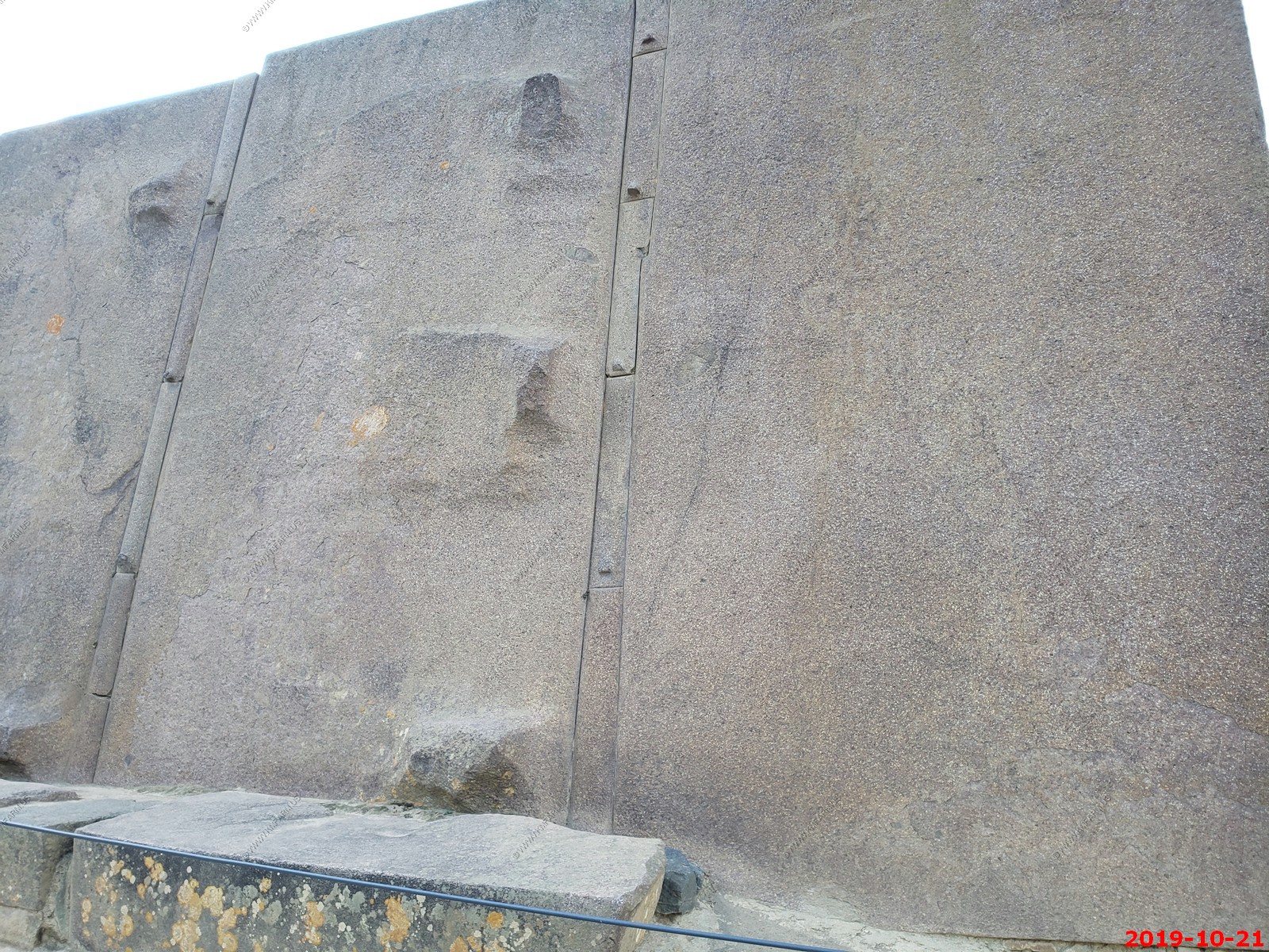
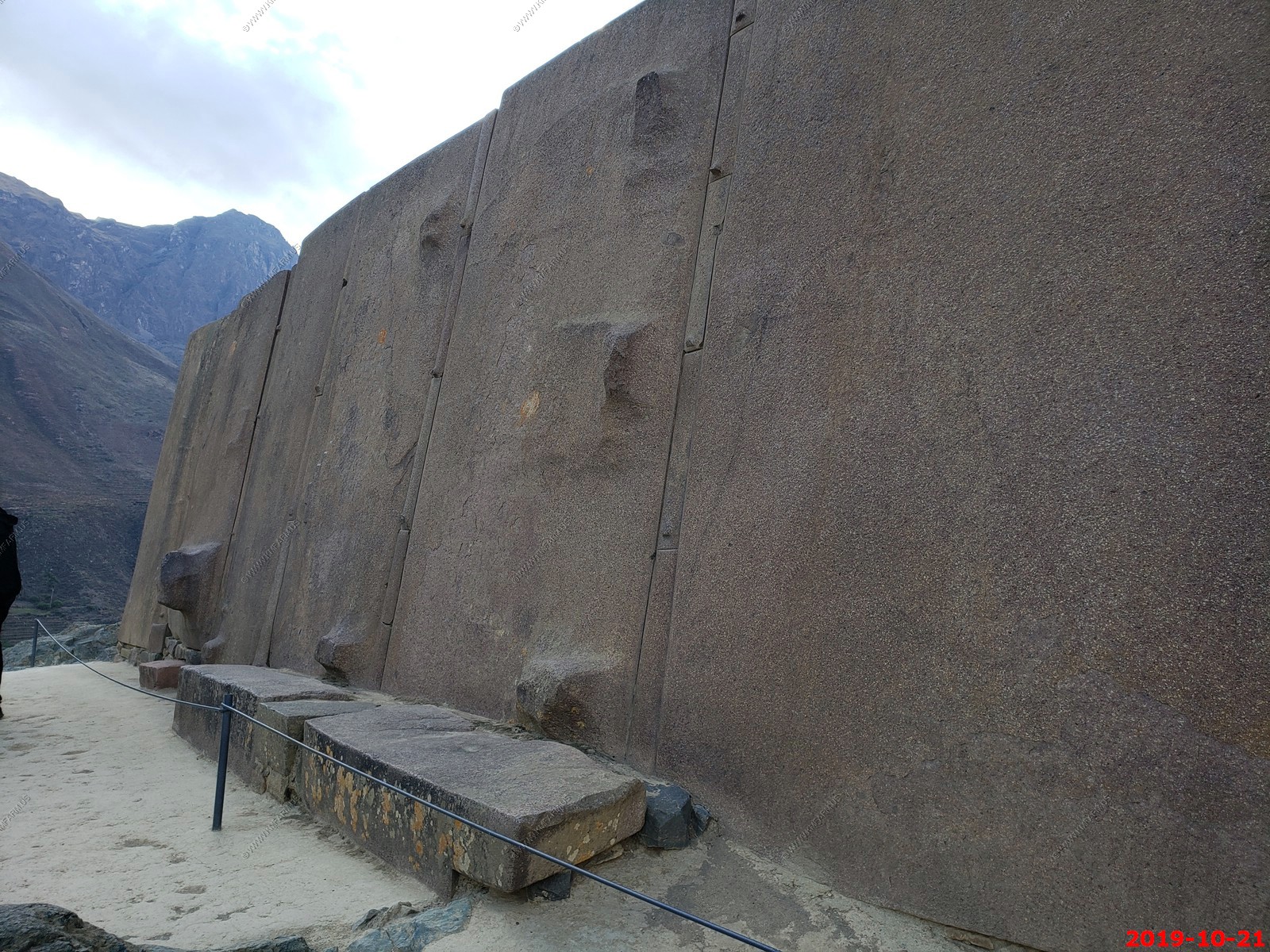
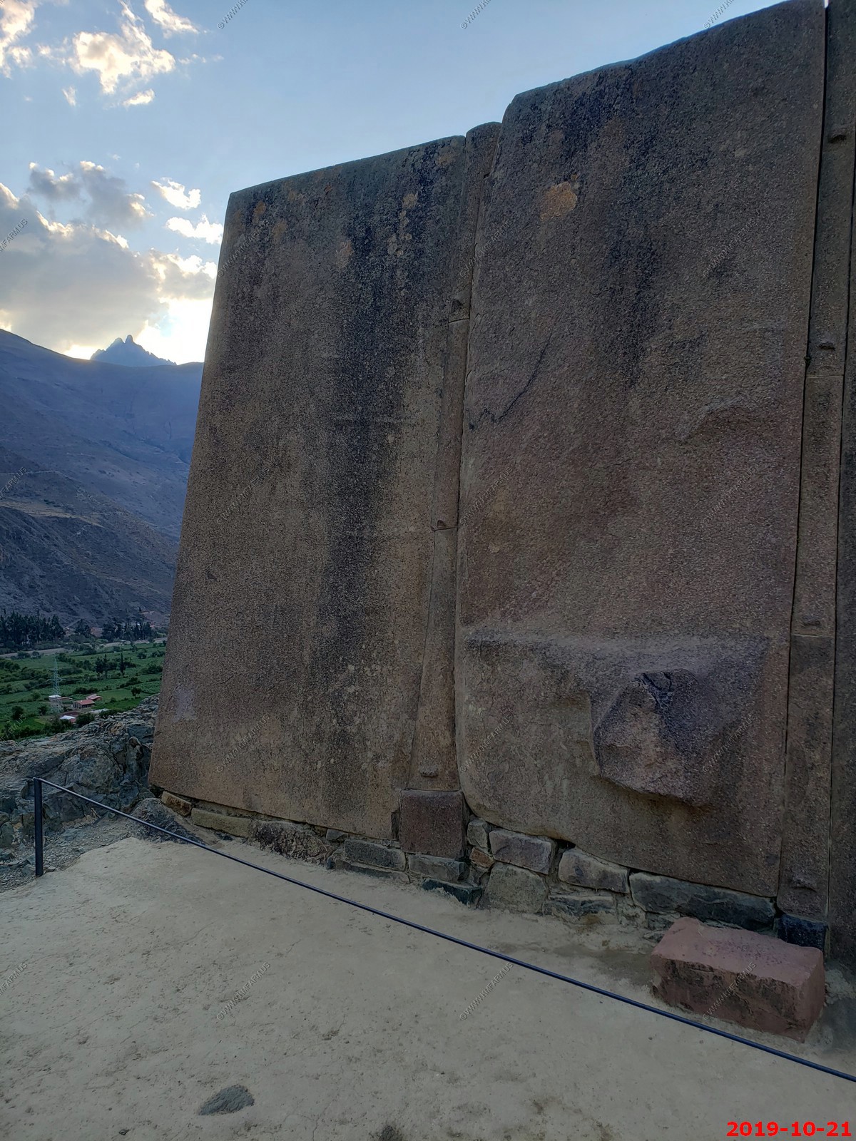
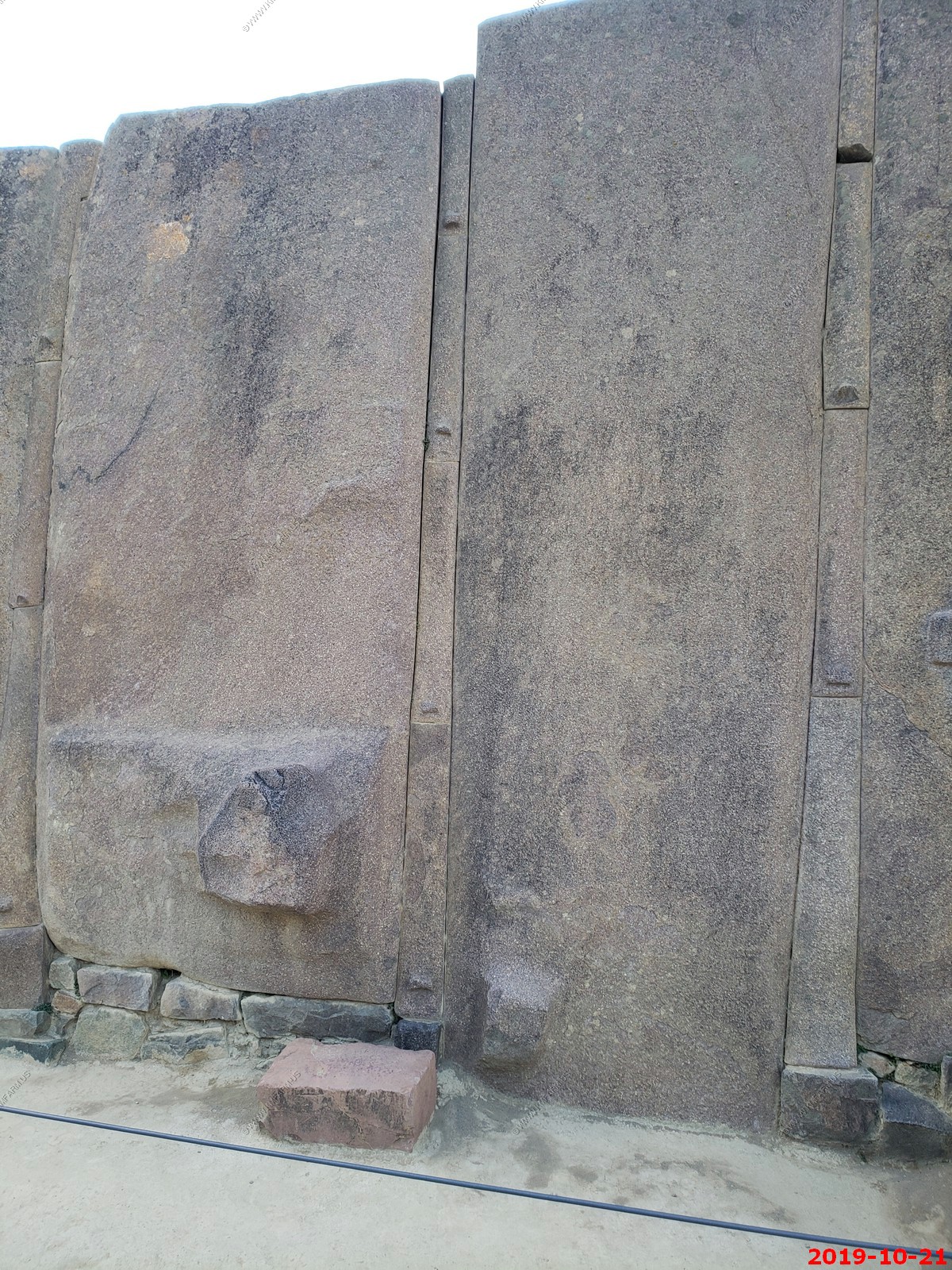
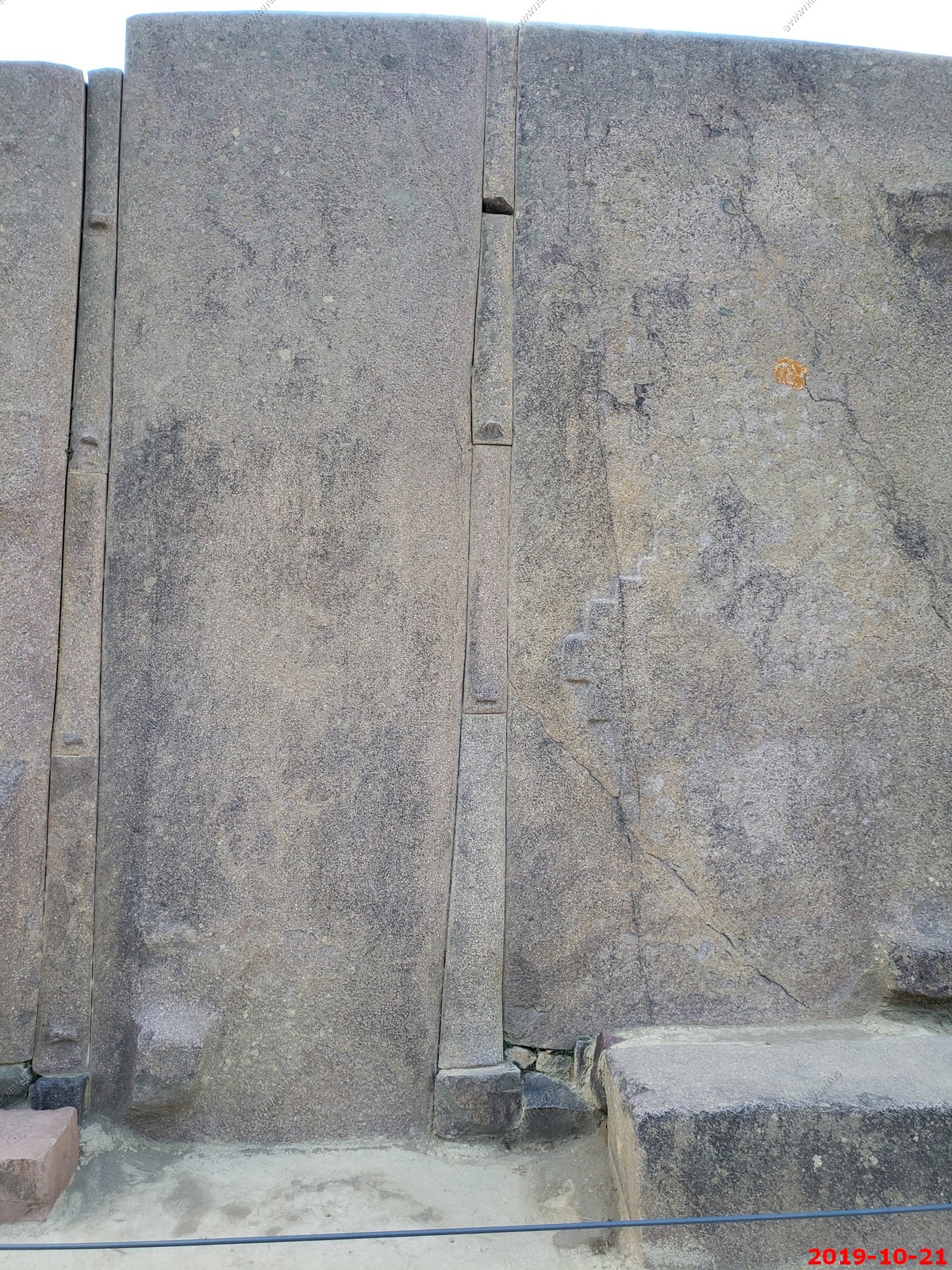
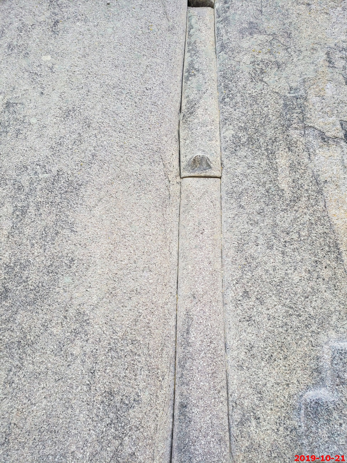
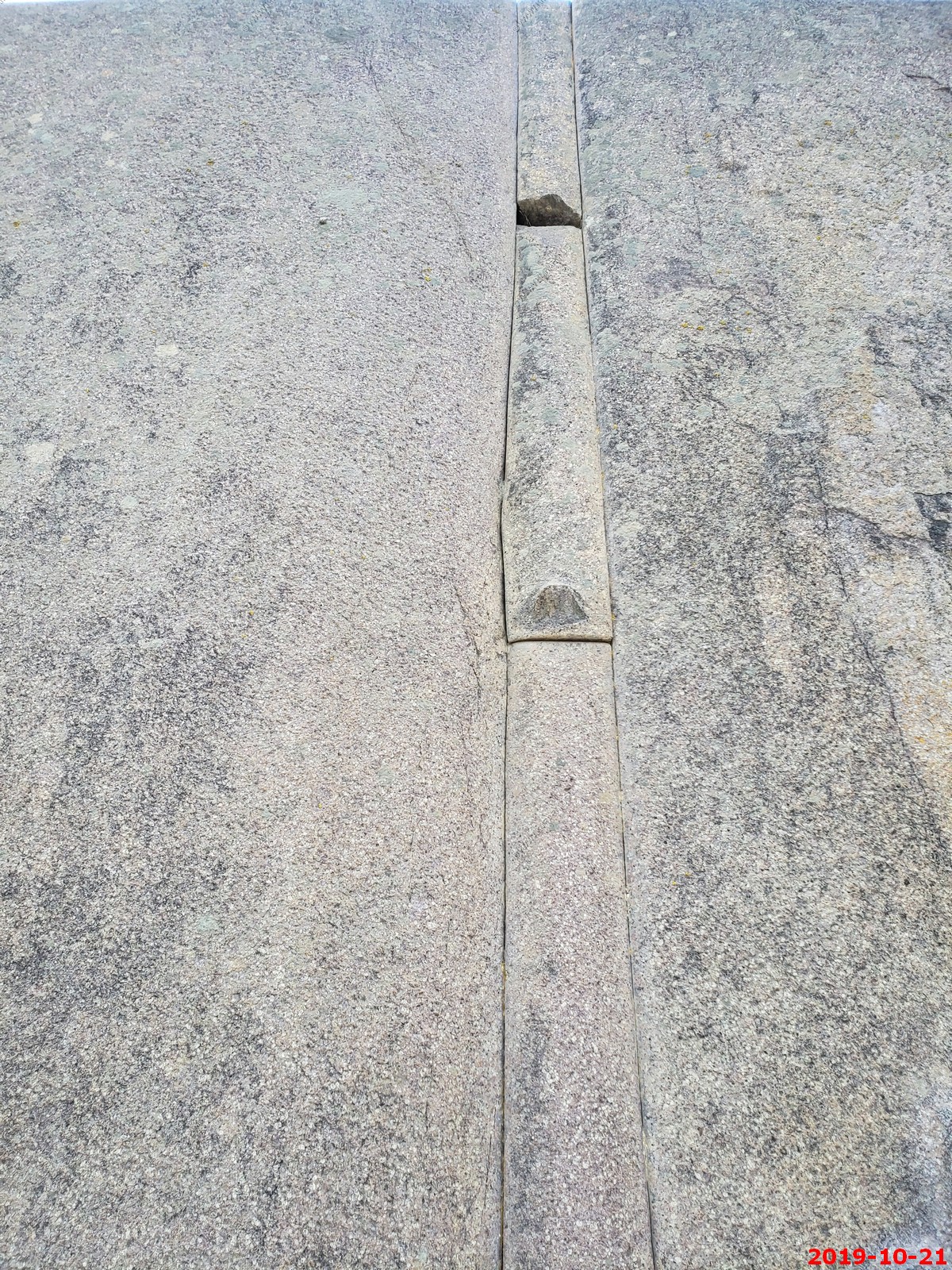
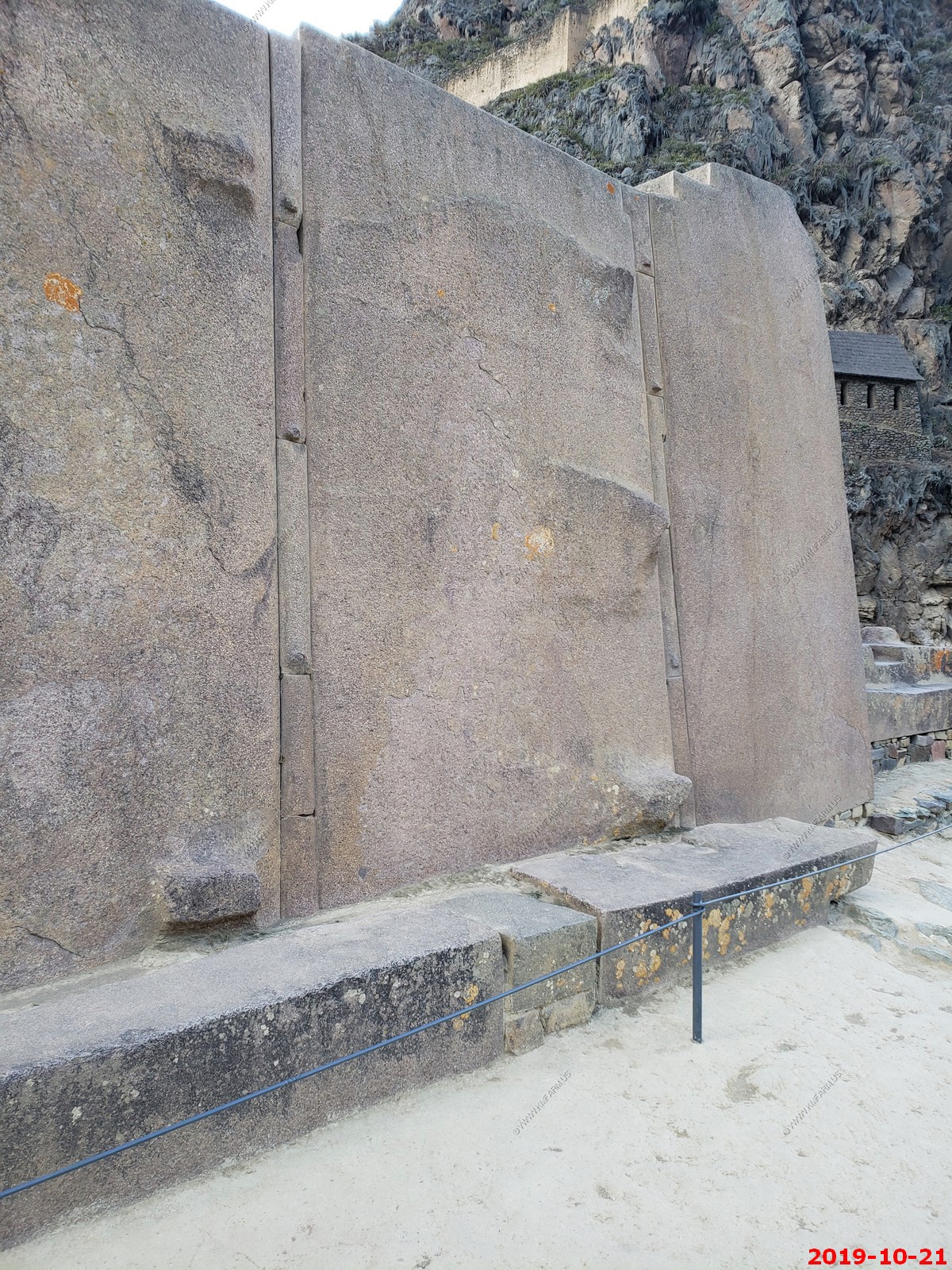
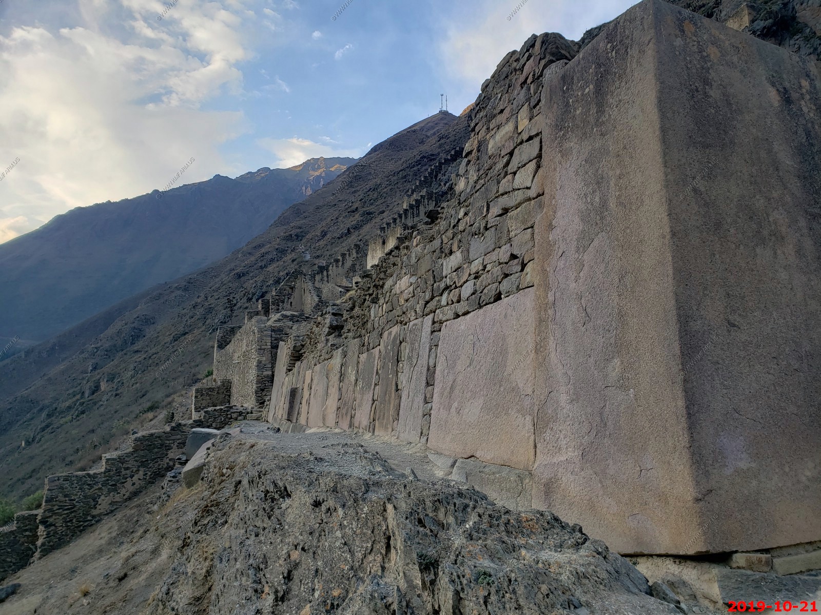
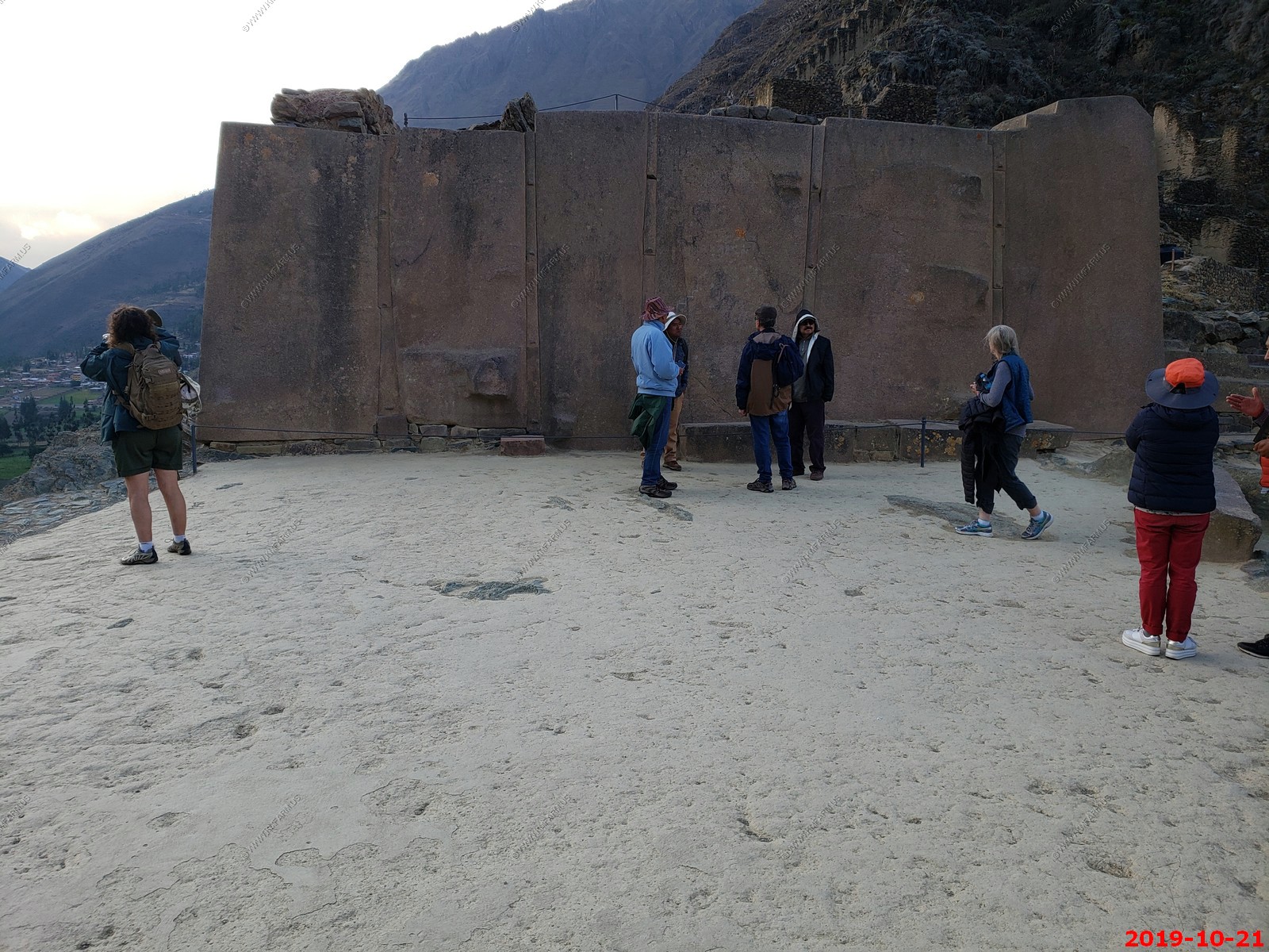
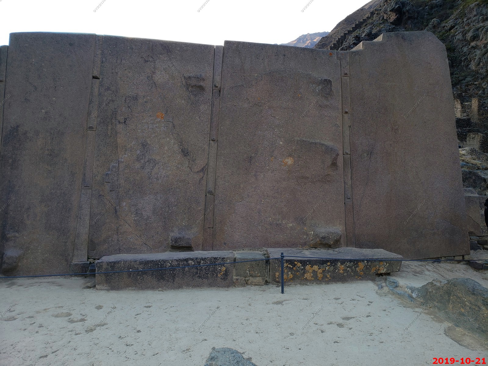
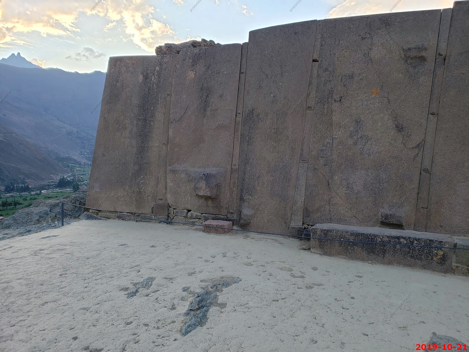
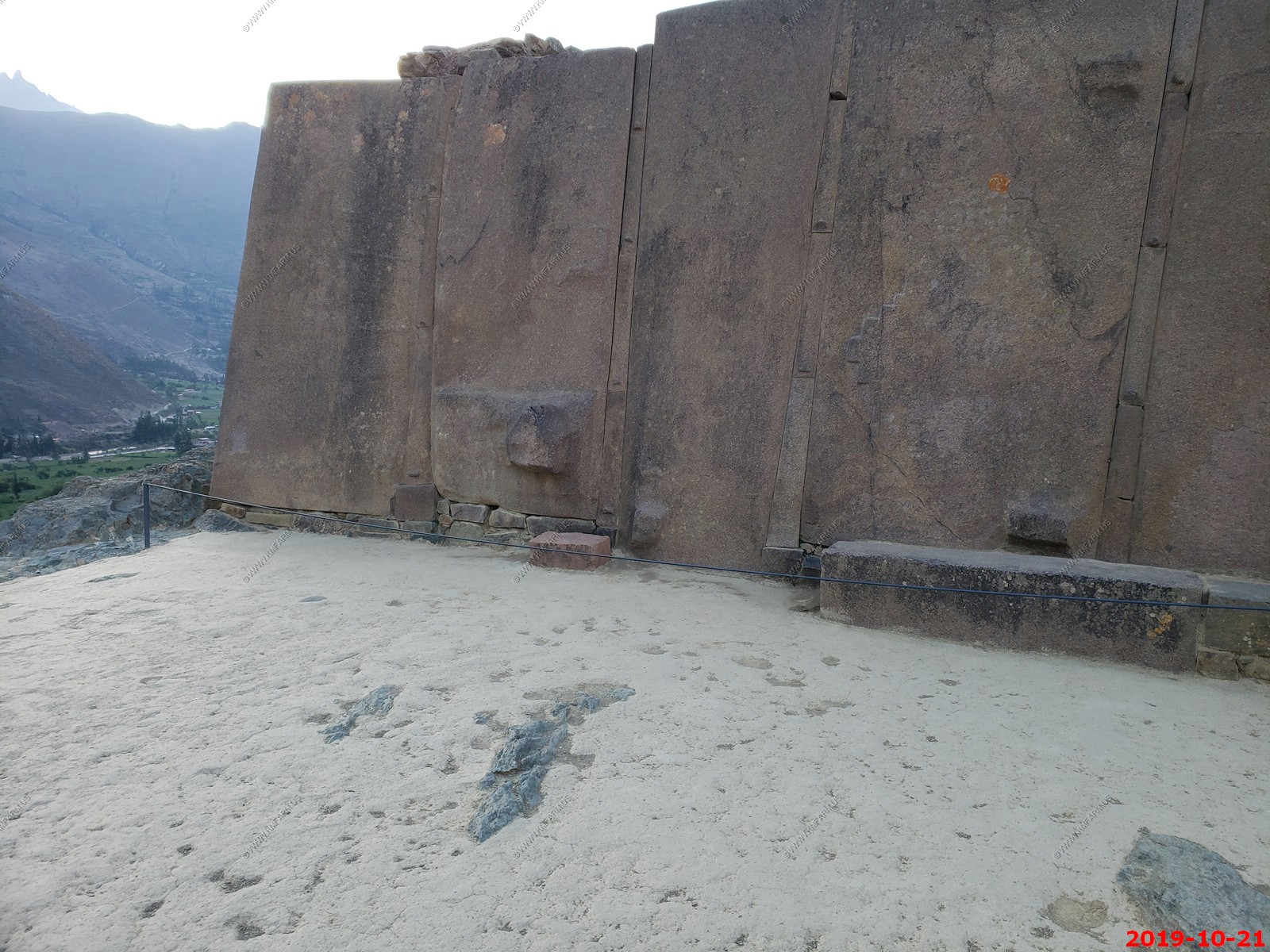
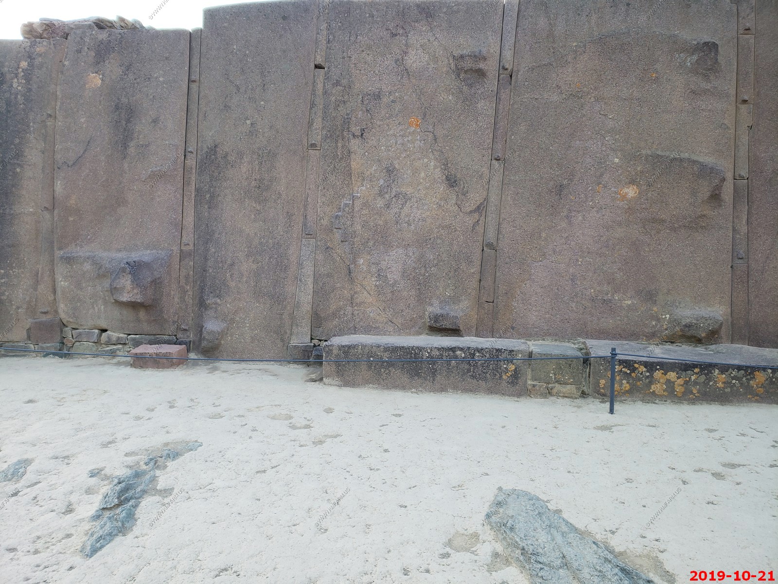
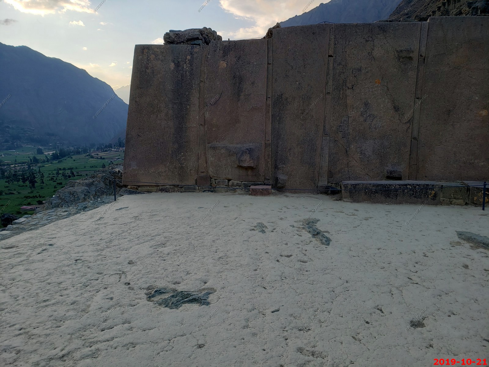
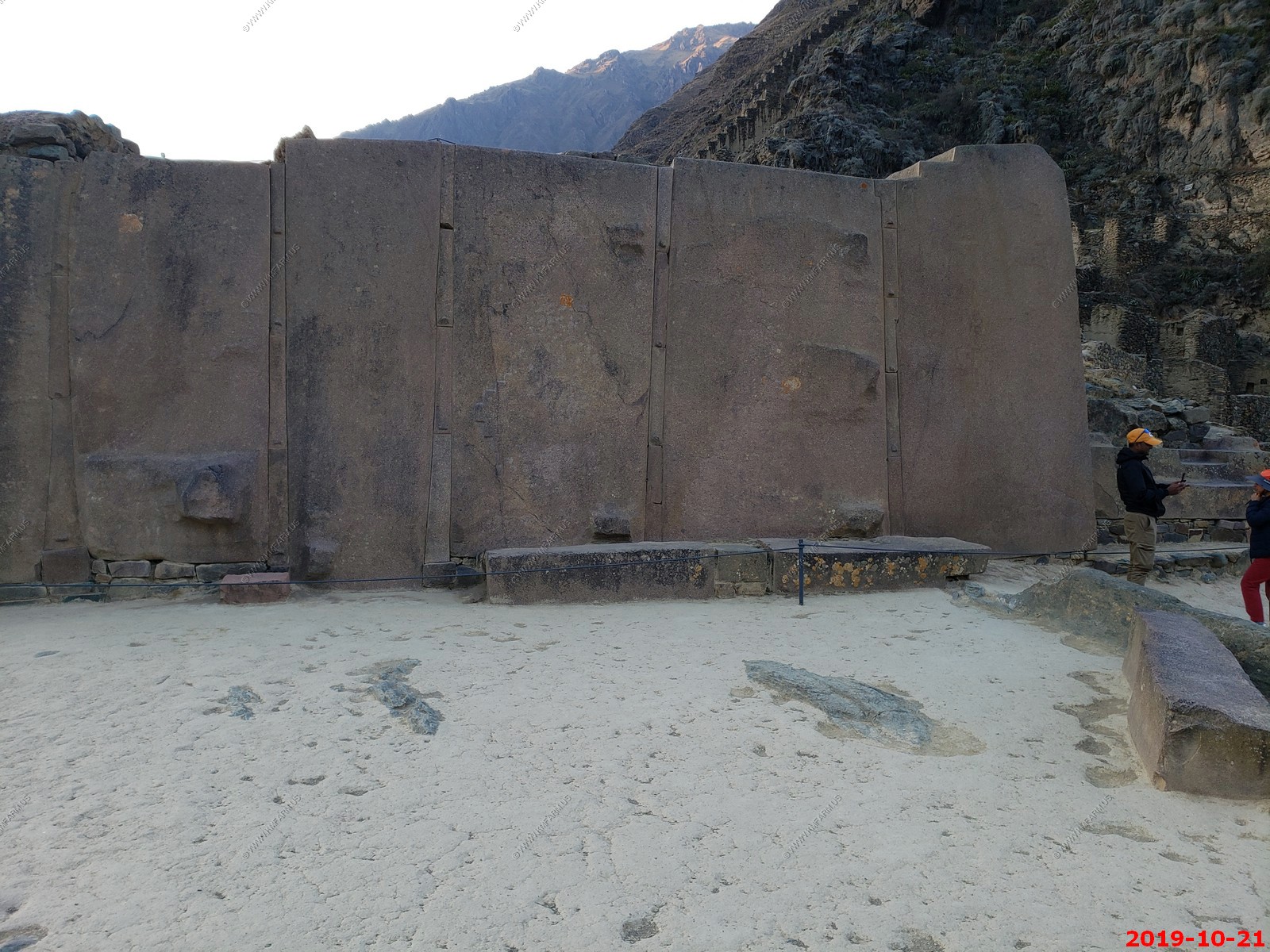
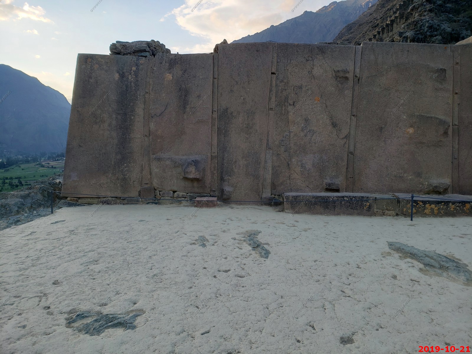
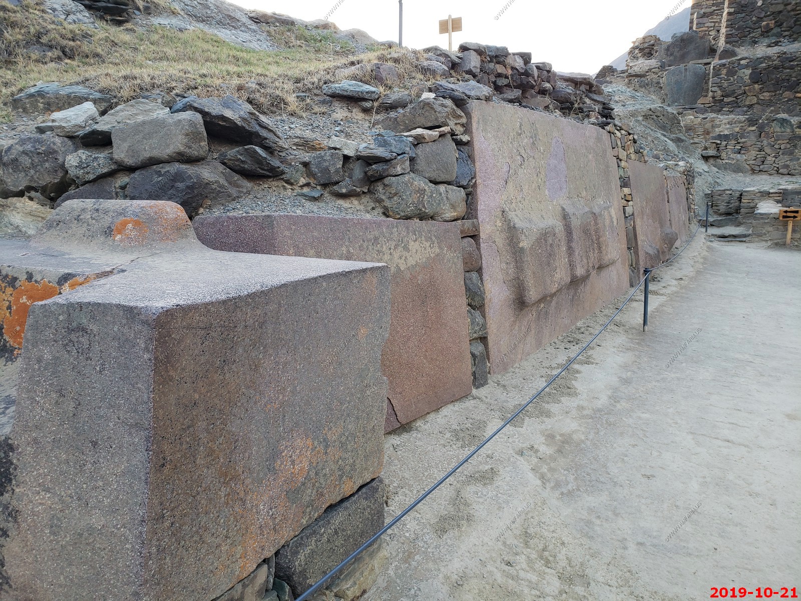
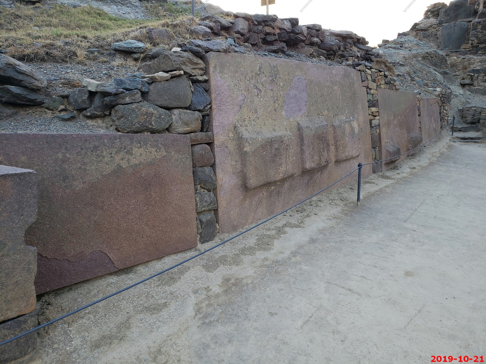
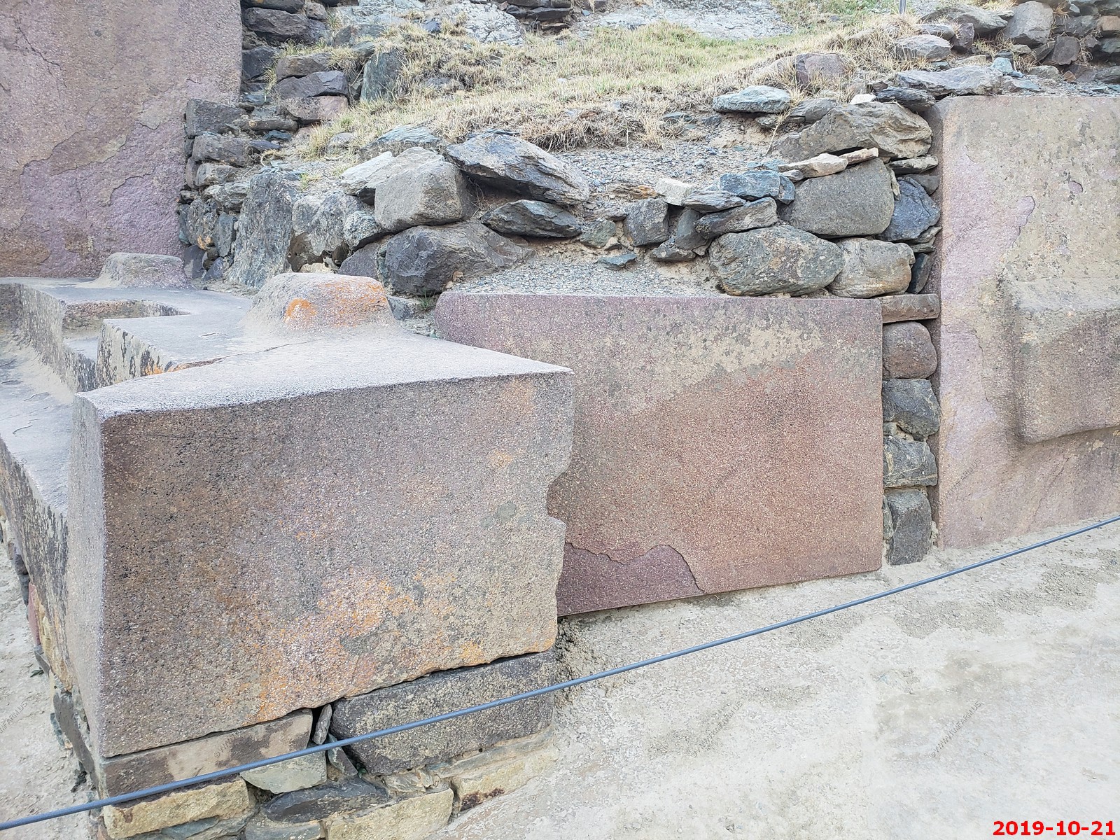
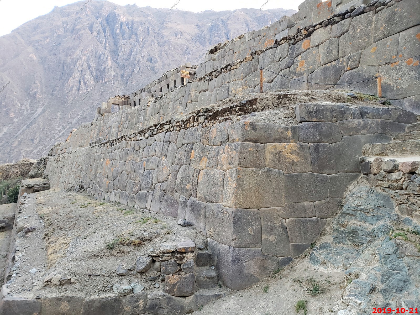
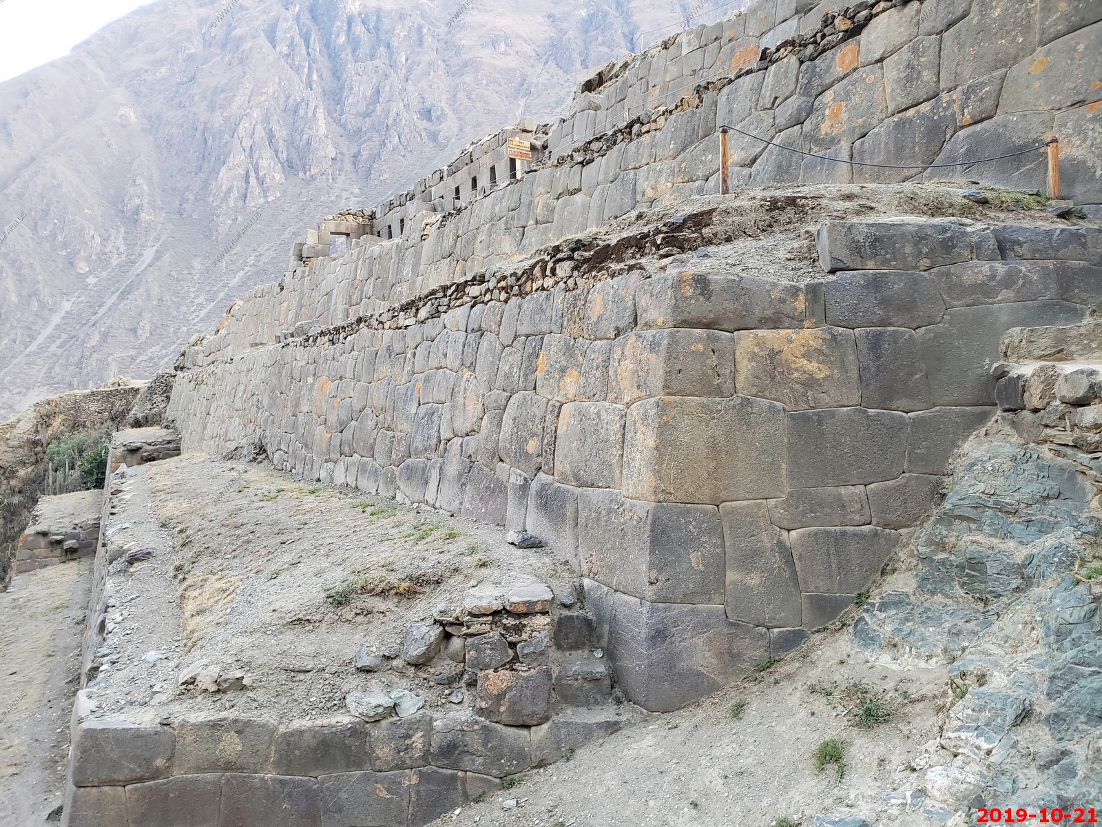
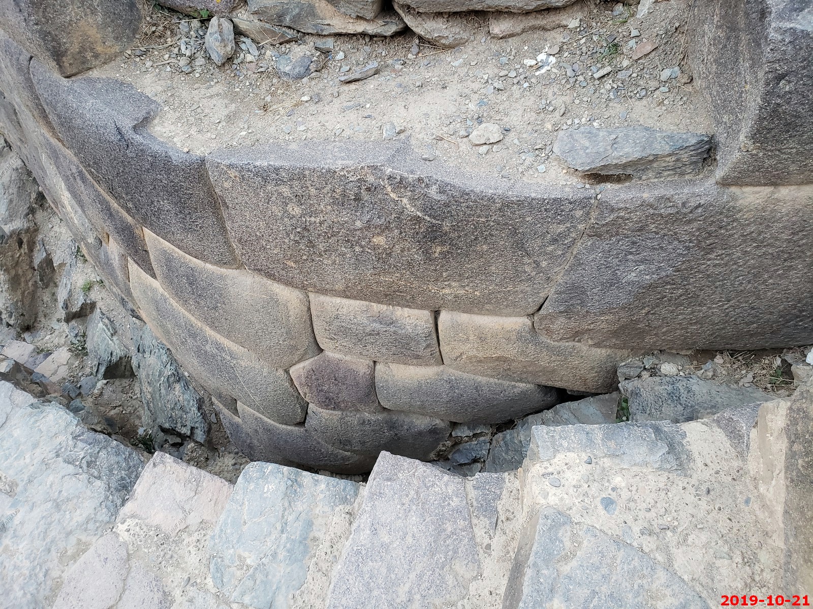
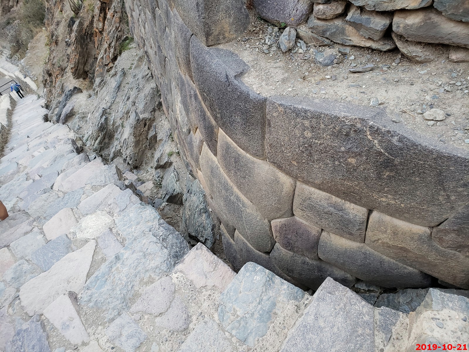
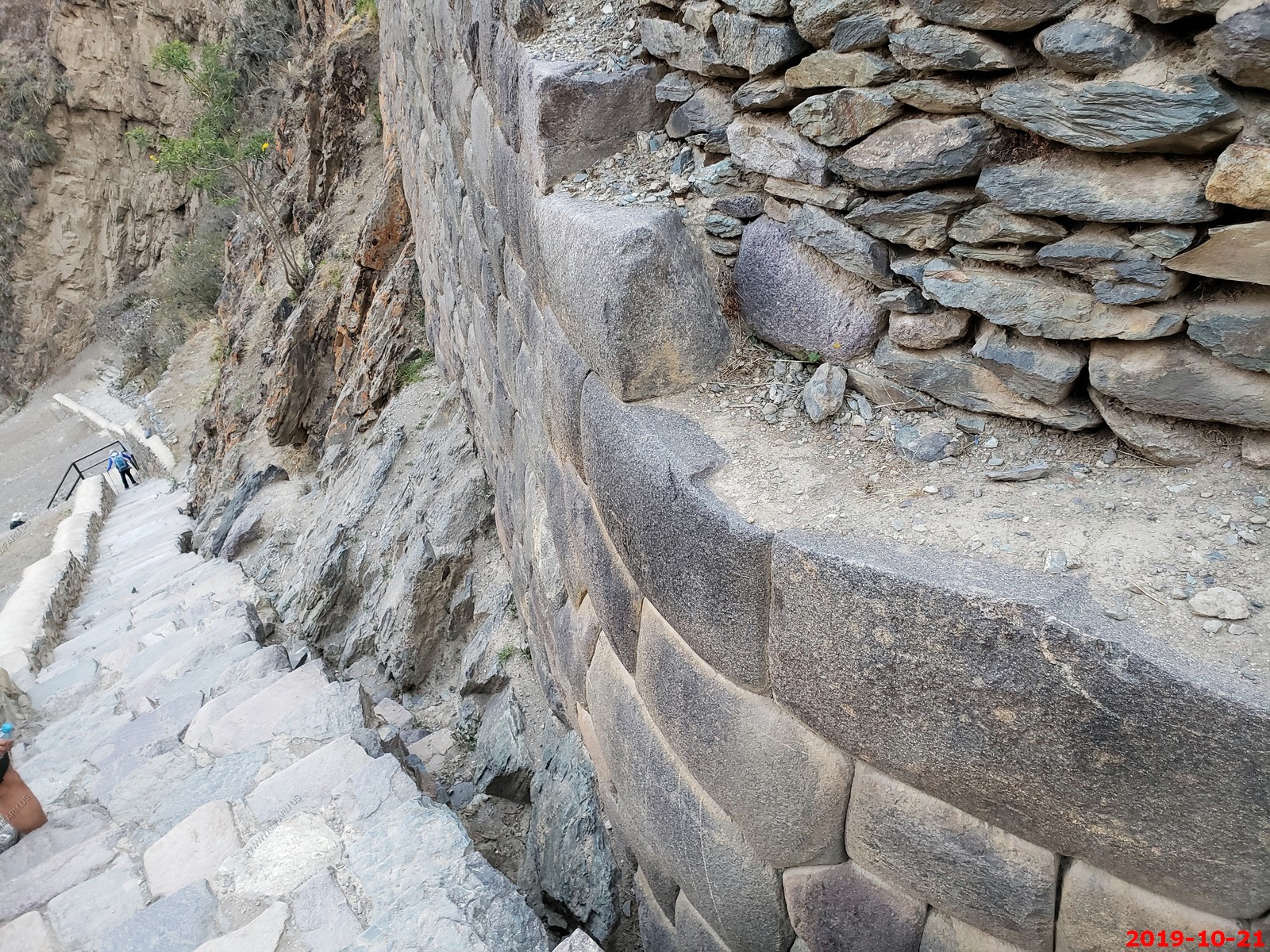
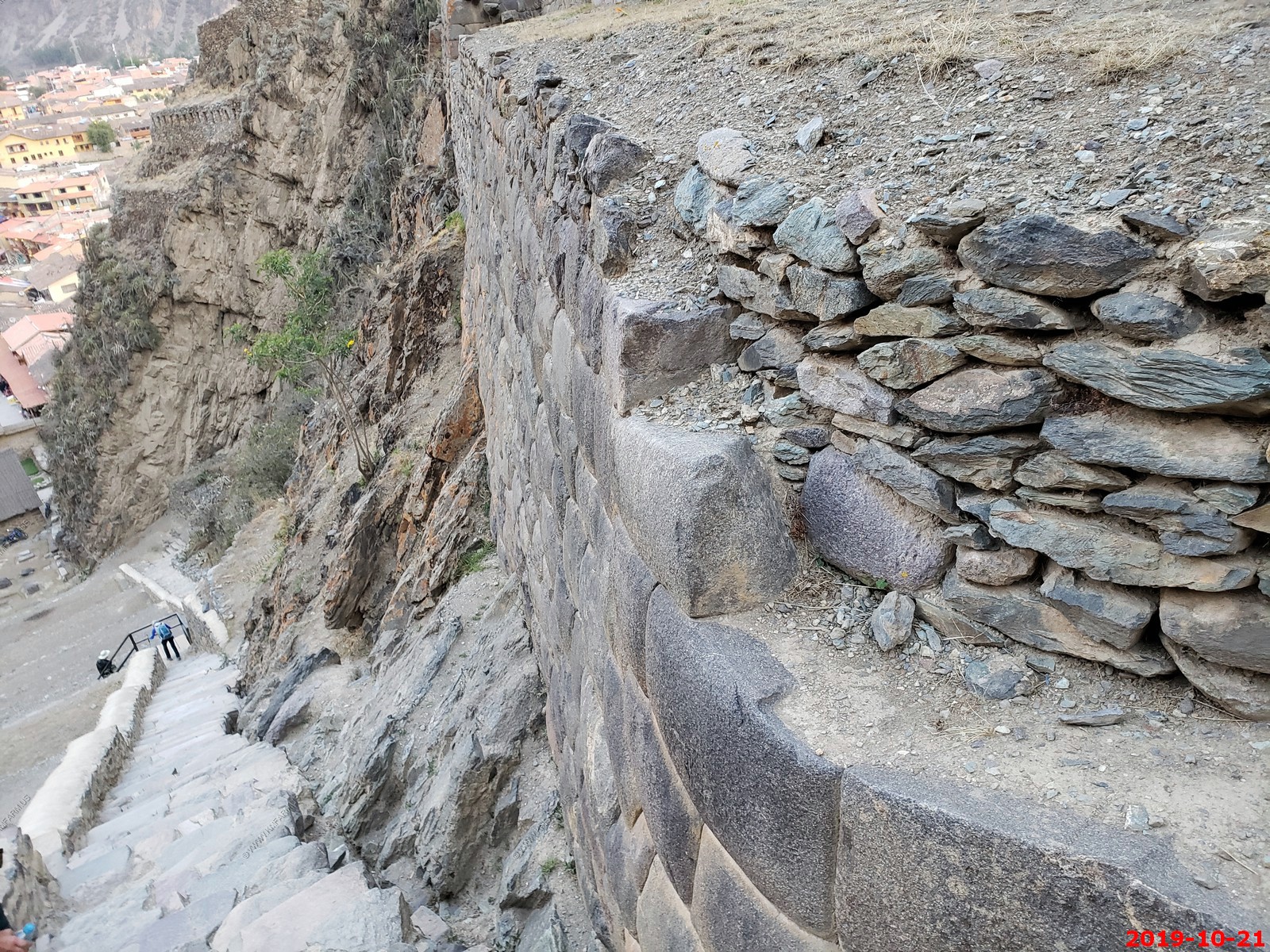
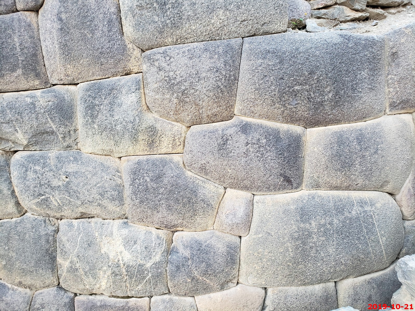
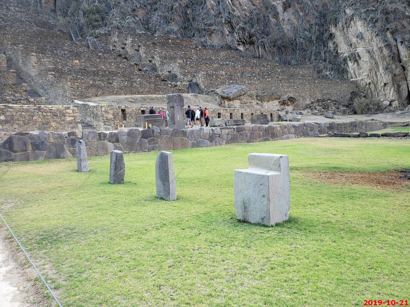
Ken's #1 goal of this trip - Wall of the Six Monoliths - Without doubt, Ollantaytambo's Wall of the Six Monoliths is one of the most iconic and baffling pieces of Inca architecture yet to be discovered. Standing approximately 36 feet wide and 14 feet high, the wall is one of the great mysteries of the Andes. It consists of 6 massive andesite monoliths, which are curiously divided by small strips, which seem to serve little purpose other than to add a modern riveted steel effect to this ancient wall. The rocks are all masterfully crafted to leave not even a paper-thin crack between them. Archaeologists can only guess that its purpose was to face the winter sun, whilst scientists have only been able to add to the mystery by demonstrating that the stones were dragged 4km from the quarry of Chachiqata on the other side of the 1000ft deep valley and across the Rio Vilcanota. Weighing between 50 and 100 tons a piece, the effort verges on impossible, whilst the reasoning appears to be little more than to dumbfound all that gaze upon them.
Inca temple complex of Ollantaytambo - Various views (I am not deleting duplicates to save time processing)
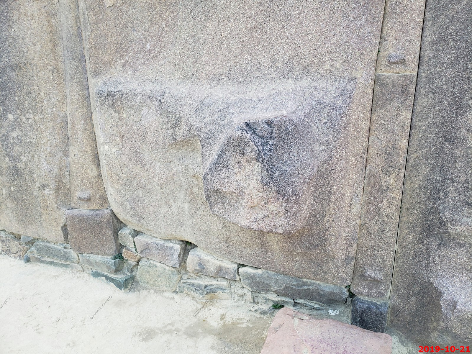
Worn design on the rock
Starting to get dark
Ken pretending to touch the wall. (Note: Ken does not usually smile in photos)
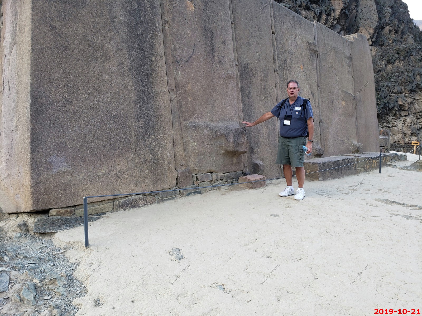
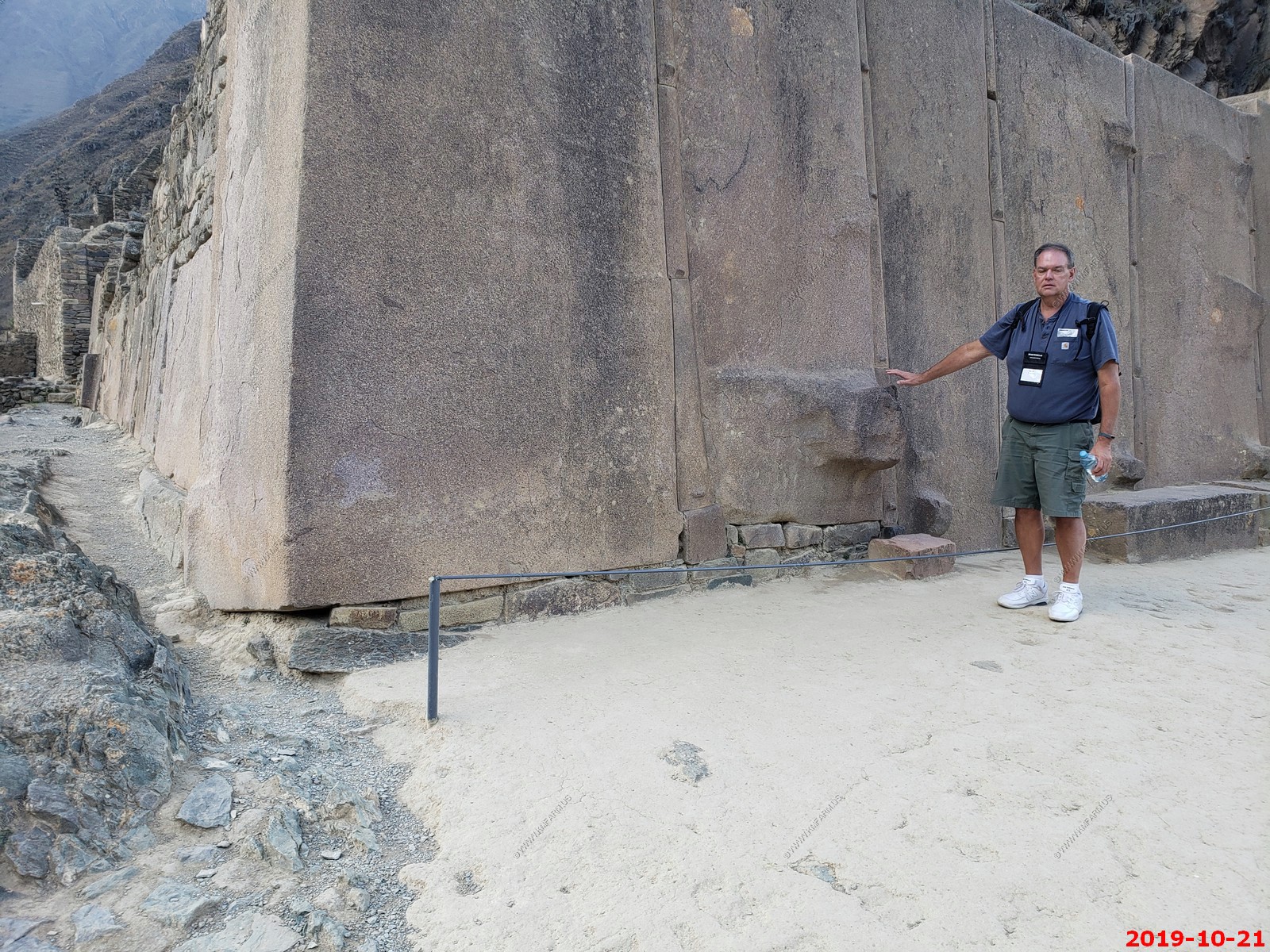
A towering wall, known as the Wall of the Six Monoliths, stands directly in front of the terraces at the Temple Hill. For unknown reasons, this construction was never completed. It is notable because of the distance the Inca had to move the huge stones, which are more than 50 tons a piece. They used their special techniques to move the stones from a quarry high on the mountainside on the opposite side of the Rio Urubamba, across the river and up to the place where it now sits, a distance of 3.7 miles.
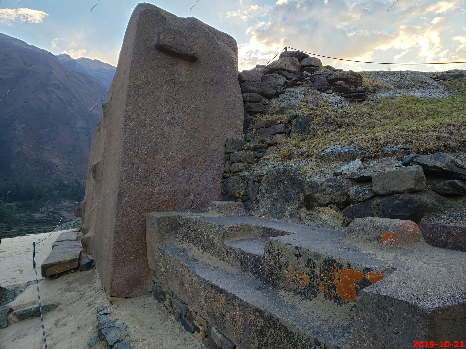
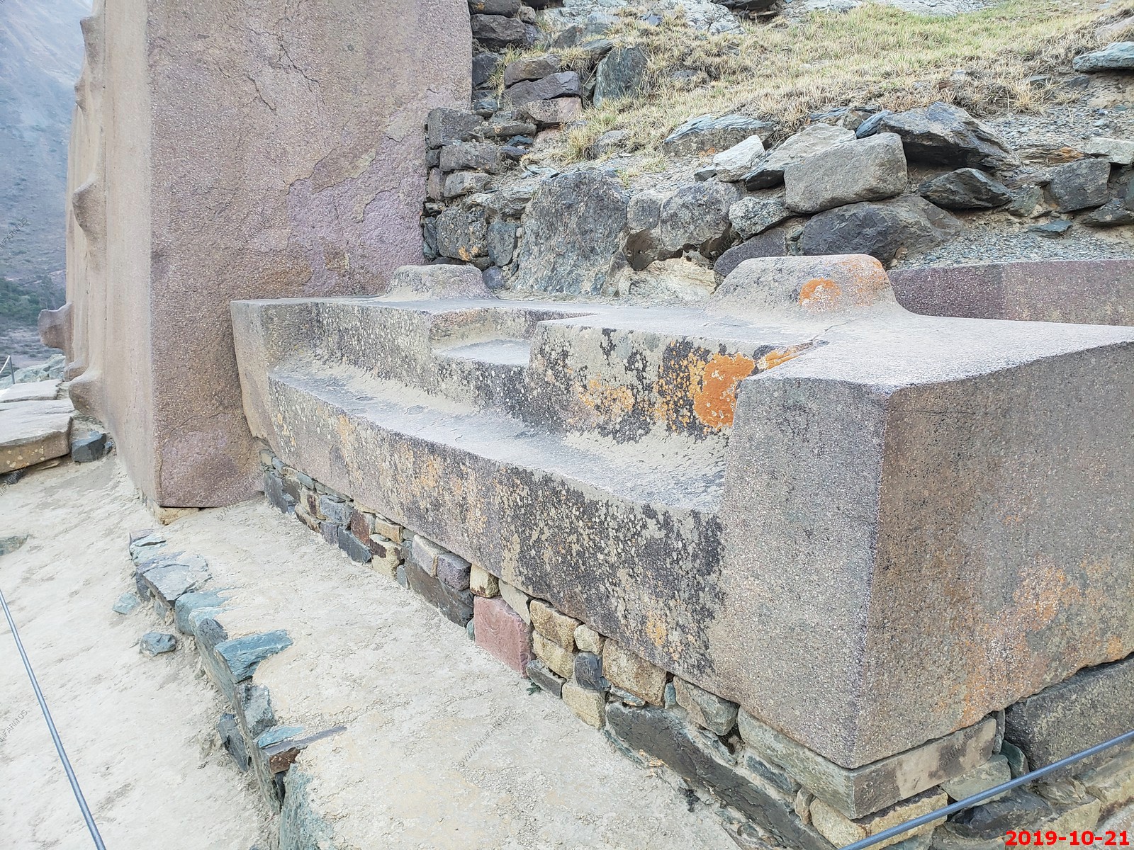
The ruins at Ollantaytambo are mostly of religious significance, although they were also important strategically. Built in the 1400s, the large Inca fortress (also known as Temple Hill) and the Temple of the Sun with its monolithic stones soar above the town's cobbled streets. Ancient symbol-like marks in relief still adorn these huge stones.
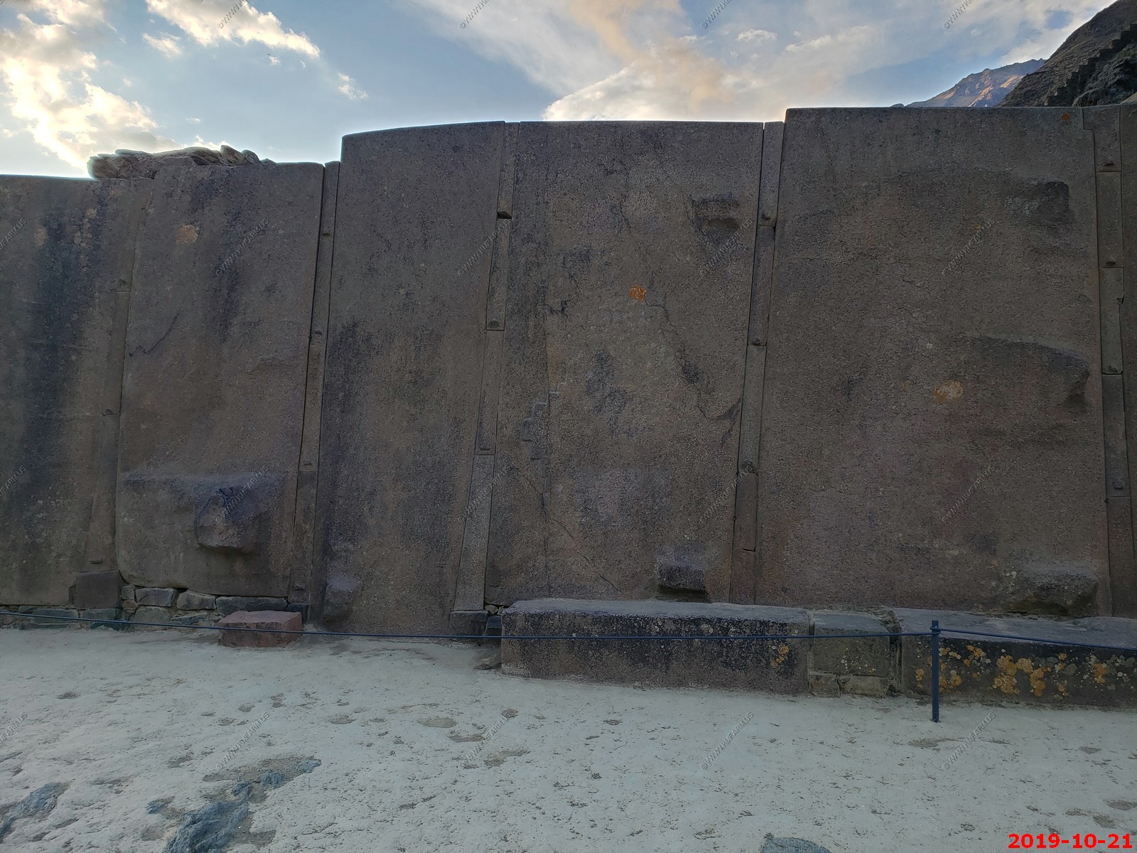
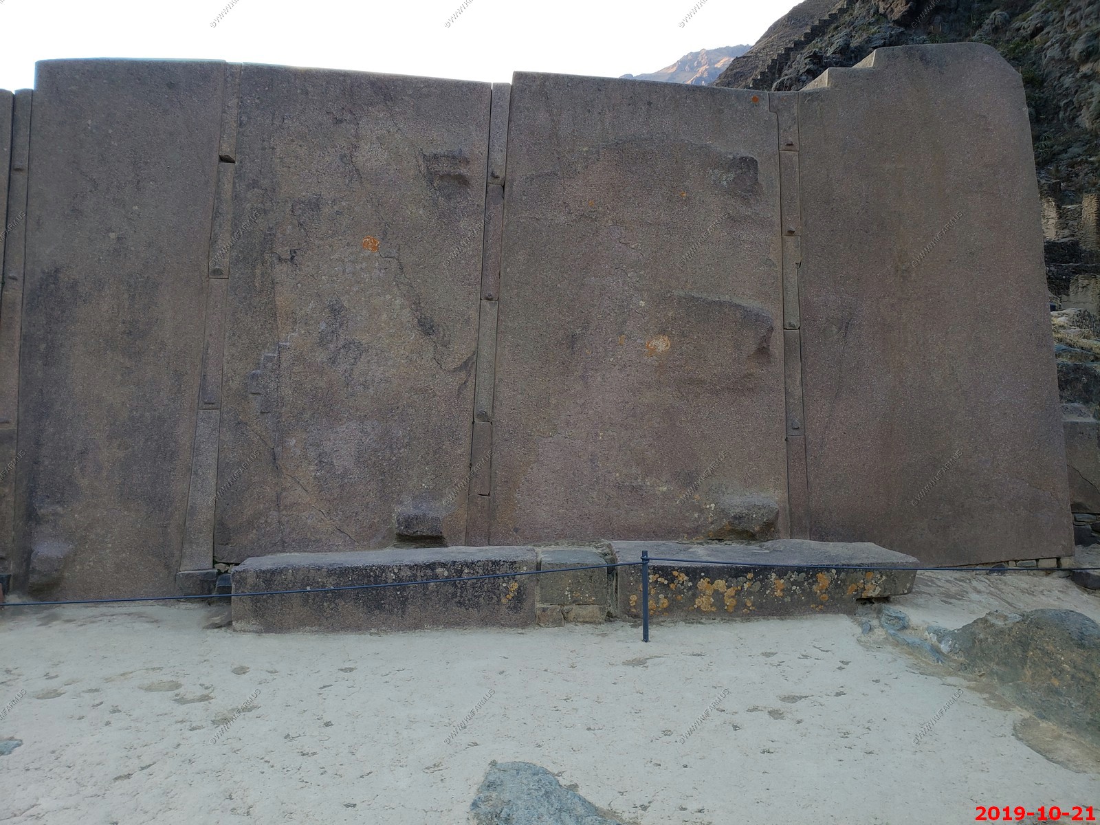
Wall of the Six Monoliths - thickness
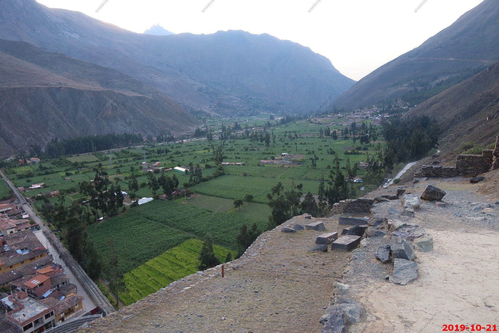
How high we are above the town of Ollantaytambo, Peru. Heading back down. If you fall at any of these ruins it would be bad.
Inca temple complex of Ollantaytambo - Various views (I am not deleting duplicates to save time processing)
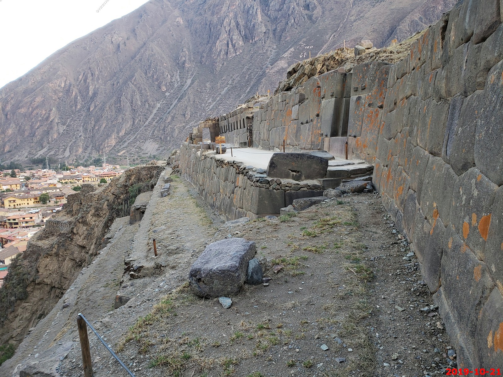
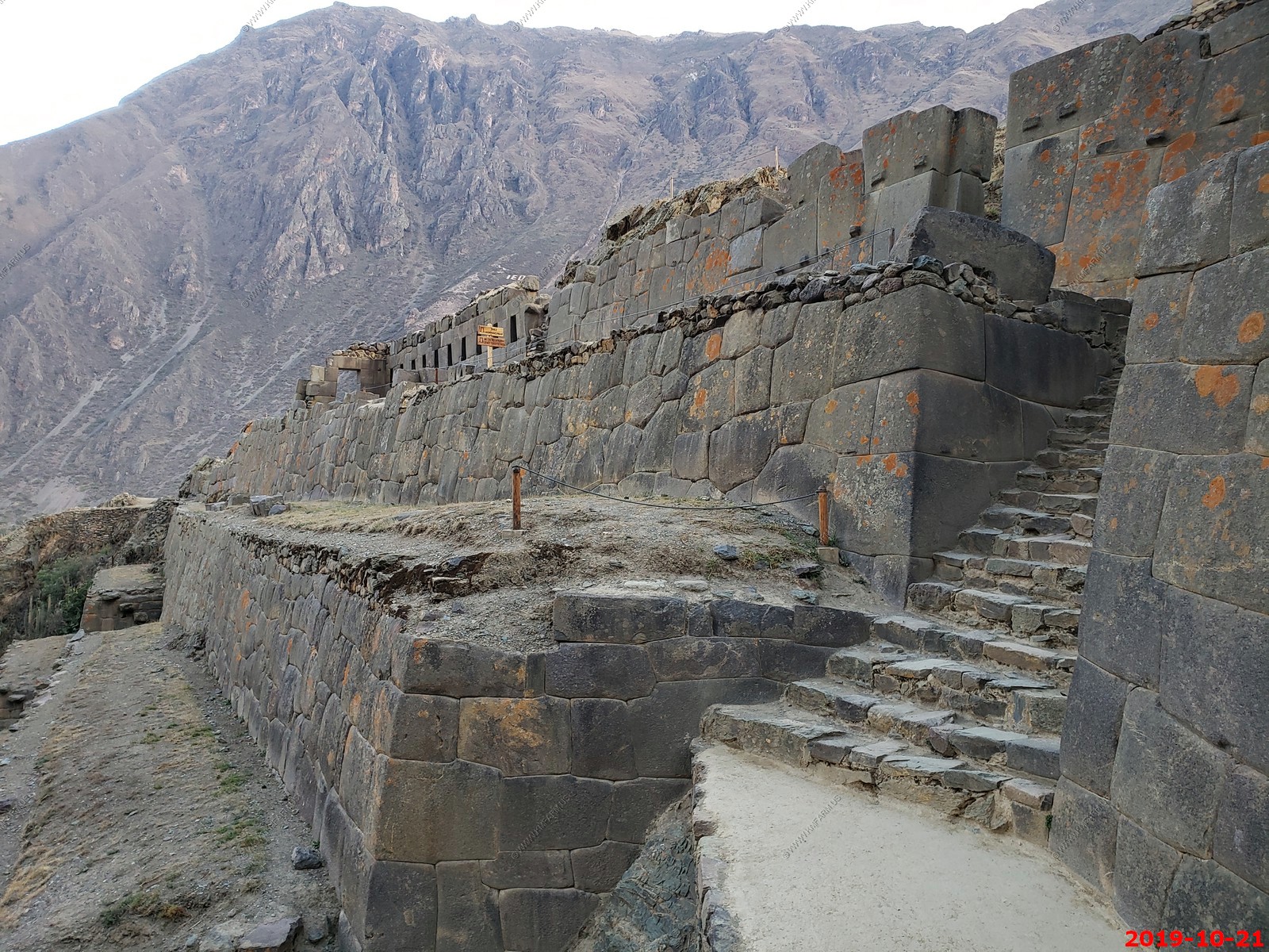
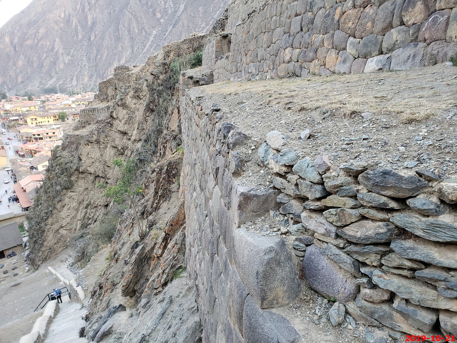
Looking back where we just climbed down from
The granary on the hill above the building
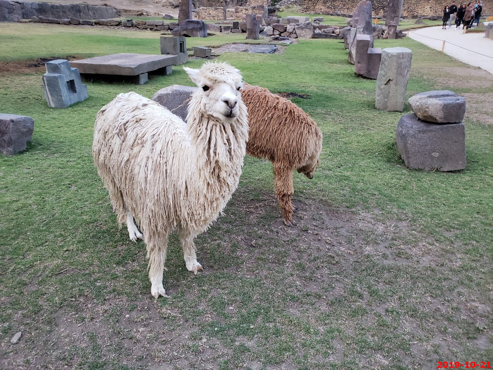
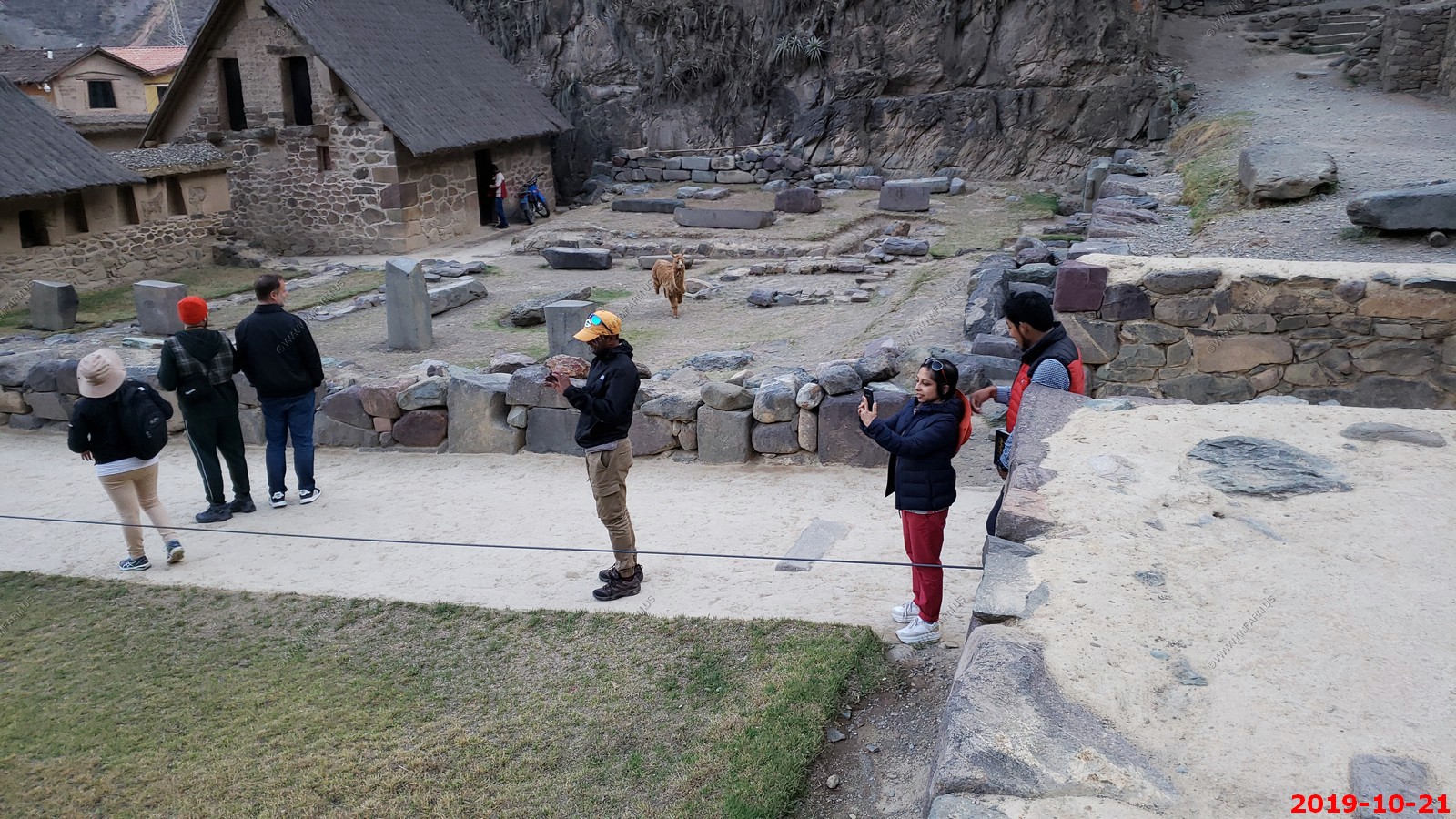
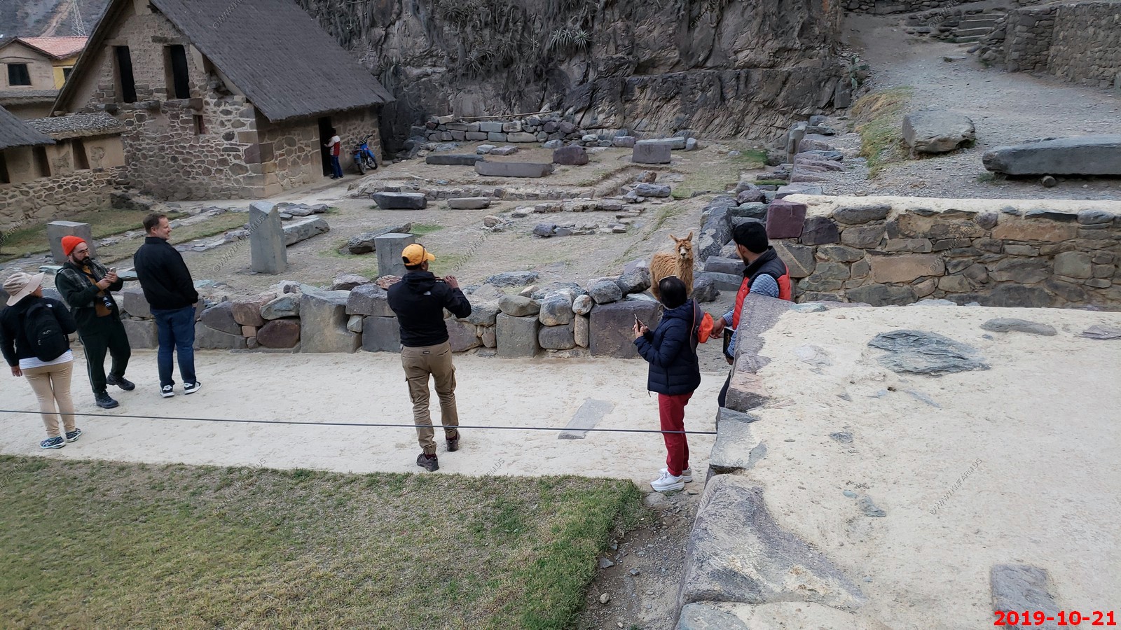
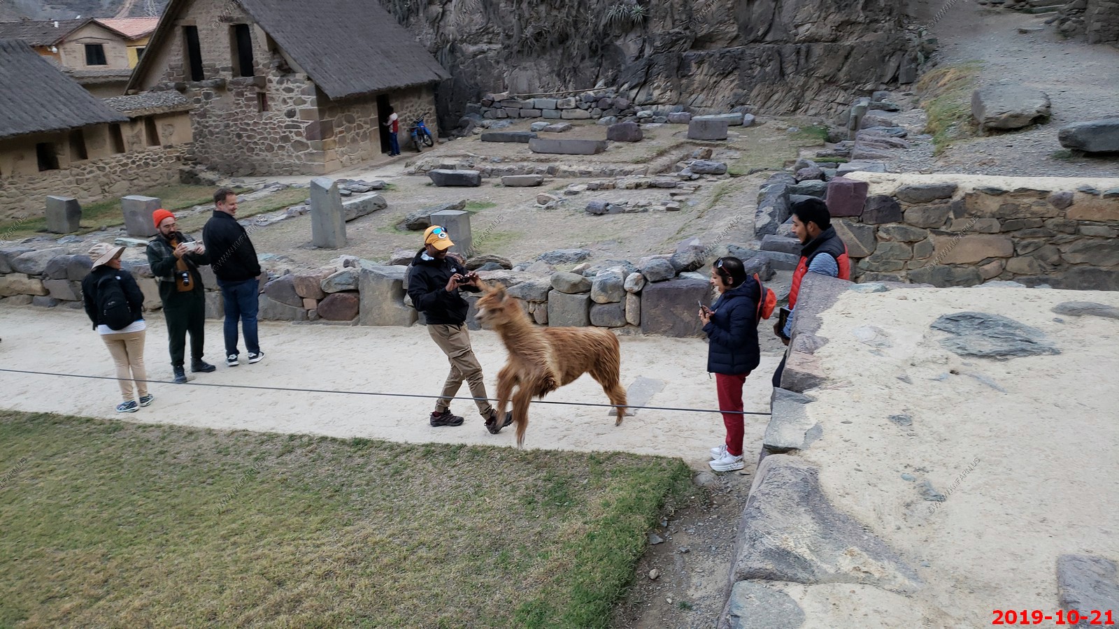
Back down to the Llama area. Extra parts that were never installed.
The llamas reacted to an Andean woman clapping to provide us a show.
NOTE - ADD CLIP
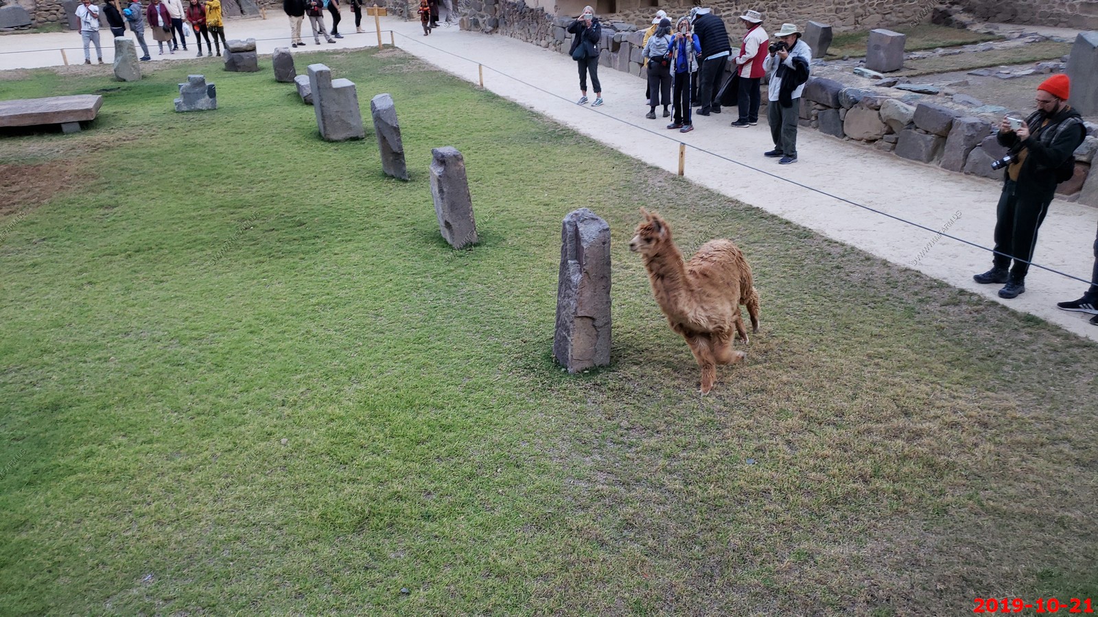
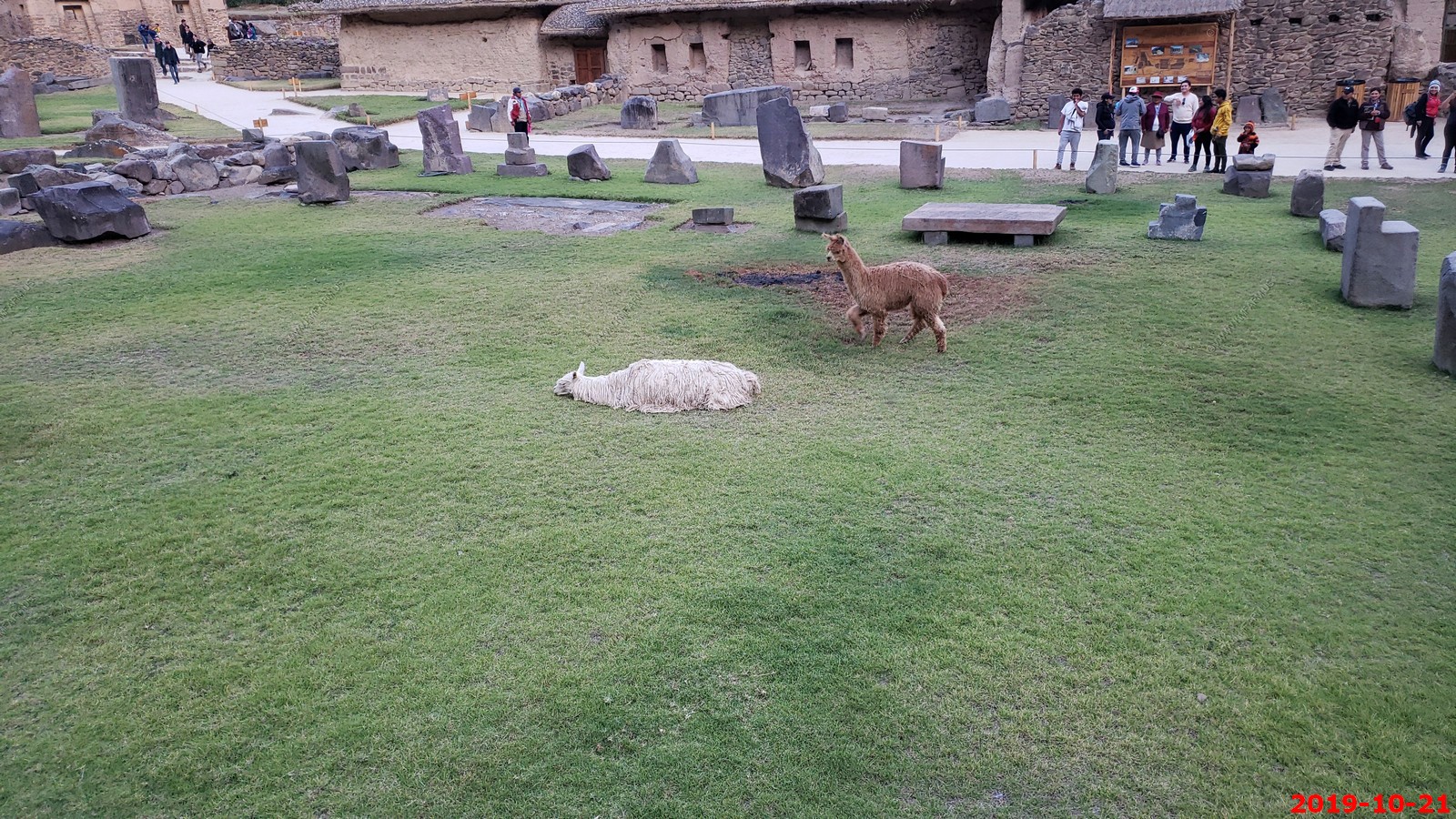
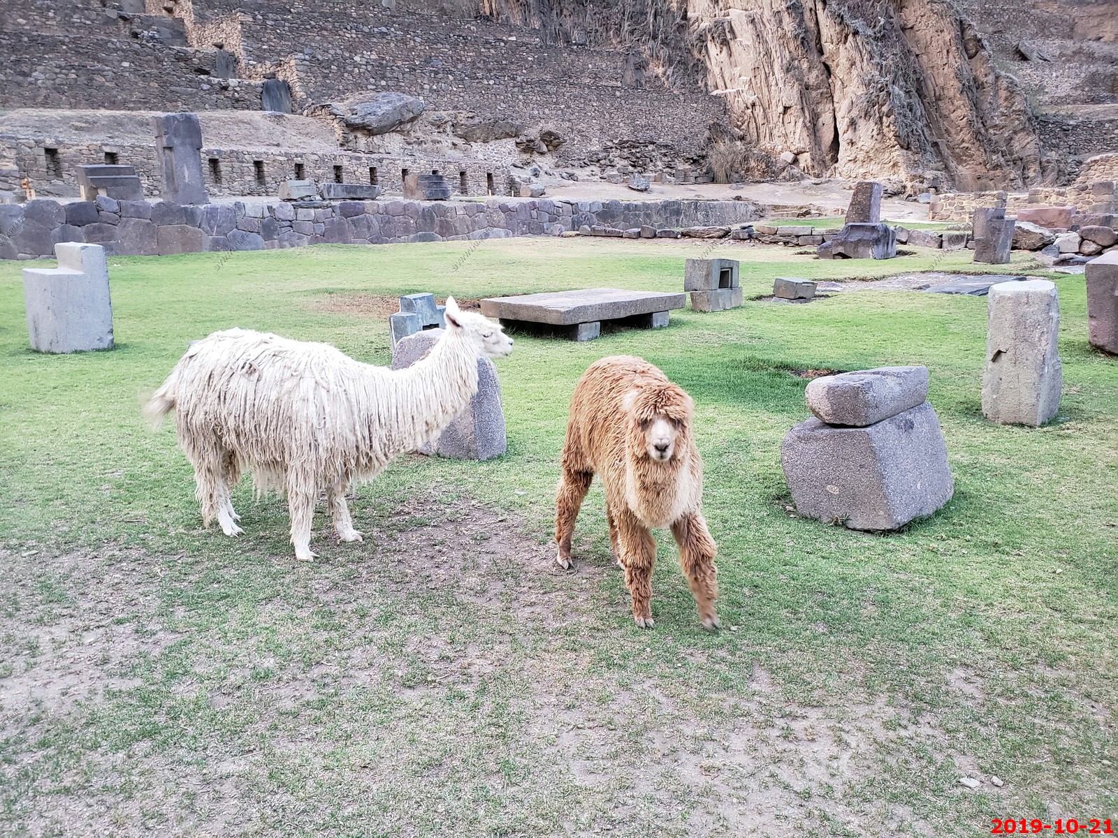
Lookout the llama is coming
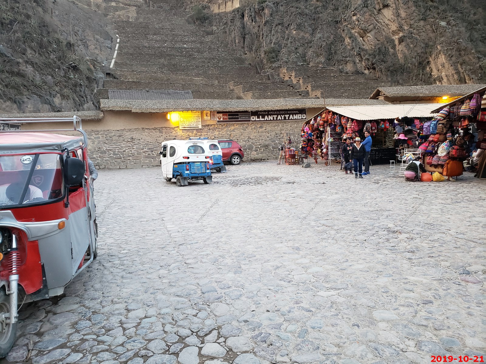
Ollantaytambo village - NO time here... Sad...
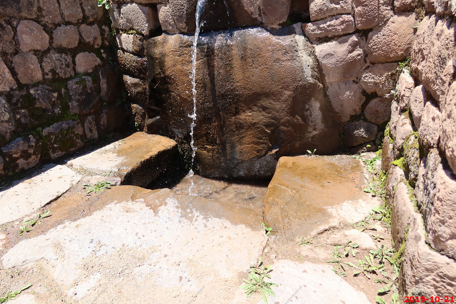
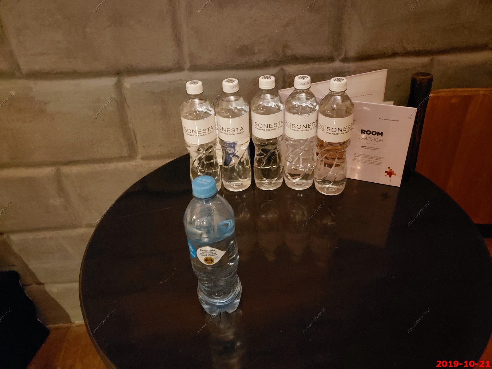
Our free water collection was growing back at our hotel in Yucay, Peru
A woman at the hotel selling her wares gave Mary this necklace. The Chakana is often referred to as "Cross of the Andes" or "Inka Cross." The Inka Cross or Chakana is a strong symbol of the old cultures of the Andes and is considered the most complete, holy, geometric design of the Inkas. This symbol is often found in old places and holy centers in the Andes in Peru and in Bolivia. The Chakana has had, and still has, a considerable meaning to the Inkas and it also represents many meanings in its design.
Traditionally, the Chakana (Cruz cuadrada means a four-sided cross in Spanish) represents the constellation of the Southern Cross which is to be seen on the southern hemisphere. According to the opinion of the old Andes population, this was the centre of the Universe and was easy to find when they looked up in sky at night.
The meaning of the Chakana is interpreted in many ways. It may be an abstract representation of the Pachamama, who is a goddess revered by the indigenous people of the Andes. She is also known as the earth/time mother. In Inca mythology, Pachamama is a fertility goddess who presides over planting and harvesting, embodies the mountains, and causes earthquakes. She is also an ever-present and independent deity who has her own self-sufficient and creative power to sustain life on this earth. Her shrines are hallowed rocks, or the boles of legendary trees, and her artists envision her as an adult female bearing harvests of potatoes and coca leaves. The four cosmological Quechua principles - Water, Earth, Sun, and Moon - claim Pachamama as their prime origin. Priests sacrifice llamas, cuy (guinea pigs), and elaborate, miniature, burned garments to her. Pachamama is the mother of Inti, the sun god and Mama Killa, the moon goddess.
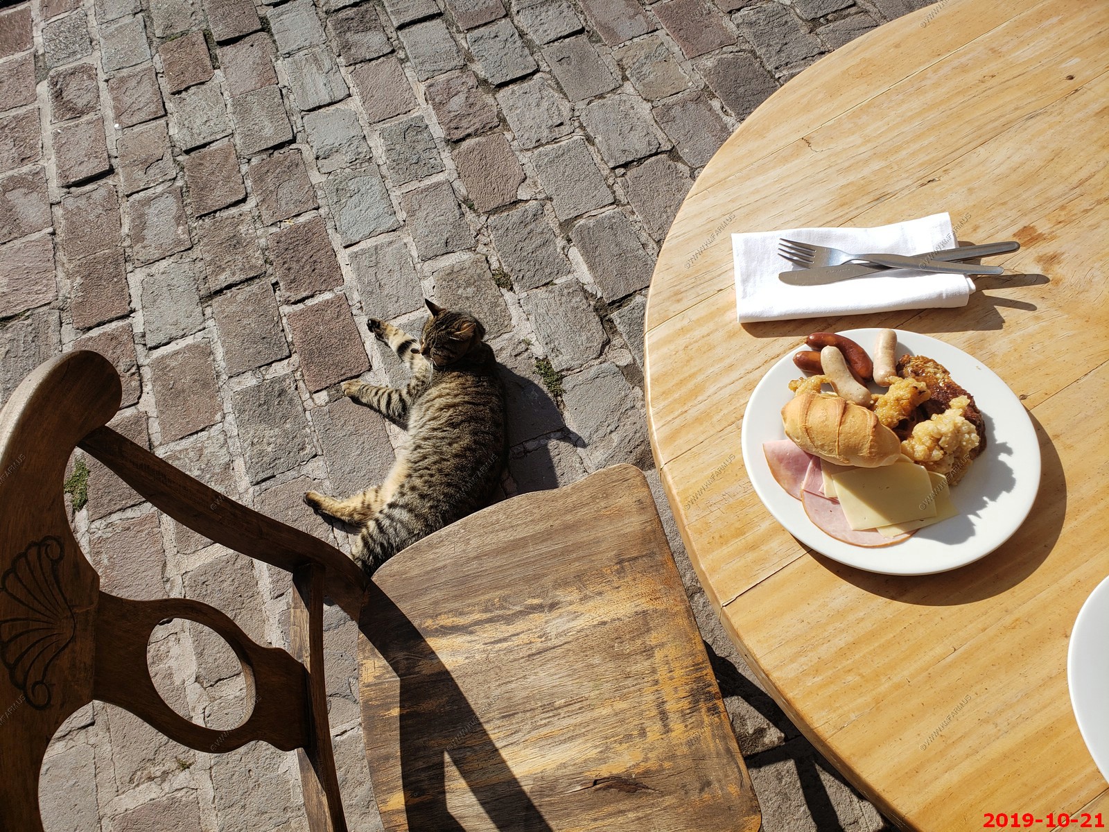
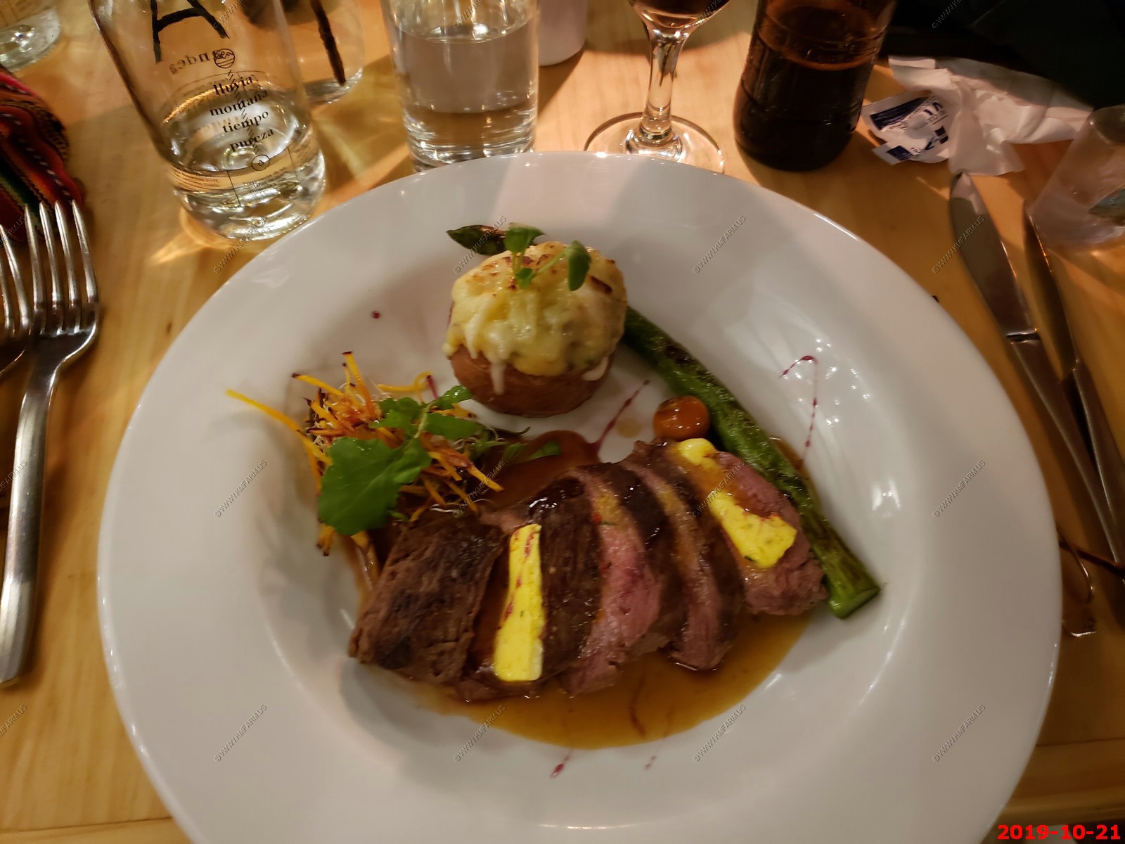
This was our 2nd meal having dinner at the Inkafe Resturant Bar - Sonesta Posadas Del Inca in Yucay. Ken's meal. Was not as good as the first night.
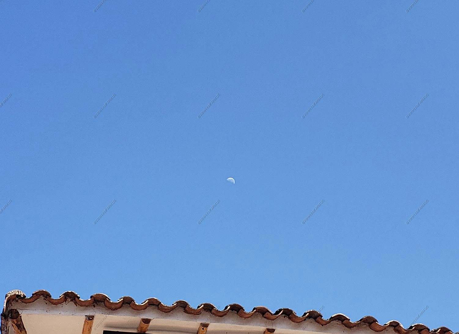
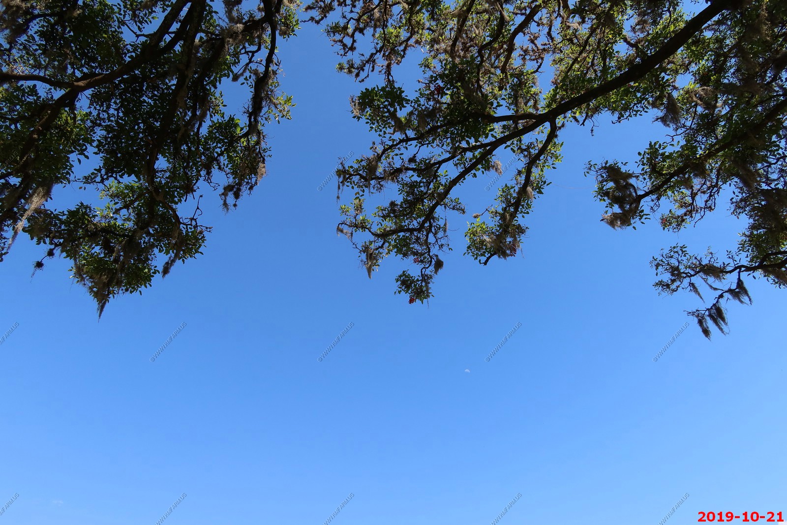
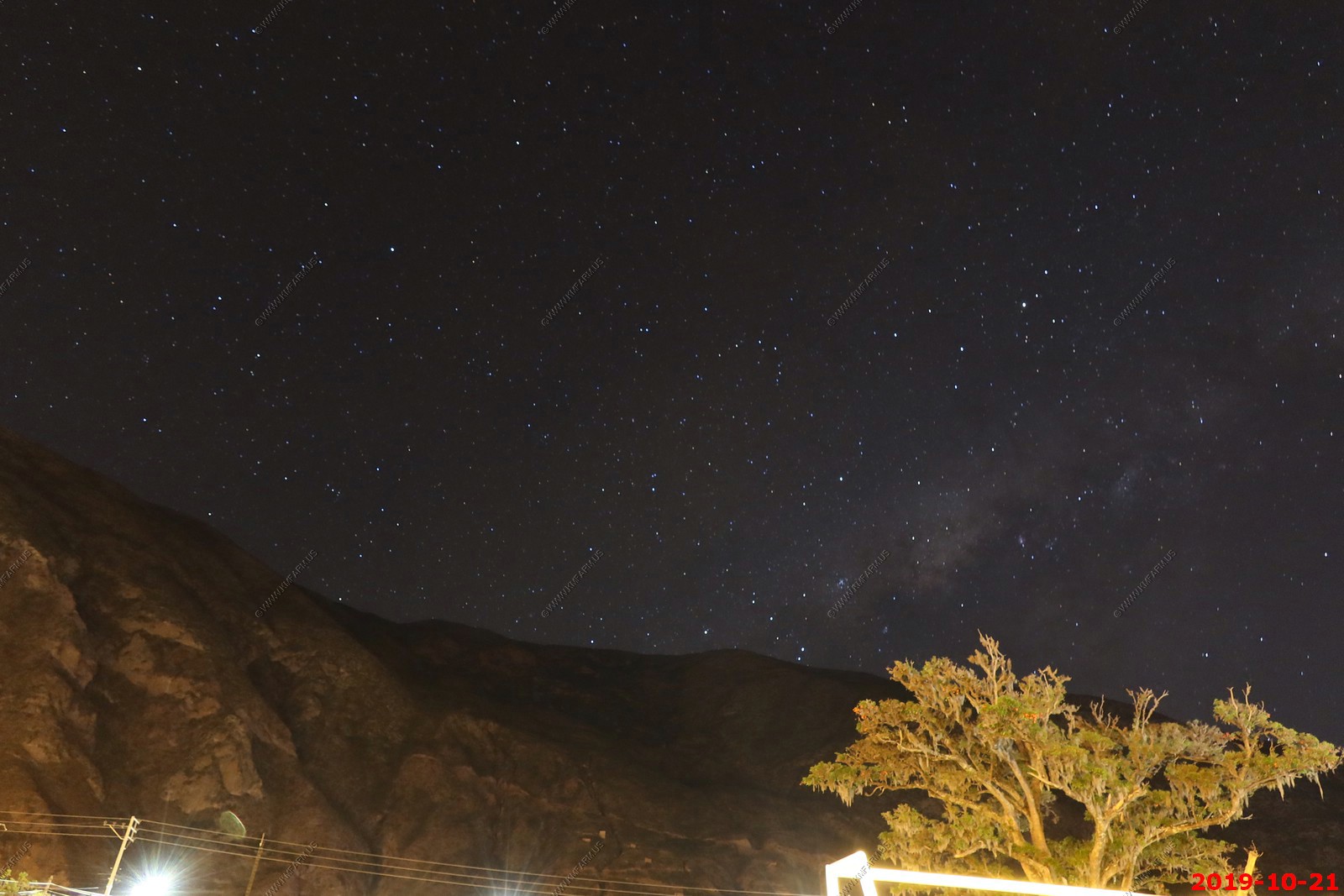
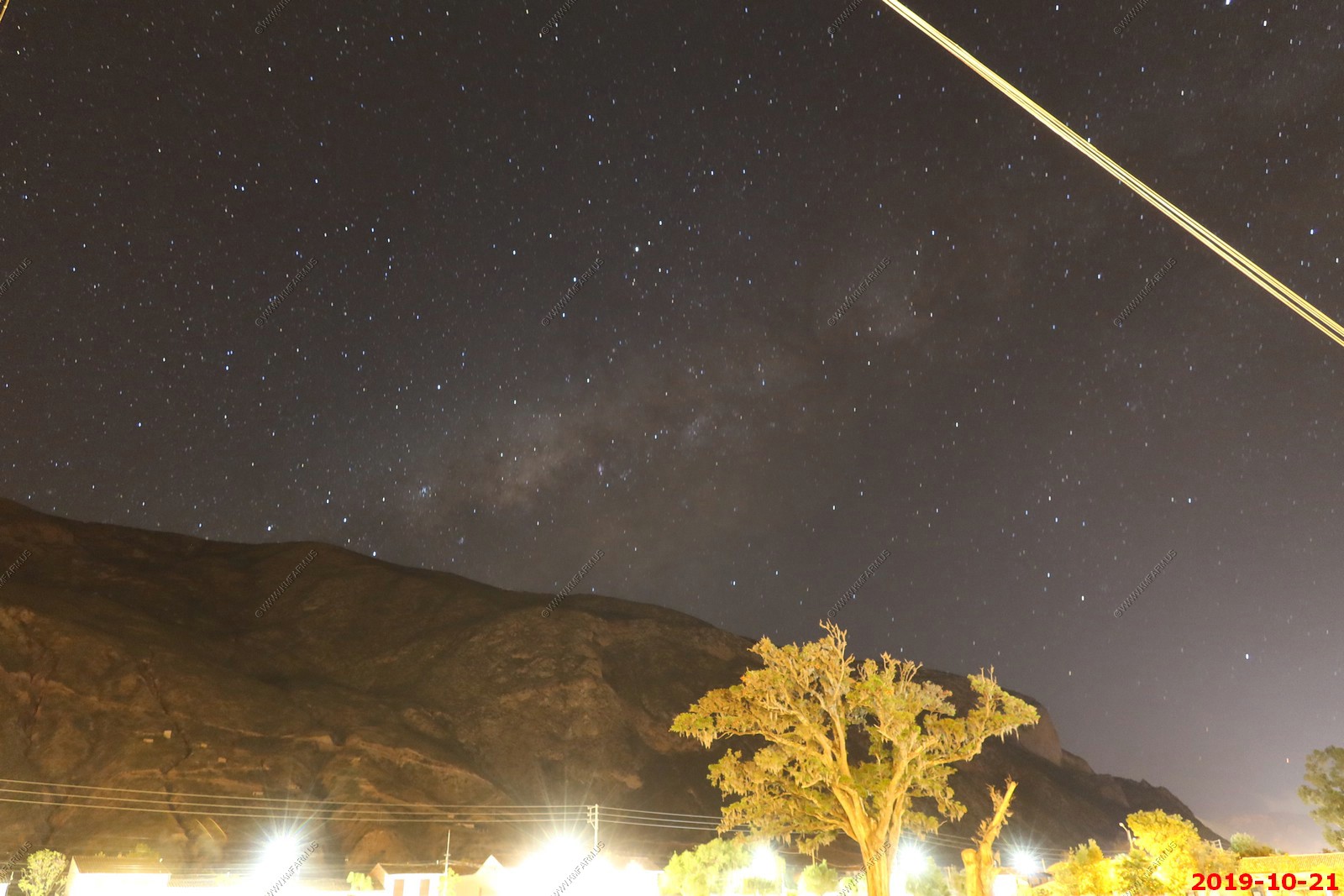
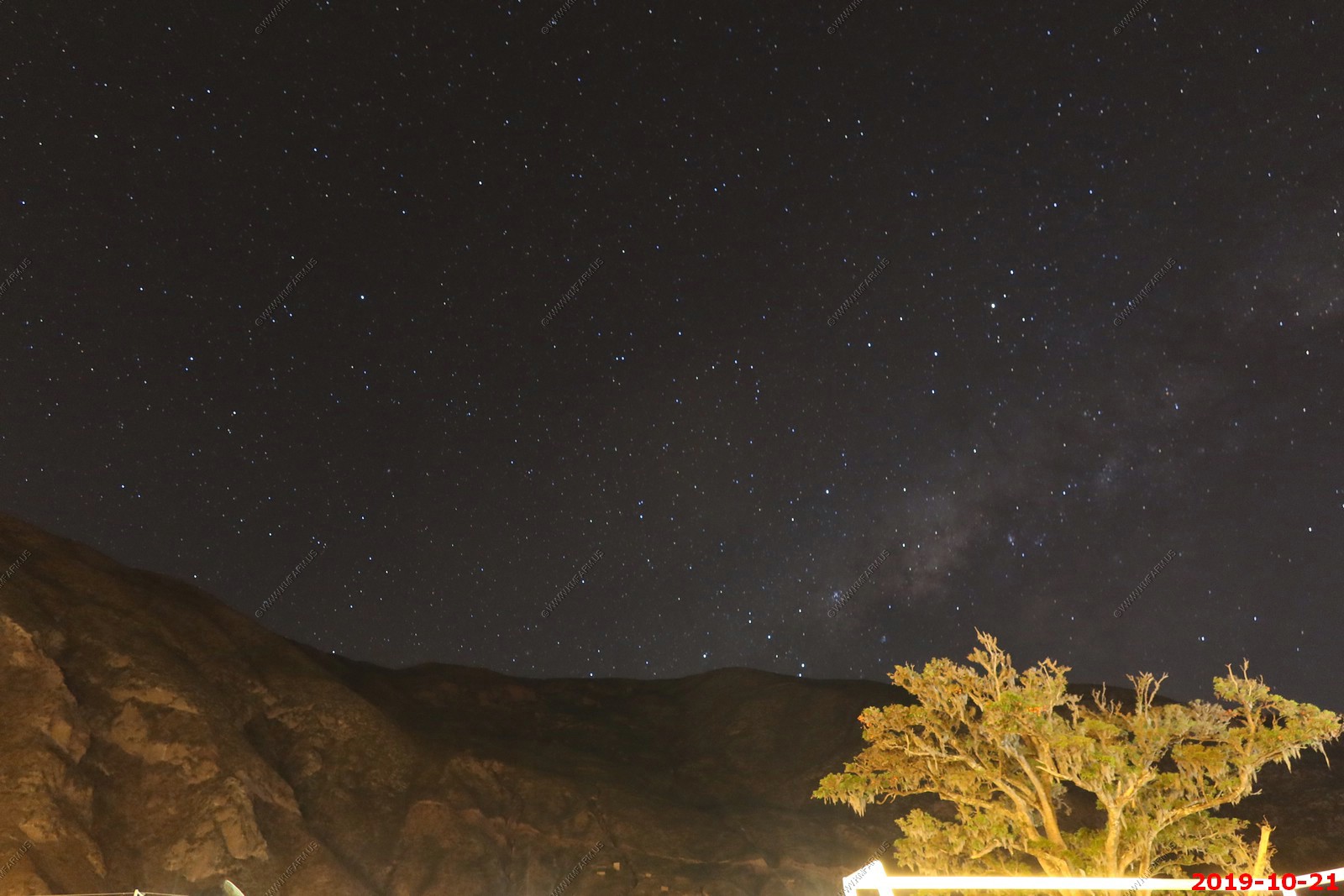
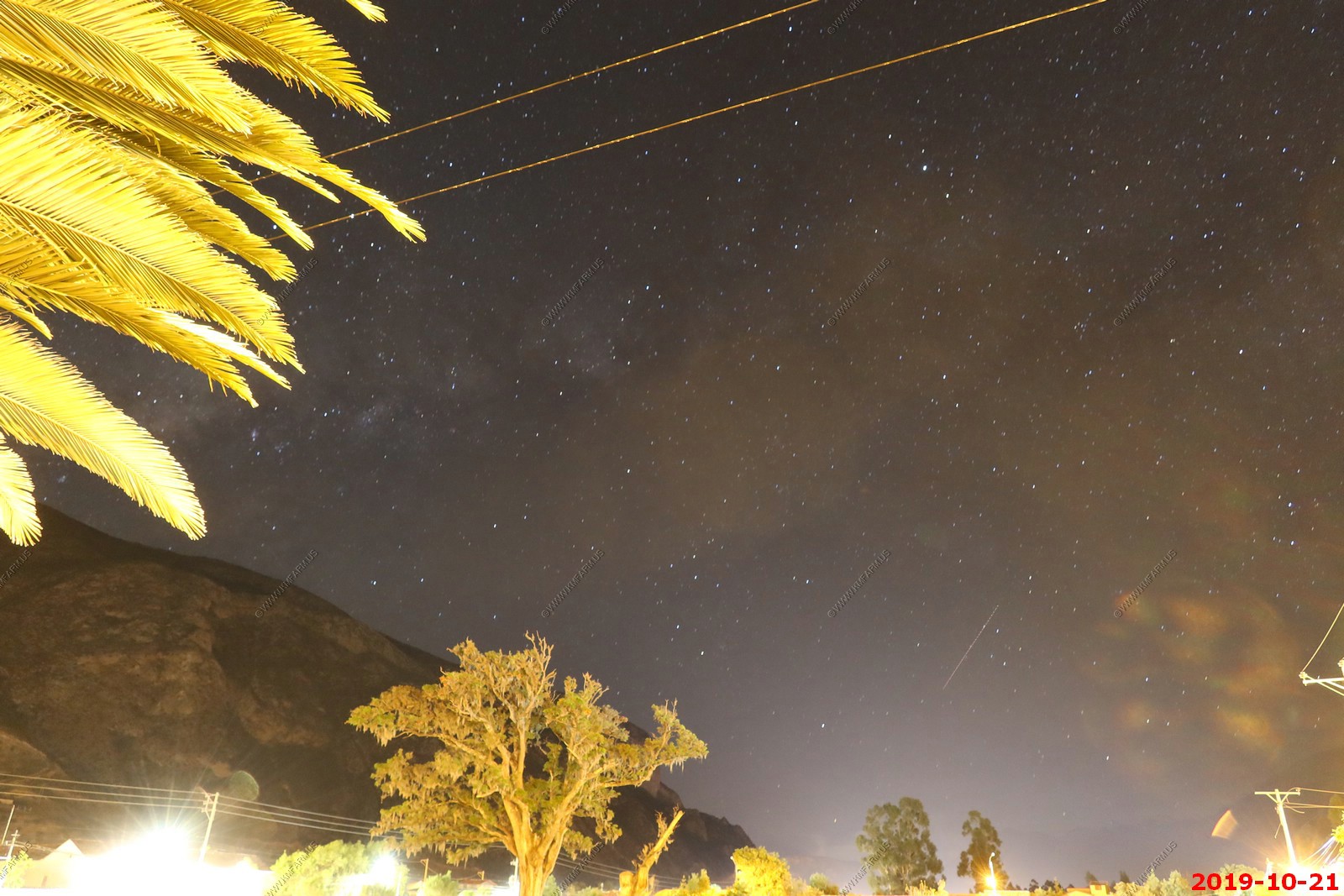
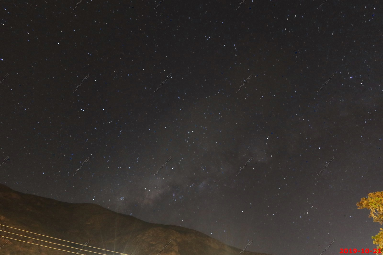
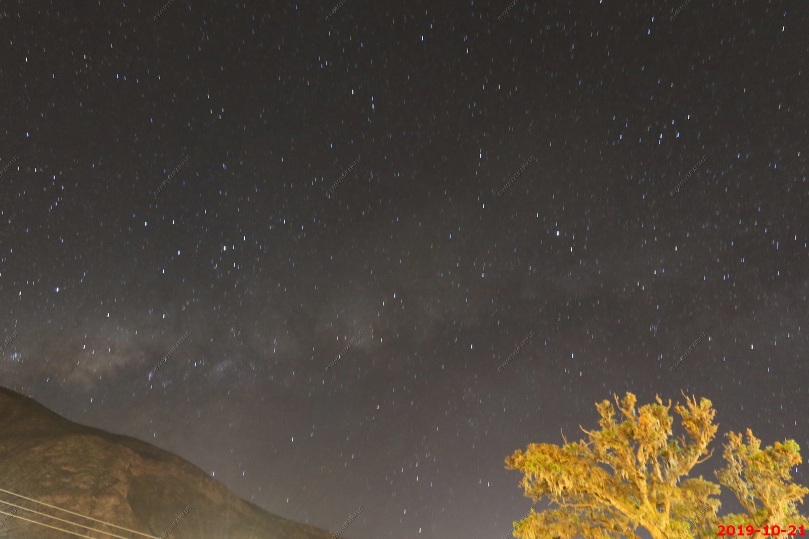
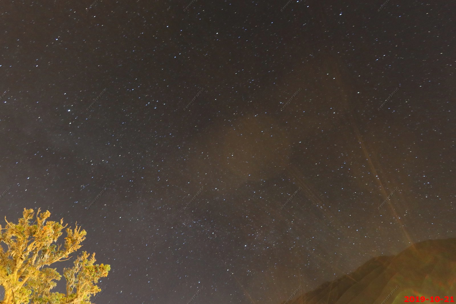
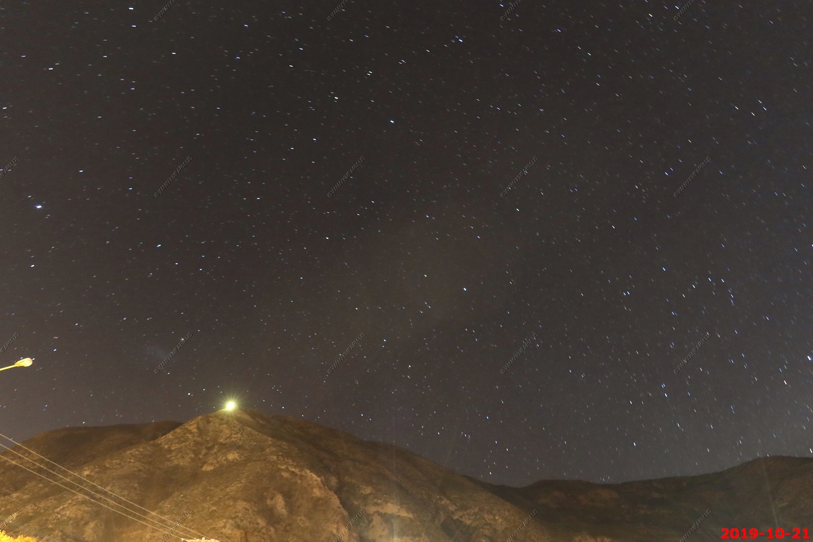
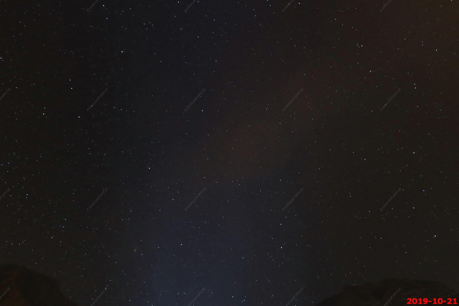
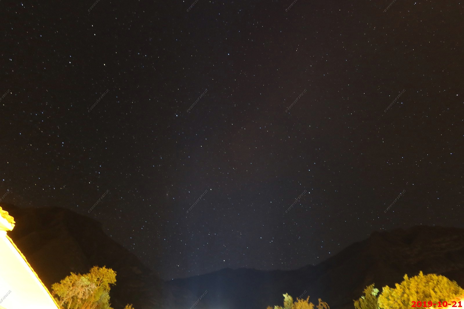
Manual astro-photos with the Canon PowerShot G5X Mark 2. It did very well but the problem was we were so tired I could not stay up to take more.
Various directions and exposure times.
On to Day 5 - Train to Machu Picchu / Machu Picchu (Aguas Caliente)
Return to Machu Picchu & Rapa Nui: Discovering Two Mysterious Civilizations front page