Last Updated: 25-AUG-2018
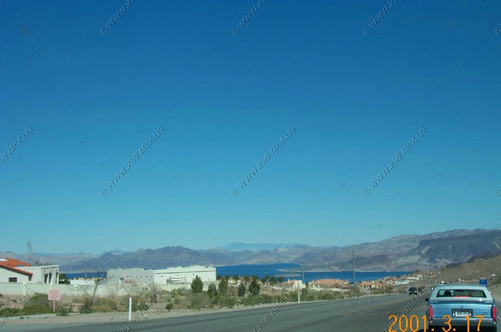
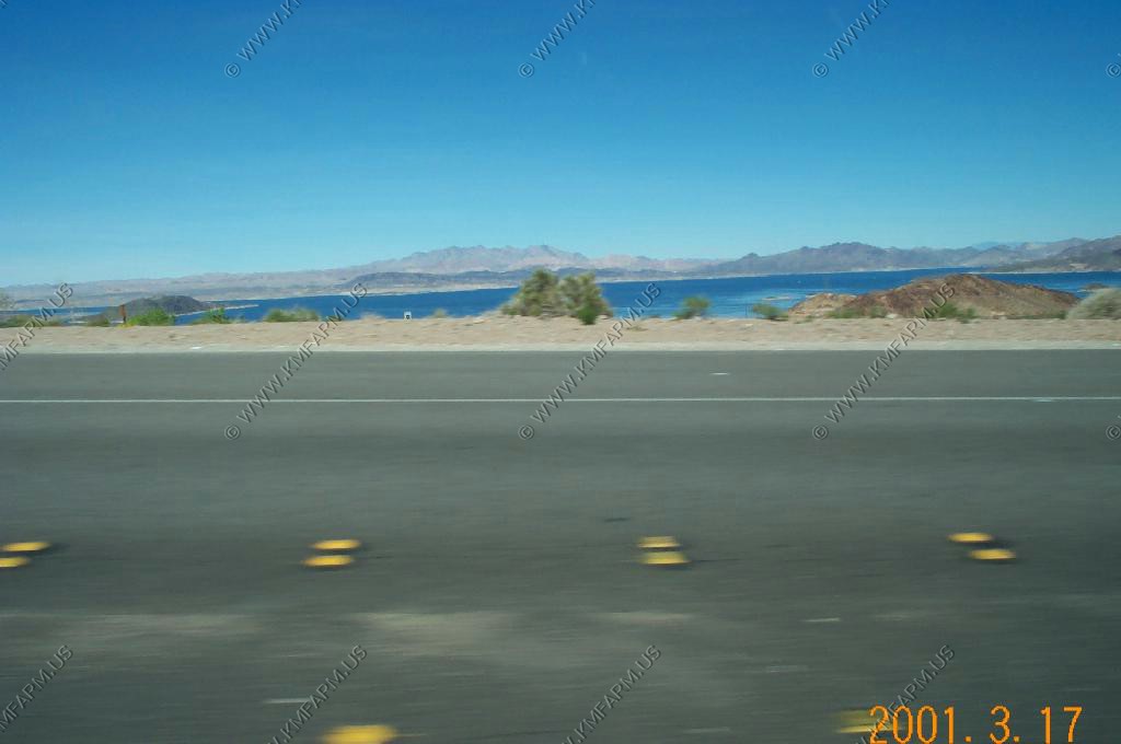
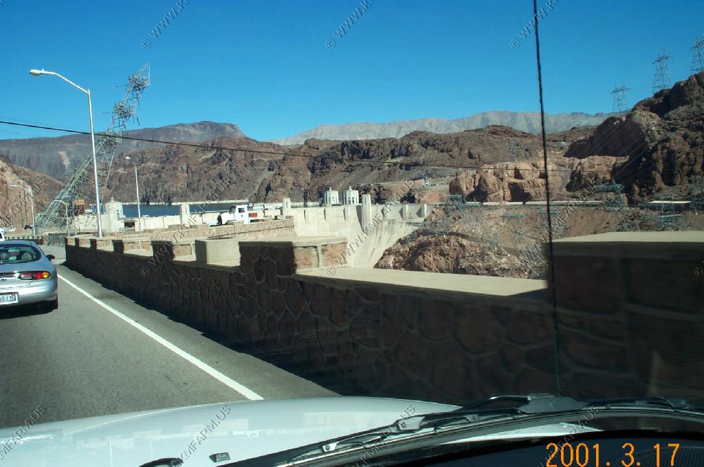
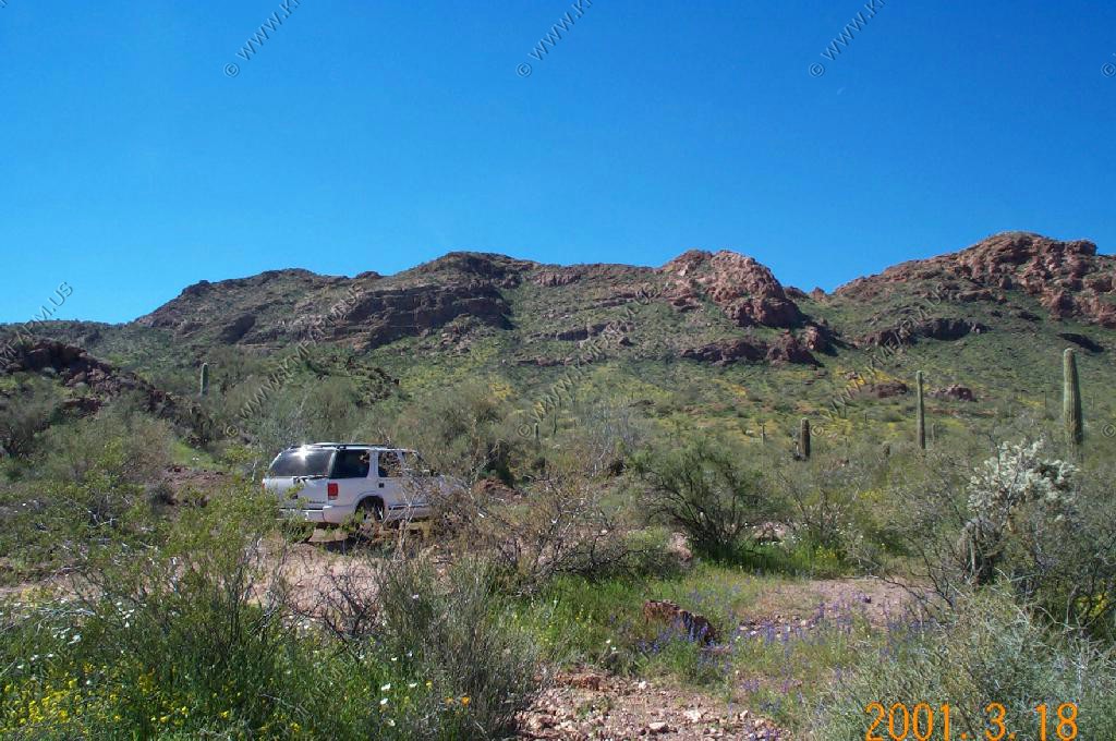
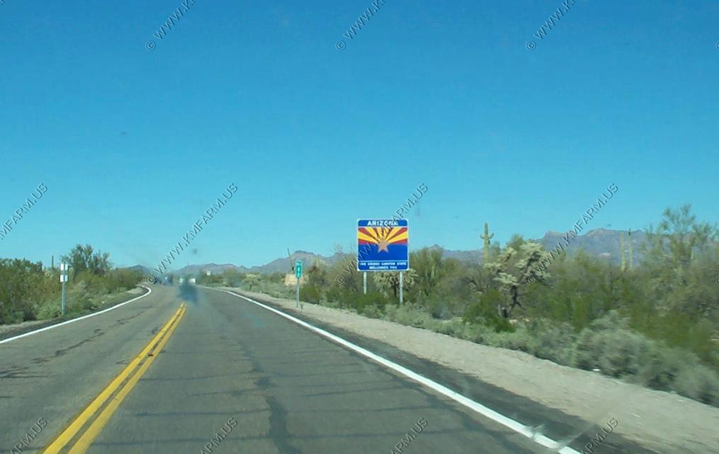
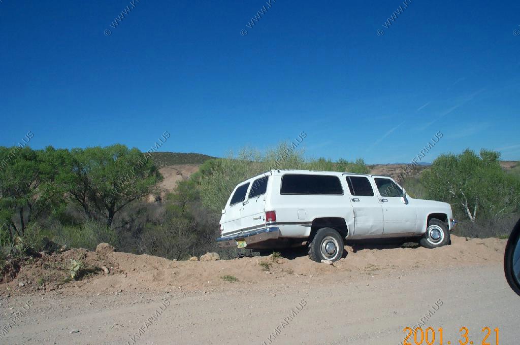
We picked up the rental 4x4 at Alamo in Las Vegas and headed South East towards Arizona
Lake Meade / Hoover Dam
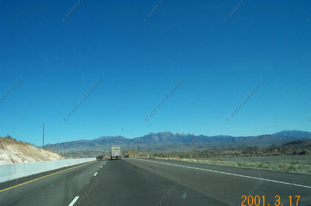
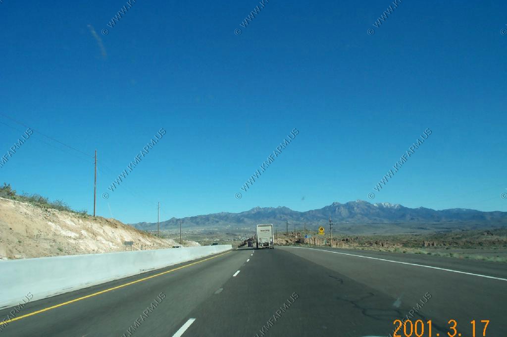
Snow on the Hualapi Mountains from I-10 West of Kingman, Arizona. (highest El. 8,417)
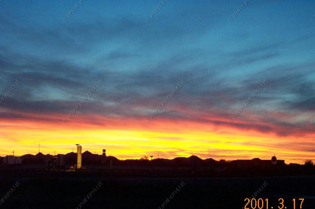
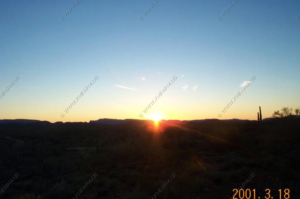
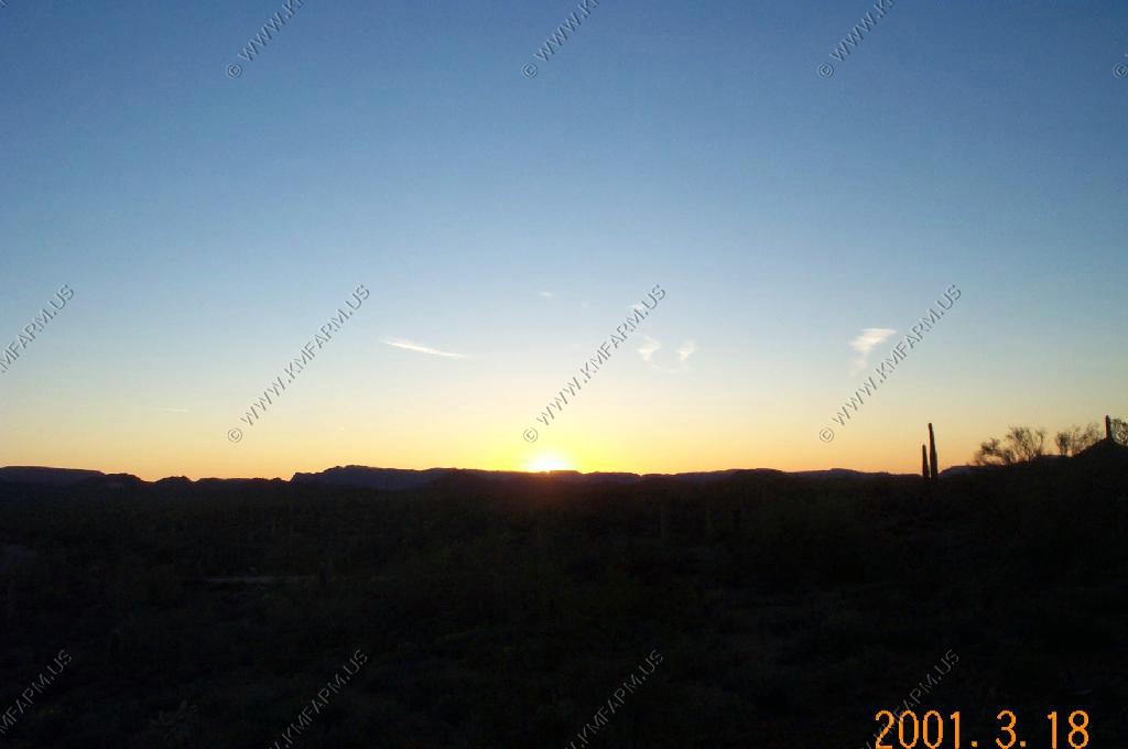
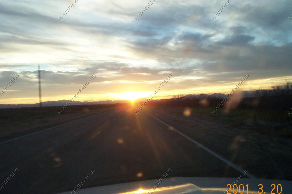
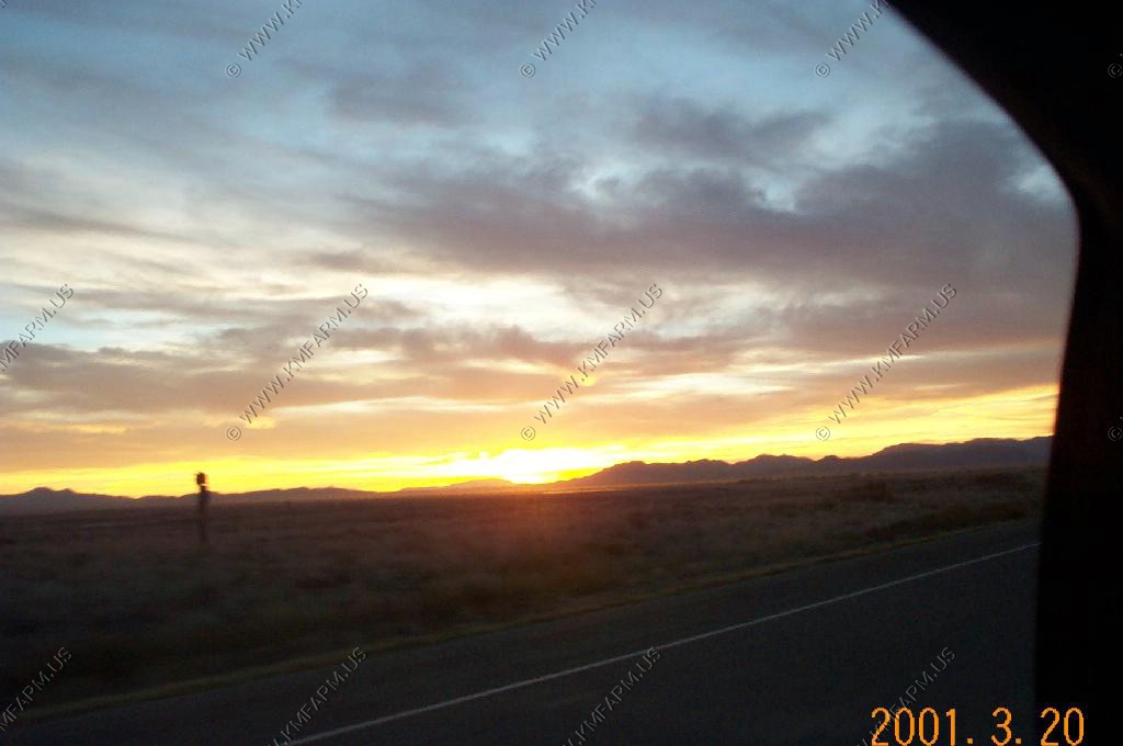
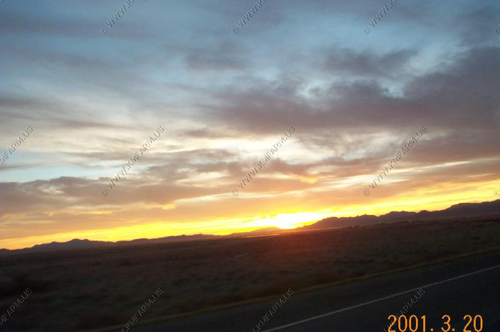
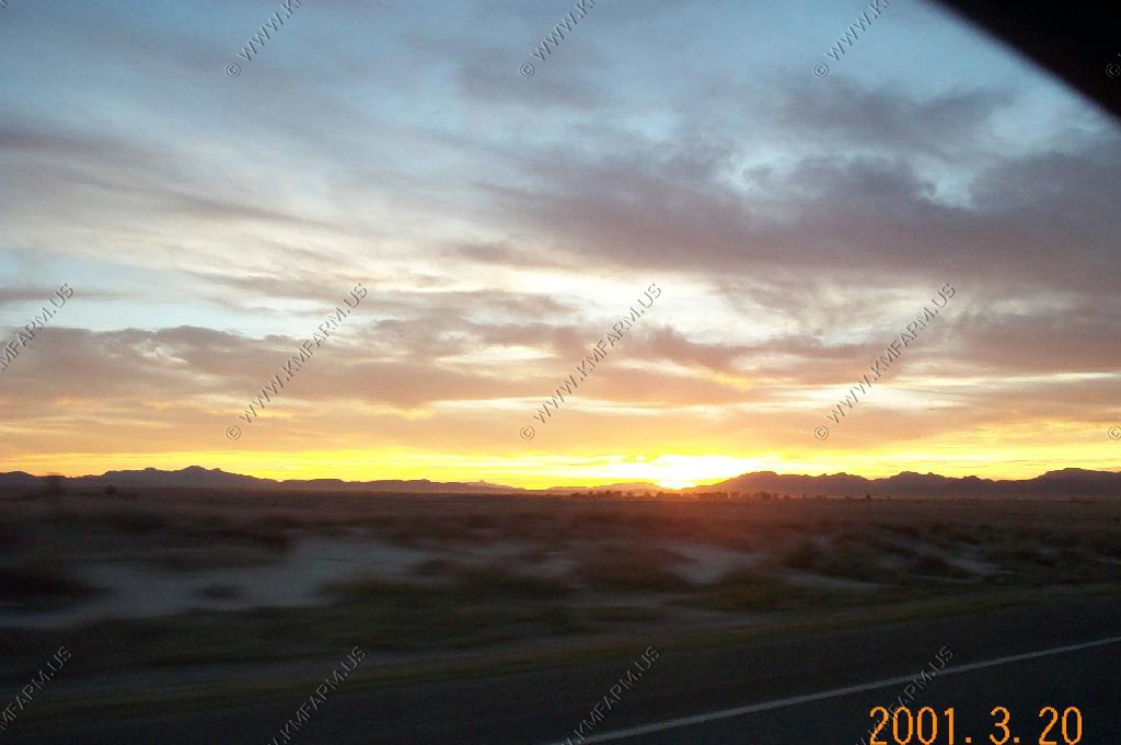
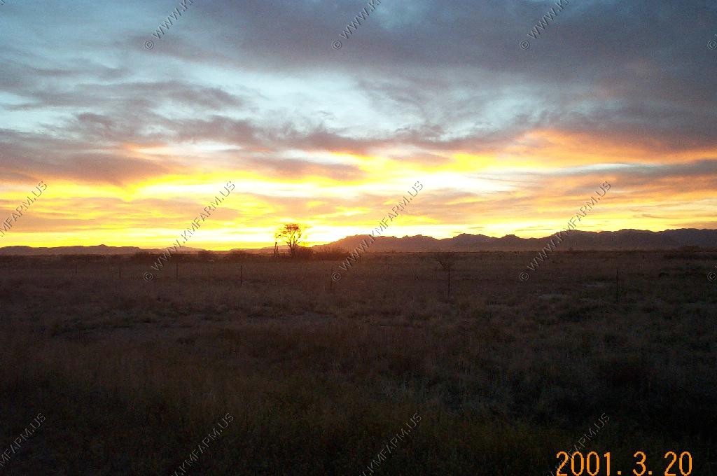
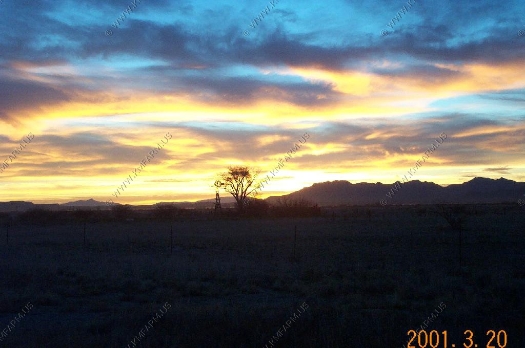
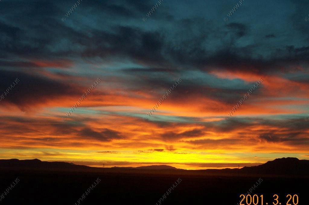
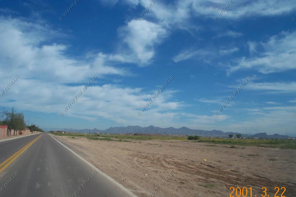
Sunset along I-10 near Gila Bend, Arizona
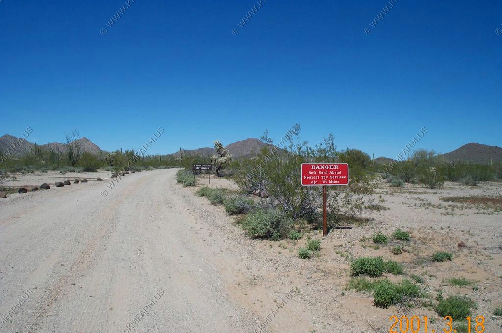
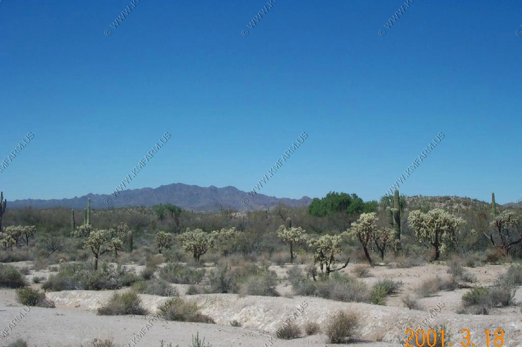
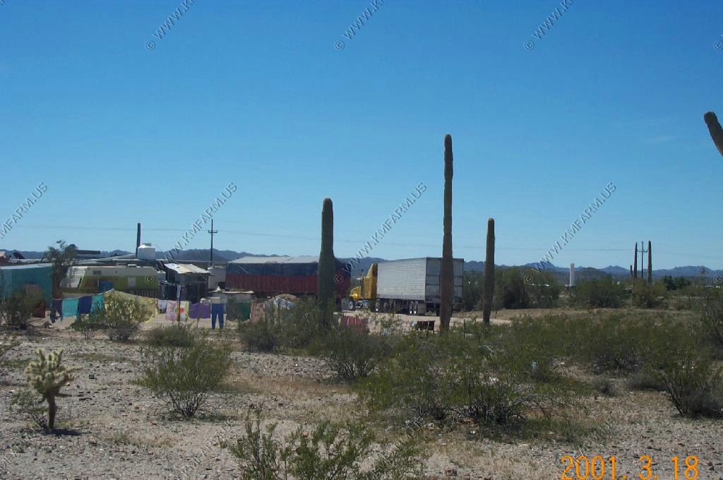
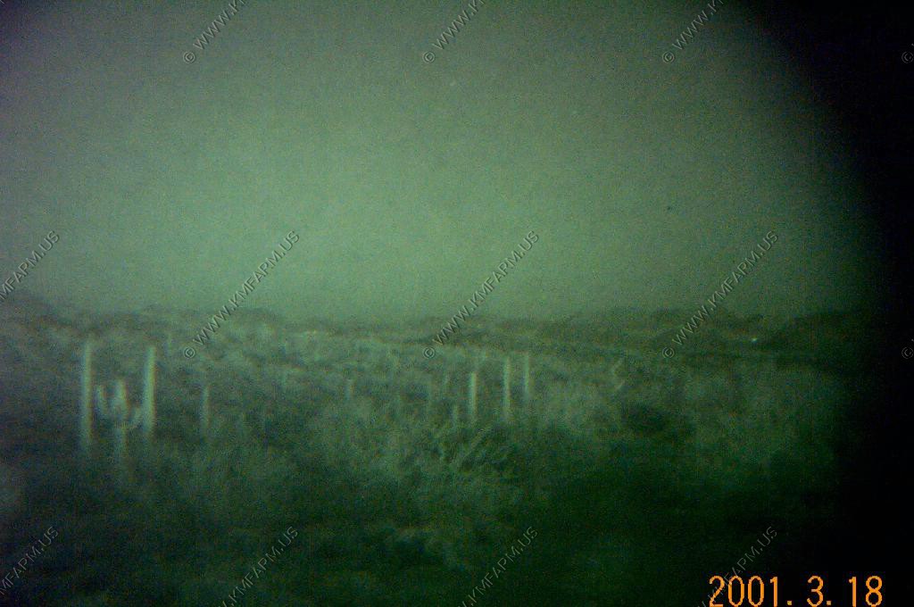
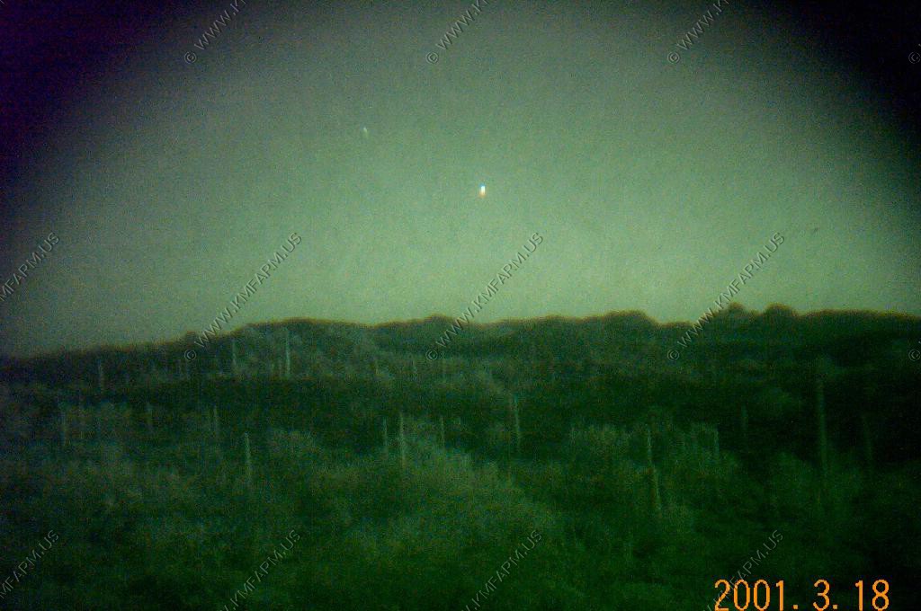
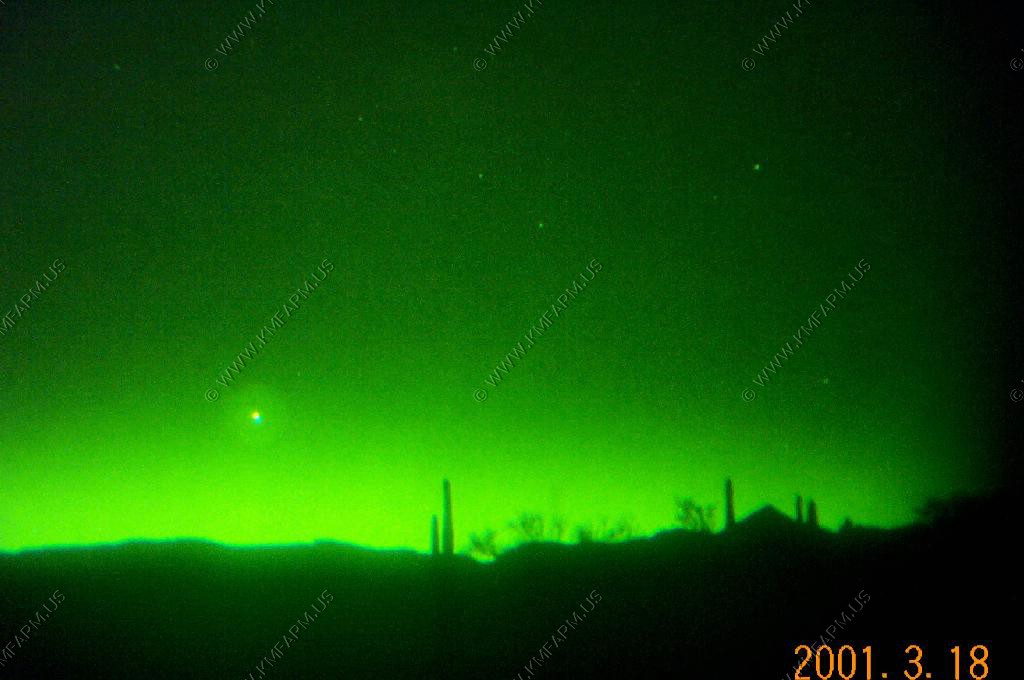
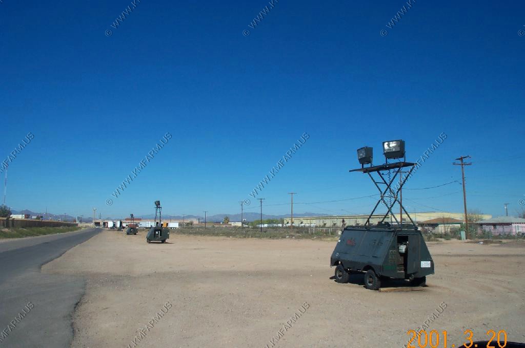
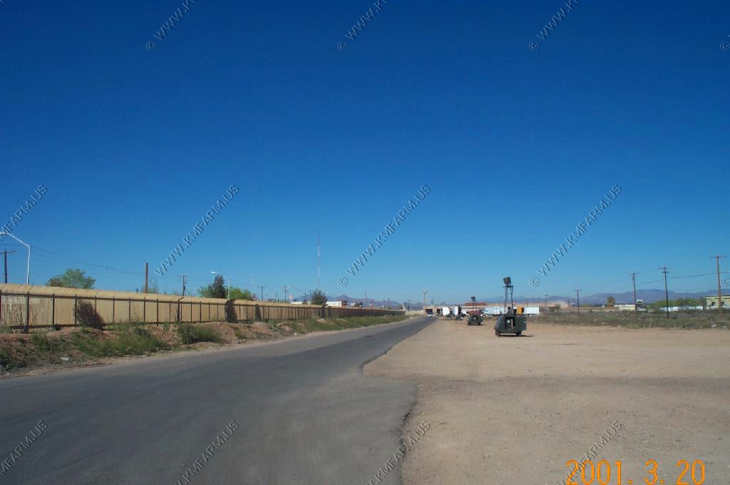
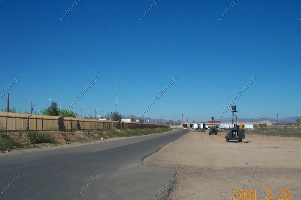
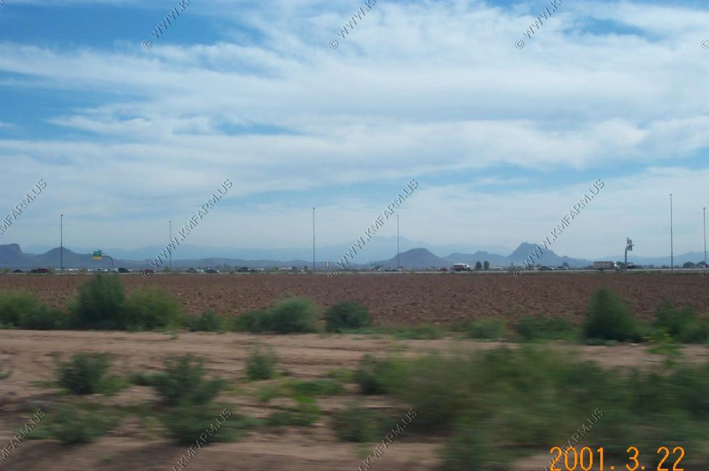
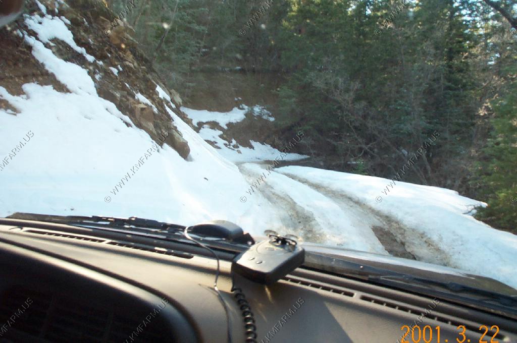
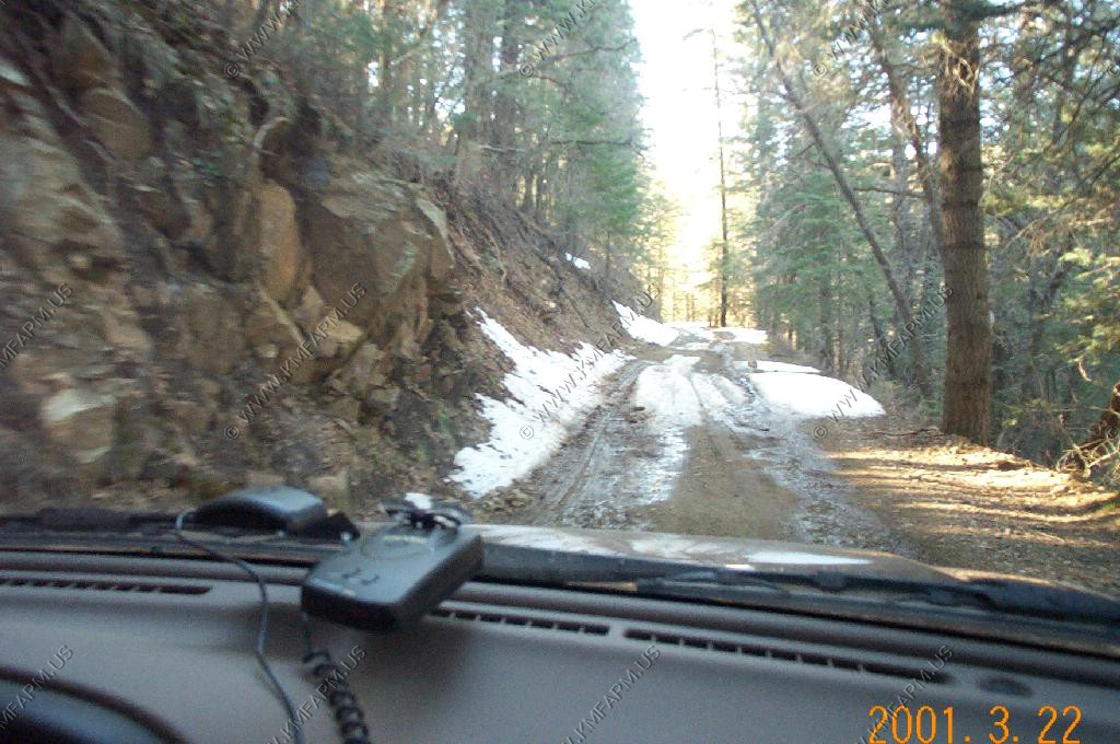
JSS Radar south of Ajo
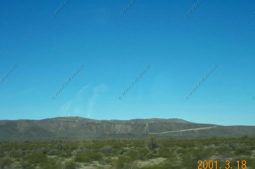
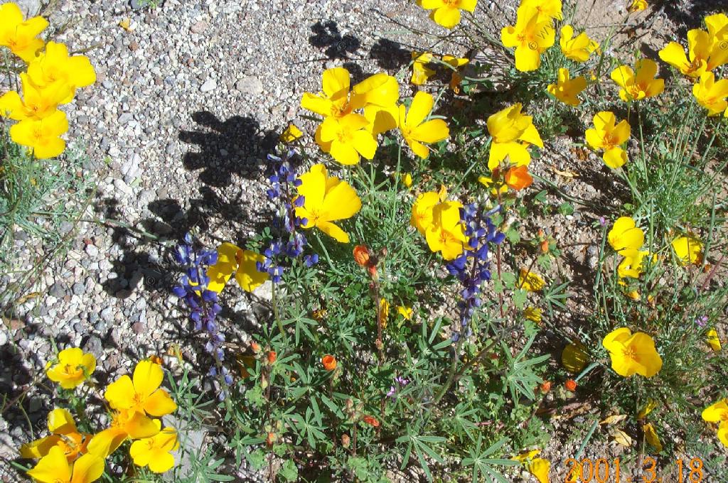
Photo attempt of a marige south of Ajo, Arizona
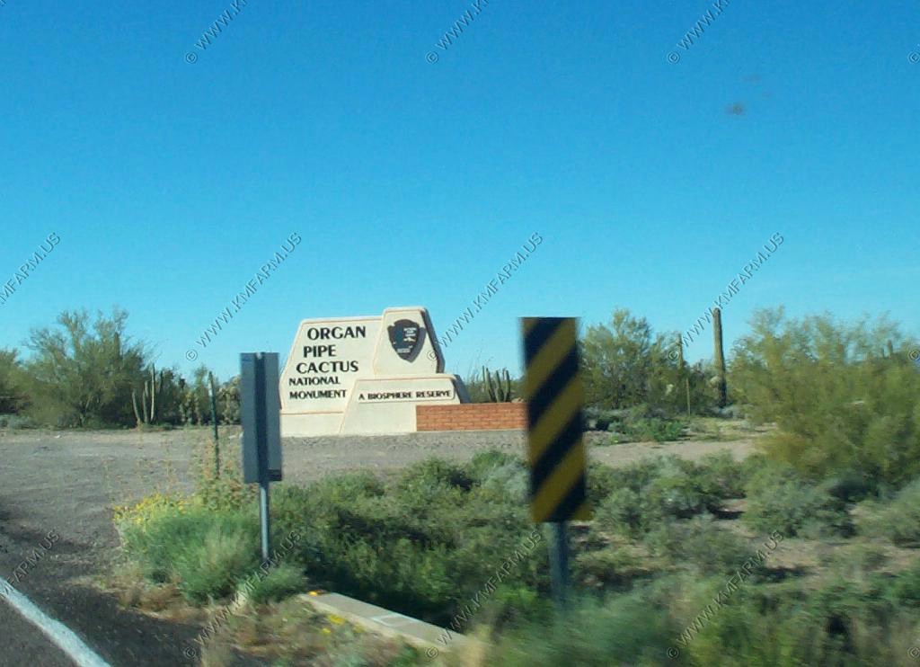
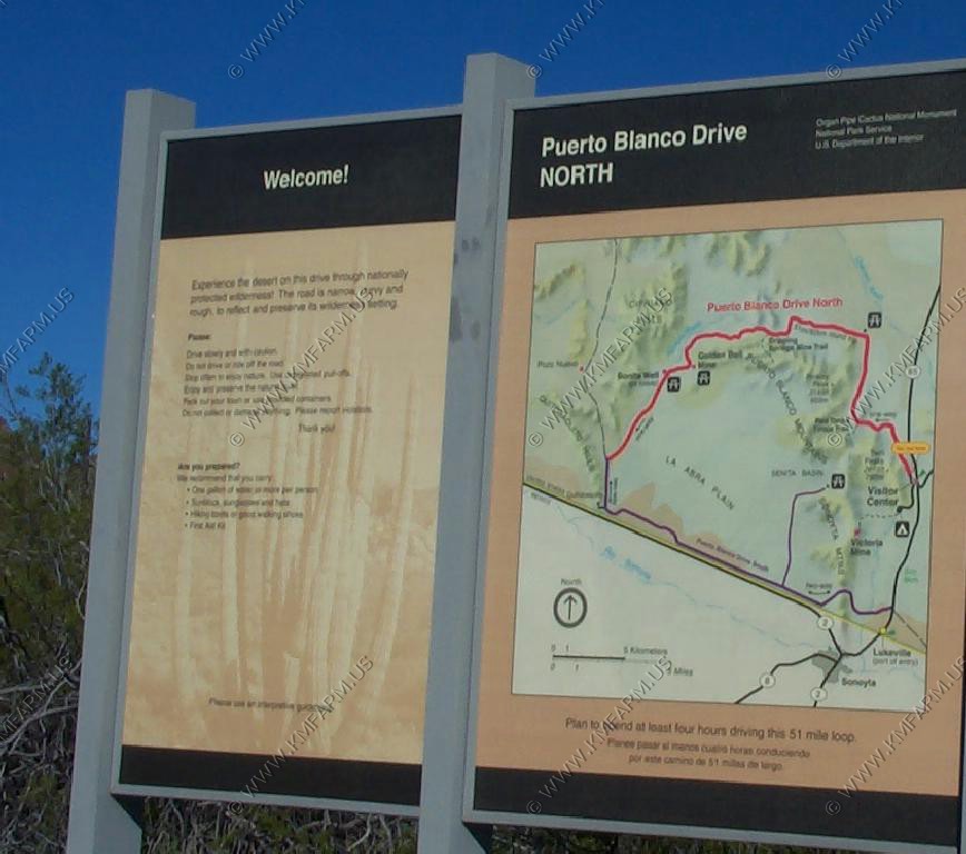
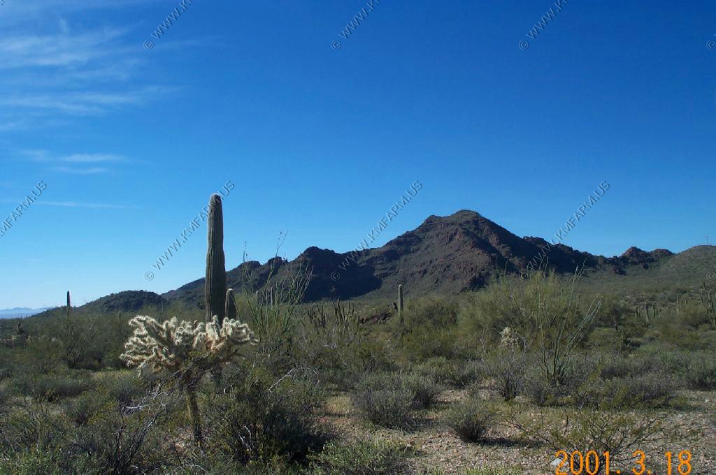
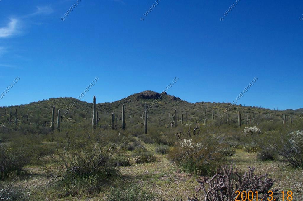
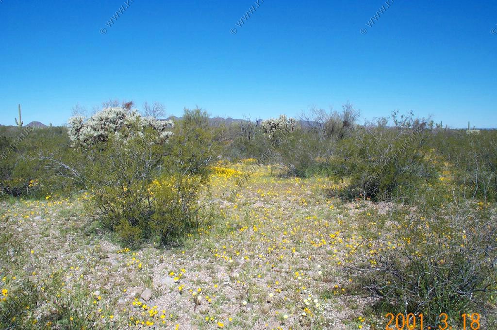
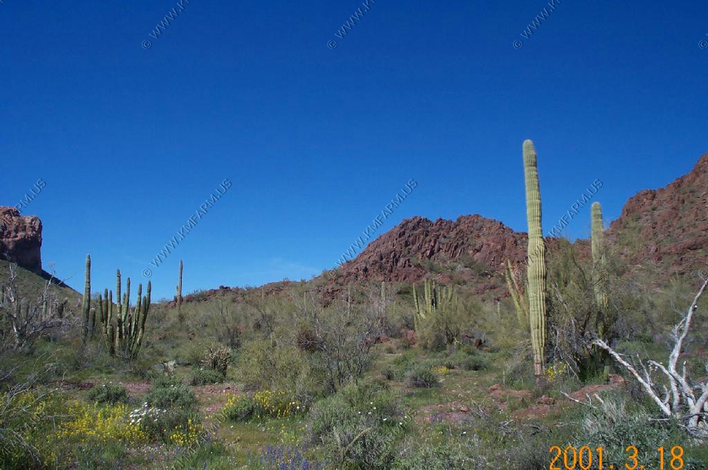
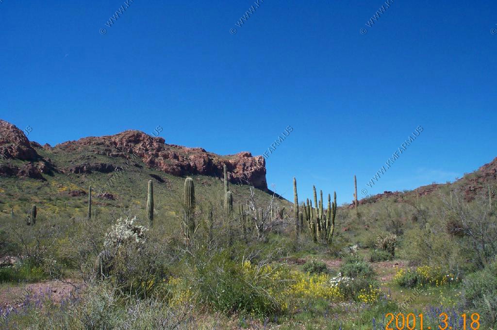
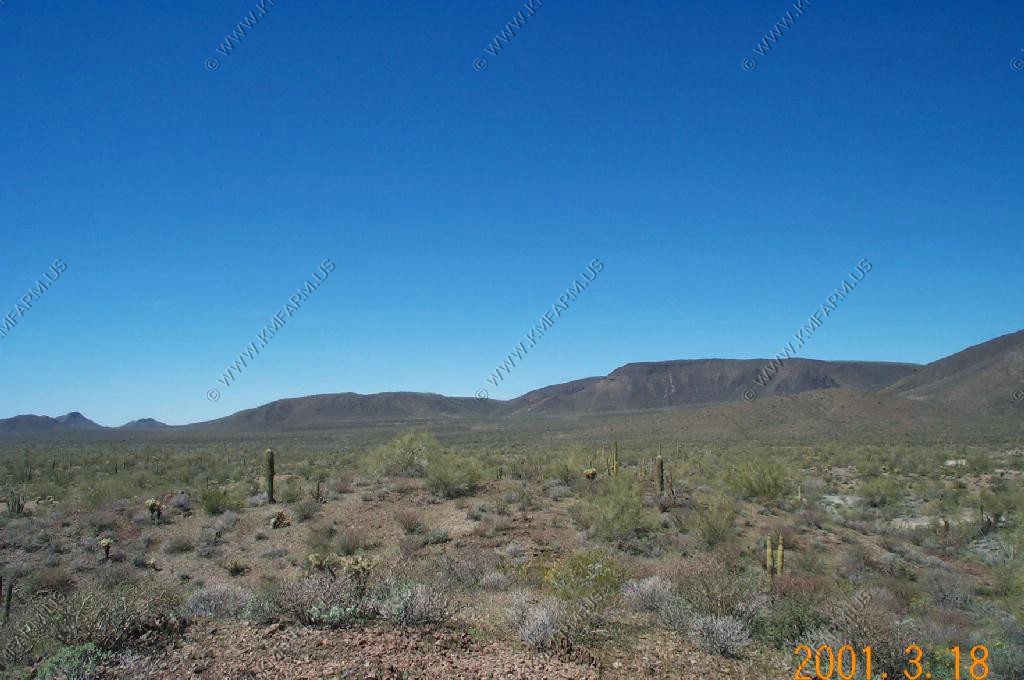
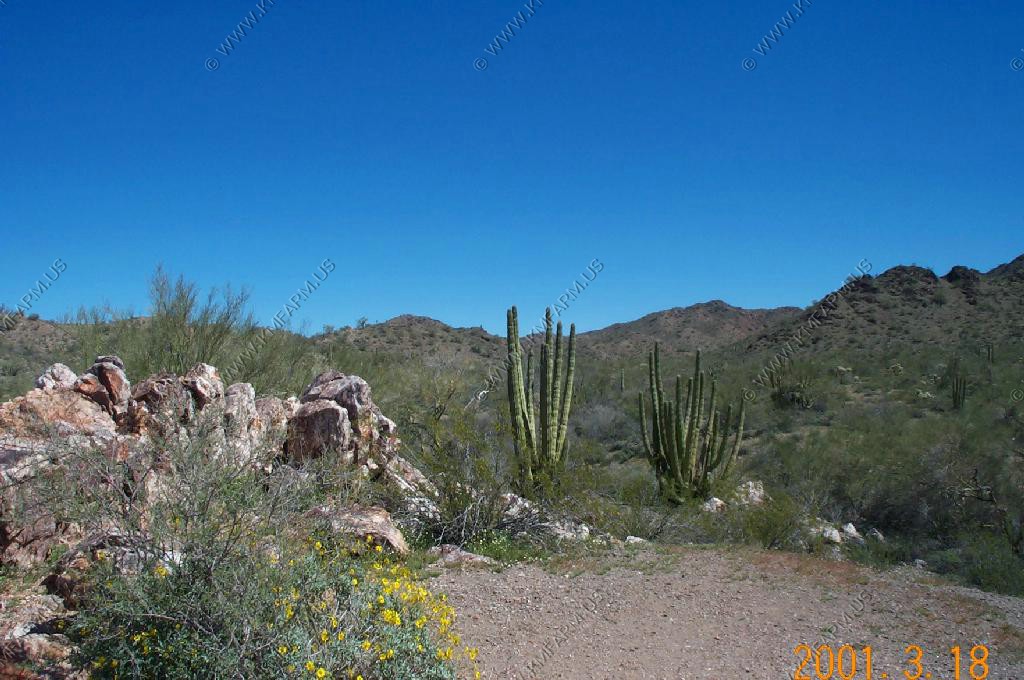
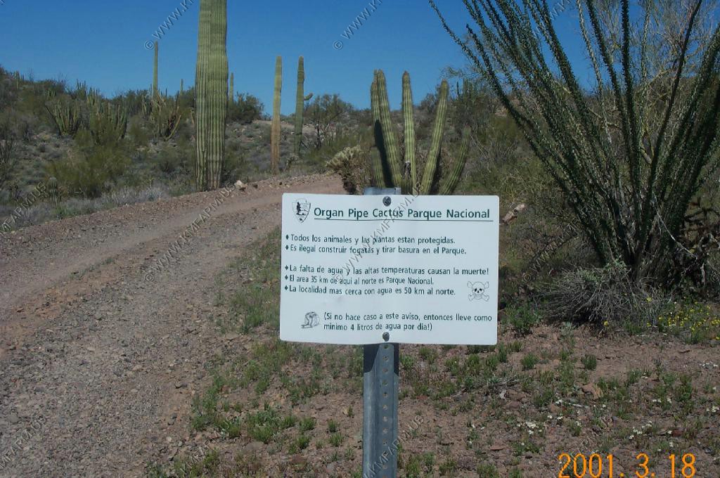
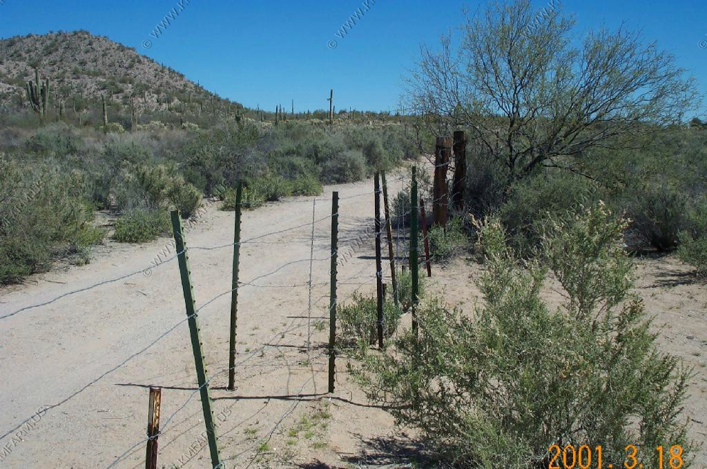
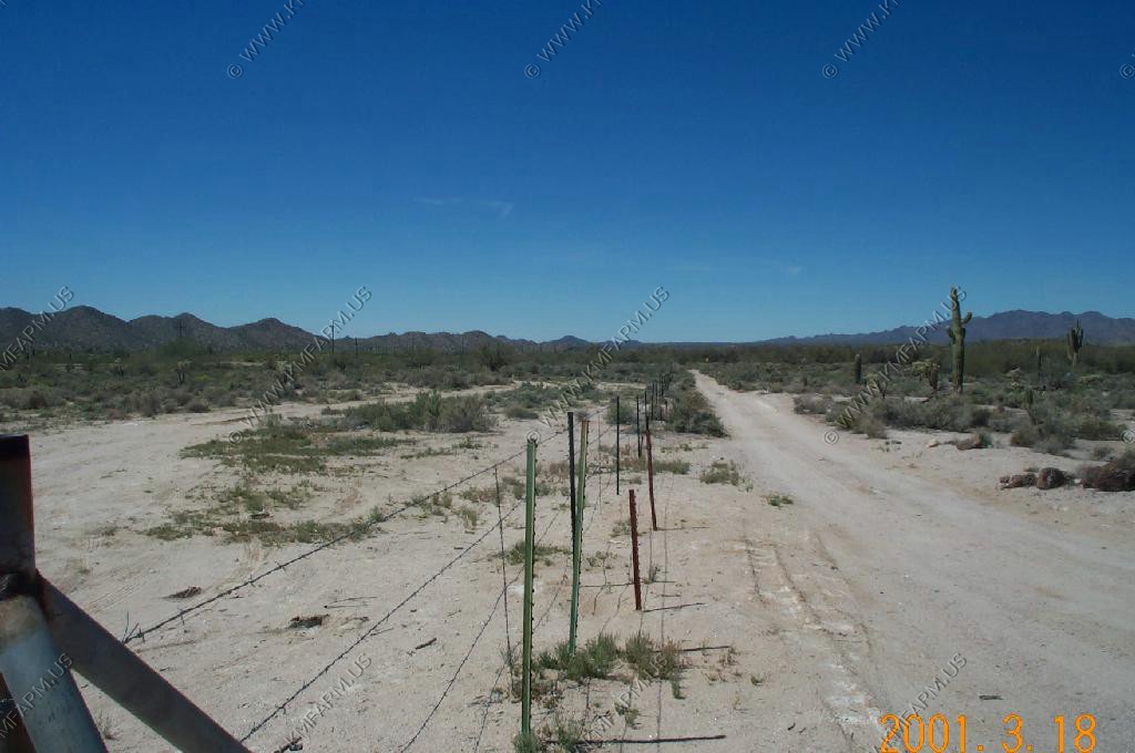
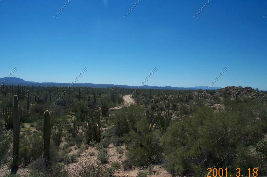
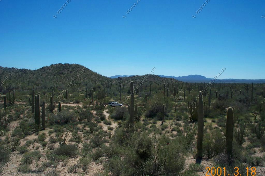
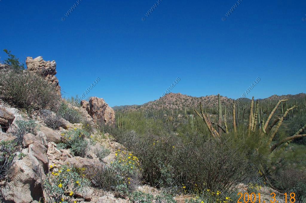
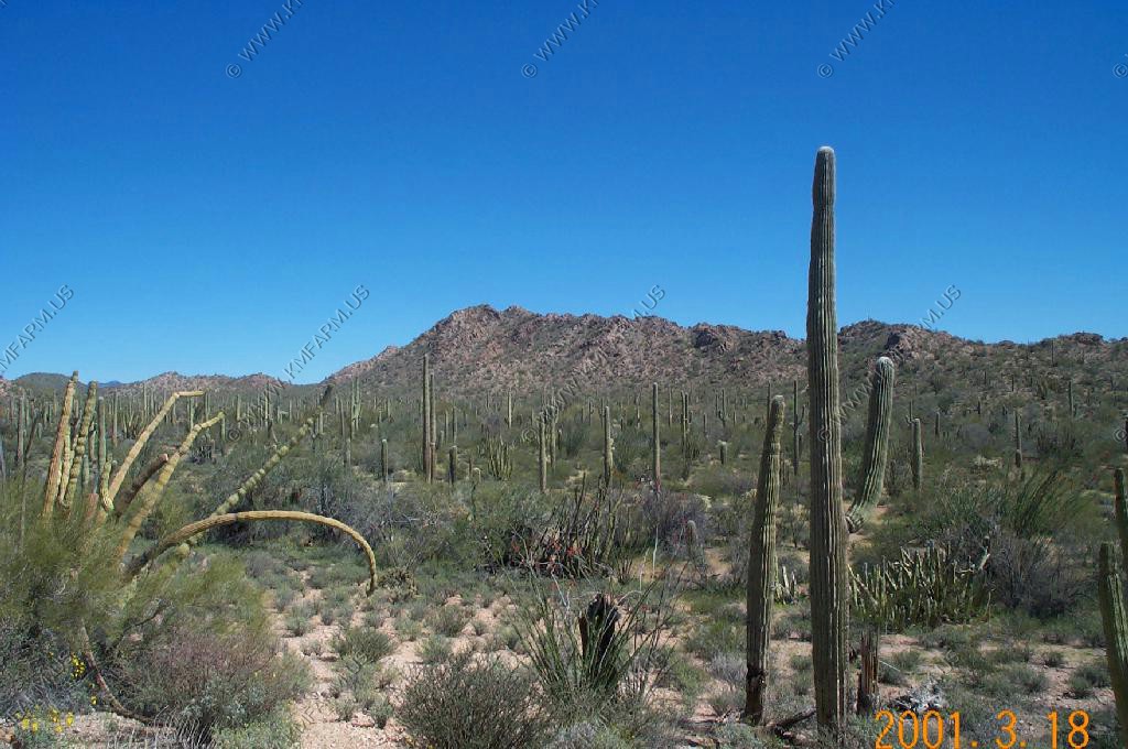
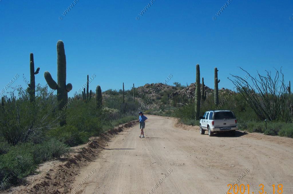
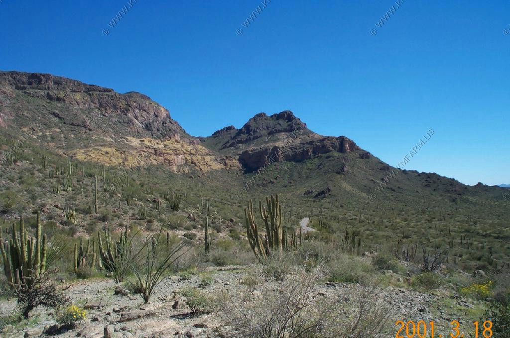
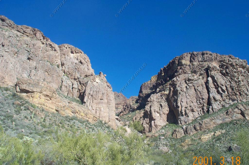
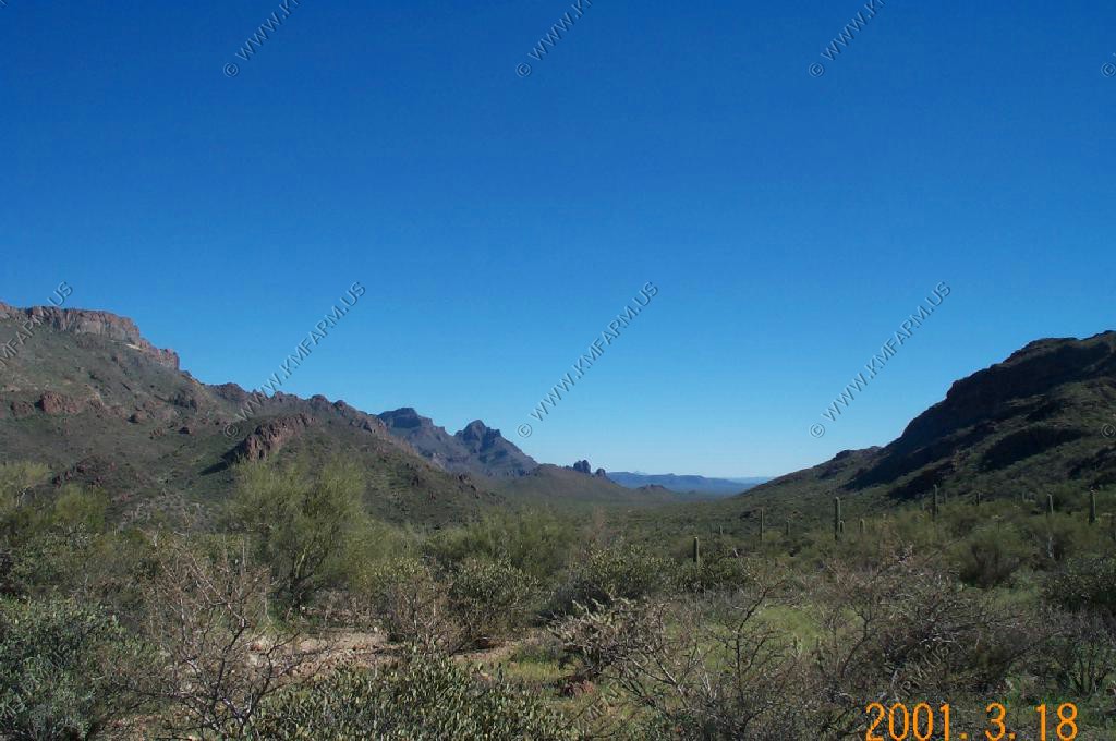
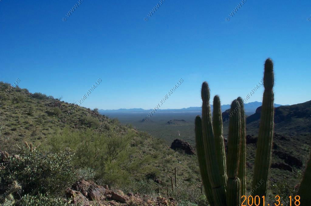
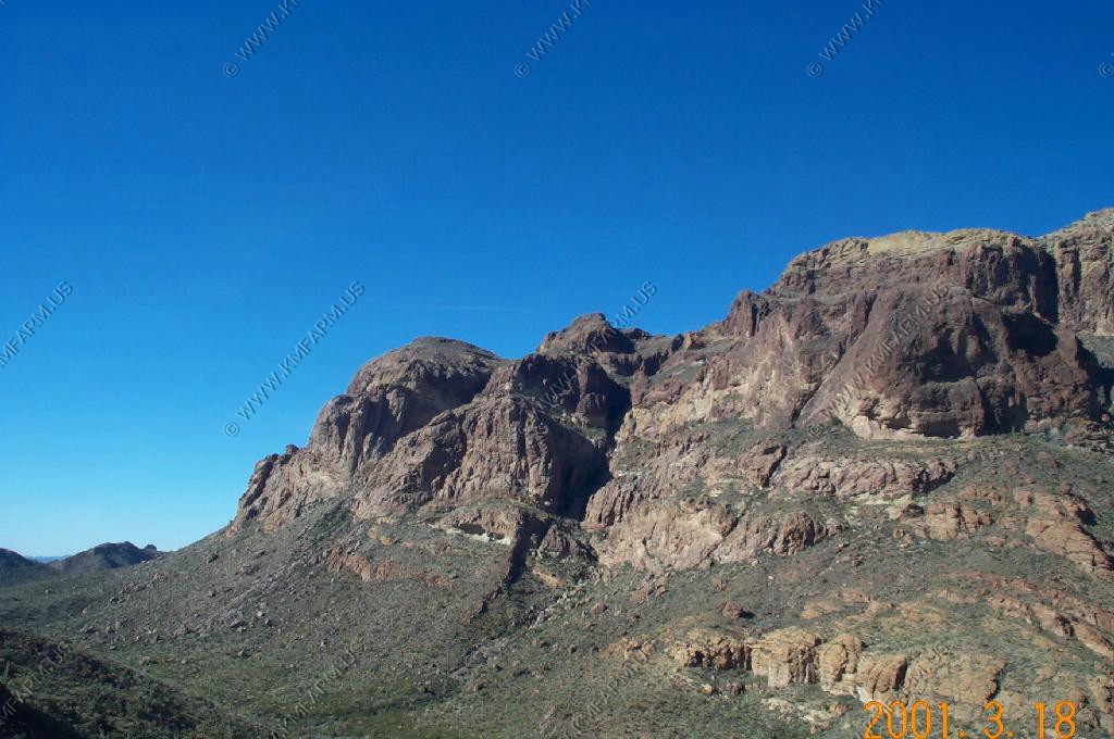
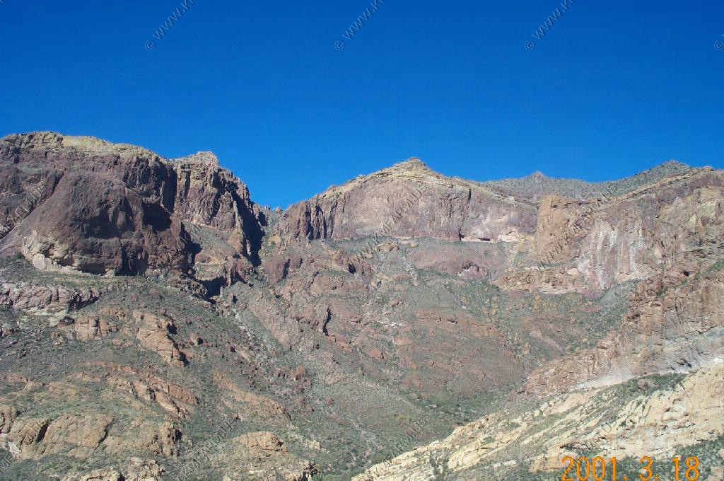
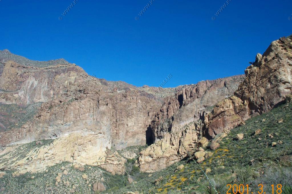
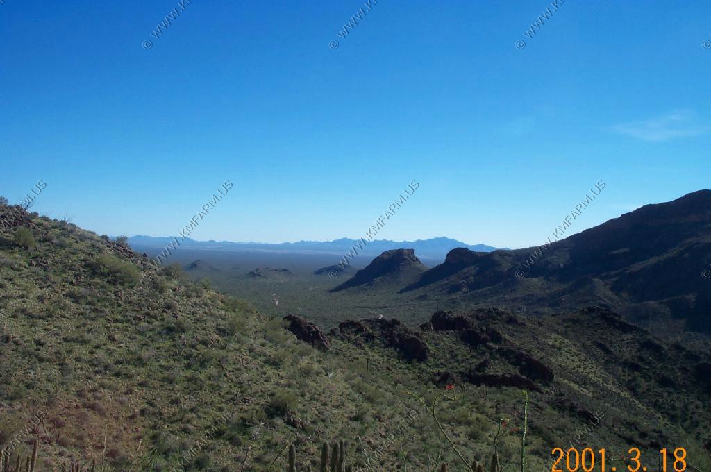
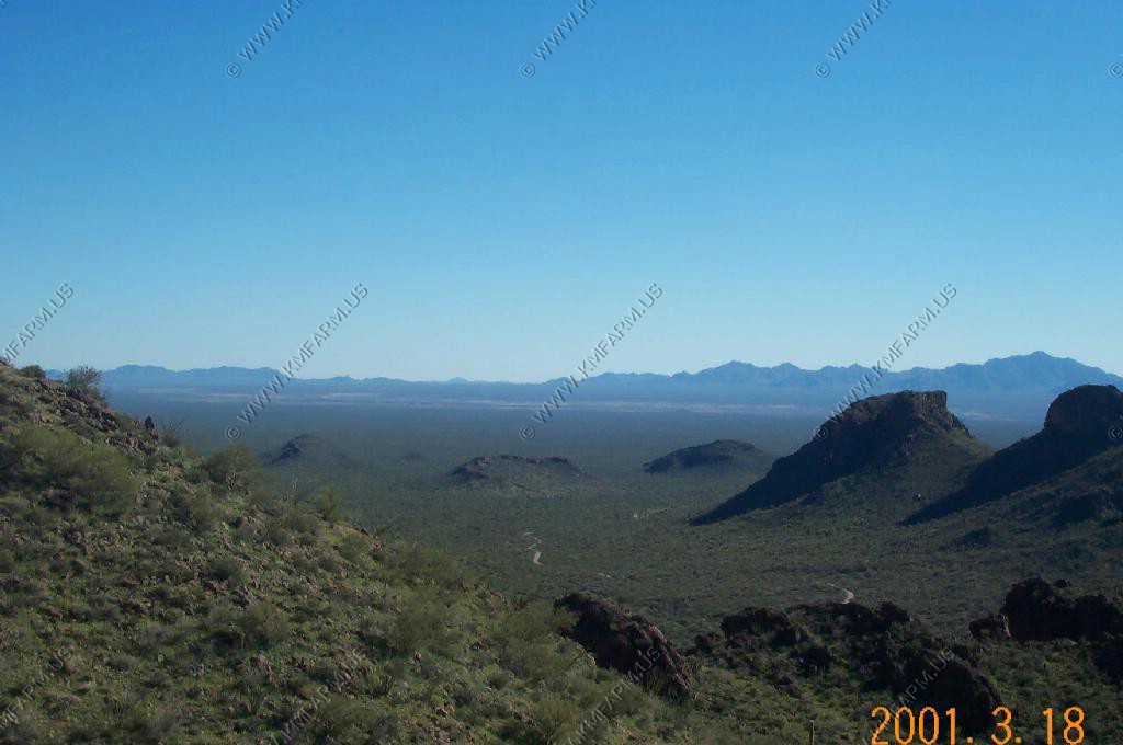
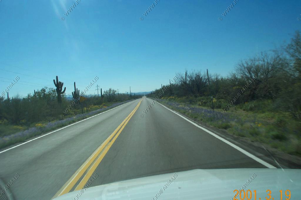
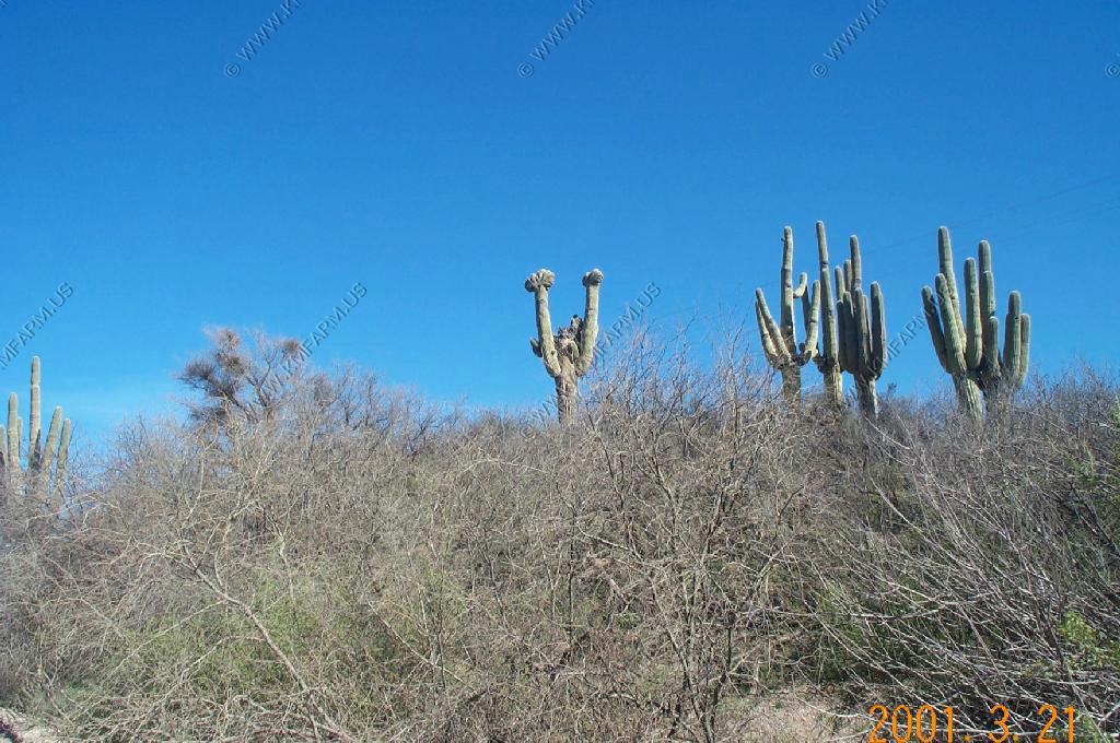
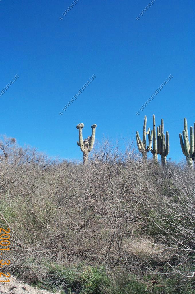
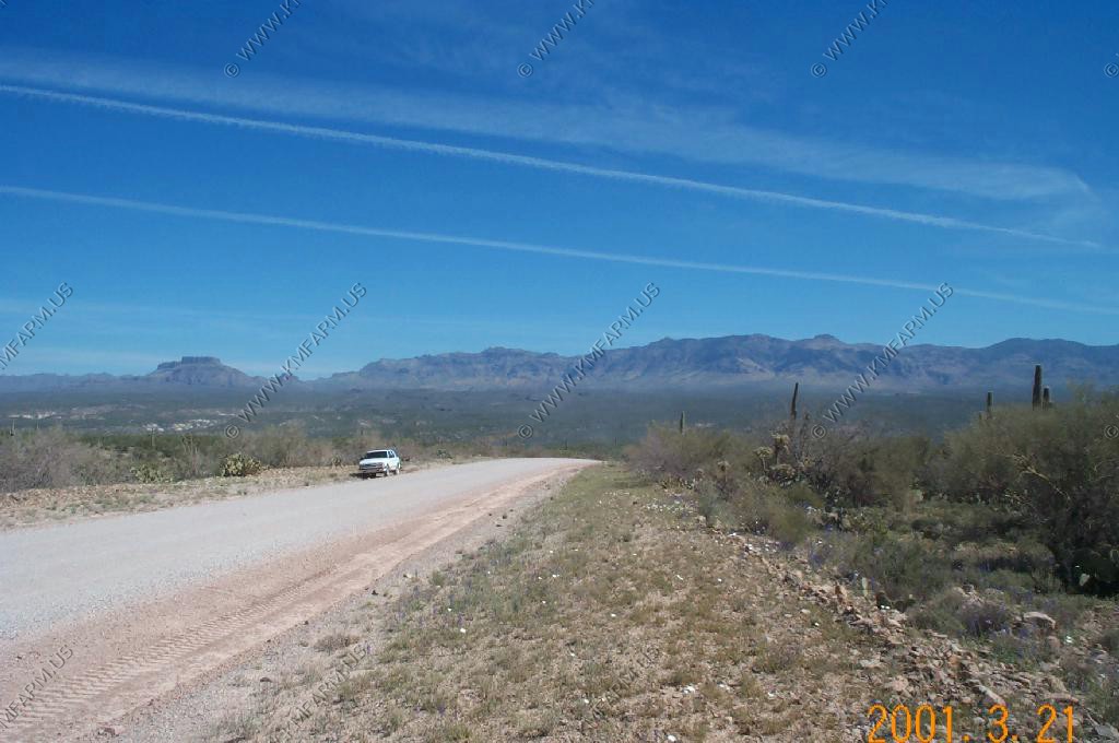
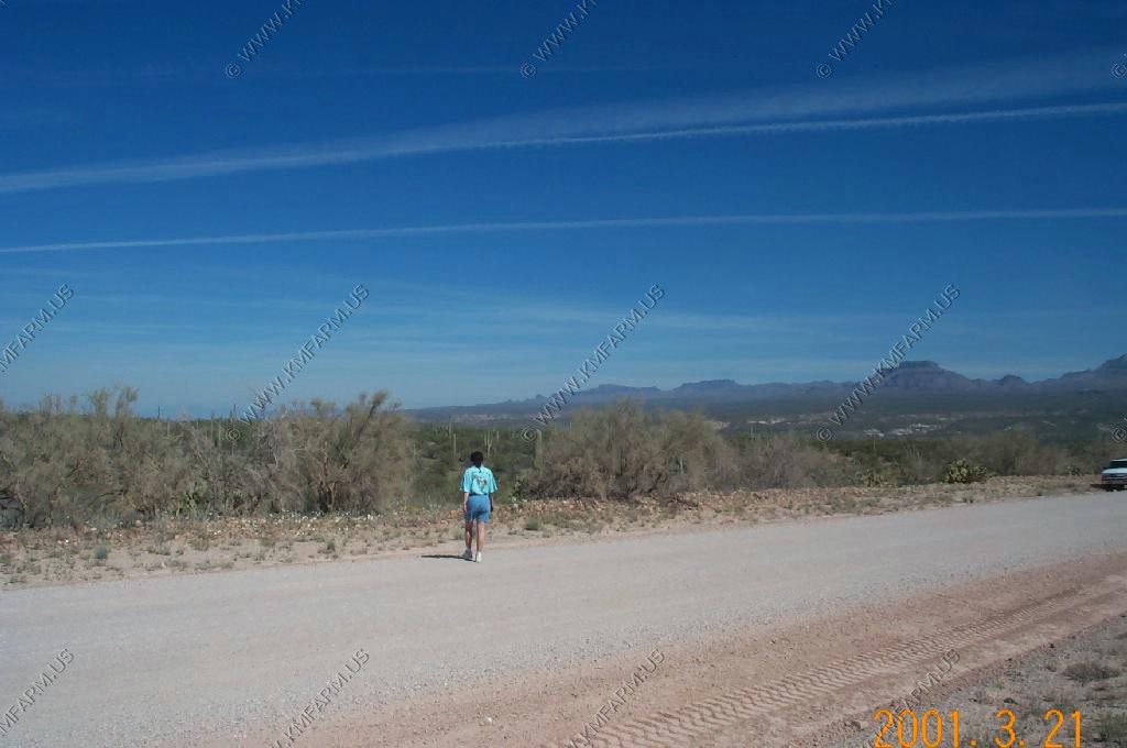
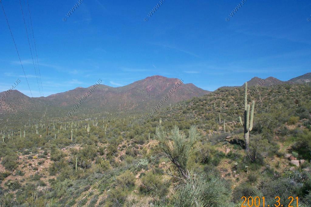
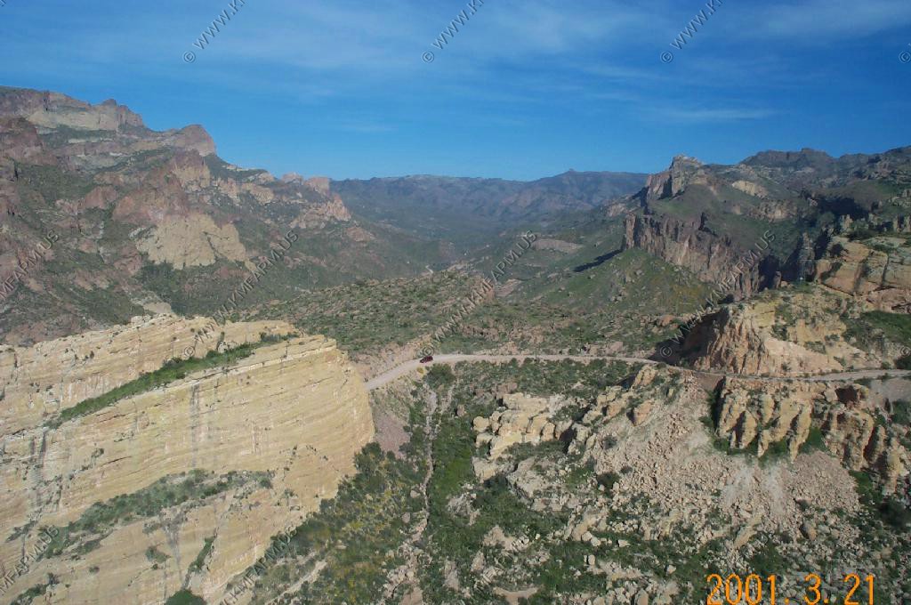
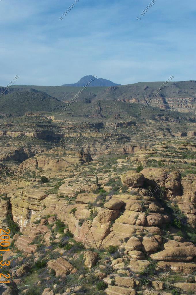
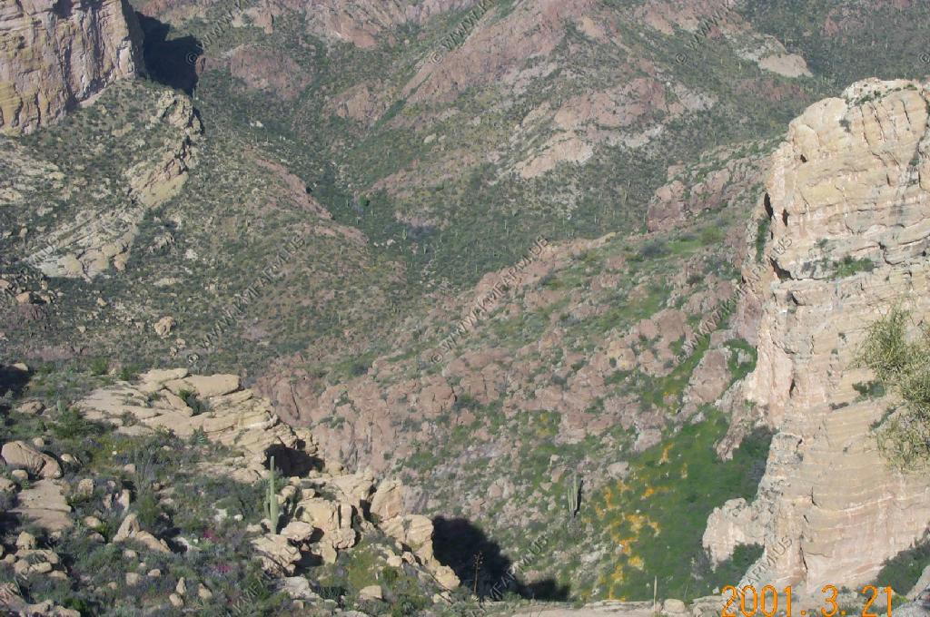
We spent a day at OPCNM. We started on the west side by driving the 51 mile Puerto Blanco Drive.

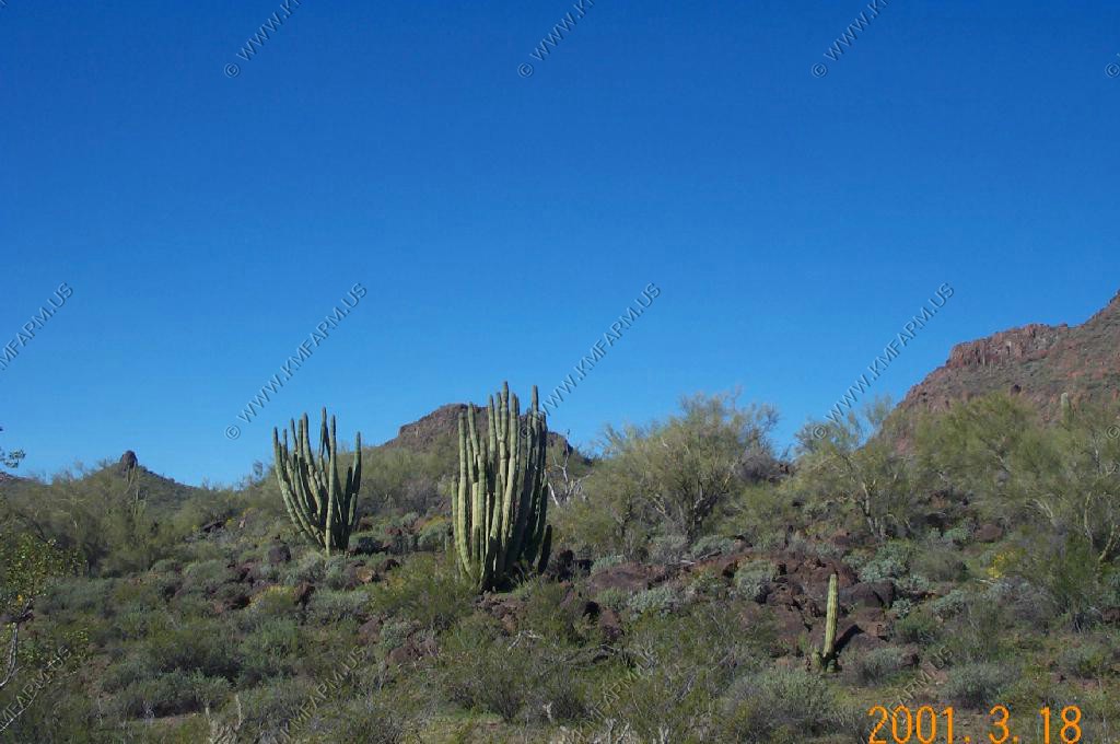
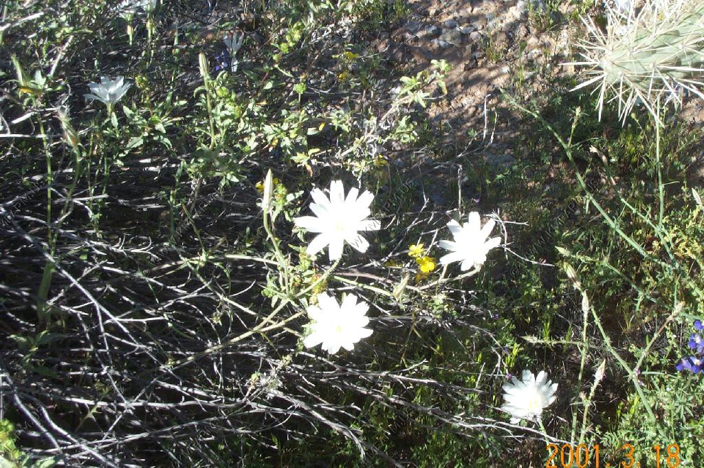
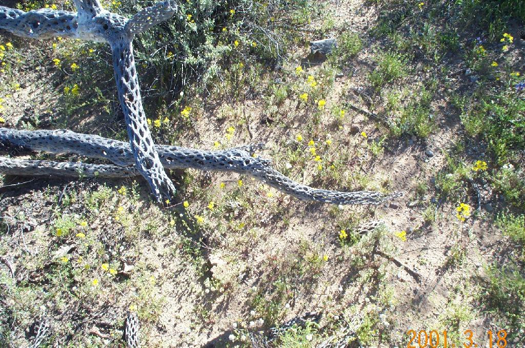
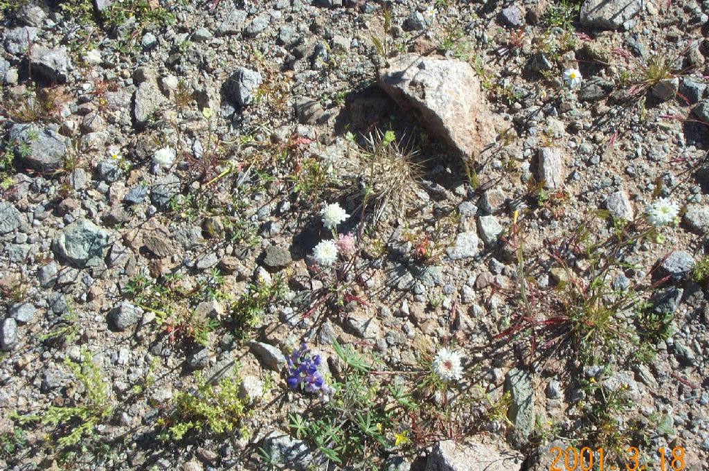
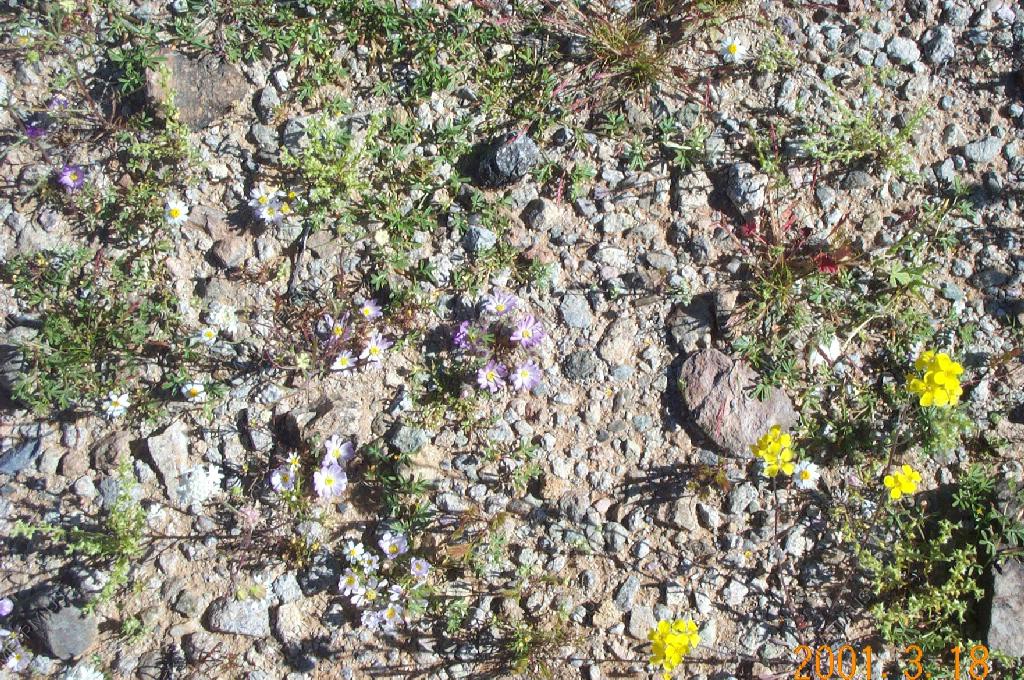
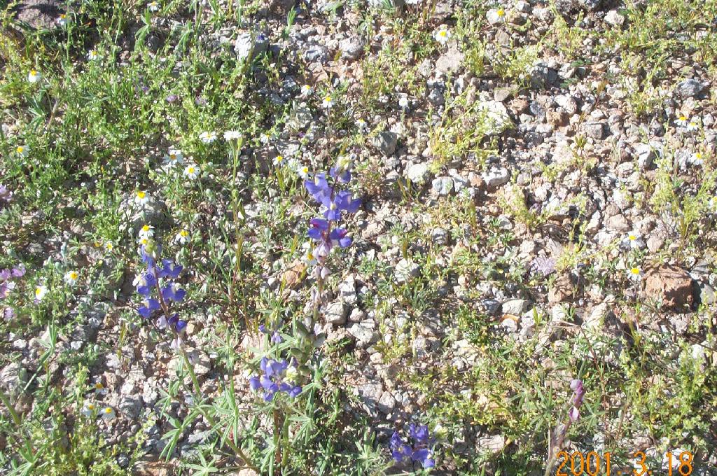
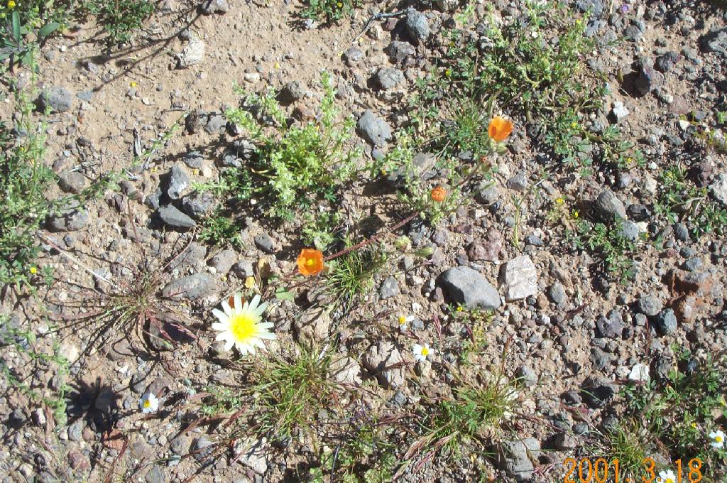
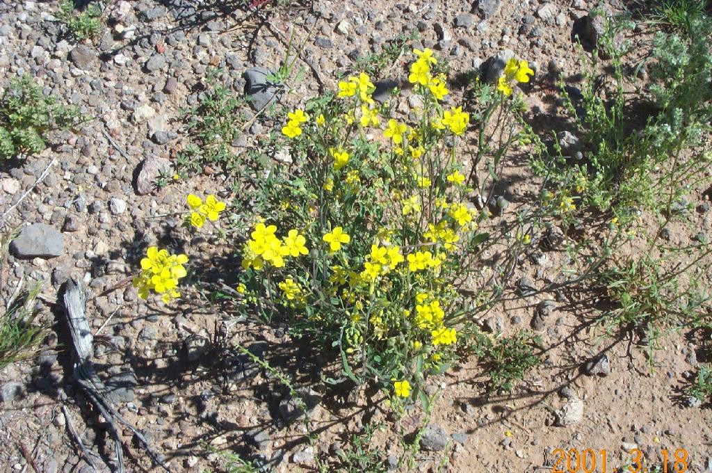
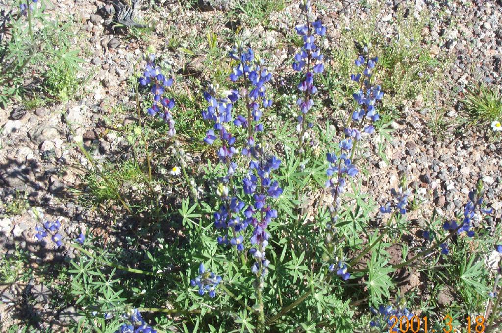
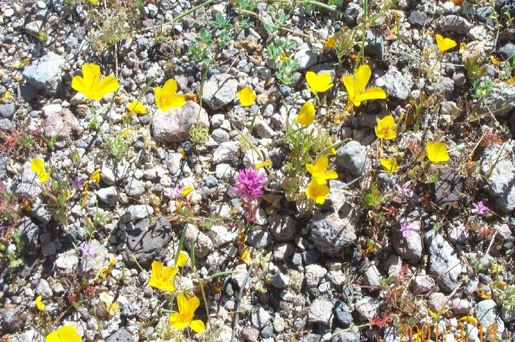
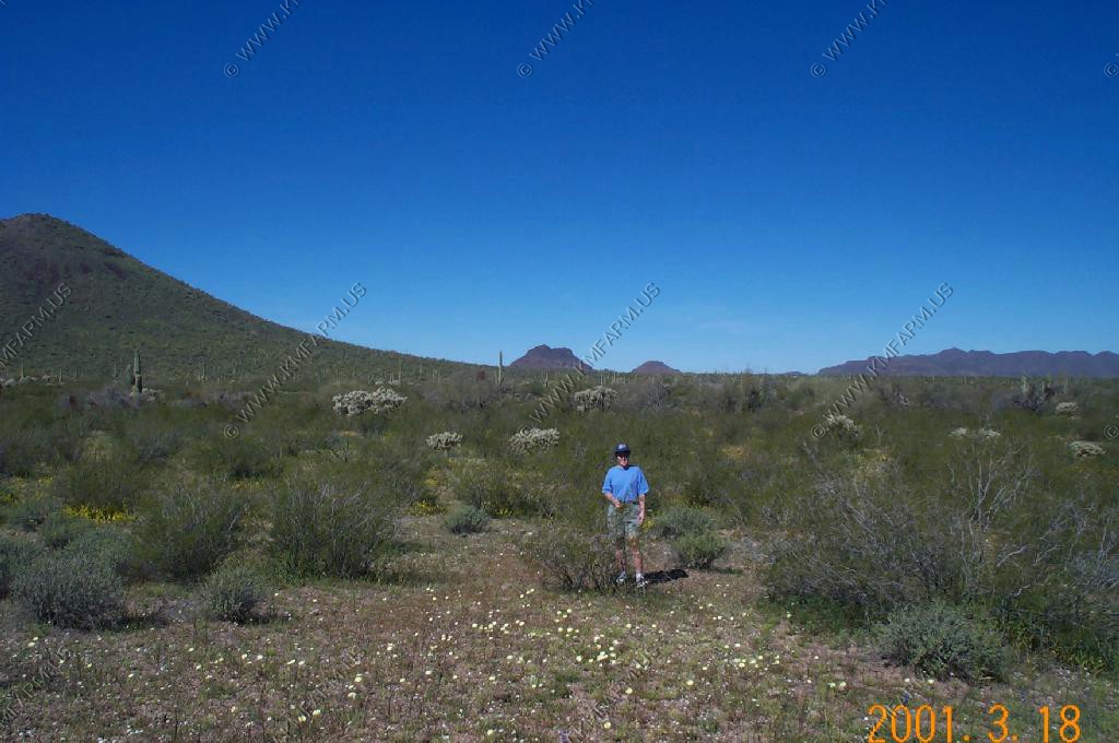
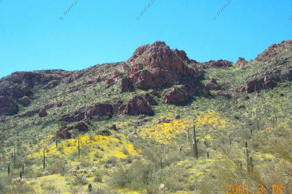
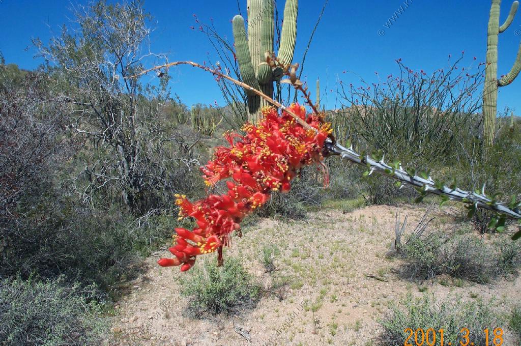
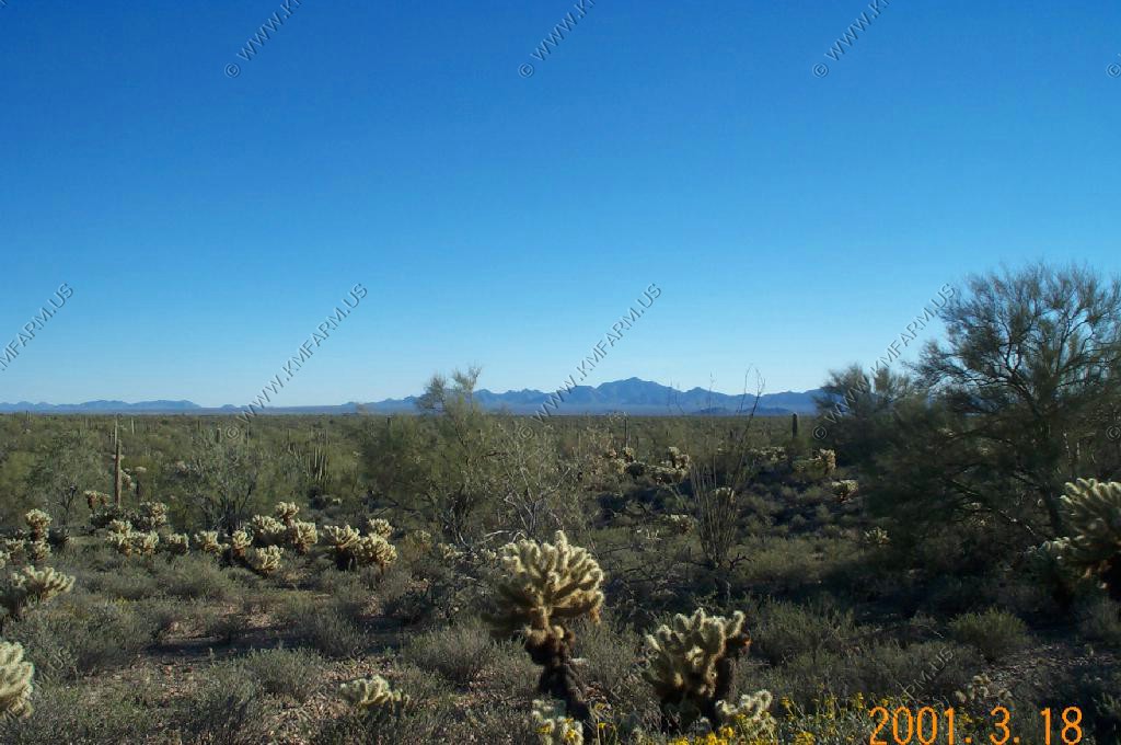
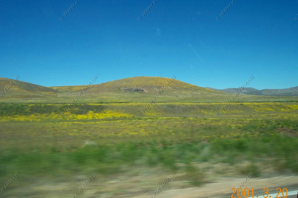
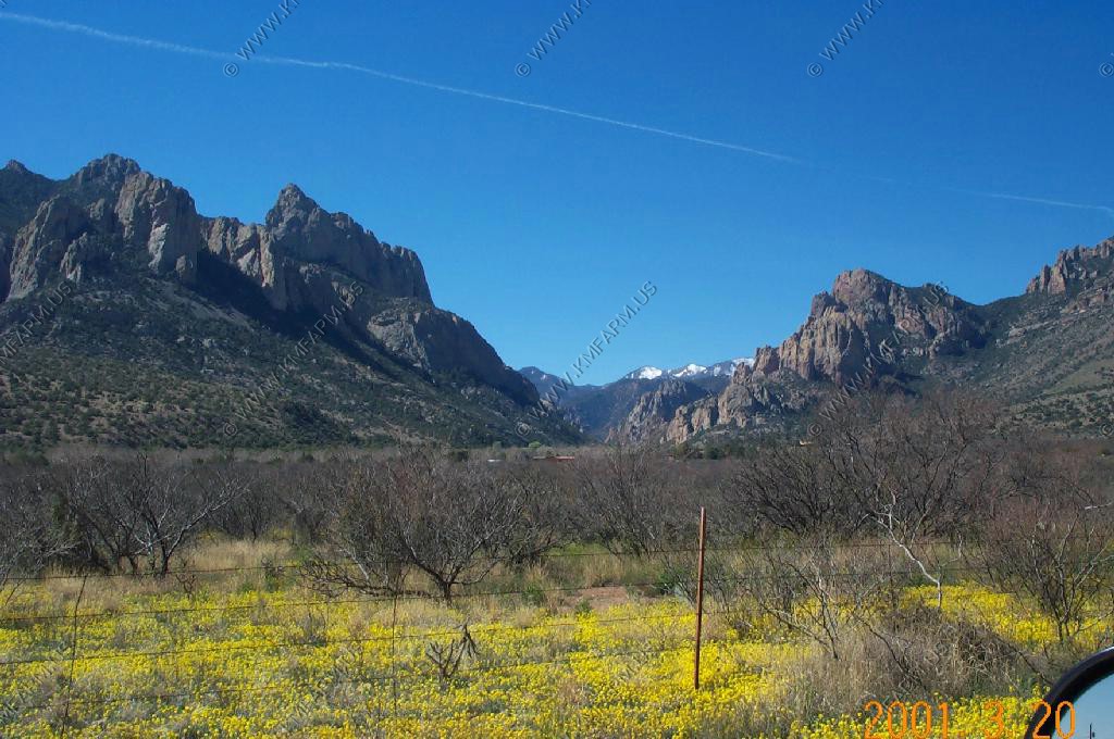
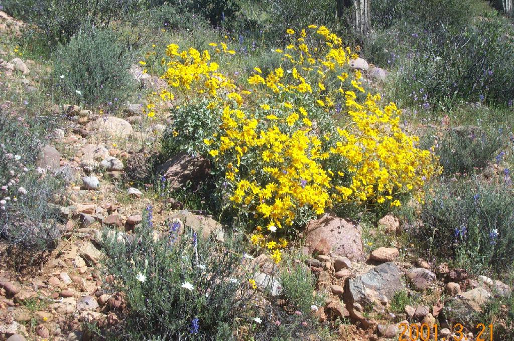
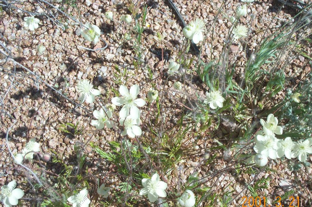
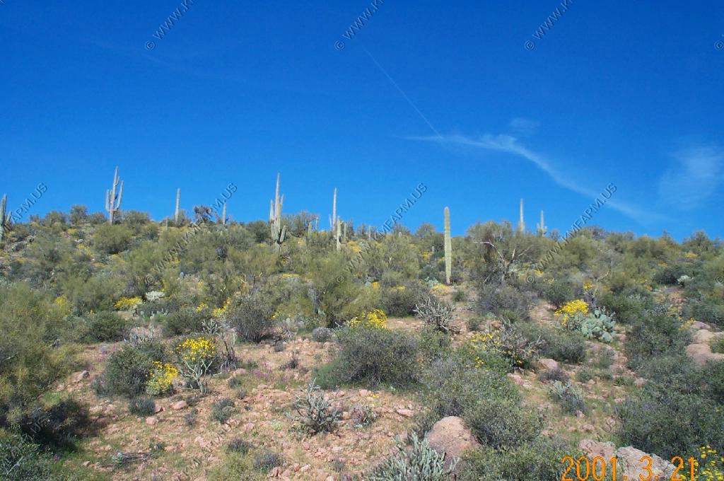
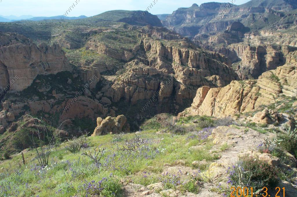
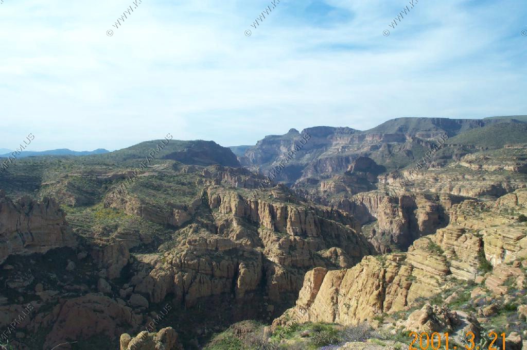
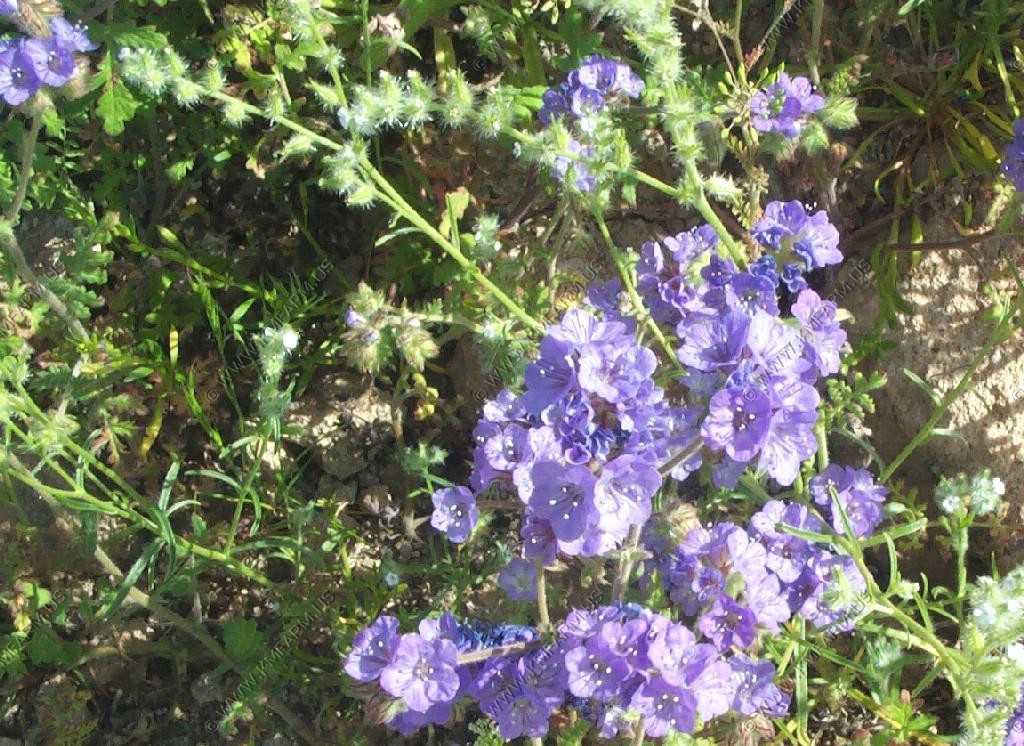
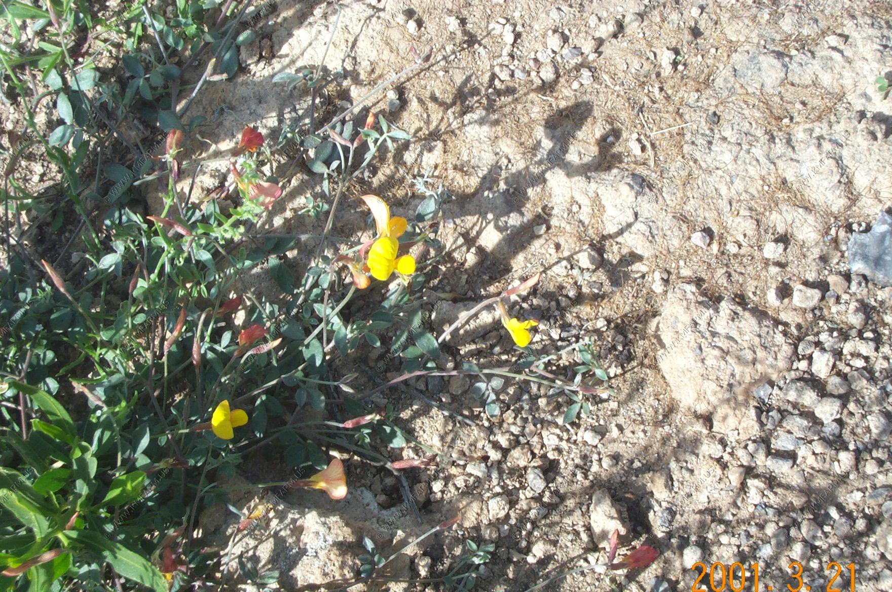
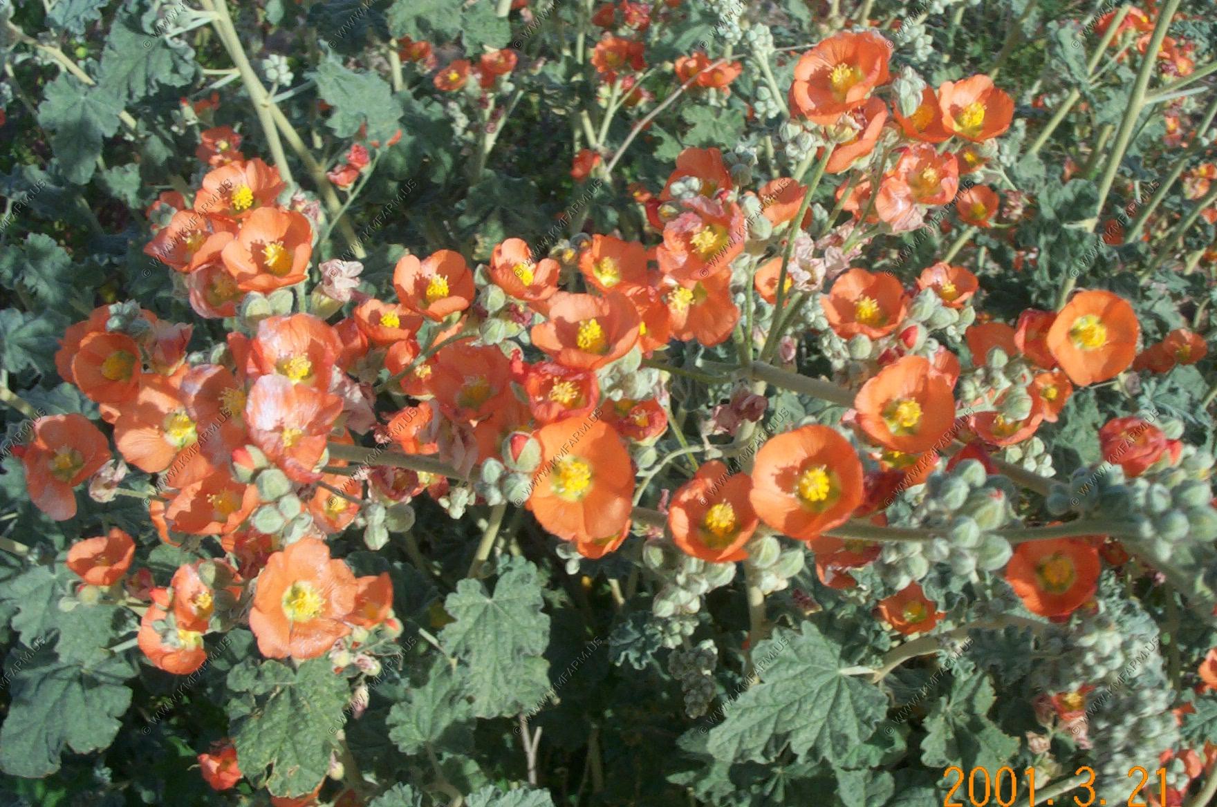
Views along the drive. We were told that the wildflowers were the best that they had been in 15 years.
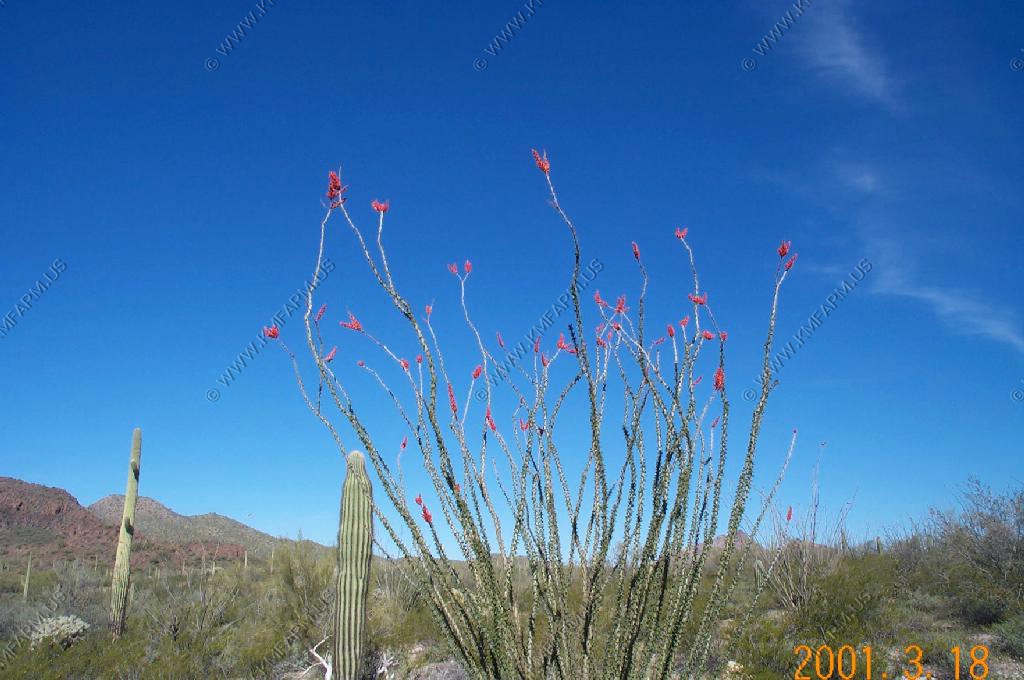
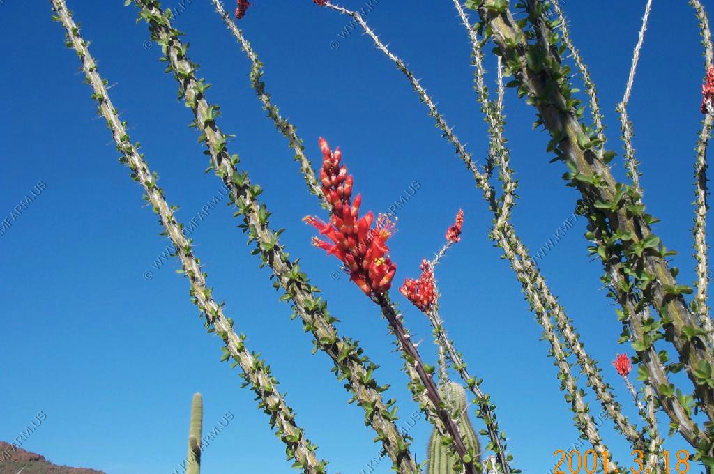
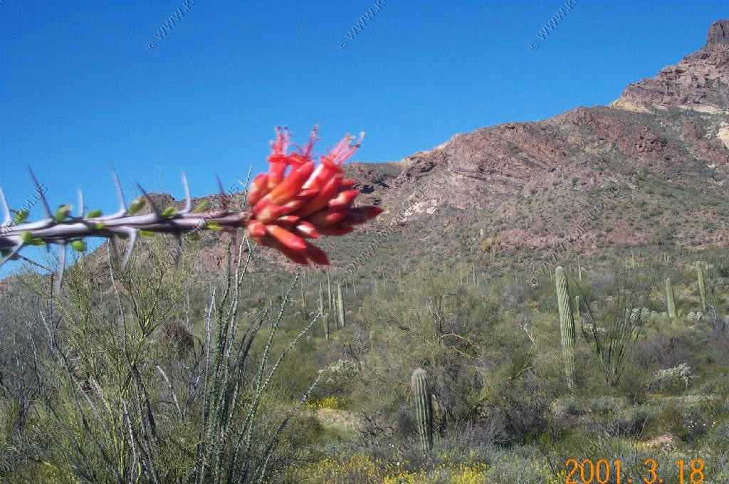
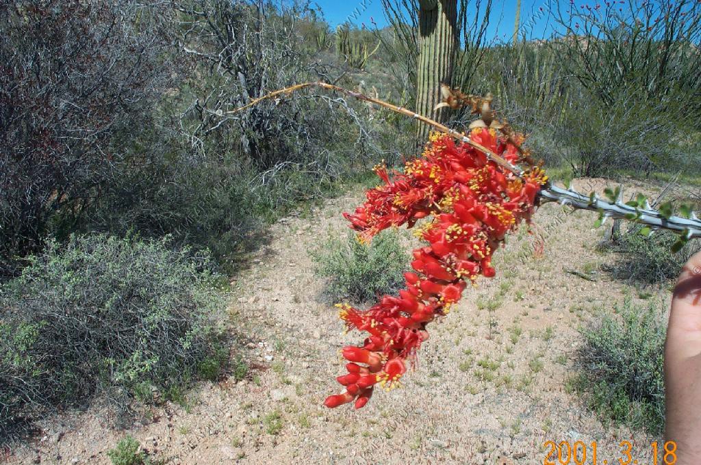
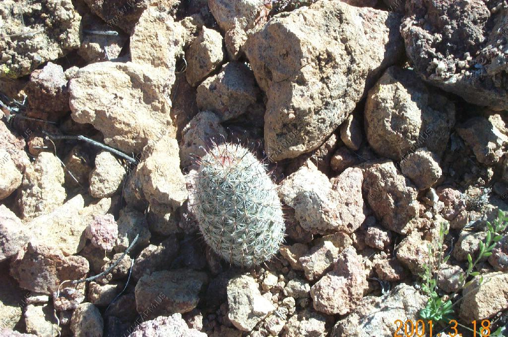
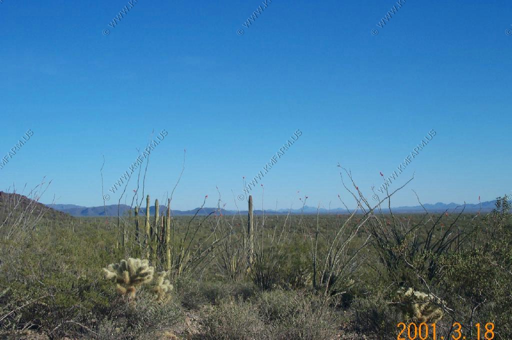
Ocotillo cactus in bloom.

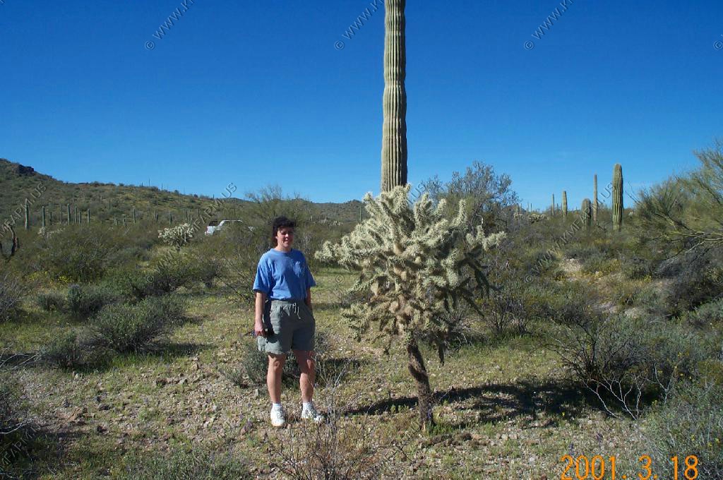
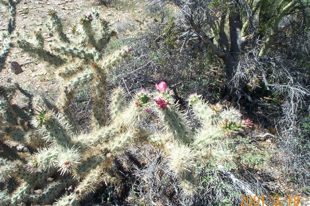
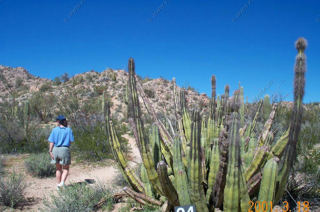
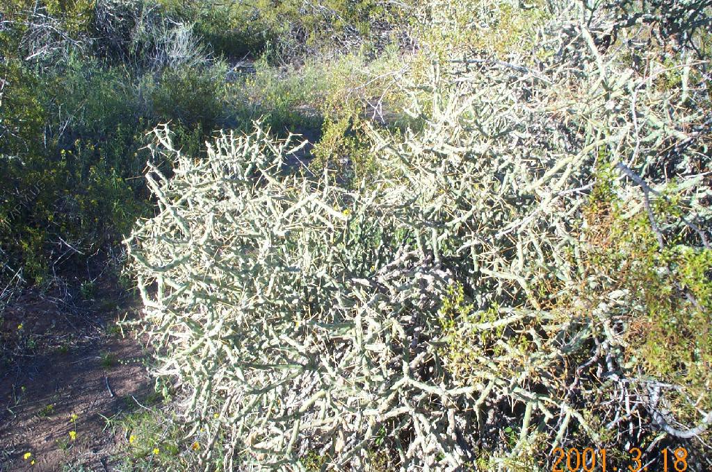
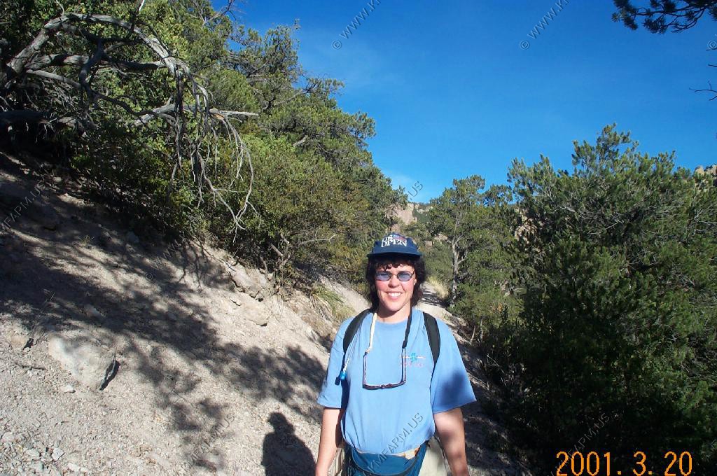
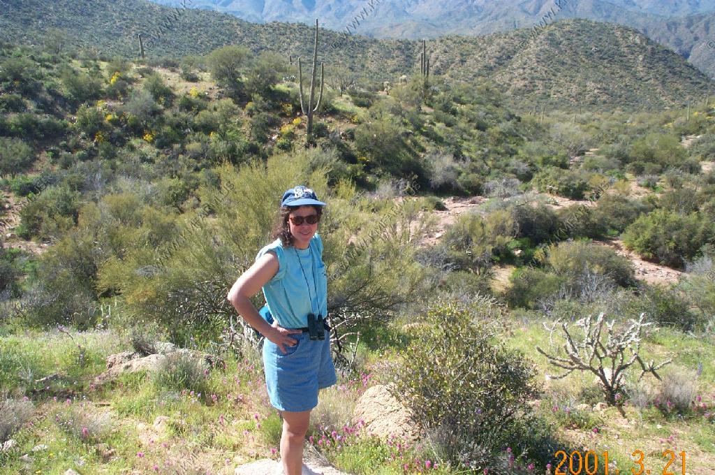
Cholla cactus next to Mary. There are several kinds.
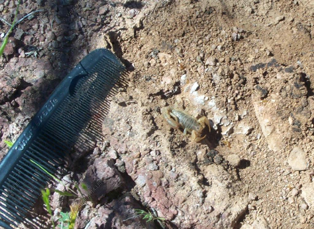
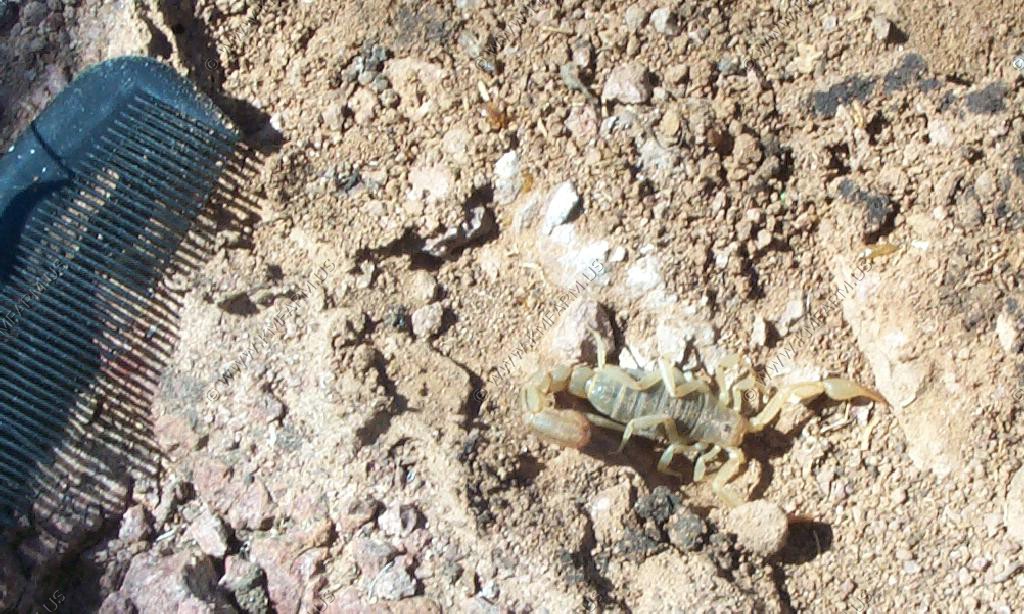
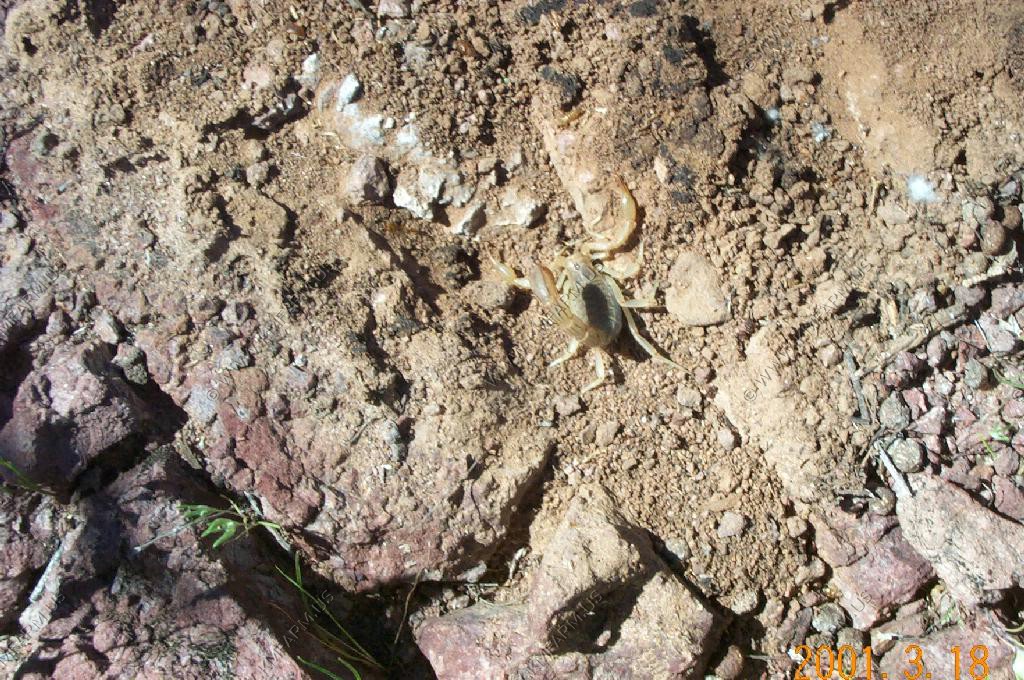
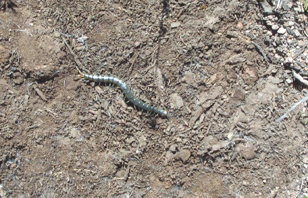
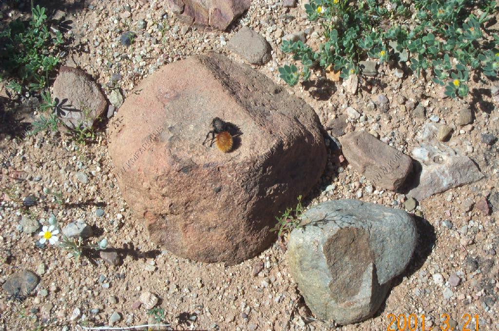
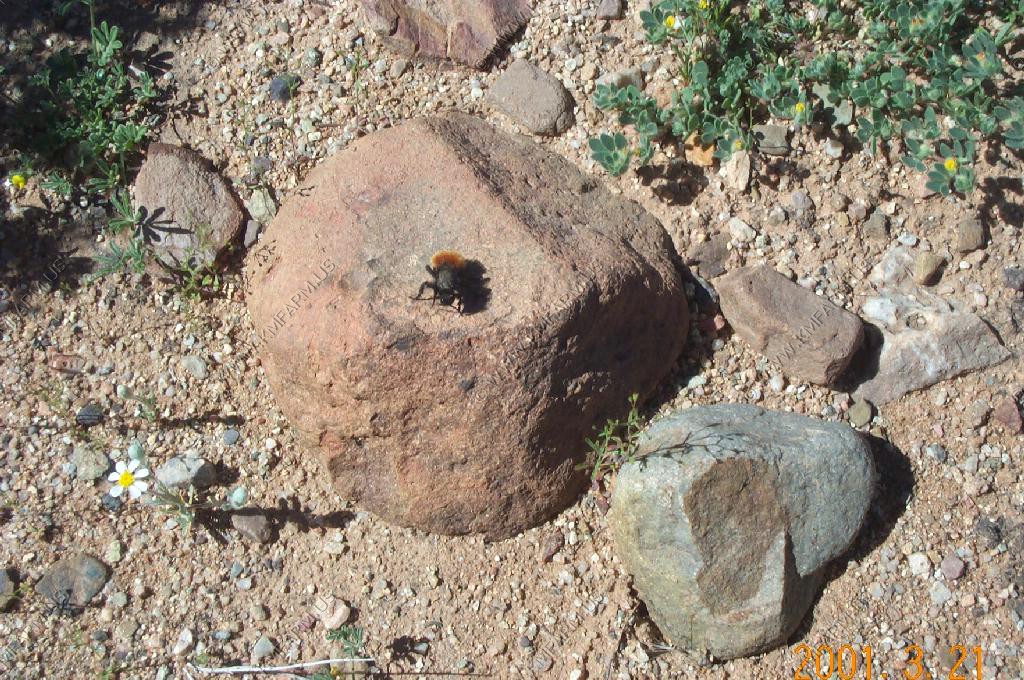
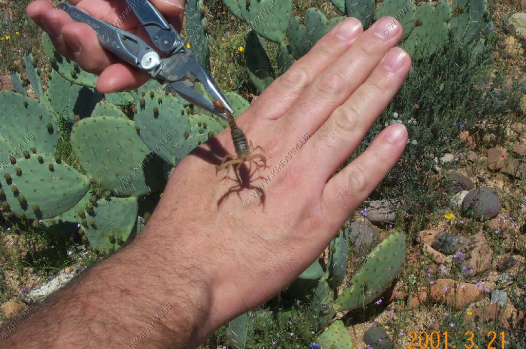
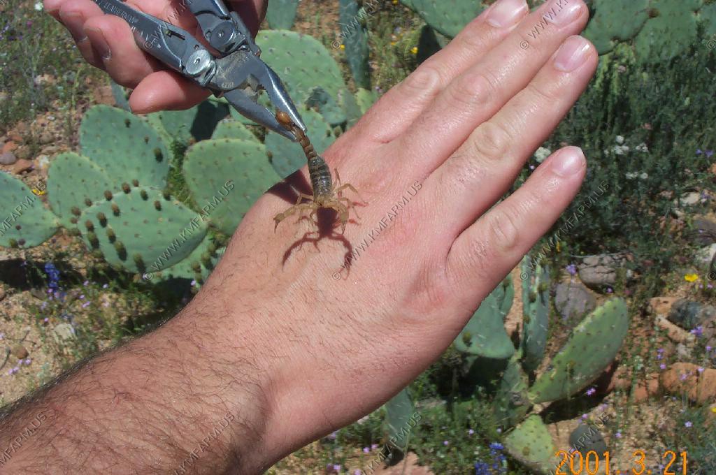
Scorpions are easy to find under rocks or wood.
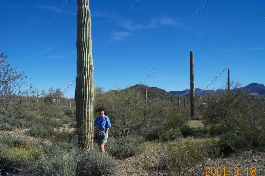
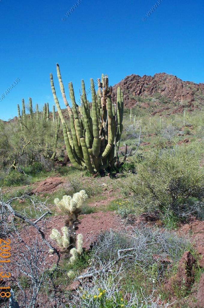
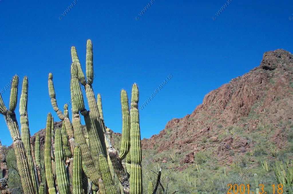
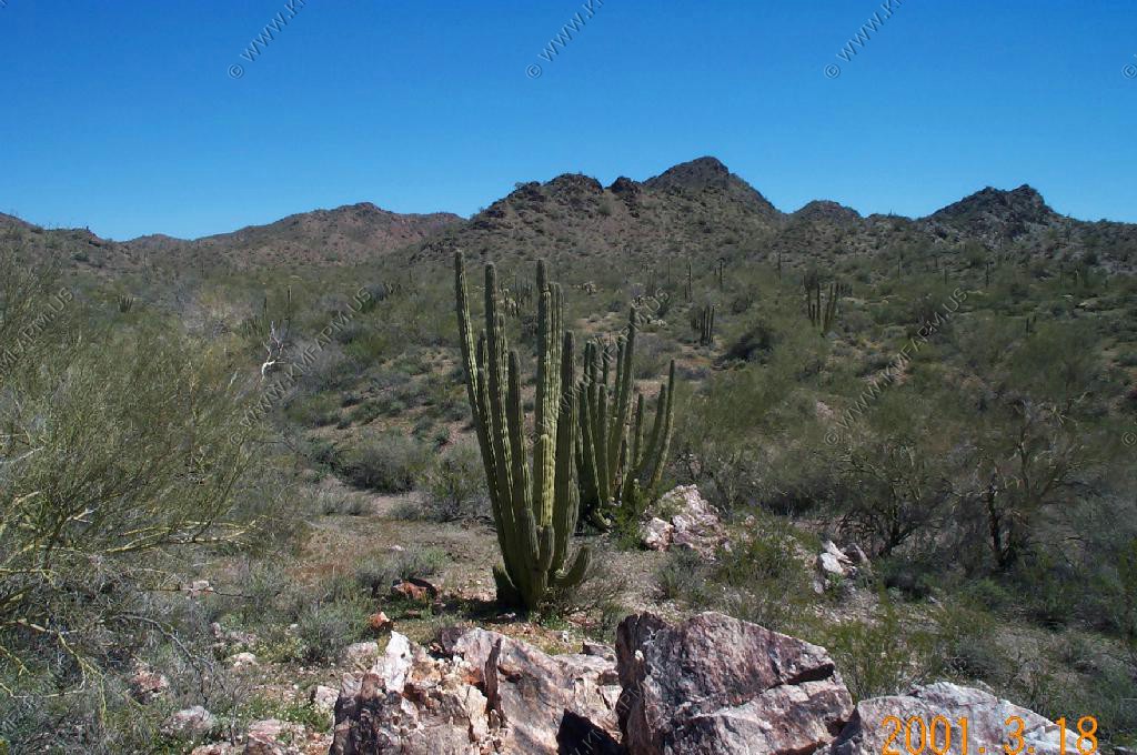
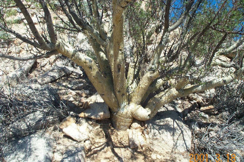
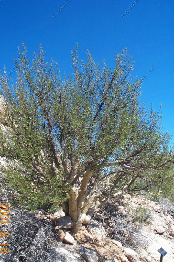
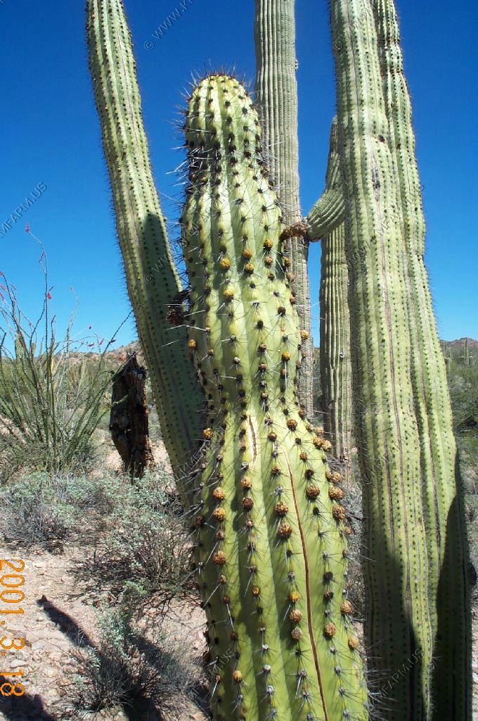
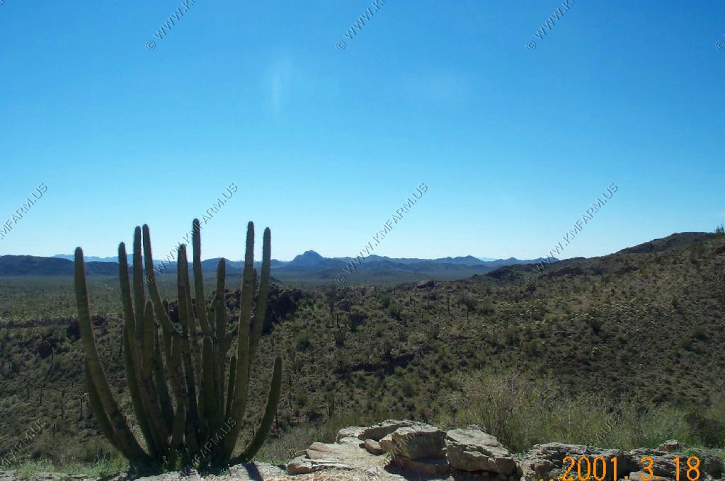
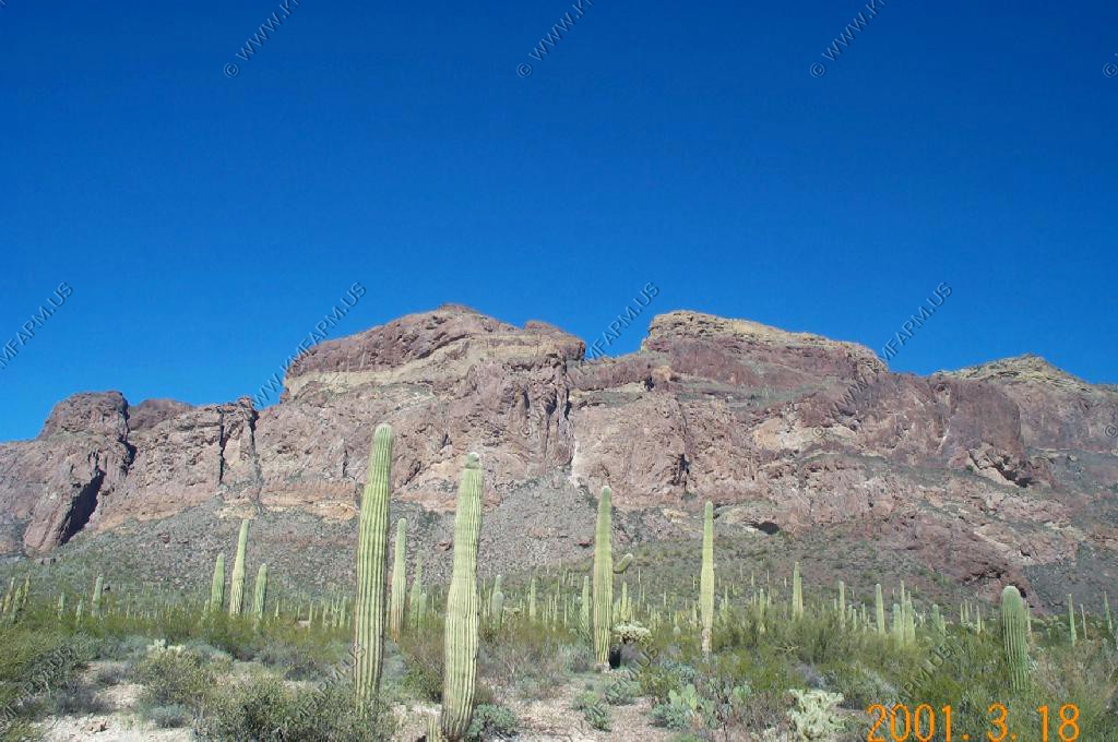
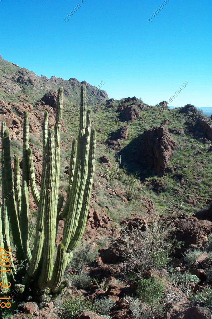
Organ pipe cactus native to the sonoran desert, with a small teddy bear cholla cactus in the foreground.
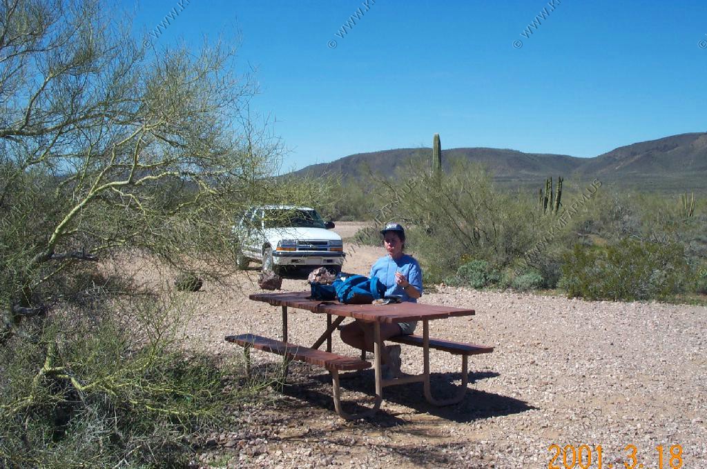
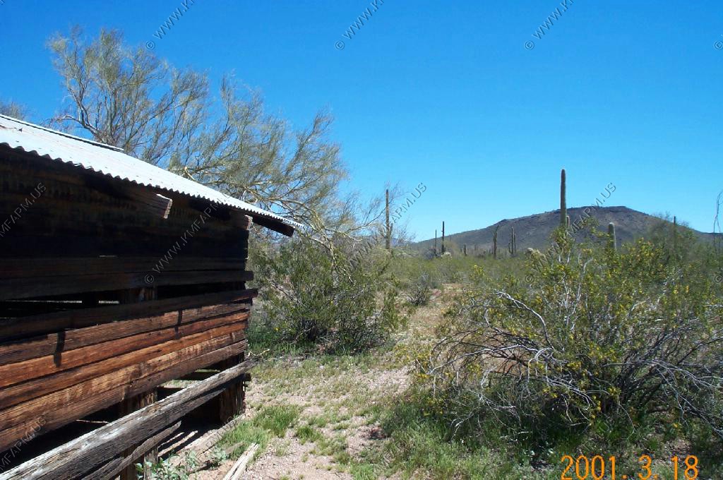
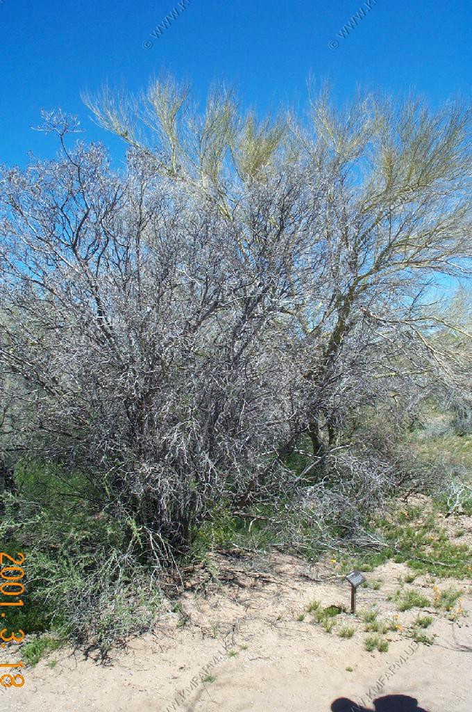
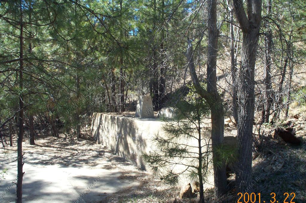
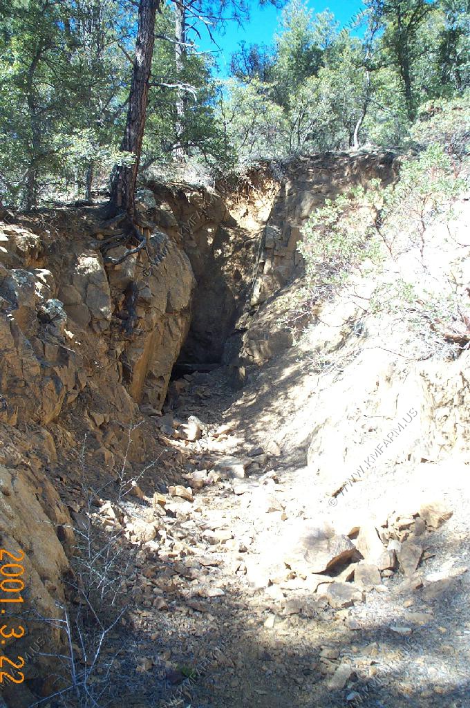
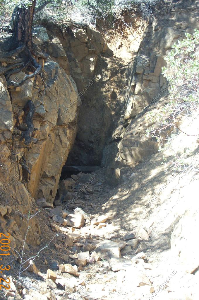
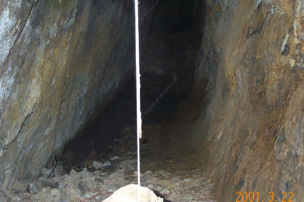
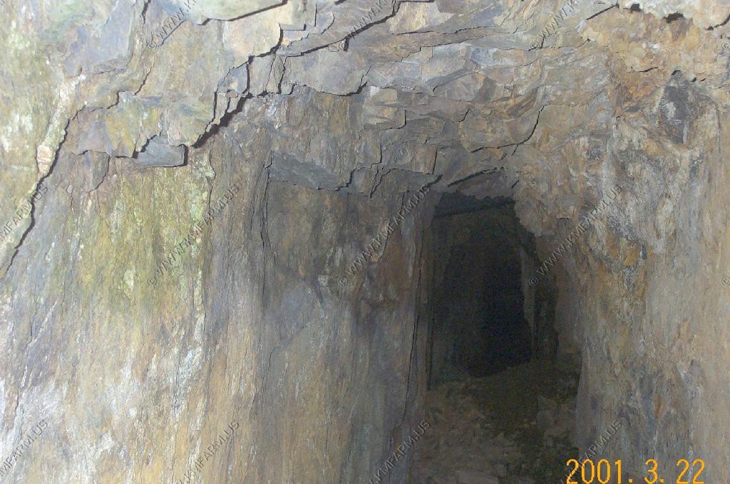
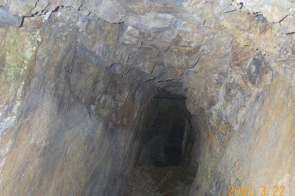
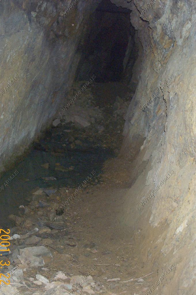
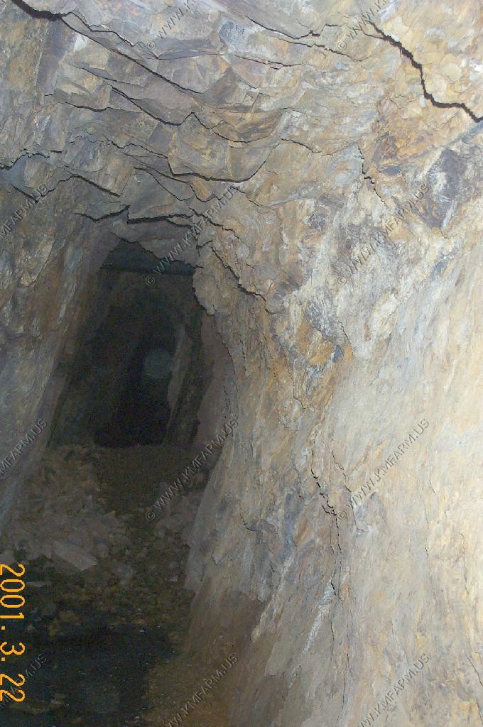
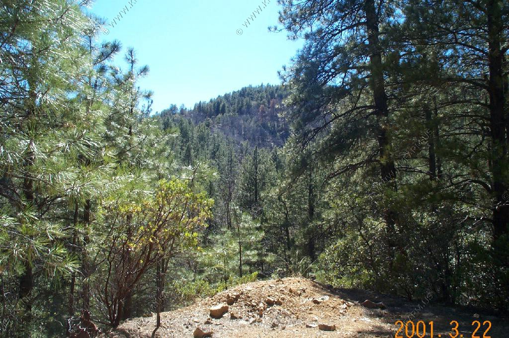
Stopped and had lunch at the Golden Bell Mine under the shade of the palo verde tree (above)

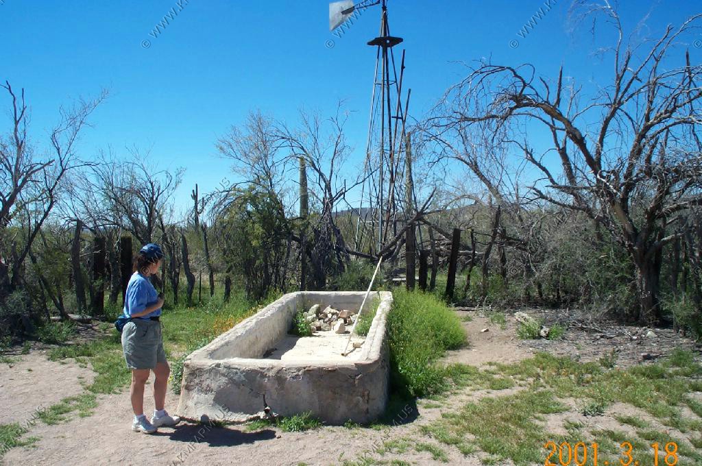
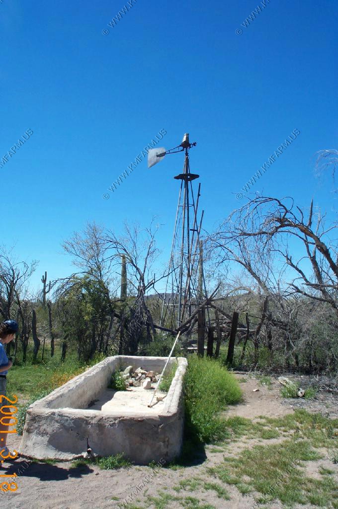
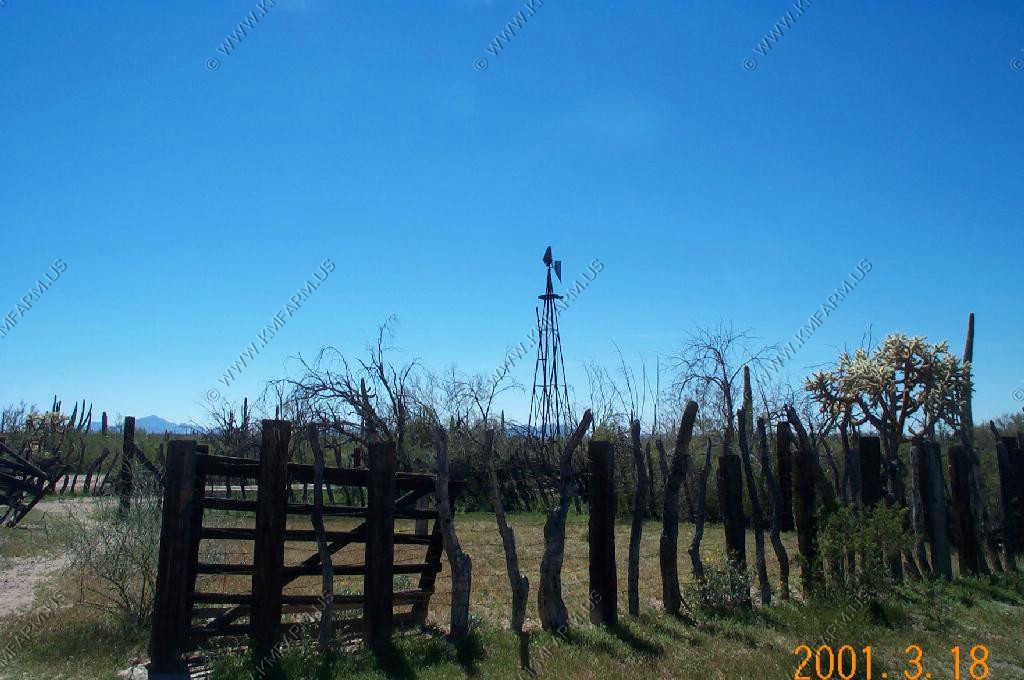
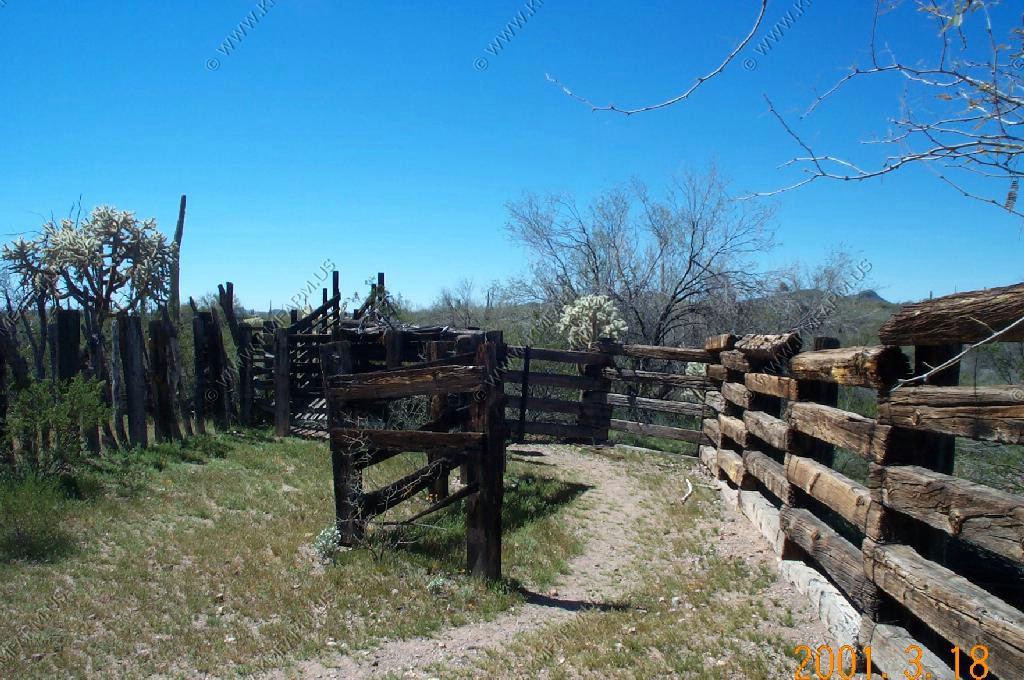
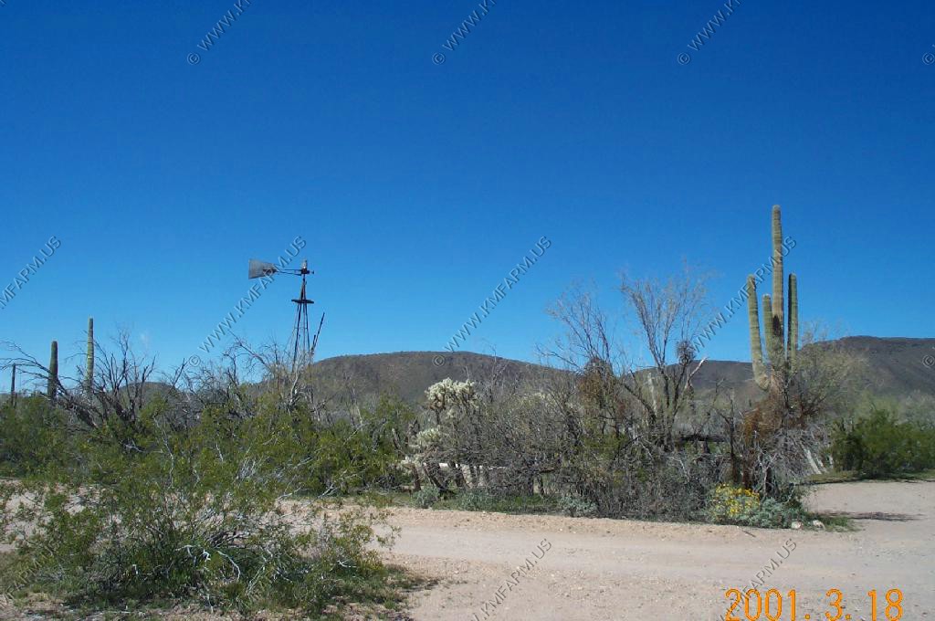
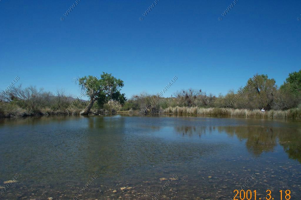
Bonita Well Area
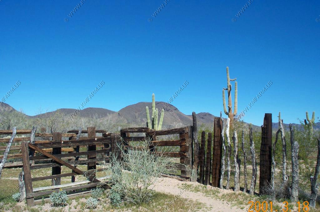
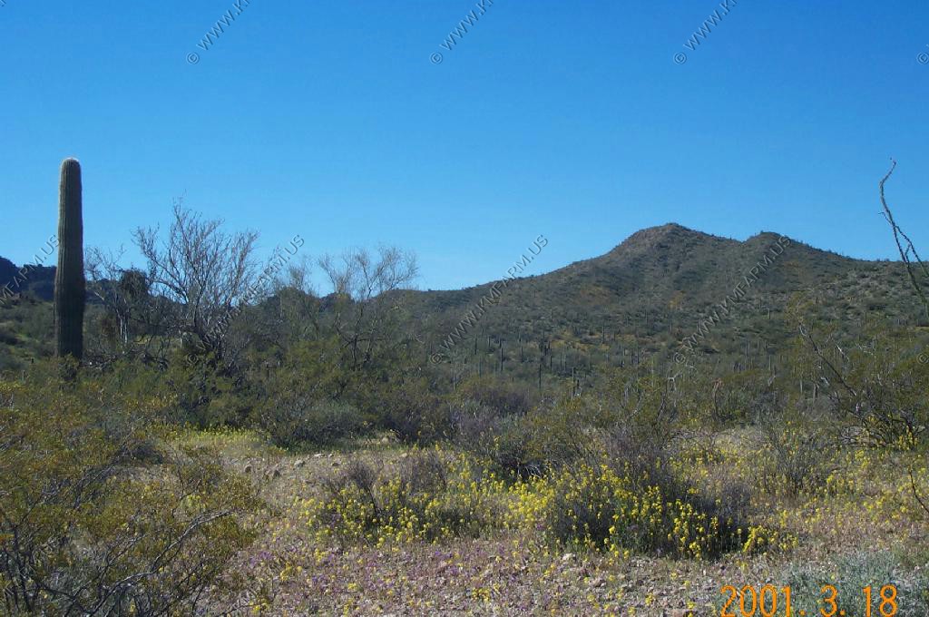
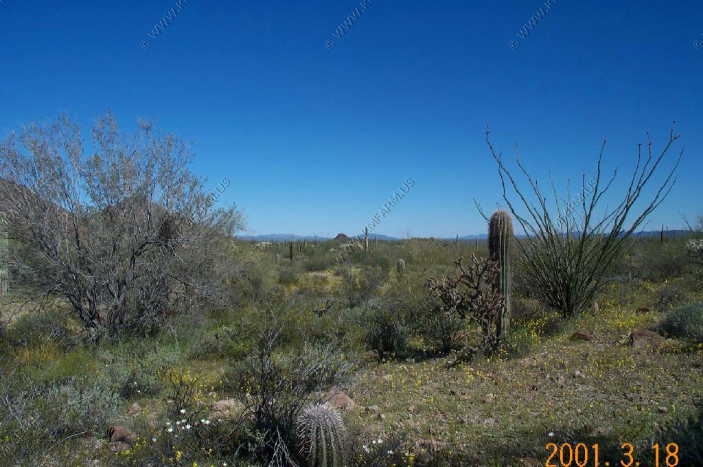
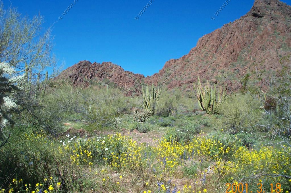
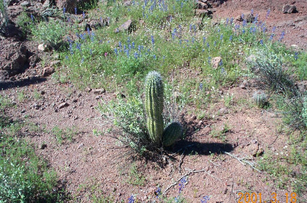
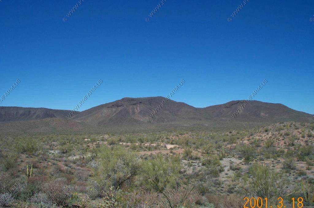
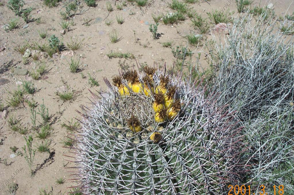
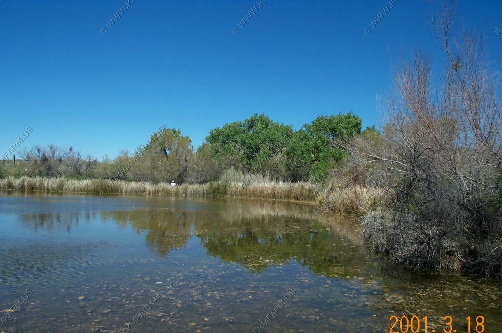
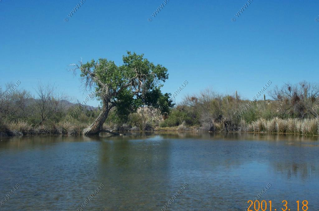
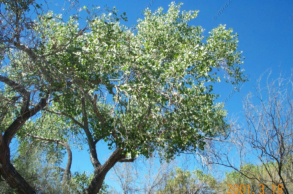
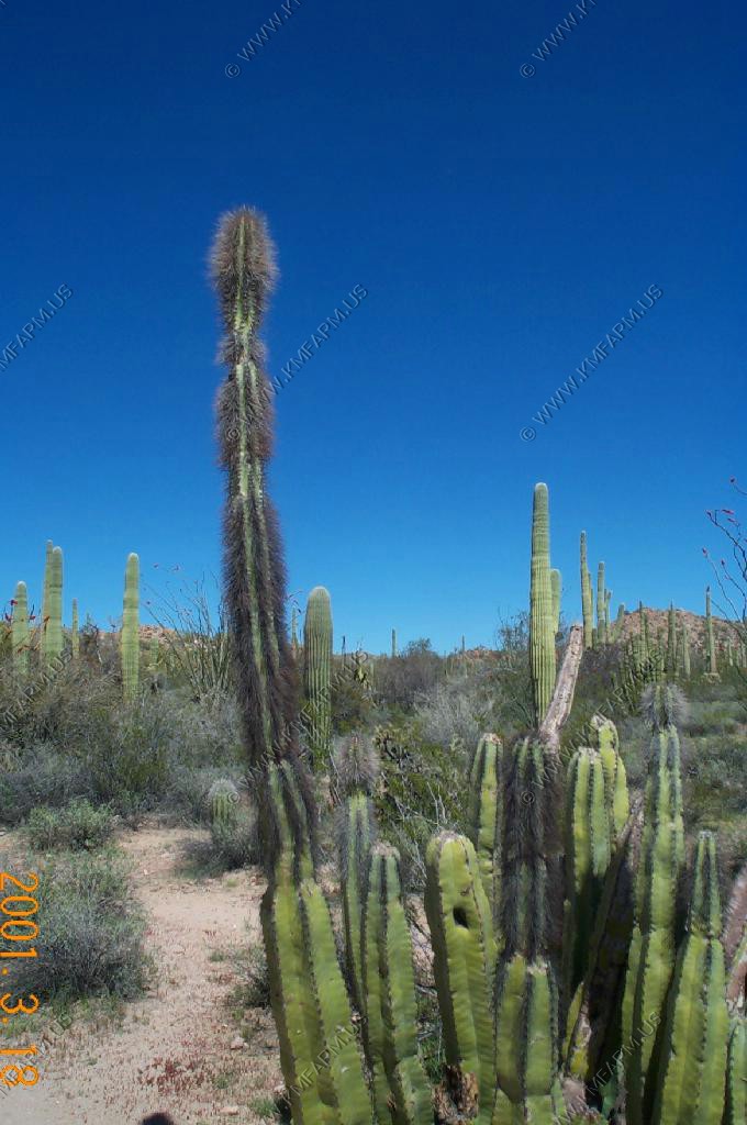
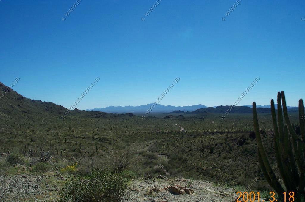
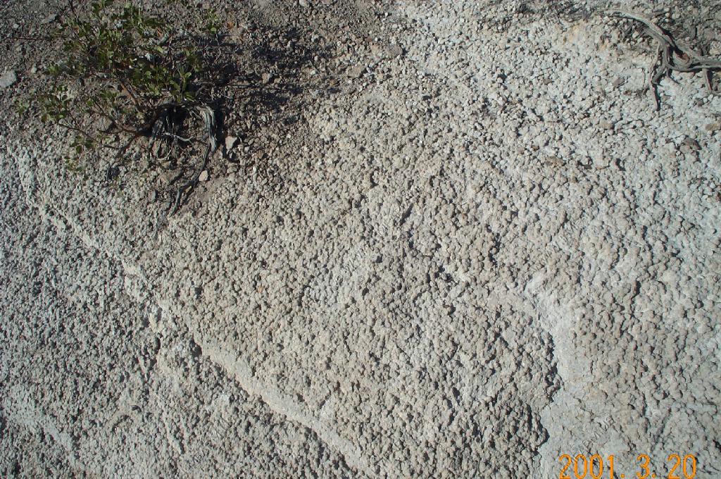
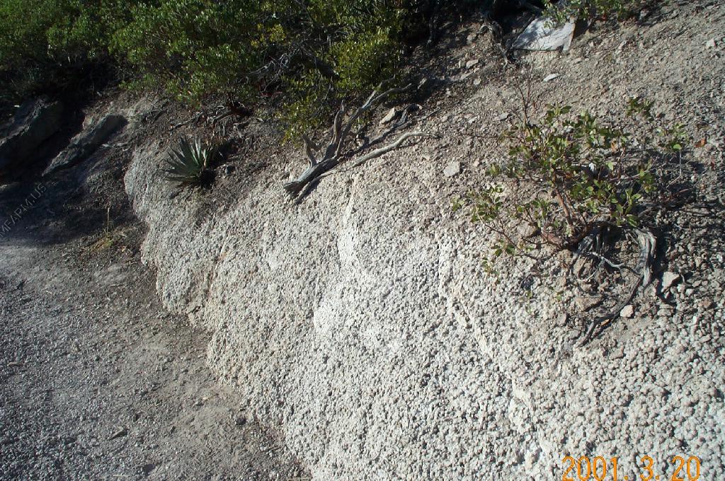
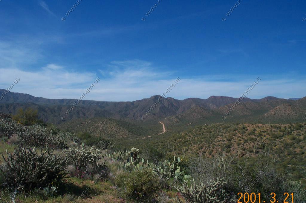
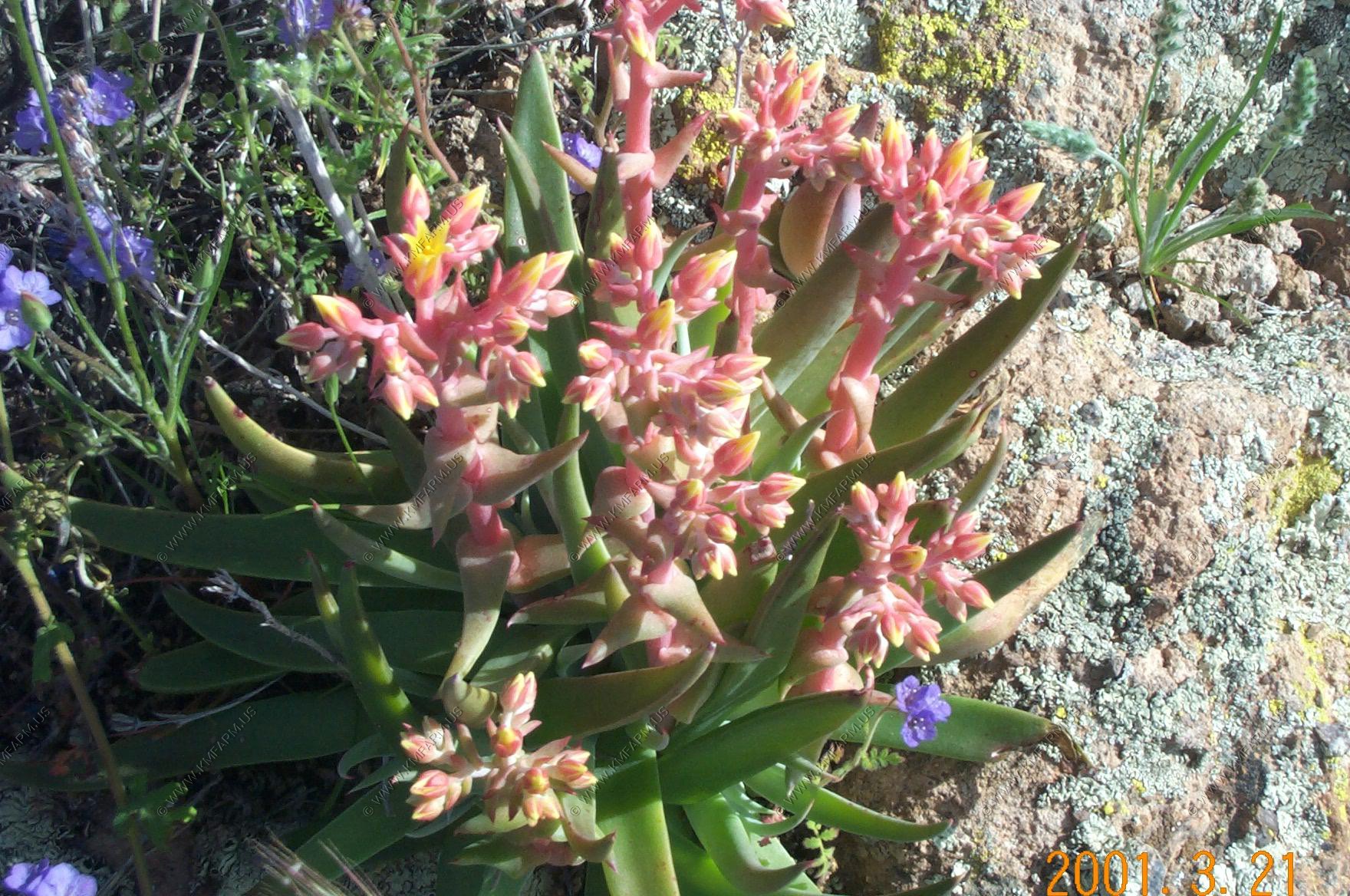
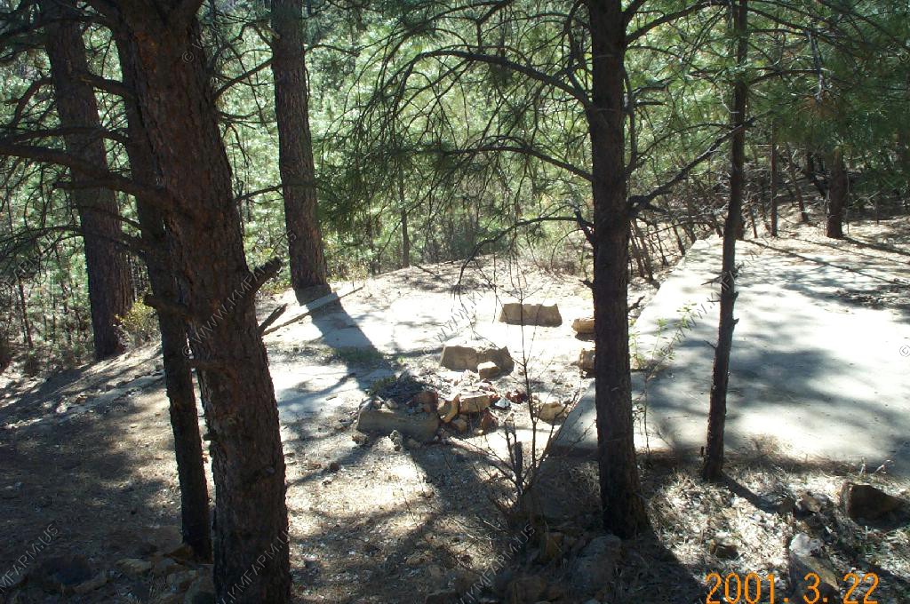
More views along the Drive, including the barrel cactus in first photo
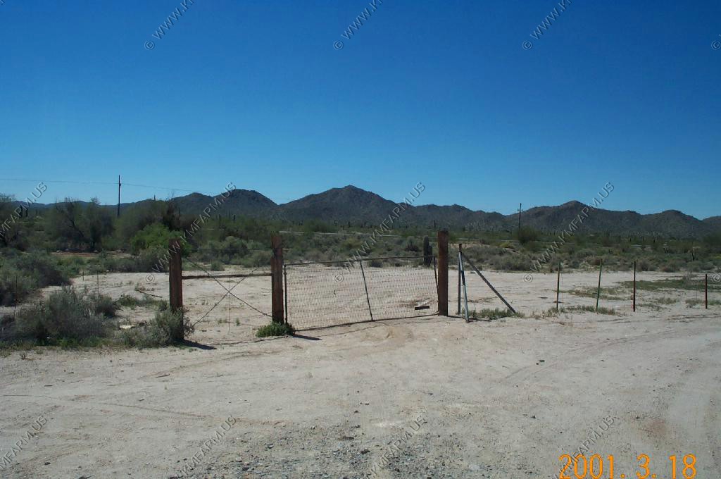
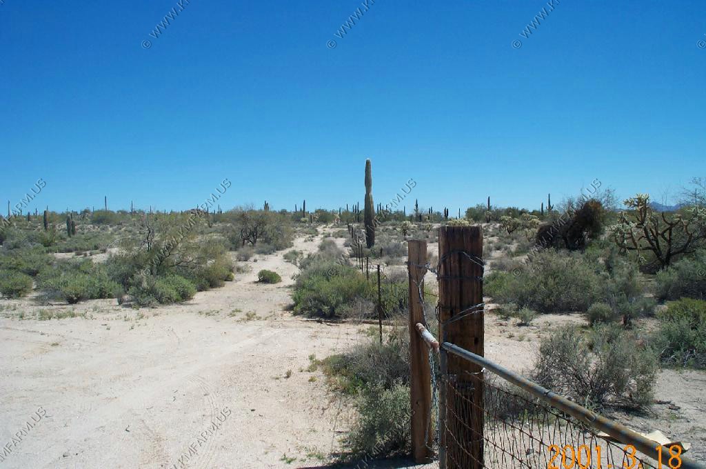
Just north of Quitobaqito Spring the Pozo Nuevo Road heads north to Bates Well and Ajo. We took this road up to the point that it goes over Cipriano Pass. We saw a great deal of evidence that this road carries a considerable amount of drug and wetback traffic. If you travel in this area I would be heavily armed. (like I always am)
Organ Pipe Cactus National Monument, ranked first in the study, conducted by the Fraternal Order of Police's U.S. Park Rangers Lodge. Droves of illegal immigrants and drug smugglers are mainly to blame for the problems there, the group says.
The group said Organ Pipe is "so dangerous the Park Service uses it as a training ground for tactical operations," with rangers from throughout the nation practicing with camouflage, assault rifles and night-vision goggles.
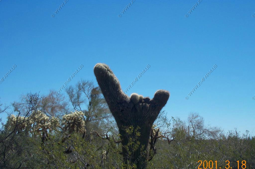
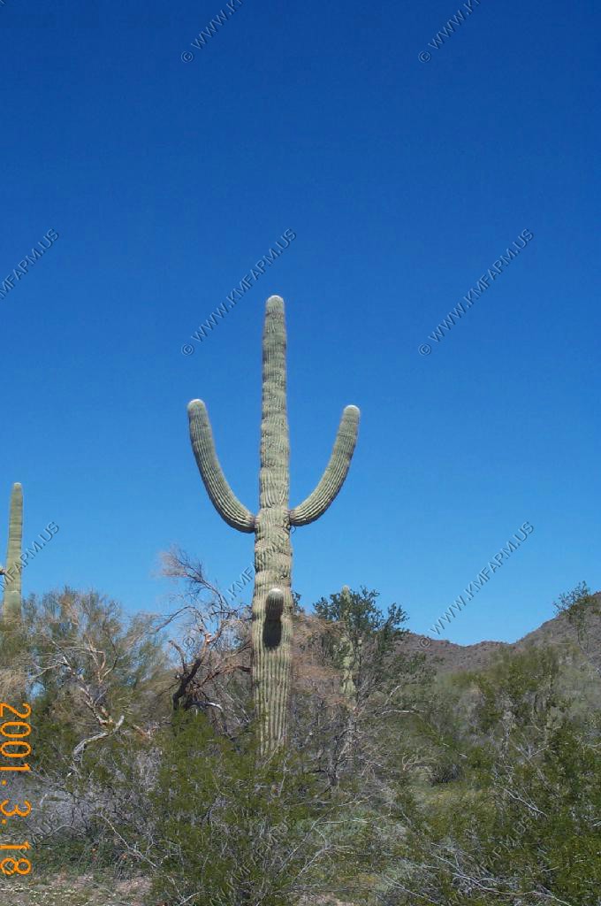
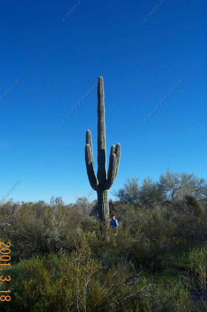
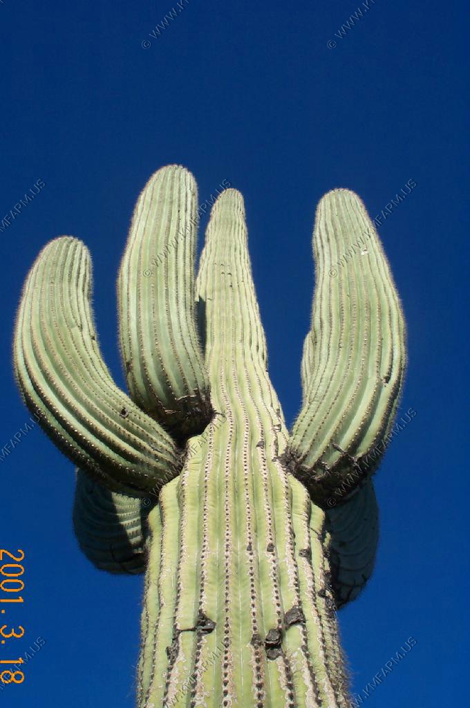
A very happy saguaro.
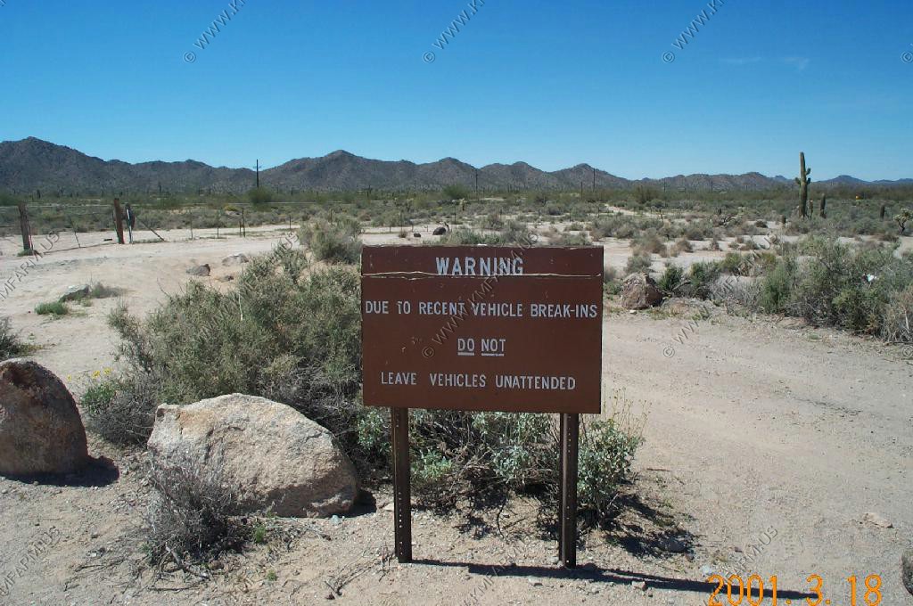
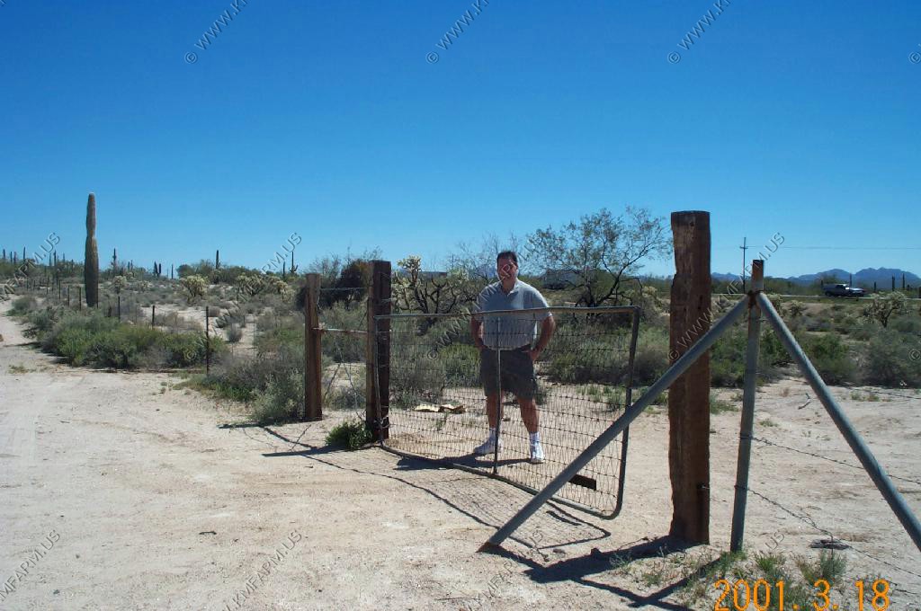
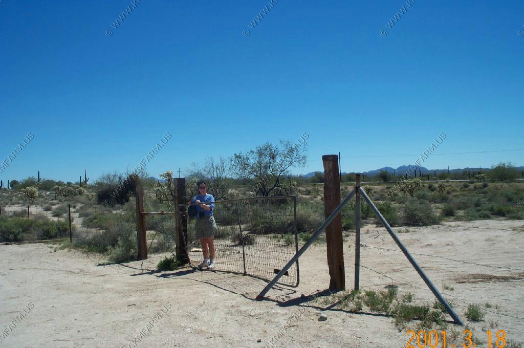
We took shifts in this area exploring. The parking area was right on the border and we heard that this was a place that your car would be broken into if you left it even for a very short time. In the end we saw nobody.
Looking West Mexico on the left and USA on the right
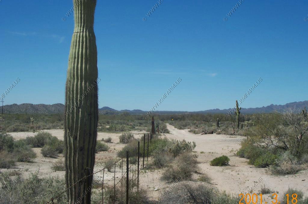
Looking East Mexico on the Right and USA on the Left
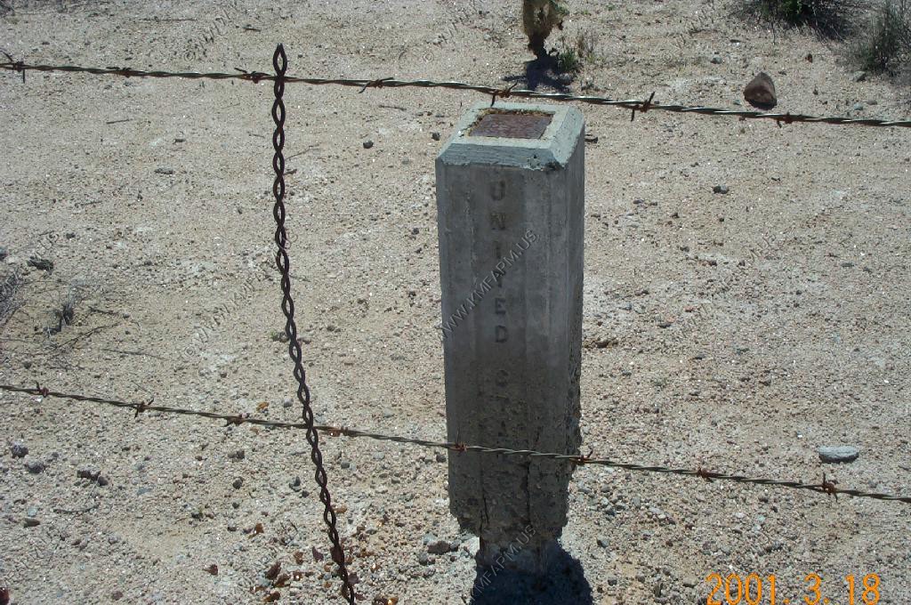
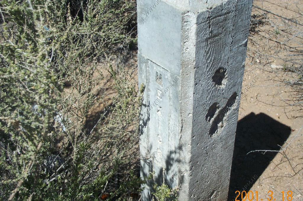
The cement markers that mark the border
Looking north into the USA
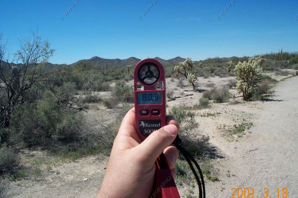
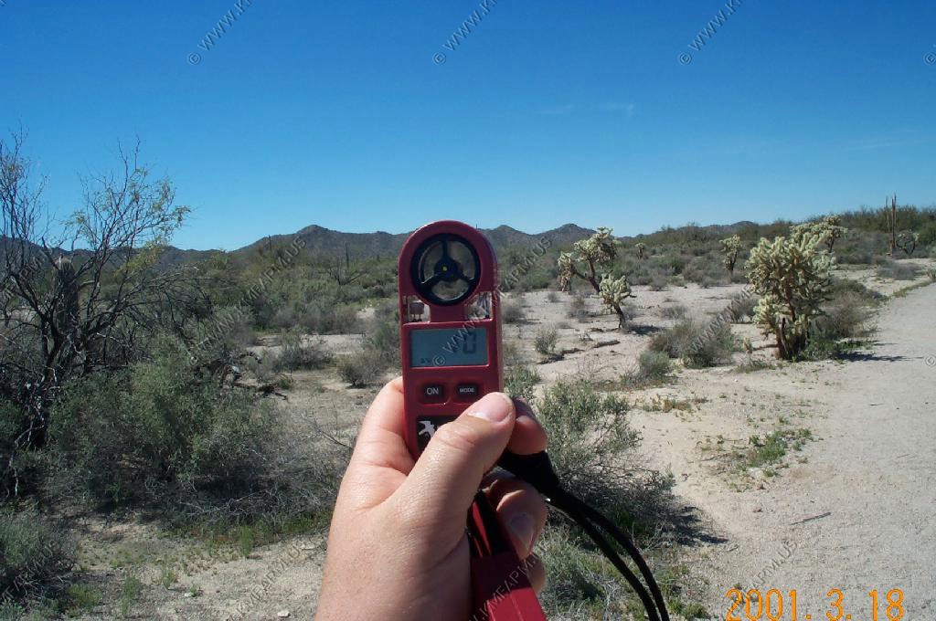
Nice march day 80 degrees with 10% humidity
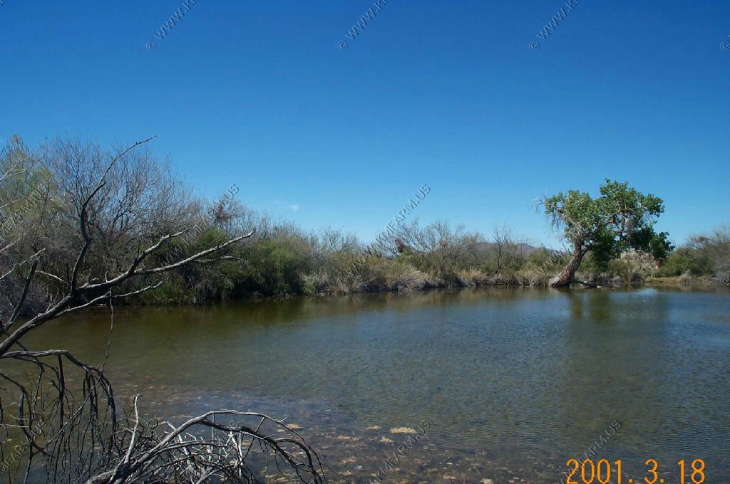
The springs area. Very nice.. Not a safe place to be with the border so close
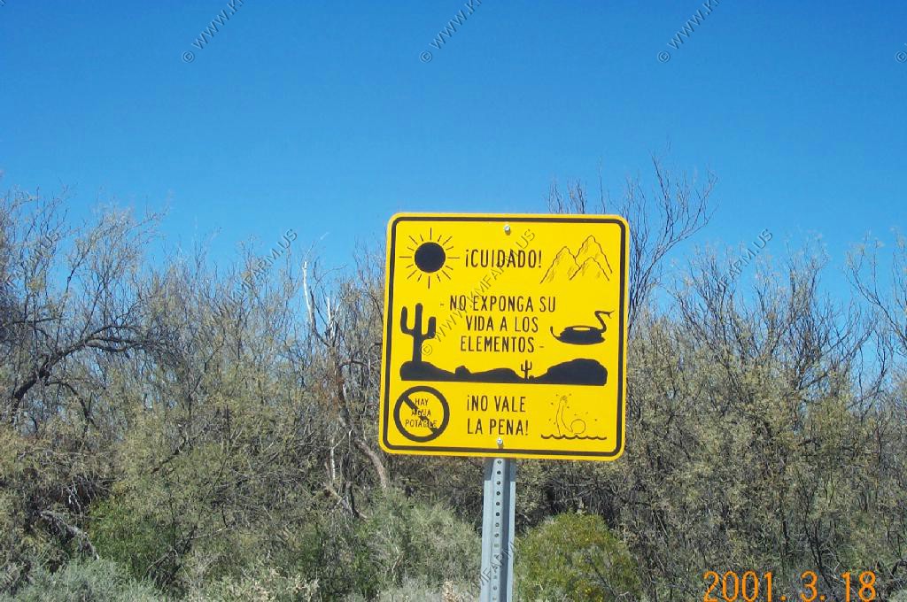
A sign telling the wetbacks "no protection from the elements" "It's not worth it" Let the bastards die..... The bugs need to eat
Ken and Mary standing in Mexico
A house accross in Mexico using the border fence to hang up clothes
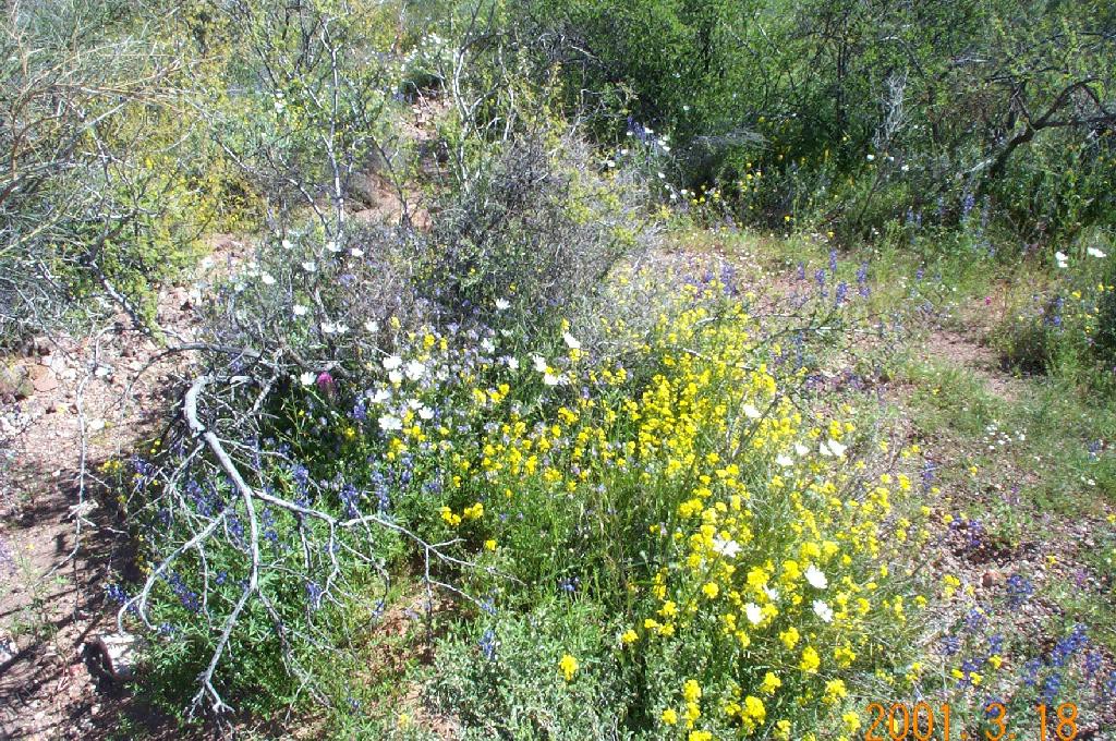
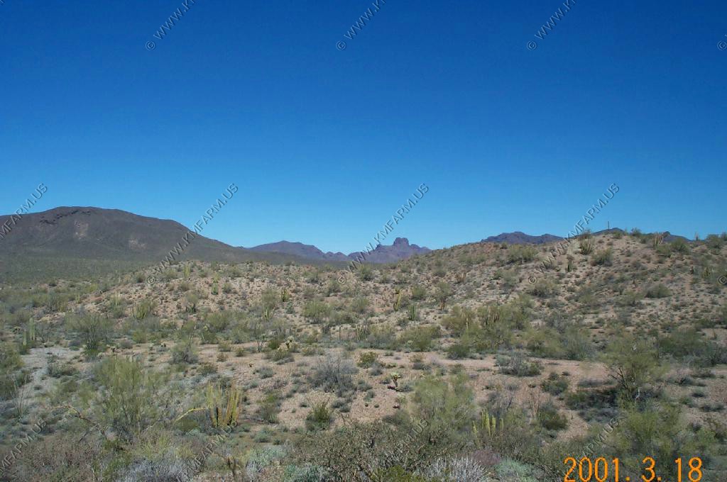
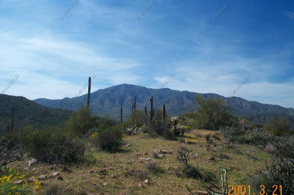
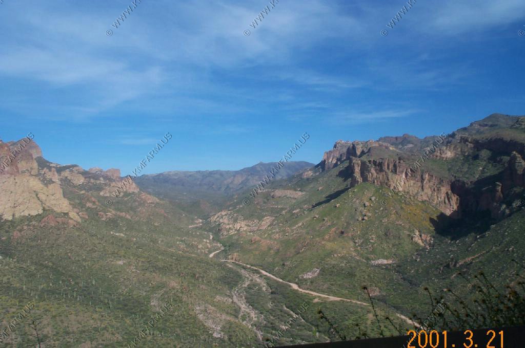
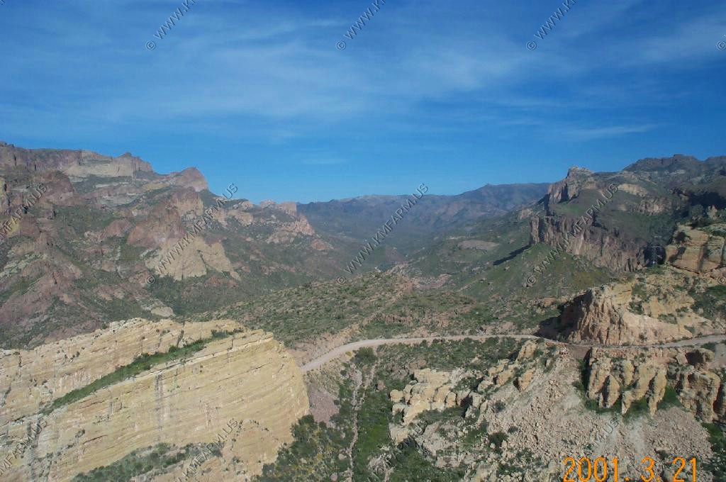
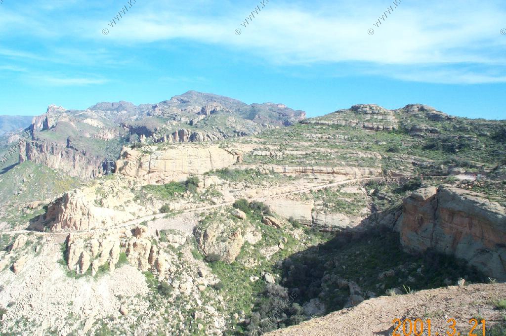
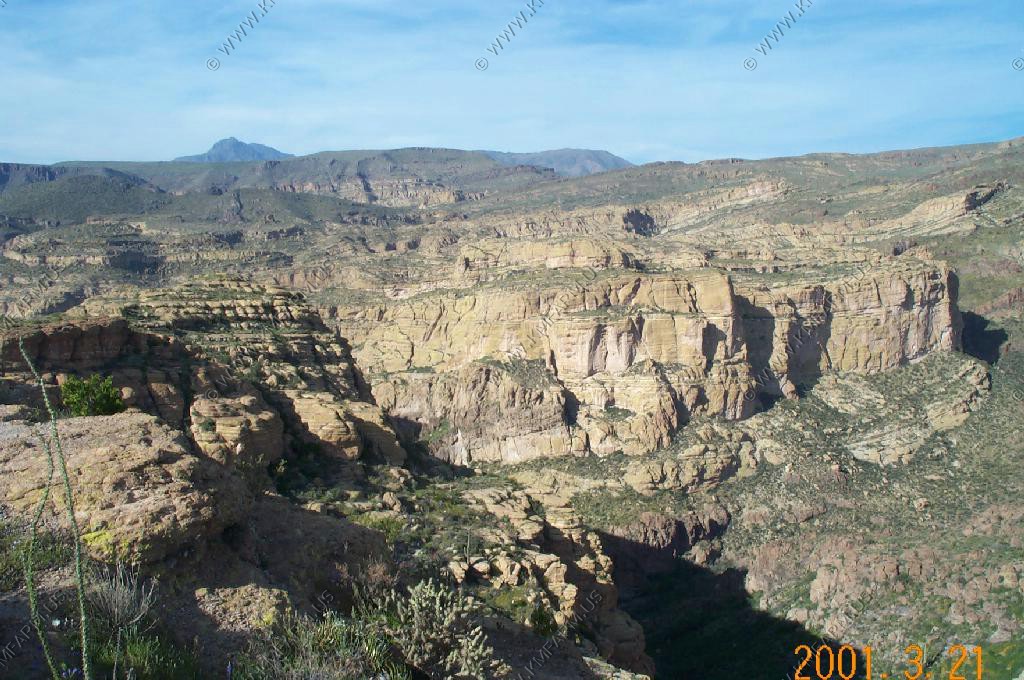
More views aling the drive.
Heading onto the East side of the park
The East side is higher elevation and a few miles away from the border. We felt safer and had no problem leaving the vehicle un-guarded

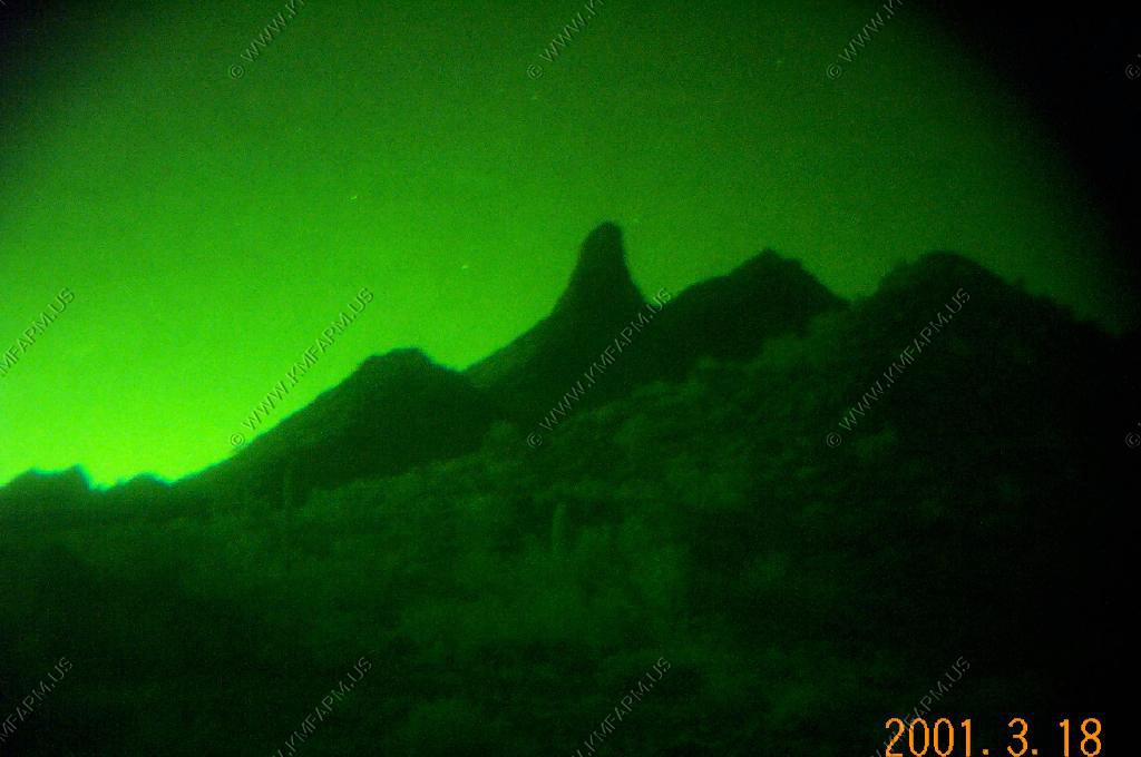
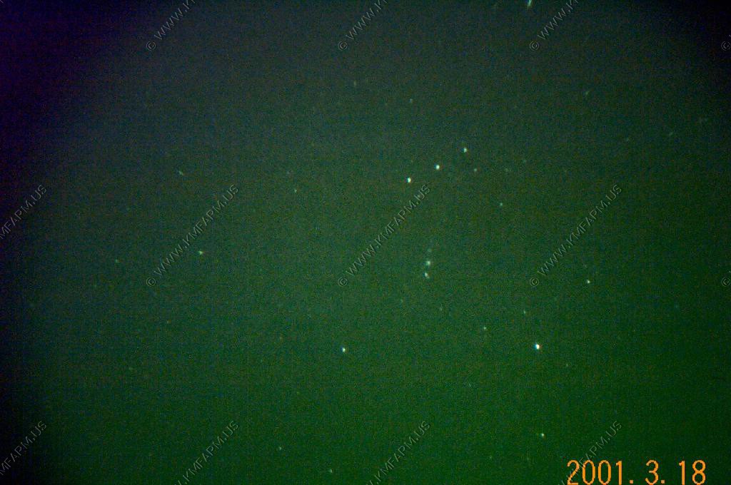
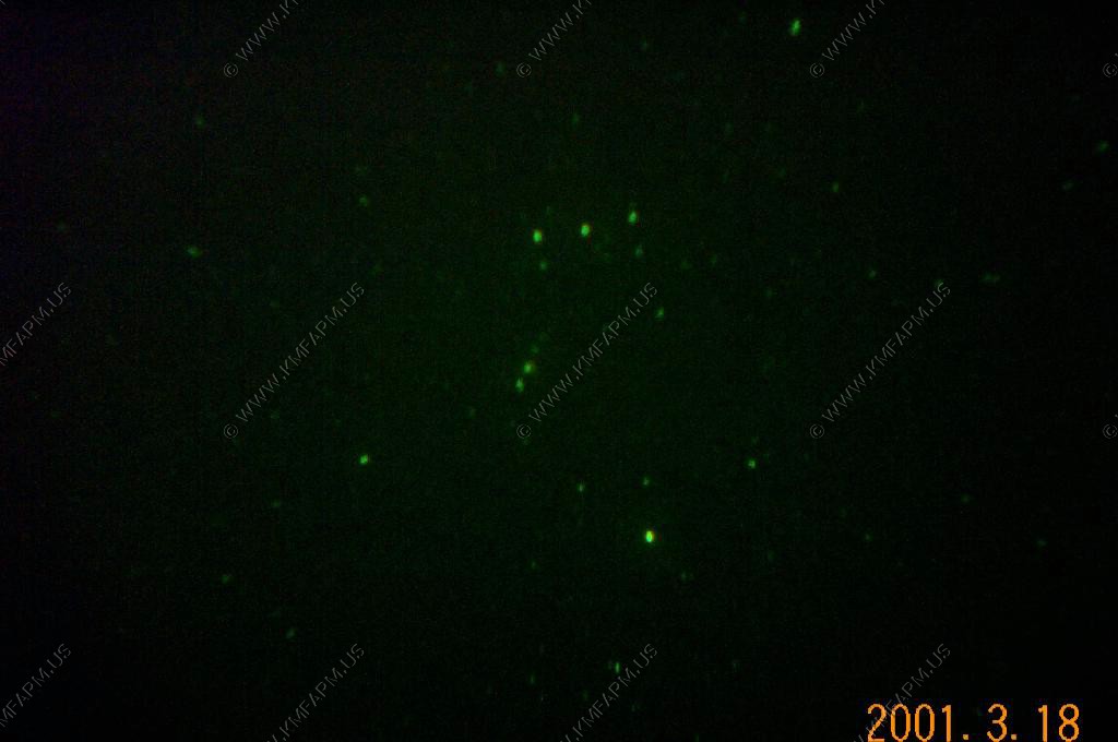
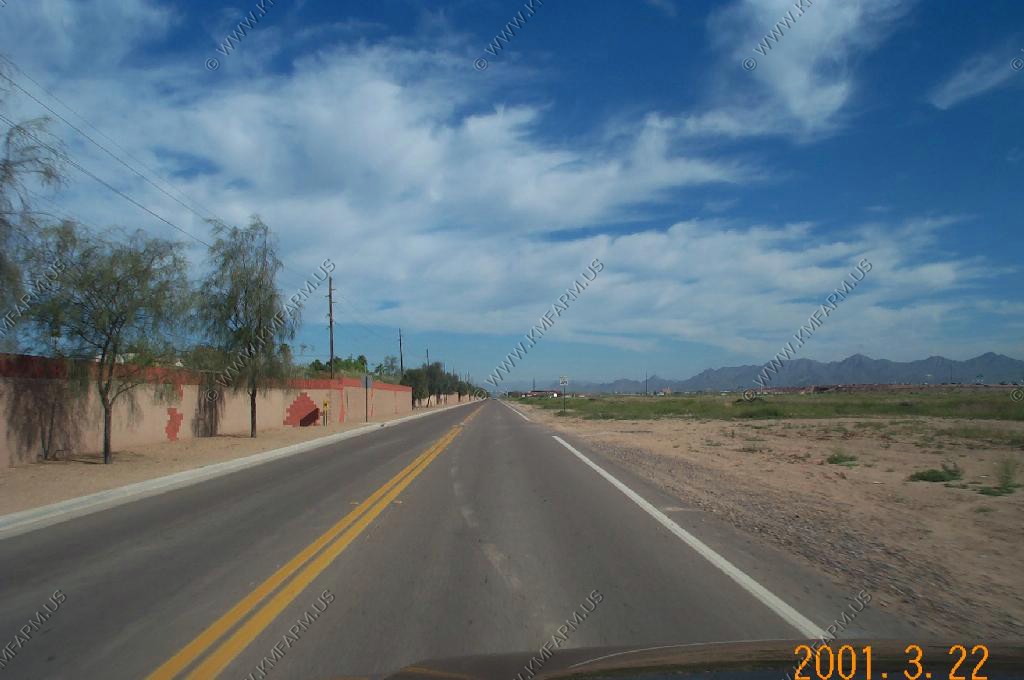
We picked up dinner at a Mexican restaurant in Ajo, and drove south west of Ajo out into the desert. Watched the sunset and then used the night vision (ITT Night Quest 160) to look at the stars and the desert.
Very quiet area but, the road that we were parked along carried a good bit of drug traffic from the border area up towards Phoenix.
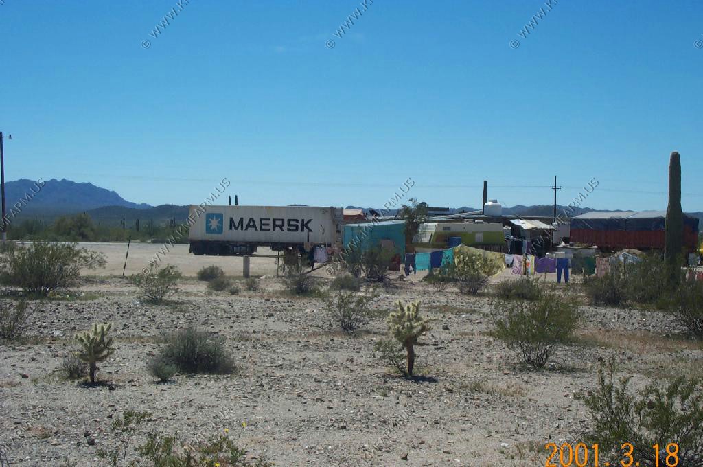
Being spring break time and a Sunday night, we were amazed at the amount of traffic comeing up from Rocky Point (Puerto Pe�asco, Mexico)
Note: Photos were taken by holding the NV unit up to the camera
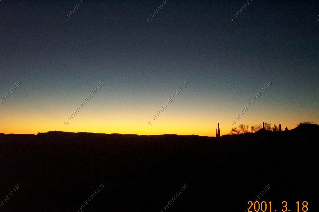
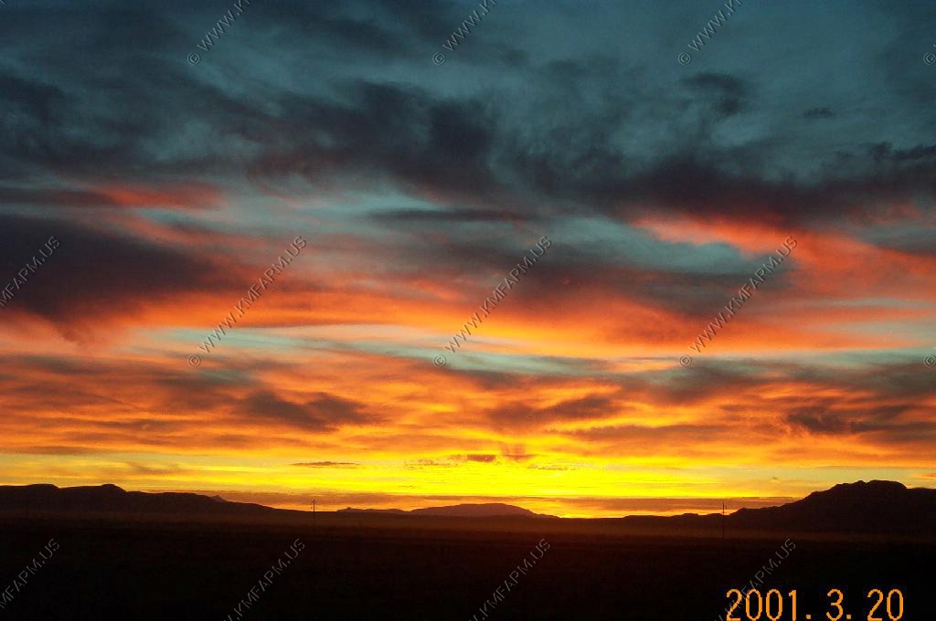
Sunset
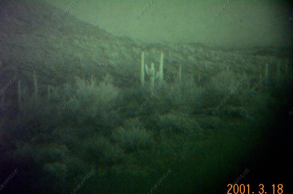
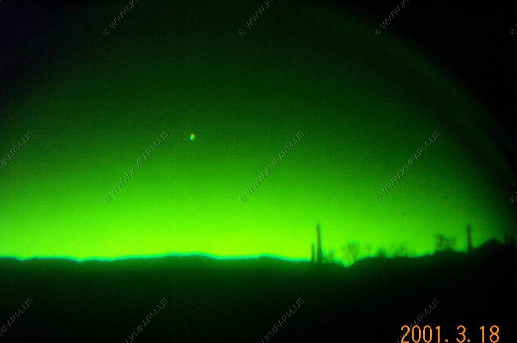
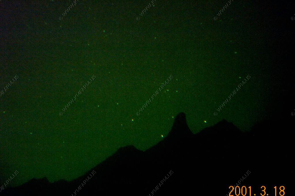
Orion via. the night vision
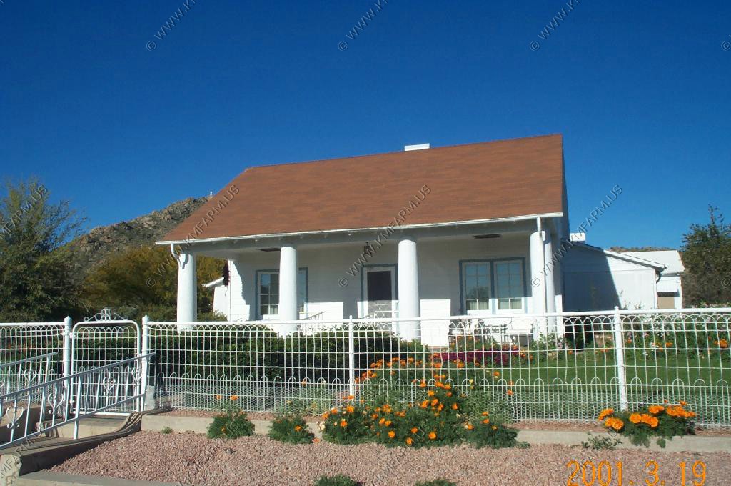
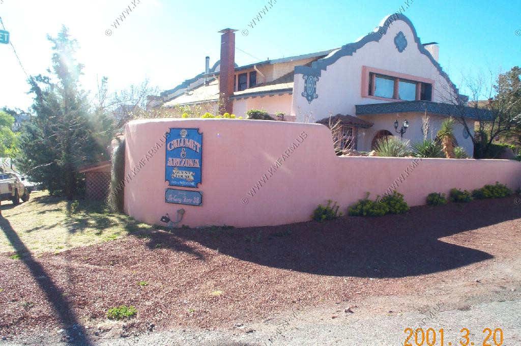
We stayed at the Guest House Inn, B & B in Ajo, which was nice and had a great breakfast. Nights were very dark and we went star gazing.
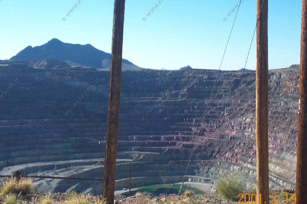
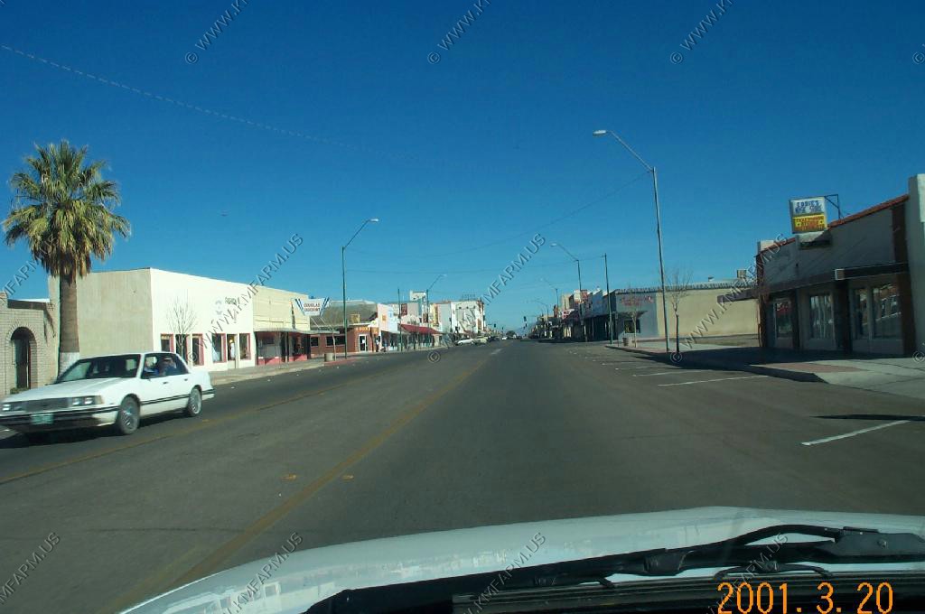
A quick look around Ajo and the Old, New Cornelia Mine

Crossing the Tohono O'Odham Indian Reservation on AZ 80. Scary place... You might as well be in Mexico as many of the members of this reservation tend to look the other way to the immigration and drug problems that Mexico is bringing into the United States.
As usual I was happy to be heavily armed !!
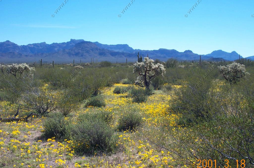
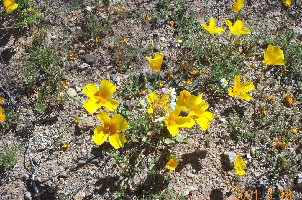
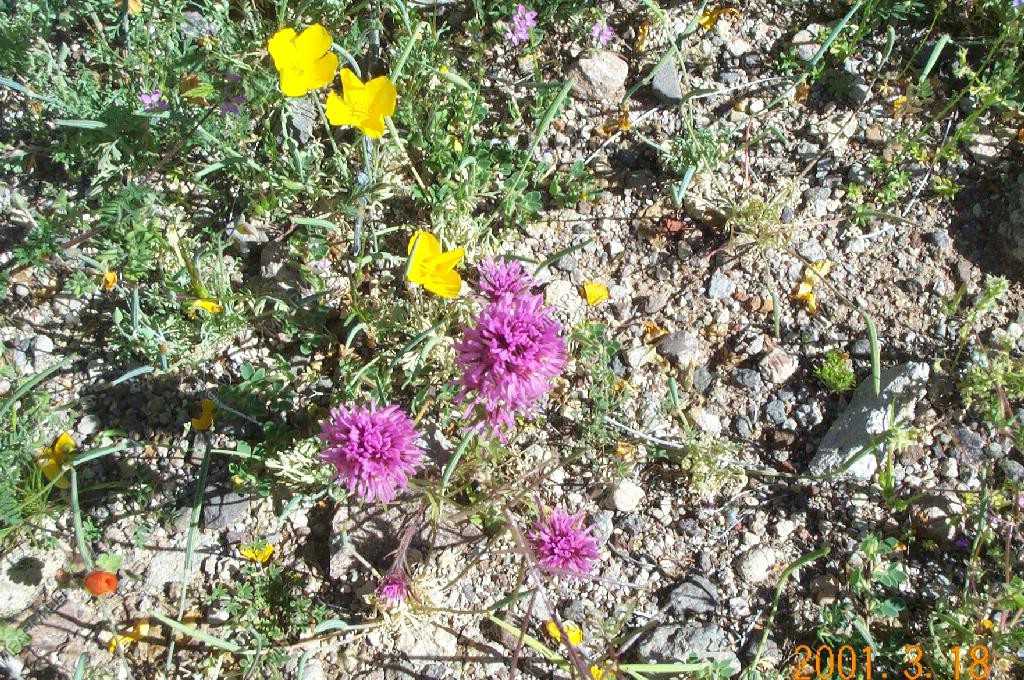
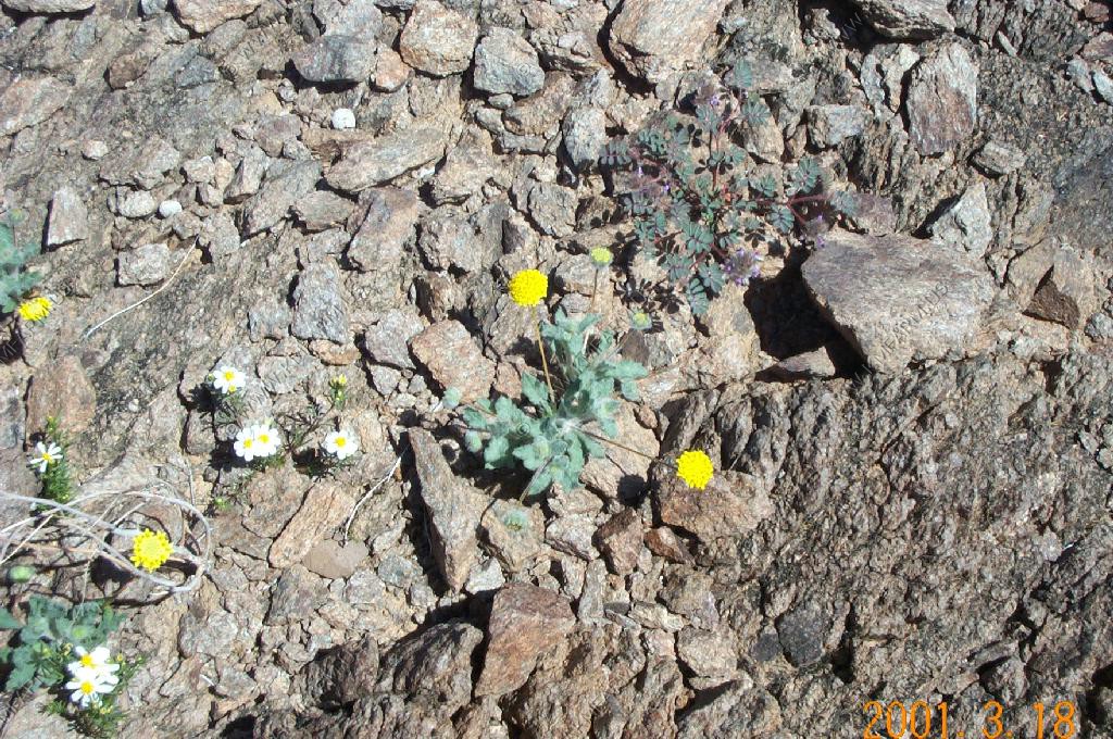
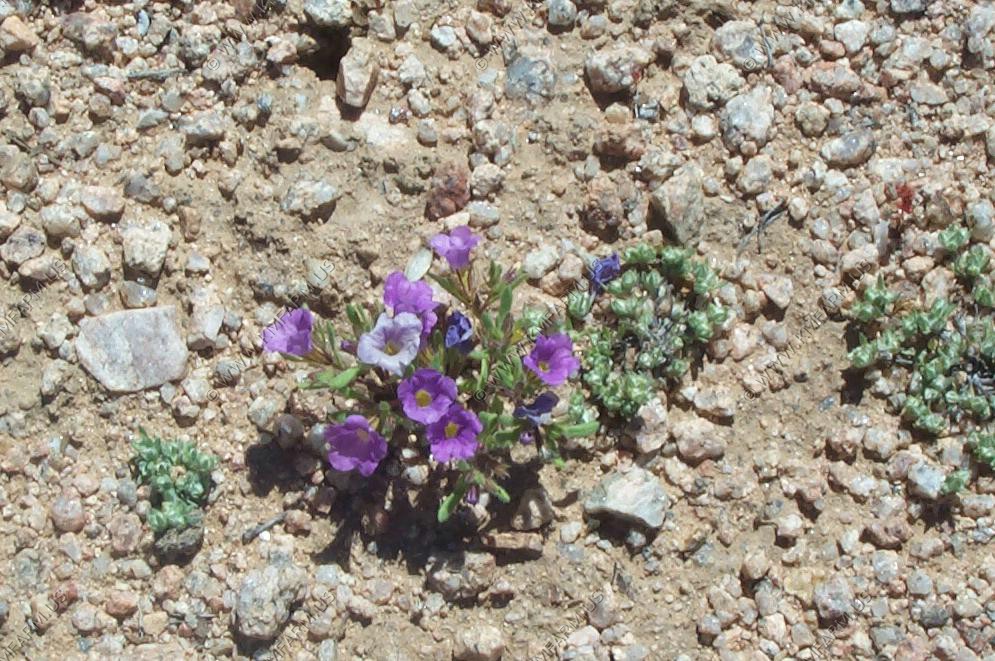
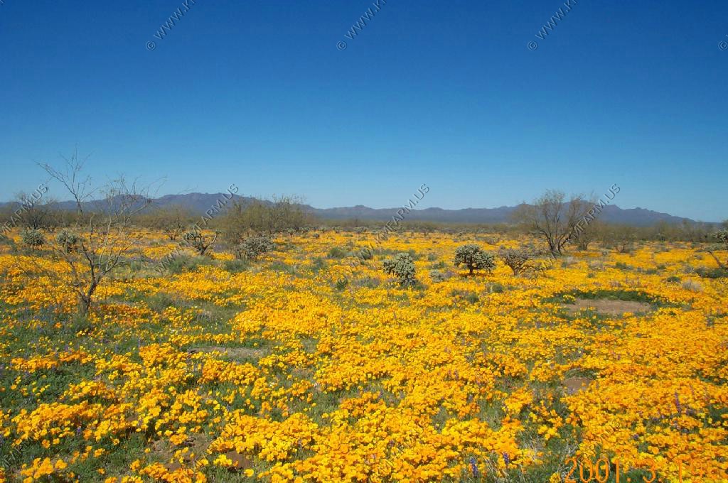
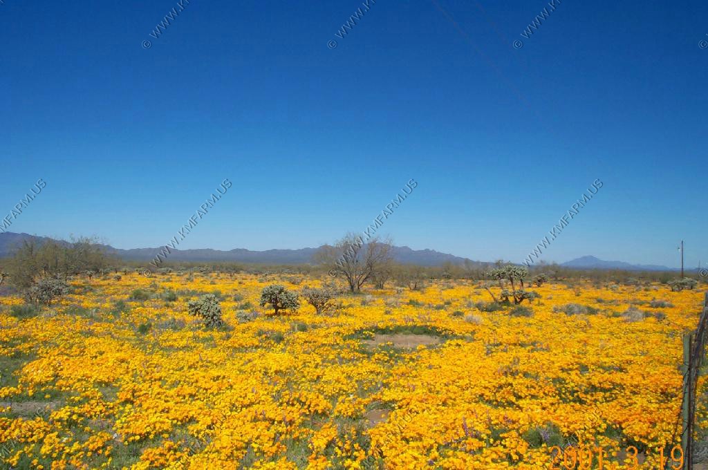
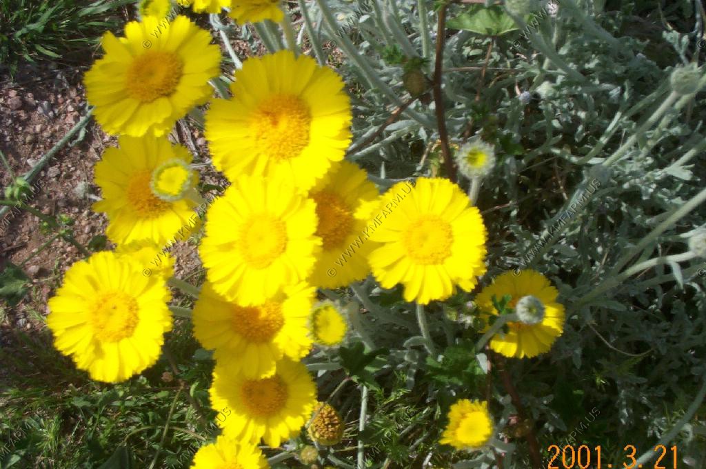
The desert poppies were at peak.

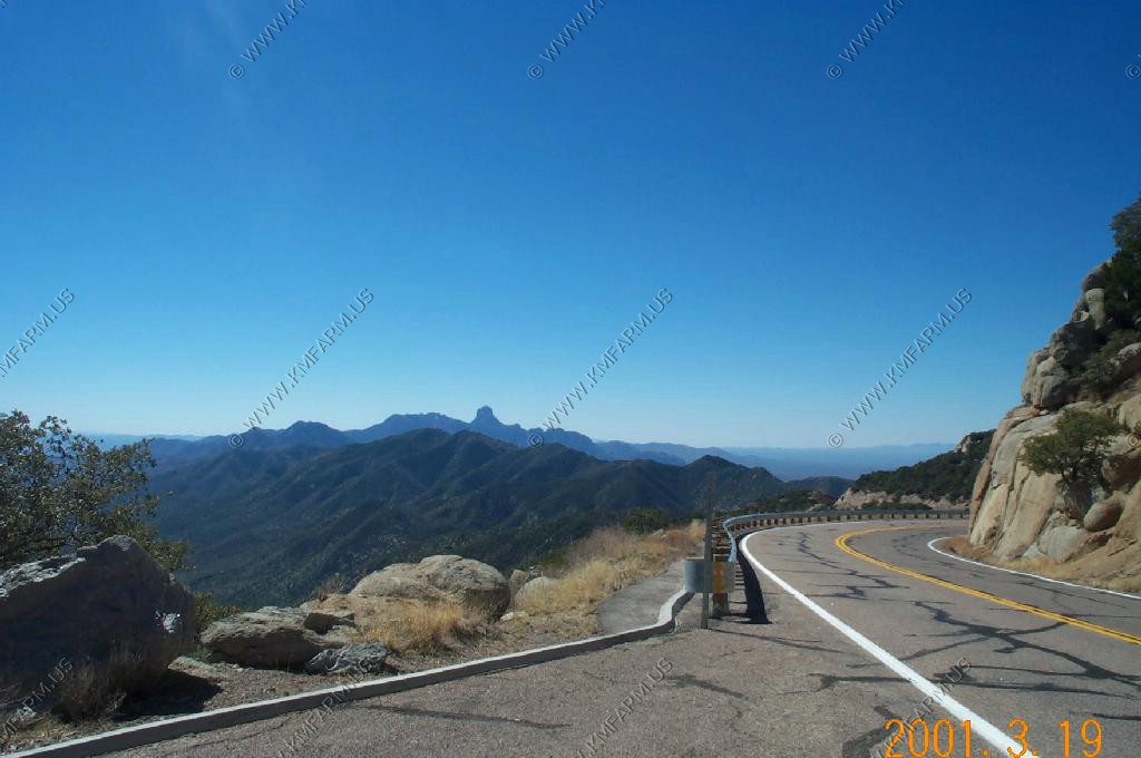
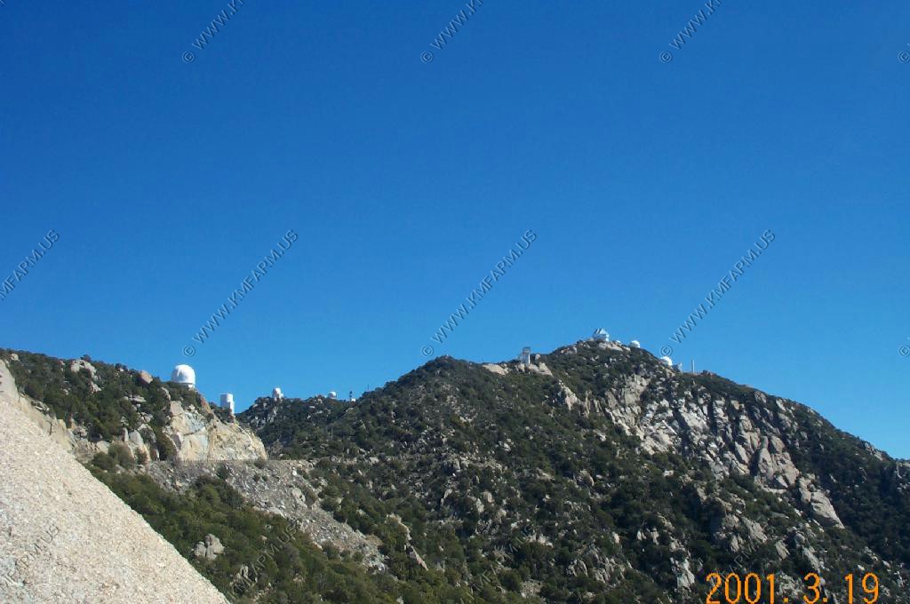
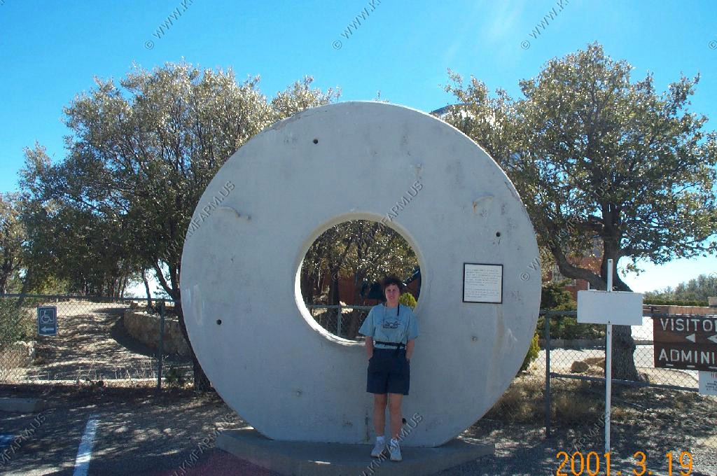
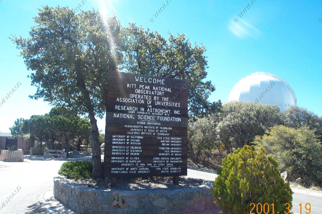
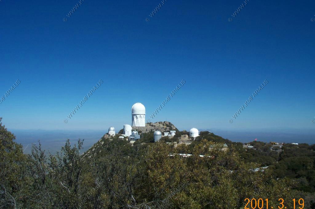
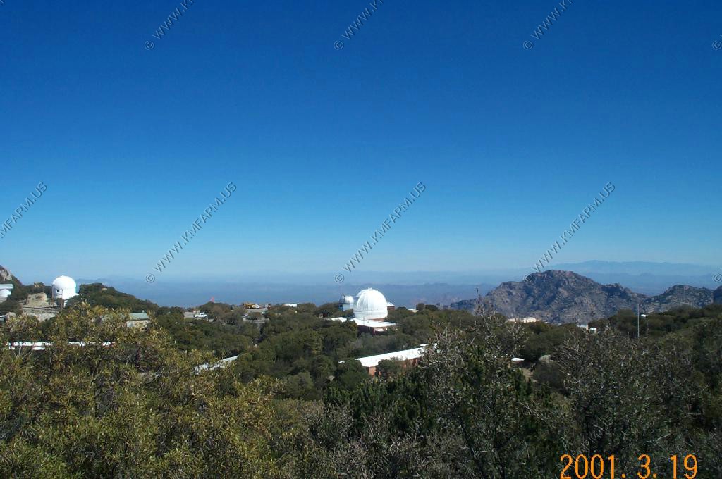
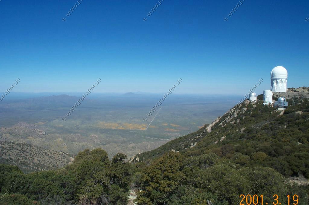
We stopped at Kitt Peak Observatory. It would be nice to spend the night here. They do have a program where you rent the place for the night, and have it to yourselves so you can use the telescopes. But you have to book it well in advance.
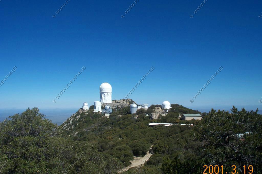
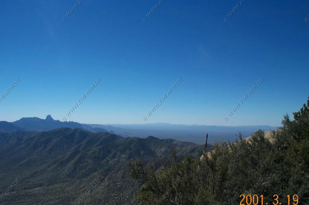
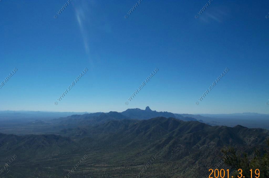
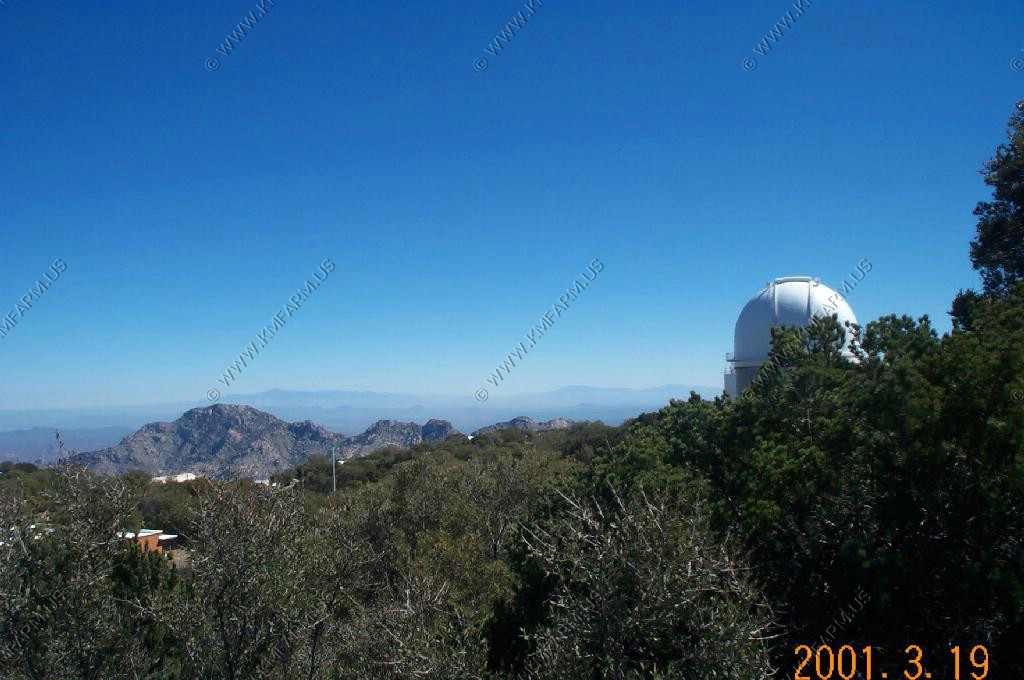
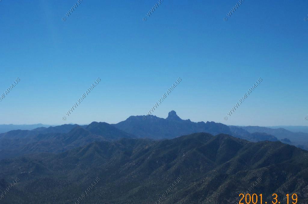
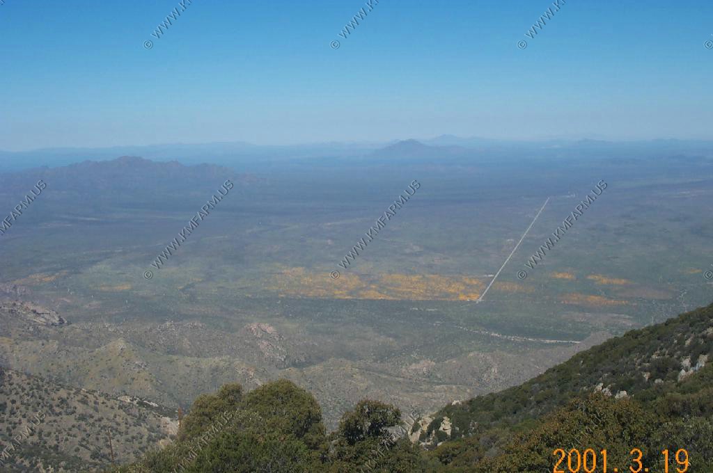
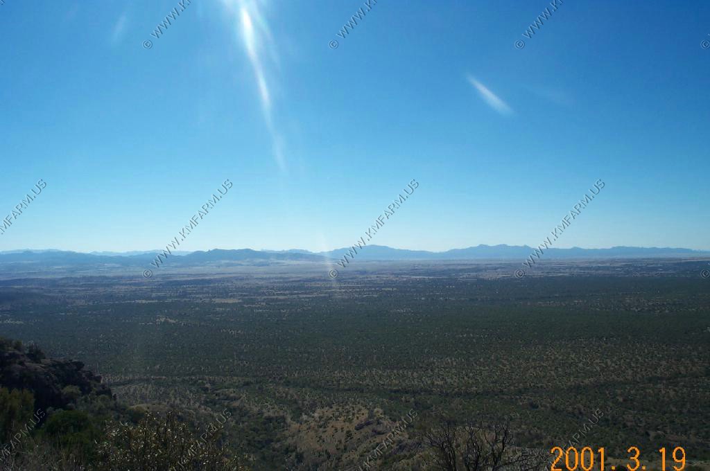
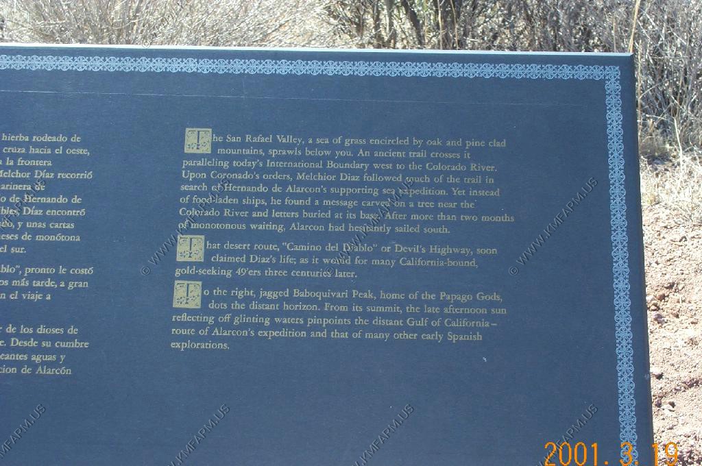
Looking south at Baboquivari Peak, (El. 7,734) Was surprised to see some snow. The distance here from Kitt to Bobo was appx. 18 miles
This peak is the home of the Papago Gods. From the summit the late afternoon sun reflecting off glinting waters pinpoints the distant Gulf of California route of Alarcon's expedition and that of many other early Spanish explorations.
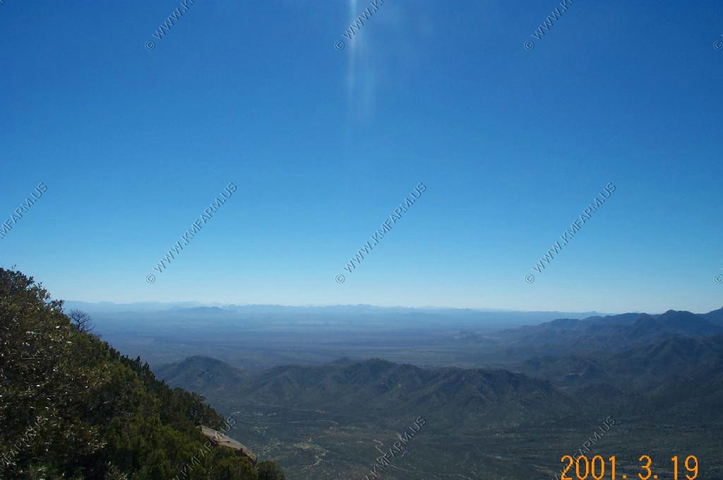
Looking down onto the desert poppies area in the above photo.
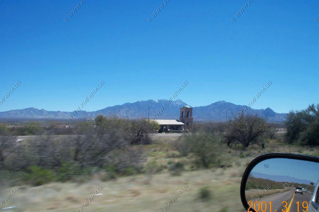
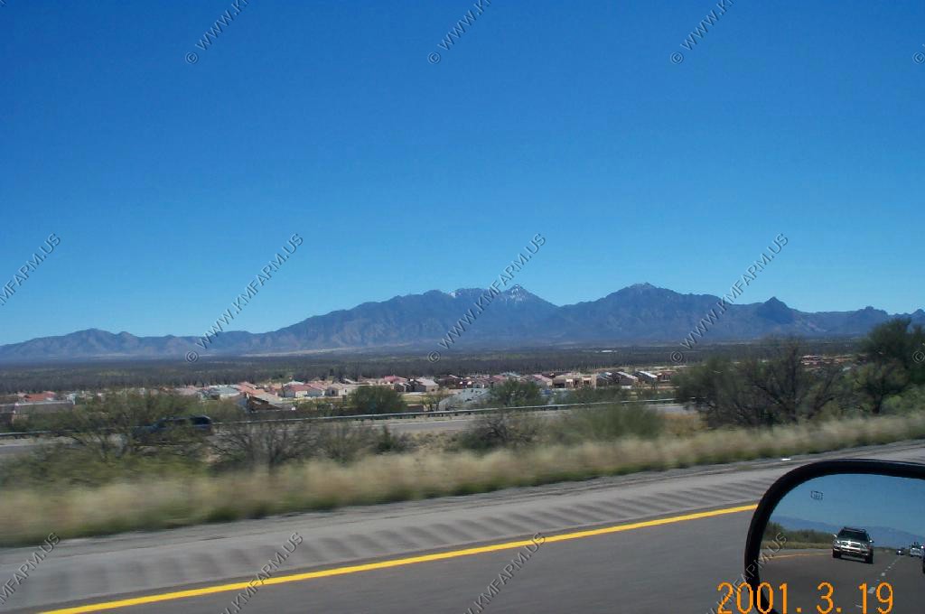
Heading South on I-19 looking East at the Santa Rita Mountain Range and Mt. Wrightson (El. 9453) the highest point in the range. Nice to see snow so far south.
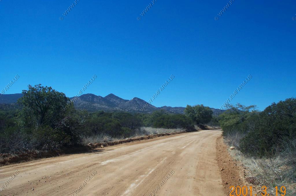
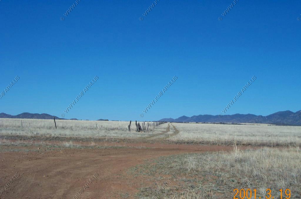
With the dump of Nogales behind us we are heading East on Duquesne Road. This area was a big gold mining area in the late 1800's and the evidence of mining is everywhere. Also, we were entering the San Rafael Valley, one of Arizona's most beautiful places.
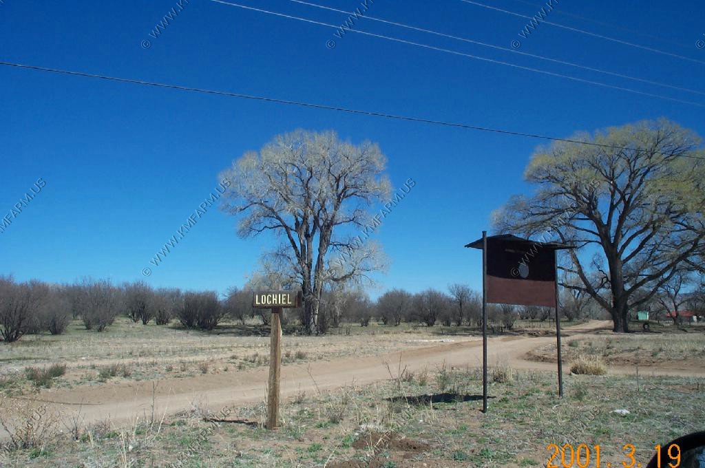
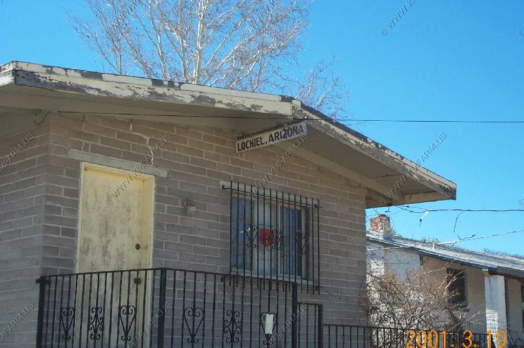
Lochiel, Arizona
This area has considerable history.
Pancho Villa, took the cattle that he rustled into Mexico. Lochiel is also the spot where the first European went west of the Rockies, Fray Marcos de Niza entered the future state of Arizona on April 12, 1539 Located in Santa Cruz County, was once border crossing town to Mexico but was closed by the State in 1980's for many reasons.
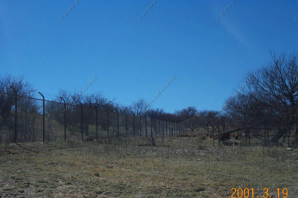
Looking east on the border fence
Looking south over the border. I notice that the power lines cross the border. Would hate to collect on those bills ??
Looking west on the border fence
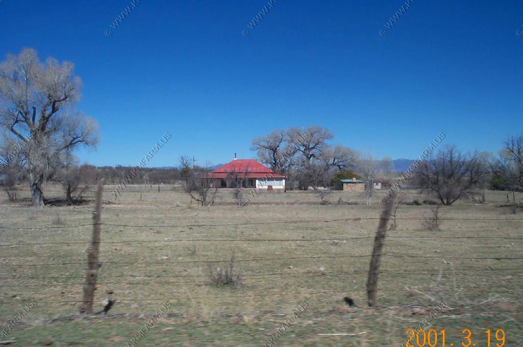
Old US Customs Building
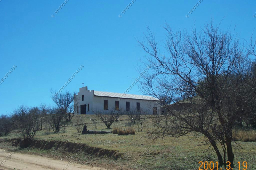
Old Church
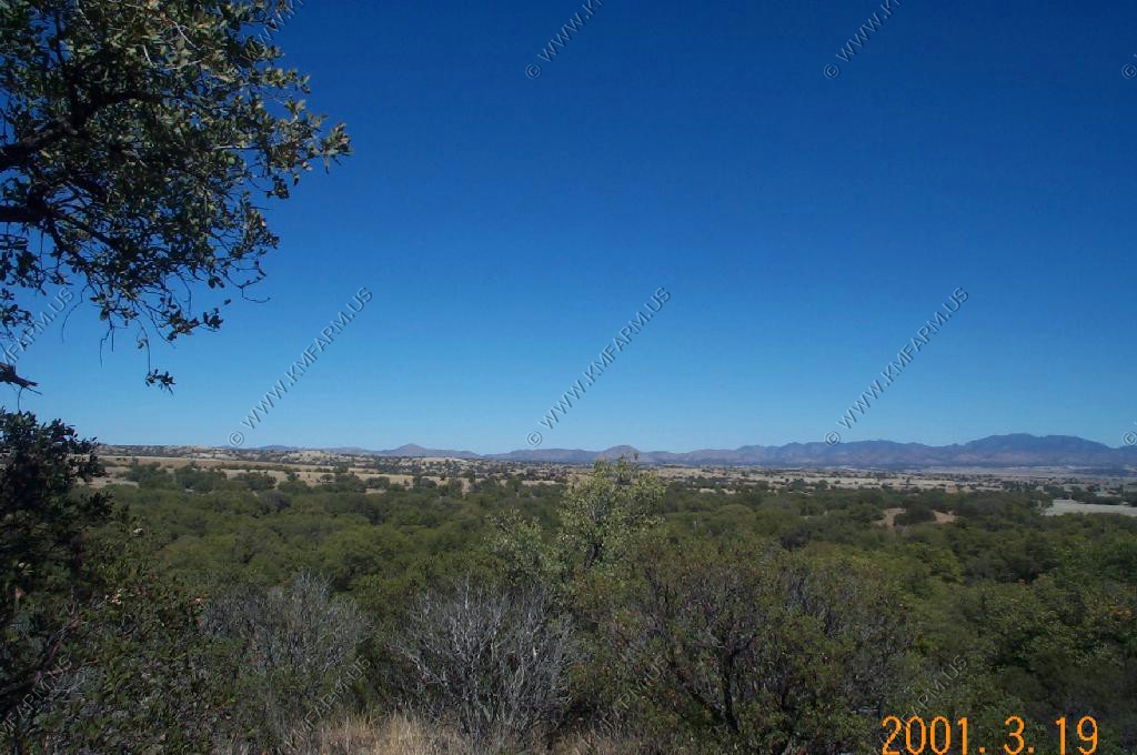
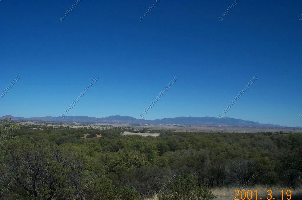
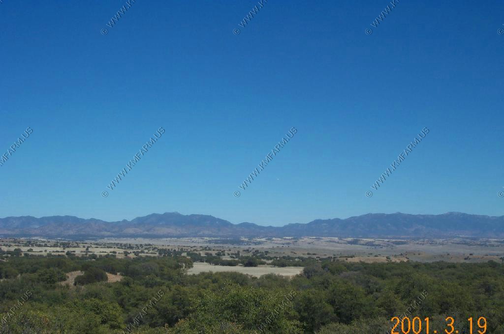
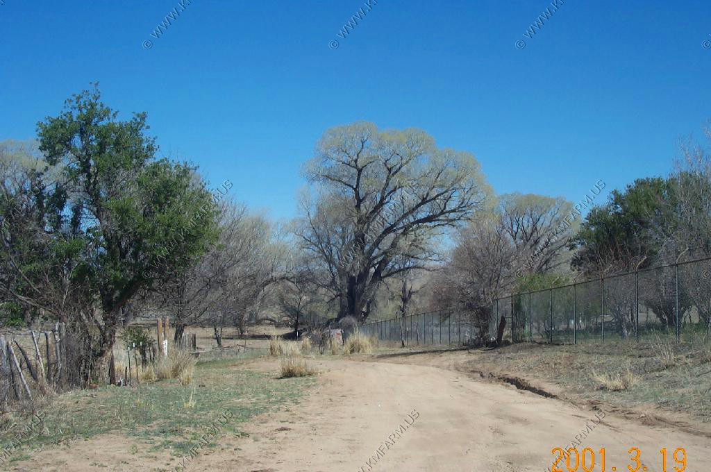
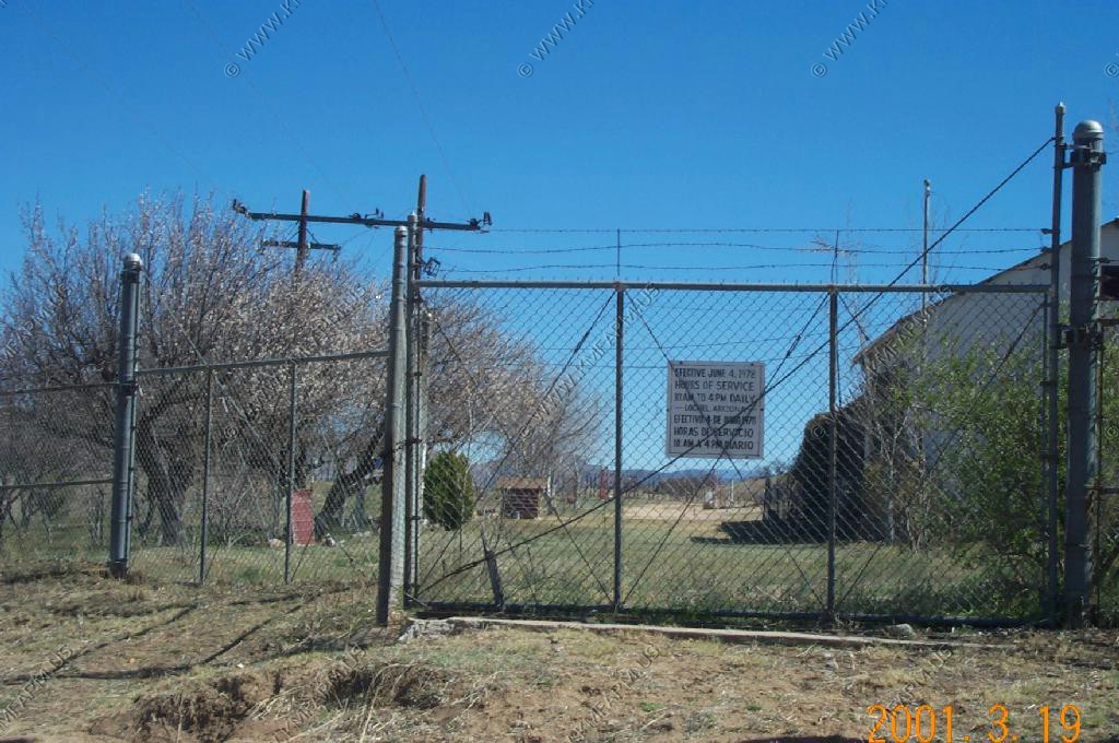
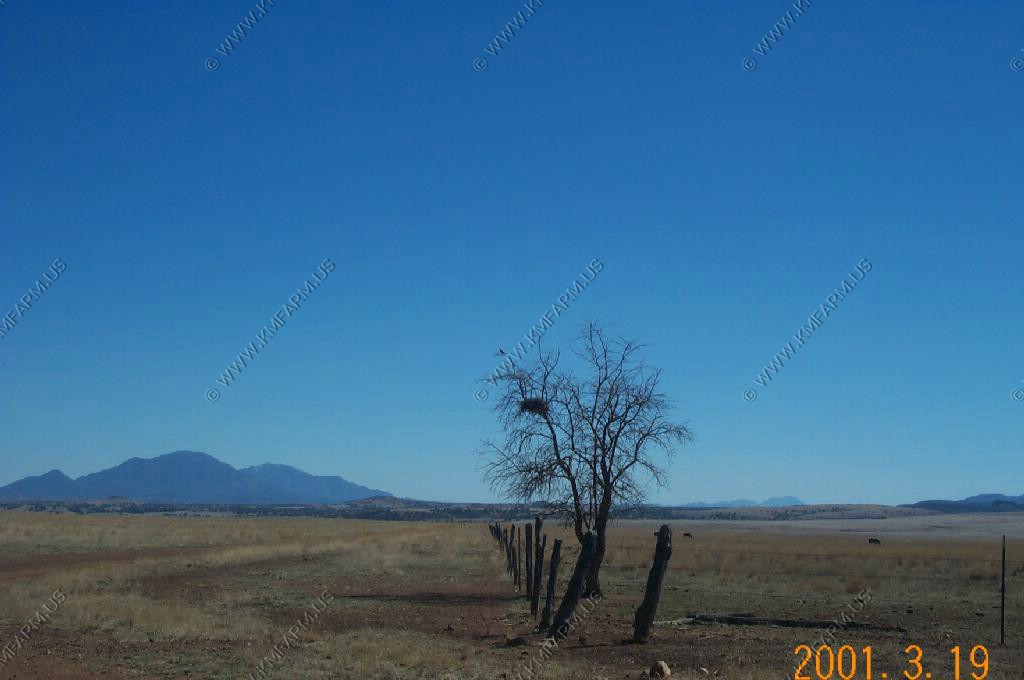
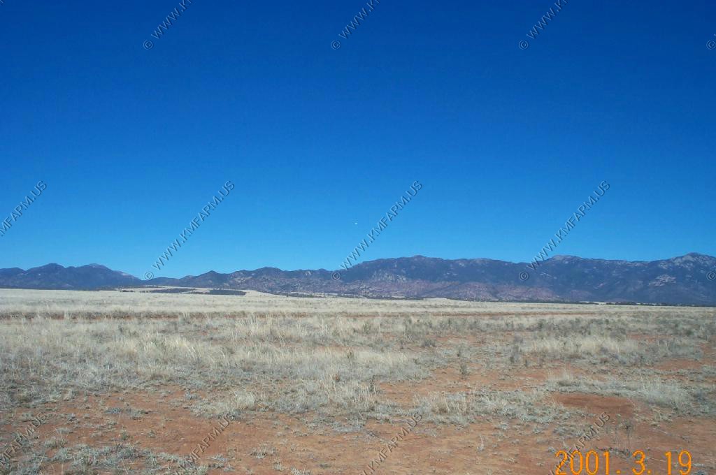
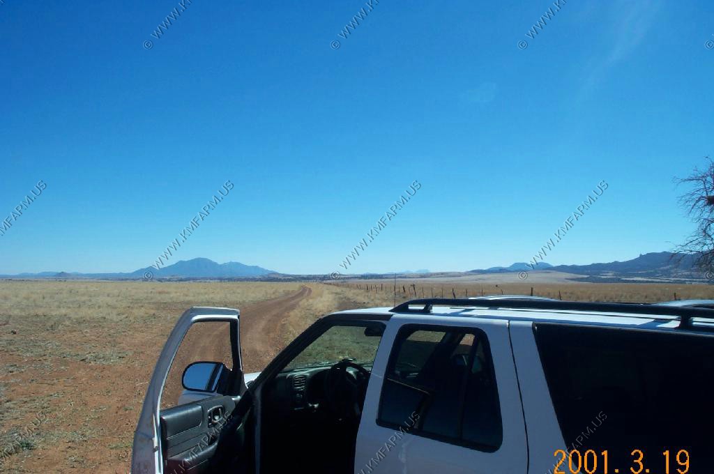
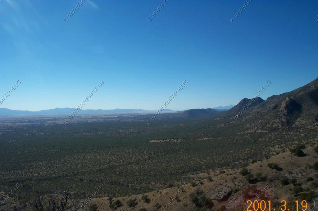
We headed east out of Lochiel into the the San Rafael Valley. Wide open spaces, good roads and we were a few miles north of the border so except for more trash than normal the area was very scenic.
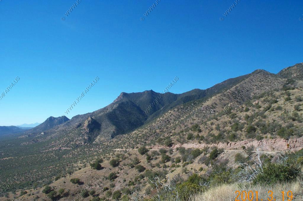
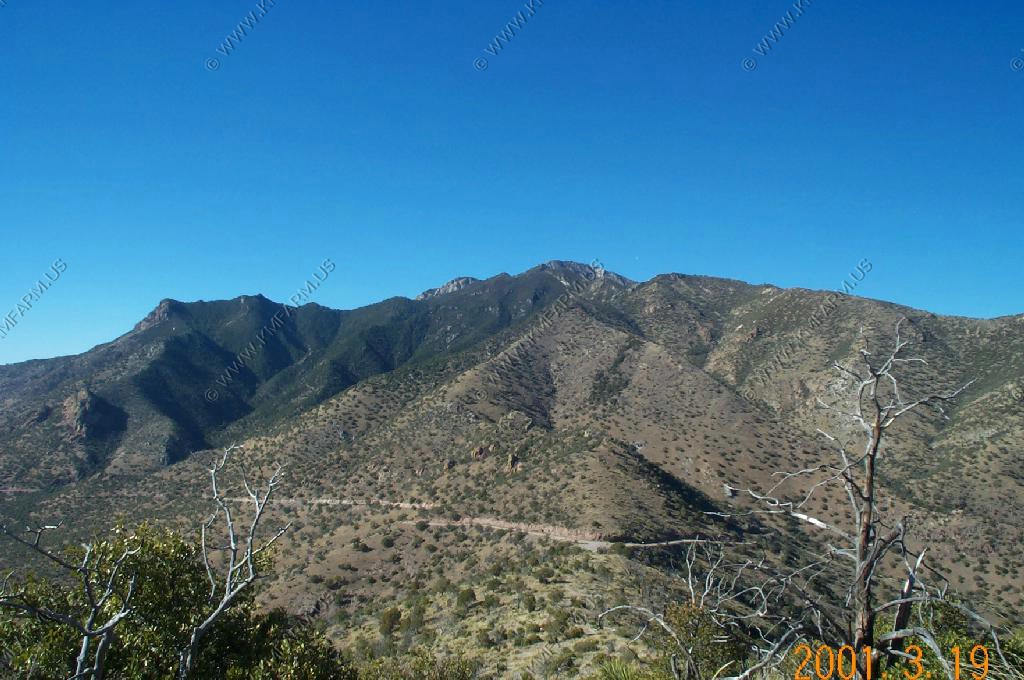
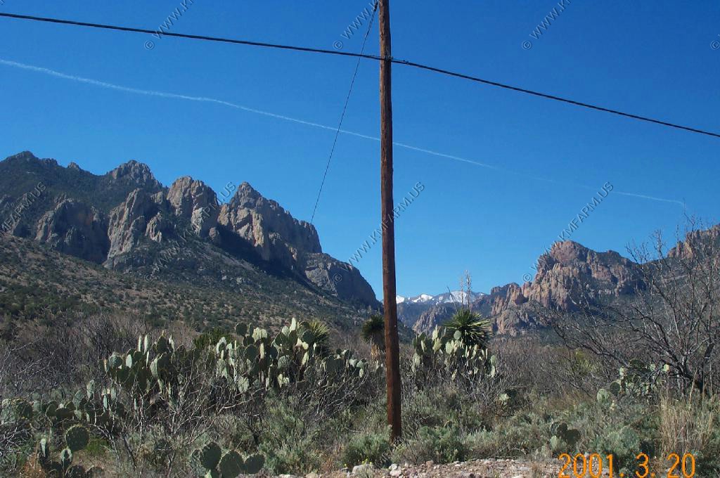
Starting to climb into the lower end of the Huachuca Mountains.
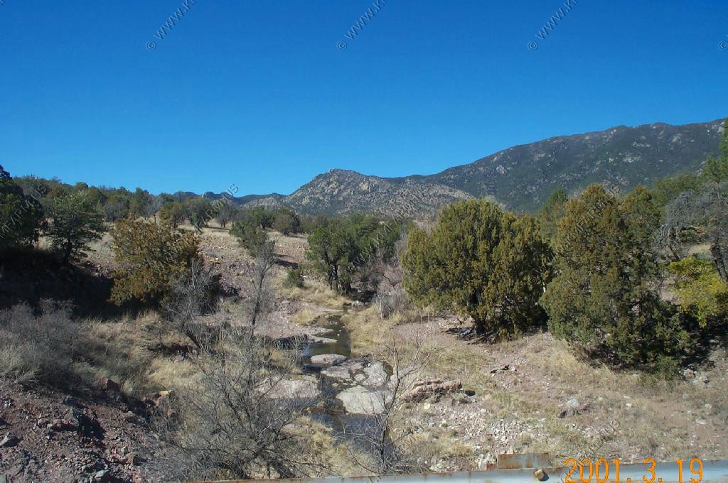
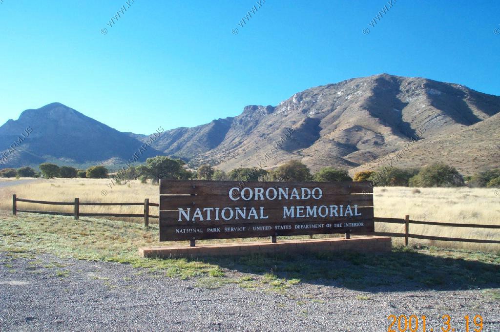
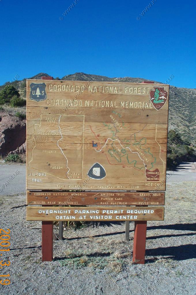
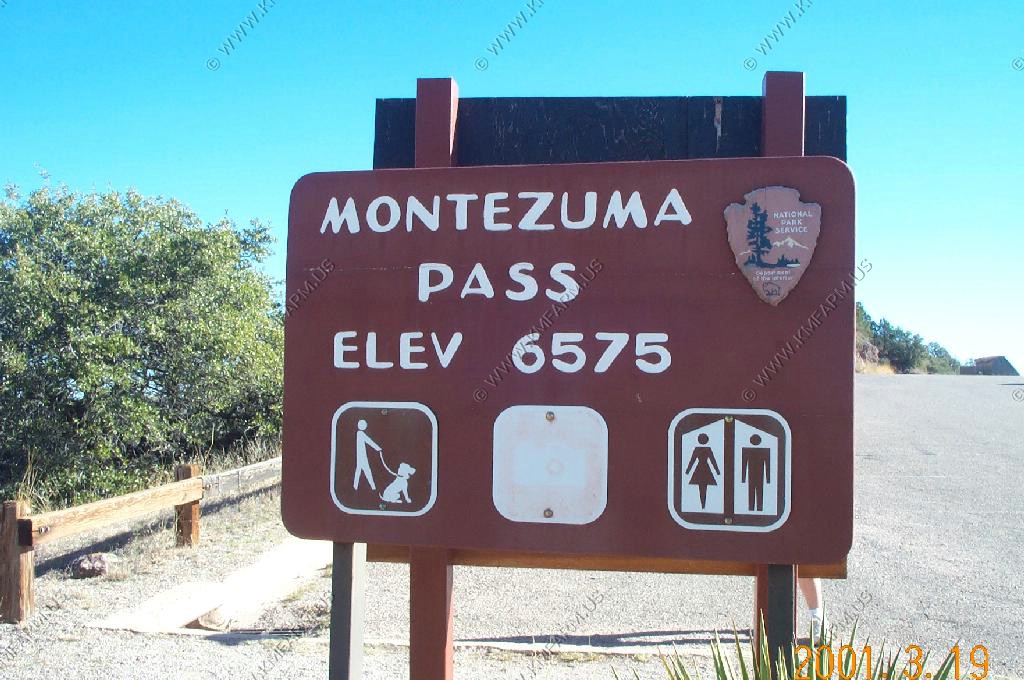
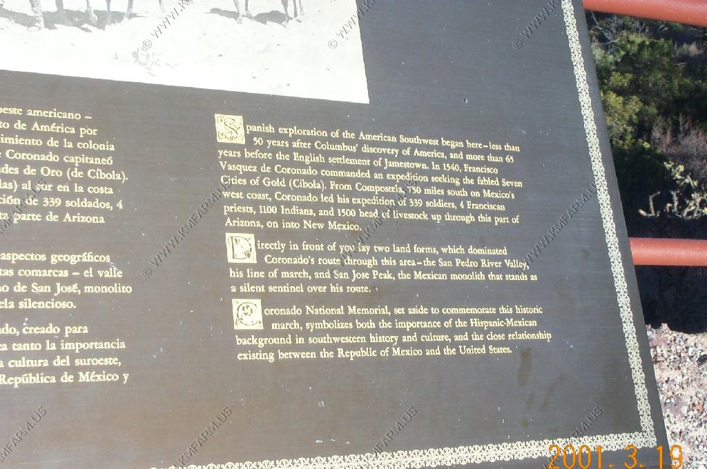
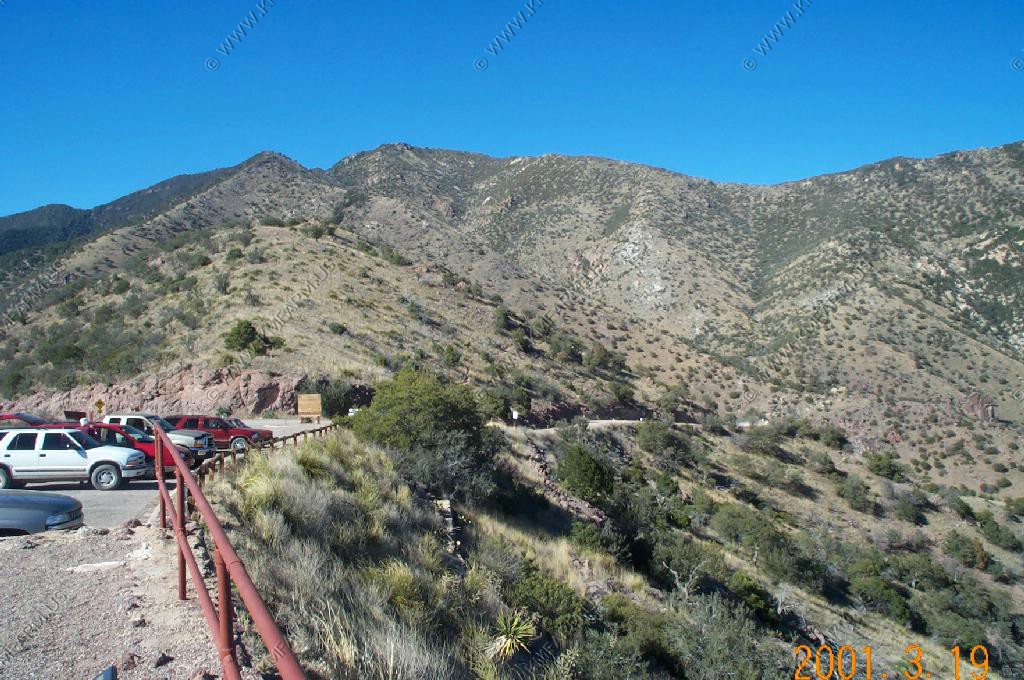
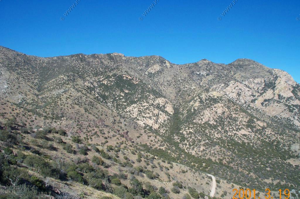
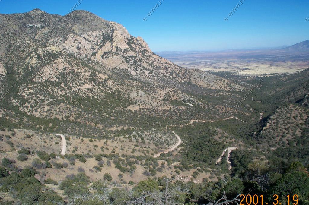
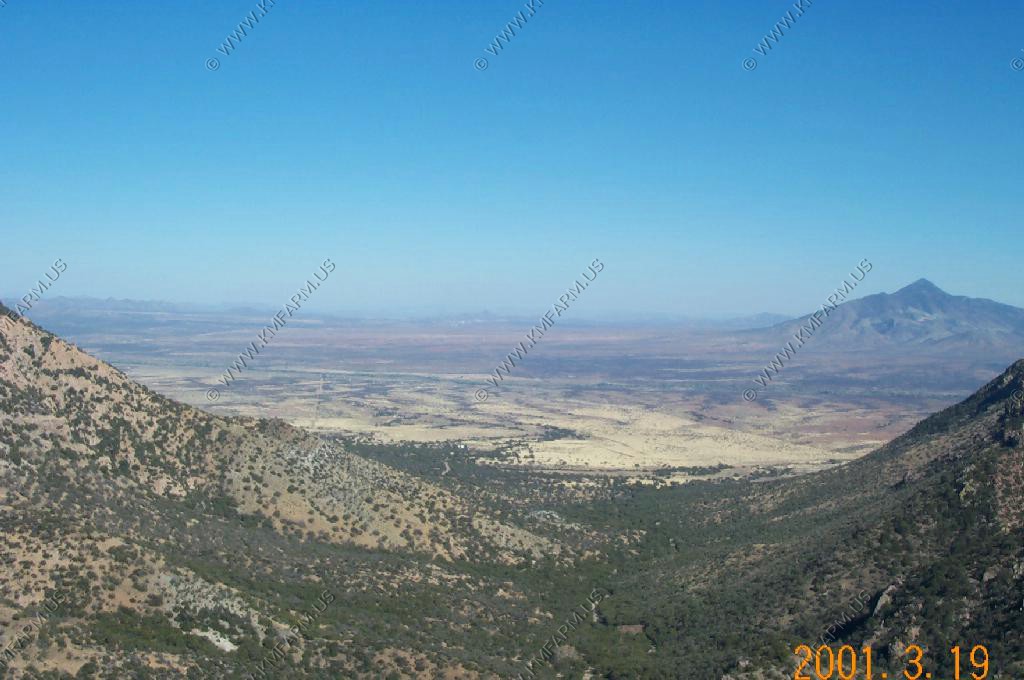
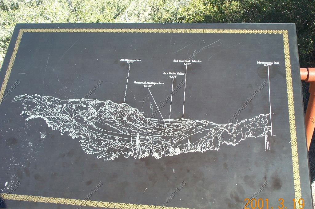
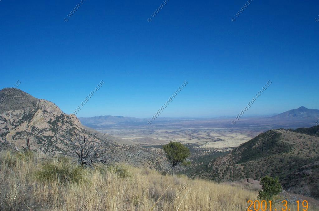
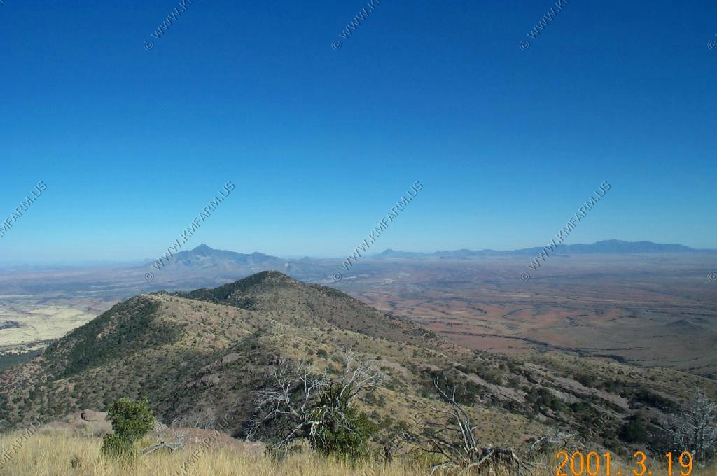
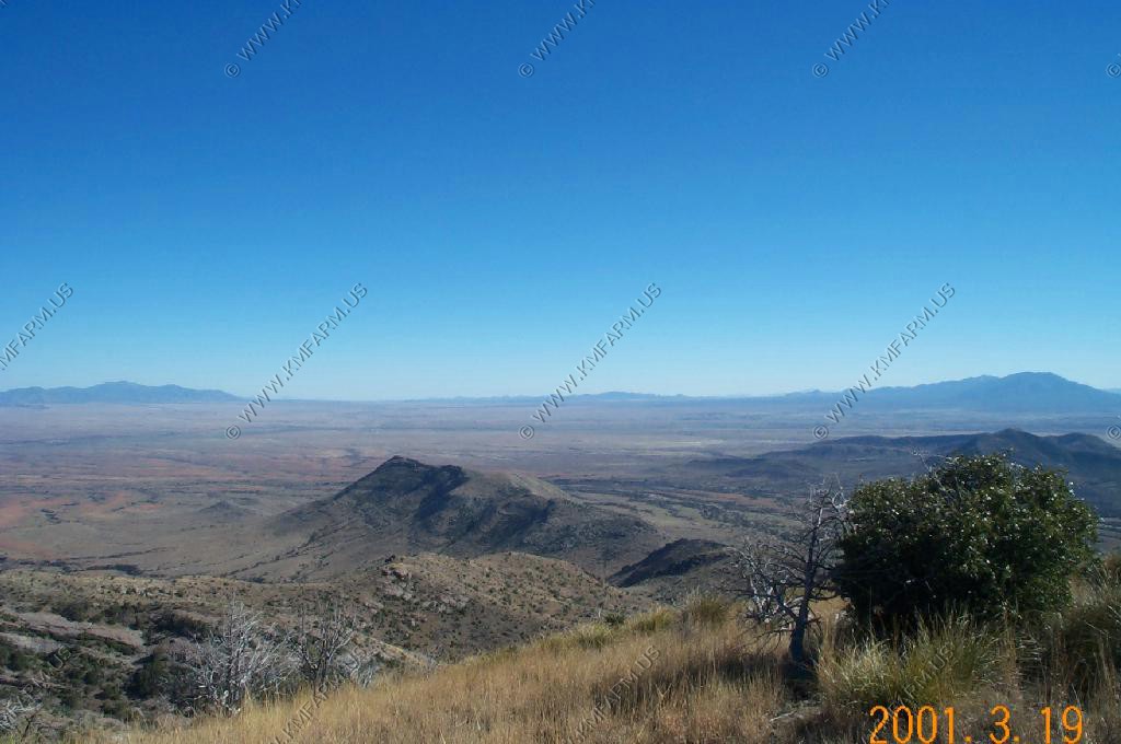
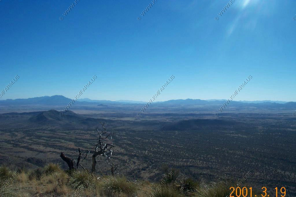
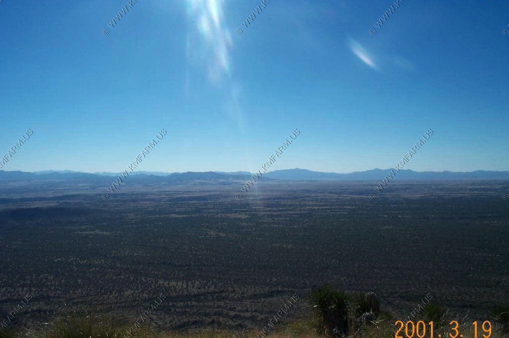
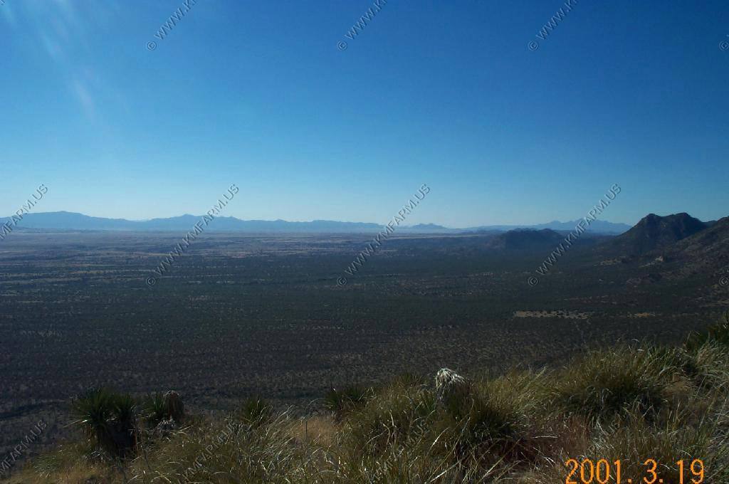
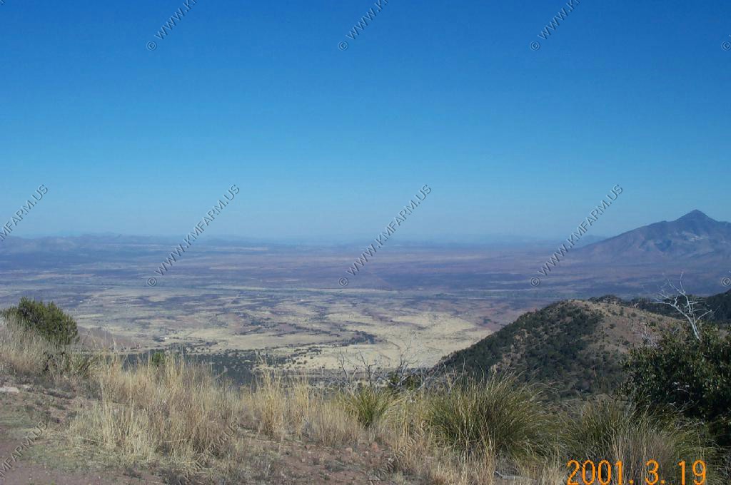
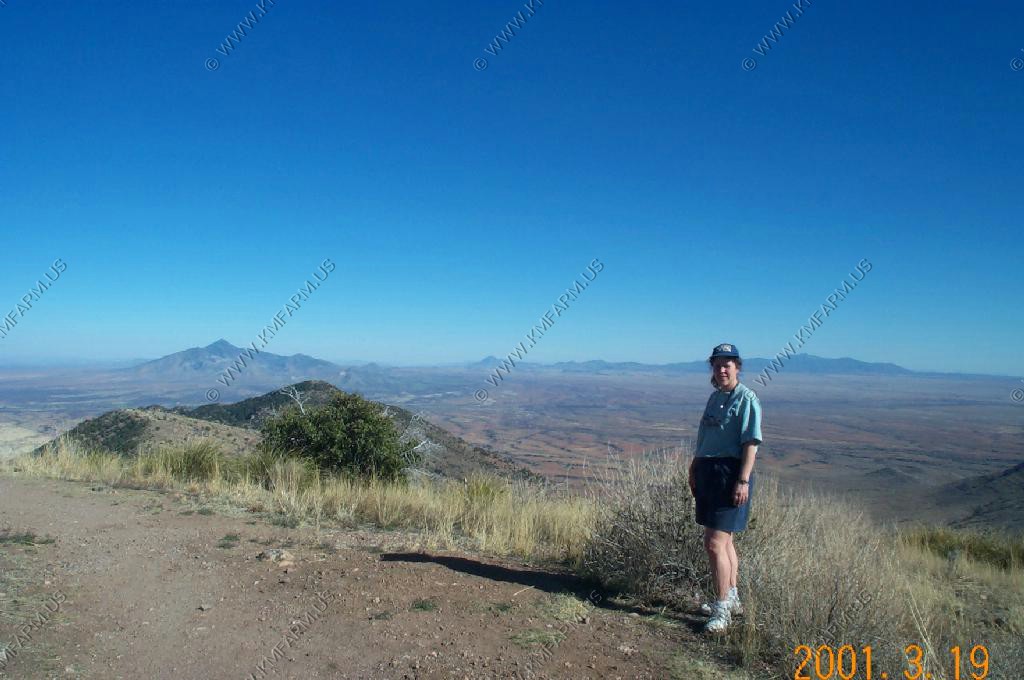
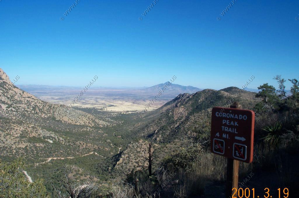
Coronado National Memorial and Montezuma Pass at 6575 feet.
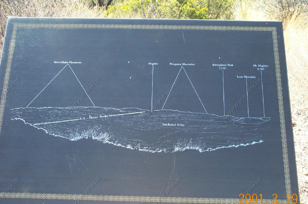
Looking West
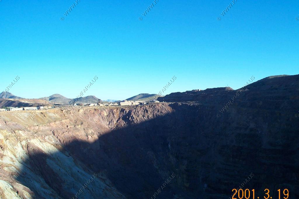
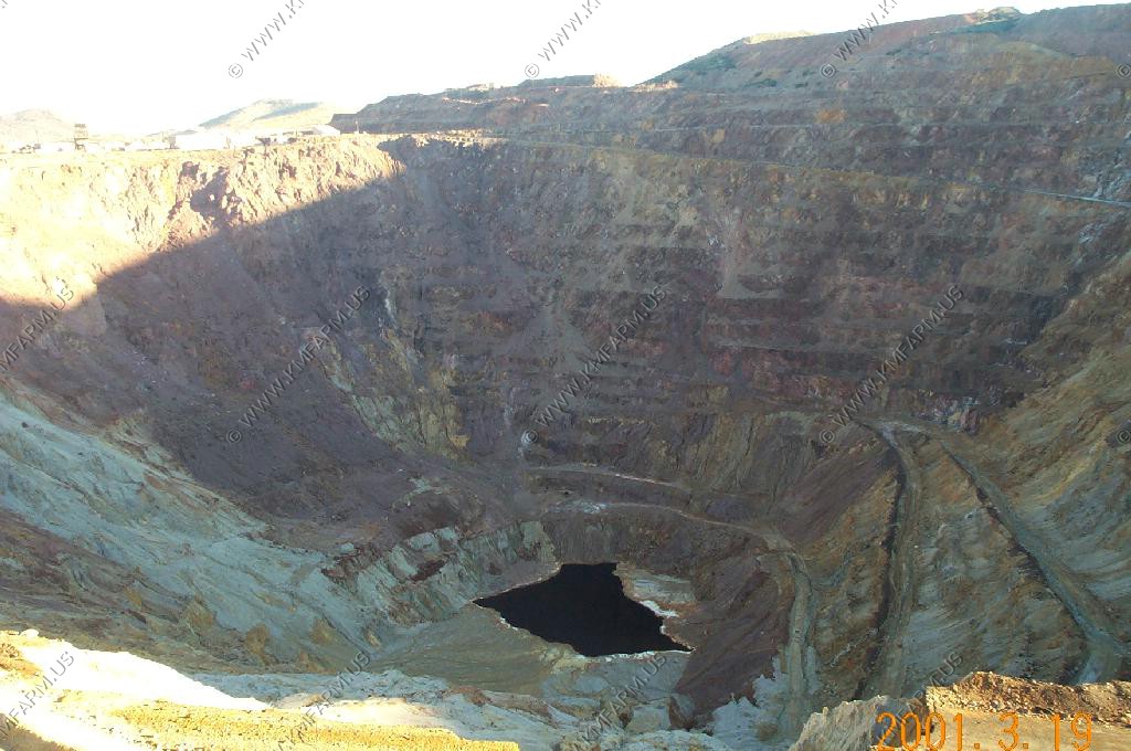
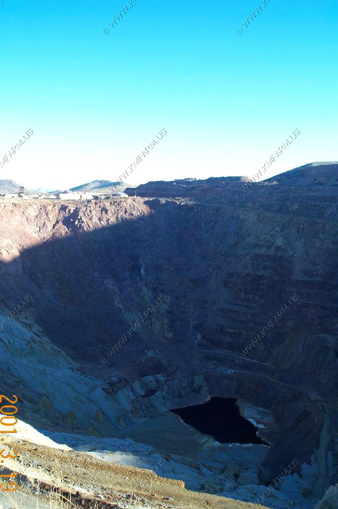
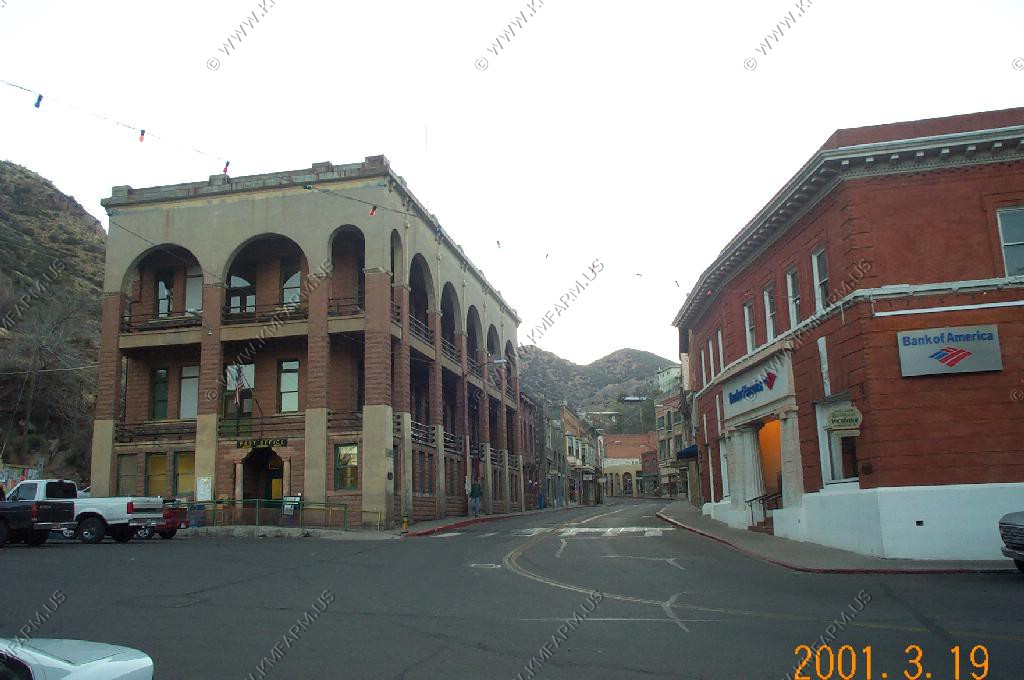
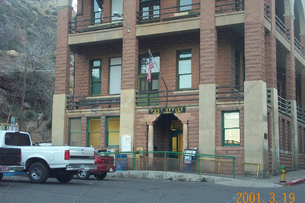
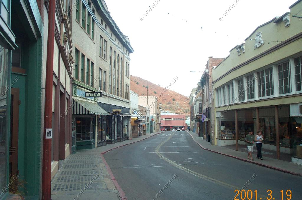
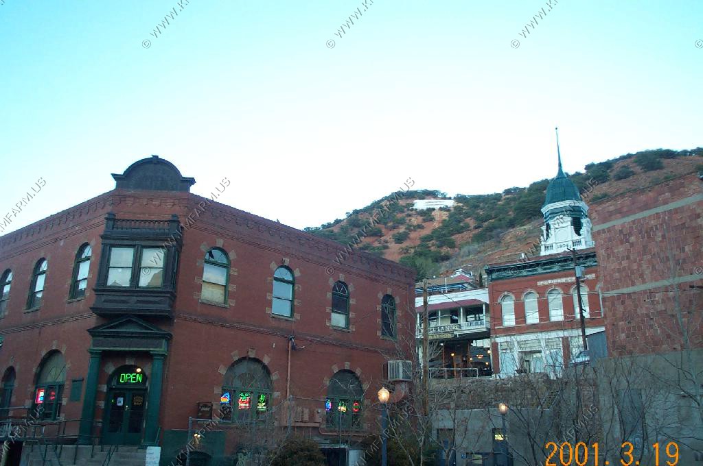
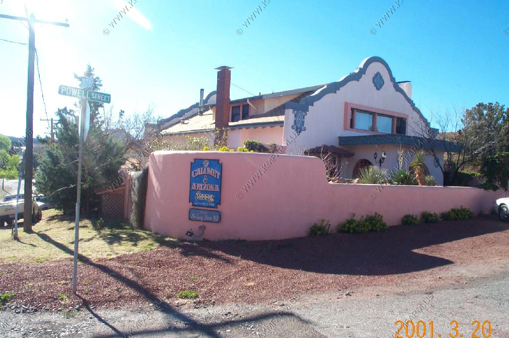
Historic Bisbee. Bisbee�s Queen Mine was one of the richest copper mines in history. The mine opened in 1877 and eventually closed when Phelps Dodge discontinued mining operations in Bisbee in the mid�1970�s. They have a mine tour, which we didn't take, but looked interesting.
Douglas, AZ
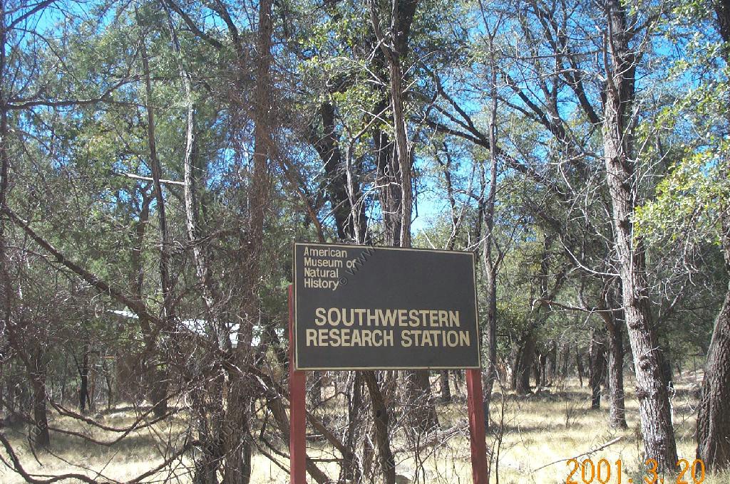
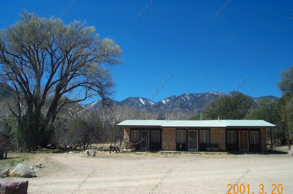
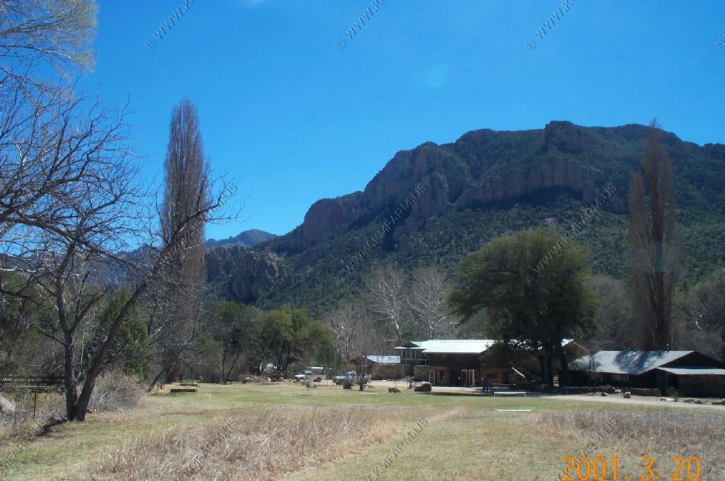
We stopped by the Southwestern Research Station because a friend told us it was a neat place and you can volunteer here. Beautiful!

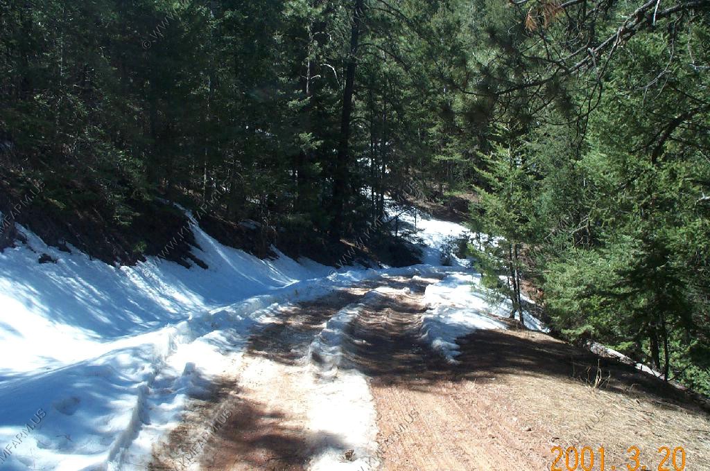
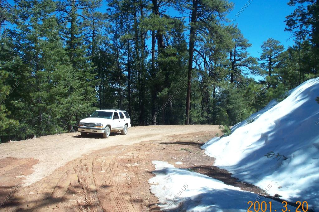
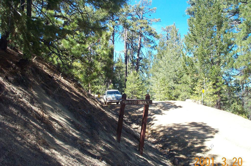
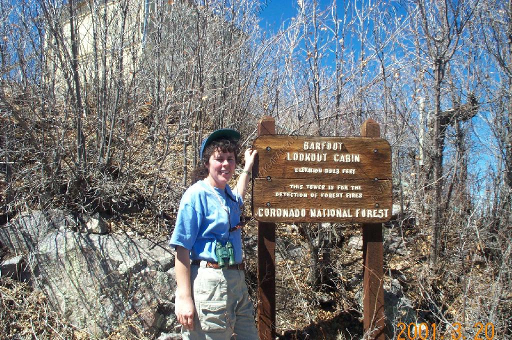
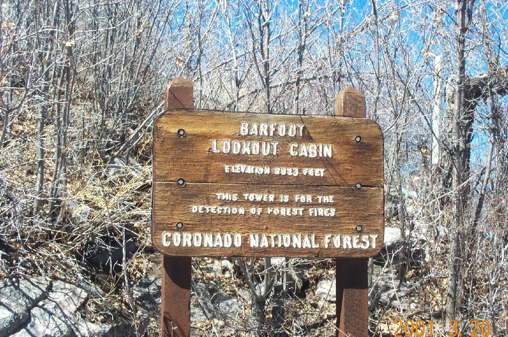
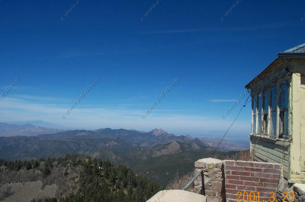
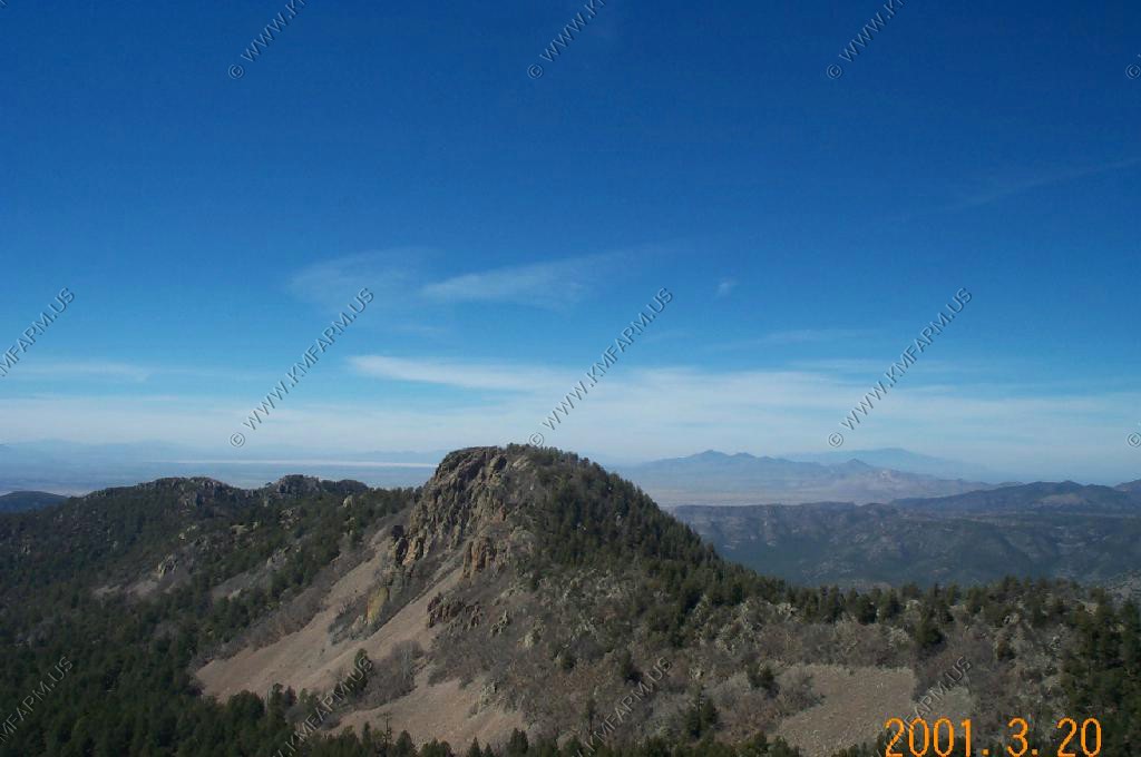
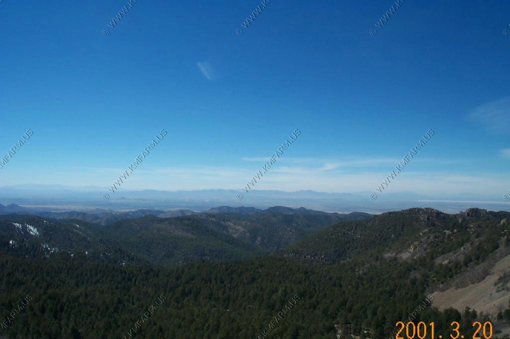
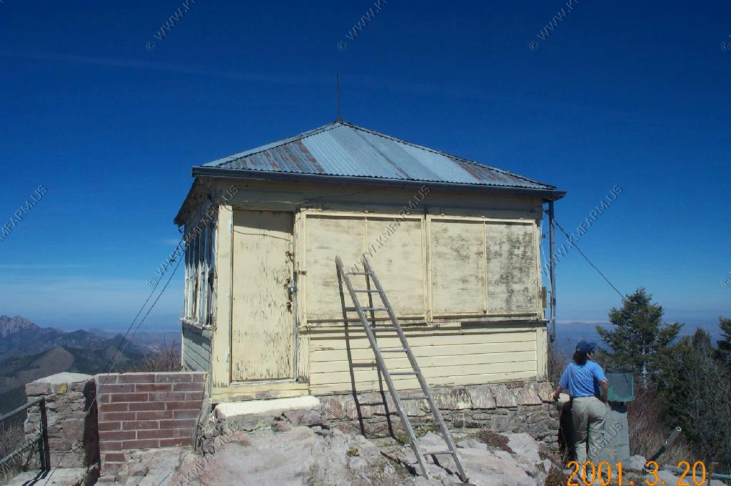
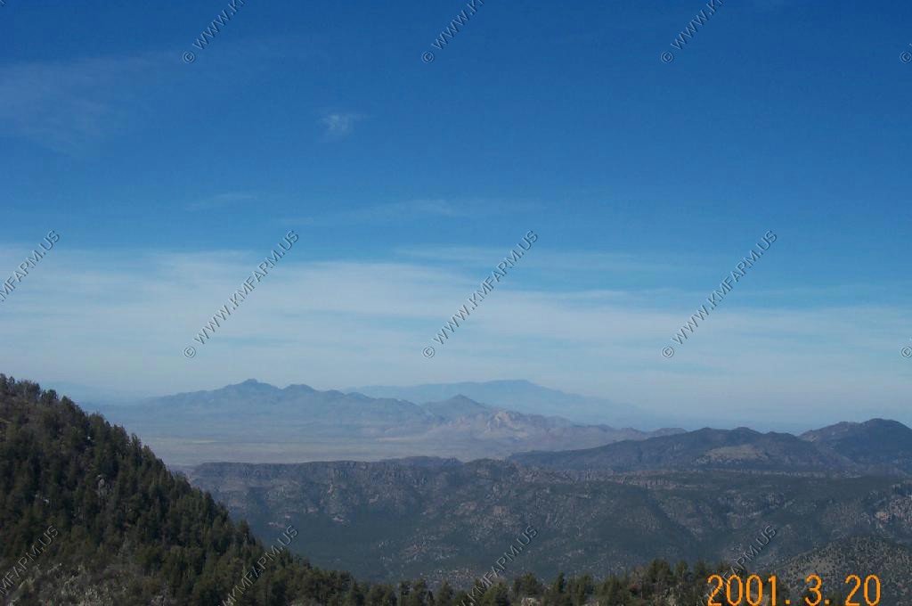
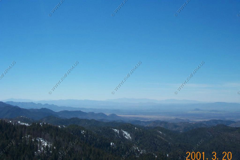
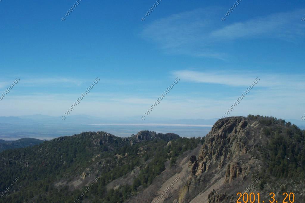
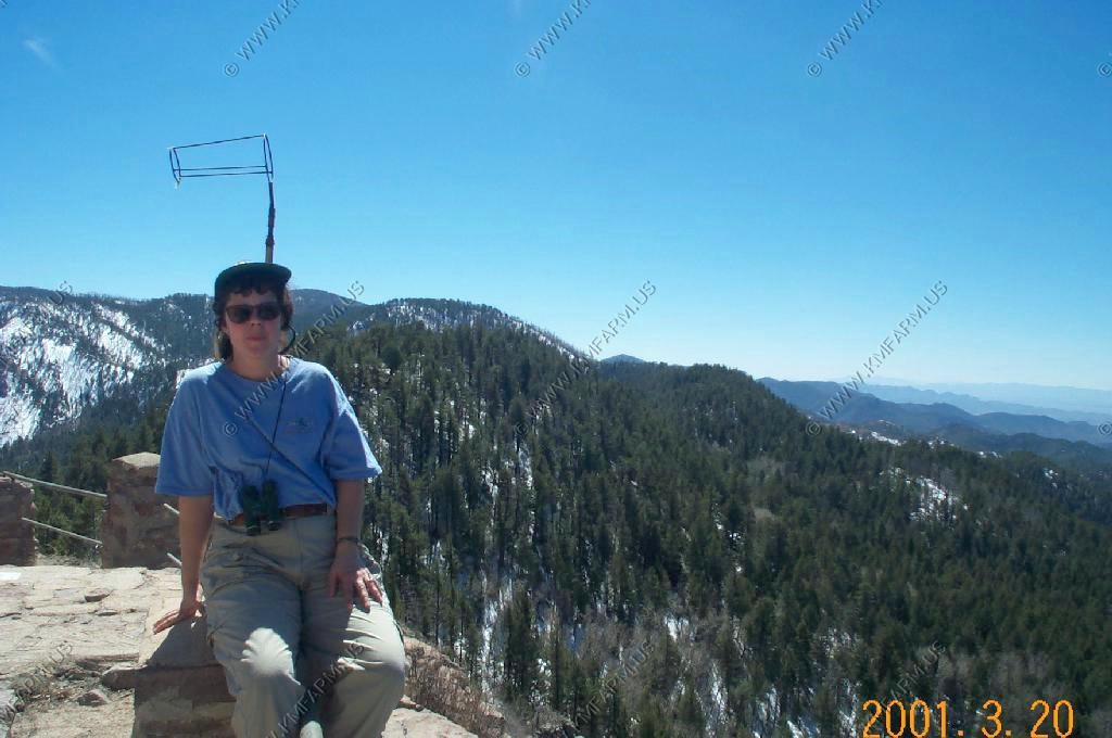
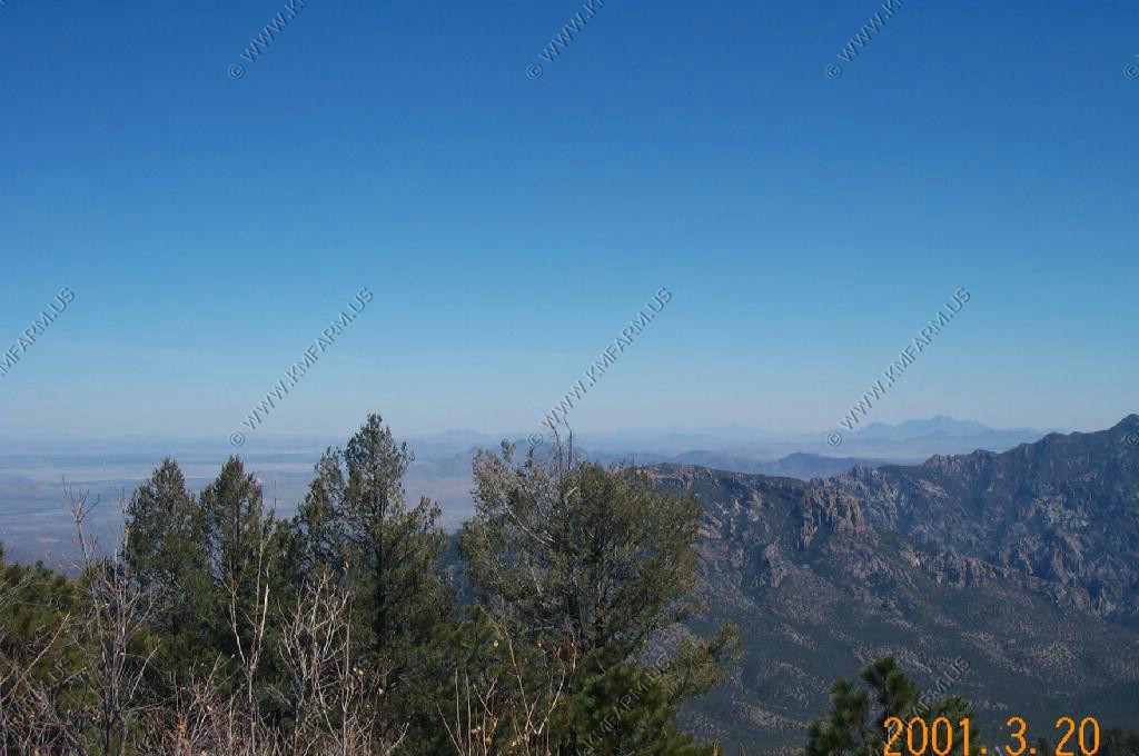
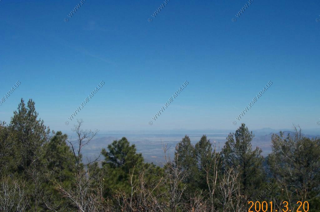
Coronado National Forest barfoot lookout, at 9823 feet, had lovely views!
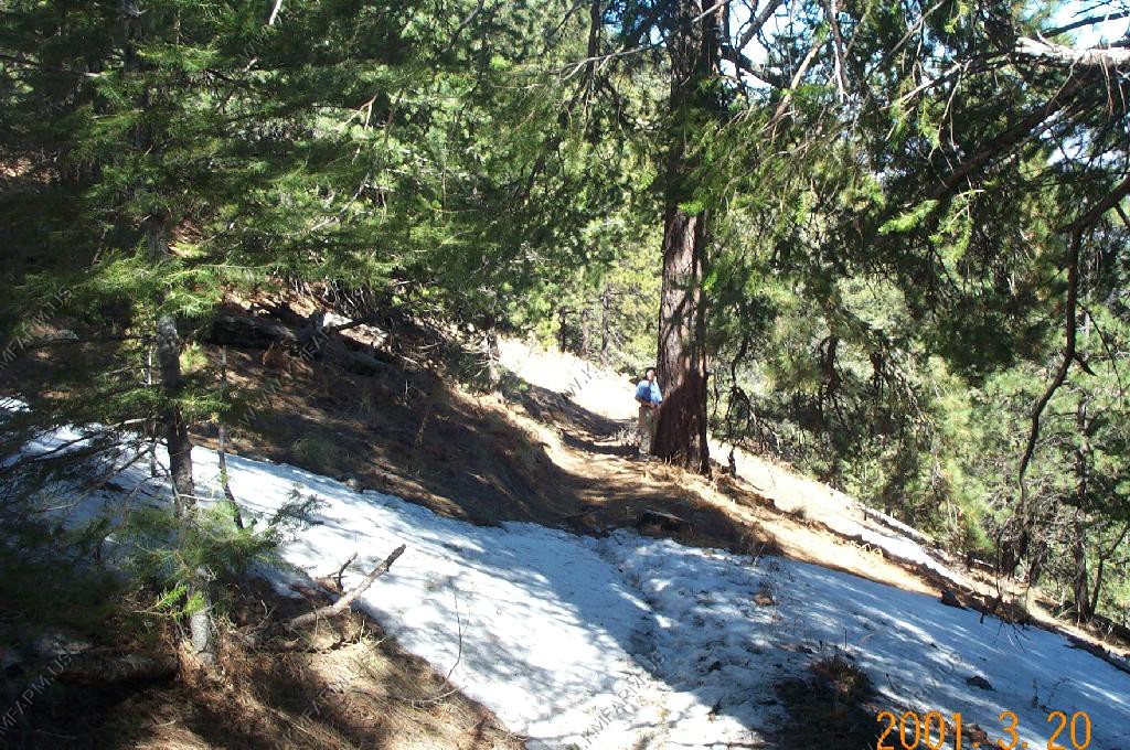
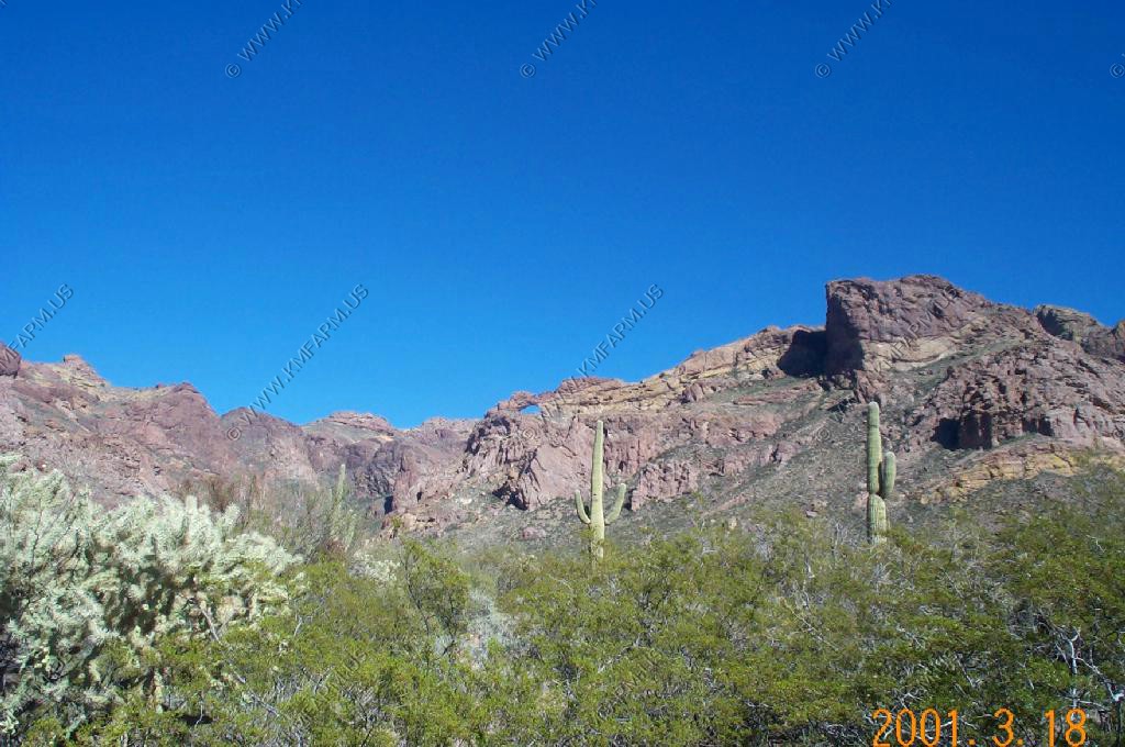
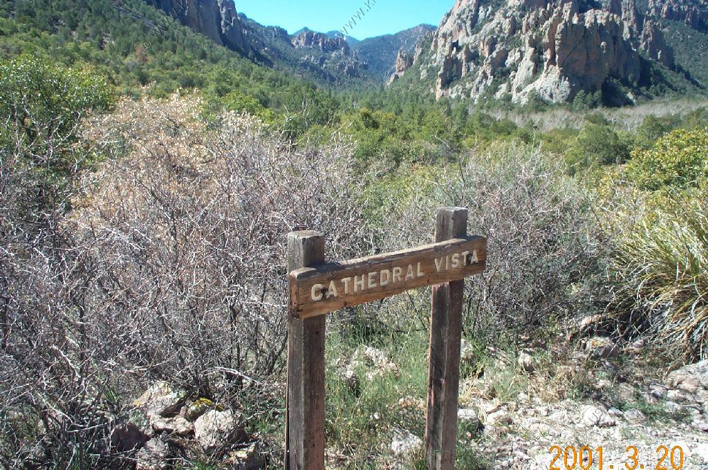
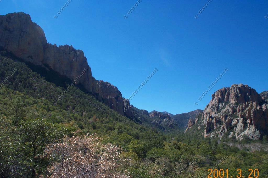
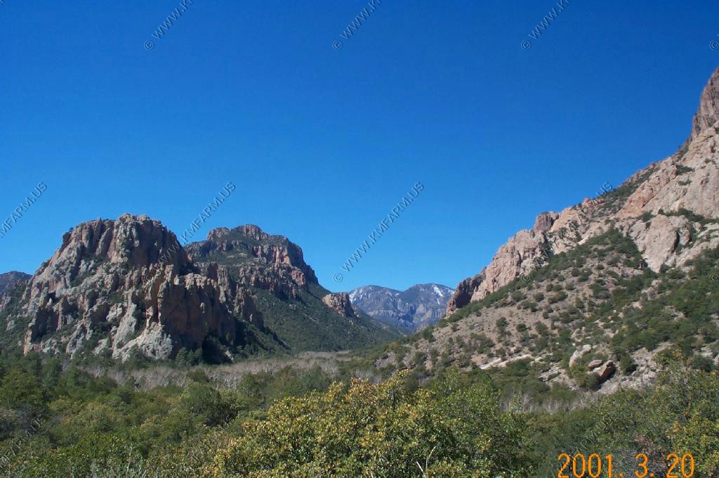
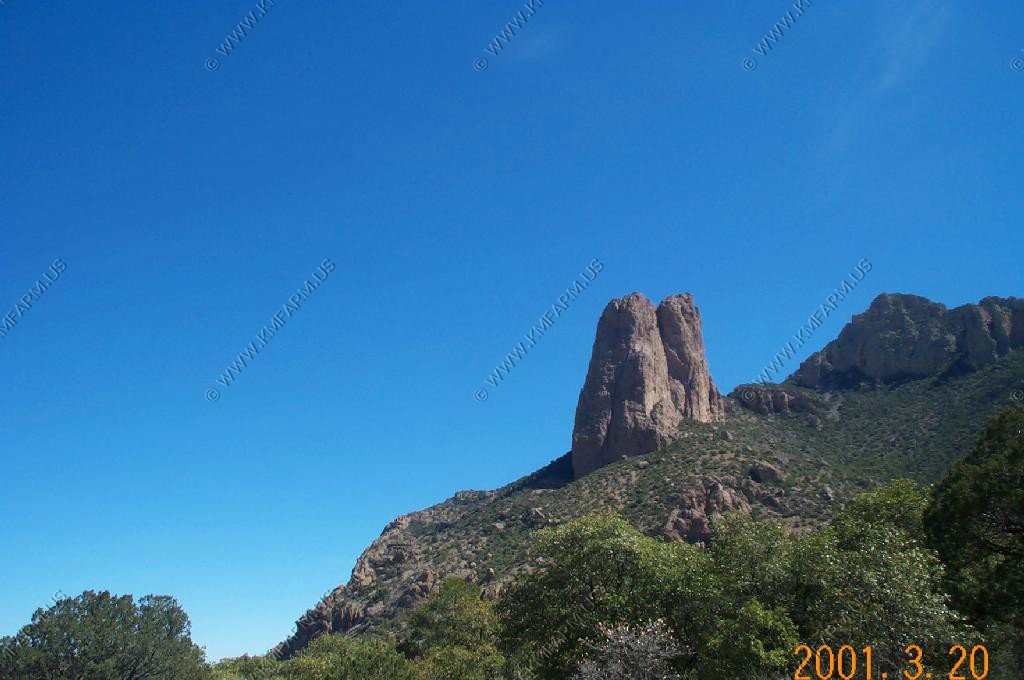
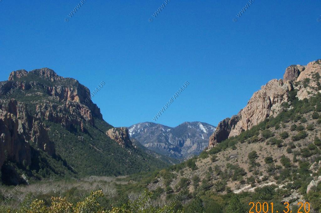
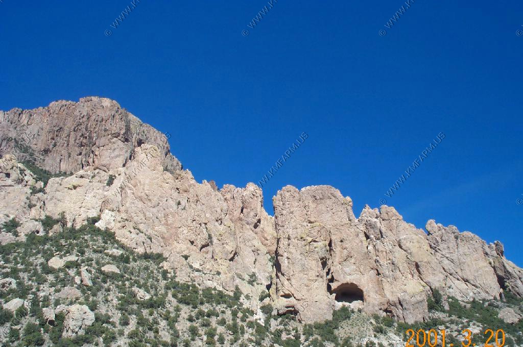
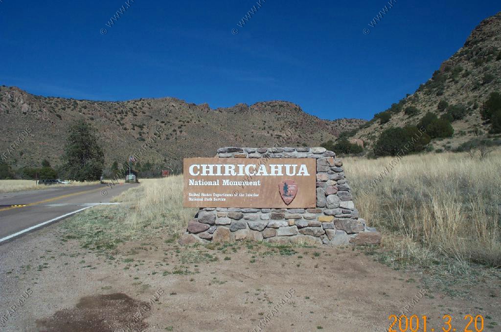
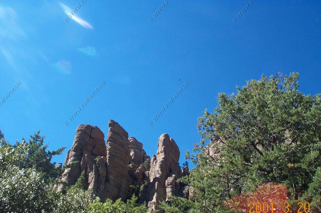
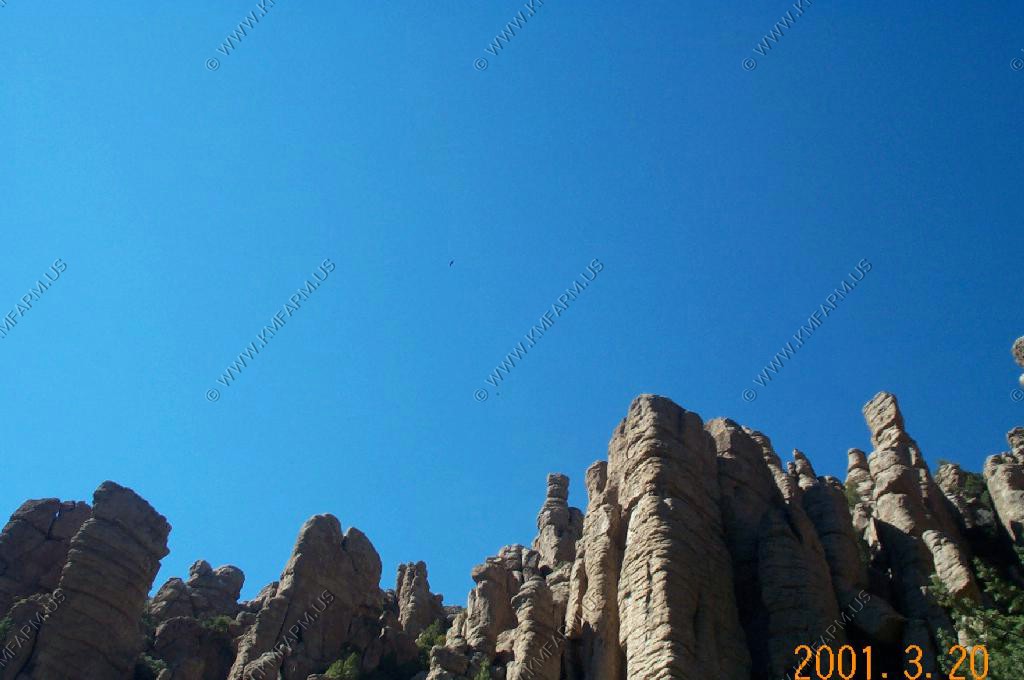
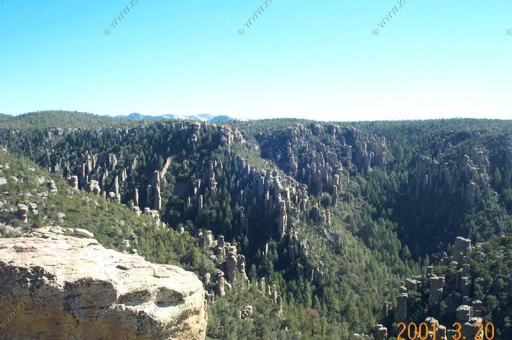
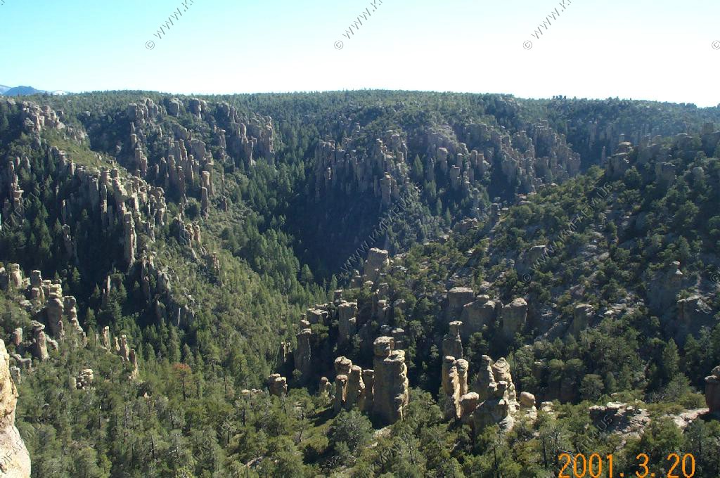
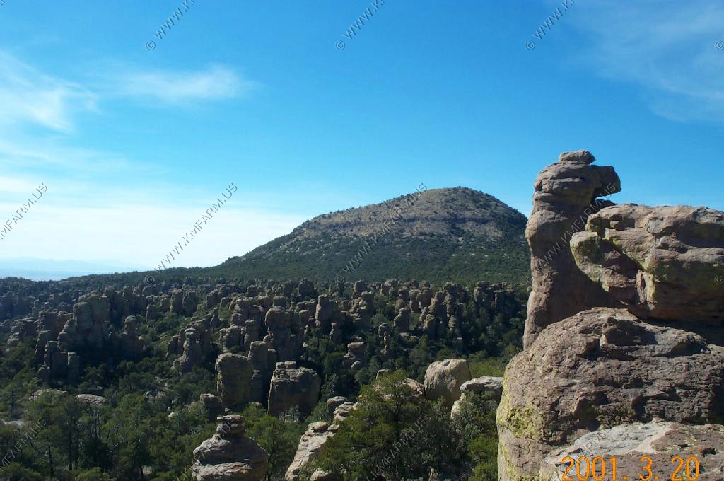
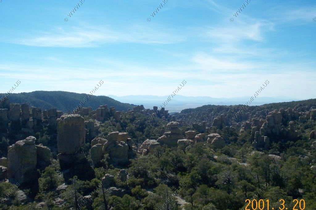
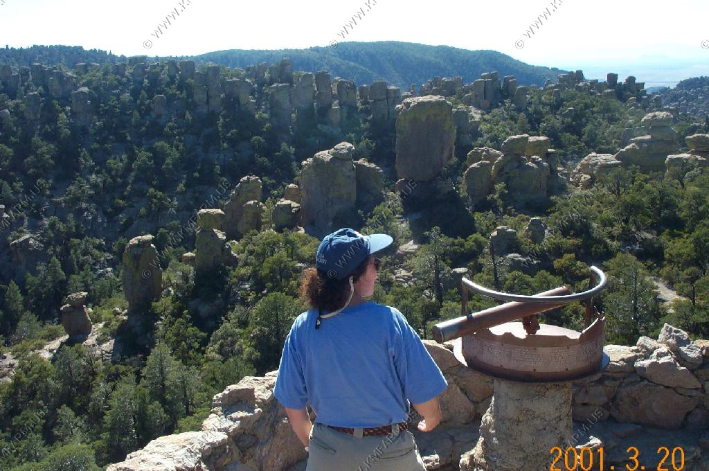
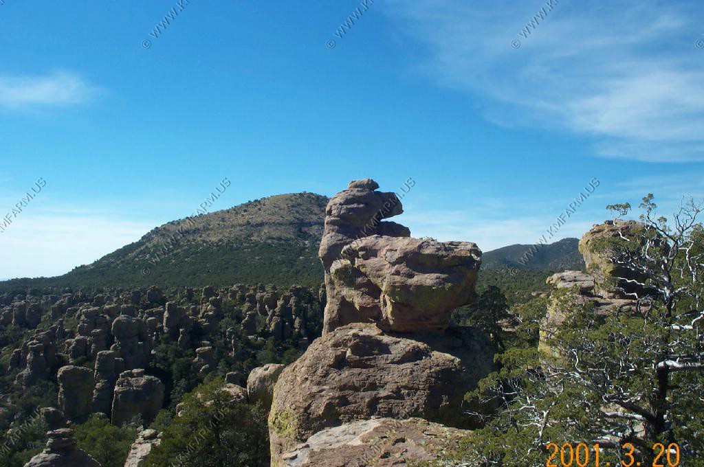
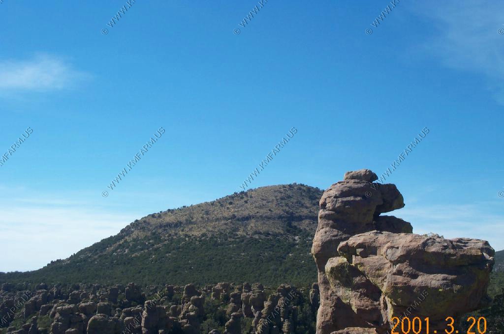
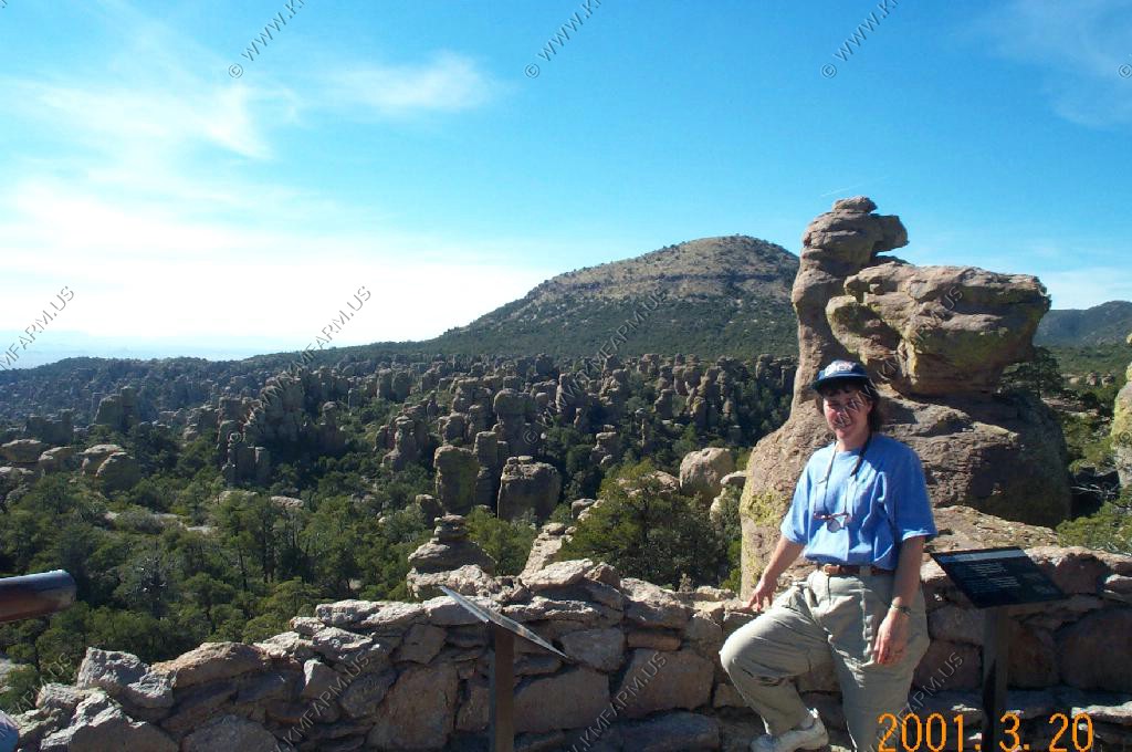
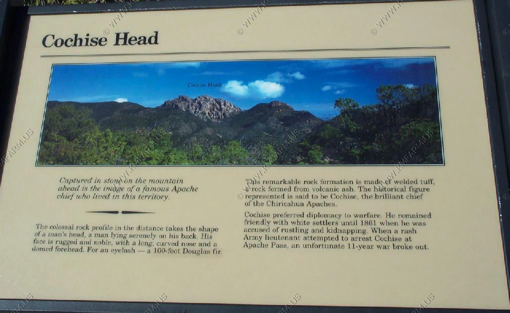
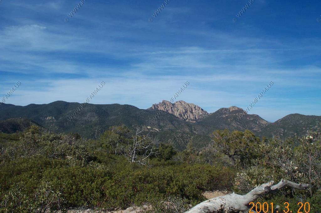
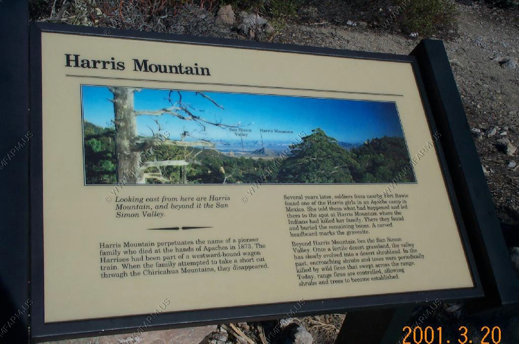
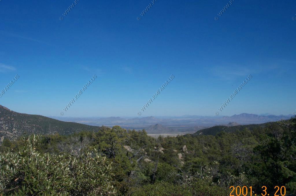
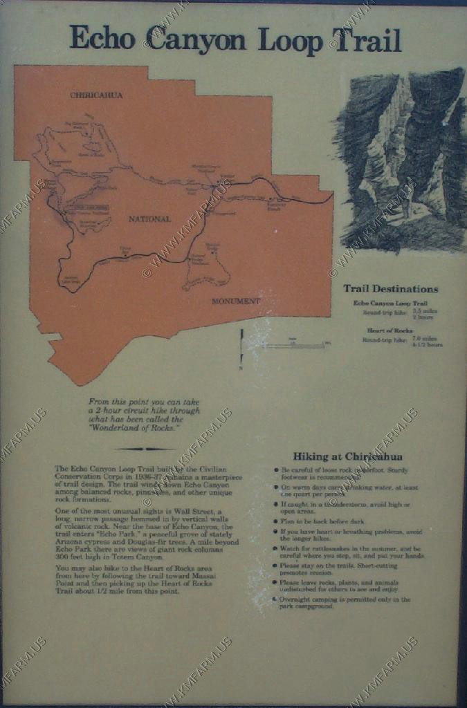
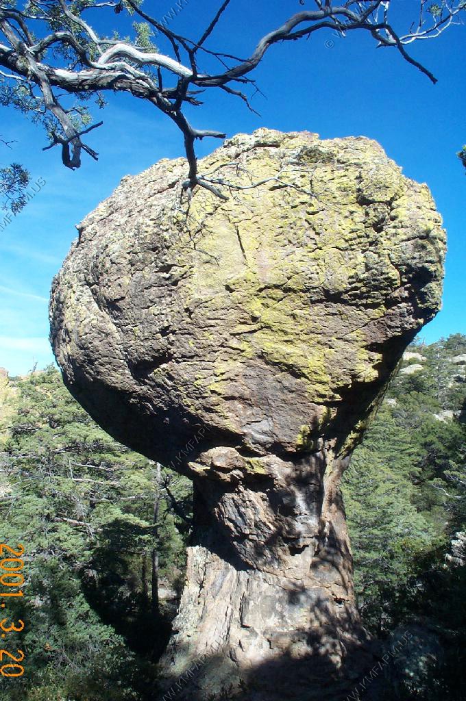
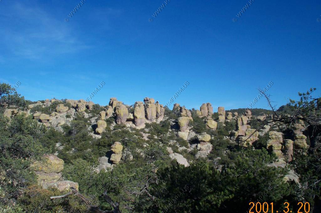
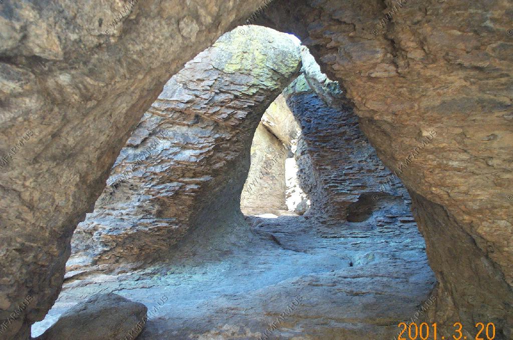
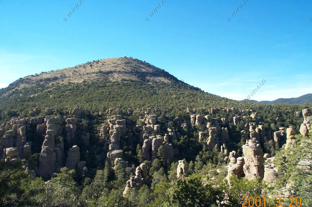
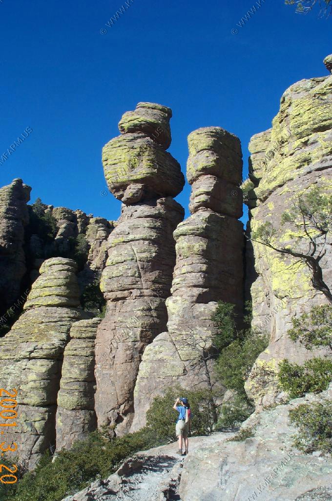
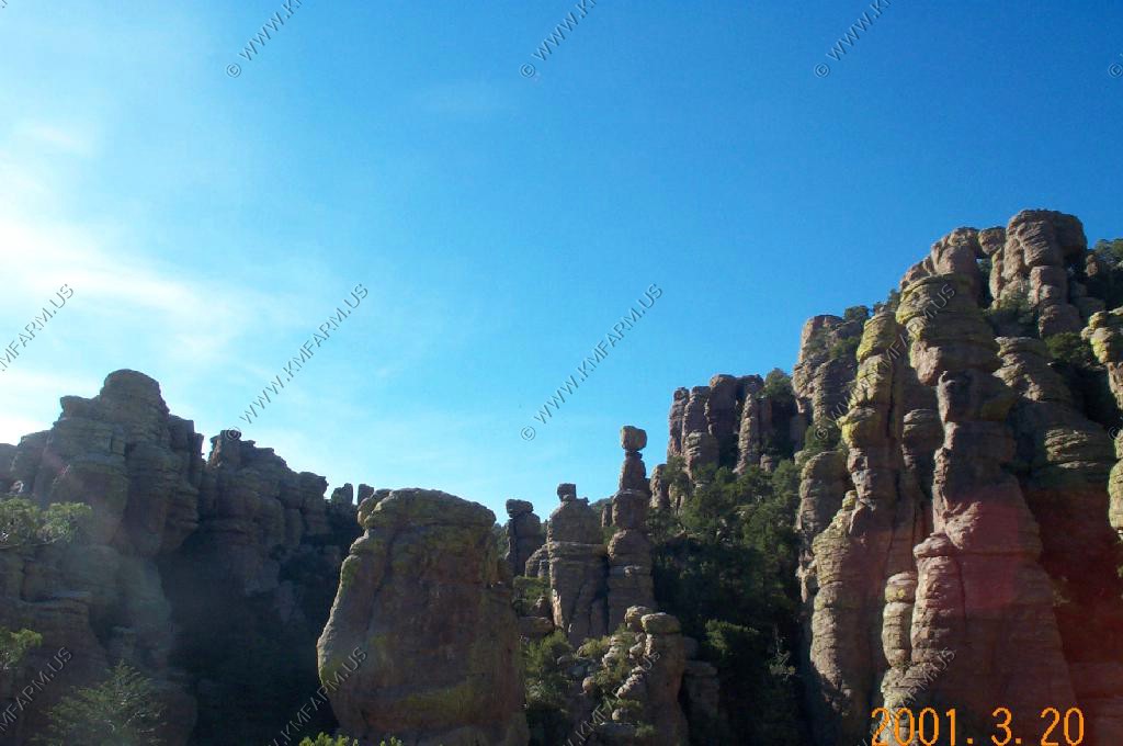
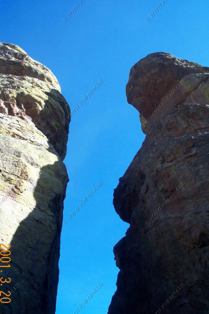
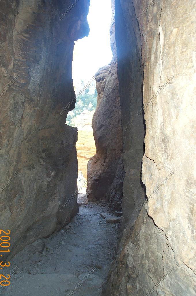
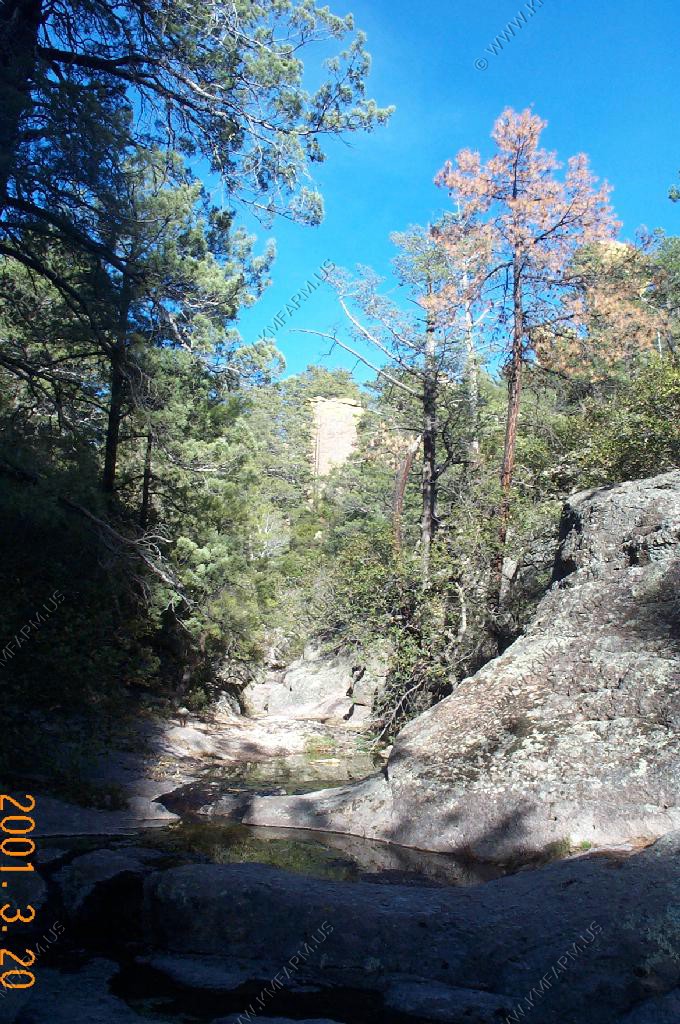
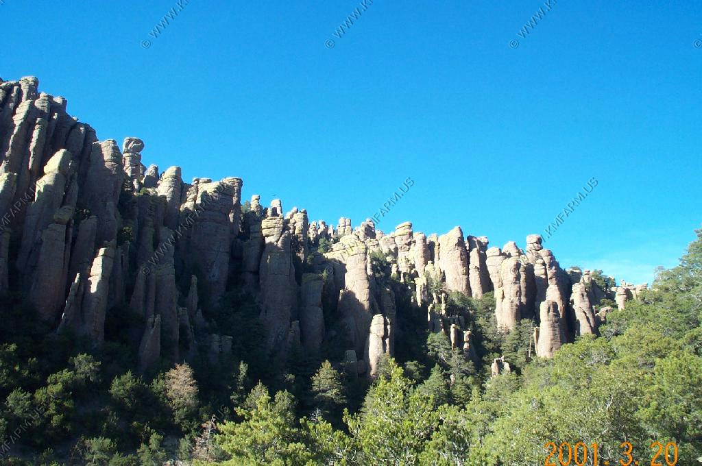
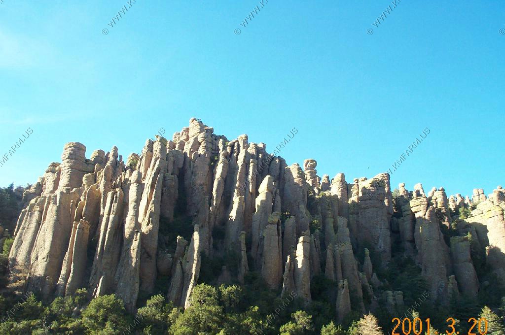
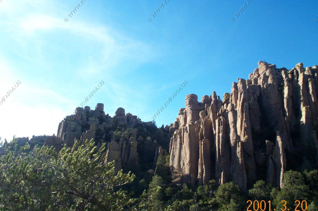
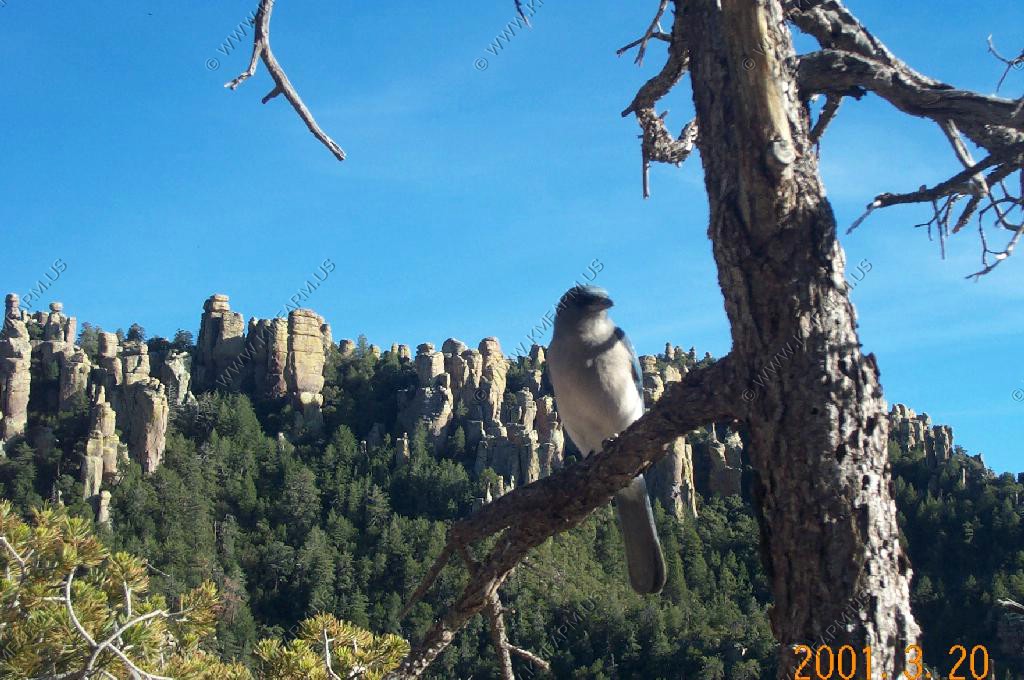
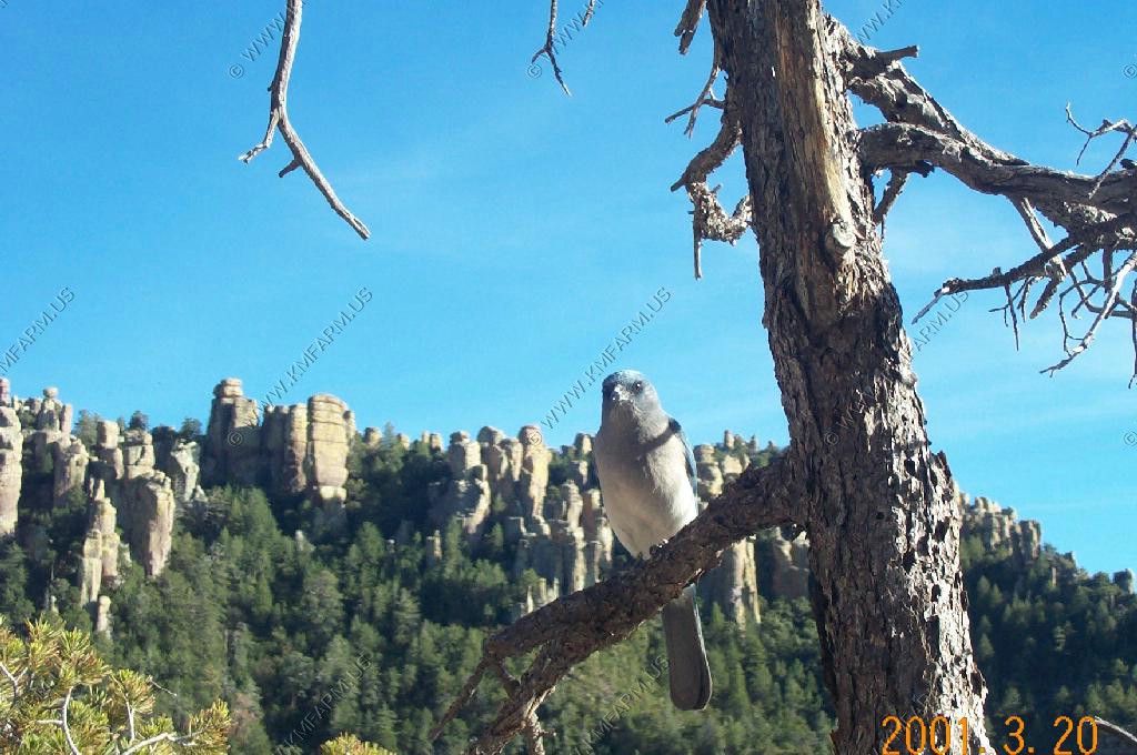
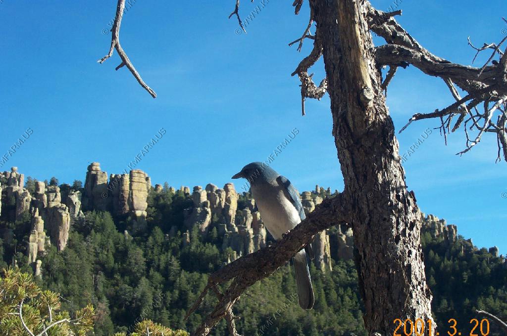
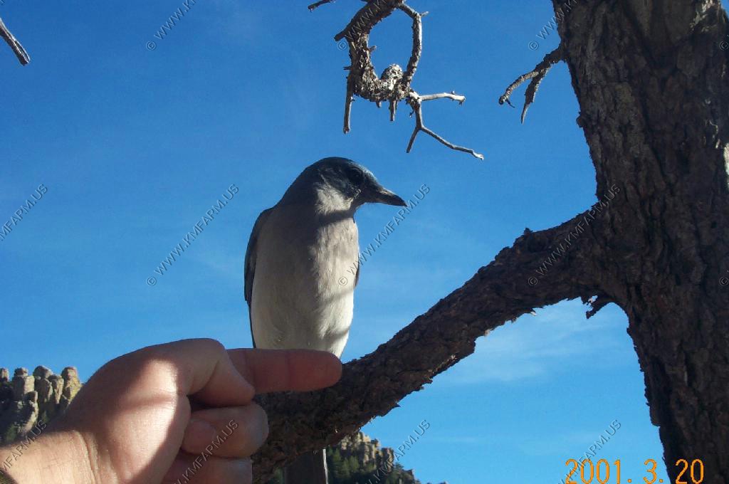
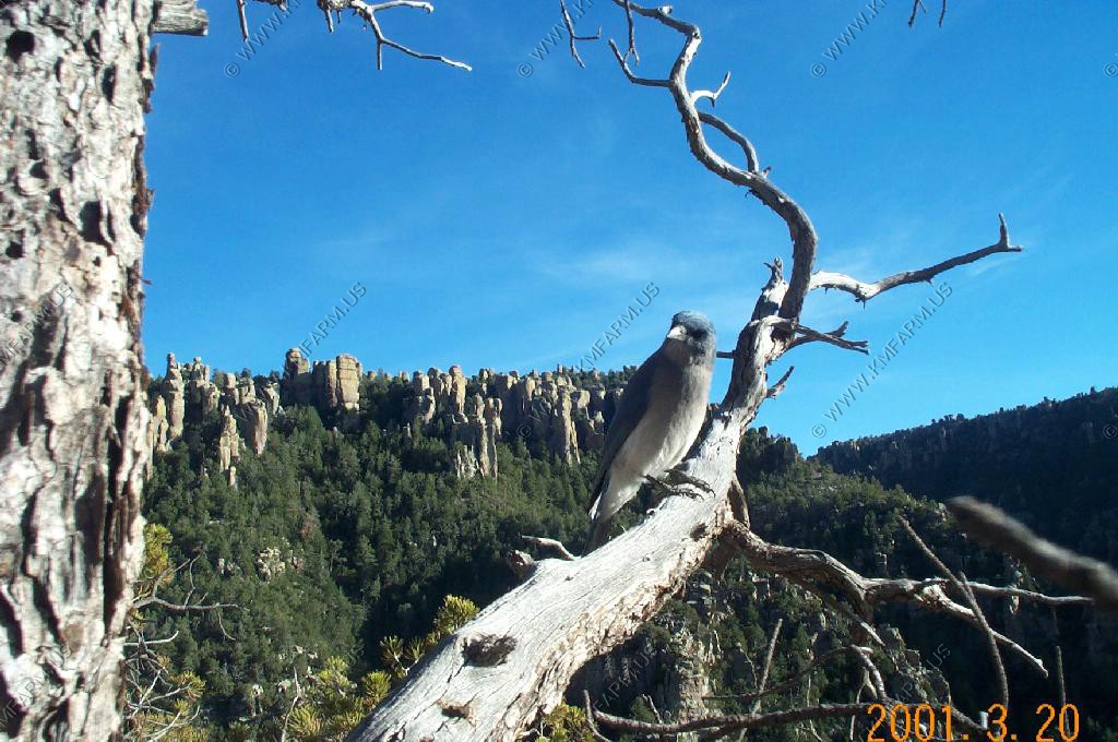
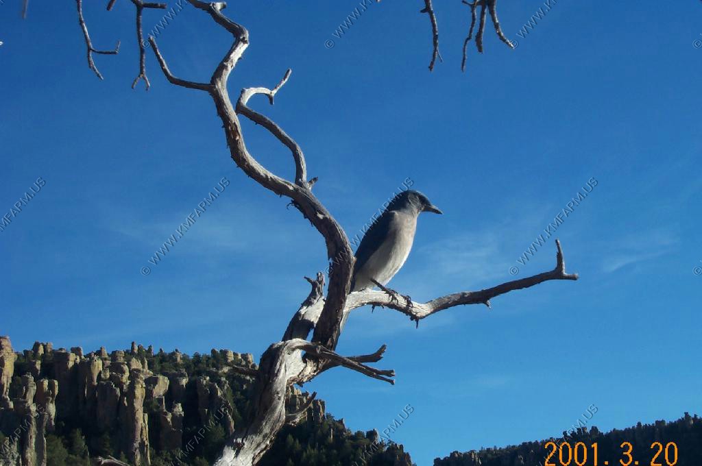
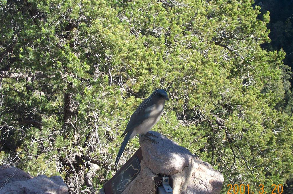
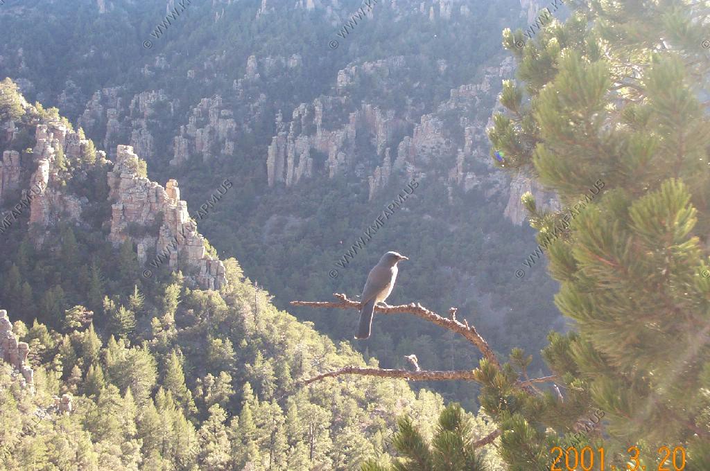
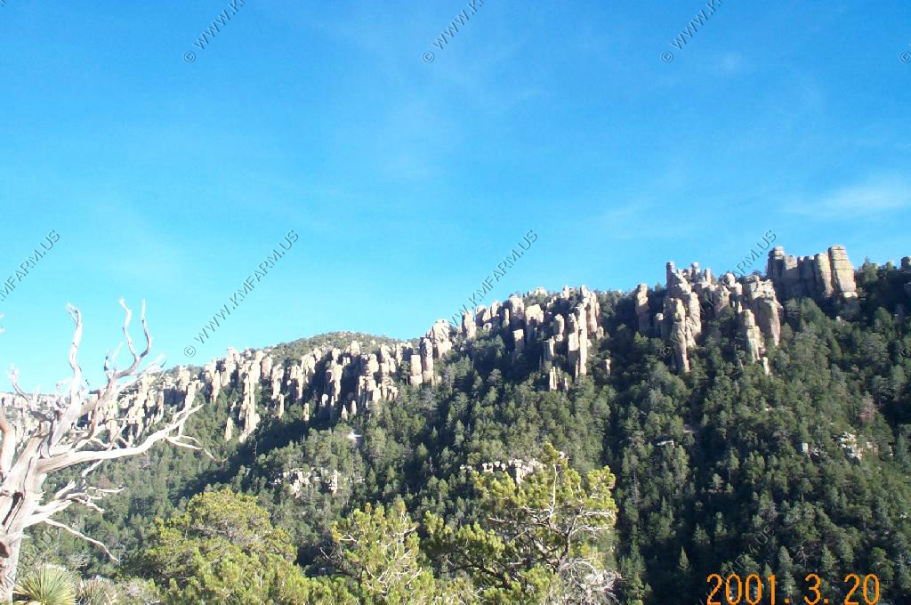
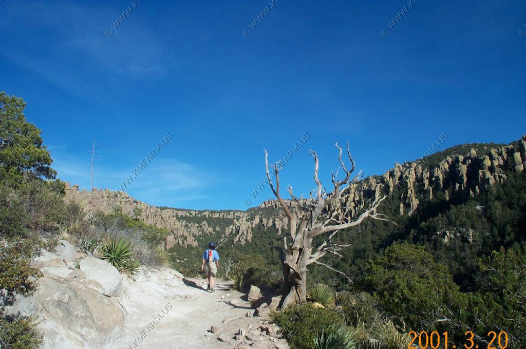
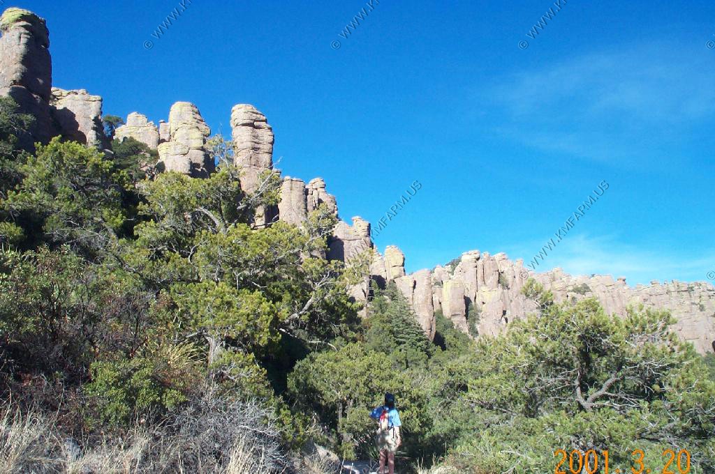
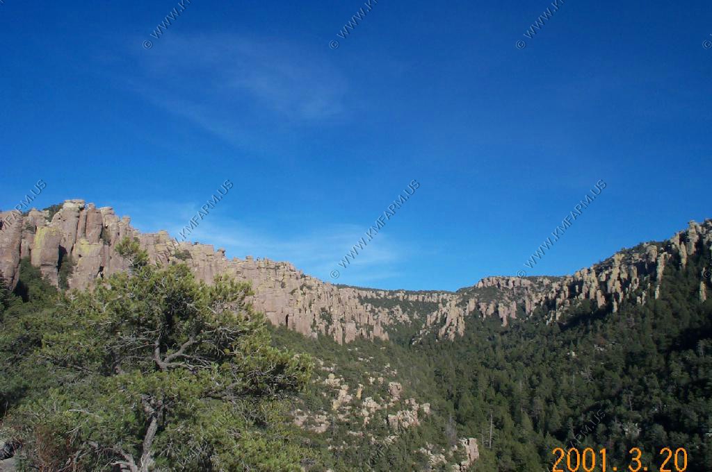
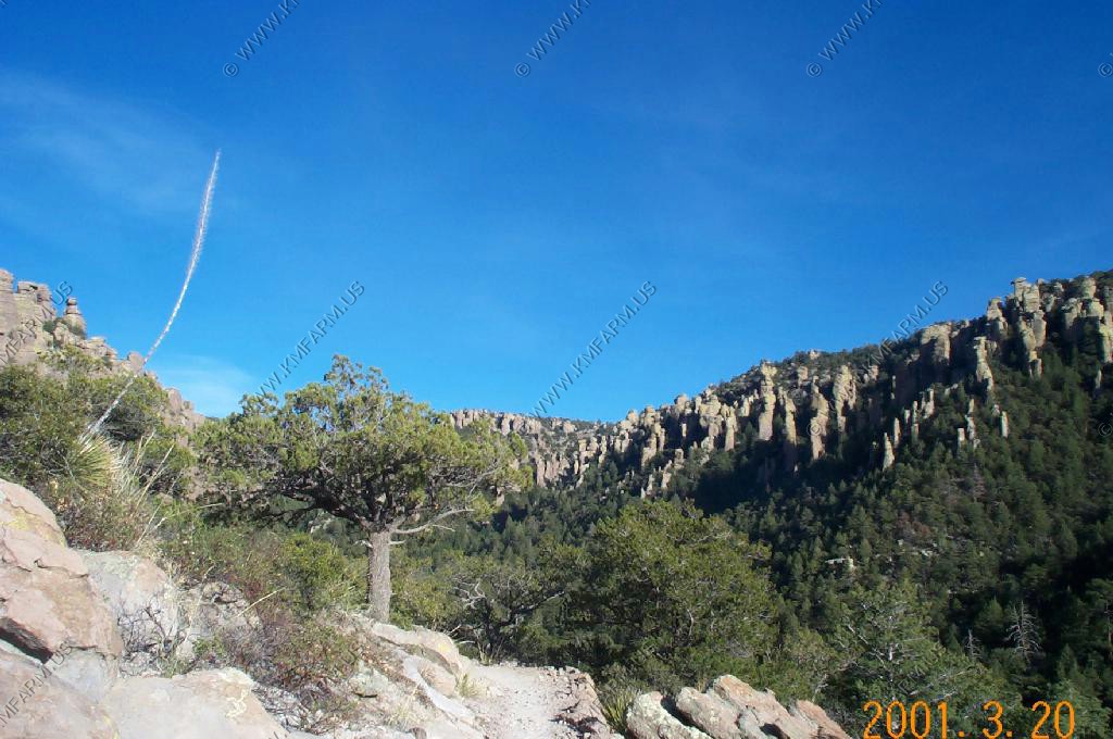
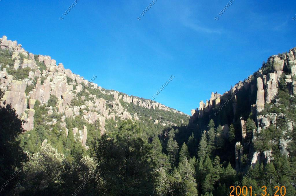
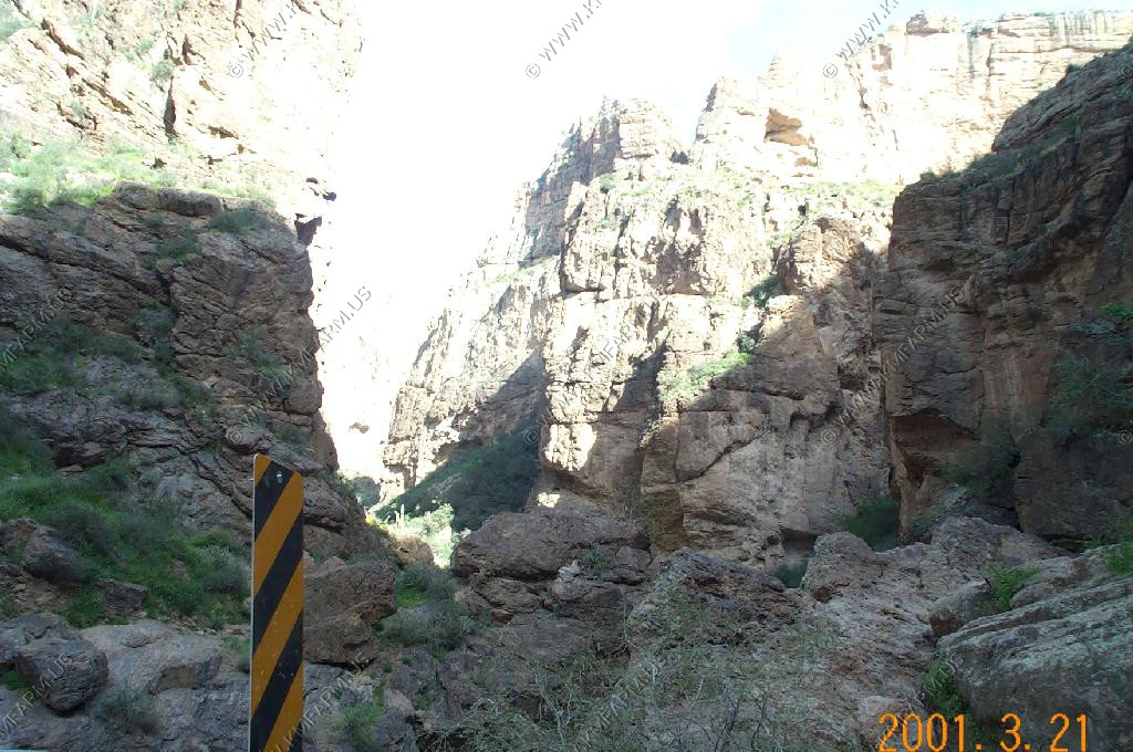
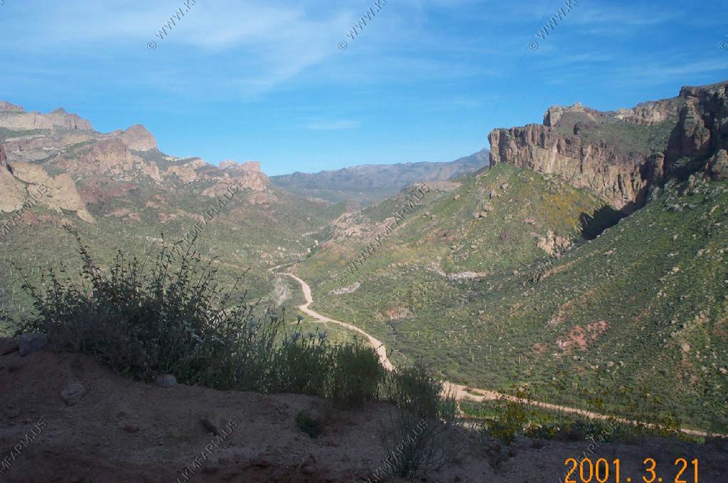
Chiricahua National Monument had some interesting rock formations and outlooks.
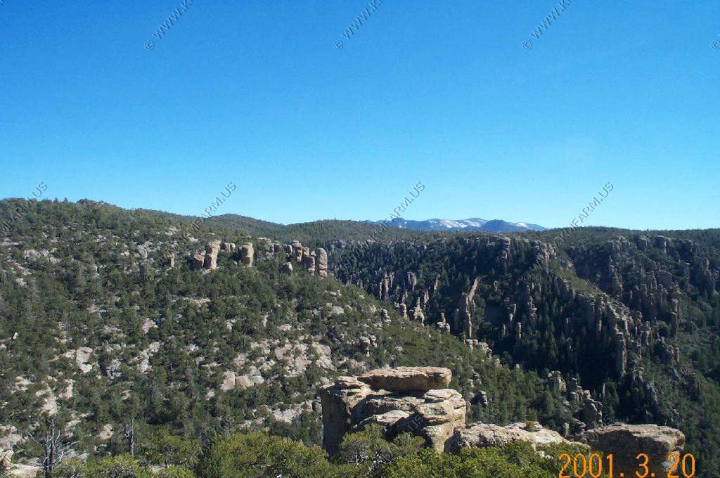
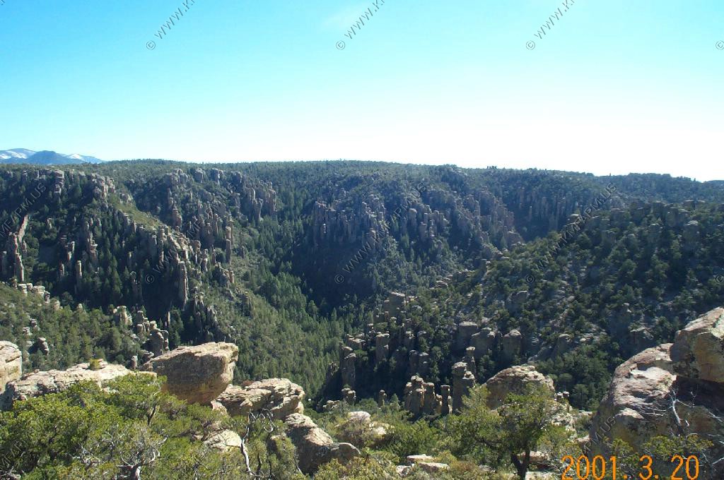
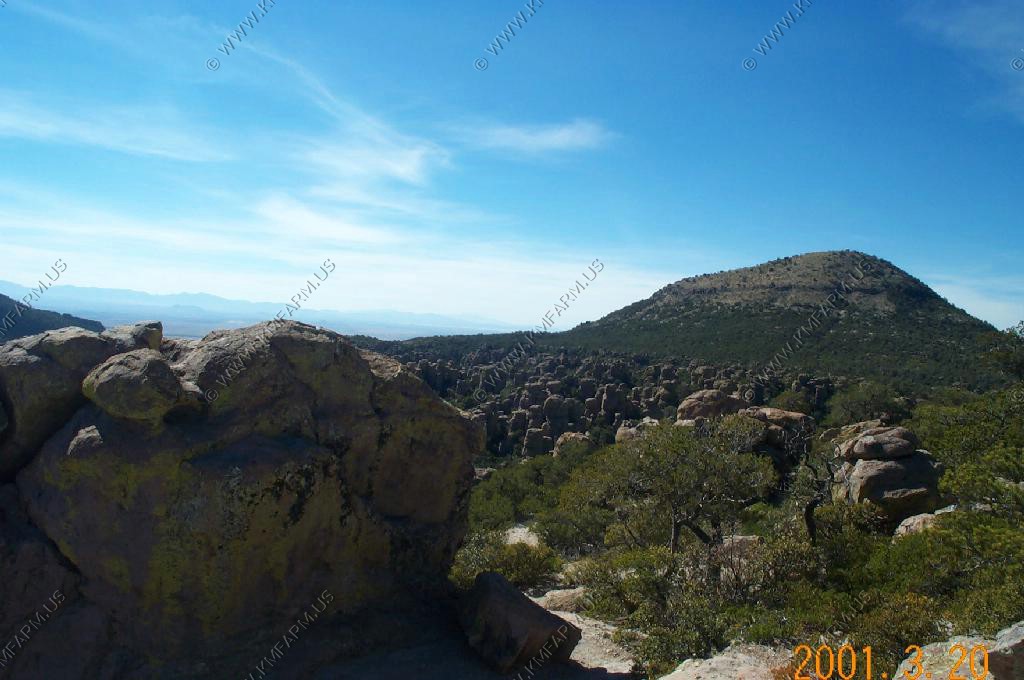
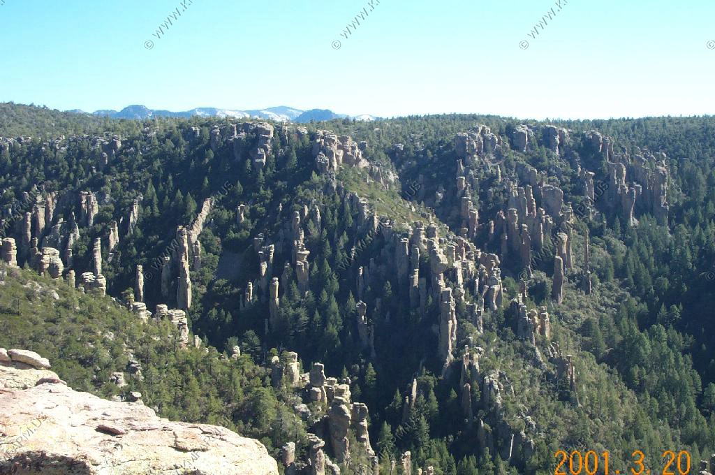
S
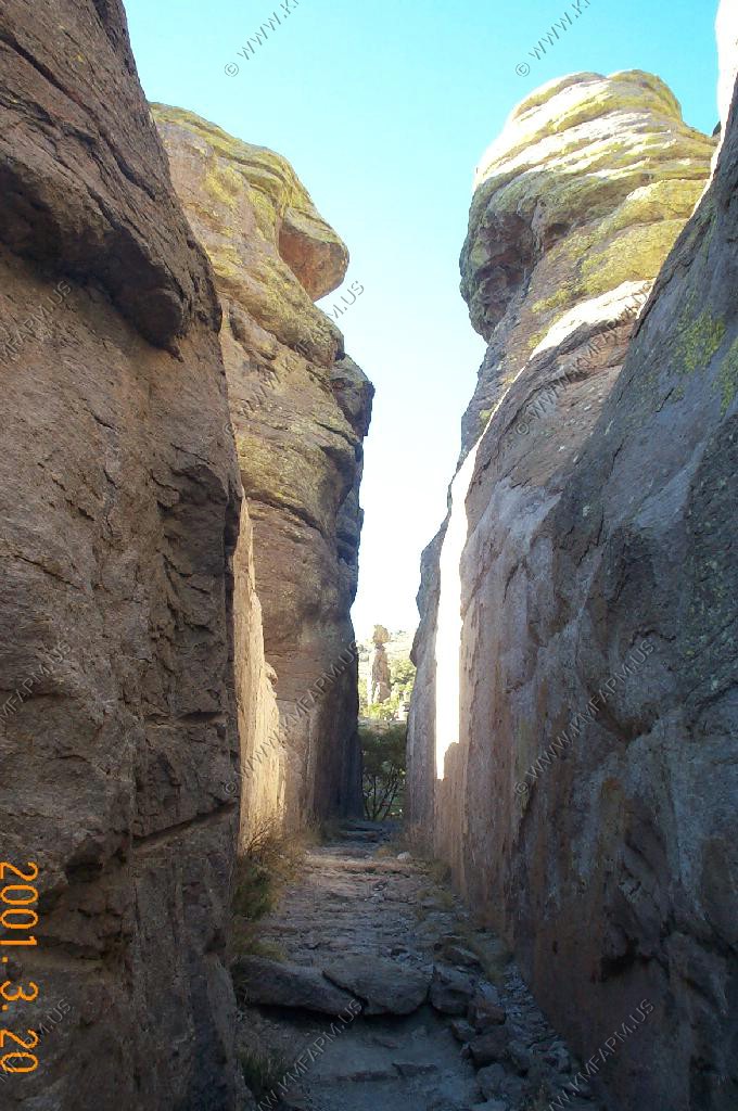
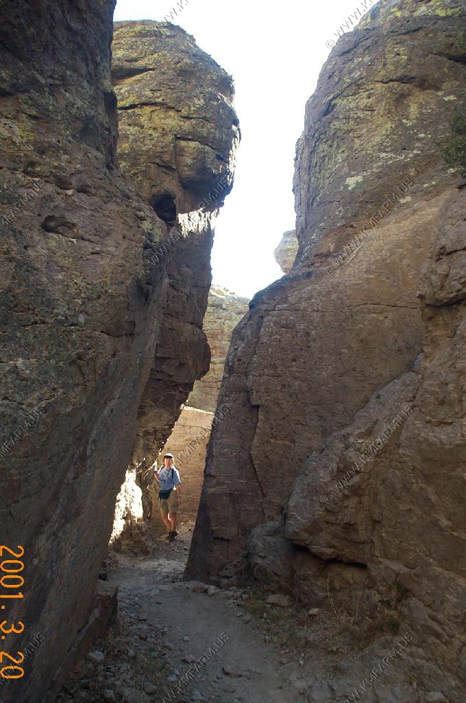
We hiked the Echo Canyon Trail, which was quite enjoyable--weather was great.
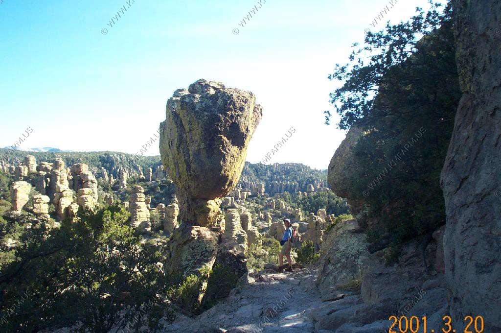
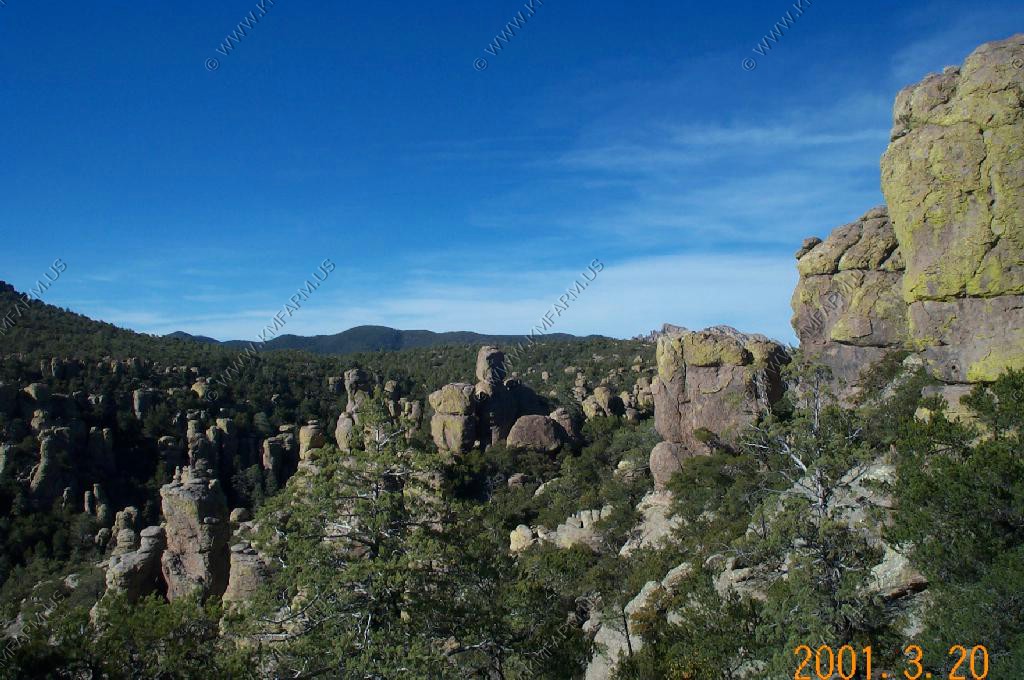
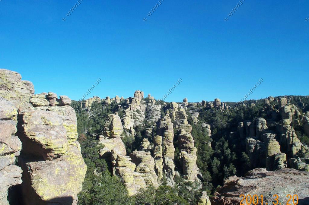
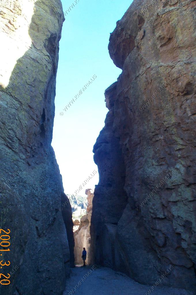
Hiking through "Wall Street."
Ken found these sunglasses along the trail.


Ken loves to play with scorpions
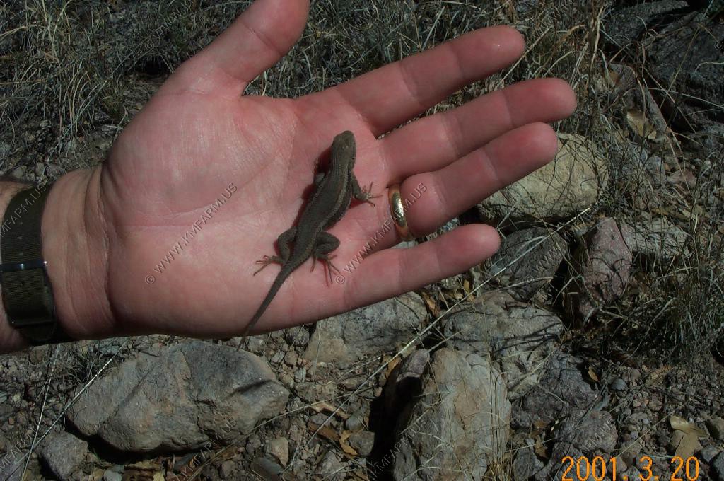
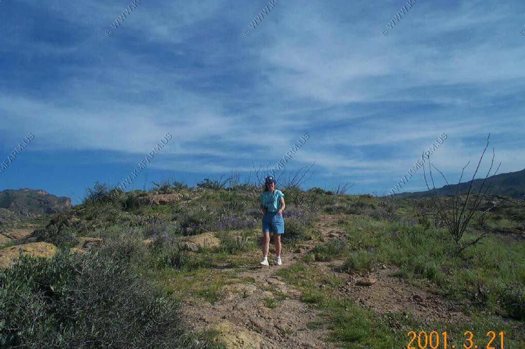
Out for a stroll looking for lizards and desert wildflowers
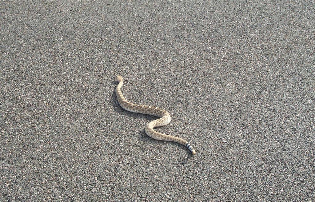
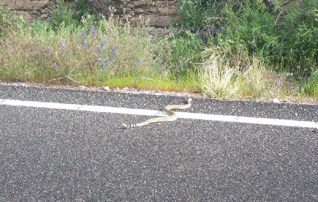
Western diamondback rattlesnake
Phoenix Area
I lived in Phoenix back in 1984-1985. Had not baan back for a number of years and was amazed at the change.
Driving across the Salt River Pima-Maricopa Indian Reservation. Camelback Mountain (El. 2704 ft) is the mountain inthe middle of the photo.
The two small hills are Papago Park. Also, you can see South Mountain (El. 2,690 ft.)
Looking north at the McDowell Mountain's The highest point is Thompson Peak (El. 3,980 ft) Back in 1984 not much was developed around this small mountain range. Now its totally surrounded by developement.
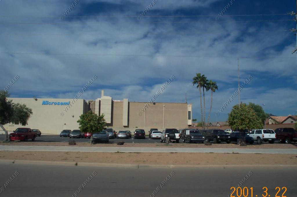
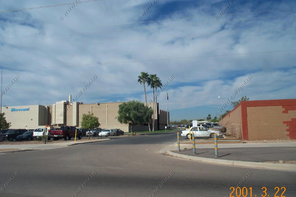
Cademic, Inc. was located before it went out of business due to management issues in late 1984 (Patrick L. Harvey and Roger Baine)
Heading north on Pima road looking at the McDowell Mountain's
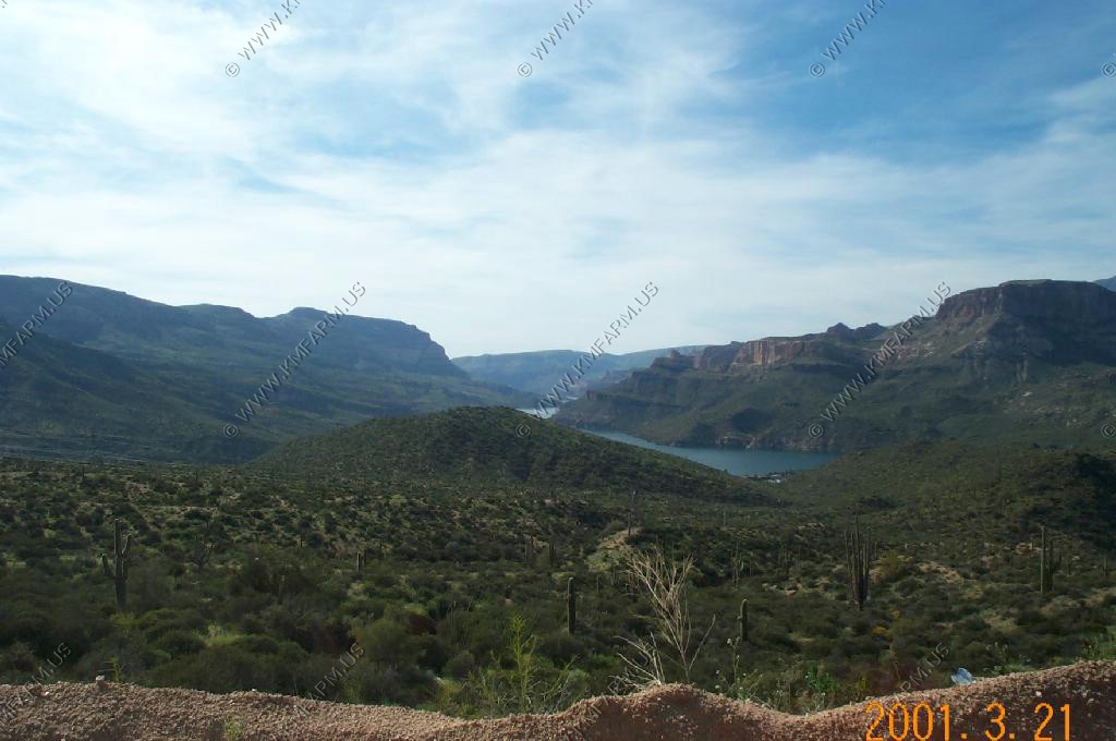
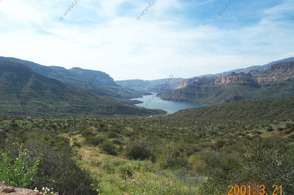
Looking east at Four Peaks over the McDowell Mountain's
Four Peaks, at 7,657 feet in altitude, is a prominent landmark on the eastern skyline of Phoenix, part of the Mazatzal Mountains. It is located in the Tonto National Forest 40 miles east-northeast of Phoenix, in the 60,740 acre Four Peaks Wilderness. During most winters, Four Peaks offers much of the Phoenix metro area a view of snow covered peaks, and is the highest point in Maricopa County.
The name Four Peaks is a reference to the four distinct peaks of a north-south ridge forming the mountain's summit. The northernmost peak is named Brown's Peak and is the tallest of the four at 7,657 feet. The remaining summits are unnamed, and from north to south are 7,642 feet, 7,575 feet and 7,524 feet in altitude.
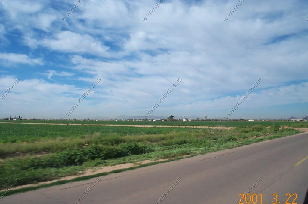
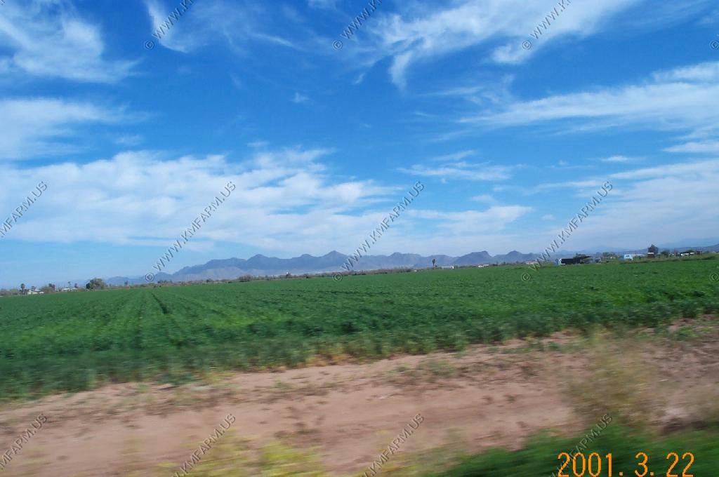
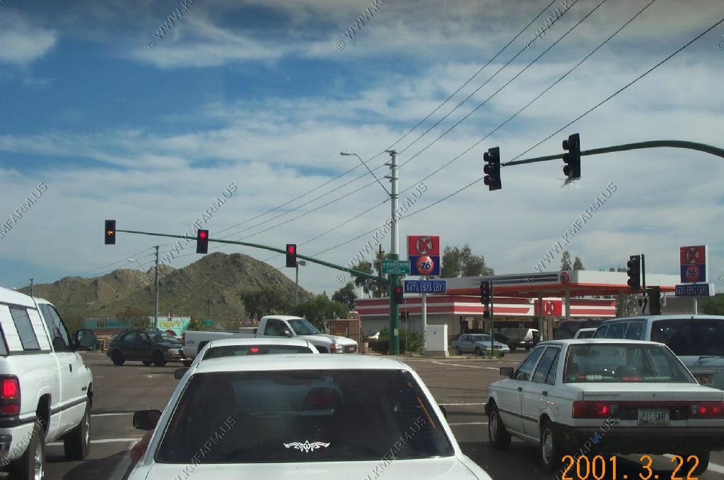
Circle K at Pima and Cactus road. In 1984 this was nothing but farmland !

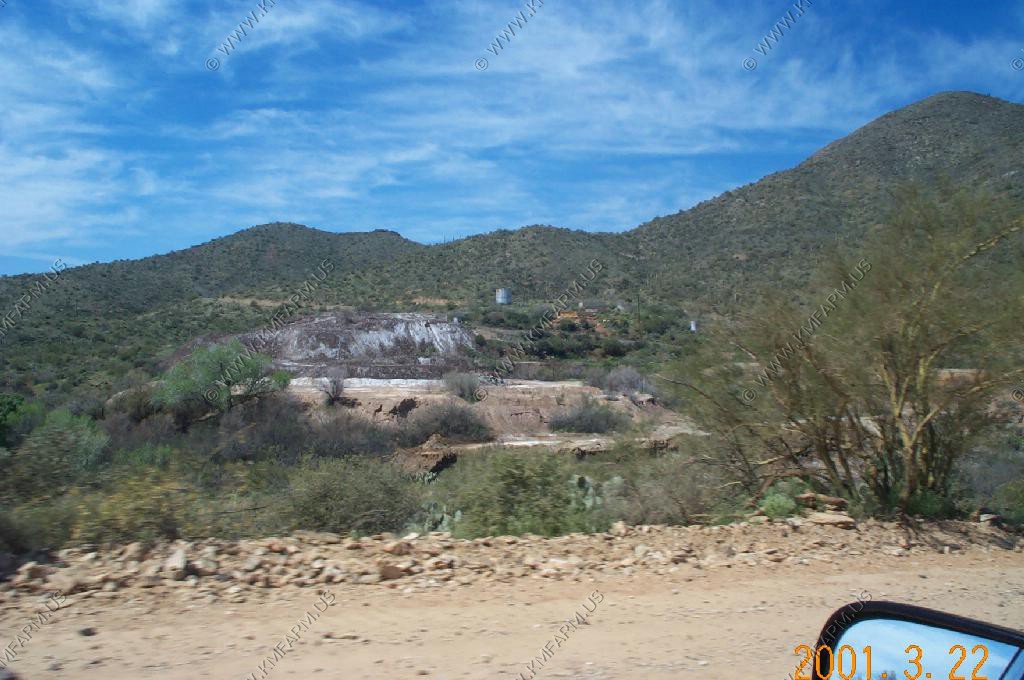
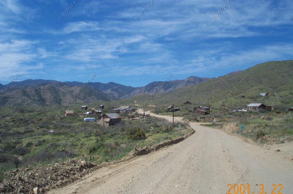
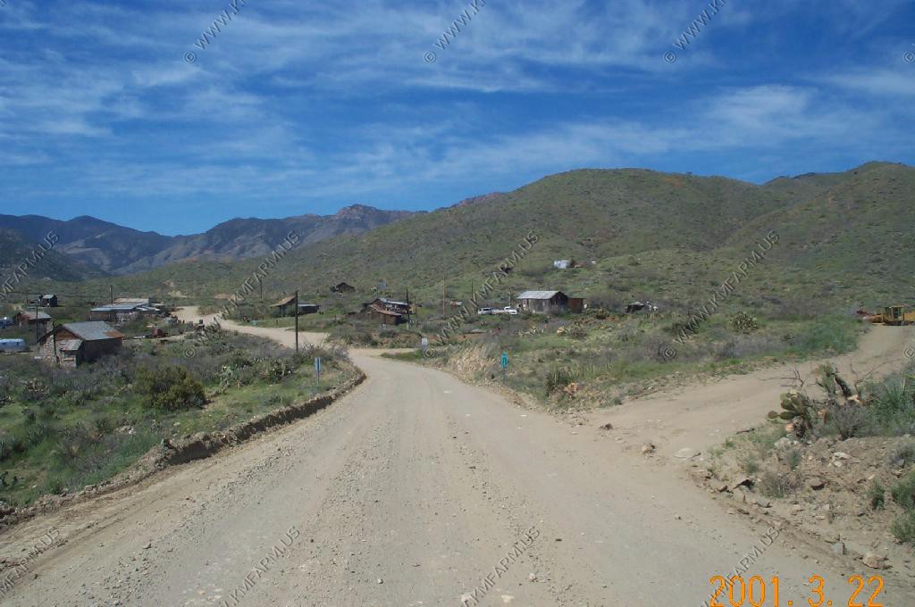

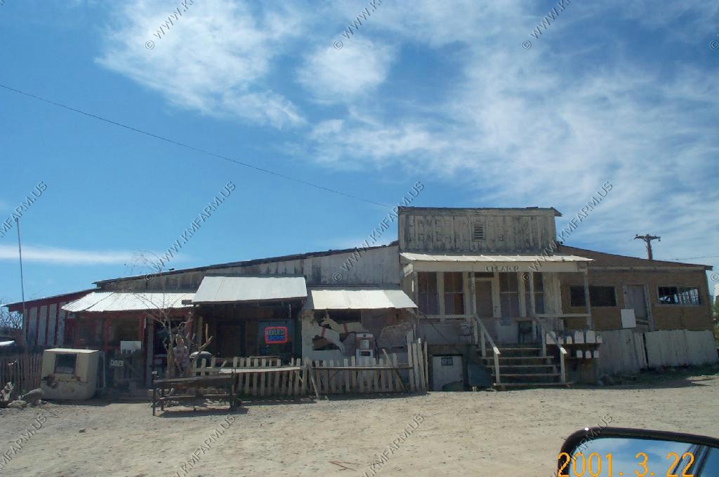

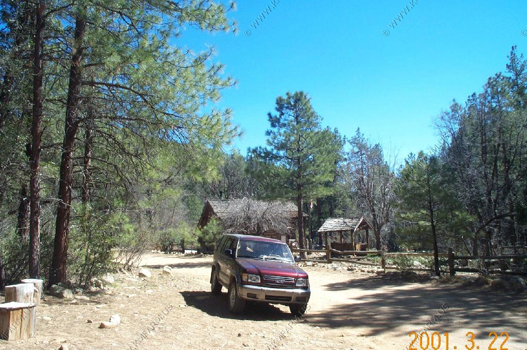
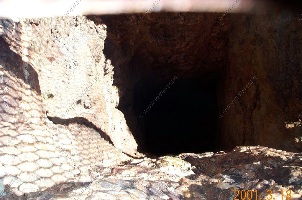
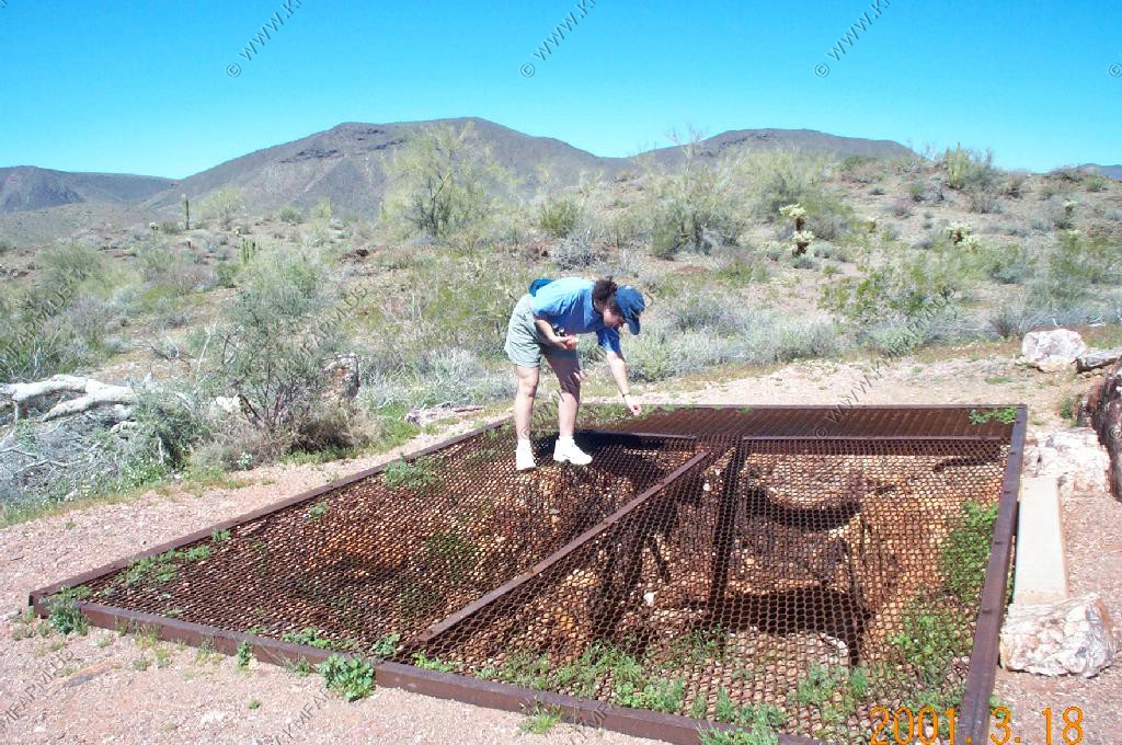
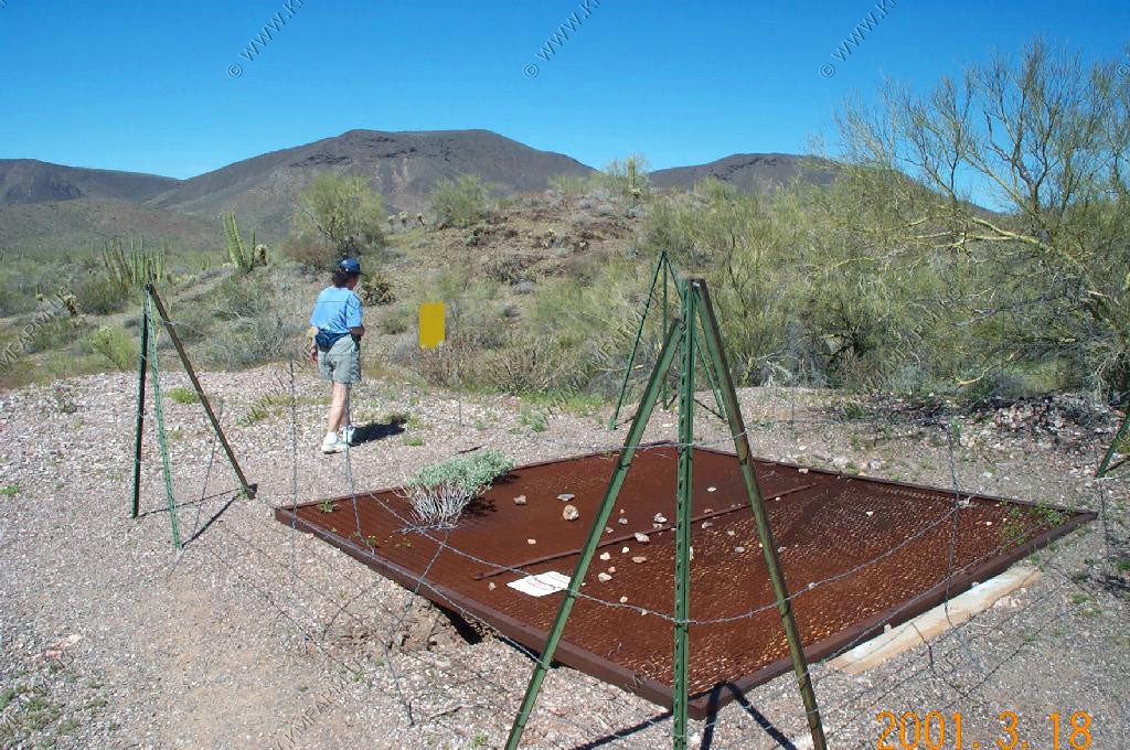
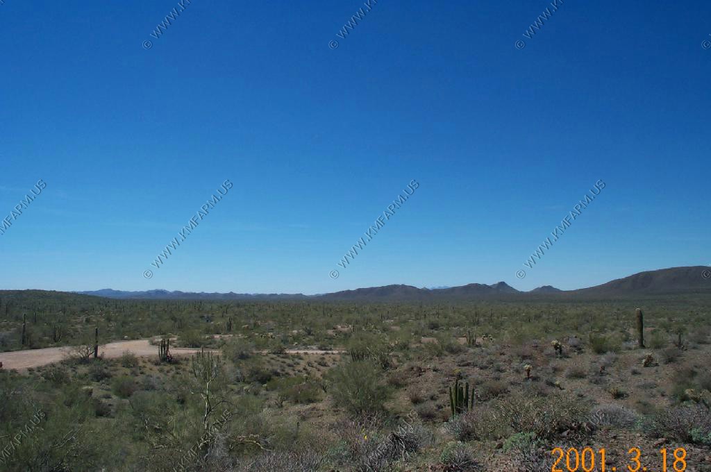
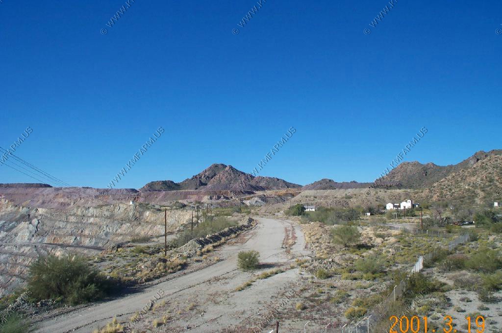
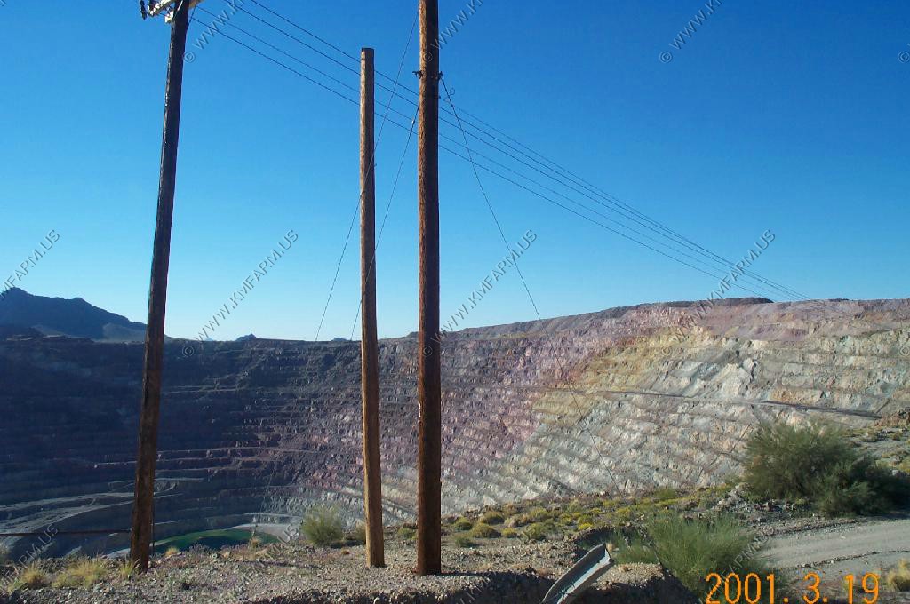
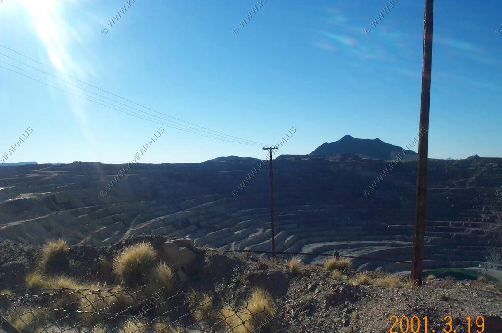
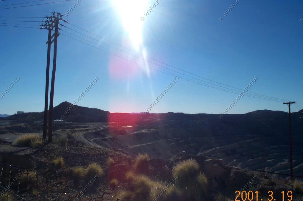
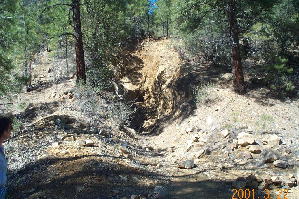
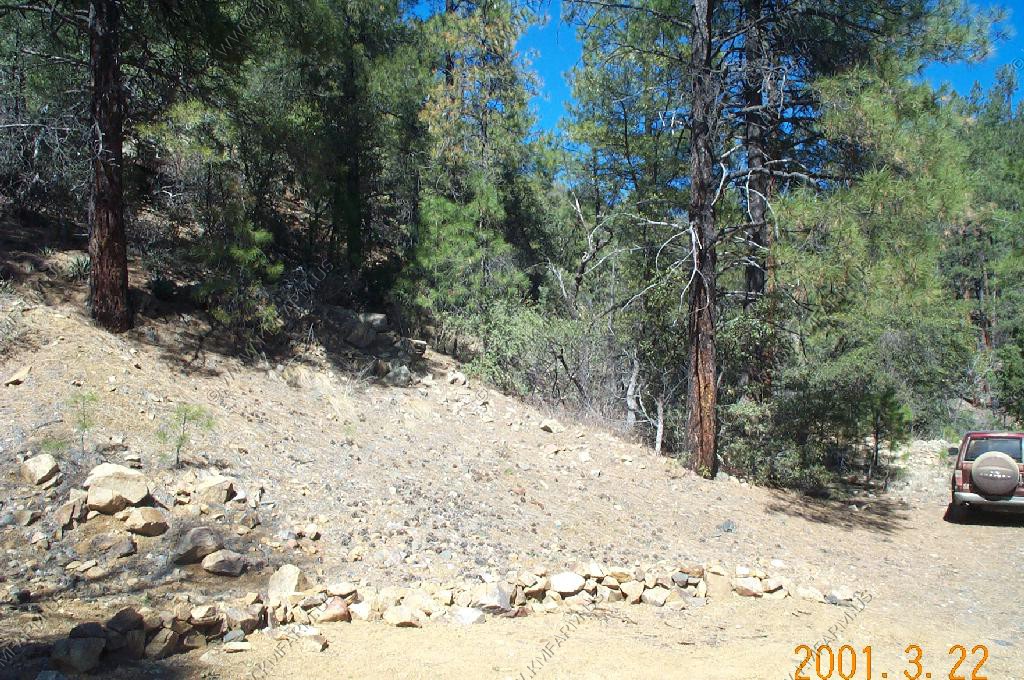
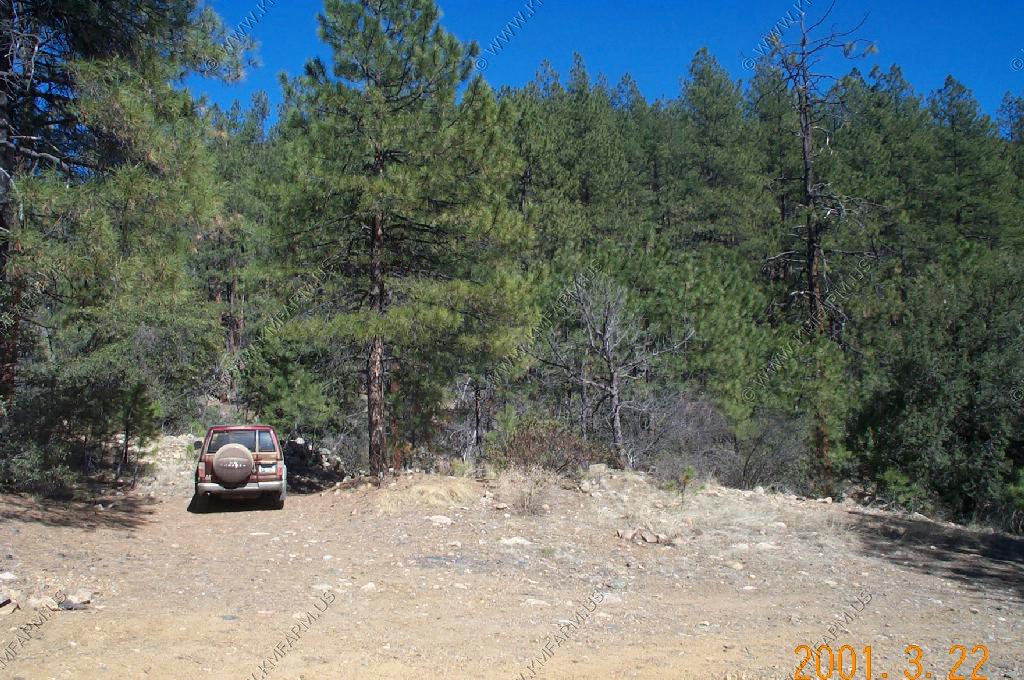
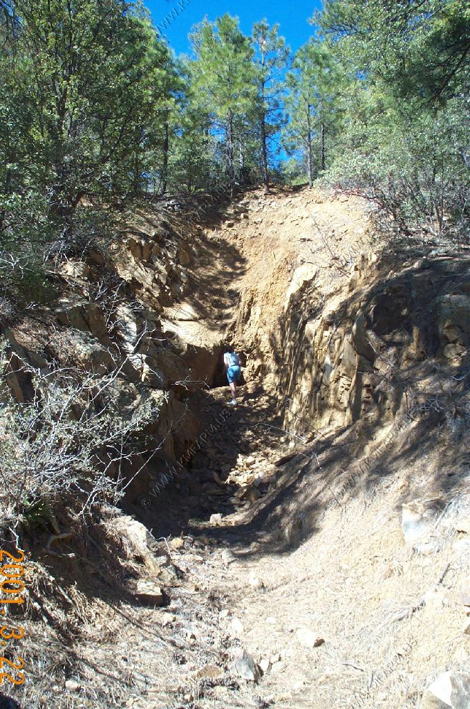
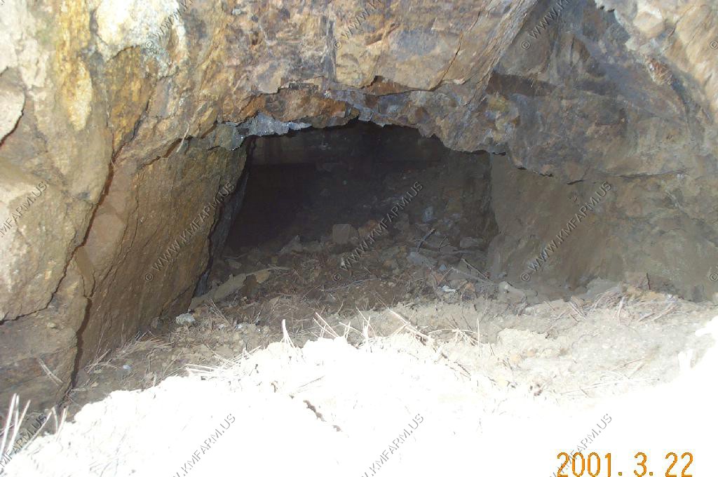
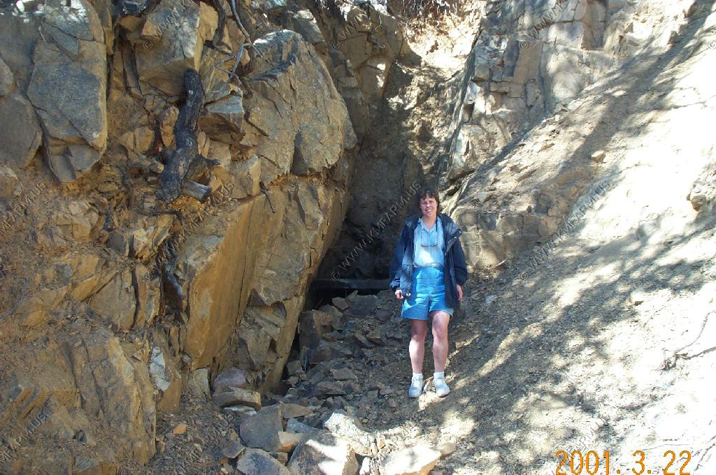
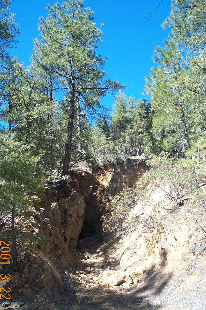
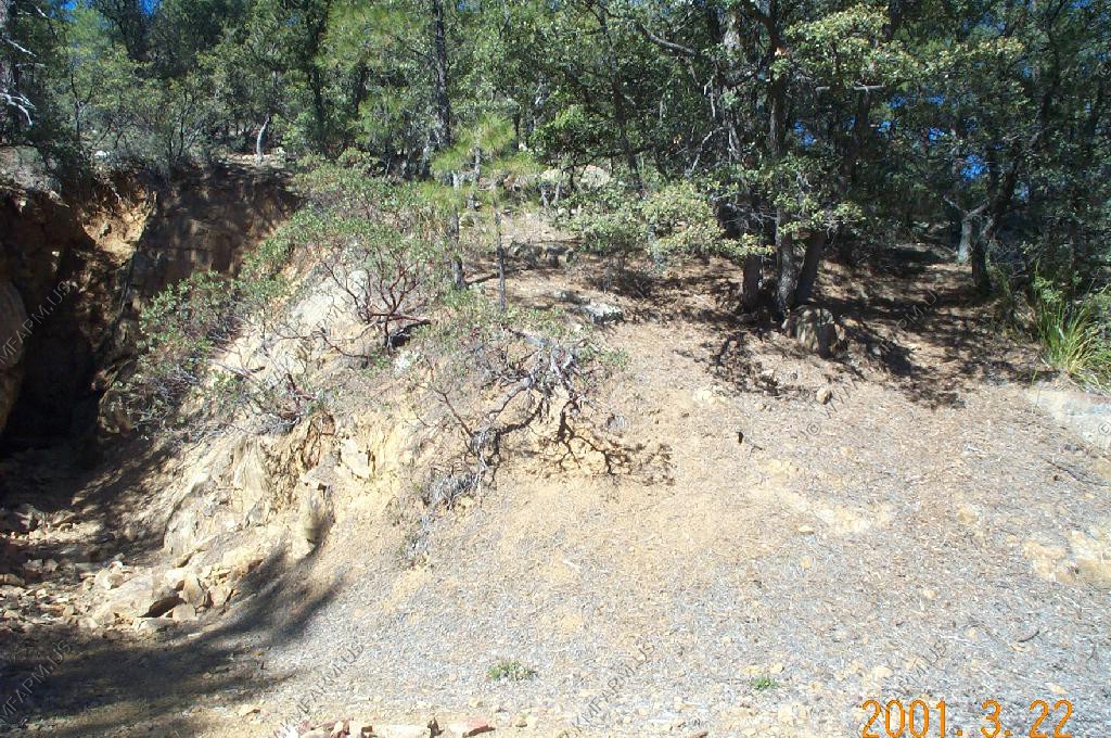
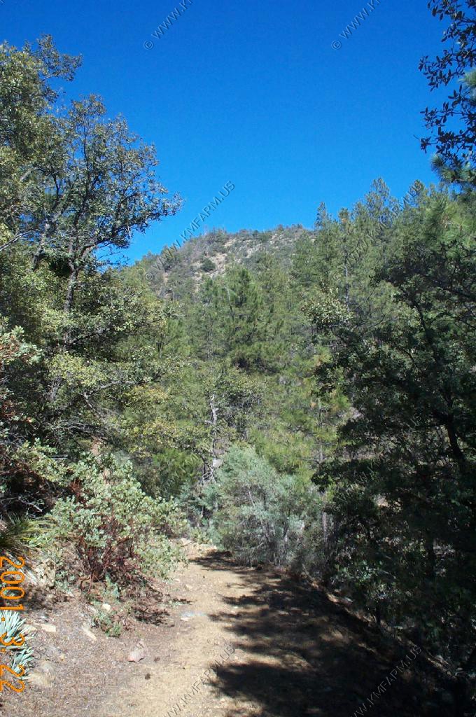
We went to Ken's gold mine which he has worked since 1984...

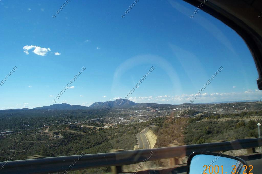
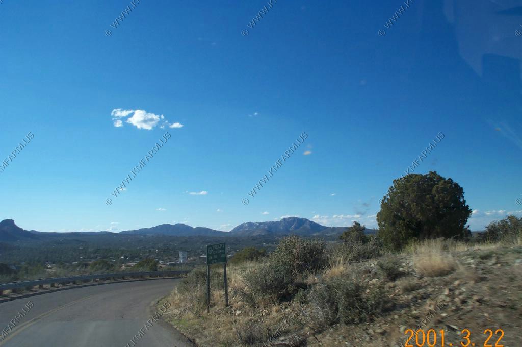
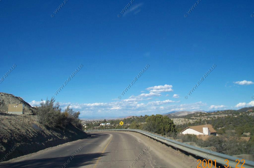
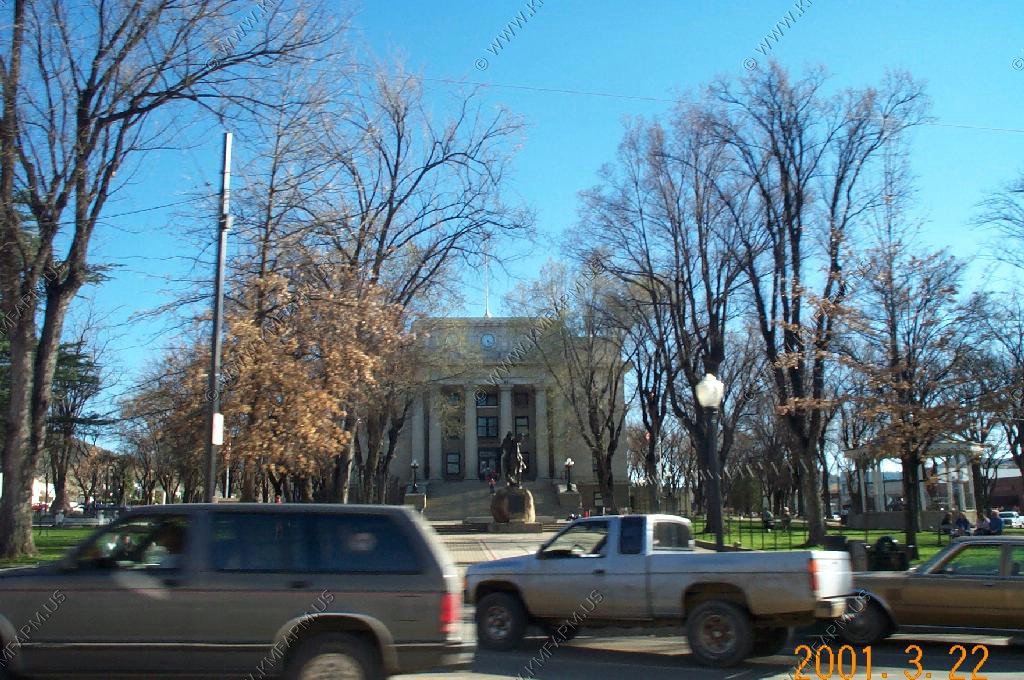
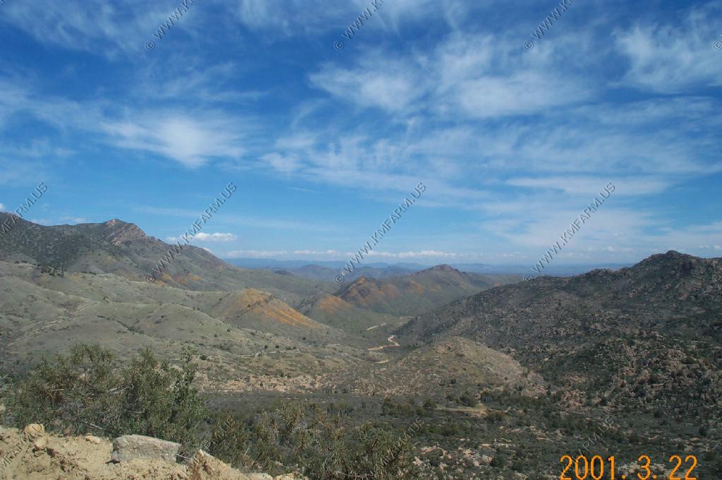
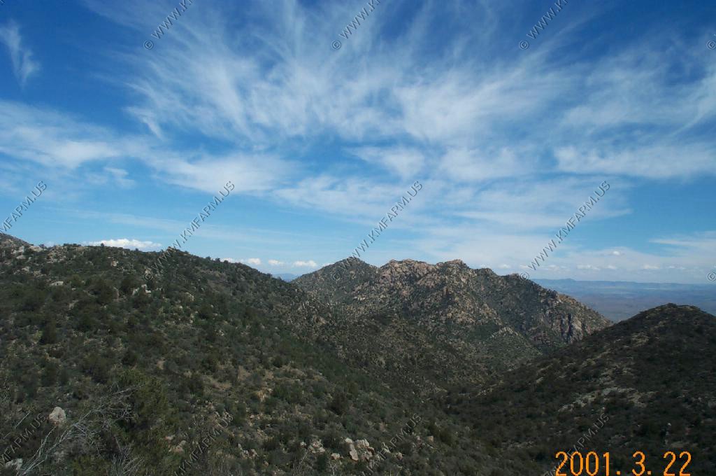
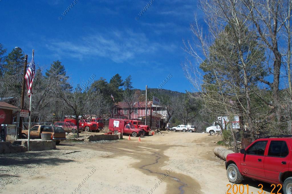
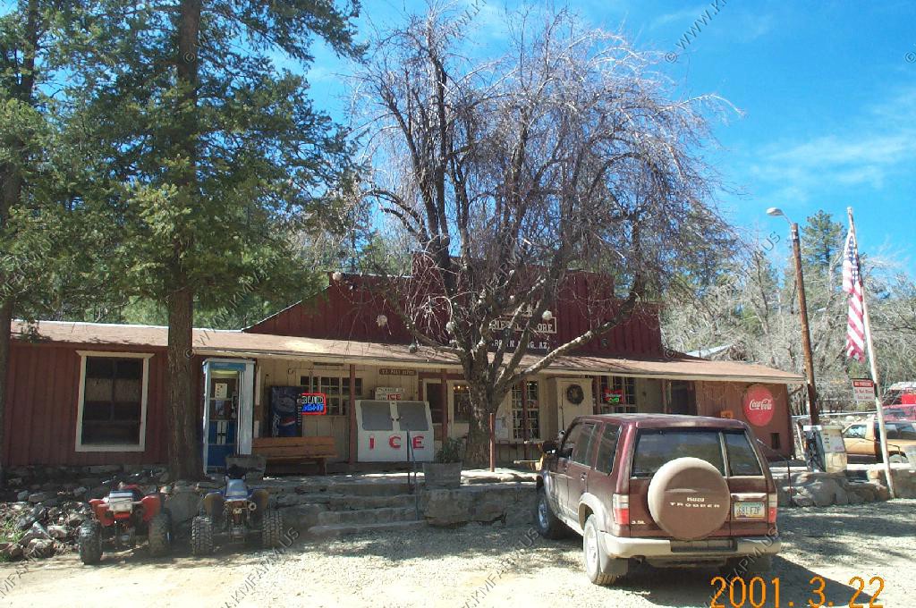
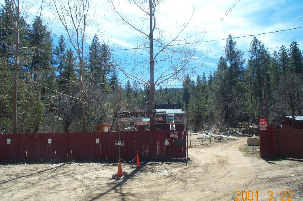
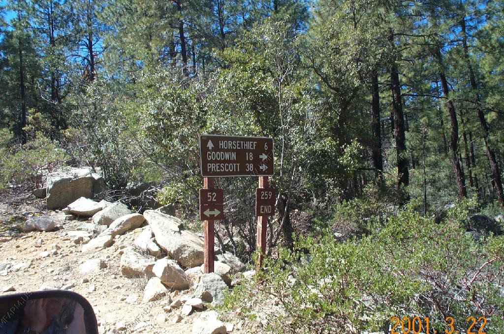
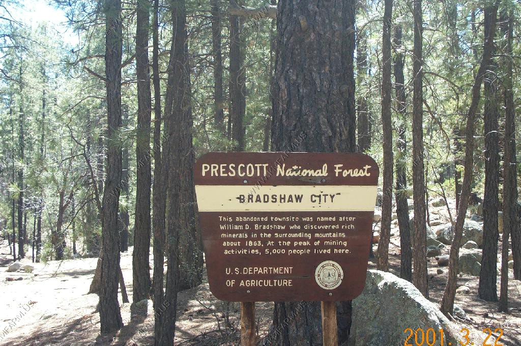
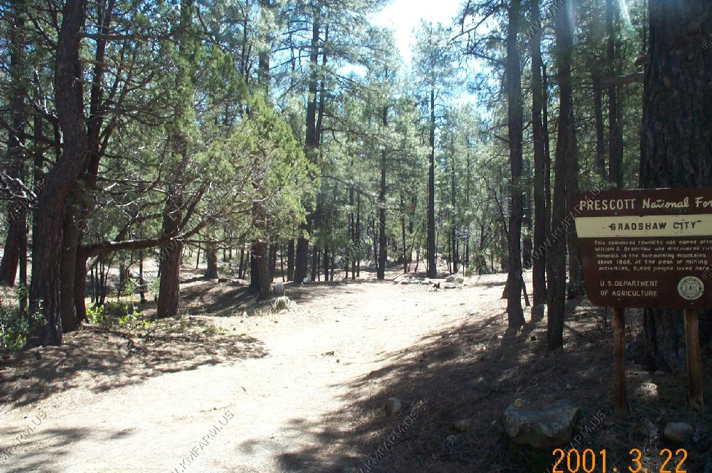
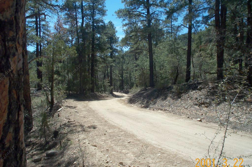
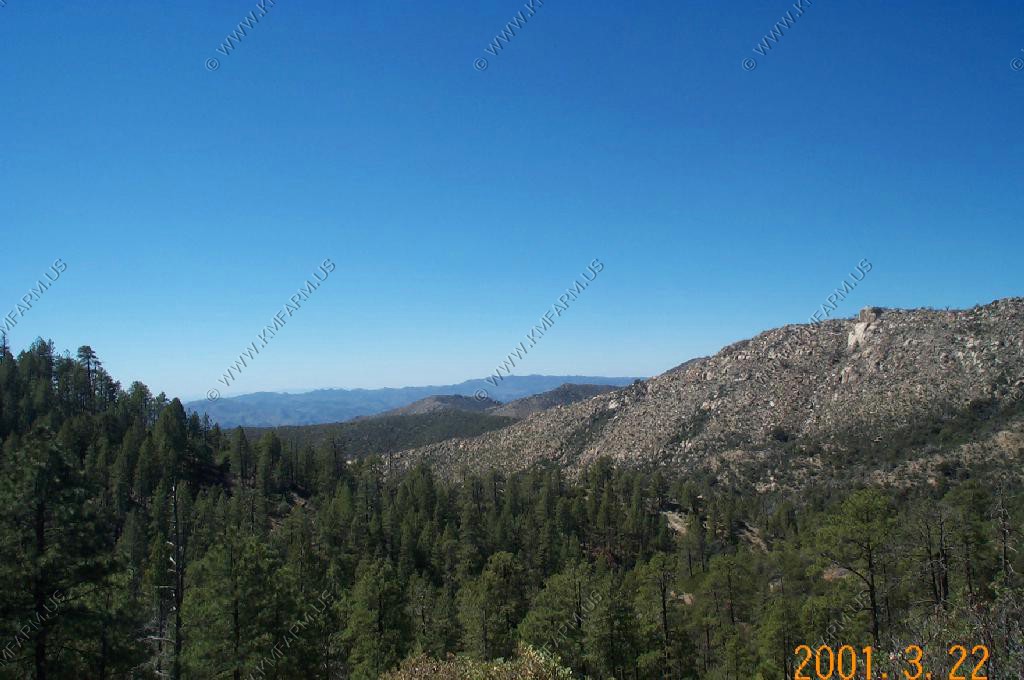
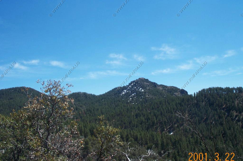
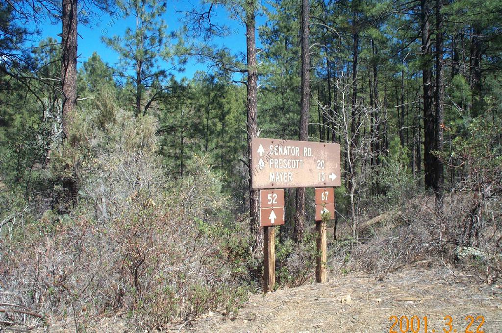
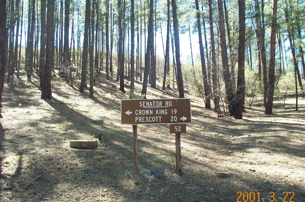
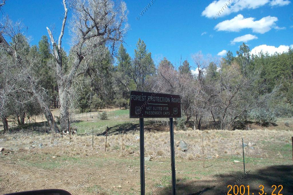
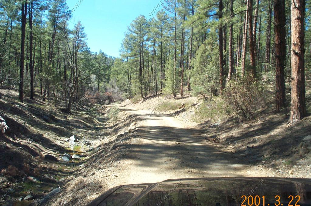
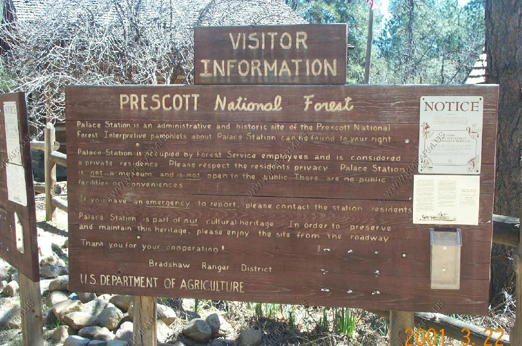
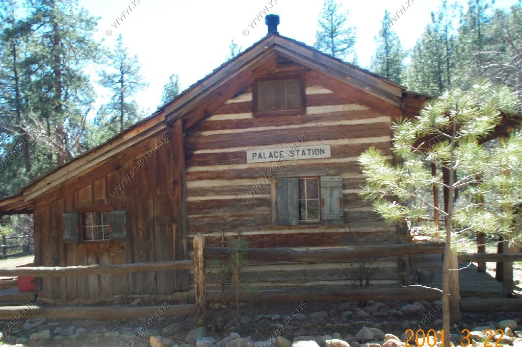
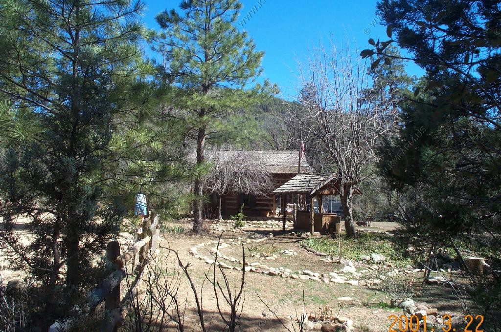
Prescott, one of Ken's favorite places...